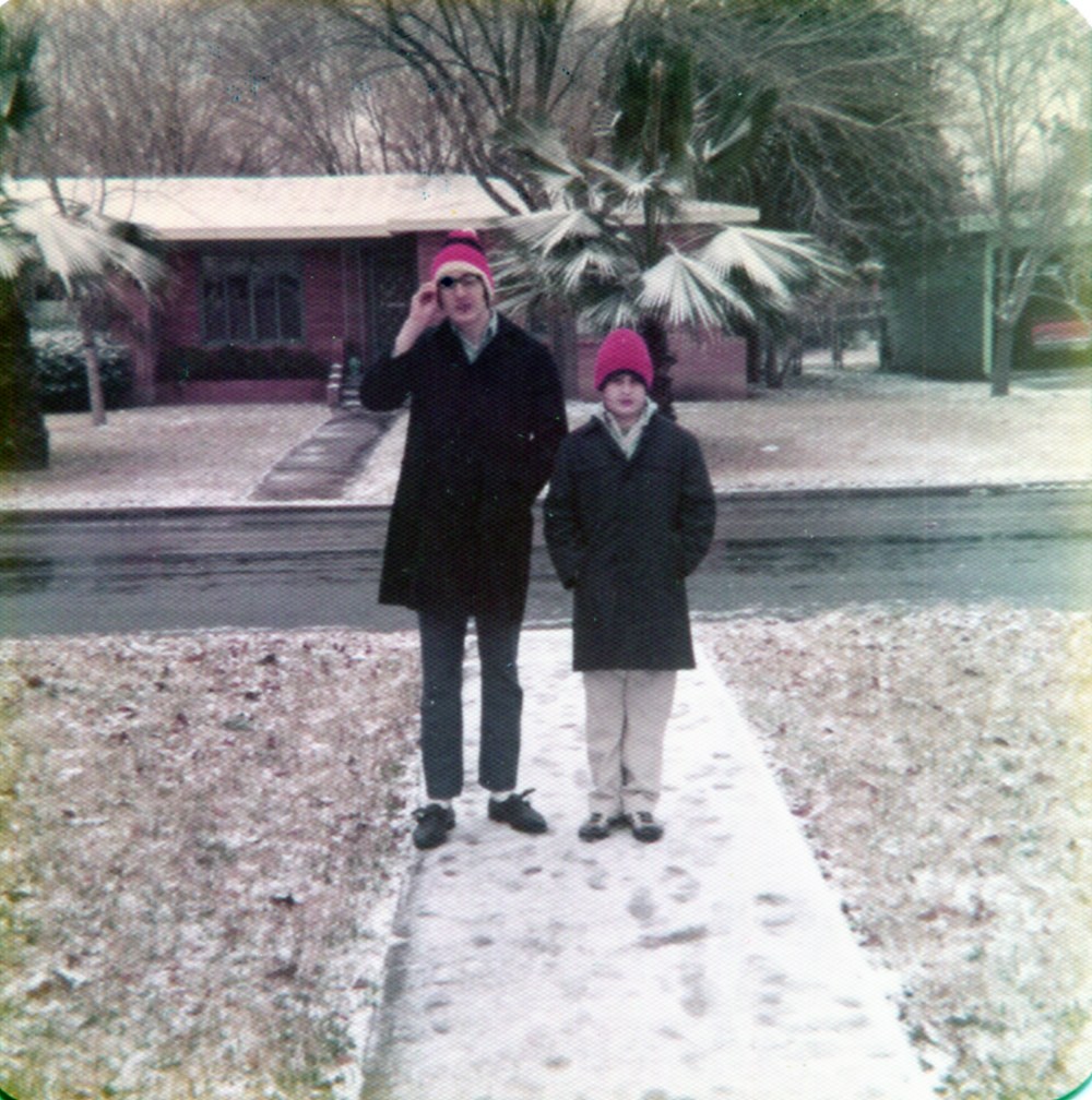
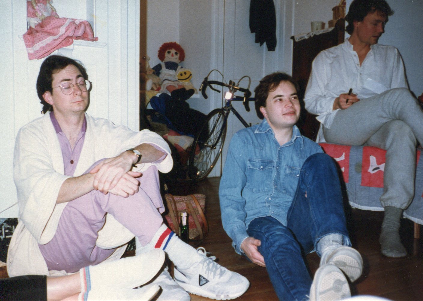
Throwback Thursday? Where did that come from? I’m always late to the meme party, not that that makes any difference. I first saw the term after I sent my old friend Tom an image of him that I scanned from a color slide.
 I took it outside my house in the spring of 1979, and it’s now proof that Tom once had hair. He posted it on his Facebook page on Jan. 1, calling it a “Throwback Thursday” picture (though curiously, Jan. 1 is a day people tend to look ahead). I don’t think I’ll throwback on Thursdays, except for this picture. Thursday’s a good day for odds and ends, though.
Part of Isaac’s Storm, which is mainly about the Galveston Hurricane of 1900 (see Jan. 19), mentions previous big blows in passing, such as the Great Storm of 1703, which slammed into Great Britain. I didn’t know, for instance, that that storm destroyed — completely scoured off the rocks — the first Eddystone Light. With builder Henry Winstanley and his crew, who were doing repairs, still inside. More about all four lighthouses on those rocks is here, including the incredible fate of the lighthouse keeper when the second one burned down. Here’s a short of a fellow visiting the current lighthouse (a cool destination if there ever was one).
I don’t think I have the patience to read Daniel Defoe’s work on the subject, The Storm — or, to give it its full name, The Storm: Or, a Collection of the Most Remarkable Casualties and Disasters Which Happen’d in the Late Dreadful Tempest, Both by Sea and Land — which is available thanks to Project Gutenberg. But it’s good browsing. Some people died in 1703 from falling chimneys, for instance:
In Threadneedle-Street, one Mr. Simpson, a Scrivener being in Bed and fast a-sleep, heard nothing of the Storm; but the rest of the Family being more sensible of Danger, some of them went up, and wak’d him; and telling him their own Apprehensions, press’d him to rise; but he too fatally sleepy, and consequently unconcern’d at the Danger, told them, he did not apprehend any Thing; and so, notwithstanding all their Persuasions, could not be prevailed with to rise: they had not been gone many Minutes out of his Chamber, before the Chimneys fell in, broke through the Roof over him, and kill’d him in his Bed.
I suppose that counts as a throwback, too, though I bet most people who use the term don’t go back as far as 1703. So here’s something new: socks that Yuriko brought back from Japan for Ann.
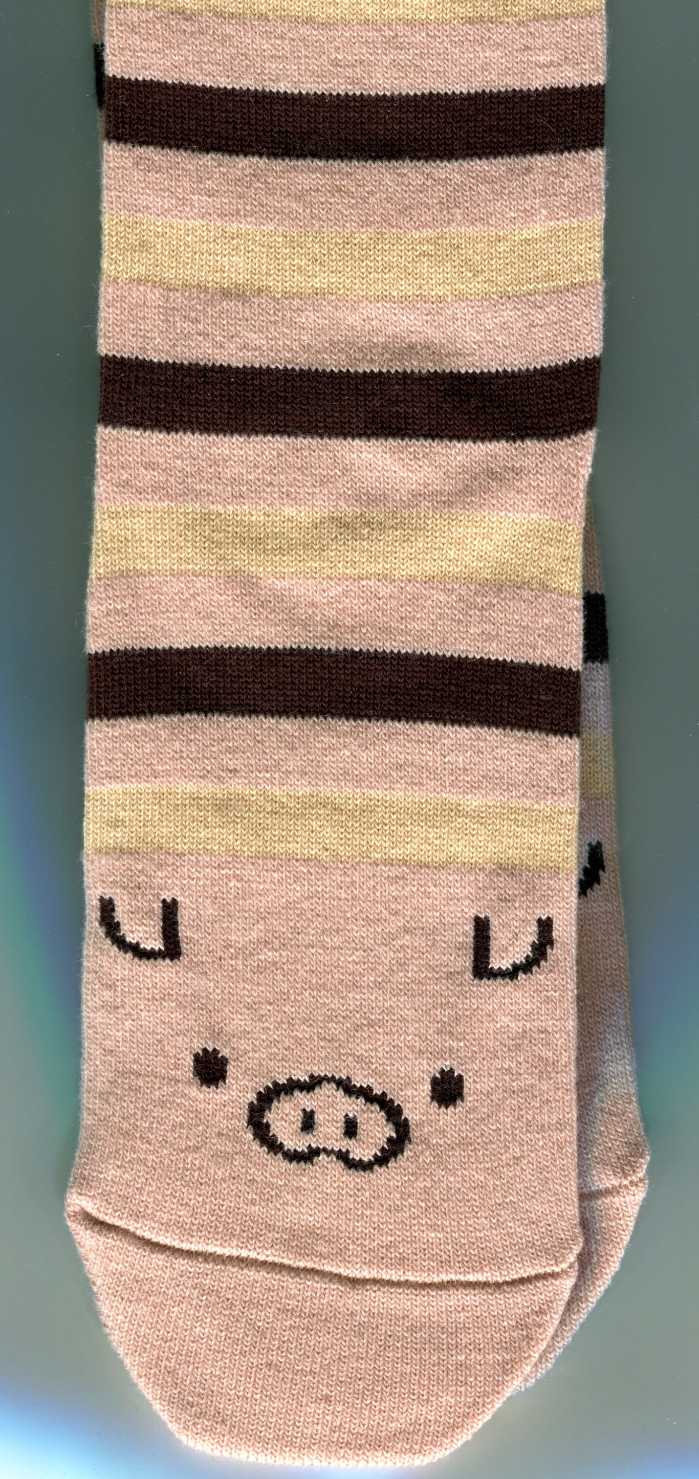 Too cute for words, as Japanese design sometimes is.