By the time we got to the last church on the tour, we were feeling the overload. At least I was. It’s the kind of feeling that drives you back to your room for an evening of television – a bad movie in another language is just the thing — after spending the day looking at grand churches or magnificent museums or arresting ruins or even just intense, one-thing-after-another cities, or some combo of all these.
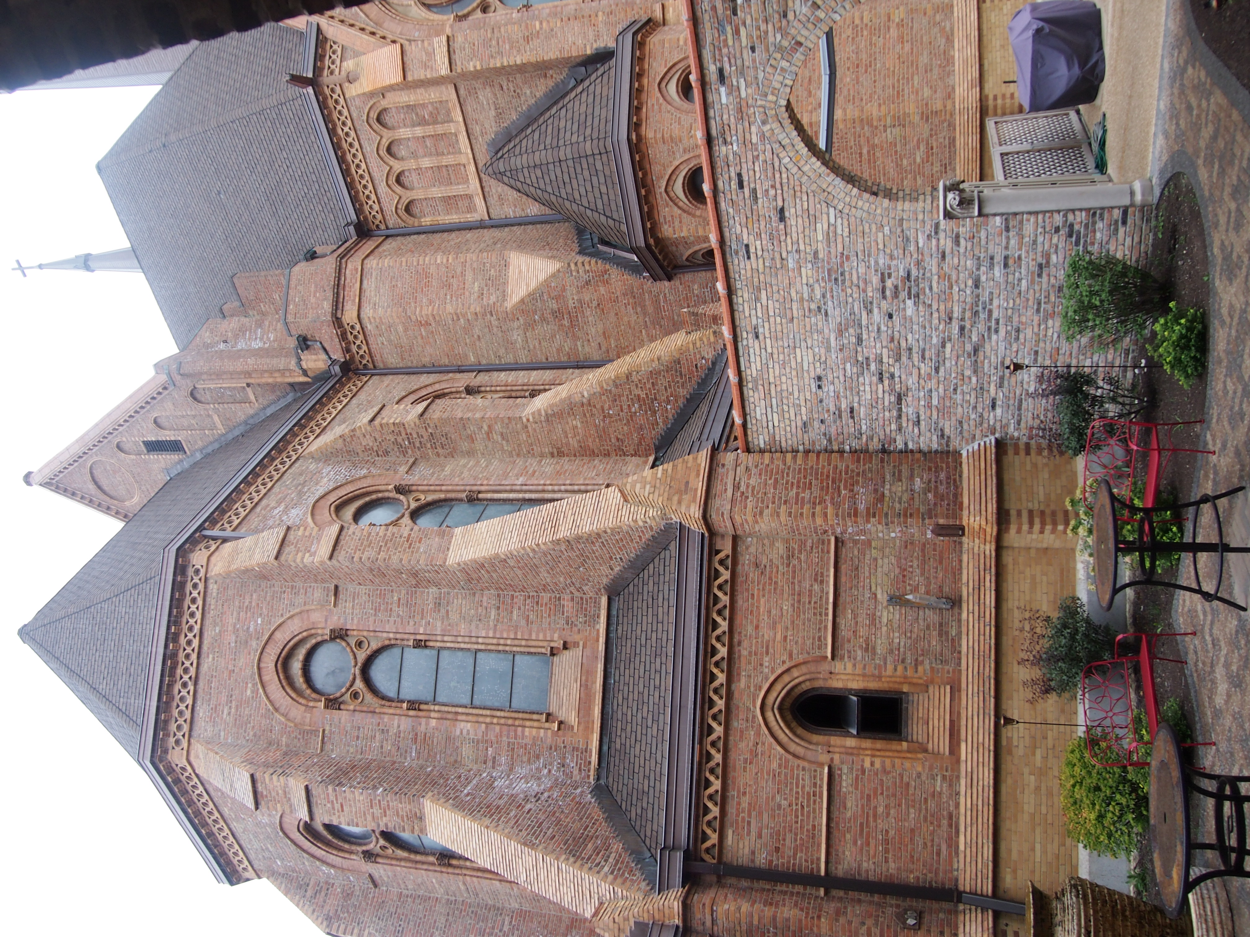
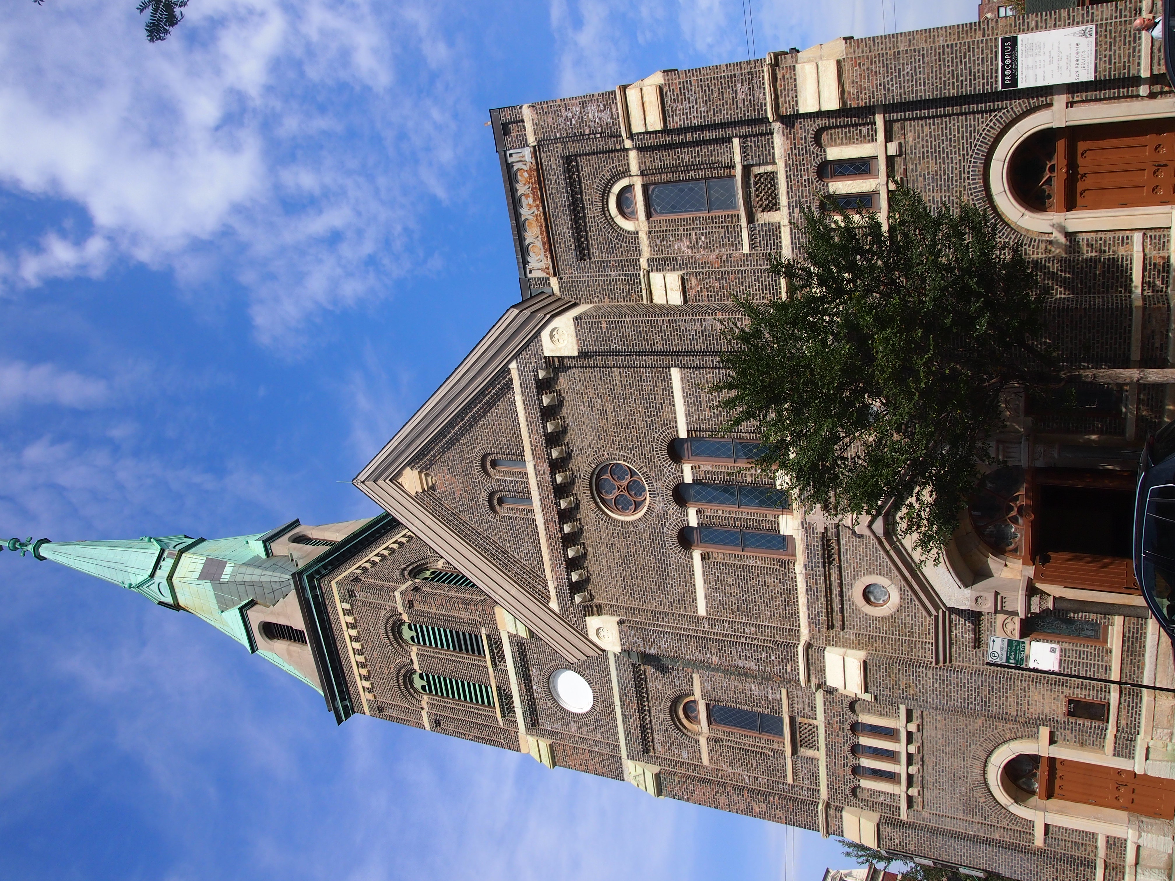
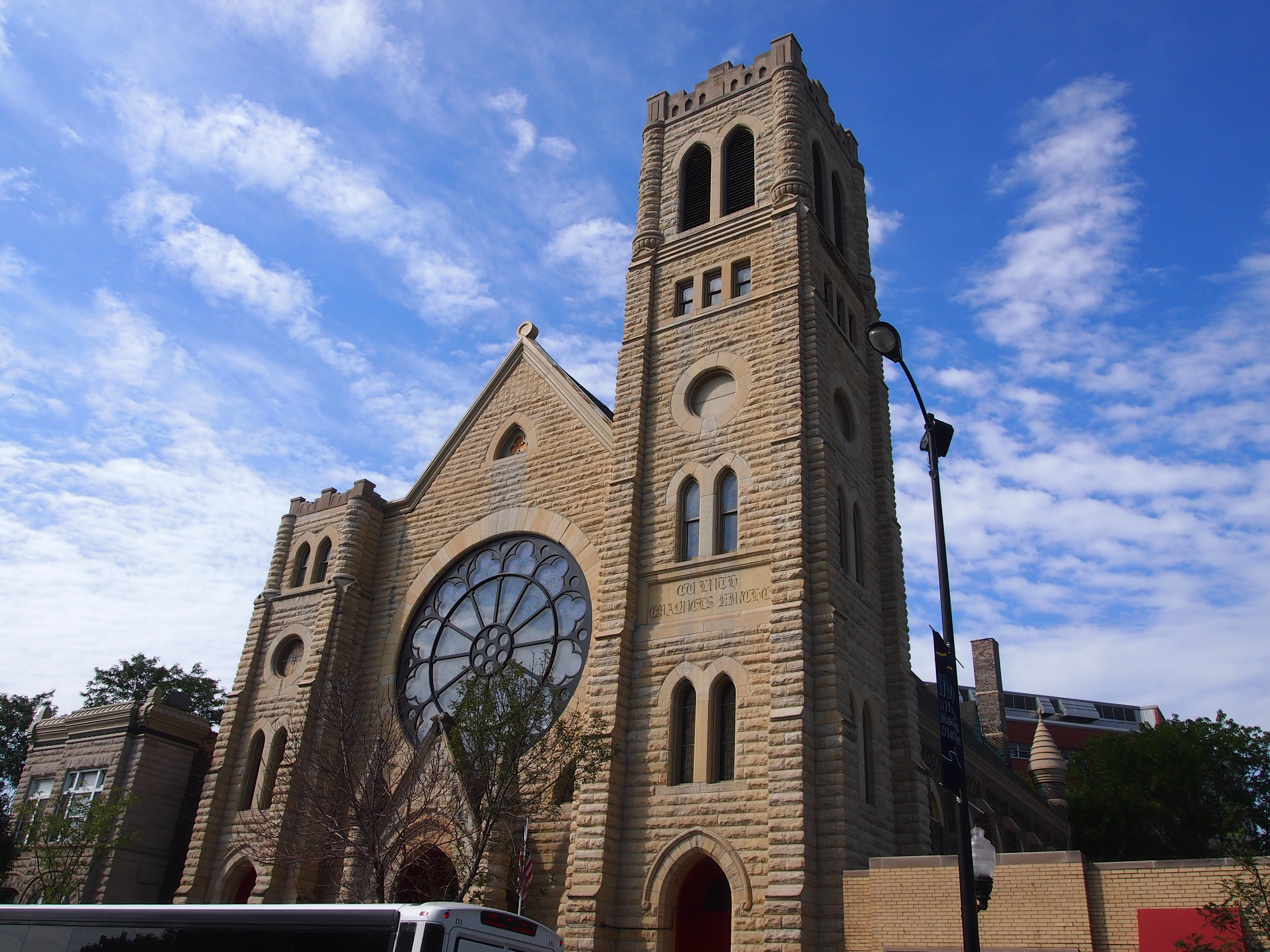
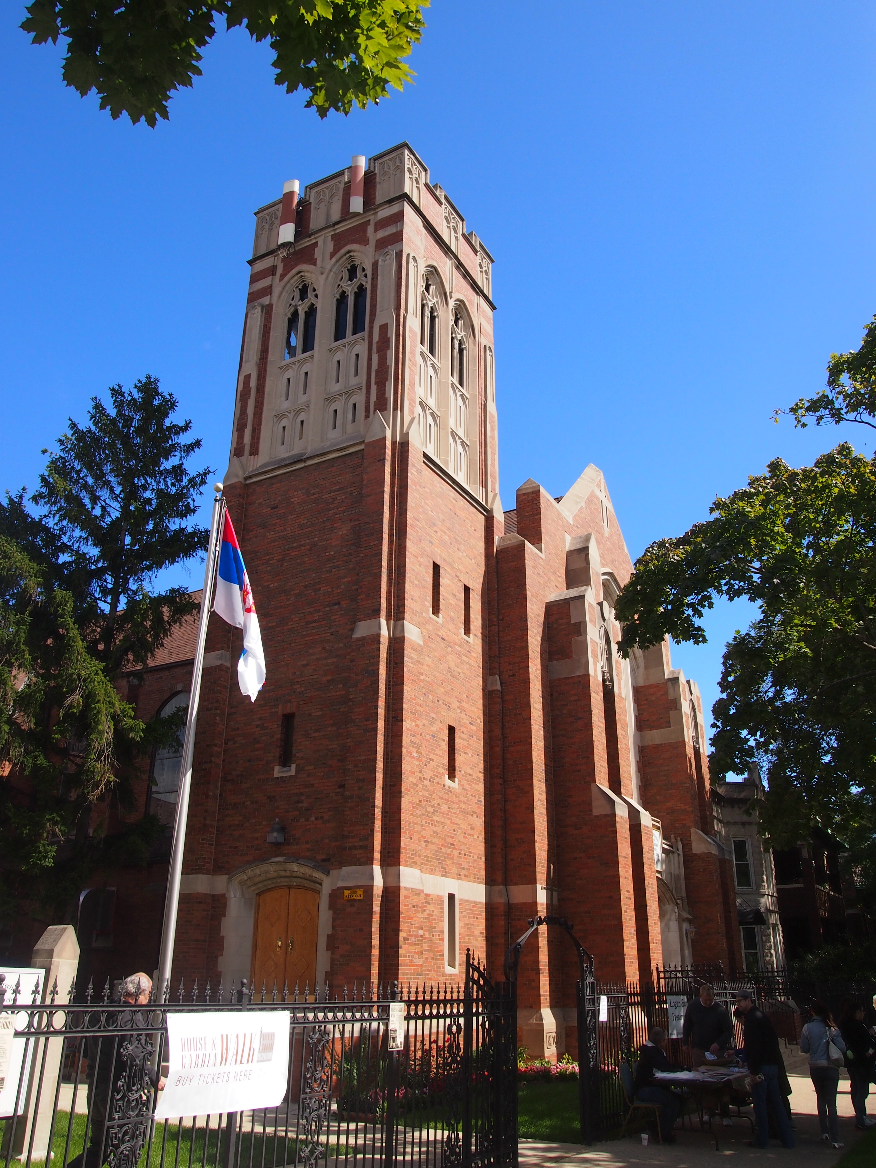
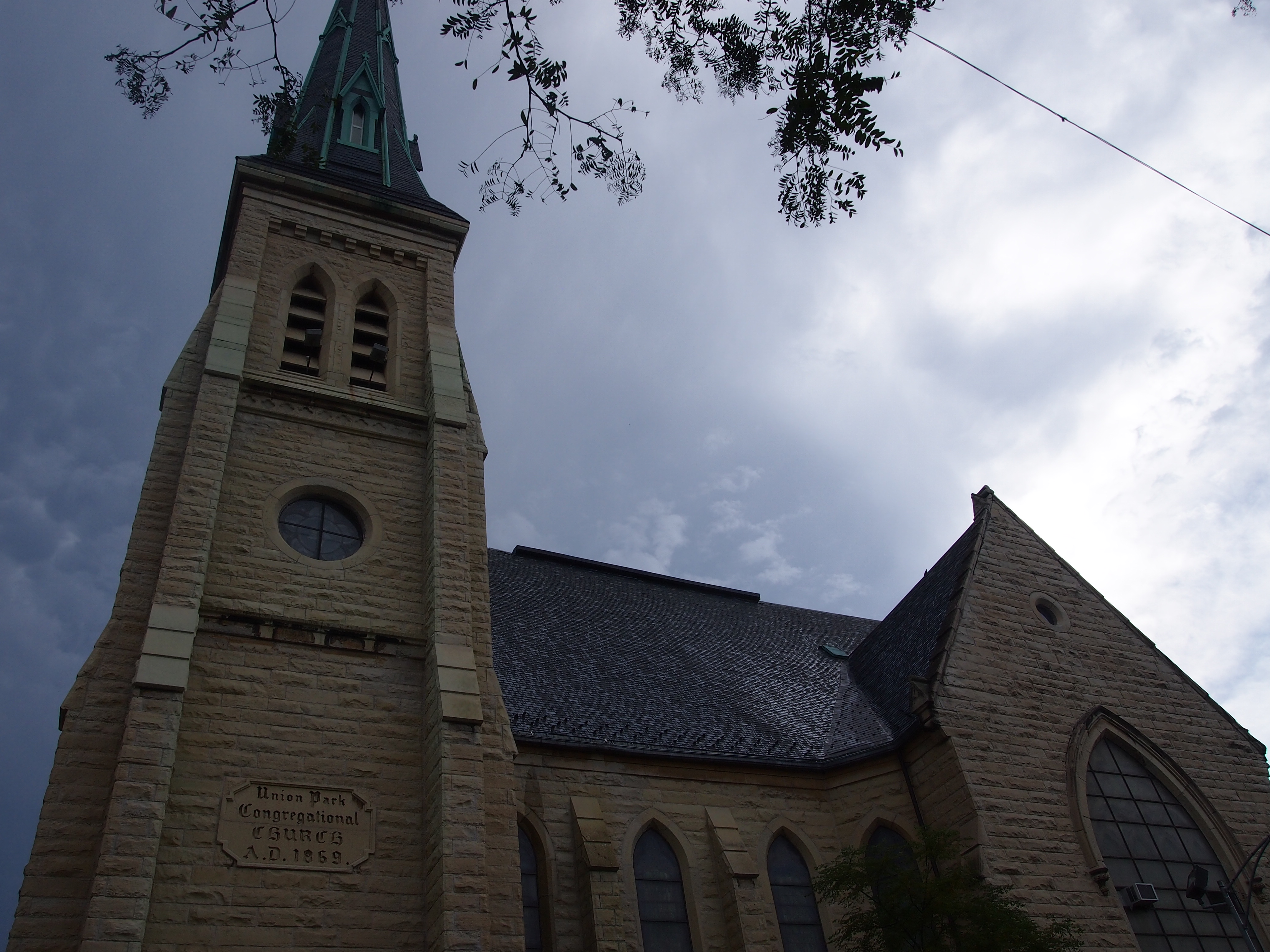 Well, one more. We can handle that. The last one for bus #4 was the curiously named First Baptist Congregational Church at 60 N. Ashland Ave. Its Gothic Revival outside hinted that it was going to be another big, spectacular church inside. That’s a good thing, of course. But the effect wears off a little after four others.
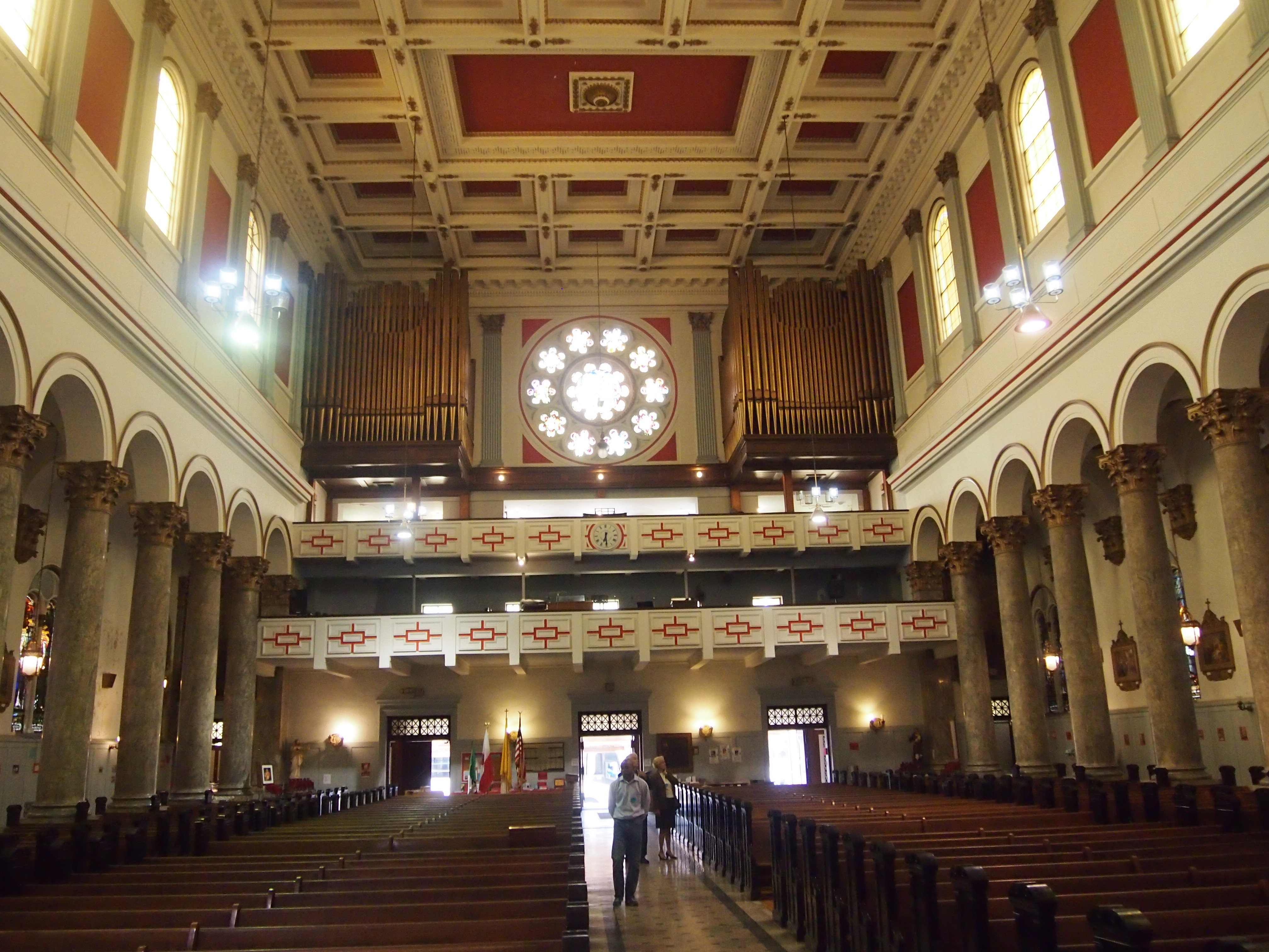
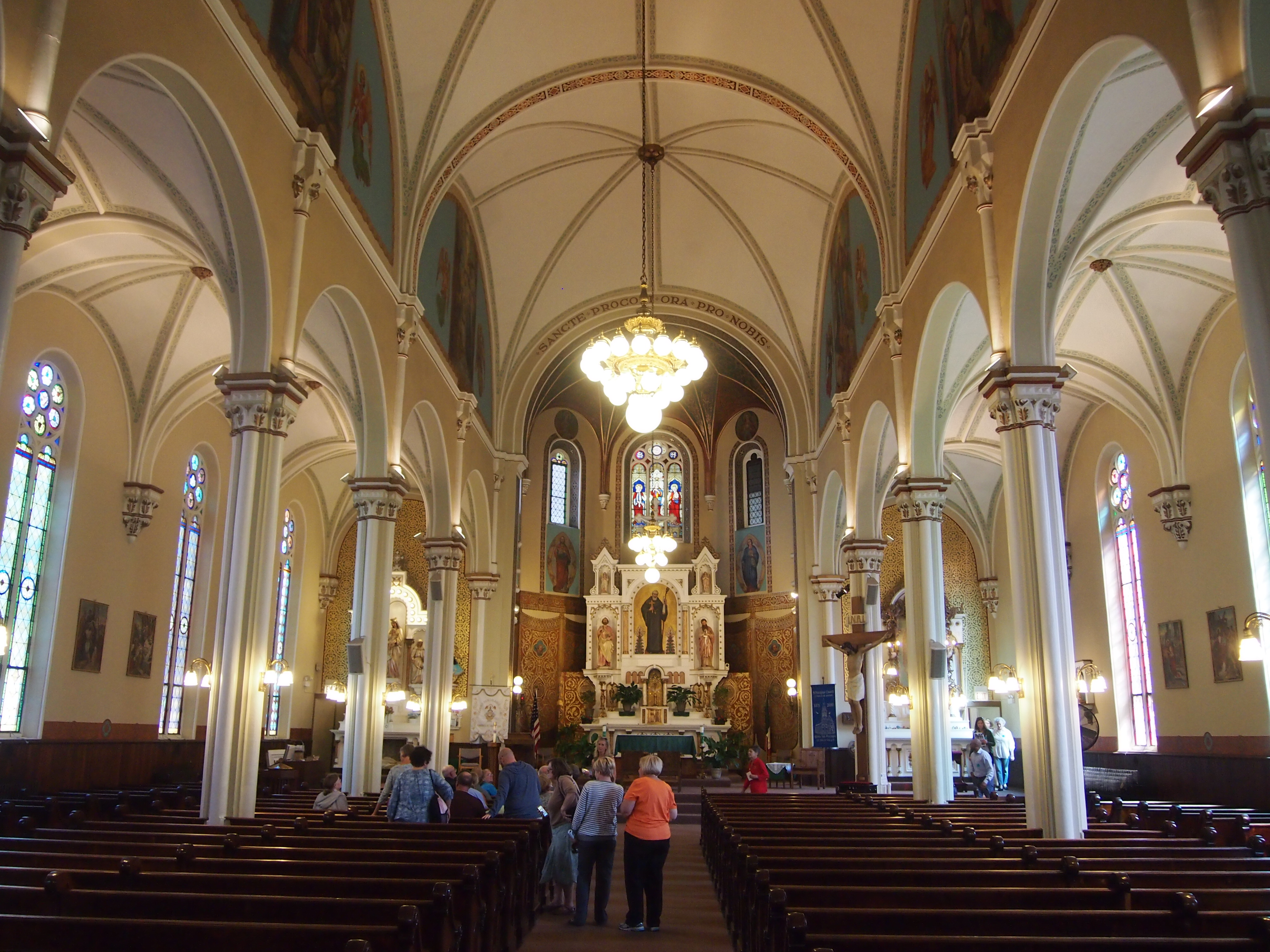
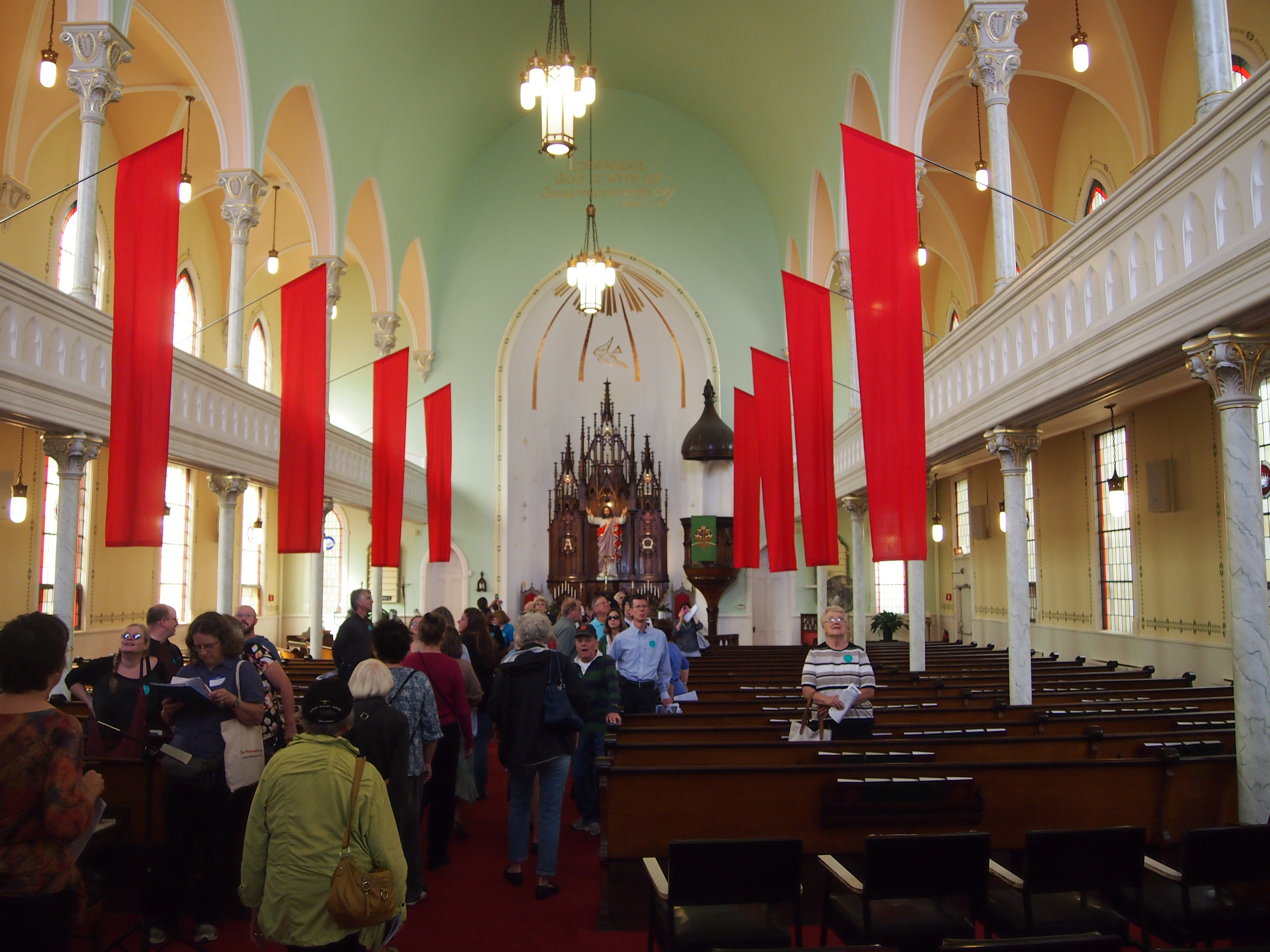
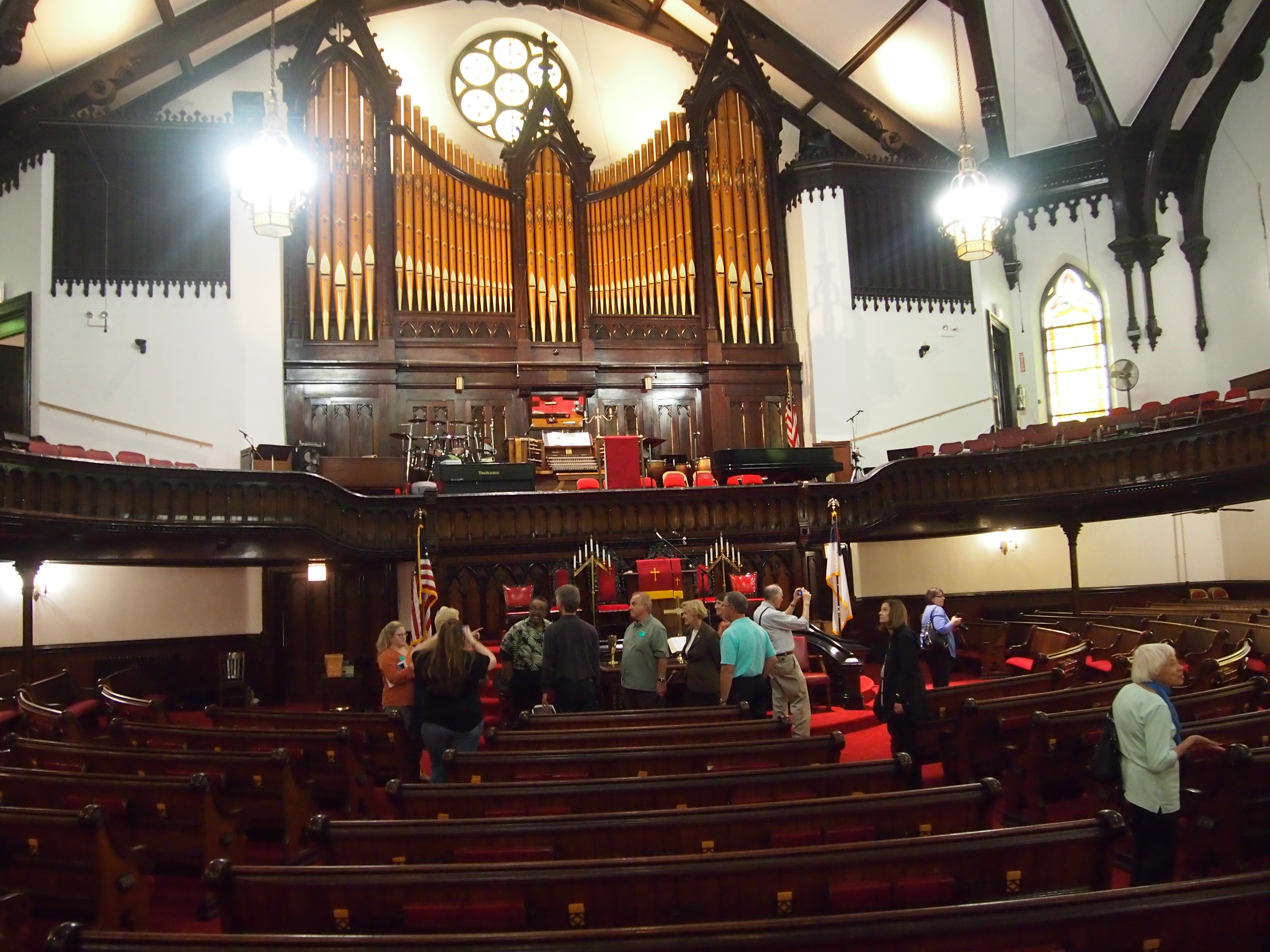
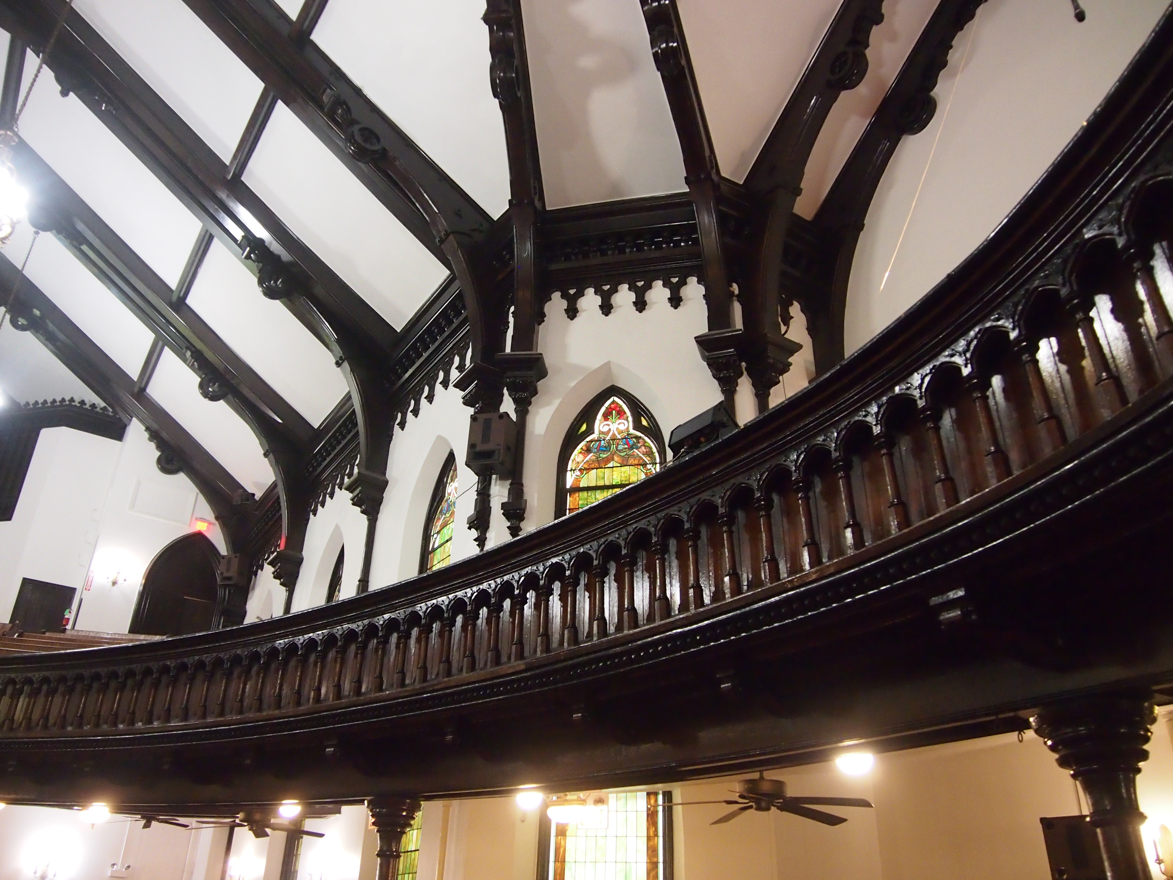
It was spectacular inside. But not in the way I expected. It perked me right up and made me want to look around. It wasn’t like any of the other churches. For one thing, First Baptist Congregational is an auditorium church, trimmed in dark woods, a very inviting design.
The view toward the front, facing the powerful organ, among other things.
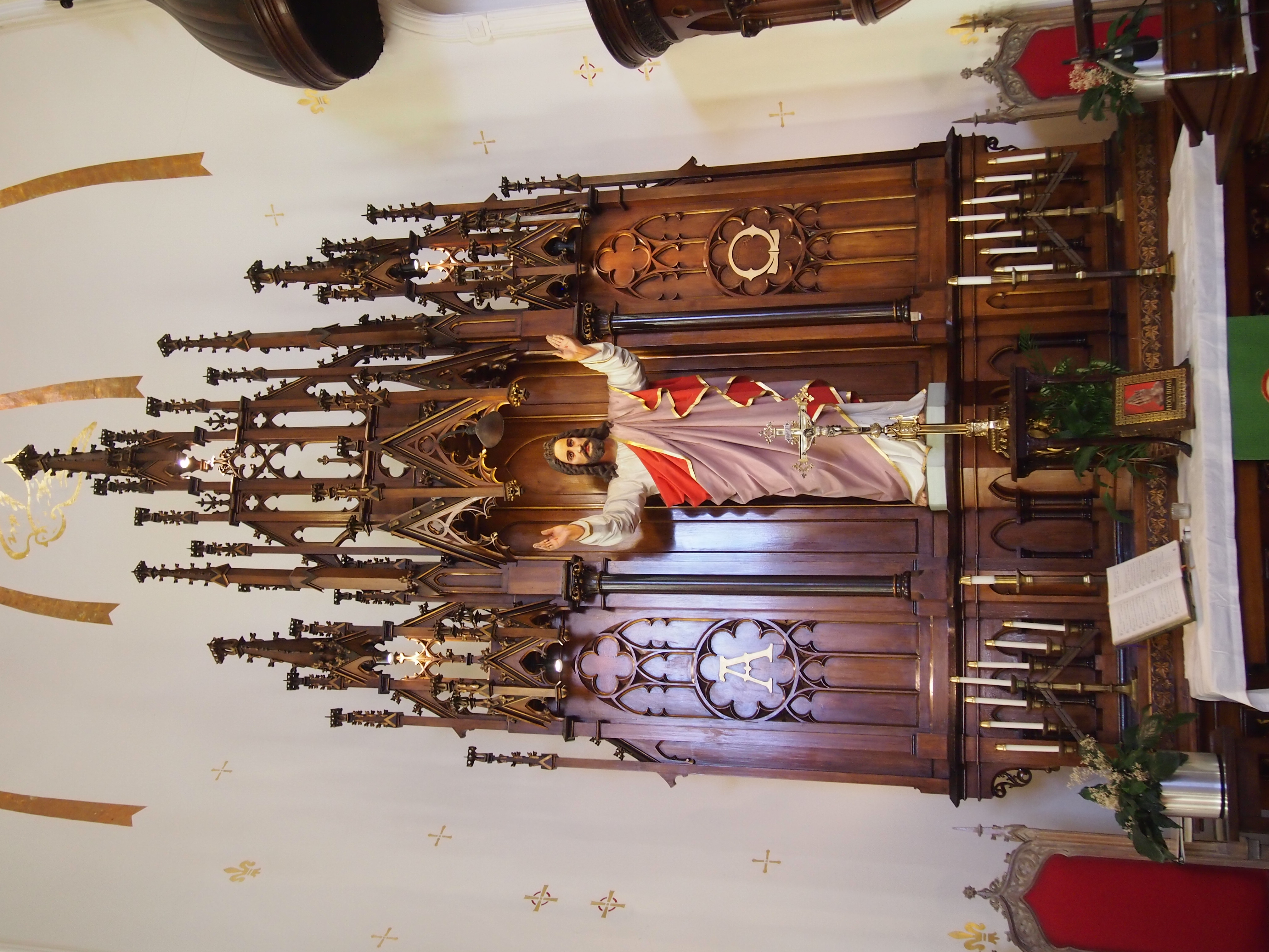
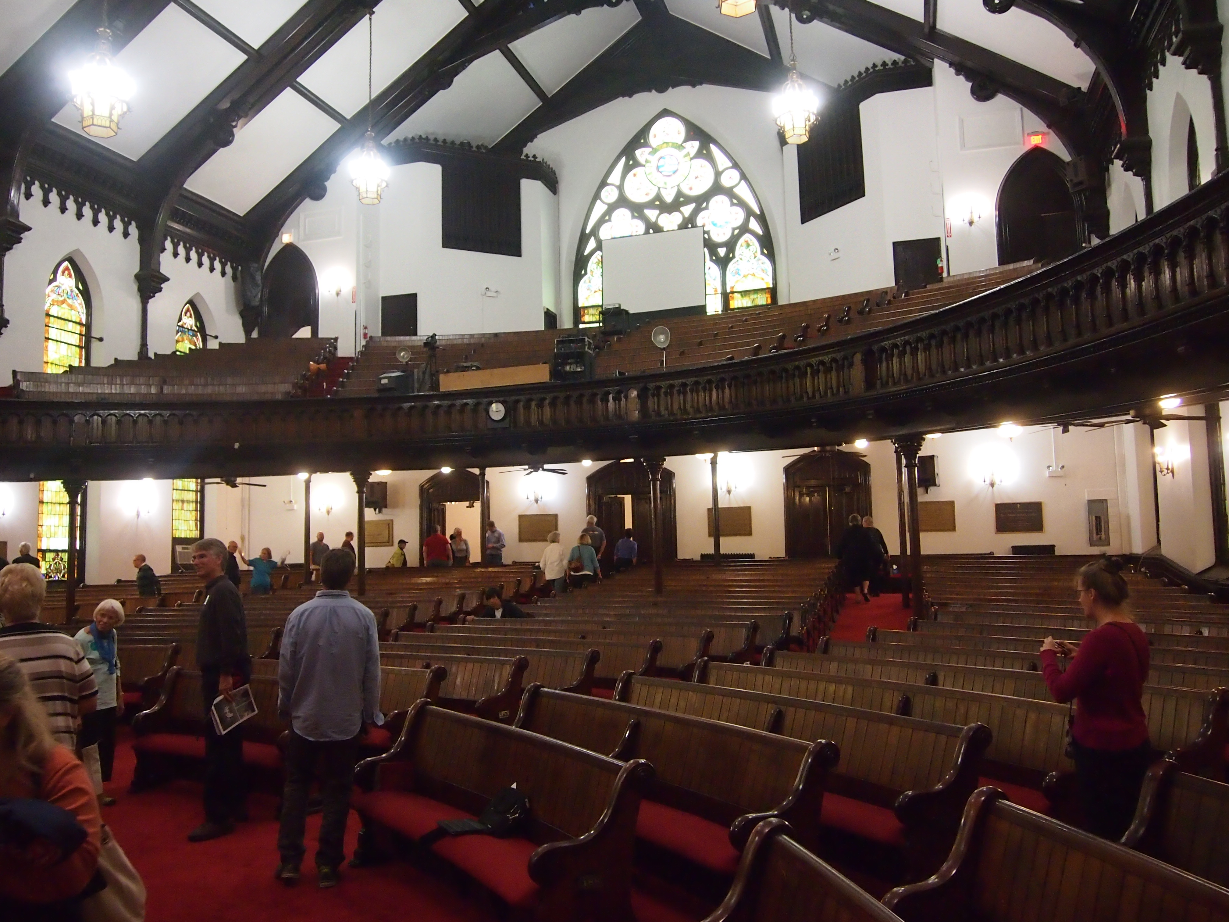
 Toward the back.
 It’s also the oldest of the churches we saw that day, built as the Union Park Congregational in 1869, long enough ago that the congregation who built it had been abolitionist before the war, and active in resisting the enforcement of the Fugitive Slave Act. After the war, the congregation counted Mary Todd Lincoln as a member for a time.
They hired one Gurdon P. Randall to design their church. He was active in Chicago both before and after the war, but apparently a number of his structures were lost in the Chicago Fire. Union Park Congregational survived, since the fire didn’t reach this far west. Through a number of shifts in congregation whose details I’ll skip, the modern congregation is affiliated with both the United Church of Christ and the National Baptist Convention.
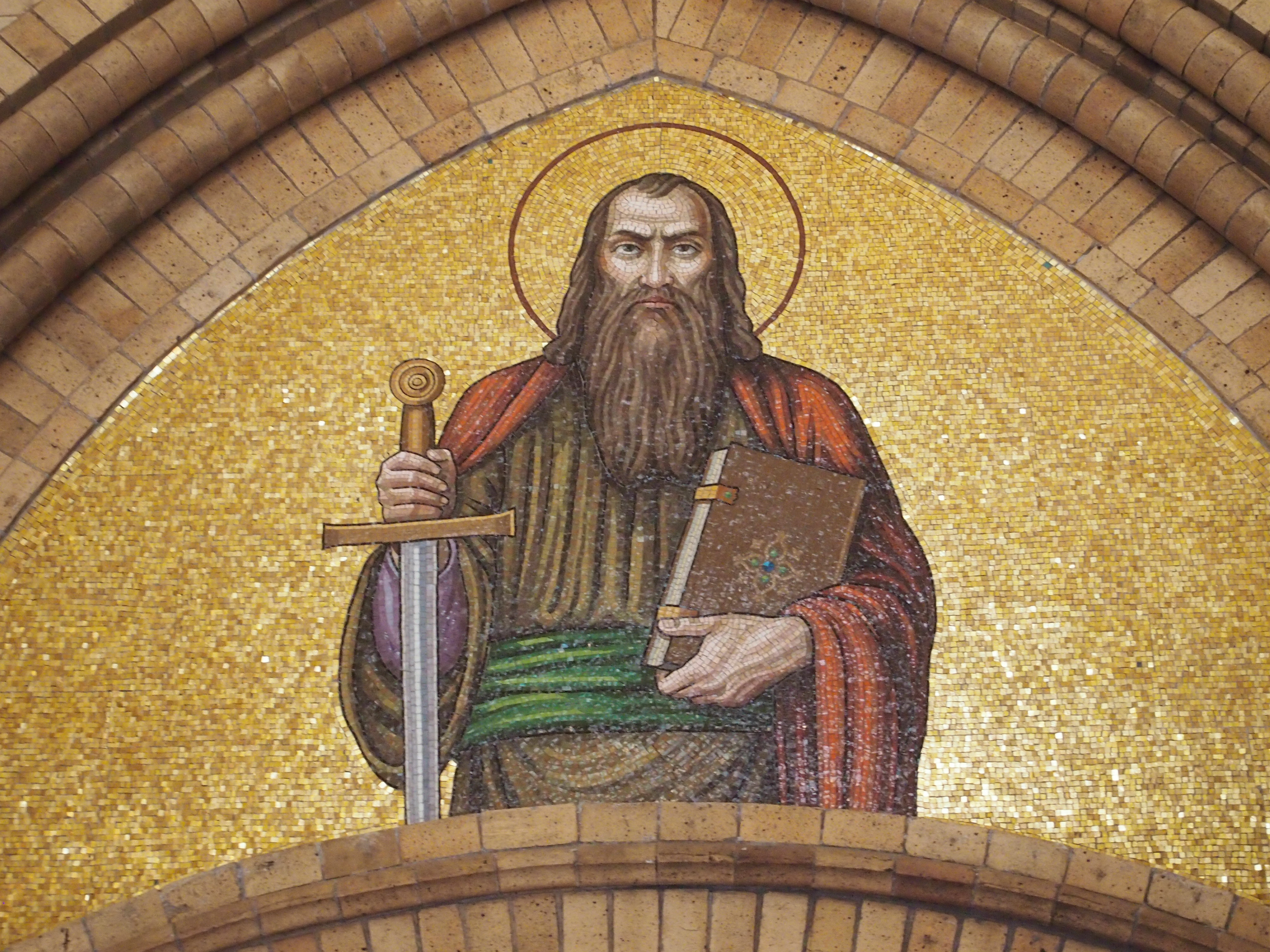
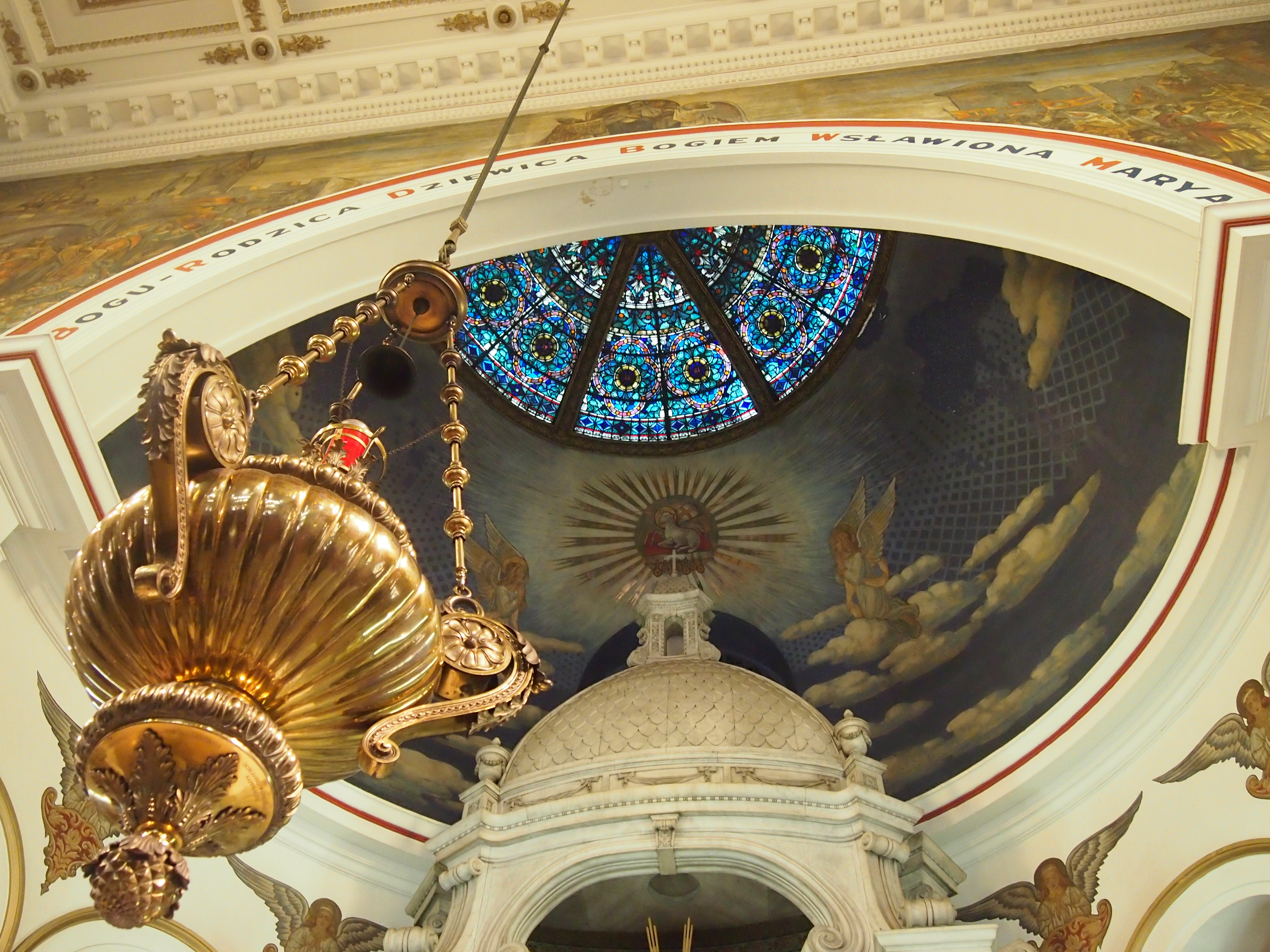
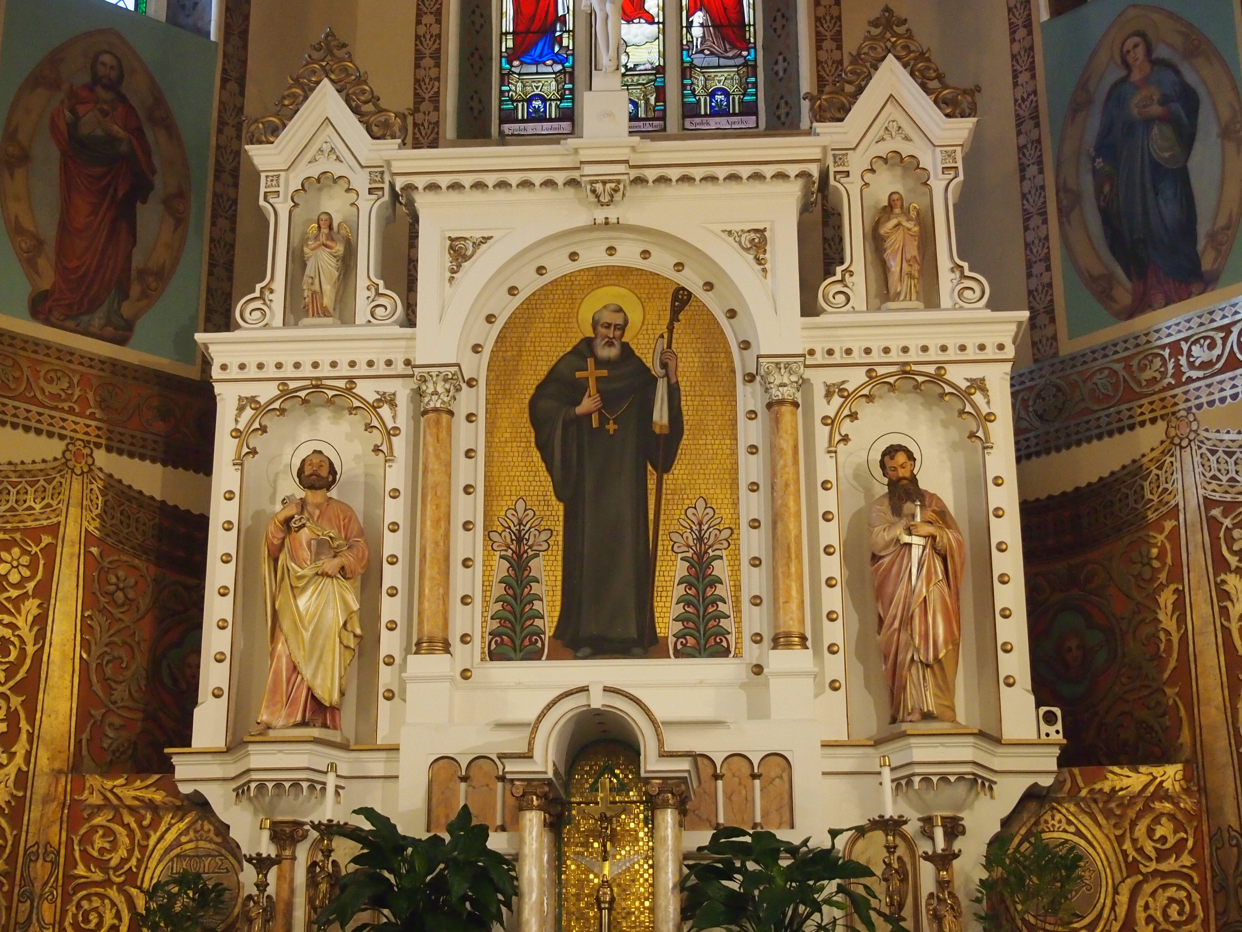
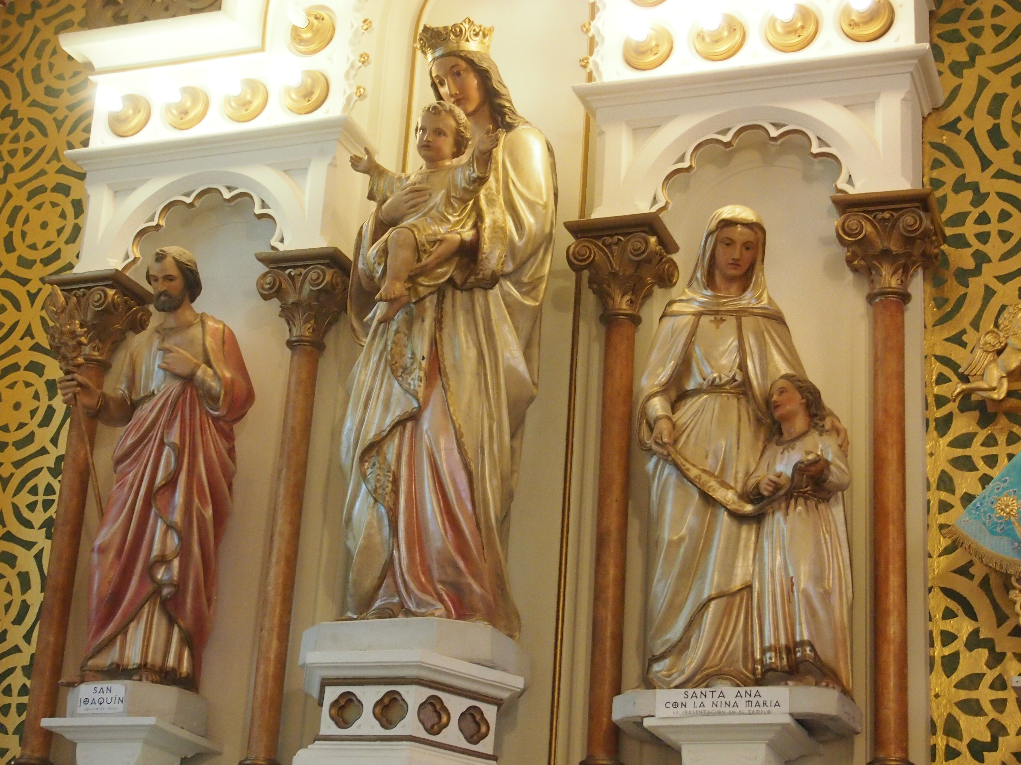
It isn’t lavish in an in-your-face way, but the detail is remarkable.
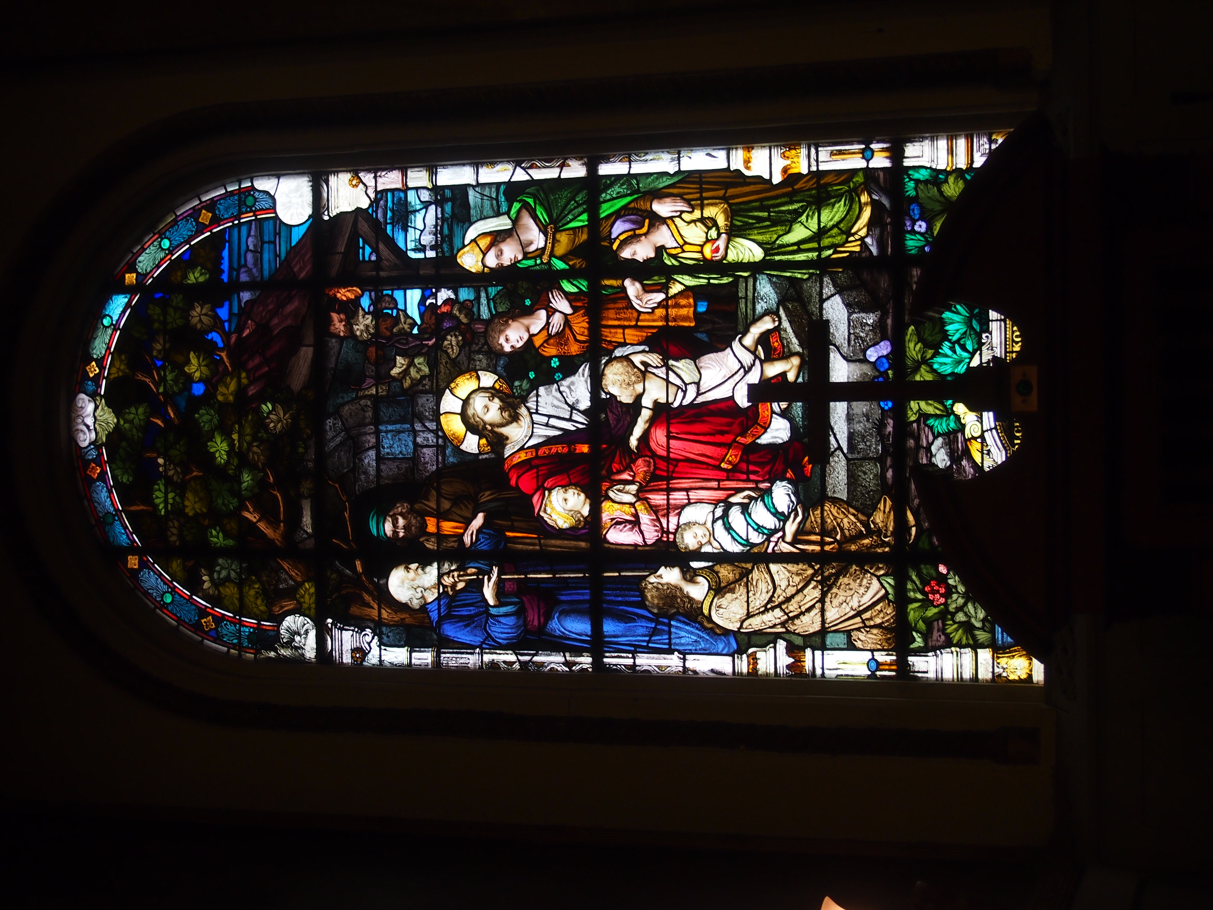
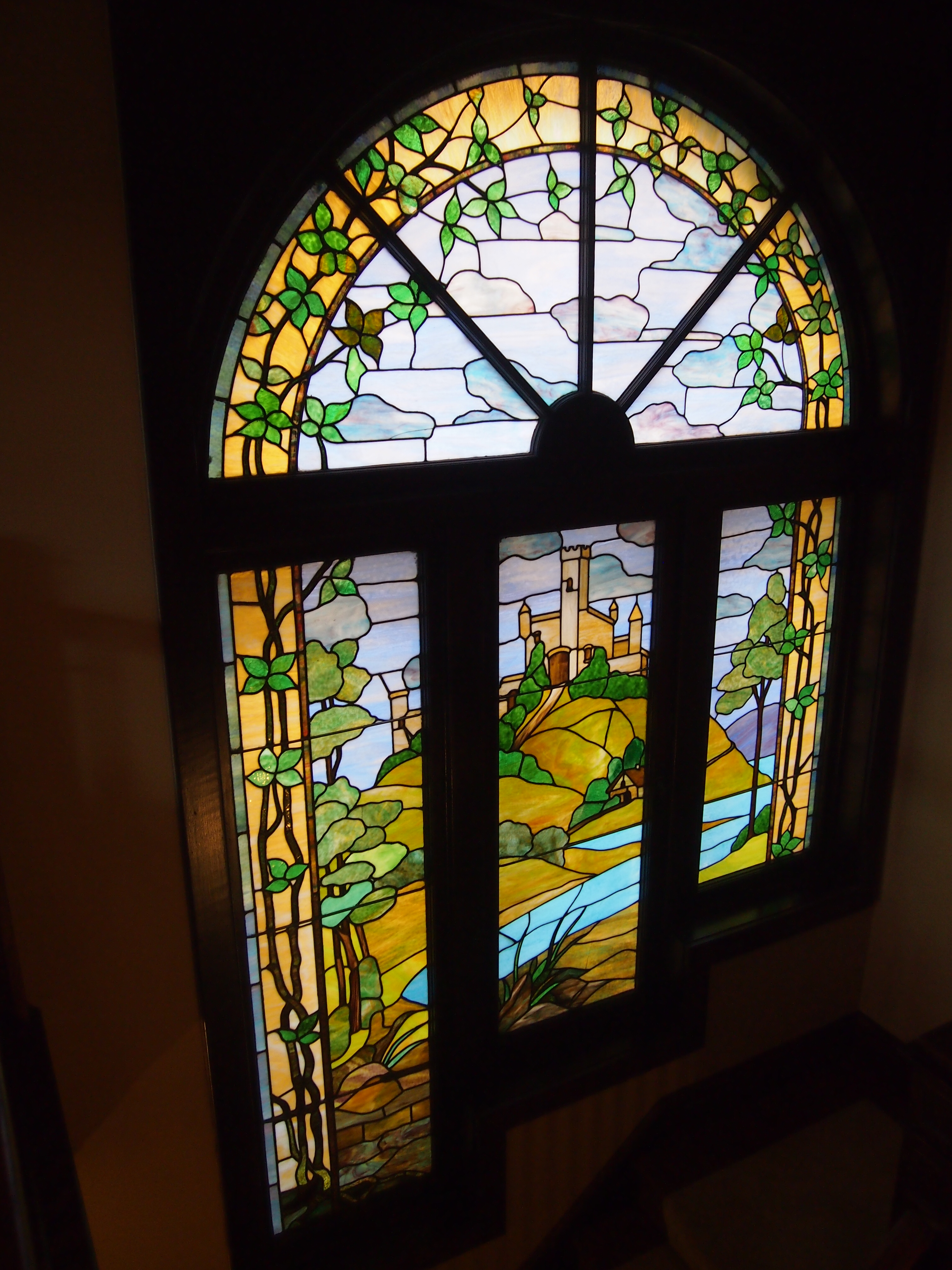
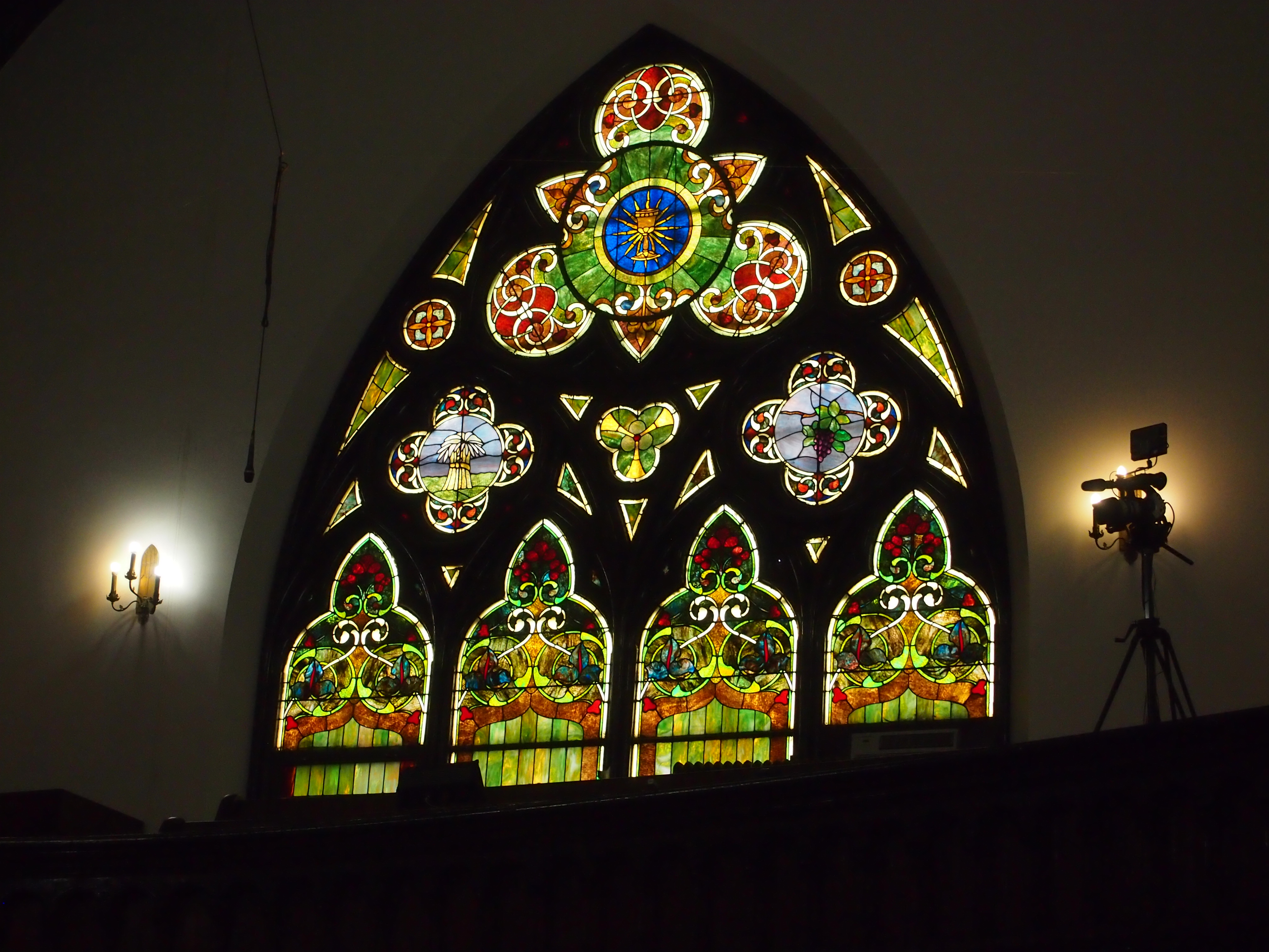
 Got pretty stained glass, too.
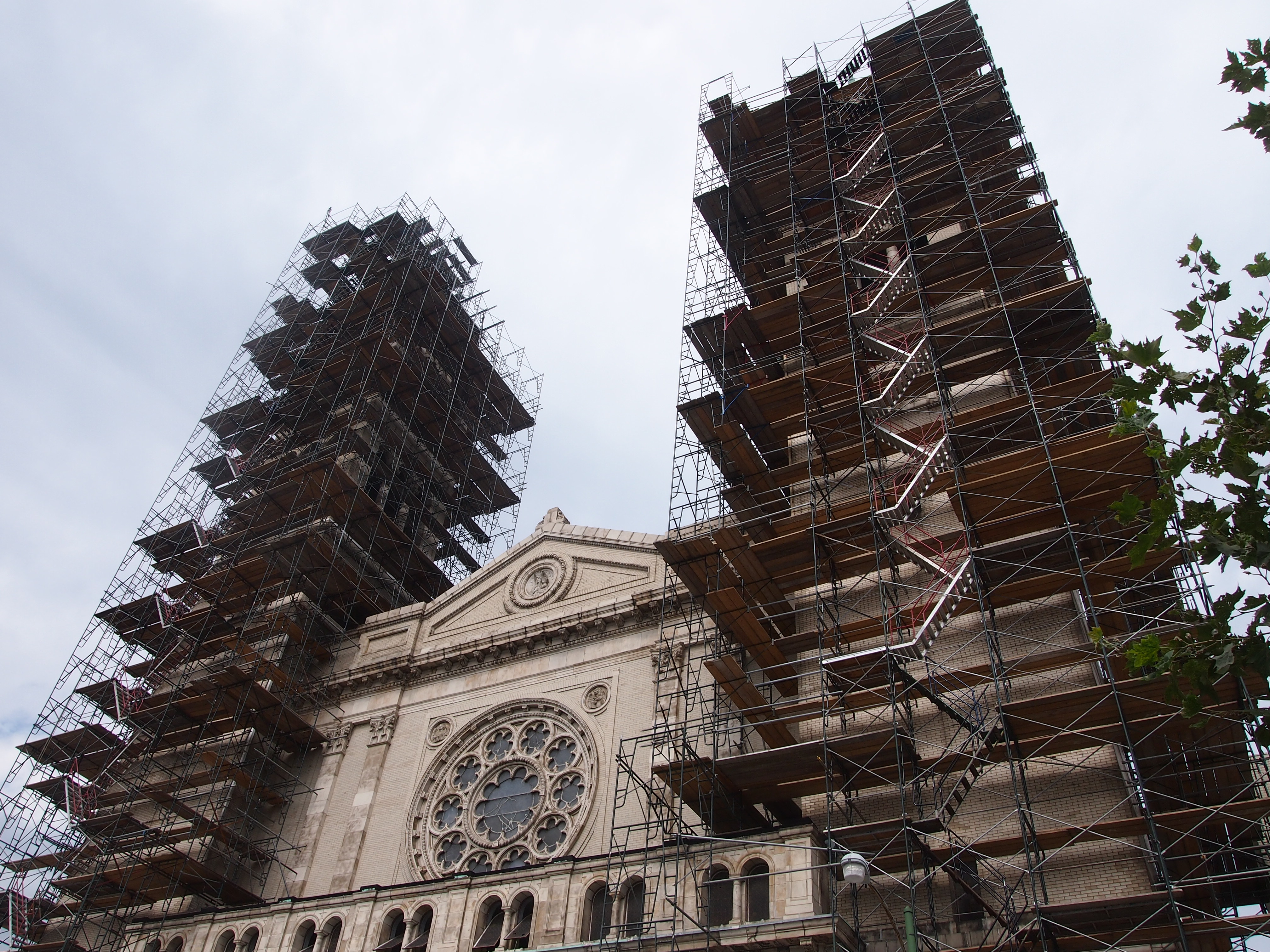
 About three years ago, a snowstorm sent one of the smaller spires crashing through the roof and the false roof over the nave (if that’s the right term for an auditorium church). That was bad enough, but apparently the wind then carried soot that had accumulated between the two roofs over the years inside the church, covering everything. The restoration was only recently completed.