Rockville, Indiana

Now I’ve seen it: the grave of Batman.

George W. Batman, that is, who died in 1897, so he never lived to see his surname put to the other uses we all know so well. Variants of his name include Bateman, Battman and Baitman, meaning that Batman really isn’t that odd. Except it does look odd on that large stone, but only because of recent conditioning by a particularly successful fictional character. George W. happens to repose at Rockville Cemetery in Rockville, Indiana, and I happened to visit early one Sunday morning in late July.

Rockville Indiana Cemetery

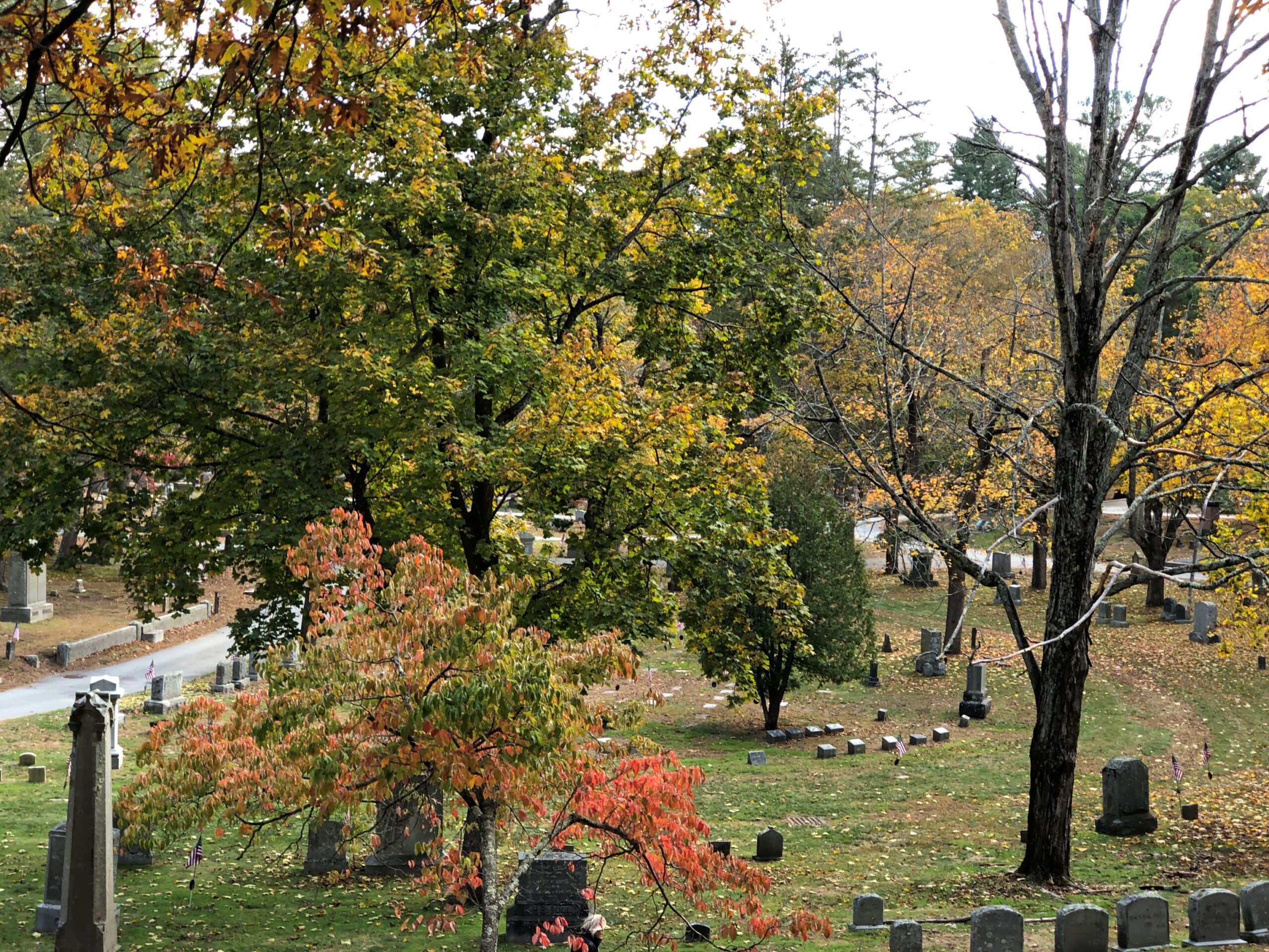
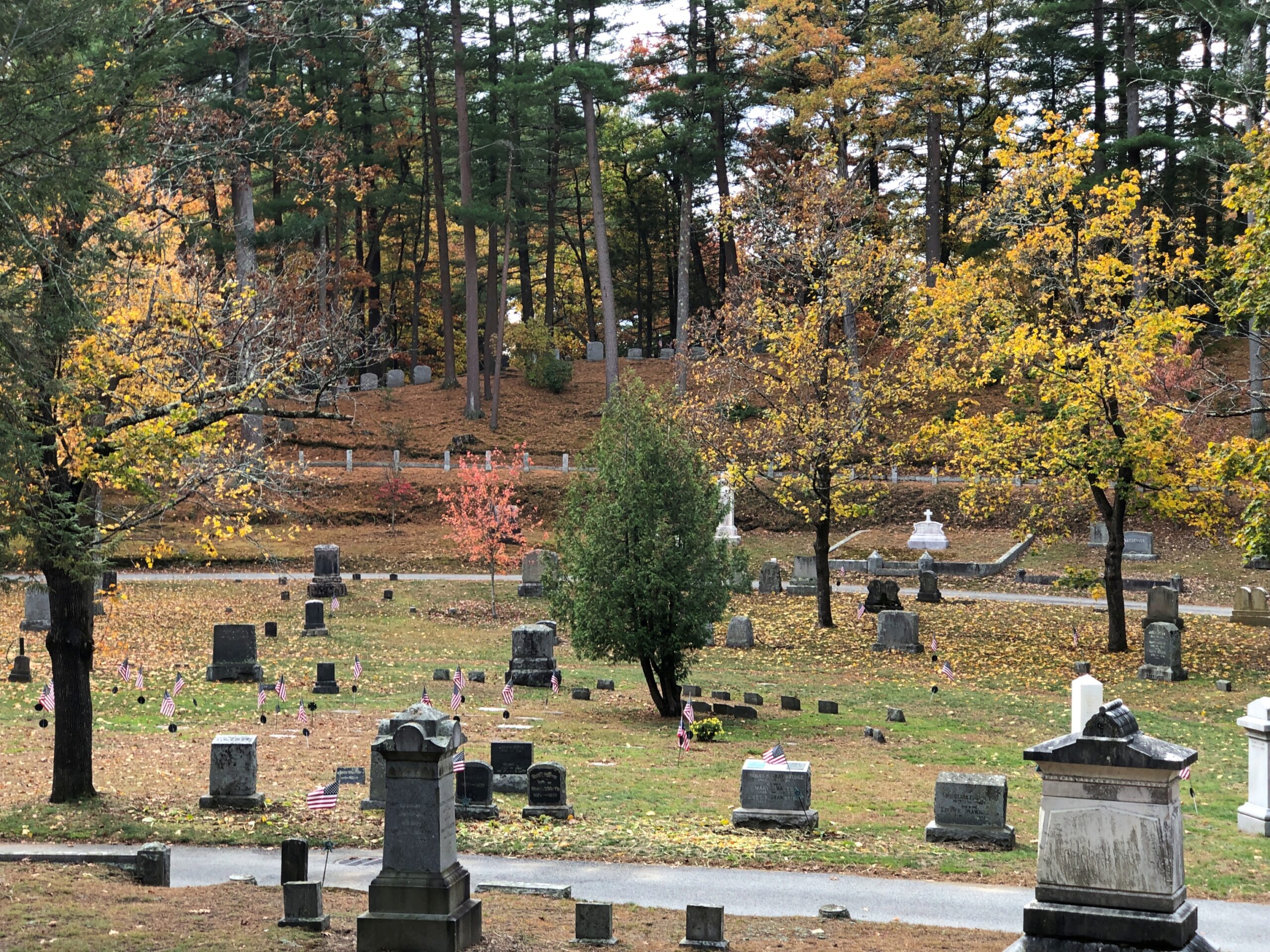
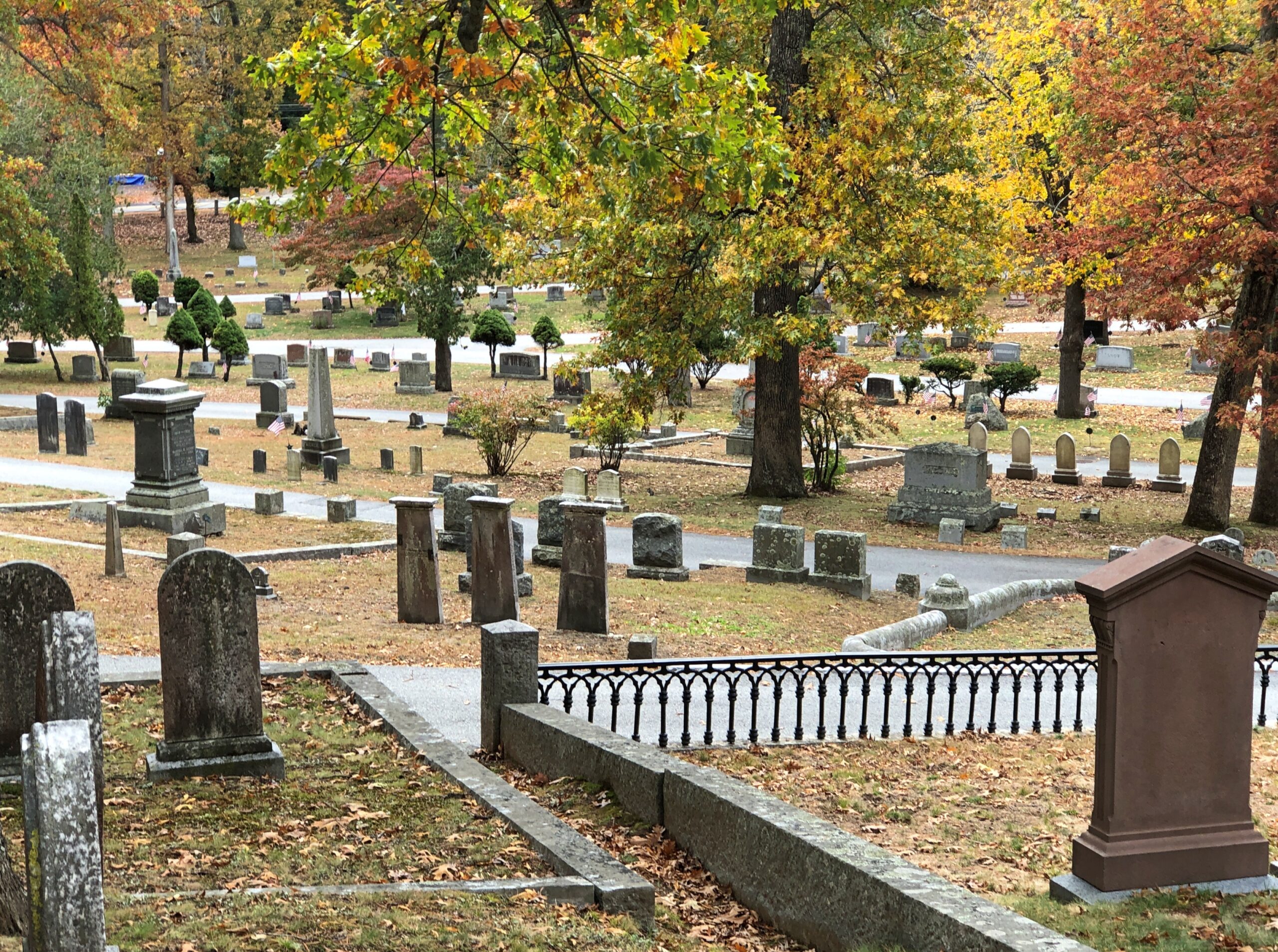
A pleasant graveyard, founded in 1824 — same year as the town itself — and well marked by upright stones, but not overly landscaped.

Rockville Indiana Cemetery

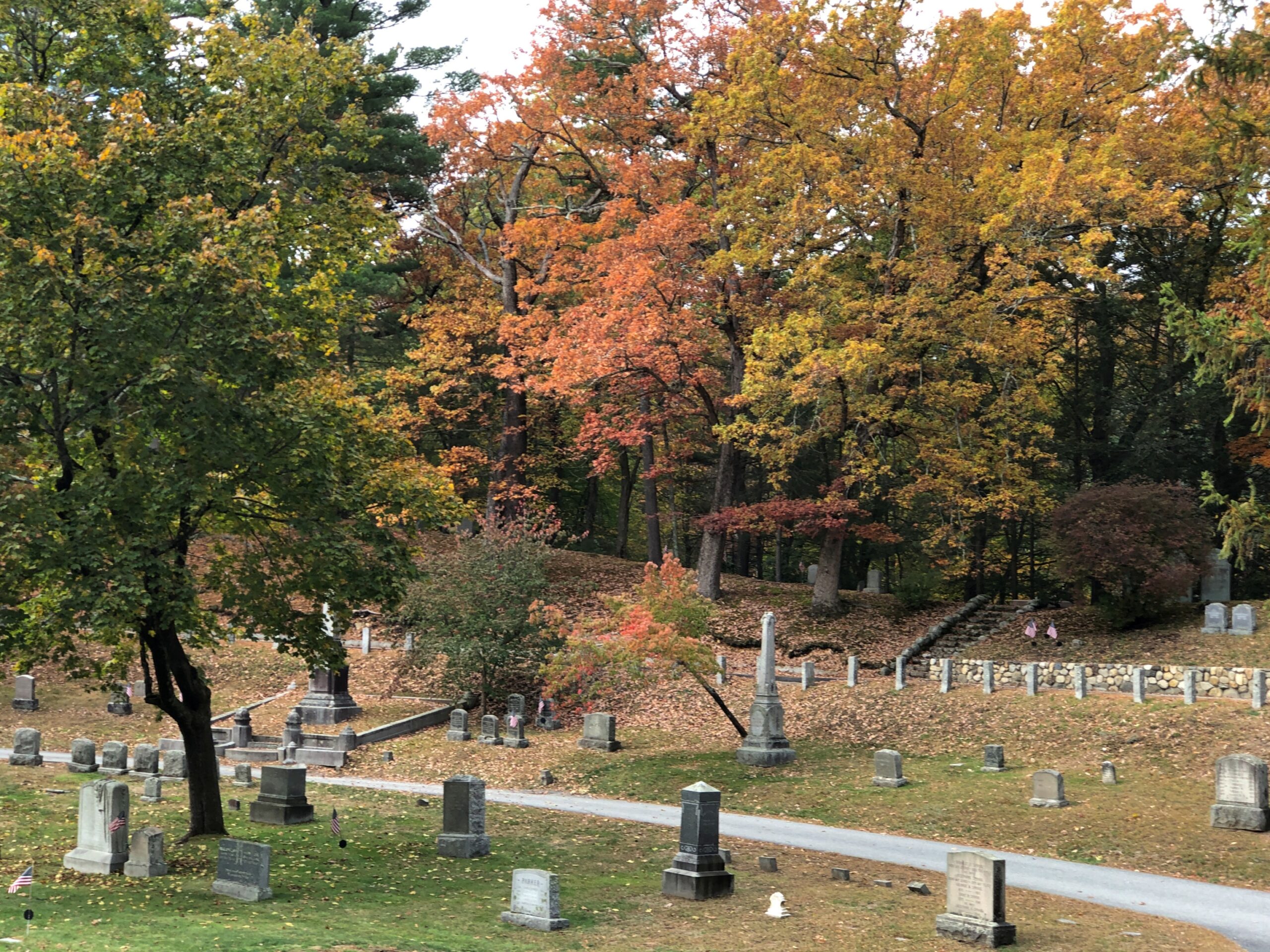
A few memorials reach upward, but not that far.

Rockville Indiana Cemetery

A few mausoleums denote formerly big fish in the small pond that is Rockville, seat of Parke County.

Rockville Indiana Cemetery

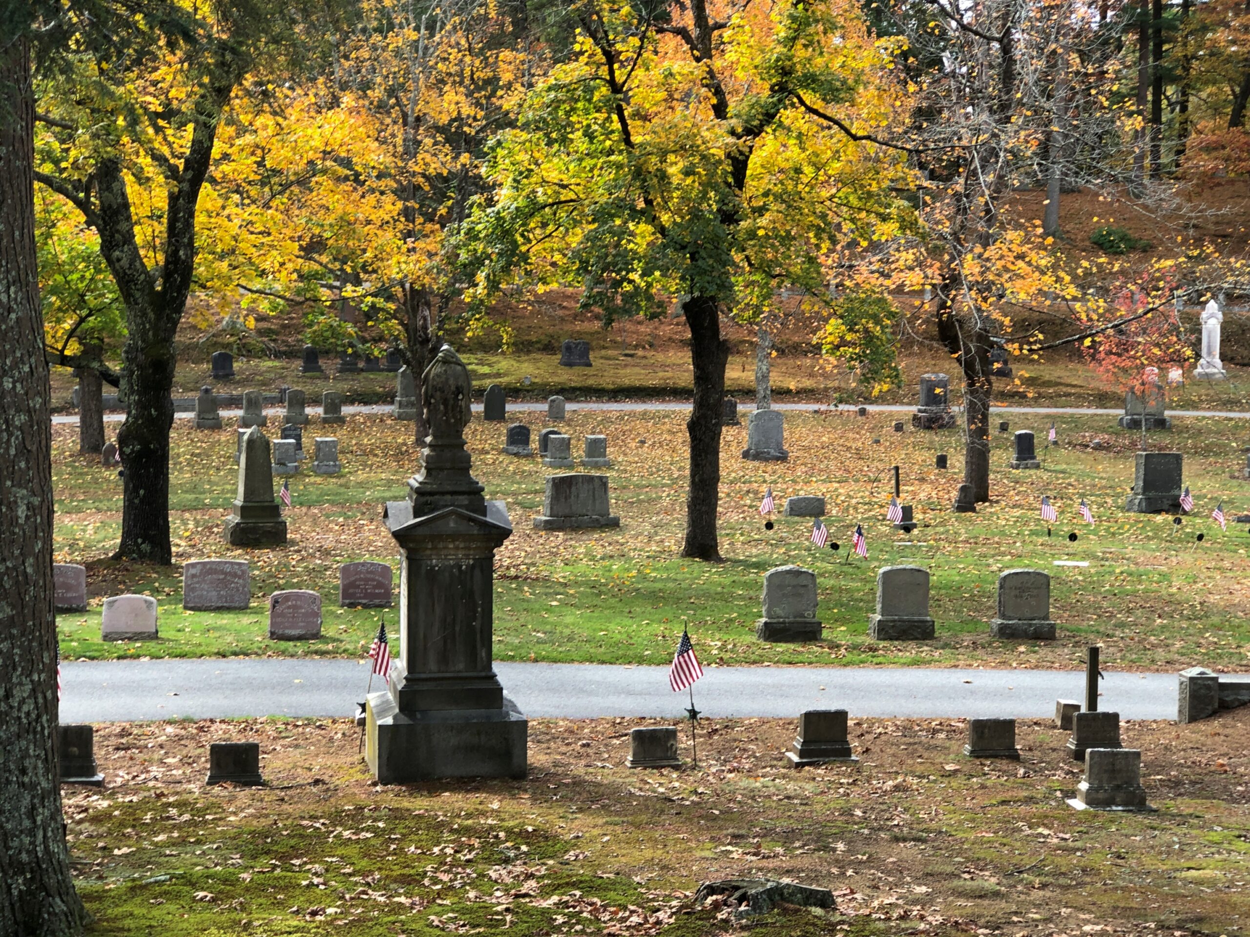
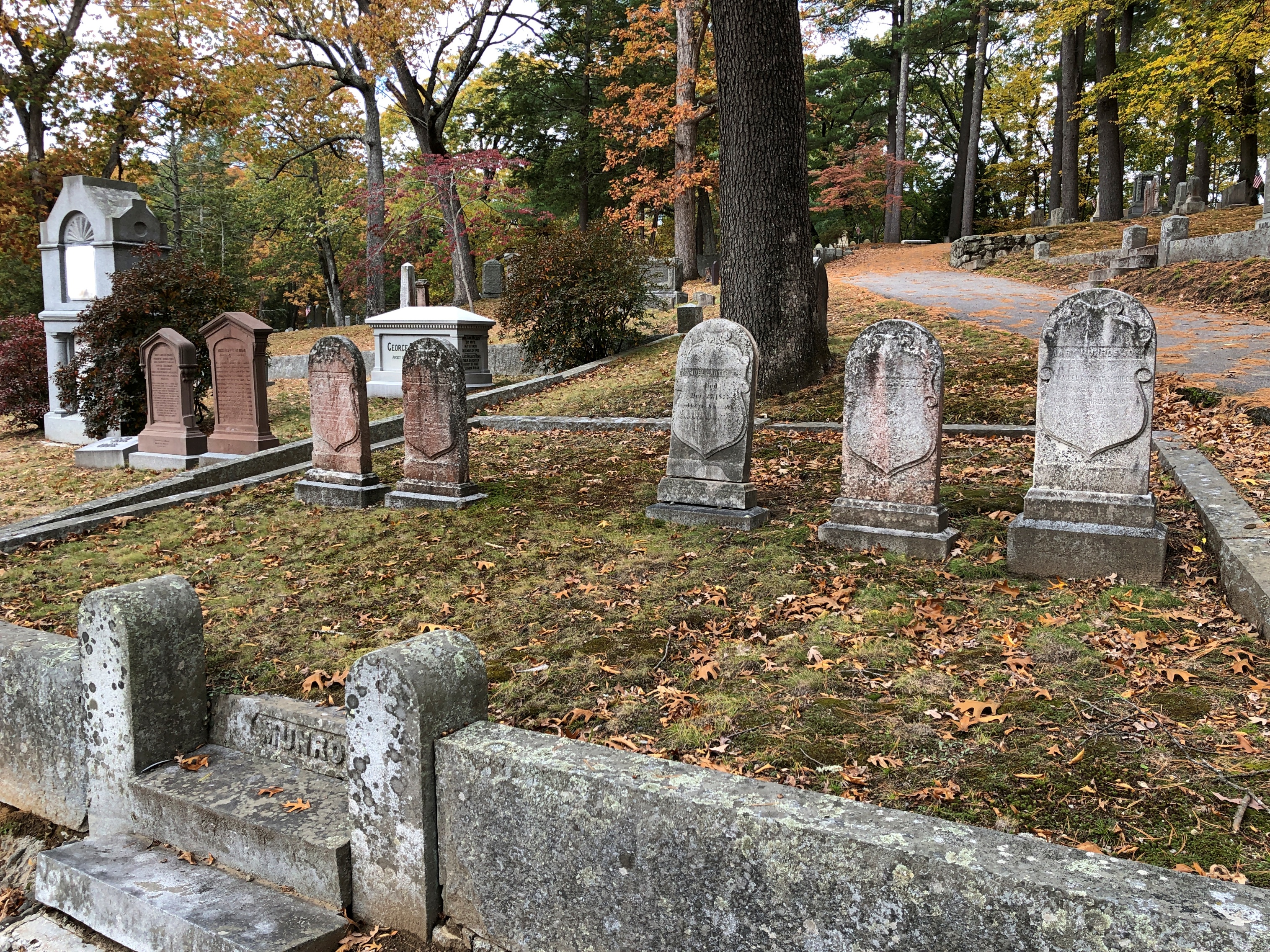
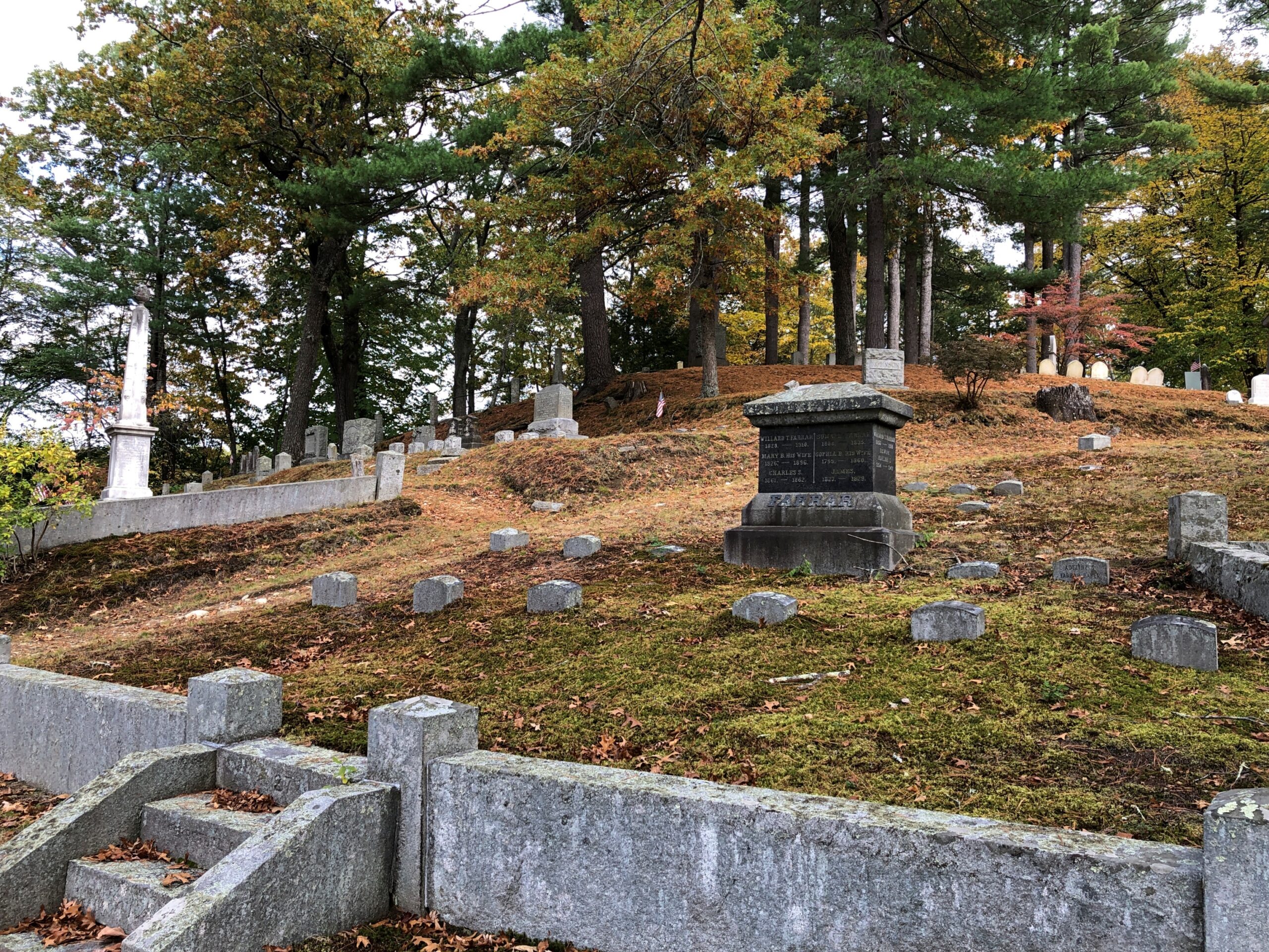
Mostly modest stones populate the cemetery, presumably for regular folks of the past.

Rockville Indiana Cemetery

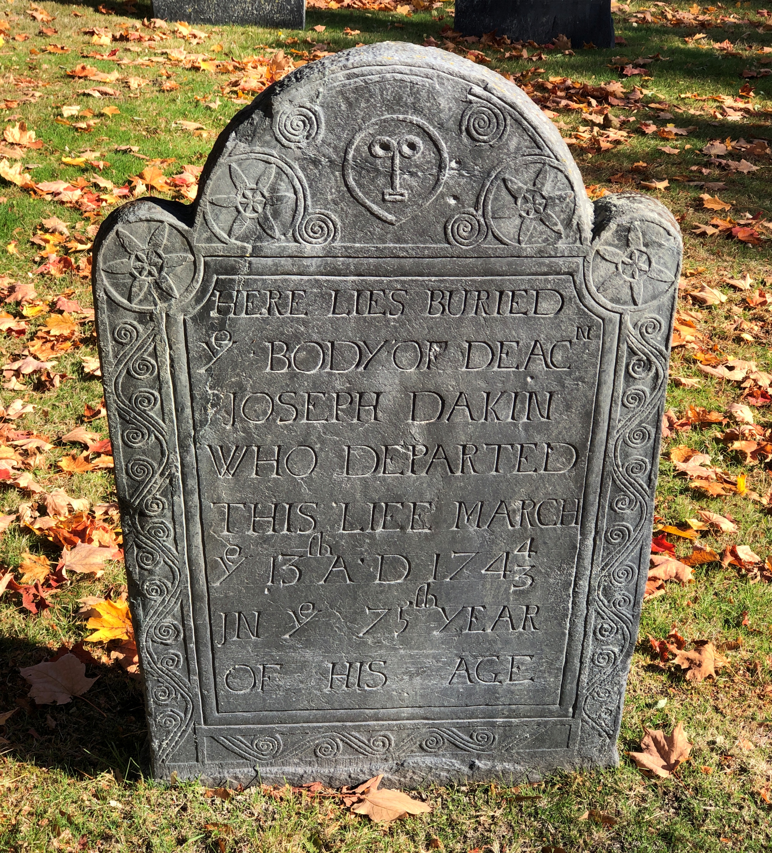
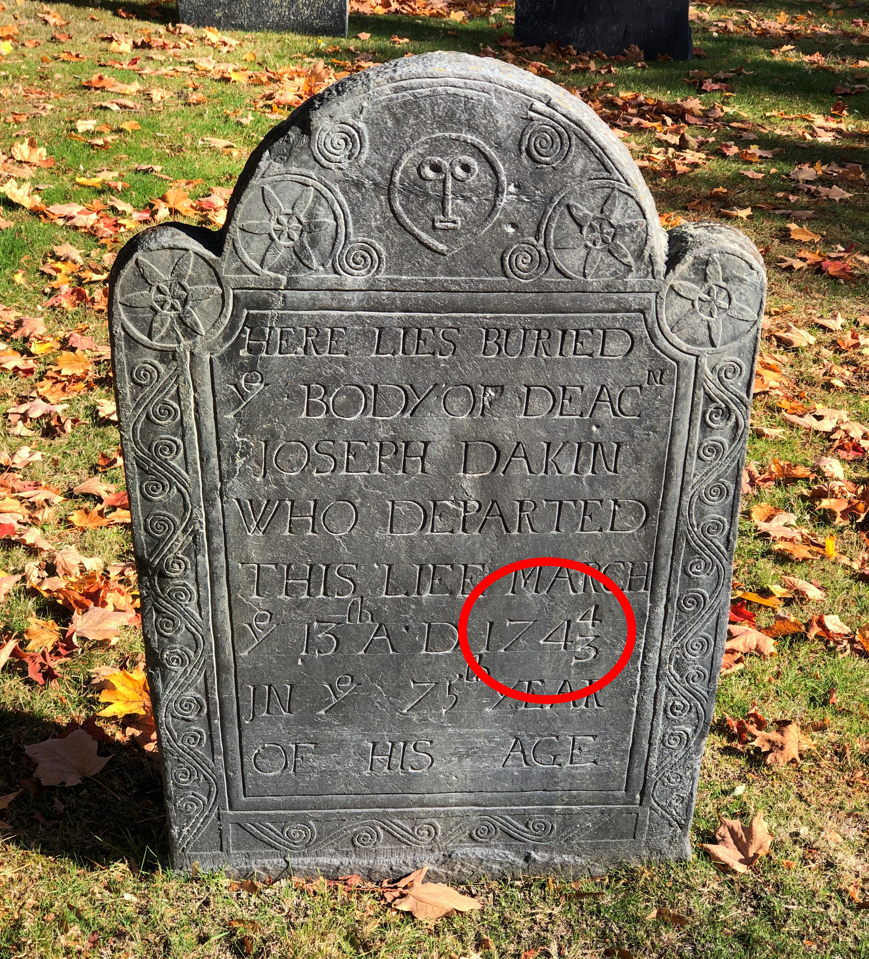
It isn’t too often that you see veterans of the War of 1812 (but not never).

Numerically speaking, there just weren’t that many compared to later, greater wars, and probably many of their graves aren’t marked as such. Nathan was near the other Adamsons, and indeed two of them (per Find-A-Grave) are his children.

Not too many blocks from the cemetery is the Parke County Courthouse. We encountered it on Saturday afternoon, soon after arriving in Rockville (pop. about 2,600), when temps were about as high as they would be that day. Sweaty 90s.

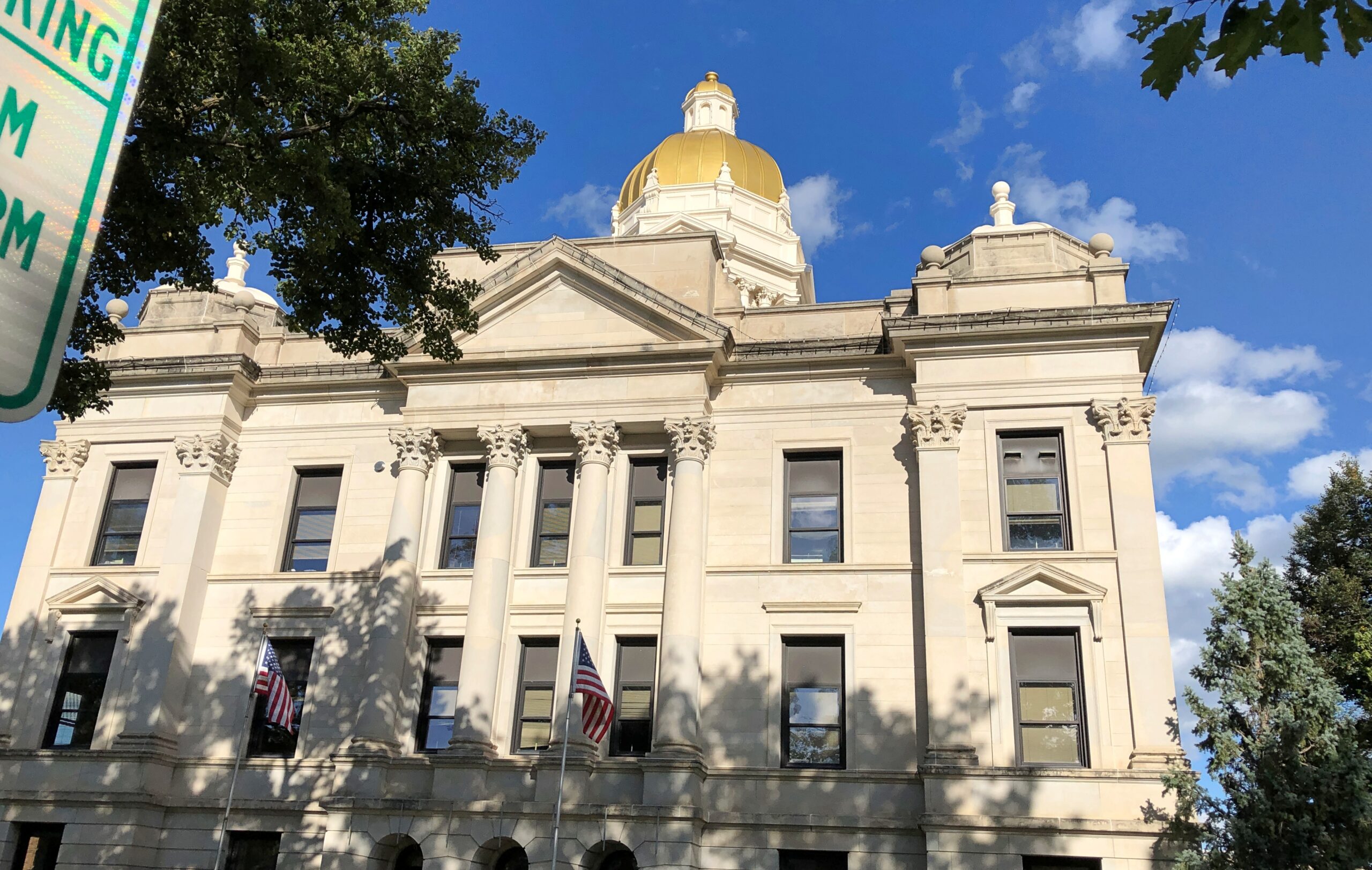
The courthouse is a grand Second Empire pile with some Beaux Arts added to the mix, completed in 1882, during the golden age of U.S. courthouses. Designed by T.J. and Brentwood Tolan, a father and son team. They did a lot of courthouses.

Parke County Courthouse

The giant dartboard isn’t something you see too often on courthouse grounds. Could it be the Dartboard of Justice? That’s how sentencing is done for crimes that call for one to 20 years in the jug; a toss by the judge, or the jury foreman.

No, a small street festival was being set up at that moment, though not up and running yet. It was too hot for that anyway. But not for a quick look at some of the buildings ringing the courthouse, most in good shape and mostly tenanted.

G&M Variety has the soul of a five-and-dime, but a more accurate classification these days would be a five-and-ten dollar store: a step above a dollar store, the love child of a convenience store and a standard grocery store, with a souvenir shop added to the mix. Roaming around its aisles was pleasant, for a look at the sometimes unusual merchandise, and the AC.

Drinks on sale that made me recollect sodas from my mid-60s childhood.

Frostie! Nehi! Triple XXX! Dang? We didn’t have Dang. Butterscotch root beer?

Pangs of nostalgia weren’t enough for me to spend $2.49 for an ordinary-sized soda, though I was a little thirsty.

More courthouse square.

Parke County Courthouse Square

The Old Jail Inn & Drunk Tank, now a B&B.

Parke County Courthouse Square

I returned to the square on Sunday morning, after the cemetery, for a further look when it wasn’t so hot.

Parke County Courthouse Square

Memorial Presbyterian Church and its freestanding bell tower.

Parke County Courthouse Square

It isn’t a Presbyterian church any more — its cross conspicuous in its absence — though a Presbyterian congregation meets there sometimes. These days it counts as an event space, with music performances, recitals, meetings, and other gatherings there, according to Billie Creek Village, more about which later.

Next to the former church.

Museum? I’m a little skeptical.

Parke County Dash: Bridges

Even though you see enough corn driving through the Midwest, it’s still a little hard to imagine 5.1 million acres of corn (or anything else). Yet that’s how much corn – maize, Zea mays – was planted in Indiana alone in 2024, according to the Indiana Corn Marketing Council, with 5.05 million acres harvested. Even after being in the thick of a summer crop, the thought of that much boggles the mind.

We didn’t go to Parke County, Indiana, in late July to admire the corn, though I did take a moment to make a few higher-than-an-elephant’s-eye corn pictures. You don’t have to go nearly that far to find corn. We came for the covered bridges, spending a Saturday night in the county seat of Rockville, Indiana, and out looking for bridges on Saturday afternoon and Sunday morning. To get to them, you have to take to the small roads crisscrossing the area, some paved, some not, but all pretty high quality.

Parke County, Indiana

Roads lead to bridges, such as Sim Smith Bridge, vintage 1883, which crosses Leatherwood Creek. “Locally, this bridge has the reputation as haunted,” says a guide map I picked up. Uh-huh.

Parke County, Indiana

West-central Indiana is well-watered, a welter of creeks feeding the Wabash River. Covered wooden bridges cross many of them, each of more than a century old. Cedar is the main material. I’d guess being well-watered was good for the farmers here in the late 19th century, except for one thing: they complicated shipping one’s crop to buyers, either to animal feed processors or human-food makers. So, bridges.

Mecca Bridge, near Mecca, Indiana, across the Big Raccoon Creek. 1873.

Crooks Bridge, across Little Raccoon Creek. Competed in 1856.

Parke County, Indiana

Neet Bridge, 1904, also across Little Raccoon Creek.

Local organizations count 31 historic bridges in Parke County, each with a name and known origin. Local organizations promote historic bridge tourism, as well they should, including a give-away paper guide (Parke County Guide) that other guides should aspire to, so detailed and useful is it. But I can also report that even on a summer weekend, when it was hot but not dangerously so, or especially humid, overtourism hasn’t spoiled the place. Most of the time, at the half-dozen or so bridges we visited on a weekend, we were alone. Even the bridges that still carried auto traffic had little, so that walking across each on foot was never an issue.

An carpenter (and lawyer) named J.A. Britton (d. 1929) built many of the bridges in Parke County in the late 19th and early 20th centuries, presumably as the organizer of a small construction crew, but also with the sort of hands-on approach that had him laboring alongside the other men. I like to think so, anyway, but whatever the arrangement, bridge building was his business, and he built them to last. Some are still vehicle bridges. Others are pedestrian bridges. Most are in situ, with a few moved to parks or other places.

Parke County was enough of a market for a few decades that J.A. Britton had a competitor, J.J. Daniels, who left behind some structures as well, such as the Neet and Mecca bridges.

Most of the Parke County bridges are Burr Arch Truss bridges, following a design that combines a truss and an arch, invented by a bridge builder back east in the early 19th century, one Theodore Burr. Seems like the design works really well for this kind of bridge.

Not all the bridges are out in the corn-planted countryside. Bridgeton Bridge, crossing Big Raccoon Creek, is in the small town of Bridgeton, Indiana, which includes a former mill rising over the creek, now retail. Unlike the others we saw, it dates from 2006, a faithful replica of an earlier bridge destroyed by wanker arsonists.

Over a waterfall, for that extra picturesqueness.

Parke County, Indiana

The view from the bridge.

Parke County, Indiana

The creek below was deep enough to allow teenagers, some boys but also at least one girl, to jump off the modern vehicle bridge next to the wooden bridge as a matter of fun, not grievous injury, because while we were around, we saw and heard them doing so. Good to see kids out having fun that didn’t involve small electronic boxes, by gar.

Southern Loop Leftovers: SC & GA

Early in the recent trip.

The Buc-ee’s imperium marches on. On my way to Tennessee that first day, I stopped at the location near Smiths Grove, Kentucky, to visit its gleaming facilities. Business was reasonably brisk that Monday, but nothing like the bedlam on the Sunday, nearly two weeks later (on the trip’s last day), when I stopped on the way back home at the same place, for the same reason.

South Carolina

Had a pleasant walk down a non-tourist street on a Sunday in Myrtle Beach. Not a lot going on. The late afternoon light had a nice glow.

Myrtle Beach, SC
Myrtle Beach

Myrtle Beach International Airport used to be Myrtle Beach Air Force Base, which began as Myrtle Beach General Bombing and Gunnery Range in 1942 for use by the U.S. Army Air Corps. It closed in 1993.

One legacy of the base is a cluster of military memorials near the perimeter of the airport – at a place called Warbird Park, which is fully accessible to casual visitors – that includes something you don’t see all the time.

Atomic Veterans

It is one memorial among many.

Myrtle Beach
Myrtle Beach

As well as some of the aircraft that used the air base.

Found at a MB beach shop among the clothes and beach equipment. Nothing says Myrtle Beach better than skulls, no?

There was more. Much more.

Shithead on glass

In Columbia, the Basilica of St. Peter.

Basilica of St Peter, Columbia

Mass was in progress in its impressive interior, so only a glimpse.

Georgia

An automated, Fotomat-style ice store in north Georgia. They’re not as common up north, with the closest of this brand to me (I checked) in Aurora, Illinois.

Ice

Twice the Ice is the brand name. Quick facts: there are about 3,300 Twice the Ice locations so far in the United States and elsewhere – water and ice “vending machines,” according to one page on the company web site. Another page on the same site puts it at over 4,000 locations, which just means part of the site isn’t being updated. Whatever the exact number, there are a lot, and most if not all are franchised, representing about 1,000 franchisees.

It’s automation we call all get behind. I don’t think the machines are putting ice handlers and baggers at local gas stations and grocery stores out of work, since who holds that specific job?

So far as I know, “Ice is Civilization” is not the company motto. But it could be. It was said with such conviction by Allie Fox in The Mosquito Coast.

Of course, by the end of the book and movie both, he was howl-at-the-moon mad. So maybe some other slogan. Then again, that line is one of the few things – besides the fact that Allie Fox goes nuts chasing Utopia – that I remember from either the book or the movie after about 35 years. So it’s pretty memorable.

After gassing up at a station in north Georgia, I parked away from the pumps near the edge of the property to fiddle with my phone for a few minutes. Just outside the car window, kudzu lurked.

Which got closer.

And closer. Man, it grows fast.

Not really, but I did see all that kudzu at the edge of the gas station property. Kudzu. Who hasn’t seen the walls of it down South?

“In news media and scientific accounts and on some government websites, kudzu is typically said to cover seven million to nine million acres across the United States,” Smithsonian magazine reported in 2015. “But scientists reassessing kudzu’s spread have found that it’s nothing like that. In the latest careful sampling, the U.S. Forest Service reports that kudzu occupies, to some degree, about 227,000 acres of forestland, an area about the size of a small county and about one-sixth the size of Atlanta.

“That’s about one-tenth of 1 percent of the South’s 200 million acres of forest. By way of comparison, the same report estimates that Asian privet had invaded some 3.2 million acres — 14 times kudzu’s territory. Invasive roses had covered more than three times as much forestland as kudzu.”

Yet kudzu is regarded as a particularly intractable invasive species. How is that? It grows well in highly visible places. Such as next to a gas station parking lot. Smithsonian notes: “Those roadside plantings — isolated from grazing, impractical to manage, their shoots shimmying up the trunks of second-growth trees — looked like monsters.”

Along Georgia 60 in Chattahoochee NF, Smokey Bear is still at his job.

One thing leads to another online, and Smokey eventually lead me to “Smokey the Bear Sutra.” Only takes a few minutes to read, and it’s a trip. Just like the song “Elvis is Everywhere,” there’s a founding document of a religion in the distant future, one that asserts that humans should never have given up worshiping bears.

Southern Loop Leftovers: TN & NC

Had a bizarre dream last night, which isn’t really unusual, since that’s the way of dreams often enough – but this one – let’s call it rich and strange. And lengthy. It kept going and going, involving an alt version of downtown Chicago, and alt version of the company I worked for in the late 1980s, though no one that I knew was there; a vaguely menacing, nighttime scene always, though it wasn’t a nightmare; a message that had to be relayed, somehow; a fictional character – a very famous fictional character – spoken of as if real, who eventually showed up after a funeral, laughing; and details that made me think, that’s too much of a detail. For a dream. Is this a dream? One detail involved a chipmunk peaking out of a hole in the sidewalk, or maybe the street; another was a globe that I could see but not get close enough to read well, though I really wanted to. But I did notice that the United States, on this globe, included British Columbia and maybe the Yukon Territory, and I woke up thinking that maybe that 54° 40′ or Fight business led to a real war, in which the U.S. prevailed.

Perhaps the strangest thing about this rich and strange dream is that fully an hour and a half after I woke on this bright summer morning in the northwest suburbs, in the waking world I know and inhabit, I was able to write the above description.

Tennessee

When passing eastward through Tennessee during my most recent interstate drive, I spent a little time in Knoxville, as mentioned, mostly to see the Sunsphere. To get to the tower from the free parking lot, I walked along part of World’s Fair Park Dr., with these colorful pastel houses visible on a small rise nearby. I was reminded of Rainbow Row in Charleston.

On the way back, I popped into the Knoxville Museum of Art.

For a brutalist building, a nice bit of work by Edward Larrabee Barnes (d. 2004). If it blackens and streaks in the future, as such buildings tend to do when exposed to urban air, its appearance might morph into something merely ugly. But it looks like it’s been kept clean enough since its construction in 1990. As a museum, KMA has a lot to recommend it, such as air conditioning, free admission and a not-too-vast collection specializing in something you aren’t going to see elsewhere, namely East Tennessee art.

Such as a piece by artist Patrick Deason. Ah, the optimism. Unless he’s being sarcastic.

The museum also has a porch with a nice view of downtown Knoxville.

On my return westward through Tennessee, I made a point of passing through Dayton, site of the Scopes Trial, now 100 years ago. There is a museum devoted to the trial in the handsome and nicely restored 1890s Rhea County Courthouse, though I arrived after it had closed for the day.

I look at pictures taken during the trial, and wonder how this multitude sat through it all, in an un-air-conditioned building. Guess like my grandma, as late as her last summer in 1970, they were used to it.

Before I got there, I heard a fellow on the radio discussing the (then) upcoming festival that Dayton was planning in honor of the centennial, as a bigger version of an annual event held in July. He might have been the organizer, I forget.

He pointed out that for many years Daytonites mostly wanted to forget about the trial – especially after the movie Inherit the Wind (1960) depicted the residents of Hillsboro, stand-ins for them, as fundamentalist bumpkins, at a time when the actual event was still in living memory. Which is nothing that Mencken didn’t do in 1925. Now the trial and Mencken and the movie are all part of that nebulous thing most people experience as the undifferentiated Past, and the townspeople have largely embraced the trial, according to the man on the radio. As well they should. It’s what Dayton, Tenn., has that no place else does.

On the courthouse square, William Jennings Bryan and Clarence Darrow square off in bronze. Bryan College paid for the former, the Freedom From Religion Foundation the latter.

North Carolina

I was stuck momentarily in traffic near the military installation formerly known as Fort Bragg and then known as Fort Liberty and now known again as Fort Bragg. The traffic sign hasn’t caught up with the latest flip-flop.

I stopped for lunch in Laurinburg, NC, at a storefront Chinese restaurant. Across the street, a tuxedo shop flew the Royal Banner of Scotland. Not something I’ve ever seen aflutter in the U.S. or anywhere, for that matter. But there is a school called St. Andrews University nearby, so maybe it’s not such a stretch. Make that was — the school closed just this May.

Wiki tells us: “As the personal banner of the Monarch, use of the Royal Banner of Scotland is restricted under the Act of the Parliament of Scotland 1672 cap. 47 and the Lyon King of Arms Act 1867 (30 & 31 Vict. c. 17), and any unauthorised use of such is an offence under the Act.” That has no bearing on its use in North Carolina, I’d say, considering how the Revolution turned out.

In New Bern, NC, this was a bit of a mystery at first.

Until I figured it out. A place for dogs to leave messages.

Georgia 60

Clear skies, little traffic, good curves. I recommend driving on the two-lane Georgia 60 highway through the Chattahoochee National Forest under those conditions as certified car commercial driving. Considering all the hours of your life spent stewing in a traffic jam, it’s the kind of driving that makes you forget all of them.

Wish there had been a song on the radio to add to the driving experience — there was little but static — but that would just be icing on the cake anyway. Actually, not even that: it would be a little whip cream on a cake that already has some fine icing. To torture that analogy a little further, the cake would be the sedimentary rock lifted and cracked and shaped by whatever else rocks do over millions of years, topped by the biomass – that is, an Appalachian forest.

The history of humans in the Chattahoochee is incredibly dark and eventful. A textbook case of raping the land, only somewhat recovered in our time, partly through the efforts of the can-do CCC.

Besides the road itself, the works of man are fairly thin on the ground, literally. There is a hamlet called Suches (pop. 548), but not much else. The region has recovered enough to offer a trail through the Blood Mountain Wilderness, which crosses the highway at one point, where there is a small parking lot.

Blood Mountain Wilderness

I wasn’t equipped for a hike, so I walked only a half-mile or so in, and then back. I don’t remember having to swat a single mosquito, which ups the quality of a walk right there.
Next to the parking lot are pit toilets. Attached to the structure is a pipe, many times stickered by passersby. I didn’t see a Buc-ee’s sticker, but there could be one appearing anytime now. Good to see M-22 up in Michigan represented: that’s another fine stretch of car commercial driving.

Blood Mountain. There’s a Southern Gothic horror name for you. Or less seriously, the setting of a Scooby-Doo episode, one in which Shaggy, when he learns the name of the place, says “Zoinks! B-B-Blood Mountain?!?”

Gold!

When pondering the immortal deeds of President Millard Fillmore, as one should occasionally, his signature on the Coinage Act of 1853 is worth a thought. The law, signed weeks before he left office, adjusted the silver content of most U.S. coinage, but also created the $3 gold piece. When that hoary old cliché about the queerness of a $3 bill is trotted out, I’d guess that most people don’t know that there was actually such a denomination. It was a gold coin rather than paper, made from 1854 to 1889, though few were minted most of those years.

I already knew about $3 gold pieces before I arrived at the Dahlonega Gold Museum in late June on my way to Tennessee, but if I hadn’t, I could have learned about them there. Dahlonega, Georgia, used to be home to a branch mint where they were made. Only gold coins were made at Dahlonega, including that odd duck of a denomination for exactly one year (1854), but also gold dollars, quarter eagles and half eagles until 1861. No eagles or double eagles, however.

The history of gold coinage at the Dahlonega Mint wasn’t that long. Congress authorized a branch mint there (and in Charlotte, NC, and New Orleans) in 1835, and coin production started at Dahlonega in 1838. The north Georgia gold rush beginning in the late 1820s justified such a move. The Civil War resulted in the closure of the mint, which never reopened afterward, and not too much later, the mint building in Dahlonega burned down. The modern museum is in the former Lumpkin County Courthouse and tells the story of gold in the area.

The museum has exhibits about the mint, but also the gold rush, including information about the discovery and mining of the metal, some antique equipment, and a nod to the Cherokee on whose land the gold was discovered — the rush helped precipitate the Indian Removal Act — as well as the slaves and free labor that worked the streams and hills looking for gold. There was also, behind thick glass, a complete collection of Dahlonega gold coins, mint mark “D,” long before Denver got that letter for its coins.

The protective glass made photographing the actual coins problematic, but the museum thoughtfully provided enlarged images of a few of the coins in its display, including the $3 piece.

Like the 20 cent piece or the Susan B. Anthony dollar, the $3 gold piece wasn’t popular when new. Too easily confused with the quarter eagle would be my guess, though their designs are very different. But they are popular among collectors now, and quite valuable. As a result, alas, I’m unlikely ever to own one. In the most extreme case, an 1870-S $3 piece, the only example known to exist, sold at auction in 2023 for more than $5.5 million.

As for Dahlonega, its downtown has the handsome look of a day-trip destination from Atlanta and a lot of suitable businesses. On the former county courthouse square, you can find the likes of Gustavo’s Scratch Kitchen, Vintage Musical Instruments, Dahlonega Tasting Room, The Glass Blowing Shop, Studio Jewelers, Lynn’s Gifts, Country Cottage (also gifts), Local Pup pet store, 19° Seafood & Grill, Paul Thomas Chocolates, Dahlonega Goods and Dress Up Dahlonega.

Dahlonega, Ga.
Dahlonega, Ga.

A blazing hot day might not have been the best time for a visit, so the square wasn’t especially crowded. I only spent enough time on foot to get from a parking lot a block away to the museum, and then took a walk around the building under the shade of the trees on the grounds. For a hot summer day, not a bad walkabout. Certainly worth the effort to see some Dahlonega gold.

Augusta Flyby

In the heat of midday back in late June, en route to Athens, Ga., I arrived at the Georgia Welcome Center on I-20, a sizable structure just inside the state, and did what I needed to do. Returning to my car, I wondered whether I should drive into Augusta, only a few miles off the Interstate at that point. Specifically to downtown, to see what I could see, even at 90+° F. or so.

Would it be worth the short detour? At that moment, the lyrics of a song of my youth came to mind, as the only mention of Augusta I know in popular music.

I beg your pardon, mama, what did you say?

My mind was drifted off on Martinique Bay

It’s not that I’m not interested, you see

Augusta, Georgia is just no place to be.

The song was “An American Dream” by the Nitty Gritty Dirt Band (a.k.a. the Dirt Band) – with backing vocals by Linda Ronstadt, no less – which reached No. 13 on the Billboard Hot 100 after its release in late 1979, and probably annoyed Augusta’s city fathers and other local boosters. But all that was nearly a half century ago, so I expect any annoyance is long gone as the tune has slipped into obscurity.

The song merely came to mind then, as songs often do, and didn’t affect my decision – which was to go. Do a flyby, in my idiosyncratic nomenclature for such a visit. That is, pass through a place, but a little more than merely driving through. If I see anything interesting during a flyby, I’ll stop for a short look. (So not only is my nomenclature eccentric, it isn’t really accurate. Who cares.)

Sure enough, I spotted something worth stopping for.

James Brown mural, Augusta

A mural at the intersection of James Brown Blvd. and Broad St., completed in 2020 by an artist named Cole Phail. Though born in South Carolina, Brown grew up in Augusta, a fact I previously didn’t know.

James Brown Blvd

Later I learned that there’s a bronze of the Godfather of Soul not far away on Broad, but I didn’t look around enough to spot it, considering the heat dome, which seemed to be bearing down on me personally at that moment. So I looked at the mural, got back in my car, and blasted the AC. A few blocks away, as I was driving along, I saw an open church. I had to stop for that, too.

St Paul's Church, Augusta

St. Paul’s Episcopal. Not only a church building, but a church graveyard as well.

St Paul's Church, Augusta

Inside, some fine stained glass.

St Paul's Church, Augusta

“Four buildings on this site have been destroyed,” the church web site says. (Sank into the swamp? Burned down, fell over, then sank into the swamp? Speaking of 50-year-old references.)

“Our present church, built in 1919, was designed as a larger copy of the 1820 church lost in Augusta’s Great Fire of 1916. Among the furnishings saved from the fire is the original baptismal font brought from England in 1751, now located in the narthex.

“History buffs will find the church yard fascinating. Many undocumented graves lie beneath the ground, but others are marked, including that of Col. William Few, a signer of the United States Constitution, whose portrait hangs in the narthex…”

Missed the painting. But I did see Col. Few’s stone.

St Paul's Church, Augusta

A busy fellow, both before and after the Revolution, including attendance at the Constitutional Convention in 1787, and a stint as one of Georgia’s first Senators under the Constitution. His capsule bio at the Biographical Dictionary of the U.S. Congress mentions all that, except leaving out the fact – detailed by the stone I saw – that he was reinterred at his current location in 1973.

Also, no word on whether he knew Button Gwinnett, everyone’s favorite early Georgia politico. He must have. Gwinnett might have had a similar career had he not ended up on the wrong end of a dueling pistol in ’77.

The South Carolina State House

Columbia, SC, is centrally located in its state, the result of a post-Revolutionary (1786) decision by the new state legislature to move from Charleston to somewhere more central, namely the area around the confluence of the Saluda and Broad Rivers, which merge at Columbia to form the Congaree River. The South Carolina State House is now centrally located in that centrally located city, and on the way back west from Myrtle Beach, I decided it was high time I saw it.

SC State House
SC State House

Washington stands in front. Work on the building started in the 1850s from a design by John Rudolph Niernsee (d. 1885), but what with one thing and another – the burning of Columbia in 1865, for instance – finishing the capitol took more than 50 years, and indeed its final design work was overseen by Niernsee’s son, Frank, and other architects.

Other downtown structures tower nearby, but the capitol is set back fairly far, as capitols tend to be.

Downtown Columbia SC

The memorial to the Confederate dead is prominently placed in front of the capitol.

SC State House
SC State House

Plenty of other memorials stand on the grounds, such as a unique one honoring the Palmetto Regiment of Volunteers of South Carolina, memorializing SC participants in the war with Mexico, but I saw few, since the heat of the day encouraged me to head inside. There I found a resplendent interior indeed.

Including the capitol library.

SC State House

The interior of the dome.

SC State House

Other unique-to-South Carolina detail.

John C. Calhoun rates a prominent bronze in the rotunda and a painted portrait in the Senate chamber. His likeness went down in Charleston, I understand, but not at the capitol just yet.

SC State House

An unusual memorial hints at the state’s awful experience with yellow fever in pre-modern times.

SC State House

It’s hard to read, but the plaque memorializes three U.S. soldiers from South Carolina, TS Levi E. Folk and Privates James L. Hanberry and Charles G. Sonntag. They were among the 30 or so soldiers who volunteered to be bitten by yellow fever-infected mosquitoes in the famed (used to be famed, anyway) experiments conducted by Maj. Walter Reed in 1900-01 in Cuba that once and for all proved mosquitoes to be the vectors.

SC State House

Before the 20th century, yellow fever plagued South Carolina relentlessly. The Encyclopedia of South Carolina on the disease: “Yellow fever, like falciparum malaria, was introduced into South Carolina as a result of the African slave trade. The first major epidemic struck Charleston in 1699, killing about fifteen percent of the population, including many officials. At least five and perhaps as many as eight major epidemics occurred between 1706 and 1748. The disease was probably present in several other years as well. For several decades after 1748 no large epidemics occurred, although it appeared sporadically in some years. Between the 1790s and 1850s Charleston hosted numerous epidemics.”

Glad all that is over here in North America. Unless it isn’t.

Church of the Holy Cross, Stateburg, SC

Before I take a long drive, I spend time with one or more of my highway atlases sketching a route – Rand McNally, National Geographic or Michelin. Sometimes I refer to highway department folding maps as well. Google Maps has its place, an important one, but it’s no substitute for the big-picture sweep of a paper map.

For the trip to the Carolinas earlier this summer, an atlas map made it easy to see the best way to cut across the state from Myrtle Beach to Columbia, where I planned to spend a night: US 378. As Wiki puts it, “the highway has a lengthy concurrency with US 76 between Columbia and Sumter and serves as a major route between the Midlands and the Myrtle Beach area.”

That is, from the flat damp lands along the coast through pines and the sites of long-ago rice plantations, on to modern crop lands, small sandy wooded rises, and into suburban Columbia. Small towns dot the route: Conway, Gresham, Hannah, Lake City, Turbeville, and Sumter, which is actually a small city (pop. about 43,800).

Not far west of Sumter on US 378, I noticed a point-of-interest sign suggesting a right turn. I don’t remember the exact wording, but the gist that I picked up instantly was historic church. My kind of sight, in other words. After only a few minutes on the side road (South Carolina 261, a.k.a. N. Kings Hwy.), a church and churchyard cemetery appeared.


This turned out to be the Wayman Chapel of the AME Church, which has its own graveyard.

Wayman Chapel, AME SC

A good many AME churches are named Wayman, after Bishop Alexander W. Wayman. Surely the place is historic in its own right, including as part of the wider history of the AME, but it wasn’t what I was looking for. I continued on, and without realizing it, had entered the High Hills of Santee, which sounds like an all around interesting place.

Had I realized that, I might have gone a little further down N. Kings Hwy., but serendipity on the road will only take you so far. In this case, not much further down the road, to the Church of the Holy Cross.

Church of the Holy Cross, SC

The church has a Stateburg address, but isn’t in town. For well over a century, it was an Episcopal church, but the current congregation wants one and all to know that it isn’t any more. A simple sign, but enough to carry a whiff of schism.

The design work was by Edward C. Jones, a busy architect, including designs at Magnolia Cemetery in Charleston. Not brick or the like, but rammed earth. I can’t say that I’d seen a rammed earth church before. It was completed in 1852.

Church of the Holy Cross

Extending some distance behind the church, which was closed, is a handsome cemetery.

Church of the Holy Cross, SC

Impressive ironwork and crumbling masonry. What’s not to like?

Church of the Holy Cross, SC

Another layer of serendipity: not only had I chanced across the church and the graveyard, but someone I’d heard of: Joel R. Poinsett, whose career was astonishingly varied, for good and ill, even for the freewheeling 19th century.

Church of the Holy Cross, SC

Almost everyone else has heard of him too, except they don’t know it, since of course the poinsettia is named for him. A casual search shows that were was a quixotic bubble of interest in the idea of re-naming the flower around the holidays in 2023, but not since, with such headlines as: “Poinsettia by any other name? Try ‘cuetlaxochitl’ or ‘Nochebuena’ “ (Jacksonville Journal-Courier).

Cuetlaxochitl? Names do shift over time, for unpredictable reasons, but I’m not betting on that one entering common usage anytime soon.

Conway, South Carolina

The day was on, the heat was on, and I was on the road again. I’d driven out to Myrtle Beach from Illinois. Now I planned to drive back.
First stop, not far: Conway, South Carolina, much smaller than Myrtle Beach, yet the seat of Horry County. I’d assume that arrangement goes back to the time when the county’s focus was on Conway, a center of turpentine production, not Myrtle Beach, which was a wasteland dotted with wax myrtles.

Nothing like a handsome county courthouse.

Conway, SC

In the ragged diamond shape that is South Carolina, Horry is the easternmost tip. At the time of the Civil War and immediately afterwards, Horry was the poorest county in the state, an almost literal backwater isolated by the Pee Dee Swamp on the west and south. Now the county is one of South Carolina’s most prosperous.

The transformation is a story of railroads and a turpentine boom, followed by a tobacco boom, followed by a tourism boom. Along the way, new prosperity meant a new courthouse, finished in 1908.

Not long after, in the 1920s, the courthouse was the scene of another of those trials of the century mostly forgotten after a century, namely the Bigham trial, “in which Edmund Bigham — a member of a prominent, controversial Florence County family — was tried for the murder of five family members, including his brother Smiley Bigham, who was a state senator,” South Carolina History Trail says.

“Crowds packed the courtroom daily and the trial attracted newspaper reporters from as far away as New York City. One potential witness was murdered, another died of a heart attack while testifying, and some locals believed that the defendant somehow made the nearby Waccamaw River overflow its banks. The courtroom drama ended when the defendant suddenly accepted a guilty plea.”

Not far from the courthouse, because nothing is very far from anything else, is an enormous wooden warehouse. This is the back.
Conway, SC

Round to the front.
Conway, SC

Historic Peanut Warehouse. Historic tips us off that no goober peas have been stored there in some time, and the like-new wood means restoration in the not-so-distant past.
Anyway, I should have known peanuts had something to do with the wooden giant.

Conway, SC

When new in 1900, the warehouse held peanuts, but after some years that gave way to decades of tobacco storage. In our time, you can hold an event there, and I’d bet its lifeblood is weddings.

Other parts of Conway beckoned, such as a walkway along the Waccamaw River. The prospect of heat exhaustion or at least a headache put me off such an idea. But the heat didn’t mean I couldn’t admire the artful green-and-white local water tower.

Conway, SC

As a small child visiting my grandma in Alamo Heights, Texas, I admired the local water tower, silver-gray with a distinct cap atop it, and easily visible from her house. I’ve been looking at water towers ever since. (This article says the tower’s nickname was Tin Man, but I never heard anyone call it that, and my own personal name for it, which became family argot, was “Squeaky.”)

Near the water tower.

Conway, SC

A bit of municipal whimsy. We could all use a little more of that. But not too much.