Back to the WPA North Carolina guide, vintage 1939 (p. 230): “Cedar Grove Cemetery… was opened in 1800 by the Episcopalians and turned over to the city in 1854… The Confederate Monument, a 15-foot marble shaft, identifies a mass Confederate grave. Tradition says that his law desk and chair were buried in this cemetery with the body of William Gaston. Interred here are William J. Williams, who pained the Masonic portrait of Washington owned by the Alexandria, Va., lodge, a photograph of which is in the New Bern Public Library, and Moses Griffin, benefactor of city schools.”
As the day’s heat began to wane, we made our way to Cedar Grove. The place has a good contour, created by the diversity of stones, ironwork and greenery.
All in all, Cedar Grove is a Southern cemetery along the lines of Magnolia Cemetery in Charleston or Bonaventure in Savannah, though not quite as watered as the former or wooded as the latter, or as large as either. But cut from the same sort of lush, low-lying coastal territory, with trees draped with Spanish moss and flat spots thick with stones of the Old South.
Good old Spanish moss. The Carolina coast, and even up into coastal Virginia, is within its range.
Didn’t see the painter William J. Williams or any of the other permanent residents mentioned by the WPA guide, but of course the Confederate Monument was easy enough to spot.
Many Confederate veterans had their own stones, of course.
From the looks of it, these are wagon driveways that allowed hearses to traverse the cemetery.
Among those “streets,” plenty of other fine stones.
Some mausoleums, but none of the monumental ilk you see in places historically with more money.
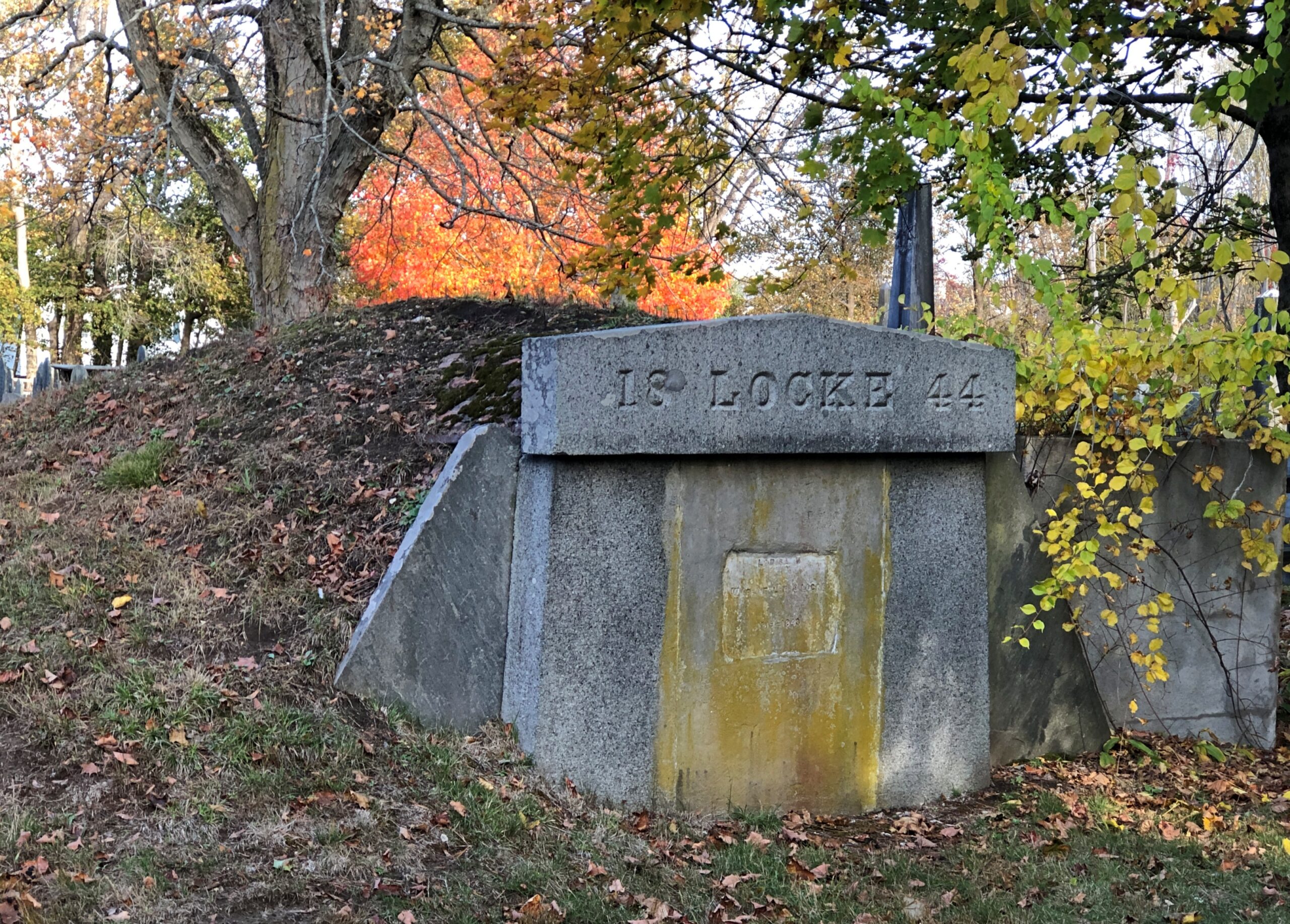
The last one is a little unusual, though I think I’ve seen similar structures occasionally here and there. Going for that concrete Quonset hut look, though considering its age, I’d bet that reference would be anachronistic.
While waiting to be seated for brunch on Middle Street in downtown New Bern on Juneteenth, Dan and I had time for a stroll. The day was warming up, but not quite to a scorcher, and the sidewalks along Middle and Pollack Sts. are often in shade. That part of New Bern, shady and old, is quite the charmer.
“New Bern, one of North Carolina’s oldest towns, retains the flavor of past centuries,” North Carolina: A Guide to the Old North State (1939), p. 221, tells us. Information from the WPA Guide series is of course a little old, but mostly stands the test of time.
“The community, which processes a domestic architecture of charm and distinction, is spread across a bluff at the confluence of the Neuse and Trent rivers, 35 miles from the Atlantic Ocean. Massive brick townhouses, stately Georgian residences and wisteria-curtained clapboard cottages line narrow streets shadowed by oaks, poplars, elms and pecan trees. Many of the old streets retain their original brick pavements.”
All that would be downtown New Bern these days, as the town’s population – given as 11,981 by the WPA in 1939 – had expanded to 31,291 by 2020, according to the Census Bureau. So much of the town is actually late 20th-early 21st-century sprawl punctuated by parking lots and familiar retail.
Still, at the historic core, there is “domestic architecture of charm and distinction,” even now, with the older buildings mostly occupied by the likes of The Black Cat Shoppe, Faulkenberry Auctions, Anchored in New Bern (gift shop), Carolina Creations, Bear City Fudge Co., Curls & Lace Bridal Hair, and such restaurants as Cypress Hall, MJ’s Raw Bar and Grille, and Baker’s Kitchen, where we eventually brunchified (and it was delicious).
We visited a few shops and strolled by other spots, such as the former corner drug store credited as the invention-place of Pepsi-Cola.
A pleasant alley off Middle St. is known as Bear Plaza. Good thing living bears aren’t found there, but you are reminded of bears.
Bears are front and center as pawed, powerful symbols of the Bern towns, old and new, Swiss and American. As posted previously, the New Bern flag –
— looks a lot like the old Bern flag, with certain small but important modifications. Old Bern:
The WPA guide points out that the very first European settlers in the area were not in fact Swiss, though led by a Swiss. The colonists were German and had a harrowing experience getting here.
“The first settlers were survivors of an expedition of 650 German Palatines, Protestants expelled from Baden and Bavaria. Under the leadership of Swiss Baron Christopher de Graffenried, and aided by a gift of £4000 from Queen Anne of England, this group planned a colony in America. De Graffenried placed Christopher Gale and John Lawson in charge of the expedition.
“In January 1710, two ships sailed from Gravesend, England. Storms impeded the vessels and disease ravaged the voyagers, more than half of whom succumbed. A French vessel captured one of the transports as it entered Chesapeake Bay in April, and plundered the colonists. Fever further reduced the number and only a sickly remnant reached the Chowan River, where Thomas Pollock, a wealthy planner, provided them with transport to the Neuse and Trent rivers.”
De Graffenreid himself came a little later with some Swiss colonists, buying land from the Lords Proprietors of Carolina and paying off the local Tuscarora Indian chief as well. The natives were not mollified, however.
“In September 1711, the settlement was almost wiped out by a Tuscarora uprising. In the first attack, 80 settlers were slain. Lawson and de Graffenreid were taken to the Indian fort, Nohoroco, where Lawson was tortured to death, and de Graffenreid was held prisoner for six months. The war raged intermittently for two years, and the colonists were reduced such desperation that in 1713 many of them returned with de Graffenreid to Switzerland. The settlement made a new start on the leadership of Colonel Thomas Pollock, proprietary governor…”
Just one damn thing after another in early America. But the town survived, eventually becoming important enough to be the capital of North Carolina, as detailed yesterday.
Christ Church Episcopal rises above Pollock St.
Other churches clustered in the area, but Christ Church had the advantage of being open that weekday and holiday morning.
Back to the WPA guide, p. 228, on Christ Church: “[At the] NE corner Pollock and Middle streets, a weathered red brick edifice whose lofty, gold-crowned spire rises above great trees shading an old graveyard, was erected in 1873 upon the site of two earlier churches. The parish was organized in 1715 the first church was built in 1750. A Bible, Book of Common Prayer and silver communion service given by George II are retained, though royal Governor Martin attempted to take them with him when he fled town in 1775.
“When Parson Reed, the royalist rector, prayed for the king, lads prompted by patriot parents drummed at the door and shouted ‘Off with his head!’ This church was razed during the Revolution, reputedly because the brick had been brought from England. [Sounds like a likely story.] The second church was erected in 1825. Its outer walls were used for construction of the present building. In a corner of the churchyard fence, with its muzzle embedded in the ground, is the the Lady Blessington Cannon taken from the British ship Lady Blessington, captured in the Revolution.”
We didn’t see any embedded cannon, but on church land outside the Christ Church building were a cemetery and a playground. Not a combination you see much, but maybe there should be more places like that to remind us that the the arc of a lifespan is all too brief.
It’s a handsome Southern church burial yard, complete with magnolias and Spanish moss.
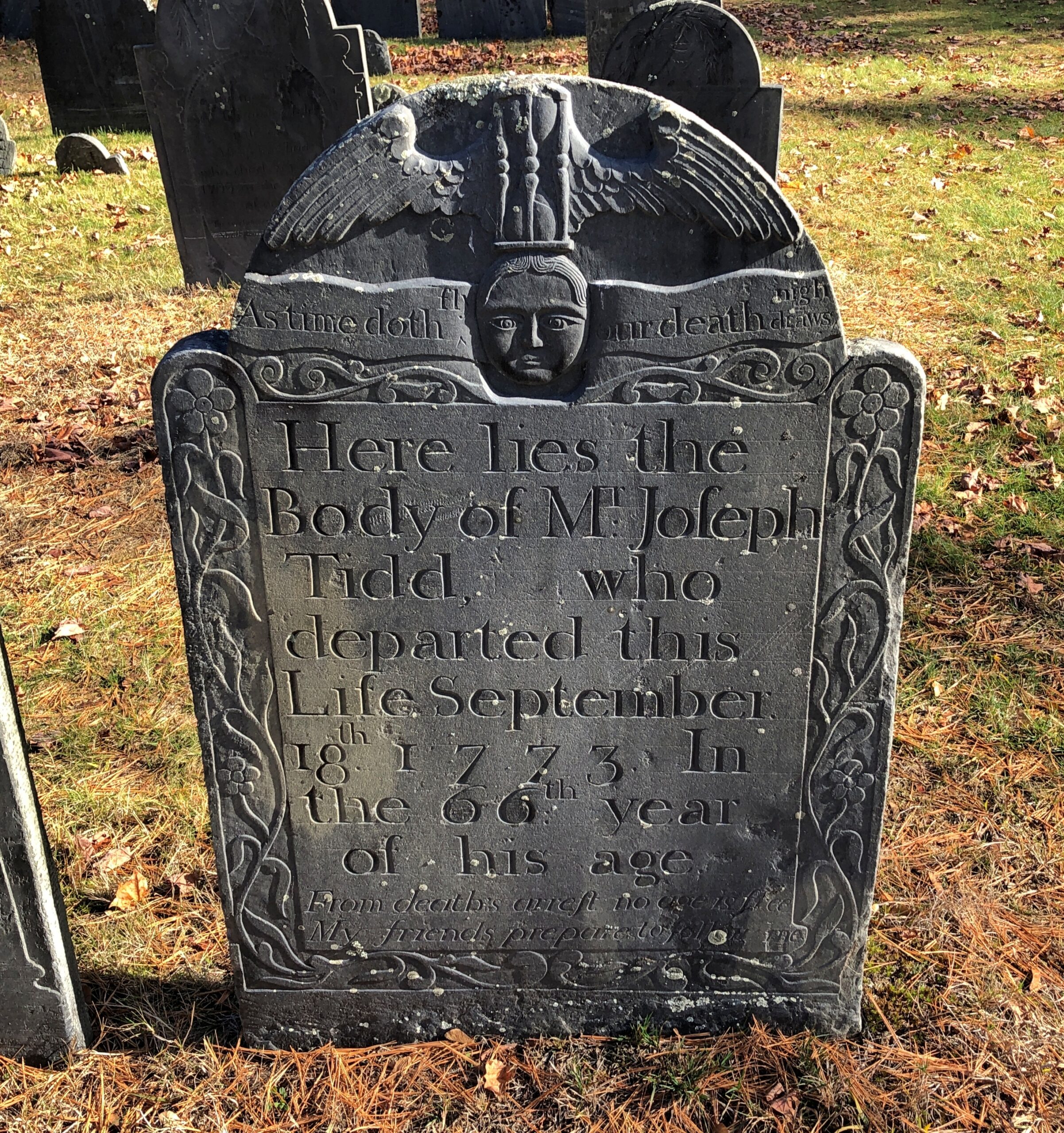
Included are stones reflecting older language usage, as you sometimes find in older cemeteries. “Relict,” as in widow, isn’t one you see much these days.
A wordy memorial. I hope the stone carver was paid by the letter.
But he’s notable enough: James Davis, quite a busy fellow in colonial North Carolina and later the state.
Talk much about colonial North Carolina and Blackbeard is going to come up – at least when talking with my old friend Dan, who had a fascination with the buccaneer even back in college. An artful storyteller, which surely helped him in his former career as an ad man, Dan can regale you with Blackbeard stories, detailing his short but colorful pirate career, including the fiery display he made of his person to scare onlookers witless. A pirate needs to be known for more than mere thievery on the high seas.
“In battle [Edward] Teach would have a sling over his shoulders that held at least three flintlock pistols and would often stick lit matches under his hat to give a smokey and fearsome appearance,” the Golden Age of Pirates explains, though without the Dan’s storytelling gusto, illustrating Blackbeard’s pyrotechnical flair with gestures all his own.
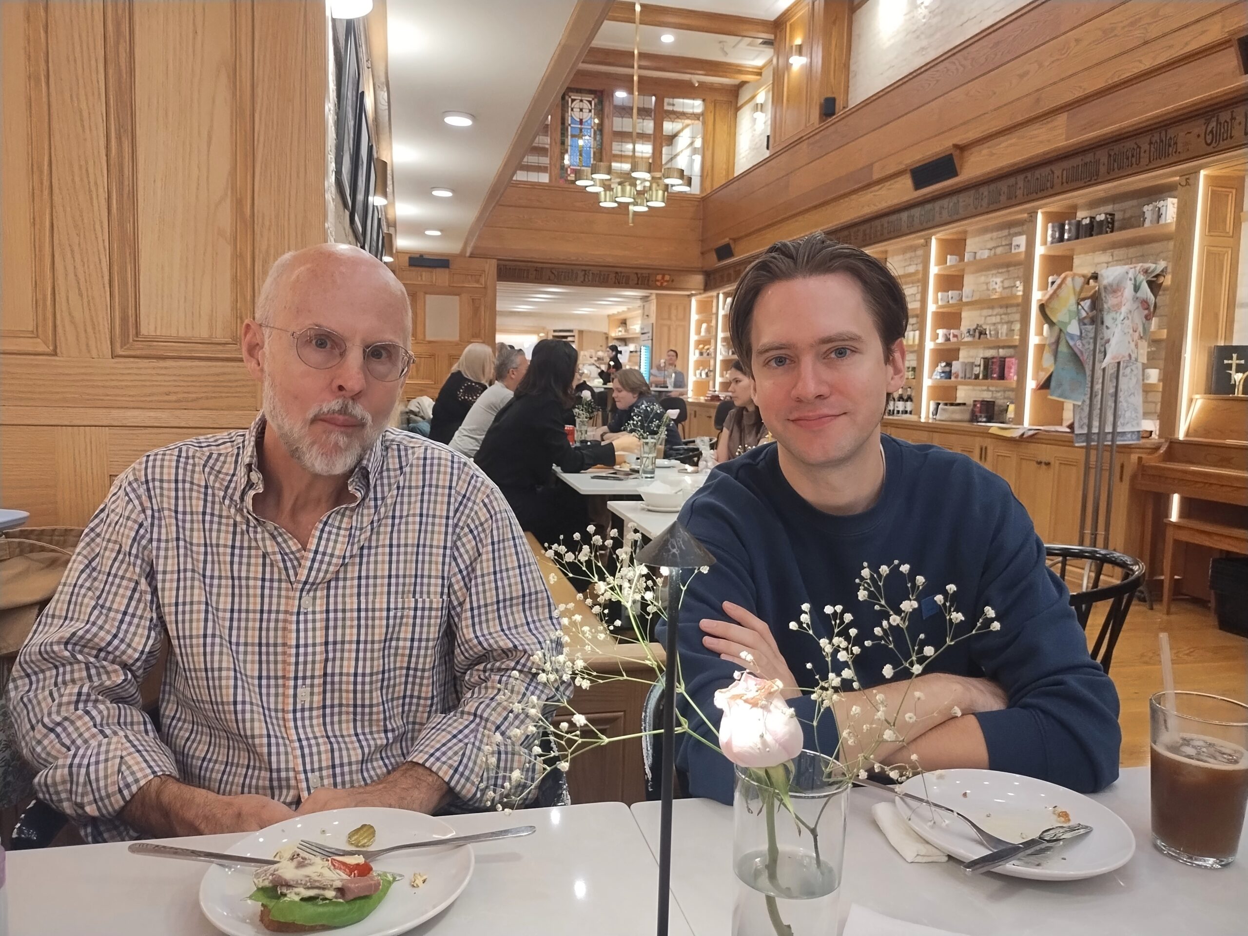
Dan and his wife Pam recently moved to New Bern, NC, very near Blackbeard’s haunts, including the site of his swashbuckler’s death in action off Okracoke Island. I don’t believe their retirement move from Alabama was to be near Blackbeard, but it certainly couldn’t have hurt during site selection. On the first evening of my visit to New Bern, Dan and I spent had a fine time out on his deck, perched near a small inlet ultimately connected to the wider ocean, watching the stars slowly emerge and talking of old times and newer things but not, at that moment, about Blackbeard.
That was the next day, as we toured Tryon Palace, even though the original structure was built many decades after Blackbeard’s newly severed head wound up tied to the bowsprit of the sloop Jane, put there by pirate hunter Robert Maynard. One colonial subject leads to another.
Tryon Palace is crown jewel of historic sites in New Bern, except that it’s actually a recreation of the 20th century. Somehow that doesn’t take away from its historic appeal.
When you stand in front of it, you’re peering not only back to 1770, when the colonial government of North Carolina completed, at great expense, a structure that looked like this one. You’re also looking at a building completed within living memory, in 1959, which is considered a faithful restoration of the one that NC Gov. William Tryon had erected.
“When the colonial Assembly convened in [New Bern] on 8 Nov. 1766, Tryon presented a request for an appropriation with which to construct a grand building that would serve as the house of colonial government as well as the governor’s residence,” says the Encyclopedia of North Carolina.
“Less than a month later, the Assembly acceded to the governor’s wishes by earmarking £5,000 for the purchase of land and the commencement of construction. The appropriated sum was borrowed from a fund that had been established for the construction of public schools. To replenish the depleted school fund, a poll tax and a levy on alcoholic beverages were imposed.”
Just about the worst kind of taxes when it came to irritating the non-coastal non-elites of the colony, a discontent that eventually erupted as the Regulator Rebellion. Ultimately Gov. Tryon, in personal command of the colony’s militia, crushed the Regulators – untrained men who seem to have been foolish enough to meet Tryon’s trained men in an open field at the Battle of Alamance in 1771. (Which isn’t entirely forgotten.)
We took an early afternoon tour of Tryon Palace, guided by a woman in period costume. She told us about Tryon – no mention of Alamance, however – and his successor, Josiah Martin, the only other royal governor to use the palace. Gov. Martin spent more on furnishing the place, only to be obliged to skedaddle come the Revolution. We also heard about architect and master builder John Hawks (d. 1790), who came to North Carolina from England to build the palace which, of course, is only a palace by canebrake standards of the colony. It is a stately manor house, however.
The colonial legislature and the new state legislature both used the palace for a while, so it counts as the first capitol of North Carolina. That meant I was visiting yet another state capitol, without realizing it at first. A former capitol, that is, including ones I’ve seen in Illinois, Texas (counting Washington-on-the-Brazos as such), Virginia, Florida and Iowa. Abandoned as a government building after the NC capital left New Bern, fire consumed most of Tryon Palace just before the end of the 18th century. Its west wing survived for other uses over the next century-plus.
In the 20th century, along came Maude Moore Latham, a wealthy local woman with a taste for historic restoration. If much of colonial Williamsburg up in Virginia could be restored, so could colonial New Bern in North Carolina. Despite the fact that a road and houses had been built on the site of old Tryon Palace, she eventually facilitated the restoration, made possible (or at least more accurate) by the fact that John Hawks’ plans for the building had survived.
Also restored: The gardens of Tryon Palace, flower and vegetable. Despite the heat, we couldn’t miss that.
After our sweaty visit to the palace and gardens, Dan and I repaired to the restaurant in the nearby North Carolina History Center, called Lawson’s On The Creek, for refreshing beverages and more talk of Blackbeard and many other things. We closed the joint down over beer, at 4 p.m.
Downing a beer was just the thing. That was our homage to those days of yore. In colonial America, beer was no mere refreshing beverage, but an essential one.
Maybe I should have looked at something like this before driving between Knoxville and Charlotte last month.
Note the array of Construction Zone markers along I-40. Turns out travelers are lucky to be able to drive the road at all, considering that Hurricane Helene last year did so much damage that the highway – an Interstate of considerable importance regionally – was closed for five months, only reopening on March 1.
Reopening as a two-lane road, with each lane bounded on the outside by those concrete barriers you never want to see when driving. Separating the lanes is what amounts to a curb, painted yellow. This goes on for about 12 miles, as reconstruction work goes on. That isn’t a long stretch of road under normal conditions, but when you’re between barriers, behind a truck and in front of a truck, with traffic (many trucks) coming the other way just on the other side of a yellow curb, and little margin for error on anyone’s part, your reaction as a driver is going to be: when will this end?
That was my reaction, anyway. Had some nice drives on this trip. Western North Carolina I-40 wasn’t one of them.
“The hurricane washed away about 3 million cubic yards of dirt, rock and material from the side of I-40,” NCDOT reported. I’m having trouble visualizing a million cubic yards, much less three, but I’m sure it was a staggering amount.
“The stabilization process involved driving steel rods into the bedrock, filling the rods with grout, applying a metal screen then sprayable concrete to the face of the walls. There were four different rigs operating at the same time.
“Crews installed 90,000 square feet of soil-nail walls across the 10 different damage locations in less than 130 days. They also drilled nearly 2,100 feet of nails and fortified 4 miles of the shoulder for truck traffic.”
My goal for the afternoon had been to take I-40 from Knoxville to Asheville and then I-26 south to its junction with South Carolina 11, which is Cherokee Foothills Scenic Highway, and take that road east. I’d been advised that the town of Saluda, NC, on US 167, was a pleasant place to stop, and it was, though most of the shops were closed by the time I got there.
I had the idea that I would drive US 176 to the next town, Tryon, NC. Oops, no. Road closed. Maybe the hurricane did that as well.
So I got back on I-26 and went to the Tryon exit. I didn’t have any idea what to expect in Tryon, certainly not the Tryon Horse, which is a large toy horse on wheels. It stands on US 176, known as South Trade St. at that point. This is the fifth iteration of the horse in nearly 100 years.
“[The first Tryon Horse] was originally designed as an advertisement for the first horse show held in Tryon at Harmon Field in 1928,” says the Tryon History Museum. “It came from a drawing done by Eleanor Vance, based on an idea from Romaine Stone, who was active in the Tryon Riding and Hunt Club, and from then seventeen-year-old master builder Meredith Lankford.
“The Tryon Horse was built in the basement of Miss Vance and Miss Yale’s house by Meredith Lankford and Odell Peeler and was assembled in the driveway… The Tryon Horse… was brought out for future horse shows and parades, and was stored in the Paper Box Factory located on Depot Street. Unfortunately, the first horse was destroyed when the factory burned in the 1930s.”
It was no accident that the talent was available locally in the 1920s to build such a thing. At the time, Tryon was noted for a company that made toys, especially high-end wooden toys.
South Trade St. is a handsome thoroughfare, populated by older buildings developed to support trade.
Something else I didn’t expect on the street: Nina Simone Plaza.
Complete with a bronze of the musician and activist, who grew up in Tryon, and who no doubt got out as soon as her talents allowed. She died in 2003; the statue was dedicated in 2017.
Later in the day, I eventually made it to South Carolina 11 at Campobello, SC, and drove east to its end for 50 miles or so to Gaffney, SC. I’d intended to visit Cowpens National Battlefieldalong the way.
No dice. The main entrance to Cowpens was closed by the time I arrived. I understand closing the visitors center at the end of the day, but the entire place? A mile or so east on SC 11 was an alternate entrance, so I stopped there.
I walked down the path toward the battlefield, but thought better of it after about 10 minutes.
I wanted to get to Charlotte before the end of the day. Summer days are long, but not endless. Also, mosquitoes.
My stop in Scottsburg, Indiana, wasn’t entirely random. If you have a mind to visit Pigeon Roost State Historic Site, which is just south of town, you need to get off the Interstate and proceed to the site on US 31, and Scottsburg is a good place to do that.
As a point of interest red spot on highway maps, Pigeon Roost had intrigued me for years, but not enough to stop there. Unless I did sometime in the 1980s. Or maybe the ’90s. I’ve arrived at that point in life at which I can’t quite remember all the things I’ve seen, especially obscure memorials in obscure places. In a related trick of an aging memory, I sometimes have fairly distinct memories of places, but no memory of exactly where I was.
There are at least two layers of history at work at a place like Pigeon Roost. One is the massacre itself, whose longstanding interpretation sees it as a bloody incident in the War of 1812, with the Indians taking the opportunity – and British weapons – to fight the tide of settlement in the Northwest Territory, though they were already doing that, ultimately in vain. There also seems to be a revisionist idea that the Indians were out to settle a score with a particular group of whites and didn’t give a fig about the geopolitics of the situation, which certainly sounds plausible.
The other layer is the fact that it wasn’t until 1904 that the state of Indiana dedicated a memorial to the victims of the massacre, including what must have been a tidy sum to pay for an obelisk. Somewhere in the minutes of the legislature, and maybe in letters or newspaper reports, or maybe in a local history archive, is some inkling of why that might be: why then and not some other time. But it seems unlikely that anyone will ever take such a granular interest in the subject. Certainly not me, so I’ll have to leave it at that.
These days, Pigeon Roost is quiet and, I suspect, rarely visited. I had the place all to myself.
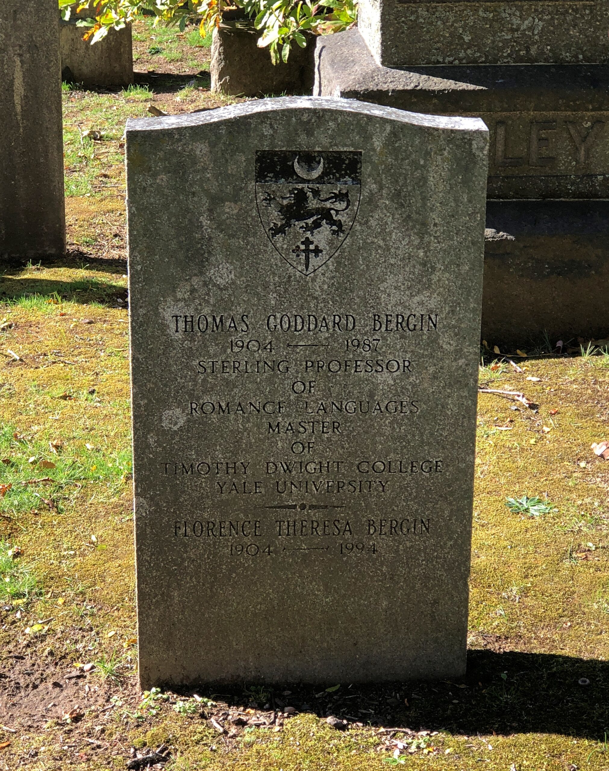
At some other point in the past, locals started burying their dead near the site.
Google Maps calls it Pigeon Roost Cemetery, aka Sodom Cemetery. The latter seems like an odd choice, but a quick look reveals a few others of that name, in Georgia, Ohio and Minnesota.
Google Local Guide Gary Collins has this to say about the place: This pioneer cemetery holds the remains of some of Southern Indiana’s earliest settlers, including some of the survivors of the infamous Pigeon Roost Massacre. At the time of the massacre, this cemetery had yet to be established, and some of the victim’s [sic] final resting places are unknown. It is generally well kept, and interments still occasionally take place.
What, no ghost stories about Pigeon Roost? Seems like perfect fodder for such tales: not only violent death, but the violent death of children and indeed entire families. There’s an opportunity here for making stuff up — I mean, paranormal investigations. What does Bachelor’s Grove Cemetery have that Pigeon Roost doesn’t?
The heat was already on by the time I arrived in Scottsburg, Indiana on the first day of the trip, June 16. But not enough to keep me from taking a stroll around the Scott County courthouse, where I found native son William H. English.
After only a few hours on the road, by chance, I’d come across a presidential sight. Presidential adjacent, anyway, since English (d. 1896) is that most obscure of obscurities, someone who ran for vice president and lost – in 1880 in his case, on the Democratic ticket with Winfield Scott Hancock, who himself isn’t going to ring any bells outside presidential history buffs. The statue went up in 1908.
That was the election James Garfield won, which he no doubt regretted before long.
English, or his heirs, felt that a book he wrote, Conquest of the Country Northwest of the Ohio River 1778-1783, was worth a mention along with the offices he held or aspired to. The marvel here in the 21st century is that the work is just about instantly accessible (Vol. 1 and Vol. 2). An illustration facing the Vol. 1 title page (on the optitle page?) not only falls into the They Don’t Make ‘Em Like That Anymore category, it’s squarely in, No One Would Think of It territory. Just as well, I figure.
To get to Nashville from metro Chicago, the direct route is via I-65, which cuts across Indiana. Considering the importance of both of those cities to me, I’ve driven the route more times than I can count. But I have to report that it isn’t one of the more interesting drives in the nation, and at eight to nine hours drive time in the best of conditions, you feel it yawn beneath your wheels when you yourself yawn.
So the strategy over the years has been to break up the trip. Such as a place like Scottsburg, pop. 7,300. The town is close enough to Louisville to be its exurb – maybe. I haven’t spend enough time in Louisville, as interesting as it is, to have any sense of its greater co-prosperity sphere, or at what distance that might peter out.
Scottsburg has one thing a picturesque exurb needs: a picturesque courthouse square. Or at least elements of it.
Downtown is in fact a national historic district: Scottsburg Courthouse Square Historic District. I get a kick out of discovering that kind of thing retroactively, which I did this time.
“The district is composed of one-, two-, two-and-a-half and three-story brick and stone commercial structures with zero setbacks, which form an essentially contiguous perimeter to the wooded courthouse lawn,” its registration form on file with the U.S. Interior Department says. “There are a total of 48 contributing buildings within the district. The character of the district is defined by late 19th and early 20th century commercial architecture with significant examples of the Italianate, so Richardsonian Romanesque, Renaissance Revival, Colonial Revival, and Art Moderne styles.
“The predominant building material is red brick, as evidenced by the courthouse and 29 commercial buildings within the district. Secondary materials include Indiana limestone and various shades of buff and yellow brick, decorative brick work, cast iron, ornamental pressed metal and glazed tile and Carrera glass…”
In the heat of the moment (literally), I neglected to get a decent shot of the courthouse itself, but someone called Bedford thoughtfully put an image in the public domain.
Could it be a Carnegie Library?
Yes. Completed 1917, still a library. One of the more than 1,680 in the United States funded by the robber baron, many of which endure after a century plus.
Some courthouse square details.
Dirt Boys Vintage Collectibles joins the likes of city offices and law offices, but also Warriors Den coffee shop, Time Zone Pizza Arcade, Chicago City Pizza and Bootlegger’s Bar & Grill. Those not needing to eat can visit Wildflowers Boutique, Moxie Music Center or Working Class Tattoo Parlor, all there on the square.
So is a plaque to the memory of one Michael J. Collins (d. 1985).
A contemporary of mine who didn’t make it far out of the gate. RIP, Michael, whoever you were. Are.
Summertime, and the living’s not bad. Pretty good, really. But those aren’t as catchy as the actual lyric. Time to pause posting for the summer holiday string: Flag Day, Juneteenth, Canada Day, Independence Day and Nunavut Day. Come to think of it, that’s an exceptionally representative run of holidays for North America. Back around July 13.
The flight from Chicago to Tokyo took us far north, as that flight path usually does. There was more light than I thought there would be, looking down at this moment on the February snows of the Yukon or Alaska; I’ll never know which. I could have been eying the border, for all I know, which suggests that borders are a gossamer fiction at these latitudes.
Japan
It was a happy moment when we ate at Mos Burger. One of these days, I’m going to dig out my paper copy of an article I wrote for Kansai Time Out in 1993 about four varieties of Western-style fast food chains founded in Japan, and post it. Today isn’t that day. But I can say that Mos Burger was the best of them.
As good as I remember it from 25+ years ago, the last time I went to one.
In Enoshima, near the ocean, this fellow hawks soft serve ice cream. Goo goo g’joob. Look but don’t touch.
The handsome Osaka City Central Public Hall, completed in 1918. Amazing that it survived the war and urban renewal 20 years later, those forces that generally gave modern urban Japan the boxy concrete character it enjoys today.
India
A monumental monument in New Delhi: India Gate, which honors more than 74,100 soldiers of the Indian Army who died during the Great War, and a number more in the Third Afghan War a few years later. They did their part. One of the larger relics of the Raj, unless you count things better described as legacies, such as railroad lines, parliamentary government, and the bitter feud between India and Pakistan.
While we were looking at India Gate, a group of about a dozen uniformed schoolboys, who had detached themselves from a larger group, approached me and asked where I was from. They were gleeful to hear “America,” a reaction I didn’t know anyone would have anymore, but I suppose they’ve seen a lot of our movies. A middle-aged male chaperon appeared in short order and shooed them away, while giving me a sidelong glance with a hairy eyeball, though I hadn’t precipitated the encounter in any way. I was just a suspicious foreigner, I guess.
The Taj Mahal has a fair amount of parkland around it. That means a population of monkeys, too. I spotted more monkeys in urban India than I would have anticipated. These didn’t seem to be bothered by the men, the dogs or the motorcycle.
On display at the Ghandi Museum: a Marconigram. I don’t know that I’d ever seen one of those before. Or maybe there was one on display at the Titanic Museum in Branson. Anyway, that’s one good reason to go to museums: for things once common, now curiosities. Safia Zaghloul was an Egyptian political activist of the time.
United Arab Emirates
In Dubai it seemed like there were more men at work sweeping, mopping and other cleaning of floors and other flat places, per square meter, than anywhere else I’ve ever been. There are worse things to do with cheap labor.
Not sure exactly where this was, except somewhere out on Palm Jumeirah. Must have been a wall, or like a wall, in one of the posh retail corridors winding through one of the posh resort properties amid the poshness of the island.
Note: White on green is common indeed around the world.
Desert flowers. Of course, sprinklers water that bit of terrain at regular intervals.
Germany
What’s Berlin without currywurst? They say it came into style soon after the city was divided.
What would Germany be without Ritter Sport? A giant stack of them can be seen, in their great variety, at the Hauptbahnhof in Berlin. Later, I bought about 10 squares of RS at a discount price at a Netto grocery store near our hotel. Think Aldi or Lidl, but more cluttered.
Views of the Memorial to the Murdered Jews of Europe, Denkmal für die ermordeten Juden Europas, near the Tiergarten in Berlin. It wasn’t there in 1983.
Czech Republic
Not calling it Czechia. Or, if it ever comes to it, not calling India Bharat, either.
St. George’s Basilica. I admired the nearby St. Vitus Cathedral. That’s a grand edifice. But St. George’s has that human scale, and echoes of an even earlier time. It was completed during the time of Good King Wenceslaus.
Vladislav Hall. The site of centuries of Bohemian parties, banquets and balls, me boys. That and affairs of state.
The Dancing House. We rode a streetcar line out of our way to see it, though not that far. It wasn’t there in 1994.
A sidewalk golem in the old Jewish Quarter of Prague. The Sidewalk Golems was a relatively obscure band who sometimes toured with Irwin Hepplewhite and the Terrifying Papoose Jockeys.
This could have been over Spain or Portugal.
The last image of thousands that I took, a staggering number in any context except digital images that take practically no time or effort to make.
Something I didn’t expect to see Sunday before last at Rosehill Cemetery – which is surrounded by the densely populated North Side of Chicago – were deer. But there they were, peacefully munching on grass, living the unusual life of urban deer on the cemetery’s 350 acres. By acreage, Rosehill happens to be the largest in the city.
I dropped Yuriko off at her cake class in Humboldt Park that morning and headed north to visit the cemetery. It was a fine, warm day. I couldn’t remember the last time I’d been there, but I knew it had been too long, since Rosehill is one of the great metro Chicago cemeteries, in the same league as Graceland, Bohemian National, Mount Carmel, Oak Woods and Forest Home.
Of all those, Rosehill has the grandest entrance. Once upon a time, trains brought caskets to a station nearby, and hearses would take their funereal loads through the limestone gate, designed by William Boyington (d. 1898), who is better known for the Chicago Water Tower. Just based on those two examples, seems like he was partial to crenellations.
Boyington is also buried in the cemetery, but I didn’t look for him. There was too much else amid the greenery to track down everyone notable. I did make a point of finding the mausoleum of Charles G. Dawes, 30th Vice President of the United States, who served during Coolidge’s full term from 1925 to ’29.
Rosehill doesn’t have a vast number of mausoleums, but there are some others.
Hey, it’s Darius!
In his Egyptian-style tomb. One for the ages. As a baby name, Darius had a vogue just before and after the turn of the 21st century, when as many as 0.06 percent of babies born in the U.S. received that name. Mostly boys (as you’d think), but a few girls. It would have never occurred to us to append that name to either of our daughters during those years, which happened to be prime child-naming years for us.
I liked this memorial – a path to the water feature, shared by the Weese and Meyer families.
Mausoleums are well and good, but the main reason Rosehill is among the Chicago greats: a rich variety of memorials in a lush setting.
A wordy memorial, though I’m sure with fond intentions on the part of his family. Here is an obit. Sadly odd that for an expert in eldercare, he only lived to be 66. Not terrifically old, in my current opinion.
Most permanent residents were not notable in life, something almost everyone could say at any point in history. What remains are stones old and worn or merely simple. The most affecting ones, in some ways.
For the affluent who don’t want a mausoleum, there’s always a bronze. Good to give living artists some work, if you or your heirs are going to spend money that way.
Charles J. Hull (d. 1889).
I had to look him up. As this article says, an unusual sort of man. Even for the 19th century, when odd men aplenty could be found in the young Republic. Eventually he made his fortune in Chicago real estate and was a major philanthropist, but I enjoyed more reading about his young life. As a teenager – a term no one would have used at the time – he ran an unlicensed tavern in Ohio for three years. That came to a bad end, and he not only became a teetotaler afterward, he eventually was a temperance activist. Not that I’d want to have lived then, but I feel a sneaking admiration for the lax rules of the time.
Walking along the Chicago Riverwalk last Friday, how could I say no to this?
By happy chance, I’d arrived at the Bridgehouse Museum, whose entrance is on the Riverwalk level on the Chicago River next to Michigan Avenue bridge, on a free admission day.
Actually not next to the bridge. The museum is part of the bridge, consisting of one of the four bridgehouses at each corner of the Michigan Avenue bridge, which houses the Machine Age equipment that raises and lowers part of the bridge. In full, it is the McCormick Bridgehouse & Chicago River Museum.
The museum tells the story of the bridge, completed in 1920, and the Chicago River, which has the distinction (among others) of having its course reversed by the U.S. Army Corps of Engineers in 1909, during the heroic age of American civil engineering. The story arc of the Chicago River is that of a modern urban river beginning as a sluggish, marshy stream in pre-settlement times that gave way to periods as an open sewer and home to a welter of commercial docks and warehouses; long periods of unhealthy levels of pollution and its abandonment (mostly) as a working river; and more recent efforts to remediate the waters.
Mr. Dooley on the river as it was: “Twas the prettiest river f’r to look at that ye’ll iver see …. Green at th’ sausage facthry, blue at th’ soap facthry, yellow at th’ tannery, ye’d not thrade it f’r annything…”
The challenge posed by the river to the free movement of vehicles and pedestrians in downtown Chicago was solved by a raft of bridges, most of which are bascule, as is the one at Michigan Ave. The river sees the life of the city along its shore and on its bridges, and it has seen death, such as the almost comic collapse of the Rush Street bridge under the weight of cattle in 1863 and the nightmarish capsizing of the pleasure vessel Eastland in 1915.
The museum consists of five floors, each a smallish room connected by concrete steps. Brick walls and battleship gray floors form the dominate color palate of the place. There is a fair amount to read and images to see, with each room covering a different subject, such as the bridge itself and the ecology of the river.
A door from the first-floor room leads to a view of some of the steel equipment that makes the bridge move, such as this massive pinion.
Not everyone likes reading at museums, but I do. You just have to be selective. Some bridge facts.
A display about a time the Chicago River caught fire. Cleveland shouldn’t be the only place known for that, though of course the incident at the Cuyahoga was recent enough to be on TV news.
Antique bridge equipment.
Small windows in the bridgehouse offer large views, especially from the top levels.
The other three bridgehouses are visible, for one thing. Then I wondered: why four and not two, since the bridge has two leaves that are raised and lowered? Later, I found out that each leaf is actually two separate sections, divided in the middle of the road, so in fact there are four parts being raised and lowered in unison.
There are two reasons, I understand. One is that each quarter section is lighter, and thus easier to move. Another consideration is what happens when a ship hits the bridge — an incident apparently more common in the 1920s than now, with a higher volume of ship traffic on the river in those days. Even if the damaged section has to be raised for repair, its companion on the same side of the bridge can (probably) stay in place, so the bridge wouldn’t need to be completely closed, which would be disruptive indeed for the city.
All in all, a good little museum. I made a small donation. One complaint, though — and I see this much more than I used to — no postcards at the gift shop. Note cards, yes. But not postcards. If there had been reproductions of this one, I would have bought at least one.
Still a chill in the air here in Illinois, but a bit warmer, so we’re on a slow climb back to real spring. Back to posting on May 27. In its float around late May, Memorial Day is four days earlier than Decoration Day this year.
Chilly, maybe, but that hasn’t discouraged the back yard irises.
A gift from a neighbor last year – some bulbs that we planted in the patch of land that, decades ago, had been a garden. That isn’t quite what I’d call it now. More of a back yard feature whose greenery towers over the ordinary lawn grass.
Not just irises. On the other side of the yard:
Raj Ghat was one of the first places we went in India. Its centerpiece is a memorial dedicated to Gandhi, in the middle of a large green square surrounded by walls. The black marble platform marks the spot of his cremation on January 31, 1948.
Outside the walls is more green space. A popular spot for school groups, looks like.
Nearby is the National Gandhi Museum. Considering that he’s Father of the Nation, not many people were there, but I suppose school groups show up regularly to enliven the place. Overall, the memorial seemed to be more of a draw.
On the grounds of the museum.
The plain rooms of the museum featured a lot of photos of Gandhi and text to go with it. For someone who lived before digital photography, his image was certainly captured by a lot of cameras. There were also a few artifacts, including one large one.
The vehicle used to carry his remains to Raj Ghat for cremation. I thought of the wagon I’d seen in Atlanta used for a similar melancholy purpose.