Vicksburg National Military Park

Had my second shot today. Now George Soros is controlling my brain. Or is it Bill Gates? Hard to keep all these kaleidoscopic alt-realities straight, you know.

Over the years I’ve bypassed Vicksburg, the city and the battlefield, a number of times, so I made a point of visiting this time. I arrived at Vicksburg National Military Park just after noon on April 11, pausing to eat lunch in my car in the parking lot.
Vicksburg National Military Park

At more than 2,500 acres, it’s a large park, but actually smaller than most of the other national military parks, such as Chickamauga (9,500+ acres), Shiloh (9,300+ acres), Fredericksburg (8,400+ acres) or Gettysburg (6,000+ acres). Takes a lot of land to wage near-modern war, after all.

Still, with its winding roads, thick woods, open fields, and monuments of all sizes and descriptions, the place feels expansive. And lush. Full spring had come to Mississippi, along with a pleasant warmth in the air that must have been blazing hot by the time the siege happened in the summer.Vicksburg National Military Park
Vicksburg National Military Park Vicksburg National Military Park

Everywhere you look, a few more cannons. According to Wiki, there are 144 emplaced cannons in the park.Vicksburg National Military Park

Only fitting, since the event was largely a duel of artillery. Also according to Wiki, the park includes 1,325 historic monuments and markers, 20 miles of trenches and earthworks, a 16-mile tour road, a 12.5-mile walking trail, two antebellum homes, and the restored gunboat USS Cairo, the luckless Brown Water Navy vessel that became first ship ever sunk by a remotely detonated mine.

Each state on both sides that sent men to the campaign has a sizable memorial — as many as 117,000 soldiers took part — but it looks like none is more sizable than Illinois.Vicksburg National Military Park - Illinois Vicksburg National Military Park - Illinois

“The design was by W. L. B. Jenney and sculptor was Charles J. Mulligan. Jenney served with distinction as a major in the Union Army during the Civil War as an engineer,” says the National Park Service.

“Stone Mountain (GA) granite forms the base and stairway. Above the base is Georgia white marble. There are forty-seven steps in the long stairway, one for each day of the Siege of Vicksburg.

“Modeled after the Roman Pantheon, the monument has sixty unique bronze tablets lining its interior walls, naming all 36,325 Illinois soldiers who participated in the Vicksburg campaign. Atop the memorial sits a bronze bald eagle sculpted by Frederick C. Hibbard of Chicago, who would also sculpt the statue of General Ulysses S. Grant in the park.” Vicksburg National Military Park - Illinois
Vicksburg National Military Park - Illinois

Near the Illinois memorial is one of the aforementioned antebellum homes, the well-restored Shirley House, which survived 1863 against all odds.

As it is now.
Vicksburg National Military Park - Shirley House

As it was then.
Shirley-House-During-Siege-of-Vicksburg

Just down the road from the Shirley House is a statue of Gen. John Logan, who commanded the 3rd Division of the XVII Corps of the Union Army in this area, and who ought to be better known for a number of reasons, such as fostering Memorial Day and for his change of heart about black people during the war.
Vicksburg National Military Park - John Logan

“But what of JOHN A. LOGAN? I will tell you. If there is any statesman on this continent, now in public life, to whose courage, justice and fidelity, I would more fully and unreservedly trust the cause of the colored people of this country, or the cause of any other people, I do not know him. Since [Charles] Sumner and [Oliver. P.] Morton, no man has been bolder and truer to the cause of the colored man and to the country, than has JOHN A. LOGAN. There is no nonsense about him. I endorse him to you with all my might, mind, and strength, and without a single shadow of doubt.”

— Frederick Douglass’ endorsement of John Logan during the 1884 presidential election.

Because of heavy rains (I assume) some of the roads were closed, including the one to Grant’s headquarters, where his equestrian statue is, so I didn’t see that.
Moving along, I came to another impressive state memorial: Mississippi. The home team, so to speak.Vicksburg National Military Park - Mississippi Vicksburg National Military Park - Mississippi

Wisconsin. That’s no mere eagle on top, but Old Abe.
Vicksburg National Military Park - Wisconsin

Missouri, which is dedicated to combatants on both sides.Vicksburg National Military Park - Missouri

Besides the state memorials, there was an array of statues and stones and plaques honoring other men and groups of men, or detailing movements during the siege.Vicksburg National Military Park Vicksburg National Military Park Vicksburg National Military Park Vicksburg National Military Park

The USS Cairo, partly protected from the elements. Its visitor center was closed, not for Sunday but still for the pandemic.
Vicksburg National Military Park

The view from Fort Hill.
Vicksburg National Military Park

I’m glad I got around to Vicksburg. Also glad to report a fair number of other visitors, most clearly tourists from other places, though some people were out jogging or walking their dogs. Best of all, I spotted some people with their kids (or grandkids) in tow. Maybe being the weekend had something to do with that, or that the city of Vicksburg is fair-sized. Even so, I remember how few other people I saw on the summer day I visited Shiloh — and only one or two families with children.

Clarksdale and Vicksburg Walkabouts

No question about it, Clarksdale, Mississippi, is a poor Delta town. The median household income in Coahoma County, of which Clarksdale is the seat and only town of any size, is $29,121 as of 2019, according to the Census Bureau, and over 38% of the population lives below the federal poverty level. For all of Mississippi — by household income the poorest state in the union — median household income is just over $45,000, and 19.6% of the population lives in poverty. (The U.S. figures are about $68,700 for median household income, with 10.5% living below the poverty level.)

Coahoma County is also majority black, 77.6%, compared with 37.8% for Mississippi as a whole. Since 2010, the county has lost 15.4% of its population; Mississippi has managed to eke out a 0.3% gain over the same period.

By contrast, Warren County, whose seat is Vicksburg, Mississippi, is considerably more prosperous by the same metrics, though it too lost population in the 2010s: down 6.9%. Median household income is $45,113, just over the state median, and about 20% of the population officially lives in poverty. Black and white are more evenly divided in Warren County, at 49.3% and 48.4%, respectively.

I took a walk around the downtowns of both Clarksdale and Vicksburg on the same day, Sunday, April 11, fairly early in the morning for the former, and late in the afternoon for the latter.

Poor it may be, Clarksdale is distinct as the hub of the Delta blues, a fact that the town very much plays up in the early 21st century, with a museum, music venues, plaques, public artwork and more. Funny, I have a hunch that the city fathers in segregationist Clarksdale a century or so ago didn’t give a fig for the music that the black population was creating and exporting to Chicago and other places.

Few other people were about on that Sunday morning. The first thing that caught my attention was a large mural.Clarksdale, Mississippi mural, Ground Zero Club 2021

Clarksdale, Mississippi mural, Ground Zero Club 2021 Clarksdale, Mississippi mural, Ground Zero Club 2021

That’s the back wall of the Ground Zero Blues Club, and the mural must be of recent vintage, since a Streetview image from September 2019 shows a few smaller murals, but mostly a blank wall.

That’s hardly the only public artwork in downtown Clarksdale.Clarksdale, Mississippi public art Clarksdale, Mississippi public art Clarksdale, Mississippi public art

The town sports a lot of interesting old buildings in various conditions, some music oriented, some ordinary commercial structures.Clarksdale, Mississippi public art Downtown Clarksdale, Mississippi Downtown Clarksdale, Mississippi

One of the music businesses is a place called Deak’s Mississippi Saxophones and Blues Emporium. Not something you’re likely to see anywhere else.

Deak's Mississippi Saxophones and Blues Emporium

Deak's Mississippi Saxophones and Blues Emporium
Late that day, I took a walkabout of similar duration in Vicksburg, after visiting the local battlefield.Welcome to Vicksburg

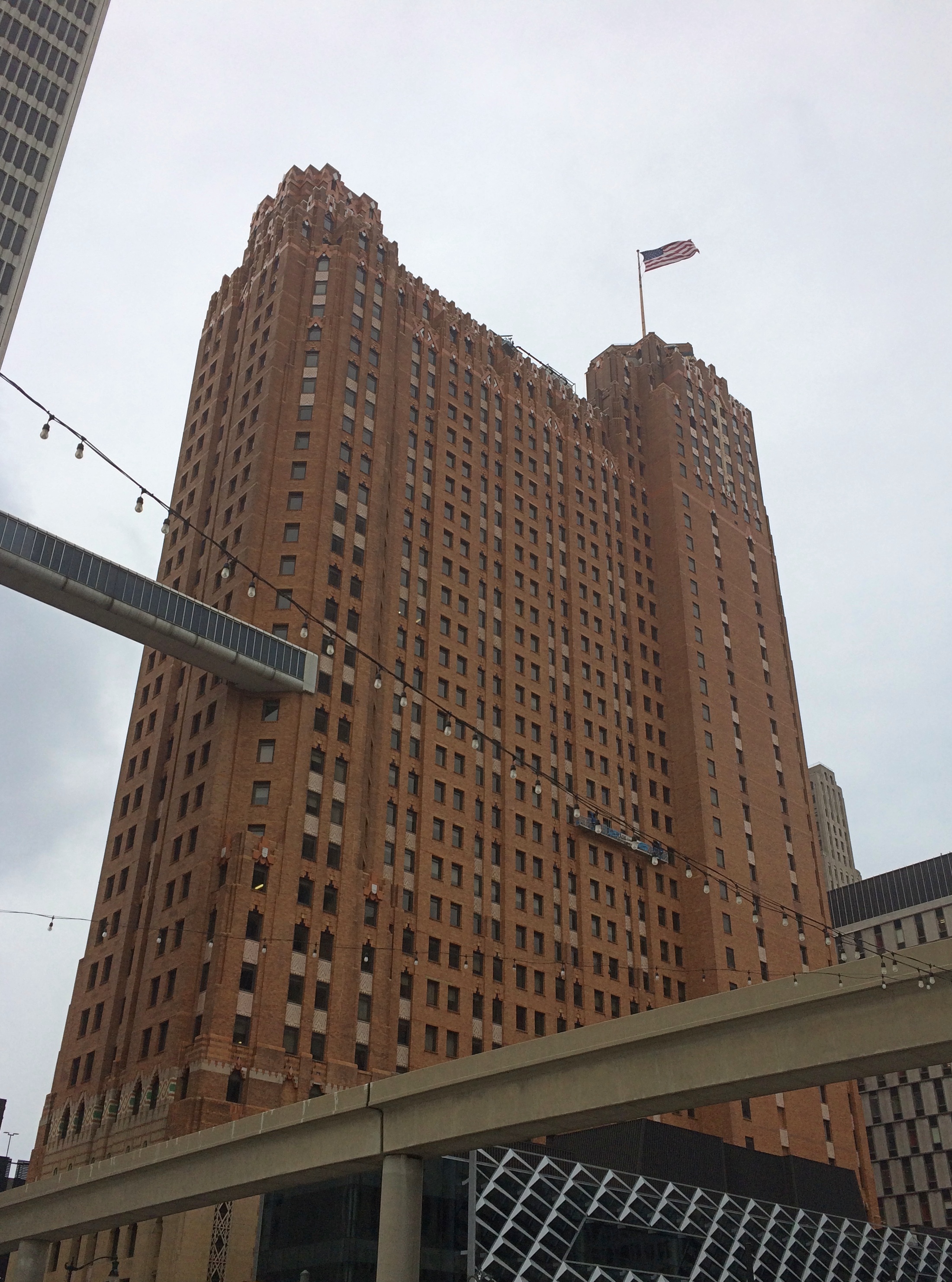
It’s a larger town with larger buildings, such as The Vicksburg, formerly the Hotel Vicksburg, which I’ve read is the tallest building in town and in recent years an apartment building. Next to it are the Strand Theatre and the B.B. Club, formerly the B’nai B’rith Literary Association building, and now an event venue.Former Vicksburg Hotel Strand Theatre Vicksburg

downtown Vicksburg

Some smaller structures grace downtown Vicksburg as well, of course.downtown Vicksburg

The city is mostly on a loess bluff overlooking the Mississippi.downtown Vicksburg

Old Man River.
Mississippi at Vicksburg
The damage that Old Man River can do, when he’s in the mood. There’s no doubt that 1927 is the one to beat, and not just in Louisiana, though 2011 was a whopper too.

Mississippi at Vicksburg
That’s on the river-facing side of the modern floodwall system protecting Vicksburg. On the town-facing side are a lot of different murals. Some details:

Vicksburg floodwall murals Vicksburg floodwall murals

My own favorite, “President McKinley Visits the Land of Cotton,” is based on a photo of an arch built from cotton bales to greet the president, who visited for a little less than two hours on May 1, 1901, not long before his date with Death in Buffalo.
Vicksburg floodwall murals

If possible, I like to see a presidential site on each trip. That counts as one for the trip.

West Tennessee Dash

On April 10, after leaving Illinois via a white-knuckle, two-lane bridge across the Mississippi into the state of Missouri, I headed south to catch the ferry back across the river at Hickman, Kentucky (green arrow). The point of this exercise was to continue from Hickman on small roads to the Kentucky Bend, marked here with a pink arrow.

There’s nothing distinctive about the Kentucky Bend except its odd status as an exclave of the commonwealth of Kentucky. I’d planned to snap a picture of whatever sign was at the Tennessee-Kentucky border at that point, and maybe visit the small cemetery just inside the bend.

It wasn’t to be. When I got to the ferry, the Mississippi looked a mite testy, swollen from the storms the night before, and probably other spring rains. A phone call confirmed that the ferry wasn’t running.Hickman Ferry

Without the ferry crossing, visiting the Kentucky Bend would have meant considerable backtracking, so I blew it off, and continued southward in Missouri. I got a glimpse of the bend from the riverfront at New Madrid, but I didn’t linger because I needed to find a bathroom.

Later I crossed into Tennessee on I-155 and soon connected with U.S. 51, which goes straight into Memphis. Despite the years I lived in Tennessee once upon a time, it was a part of the state I’d never seen, except for Memphis itself.

I didn’t quite make the straight shot into the city. Not far from U.S. 51 is Fort Pillow State Historic Park, site of the Battle of Fort Pillow, also known as the Fort Pillow Massacre, on bluffs overlooking the Mississippi. It’s been a state park for 50 years now. The day was as brilliant and warm as a spring day could be by that time, a contrast from the cool rain and less lush conditions further north.

Fort Pillow State Historic Park

I only spent a little while at the museum and visitor center, but got the impression that the bloody history of Fort Pillow isn’t emphasized. Be that as it may, I was keen to see whatever was left of the fort, or what had been rebuilt. Signs pointed the way.
Fort Pillow State Historic Park
An longer interpretive sign at this clearing said Nathan Bedford Forrest set up his command there.
Fort Pillow State Historic Park
On the trail went.Fort Pillow State Historic Park Fort Pillow State Historic Park Fort Pillow State Historic Park

It would have been nice had the FORT –> signs said how far was left to go. Also, I couldn’t quite follow the track I was taking, as compared to the map I acquired at the visitors center, which was a little unusual. Anyway, I climbed another couple of rises and came to a spot where I could just barely see the river.
Fort Pillow State Historic Park

I figured surely there must be earthworks or something at such a high point, but I didn’t see anything. Then I noticed another FORT –> sign pointing me down another staircase. That meant I’d have to go up again somewhere, because forts aren’t built in lower places. Then to return, I’d have go down and then up again. I didn’t have the energy for all that, I decided, so I made my way back. Still, I had a good walk. By the end of the day, I’d walked about two and a half miles.

Besides, I wanted to get to Memphis. When I arrived about an hour later, I found a spot in Mud Island Park with a view of the skyline.
Where the hell is Memphis?

The Hernando de Soto Bridge. More bridges ought to be named after explorers.Where the hell is Memphis?

Back on the mainland, I found the Memphis Pyramid. It wasn’t hard to spot.
Memphis Pyramid

Or more formally, Bass Pro Shops at the Pyramid.
Memphis Pyramid
Taller than the Pyramid of the Sun in Mexico, according to this source, but somehow that ancient Mesoamerican structure has much more of a presence. The Memphis Pyramid has been standing for 30 years now, and seems to be making it as a retail store, after failing as a municipal arena.
Memphis Pyramid

The blue-lit structure is an elevator to a view from the top of the pyramid.
Memphis Pyramid

Probably worth the price, but the line was long, so I headed for the exit. But I couldn’t leave without buying something to support the Memphis Pyramid, so I bought a box of Moon Pies.

Just Another Spring Break

A pleasant string of warm days came to an end today with cool drizzle most of the time. But at least the snowy mess of February is just an unpleasant memory.

Back again around April 18. Call it a spring break. Who knows, I might have encountered a new thing or two by that time. Never know when you’ll see something interesting.

A recent Zoom. Two participants in Illinois, one in Tennessee, one in Washington state. All VU alumni.

If I were a Zoom stockholder, that is in San Jose-based Zoom Video Communications Inc., I might sell. I’m astonished by the number of people who hate Zoom, the platform, and will probably dump it as soon as they can. I know not to ask about half of my old friends on social Zooms anymore, because they will refuse. Politely, because they are old friends.

I don’t quite get it. Burning out on work Zooms is one thing. But the occasional social Zoom among old friends? On a couple of occasions, they’ve run three or four hours, to great delight of everyone. Sure, if we were obliged to meet electronically even with old friends three or so times a week, that would get old. But more occasionally among people with whom you share a past? Nothing better.

I made a point of watching the new short biographic series Hemingway this week as it was broadcast on PBS. I can’t remember the last time watched TV on a broadcast schedule. Mad Men?

It’s high-quality work on the part of Ken Burns and Lynn Novick, illustrating what a biography should illustrate, the life and times. I knew a fair amount of the material already, though did find out more — another mark of a good bio on a well-known subject — such as the relentlessness with which he suffered major, and mostly untreated concussions. The head injury from the second plane crash in Africa was the only serious one I knew about. Turns out it was one of a string.

That’ll do no good to a man who’s already an alcoholic from a family with a history of mental illness, and who probably had a touch of shell shock thrown into the mix, to use the straightforward Great War terminology. It’s a wonder he didn’t put himself on the wrong end of his shotgun before he finally did.

Old Blanco County Courthouse

While I was footloose in the Texas Hill Country five years ago this month, I paid another visit to the Old Blanco County Courthouse in Blanco. I’d been there the year before, when Jay and I were in search of the Central Texas Bat Trail. It’s a fine old building, restored in recent decades.
Old Blanco County Court House Old Blanco County Court House Around back.
Old Blanco County Courthouse
Blanco isn’t the county seat of Blanco County and hasn’t been for more than 130 years; Johnson City is. So for decades the old courthouse was one thing and another, and now has an interesting little local museum on the ground floor, and office space as well.

The State of Texas recognizes the structure as historic, and the building wears the distinctive Texas Historical Commission medallion.
Old Blanco County Courthouse
I remember seeing those medallions for almost as long as I can remember, especially the one on St. Paul’s Episcopal Church in San Antonio, which I found oddly fascinating as a kid. Who knows, that very one might have planted the seed for my later interest in the sort of markers, plaques, medallions and minor memorials that the world tends to stroll by without a glance.

Maternity of the Blessed Virgin Mary Catholic Church, Bourbonnais

While visiting Olivet Nazarene University in Bourbonnais on Sunday afternoon, I spotted a church building from a distance that I took to be the campus chapel or the like. I decided to drive over to its parking lot for a closer look.Maternity of the Blessed Virgin Mary Catholic ChurchI was wrong. It was Maternity of the Blessed Virgin Mary Catholic Church, which is decidedly not part of ONU, though adjacent to it for historic reasons that I will get into.Maternity of the Blessed Virgin Mary Catholic Church“The original Maternity BVM Catholic Church, a 110-foot-by-50-foot wood-framed structure, had burned to the ground in September 1853,” Jack Klasey wrote in the Daily Journal, a local paper. “The frame church had been built in 1847 to replace the settlement’s first Catholic house of worship, a small log structure known as the church of St. Leo. The log church had been erected in 1841.

“Like many of his parishioners, [Rev. Isadore Lebel] had been born in Canada. The plan that he brought to Bourbonnais Grove reflected the church architecture of his native Quebec province. It is believed to be based upon a church in Cap-St.-Ignace, located on the south shore of the St. Lawrence River, a short distance downstream from Quebec City… Construction work was probably begun some time in 1855 or 1856 and not completed until 1858.”

I was certain the building would be locked (as it was, too bad), but I got out the car for a look anyway. Then I noticed a patch of land next to and behind the church that seemed worth investigating.
Maternity of the Blessed Virgin Mary Catholic ChurchA grotto.Maternity of the Blessed Virgin Mary Catholic Church Maternity of the Blessed Virgin Mary Catholic Church

Maternity BVM has an informative walking tour on its web site for downloading. The centerpiece of the grotto, it tells me, is a shrine built to Our Lady of Lourdes.

“Br. John Koelzer, a Viatorian brother, began building the grotto just over 100 years ago, in 1915. It took three years to complete [and] is fashioned (using stones carved by local residents) in the image of Our Lady of Lourdes, when she appeared to young Bernadette.

“Over the years, she has interceded for the safety of soldiers as far back as World War I, as well as countless school children, bridal couples, rosary groups and worshippers of all ages who have sought her protection.”

The Viatorians — another group I’d never heard of till I researched a place I’d been — are “an international Roman Catholic religious congregation comprised of priests, brothers and lay associates, headquartered in Arlington Heights, IL. Collectively, the congregation is known as the Viatorian Community.”

“Fr. Louis Querbes (1793-1859) founded the congregation in Vourles, France in the 19th century during the years following the French Revolution. Realizing the need to provide education for youth, Fr. Querbes’ vision was to send religious brothers and lay catechists of deep faith and competent learning to parish schools in the countryside.

“As patron saint of the congregation, Fr. Querbes chose St. Viator, a young, 4th century catechist-lector of the cathedral church of Lyons, France.”

True to their education focus, the Viatorians who found their way to Bourbonnais from Canada set up a school that became St. Viator College in 1868. The Depression put an end to the school, however, and the site was sold to Olivet Nazarene University.

The church and the grotto remain. As does a cemetery on the grounds. I wasn’t expecting that.
Maternity of the Blessed Virgin Mary Catholic Church

“Now take a look around the cemetery/grotto and you will also notice several headstones scattered throughout the space,” the tour says. “The cemetery was opened near St. Leo’s Chapel in 1842. By 1884, the old graveyard had no more empty spaces as hundreds are buried here. Many of the grave markers have deteriorated over the years, but there are approximately 30 headstones that still exist and have legible engravings. The earliest legible burial was David Spink, 1848.”
Deteriorated indeed.
Maternity of the Blessed Virgin Mary Catholic ChurchElsewhere on the grounds is a sundial.Maternity of the Blessed Virgin Mary Catholic Church

Maternity of the Blessed Virgin Mary Catholic Church
When I stood in front of the sundial, it was about 3:30 CDT, or 2:30 by the sun, a time I could have indeed told by the shadow. The sundial was a gift from the St. Viator College Class of 1917, dedicated on June 13 of that year. Eleven members of that class are listed on the sundial plaque, including the class treasurer, Fulton J. Sheen. He had quite a career ahead of him, with influence in unexpected places.

Near the entrance of the grounds is a boulder with a plaque askew.
Maternity of the Blessed Virgin Mary Catholic Church
The plaque has been in place almost exactly 100 years, having been dedicated on Decoration Day, 1921. It honors the aforementioned “sturdy Viatorian pioneers” (the plaque’s term) who founded St. Viator College.

Just as we were about to leave — I was already back in the car — I spotted yet another plaque, one considerably harder to see, under a bush. In spring or summer, it might be impossible to see.
Maternity of the Blessed Virgin Mary Catholic Church baseball home plate plaque“I have to see one more thing,” I told my family. They’re used to that kind of thing. But I knew if I ignored it, I’d wonder about it later. I was well rewarded by my curiosity, since the plaque made me smile. It wasn’t anything remotely like I expected.
Maternity of the Blessed Virgin Mary Catholic Church baseball home plate plaqueA home plate memorial. Listen closely on moonless nights, maybe, and you can hear the faint cheers of late 19th-century Catholic collegians playing base ball.

Olivet Nazarene University

College campuses usually offer pleasant places to stroll on warm days, or even when it isn’t so warm, so with that in mind I wanted to take a walk around the 250-acre Olivet Nazarene University in Bourbonnais, Illinois, on Sunday. Since we’d just taken a walk at Kankakee River State Park, the rest of the family was less enthusiastic about the idea. They waited in the car while I took a 10-minute amble.

I’d heard of the Strickler Planetarium. I imagined it would be a little larger, but no doubt it’s a good facility.
Olivet Nazarene University
Nice clock tower.
Olivet Nazarene University
“The Thomas H. Milby Memorial Clock Tower is provided by the J. Harlan Milby Family to remind us that during his student days in 1956, Tom walked these paths on his way to heaven,” the university says. There are carillon bells up there, but I wasn’t around long enough to hear them.

Not far away is a smokestack. As far as I know, it isn’t named in honor of anyone. For a suitable donation, I’ll bet it could be arranged.
Olivet Nazarene University
I’d call it the Old ONU Stack. Or maybe not so old. If what I read here is correct, it had to be rebuilt after a tornado knocked it down in 1963.

ONU, as the name says, is a Nazarene university. The school’s roots go back to 1907, around the time that various Pentecostal and Holiness groups started merging to form the modern Nazarenes, a process entirely too complicated to summarize here.

ONU itself got started in a wide place in the road called Olivet, Illinois, not far south of Danville, and was originally Illinois Holiness University, a name I believe I would have kept. The school mascot could have been the Rollers, for instance. Or maybe the Fighting Wesleyans.

Be that as it may, the school took the name of the town, no doubt for its association with the Mount of Olives, and kept the name when it moved to Bourbonnais in 1940 after a fire destroyed its main building in Olivet.

Even the small details harken to the school’s early time. Such as on the manhole covers.
Olivet Nazarene University manhole cover
Nice design. Features the seal of the school, noting its 1907 origin. One of the many manhole covers of the world that receive little attention, but which are actually pretty cool.

Red Gate Woods, The Dawn of the Atomic Age & Ray Cats

At about 15,000 acres, the Palos Preserves form the largest concentration of land in the Forest Preserve District of Cook County. Names pour out from the map, if you bother to look: Willow Springs Woods, Paw Paw Woods Nature Preserve, Wolf Road Woods, Saganashkee Slough Woods, McMahon Woods, Spears Woods, White Oak Woods, Crooked Creek Woods, Cap Sauers Holding Nature Preserve, and Swallow Cliff Woods North.

The preserves include Camp Bullfrog Lake, Tomahawk Slough, Maple Lake, Longjohn Slough, Crawdad Slough, Joe’s Pond, Horsetail Lake, Laughing Squaw Sloughs, Camp Kiwanis Equestrian Staging Area, and the Little Red Schoolhouse Nature Center. About 50 miles of trails cross this arboreal kingdom in southwest Cook County.

Red Gate Woods is much like the other sections, but with a singular distinction. It includes the burial site of the world’s first nuclear reactor, the famed CP-1, which was originally at the University of Chicago but soon rebuilt at Red Gate as CP-2 since, you know, nuclear research in a densely populated urban area was understood to be a risky proposition even in the early 1940s.

I’d known about Red Gate for a while, but never gotten around to visiting the site. Pleasantly warm Saturday was the time to do so, I decided.

The entrance to Red Gate is on Archer Avenue very near St. James at Sag Bridge. A sign at the edge of the Red Gate parking lot describes how to get to the burial site, so off I went along an unpaved and still somewhat muddy trail. Red Gate WoodsSoon that connects with a paved trail, which made the going easier.
Red Gate Woods
The hills weren’t that steep, but there were slopes along the way.
Red Gate Woods
I almost missed the site. It’s actually on a spur off the main trail, out in an open field. It is the open field.
Red Gate Woods
The stone includes some informal editing. Do I believe the area is dangerous? No, I do not. Not to someone who spends five minutes there.
Red Gate Woods
The burial area, the stone says, is marked by six corner markers 100 feet from the stone (presumably, in six directions). So I went looking for one of the markers. It wasn’t hard to find. I spotted most of the rest of them as well.
Red Gate Woods
Saw this as well. A well.
Red Gate Woods
Maybe it is dangerous to dig there, but I couldn’t say for how long. Another century? A thousand years? More? Does Red Gate need a long-time nuclear waste warning? I’m not smart enough to know, but it would be interesting if the forest preserve district installed one.

And turn a few special cats loose in the area. Eh? Mental Floss mentions a plan — who knows how serious — to warn distant posterity of radioactive hazards using specially bred cats.

“But the strangest suggestion by far came from two German linguists. They argued that governments around the world should breed cats that turn colors when exposed to radiation. These so-called ‘ray cats’ could then be immortalized in song and legend, so that even after the scientific knowledge of radiation had been lost to the sands of time, folklore would tell of their supernatural power to change their fur in the presence of extreme danger.”

In song and legend. Someone has already written the song.

St. James at Sag Bridge Catholic Church and Cemetery

Saturday was warm and pleasant, Sunday raw and unpleasant, and today — Ides of March Snow. If Rome had had a few inches that day, Caesar might have stayed home, since the rarity of snow would surely have been a warning not to do any official business. Oh, well.

Except for scattered dirty piles in parking lots, all of the massive February snows had melted by March 14. The March 15 snow will last a few days at most, due to a warming trend predicted for later in the week.

Illinois has a few hills, typically relics of ancient glacial movements. Built on top of one of them, in the village of Lemont, is St. James at Sag Bridge Catholic Church, which got its start in historic times — but still quite a while ago, in the 1830s.

On the slope of the hill is the church cemetery.St. James at Sag Bridge Catholic Church St. James at Sag Bridge Catholic Church St. James at Sag Bridge Catholic Church St. James at Sag Bridge Catholic ChurchOne side of the hill — maybe better to call it a ridge — is quite steep, yet still sports stones.St. James at Sag Bridge Catholic Church St. James at Sag Bridge Catholic Church

The rest of the family had other things to do during the day on Saturday, which as mentioned turned out to be clear and warm, so I headed south for a look around the suburban stretch of Archer Avenue (Illinois 171) between Lemont and the village of Justice.

The urban section of Archer Avenue, “Archey Road,” was the haunt of Mr. Dooley once upon a time, but that’s a matter best left for others to describe (if you feel like paying for access).

In our time, suburban Archer Avenue is a thoroughfare featuring independent and chain restaurants, small office buildings, auto repair shops, liquor stores, churches, schools, municipal facilities, and vast cemeteries. The surrounding forest preserve lands are even larger, the further out you go.

St. James at Sag Bridge is near the junction of Archer Avenue and the north-south Illinois 83, which (to the north) is one of the main transit spines of DuPage County. St. James’ hill also rises near the triple waterways of the Des Plaines River, the manmade Chicago Sanitary and Ship Canal, and an older manmade leftover of the 19th-century canal-building boom, the tiny-by-comparison Illinois & Michigan Canal.

To the south of the church and cemetery is yet another artificial waterway, the early 20th century Calumet Sag Channel, which gives the area its name, Sag Bridge, for a predecessor bridge of the one that now carries 171/83 across the channel. The Calumet Sag connects the Calumet River system with the Sanitary and Ship Canal, which it joins just to the west of the church. It’s a complicated bit of geography that I was only vaguely aware of before I decided to examine this part of Archer Avenue.

Sag? I wondered about that as well. The full name of the canal is the Calumet-Saganashkee Channel. I didn’t know that either, but learning it generated another question, as is often the case. Saganashkee?

Named after a local feature with a modified Indian name, it seems: Saganashkee Slough, which is a lake on forest preserve land in the area.

“A case in point is Saganashkee Slough,” the Chicago Tribune reported in 1994. “It was formerly a huge swamp that extended from west of 104th Avenue to the limits of Blue Island, and its original name, Ausaganashkee, is a Potawatomi Indian word that means ‘slush of the earth,’ wrote former Forest Preserve District general superintendent Cap Sauer in a historical account written in the late 1940s.

“During the construction of the I&M Canal in the 1830s, a feeder ditch was dug in the swamp that helped supply additional water to the canal. The slough was almost destroyed in the 1920s by blasting during the construction of the Cal-Sag Channel. Saganashkee was reconstructed by the forest preserve district, although in much smaller form, Berg said. At 325 acres, it is still, however, one of the largest bodies of water in the district.”

As for St. James, the church was founded to serve workers, mostly Irishmen, who were building the Illinois and Michigan Canal, with the current structure completed in the 1850s. A place to go Sunday morning after Saturday night revels, and sometimes donnybrooks, at least according to Irish stereotypes. I suspect the congregation is a good deal more diverse these days.St. James at Sag Bridge Catholic Church

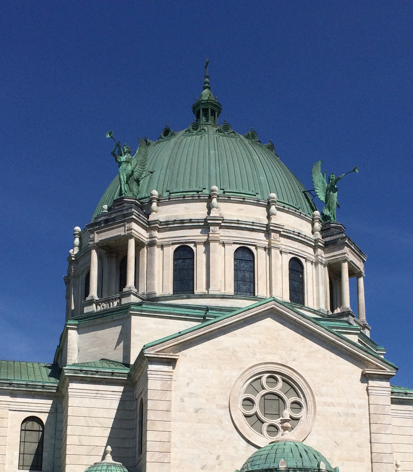
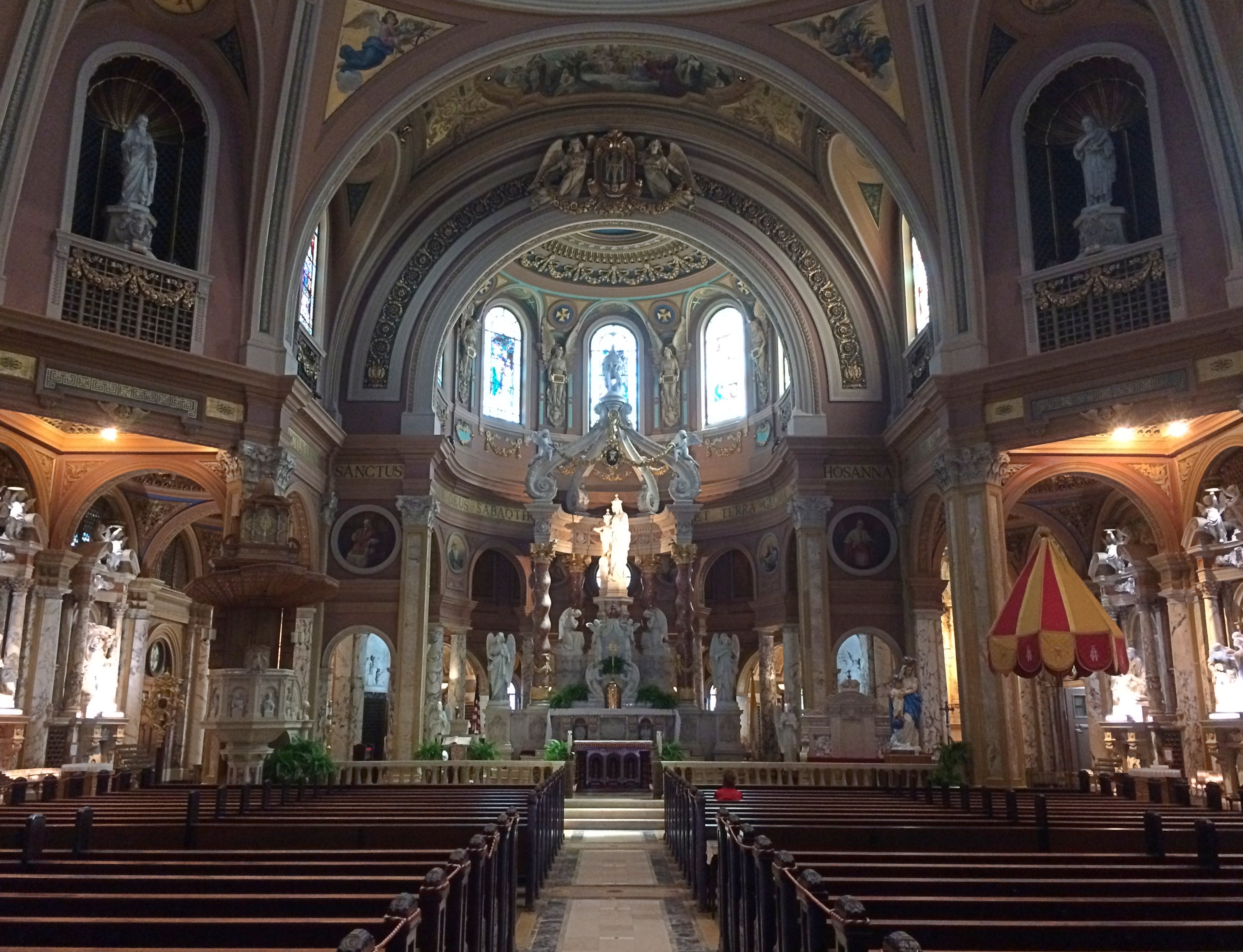
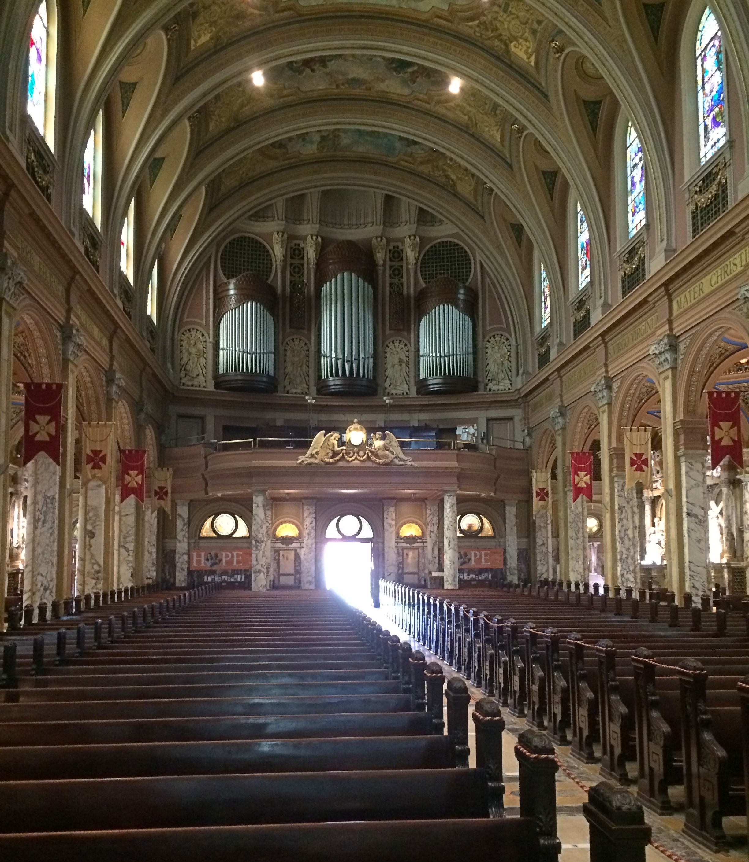
St. James at Sag Bridge Catholic ChurchIt’s a handsome limestone building, built from material from nearby Lemont-Sag quarries, which provided stone for Holy Name Cathedral in Chicago and the Chicago Water Tower besides. I understand the St. James interior is quite beautiful, but it was locked when I visited.

The Our Lady of the Forest grotto on the grounds was, of course, open for a look.
St. James at Sag Bridge Catholic Church - Our Lady of the Forest
Compared with the church building, the grotto is new, built in 1998 for the for the 165th anniversary of the parish. See grottos when you can.

Thursday Chaff

It’s been a warm week for March so far, even warm enough last night before bed to crack the window a bit and listen to the strong winds and occasional rain showers. Did that account for the occurrence of one of my semiannual phantasmagoria dreams early this morning? Maybe.

Great Fortune, subtitled “The Epic of Rockefeller Center,” by Daniel Okrent (2003) is a delightful book so far, and I’m only a chapter in. Certainly the most delightful thing I’ve ever read about a major urban mixed-use redevelopment project.

The first chapter sets up the story nicely, telling a short history of the Manhattan land that would be Rockefeller Center up until the time that John D. Rockefeller Jr. got involved in the project in the late 1920s. I didn’t know that the parcel had belonged to Columbia University for many years, and the scheme to redevelop the land (known as the Upper Estate) was ultimately driven by the university’s need to pay for its stately campus in Morningside Heights.

“… this meant that expansion on the grand scale of McKim, Mead & White’s Olympian campus on Morningside Heights had somehow to be financed, and the Upper Estate was the only cash cow in sight,” Okrent writes. “The milking commenced in 1904…”

An important person at the beginning of the story is Otto Kahn, multimillionaire financier and patron of the arts (an American Maecenas, back when educated people would have known that reference), who was president and chairman of the board of directors of the Metropolitan Opera. I didn’t know that he was well enough known that the Marx Brothers parodied him as Roscoe W. Chandler in Animal Crackers.

A digression. Apparently, for $200, one can own an original Otto Kahn letter. Then again, they aren’t rare. Okrent called his correspondence “oceanic.”

Okrent also writes some good standalone lines: “His [architect Ben Morris] neo-Georgian Union League Club on 37th and Park is probably as close as one can get to the architectural equivalent of a stuffed shirt.”

The other day, I was driving along with Ann and playing with the radio dial as we went. On came “Copacabana.” Hadn’t heard that song a good while, but as I mentioned to Ann, it seemed to be on the radio all the time in 1978.

I thought a bit about it, and it seems remarkable that such a downer of a song was so popular. As a ballad, the entire story is, a woman’s boyfriend is killed in front of her, and psychologically she never recovers.

“Yeah,” Ann said. “But the music is so peppy.”

True enough. There’s also a derivative short story in there somewhere. Maybe the incident and the aftermath from the point of view of Rico. Maybe he was the playboy son of a Fulgencio Batista crony. In his highly publicized murder trial in New York in 1949, his lawyers argued self-defense and he was acquitted.

While walking the dog at Fabbrini Park this week, I noticed a memorial plaque on a bench honoring a man named William “Mr. Bill” X (I forget the last name). Nicknamed Mr. Bill, eh? And what were his last words? Oh Noooooooooooooo!

Of course, like Wile E. Coyote, Mr. Bill couldn’t actually die, just suffer endlessly, which seems a lot more hellish. Still, we celebrate the likes of Mr. Bill. I used to have a Mr. Bill t-shirt, and have photographic evidence to prove it, in as much as photographs prove anything anymore. It’s among the t-shirts I’ve lost over the years, which also includes the Kill ‘Em All, Let God Sort It Out shirt that sported a black beret-wearing skull.