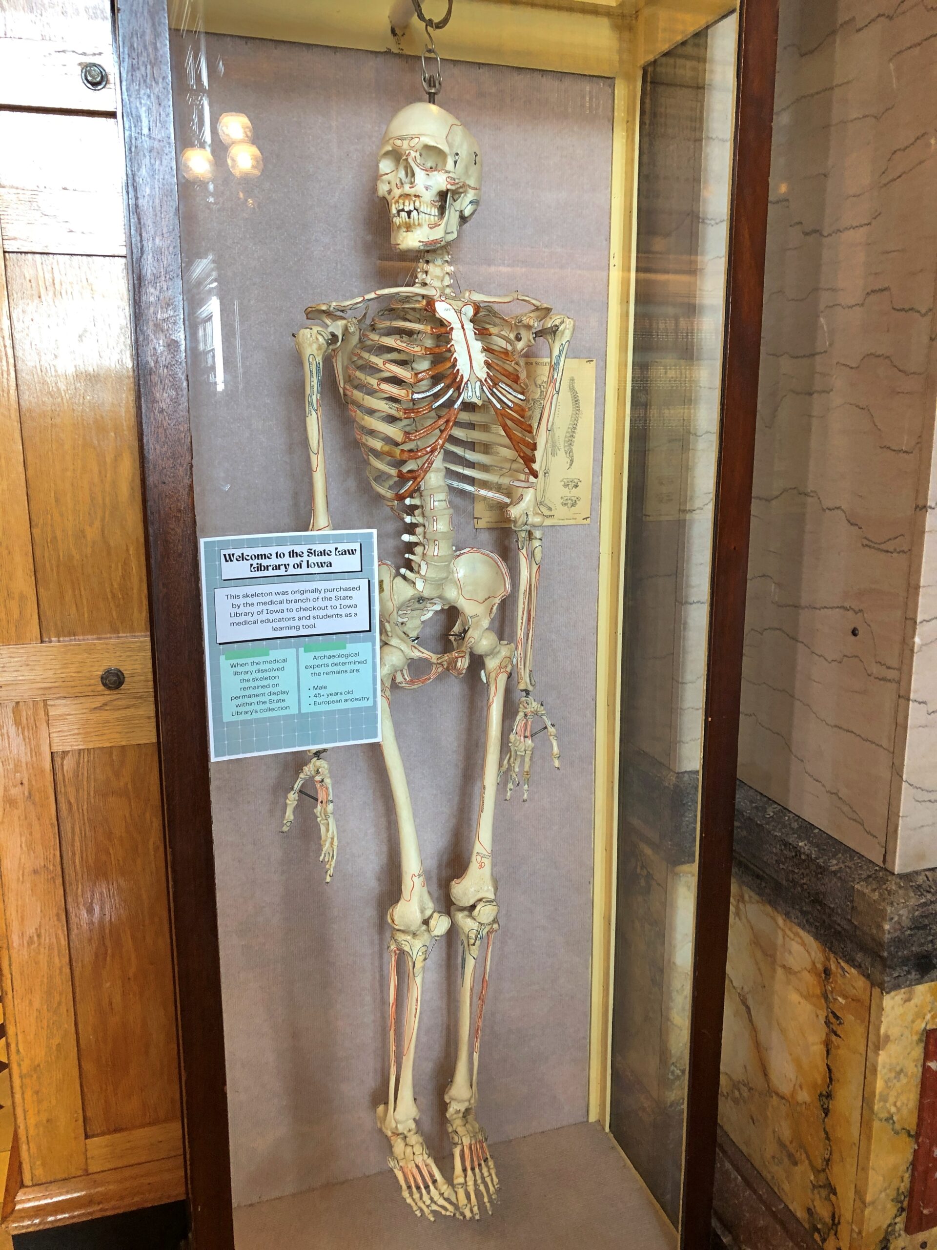
Cute, Lexington. Cute.
I didn’t visit Massachusetts last month to do sightseeing, but rather to see old friends – Rich, Lisa and Steve. They are the latest in my visits to old friends in ’25, which took me to Texas, Tennessee, North Carolina, Georgia and New York before I arrived in Massachusetts, where I stayed with Rich and Lisa, whose home is in Lexington.
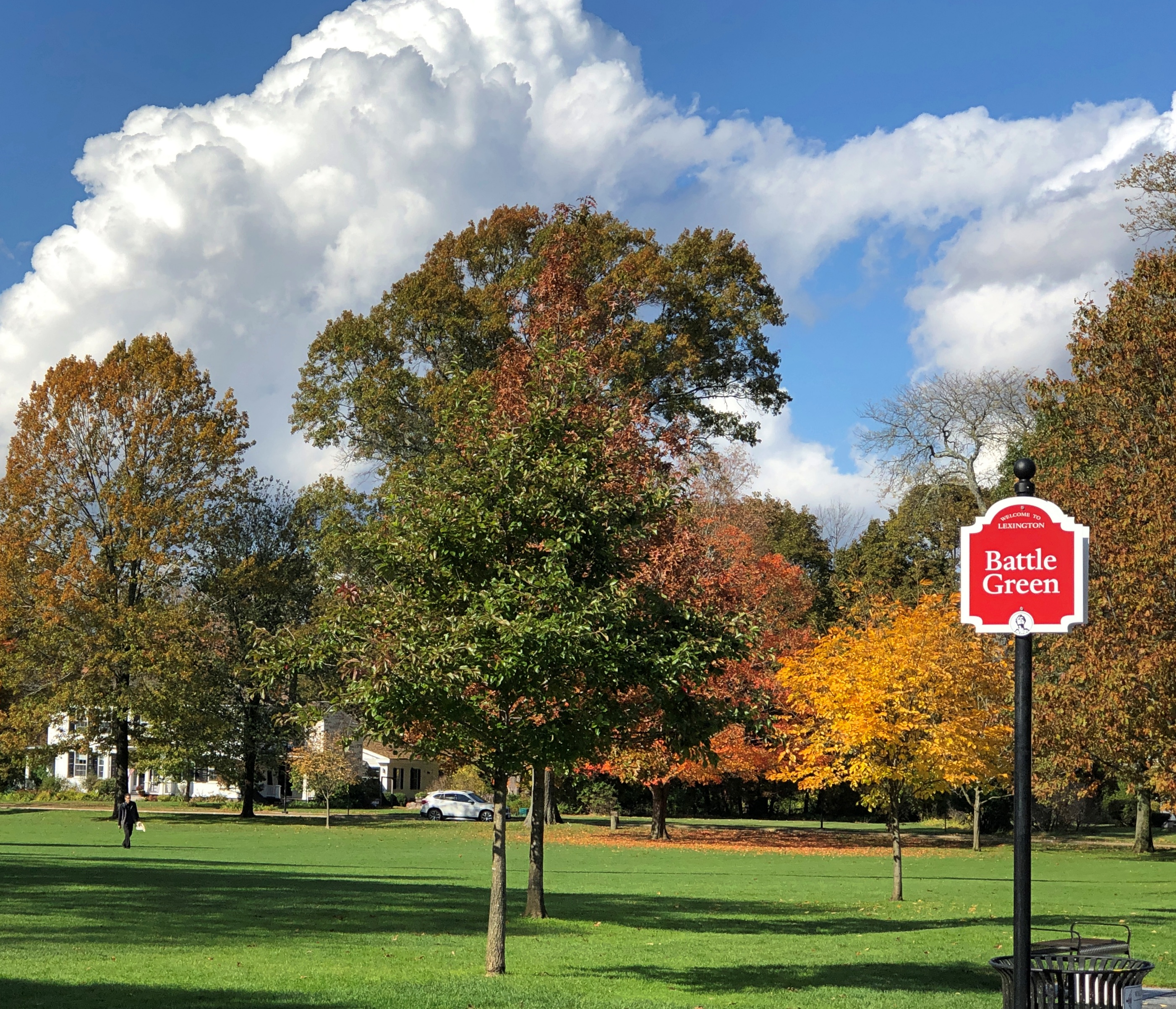
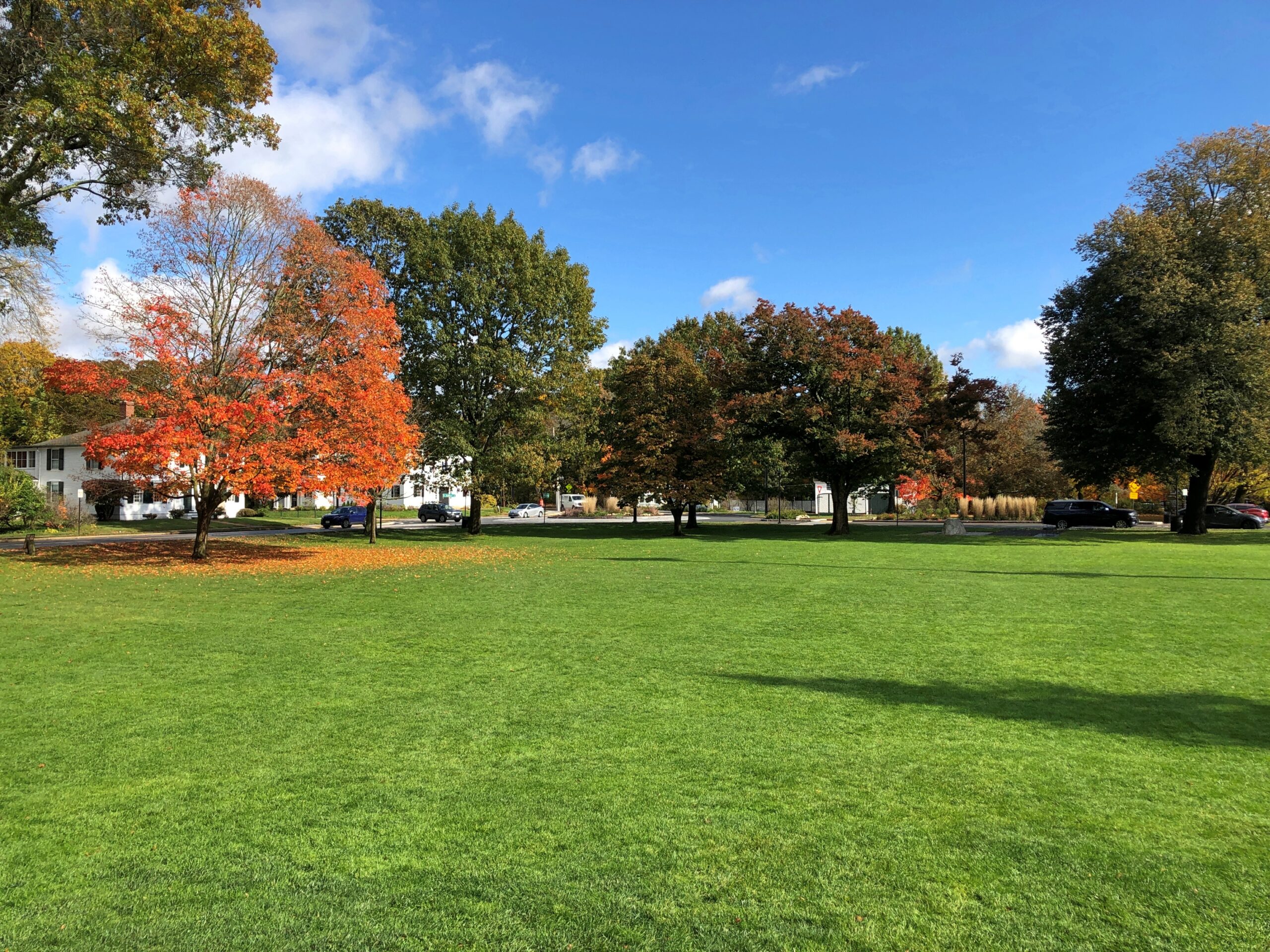
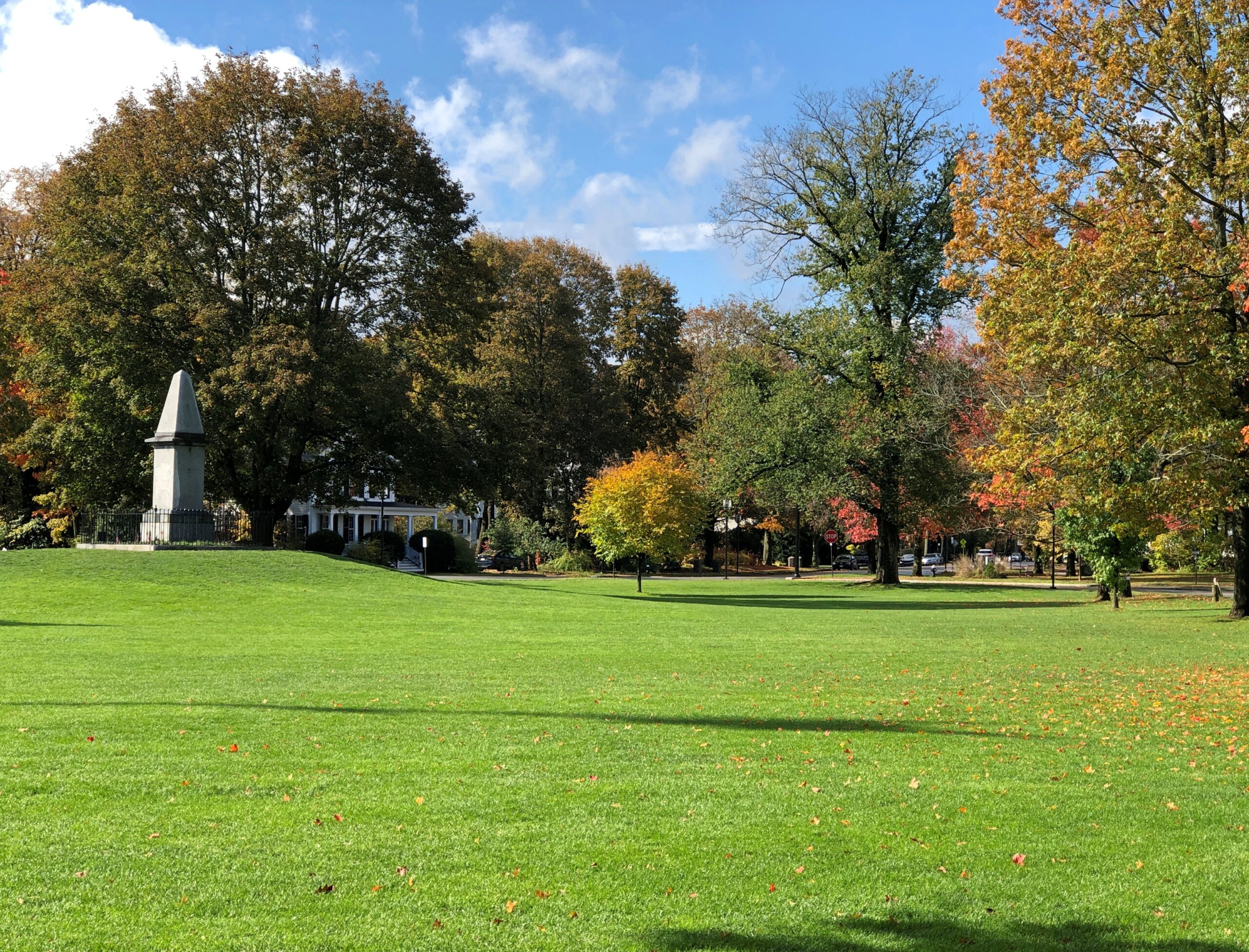
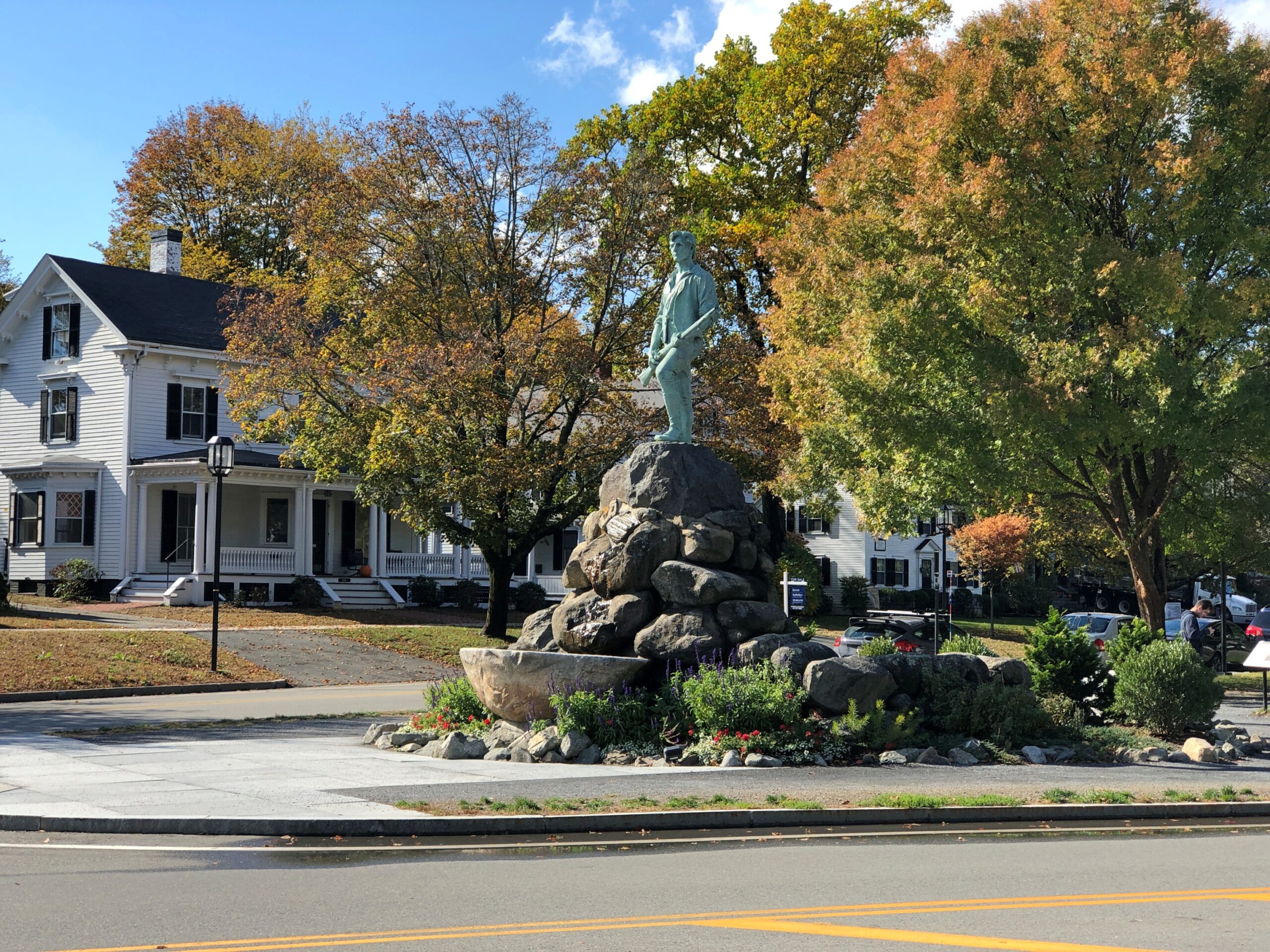
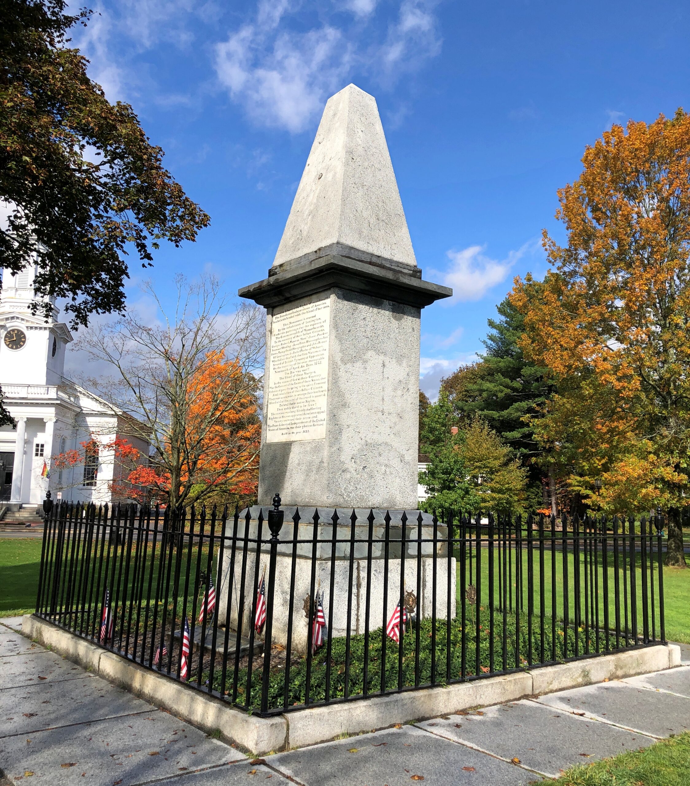
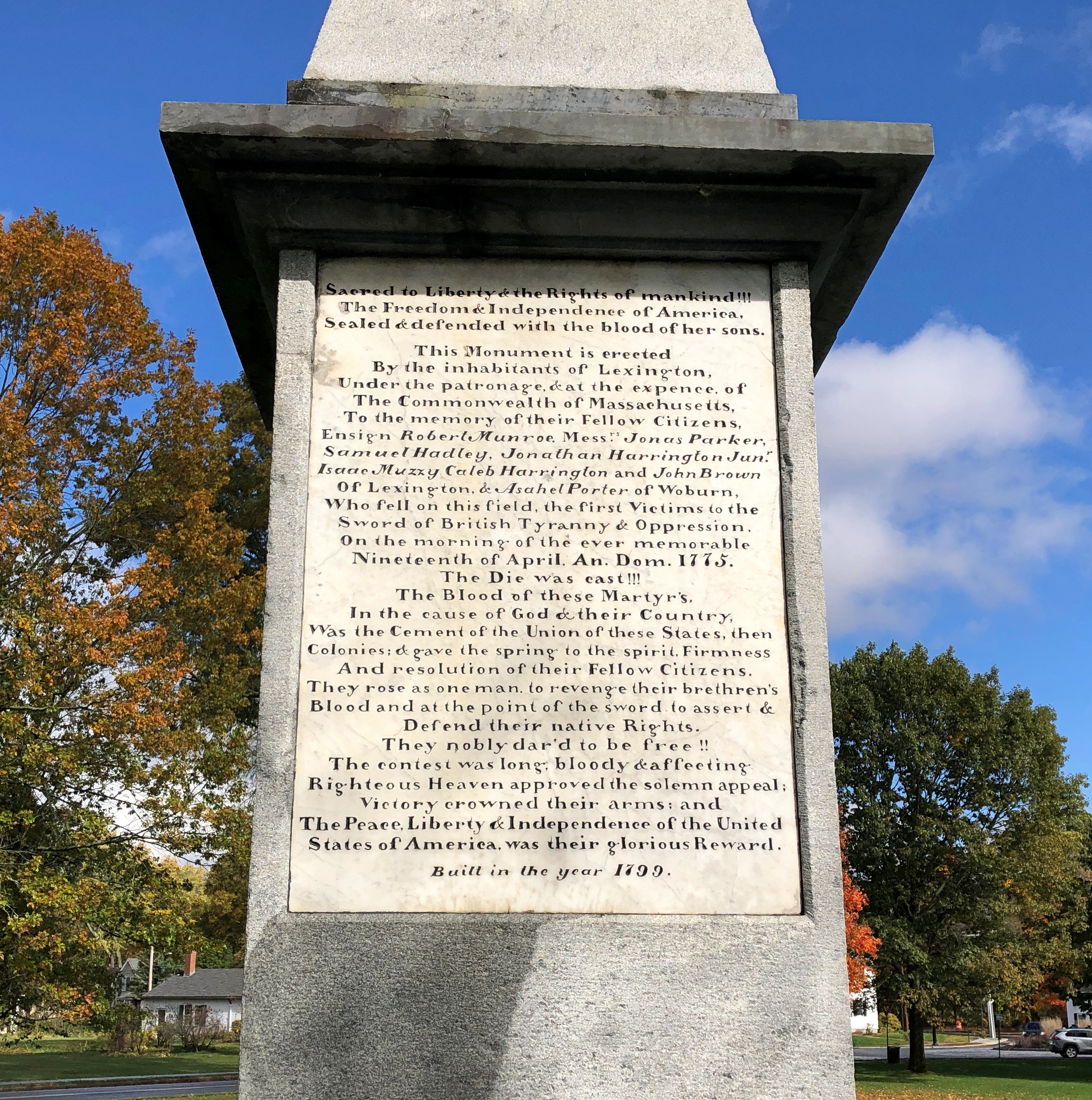
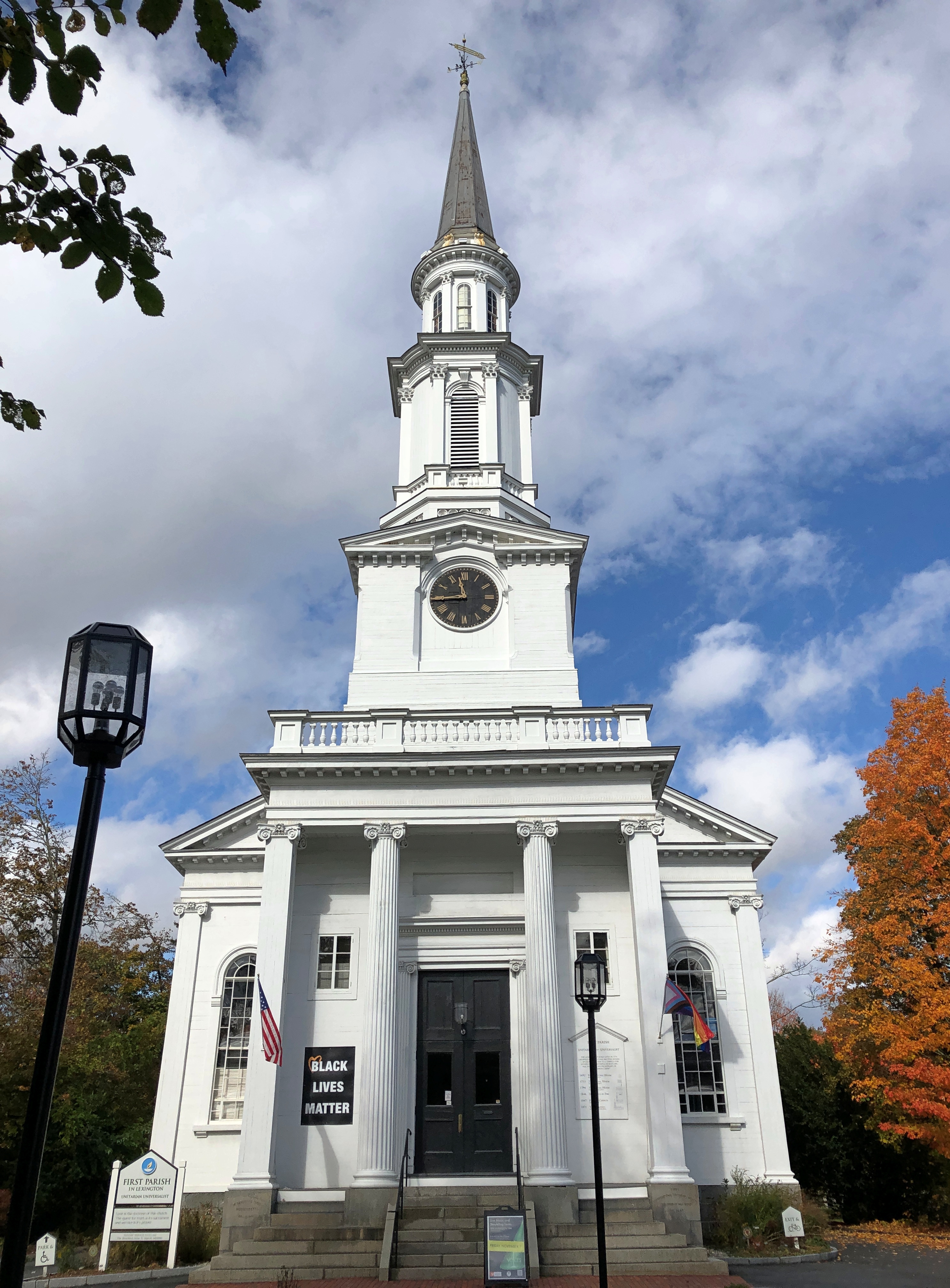
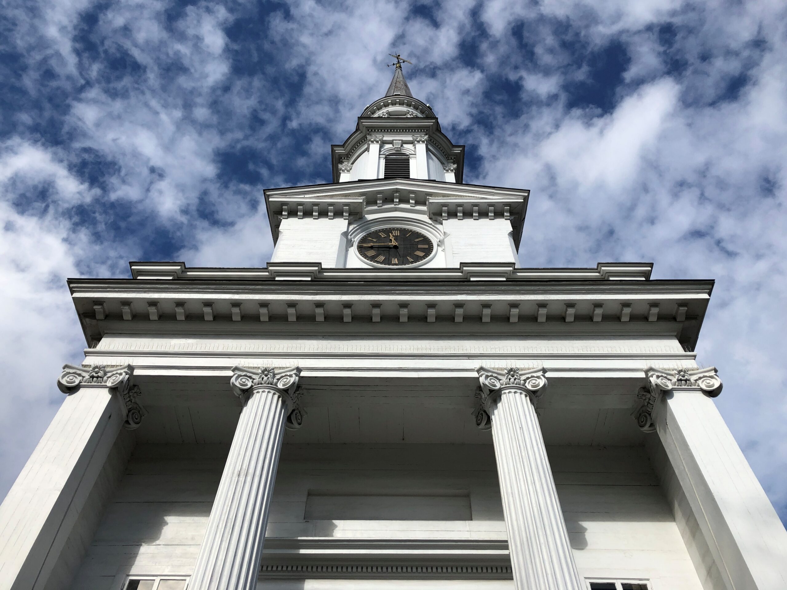
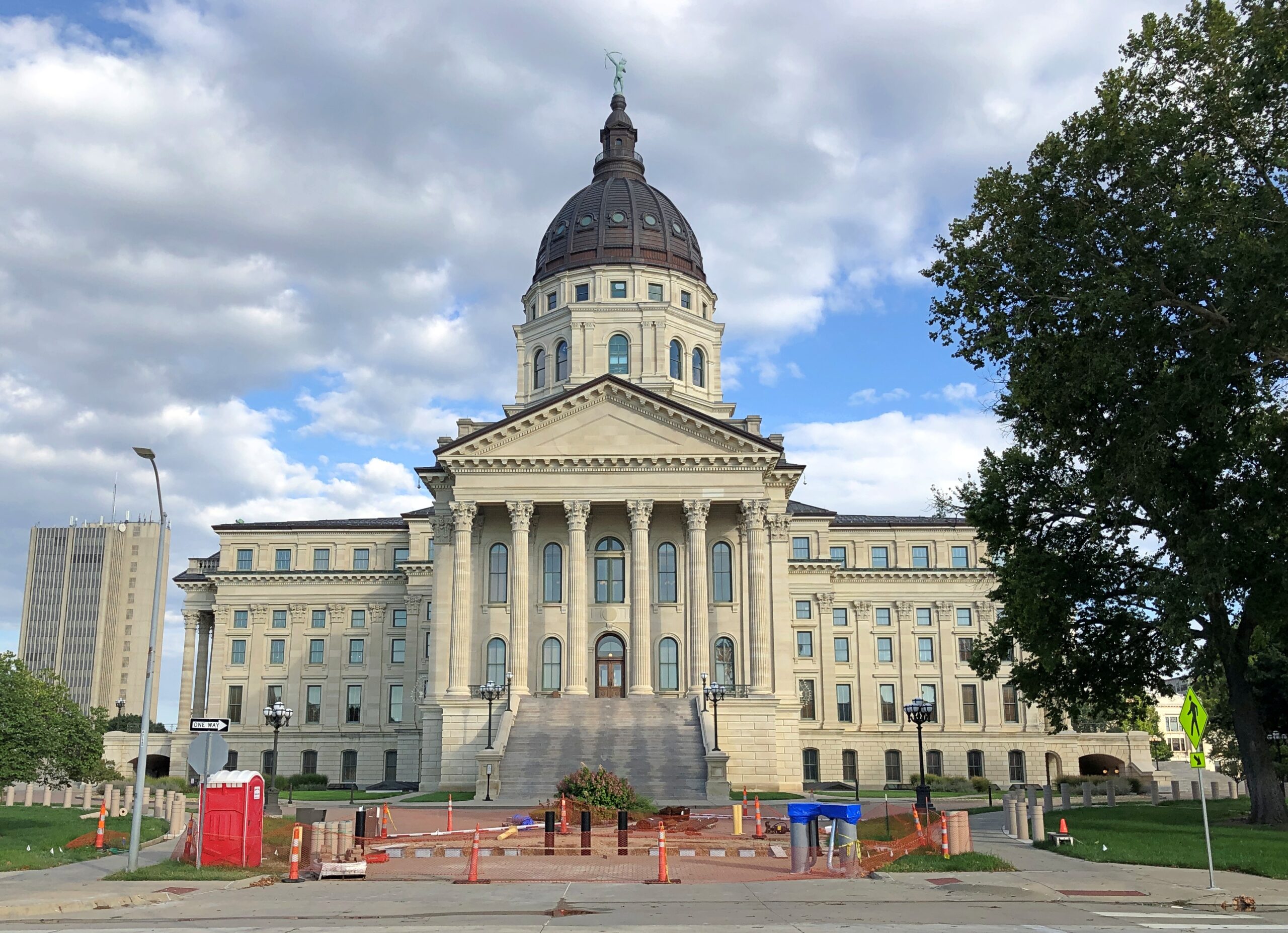
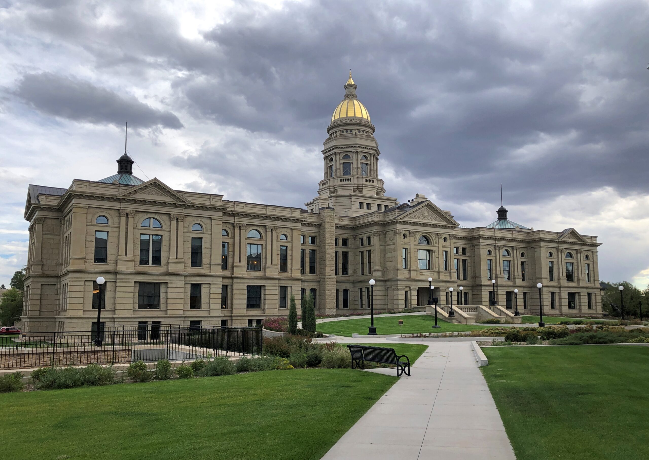
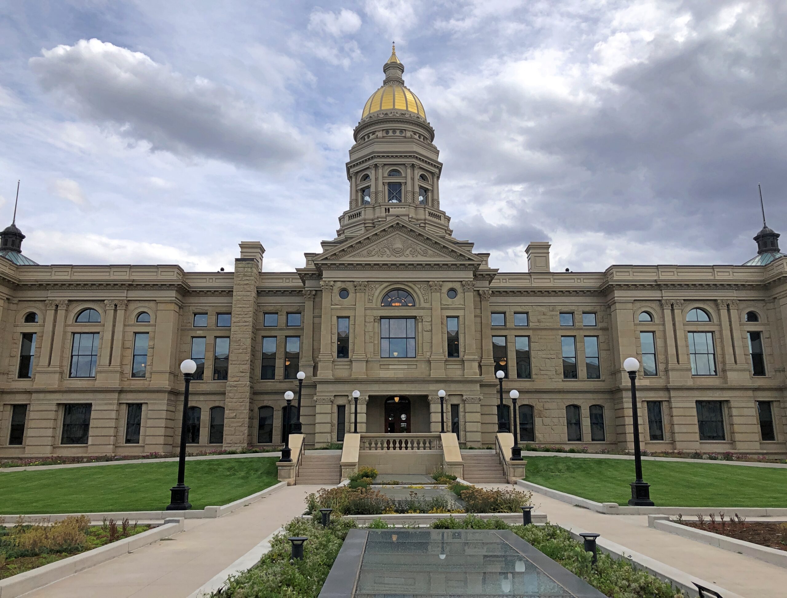
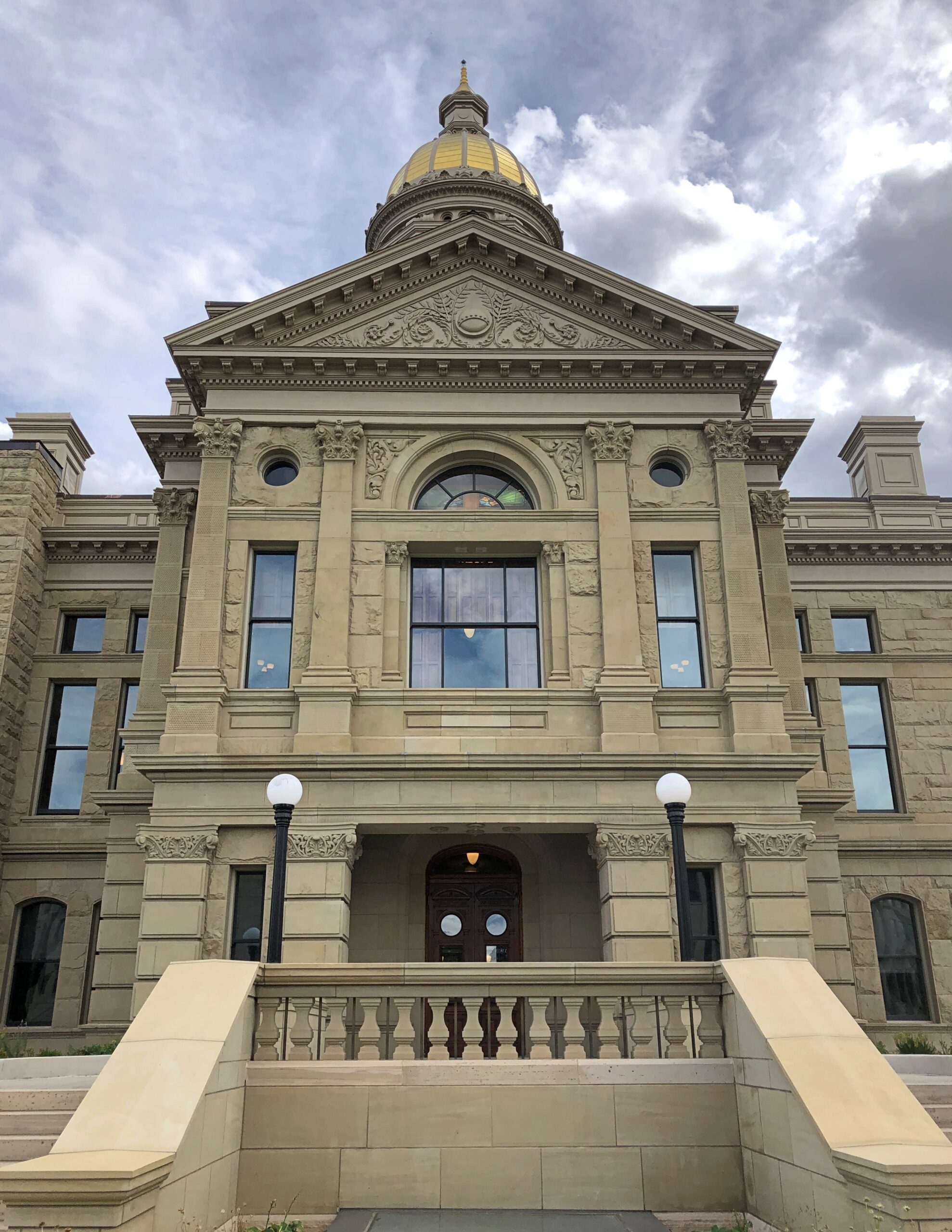
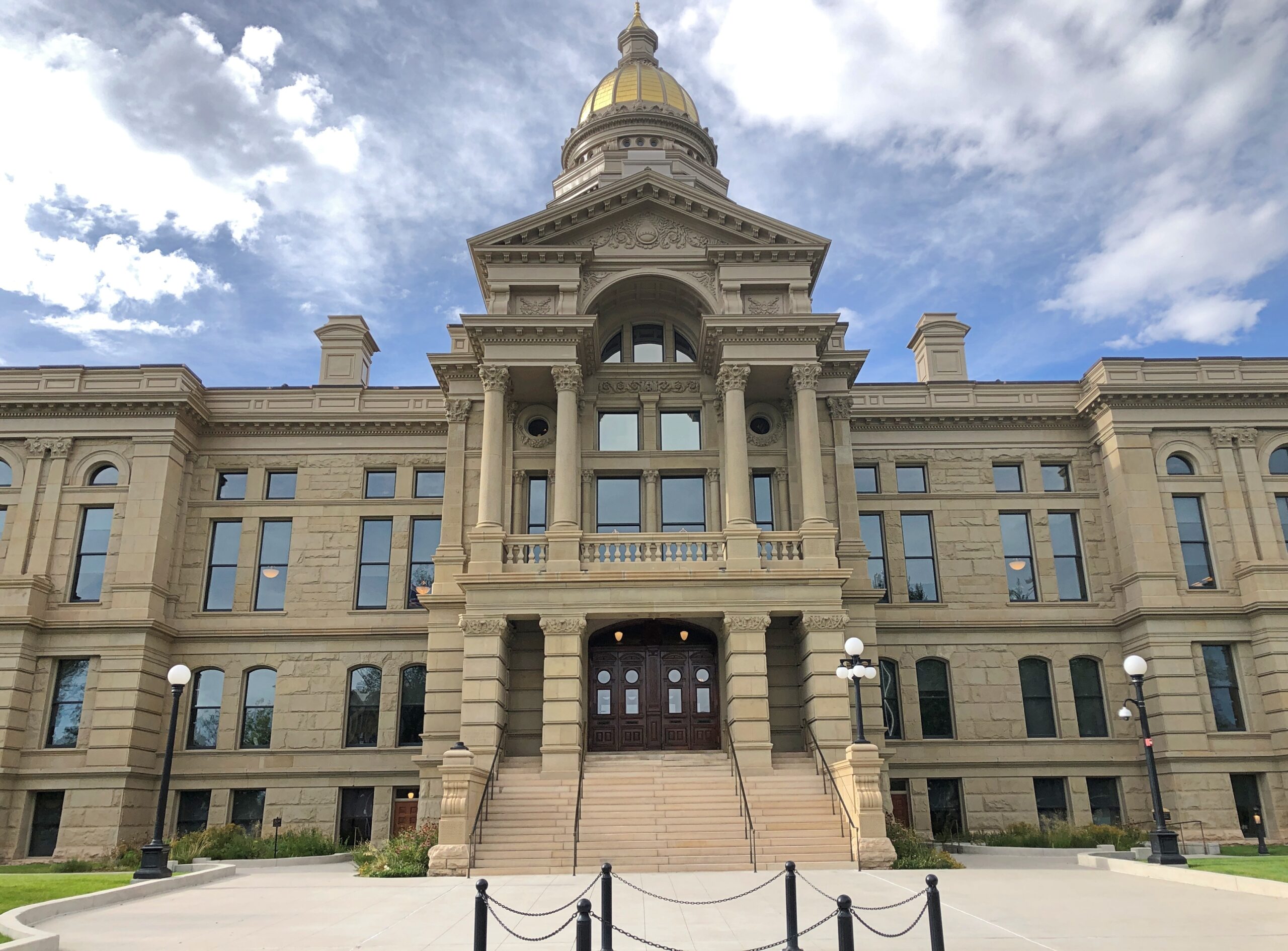
Being a mid-week visit, my Massachusetts friends had work to do during much of the day on October 22, which is how I ended up at Battle Green that morning. I wasn’t about to sit around at Rich and Lisa’s when I could go see nearby places. Even places I’d been before, such as Battle Green. But it had been about 30 years, so (as usual) it was like I’d never been there before.
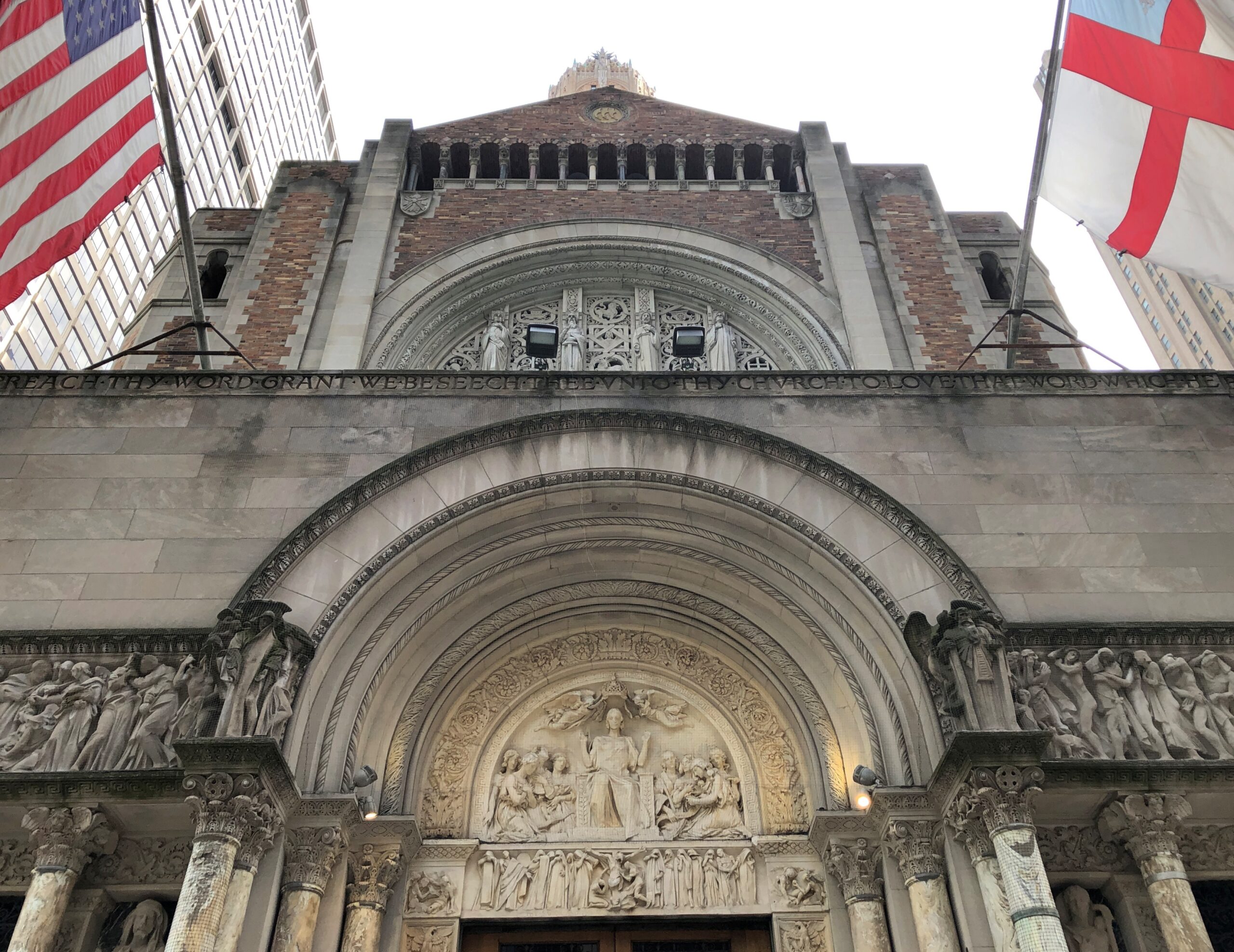
Near Battle Green is Buckman Tavern.
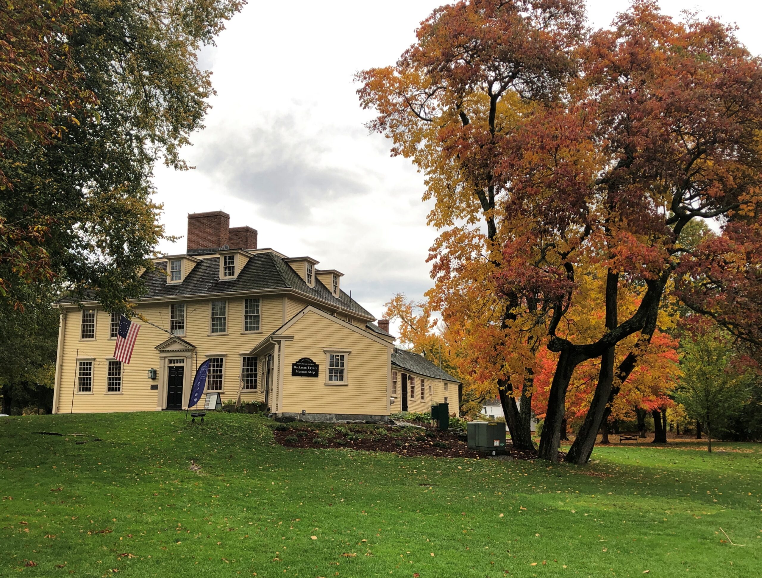
I didn’t remember visiting before. It’s a small museum these days, dedicated to the part it played in the Battle of Lexington – militiamen gathered there ahead of the battle, not knowing what to expect – but also its existence as a tavern in colonial and early Republic days.
Wandering through, I couldn’t help being impressed by how much effort running a tavern must have involved in those days, which not only included work in the building itself, but also running a nearby farm, since 18th-century tavern keepers weren’t going to get their food and drink from wholesalers, shipped in by truck.
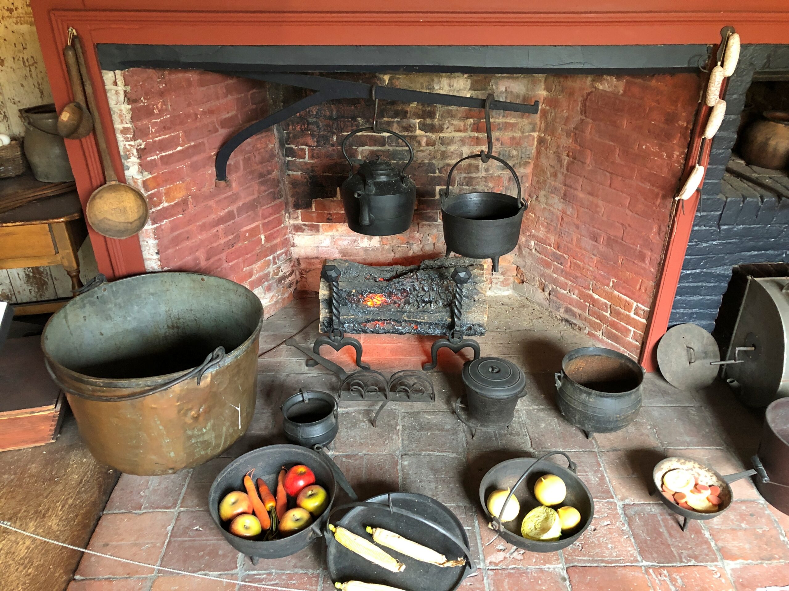
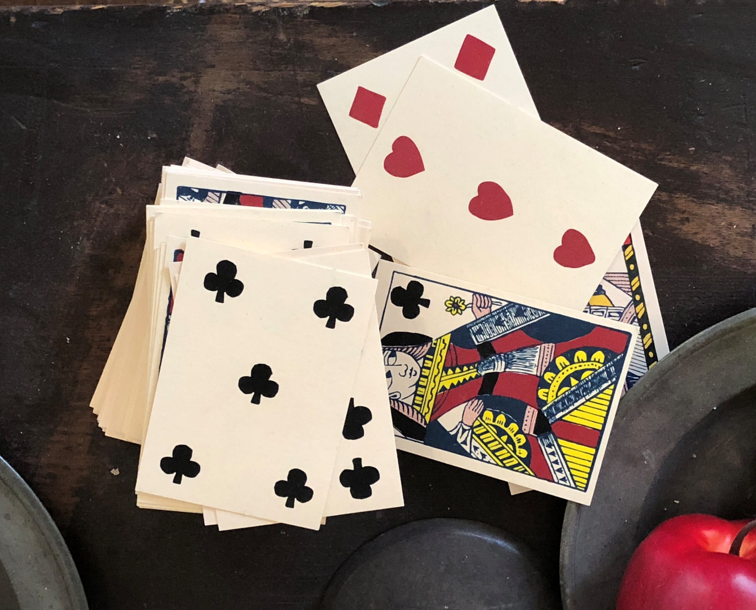
Of course, just staying alive in the 18th century, or really most anytime before the 20th century, seems like it would have been a lot of grinding effort for most people a lot of the time. But they had their recreation, too (and of course drinking).
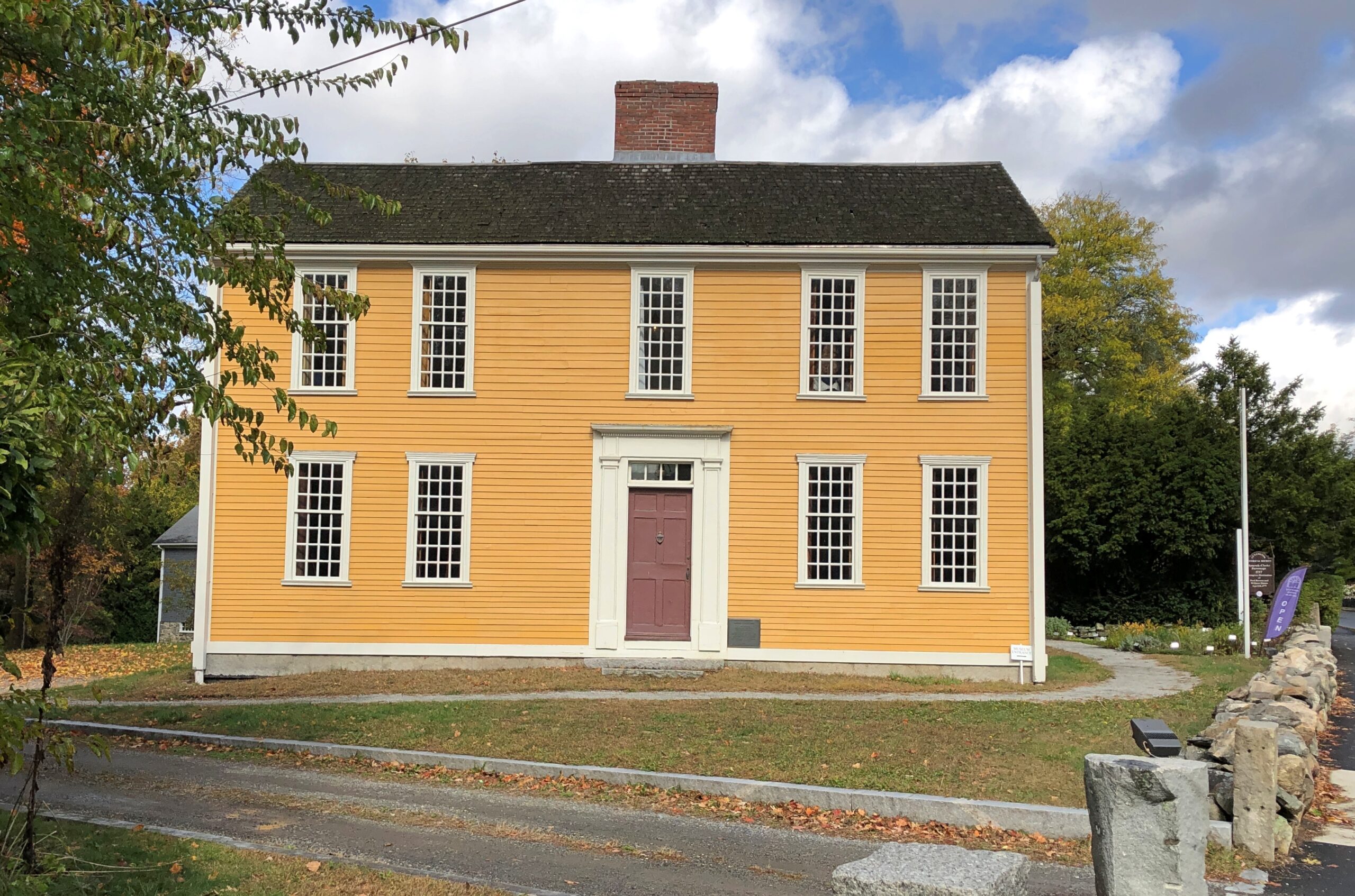
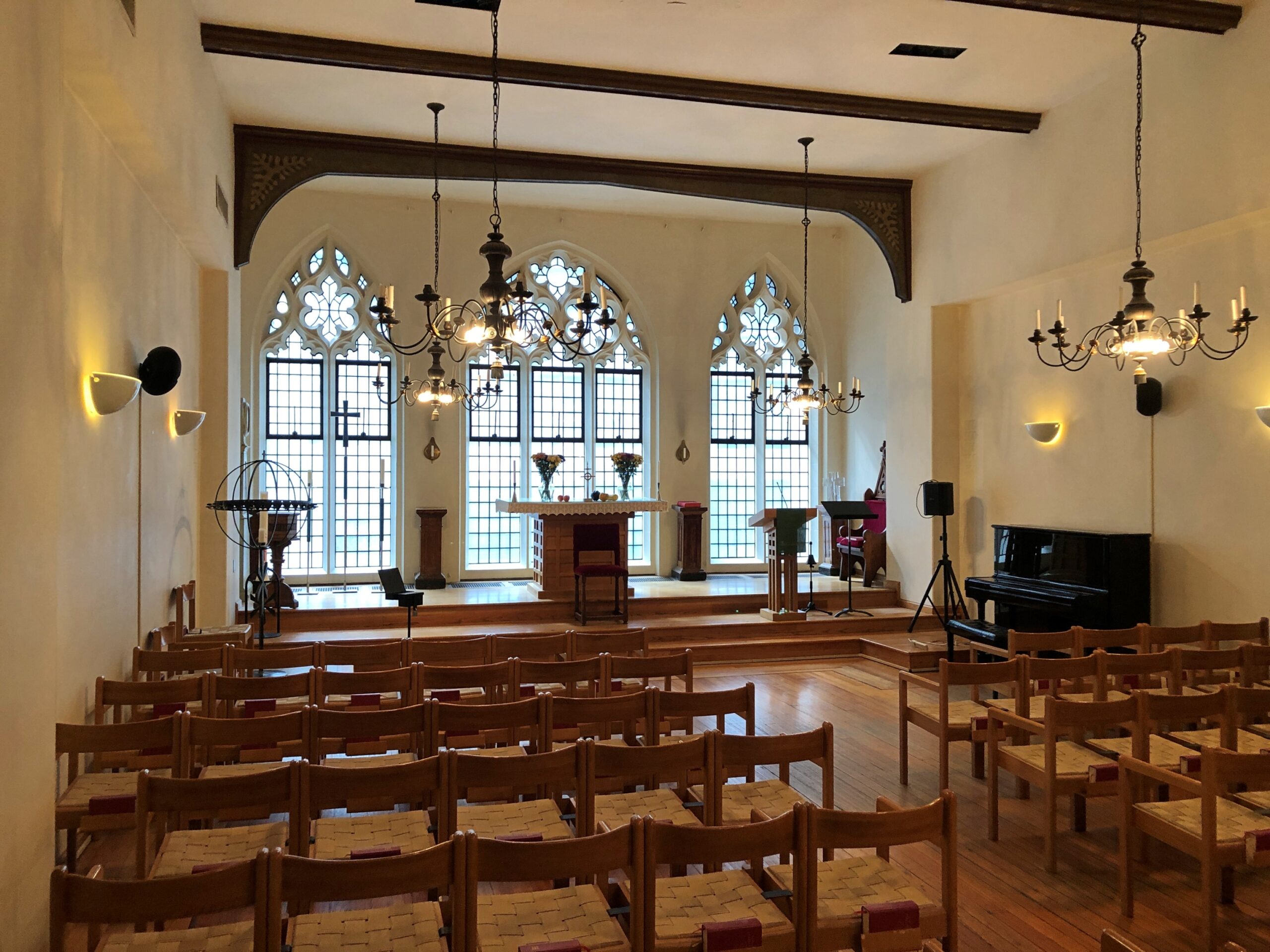
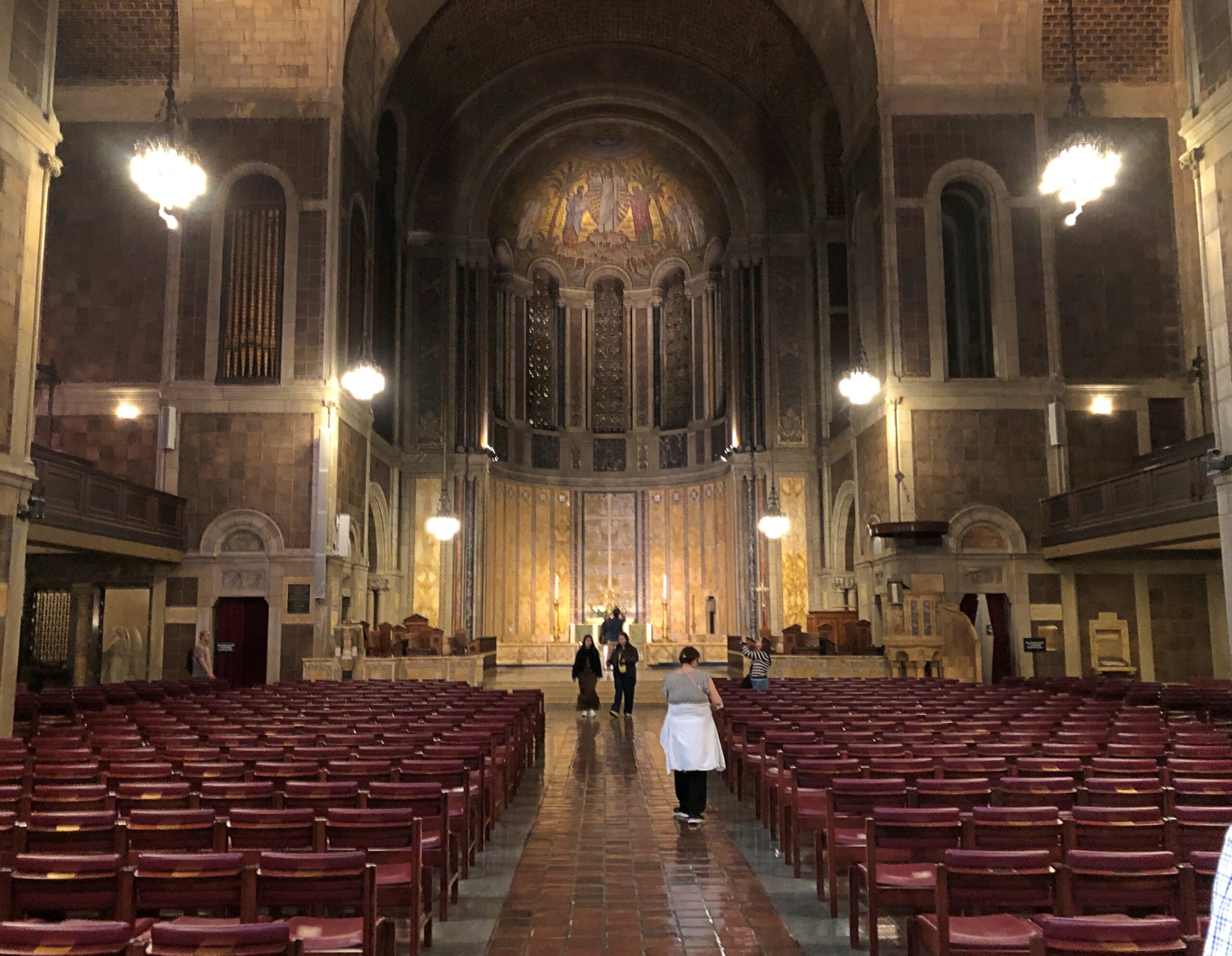
Not far from Battle Green, on the fittingly named Hancock Street, is Hancock-Clarke Parsonage, another Lexington museum these days, and one I didn’t recall visiting before. It was close enough to the green to walk there. I took the noon tour.
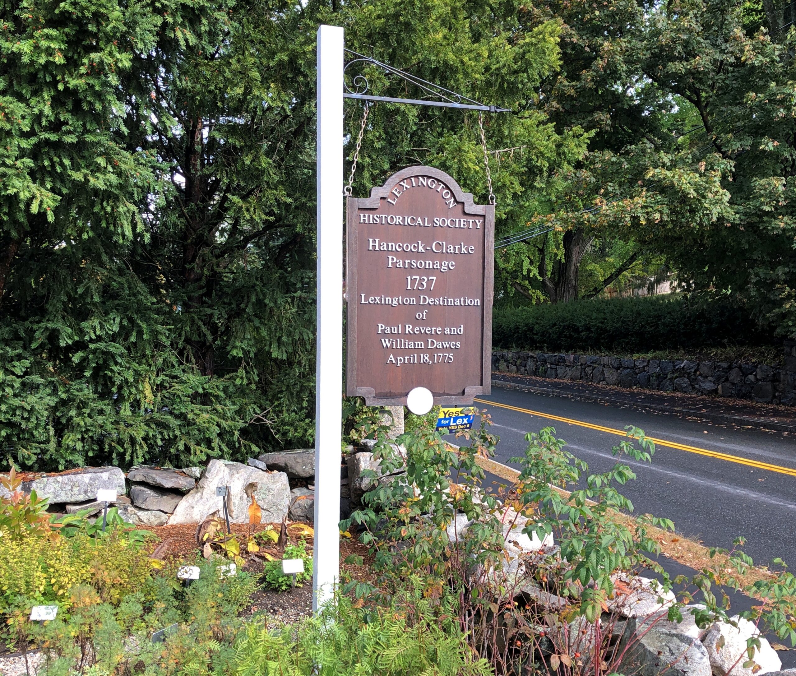
I’m glad William Dawes gets this due on the sign. As my one-armed 8th grade history teacher told us, Listen my children and you shall hear/ of the midnight ride of William Dawes just doesn’t work. (He wasn’t the first to notice.) I see that he has a memorial at King’s Chapel Burial Ground in downtown Boston. If I ever make it back there, to visit Hopestill Barns, and I should, I’ll look for Dawes.
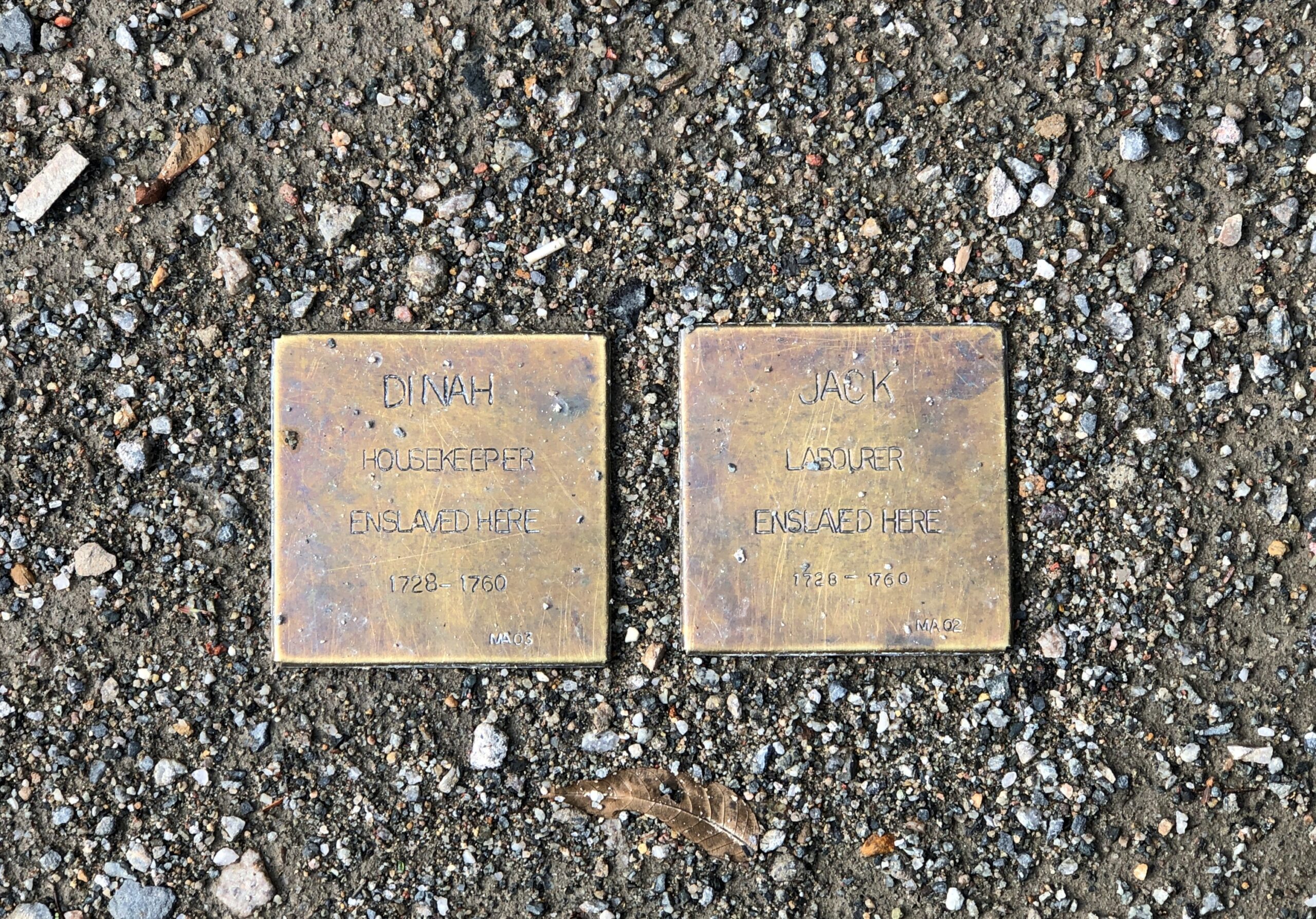
Also mentioned at Hancock-Clarke: the slaves that worked at the house during the pre-Revolutionary period, Jack and Dinah. Their names appear on small plaques near the museum entrance.
As the longstanding residence of Lexington’s minister, Hancock-Clarke has a rather different feeling than the tavern down the road. That is, austere yet well-furnished due to the wealth of the Hancock family. John Hancock’s grandfather, Rev. John Hancock (d. 1752), lived there, and afterwards Rev. Jonas Clarke (d. 1805) and his passel of children lived there during the Revolution. So it was entirely reasonable that John Hancock and Sam Adams were staying there on the night of April 18, 1775. As a visitor in modern times, you can see the very place where those two sat and drank (tea, the docent claimed) in front of one of the house’s large windows.
That evening, I had dinner with Rich and Lisa and Steve at Field & Vine in Somerville, which made for that most excellent combination: a good meal and convivial conversation. In 30 years since I spent any time in Somerville, the town has apparently become a foodie destination. Who knew?
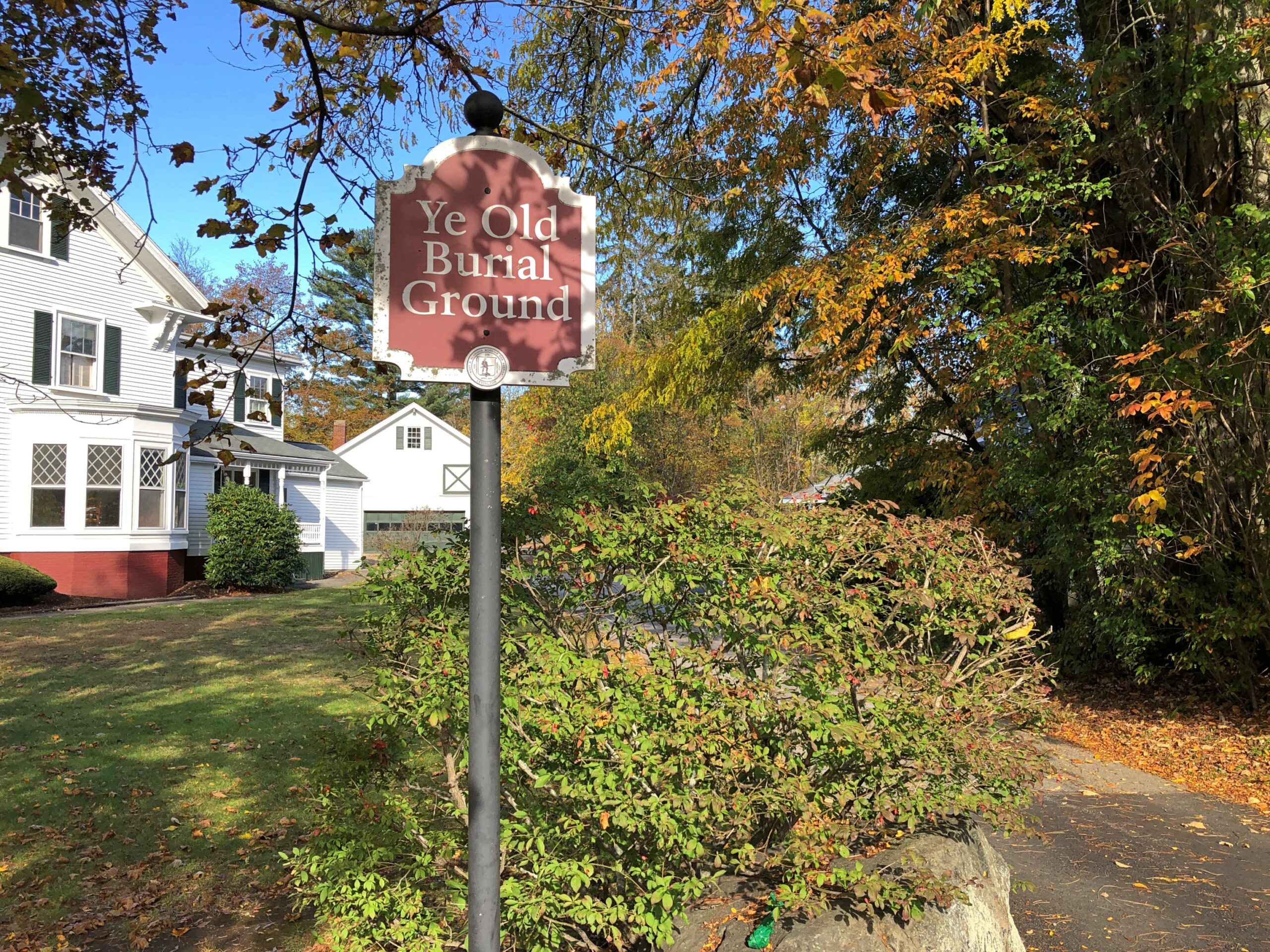
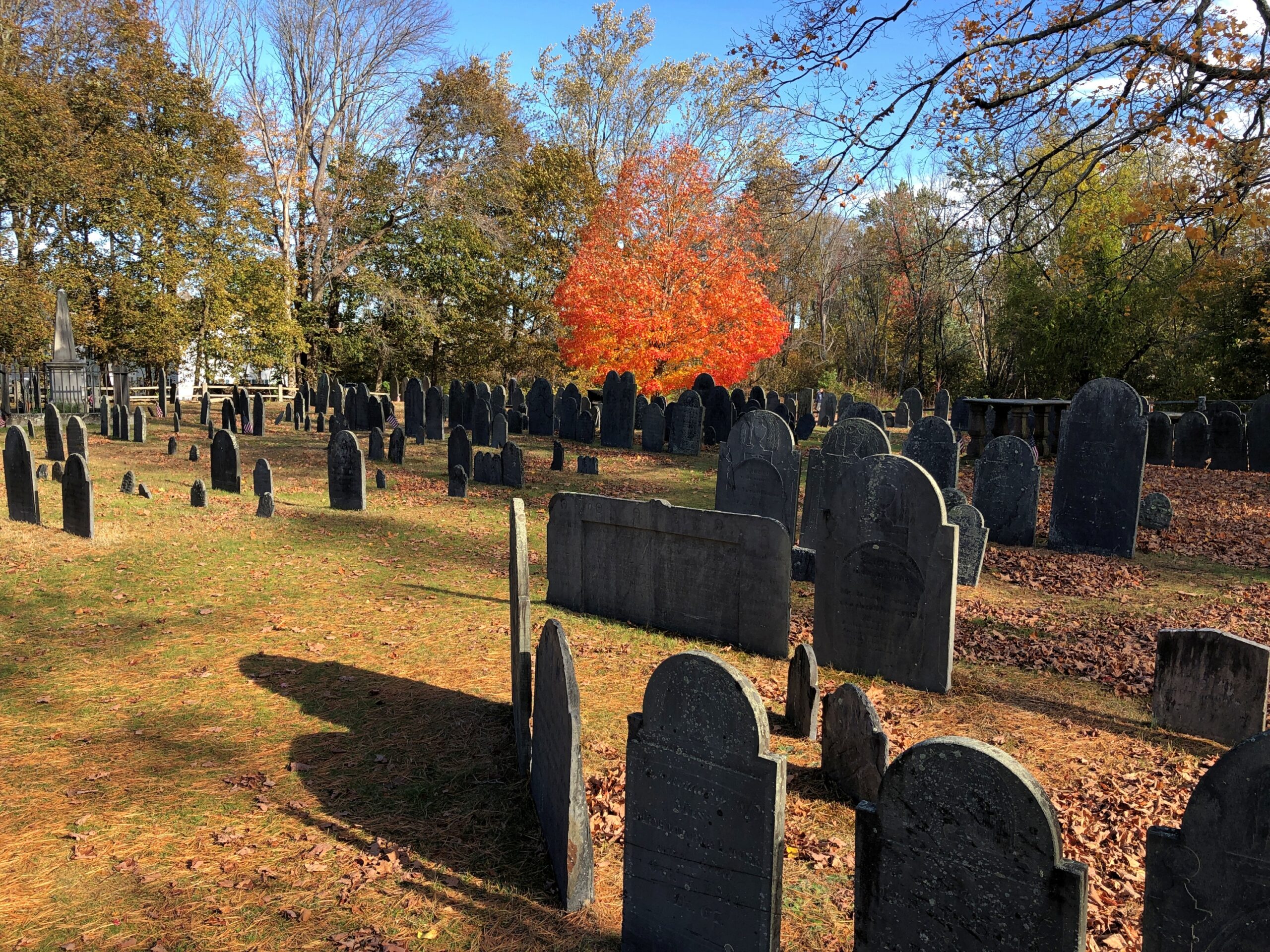
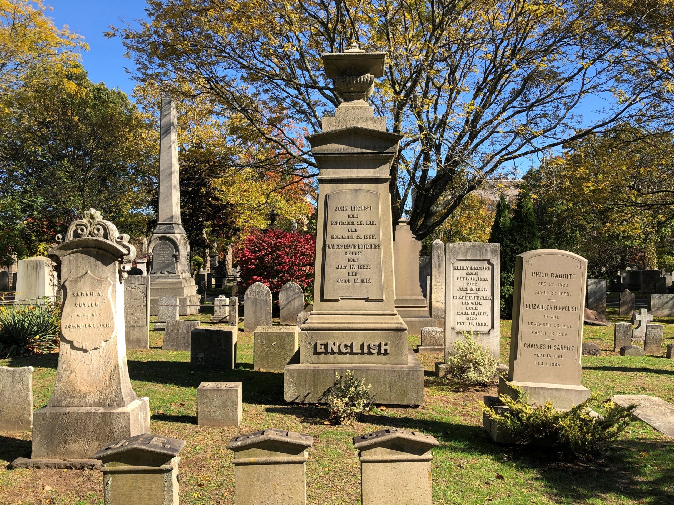
On the morning of 23rd, I left Massachusetts to begin my drive home. True to character, not a direct drive. But I didn’t want to leave Lexington without a visit to the Old Burial Ground, which I hadn’t had time for the day before. “Ye” Old Burial Ground, as the town puts it. At least there isn’t an “e” tacked onto “Old,” but I doubt that whoever did the sign was thinking, let’s use a thorn.
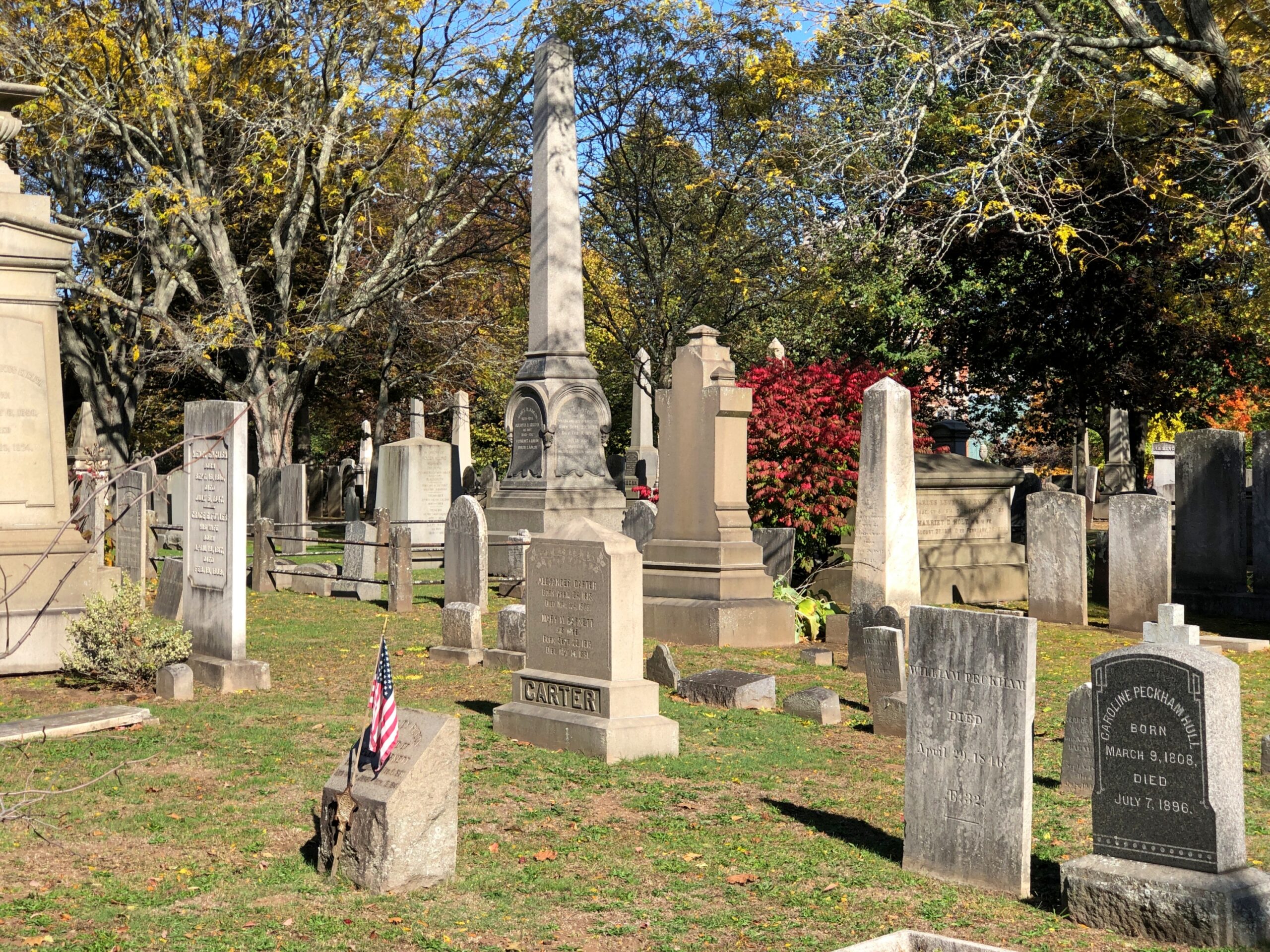
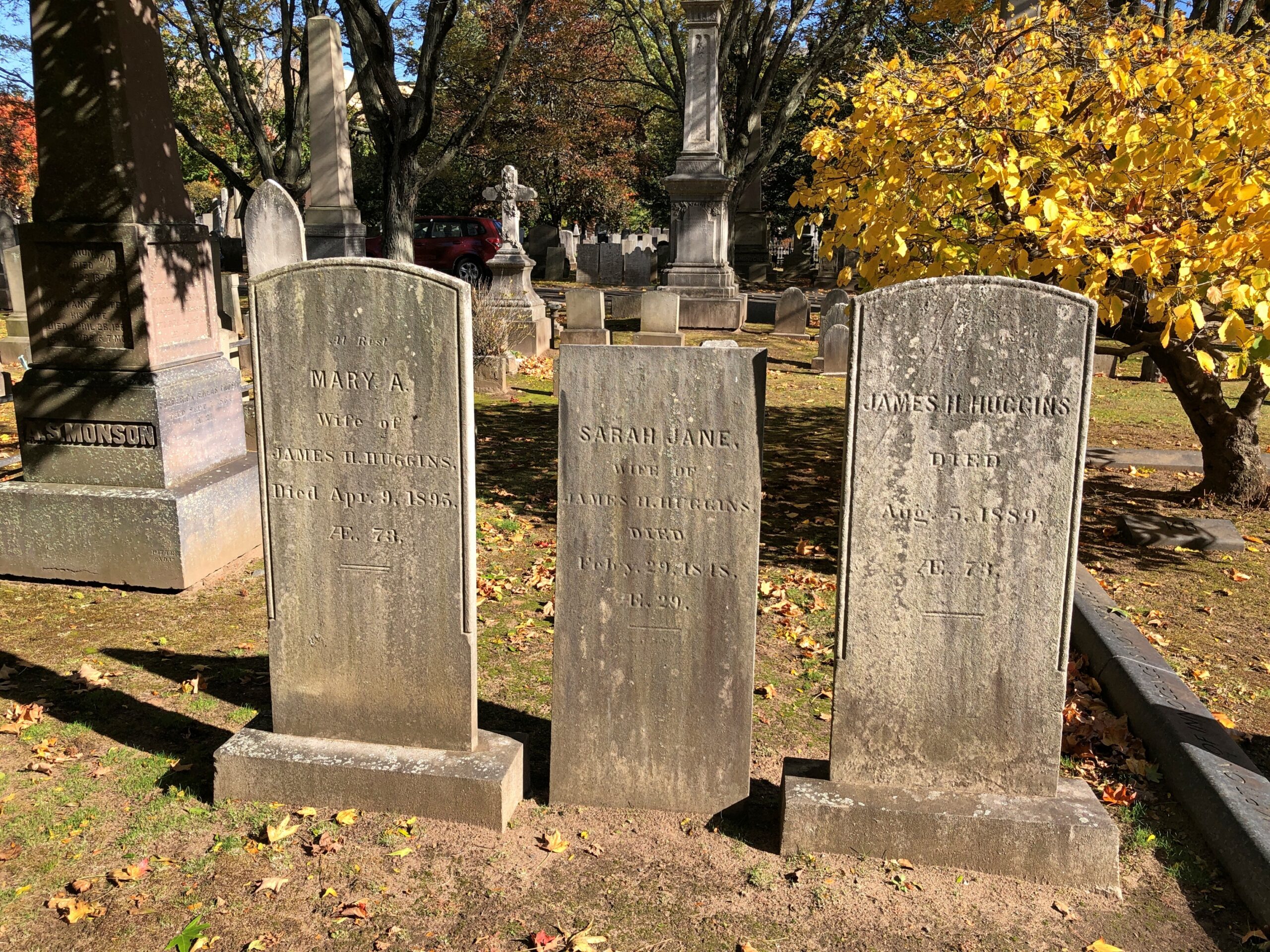
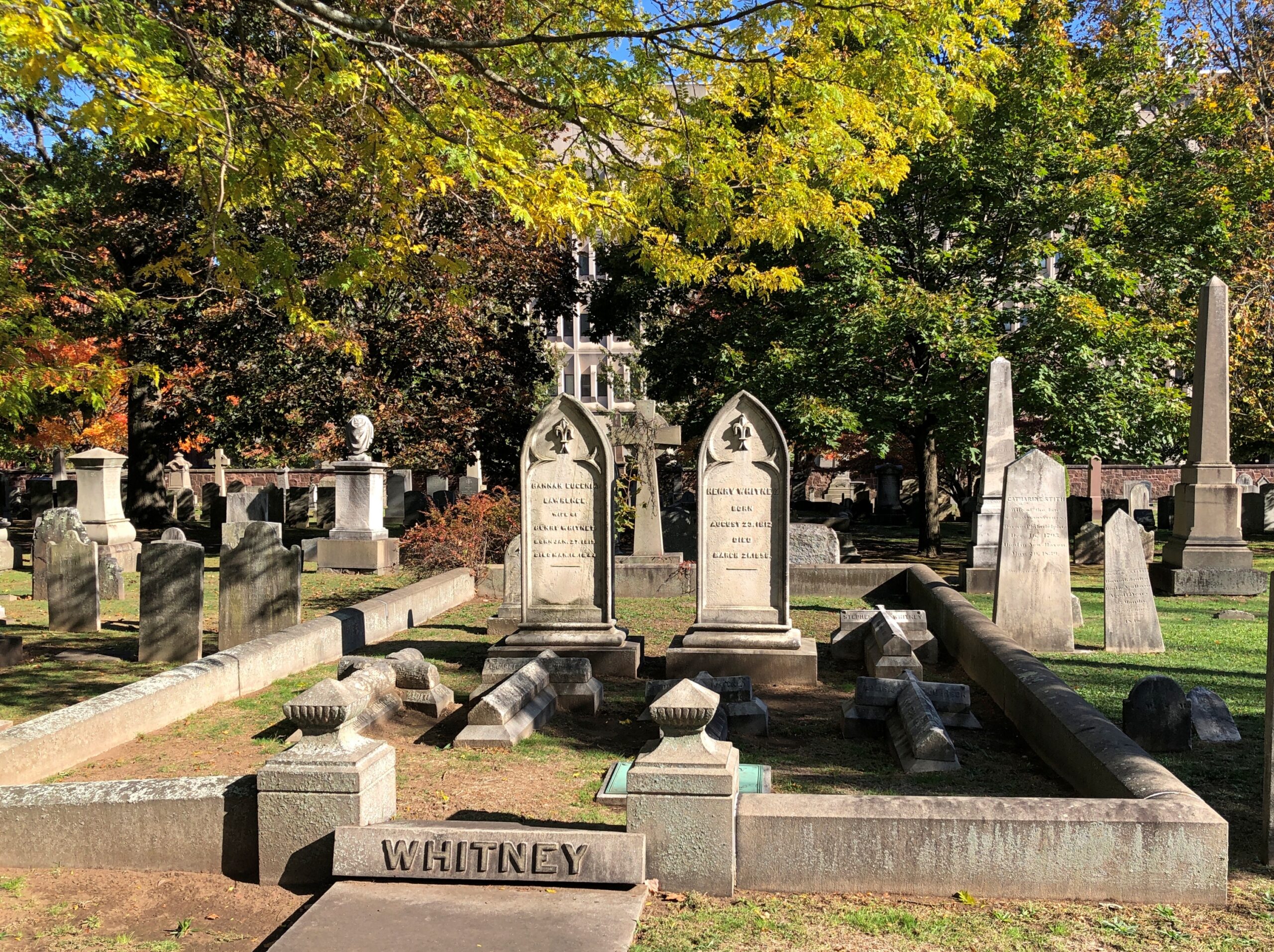
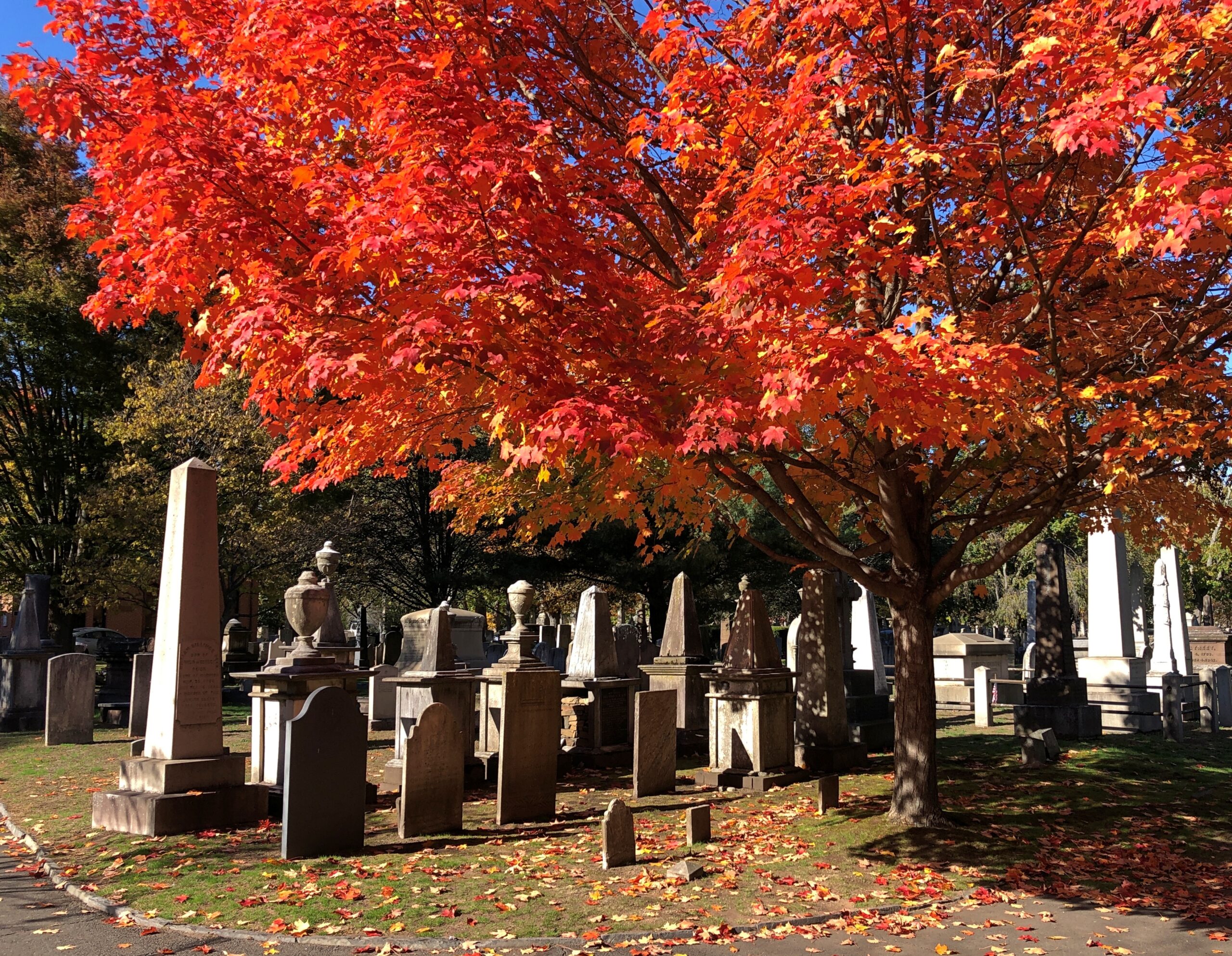
That aside, it’s a fine old cemetery.
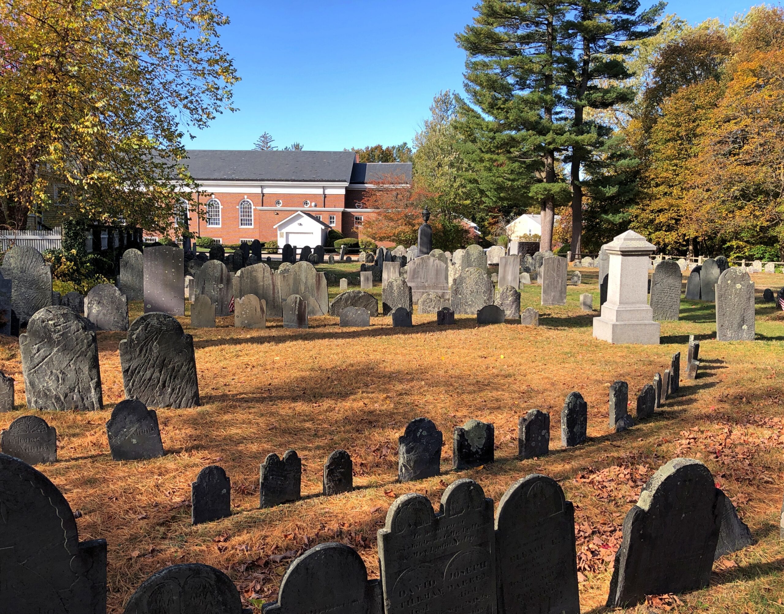
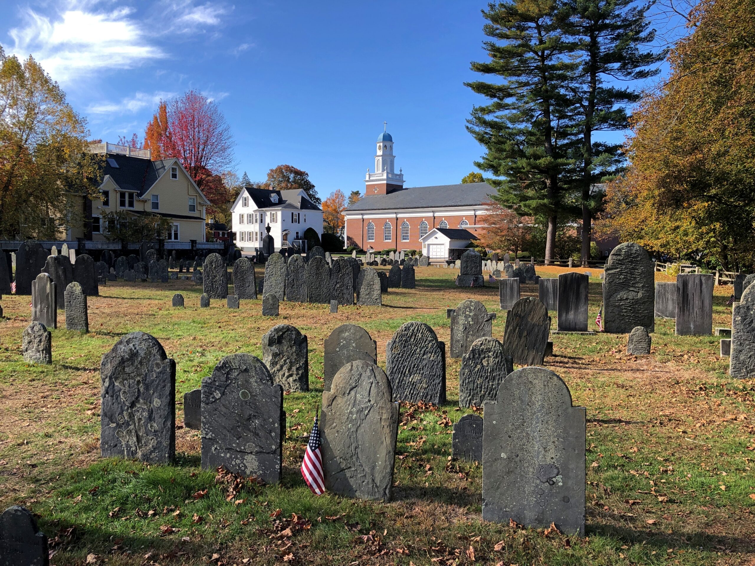
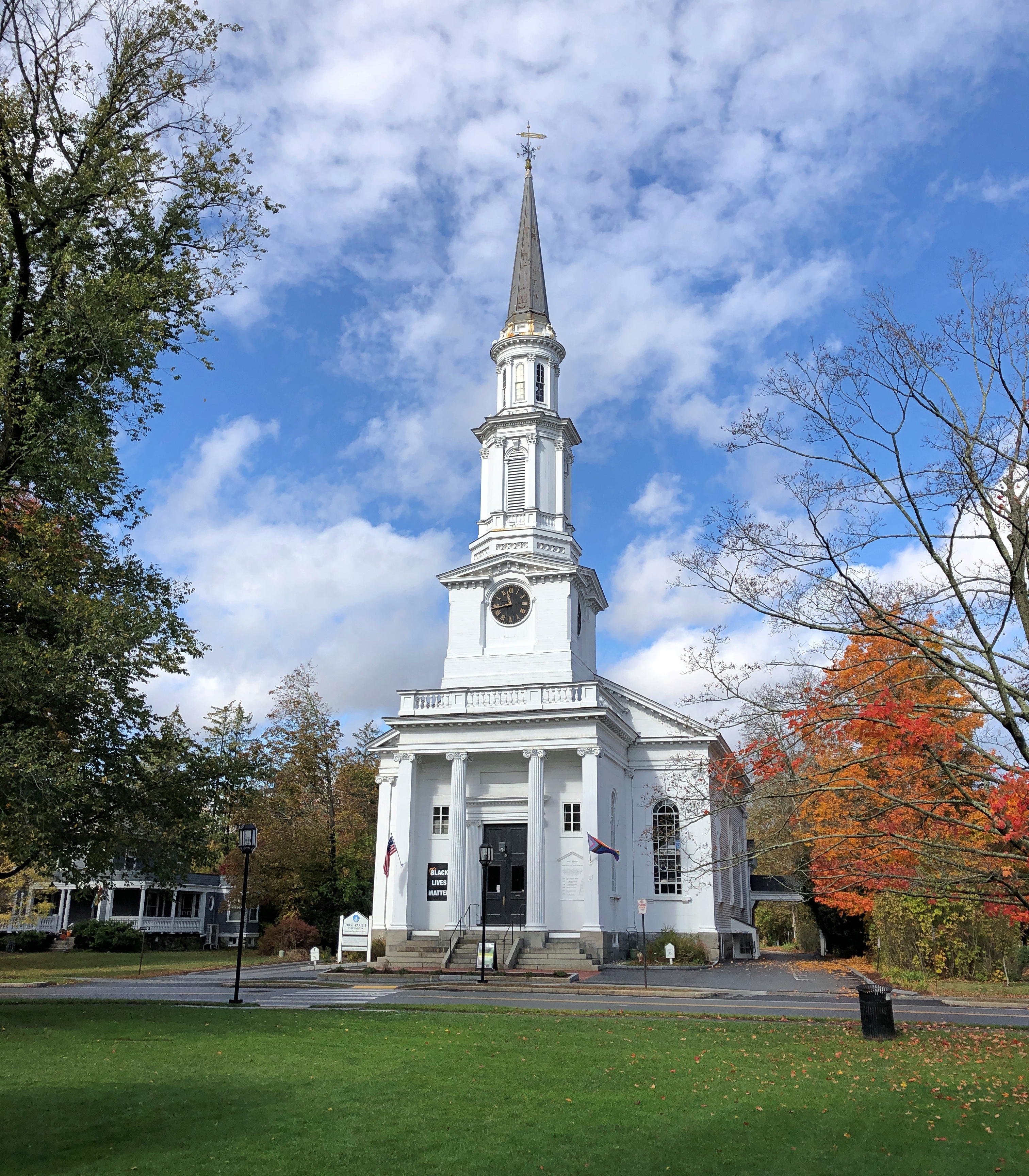
The building in the background, incidentally, is the Church of St. Brigid. One wonders how most of the permanent residents of the Old Burial Ground would react to a Catholic church in the vicinity. Not too well, I suspect.
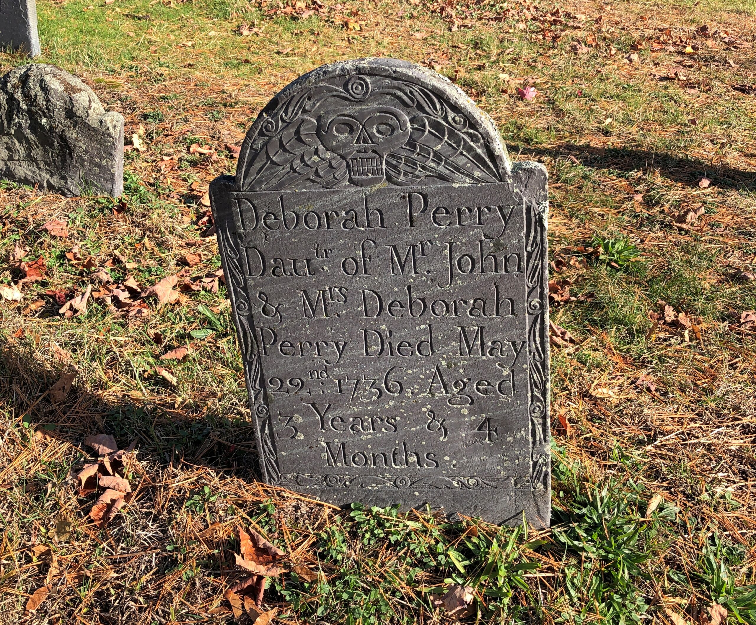
Memorials from a time before the Victorians came along and ennobled them a bit.
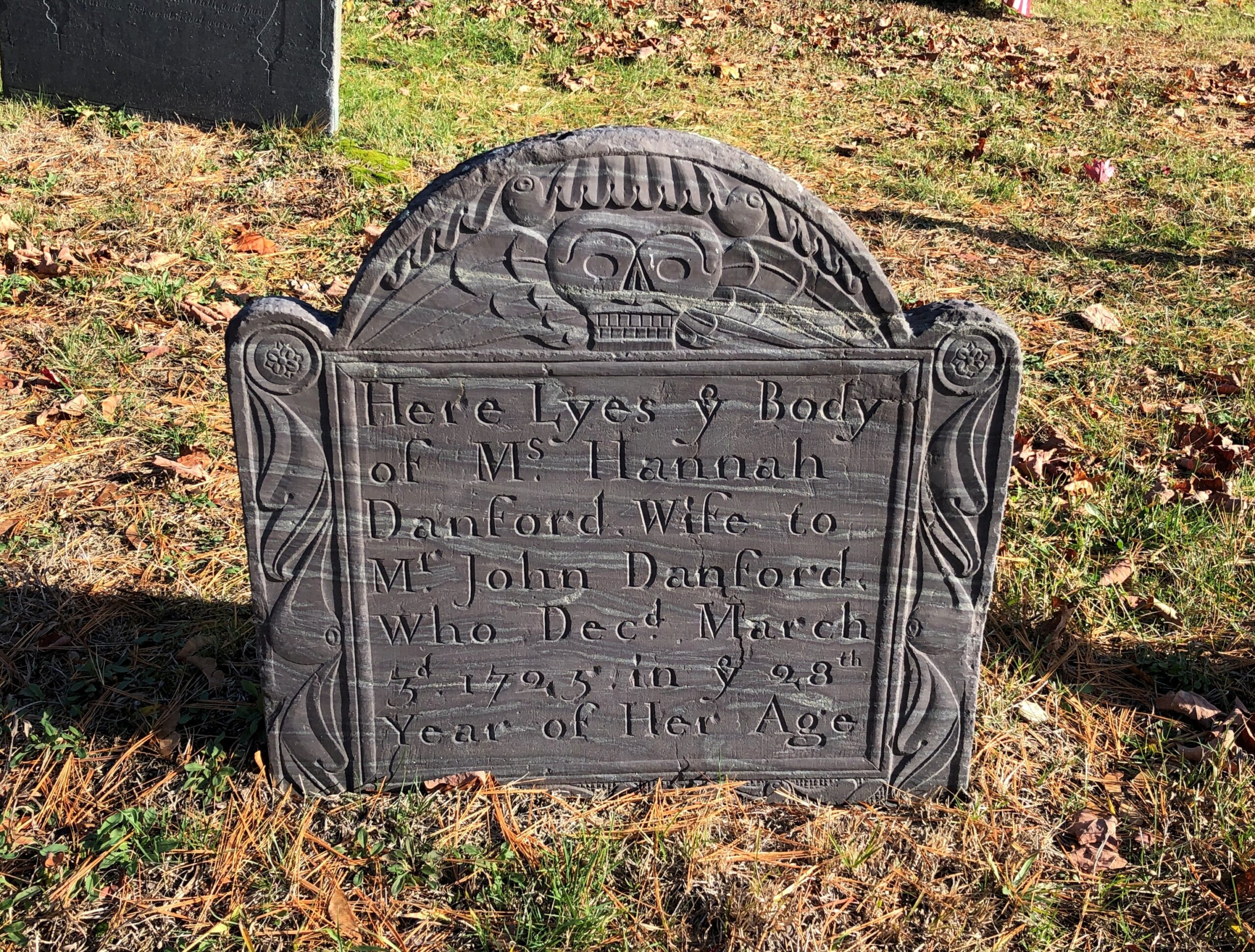
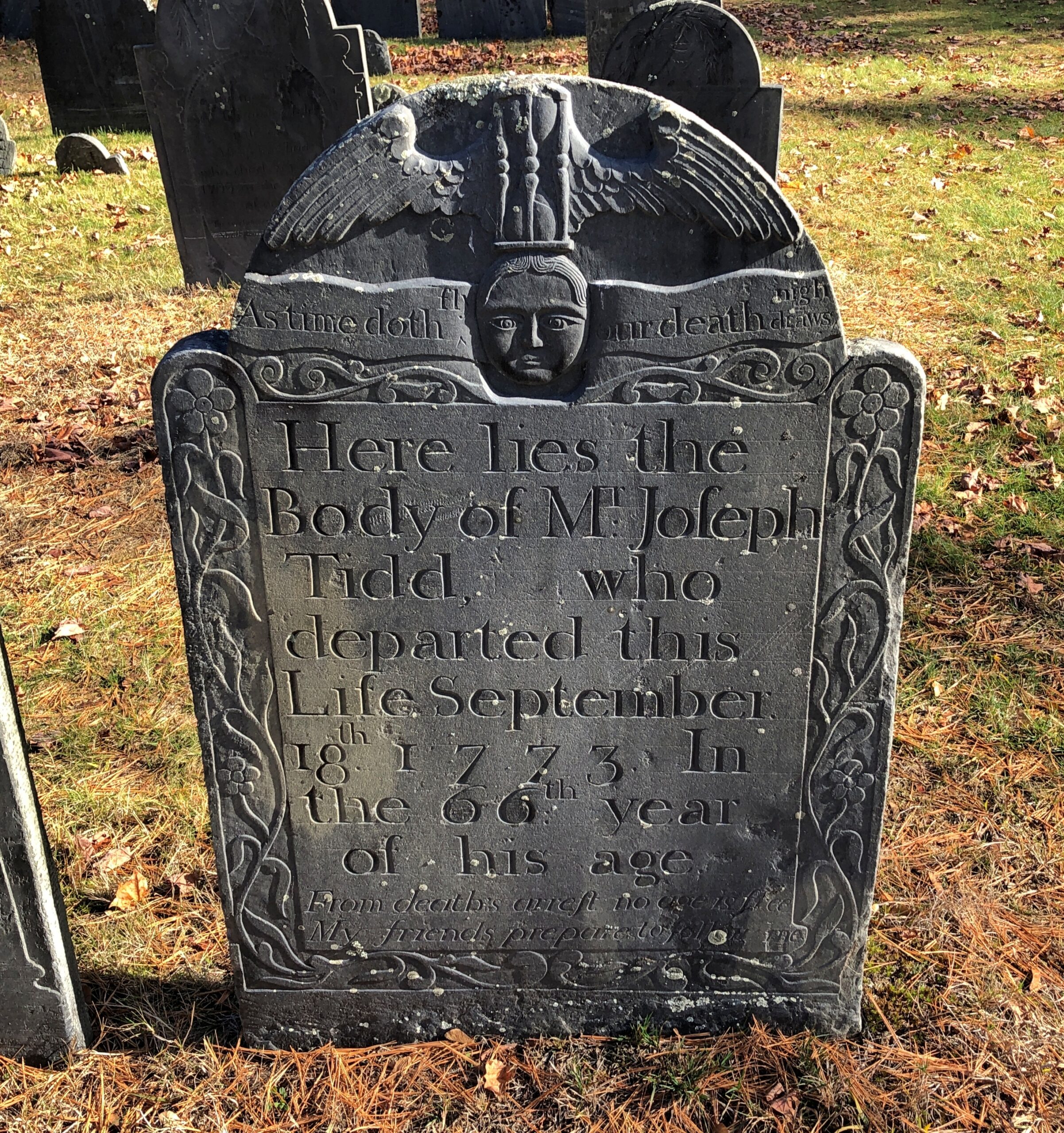
Or we moderns came along with our “celebration of life” euphemisms. It’s right there on the stone: As time doth fly, our death draws nigh.
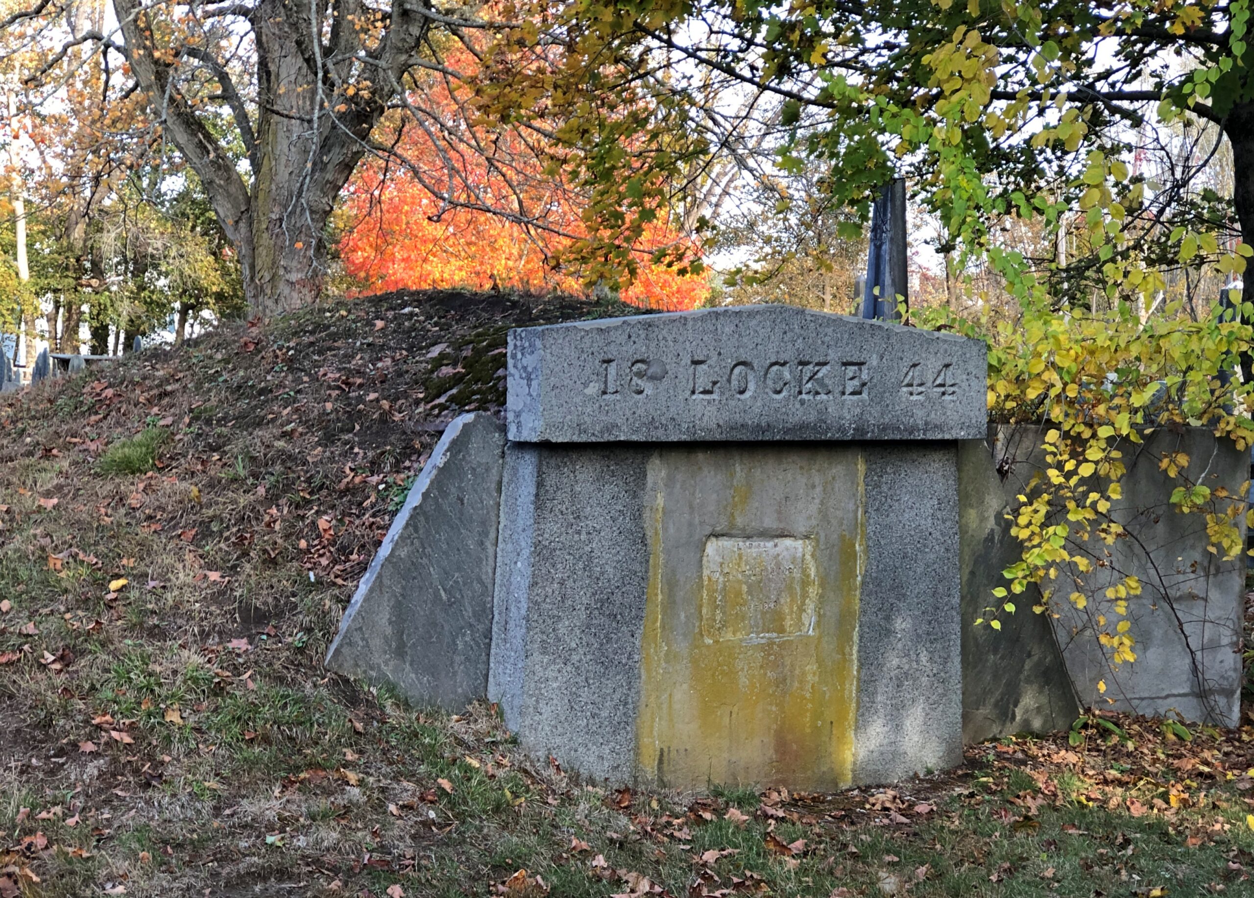
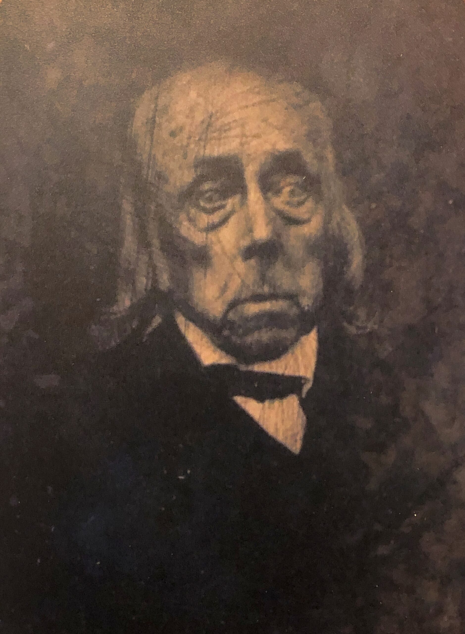
Not many tombs like this. Locke might have been the only one, come to think of it.
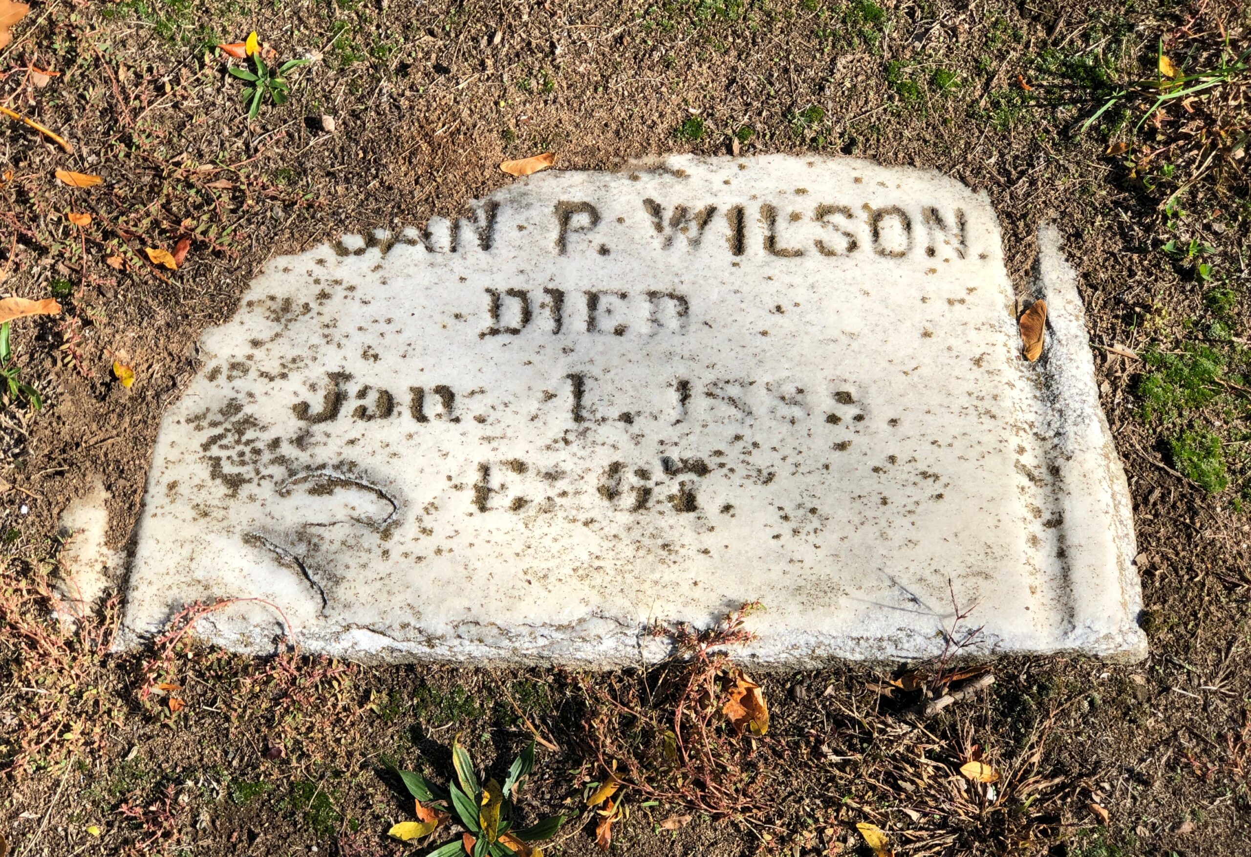
Something of a surprise.
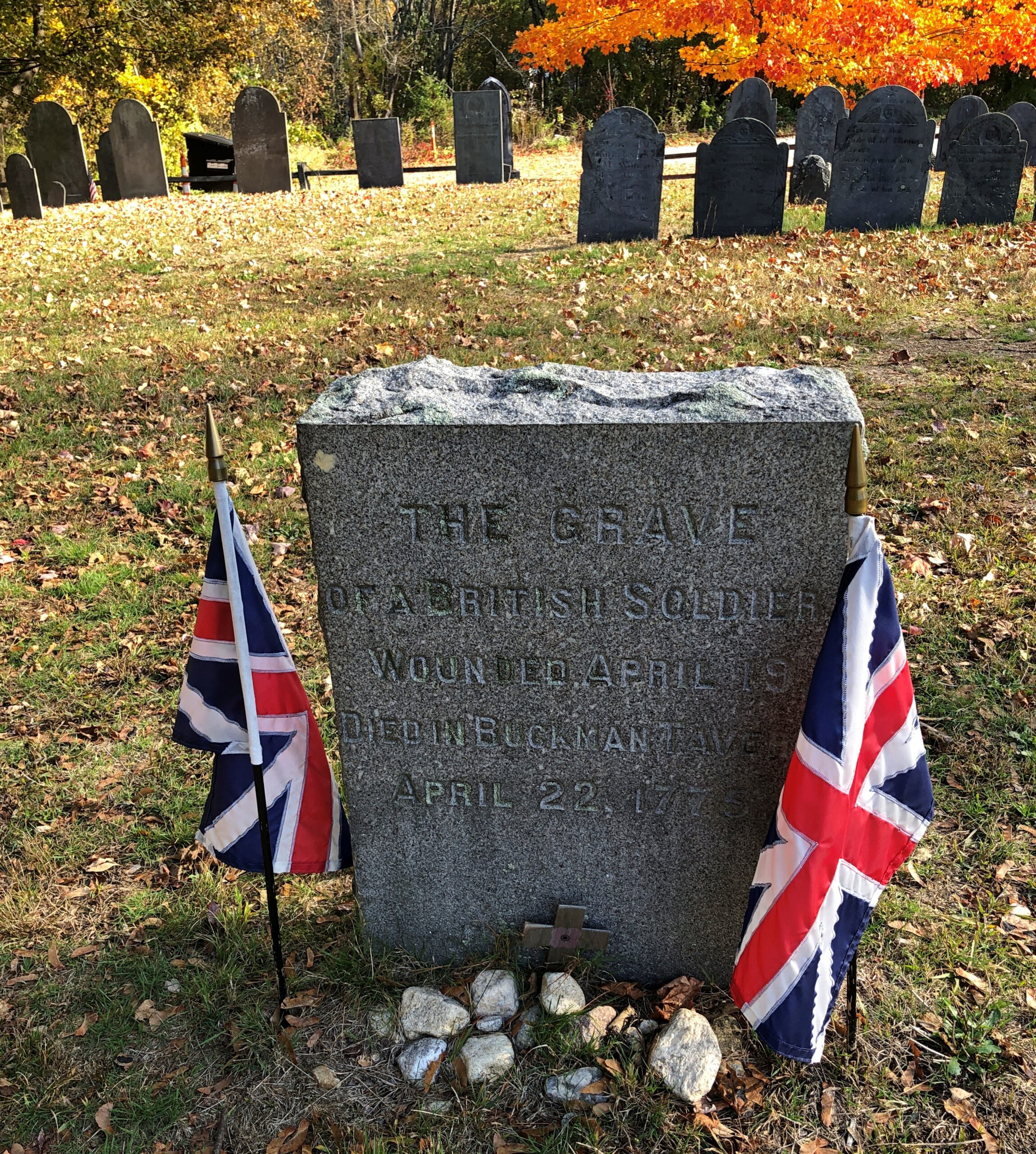
Maybe not. However they felt about Regulars, the townspeople surely must have felt that a dead one deserved a Christian burial, and it wasn’t like they could ship him back home. The stone clearly came later, long after the passions of the war had cooled.
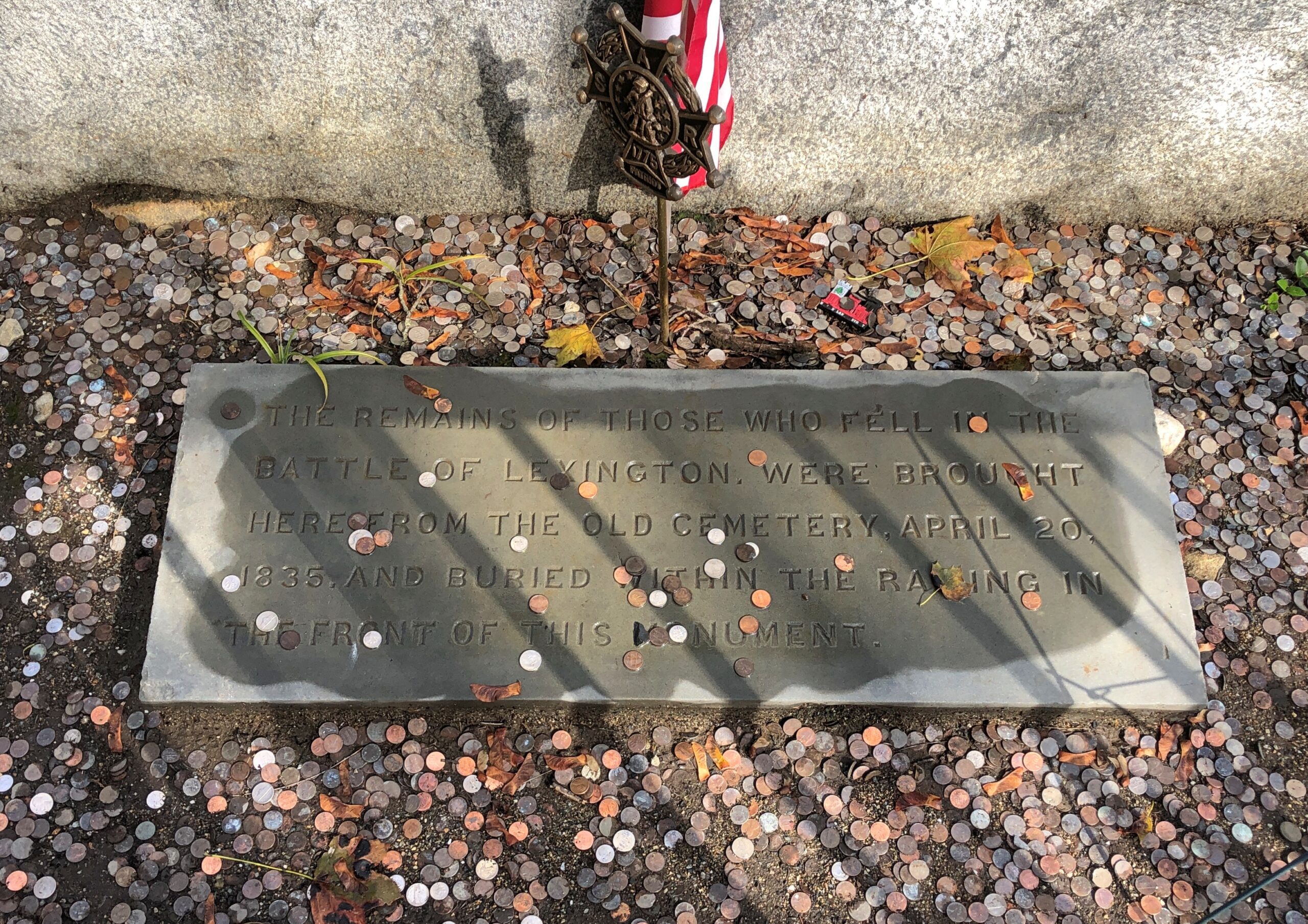
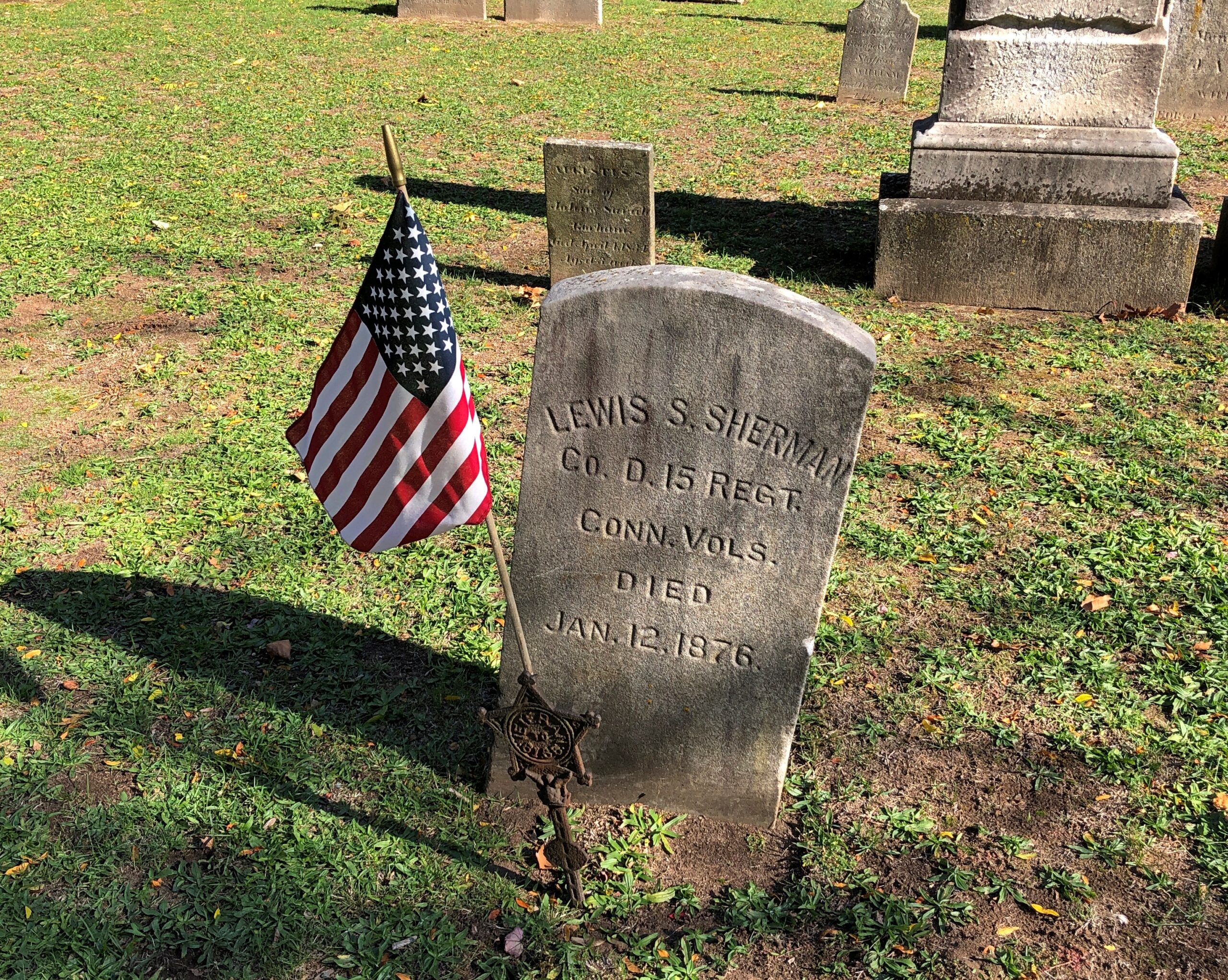
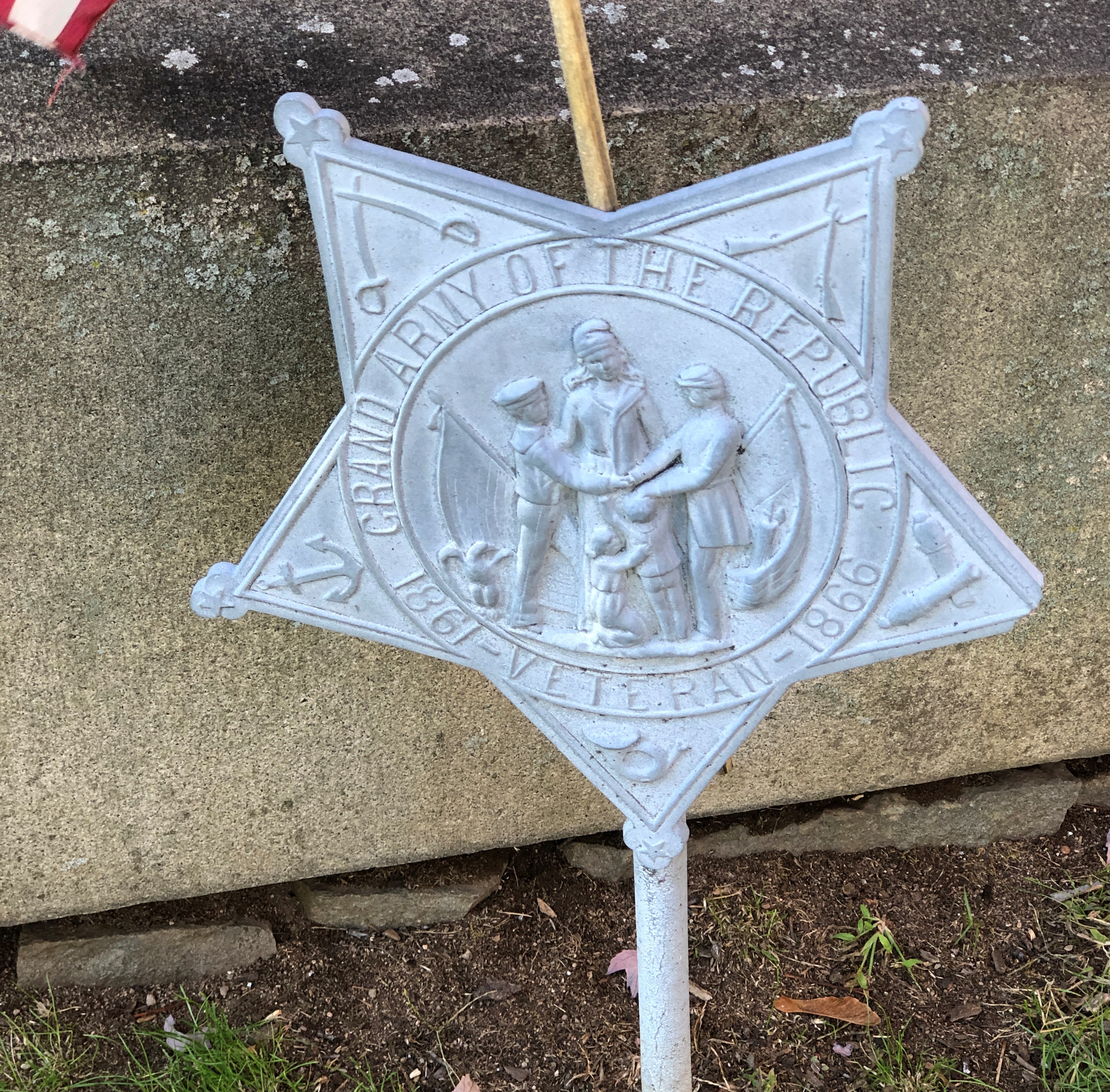
Indeed: Joseph Fiske, Lexington’s town doctor, recorded a bill for seven wounded soldiers he treated at Buckman Tavern the day after the battle [did he get paid?]. This soldier was likely one of them, but succumbed to his wounds in the following days. The simple granite slab was erected by the Lexington Historical Society in 1905.
The wonder is that anyone knew where the Regular was buried at all. Unless they were guessing in 1905. After all, militia commander John Parker – who died of TB only months after the Battle of Lexington – is known to be in the Old Burial Ground, but his exact location is unknown.


.jpg)