Church of the Holy Cross, Stateburg, SC

Before I take a long drive, I spend time with one or more of my highway atlases sketching a route – Rand McNally, National Geographic or Michelin. Sometimes I refer to highway department folding maps as well. Google Maps has its place, an important one, but it’s no substitute for the big-picture sweep of a paper map.

For the trip to the Carolinas earlier this summer, an atlas map made it easy to see the best way to cut across the state from Myrtle Beach to Columbia, where I planned to spend a night: US 378. As Wiki puts it, “the highway has a lengthy concurrency with US 76 between Columbia and Sumter and serves as a major route between the Midlands and the Myrtle Beach area.”

That is, from the flat damp lands along the coast through pines and the sites of long-ago rice plantations, on to modern crop lands, small sandy wooded rises, and into suburban Columbia. Small towns dot the route: Conway, Gresham, Hannah, Lake City, Turbeville, and Sumter, which is actually a small city (pop. about 43,800).

Not far west of Sumter on US 378, I noticed a point-of-interest sign suggesting a right turn. I don’t remember the exact wording, but the gist that I picked up instantly was historic church. My kind of sight, in other words. After only a few minutes on the side road (South Carolina 261, a.k.a. N. Kings Hwy.), a church and churchyard cemetery appeared.


This turned out to be the Wayman Chapel of the AME Church, which has its own graveyard.

Wayman Chapel, AME SC

A good many AME churches are named Wayman, after Bishop Alexander W. Wayman. Surely the place is historic in its own right, including as part of the wider history of the AME, but it wasn’t what I was looking for. I continued on, and without realizing it, had entered the High Hills of Santee, which sounds like an all around interesting place.
Had I realized that, I might have gone a little further down N. Kings Hwy., but serendipity on the road will only take you so far. In this case, not much further down the road, to the Church of the Holy Cross.
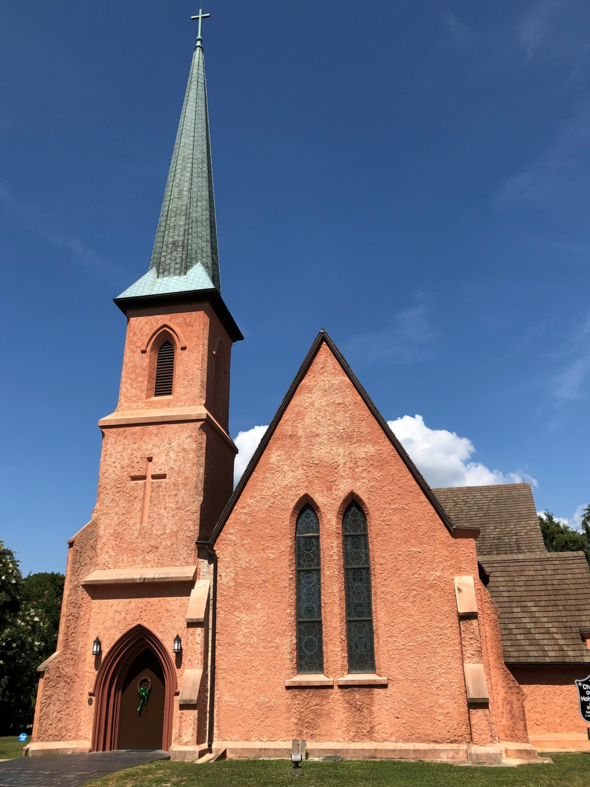
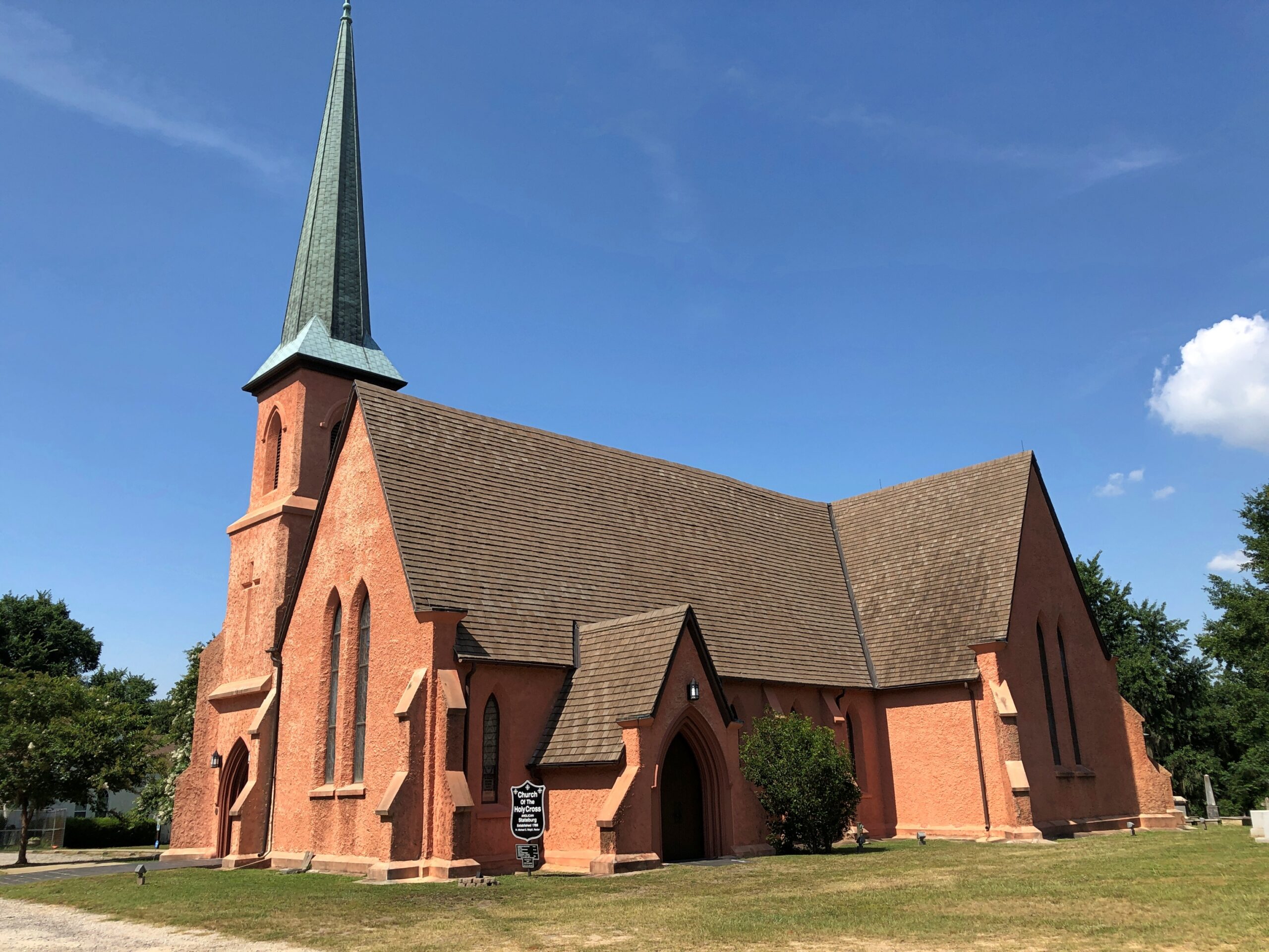
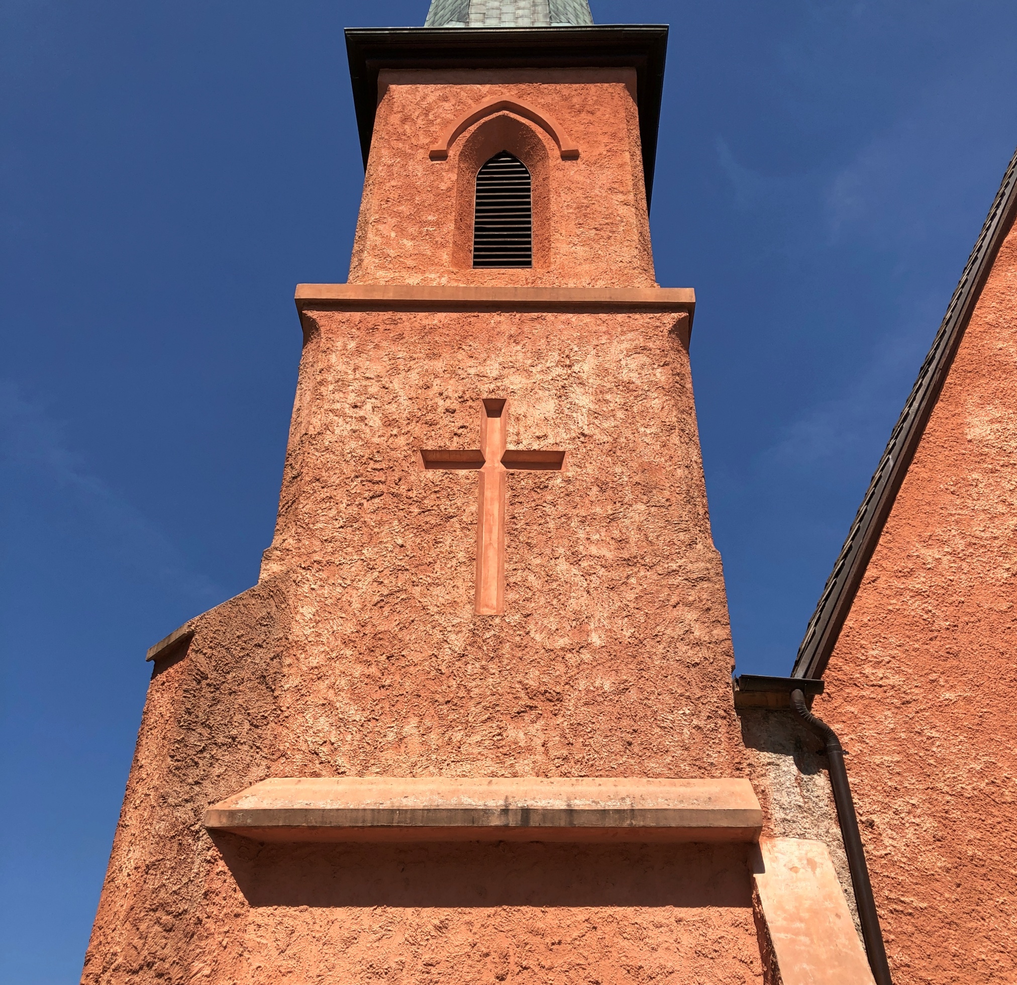
Church of the Holy Cross, SC

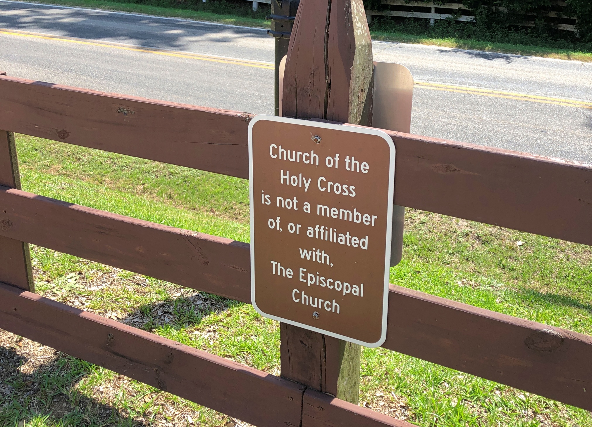
The church has a Stateburg address, but isn’t in town. For well over a century, it was an Episcopal church, but the current congregation wants one and all to know that it isn’t any more. A simple sign, but enough to carry a whiff of schism.

The design work was by Edward C. Jones, a busy architect, including designs at Magnolia Cemetery in Charleston. Not brick or the like, but rammed earth. I can’t say that I’d seen a rammed earth church before. It was completed in 1852.

Church of the Holy Cross

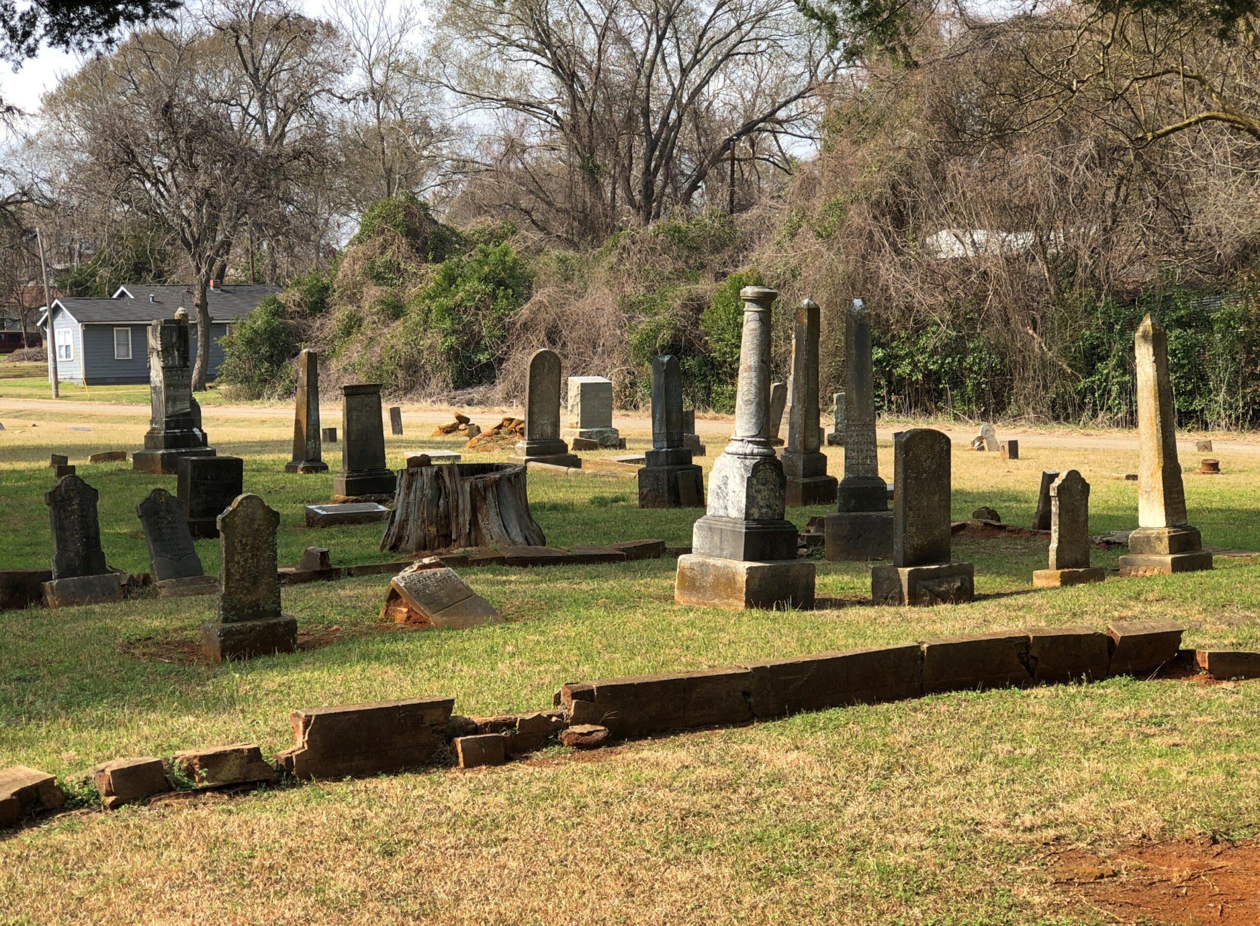
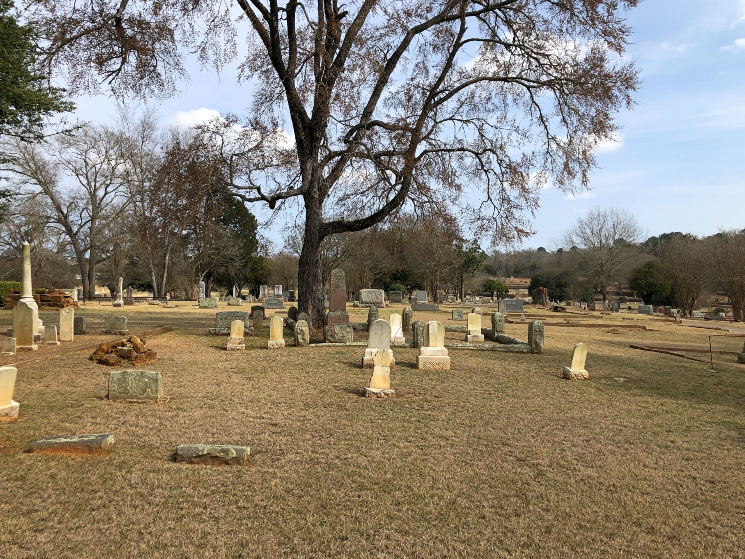
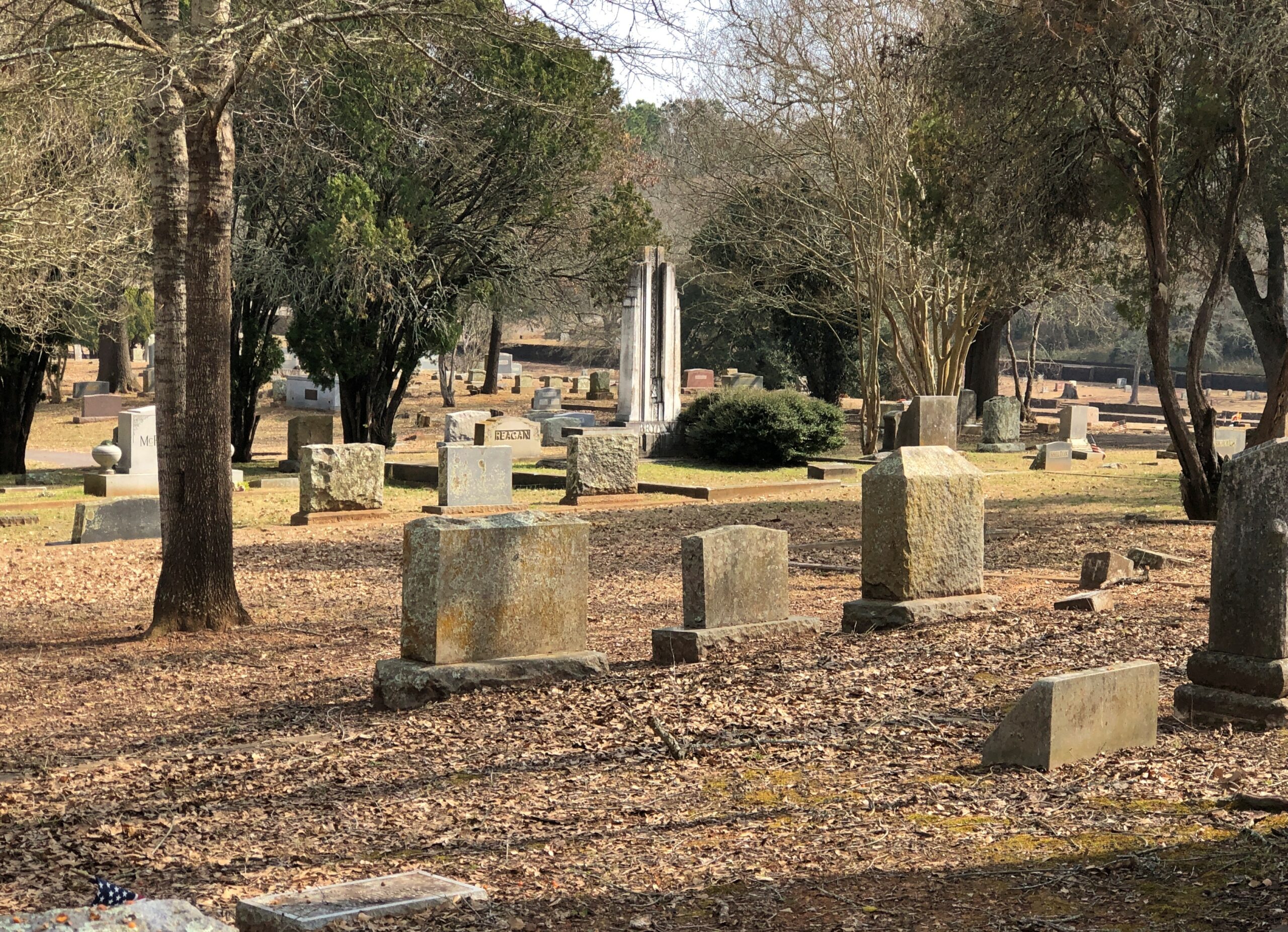
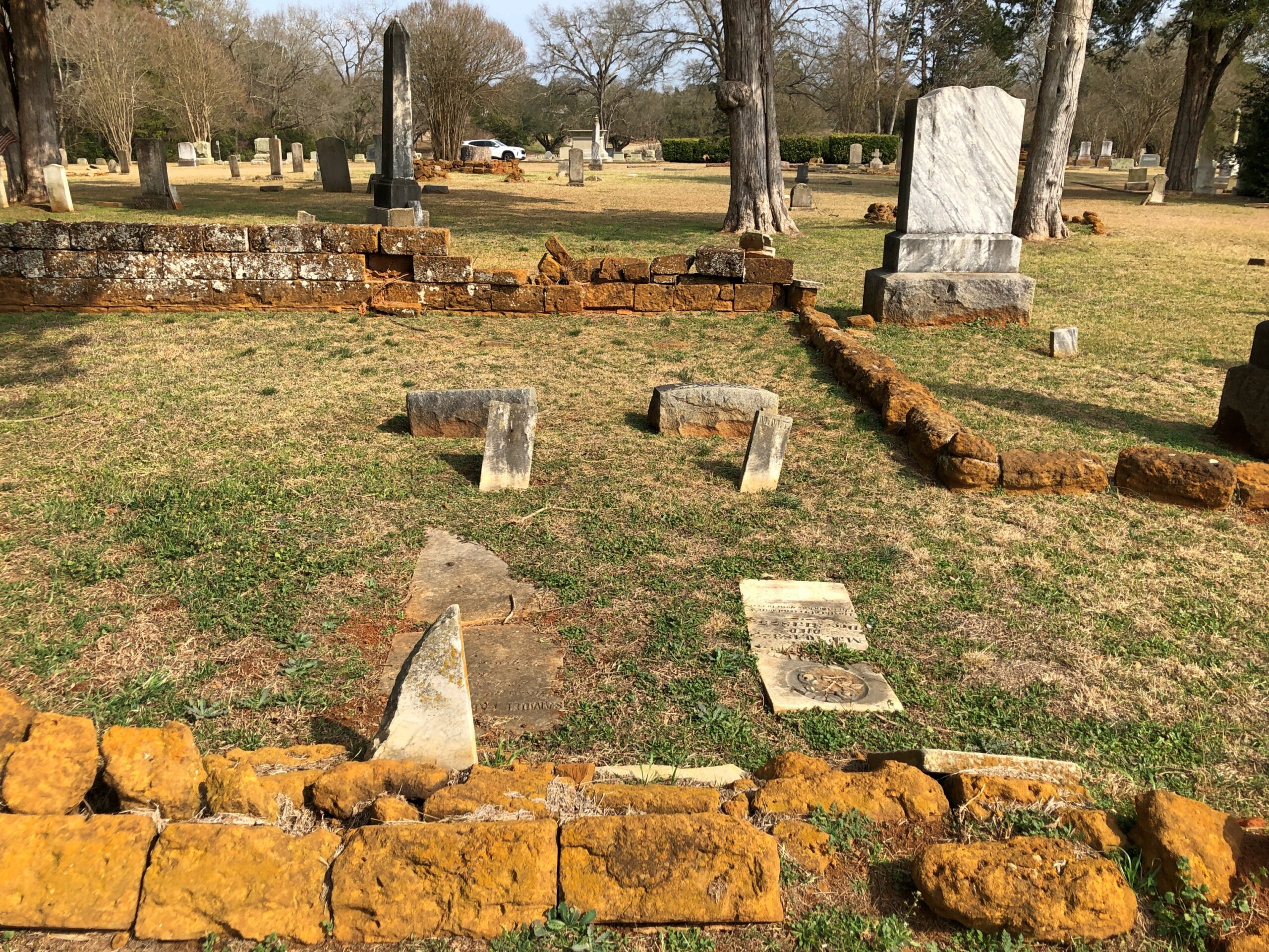
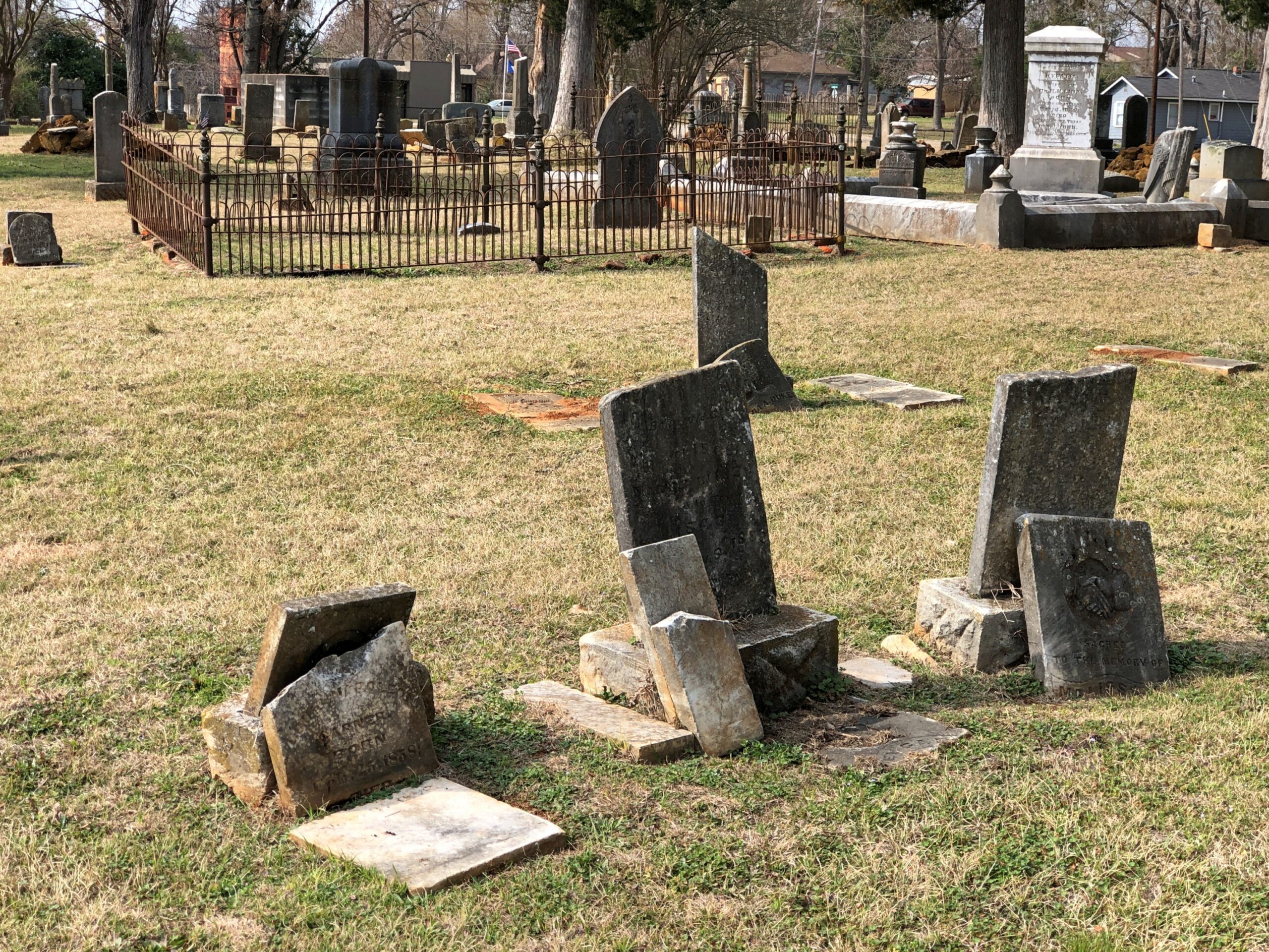
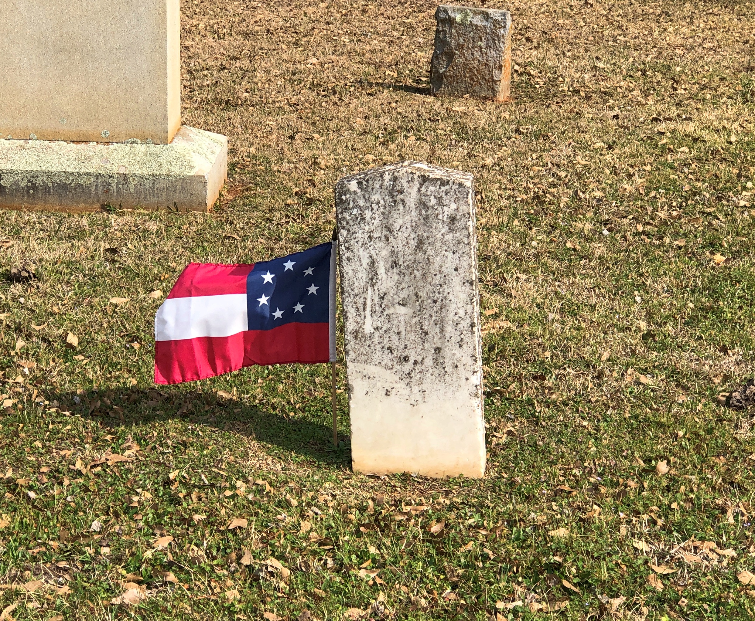
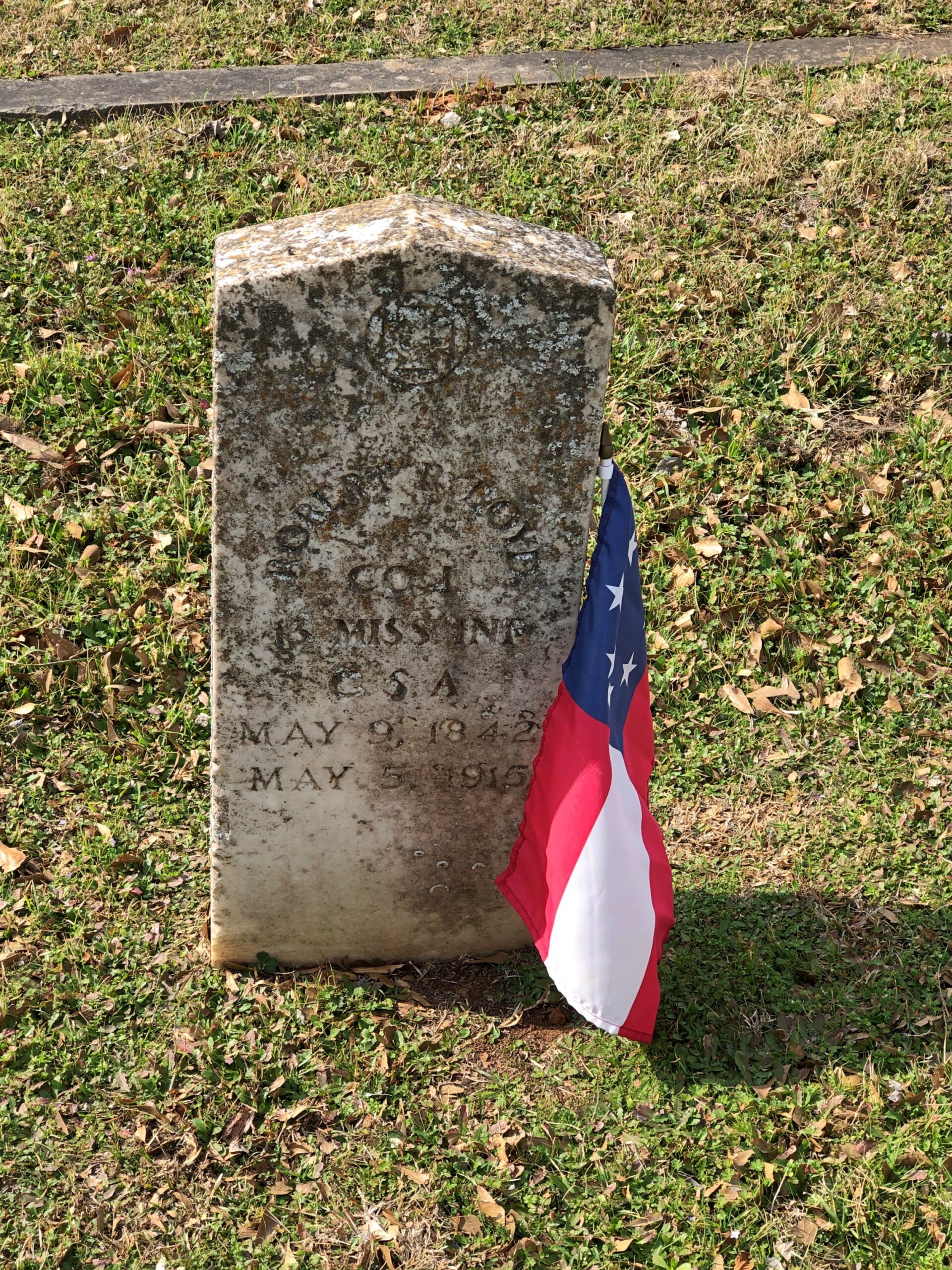
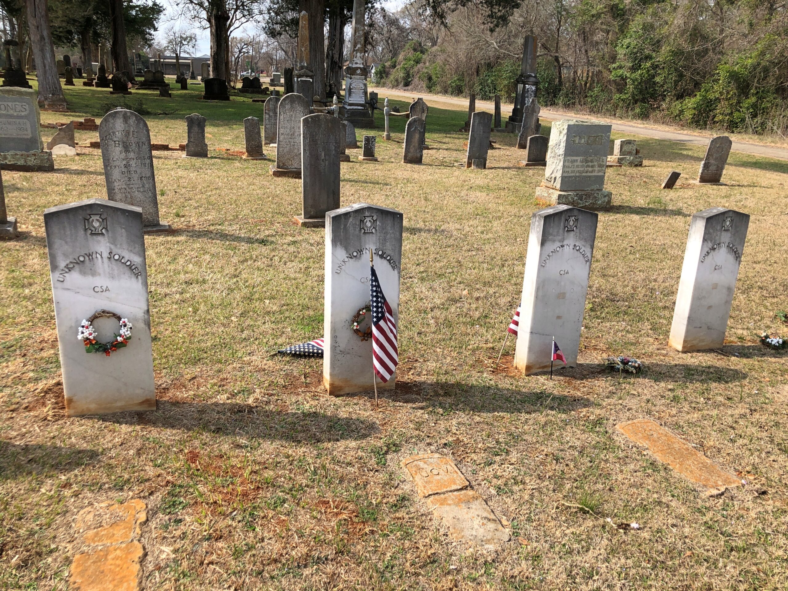
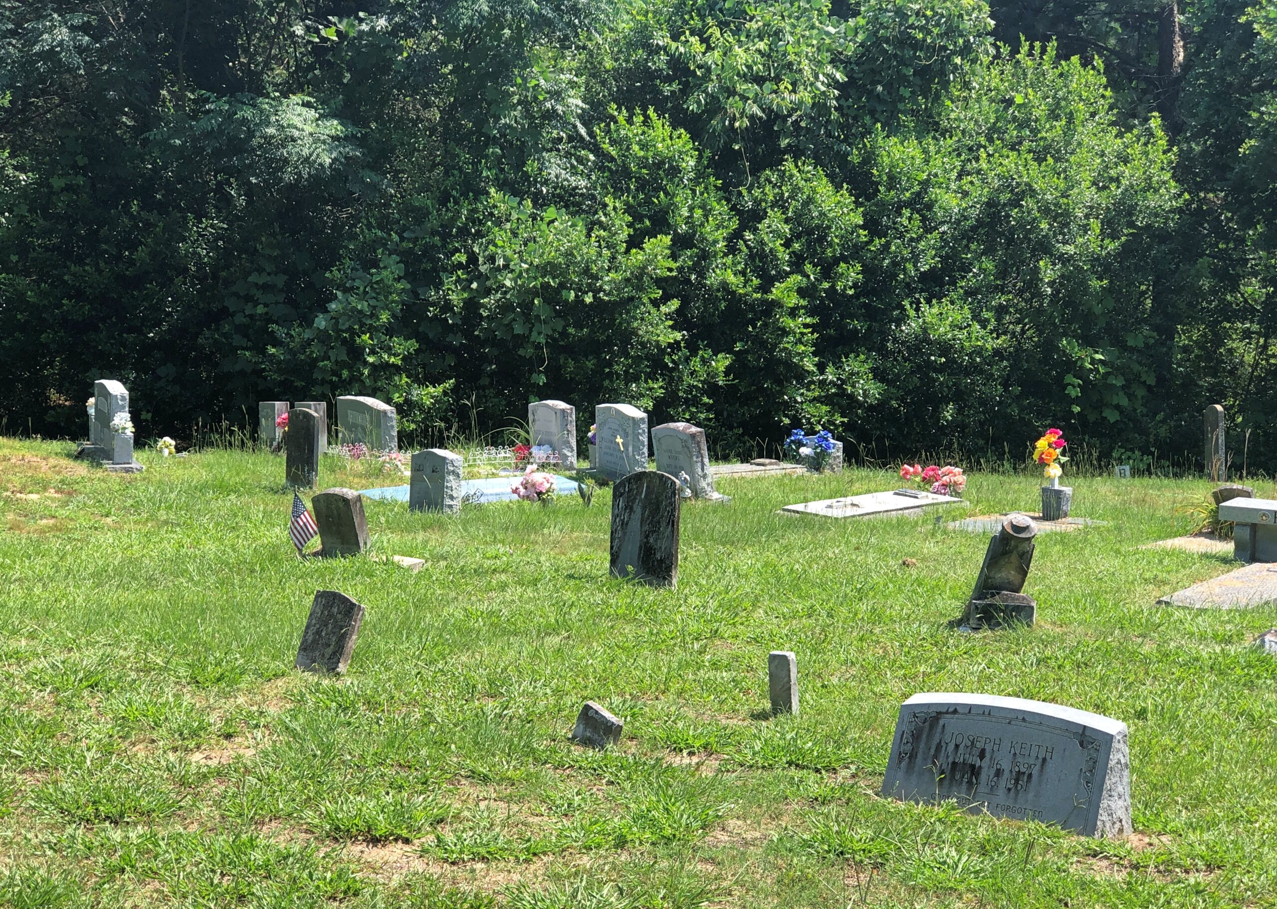
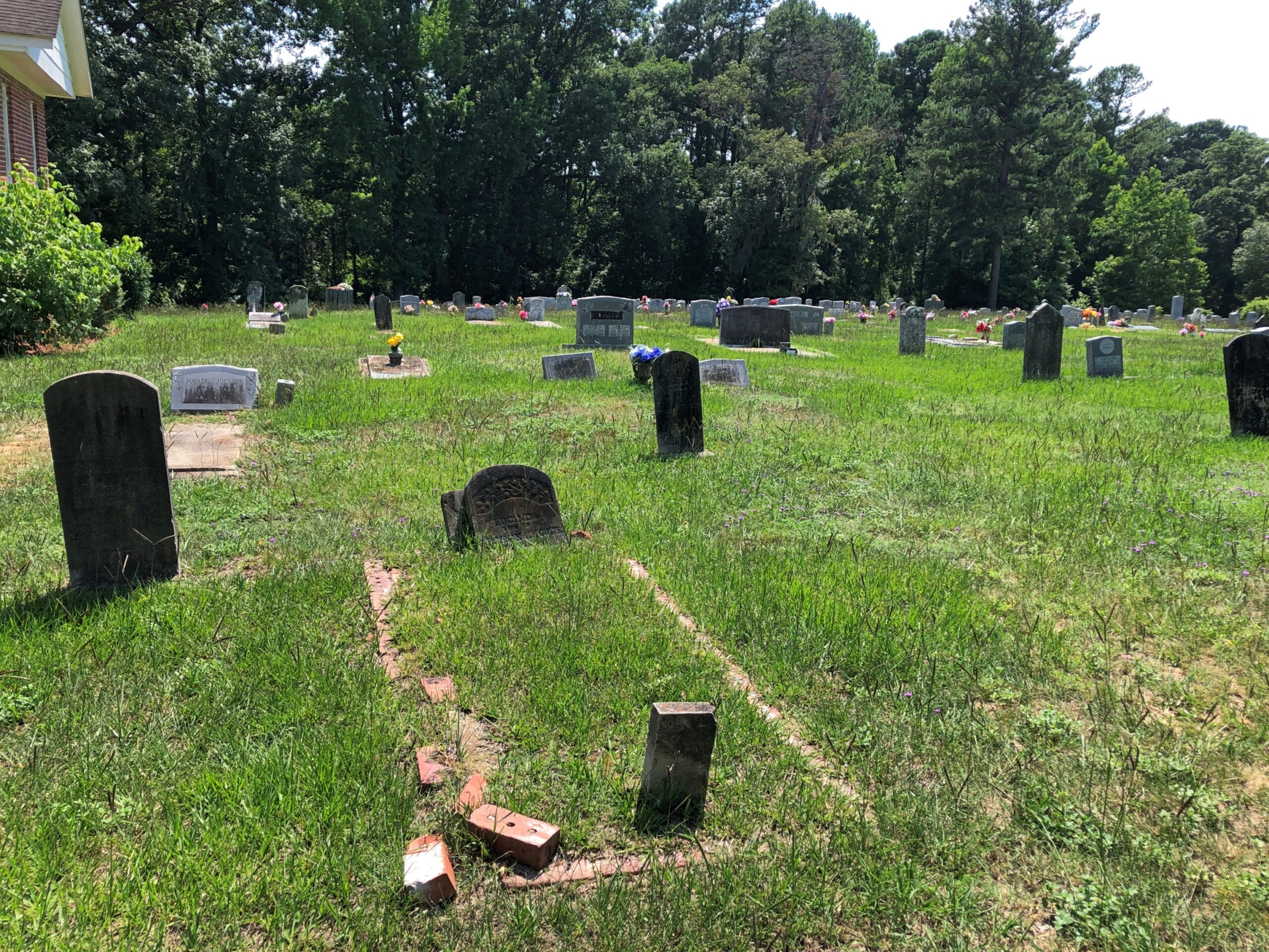
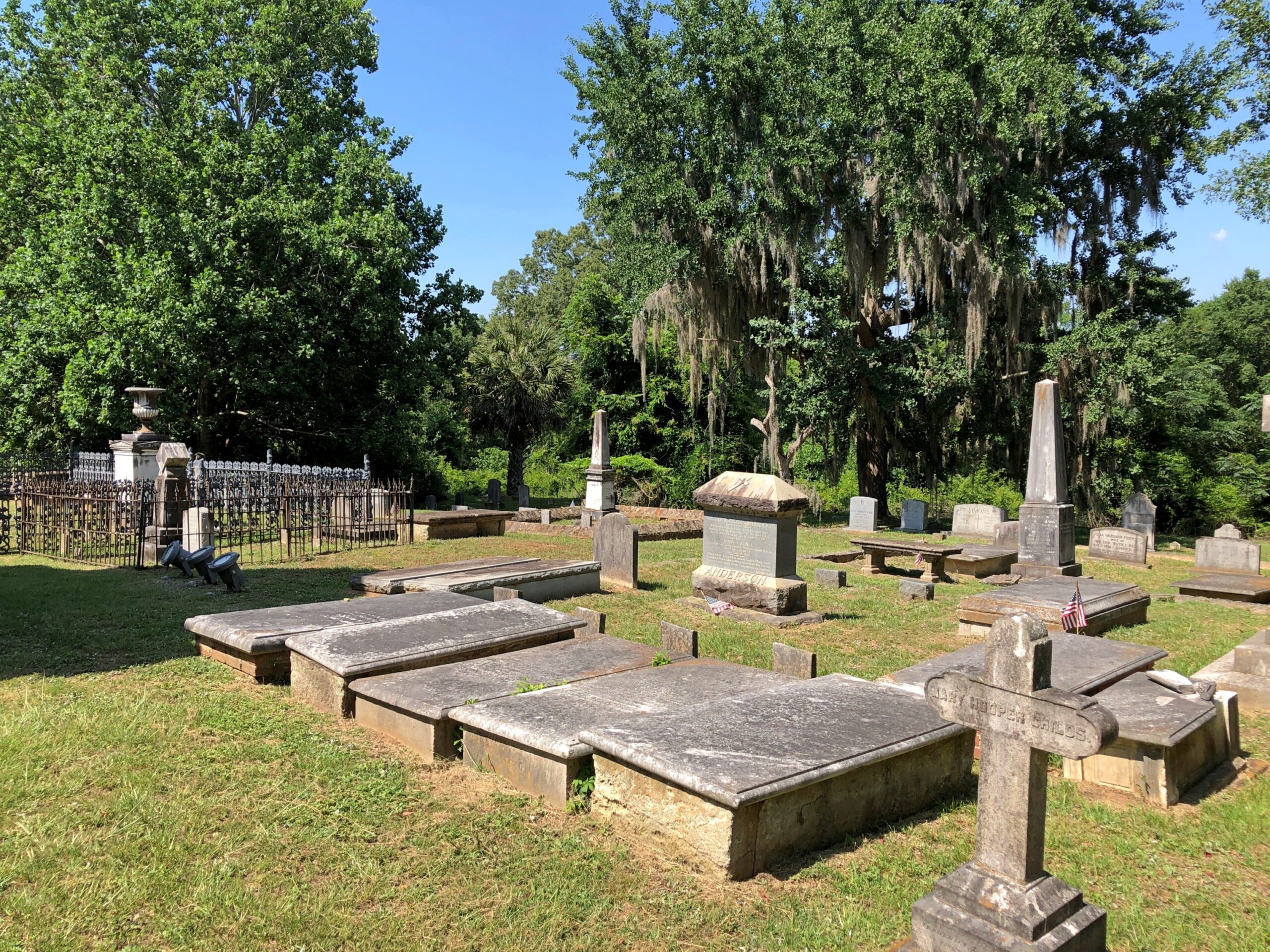
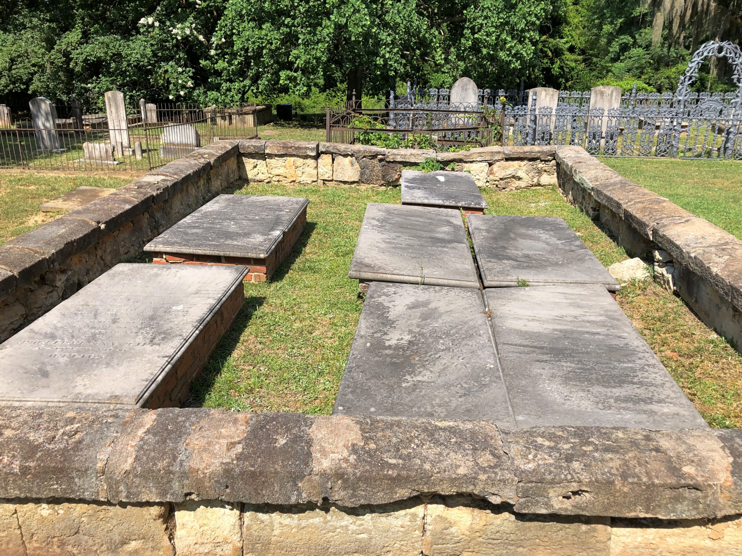
Extending some distance behind the church, which was closed, is a handsome cemetery.

Church of the Holy Cross, SC

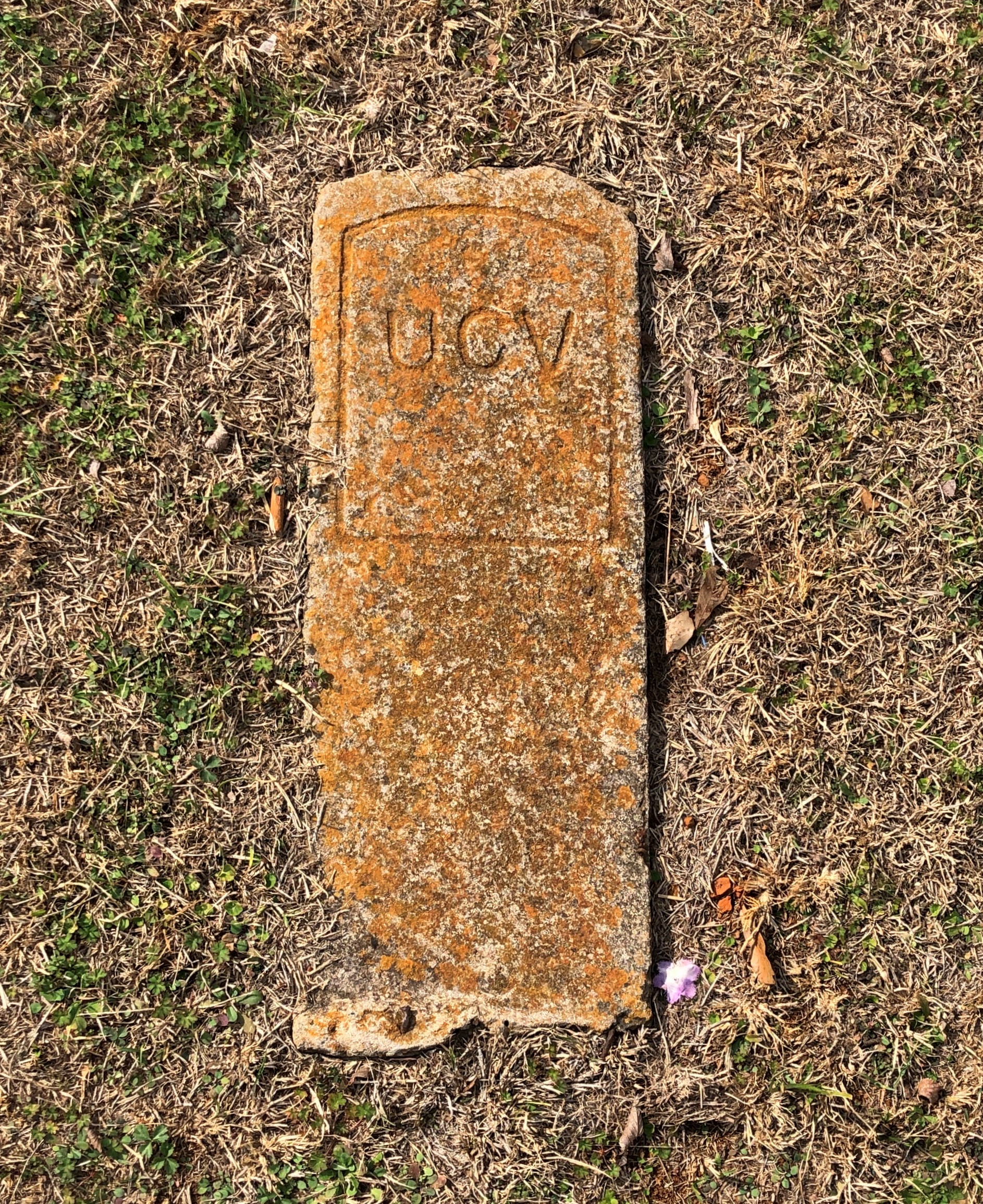
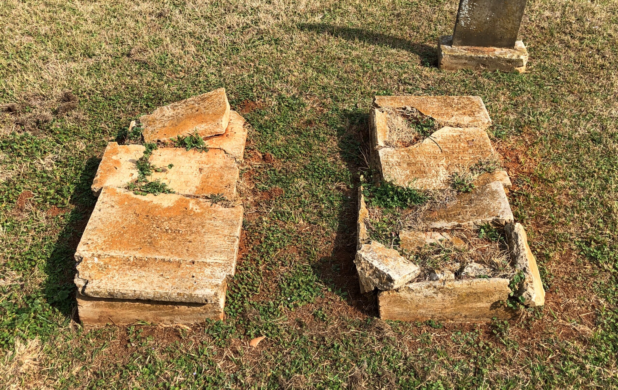
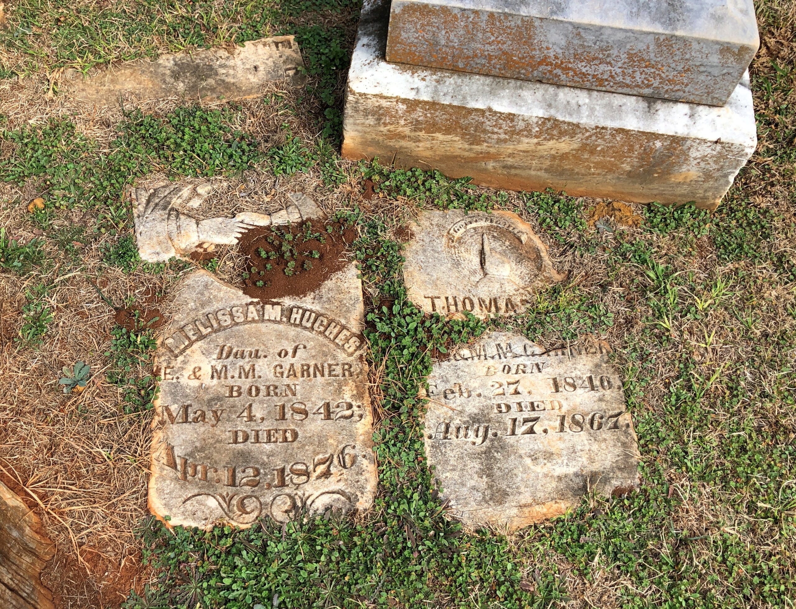
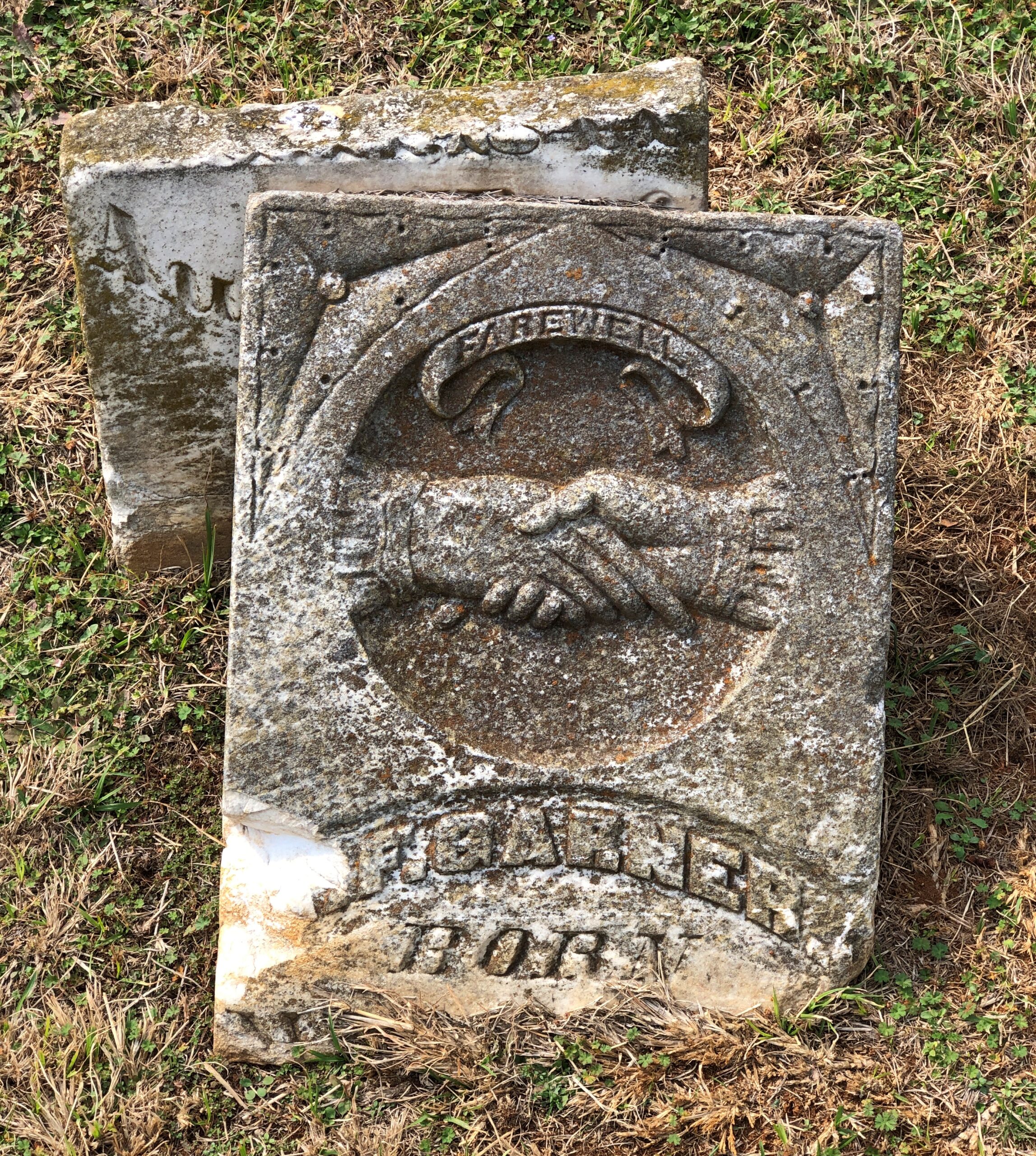
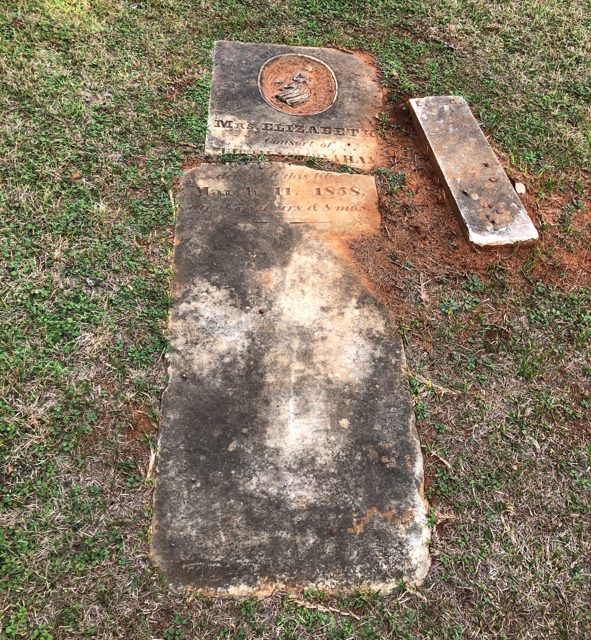
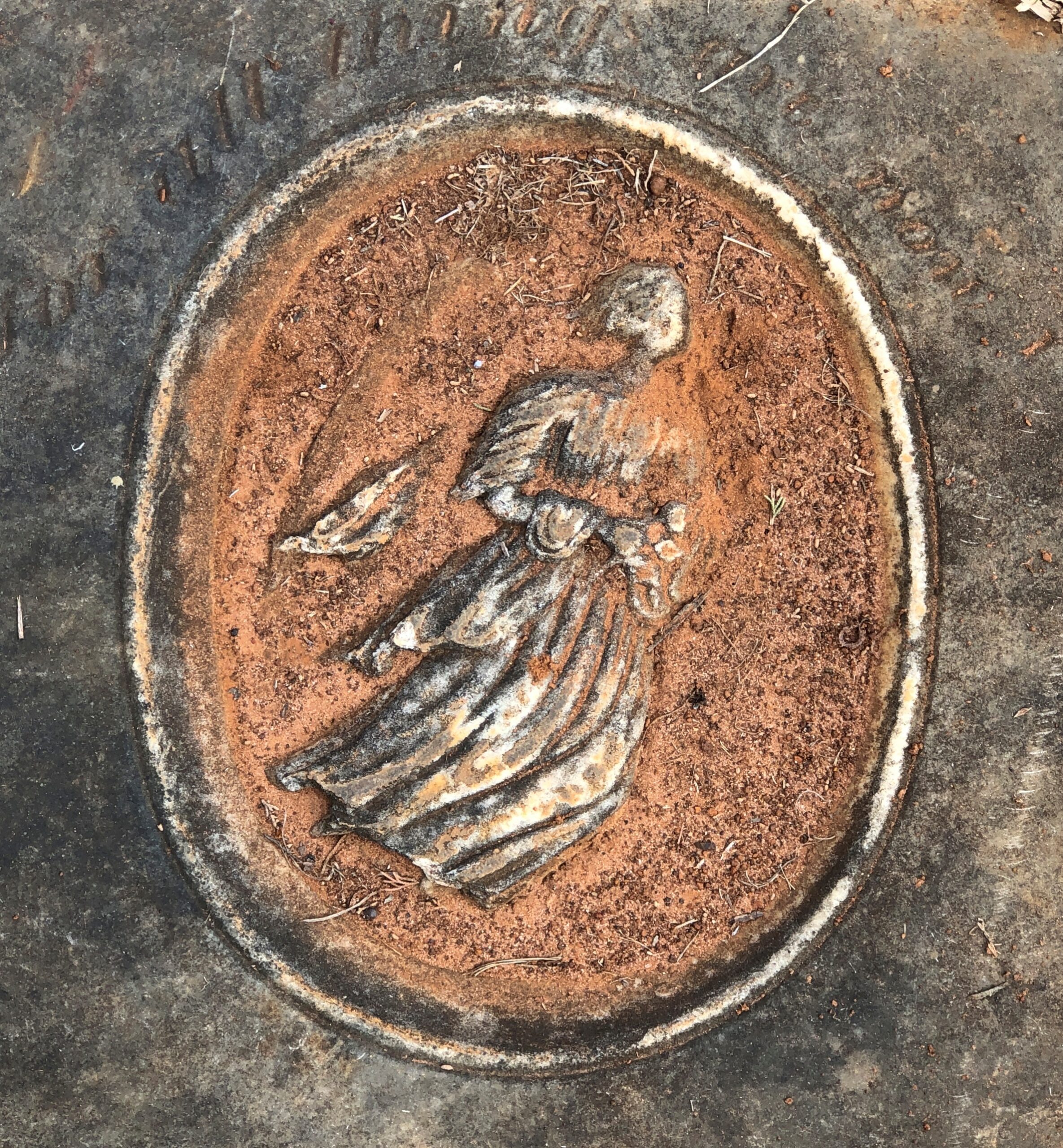
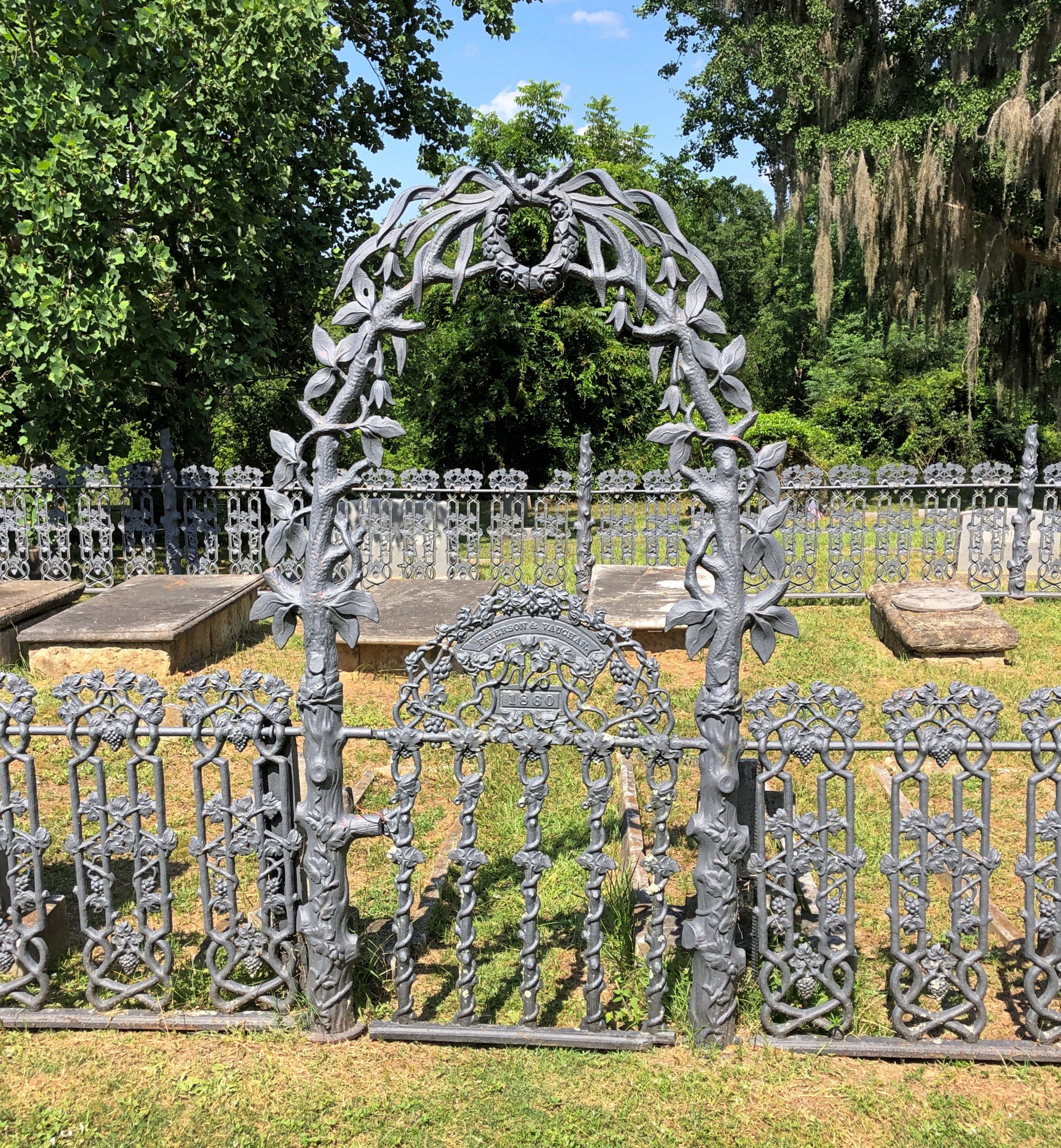
Impressive ironwork and crumbling masonry. What’s not to like?

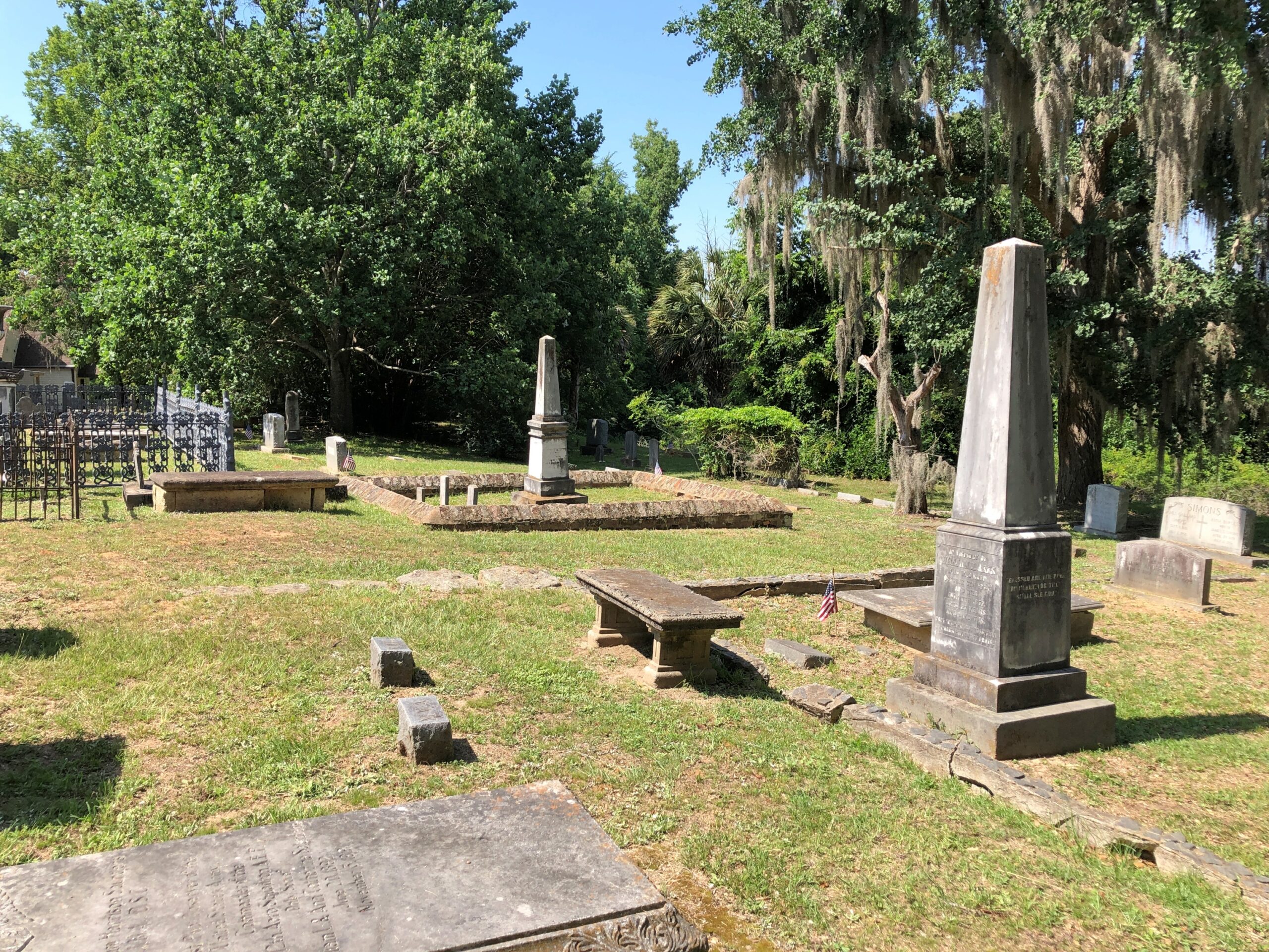
Church of the Holy Cross, SC

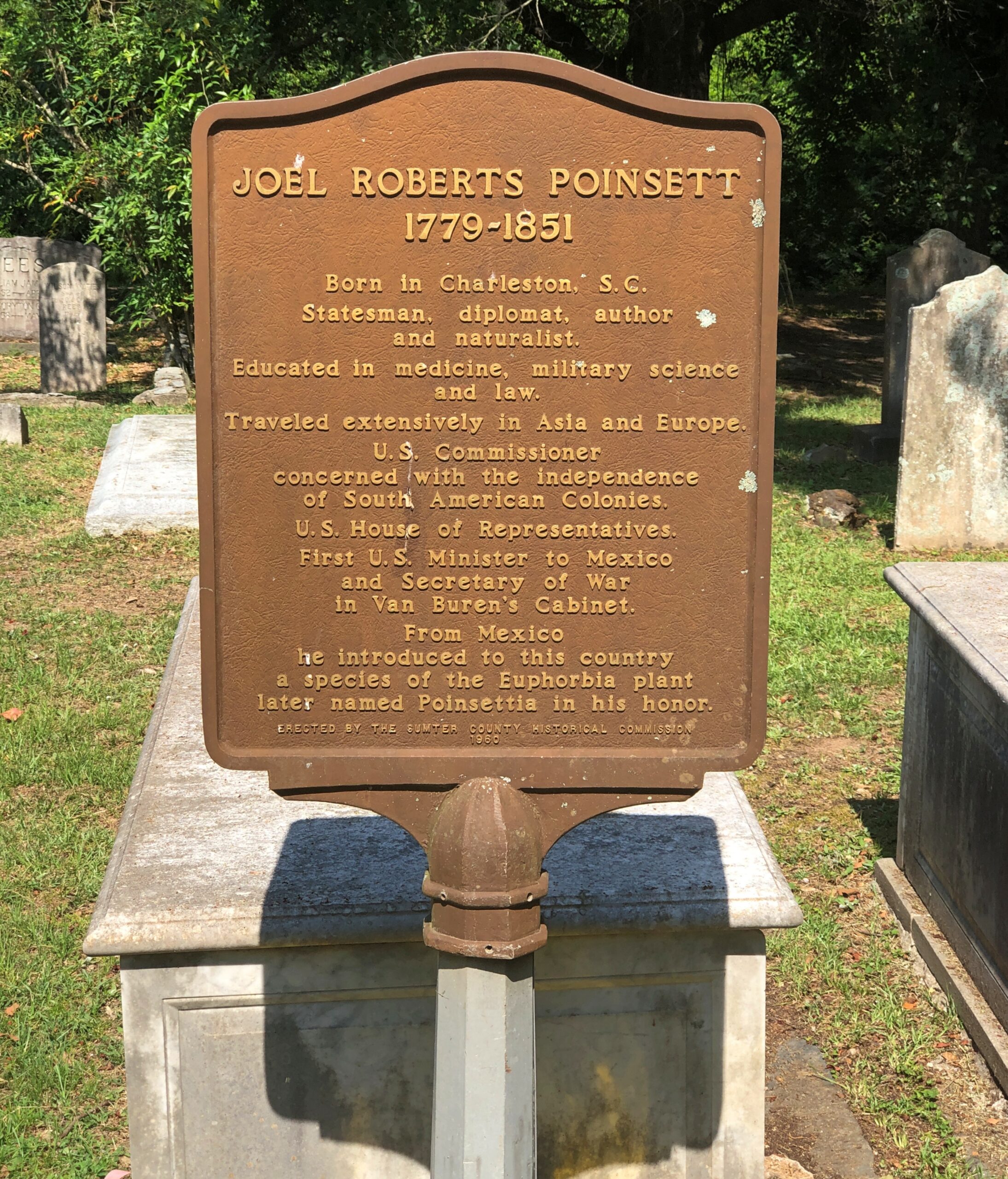
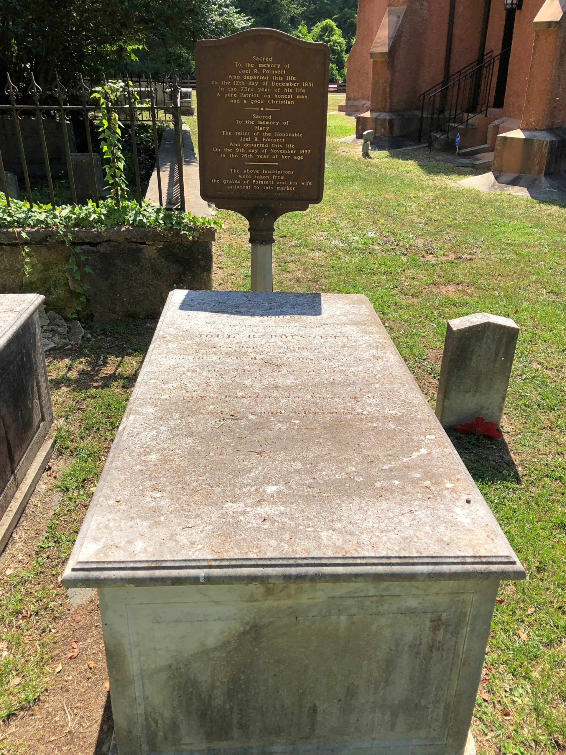
Another layer of serendipity: not only had I chanced across the church and the graveyard, but someone I’d heard of: Joel R. Poinsett, whose career was astonishingly varied, for good and ill, even for the freewheeling 19th century.

Church of the Holy Cross, SC

Almost everyone else has heard of him too, except they don’t know it, since of course the poinsettia is named for him. A casual search shows that were was a quixotic bubble of interest in the idea of re-naming the flower around the holidays in 2023, but not since, with such headlines as: “Poinsettia by any other name? Try ‘cuetlaxochitl’ or ‘Nochebuena’ “ (Jacksonville Journal-Courier).

Cuetlaxochitl? Names do shift over time, for unpredictable reasons, but I’m not betting on that one entering common usage anytime soon.

North Carolina, South Carolina

Maybe I should have looked at something like this before driving between Knoxville and Charlotte last month.

Note the array of Construction Zone markers along I-40. Turns out travelers are lucky to be able to drive the road at all, considering that Hurricane Helene last year did so much damage that the highway – an Interstate of considerable importance regionally – was closed for five months, only reopening on March 1.

Reopening as a two-lane road, with each lane bounded on the outside by those concrete barriers you never want to see when driving. Separating the lanes is what amounts to a curb, painted yellow. This goes on for about 12 miles, as reconstruction work goes on. That isn’t a long stretch of road under normal conditions, but when you’re between barriers, behind a truck and in front of a truck, with traffic (many trucks) coming the other way just on the other side of a yellow curb, and little margin for error on anyone’s part, your reaction as a driver is going to be: when will this end?

That was my reaction, anyway. Had some nice drives on this trip. Western North Carolina I-40 wasn’t one of them.

“The hurricane washed away about 3 million cubic yards of dirt, rock and material from the side of I-40,” NCDOT reported. I’m having trouble visualizing a million cubic yards, much less three, but I’m sure it was a staggering amount.

“The stabilization process involved driving steel rods into the bedrock, filling the rods with grout, applying a metal screen then sprayable concrete to the face of the walls. There were four different rigs operating at the same time.

“Crews installed 90,000 square feet of soil-nail walls across the 10 different damage locations in less than 130 days. They also drilled nearly 2,100 feet of nails and fortified 4 miles of the shoulder for truck traffic.”

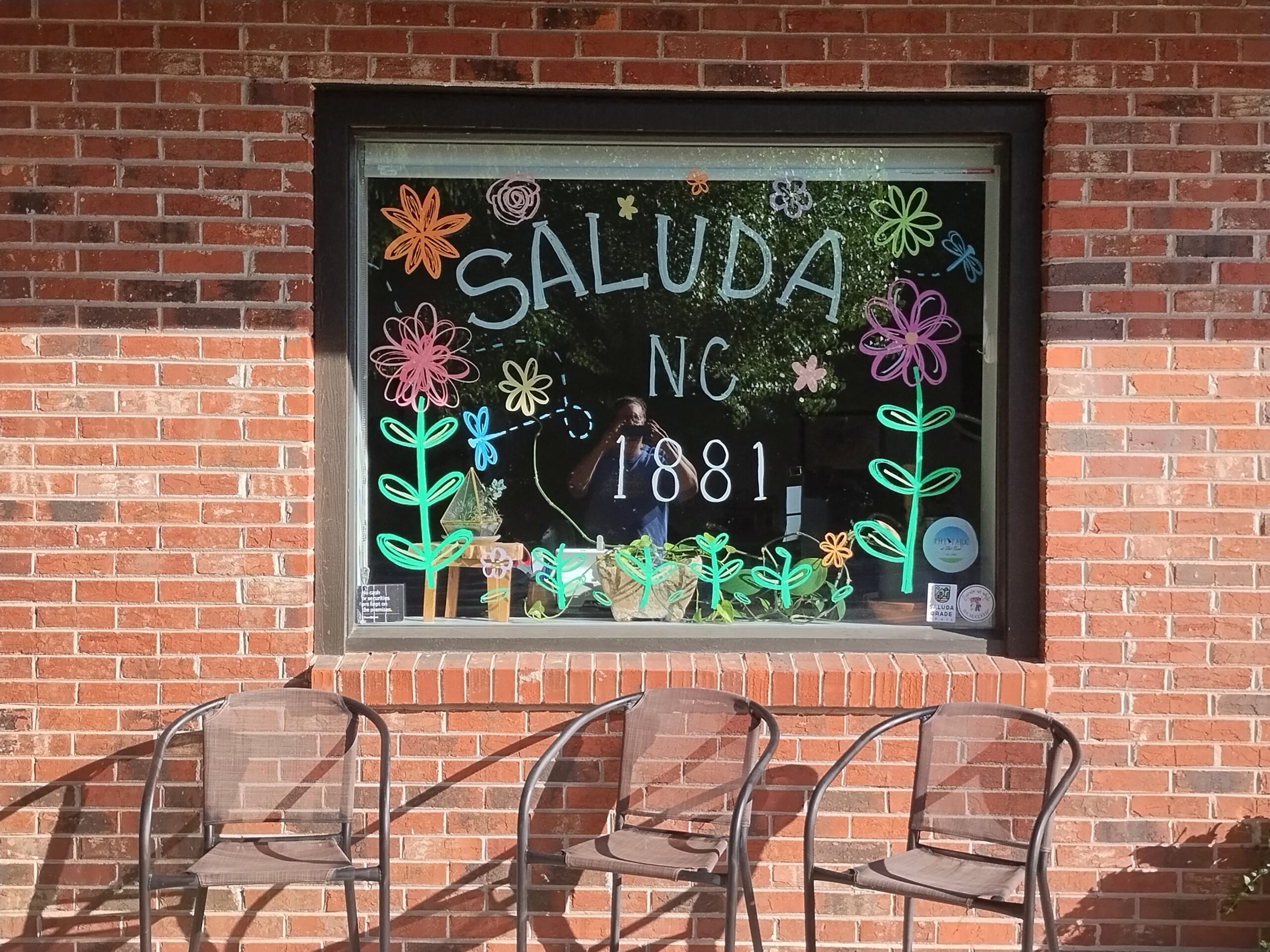
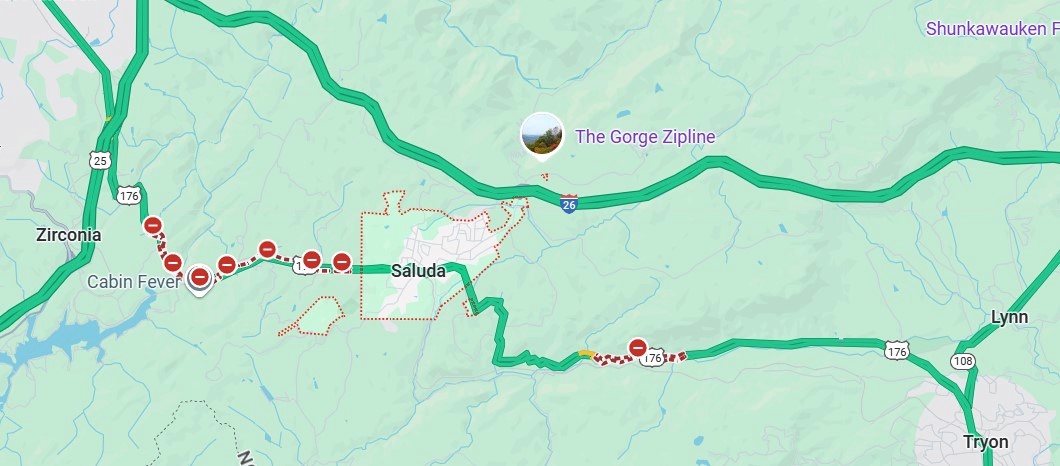
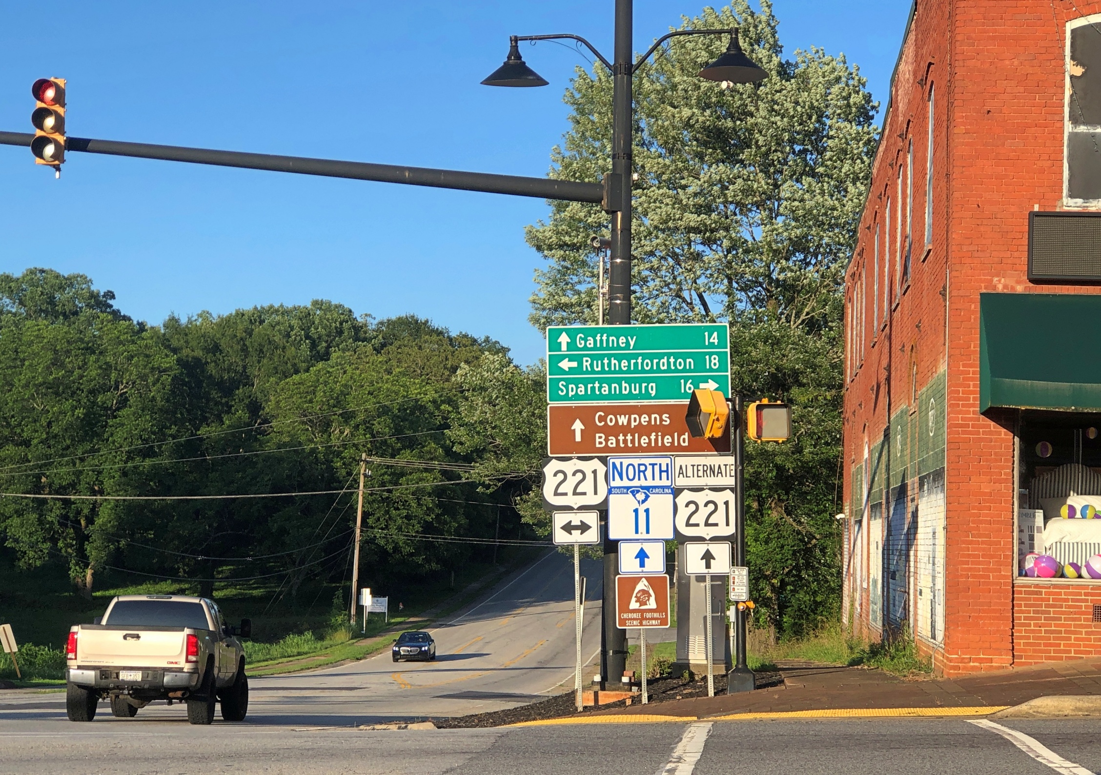
My goal for the afternoon had been to take I-40 from Knoxville to Asheville and then I-26 south to its junction with South Carolina 11, which is Cherokee Foothills Scenic Highway, and take that road east. I’d been advised that the town of Saluda, NC, on US 167, was a pleasant place to stop, and it was, though most of the shops were closed by the time I got there.

Saluda, NC

I had the idea that I would drive US 176 to the next town, Tryon, NC. Oops, no. Road closed. Maybe the hurricane did that as well.

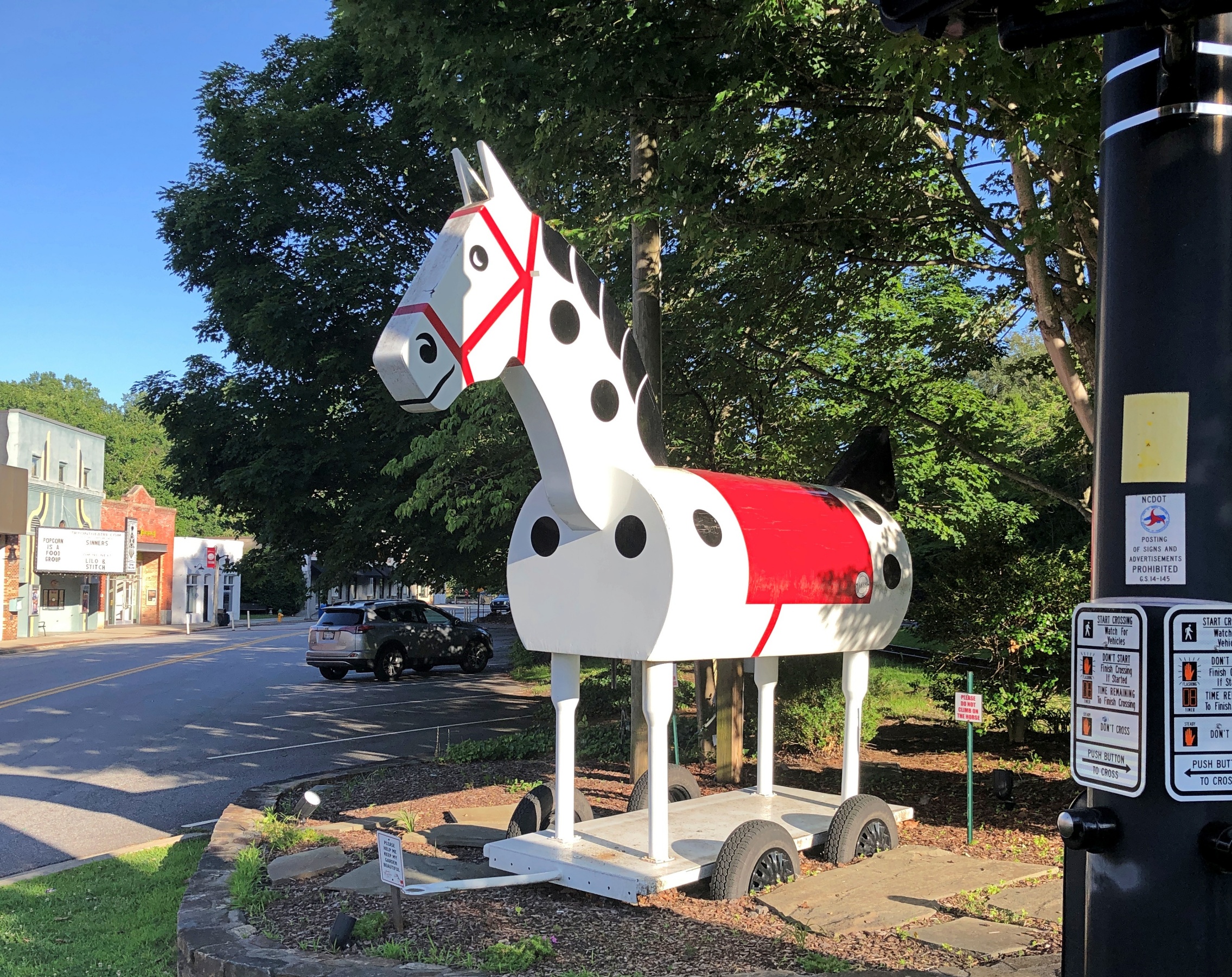
So I got back on I-26 and went to the Tryon exit. I didn’t have any idea what to expect in Tryon, certainly not the Tryon Horse, which is a large toy horse on wheels. It stands on US 176, known as South Trade St. at that point. This is the fifth iteration of the horse in nearly 100 years.

“[The first Tryon Horse] was originally designed as an advertisement for the first horse show held in Tryon at Harmon Field in 1928,” says the Tryon History Museum. “It came from a drawing done by Eleanor Vance, based on an idea from Romaine Stone, who was active in the Tryon Riding and Hunt Club, and from then seventeen-year-old master builder Meredith Lankford.

“The Tryon Horse was built in the basement of Miss Vance and Miss Yale’s house by Meredith Lankford and Odell Peeler and was assembled in the driveway… The Tryon Horse… was brought out for future horse shows and parades, and was stored in the Paper Box Factory located on Depot Street. Unfortunately, the first horse was destroyed when the factory burned in the 1930s.”

It was no accident that the talent was available locally in the 1920s to build such a thing. At the time, Tryon was noted for a company that made toys, especially high-end wooden toys.

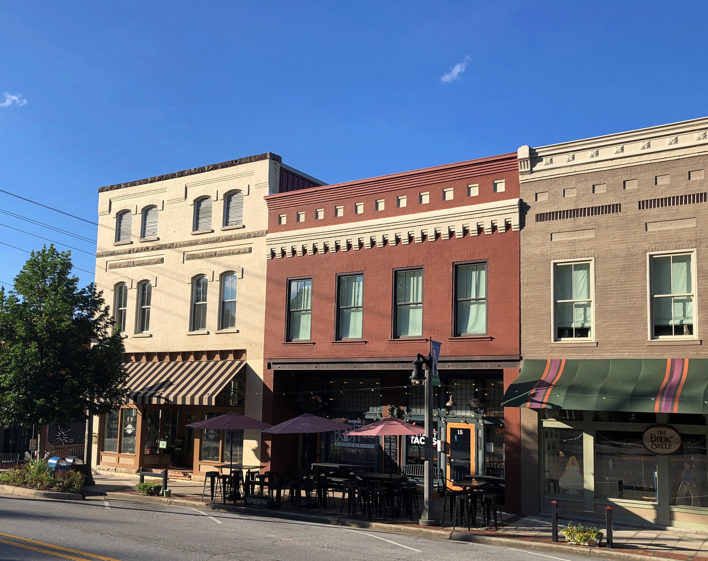
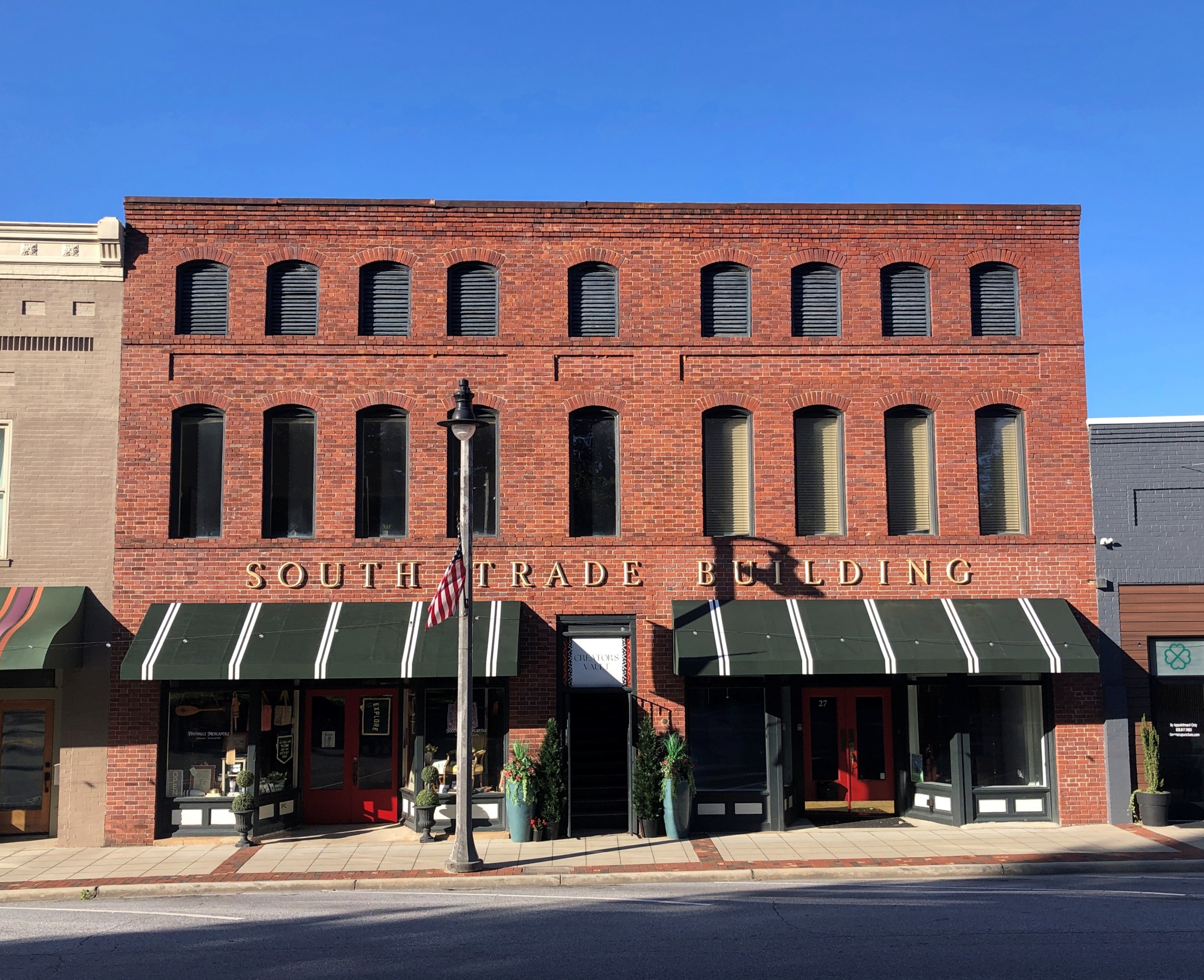
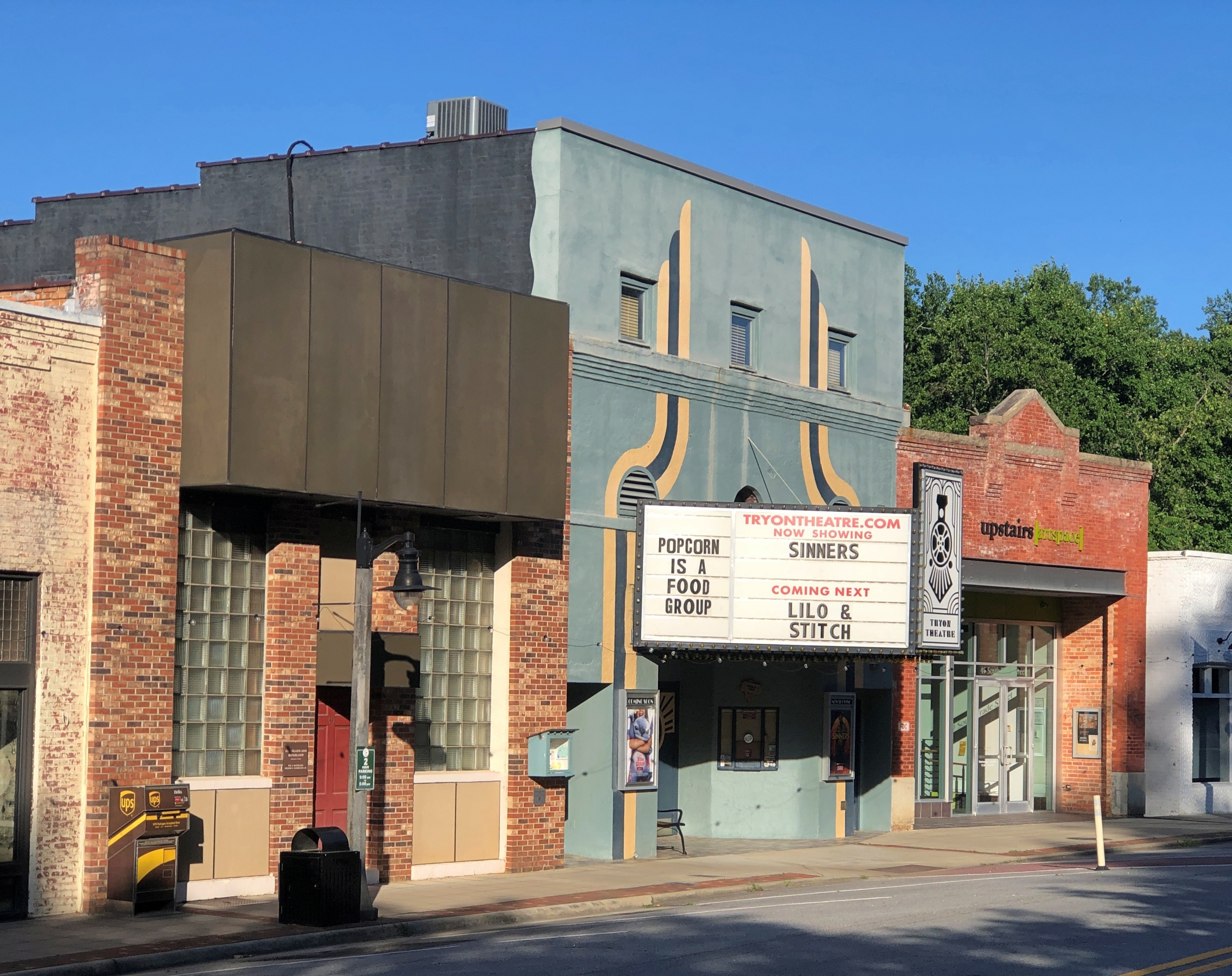
South Trade St. is a handsome thoroughfare, populated by older buildings developed to support trade.

Tryon NC
Tryon NC

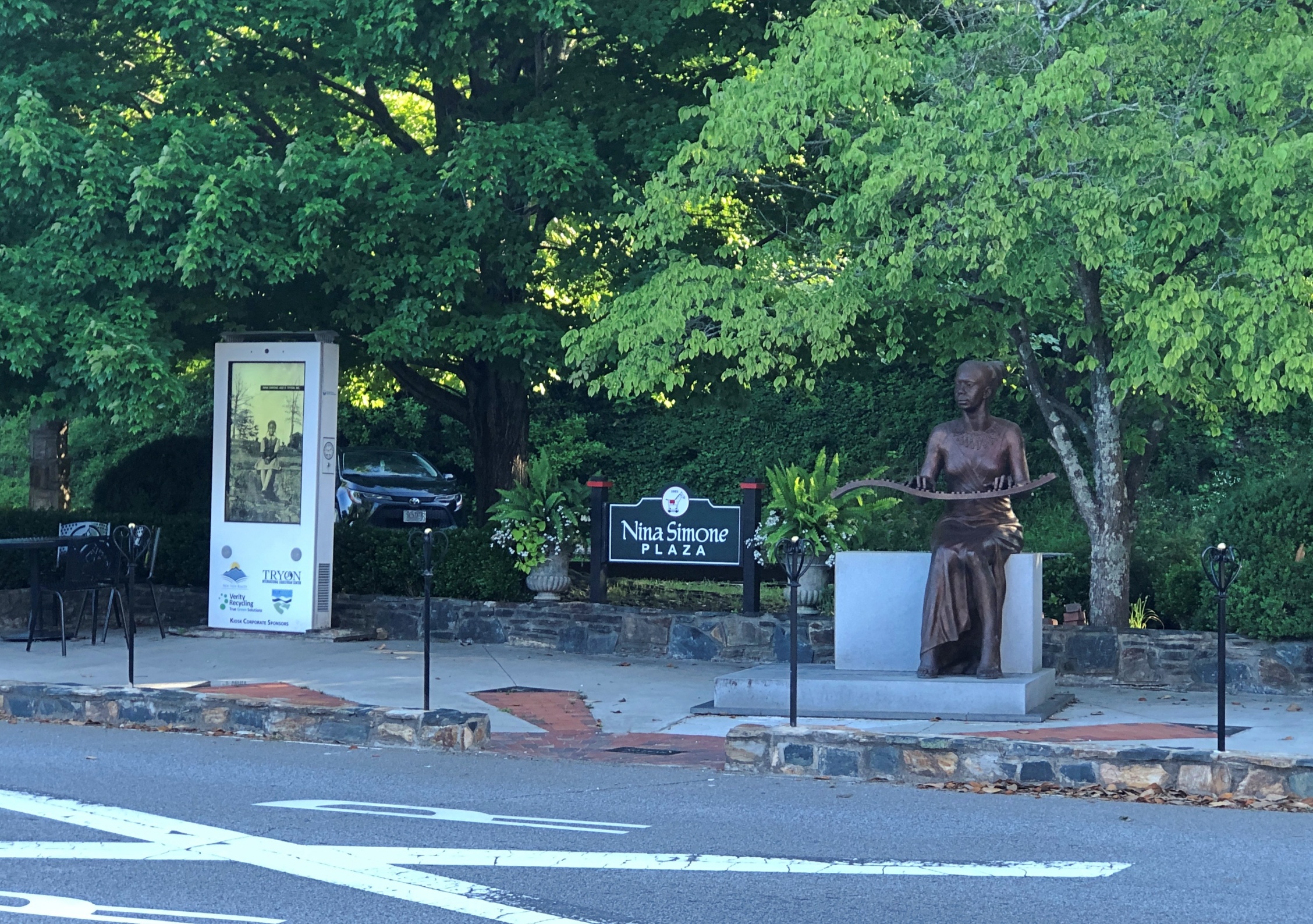
Something else I didn’t expect on the street: Nina Simone Plaza.

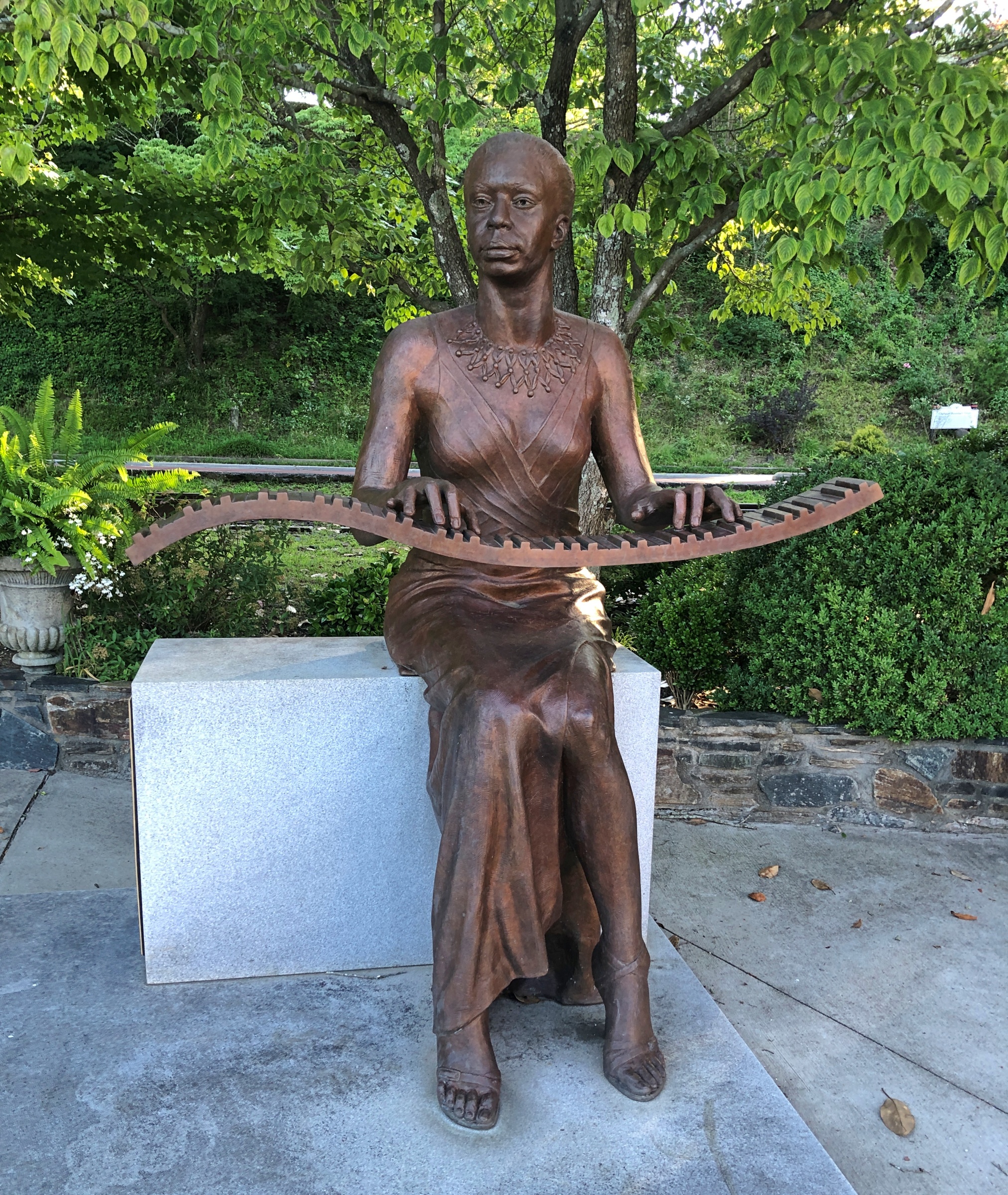
Complete with a bronze of the musician and activist, who grew up in Tryon, and who no doubt got out as soon as her talents allowed. She died in 2003; the statue was dedicated in 2017.

Nina Simon bronze, Tryon NC

A remarkable detail (so I’m remarking on it): “The sculptor, Zenos Frudakis, included a bronze heart containing Simone’s ashes welded to the interior of the figure’s chest,” says the University of North Carolina. For his part, Frudakis has had quite a career.

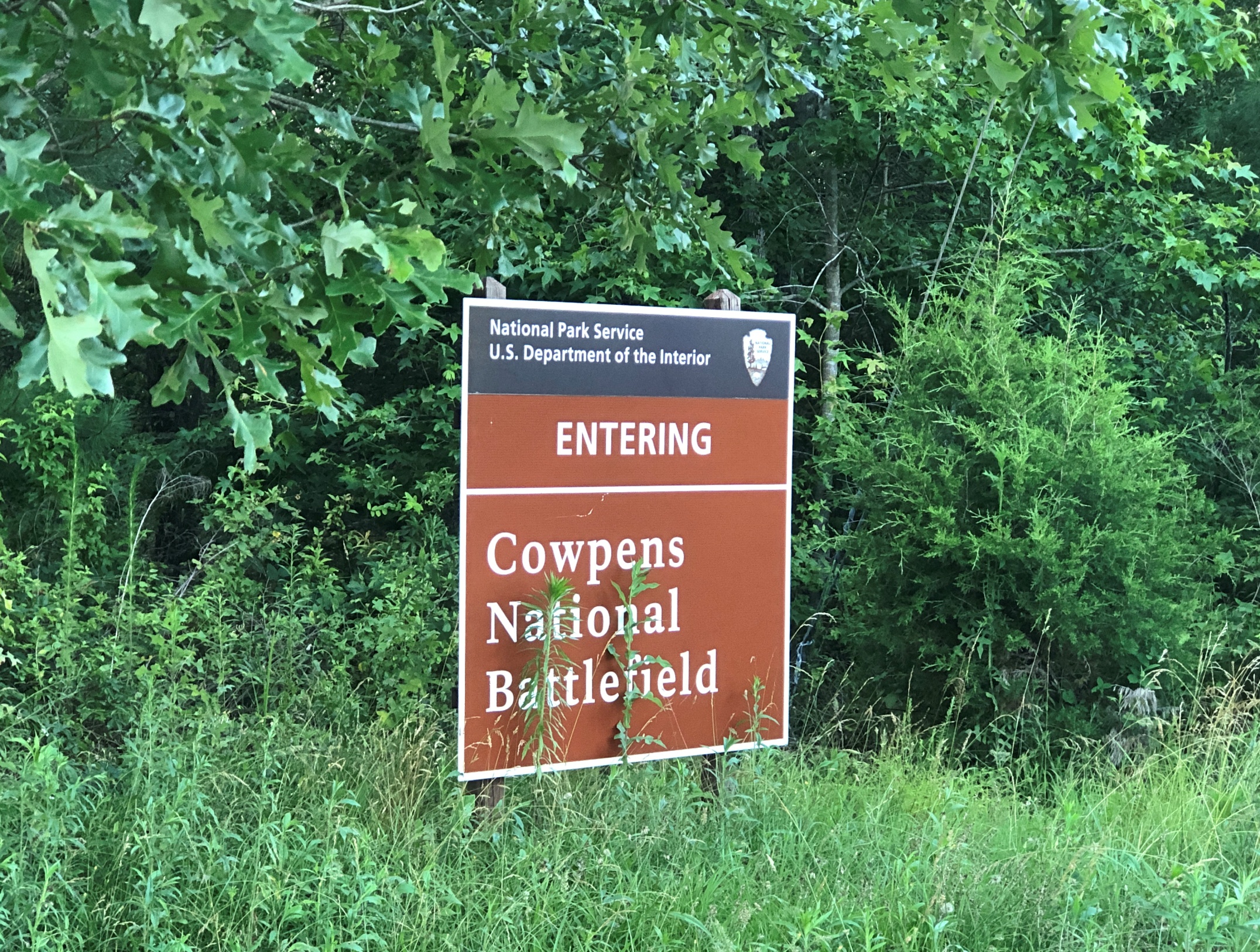
Later in the day, I eventually made it to South Carolina 11 at Campobello, SC, and drove east to its end for 50 miles or so to Gaffney, SC. I’d intended to visit Cowpens National Battlefield along the way.

No dice. The main entrance to Cowpens was closed by the time I arrived. I understand closing the visitors center at the end of the day, but the entire place? A mile or so east on SC 11 was an alternate entrance, so I stopped there.

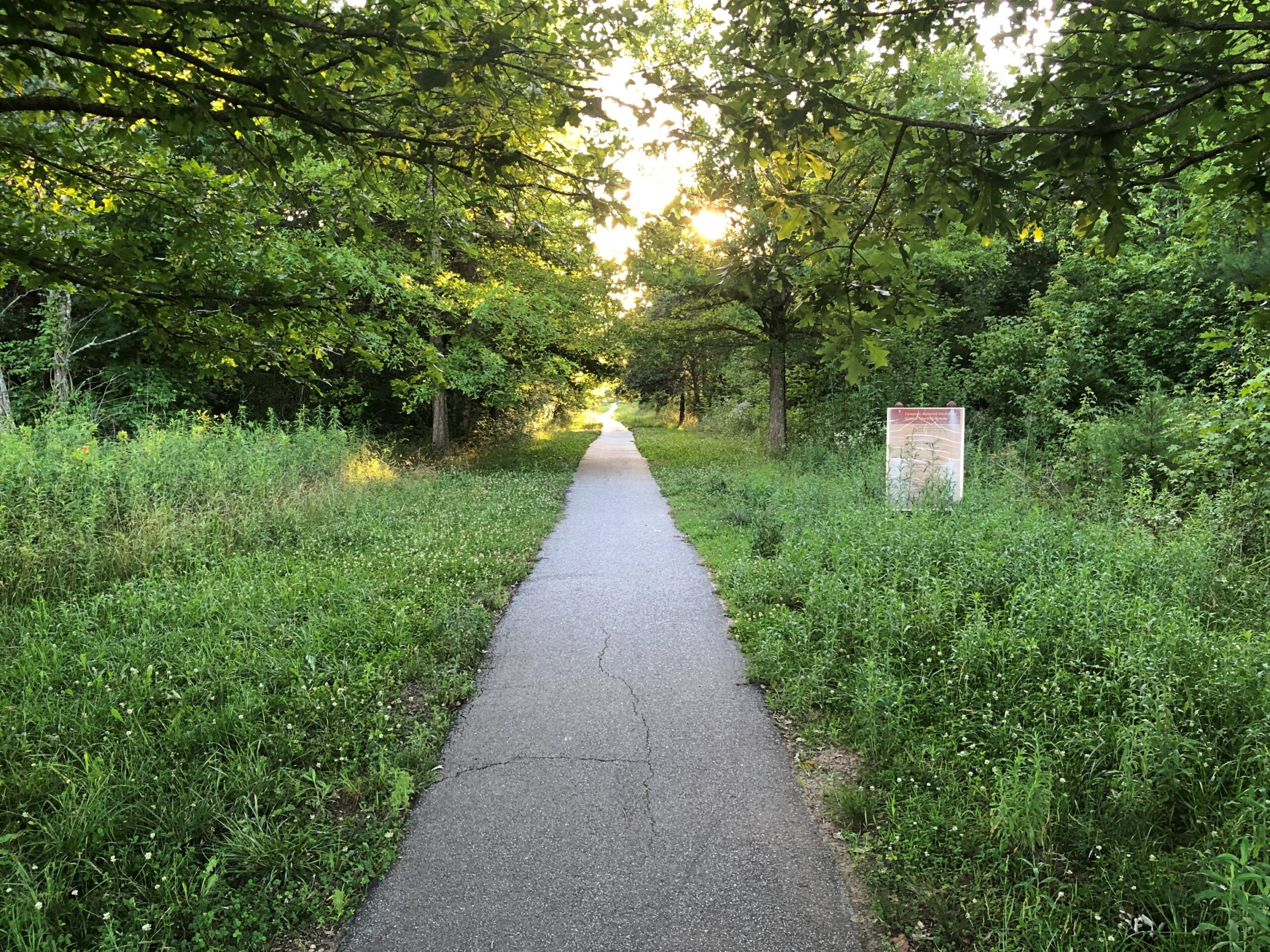
I walked down the path toward the battlefield, but thought better of it after about 10 minutes.

Cowpens National Battlefield

I wanted to get to Charlotte before the end of the day. Summer days are long, but not endless. Also, mosquitoes.

Other Sweet Drives, Part 2

It’s one thing to expect a scenic drive experience and then experience it. That can be outstanding, such as driving on the Going-to-the-Sun Road through Glacier NP. (Which has a remarkably poetic official name for a government project.)

Then there’s the class of excellent drives you were not expecting. Such as the Moki Dugway, to cite an example from a previous trip. Or the following road.

Washington 155

From the Grand Coulee Dam and the adjacent town of Grand Coulee southwest to the town of Coulee City, which isn’t near the dam, is about 30 miles on a highway known as Washington 155. I wasn’t expecting much.

Immediately you launch into arid, rocky country, and soon high cliffs appear, facing a long lake most of the way. The road runs between the cliffs and lake. Off to the right headed in our direction is the narrow Banks Lake, part of the massive Columbia Basin Project to create power and capture water for crop irrigation. Beyond the lake were some mountains, but in the distance.

Reading about it later, I discovered that the lake, while manmade, doesn’t dam any river, much less the Columbia. The lake submerges part the formerly dry Grand Coulee with water pumped in from Roosevelt Lake, the much larger body of water formed by the Grand Coulee Dam.

All that was nice enough to look at, but nothing like the towering black cliffs to the left of the road. Walls of black stone, crumbling in many places, devoid of much vegetation, inspiring to contemplate. Closer to the town of Grand Coulee, the road briefly cuts through two rock walls, one of them part of the impressive Steamboat Rock State Park. At least I’m pretty sure that’s what the road does. It’s a little fuzzy even about a week later, but a good kind of fuzzy.

Mostly I have images of a highway in the shadow of dark cliffs, but all brightly lighted by the late summer sun, and the (apparently) moving forms of the rocks themselves. No two sections of the cliff were quite alike.

This series of images, though going the opposite direction as we did, conveys a bit of the scenery.

US 20 East of Boise

If you’re going to cross Idaho from Boise across the Snake River Plain, at least by car, you can take I-84, which generally follows the river and passes through the most populated sector of the state, with Boise, Mountain Home, Twin Falls, Pocatello, Blackfoot and Idaho Falls as beads on that particular string.

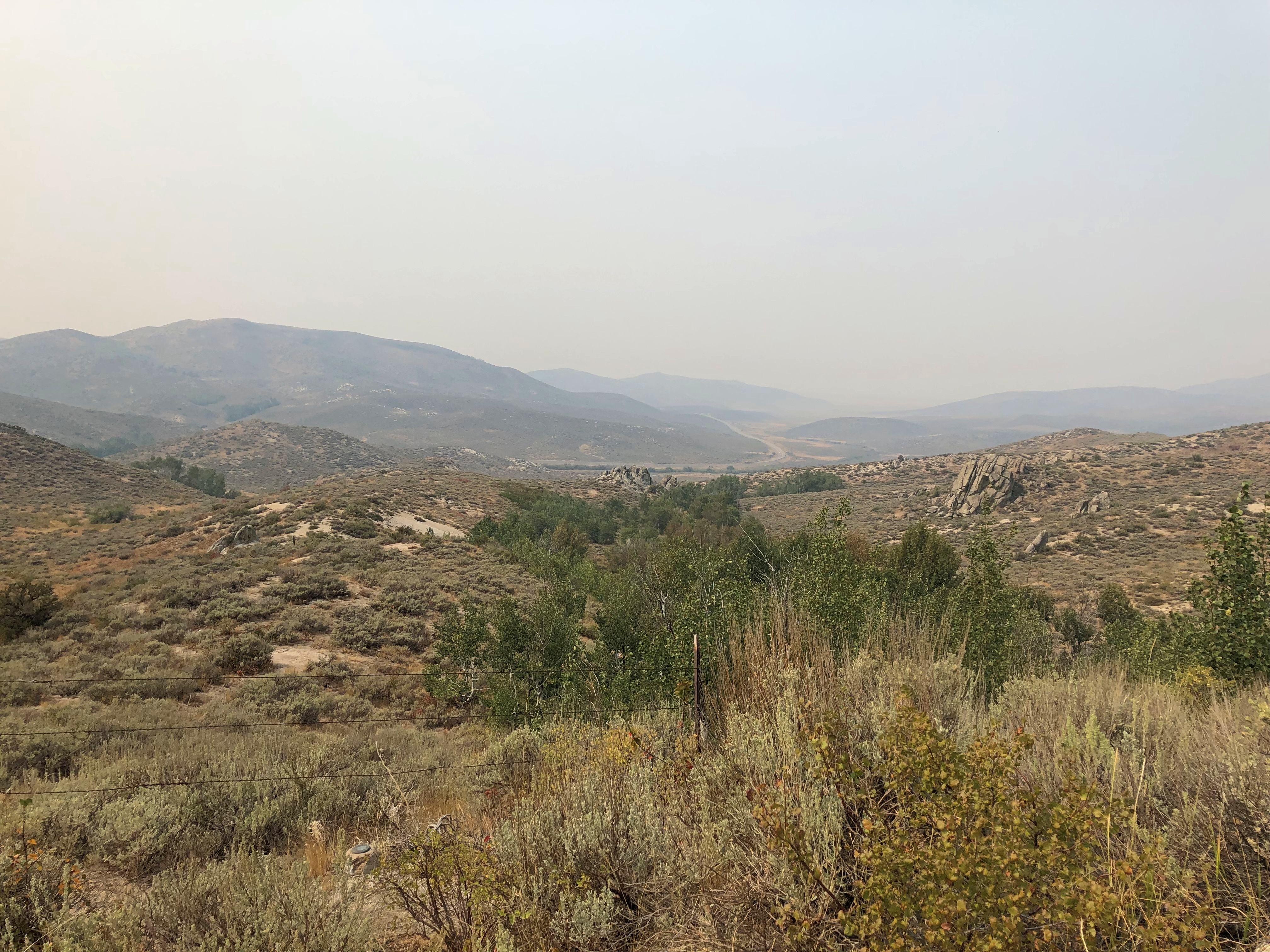
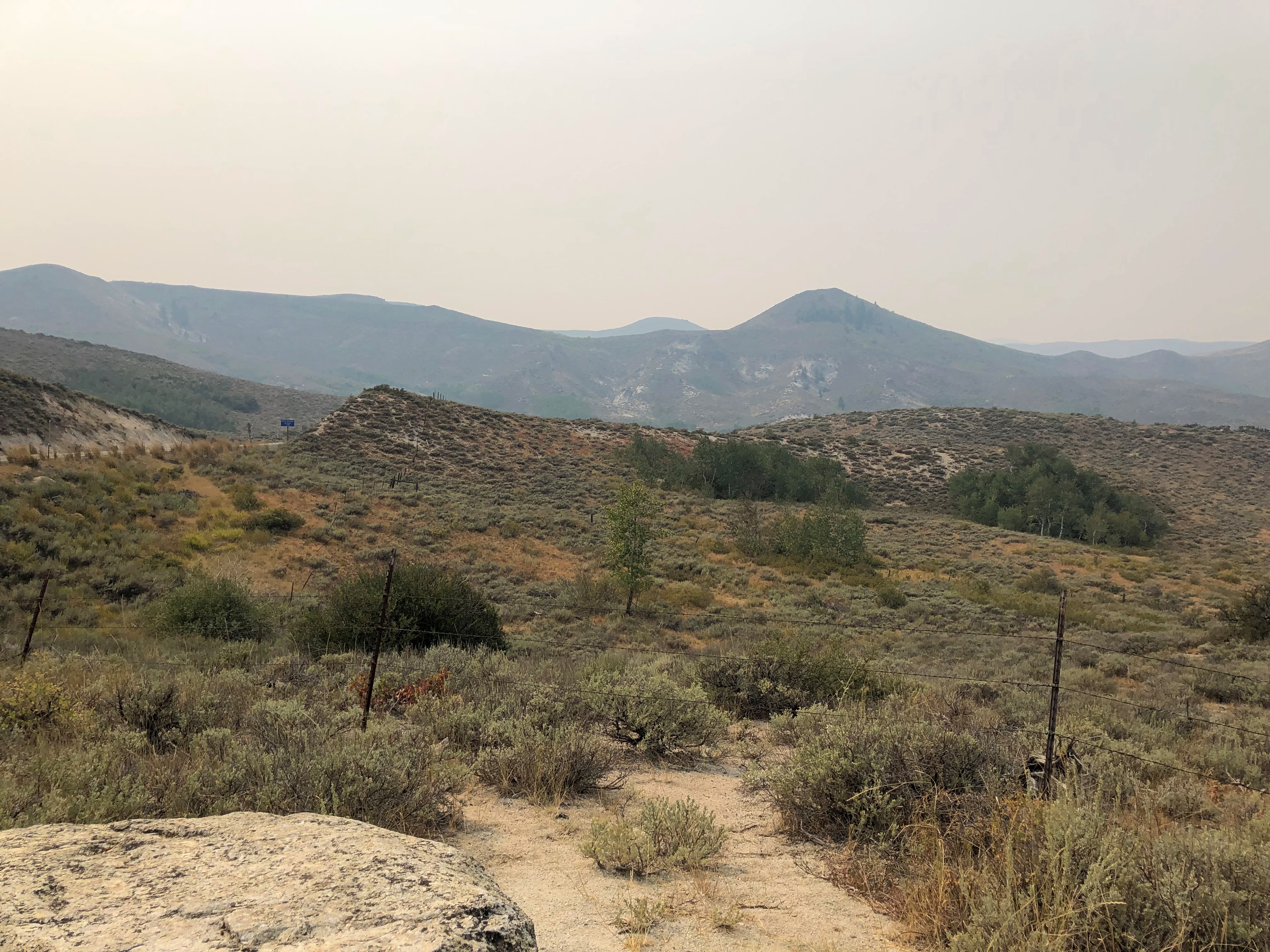
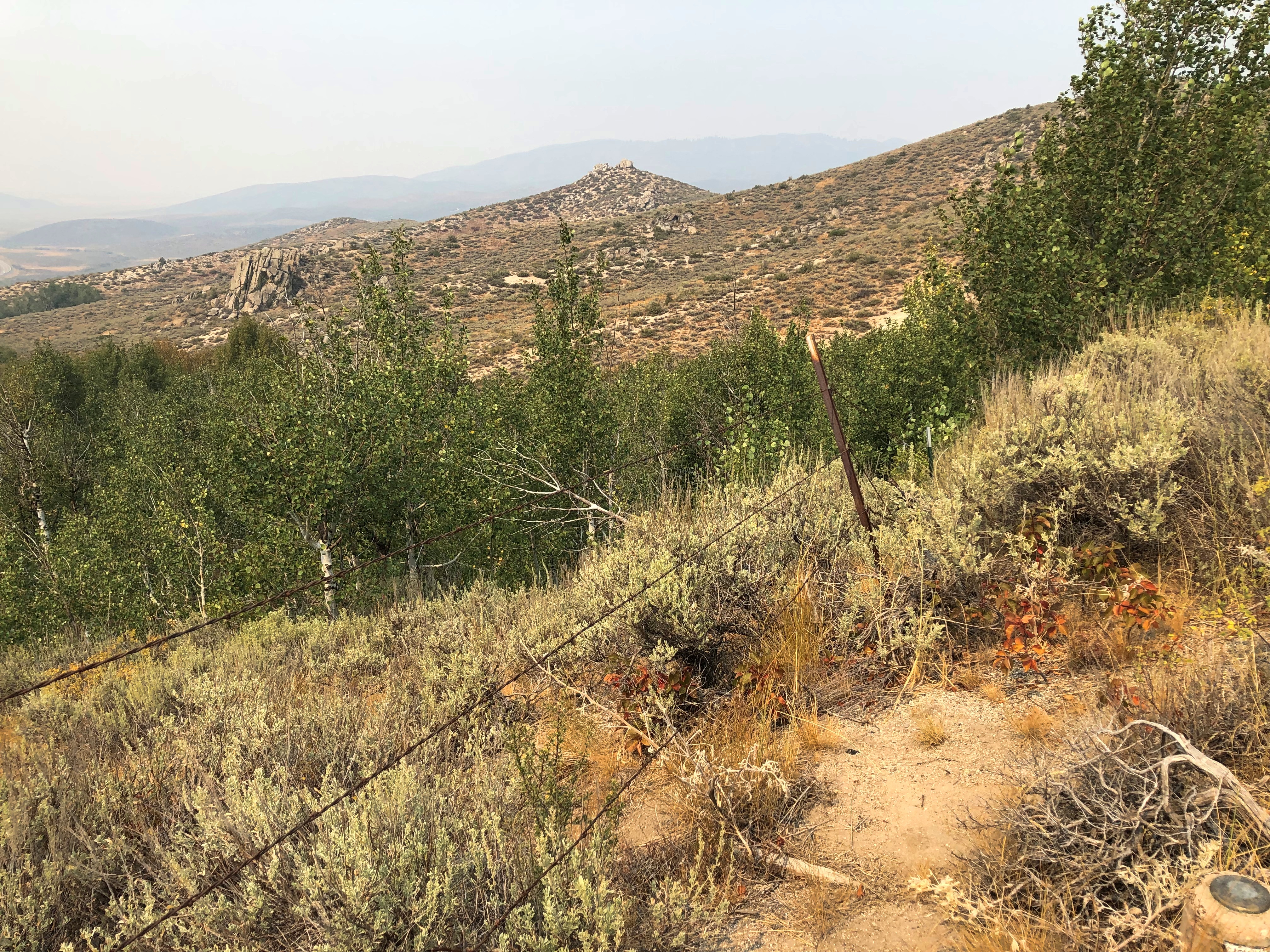
Or you can take I-84 to Mountain Home, and then head east on US 20 across to Idaho Falls. That’s what we did. Good old US 20, a road to Boston in that direction, if you want to go that far. In Idaho, it’s a road through dry, hilly, sparsely populated territory.

This summer, with the haze of a not-too-distant wildfire.US 20 east of Mountain Home US 20 east of Mountain Home US 20 east of Mountain Home

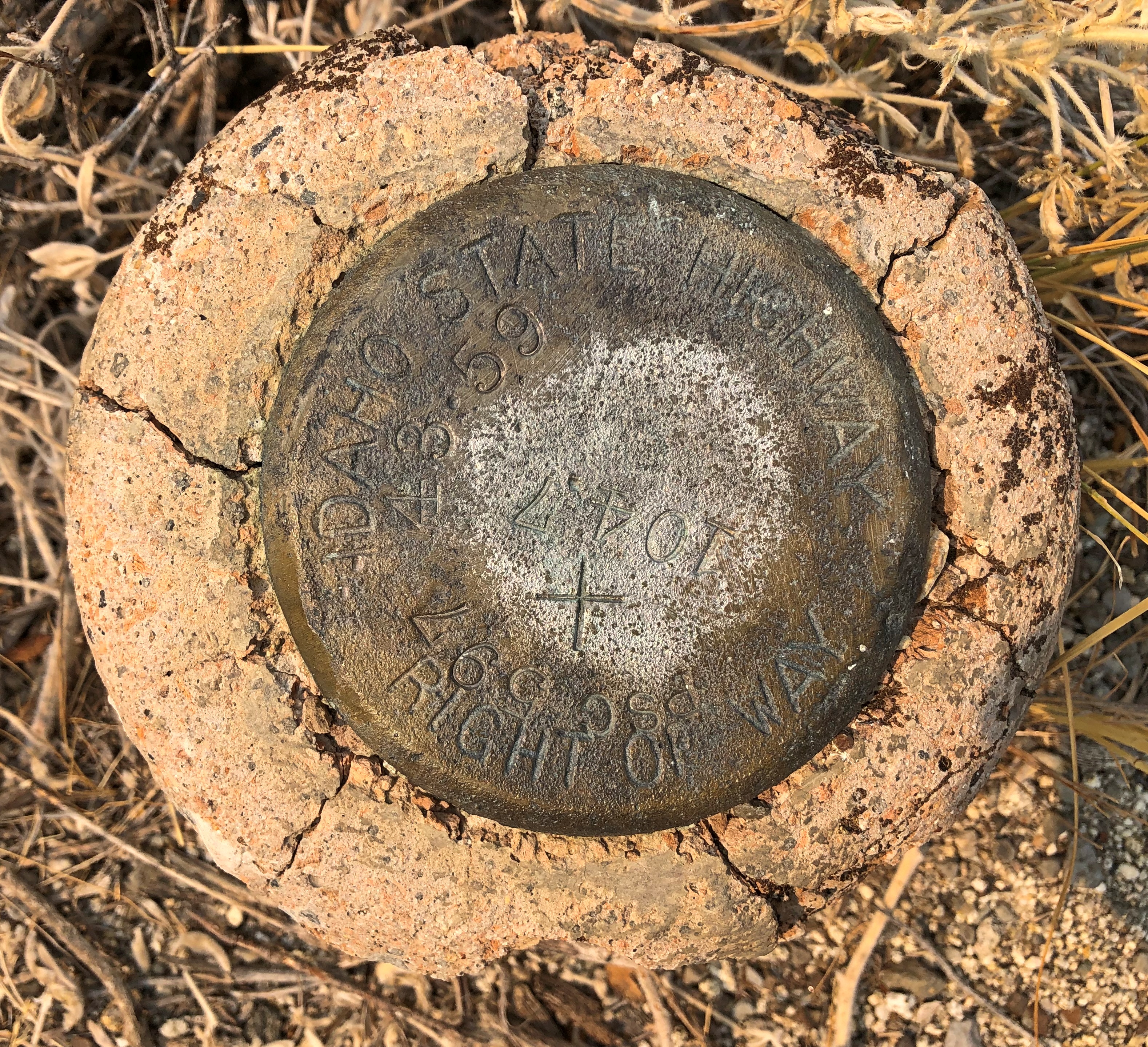
An Idaho State Highway survey marker of considerable age. No doubt built to last. ID Highway Survey Marker

The route was, I suspect, a state highway originally, only later (in the 1940s) becoming part of the US system. Or maybe even US routes had to bear these markers, at least in Idaho. The answer is in some paper files in storage somewhere.

US 20 in Idaho also connects with the entrance, and only paved driving, in Craters of the Moon National Monument. East from there, the road goes through flatter country, including a few small towns, such as Arco (pop. 879), which has the distinction of being the first town to be lighted using atomic power, in 1955, by the nearby National Reactor Testing Station, now the Idaho National Laboratory. Also, the Butte County HS senior class paints its graduation year on the side of a high hill near the town. Since the 1920s, so that’s a lot of numbers. They were so distracting I pulled over for a moment to look at them,

Teton Pass Highway

Back in June, a section a winding mountain road, Wyoming 22, collapsed. The road’s eastern terminus is in Jackson, Wyoming, tourist hub and wealth magnet. The western terminus is at the border with Idaho, where the road becomes Idaho 33, which takes you to Victor, Idaho, just a few miles west of the border. For simplicity, I’ll call both sections the Teton Pass Highway.

I read about the collapse at the time, since I knew we might go that way, and promptly forgot about it when we set off and, more importantly, when we booked a place to stay in Victor, for the same reason anyone stays (or lives) in Victor: the avoid the high costs of Jackson. I’m glad to say WYDOT had the stretch open by the time we first drove there, on September 4, though it was a slow spot, with a lot of construction equipment still active on and near the road.

The Teton Pass Highway is an exercise in climbing a steep grade (signs say 10%) and then rolling down another one. You and your machine, that is. Our engine growled fairly hard, but nothing sounding like it was being overtaxed. There are some winding stretches on the highway, but they aren’t that numerous. Traffic is fairly thick. So on the whole, it isn’t the best of scenic drives.

But if you stop at the pass itself, elevation 8,431 feet, you get your first glimpse of the Grand Tetons. First ever for us.Teton Pass Sept 2024

Honorable Mention: I-84 in Eastern Oregon

After paralleling the Columbia River, eastbound I-84 dips sharply to the southeast, taking a route between the Blue Mountains and the Wallowa Mountains in parts of Wallowa-Whitman National Forest. Not that I knew those names when we were barreling down that mostly empty, very black blacktop. But I could see them along the way. The mountains, that is: some of the yellowest mountains I’ve ever seen, with some brown blended in, but also a healthy dose of gold.

Back to the AGSL

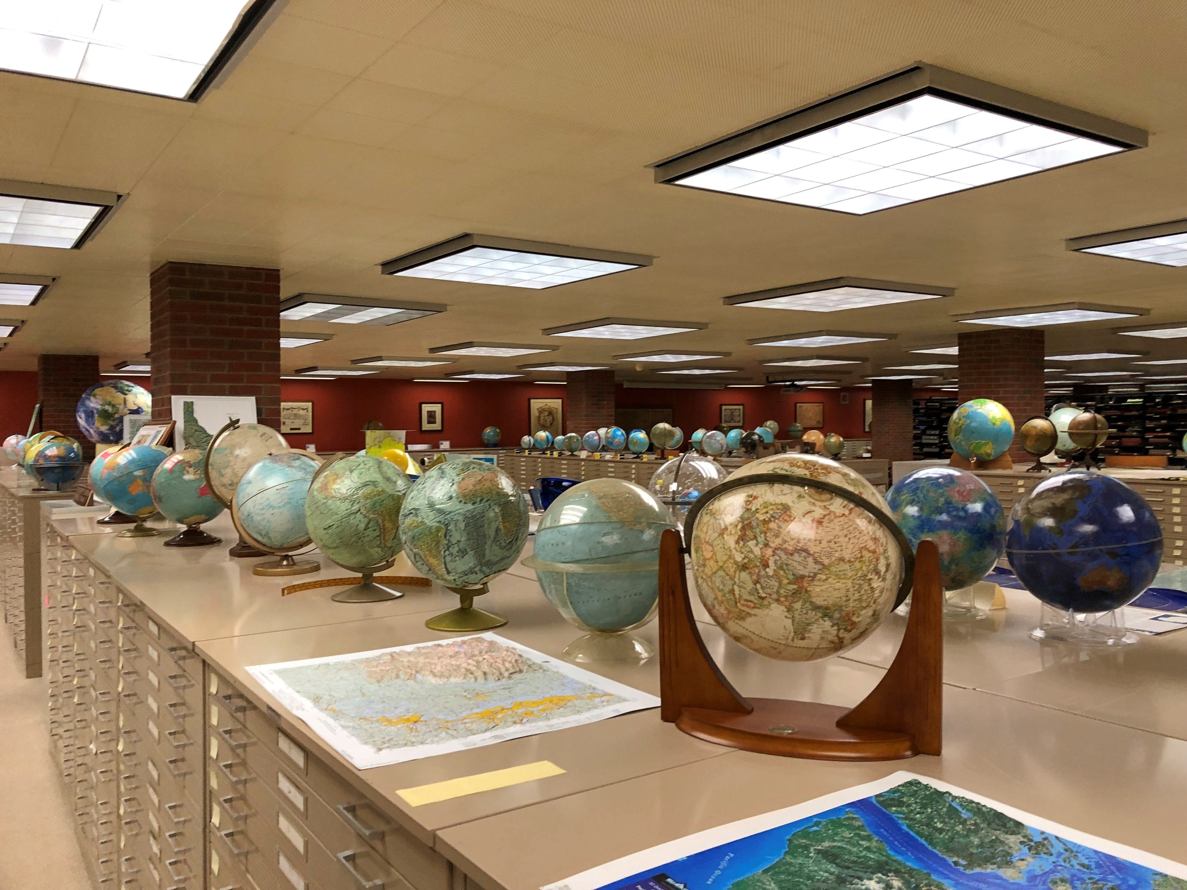
The Plymouth Church wasn’t actually the last place I visited for Doors Open, it was the last place I planned to visit. But the event still had an hour to run when I walked out of that church on Saturday, so I checked the map and discovered I was within walking distance of the American Geographic Society Library on the UW-Milwaukee campus, which is usually open only Monday to Friday.

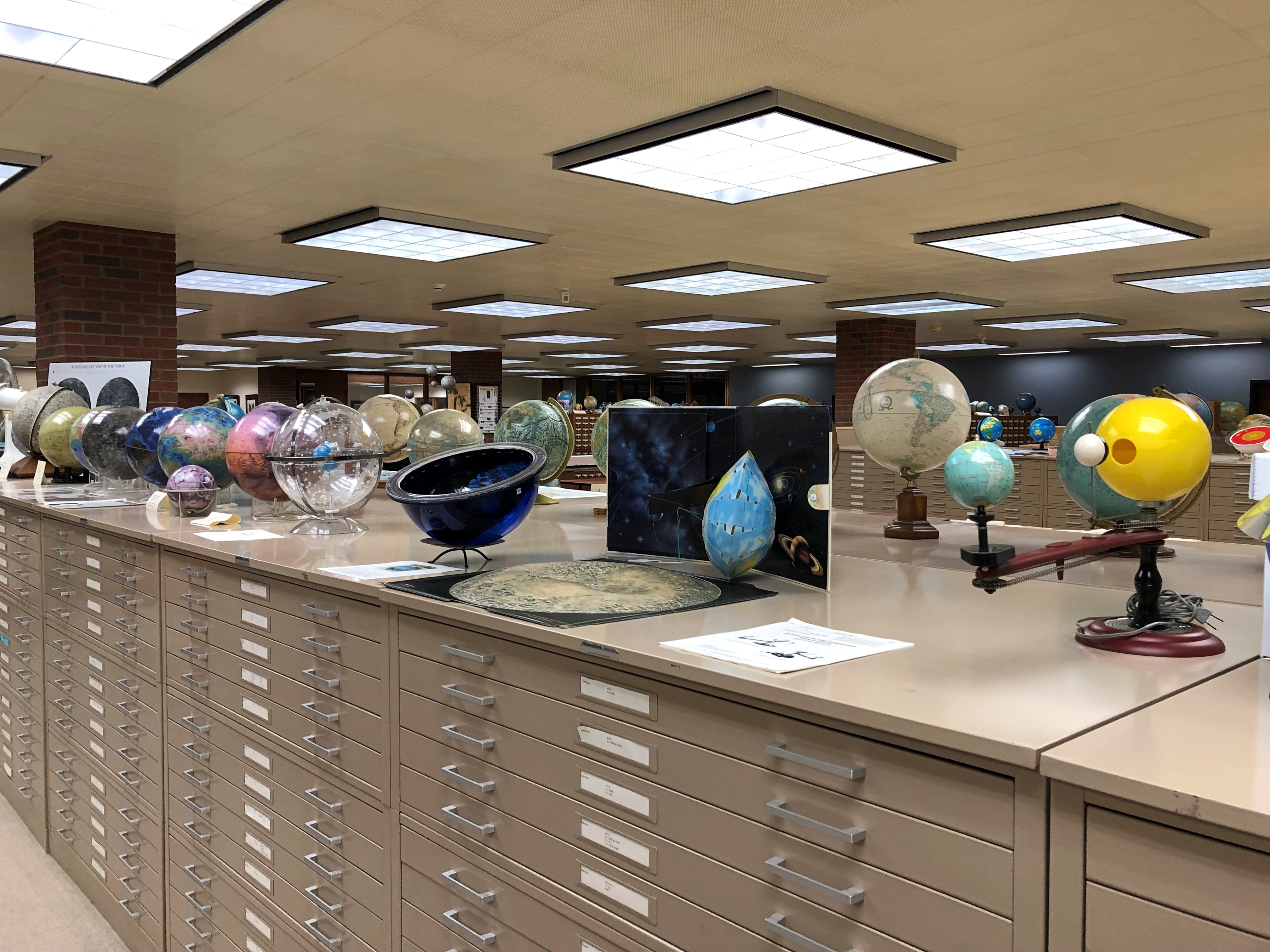
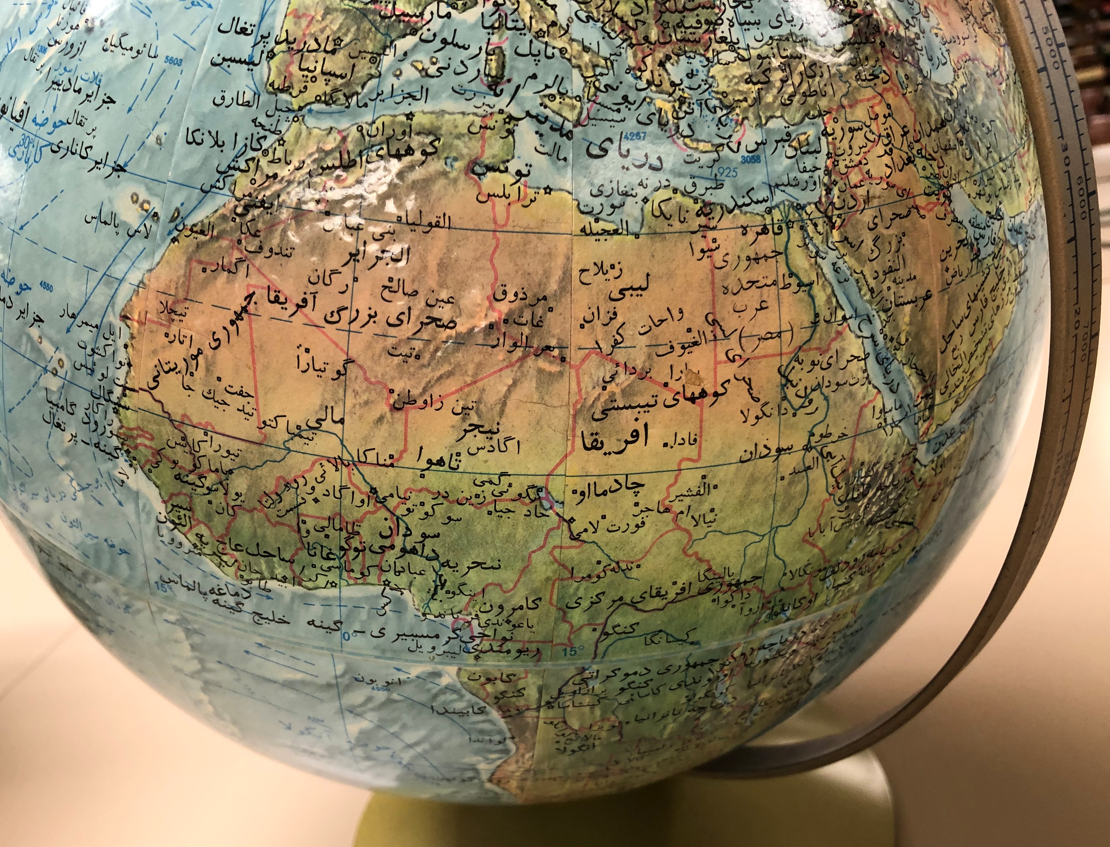
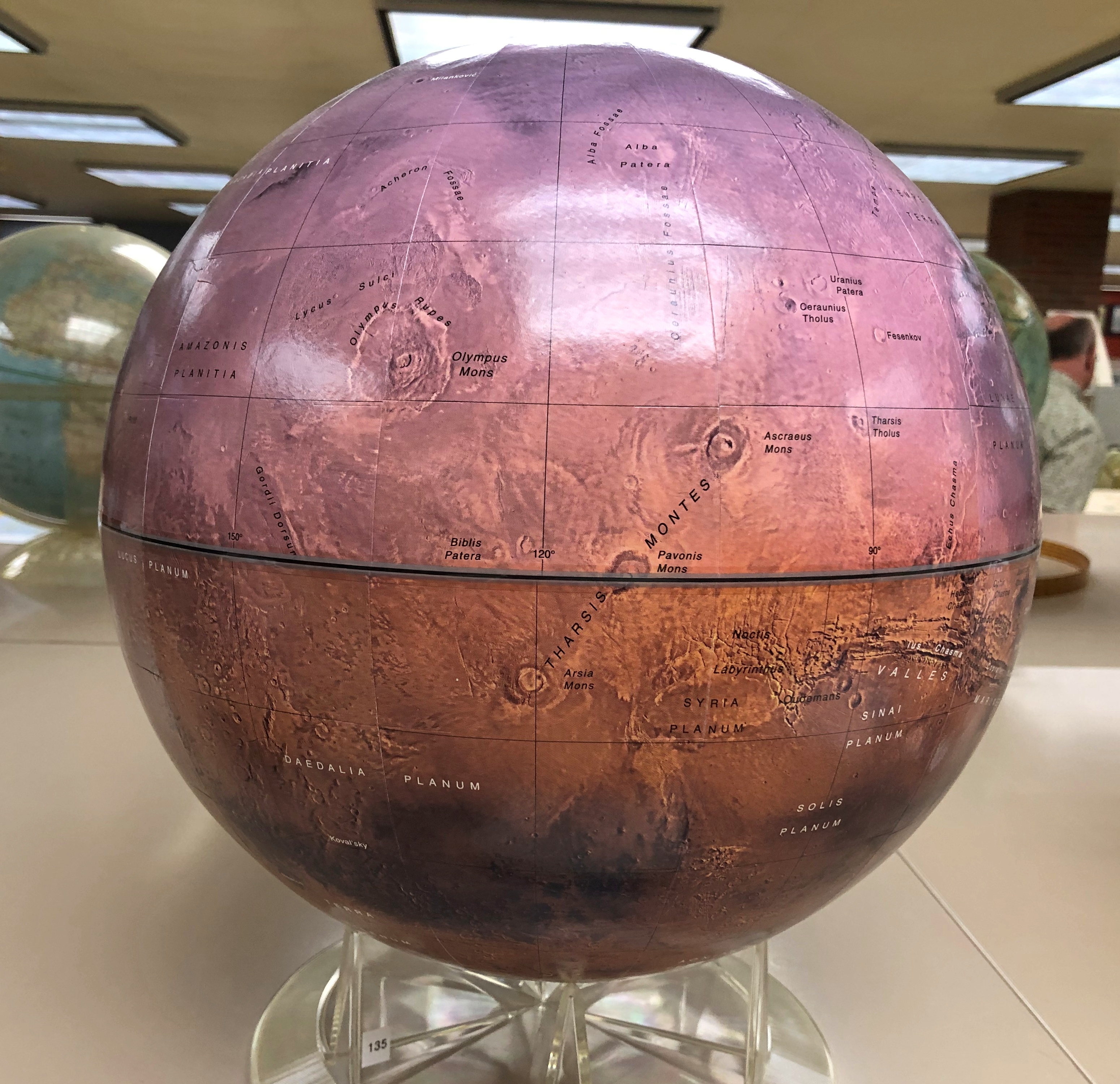
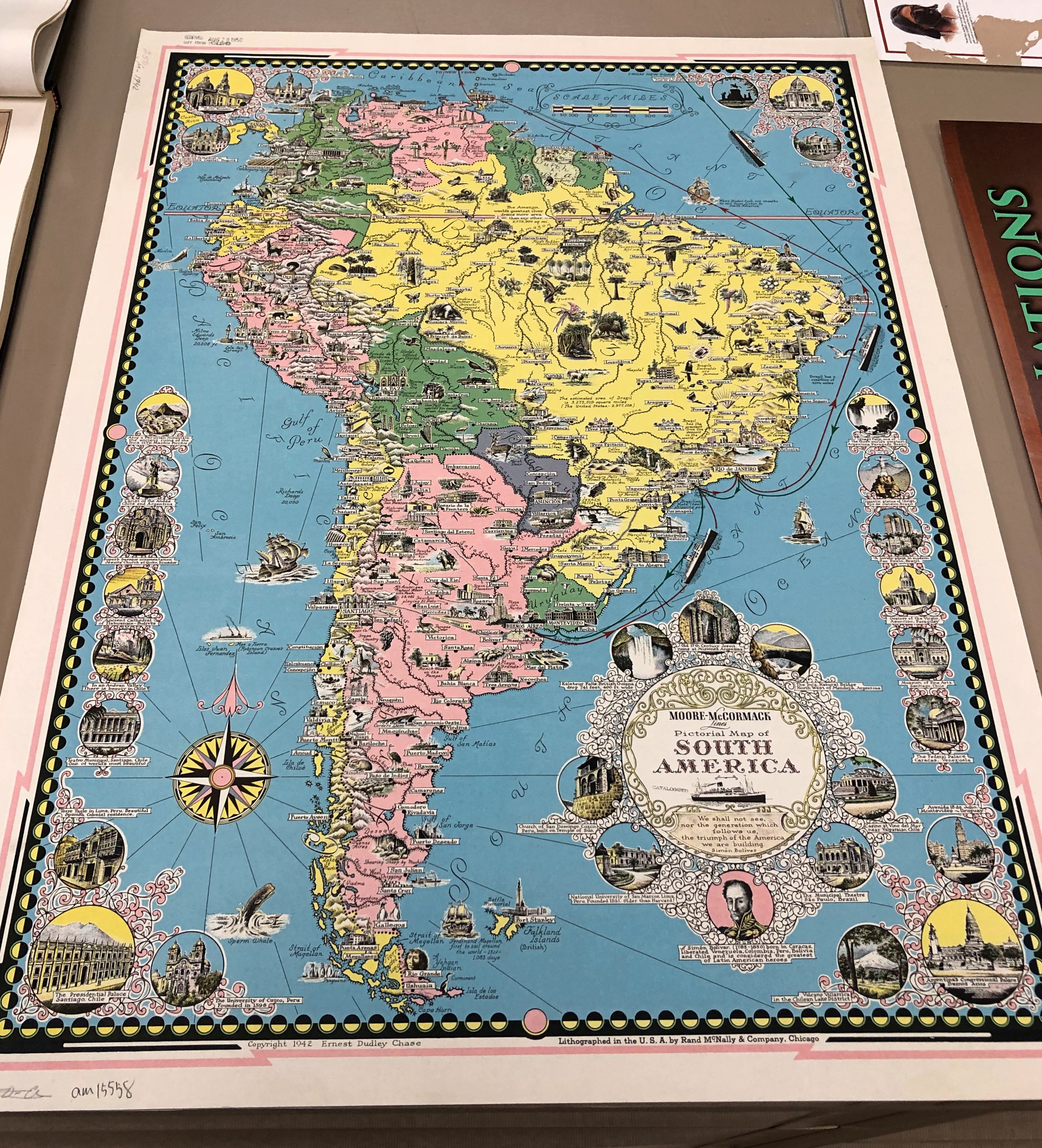
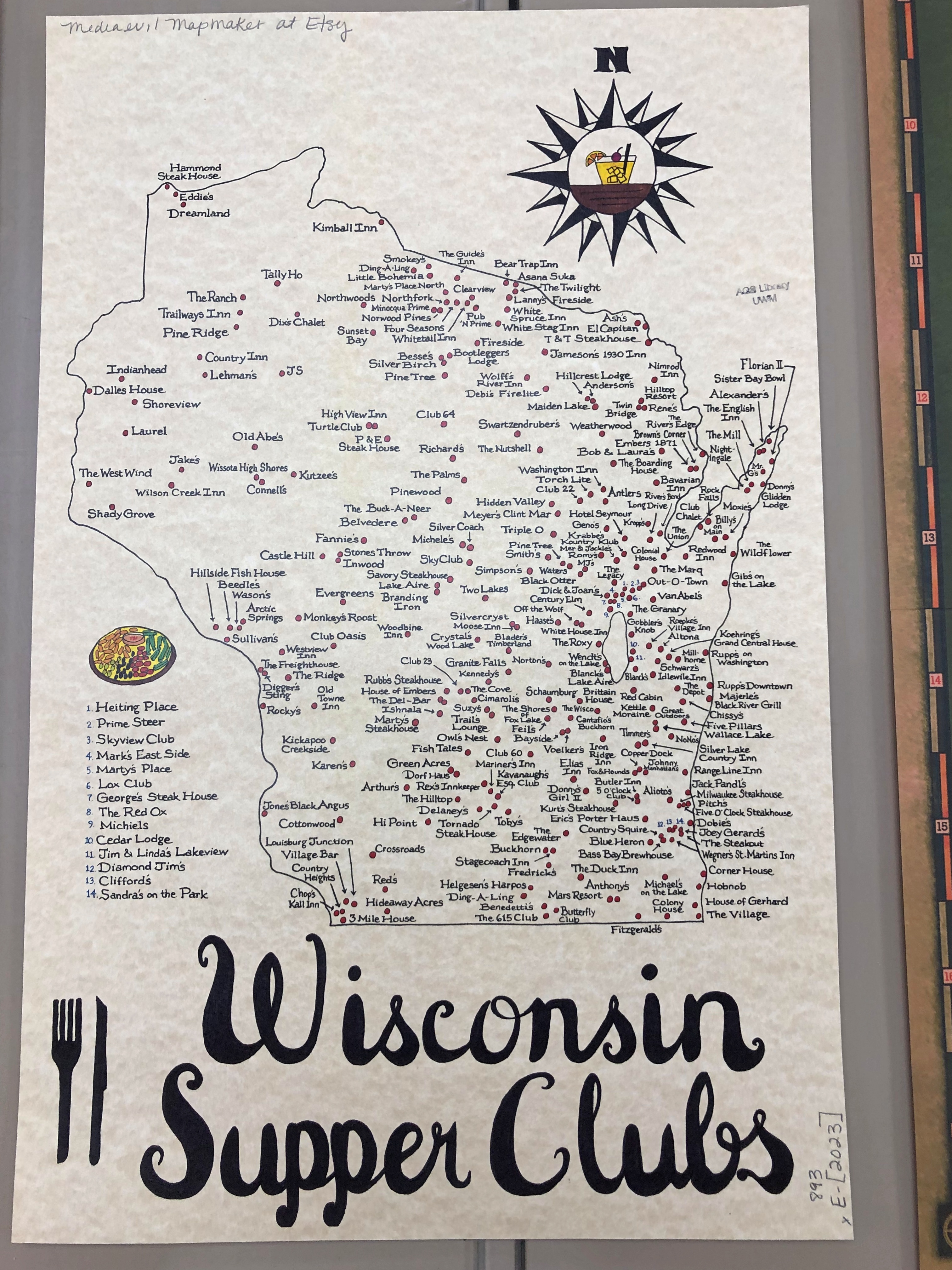
Home to 2 million or so items: maps, atlases, photographs, monographs, serials, digital geospatial data and of course globes. Many, many globes.American Geographical Society Library American Geographical Society Library

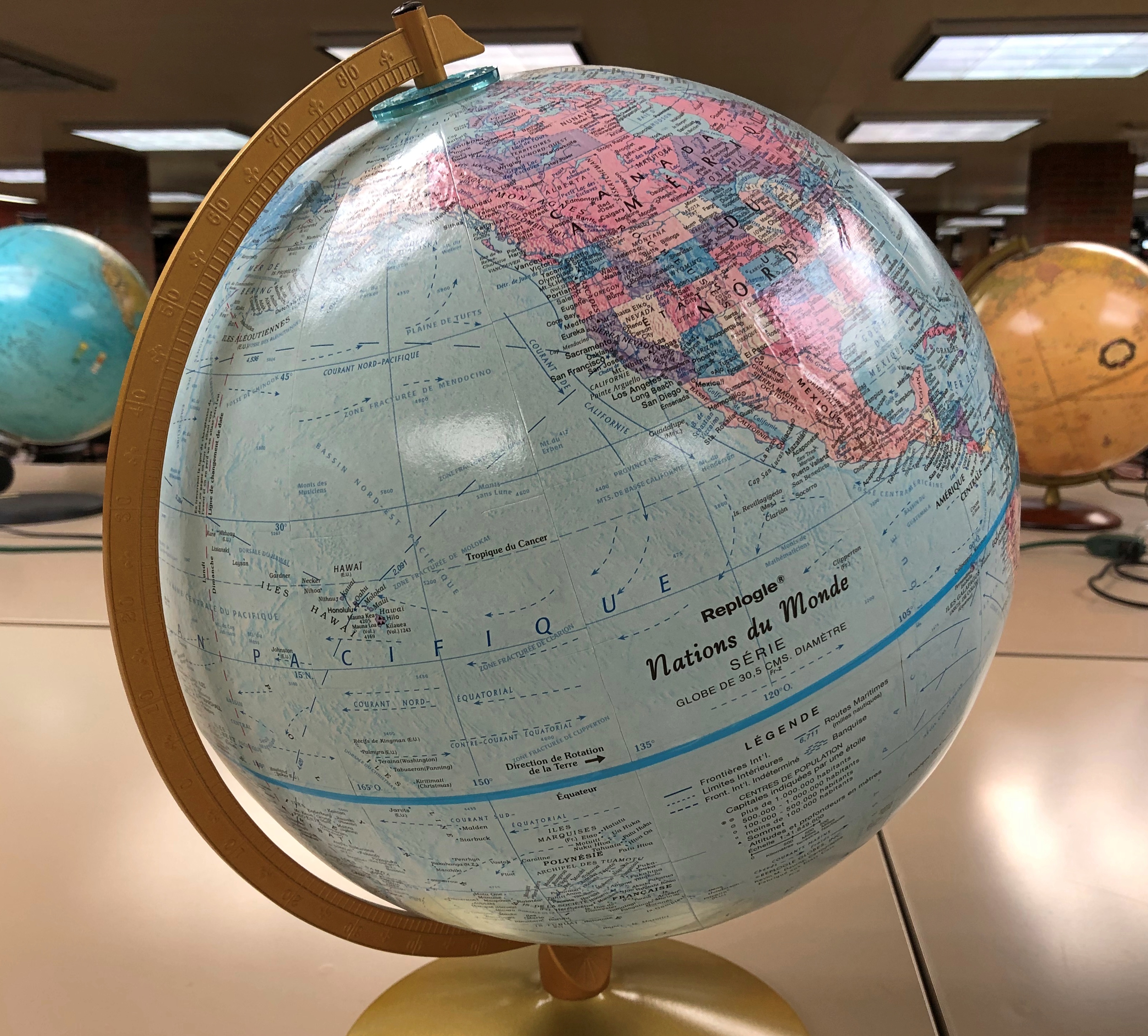
A divers collection.American Geographical Society Library American Geographical Society Library American Geographical Society Library

Maps on display.American Geographical Society Library American Geographical Society Library American Geographical Society Library

This wasn’t my first visit, though it had been about five years, and I hope not my last. Maps are useful, but also their own reward.

American Standard, Lexington, Illinois

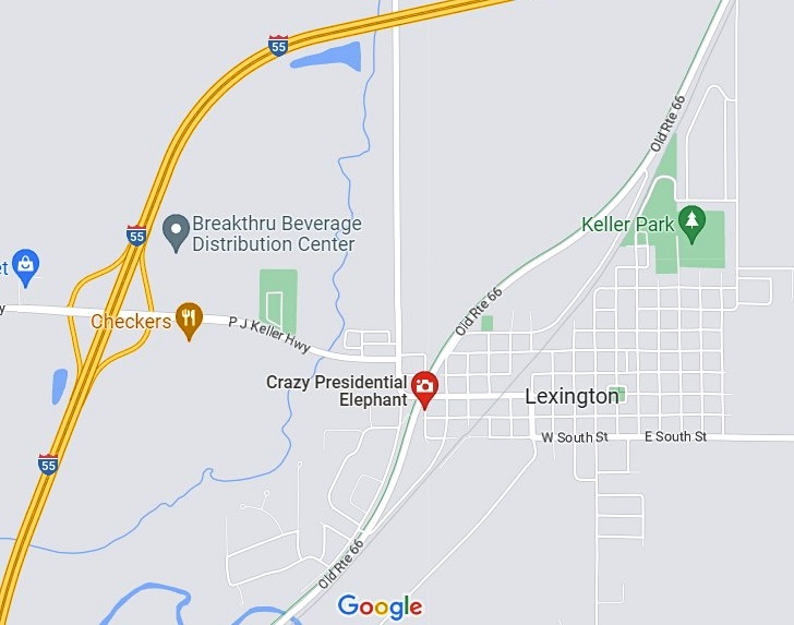
As points of interest go on a map, I’d say this one’s pretty intriguing. 

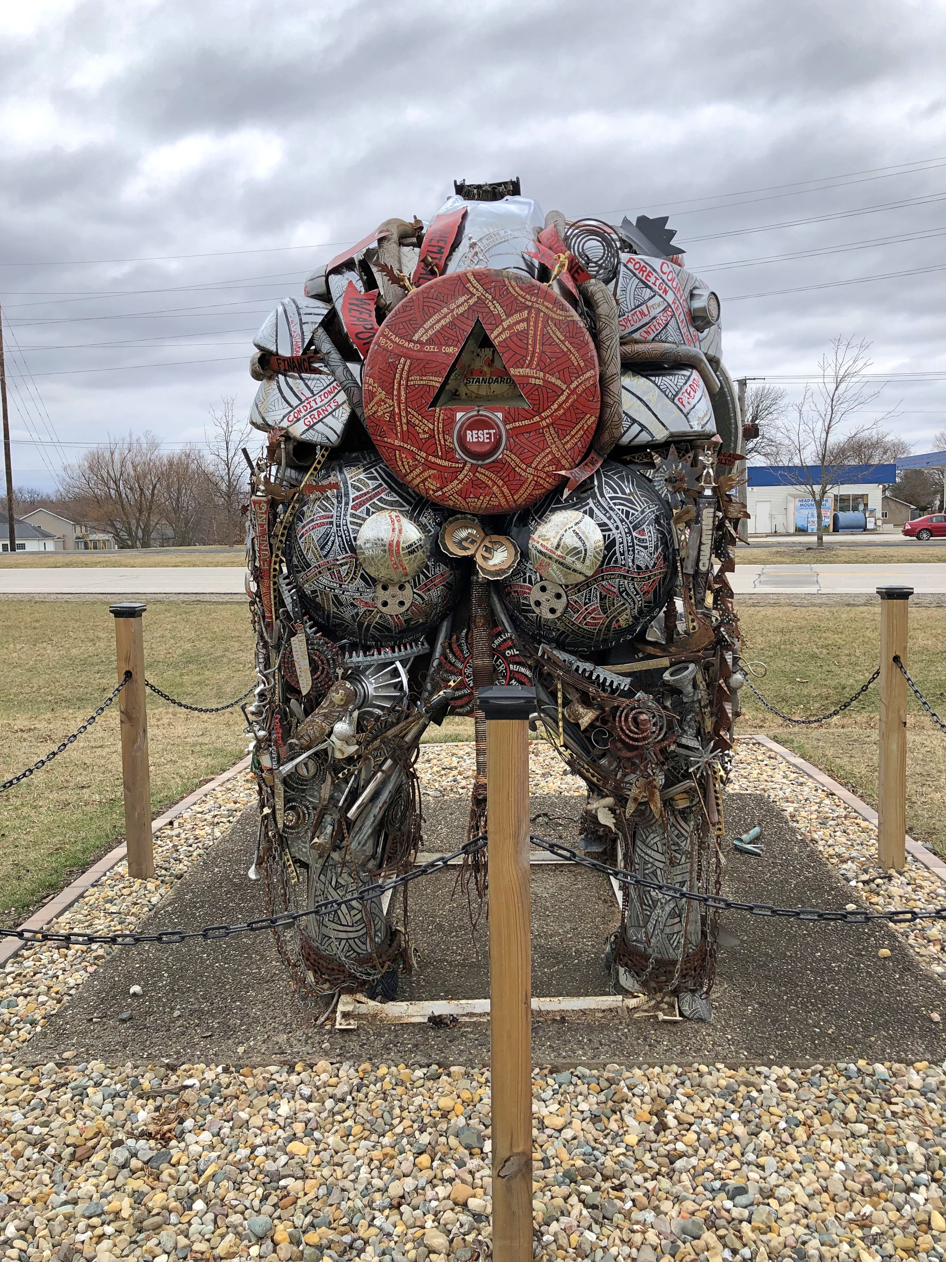
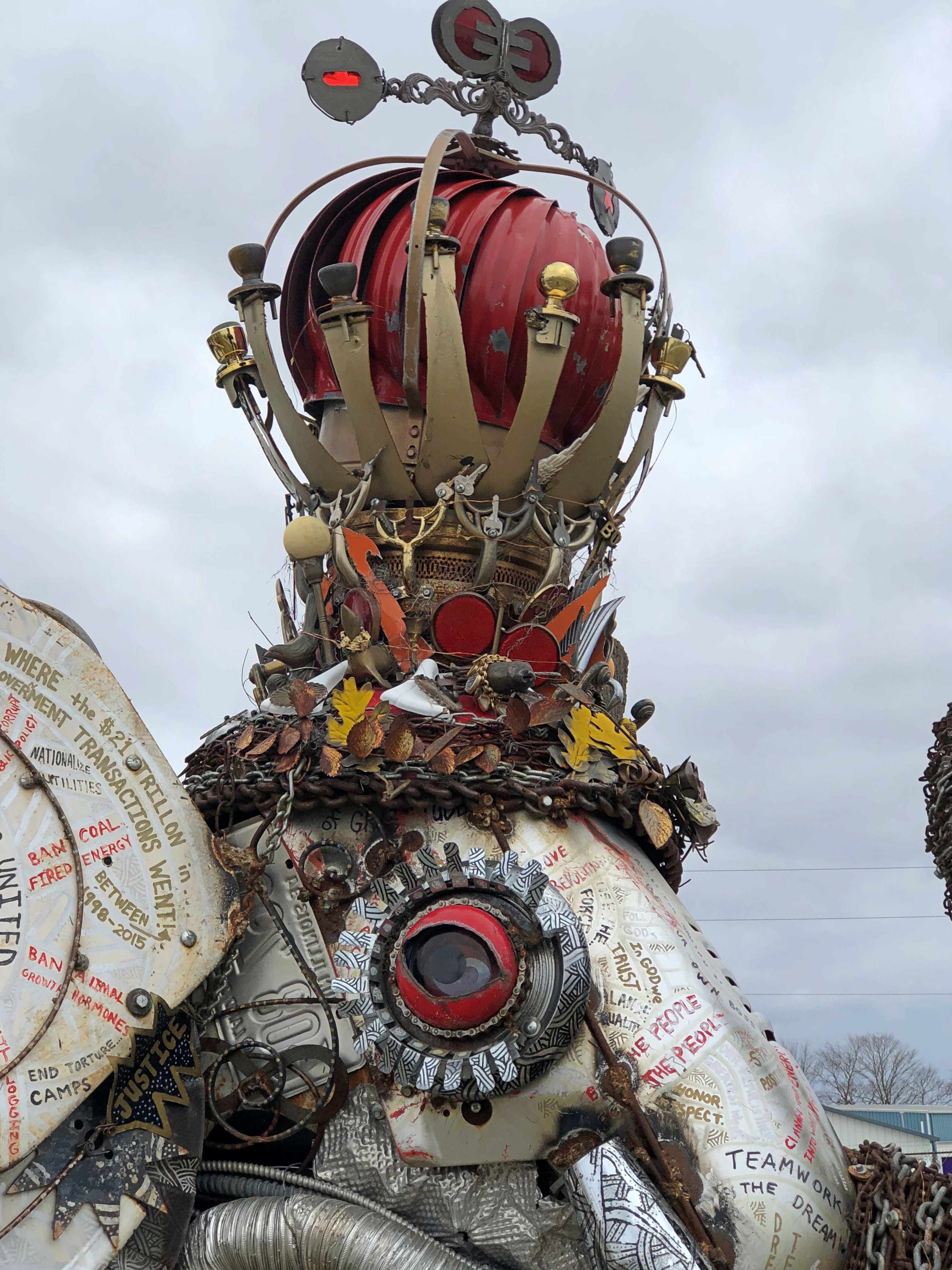
Crazy Presidential Elephant. Considering that we were going to pass by the exit to Lexington, Illinois on our drive from Normal to the Chicago area on Saturday, I had to take a look at that. For that extra thrill of discovery, before visiting I barely skimmed the two reviews on Google Maps, one of which didn’t say much anyway.

Lexington is a burg of just over 2,000 souls, known for not much, as far as I can tell. On the other hand, Teddy Roosevelt visited as president, and in an example of how the Internet still amazes, with a minimum of research you can read the remarks he gave from the train that day.

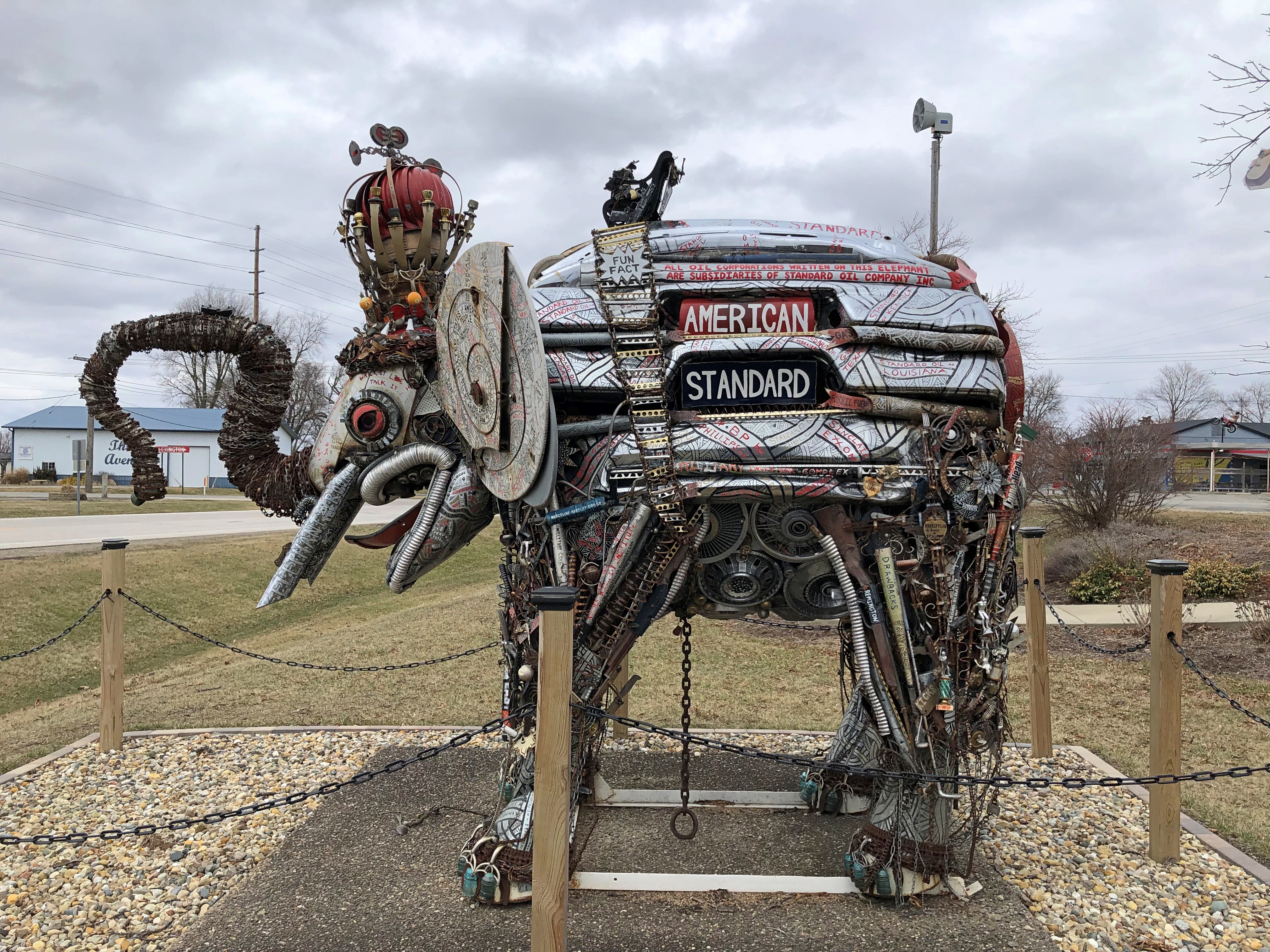
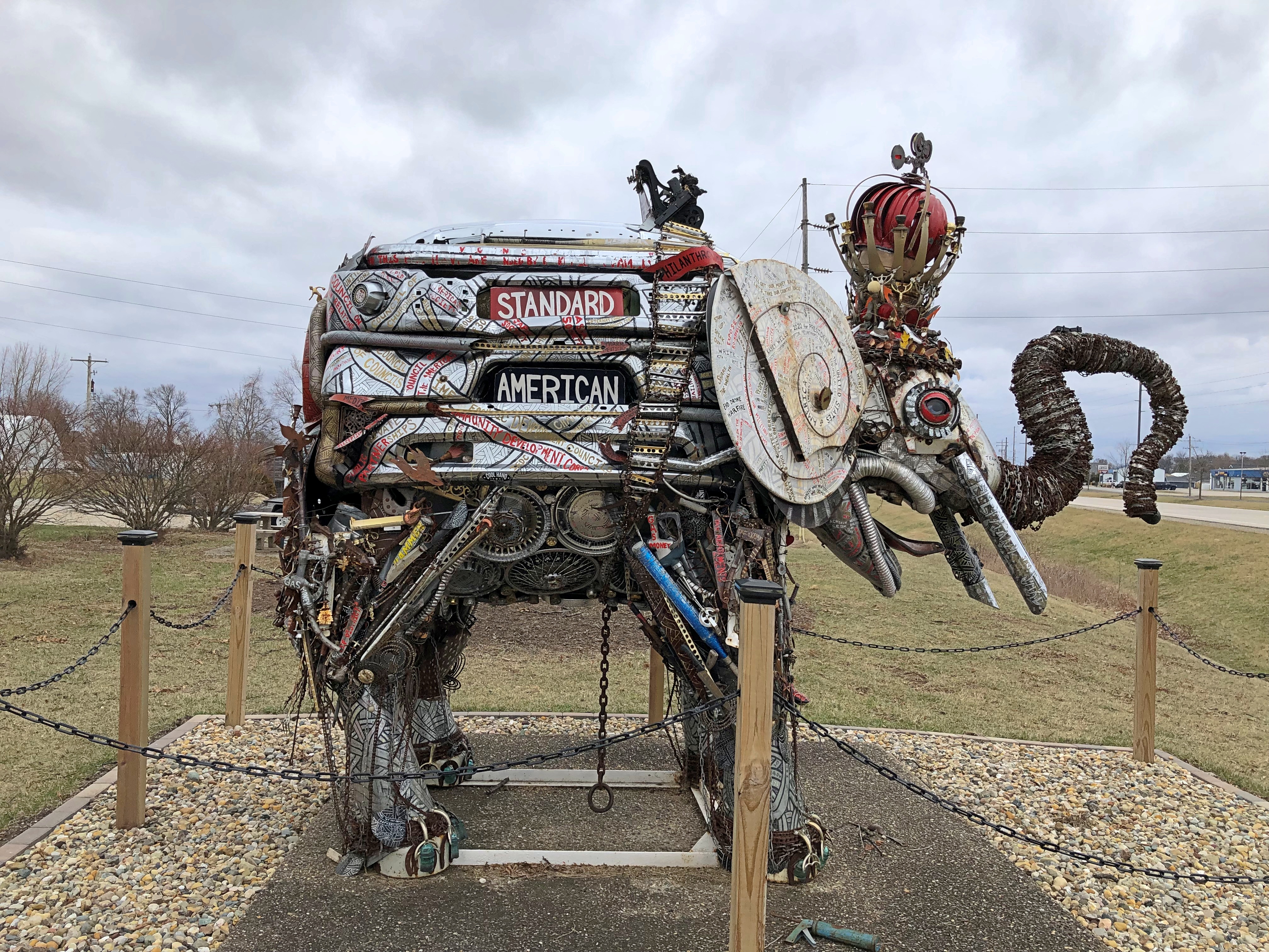
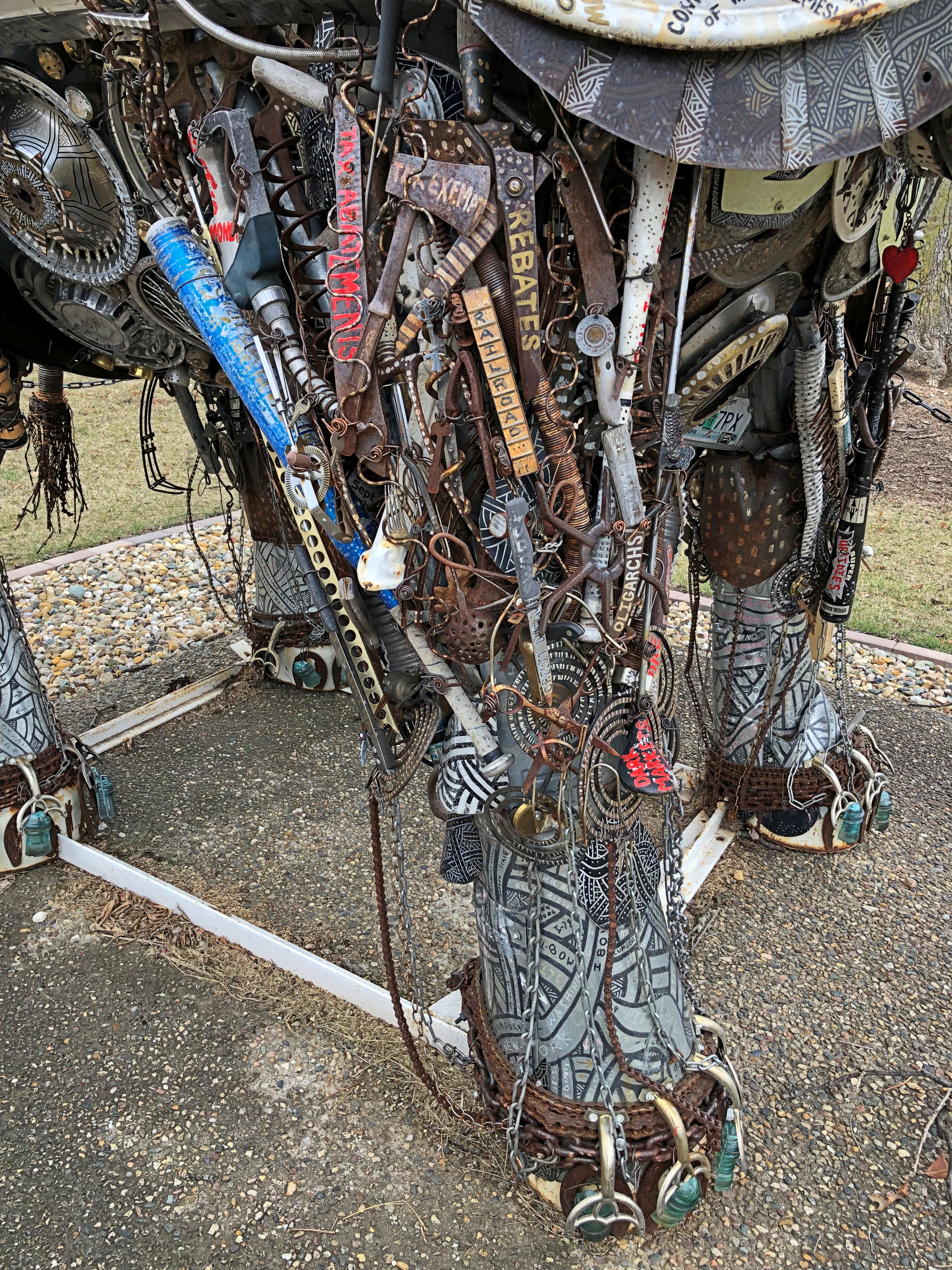
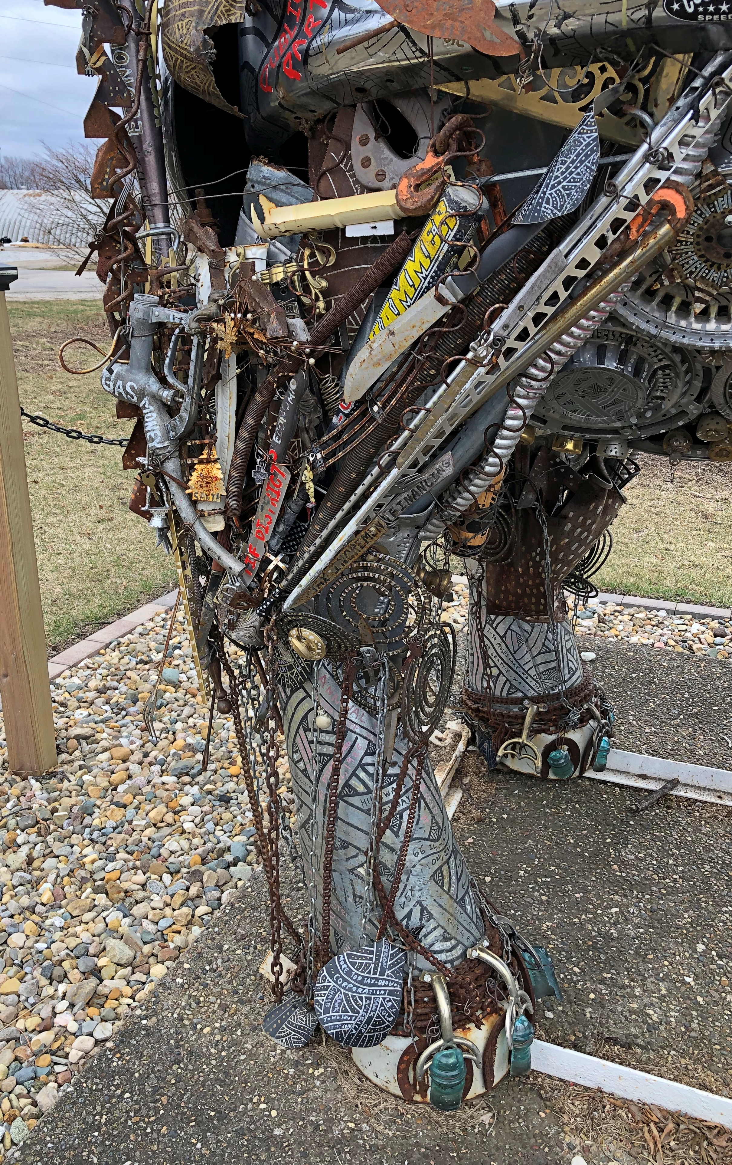
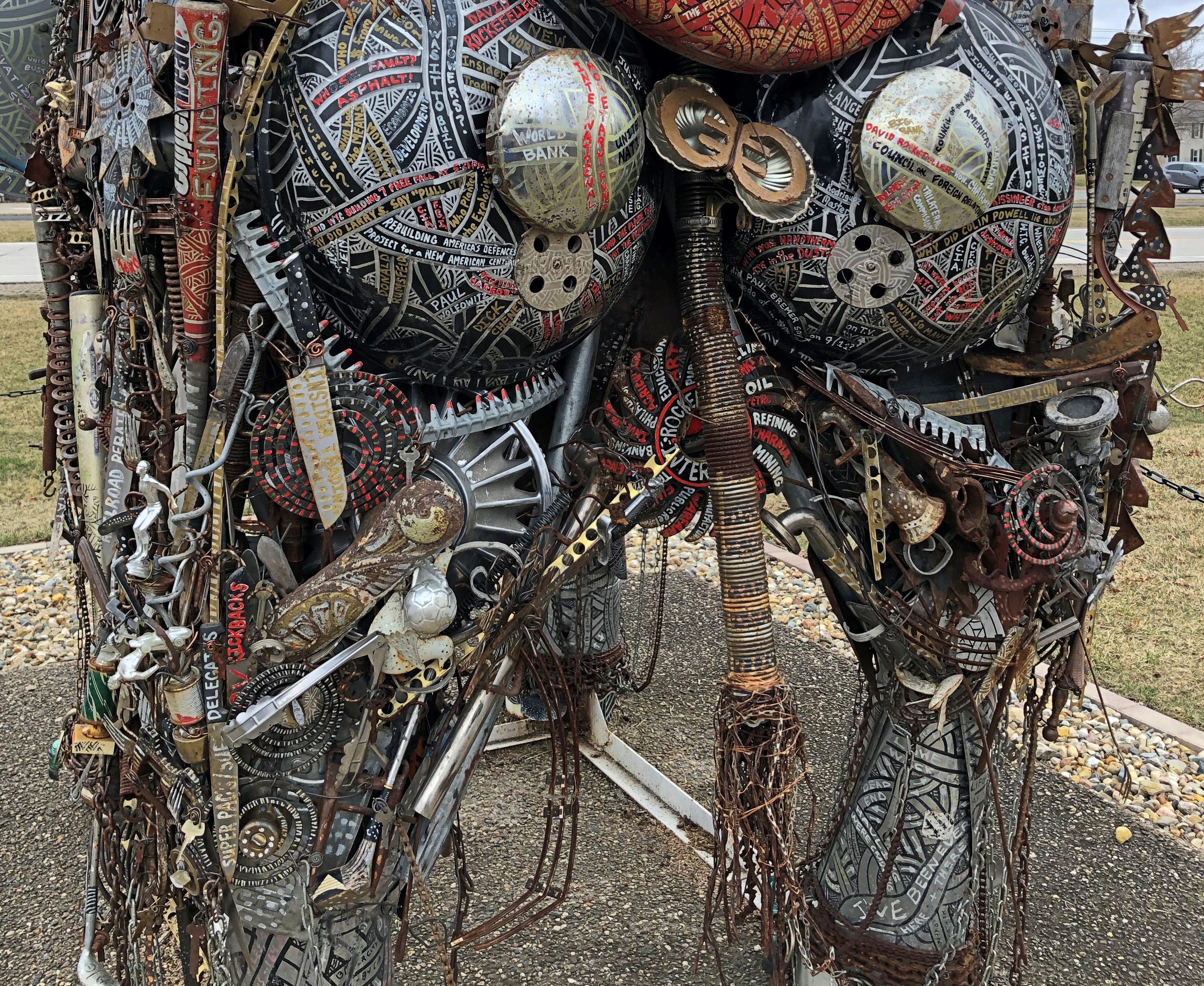
The Crazy Presidential Elephant doesn’t have anything to do with TR. Or at least, I don’t think I saw him mentioned on the elephant.American Standard, Lexington, Illinois American Standard, Lexington, Illinois American Standard, Lexington, Illinois American Standard, Lexington, Illinois

Lexington doesn’t have much as a U.S. 66 destination, but it has this elephant shape conjured into existence with thousands — it must be thousands — of agglomerated manufactured metal objects of varying elements and forms and colors. Countless car parts: a fuel tank, hubcaps, bumpers, door handles, tail pipes; but not all car parts. Long chrome and short iron. Wheel shapes and rods and chains, painted or rusted or neither.  The glue holding the multitude of parts must be industrial strength. Or is it? Already the elephant is beginning to lose bits and pieces as the Illinois seasons bake and freeze in turn.

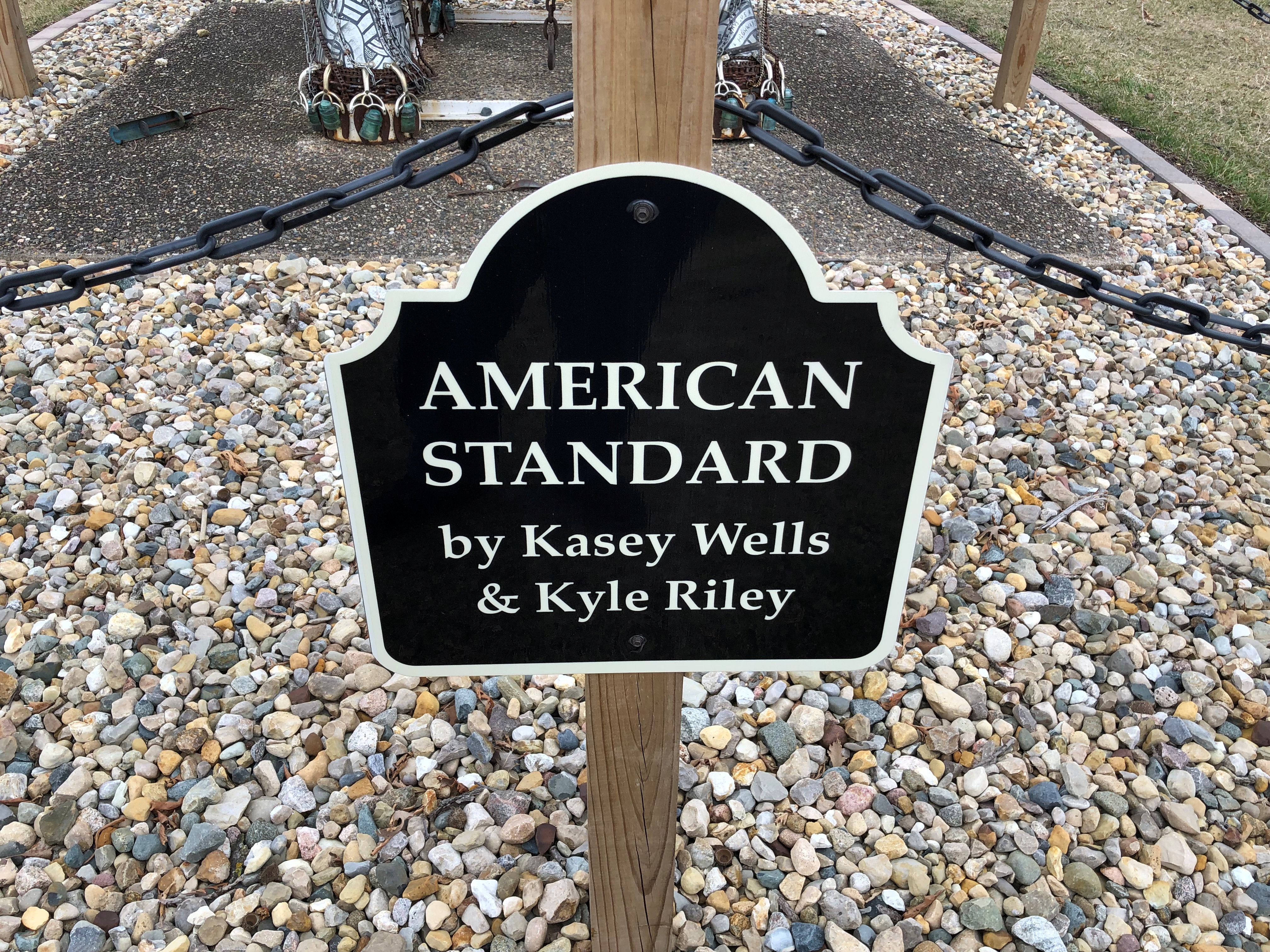
The formal name of the sculpture is “American Standard.”American Standard, Lexington, Illinois

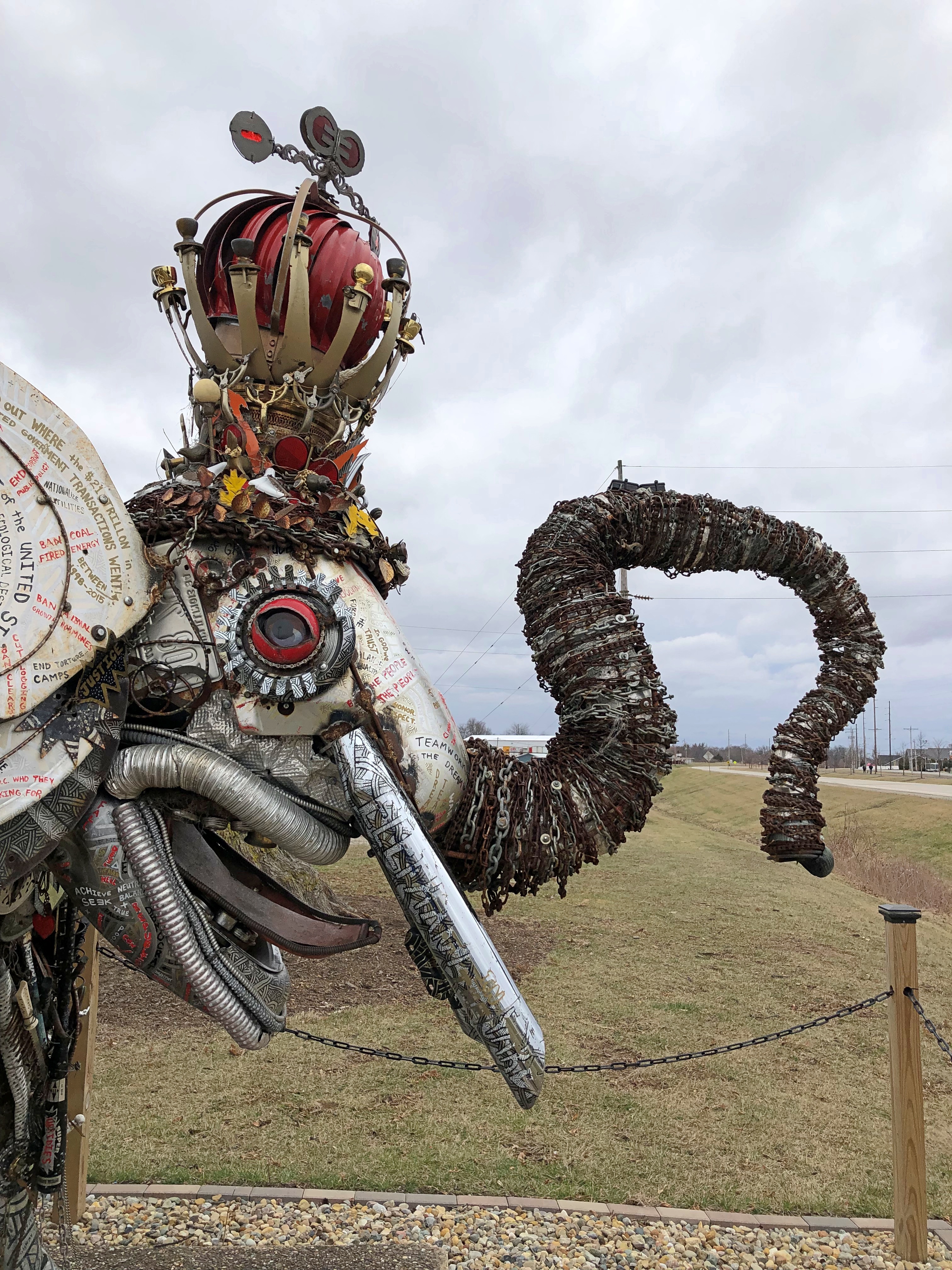
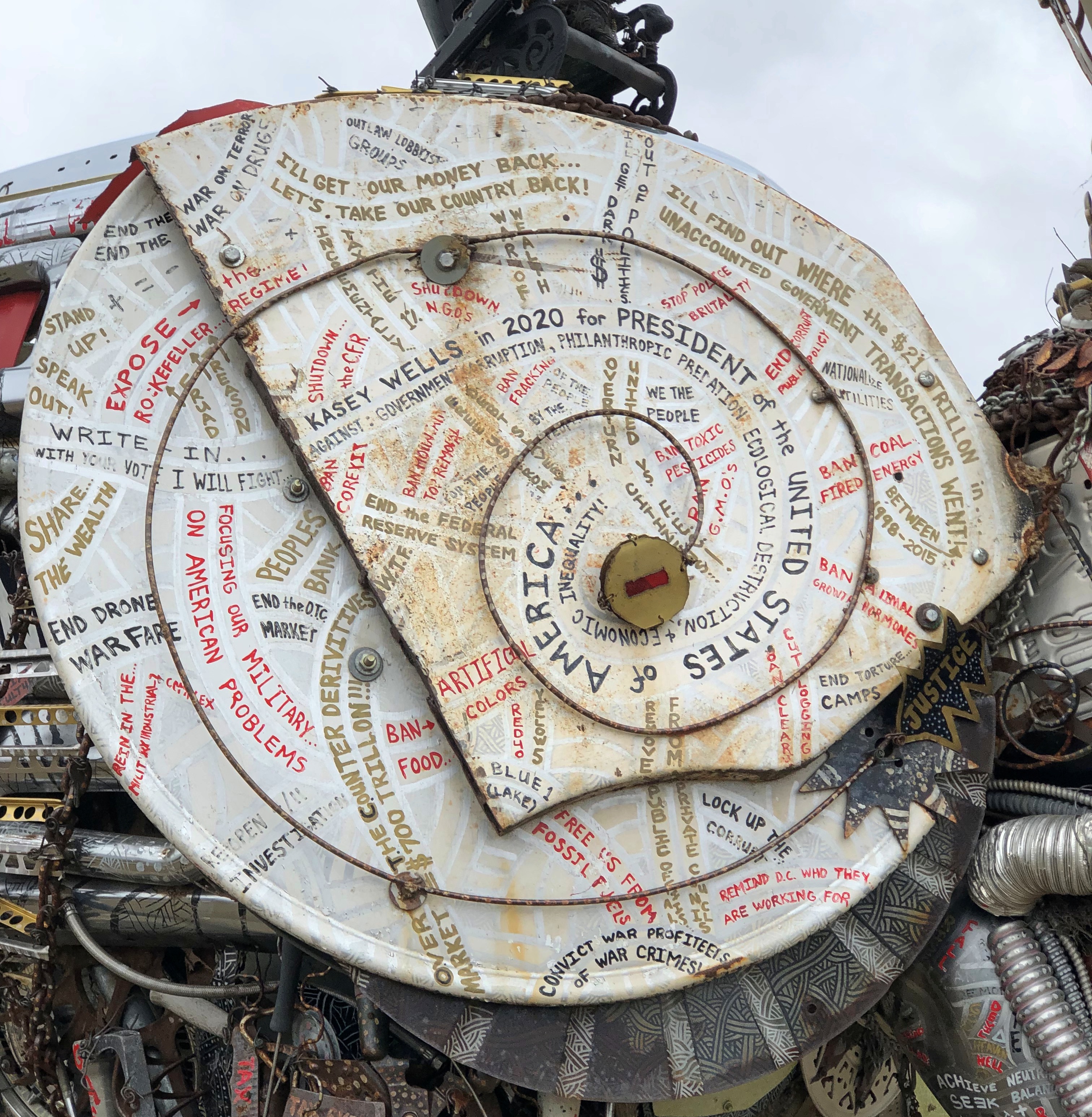
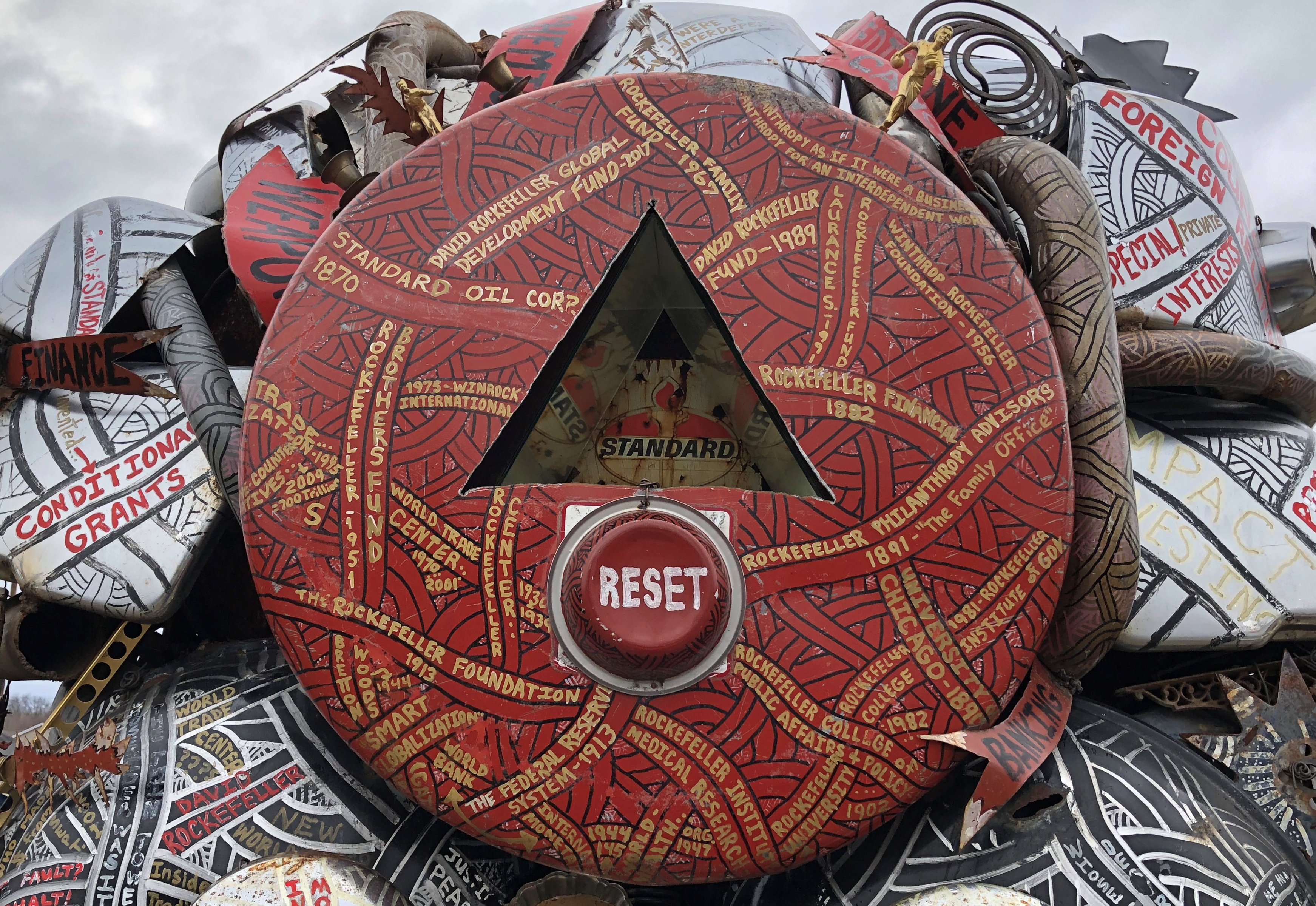
The agglomeration is one thing, but spicing up the elephant is the writing on many surfaces.American Standard, Lexington, Illinois American Standard, Lexington, Illinois

What is this thing? Why is it here?

“This is not your typical roadside attraction — it’s the political platform of artist Kasey Wells, who ran for president as a write-in candidate in 2020. Wells created the piece with Chicago artist Kyle Riley and carted it thousands of miles on a trailer during his campaign,” explains public radio station WGLT.

“The elephant wears a gold crown with ‘Standard Oil’ painted in red, white and blue. Wells ran as a left-leaning independent interested in divesting from the oil and gas industry, transforming the Federal Reserve and putting an end to war, among other things.”American Standard, Lexington, Illinois

It’s a good place to soak in the details. Endless details.American Standard, Lexington, Illinois American Standard, Lexington, Illinois American Standard, Lexington, Illinois

Look closely enough, and you can meditate on impermanence, and not just in the philosophical sense.

“ ‘American Standard’ sits across the street from a Freedom gas station, adjacent to a historical marker pointing out Standard Oil subsidiary filling stations during Route 66’s heyday,” the station says. (How did I miss that? Never mind.)

“The spot is rife with symbolism, but Wells still owns the piece and can move it or sell it at any point.”

Stray Quiz

The other day I happened across an online geography quiz that was more challenging than most, since most seem to be aimed at grade schoolers (e.g., What’s the country north of the USA?). It was multiple choice, and included such questions as:

Which volcano is located astride the border between Bolivia and Chile?

Mat Ala
Pago
Surtla
Olca

Which valley is one of the richest cactus sites in the world?

Valley of Tehuacan
Valley of Baïgorry
Valley of Joux
Valley of Usines

Which village of Savoy is today famous for its devils carved in the wood?

Bramans
Bonneval
Bessans
Modane

Of those three, I only knew about the cacti-rich Tehuacan Valley in Mexico. But the quiz had the benefit of inspiring me to look up the ones I got wrong, and now I know where that Andean volcano is and those wooden devils are.

One question was oddly worded — a editorial slip, probably. It read:

How often is China’s area larger than Japan’s?

The correct answer, of course, is always.

Technical Errors

Good news for the day. Our heater woke from its summertime slumber on command this morning, after I found that the house’s interior temp had edged below 68 F. during the night. I could have lived with 67 F., and it would have warmed up anyway, but I wanted to do the test.

Speaking of tech — vastly more complicated than my garden-variety HVAC — not long ago, I watched a couple of interesting videos by an outfit called Mustard, which specializes in aviation subjects and other complex transport. So that’s what happened to the SST. I vaguely remembered hearing about its effective cancellation in 1971, but haven’t thought about it much since, along with much of the nation. A rare example of officialdom deciding not to throw good money after bad, I think.

Even more obscure is the story of the Antarctic Snow Cruiser. For me, the most intriguing part is the fact that the monster machine has vanished beyond the ken of man.

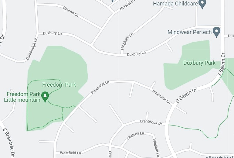
Here’s a Google Maps map to illustrate that Google makes mistakes.Not Freedom Park

I took a walk not long ago in “Freedom Park.” That is not the name of the park, at least according to the Schaumburg Park District. This is the sign at Cambridge Drive entrance to the park, as documented in 2018.

More recently, the park district has been replacing its signs with a new style, so that sign is gone. But the new sign — which I saw myself this week, no Google tech intermediary needed — still gives the name as Duxbury Park. There is no sign at the S. Salem Drive entrance, and the two green blobs on the map are actually connected by an undeveloped neck of land under which natural gas and water mains run, giving the park an irregular dumbbell sort of shape.

A small error, but worth noting.

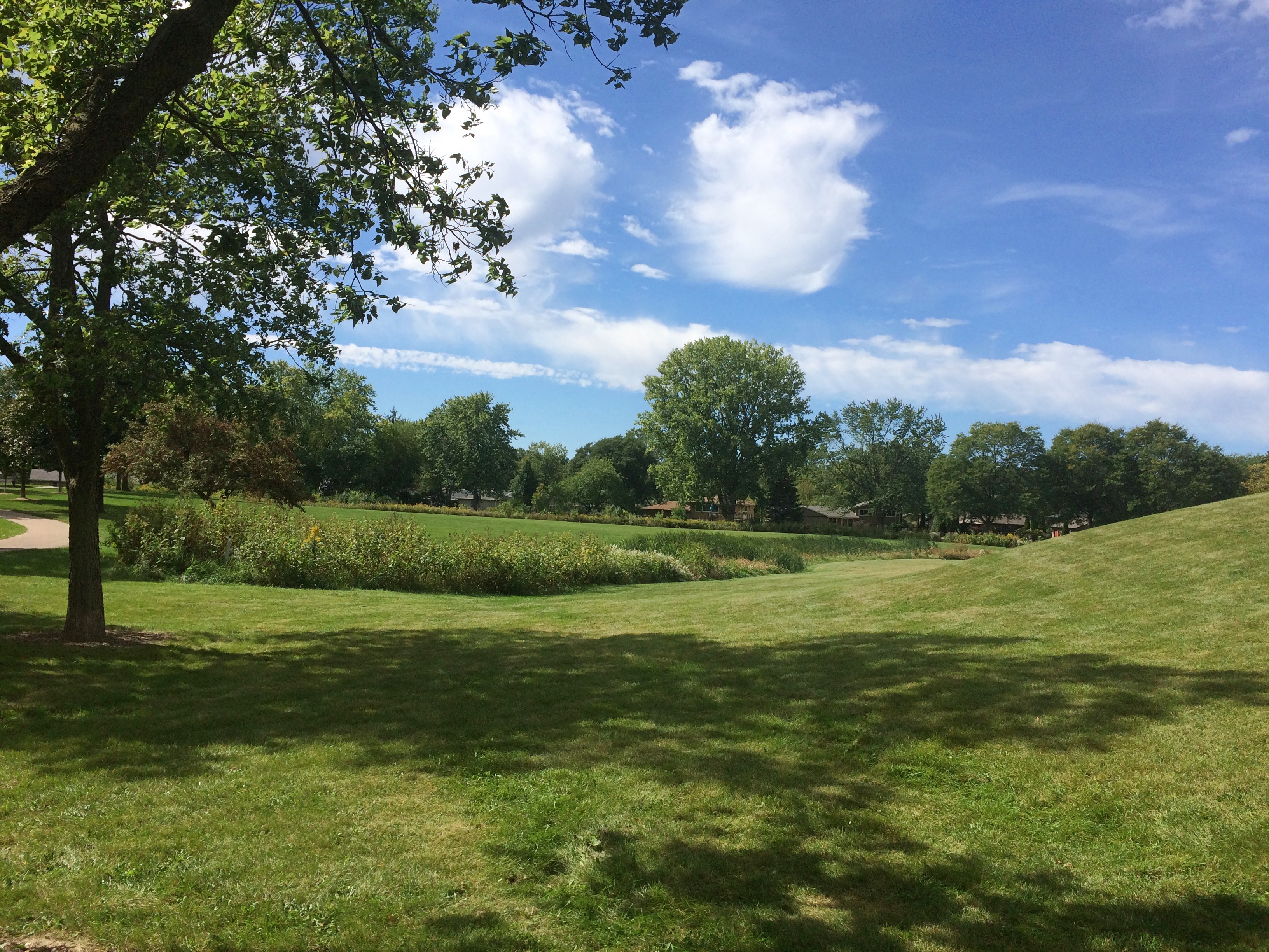
Duxbury Park’s pretty nice around the fall equinox. Mostly still green, with hints of yellow.
Duxbury Park

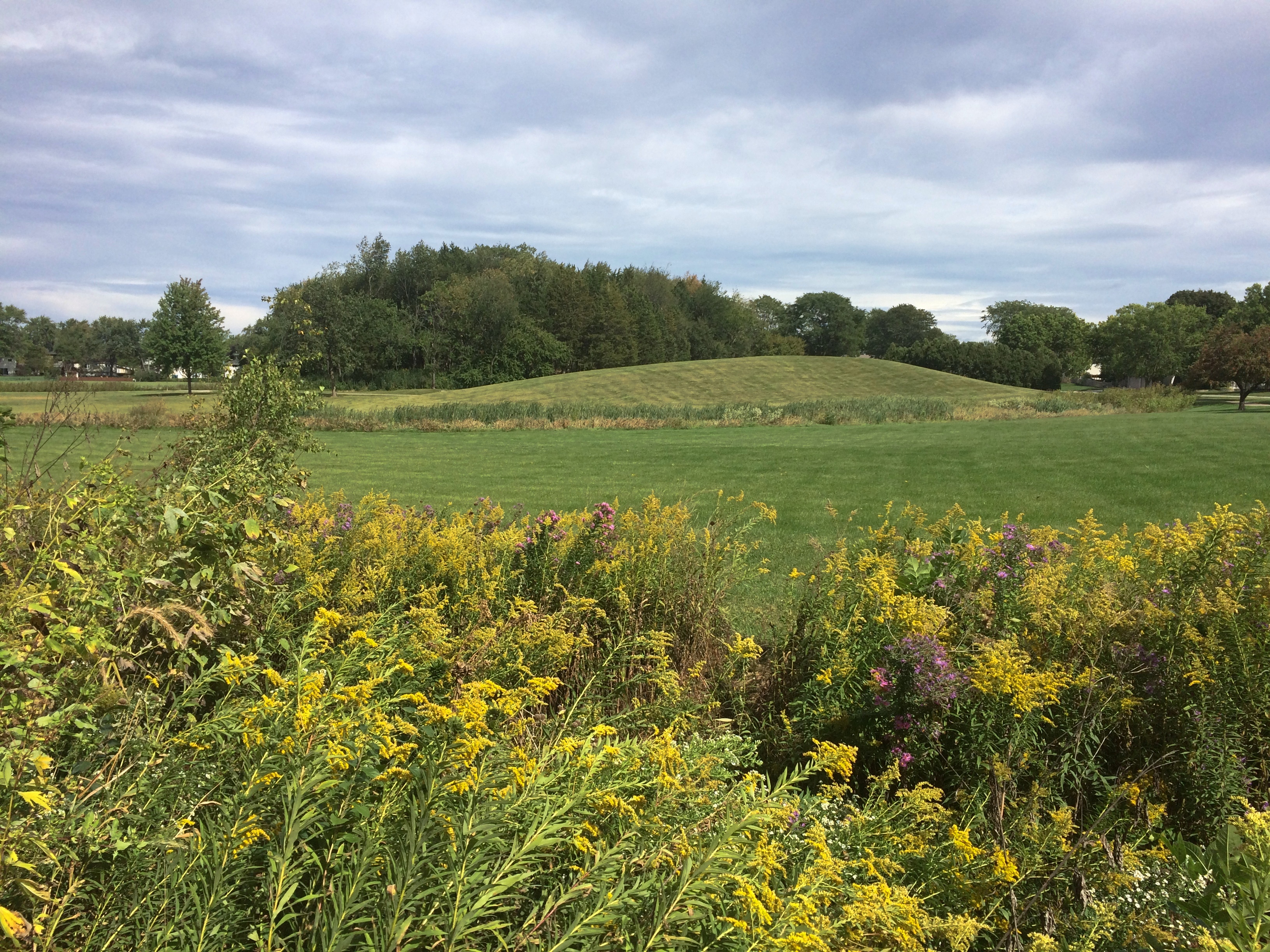
That’s the “Freedom Park Little Mountain” off in the distance. I’d call it a hillock, to use a word that needs more use.
Duxbury Park

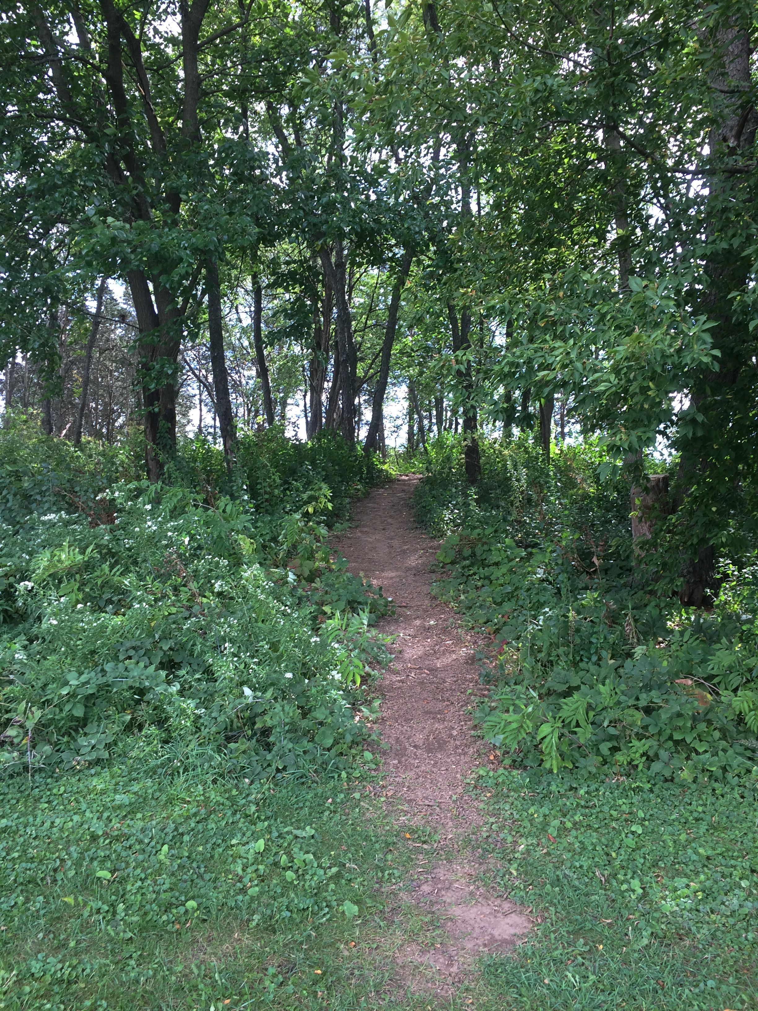
My daughters sledded there occasionally in previous winters, but it’s been a while. Next to that bald hillock is a wooded hillock, complete with trails that cross it.
Duxbury Park

Take all of about a minute to climb up one side and down the other, if you don’t stop for anything. Definitely a hillock.

Globes on the Move

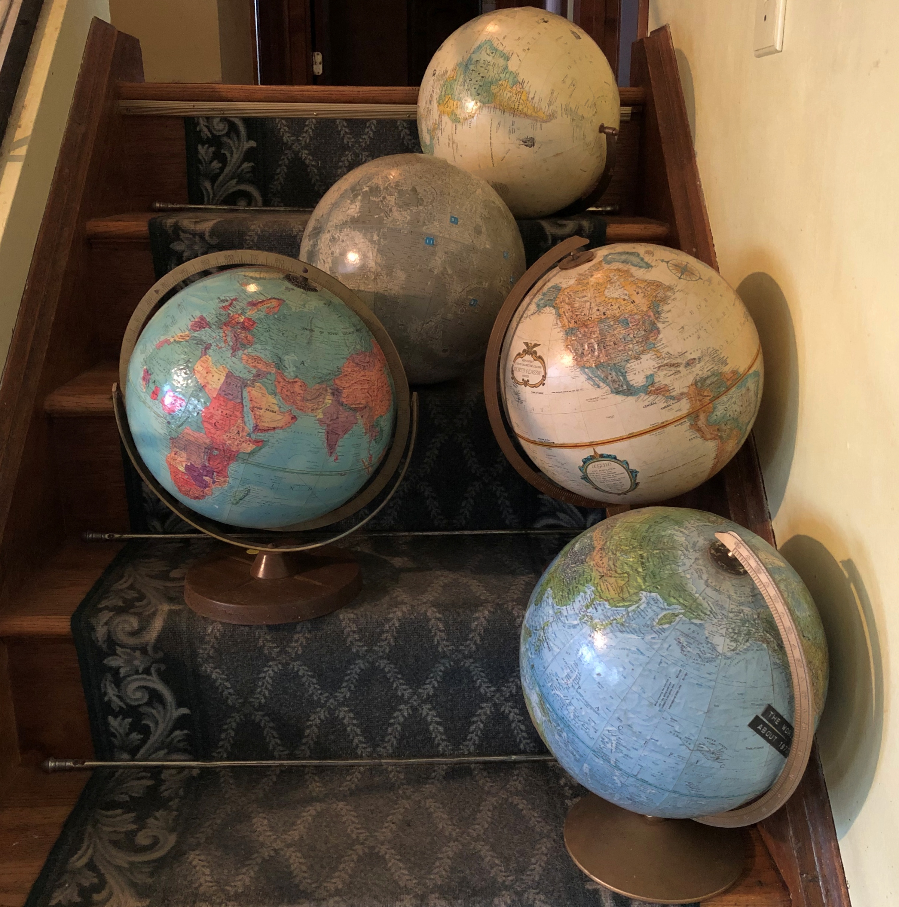
My globes migrated upstairs the other day. Five in all, acquired over the years.

Even the newest of them isn’t so new anymore, ca. 2000, missing features such as South Sudan and East Timor. The oldest globe dates from the late 1950s, including as it does a divided Germany, independent Ghana, but also French West Africa.

Another is ca. 1970, featuring most of the newly independent states of Africa, but also the Afars and the Issas and, elsewhere, East Pakistan. Yet another is from that brief window after the reunification of Germany but before the dissolution of the Soviet Union.

The Moon globe is special, acquired for me during the Apollo era. Many of the craters and other features are unnamed, but some craters have names informally given to them by Apollo astronauts, such as two honoring Charles Bassett and Elliot See. The International Astronomical Union Working Group for Planetary System Nomenclature did not, alas, retain those two, at least according to the Gazetteer of Planetary Nomenclature.

Far North Leftovers

I got a couple of concerned text messages after the 8.2 magnitude earthquake off the Alaska Peninsula late on the evening of July 28. Did I feel it? Was I all right? Didn’t feel a thing, I answered. Alaska is big.

During the quake — which is thought to be largest affecting Alaska since the Good Friday disaster of 1964, but nothing like it in terms of damage — I was in Fairbanks, not too far from the words United States on the USGS map I clipped.

Curious, I got out my physical atlas and a ruler, and measured the distance between Perryville, the town on the Alaska Peninsula closest to the epicenter, and Fairbanks. As the crow flies. A tough old crow, used to the freezing temps.

Total, about 1,200 miles, very roughly. But the point is, I no more felt the earthquake than someone in Texas is going to feel a California earthquake, unless it’s really big.

Near the main building of the Museum of the North is a blockhouse that used to be part of the Kolmakovsky Redoubt.Kolmakovsky Redoubt

The museum explains: “In 1841, the Russian-American Company (RAC), seeking to obtain the rich beaver and land otter furs of the Interior of Alaska, set about the construction of Kolmakovsky Redoubt on the middle Kuskokwim River in Western Alaska. As the only redoubt (fort) deep in the Interior, it became the major trading center along the river for the next 25 years…

“Relations between the RAC and the local Yup’ik Eskimos and Athabascan Indians was amicable and instead of acting as a means of defense, the building served other purposes, including at one time a fish cache and during the gold rush, a jail. The blockhouse stood at the site for over 80 years before being dismantled and shipped to the University of Alaska in Fairbanks in 1929.”

More recently, the museum restored the blockhouse, including the replacement of rotten timber and putting tundra sod on the roof, “complete with blueberries, Labrador tea, and all manner of tundra flora.”

A building of a difference sort, but also Alaskan, near the auto museum: Joy Elementary School.
Joy Elementary School, Fairbanks

One look and I thought, 1960.

Sure enough: “Construction of our original circular school began July 21, 1960. It was completed and dedicated as Louis F. Joy Elementary on November 9, 1961. Louis F. Joy was Fairbanks City School Board President and a member for over 25 years. Lee S. Linck, the school’s engineer and architect, received an award for the school’s unique and beautiful design at the 1962 Seattle World Fair.”

A quick peek at the first place I ate in Fairbanks.Bahn Thai, Fairbanks

Bahn Thai. Had a good massaman curry.

Another lunch place in Fairbanks.
Soba restaurant Fairbanks

Soba. A Moldovan restaurant. That was the main reason I went. Glad I did, since the dumplings I had were wonderful, though massively filling. I asked the waitress, whose English I took to be Moldovan flavored, how she came to be in Fairbanks. She said she came with her husband and members of his family, which no doubt was true, but didn’t quite answer the question.

Speaking of immigrants to the Far North, this is the last place I had lunch in town, The Crepery.

The Crepery, Fairbanks

Had a delicious salmon crepe there. I sat way in the back, and instantly noticed a wall covered with photos of Sophia, Bulgaria. I asked the girl who brought me the order about that. The owner’s from Bulgaria, she said. People get around.

The Nenana River.
Nenana River

At this point, it forms one of the borders of Denali NP. I was on the non-park side, looking into the park.

As I was driving southward on the highway Alaska 3 after my stop in the town of Nenana, I passed by a military installation without noticing it. No signs point the way, and while the place isn’t precisely hidden, it is off the main road. It’s the Clear Space Force Station.

Not only that, the facility only recently became part of the Space Force.

“Clear Air Force Station, a remote military installation outside of Fairbanks, Alaska, was officially renamed from Clear Air Force Station to Clear Space Force Station during a ceremony on June 15, 2021,” the Air Force reports.

“Clear will continue to serve as home to Arctic Airmen and Guardians assigned to the 13th and 213th Space Warning Squadrons, providing 24/7 missile warning, missile defense, and space domain awareness…

“The history and mission of the base began in 1958 when the U. S. Air Force acquired the site to set up a Ballistic Missile Early Warning Systems and became fully operational in November of 1961 as the second detachment of the 71st Missile Warning Wing. The detachment became the 13th Missile Warning Squadron in January 1967. The unit was re-designated as the 13th Space Warning Squadron and reassigned under the 21st Space Wing at Peterson Air Force Base, Colorado.”

With any luck, the nation will endure, its current political dyspepsia forgotten, and in 100 years the only thing people will remember about the Trump administration is that it founded the Space Force. That might be more important than we can know.

On my last day in Fairbanks, I took a walk along some of the trails at Creamer’s Field Migratory Waterfowl Refuge, on the outskirts of town. Formerly a diary farm with a lot of surplus land, the place is now devoted to keeping birds happy and providing a place for people like me to walk.

There are buildings.
Creamer's Field Migratory Waterfowl Refuge

But mostly it’s undeveloped, except for the trails themselves.
Creamer's Field Migratory Waterfowl Refuge

Revealing scenes like this.
Creamer's Field Migratory Waterfowl Refuge

Looks remote, no? I parked my car only about 20 minutes’ walk away, so the place is close to the infrastructure of Fairbanks. Then again, Fairbanks is a manmade place surrounded by wilderness, so what I drove and then walked to was merely the leading edge of something vast.

One more thing.

Alaska makes 50.