Taman Negara is a large national park — more than 1,675 square miles — slap in the middle of the Malay Peninsula. I understand the name means “national park” in Bahasa Malaysia. As a park, it’s older than the independent nation of Malaysia, starting as a smaller game reserve in the 1920s and taking its present size in 1938 as King George V National Park. That gives you an idea of who persuaded the sultans of Kelantan, Pahang, and Terengganu to designate parts of their realm as parts of the park. Even now, the park is technically in all three of those Malaysian states.
Reaching Taman Negara from Kuala Lumpur involved a bus, and then a boat trip upriver to park lodging, about three hours each. We stayed at the cheapest part of the lodging — a small row of bunkhouses sleeping four each along the river — a few days in late August/early September 1994.
You might think it’s a jungly place. It is.
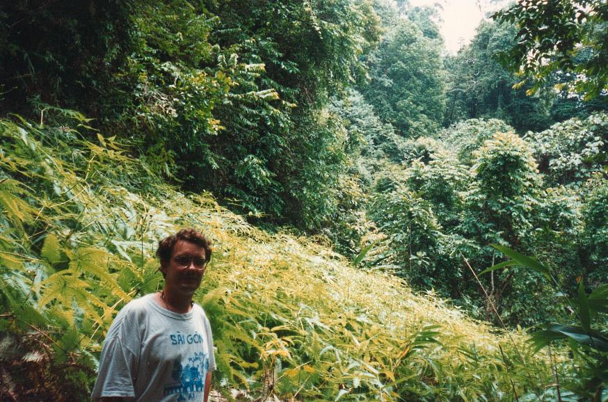 There wasn’t much else to do at Taman Negara besides walk through the rainforest, some of it on steep ground, since the park is in the Titiwangsa Mountains. We enjoyed the walks, and then idled back at the lodge’s common building, where we took out meals and read.
Various sources tell me that rare mammals live in the park, such as the Malayan tiger, crab-eating macaques, and Sumatran rhinos, but we didn’t see anything so remarkable. Rare mammals with any sense stay away from people tramping through the jungle. Bugs, on the other hand, seek you out in the rainforest.
Our bunkmates for a couple of days were a young Australian man and woman, a couple. For some reason, she was at pains to stress the independence and fortitude of Australian women, which I don’t doubt at all. Maybe she was trying to impress the point on Yuriko, who doesn’t doubt it either.
So I found it a little funny when she make a loud fuss about an insect that had gotten into the cabin: a gorgeous green-and-brown (I think) walking stick-like thing, maybe six or eight inches long, with large insect eyes. She insisted that we, the Australian fellow and I, kill it. We didn’t want to do that, so if I remember right, we shooed the creature onto a piece of newspaper and tossed it out the door.
One day we did the canopy walk. The park bills it as the longest one in the world. Maybe it is. It is way up in the trees, maybe 60 or 80 feet.
 Of course it wobbled. Yuriko says she’s not sorry she did it, but doesn’t want to do another one.

