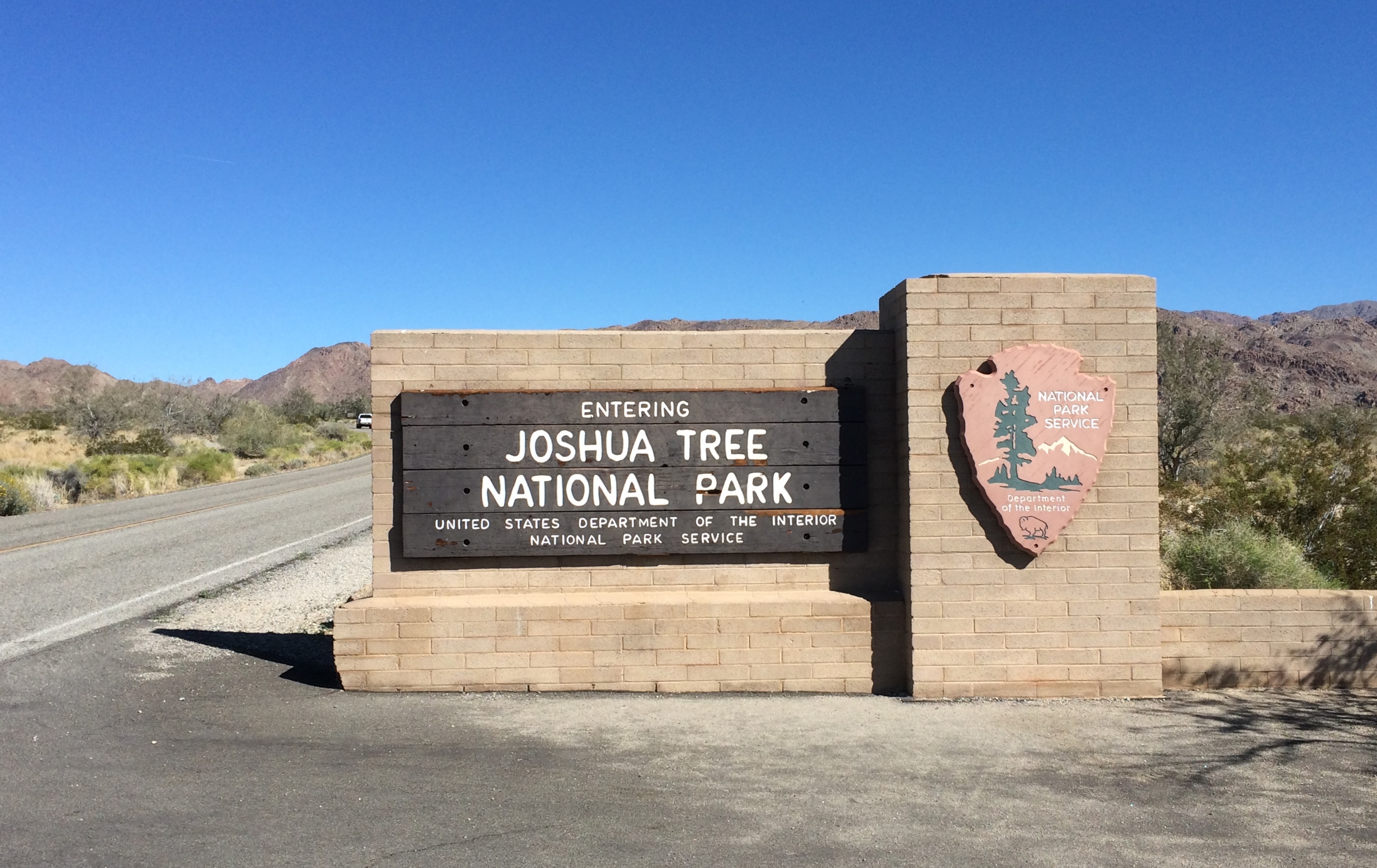
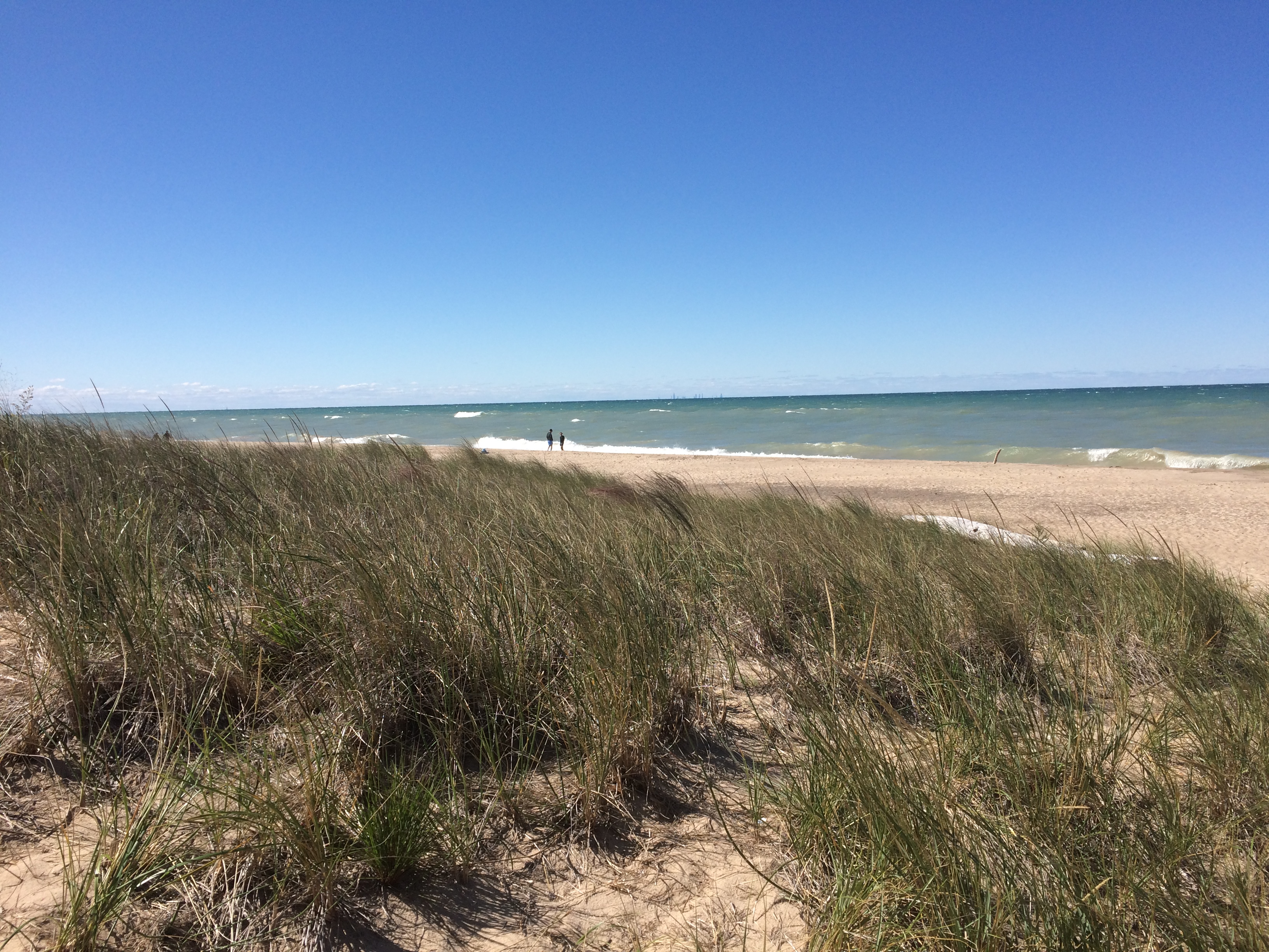
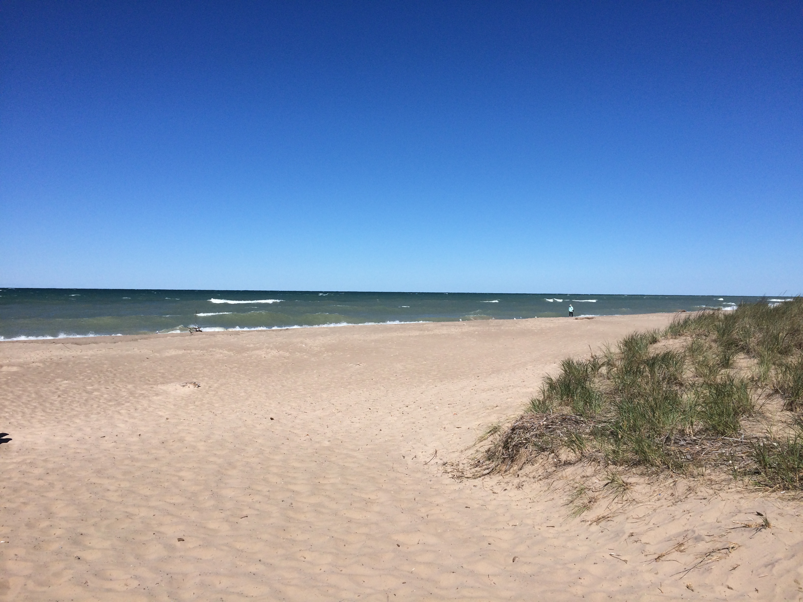
On the morning of February 26, 2020, I arrived at the south entrance of Joshua Tree National Park. Near the end of the day, I would leave via the west entrance.
 The park includes sections of two different deserts, the Colorado and the Mojave. The territory around the south entrance is Colorado Desert, and not much populated by Joshua trees. It would be a while before I saw any Joshua trees, which are actually yucca plants (Yucca brevifolia), in the national park named for them.
Though folk etymologies involving Mormons exist when it comes to why Joshua trees are called that, the origin of the term is uncertain. The plant has also been called, in English, the tree yucca and the yucca palm.
One more thing: the Joshua tree depicted by U2’s The Joshua Tree album was near Darwin, California — which is close to (but not in) Death Valley NP, not Joshua Tree National Monument, as it was then. Come to think of it, Death Valley was a national monument in 1987 as well.
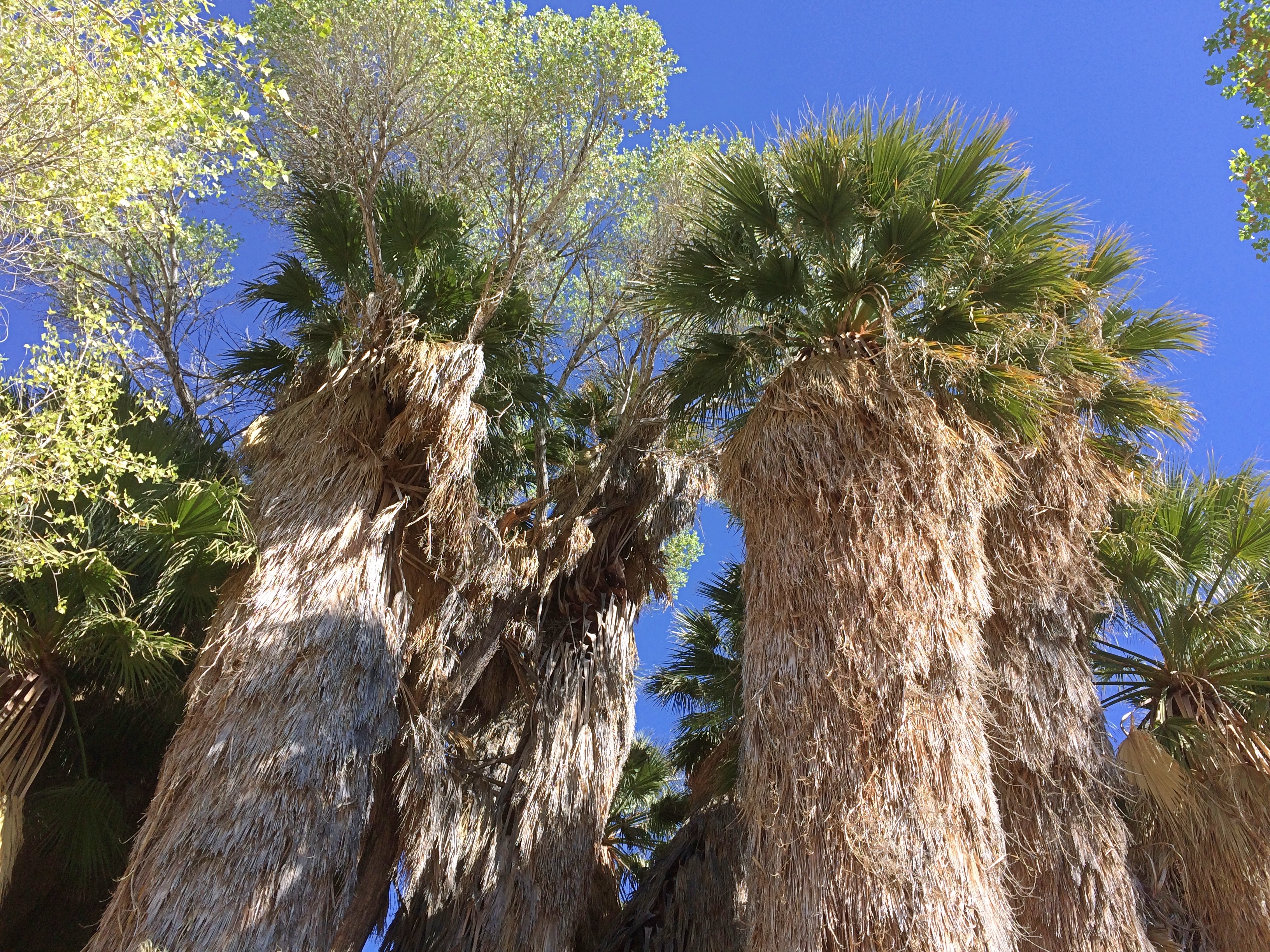
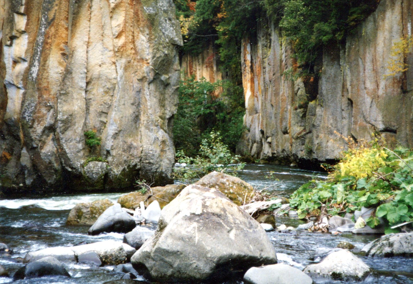
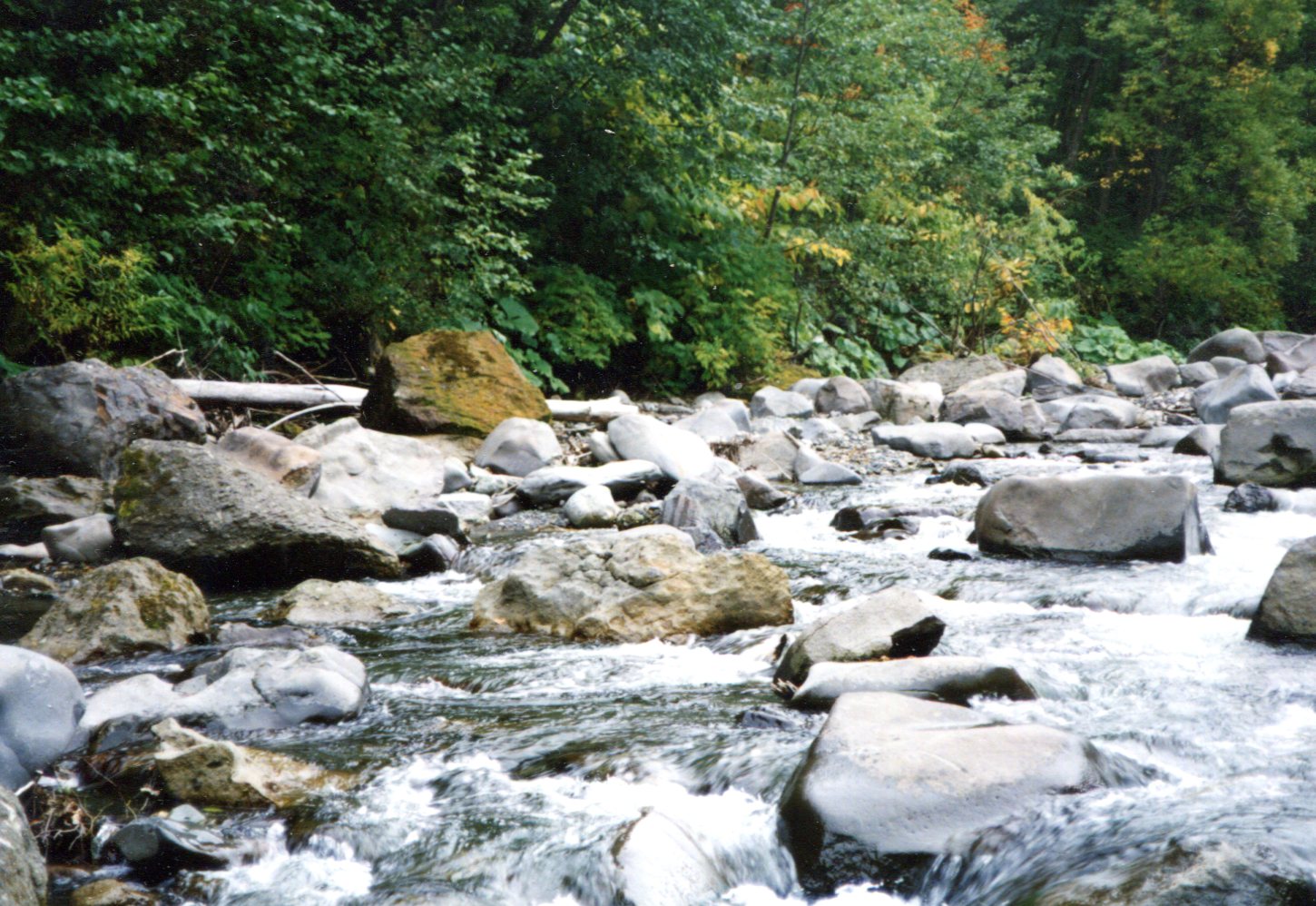
My first walk of the day was along the trail leading out of Cottonwood Spring. Where there’s water, there are large trees.
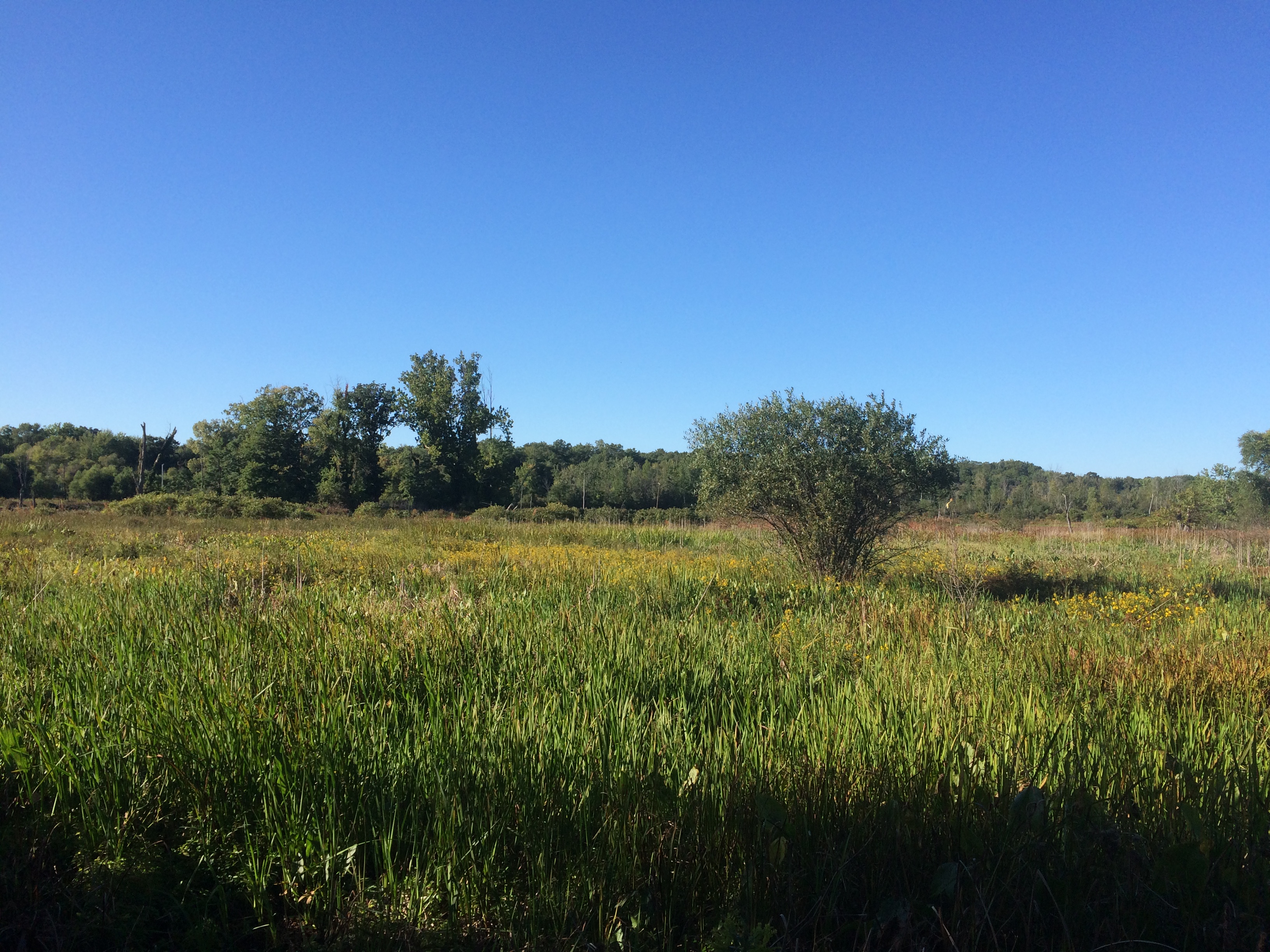
 Then it’s off to more arid hills.
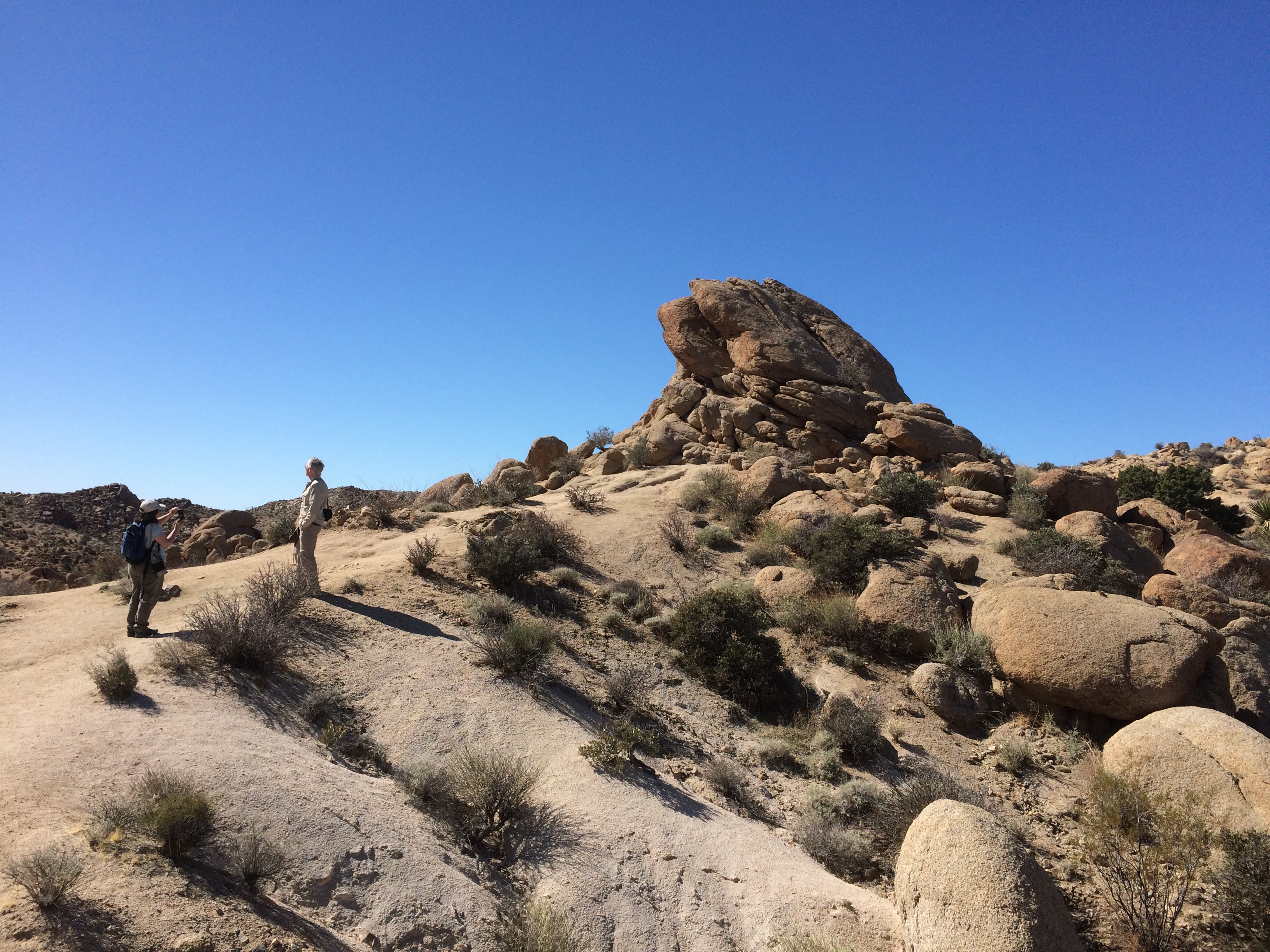
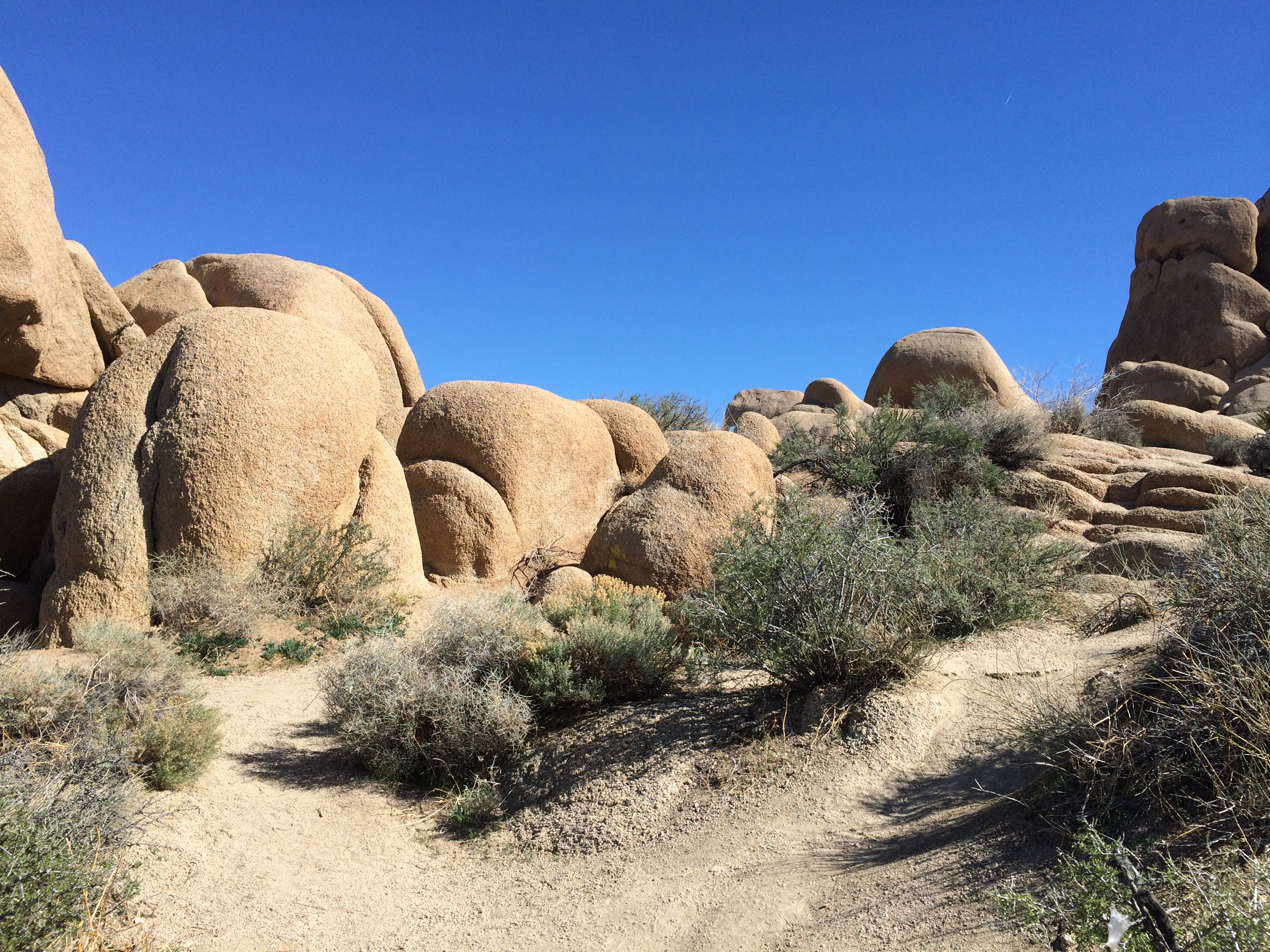
 With rock formations. This one’s actually pretty small compared to some others I would see later in the day.
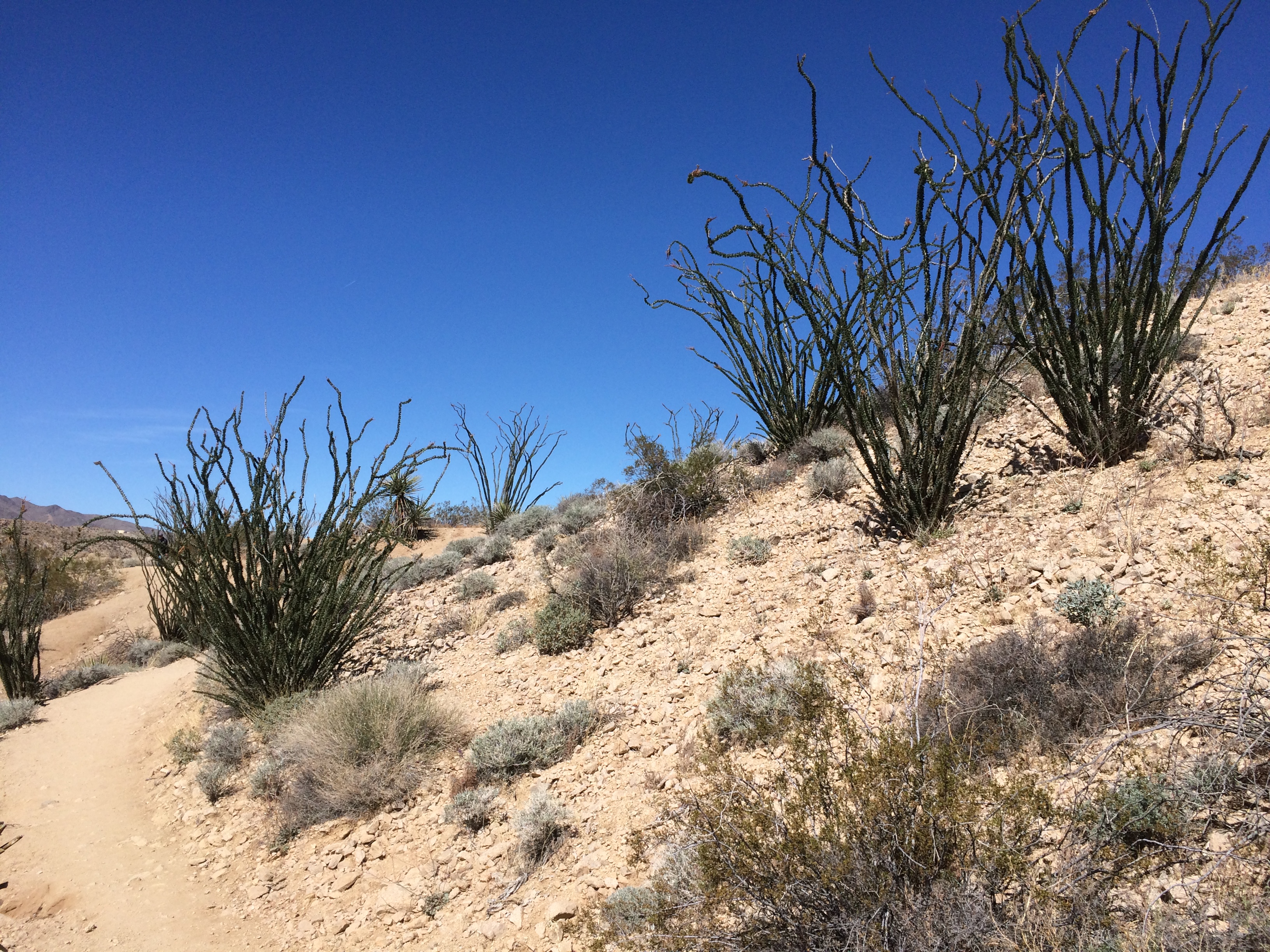
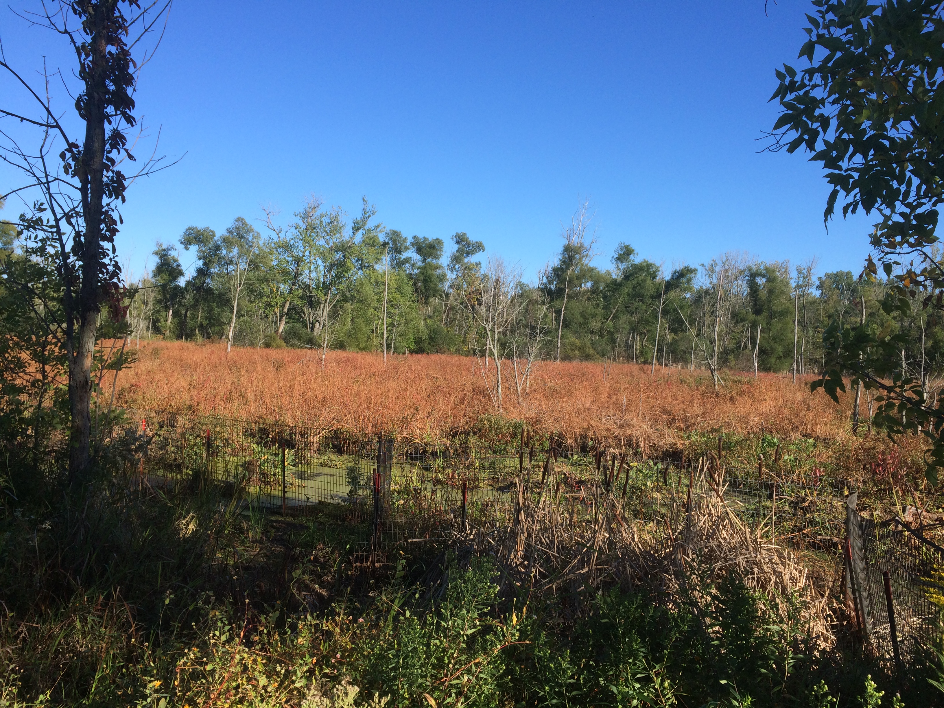
 Small plants compared to others I’d see later. But I liked them.
 North from Cottonwood Springs, the road takes you through washes: Smoke Tree Wash, Porcupine Wash and the amusingly named Fried Liver Wash. Then on to the Cholla Cactus Garden.
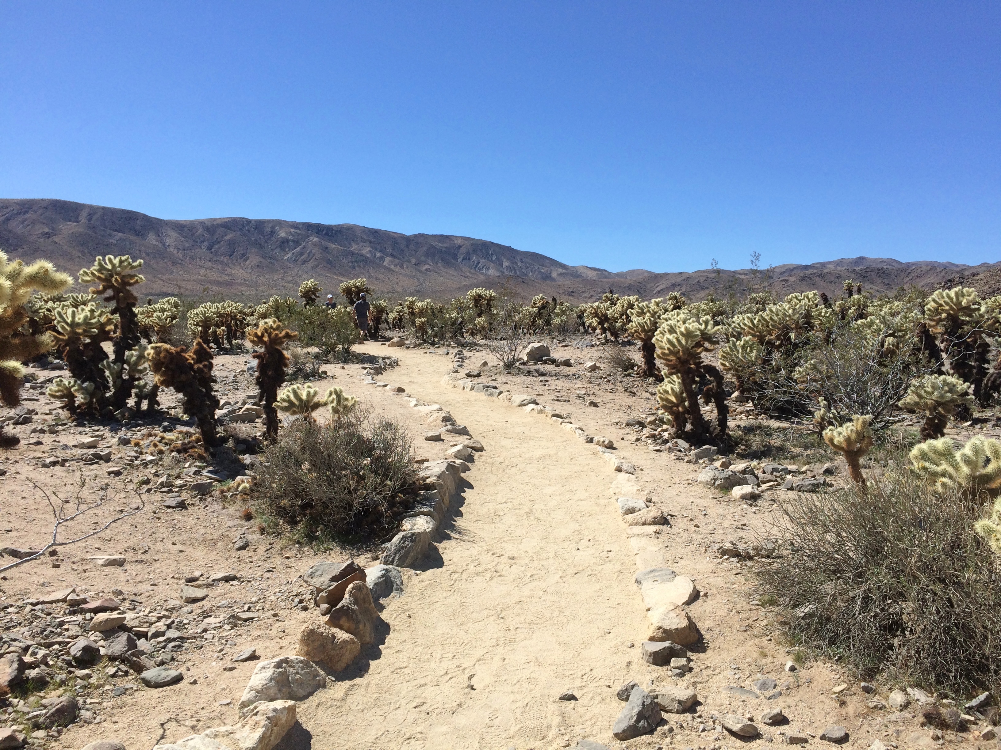
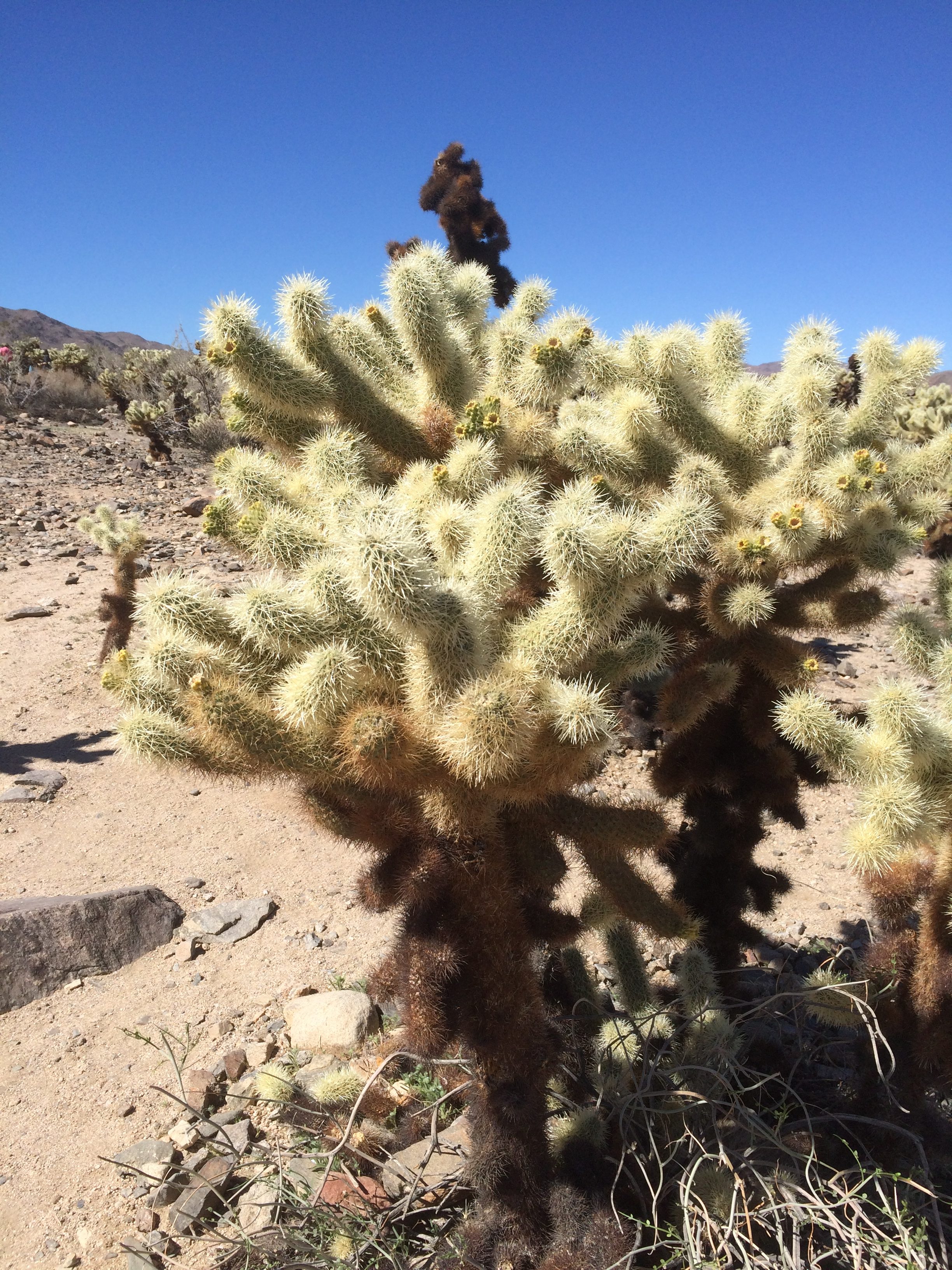
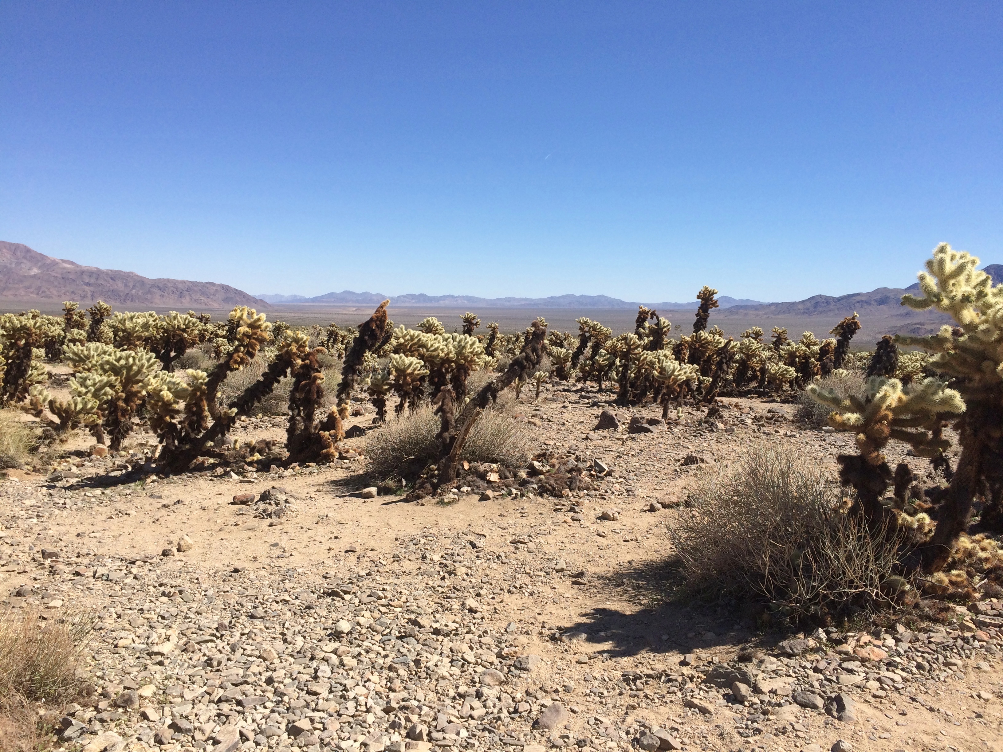 Looks soft and fuzzy in a picture, but in person the cholla’s got wicked spines. Wiki says that the plant (Cylindropuntia bigelovii) has the “sardonic nickname of ‘teddy bear.’ ”
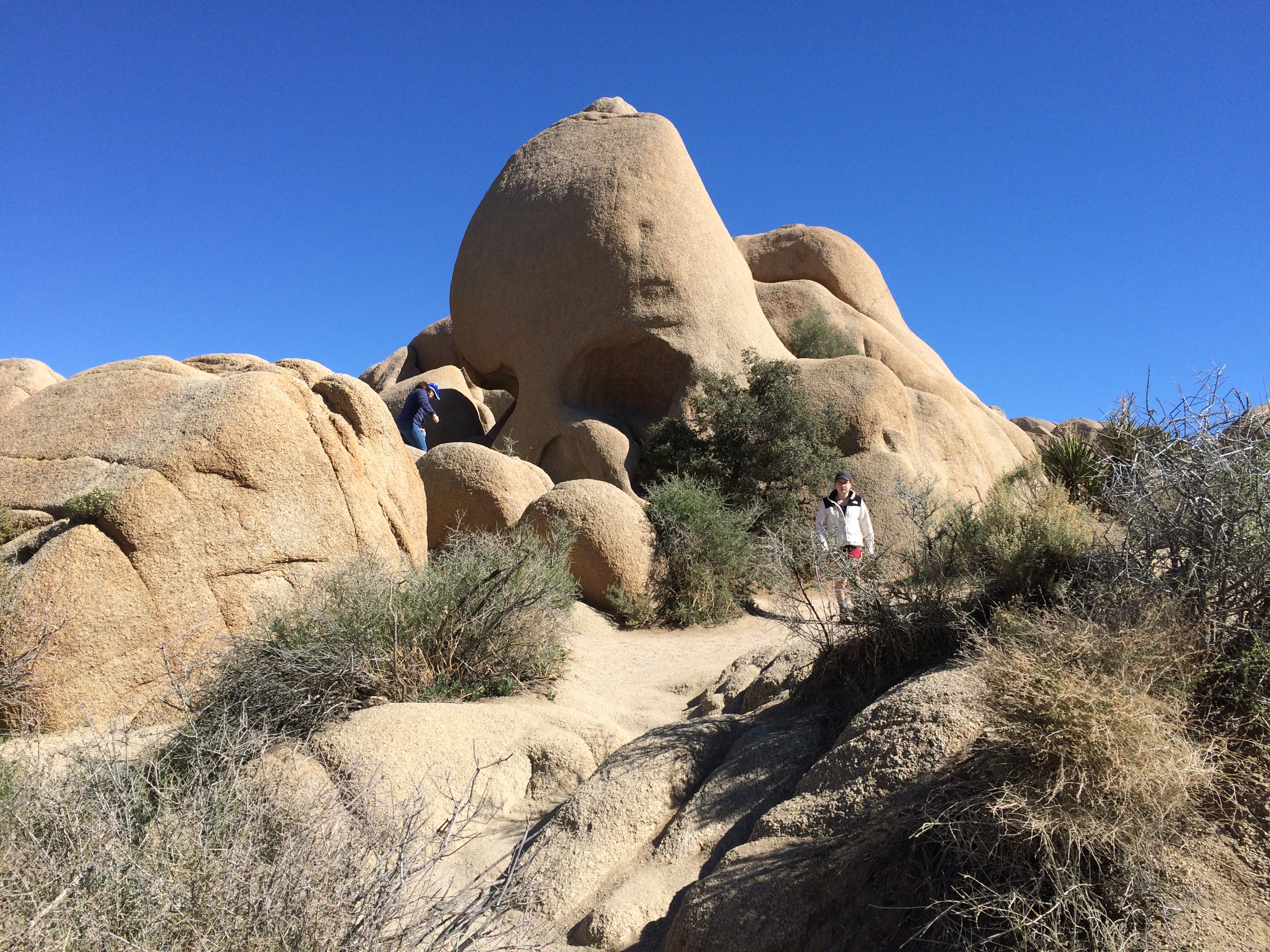
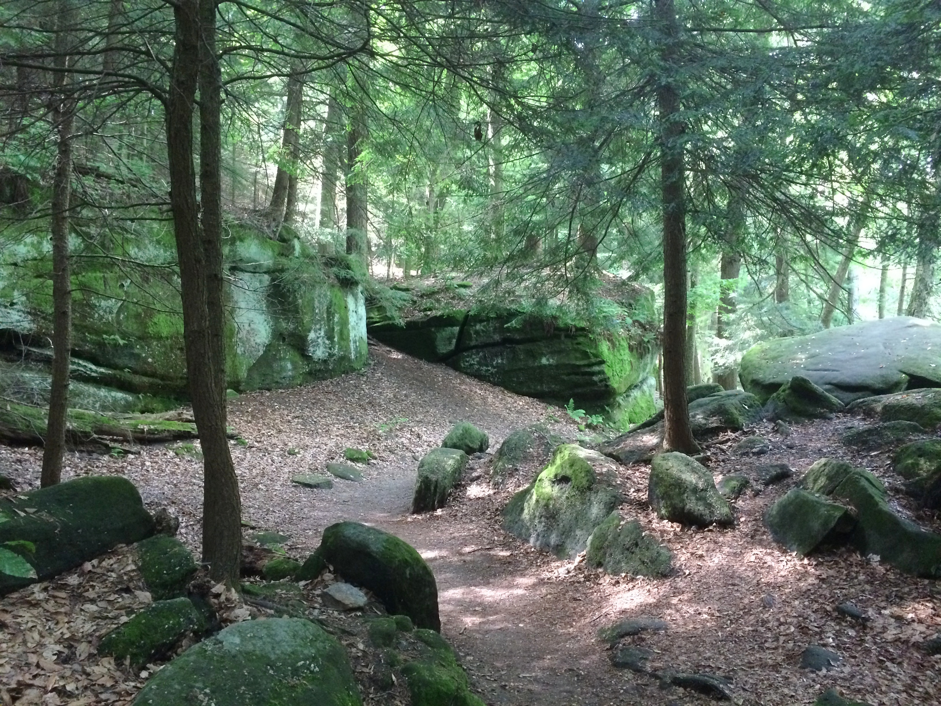
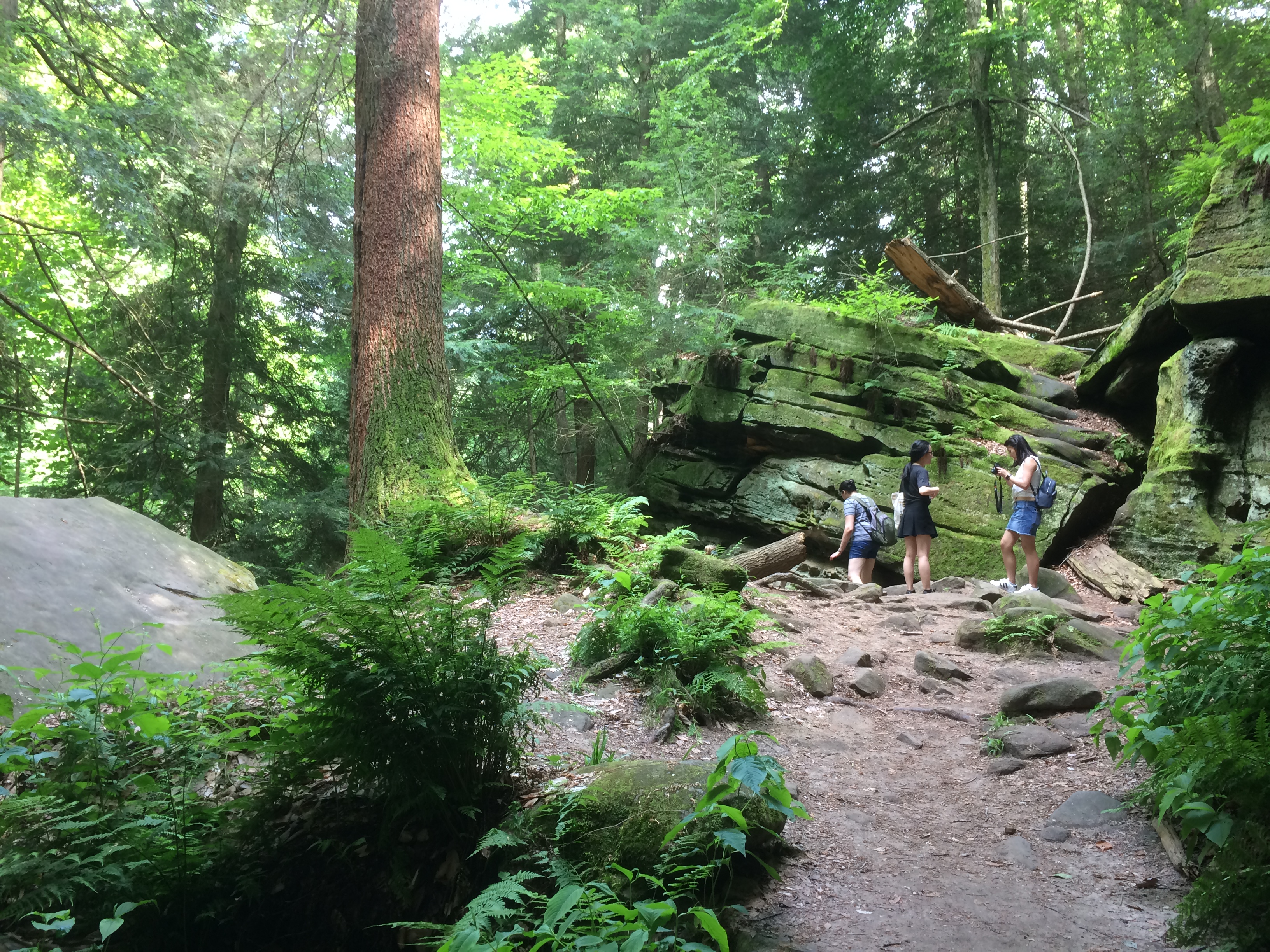
Next stop, Jumbo Rocks. Including the one called Skull Rock. Looking at it this way, I thought Nostril Rock would be a better name.
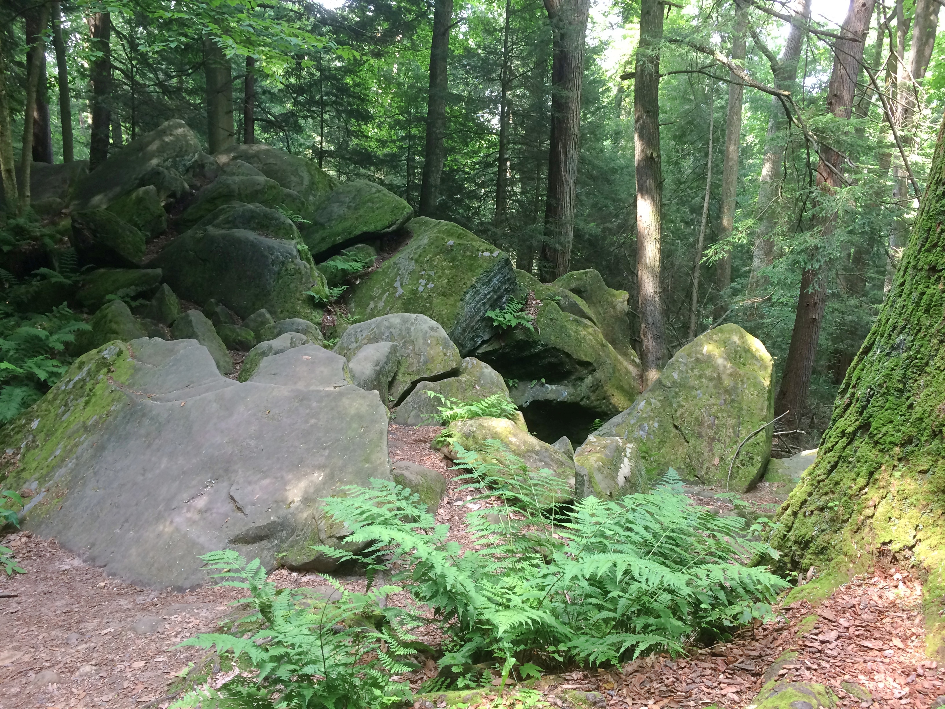
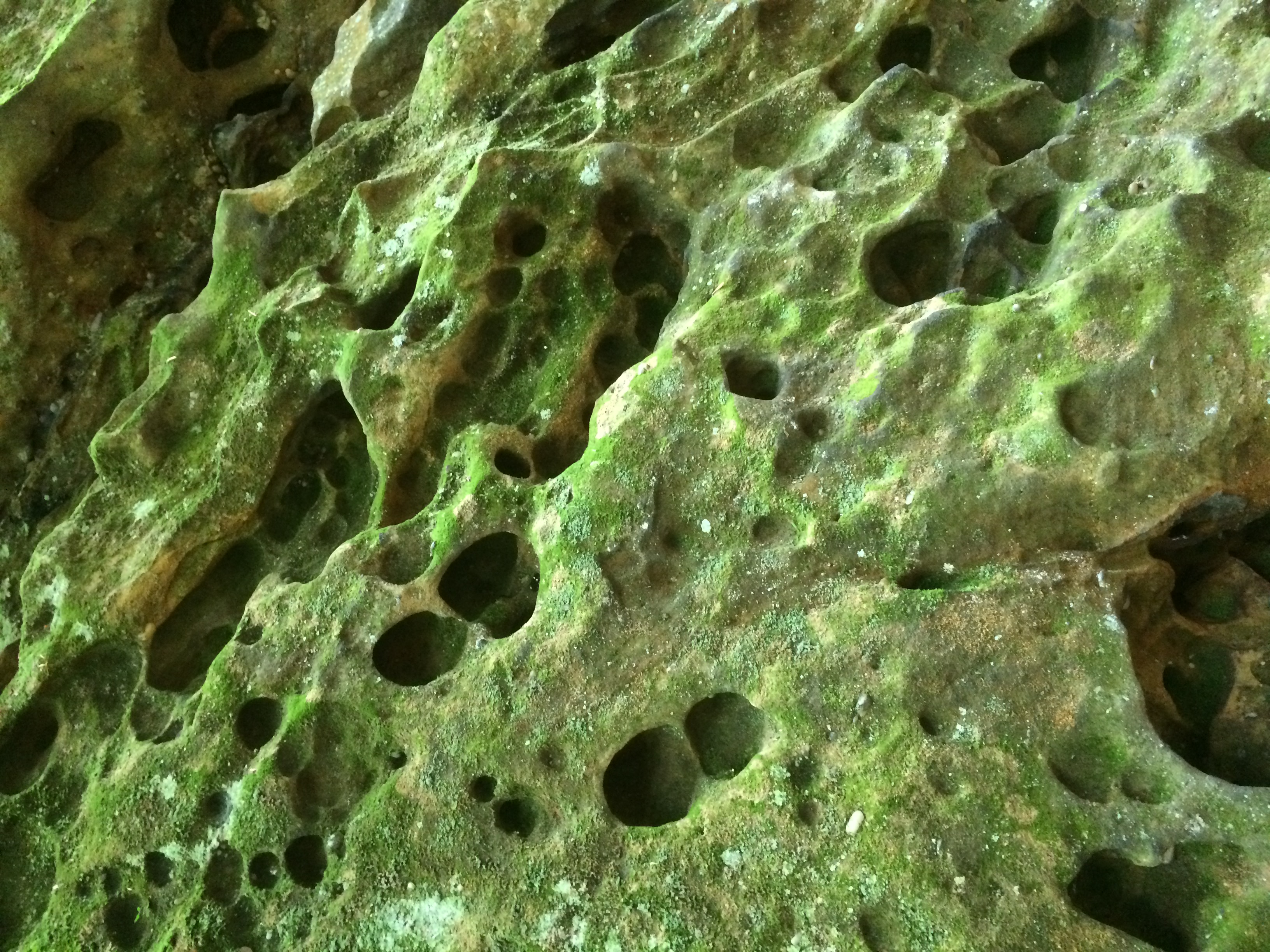
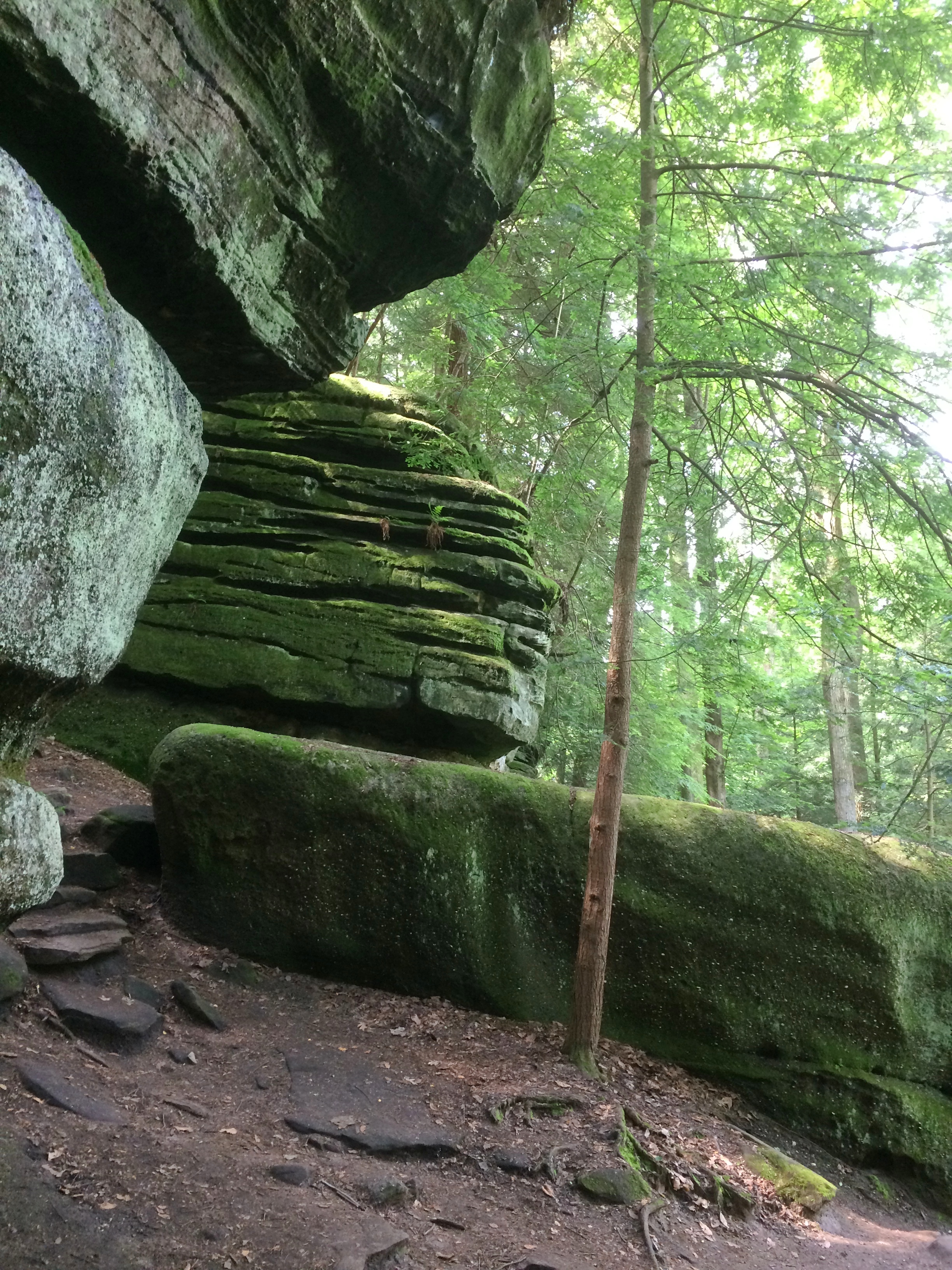
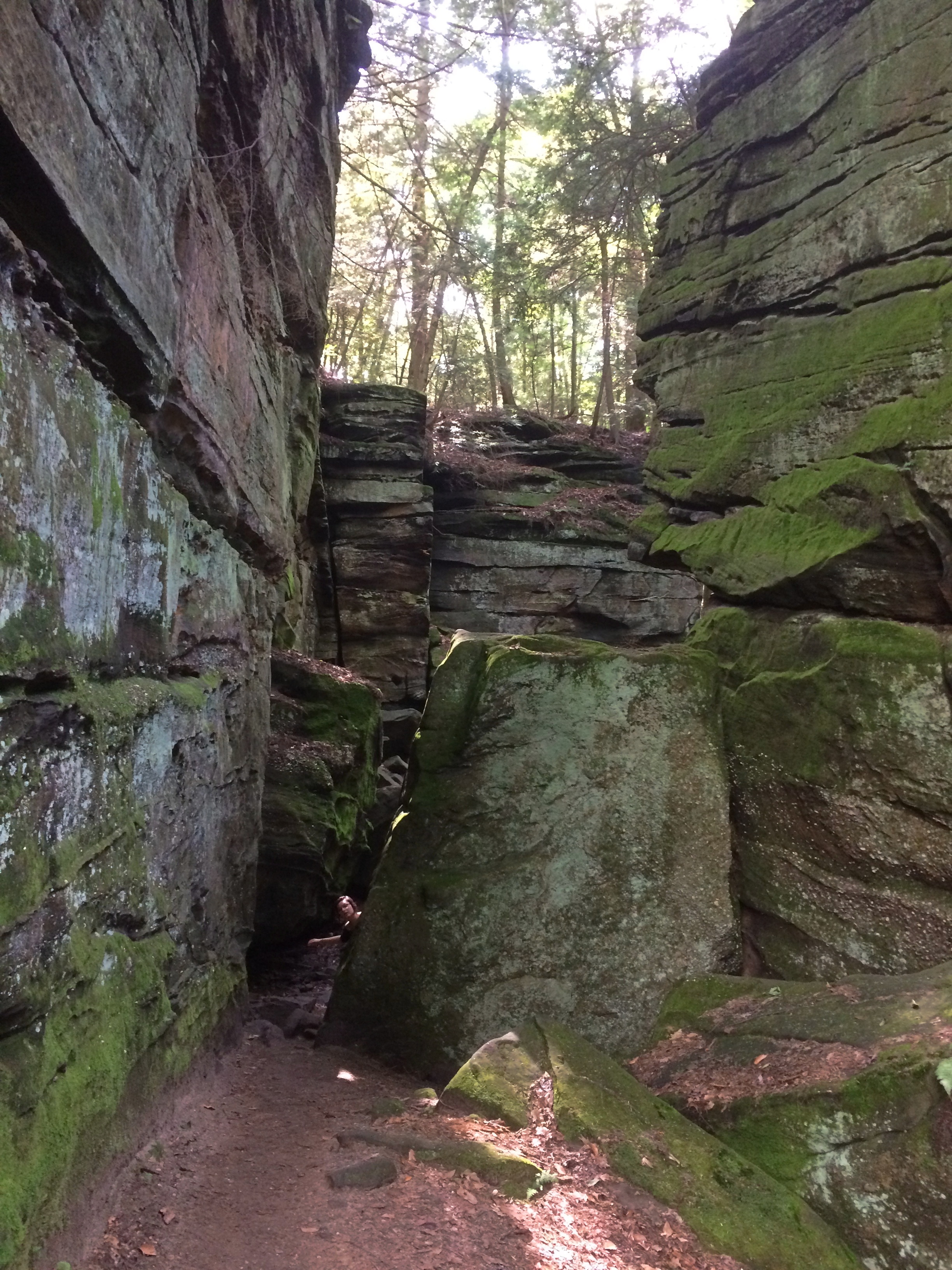
 Plenty of big rocks all around. The result of magma, monzogranite, rising to the surface eons ago. That or an act of creation in 4004 BC.

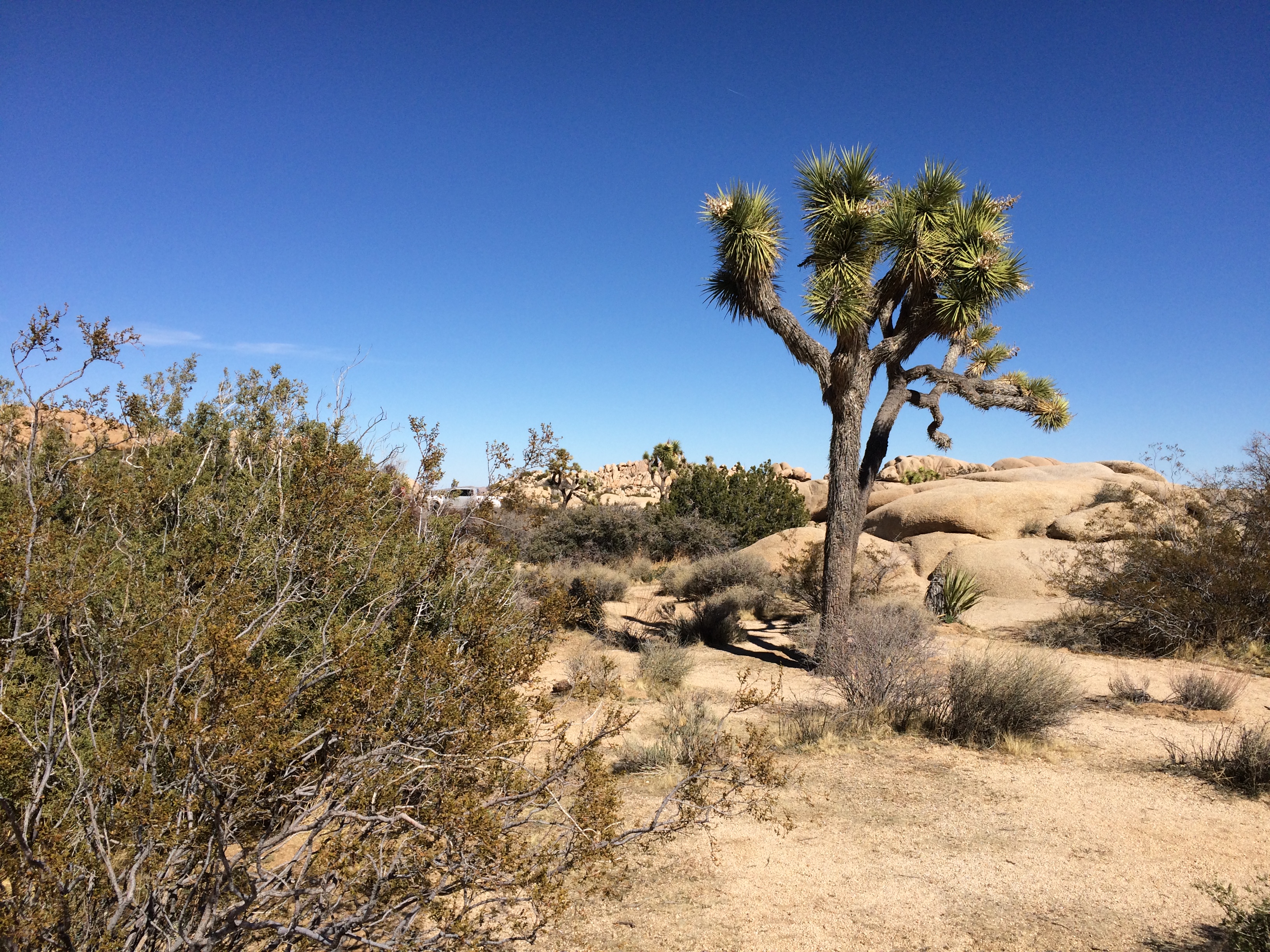
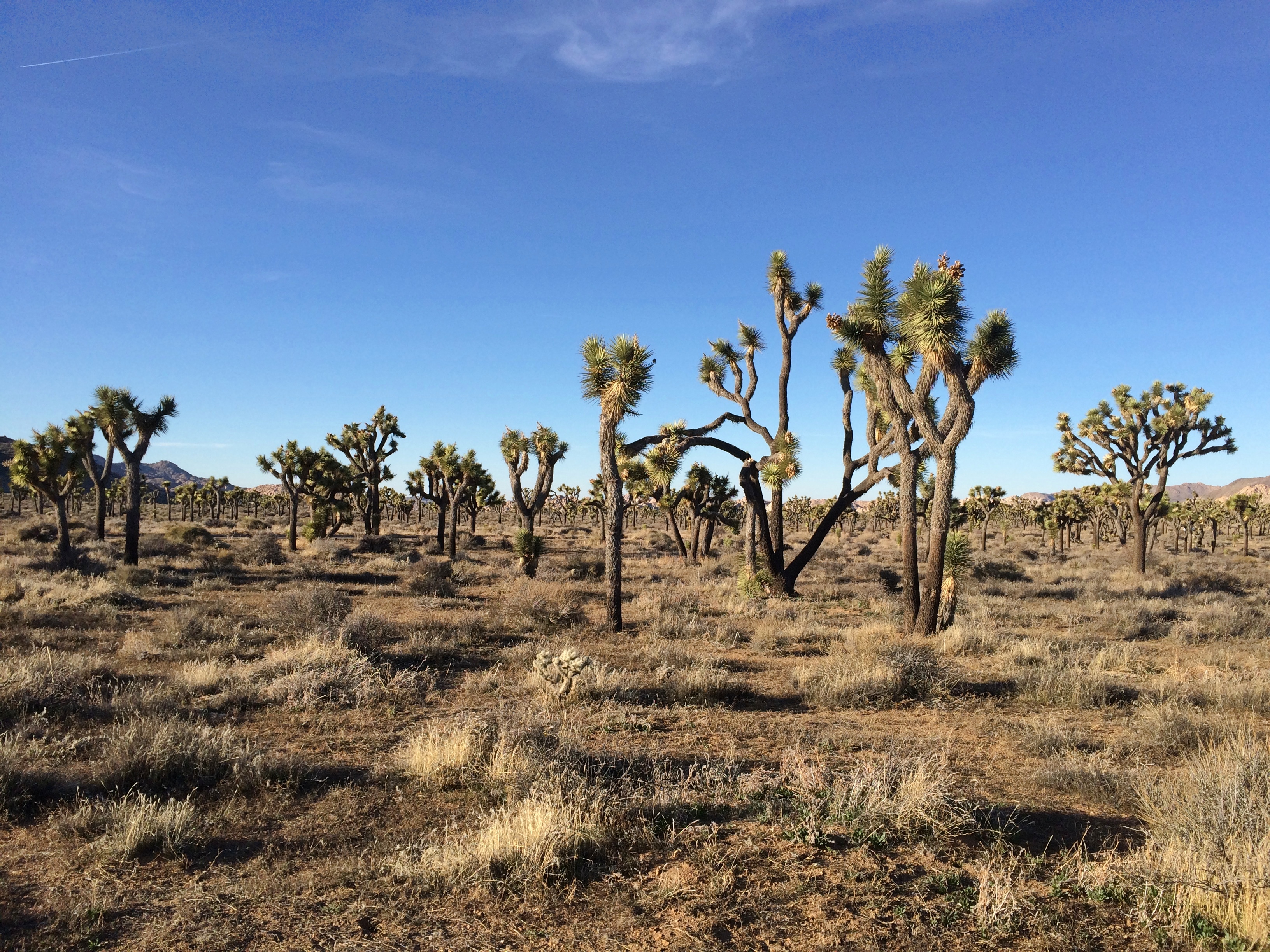
 Not far away I started spotting Joshua trees.
 Driving on the paved roads of JTNP was pleasant enough. There was some traffic, since winter is high season, and millions visit the park every year — about 2.9 million in 2018, making it the 11th most-popular U.S. national park. Not enough traffic to be a nuisance, though.
Unpaved roads were even better. At least the two I took: Desert Queen Mine Road and Queen Valley Road. Guess most of the other visitors were skittish about driving them, but they were mostly smooth with only a few large rocks to watch out for.
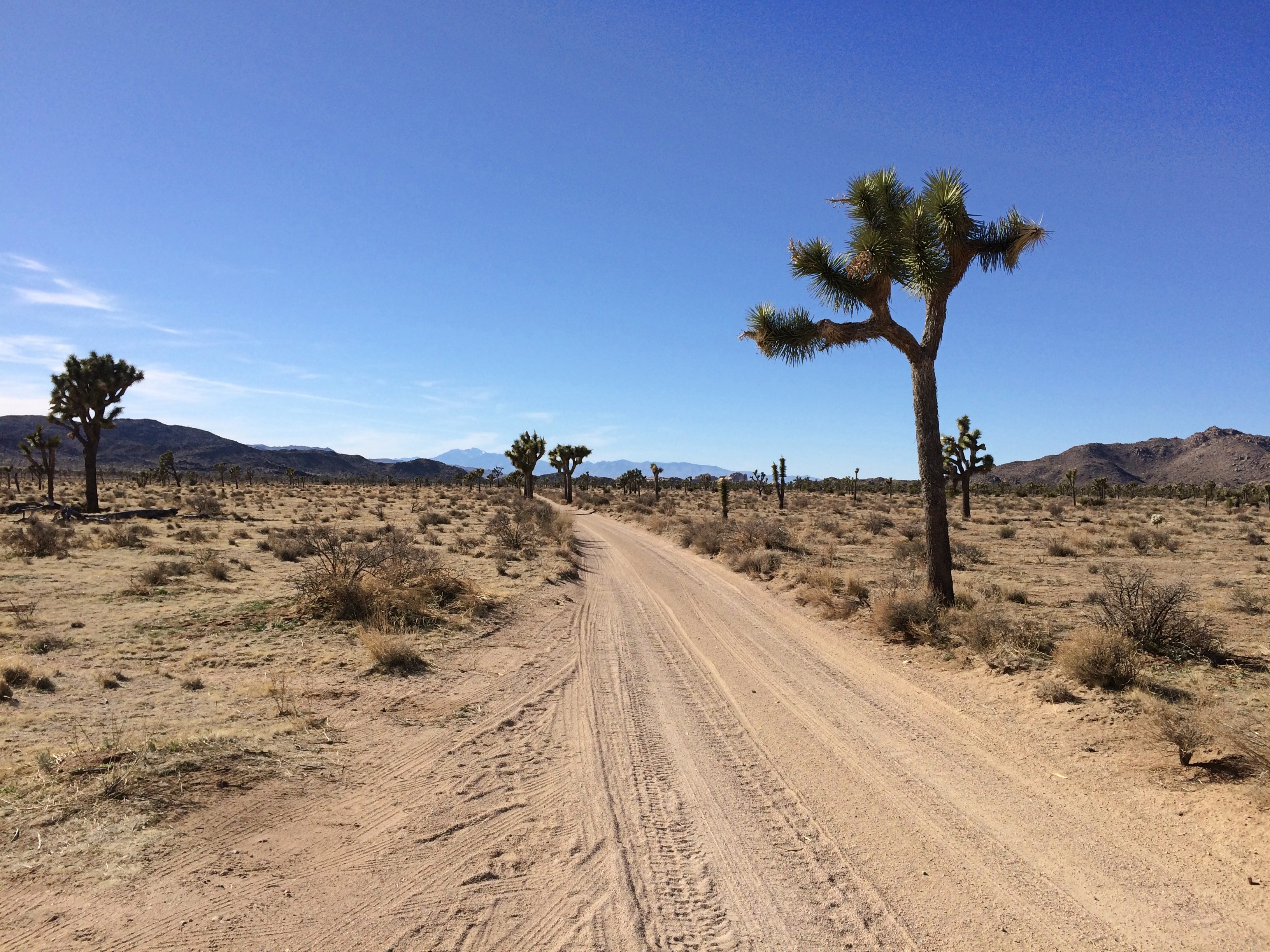 Admittedly they aren’t very long roads, but even so I only saw one other vehicle the whole way, which was pulled off the road a bit.
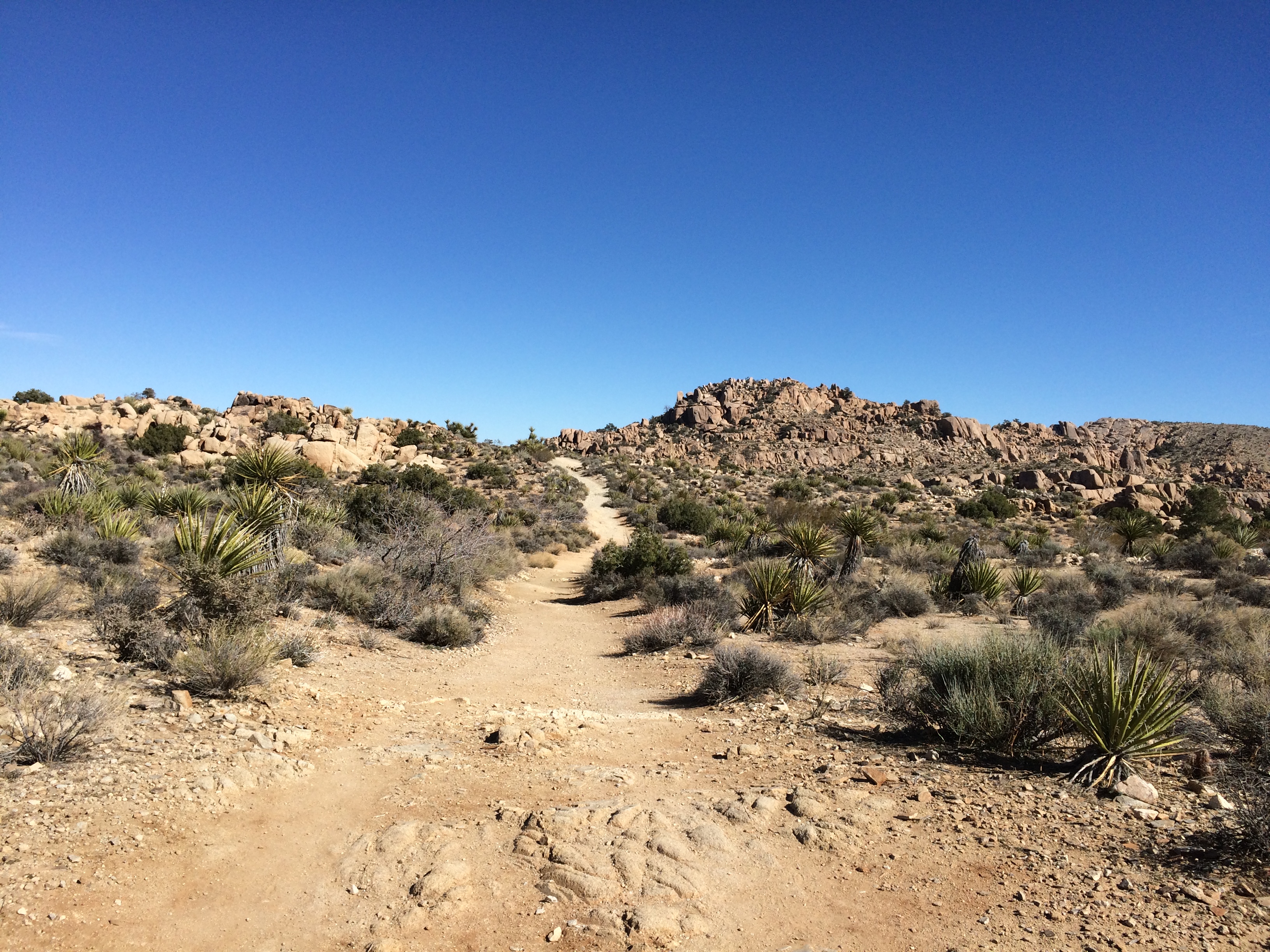
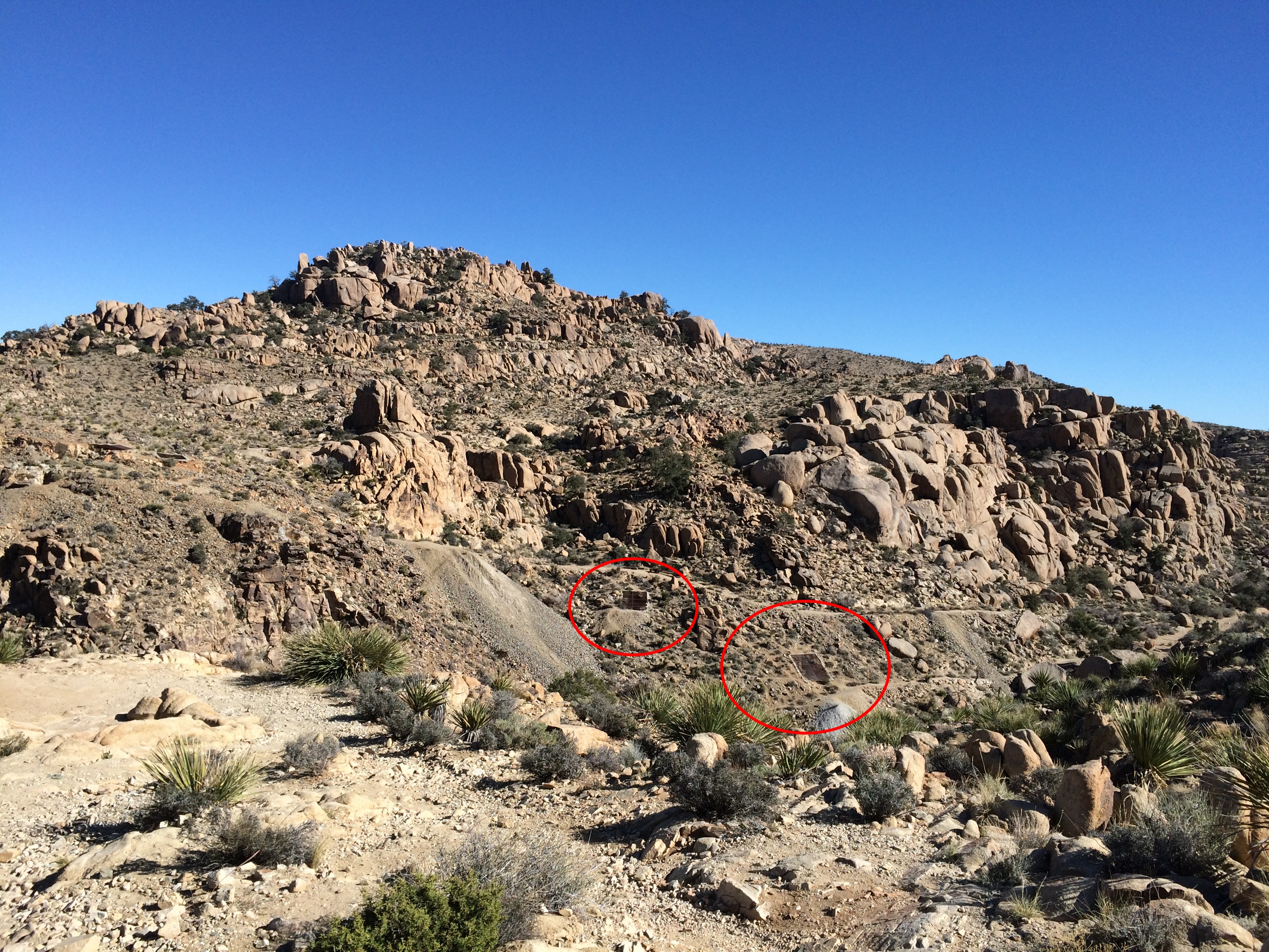
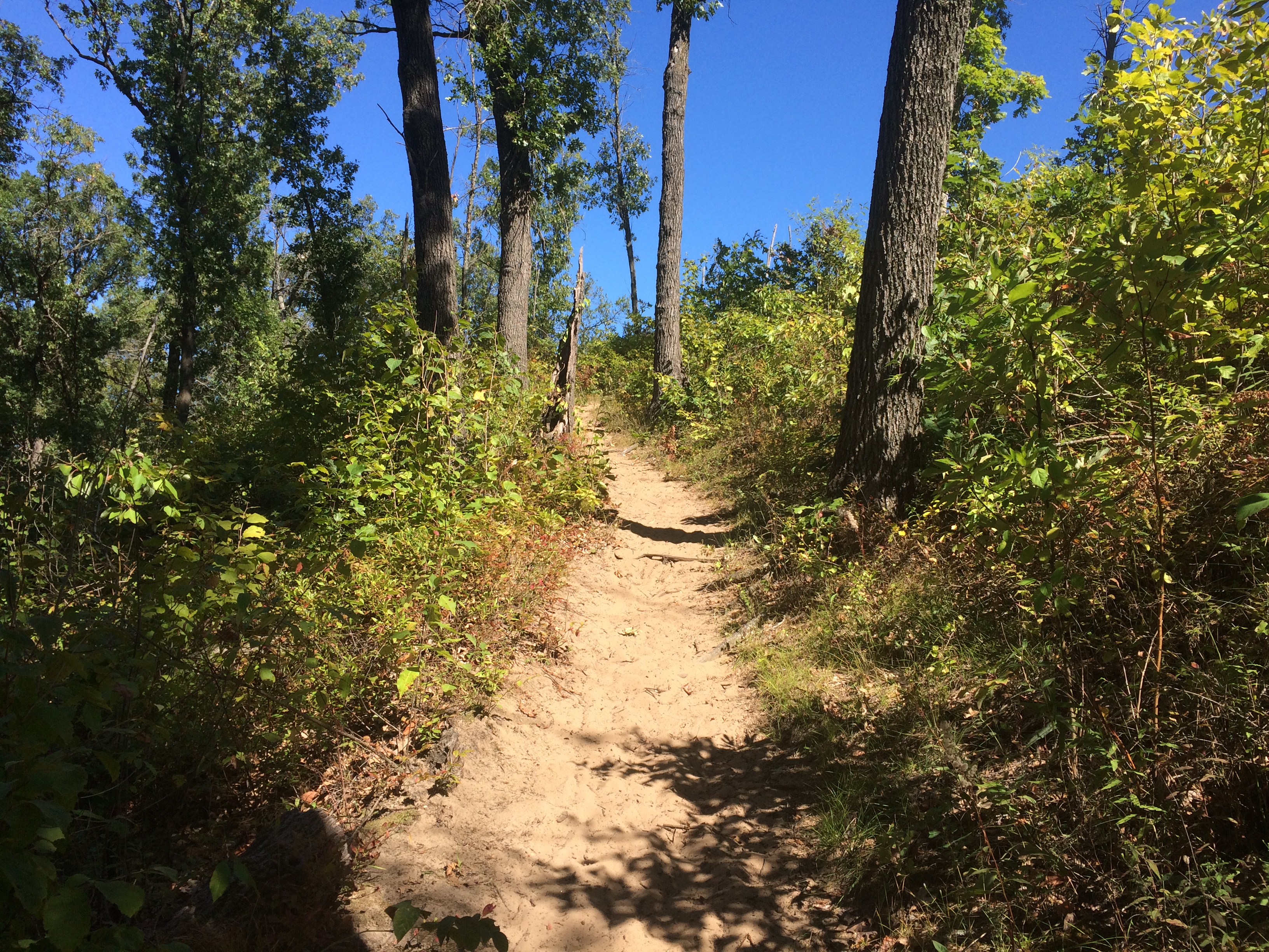
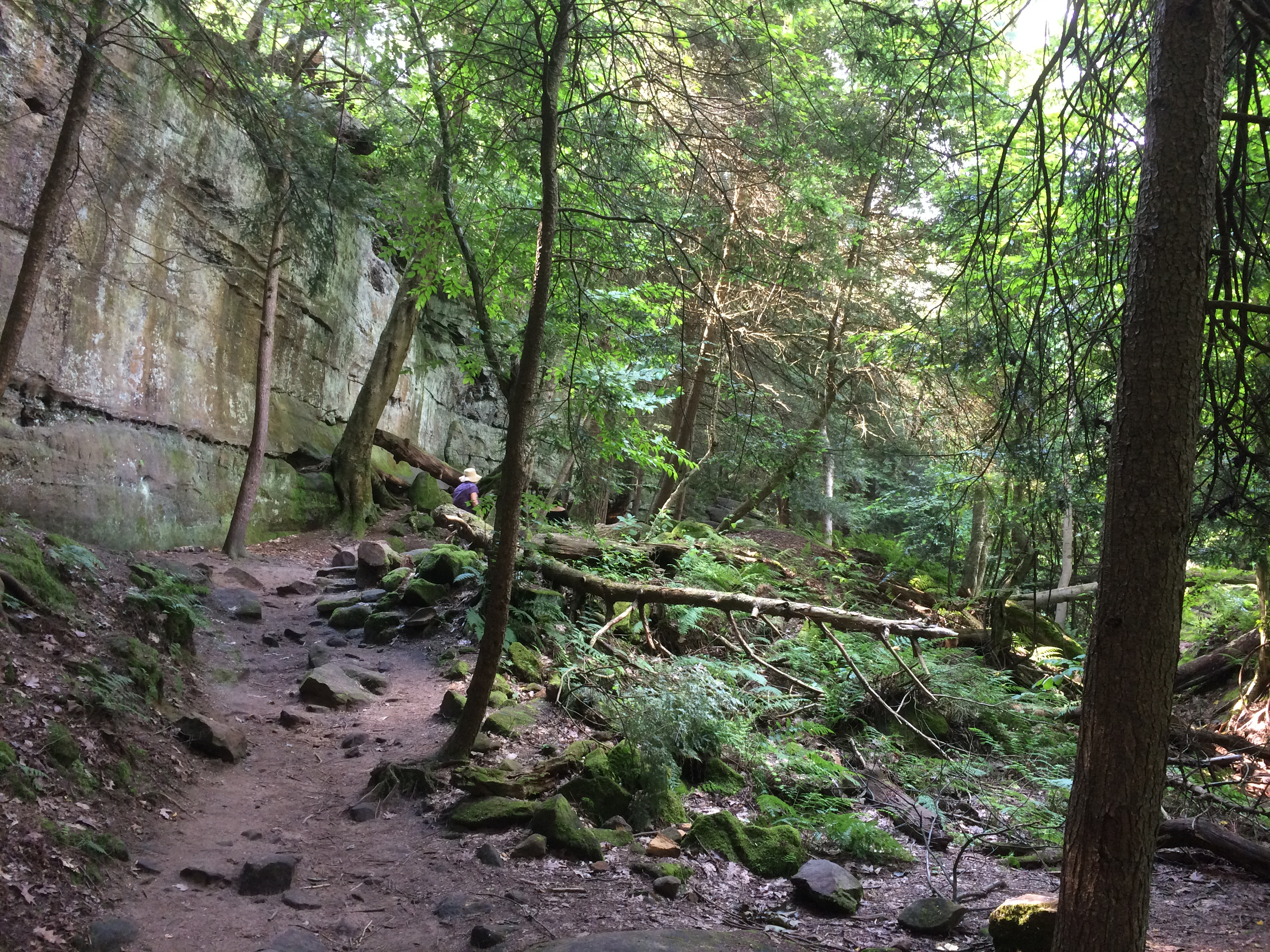
The Desert Queen Mine Road leads to a small parking area and a trail head for the Desert Queen Mine Trail. No one else was there. I took a walk. The kind of place where middle-aged men walking alone clutch their chests, keel over and aren’t found for weeks? Maybe. But you have to go down the trail if you’re going to see anything.
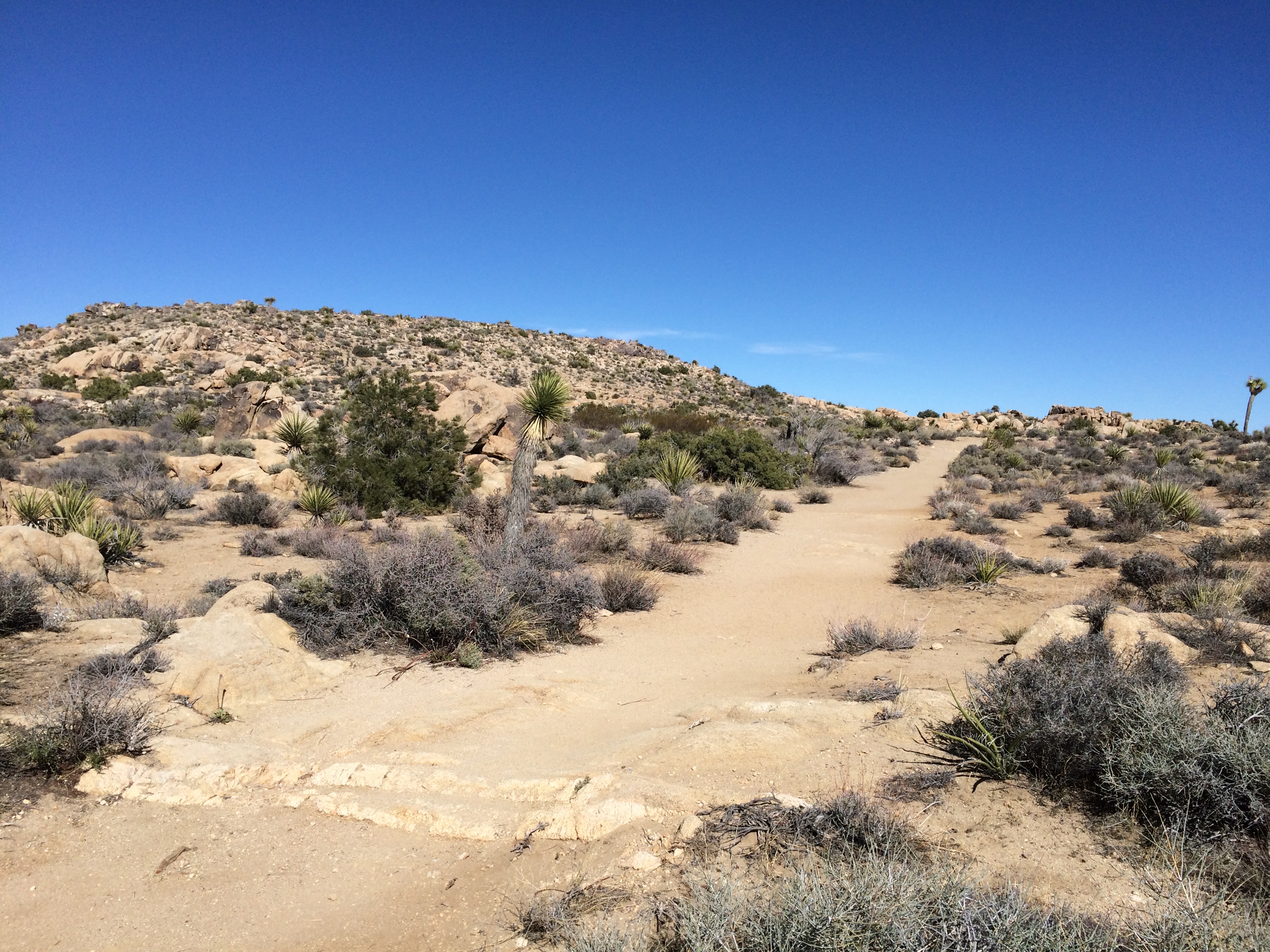
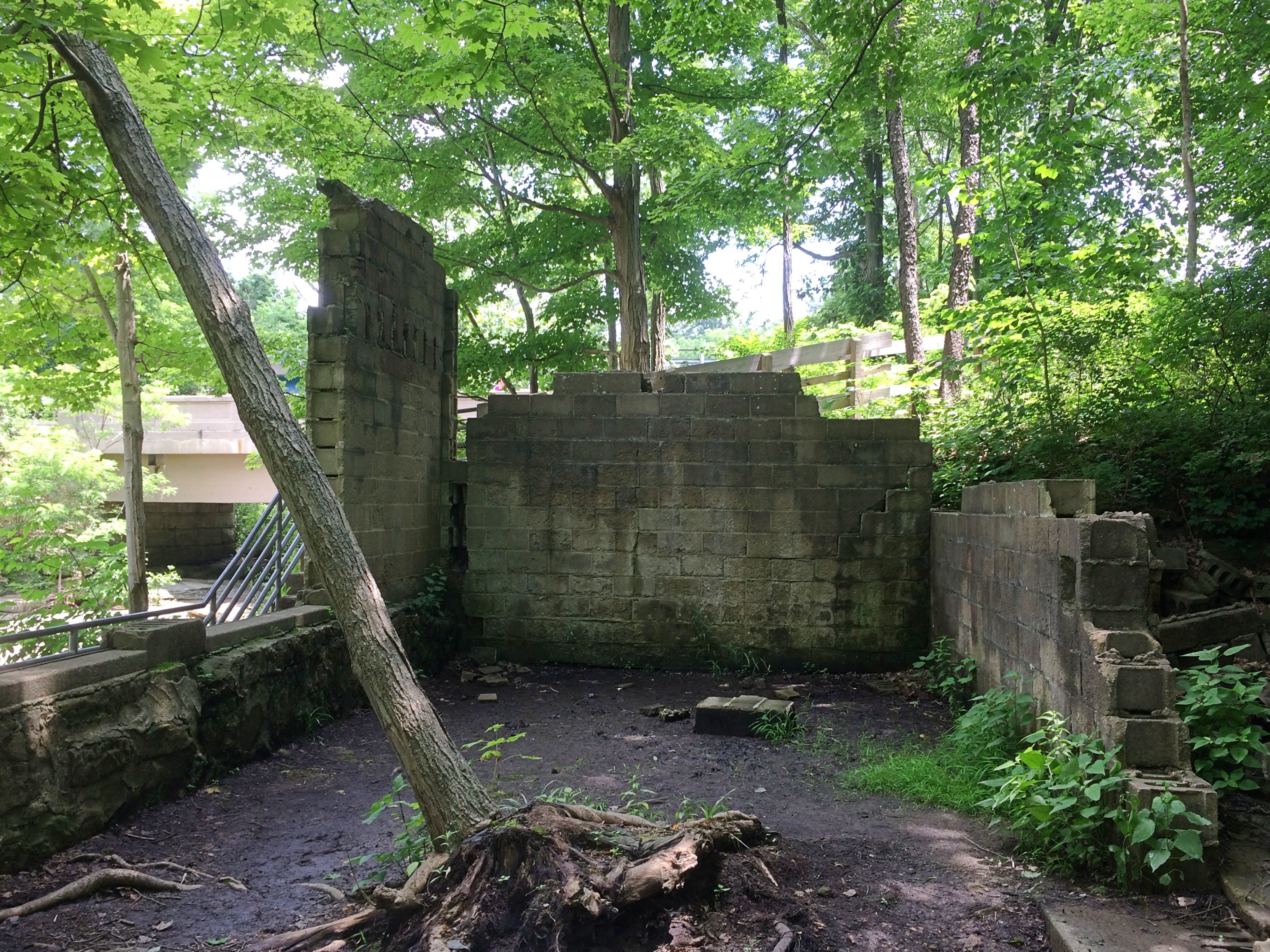
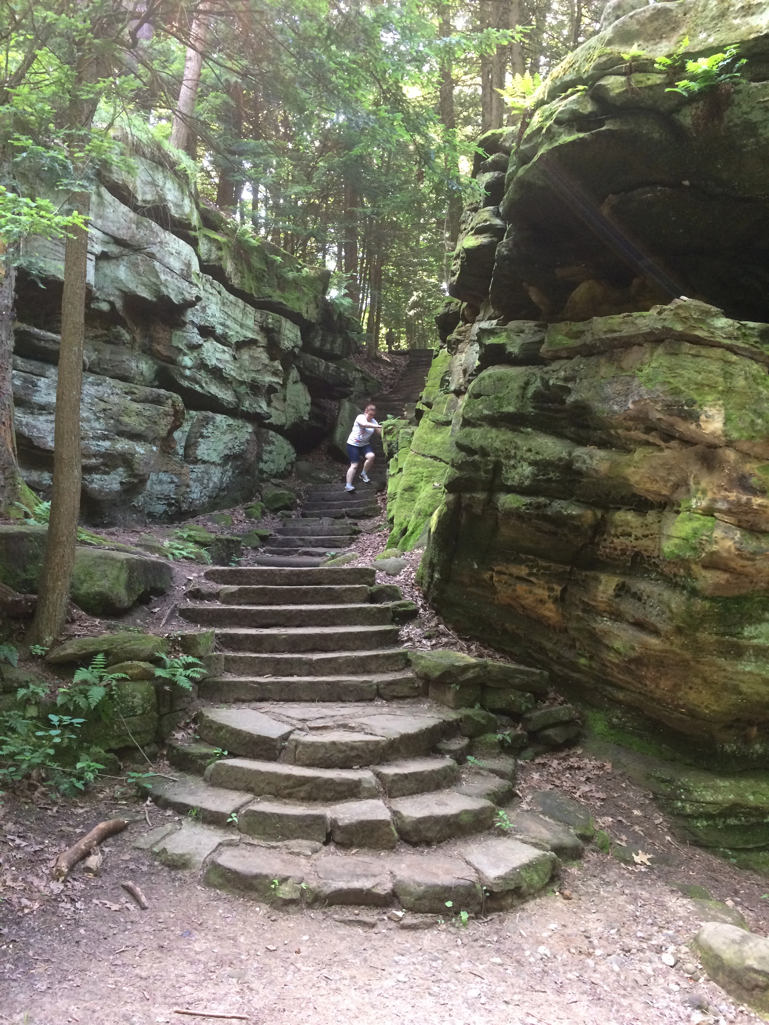
After about 10 minutes — it isn’t a very long trail — I came to a structure.
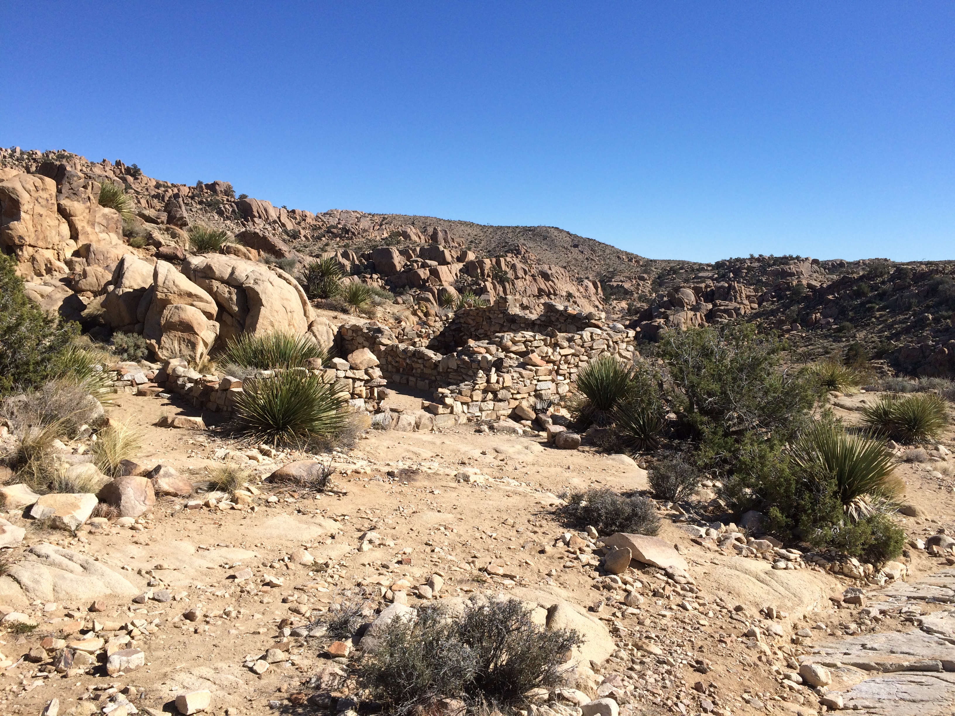
 Someone had lived in this waste. Why? Gold. I sat among the stones for a while. The only sound was the wind, and not much of that. Then I could hear the faint, distinct whoosh of a jet. That faded, but there was another a few minutes later.
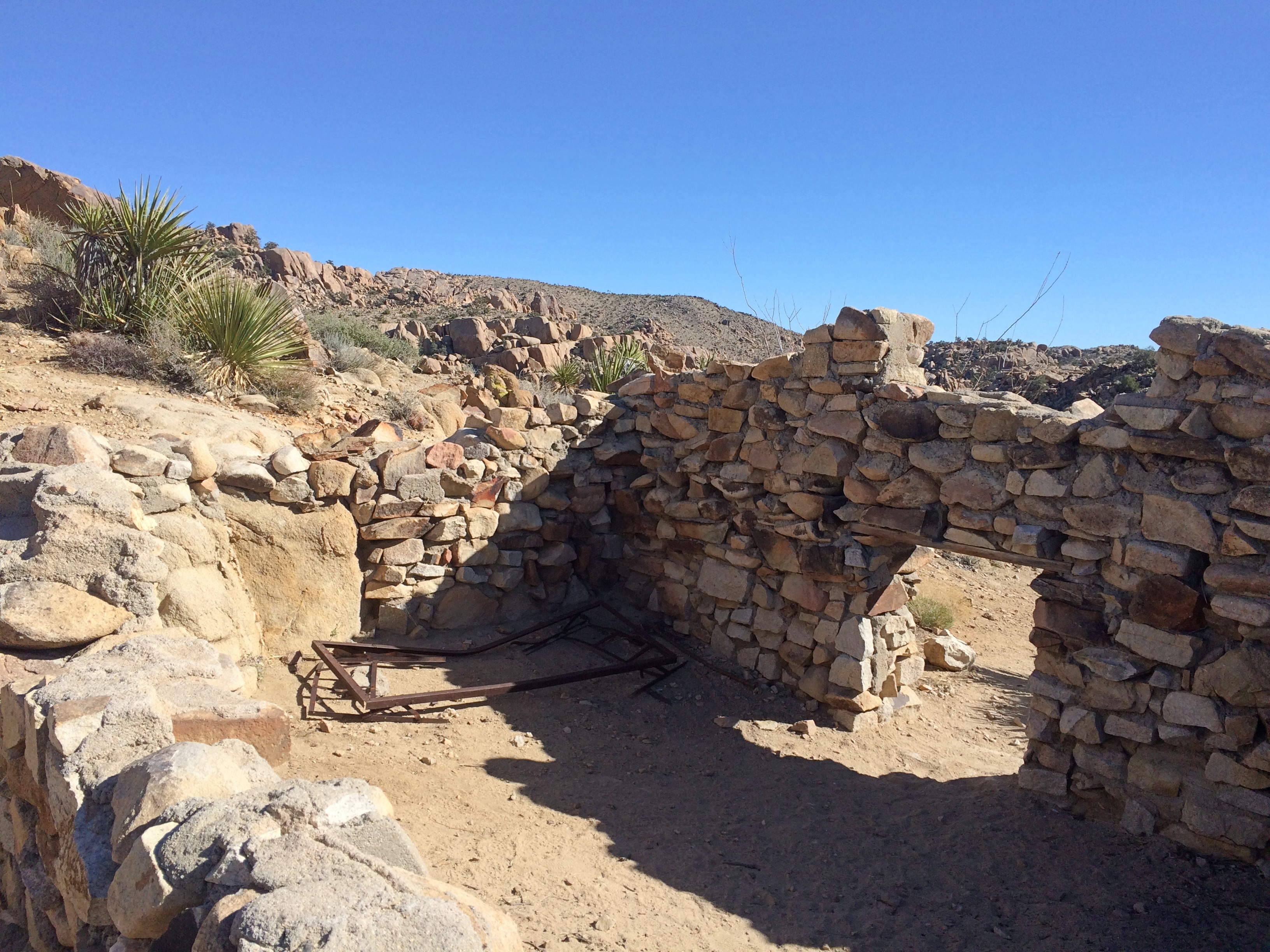
A little further on is a cliff with leftover mining equipment.
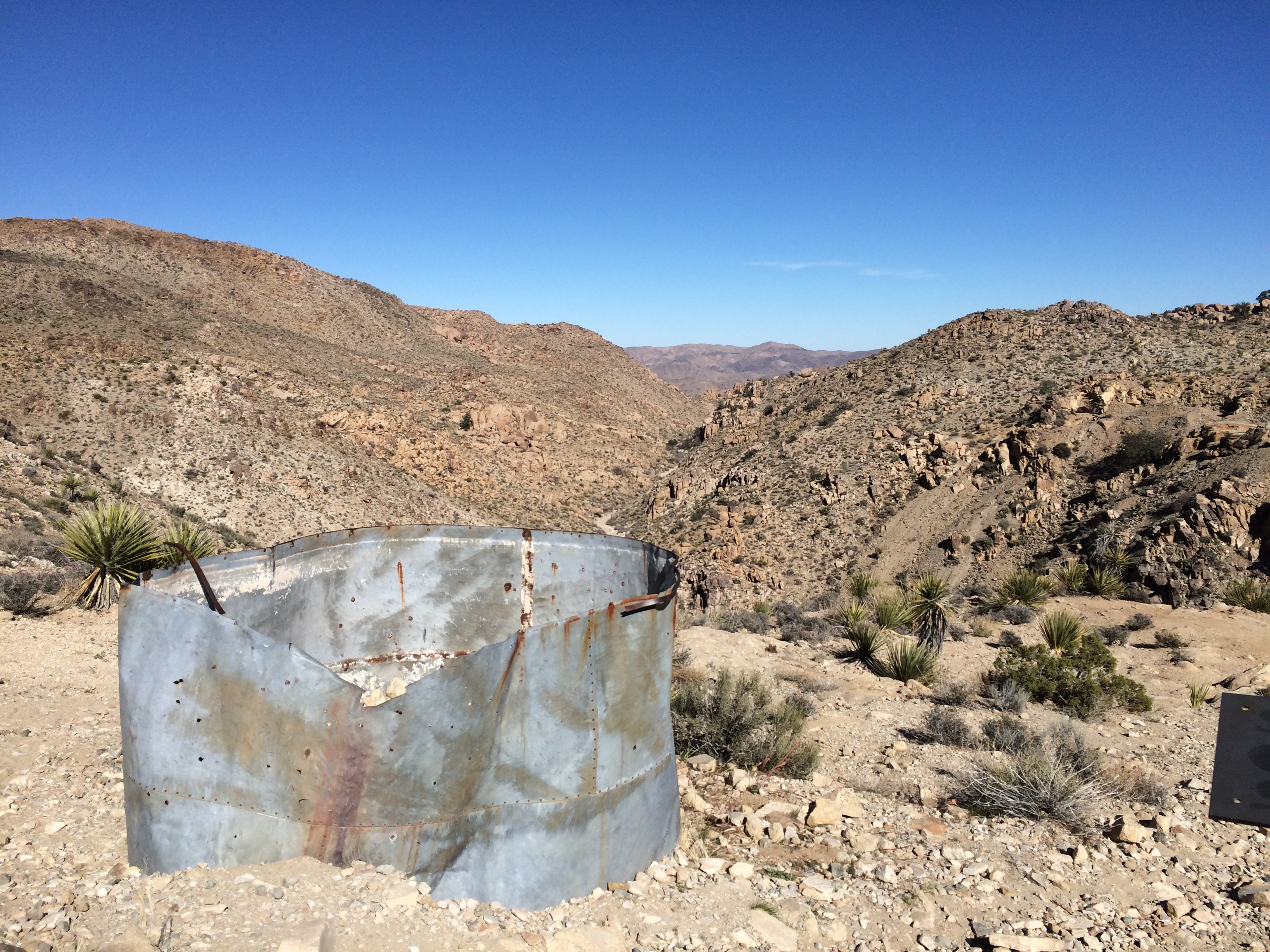 If you look carefully, you can see metal doors down in the valley. Must be closed mine shafts.
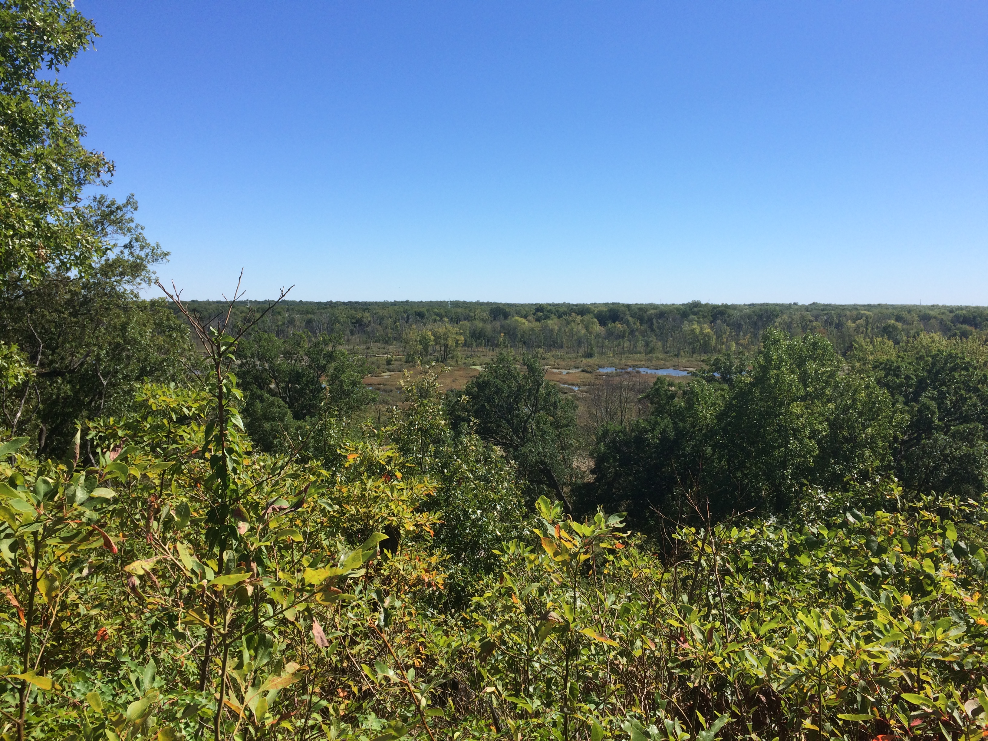
My second-to-last stop in the park: Keys View, up in the Little San Bernadino Mountains. Took a little driving to get here, but the view was worth it. Most of the Coachella Valley is stretched out before you.
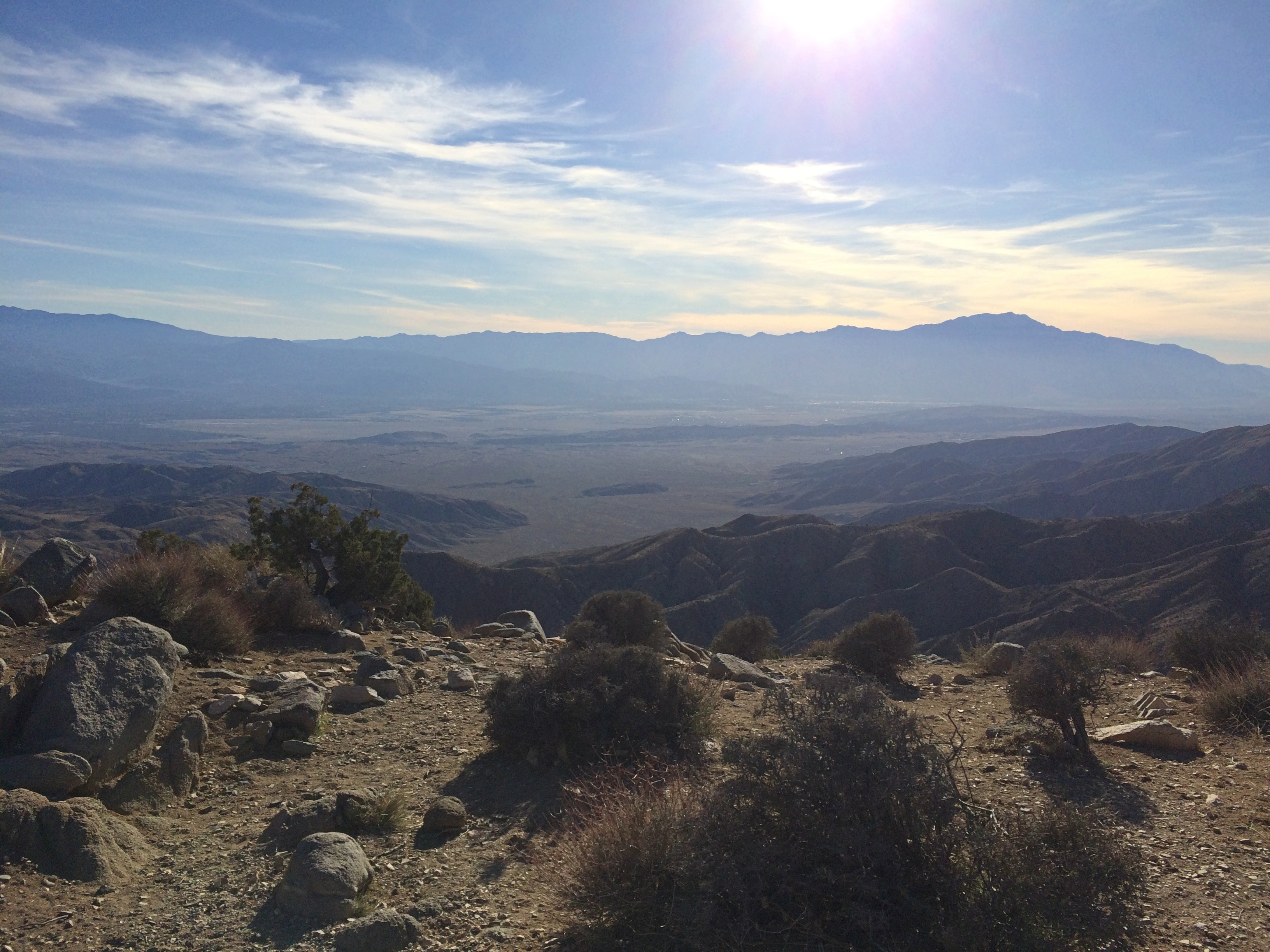
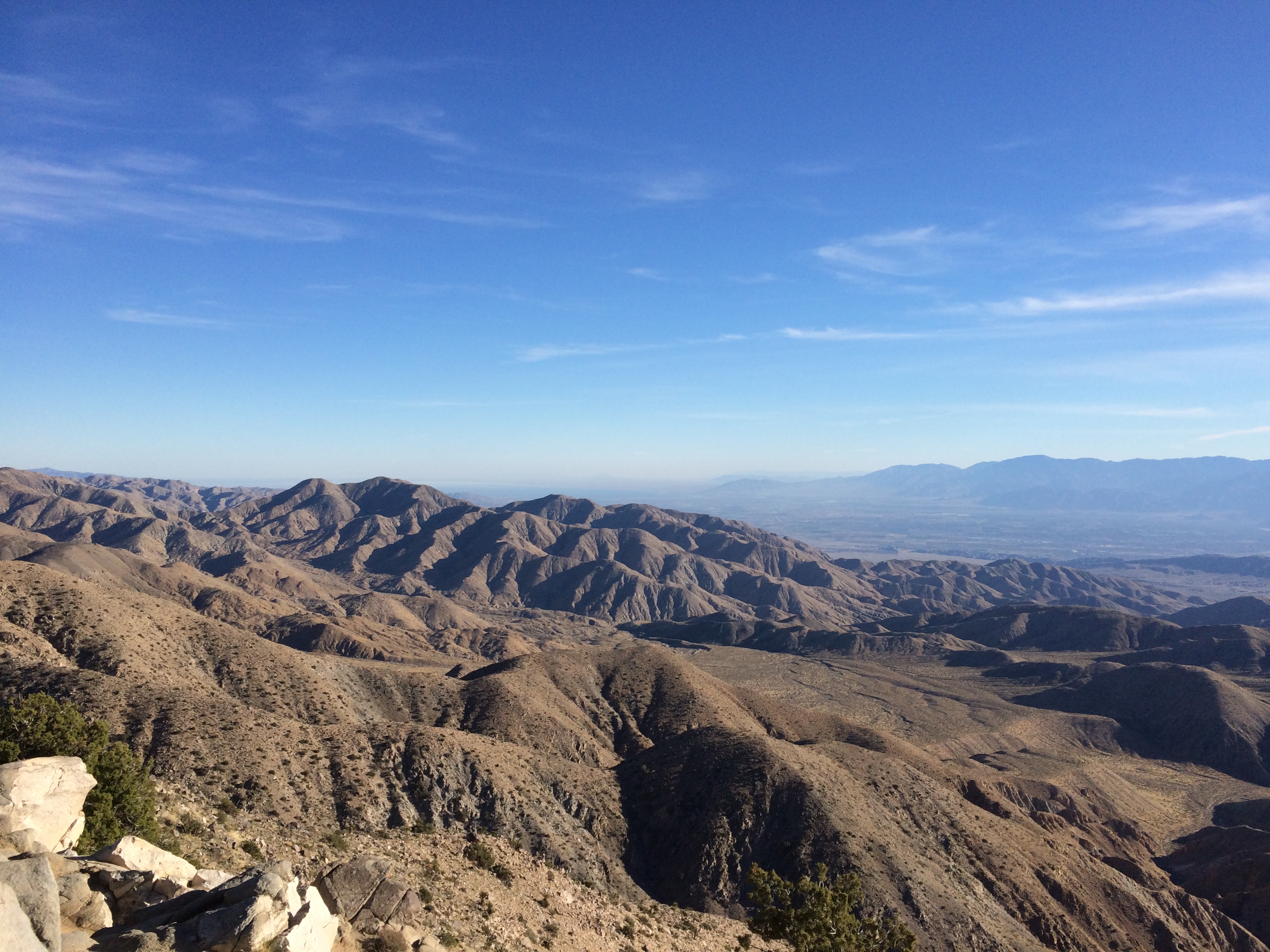
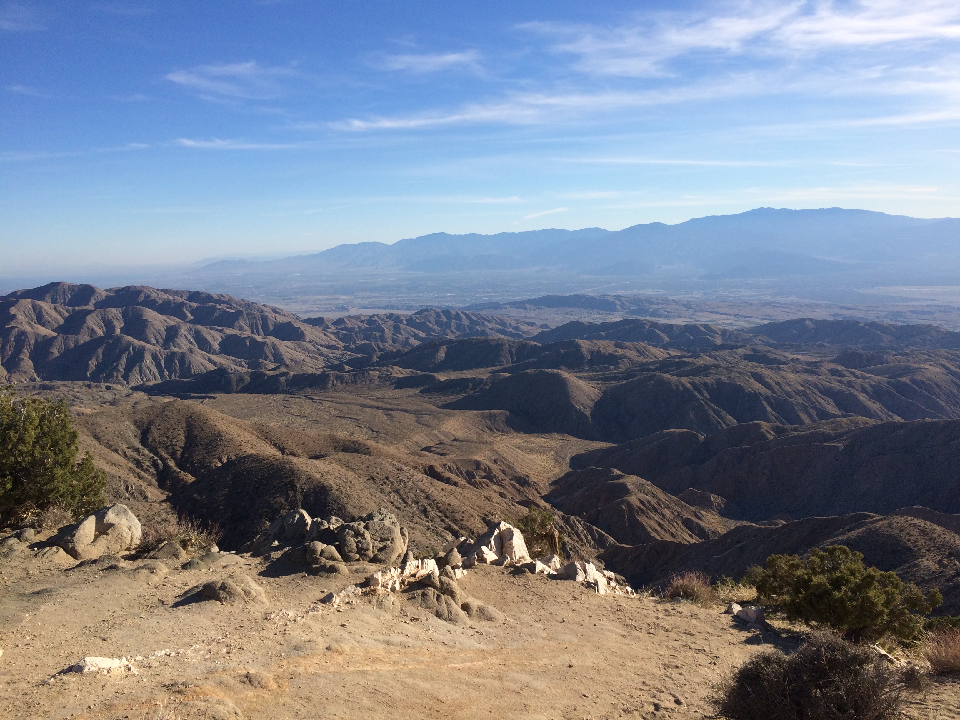
At nearly 5,200 feet above sea level, it was also distinctly chilly up there. And windy. Yet I spent a while gazing.
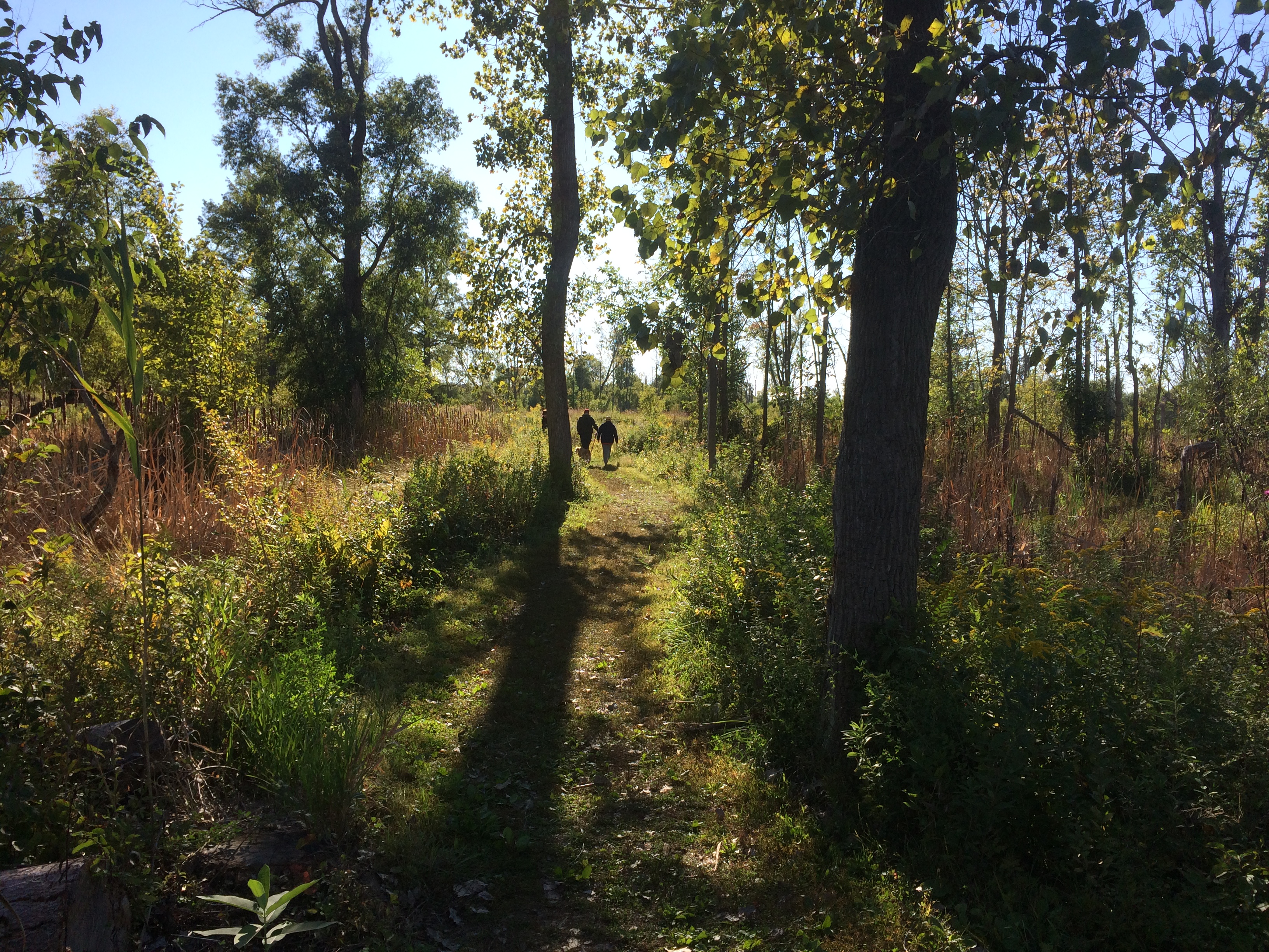
On the road back down from Keys View, I decided to take a closer look at the Joshua tree forest I was driving through.
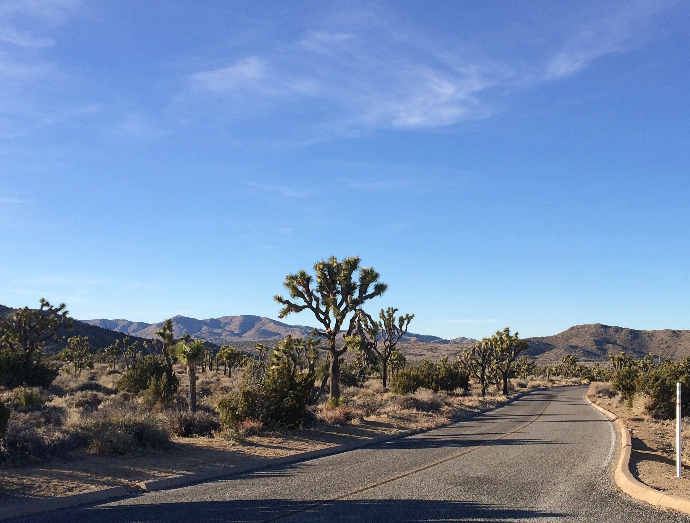 To do that, you get out of the car and walk into the forest.
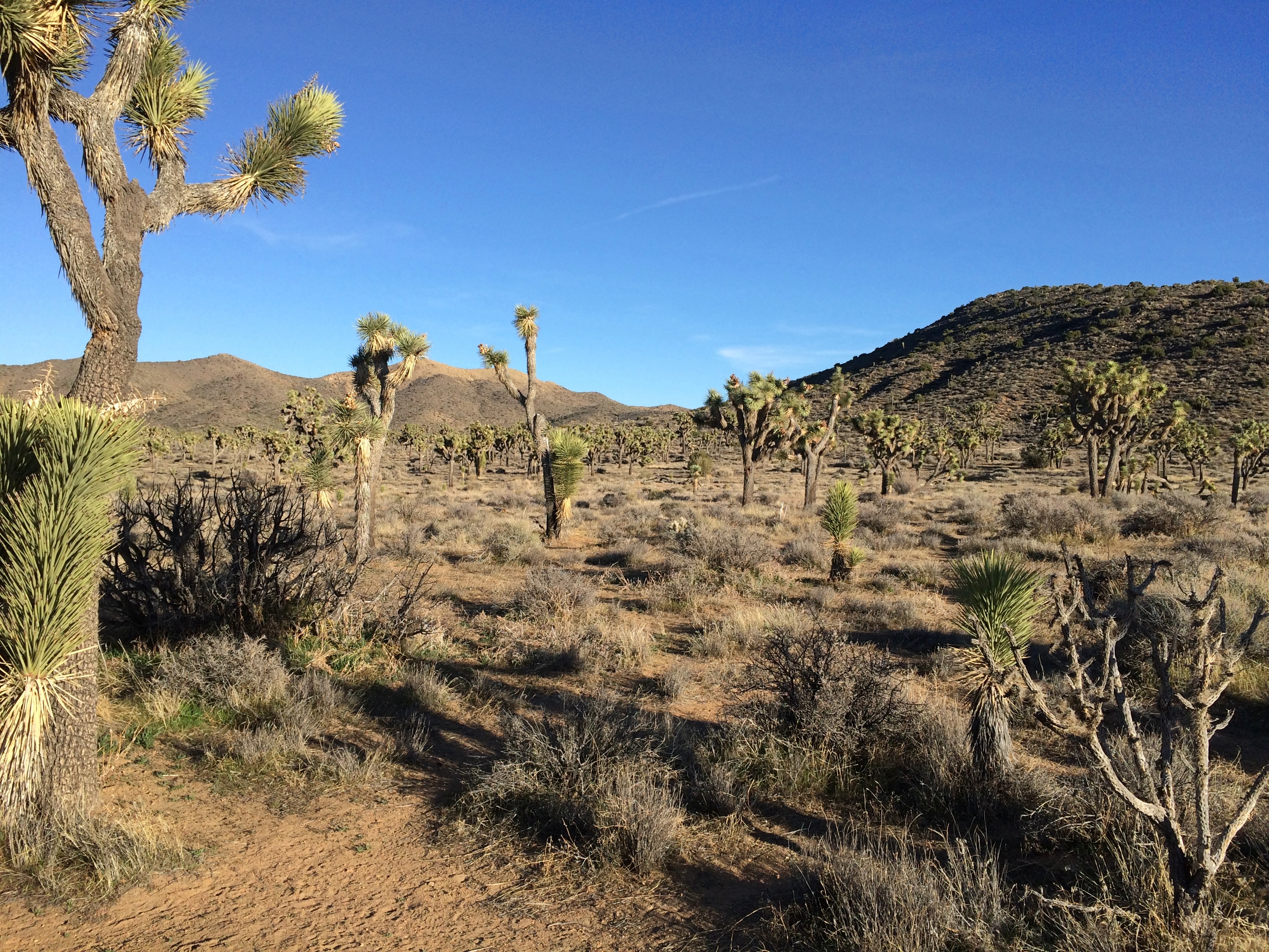
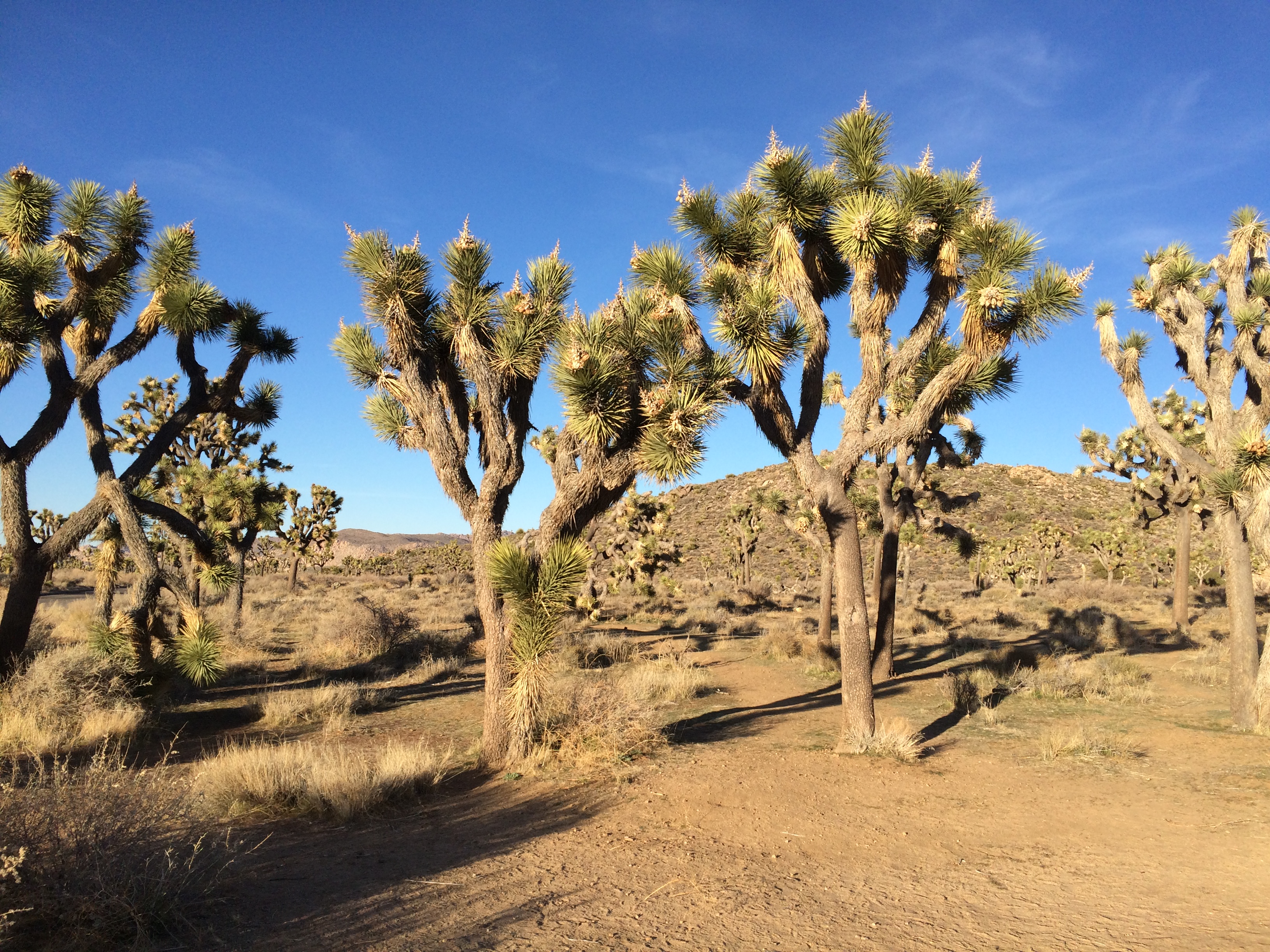
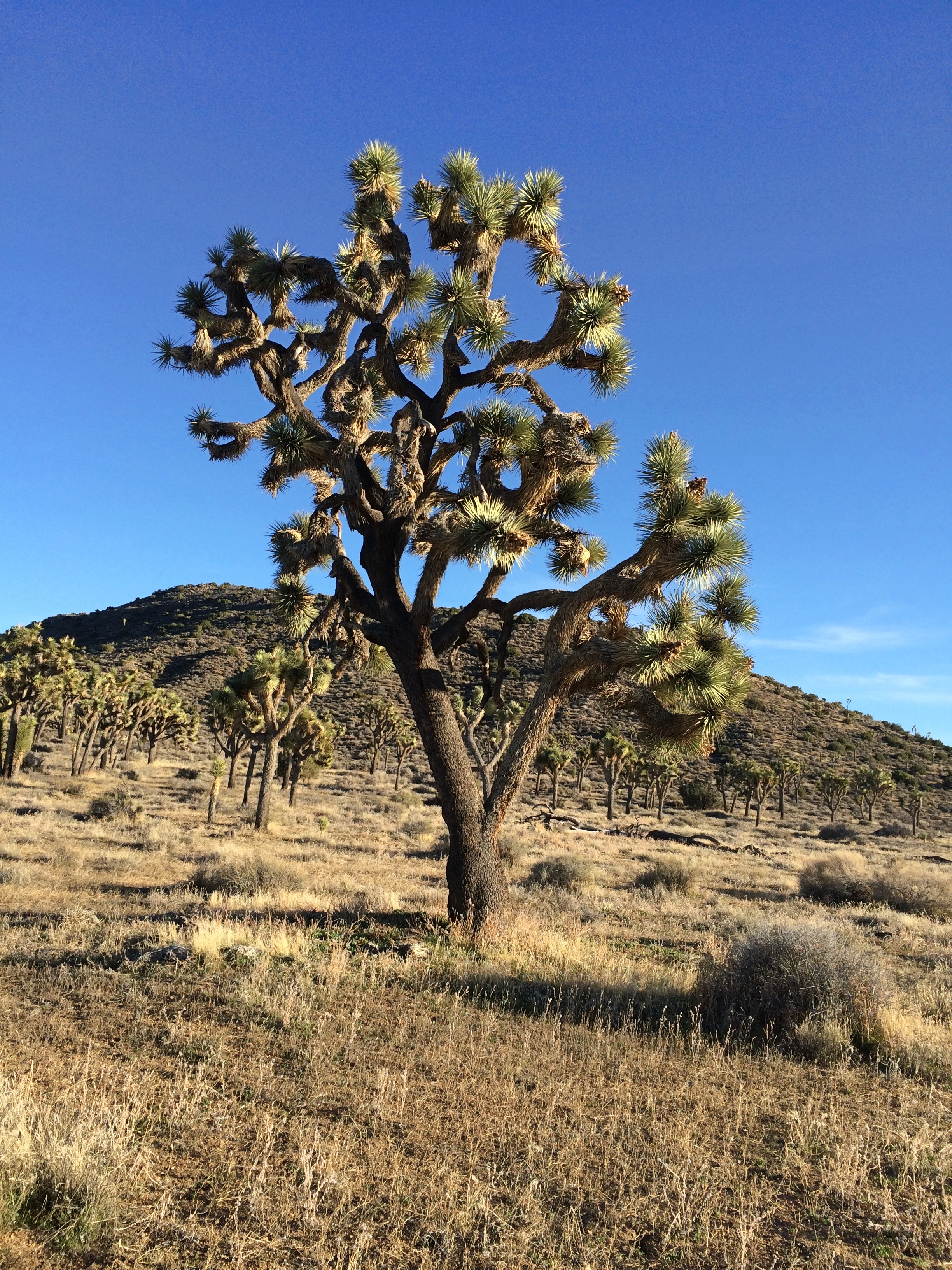
Remarkable plants, these yuccas. If Dr. Seuss had been asked to design a plant, it would look like a Joshua tree.

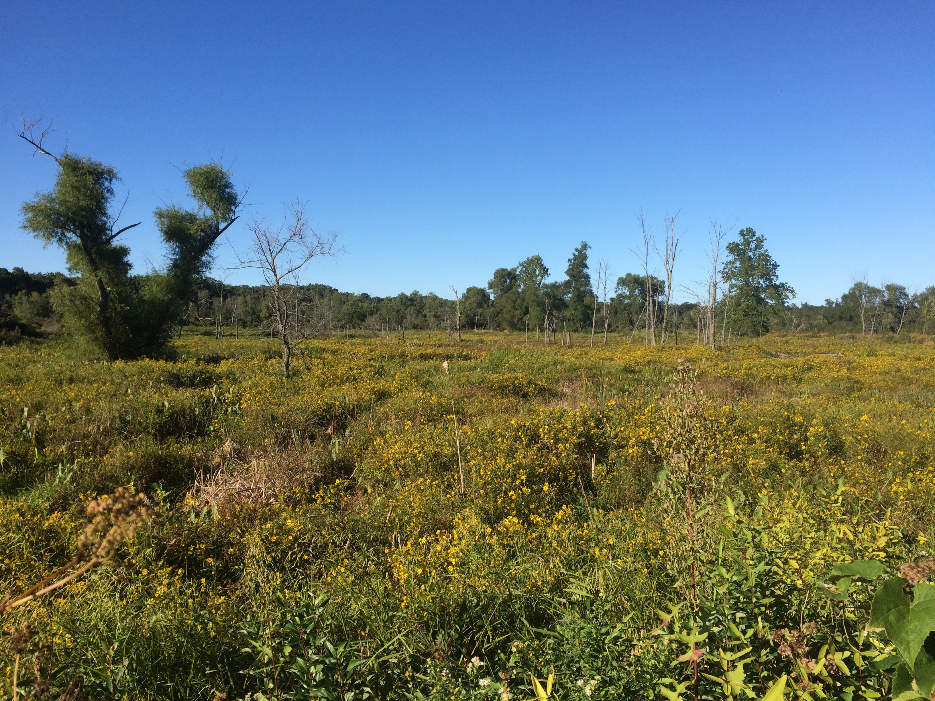
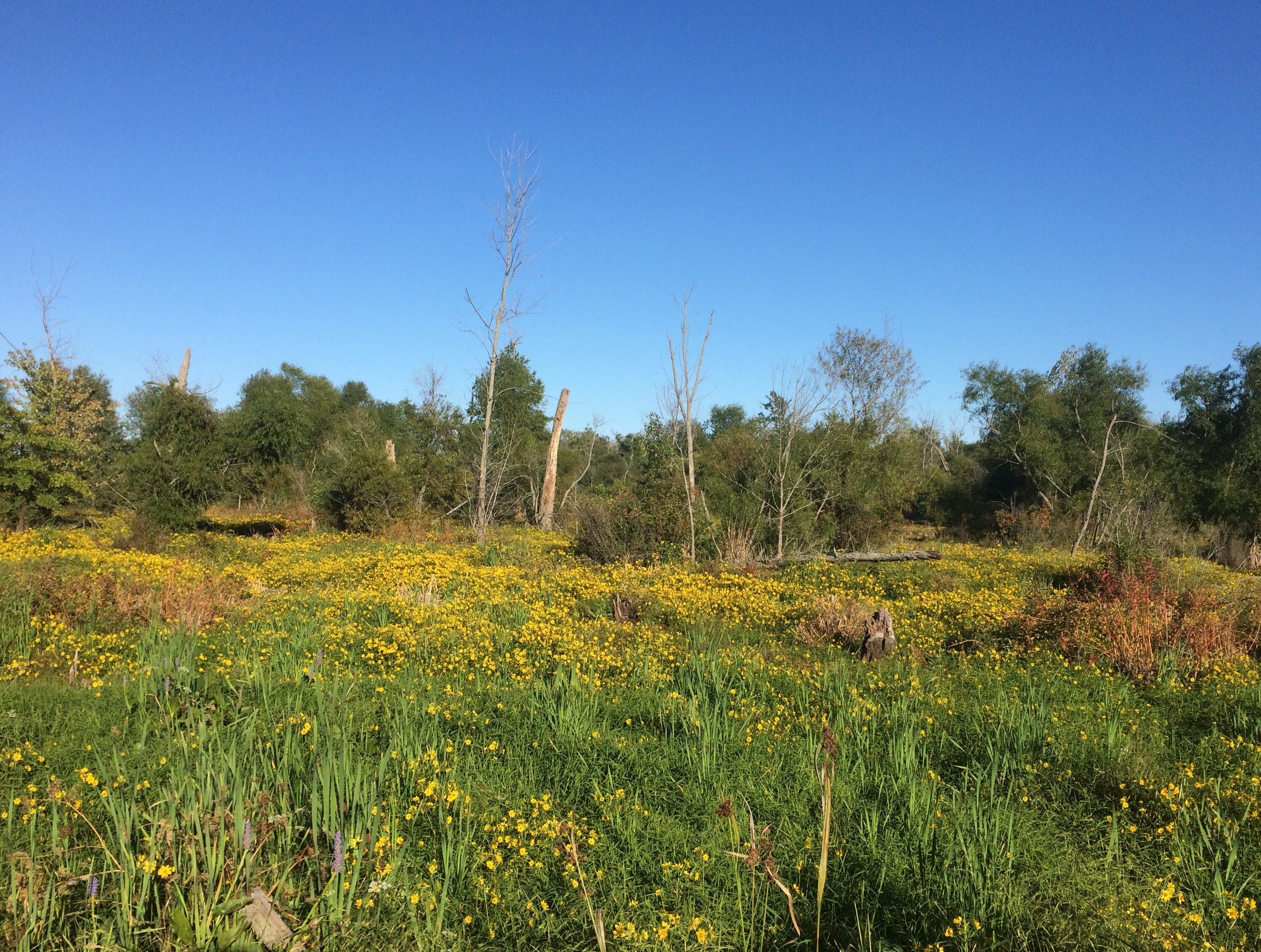 Leisure to stroll among the short-time green?
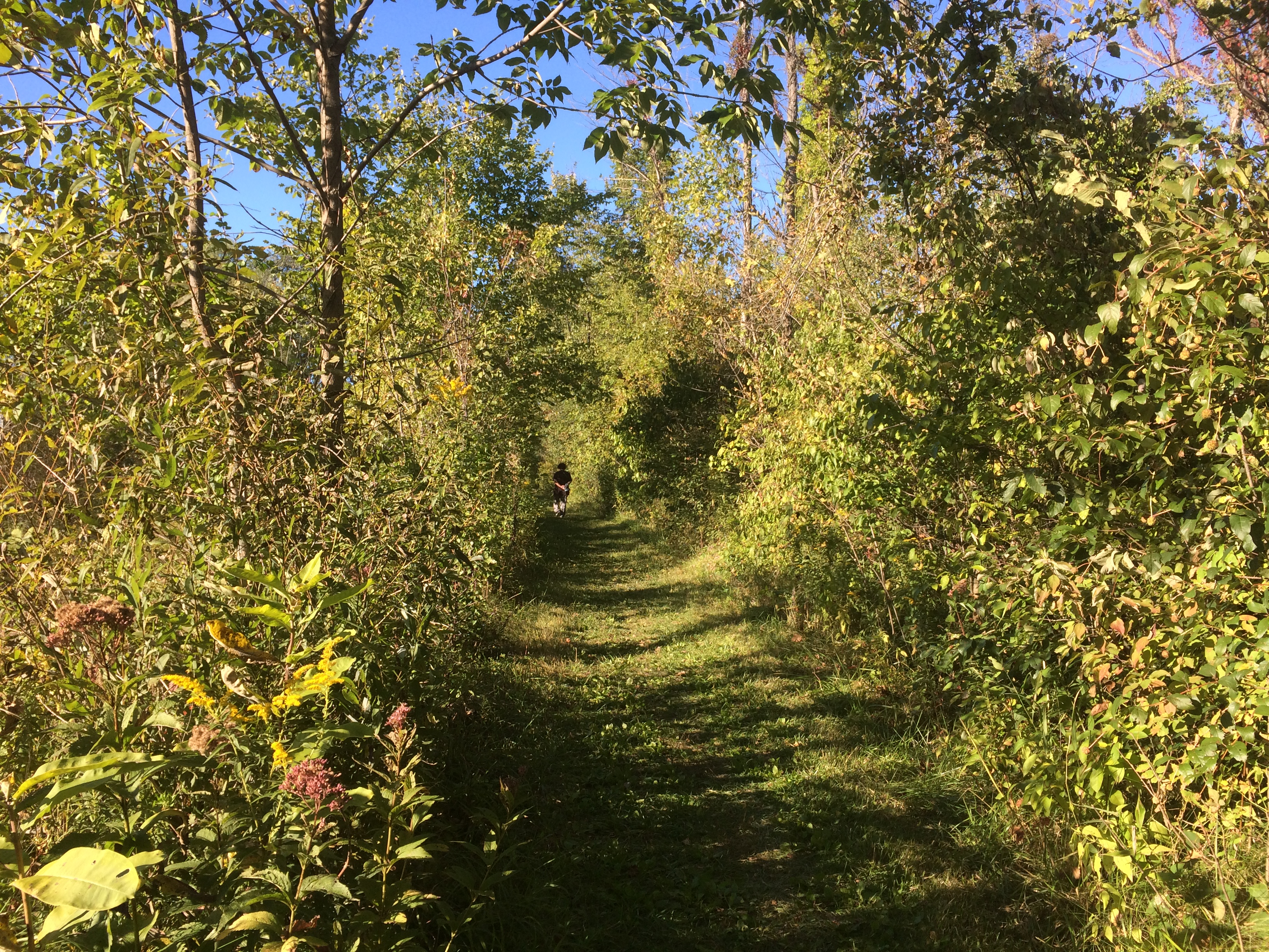