Recent Bumper Sticker Sightings

Next year’s election is all still talk, though more strangely entertaining than most year-before politicking. Hints of it are appearing outside the chattering classes, though.

Spotted a 2016 political bumper sticker the other day, one advocating the candidacy of the junior Senator from Texas. I’d guess his supporters are a little thin on the ground here in Illinois, but there have to be some. I’ve seen more stickers around here late this year supporting the Senate’s token socialist.

Another sticker on the same car said Marriage = Man Outline + Woman Outline, which might have been there awhile, growing ever more quixotic. Also, a sticker indicated that the owner used to be a Marine. And finally, one urged GO VEGAN. Make what you will of all that.

1 Afghani

A cold front blew in last night, bringing not only colder air, but also air in motion. I woke up at least once during the small hours to hear the vigorous rush of wind outside. Reminds me of the last graph of Chapter 11 of The Sun Also Rises (not for the first time, but no smoking for me): “After supper we went upstairs and smoked and read in bed to keep warm. Once in the night I woke and heard the wind blowing. It felt good to be warm and in bed.”

This collection of Zone Rouge images would have been fitting yesterday, but I only found it today.

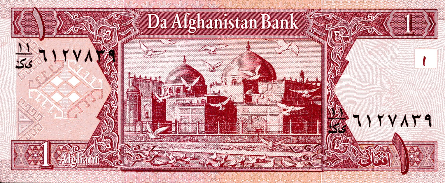
One more Asian banknote for now: an Afghan afghani, formerly issued by Da Afghanistan Bank, but replaced in recent years with a coin. I can’t help but smile at that institution’s name. Who issues the money in Afghanistan? “Da Afghanistan Bank, mon.”

AfghaniREVAfghaniOBVThese days, 1 afghani = 0.0151515 U.S. dollars. The obverse features the seal of Da Afghanistan Bank, which includes the design from the famed gold 20-stater of Eucratides, everyone’s favorite Greco-Bactrian king, or usurper, take your pick. Unless you’re fonder of, say, Menander, “who conquered more tribes than Alexander the Great.”

On the reverse is the Blue Mosque-Shrine of Ali in Mazar-i-Sharif, Afghanistan, which dates from the 15th century. Archnet tells us that “the shrine was restored extensively in the mid-twentieth century and draws Shi’a pilgrims throughout the year, and especially during the celebration of New Year (Neuroz).”

500 Dong

Tag line of recent email: Your Perfect Christmas Starts NOW! I object. Christmas doesn’t start now, and to quote W.C. Fields, “There’s nothing in this world that is perfect.”

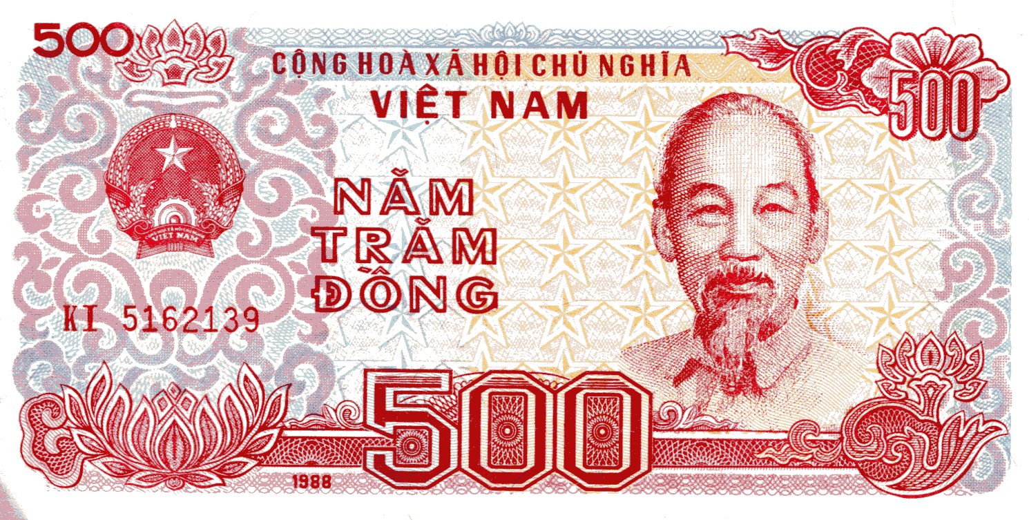
Here is 500 dong, a bit of the currency of the Socialist Republic of Vietnam, that nation’s official name even now, despite decades of various kinds of capitalist enterprise blooming there. I wonder if slightly brighter than average, but still adolescent Vietnamese boys ever jest among themselves, “Hey! Know what that means in English?”

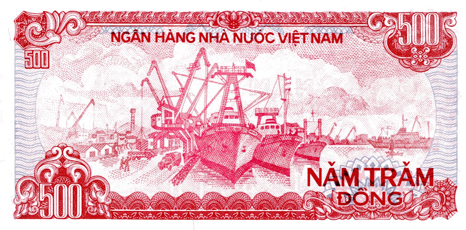
500dongOBV500dong REVThe 500-dong note hasn’t been made since 2003, so little are they worth (500 dong = 0.022295 U.S. dollars). This one is dated 1988, so it’s the kind we might have handled in Saigon in 1994. Ho Chi Minh got to be on the obverse of all of the old notes, and gets to be on all of the post-2003 notes as well.

That’s when Vietnam switched to polymer banknotes, as some countries have. Canada and Australia also come to mind; I picked up a $5 Canadian polymer note in August, and among other things, it resists tearing. The new Vietnamese notes begin at 10,000 dong and go up to 500,000, or nearly $22.30, which probably still has considerable purchasing power in the Socialist Republic. Two hundred to 5,000 dong have been relegated to coins.

On the reserve is the port of Haiphong. I’m pretty sure I first heard of the place in the context of the mining of Haiphong Harbor, which I just learned the U.S. Navy called Operation Pocket Money.

20 Kyats

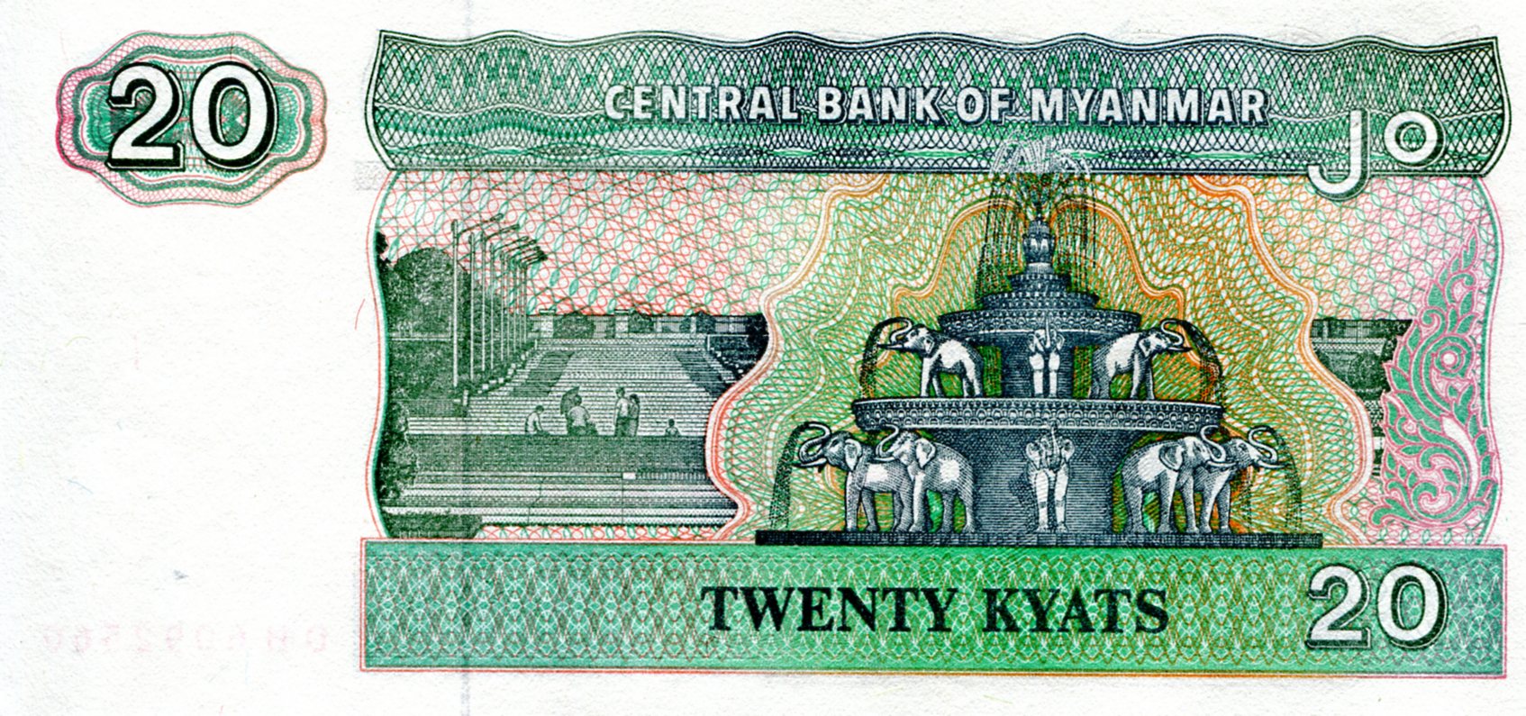
I’ll bet the Burmese kyat isn’t one of the world’s better-known currencies. Until lately I didn’t know much more than the name myself, but this 20-kyat note inspired me to look into the currency a bit more. K20, to use the abbreviation.
20KyatsBurmaOBV20KyatBurmaREVFor a very modest amount of U.S. currency, you can buy a number of crisp banknotes from the developing world, to use the euphemism of choice these days among us First World inhabitants. One thing the euphemism can’t hide is how little the notes are worth in terms of hard currency. For example, Google readily tells me that 20 Myanmar Kyats = 0.01552 U.S. Dollars as of today.

Still, some of the notes are pretty, and most of the them are interesting, and that’s what you get for your hard currency.

On the obverse is a Chinthe, a creature apparently beloved by the Burmese and a common feature on most modern Burmese banknotes. In statue form they’re usually depicted in pairs in front of Burmese temples and pagodas, guarding the place (and in Sri Lanka, I understand).

The reverse depicts a fountain in People’s Square and Park in Rangoon, which can be seen in this video, toward the end. Elephants supporting the world or just the fountain?

John F. Tracy’s Plaque

I’ve seen some plaques in my time, such as ones commemorating the high-water mark of Hurricane Ike, a vintage Dairy Queen sign, the 25,000th 7-11 franchise, the site of Huey Long’s assassination, an outstanding civil engineering achievement of the 1980s, a Civil War veteran who died in 1947, Bill Murray’s footprint, even Addison Mizner’s pet spider monkeys. Guess I’m a sucker for words carved in metal trying to beat forgetfulness, though I think forgetfulness will eventually overcome such efforts.

Saw another plaque on Sunday, behind the Ridge Historical Society in the Beverly neighborhood of Chicago. A curious thing, this plaque, placed right next to the back entrance and mounted on a short block. Though made of metal, it was well worn by years of weather — close to a century, it seems.

There was no one was around to tell me about it, but my guess would be that it had been moved there from somewhere else nearby. It said (in all caps, actually, but I’m capitalizing the lines that are particularly large on the plaque):

1852      1922
ROCK ISLAND LINES
Seventieth Anniversary
October Tenth
The memorial tree planted nearby
is dedicated
by the Rock Island in affectionate memory
of
JOHN F. TRACY
Who by industry courage and loyalty
through every vicissitude signally
aided in the development of the
CHICAGO ROCK ISLAND & PACIFIC RAILWAY
into a great transportation system
DEVOTED TO THE PUBLIC SERVICE

The Rock Island is remembered in later decades thanks to Alan Lomax and Leadbelly and others, though that’s fading too, and it was an important railroad in its day (and a client of Lincoln’s in its earliest years). It was also a link in the Grand Excursion of 1854, which is known to us Millard Fillmore fans.

John Tracy’s not so well remembered. My guess would be that he lived somewhere in Beverly, and was long dead by 1922. A small amount of checking reveals he was an executive of the railroad, including its president from 1866 to ’77. A Gilded Age railroad tycoon! His story is probably in an out-of-print volume somewhere, maybe at the Ridge Historical Society. A book that’s no one’s read in years, and a story that probably doesn’t involve diamond-tipped walking sticks and lighting cigars with $100 banknotes, alas.

Map in the Mail

Medecins Sans Frontiers wants money from me, and toward that end sent me a map of the world specially printed for them by Rand McNally. That’s a pretty good way to get my attention. It’s not quite as aesthetic as one by National Geographic or Nelles, but not bad. But you’d think that for an organization that has “without borders” in its name, national borders would be left off the map to make a point. Instead, the nations of the Earth are variously hued, as on any political map.

Fine print on the side of the map is at pains to say that the lines and colors on the map don’t mean that the organization takes a position one way or the other on any of them. It also specifically mentions Sudan and South Sudan — a “final boundary… has not been determined” — and that “a dispute exists between the Government of Argentina and the United Kingdom concerning sovereignty over  the Falklands Islands (Malvinas).”

Mentioning Sudan and South Sudan, I understand, since I’m pretty sure the organization is active there. But the Falklands? Why a note about that and not, say, the West Bank or the Western Sahara or the Spratlys or just about anywhere else that’s disputed? Such spots are just about everywhere, though this map doesn’t show that some disputes are more intense than others.

Also: the map is a Gall stereographic projection. Looks like Rand McNally doesn’t mention Peters, and from what I can tell, this one doesn’t look as weirdly distorted as either Mercator or the maps I’ve seen called Peters projections. Speaking of which — here’s xkcd on maps.

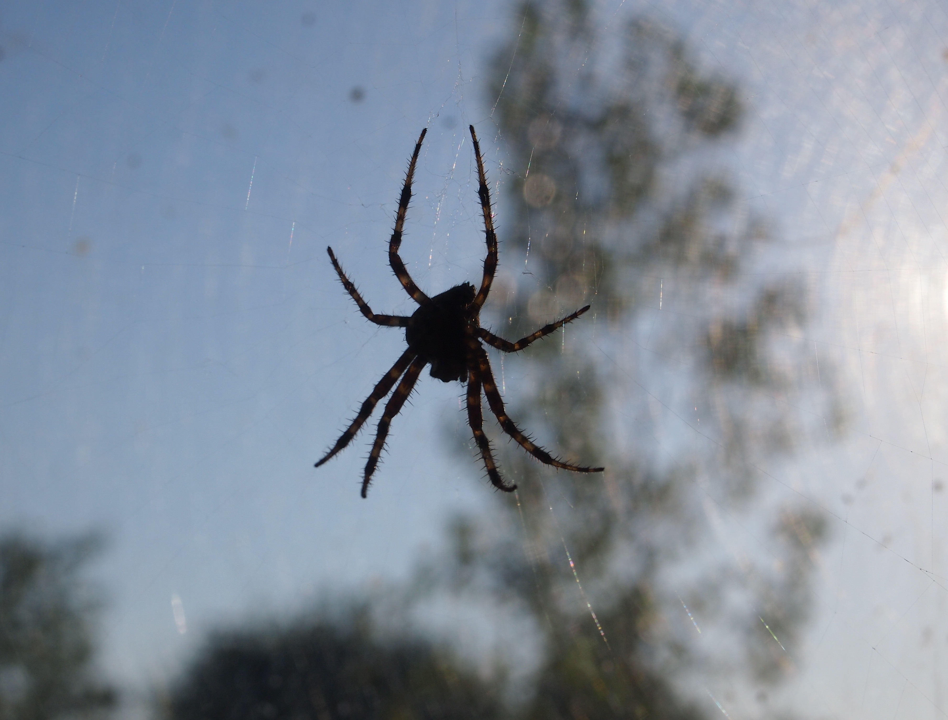
A Spider in September

The single window in our garage looks at to the west, meaning that at this time of the year, the later afternoon sun comes in more-or-less directly. Last weekend I noticed a large web near the window, something new for the summer.

Spider!The image distorts its size to make it seem large, but tip-to-tip I’d say it’s no more than about an inch. The web’s large, though — a couple of feet in diameter, so I guess our spider friend’s been working on it a while.

I doubt that anyone else will disturb it, or even notice it. I plan to check in every now and then to see what it does as things get colder.

A Calendar for ’16

Something to note for the day: Lost in Space premiered on CBS, the Tiffany Network, 50 years ago today (and it’s been nearly 18 years since Jupiter II started its ill-fated voyage). My thoughts on the matter are here. But I left out another thing to like: those hip themes (first and second season, and then the third) by Johnny Williams, who clearly had potential as a composer. Also, there’s this.

Calendars for next year have started appearing. The first one to land on my desk was the “2016 Journey Through America” calendar, a sample that informs me that my company logo and promotional message can go at the bottom. It’s not a bad calendar. The holidays and other days are basic North American ones — U.S. and Canadian civic, Christian, Jewish, Muslim — and the images are the usual high-resolution pretty pics of various places. The only real oddity of a date is National Tartan Day, April 6.

Maybe the calendar makers couldn’t decide on whether to focus on highly famed American sites or photogenic but obscure ones, since it includes both for the monthly pictures. Maybe they just decided to split the difference. Overexposed places represented in the calendar include the Statue of Liberty, Miami Beach, Monument Valley and Yosemite. But it also includes a snow scene in Geneva, Neb.; a covered bridge in Wakefield, Mich.; a sunflower field in Limon, Colo.; and a small dam in Whippany, NJ.

Dog & Butterfly & Maybe a Squirrel

When my dog chases a butterfly, I don’t think it’s in the spirit of playfulness, however it’s characterized in the enigmatic song “Dog & Butterfly.” Not long ago I saw, for the first time, our dog chasing a butterfly, though it might have been a moth, or maybe just a small and less-than-colorful butterfly. Anyway, I’m pretty sure the dog had eating the butterfly in mind.

The dog is keen on catching insects and occasionally does. Fortunately for her, she hasn’t yet caught a bee in her mouth, even though I’ve seen her trying.

Today was warm again and the dog spent longer than usual scanning the upper reaches of the tree in the back yard.

DogI couldn’t make out what she was looking at. A squirrel would be the best guess. Or maybe a tree gnome invisible to us, but not dogs.

Pacific Northwest Etc.

For once, I happened to be on the right side of the airplane when the pilot pointed something out. Namely, one of the massive forest fires burning on August 21 in the mountains of Washington state. It was an enormously tall, light gray cloud, reaching down toward the irregular ground below. If you looked carefully, you’d notice that very near the ground the cloud was tinged orange. I’d never seen the likes of it before.

Two days later, one of my ambitions on the road was to see Mount St. Helens, that storied volcano whose eruption captured the nation’s attention in the spring of 1980. No dice. When I got to the Mount St. Helens National Volcanic Monument visitors center, the ranger there told me that while I could drive to the lookout points, visibility was nil because of forest fire smoke.

The only volcano I saw on this trip was on a sign not too far from the famed volcano.
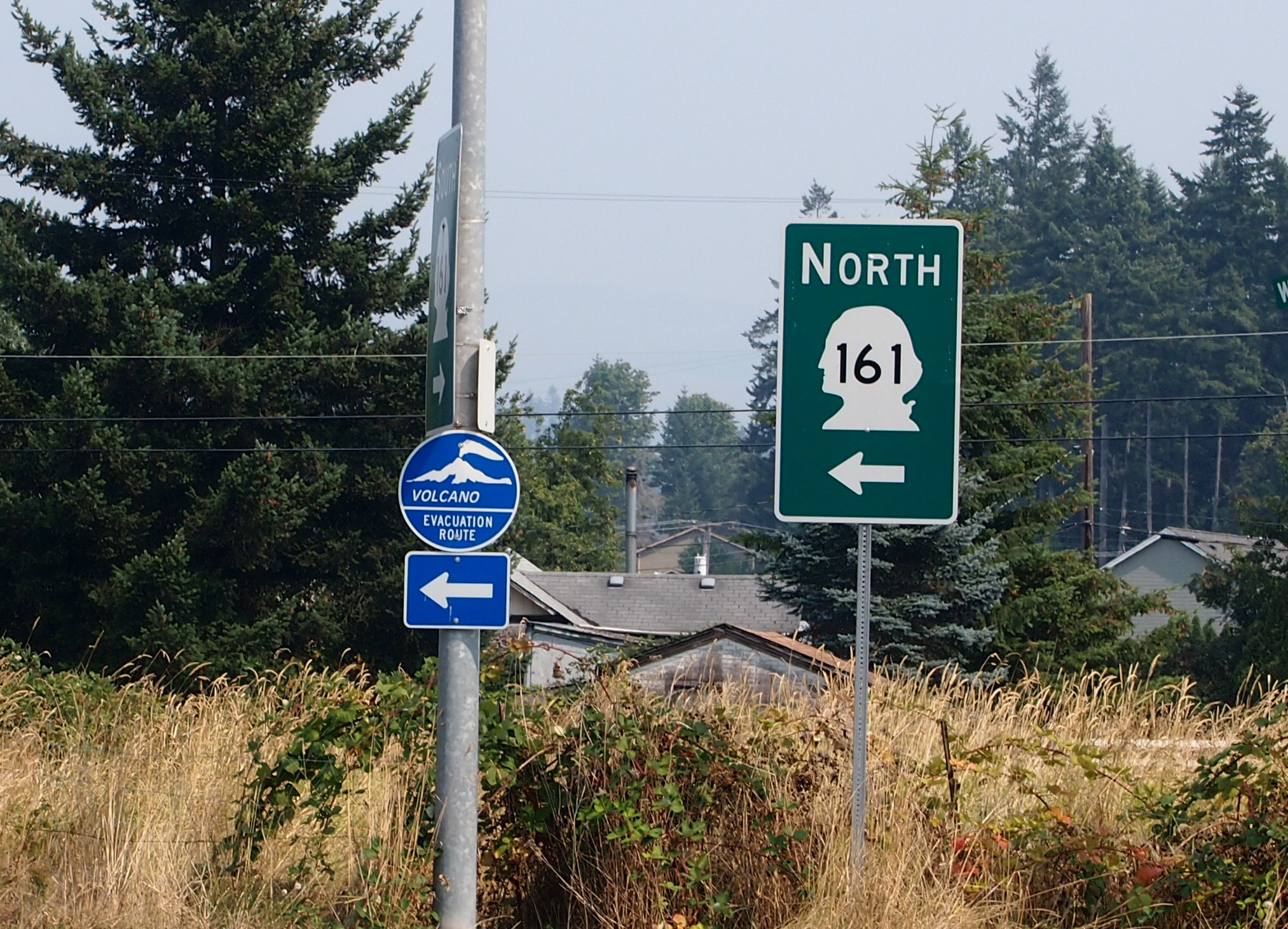
Washington state, Aug 2015I consulted my map and picked out something else in the vicinity to see. That turned out to be Mossyrock Dam in Lewis County, Wash.
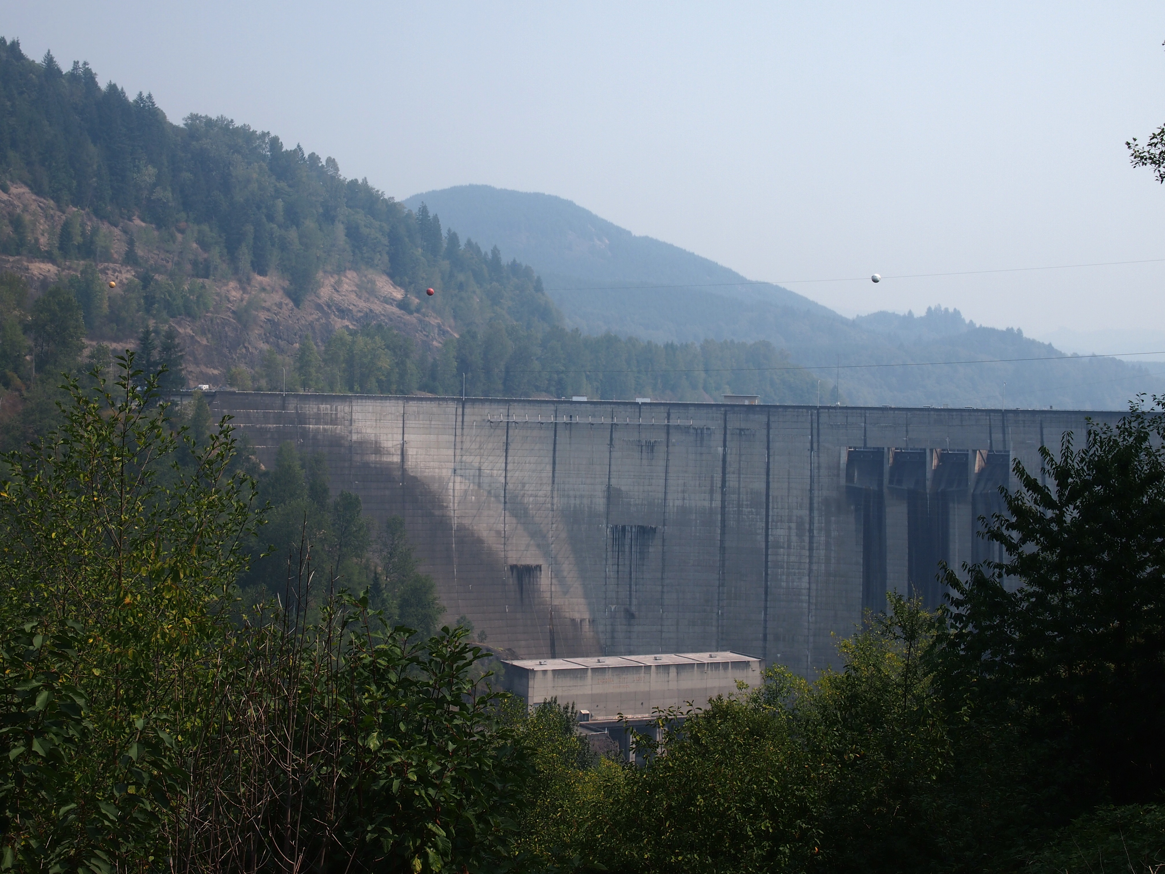
Mossyrock DamNote the haze in the background. That was everywhere in the distance that day. Mossyrock Dam dates from toward the end of the U.S. dam-building frenzy of the 20th century, being completed in 1968 (the frenzy has moved to China in our time). It dams the Cowlitz River, a tributary of the Columbia, and its main purpose is hydroelectric production. According to a number of sources, Mossyrock is the tallest dam in Washington state. I’d have guessed the Grand Coulee Dam, but maybe it just gets better press.

While I was reading about the dam, I came across an article about some towns that were flooded by the creation of the lake. That’s interesting, but I was also reminded of hearing about the 1940s flooding of the town of Stribling, Tennessee. I’m pretty sure my cousin Cook Wilson of Mississippi told my brother Jay, and Jay told me. Or maybe Cook told both of us at the same time, but I would have been pretty young, eight or so.

I looked it up again, and Stribling is under Kentucky Lake, one of the Between the Rivers lakes created by the TVA. When I was a kid, I imagined that such a town included whole buildings covered with water, and if you dove down, you could open the doors and look inside flooded buildings. It didn’t occur to me that pretty much everything would have been carted away before the inundation, even if only for scrap, leaving only building foundations, if that. Which would soon be silted over.

I also saw some mossy trees near the Mossyrock Dam.
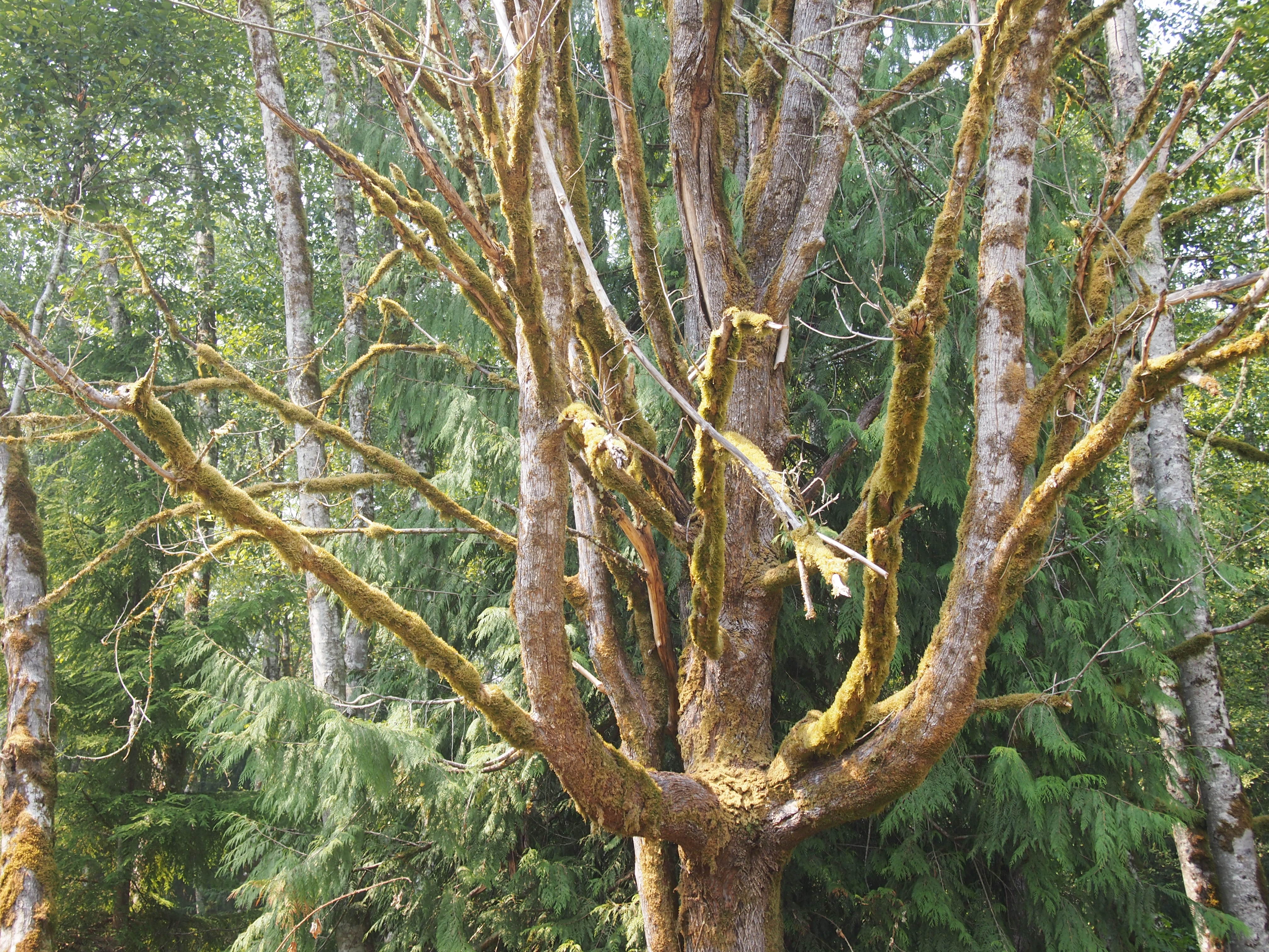
Washington state, Aug 2015And a sign that might as well have said ABANDON ALL HOPE… What’s the point of this road?
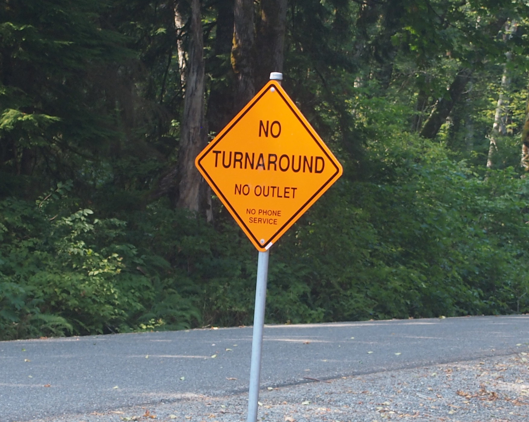
Go the hell awayThis is Riffe Lake, created by the Mossyrock Dam, and just as hazy that day.
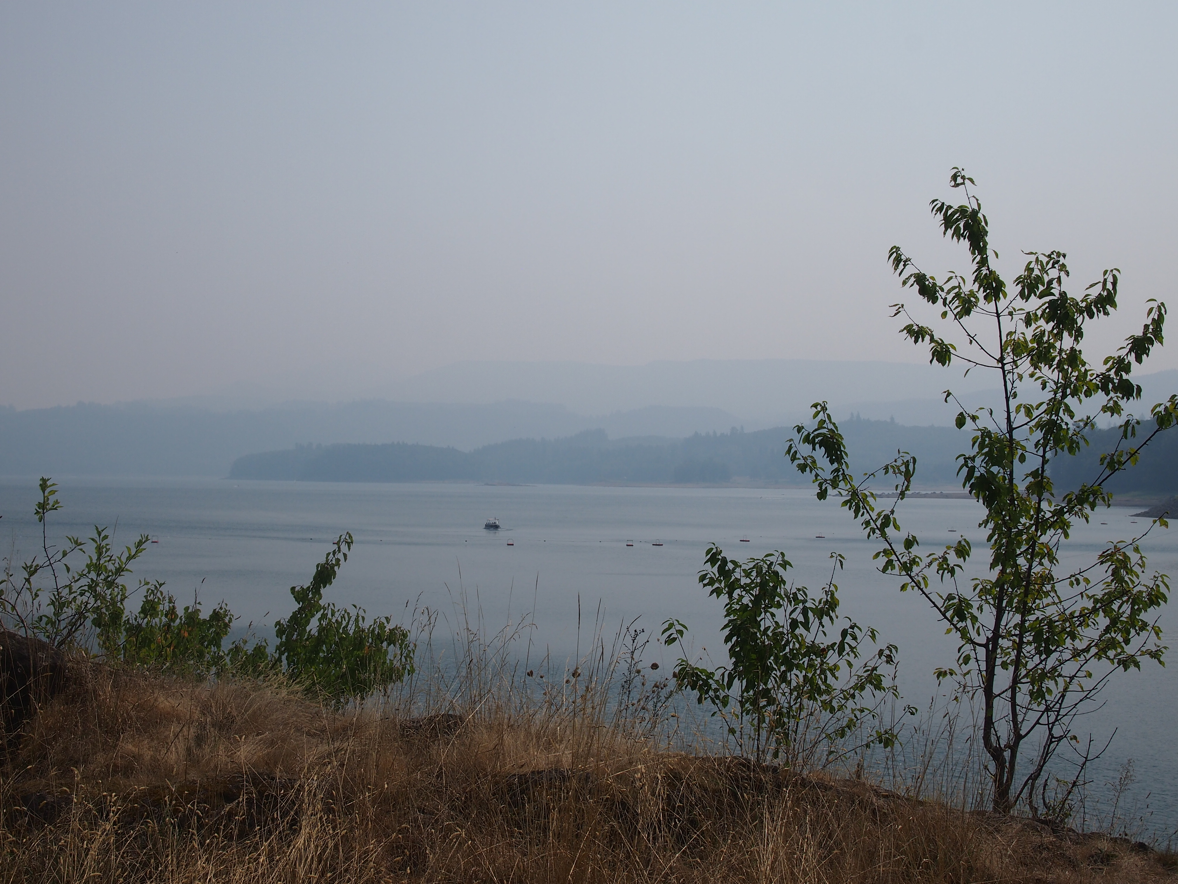
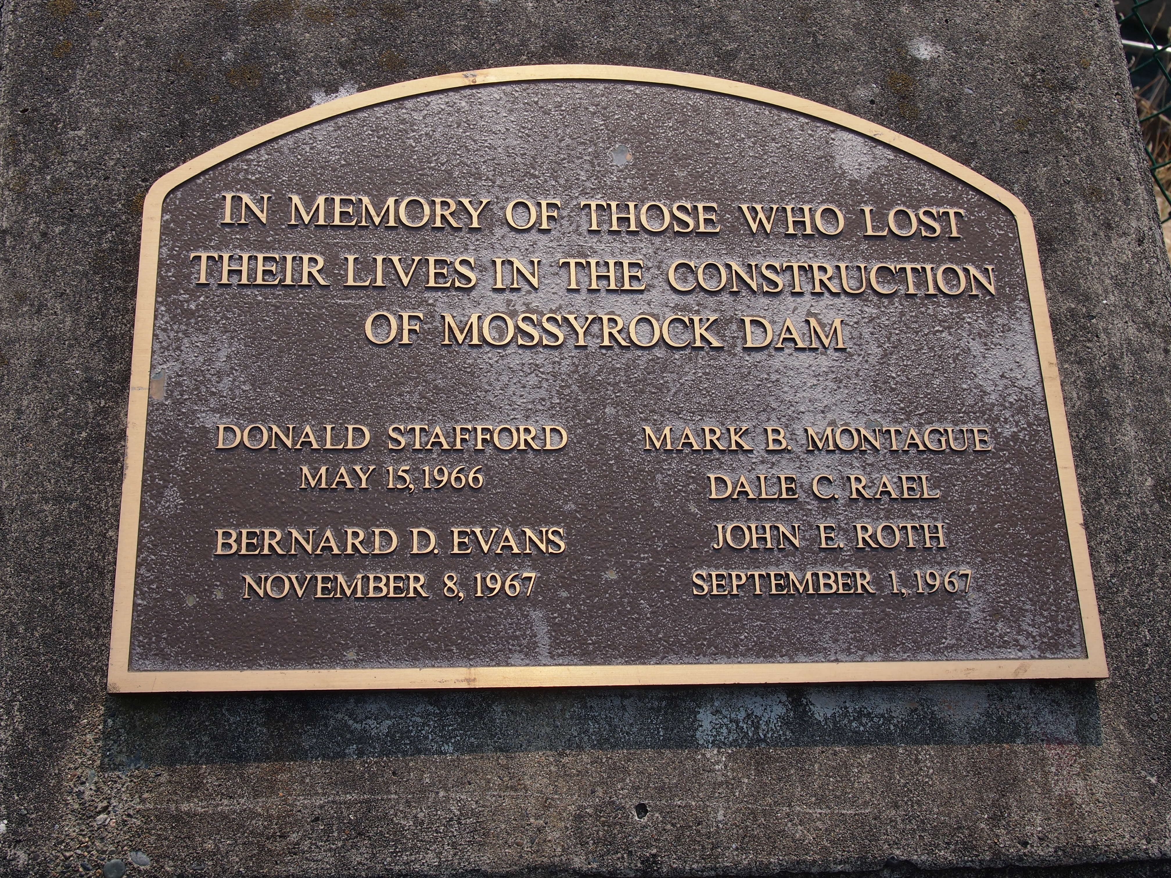
Riffe LakeI noticed this plaque near the dam’s observation point. I’m glad the men have some kind of memorial. More than the many more who died building the Coulee seem to have gotten.
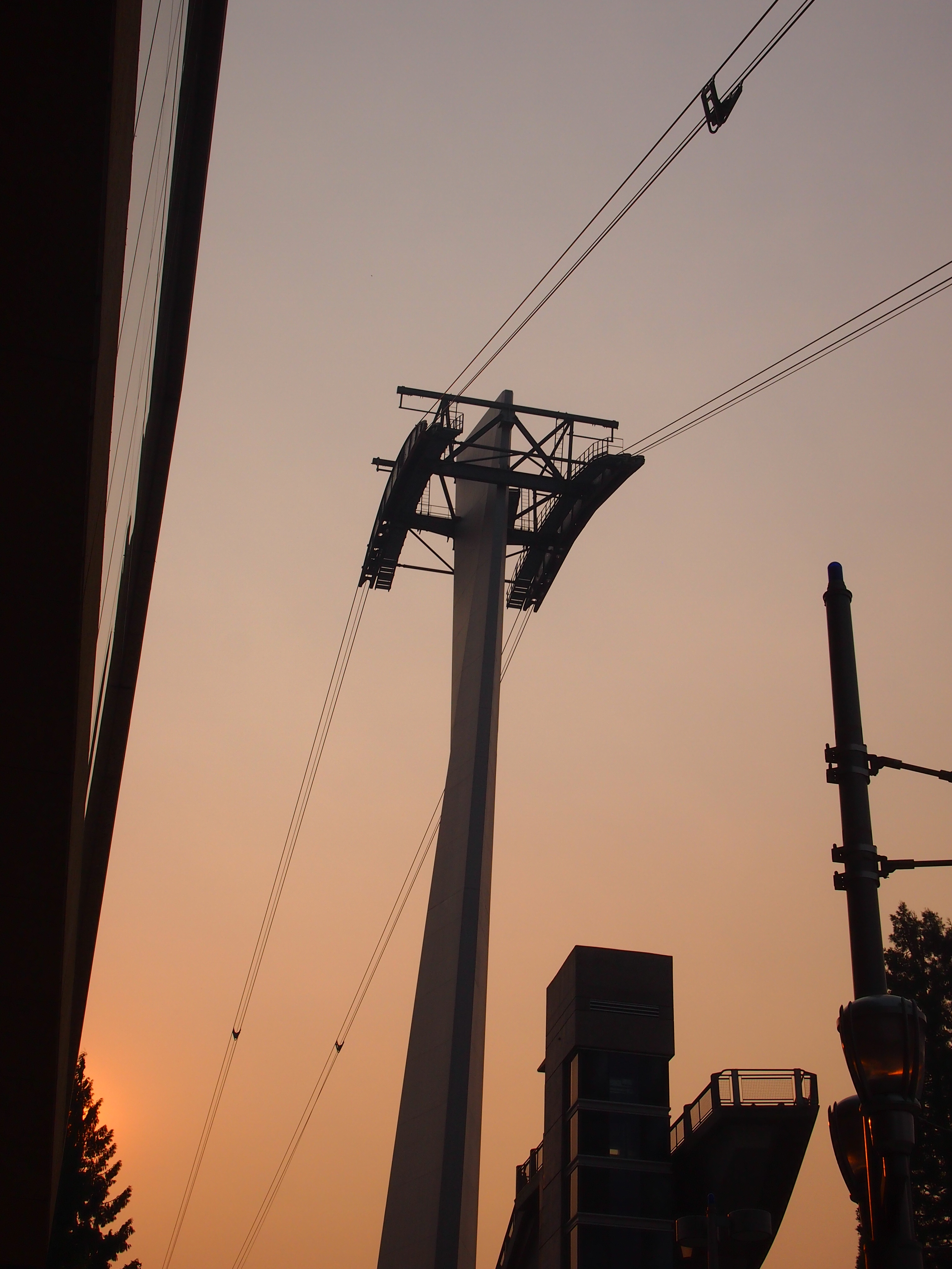
In MemoriamSomething else I didn’t get to do: the Portland Aerial Tram. On the morning I got to Portland, I could see it, but without a more detailed map, I couldn’t get to the damned thing. The part of town that’s home to one of the terminals, which is on the river, is essentially cut off from the rest of town by a freeway, and if you don’t know the exact way to get past that obstacle, you’re out of luck. By the late afternoon, when I had a better map and could find the tram, it was closed. Ah, well.
Portland Aerial TramPortland has a number of light rail lines, and I rode those just to ride them. I also noticed these signs near the lines, something I’ve never seen anywhere else.
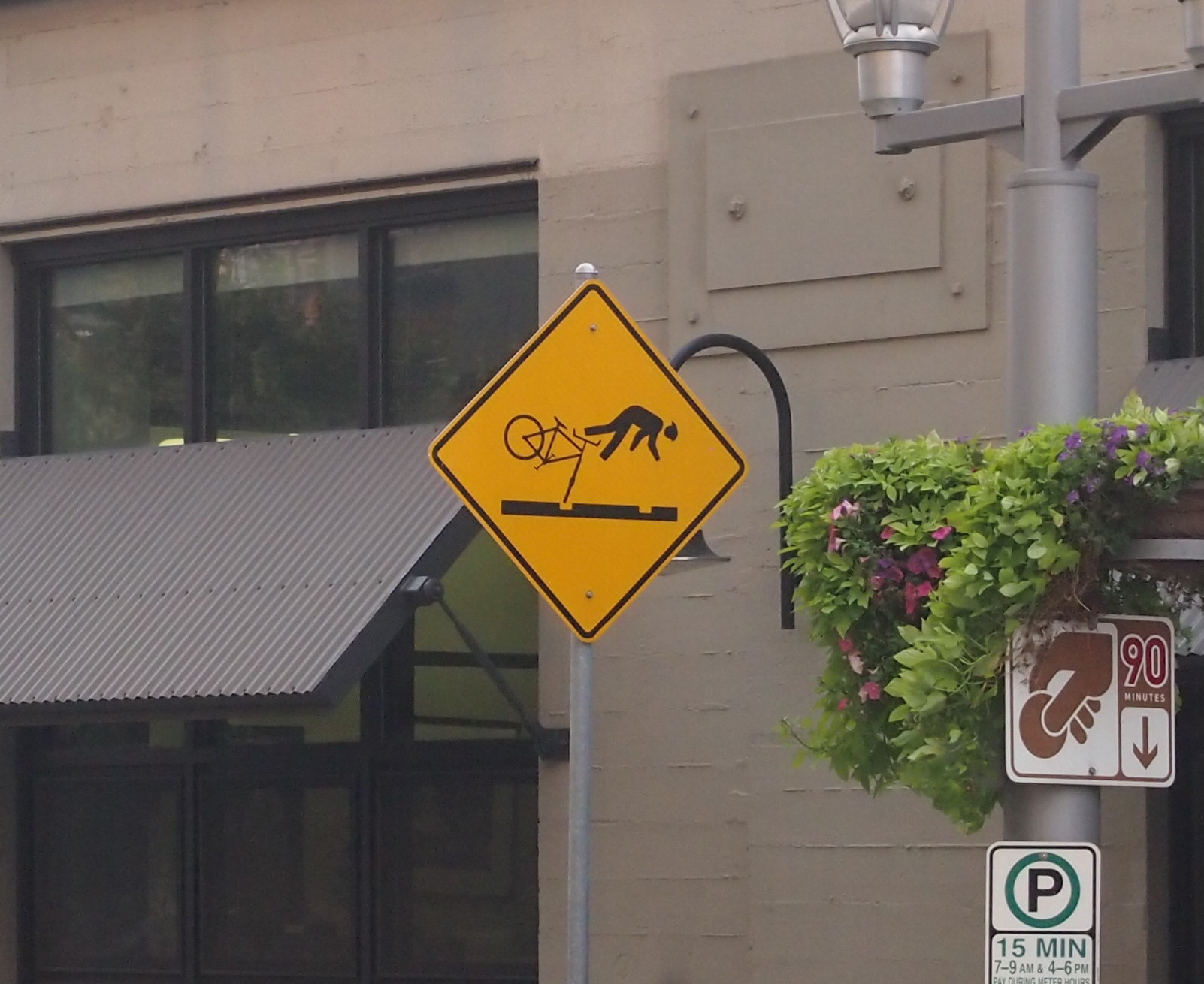
PortlandUp north, one thing I noticed about major Canadian surface streets — or at least those streets in the Vancouver area — was that there’s no such thing as a double yellow line. BC 99 turns from a limited-access highway into a six-lane major street as you enter the city, and it’s divided by a single yellow line. It’s silly how unnerving that was, because the difference is only a few inches. Even so, all that separates you from a mass of cars and trucks coming at you is a thin yellow line instead of a double thickness of two. Canadian drivers must be used to it.

Know what else Vancouver doesn’t seem to have? Free parking. Not even at Stanley Park.

Finally, the Bullitt Center in Seattle, one of the greenest buildings in the nation, and a marvel of a building in that way.
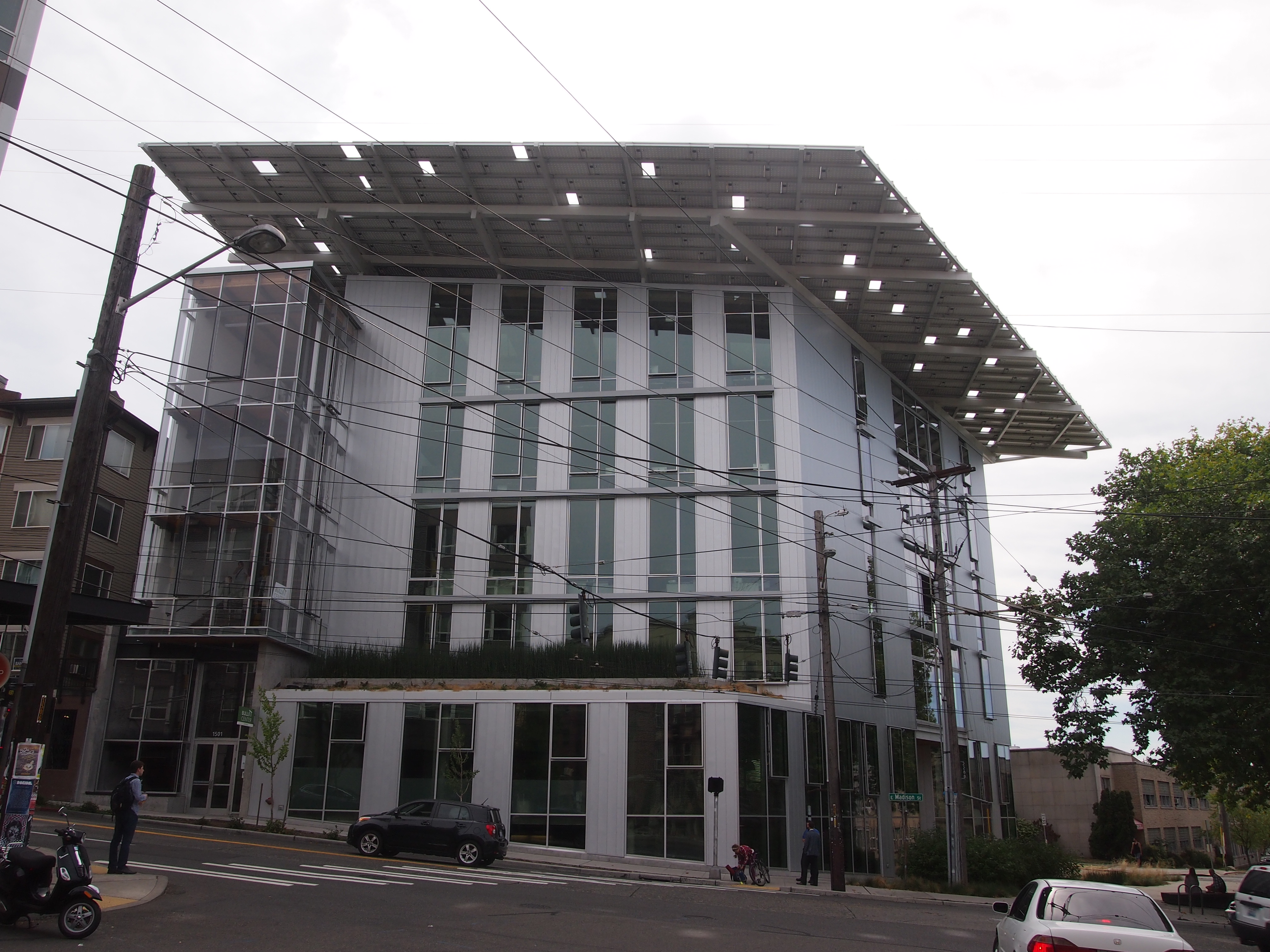
The Bullitt Building, SeattleFor instance, that hat of a roof? An array of solar panels that produces more power than the building uses. As part of my work, I got a tour from the property manager. This is my writeup of the visit.