Up to Coldfoot

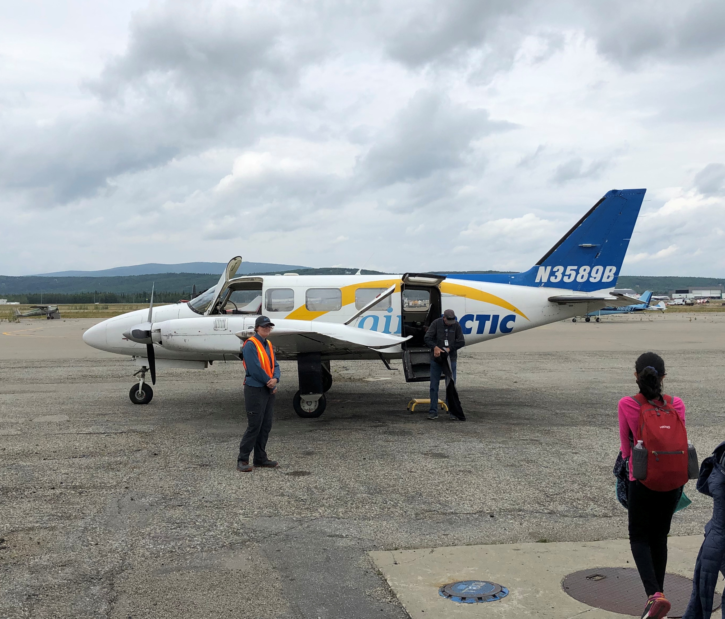
Turns out that a lot of information about an airplane is readily available via its registration number, typically found on the fin. If I’d thought about it, I probably would have realized that before, but it isn’t something I ever had much interest in, until I decided to look up the number on this aircraft.
Arctic Air

N3589B tells me that it’s a Piper PA-31 Navajo Chieftain manufactured in 1980 and owned by tour operator Air Arctic since 2007, with 310-horsepower Lycoming TIO-540 engines.

“Stretched version of the Navajo with more powerful 350-hp (261-kW) counter-rotating engines (a Lycoming TIO-540 and a Lycoming LTIO-540) to eliminate critical engine issues,” Wiki says.

Italics mine, since critical engine issues were the last thing I’d have wanted during my flight from Fairbanks to Coldfoot, Alaska (pop. 10), last Tuesday. Of course nothing untoward happened. There wasn’t even that much turbulence.

There was a chance that we might not have made it to Coldfoot, however. Not long before boarding the plane, a tour company employee told us that visibility was poor in Coldfoot, with low clouds and rain. If those conditions persisted, landing in Coldfoot might be impossible, since the place only had a simple airstrip with no instruments. Such are the vagaries of an Alaskan summer.

In that case, our flight would be diverted to Bettles, where an instrument landing would be possible. Bettles (pop. 12), founded during the 1898 Alaska gold rush and currently location of a lodge devoted to Arctic tourism, is also above the Arctic Circle, but not on the Dalton Highway, so we would have to return by air rather than tour bus.

We all said that we understood this was possible, and agreed to proceed.

The pilot was this fellow, Steve. He posed for pictures after the flight with all of the groups on board: a couple, a family of four and me. He has some years on me, which I counted as a good thing. You know what they say about old pilots and bold pilots.
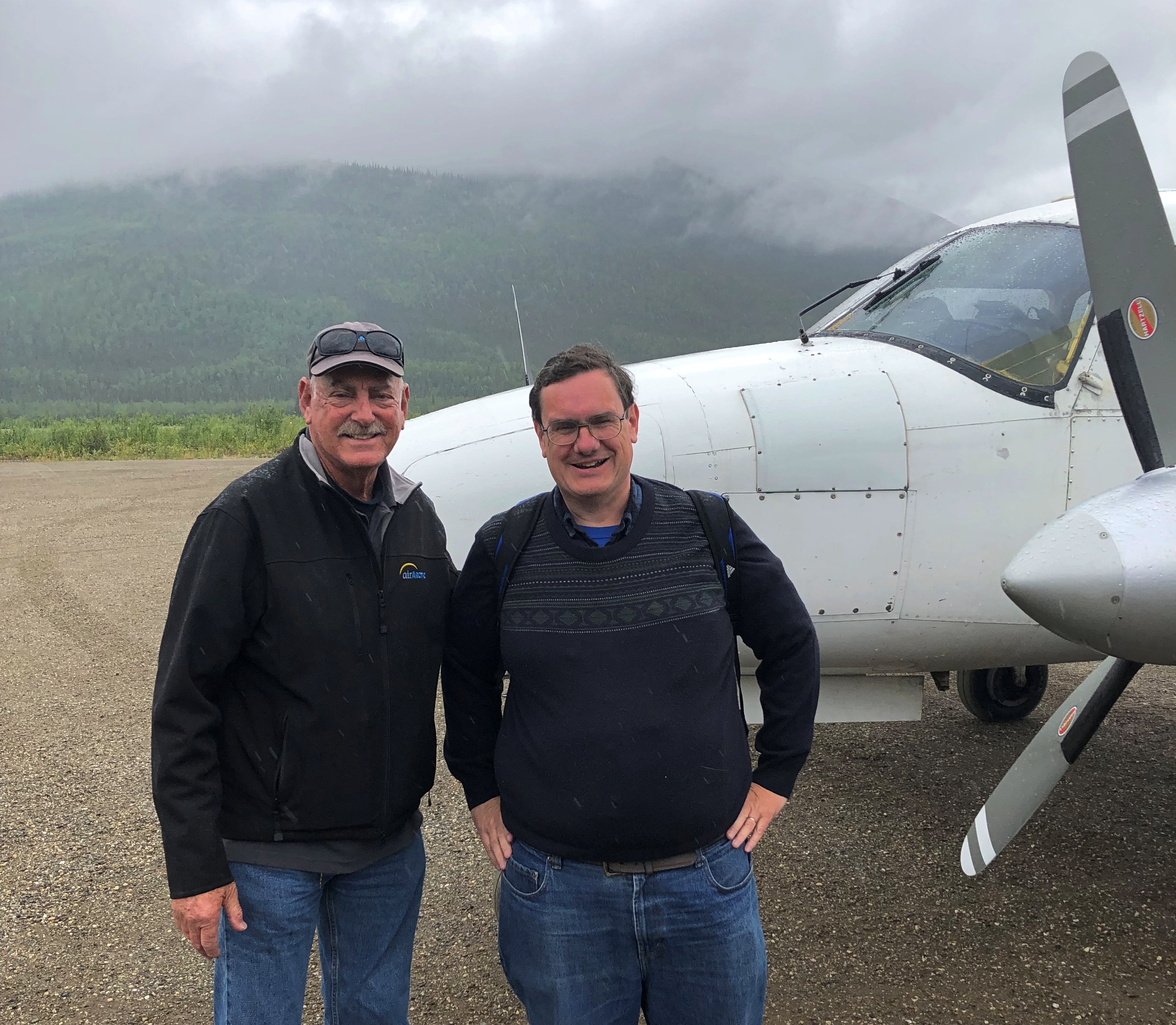
Arctic Air pilot Steve

I sat in the back of the plane. When I called for a reservation about a month earlier, the woman taking my information asked me my weight. I gave as honest answer as I could, considering I don’t weigh myself regularly. I suspect I earned by position in back by being the fattest of the passengers, but I didn’t ask.
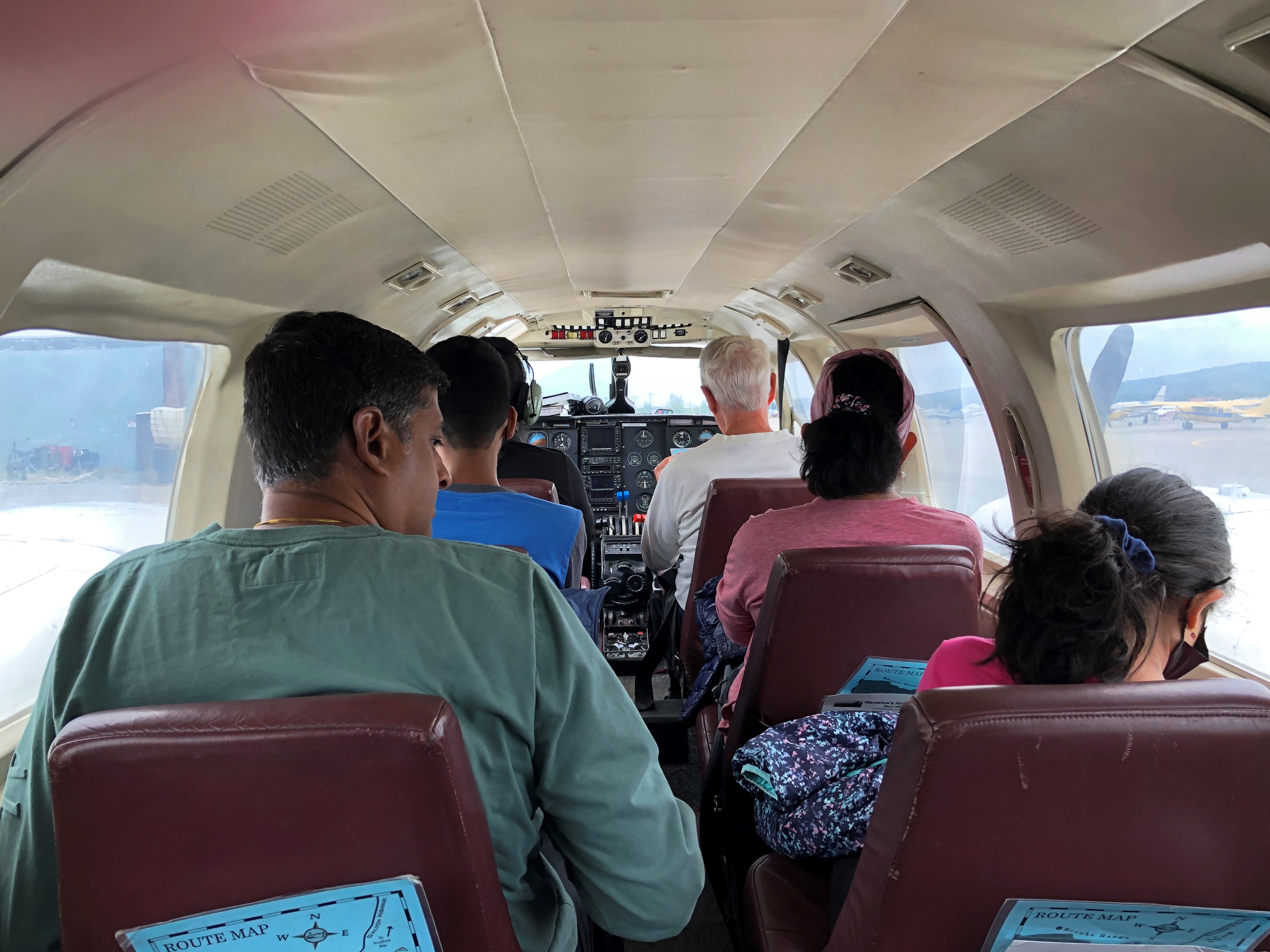
flight to Coldfoot, Alaska

That was before we all put on earphones, so we could hear the pilot talking to us, and not hear the roar of the engines. I listened to the engines for a few seconds, and they did roar — too much to put up with for the full hour and ten minutes of the flight.

Off we went.
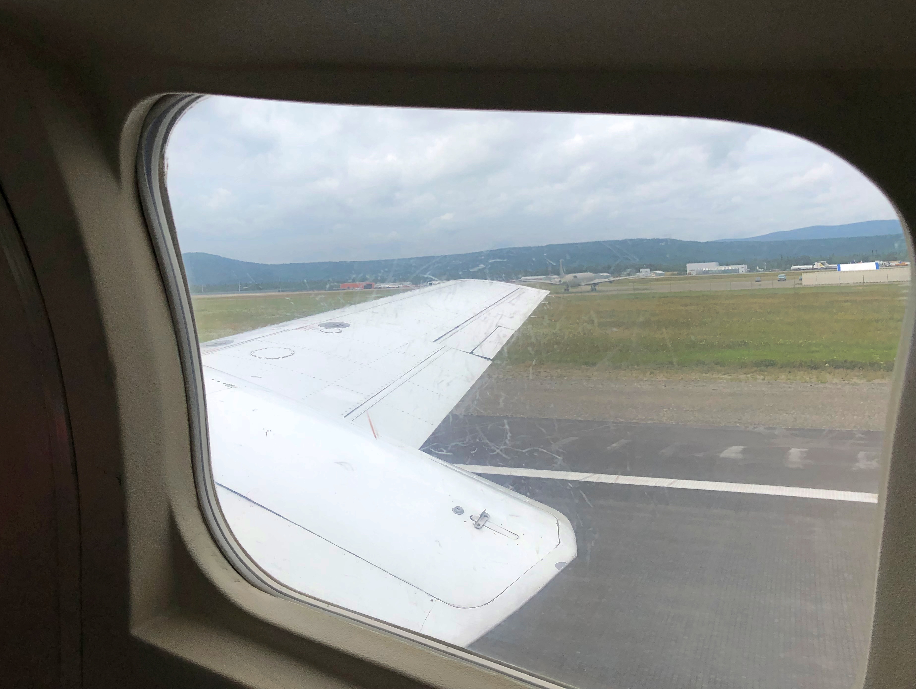
flight to Coldfoot, Alaska

Because I was by myself in the back, with the seat next to me empty, I could look out of both windows. For a while out of Fairbanks, the view was pretty good. Such as of the expansive Tanana River, south of town.
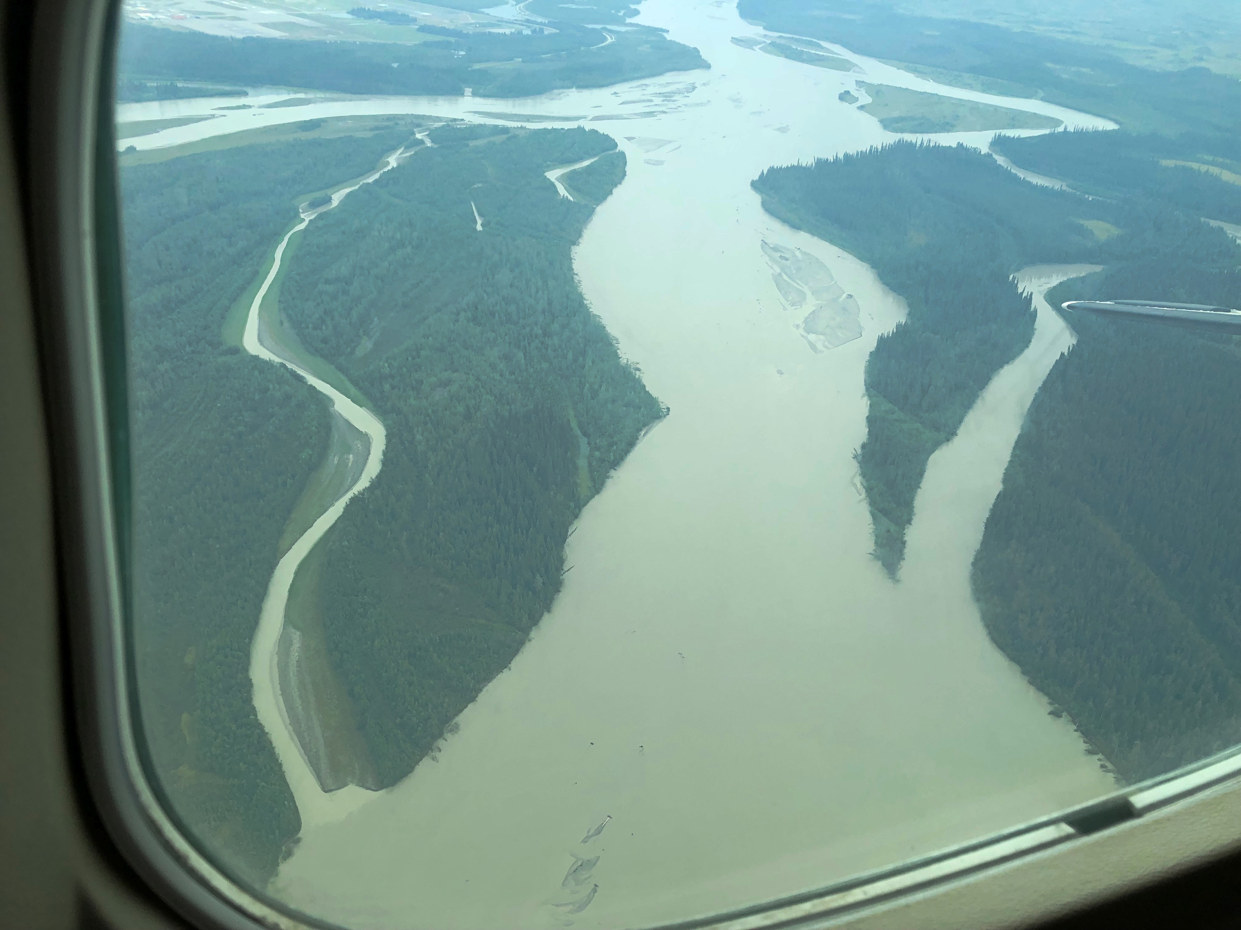
flight to Coldfoot, Alaska

The pilot mentioned the name of this place, but I’ve forgotten it.
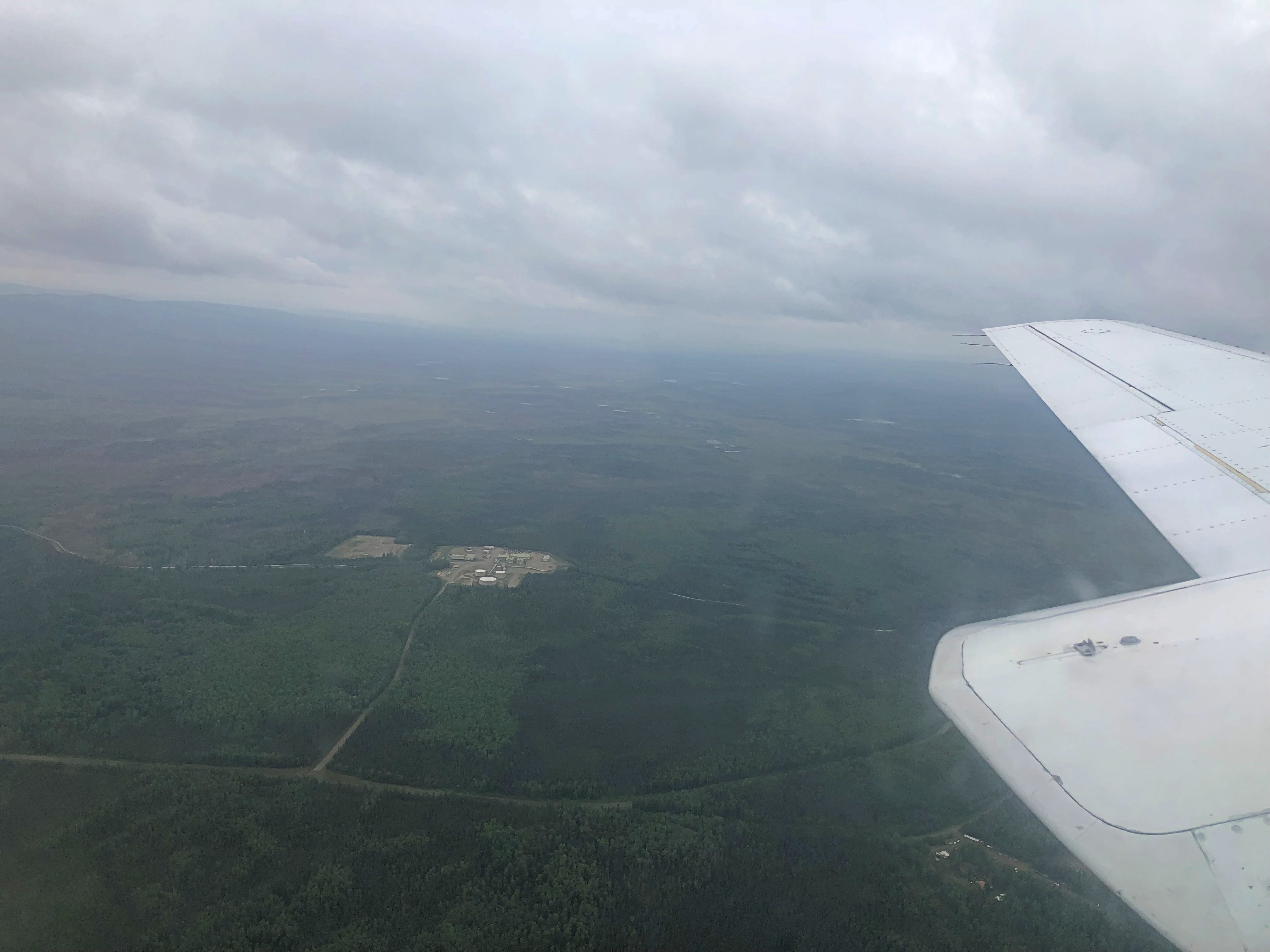
flight to Coldfoot, Alaska

We also had a view of the Alaska Pipeline for a while, but soon everything clouded over, and the views looked like this for a time.
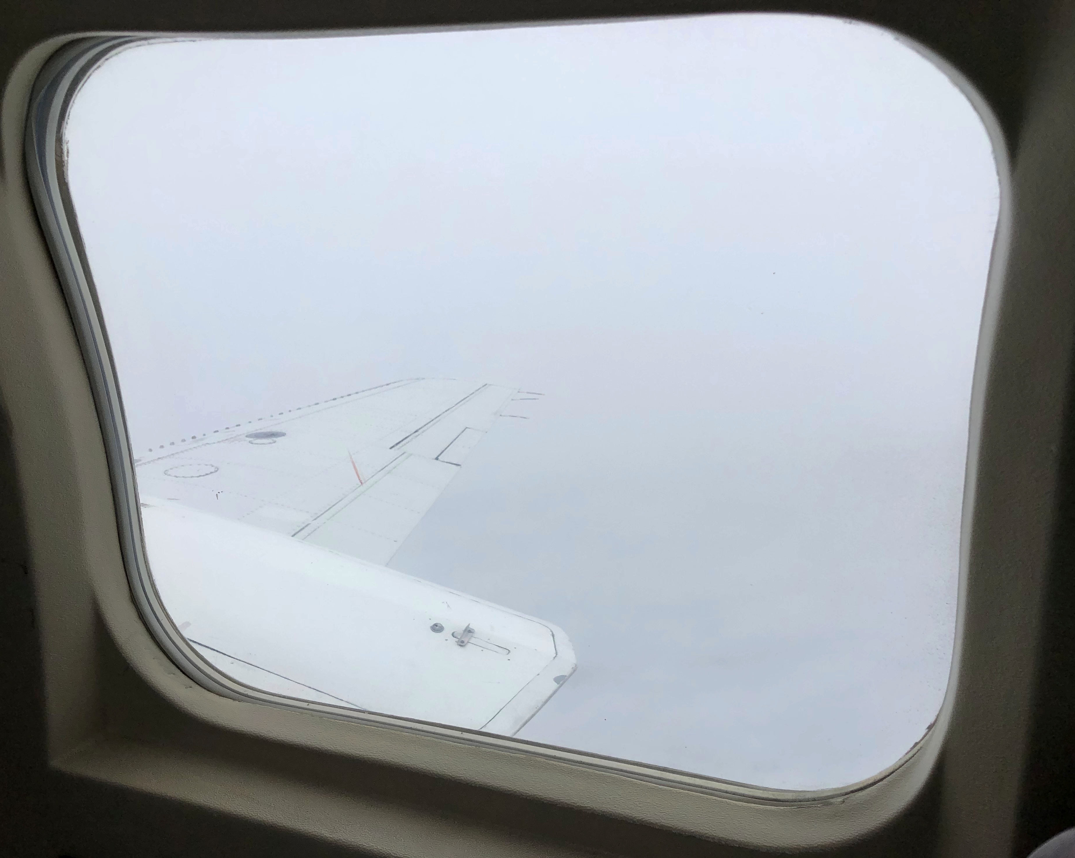
flight to Coldfoot, Alaska

No matter. The thrill was still there. We spent much of the flight at 6,000 or 8,000 feet, above the clouds. Air-traffic control chatter was audible through the earphones, and I could see the altimeter clear enough all the way in the back. Guess that’s something that really needs to be visible. There was a fair amount of air traffic over the Alaskan bush, including a medevac in progress, though I couldn’t make out from where to where. Guess bush planes are the main way to get around this wilderness.

Most of the way into the flight, the pilot pointed to a display on the control panel — that I couldn’t see much from back in the back — that told us we were flying over the Arctic Circle. We were still over cloud cover. “It isn’t like you’d see a line on the ground anyway,” he said.

We flew near Bettles, within sight of the airstrip, in case we needed to land there. But pilot Steve reported good visibility ahead, and the ground at Coldfoot confirmed tolerable weather, so on we went for a landing. The landing strip was wet with recent rain, with temps in the 50s F.

In full, the place is Coldfoot Camp, at Mile 175 on the Dalton Highway, and roughly 55 miles above the Arctic Circle. It too was originally an ephemeral gold rush camp, much later (1970) repurposed as a camp for the construction of the Alaska Pipeline. Later still (as it is now) it’s a truck stop for the traffic on the Dalton, founded by Iditarod champion Dick Mackey. Last gas for 240 miles.
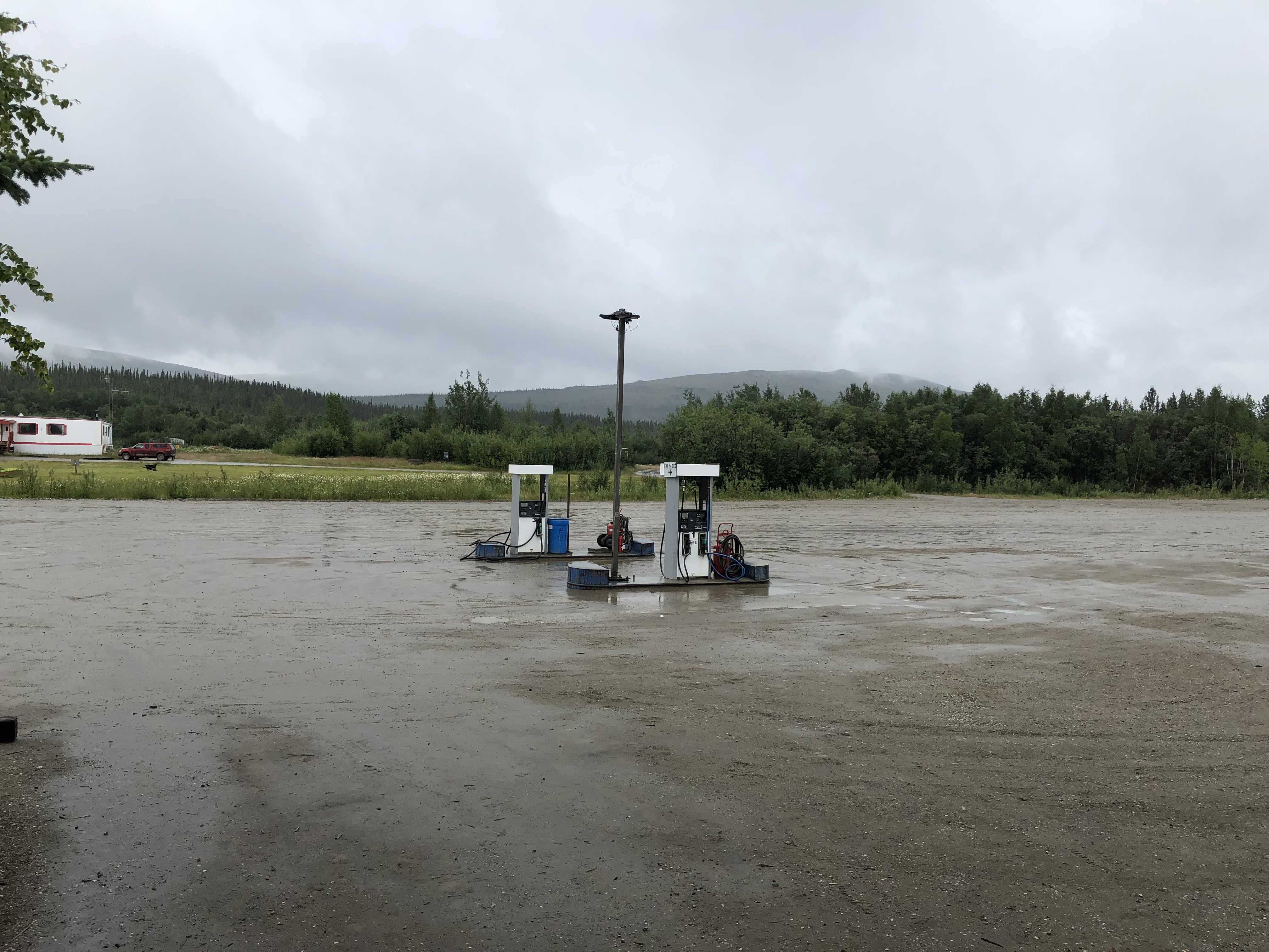
Coldfoot, Alaska

For me, and of interest to no one else, Coldfoot now marks the furthest north I’ve ever been, besting Vyborg, Russia, where we stopped briefly in 1994. Coldfoot is at 67°15′ 5″ N, 150°10′ 34″ W. Actually, the day before, Fairbanks bested Vyborg, but never mind.

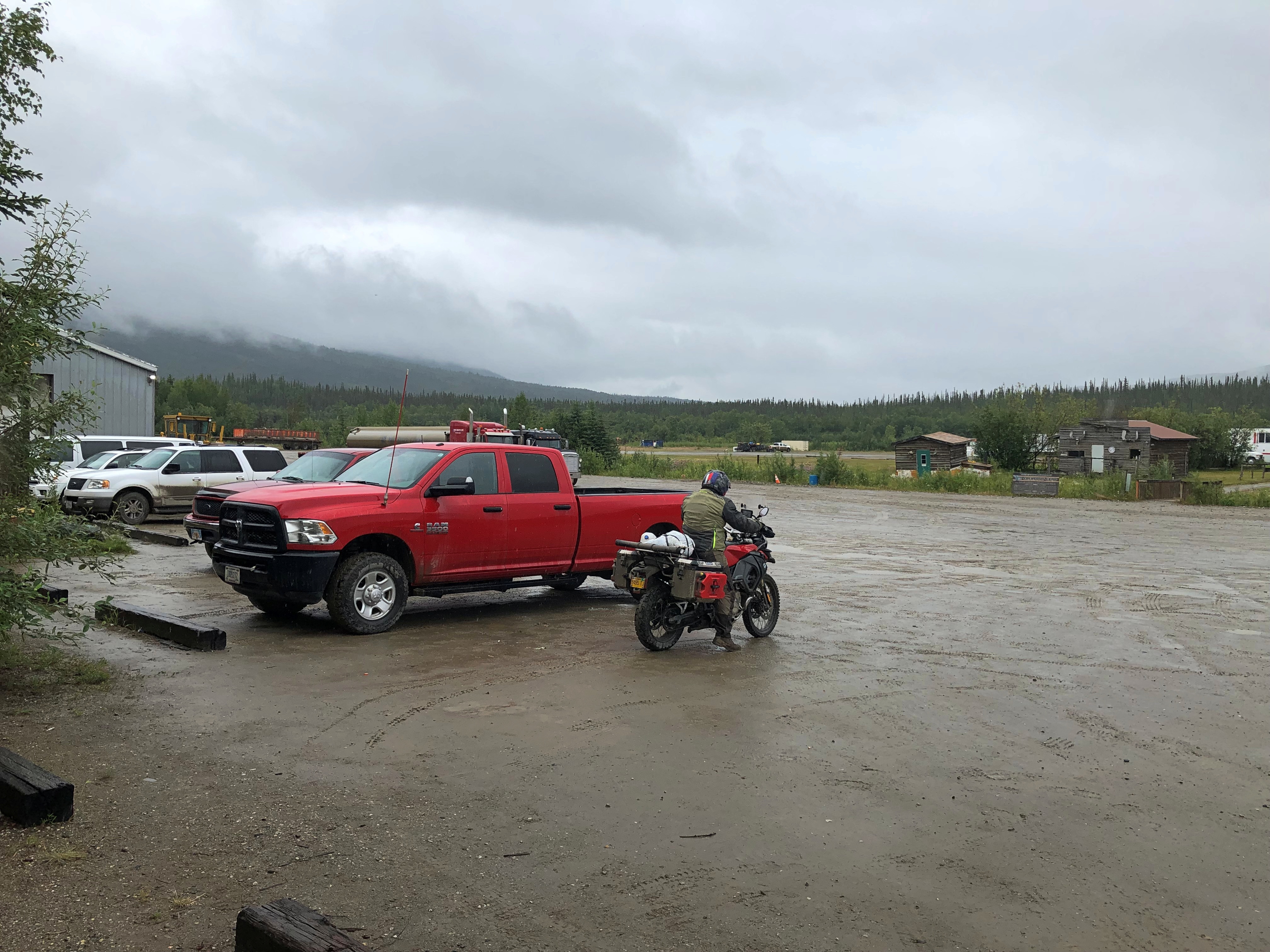
Coldfoot is a utilitarian place.Coldfoot, Alaska
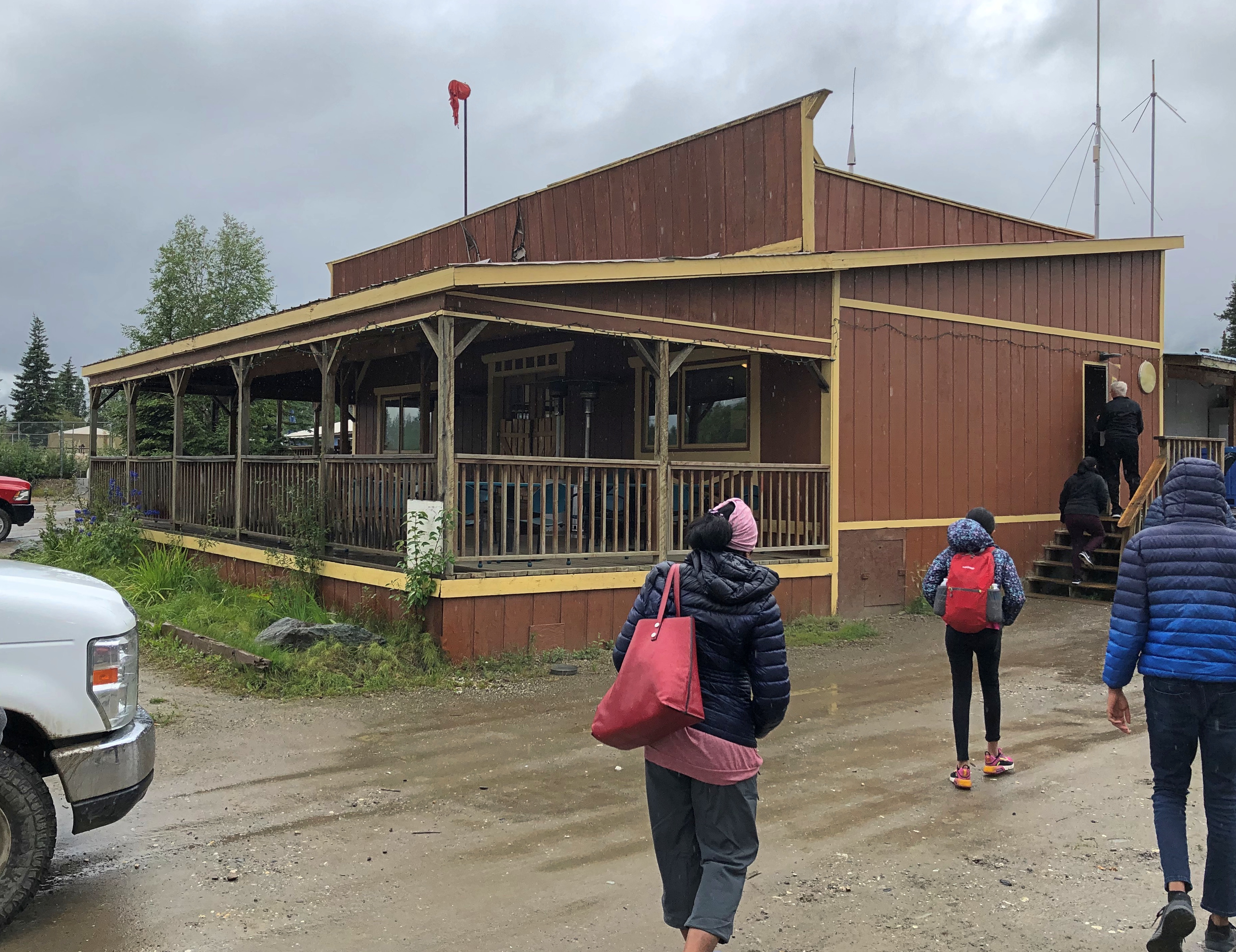
Coldfoot, Alaska
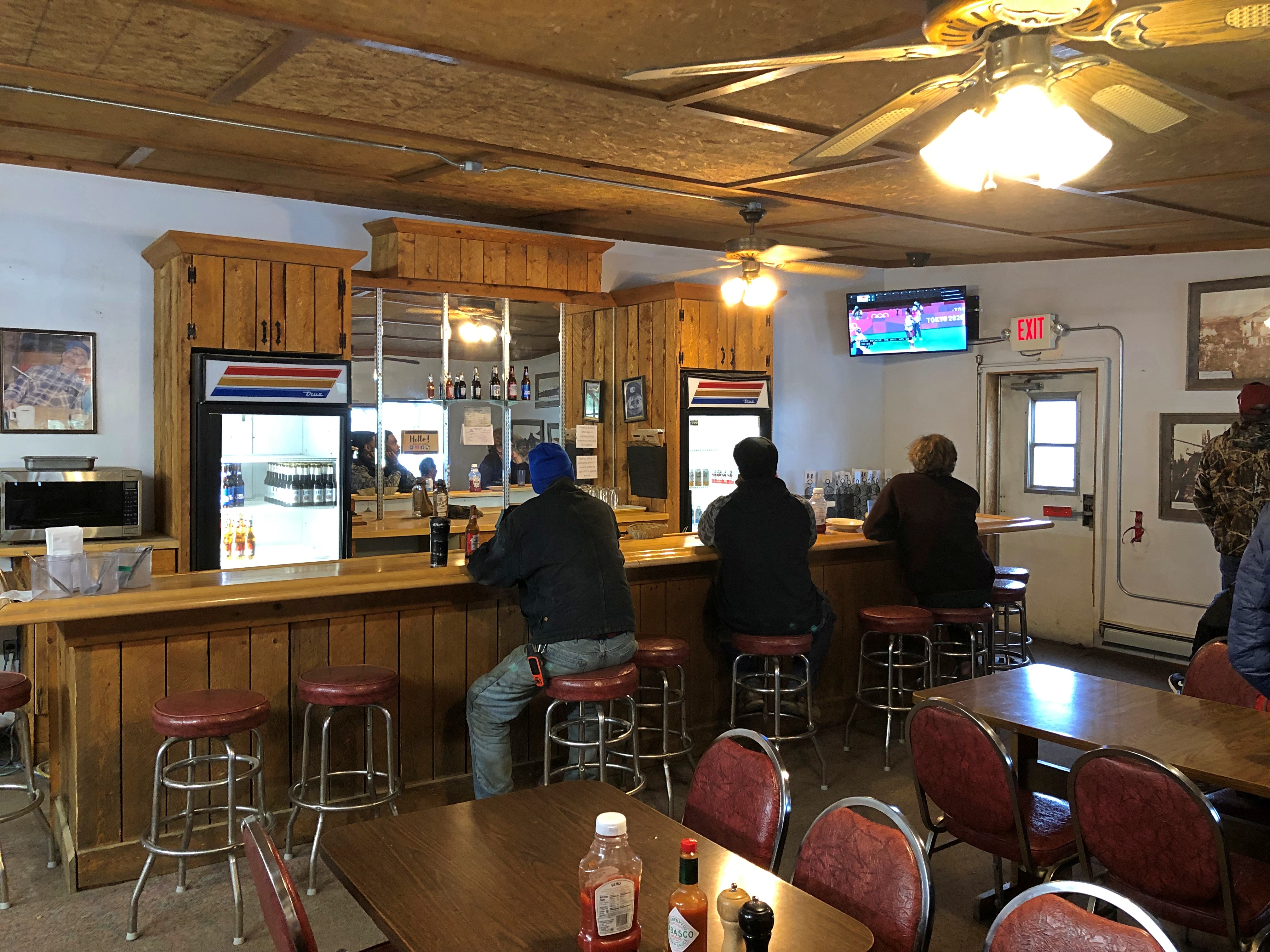
Boasting the northernmost bar in the USA, at least according to our guide (not the pilot, but someone also named Steve, who later drove our bus south).
Coldfoot, Alaska

It’s a claim I haven’t checked thoroughly, except to note that it would be unwise to have a bar up near Prudhoe Bay among the oilfield workers, and in fact Deadhorse is a dry town. Barrow (Utqiaġvik) is what the Alaskans call a “damp” town. No alcohol for sale, but you can bring your own. This map seems to confirm Coldfoot’s northernmost-bar status, though it doesn’t seem to be up-to-date about Barrow.

We ate lunch in the barroom, meals we’d ordered back in Fairbanks and which the tour operator faxed to Coldfoot. I had a decent fish sandwich and fries. Elsewhere in the complex was a dining room occupied mostly by truckers, a kitchen, a snack counter and a gift shop, and outbuildings that seemed devoted to truck and aircraft maintenance (Alaska DOT has a facility there). I understand that spartan rooms are available for rent in Coldfoot as well.

One wall included a place for stickers. People come from all over to visit Coldfoot, just like I did. Note that Buc-ee’s is in Alaska, in spirit anyway.

Coldfoot, Alaska

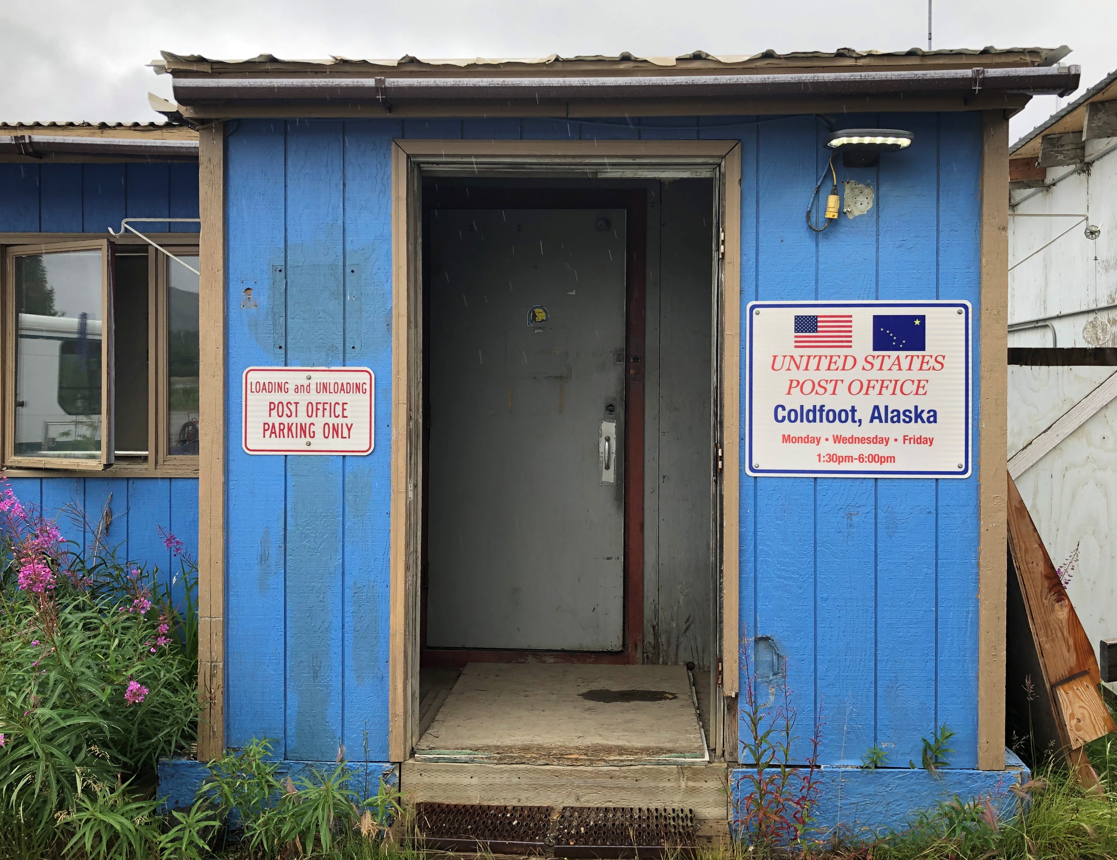
There’s also a post office, adjacent to the main complex, open three days a week — not the day I was there.
Coldfoot, Alaska

Still, the slot is always open, and I dropped in eight cards that I’d written earlier while waiting for the plane: two to Illinois, two to Texas, two to Tennessee and one each to Massachusetts and New York, with the promise they would be picked up the next day. We shall see how long delivery takes.

Independence Day & Cicadas

At-home Independence Day weekend this year, unlike last year or the year before. Or rather, a metro-area holiday, since I spend some time on Saturday tooling around the border area between Cook County and Lake County before attending a backyard party in north suburban Wilmette, hosted by an old friend and her husband.

The weather turned conveniently dry (and pretty hot) after July 2, so the air temps were just right for an evening outdoor party, as well as for viewing the fireworks show in west suburban Westmont on Sunday. That morning, I got around to mowing our lawn, front and back, which had been greened up by the considerable late June rains. More rain is expected in a few days, so I’m not done with lawn maintenance for a while.

The weekend also involved a lot of time on the deck reading, or, during one particular few minutes at dusk on Monday, listening to cicadas. I hadn’t noticed them this year until that moment. There seemed to be only one (or maybe a small knot) of the insects in the tree over our deck, singing 20 or 30 cycles before being quiet for a moment.

More distant lone cicadas seemed to be doing the same in other trees. Are these the vanguard of the cicada army that will loudly fill the late afternoons of late summer?
Also, how can something so small be so loud? That’s a question new parents tend to ask themselves as well.

High Summer Debris

High summer is here — I’ve seen fireflies and we can buy Rainier cherries — and holidays are ahead, such as Canada Day, World UFO Day, Independence Day, X-Day, Nunavut Day. Back to posting on July 6.

A fine day to end June, warm and partly cloudy until a massive but short downpour in late afternoon. Dry days ahead, including the July 4 weekend. I’ve been nattering on about the excellence of summer lately, and while I realize a lot of places endure relentless heat during this time of the year, including places I used to live, I’m sticking with my sentiment. I’ve lived here enough winters to appreciate the summers. A Northern summer is much better than this:
Looking at a major news site yesterday, I saw this.

I hope visitors to Alaska or anywhere won’t see such a thing. No bad-taste Florida Man jokes for this, either. I refreshed the page and the picture changed to something fitting the headline.

Our last lunch in Detroit recently was at a Cuban restaurant, Vicente’s. The food was good, but the Cuban lemonade (limeade, really) was wonderful.

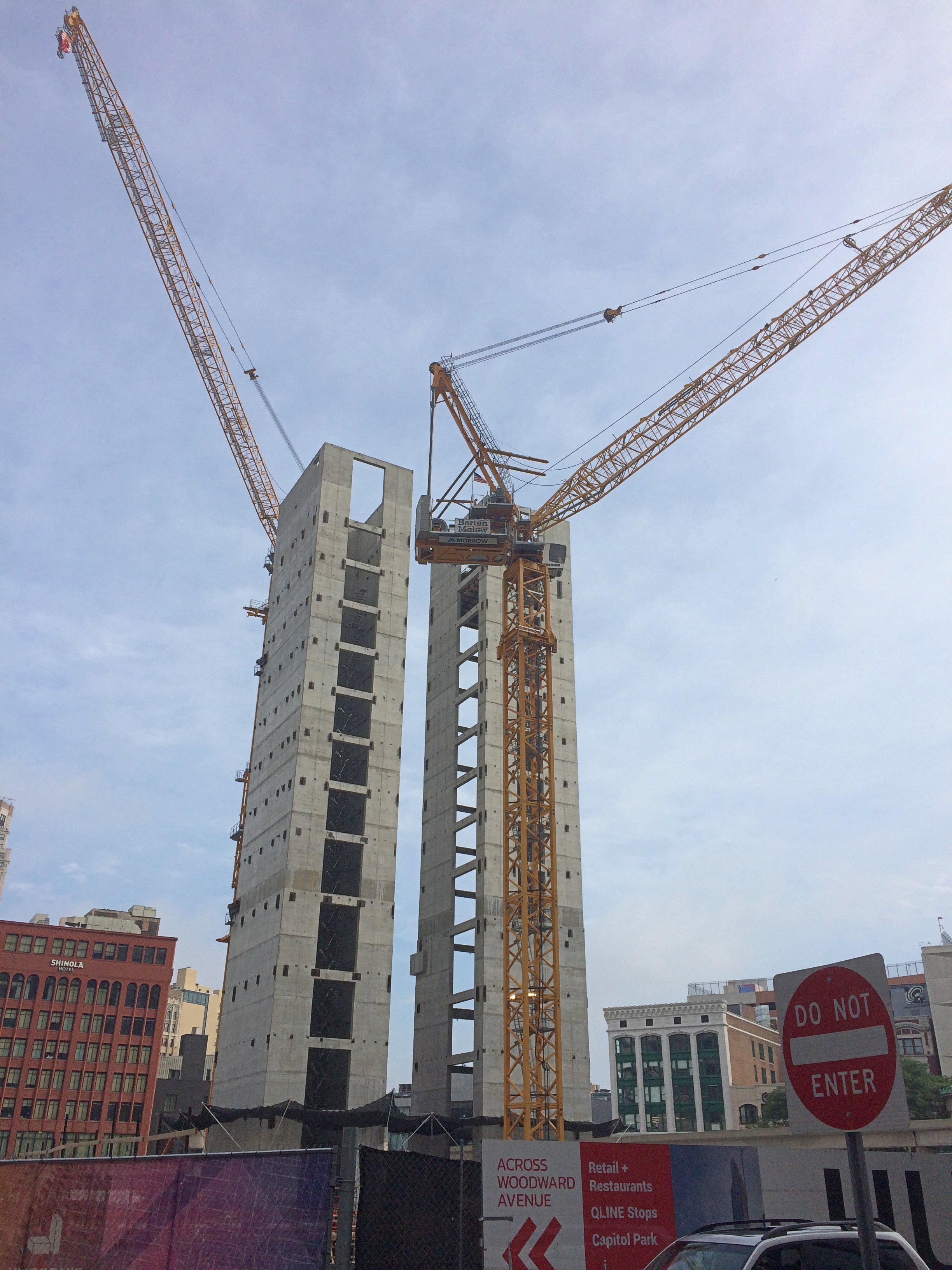
The restaurant is on Library Street, across from the Skillman Branch of the Detroit Public Library. On the other side of the library is the enormous Hudson’s Site development. Got a good look at its rising elevator shafts.

Hudson's Site under construction June 2021

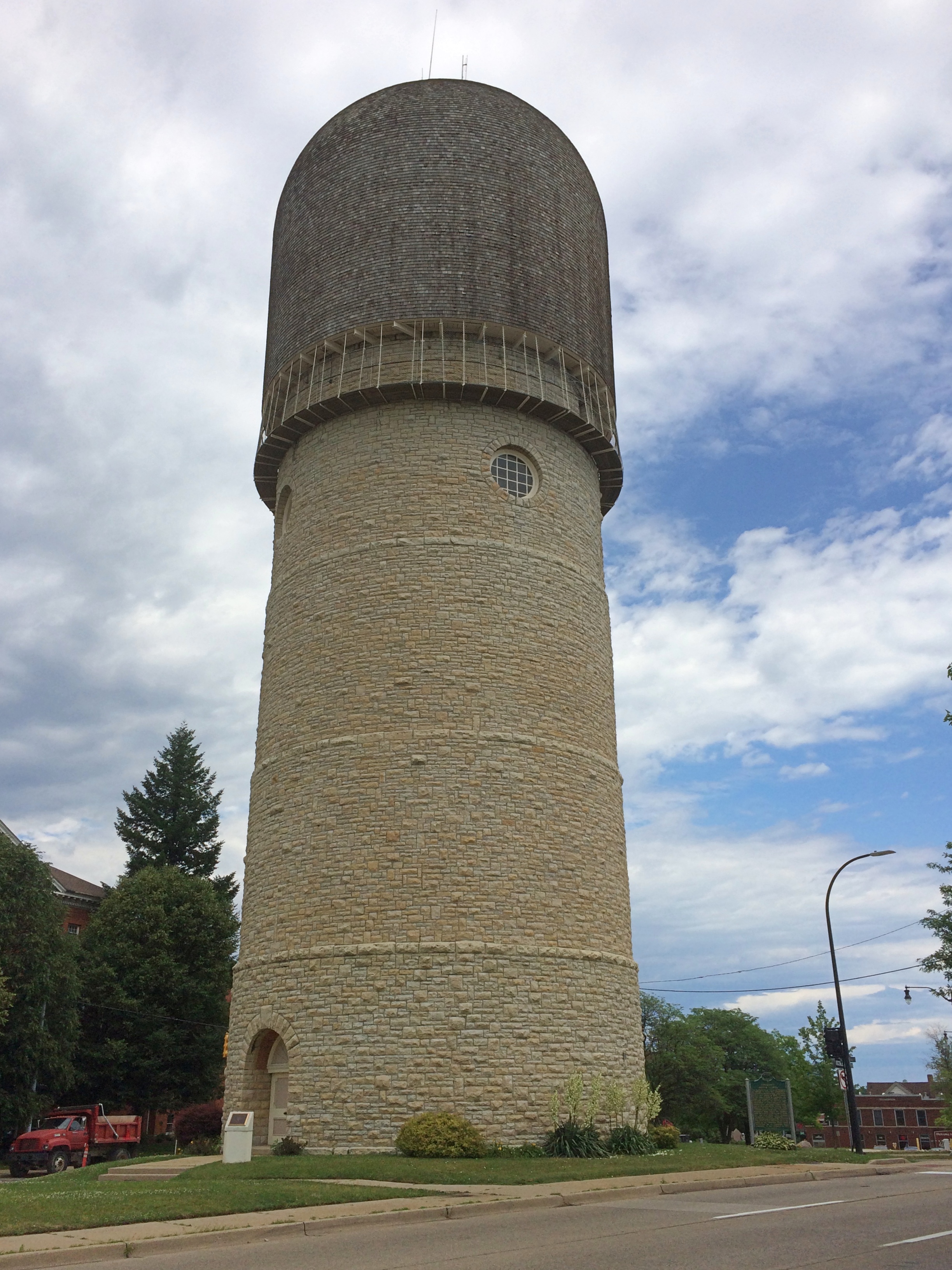
The drive home from Detroit was fairly straightforward, but I did take one short detour to Ypsilanti, Michigan. I had to see the (sort of) famed Ypsilanti Water Tower, dating from 1890 and still used as part of the city’s water system.

Ypsilanti Water Tower

Wags call it the Brick Dick. There’s a bust of Demetrius Ypsilanti nearby, along with Greek and U.S. flags, but I didn’t care to cross the busy street for a closer look.

Back Yard Summer Flora ’21

Rain again in the morning. Tomorrow maybe more. Moderate temps in the meantime. I understand that we’ve traded places, weather-wise, with the Pacific Northwest, which is remarkably hot and dry for the moment.

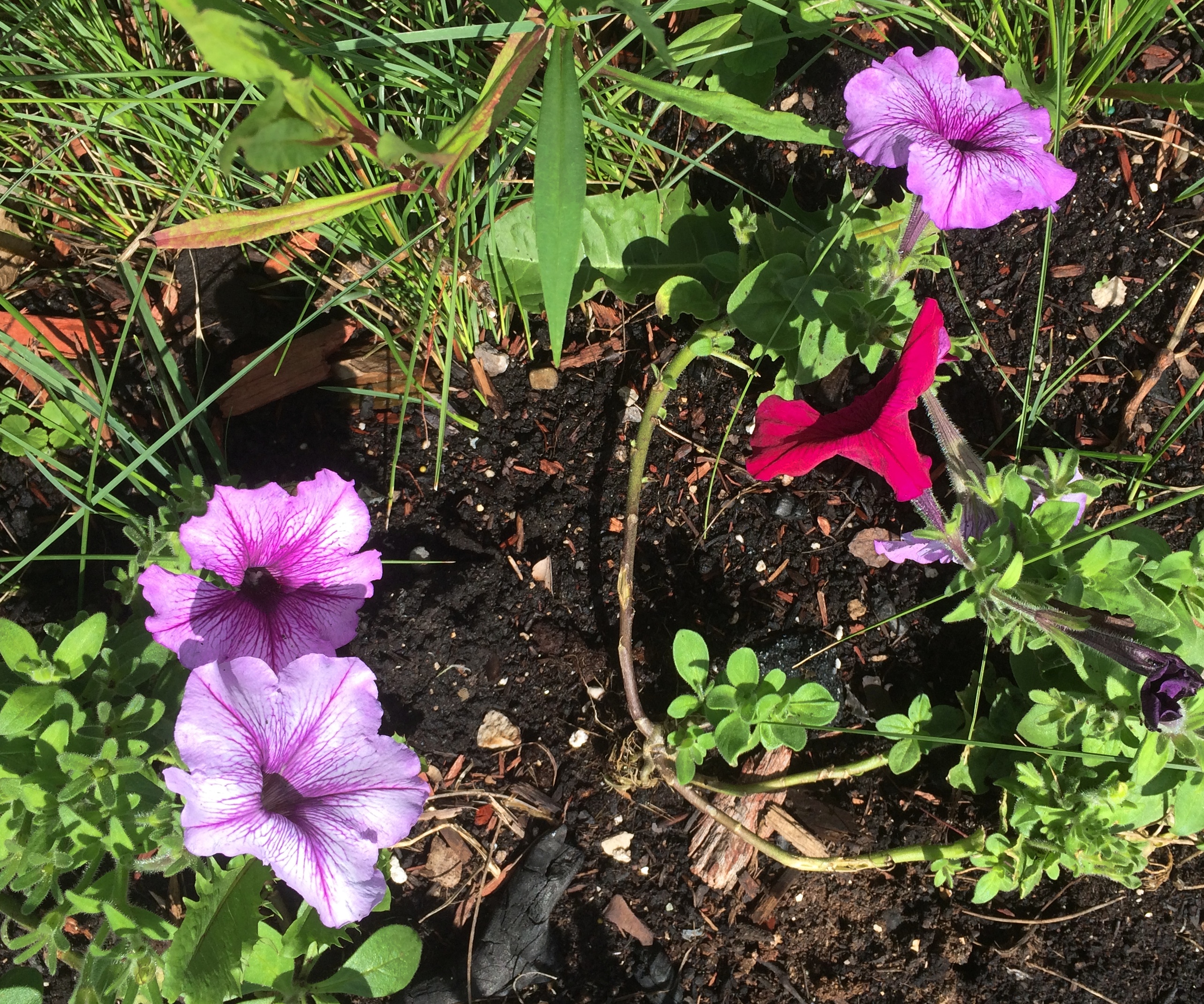
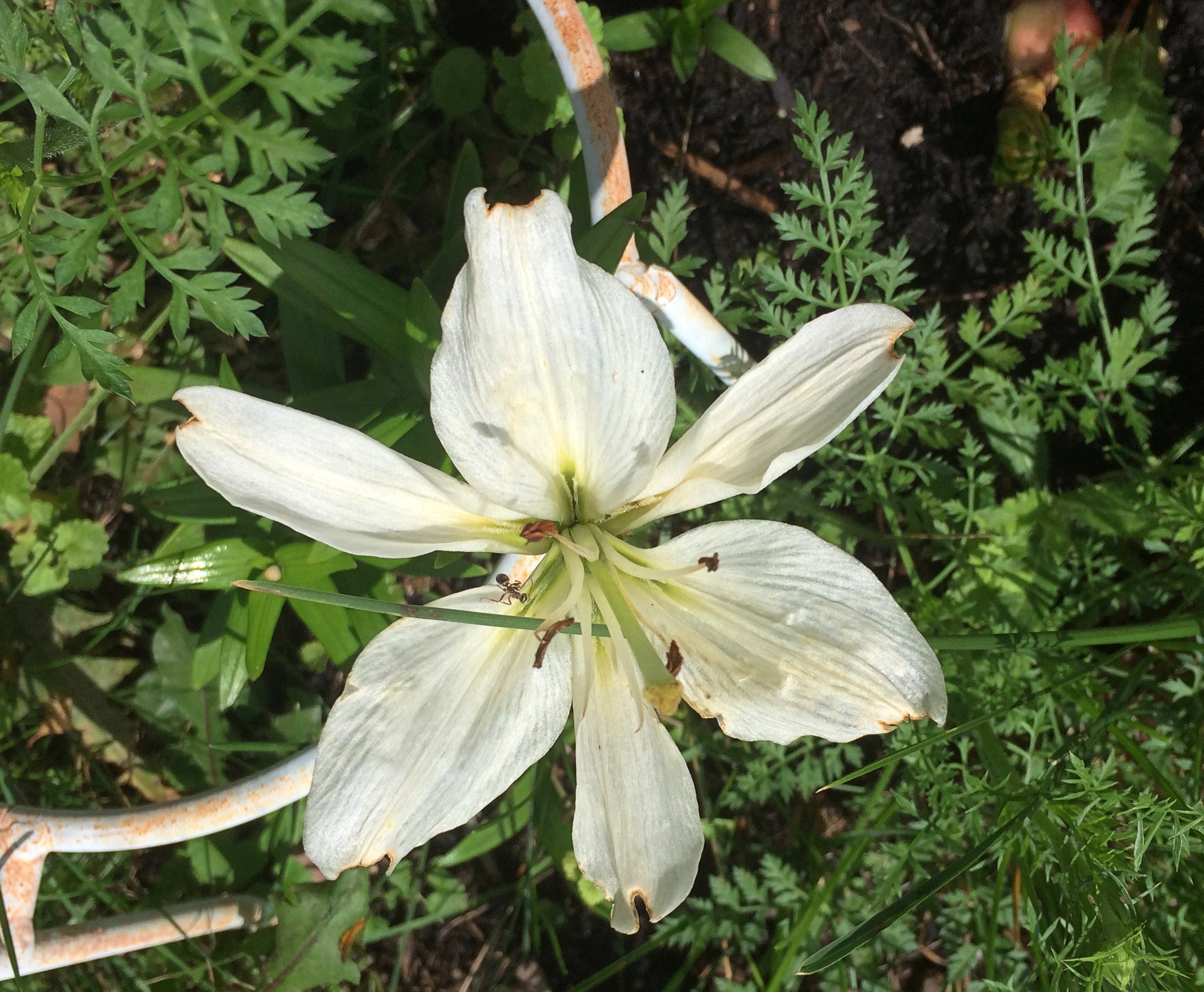
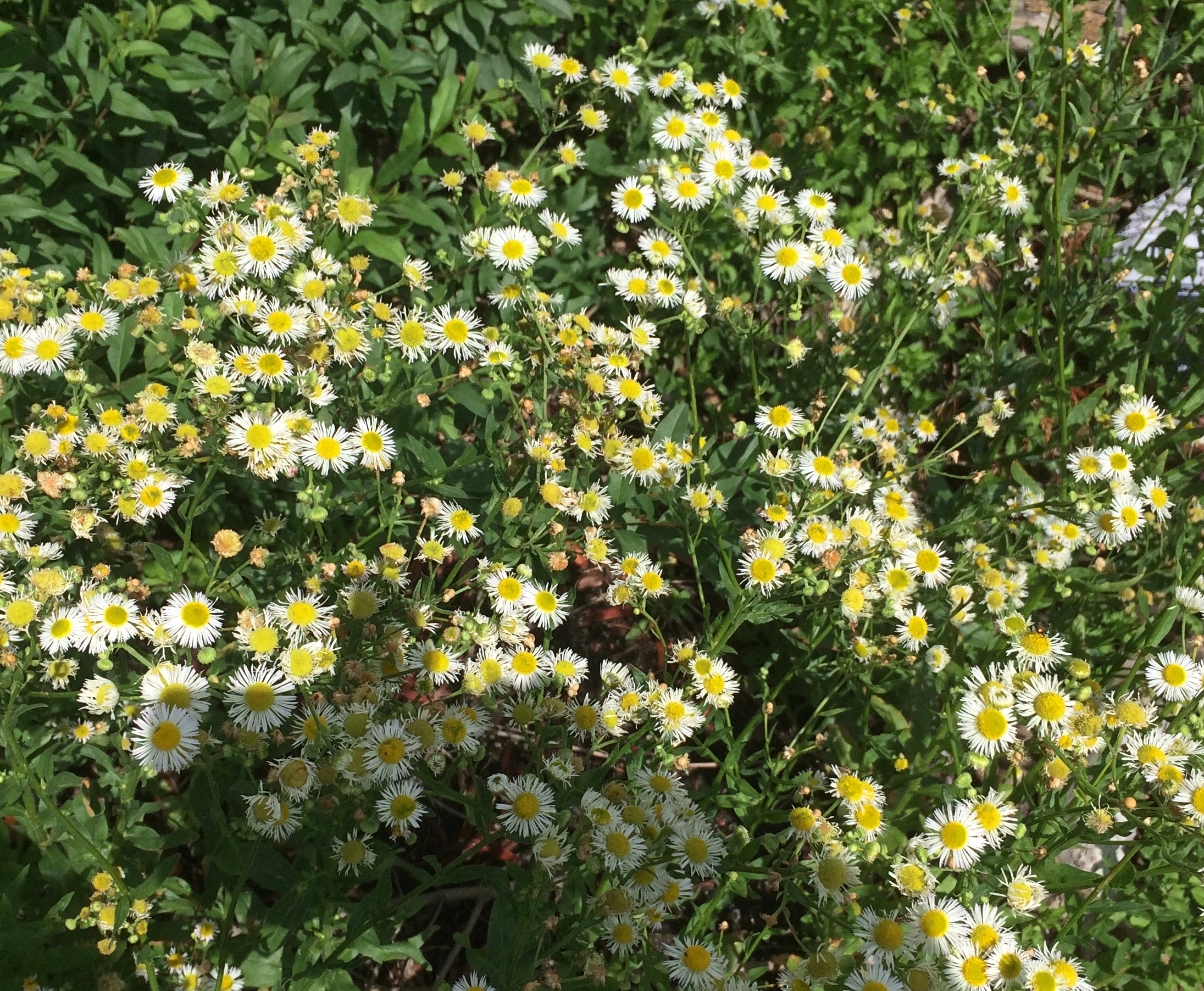
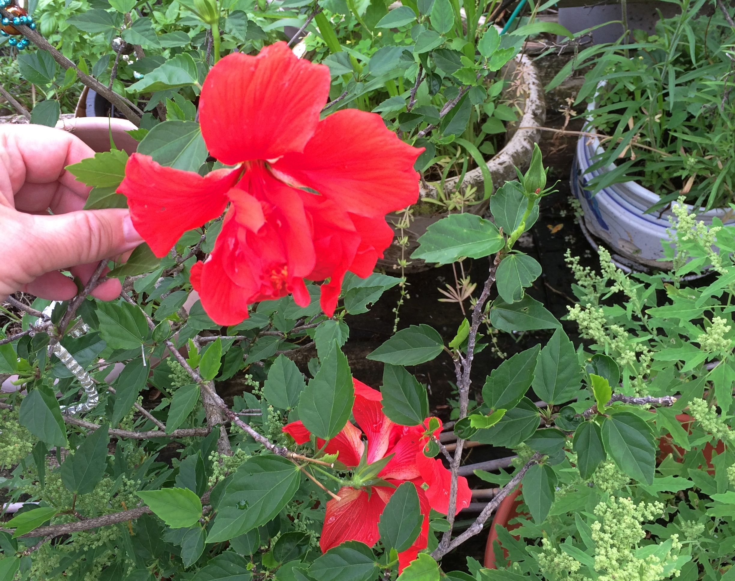
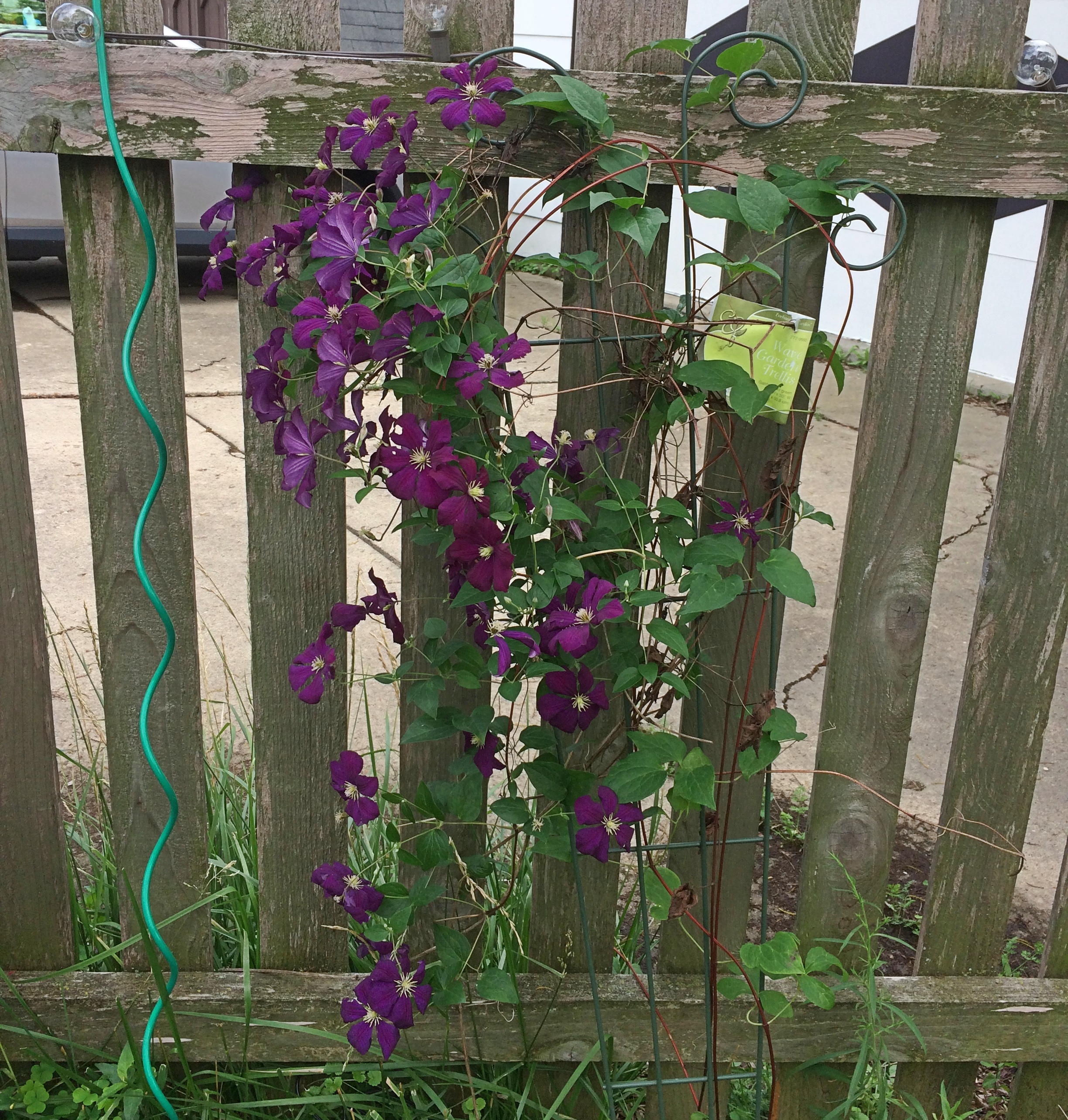
By afternoon it was again dry enough to sit on our deck. I also did a survey of the flowers of the back yard, including those springing from the damp earth.

back yard flowers

back yard flowers

back yard flowers

Those in pots on the deck.
back yard flowers

And along the fence.
back yard flowers

“Summer afternoon — summer afternoon; to me those have always been the two most beautiful words in the English language.” — Henry James

Park St. Claire Natural Area

More rain today, alternating with drier periods. The grass has responded, as grass does this time of the year, by greening up and lengthening. As soon as we get a full dry day or so, I will respond as I do, using a machine to shorten the growth to a more acceptable bourgeois appearance.

Not everyone waits. Not half an hour after the enormous rains on Saturday, a fellow on the block was out mowing his soggy grass. Is that good for the lawn? I like to believe it is not.

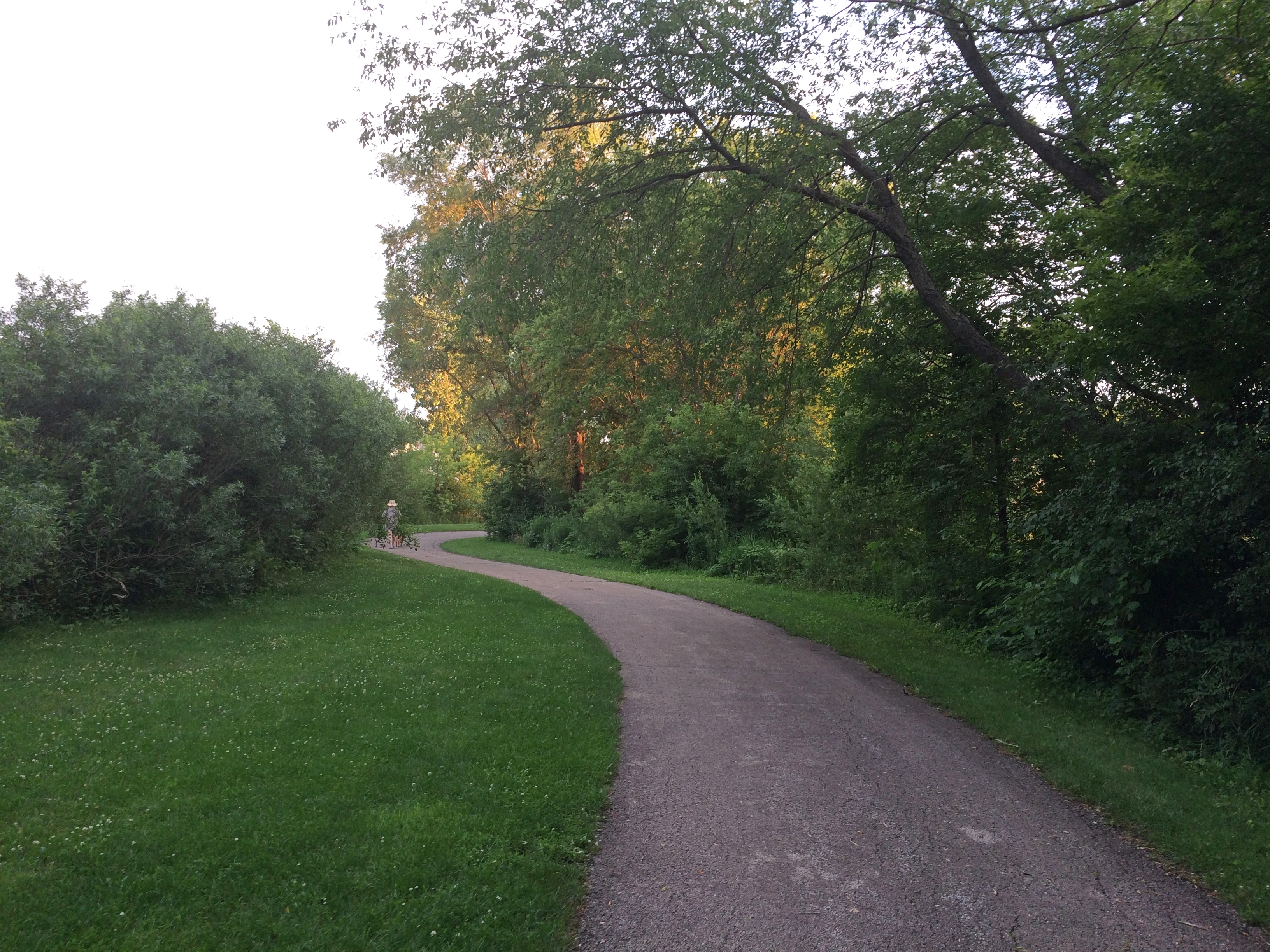
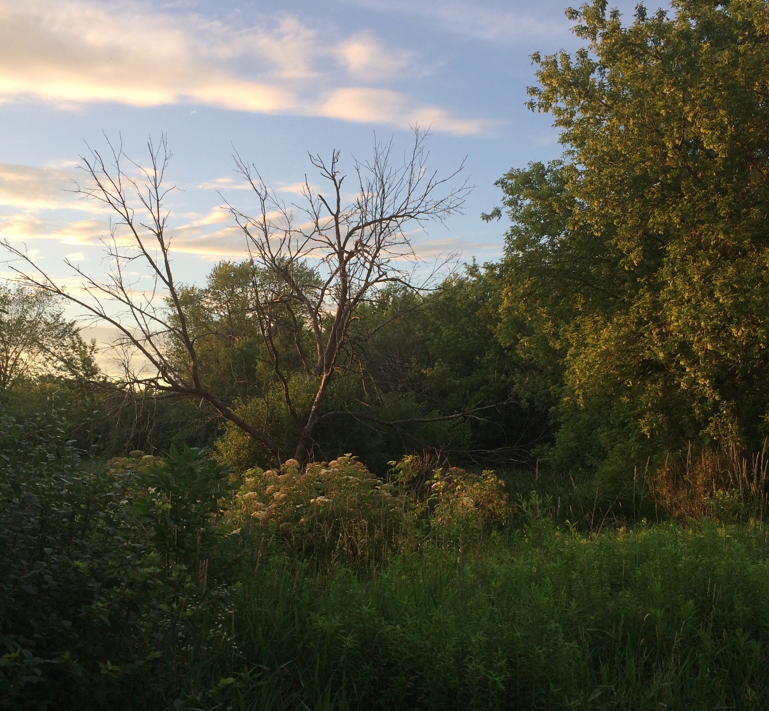
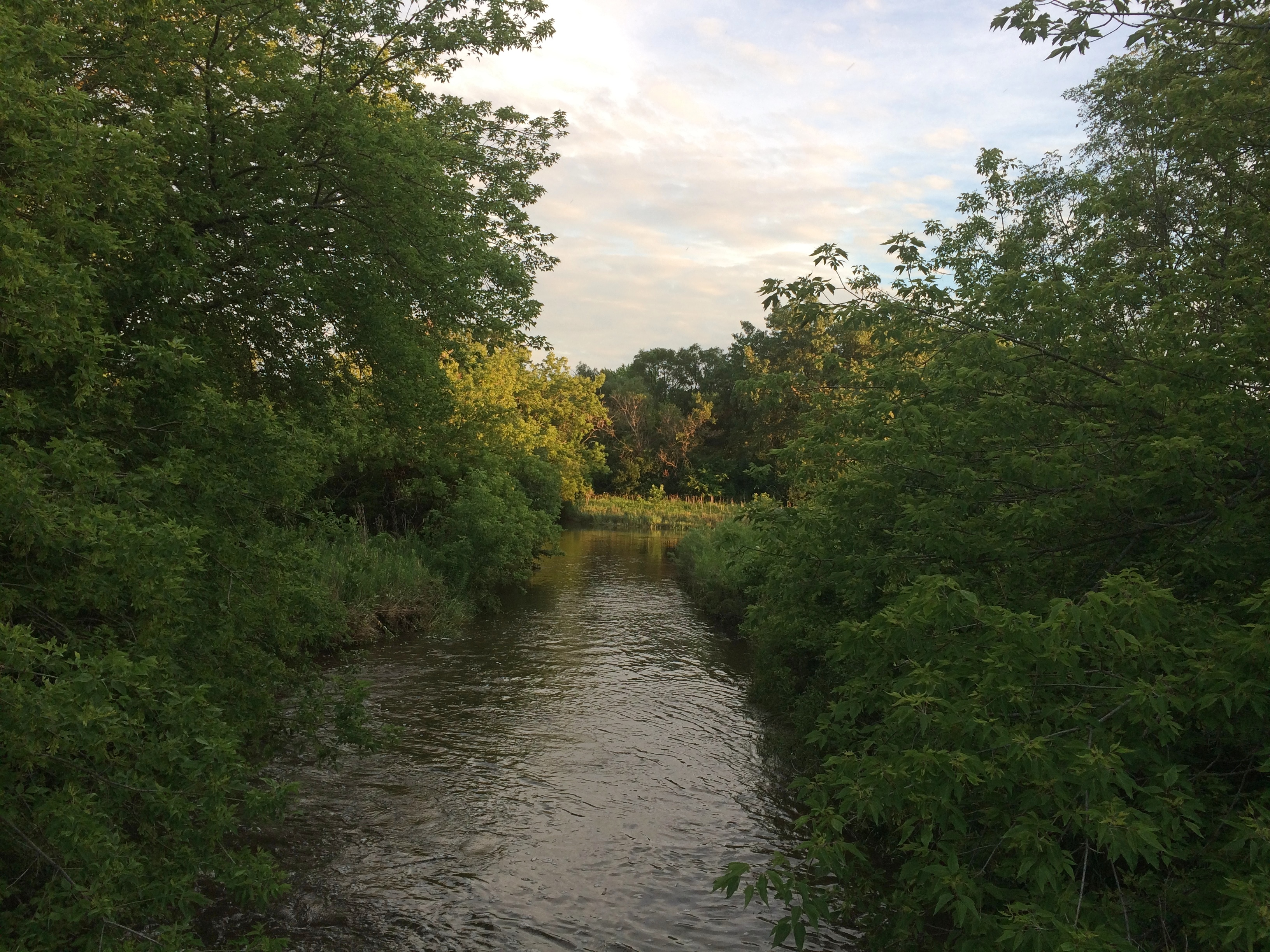
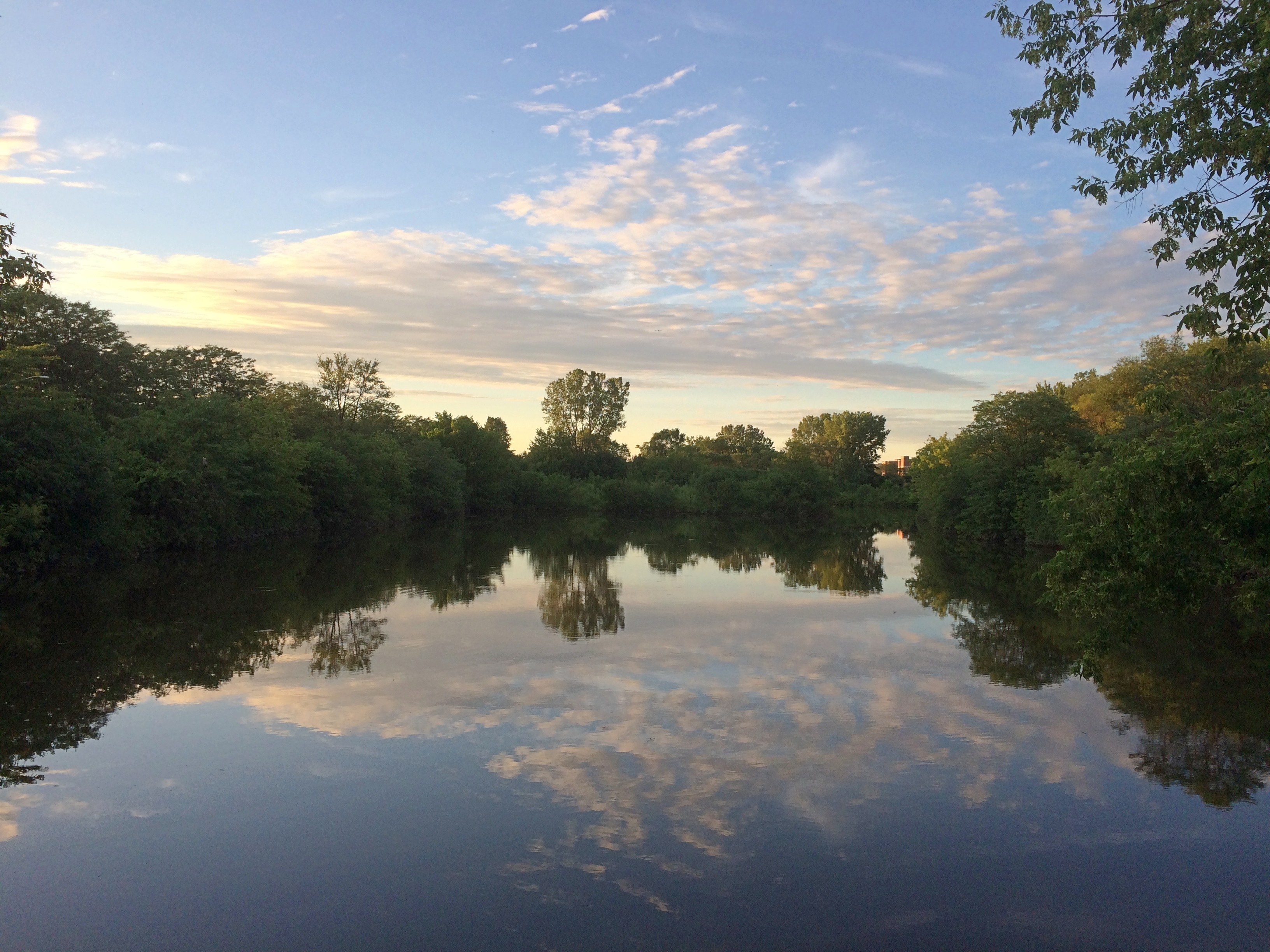
Sunday was a dryish interlude. About an hour ahead of sunset on Sunday, we spent time at Park St. Claire Natural Area and environs.

Park St. Clair Natural Area
A nice bit of suburban planning. At certain places, merely looking around doesn’t tell you that you’re surrounded by a metro area of 9.4 million people or so.
Park St. Claire Natural Area Park St. Claire Natural Area

Including water features.

Park St. Claire Natural Area Park St. Claire Natural Area

I’ll be sorry to see June go.
Park St. Claire Natural Area

Not that the rest of the summer won’t have the potential to be just as pleasant. But June 30, or maybe the July 4 holiday, is the end of the beginning of the season. All of the days between those two, and a few more, ought be holidays.

Juneteenth ’21

What do you know, Juneteenth’s a federal holiday. I have to say that I made a correct prediction on that score. But it wasn’t really that hard to guess. Anyway, I welcome it, and in fact have tomorrow off.

August-like heat has returned here in northern Illinois, though it looks like next week will cool off a bit after possible rain, as summers tend to do in the North. We could use the rain.

So far much of June has been more like summer down South: early and sustained heat, though not quite as bad as all that, since we haven’t hit 100 F yet. The high was supposedly 90 F today, and it felt like that outside. I had a simple lunch of a sandwich and a banana today out on the deck, make tolerable by the deck umbrella, which cut at least 10 degrees out of that high for me.

An HVAC tech, who has been looking after our air conditioning and heating for years now — I don’t remember how I found his company, it’s been so long — came by the other day for the annual check of the AC. Our antediluvian AC, whose mechanicals were assembled in the 20th century.

It’s a miracle it’s still running, the tech said (I’m paraphrasing). Got my fingers crossed that this won’t be the summer it gives up the mechanical ghost. We shall see. Years ago we bought a central AC unit for our small, postwar-vintage house in the western suburbs, not because the old one failed, but because the house didn’t have one. Imagine taking a new house to market these days without AC. Bet that’s a nonstarter even in a place like Fairbanks.

St. James at Sag Bridge Catholic Church and Cemetery

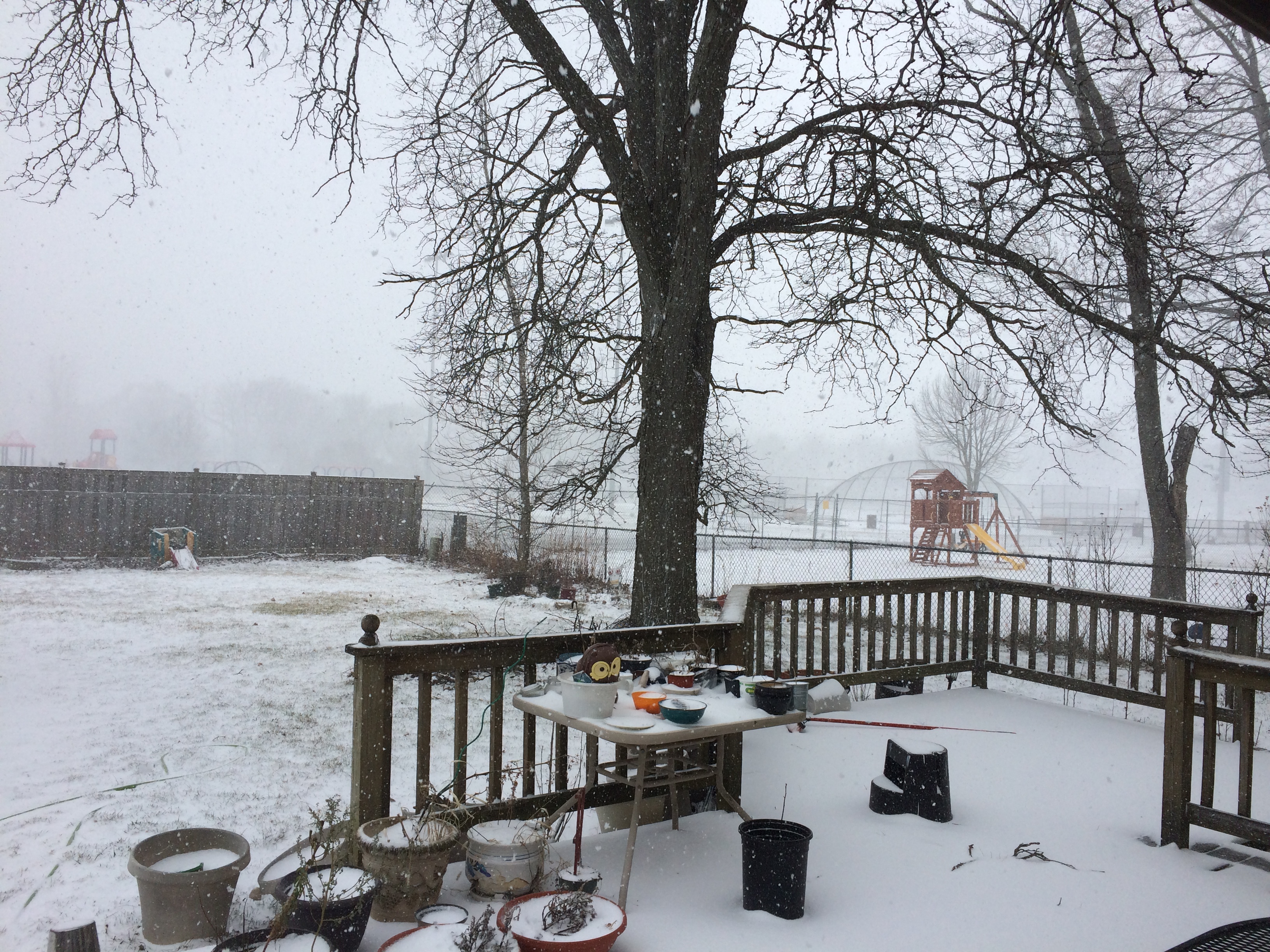
Saturday was warm and pleasant, Sunday raw and unpleasant, and today — Ides of March Snow. If Rome had had a few inches that day, Caesar might have stayed home, since the rarity of snow would surely have been a warning not to do any official business. Oh, well.

Except for scattered dirty piles in parking lots, all of the massive February snows had melted by March 14. The March 15 snow will last a few days at most, due to a warming trend predicted for later in the week.

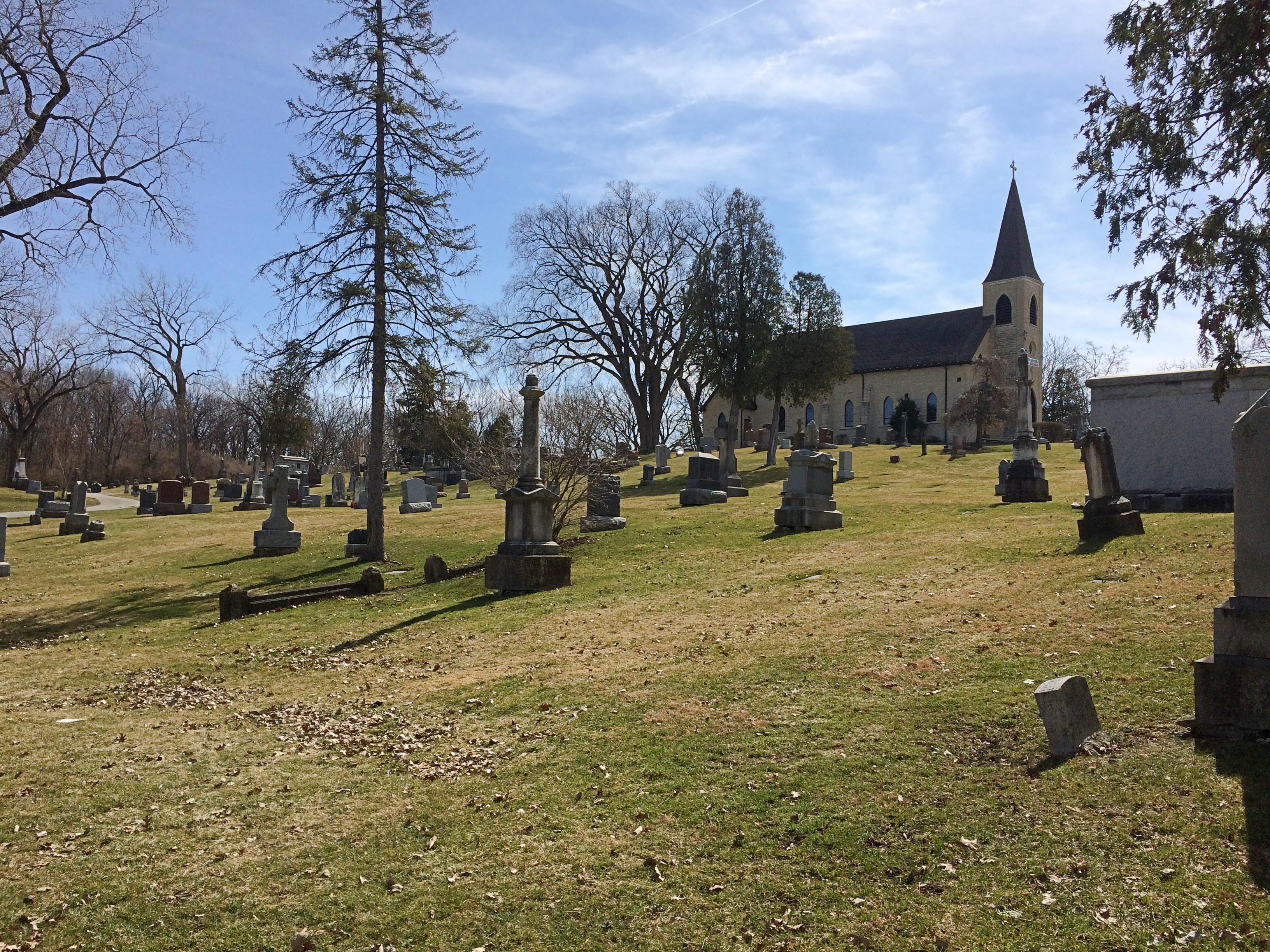
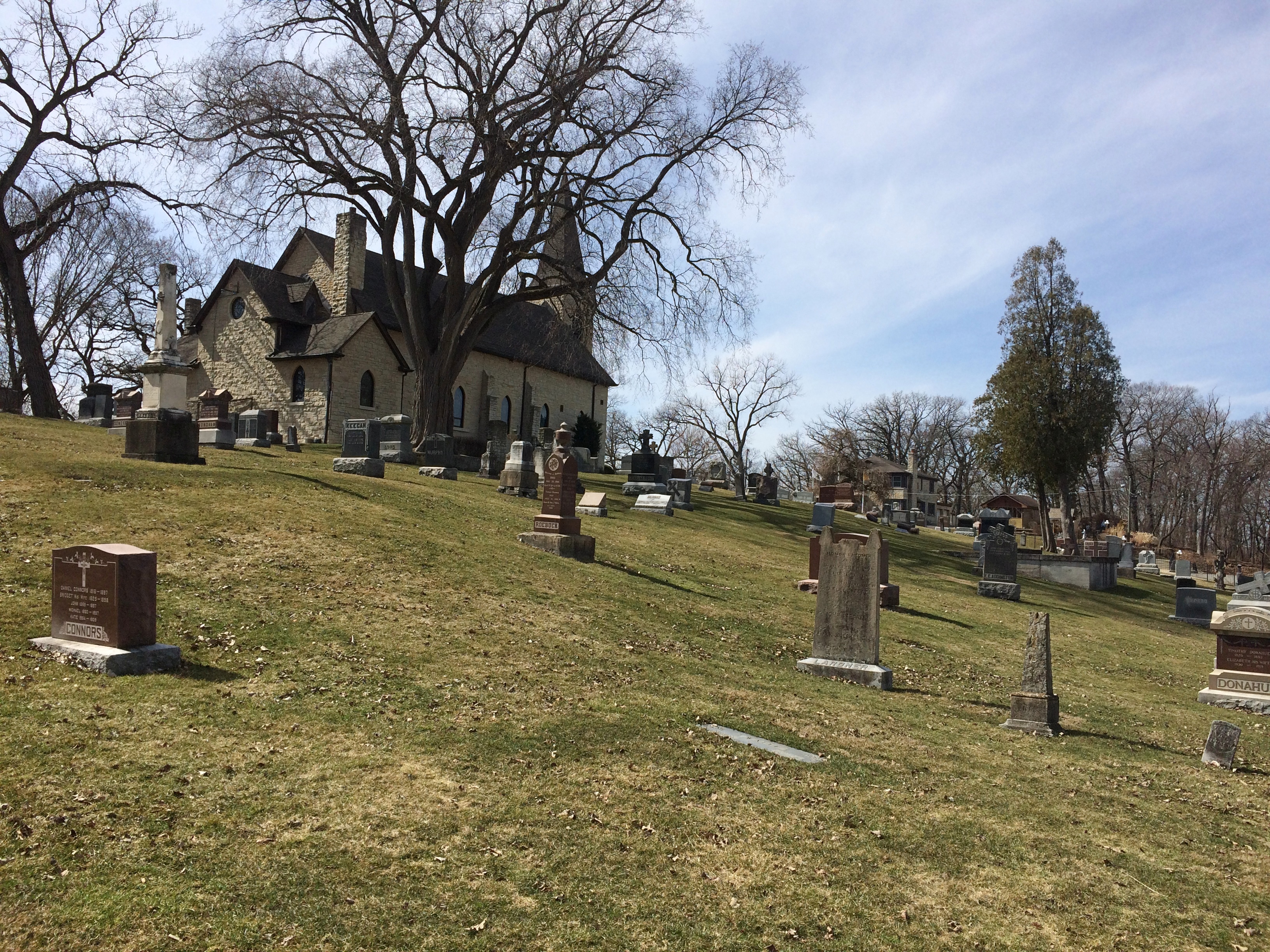
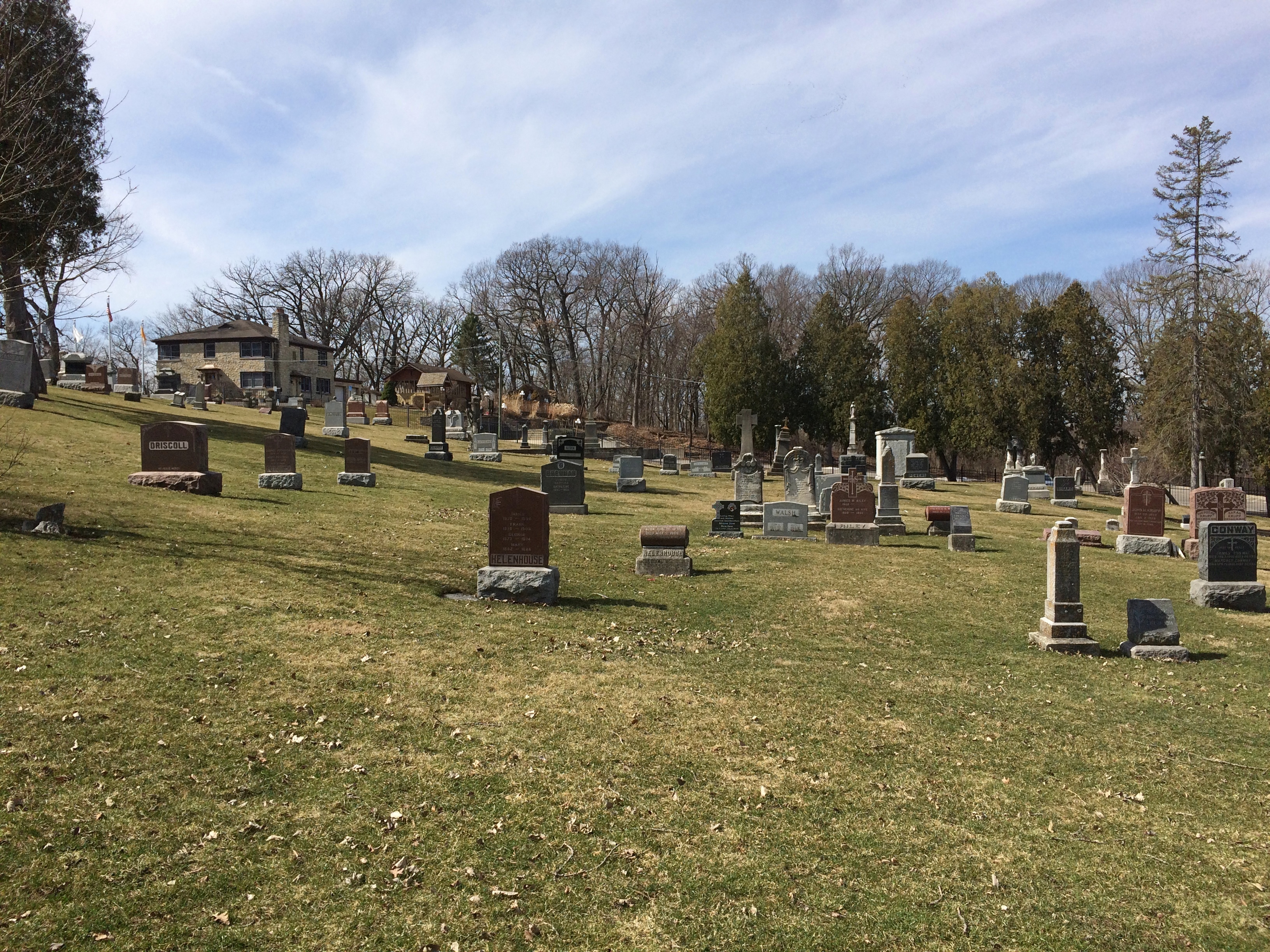
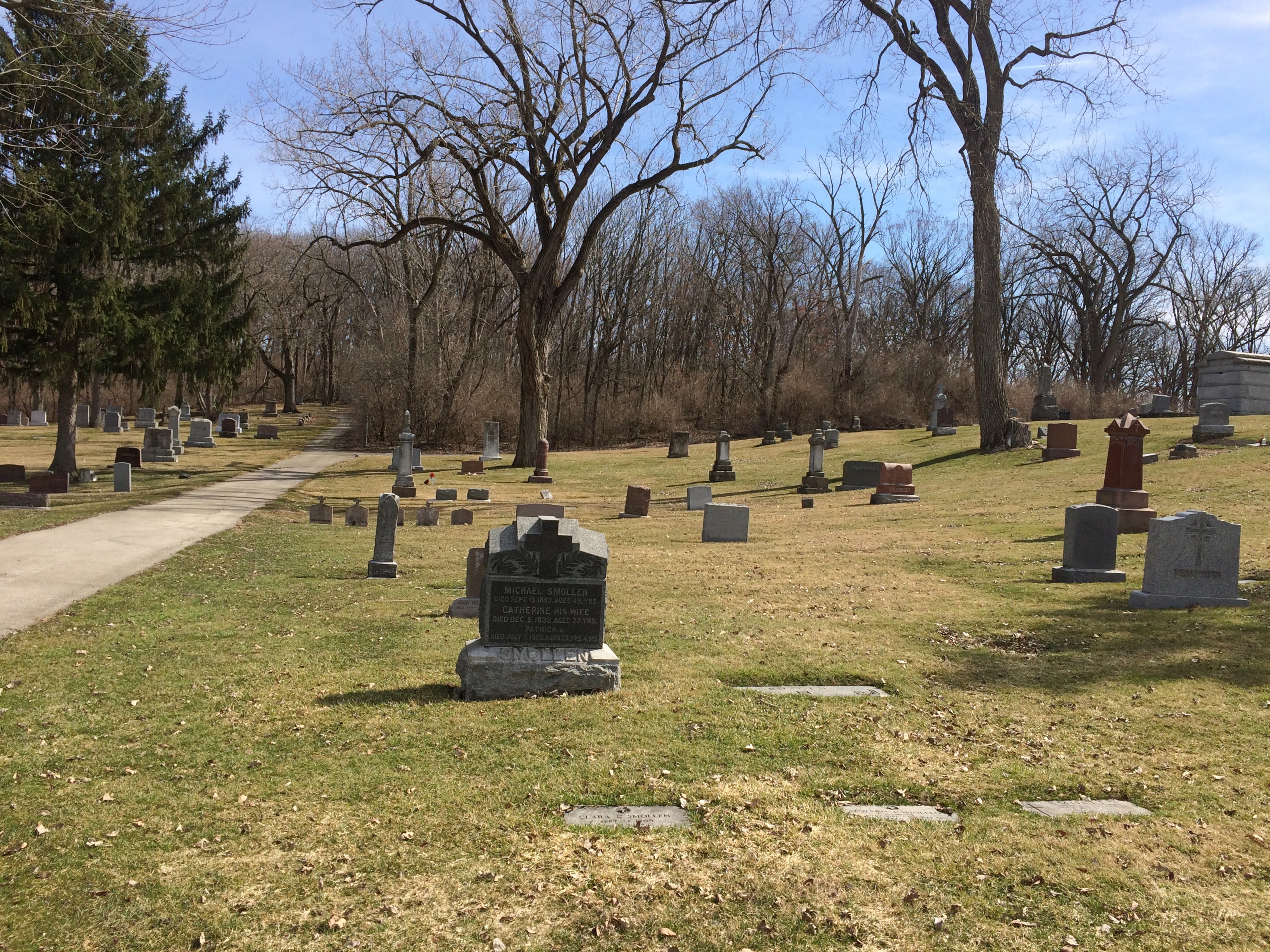
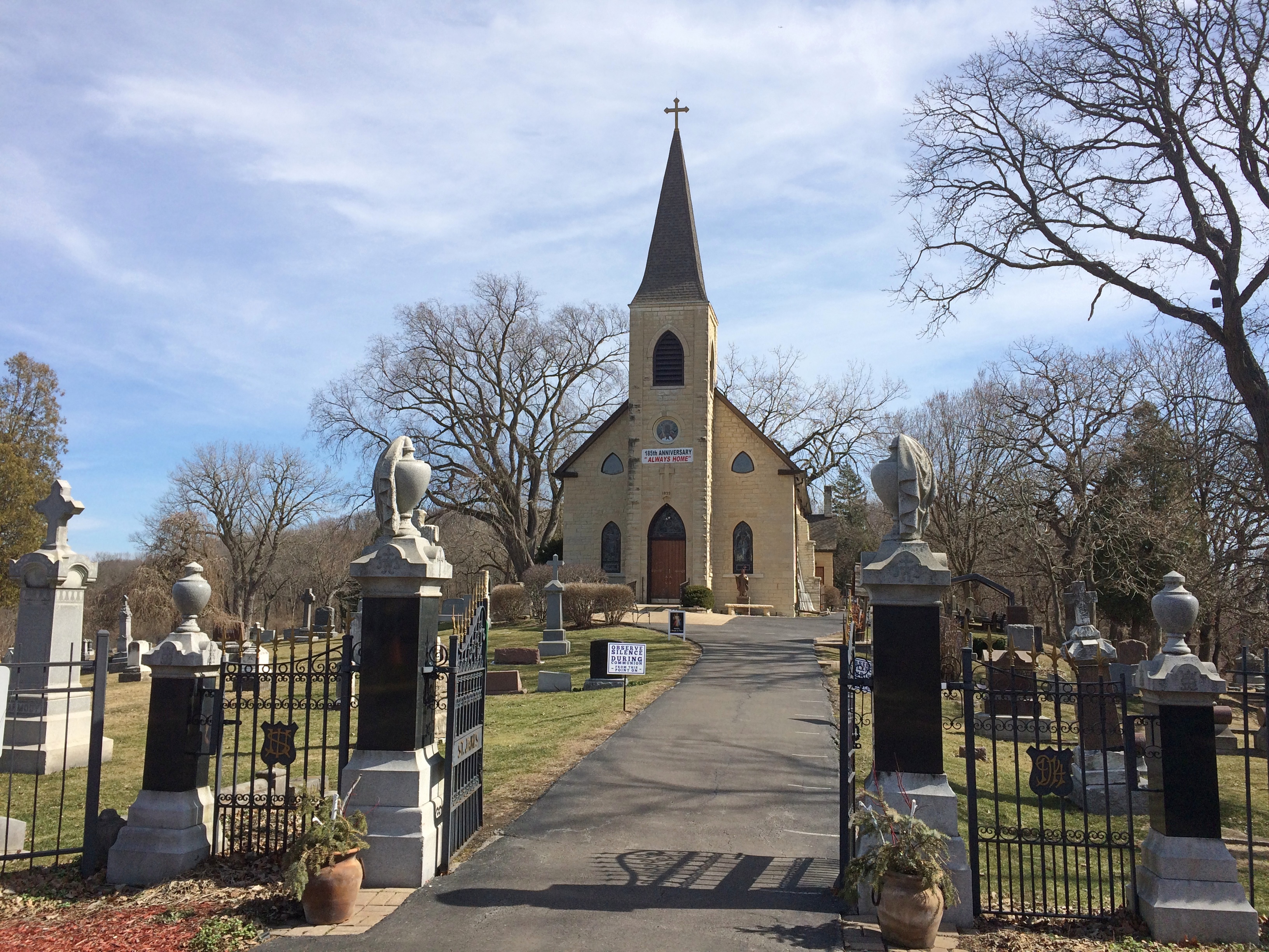
Illinois has a few hills, typically relics of ancient glacial movements. Built on top of one of them, in the village of Lemont, is St. James at Sag Bridge Catholic Church, which got its start in historic times — but still quite a while ago, in the 1830s.

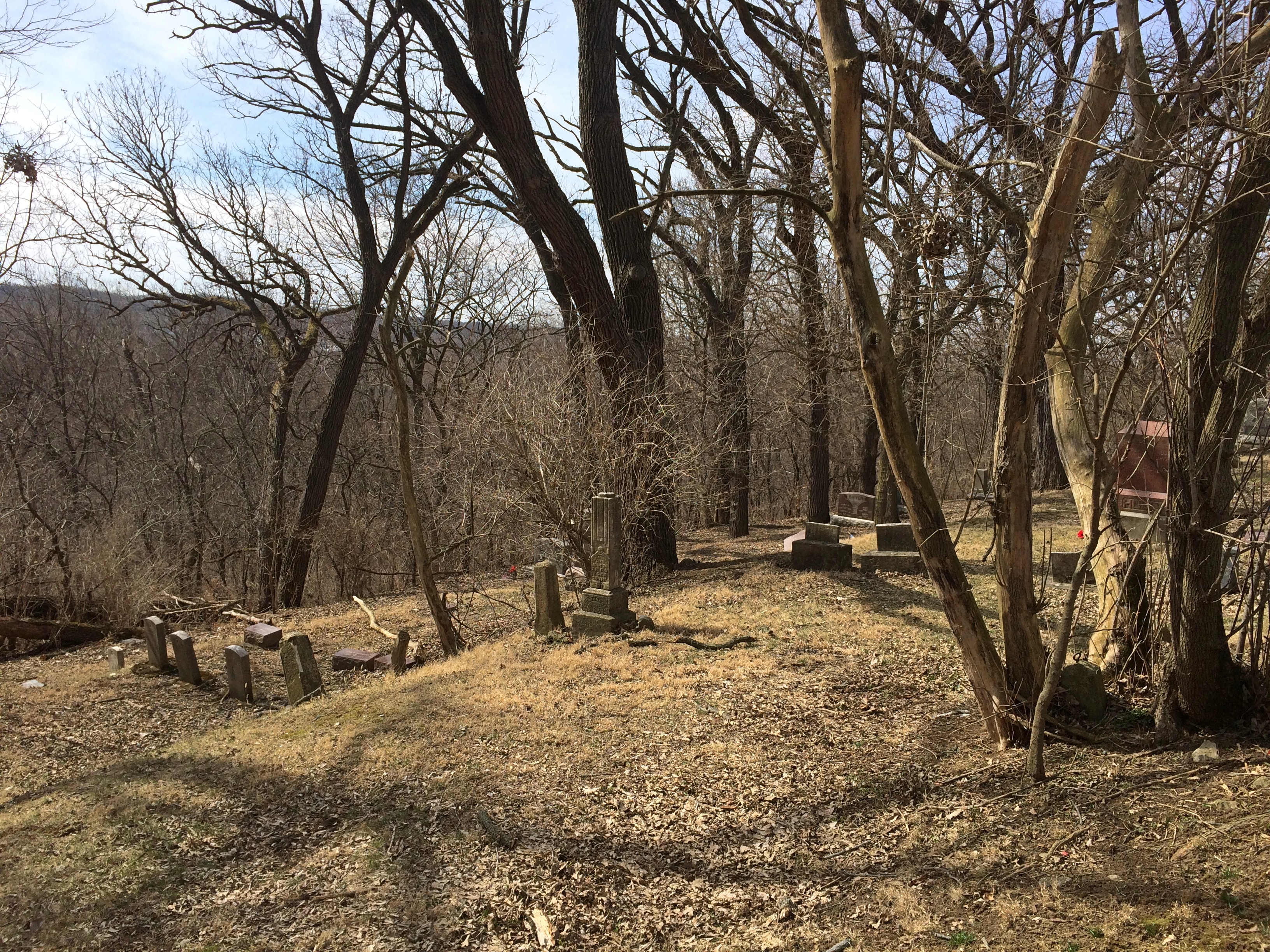
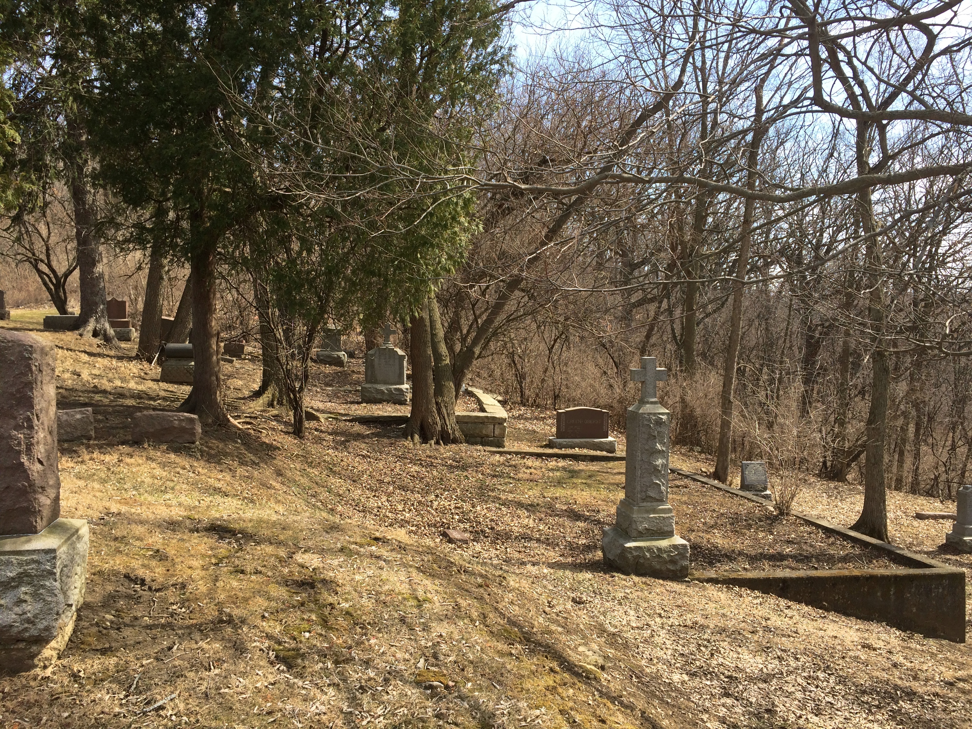
On the slope of the hill is the church cemetery.St. James at Sag Bridge Catholic Church St. James at Sag Bridge Catholic Church St. James at Sag Bridge Catholic Church St. James at Sag Bridge Catholic ChurchOne side of the hill — maybe better to call it a ridge — is quite steep, yet still sports stones.St. James at Sag Bridge Catholic Church St. James at Sag Bridge Catholic Church

The rest of the family had other things to do during the day on Saturday, which as mentioned turned out to be clear and warm, so I headed south for a look around the suburban stretch of Archer Avenue (Illinois 171) between Lemont and the village of Justice.

The urban section of Archer Avenue, “Archey Road,” was the haunt of Mr. Dooley once upon a time, but that’s a matter best left for others to describe (if you feel like paying for access).

In our time, suburban Archer Avenue is a thoroughfare featuring independent and chain restaurants, small office buildings, auto repair shops, liquor stores, churches, schools, municipal facilities, and vast cemeteries. The surrounding forest preserve lands are even larger, the further out you go.

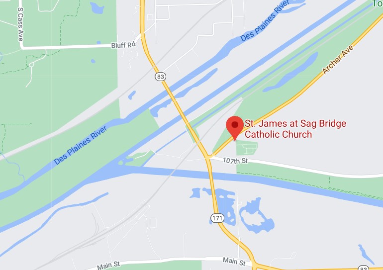
St. James at Sag Bridge is near the junction of Archer Avenue and the north-south Illinois 83, which (to the north) is one of the main transit spines of DuPage County. St. James’ hill also rises near the triple waterways of the Des Plaines River, the manmade Chicago Sanitary and Ship Canal, and an older manmade leftover of the 19th-century canal-building boom, the tiny-by-comparison Illinois & Michigan Canal.

To the south of the church and cemetery is yet another artificial waterway, the early 20th century Calumet Sag Channel, which gives the area its name, Sag Bridge, for a predecessor bridge of the one that now carries 171/83 across the channel. The Calumet Sag connects the Calumet River system with the Sanitary and Ship Canal, which it joins just to the west of the church. It’s a complicated bit of geography that I was only vaguely aware of before I decided to examine this part of Archer Avenue.

Sag? I wondered about that as well. The full name of the canal is the Calumet-Saganashkee Channel. I didn’t know that either, but learning it generated another question, as is often the case. Saganashkee?

Named after a local feature with a modified Indian name, it seems: Saganashkee Slough, which is a lake on forest preserve land in the area.

“A case in point is Saganashkee Slough,” the Chicago Tribune reported in 1994. “It was formerly a huge swamp that extended from west of 104th Avenue to the limits of Blue Island, and its original name, Ausaganashkee, is a Potawatomi Indian word that means ‘slush of the earth,’ wrote former Forest Preserve District general superintendent Cap Sauer in a historical account written in the late 1940s.

“During the construction of the I&M Canal in the 1830s, a feeder ditch was dug in the swamp that helped supply additional water to the canal. The slough was almost destroyed in the 1920s by blasting during the construction of the Cal-Sag Channel. Saganashkee was reconstructed by the forest preserve district, although in much smaller form, Berg said. At 325 acres, it is still, however, one of the largest bodies of water in the district.”

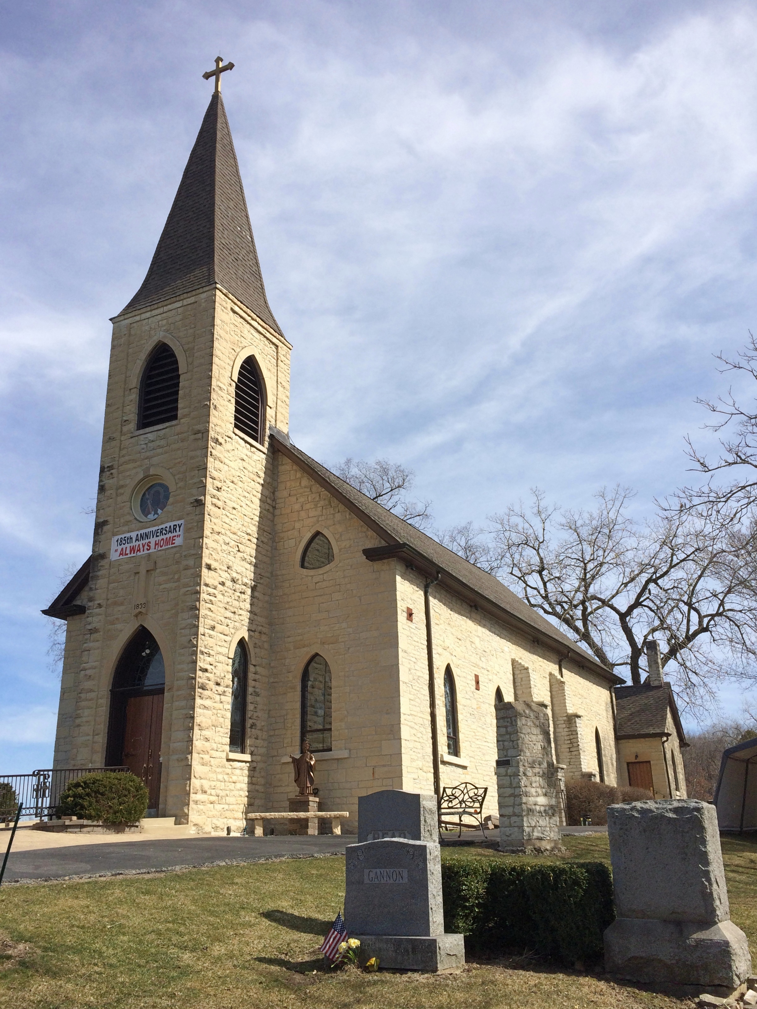
As for St. James, the church was founded to serve workers, mostly Irishmen, who were building the Illinois and Michigan Canal, with the current structure completed in the 1850s. A place to go Sunday morning after Saturday night revels, and sometimes donnybrooks, at least according to Irish stereotypes. I suspect the congregation is a good deal more diverse these days.St. James at Sag Bridge Catholic Church

St. James at Sag Bridge Catholic ChurchIt’s a handsome limestone building, built from material from nearby Lemont-Sag quarries, which provided stone for Holy Name Cathedral in Chicago and the Chicago Water Tower besides. I understand the St. James interior is quite beautiful, but it was locked when I visited.

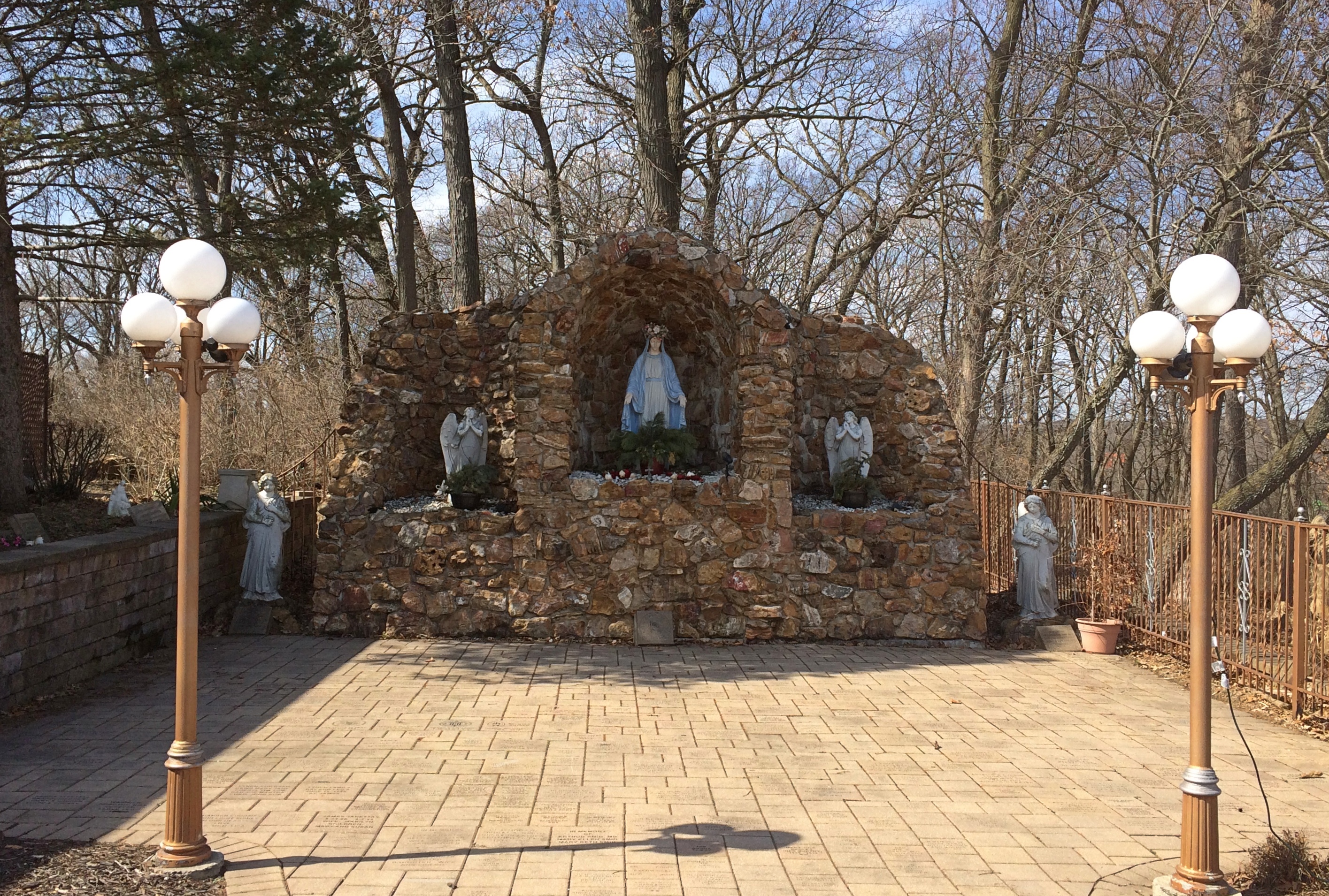
The Our Lady of the Forest grotto on the grounds was, of course, open for a look.
St. James at Sag Bridge Catholic Church - Our Lady of the Forest
Compared with the church building, the grotto is new, built in 1998 for the for the 165th anniversary of the parish. See grottos when you can.

Thursday Dribs

Shouldn’t there be drabs as well? Maybe, but I did that not too many Thursdays ago.

“Drib is known in some English, Irish and Scottish dialects from at least the eighteenth century, meaning an inconsiderable quantity or a drop and most probably is a variant form of drip or drop,” says the always interesting World Wide Words.

“The experts are undecided whether the second half is a mere echo of the first, as in reduplicated compounds like helter-skelter, see-saw and hurly-burly, or if drab is a real word in its own right.”

It is a word, but in the sense of dull. The Thursday Drabs would suggest that I passed the day listlessly, but that wasn’t the case at all. For one thing, going out for a walk is now pretty easy and, except when the wind kicks up, not too bad. All the ice has vanished from almost all of the sidewalks. Walking the dog is mostly a pleasure again.

These February scenes are gone as well. Some snow still endures, forming snow archipelagos on lawns, especially in shady northern exposures, but there’s a little less of it every day.

Also good to see: croci emerging from the earth. Some in our back yard, and some especially vigorous patches on the grounds of Quincy Adams Wagstaff Elementary, where we sometimes walk the dog.

Not long ago, I found a 12 oz. jar of preserves tucked away deep in our canned (and jarred) goods pantry: cherry raspberry preserves, product of Brownwood Farms of Williamsburg, Michigan. That sounded familiar, but I couldn’t place it for a moment.

The lid, though tight, sported a light coating of dust. That doesn’t bode well for the edibility of the edibles inside.

Then it occurred to me. We’d bought these preserves way up in Grand Traverse County in the summer of 2007 during a visit. Naturally, this made me a little leery of even opening the thing, much less eating it. But I got it open and didn’t see (or more importantly) smell anything amiss.

Been eating my 2000s-vintage preserves on various kinds of bread since then, here in the 2020s, and it’s delicious. After all, Grand Traverse is justly known for its cherries and raspberries and other berries. I’m glad the preserve was literally true in the case of these preserves.

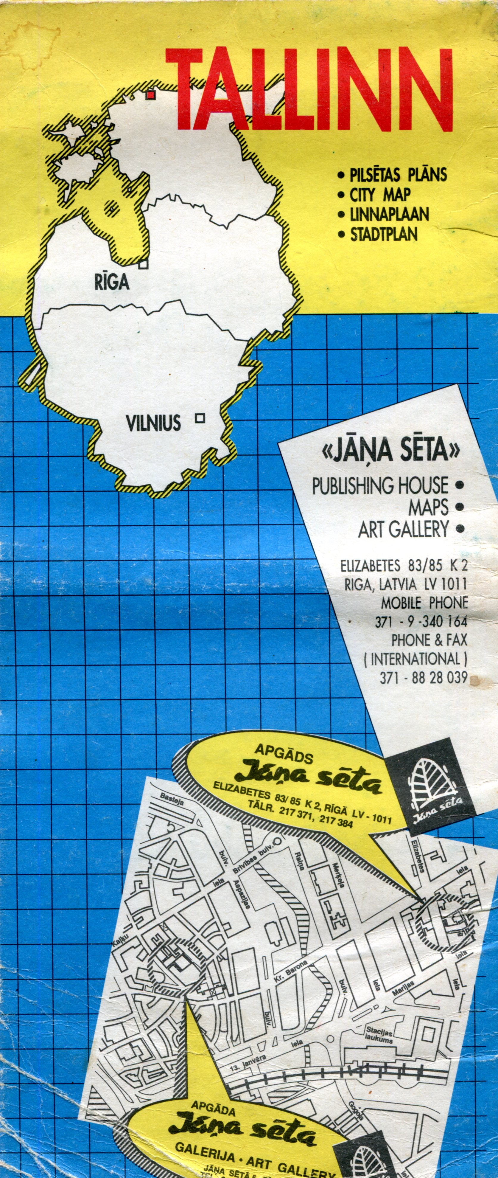
Jana Seta Tallinn

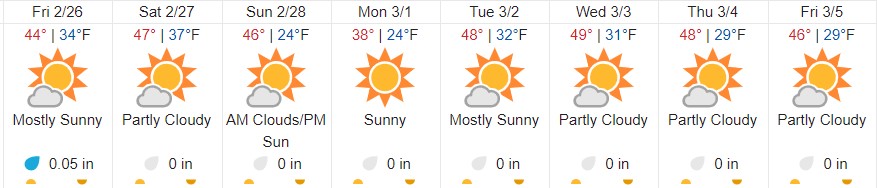
This looks like a promising way to ease into proto-spring. Or, as you notice the crunch of snow under your feet give way to squishing sounds, the Mud Season.

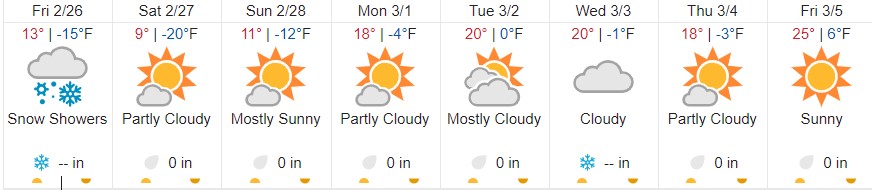
That’s just the near-term weather forecast for where I live, and thus a very narrow focus. I am glad — for any number of reasons, including Siberian weather — I don’t live in Irkutsk. The days ahead for that place:

Which pretty much looks like here during February until a few days ago, except we had more snow. Another difference is that I expect the rest of the spring is going be much colder in Irkutsk than here.

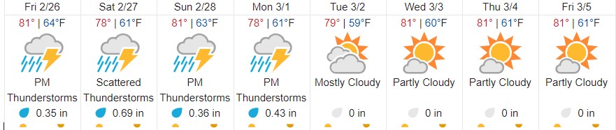
Then again, for year-round pleasant weather, I hear the place you want to be is Medellín:

That does look pleasant, just keep a sweater around for the evening. Reminds me of Mexico City in December, except there wasn’t a bit of rain.

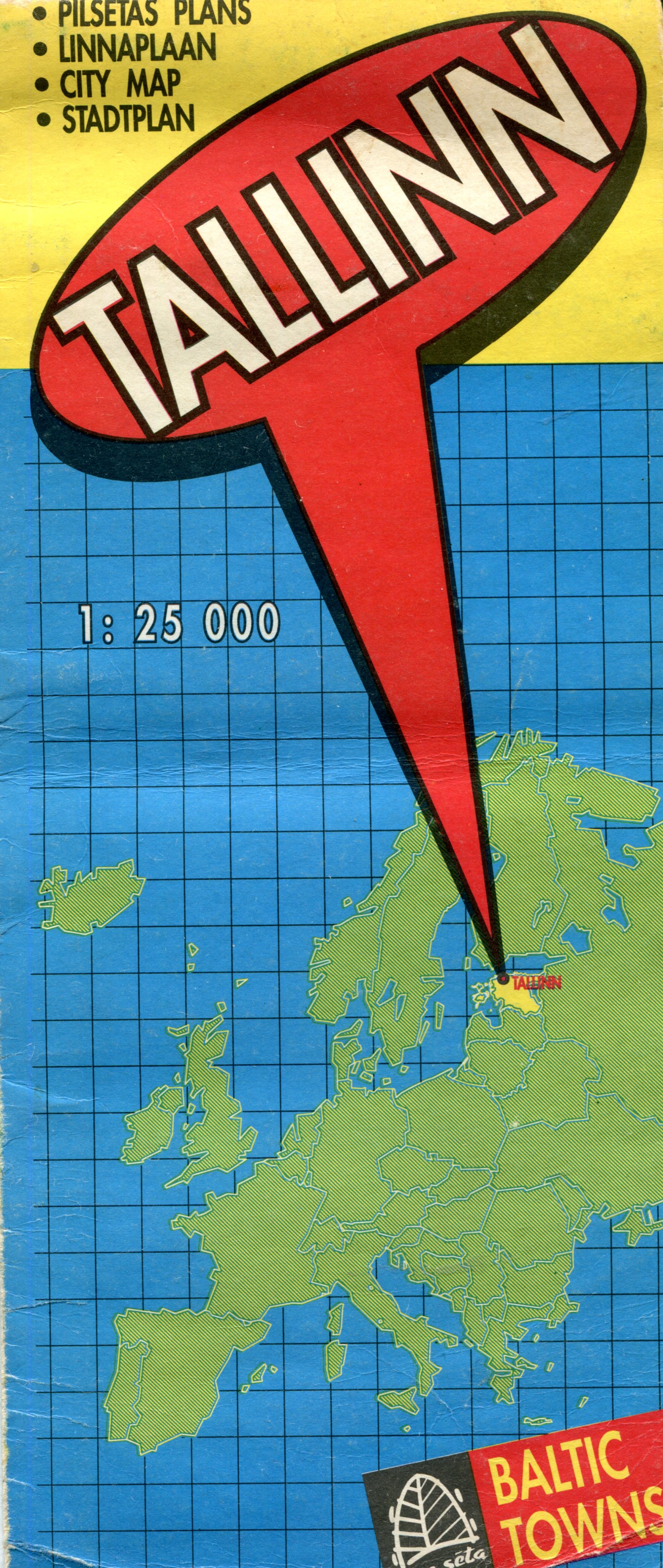
One more map (for now): Tallinn. Nice town, Tallinn, at least in 1994, and I expect it’s done well for itself in the generation since casting off the Soviet yoke.

The map front is simple enough, and reminds everyone where Estonia is in the greater scheme of Europe. Guess some people need to be reminded of that kind of thing.

The map is the product of Jana Seta, “publishing house, maps and art gallery” in Riga. I’m happy to report that it’s still around, and has a web site that tells me that the company had just started business the same year we visited Riga, which was just after we were in Tallinn. Unfortunately, we didn’t visit the map store.

“We started on the 19th of April 1994 when the specialized map and travel literature outlet — Jana Seta Map shop — opened its doors to the first customers in the newly renovated Berg’s Bazaar building in Riga,” the site says. “At that time it was the first and only specialized map shop in the Baltics.

“Together with the constant in-going and out-going tourism development in Latvia, our shop has grown to become one of the leading map shops in the whole of Eastern Europe. Many trips around Latvia and abroad have started at the shelves of our map and tourism literature.

“The former USSR army general staff topographic map and city plans (published 1949-1991) have a special place in our assortment.” Hm.

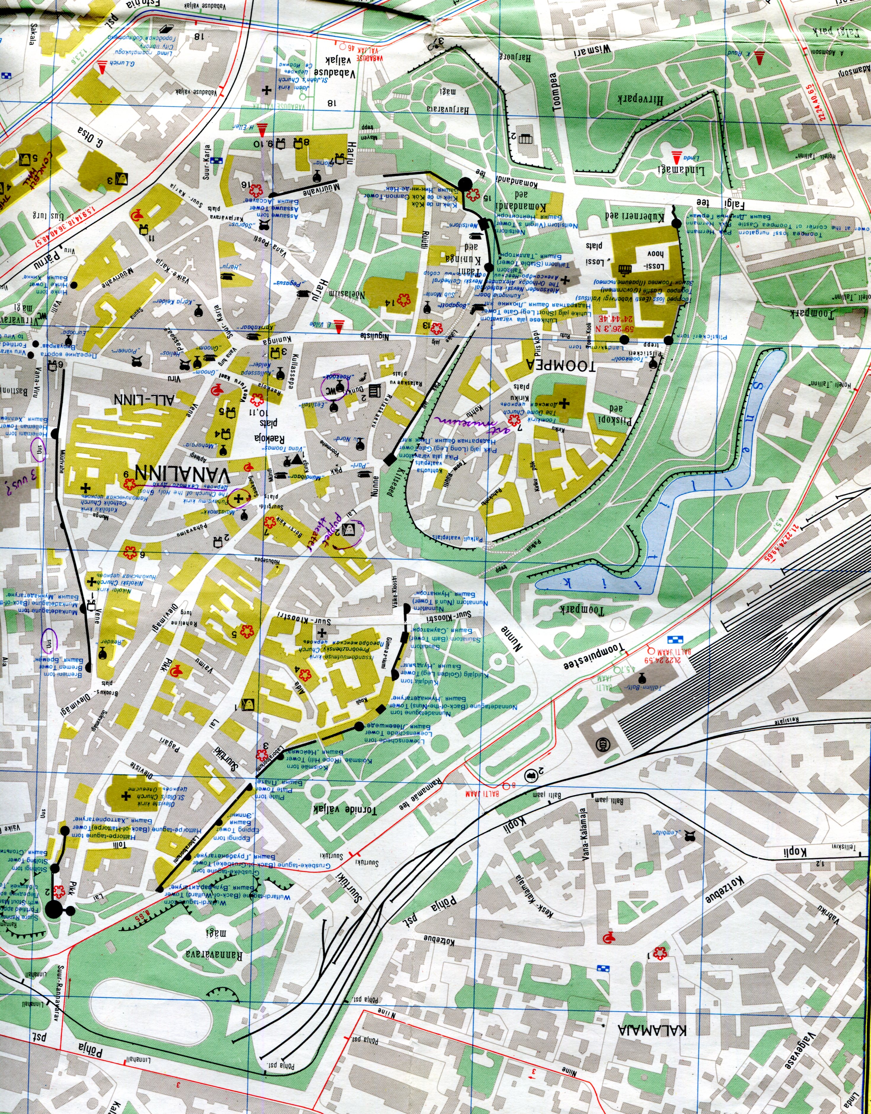
One side of the map is a wider view of the city, while the other has a detailed map of the historic center, plus an index and advertisements for the kinds of things that tourists and business travelers might want, mostly in English. Looks like Jana Seta was quick to pick up the ways of private enterprise. The map key and other information are in English, Russian and (I assume) Latvian.

This is the inset for the historic center of Tallinn.

A fine old place to visit, though we stayed in cheaper accommodations out from the center, in a Soviet-era block of flats, and rode the convenient trolley into the old town. I see that I marked a few places of interest in purple ink, including one I labeled “puppet theater.” As much as I’d like to say that we went to a puppet theater in Tallinn, I’m afraid we didn’t.

“The Historic Centre (Old Town) of Tallinn is an exceptionally complete and well-preserved medieval northern European trading city on the coast of the Baltic Sea,” says UNESCO, which put it on the World Heritage list in 1997. “The city developed as a significant centre of the Hanseatic League during the major period of activity of this great trading organization in the 13th-16th centuries.

“The upper town (Toompea) with the castle and the cathedral has always been the administrative centre of the country, whereas the lower town preserves to a remarkable extent the medieval urban fabric of narrow winding streets, many of which retain their medieval names, and fine public and burgher buildings, including town wall, Town Hall, pharmacy, churches, monasteries, merchants’ and craftsmen’ guilds, and the domestic architecture of the merchants’ houses, which have survived to a remarkable degree. The distribution of building plots survives virtually intact from the 13th-14th centuries.”

One more thing I learned just now from Jana Seta’s site: “Mars has three craters named for places in Latvia: Auce, Rauna and Talsi. Now you know.”

(Very) Local Snow Scenes

After shoveling snow yesterday, I went around outside the house and took pictures. It looks like you’d expect.

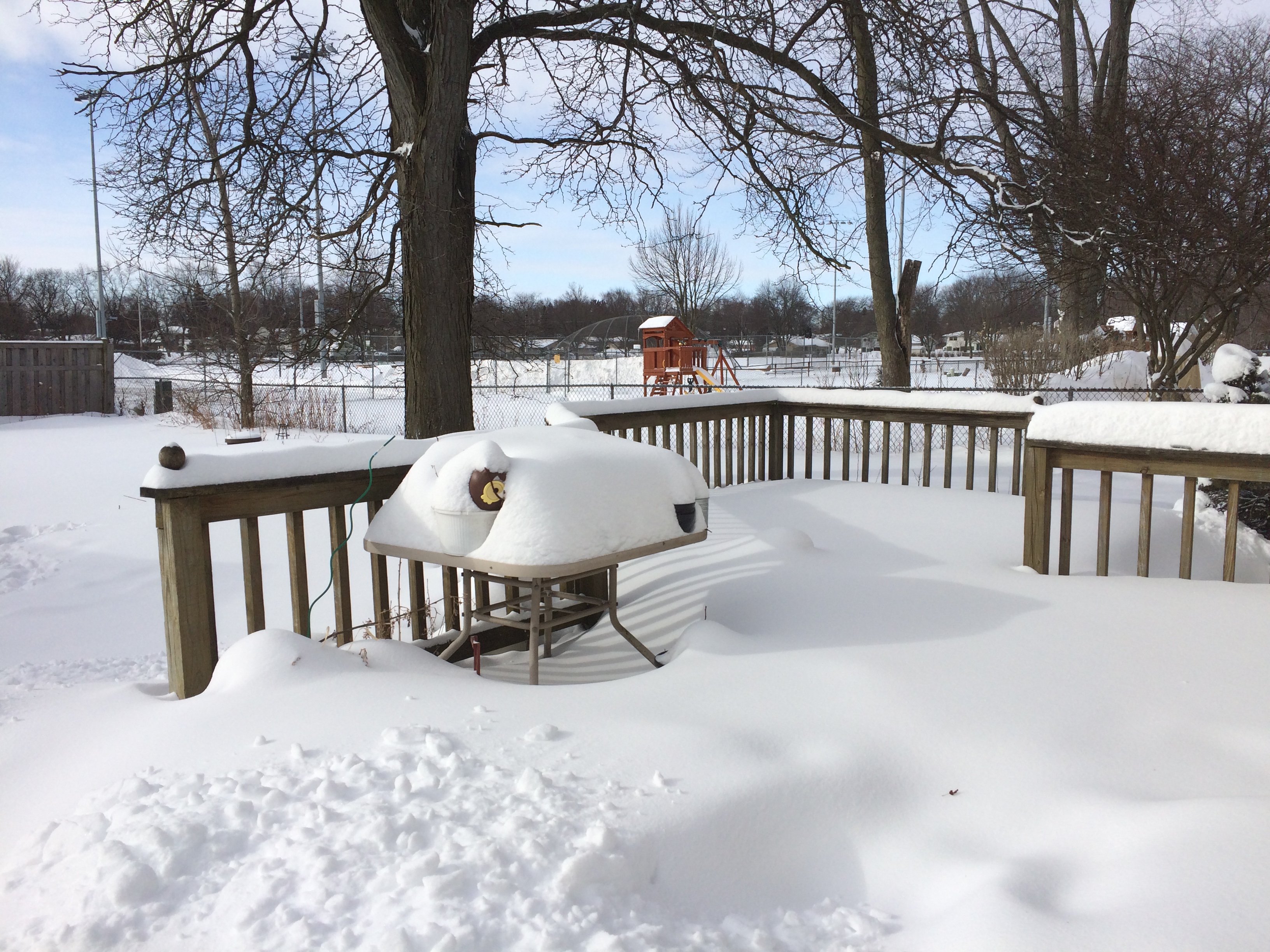
Out the back, looking southwest and then south.A lot of damned snow


Nothing we haven’t seen before, but still impressive.

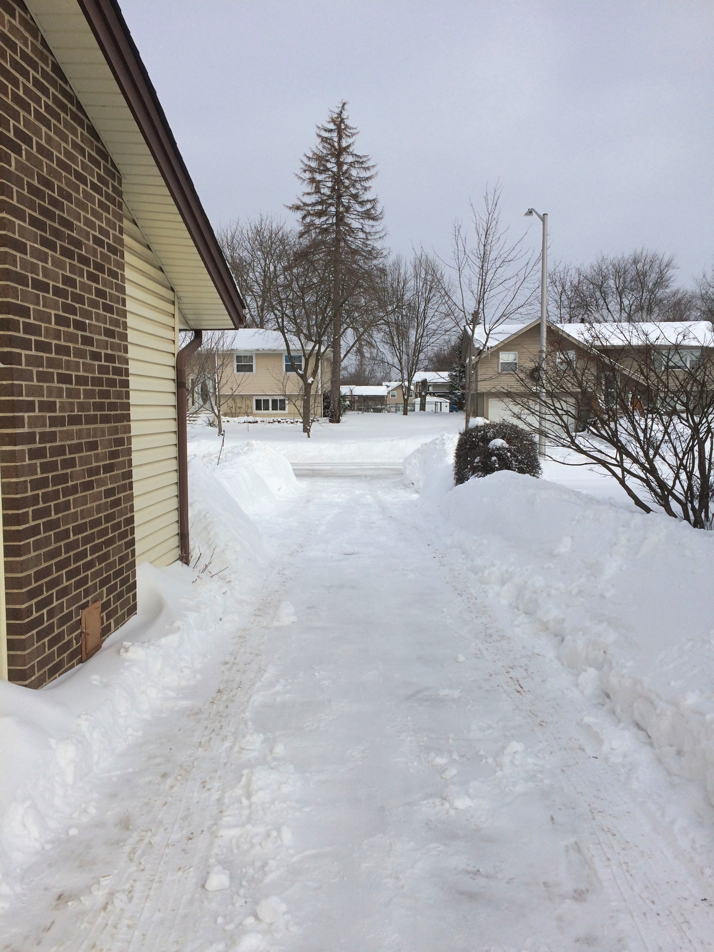
Our driveway.

The plume of snow over our neighbor’s fence is the result of him using his snow blower on his backyard patio. I partially dug out my car, in case I had to go somewhere during the day. I didn’t, so it remains mostly covered.

The view down the driveway to the street, looking north.

Like ours, almost all of the other driveways on the block are still covered a half-inch or so of snow. But yesterday afternoon I spotted one near neighbor using a leaf blower to try to clear that last coat of snow. Whatever, buddy.

Front yard, looking west. Life goes on. It isn’t fully visible in the picture, but the person in blue down the street was walking her dog.

The ridge of snow is next to the driveway. Considerable effort has gone into building it, including our shoveling and then snowfall. It comes up to about my mid-chest.

Now what we need is a string of sunny days just above freezing to slowly wear down the piles. A long string. Not a few really warm days in March marked by rain.