Nor’East Drive ’25

I didn’t realize until last night that I’d driven through some geographic oddities over the last two weeks, on my way to the Northeast and back. Actually state border oddities, such as the Erie Triangle in Pennsylvania, the curious division of the Chesapeake Peninsula, and the panhandle of Maryland.

Except they aren’t really oddities. They just look that way when you’re a kid (or an adult) poring over U.S. maps or putting your state puzzle map together for the nth time. How is it that Pennsylvania has that small chimney? Why didn’t Delaware get more of the Chesapeake Peninsula? What’s the deal with the western extension of Maryland, which narrows to only a few miles at one point?

There are historic reasons for all the shapes, both rational and arbitrary, which are the subject of books and at least one TV show. Lands were granted and claimed, borders were surveyed and quarreled over, and deals and court cases and Congress eventually settled the shapes.

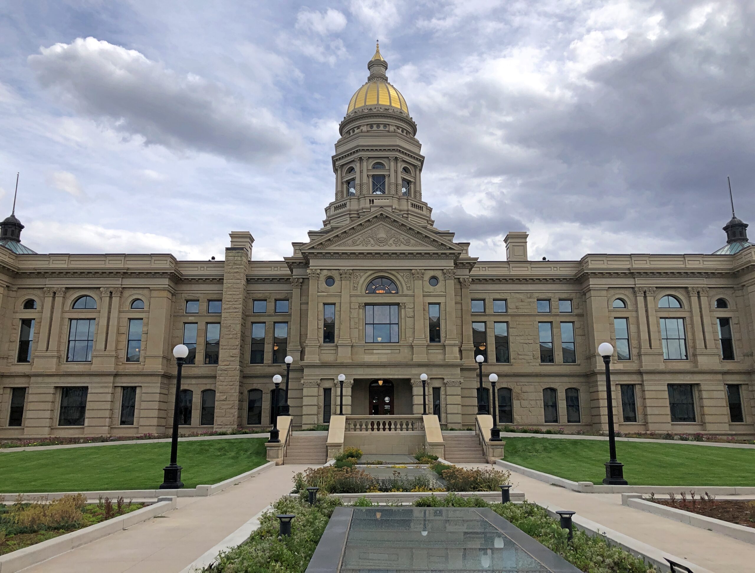
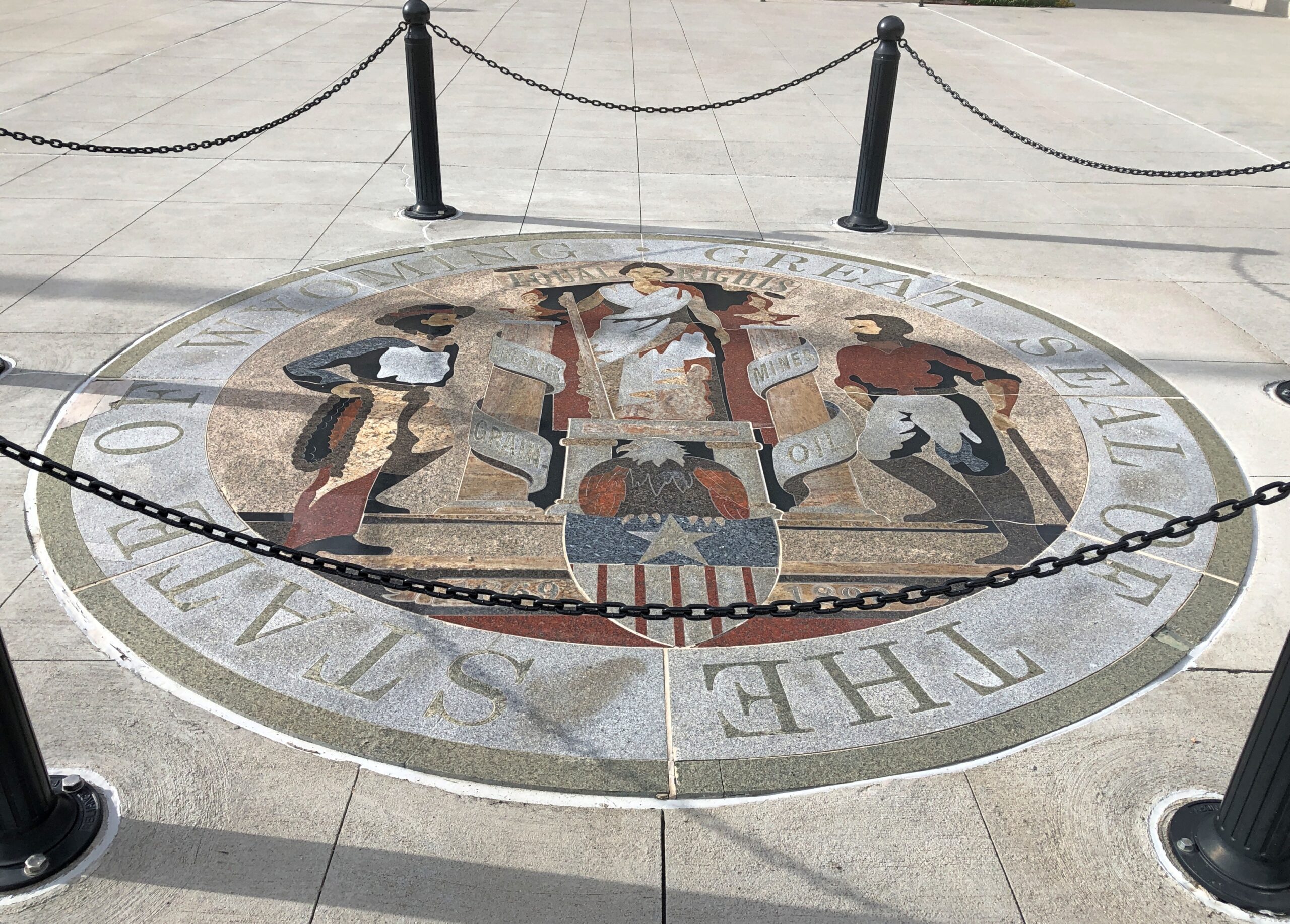
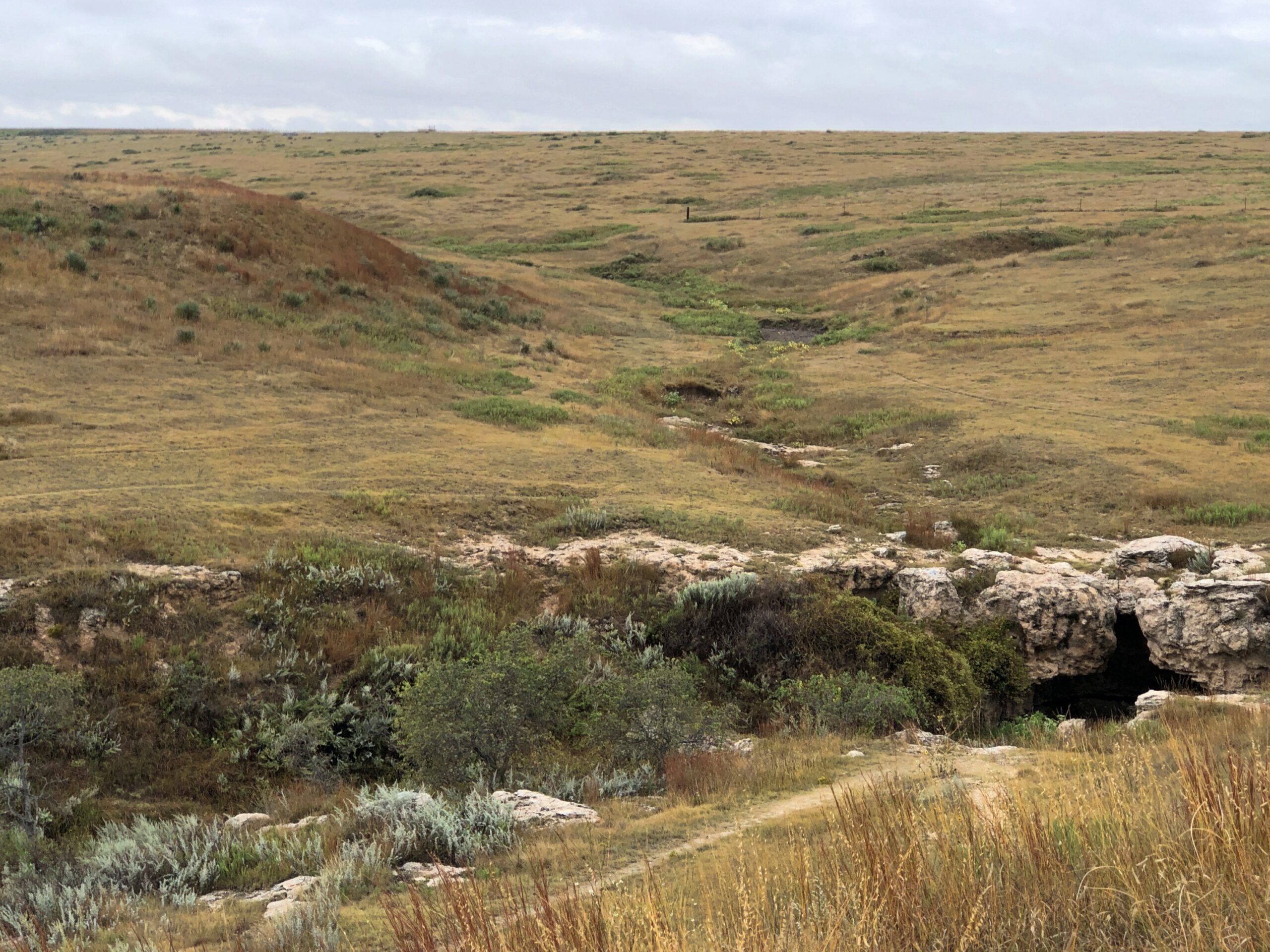
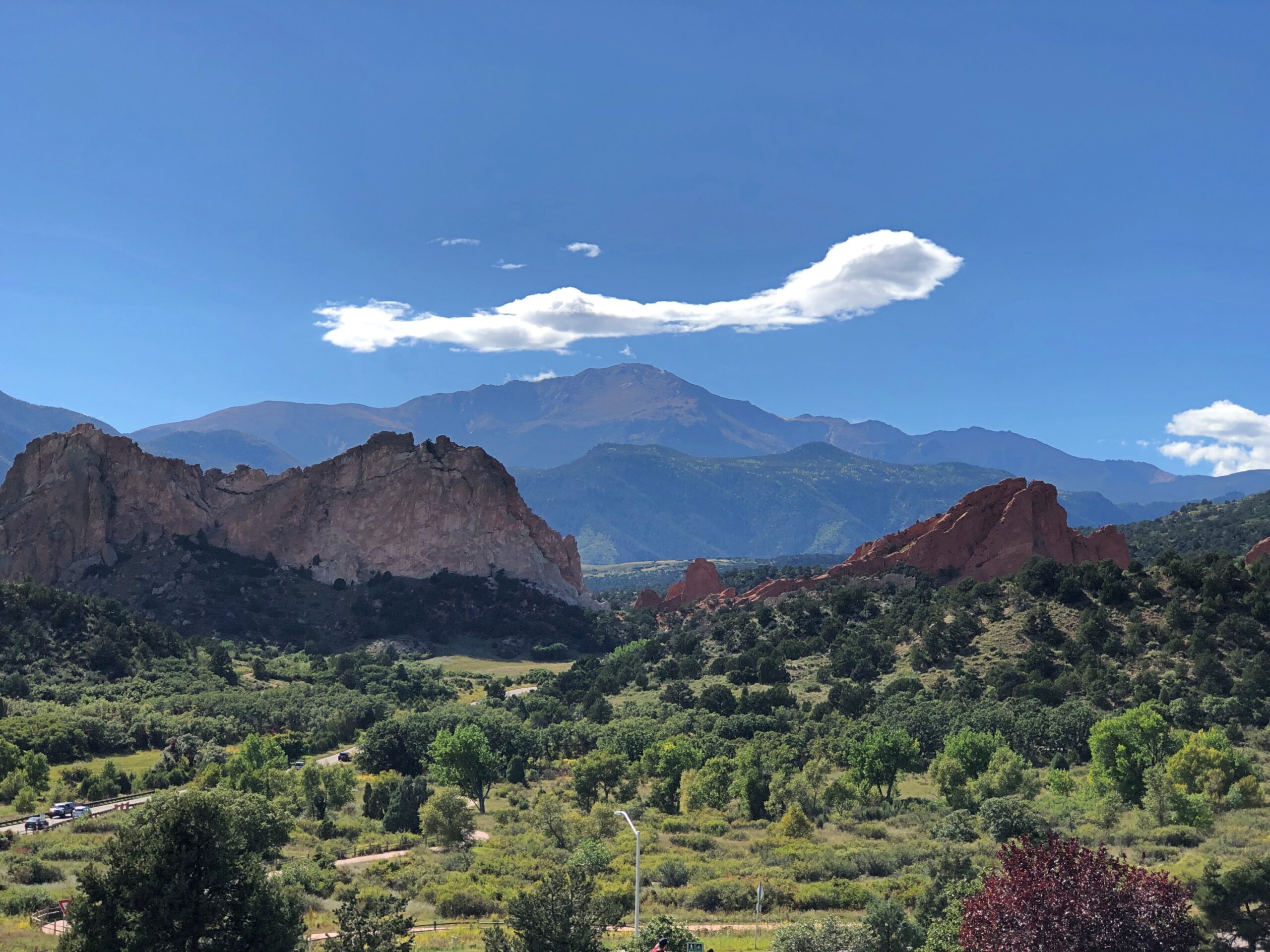
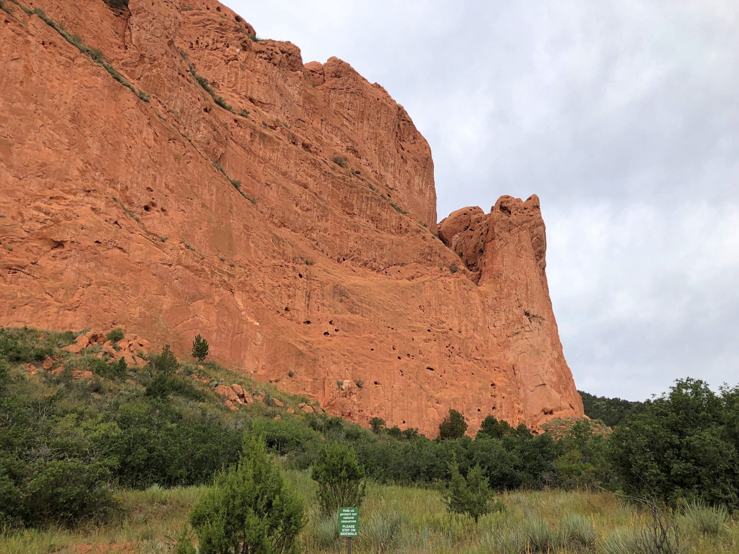
The border oddities may have local and legal significance, but they’re also there to enjoy. Regular borders aren’t nearly as much fun. Sure, it’s interesting that Colorado and Wyoming look about the same, but I always liked the fact that New Mexico has a stub and Idaho tapers to meet Canada, just to name two Western examples, because not all the fun shapes are in the East. Just most of them.

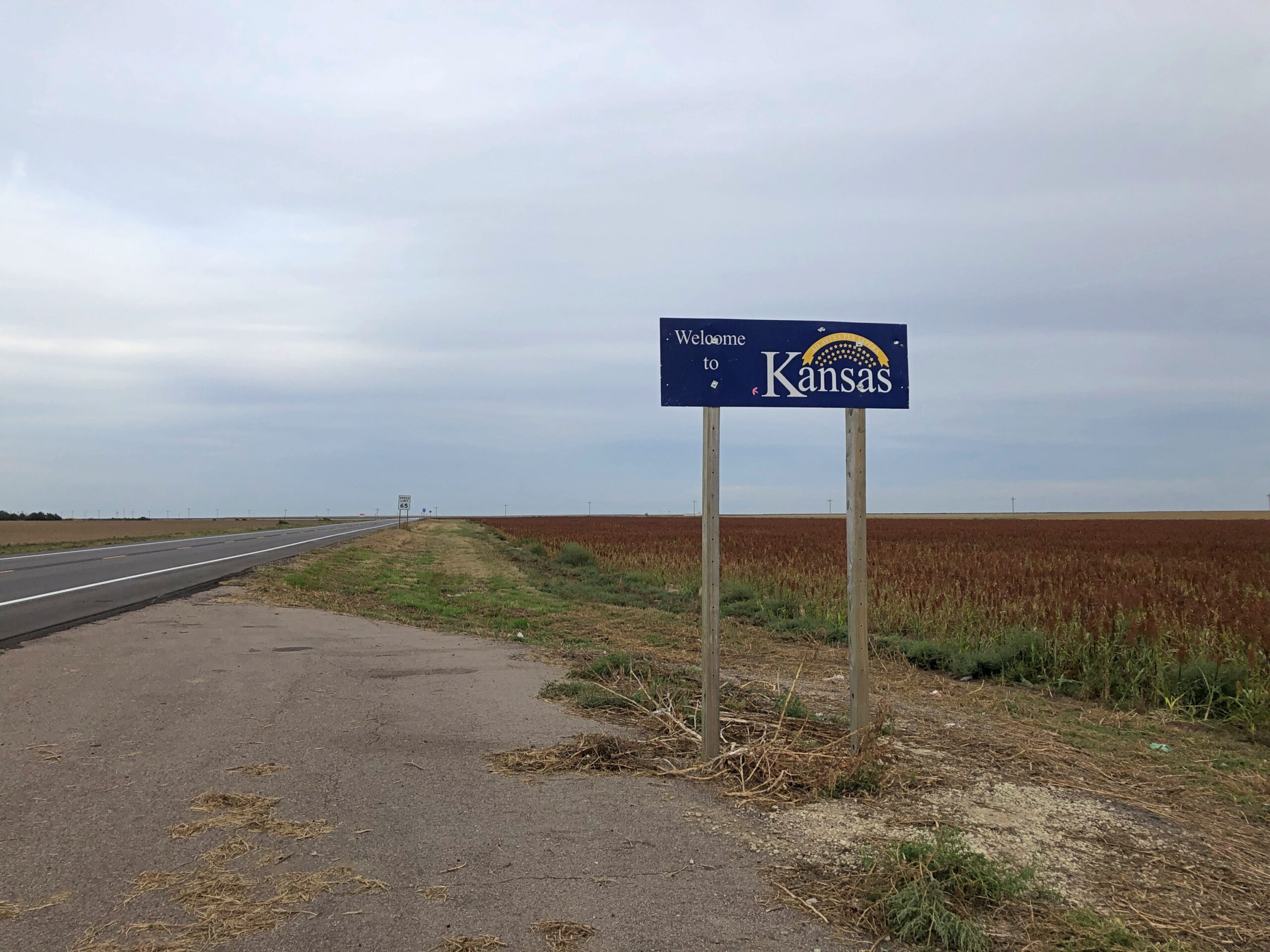
To reach these border areas, I drove 2,853 miles, starting October 14, from northern Illinois to the East Coast and back, through (in order) Indiana, Michigan, Ohio, Pennsylvania, New York state (and city), New Jersey, New York (city and state) again, Connecticut, Massachusetts, Rhode Island, Connecticut again, New York state (and city) again, New Jersey again, Delaware, Maryland, West Virginia, Pennsylvania again, West Virginia again, Ohio again and Indiana again, arriving home today. I got tired just typing all that out.

The original impetus for the trip was to visit New York City during its Open House event. Unlike a rational person, who would have flown there and back, I decided to drive, and let Yuriko fly there and back. NYC is achievable from metro Chicago in two driving days. I decided not to do that, either, and stretch things out to fill in some travel lacunae of mine.

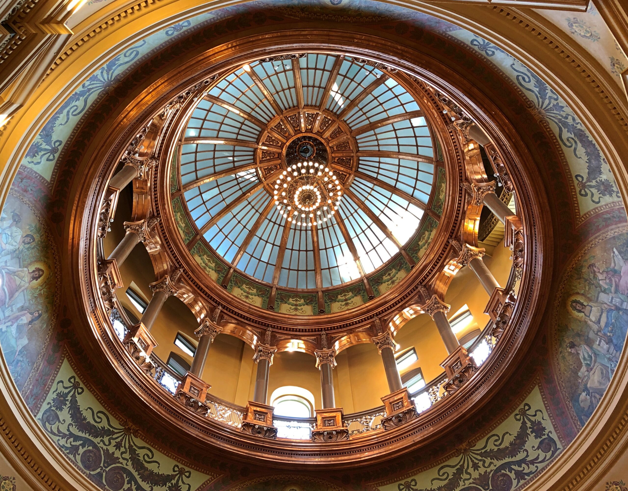
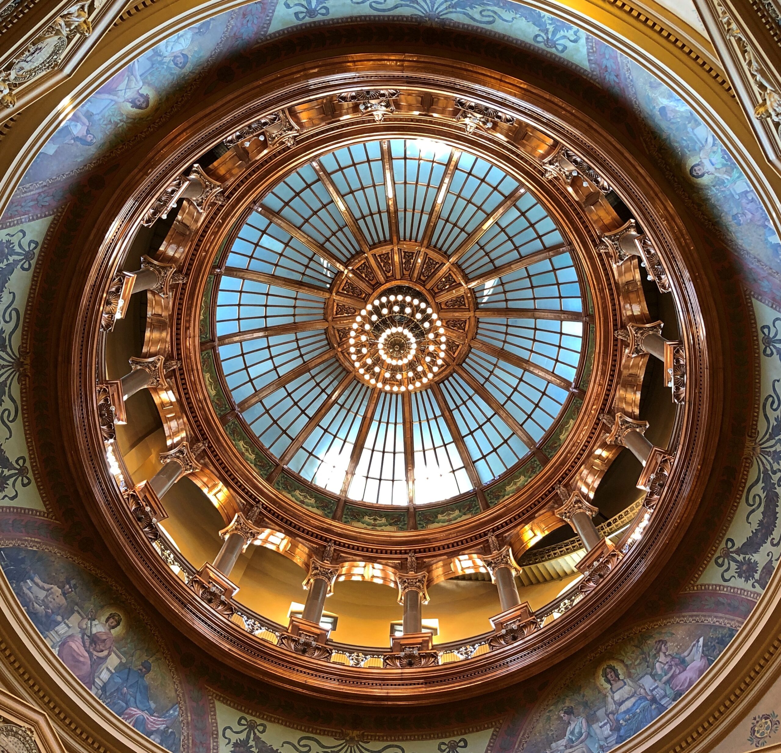
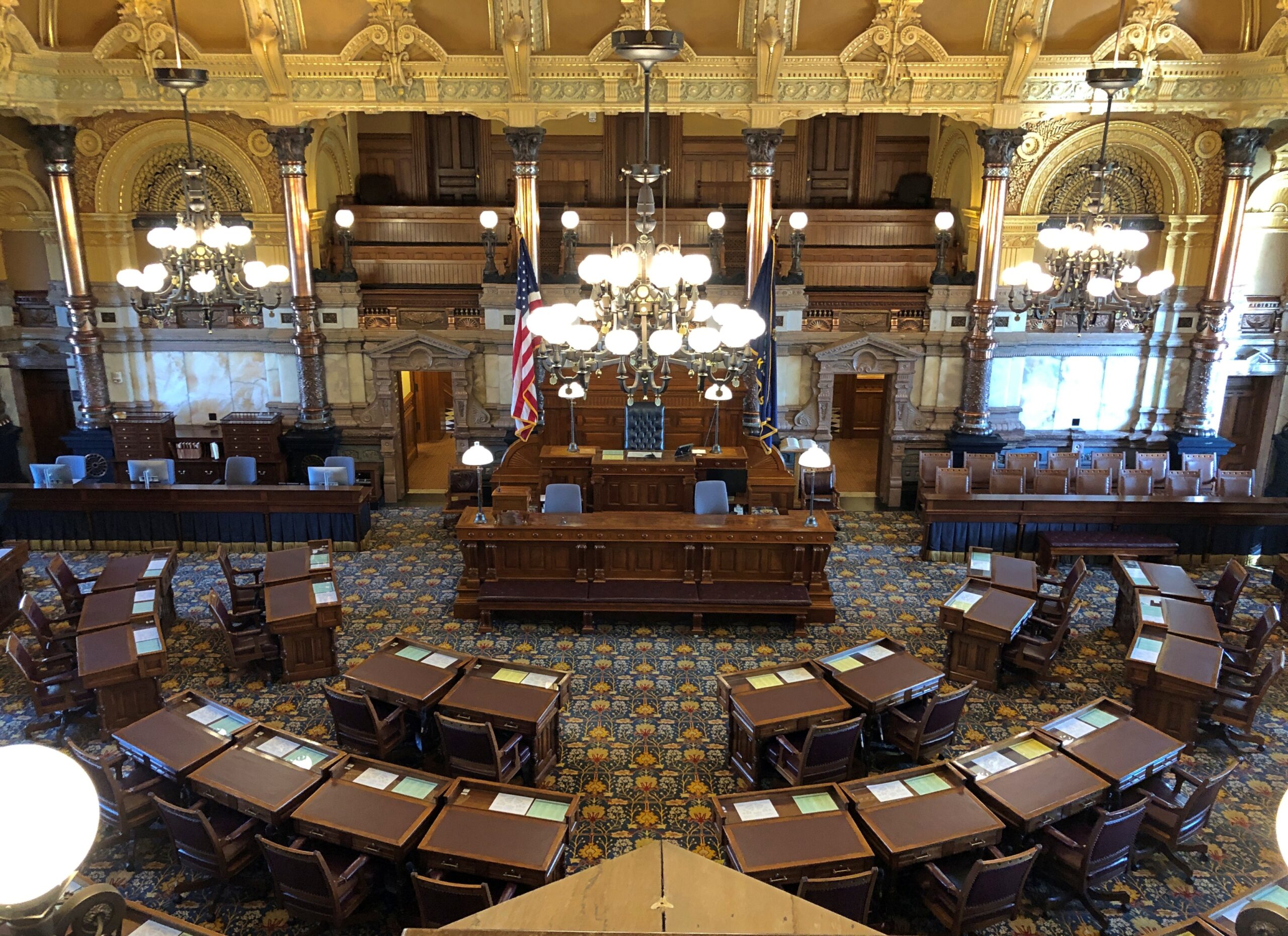
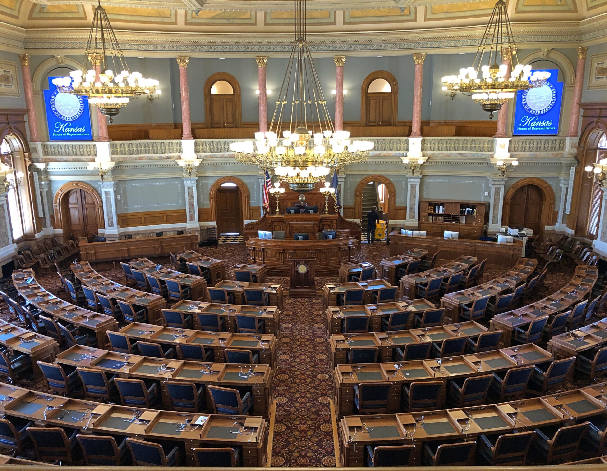
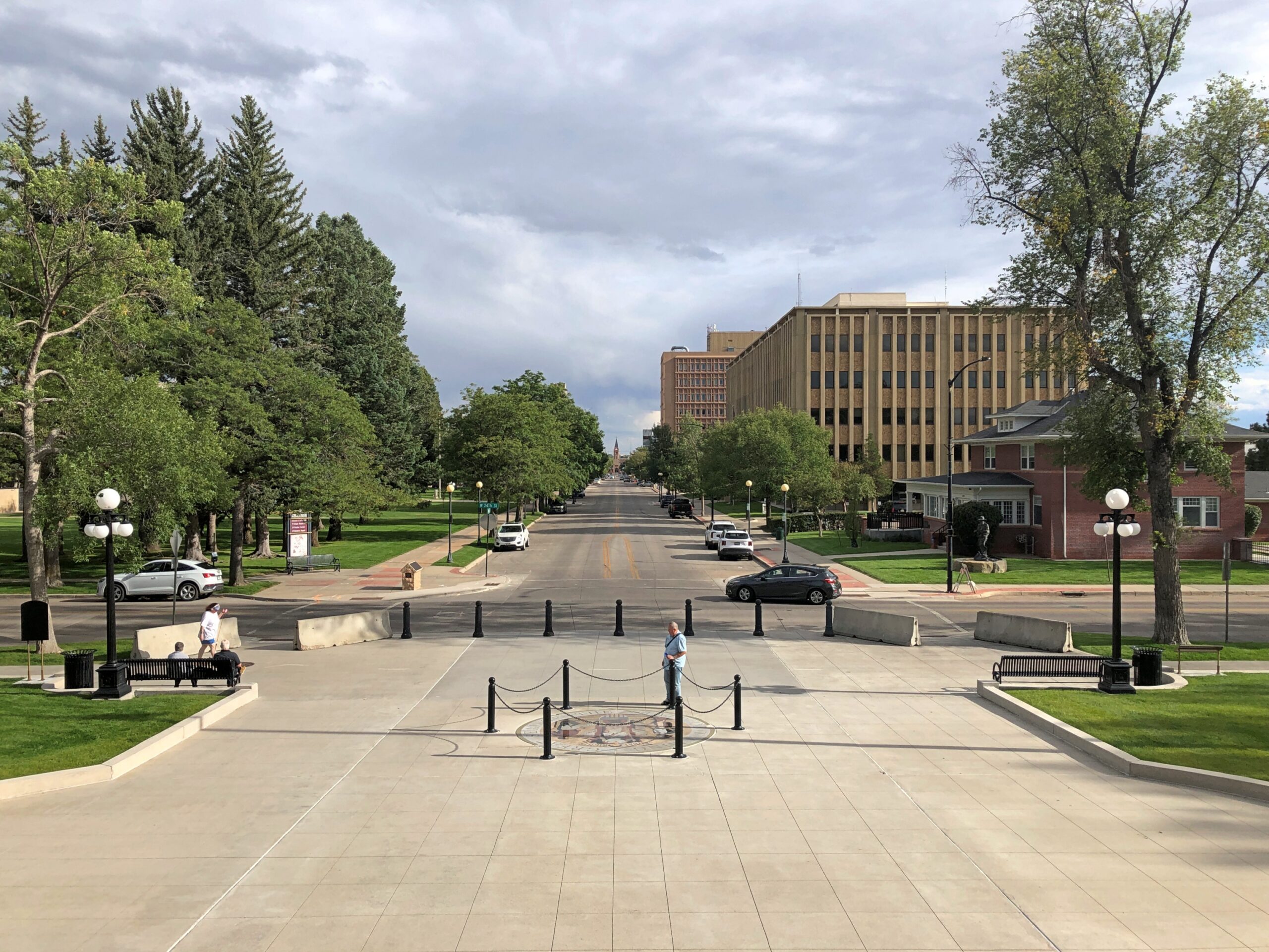
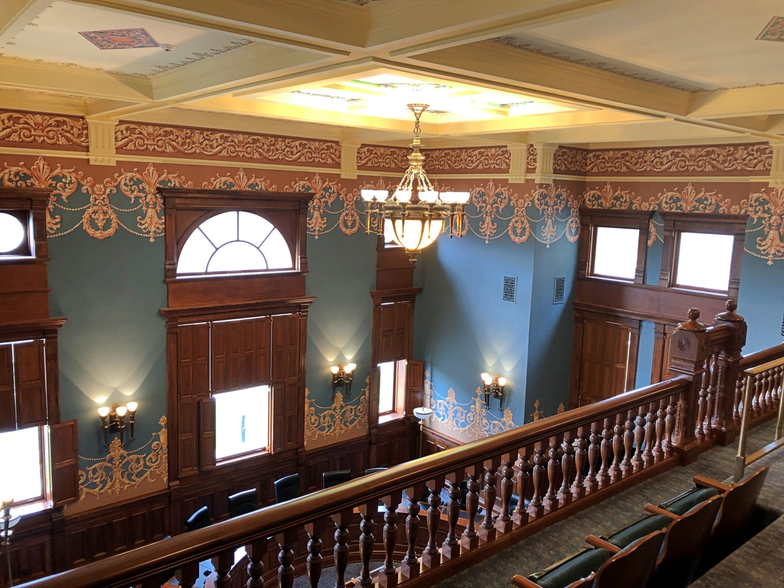
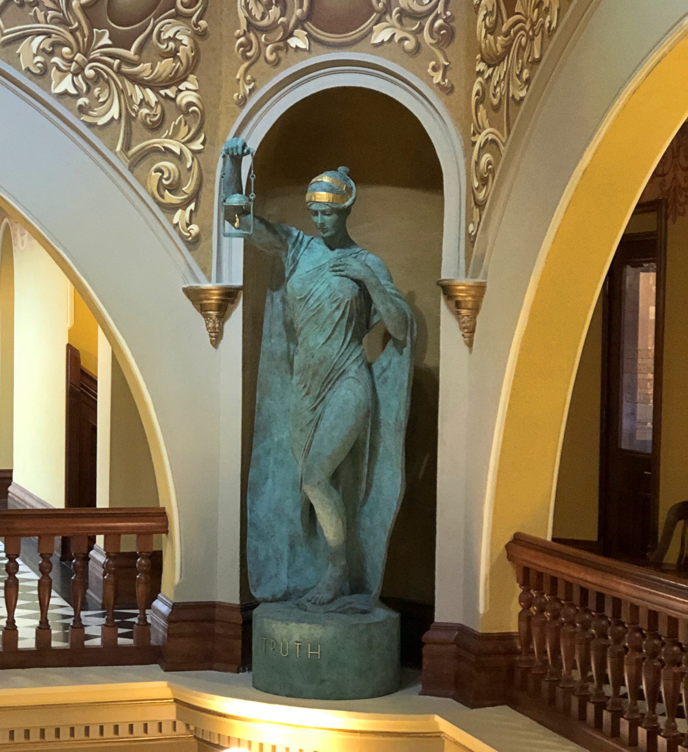
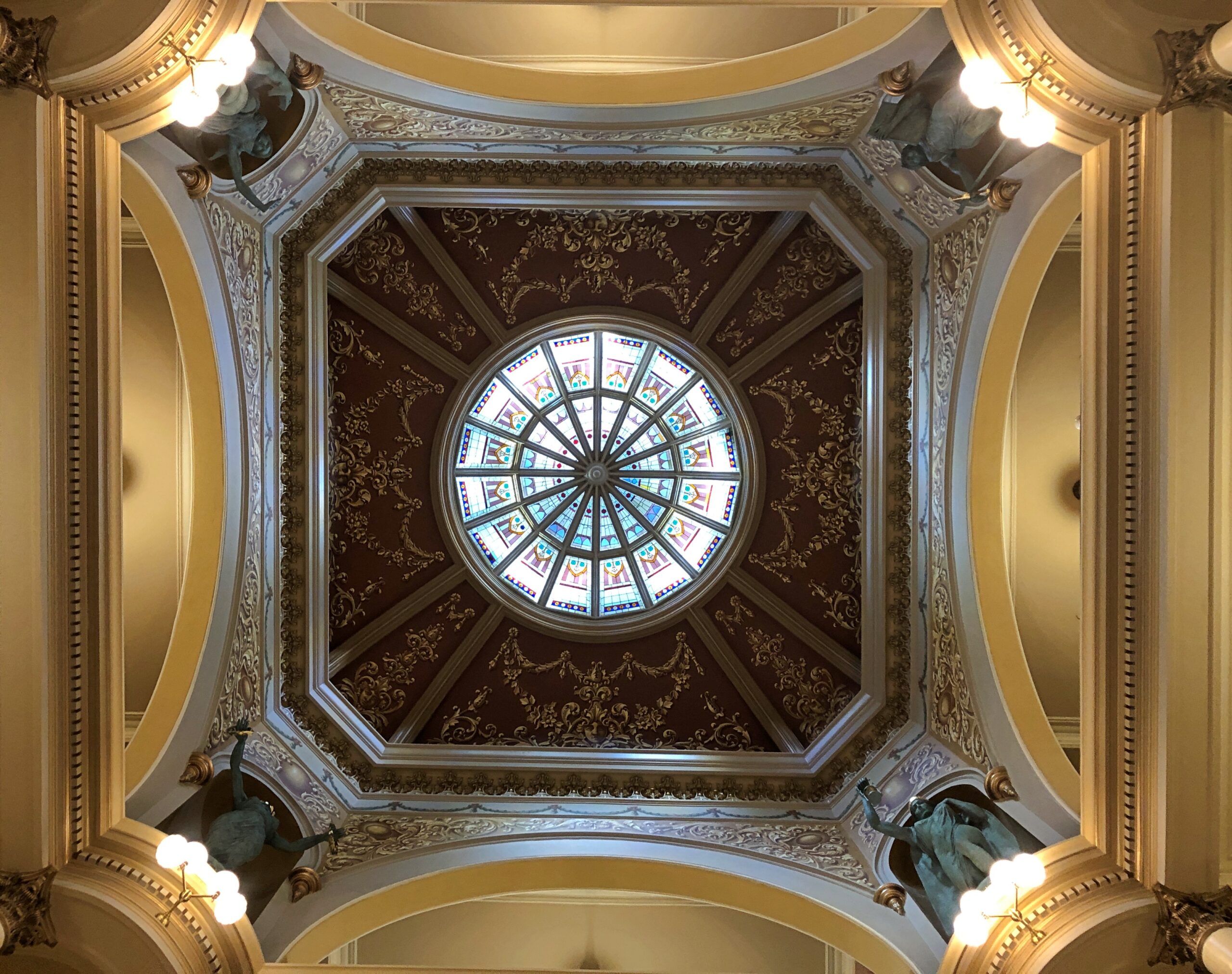
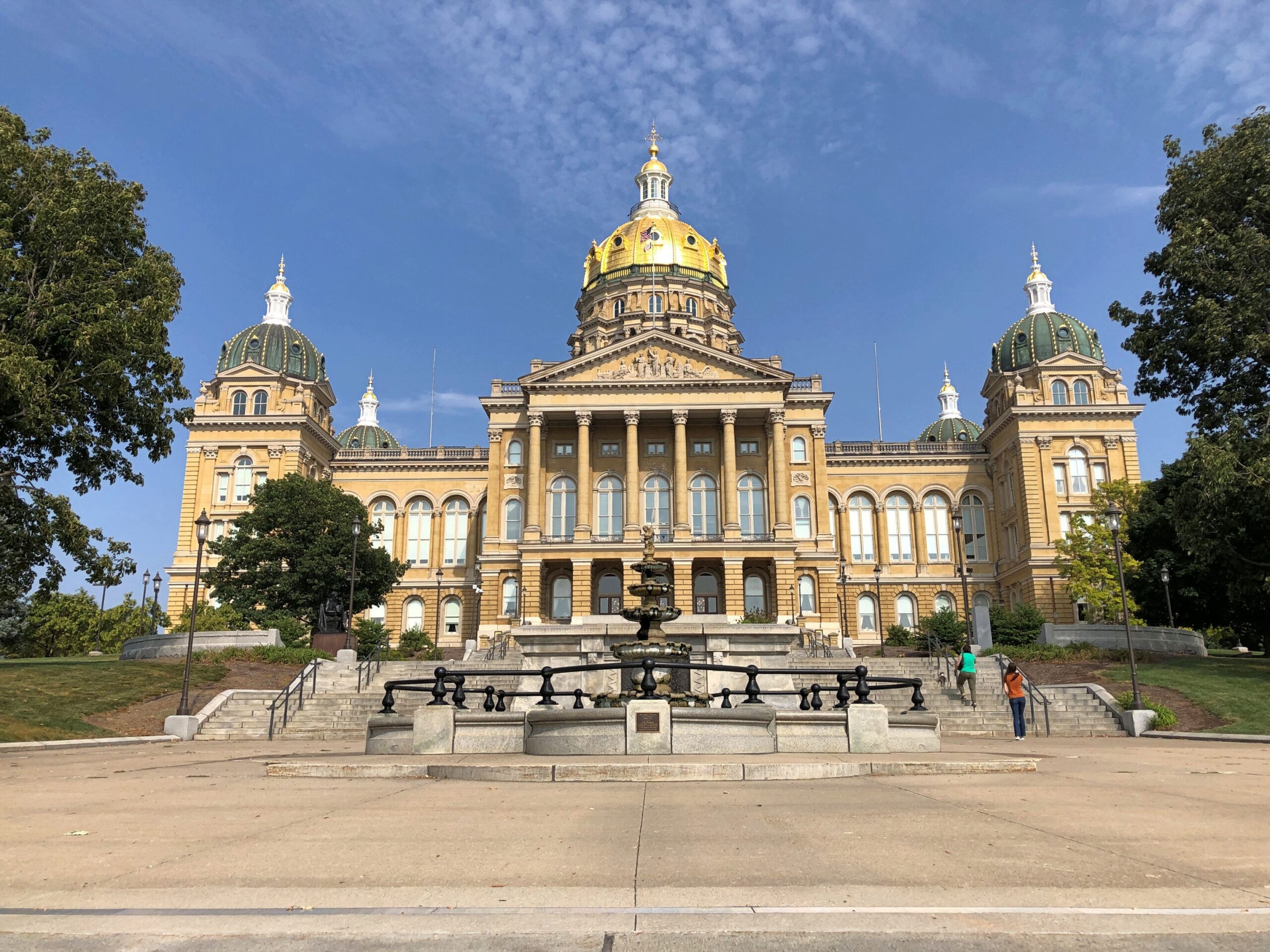
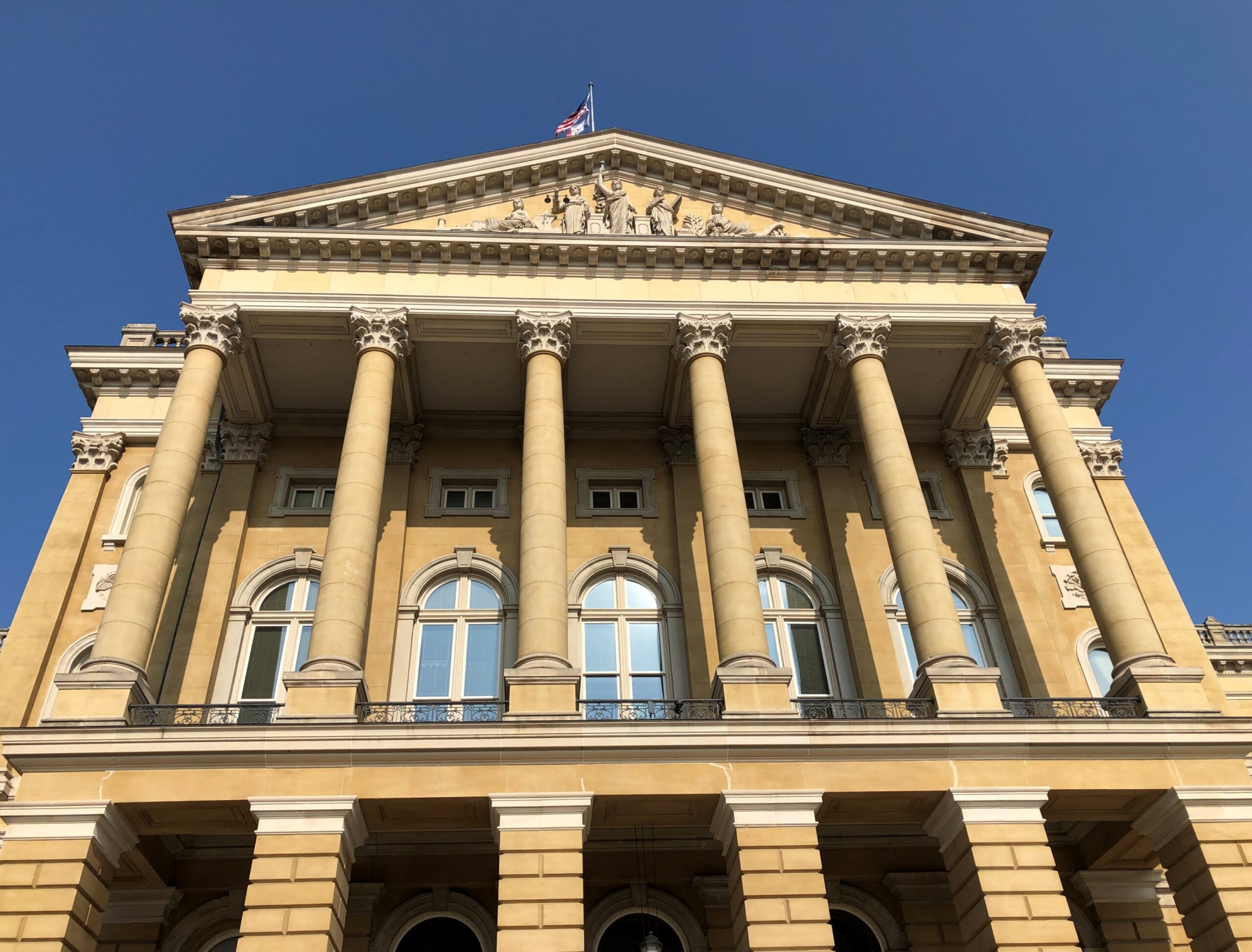
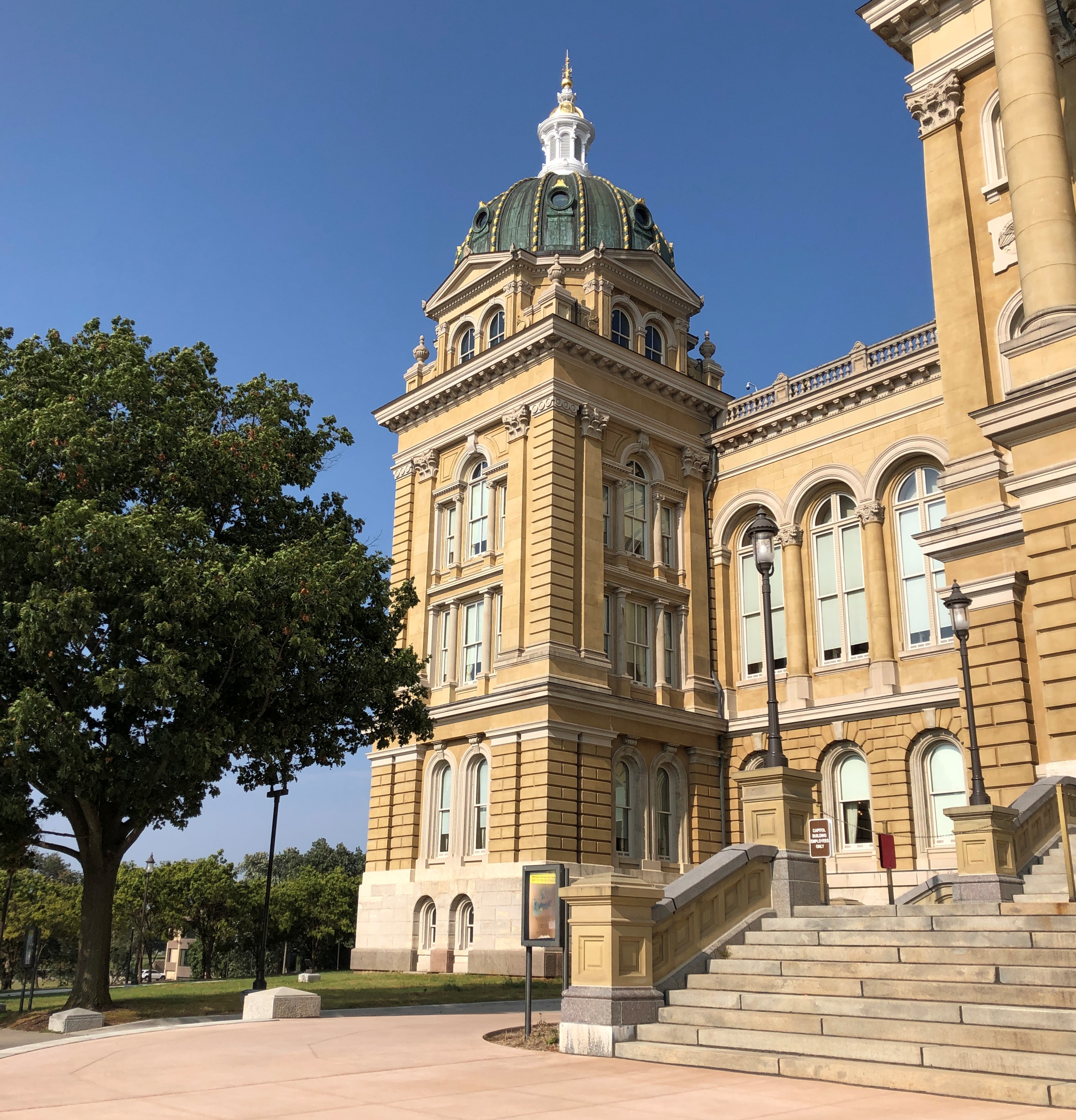
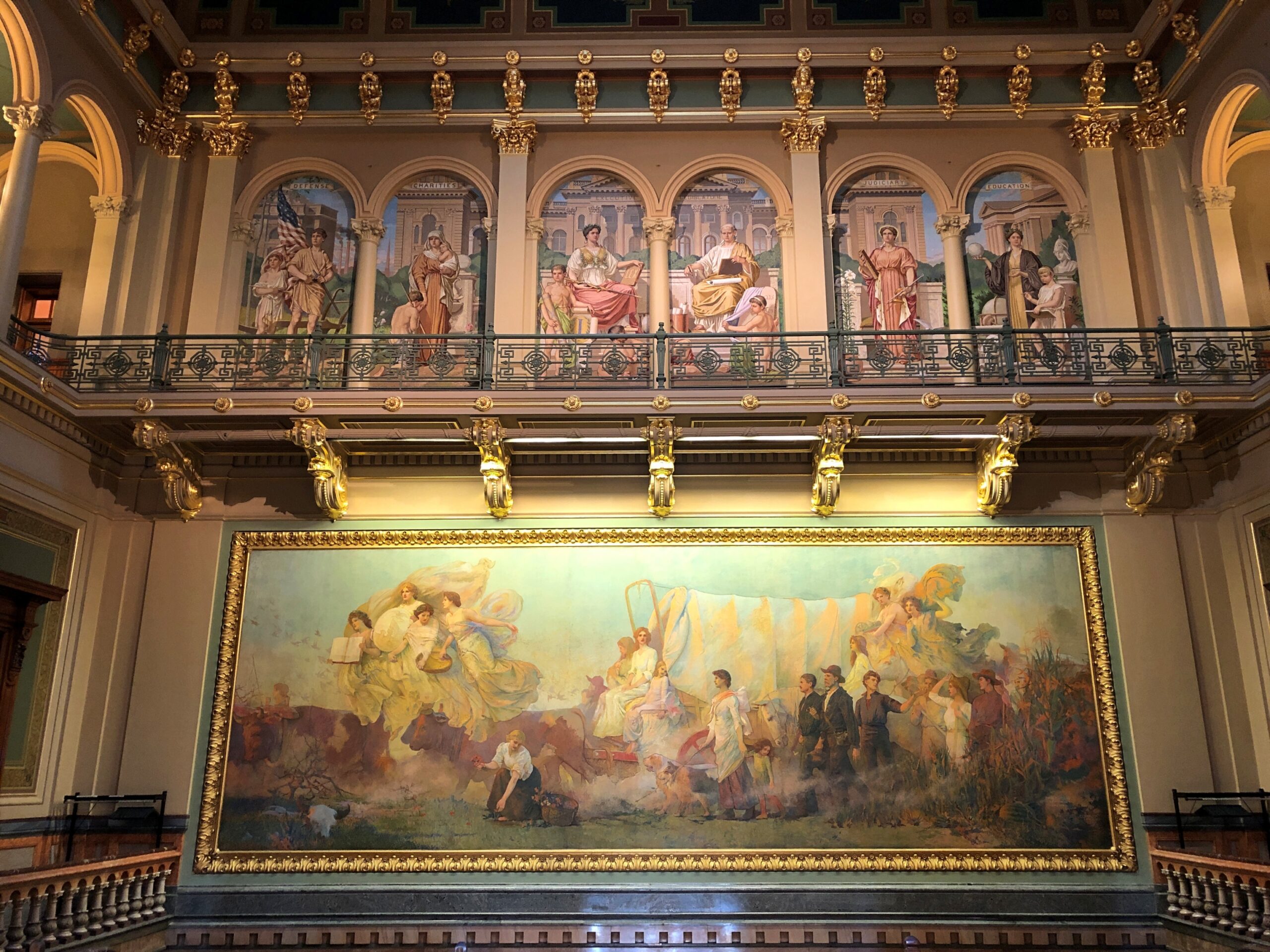
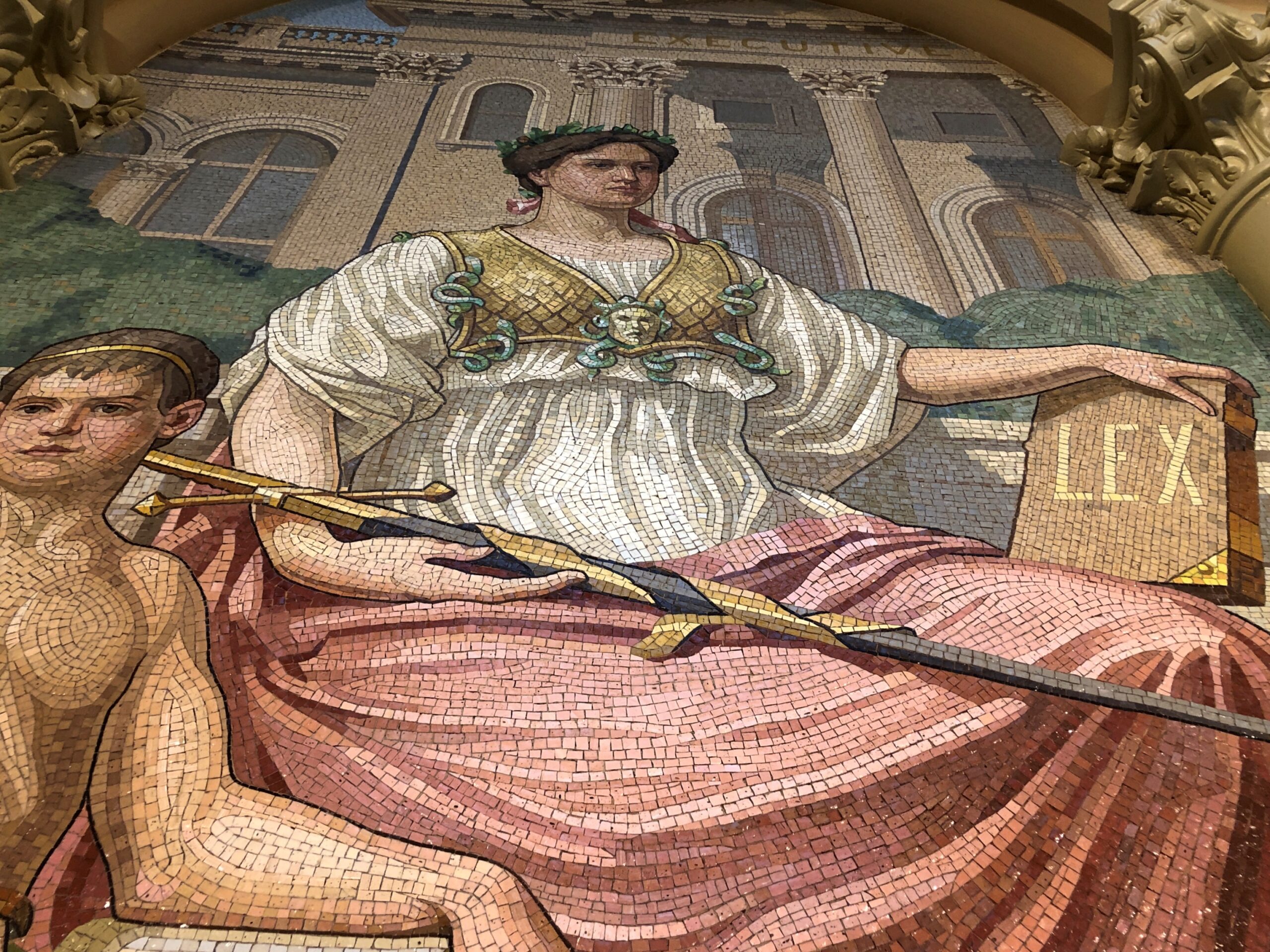
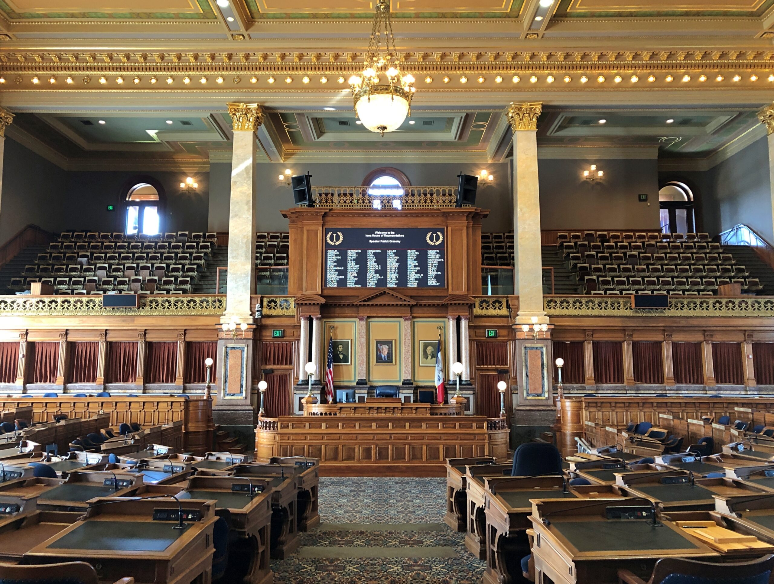
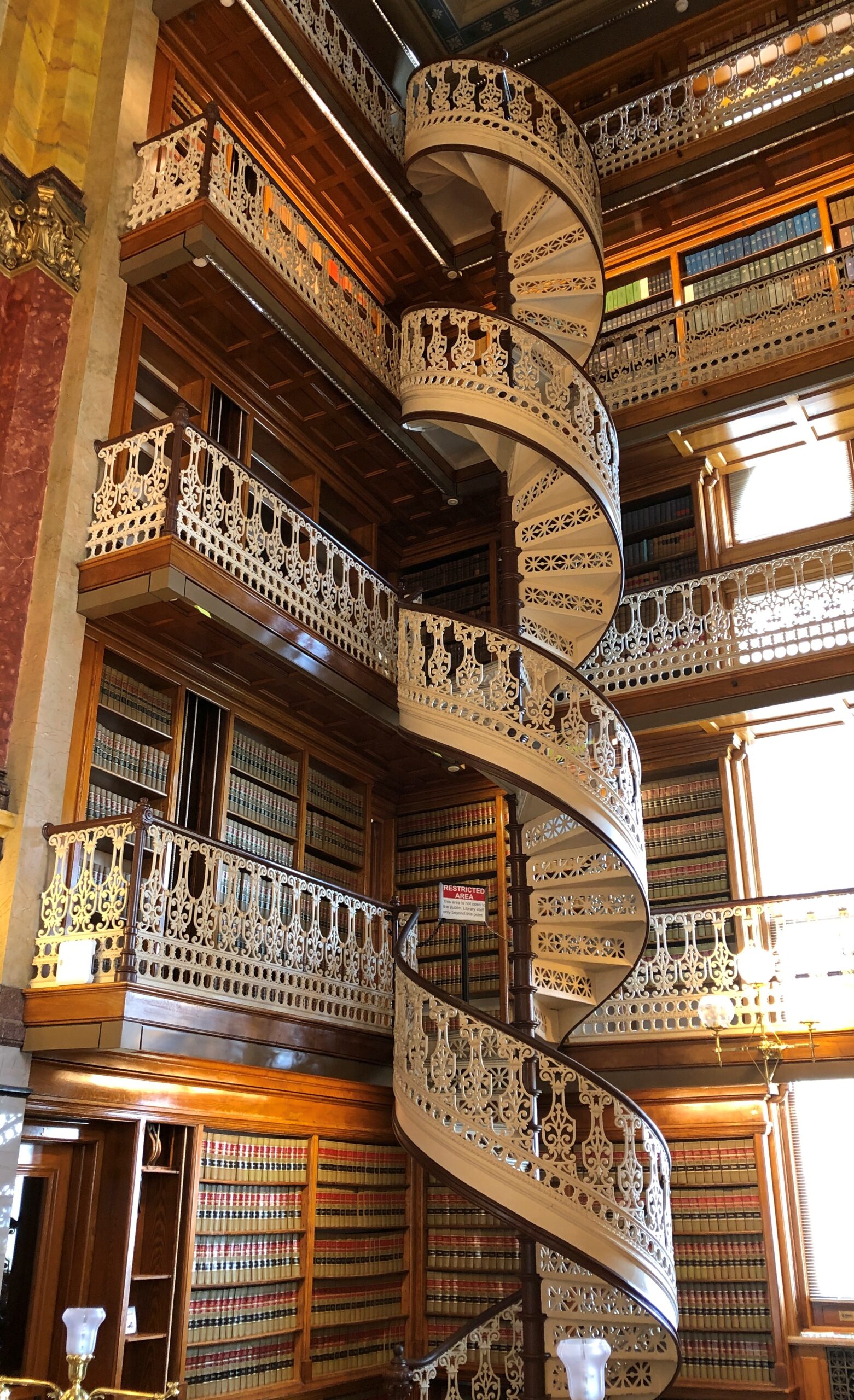
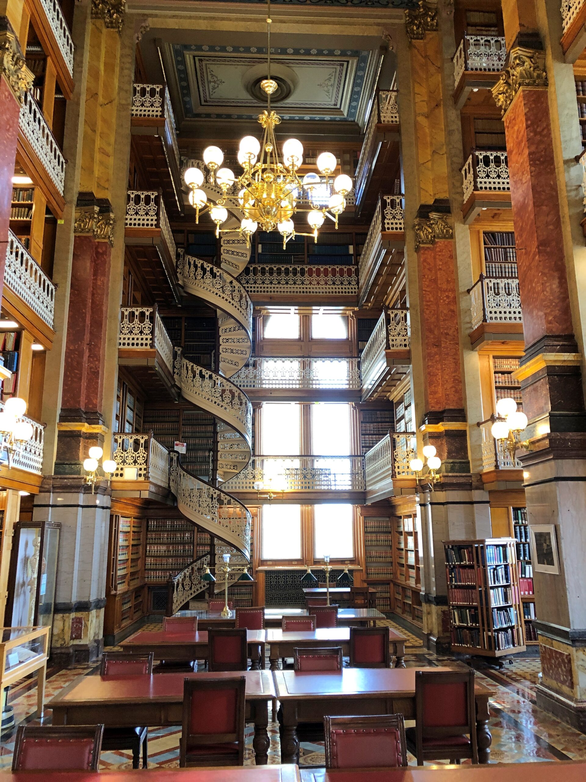
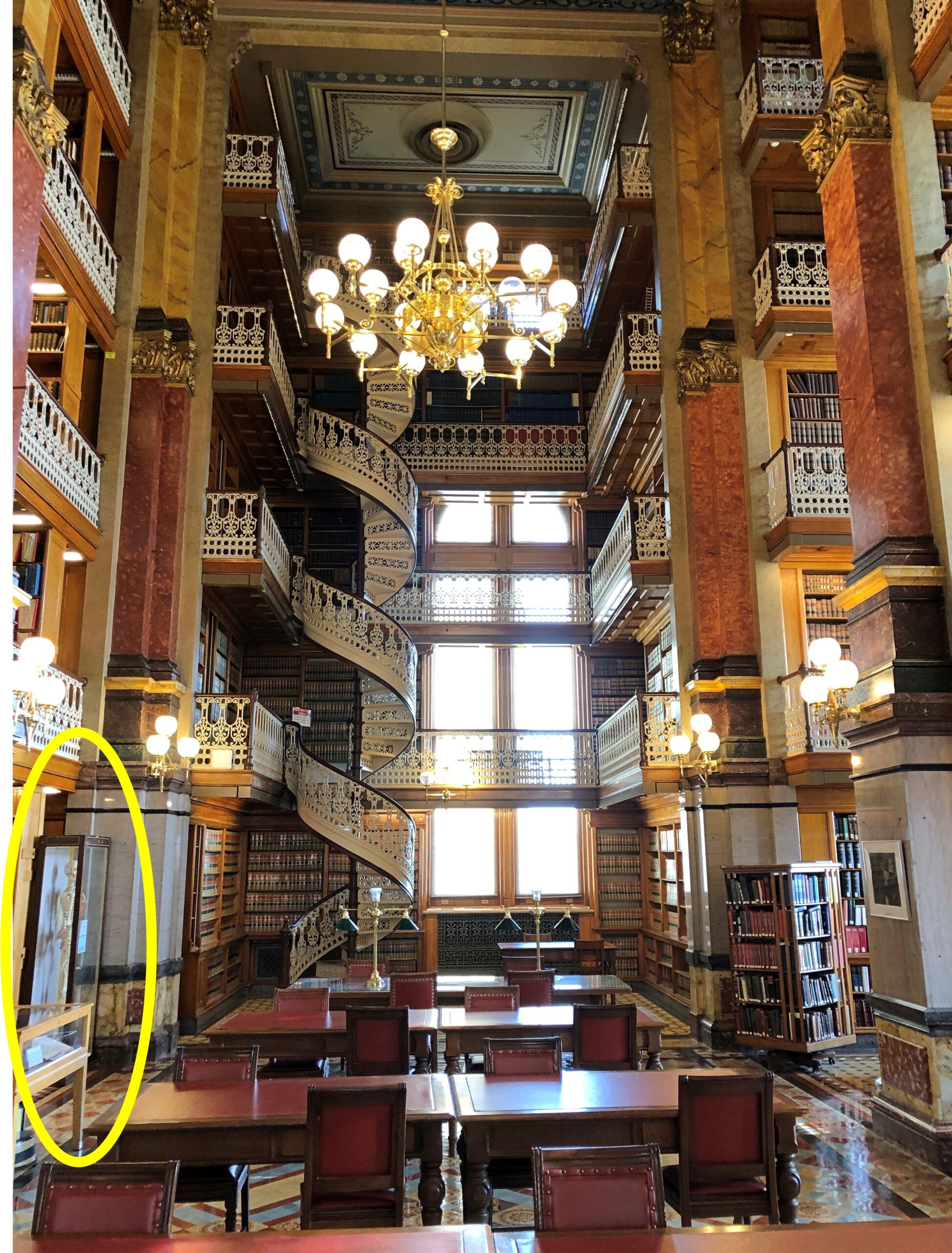
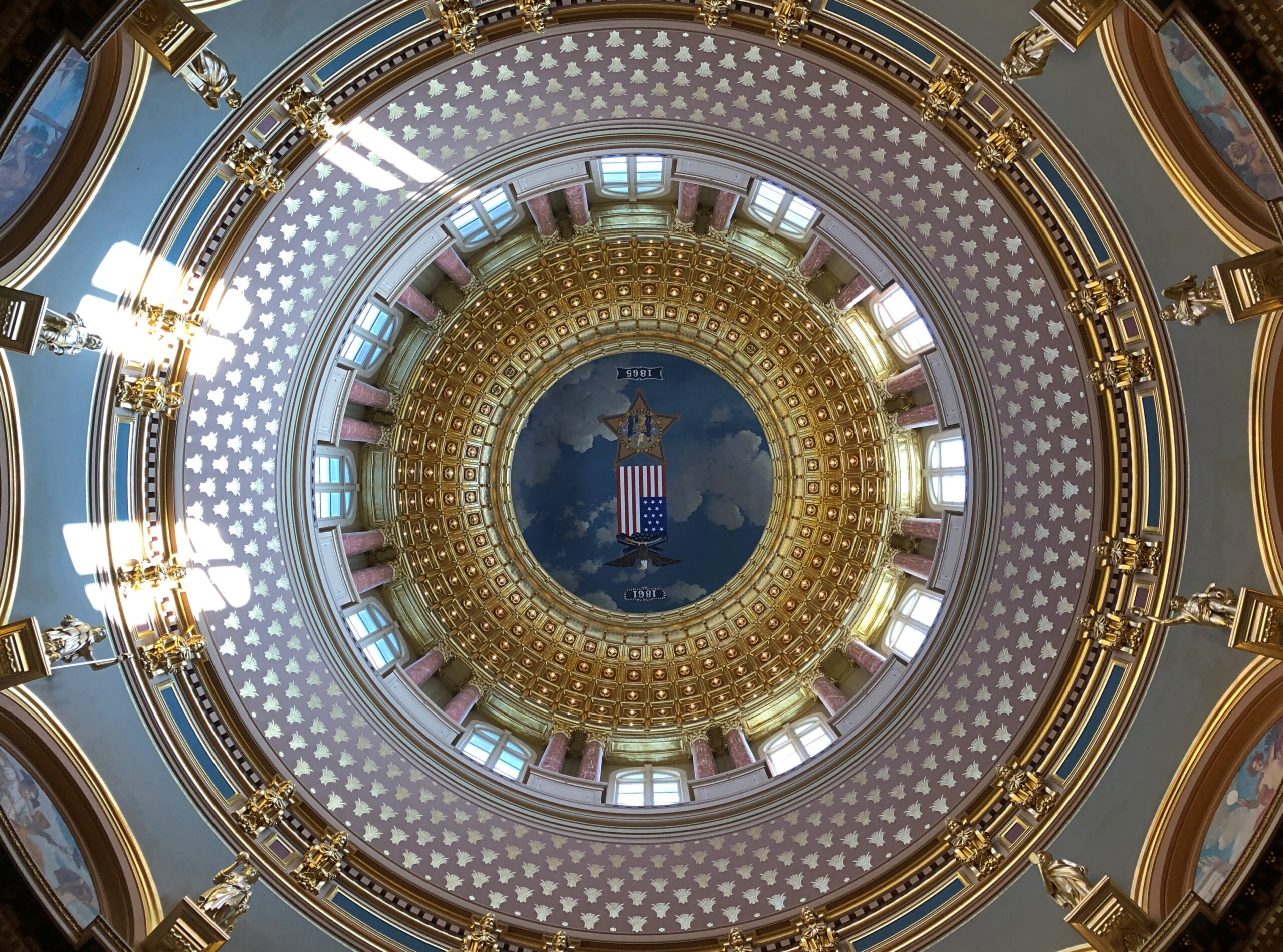
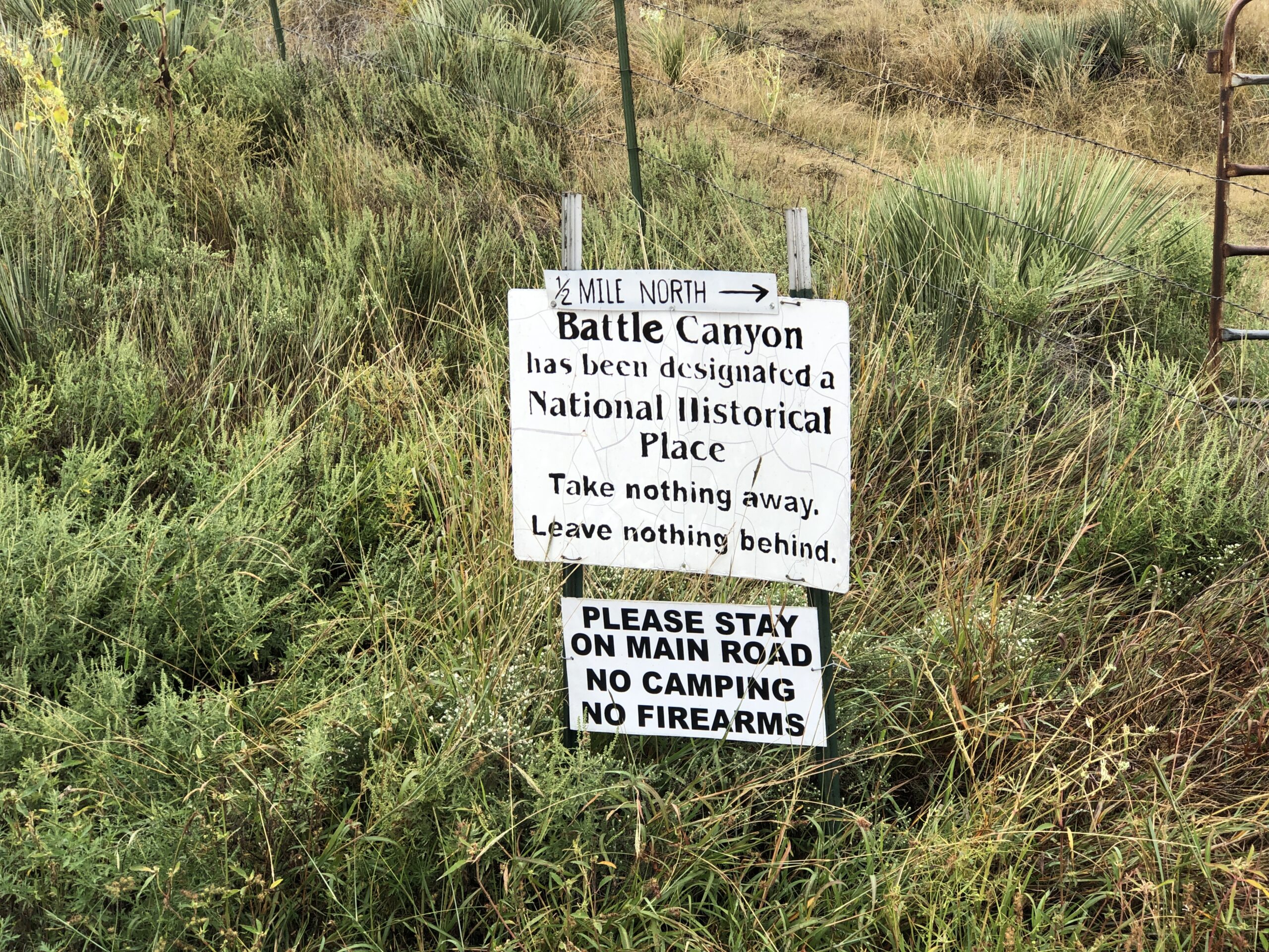
For instance, I wanted to visit Eire, Pa., because I’ve always bypassed it, and many Americans can say the same. I wanted to look around Long Island, or at least part of it, for the same reason. I wanted to spend the night in both Rhode Island and Delaware: the last two states in which I’d never done so. I wanted to see the capitols of New Jersey, Delaware and Maryland, toying with the idea of Pennsylvania too, though I decided it was out of the way. I wanted to see historic sites associated with a number of presidents along the way, and maybe a battlefield or two.

I really wanted to visit a friend in New York, and my nephew Robert, and friends in the Boston area. I’m glad to report that I did so. This has been a year of visiting old friends and relations. I’d like every year to be that way.

I had a much longer list of places to visit, and added to it every time I looked at a map, paper or electronic, since I now use both, and when I was driving — so many possibilities. But there are only so many hours in the day and so much energy in my aging body. Still, I did much of what I set out to do, with one major exception due to forces beyond my control. National Park Service sites were off the table, for reasons all too obvious and not worth rehashing here. So the homes of FDR and TR, along with Antietam and Harper’s Ferry, went unvisited. Some other time, I hope.

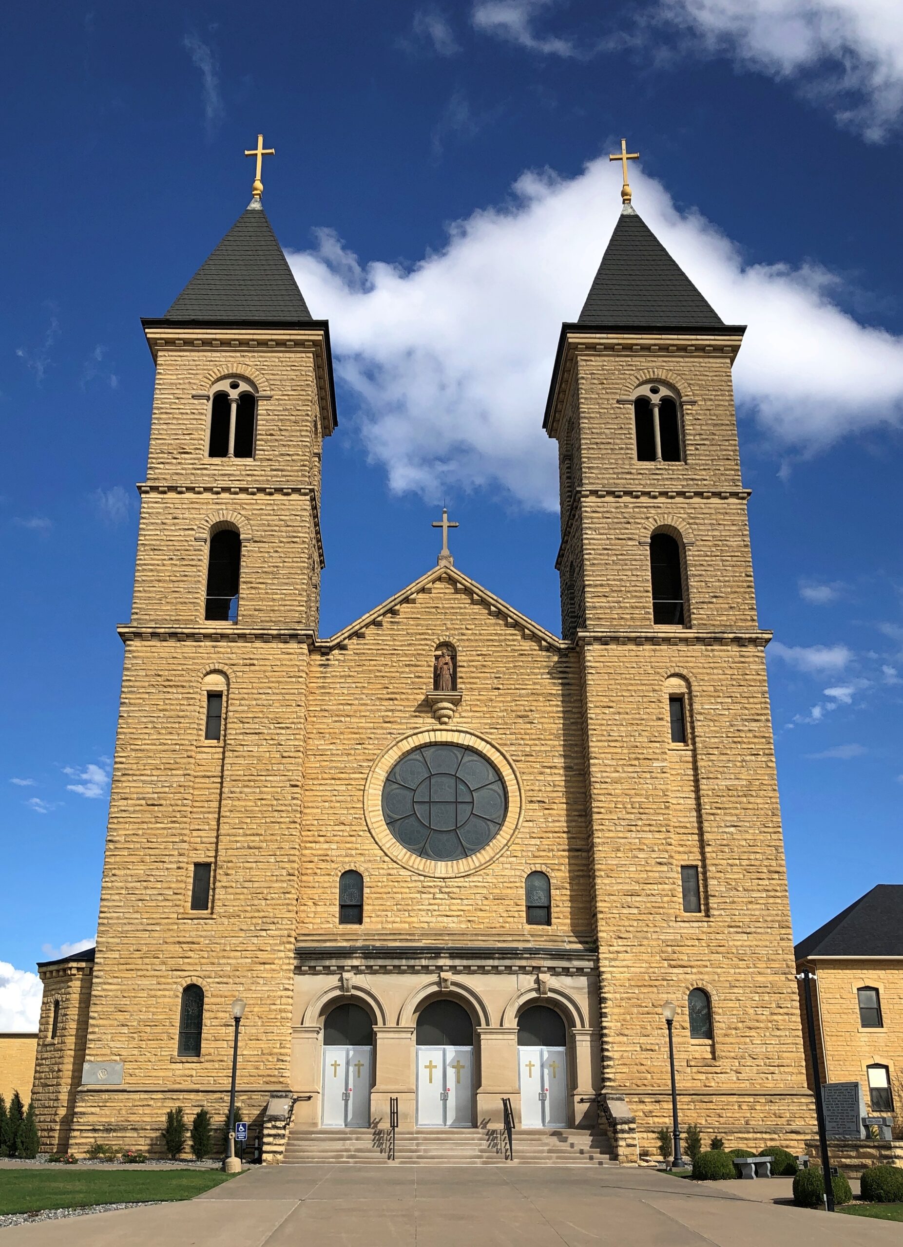
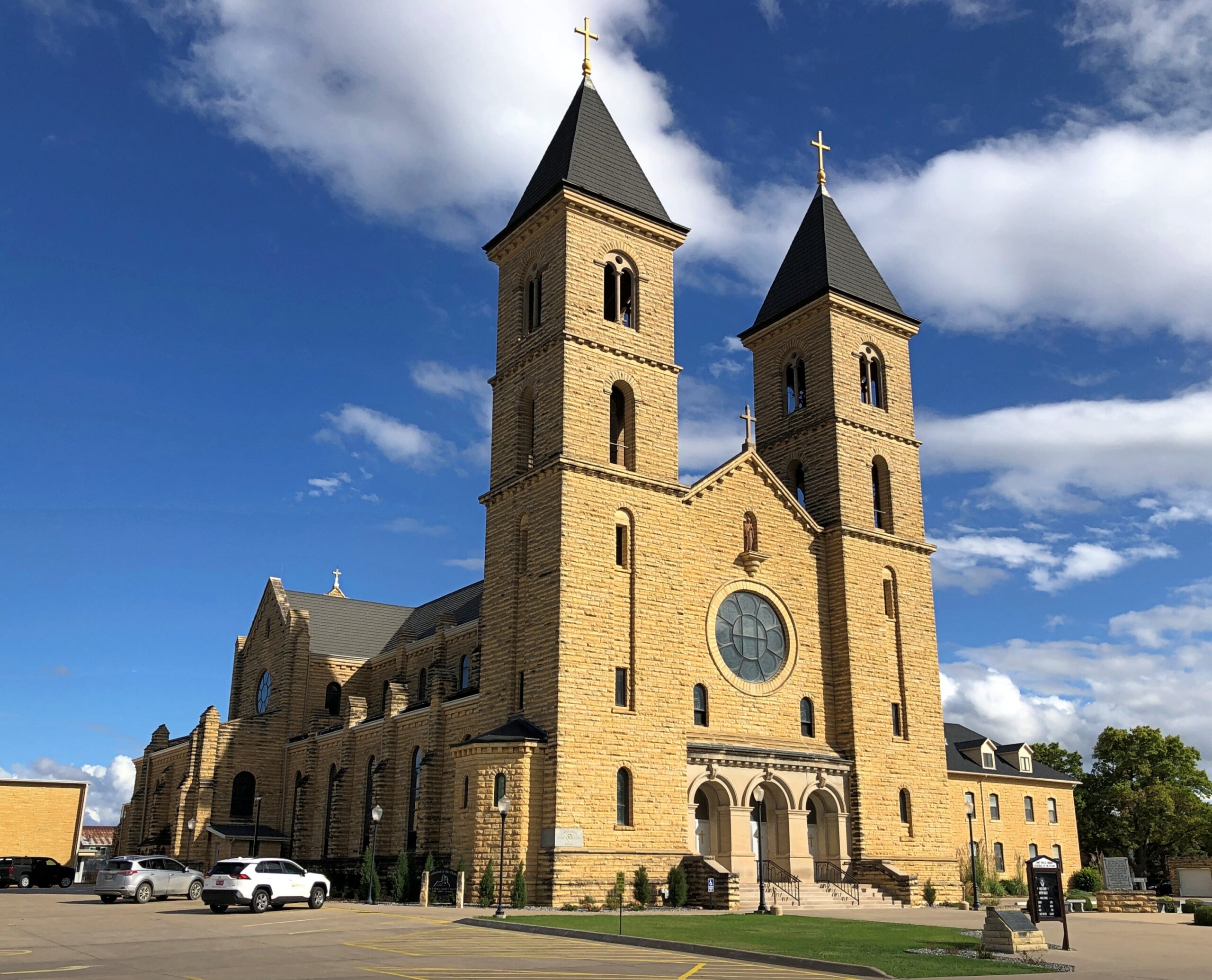
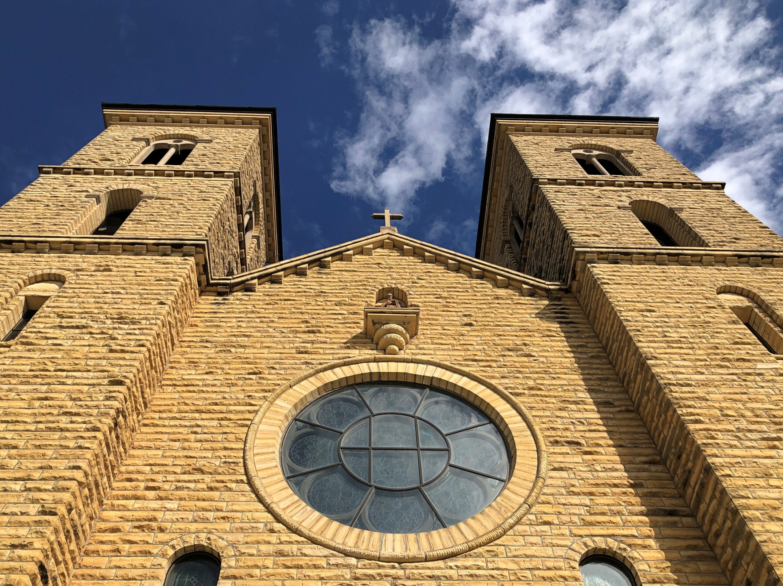
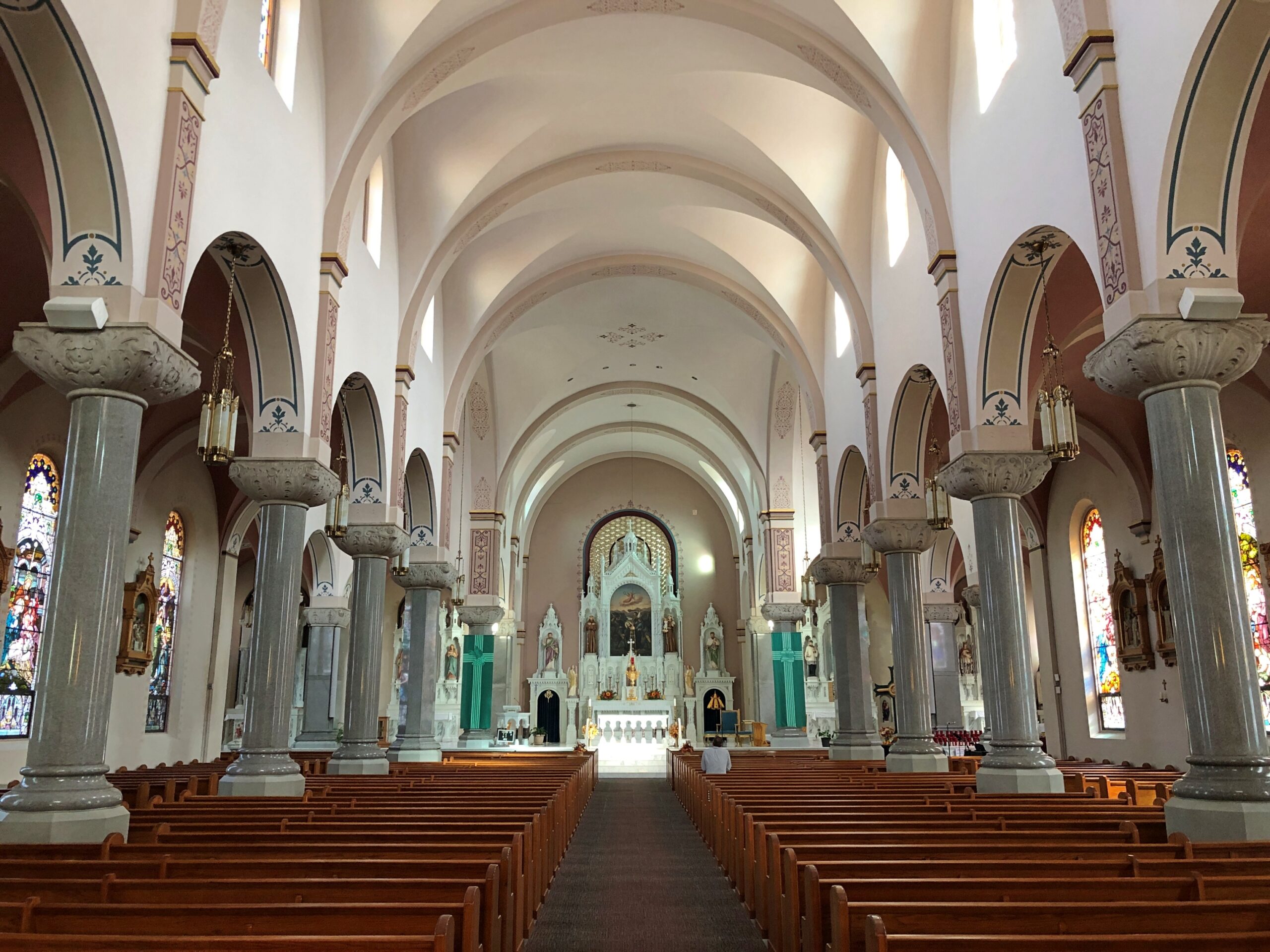
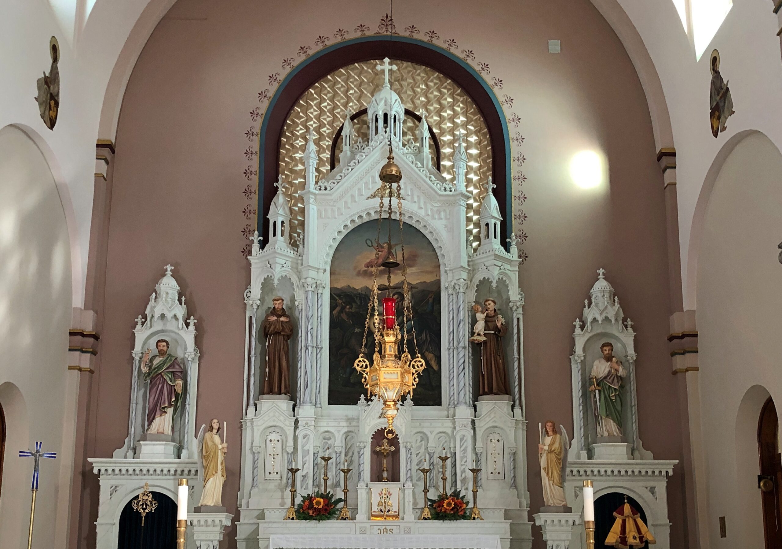
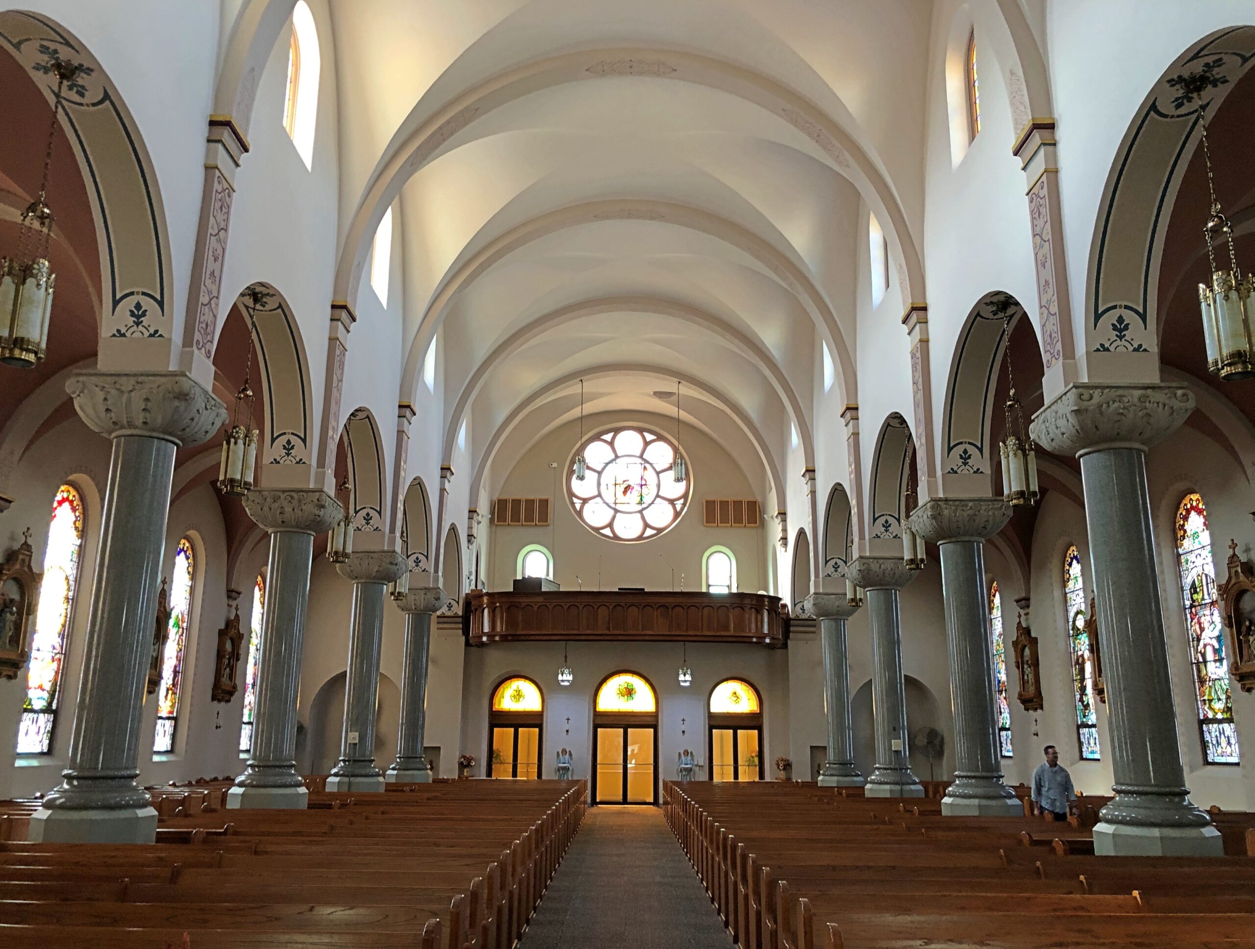
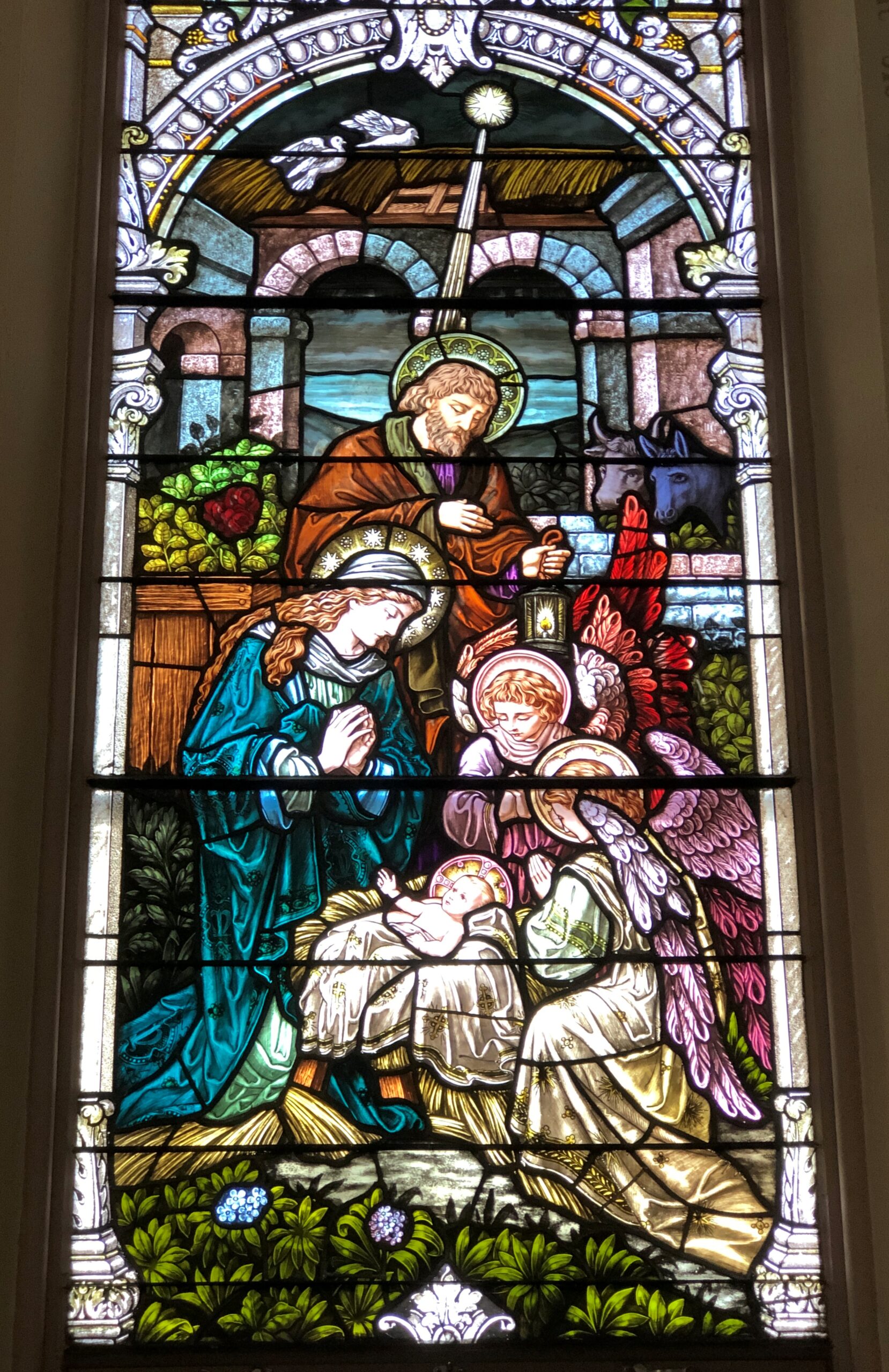
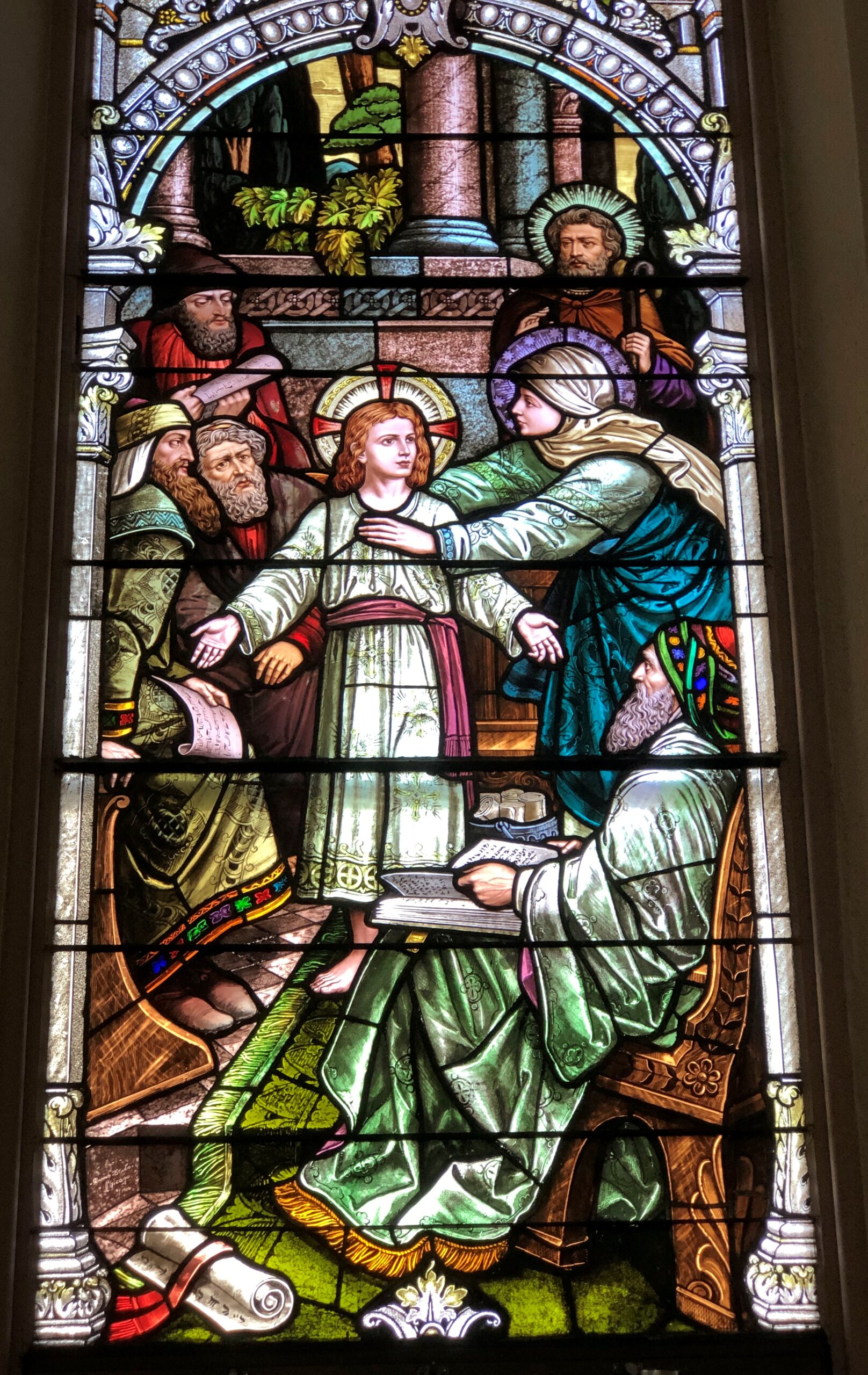
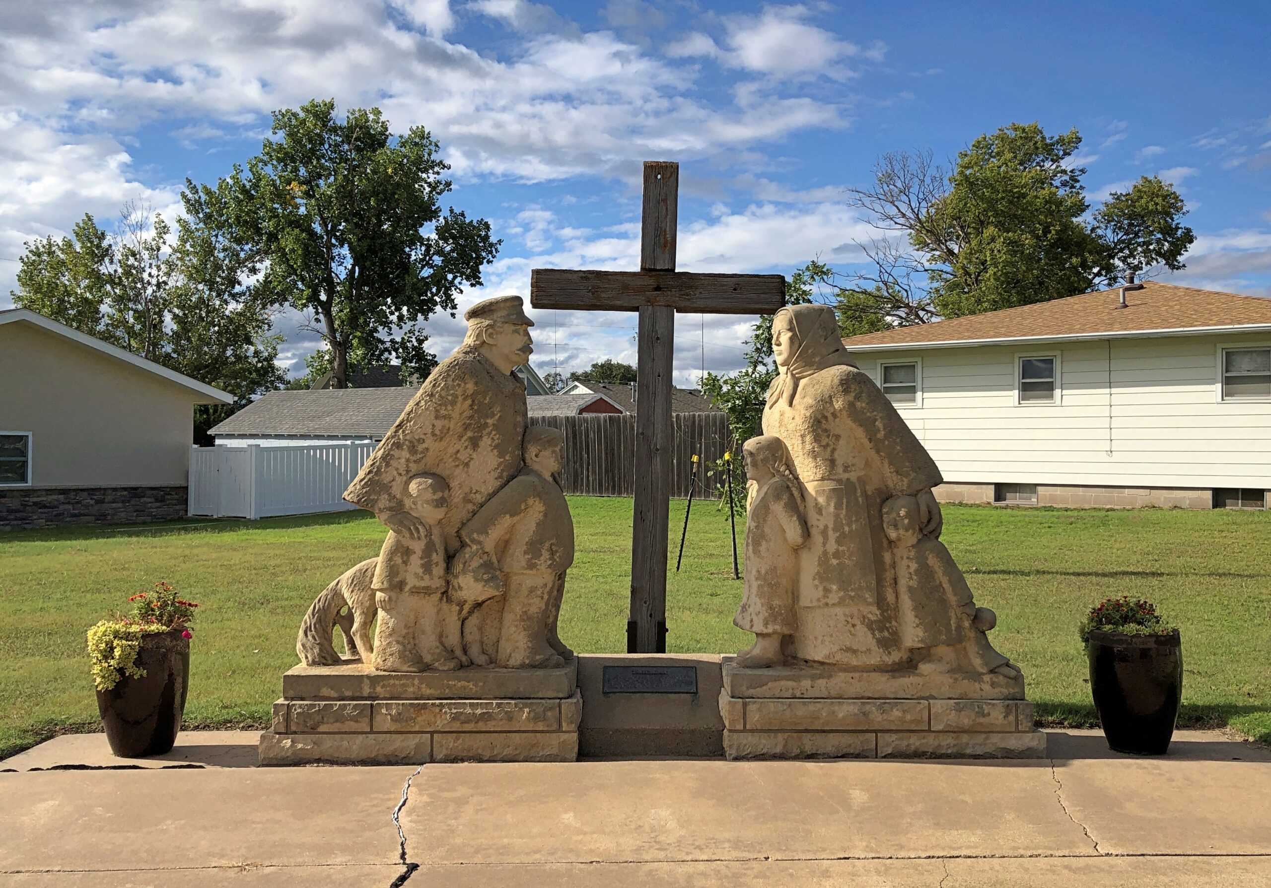
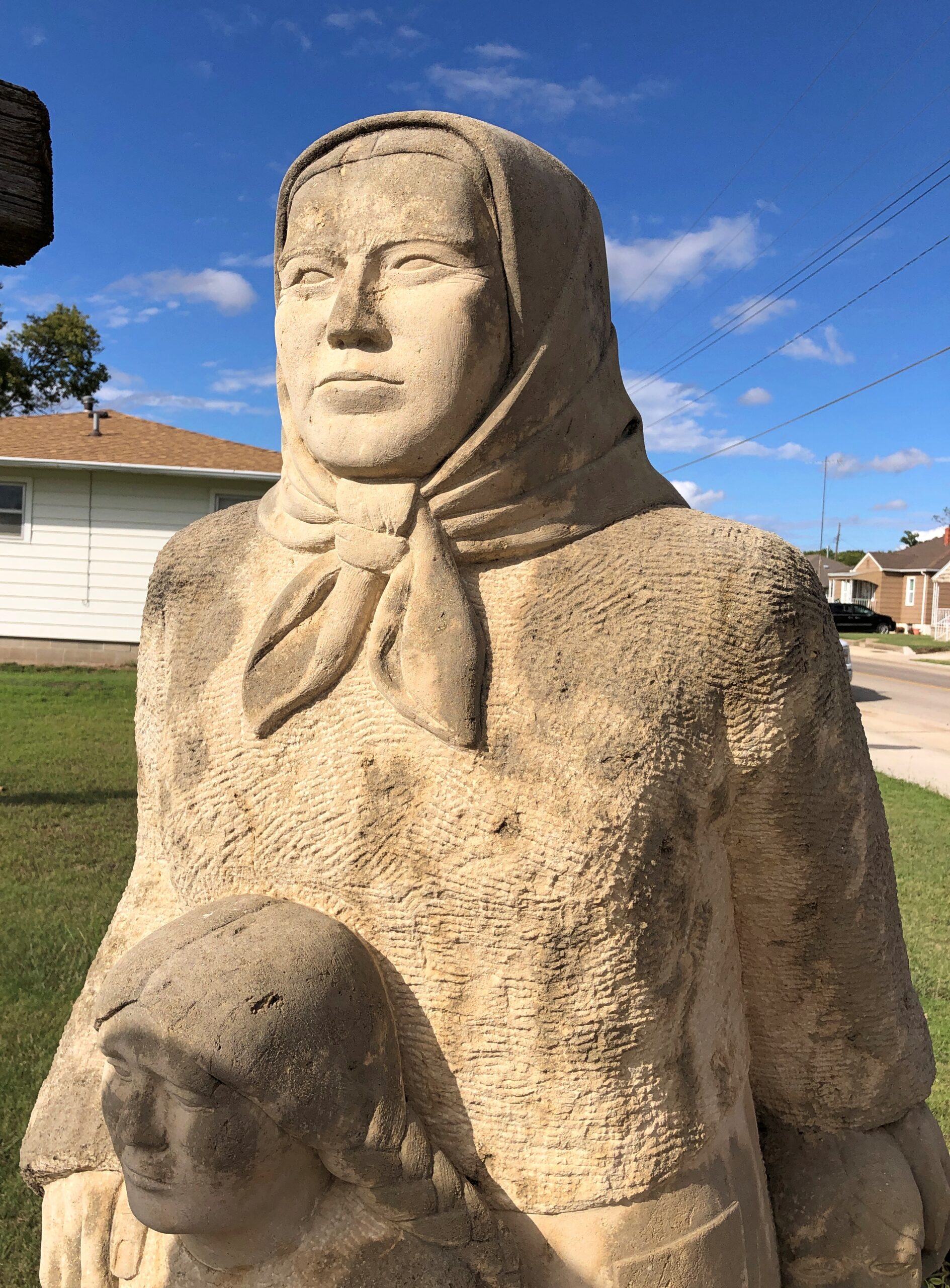
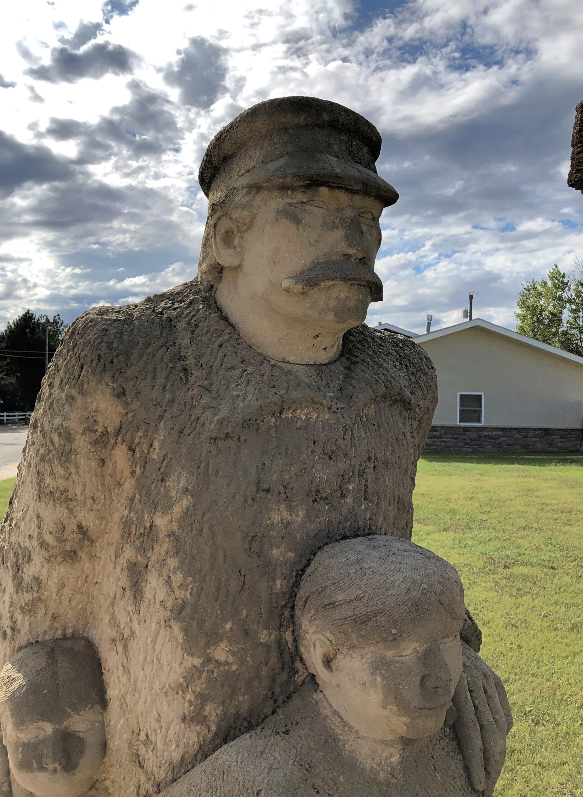
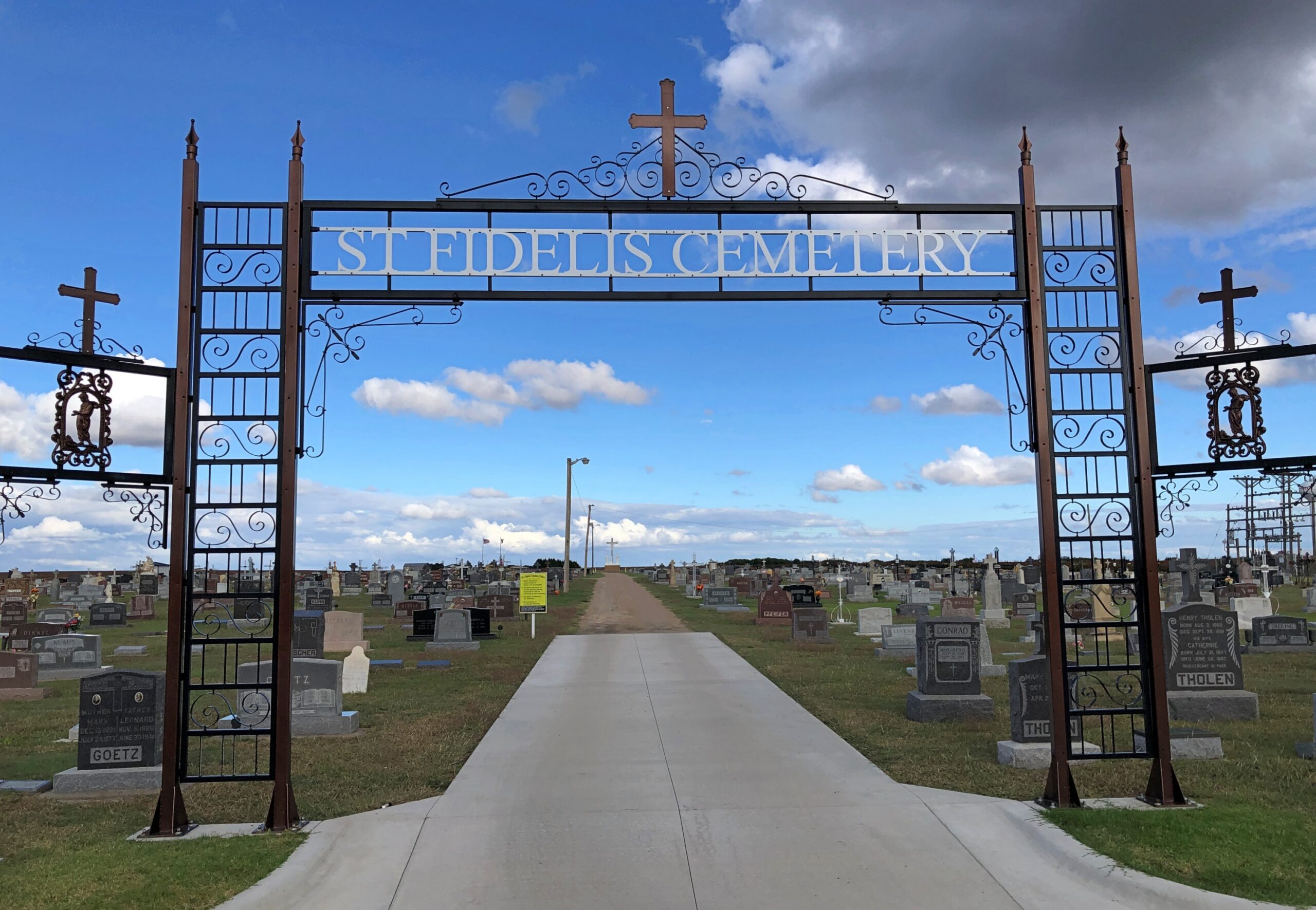
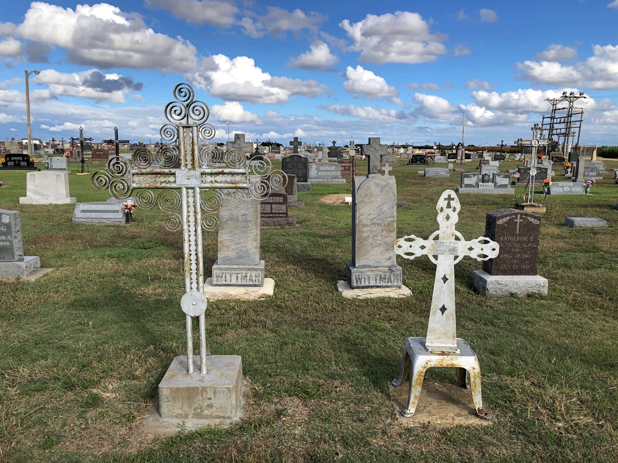
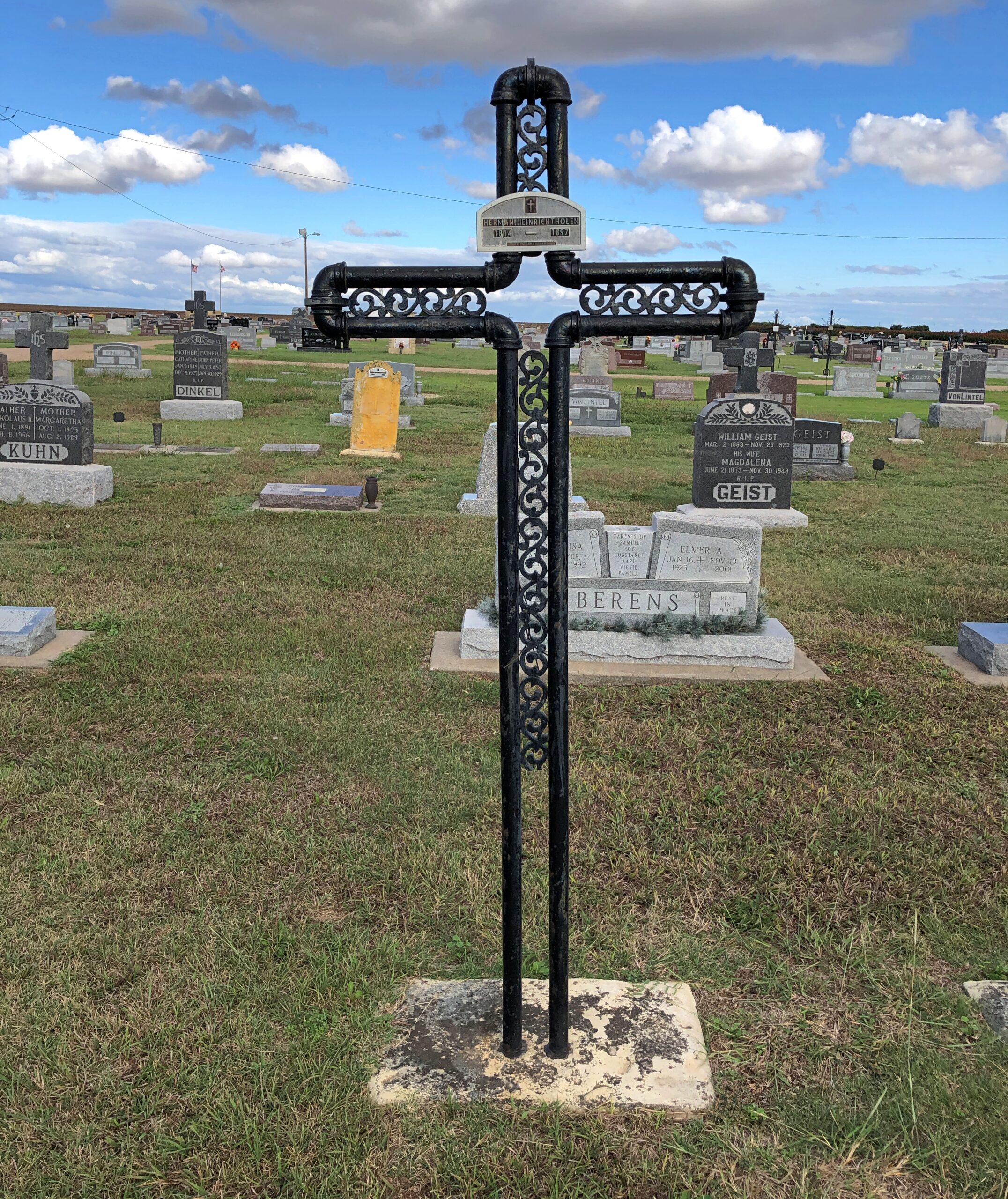
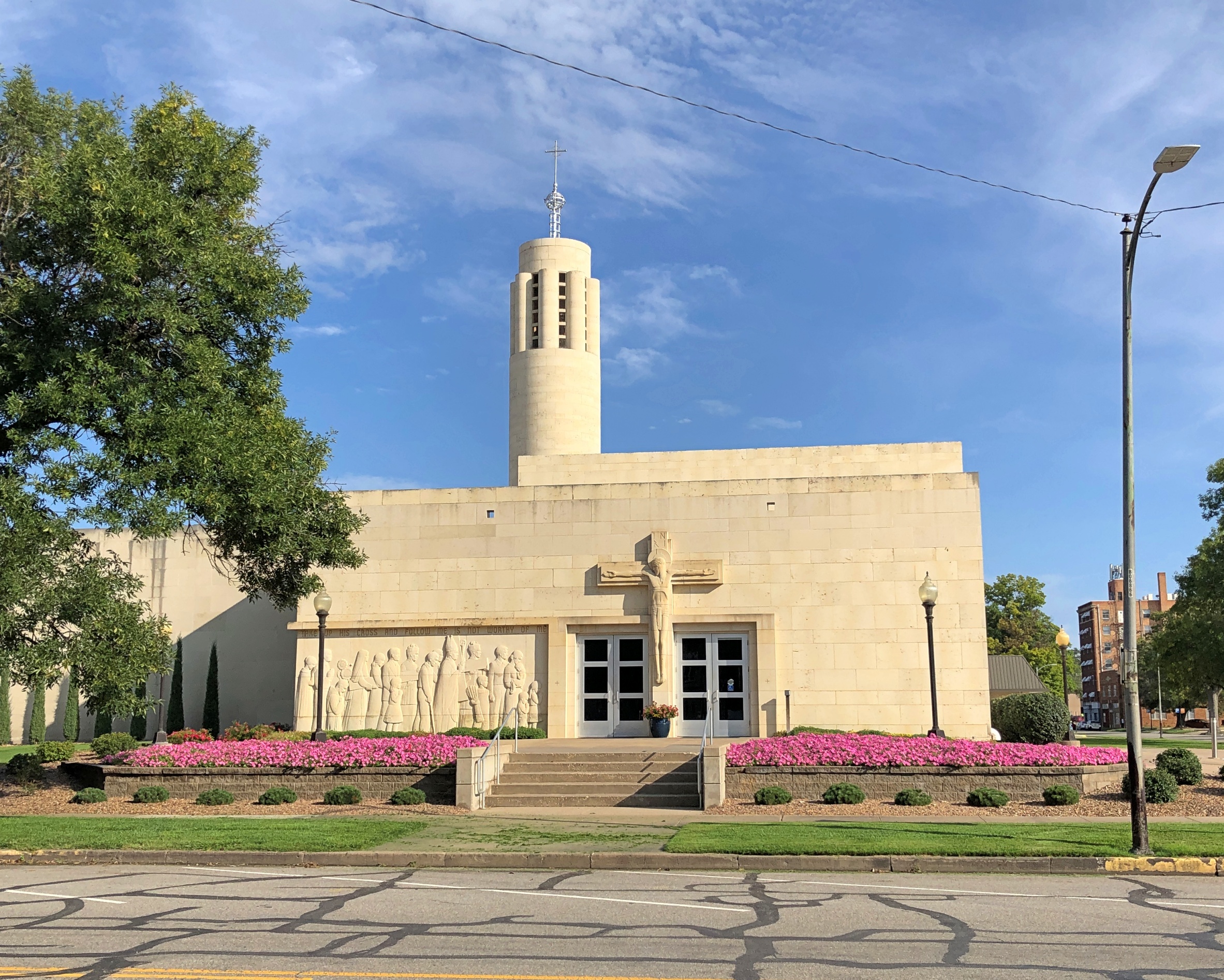
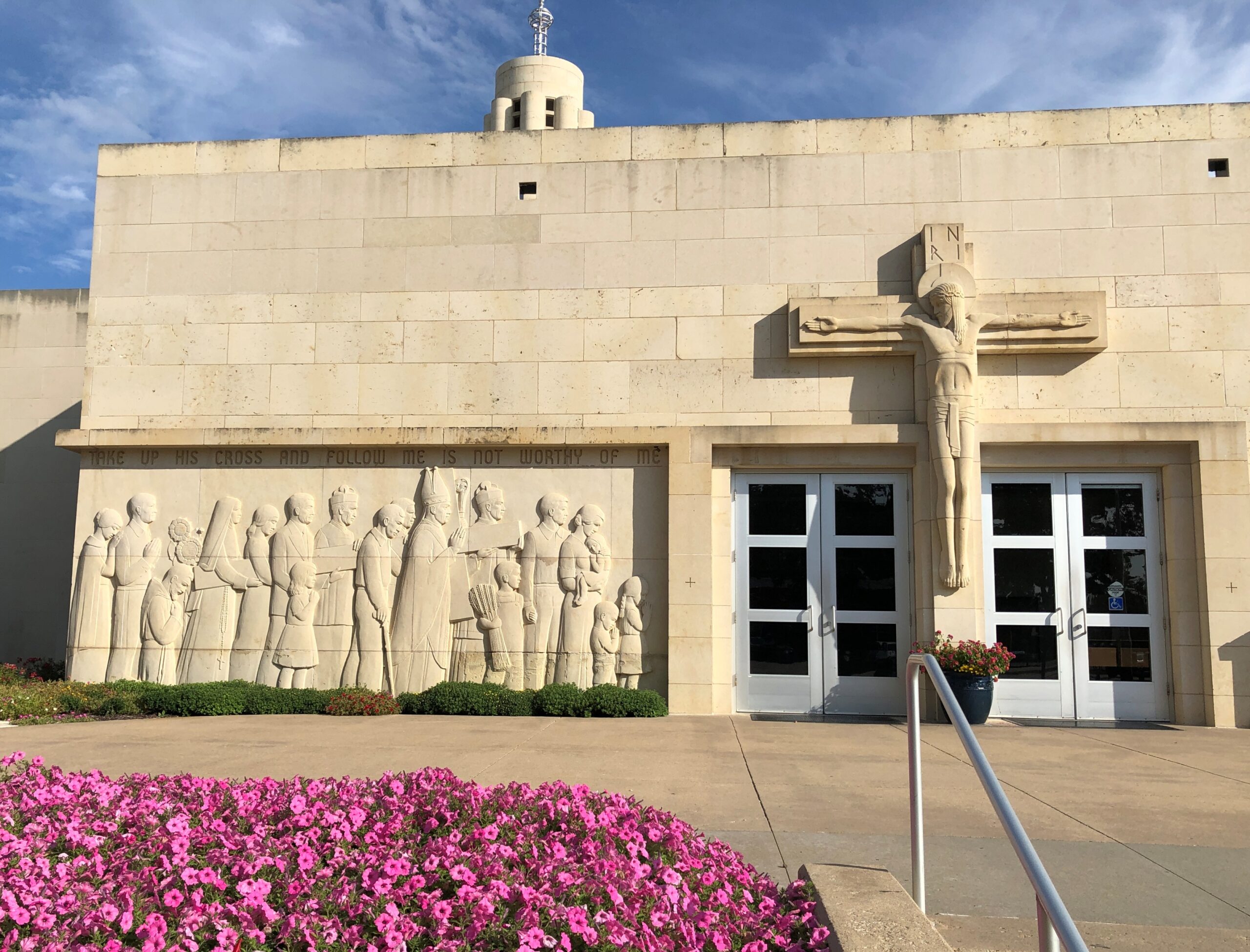
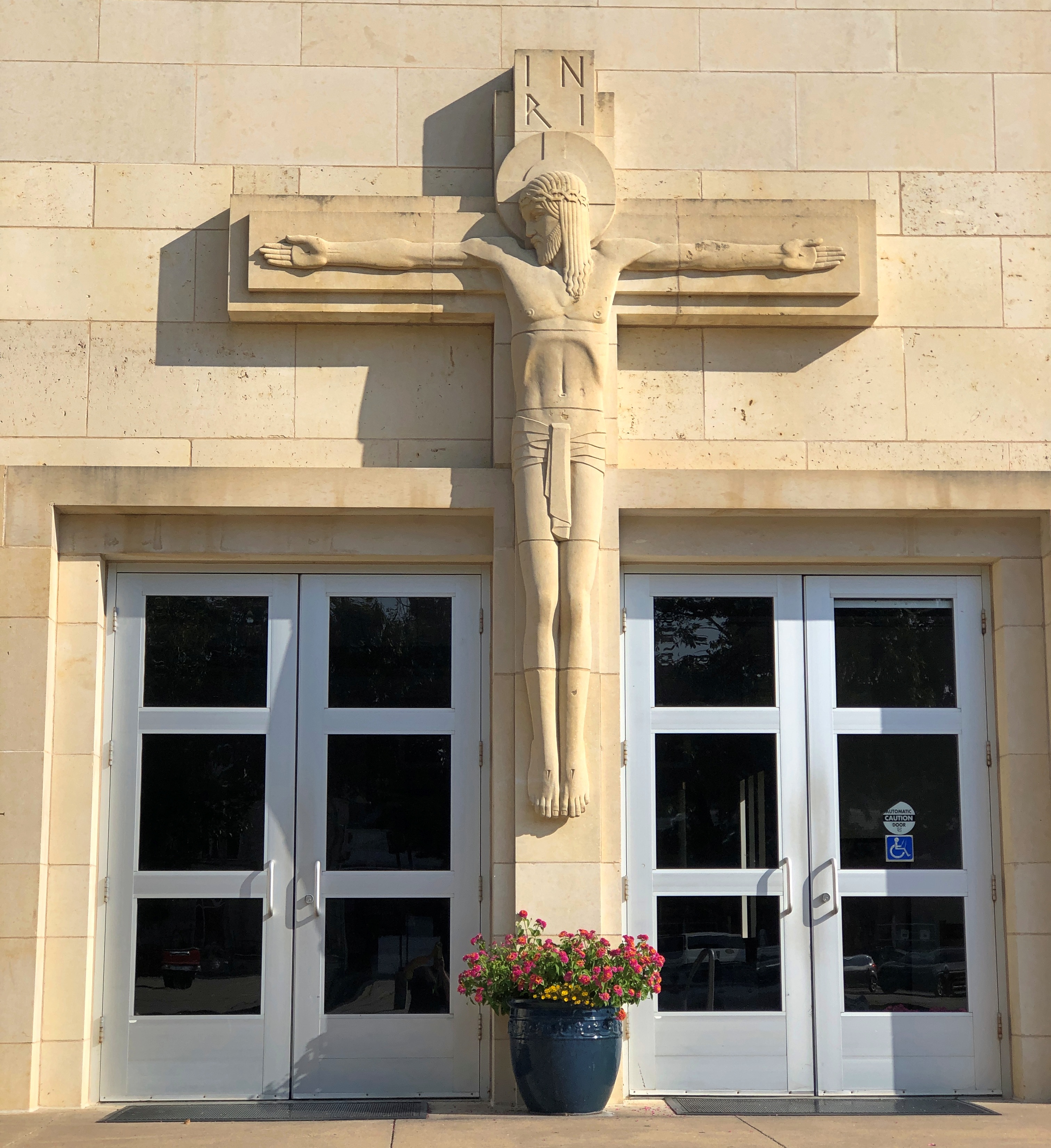
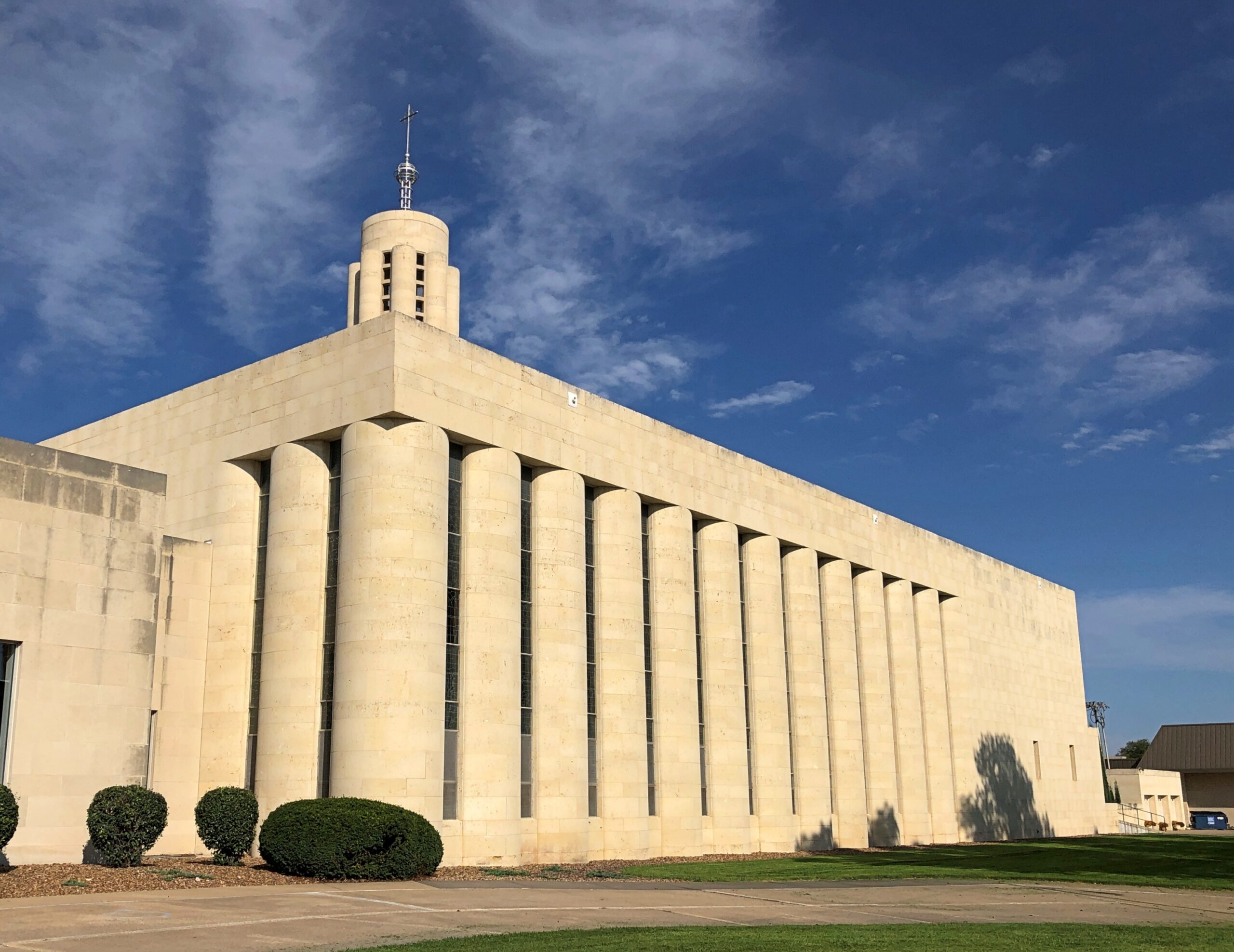
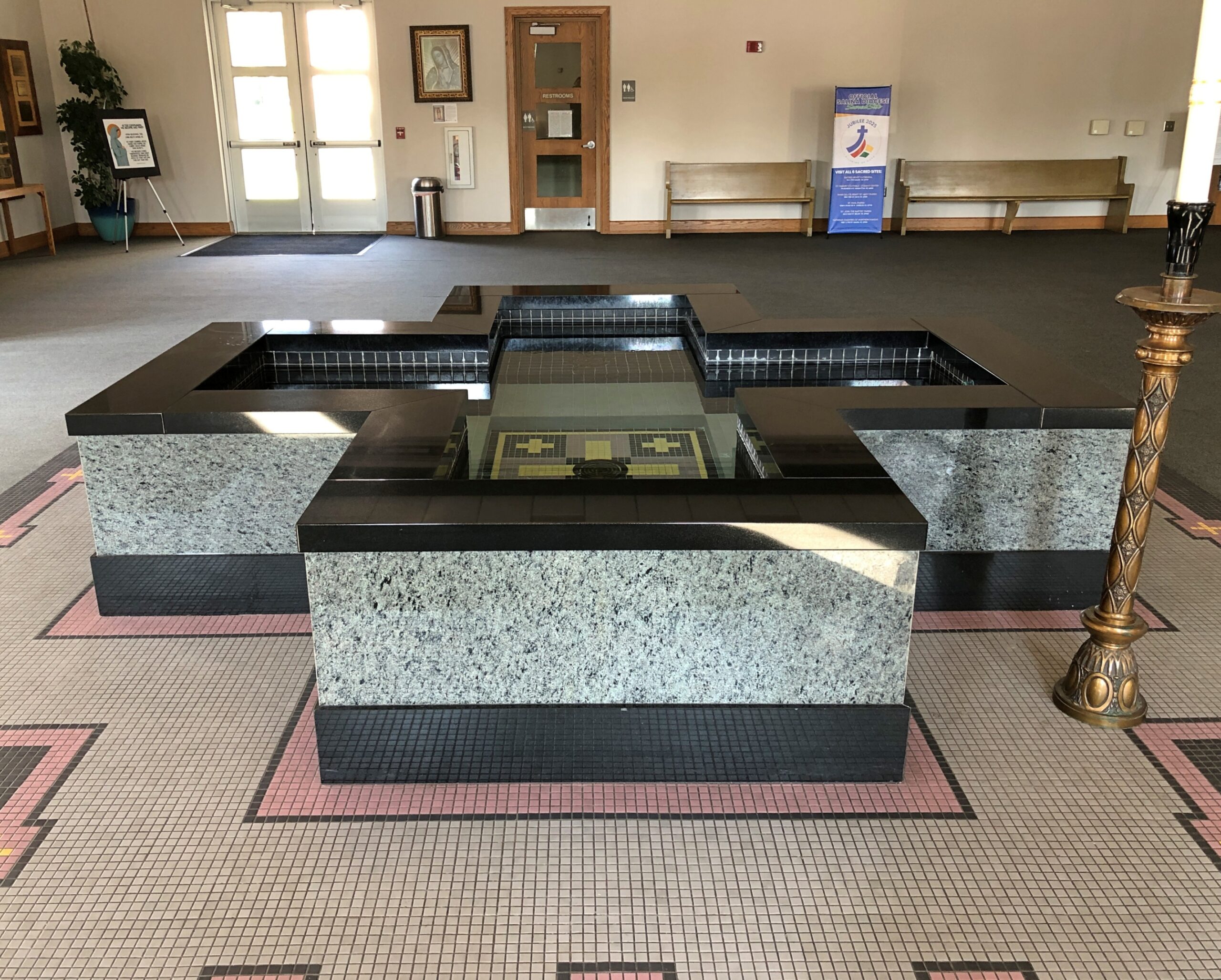
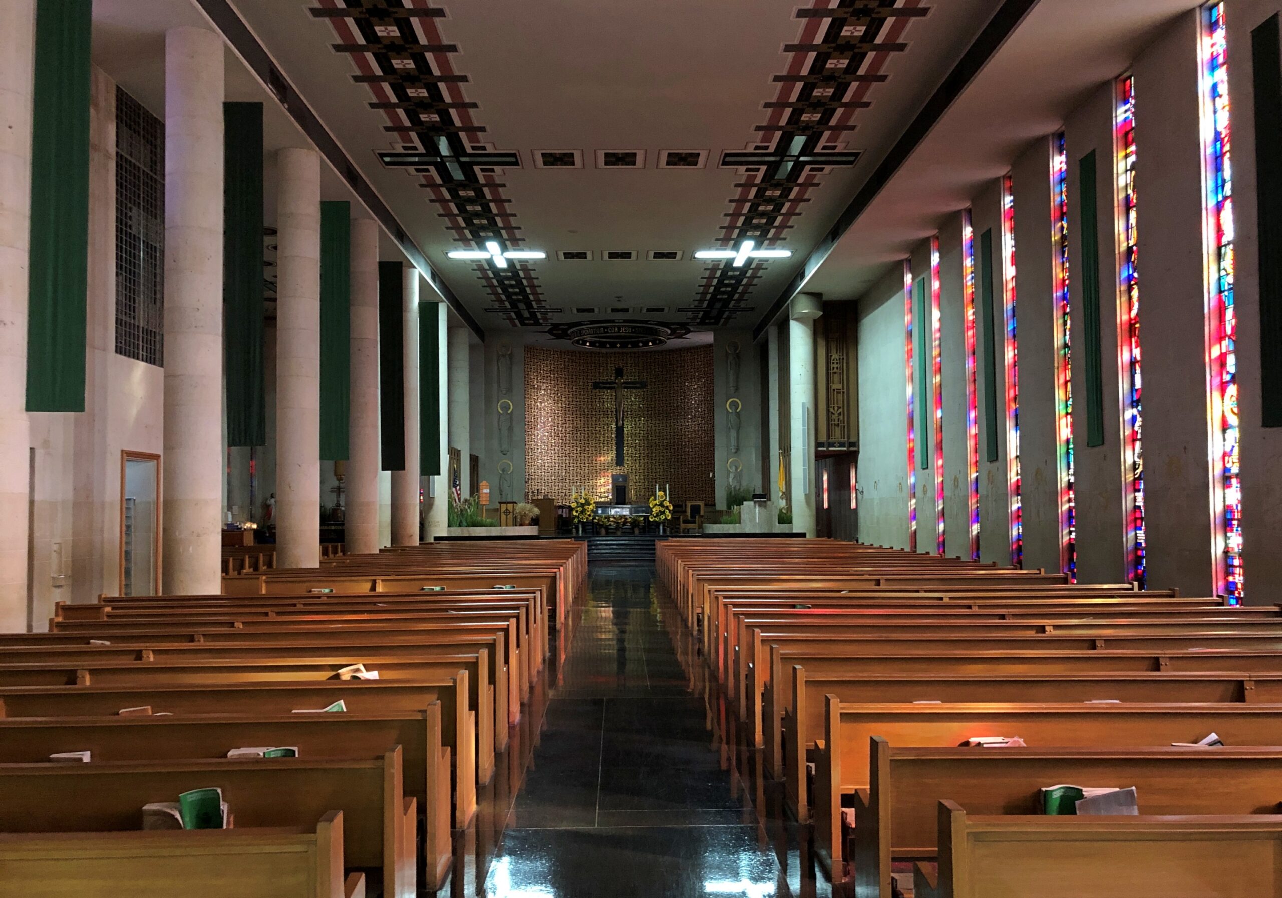
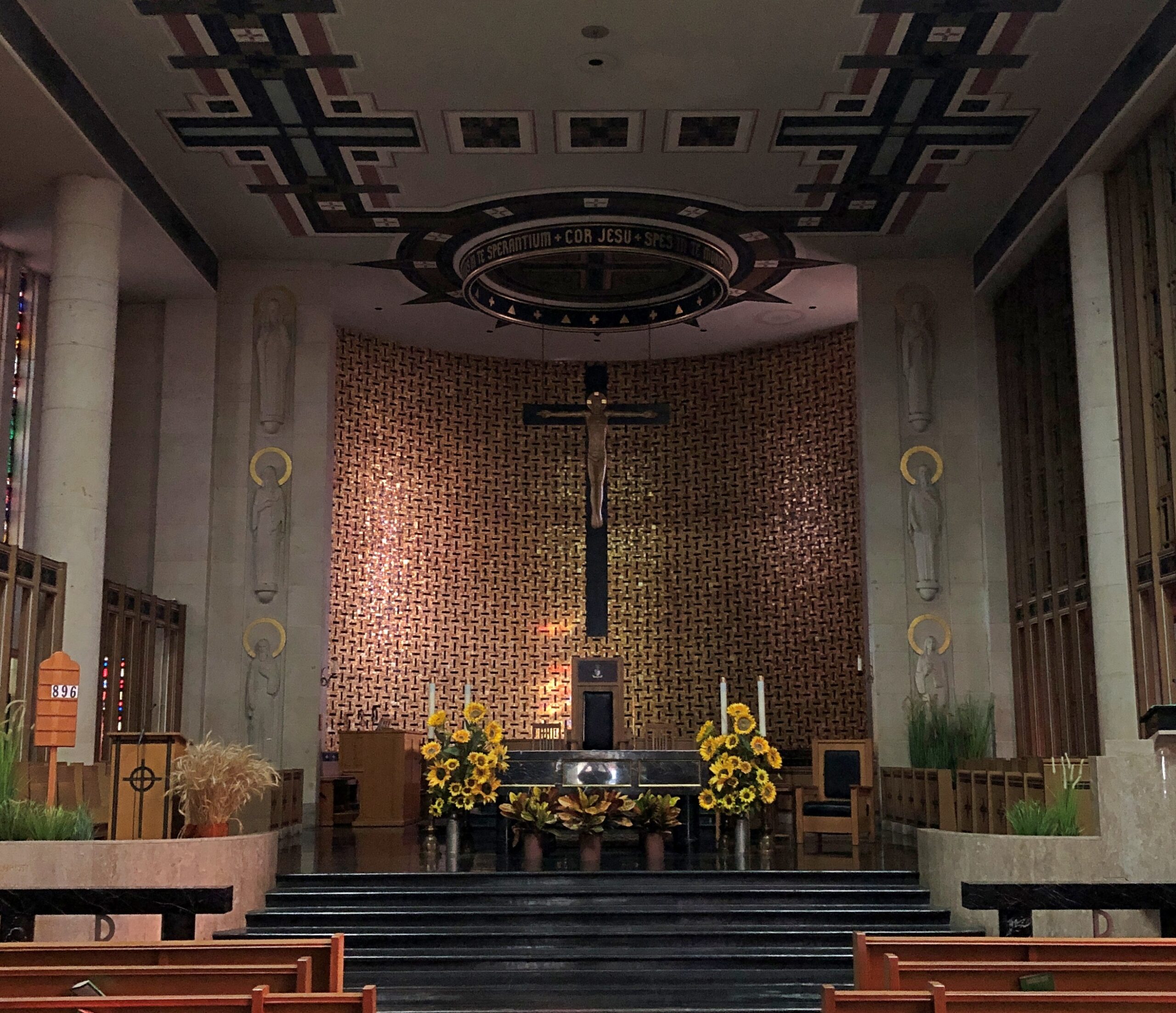
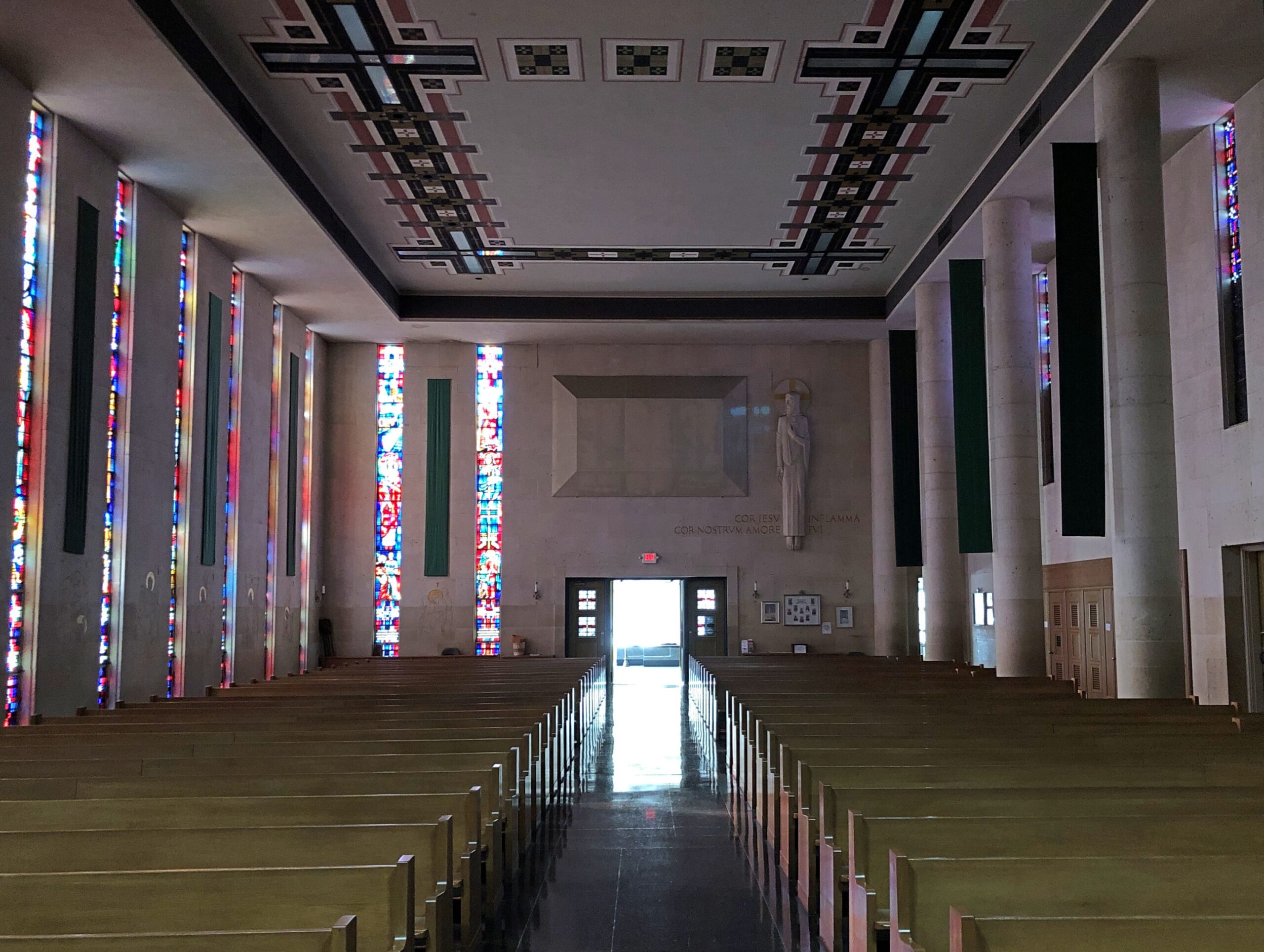
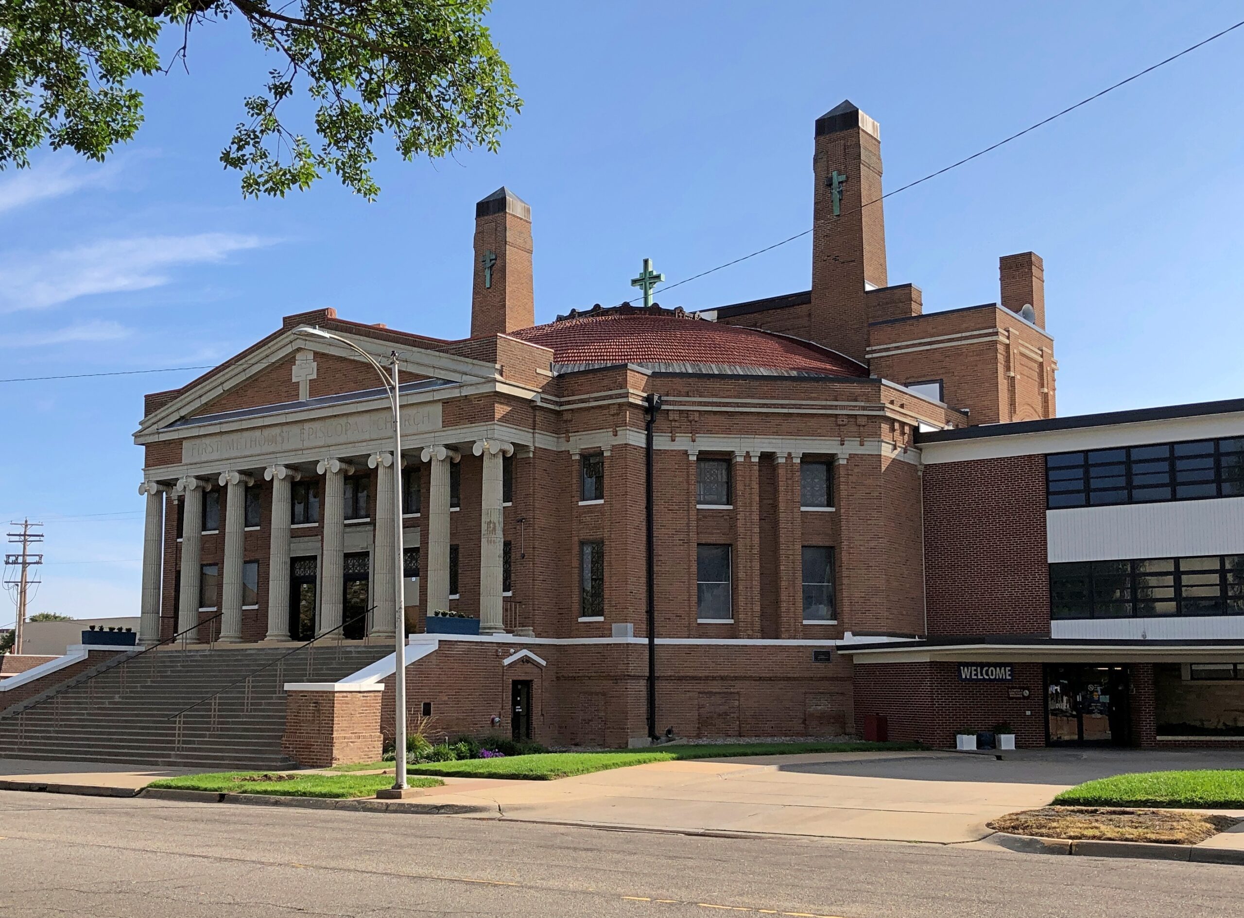
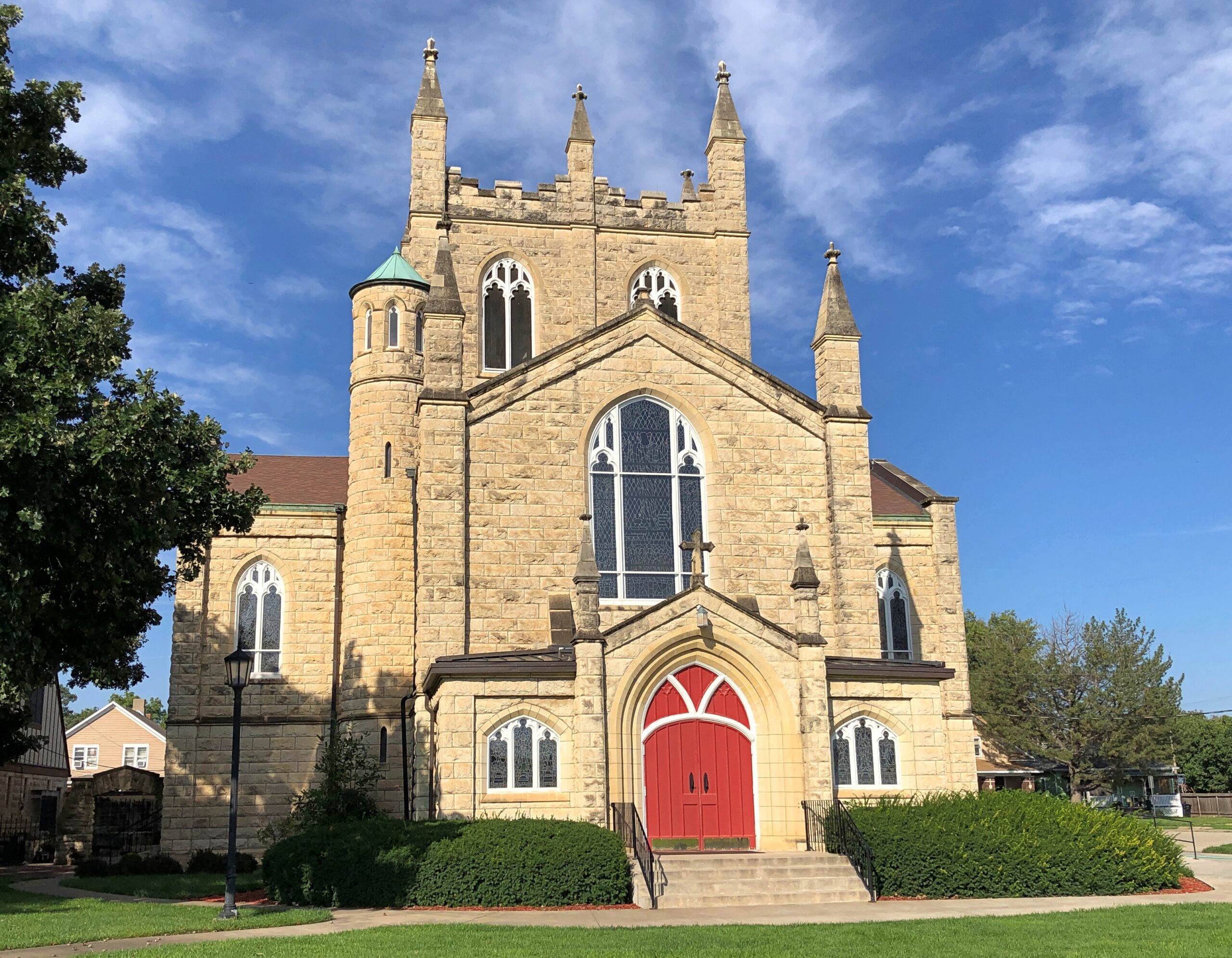
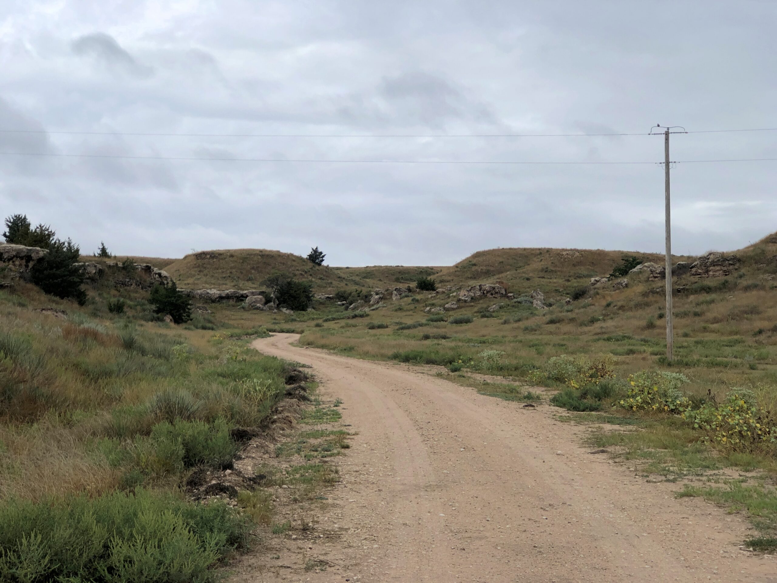
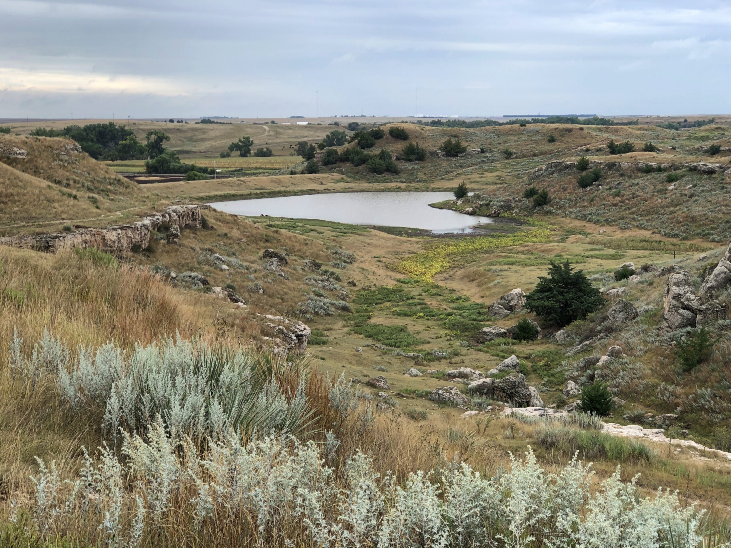
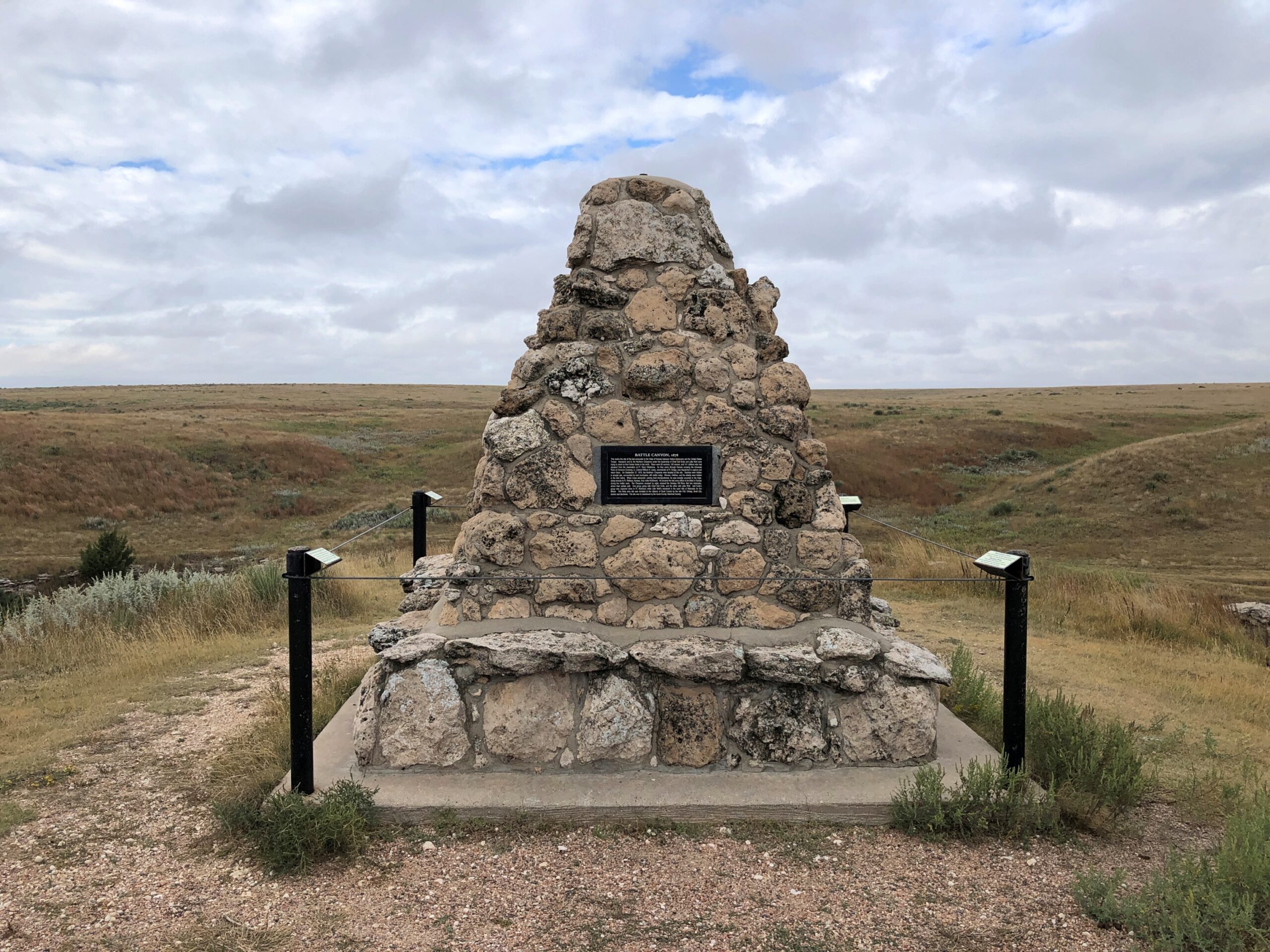
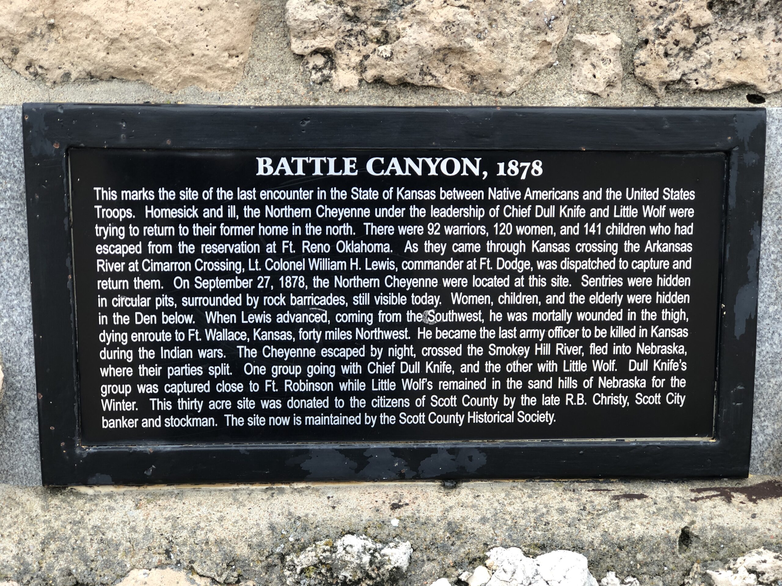
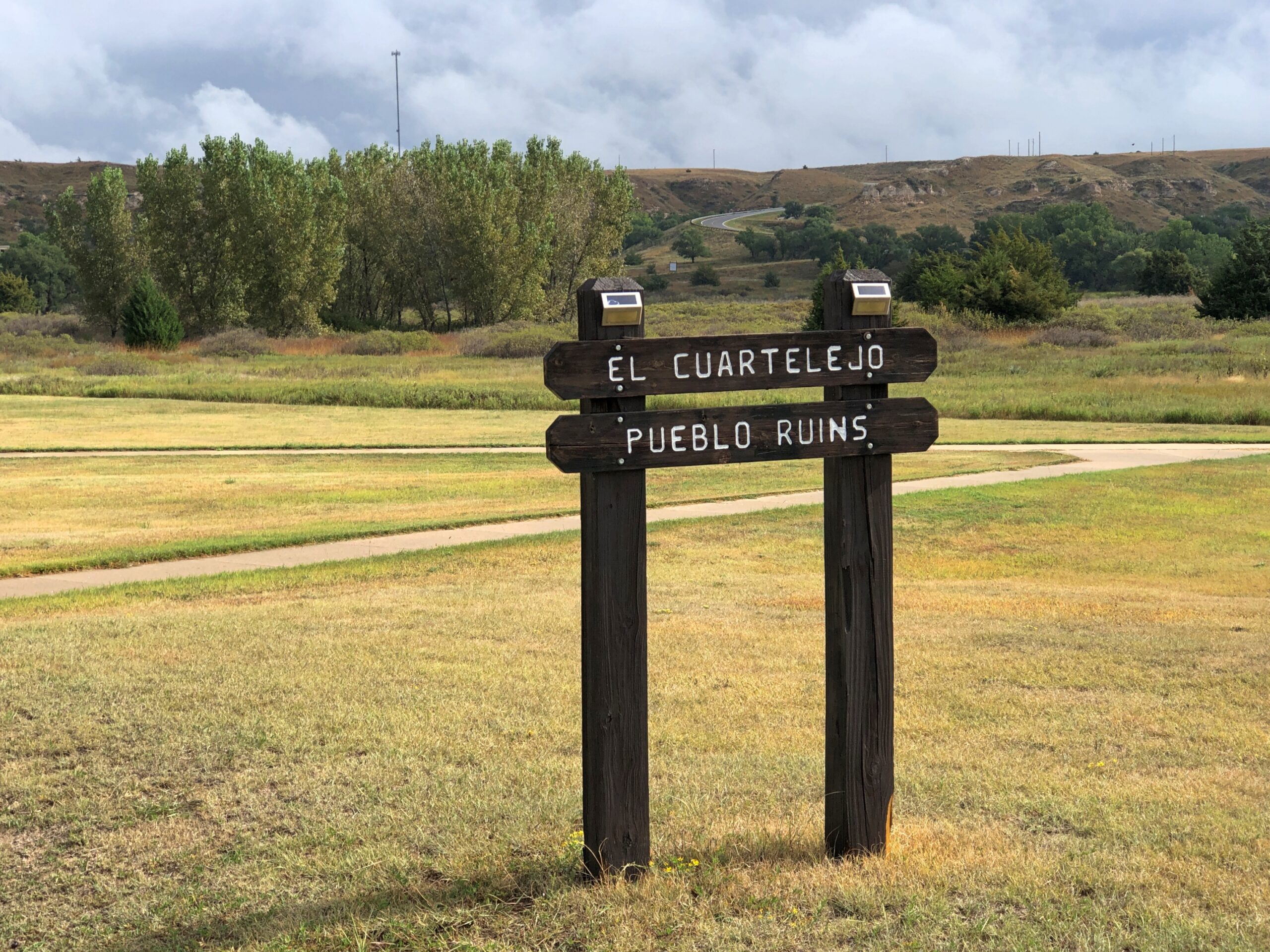
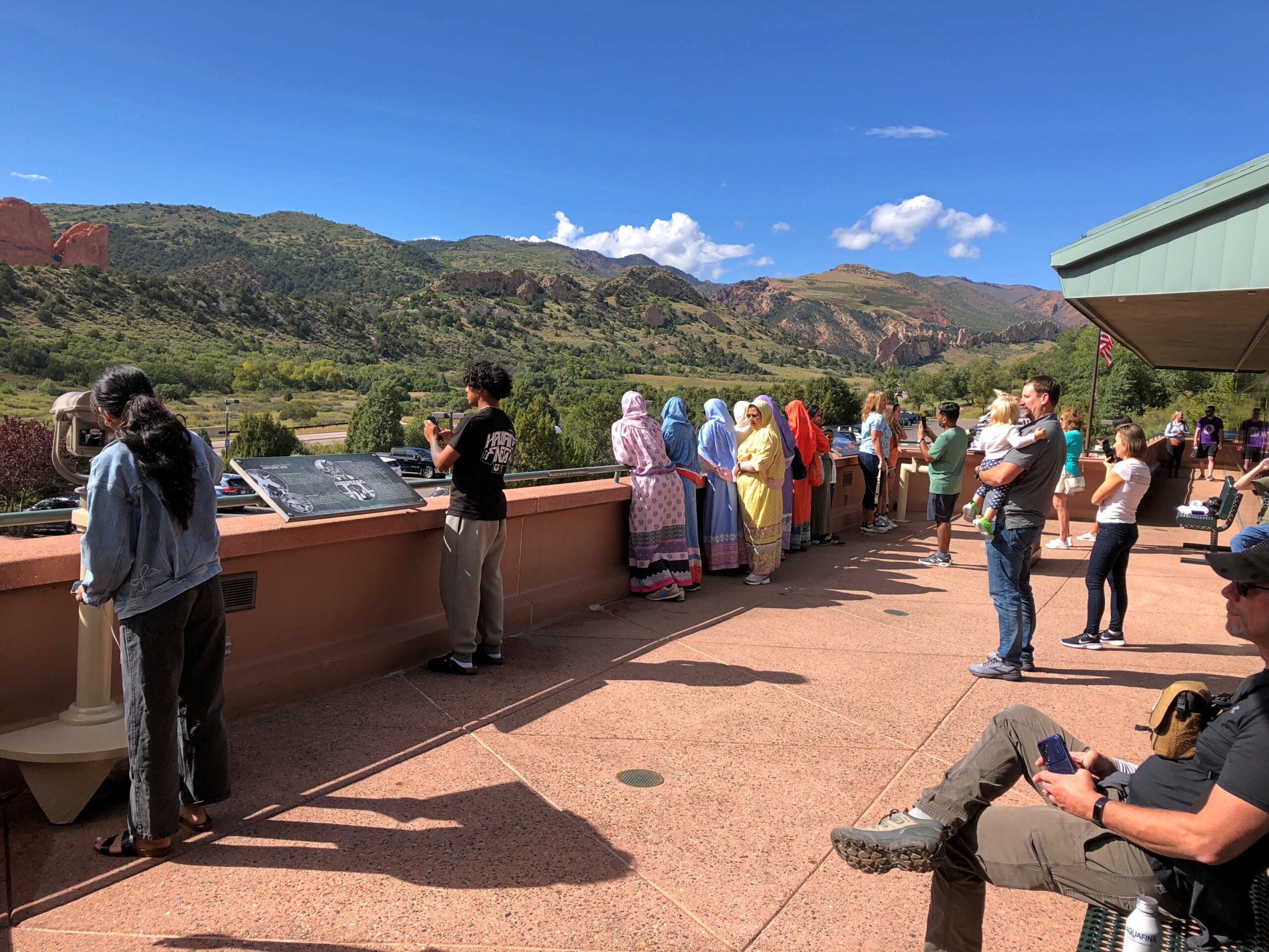
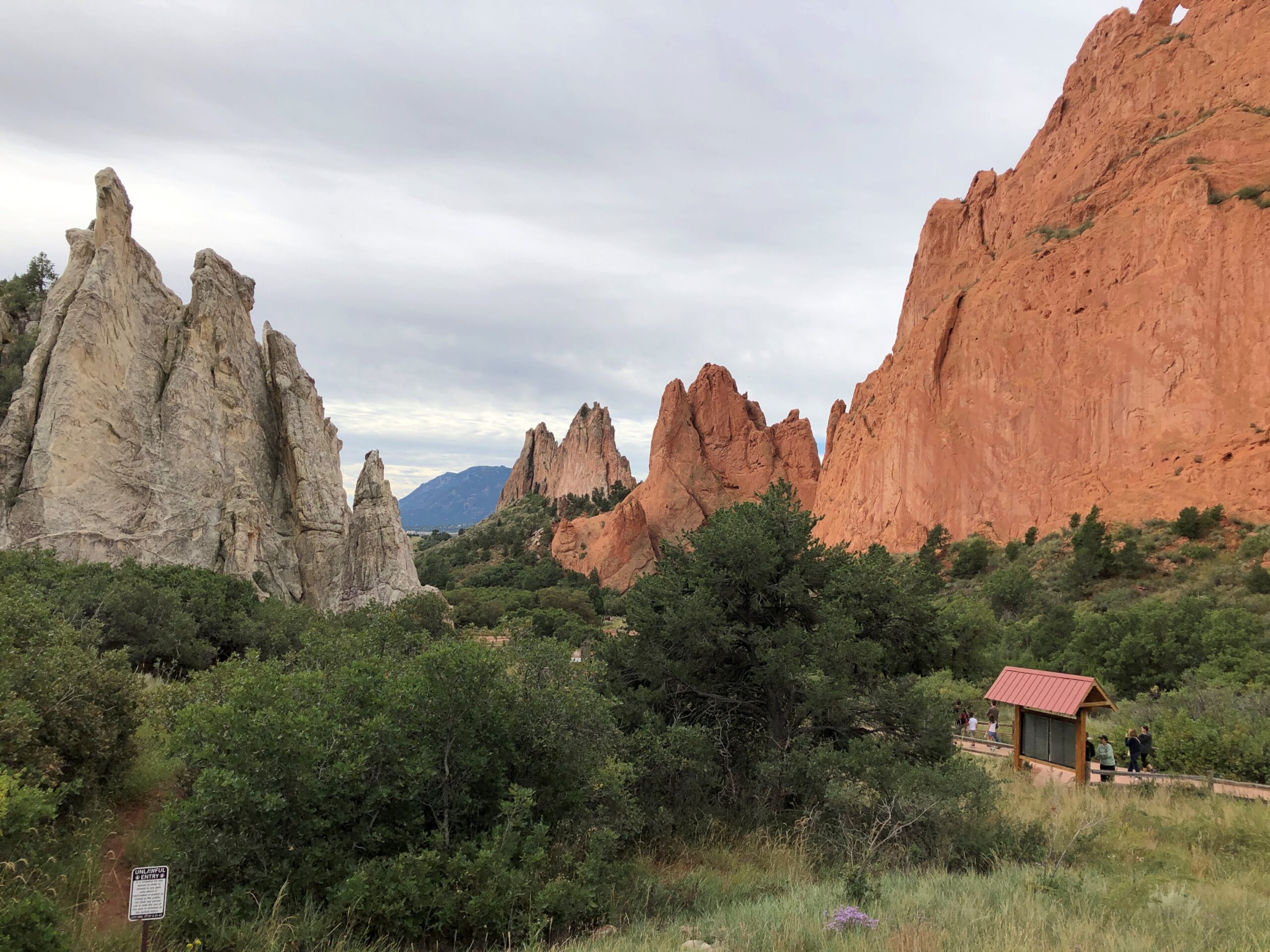
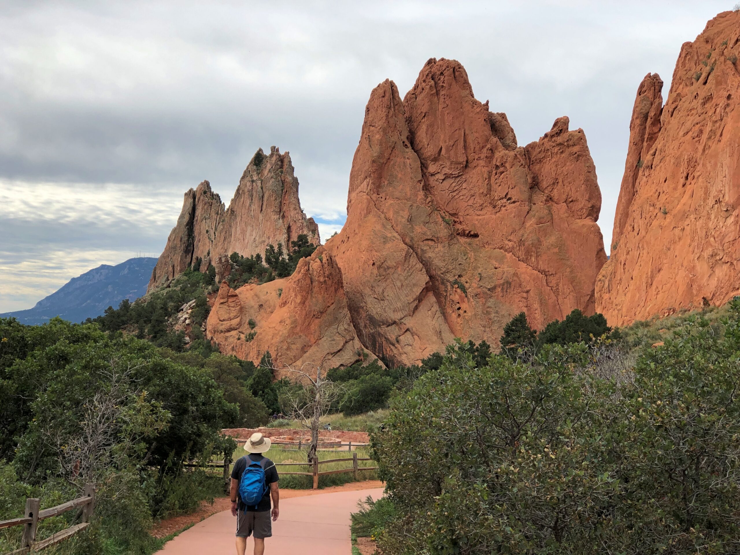
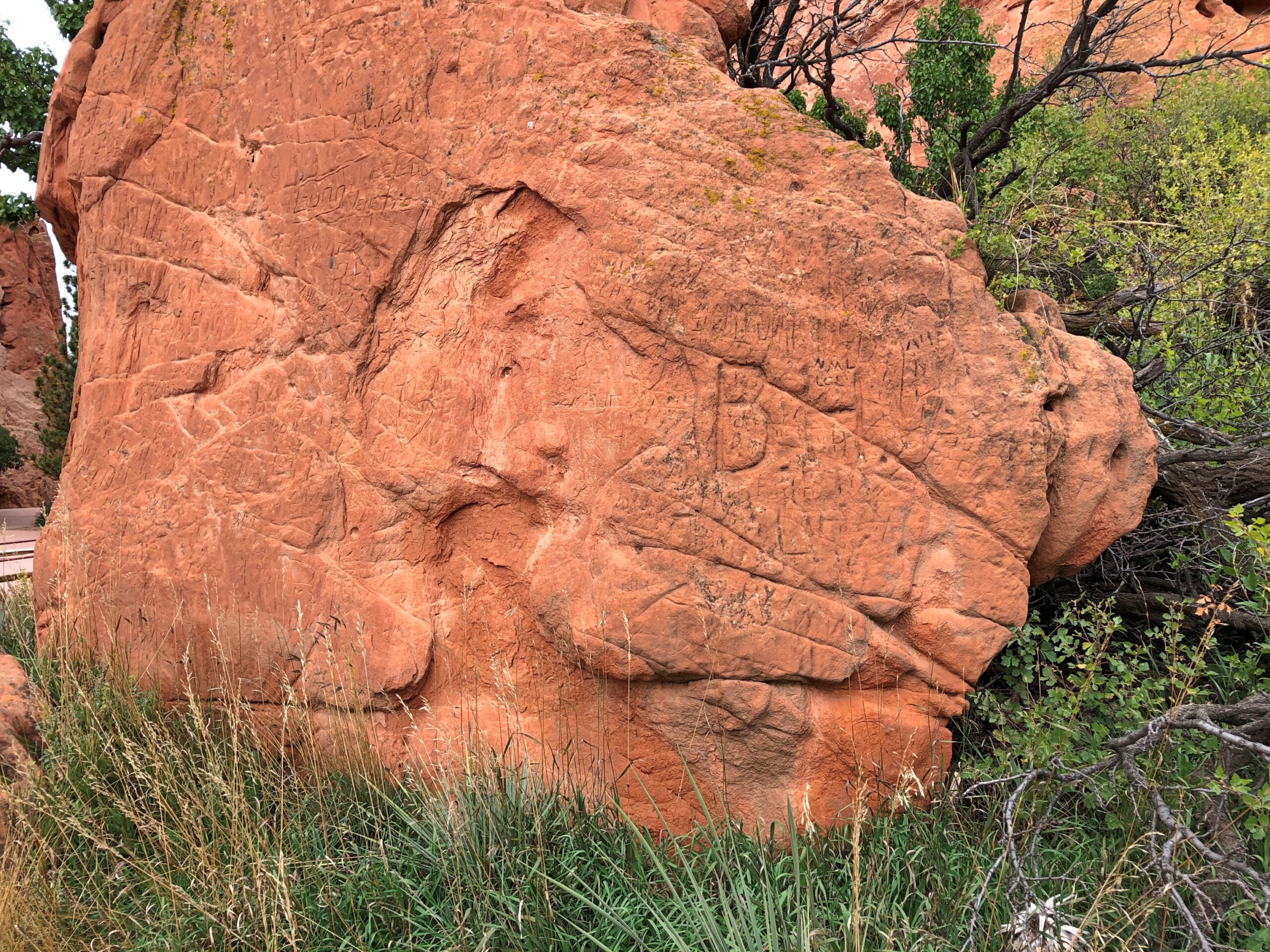
No matter. I visited a good number of cities and towns, drove roads large and small, empty and insanely crowded, and enjoyed a few exceptional meals and many very good ones. I saw churches and cemeteries, some historic places not managed by the federal government, and encountered the largest of the many No Kings events. I read plaques. I chatted with strangers and clerks in stores. I took a swim in Massachusetts and long walks in New York. I hadn’t planned to walk across the Brooklyn Bridge again, but Yuriko had that idea, and across we went. I listened to a lot of terrestrial radio, good, bad and indifferent. I burned gas priced between about $2.70 and $3.30 a gallon. I paid entirely too many tolls, because the Northeast is lousy with toll roads and bridges — but driving across some of those bridges, especially the Bay Bridge in Maryland, was a grand experience, and surely worth the toll.

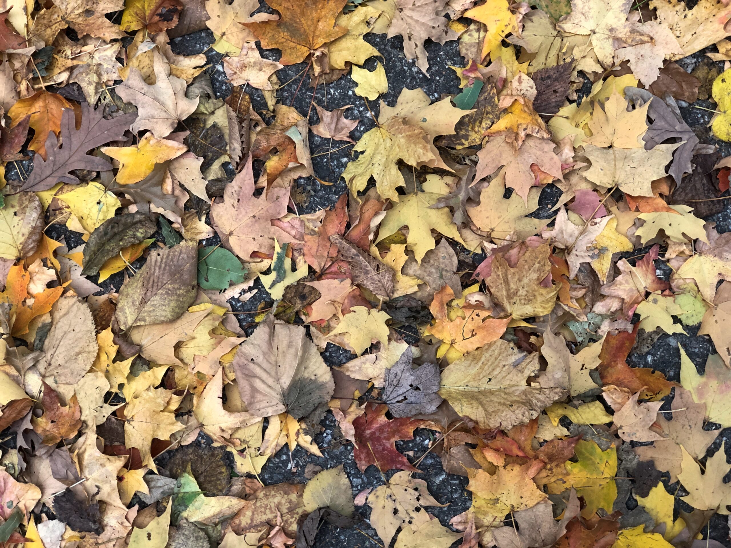
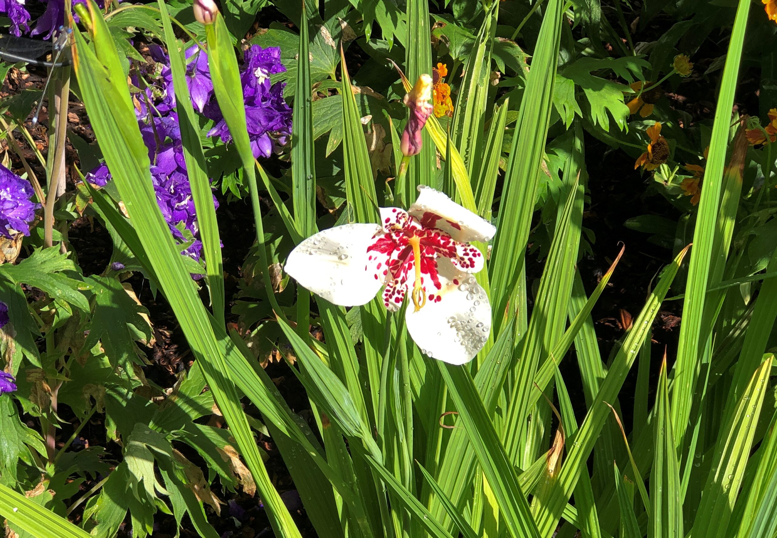
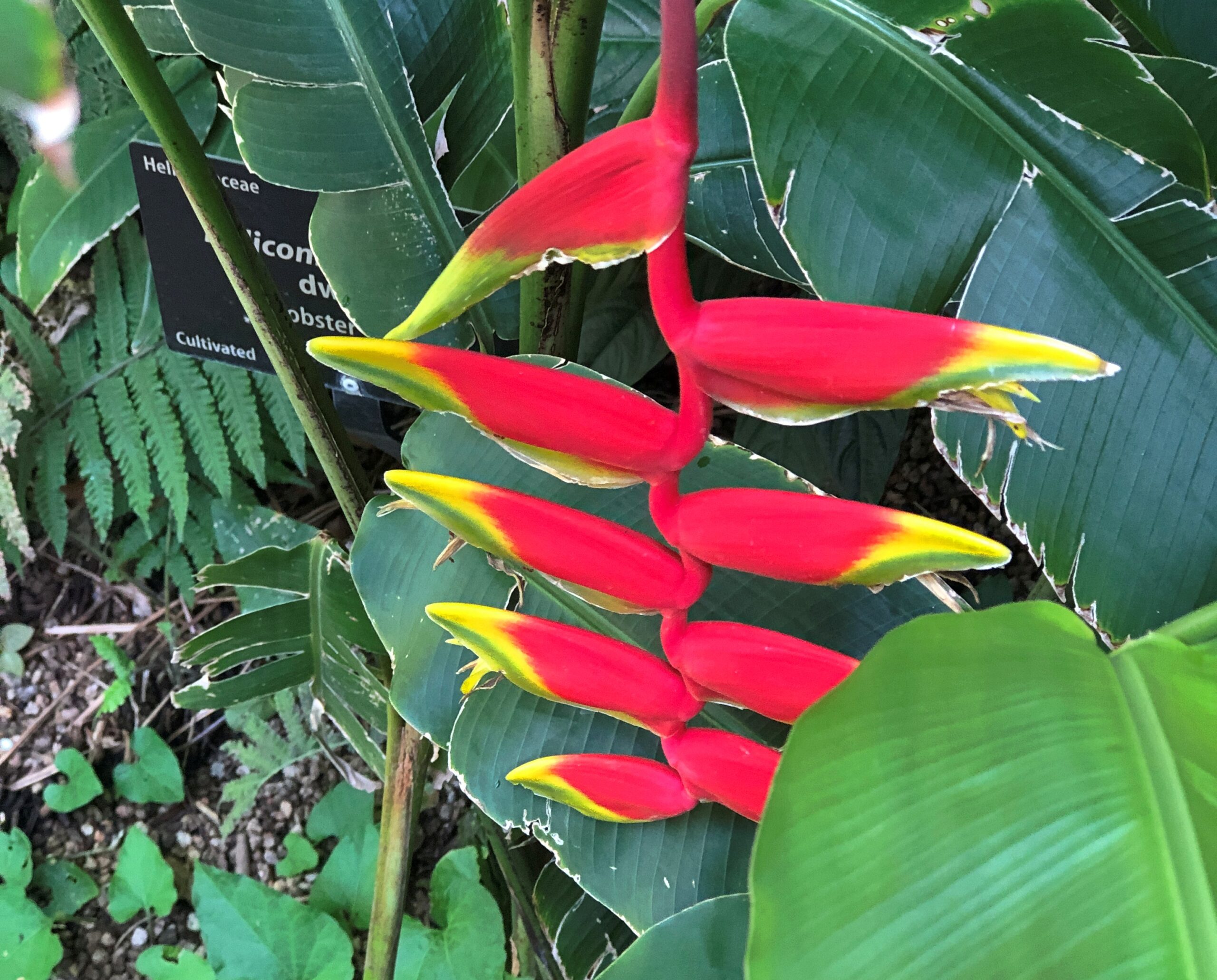
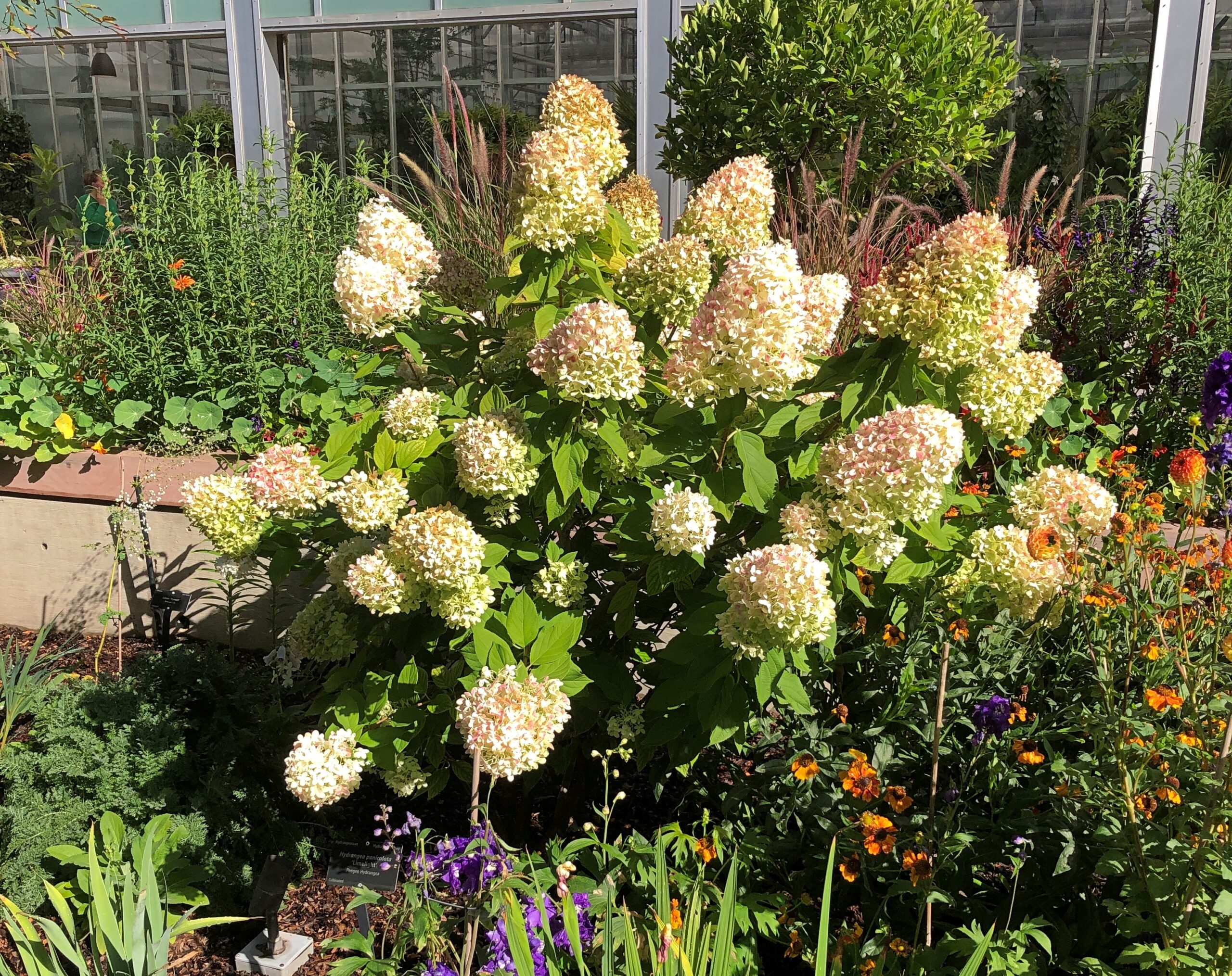
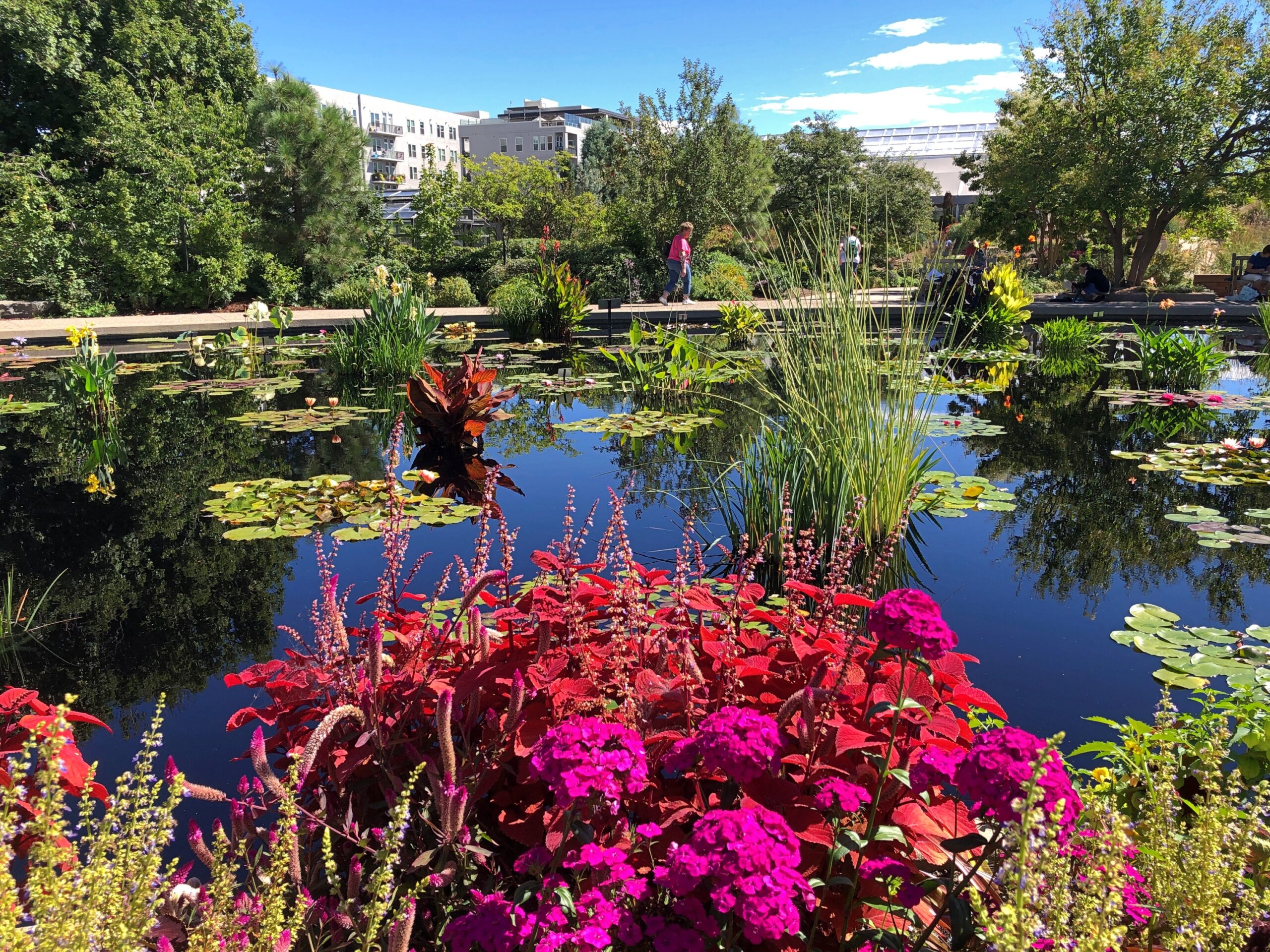
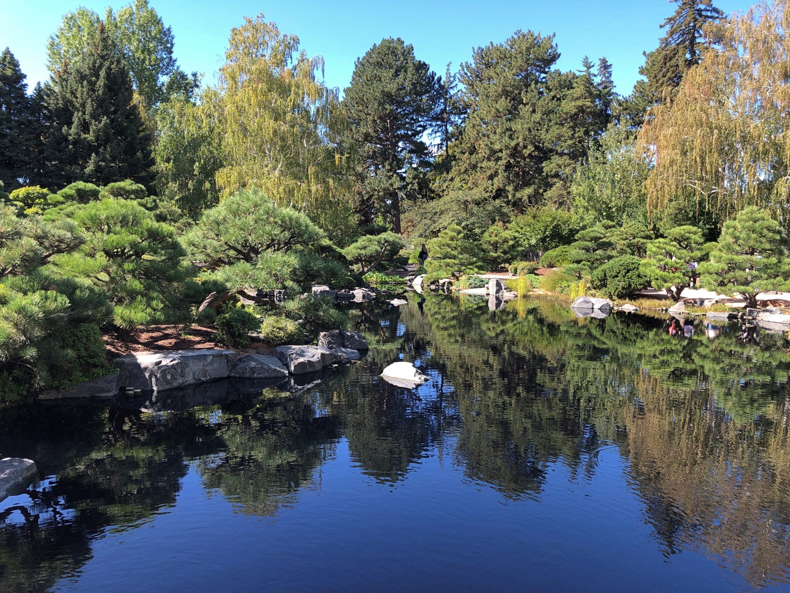
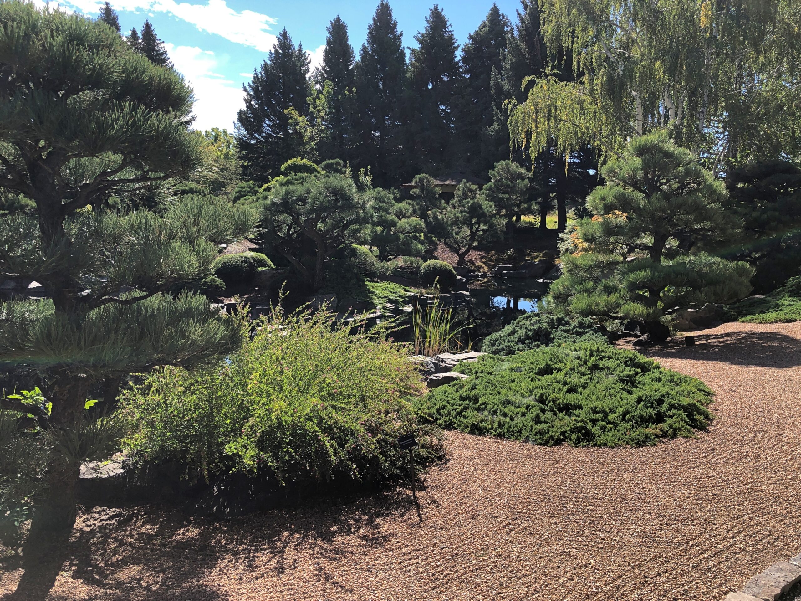
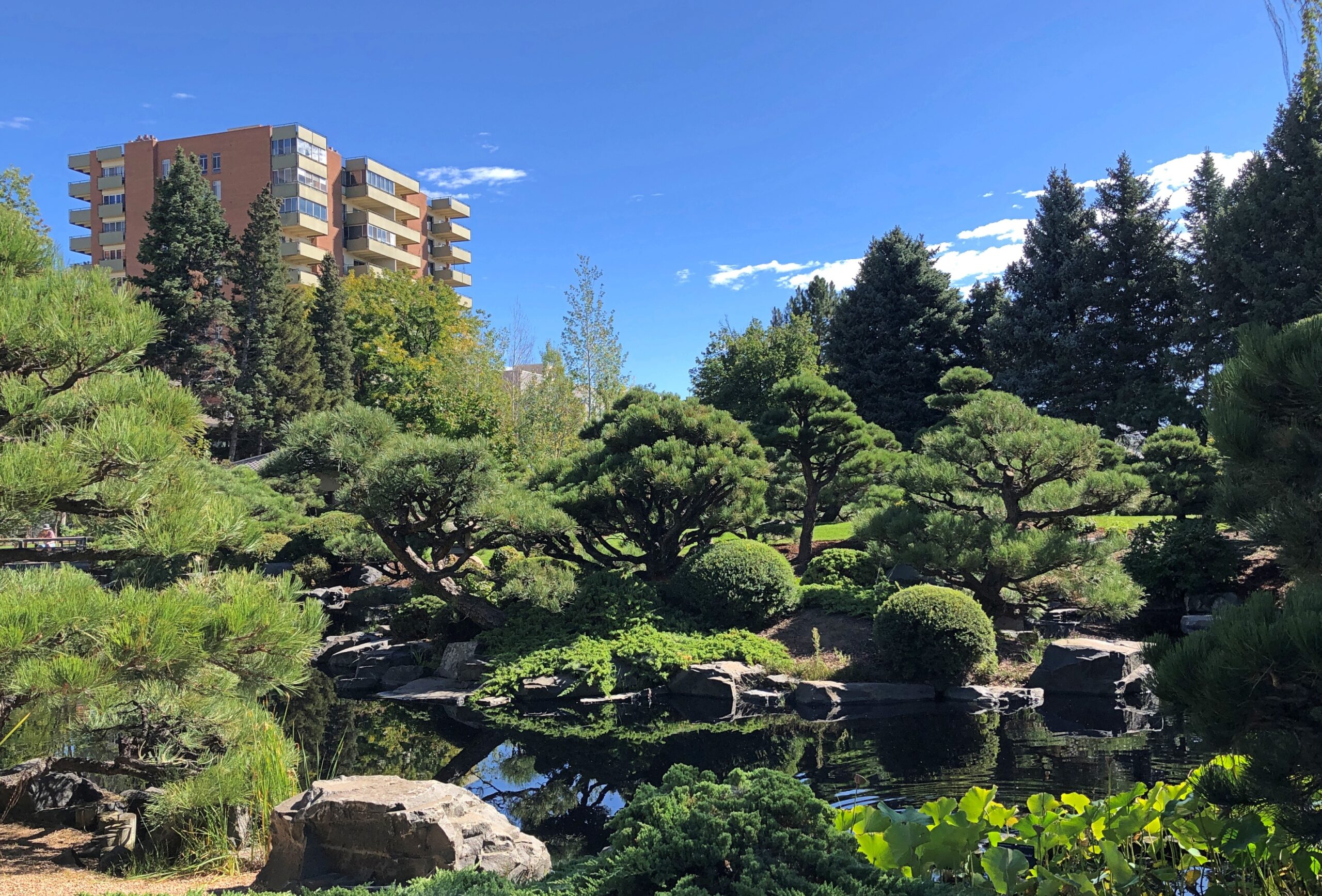
Something I didn’t anticipate, but which improved the trip immensely, was fall color. I should have anticipated it, but I suppose I had other things on my mind. When I got to New York state, driving west to east, it became clear that I’d accidentally designed myself a fall foliage excursion. The trees were gorgeous there, and in NYC (especially Prospect Park), Long Island, and parts of New England, and in Delaware and Maryland all the way across its panhandle. Even Ohio and Indiana had some nice color when I got there, and here at home too.

Prospect Park leaves

One more thing: unexpected oddities along the way. It’s important to watch out for those.

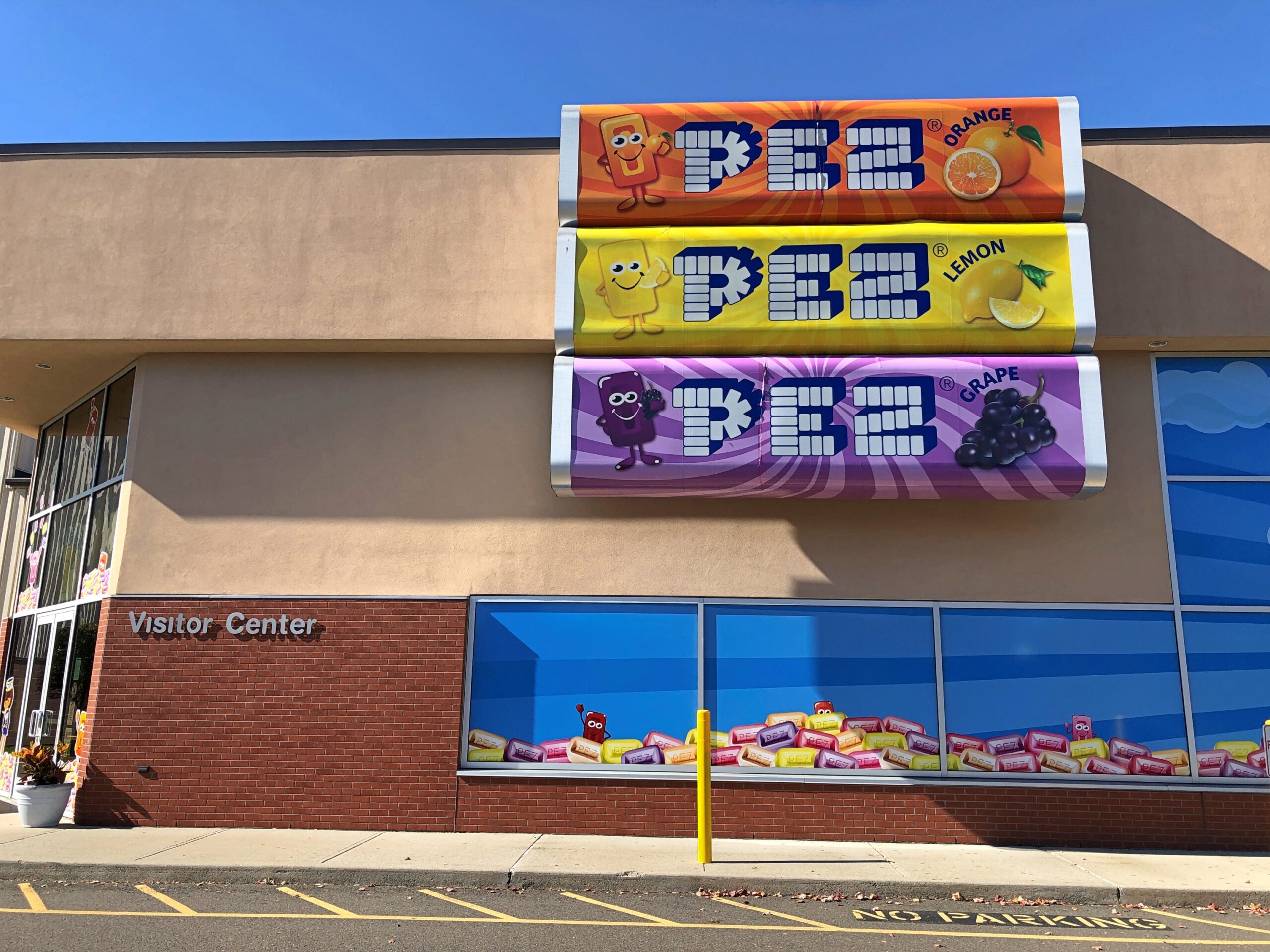
In Orange, Connecticut, I noticed a sign for the Pez Visitor Center. I had to see that.

Pez Visitors Center

Earlier today, at the border between Ohio and Indiana, I noticed Uranus. I had to stop.

Uranus

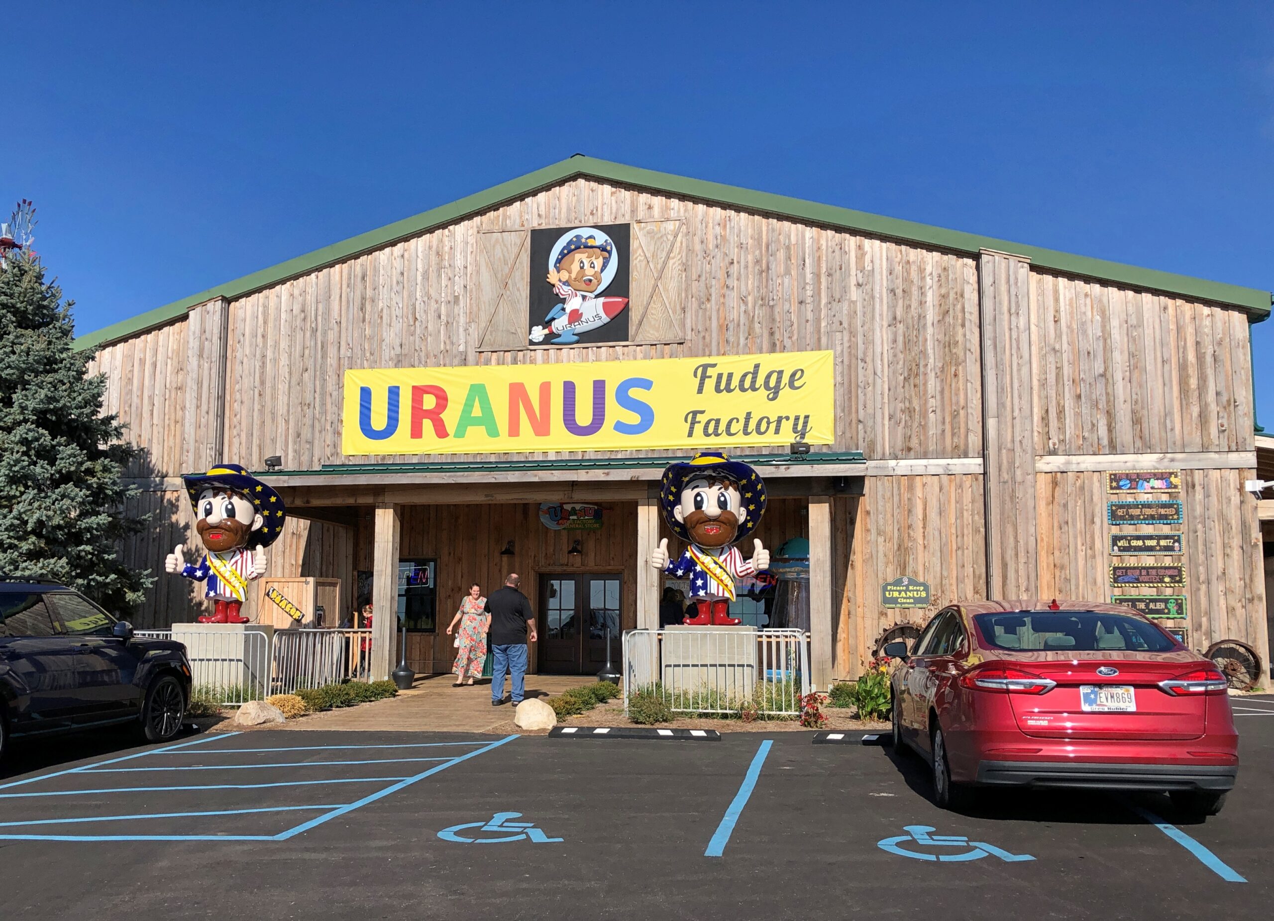
Turns out there’s more than one; I’d only ever seen the one in Missouri (the original) in passing, never stopping. But I did this time. Now I can say I’ve been to Uranus.

A Public Question Mark

Early October this year was much like summer here in northern Illinois. Cooler now, but not even close to freezing just yet. Even the leaves seemed to be cooperating, delaying their colors a little longer than usual. As recently as tonight, some of the hardier crickets were still singing, or whatever you can call it.

Back to posting around October 26. Until then, stay curious.

Manitou Springs, CO

A little context. The question mark can be found in Manitou Springs, Colorado.

Manitou Springs, CO

My question at that exact moment last month was: is there a public restroom on the grounds of the Manitou Springs C-of-C? I’m glad to say there was.

The Basilica of St. Fidelis, Cathedral of the Plains

Today I let Google finish “Cathedral of the…” and got the following responses, top to bottom (capitalization sic): Sea, deep, Holy Angels, holy angels photos, forsaken, immaculate conception, incarnation, Madeleine, deep ds3, pines.

Cathedral of the Sea is La catedral del mar, a “Spanish drama series” that I’d never heard of, though I have been to Santa Maria del Mar. The Cathedral of the Deep and of the Forsaken appear to be aspects of electronic games, and the others are churches in various places.

Not on the list is the Cathedral of the Plains. But it’s out there, in central Kansas.

Cathedral of the Plains

That’s a nickname, since the church isn’t actually a cathedral, but the wording does appear on its point-of-interest spot on road maps – and naturally that got my attention. Formally, the church is the Basilica of St. Fidelis, said to be the largest church west of the Mississippi by seating capacity (1,100) upon completion in 1911 in Victoria, Kansas. Conveniently (for me), some decades later I-70 was built not far away.

John T. Comès (d. 1922), a Pittsburgh architect, designed the church for a congregation of Volga German immigrants. Who had come to greater Victoria starting in the 1870s. Why Victoria? Why not? No doubt they looking for flat farmland.

Comès, an incredibly prolific specialist in Catholic churches, did a fine job.

Cathedral of the Plains

Nice.

Cathedral of the Plains

The Volga Germans aren’t forgotten. No doubt their descendants are all around this part of Kansas. In 1976, the townspeople erected a memorial to their immigrant ancestors, across the street from St. Fidelis. A work by Pete Felton, a “Kansan limestone carver,” according to this posting, which also mentions limestone fenceposts as important in Kansas — something else to look into sometime.

After nearly 50 years, the statues are looking a little weatherworn, but they abide.

Victoria, KS

The woman and daughters caught the light at that time of day, the afternoon of September 23.

Victoria, KS

The man and sons did not. Would sunlight have made him less – Stalinesque?

Victoria, KS

Never mind. St. Fidelis Cemetery isn’t far to the north of the basilica, and I stopped by.

St Fidelis Cemetery

A good variety of memorials in a nice setting, even if the land lacks contour and there’s no flora beyond grass and cut flowers.

St Fidelis Cemetery
St Fidelis Cemetery
St Fidelis Cemetery

Then I started to notice iron crosses.

St Fidelis Cemetery
St Fidelis Cemetery
St Fidelis Cemetery

A lot of them. That called for further investigation, and it wasn’t long before I found out that Volga Germans were known for their wrought-iron crosses.

“German-Russian blacksmiths began making wrought-iron crosses in North Dakota as early as 1884,” says an article posted by North Dakota State University. “The hand-made crosses were most prevalent in central North Dakota from the late 1880s to about 1925, when marble and granite became more popular for grave marking. Most wrought-iron crosses appear in Catholic graveyards, although a few of these markers are also found in German-Russian Lutheran graveyards.”

The article talks of their crosses in North Dakota, but notes that they are also found in the “Northern Plains.” Such as Kansas, apparently.

Sacred Heart Cathedral, Salina, Kansas

The in-motel breakfast on September 24 in Salina, Kansas (pop. 46,800 or so) had been less than satisfactory, so Google Maps guided me to a doughnut shop on one of the wide, lightly traveled streets of downtown Salina. I ate in the car parked on just such a street, and soon started out for the highway (I-70) to head east.

Then I noticed Sacred Heart Cathedral.

Sacred Heart Cathedral, Salina, Kansas

I had to take a closer look.

Sacred Heart Cathedral, Salina, Kansas

If that structure doesn’t say midcentury, I don’t know what would. Indeed, the cathedral was built in the 1950s. But it isn’t quite like any other church building I’ve seen, even of that period. Also, it isn’t mid-century concrete, which it looked like from a distance, but limestone.

Sacred Heart Cathedral, Salina, Kansas

Note the Kansas elements.

The cathedral’s web site says: Sacred Heart Cathedral is a distinctive building that draws upon rural Kansas imagery and uses it in the service of Christian mythology. It is a noteworthy example of the work of Edward J. Schulte [d. 1975], a prolific designer of Catholic facilities across the Midwest through the greater part of the twentieth century.

Its most striking features are what appear to be a row of cylinders thirty feet in circumference extending the full height of the eastern and western facades, which resemble the grain elevators that dominate the skyline of most towns in western Kansas.

The allusion to grain elevators helps to link the church to its place in Kansas. It can also be seen as a symbol — the Cathedral is a place where the faithful come to receive the sustenance of the Eucharist.

It was open. That was unexpected, but I didn’t let the opportunity pass.

The baptismal font in the narthex.

Sacred Heart Cathedral, Salina, Kansas

The nave.

Sacred Heart Cathedral, Salina, Kansas

That part of downtown Salina was thick with churches. Another is First United Methodist, across the street from Sacred Heart.

First Methodist, Salina, KS

About a half block away, Christ Cathedral Episcopal. The other churches weren’t open.

Christ Cathedral Episcopal, Salina, KS

Later that day, at an exit just east of Abilene, I went looking for one more church — a kind of church I’d only ever driven by before.

Cowboy Church, Abilene, KS
Cowboy Church, Abilene, Kansas

Google Maps told me that this Cowboy Church was open for a few hours that day. I was skeptical, but went anyway, on the off chance that I’d get to see the inside of a Cowboy Church. As expected, it wasn’t open. Still, I got to look around in all directions.

Cowboy Church, Abilene, KS

Informality, I’ve read, is important to the nondenominational Cowboy Churches, whose number seems to be large, but without an exact count. (And some individual churches are pretty large.) I can only hope that at one or more of them, somewhere and at sometime, Yippee-Ki-Yay, Lord! is part of their prayer.

The Kansas State Capitol

One fine day in the Kansas State Capitol last month, I turned a corner and found myself looking up at Old Testament John Brown. Larger than life, as he has loomed these 160+ years.

The mural, actually called “Tragic Prelude,” is more than 11 feet tall and 31 feet long, taking up an entire wall in the capitol. The lighting isn’t particularly good for taking images of the whole work – a ceiling light in particular washes out much of John Brown’s (let’s say) emphatic expression. Luckily, the image seems to be in the public domain.

A plaque under the mural says:

Sponsored by Kansas Press Association, aided by Kansas school children, these murals were painted in 1940-41 by John Steuart Curry, who was born near Dunavent, Kansas. In John Brown’s outstretched left hand is the word of God. In his right, a “Beecher’s Bible.” Beside him, facing each other, are contending Free Soil and Pro-Slavery forces.

The plaque does not say that the many members of Kansas legislature hated the painting at first, and refused to hang it in Curry’s lifetime (he died in 1946). Curry had had the temerity to depict Bleeding Kansas, by far the most interesting period in the history of the territory and state; the interesting times no one wants to live through. Maybe they thought it glorified John Brown — which it half way does, but with more than a tinge of madness in him as well. Bottom line, the work apparently didn’t sit well with those who might have wanted a Kansas of doughty farmers and hardy pioneers and fertile landscapes.

Eventually, to its credit, the legislature did have the work installed. Whatever you think of John Brown, it’s a striking piece. I’d seen depictions of it, but either never knew or had forgotten that it hangs in the Kansas State Capitol, which made coming across it all the more memorable.

I almost missed it, having dawdled in Salina and Abilene for most of that day (September 24), but I made it to Topeka and the capitol about 30 minutes before it closed.

Kansas State Capitol

Like any number of monumental edifices, this one took time: construction finished in 1903 after 37 years in the works, not counting renovations or the comparatively recent addition of the 4,420-pound, 22-foot tall bronze “Ad Astra” on top of the dome, which was in 2002. The figure is an acknowledgment of the Kaw Nation (Kansa), who lent their name to the state.

Kansas State Capitol

Architect E. Townsend Mix (d. 1890) designed the capitol, though he didn’t live to see its completion. Most of his work is in Milwaukee, where he lived the longest, including St. Paul’s Episcopal in that city.

A fine dome.

Kansas State Capitol

Well-appointed chambers.

Kansas State Capitol

The capitol interior is fairly art-intensive. Not all capitols are. For instance, there are limestone statues in large niches — native limestone, a sign says — of famed Kansans, by Peter “Fritts” Felten Jr. of Hays, Kansas. Such as one of the aviatrix from Atchison.

Kansas State Capitol

Amelia Earhart is immediately recognizable, which is no mean feat for someone who is (very likely) been dead for nearly 90 years.

I like Ike, but this?

This figure is also more-or-less recognizable – though a depiction of him that’s a little strange, looking for all the world like Mr. Clean. Only a little like that Ike fellow on an Eisenhower dollar.

The fellow below’s fame has, I’m afraid, shriveled up like a balloon that lost its helium: William Allen White (d. 1944) Probably not even known in Kansas any more, since he was a noted journalist, a profession whose posthumous fame tends to be brief. Editor, Pulitzer Prizewinner, his plaque says. A Progressive Through-and-Through, it does not say. That might not play in Kansas at the moment.

Not one, but two time capsules reside with the capitol walls. At least two that I saw.

Kansas State Capitol

This is a digression, but one thing still leads to another on line, and I came across a list published in 1991 by the International Time Capsule Society: “10 Most Wanted Time Capsules.” That is, a list of time capsules whose location had been lost and thus were (up till then) unrecoverable. The page notes that two have been found over the last 30+ years, but eight are still beyond the ken of man. Such as:

MIT Cyclotron Time Capsule.

In 1939 a group of MIT engineers placed a brass capsule beneath an 18-ton-magnet used in a brand new, state-of-the-art cyclotron. The capsule was to be opened in 50 years but was not. No one remembered the time capsule was there (the cyclotron had long since been deactivated). But when reminded of its existence, MIT was faced with another problem: how do you get a time capsule out from under a 36,000-pound lid?

Bicentennial Wagon Train Time Capsule.

This capsule was supposed to hold the signatures of 22 million Americans. But on July 4, 1976, when President Gerald Ford arrived for the sealing ceremony in Valley Forge, Pennsylvania, someone stole the capsule from an unattended van in the bicentennial wagon train. The capsule’s maker, the Reynolds Company, had broken the mold. The thief’s identity and the whereabouts of the capsule are unsolved mysteries.

Further investigation reveals that the whereabouts of the papers that Americans signed in 1976 – a good many pounds of it – mysteriously disappeared, and that theft from a van was one idea, though organizational misdirection sounds more plausible to me. To the same warehouse as the Ark of the Covenant, in other words. Anyway, there’s a 12-episode streaming service comedy in that incident.

Back to capitols. It’s now easier to keep track of the ones I haven’t seen than otherwise.

Green for an interior visit, orange for exterior only, gold representing uncertainty, and white no visit.

The Wyoming State Capitol

No skeletons were to be found at the Wyoming State Capitol last month, but you can hardly expect too many bone collections on display at state houses. The state of Wyoming does, however, want to remind visitors that they are in Wyoming.

Wyoming State Capitol

The work is called “Spirit of Wyoming,” and it stands on the capitol grounds, created by artist Edward J. Fraughton (d. 2024). The more I look at it, the more there is to think about. Which I suppose is at least one indication of a good work of art. So the Spirit of Wyoming involves the immediate risk of catastrophic injury by being thrown from a horse? Probably not what the legislature had in mind.

Rather, it might be the determination to hang on, no matter how much or madly the horse bucks. Especially in territorial and early statehood days, that sort of determination applied to a lot of Wyomingites, whether they were cowboys or not.

I had the opportunity to walk all the way around the capitol after arriving on the cloudy but warm afternoon of September 8.

WY state capitol
WY state capitol
WY state capitol

Golf leaf on a copper dome. Gold probably because it’s gold, not because Wyoming has ever produced that much. As of 2025, the state isn’t even among the top 10 all-time U.S. state producers.

I think this was the front.

WY state capitol
WY state capitol

It faces a long avenue. It was a Monday. Cheyenne isn’t, just yet, cursed with heavy traffic.

Cheyenne Wyoming

Also, the Wyoming state seal was to be found on that side of the building, in the sidewalk. Like in Virginia, except that you can walk on that one, like the slain tyrant it depicts. No treading on Wyoming.

WY state capitol

Adopted in 1893, not long after statehood, and revised in 1921, the seal lists four sources of wealth and livelihoods, unusually (I think) for a state seal. They go with the cowboy and miner figures: livestock, grain, mines and oil. In our time, farming and mineral extraction, at least in terms of employment, are declining industries in Wyoming. Maybe the seal will be revised someday to include data centers, as they sprout in the Equality State.

On the other hand, Wyoming is still a major energy producer among the several states, especially when it comes to coal: 41.1 percent of the total nationwide (EIA stats), though national coal output is a much smaller pie – a dirty pie, to be sure – than it used to be. Also worth mentioning: a quarter of net electricity generation in the state is by renewables, roughly the same percentage as nationally. There is no nuclear power generation in Wyoming. When those data centers eventually get small modular reactors, that would change.

Another distinction of the Wyoming capitol is that work started on it before statehood, with ground broken in 1886. David Gibbs – later mayor of Oklahoma City, of all things – and the prolific William DuBois (a Chicago trained architect) did the design, one of restrained elegance.

It faces a long avenue.

This is one of the four statues at the capitol known as the Four Sisters: Truth. The others are Justice, Courage and Hope.

It faces a long avenue.

Though they look vintage, their niches remained empty for 131 years “for reasons that remain unclear,” according to a sign in the capitol. In more recent times, the state tapped the mononymous sculptor Delissalde to fill the niches, and the works were unveiled only in 2019.

They’re way up there.

WY state capitol

One more thing to note: a display in the capitol lauds the state – actually the territory – for its enfranchisement of women in 1869, the first place anywhere to do so. Why Wyoming? You could chalk it up to the toughness of frontier women, but certainly women in all the other 19th-century territories were plenty tough. The broader movement to expand the franchise was already underway, though early in the game – and from the sound of things in this article at least, the territory’s move was something of a retroactively happy result “for a large, strange mix of reasons.”

The Iowa State Capitol

Think of the 50 state capitols as, collectively, a giant free museum of U.S. history, complete with grand buildings and a collection of artifacts with some consistent themes, such as images of elected officials, relics of war, and memorials to officially worthwhile individuals or causes. Some capitols explicitly have museum cases or whole museum floors, with a wide variety of stories and items from a state’s early years.

The collections can be a little staid. But sometimes, oddities are tucked away. Not too often, but there was that time I saw a two-headed calf at the Georgia State Capitol, or the miniature Western movie set at the Utah State Capitol. Or a bust of President Benjamin Harrison, carved from a tree stump. In Idaho. Then, at the Iowa State Capitol last month, this fellow.

Iowa State Capitol

Last time I visited the Iowa State Capitol, I arrived about 10 minutes after it closed. So I — we, Ann was with me – looked at an assortment bronzes on the grounds, including the memorable (and mammary) Mother Iowa, and admired the gold-leaf dome. This time around, Des Moines was the destination for my first day of driving, September 4, and I was determined to see the interior.

It’s a grand edifice, as capitols usually are.

Iowa State Capitol
Iowa State Capitol

A series of architects oversaw the design, including Chicagoan John C. Cochrane, who also designed the Illinois State Capitol and, less well known, the handsome stick-style All Saints Episcopal in Chicago.

I’d forgotten that four smaller domes flank the main dome, forming in quincunx of domes. I understand that Iowa is the only such five-domed state capitol in the nation. I’m not sure how important that distinction is, but it is a distinction.

Iowa State Capitol

On a clear day, there’s a good view of downtown Des Moines from the capitol steps (and sundial). It was a hazy day, the result of Canadian wildfires.

Iowa State Capitol

I arrived before closing, and experienced the grandness of the inside. Such as murals.

Iowa State Capitol

Allegories done in mosaic. Law, for instance. There was no backing up further to get a fuller image of Lex, since that would be over the edge of a balcony.

Iowa State Capitol

The House of Representatives.

Iowa State Capitol

The Iowa State Law Library. The most gorgeous of the spaces, I thought. Just like canyon pictures, an image does no justice to the brilliance of the place itself.

Iowa State Capitol
Iowa State Capitol

Note that the skeleton is behind glass in the Law Library.

Iowa State Capitol

What’s he doing in the Law Library? Showing how strict the library used to be about returning materials late? (Or the smartass answer: “Nothing, really.”)

The sign on the case says, This skeleton was originally purchased by the medical branch of the State Library of Iowa to checkout [sic] to Iowa medical educators and students as a learning tool. When the medical library dissolved, the skeleton remained on permanent display with the State Library’s collection. Archaeological experts determined the remains are male, 45+ years old, European ancestry.

Check out a skeleton from a library? Learning that such a thing ever happened was worth the effort, all by itself, to get to the capitol.

The dome is a little unusual, too, a little more representational that you usually see.

Iowa State Capitol

It features a memorial – in this case to the Grand Army of the Republic, with the name of the organization, a 13-star flag, and the dates 1861 and 1865. Considering that the development of the current capitol happened between 1871 and 1886, a GAR memorial of some kind isn’t a surprise, and I suppose the organization had the political heft at the time to get such a prominent spot.

Wiki tells me that more than 76,200 Iowa men fought for the Union out of a population of nearly 675,000 (in 1860), and about 13,000 died for it, two-thirds of whom by disease. Iowans supported the Union by about as lopsided a margin as imaginable. Seventy-six residents of Iowa are known to have served the Confederacy, and very likely most of those had recently moved to Iowa from the South.

Kansas Mud (Or, Three Places in Kansas I Had Practically to Myself)

I returned home from Colorado via Kansas, heading eastward from Colorado Springs on September 22. I took this is a sign that day that I had, in fact, reached the western border of Kansas, created at the time of statehood in 1861.

An 1855 map of “Kanzas” and Nebraska.

It would be cool if the spelling Kanzas had caught on. As it stands, “z” is used only once in all the state names, in Arizona.

The current Colorado-Kansas border is fairly close to 102 degrees West of the prime meridian, but actually follows 25 degrees West of the meridian that once cut through the Old Naval Observatory in Washington, DC, as fixed in 1850, assuming the initial surveys out in remote Kansas-Nebraska were accurate. Until later in the 19th century, and not officially until 1912, it seems the U.S. wasn’t having that limey prime meridian; or the froggy one through Paris. (And I was amused to read that for a long time the French referred to Greenwich Mean Time as “Paris mean time, retarded by 9 minutes and 21 seconds.”)

I spent my first full day in Kansas seeking out obscure sights. In western Kansas, there really aren’t any other kind.

Site of the Battle of Punished Woman’s Fork (Battle Canyon)

Serendipity on the road is your friend, if you let it be. That is, pay attention to signs. Driving north on the 23rd from Scott City, Kansas, on the highway US 83 – on which you could drive to Brownsville, Texas, if you had a mind to – I saw a small sign directing me to a battlefield of the Indian Wars, in this case the last skirmish between Natives and the U.S. Army within the borders of Kansas: the Battle of Punished Woman’s Fork.

This isn’t the sign I saw, but rather another one at a fork in the road, pointing the way to the battlefield, down an unpaved road.

Battle Canyon, Kansas

Unhappy at being forced to live in Oklahoma, 350 or so Cheyenne headed north toward Montana in 1878. The U.S. Army gave pursuit and the two sides fought inconclusively at a lonely spot in Scott County. Lonely then, lonely now.

Battle Canyon, Kansas

But not so remote that there isn’t a monument, with exposition.

Battle Canyon, Kansas

The Cheyenne acquitted themselves well in the skirmish, and while they lost horses and food, were able to escape northward. Eventually some of the group – but not all – did indeed make it to Montana, and were able to stay. The incident is known as the Northern Cheyenne Exodus.

El Cuartelejo

I quote the following at length, because it’s well written, and also happens to be public domain material, published by the National Park Service. Read it while it’s still posted.

[El Cuartelejo] is one of the key sites indicating the far-reaching expansion of Spain beyond New Mexico and her interest in the Great Plains. It consists of the ruins of a seven-room, stone Puebloan structure, probably built by a group of Picuris Indians who in 1696 emigrated from New Mexico to live with the Cuartelejo Apaches. As early as the 1660s, friction between the Pueblo Indians of New Mexico and the Spanish rulers and priests had caused groups of Indians to migrate to El Cuartelejo.

Spanish expeditions under Archuleta (pre-1680 Pueblo Revolt) and Ulibarri (1706) probably came to El Cuartelejo to return groups of Indians to New Mexico. In 1719, Governor Valverde led an expedition northeast from Santa Fe, visited the Cuartelejo Apaches, and learned from them of French penetration into the Plains. As a result, in 1720, the Spanish sent out the Villasur expedition, which passed through El Cuartelejo but was destroyed later by the Pawnees in Nebraska.

Archeological excavation of the site has produced only a few artifacts of Southwestern origin. The pueblo ruin and its typically Southwestern appurtenances — slab-lined hearths, grinding trough, oven, and the like — were directly associated with a material culture complex that was almost entirely Plains Apache. Either the Puebloans stayed in the area only a short time, or they readily adapted themselves to the everyday implements and utensils of the local residents.

I didn’t know all that detail when I decided to go to El Cuartelego. Just that it was the northern- and eastern-most pueblo, which was enough.

El Cuartelejo, Kansas

The site is within Lake Scott State Park, where I had considered camping the night before. My earlier camping experience on the trip, in Nebraska, while not terrible, was exhausting enough to put me off the idea. No more camping, I think, where I have to do absolutely everything myself. In any case, it was a good decision, since on the night of the 22nd, a sizable rainstorm blew through Scott County. I listened to the storm with some satisfaction in my rented room in Scott City.

The ruins.

El Cuartelejo, Kansas

More exposition.

El Cuartelejo, Kansas

Like at the battlefield, I had the place to myself.

Monument Rocks

During the planning for the trip, which naturally meant quality time with maps, I spotted a point-of-interest for Monument Rocks in western Kansas. Sounded interesting, and on September 23 I made the trip, again on unpaved roads. The rain the night before made the driving surface a little dodgy, but the roads, layered with gravel, were generally up to the task. I was rewarded with the sight of rocks that are, in fact, pretty monumental.

Monument Rocks, Kansas

I didn’t quite have the place to myself. When I arrived, another car was there, occupied by an older couple. They left, and soon after that, two young men appeared in an SUV. But that was all.

Washburn U. in Topeka tells us: West of Castle Rock area in Gove County, Kansas, erosion has carved these chalk pyramids from what was once the floor of a vast inland sea. Also called Monument Rocks, this site is the first natural landmark chosen by the US Dept. of the Interior as a National Natural Landmark. This landmark in on private land. The owners are generous to share this site with the public. Treat it with respect.

This limestone was once the floor of a great inland sea, existing some 80 million years ago. The sea dried away over time and the rock was carved by elements of nature to create these formations, which now stretch up to 70 feet in height.

The rain the night before had also made mud all around the rocks. I should have taken the time to put on my better shoes for a walk near the rocks, but no. While making my way through the muck, I lost traction, and down I went, on my butt. Luckily, the soft mud cushioned the fall, which was more of a slide anyway, so I wasn’t even bruised.

The back of my pants were, however, coated with sticky, yellowish Kansas mud. So standing outside my car, I changed my pants. The two other visitors were in another part of the site by that time, so no one was around for the unwelcome spectacle. My shoes were covered with mud too, so much so that even a good soaking when I got home didn’t get it all off. When I wear those shoes now, I take a bit of Kansas with me.

Garden of the Gods

With a name like Garden of the Gods, a place better live up to expectations. I’m glad to say the one in Colorado does.

The park web site conveys the following story, which sounds just a little suspect to me, but never mind: In August 1859, two surveyors started out from Denver City to begin a town site, soon to be called Colorado City. While exploring nearby locations, they came upon a beautiful area of sandstone formations. Surveyor M. S. Beach suggested that it would be a “capital place for a Biergarten” when the country grew up. His companion, Rufus Cable, a “young and poetic man”, exclaimed, “Biergarten! Why it is a fit place for the Gods to assemble. We will call it the Garden of the Gods.” It has been so-called ever since.

Do a casual search for Garden of the Gods and you’ll notice that there’s one in Illinois (which is terrific). Also, articles like these: “Visiting Colorado’s Garden of the Gods: The Complete Guide” and “Ten Things You Can’t Miss at the Gardens of the Gods in Colorado Springs.”

That’s overthinking things. Here’s my guide to the Garden of the Gods in Colorado Springs:

1. Go there. Parking may be hard to find.

2. Look around, especially from a stroll on the Central Garden Trail.

3. Think, ain’t that cool.

One more recommended step, before the others: Drop by the visitors center, which is at some distance from the main complex of rocks, for a view of Pikes Peak. The place was fairly busy. For good reason.

Garden of the Gods, Colorado Springs
Pikes Peak, Colorado

The Central Garden parking lot was nearly full, also on a Monday morning. Give the people something to awe them, for free, and they will come. The trail from the parking lot takes you directly to pointy and picturesque rocks, mostly orange.

Garden of the Gods, Colorado Springs

And among impressive bluffs.

Garden of the Gods, Colorado Springs

A gathering place for centuries, Garden of the Gods wound up in possession of a wealthy local family early in the 20th century, who deeded it to the city of Colorado Springs in 1909 on the condition that its 480 acres remain freely open to the public, and undeveloped, except for park infrastructure. Also, “no intoxicating liquors shall be manufactured, sold, or dispensed” there, and to this day, alcohol is banned.

Some historic detail: historic graffiti. No longer legal to do, you can be sure.

Garden of the Gods, Colorado Springs

Geologically speaking, the formations aren’t that old, only going back to the tumults of the Pleistocene.

Garden of the Gods, Colorado Springs

Glaciation and erosion at work.

Garden of the Gods, Colorado Springs

Away from the Central Garden is another place with a small parking lot, called Balanced Rock, for obvious reasons.

Garden of the Gods, Colorado Springs

Geologically speaking, it’s going to tumble just any time now.

Denver Botanic Gardens

Our only full day in Denver, September 10, was forecast to be a hot one, so we schemed to arrive at the Denver Botanic Gardens when it opened in the morning and stay there until the heat became uncomfortable. We liked the place so much that we stayed well after the heat locked into high.

The place includes a few whimsical installations, but mostly it’s straightforward flora.

The flowers alone were worth the price of admission. Singly.

Denver Botanic Garden

And in profusion.

At 23 acres in the middle of a major metropolitan area, the gardens are enormous, with paths leading off in various directions to a sizable pond garden, a Japanese garden, and a giant tropical conservatory, among other features, such as an alpine garden and a steppe garden and a xeriscape demonstration garden (“Dryland Mesa”). Not to forget cacti.

Denver Botanic Garden

There was no way to see everything, so we focused on various parts, such as the pond.

Denver Botanic Garden

I’d never see lily pads like this.

Built for squadrons of dragonflies to land on.

We also spent time in the Japanese garden, known as Shofu-en, the Garden of Wind and Pines, designed by Koichi Kawana (d. 1990). He did the Japanese garden at the Chicago Botanic Garden and a lot of other places, curiously including Suiho-En, the Garden of Water and Fragrance at the Donald C. Tillman Water Reclamation Plant in Los Angeles.

Denver Botanic Garden

Then there was the conservatory.

Denver Botanic Garden

To listen to the three-minute audio on this page, the place sounds as high-maintenance as you’d expect, especially the watering and pruning that’s done by hand. To keep a slice of the tropics alive in a mile-high temperate location, I’d say it’s worth the effort.