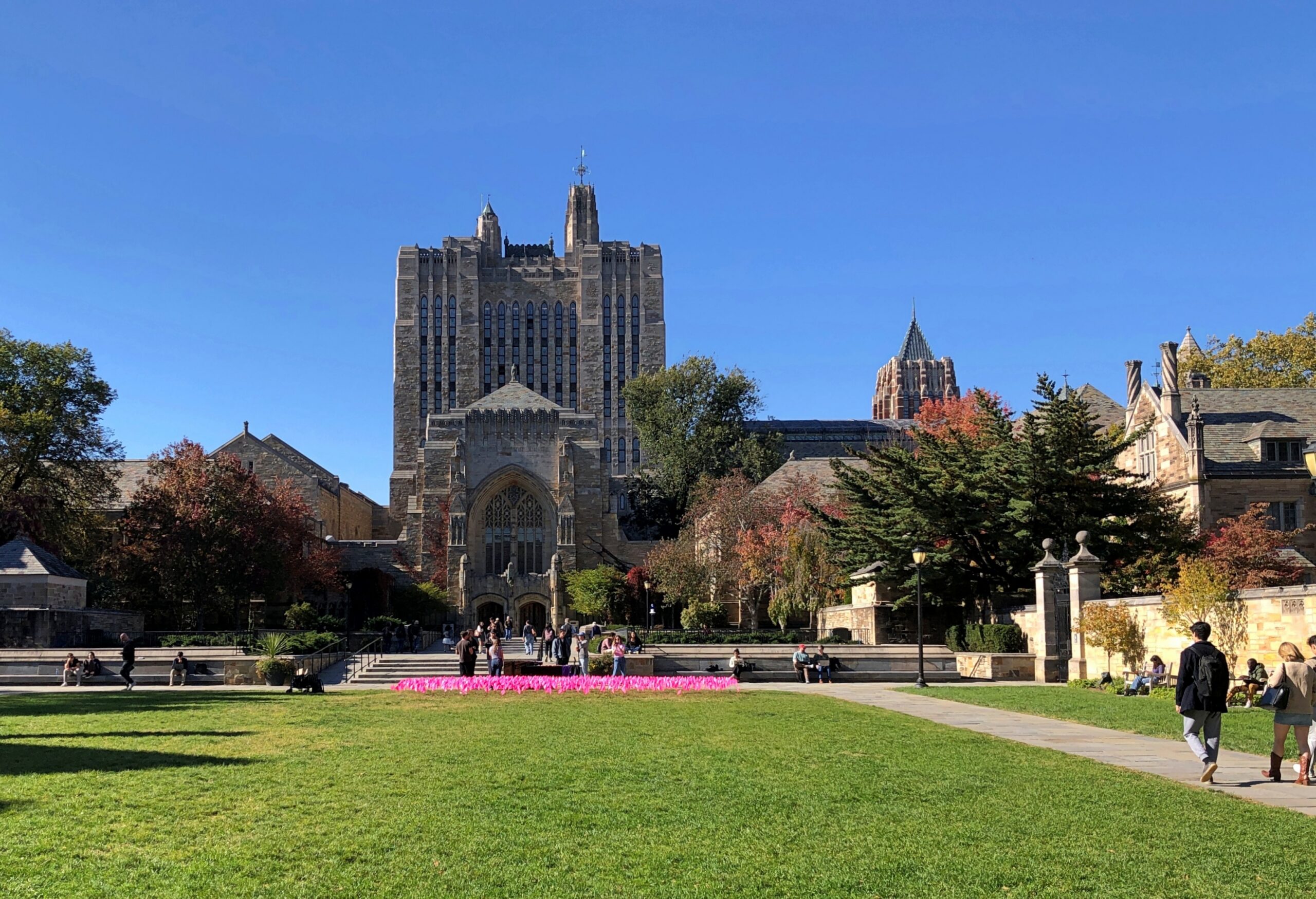
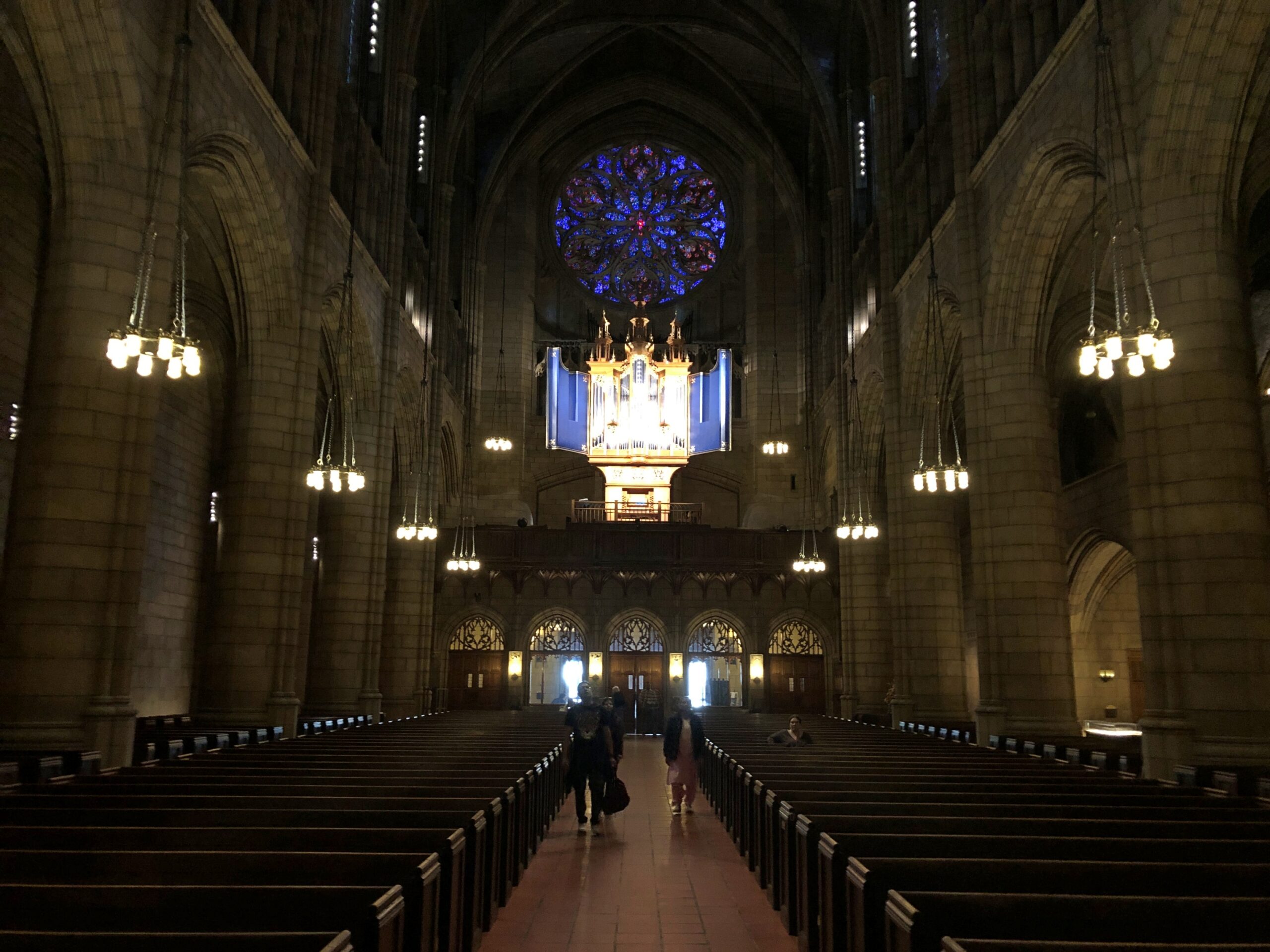
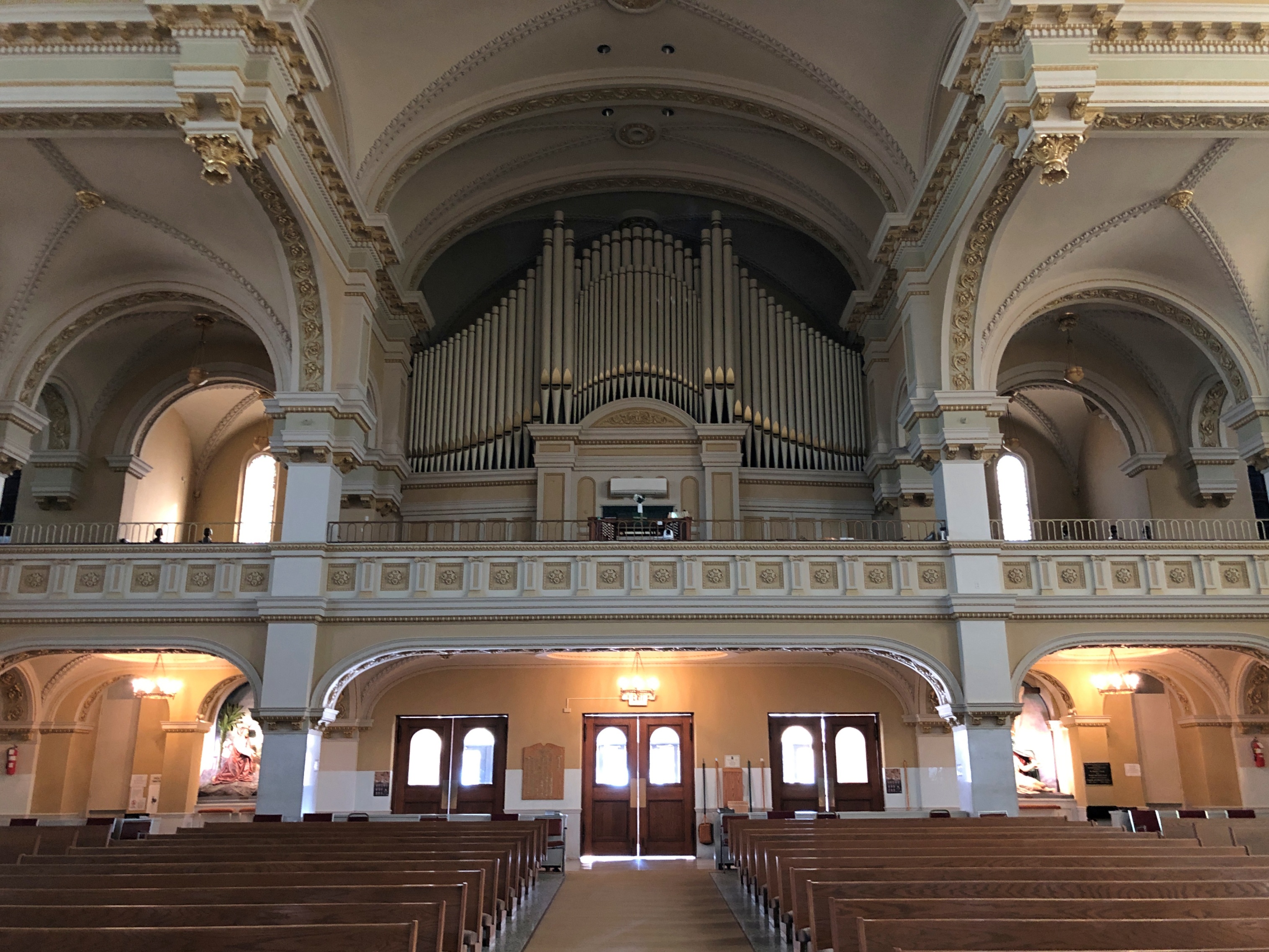
By the afternoon of October 21, New York City was in my rearview mirror, but I wasn’t that far away: New Haven, Connecticut. I wanted to made a short stop at Yale University. During the tedious minutes spent looking for a legal parking place close enough to campus to make that doable, I doubted the wisdom of my idea, but eventually I found a spot. Also, I was ready: I had a roll of quarters for parking meters. Most of them can be paid by app or some such these days, but they also take quarters (most of them), and I’m a traditionalist when in comes to parking meters.
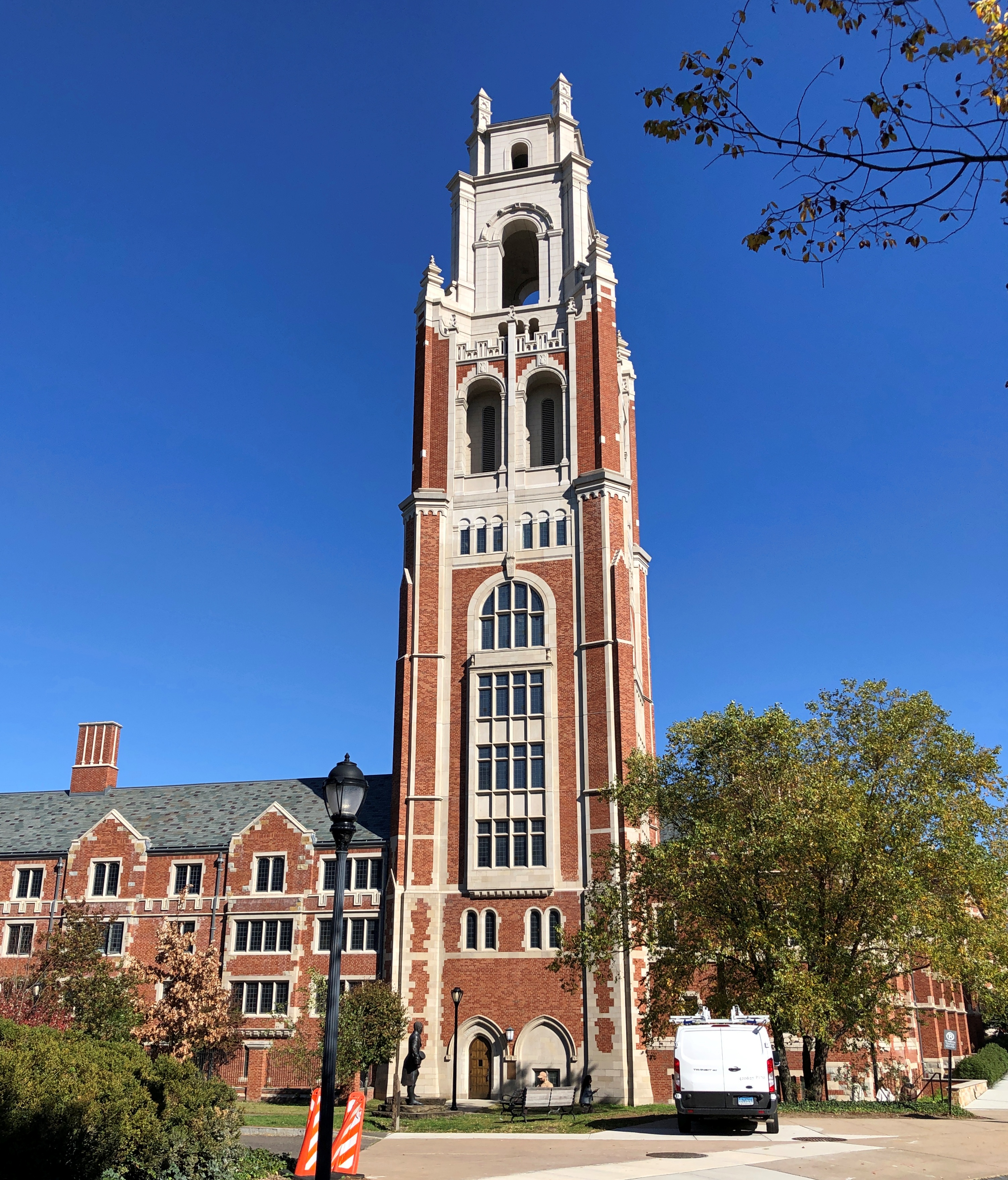
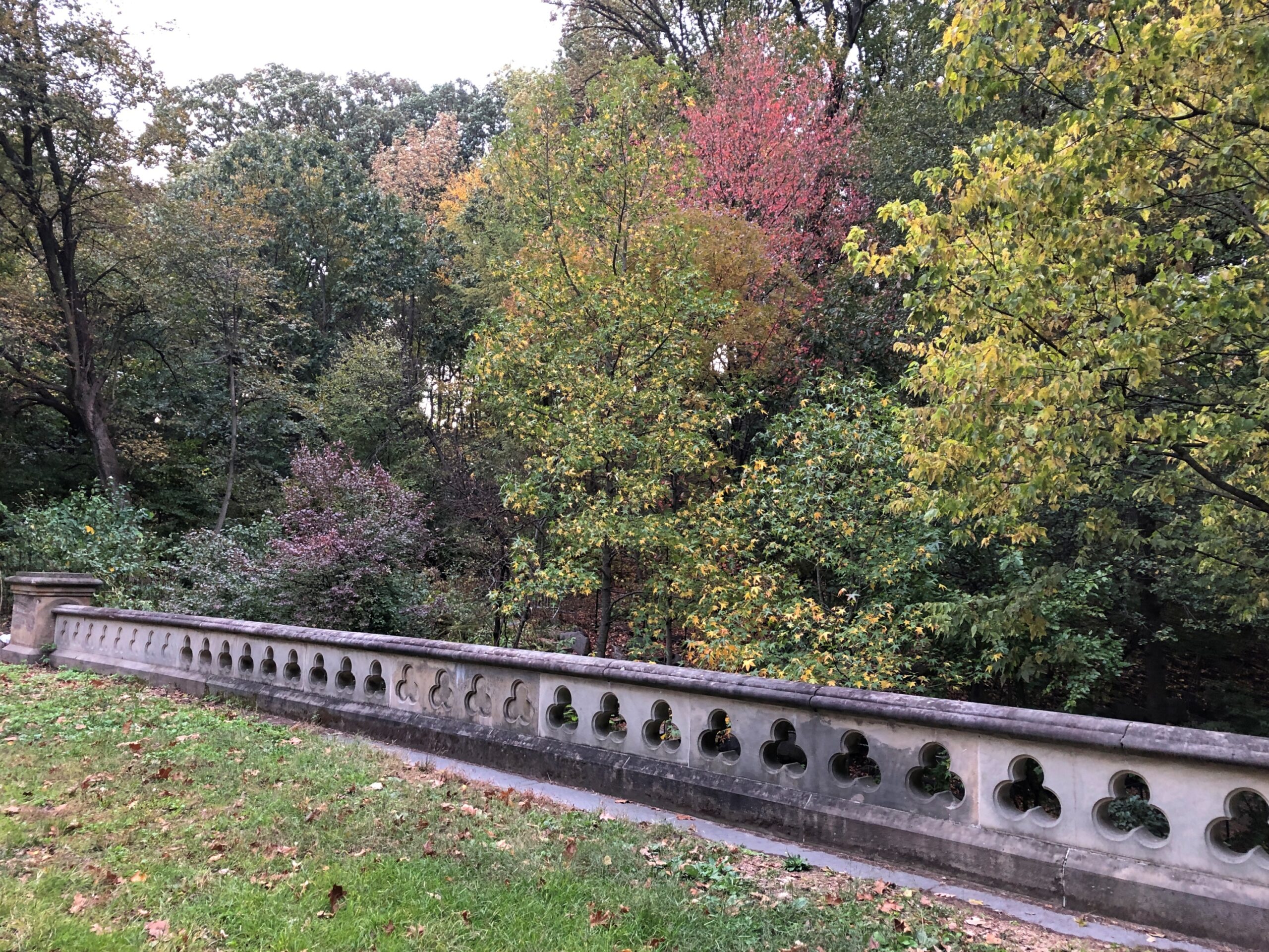
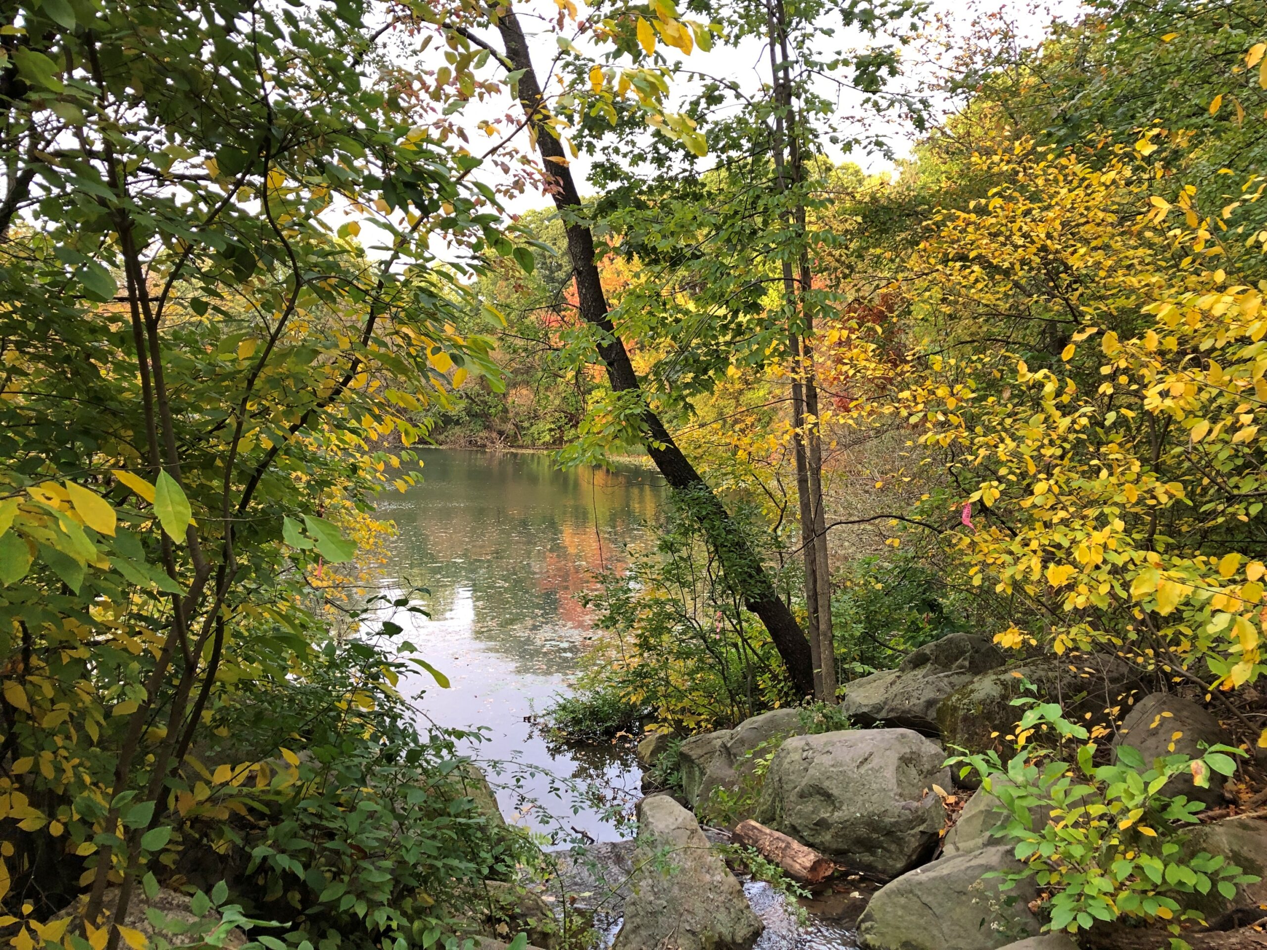
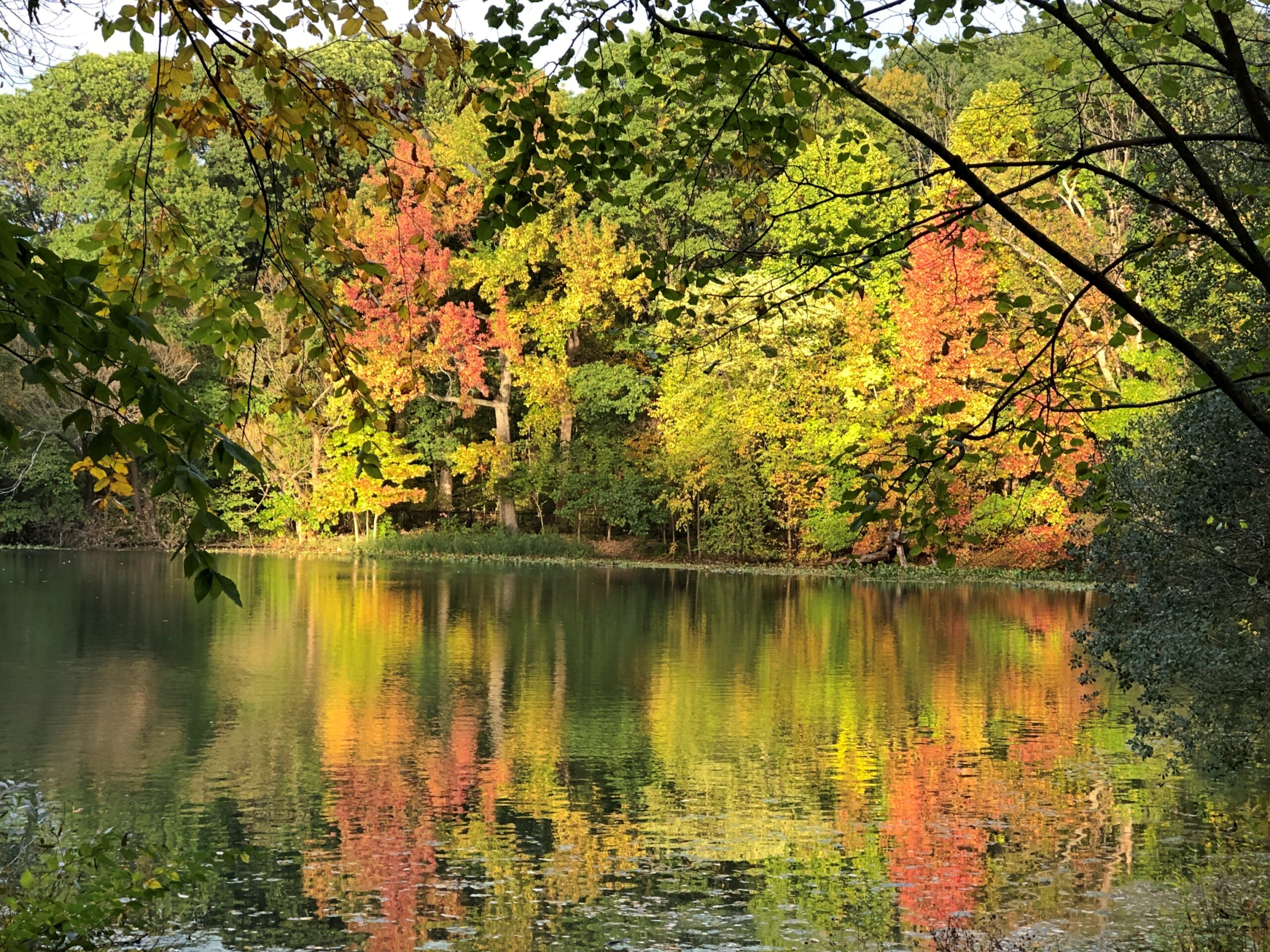
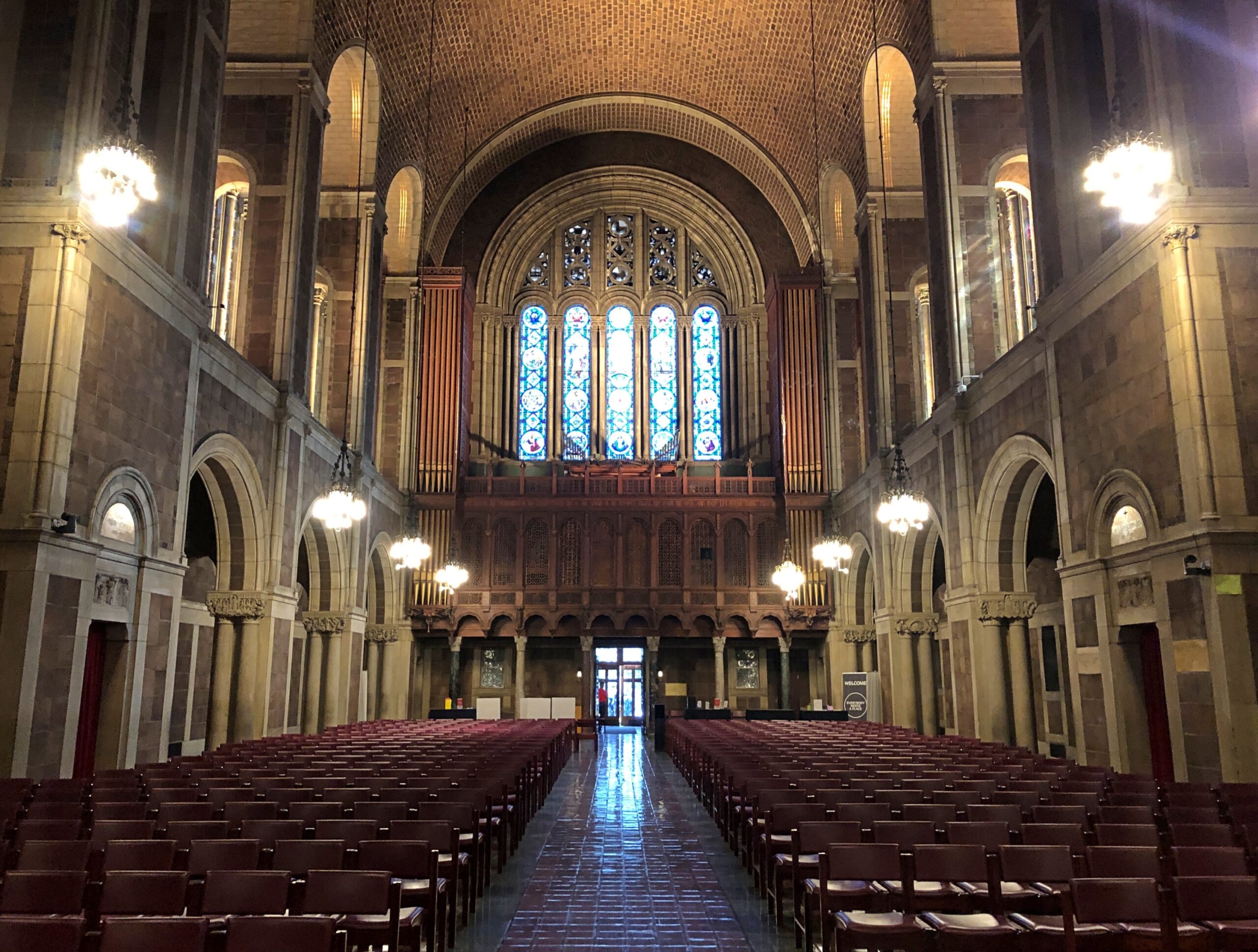
Yale is sprawling, leafy and picturesque in a collegiate sort of way. Digression: The centennial of Fred Waring’s recording of “Collegiate” passed earlier this year, and no one mentioned it. That’s almost as important a musical anniversary as that of “Yes, We Have No Bananas.”
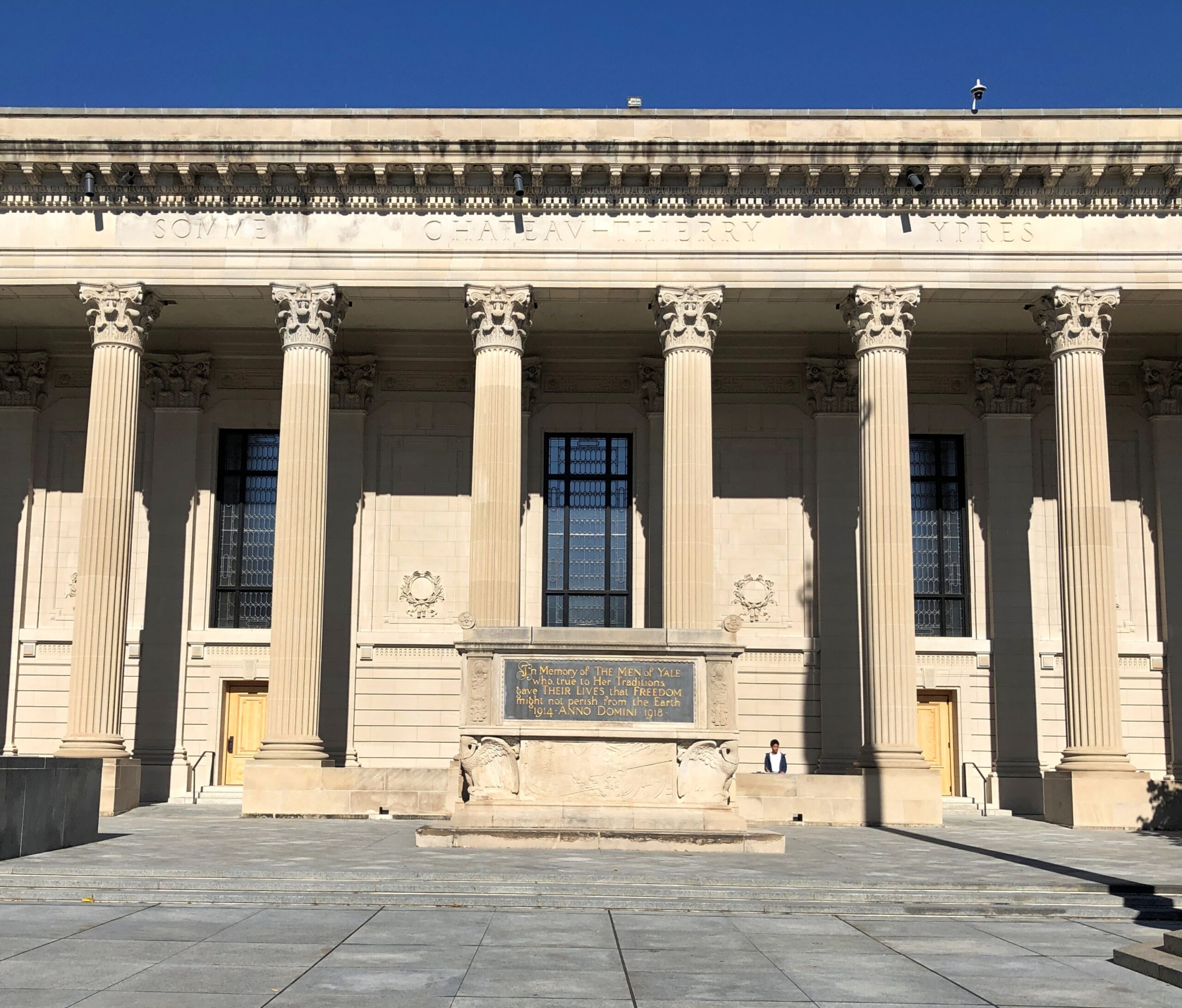
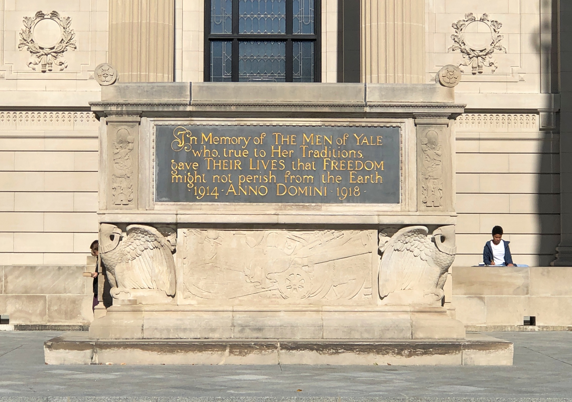
Good to see a prominent memorial to the Yale men who didn’t return from the Great War. RIP, gentlemen.
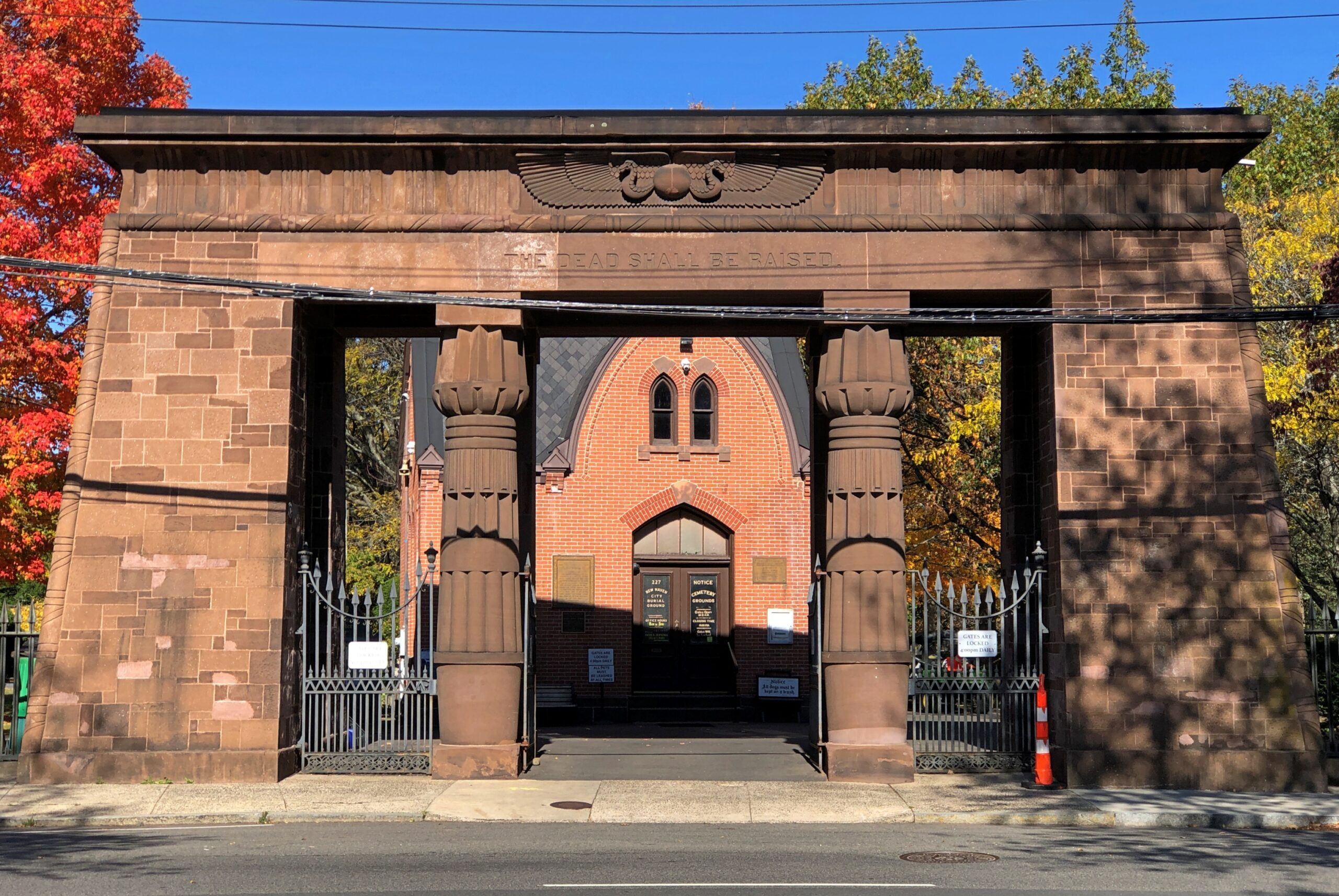
Adjacent to the Yale campus is the Grove Street Cemetery, sporting a fine Egyptian Revival entrance. Not something you see often.
That’s what Vanderbilt needed, a cemetery across the street. All we ever had across the street was the fast food that’s now found on campuses: Krystal, Bojangles, Popeyes, Pizza Hut (Inn?), Wendy’s, etc.
Grove Street owes its founding to pestilence. “After severe yellow fever epidemics in 1794 and 1795, the [New Haven] Green was simply too crowded to continue as the city’s chief burial ground,” the cemetery’s web site says. “In 1796 a group of New Haven citizens led by U.S. Senator James Hillhouse planned a new cemetery on a location at the edge of town. Their efforts were officially recognized in October 1797 when the State of Connecticut incorporated the cemetery as the New Burying Ground in New Haven.”
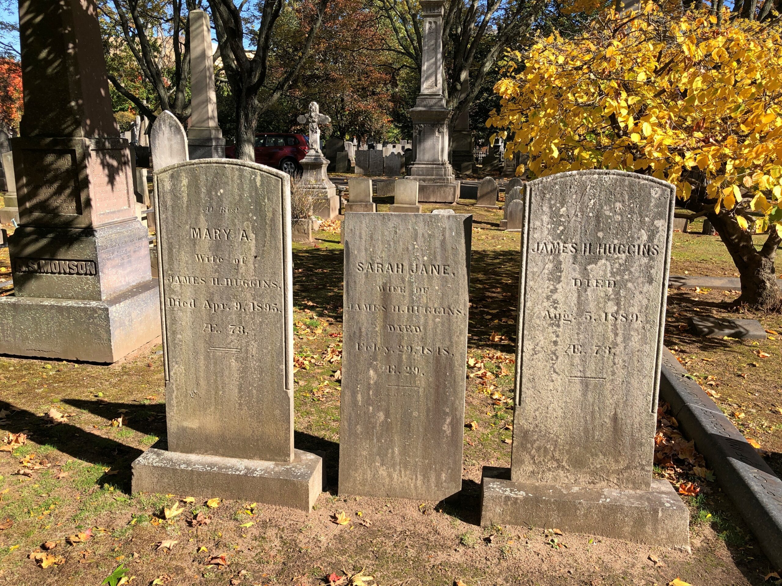
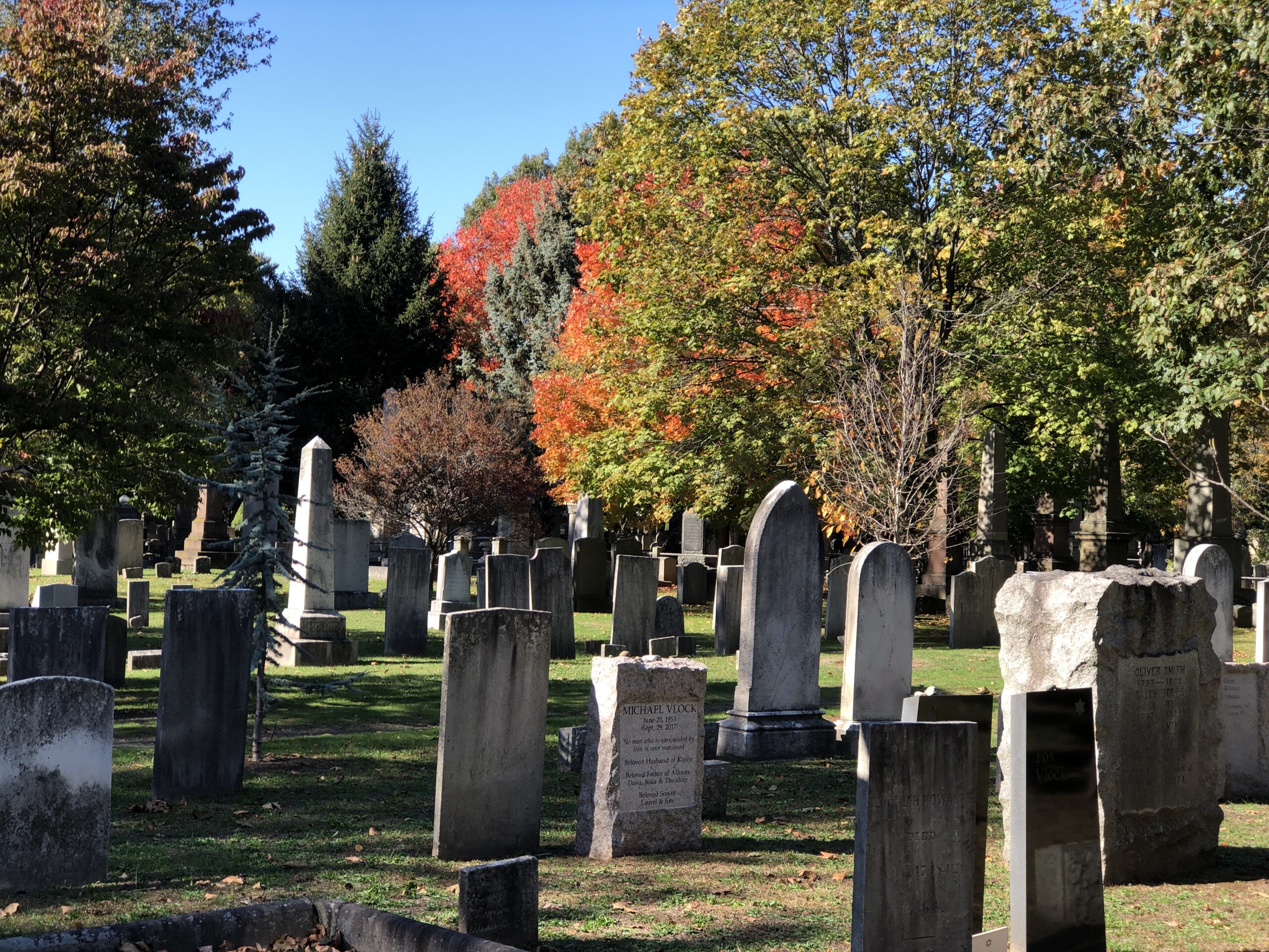
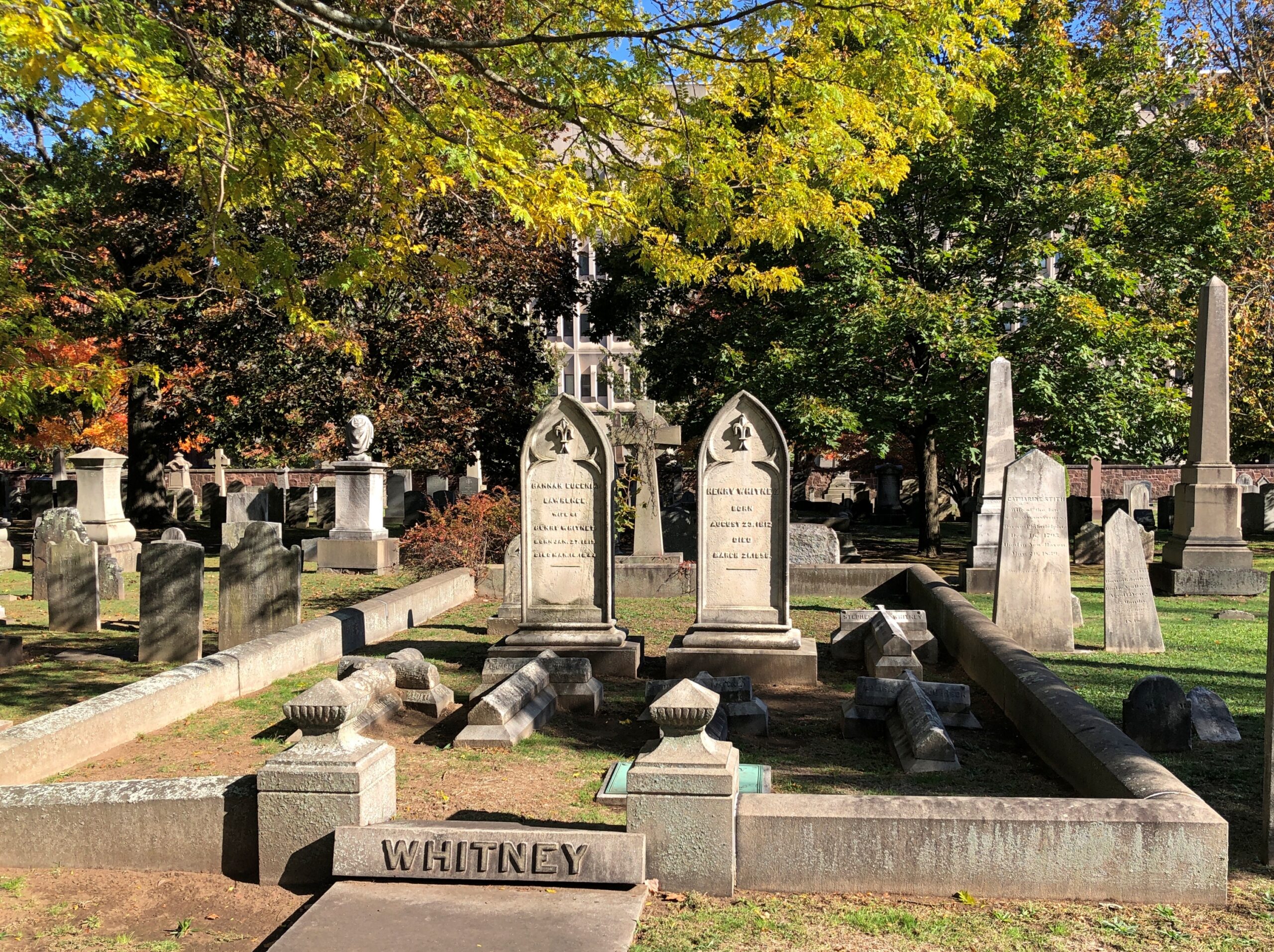
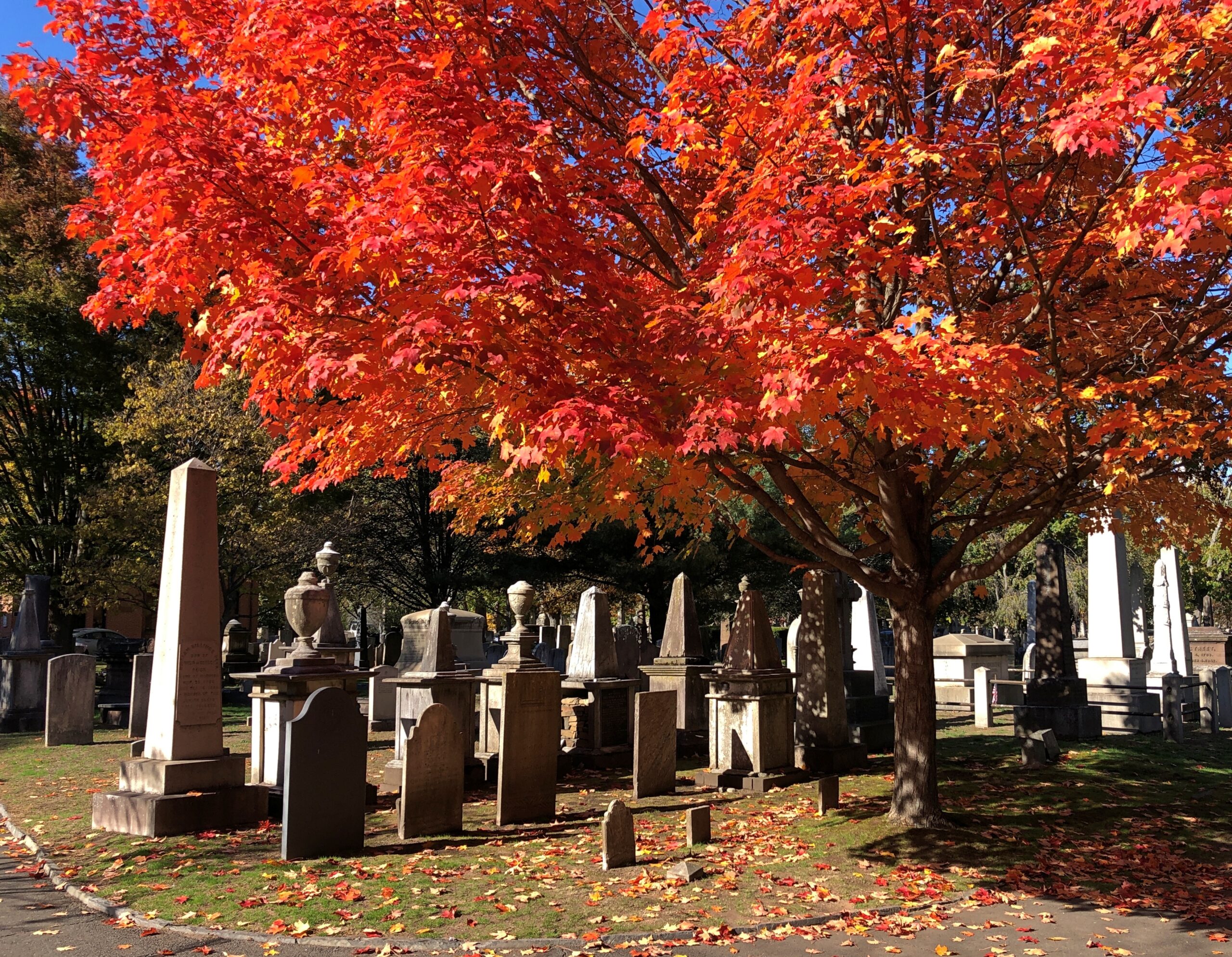
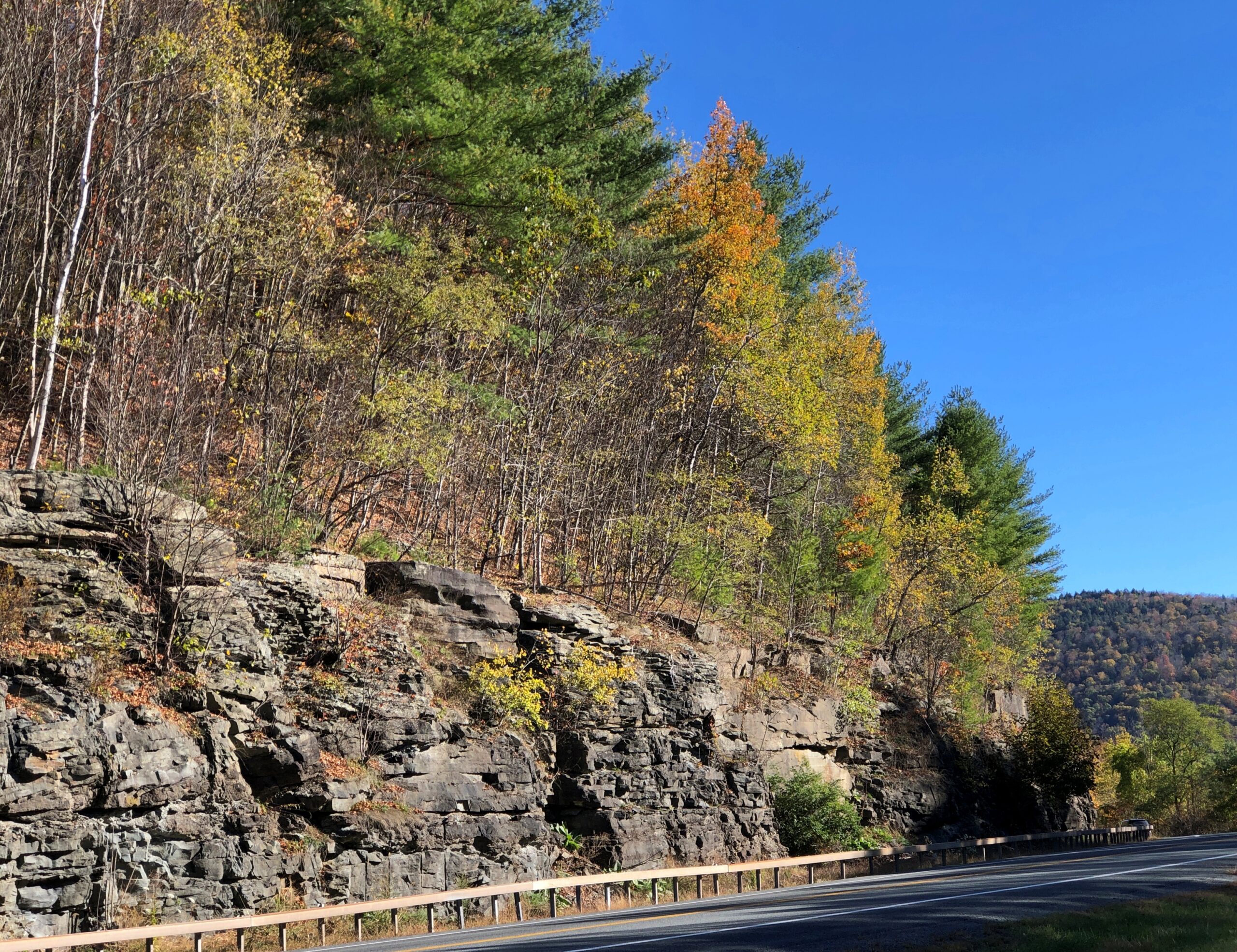
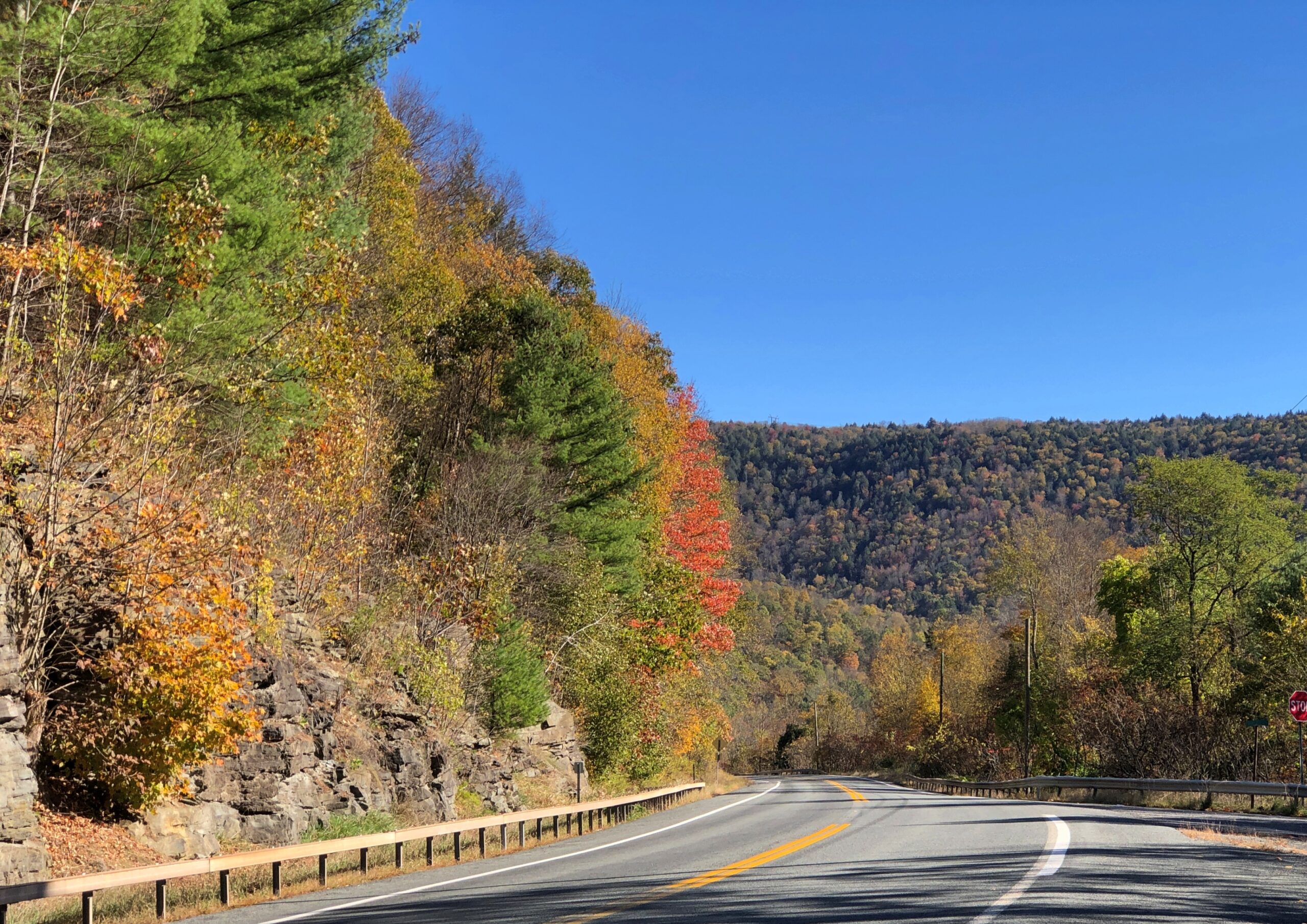
Since then, the population of the cemetery has grown, with stones of various shapes recalling the dead, and trees to provide them shade.
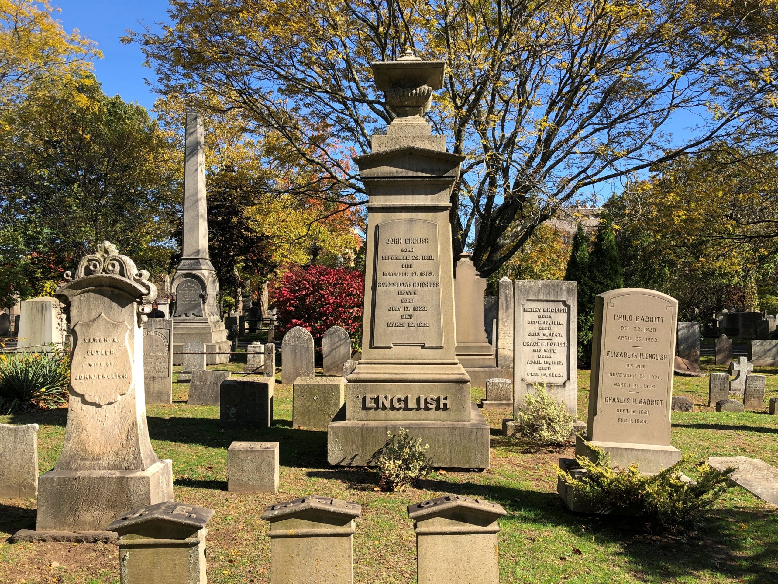
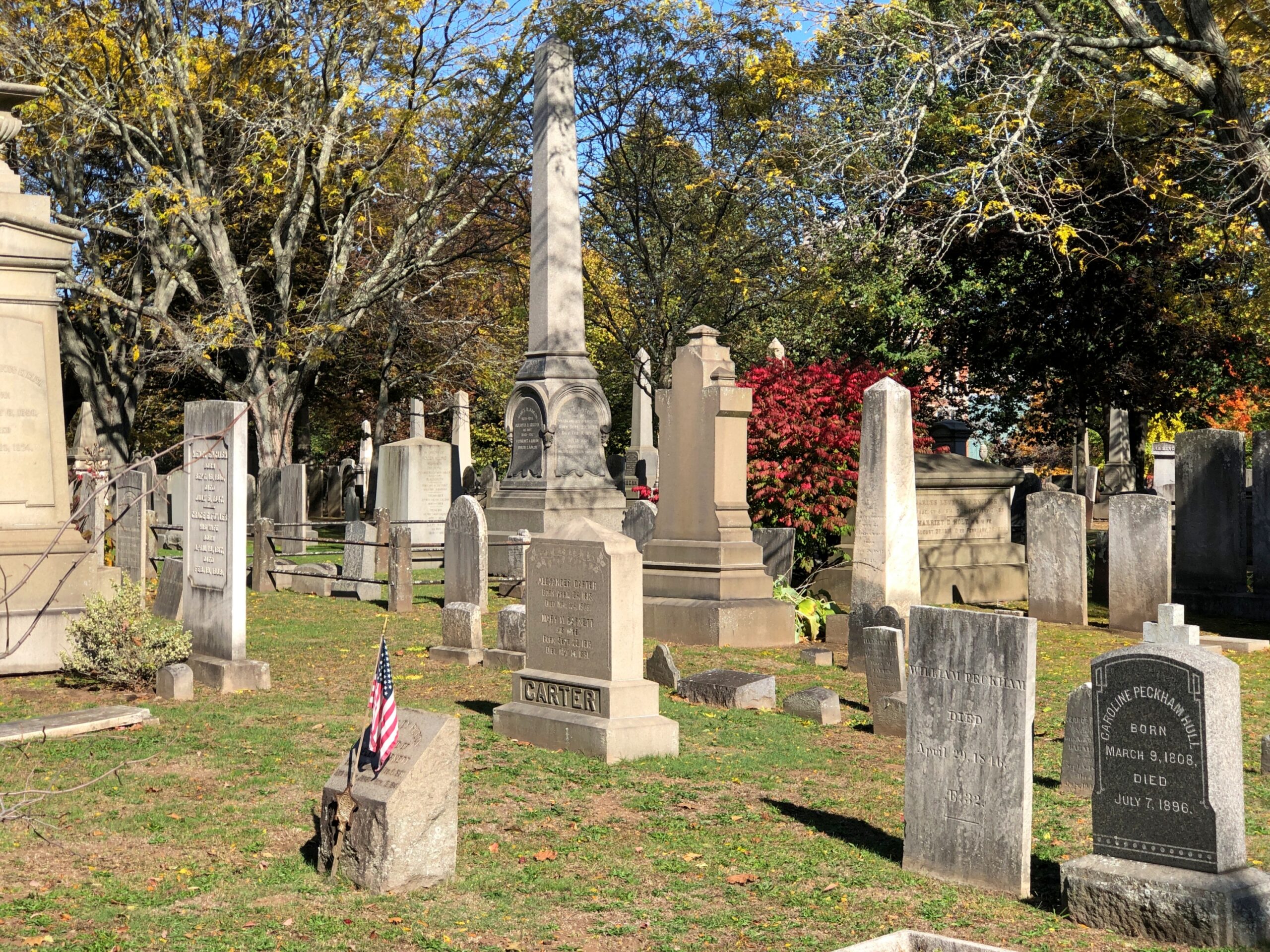
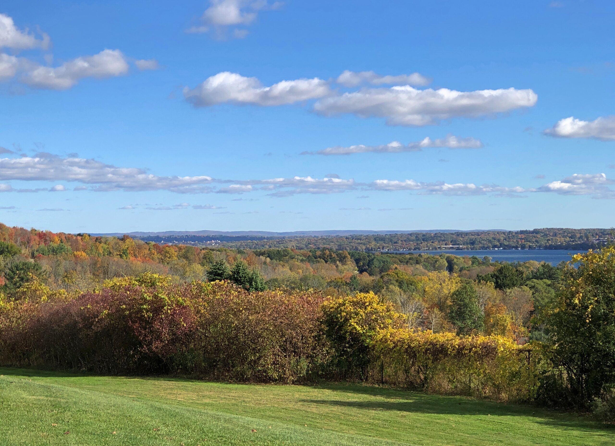
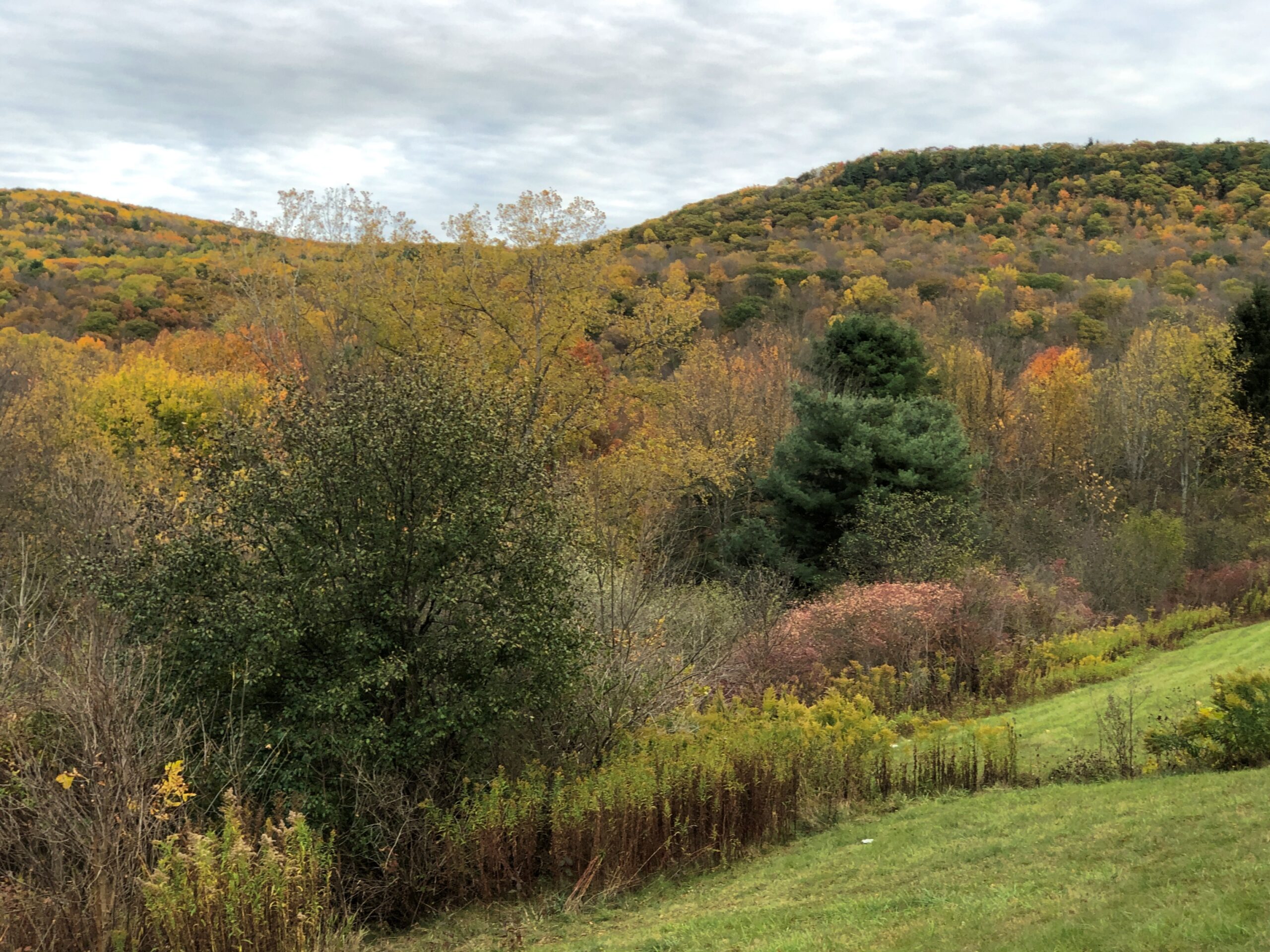
In October, the trees also provide color.
I didn’t go looking for anyone in particular, though there are a lot of notables here. Such as Eli Whitney, inventor; Noah Webster, lexicographer; Josiah Willard Gibbs Jr., scientist; Lyman Beecher, abolitionist and prohibitionist; and O.C. Marsh, paleontologist, among many others.
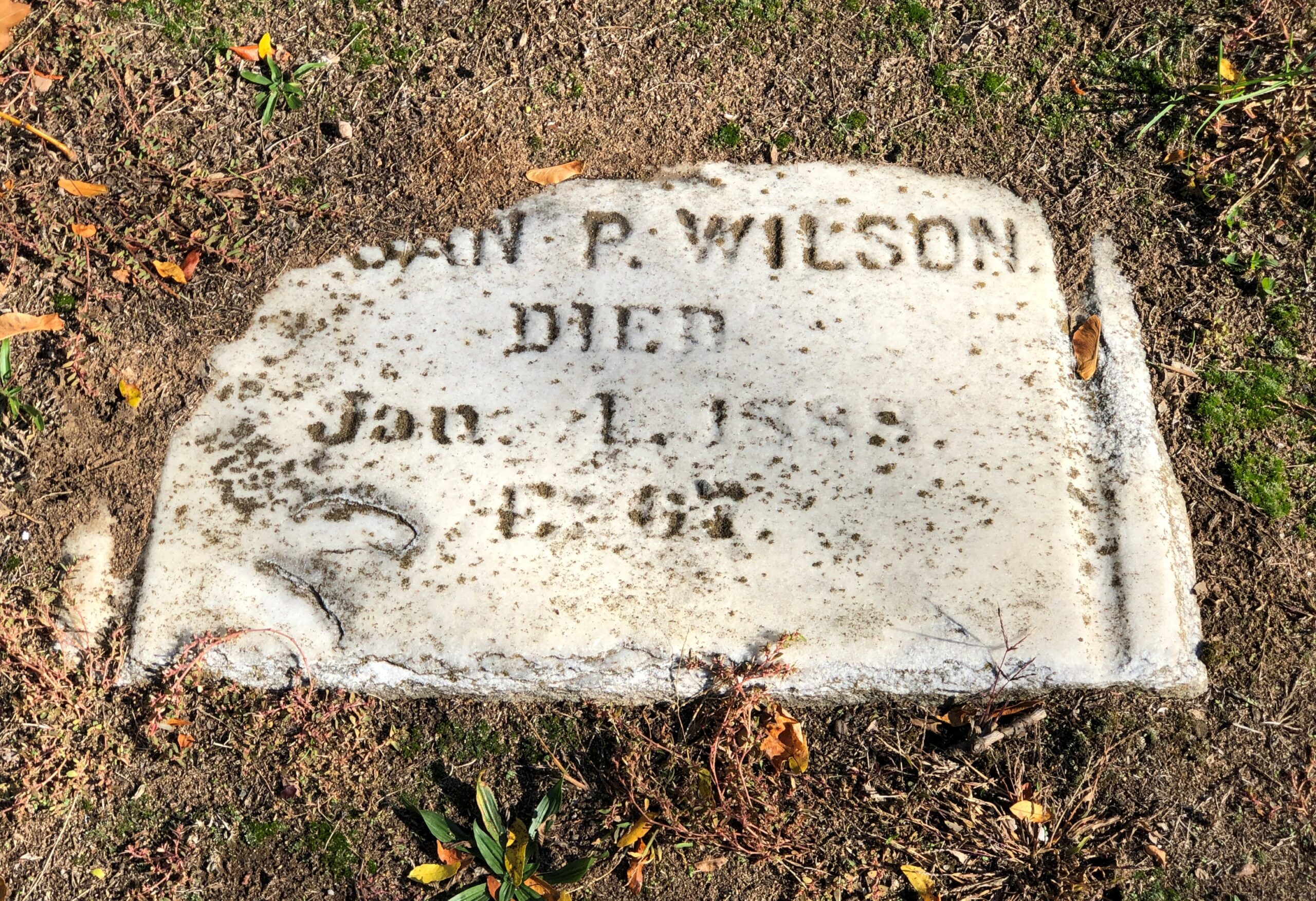
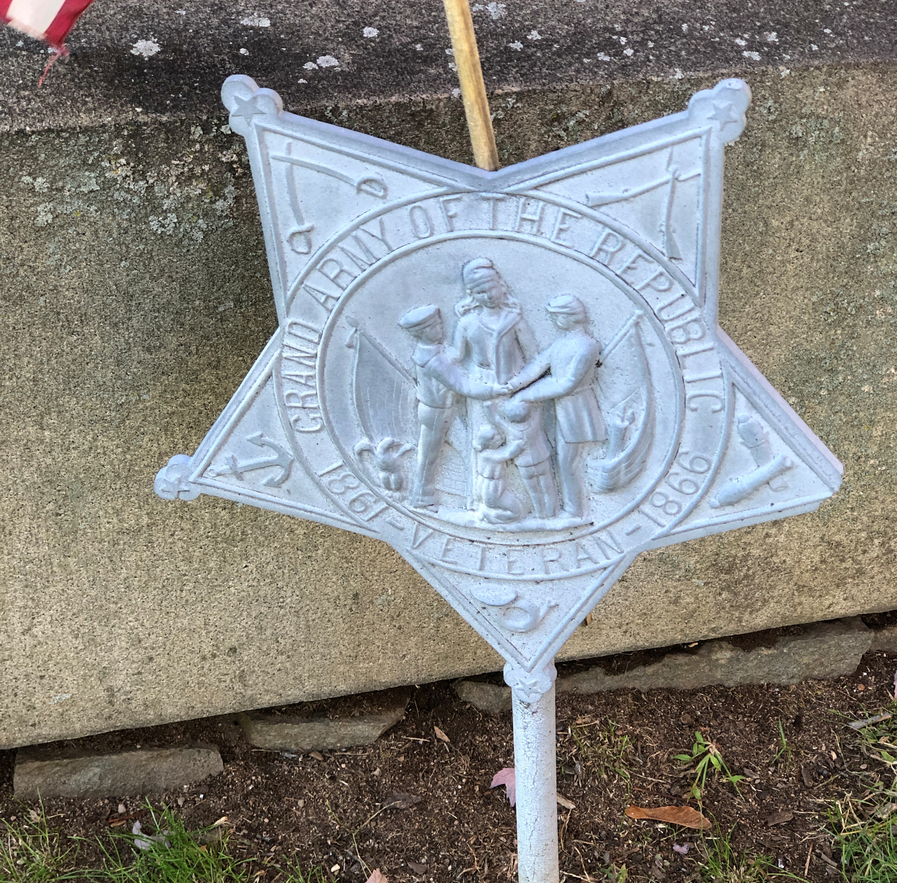
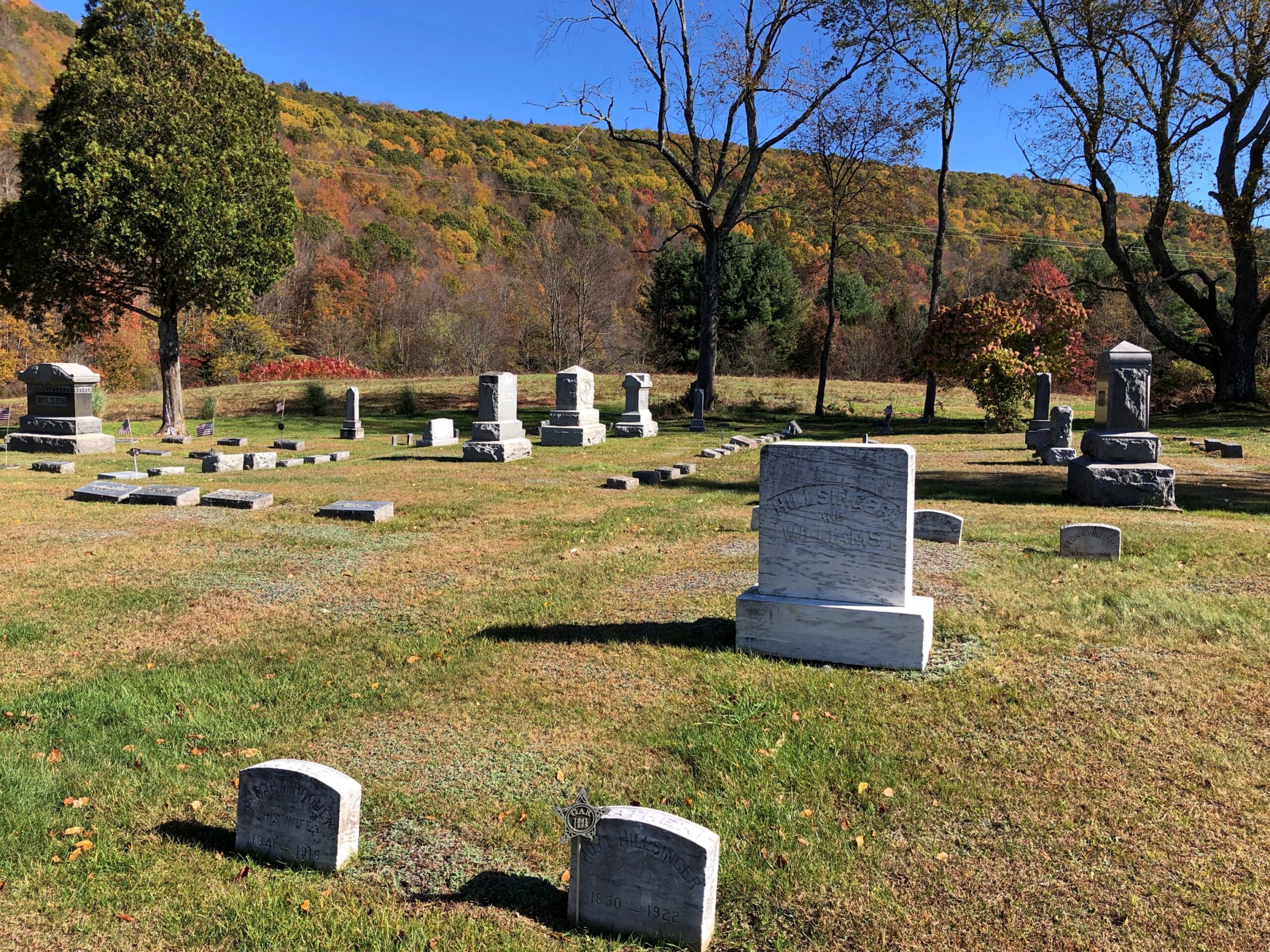
A scattering of stones mark veterans.
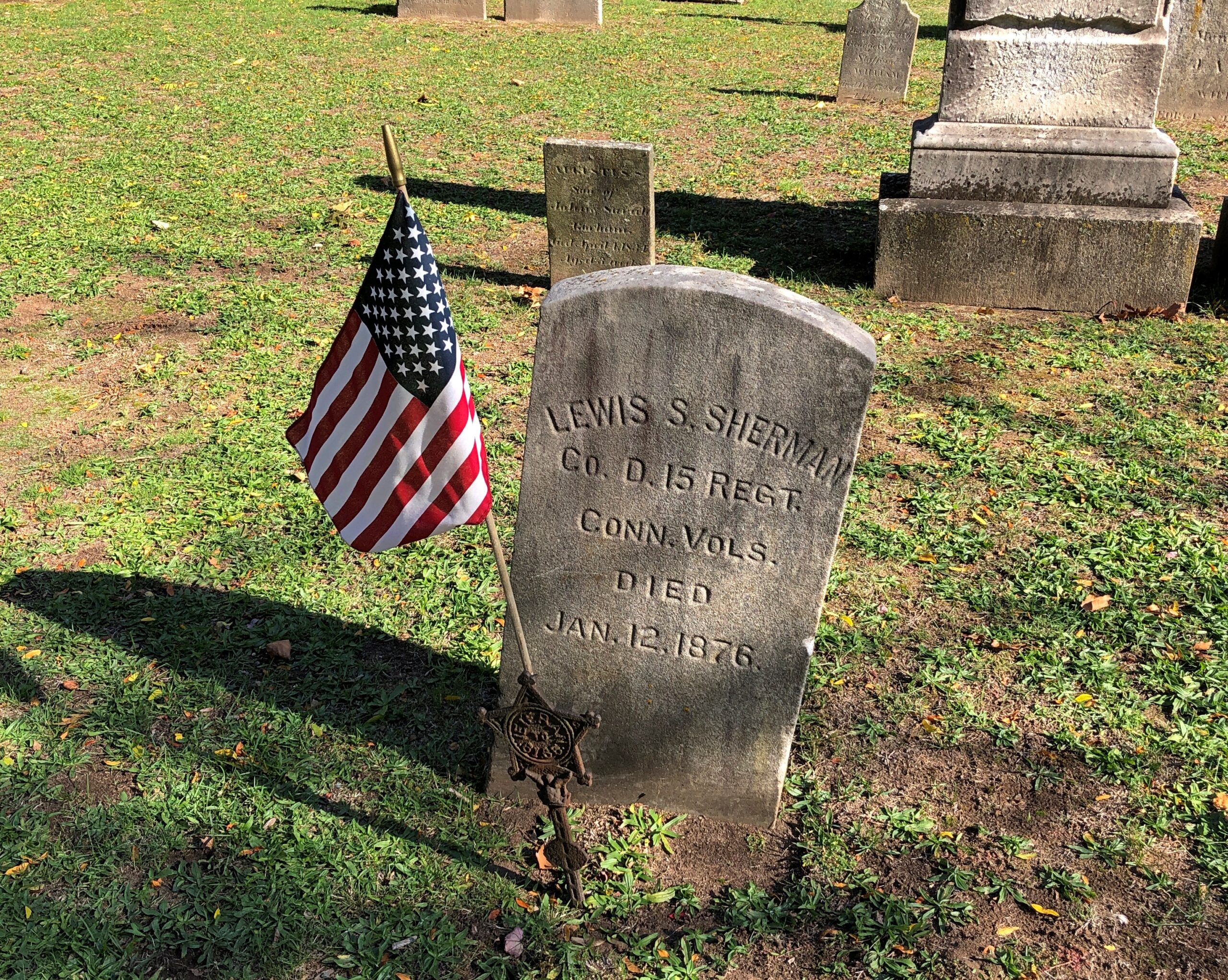
Including one with a GAR star that’s obviously a replacement for something older.
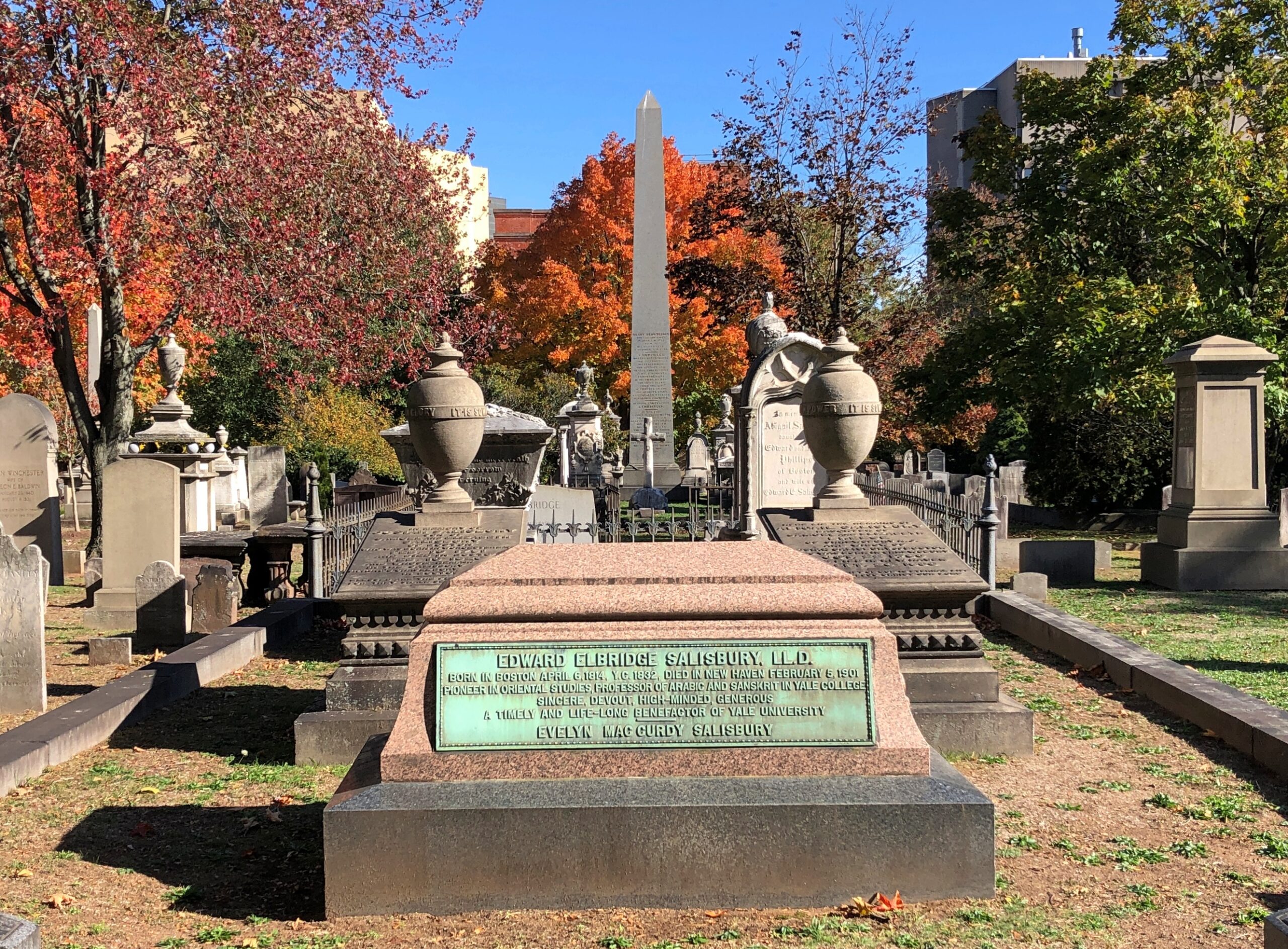
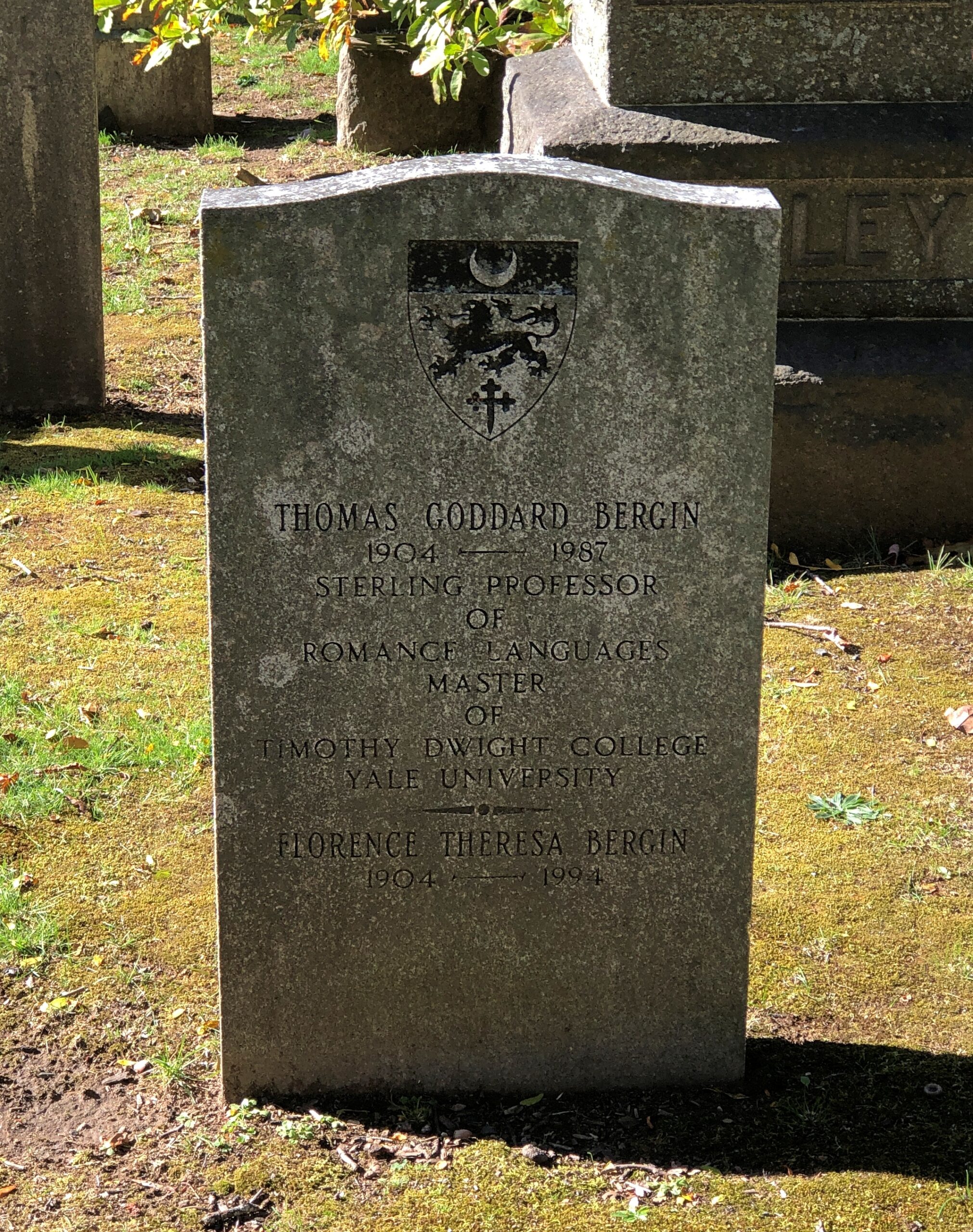
Being so close to Yale, a fair number of academics rest at Grove Street.
Including this fellow. It’s a little hard to see, but his memorial is inscribed in Latin.
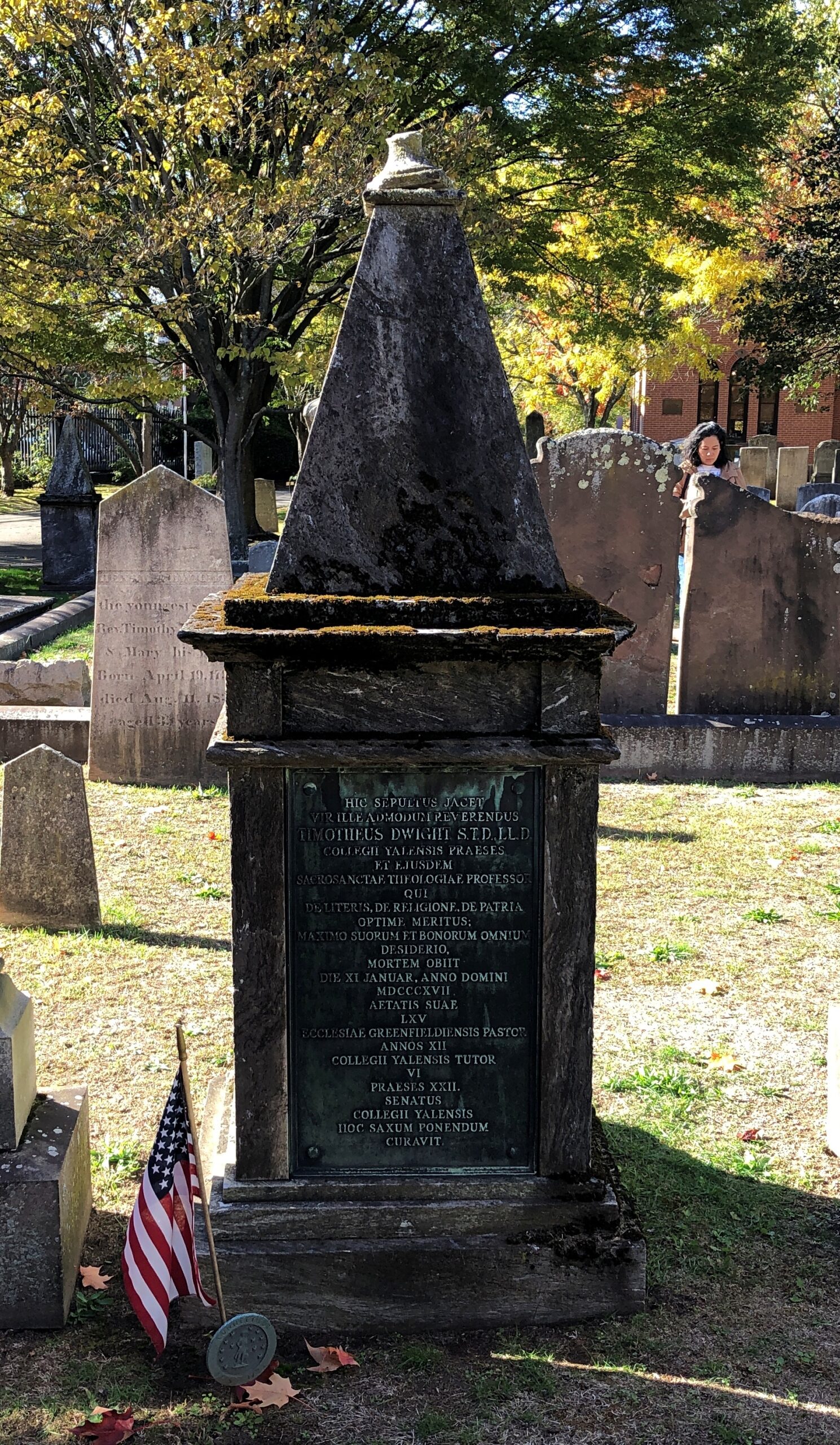
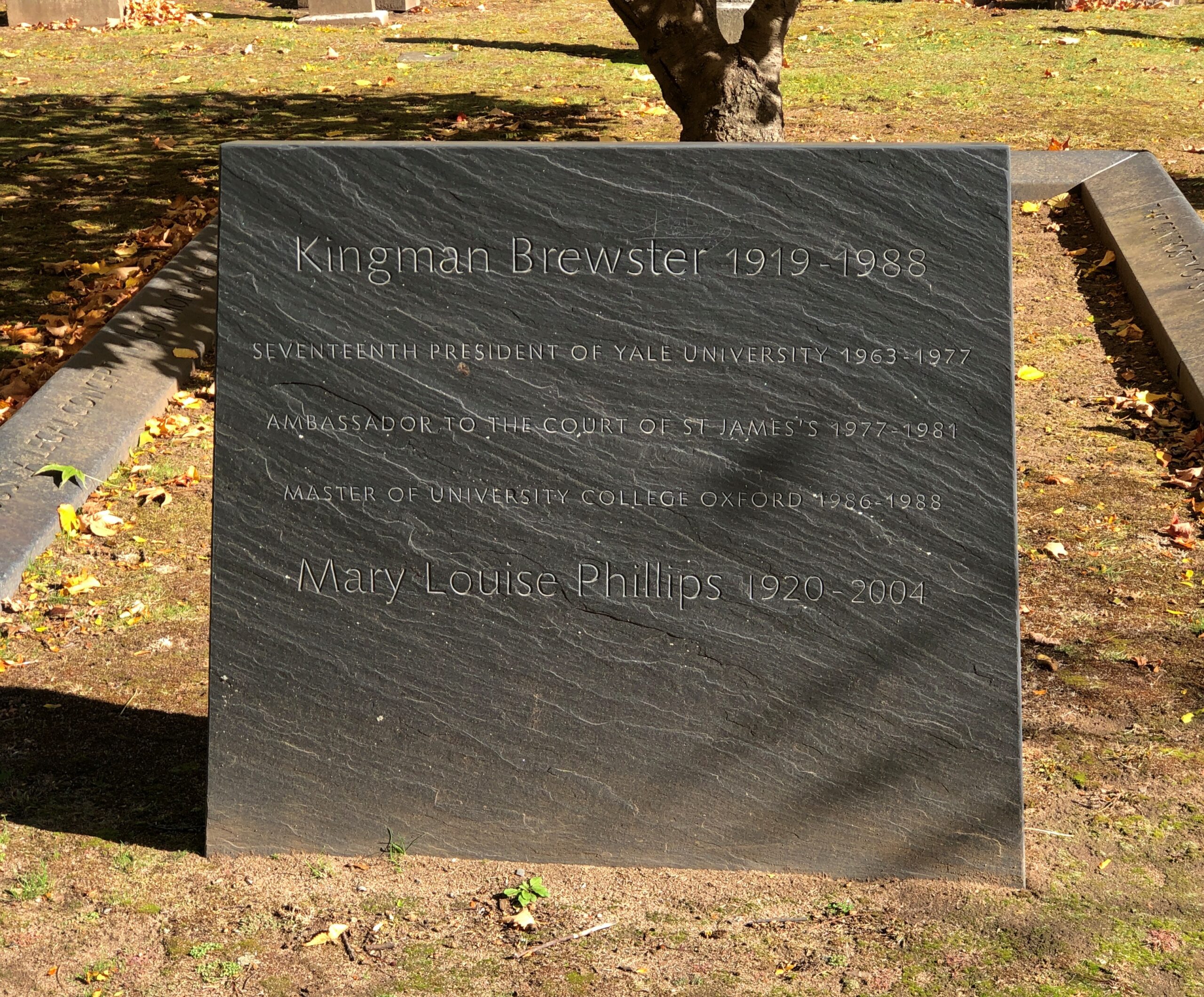
Kingman Brewster was president of Yale from 1963 to 1977, at a time of considerable hubbub on campus, and changes in university policy. Such as going coed in 1969, relatively late for an Ivy League school. No doubt cemeteries are well populated these days by Yale alumni angered by that decision.
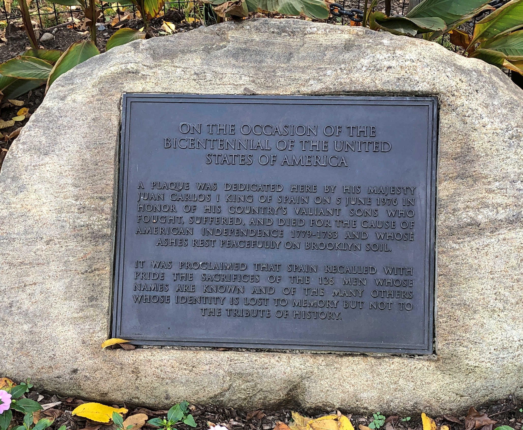
A surprise find: a memorial to captives from La Amistad who died in New Haven, waiting for the adjudication of their case. Waiting for their freedom, that is.
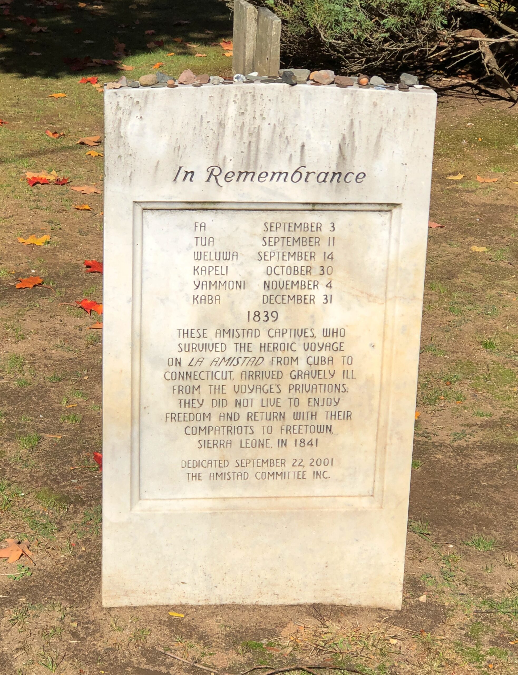
Elsewhere in the cemetery reposes Roger Sherman Baldwin, who argued the case for the Amistad captives, and Professor Josiah Willard Gibbs Sr., who deciphered their language (Mende).
Remarkably, the names of the captives aren’t forgotten. RIP, Fa, Tua, Weluwa, Kapeli, Yammoni and Kaba.


.jpg)