Sarnia to Tobermory

Fairly early on the morning of October 8, this sign got my attention.Sarnia
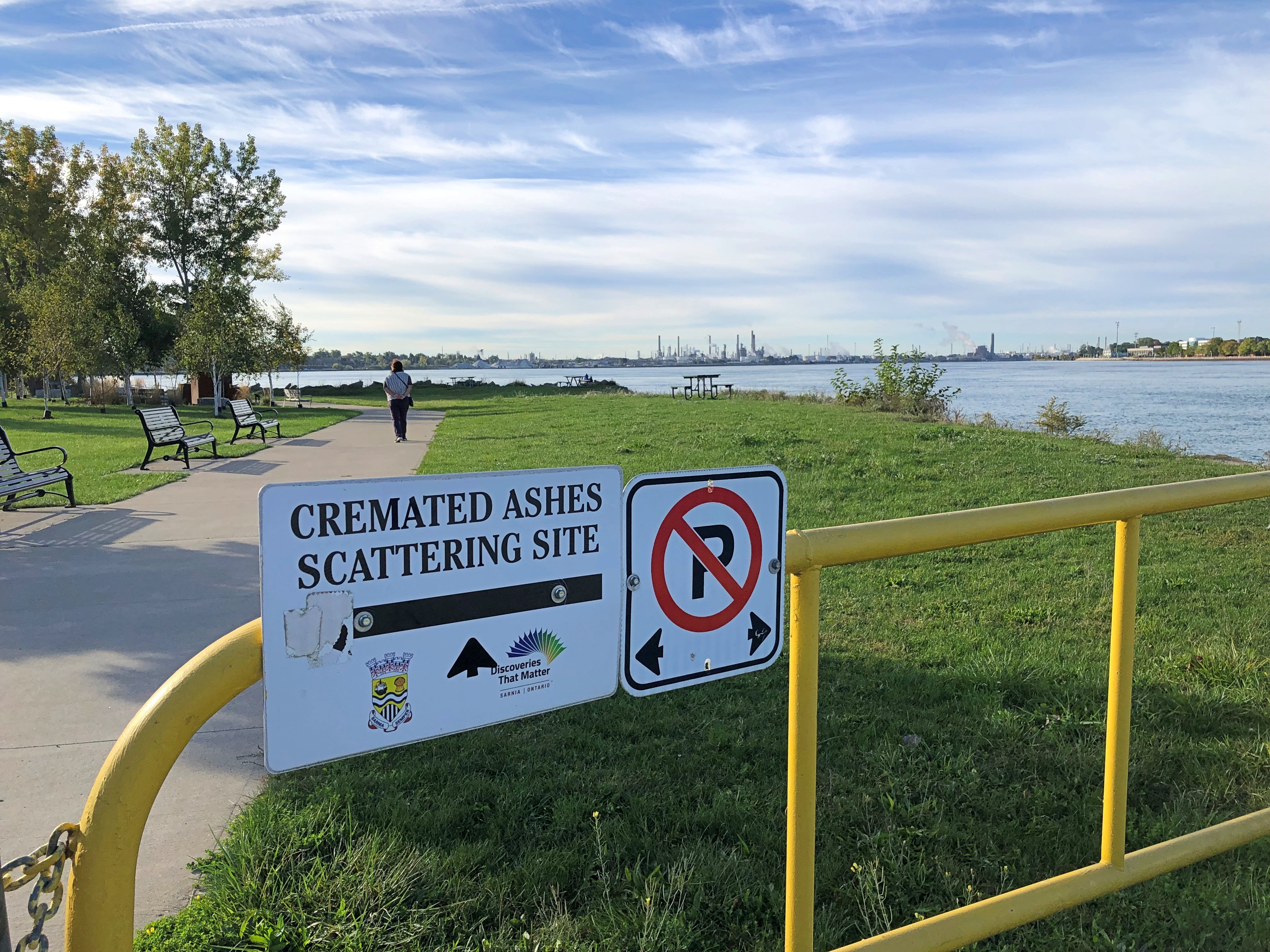
It’s hard to know whether that’s a gracious gesture on the part of the City of Sarnia, Ontario, or a mild example of Northern nanny state-ism — the difference between you’re welcome to scatter here vs. you can only scatter in permitted places. But it was also good to know that we had the option, if we happened to have any ashes with us.

For all I know, people are scattered here often, and it certainty would be harmless compared to a lot of chemicals that have gone into the St. Clair River around Sarnia over the years. After all, this the home of the Sarnia Blob, an example of industrial pollution so epic that it has its own name.

That morning, after a modest breakfast and checking out of our room only a few blocks away, we went to take a look at Point Lands, a Sarnia municipal park on the St. Clair. Beyond the cremation sign is a view of Port Huron, Michigan, U.S. industrial twin of the Canadian industrial town of Sarnia.Sarnia
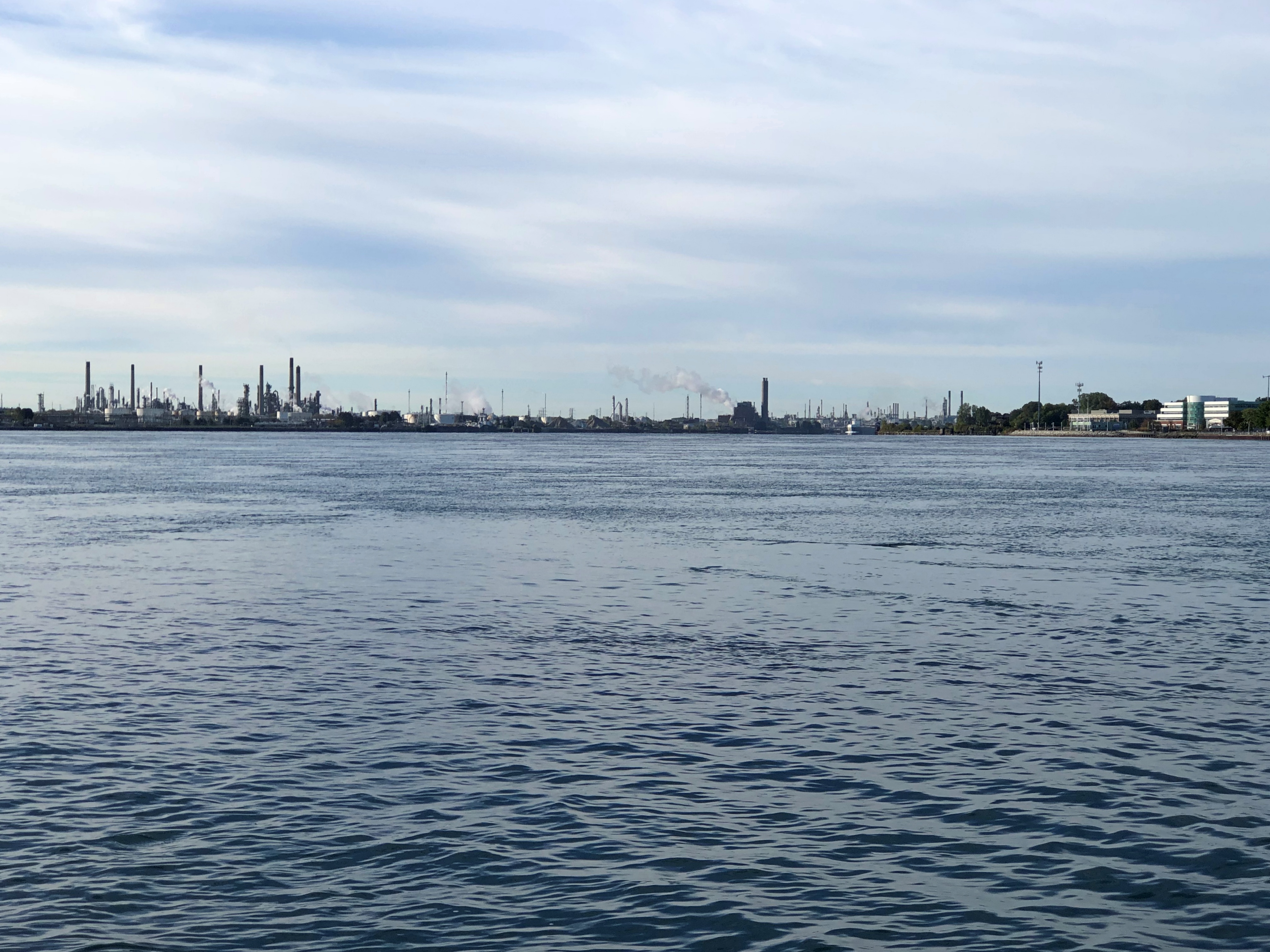
Almost 40 years ago, Dow Chemical managed to spill over 2,900 gallons of perchlorethylene, a dry-cleaning solvent, with more than 520 gallons of that oozing into the St. Clair. That combined with God knows what else to form a massive a tar blob. The river at this point is home to much of Canada’s chemical and petrochemical industry, and let’s say the attitude about chemicals in the water in most decades of the 20th century was a mite lax.

The dark mass settled, submerged on the riverbed. Before long it was found by divers, and eventually its high toxicity became a major environmental news story. Something like the burning of the Cuyahoga River, though with Canadian reserve compared to the brashness of the American fire. They say since then the St. Clair, like the Cuyahoga, has been remediated, but I’m not taking a dip.

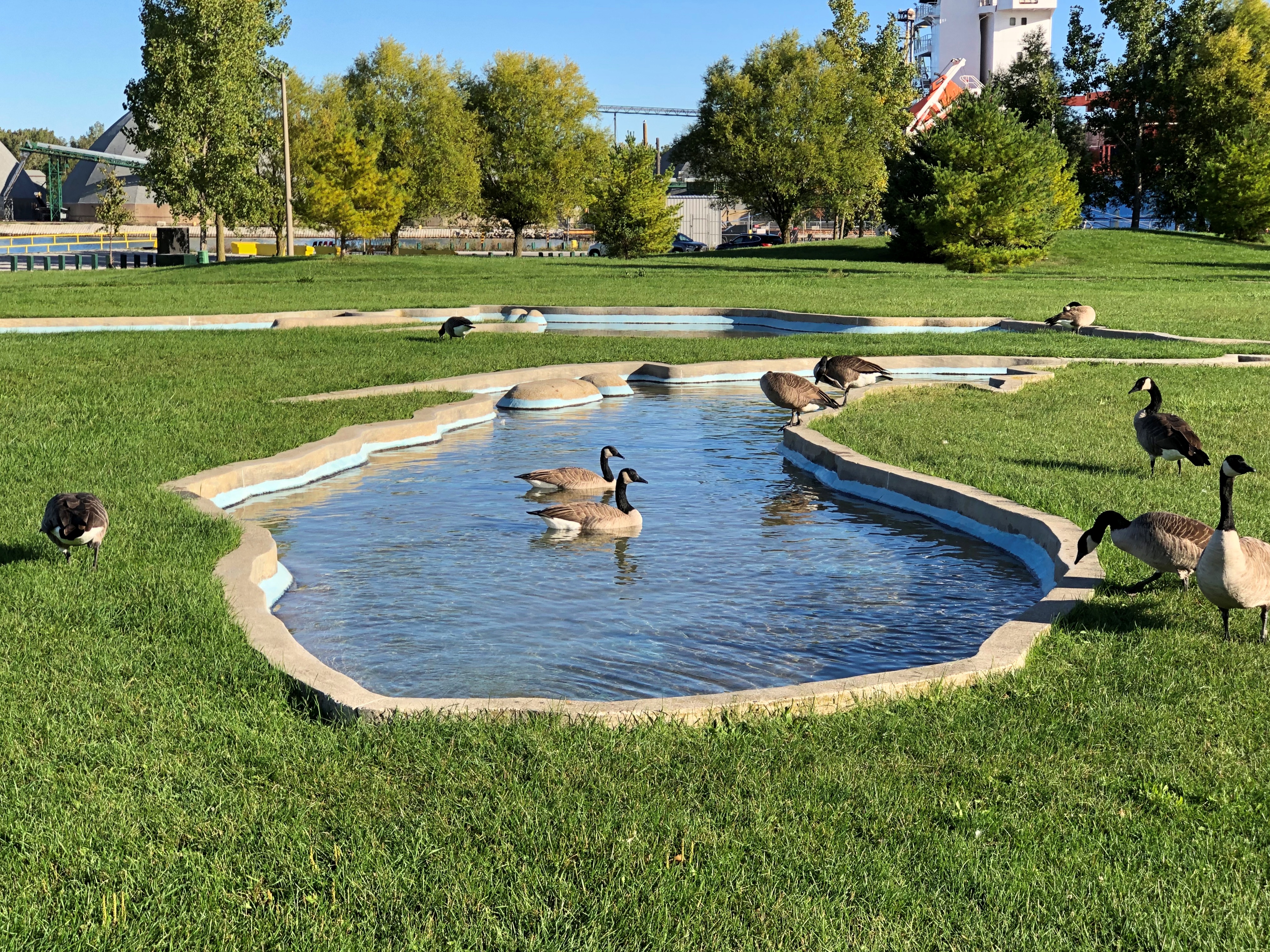
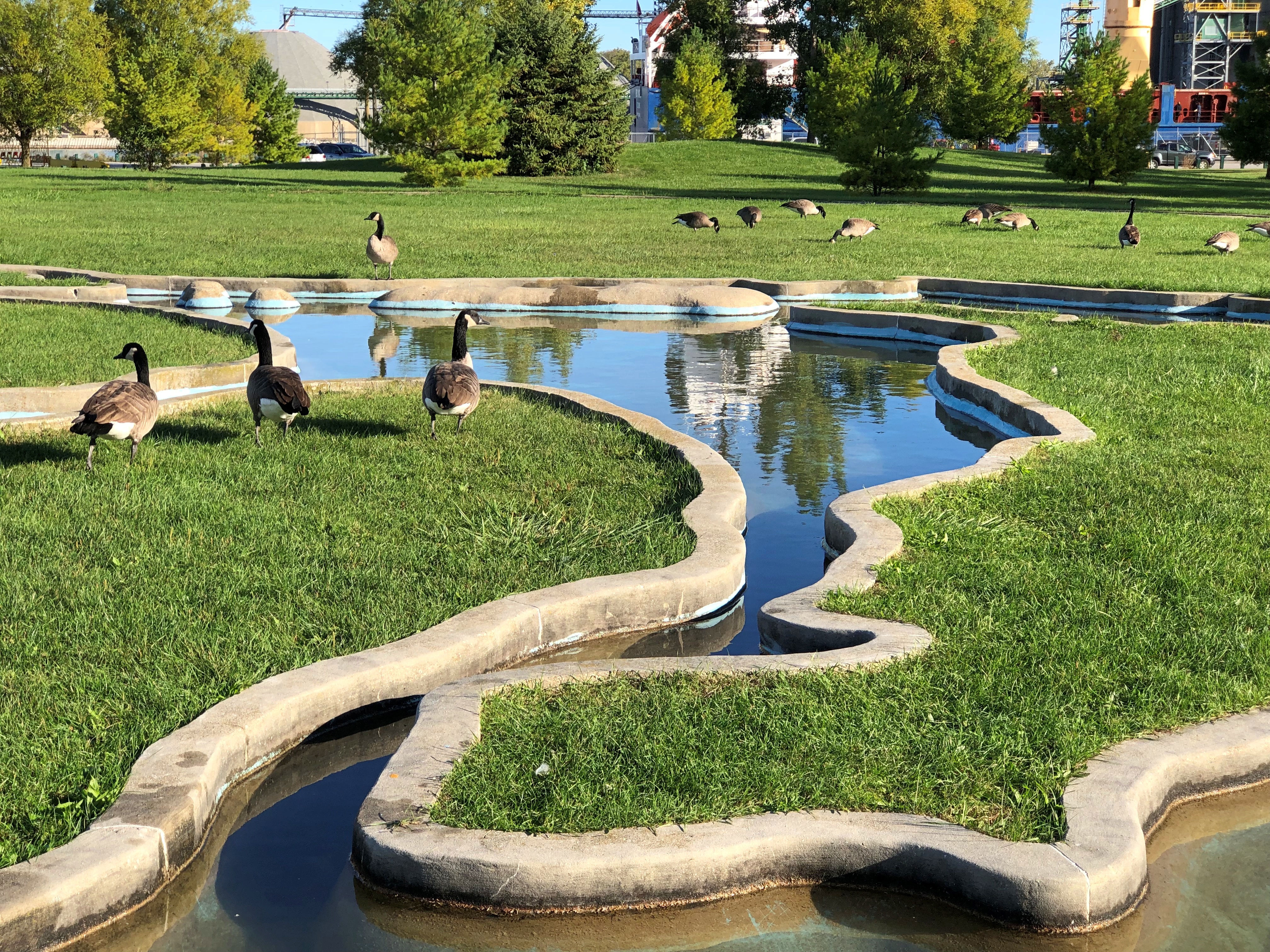
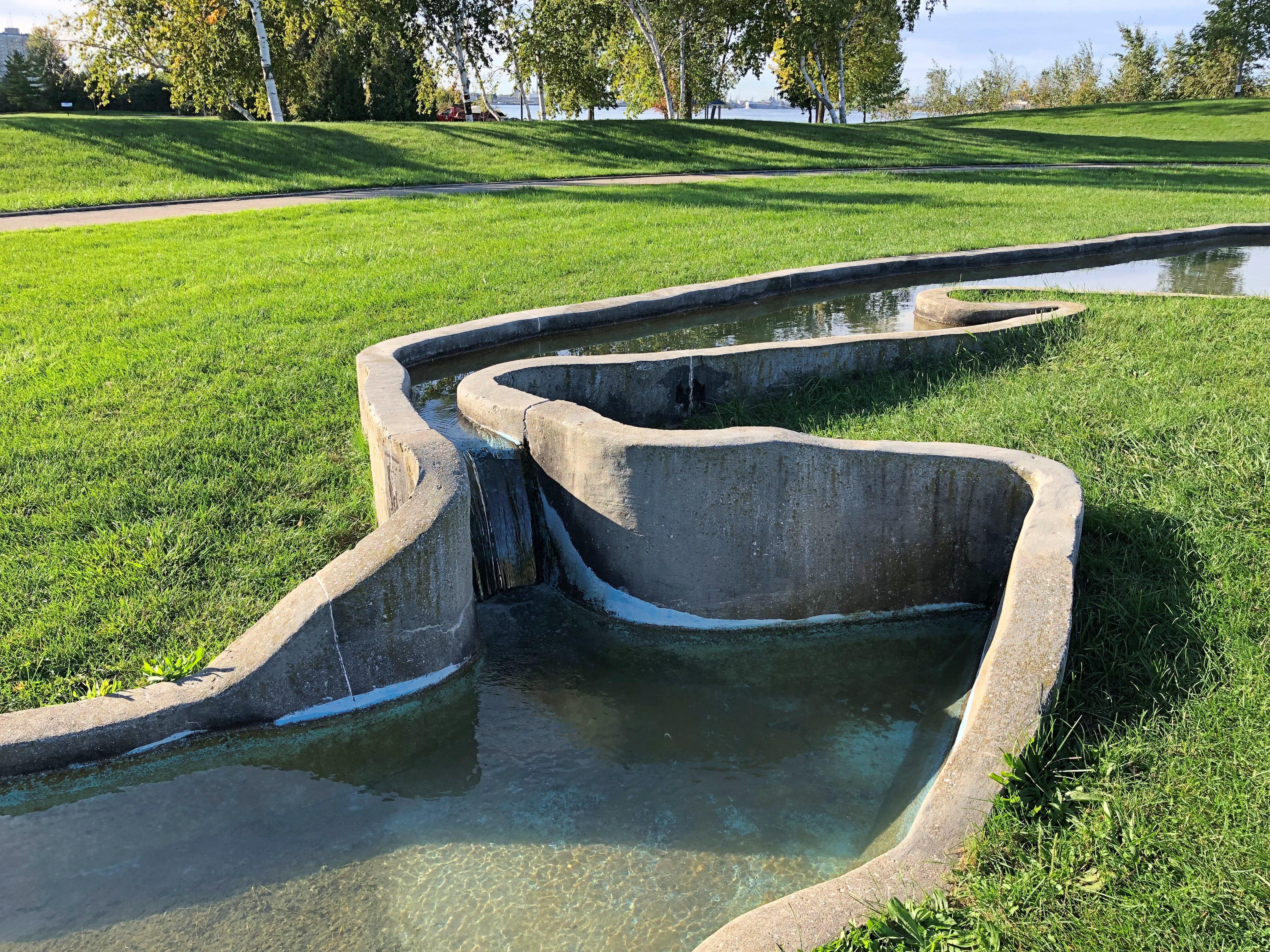
If word of the chemical waste blob got to me in far-off Nashville in 1985, I’ve long forgotten. Later Dow Chemical bugged out of Sarna, but not before commissioning a model of the Great Lakes in concrete in this park.Sarnia Sarnia Sarnia
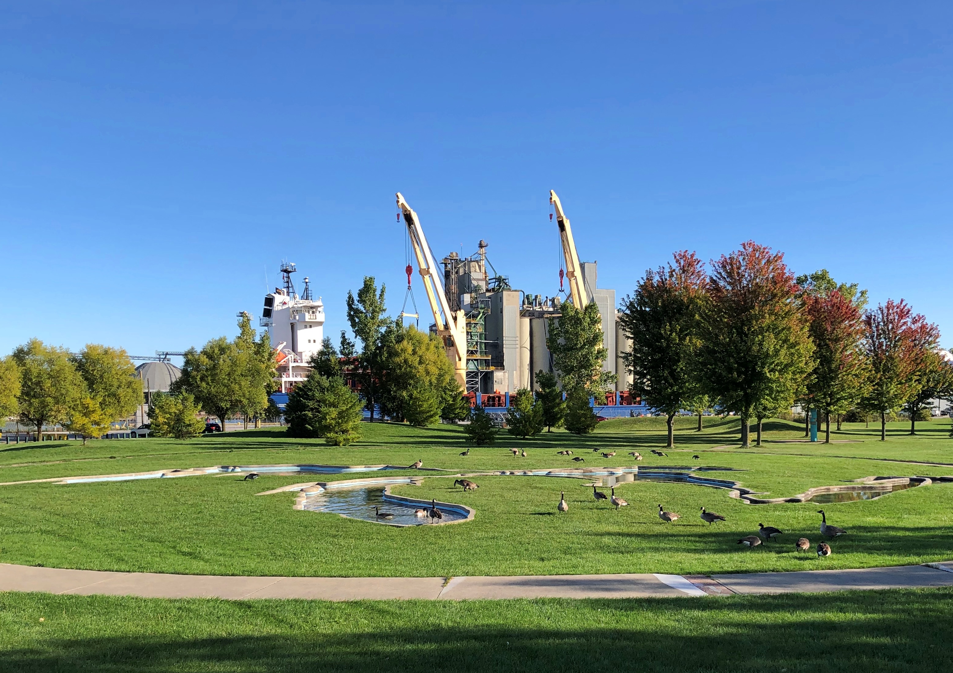
Including a model of Niagara Falls.Sarnia

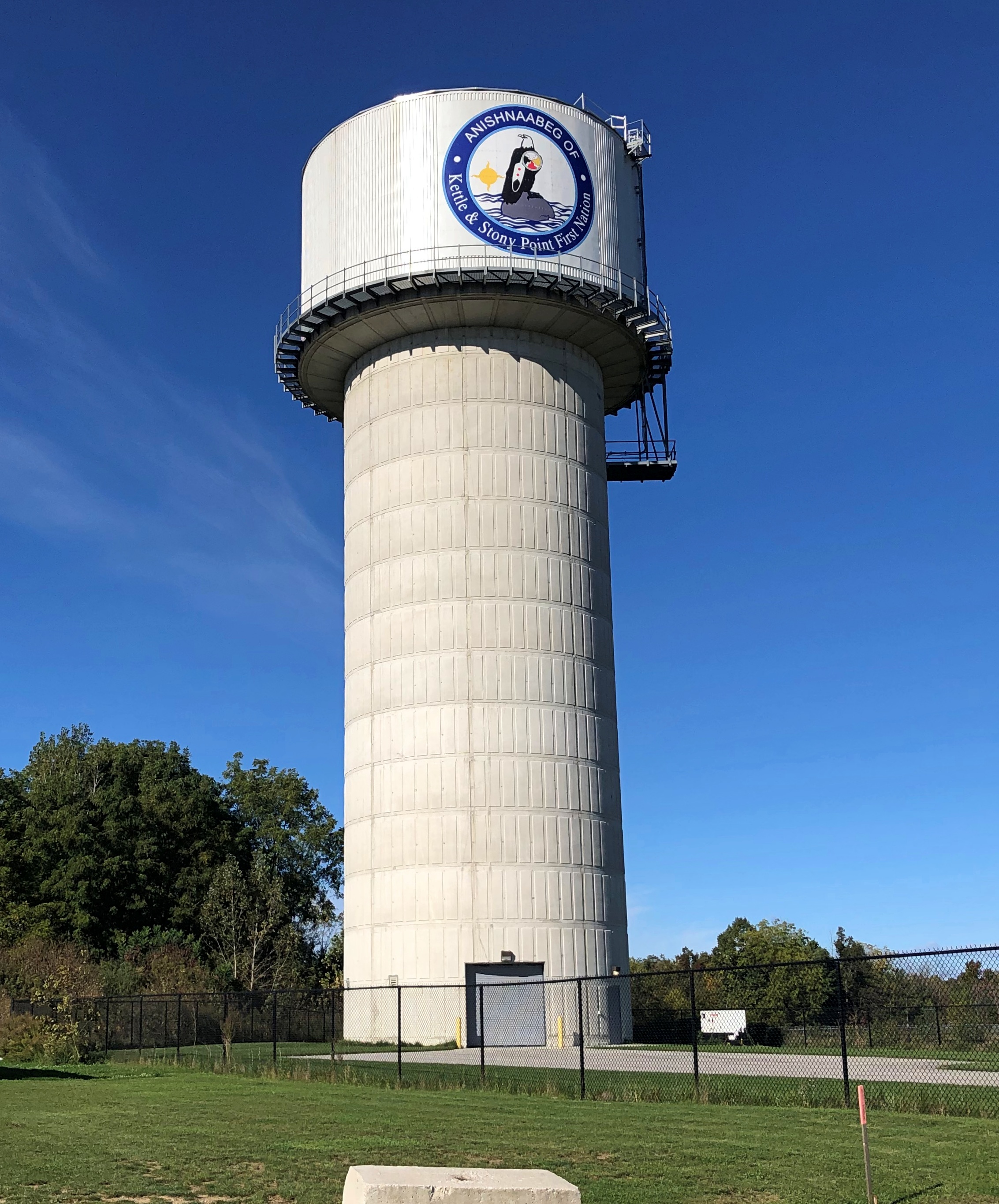
Up the coast from Sarnia, we bought gasoline from the Kettle & Stony Point Gas & Convenience, which I assume is owned and operated by members of the Kettle & Stony Point First Nation. It was a full-service gas station, with a fellow asking how much I wanted and then pumping it in (fill ‘er up). I couldn’t tell you the last time I ran across that, but it’s been decades. Also, its prices were about 10 cents a liter cheaper than other stations around there, making for an all-around good retail experience.

Near the station, the tribal water tower.Ontario 21
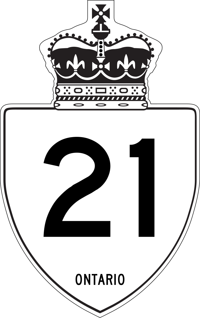
At this point we were traveling on highway King’s Highway 21 (Ontario 21, as far as I’m concerned), a two-lane blacktop that mostly follows the Lake Huron shore. On that shore is Pinery Provincial Park, a 6,260-acre stretch of beach and oak savanna. For us, it meant easy hiking in the forest and walking on the beach, so we spent a few hours there.

That kind of exercise inspired a quest for a latish lunch, which we found at the Out of the Blue Seafood Market in the town of Bayfield, feasting on Lake Huron whitefish fish & chips in the nondescript shop. The road food ideal: delicious, local, inexpensive and found completely by chance.

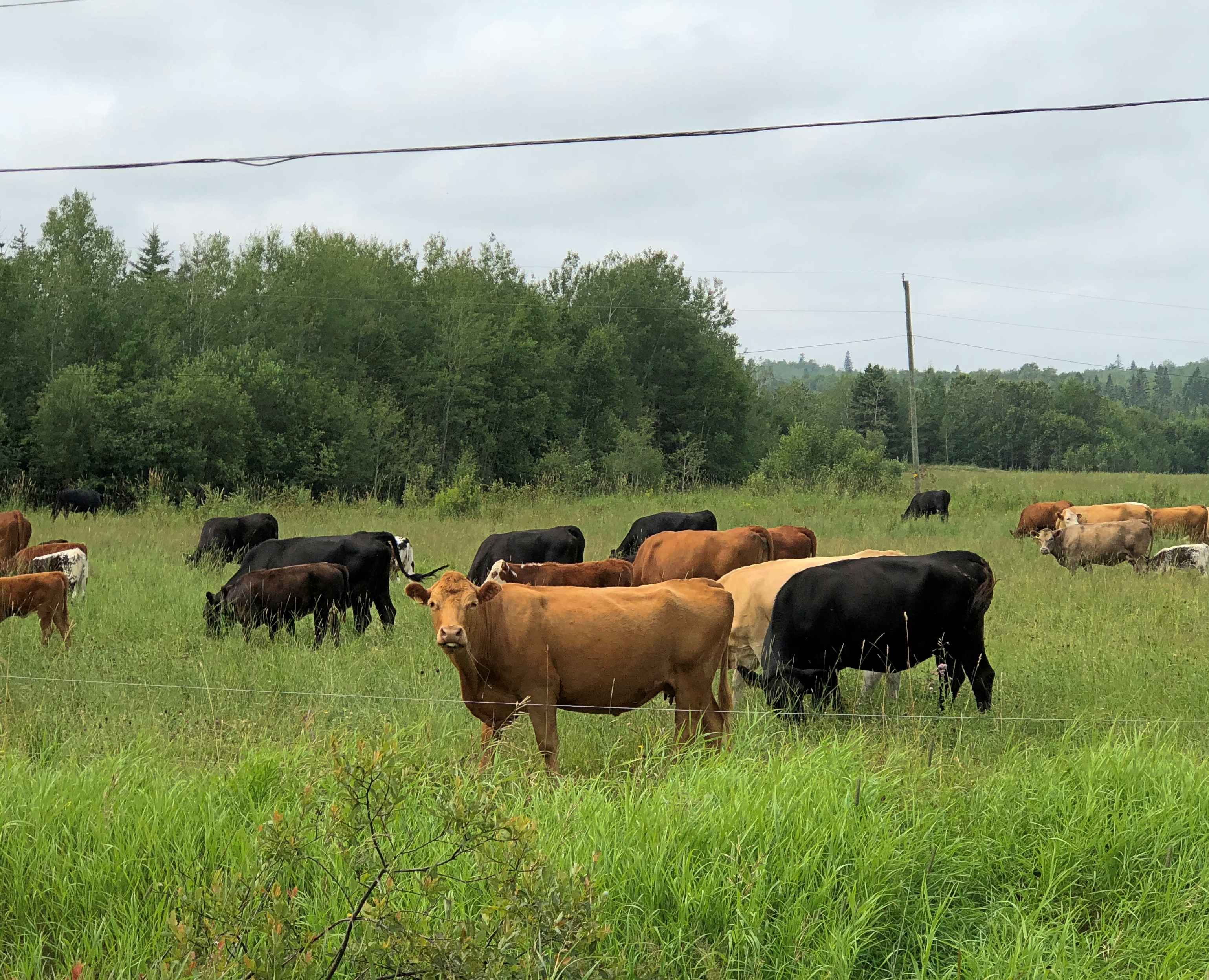
Ontario 21 was often a pleasant drive, though passing through well-populated areas meant slow going sometimes. The road wasn’t exactly crowded, but busy enough to be a little tiring. Only a little. Mostly we crossed farmland. Grain fields, the likes of barley, sorghum and oats, I understand, eventually gave way to cattle fields and woods and wetlands.

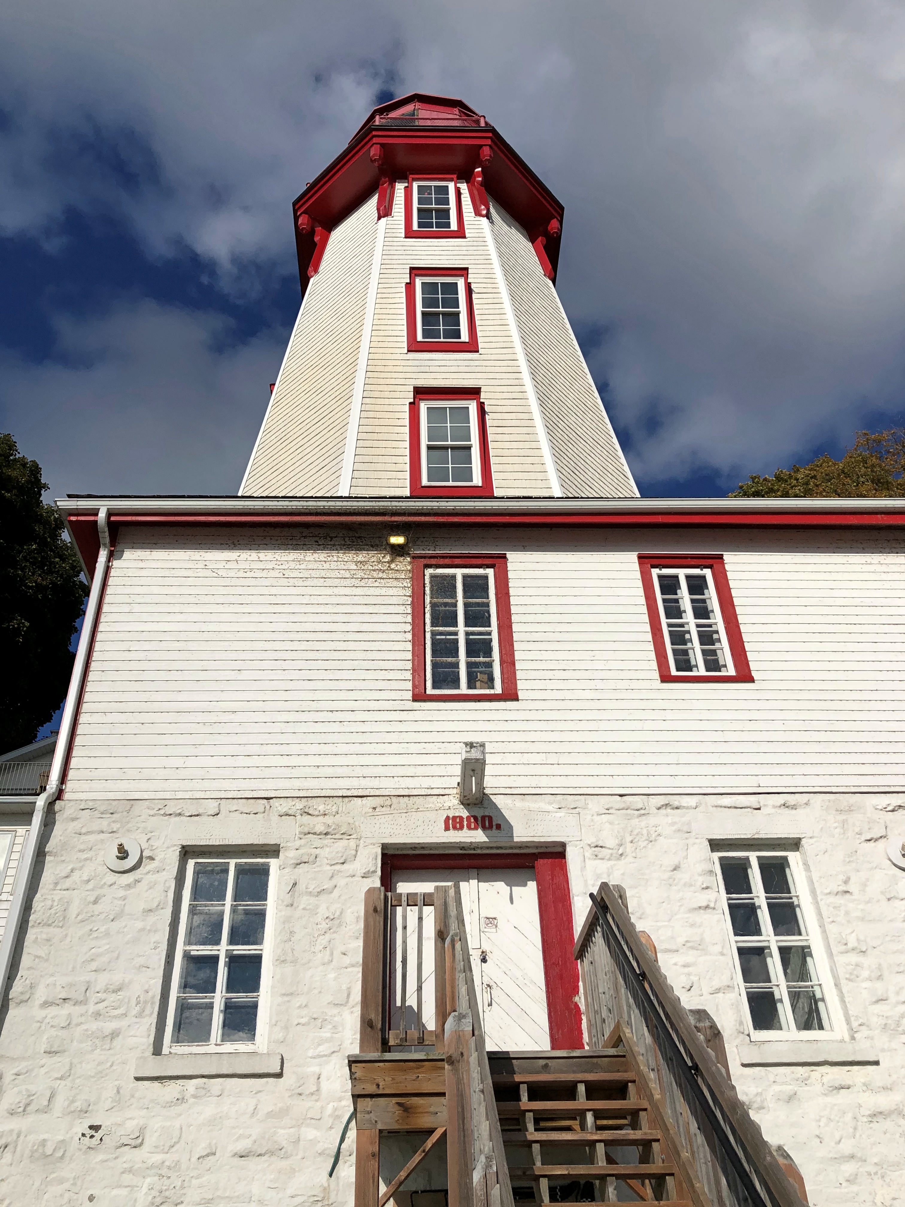
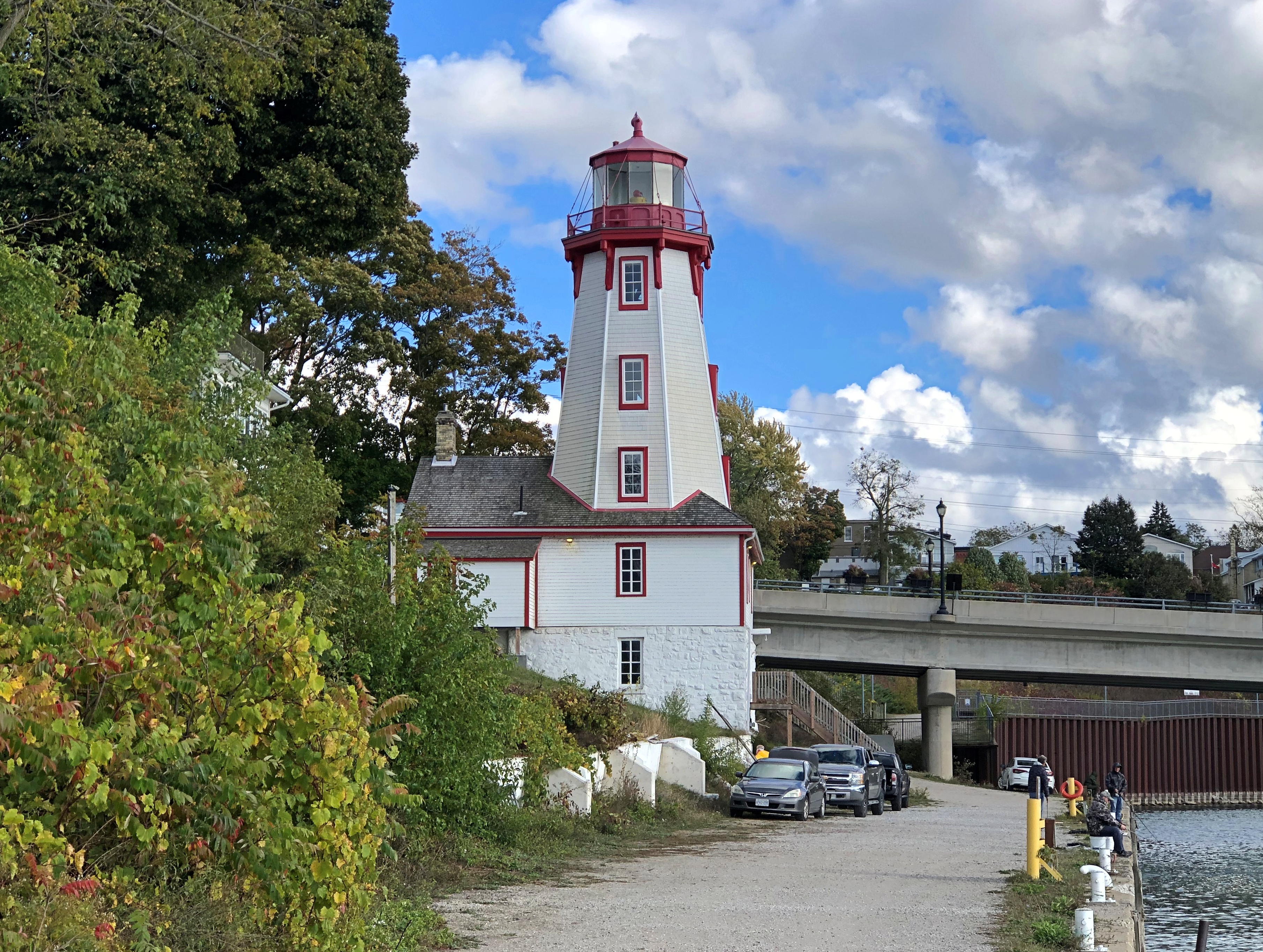
The wind had kicked into high gear by later in the afternoon, when we got to Kincardine. Formerly illuminating the harbor is a lighthouse, a late 19th-century creation.Kincardine. Kincardine.
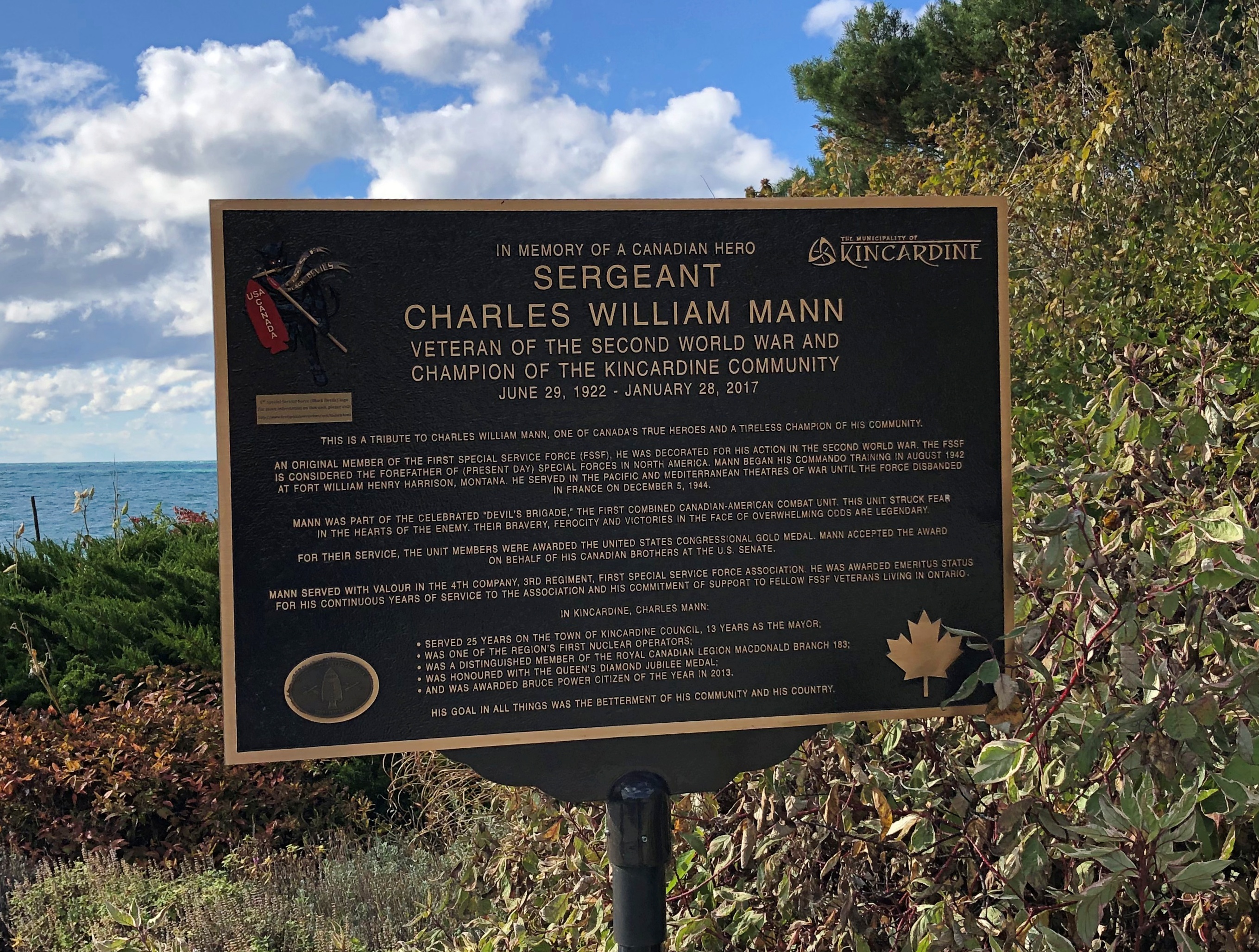
Another story I learned, facing the lake at Kincardine: one about a Canadian member of the First Special Service Force.1st Special Service Force 1st Special Service Force
Later, we connected with Ontario 6, which is quite the road, and took it north on the Bruce Peninsula proper to Tobermony. Settlement got sparser and sparser the further north we went.
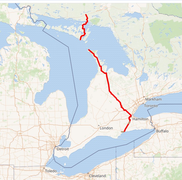
The northern section of Ontario 6 is connected to the southern section by a large ferry  docking at Tobermory; we saw it loading the next morning, which naturally led to musings. On to Manitoulin Island? Up from there to connect on the mainland with the Trans-Canada Highway into Sault St. Marie?

Not this time. But you know how it goes: distant roads are calling me. Except that they’re not actually that distant.
Bruce Peninsula ’24

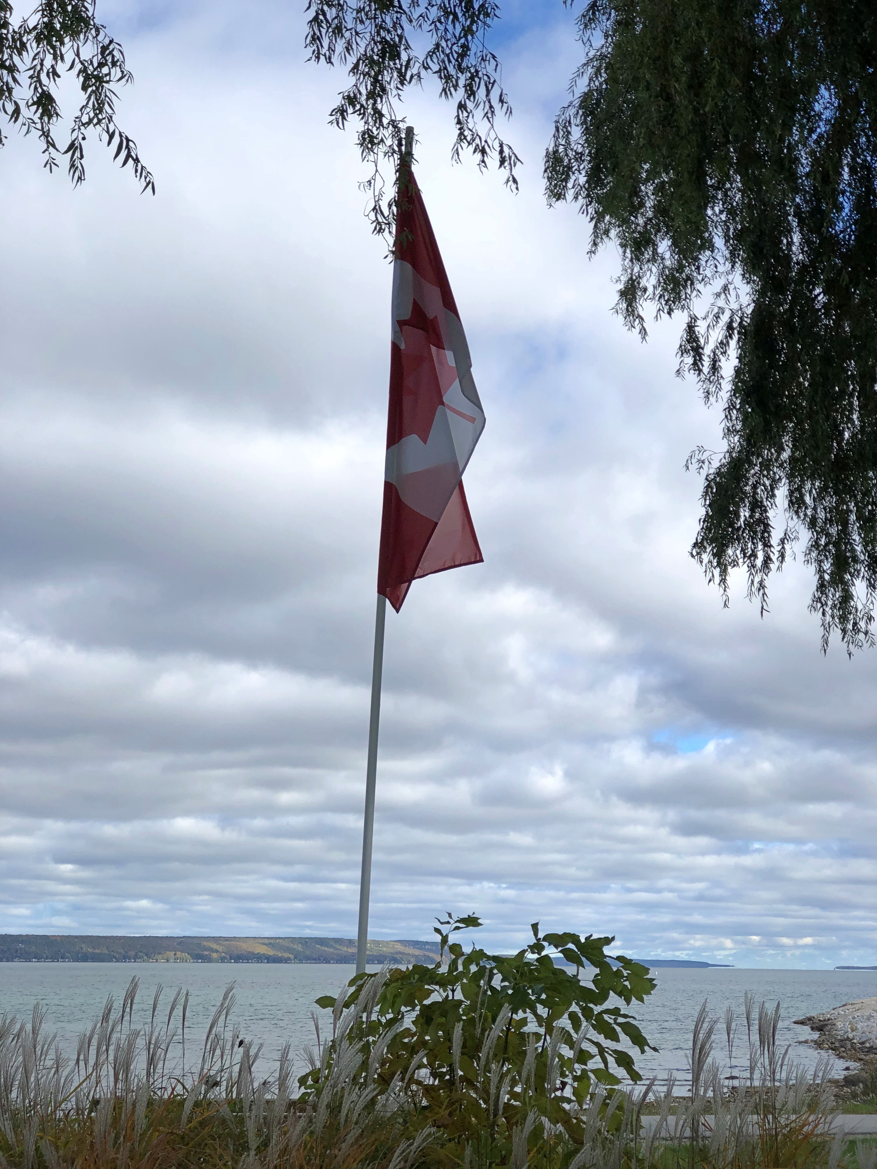
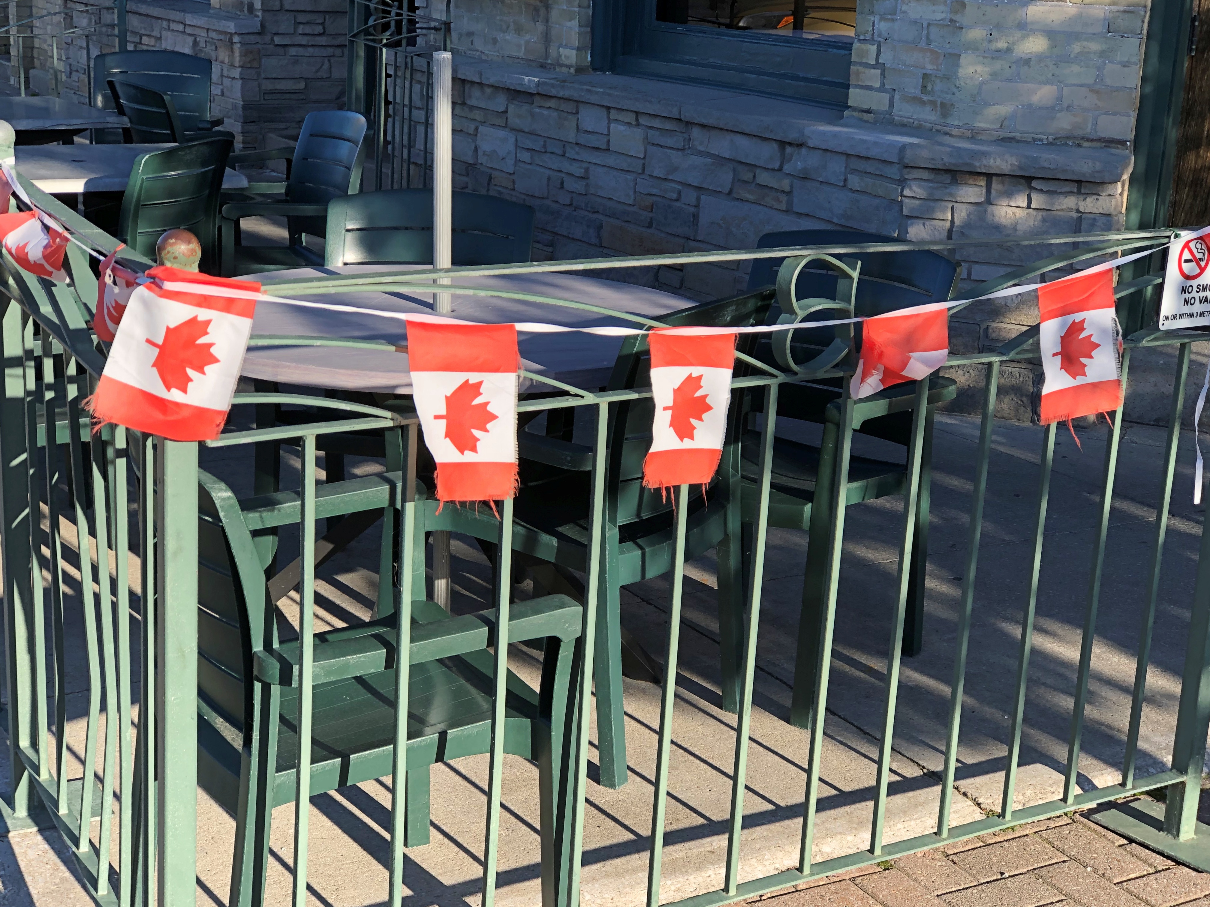
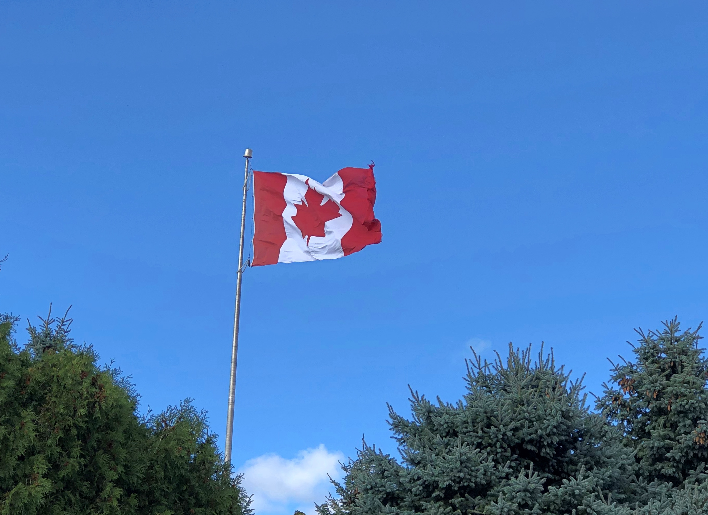
We visited the Bruce Peninsula of Ontario last week in time for some windy weather, but otherwise not inclement. The wind would ultimately require us to change our travel plans somewhat, more about which later, but it also kept flags in a spirited motion. This one snapped over a small lakeside park in Kincardine, Ontario, within sight of Lake Huron.Maple Leaf Flag, west Ontario
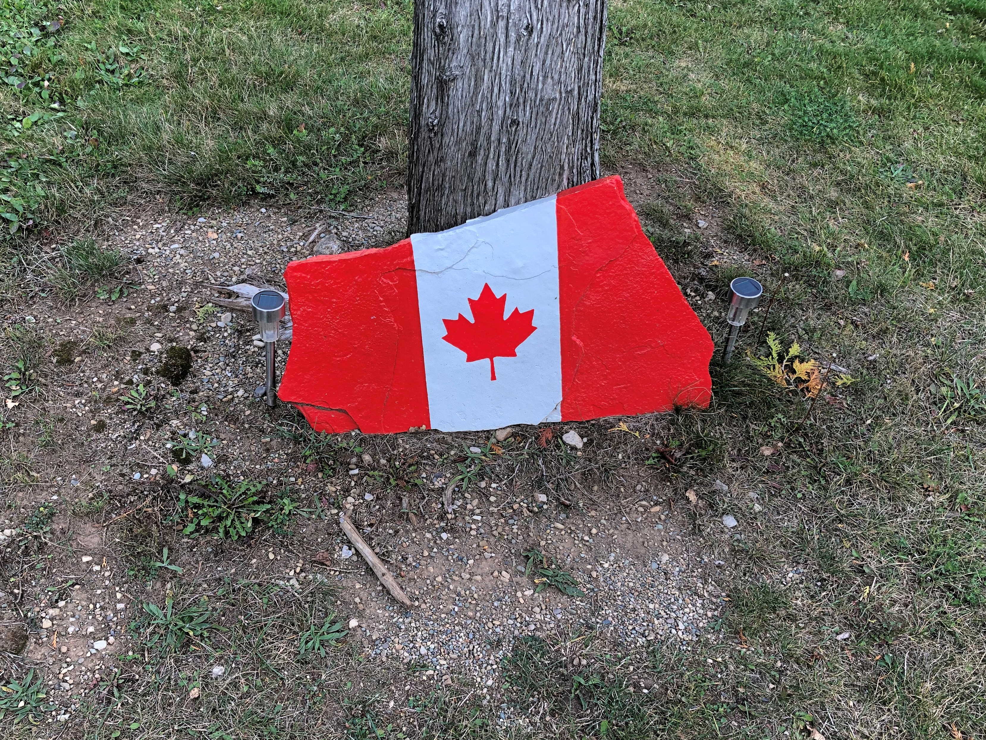
That was on Tuesday as we headed north along the eastern side of the lake, and by then I’d already formed the impression that Canadians fly more national flags than they used to. Just an impression from visiting on and off for nearly 40 years, spending maybe a month in country all together, but in no way based on anything more than my feeling. There have always been flags flying during my visits to Canada, of course. It’s just that there seemed to be more this time, though not as many as generally flag-happy Americans hoist.
The first day of the trip, Monday, October 7, we crossed Michigan to made it to Sarnia, Ontario, arriving at after dark, so there were few Canadian flags visible. The next day took us to the tip of the Bruce Peninsula, to a town called Tobermory, where we spent two nights. I started taking note of Canadian flags along that route, such as the one vigorously catching the wind in Kincardine.
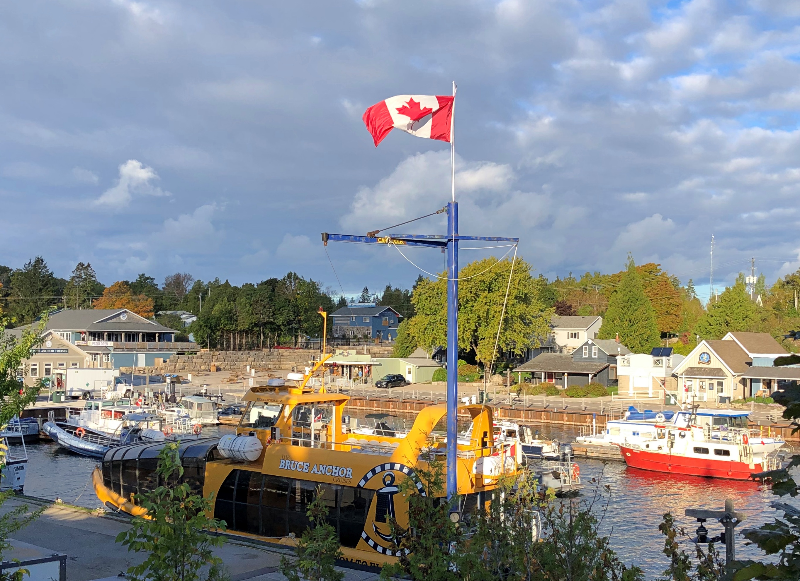
A flag flies at Little Tub Harbour in Tobermory.Maple Leaf Flag, west Ontario

At the entrance of our motel in that town. Stands out pretty well. On the whole, that’s true of this particular flag in most any setting. Maple Leaf Flag, west Ontario

On the fourth day, October 10, we drove south much of the way we’d come, though ended up (by plan) near London, Ontario for the night. We stopped in places we’d bypassed on the way up, such as Wiarton. It wasn’t as windy that day.Maple Leaf Flag

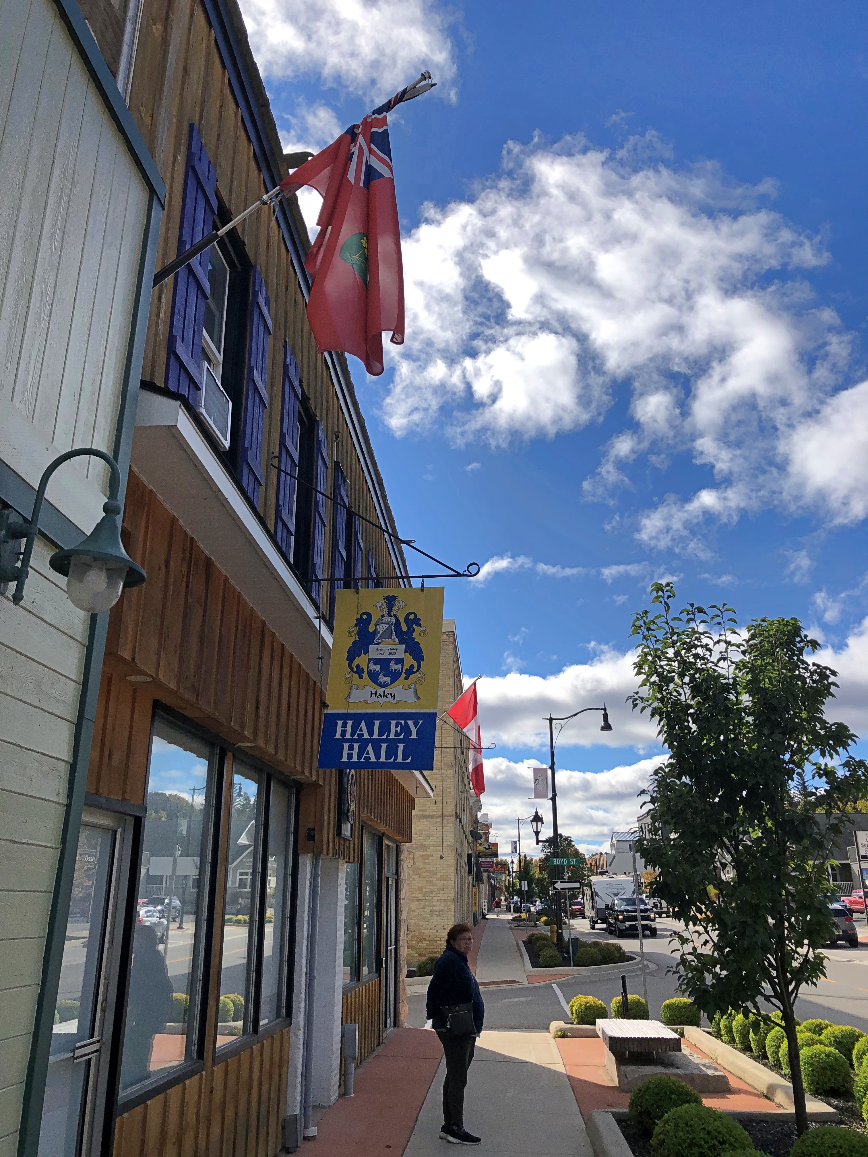
A flag I didn’t see that often was the flag of the province of Ontario. I spotted one at Haley Hall, home of the Royal Legion of Canada, branch #208. hanging in front of Haley Hall on Wiarton's main street,

There seem to be grumblings about a redesign of that flag, but not much movement toward it now. Could be that many Ontarians’ attitude toward the question is eh, with a sizable number who care a lot for the current flag, but what do I know.

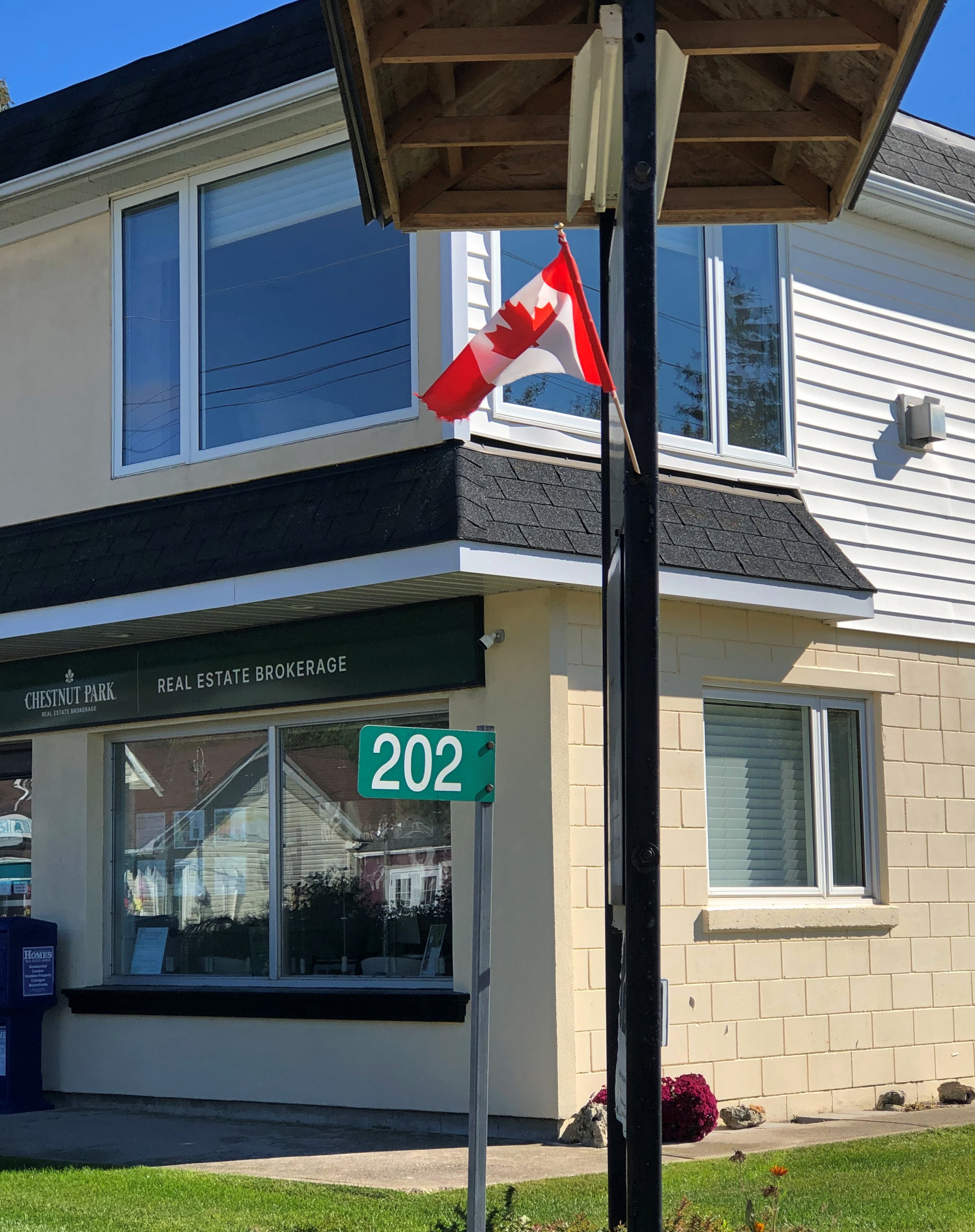
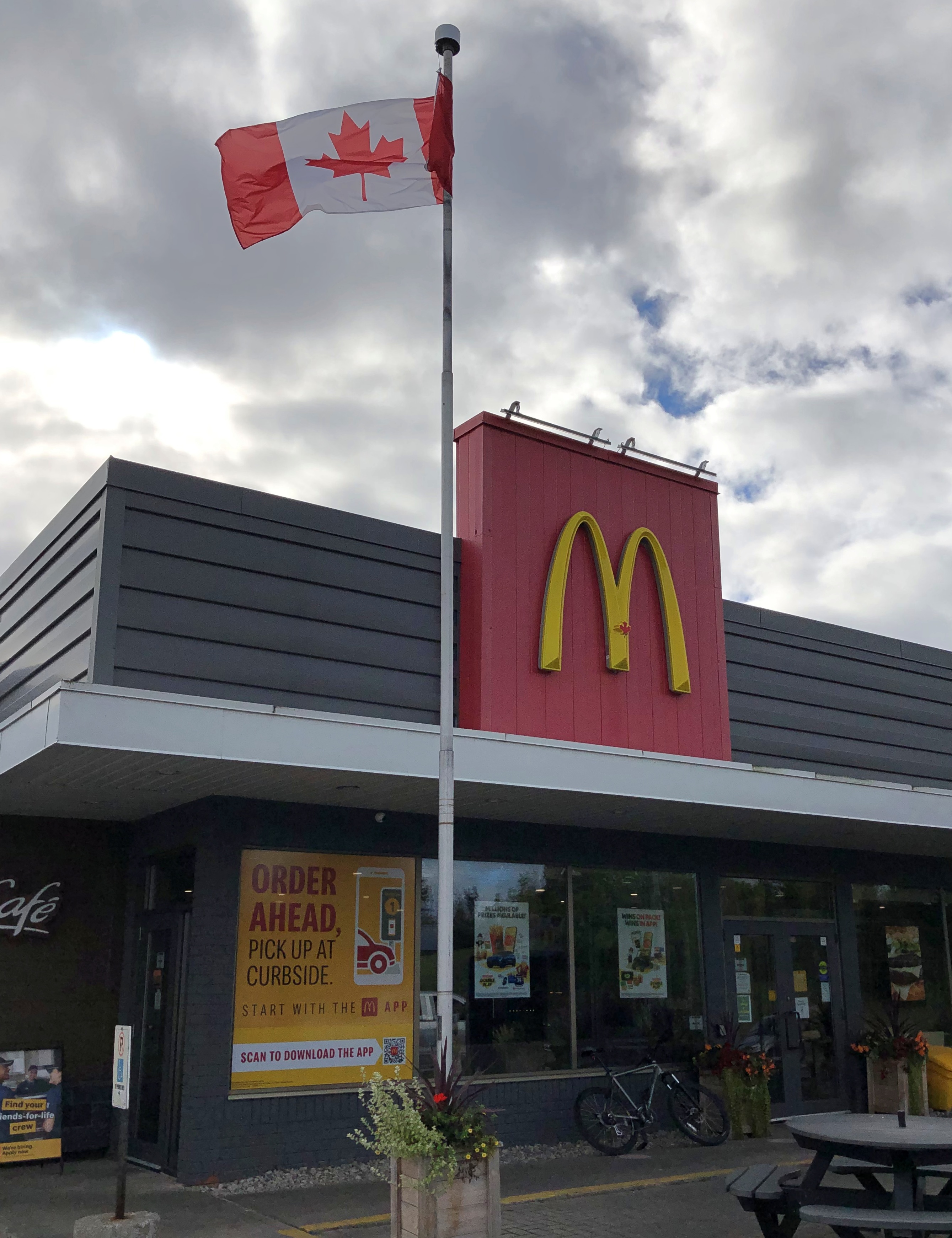
Flags on commercial structures.Maple Leaf flag Maple Leaf flag Maple Leaf flag

Note the red spot on the Golden Arches. The image doesn’t capture it well, but that’s the Canadian Maple Leaf. You’re not fooling anyone, McDonald’s.

Along our drives I also noticed that pasting a Maple Leaf on a wall or sign was very common as well: a business declaring its Canadian bone fides, even if they run no deeper than having a Canadian franchisee. Using the Maple Leaf as a shorthand for Canada has a long history, and in fact came long before the Maple Leaf flag, as detailed by a Canadian government web site.

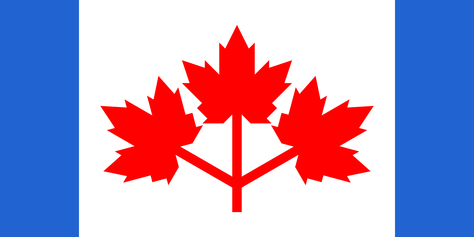
The current national flag was the work of a committee in parliament in the 1960s. Usually committee-made implies substandard work, but I’d say they hit it out of park in the case of creating the immensely popular Maple Leaf flag.

I also have to say that the three-leaf design’s pretty cool, too. It was in the running to be Canada’s flag. But maybe the symbolism isn’t right; Canada isn’t like Gaul or a giant Tennessee, with three distinct parts.

Or maybe it is. Everything west of Quebec, everything east of Quebec, and that Francophone province all by its lonesome. I’m not enough of a Canadian — not one at all — to know if that division makes any sense, but I might as well throw it out there.

Our trip to the Bruce Peninsula snapped into place only the week before we went, an unusually short time for planning (at least for me), but it turned out well. Up to the tip of the peninsula and back: four nights and five days. A longer trip would be Around Lake Huron, but it was not to be. We decided on short. That was a good decision, I think. Short but we saw a lot, and enjoyed the Bruce and other places along the way a lot.

Small roads near Ontario’s Lake Huron shore take you to small towns, long lakeshores and modest rises; vistas that can offer great beauty; and expansive farmland, well-watered woods, provincial parks and Bruce National Park, a unit of Parks Canada. Except for the Canadian flags and a few other details (such as km/h speed limits, which Canadians mostly ignored), the vibe was Door County – the counterpart peninsula on the Niagara Escarpment, jutting into Lake Michigan, the counterpart of Lake Huron.

To my way of thinking, after you’ve been to Door County and the UP – the U.S. parts of the escarpment, that is – the next logical thing to do is visit some of the Canadian parts. I’ve found that other Americans I’ve spoken to about the destination have little to no knowledge of it.

Since there is a well-developed tourist infrastructure in those parts, clearly the Canadians have heard of the Bruce, and visit in droves in the summer. That was another reason to go in shoulder-season October. Those droves were gone, and sometimes it felt like we had the place to ourselves, though that was far from literally true. Which you wouldn’t want anyway, since that would be like finding yourself in a Canadian version of The Last Man on Earth.

An added bonus: the U.S. dollar is still unaccountably strong against the Canadian dollar, which fetches about 75 U.S. cents, like it did last year (but not in 2006, when it was close to parity). Pay your bill and with no effort, get a 25 percent discount. None of those cash-back schemes so widely advertised can hold a candle to that.
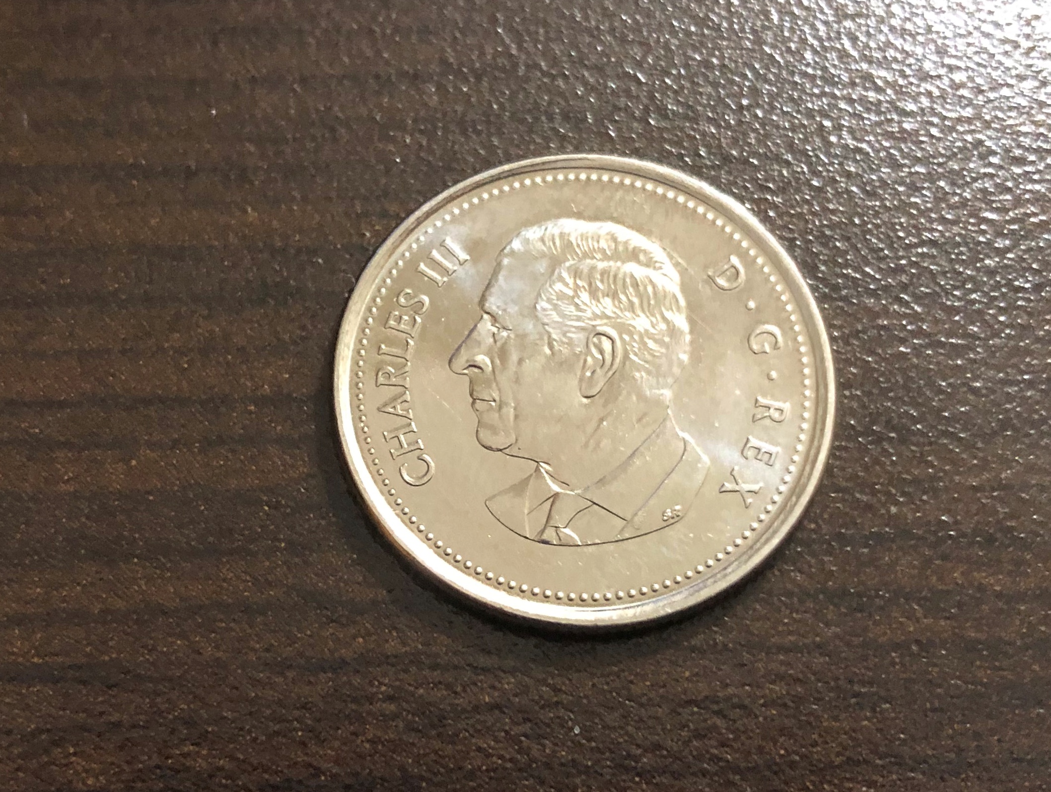
Speaking of money, and national symbols, receiving this coin was a first for me, namely getting Charles in change. Minted in 2023.  Got it along with some Elizabeth coins, obviously still the vast majority.
King Charles taking his place on coinage, hewing to a custom as ancient as King Croesus, yet in a remote part of his realm that’s not really his realm that much any more. I don’t have strong feelings about him as sovereign, but it is nice to see something new on a coin, like the recent redesigns of the obverses of the U.S. Washington quarter and Jefferson nickel.

Monday Moonery

Why should we start sending people back to the Moon? Because it’s still there? Besides that. Rather, because the ranks of those who have flown to the Moon are getting pretty thin – something I thought of when I learned that Tom Stafford (Apollo 10) died. Now only seven of them are left, four who landed on the surface and three who got really close without landing.

At 88, the youngest of this rarefied group is Apollo 16’s Charles Duke. Three have passed just in the last few months, including Ken Mattingly (also Apollo 16) and Frank Borman (Apollo 8) and now Stafford. It wouldn’t be right somehow to have the experience of being close to the Moon slip out of living memory. The plan is for these astronauts to go next year on Artemis 2; we shall see.

If Artemis 2 does come to pass as planned, it would include among its crew one Jeremy Hansen, who happens to be a Canadian astronaut and would be the first non-American (non-citizen of the United States, to nitpickers) to pay a visit to the Moon. Assuming a knot of taikonauts doesn’t surprise the world before Artemis’ flight by appearing on the lunar surface hoisting the flag of the PRC.

Hansen, as Wiki succinctly put it, “Canadian astronaut, fighter pilot, physicist and former aquanaut.” If that’s not an action hero’s resume, I don’t know what would be.

Lots of rabbit-hole material here: Canada currently has four active astronauts (one of whom is Hansen) and a number of retired ones, including the dude astronaut who played “Space Oddity” on the ISS about 10 years ago. They work or worked for the Canadian Space Agency, which has been around since 1989 but I’d say is fairly low profile. Canadians have been going to space since before then, since Marc Garneau went up on a 1984 Shuttle mission. He happens to be a Québécois and until recently fairly highly positioned in the current Trudeau government.

Here’s a question for Moon landing deniers: how come some other nation (say, you know, China) hasn’t faked going to the Moon by now? Certainly Xi Jinping would be able to marshal the resources, by various carrots and sticks, to get the filming and other fakery done.

If someone (say, you know, Kubrick) could fake it using late ’60s video tech, wouldn’t the vast improvements in digital image creation since then mean a higher quality fake by the Chinese government? One so good no one would question it? Except of course for brave Moon-landing deniers.

Not Yet, I Haven’t

Not long ago I came across the blog of a fellow – Everywhereman.me — who aspired to visit everywhere mentioned in the U.S. version of the song “I’ve Been Everywhere.” He then did just that, mostly by motorcycle. I don’t think I’ll do that exactly, but that’s the kind of meshuga I like, since I’m a bit touched myself.

Though others have recorded it, including Johnny Cash no less, I associate the U.S. version with Hank Snow. As well I should.

The original version was Australian, written by Geoff Mack and a hit for Lucky Starr. I have to give it its due. Australia is full of lots of weird and gorgeous place names, after all.

You need a written list to keep up with Lucky, as posted in Wiki. Or a very detailed knowledge of Australia.

Other versions for other places exist. None other than Stompin’ Tom Connors starts off in the United States, but naturally gravitates to Canada, with an entire verse about the Maritimes.

Canada’s fine, but Texas place names are just as good.

By one Brian Burns, who managed to work in some of my favorites, ever since my days of poring over Texas road maps: Pflugerville, Dime Box, and Cut and Shoot.

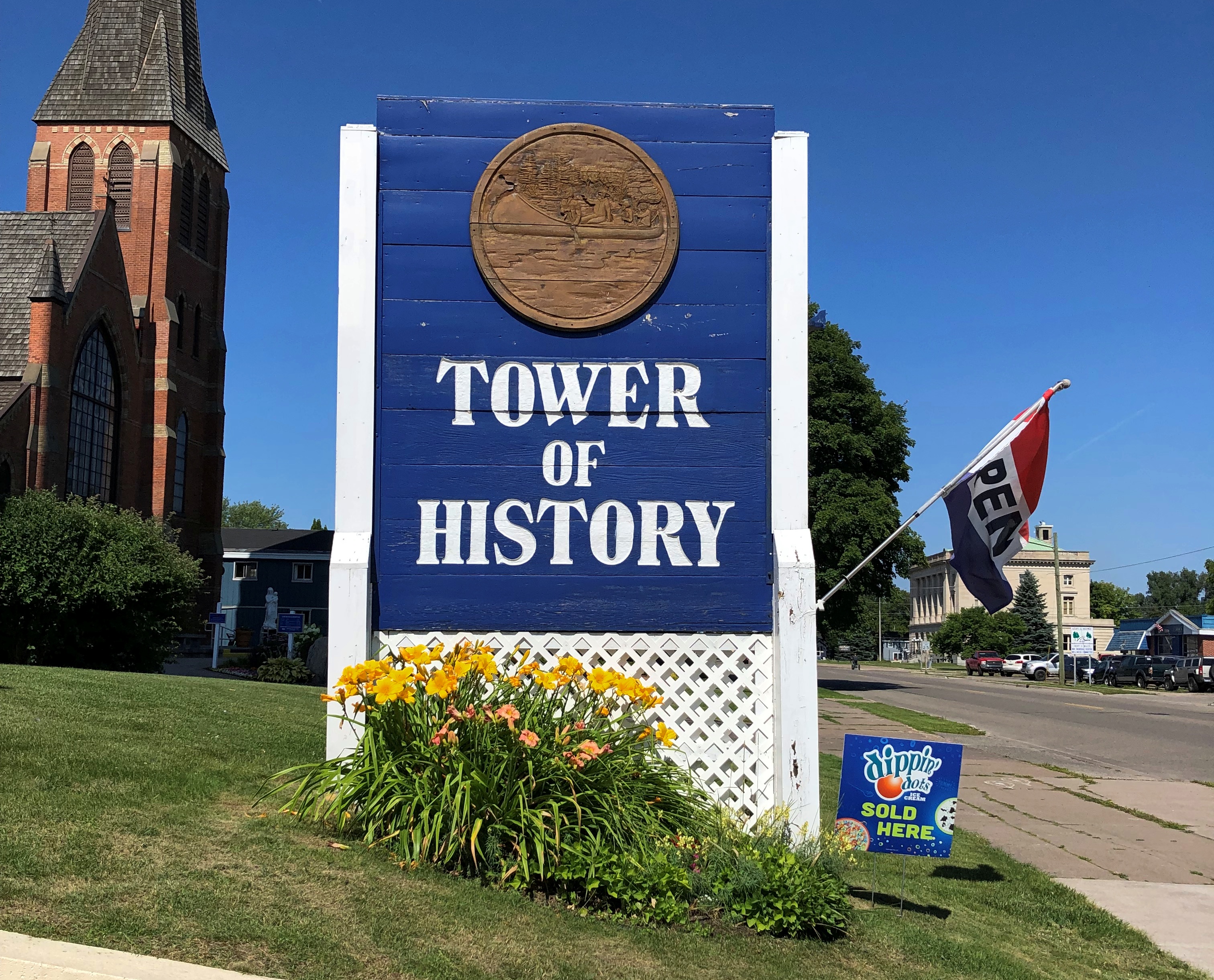
The Tower of History & Holy Name of Mary Catholic Church

It did me good today to learn that admission to the Tower of History, in real terms, costs only a little more than it did nearly 50 years ago. Sault Historic Sites, the nonprofit that owns the structure, obviously isn’t trying to gouge visitors. Or maybe that, as interesting as it is, the tower is in out-of-the-way place, and the market won’t bear a higher price.

In any case, a newspaper article from 1975 tells me that admission for an adult was $1.25 that year. When I visited on August 5 of this year, I paid $8. An inflation calculator tells me that $1.25 that year has the current purchasing power of $7.10.The Tower of History

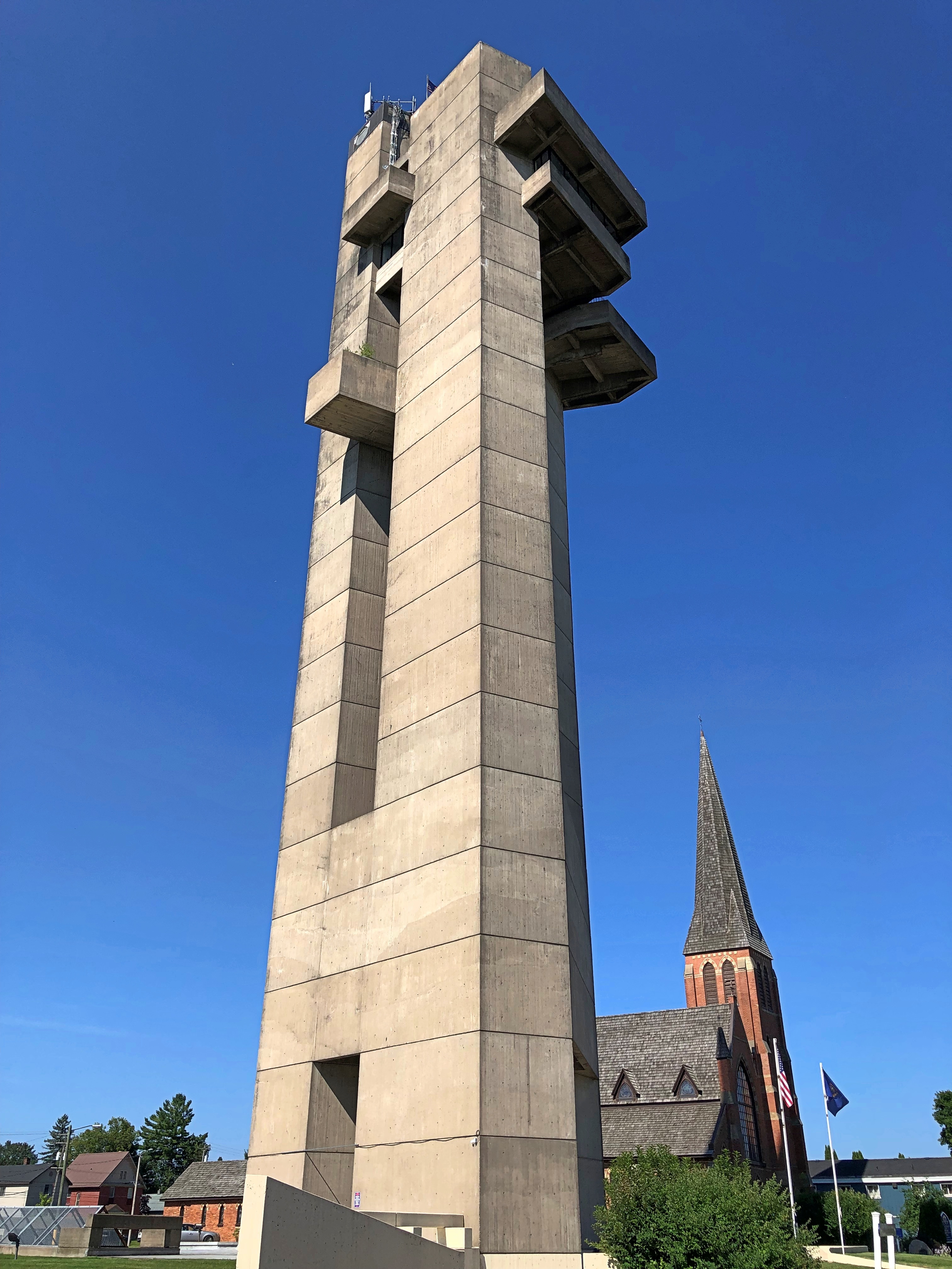
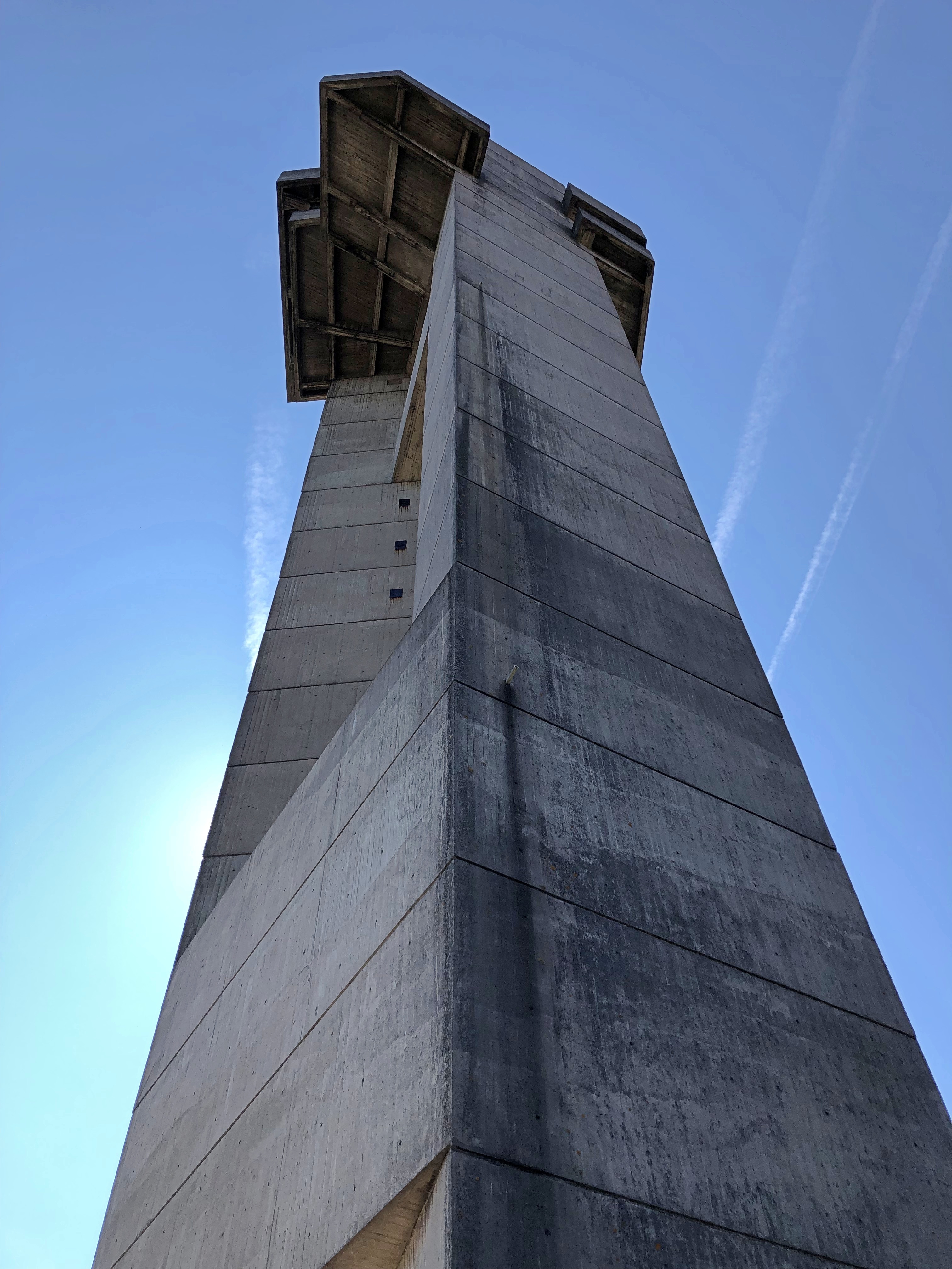
Thus I paid a little over the rate of inflation for all those years, but not much; we can round up the sum to pay for more maintenance, since the tower dates from 1968. Looks like it, too. Concrete all the way up and down.The Tower of History The Tower of History

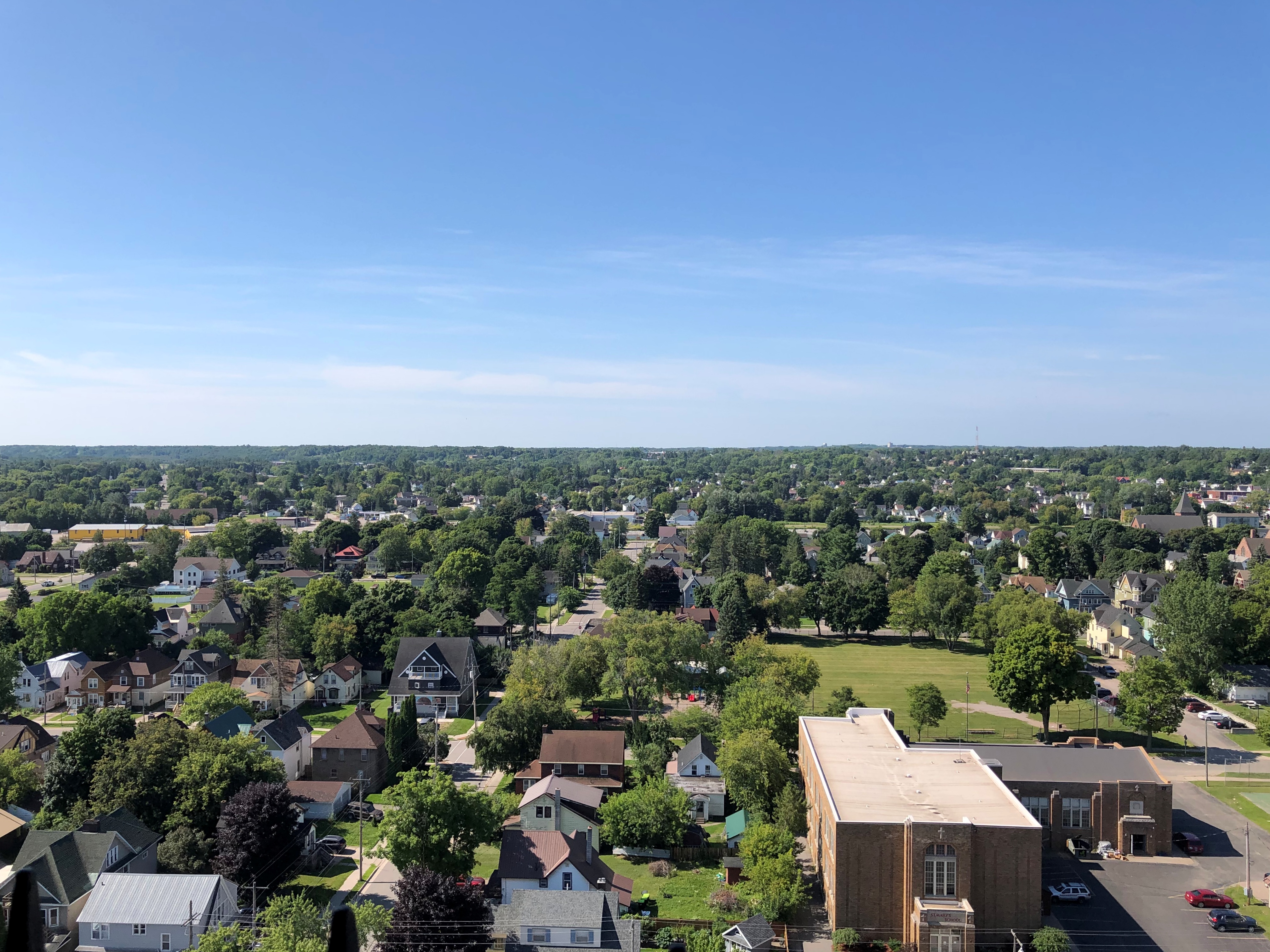
The tower was the first place I went after returning to the United States that morning. It stands 210 feet over the mostly low-rise city of Sault Ste. Marie, Michigan. As concrete towers go, it isn’t bad, but I didn’t come just to admire it from the ground. It’s an observation tower, and I’m a sucker for those. You’re paying for the views.

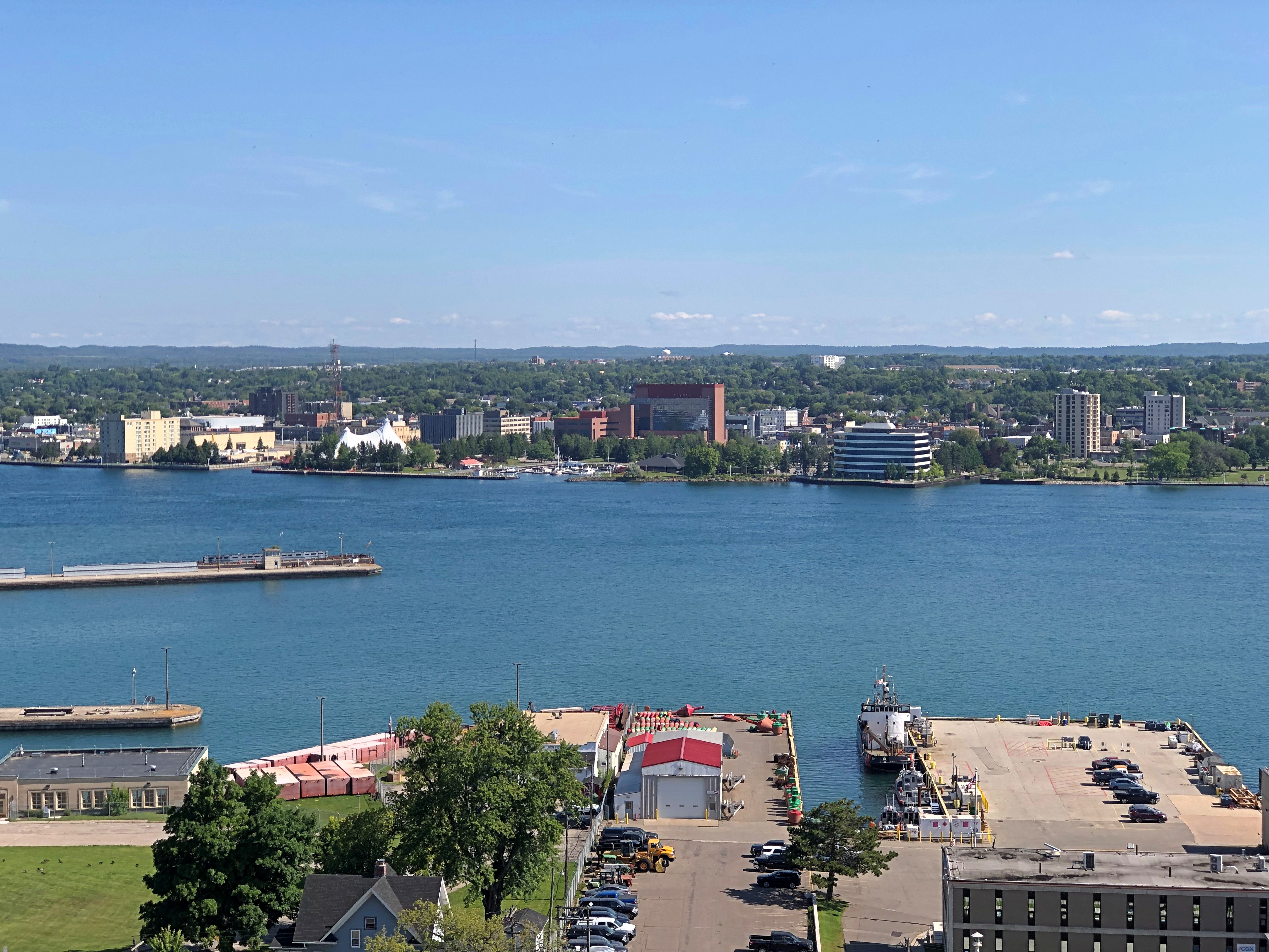
Such as of the Canadian Sault Ste. Marie to the north, across St. Mary’s River, the connector between Lakes Superior and Huron.Sault Ste. Marie, Ontario

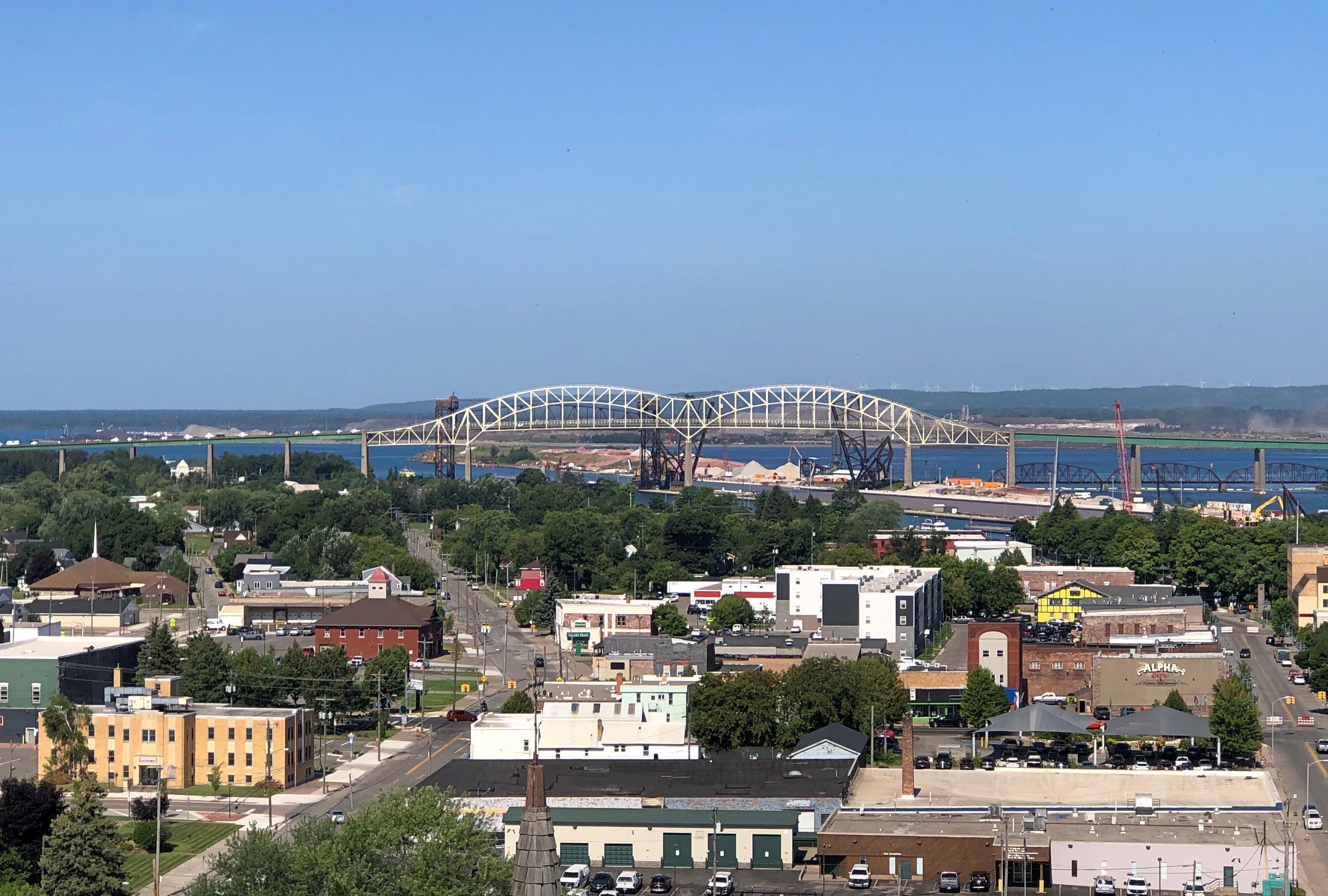
The international bridge, to the west.Sault Ste. Marie, Michigan

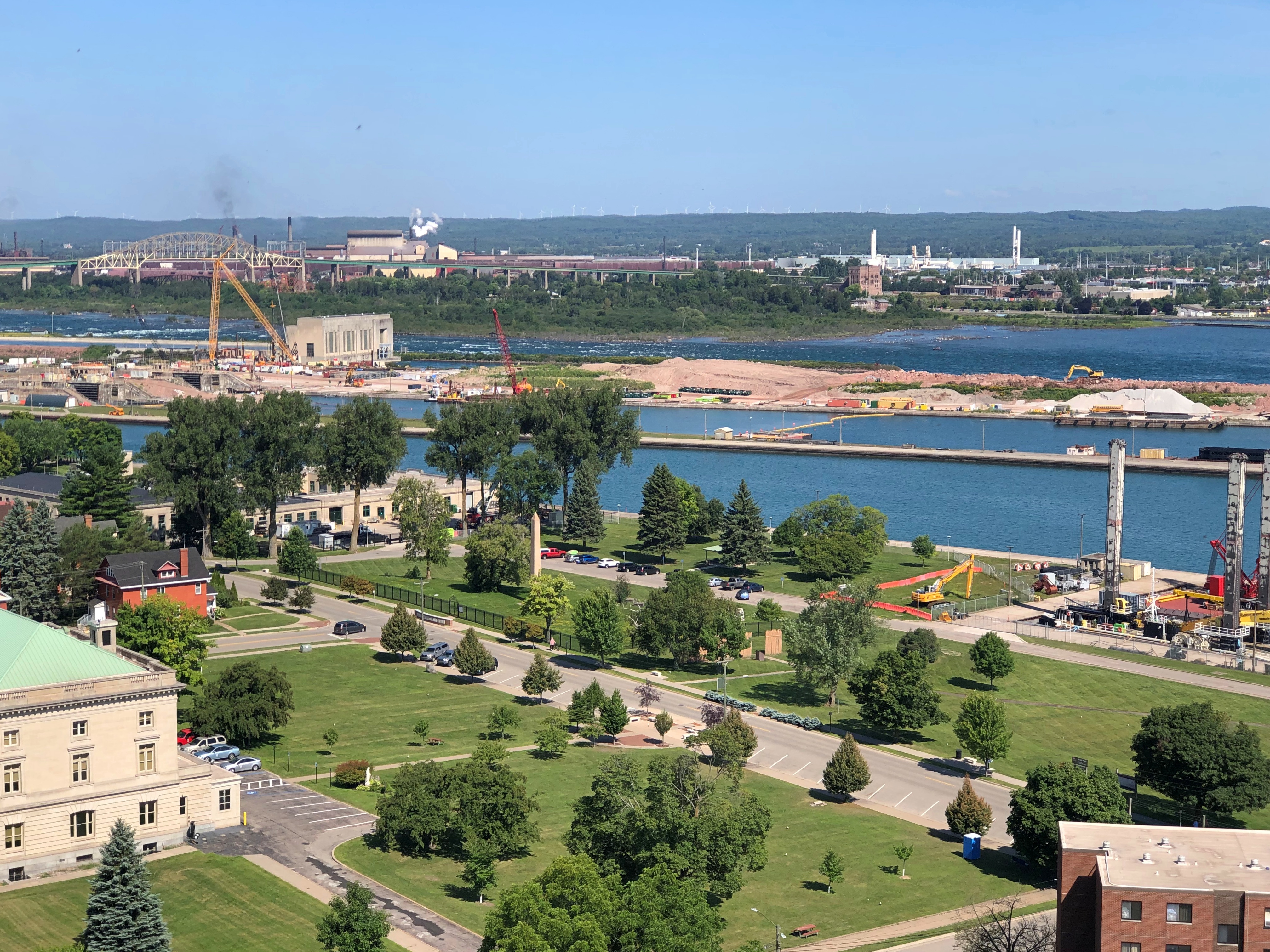
Part of the U.S. locks. Superior and Huron aren’t at the same elevation, with a difference of 23 feet, so the river has long been site of a canal, and indeed work is still under way enlarging the locks.Sault Ste. Marie, Michigan Sault Ste. Marie, Michigan

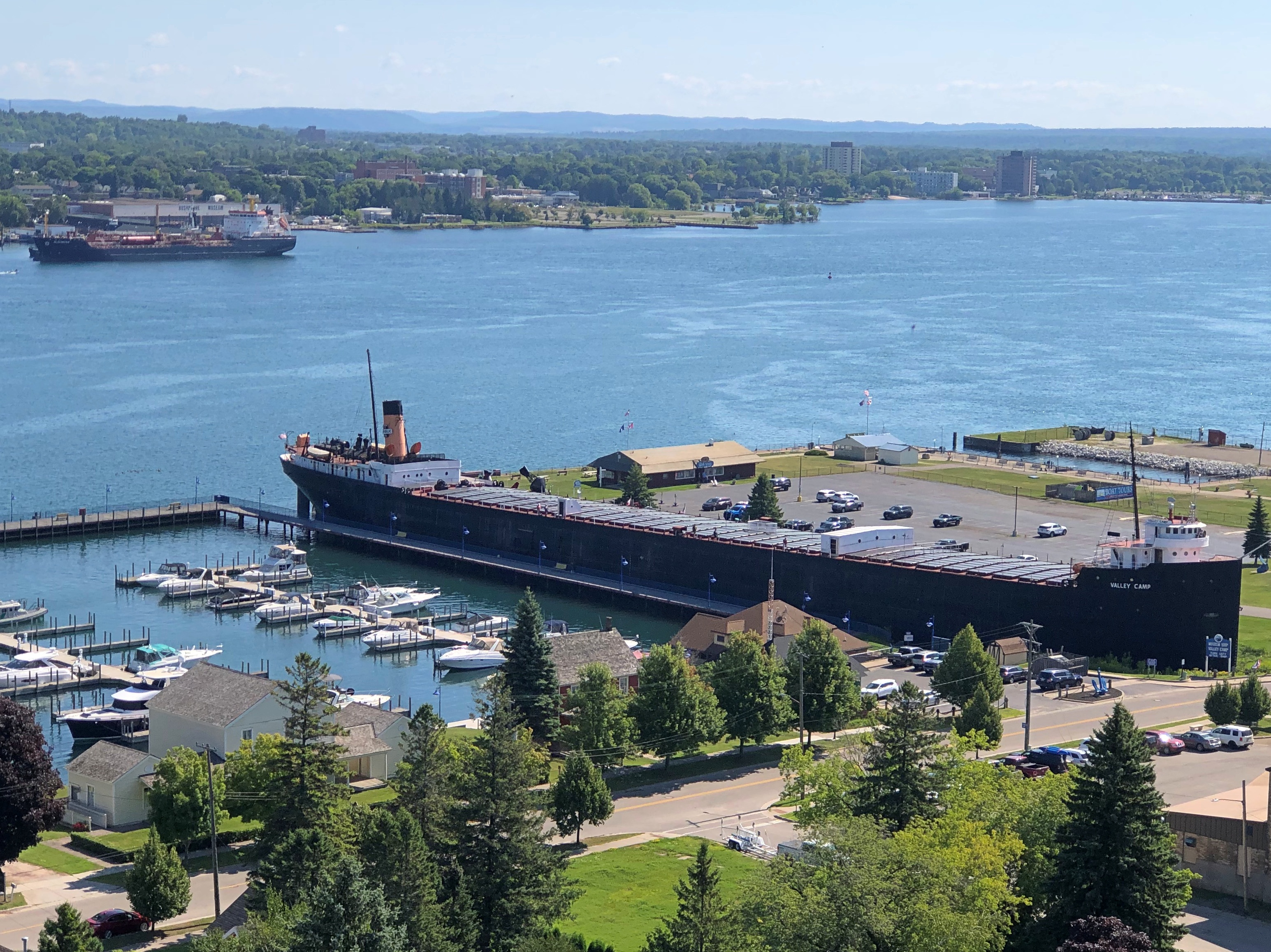
A docked ore carrier. More about that later.Sault Ste. Marie, Michigan

The Michigan city, to the south.Sault Ste. Marie, Michigan

In the 1960s, the Holy Name of Mary Catholic Church in Sault Ste. Marie, Michigan, decided to build a tower to honor the missionaries who came to the Great Lakes once upon a time, and picked the site of a log cabin and chapel built by Fr. Jacques Marquette, S.J.

Shrine of the Missionaries, it was to be, as part of a larger complex that would have also included a community center and a new church building. The ballooning expense of the tower torpedoed the other plans, however, and the Diocese of Marquette acquired the tower, which it eventually donated to the nonprofit that runs it even now. Tower of History, I assume, was a secularization of the name.

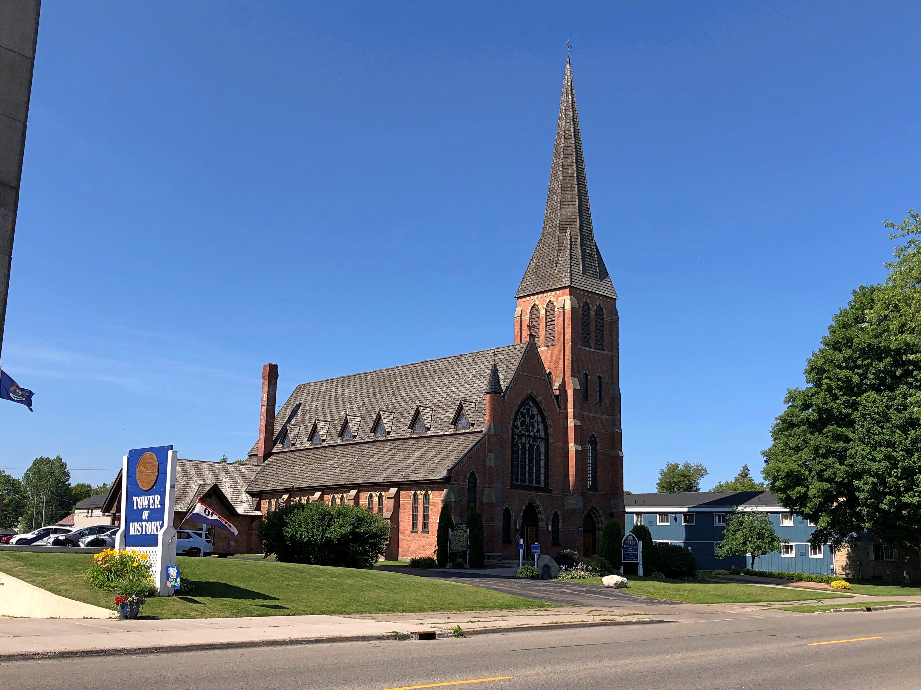
St. Mary’s still stands a stone’s throw from the tower. I’m glad the handsome 1880s Gothic Revival church wasn’t replaced by an oddity from the 1960s.Holy Name of Mary Catholic Church

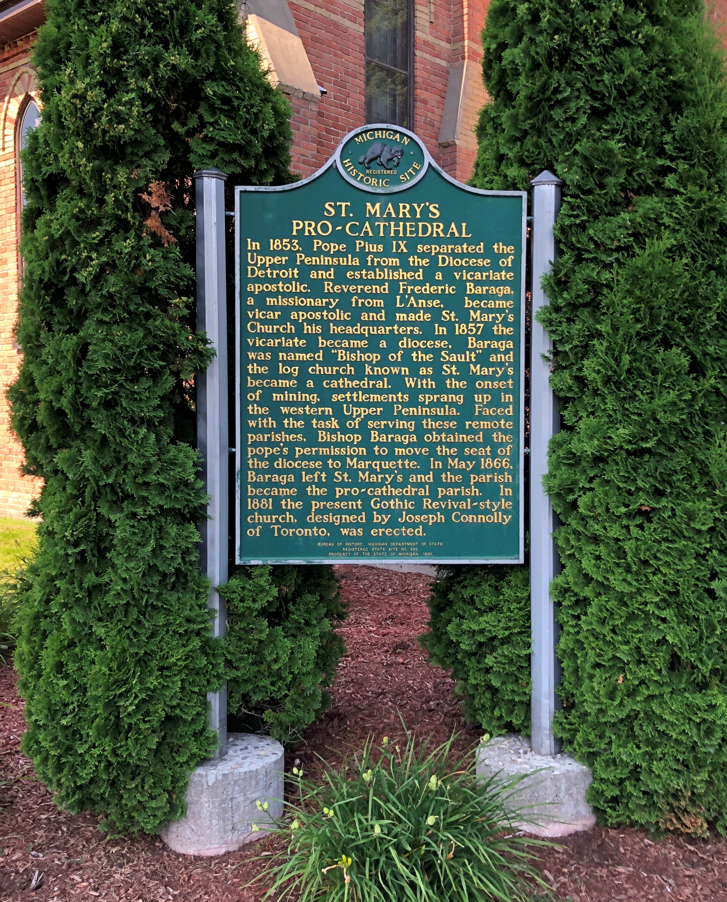
The church is also a pro-cathedral.Holy Name of Mary Catholic Church

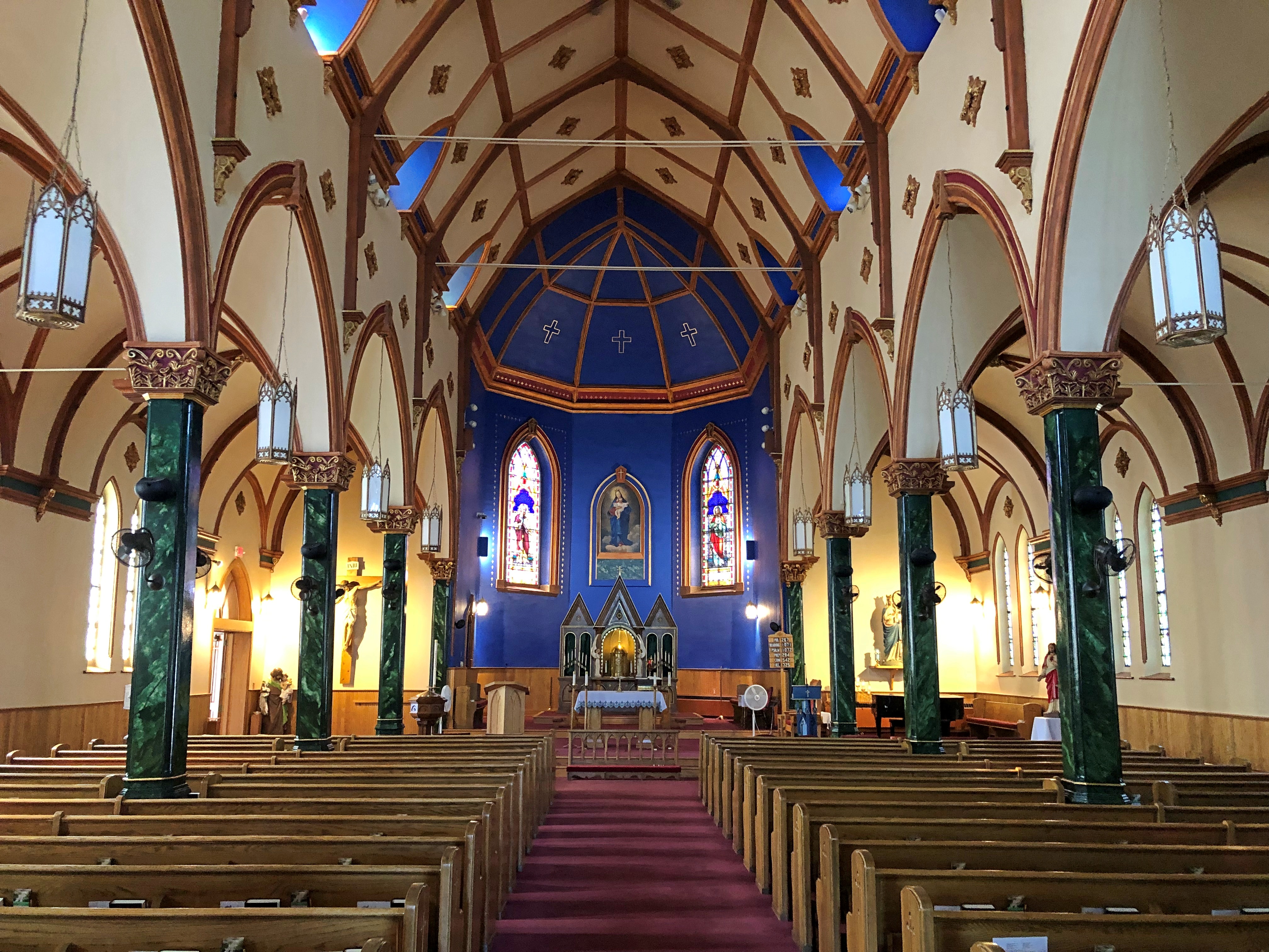
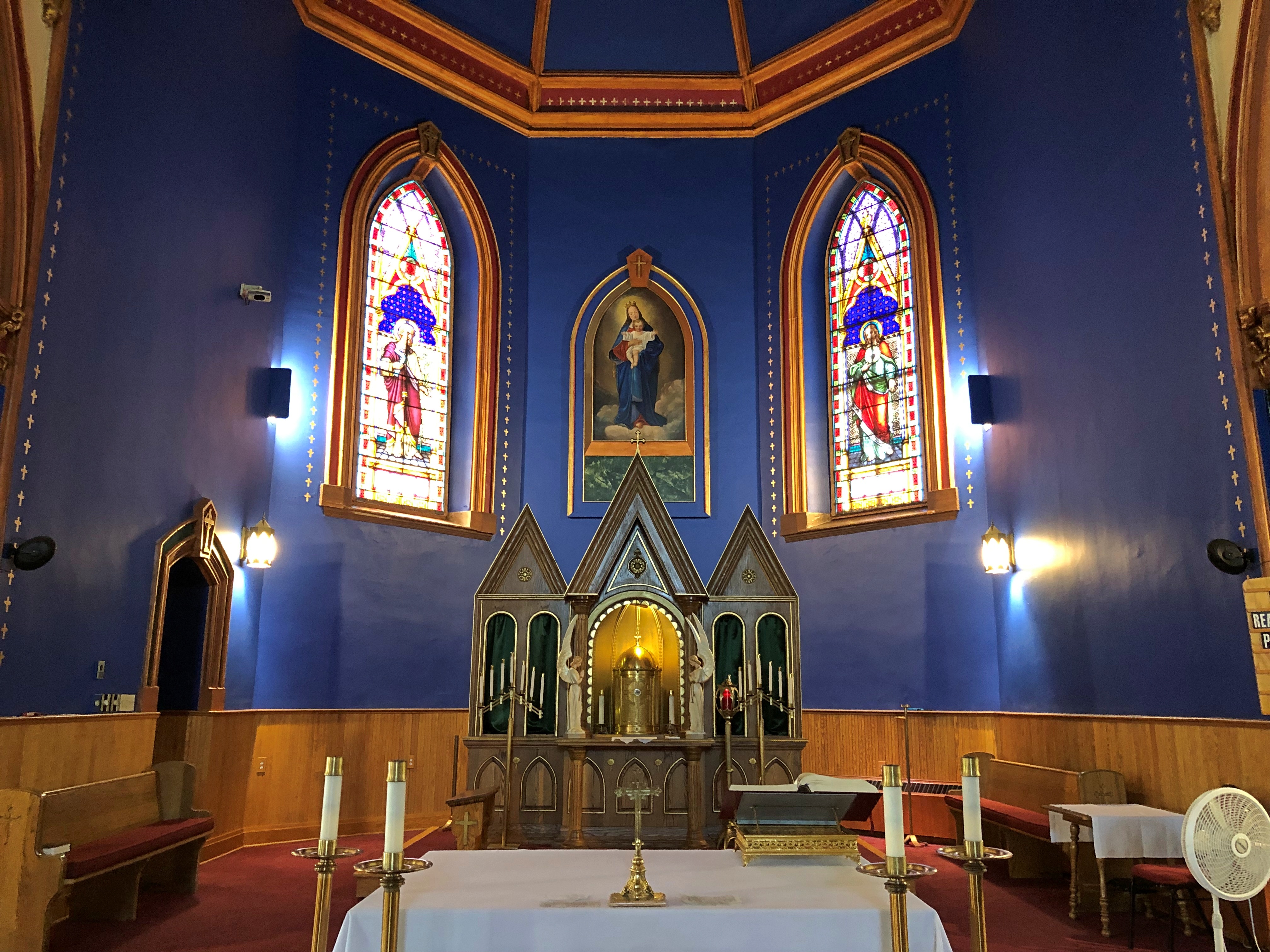
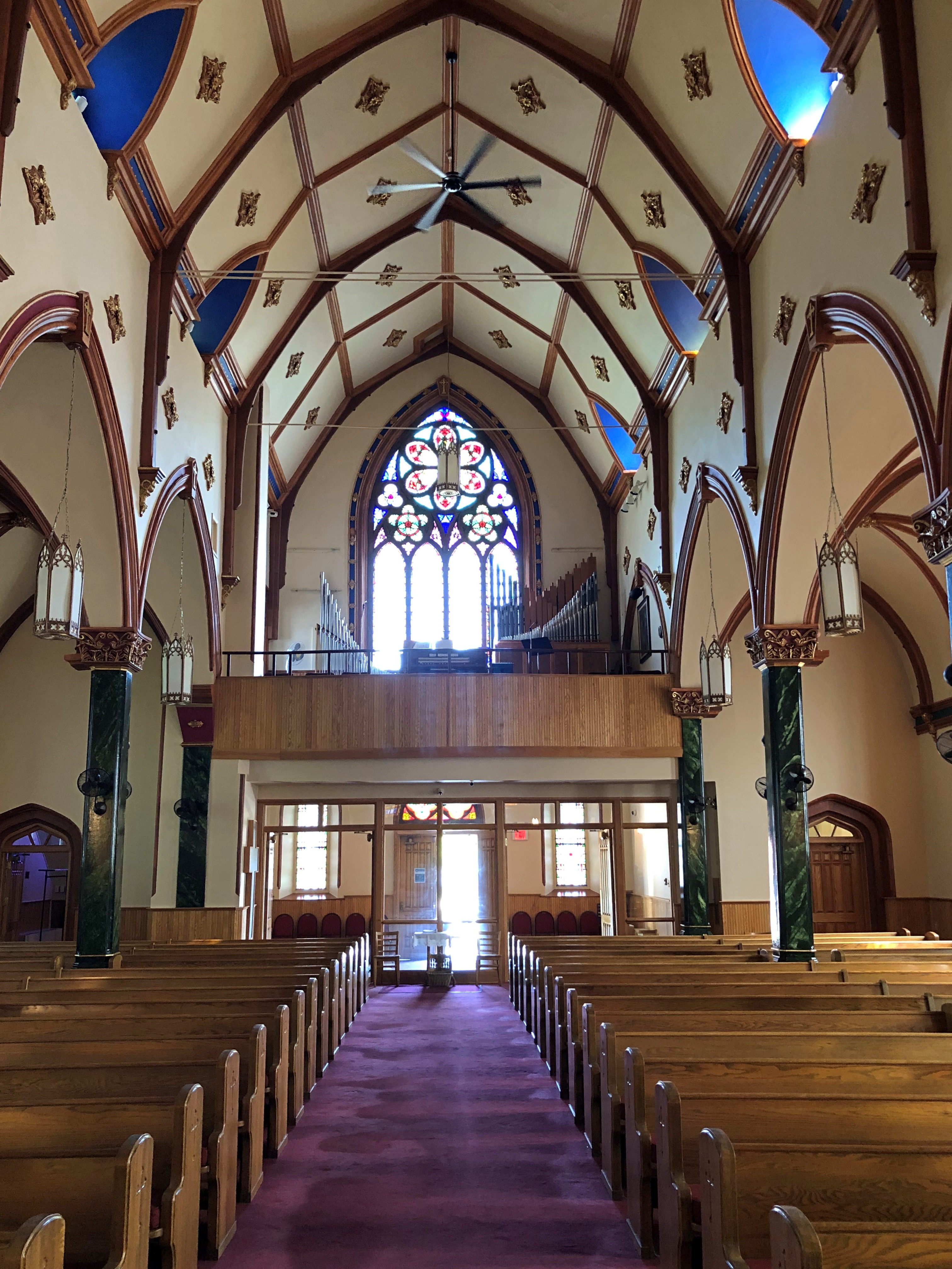
We stepped inside. Nice. I was reminded a bit of the smaller, but equally colorful Painted Churches in Texas.Holy Name of Mary Catholic Church Holy Name of Mary Catholic Church Holy Name of Mary Catholic Church

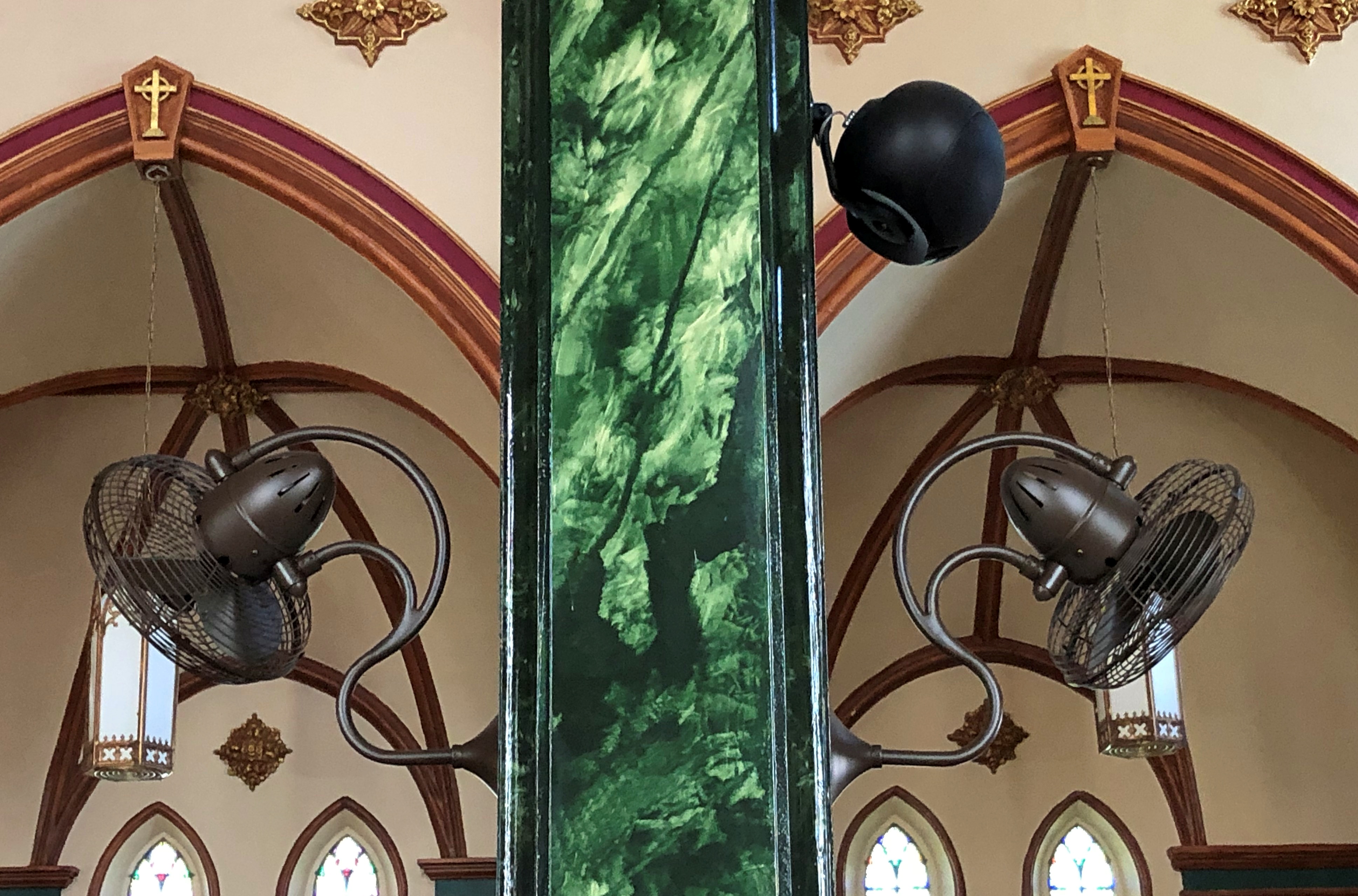
Perhaps there is no air conditioning — I can’t say I checked — but if so, that makes for an interesting array of fans.Holy Name of Mary Catholic Church

It was good to be back in the UP.

Agawa Canyon Park

Been a fairly mild summer so far, at least here in northern Illinois, but we might actually hit 100 degrees F. later this week. Topped 90 today.

I spent two nights in the Canadian Sault Ste. Marie early this month. My goal during my single day in town, August 4: ride a train away from town, through scenic parts of the Algoma District of Ontario to Agawa Canyon Park, nearly 130 miles round trip. I’ve known about the place for over 20 years, since I read this 2000 article by Chicago Tribune staffer Toni Stroud. Agawa Canyon

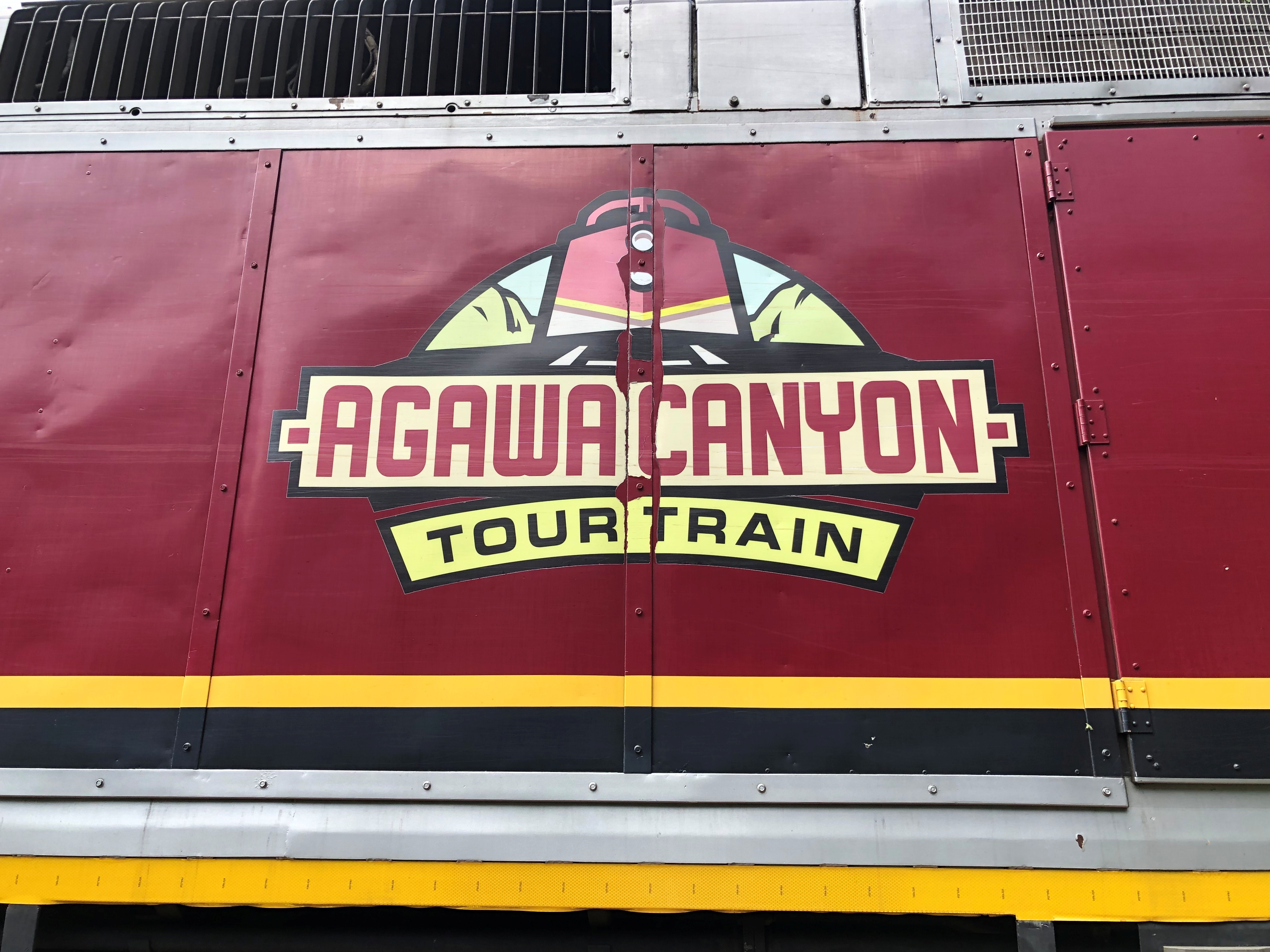
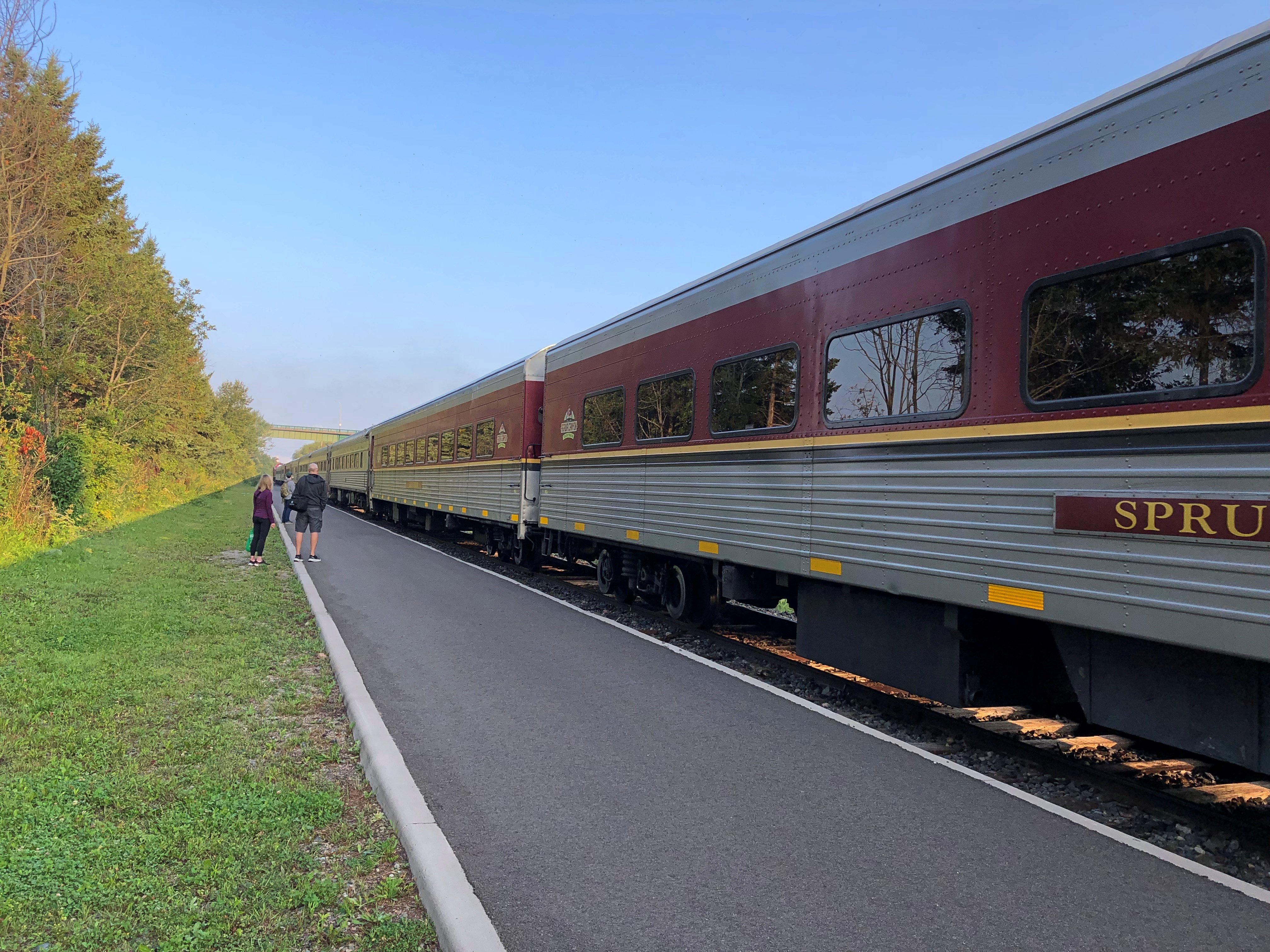
The Agawa Canyon Tour Train leaves from a station in Sault Ste. Marie early in the morning. To be exact, 8 a.m. I was there to catch it.Agawa Canyon Tour Train

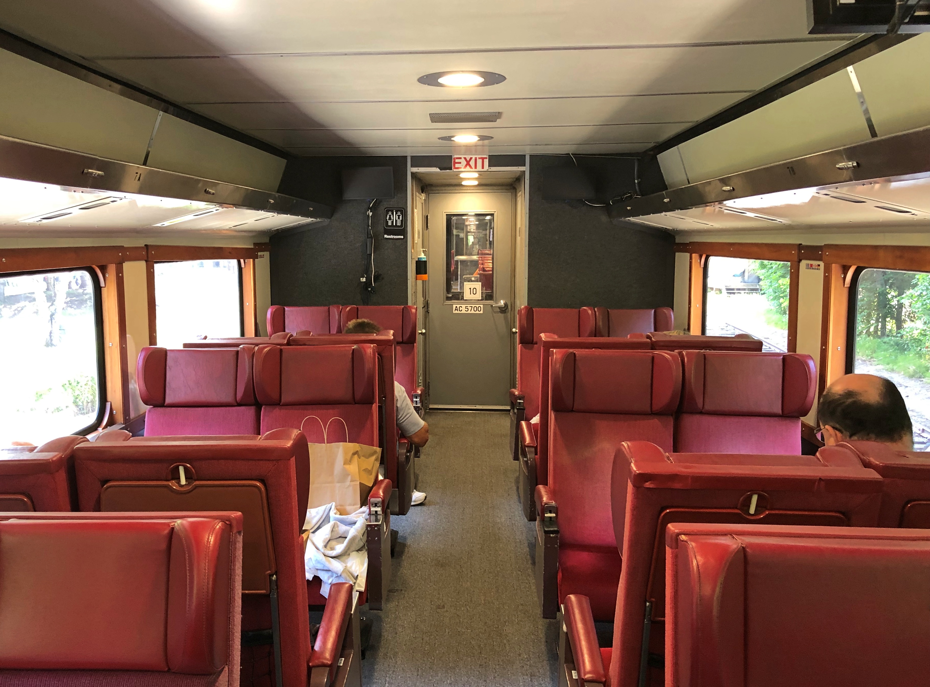
I’d booked in advance, concerned that it would be a full train. Turns out I could have shown up, at least that Friday, and bought a ticket. My car wasn’t empty, but it could have held several times as many people without issue.Agawa Canyon Tour Train

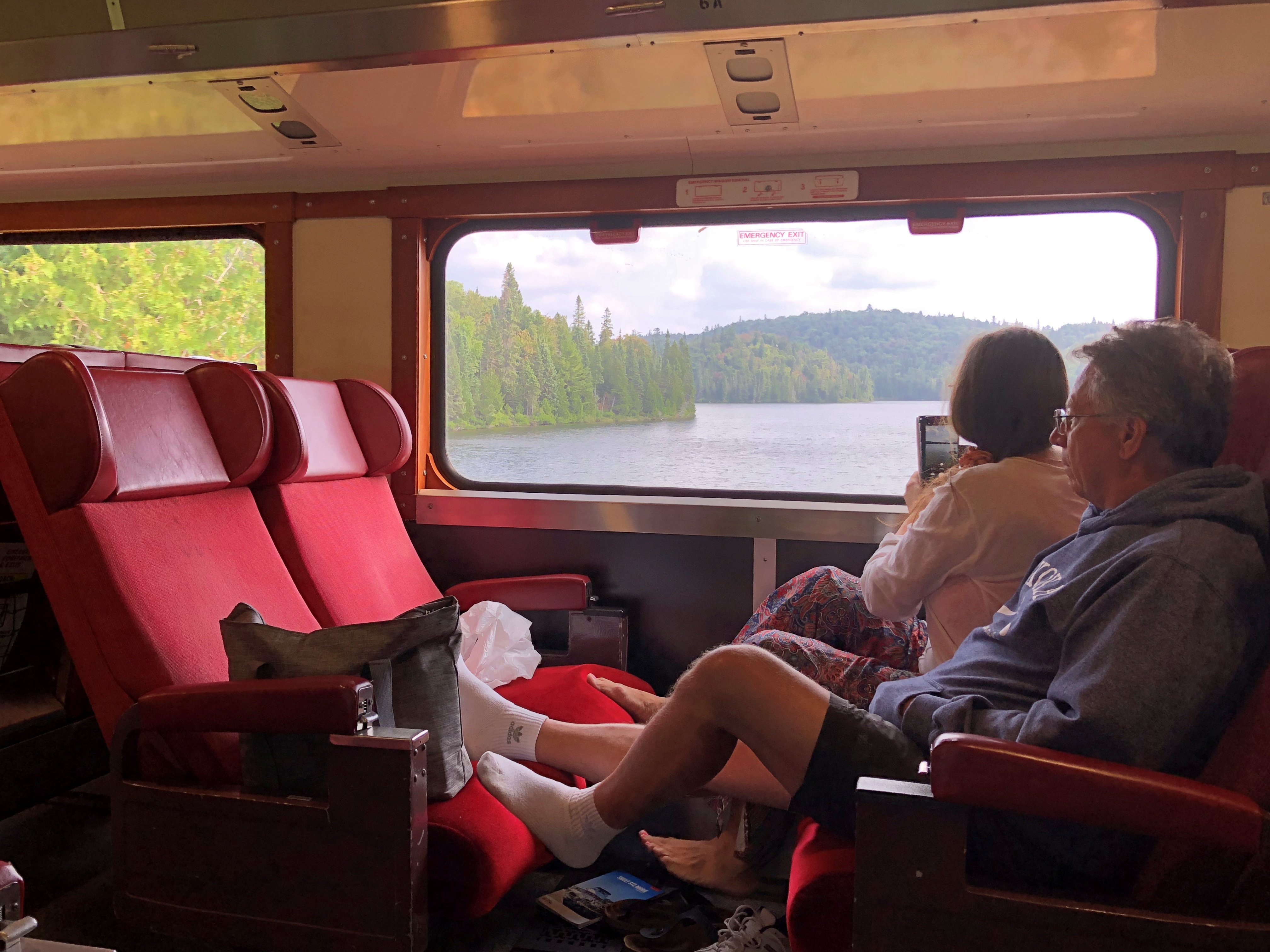
The light load meant that I had a four-seat section all to myself, which made for a comfortable ride, especially when I felt like propping up my feet.

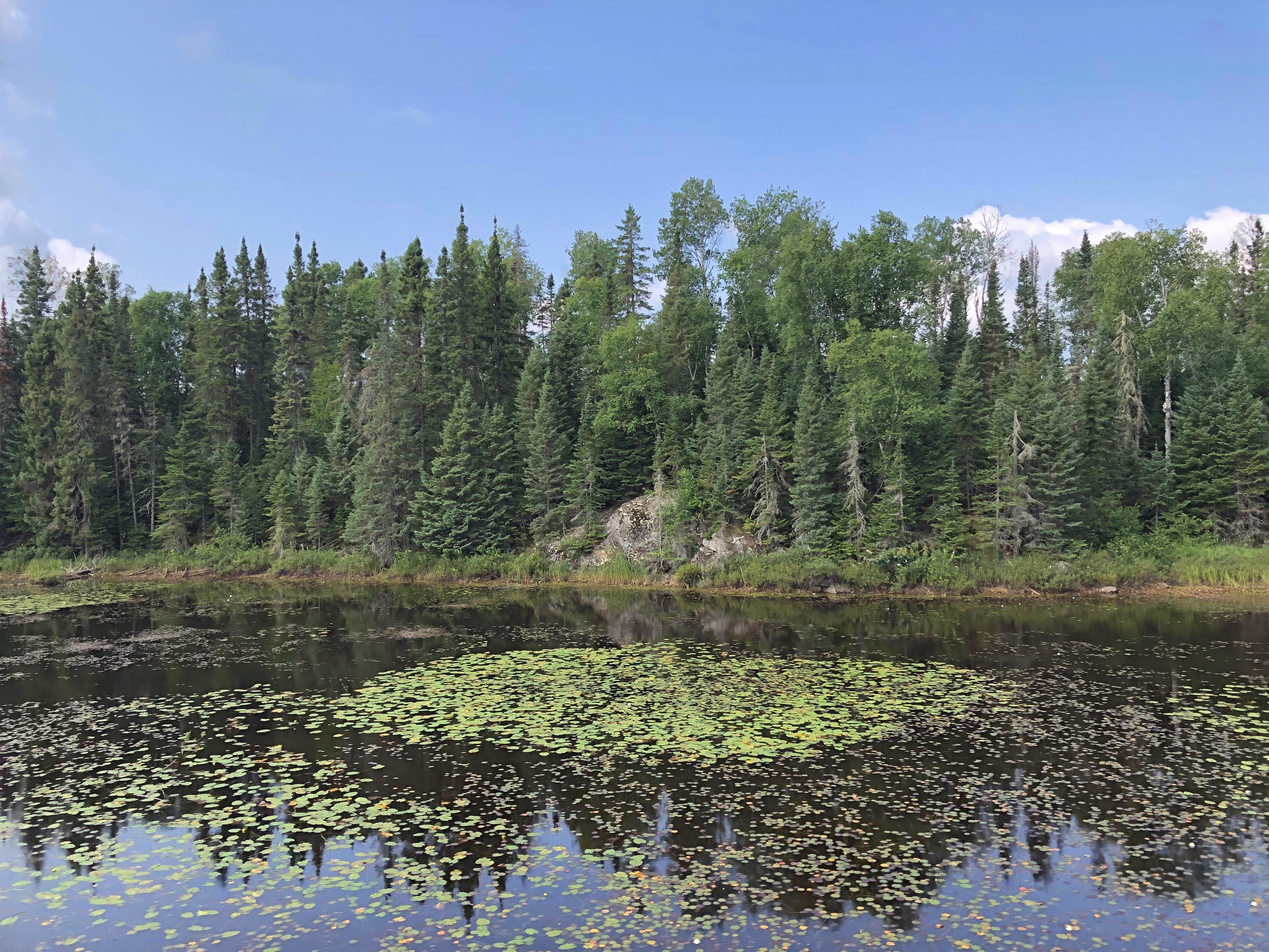
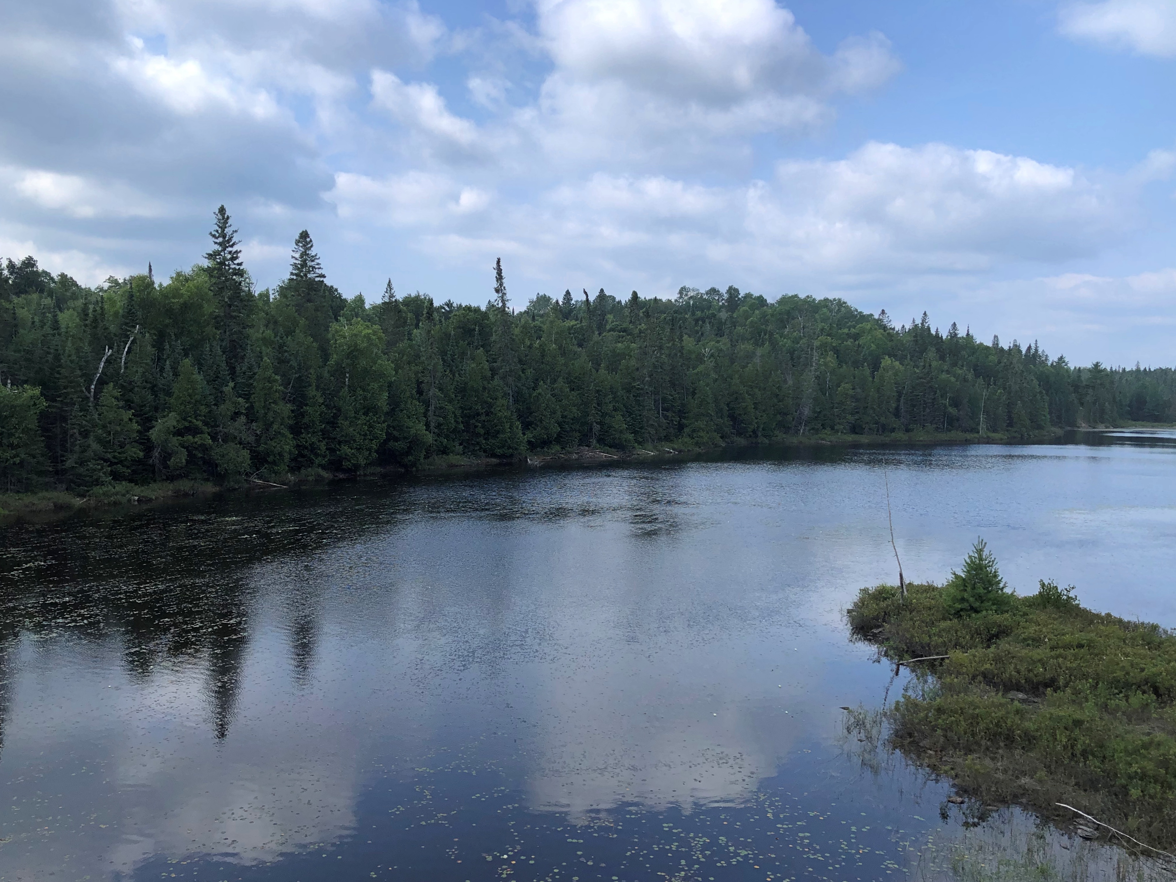
The ride to the canyon is about four and a half hours. The thing to do on the way is watch the countryside roll by.Algoma District, Ontario Algoma District, Ontario Algoma District, Ontario

And listen to the periodic narration, which offered information about the lakes and rivers we passed, the forests around us, and the trestles the train crossed – as high as 130 feet in the case of one that’s about 1,500 feet long, an arc that makes it seem like the train’s tonnage is gliding over tree tops.

We also heard about the history of the region, and the line, the Algoma Central, which was built as a working RR to facilitate mineral extraction and other commerce. The line goes all the way the Hearst, Ontario, well beyond the Agawa Canyon, and indeed is still a working line, though I understand the tourist run is a separate entity these days.

Somehow, I wasn’t surprised to find out that Stompin’ Tom Connors recorded a song about the line, “Algoma Central 69.” I’m beginning to think that if it’s distinctly Canadian, he did a song about it.

I’d read conflicting opinions about whether the right or the left side was better for watching the scenery. Conflicting, I decided, because there didn’t really seem to be a better or worse. Each side had its share of sights. I’m sure the couple across the way from me had just as good a view as I did. They got to put up their feet, too.Algoma District, Ontario

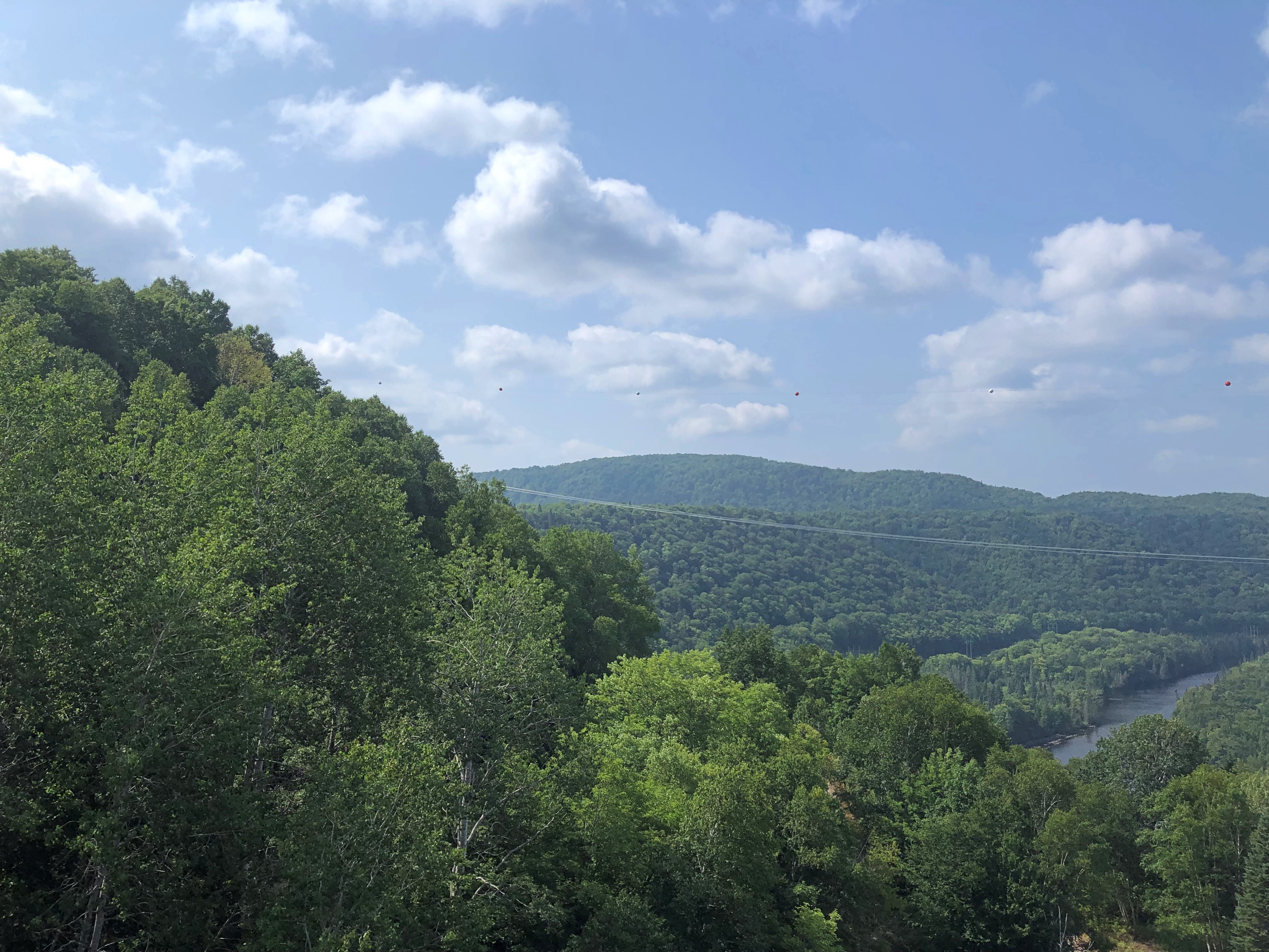
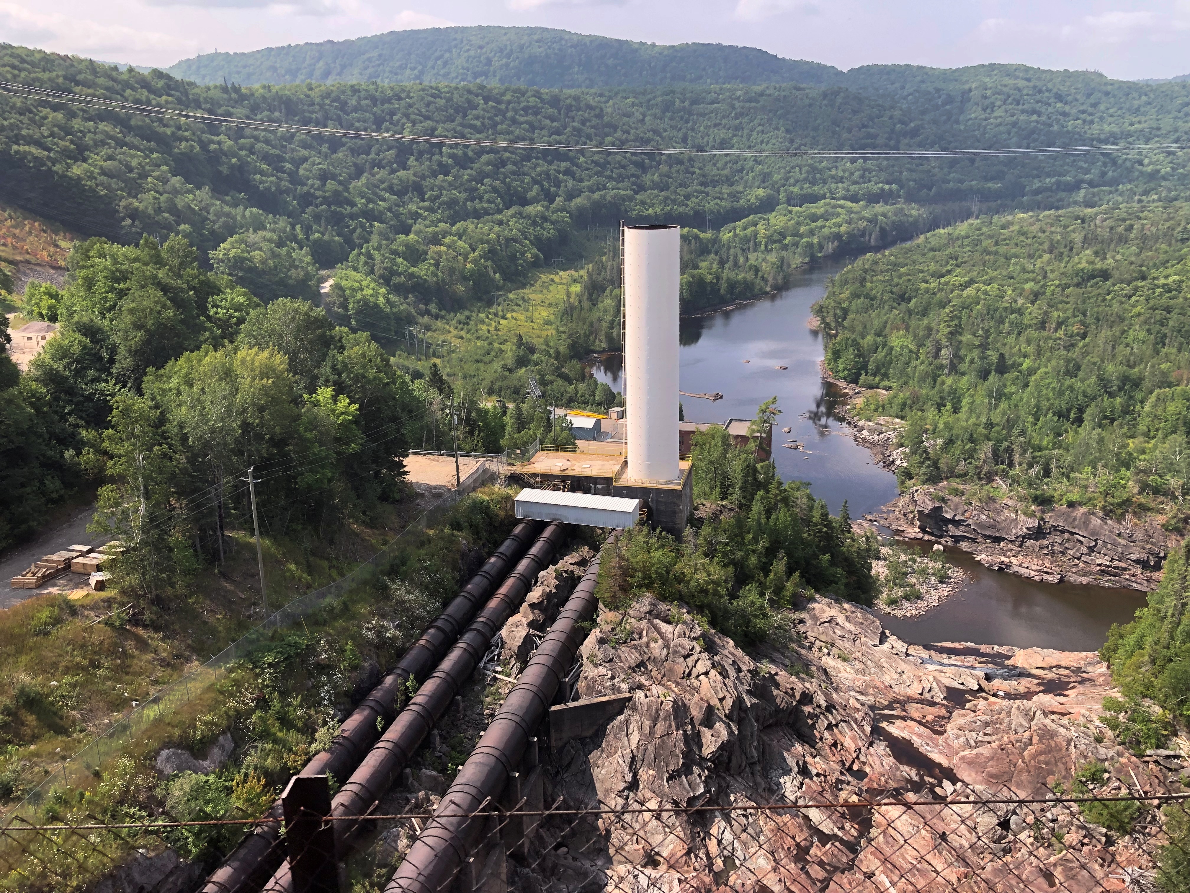
Contrary to what I expected, the train doesn’t pass through total wilderness. There aren’t any towns along the way, but there is a scattering of houses and cabins, and the tracks cross a number of roads, paved and unpaved. You also come within sight of this bit of infrastructure.Algoma District, Ontario

Still, most the region is undeveloped, rugged and tree covered, especially the further you go, and watered by a variety of rivers headed for Lake Superior, such as the Batchewana, Chippewa and Goulais. There are many lakes, including the amusingly named Mongoose Lake. No definite reason for the name is known, according to the narration, which pointed out that the Group of Seven came to the shores of Mongoose Lake and many other places in the region roughly 100 years ago to paint landscapes.

Tourist officialdom in Ontario promotes the Group fairly extensively. I started seeing memorials at some of the locations they painted soon after entering Canada – signs resting on an artist’s easel, with folding seats next to them, as seen here.

“The group presented the dense, northern boreal forest of the Canadian Shield as a transcendent, spiritual force,” the Canadian Encyclopedia avers. “Their depictions of Canada’s rugged wind-swept forest panoramas were eventually equated with a romanticized notion of Canadian strength and independence. Their works were noted for their bright colours, tactile paint handling, and simple yet dynamic forms.”

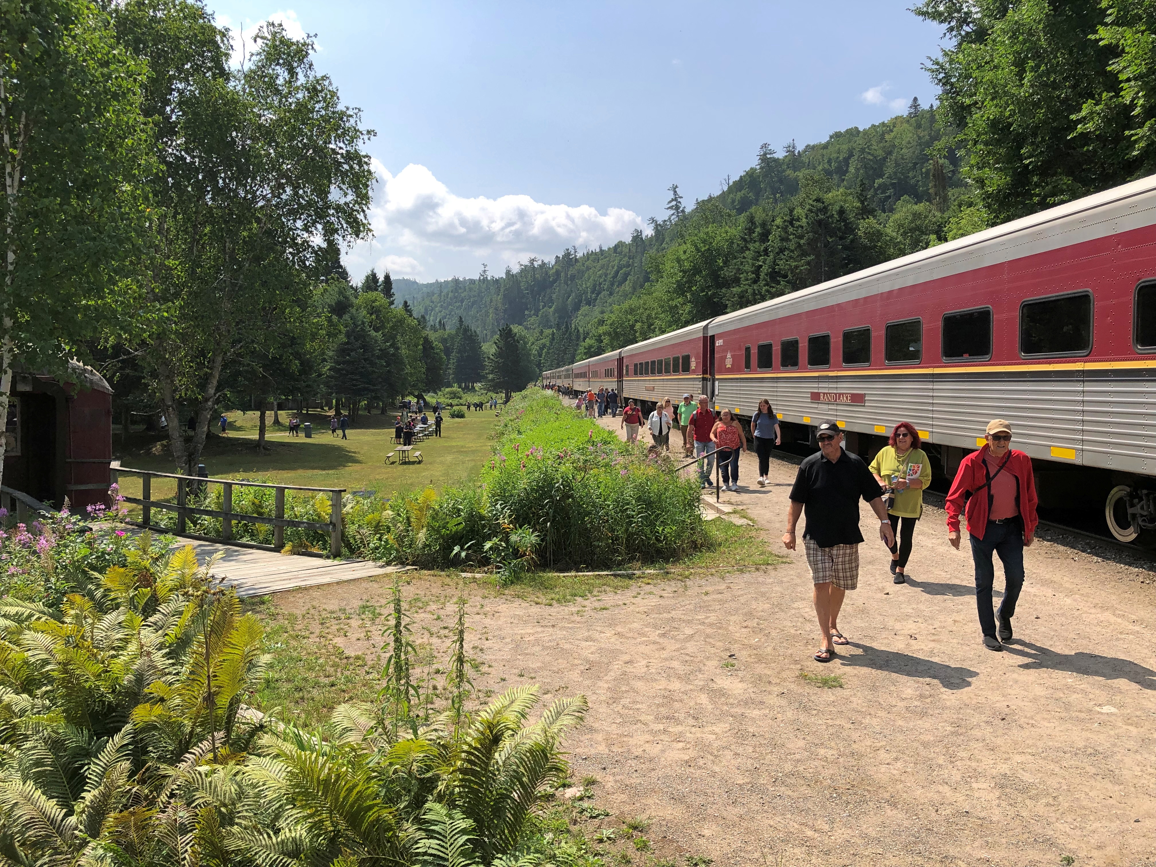
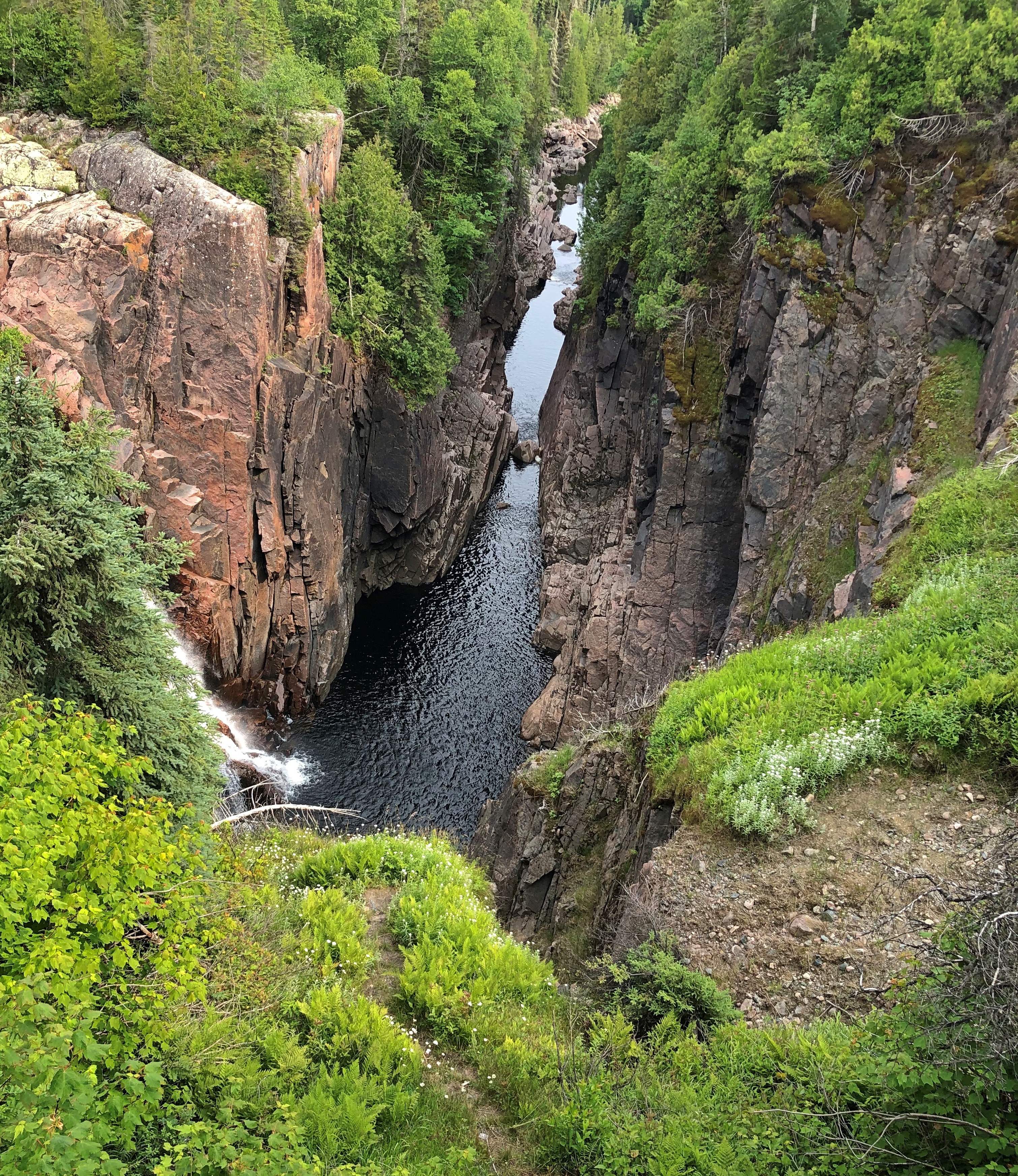
Toward the end of the outbound journey, the train drops some hundred feet into Agawa Canyon, carved by the river of that name. Once the train stops, out you go. You have about an hour and a half to look around the canyon, with the option of walking along the river or climbing some hundreds of stairs on a trail for an overlook.Algoma District, Ontario

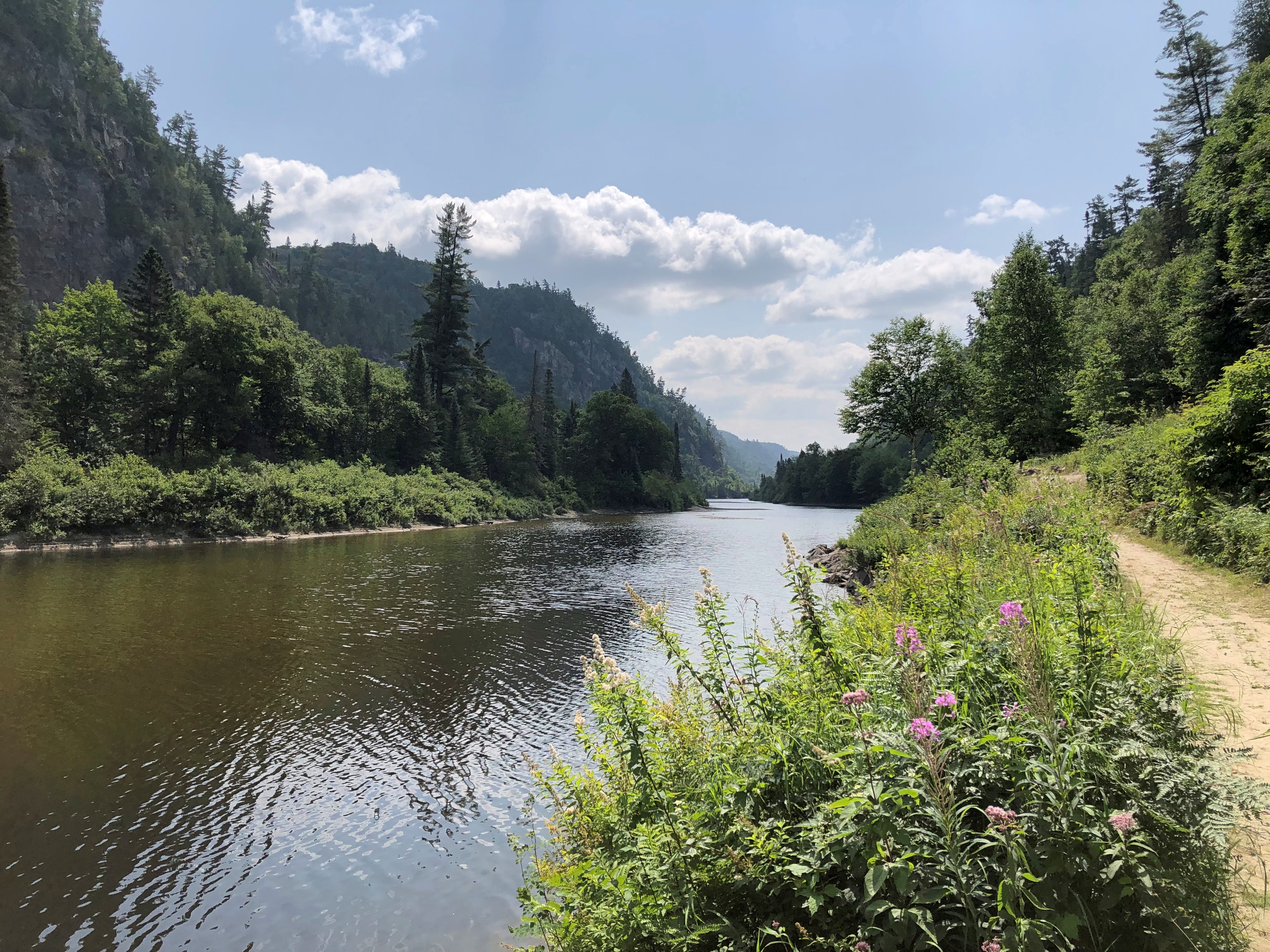
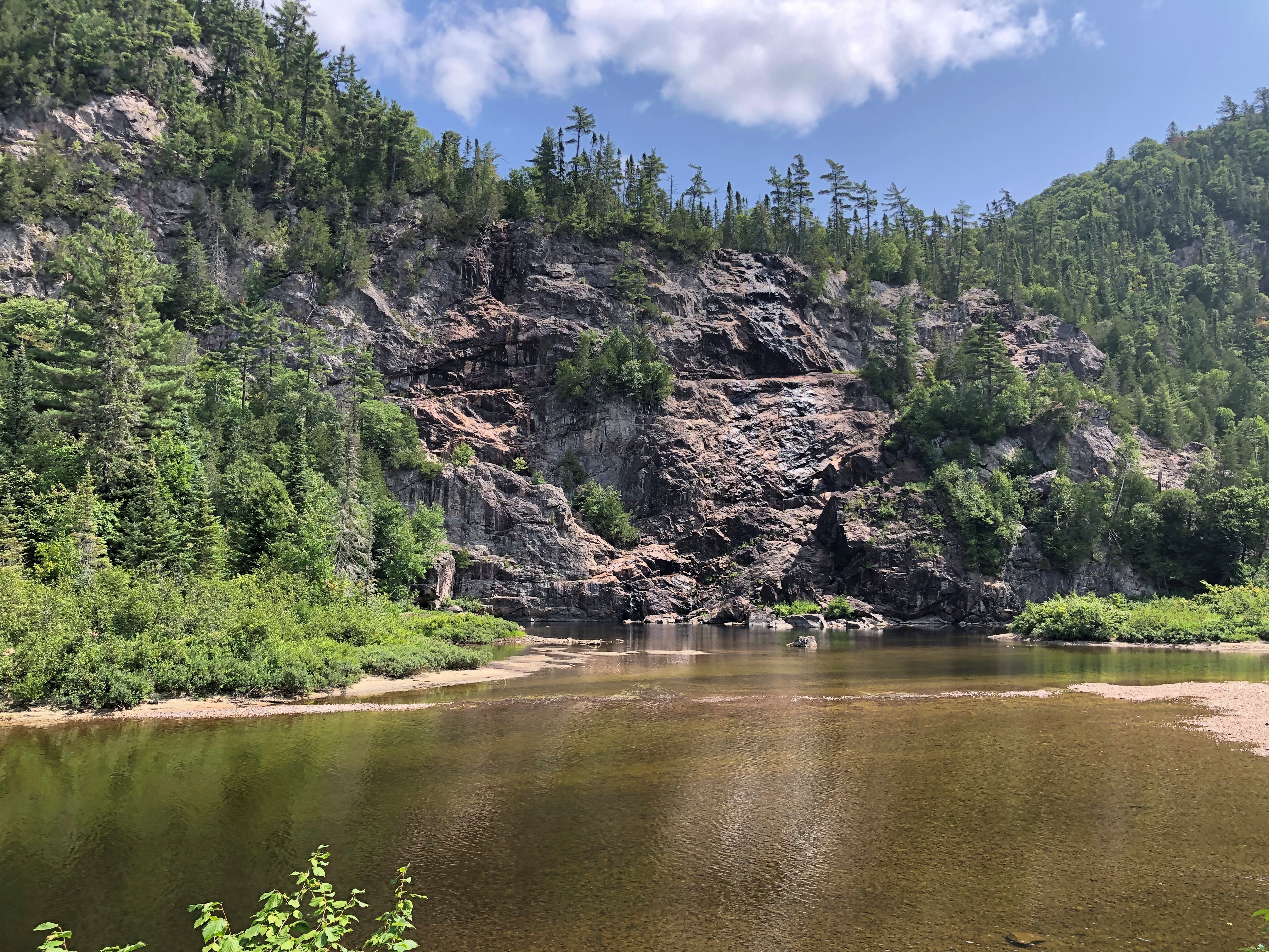
I picked the riverside trail. It’s a pretty place.Agawa Canyon, Ontario Agawa Canyon, Ontario Agawa Canyon, Ontario Agawa Canyon, Ontario

But more than that.

“The packed dirt of Agawa Canyon’s Talus Trail is level most of the way,” wrote Stroud, and it’s still true. “It is interrupted at intervals only nature understands, by tree roots here and there. Rocks that crumbled once upon a time from the canyon walls — 575 feet above in places — are all but submerged by an undergrowth of ferns, saplings and moss.

“In half an hour, this single woodland walk takes in two forest zones. Agawa Canyon lies in the transition area where the northern Boreal Forest, with its spruce, balsam fir, white birch and trembling aspen, overlaps the Great Lakes/St. Lawrence Forest of sugar maples, eastern white pines and yellow birch.”

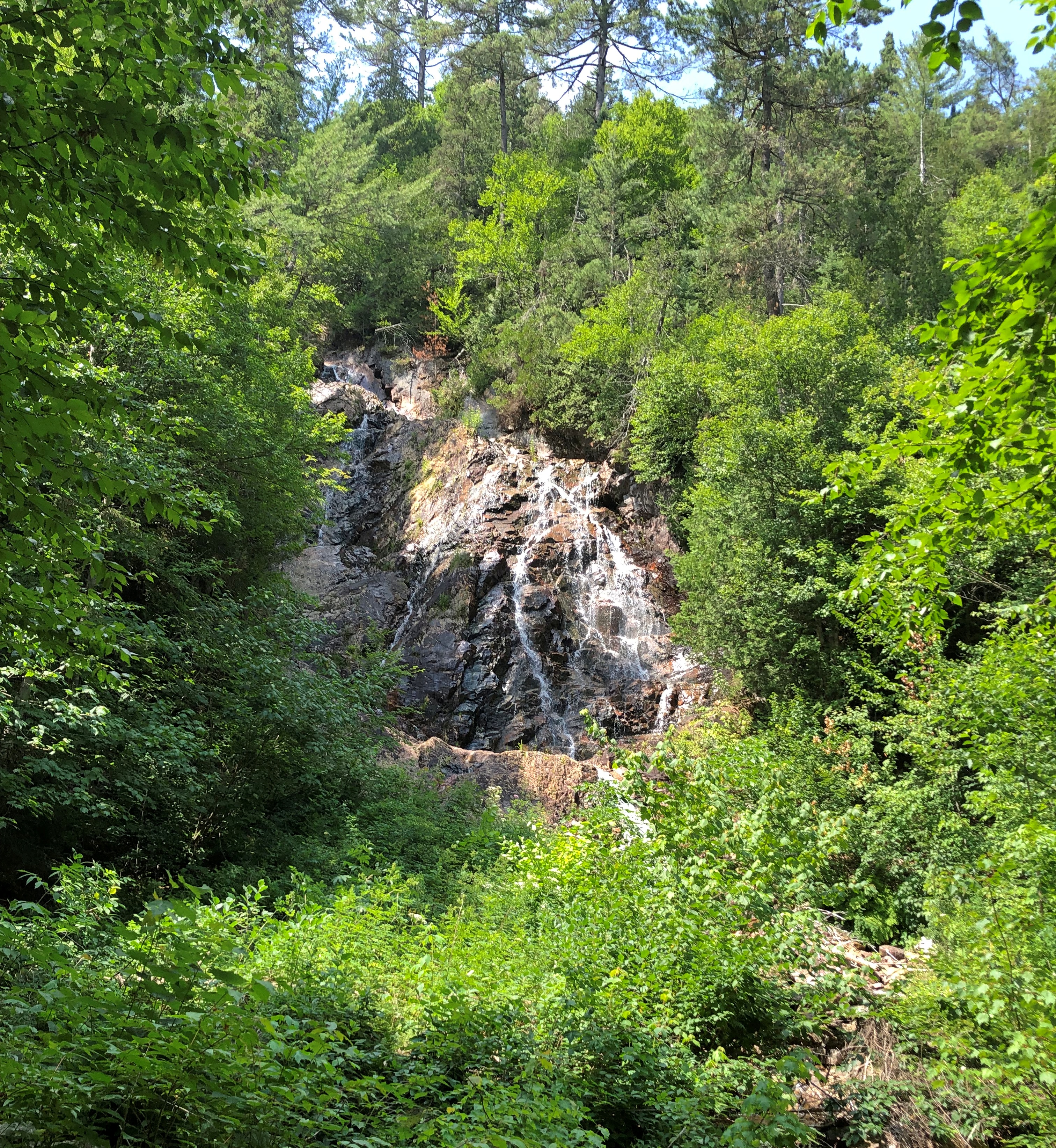
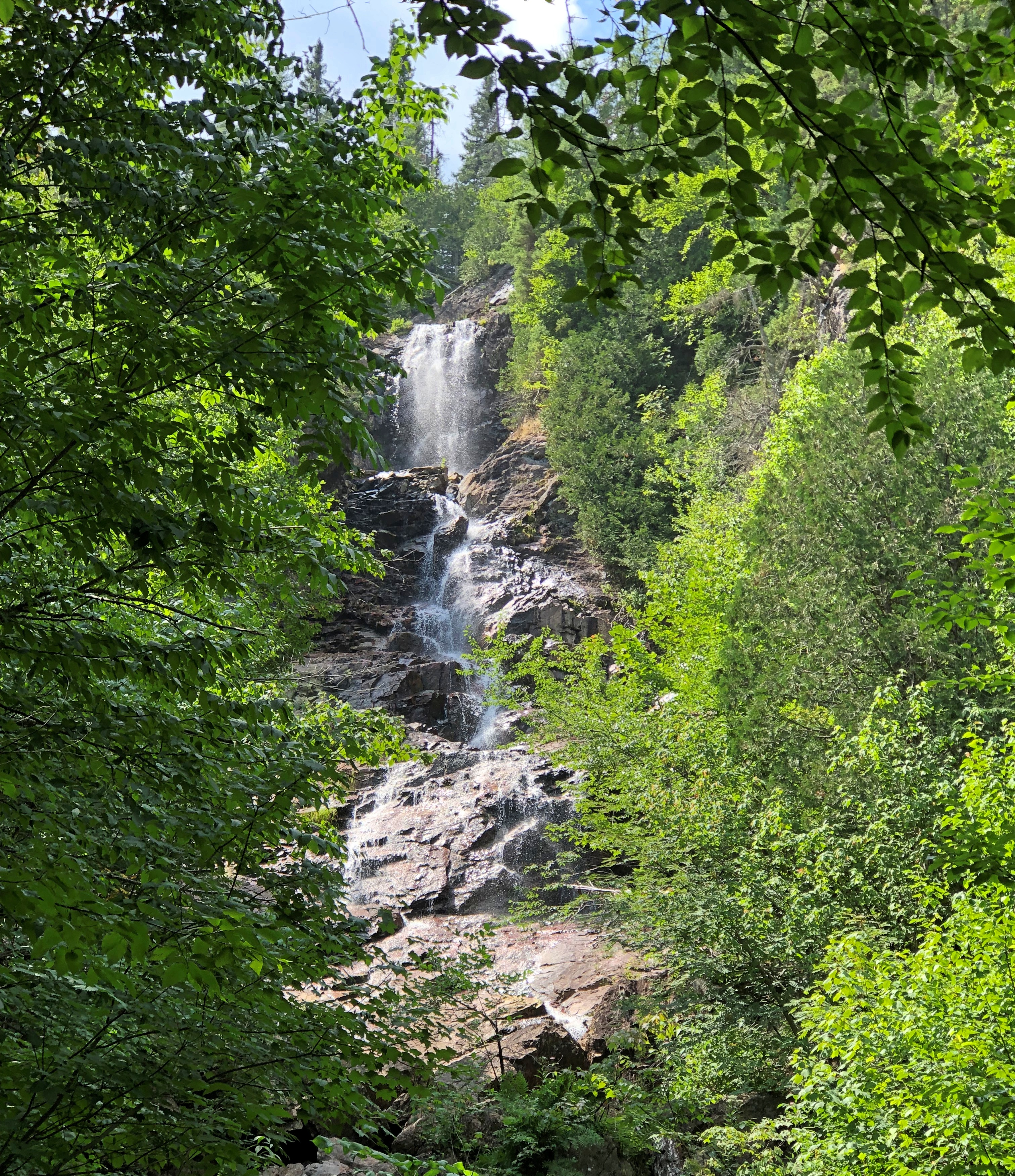
Bridal Veil Falls, one of the canyon’s featured sights, proved to be a mere trickle in early August. For whatever reason, much more water cascaded over the cliff at the Black Beaver Falls.Agawa Canyon, Ontario

At the smaller Otter Creek Falls as well.Agawa Canyon, Ontario

Perhaps I ought to call this trip Ontario Waterfalls ’23, considering how many of them I saw. The appeal is aesthetic, but much more, I think – though I’m not quite sure what. The power? How a fall evokes untamed nature, even if engineers control the flow upstream? The pleasure of seeing foamy water?

After an hour and half in the canyon, the train begins the four-and-a-half hour journey back to Sault Ste. Marie. There isn’t much narrative on the return, and mostly people nap or play games or whatnot. I read, though sometimes still looking out the window.

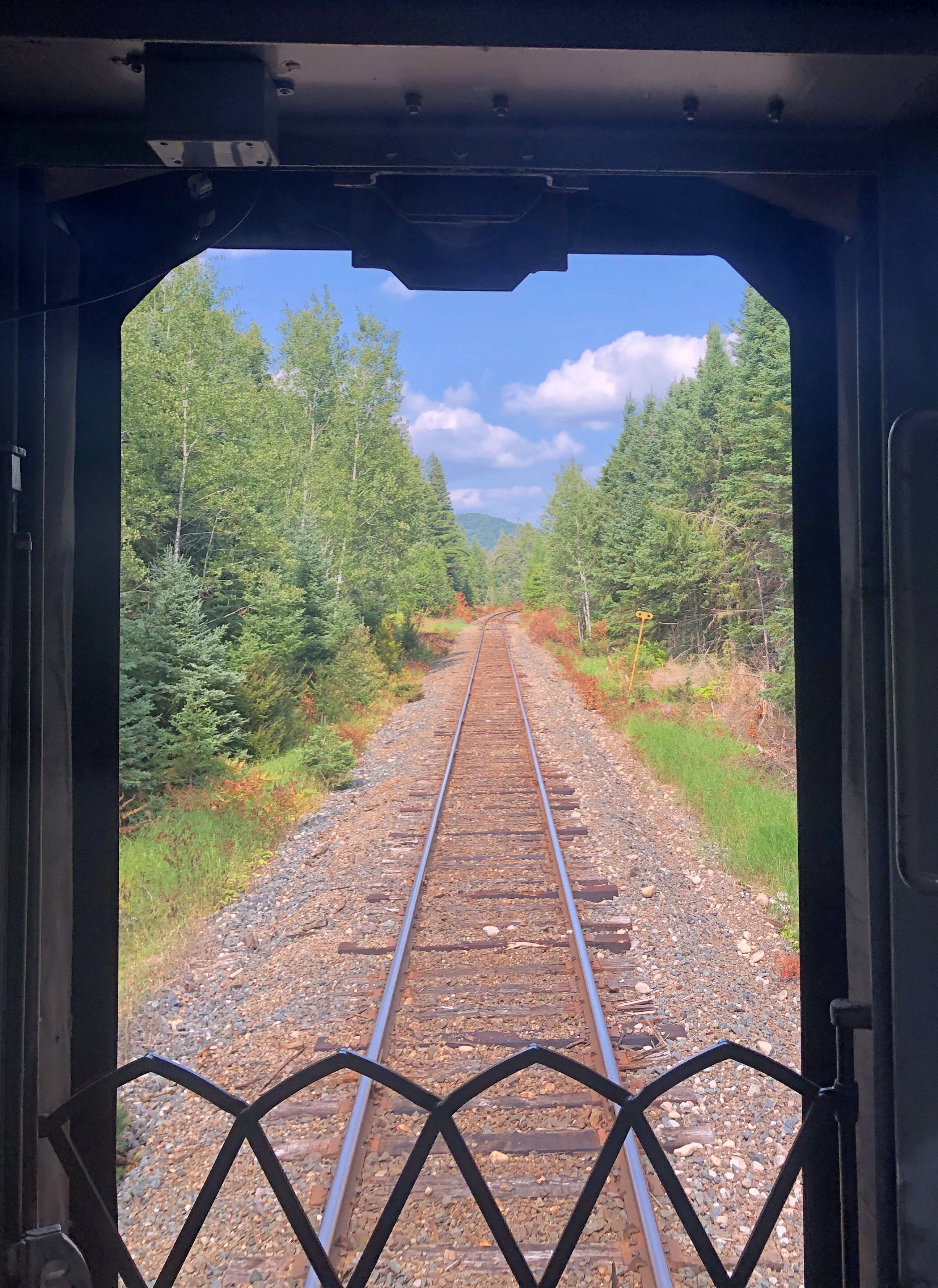
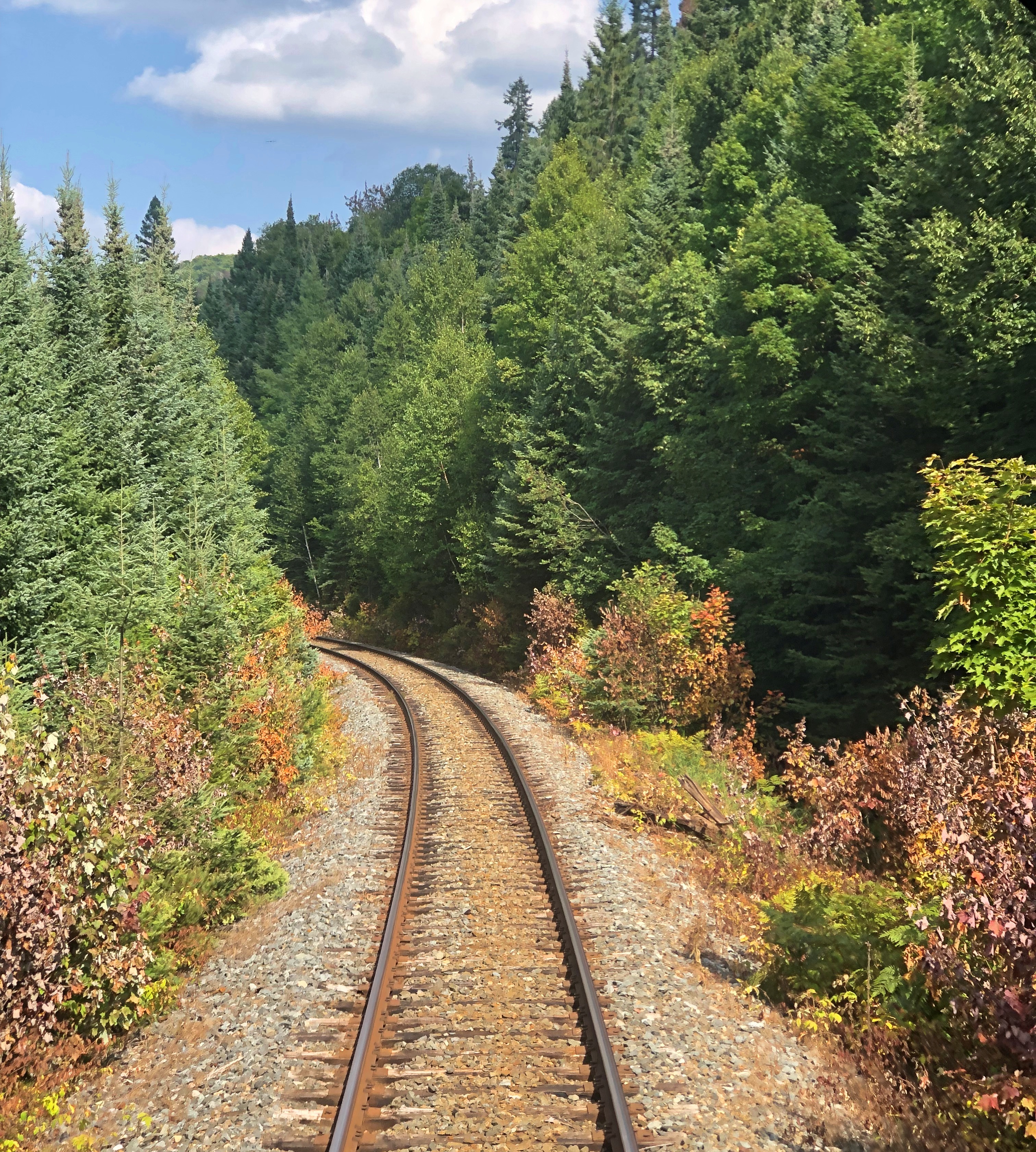
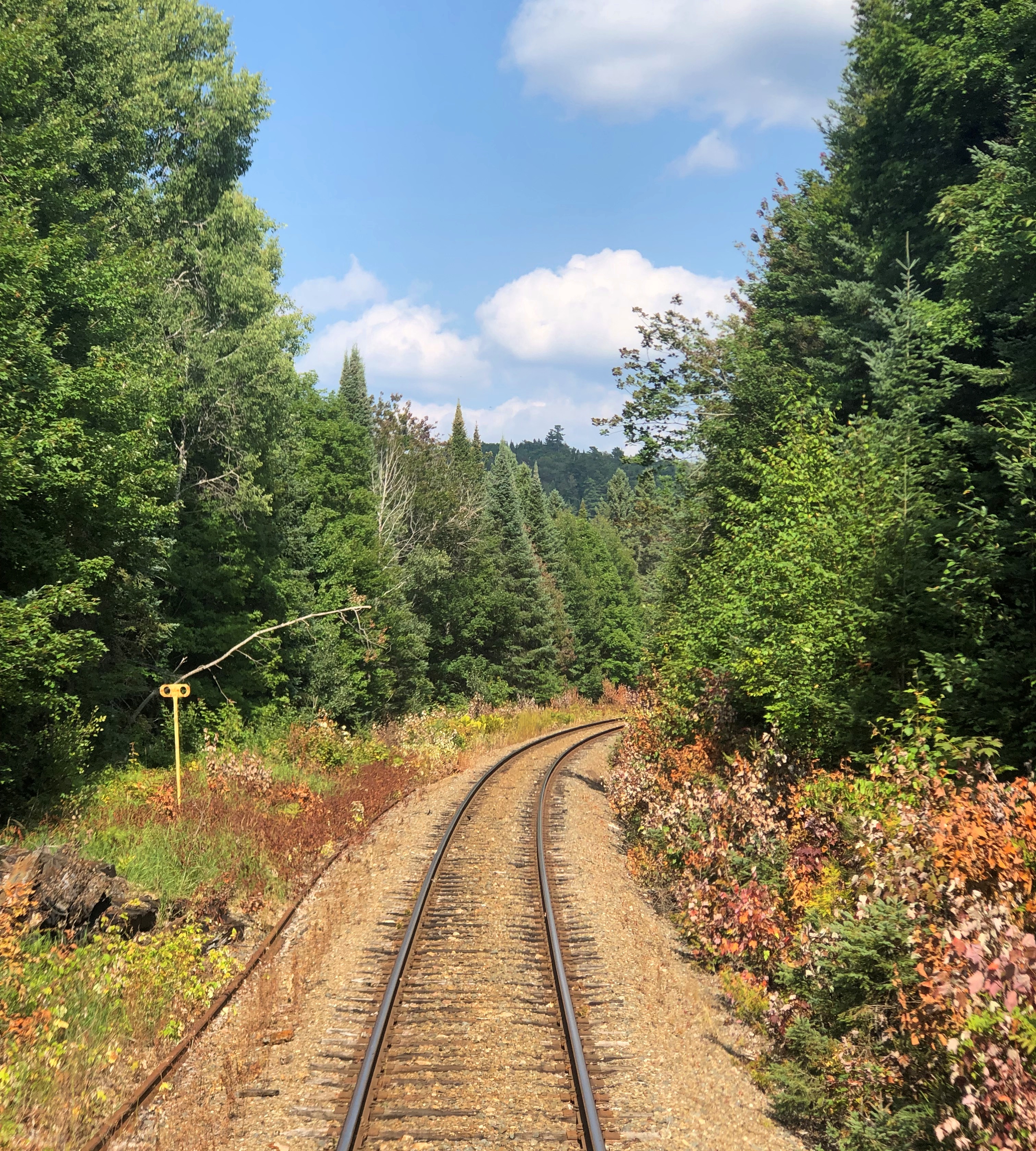
My car was the last of 10, so I could also go to the rear and see the tracks receding as the train moved along, something I couldn’t do on the way in.Agawa Canyon Tour Train Agawa Canyon Tour Train Agawa Canyon Tour Train

It was a little mesmerizing, that view.

Marathon to Sault Ste. Marie by Way of Wawa

I was pumping gas not long ago, and spotted what I took to be shiny penny on the pavement near the pump. A closer look told me it wasn’t a U.S. cent, but I didn’t ID it until I’d picked it up and eyed it when I got back in the car. Ten won, it turned out to be.

It’s the smallest currently circulating South Korean coin, both physically and in value. In theory, 10 won is worth 0.75 U.S. cents. A whopping seven and a half mills. The structure depicted is the Dabotap pagoda, a southeast-coast relic of the ancient kingdom of Silla, which lorded over most of the peninsula more than 1,000 years ago.

Back-and-forth between Korea and the U.S., and more specifically northwest suburban Chicago, is no unusual thing in our time, but still I was mildly surprised to find it — like I felt finding a New Zealand 20-cent piece. Made my day.

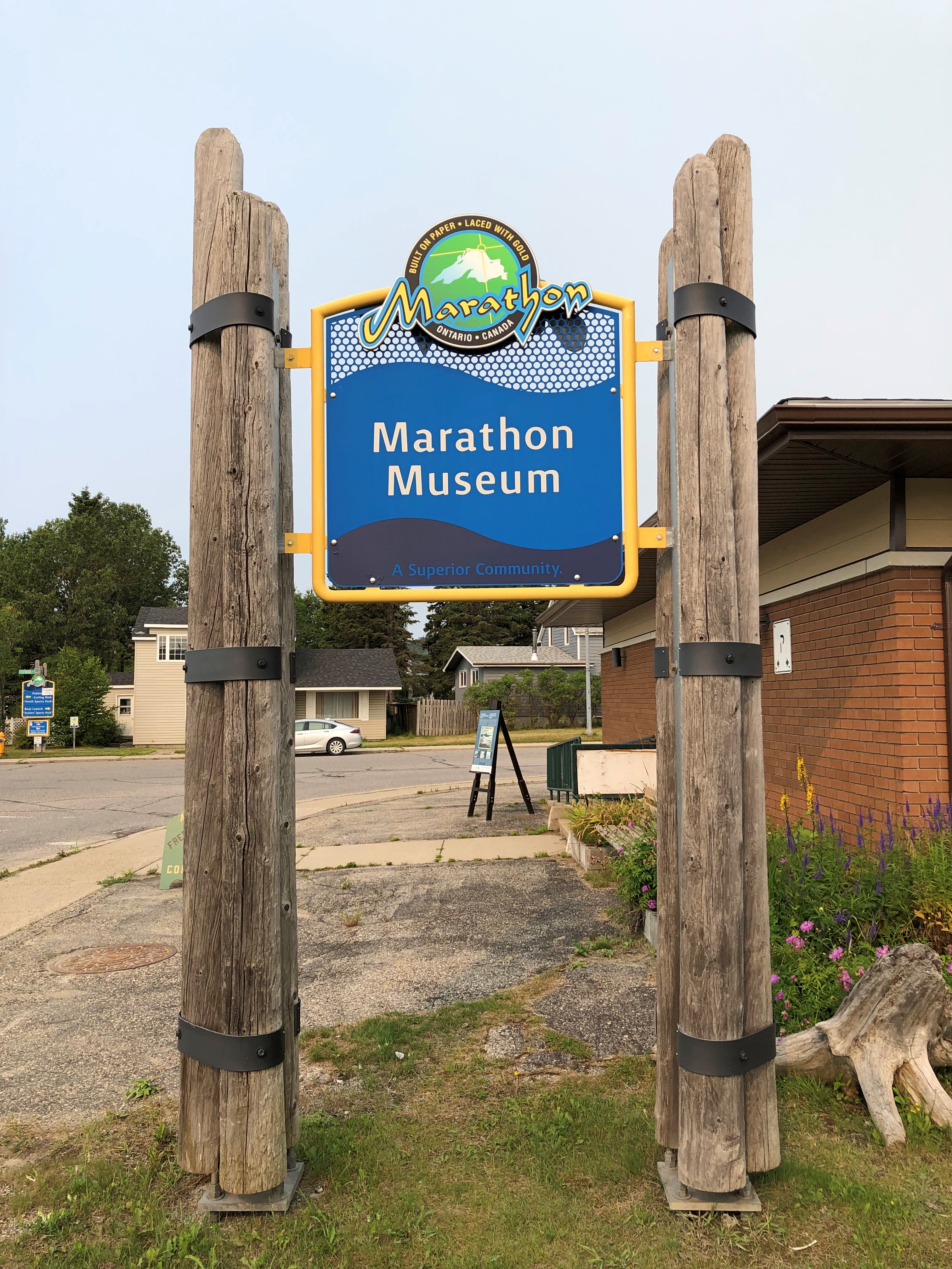
On the morning of August 3, I left Marathon, but not before a look at the one-room Marathon Museum, and a talk with a lanky young man who said he’d been hired just three weeks earlier to run the place, his first job out of college. He had grown up in the area, gone away for school, and only now was beginning to appreciate the history of the place, he said, as he read more and more.Marathon, Ontario

Pretty refreshing, finding someone that young with an interest in history. That is an old man thing to say, of course, but anyway I was glad to hear a bit about the town, such as its origin as a prospective wood pulp mill whose development accelerated in the early 1940s when Canadian raw material extraction was deemed important to the Allied war effort. A postwar boom made Marathon into a genuine town; a wood pulp mill town that prospered until the crushing blow of the mill closing in 2009.

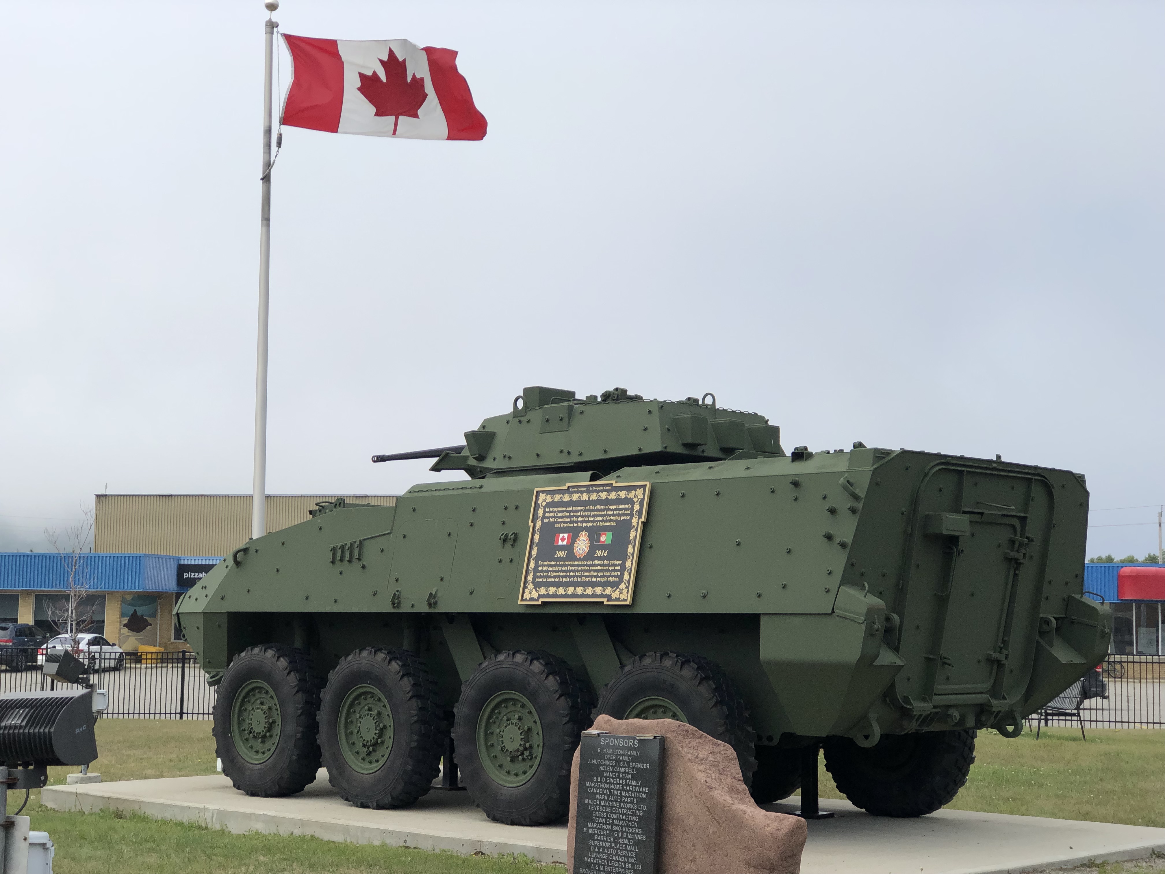
A public tank in Marathon.Marathon, Ontario

Here’s a story of early Marathon: POW logging camps were built in the area after Canada entered the war in 1939, and on April 18, 1941, 28 German prisoners made a break for it, and many more attempted it, in a tunneling scheme worthy of The Great Escape or rather the real incident of the 1944 escape from Stalag Luft III. The goal of the prisoners at Camp X, Angler was to cross into the still-neutral United States. None made it. This article, which is serious need of an editor, nevertheless tells the tale of the long-abandoned camp not far off the modern road.

“Travellers on the Trans-Canada highway would not notice the dirt track leading south from the highway some four kilometres west of Marathon, Ontario,” the site says. “There is no sign to indicate where it leads, and no historical marker to record what happened along that track.”

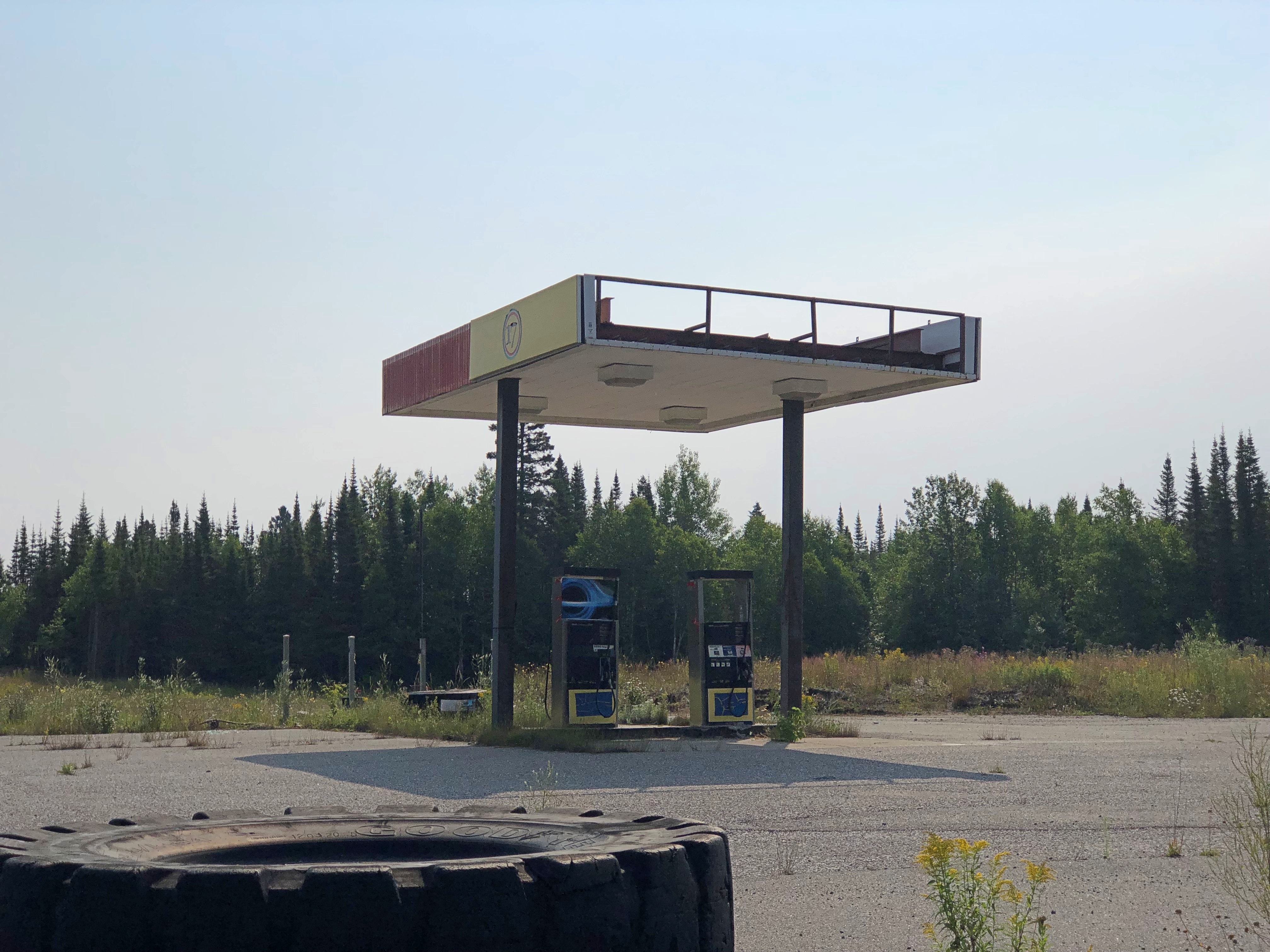
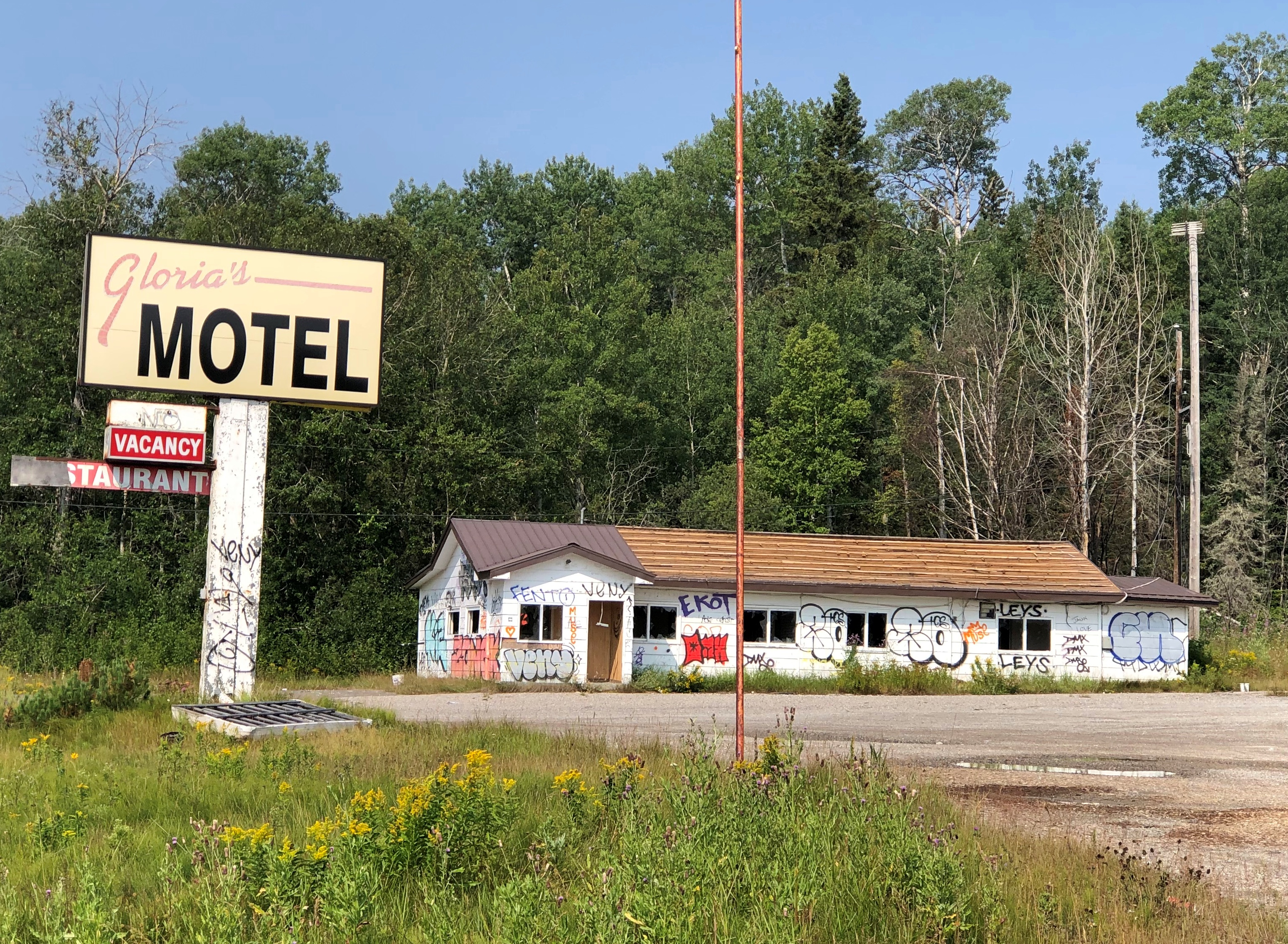
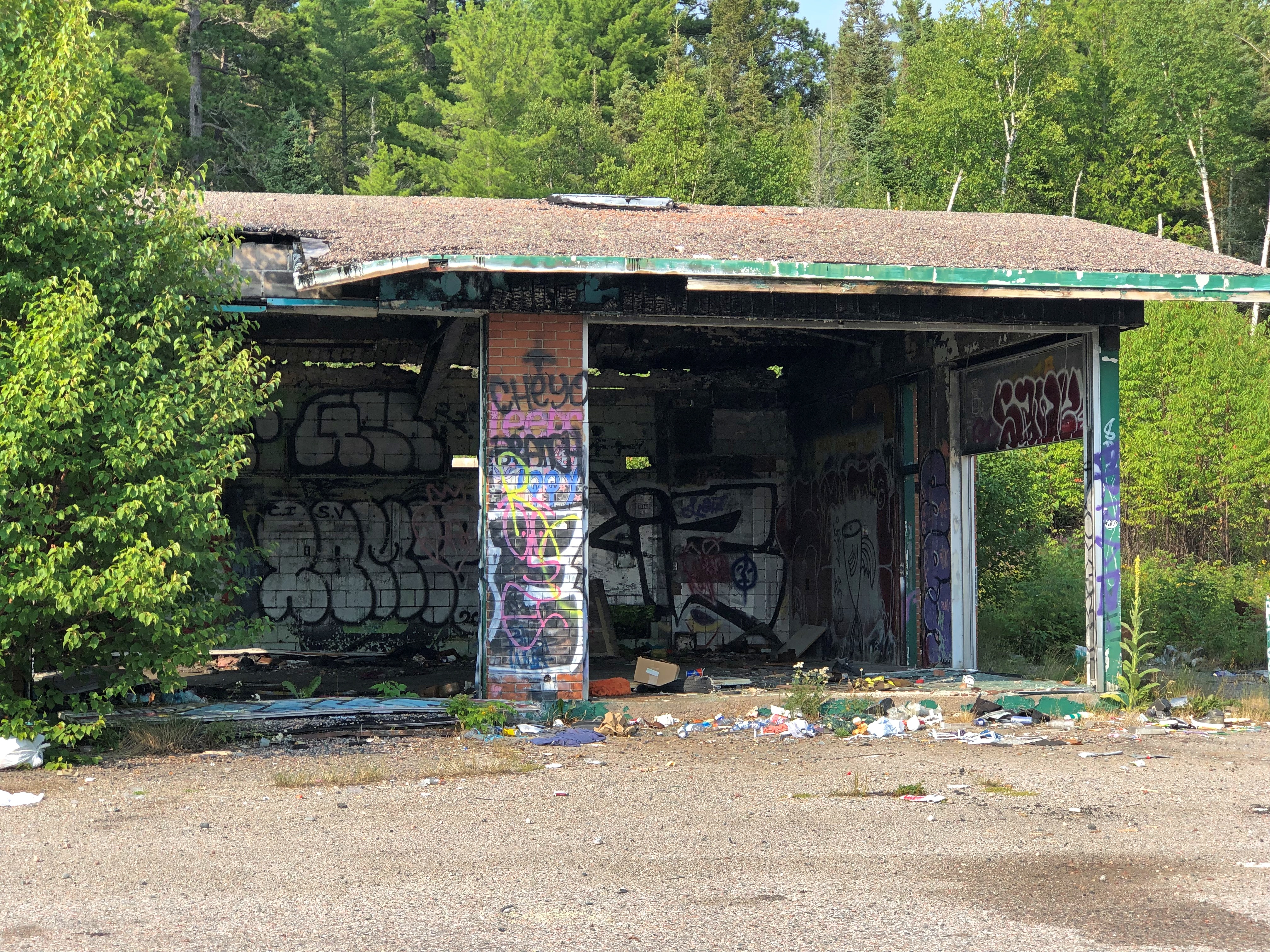
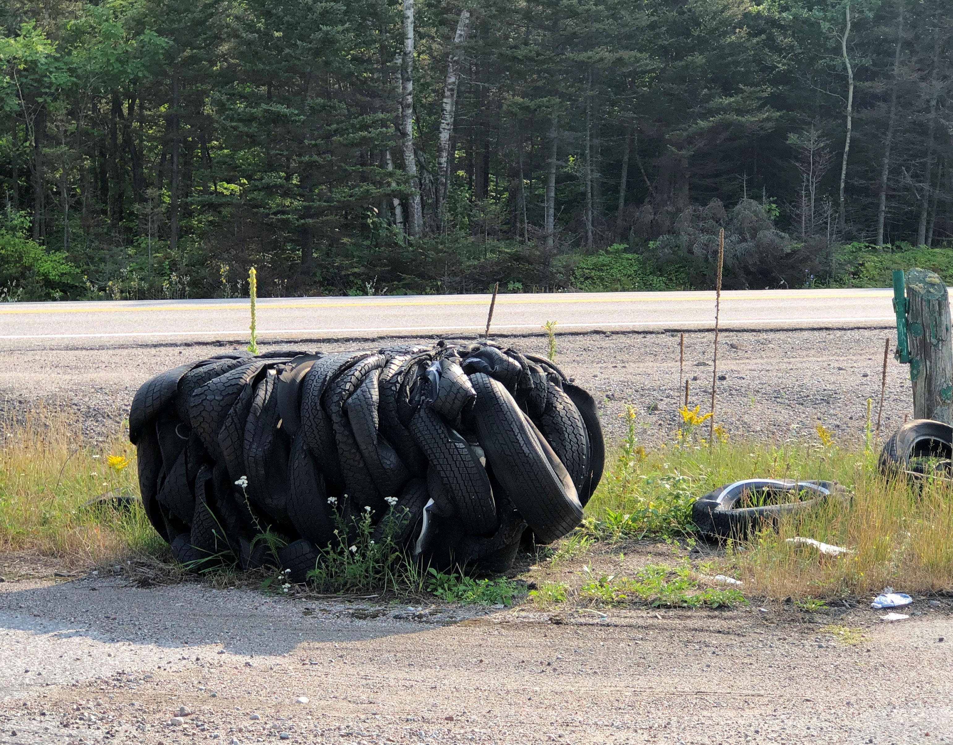
This part of the Trans-Canada has more visible abandoned sites. Making a go of a business must be tough up there.Marathon, Ontario Marathon, Ontario

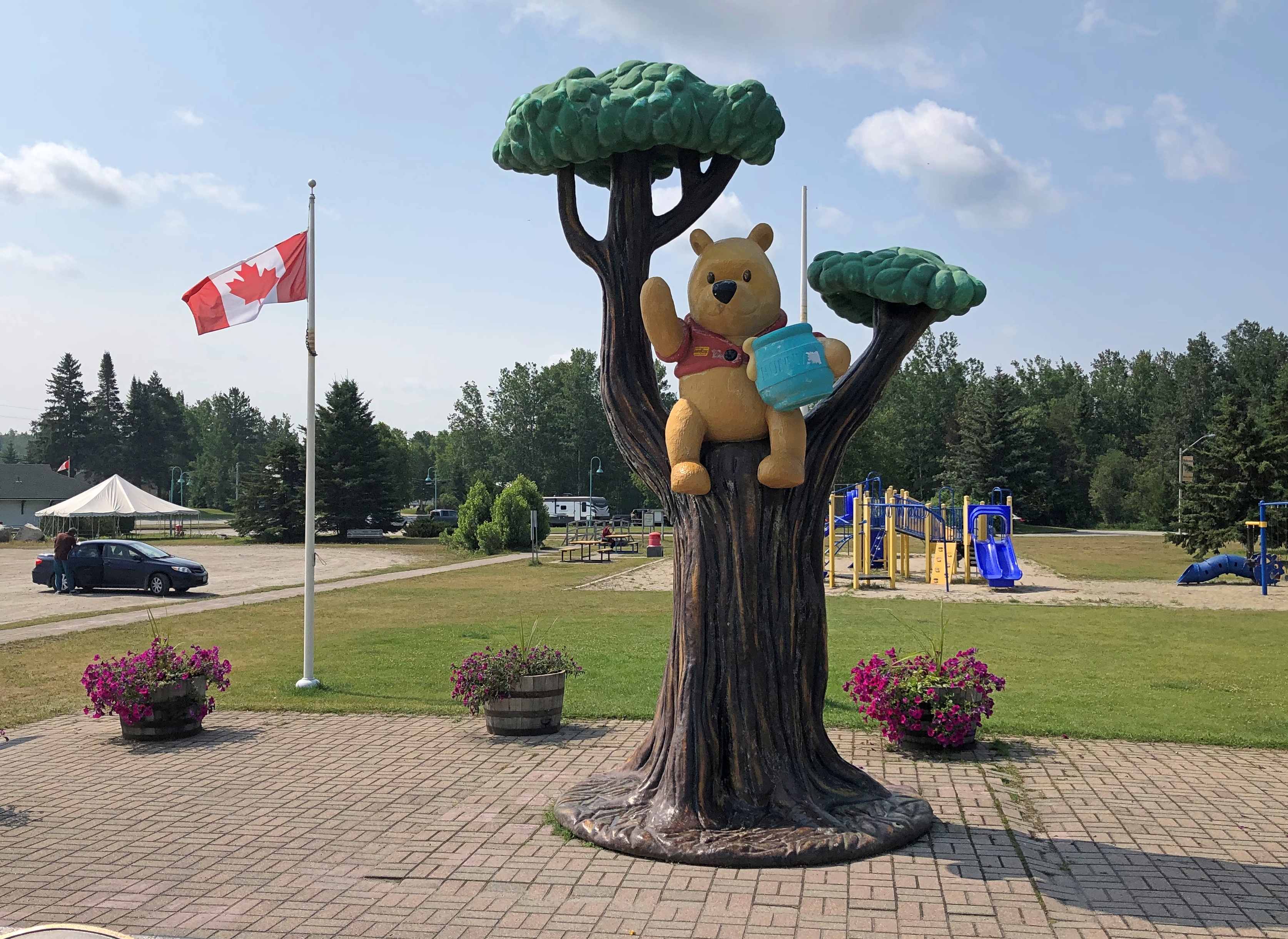
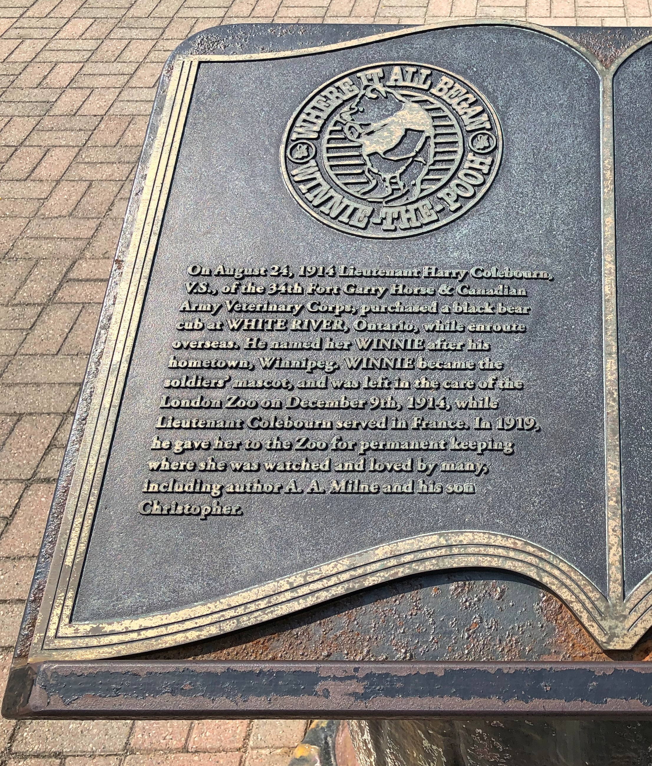
White River, Ontario has a claim on the origin of Winne-the-Pooh.White River, Ontario White River, Ontario

All well and good, but why do we see the Disney iteration and not one based on the illustrations by E. H. Shepard? Do you think Winnie wore a jacket at the London Zoo? No, she did not.

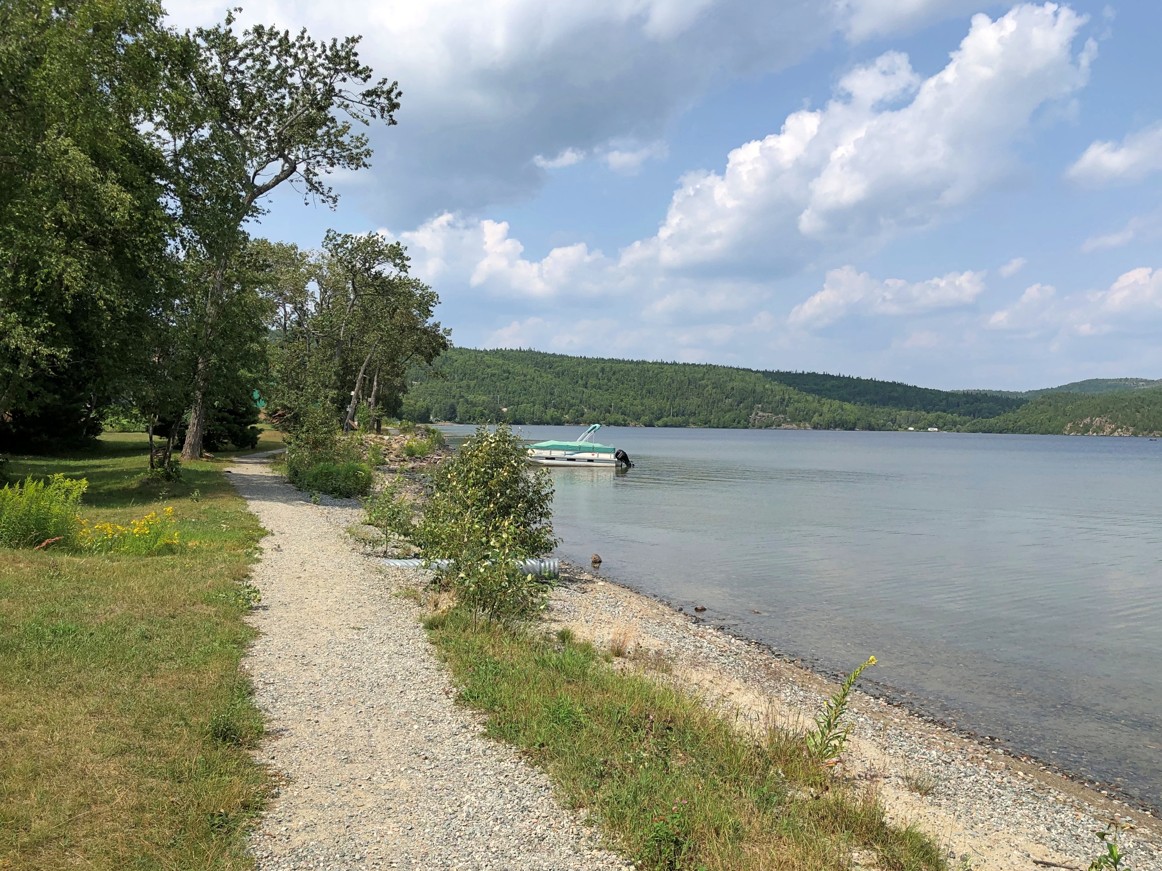
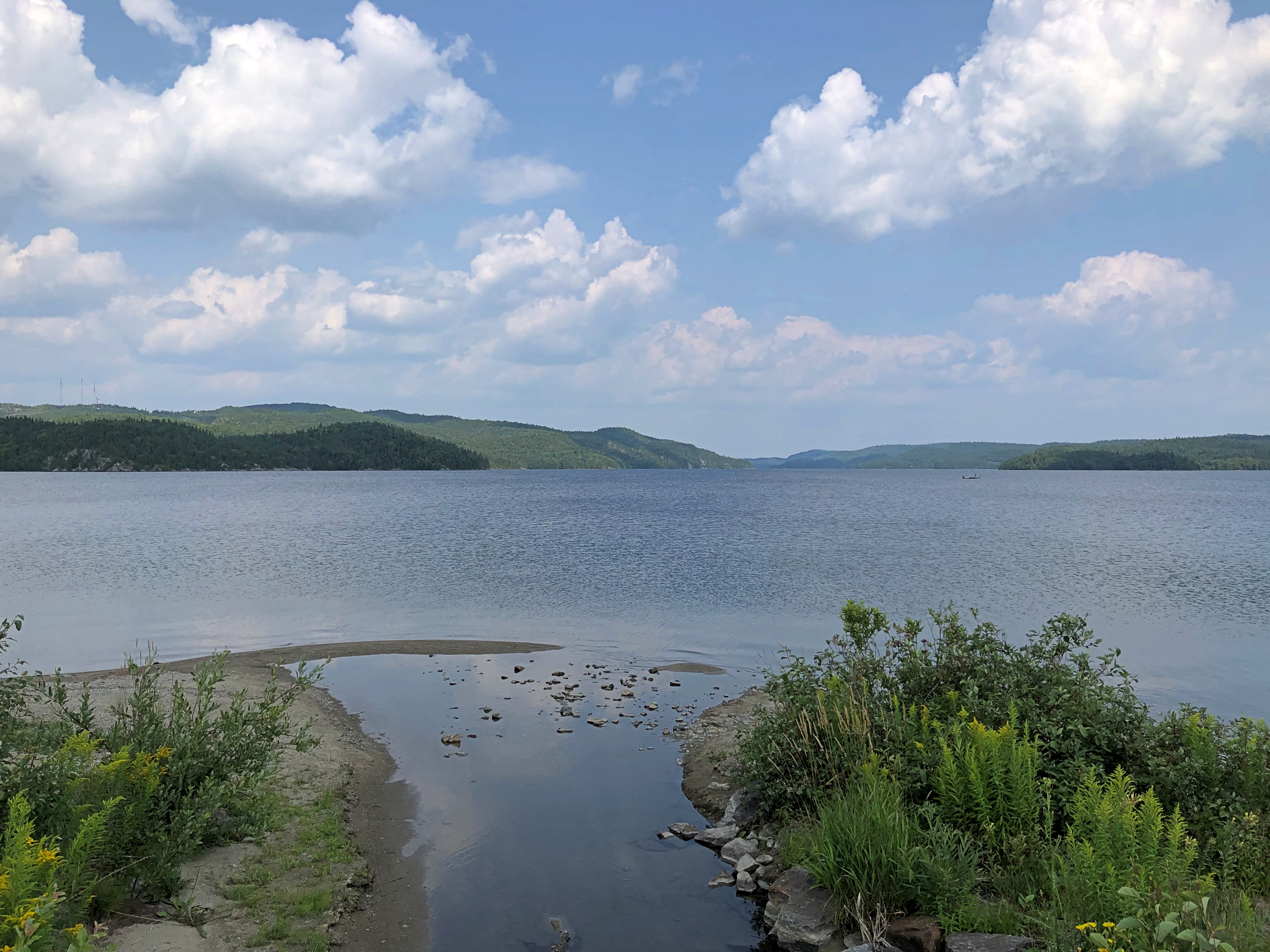
Wawa has more than its steel goose statue. There’s a pleasant lakeside path, for example.White River, Ontario White River, Ontario

On the relatively small Wawa Lake, not Superior. Just an everyday relic of the last ice age.

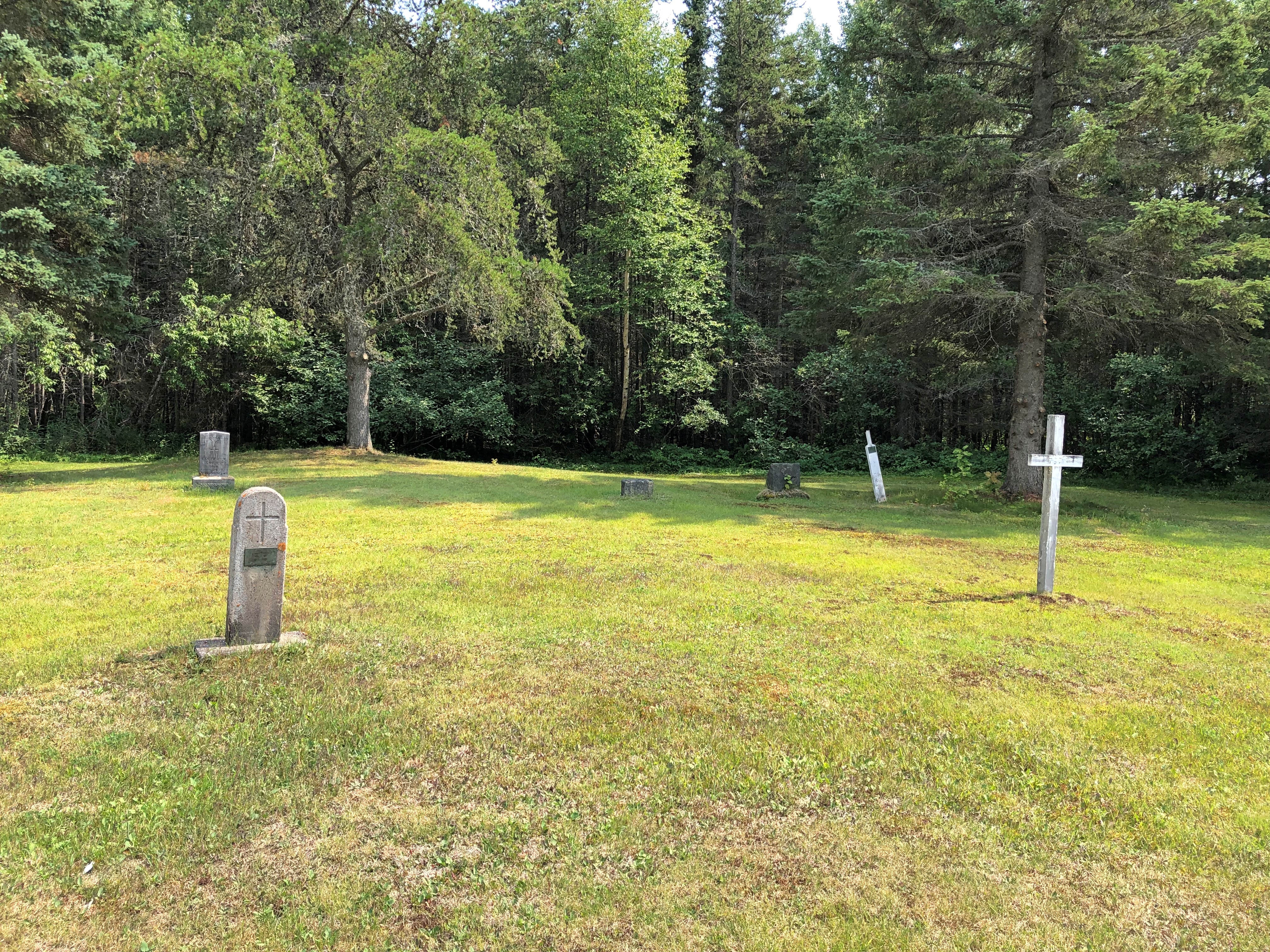
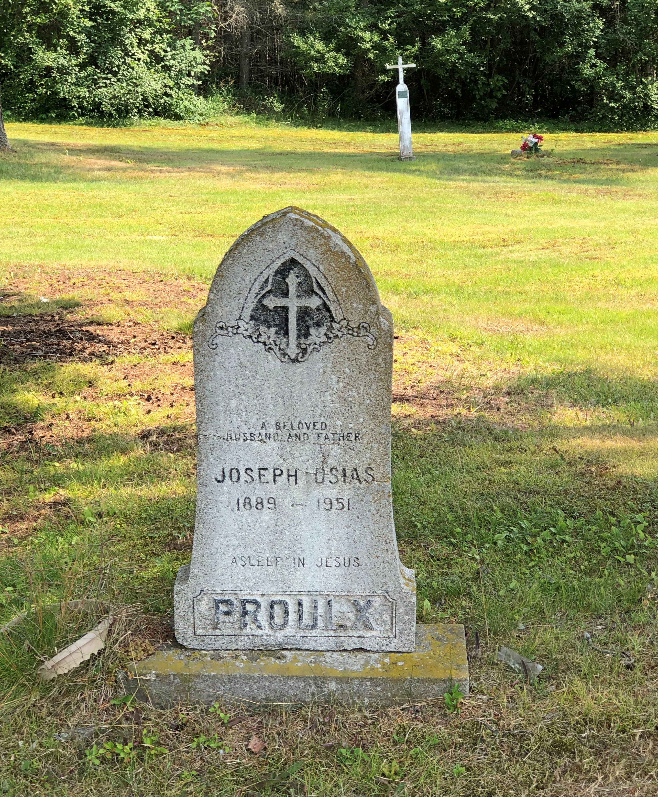
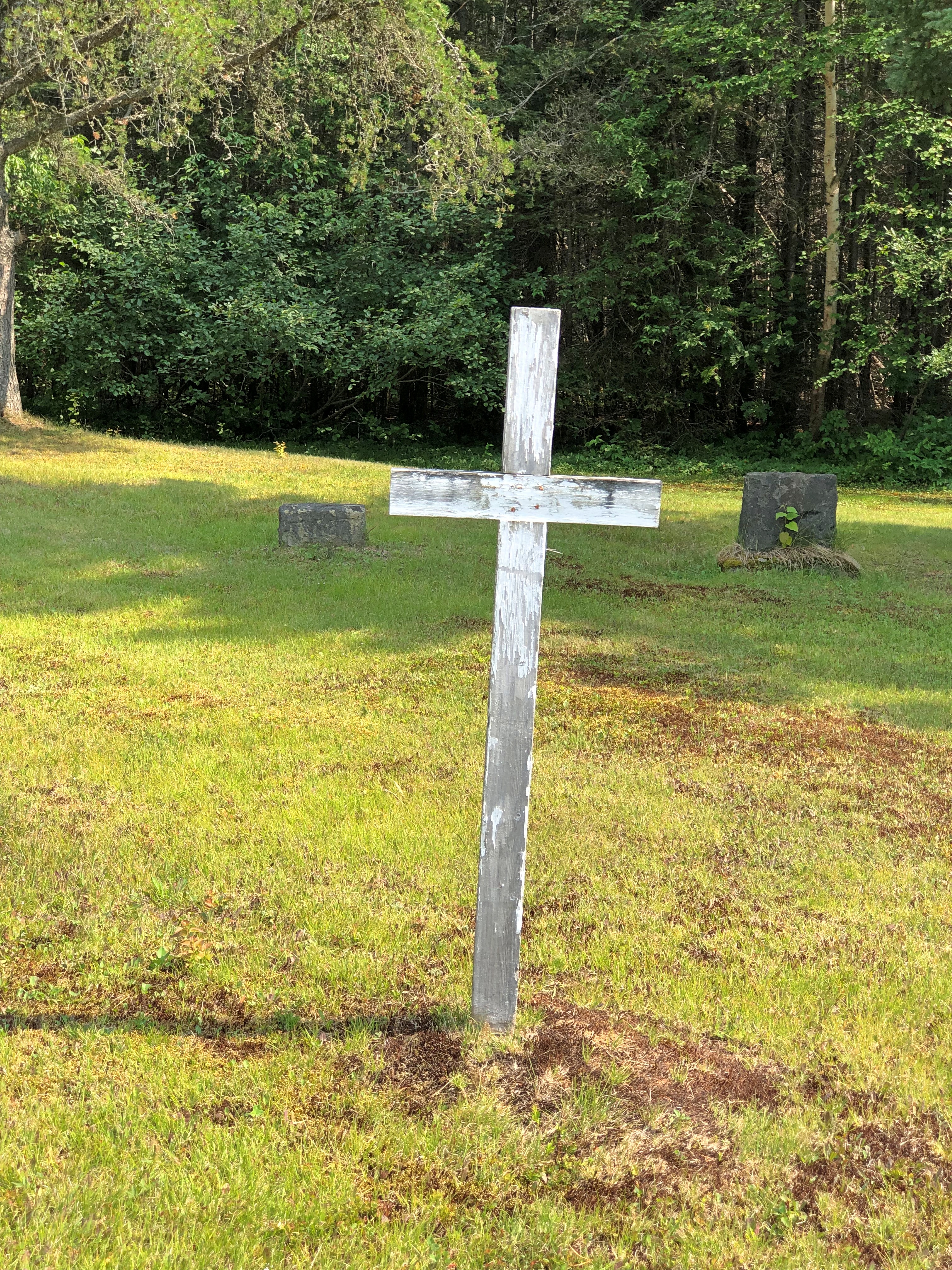
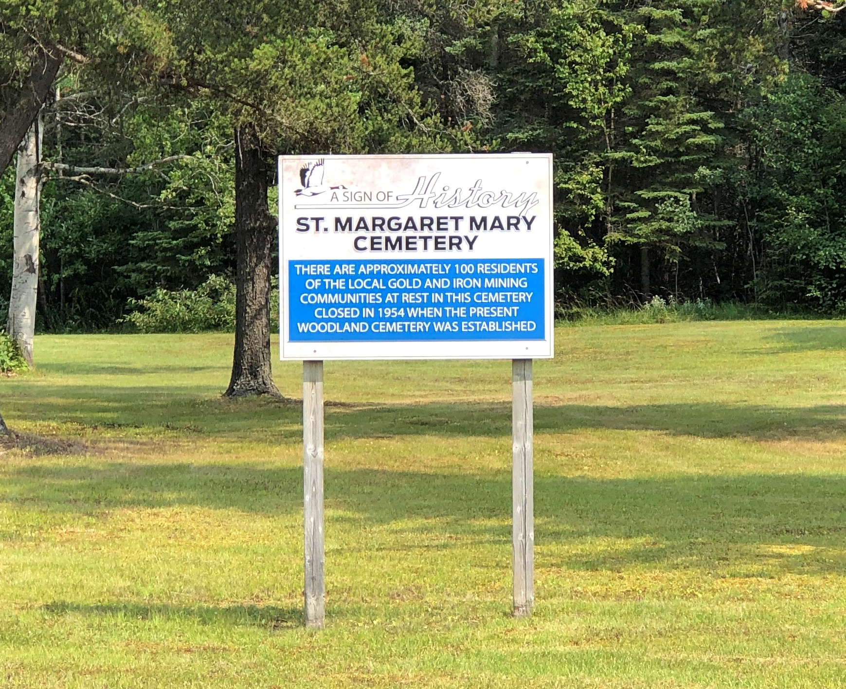
St. Mary Margaret Cemetery in the town (closed 1954) includes the remains of old-time Wawa-area miners. Most unmarked.Wawa, Ontario Wawa, Ontario Wawa, Ontario

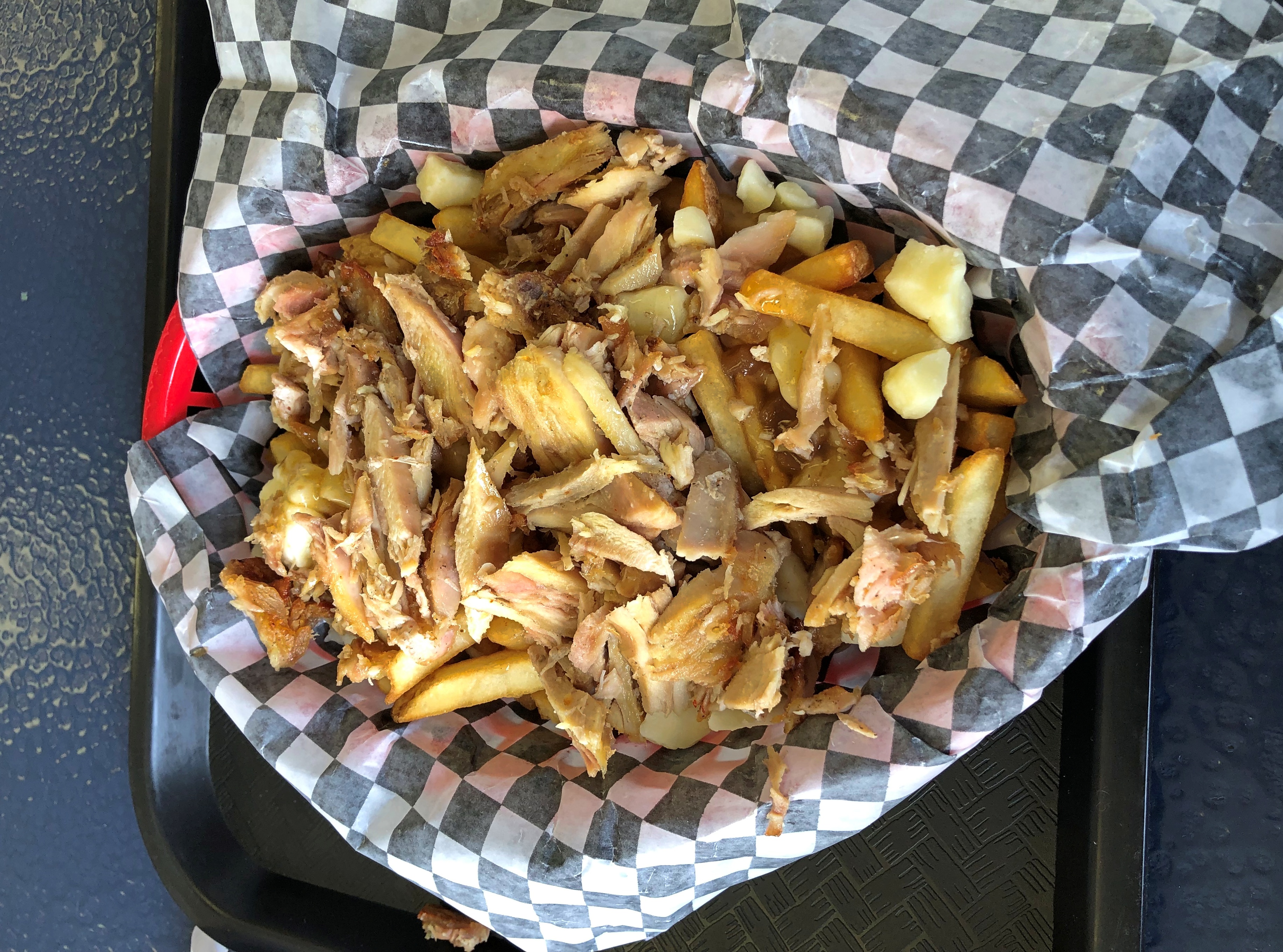
I sought out lunch at Philly Wawa Hoagie. A few days earlier, I’d heard the owner interviewed on a CBC radio show. Why not, I figured. I ordered the shawarma poutine.Wawa, Ontario

How Canadian is that, eh? It was good and I barely needed to eat dinner.

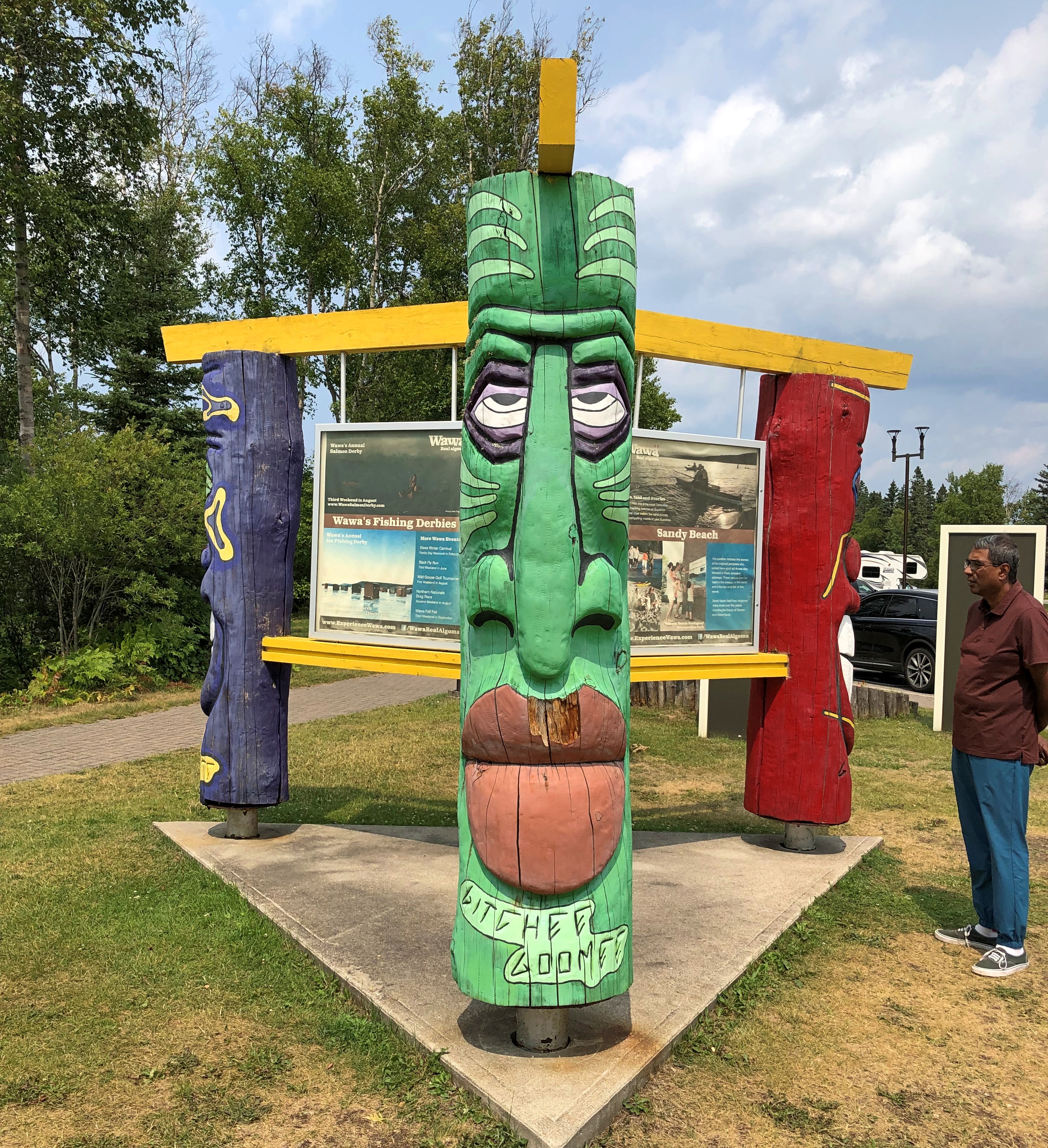
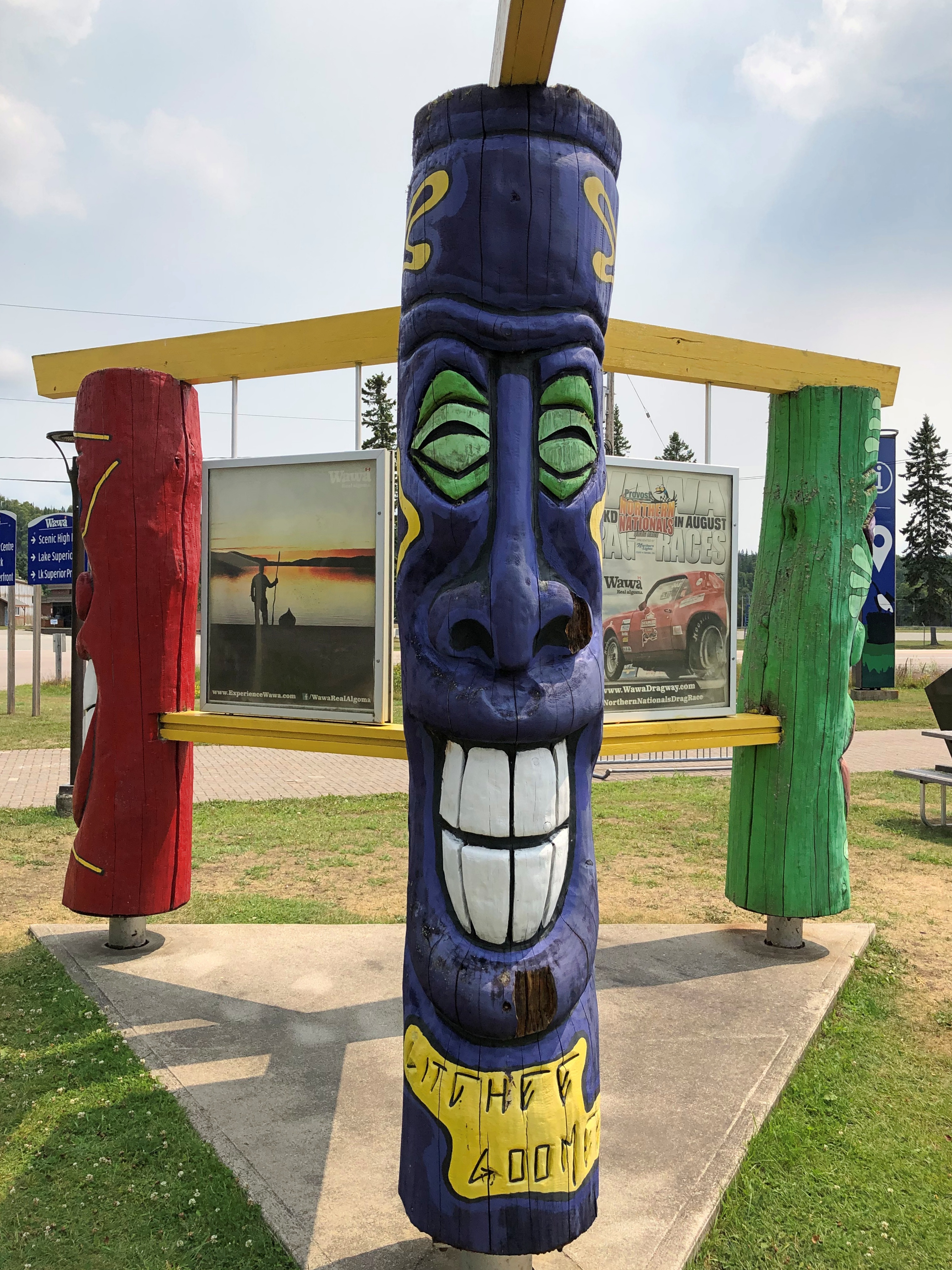
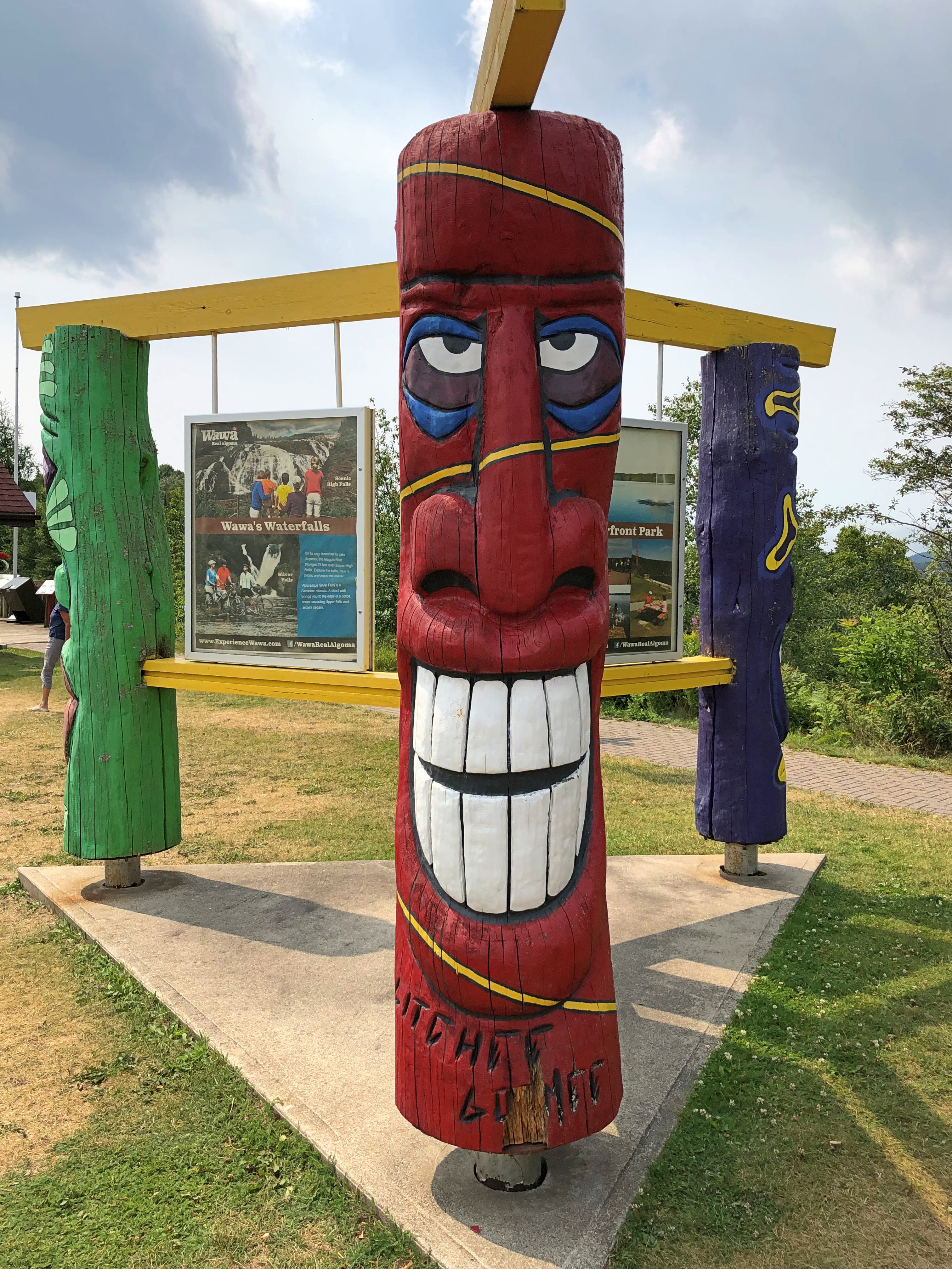
Wawa features a bit more public art than the goose. Including figures all labeled “Gitchee Goomee” just on the other side of the visitor center from the goose.Wawa, Ontario Wawa, Ontario Wawa, Ontario

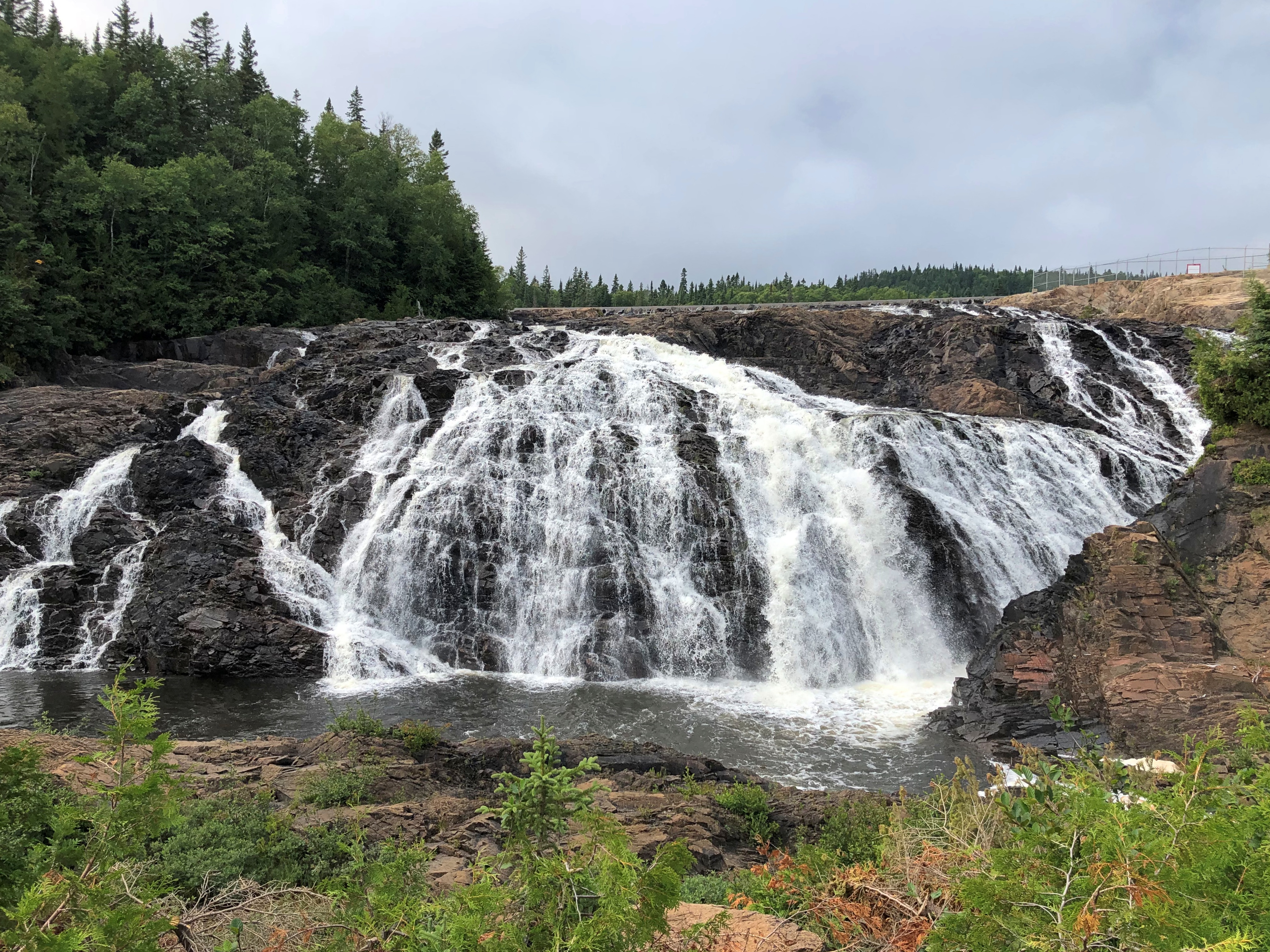
A few miles out of Wawa, down a dirt road, is Magpie Scenic High Falls.near Wawa, Ontario

Not that high, unless you’re about to tumble over the edge. It’s the overflow spill weir of the Harris Hydroelectric Generating Station, which has a capacity of 13MW. Signs at the sight are emphatic about not climbing the thing, since spillway volume is notoriously fickle. (I’m paraphrasing.)

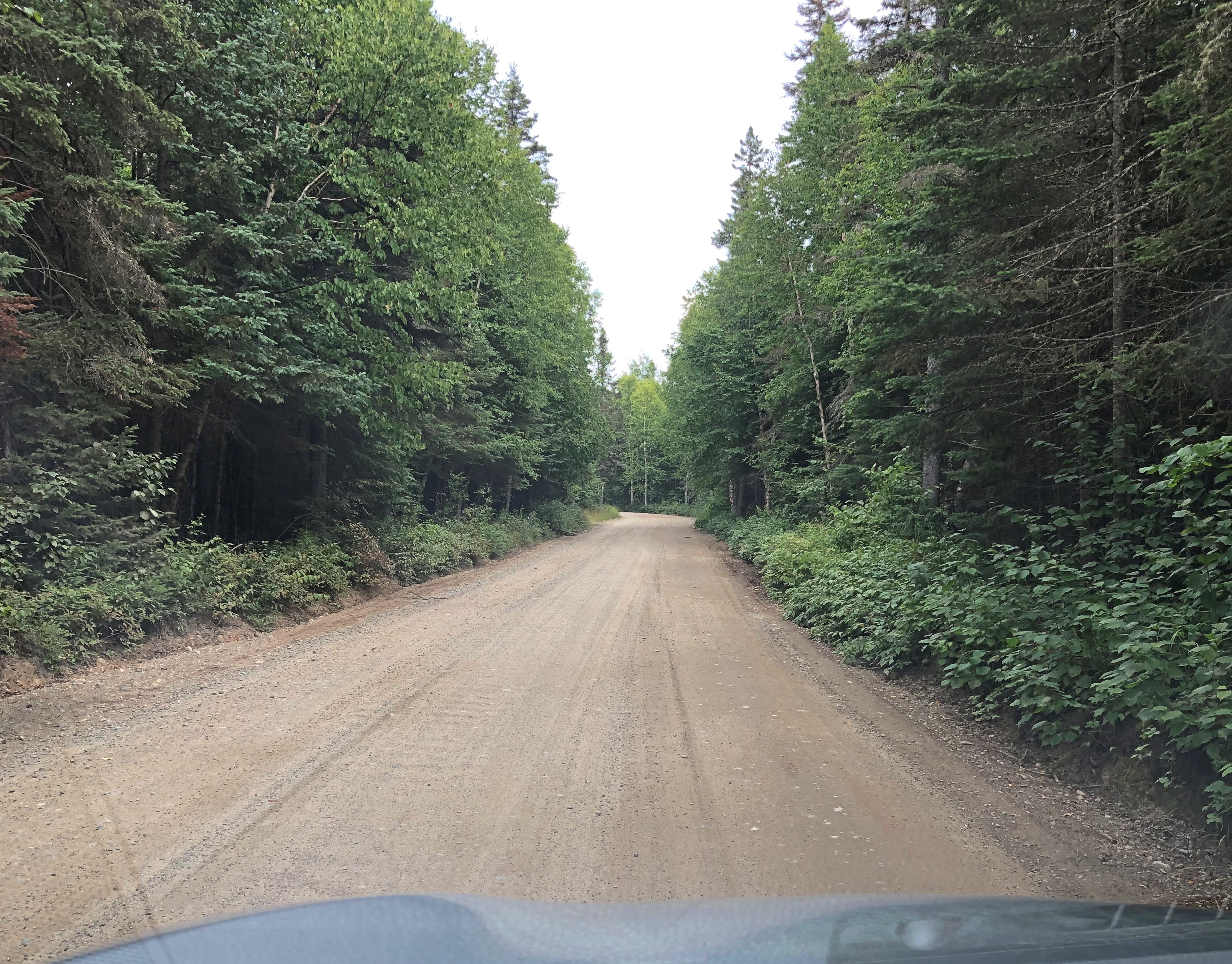
Nice falls, but the glory was getting there and back.near Wawa, Ontario near Wawa, Ontario near Wawa, Ontario

My goal for the day was Sault. Ste. Marie, Canadian side, so I pressed on. More abandoned Ontario.near Wawa, Ontario near Wawa, Ontario

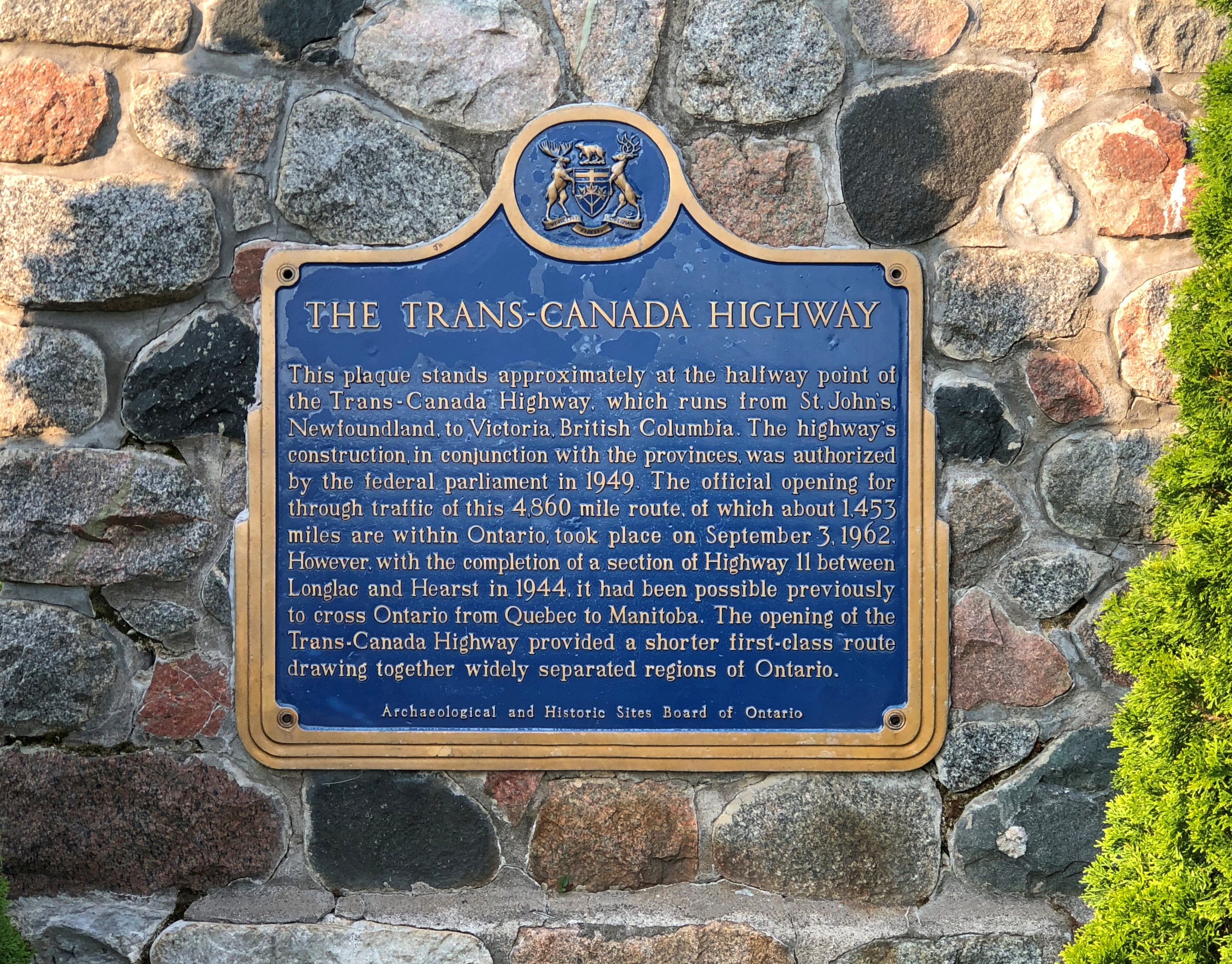
A plaque about the road itself.

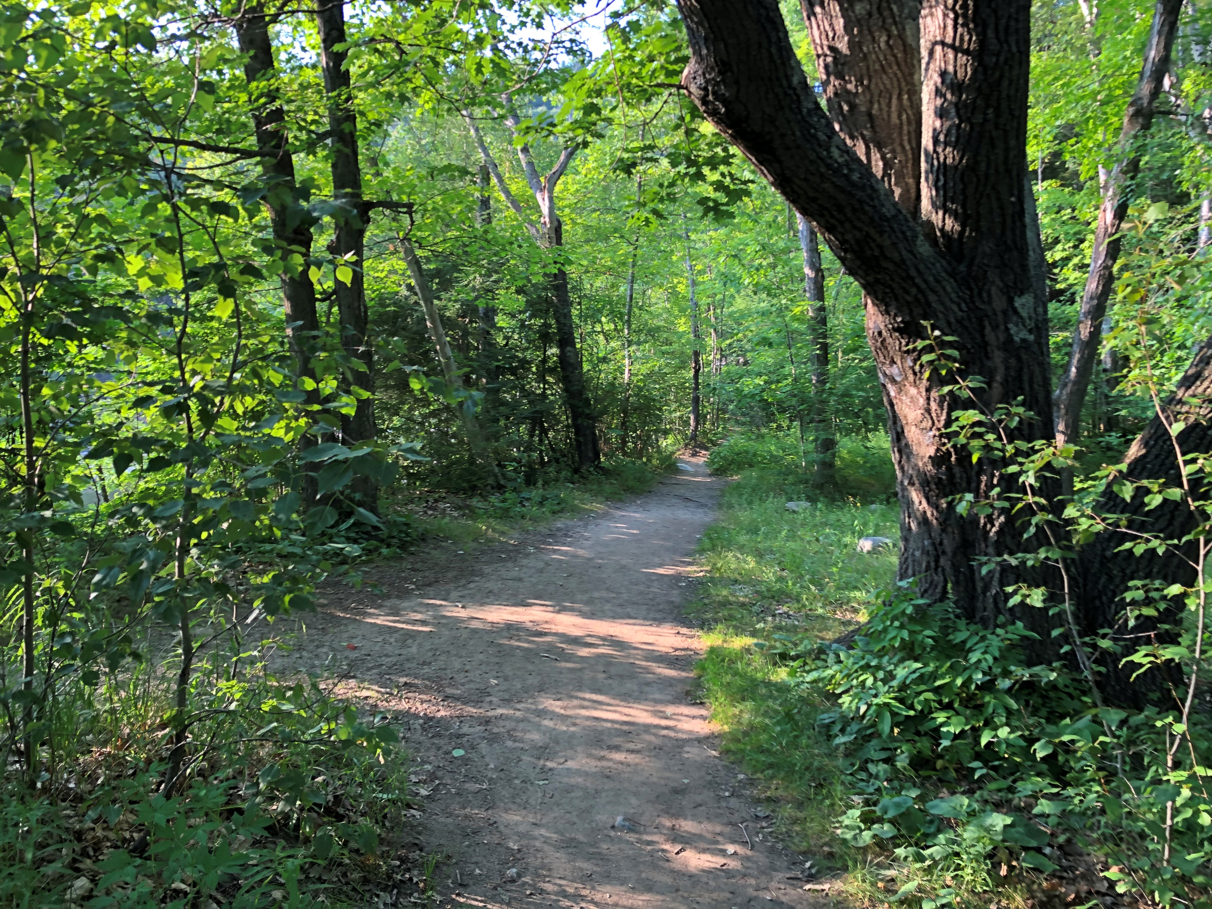
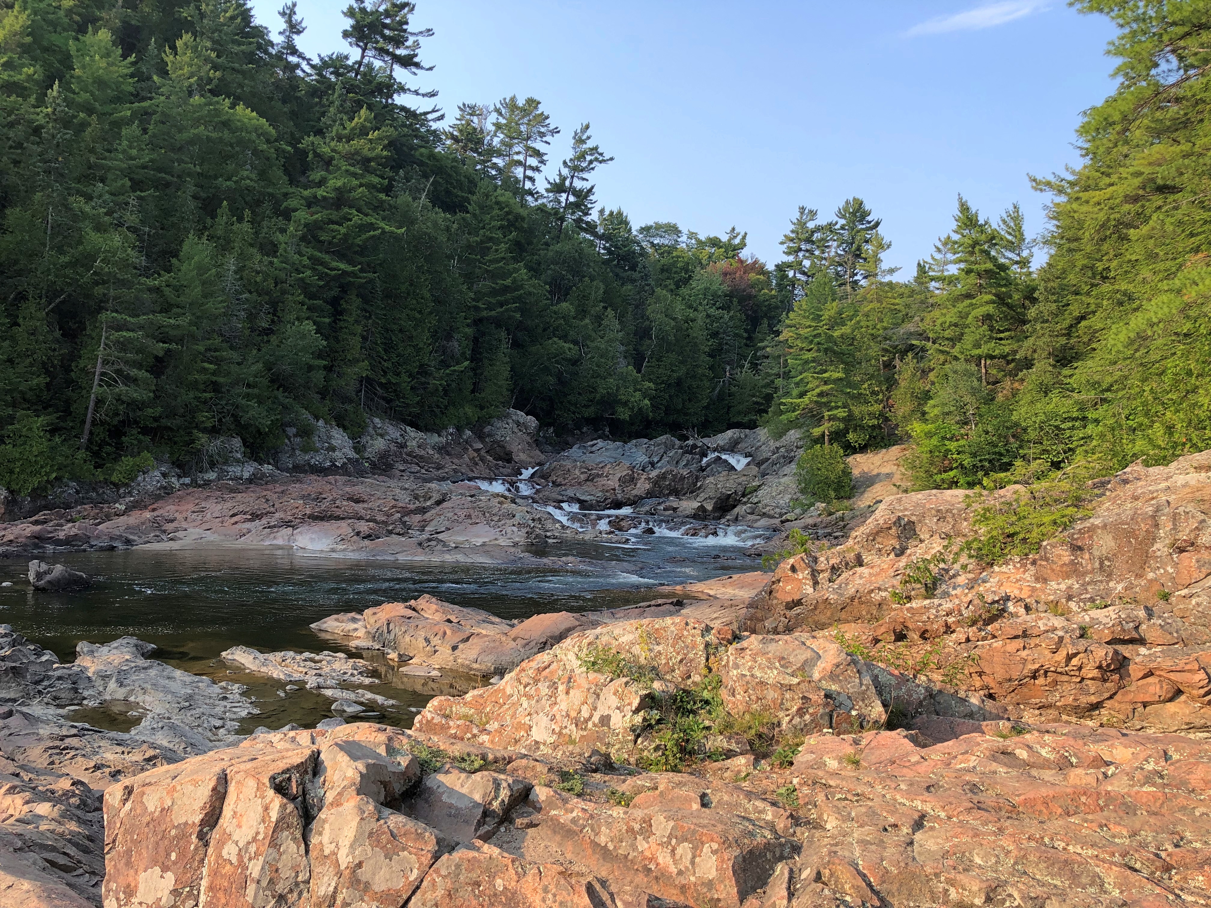
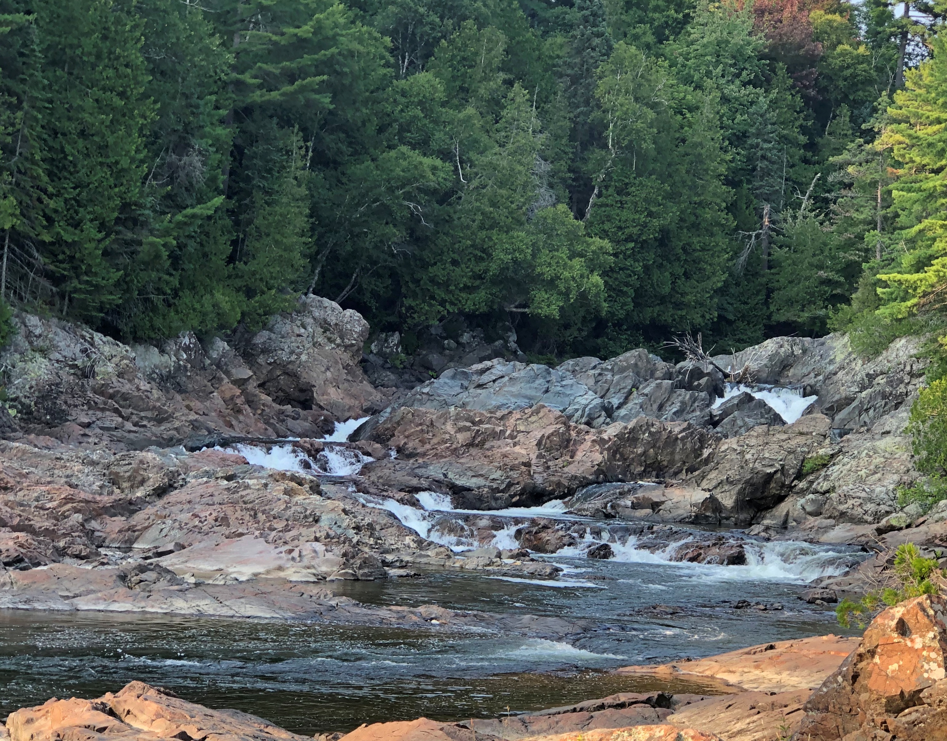
From the plaque, it was only an easy walk to Chippewa Falls, so I went.Chippewa Falls, Ontario Chippewa Falls, Ontario Chippewa Falls, Ontario

Closer to Sault Ste. Marie, near the entrance of Pancake Bay Provincial Park, is a small complex of tourist shops on the Trans-Canada. I took a good look around, and confirmed that stores in this part of Canada offer a woefully small number of postcards. Too bad, there’s a lot of scenic raw material for postcards in this part of Canada.

The Wawa Goose

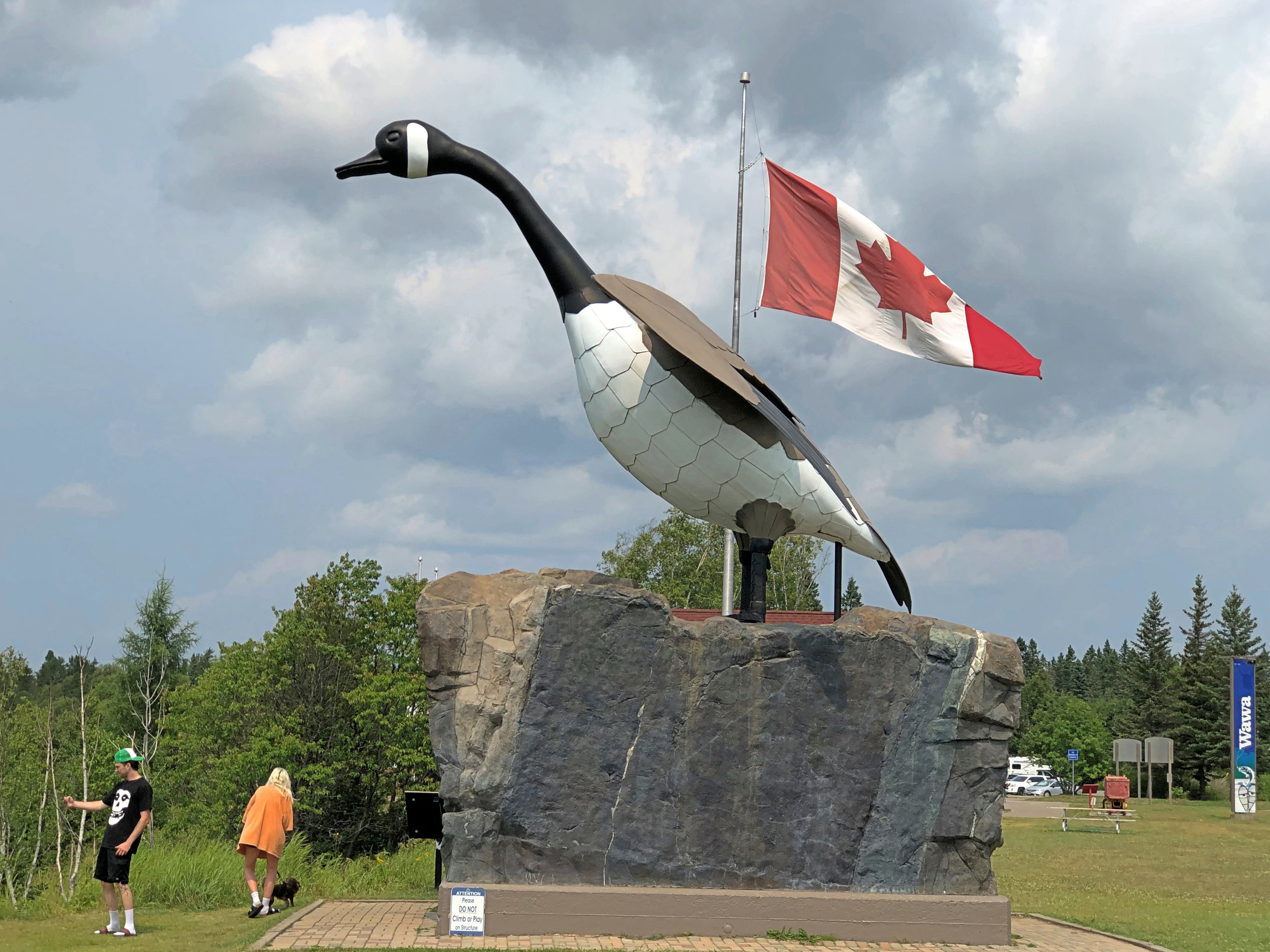
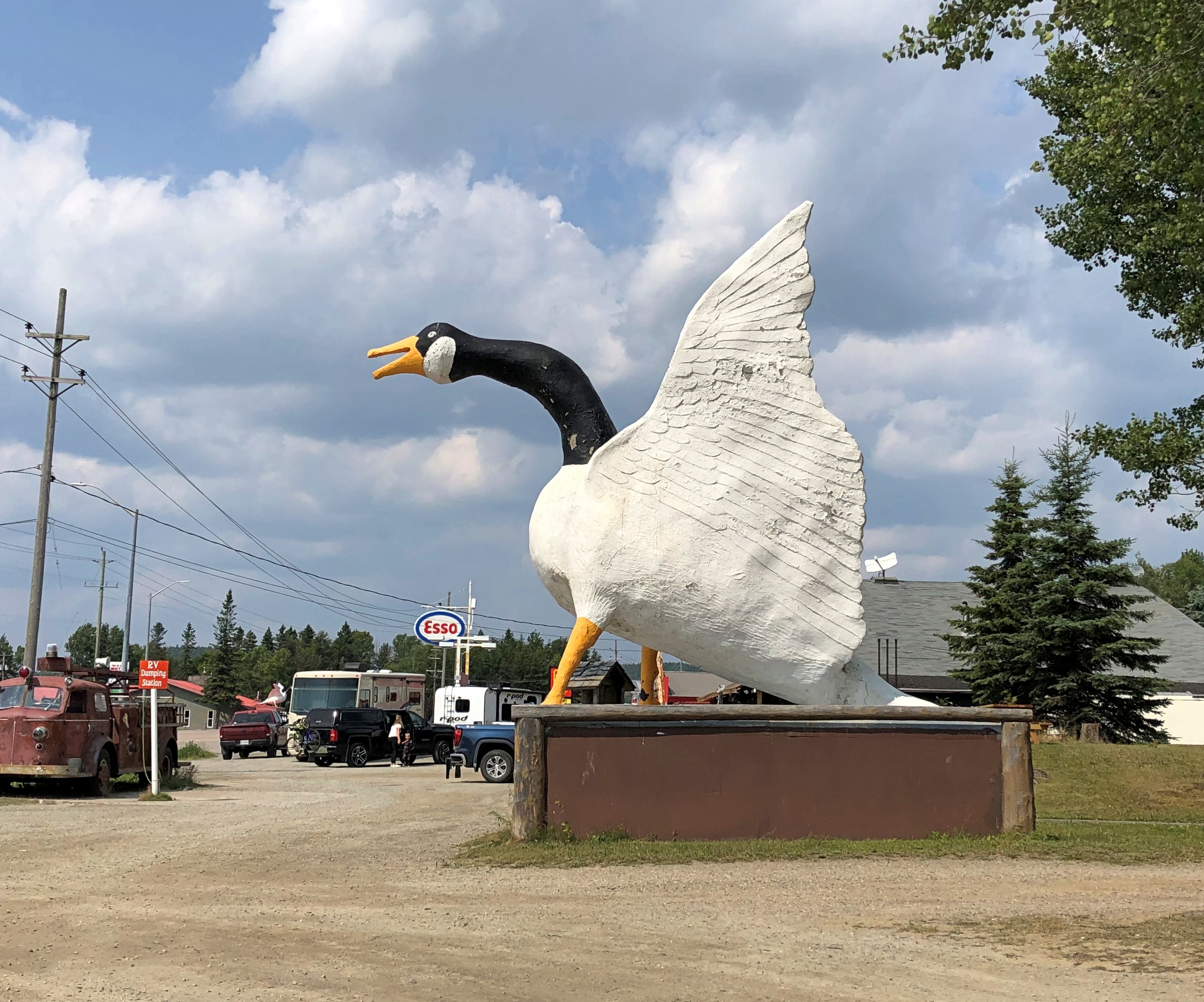
Whatever else you can say about the township of Wawa, Ontario, the goose comes first. I can’t call Wawa famous, but to the extent the town is known in the wider world, the goose puts it on the map.Wawa, Ontario

The current goose is only a few years old, the second steel-bodied bird to stand on the site, which originally sported a chicken-wire and plaster goose erected in 1960 that lasted only a few winters. The statue calls attention to Wawa, which was its sole original purpose, since the brand-new Trans-Canada highway had bypassed its main street.

It works. You only need to pull off the Trans-Canada to see it, and then you stand a chance of going further into town (pop. 2,700). Though I spent a couple of hours in Wawa, and saw and did other things, the goose persuaded me to stop about mid-day on August 3. Well, maybe. With a name like Wawa, I might have stopped anyway. But the experience wouldn’t have been nearly the same.

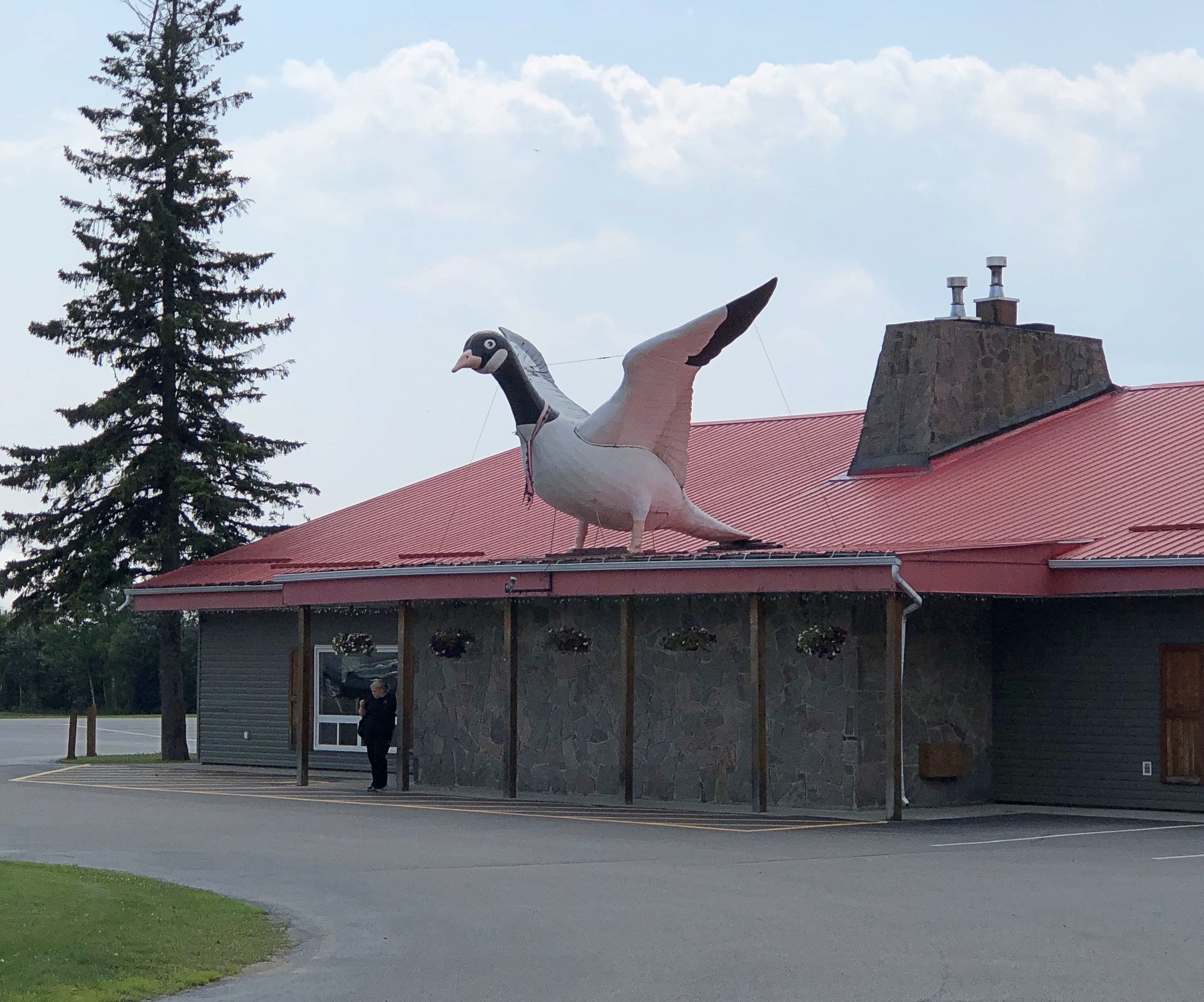
Wawa has taken to its goose wholeheartedly. Follow the road into town and you’ll see other, more volant unofficial geese.Wawa, Ontario Wawa, Ontario

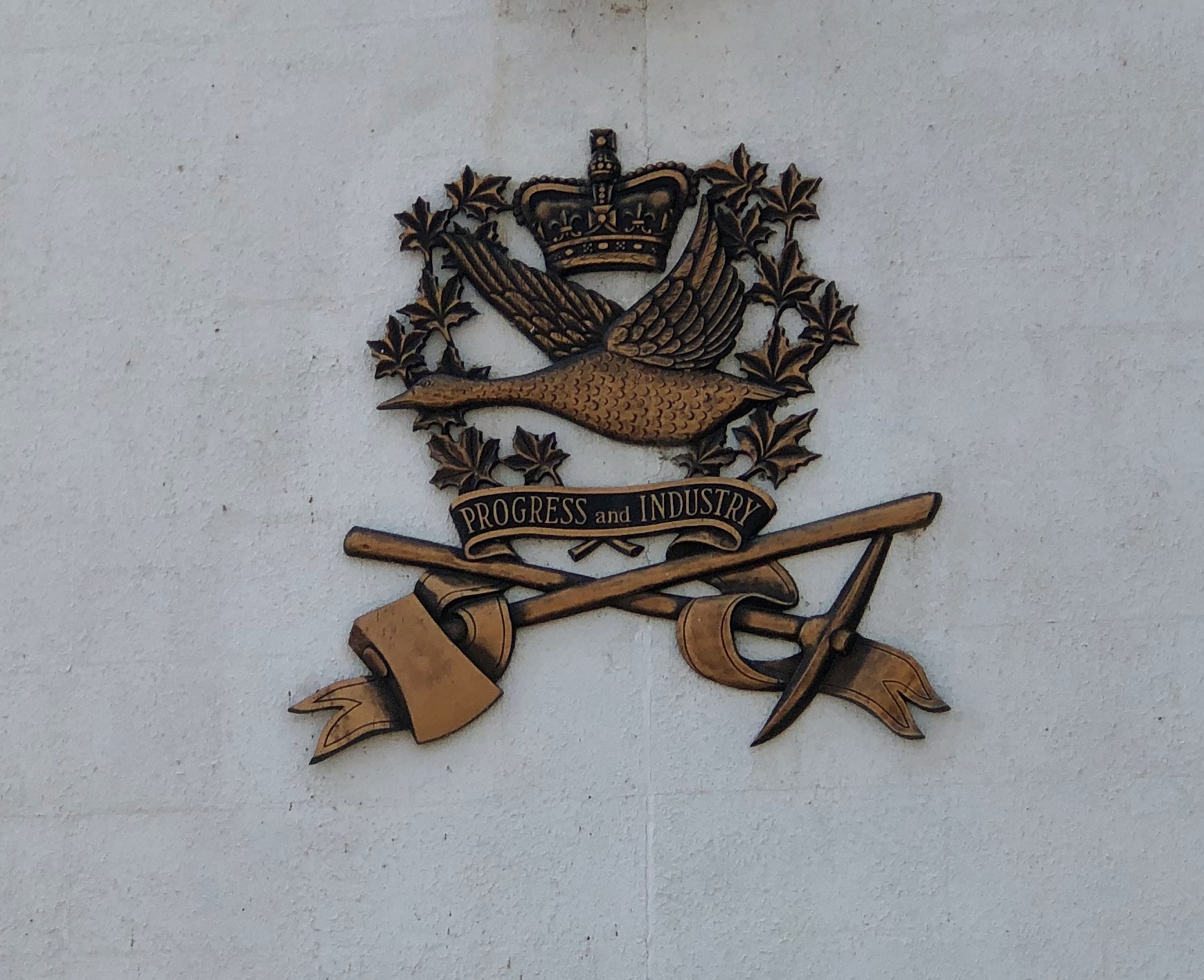
Look a little closer, and there are even more geese. It’s geese all the way down. This can be found on the wall outside of the township’s offices. Based on the township seal, looks like.Wawa, Ontario

A small goose at a small historic cemetery in Wawa.Wawa, Ontario

Pretty much any fact about the Wawa Goose is a fun fact, but I’m only going to cite a few from the Northern Ontario Travel (NOT) web site and other sources. The most fun of the fun facts, in my opinion.

The goose is 28 feet tall, 22 feet long, and has a wingspan of 20 feet, according to NOT. [What, no metric measurements?]

One Dick Vanderclift, Dutch immigrant and ornamental wrought iron specialist from Sault Ste. Marie, created the second goose. I assume the third one hews pretty close to his original design.

One Al Turcott, owner of a Wawa dry goods and clothing store – back when that could make you a prominent local citizen – ponied up for most of the money to build the original.

“The Canada Goose is not an official symbol of Canada,” NOT says. “Only the beaver and the maple tree have this cultural status.”

[What committee decides – no, I’m not going down that rabbit hole.]

“Stompin’ Tom Connors sang the song ‘Little Wawa’ about a goose that stayed behind when her lover Gander Goo got shot down with an arrow!” NOT exclaims. “Bet you didn’t know that one!”

I sure didn’t know that one. Stompin’ Tom Connors (d. 2013) only now has come to my attention. Quite a thing in Canada, he was. This isn’t “Little Wawa,” but it is Stompin’ Tom.

Wait, Conan O’Brien is Canadian? No. No reason he couldn’t be, but he’s from Massachusetts. He clearly knew what his Canadian audience wanted.

Pukaskwa National Park

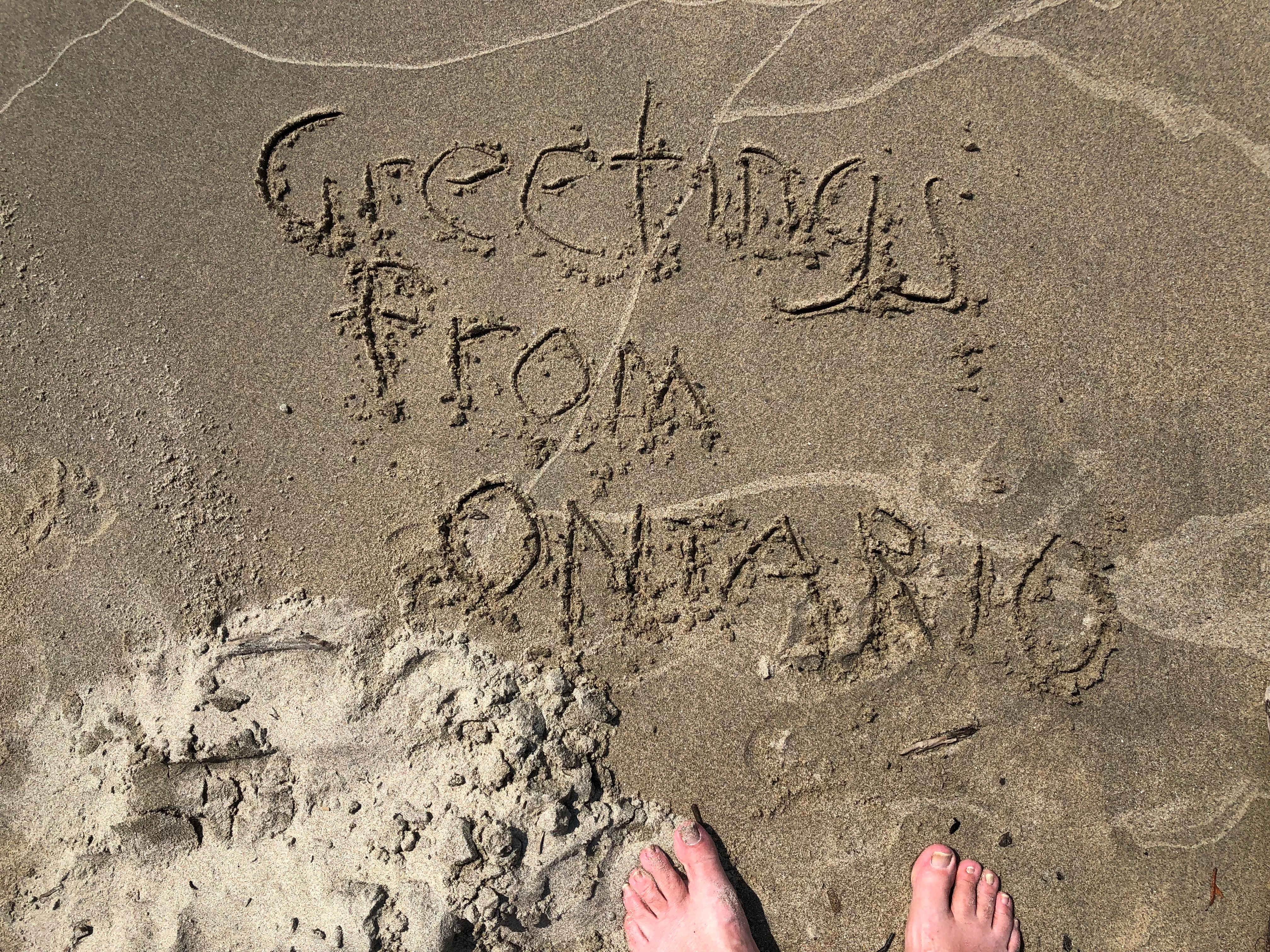
My old friend Geof Huth has been known to post images of figures – glyphs – he draws in the sand, and so I took some inspiration from him. His glyphs are unique, probably in the history of the world. My are a touch more conventional.Pukaskwa National Park

I took a similar image on my crummy cell phone camera, but one good enough for snaps, and sent it to Geof. From the edge of the wilderness in northwest Ontario to a tower in Lower Manhattan, the message went.

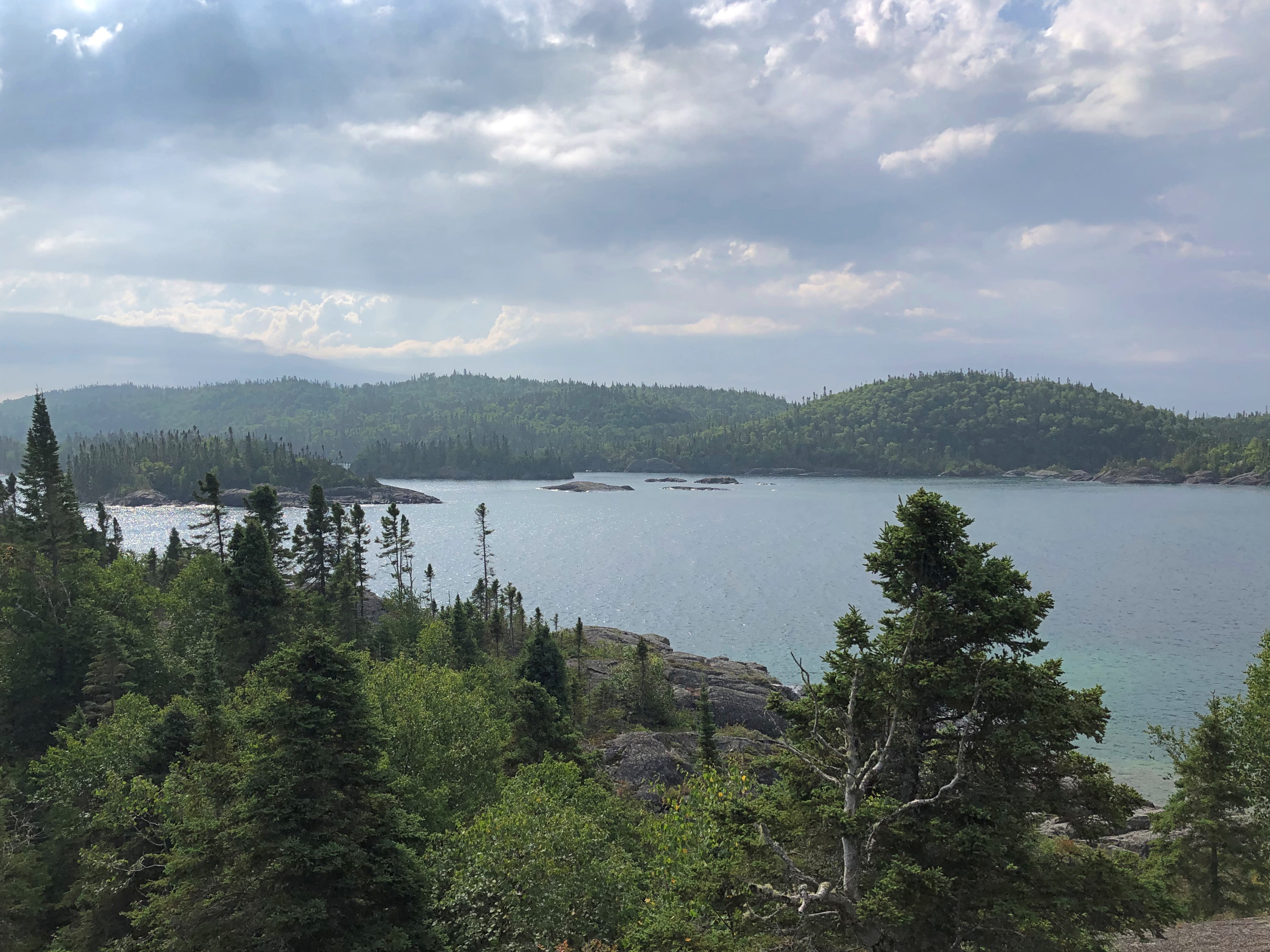
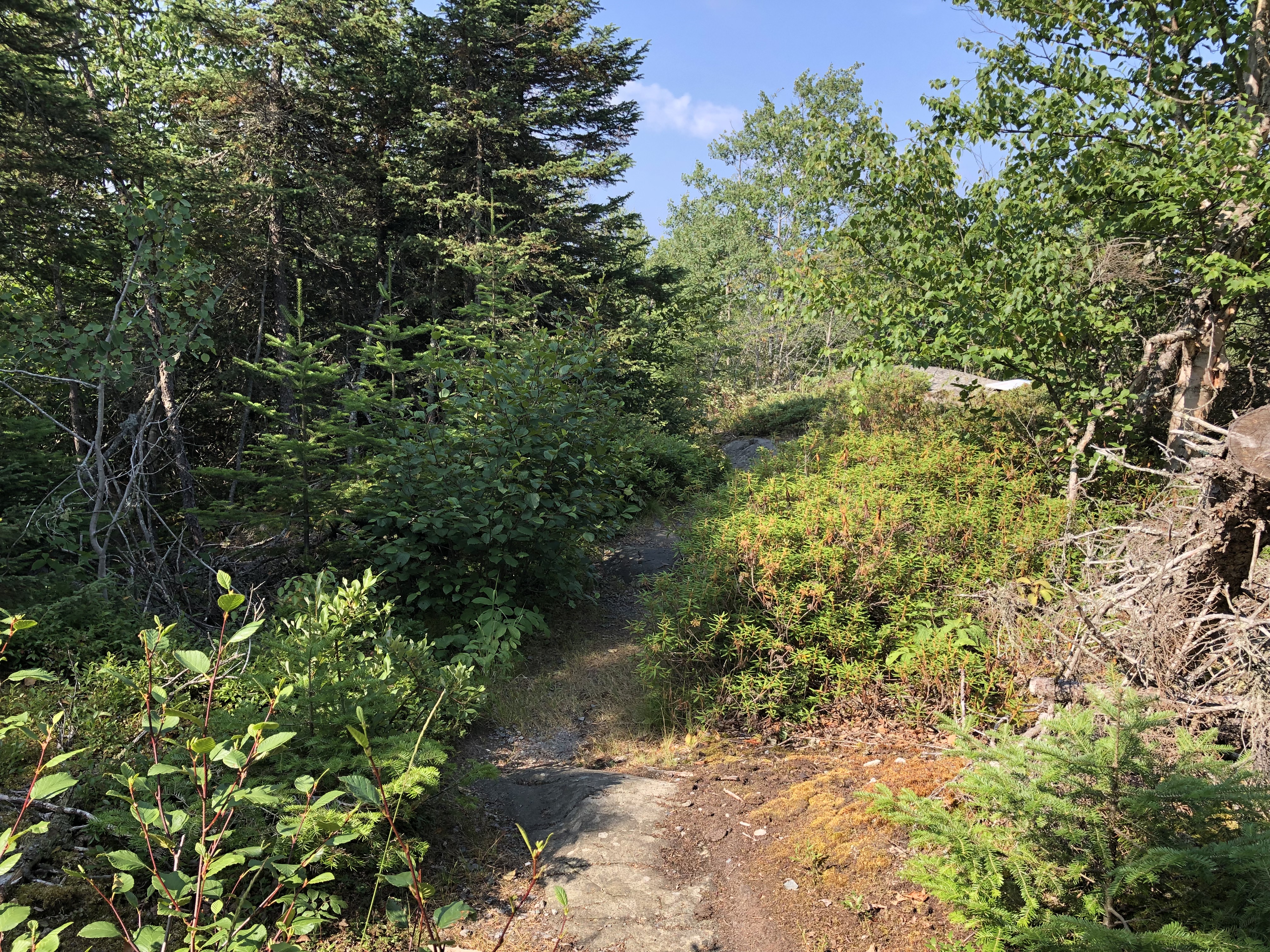
It might look like the wilderness.Pukaskwa National Park Pukaskwa National Park Pukaskwa National Park

But no. Edge it was. I might have been within the bounds of Pukaskwa National Park, but only a few miles in, with access by road.Pukaskwa National Park

Pukaskwa (PUK-ə-saw), a sizable slice of Ontario (725 sq. mi.) on the shore of Lake Superior, is mostly back country. Rugged is the inevitable term for its back country, so much so that the mostly wooded terrain mostly thwarted efforts to mine and even log it, back when that was legally possible. The park reportedly protects the longest undeveloped stretch of coastline on Lake Superior and, indeed, the Great Lakes.

A feature of the park: there are clusters of Pukaskwa Pits at remote locations. Wiki is succinct on those human-made structures: they are “rock-lined depressions near the northern shore of Lake Superior dug by early inhabitants, ancestors of the Ojibwa. Estimates of their age range from as recent as 1100-1600 CE to as ancient as 3000-8000 BCE.”

That’s a pretty wide range of age estimates. You might say their origin is “lost in the mists of time,” but that lacks academic rigor. Modern Canada created the park in the 1970s.

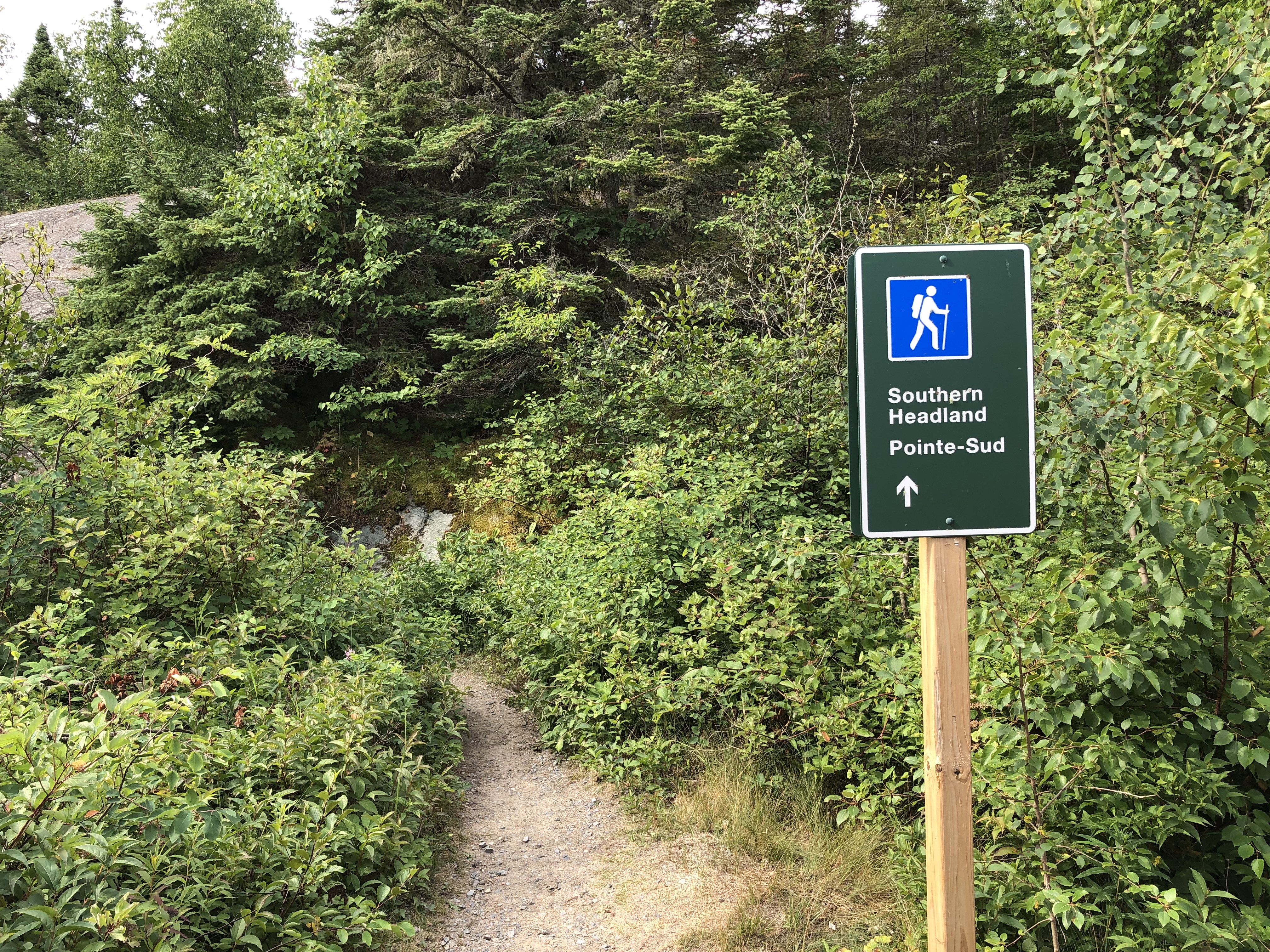
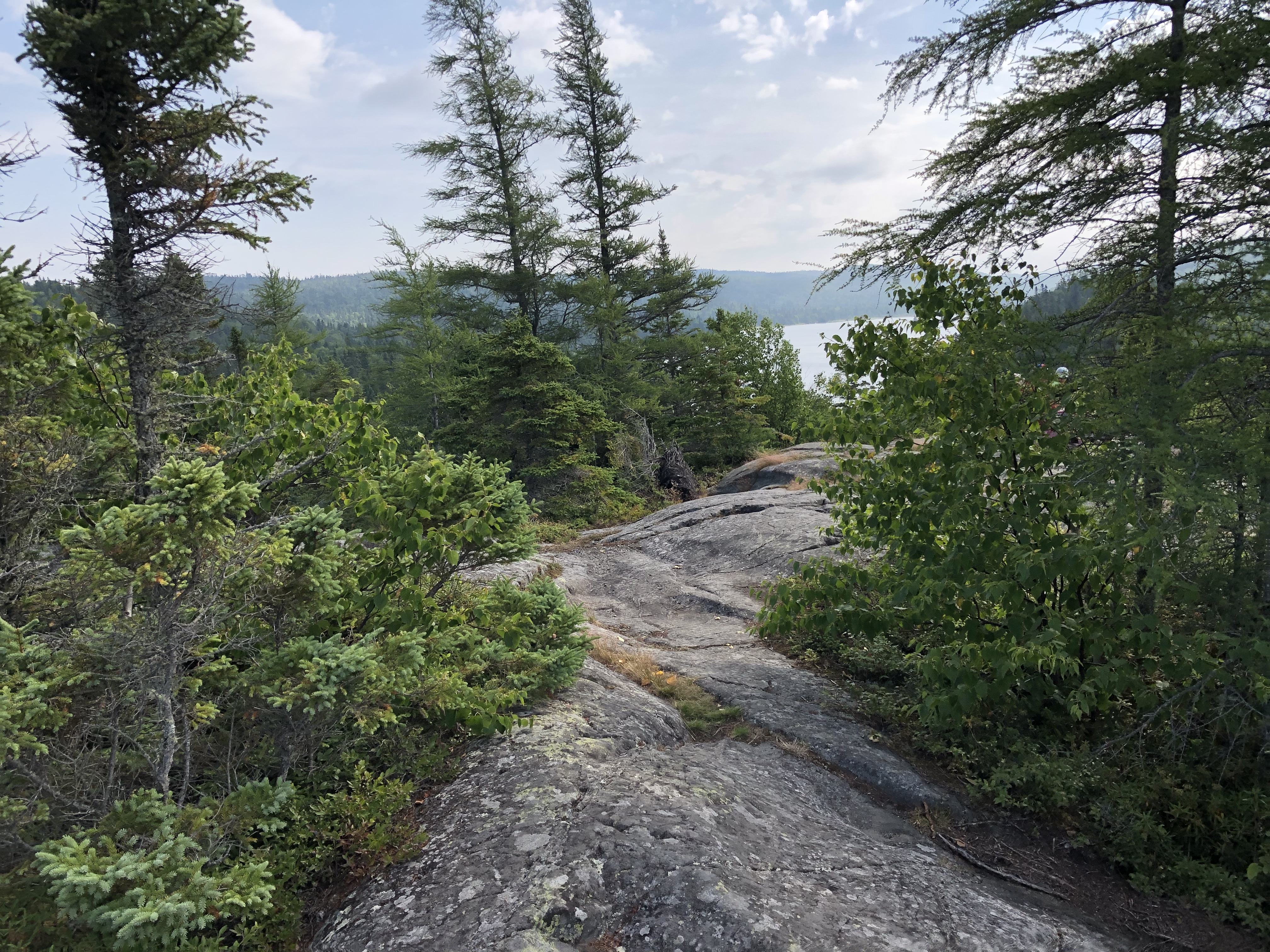
I wasn’t anywhere near the pits. At least, I don’t think so. The park’s single road leads to a few trailheads, such as Southern Headland.Pukaskwa National Park

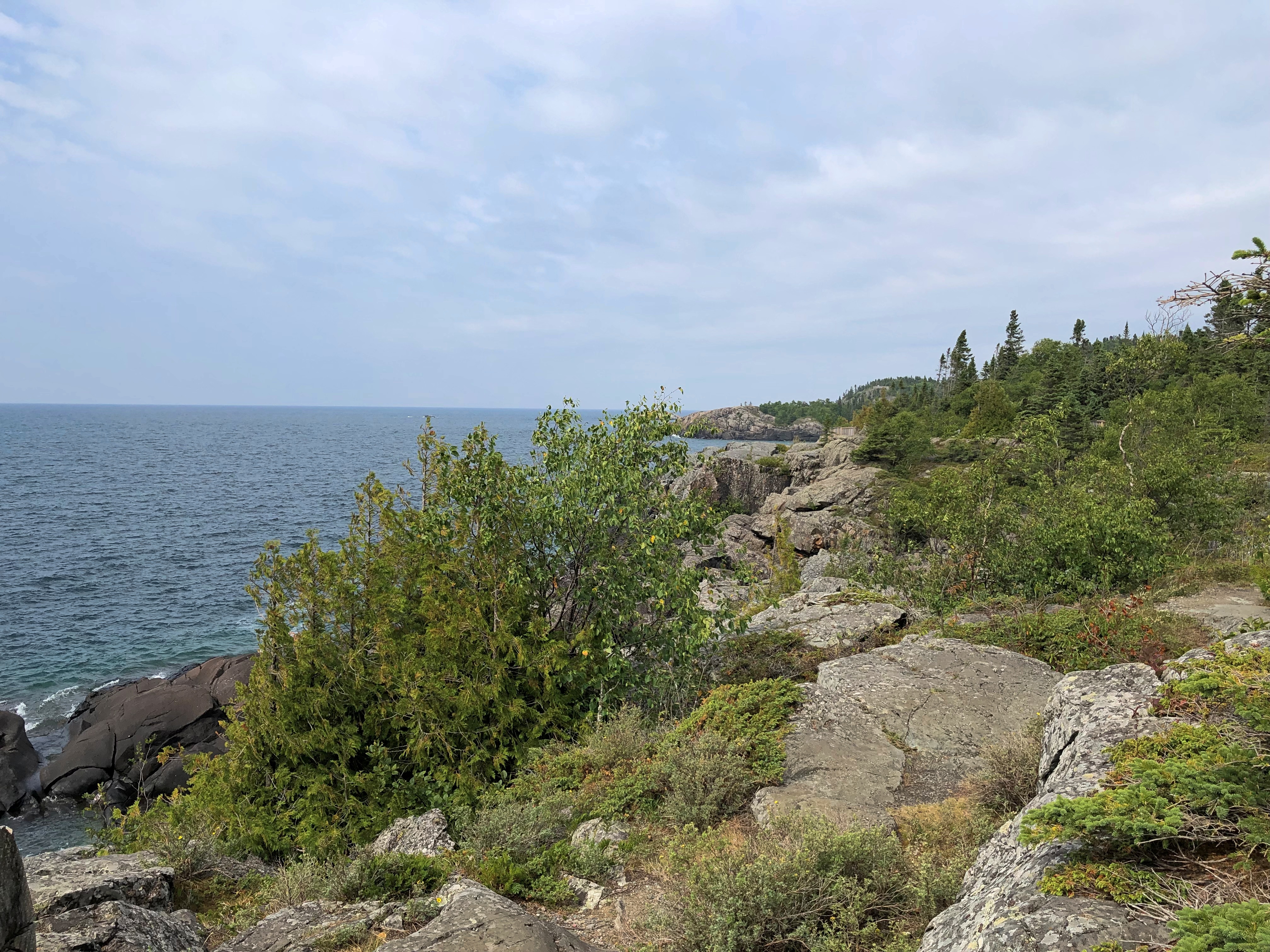
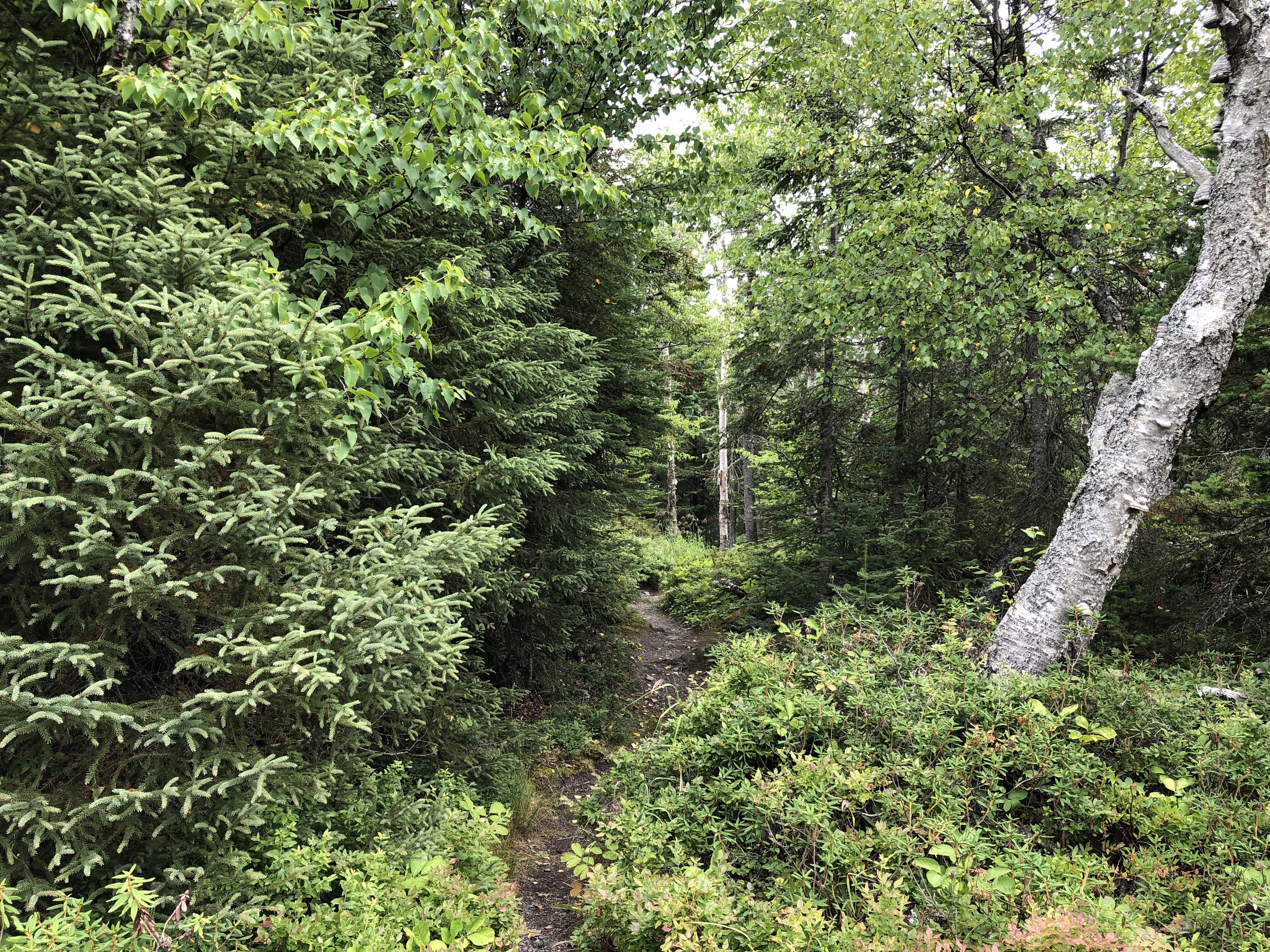
It winds around some hills near Lake Superior, with a variety of under-foot topography as you walk along. Nothing that hard. This time around, I had a walking stick and water to go with my decent hiking shoes.Pukaskwa National Park Pukaskwa National Park Pukaskwa National Park

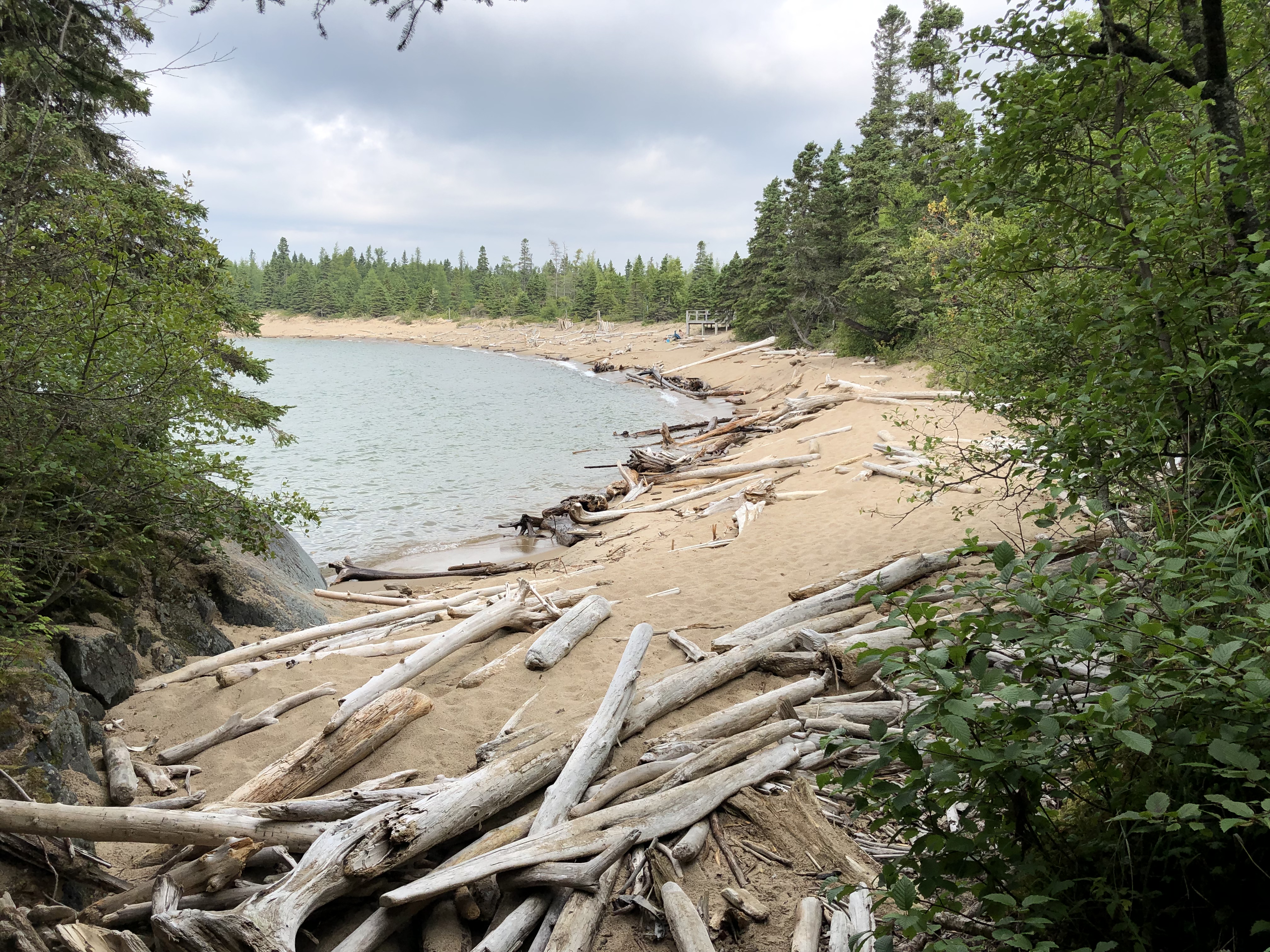
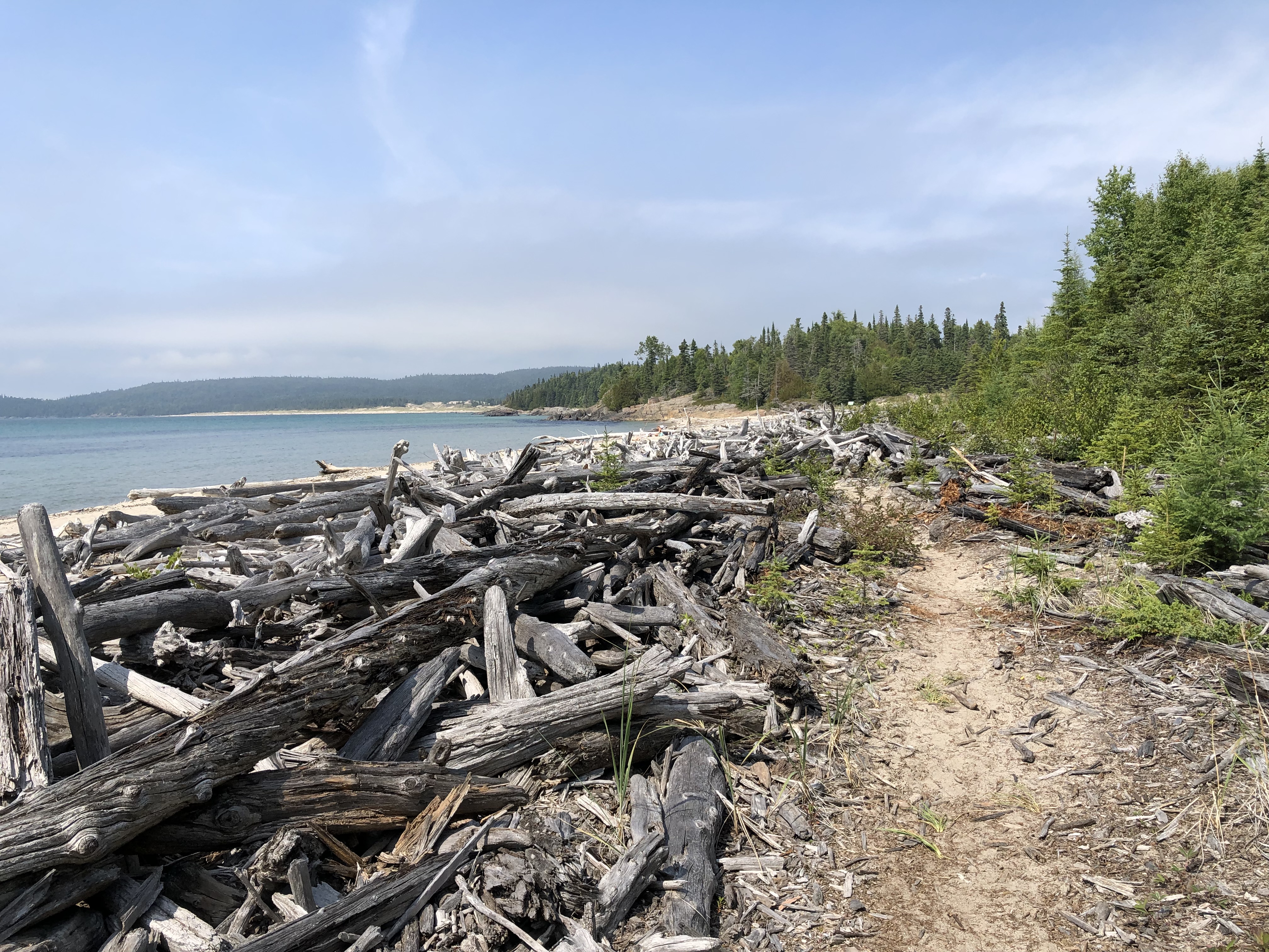
The trail eventually leads to a deadwood-strewn beach.Pukaskwa National Park Pukaskwa National Park

A different, much shorter trail from the beach leads to another beach. I spent a few hours there, cooling my heels and drawing a few words in the sand. That is, I did once I’d crossed a horizontal forest of driftwood.Pukaskwa National Park

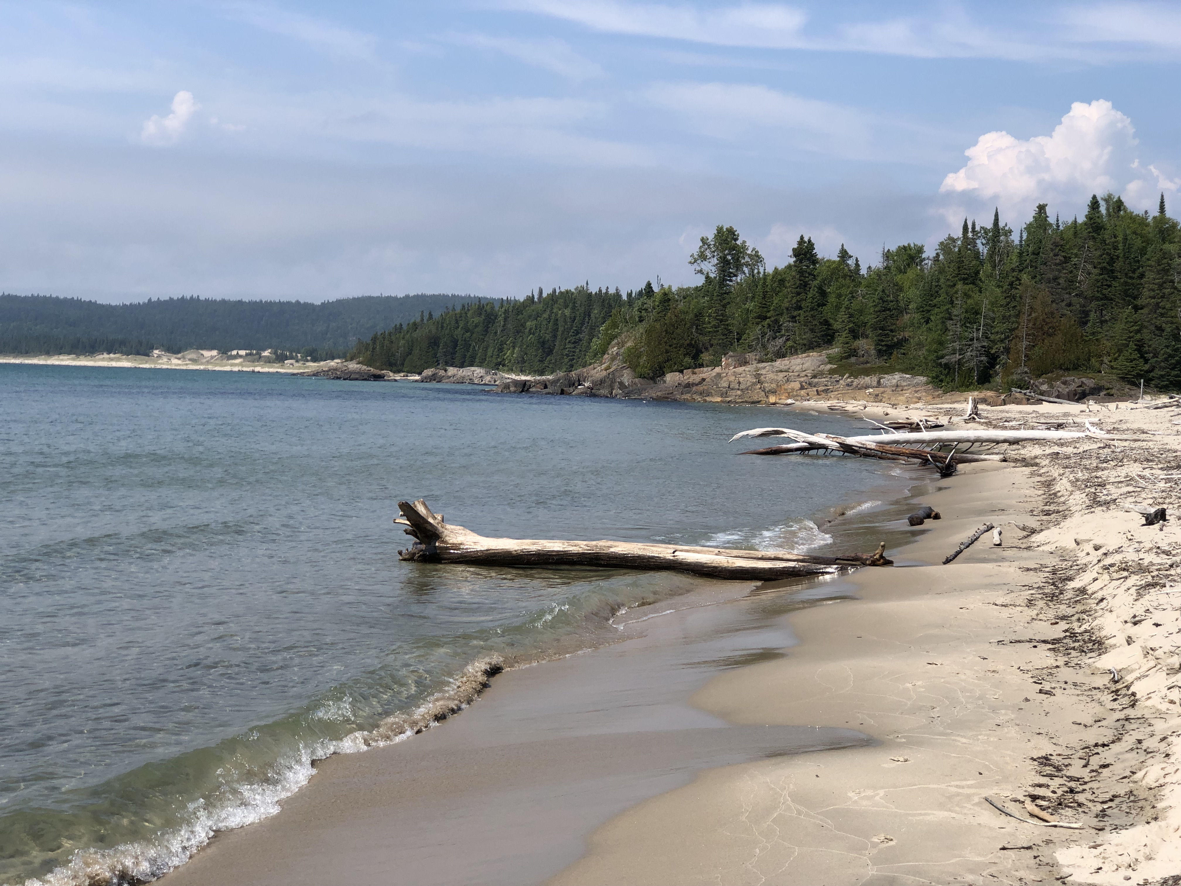
A long stretch along Superior.Pukaskwa National Park

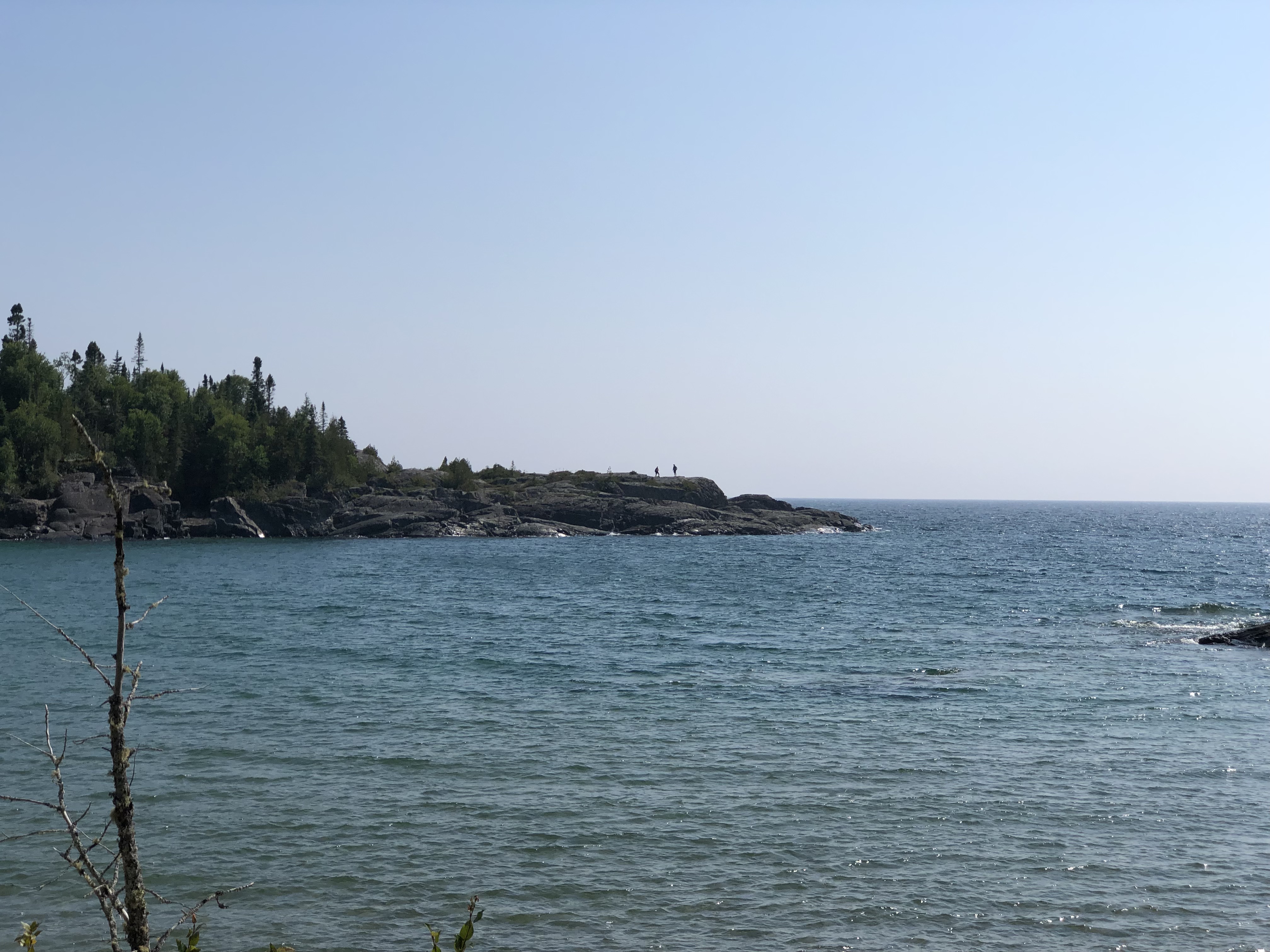
There were about ten people on the whole beach. And as few on the Southern Headland trail, where the rocks meet the water and sky. From the beach, I captured an image of hikers on the rock outcropping where I’d been earlier in the day.Pukaskwa National Park

Rocks meeting water and wind and sun, because the sun came out in the afternoon. The four elements all together.

Thunder Bay to Marathon, Ontario

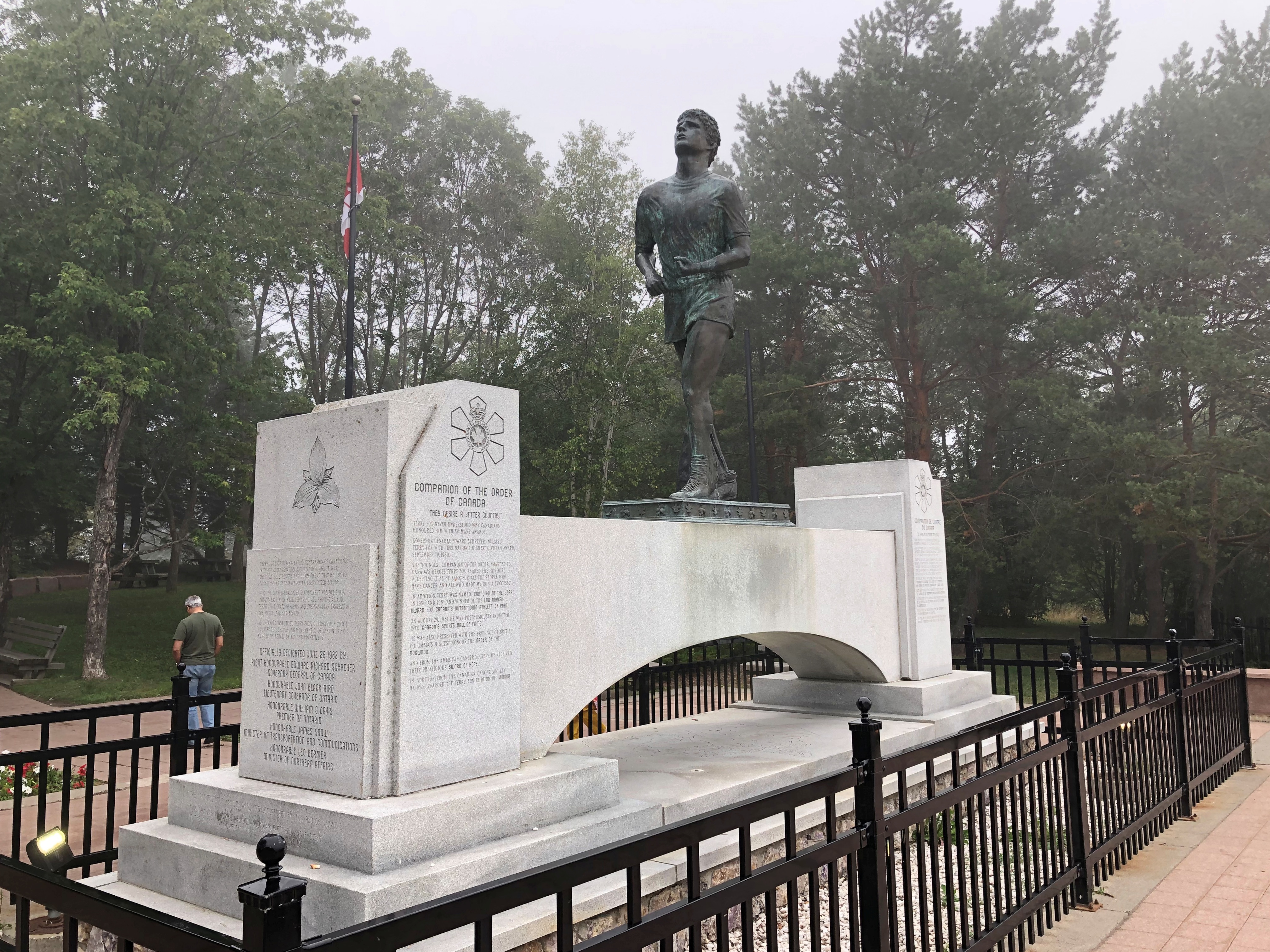
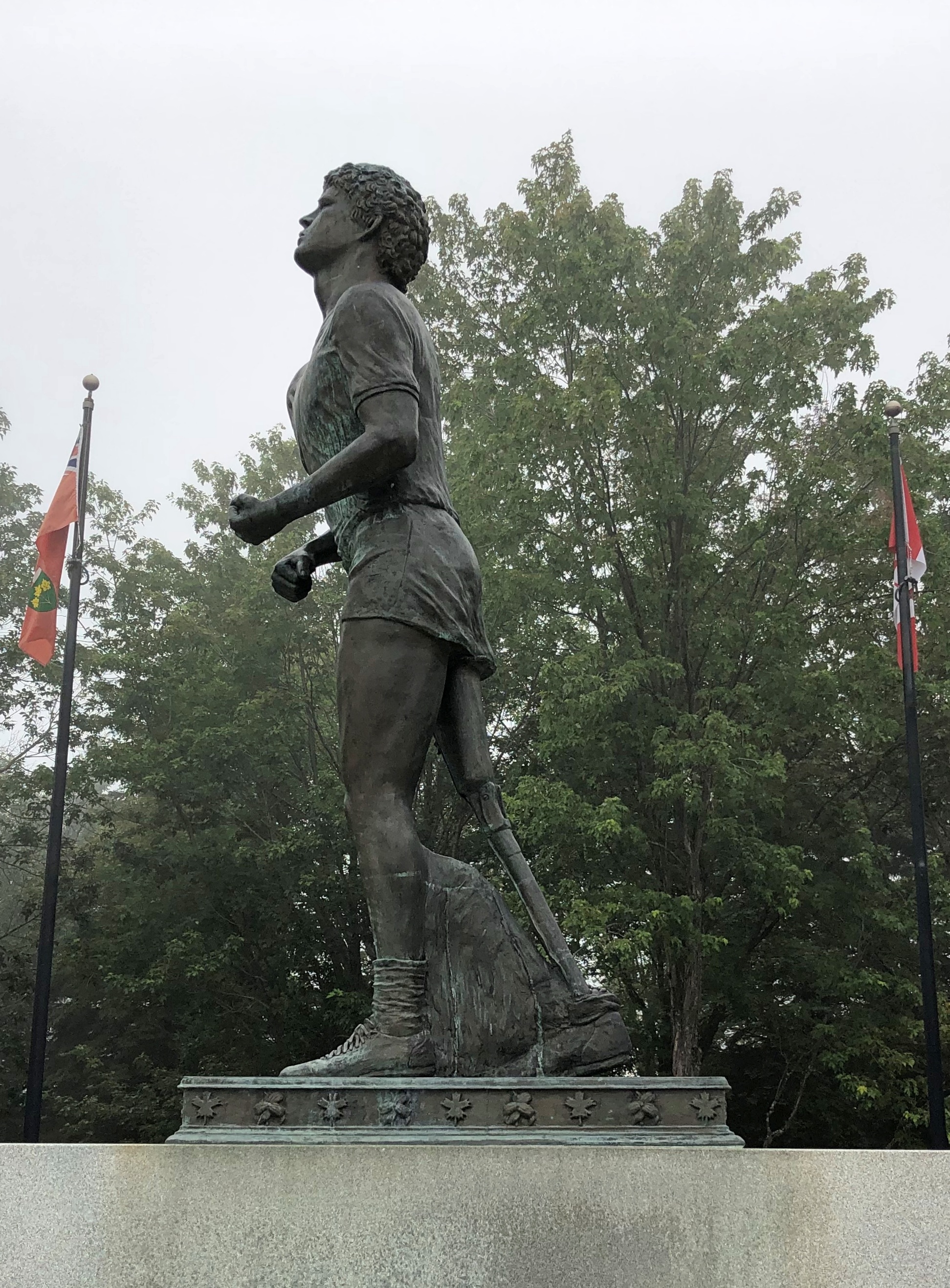
On the first day of August, I made the acquaintance of Terry Fox. In bronze, anyway, and perhaps in spirit, since he’d been dead for over 42 years. Died very young; he’d be 65 now, had cancer not taken him away. A contemporary.

Apparently every Canadian knows who he was. Ignorant as I am, I didn’t, but I learned some remarkable things about him after seeing his memorial, which is just off the Trans-Canada Highway not far east of Thunder Bay.

It was a foggy morning in northwest Ontario. The memorial features Fox as a runner, which he was. But not just any runner.

He had only one leg, the other amputated to prevent the spread of osteogenic sarcoma, bone cancer, from his knee.

“In the fall of 1979, 21-year-old Terry Fox began his quest to run across Canada,” the CBC says. “He had lost most of his right leg to cancer two years before.

“[He] hatched a plan to raise money for cancer research by running across Canada. His goal: $1 for every Canadian. Fox’s plan was to start in St. John’s, Newfoundland on April 12, 1980 and to finish on the west coast of Vancouver Island on September 10. With more than 3,000 miles (5,000 km) of running under his belt, he was ready.”

So he ran almost every day early that year, gathering attention as he went. By the time he got to Toronto, the nation was watching. But he didn’t make it all the way to the West Coast.

“As Fox headed towards Georgian Bay, his health changed. He would wake up tired, sometimes asking for time alone in the van just to cry… On August 31, before running into Thunder Bay, Fox said he felt as if he’d caught a cold. The next day, he started to cough more and felt pains in his chest and neck but he kept running because people were out cheering him on. Eighteen miles out of the city, he stopped. Fox went to a hospital, and after examination, doctors told him that the cancer had invaded his lungs… He had run 3,339 miles (5,376 km).

“Terry Fox died, with his family beside him, on June 28, 1981… Terry Fox Runs are held yearly in 60 countries now and more than $360 million have been raised for cancer research.”

My goal that day was much easier: drive to the town of Marathon, Ontario, from Thunder Bay, about 300 km as things are measured locally. I actually like having road distances measured in kilometers on lightly traveled Canadian roads, since they seem to go by quickly. For example, 50 km to go? Ah, that’s only 30 miles. The conversion is easy to do in your head – half + 10%.

Though I have to stress that kilometers should have no place in measuring U.S. roads. Miles to go before I sleep; You can hear the whistle blow 100 miles; I’d walk a mile for a Camel. There’s no poetry to the metric system.

(The conversion of U.S. to Canadian dollars is pretty easy these days too: 75%, or half + 25%. That way a $20 meal magically costs only $15.)

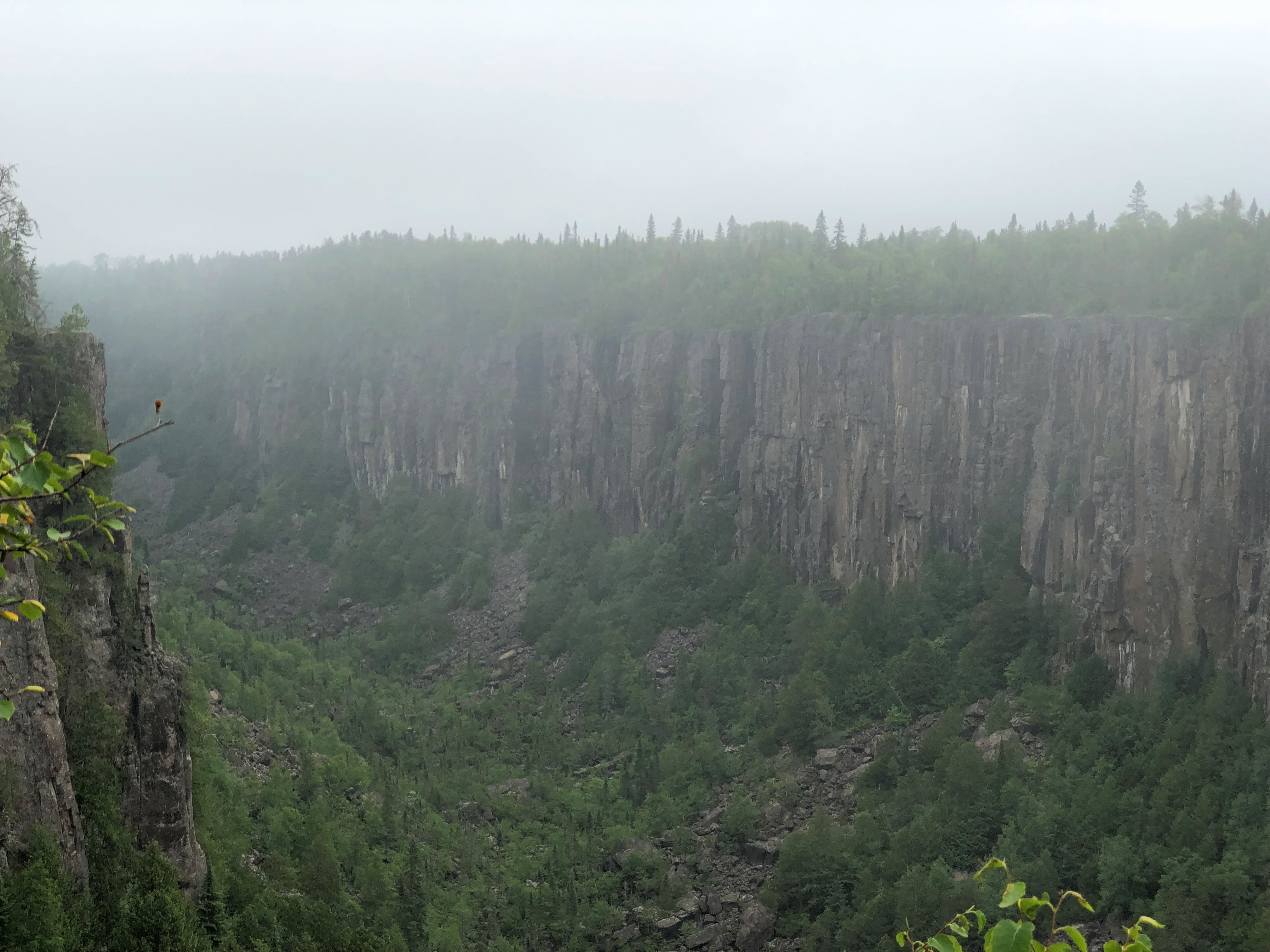
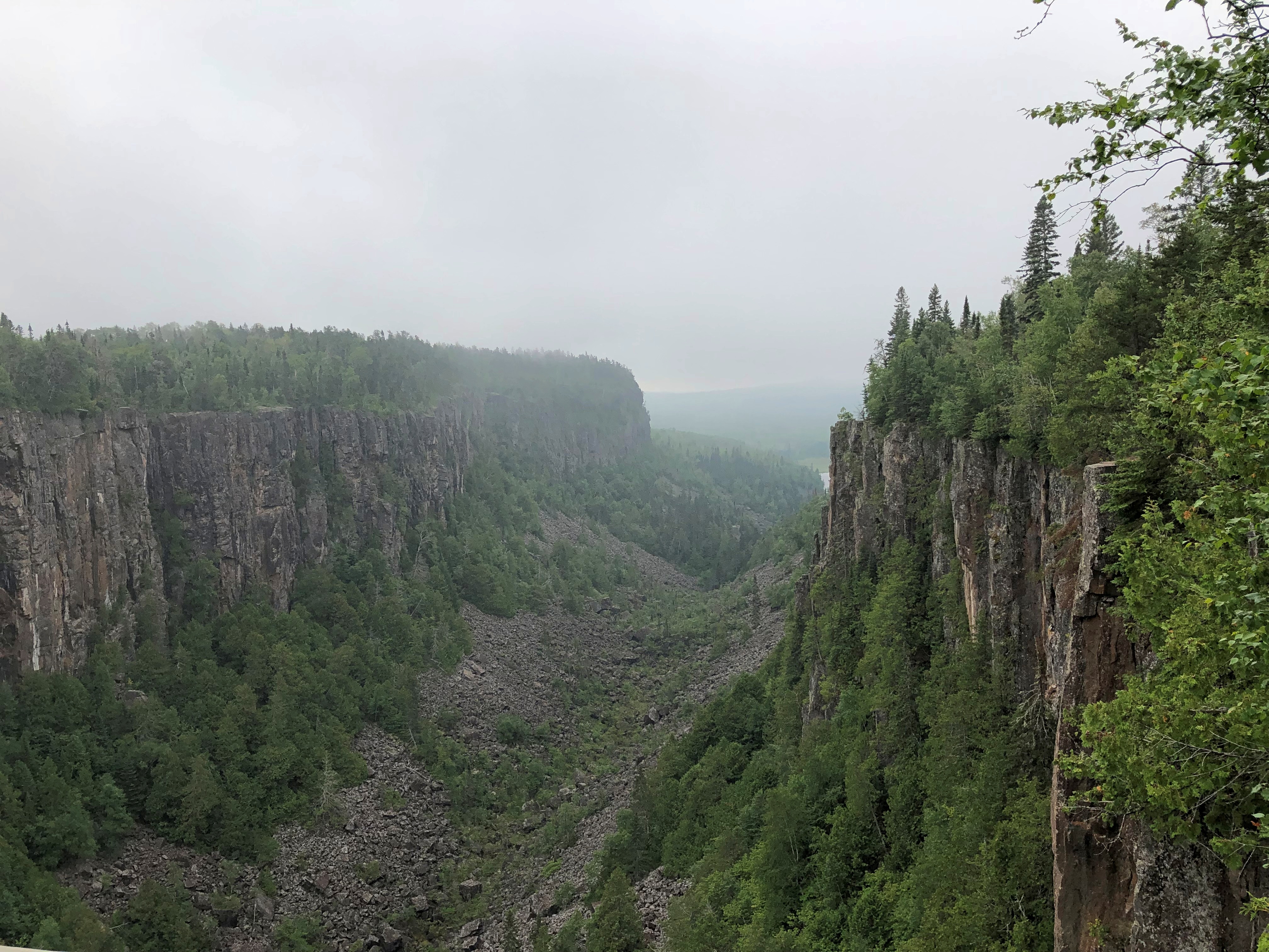
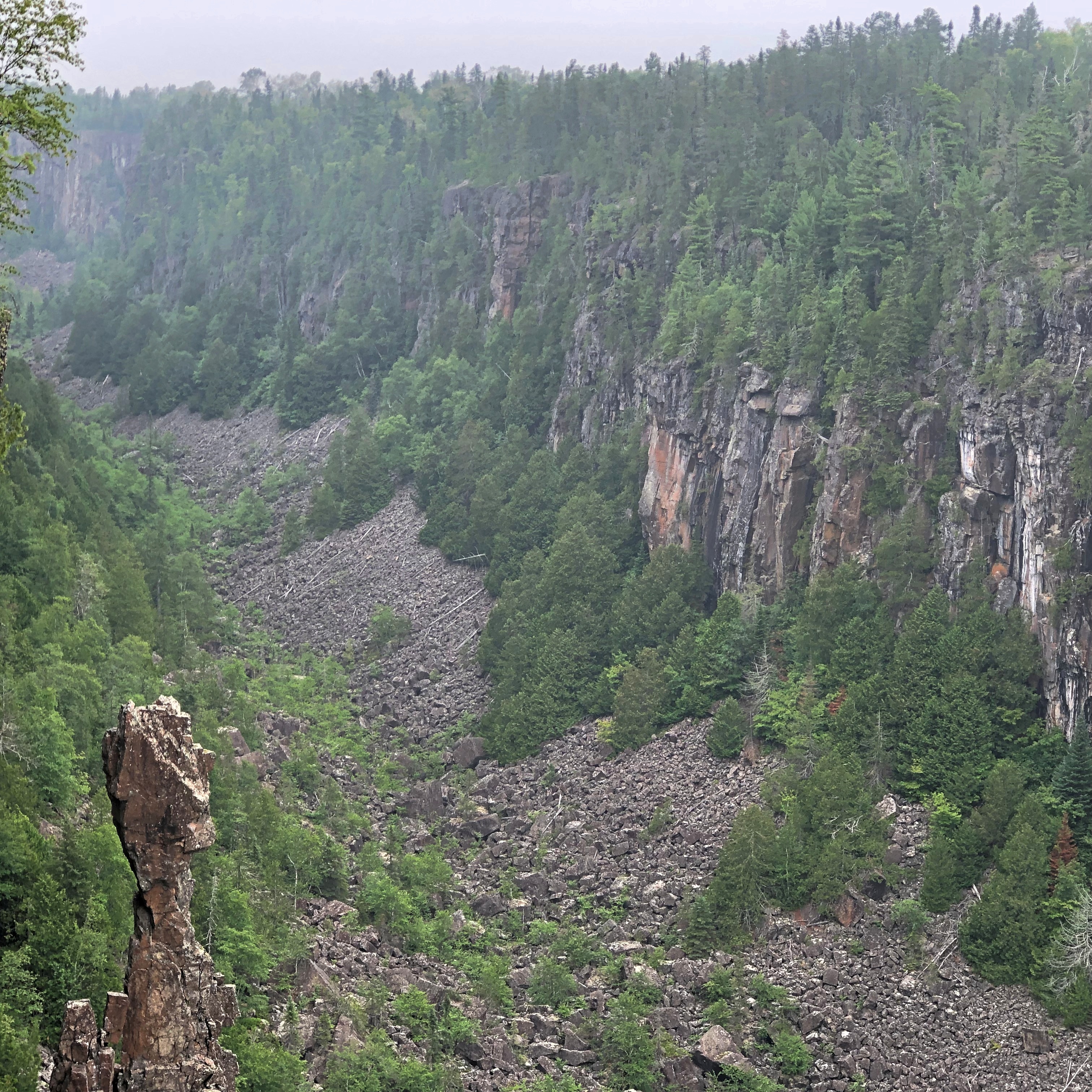
East from the Terry Fox memorial is Ouimet Canyon Provincial Park, which I visited as an alternative to Sleeping Giant Provincial Park, which is highly visible from Thunder Bay but which looks like an all-day sort of place. I preferred to spend the day on the road, stopping where the mood struck.Ouimet Canyon

Ouimet Canyon is striking. A easy walk of 15 minutes or so takes you to the canyon’s edge. Foggy that morning but worth the stop.Ouimet Canyon Ouimet Canyon Ouimet Canyon

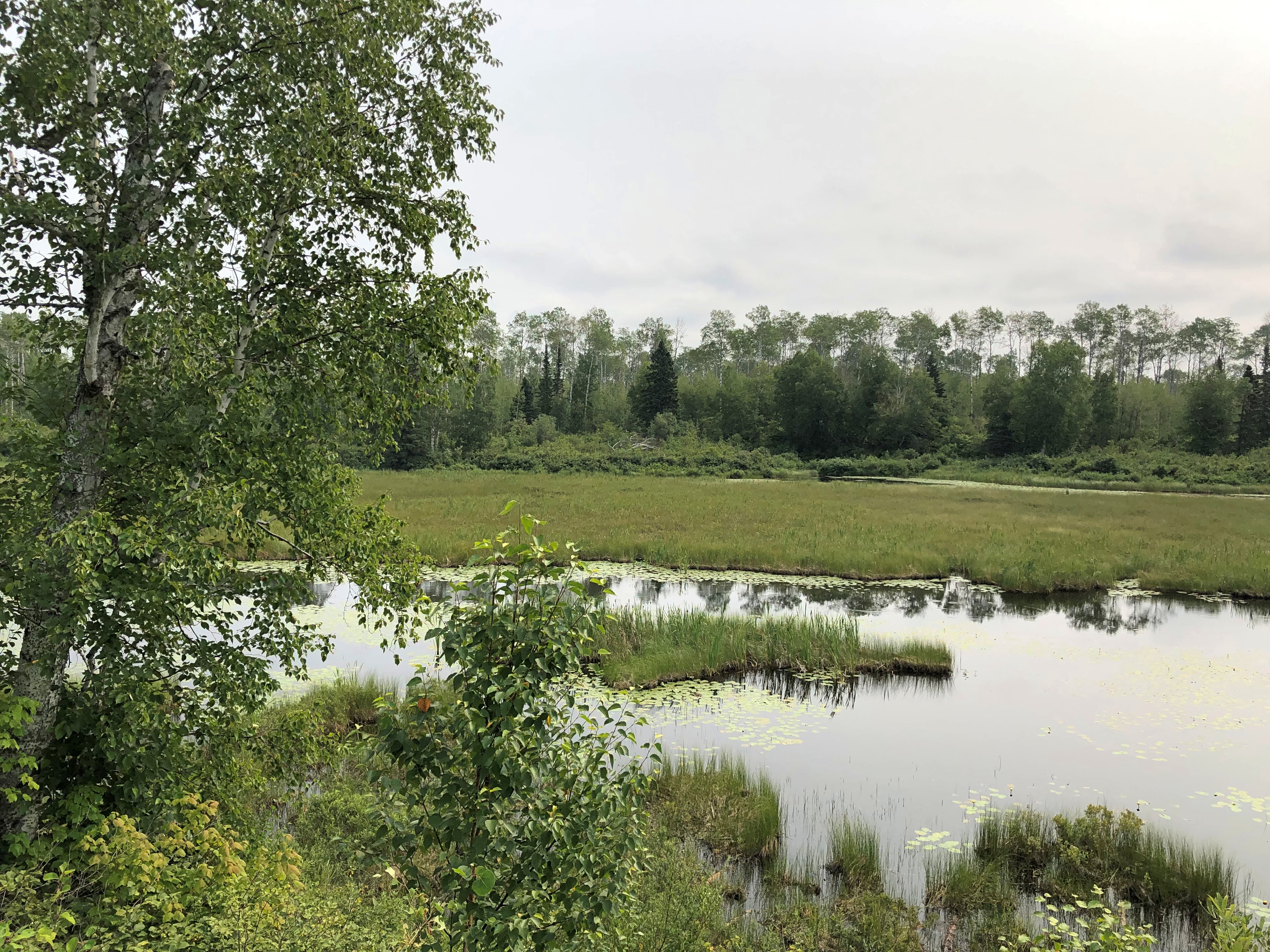
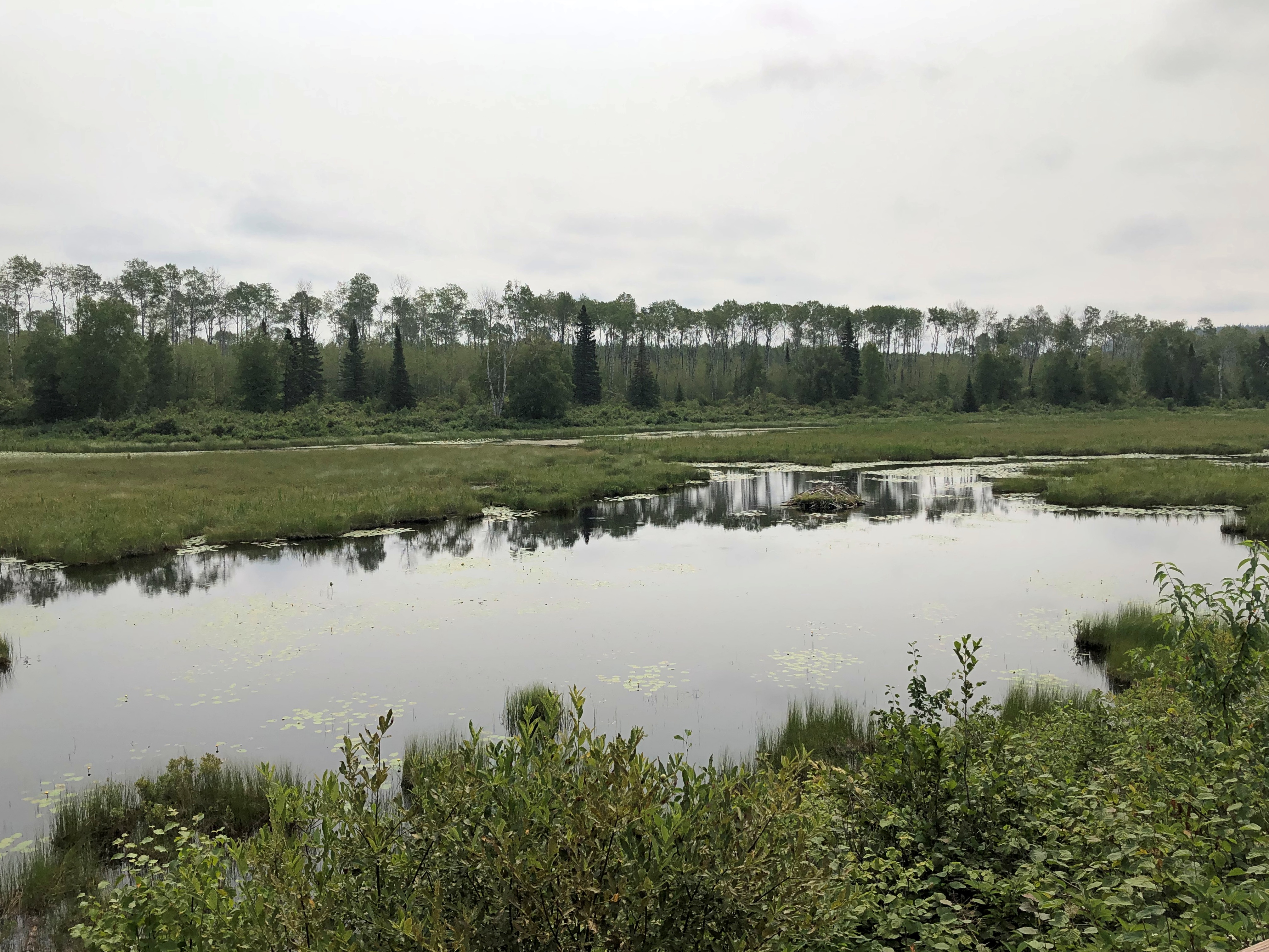
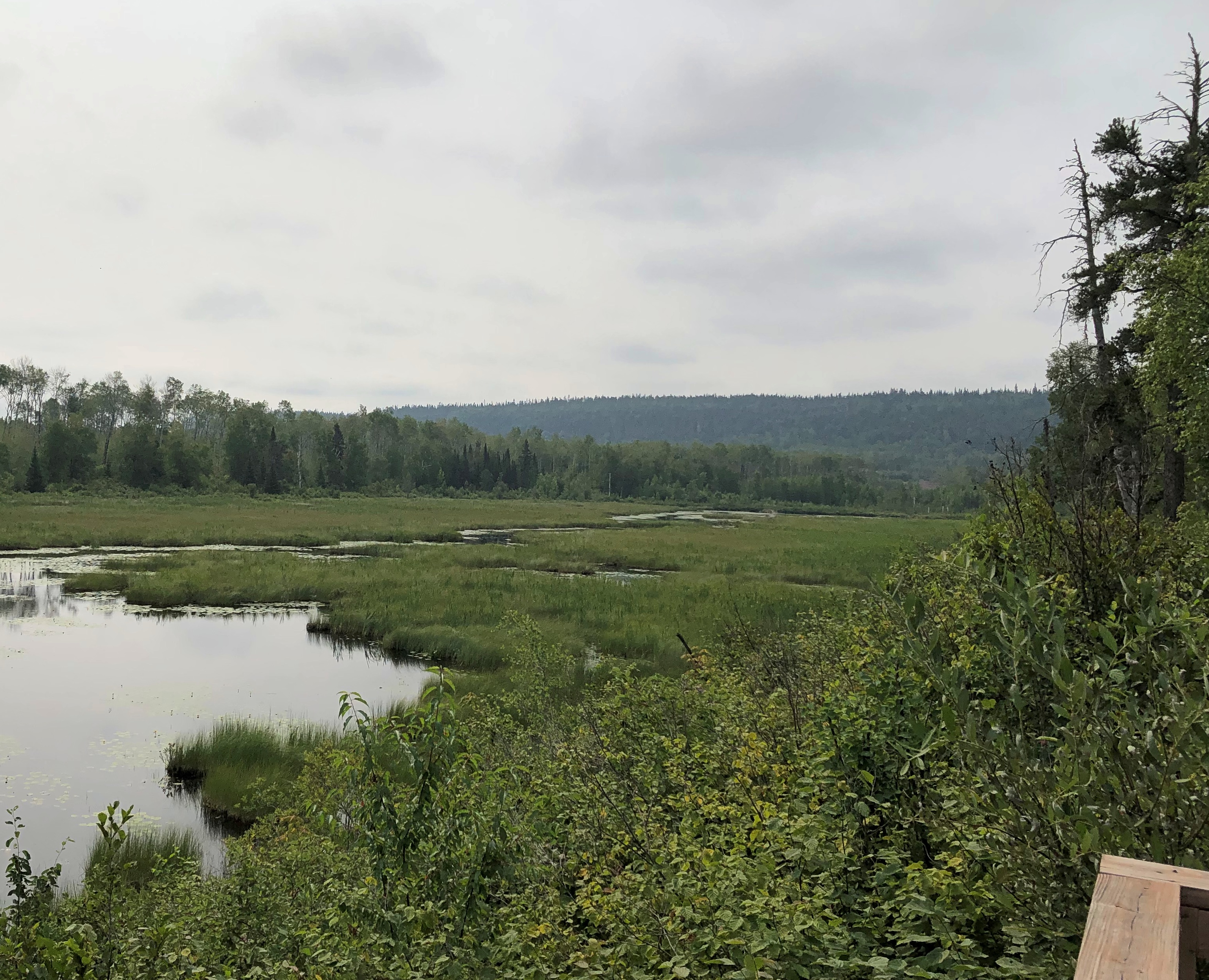
There was another place to stop in the park: a pleasant river view seen from a bench not far from the road, but tucked away behind some greenery, so that the road seemed far away. There was virtually no traffic anyway. I sat a while and watched the world go by not very fast. Or at all. I had to listen carefully to realize just how quiet the place is.

Also, the fog had started to burn off. Temps were very pleasant, whether Celsius or Fahrenheit.Ouimet Canyon Ouimet Canyon Ouimet Canyon

The Trans-Canada is King’s Highway 11 and 17 at this stretch. Highway 11 eventually splits off and goes way around to Toronto, including Yonge Street, while highway 17 hews closer to Lake Superior, and is the longest highway in the province. It is the one I eventually drove all the way to Sault Ste. Marie.

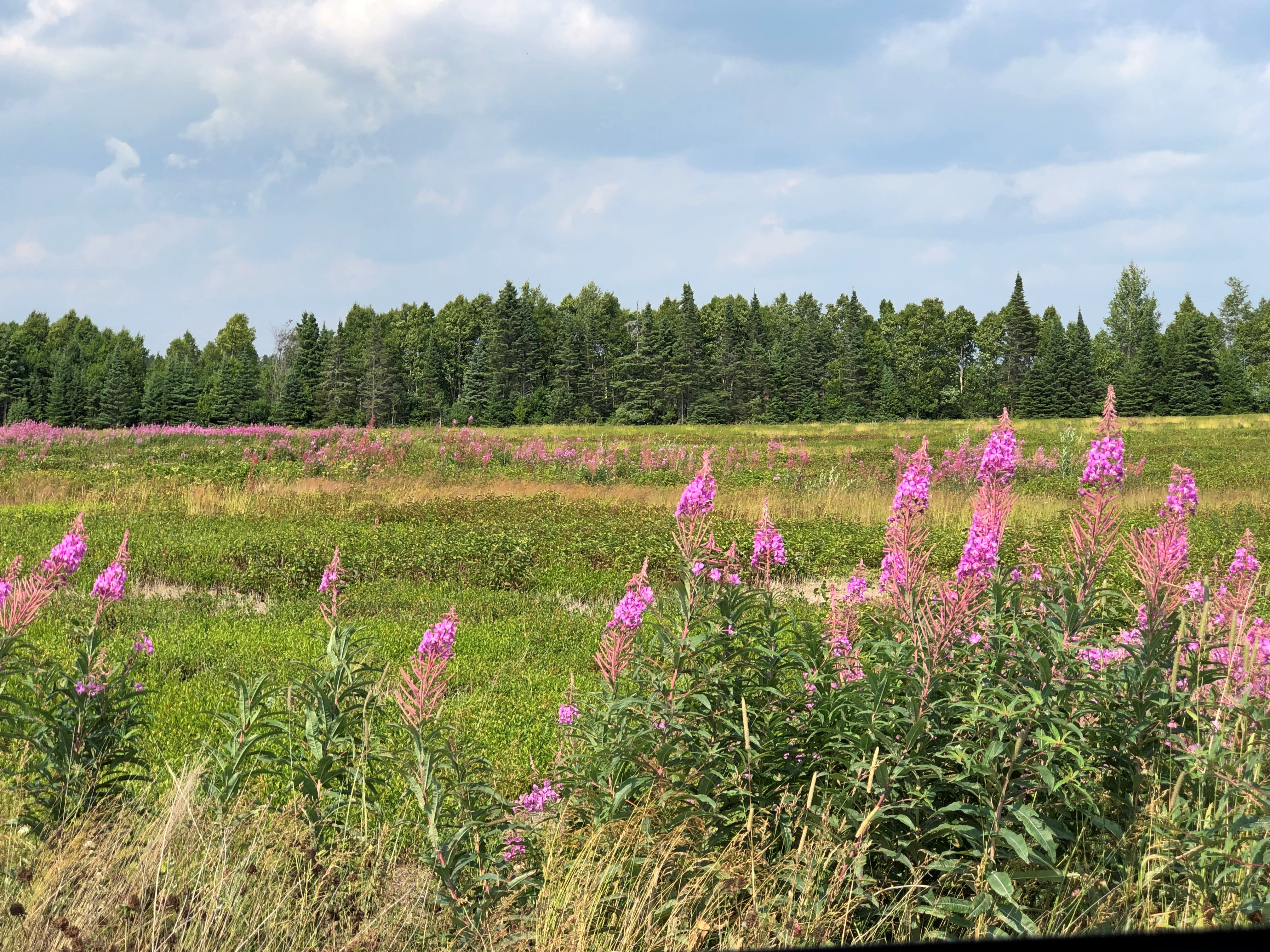
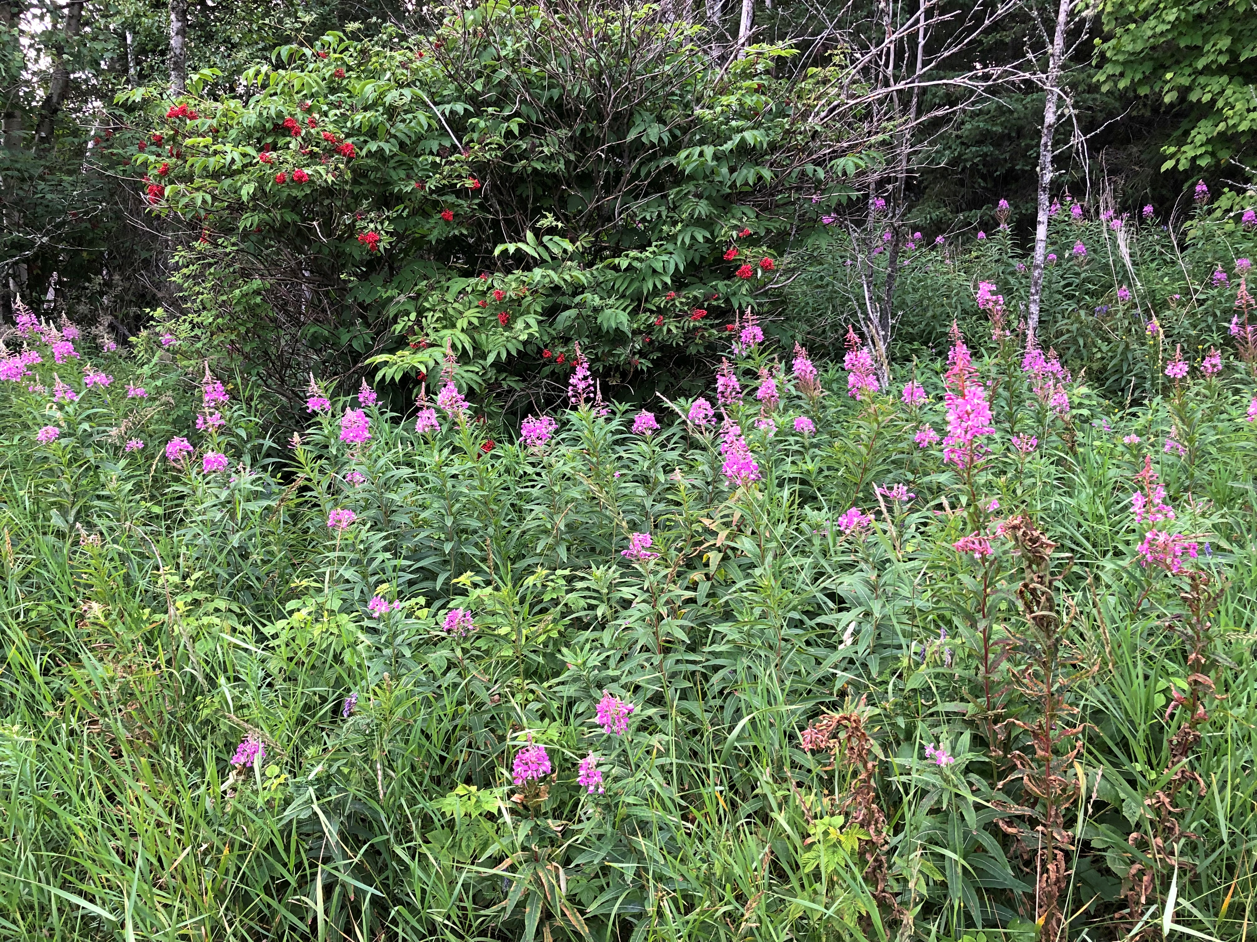
Much of the roadside is uncultivated flora. I took this to be fireweed, which meant I was far enough north to see it. I saw it in a lot of places in this part of Ontario.Highway 17 Ontario

But sometimes fauna, of the non-wild sort.

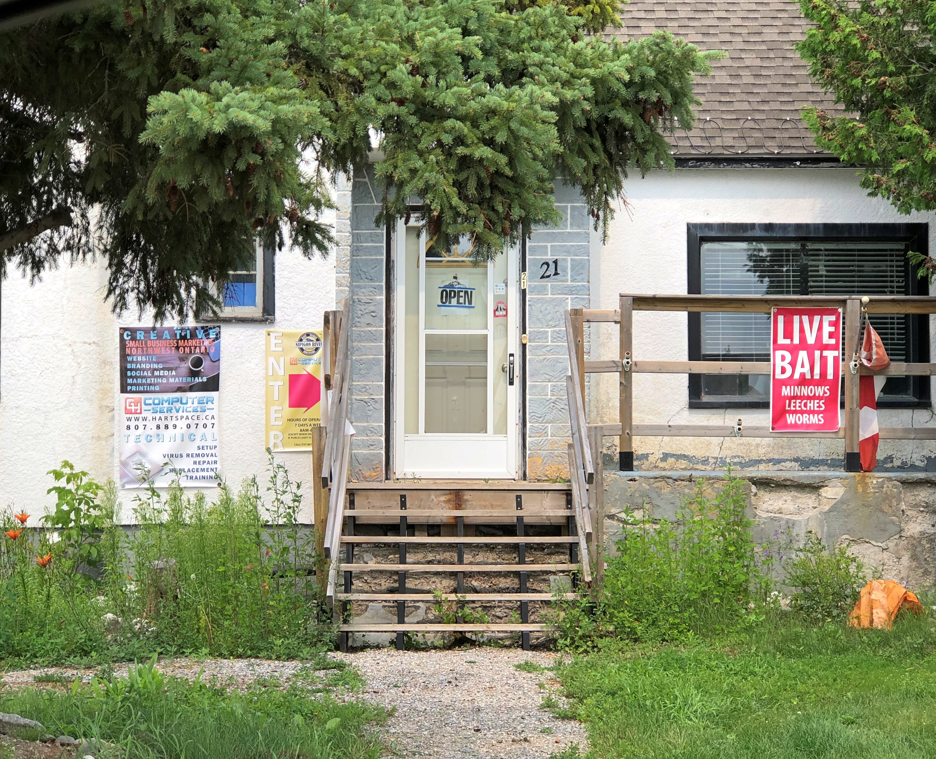
I found lunch in Nipigon, pop. less than 1,500. I could have had my laptop repaired, if it had needed work, or bought worms and leeches, if I were in the mood to go fishing. I never am.Nipigon, Ontario

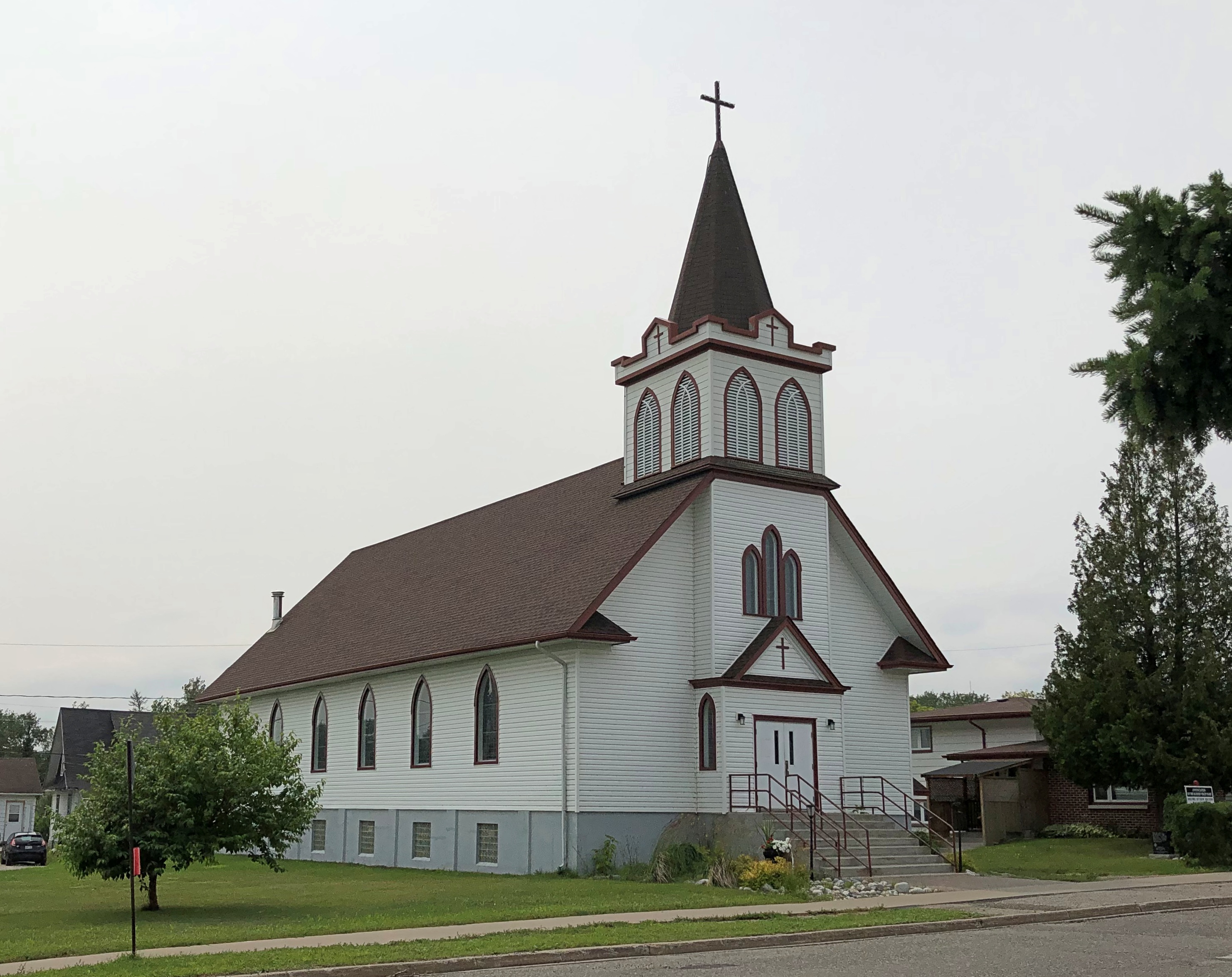
Nice church. The Annunciation of the Blessed Virgin Mary Roman Catholic Church. Closed, of course.Annunciation of the Blessed Virgin Mary,

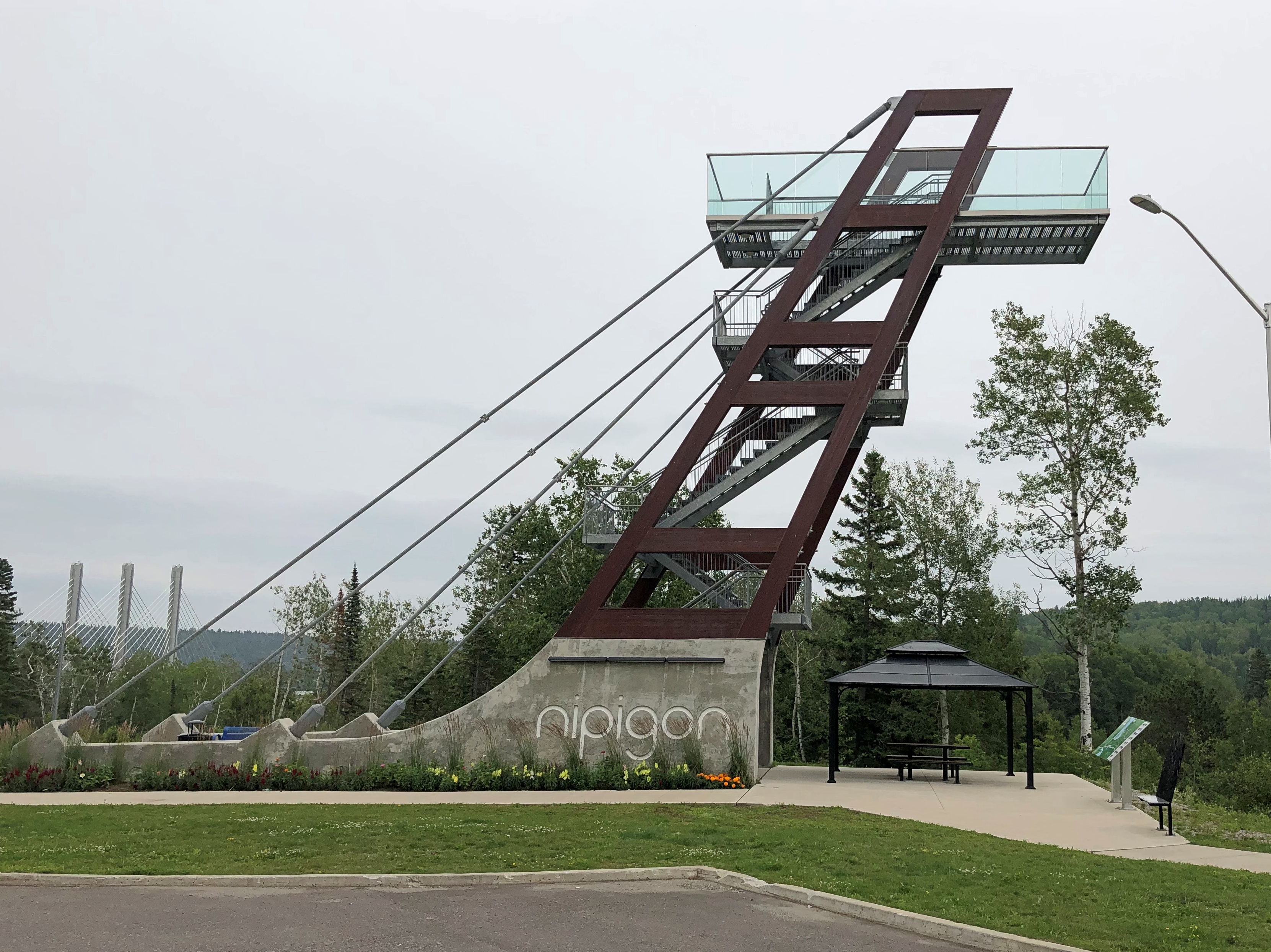
Nipigon has an observation platform just off the highway, free and open to all, and completed only in 2018.Nipigon, Ontario

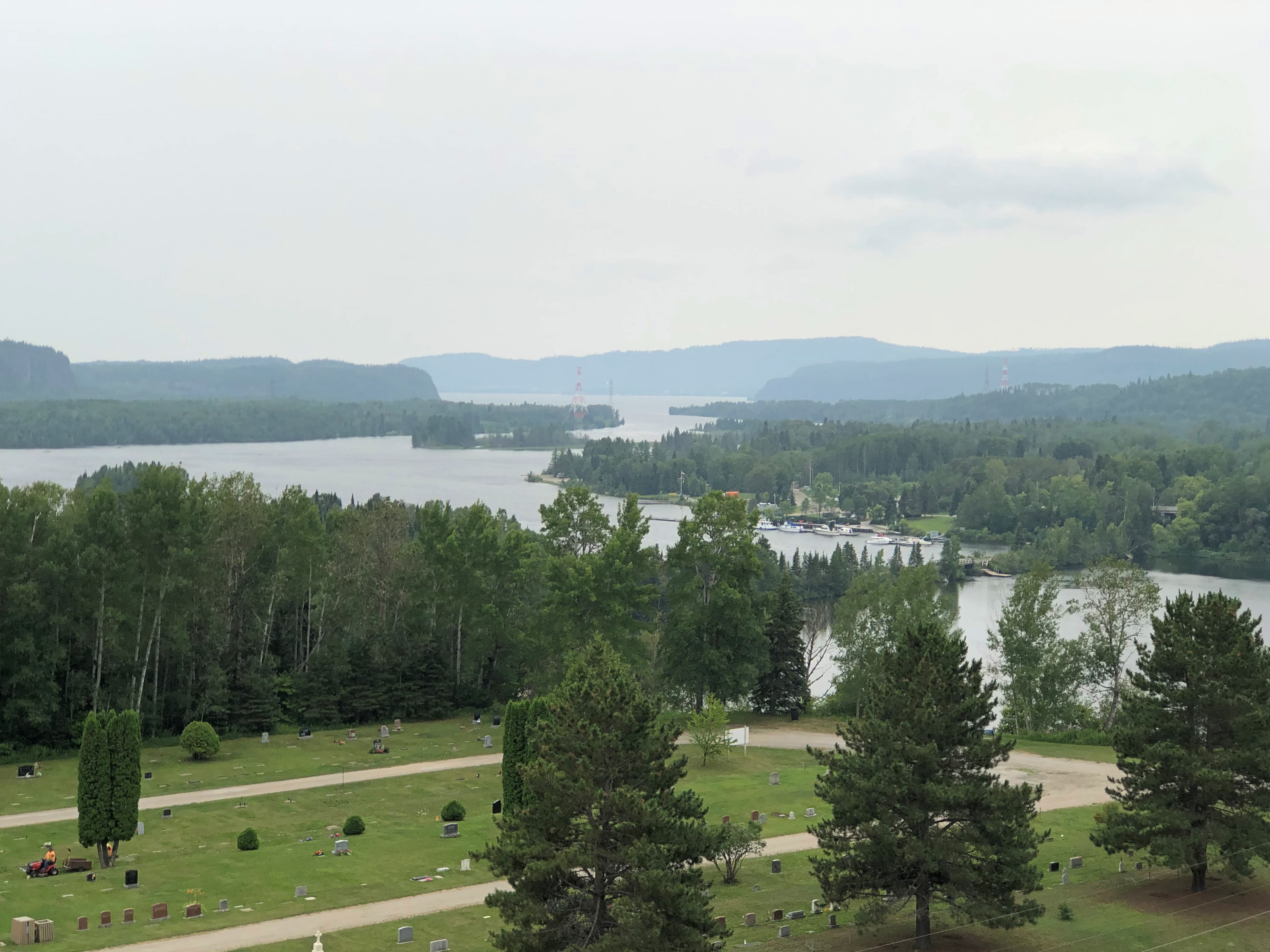
Naturally I climbed to the top for the vista. I need to do that kind of thing while I still can.Nipigon, Ontario

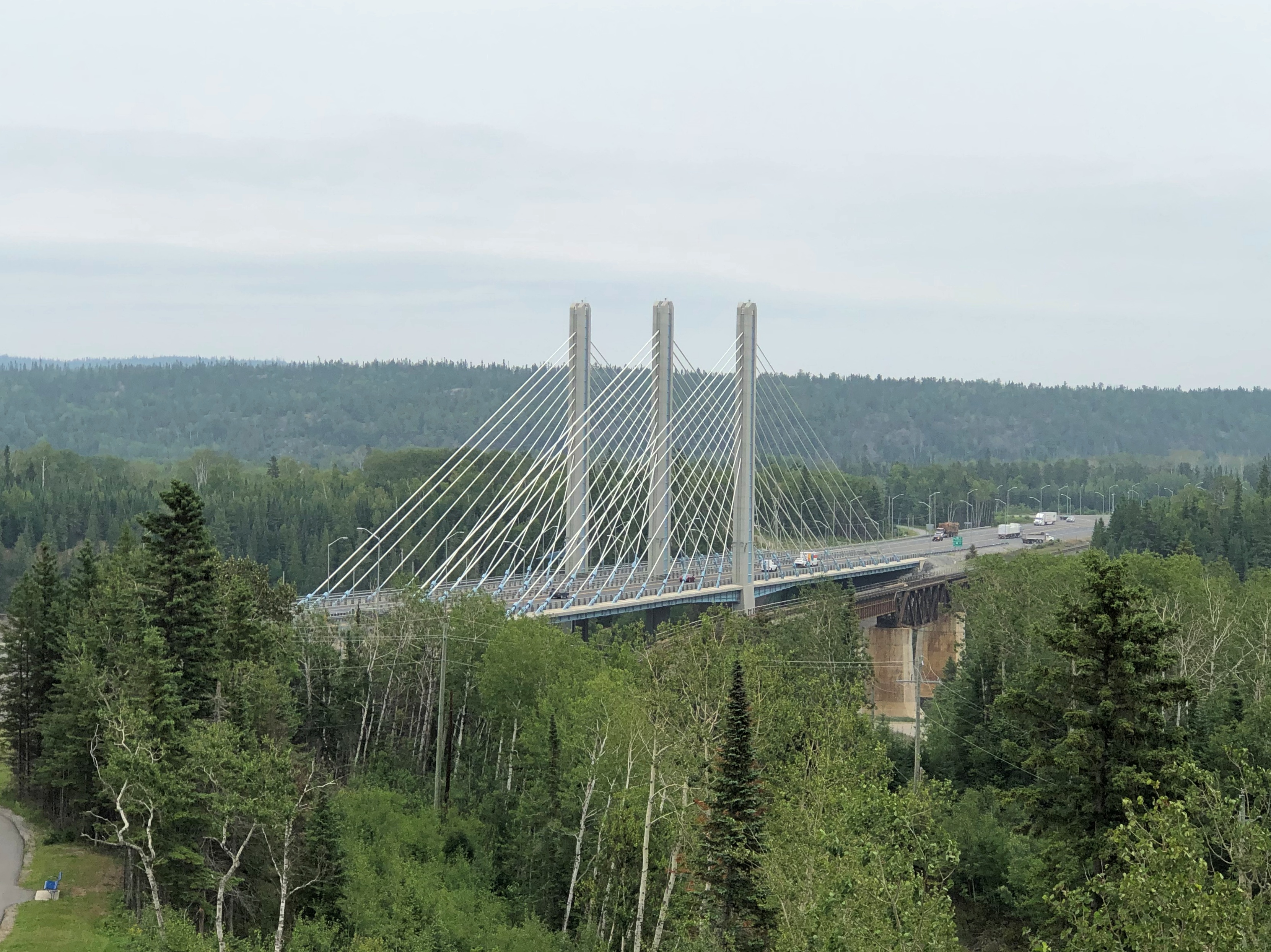
The Trans-Canada crossing the Nipigon River. Elegant, but with a troubled recent history.

The bridge was also completed in 2018. Or rather, it was reopened that year.

“[The reopening] comes nearly three years after the bridge, described as the first cable-stayed bridge in Ontario, failed in January 2016, just weeks after it opened,” notes the CBC. Oops. Apparently no one died as a result, so there’s that.

“Engineering reports found that a combination of design and installation deficiencies caused the failure, which effectively severed the Trans-Canada Highway. Improperly tightened bolts on one part of the bridge snapped, causing the decking to lift about 60 centimetres.”

Further to the east: Rainbow Falls Provincial Park. Another short walk to a nice vista. Another thing to like about this part of Canada.Rainbow Falls, Ontario Rainbow Falls, Ontario

All together, it was a leisurely drive, but even so I arrived in Marathon, pop. 3,270 or so, before dark – long summer days are a boon up north – and took in a few local cultural sights.Marathon, Ontario
Marathon, Ontario

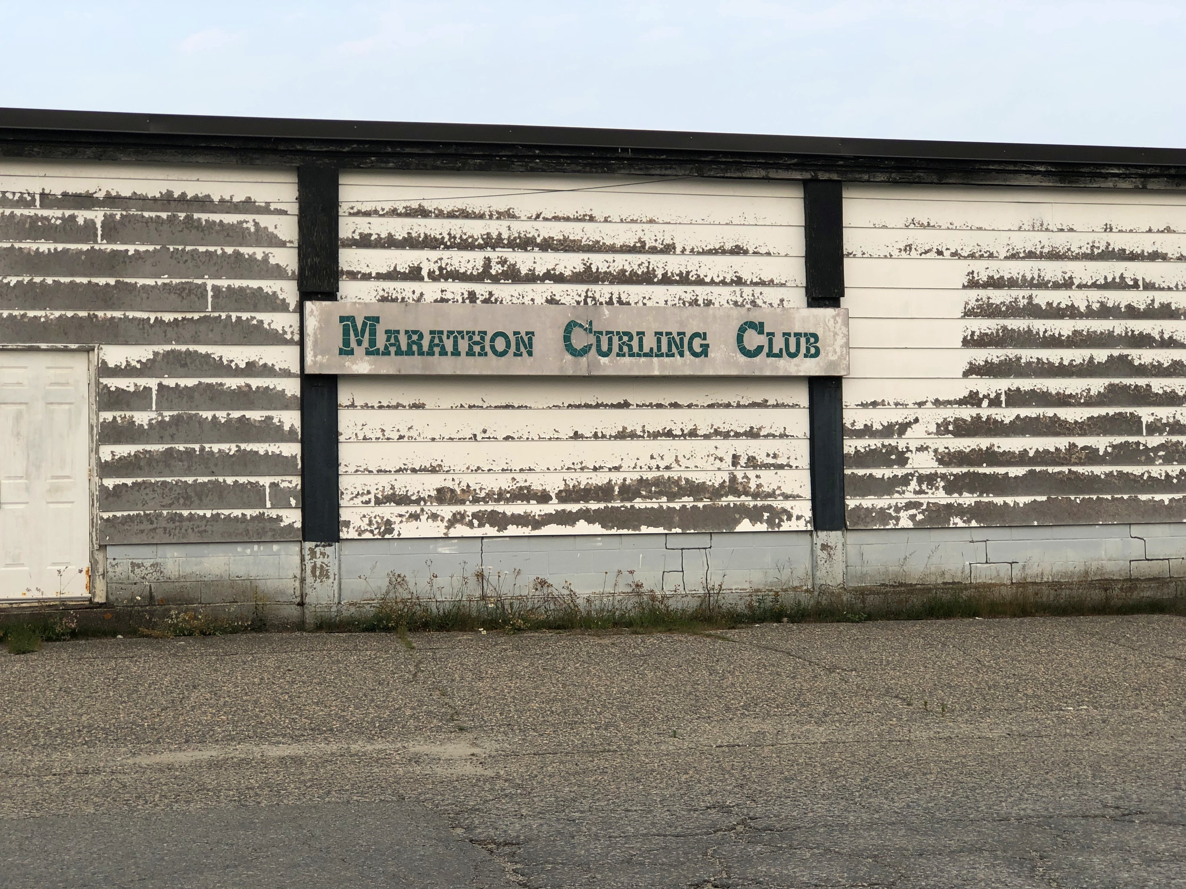
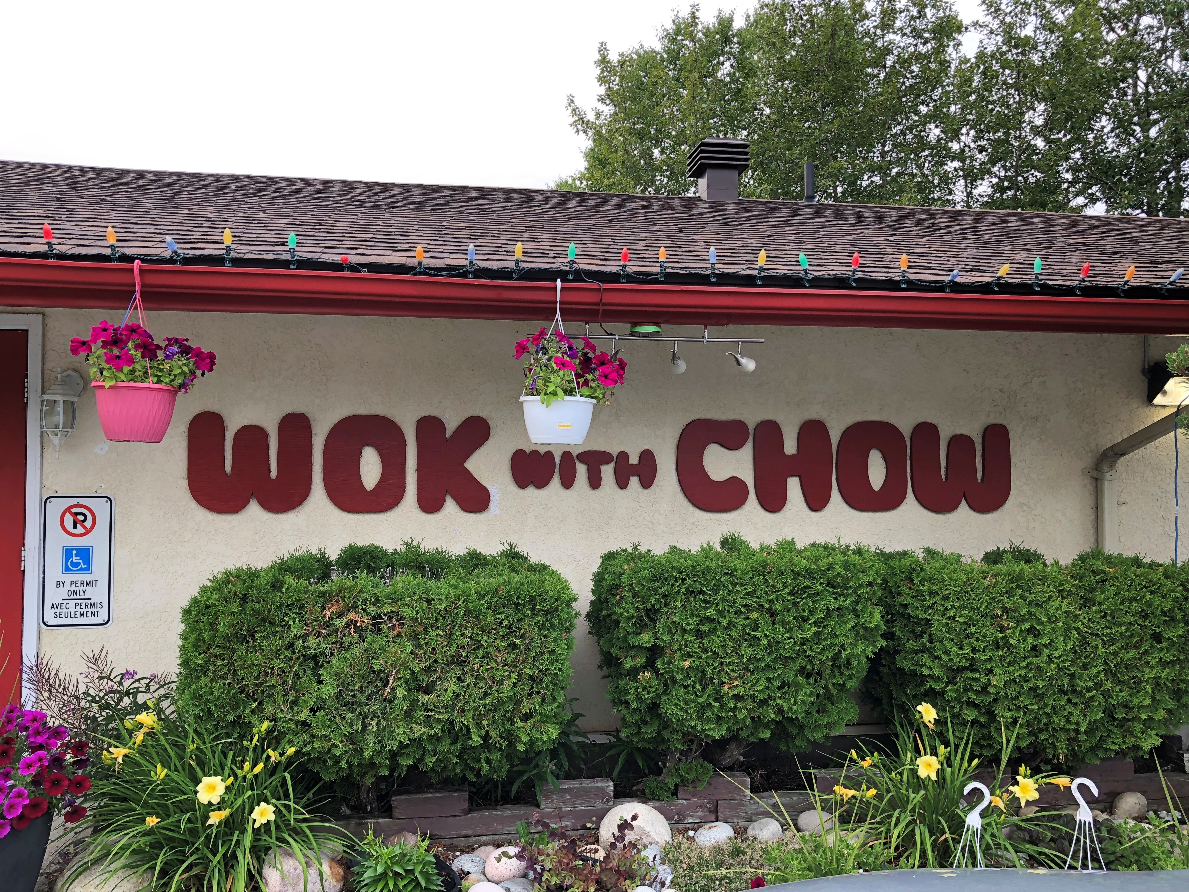
Just the exterior of the curling club. Wok With Chow, on the other hand, provided me dinner that evening, inside and at a table. Good enough chow, and demonstrating just how deeply ingrained Chinese food is in North America.