Fort William Historical Park

On the last day of July, I stuck up a conversation with a tinsmith. I’d wandered into his shop, a structure he shared with a blacksmith, but the blacksmith wasn’t around, his furnace cool. Tinsmiths don’t need as much heat for their work, so his space was missing a furnace and bellows. The shop was cluttered with tinsmith work, laid out for me or anyone to examine: cups, funnels, pots, candle holders and other items.

“The North West Co. always had tinsmiths working for it,” said the tinsmith, a sandy-bearded and -headed young man in a smock, who went on to share some of his knowledge of tin working with me: the raw tin sheets, actually thin iron sheets with tin coating, the various tools, how the cool shaping was different from shaping hot iron. You only really needed heat for soldering joints, when you’d put an iron soldering rod in a charcoal brazier. This thing he had on hand.

Why made goods here, at a post on the edge of Lake Superior? he asked rhetorically. I guessed the answer before he said it.

“The tinsmiths made trade goods to trade with First Nation peoples for fur pelts,” he said, using a term that is unlikely to have been used 200 years ago.

“Bet they were in high demand,” I said.

“That’s right. Very much so. You know how they heated water before they had tin pots? They’d put heated stones into a leather bag. Tin pots were so much better, but they couldn’t make them themselves.”

Heated stones in leather bags probably hadn’t changed much since the Ojibwa ancestors were new to North America, or more likely well before that.

Then it was my turn to teach the tinsmith something. I asked where the tin came from.

“Cornwall,” he said. “That’s in England, but I’m not quite sure where it is. I’m not too good with geography.”

“You know the peninsula sticking out from the southwest of England? As far southwest as you can go? That’s Cornwall. Devon, then Cornwall, out that way.”

He still looked a little uncertain, but never mind.

“There’s been mining in Cornwall since before the Romans came,” I said. “That’s more than 2,000 years ago. One reason the Romans wanted Britain was for the tin.”

He expressed mild amazement at that.

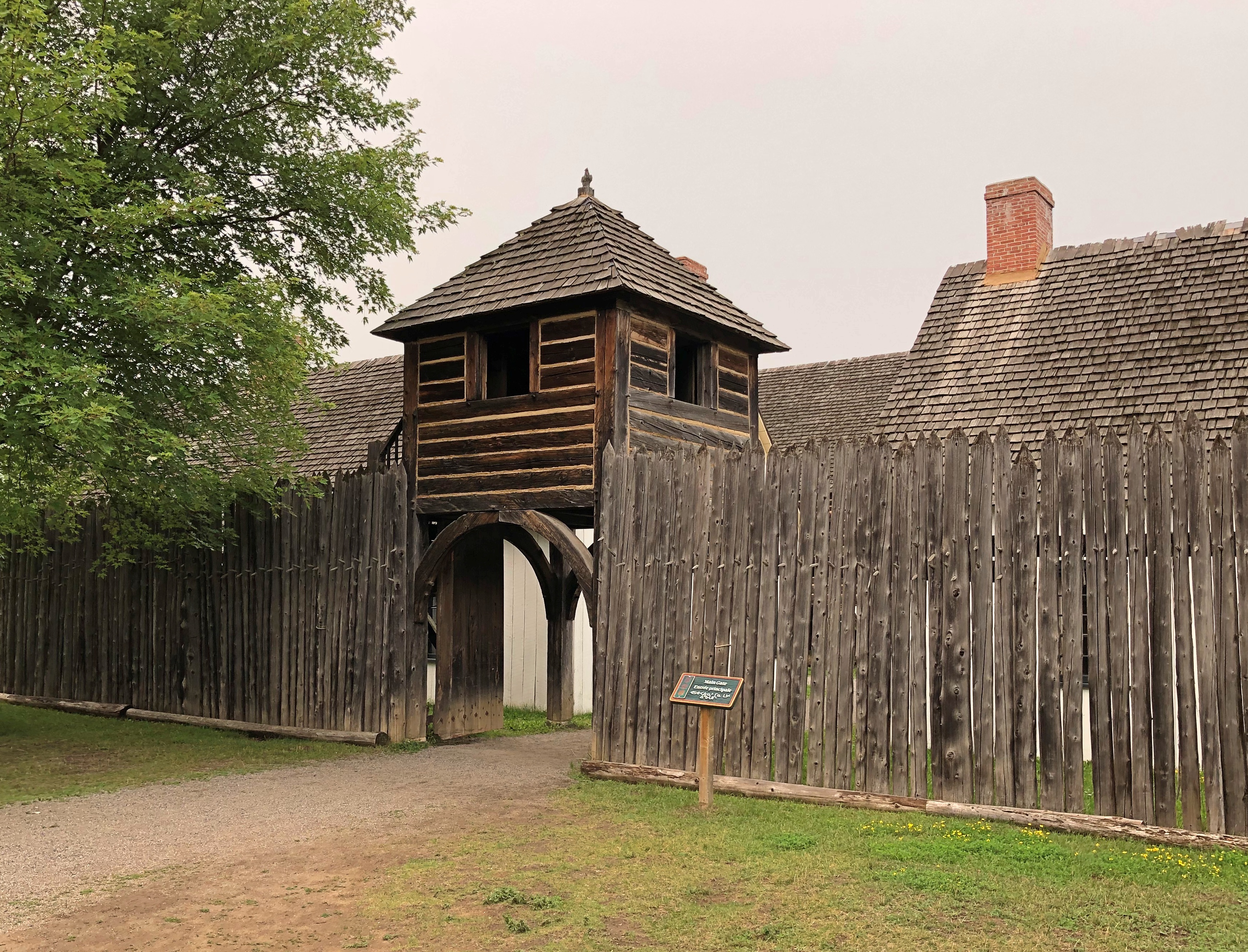
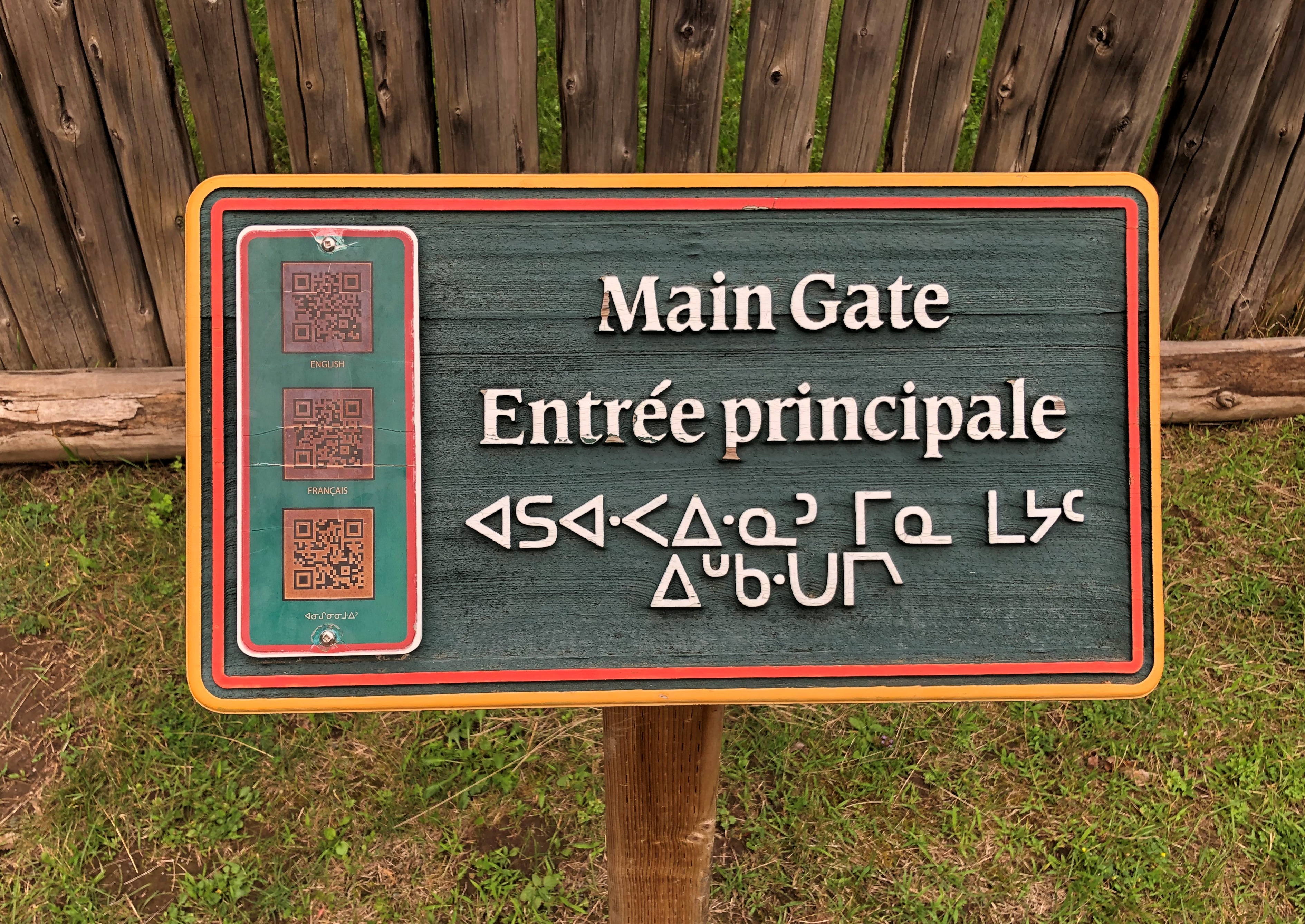
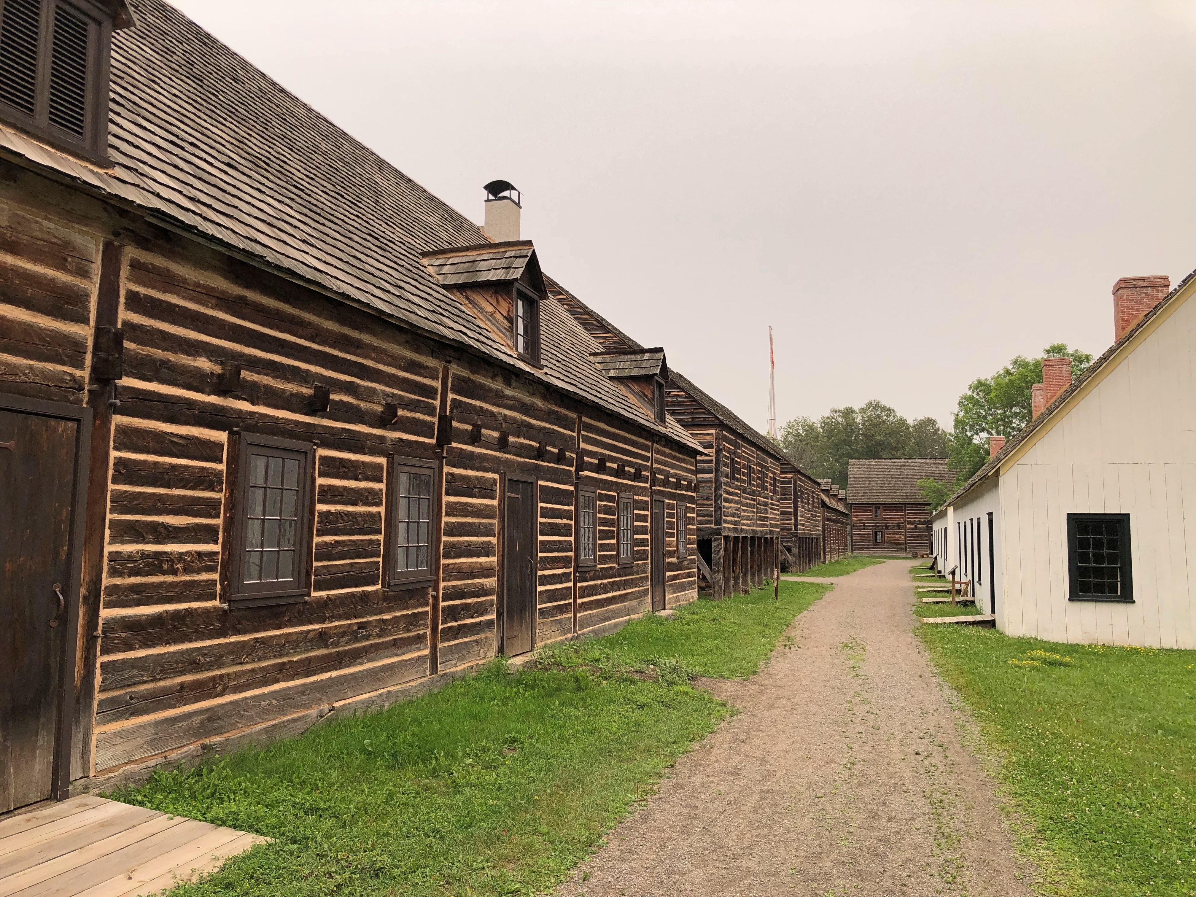
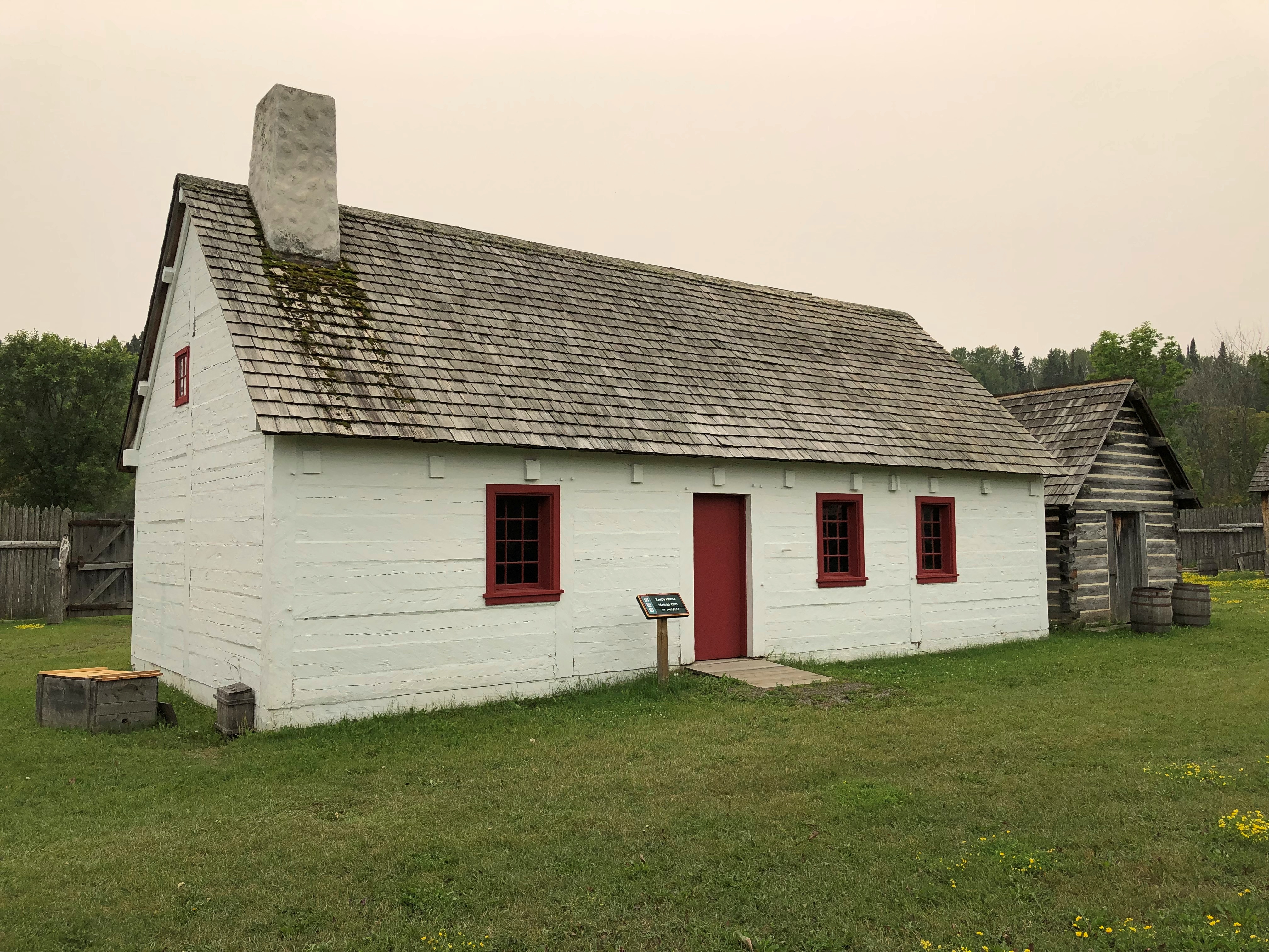
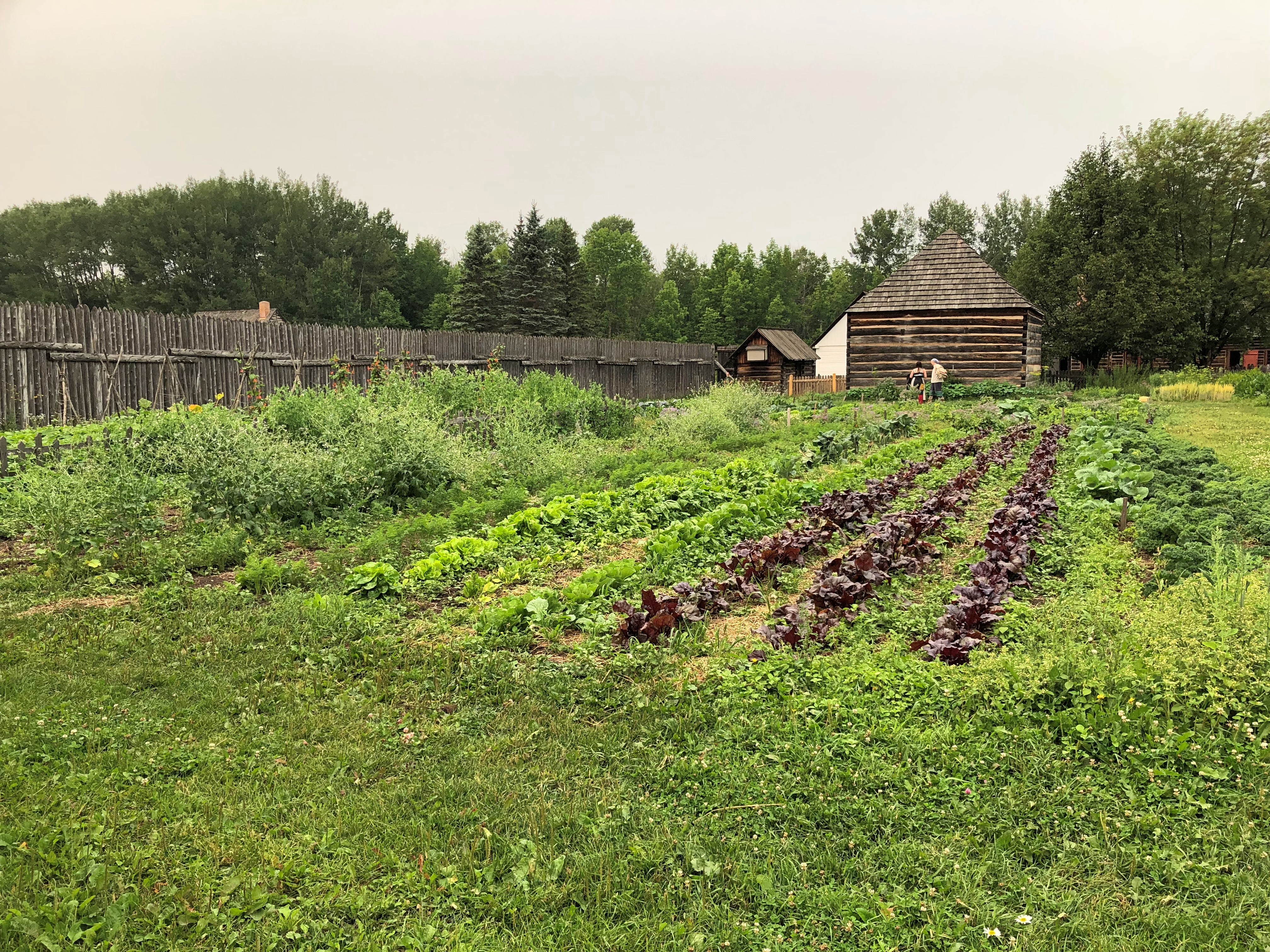
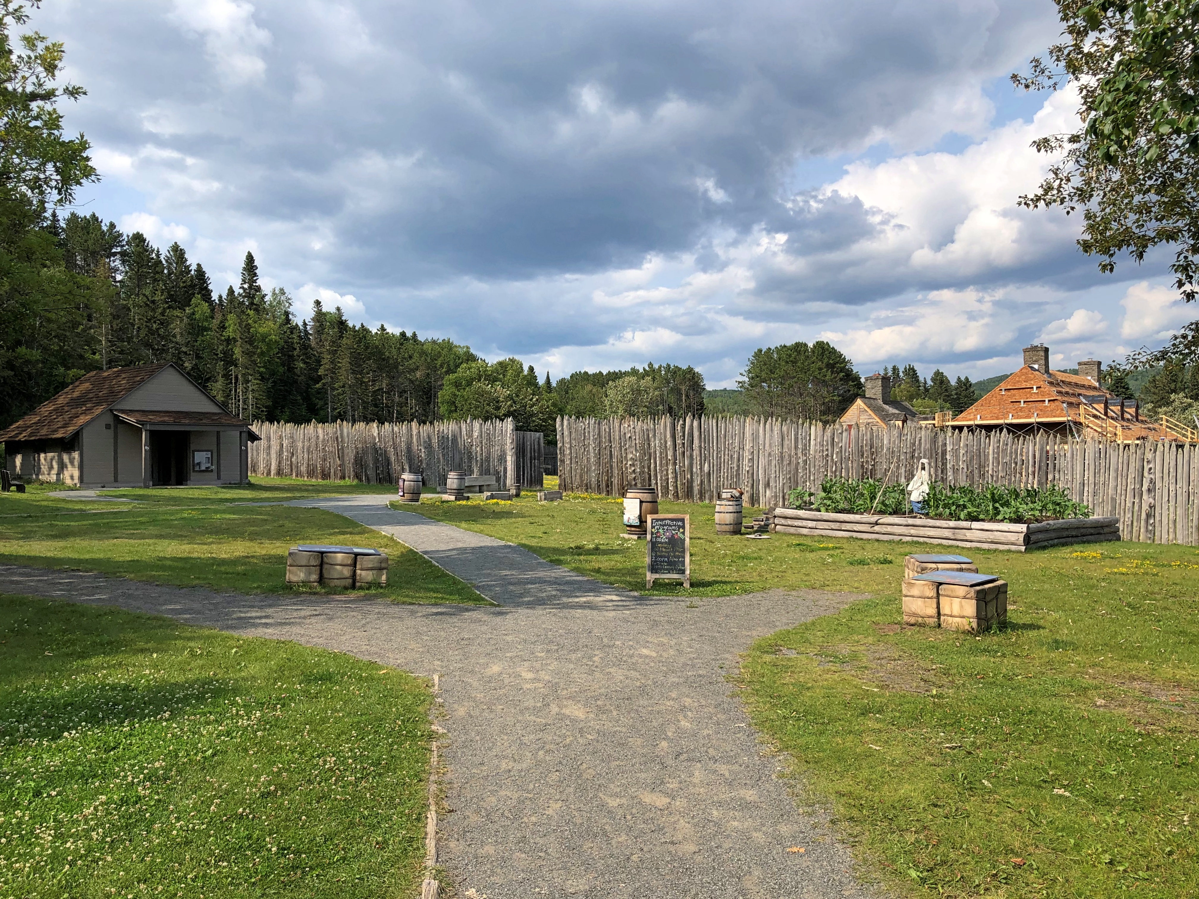
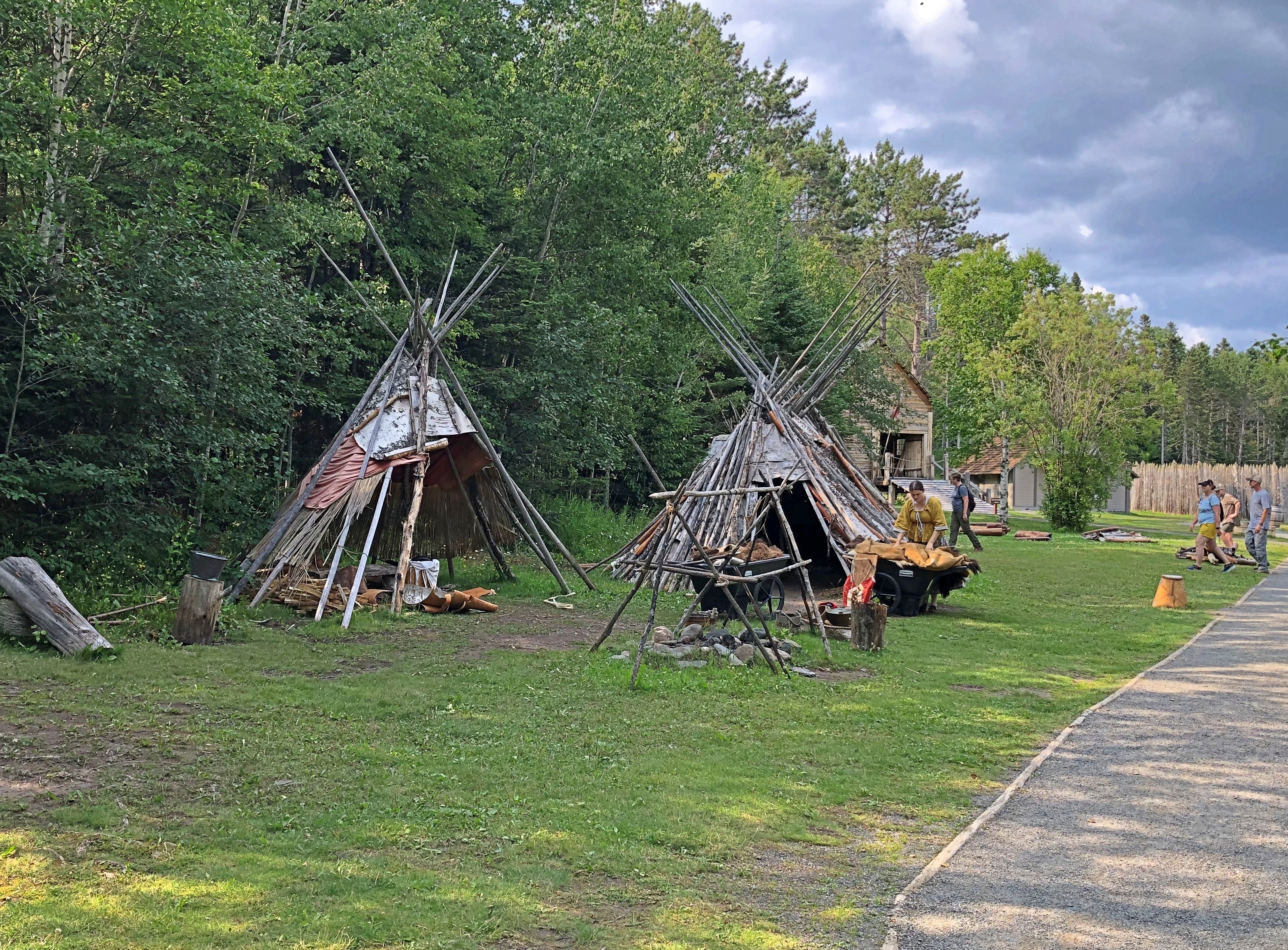
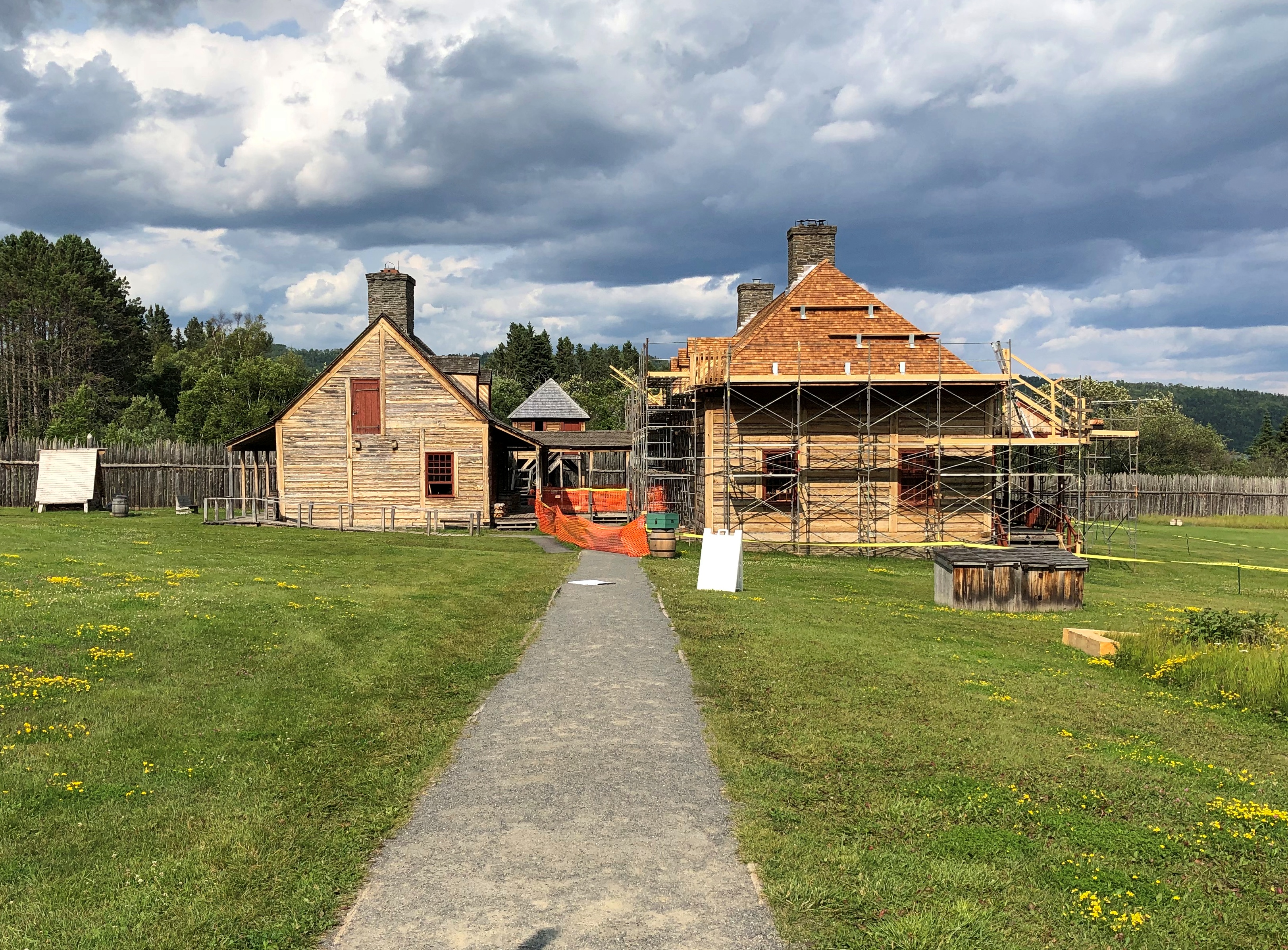
Not long before our conversation, I’d come to Fort William Historical Park, at the southern edge of modern Thunder Bay, Ontario, where the tinsmith shop and many other buildings stand.Fort William Historical Park Fort William Historical Park Fort William Historical Park
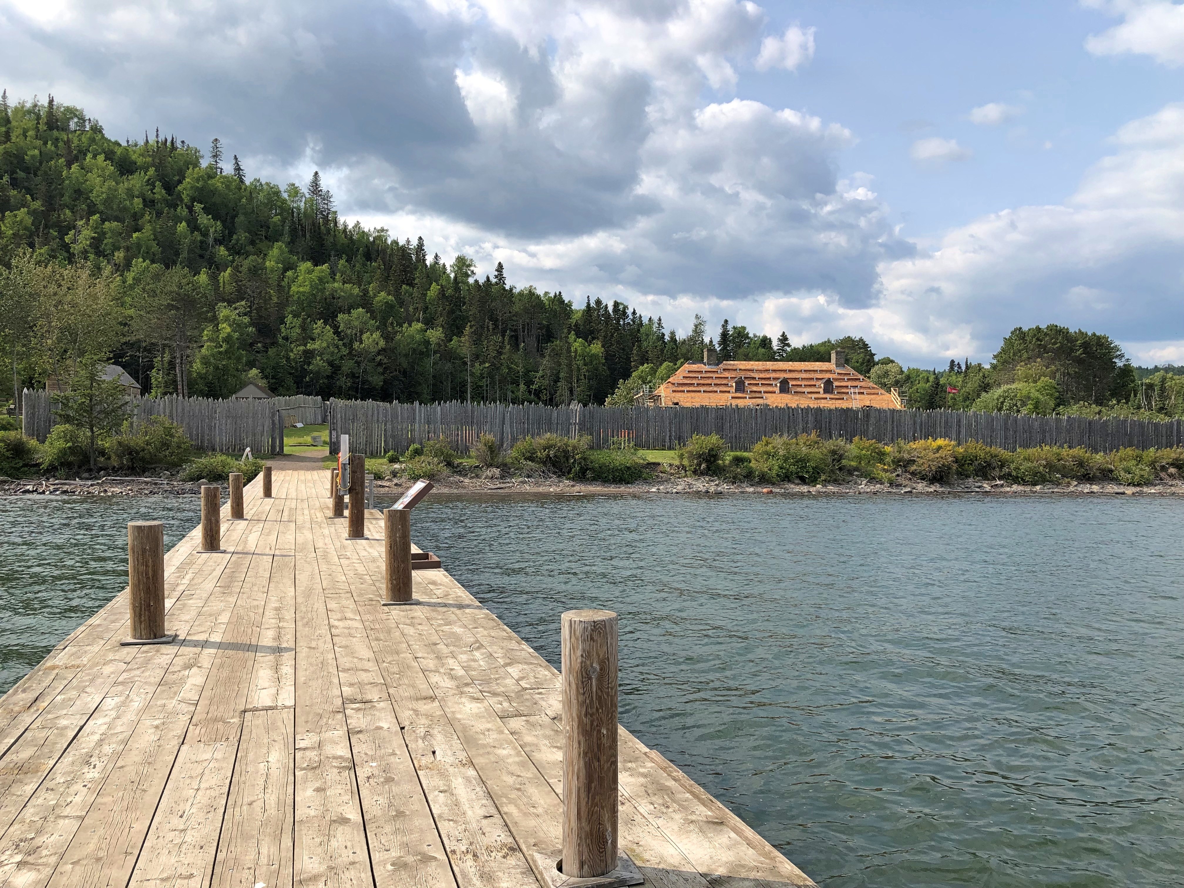
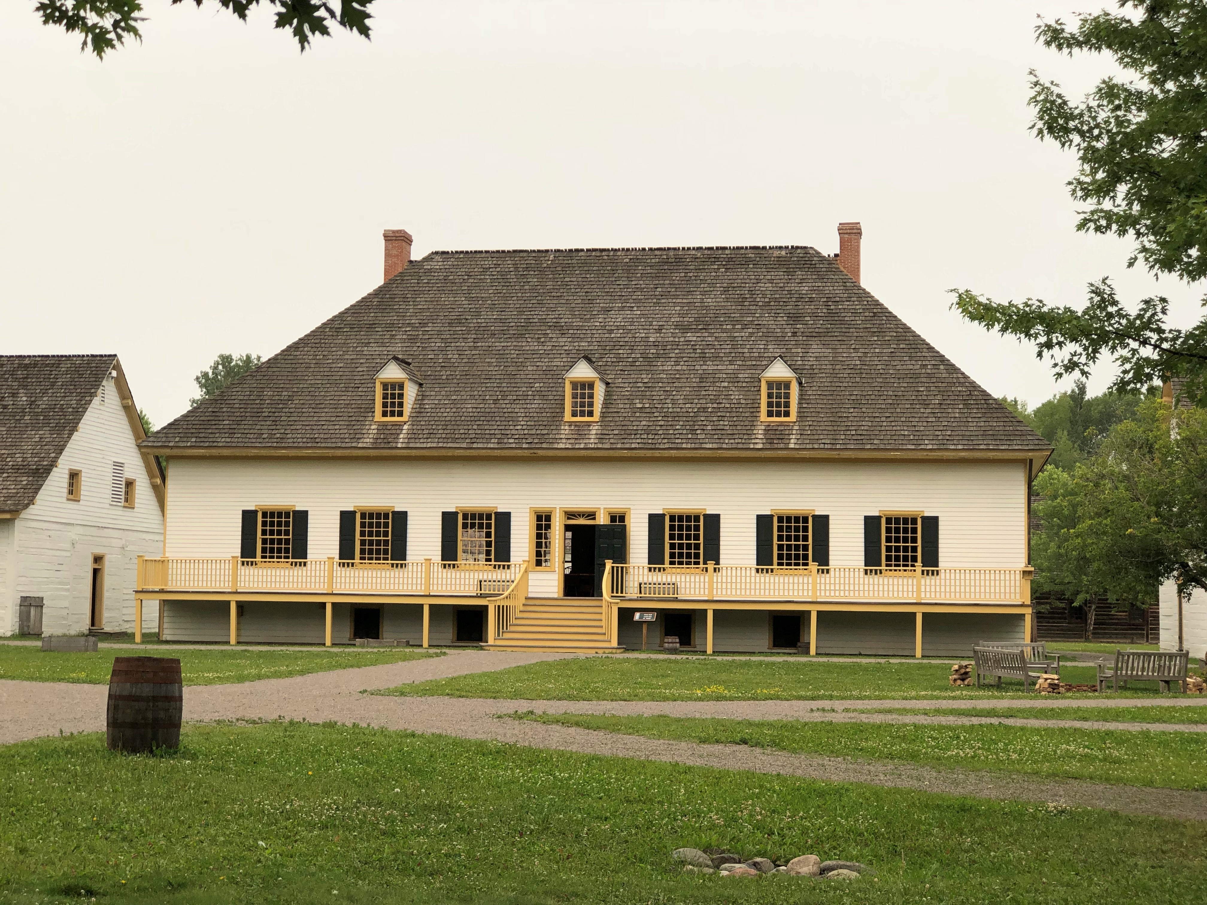
As an open-air museum, Fort William opened a little more than 50 years ago. As an actual North West Co. fur trading post, a major one, its heyday was more than 200 years ago. I understand that the target year the museum is trying to evoke is 1816, not long after the NWC moved here from Grand Portage, and as far as I can tell, it’s spot-on.

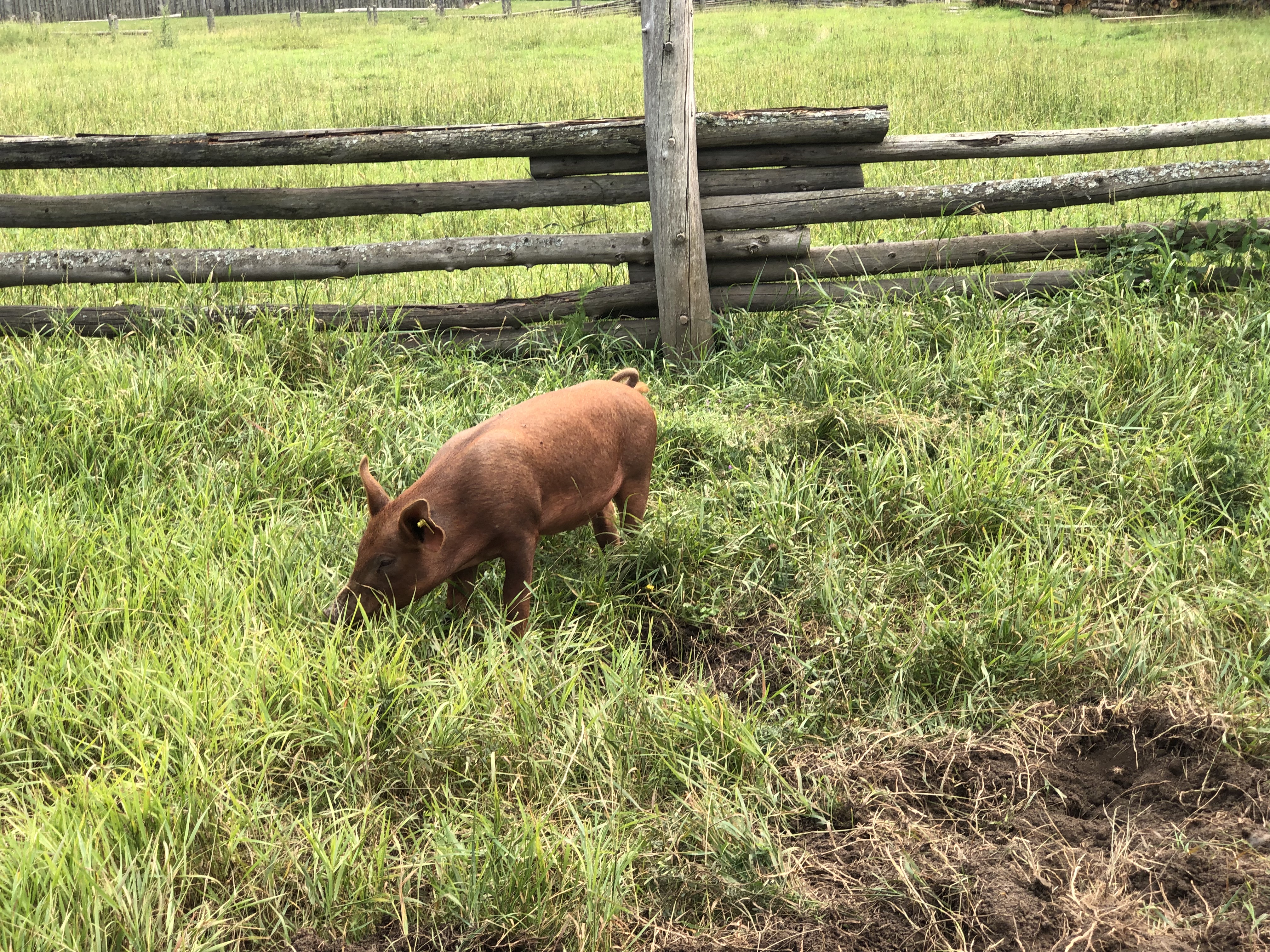
The museum and its 42 reconstructed buildings, Ojibwa village and small farm aren’t in the same place as the original. That is several miles (OK, kilometers) away, mostly occupied by a rail yard these days, an interpreter told me. Some, but hardly all of the buildings featured one or more costumed interpreters who were more than happy to talk about their character and his or her times.

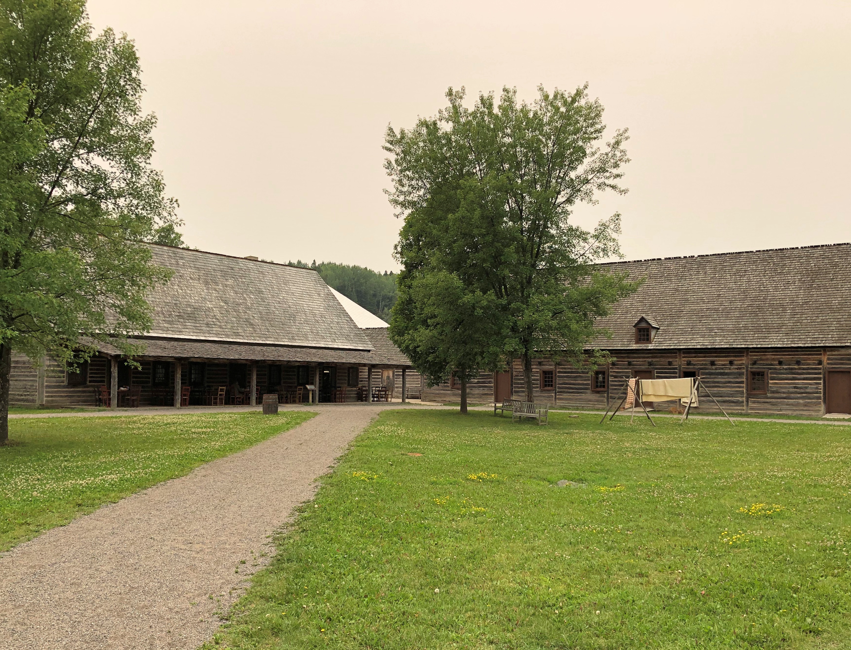
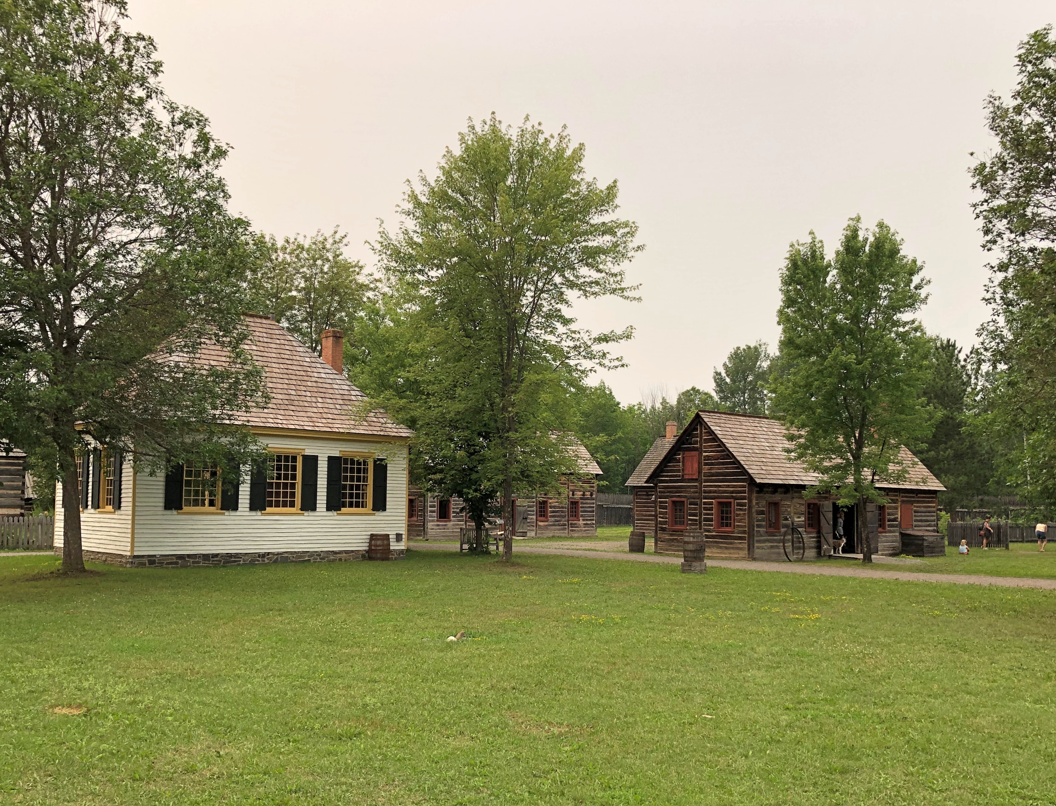
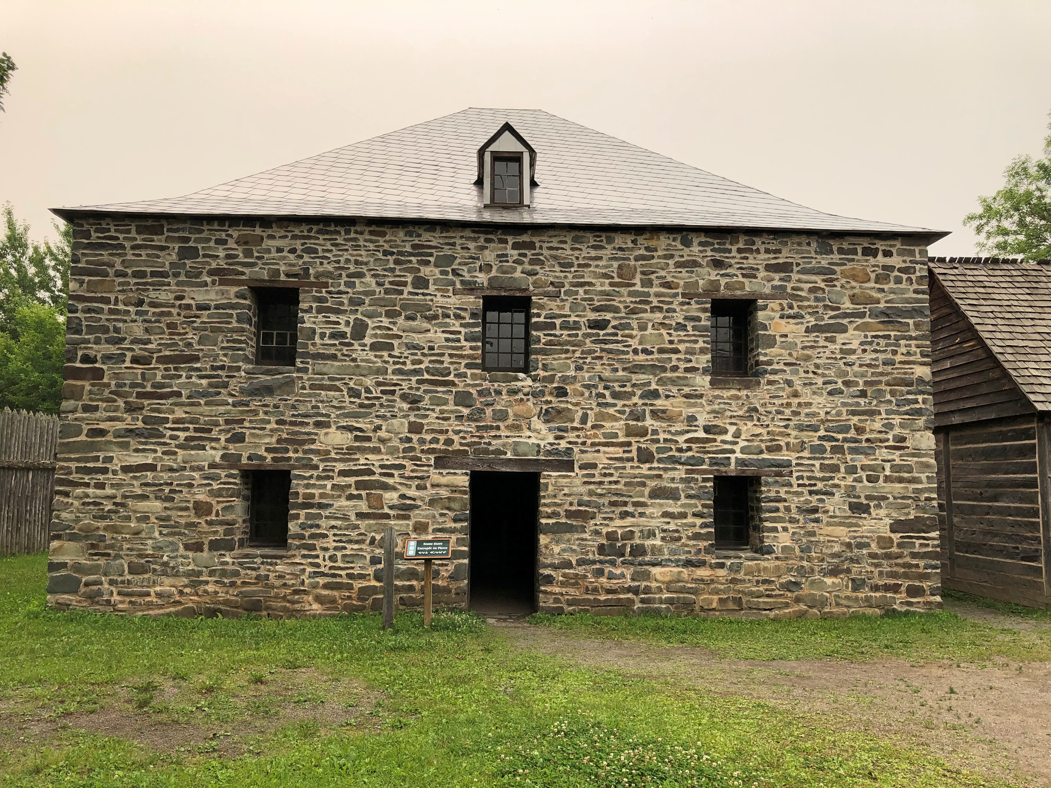
The Fort William reconstruction isn’t quite as elaborate as Colonial Williamsburg, but the original settlement wasn’t either, and even so is quite impressive.Fort William Historical Park
Fort William Historical Park Fort William Historical Park Fort William Historical Park

Looks empty, but there were a scattering of visitors, along with costumed interpreters, as such the tinsmith, who also happened to be an actual tinsmith. Who better to interpret?

At one moment, another interpreter played his fiddle and yet another one, a woman, led four or five visiting children in a vigorous dance in the main courtyard. Entertainment before electronic gizmos.Fort William Historical Park Fort William Historical Park Fort William Historical Park Fort William Historical Park
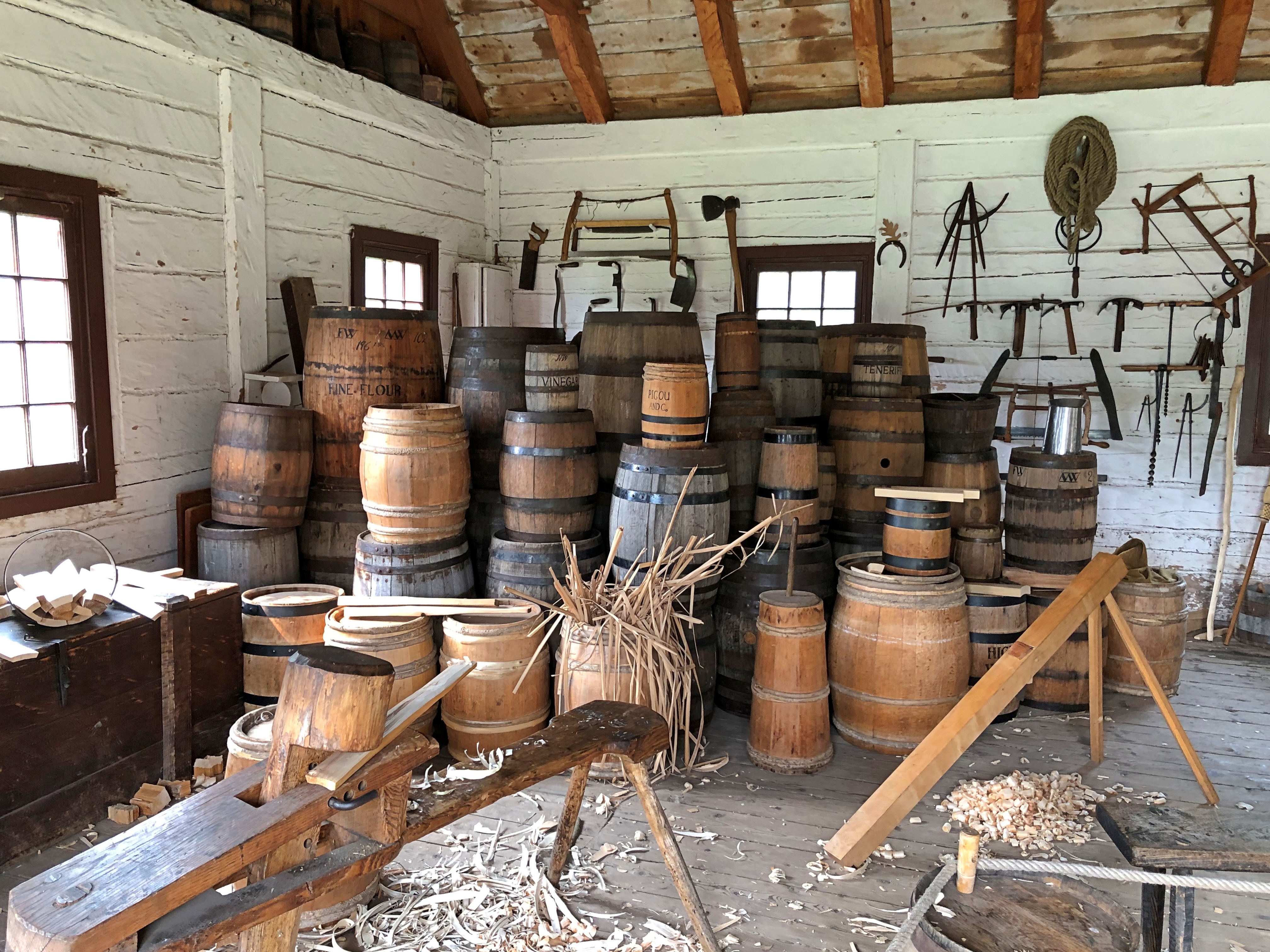
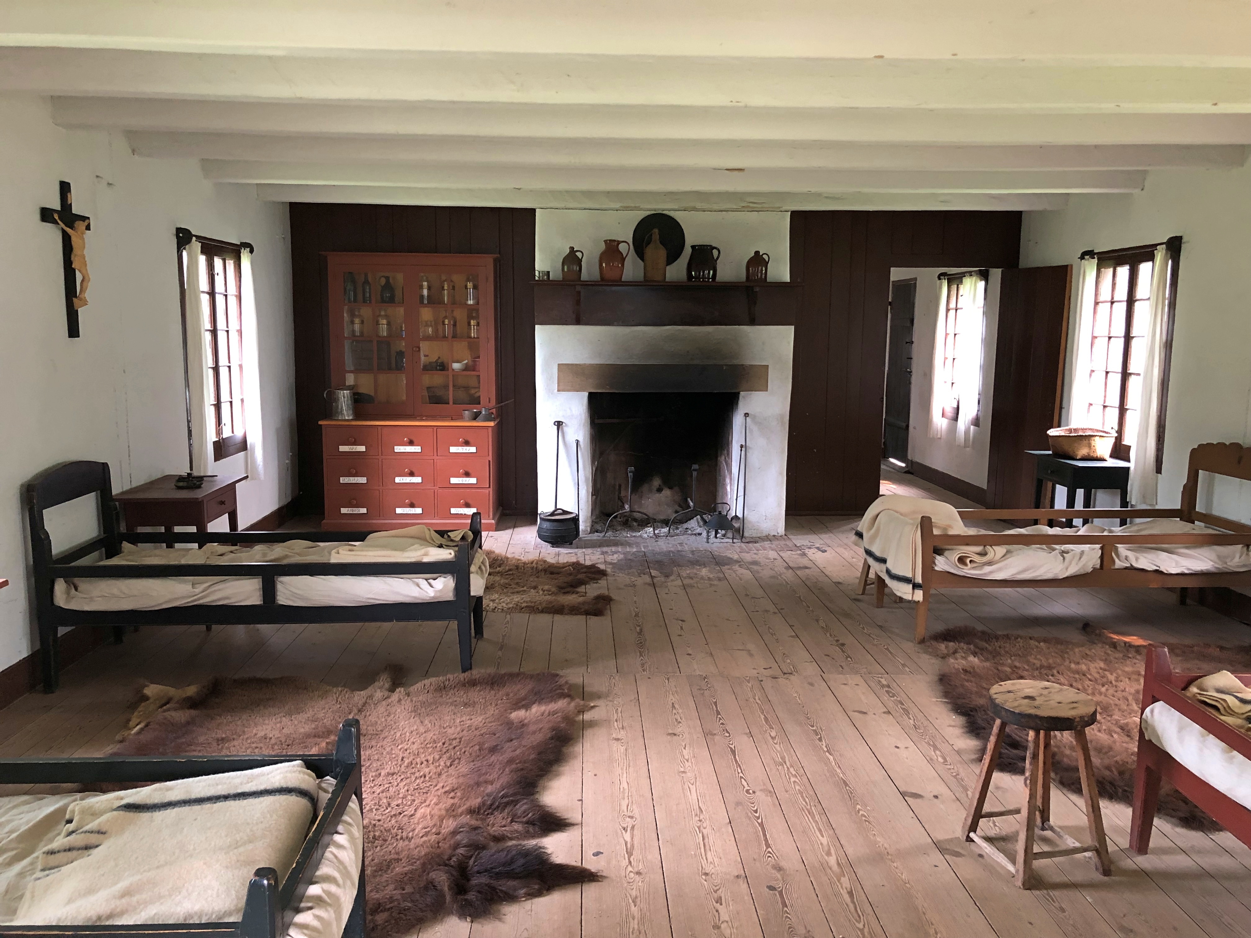
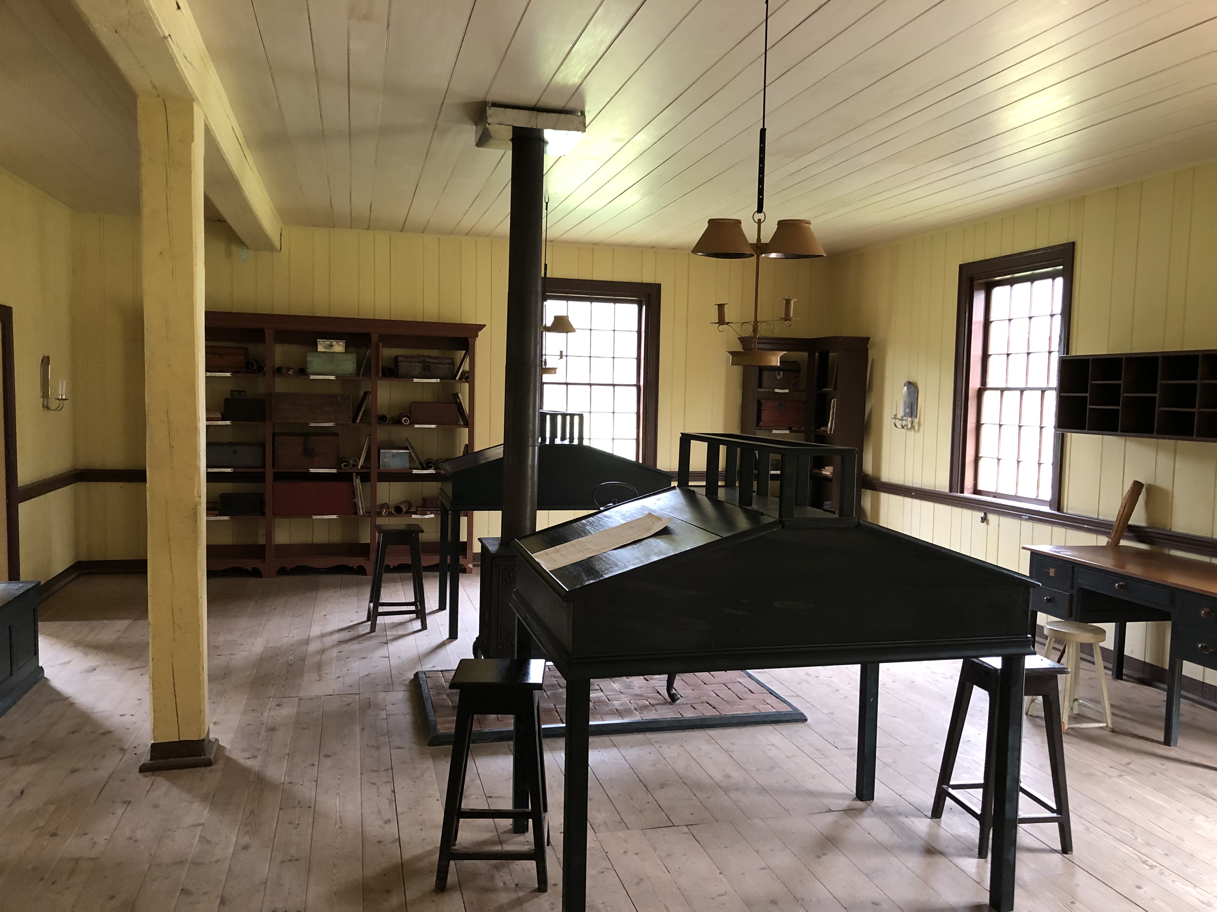
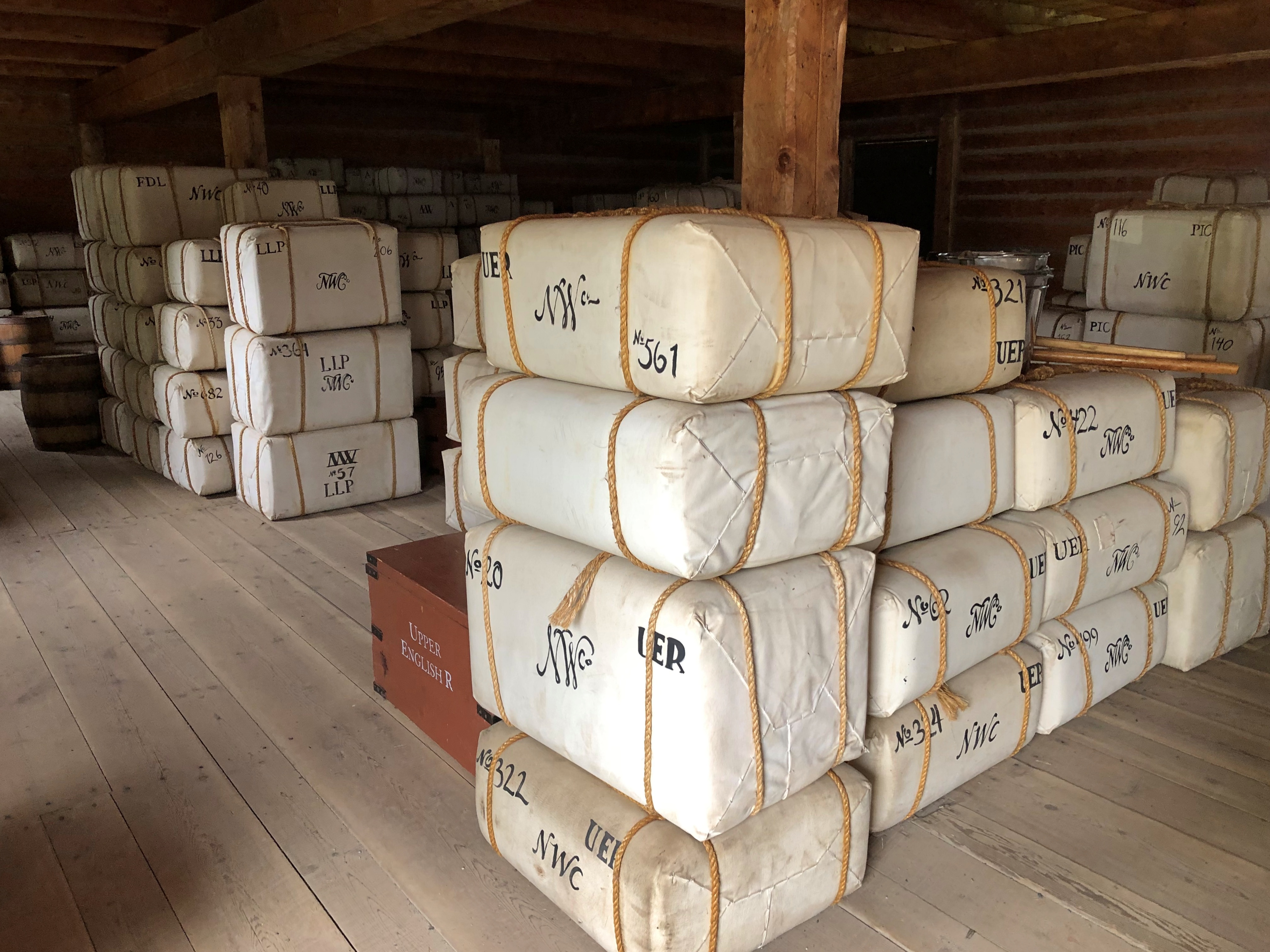
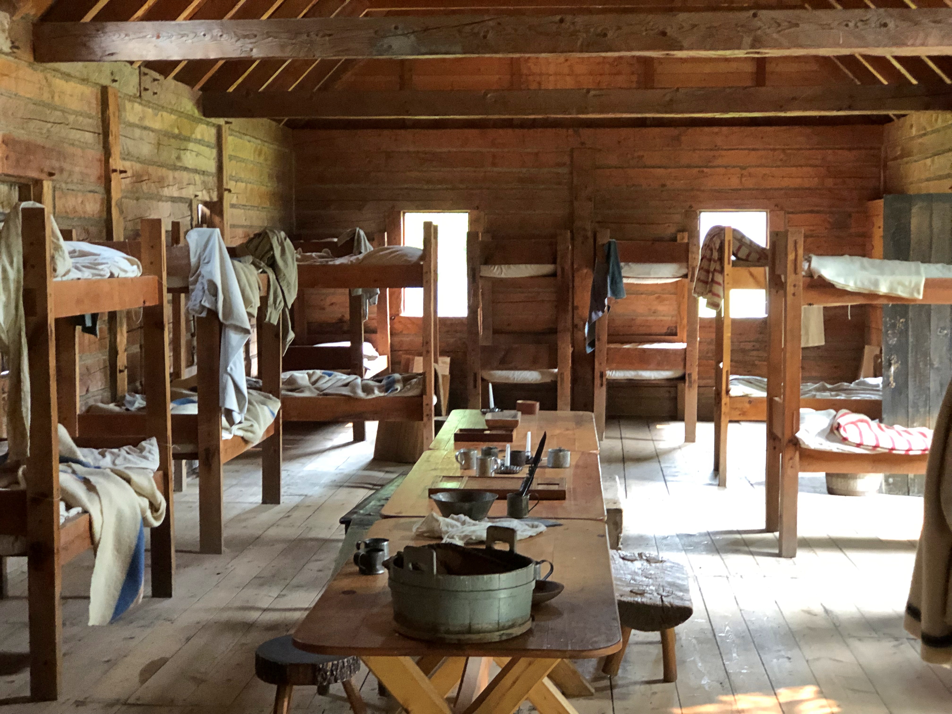
Well-stocked interiors, too. Best thing is, you can wander around inside and touch pretty much anything. That’s an advantage of faithful replicas, rather than artifacts.Fort William Historical Park Fort William Historical Park Fort William Historical Park
That last one is the hospital. I also had a chat with the resident early 19th-century doctor, who showed me many horrific medical instruments of the day, such as a bone saw or mechanical leech. Advanced items for such a remote outpost, the doc assured me. Medicines were on hand as well. He discussed several, but the only one I remember now is calamine lotion. Much too expensive to use on itchy bug bites, he said. You just lived with those. Calamine was for serious rashes.Fort William Historical Park Fort William Historical Park
I popped into a large barn-like building to find it stocked with canoes, many hanging from the ceiling, some on the floor, with two interpreters working on building one. A third interpreter, a woman who introduced herself as a member of Ojibwa Fort William First Nation, told me at some length about canoe making as it would have been practiced in 1816. More than I’d ever heard or known before: The raw materials, the sizes and other varieties, how long they lasted (a few seasons), the possible individual markings – figures on the sides.

“This is the most important place in the fort, isn’t it?” I said. She agreed that it was, and the men working on the canoe sounded their approval of the idea (they didn’t talk that much).

You could easily make that case: how could you facilitate pre-modern trade across vast territory connected only by rivers and lakes? No roads, no airplanes, no communication devices. What you had were canoes and muscle power.

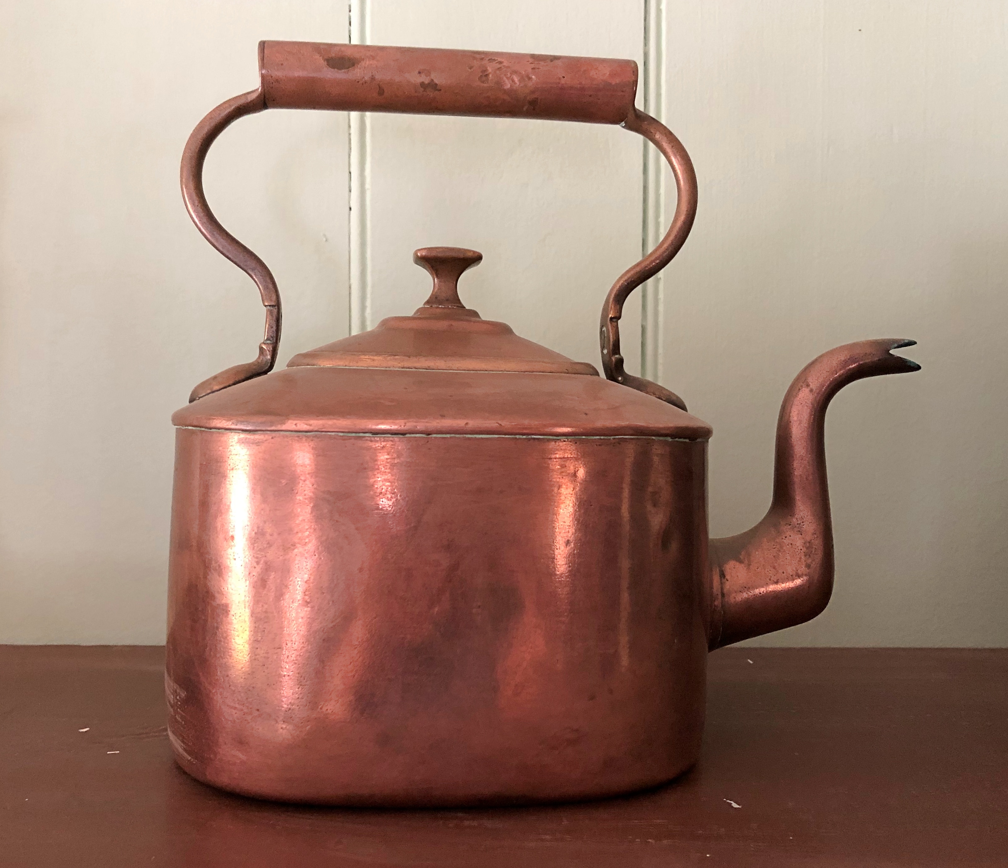
More artifacts in more buildings.Fort William Historical Park Fort William Historical Park
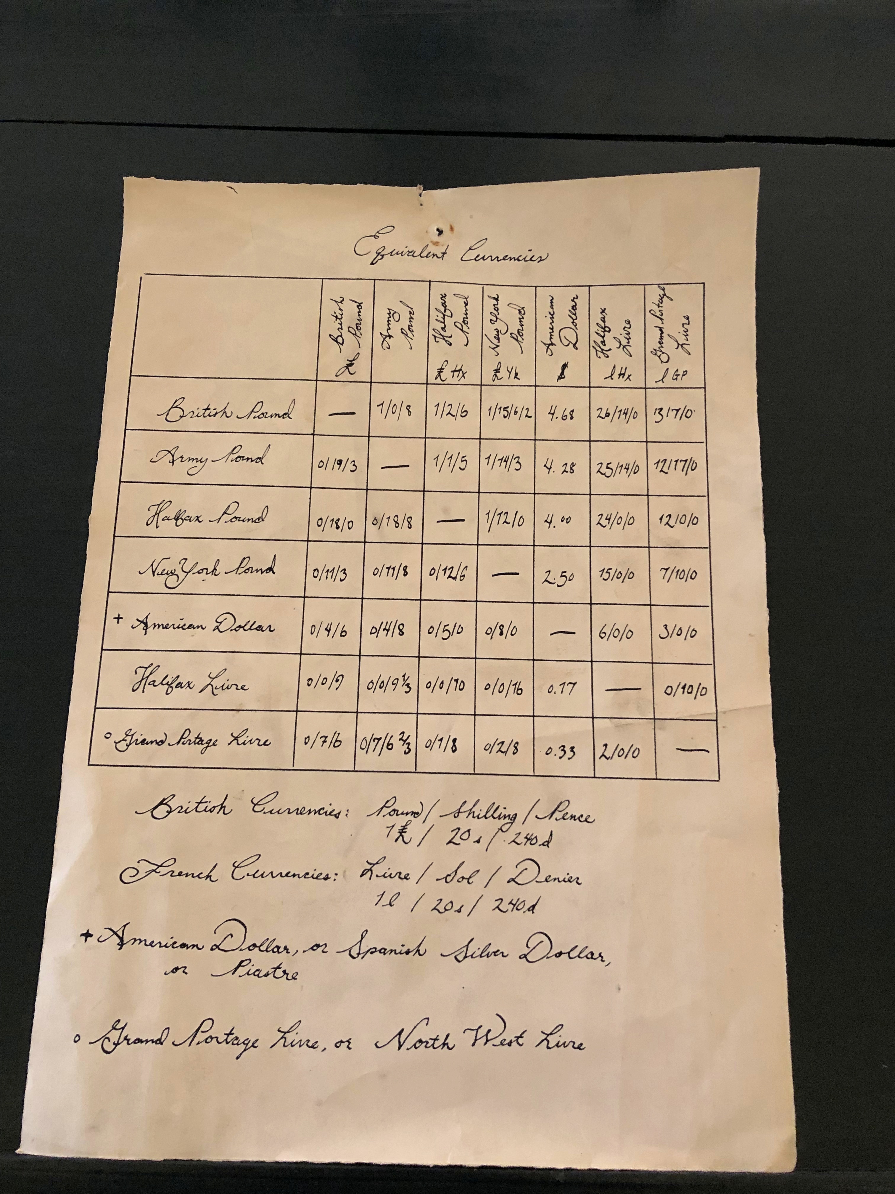
Some obsolete currencies I’d never heard of — the Halifax pound and the Halifax livre, for instance.

The reproduction detail is remarkable all around. I don’t think anyone’s buried here.Fort William Historic Park
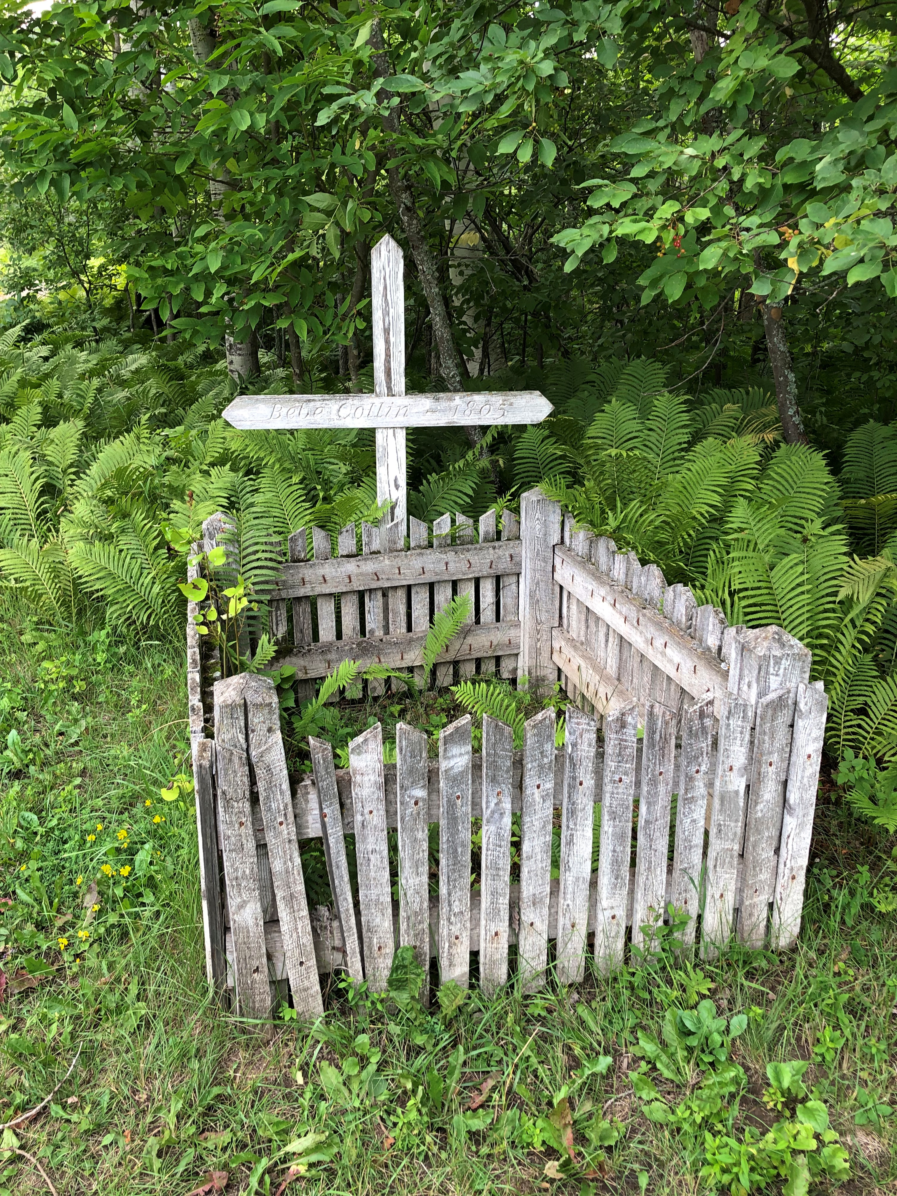
But I’m sure the original Fort Williams had a small cemetery, its occupants now lost to time.
Kakabeka Falls Provincial Park

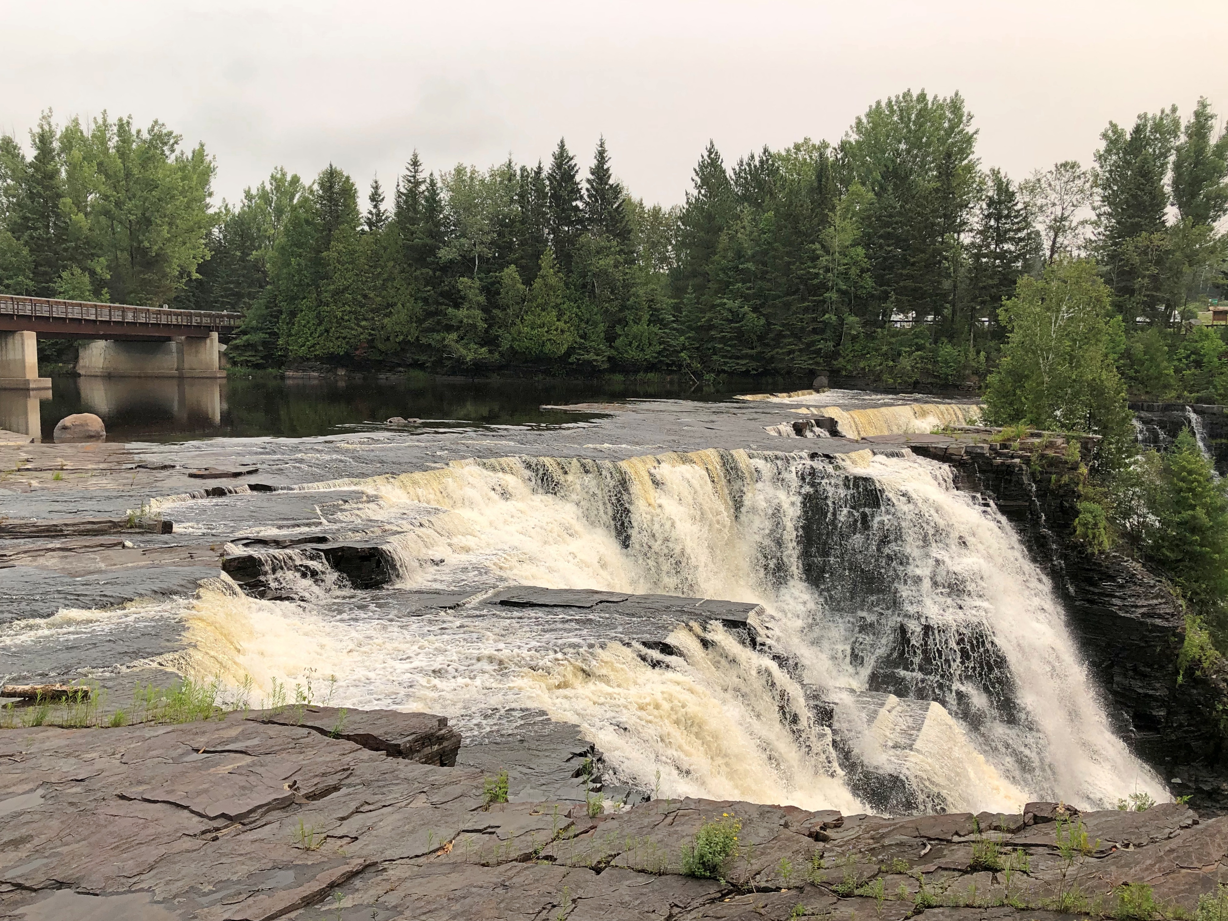
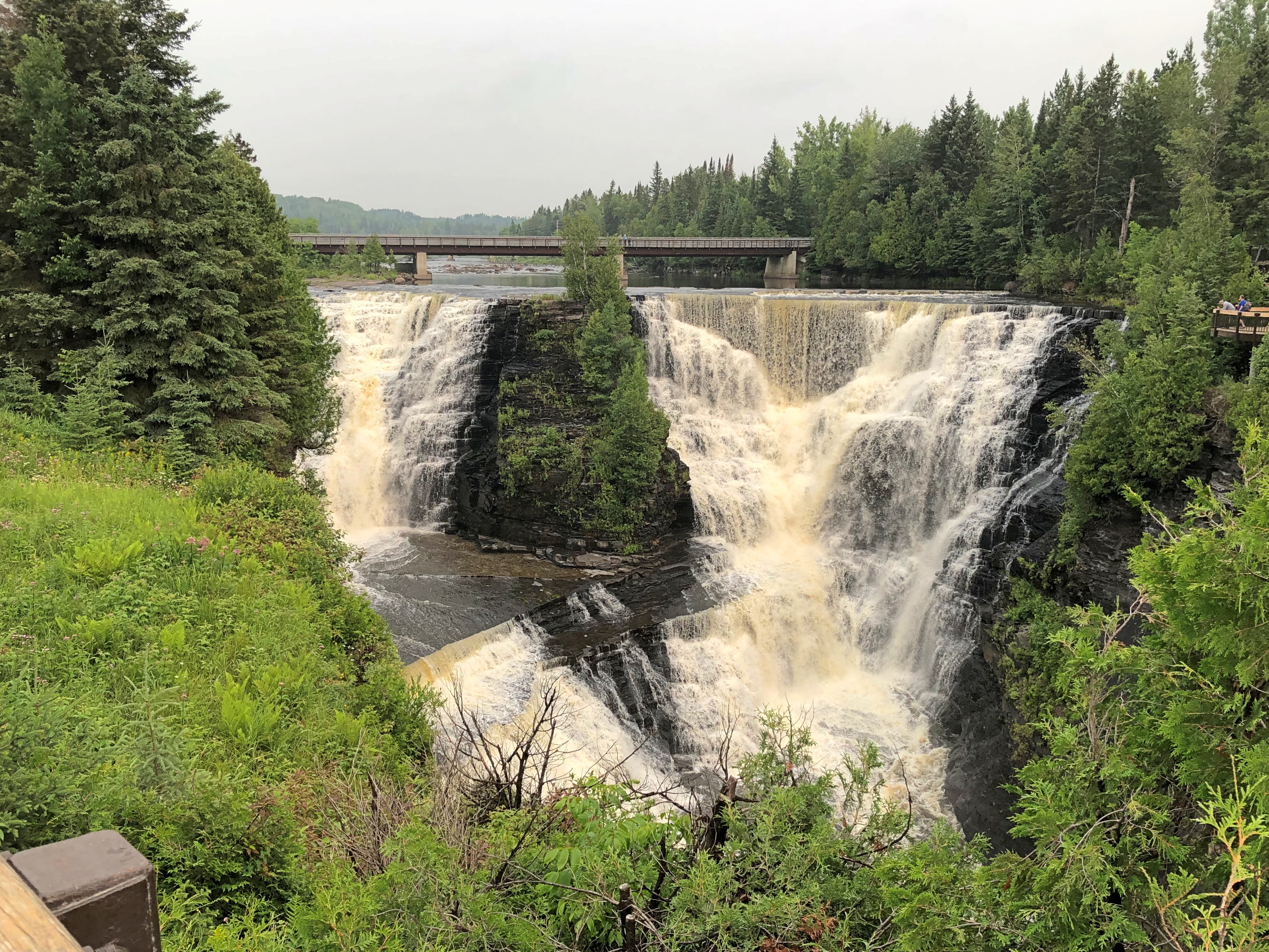
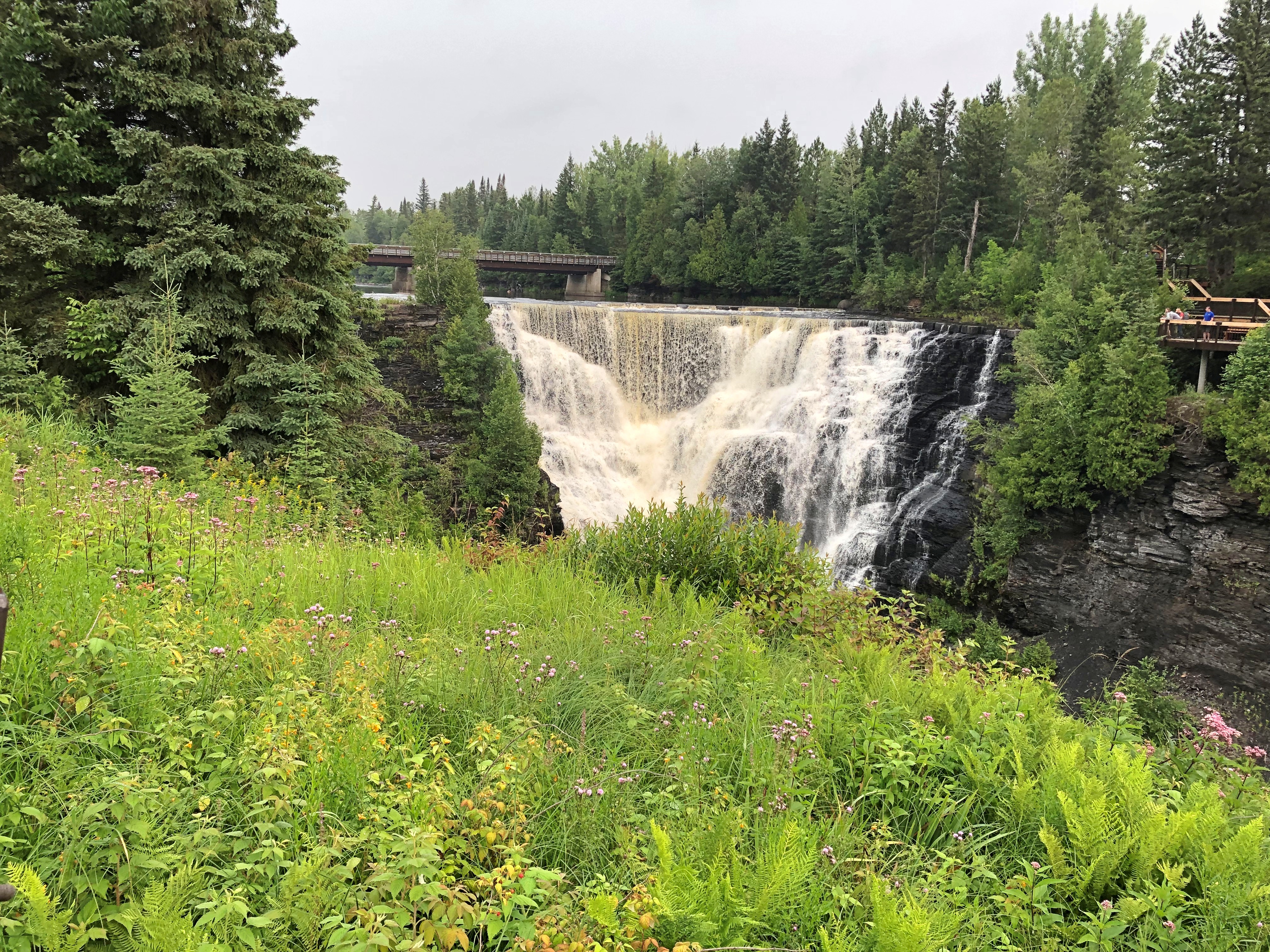
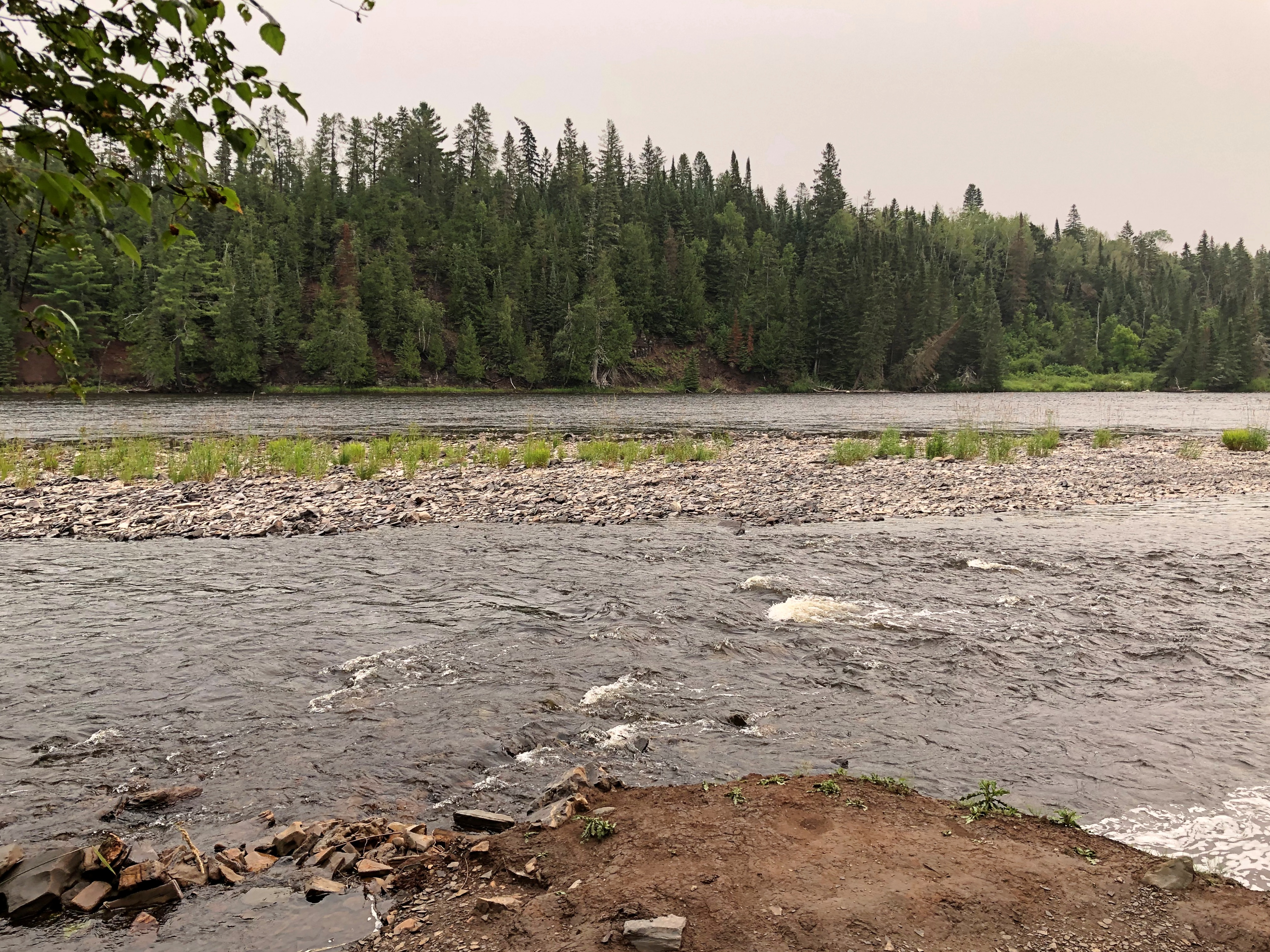
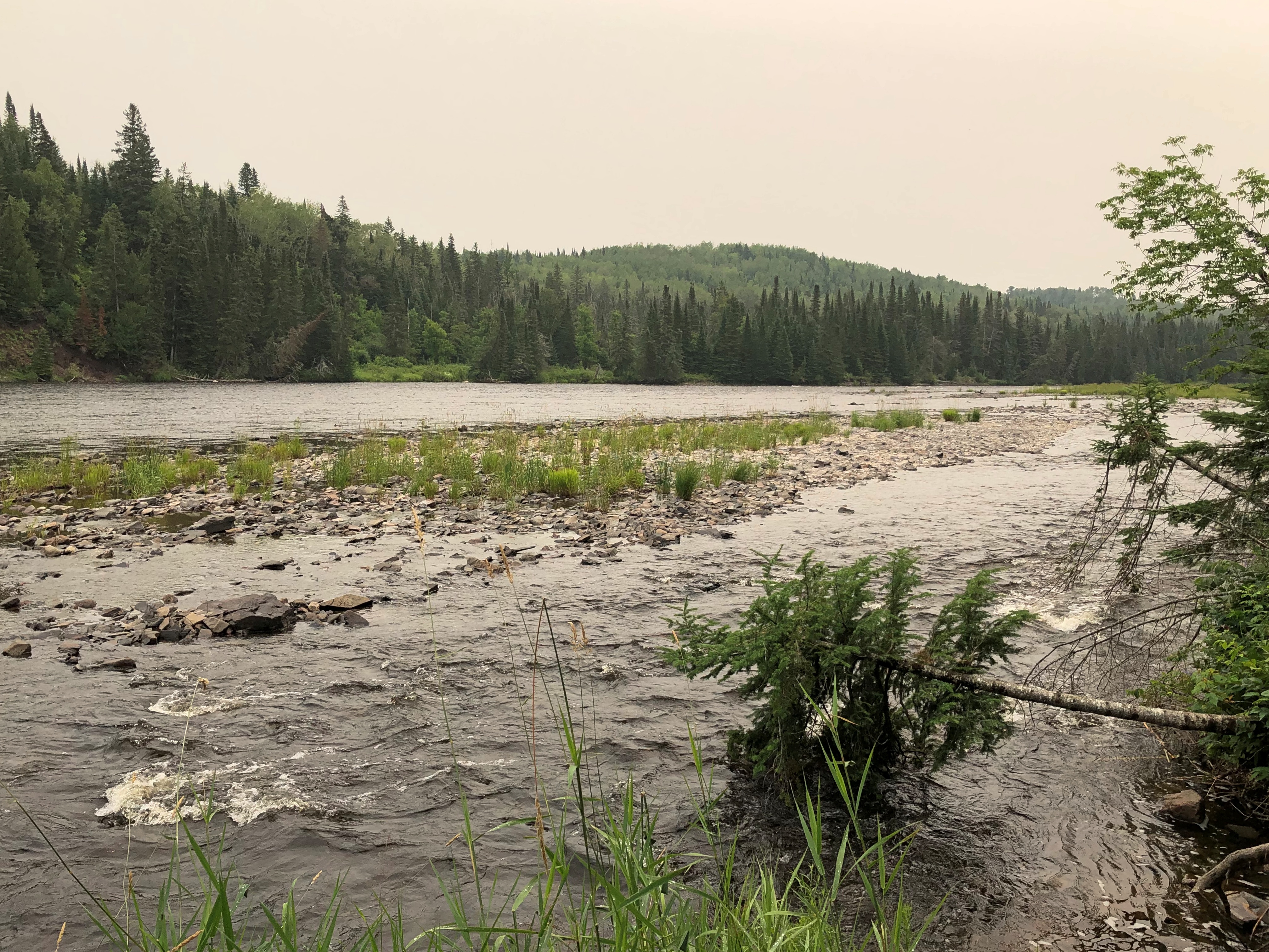
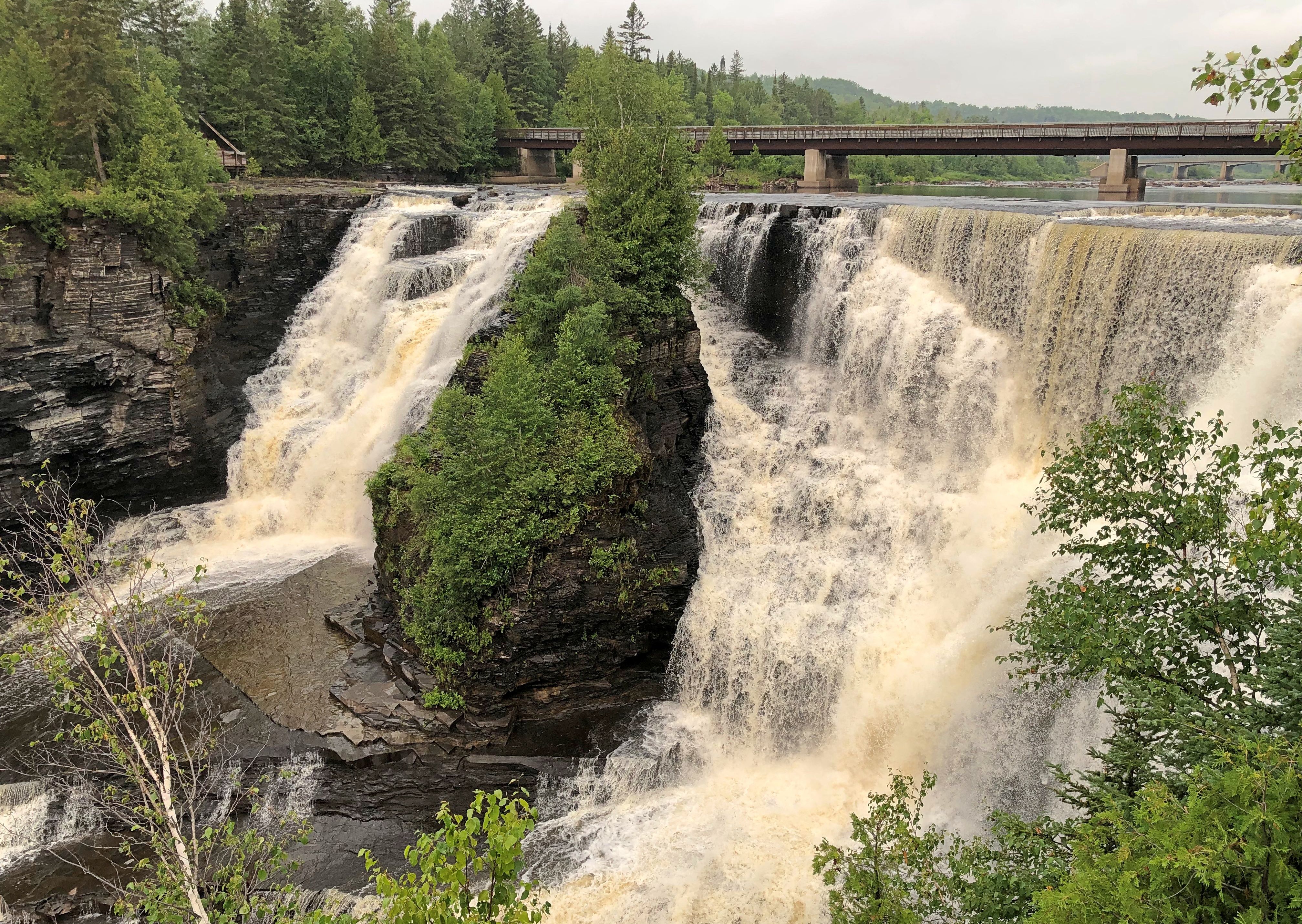
The old real estate saw stresses the three important aspects of a property: namely, location repeated three times. That’s something I thought about at the glory that is Kakabeka Falls on the Kaministiquia River, which passes through part of Ontario and drains into Lake Superior. A drop of about 130 feet in two parts.Kakabeka Falls Provincial Park Kakabeka Falls Provincial Park Kakabeka Falls Provincial Park Kakabeka Falls Provincial Park

The closest city to Kakabeka Falls Provincial Park is Thunder Bay, Ontario, which is only about a 20 minute drive to the east of the falls. Thunder Bay’s population is about 108,000, which is nothing to sneeze at, but also not one of the larger cities in Canada.

If Kakabeka Falls could magically be moved closer to a larger city, even something on the order of the Buffalo-Niagara Falls MSA, I believe the sight would have been several times more crowded than I experienced on July 31 (a Monday) and the entrance fee would be more than the reasonable $5.25 Canadian I paid (about $4). Good thing that kind of magic isn’t real. It would be easier to build a city near the falls.

Back in the fur-trading years, the Kaministiquia River had been a route for voyageurs until the North West Co. decided that the Pigeon River (Grand Portage) was better. That was before the American Revolution. After Grand Portage became part of the U.S., the NWC returned to using the Kaministiquia as a main route.

We see natural splendor at Kakabeka Falls. The voyageurs no doubt saw a pain-in-the-ass obstacle to their forward motion, a place they needed to portage around.

I arrived mid-morning after spending the previous night in Thunder Bay, stopping on the way for breakfast at – where else? – Tim Hortons. The falls were the first of a number of grand sights I’d see in Canada on the drive around Lake Superior. If you can’t see those, why drive such a circuitous route?

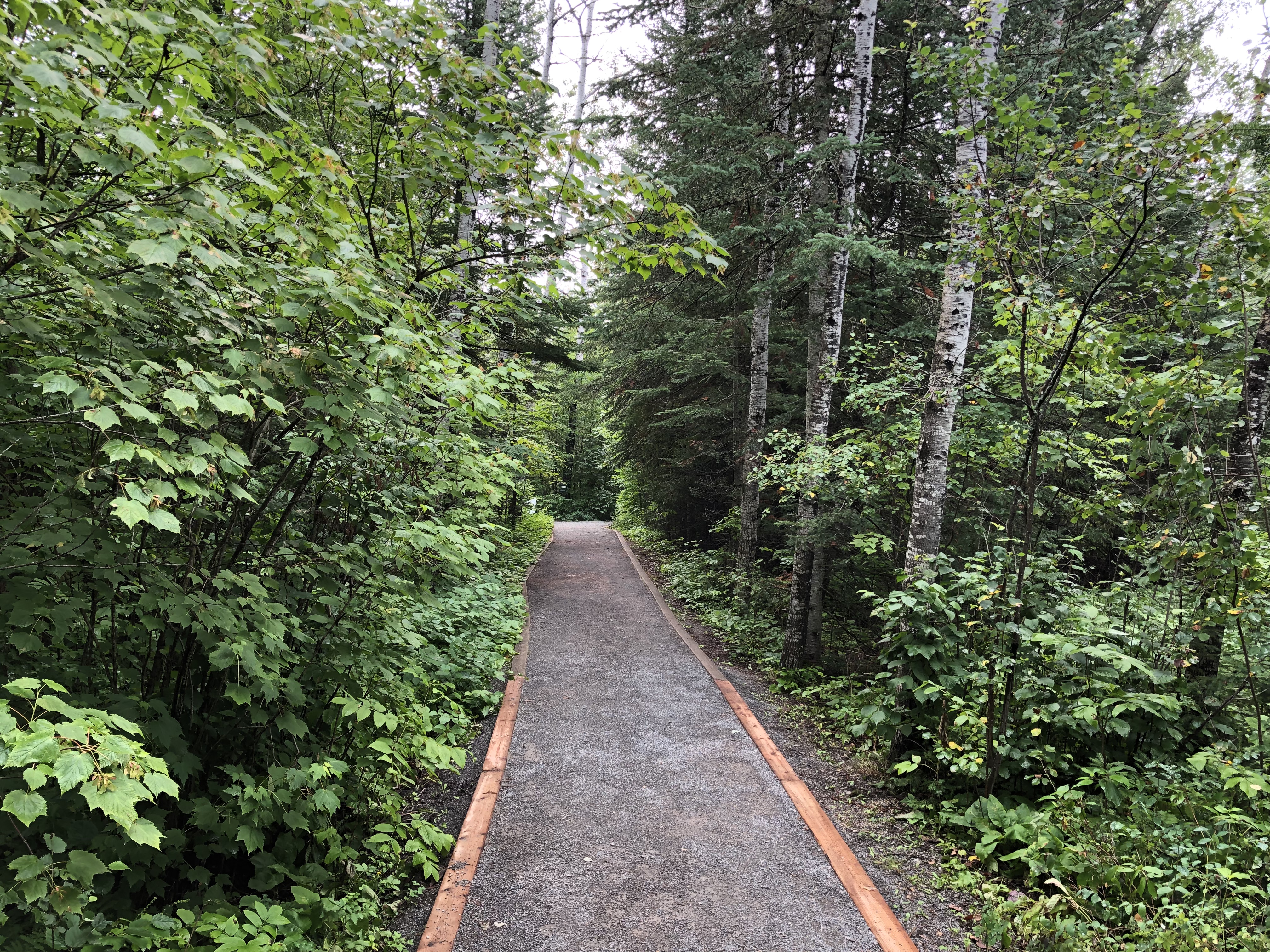
Once you’ve had your fill gawking at the falls, which I’d say are in almost in the same league as Niagara, the park offers some hiking trails downriver. I headed off on an easy one.Kakabeka Falls Provincial Park

That one soon connected with a “intermediate” trail – the Little Falls Trail — leading to a small waterfall on a creek that feeds the Kaministiquia. I decided to take that trail, even though I didn’t bother to go back for water or a walking stick, both of which were in my car.

That was a mistake. “Intermediate” means many tree roots, lots of uneven rocks, and some change in elevation, though I’ve been on plenty of steeper trails. I don’t believe I was in any real danger, but it was slow going and I got pretty thirsty along the way. At least I had decent hiking shoes.

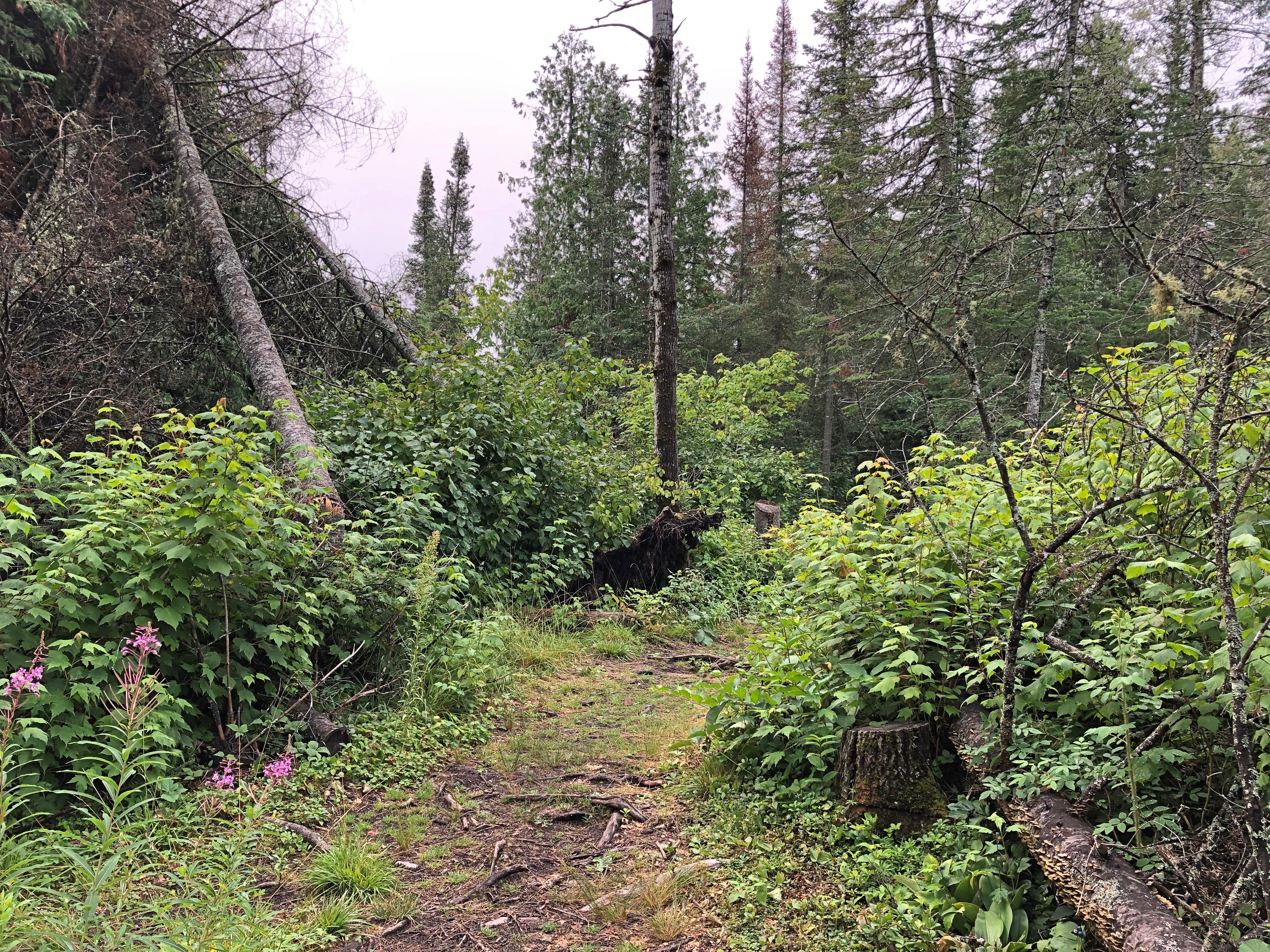
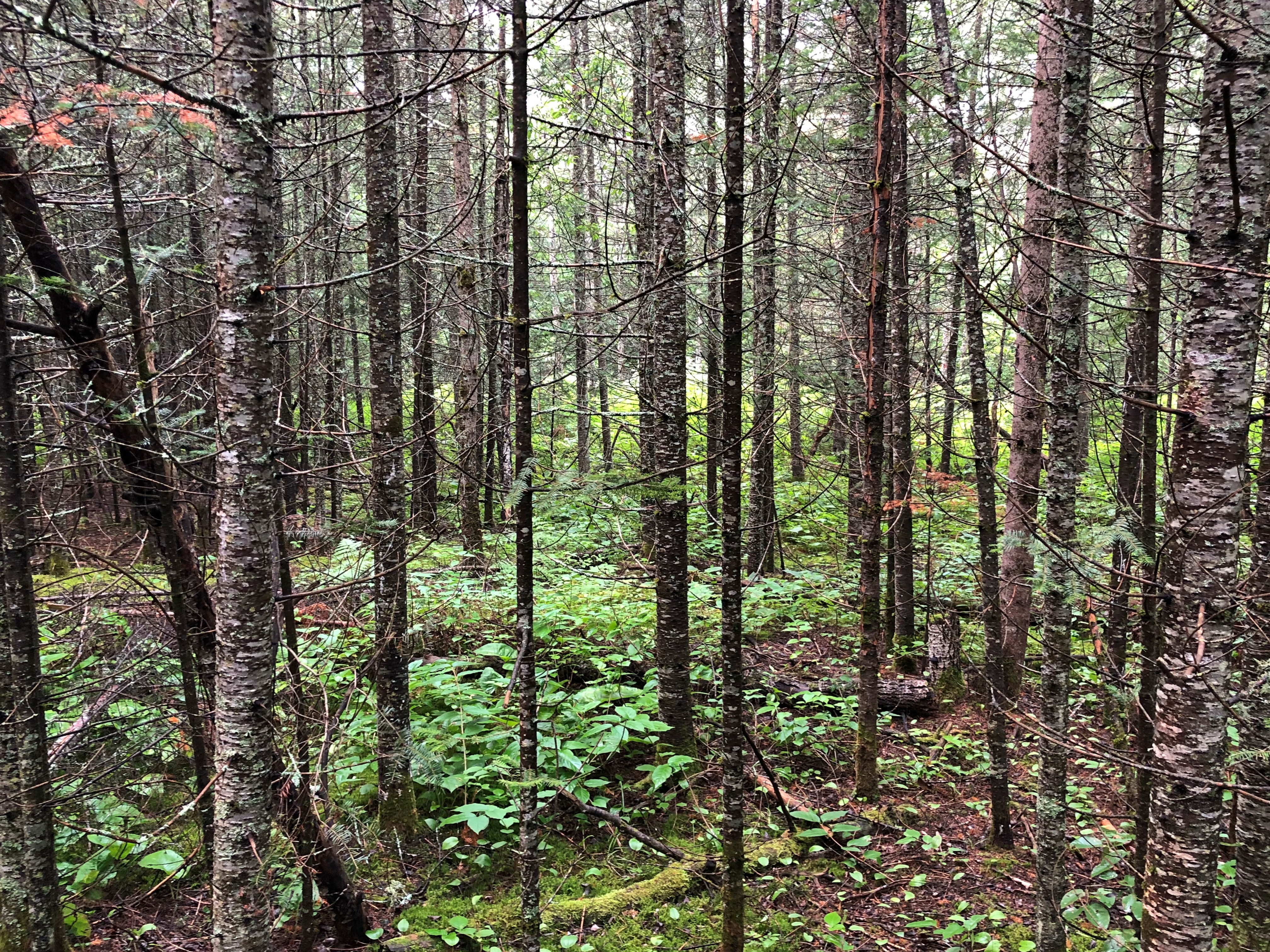
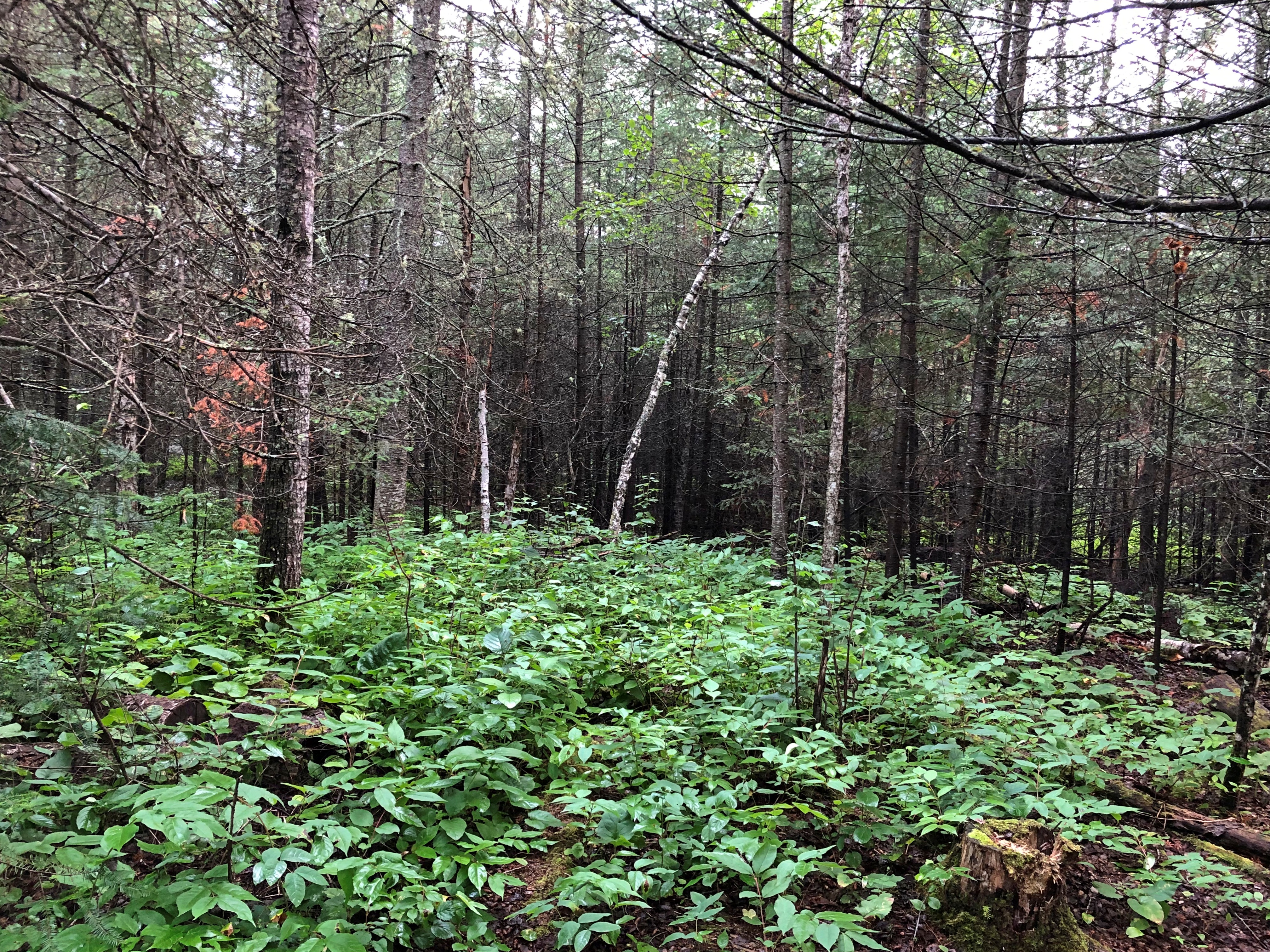
Still, I enjoyed the feel of being the Ontario woods. A very small slice of them, considering the vastness of the province. Twice the size of Texas, but a lot more empty.Kakabeka Falls Provincial Park Kakabeka Falls Provincial Park Kakabeka Falls Provincial Park

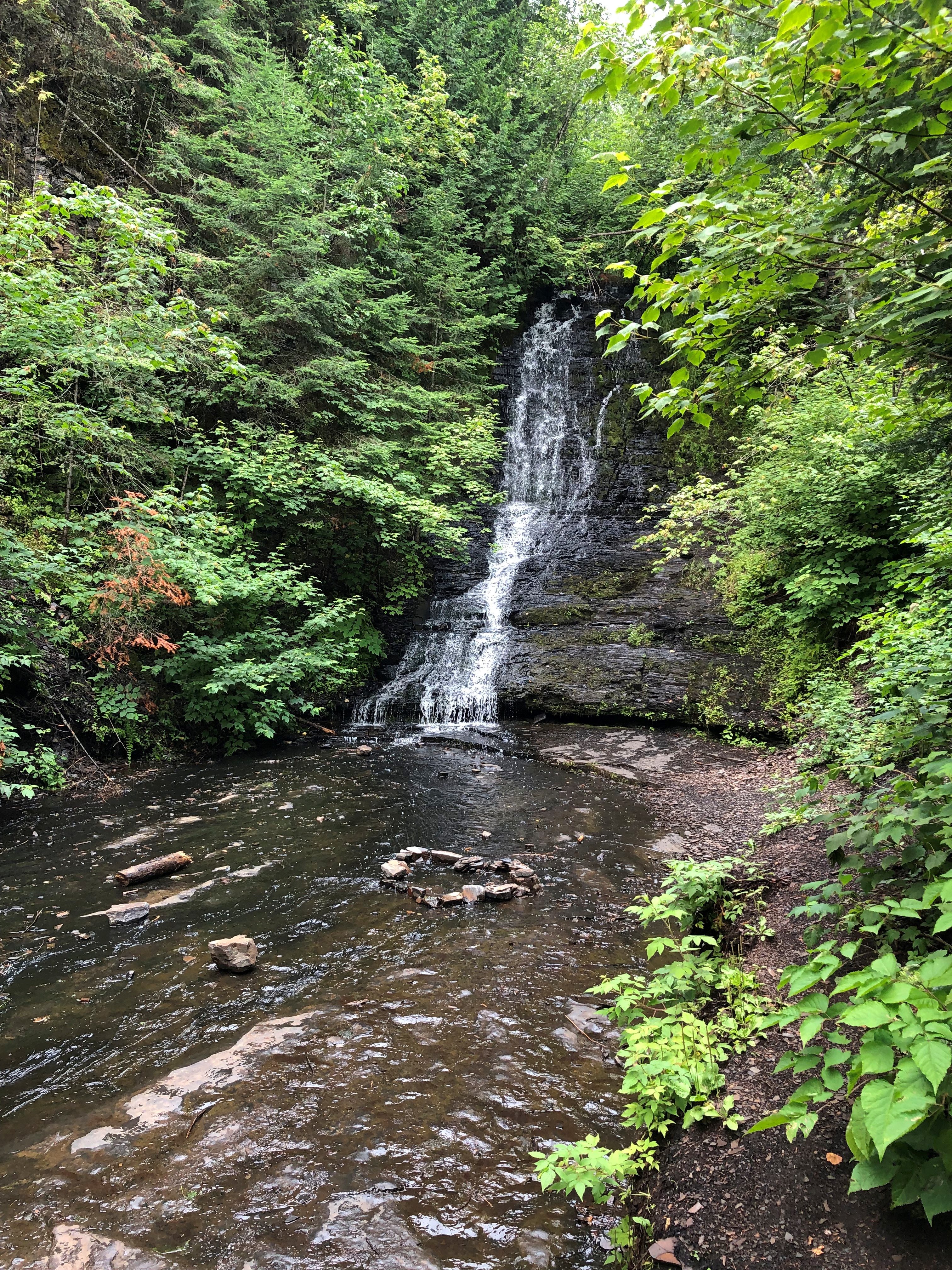
Eventually the trail led to a pleasant little waterfall.Kakabeka Falls Provincial Park Kakabeka Falls Provincial Park

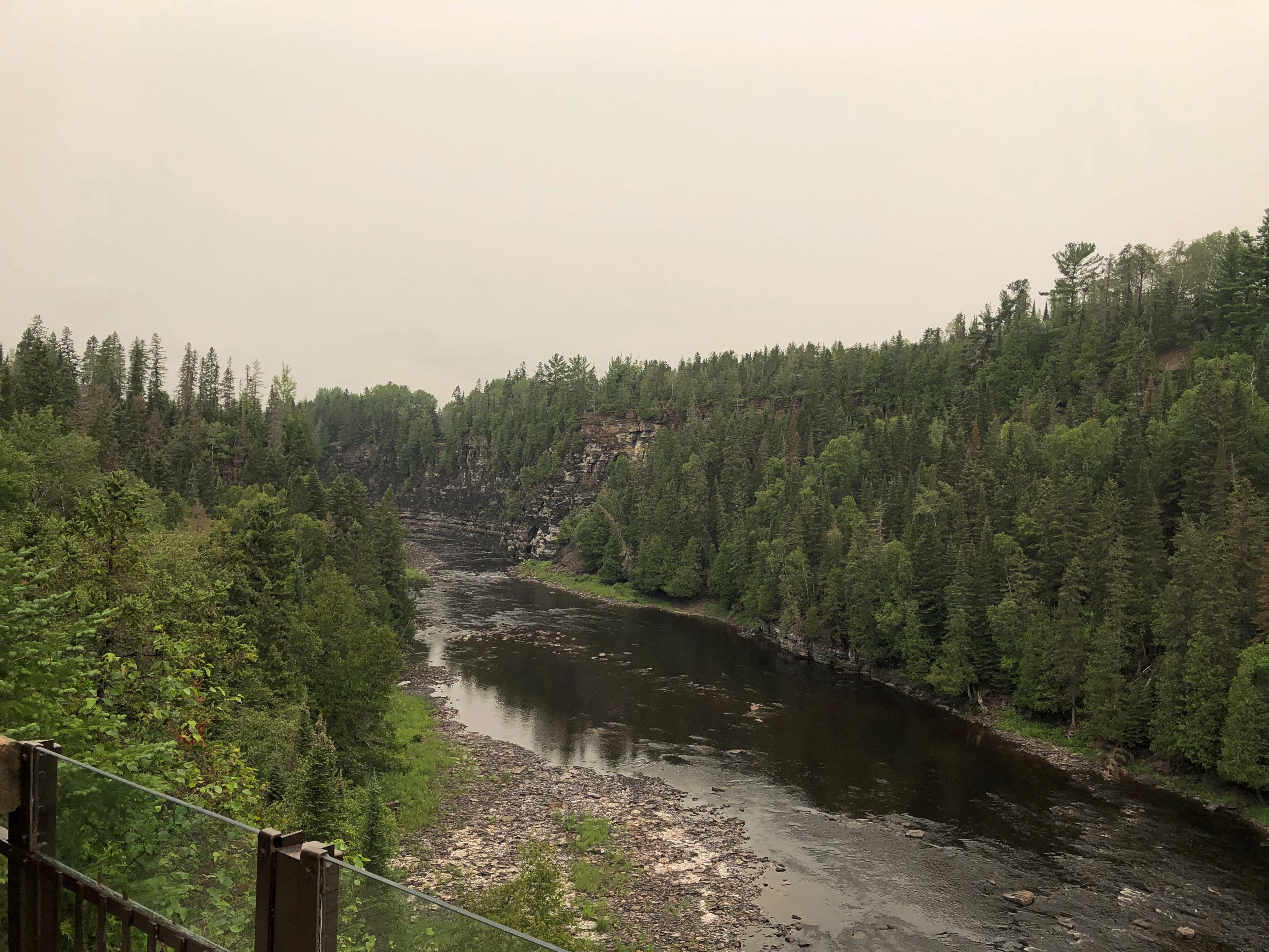
Then it loops back to the banks of the Kaministiquia, and heads back toward the falls.Kakabeka Falls Provincial Park Kakabeka Falls Provincial Park

With a few vistas along the way, after you’ve climbed a bit.Kakabeka Falls Provincial Park

I might have been thirsty at the end of the trail – and I’ll note here that the small shop near the falls run by Parks Canada sold no cold drinks (and I’d have paid a premium) – but better, I believe, to be a casual walker along this river in our time than a voyageur in a much rougher century, with a voyageur-sized load to carry.

Grand Portage National Monument

So far since taking office, President Biden has proclaimed five new national monuments under the authority granted him by the Antiquities Act of 1906, including one only last week, with the lengthy name of Baaj Nwaavjo I’tah Kukveni – Ancestral Footprints of the Grand Canyon National Monument, which is in Arizona near the Grand Canyon. (For those keeping score, his immediate predecessor proclaimed five over four years.)

How can we keep up with all the new ones? For now, there are 133 national monuments, with more coming, I’ve read.

Grand Portage National Monument has been around a little longer. Longer than me, but not much, being one declared by President Eisenhower. It occupies land very near the tip of the arrowhead region of Minnesota, within a few miles of the Canadian border, which happens to the Pigeon River at that point.

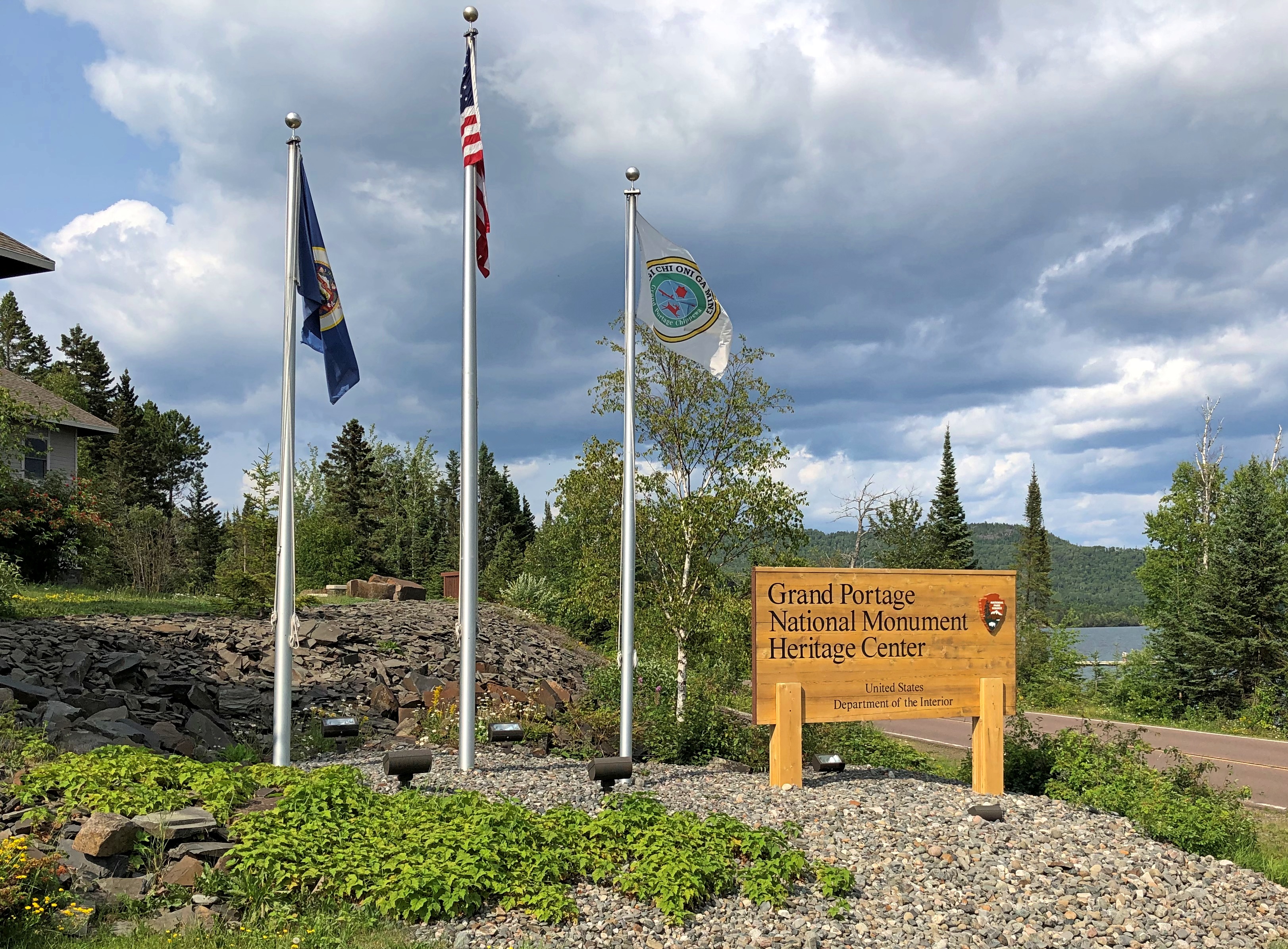
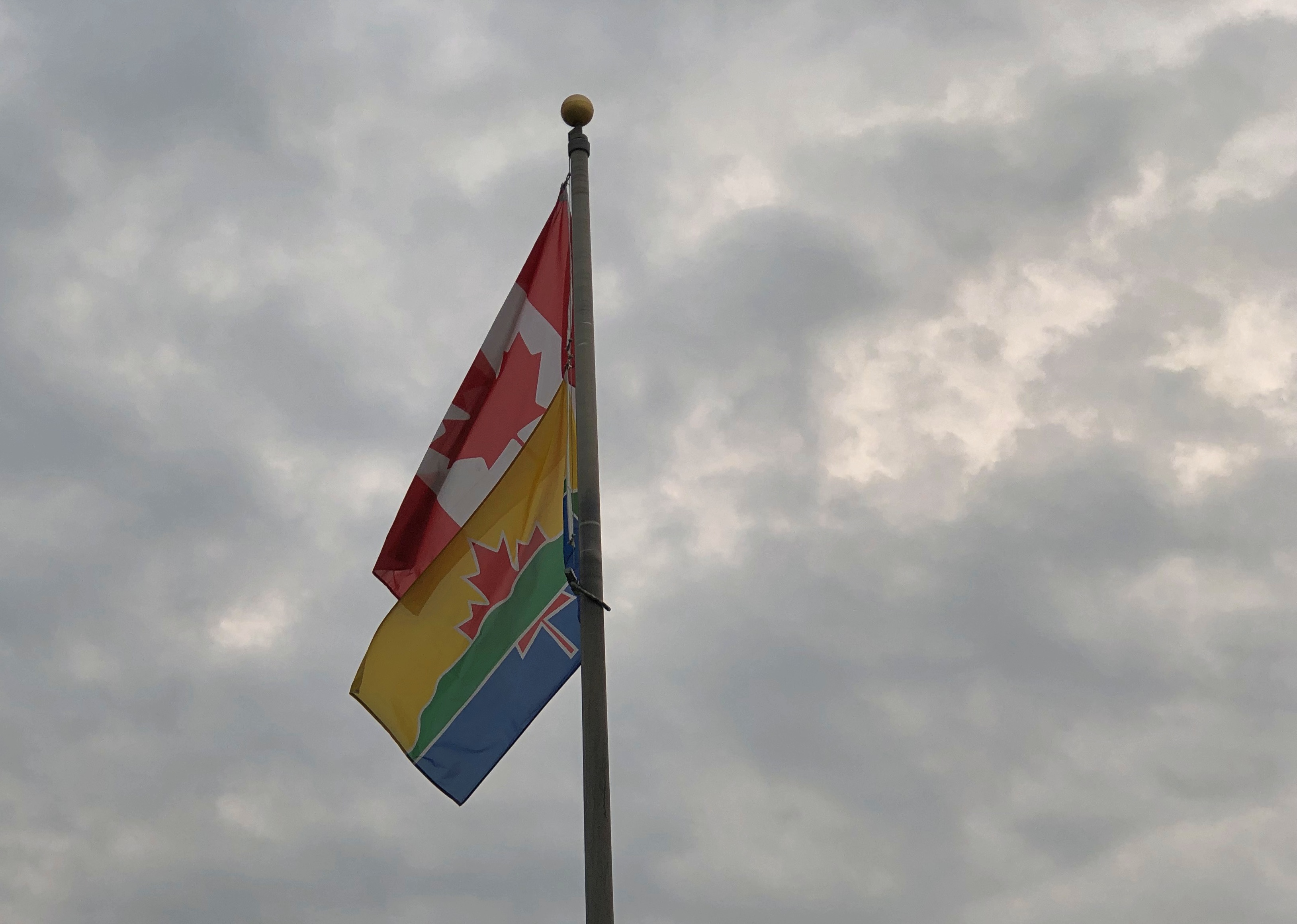
I arrived fairly late in the afternoon of July 30. The U.S. flag, Minnesota and – what’s the other one?Grand Portage National Monument

The flag of the Grand Portage Band of Chippewa; the national monument is entirely within their reservation. More about them is hereGichi Onigaming = The Great Carrying Place.

“Grand Portage was a fur-trade depot and route of the voyageurs at the western extremity [sic] of Lake Superior,” says the Canadian Encyclopedia. “It was the first and most strenuous of the 29 portages from Lake Superior west to Lac La Croix, requiring that each voyageur carry four loads of 80 kg over some 14 km of rocky trails around the cascades of the Pigeon River.

“The North West Co. (NWC) established an extensive post at the mouth of the river, which by 1784 was the wilderness capital of the fur trade, providing a meeting place for the voyageurs bringing supplies from Montréal (porkeaters) and the traders bringing furs from the North West (winterers). Within the post, which was protected by a 5-m high palisade, reinforced with a bastion and a heavy gate, were the Great Hall, living quarters, shops, warehouses and a stone powder magazine.”

The NWC packed up and left after it was finally determined that, according to the Jay Treaty of 1794, the site was in the United States rather than British North America, though it took some time for the company to actually leave (1802). In more recent times, the United States reconstructed the Grand Hall and the wooden palisades.Gichi Onigaming: The Great Carrying Place

Along with Native structures of the period outside the palisade.Gichi Onigaming: The Great Carrying Place

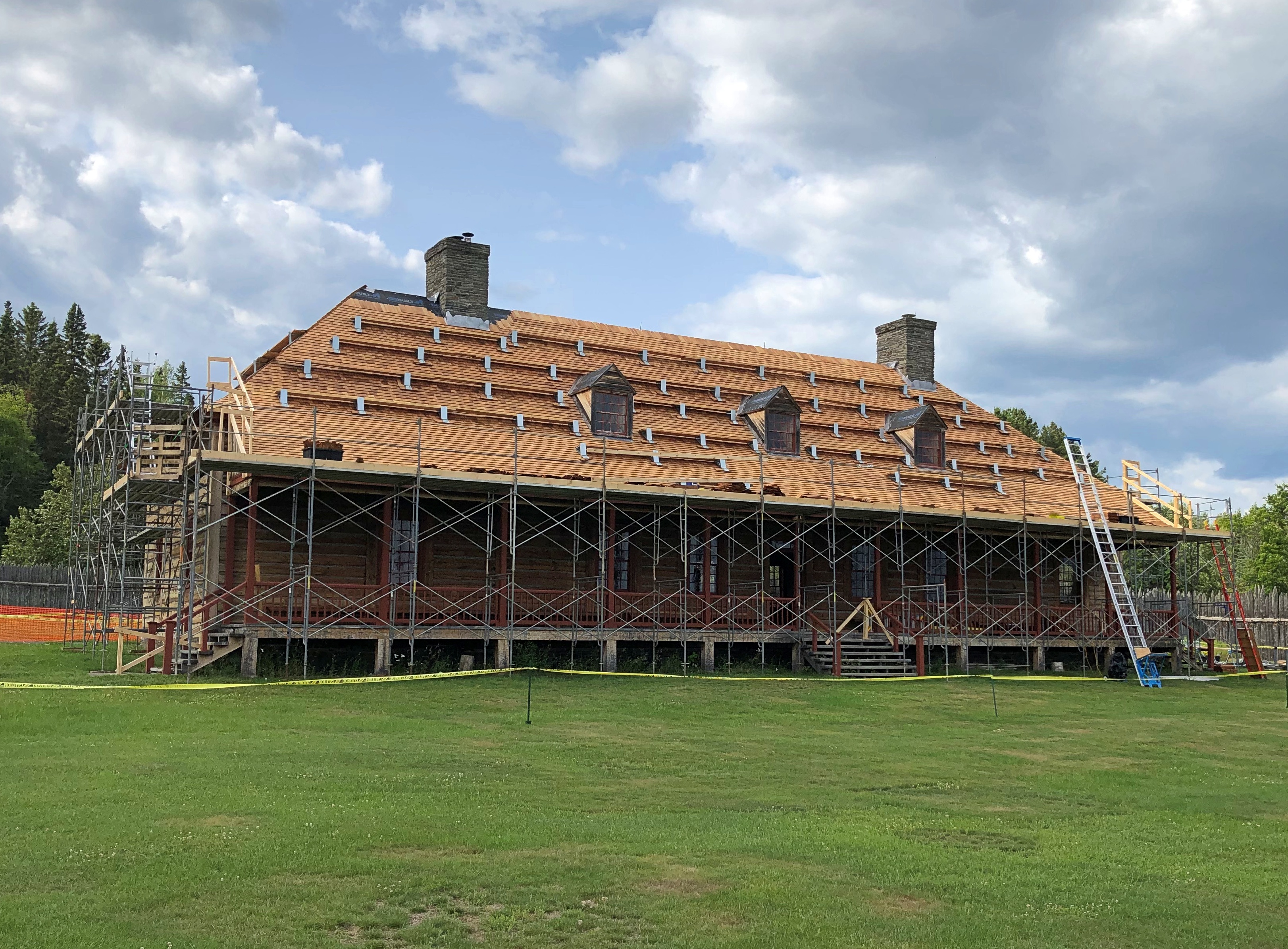
Inside the palisade, work still seems to be under way, or at least renovation. The Great Hall wasn’t open.Gichi Onigaming: The Great Carrying Place Gichi Onigaming: The Great Carrying Place

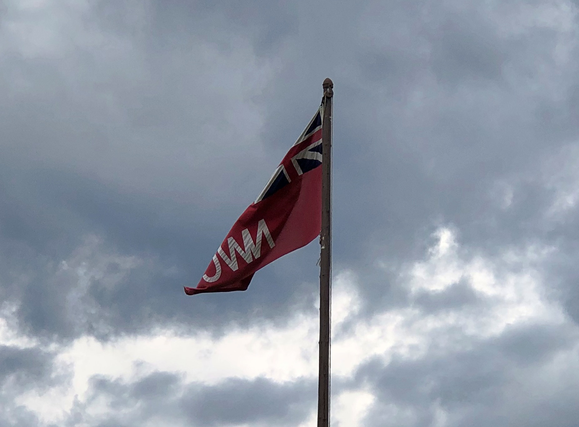
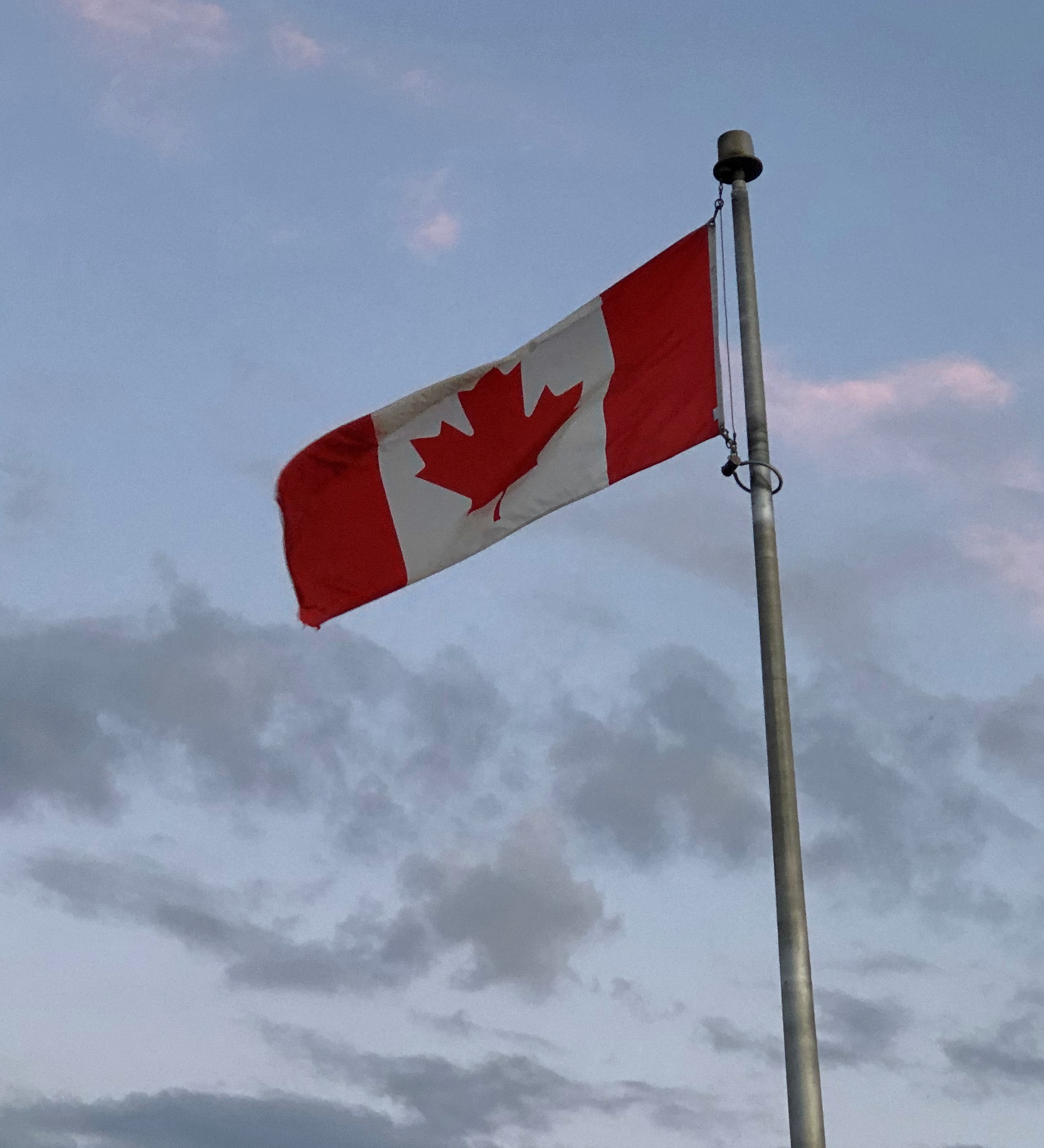
The North West Co. flag still flies. Gichi Onigaming: The Great Carrying Place

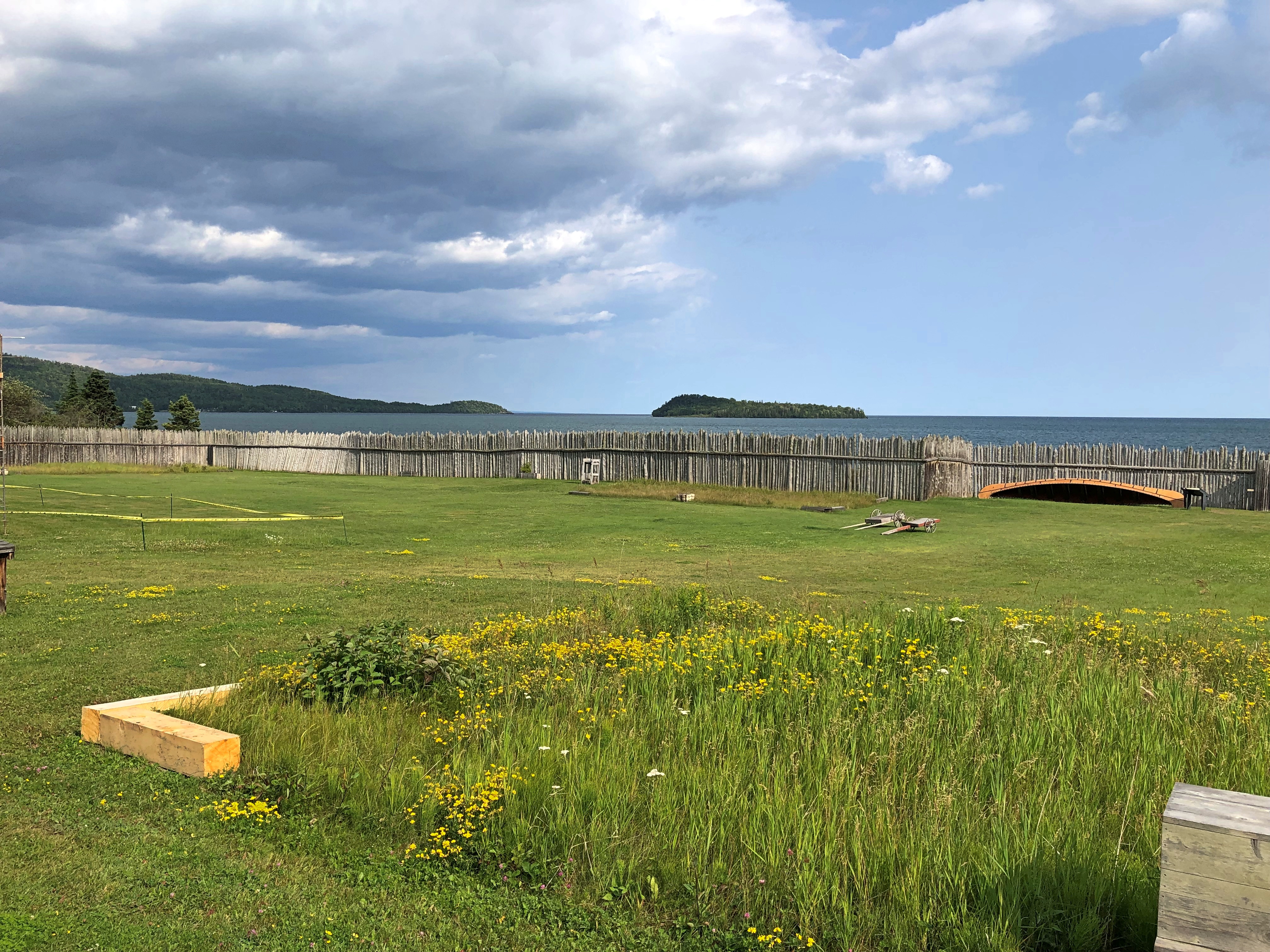
As you’d expect, the Great Hall faces Grand Portage Bay. Once upon a time, it was a busy place in the short northern summers. Now, not so much.Gichi Onigaming: The Great Carrying Place Gichi Onigaming: The Great Carrying Place Gichi Onigaming: The Great Carrying Place

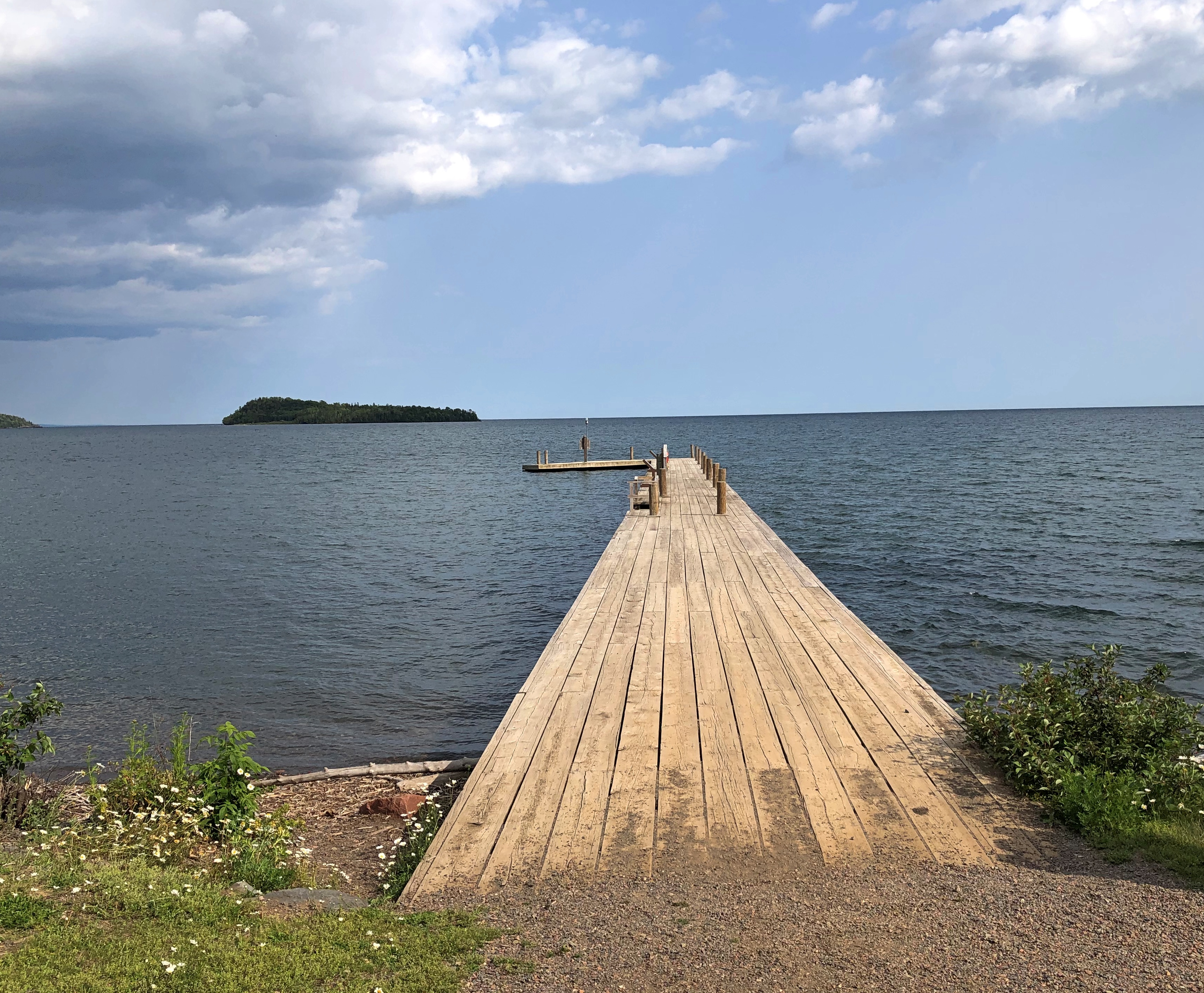
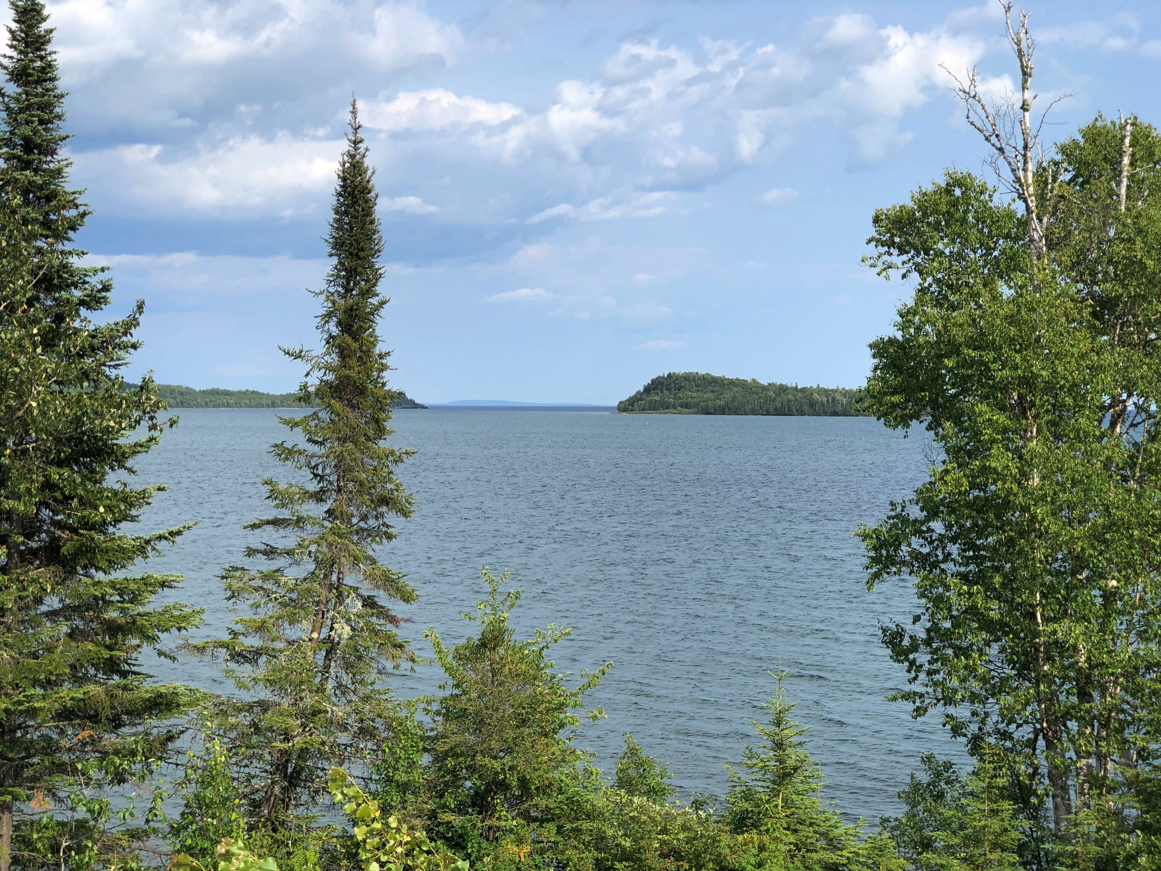
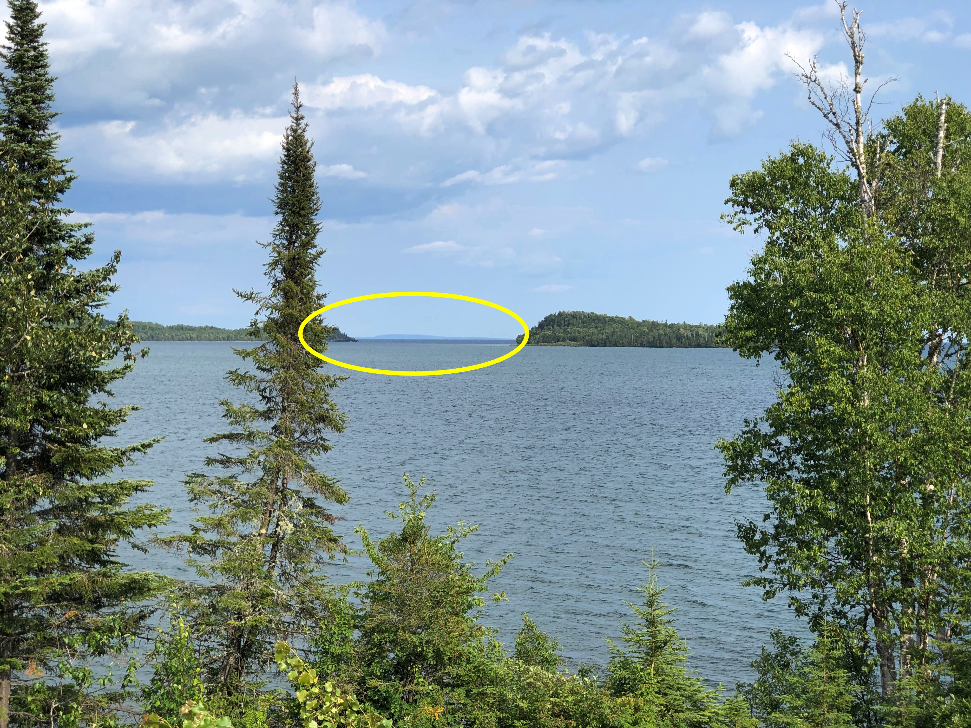
Another view of Grand Portage Bay from the edge of the national monument.Gichi Onigaming: The Great Carrying Place

Way off in the distance – though not really that far, about 20 miles – is Isle Royale National Park, a large island in Lake Superior, which was more distinct with the naked eye than in the digital image.

Still, I was a little surprised that it is visible at all. Except for some of the Alaskan properties, it’s pretty much the definition of remote among national parks, with only a few more than 25,400 visitors in 2022, according to the NPS. The fifth-least visited park in the system.Gichi Onigaming: The Great Carrying Place

Since getting there and staying there is an involved process, I couldn’t make Isle Royale work logistically as a destination. This time.
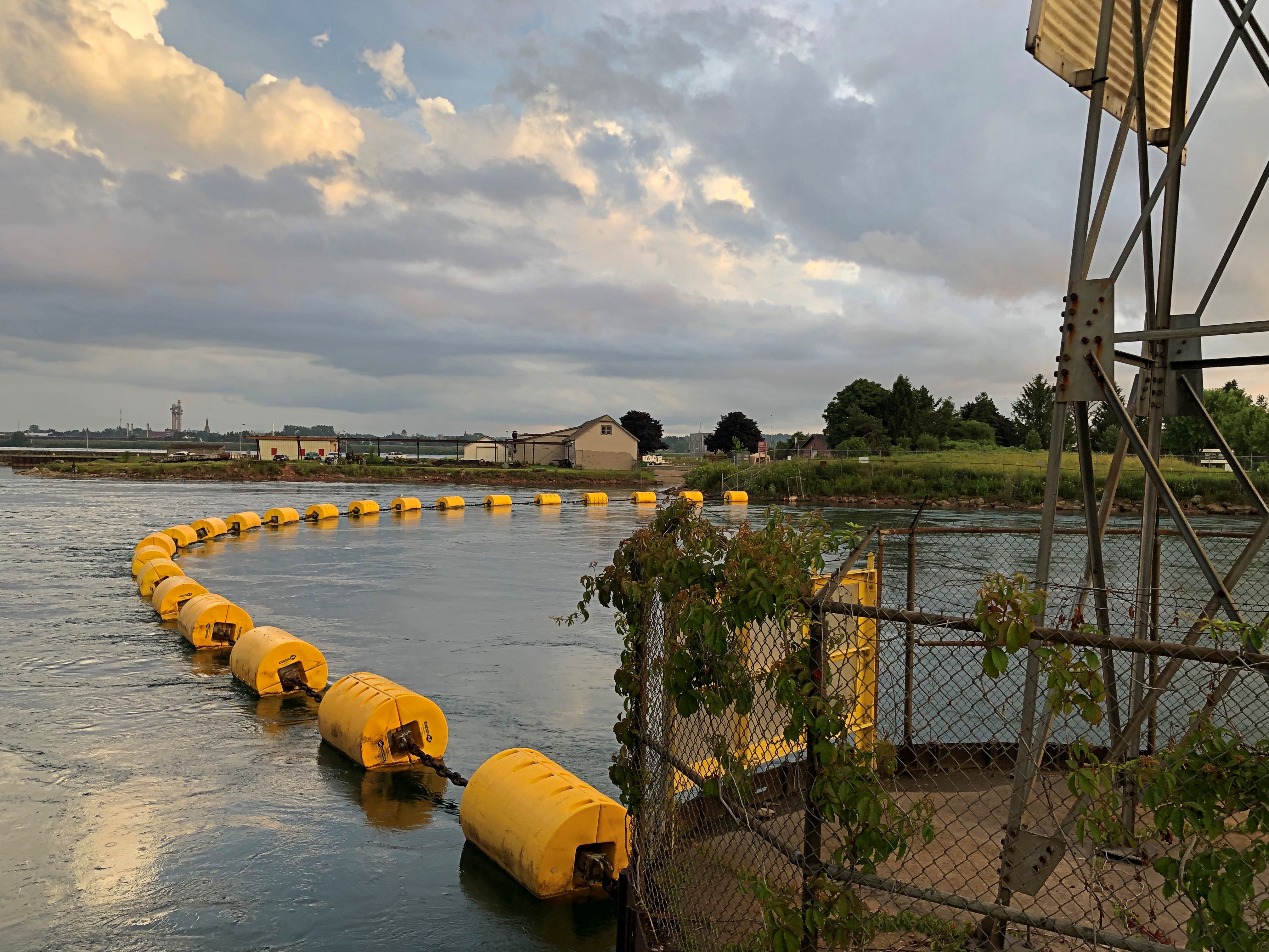
Around Lake Superior

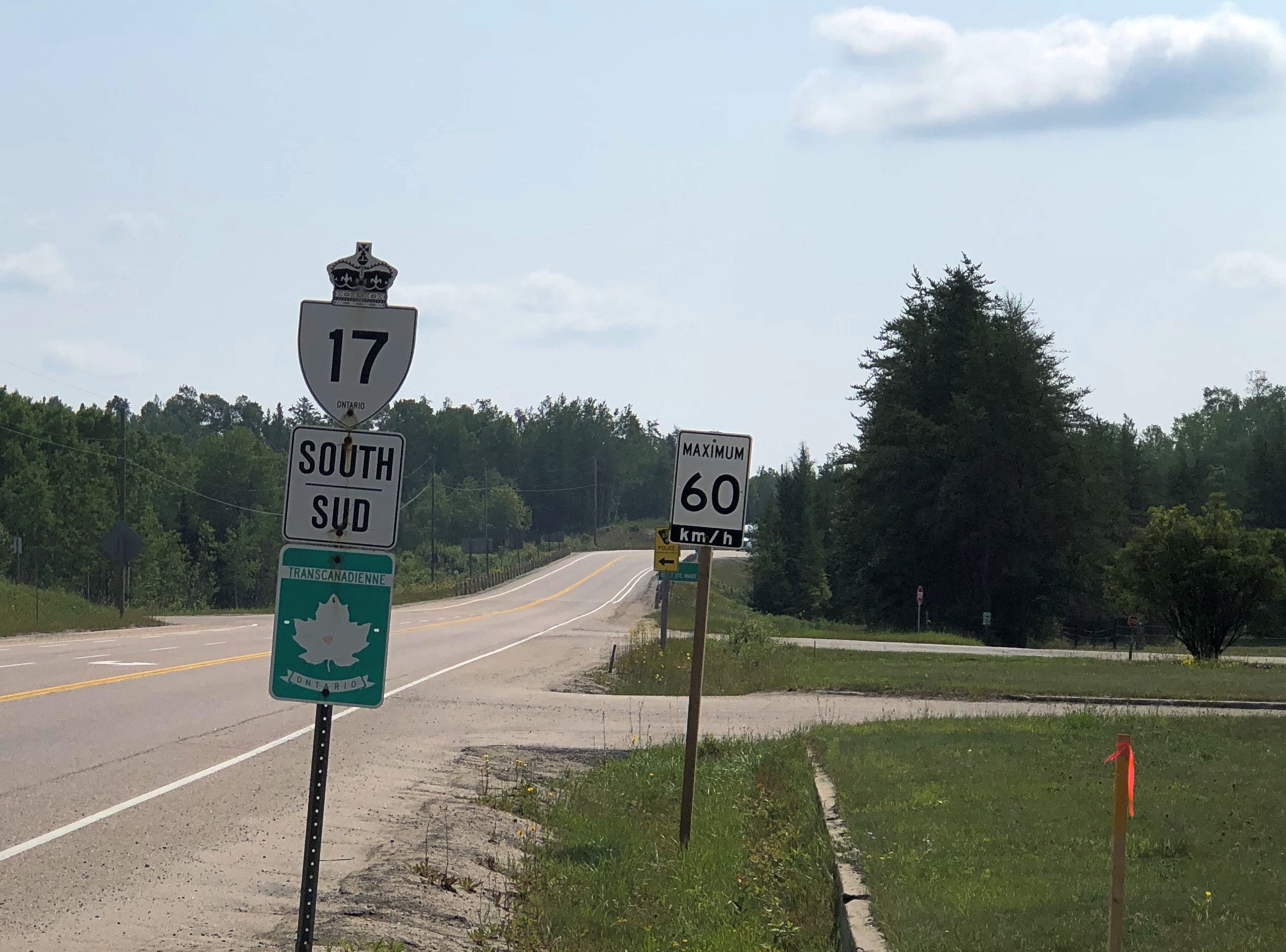
Long stretches of the Trans-Canada Highway along or not far from Lake Superior are lightly traveled, even in summer. Driving the road isn’t exactly solitary, but traffic-free enough to allow your mind to wander. And by your mind, I mean mine, a few days ago.

Dear Mr. Prime Minister, I thought.

There must be a correct way to address the prime minister of Canada in a formal letter. Who writes formal letters to politicians any more? Still, the formal must exist, and I could look it up. Never mind, on with the letter.

Your Excellency,

I’m about mid-way through an enjoyable six days in your country, traveling from the port of entry at Grand Portage to an exit at the grand international bridge connecting the two Sault Ste. Maries.

I have noticed that very few places in Canada sell postcards, even tourist shops, and especially Parks Canada units. I had to struggle to find cards to send to my friends back in the United States, which is a minor hobby of mine.

Market forces, you might say. An erosion of Canadian heritage is what I’d call it, and I am writing to urge that your government do something to reverse the loss, against the day when – fully dismayed by electronic media — people return to physical media.

I leave the details to you and your Minister of Canadian Heritage (cc’d on this letter). Certainly Parks Canada can be persuaded to stock them again. For private shops, perhaps tax incentives to produce Canadian-content postcards and to stock them, and a public service campaign to encourage their purchase and use.

It might not be Canada’s most pressing challenge, but it is certain worth a little of your government’s time.
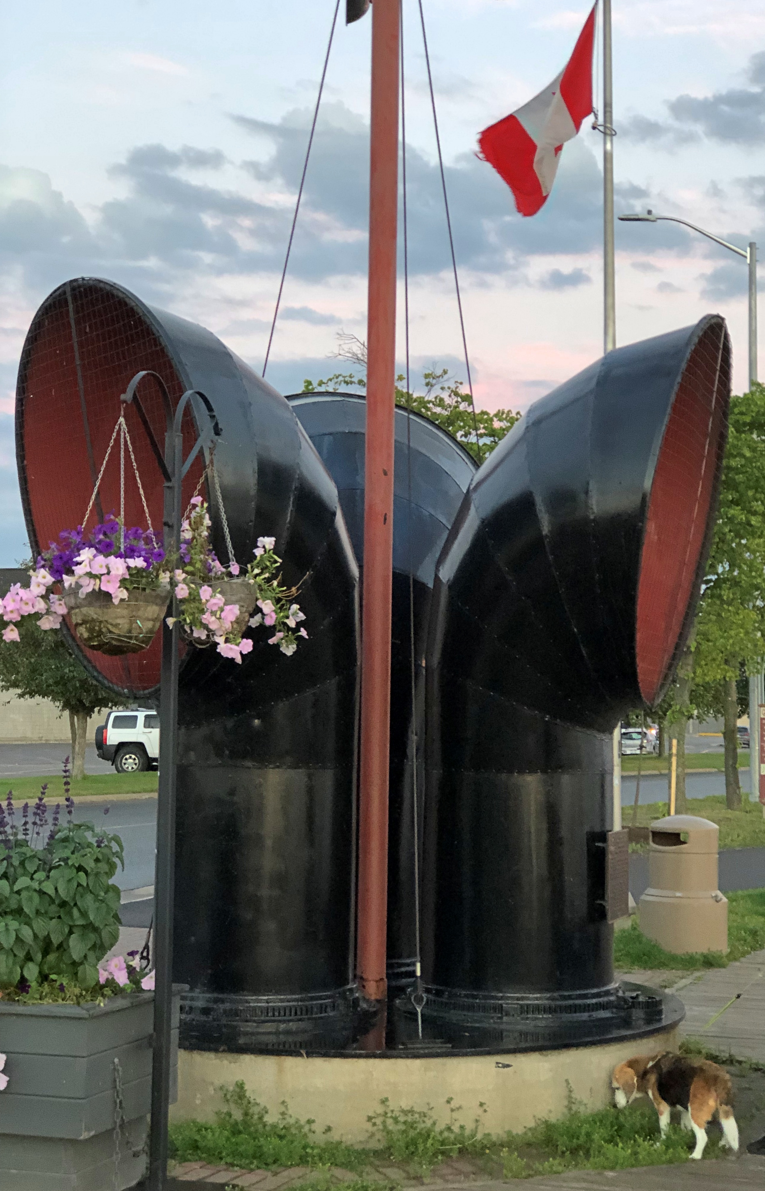
Despite the minor postcard annoyance, it was nice to be back in Canada.

Every bit as scenic as the U.S., but a lot cheaper. The current judgment of the currency markets is that the U.S. dollar is strong against its Canadian counterpart (unlike in 2006).

Canada wasn’t the entire trip. Leaving on July 28, I drove from northern Illinois northwestward through Wisconsin, then to the shore of Lake Superior in Minnesota, reaching the border on the afternoon of the 30th. I left Canada yesterday, August 5, proceeding home through the UP and then southwestward back through Wisconsin, arriving home today.

In effect, I went clockwise around Lake Superior: 1,937 miles all together, though some fraction of that was measured in kilometers.

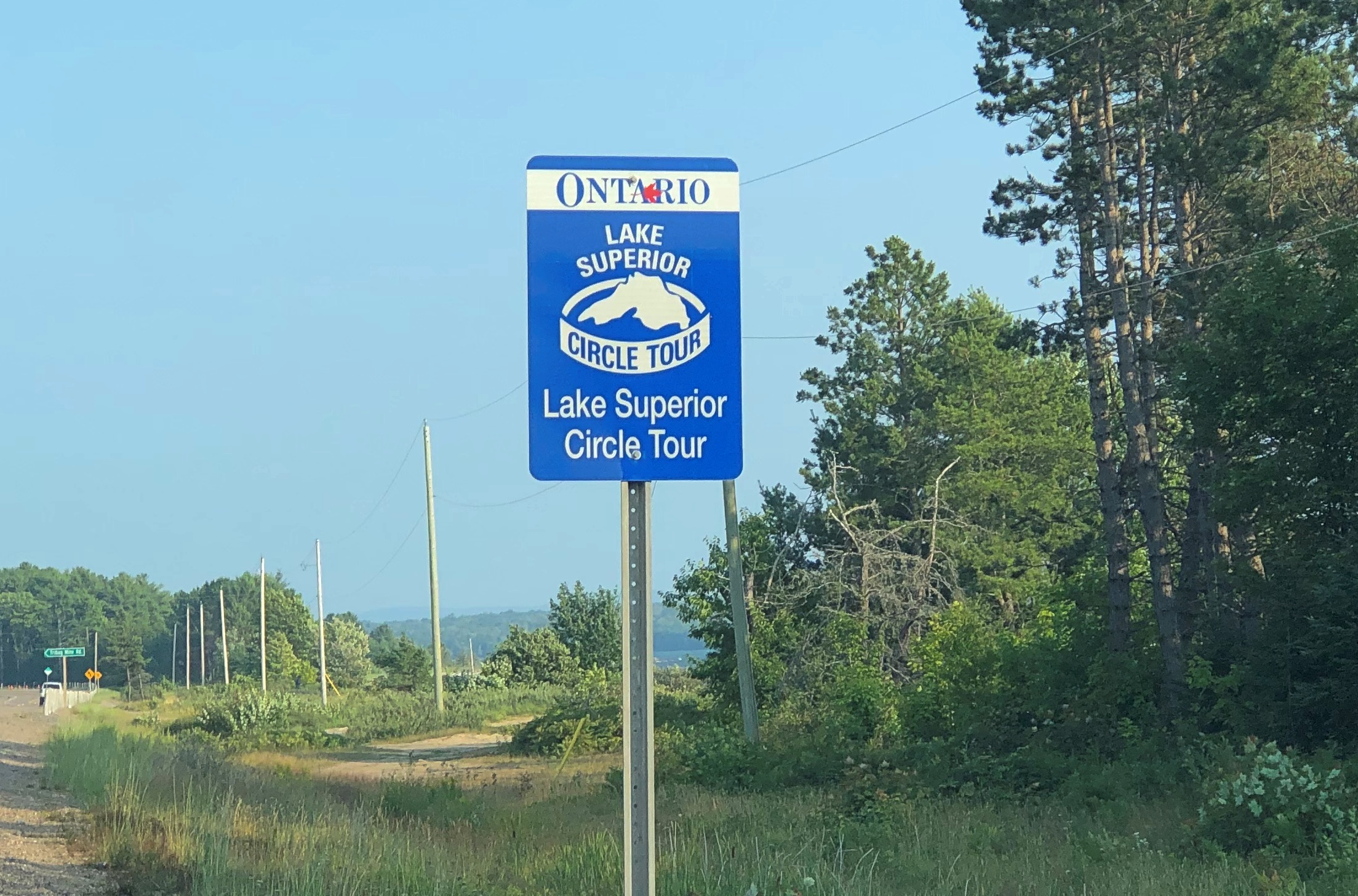
This particular drive has been in the back of my mind for years. Years and years. In September 1989, I drove to the UP and went camping. One day I headed north from my campsite to Munising for breakfast, and then on to Marquette. Somewhere along the way, around the time I first saw Lake Superior, I also saw a sign like this (except not Ontario).

I’d seen Lake Michigan Circle Tour signs in Illinois and Wisconsin. Those were brand new in those days, created to encourage tourism in the Great Lakes region, and if you asked me a brilliant bit of design. Drive around the lake, the sign says. You will be well rewarded.

I agreed: The ’89 trip itself was around Lake Michigan, though I’m sure I would have done it without the signs.

I’d never seen a Lake Superior Circle Tour sign before, but I liked the idea immediately.

The prospect intoxicated: around Superior would be mean driving to Minnesota, through that remote part of Ontario, and the back through the UP. Or vice versa. What was up that way? Exotic boreal territory; small towns; few services; moose? At the time, my experience with Canada was limited to a rewarding but short stay on Vancouver Island.

The actual Circle Tour follows a specific set of roads around, and during this trip I followed them on the whole, mostly because that was often the only option, but in some places I took other roads, usually since they were more convenient. So I can’t claim to be Circle Tour purist.

Even so, now that I’m done, driving around Lake Huron seems like a good idea too – either by way of the Bruce Peninsula and Manitouline Island, or the long way around Georgian Bay. I don’t expect to have another 34 years to get around to that, so it will be have to be sooner, if at all.

Weed Man

Spring is here, which means lawn care circulars in the suburbs. Paper ads through the U.S. mail that is, which somehow doesn’t seem to be obsolete. Sure, I’ve edged into pre-dotage, but it can’t just be old people who still respond to advertising postcards.

Weed Man (registered trademark) promises weed control (I’d hope so), but also core aeration, lawn fertilization and all manner of other control: crabgrass control, grub control, and mosquito control, and I guess for all the other bugs not covered in those categories, insect control. Also, “landscape bed control,” which I can’t quite visualize.

This is the first time I’ve ever seen an ad from Weed Man, or ever heard of it, but I am woefully ignorant of the world of organized lawn care. The card has a professionally produced aspect, so I suspected that it is a large operation. So it is. Franchised.

Weed Man’s web site says (sic): “The first Weed Man turf grass Professional was Desmond Rice, who established his business in 1970 in Mississauga, Ontario. In 1976, he decided to grow the business through franchising. Today, there are more than 300 Weed Man franchises providing Professional horticultural services across Canada, the USA, and in the United Kingdom.”

Ah, Mississauga. Few other places in the world do I have such fond memories of a water treatment plant.

Sad to say, Des Rice, founder of the Weed Man empire, passed from this world of lawns back in 2011.

“He was 100 percent business. Every ounce of energy and every hour he was awake, he was thinking about business and about Weed Man,” his right-hand man Mike Kernaghan told Lawn & Landscape soon after his death.

For $30 + tax, a Weed Man tech will show up to assess my lawn’s potential for de-weedification. Probably they do fine work, but I must pass. They call them weeds. I call it biodiversity.

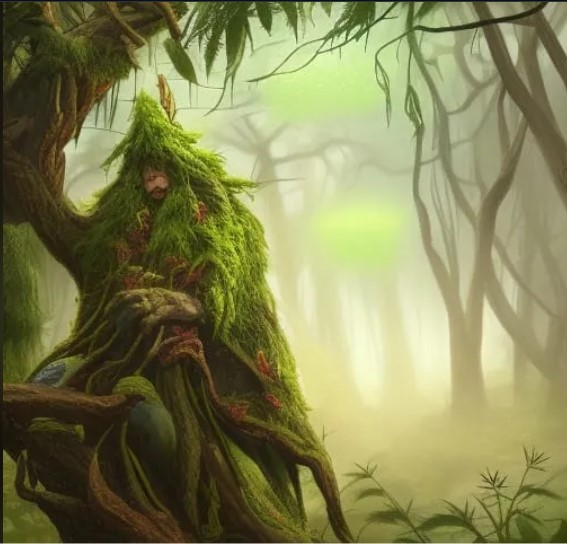
Still, the name Weed Man is inspired. It could have been the title of cheaply made flick for drive-ins and low-budget movie houses of the Eisenhower era. The name inspired me to go to a random AI generative site and ask the robot brain to paint me a picture.

“Weed Man” seemed a little too slender as a prompt, so I made it, “Weed Man emerging from the forest.”

Not bad. You know, I think I’ve seen him before. Well, Conifer Man anyway.

The Demise of Nabih Berri the Ficus

Below is the text of a paper letter I sent from Arlington, Massachusetts, in September 1995, to a friend in Texas. Most of the letters I sent that year are trapped on a disk readable by an ancient world processing machine that’s in our laundry room, but ones from September through November (for some reason) were written using another machine, copies of whose documents are more accessible.

The last time I fired up that ancient machine — some years ago — it worked, but retrieving the text would either mean printing every page, or taking pictures of the screen for every page. Either would be time-consuming, so it’s possible that that correspondence will be as lost as the Amber Room, except that no one cares.

Got your e-note this morning when I got in. We’ve got a correspondence going! Reason enough to like the new medium, no matter what the neo-Luddites think. But I won’t quit letter or postcards. As you can see.

Sorry to hear about your current difficulties. What happened to your car? Thought it was up & running. Maybe your can learn to live without a TV, though.

No need to replace Nabih Berri the Ficus. Sic transit gloria mundi. (Sic transit gloria fici?). Gone, but not forgotten. A plant among plants, it was.

My friends Matt and Jill from Australia have come and gone. Fine people, but exhausting. They’re out to see America between beers. Did get to try a pretty good Mexican restaurant near Harvard Square during their visit. The place has Lone Star Beer. Hm.

Want to get away, before it’s absolutely freezing, to Montreal. Don’t know when yet, but of course you will be informed by postcard. I’ve bought some maps and a guide to the city at my company’s expense, because we do genuinely need them for research, besides the fact that I might use them myself. We have an account at Globe Corner Bookstore on Boylston Street, and all I have to do is sign my name. Now that’s an expense account.

Cold (for September) (high 50s) and miserable outside. Gotta go home through it anyway. More anon.

I had just started using email that summer, as mentioned. I’m not sure anymore what his “current difficulties” were, but it sounds like car repairs and a burned out TV.

As for Nabih Berri the Ficus, that was a twisted ficus of mine that died that year. As for why I called it that, call it youthful whimsy. I think he was in the news when I originally got the plant. I was surprised to learn today that he original Nabih Berri is still alive.
As for Montreal, we didn’t make it that year. It had to wait till 2002.

Pop Up to Canada

When planning our recent trip, I suggested a visit to Sault Ste. Marie, mainly to see the locks that connect the higher-level Lake Superior with the lower-level Lake Huron (and Lake Michigan, for that matter). Engineering marvel and all that.

The idea of crossing from Sault Ste. Marie, Michigan, to Sault Ste. Marie, Ontario, didn’t really register with me. Maybe because I’m blasé about visiting Canada, having done so a number of times.

Or maybe because I dreaded whatever rigmarole Covid-addled Canada would force upon us to cross the border. After all, it was only about a year earlier that I’d seen the near-empty Rainbow Bridge between Niagara Falls, New York and its counterpart in Ontario, bereft of its tourist traffic.

Someday, I knew I’d want to go to the Canadian Sault St. Marie, because it’s the jumping off point to take the Agawa Canyon Tour Train and see other sights northeast of Lake Superior, but all that would take more time than we wanted to spend on this trip.

My friends had other ideas about visiting Canada. Namely, they wanted to. Just a pop across the border on August 3 and spend the night in Ontario, returning to the UP the next day. Two of them had never been to Canada, a slightly flabbergasting notion, and the third had only visited Vancouver Island on a long-ago organized bus trip in high school. They were keen to go, if only for a brief sojourn.

I didn’t object, and we went across the international bridge that afternoon. The rigmarole turned out to be fairly modest, uploading our Covid vaccination cards and passport numbers and a few other details the day before at a web site called ArriveCan, which generated a QR code on our phones that I was sure the guard would want to see, along with our passports.

She did not. Just the passports, and she asked a few perfunctory questions to make sure we weren’t degenerates trying to sneak into Canada, and we went through.

Our visit to the Great White North was short, but sweet. We had dinner — the best of the trip, I thought — at Uncle Gino’s Cafe & Ristorante. I had the penne alforno. The food was delicious, not too expensive (helped by the relative strength of the U.S. dollar), and the waitress was a peach.

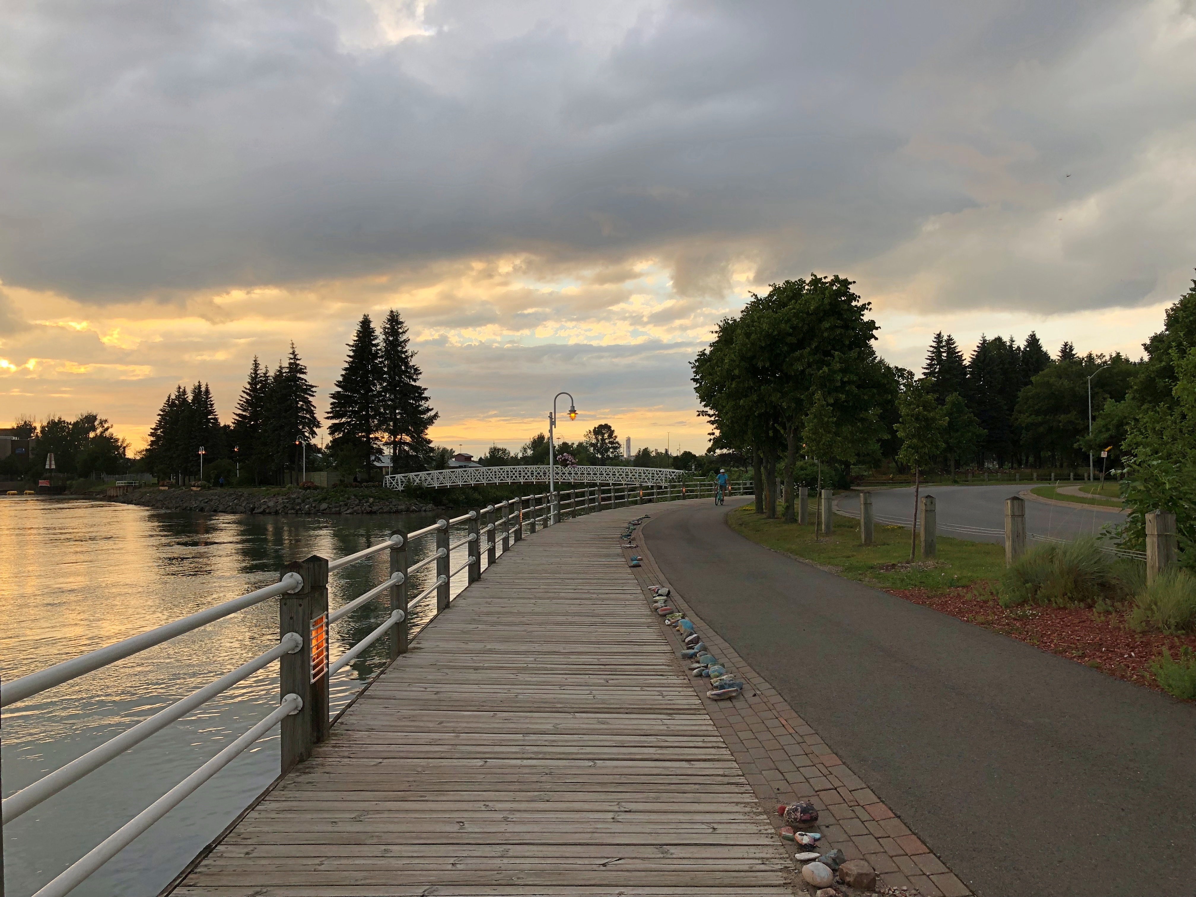
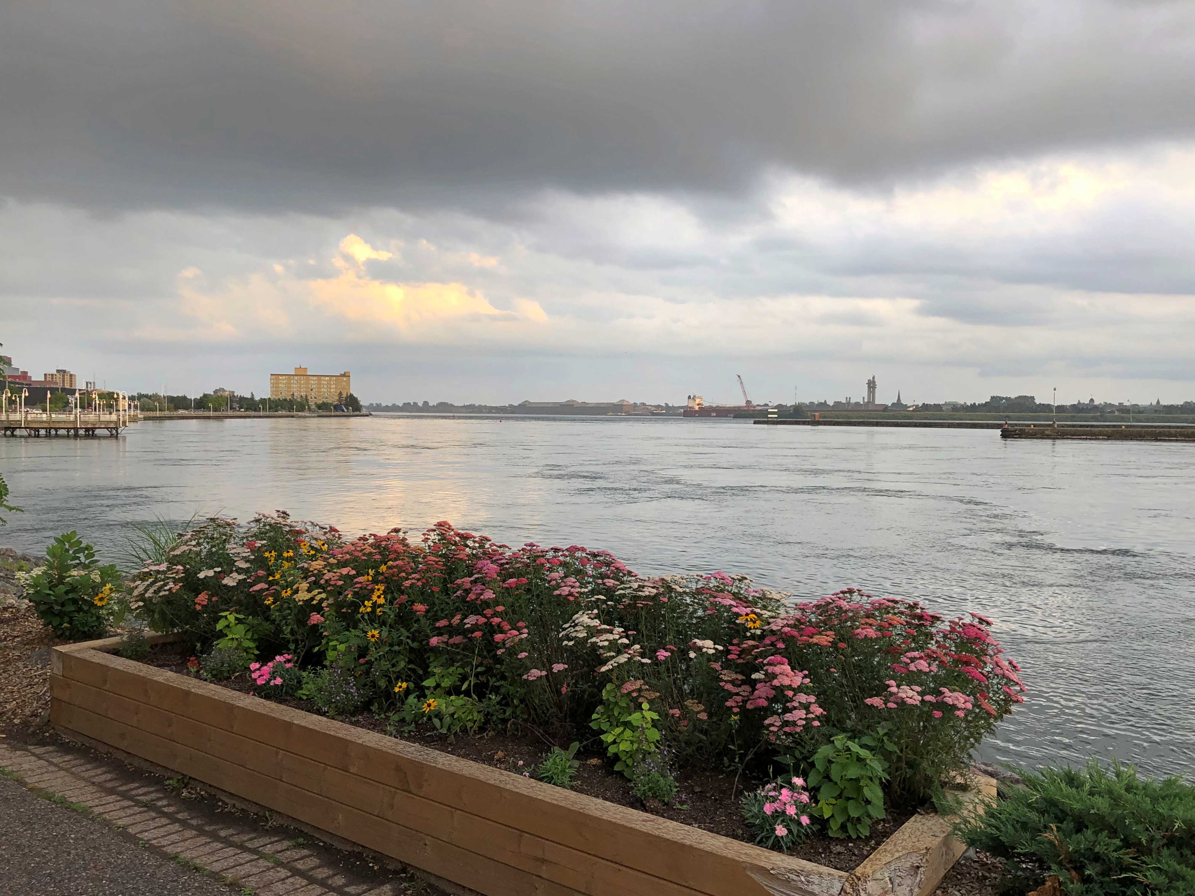
Sault Ste. Marie is a small industrial town, including steel and paper products, and more recently hydroelectric and wind power. We drove around town a bit, and soon took a riverside stroll.Sault Ste. Marie, Ontario Sault Ste. Marie, Ontario Sault Ste. Marie, Ontario

Wind chimes inside funnels along the boardwalk, the likes of which I’d never seen. Makes a pleasant tune, though.Sault Ste. Marie, Ontario

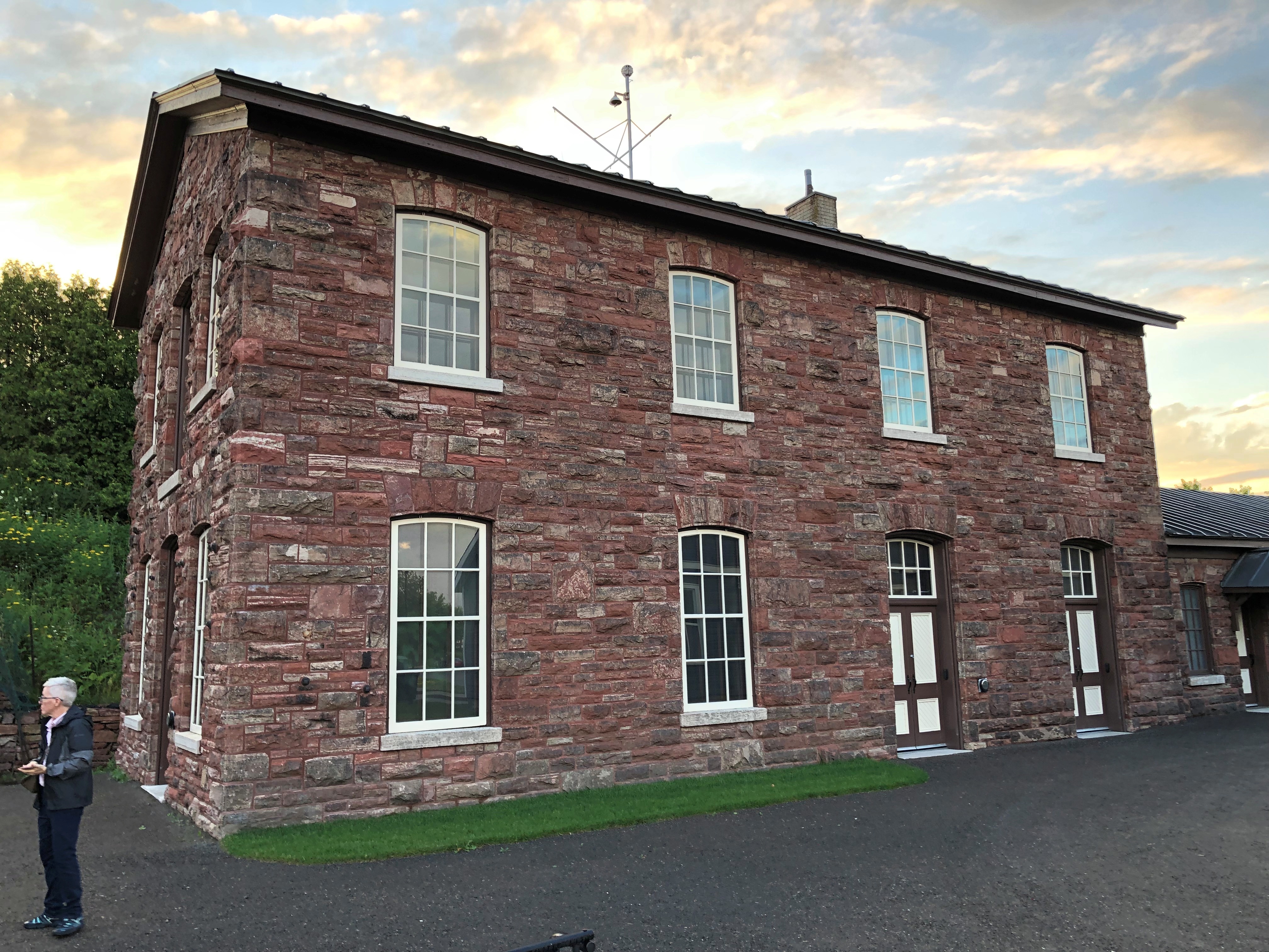
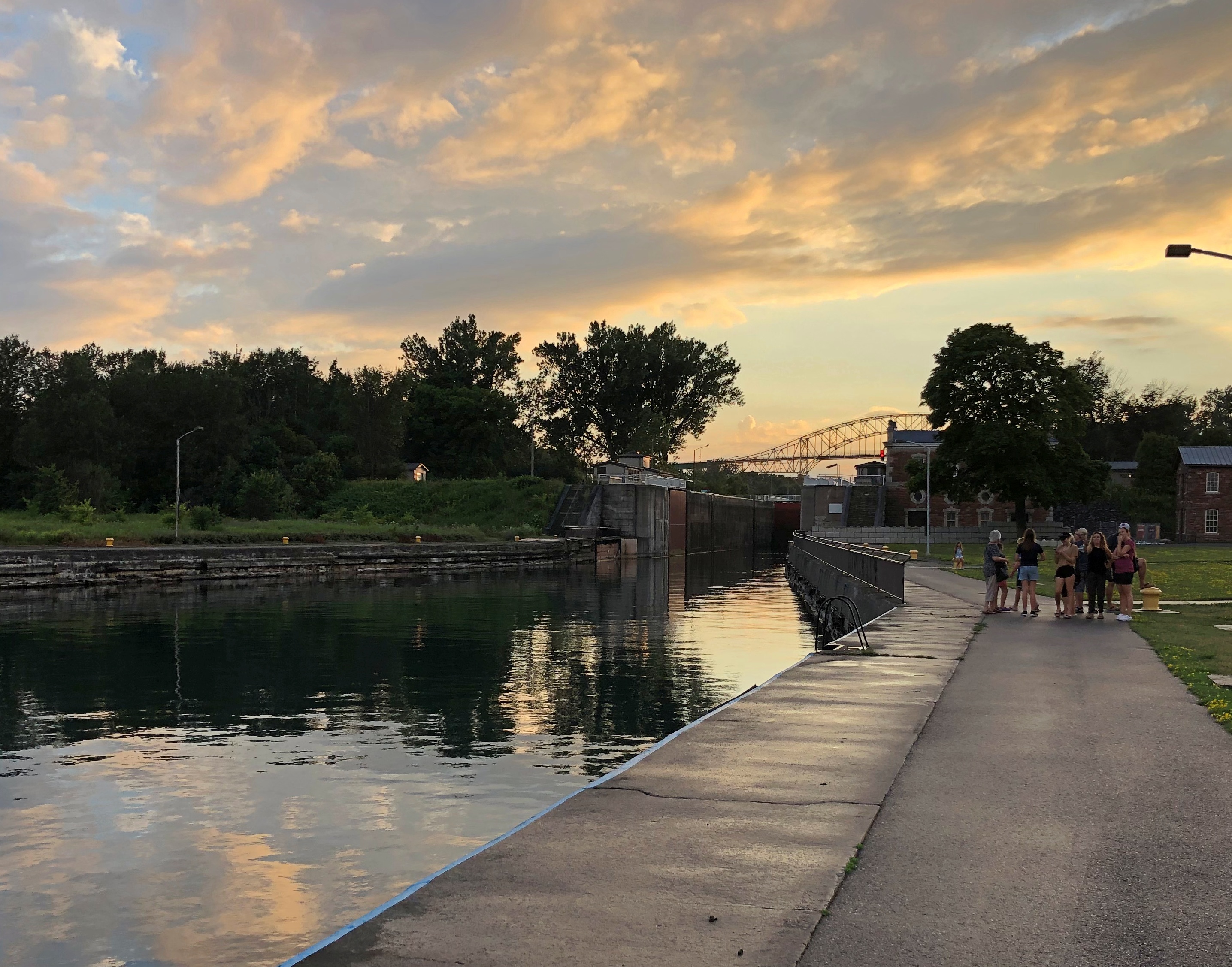
We made it as far as the historic Sault Ste. Marie Canal, which includes smaller locks than on the American side. Reminded me a bit of the Erie Canal.Sault Ste. Marie, Ontario Sault Ste. Marie, Ontario Sault Ste. Marie, Ontario

The canal’s historic structures were closed for renovation, but nice to look at.Sault Ste. Marie, Ontario Sault Ste. Marie, Ontario

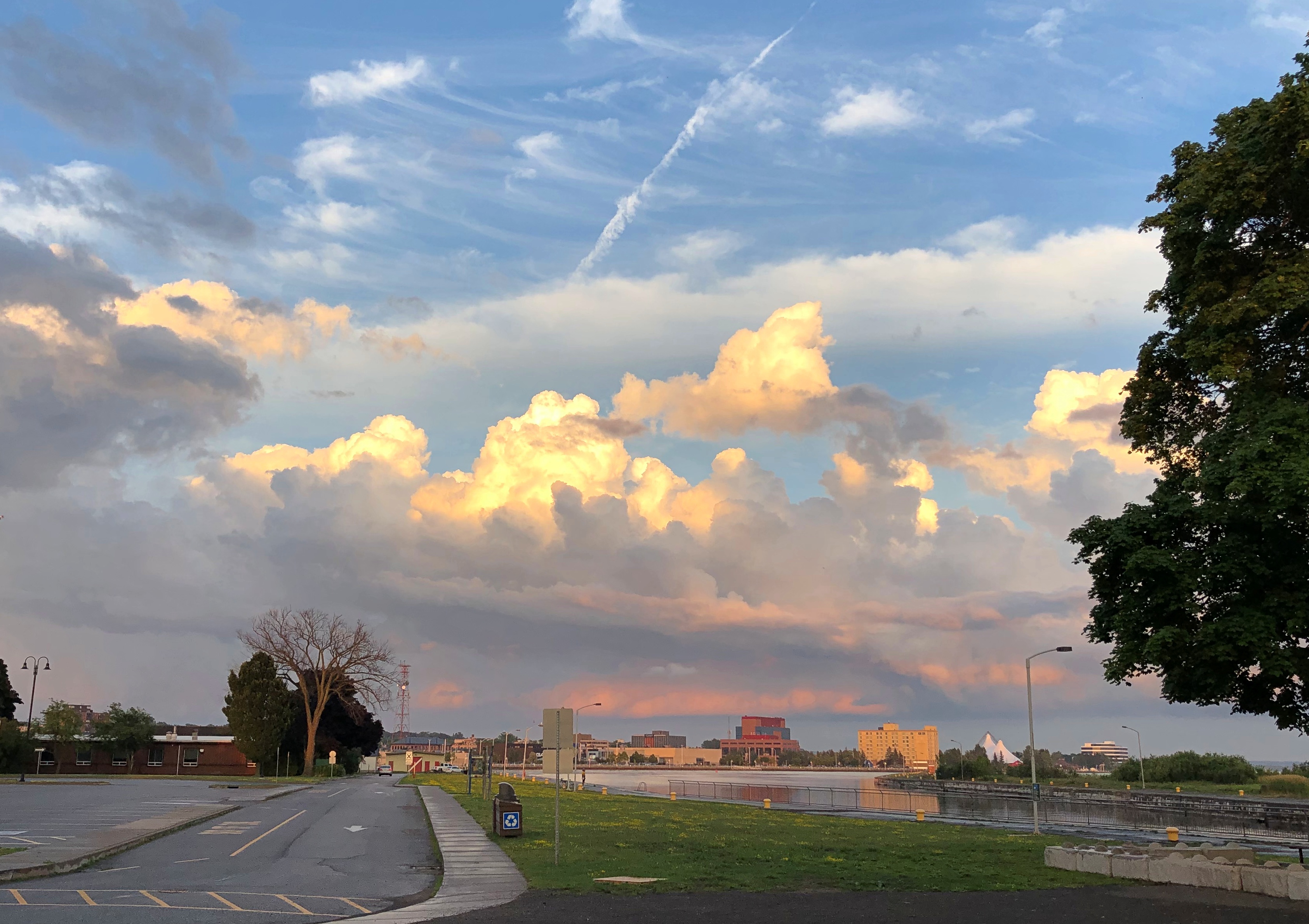
So were the clouds.
Sault Ste. Marie, Ontario

We spent the evening at our rented house, drinking wine, conversing and watching videos each of us selected in turn. I suggested a few Caro Emerald videos, and she was a big hit, as was Tammi Savoy, a delight I only discovered myself in January.

We left in the next morning and I forgot to suggest we visit the local Tim Horton’s. Damn. My friends missed an essential Canadian experience. They probably would have liked the coffee and I know they’d have liked the doughnuts. Guess they’ll have to visit the country again sometime.
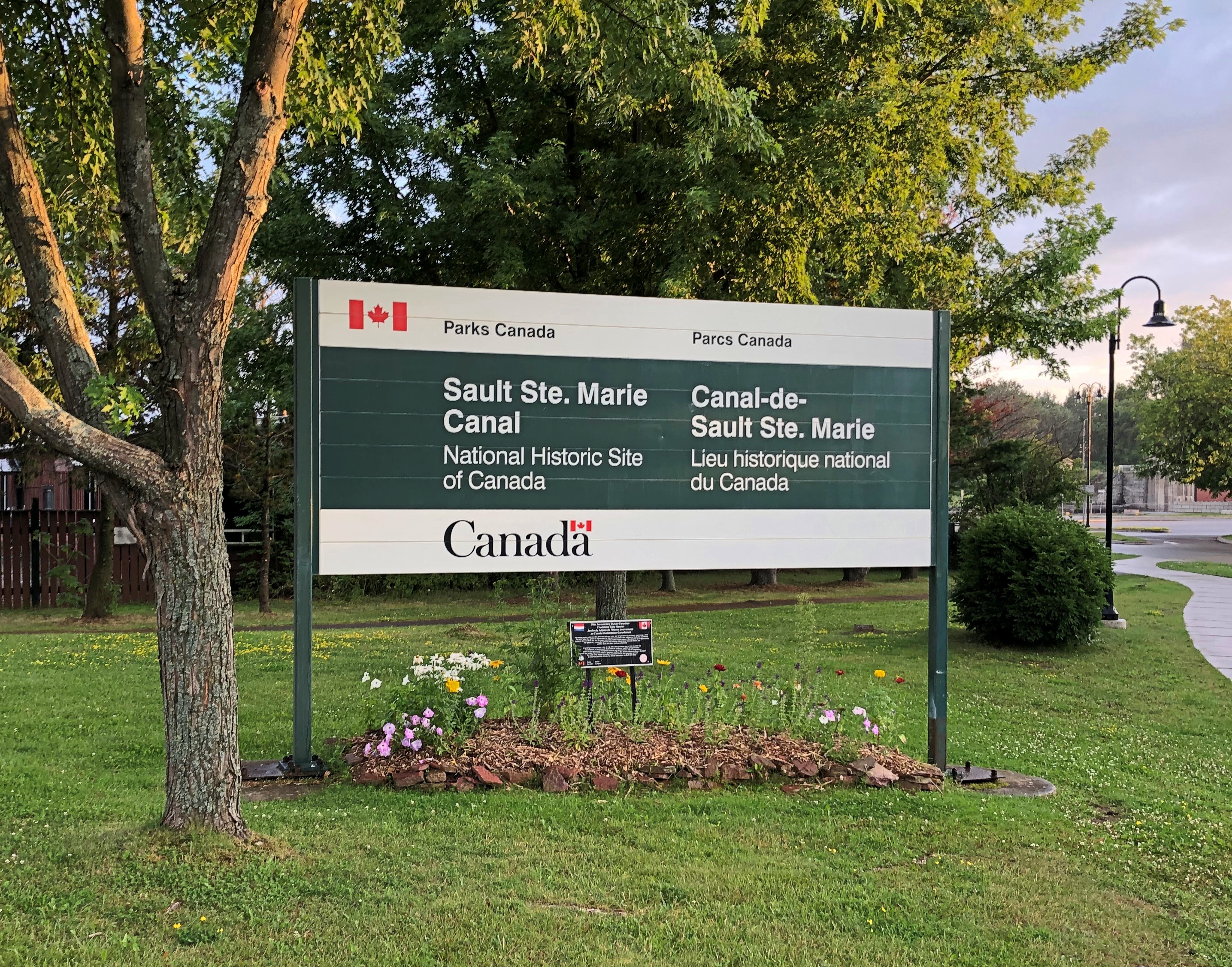
As for me, I came to consider my visit to Sault Ste. Marie as a scouting expedition. One of these days, I need to come back to explore the region more thoroughly — take that Canadian train and see those U.S. locks.

Around Lake Michigan ’22

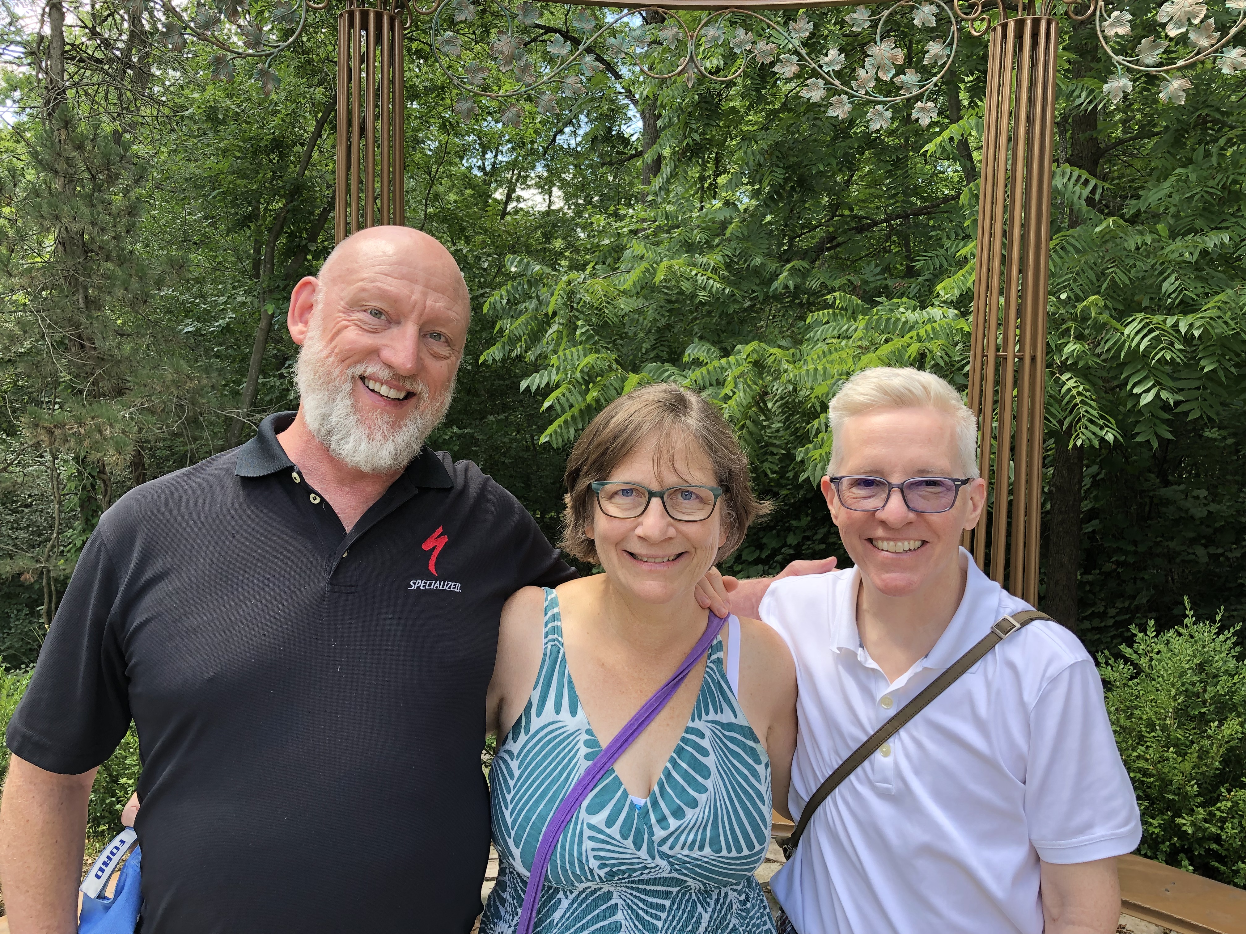
A little more than a week ago, I took a pretty good picture of three dear friends, two of whom I’ve known for over 45 years. From left to right, Tom, Catherine and Jae.

We were on the second day of our drive around Lake Michigan, counterclockwise, which took us from metro Chicago through northern Indiana, Grand Rapids and parts of western Michigan, Petoskey and environs, Mackinac Island, both Sault Ste. Maries, parts of the eastern Upper Peninsula, greater Green Bay and other parts of eastern Wisconsin, and back to metro Chicago.

Leaving on July 30 from our starting point at my house, we drove my car on crowded and less crowded Interstates, state and county highways, and a host of smaller roads, including National Forest roads cutting through lush boreal territory. Returning yesterday to my house, my friends flew back to Austin today; they had arrived from Austin two days ahead of the trip.

We’d planned the trip via email and Zoom, beginning back in early spring. I was the informal guide, making suggestions and offering bits of information I knew from previous visits to Michigan, upper and lower. But my friends were hardly passive in the course of our travels, digging up information via cell and making their own suggestions based on their own familiarity with some of the territory. Catherine had overseen arranging our accommodations, and everybody drove at one time or another.

We stayed in five different peer-to-peer rental accommodations along way, all entire houses that could provide us enough bedrooms, bathrooms, food prep and dining areas, and, in most cases, space to sit outdoors, once with a view of the waters of Green Bay.

Enjoying the outdoors was one of the main goals of the trip. For me, certainly, but especially for them, escaping the high heat of central Texas. They often remarked on the cool air and reveled in it, checking periodically to learn the temps at home. Three digits in Austin wasn’t usual. I don’t think got higher than 85 F. where we were. Standard night temps in both Michigans generally came in the 60s F.
Two meals a day was the norm: a mid- to late-morning breakfast and a late afternoon dinner, or a very late breakfast and a late dinner, at least as these things are reckoned in North America. So on many days, our meal schedule was more like that of Mexico City.

Food variety has trickled down to the lakeside and inland burgs of the upper Upper Midwest, though perhaps not quite as much as in large metros. Whitefish, the star of a lot of UP menus, had top billing in some of our meals, but we also enjoyed hamburgers and other meat — including one tasty UP pasty — pizza, pasta, breakfast fare, bar food, Italian and Asian, plus chocolates and fruit, such as Michigan cherries and UP jam. We prepared our own meals sometimes, did takeout a few times.

Coffee by morning, wine by night, though I only participated in the latter. Familiar wines were available in every grocery store we visited, and my friends sought out coffee ground as locally as possible: one bag from Sault Ste. Marie, for instance.

Meals and wine drinking were a source of convivial times, but hardly the only one. We talked and conversed and bantered at the table, as we headed along roads and as we walked trails. Shared personal histories were revisited, stories of our long periods apart were relayed, and opinions shared. Odd facts were floated. There was punnery, especially on the part of Tom, a born punster.

We visited one city of any size, Grand Rapids, and many smaller places, a few museums, a sculpture garden, some riverfronts, shopping streets and resort areas, a grand hotel, an historic fort, churches, a Hindu temple, a wooded cemetery, two lighthouses, forests, clearings and beaches, a massive sand dune, waterfalls, rapids and the clearest pond I’ve ever seen. The three Great Lakes we saw stretched to empty horizons — except when Canada or the opposite shore of Green Bay were visible. We crossed the Mackinac Bridge once and the international bridge between the Sault Ste Maries twice.

We walked near the shores of Lakes Superior, Huron and Michigan. The northern woods and the beach ecosystems were fully flush here in late summer. Jae, who knows a good deal about flora, shared some knowledge about the flowers, trees and fungi we saw in profusion.

Though we caught a few showers in daytime, and the last day was mostly rainy, most of the storms rumbled through at night, adding to the restfulness of whatever sleep we each had. None of the storms were lightning-and-thunder dramas, but some were impressive in their downpour. My friends expressed their satisfaction with the cool light winds that often blow in corners of the UP.

There were a number of travel firsts, mostly for my friends. This was the first time any of them had been to the UP, and the first time they had seen Lake Superior, whose aspect I’m so fond of, and their first visit to the northern part of the Lower Peninsula. The trip included Tom’s first known visit to a national park, though later we determined that it was probably his second park. Also, it was the first time two of them had ever been to Canada, since we popped across the border for one night in Sault Ste. Marie, Ontario.

For me, a mix of new and places I saw long enough ago that they were almost like new.

When I dropped off my friends at O’Hare earlier today, we agreed that they trip had met expectations. And more.

Jack London Square

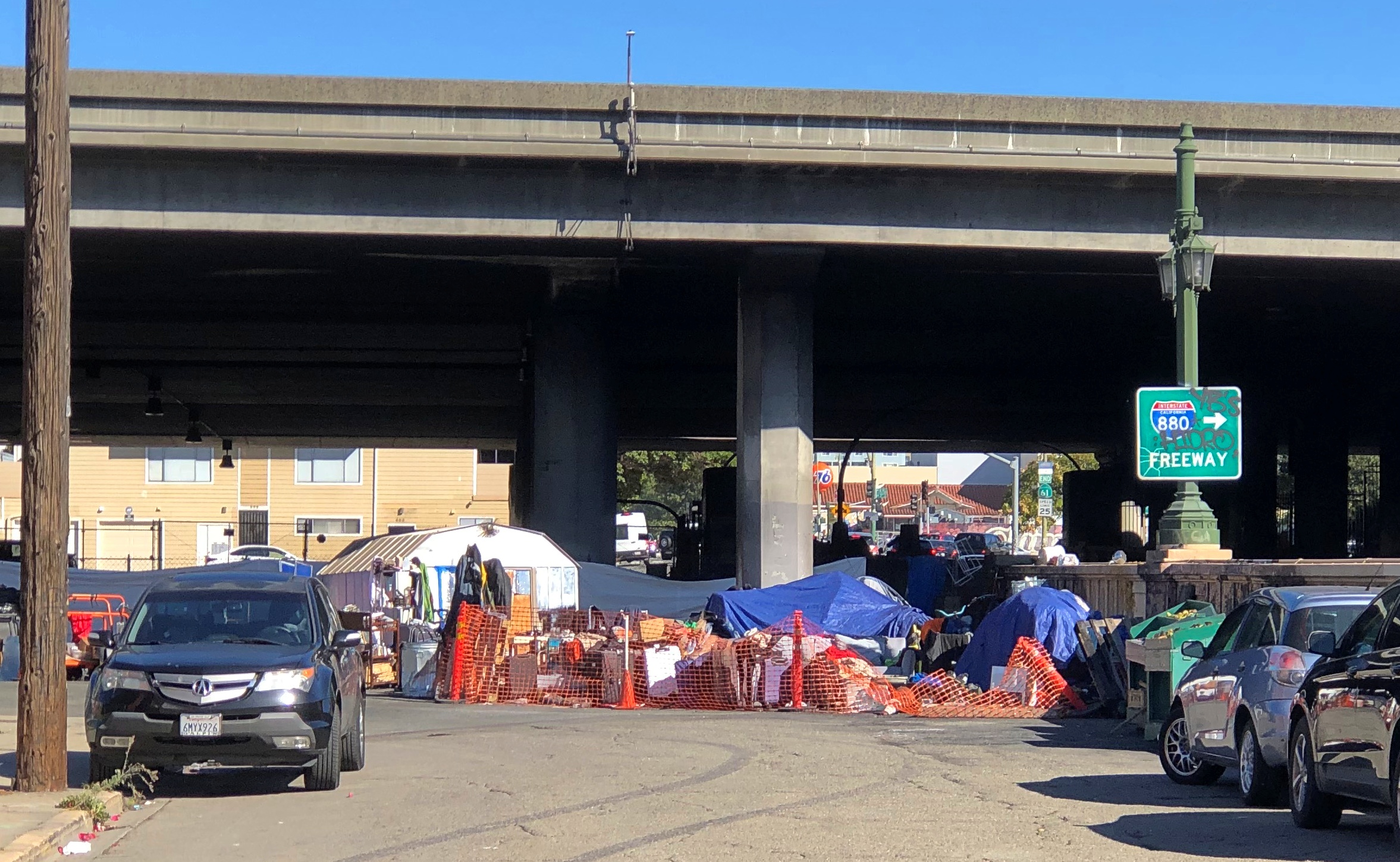
Not too many authors have their names attached to places, but Jack London does, at least until someone points out loudly enough that he was an enthusiastic supporter of eugenics. But for now, if you cross under I-980/I-880 from downtown Oakland — part of whose underside is an informal neighborhood —Oakland shanty town

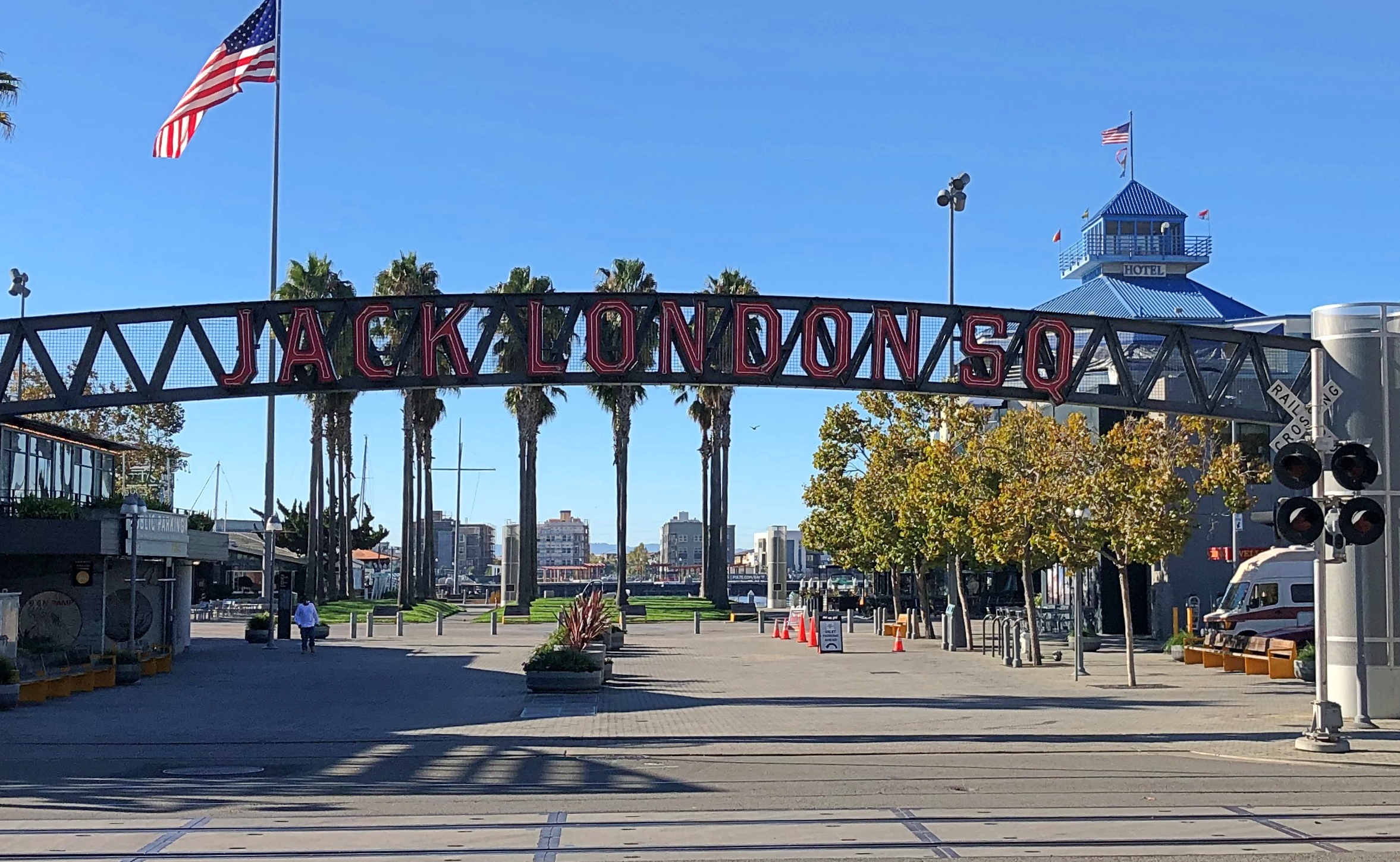
— you will arrive before long at Jack London Square, which is part of the larger Jack London District. Formerly a warehouse and port district, the rise of container vessels mostly made the area obsolete as an industrial zone. Various rehab projects began in the late 20th century, but I understand that adaptive reuse really got underway around 2000, with residential redevelopment especially pushed by former mayor Jerry Brown.

The sign on site says JACK LONDON SQ.Jack London Square

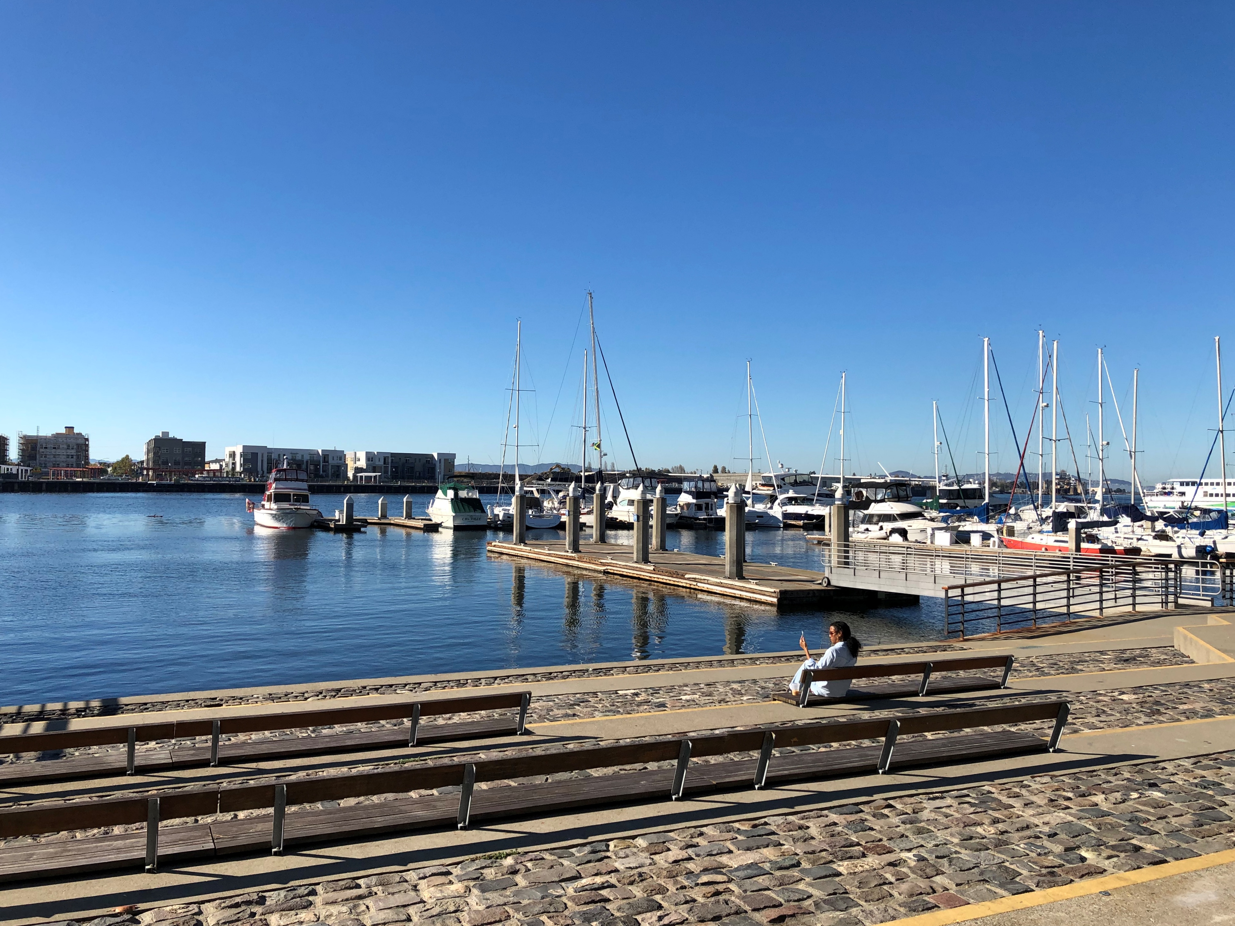
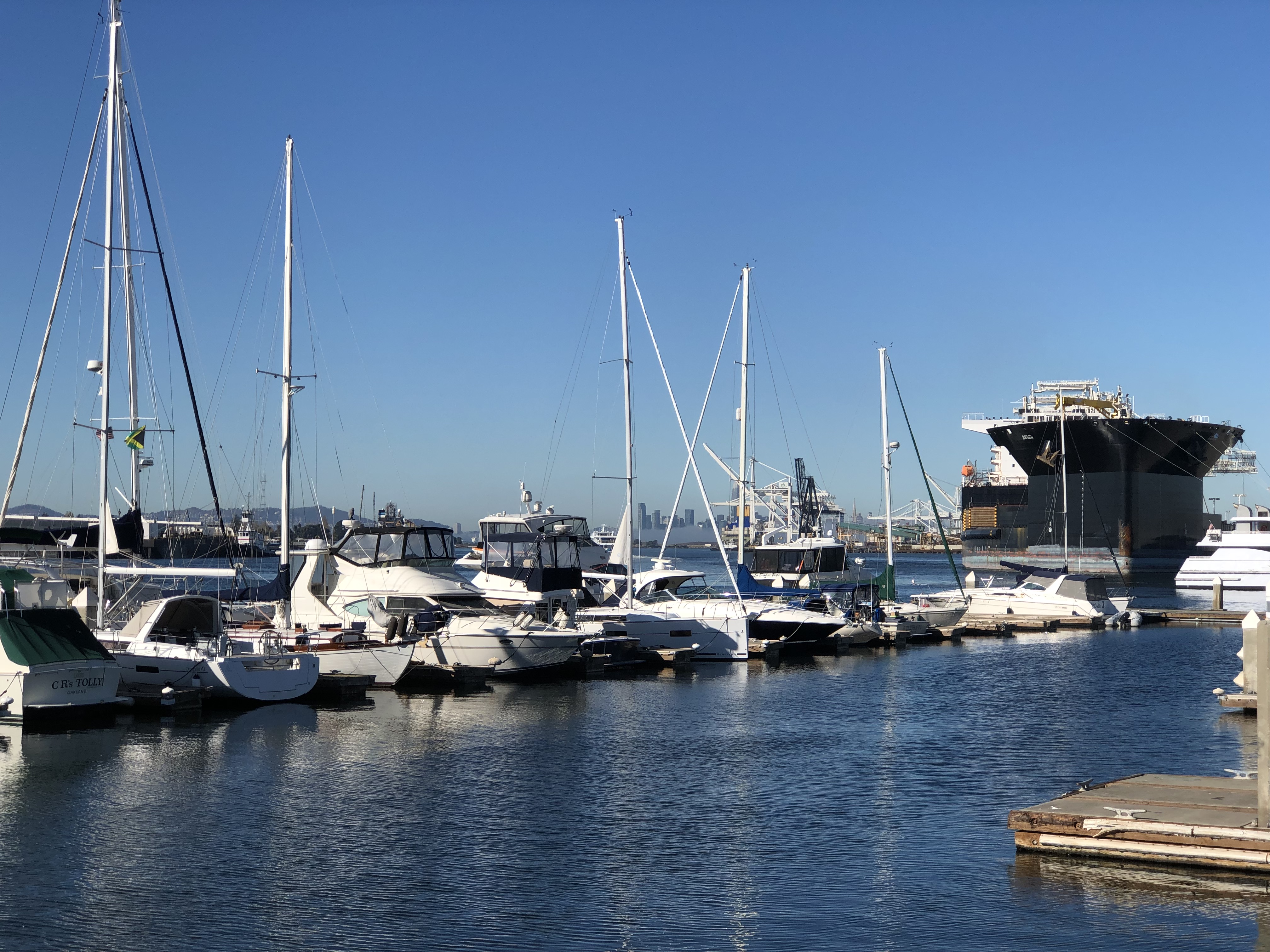
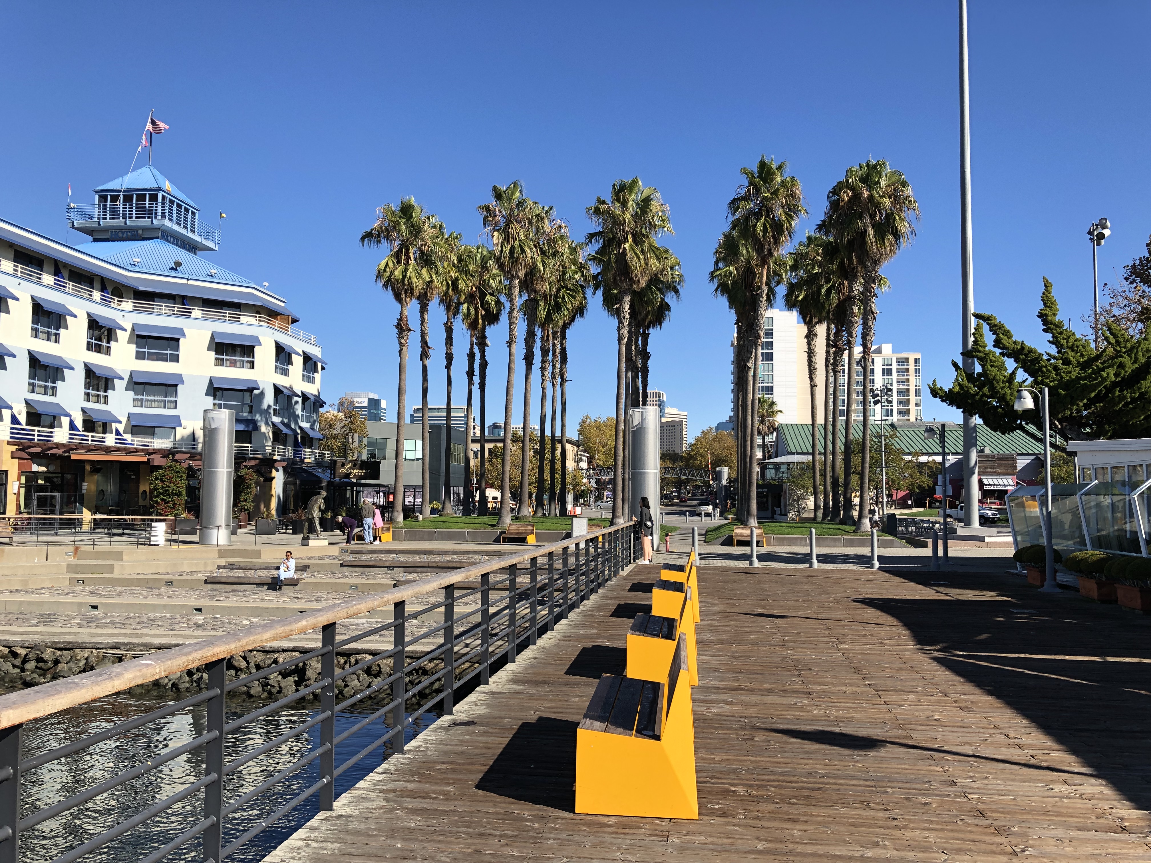
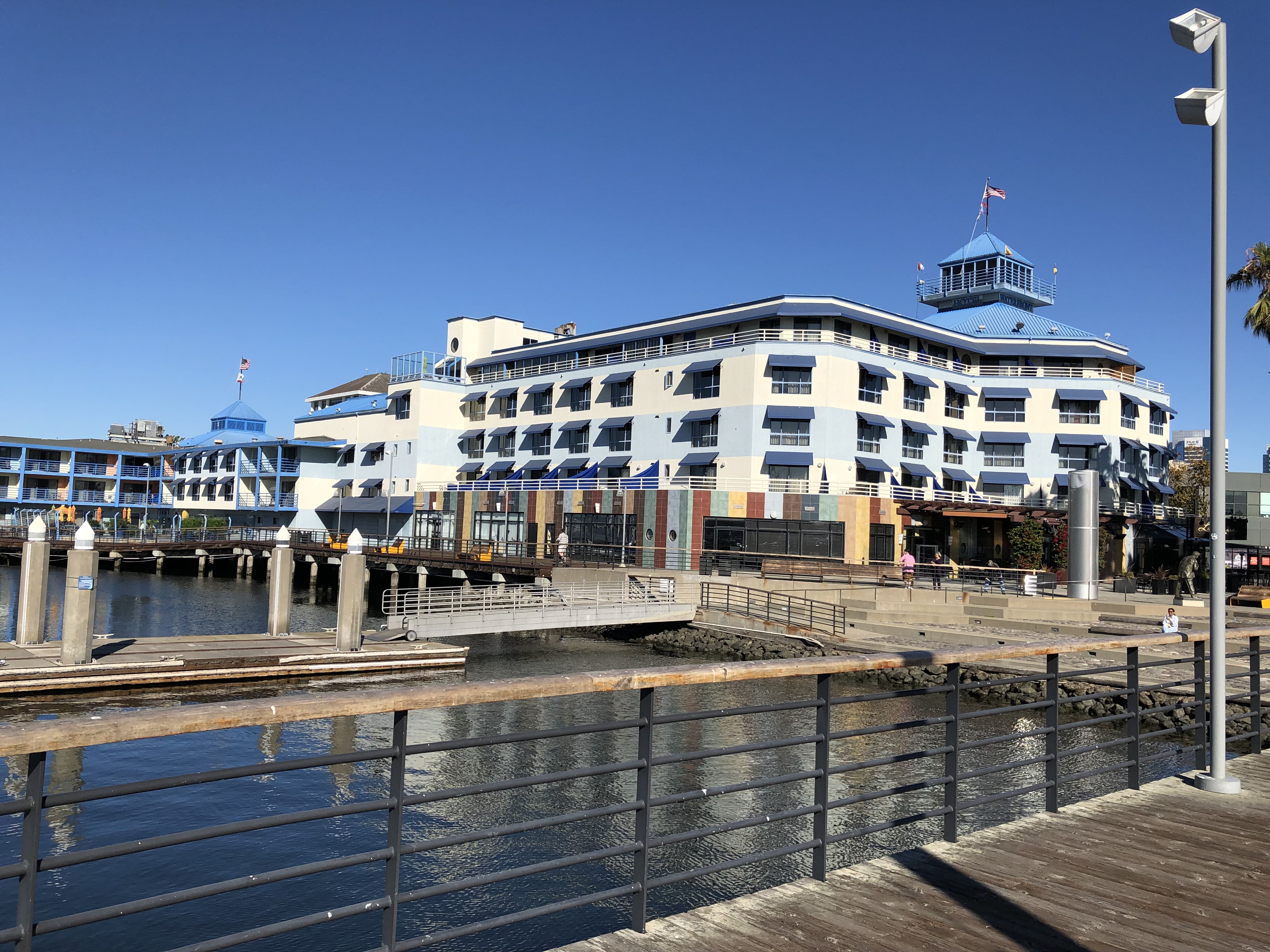
I understand the area was a good deal rougher when Jack London himself lived around there, but these days it’s an entertainment district, with shops, restaurants, hotels and a movie theater, as well as a marina where you can catch a ferry to San Francisco.Jack London Square Jack London Square
Jack London Square Jack London Square

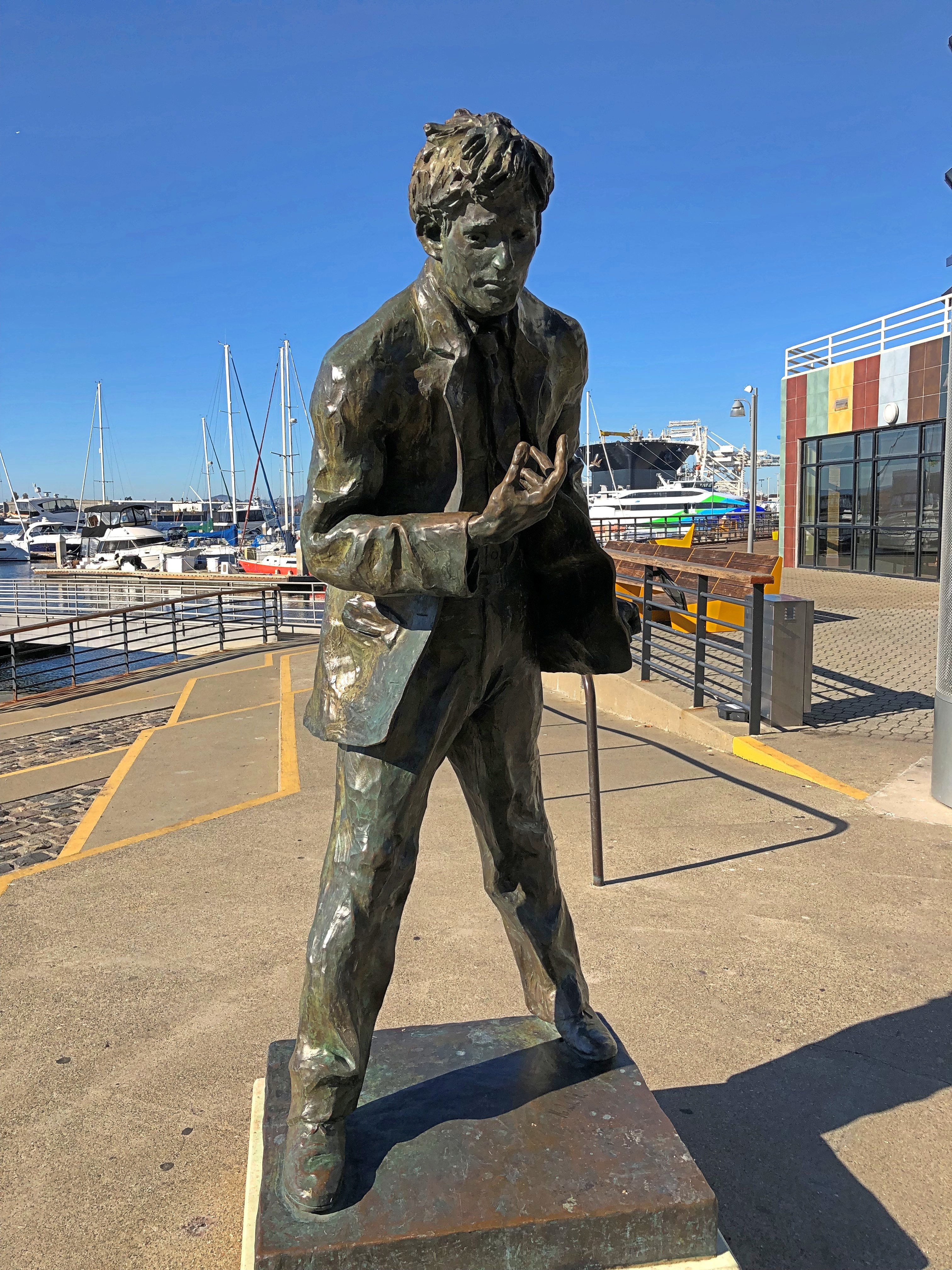
There’s also London in bronze by Cedric Wentworth, a Bay Area artist.Jack London Square

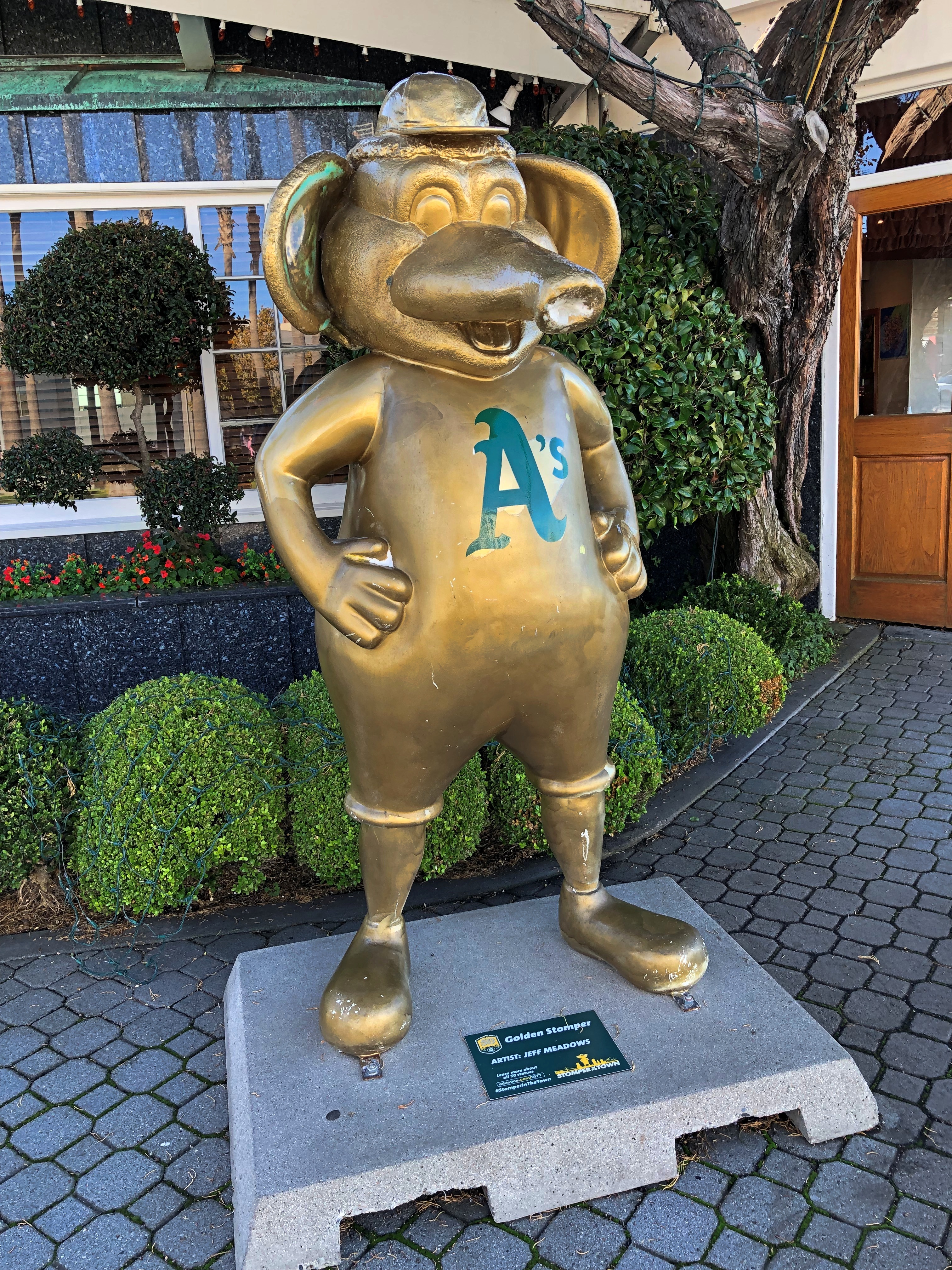
Not far away is a non-bronze, “Golden Stomper,” by one Jeff Meadows. It’s an Oakland A’s thing, and I can’t get that excited about it.Jack London Square

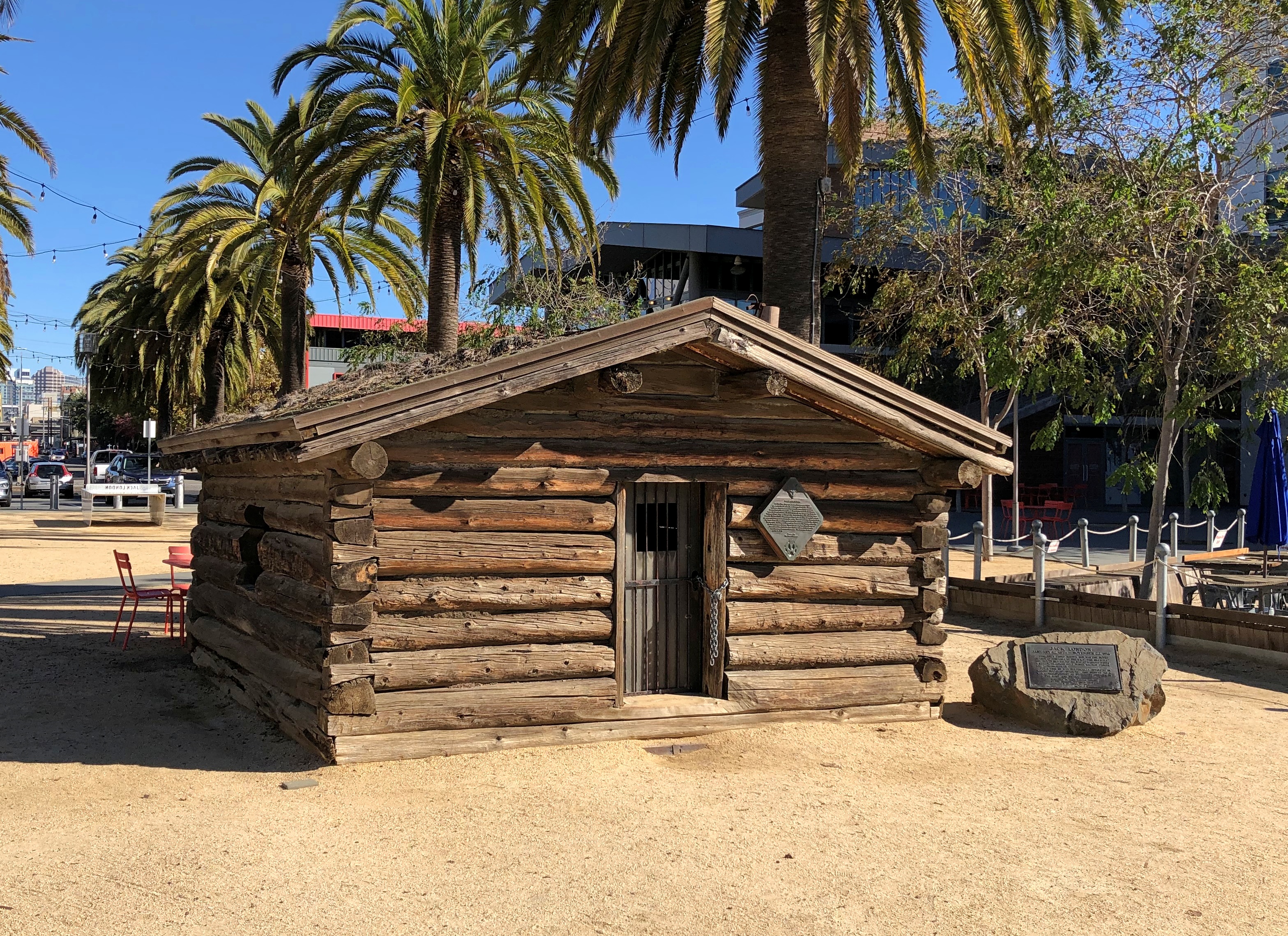
London lived in a cabin in the Klondike during his gold-seeking period. On the North Fork of Henderson Creek, to be more specific. Much later (1968) half of the cabin was brought to Oakland and a replica created using those and newer materials at the behest of a wealthy Jack London enthusiast. The other half went to Dawson City, where another replica was created. So now there are two London cabins, one much easier to reach than the other.Jack London Square

And what would a Jack London cabin be without a nearby bronze of White Fang?
Jack London Square

Or maybe that’s supposed to be the dog in The Call of the Wild. No sign is attached to say which. I couldn’t hazard a guess, since I never did get around to reading either of those books, though I did read the Classics Illustrated version of The Call of the Wild.

Most of an Empress Hotel Postcard

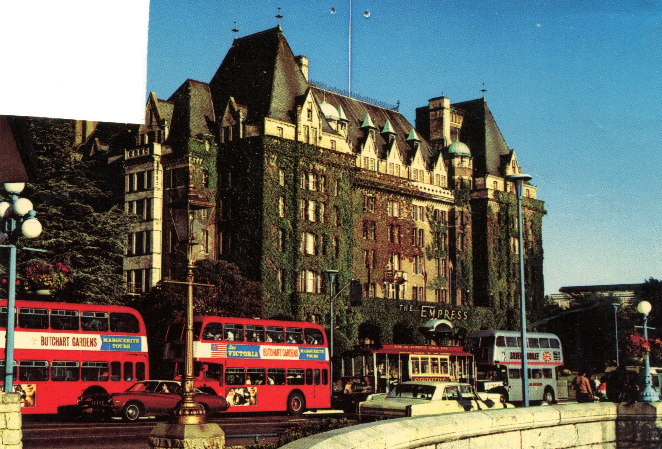
Postcards are sometimes educational, if you let them be. Another of the cards that I dug up this weekend depicts the Empress Hotel in Victoria, BC.Empress Hotel

I picked it up during my only visit to that city (1985), though to judge by the image, the picture might have been taken ca. 1970. I filled the card with correspondence, even to the point of stamping it, but I never sent it. At some point I removed the stamp for other usage.

Curious about the property, vintage 1908, I looked it up and thus learned about an entire class of hotels — namely, Canada’s grand railway hotels, mostly built by Canadian railway companies in a style that evokes French châteaux: Canadian National Railway, Canadian Pacific Railway and Grand Trunk Railway.

Some of the properties don’t exist anymore, but many do, such as the recently mentioned Banff Springs Hotel. That there are such palatial hotels is a good thing to know about Canada, I think.