Alberta 2006

It’s been a year of getting near Canada — Buffalo and Detroit so far — without crossing the line, since the border remains stubbornly closed even now.

That wasn’t the case 15 years ago this month, when we drove from Illinois to Alberta by way of the Dakotas and other places. At the time I wrote: “So, to sum up: very long drives, a lousy exchange rate, high fuel costs. Was it worth it? Was it ever.”

What is it about mountains? Pre-modern generations considered them obstacles to their forward motion. Now that we have mountain roads and tunnels, we admire the view. Do people who live close to mountains take trips to see flatlands? That makes me think of busloads of Swiss out admiring Kansas, but I don’t think it works that way.

Anyway, it was a trip of wide horizons, long roads, lofty mountains, mighty waters (liquid and frozen), endless forests, vivid wildflowers, sweeping Canadian farms, campsites, elk and bears and bison, clouds of mosquitos, national parks, vistas and towns of the tourist and non-tourist variety.

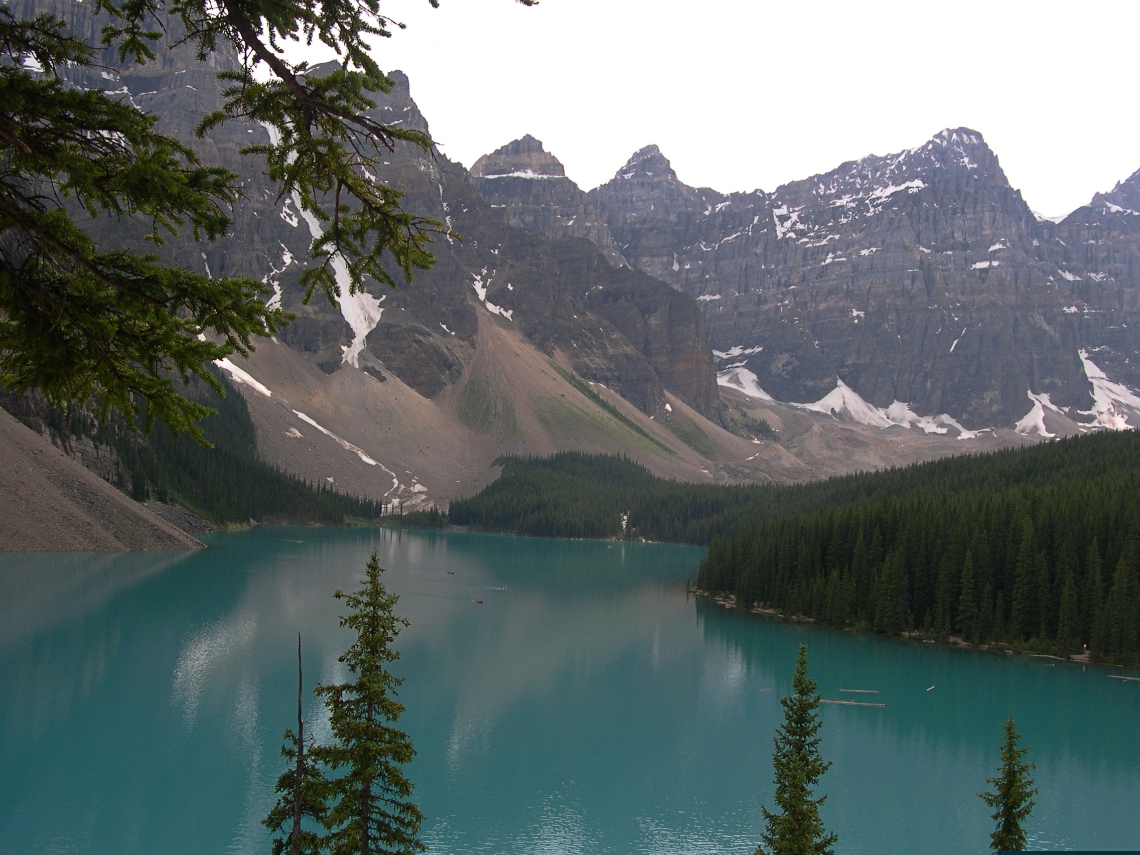
Moraine Lake and the Valley of the Ten Peaks. Too good a vista not to post again.

Moraine Lake and the Valley of the Ten Peaks

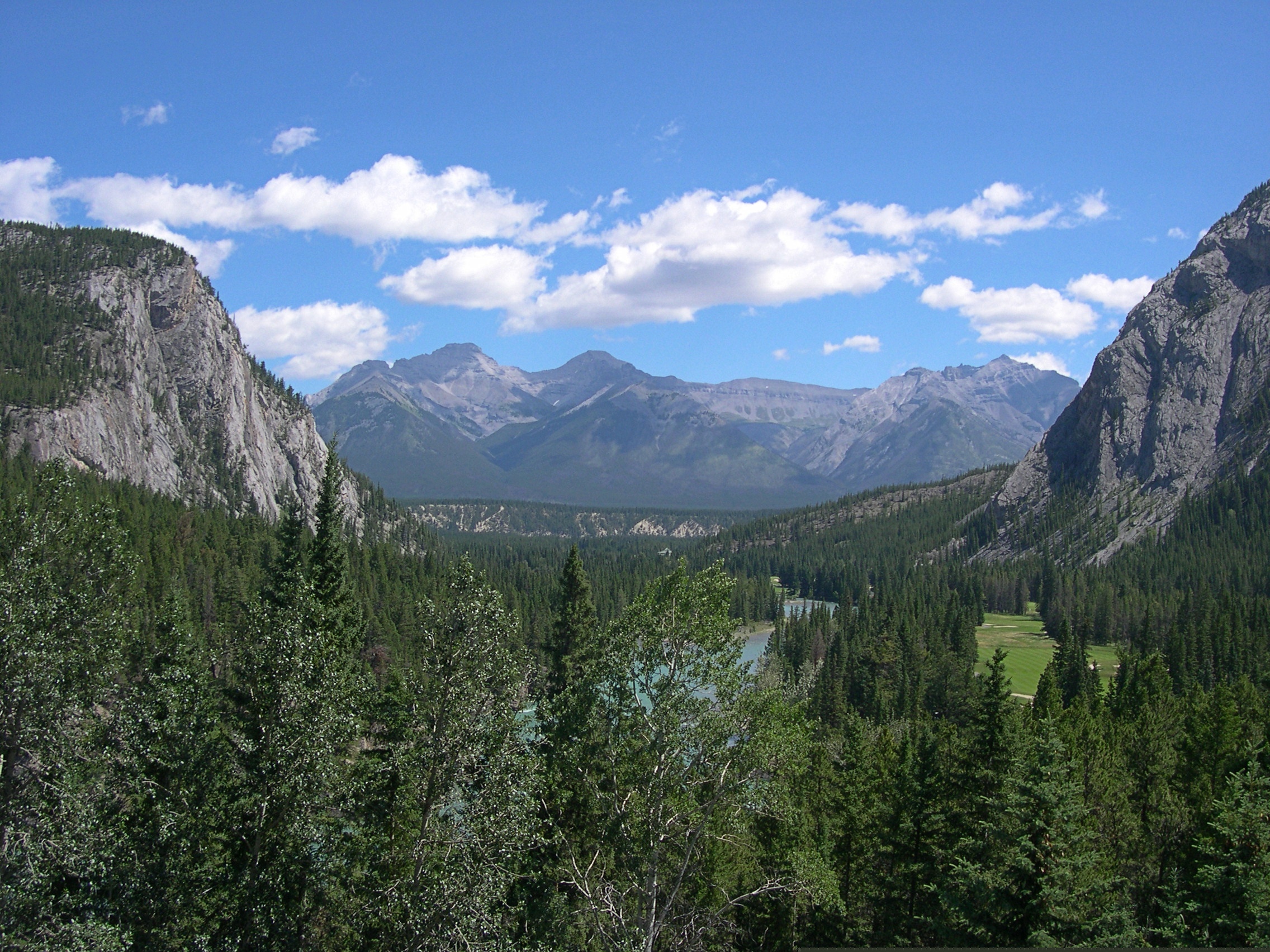
This looks like a view from some remote spot, but actually I was standing in back of the Banff Springs Hotel in Banff, which was a sight all its own.

Banff Springs Hotel back view

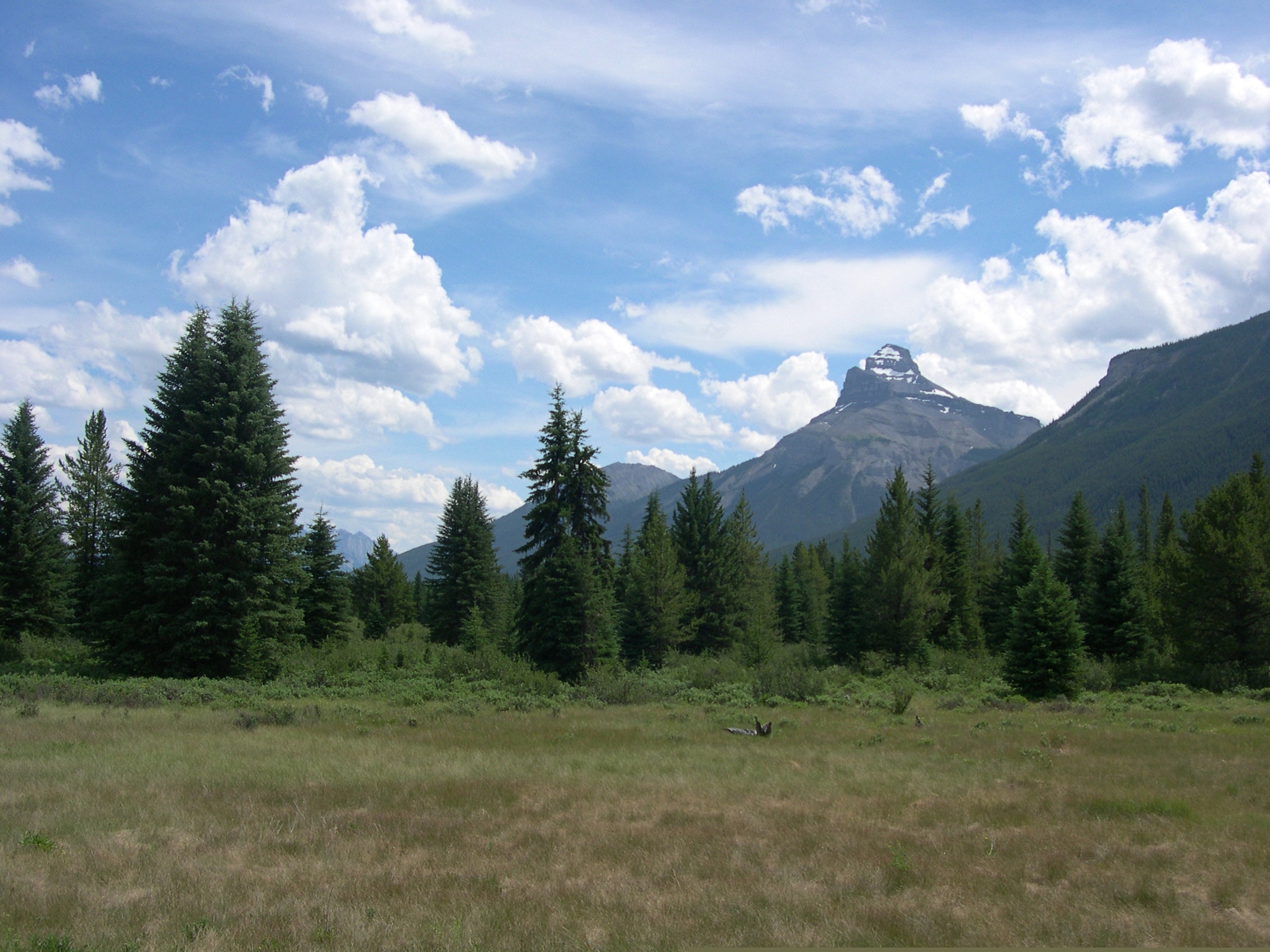
This view, on the other hand, is roadside on the Icefields Parkway, which remains one of the great drives of my life. A place called Moose Meadows.

Moose Meadows, Alberta

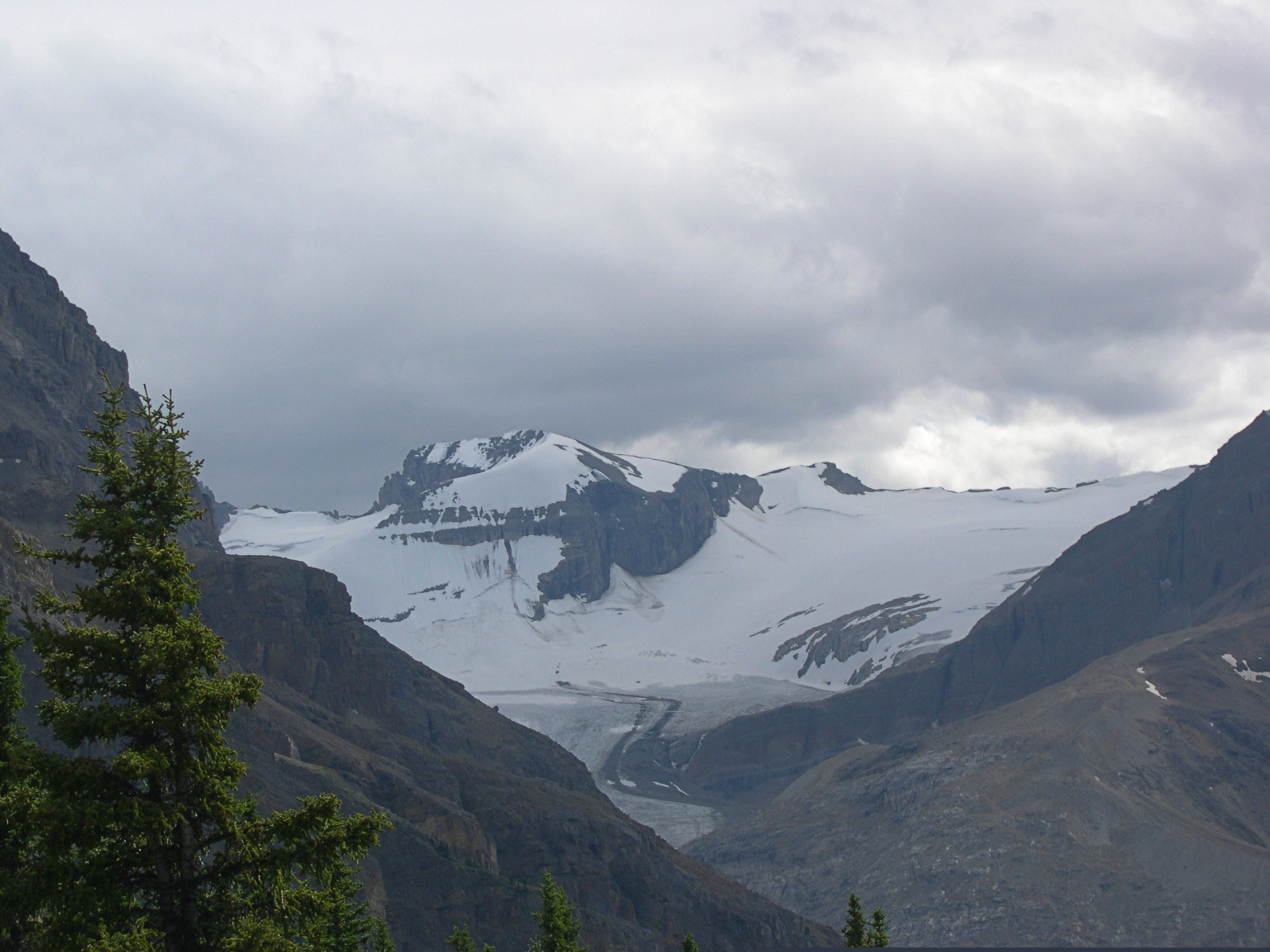
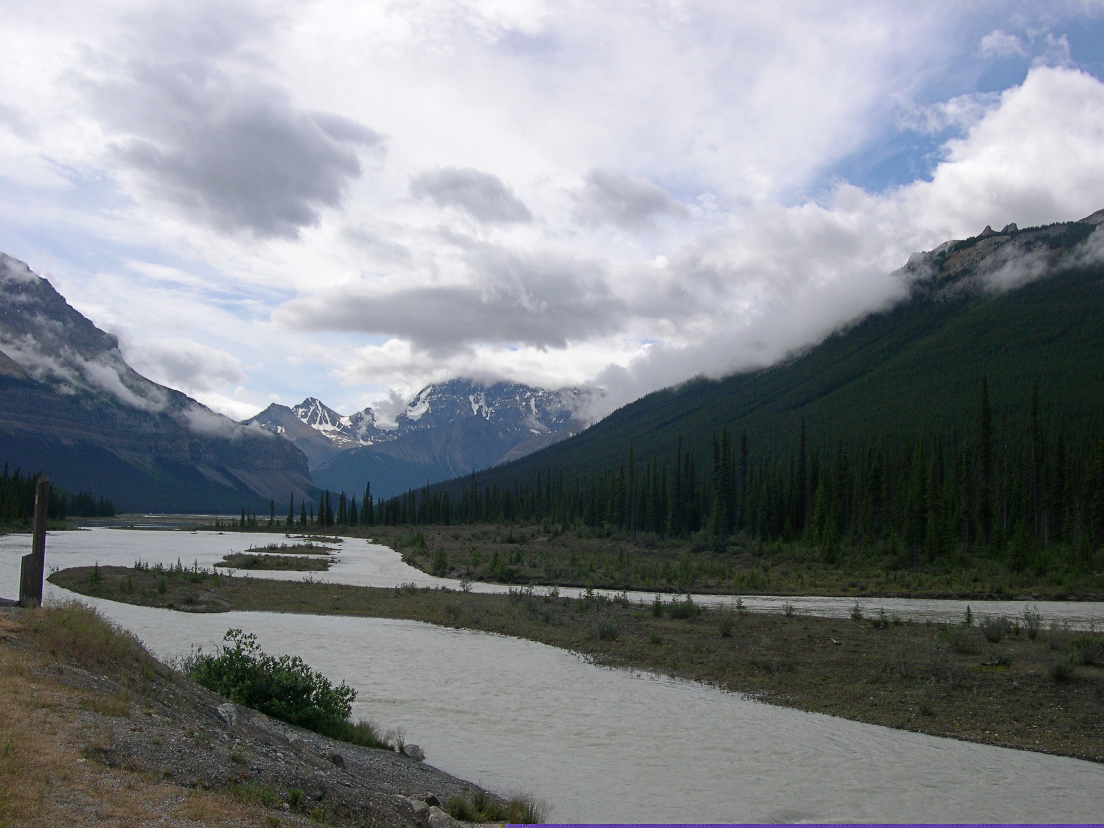
More Alberta views.Alberta

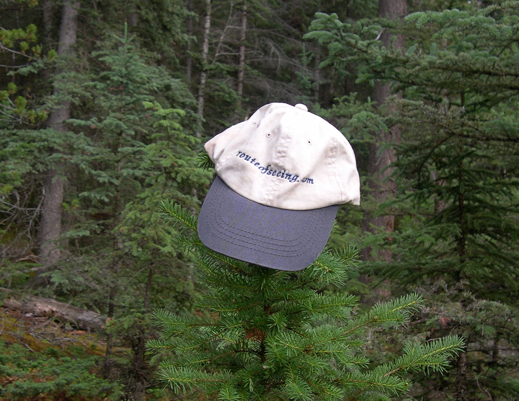
I told Ed Henderson (d. 2016) I’d take the cap he sent me various places. I haven’t lately, but I did for a while.

The girls had a good trip.

Even if they don’t remember much, in the case of Lilly, or anything at all, in the case of Ann.

Along the Niagara Gorge

What’s within walking distance of Niagara Falls State Park if you want a (relatively) inexpensive lunch? There’s a food court in an ugly building, but also Zaika Indian Cuisine, Taste of Nepal and Punjabi Hut on streets near the park, all of which speak to fairly recent immigration in this corner of western NY. When honeymooners visited Niagara in the early 20th century, or even most of the rest of the century, those were surely not options. We had the buffet on Saturday at Punjabi Hut, which was pretty good.

Afterwards, we spent a little more time at the park riding the Niagara Scenic Trolley, whose route was shortened during the pandemic, and then headed north by car on the Niagara Scenic Parkway. The road is fairly short — 18 miles or so — and goes from the town of Niagara Falls to Lake Ontario, but it is definitely scenic, except for the section that passes by the New York Power Authority plant on the river. Just north of the falls the parkway follows the river fairly closely.

The road was known as the Robert Moses Scenic Parkway until about five years ago. Looks like Confederate memorials aren’t the only ones getting the boot these days. So are those honoring urban planners with a taste for neighborhood-impinging expressways. (And what’s to become of this state park on Long Island? Time will tell.)

North of the town of Lewiston, the parkway still follows the river, but at a remove of a mile or so. It’s pretty enough, but I understand that the Niagara Parkway on the Canadian side, which follows the river quite closely, is the prettier drive. But one goes where one can go.

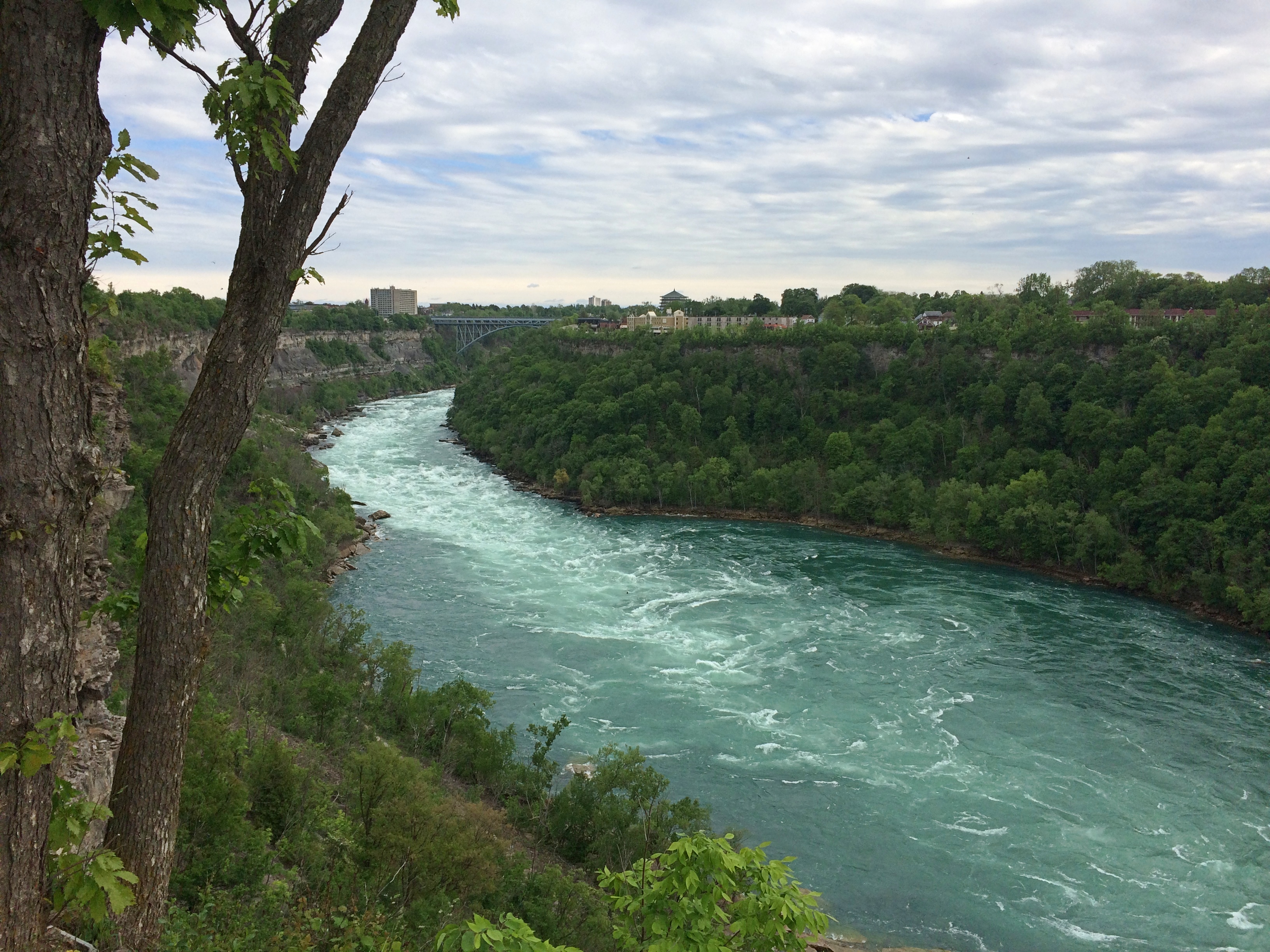
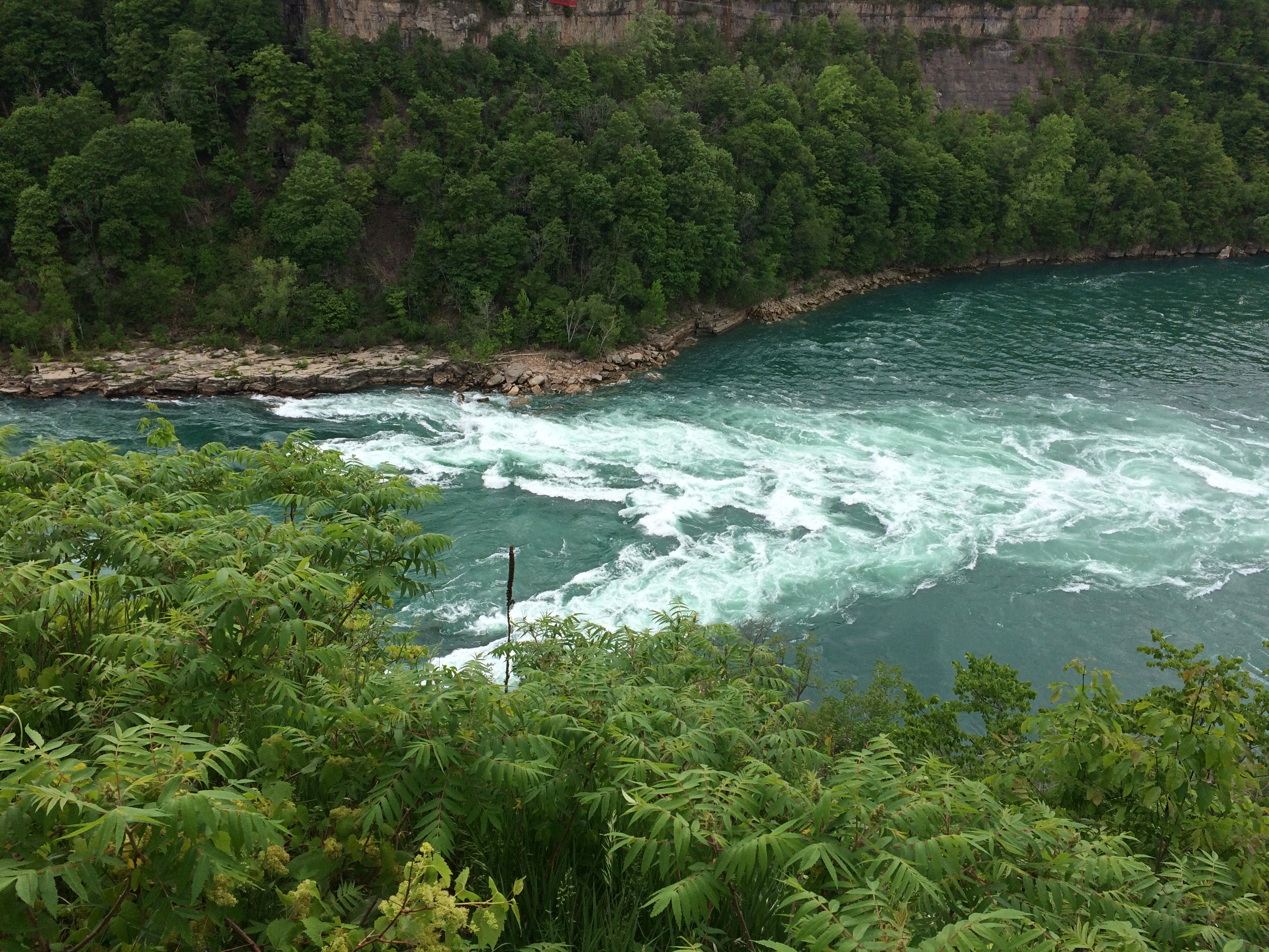
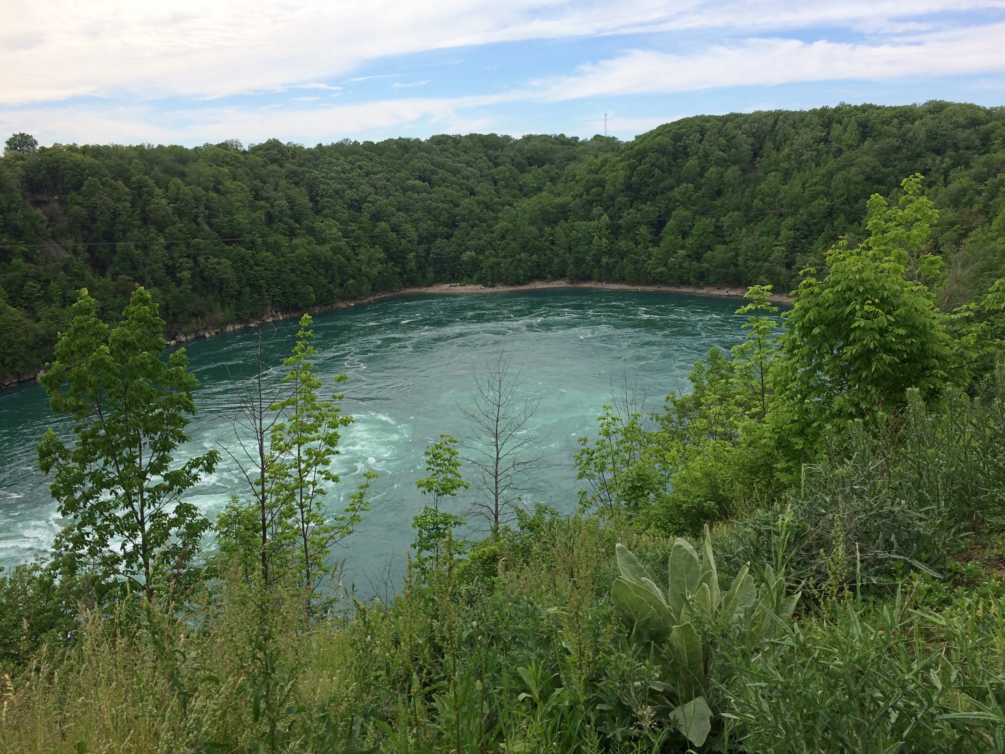
First stop: Whirlpool State Park. The intense current of the Niagara River rushes to this point and forms a enormous whirlpool at a bend. Been quite a while since I’ve had a good look at a natural whirlpool which, despite the name, looks like a choppy patch of water rather than the thing you see in a drain.

The view upriver. In the distance is the Rainbow Bridge. As I’ve said, nothing is very far from anything else in this part of New York state.Niagara Gorge

The flow into the whirlpool.
Niagara Gorge

The whirlpool.
Niagara Gorge Whirlpool

It doesn’t look like a particularly safe place for boats, but that doesn’t keep tourists from venturing there under the command of “highly skilled captains.” I’d hope so. I don’t know whether the jetboats are running now. We didn’t see any. The cable car that dangles over the whirlpool, the Whirlpool Aero Car, and which launches from the Canadian side, looked immobile, still shut for the pandemic.

Then there’s the story of Capt. Joel Robinson, skipper of the Maid of the Mist in 1861, who shot the Niagara rapids and whirlpool. Niagara Falls Info tells the story:

“In 1861, due to a financial crisis and the American Civil War, the Maid of the Mist was sold at public auction to a Canadian company. The deal would go through if the boat could be delivered to Lake Ontario. To get to Lake Ontario, the Maid of the Mist had to be navigated through the Great Gorge Rapids, the Whirlpool, and the Lower Rapids.

“On June 6th 1861, 53-year-old Captain Joel Robinson undertook this risky mission along with two deck hands…[McIntyre and Jones]. With both shores lined with onlookers, Captain Robinson and crew rode the Maid of the Mist into one of the world’s most wild and dangerous whitewater rapids.

“The first giant wave that struck the boat threw Robinson and McIntyre to the floor of the wheel house. It also tore the smoke stack from the boat and Jones was thrown to the floor of the engine room. The tiny boat was now at the mercy of the massive waves crashing against it. The boat was carried at approximately 63 km/h through the rock strewn rapids. Soon the Maid of the Mist was propelled into the Whirlpool where Captain Robinson was able to regain control of the boat.

“Captain Robinson had great difficulty maneuvering the Maid of the Mist from the grip of the Whirlpool… The 5 kilometre journey through the rapids and the Whirlpool was well executed, although they lost the smoke stack. Captain Robinson was the first person to accomplish the impossible [obviously not, just difficult] task of taking a boat through the dangerous waters.

“The frightening experience of this journey caused Captain Robinson to give up a career that he loved. He retired into near seclusion and died two years later at the age of 55.”

In modern terms, sounds like he suffered from PTSD. In 19th-century terms, I figure people said he was spooked by the ordeal. No mention of the aftermath for the deck hands.

Not long after visiting Whirlpool State Park, we spend a while in the pleasant town of Lewiston, New York, whose equally pleasant riverfront isn’t at the top of a gorge, but at river level. Not far from the river is the Freedom Crossing Monument, an ensemble of bronzes by Susan Geissler commemorating those escaped slaves who crossed into Canada.Lewiston, NY
Elsewhere in Lewiston is the variously named Earl W. Brydges Artpark State Park, or Earl W. Brydges State Artpark, or simply the Artpark, a venue for summertime musical entertainment. It also includes some other standard features of a park, such as playground equipment and picnic tables, as well as an Indian mound. I expect there haven’t been any events there in more than a year, but maybe that will pick up soon.

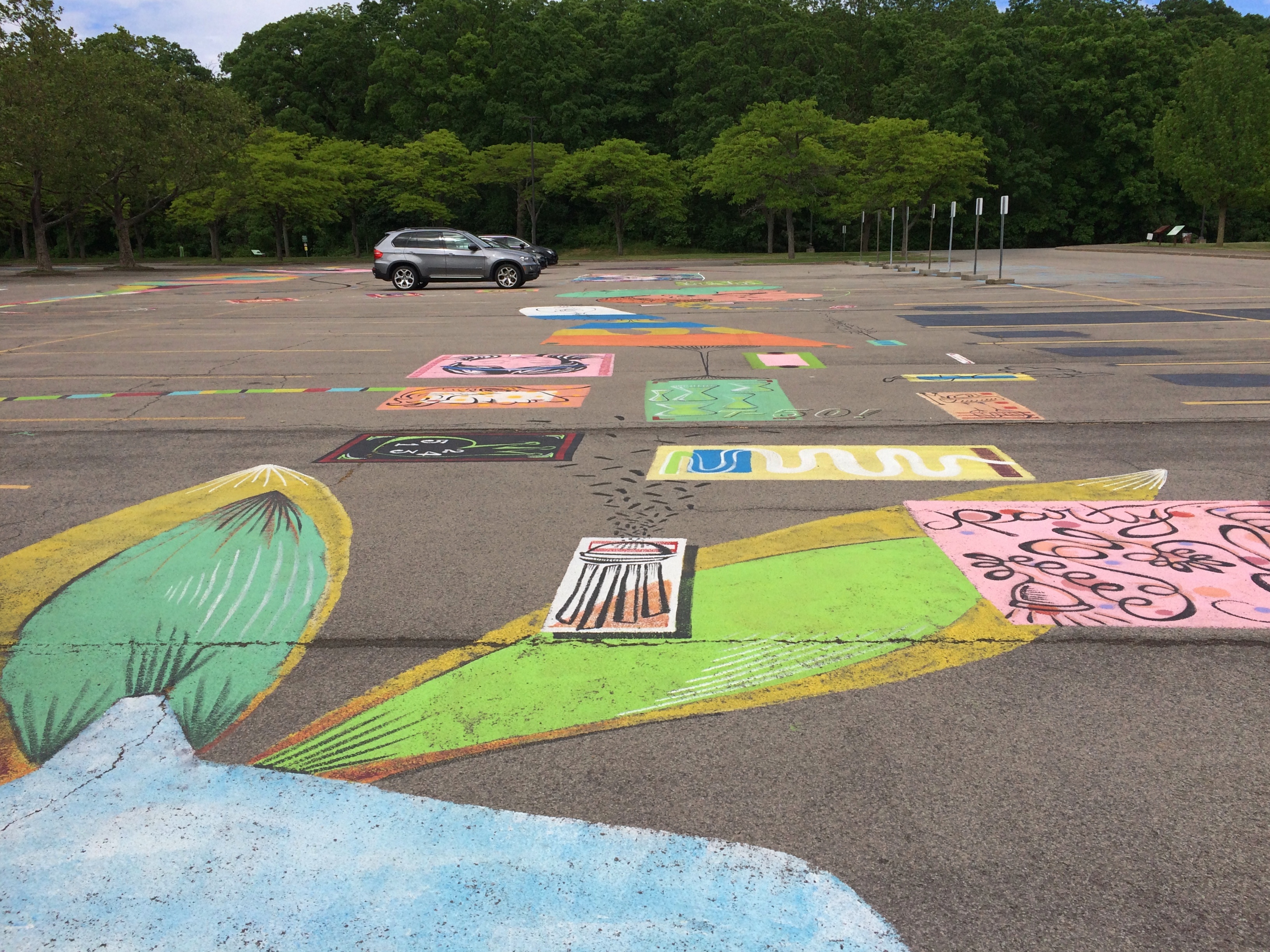
All very interesting, but what struck me was the parking lot. It’s large and undistinguished except for the paintings on its surface. When I pulled into the lot, I took them for children’s chalk drawings, maybe left over from a kids’ event, but soon I noticed they were paintings, and extensive in scope across the lot.Lewiston, NY Artpark parking lot art

More parking lots such be decorated like this.Lewiston, NY Artpark parking lot art Lewiston, NY Artpark parking lot art Lewiston, NY Artpark parking lot artThe end of the line for the Niagara Scenic Parkway is near Old Fort Niagara State Historic Site, which overlooks the mouth of the river on Lake Ontario. The fort itself, which is ringed by an iron fence, was closed by the time we got there. But the rest of the grounds were open. While Yuriko napped in the car, I looked around.

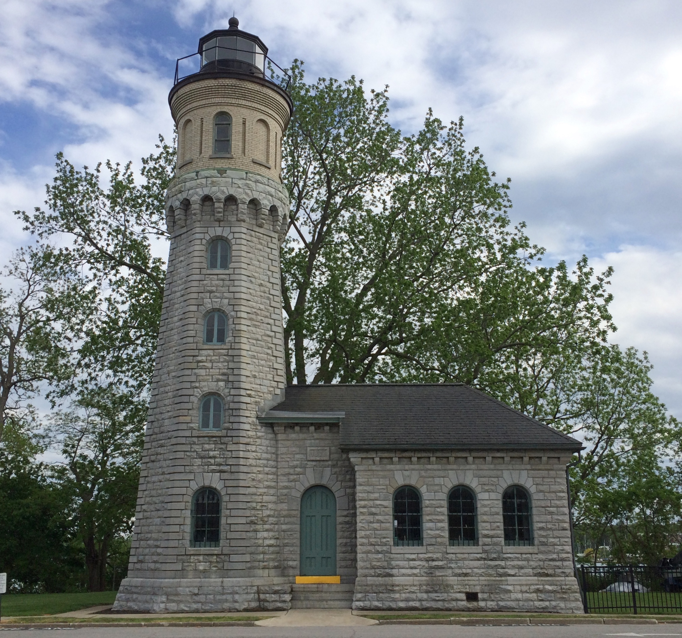
The Old Fort Niagara lighthouse.
Old Fort Niagara lighthouseThis particular light dates from 1871, but the fort had more primitive lights much earlier than that, ca. 1781, which count as the first lights on the Great Lakes.

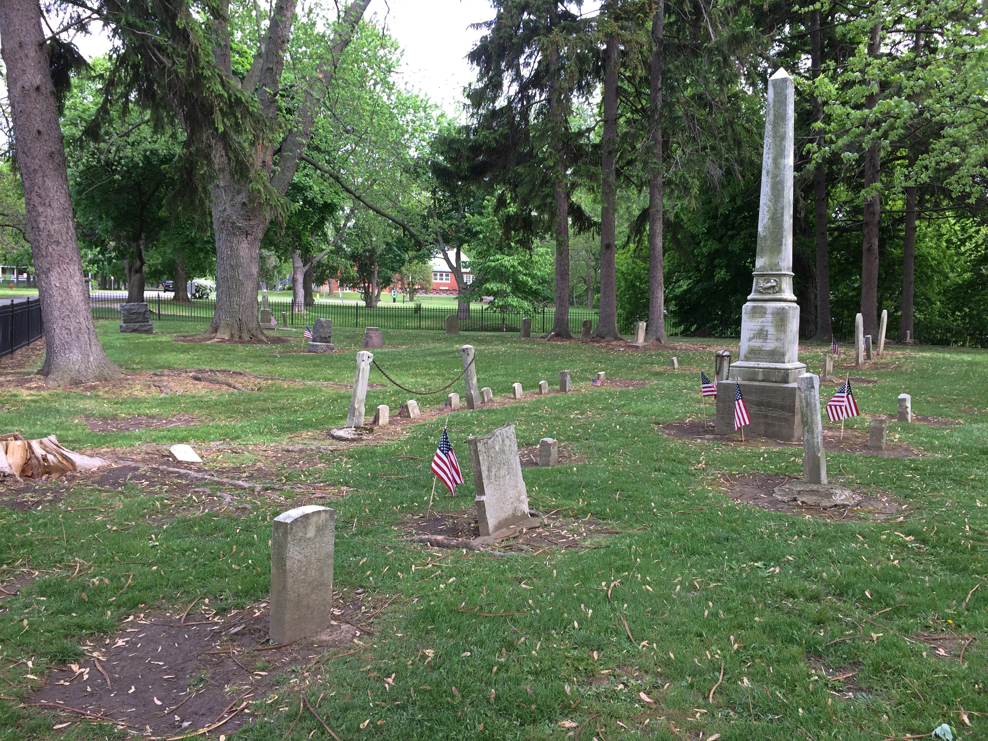
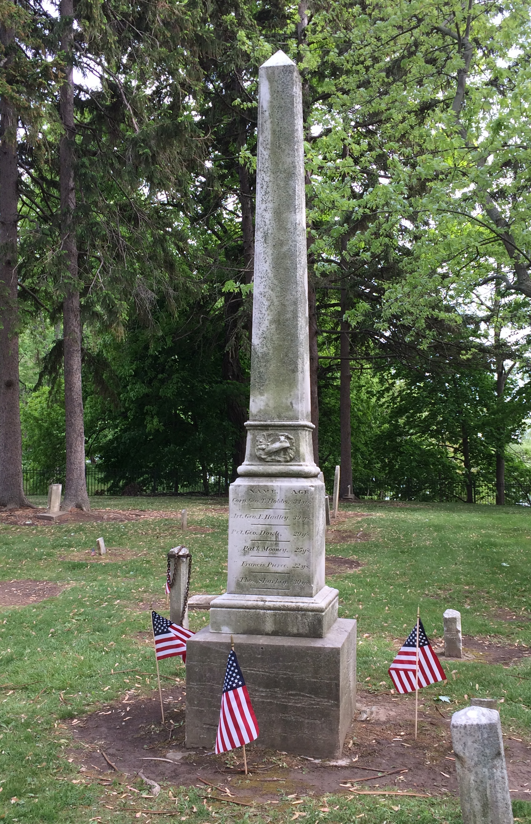
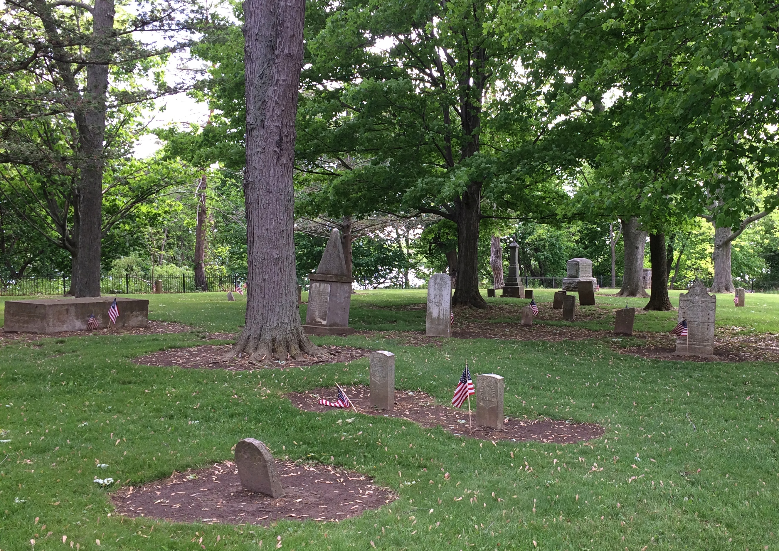
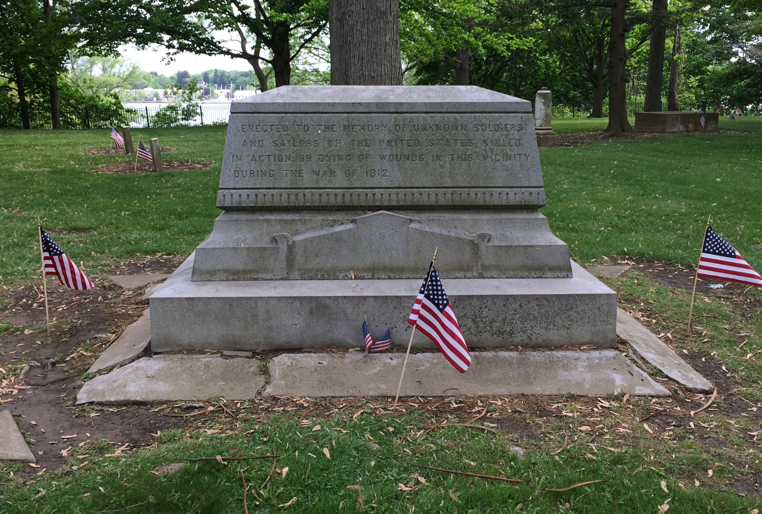
The old fort also has an old cemetery.Old Fort Niagara cemetery Old Fort Niagara cemetery Old Fort Niagara cemeterySmall, but a dignified spot for those who died here during the War of 1812. The fort was scene of a bloody bit of business during that dimly remembered war. Good to see that the stones were ready for Decoration Day.Old Fort Niagara cemeteryErected to the memory of unknown soldiers and sailors of the United States killed in action or dying of wounds in this vicinity during the War of 1812.

Niagara Falls State Park

Something I didn’t know until I visited there on Saturday: Niagara Falls State Park in New York is considered the oldest state park in the nation, established in 1885 as the Niagara Reservation. Creation of the park was an early success for Progressivism, spearheaded by Frederick Law Olmsted. Him again. The wonder is that he isn’t more widely known for his terrific landscape artistry, which anyone can see.Niagara Falls State Park
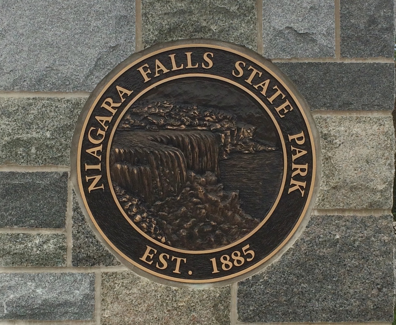
A victory for the Progressive movement because, as I’ve read, before that private landowners around the falls monopolized access. You’d think that wouldn’t be much of an issue in the 19th century, but the falls have been a tourist attraction for a long time. In the park we saw a sign that noted that on his grand tour of the U.S. in 1825, Lafayette came to see the falls. But the real tourism boom began after the falls became a public place with easy access.

We arrived on Saturday around 9 a.m. and found a place to park right away in lot no. 1. Good thing, too, since later in the day we noticed a long line of cars waiting to park. Even that early there were a fair number of people in the park, but by early afternoon the place was mobbed.

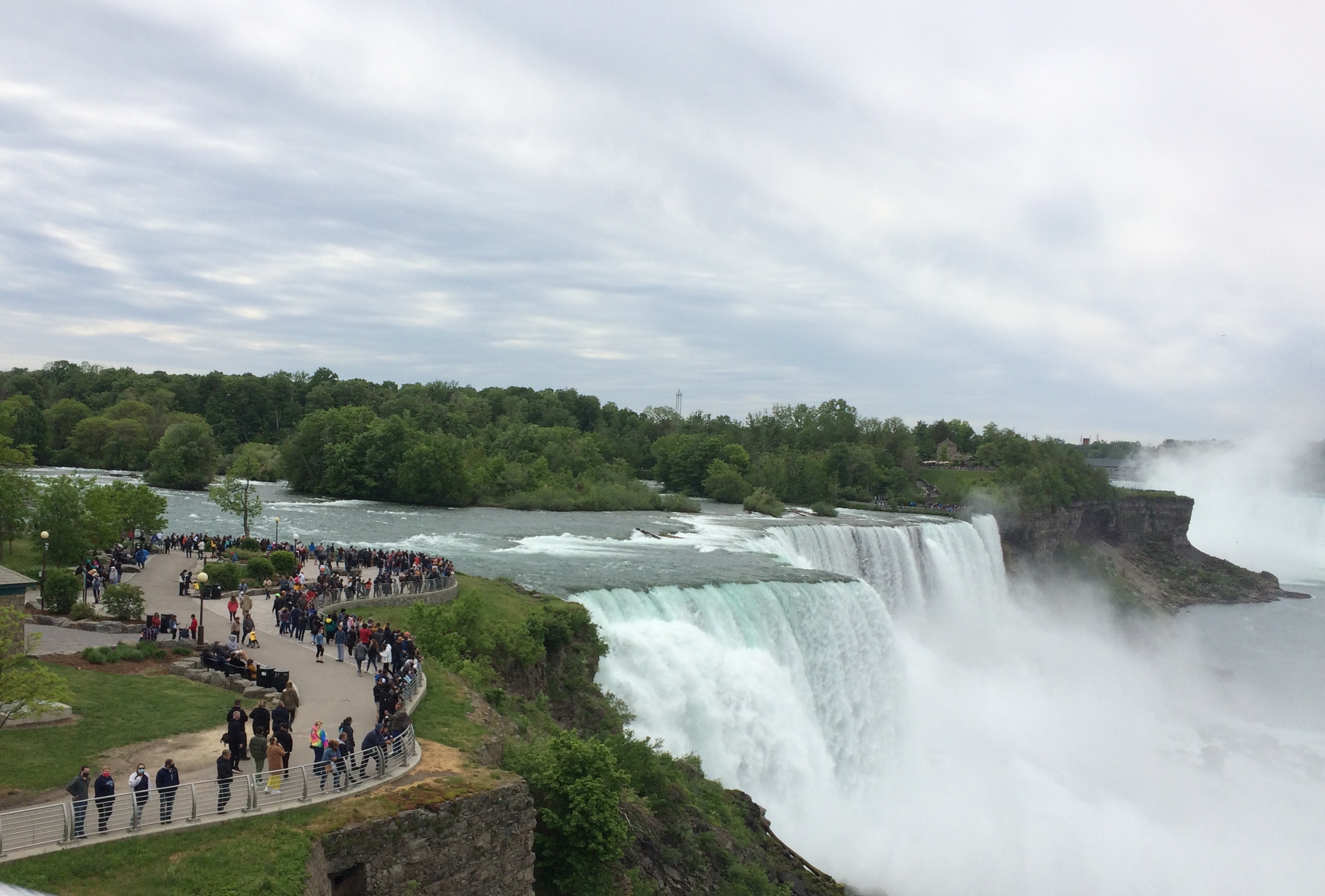
It didn’t matter once you’d ditched your car. The park holds crowds well because it’s large, encompassing a long stretch of shore along the Niagara River upriver and downriver from the falls, and the islands that divide the falls into three: the relatively small Bridal Falls, the mid-sized American Falls, and the mighty Horseshoe Falls, most of which is Canadian.Niagara Falls
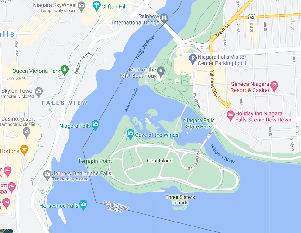
Created at the end of the last ice age 12,000 years ago or so, the falls have an estimated existence span of another 50,000 years. So we’re witnessing a geological blip. How many countless mighty cataracts of this kind have come into being only to erode away over the billions of years of liquid water on Earth? And what about crashing falls on other worlds?

From the U.S. side, your first view is of the American falls, looking to the south. The buildings in the background are part of the town of Niagara Falls, Ontario. This is a shot with the tourist infrastructure edited out.Niagara Falls State Park
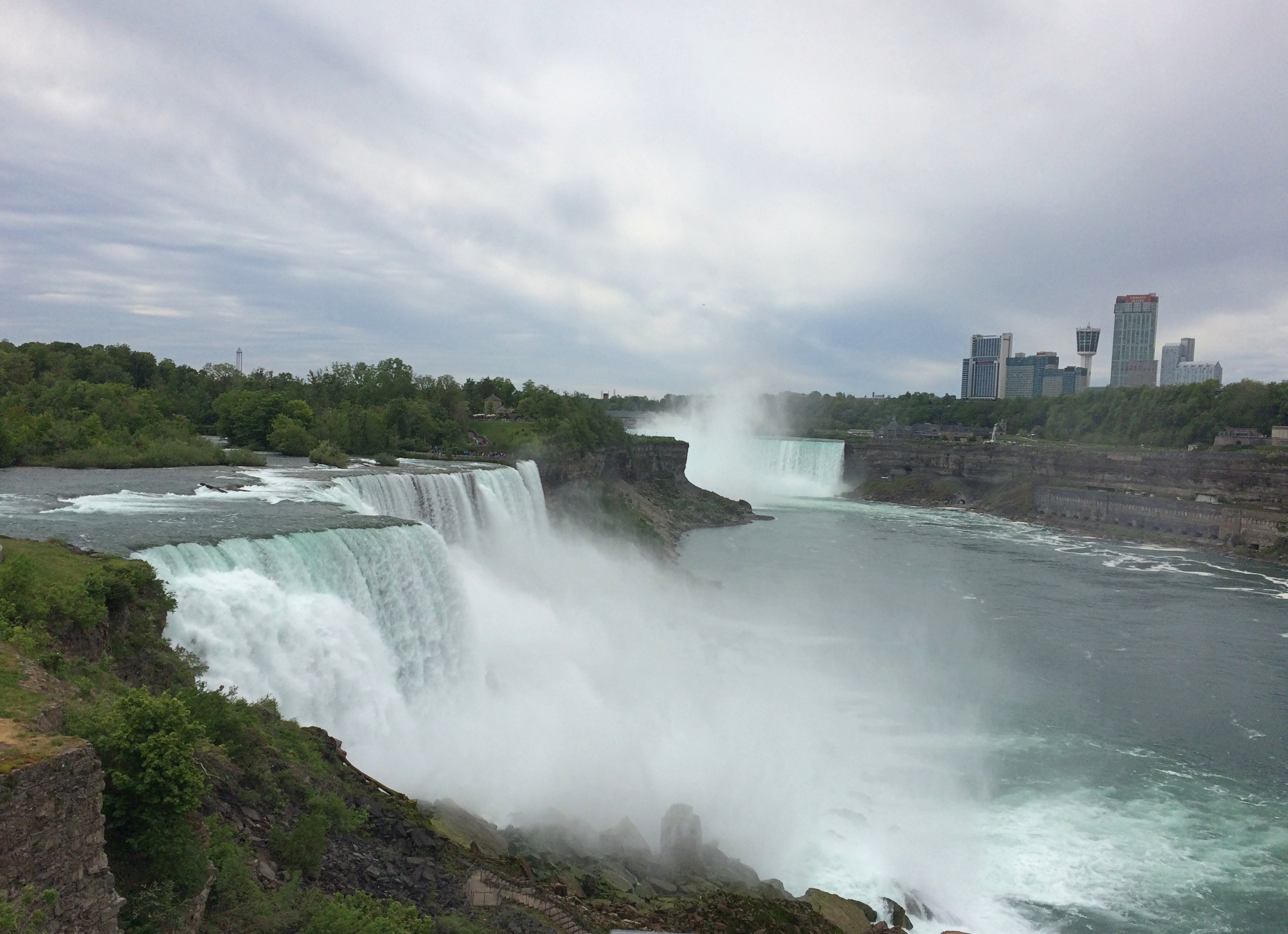
Left in.
Niagara Falls State Park

Bridges cross from the shore upriver a bit to Goat Island, the main island in the channel. For a few moments, you can forget you’re surrounded by the intensity of the Niagara River.
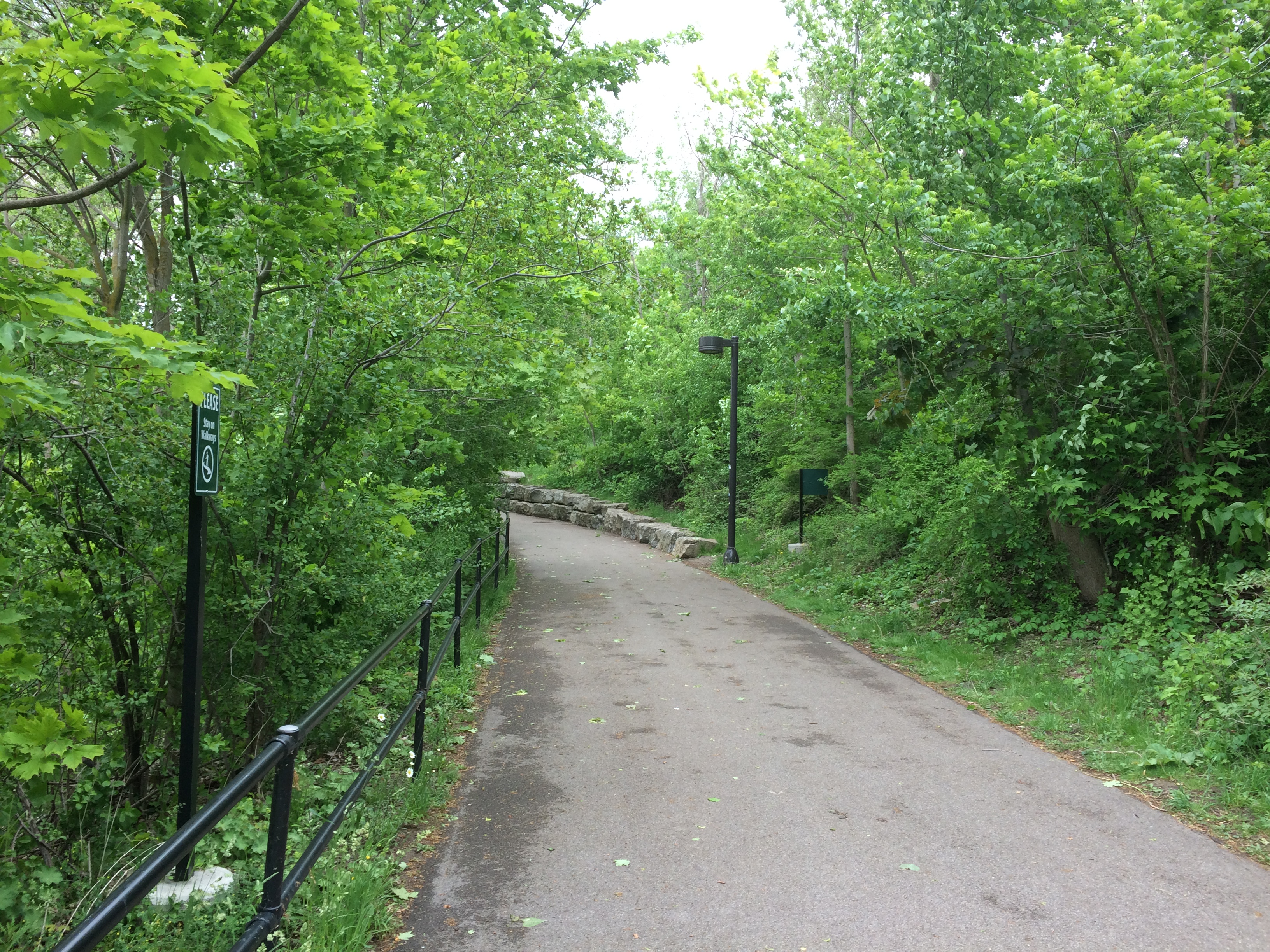
Niagara Falls State Park Goat Island

But not for long. More views of the American Falls are easily found. Looking north over the drop, with the Rainbow International Bridge in the background, seeming not nearly as high as it is.Niagara Falls State Park Goat Island
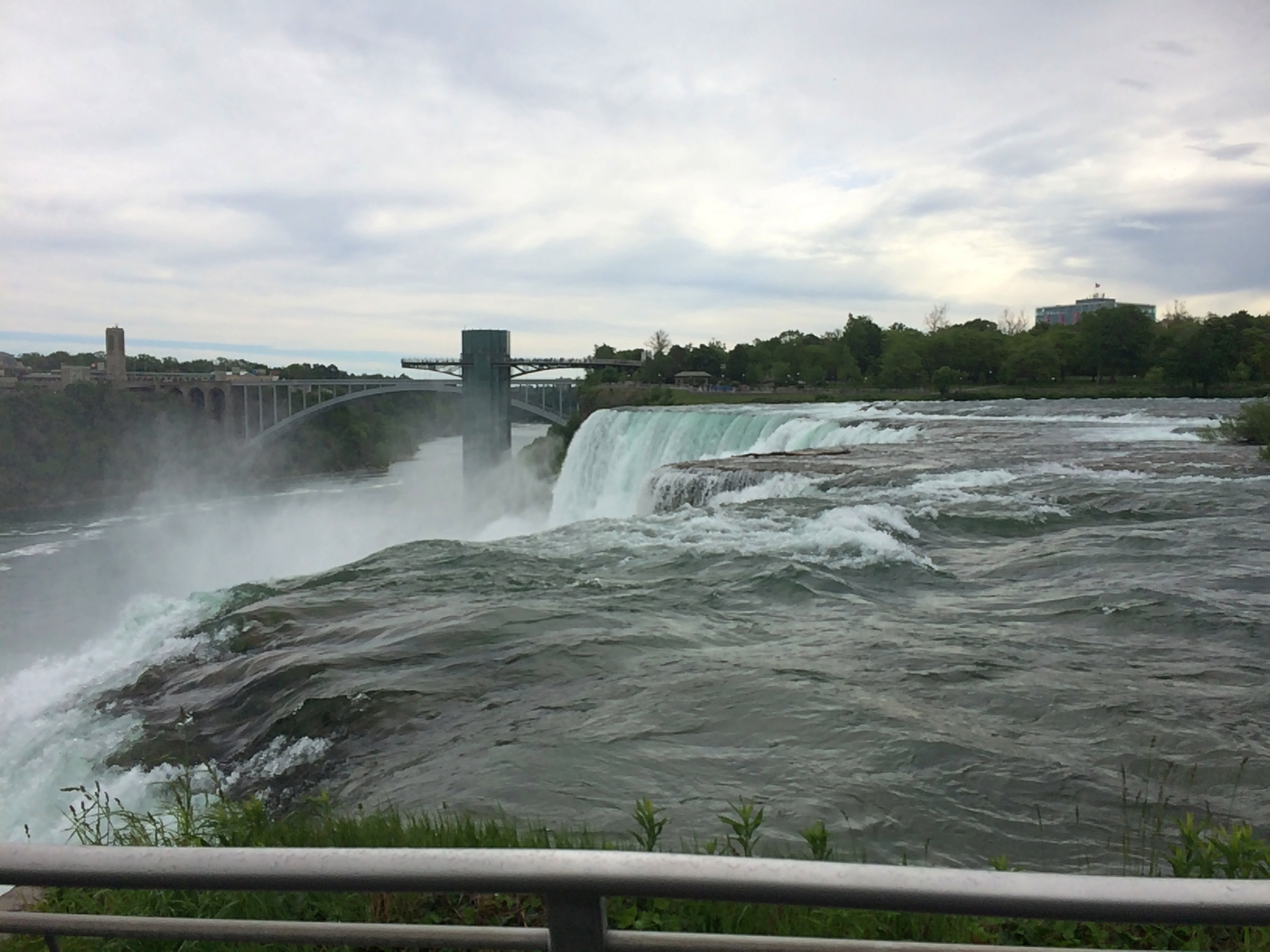
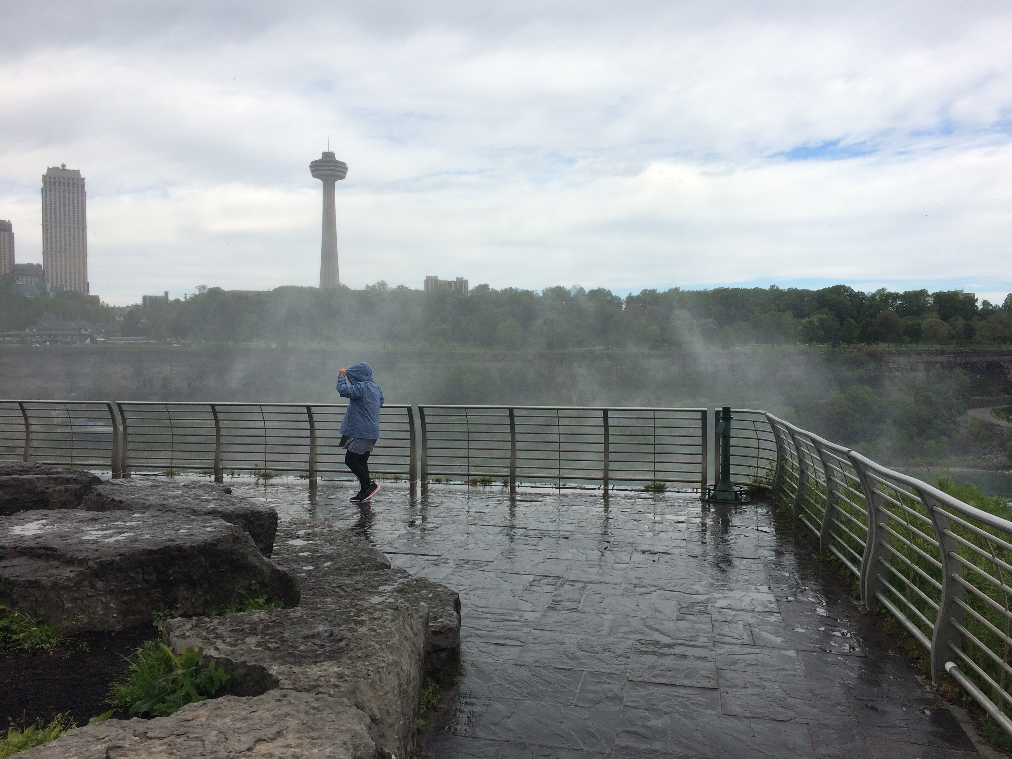
Spray. It wouldn’t be the last time.
Niagara Falls State Park Goat Island

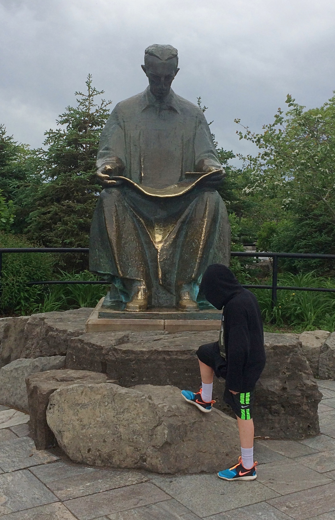
A curiosity on Goat Island: a statue of Tesla.
Niagara Falls State Park Goat Island

“Gift of Yugoslavia to the United States, 1976,” the Tesla Memorial Society of New York says. “Nikola Tesla designed the first hydroelectric power plant in Niagara Falls. This was the final victory of Tesla’s Alternating Current over Edison’s Direct Current. The monument was the work of Croatian sculptor Frane Krsinic.”

A standing Tesla was installed on the Canadian side more recently, in 2006, according to the society. More about Tesla and Niagara is here.

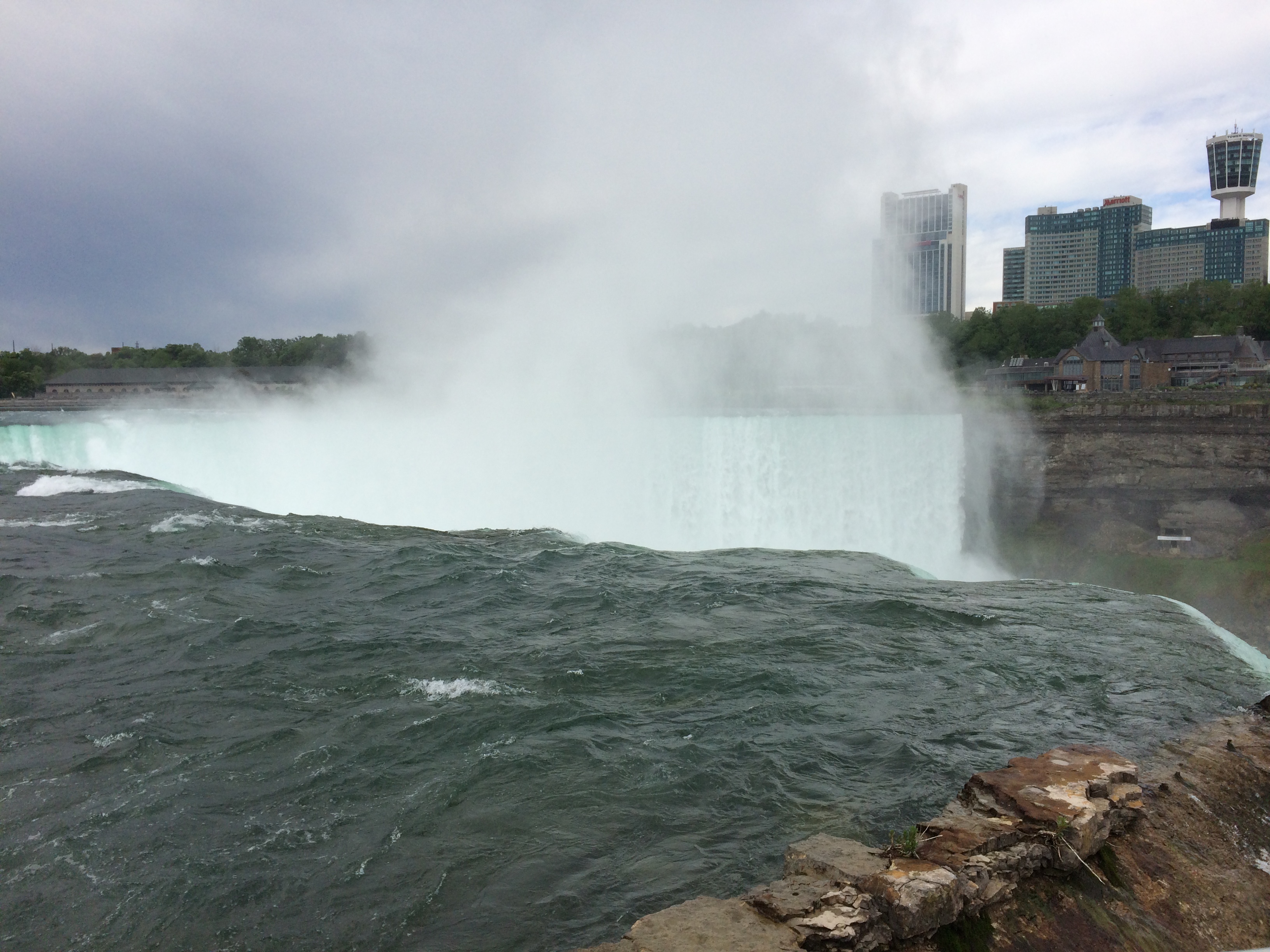
Go far enough on Goat Island and you’ll reach Terrapin Point, which offers a view of Horseshoe Falls, which is what most people think of when they think of Niagara Falls. It’s wider than the other falls combined, and drops more water, as much as 90% of the 100,000 or so cubic feet of water per second that flows over the three falls during the summer. The rate is controlled by engineering, and is lessened at night and during the spring and fall, when fewer tourists are around, so that more of the flow can be used to generate electricity at those times.
Niagara Falls State Park Goat Island

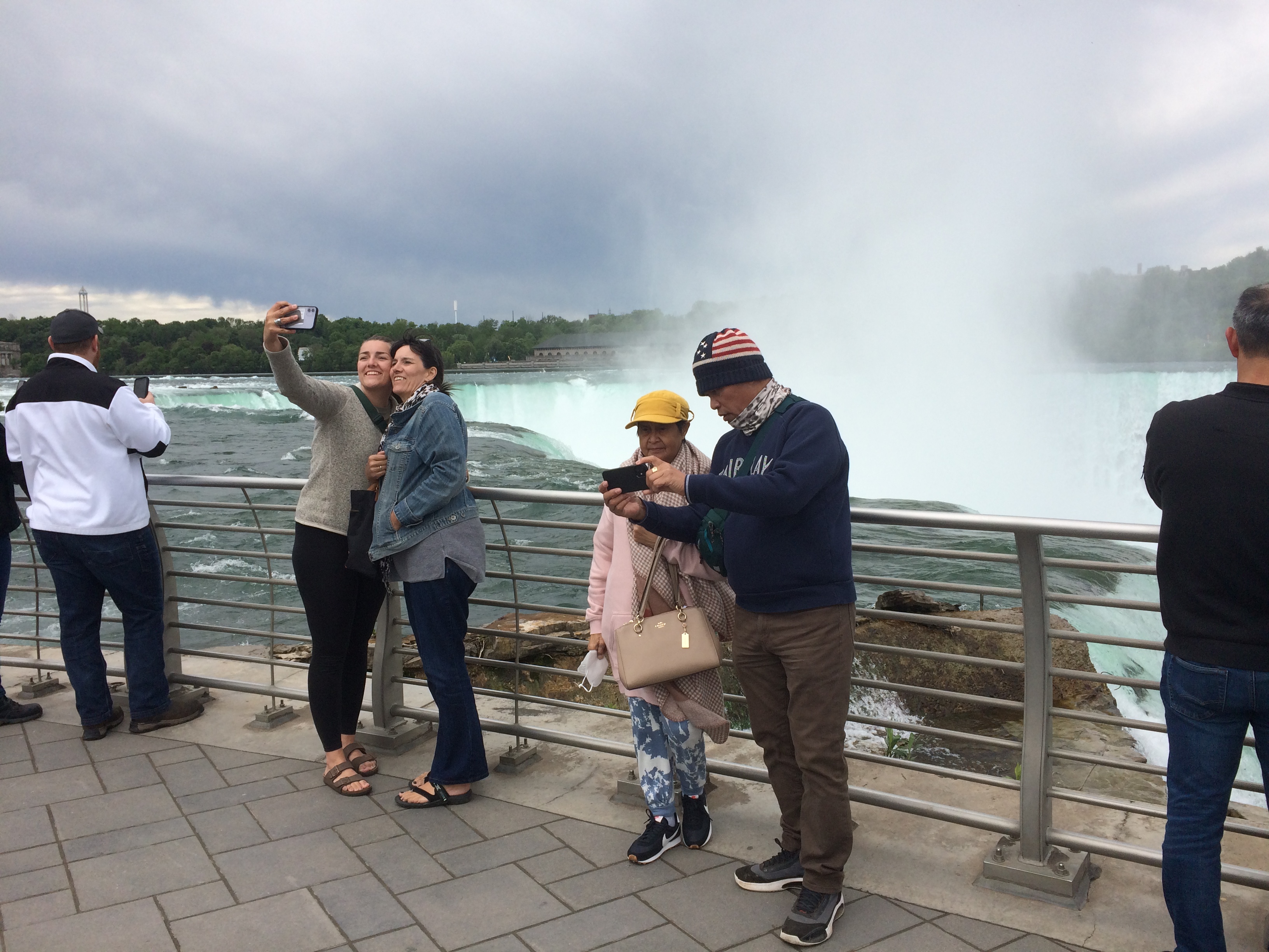
Naturally, lots of people were gathered to take a look. And pictures.Niagara Falls State Park Goat Island Niagara Falls State Park Goat Island Niagara Falls State Park Goat Island
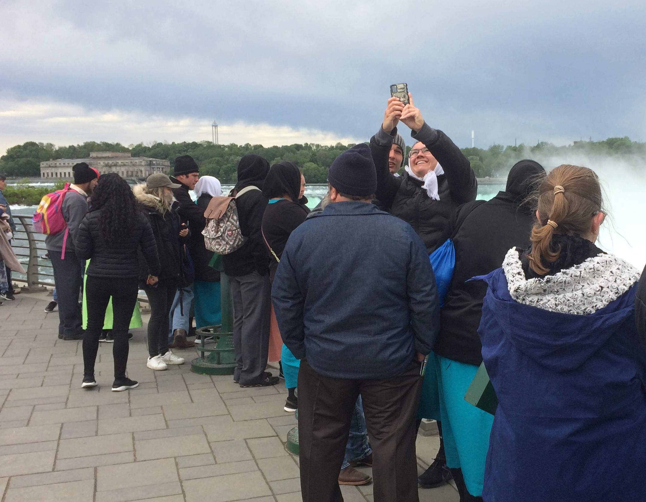
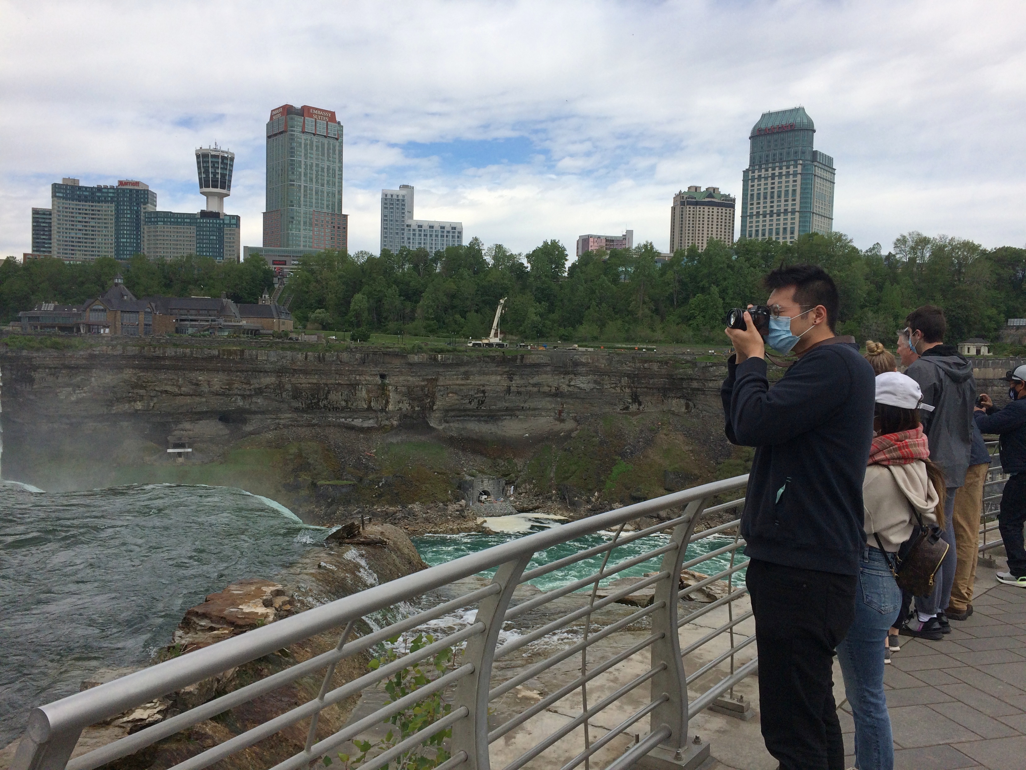
There’s a good view of the Canadian side from there as well, when the mist doesn’t obscure it. Looks like there’s reconstruction going on over there, near the edge. I remember standing next to the Horseshoe Falls at that point 30 years ago, and it looks like that observation deck is missing for now.

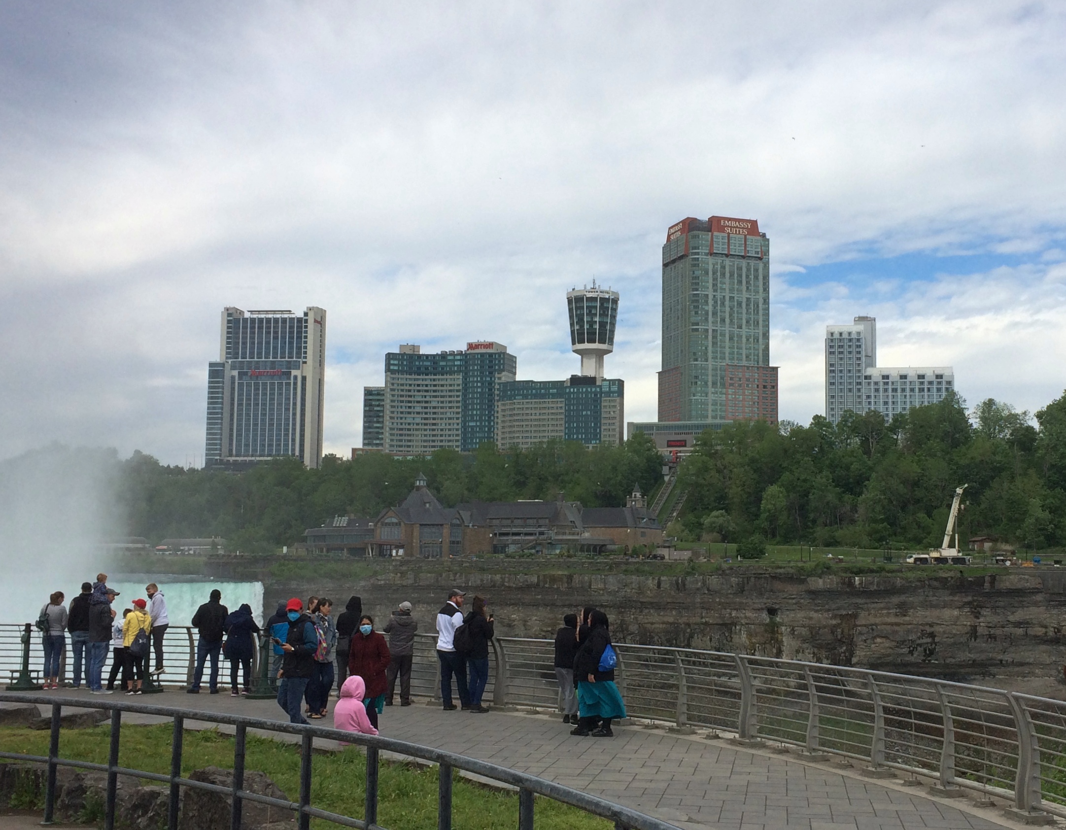
The Canadian town looks more prosperous than the U.S. town from that vantage, and indeed it is for various reasons. Sad to say, beyond the tourist enclave, Niagara Falls, New York is another one of the small cities of the industrial North that has seen better times.
Niagara Falls State Park Goat Island

Canada, as it happens, was still mostly closed to visitors over Memorial Day weekend, which would be an ordinary weekend there. Later in the day, we saw the entrance to the Rainbow Bridge on the U.S. side, and only one lane for traffic was open, and no one was in it.

The bridge is visible from Terrapin Point, since it isn’t far downriver from the falls. A striking bit of work across a gorge.
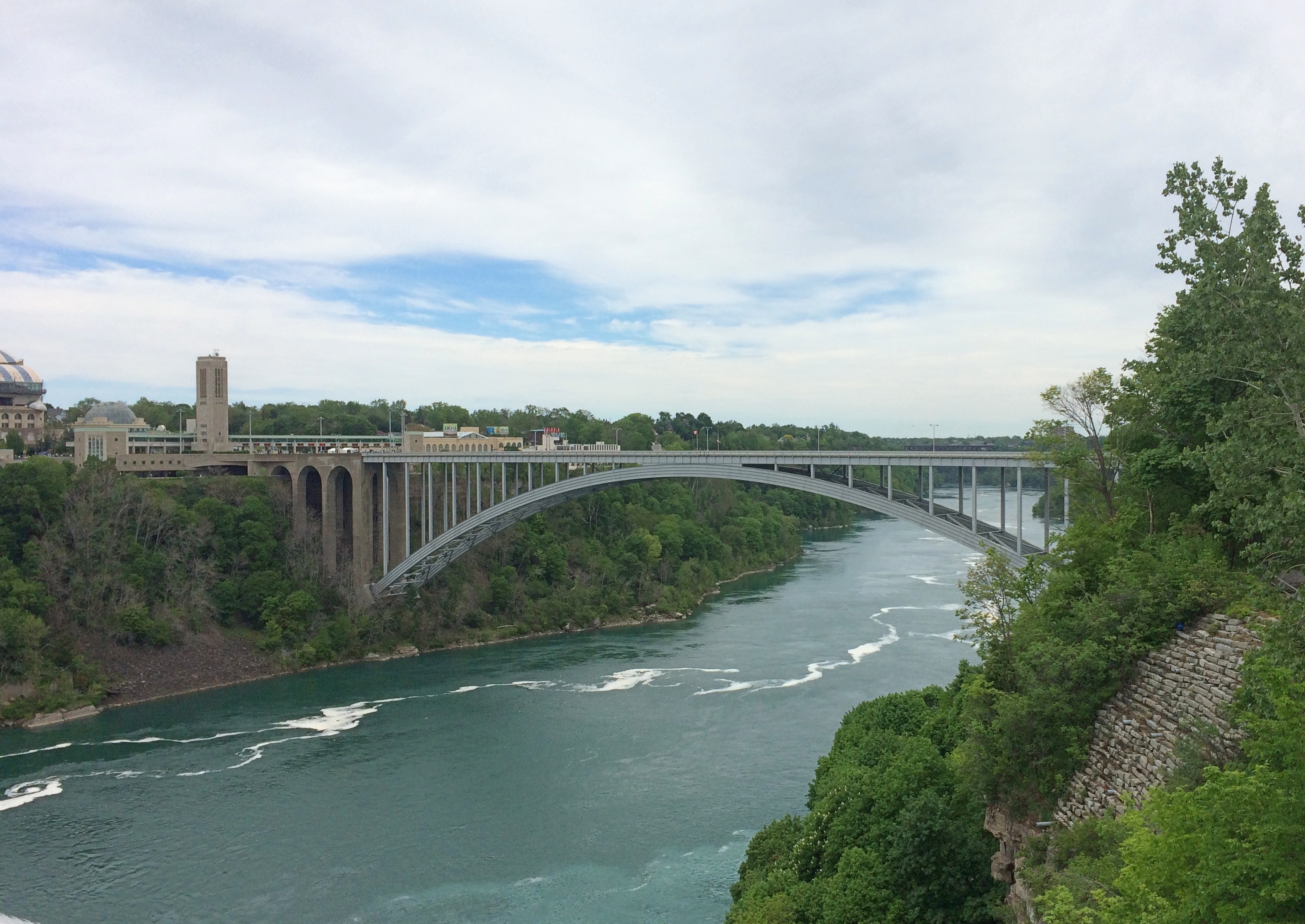
Rainbow Bridge

After our Goat Island wander, we wanted to do the Maid of the Mist boat ride. That was something I skipped in ’91, and wasn’t expecting much more than a ride along the river with a nice view of the bottom of the falls, to complement the views of the tops. We waited in line about half an hour to get on one of the two boats, which made me think of waiting around for a ride at Disneyland. A thing that you do as a tourist. I grumbled a little about the price. I didn’t realize what was ahead.

This is one of the boats, the James V. Glynn. We rode on the other one, the Nikola Tesla. Him again. Mr. Glynn is a long-time Maid of the Mist chairman.Maid of the Mist 2021
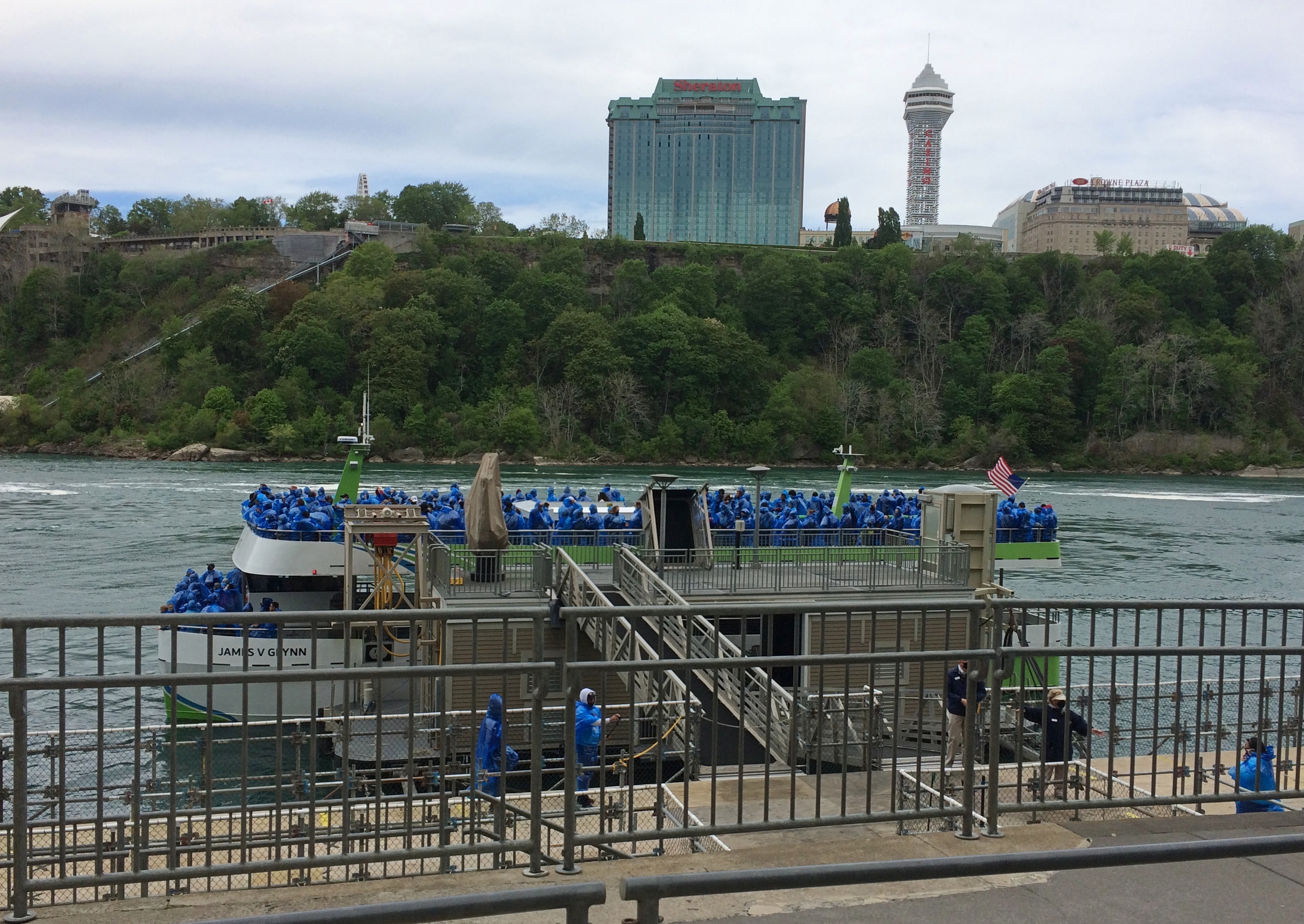
Tourists have been riding Maid of the Mist boats since 1845, another indication of how long tourists have been coming to Niagara Falls, though intermittently until 1885 and every year since then. The boats were steam and then diesel powered and now, as the company is eager to point out, all-electric with no emissions, launched into service only last year. As people get on and off, the boats are recharged at the dock.

The company gives you bright blue thin plastic ponchos and off you go, for a 20 minute or so trip. It isn’t the quantity of the time aboard that counts, but the quality. First you pass by the American and Bridal Falls, which are impressive in their flow and in the huge boulders piled at the bottom.Maid of the Mist 2021
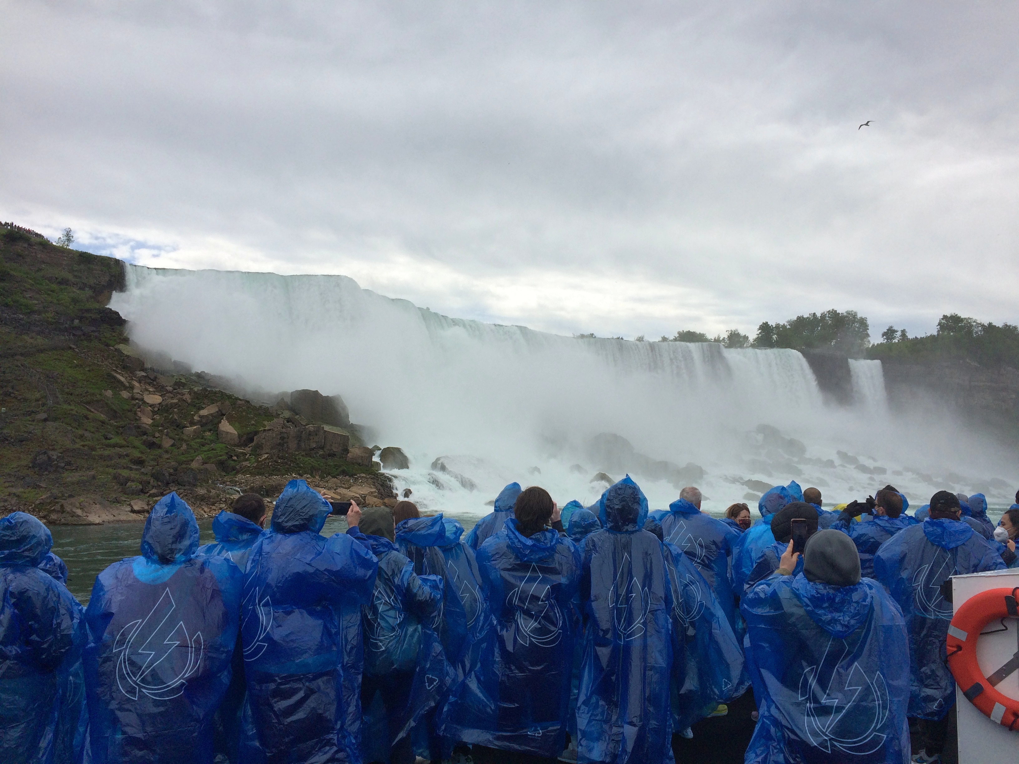
The ship then passes into the curve under Horseshoe Falls. I didn’t think it would get as close at it did. The roar is enormous. The spray is continuous. The curving walls of water, taller than walls of water should be, fill your senses. The place is enthralling. I haven’t been as captivated by a natural phenomenon (well, partly engineered) since I saw the total eclipse a few years ago.

No wonder people have been paying for over a century and a half for this little boat ride. It was worth the effort to get to Niagara Falls, all by itself, and all of the $25.25 each to be escorted under the spectacular cataract.

I wasn’t in the mood to take pictures during most intense moments, like during the eclipse. Except one.
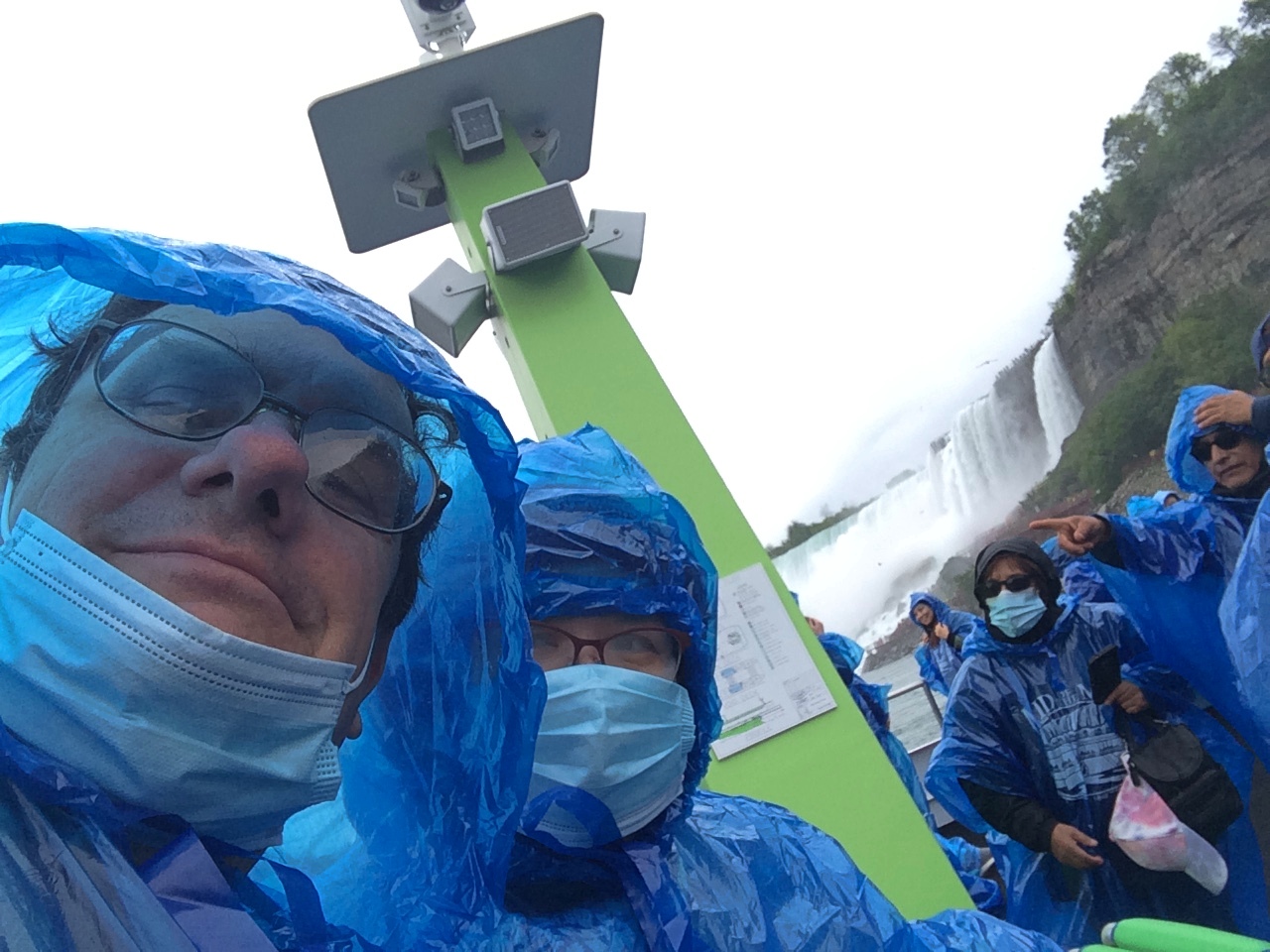
Maid of the Mist 2021One of three or four selfies I’ve taken since that concept was popularized. Hit the nail on the head with that one.
A Slightly Less Gelid Day

Zero degrees Fahrenheit isn’t warm at all, unless compared with 20 degrees below that. I spent a few minutes out early this afternoon — with temps actually at 5 below or so — and it was tolerable for what I needed to do, which was make sure the garage door closed.

Very low temps cloud the electronic eye, I think. At least, rubbing the lens clear seems to help.

“Surfing” never seemed like the right verb for wandering around the Internet. Maybe that’s why you don’t hear it much anymore, 20 years after it was common. Wander, meander, ramble — these seem better. More descriptive of the way I approach the Internet anyway.

The polar vortex loose on the Upper Midwest naturally led me to read a bit about Antarctic exploration, some about Shackleton but also, in a classic online tangent, the ship Southern Cross, which sailed on the lesser-known British Antarctic Expedition (1898-1900), a.k.a. the Southern Cross Expedition (and not Kingsford Smith’s aircraft, which I heard about years ago in Australia).

The Southern Cross was mostly a sealing vessel and eventually she went down with all hands in the North Atlantic — 174 men — in the 1914 Newfoundland Sealing Disaster, an incident about which I knew nothing.

Reading about that led me to information of the Newfoundland sealing industry, something I also knew nothing about. Here’s a short item about that industry, with footage of Newfies bounding around on dangerous ice floes in the days before the Canadian equivalent of OSHA.

That naturally lead to other information about Newfoundland. Apparently there’s a Newfoundland tricolor, but it’s not the official flag. There’s a song about it anyway.

I looked up the official Newfoundland and Labrador flag. Not bad, exactly, just a little odd. Though it had one designer, it looks like a compromise between two factions of the same committee.

The Newberry Library Map Mural

I’ve read that the first floor of the Newberry Library on the Near North Side of Chicago is newly renovated, and it did have a newly polished look when Ann and I were there on Saturday. But it’s been a while since I’ve been inside the library, so I don’t really remember what it used to look like.

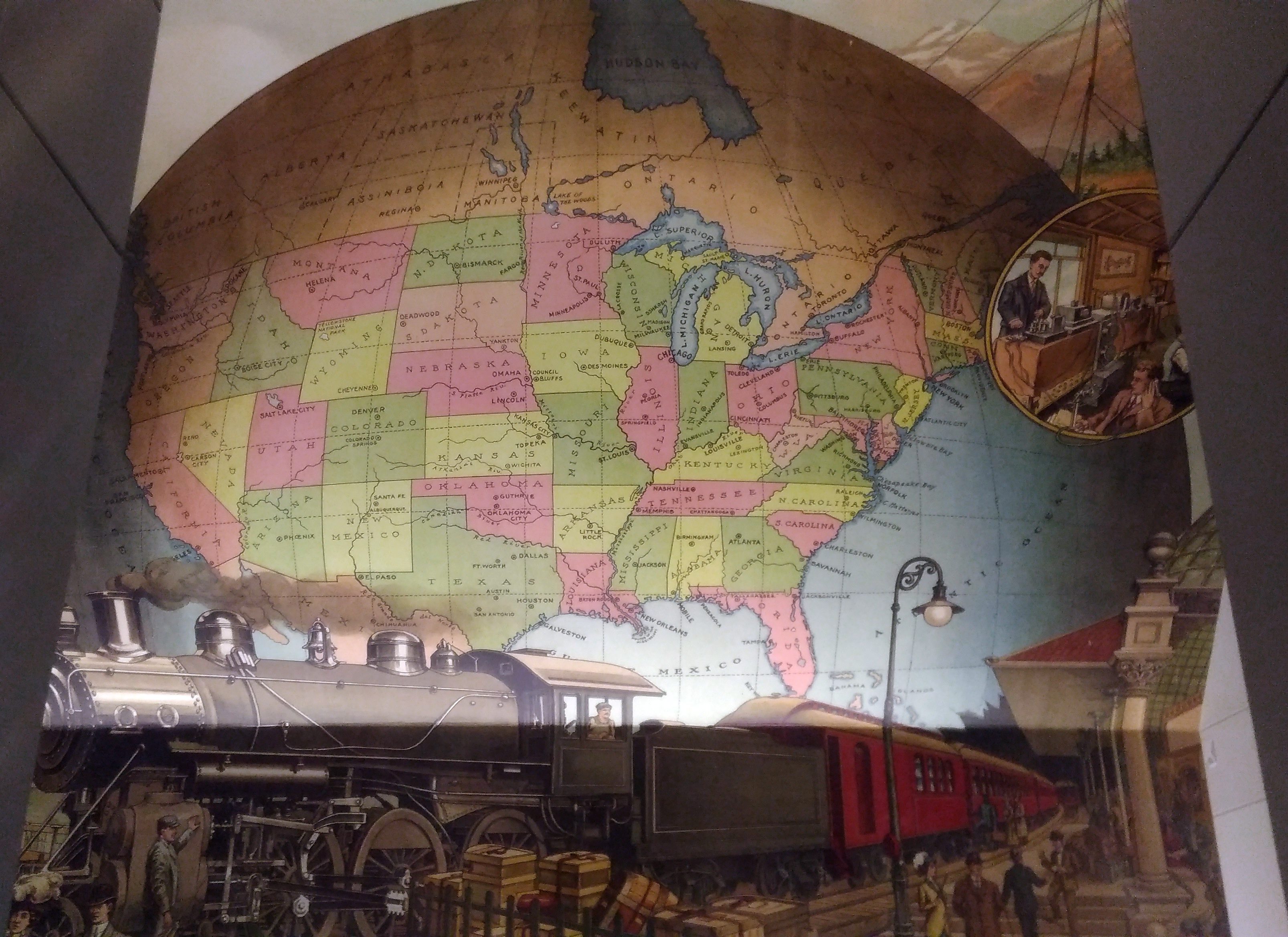
I’m sure that I’d never seen this intriguing mural before, which is above the landing between the first and second floors near a back entrance to the building.
A map mural. Even better, an historic map mural, along with a train at a station under the map and what looks like a telephone and telegraph office in a balloon off to the side.

The mural looks new, so either it is, or maybe an older image was expertly refurbished. I didn’t see any signs or plaques nearby to tell me which, or who the artist is, and the library web site doesn’t seem to say, so for now I’ll let the matter rest. It’s always good to find a map mural.

My guess is that the map depicts the nation ca. 1900 — united by rail, telegraph and the still fairly new telephone, with a new century of progress to look forward to. Or possibly 1887, when the Newberry was founded, or 1893, when the current building opened.

Though not cartographically precise (West Virginia looks especially mashed), the map’s close enough to evoke the United States of the period. One detail I noticed was that South Dakota’s towns were Deadwood and Yankton, even though the territorial capital moved to Bismarck in 1883 (presumably Al Swearengen would then refer to those “c—suckers from Bismarck” rather than Yankton).

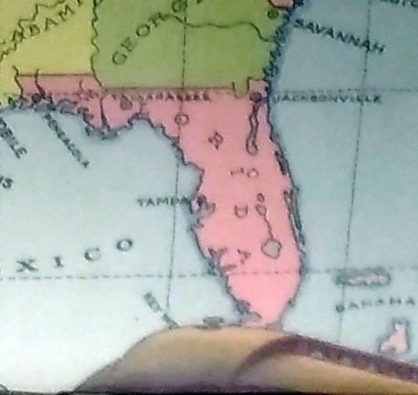
Also, note the pre-land boom, pre-drain the Everglades, pre-Disney, pre-Florida Man Florida.
A little fuzzy, but it’s clear that there’s no Miami and no Orlando.

Also, the states depicted were not quite all states at the beginning of the 20th century. Arizona, New Mexico and what became Oklahoma were still territories.

That would be my only quibble: before it became a state, Oklahoma was actually two territories, the Oklahoma Territory and the Indian Territory. The Indians of the Indian Territory wanted to be admitted as the state of Sequoyah, but Congress wasn’t having it, and so the two territories were joined to form the modern state in 1907.

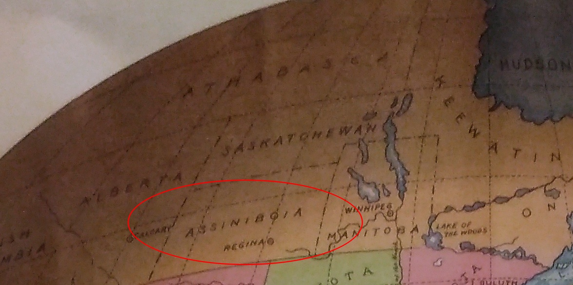
How do I know that the map doesn’t depict borders sometime after 1907? Because of the depiction of Canada.
The wonderfully named Assiniboia was a district of the NW Territories, as were Saskatchewan and Athabasca, all before 1905 (Keewatin was a separate territory before 1905, then became a district of the NWT). A major reorg of prairie Canada was done in ’05, making it look mostly like it does now.

So the map depicts pre-1905 Canada, but post-1907 Oklahoma. Ah, well. It’s small quibble about such a fine example of a mural.

Voyageurs National Park

What is it about national parks? The term is a charm, good juju, kotodama, perhaps to misuse all those expressions, that draws people to a place. People like me.

Had Voyageurs National Park, which is way up in northern Minnesota, merely been Voyageurs State Park — with the same lake-based natural sites and the same history stretching back to paleo-Indians — I doubt that I’d have made the effort to visit this time. I even picked it over a national monument about the same distance from Duluth, the similarly themed Grand Portage NM at the state’s northeast tip.
Recently I checked a list of U.S. national parks and discovered that Gateway Arch National Park in St. Louis was established earlier this year. I hadn’t heard that. The new designation was evidently something Congress could agree on, so now there are 60 national parks.

Including Gateway, because I’ve been there a few times, that’s a round 20 national parks I’ve visited, also including Voyageurs NP, which we went to on July 30.

Among the 60 U.S. national parks, Voyageurs NP is one of the least visited, in the bottom 15, with 237,250 recreational visitors in 2017. That’s many more than the likes of Gates of the Arctic (the least visited at just over 11,000 visitors last year) or the least-visited non-Alaska park, Isle Royale, at over 28,000. But not very many compared with the swarms at Great Smoky Mountains or the Grand Canyon or Zion, the top three 2017 tourist magnets among national parks.

The park is relatively new as well, something I hadn’t bothered to learn beforehand. Richard Nixon’s signature is on the 1971 bill creating Voyageurs NP, which was formally established in 1975.

Voyageurs NP is one of those parks designated for its natural beauty, but also its human history, with the name honoring the tough and probably randy Frenchmen who passed this way once upon a time, hauling pelts on journeys from the wilds of Canada toward the markets of Europe.

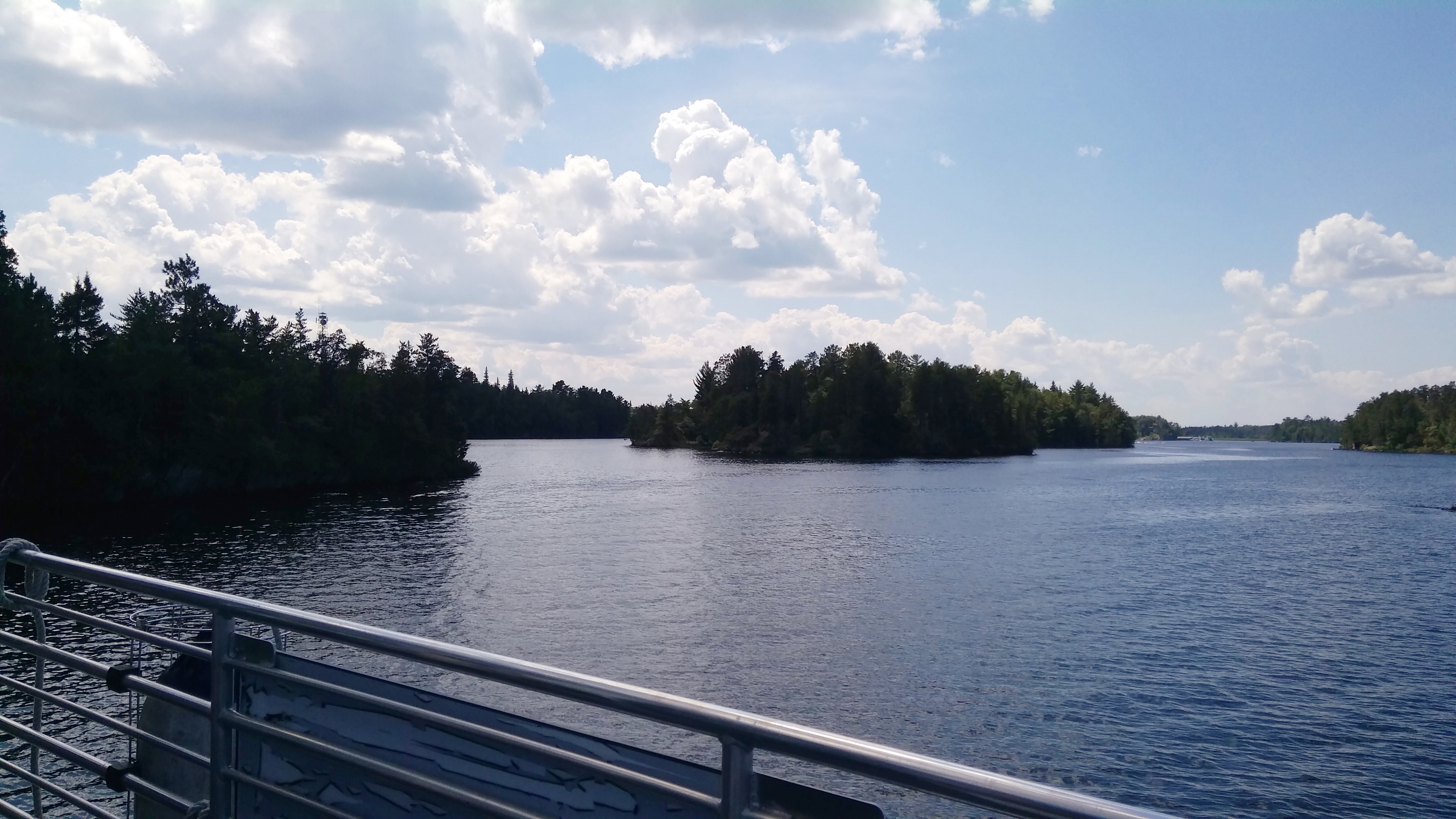
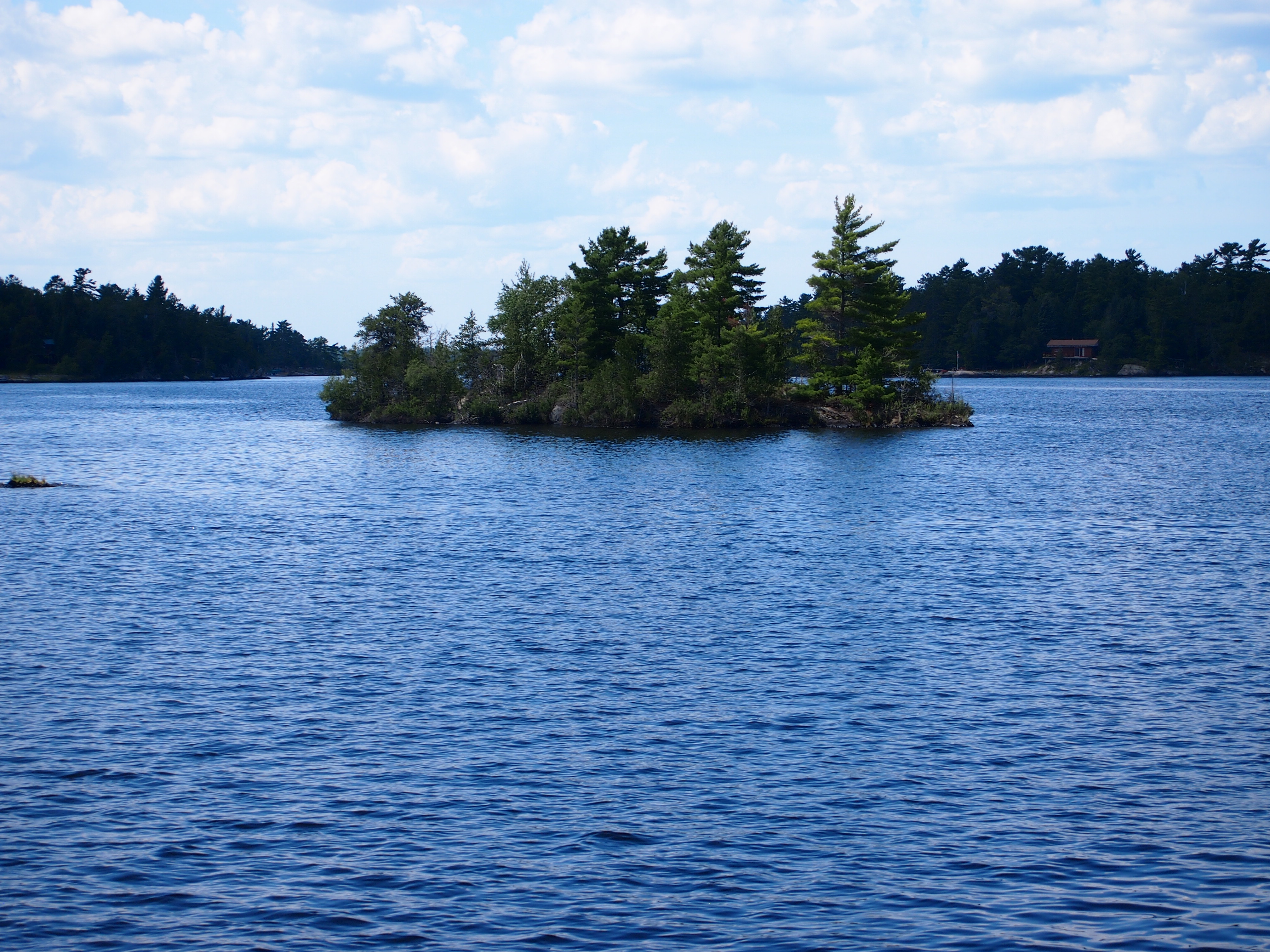
The park is a world of wooded islands and peninsulas but mostly lakes, including the sizable Rainy and Kabetogama lakes. So I figured only reasonable that the thing to do was take a boat tour.

The park itself offers a number of options, including one that’s six hours long, which didn’t interest me greatly, and one in small boats you paddle to evoke the transits of those hearty voyageurs of old, though I bet modern participants smell better than authentic voyageurs. That didn’t really pique my interest either.

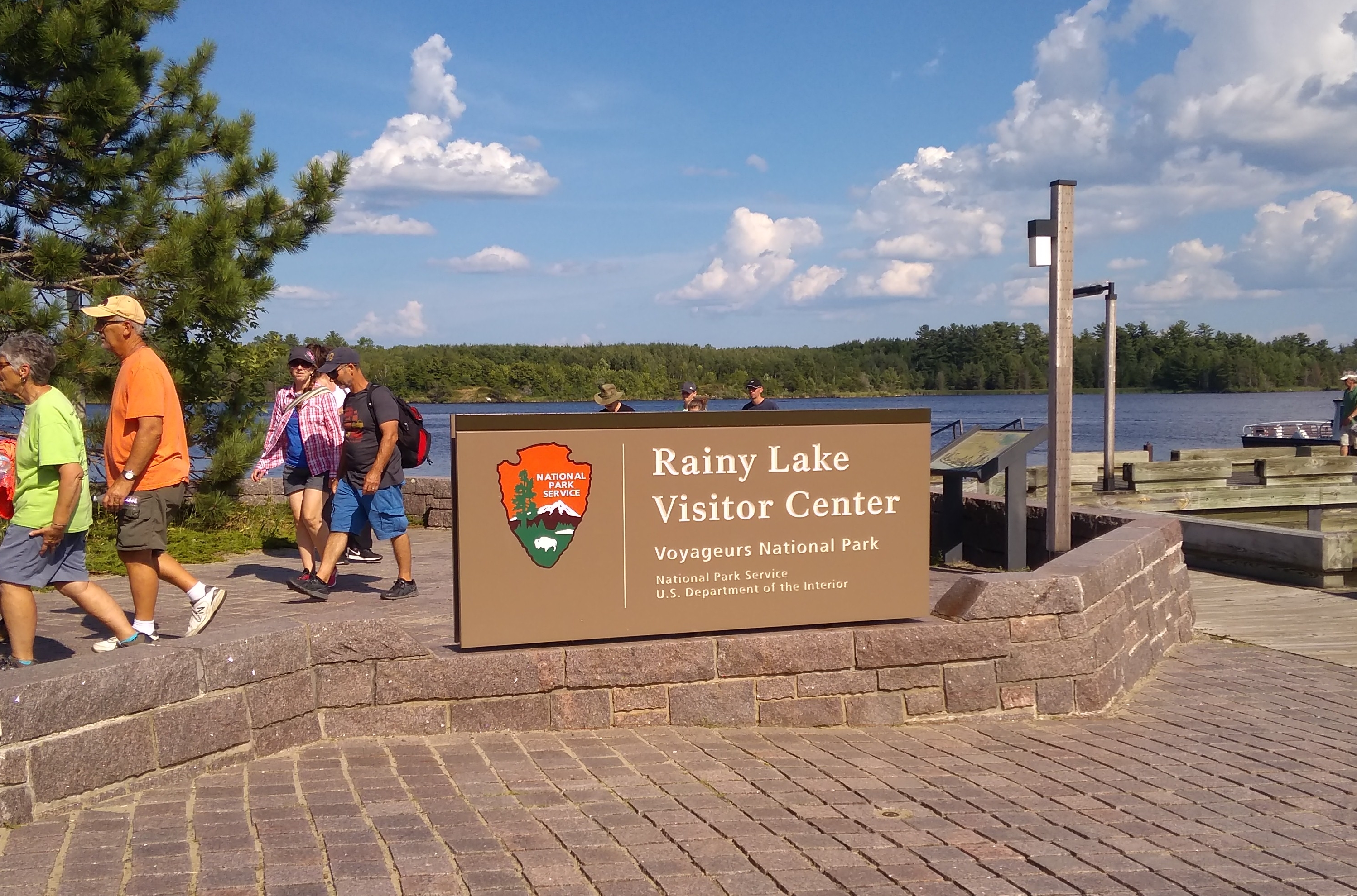
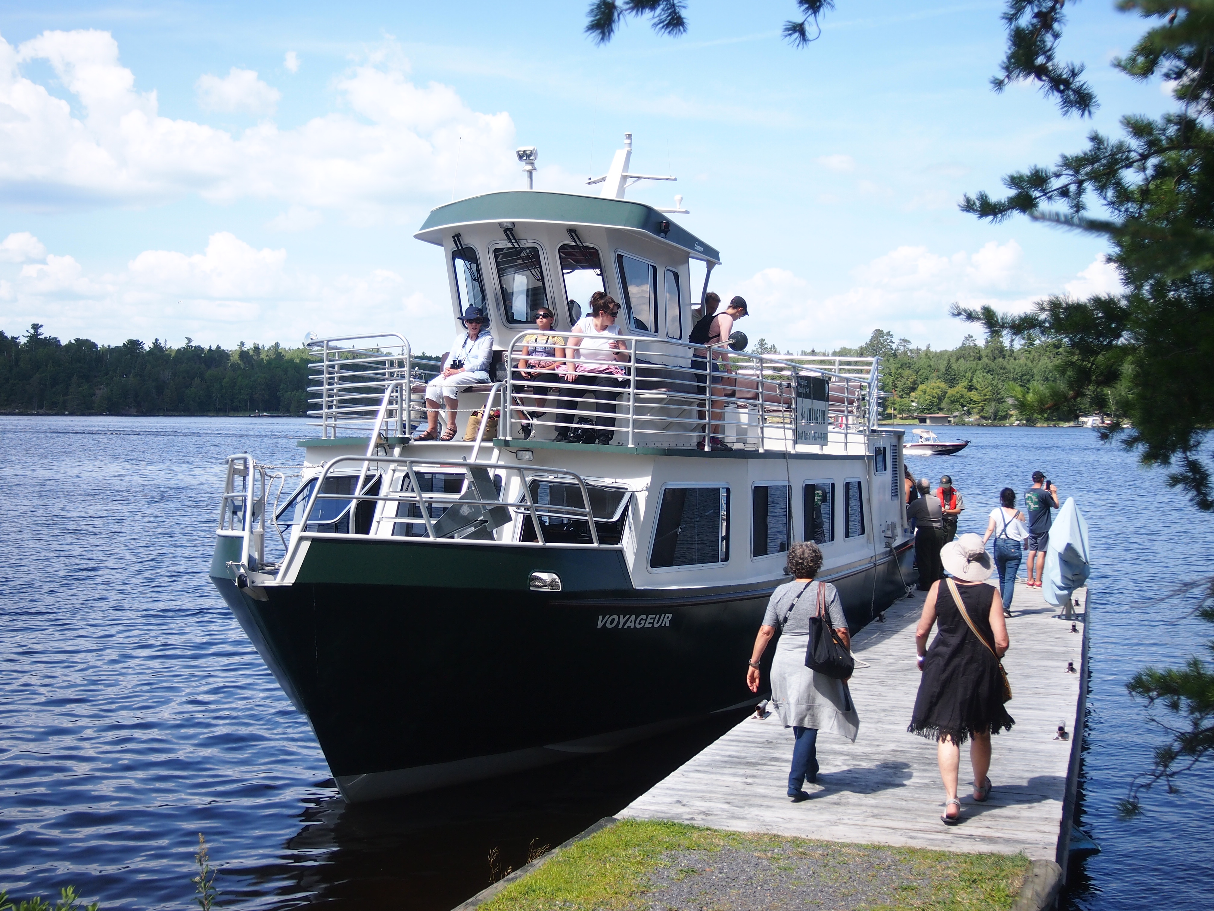
So we took a two-and-a-half hour jaunt out on Rainy Lake, at the park’s western edge, accessed by driving a few miles east of the border town of International Falls, Minn. We boarded the good tourist ship Voyageur and off we went.
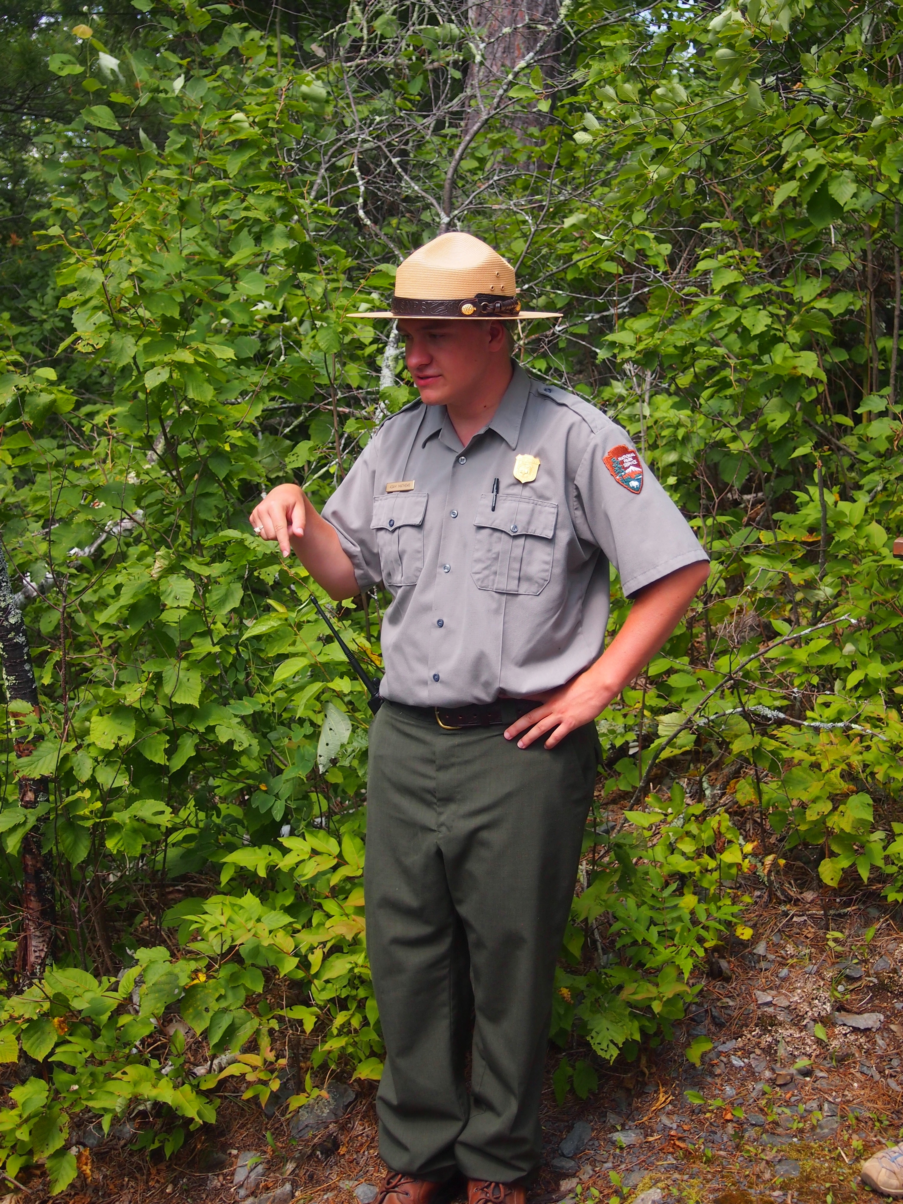
Along the way, our guide — Ranger Adam — pointed out various aspects of natural and human history in the land we cruised by, such as a number of eagles and eagle nests perched on tall trees, evidence of beavers at work, the sparse ruins of an 1890s settlement called Rainy Lake City, and a former fishing camp that petered out in the 1950s.

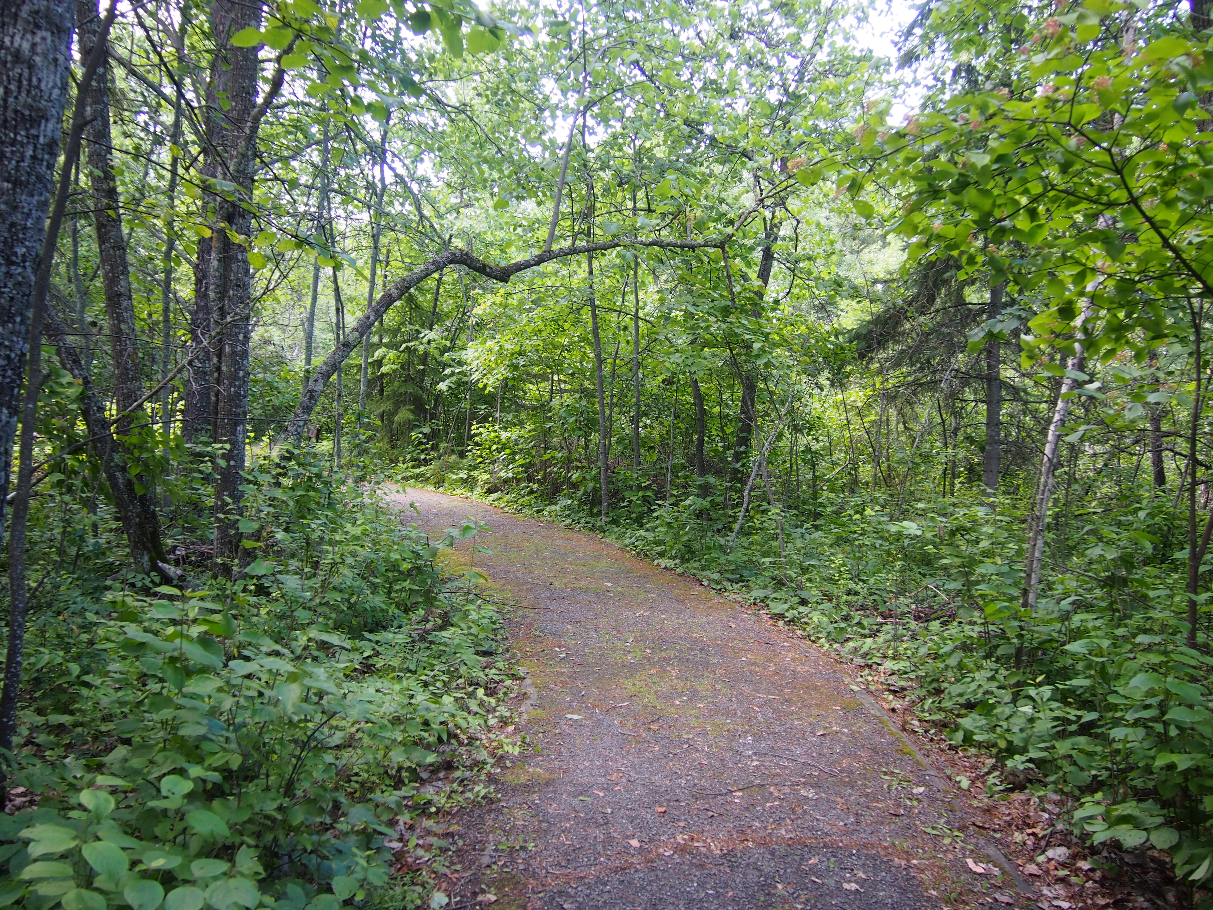
We stopped at one small island: Little American Island, which was added to the park only in 1989. Gold mining had occurred there briefly nearly 100 years earlier. These days, short footpaths take visitors to the few relics of the gold mining days.
Ranger Adam went with us to explain things and point stuff out, such as the hole in the ground left over from the gold mine and a few rusty mining machine parts.

“The Little American Mine operated from 1893 to 1898,” says Forgotten Minnesota. “The average value of the gold extracted during that time was $30 per ton, which represented a profit of around $12 per ton.

“The Little American is the only gold mine in Minnesota known to have produced a profit. The impact of the mine was felt primarily in Rainy Lake City. After the mine closed, Rainy Lake City slowly disappeared and was considered a ghost town by 1901.

“Although the mine was productive, a large vein of rich gold was never found to kick off a gold rush to rival those in California. Oddly enough, the influence of the Little American Mine on the mining industry occurred in Canada, where the large veins of gold were finally found.

“Remnants of the mine can still be found under years of overgrown brush and pine trees. Two major excavations from the Little American Mine are still visible on the island: a vertical, cribbed shaft and an entrance to a horizontal shaft. Both are filled with debris and water.”

Little American Island aside, the tour was mostly a relaxing few hours on the water. Though it was fairly warm — maybe 85 F and partly cloudy — as we chugged along the breeze kept things fairly comfortable.

One oddity: out on the lake, I felt my phone buzz in my pocket. I didn’t really want to have anything to do with it while on the lake, but I was surprised there was service at all. I glanced at the phone and the screen said, Welcome to Canada! Then it offered details about how I needed pay extra to call from within Canada.

I’m pretty sure we hadn’t crossed into Canadian waters, since a NPS tour is probably going to be precise about that kind of thing. But we were close. The nearest cell tower must have been on private land in Canada, so the phone, dense device that it is, figured we were there.

Thursday Havering

A lot of the ads popping up lately on YouTube have been to promote Canadian tourism. Mostly the ads depict, in music video style, young people doing the kind of vigorous activities that (some) young people must imagine is the essence of traveling to exotic places like Saskatchewan. Actually, one today featured the Yukon.

I’m all for visiting Canada, and encouraging people to do so, but the ads don’t really speak to me. Besides, Canada’s not really top of my mind in November. Then again, it’s good to plan ahead, so you can visit Canada, and even the Yukon, during that short window of opportunity when the place is pleasantly warm.

I never knew until recently that The Proclaimers did a charming version of “King of the Road” back in 1990. No one does it like Roger Miller, but I smile when I hear lyrics like, “destination Bangor, Maine” in that burr of theirs.

“King of the Road,” in the way things go on the Internet, soon leads to a song stuck in mid-60s amber, “Queen of the House.” Even better, the song is done in a Scopitone.

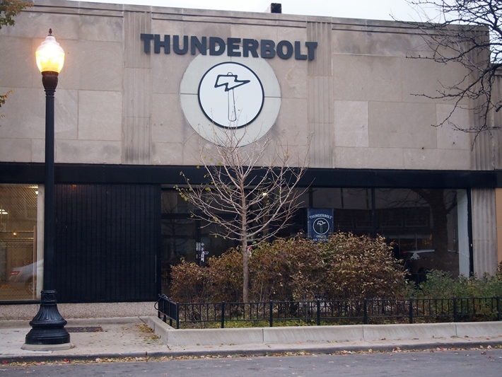
I was in the city not long ago with a camera in the front seat, so I took a few pictures while stopped at traffic lights. Such as this place. So very Chicago.
Then there was Thunderbolt.
It’s an ax throwing venue, only the second one in Chicago, according to the Tribune, opening this spring.

“Ax throwing — indoor or outdoor — is a skill-based sport; [owner Scott] Hollander likens it to pool or darts, where participants can take the competition as seriously or lackadaisically as they please,” the paper says.

“Easygoing ax throwers can book an hour at a lane for $15 per person Wednesdays and Thursdays, and for $20 per person Fridays, Saturdays and Sundays. Food and nonalcoholic drink is allowed and can be consumed at the plywood stands behind each pair of lanes or at the picnic tables in the building. Thunderbolt also is available for bachelor or bachelorette parties, birthday parties and corporate events.”

What do I think of when I hear about ax throwing? Ed Ames, naturally. Tomahawk, but close enough.

Captain Canuck & President Polk for Christmas

My last Christmas present came via UPS today. Lilly ordered it not long ago, some time after I assured her that a little while after Christmas is close enough. It’s an attitude that makes the holidays less stressful; more people should consider it.

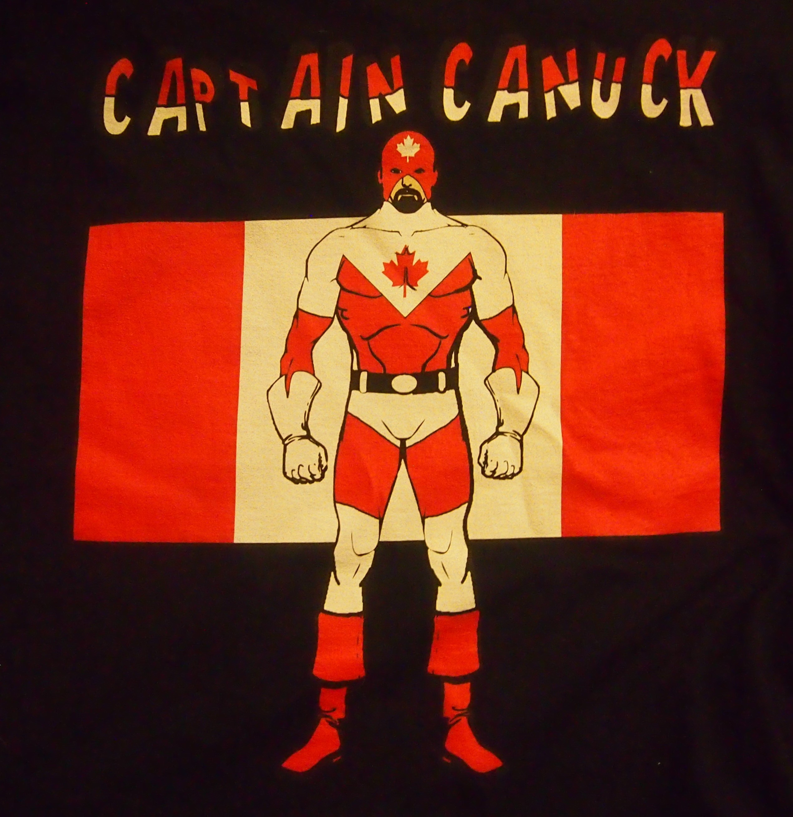
I’d suggested the item almost off-handedly. In our time, such whims are easily gratified online. It’s alarmingly easy. Here’s a closeup.

Captain Canuck!

It’s a Captain Canuck t-shirt, 100 percent cotton, made in Nicaragua. Accept no less.

Also for Christmas this year, but some time earlier, Jay got me a t-shirt with another larger-than-life figure, though from the annals of U.S. history.

James K. Polk, Napoleon of the Stump

None other than James K. Polk, Napoleon of the Stump. Also all cotton, but made in Haiti. On the back it says POLK 11.

Map Hero’s Laminated Gitche Gumee

You never know what’s lurking in the fine print. Usually that’s taken to be a bad thing, but yesterday I took a look at a map I’ve owned for years and discovered a fine thing in the fine print.

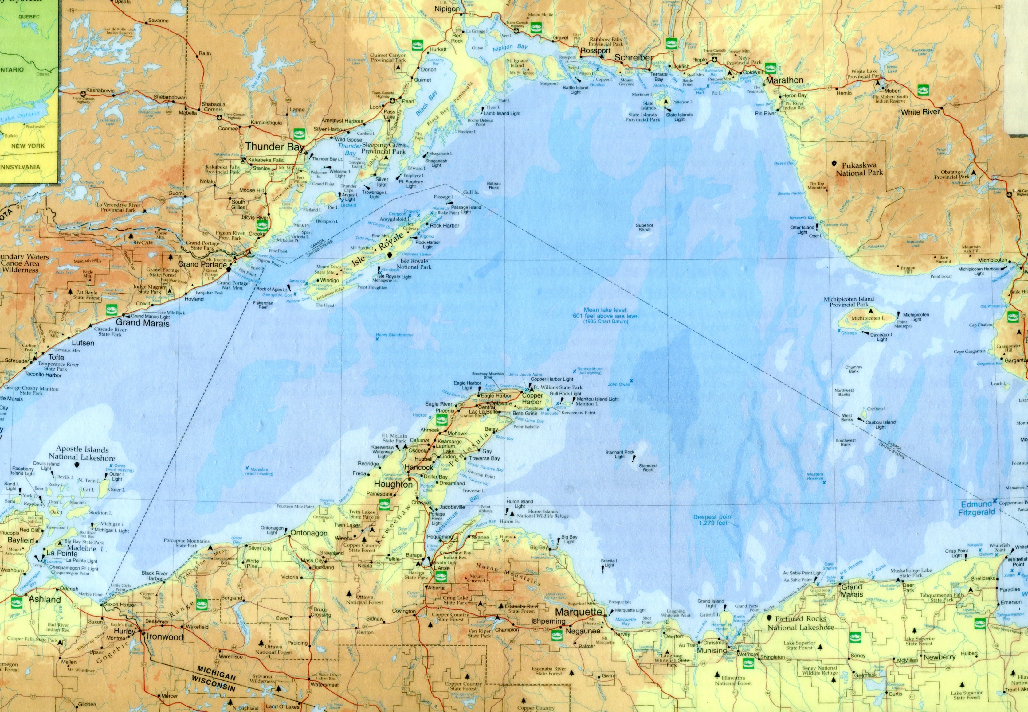
First, the map. It’s laminated, and so in excellent shape. I got it when we went up to northern Wisconsin in 2003. At 16¾ inches x 10⅝ inches, it’s beyond the capacity of my simple scanner, so here’s a large detail from the midsection of the map: instantly recognizable as the ice-water mansion Lake Superior.
LakeSuperiorLake Superior Port Cities Inc., publisher of Lake Superior Magazine, published the map in 2001. It’s a quietly gorgeous map whose shadings not only indicate elevation above and below the surface of the lake, but are pleasing to the eye. Besides towns and roads, it notes all of the various state forests and parks along the shores of Lake Superior, plus the national lakeshores and the single national monument, Grand Portage in Minnesota.

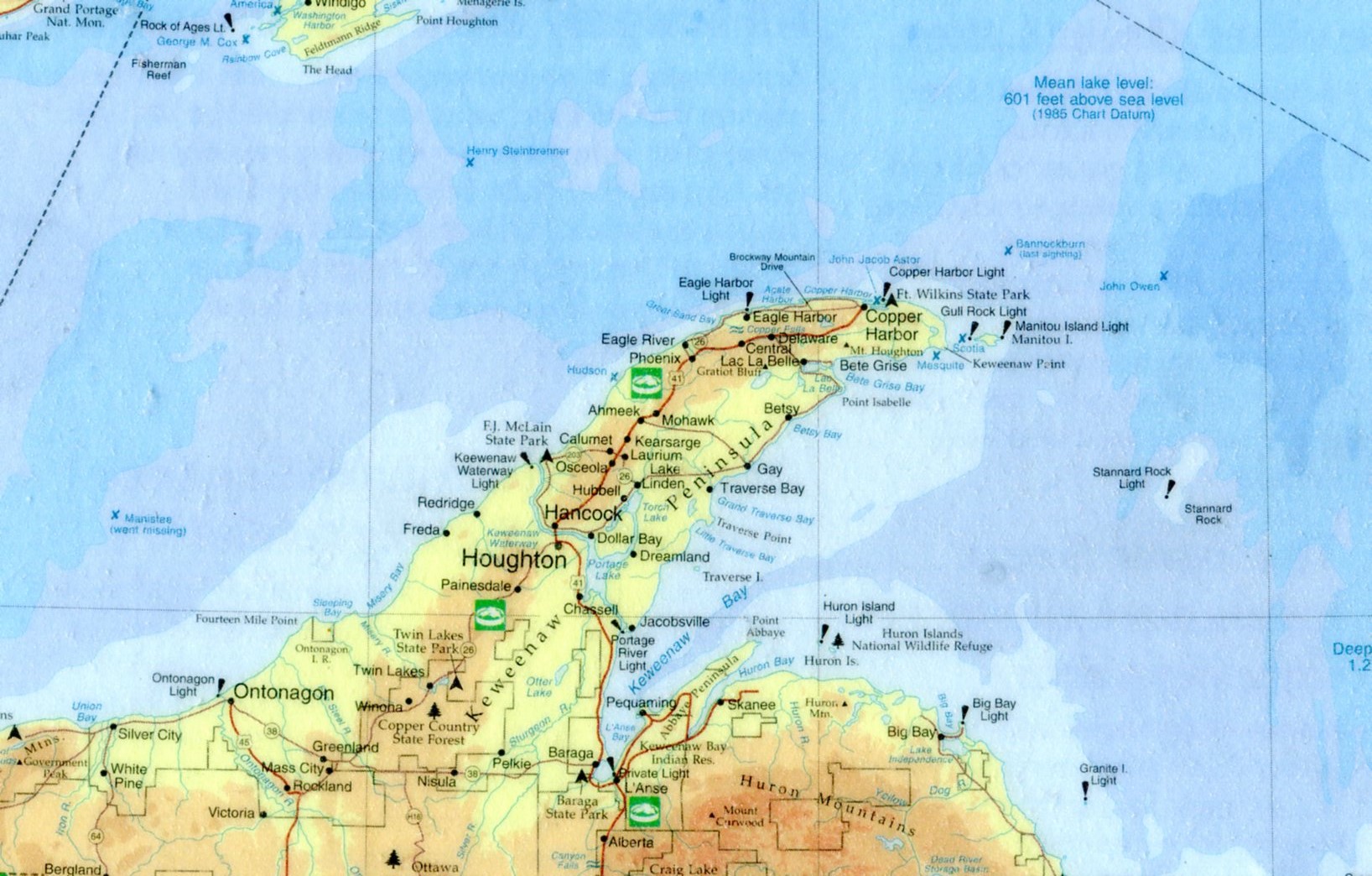
Here’s a closeup of Keweenaw Peninsula, the UP’s UP, and a place I surely must see.
KeweenawVery small versions of the Lake Superior Circle Tour sign mark a network of roads that circumscribe the lake. If I had the time, that’s a drive I wouldn’t hesitate to do. I remember the first time I visited Lake Superior — Labor Day weekend 1989 — I was driving between Munising and Marquette and I saw one of the signs. I hadn’t realized there was a Lake Superior version of the drive; the Lake Michigan Circle Tour signs can be seen even in the Chicago area and, in fact, I’ve done my own version of circum-driving that lake twice (once was that ’89 weekend).

Instantly I was taken with the notion of driving around Lake Superior. I was by myself and could have done it. I didn’t have my passport, but you didn’t need a passport to visit Canada in those days. I hadn’t planned to take any time off after Labor Day, but I could have called in sick for a few days, something I very rarely did. But no. I was entirely too responsible.

On the lake itself, the map also features lighthouses and the sites of notable shipwrecks. Some of the lighthouses are probably easy enough to see, but others are impossibly remote, such as the Stannard Rock Light, more than 20 nautical miles southeast of Keweenaw Point, slap in the middle of the lake.

As the for the wrecks, few will ever see them in the chilly Superior waters (average temp, 40 degrees F.). The most famed of them, naturally, is the Edmund Fitzgerald, but it has a lot of company, such as the Onoko, Henry Steinbrenner, John Owen, Western Reserve, Gale Staples, Niagara, Superior City and others.

A handful wrecks are marked but also noted “went missing,” such as the Owen and Manistee. To quote Wiki on that ship: “The Manistee was a packet steamship that went missing on Lake Superior on November 10, 1883. It was presumed to have sunk, with no surviving crew or passengers. The cause remains a mystery, and the wreckage was never discovered.” Sometimes Gitche Gumee just eats ships, it seems.

As for the fine print, way at the bottom right corner of the map, in about 3-point print, it says, “Design/Cartography by Matt Kania.” He’s easy enough to find: Map Hero, maker of custom maps. Looks like he’s done a lot of wonderful maps besides Superior. If I had any talent for it, I’d do the same.

The University of British Columbia Museum of Anthropology

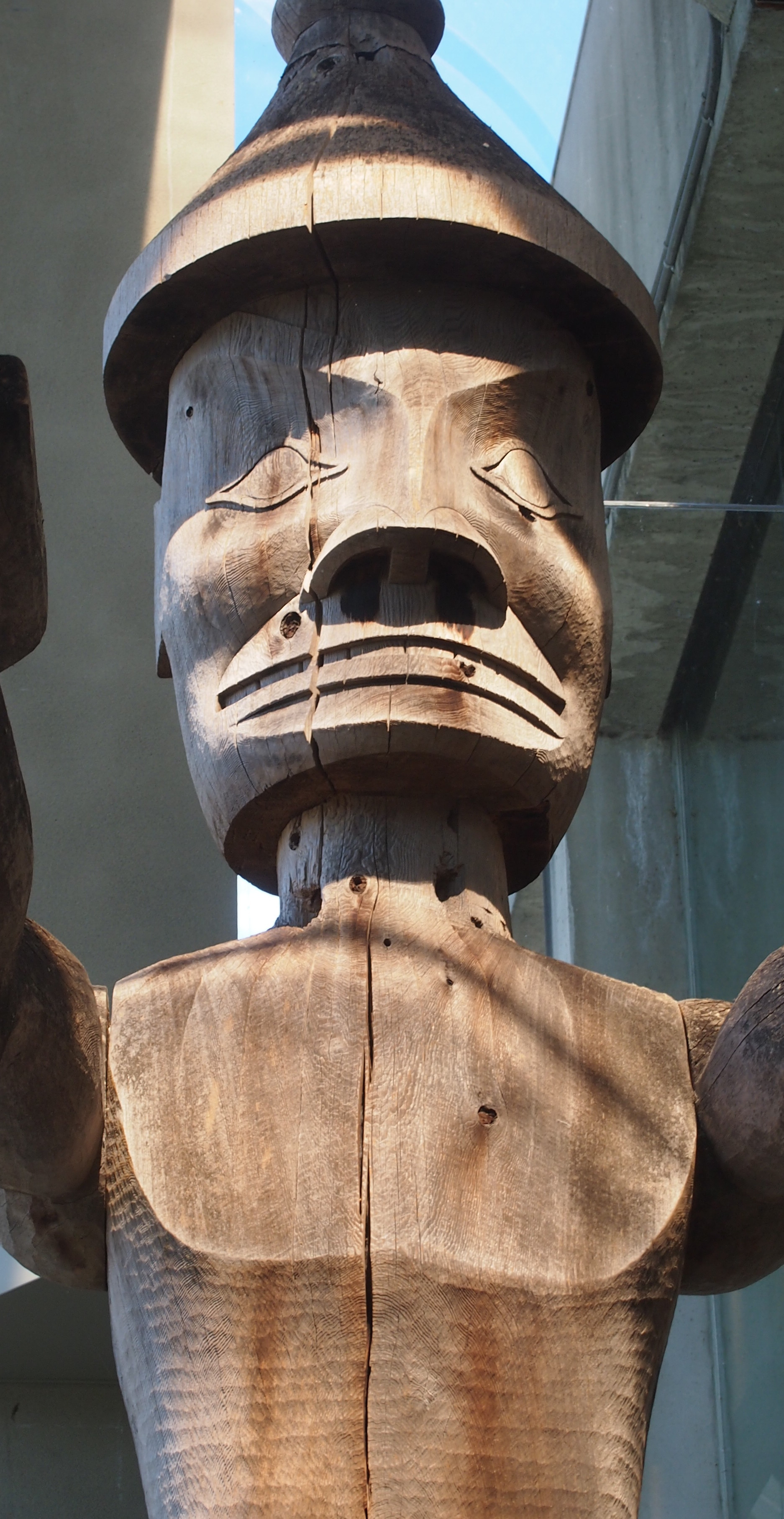
Visit the University of British Columbia Museum of Anthropology, as I did on the afternoon of August 25, and you’ll probably end up in awe of this fellow.Cedar ManIt’s the head and chest of Cedar Man, who stands about two stories tall in the museum’s Great Hall. He has arms and legs, but they were in shadow.

The museum says: “Carved welcome figures on the Northwest Coast have traditionally been raised on village beaches to greet visitors. Joe David carved this one for a different purpose: to protest logging operations on this birthplace of Meares Island, part of the ancestral territories of the Tla-o-qui-aht and Ahousaht peoples of the Nuu-chah-nulth First Nations.”

Meares Island is off the west coast of Vancouver Island in Clayoquot Sound. This was the first I’d heard of it. The protest was in 1984, and eventually the Indians won the day, and the ancient trees on the island still stand. The museum bought Cedar Man from Joe David in 1987.

All together the UBC Museum of Anthropology houses 38,000 ethnographic objects — which I suppose includes artwork like Cedar Man, made in living memory — plus 535,000 archaeological objects. The ethnological collections include over 15,000 objects from Asia, almost 12,000 from North America (including over 7,100 from B.C. First Nations), about 4,300 from South and Central America, 4,000 from the Pacific islands and over 2,300 from Africa.

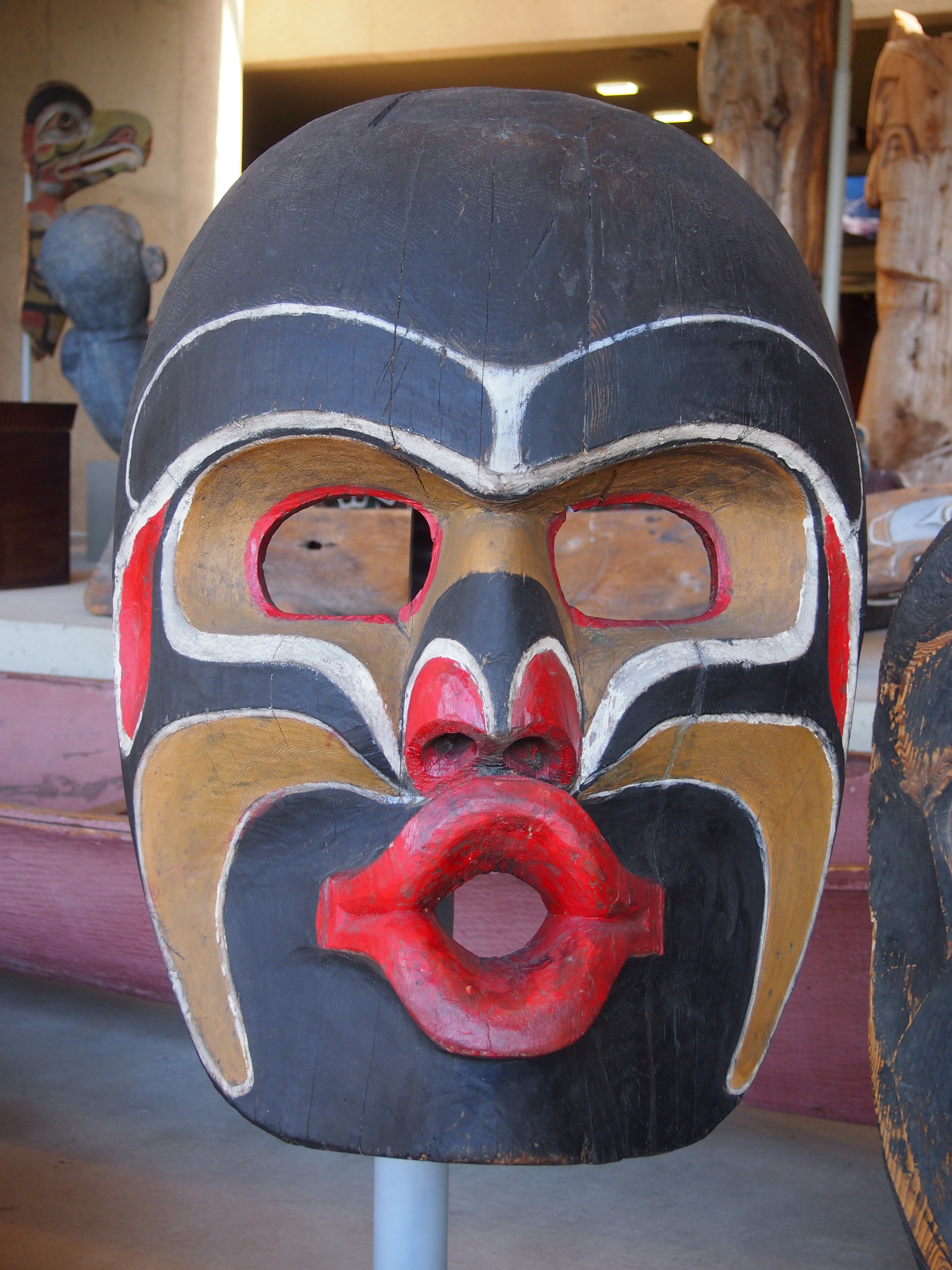
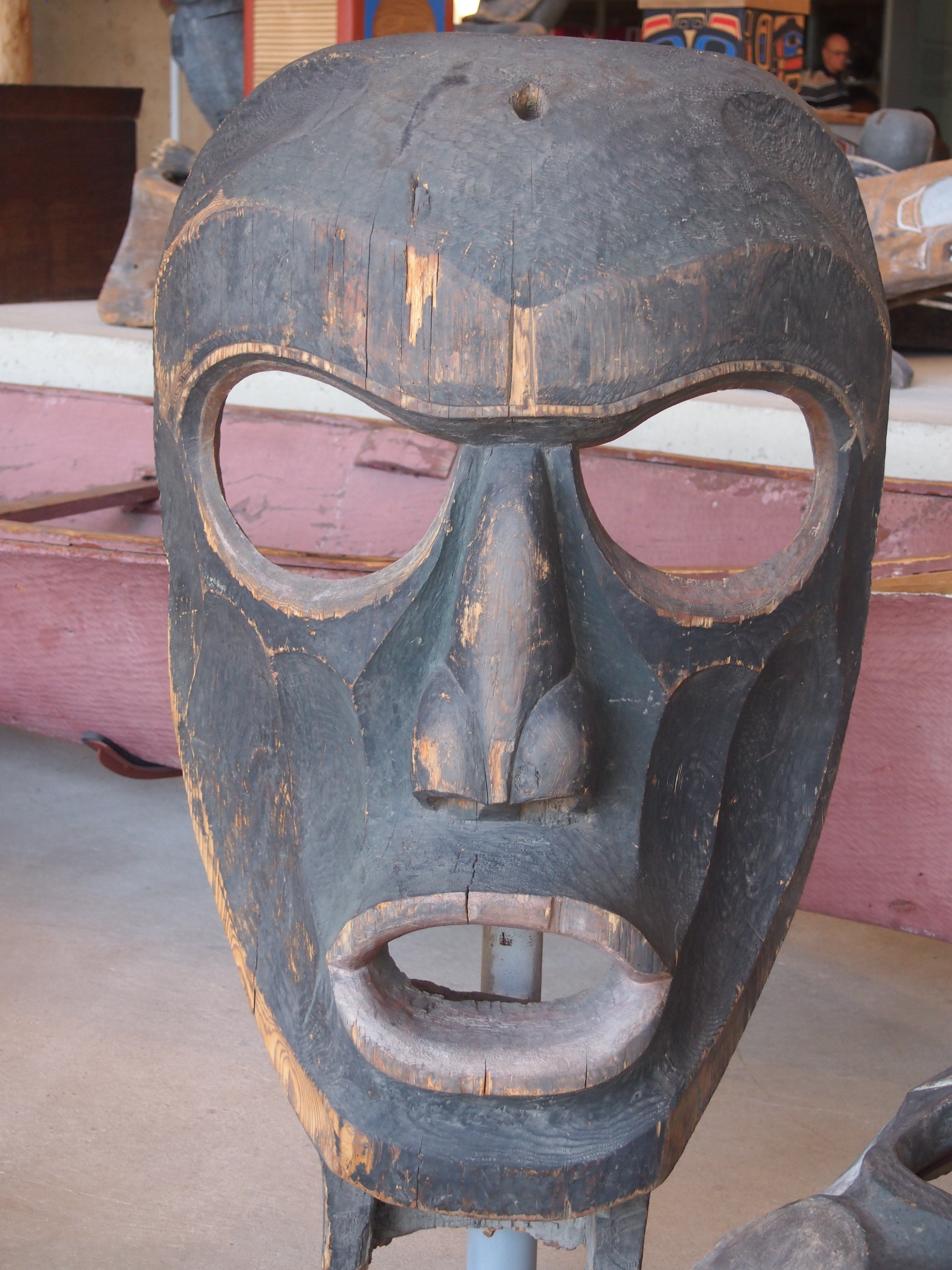
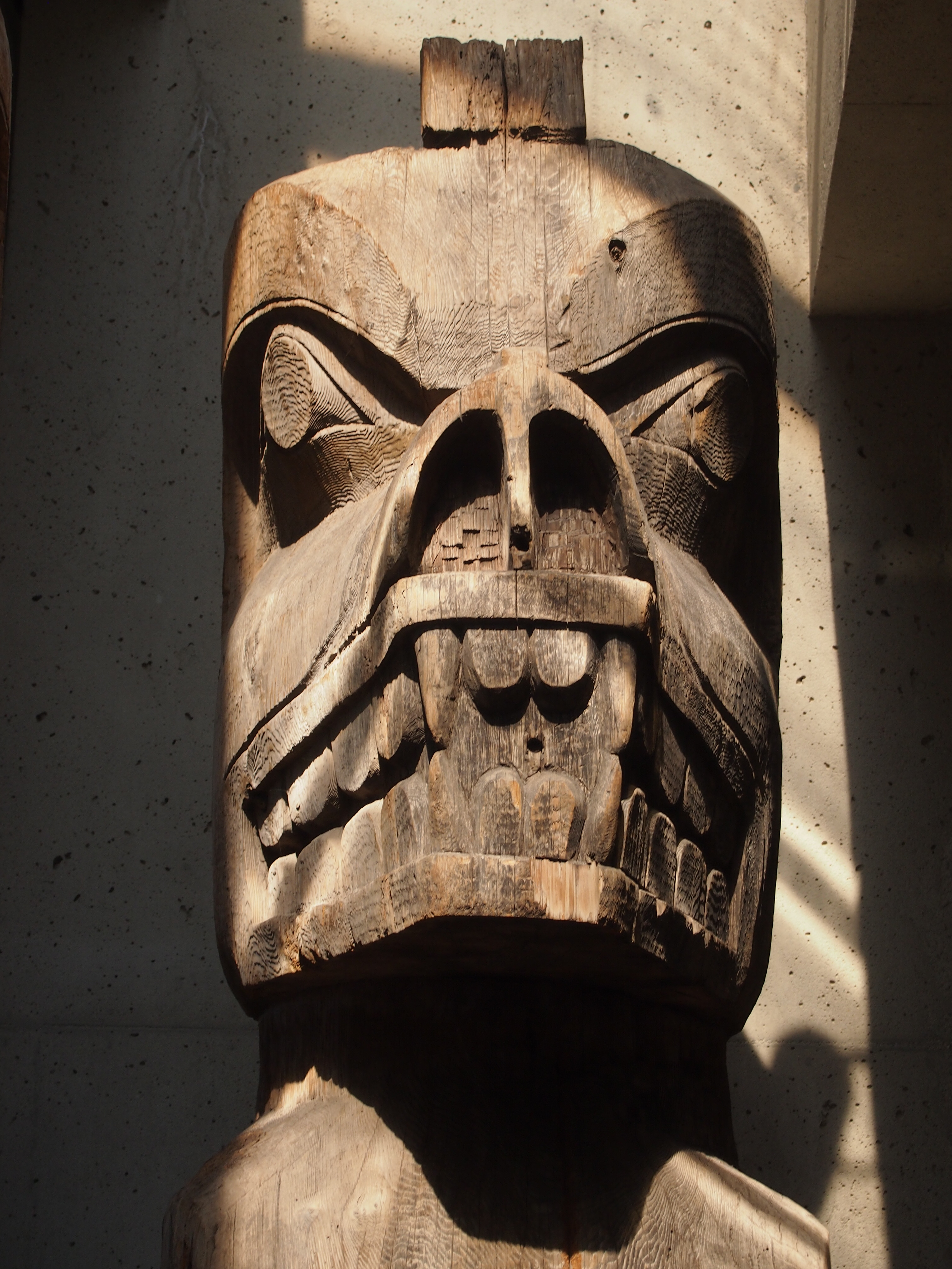
An overwhelming amount of stuff, in other words, and not just from the Pacific Northwest, though that’s a heavy emphasis. The mass of carvings in the Great Hall, which includes an array of other Northwest Coast totem poles, house poles (carved structural elements), masks, and more, is only the beginning.

The face is pretty much universal.

UBCUBCUBCThe museum goes off in a number of directions, branching into various displays. An entire room is devoted to a sculpture called “The Raven and the First Men” by Bill Reid, which used to be on the Canadian $20 bill.

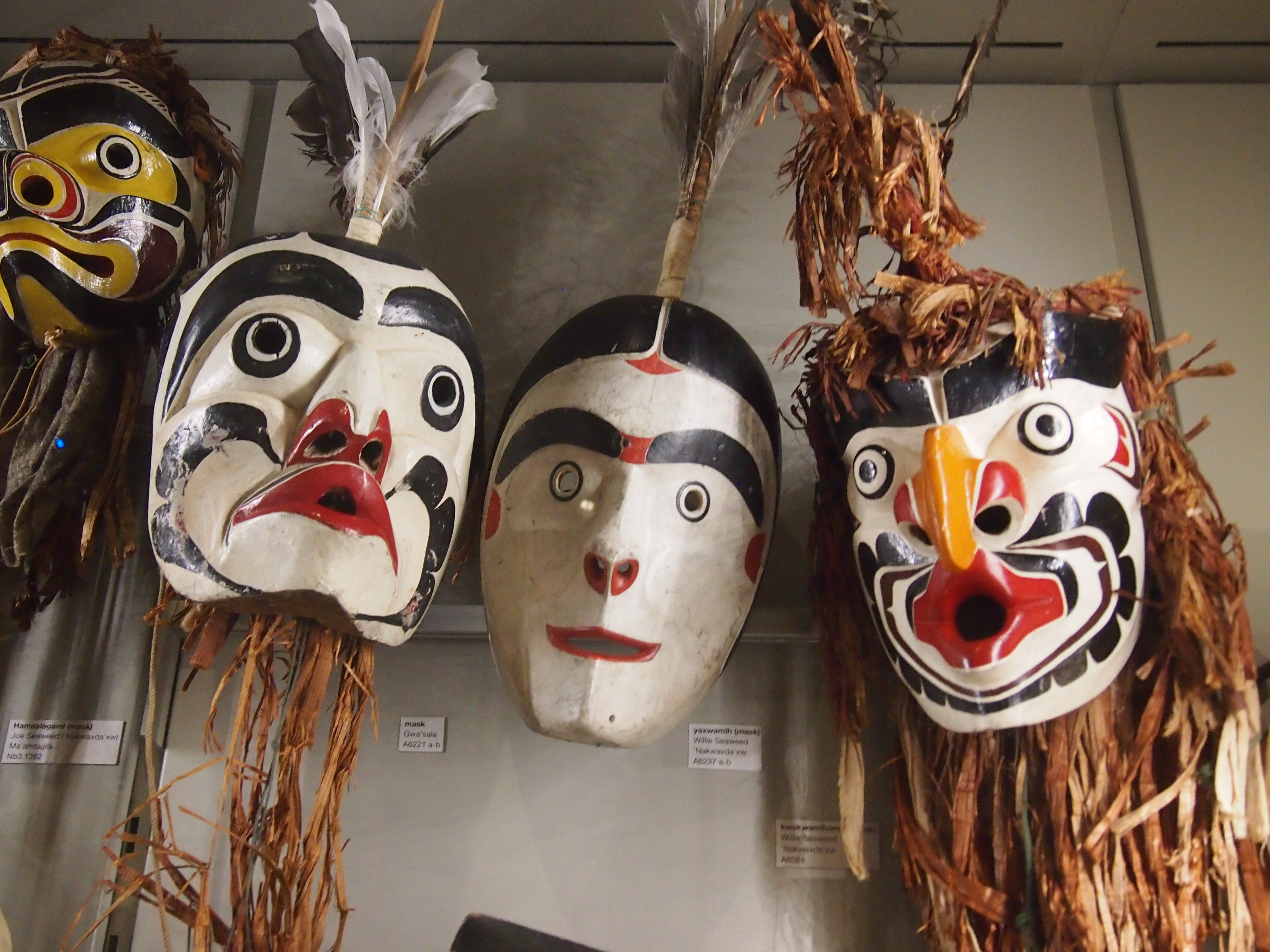
In other galleries, all stuffed to the gills with items from around the world, I encountered the work of Kwakwaka’wakw carver Willie Seaweed (ca. 1873-1967), which the museum calls “one of the great 20th-century artists of the Northwest Coast.” Among other things, he made ritual items for potlatches while they were illegal in Canada (1884-1951).

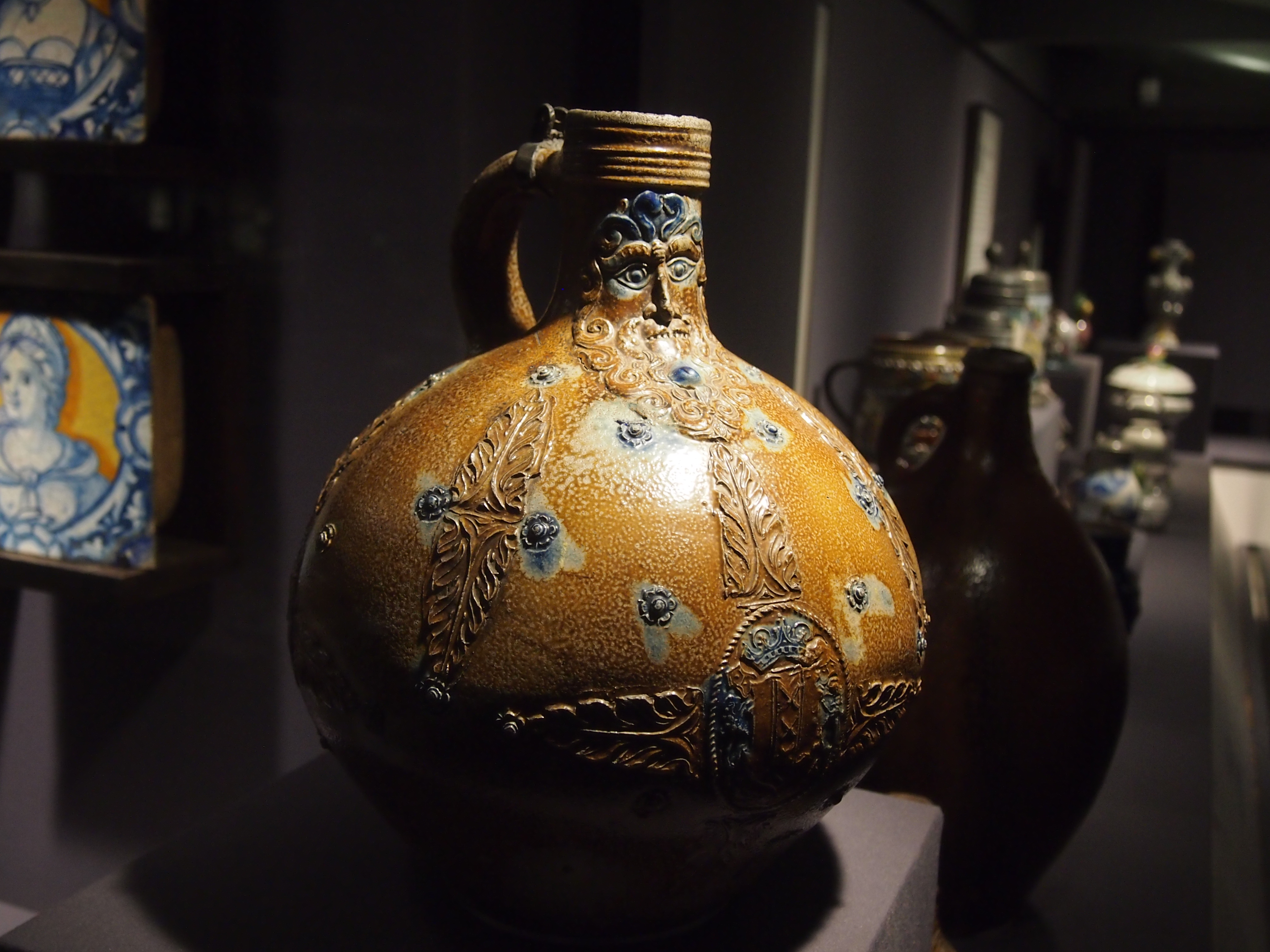
UBCI was surprised to find a room devoted to European ceramics, but there it was in the Koerner Ceramics Gallery. I’m not up on European ceramics, so I’d never heard of the likes of Bellarmine or Bartmann jugs, which have bearded faces at the base of the neck, and seemed to have been the last word in jugs in the 16th and 17th centuries, and mostly made in western Germany.
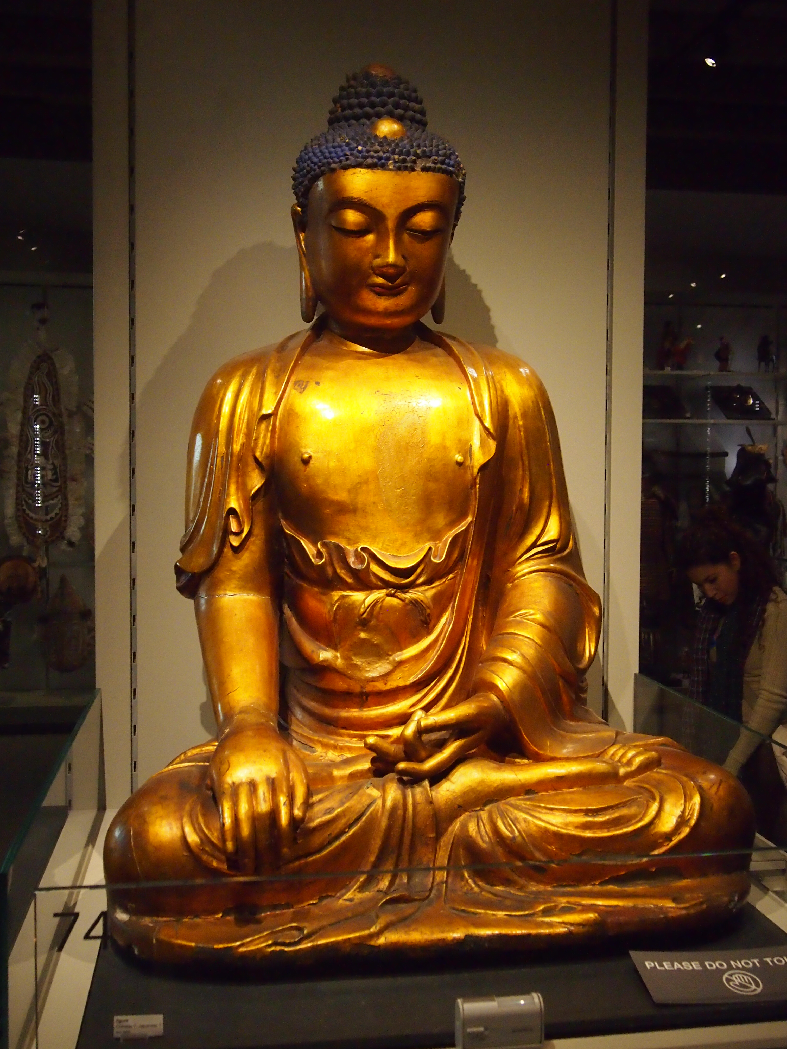
UBCOther galleries sported plenty of other things from around the world. Such as a familiar image of Buddha, though its origin is uncertain (either China or Japan).
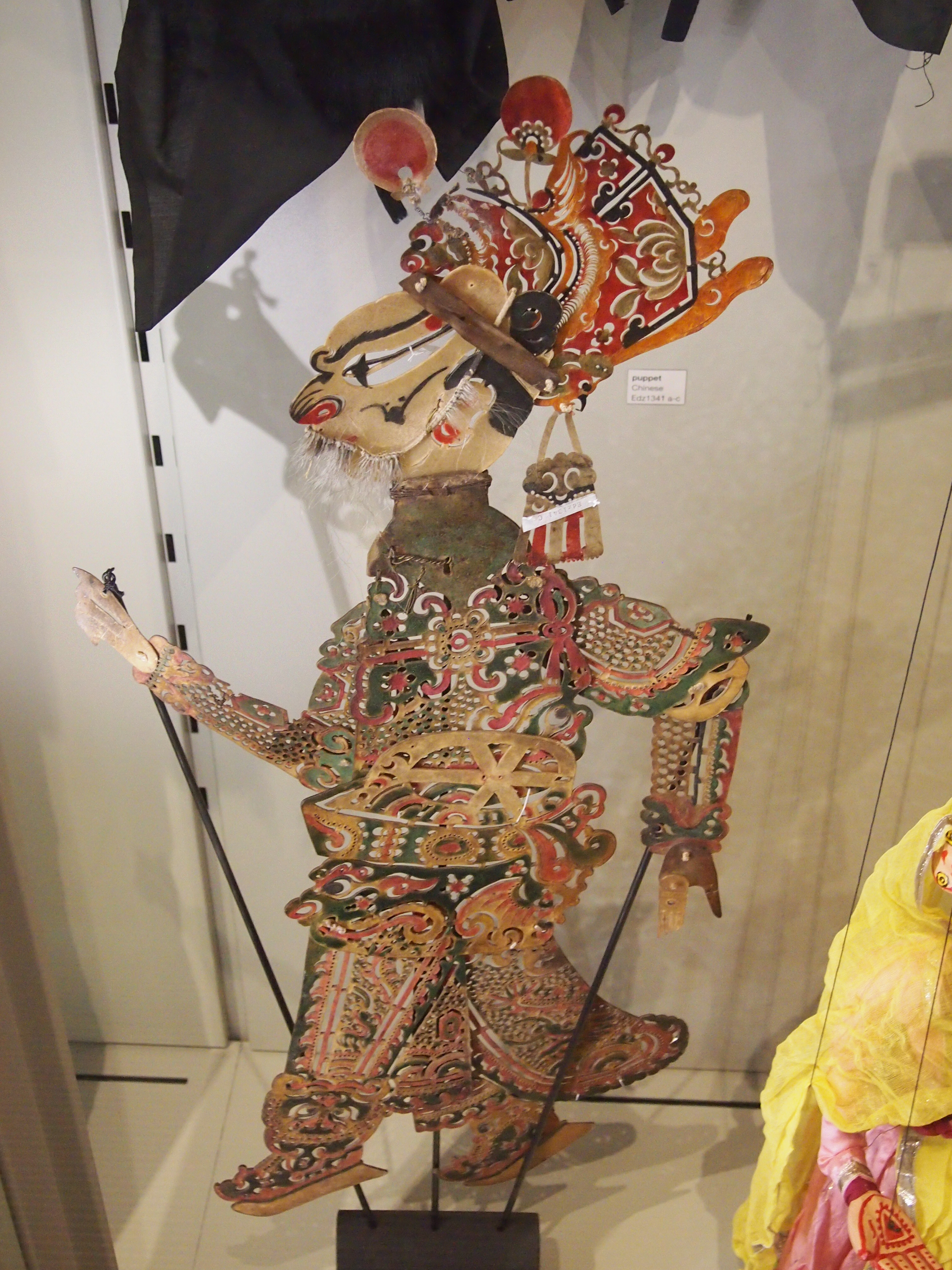
UBCA puppet from China, though it reminded me of the ones from the East Indies.
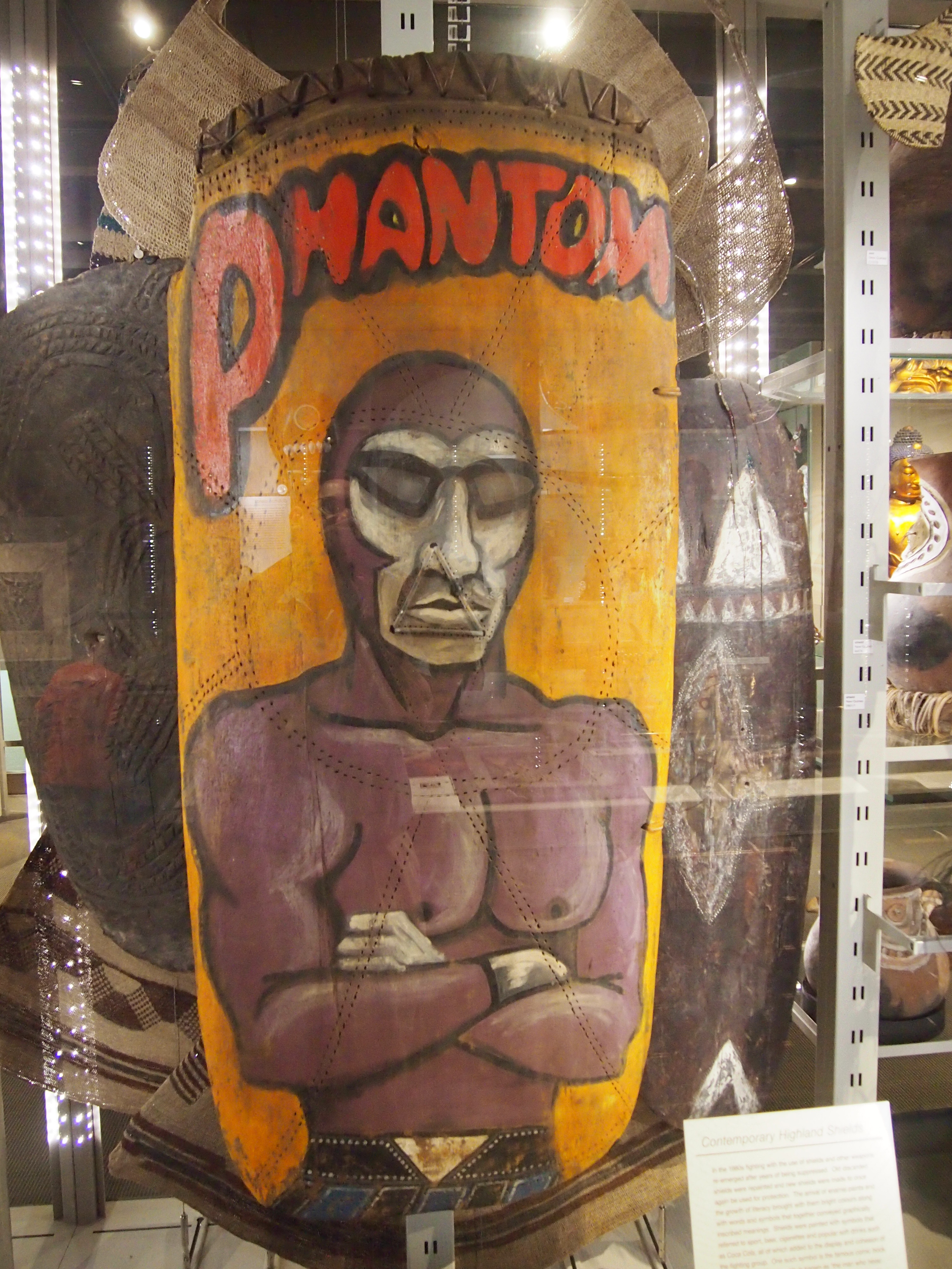
UBCHere’s my own favorite from the UBC, a recent work — the last 30 years or so — from Papua New Guinea, many of whose inhabitants are inordinately fond of The Phantom, who appears on their battle shields like this one.
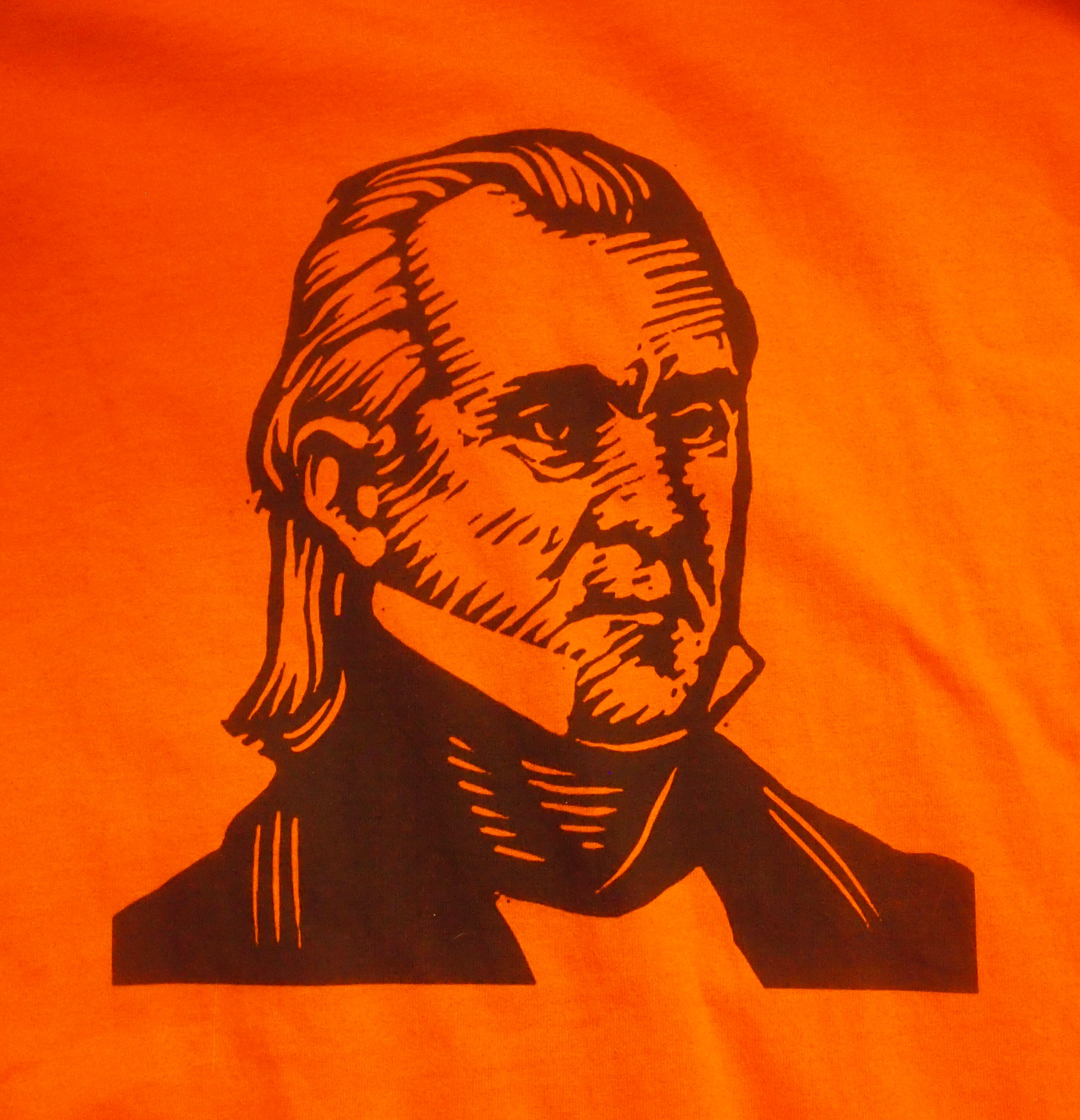
The Phantom!A great example of cross-cultural WTF. More examples are here.