Church of the Holy Cross, Stateburg, SC

Before I take a long drive, I spend time with one or more of my highway atlases sketching a route – Rand McNally, National Geographic or Michelin. Sometimes I refer to highway department folding maps as well. Google Maps has its place, an important one, but it’s no substitute for the big-picture sweep of a paper map.

For the trip to the Carolinas earlier this summer, an atlas map made it easy to see the best way to cut across the state from Myrtle Beach to Columbia, where I planned to spend a night: US 378. As Wiki puts it, “the highway has a lengthy concurrency with US 76 between Columbia and Sumter and serves as a major route between the Midlands and the Myrtle Beach area.”

That is, from the flat damp lands along the coast through pines and the sites of long-ago rice plantations, on to modern crop lands, small sandy wooded rises, and into suburban Columbia. Small towns dot the route: Conway, Gresham, Hannah, Lake City, Turbeville, and Sumter, which is actually a small city (pop. about 43,800).

Not far west of Sumter on US 378, I noticed a point-of-interest sign suggesting a right turn. I don’t remember the exact wording, but the gist that I picked up instantly was historic church. My kind of sight, in other words. After only a few minutes on the side road (South Carolina 261, a.k.a. N. Kings Hwy.), a church and churchyard cemetery appeared.


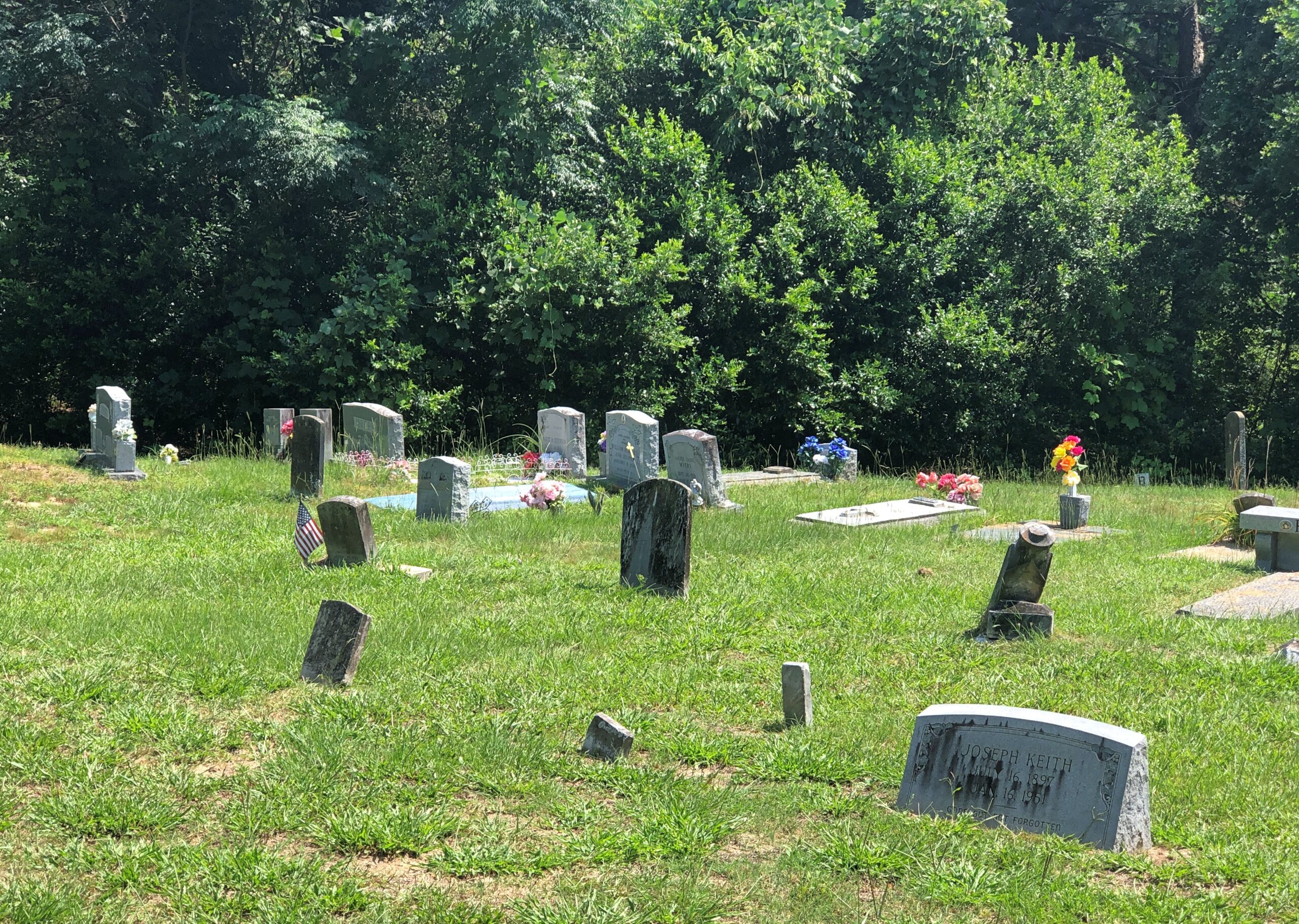
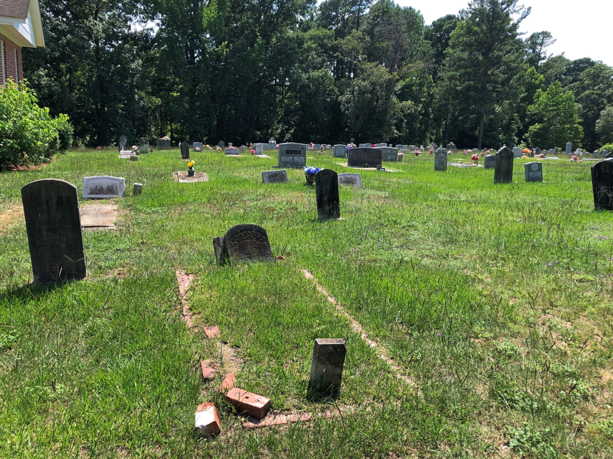
This turned out to be the Wayman Chapel of the AME Church, which has its own graveyard.

Wayman Chapel, AME SC

A good many AME churches are named Wayman, after Bishop Alexander W. Wayman. Surely the place is historic in its own right, including as part of the wider history of the AME, but it wasn’t what I was looking for. I continued on, and without realizing it, had entered the High Hills of Santee, which sounds like an all around interesting place.

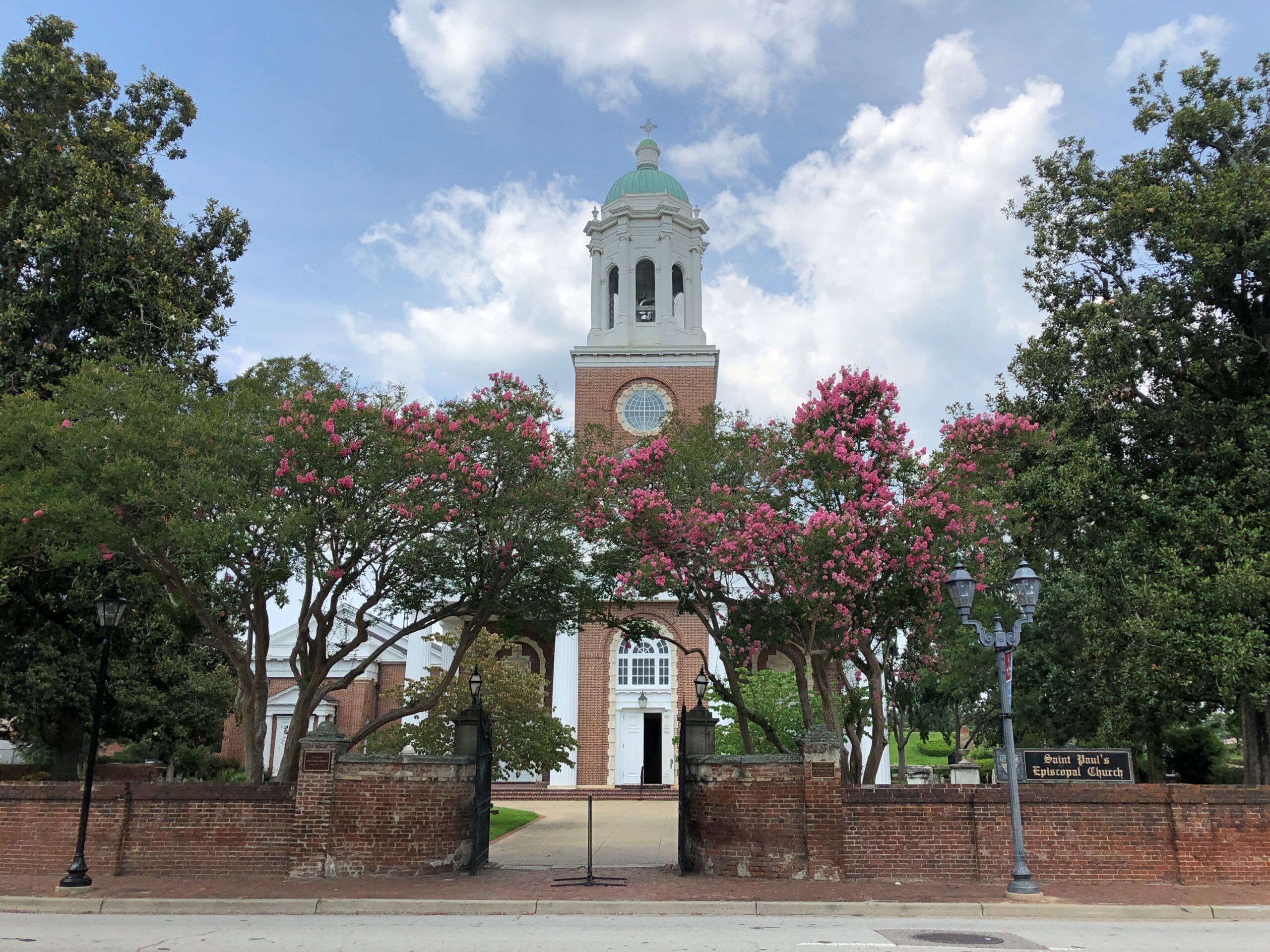
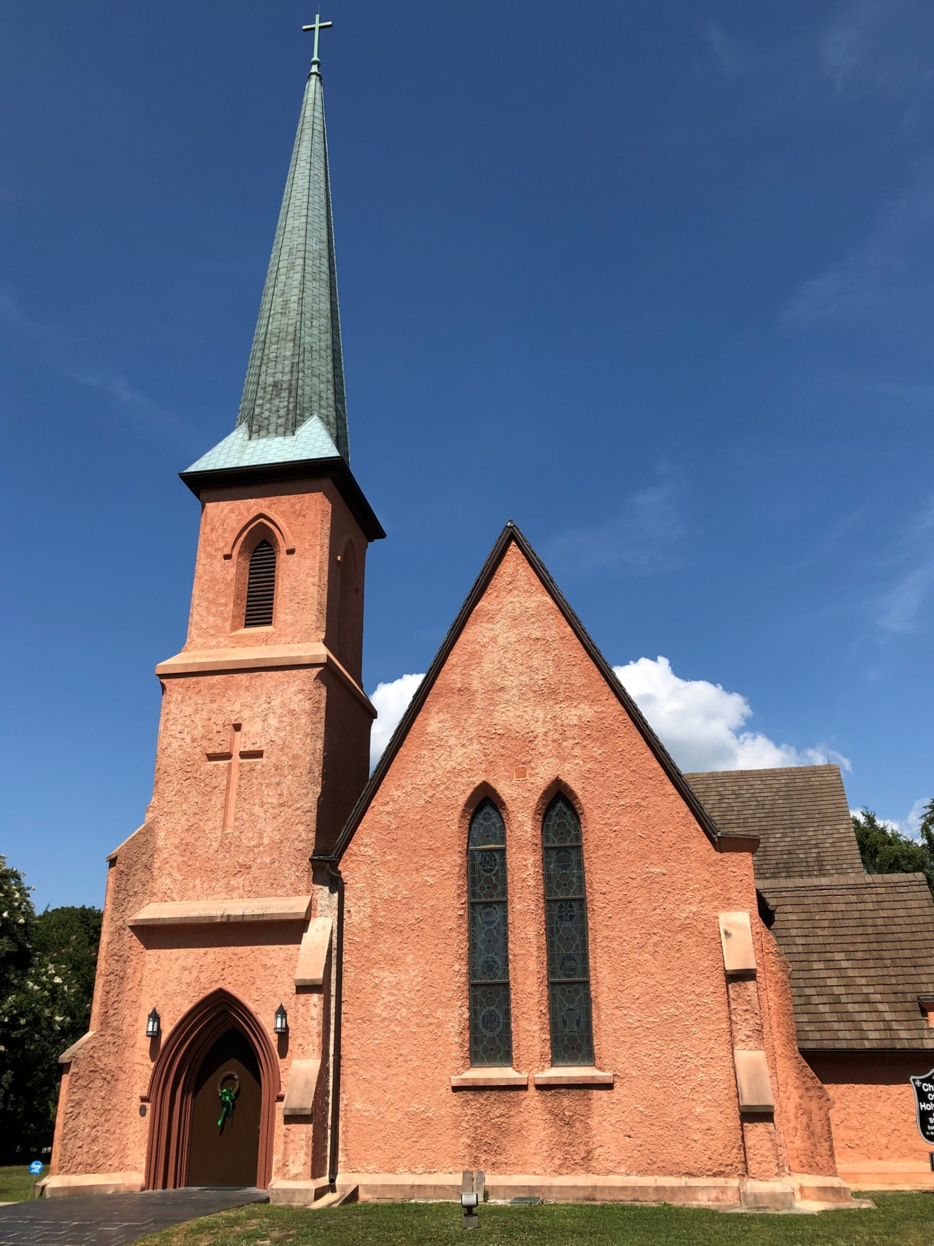
Had I realized that, I might have gone a little further down N. Kings Hwy., but serendipity on the road will only take you so far. In this case, not much further down the road, to the Church of the Holy Cross.

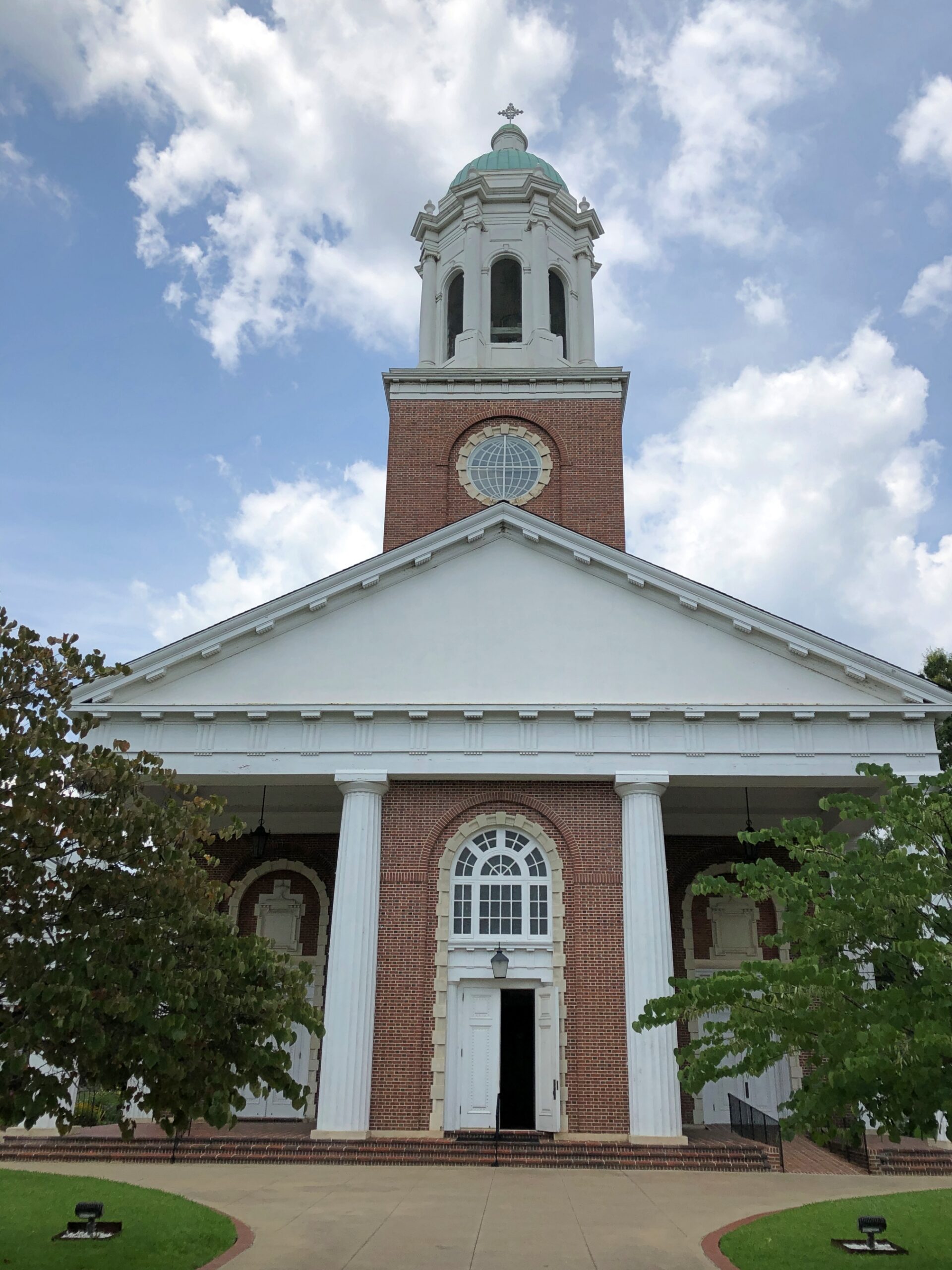
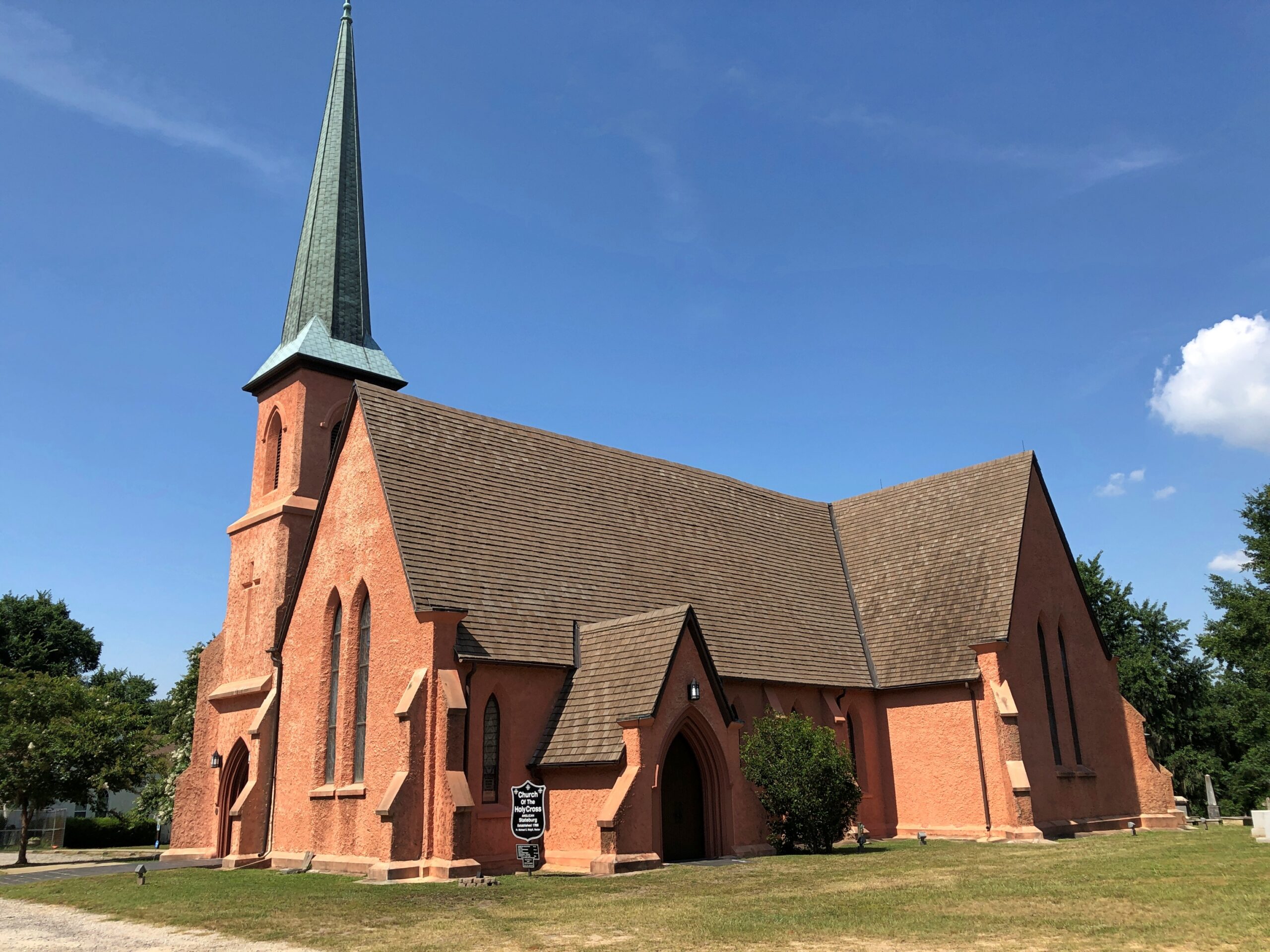
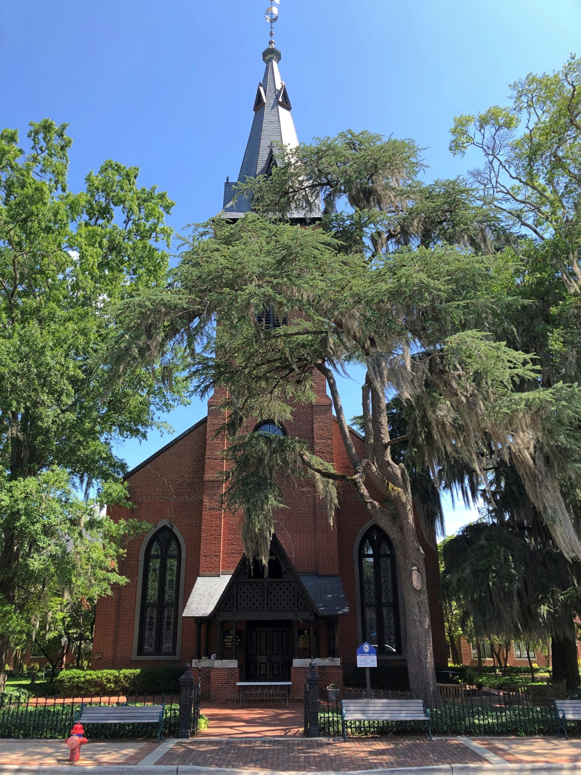
Church of the Holy Cross, SC

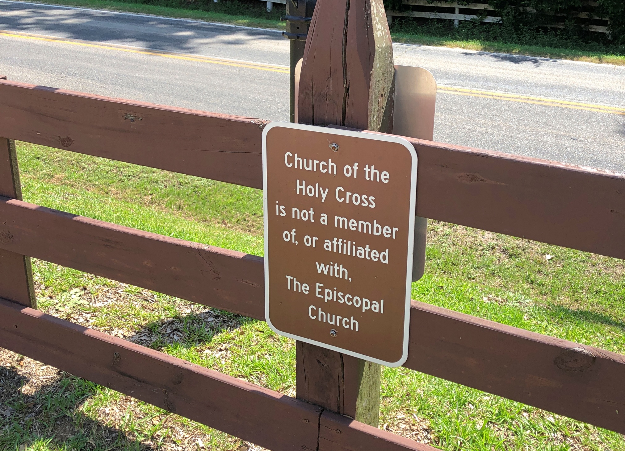
The church has a Stateburg address, but isn’t in town. For well over a century, it was an Episcopal church, but the current congregation wants one and all to know that it isn’t any more. A simple sign, but enough to carry a whiff of schism.

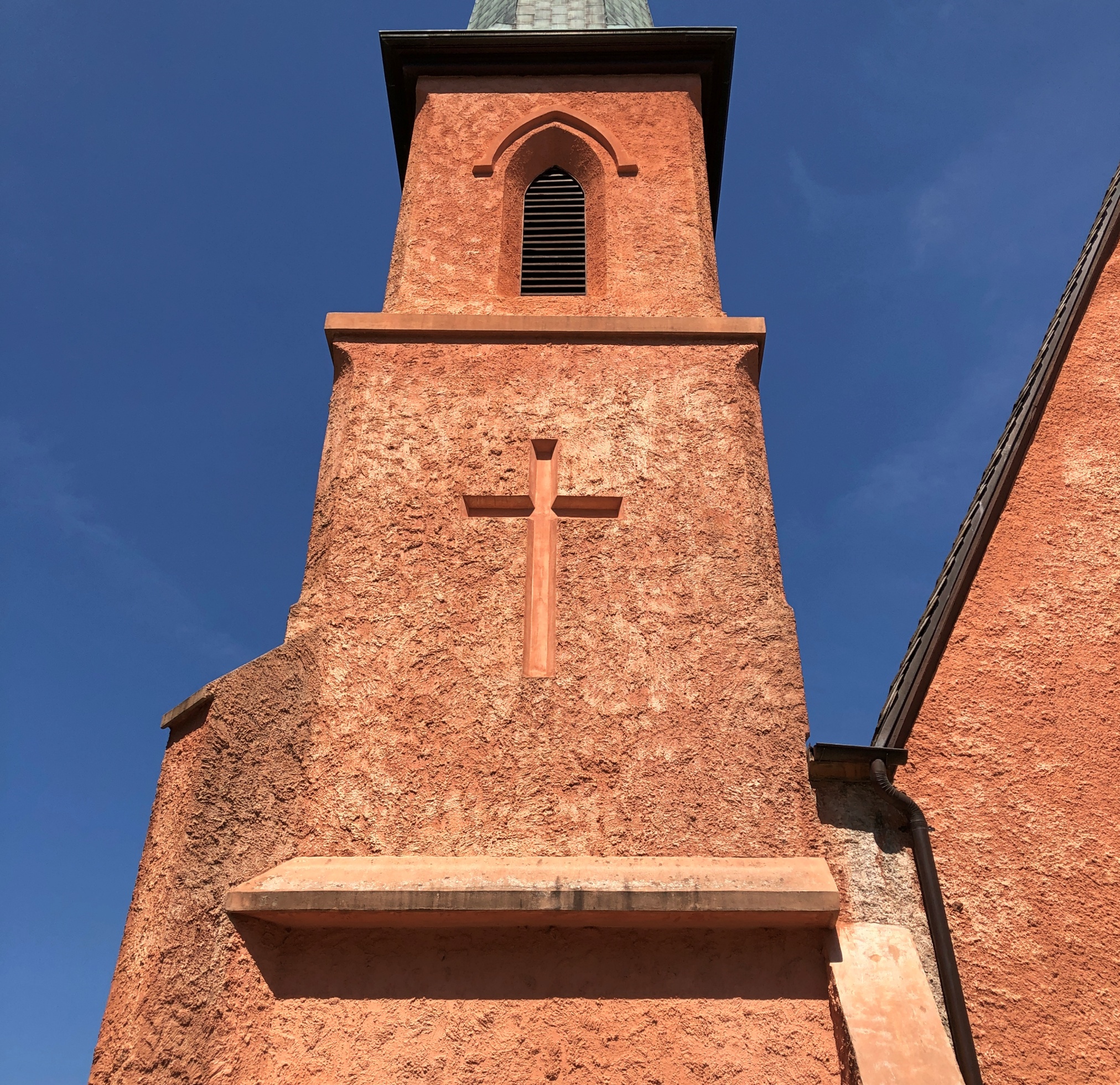
The design work was by Edward C. Jones, a busy architect, including designs at Magnolia Cemetery in Charleston. Not brick or the like, but rammed earth. I can’t say that I’d seen a rammed earth church before. It was completed in 1852.

Church of the Holy Cross

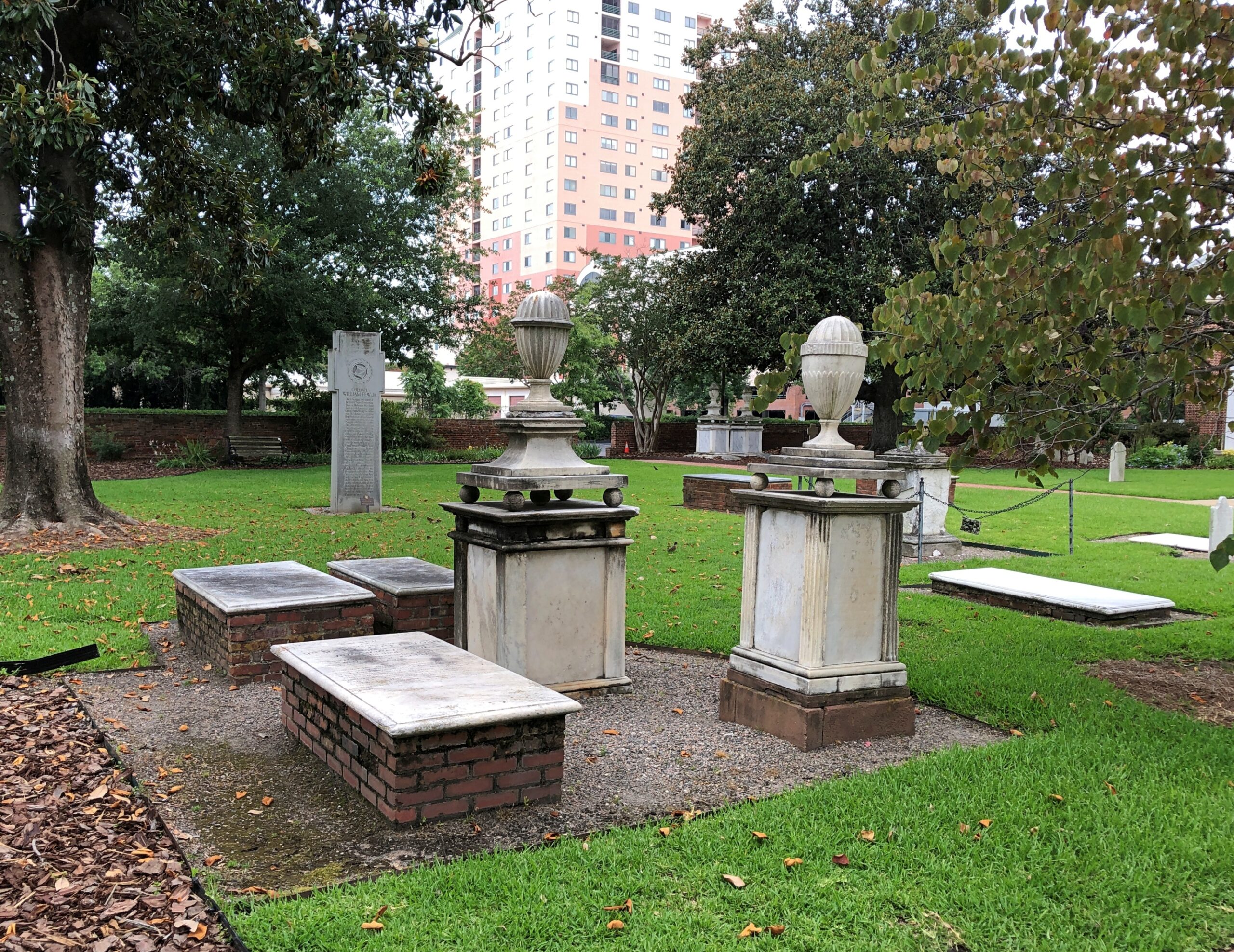
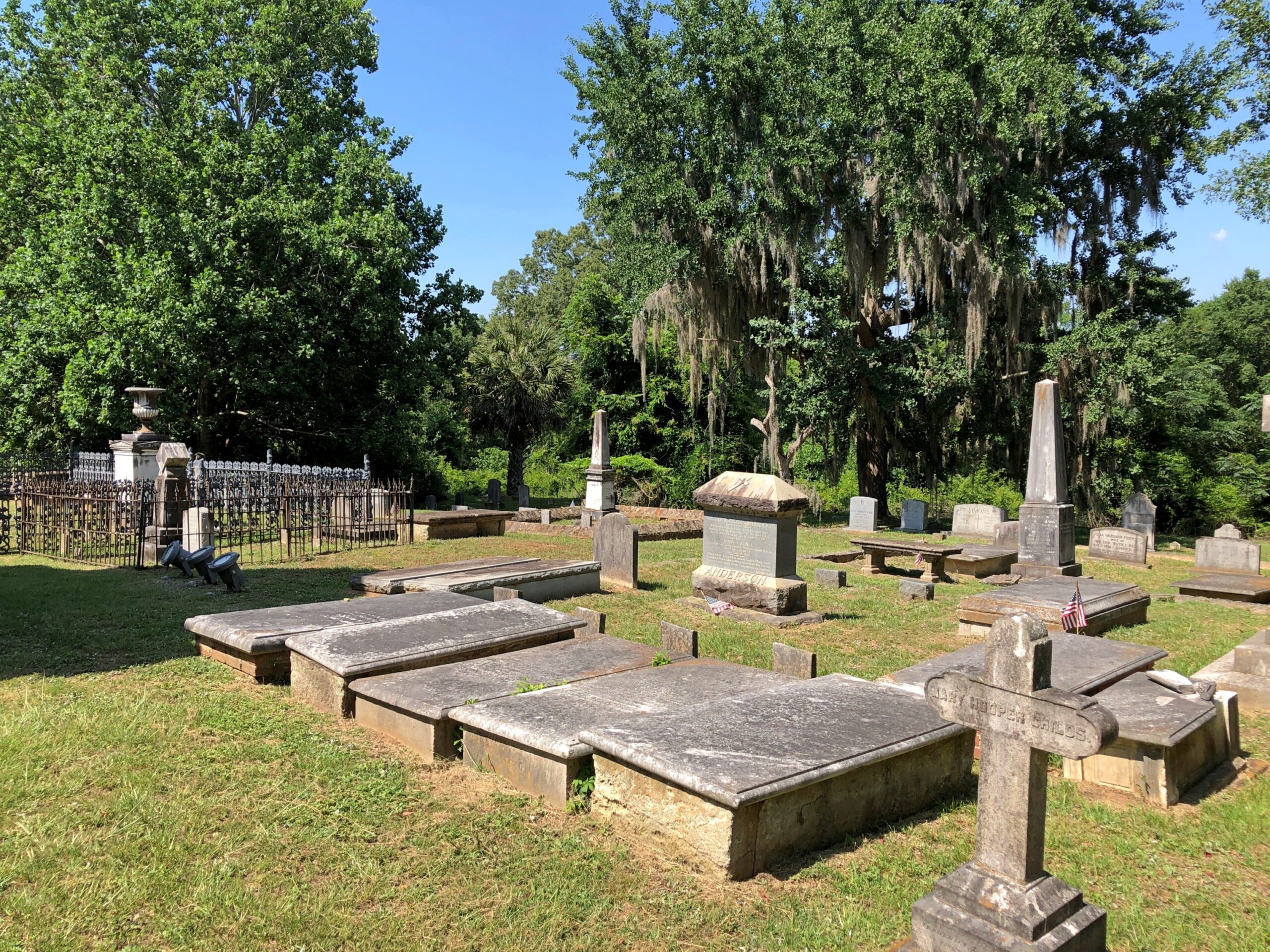
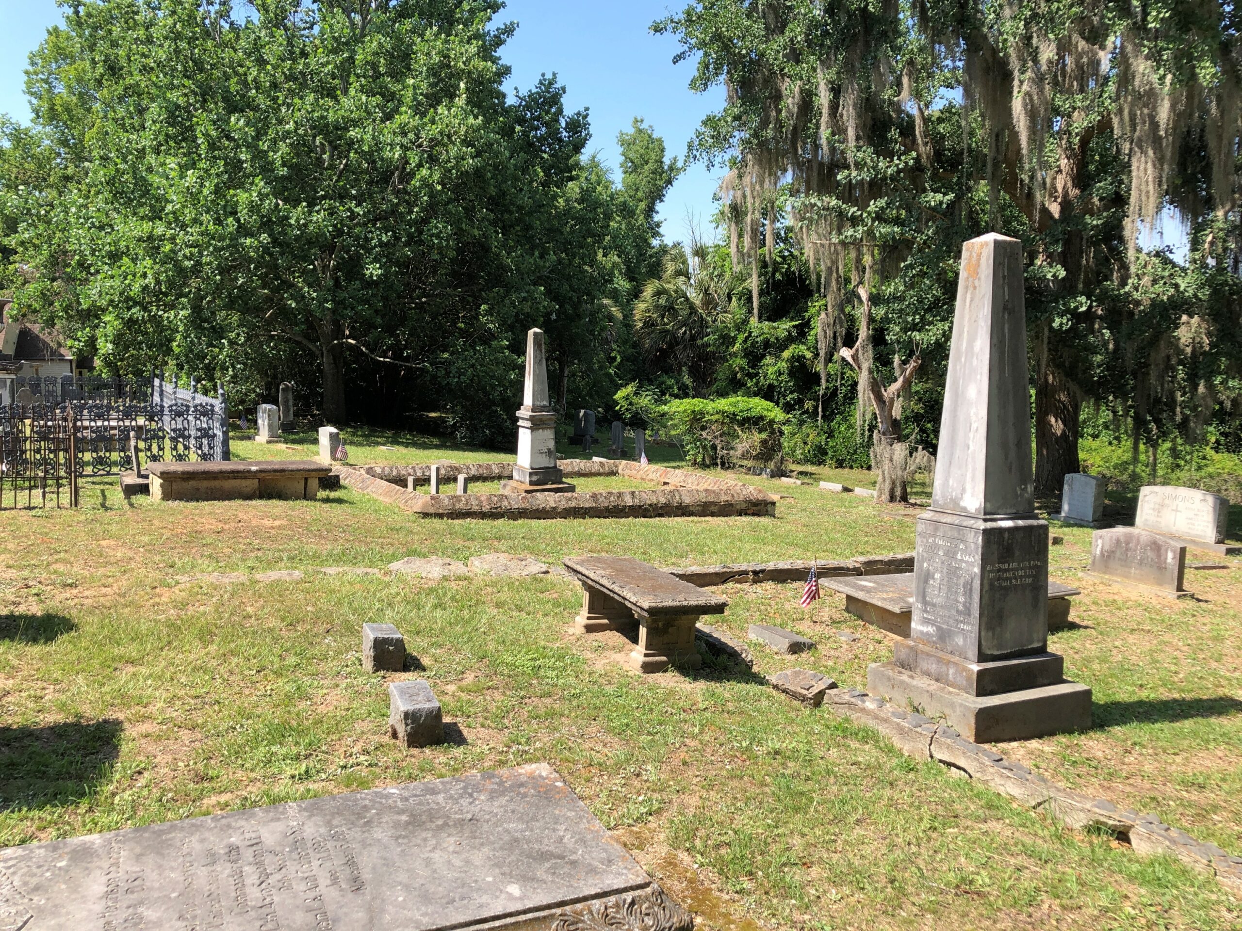
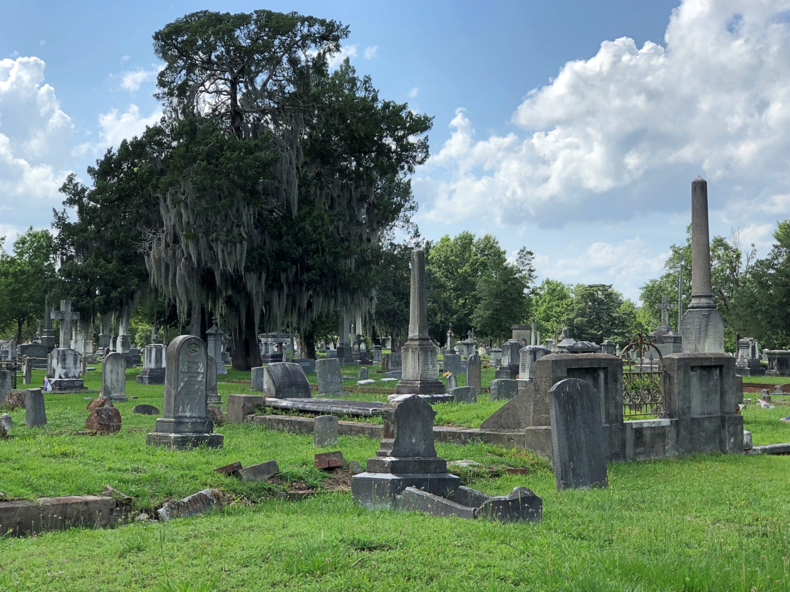
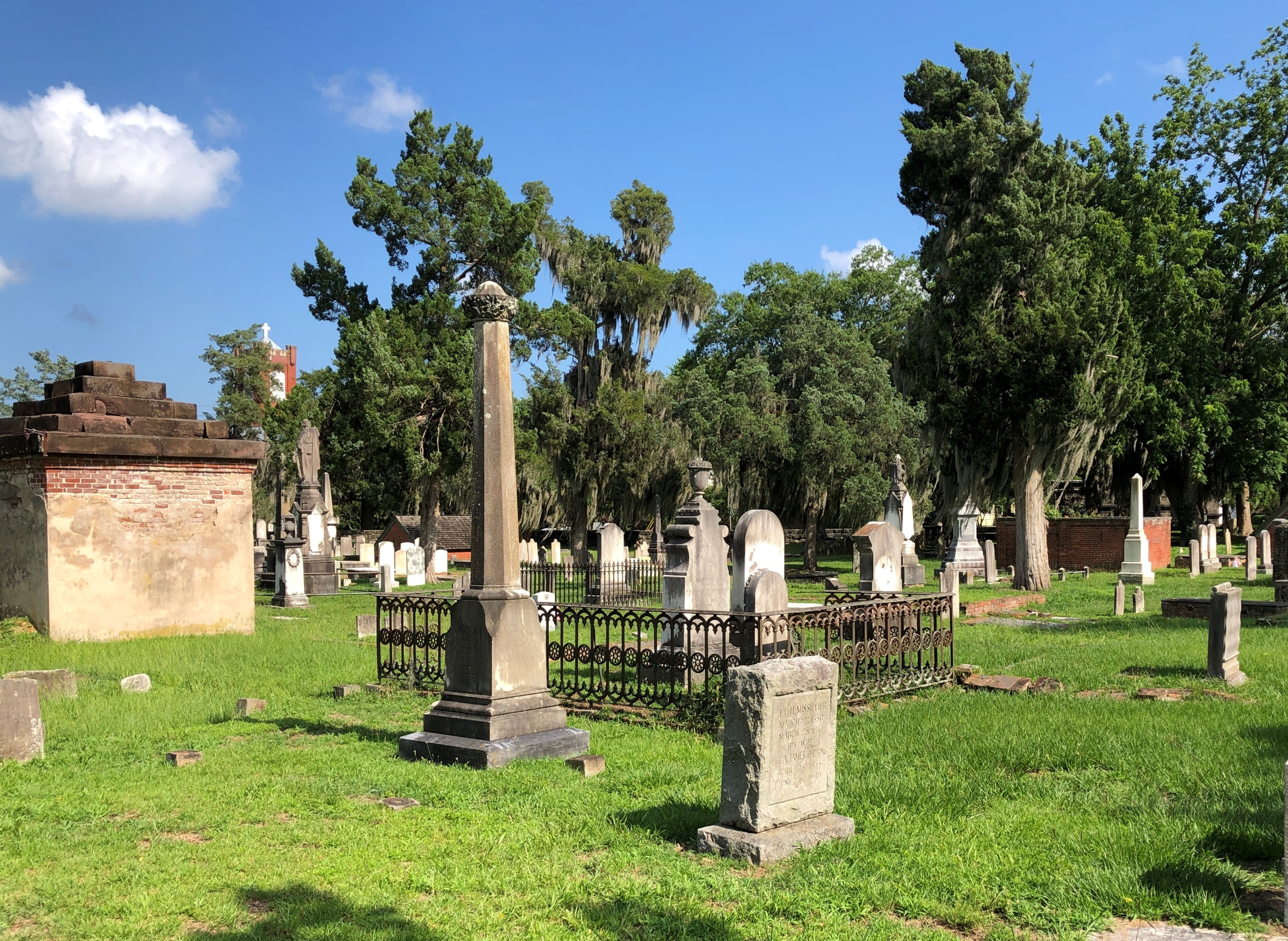
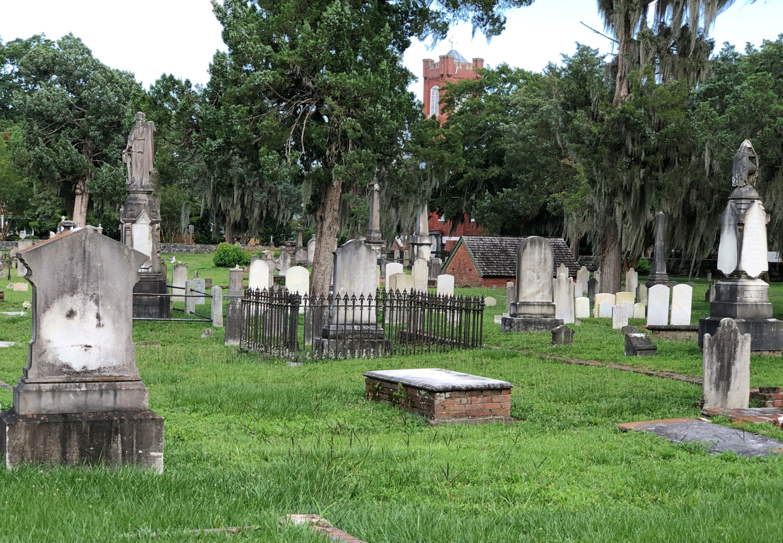
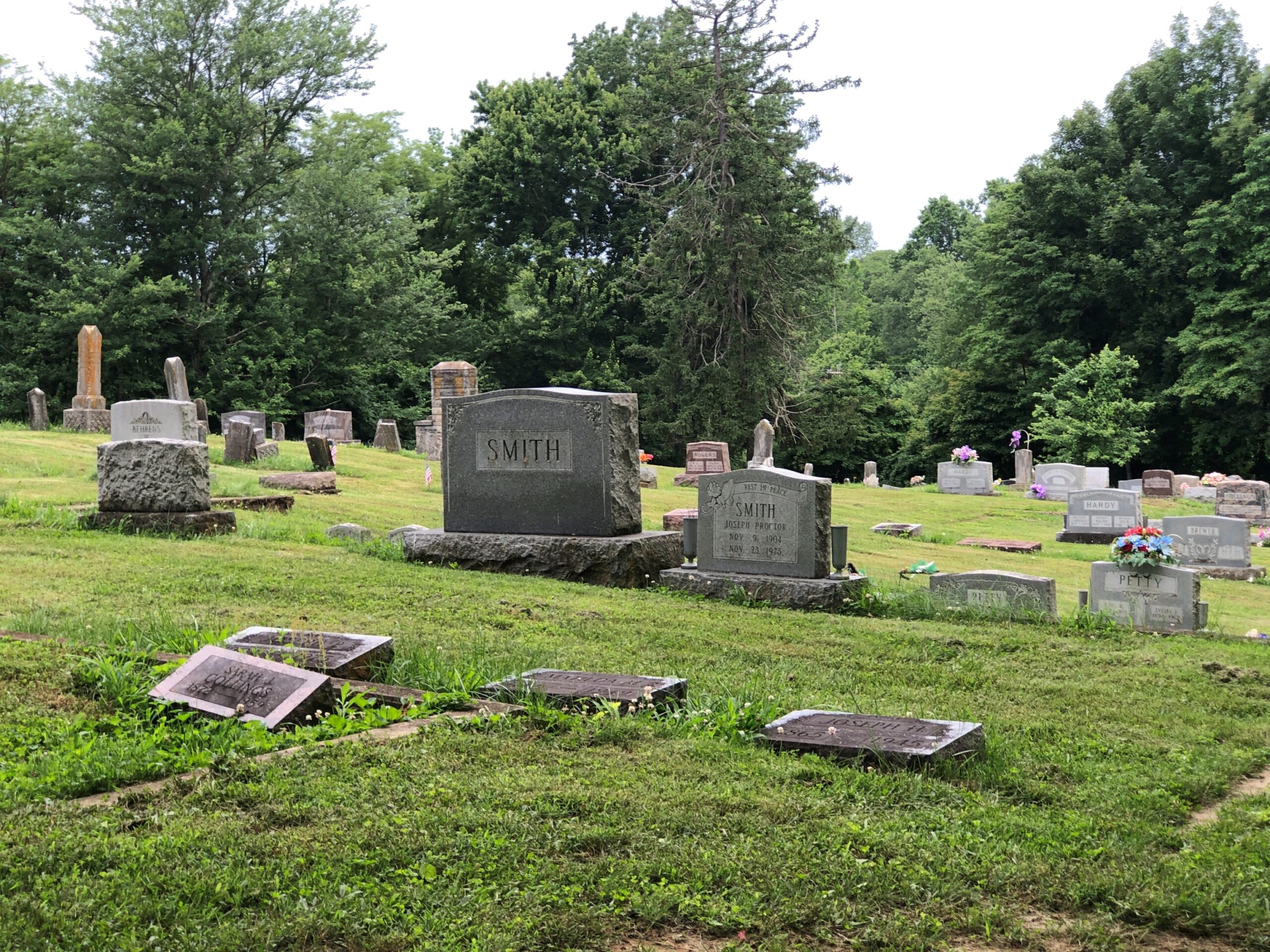
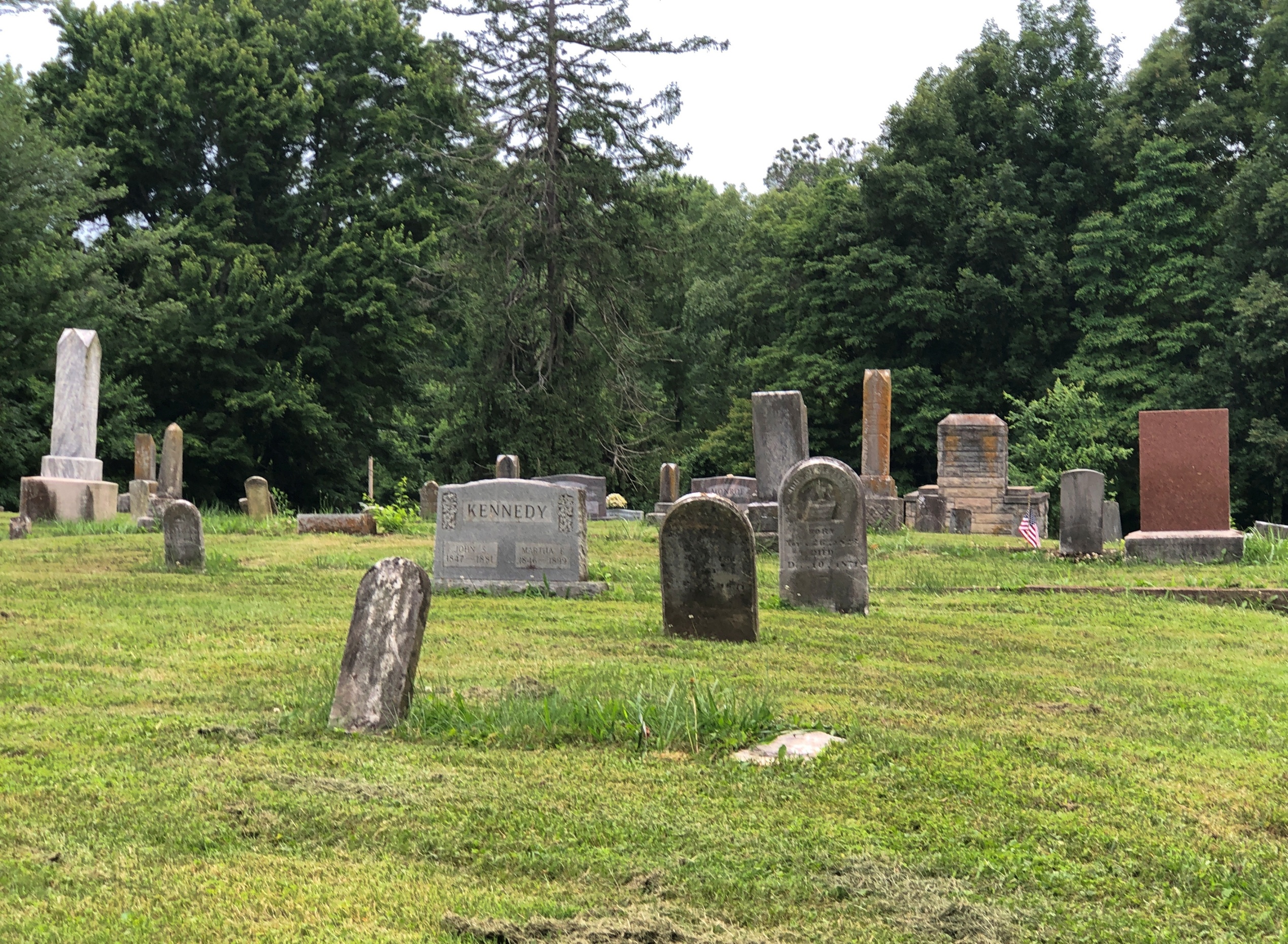
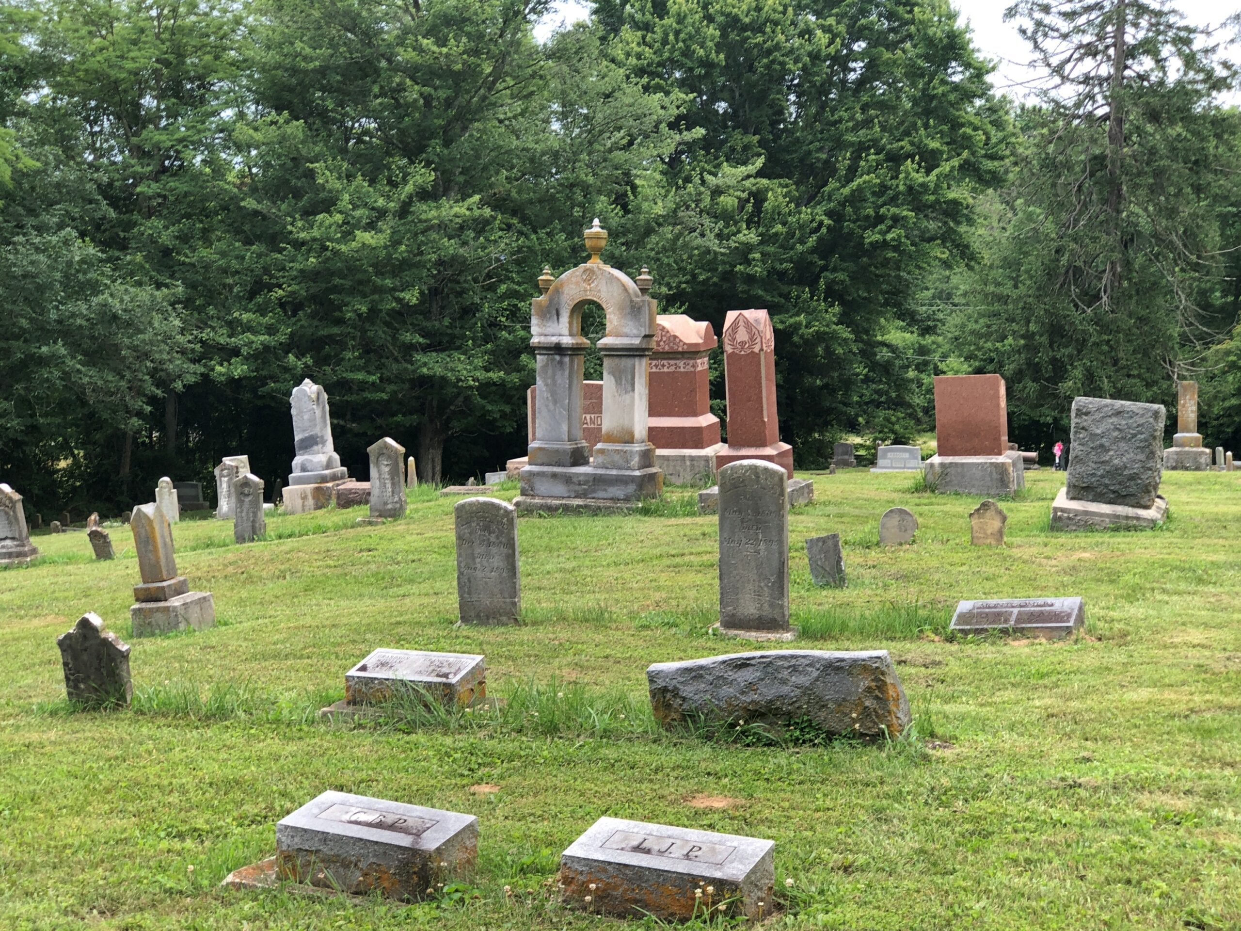
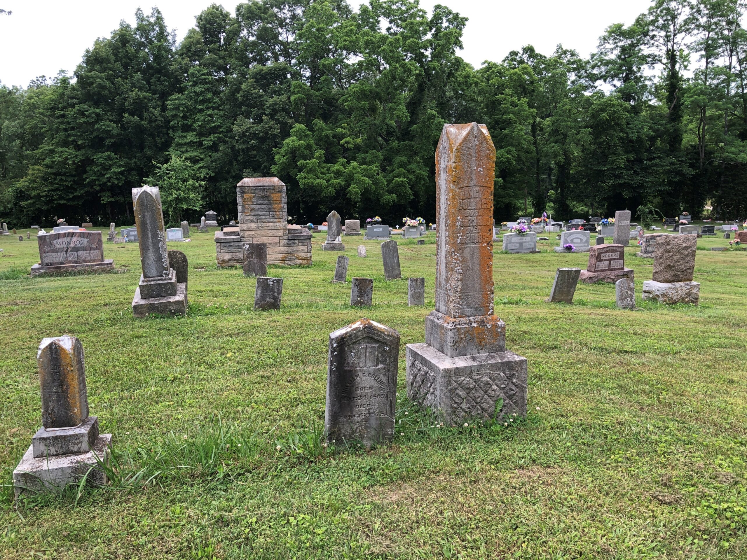
Extending some distance behind the church, which was closed, is a handsome cemetery.

Church of the Holy Cross, SC

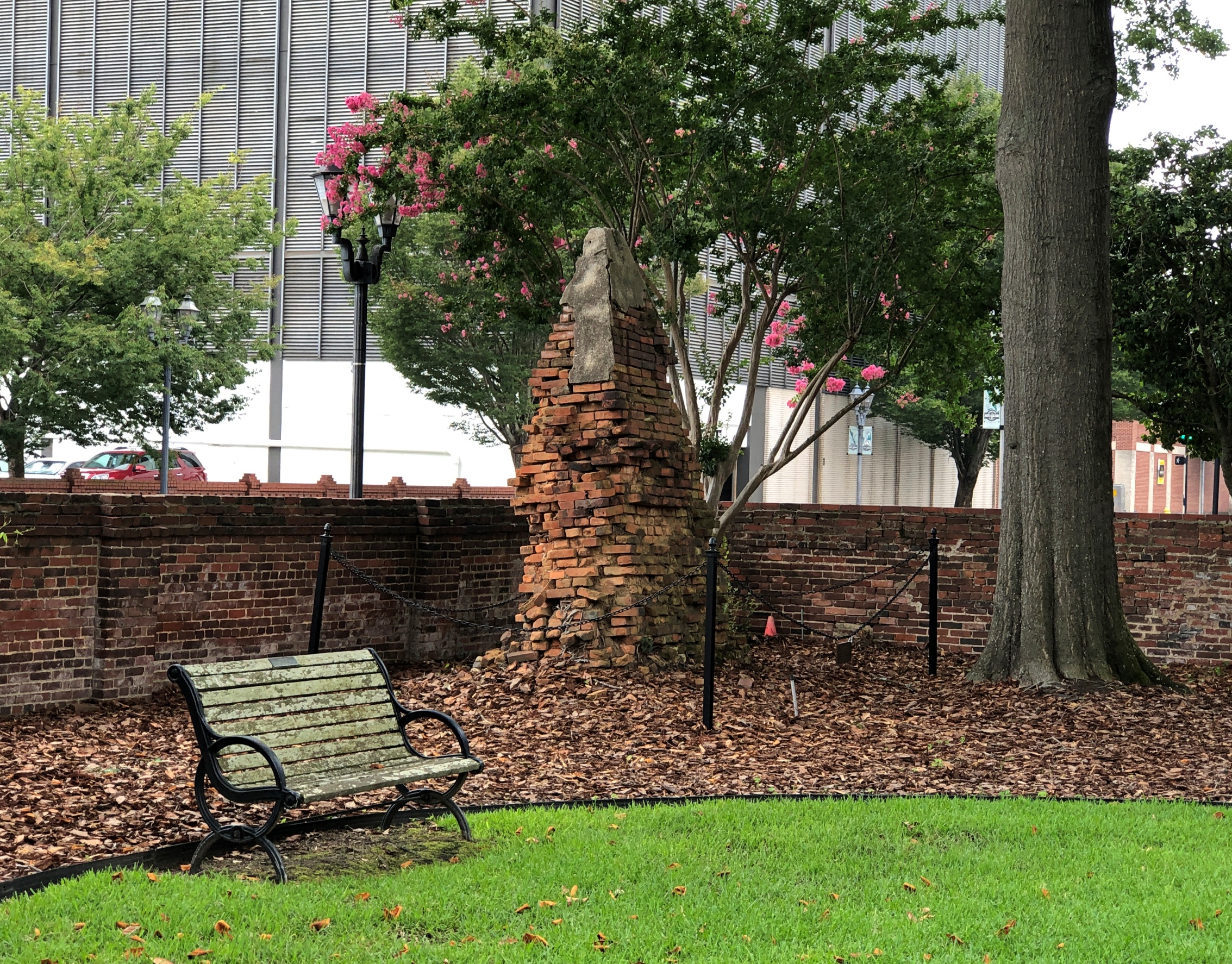
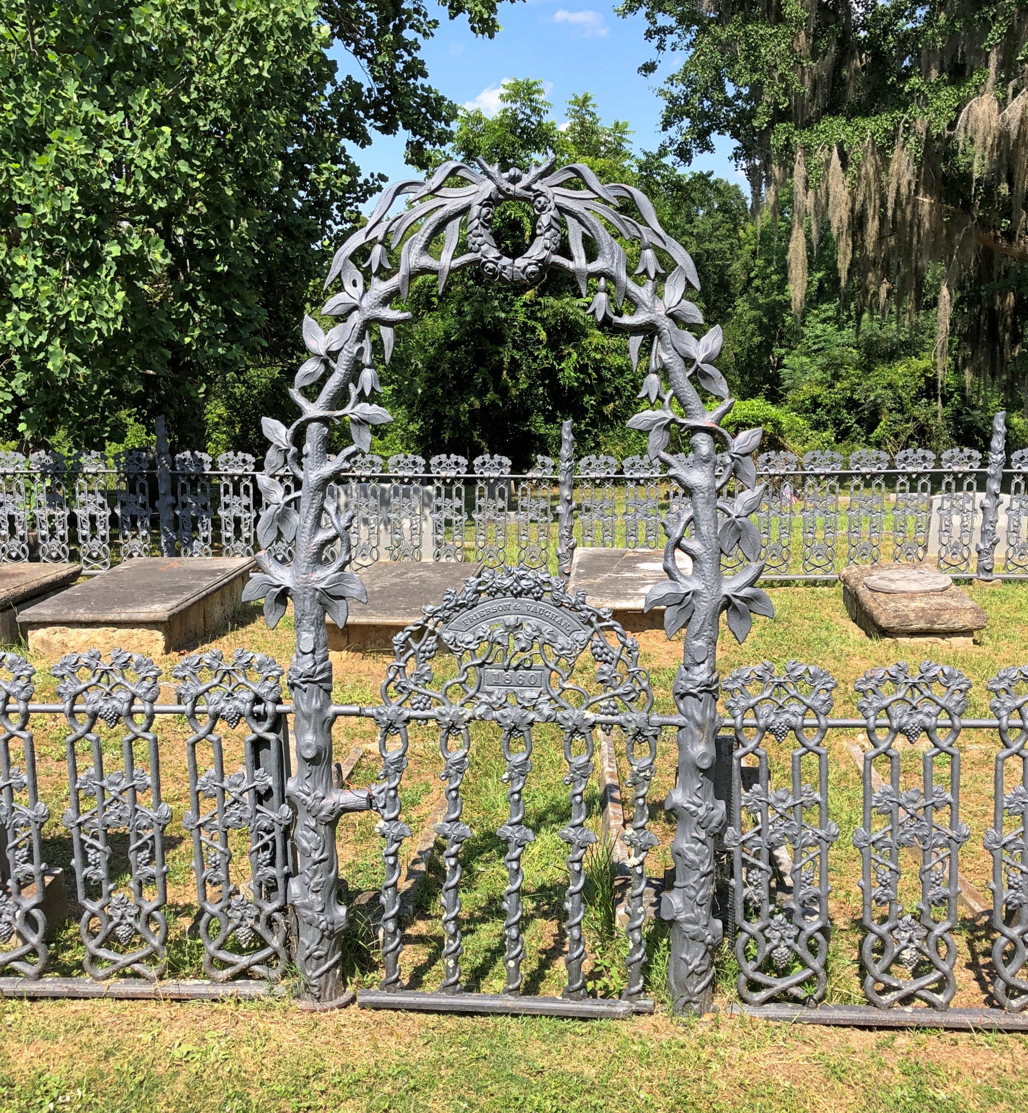
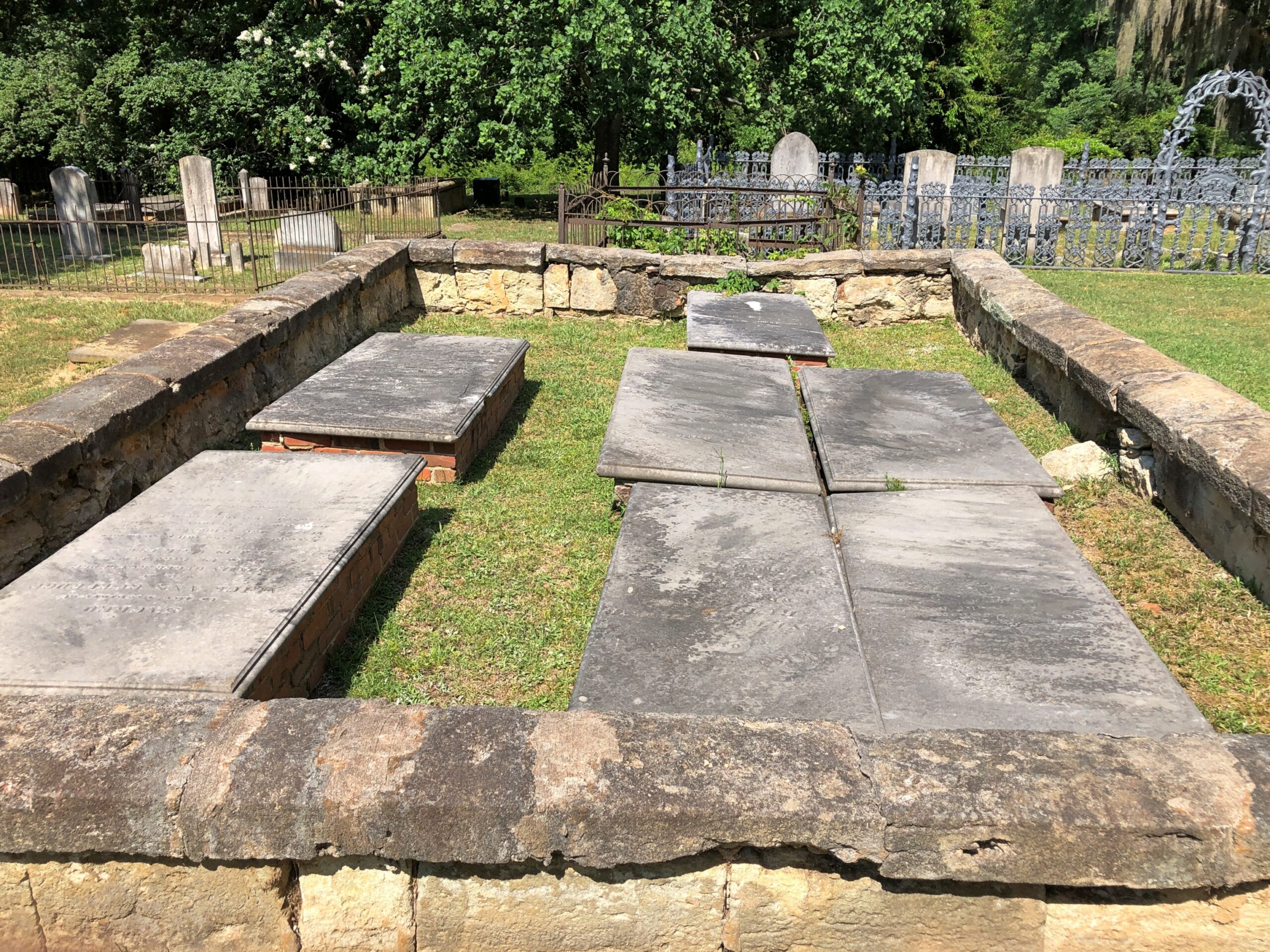
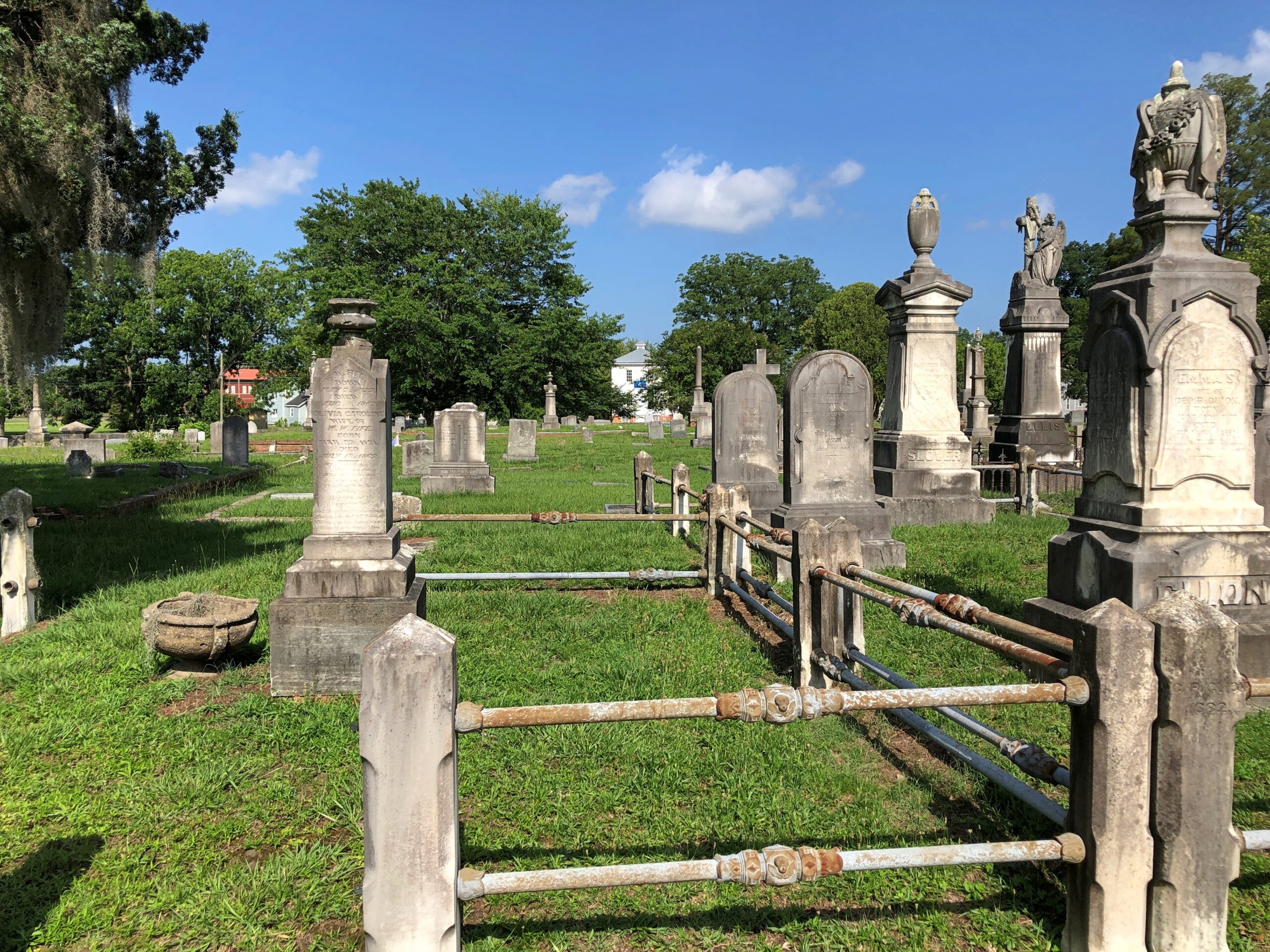
Impressive ironwork and crumbling masonry. What’s not to like?

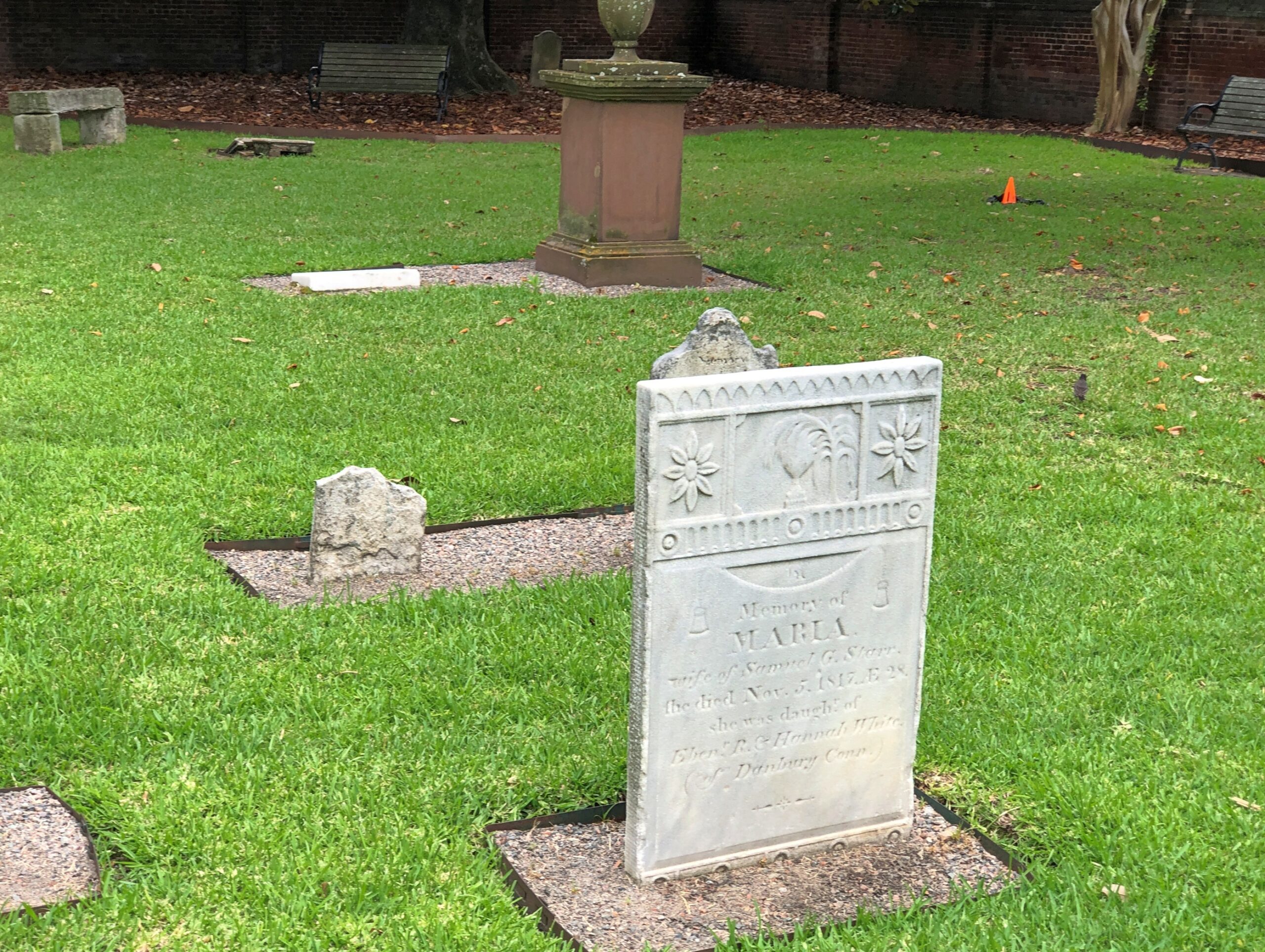
Church of the Holy Cross, SC

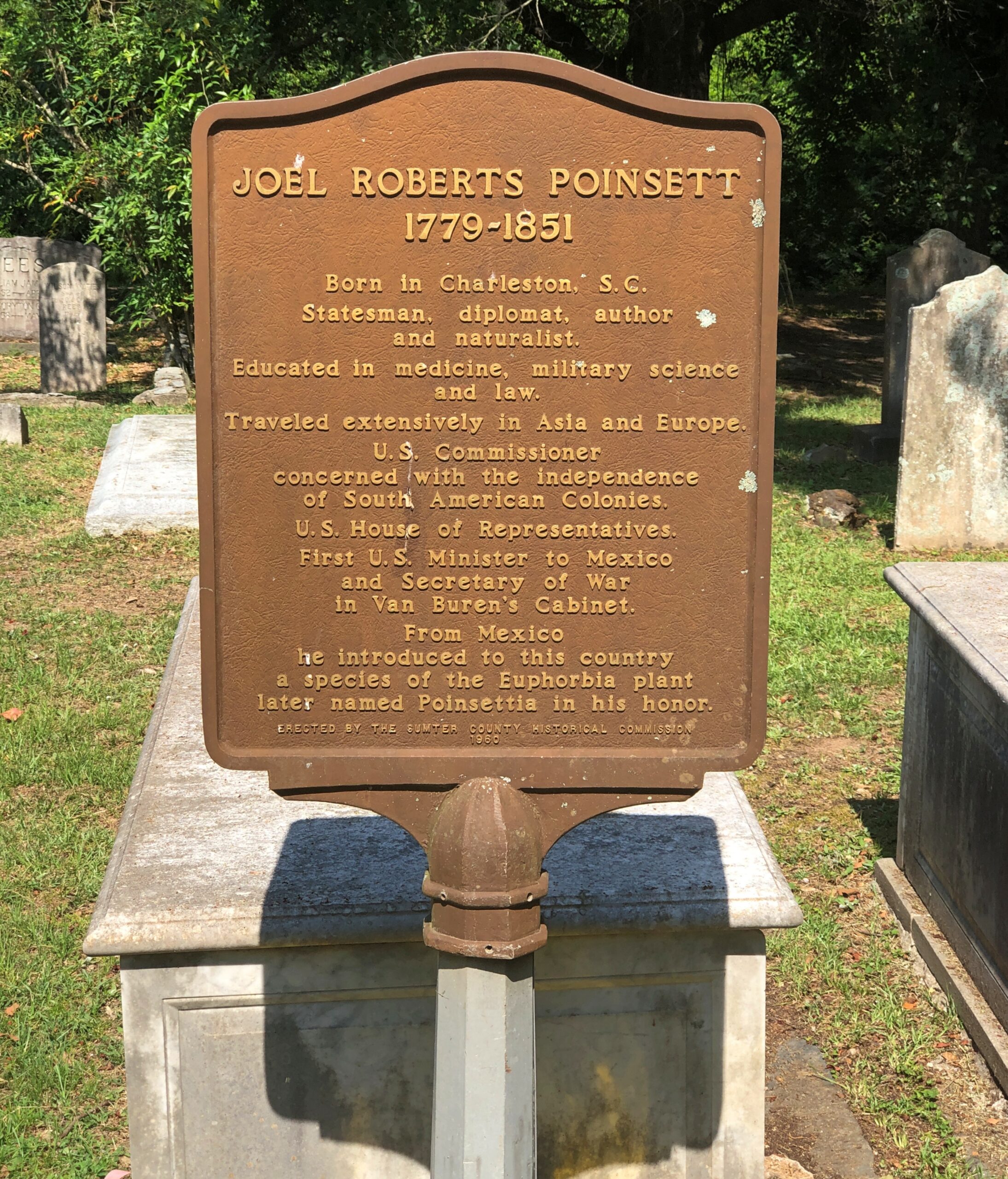
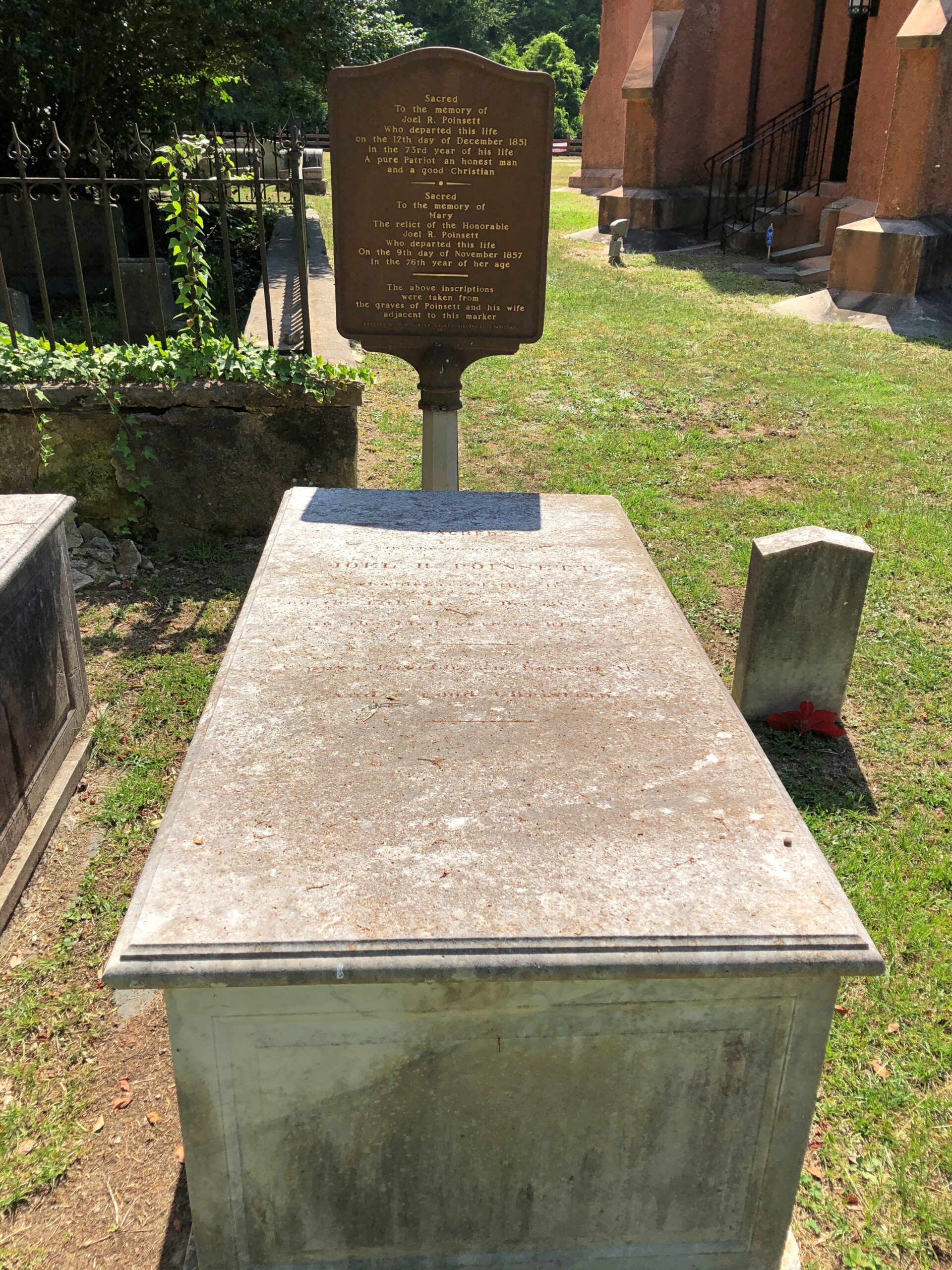
Another layer of serendipity: not only had I chanced across the church and the graveyard, but someone I’d heard of: Joel R. Poinsett, whose career was astonishingly varied, for good and ill, even for the freewheeling 19th century.

Church of the Holy Cross, SC

Almost everyone else has heard of him too, except they don’t know it, since of course the poinsettia is named for him. A casual search shows that were was a quixotic bubble of interest in the idea of re-naming the flower around the holidays in 2023, but not since, with such headlines as: “Poinsettia by any other name? Try ‘cuetlaxochitl’ or ‘Nochebuena’ “ (Jacksonville Journal-Courier).

Cuetlaxochitl? Names do shift over time, for unpredictable reasons, but I’m not betting on that one entering common usage anytime soon.

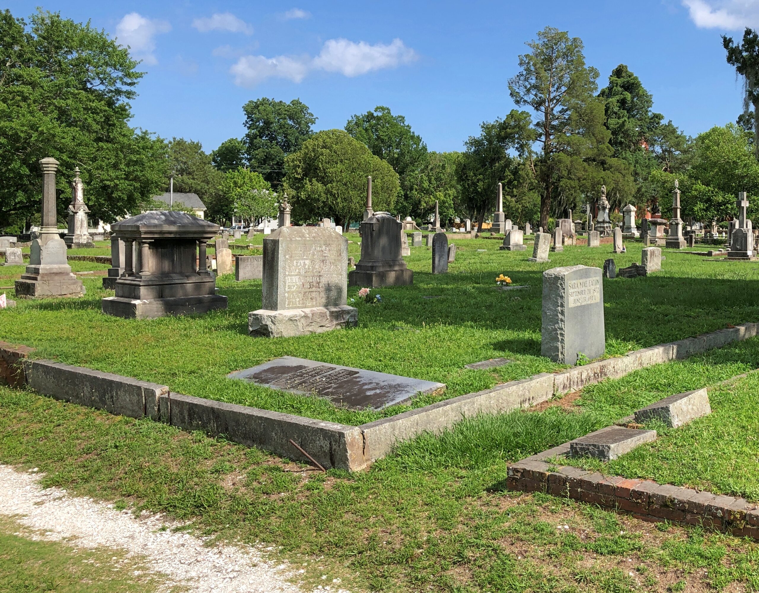
Cedar Grove Cemetery, New Bern

Back to the WPA North Carolina guide, vintage 1939 (p. 230): “Cedar Grove Cemetery… was opened in 1800 by the Episcopalians and turned over to the city in 1854… The Confederate Monument, a 15-foot marble shaft, identifies a mass Confederate grave. Tradition says that his law desk and chair were buried in this cemetery with the body of William Gaston. Interred here are William J. Williams, who pained the Masonic portrait of Washington owned by the Alexandria, Va., lodge, a photograph of which is in the New Bern Public Library, and Moses Griffin, benefactor of city schools.”

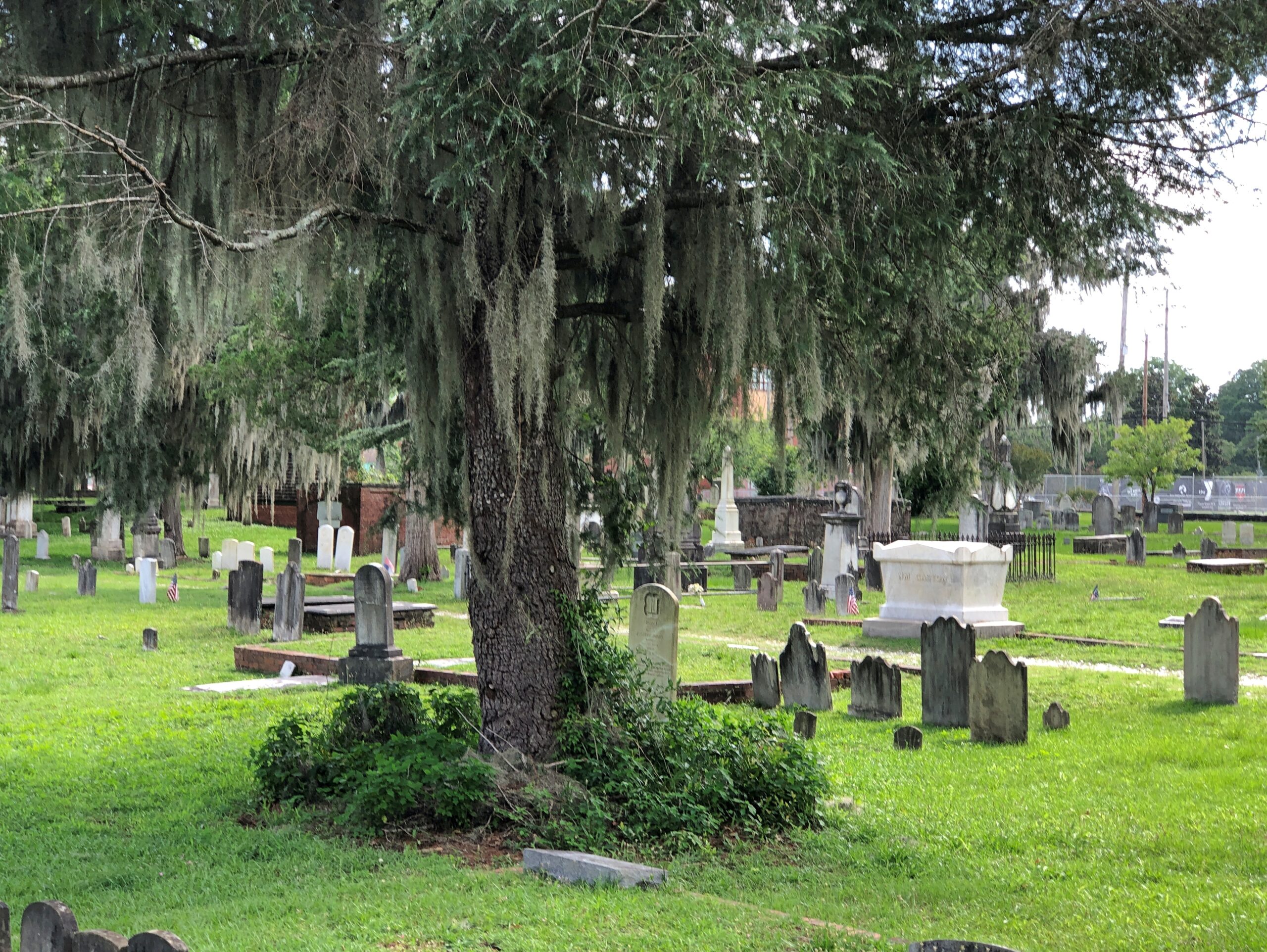
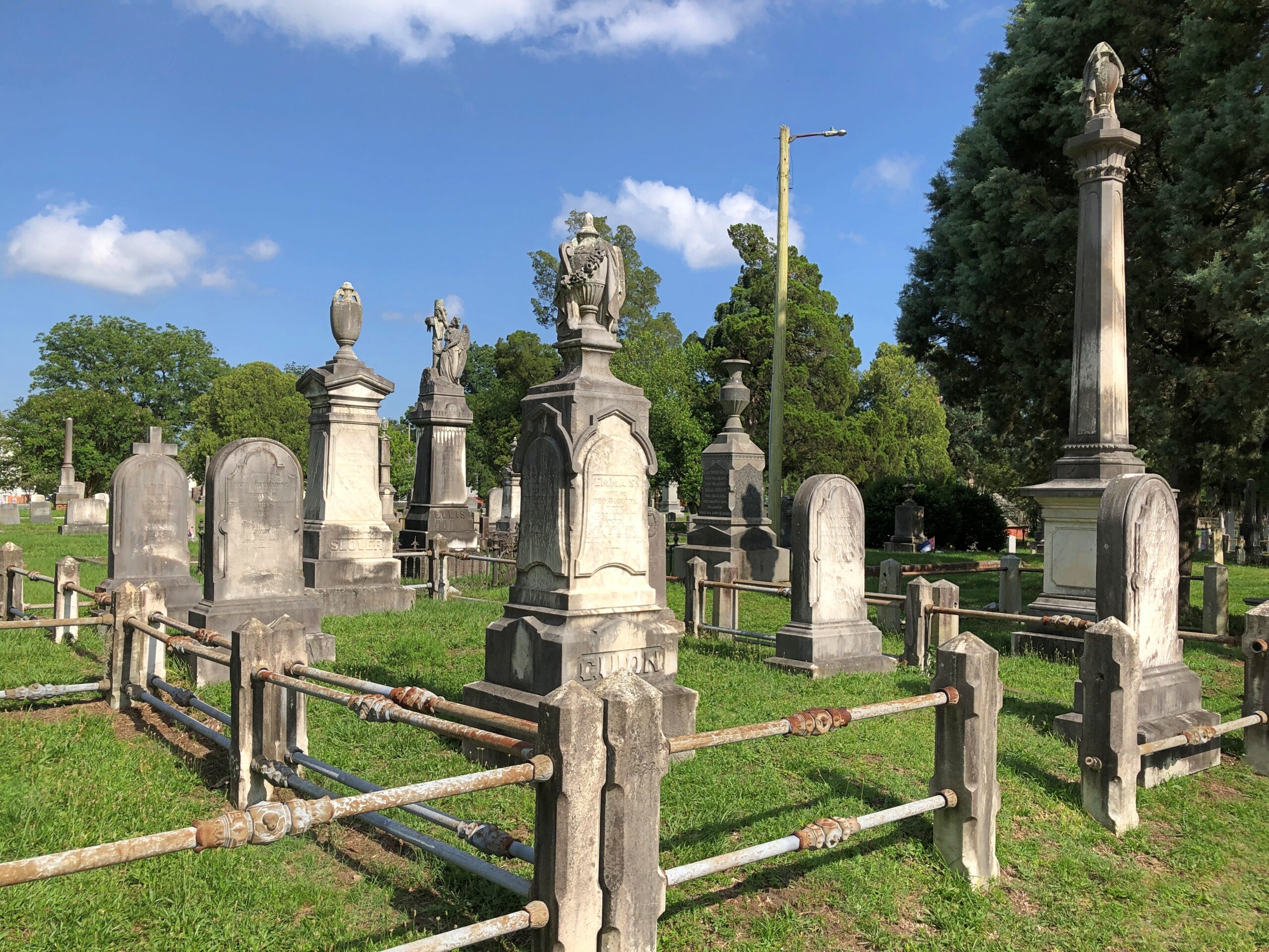
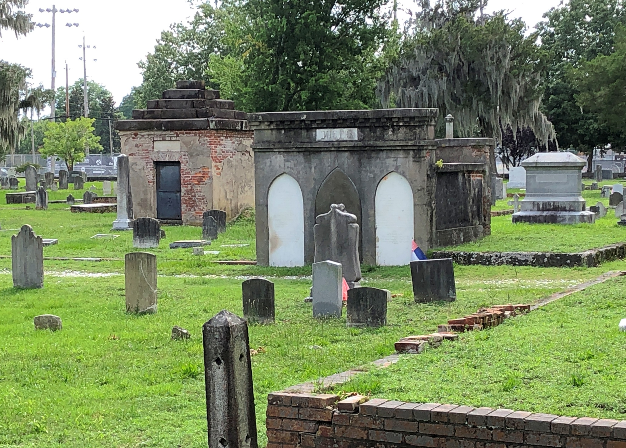
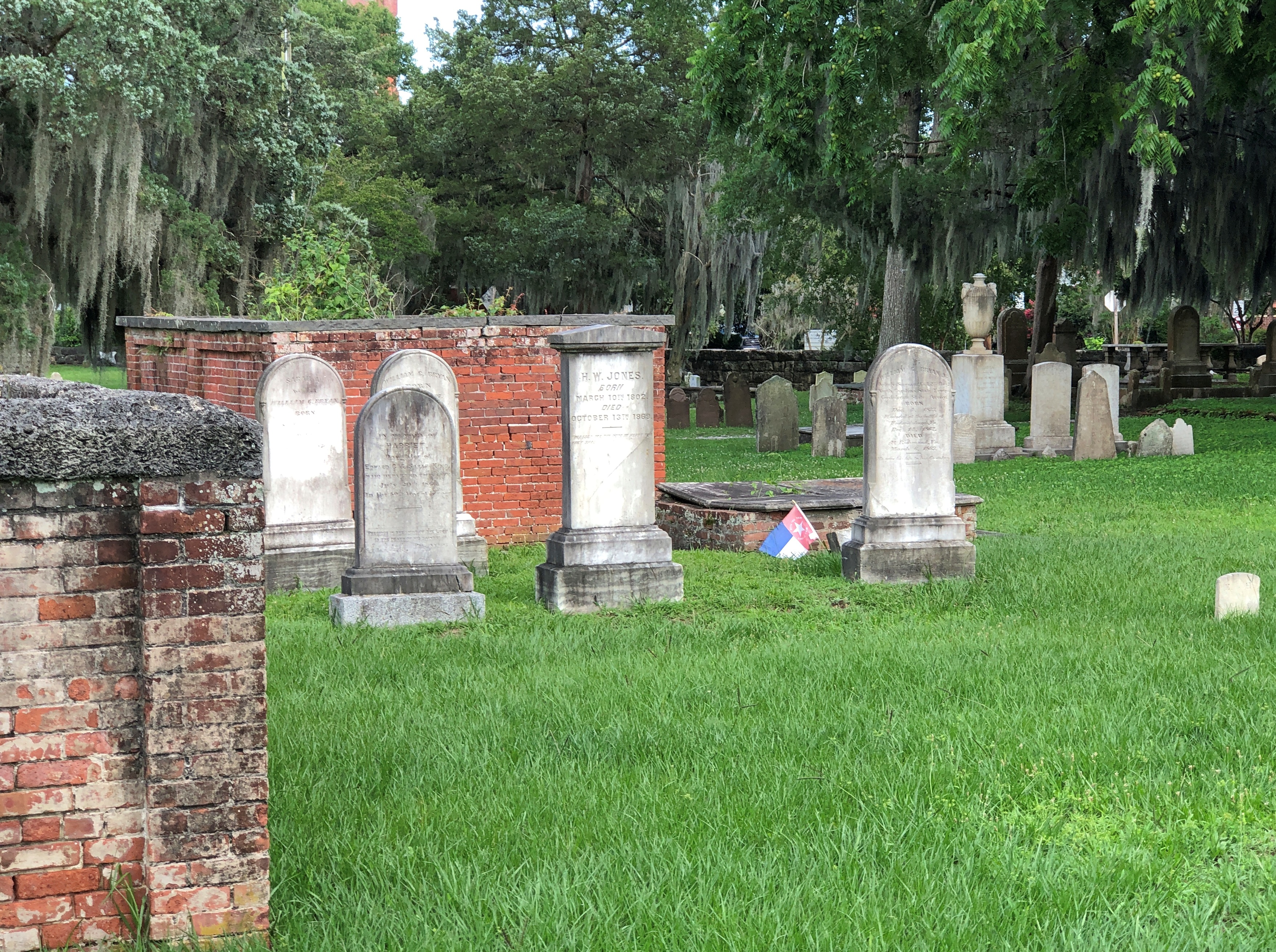
As the day’s heat began to wane, we made our way to Cedar Grove. The place has a good contour, created by the diversity of stones, ironwork and greenery.

The place has a good contour, created by the diversity of stones.
Cedar Grove Cemetery, New Bern NC

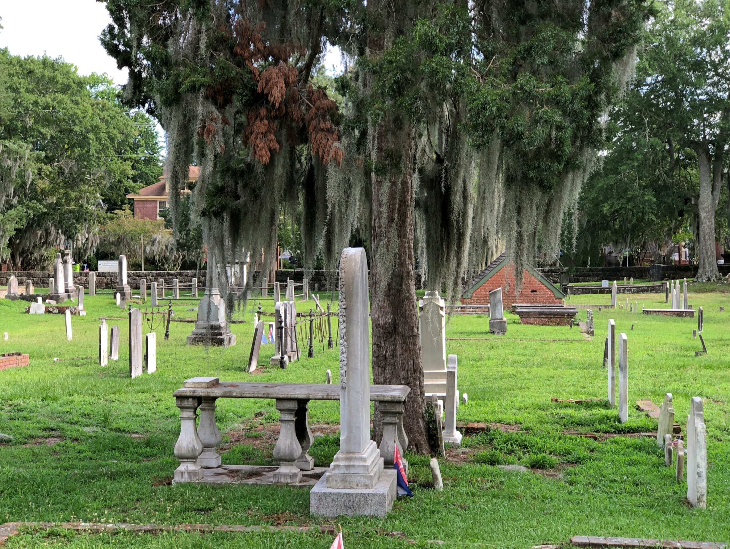
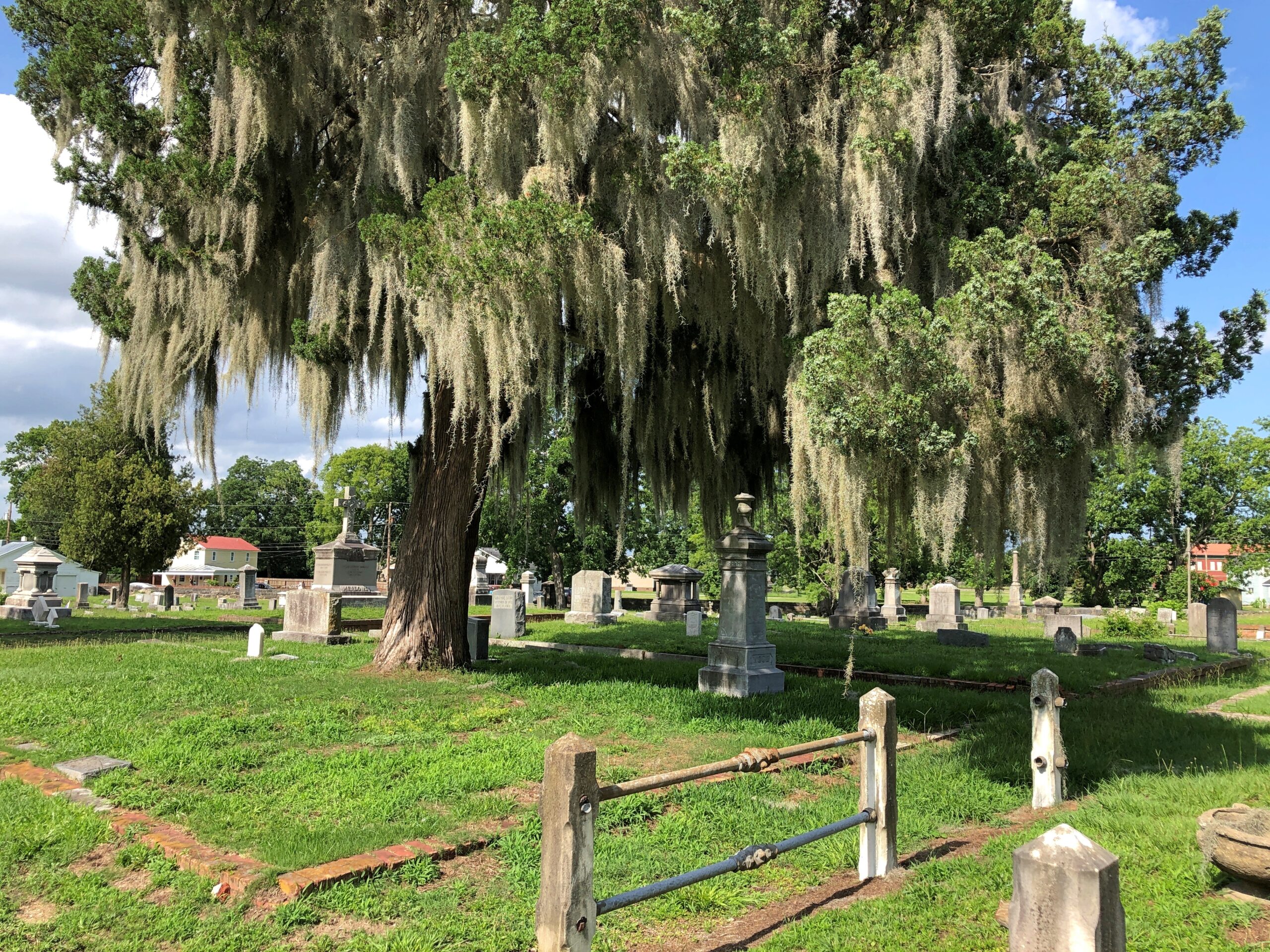
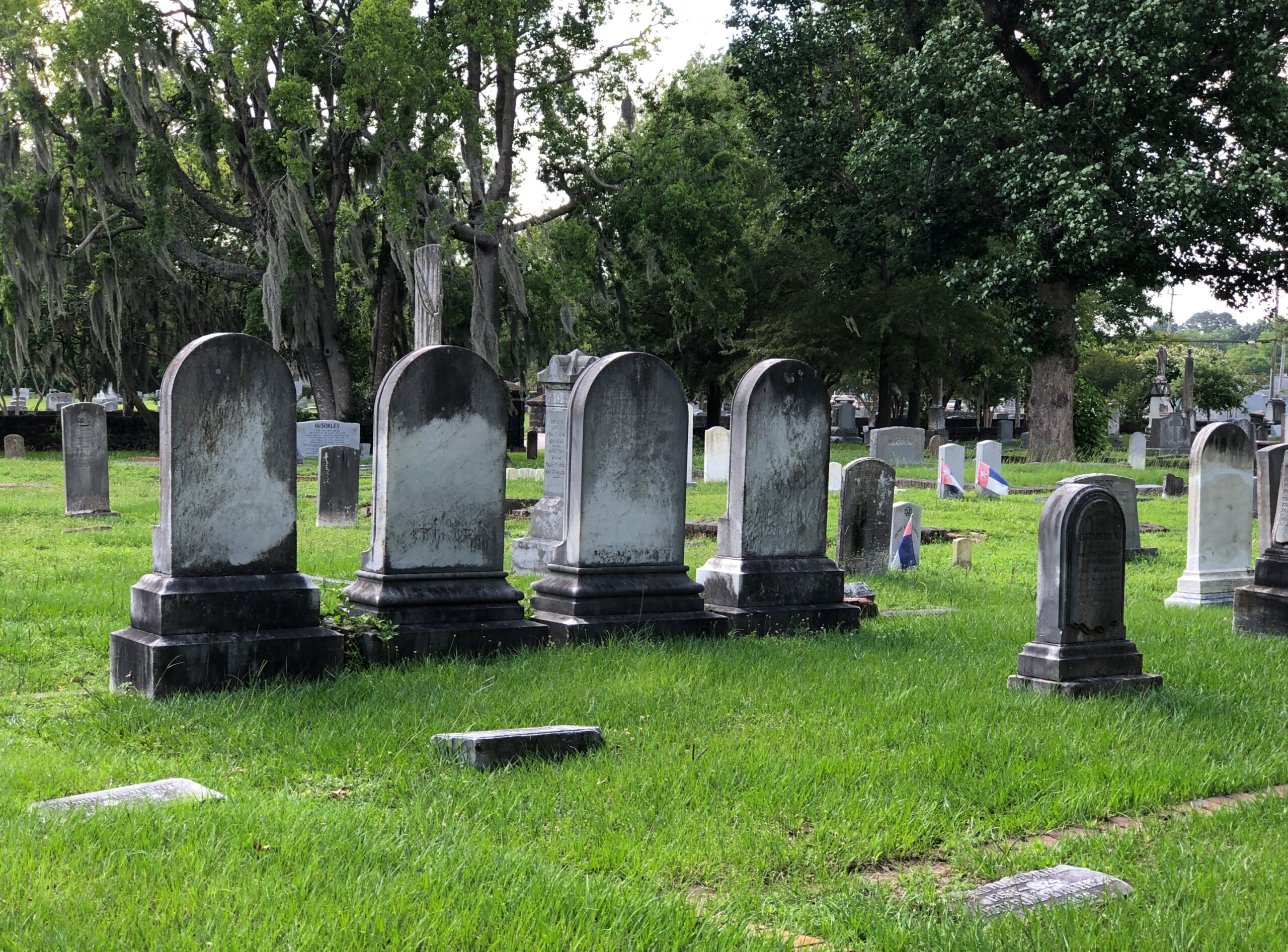
All in all, Cedar Grove is a Southern cemetery along the lines of Magnolia Cemetery in Charleston or Bonaventure in Savannah, though not quite as watered as the former or wooded as the latter, or as large as either. But cut from the same sort of lush, low-lying coastal territory, with trees draped with Spanish moss and flat spots thick with stones of the Old South.

Good old Spanish moss. The Carolina coast, and even up into coastal Virginia, is within its range.

Cedar Grove Cemetery, New Bern NC

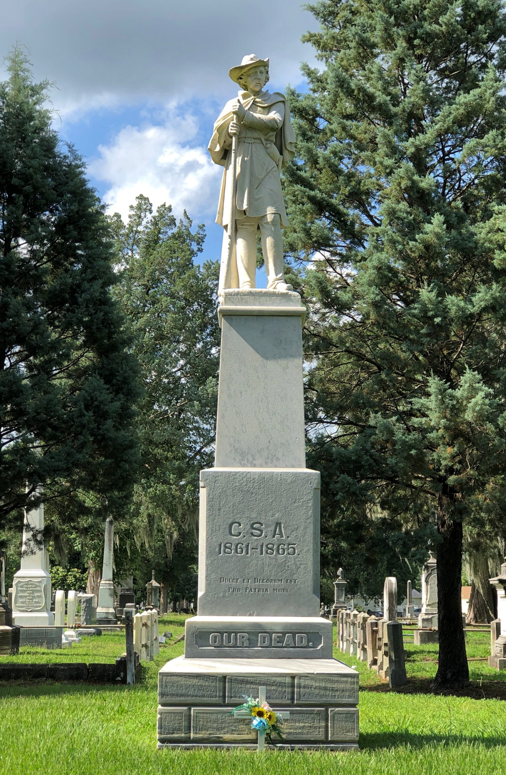
Didn’t see the painter William J. Williams or any of the other permanent residents mentioned by the WPA guide, but of course the Confederate Monument was easy enough to spot.

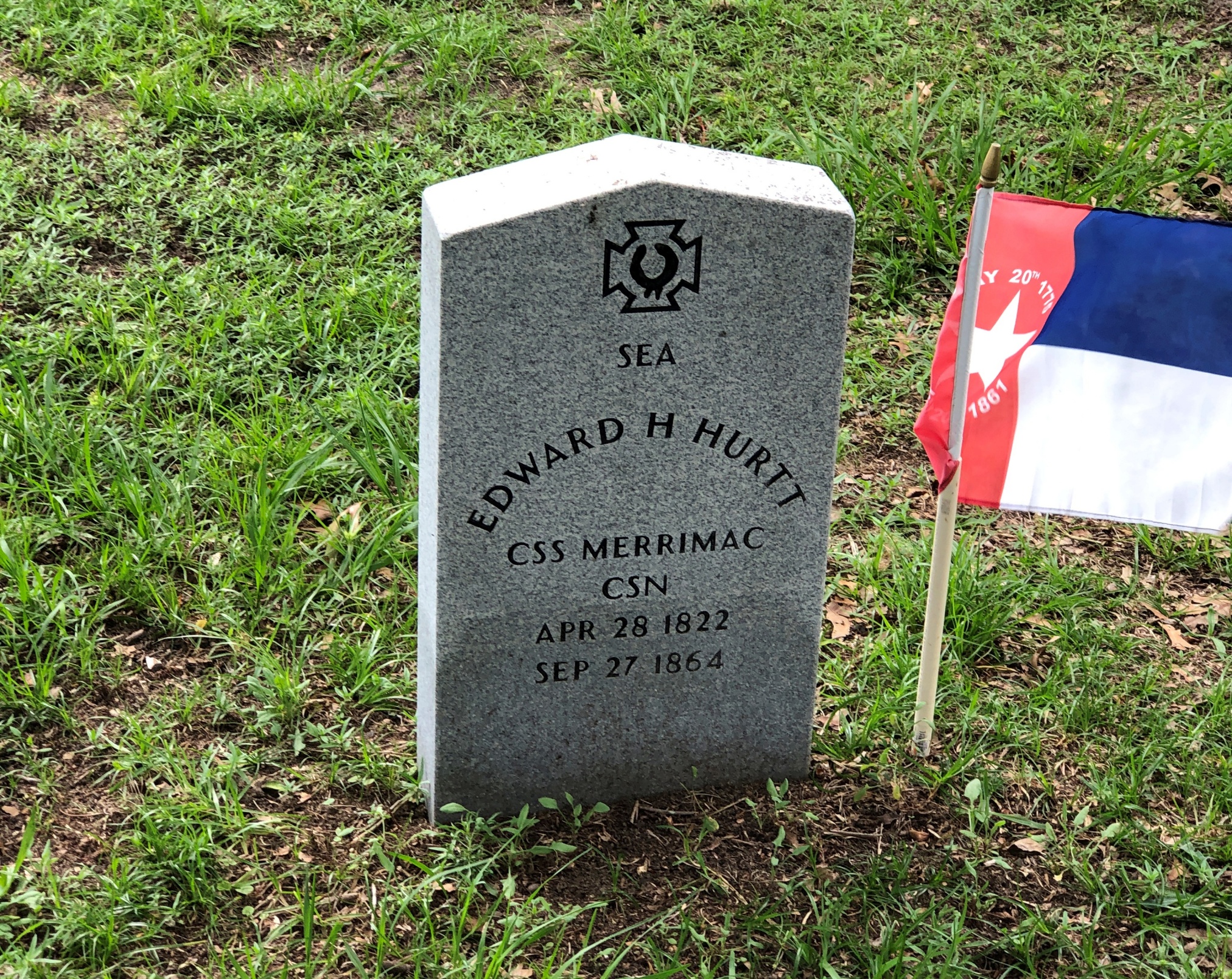
Many Confederate veterans had their own stones, of course.

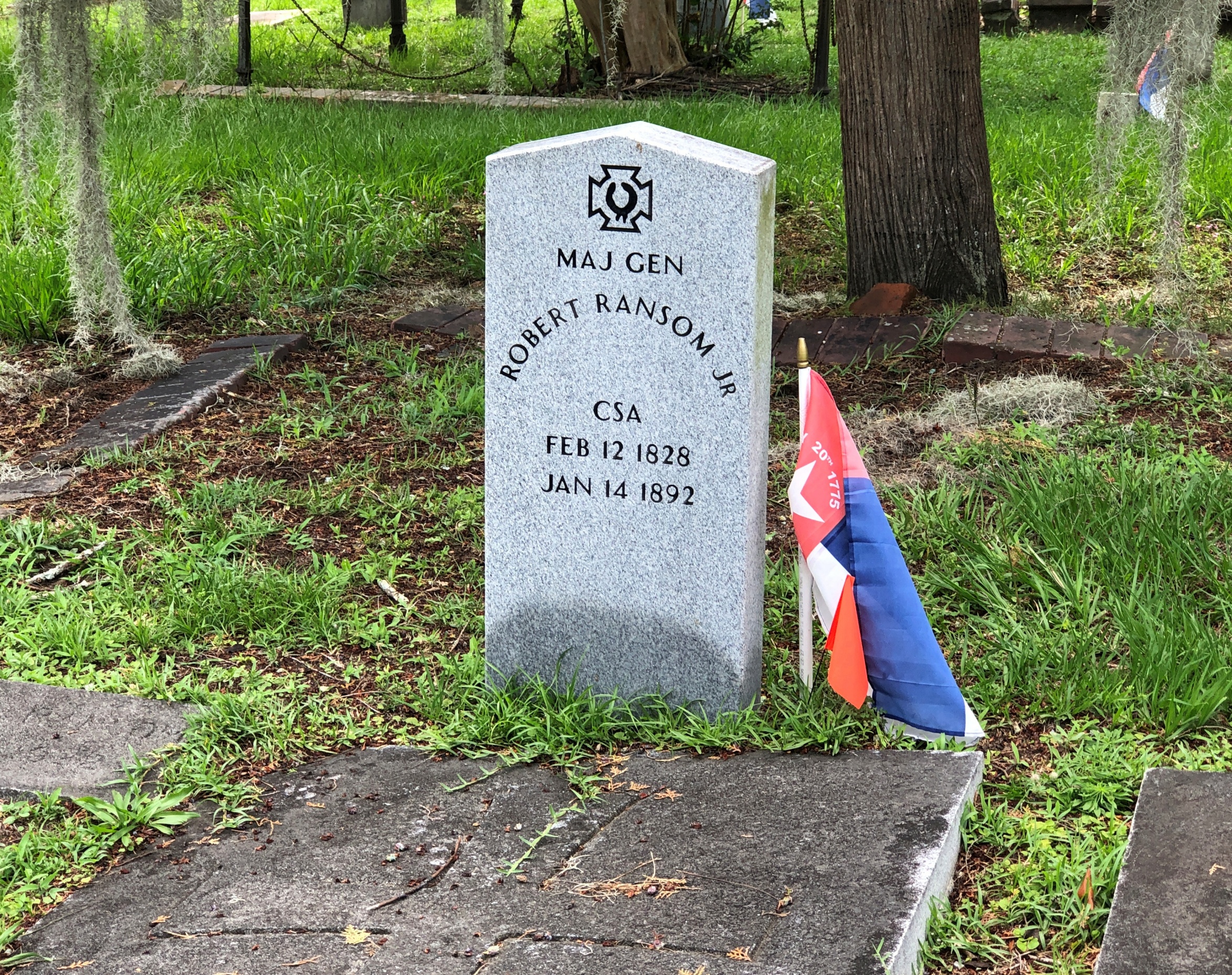
Interesting that the guide didn’t mention Maj. Gen. Robert Ransom Jr., but there he was.

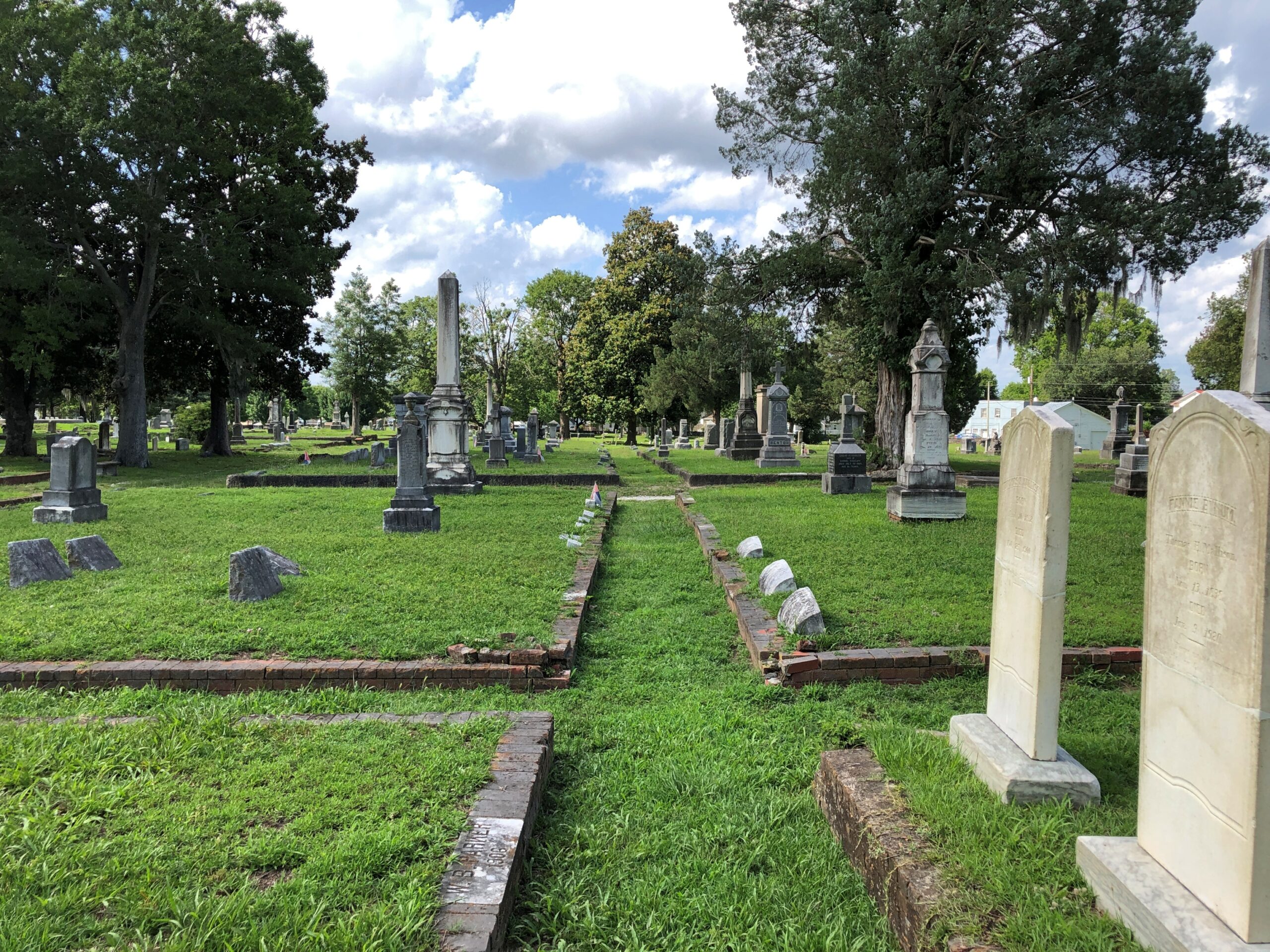
From the looks of it, these are wagon driveways that allowed hearses to traverse the cemetery.

Cedar Grove Cemetery, New Bern

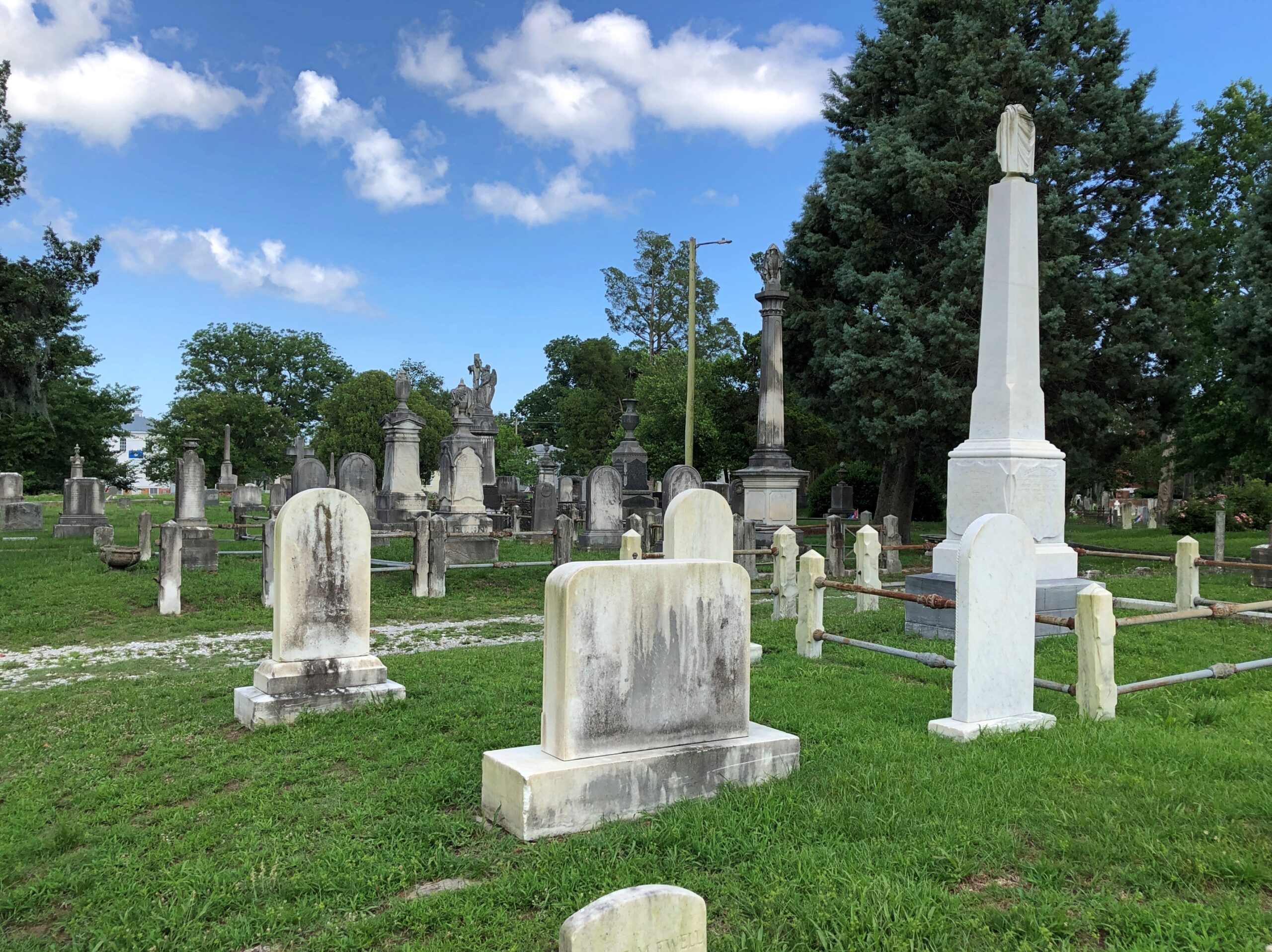
Among those “streets,” plenty of other fine stones.

Cedar Grove Cemetery, New Bern

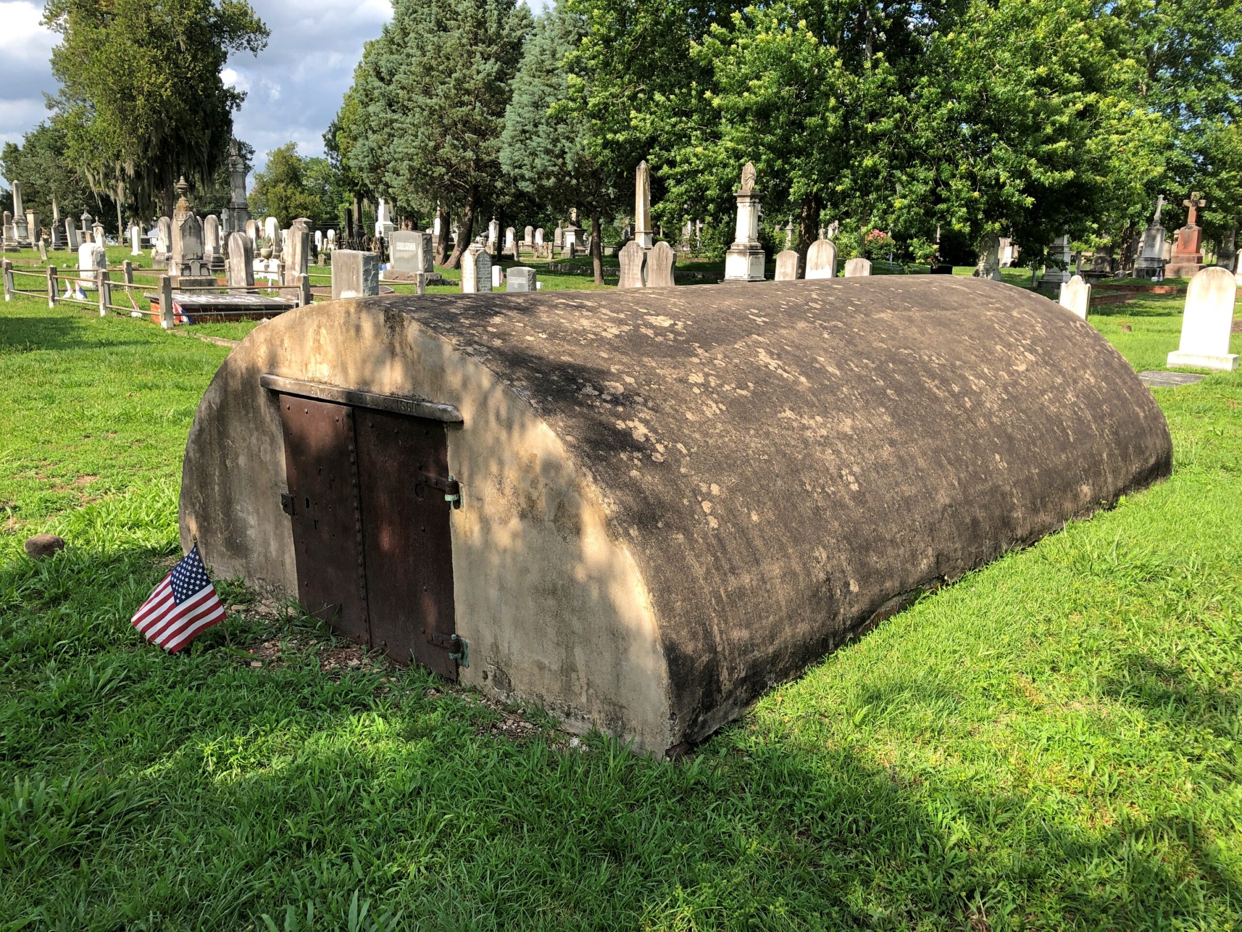
Some mausoleums, but none of the monumental ilk you see in places historically with more money.

Cedar Grove Cemetery, New Bern

The last one is a little unusual, though I think I’ve seen similar structures occasionally here and there. Going for that concrete Quonset hut look, though considering its age, I’d bet that reference would be anachronistic.

New Bern Ramble

While waiting to be seated for brunch on Middle Street in downtown New Bern on Juneteenth, Dan and I had time for a stroll. The day was warming up, but not quite to a scorcher, and the sidewalks along Middle and Pollack Sts. are often in shade. That part of New Bern, shady and old, is quite the charmer.

“New Bern, one of North Carolina’s oldest towns, retains the flavor of past centuries,” North Carolina: A Guide to the Old North State (1939), p. 221, tells us. Information from the WPA Guide series is of course a little old, but mostly stands the test of time.

“The community, which processes a domestic architecture of charm and distinction, is spread across a bluff at the confluence of the Neuse and Trent rivers, 35 miles from the Atlantic Ocean. Massive brick townhouses, stately Georgian residences and wisteria-curtained clapboard cottages line narrow streets shadowed by oaks, poplars, elms and pecan trees. Many of the old streets retain their original brick pavements.”

All that would be downtown New Bern these days, as the town’s population – given as 11,981 by the WPA in 1939 – had expanded to 31,291 by 2020, according to the Census Bureau. So much of the town is actually late 20th-early 21st-century sprawl punctuated by parking lots and familiar retail.

Still, at the historic core, there is “domestic architecture of charm and distinction,” even now, with the older buildings mostly occupied by the likes of The Black Cat Shoppe, Faulkenberry Auctions, Anchored in New Bern (gift shop), Carolina Creations, Bear City Fudge Co., Curls & Lace Bridal Hair, and such restaurants as Cypress Hall, MJ’s Raw Bar and Grille, and Baker’s Kitchen, where we eventually brunchified (and it was delicious).

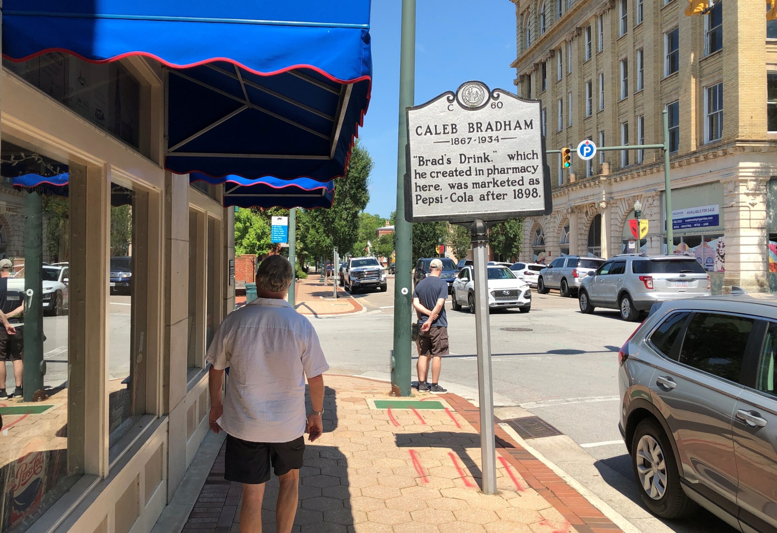
We visited a few shops and strolled by other spots, such as the former corner drug store credited as the invention-place of Pepsi-Cola.

New Bern NC

A pleasant alley off Middle St. is known as Bear Plaza. Good thing living bears aren’t found there, but you are reminded of bears.

New Bern NC

Bears are front and center as pawed, powerful symbols of the Bern towns, old and new, Swiss and American. As posted previously, the New Bern flag –

— looks a lot like the old Bern flag, with certain small but important modifications. Old Bern:

The WPA guide points out that the very first European settlers in the area were not in fact Swiss, though led by a Swiss. The colonists were German and had a harrowing experience getting here.

“The first settlers were survivors of an expedition of 650 German Palatines, Protestants expelled from Baden and Bavaria. Under the leadership of Swiss Baron Christopher de Graffenried, and aided by a gift of £4000 from Queen Anne of England, this group planned a colony in America. De Graffenried placed Christopher Gale and John Lawson in charge of the expedition.

“In January 1710, two ships sailed from Gravesend, England. Storms impeded the vessels and disease ravaged the voyagers, more than half of whom succumbed. A French vessel captured one of the transports as it entered Chesapeake Bay in April, and plundered the colonists. Fever further reduced the number and only a sickly remnant reached the Chowan River, where Thomas Pollock, a wealthy planner, provided them with transport to the Neuse and Trent rivers.”

De Graffenreid himself came a little later with some Swiss colonists, buying land from the Lords Proprietors of Carolina and paying off the local Tuscarora Indian chief as well. The natives were not mollified, however.

“In September 1711, the settlement was almost wiped out by a Tuscarora uprising. In the first attack, 80 settlers were slain. Lawson and de Graffenreid were taken to the Indian fort, Nohoroco, where Lawson was tortured to death, and de Graffenreid was held prisoner for six months. The war raged intermittently for two years, and the colonists were reduced such desperation that in 1713 many of them returned with de Graffenreid to Switzerland. The settlement made a new start on the leadership of Colonel Thomas Pollock, proprietary governor…”

Just one damn thing after another in early America. But the town survived, eventually becoming important enough to be the capital of North Carolina, as detailed yesterday.

Christ Church Episcopal rises above Pollock St.

Other churches clustered in the area, but Christ Church had the advantage of being open that weekday and holiday morning.

Christ Church, New Bern NC

Back to the WPA guide, p. 228, on Christ Church: “[At the] NE corner Pollock and Middle streets, a weathered red brick edifice whose lofty, gold-crowned spire rises above great trees shading an old graveyard, was erected in 1873 upon the site of two earlier churches. The parish was organized in 1715 the first church was built in 1750. A Bible, Book of Common Prayer and silver communion service given by George II are retained, though royal Governor Martin attempted to take them with him when he fled town in 1775.

“When Parson Reed, the royalist rector, prayed for the king, lads prompted by patriot parents drummed at the door and shouted ‘Off with his head!’ This church was razed during the Revolution, reputedly because the brick had been brought from England. [Sounds like a likely story.] The second church was erected in 1825. Its outer walls were used for construction of the present building. In a corner of the churchyard fence, with its muzzle embedded in the ground, is the the Lady Blessington Cannon taken from the British ship Lady Blessington, captured in the Revolution.”

We didn’t see any embedded cannon, but on church land outside the Christ Church building were a cemetery and a playground. Not a combination you see much, but maybe there should be more places like that to remind us that the the arc of a lifespan is all too brief.

Christ Church, New Bern NC

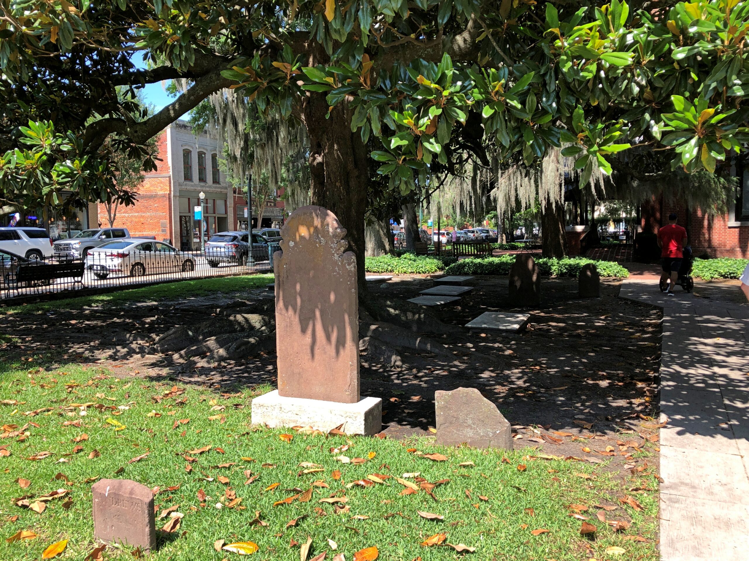
It’s a handsome Southern church burial yard, complete with magnolias and Spanish moss.

Christ Church, New Bern NC

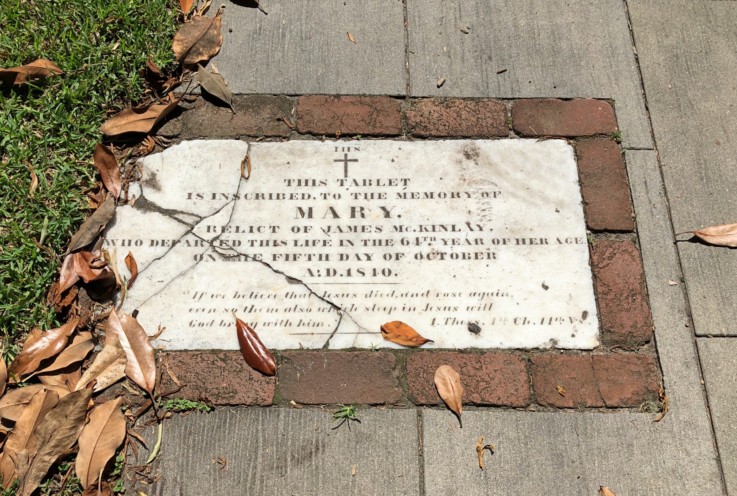
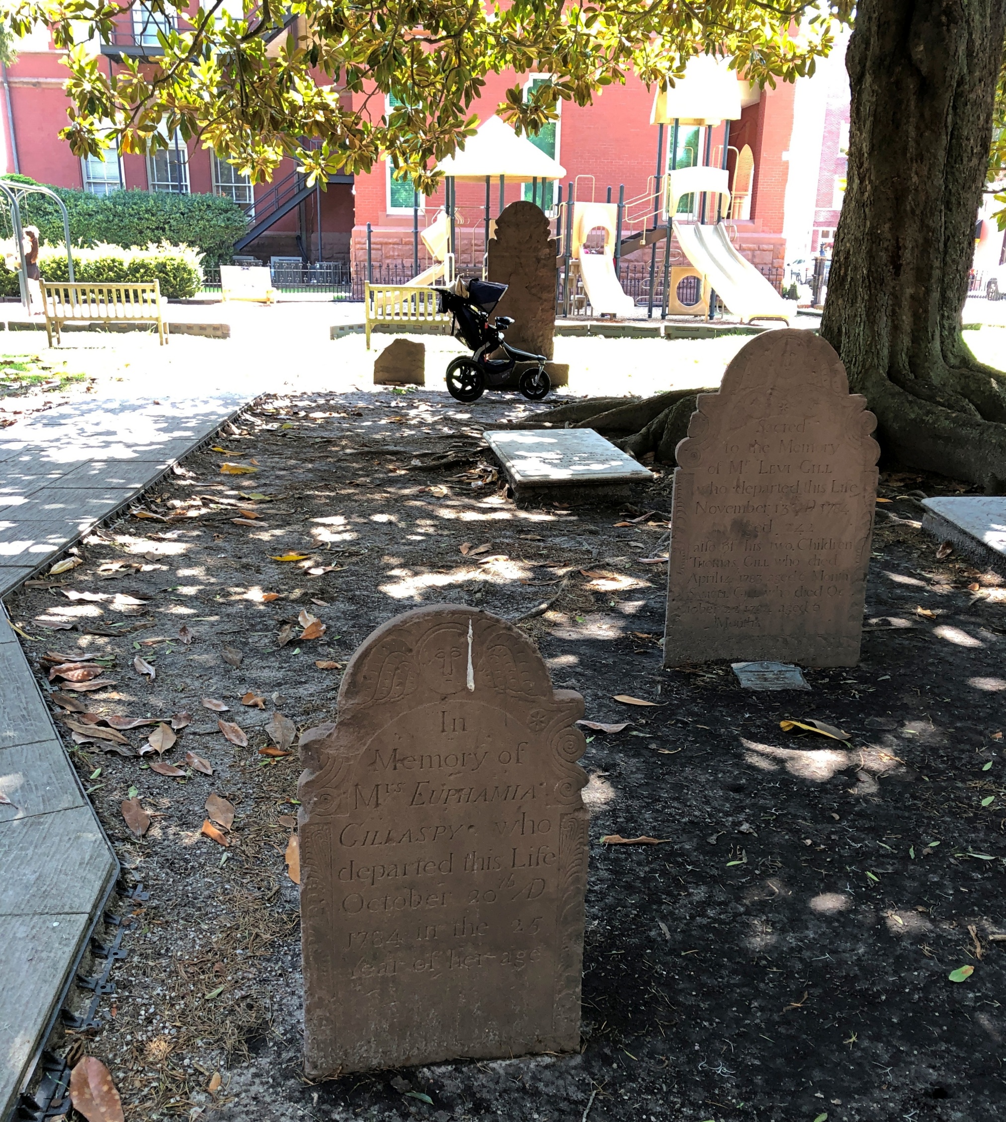
Included are stones reflecting older language usage, as you sometimes find in older cemeteries. “Relict,” as in widow, isn’t one you see much these days.

Christ Church, New Bern NC

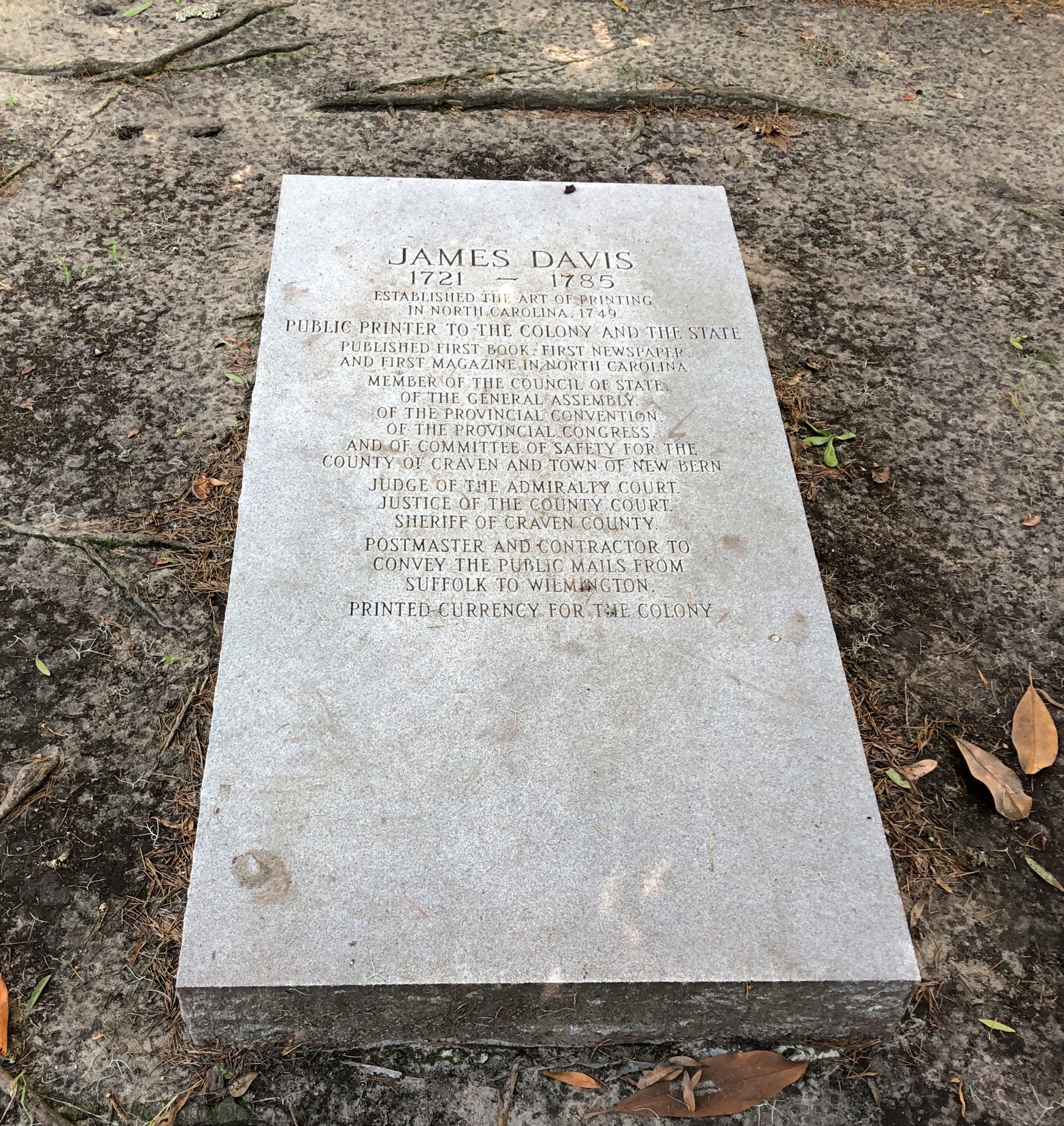
A wordy memorial. I hope the stone carver was paid by the letter.

But he’s notable enough: James Davis, quite a busy fellow in colonial North Carolina and later the state.

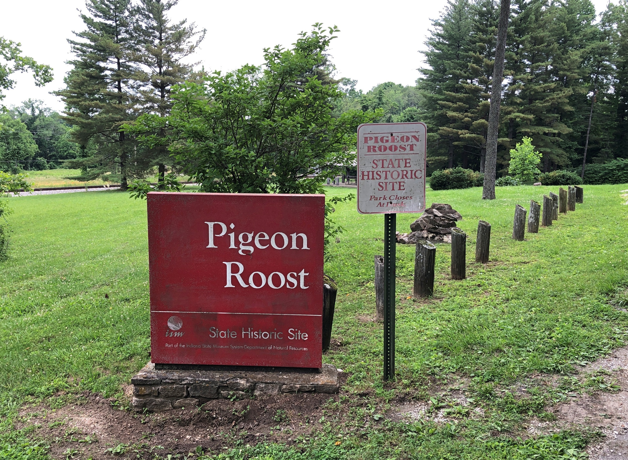
Pigeon Roost State Historic Site

My stop in Scottsburg, Indiana, wasn’t entirely random. If you have a mind to visit Pigeon Roost State Historic Site, which is just south of town, you need to get off the Interstate and proceed to the site on US 31, and Scottsburg is a good place to do that.

As a point of interest red spot on highway maps, Pigeon Roost had intrigued me for years, but not enough to stop there. Unless I did sometime in the 1980s. Or maybe the ’90s. I’ve arrived at that point in life at which I can’t quite remember all the things I’ve seen, especially obscure memorials in obscure places. In a related trick of an aging memory, I sometimes have fairly distinct memories of places, but no memory of exactly where I was.

Pigeon Roost State Historic Site, Indiana Pigeon Roost State Historic Site, Indiana

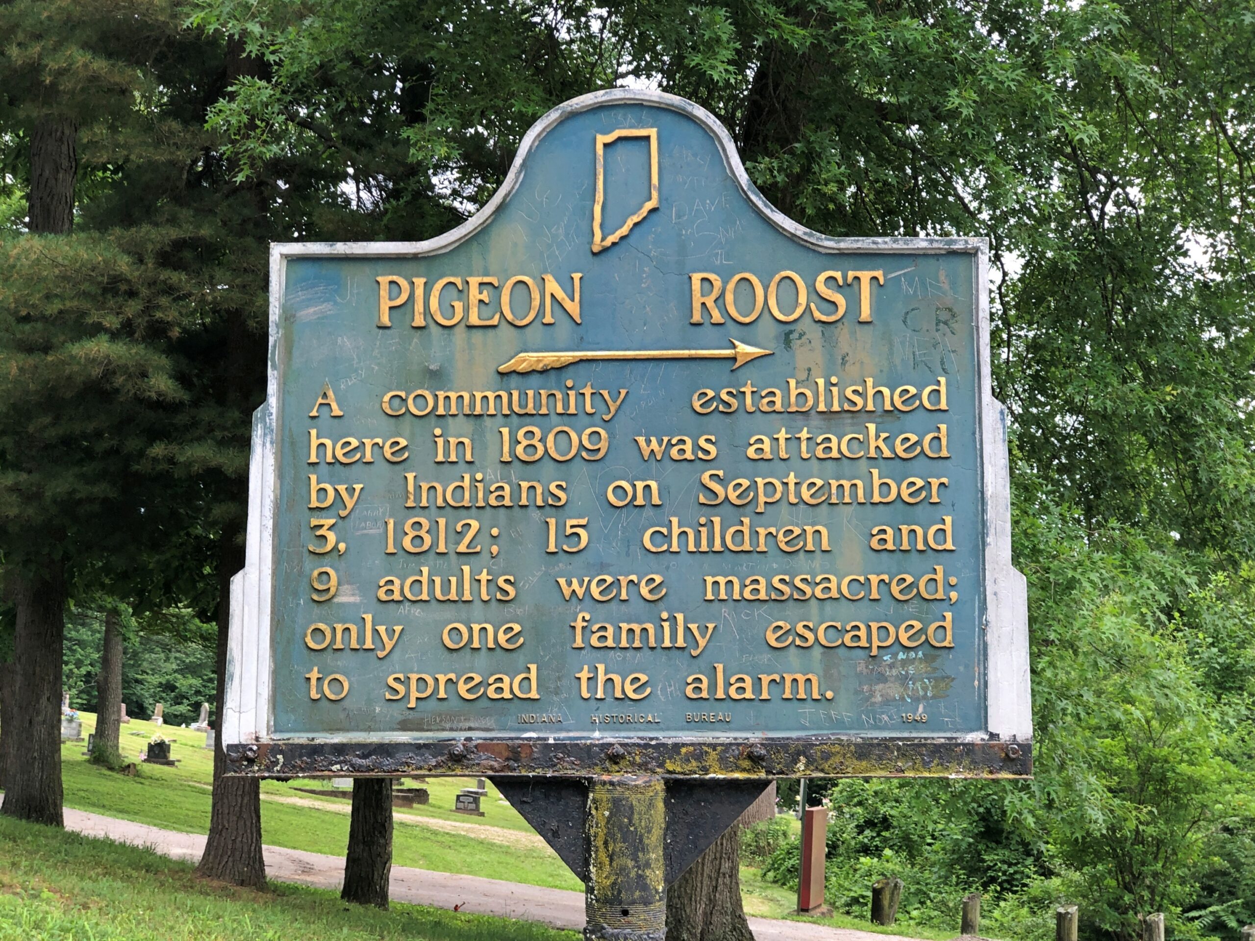
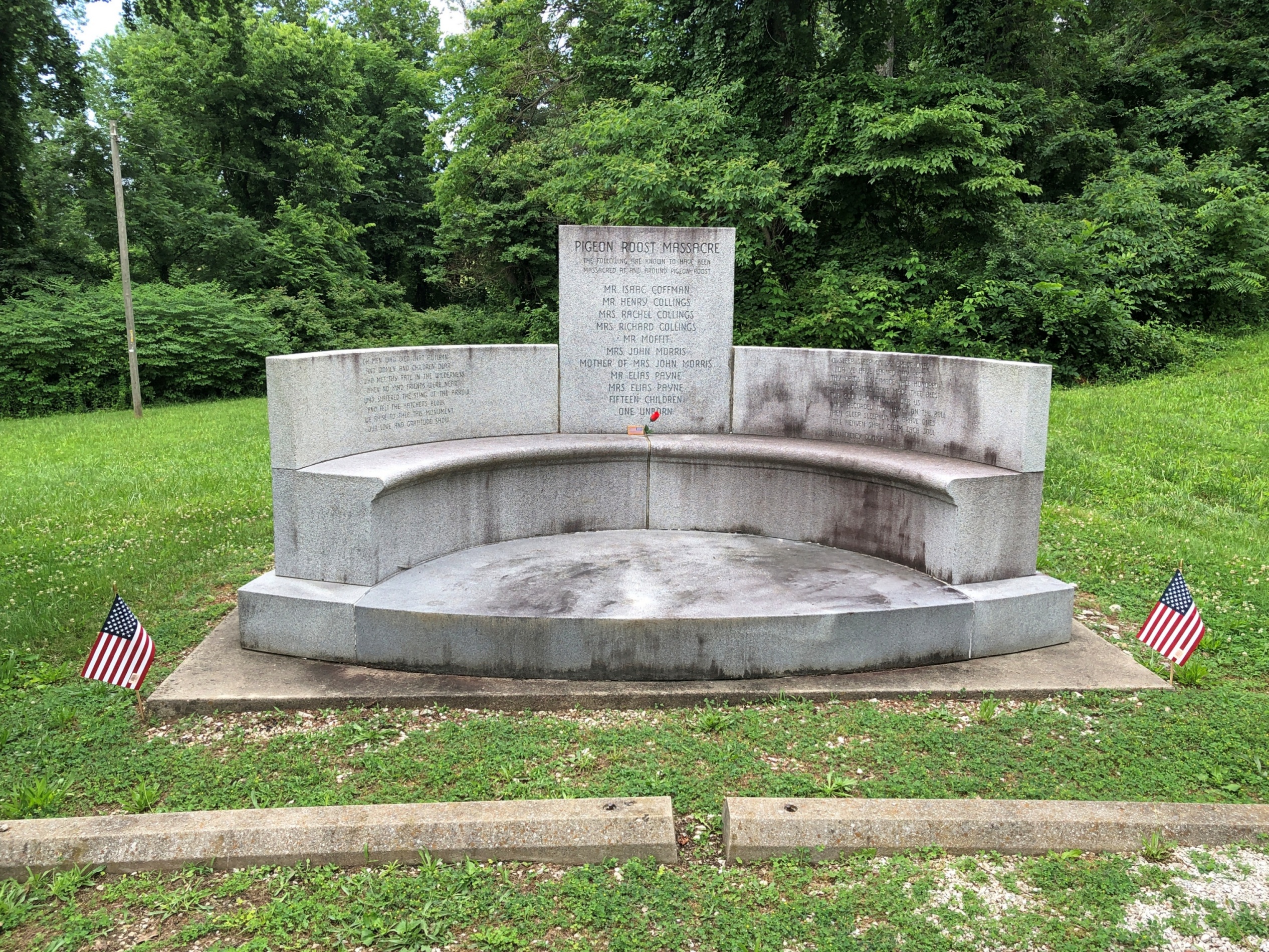
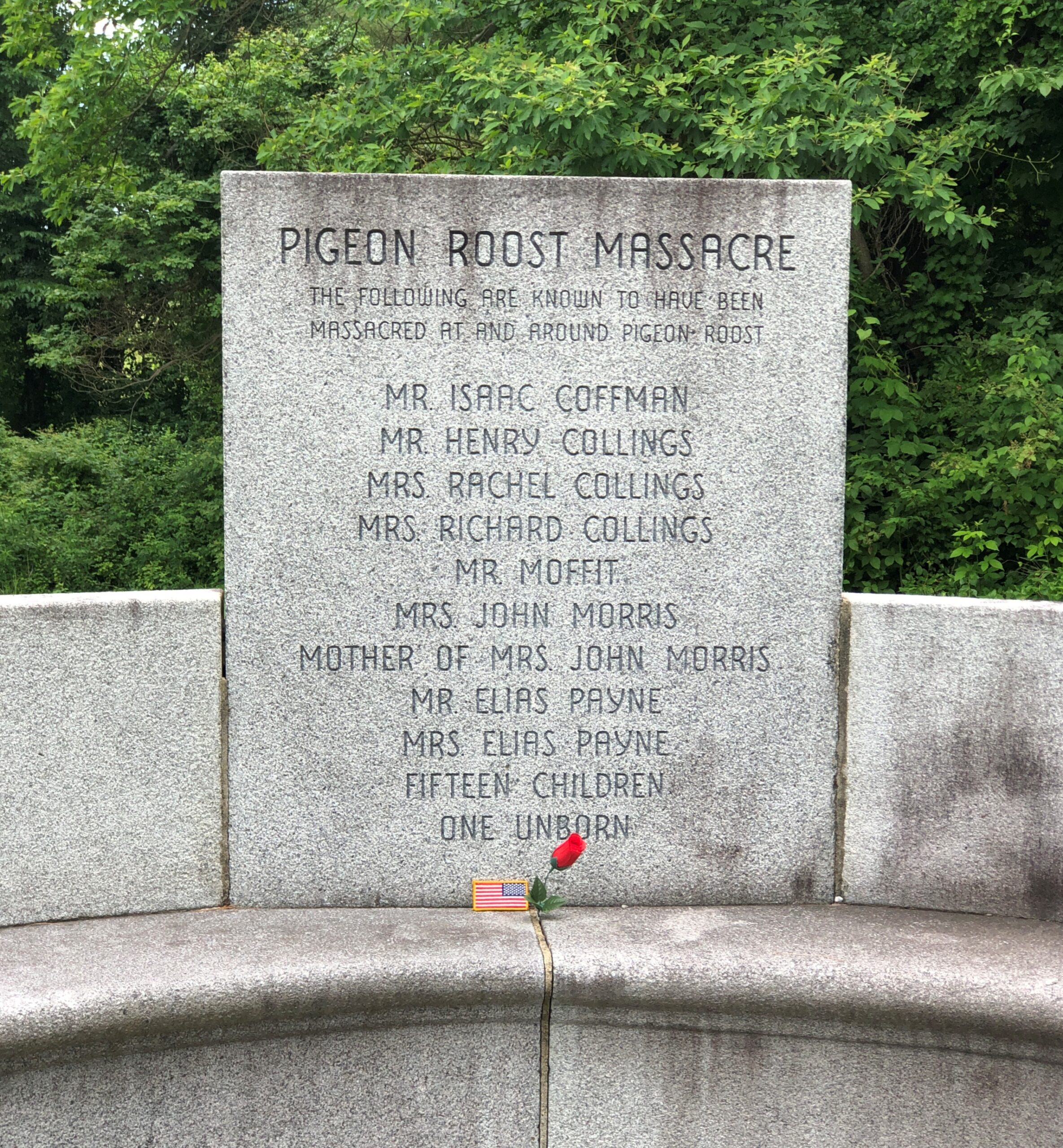
There are at least two layers of history at work at a place like Pigeon Roost. One is the massacre itself, whose longstanding interpretation sees it as a bloody incident in the War of 1812, with the Indians taking the opportunity – and British weapons – to fight the tide of settlement in the Northwest Territory, though they were already doing that, ultimately in vain. There also seems to be a revisionist idea that the Indians were out to settle a score with a particular group of whites and didn’t give a fig about the geopolitics of the situation, which certainly sounds plausible.

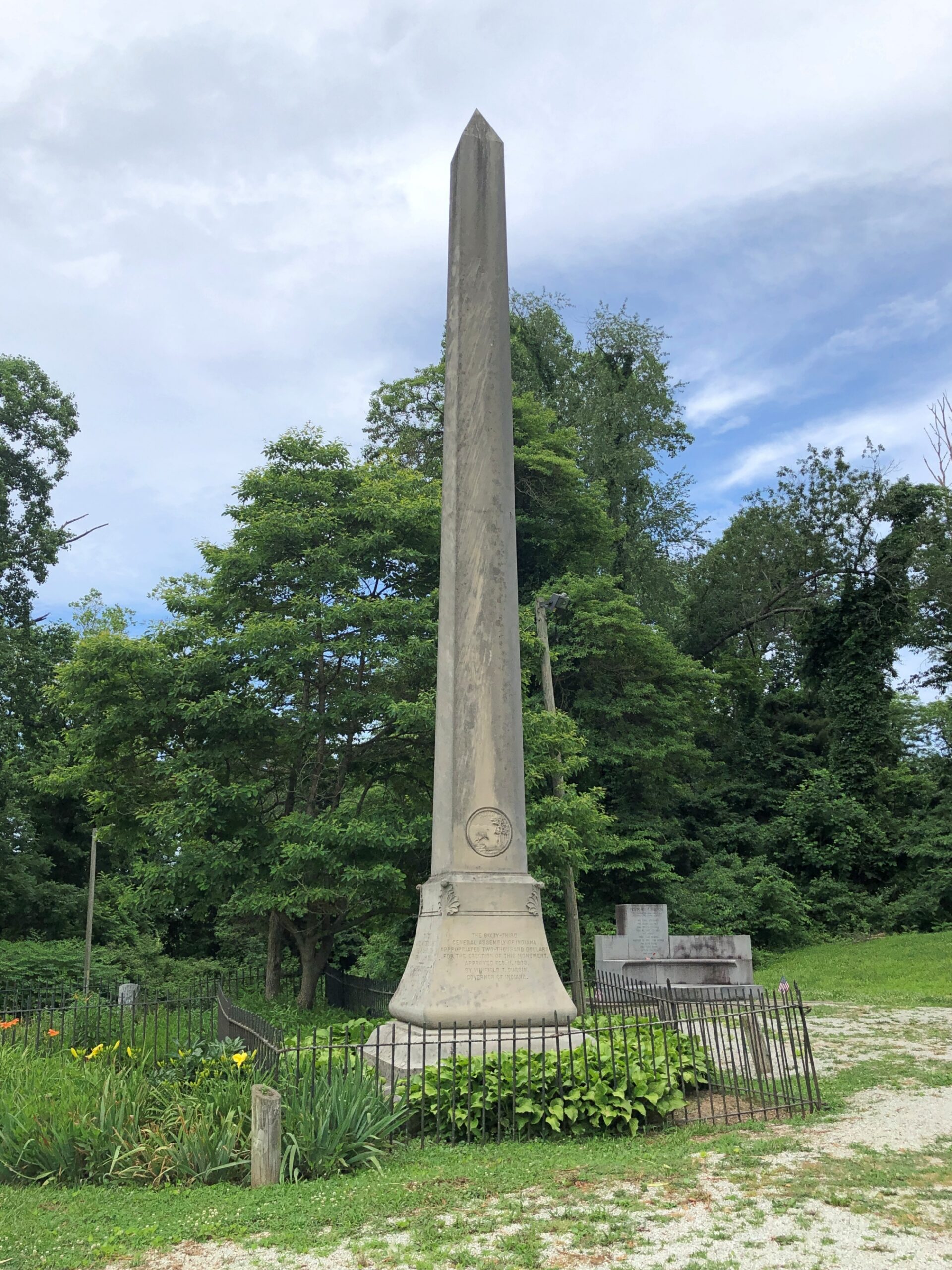
The other layer is the fact that it wasn’t until 1904 that the state of Indiana dedicated a memorial to the victims of the massacre, including what must have been a tidy sum to pay for an obelisk. Somewhere in the minutes of the legislature, and maybe in letters or newspaper reports, or maybe in a local history archive, is some inkling of why that might be: why then and not some other time. But it seems unlikely that anyone will ever take such a granular interest in the subject. Certainly not me, so I’ll have to leave it at that.

These days, Pigeon Roost is quiet and, I suspect, rarely visited. I had the place all to myself.

Pigeon Roost State Historic Site, Indiana Pigeon Roost State Historic Site, Indiana

At some other point in the past, locals started burying their dead near the site.

Pigeon Roost Cemetery, Indiana Pigeon Roost Cemetery, Indiana Pigeon Roost Cemetery, Indiana

Google Maps calls it Pigeon Roost Cemetery, aka Sodom Cemetery. The latter seems like an odd choice, but a quick look reveals a few others of that name, in Georgia, Ohio and Minnesota.

Pigeon Roost Cemetery, Indiana Pigeon Roost Cemetery, Indiana

Google Local Guide Gary Collins has this to say about the place: This pioneer cemetery holds the remains of some of Southern Indiana’s earliest settlers, including some of the survivors of the infamous Pigeon Roost Massacre. At the time of the massacre, this cemetery had yet to be established, and some of the victim’s [sic] final resting places are unknown. It is generally well kept, and interments still occasionally take place.

What, no ghost stories about Pigeon Roost? Seems like perfect fodder for such tales: not only violent death, but the violent death of children and indeed entire families. There’s an opportunity here for making stuff up — I mean, paranormal investigations. What does Bachelor’s Grove Cemetery have that Pigeon Roost doesn’t?

Rosehill Cemetery: For Union and Liberty

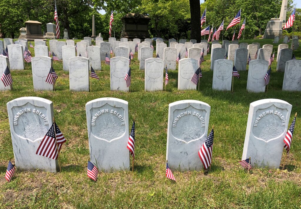
Rosehill Cemetery in Chicago opened in 1859, just in time to receive war dead in the days before dog tags.

Rosehill Cemetery

Still, most of the stones had names and, for now, flags that must have been placed for Memorial Day, which was the weekend before I took my stroll at Rosehill.

Rosehill Cemetery

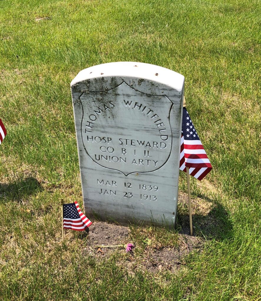
The first hospital steward I’ve ever seen among stones of this kind. That couldn’t have been an easy or pleasant job.

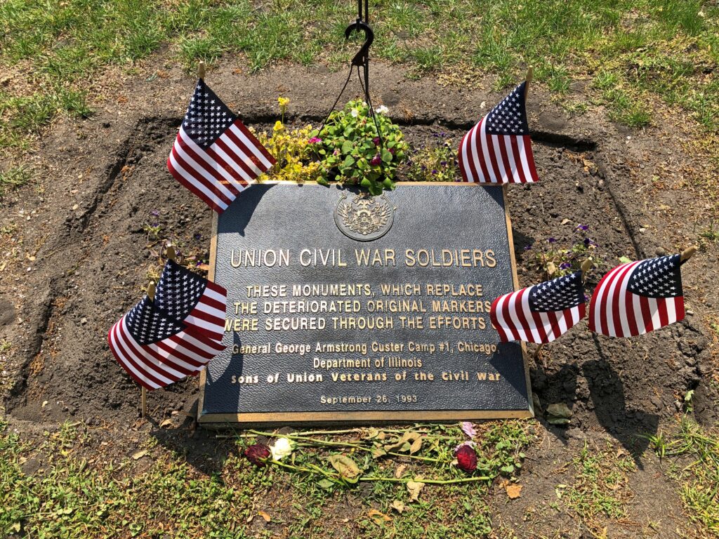
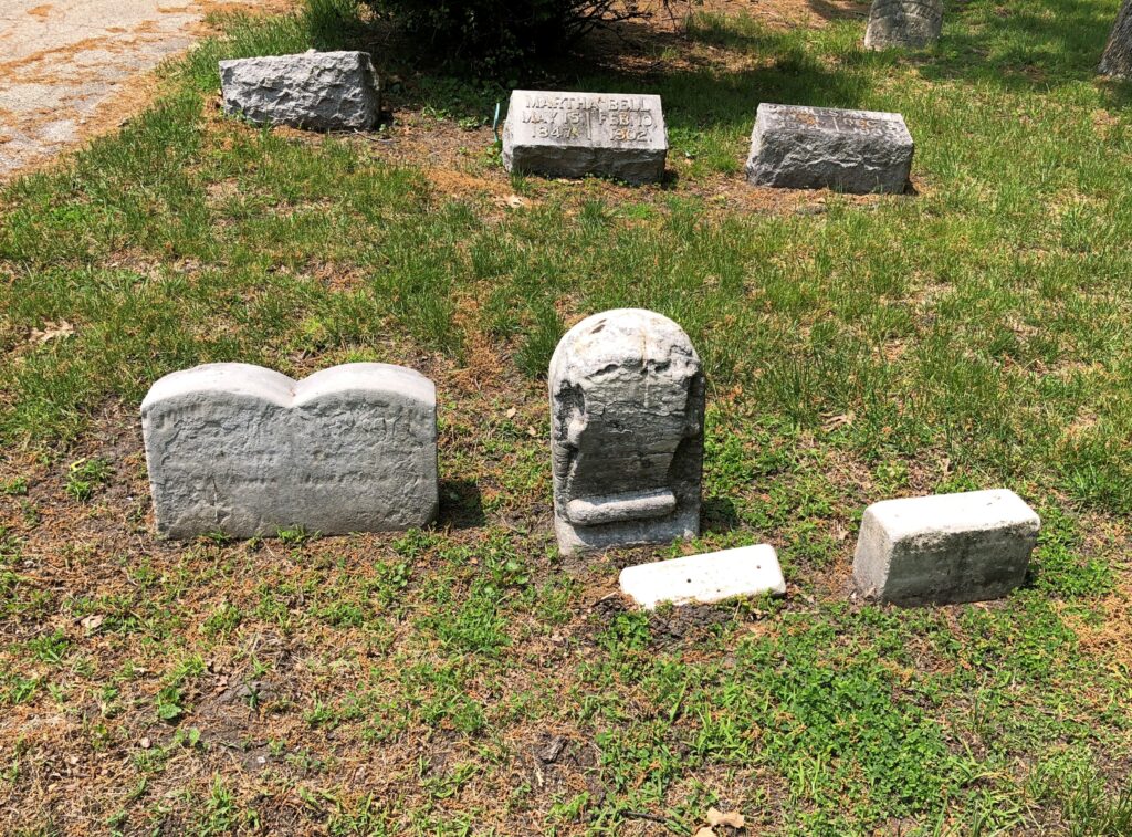
The stones looked fairly new. Turns out they are replacements for the originals.

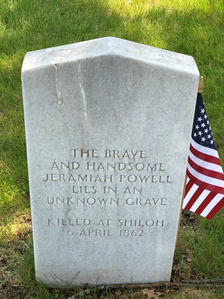
Often pointed-top stones designate Confederates, but not in this case. Died for the Union at Shiloh, but not buried in Chicago.

Rosehill Cemetery
Rosehill Cemetery

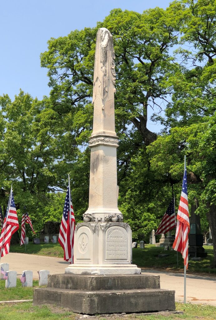
A draped obelisk marking the grave of Gen. Thomas E.G. Ransom (d. 1864).

Rosehill Cemetery

The Civil War was a hands-on conflict even for high-ranking officers, who thus died or were wounded in some numbers. They also shared the risk of disease, and in fact dysentery felled Gen. Ransom, though he had been wounded more than once in combat.

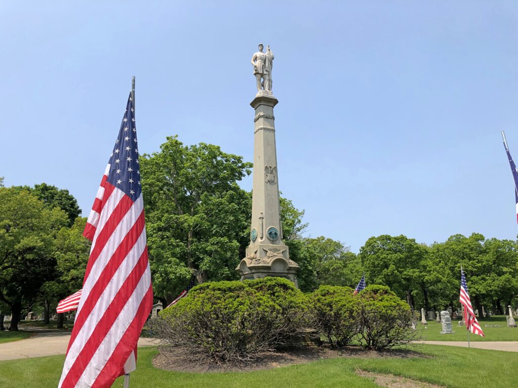
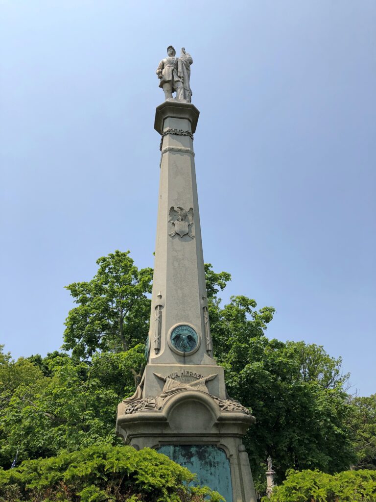
The war dead are clustered near the cemetery’s grand entrance. This memorial says Our Heroes and was dedicated on Decoration Day 1870, with the bronze atop and the bas-relief panels on the sides by noted sculptor Leonard W. Volk (d. 1895). He also did the tomb of Stephen Douglas.

Rosehill Cemetery
Rosehill Cemetery

“An immense train, composed of twenty-three cars, was found necessary to transport the people who desired to attend the ceremonies,” the Chicago Tribune reported the next day. “These, added to the number which had taken the forenoon train, as well as those who had proceeded to the spot in carriages, swelled the attendance to over five thousand persons, there being about an equal number of ladies and gentlemen. Arrived at Rosehill the crowds formed into a procession and, headed by Nevans & Dean’s full band, marched to the music of a dirge to the vicinity of the monuments, where a few moments were occupied in the inspection of the structures.”

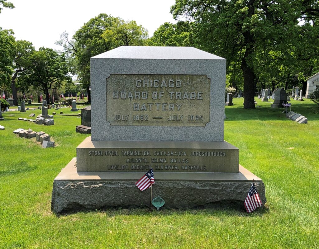
The report mentioned monuments, plural, and besides Our Heroes, also dedicated that day was a memorial to the Chicago Board of Trade Battery, an artillery battery, noting the many battles it participated in.

More artillery.

Rosehill Cemetery

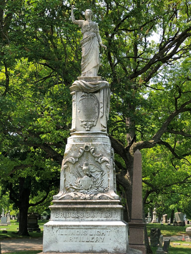
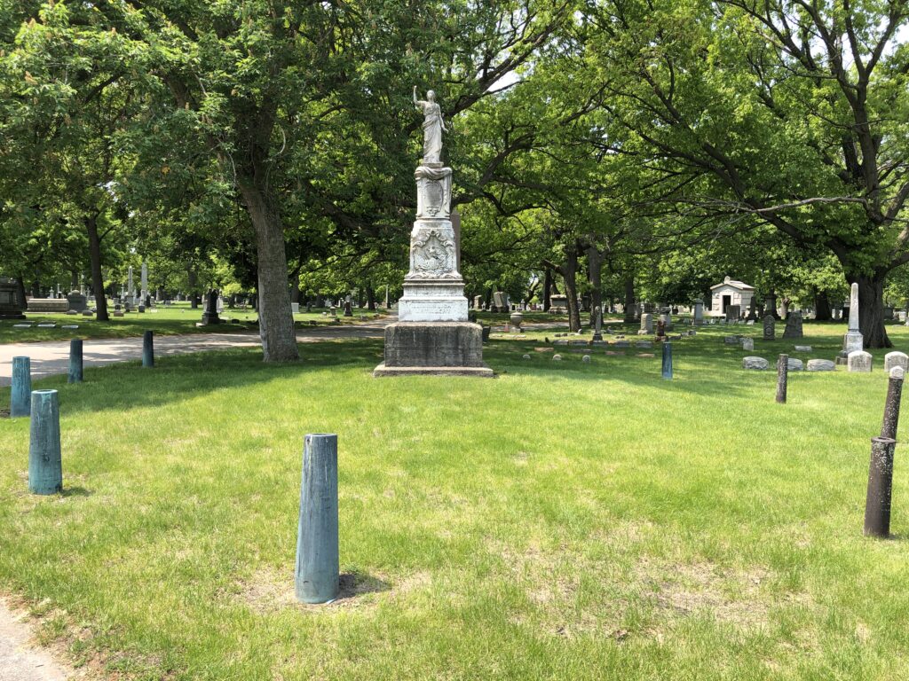
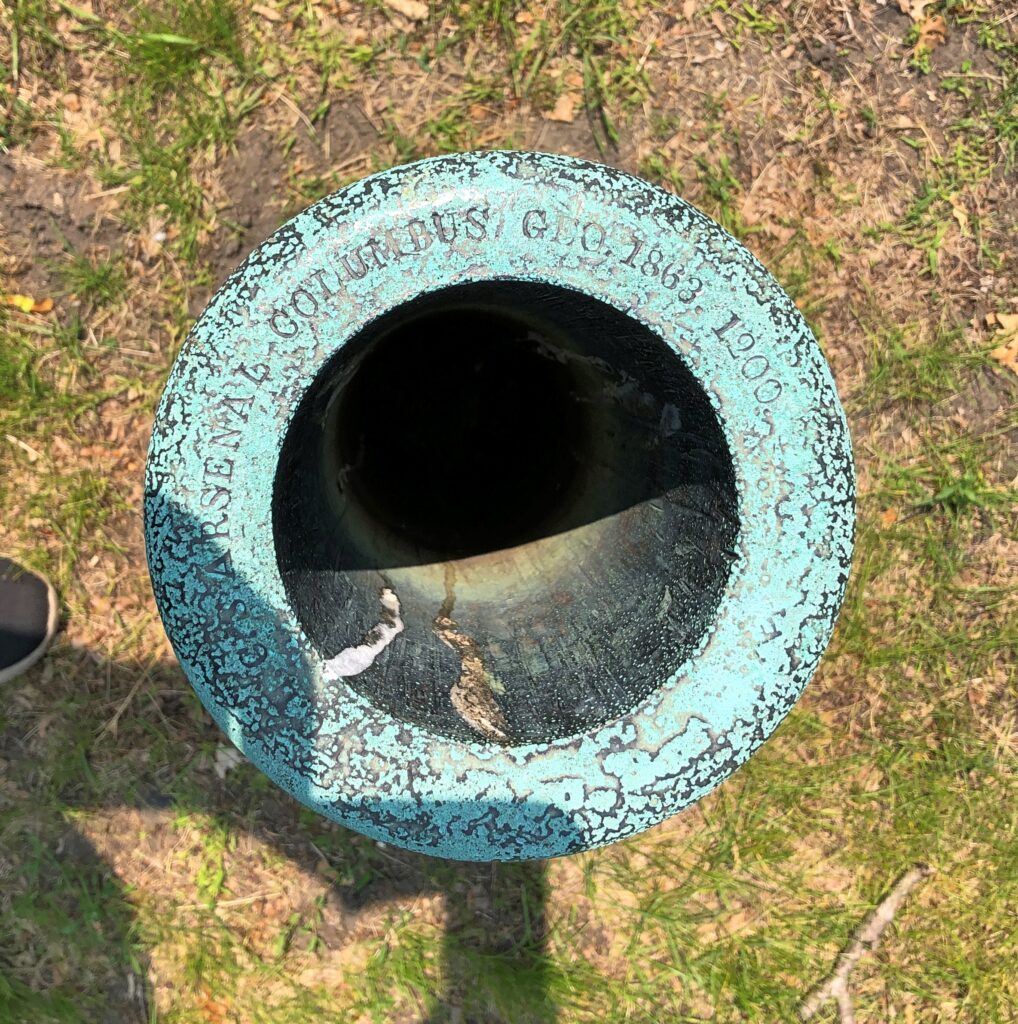
Bridges’ Battery, Illinois Light Artillery, is ringed by what look to be captured — and repurposed — cannons.

Rosehill Cemetery
Rosehill Cemetery

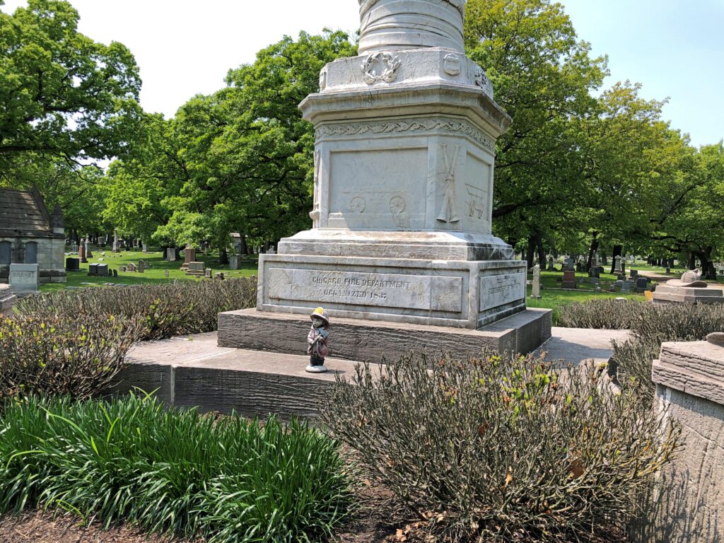
The cemetery office had photocopied map-guides to the grounds, and that inspired me to go look for the Rock of Chickamauga, which isn’t that close to most of the rest of the Union war dead. Along the way is a memorial to Chicago volunteer firemen. While not directly related to the war, it’s from the same time, 1864.

Rosehill Cemetery
Rosehill Cemetery

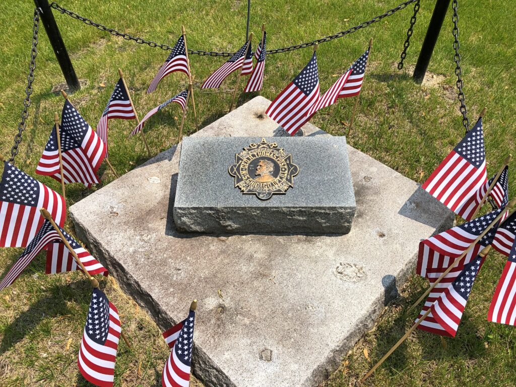
Gen. George Thomas (d. 1870), the Rock of Chickamauga, isn’t buried at Rosehill, but rather in upstate New York. Still, he’s honored in Chicago.

Rosehill Cemetery

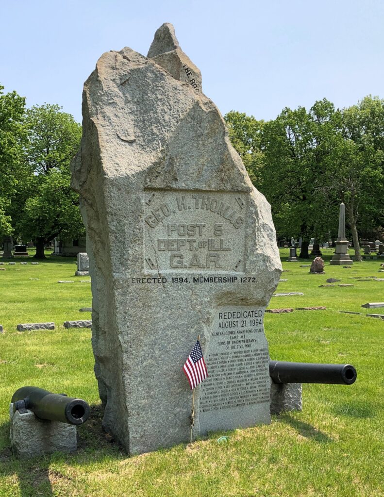
A Chicago post of the GAR took his name and in 1894, honored him by erecting a 12-ton boulder taken from the cliffs at Chickamauga National Battlefield. As marked on the boulder, it was rededicated in 1994.

So while the metaphorical Rock of Chickamauga isn’t at Rosehill, a literal rock of Chickamauga is.

Rosehill Cemetery: Stones Among the Green

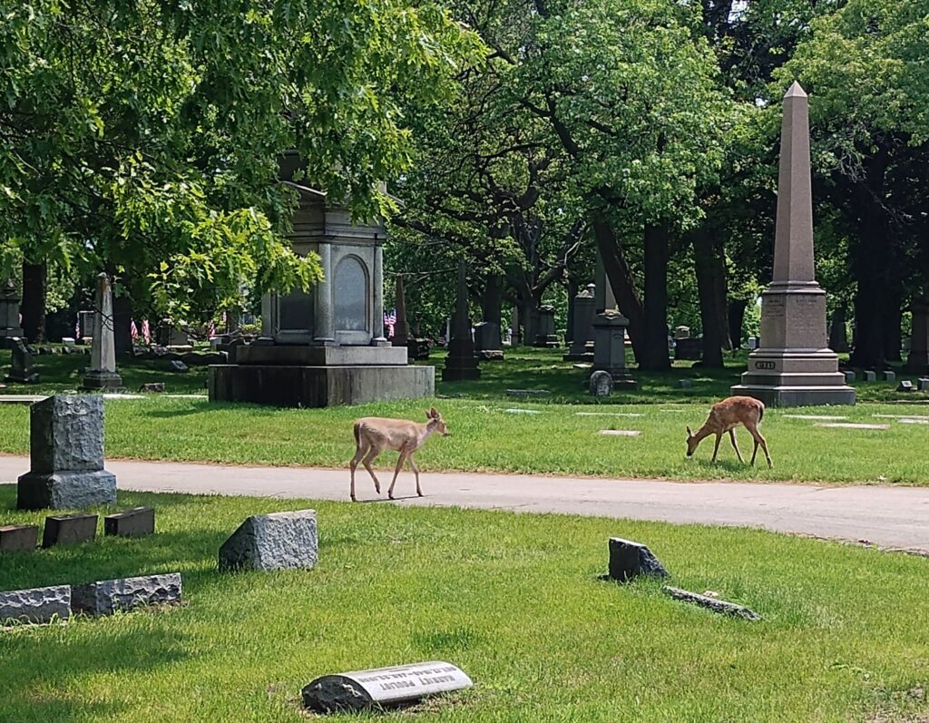
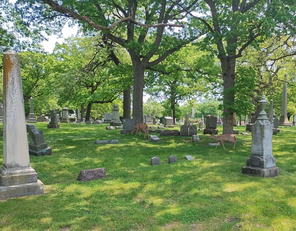
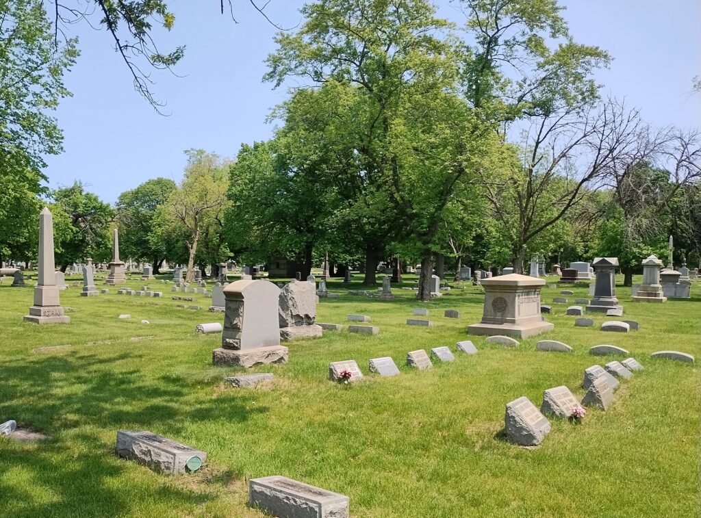
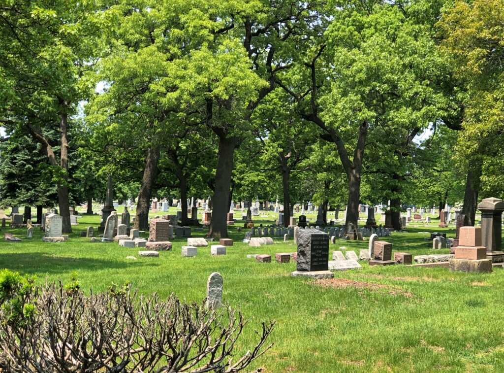
Something I didn’t expect to see Sunday before last at Rosehill Cemetery – which is surrounded by the densely populated North Side of Chicago – were deer. But there they were, peacefully munching on grass, living the unusual life of urban deer on the cemetery’s 350 acres. By acreage, Rosehill happens to be the largest in the city.

Rosehill Cemetery

I dropped Yuriko off at her cake class in Humboldt Park that morning and headed north to visit the cemetery. It was a fine, warm day. I couldn’t remember the last time I’d been there, but I knew it had been too long, since Rosehill is one of the great metro Chicago cemeteries, in the same league as Graceland, Bohemian National, Mount Carmel, Oak Woods and Forest Home.

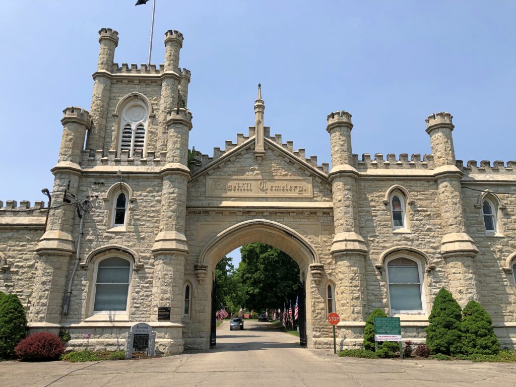
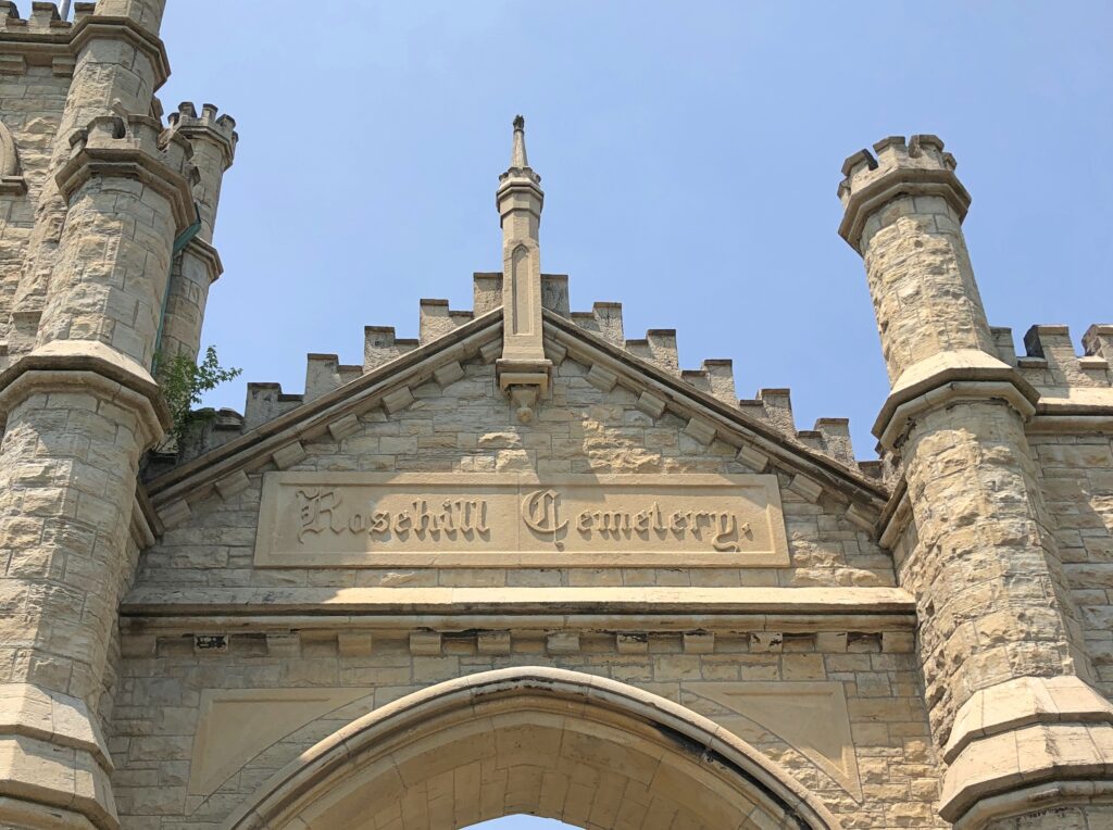
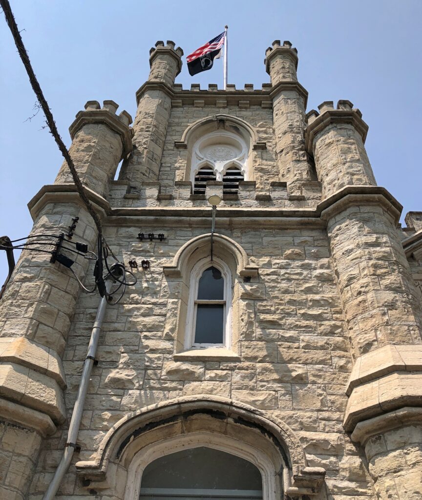
Of all those, Rosehill has the grandest entrance. Once upon a time, trains brought caskets to a station nearby, and hearses would take their funereal loads through the limestone gate, designed by William Boyington (d. 1898), who is better known for the Chicago Water Tower. Just based on those two examples, seems like he was partial to crenellations.

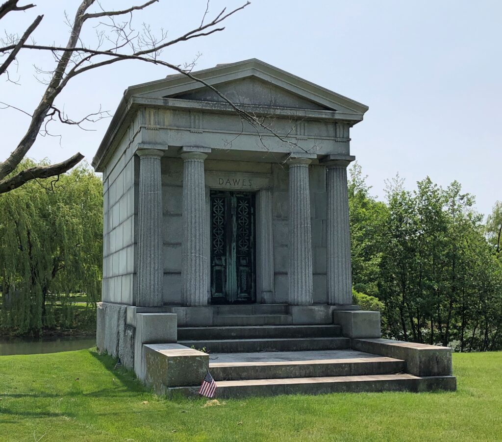
Boyington is also buried in the cemetery, but I didn’t look for him. There was too much else amid the greenery to track down everyone notable. I did make a point of finding the mausoleum of Charles G. Dawes, 30th Vice President of the United States, who served during Coolidge’s full term from 1925 to ’29.

Rosehill Cemetery

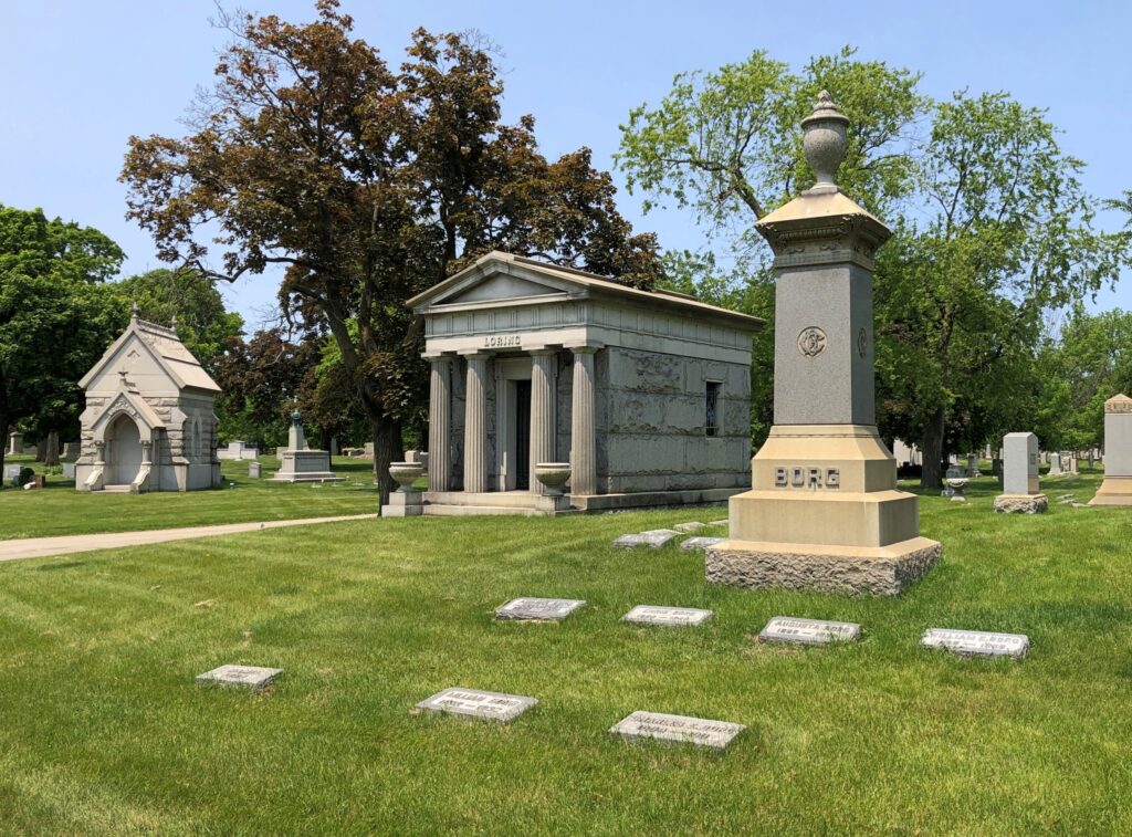
Rosehill doesn’t have a vast number of mausoleums, but there are some others.

Rosehill Cemetery

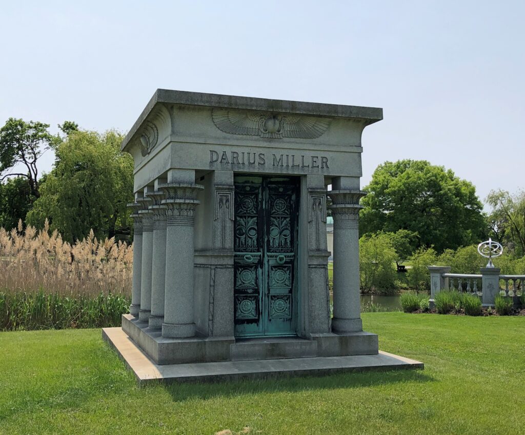
Hey, it’s Darius!

In his Egyptian-style tomb. One for the ages. As a baby name, Darius had a vogue just before and after the turn of the 21st century, when as many as 0.06 percent of babies born in the U.S. received that name. Mostly boys (as you’d think), but a few girls. It would have never occurred to us to append that name to either of our daughters during those years, which happened to be prime child-naming years for us.

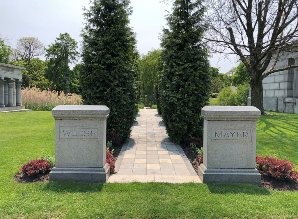
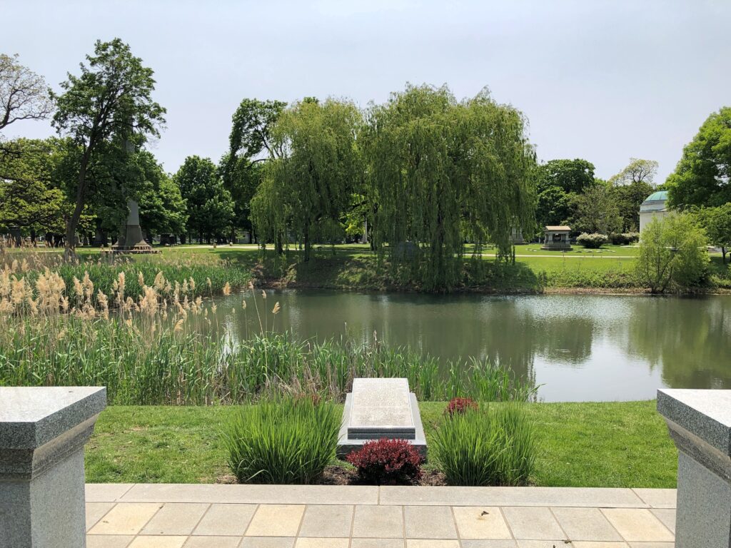
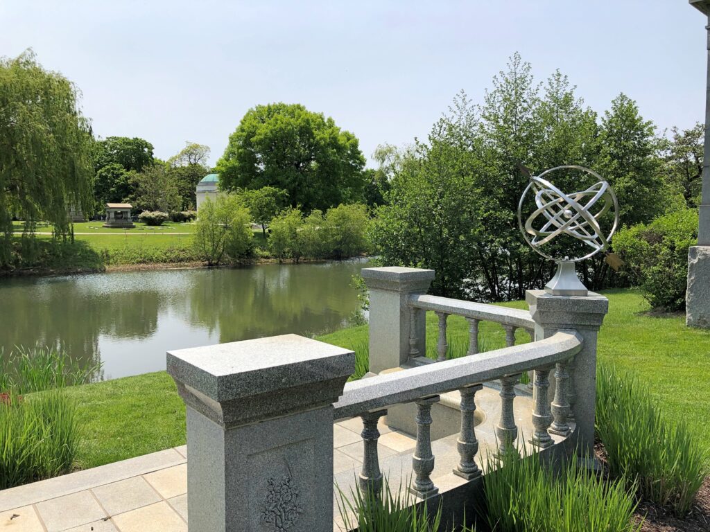
I liked this memorial – a path to the water feature, shared by the Weese and Meyer families.

Rosehill Cemetery
Rosehill Cemetery
Rosehill Cemetery

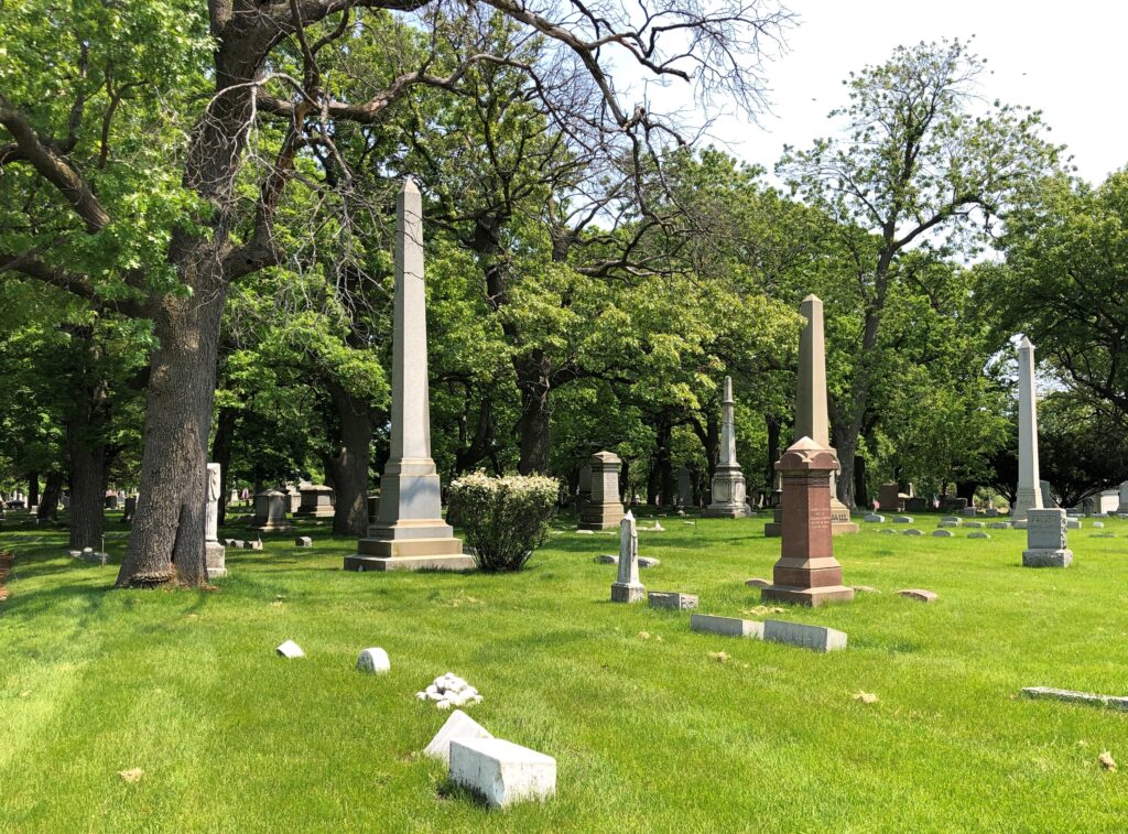
Mausoleums are well and good, but the main reason Rosehill is among the Chicago greats: a rich variety of memorials in a lush setting.

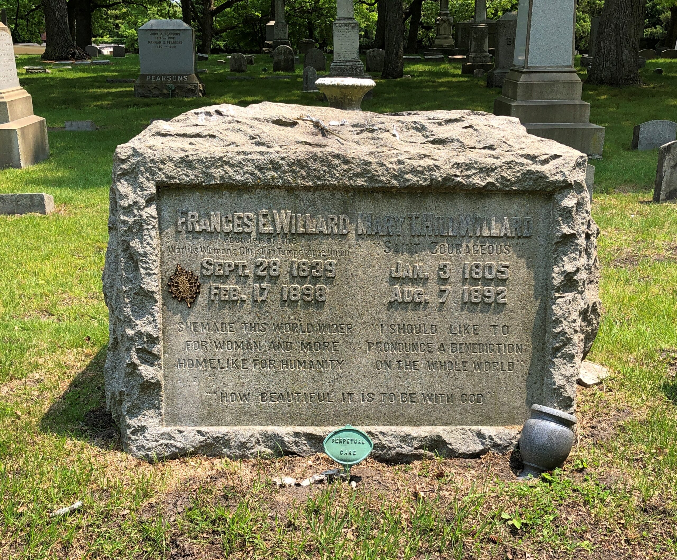
This is Francis Willard, founder of the WCTU.

Rosehill Cemetery

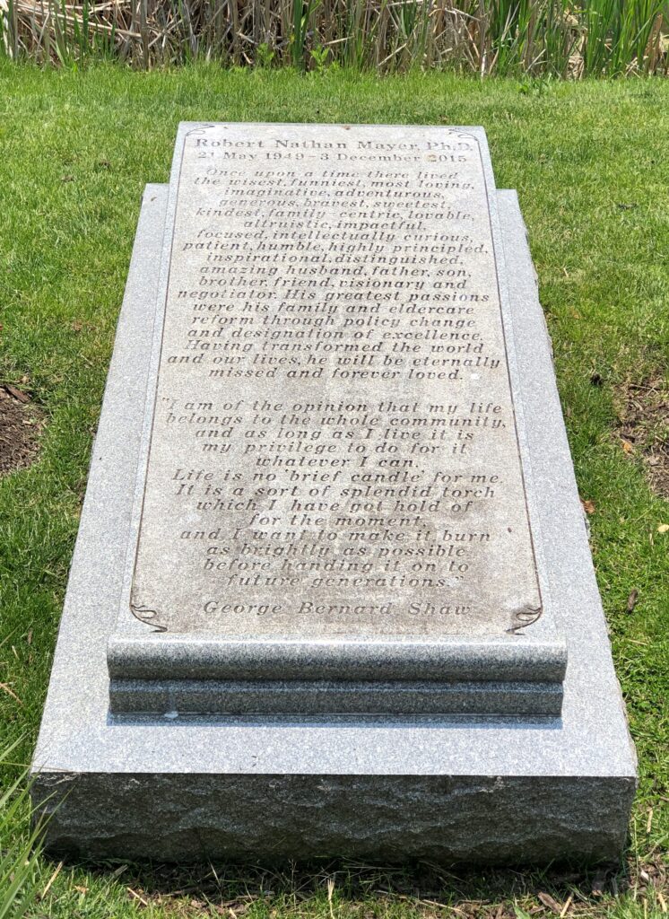
A wordy memorial, though I’m sure with fond intentions on the part of his family. Here is an obit. Sadly odd that for an expert in eldercare, he only lived to be 66. Not terrifically old, in my current opinion.

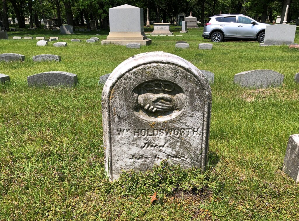
Most permanent residents were not notable in life, something almost everyone could say at any point in history. What remains are stones old and worn or merely simple. The most affecting ones, in some ways.

Rosehill Cemetery
Rosehill Cemetery
Rosehill Cemetery

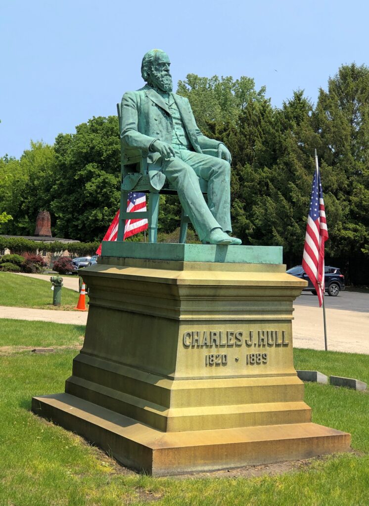
For the affluent who don’t want a mausoleum, there’s always a bronze. Good to give living artists some work, if you or your heirs are going to spend money that way.

Charles J. Hull (d. 1889).

I had to look him up. As this article says, an unusual sort of man. Even for the 19th century, when odd men aplenty could be found in the young Republic. Eventually he made his fortune in Chicago real estate and was a major philanthropist, but I enjoyed more reading about his young life. As a teenager – a term no one would have used at the time – he ran an unlicensed tavern in Ohio for three years. That came to a bad end, and he not only became a teetotaler afterward, he eventually was a temperance activist. Not that I’d want to have lived then, but I feel a sneaking admiration for the lax rules of the time.

The Quick and the Dead

In Japan, it was never necessary to have a car. In theory, one could wish such a condition for North America, but I wouldn’t want to give up the option of getting in a vehicle and driving a few hundred miles at a go, or further, to seek out fun roads.

There are probably similarly engaging roads in Japan, but I prefer trains there. We took quite a few during the recent visit. Some were crowded, as subways in rush hour tend to be, but none required the assistance of white-gloved train employees shoving passengers into cars – an image known to gaijin lore as much as the vending machines that sell weird items, but one I never saw at any time, even during rush hours in the ’90s. (And the vast majority of Japanese vending machines sell drinks.)

Scenes on the trains.Japan, 2025

Almost everyone was paying attention to their phones, but not quite everyone. Still, the fellow reading a book – maybe manga – was a rarity this time around. Thirty years ago, half the car would have been reading physical books.Japan, 2025

The train from Kamakura to the seaside spot of Enoshima runs along the ocean for a while, inspiring some passengers to take pictures of the scene.Japan, 2025 Japan, 2025

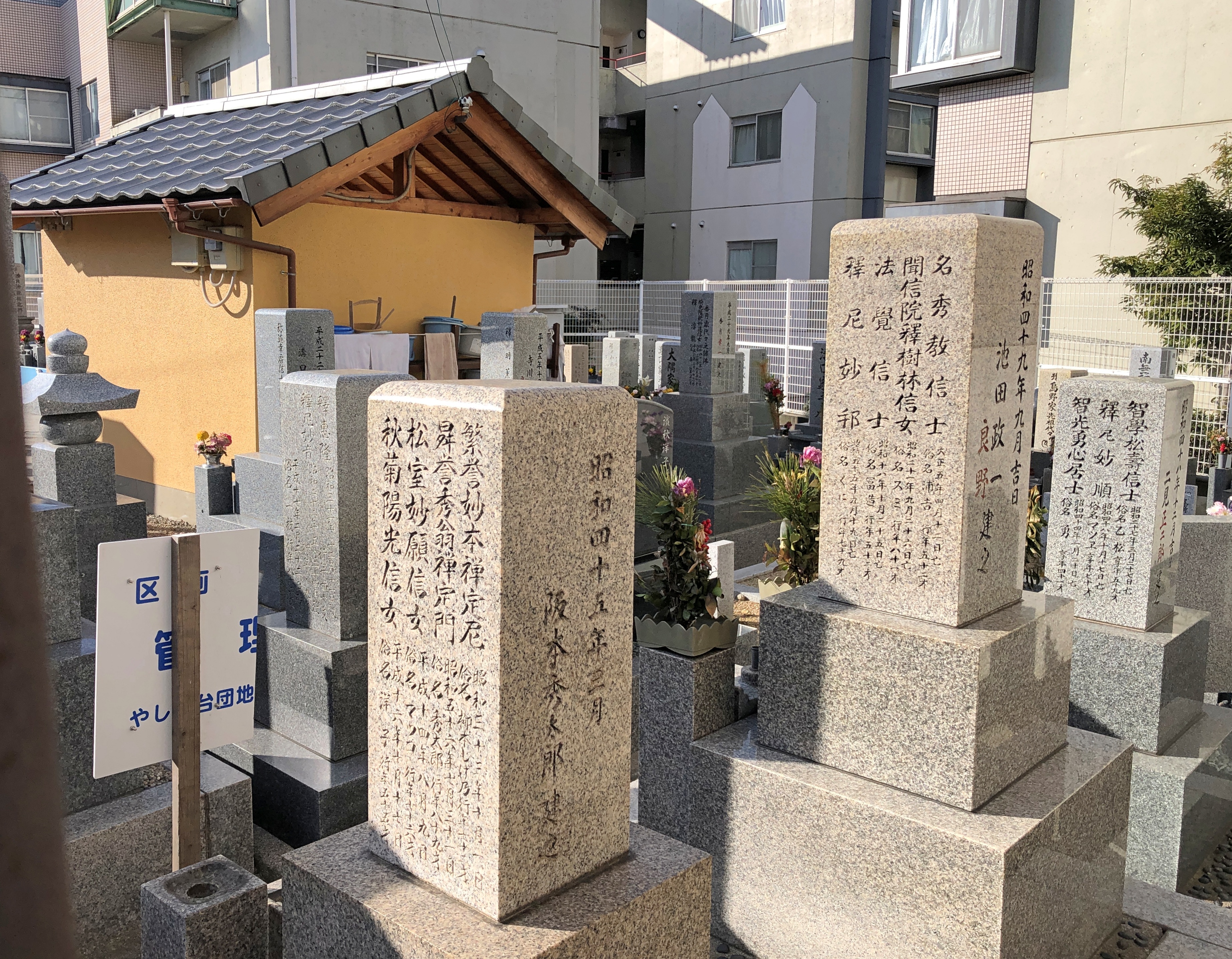
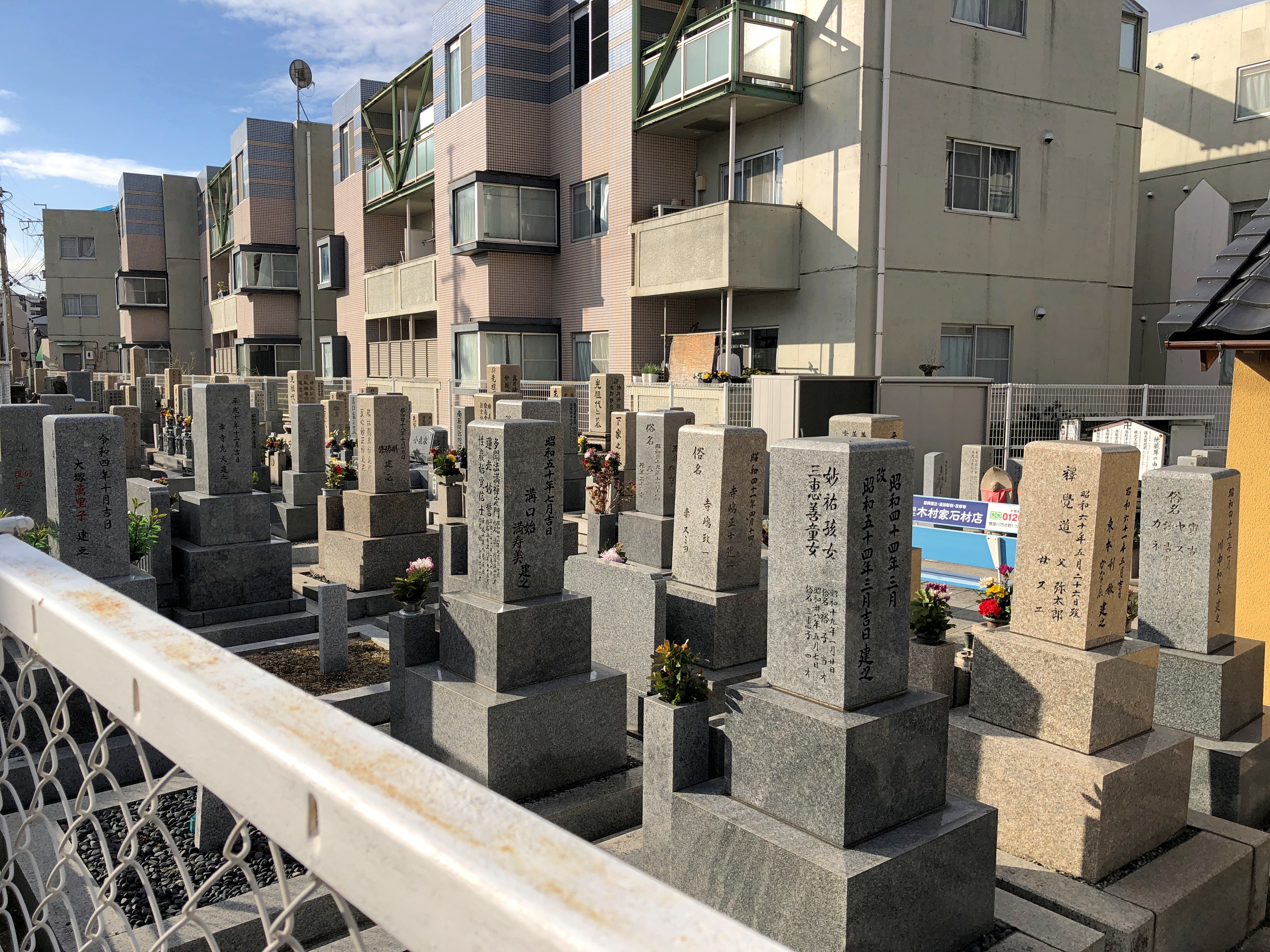
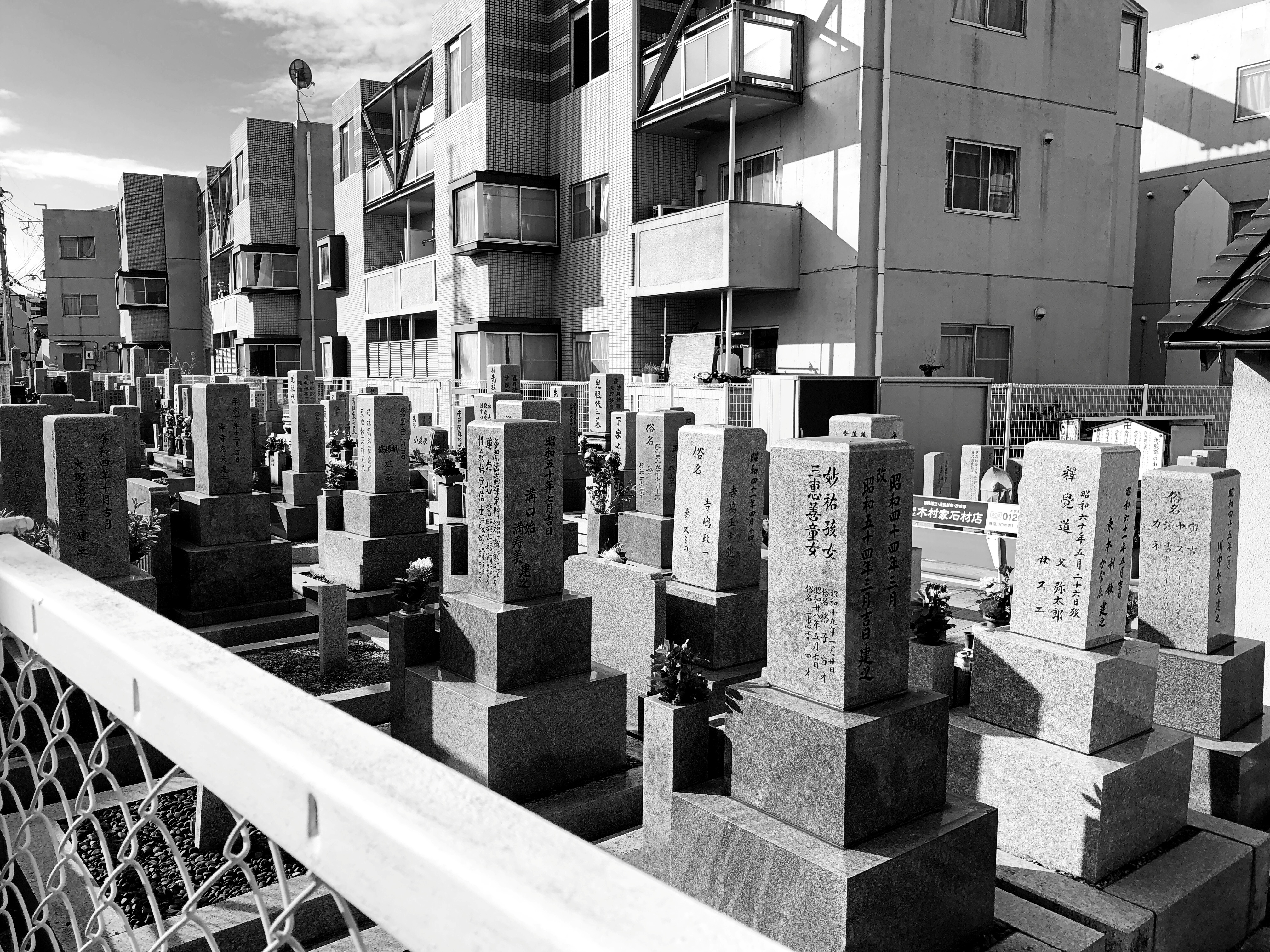
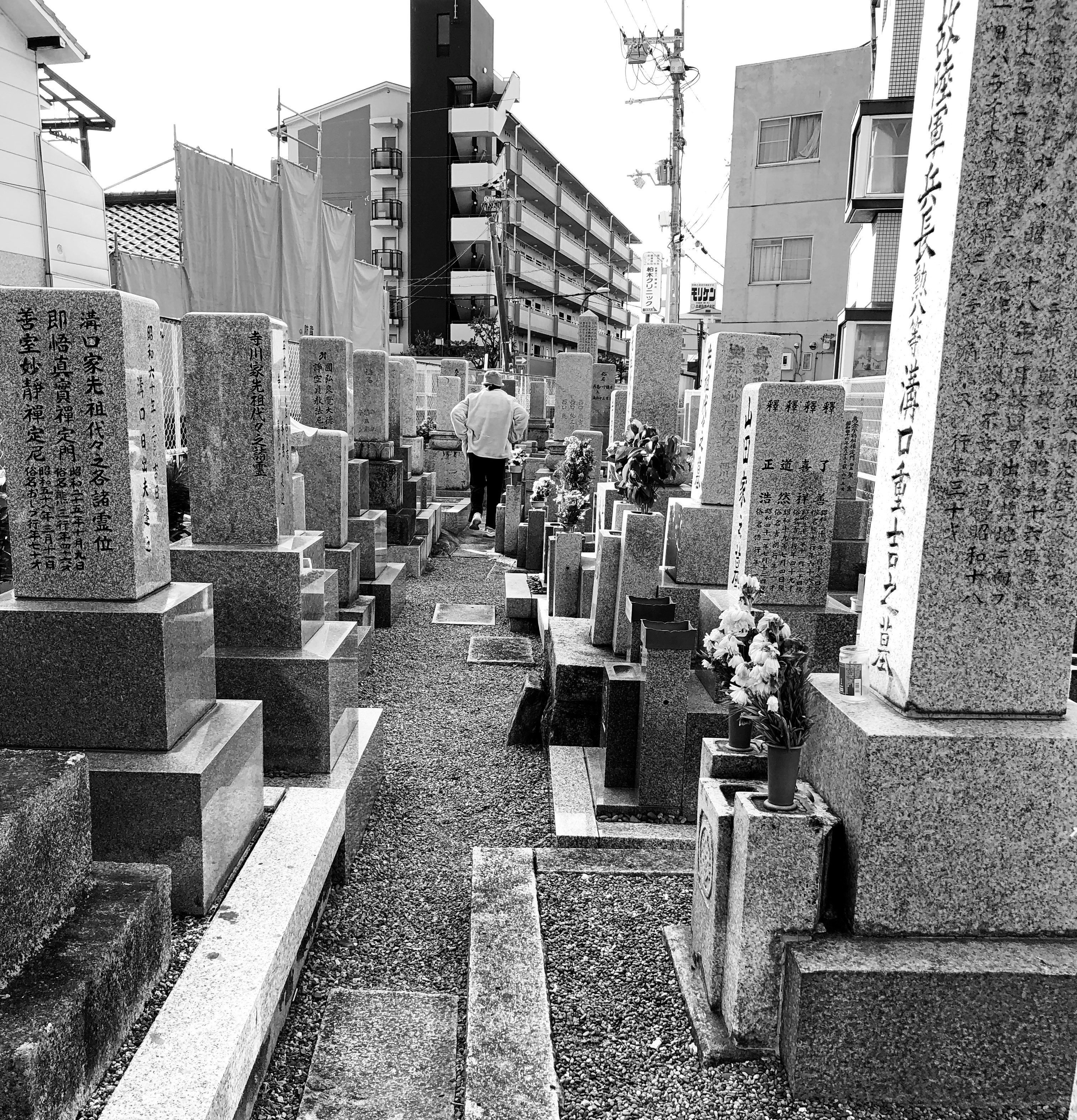
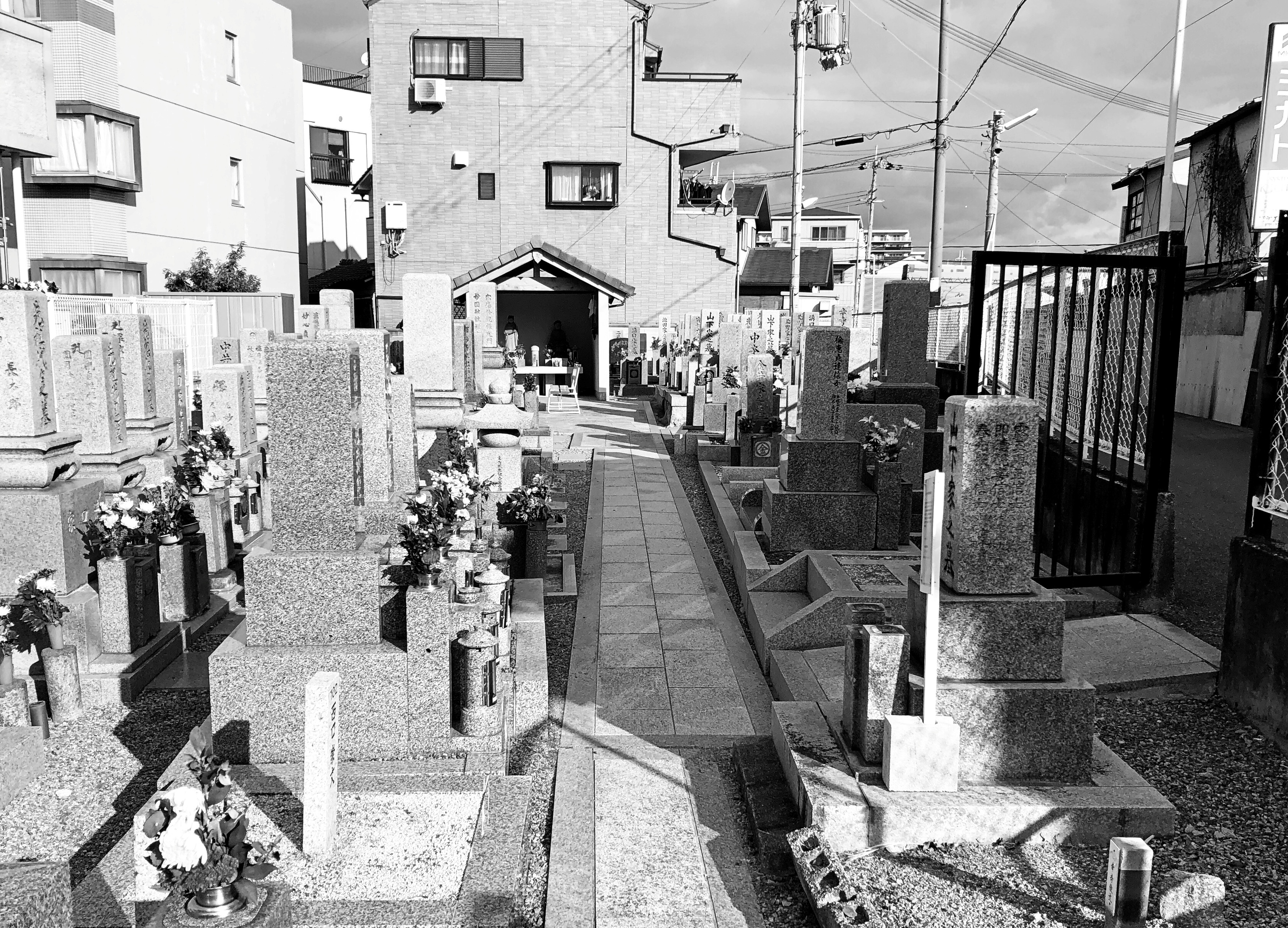
Unfortunately this time there was no time to visit that most beautiful of cemeteries in Japan or anywhere else: Okuno-in at Koya-san, which is about an hour’s train ride from central Osaka. But there was a cemetery near where we stayed, a more ordinary one in the far reaches of suburban Osaka. I don’t know its name.Japan, 2025 Japan, 2025

It is essentially just a sliver of land not dedicated to anything else. Around it is a short fence.Japan, 2025 Japan, 2025

Around that is a neighborhood.Japan, 2025 Japan, 2025

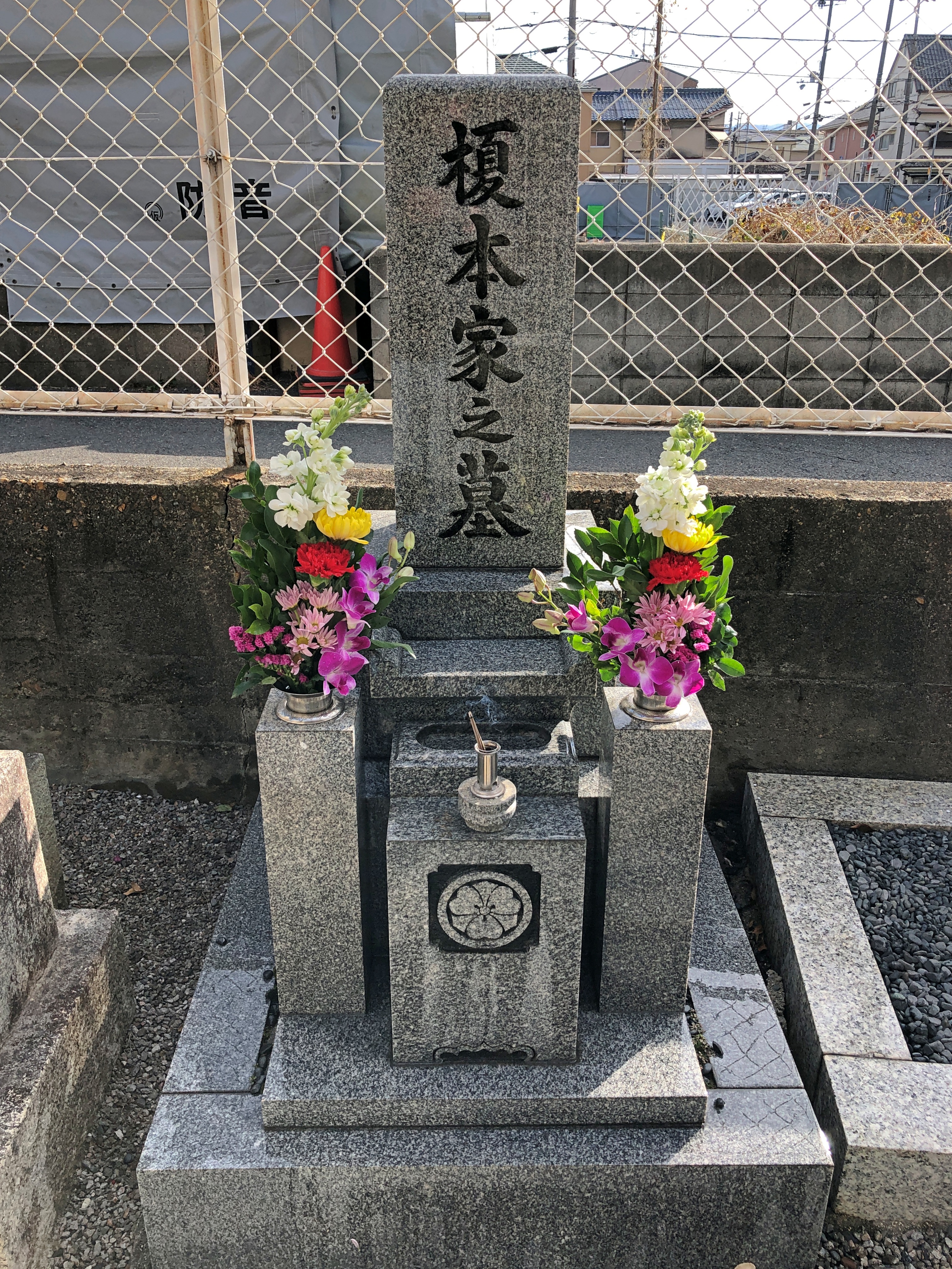
It also happens to be the location of my mother- and father-in-law’s memorial and ashes.Japan, 2025

RIP, Enomoto-san.

Fatehpur Sikri, Uttar Pradesh

Here we are, in a cold May. Cold and today, rainy. Cold in April is one thing, but in May? Not wintertime freezing cold, of course, but nearly refrigerator chilly. Too cold to lounge around on the deck, which is pretty much my definition of atmospheric chill.

The cold came after considerable warmth last week, even a day that felt hot, during which a dust storm blew through northern Illinois. We didn’t feel the brunt of the storm, just a gusty and dusty edge of it. In all the years I’ve been here, I don’t remember any other Chicagoland-spanning dust storms. Odd.

Out of curiosity, I checked temps in Agra and Jaipur today. At about 2 am IST – the middle of the night – it was 90° F. in Agra. Tomorrow: Abundant sunshine. Hazy. High 106° F. Winds light and variable. As for Jaipur, middle of the night temp, 93° F. Tomorrow: Sunny, along with a few afternoon clouds. Hazy. High 112° F. Winds WNW at 10 to 15 mph.

Zounds. Between Agra and Jaipur, on National Highway 21, is the border of Rajasthan and Uttar Pradesh. This is what it looked like, leaving Uttar Pradesh, headed for Jaipur.

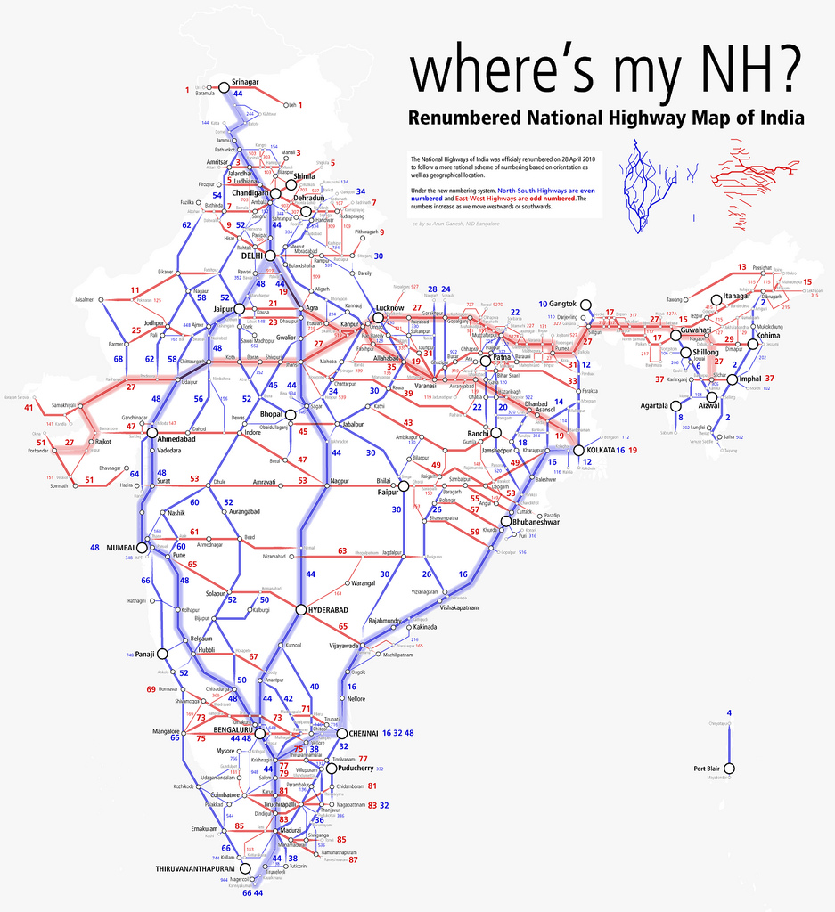
Behold, the National Highway system of India. Infrastructure, by the looks of it, that is reaping enormous economic benefits. The roads were renumbered in 2010. News of that didn’t reach my part of North America, or if it did, it was a squib of an item, lost in the news churn. Under the new(ish) numbering scheme in India, east-west highways are numbered odd, while north-south ones are even, the opposite of the U.S. Interstate system. The numbers increase as you go west or south. Again, the opposite.

Imagine the government committee meetings, the endless, hours-long committee meetings, that must have gone into renumbering the roads. Was there a bureaucratic faction that pushed not to be like the Interstate system, as a matter of national pride?

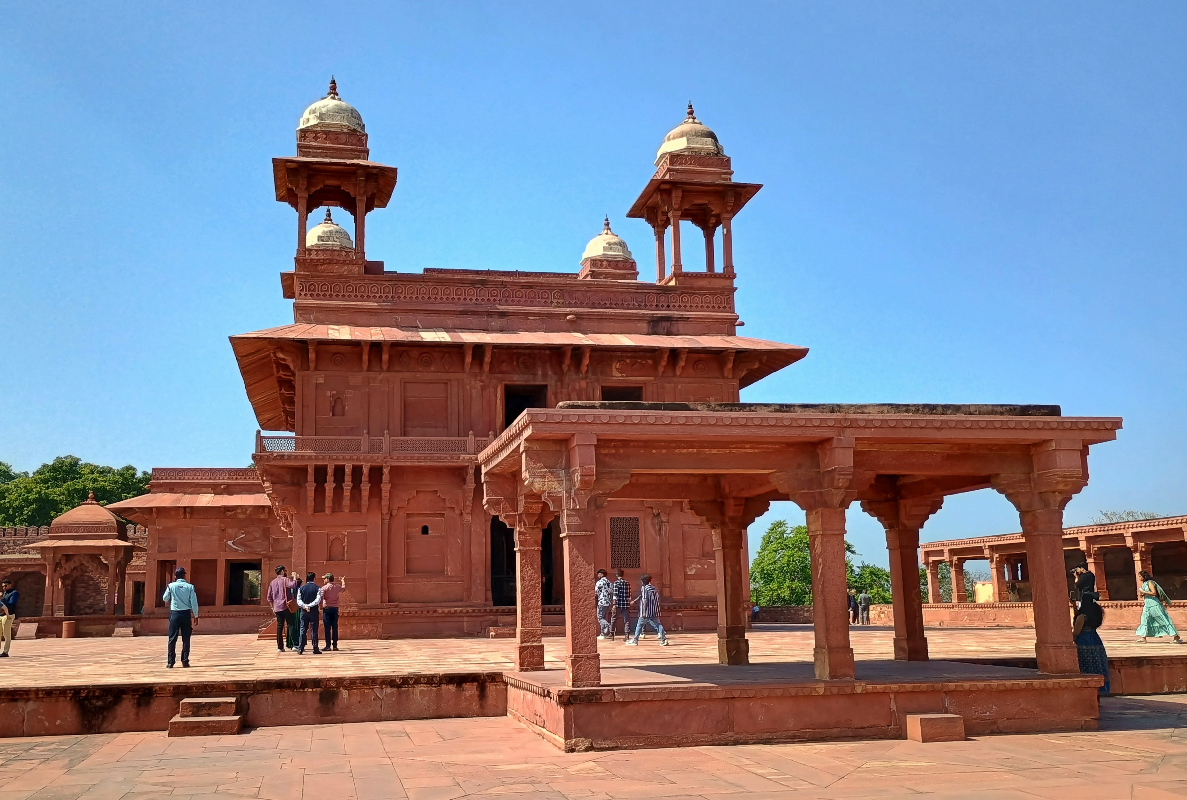
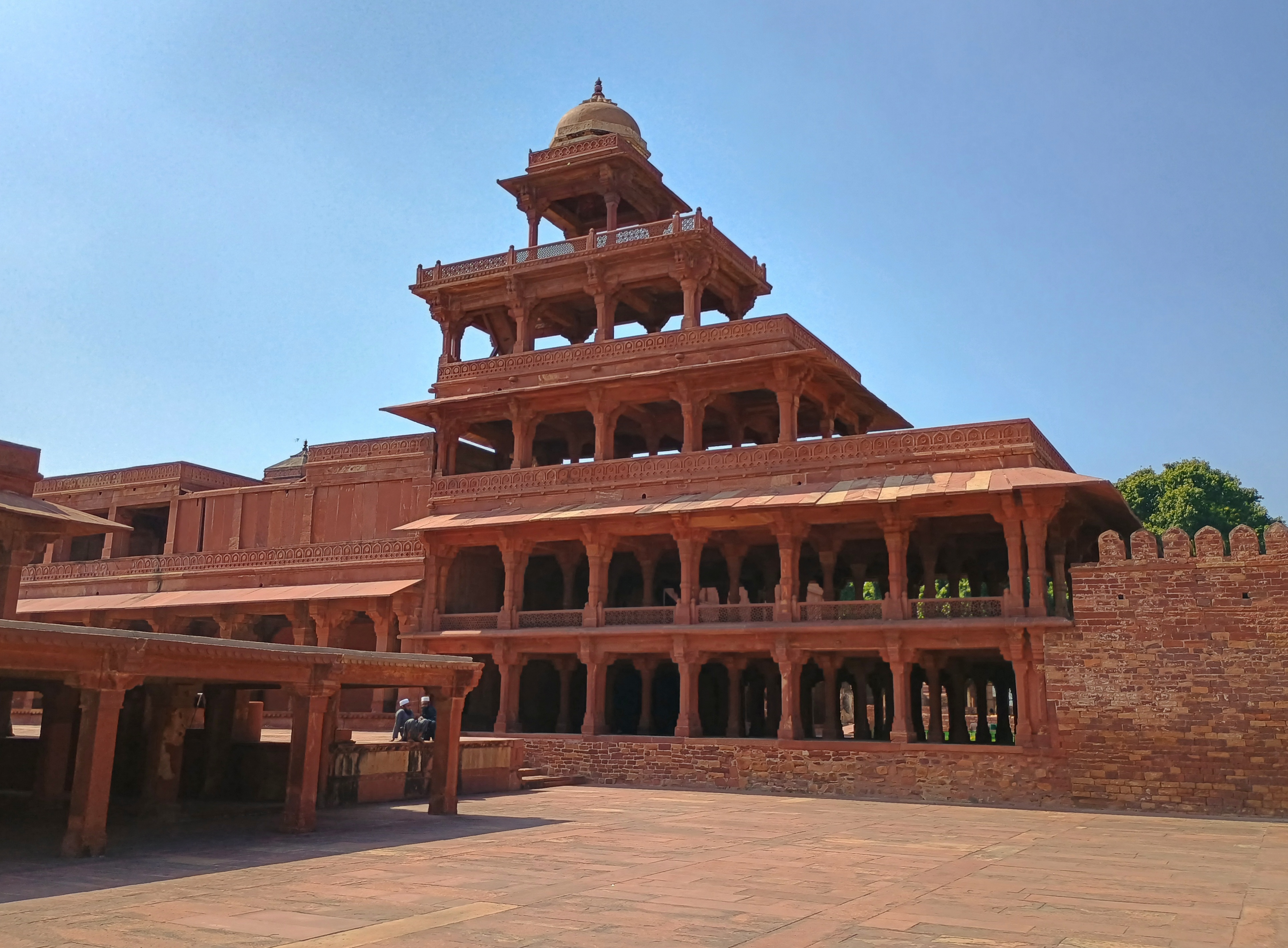
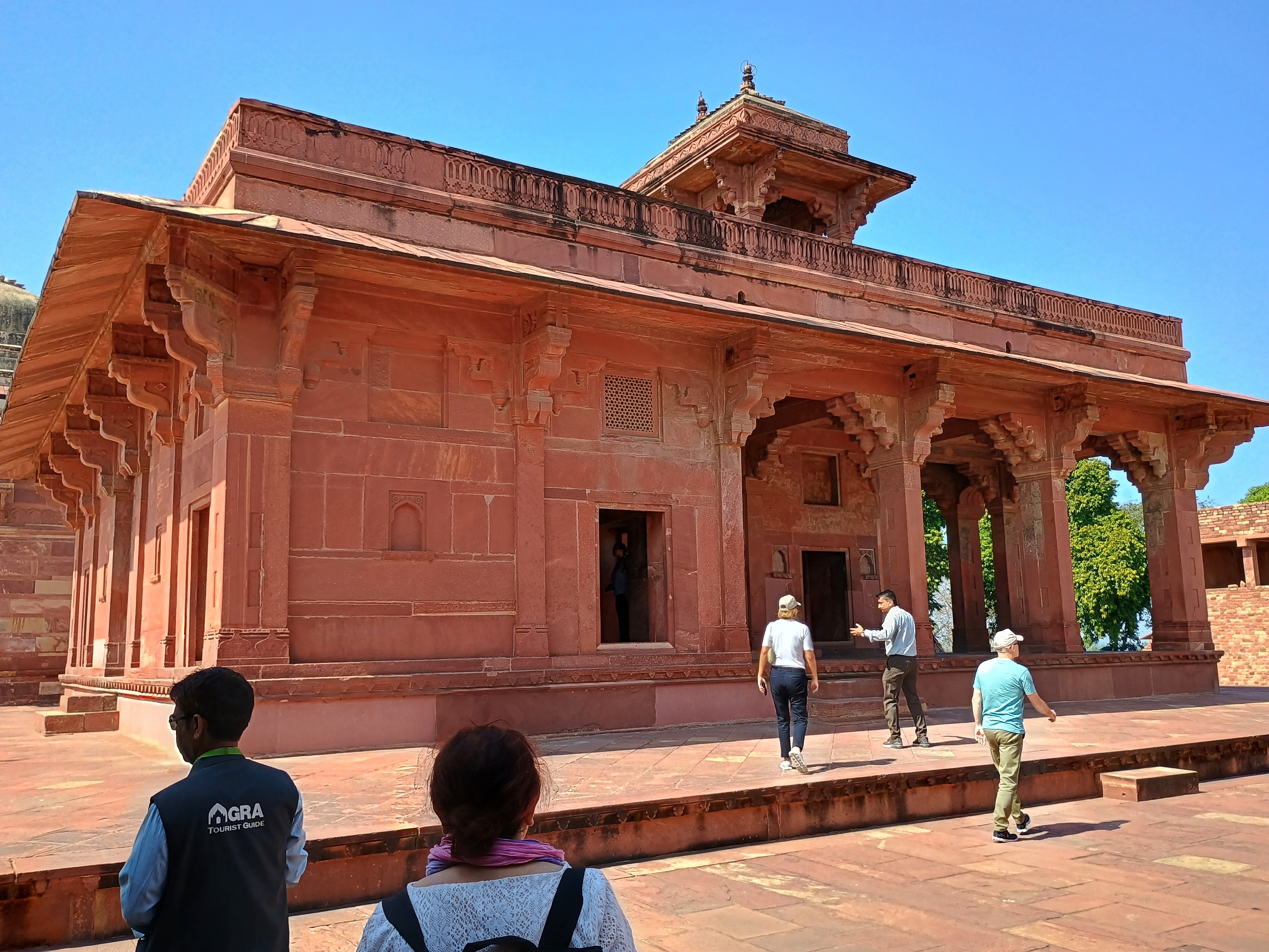
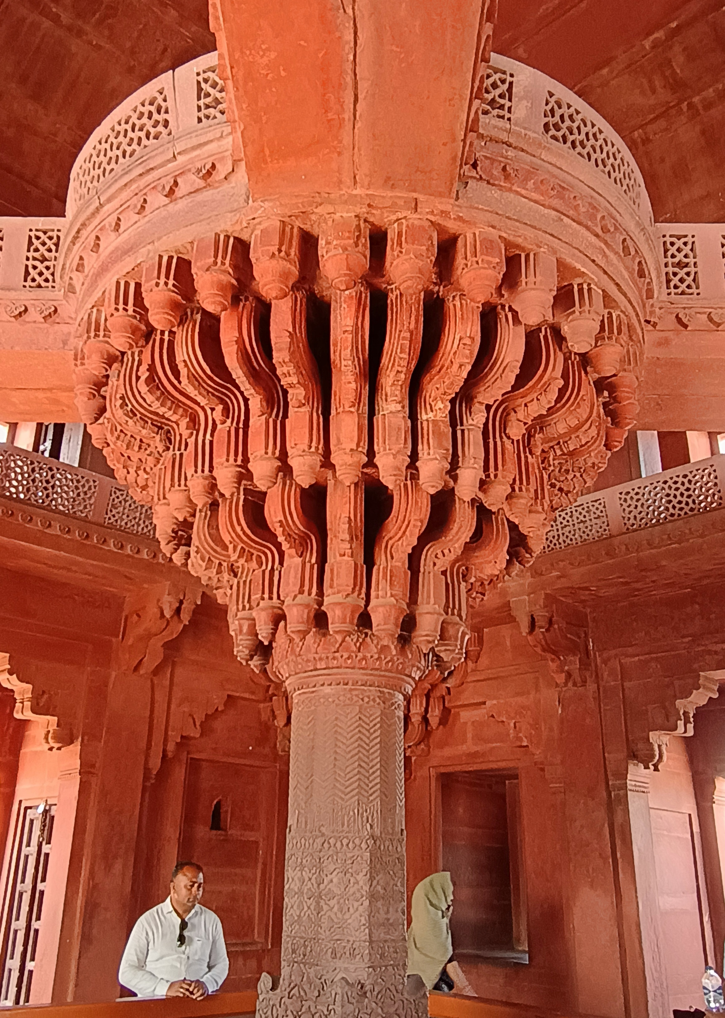
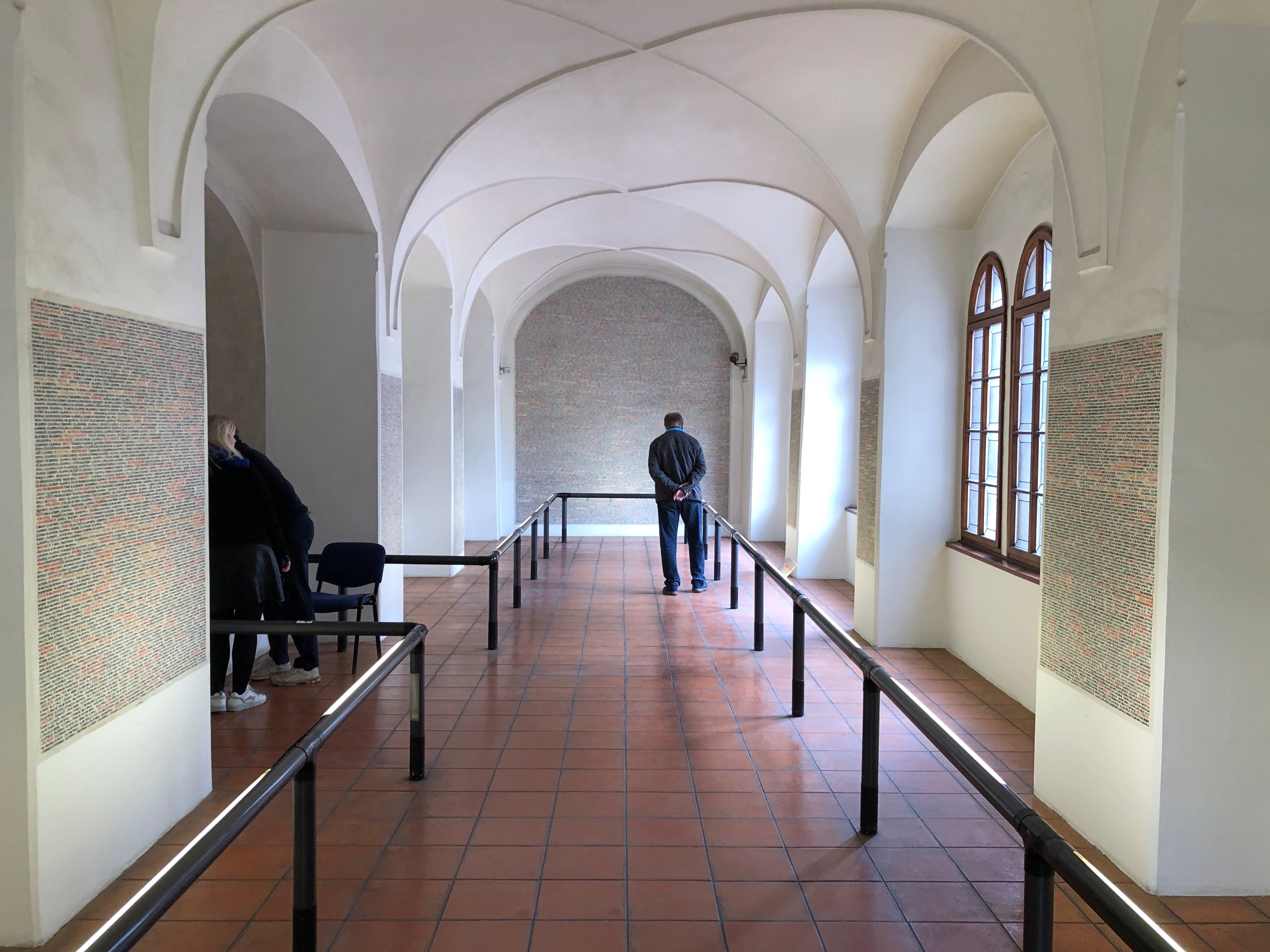
Near the border along NH 21, but still in Uttar Pradesh, is Fatehpur Sikri, which Akbar, the third Mughal emperor, made his capital for a little more than a decade in the 16th century. A short-time capital it might have been, but Akbar didn’t think small when it came to developing Fatehpur Sikri – Mughal potentates never thought small, it seems – and so left behind some World Heritage-class sites (and indeed, it is on the UNESCO list).

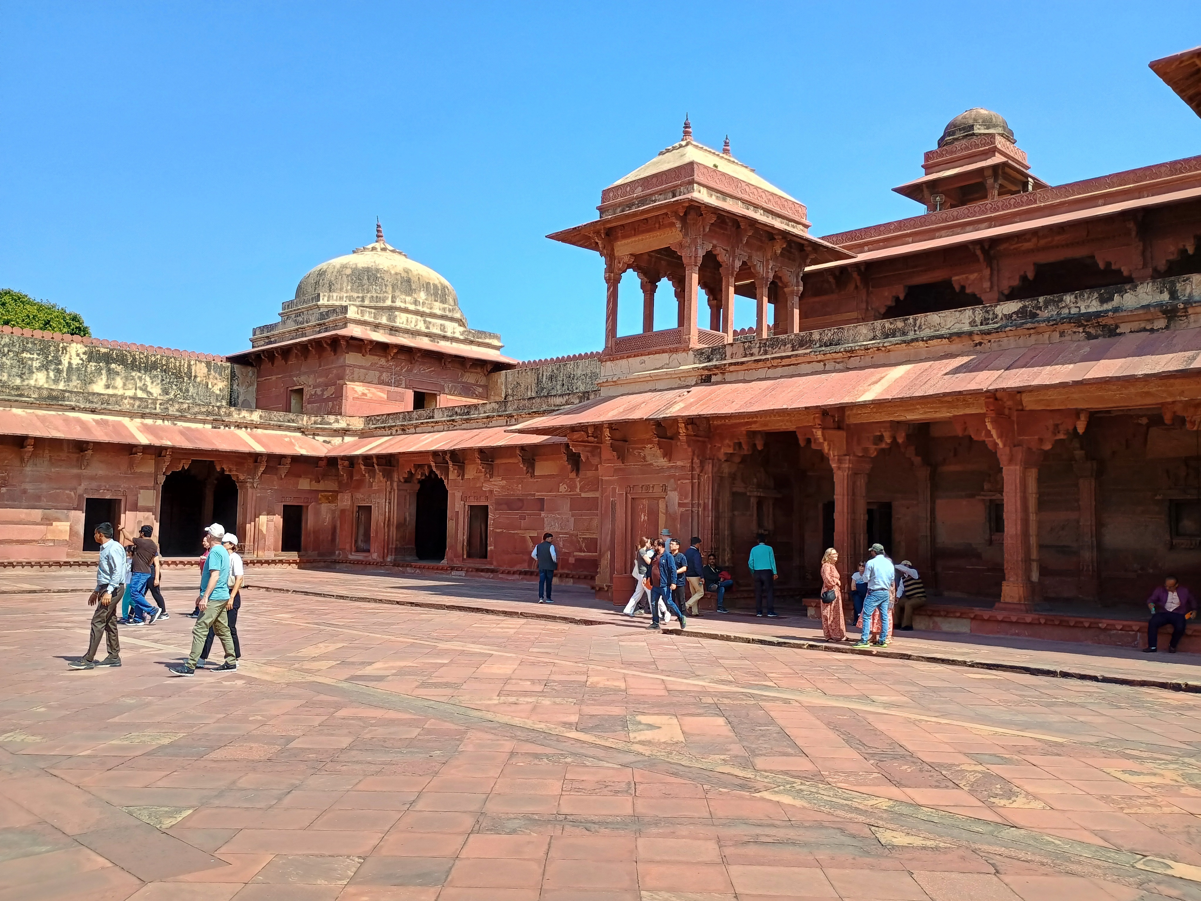
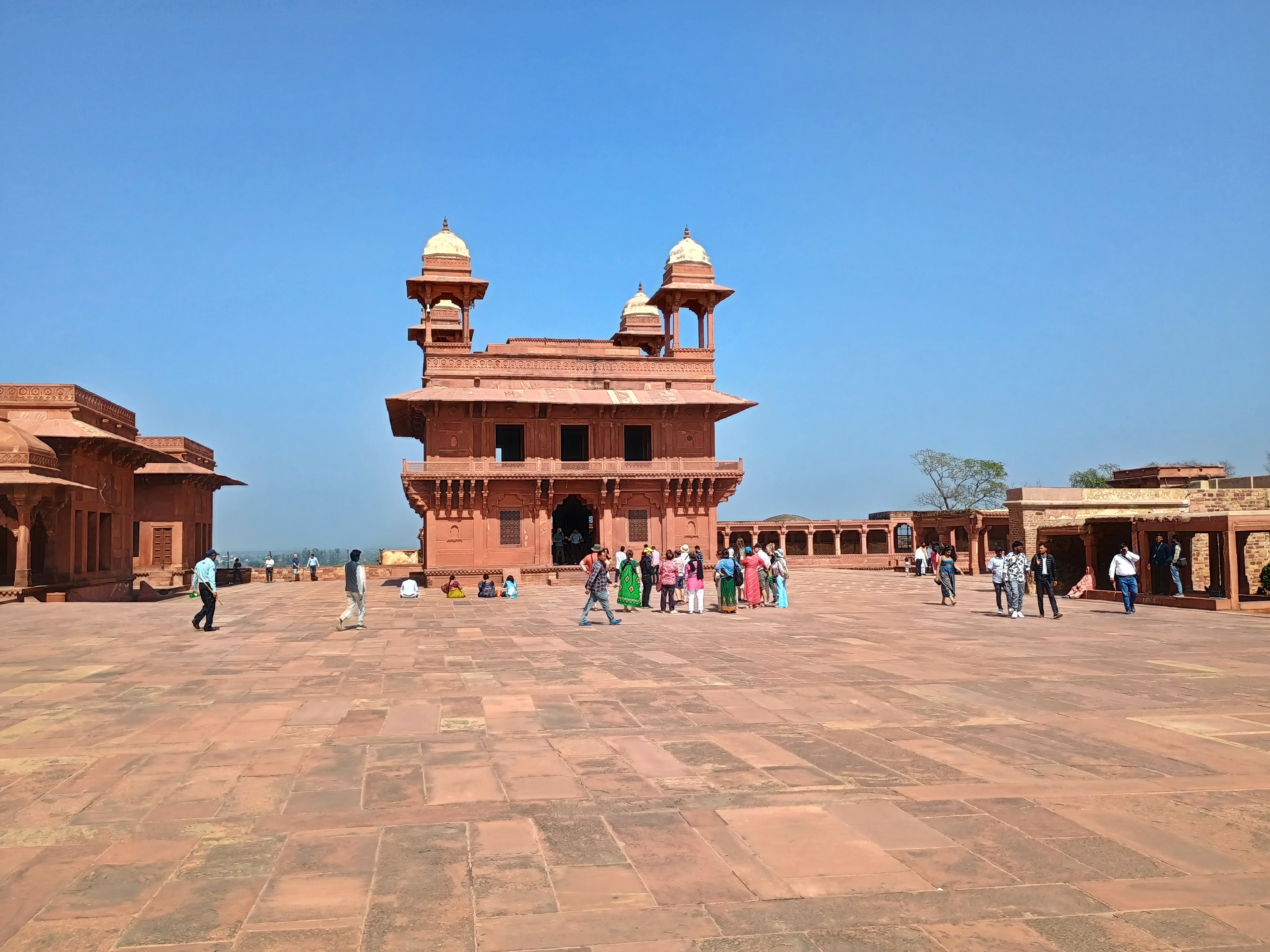
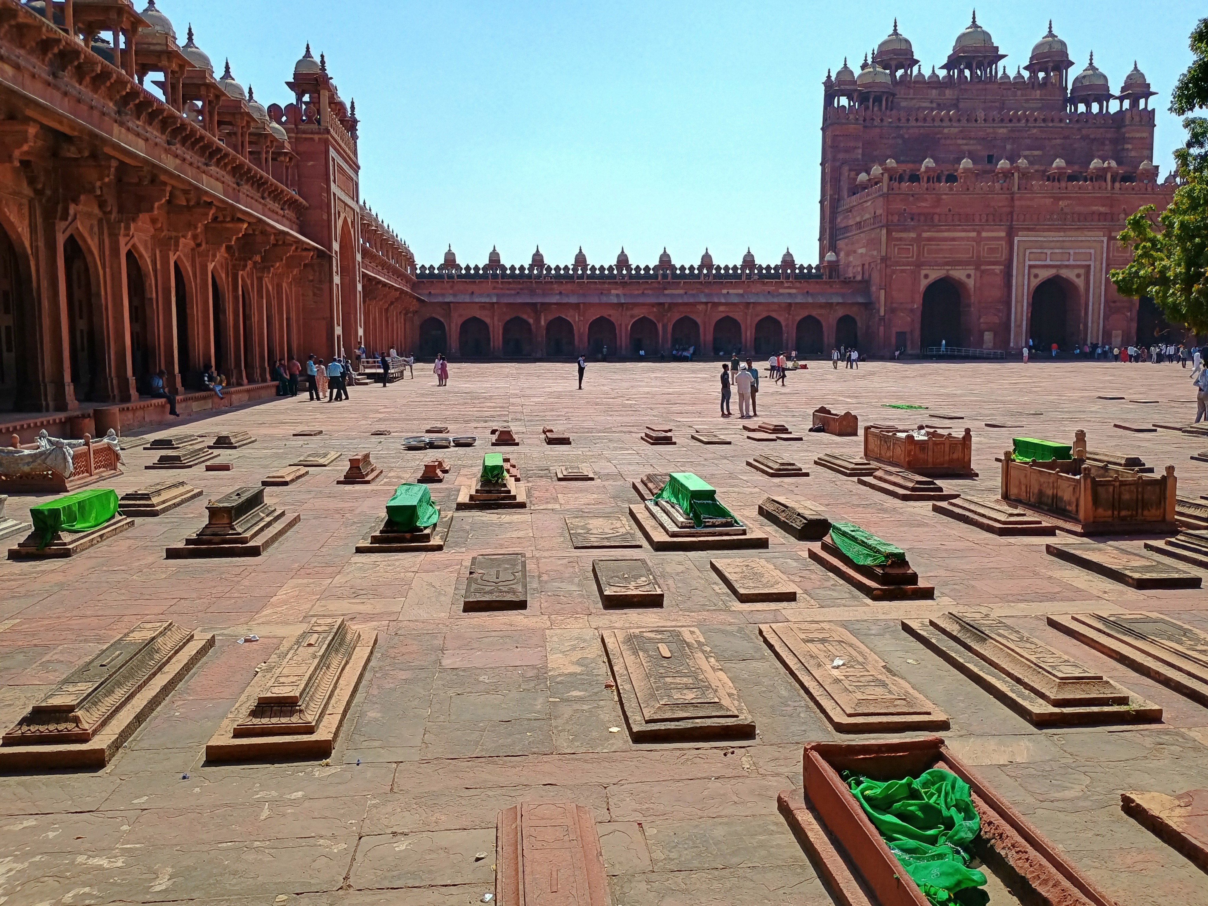
When we arrived, temps were nowhere near 100+ F. Maybe 80° F. or so, which I count as pleasant.Fatehpur Sikri Fatehpur Sikri Fatehpur Sikri

Turn up the heat another 20° or so, and those broad stone courtyards wouldn’t be that pleasant for tourists or touts.Fatehpur Sikri Fatehpur Sikri

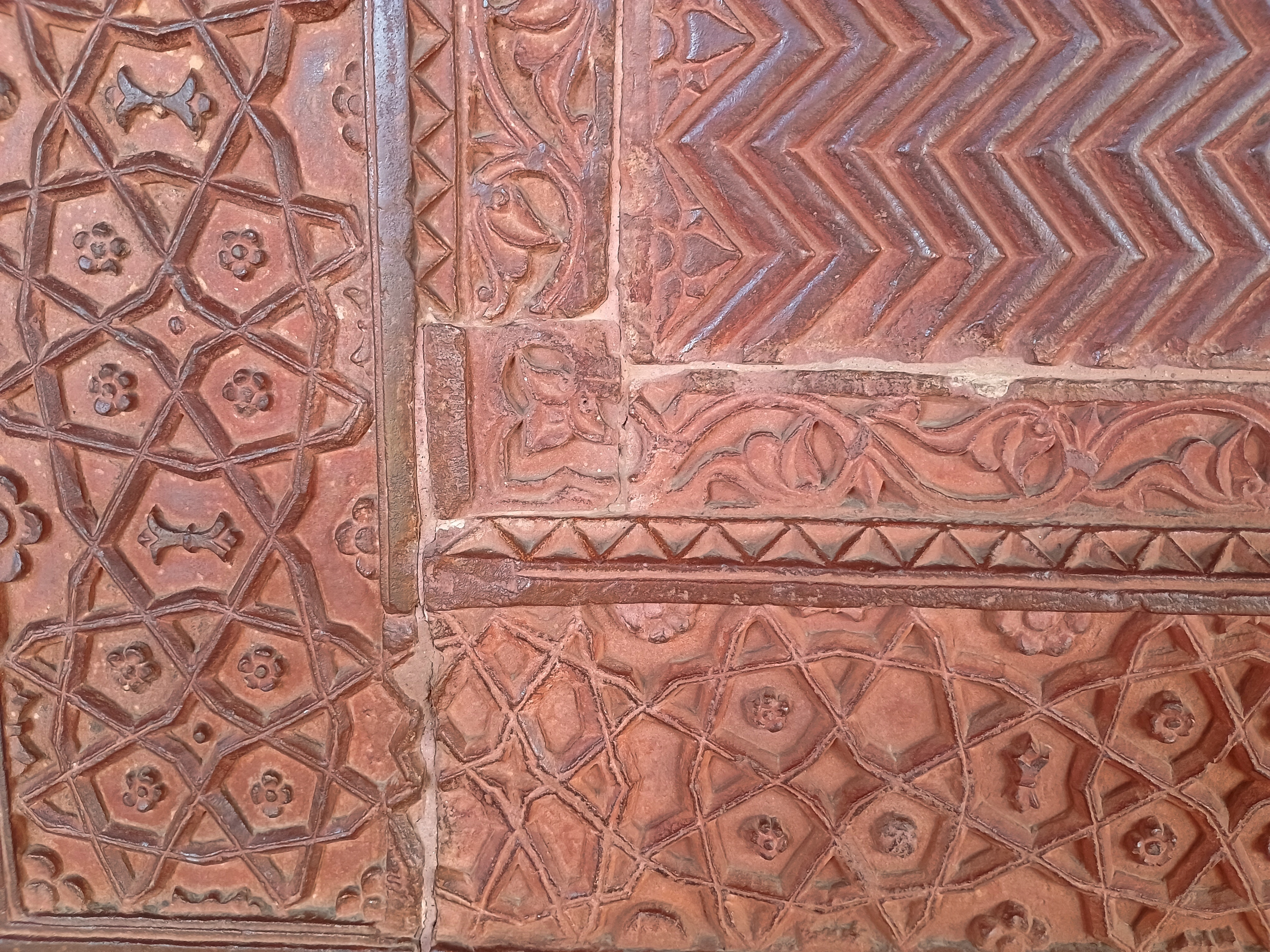
The stonemasons, as usual, did wonders with red sandstone.Fatehpur Sikri Fatehpur Sikri Fatehpur Sikri

Unlike any other big-deal historic site we visited in India in February, roving vendors were allowed inside the complex at Fatehpur Sikri. The vendors tend to swarm, especially if you buy anything from anyone at any moment – as I did, a necklace for Yuriko. I might as well have painted a DayGlo rupee symbol (₹) on my back.

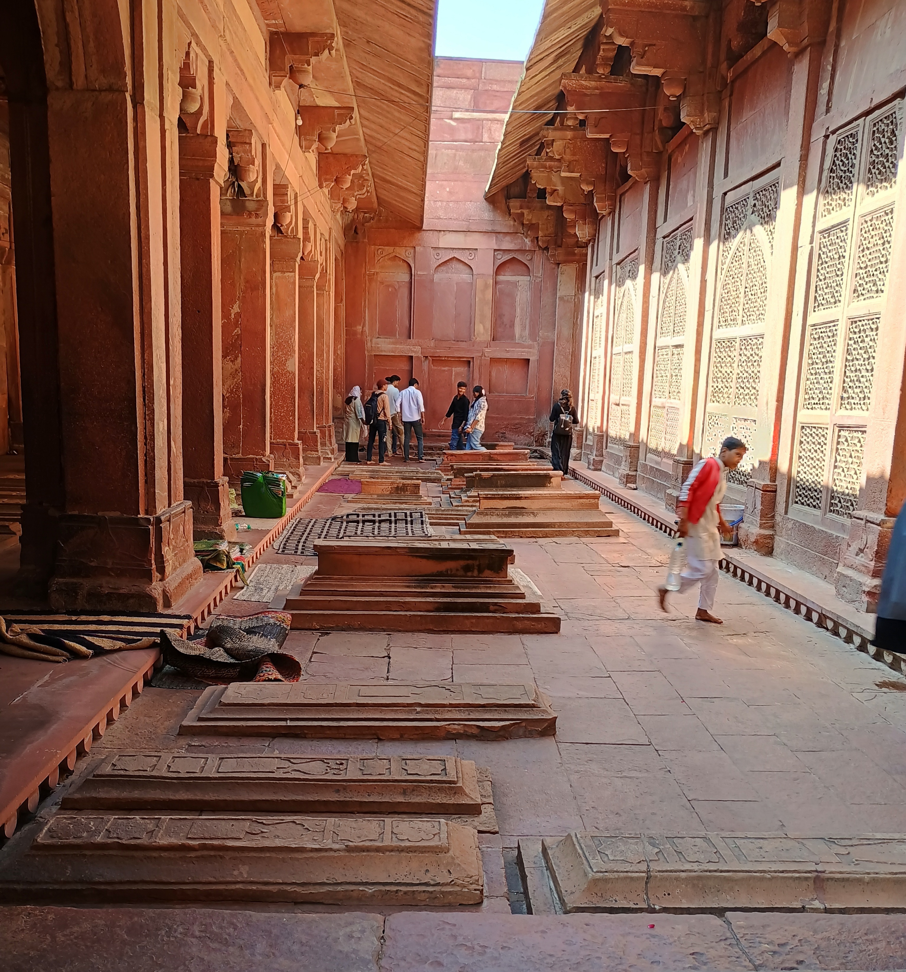
Never mind, Fatehpur Sikri was up to high Mughal standards: a splendor. In one courtyard, an array of Mughal tombs caught my attention, marking resting places on a less grand scale than the likes of the Taj or the Baby Taj.

Royalty gets royal treatment after death, but so many other people were involved in running a court, and they deserved dignified entombments, too. Such as, for example, the overseer of the royal flyswatters. (Servant jobs were very specific in those days.)

I hope our guide for a couple of hours at Fatehpur Sikri got a cut, one way or another, of what we paid to hire the car and driver, on top of the tip we gave him directly. He told us a good many interesting things about the town and its history, but nothing quite as interesting as how an uptick in tourism — mostly domestic tourists, I bet — had allowed him enough money to buy a motorcycle a few years earlier. “Changed our lives completely,” was how he put the impact on his family.

His brother had a souvenir stall near the historic sites, and a clubfoot. We drank tea with them, and in lieu of buying something, I gave him a tip as well. Could be he’s saving for a motorcycle, too, or needs gas money if he’s got one already.

The Old Jewish Cemetery & The Pinkas Synagogue, Prague

Memory’s a dodgy bastard, so I’ll never be sure whether or not I saw souvenir golems for sale in Prague in 1994, when I bought a book of Golem stories. Maybe there were some, but those were the early years of the post-communist tourist economy. It takes a while to ramp up the tourist merch. I am sure, however, that I saw them in just about every gift shop we visited in the Czech capital in 2025. Some smaller, some larger, some gray, many the color of a dirty orange flower pot.

I decided not to buy one, though it might have been a good office-shelf companion to my figure of Ganesha or the meditating Bigfoot. But you never can be sure about golems, and since I don’t have the learning or wisdom of Rabbi Loew of Prague, the thing might get out of hand.

I also don’t remember any of the historic synagogues being open during my first visit. I’ve read that the nonprofit that manages them, the Jewish Museum in Prague, was only re-established in 1994, so I expect that most of the structures were still closed in those days.

One place that was open in ’94 was the Old Jewish Cemetery (Starý židovský hřbitov), but only for a glimpse.

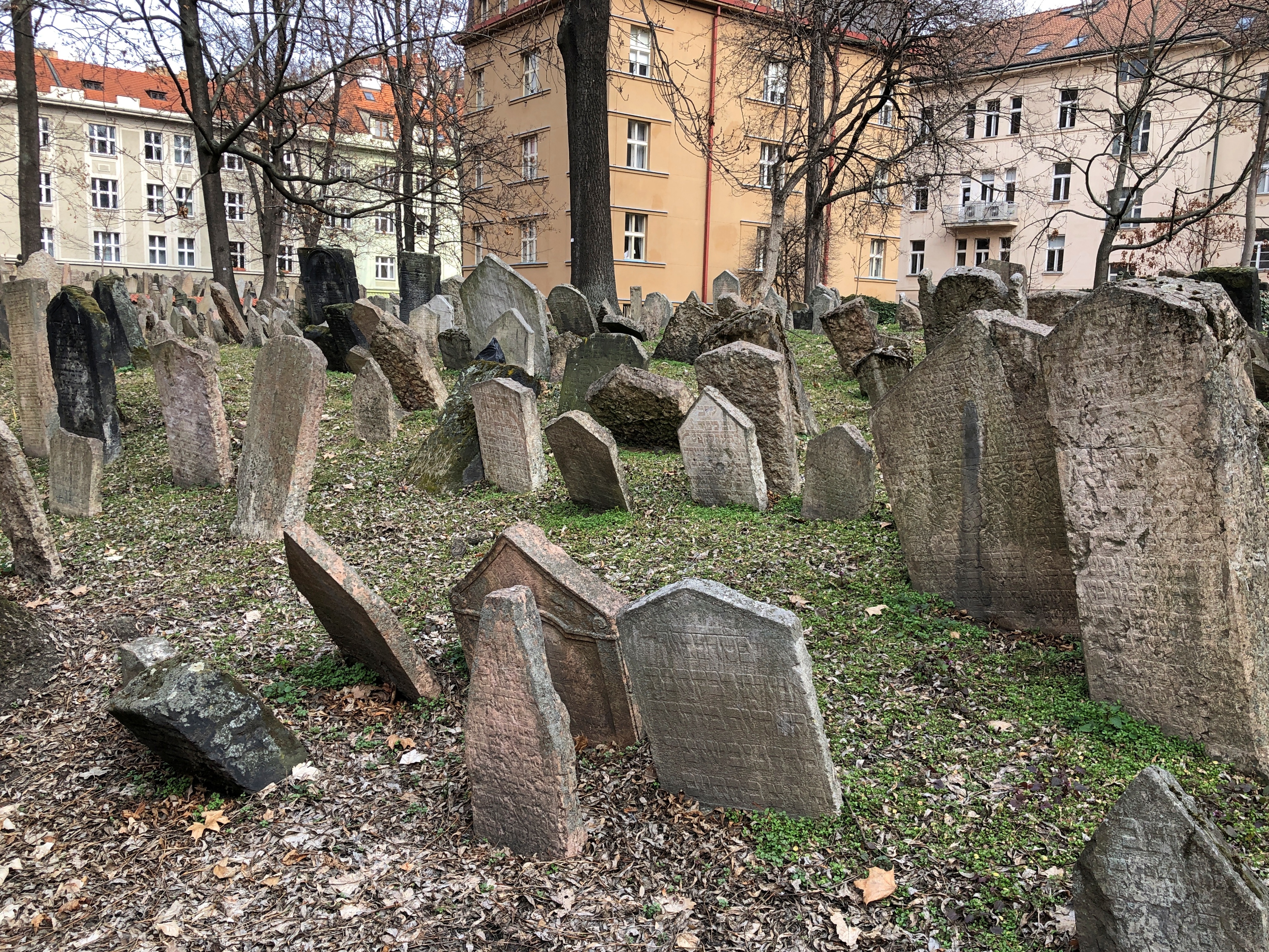
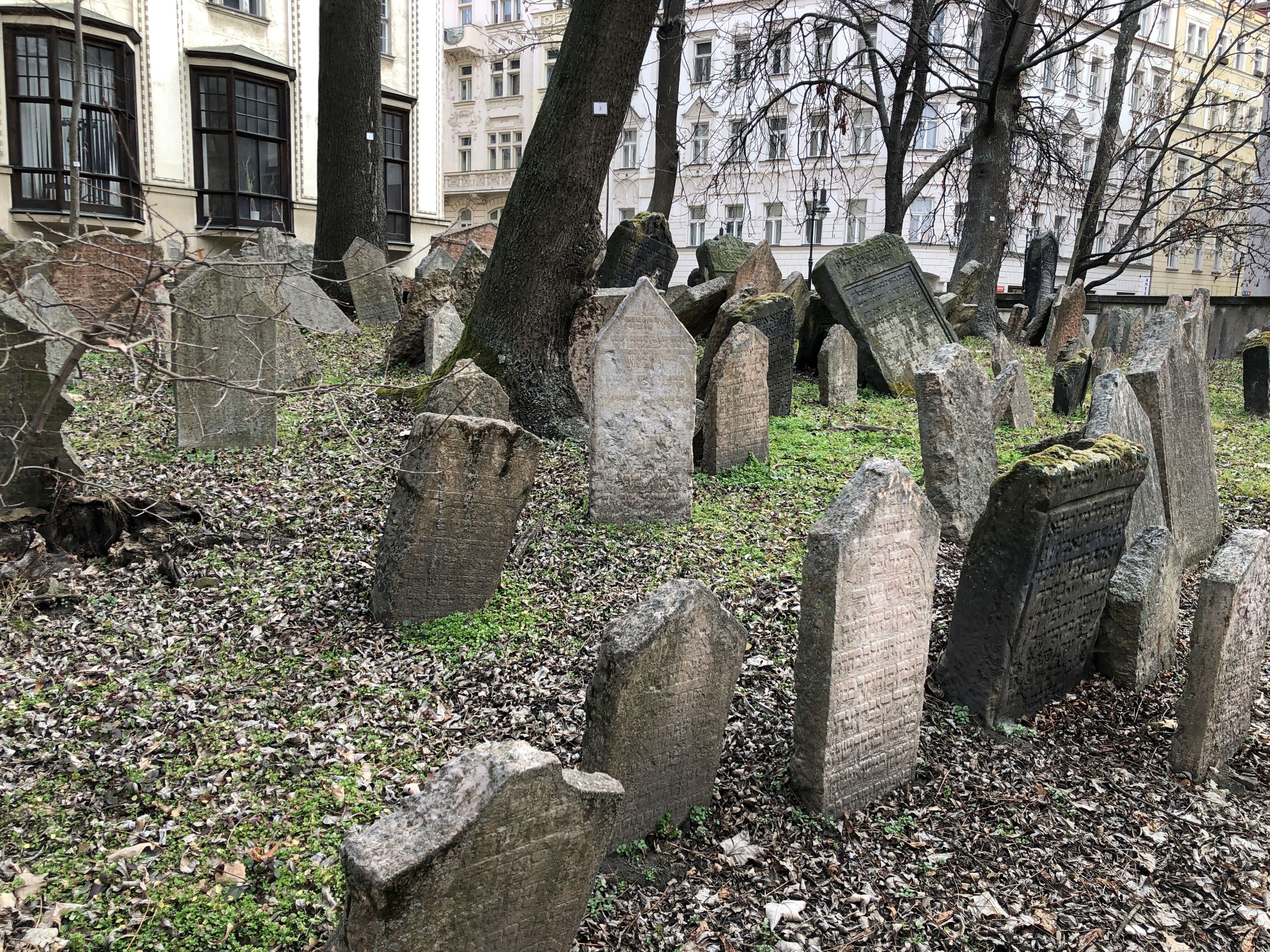
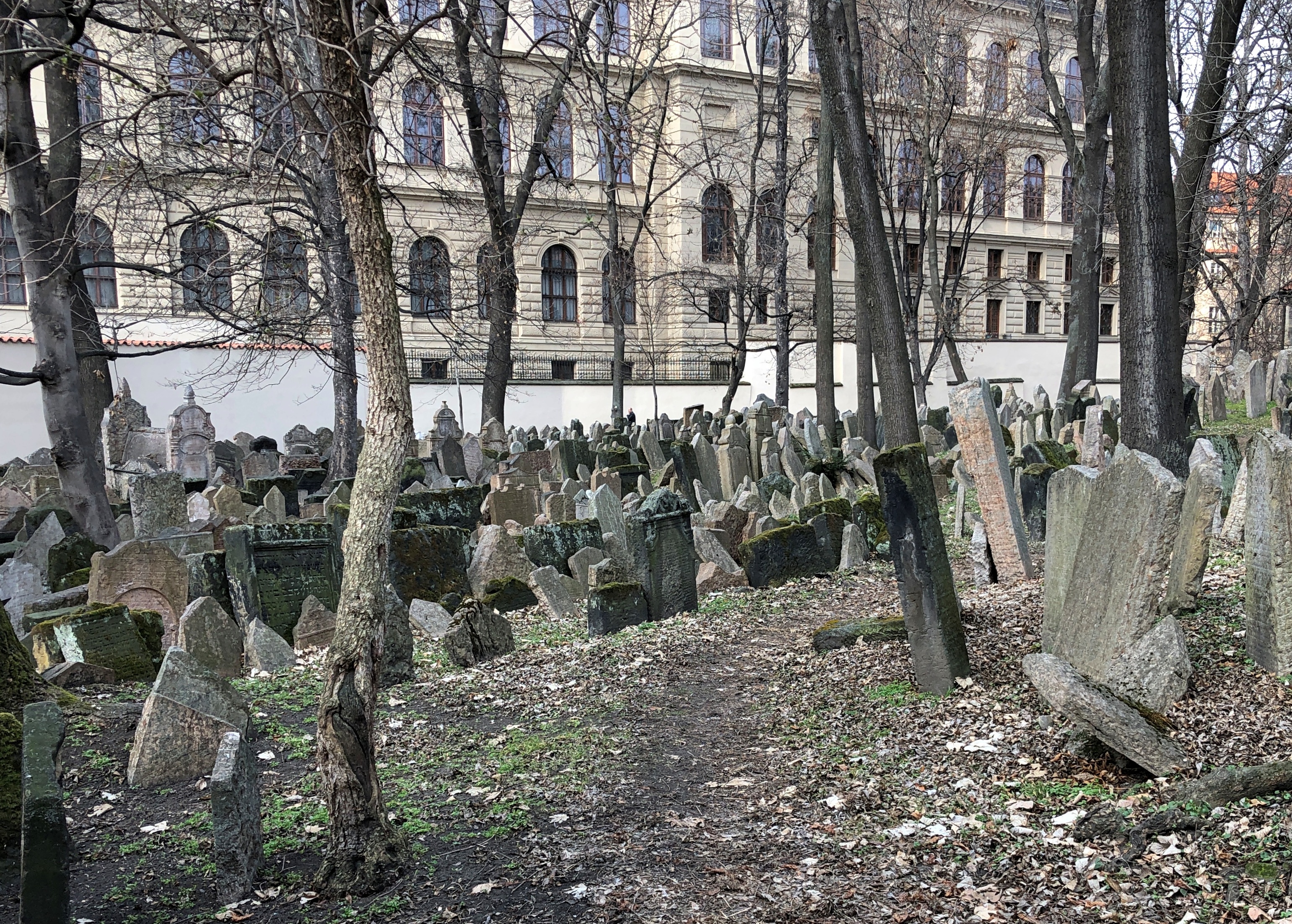
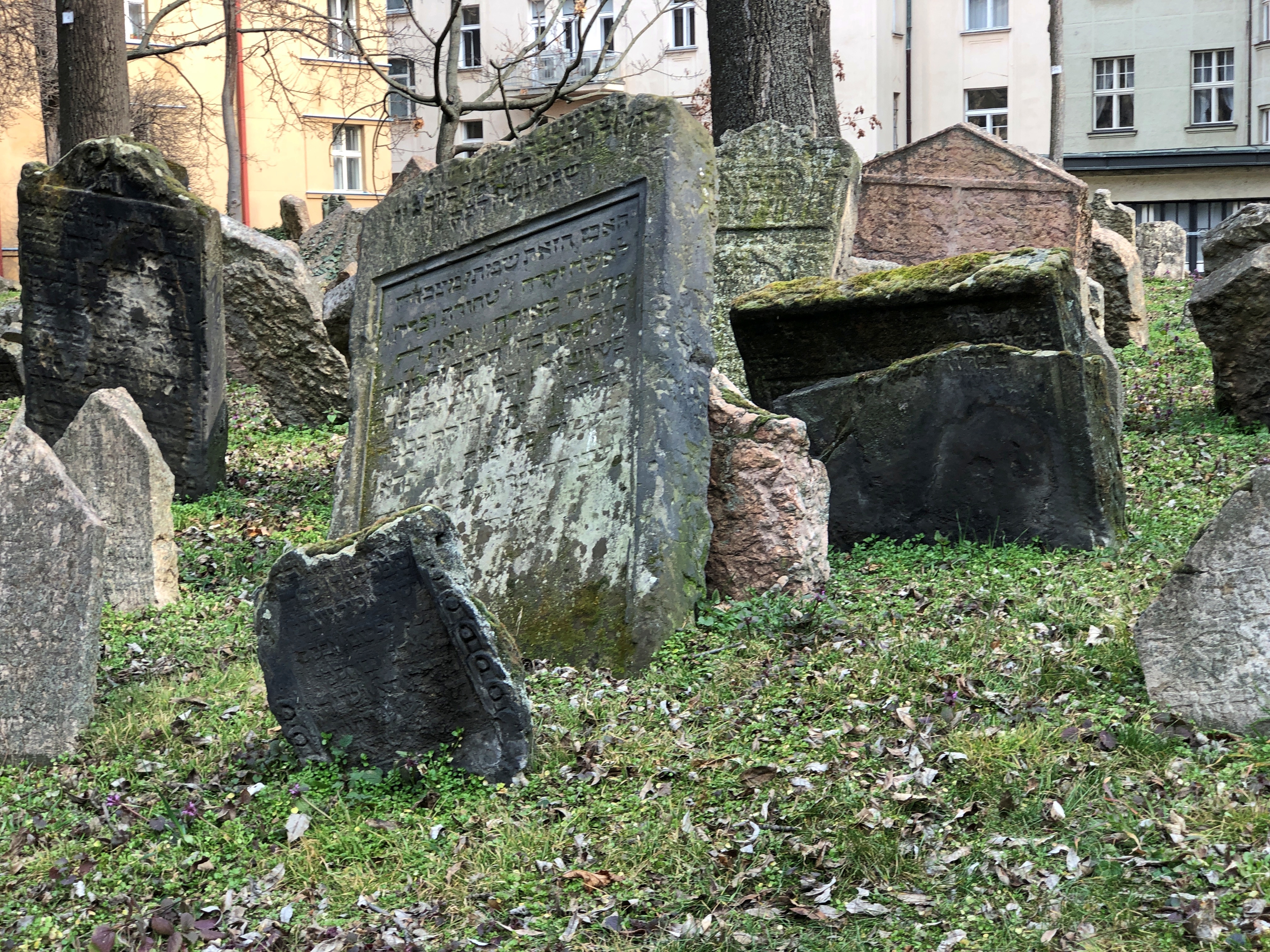
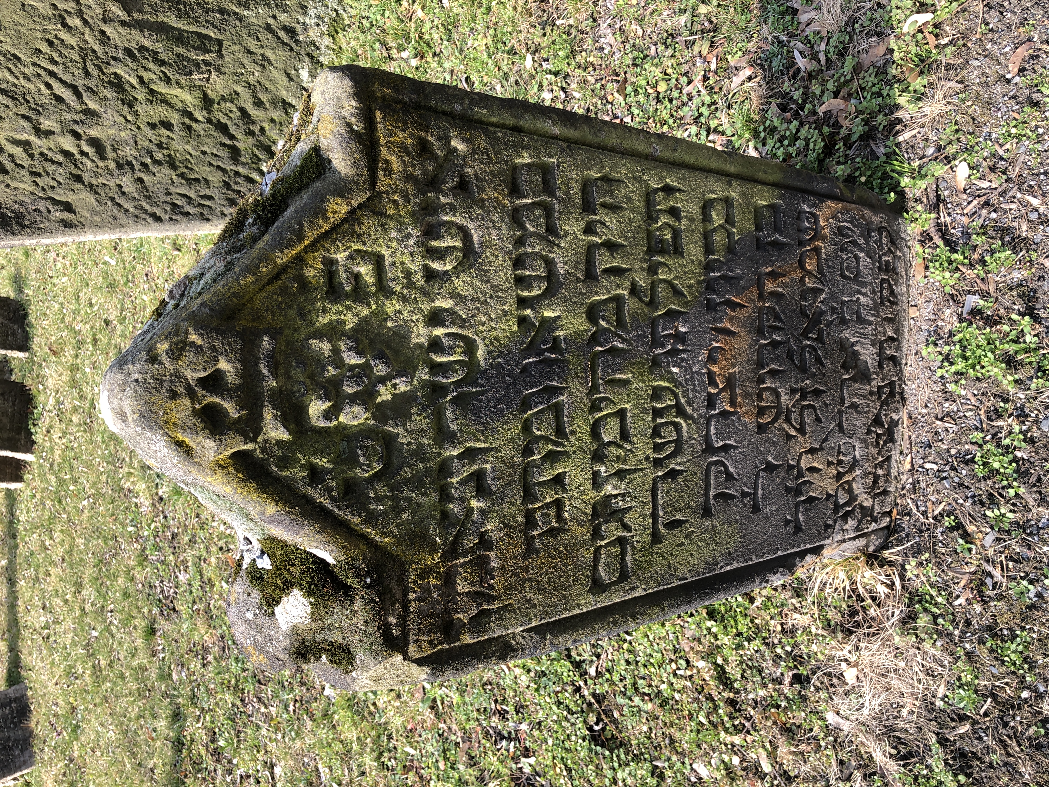
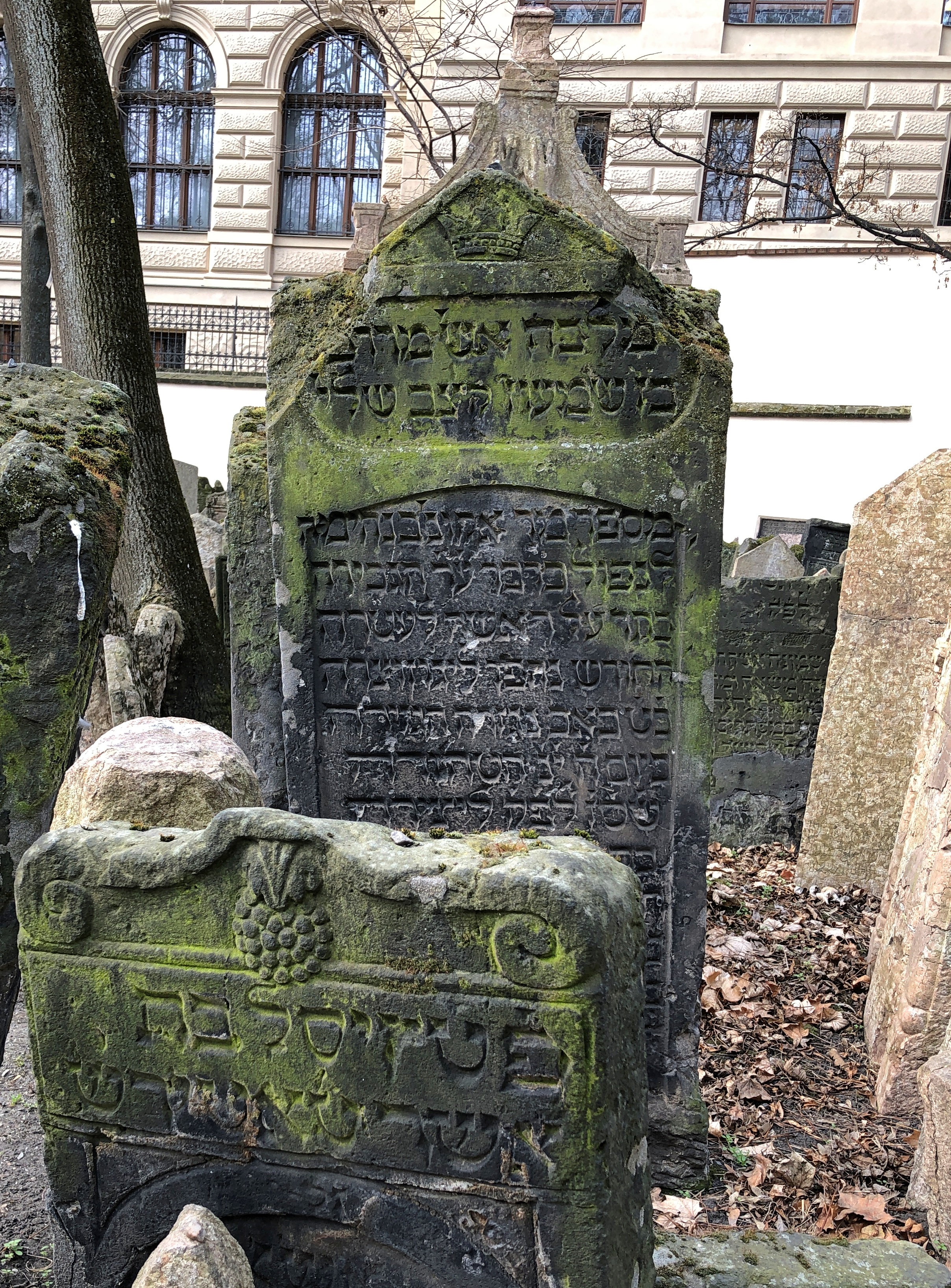
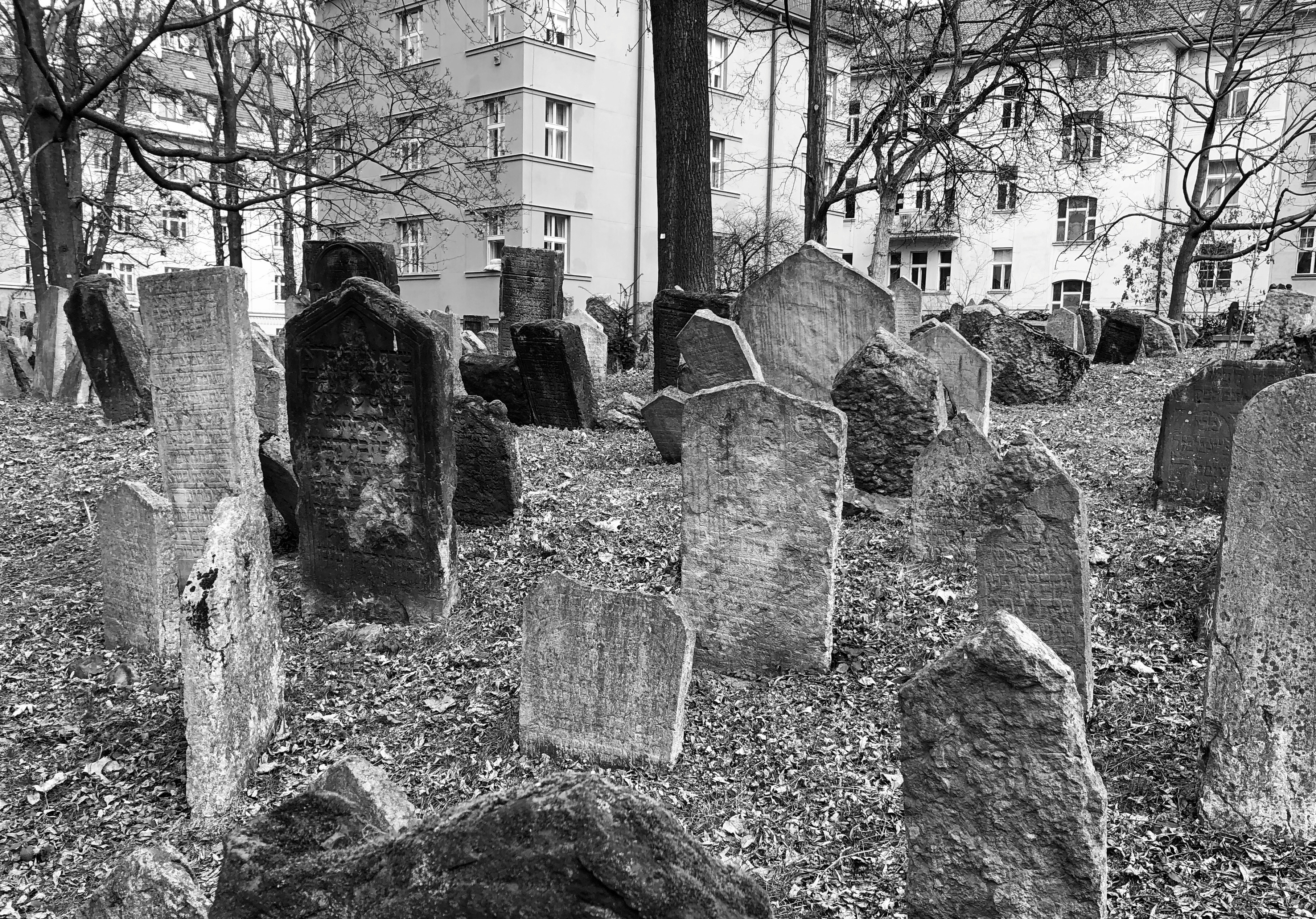
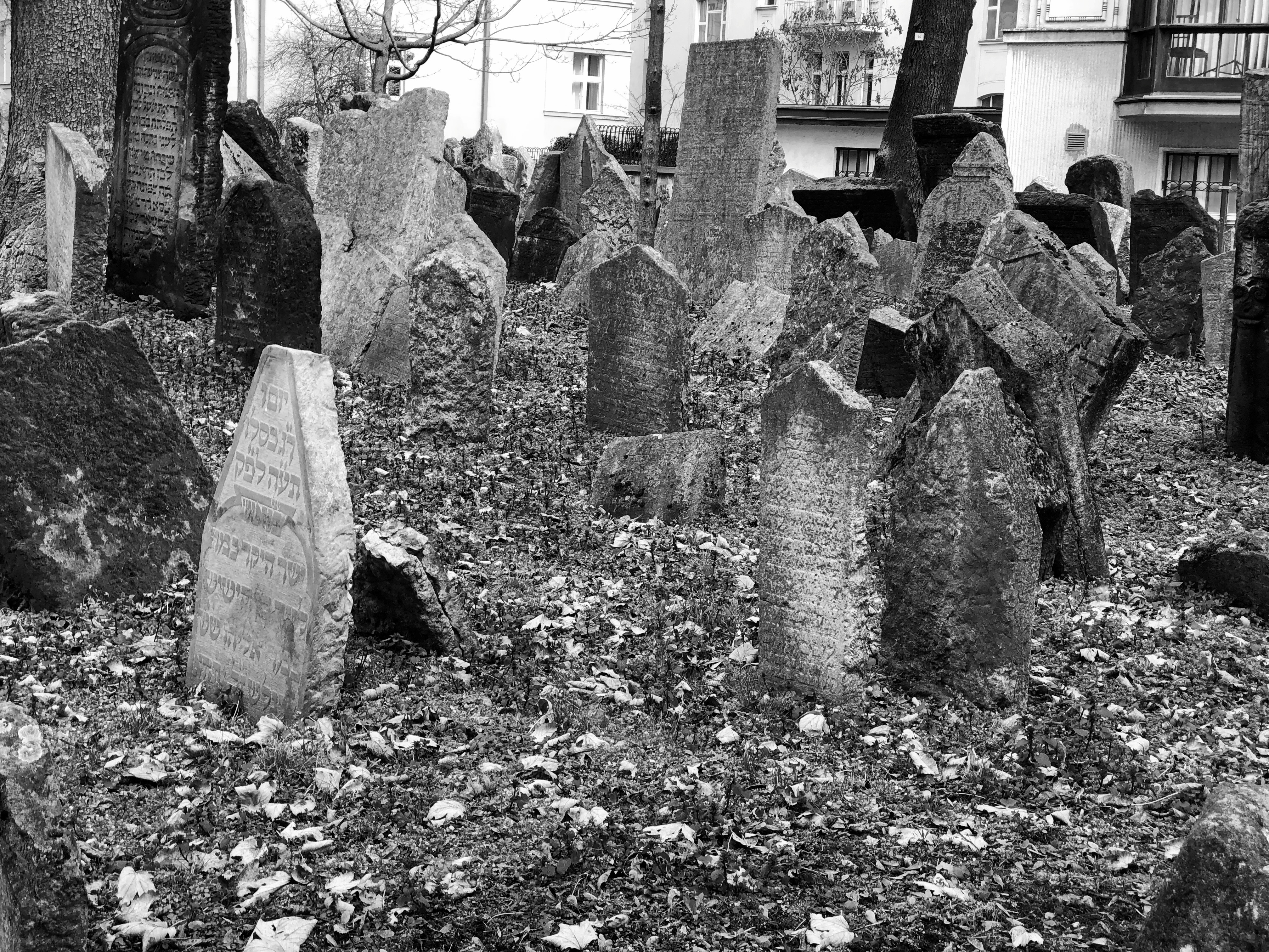
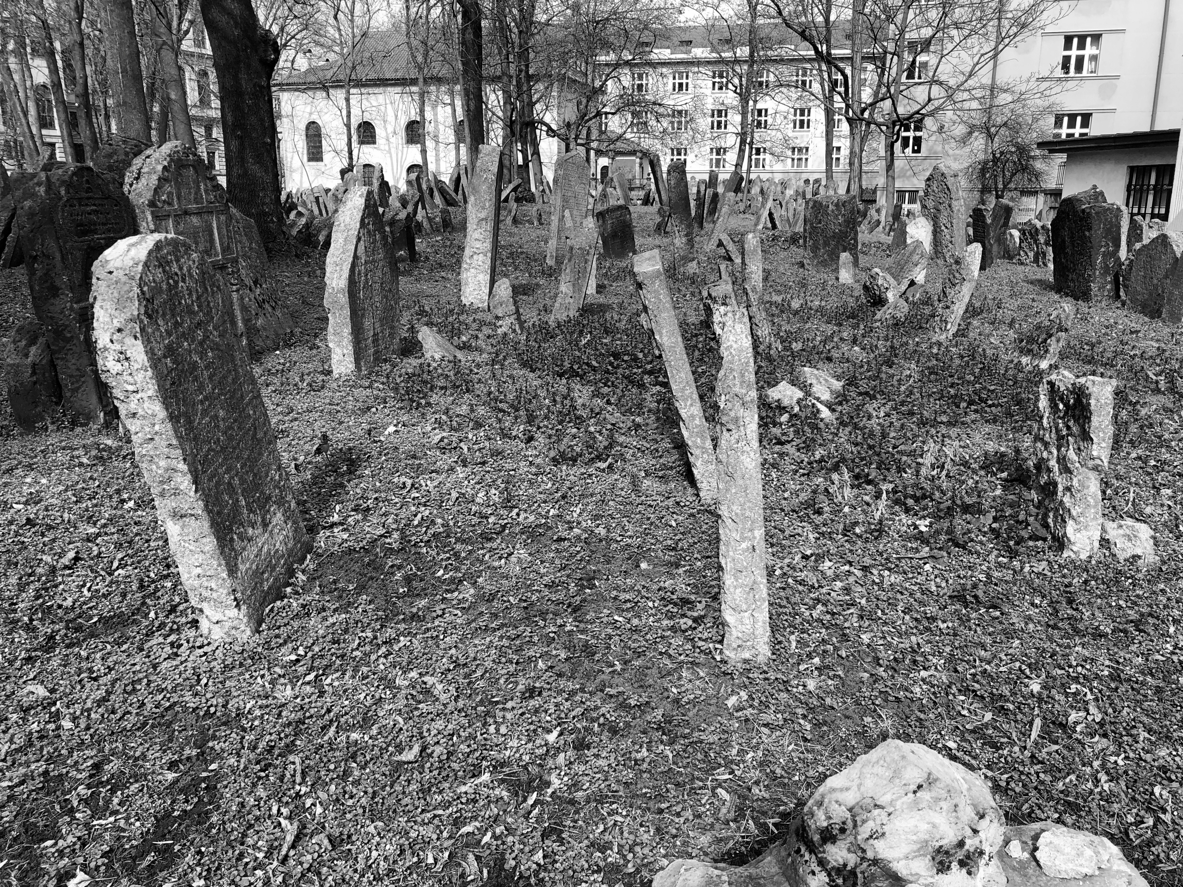
Now you can take a stroll through the cemetery, which is adjacent to the Pinkas Synagogue (Pinkasova synagoga), on a stone path that snakes through the grounds. That’s one thing we did on March 11. It remains one of my favorite cemeteries.Old Jewish Cemetery, Prague Old Jewish Cemetery, Prague Old Jewish Cemetery, Prague

I like the seeming chaos of the stones. Not only were people buried close to each other, they were interred in layers. I’ve read that as the cemetery grew more crowded, and use of an ossuary wasn’t an option, more soil was added, and new layers of the dead were added. You do notice, being there, that the ground tends to be higher than street level in most places, with the cemetery walls holding in the excess earth.Old Jewish Cemetery, Prague Old Jewish Cemetery, Prague Old Jewish Cemetery, Prague

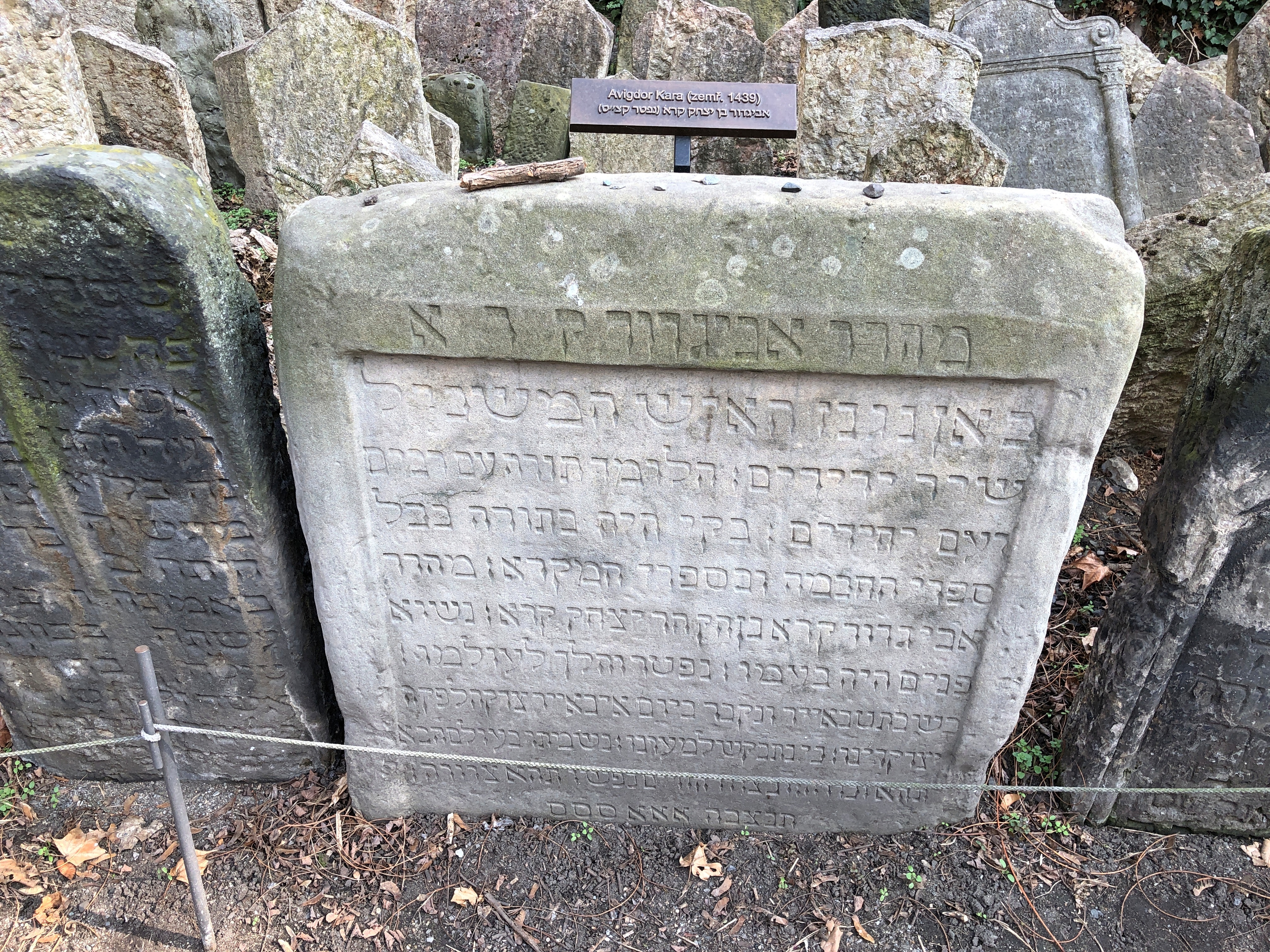
Burials occurred from the early 15th to the late 18th centuries. A few of the stones were also marked with modern plaques, denoting a notable permanent resident. Such as one Avigdor Kara (d. 1439).

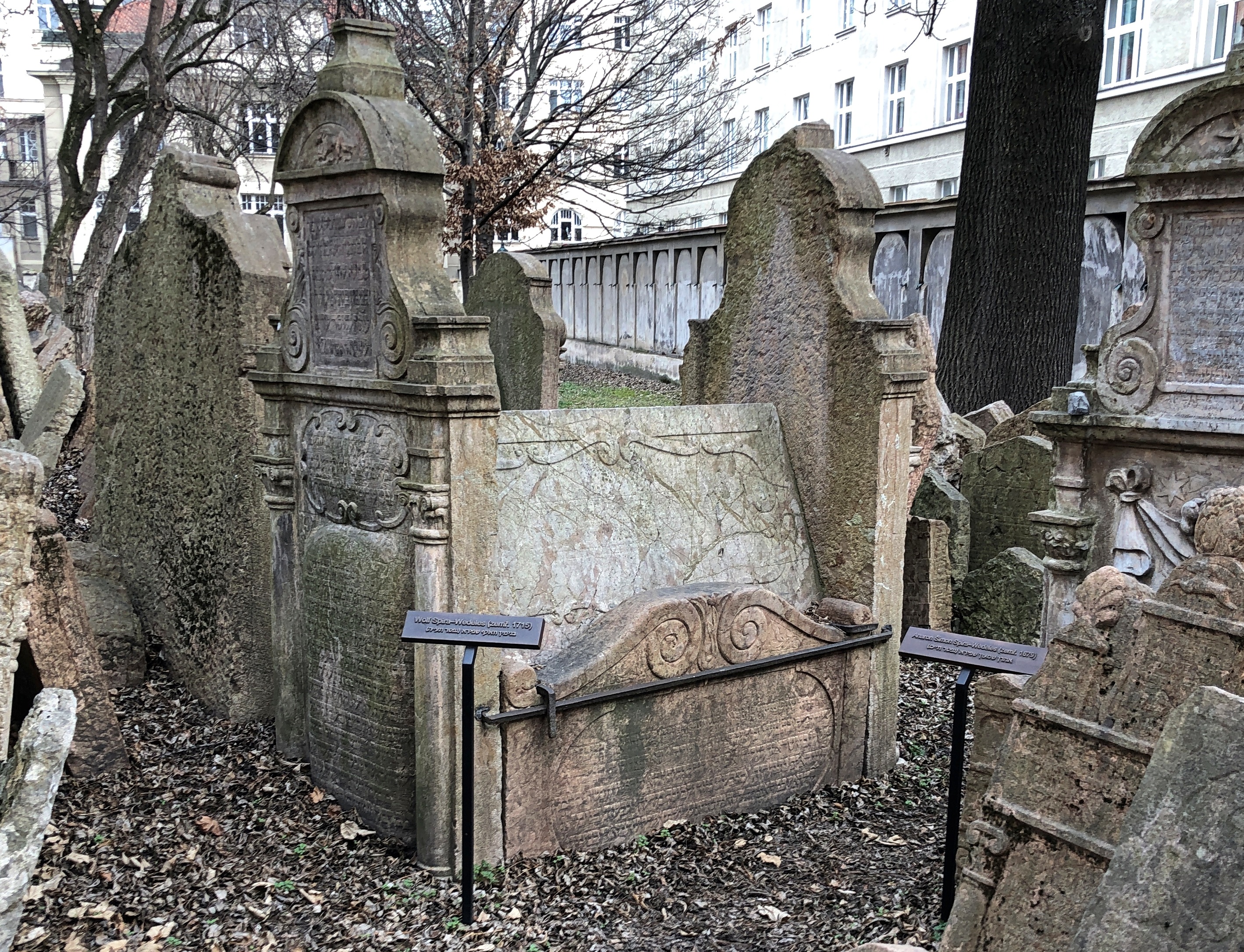
Or Wolf Spira-Wedeles, mentioned here in passing. By the time he died (1715), some notables were receiving larger memorials, such as his.Old Jewish Cemetery, Prague

I remembered to take a few black-and-whites.Old Jewish Cemetery, Prague Old Jewish Cemetery, Prague Old Jewish Cemetery, Prague

Monochrome suits the texture and austere beauty of the Old Jewish Cemetery, I believe.

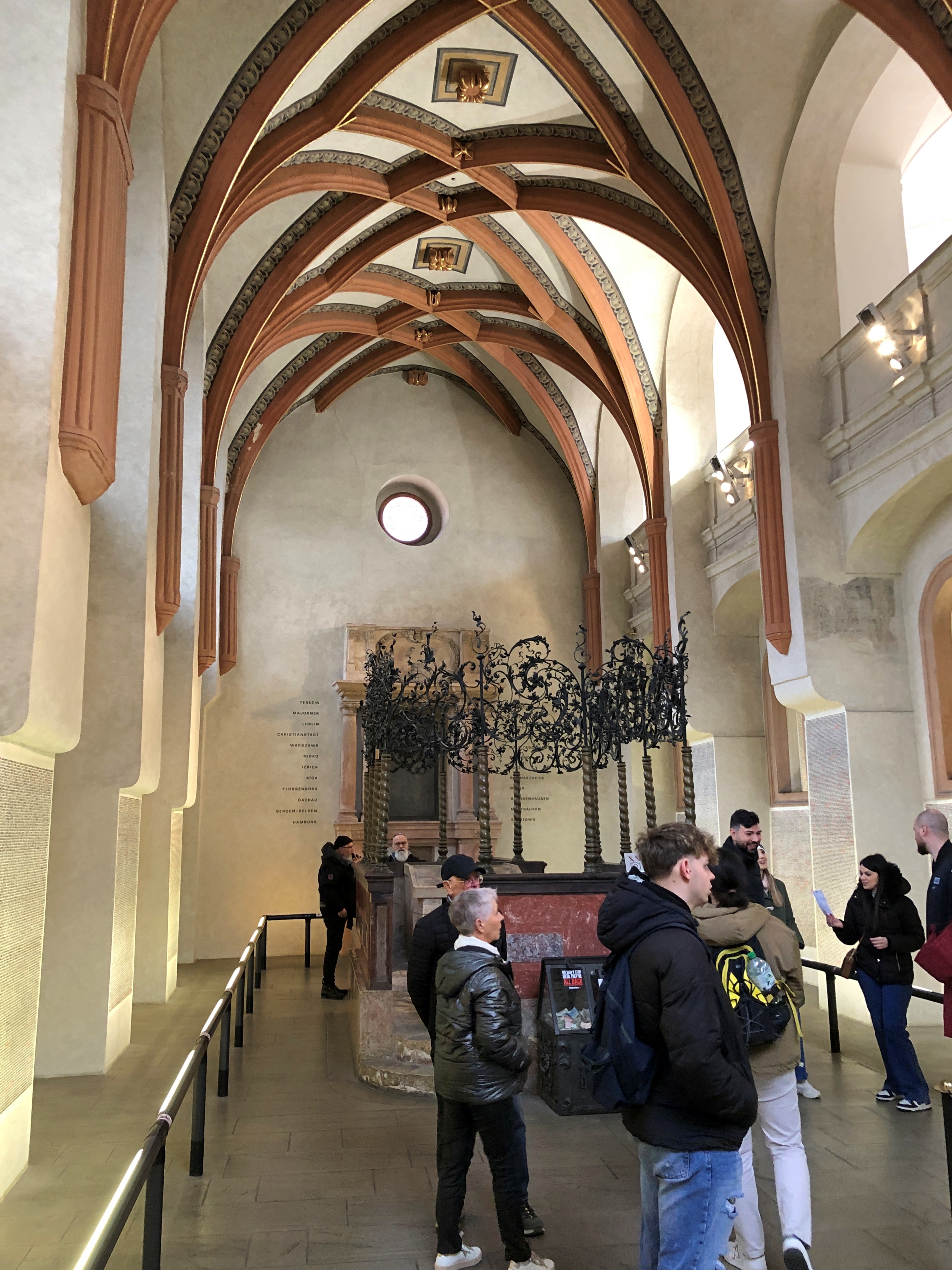
The adjacent Pinkas Synagogue hasn’t had a congregation in a long time. In our time, it serves as a memorial to the Czech Jews murdered during the Holocaust. Inside you can visit two floors.Pinkas Synagogue Pinkas Synagogue

On the walls on both floors are the names of the dead, and their birth and death dates, if known, inked by hand.Pinkas Synagogue Pinkas Synagogue

About 80,000 names in all.

Mission Burial Park, San Antonio

If a cemetery is going to have “park” in its name, “burial” is a refreshingly non-euphemistic adjective to go with it. Such as at Mission Burial Park, San Antonio, at least at the front entrance.Mission Burial Park San Antonio

The place is also called Mission Burial Park South, because it is one of a number of cemeteries under the brand Mission Park, which is specific to San Antonio (where a lot of things are called “Mission”). The brand also includes local funeral homes and funeral chapels. I haven’t seen any of the other places, but South has to be the flagship and, in fact, it is very near both Mission San Jose and Mission San Juan Capistrano.Mission Burial Park San Antonio Mission Burial Park San Antonio Mission Burial Park San Antonio

Replete with the kinds of names you’d expect in South Texas.Mission Burial Park San Antonio Mission Burial Park San Antonio
Mission Burial Park San Antonio

I knew a Zuehl in high school.Mission Burial Park San Antonio

And maybe a name or two you wouldn’t expect. People get around.Mission Burial Park San Antonio

A nice variety of sizes and angles when it comes to stones: one mark of an aesthetic cemetery. Even including flat stones. Just not too many.Mission Burial Park San Antonio Mission Burial Park San Antonio Mission Burial Park San Antonio Mission Burial Park San Antonio

That last one, Luby, has to be the restaurant family. Luby’s is owned by other investors these days. Once a sizeable chain, the company also owned other brands (for a while, Cheeseburger in Paradise). I had heard Luby’s was about to close all together a few years ago, but that didn’t happen, and there is still a fair residue of them in Texas. They’re probably not the cafeteria I remember from my youth, one of the mother’s go-to restaurants, but in the casual dining slot in our time.

Another notable South Texas family, the Steves.Mission Burial Park San Antonio

They didn’t opt for a mausoleum, but others did.Mission Burial Park San Antonio Mission Burial Park San Antonio Mission Burial Park San Antonio

What’s a mausoleum without stone Sphinx-like creatures guarding it?Mission Burial Park San Antonio Sanderson Mausoleum Mission Burial Park San Antonio Sanderson Mausoleum

An active cemetery still.Mission Burial Park, San Antonio Mission Burial Park, San Antonio Mission Burial Park, San Antonio

A particularly sad one, this.Mission Burial Park, San Antonio Mission Burial Park, San Antonio

We hadn’t planned to come to Mission Burial Park. After visiting Hot Wells, I fiddled with Google Maps and decided we needed to visit the nearby Espada Dam, an 18th-century relic of the Spanish presence in the area. Now part of the San Antonio Missions National Historical Park, “the dam diverted water from the San Antonio river and forced it into hand dug earthen ditches that carried the water to farms around the missions,” the NPS says. “Eventually emptying back into the San Antonio River [sic].”

The San Antonio River, which is the size of a largish creek in this part of Bexar County, flows near Hot Wells. Downstream maybe a half mile is the dam. But I made a wrong turn, and we found ourselves at the cemetery, which instantly looked intriguing.

The San Antonio River forms one boundary of the cemetery.Mission Burial Park, San Antonio Mission Burial Park, San Antonio

I think this is a back view of the dam from the cemetery.Mission Burial Park, San Antonio

Didn’t make it for a front view, which apparently can be seen from a small park across the river. Maybe next time. As for the excellent cemetery we got to see, that was another bit of serendipity on the road.