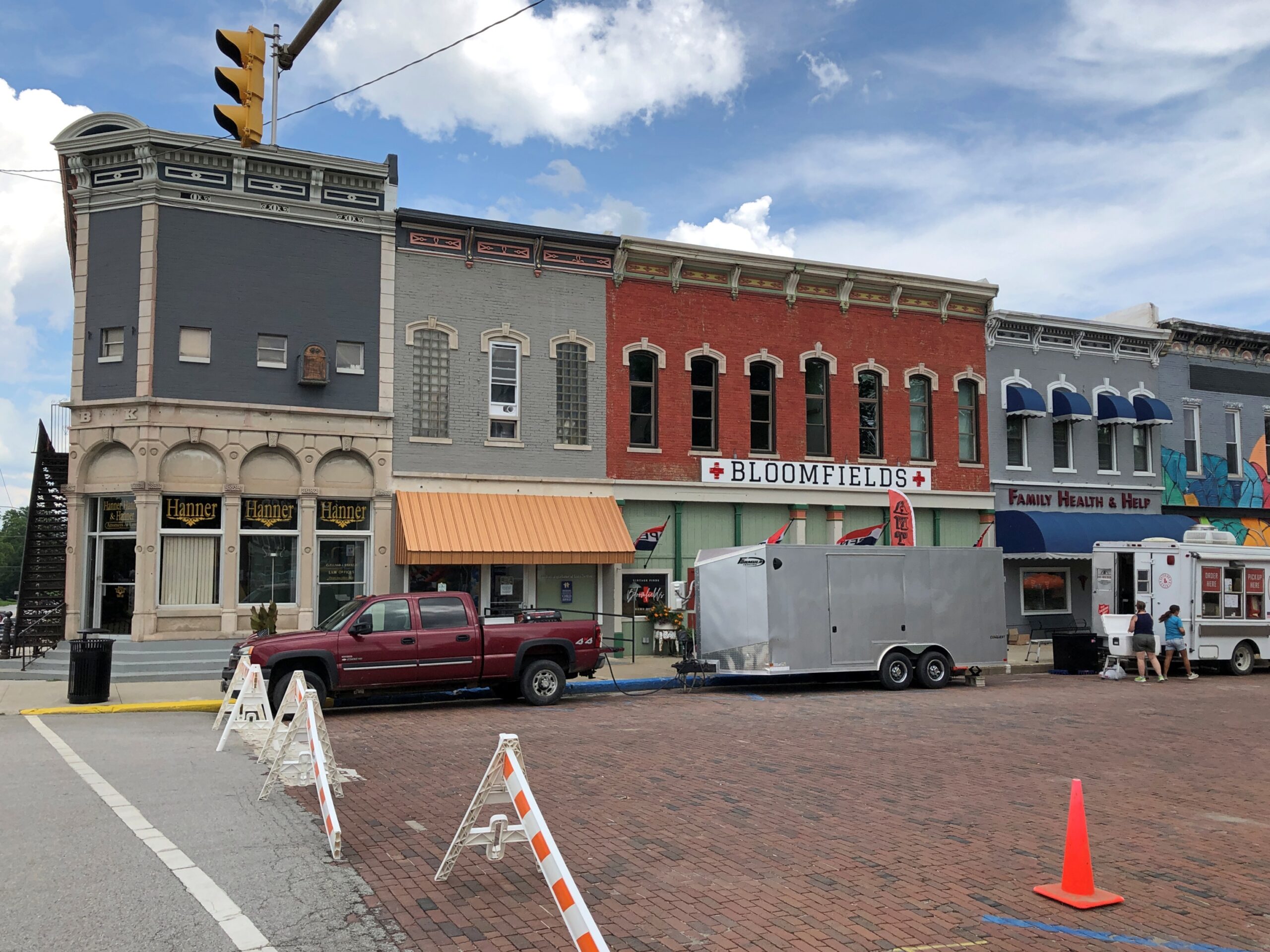
Alliance, Nebraska

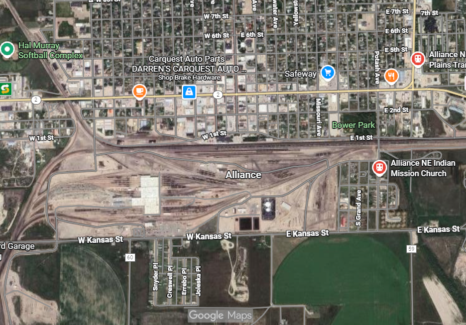
The highway Nebraska 2 passes through the town of Alliance, as do the BNSF railroad tracks paralleling the highway. During my drive across the Sandhills, I saw train after train headed east from Alliance. Long trains, the seemingly endless sort, even though they’re going the opposite direction you are, so they’re passing by at your speed plus their speed: well over 100 mph probably.

Every single one was a coal train. The industry isn’t what it used to be, but it isn’t dead, and much extraction takes place in the Powder River Basin, with rail from there converging in Alliance and then heading to the markets in the east. For a fairly small place, Alliance (pop. 8,150 or so) has a large rail yard.

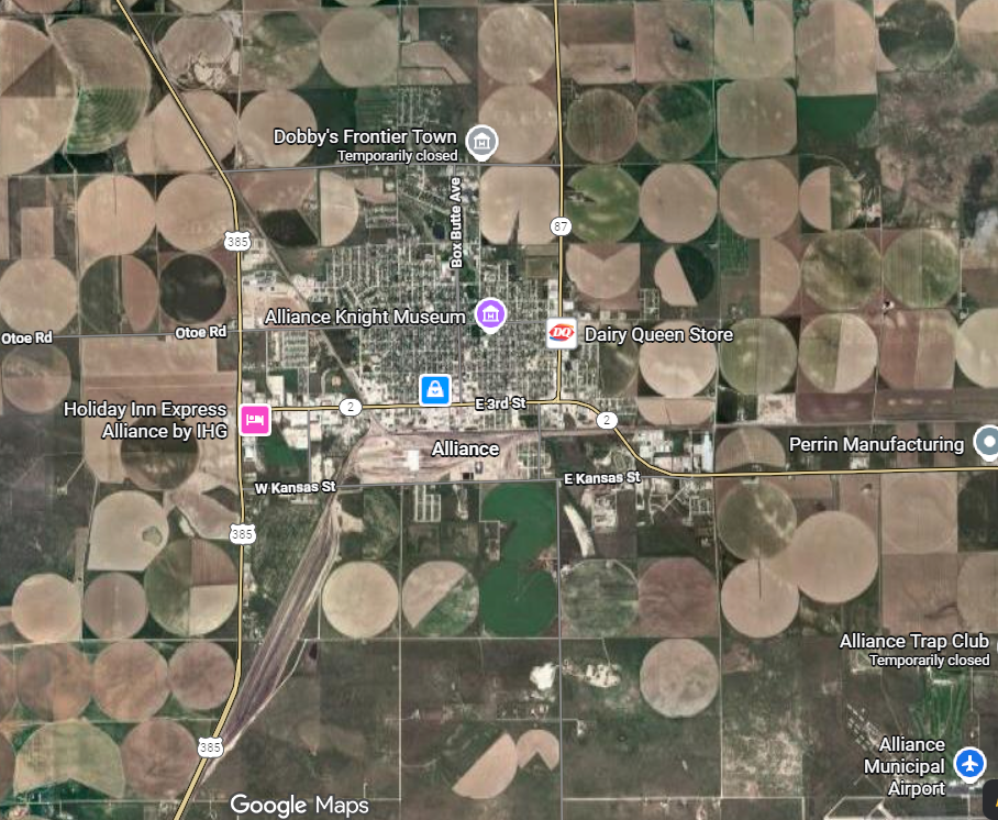
Back up a little further, and the region reveals clear signs of circle-pivot irrigation.

In ag terms, most production in Box Butte County – a favorite of mine among county names – is actually livestock, raised on non-irrigated grassland, which you can also see driving in. As for the irrigated places, that’s corn and wheat, with a smattering of alfalfa, beans, sunflowers and sugar beets. Somewhere up north is a rock formation called Box Butte, a name that I understand the railroads were using in promoting settlement this way, before it was ever official.

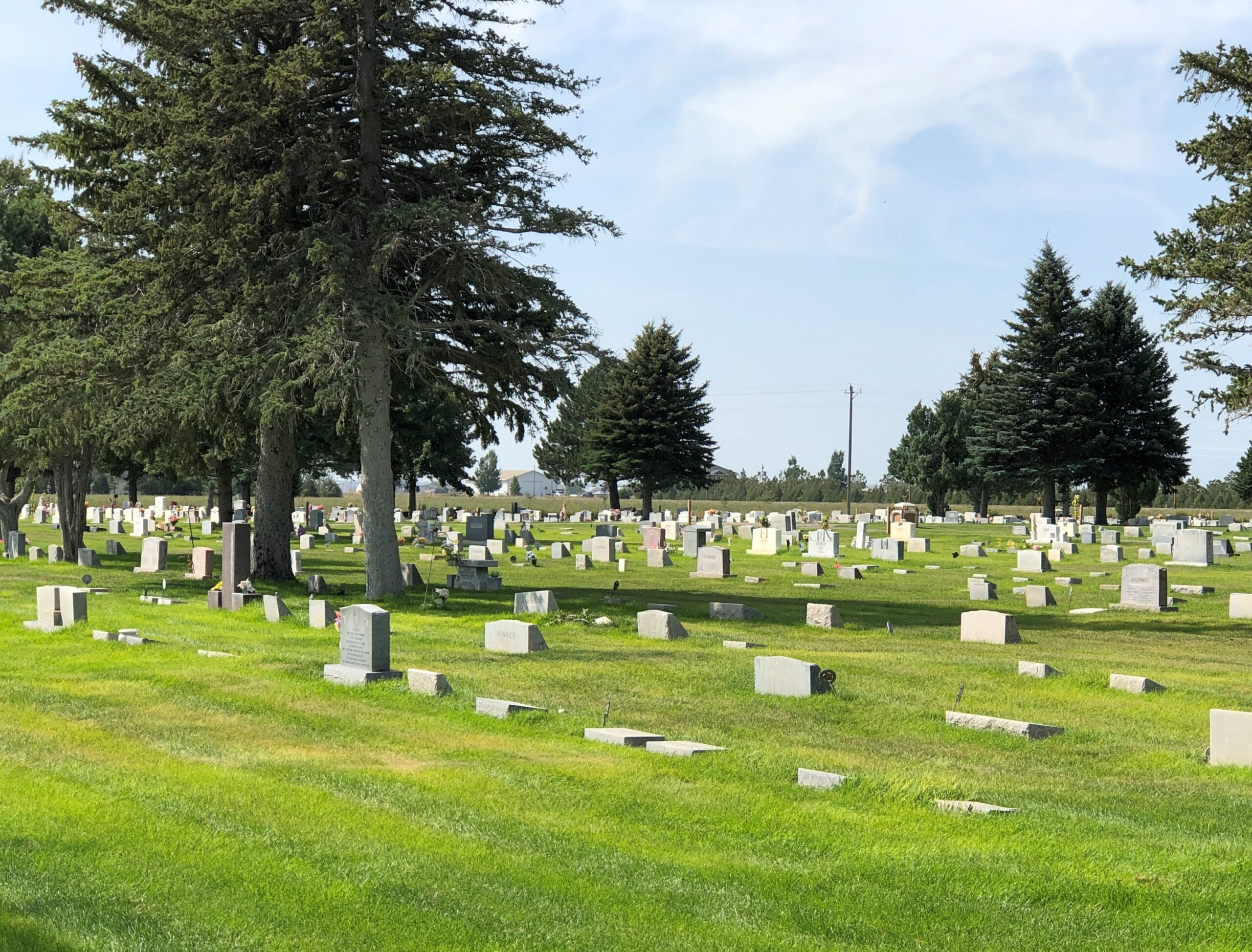
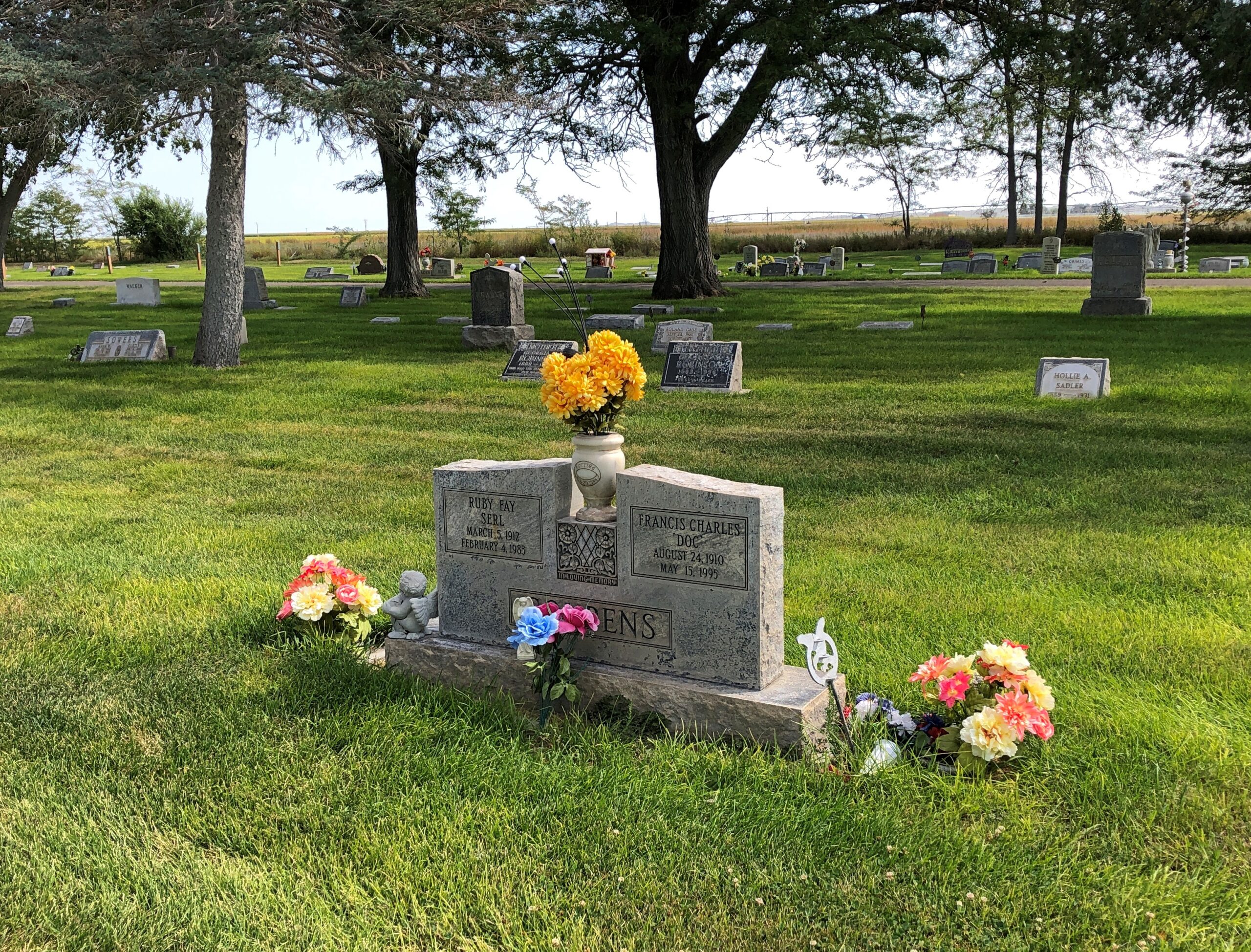
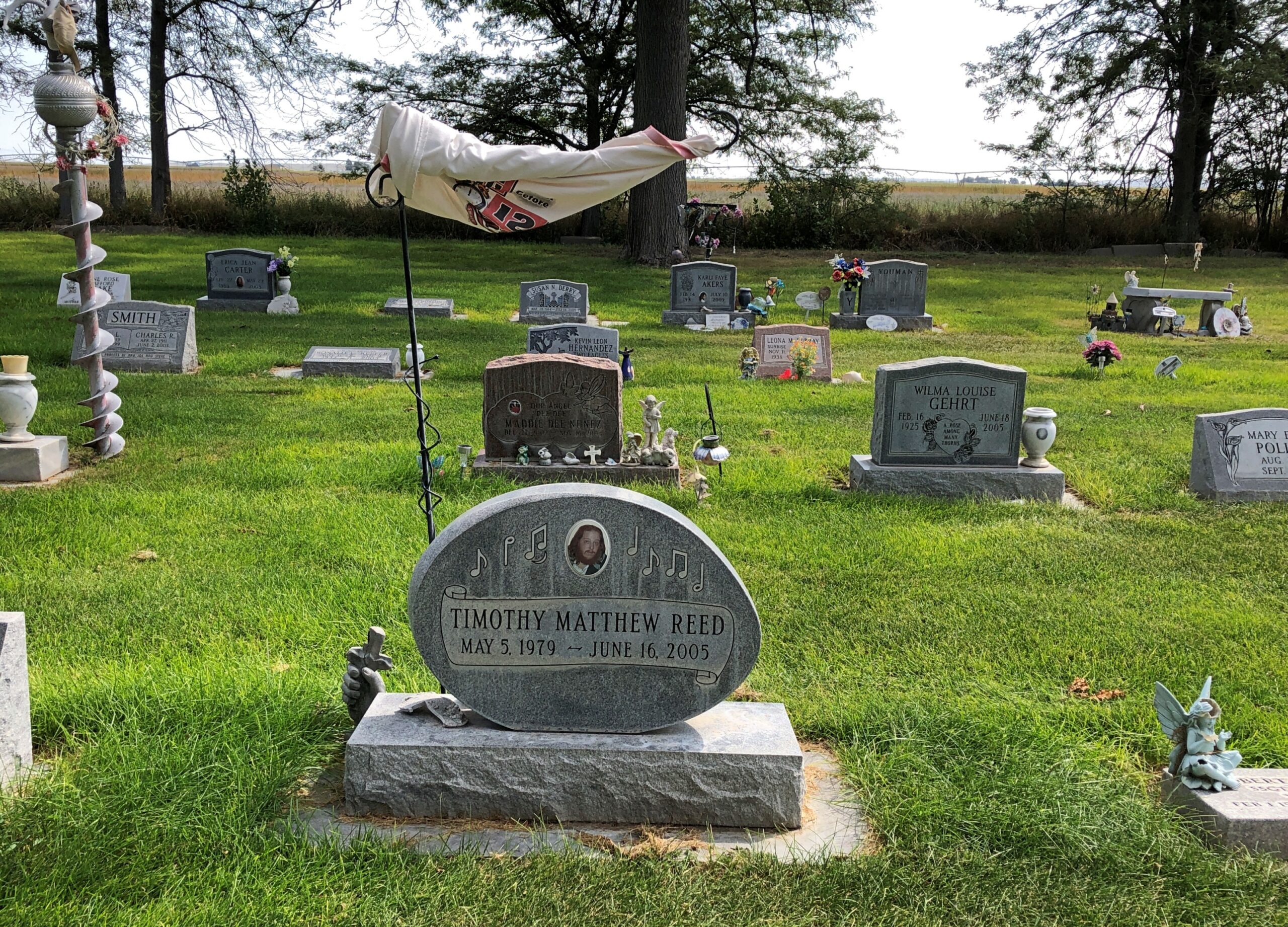
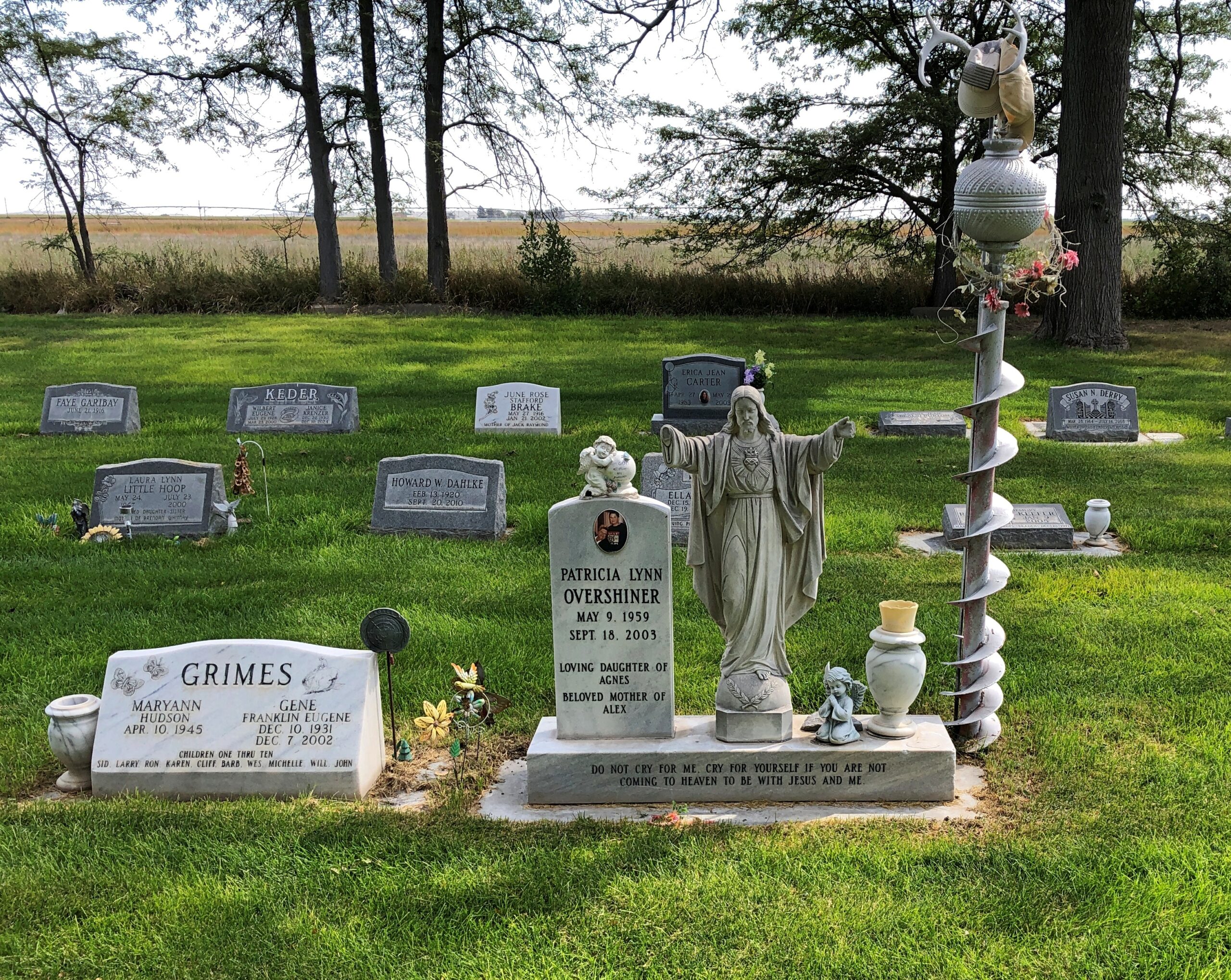
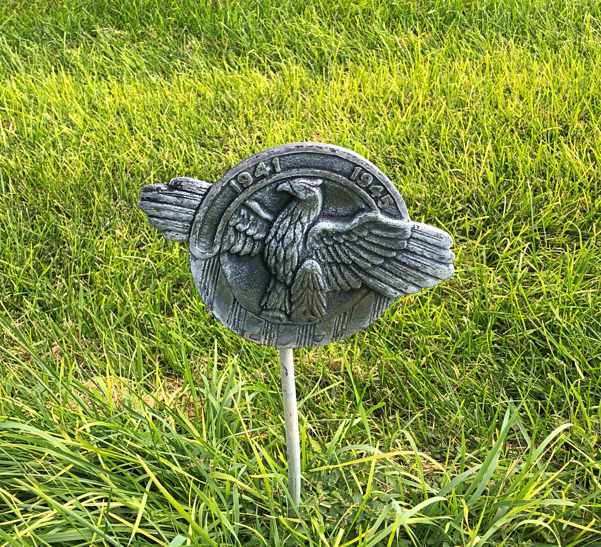
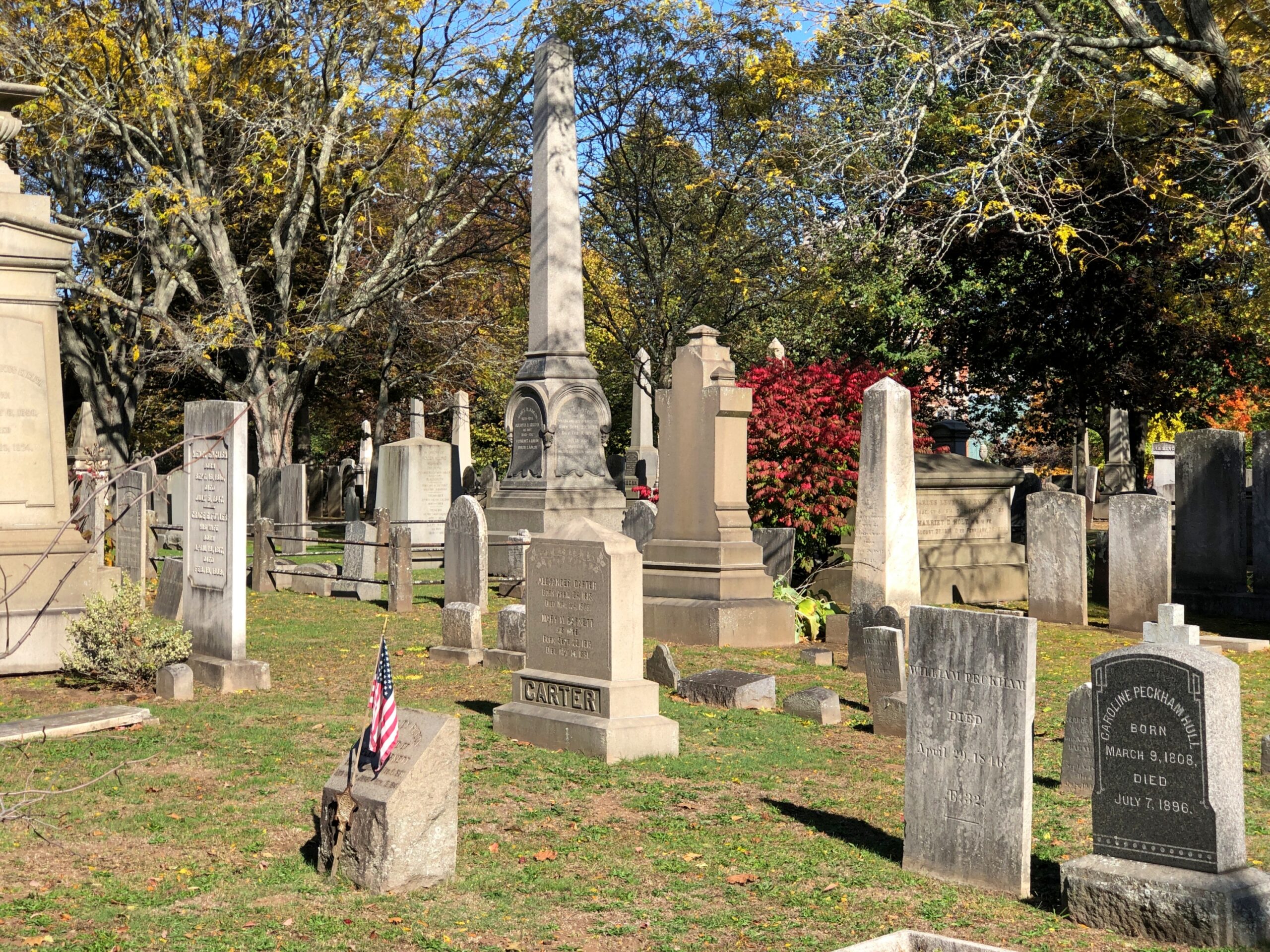
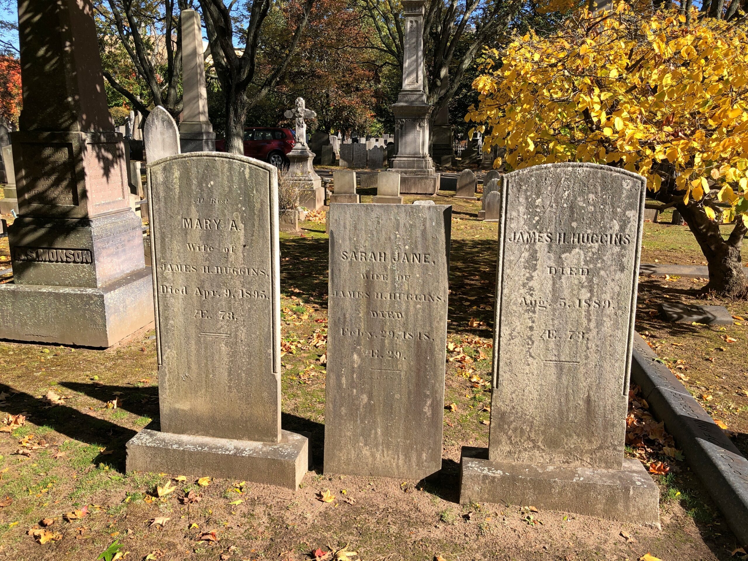
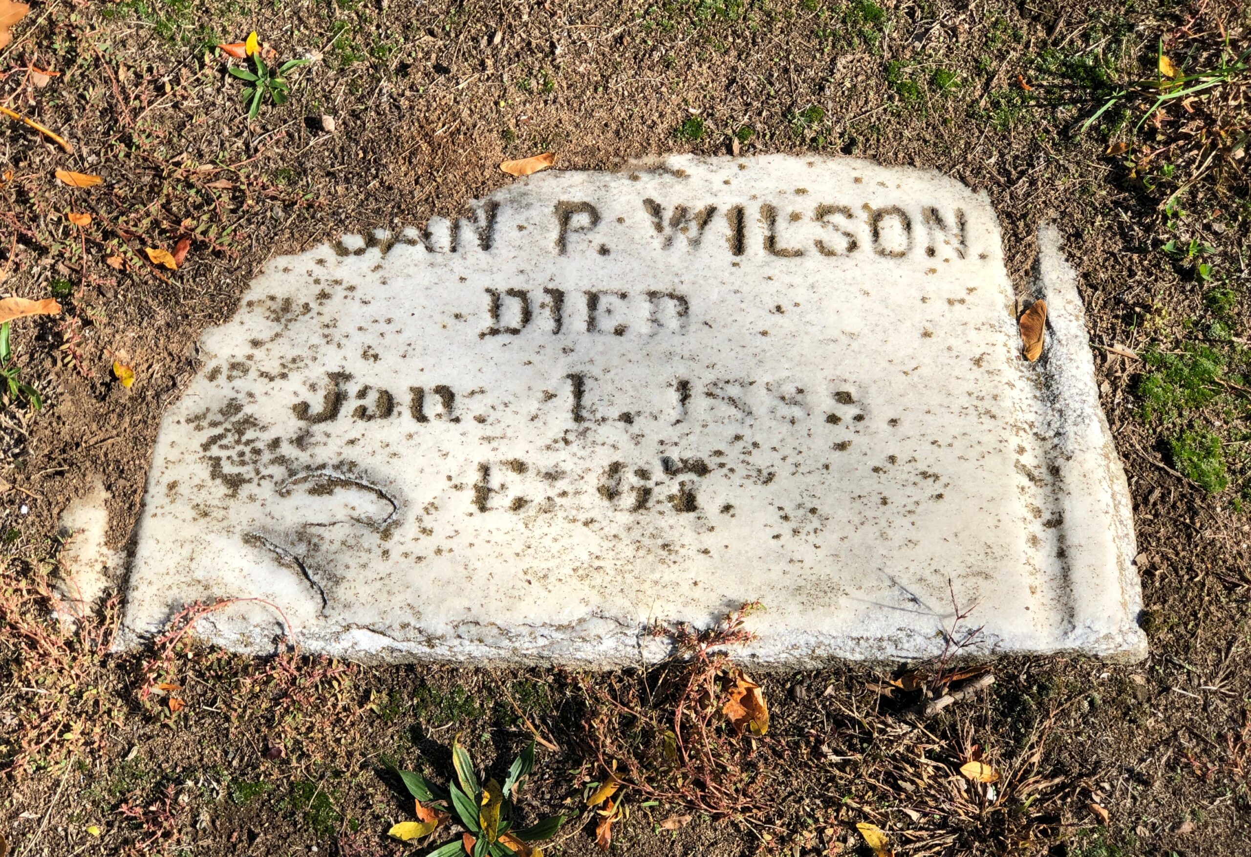
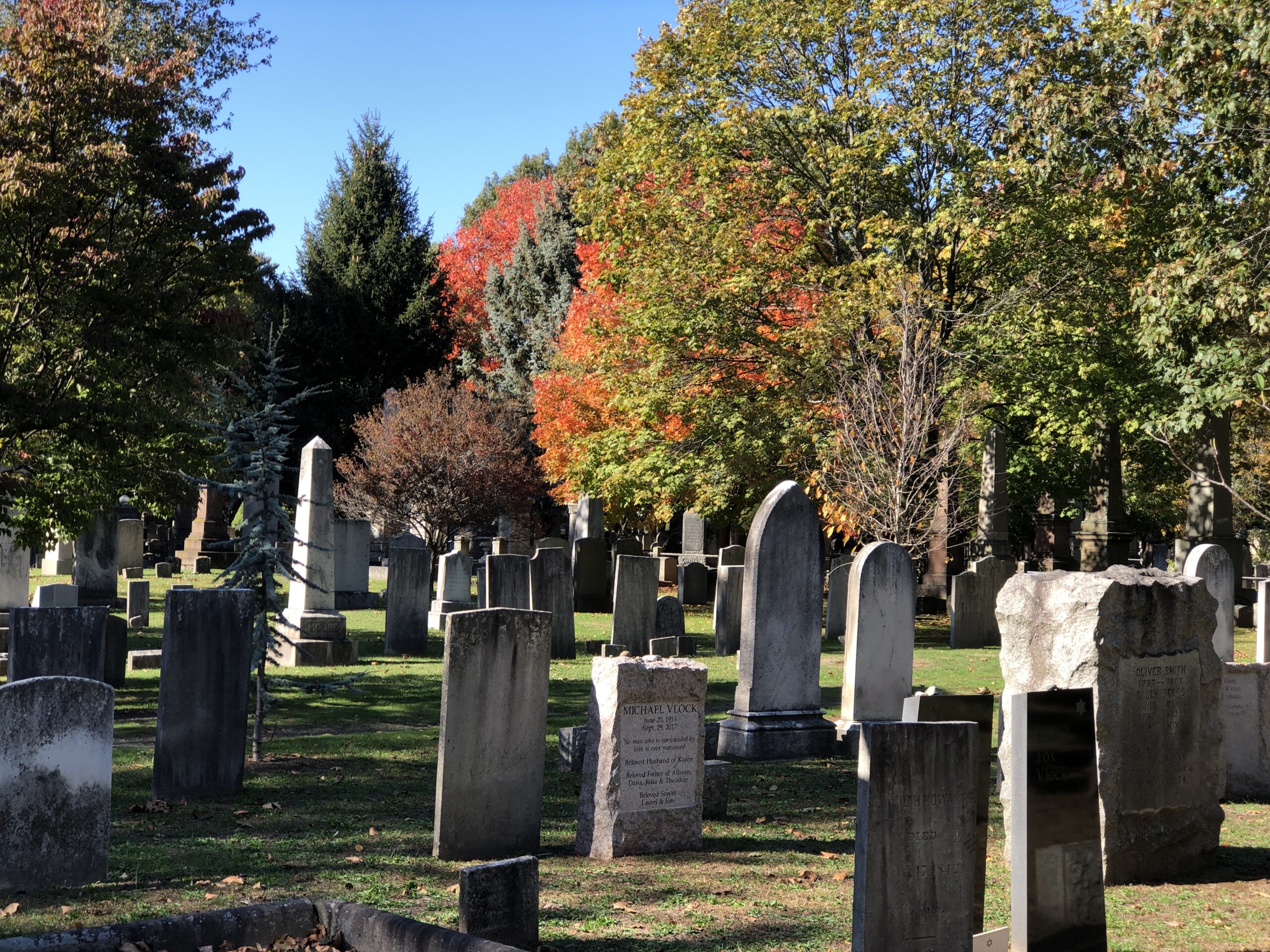
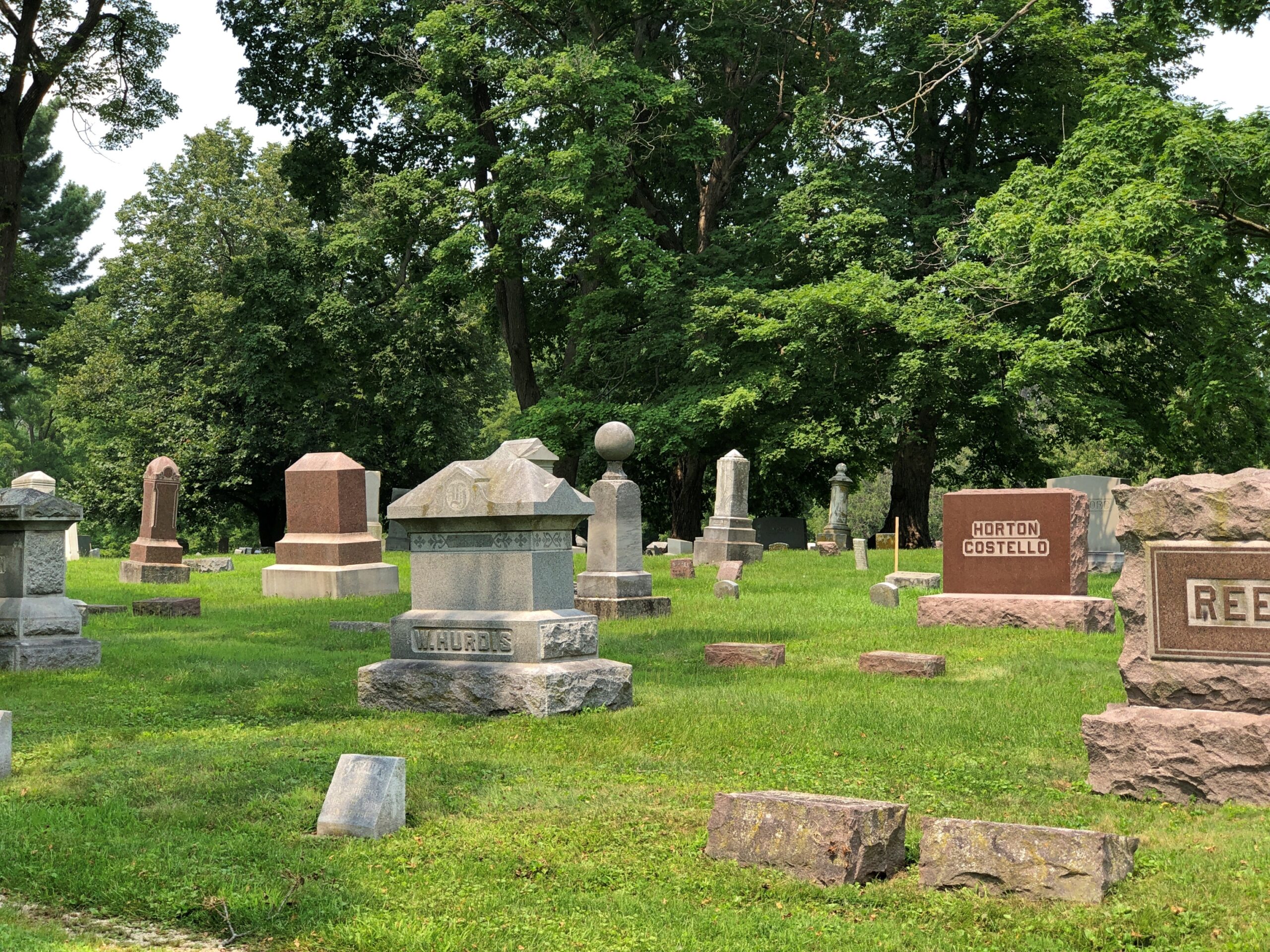
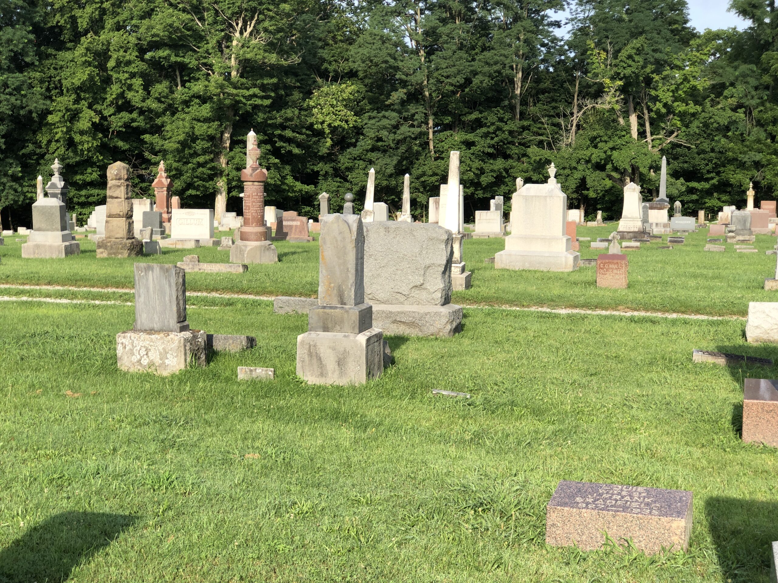
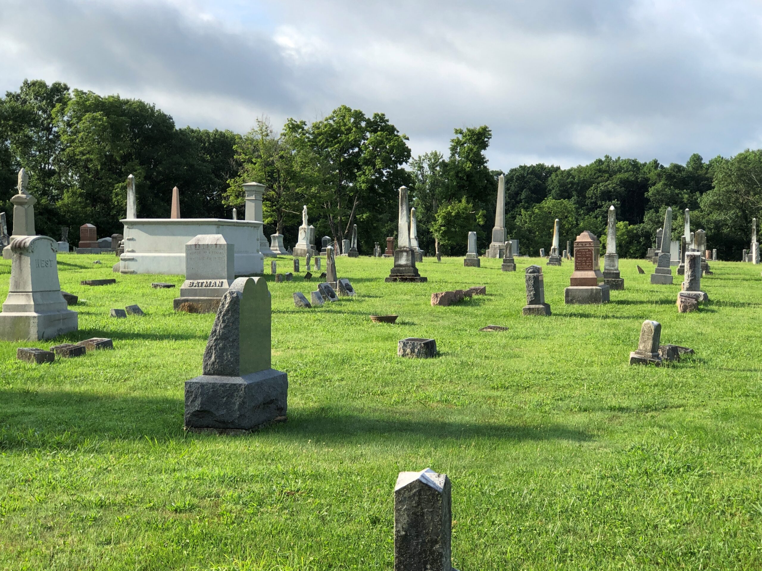
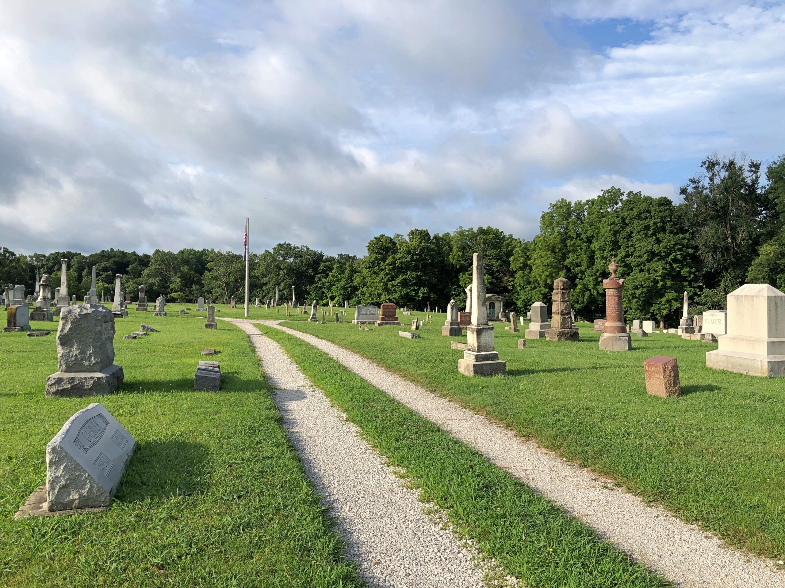
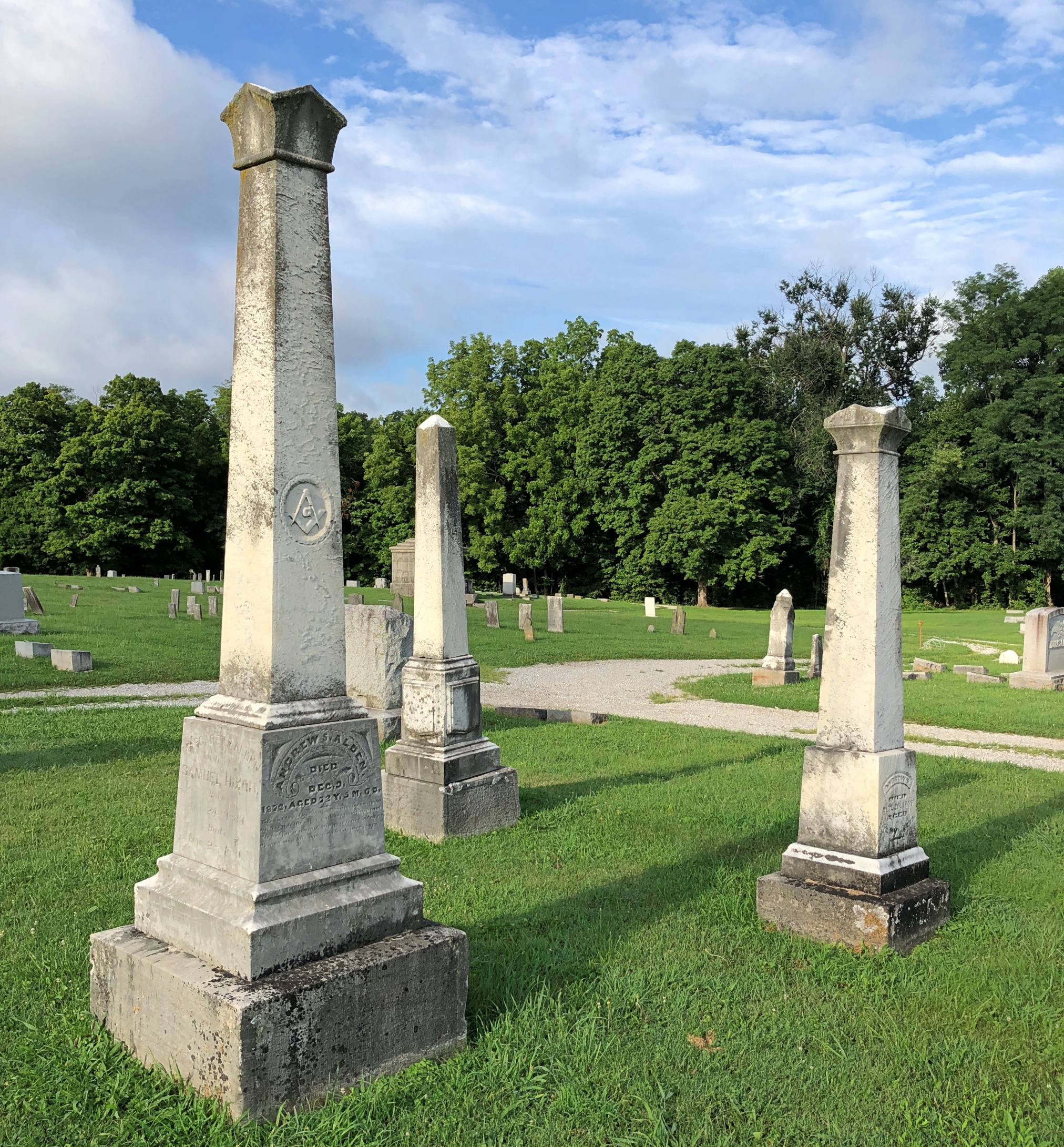
I didn’t come to town to learn all that, but I did later. Mainly I came to see Carhenge. The weather that day, September 7, was clear and very warm, which inspired some further looking around. First stop, Alliance Cemetery.

Alliance Cemetery
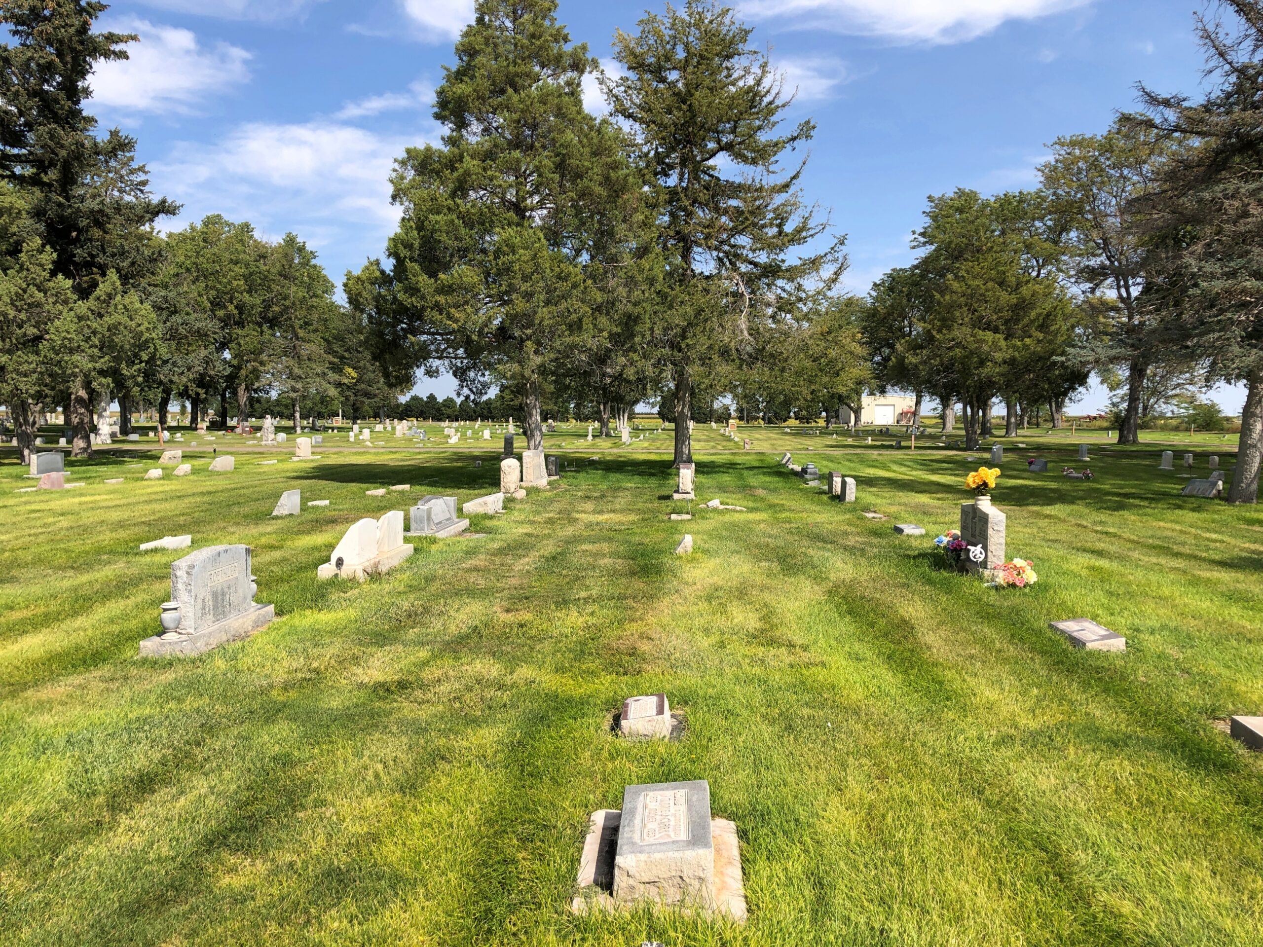
Alliance Cemetery
Franks & Beans

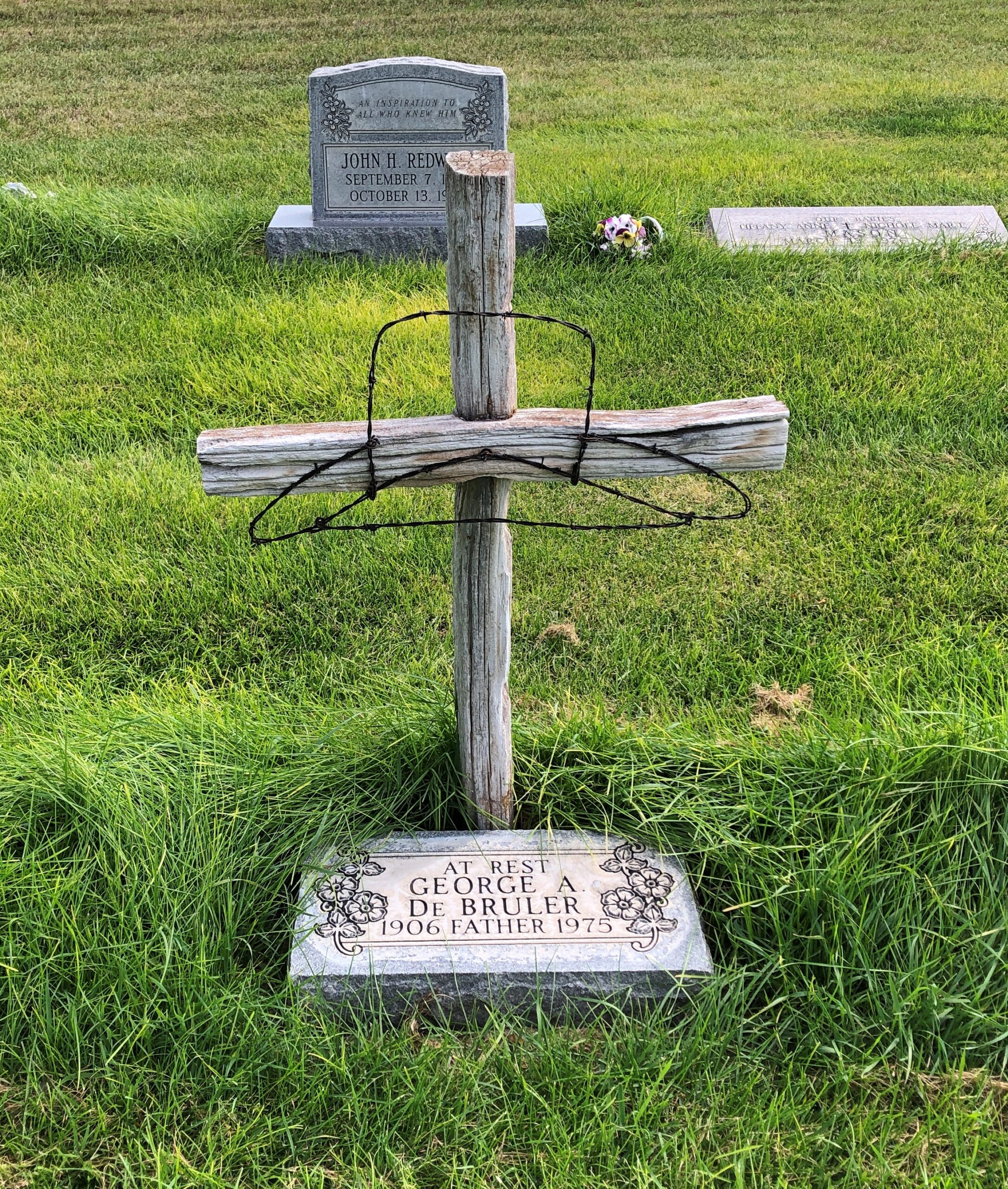
“Bury me in old Box Butte County.” There’s a western swing title in that.

Alliance Cemetery

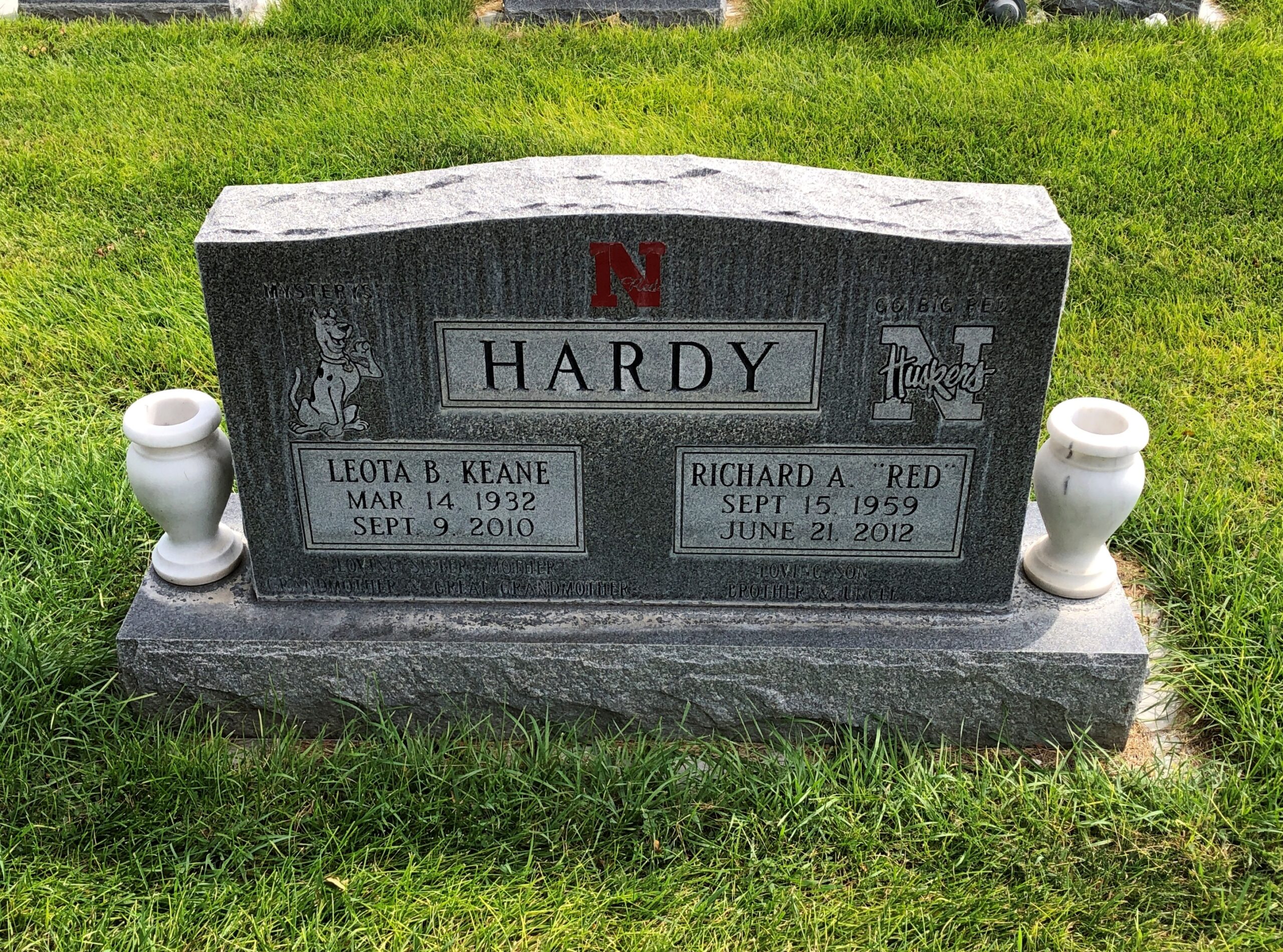
Something I’d never seen on a gravestone before: Scooby-Doo.

Go figure. Maybe Richard “Red” Hardy is the one who wanted it on the stone, since he would have been almost 10 when that cartoon premiered (September 13, 1969), and that’s about the right age to get hooked on such a thing. Then again, I was eight — saw the first episode myself — and yet somehow I’ve remained immune to its charms.

As for the Huskers, I saw them on some other stones in this cemetery. Hardly the only example of fandom from the grave.
I’ve seen cowboy churches and I’ve seen cowboy graves.

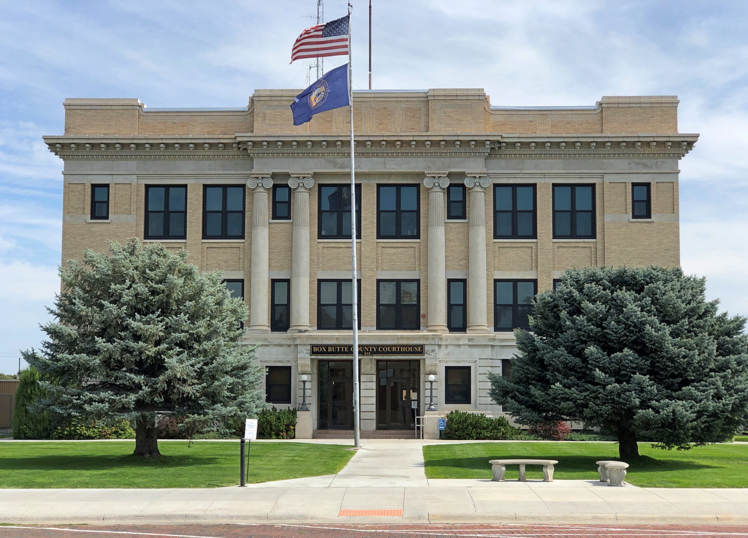
The cemetery is east of downtown Alliance, but not that far away. The Box Butte County Courthouse is on Box Butte Ave.

Box Butte County Courthouse

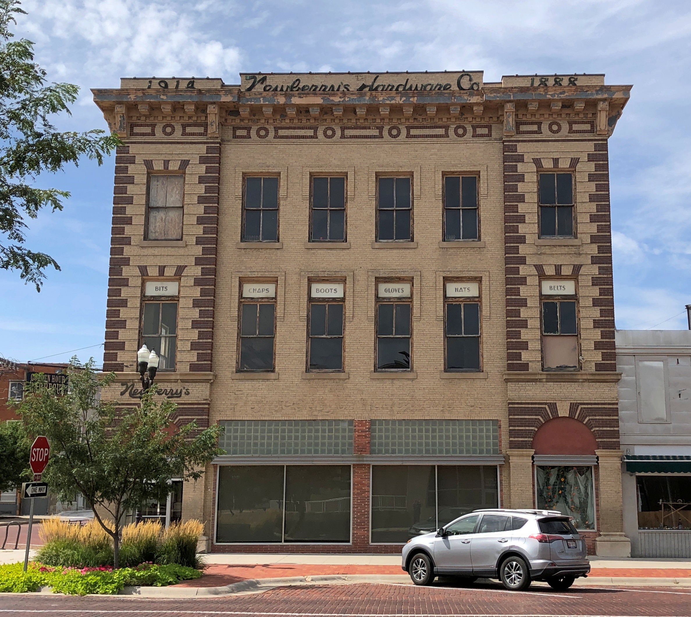
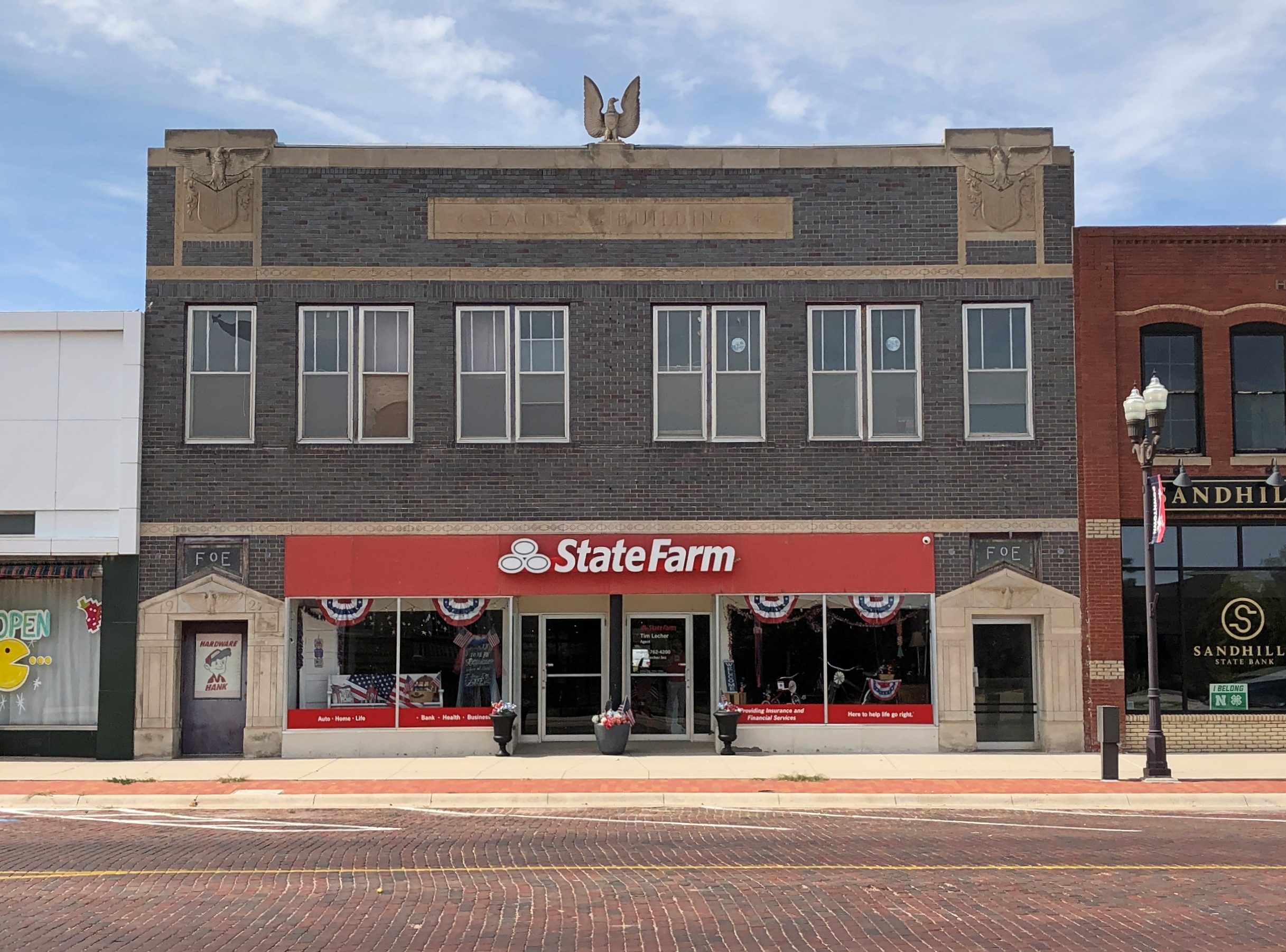
Along with a number of other vintage buildings. Newberry’s Hardware Co., once upon a time, which seems to be 1888 and then maybe an enlargement in 1914? Looks like it needs an occupant.

The 1927 Fraternal Order of Eagles Building.

FOE Building, Alliance NE

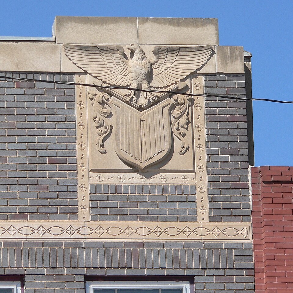
Slacker that I am, I didn’t take many detail shots, but one of this particular building is available (public domain) that shows how seriously the local FOE took its eagles about 100 years ago.

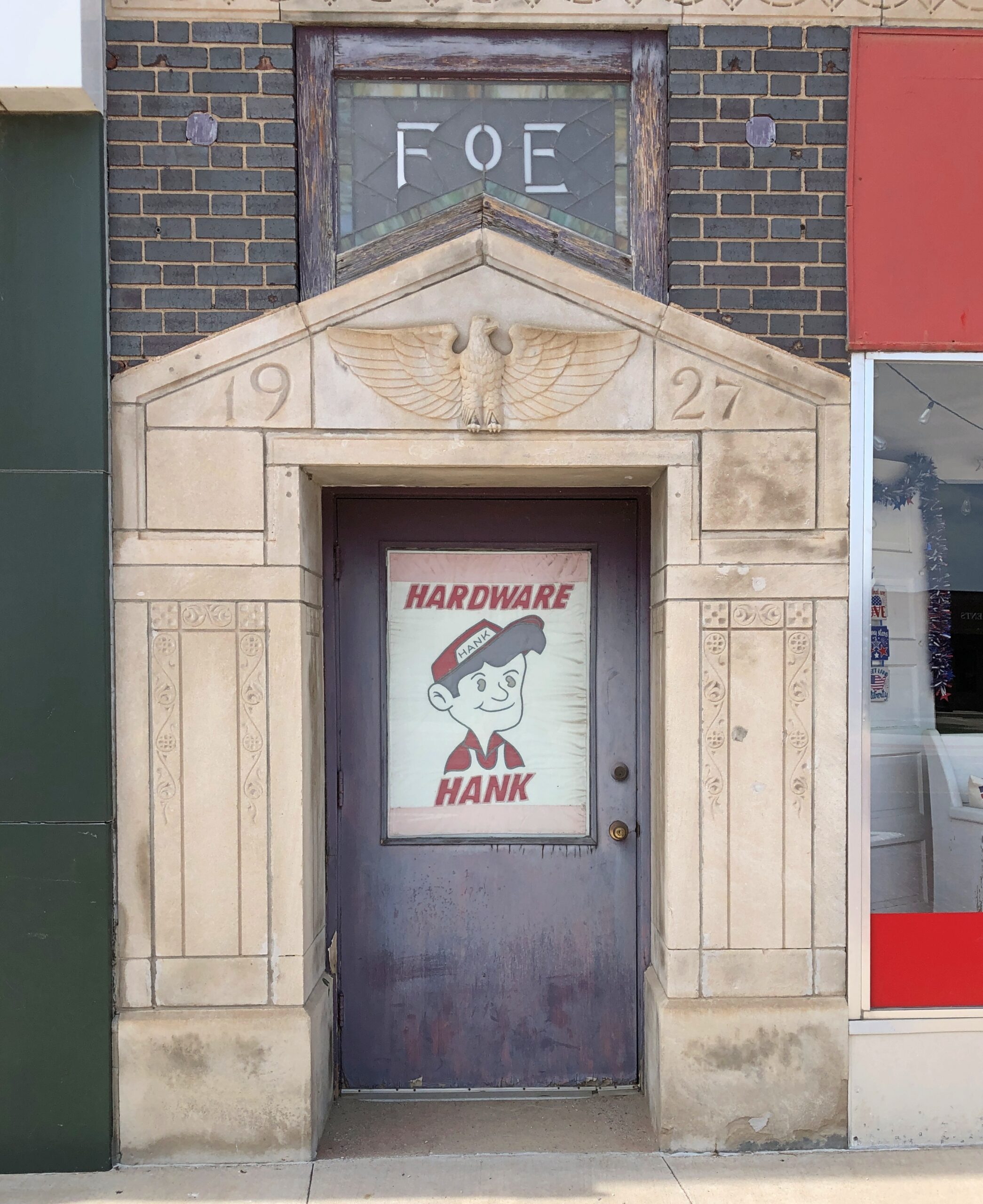
Hardware Hank is a hardware cooperative. New to me, but that only means I need to get out more.

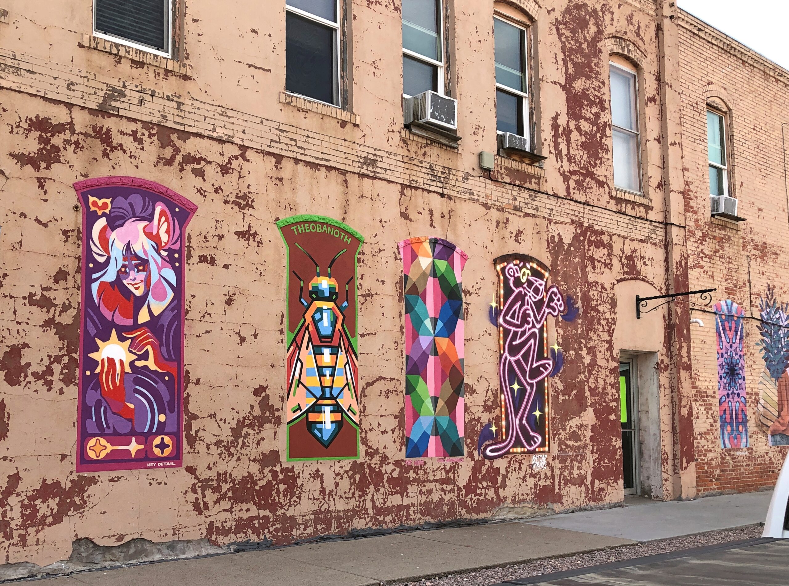
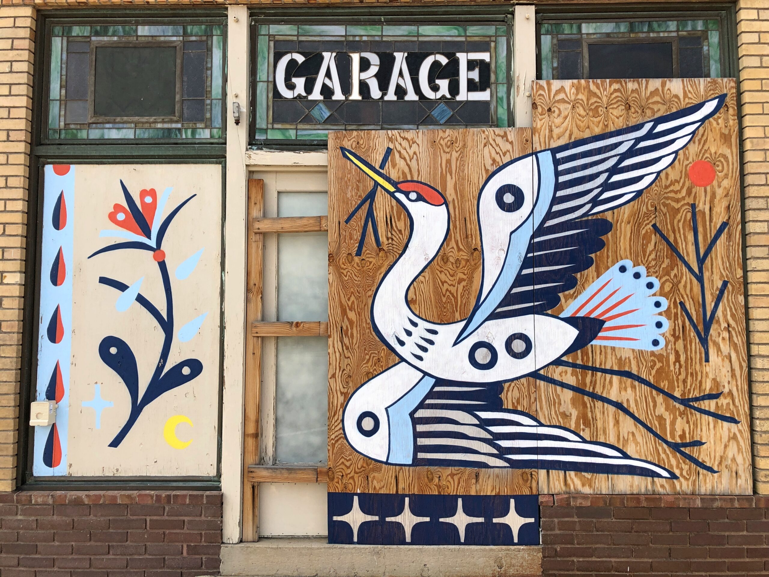
More murals.

Alliance NE

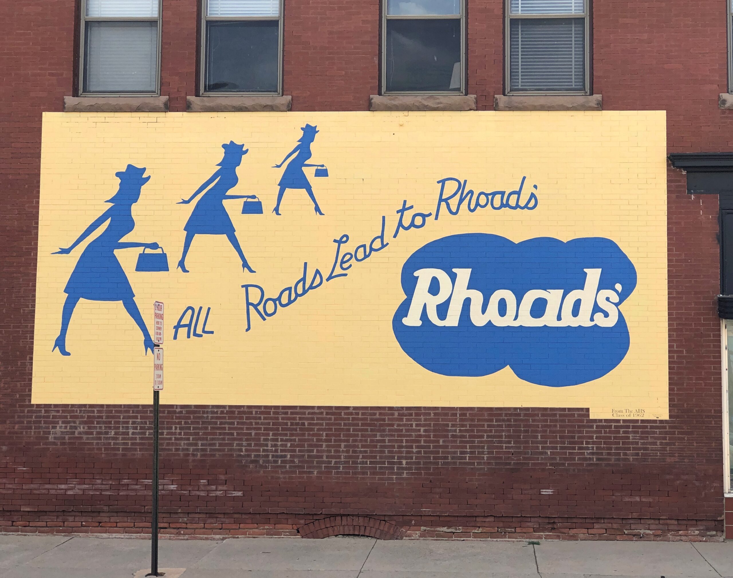
Rhoads’ was a local department store. Gone but not forgotten, at least if you read the mural, which looks refurbished recently. The tag at the bottom says it was a gift of the Alliance High School Class of 1962.

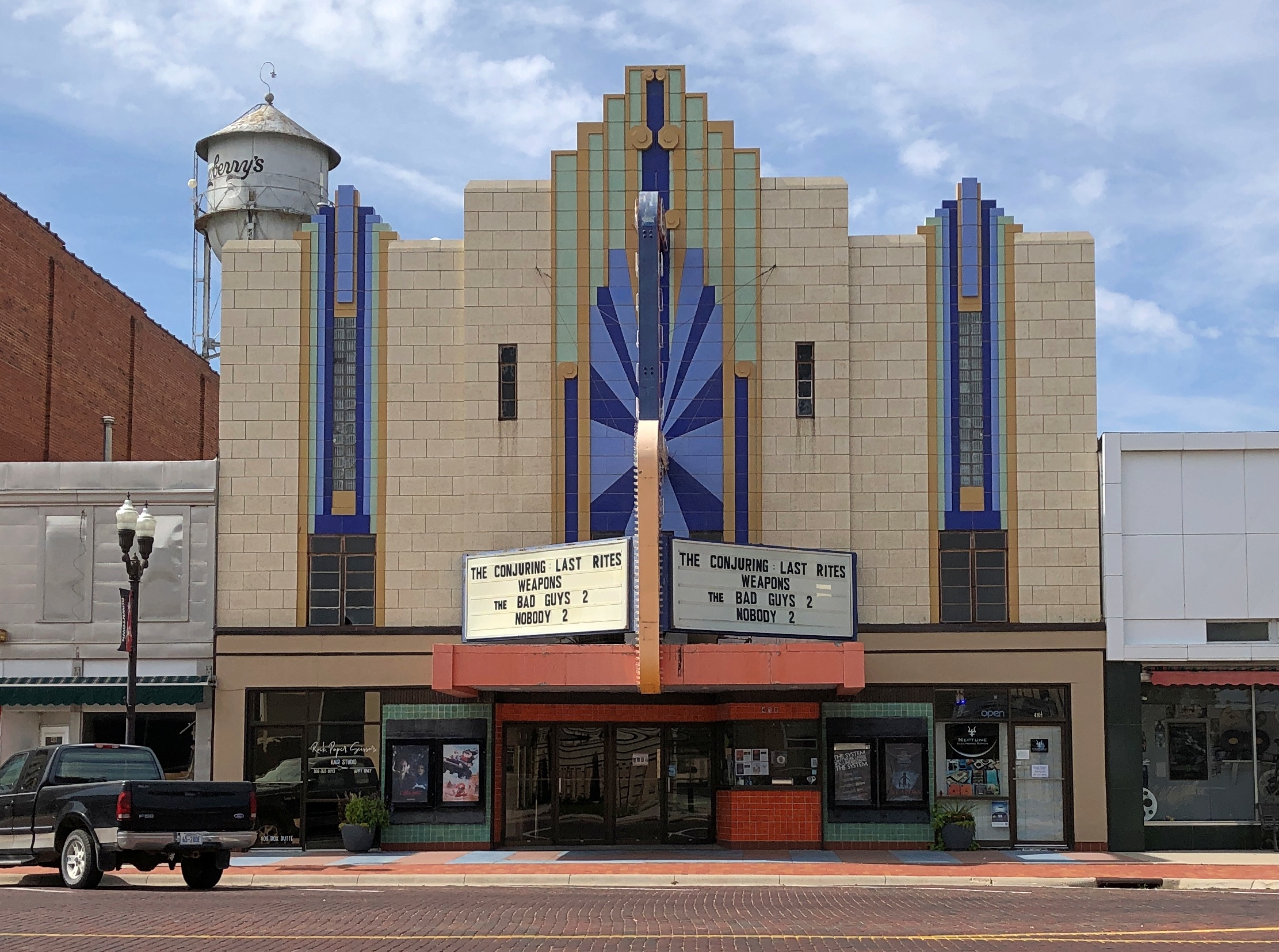
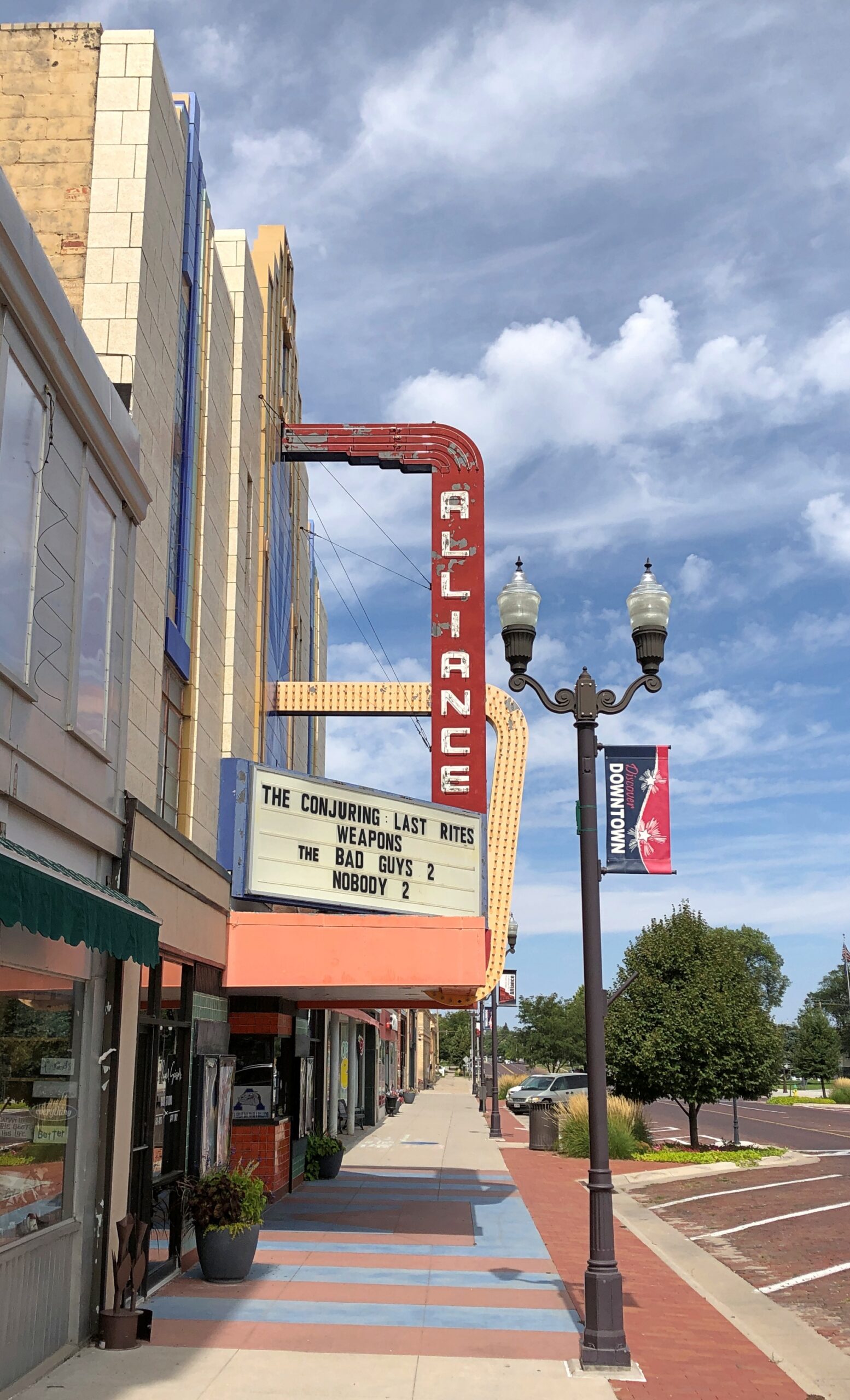
An art deco theater. Nice.

Alliance NE
Alliance NE

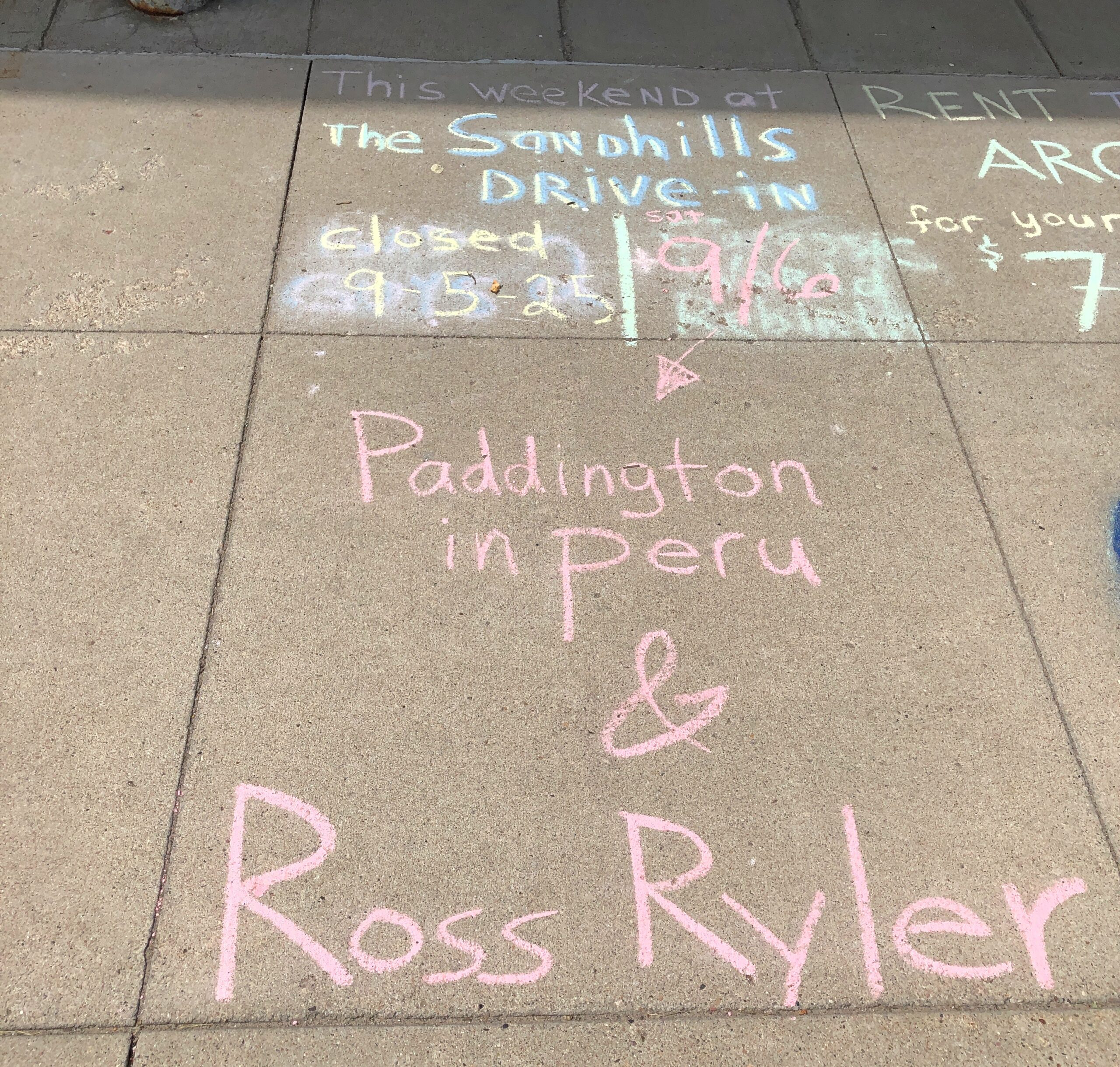
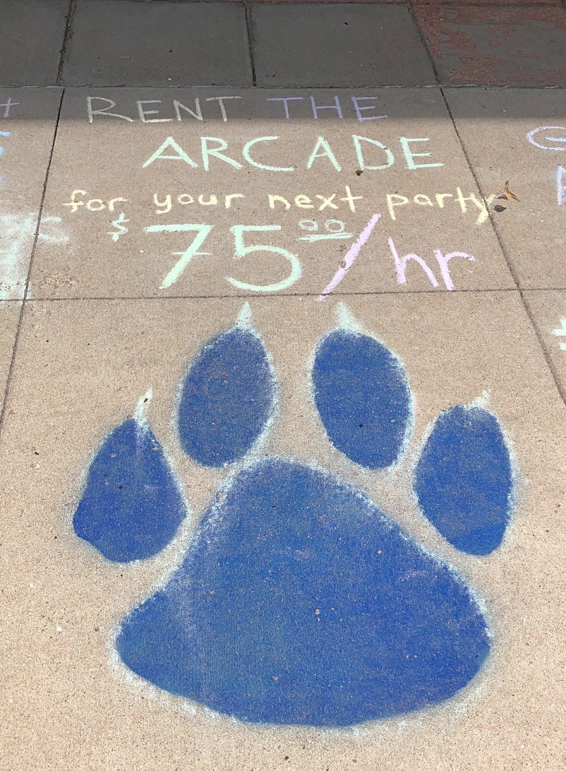
A really cheap way to advertise.

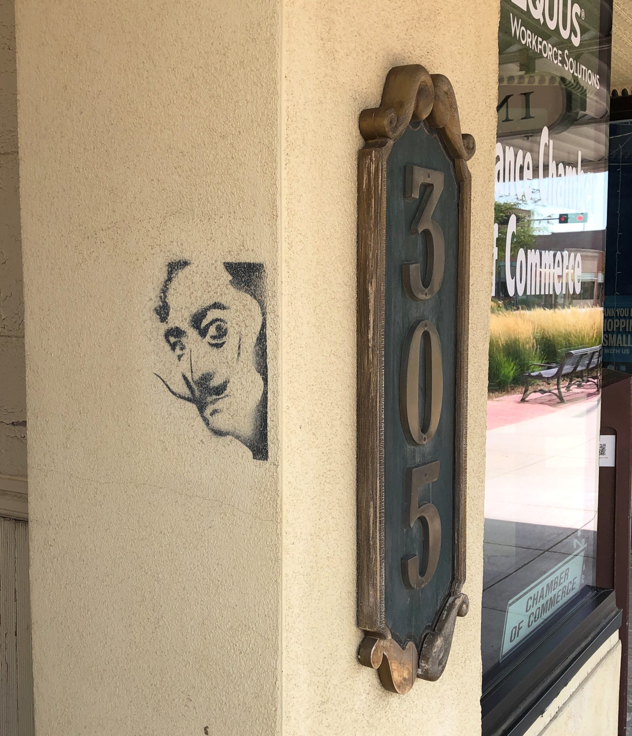
You never know when (and where) Dali will show up. Enigmatic fellow.

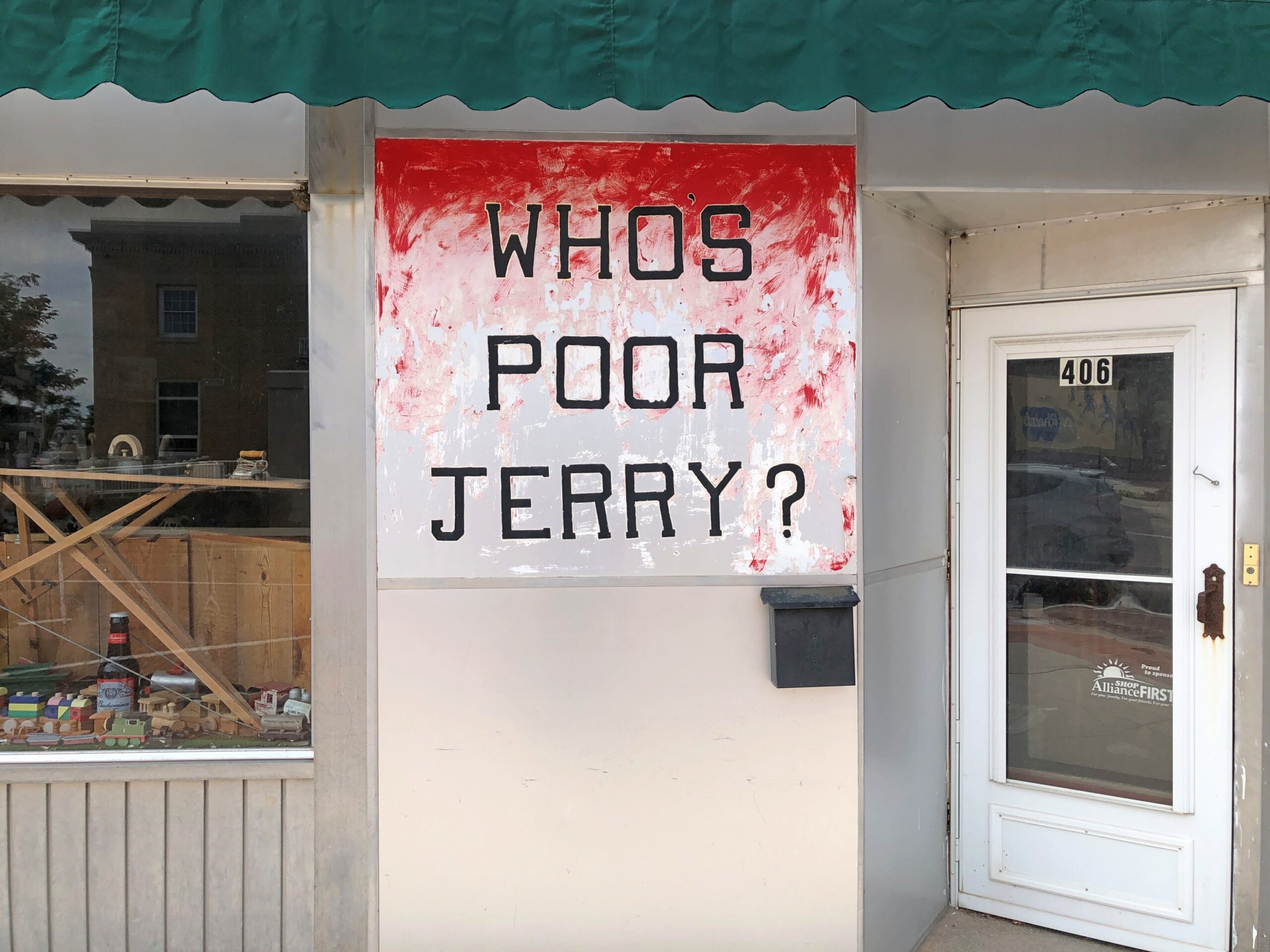
And who is poor Jerry?

Antique shop within? A simple desultory Google search doesn’t reveal much. Street View puts the sign’s appearance between 2007 and 2012 (Google didn’t come that much to Alliance.) Even the Library of Congress wants to know.

I found lunch in Alliance that day at Golden Hour Barbecue, which promised (and provided) Texas-style ‘cue. I enjoyed it thoroughly. Same league as Salt Lick, though a little expensive, considering how close the cattle are. Then again, everything seems expensive these days, and it was such a large lunch that I barely needed to eat that evening in my room in Scottsbluff, so that mitigated the upfront cost.

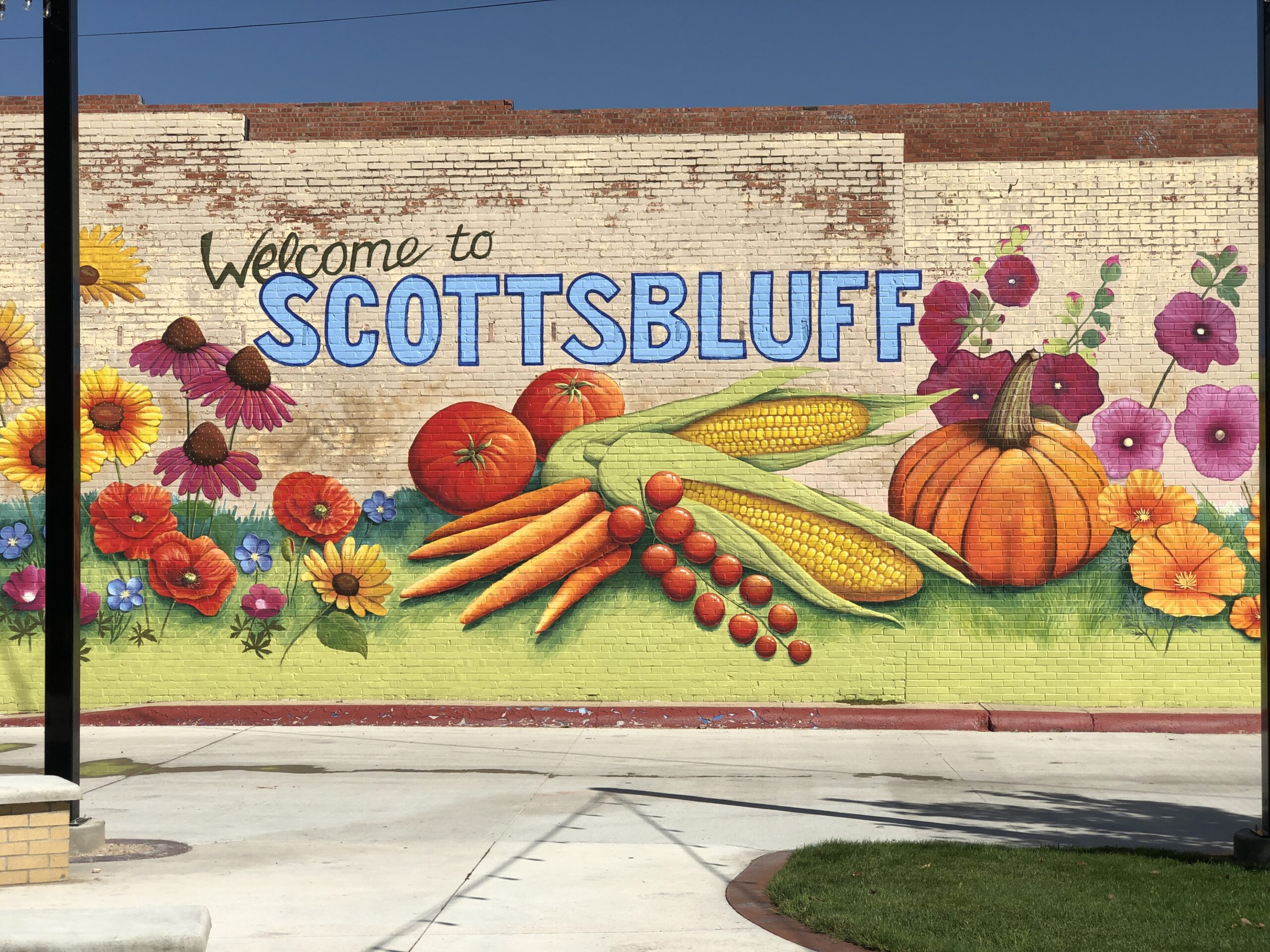
Before heading to the big rocks near Scottsbluff on the morning of the 8th, I took a look around that town as well.

Scottsbluff NE

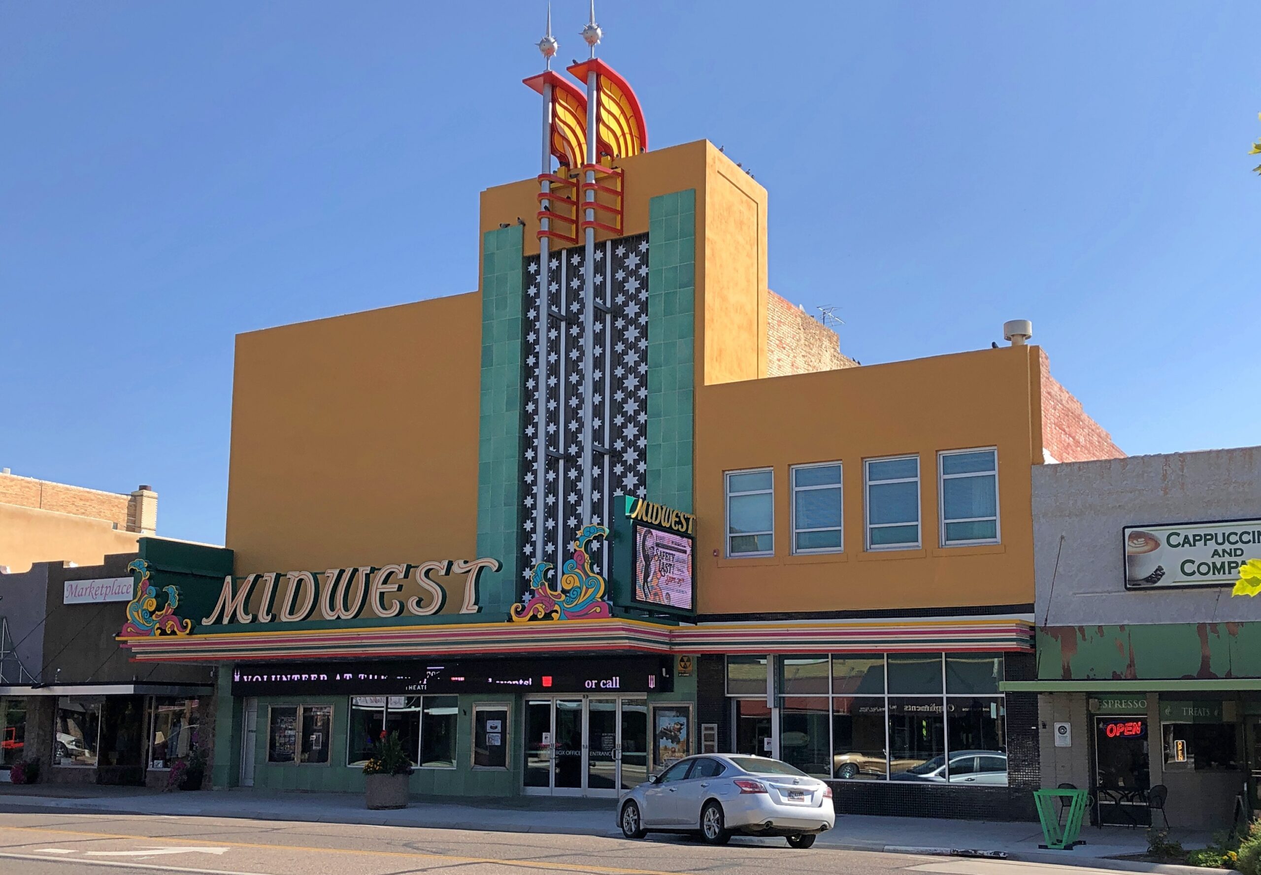
Can’t have too many art deco theaters. When I’ve done image searches for Scottsbluff, the Midwest theater comes up often as not.

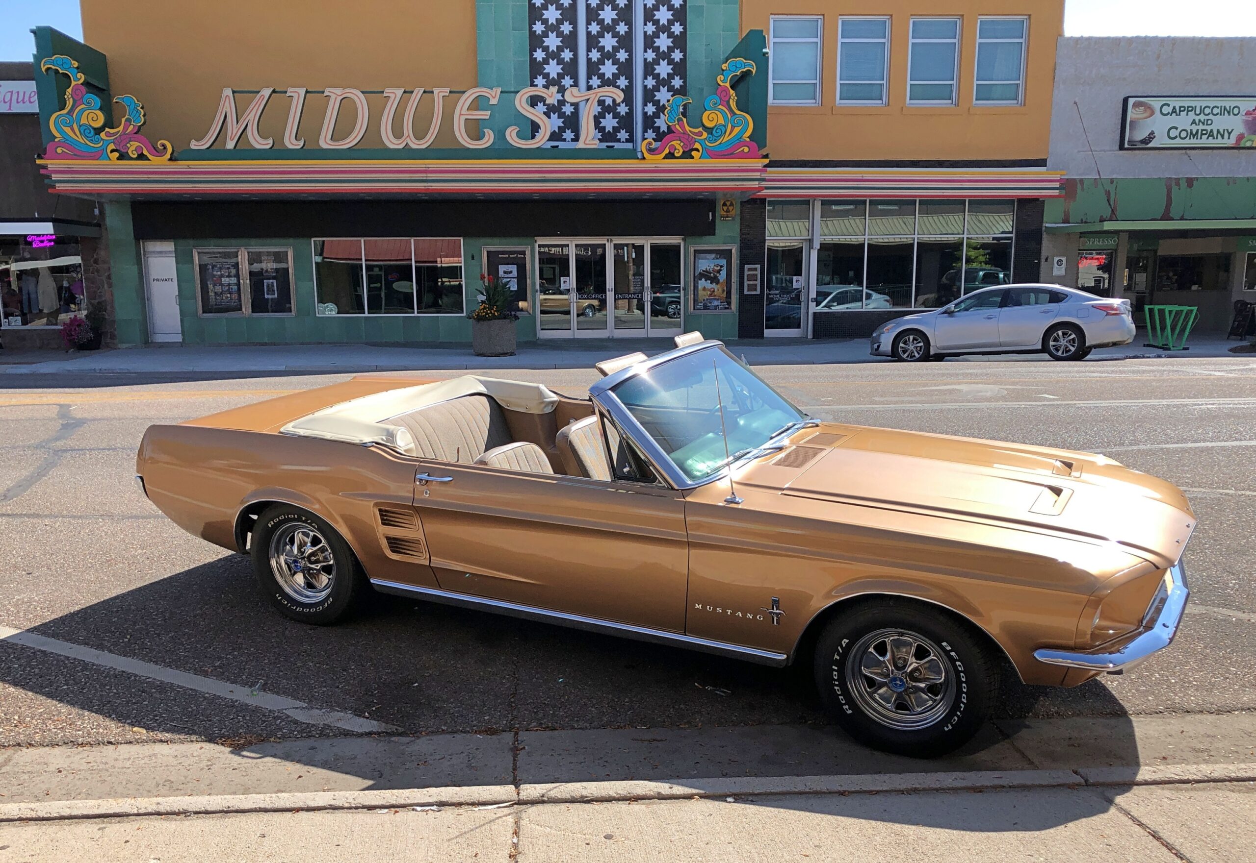
A car to match. At least that morning.

Scottsbluff NE

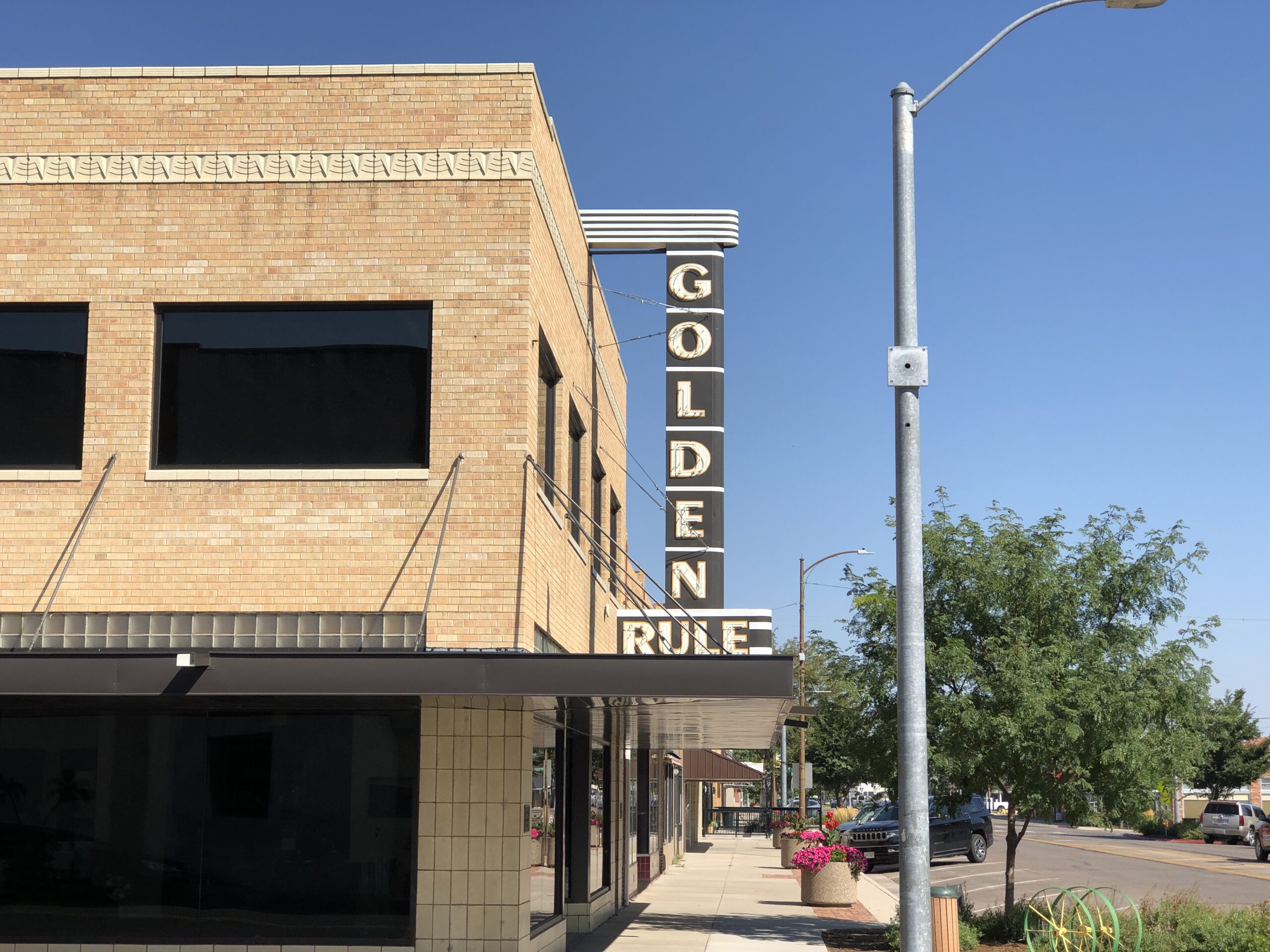
Another former small department store, now private offices.

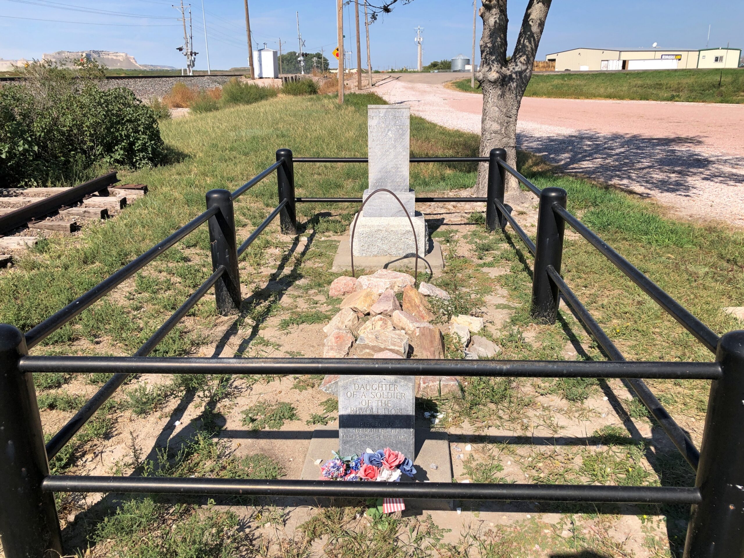
Just outside Scottsbluff is a single grave.

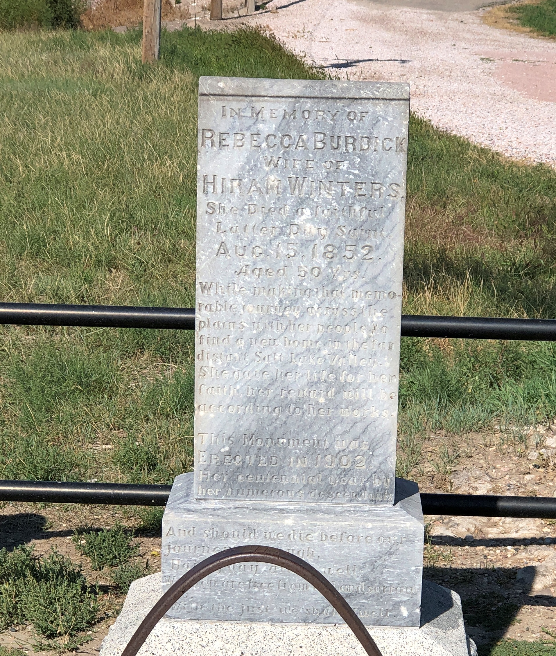
The grave of Rebecca Burdick Winters (d. 1852) She died a faithful Latter-Day Saint, her stone says, on her way to Utah. Officially, it is Rebecca Winters Memorial Park.

“Seven miles northeast of Scotts Bluff National Monument lies a solitary grave,” says Find a Grave. “This site marks the final resting place of Rebecca Winters, who died of cholera on August 15, 1852. Rebecca was only one of thousands of people who succumbed to disease as they made their way west on the overland trails, but her grave is one of only a few that remains identifiable today.”

Delaware 9

Coincidence or synchronicity? In September, as I was leaving Colorado Springs, I noticed an equestrian statue near a major street: William Jackson Palmer, railroad developer and Union Army officer. Stopped at a traffic light, I had a little time to look at the statue. Soon I forgot about it.

Palmer had one of those remarkable 19th-century careers, not only as a railroad man and military officer, but also a town planner, hotelier, publisher and philanthropist. He founded the towns of Colorado Springs, Manitou Springs, and Durango, among others. Though he grew up near Philadelphia, he was born on a farm near Leipsic, Delaware. Barely a month after I’d spent time in some of the towns that Palmer founded, I found myself in Leipsic, Delaware.

I still wouldn’t have make the connection if I hadn’t looked up Leipsic on Wiki. I noted that the entire list of notable people from that town had exactly one name: William Jackson Palmer. Leipsic has never been a very big place, and certainly isn’t now. I looked him up, and when I saw the picture of the statue, I remembered seeing it.

I’m going with coincidence. I have a fairly high bar when it comes to synchronicity, especially since I don’t really understand the concept. Does anyone?

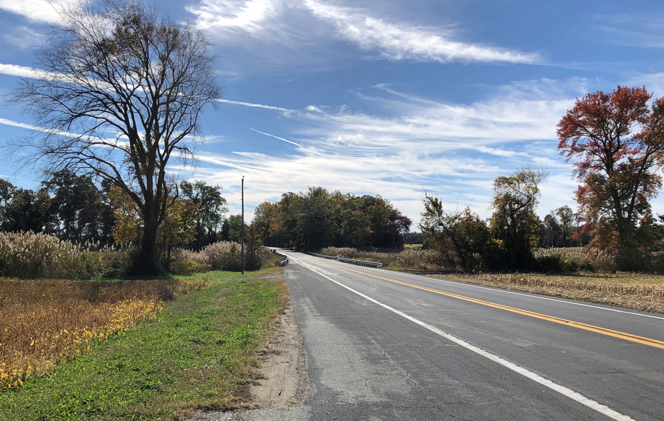
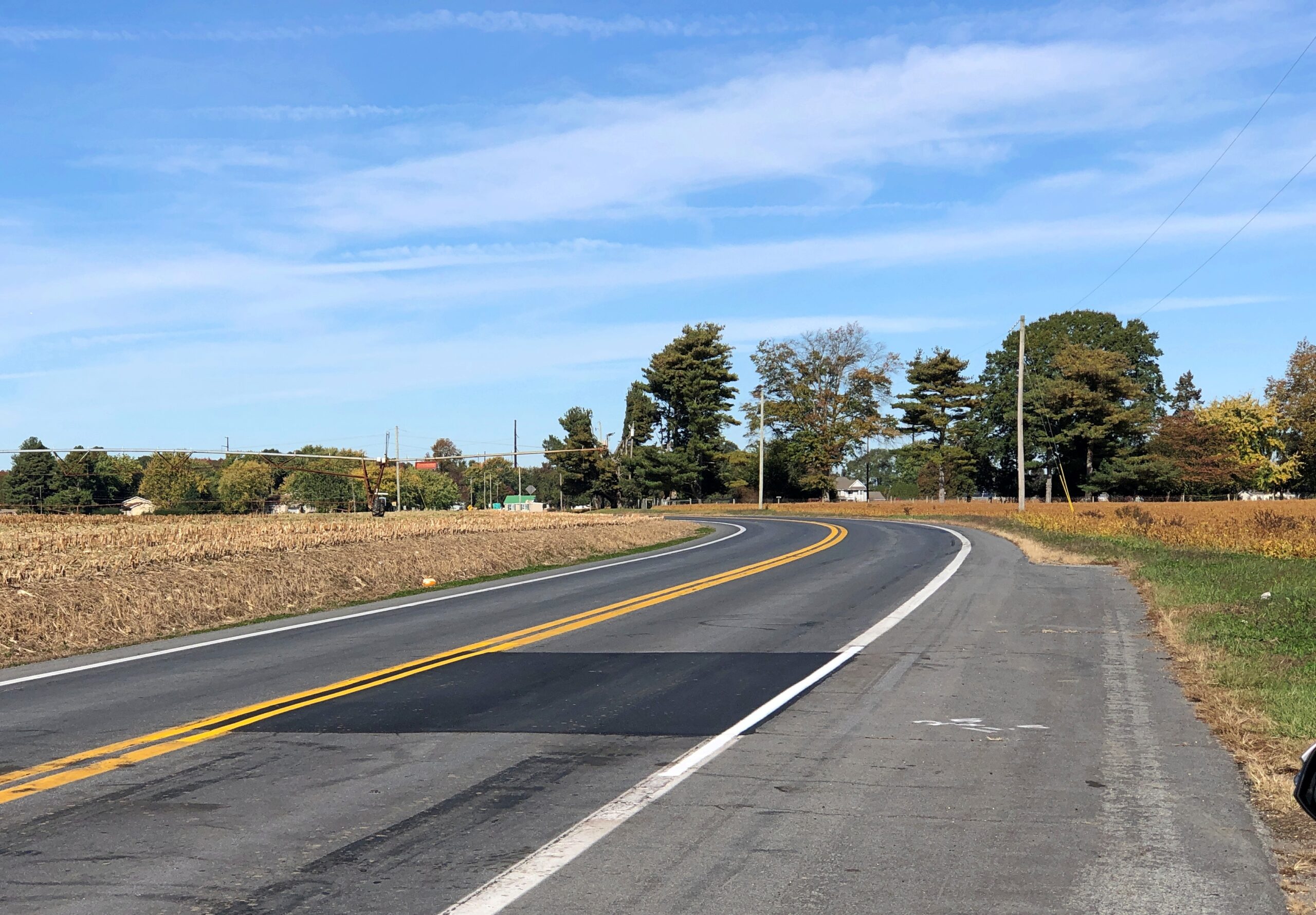
Before I left Delaware last month – and believe me, it doesn’t take long to leave Delaware – I drove a section of Delaware 9, a two-lane, north-south highway that parallels the coast of Delaware Bay, running east of places like Dover, Smyrna and Odessa. An intriguing squiggle on the map, made more intriguing by the fact that part of it is also known as the Delaware Bayshore Byway, which is a National Scenic Byway. Experience has taught me that those kinds of designations are usually accorded for good reasons.

After the traffic-jammed day before, I thoroughly enjoyed the nearly empty Delaware 9.

Delaware 9
Delaware 9

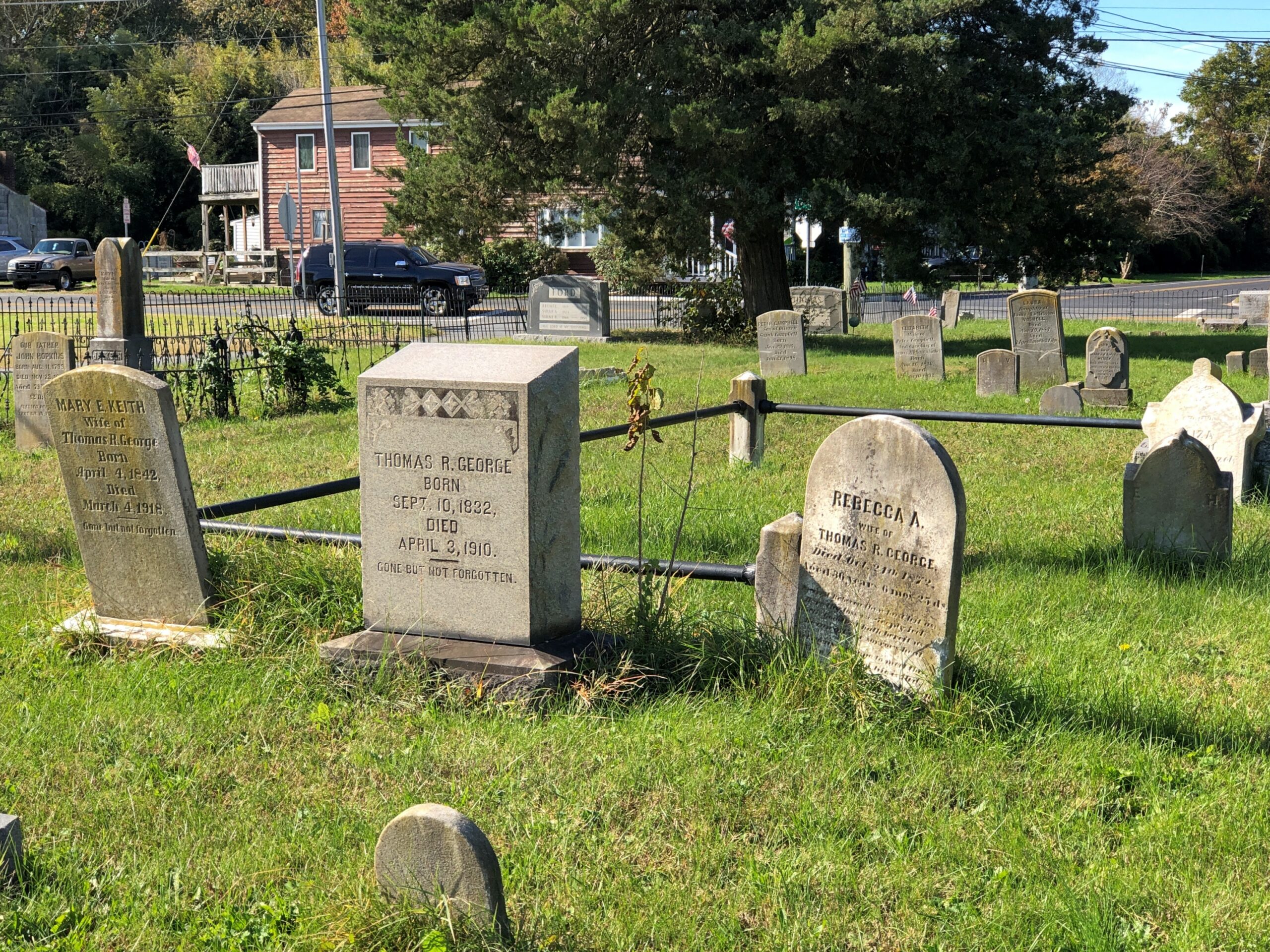
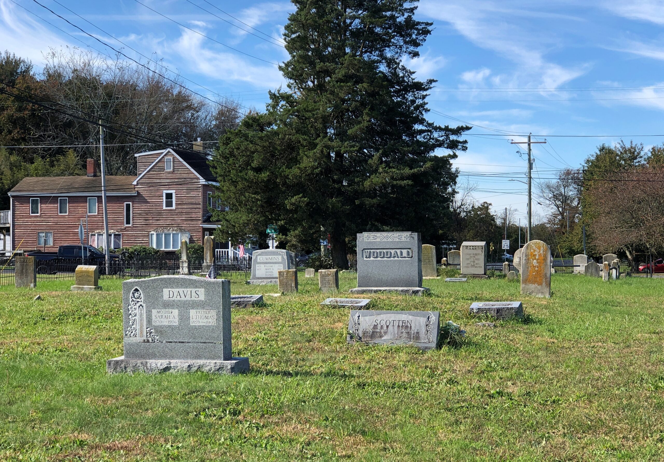
One of the few towns along Delaware 9 is Leipsic, pop. 178. I might not have stopped but for the cemetery, one so obscure that Google Maps doesn’t have a name for it, and I didn’t see evidence of a name on the ground either.

Leipsic, Delaware
Leipsic, Delaware

Leipsic Cemetery, perhaps. Whatever the name, it has clearly been a burial ground for a long time.

Leipsic, Delaware
Leipsic, Delaware
Leipsic, Delaware

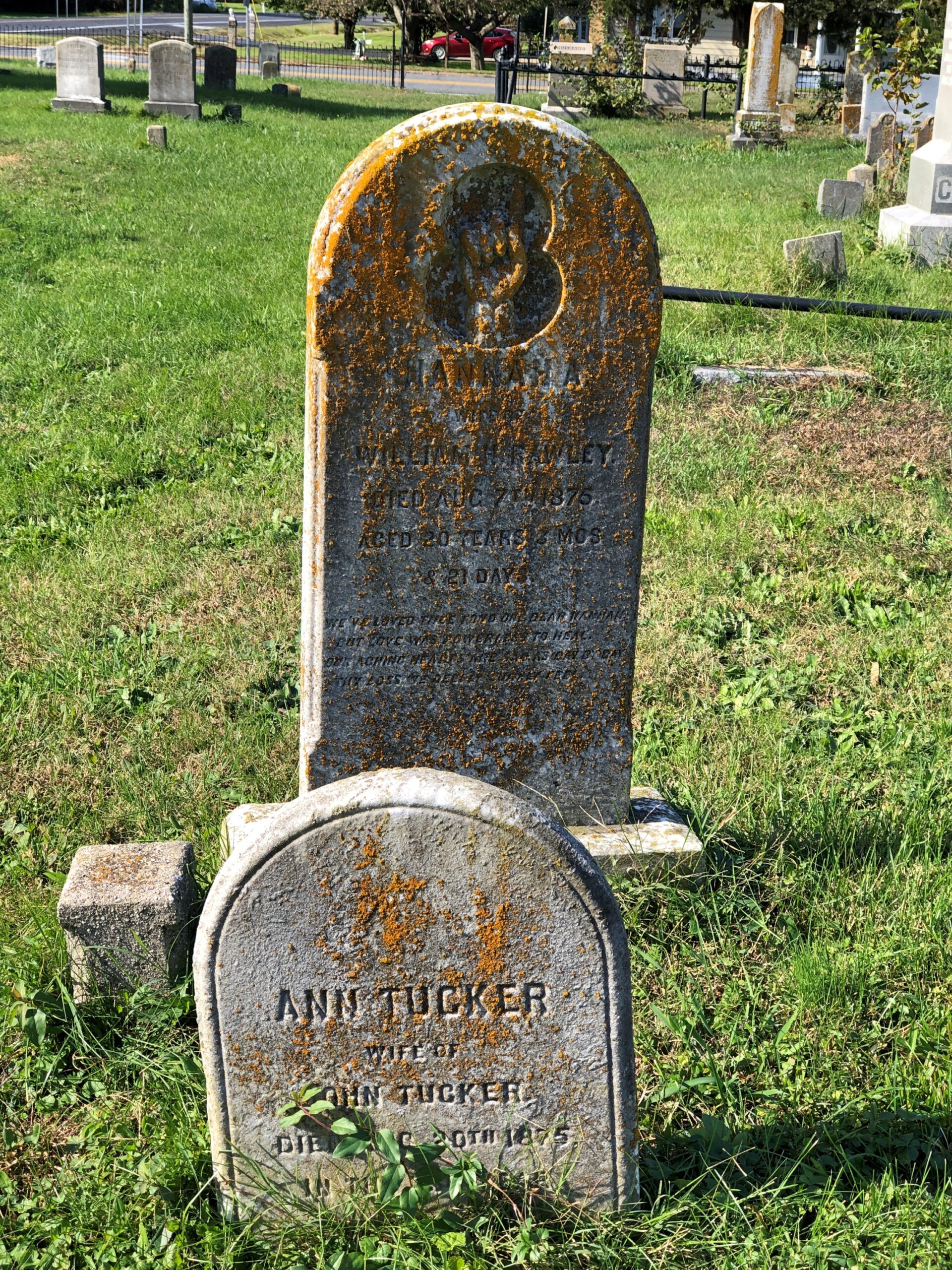
With the sort of heartbreakers you find in cemeteries of this vintage.

Leipsic, Delaware

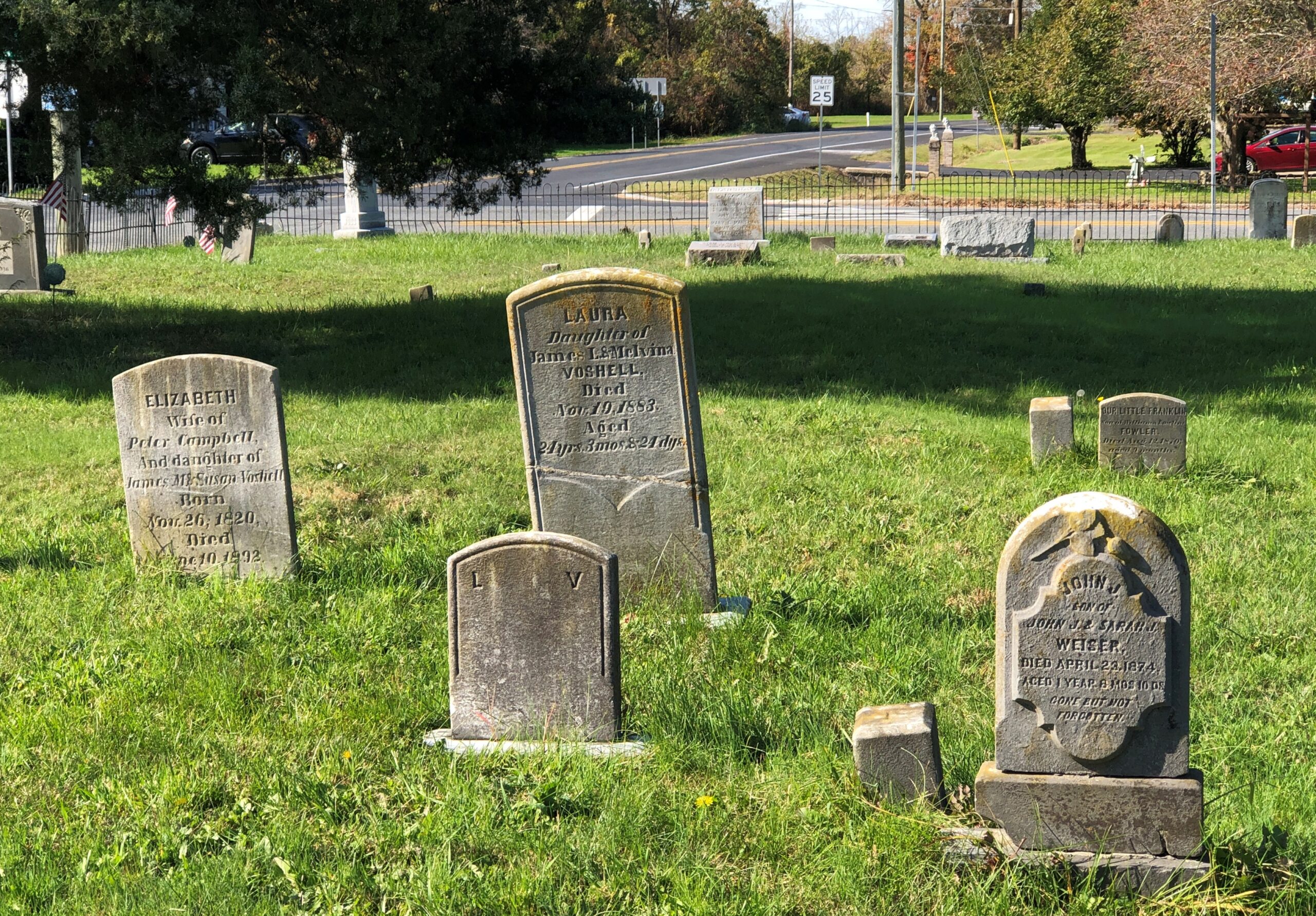
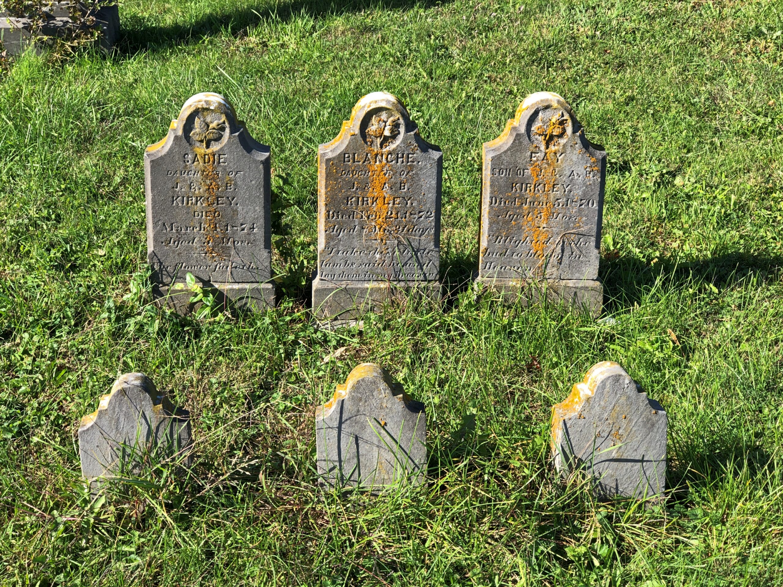
Three children, same family, buried in the same decade in the 19th century.

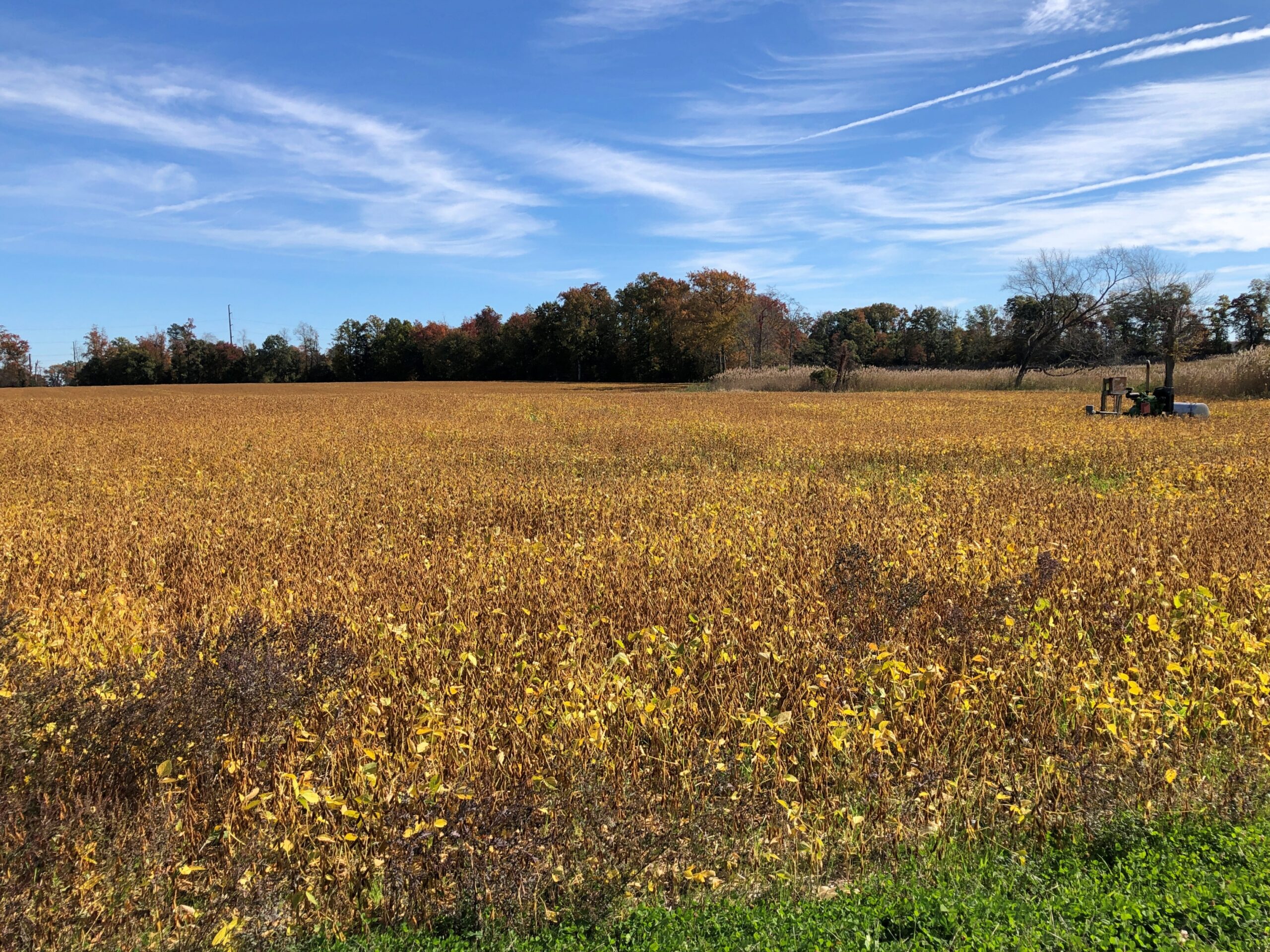
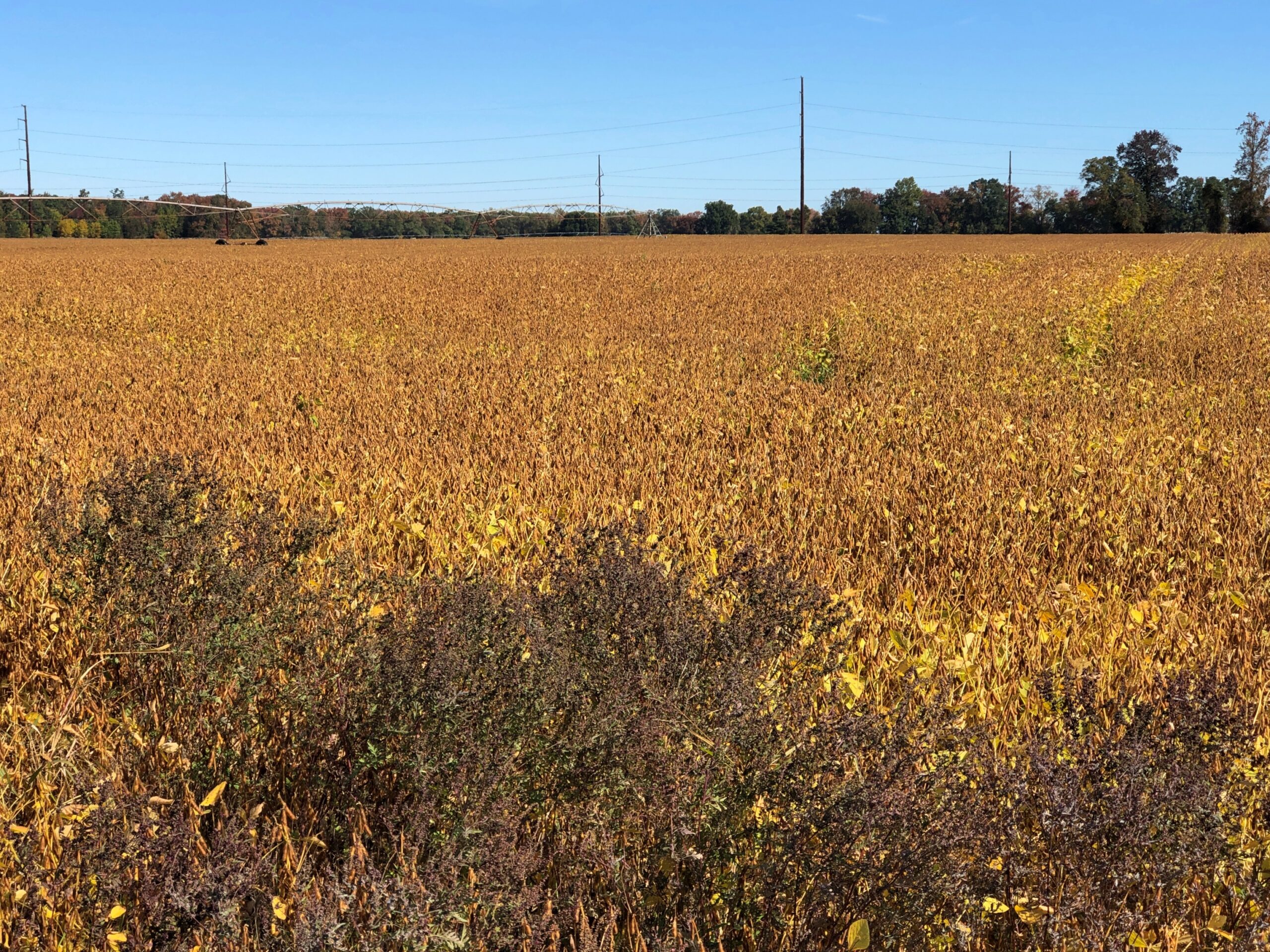
The road passes mostly through farmland, though woods and the western edge of Bombay Hook National Wildlife Refuge also mark its course. Delaware’s main crops are corn and soybeans, and I’m pretty sure I was in time to see the soybean leaves changing their color. Quite a sight.

Delaware 9

You’d think I’d have seen that in Illinois or Indiana or any of the other states chock-a-block with soybeans, but I wasn’t sure I had. Driving on a two-lane road, you’re practically driving through the color, as opposed to the distance of a four-lane highway.

Corn and soy may be the main plant crops in Delaware, but the main livestock is chickens. Some 276,700,000 head of chickens were raised in Delaware in 2024, according to the USDA. That’s an impressive number, considering how small Delaware is: almost the same number as in much larger states such as Tennessee, Kentucky or Missouri. I’m not going to crunch the numbers (I have a life to live), but I’ll bet per square unit of territory, Delaware is the nation’s chicken champ.

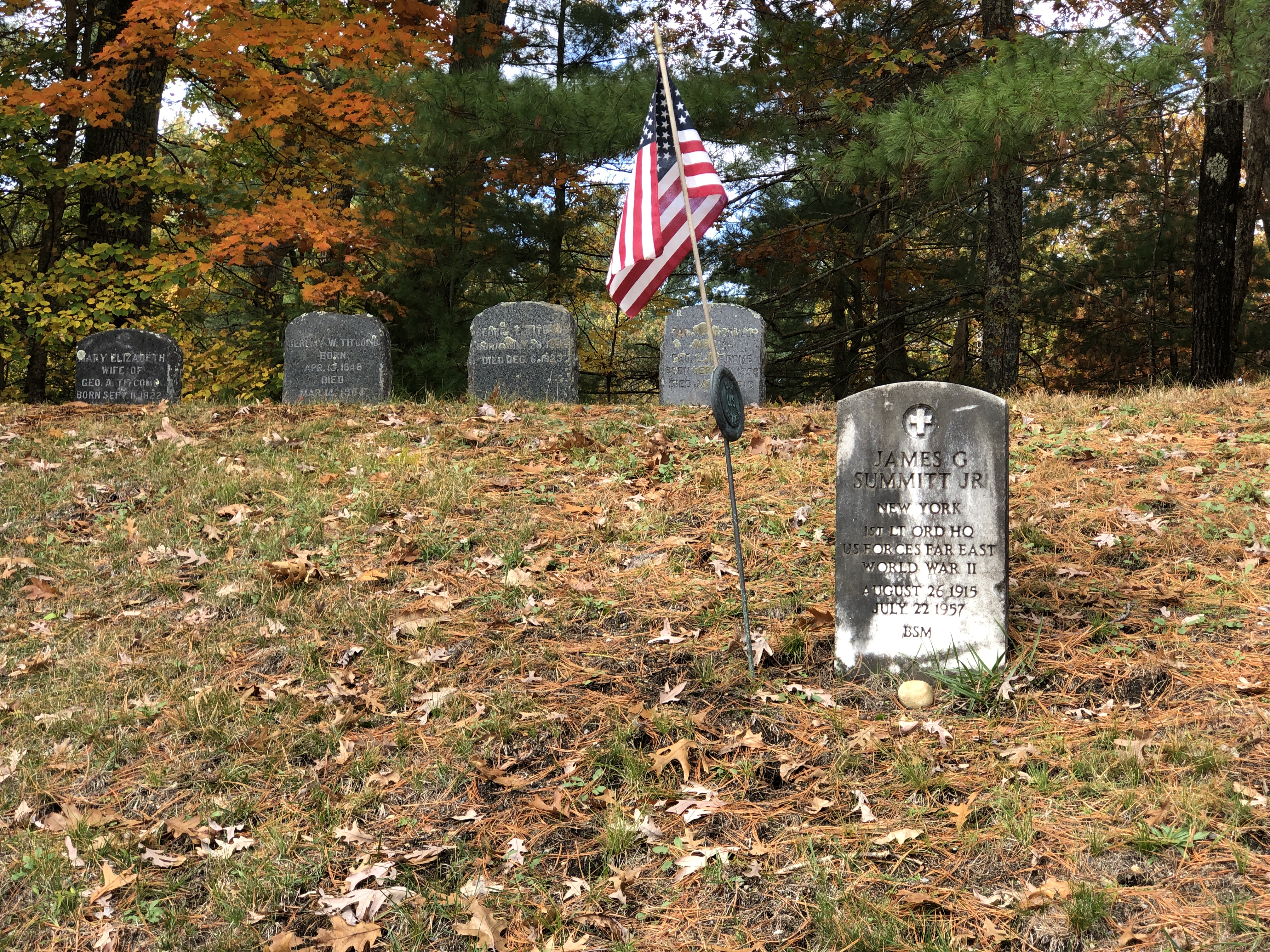
Sleepy Hollow Cemetery, Concord

Concord naturally follows Lexington. That’s just the way it is. I made the short hop between Lexington and Concord on the morning of October 23, ahead of the day’s ultimate destination in Rhode Island. The first thing I needed to know was the status of the men’s room at the Concord Visitor Center, there on Main Street. I’m glad to report I didn’t run into any “closed for the season” nonsense.

I can also report that the South Burying Place is half a block away, an irregular slice of land wedged between Main, a side street, and some basic apartments.

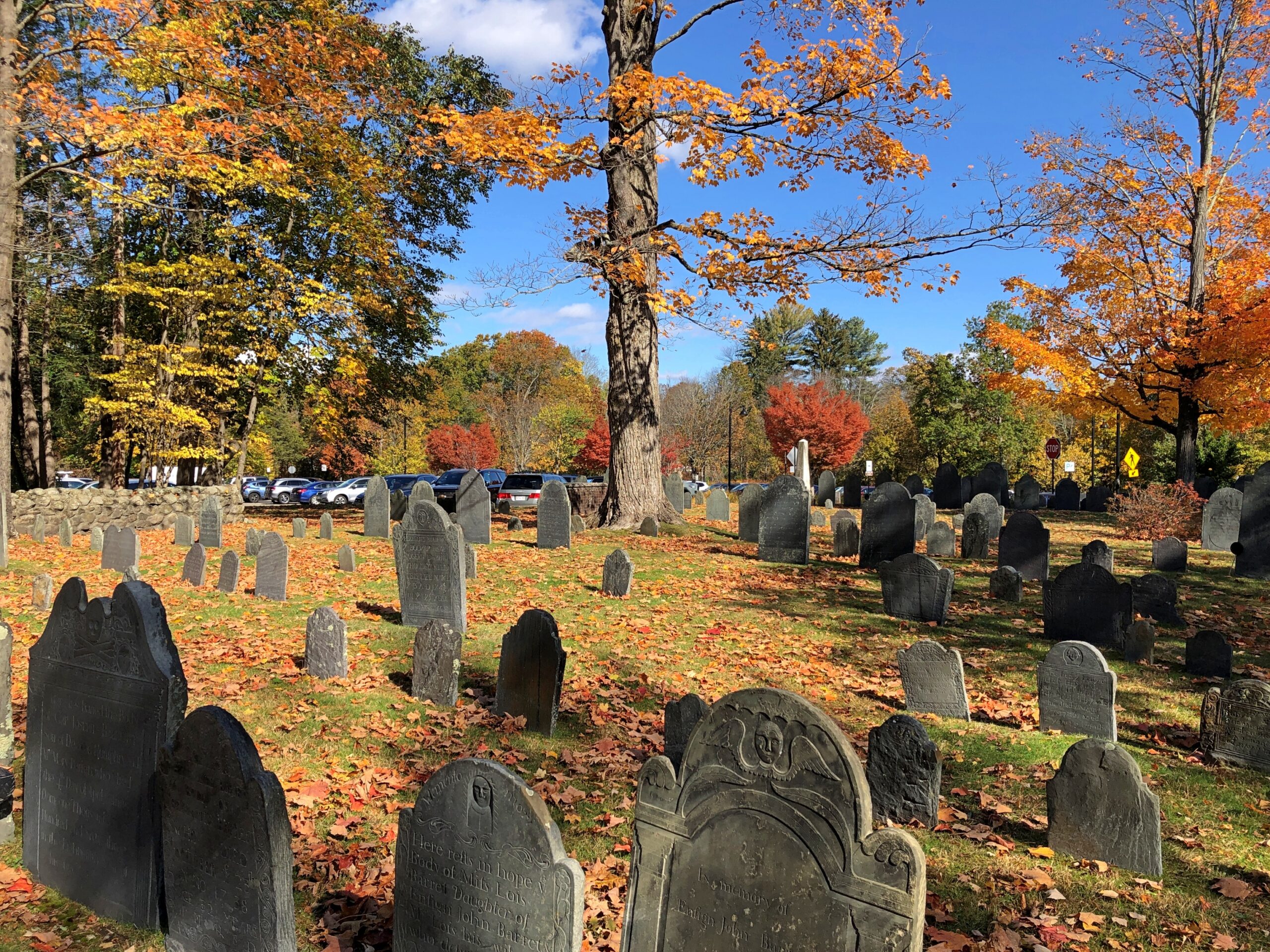
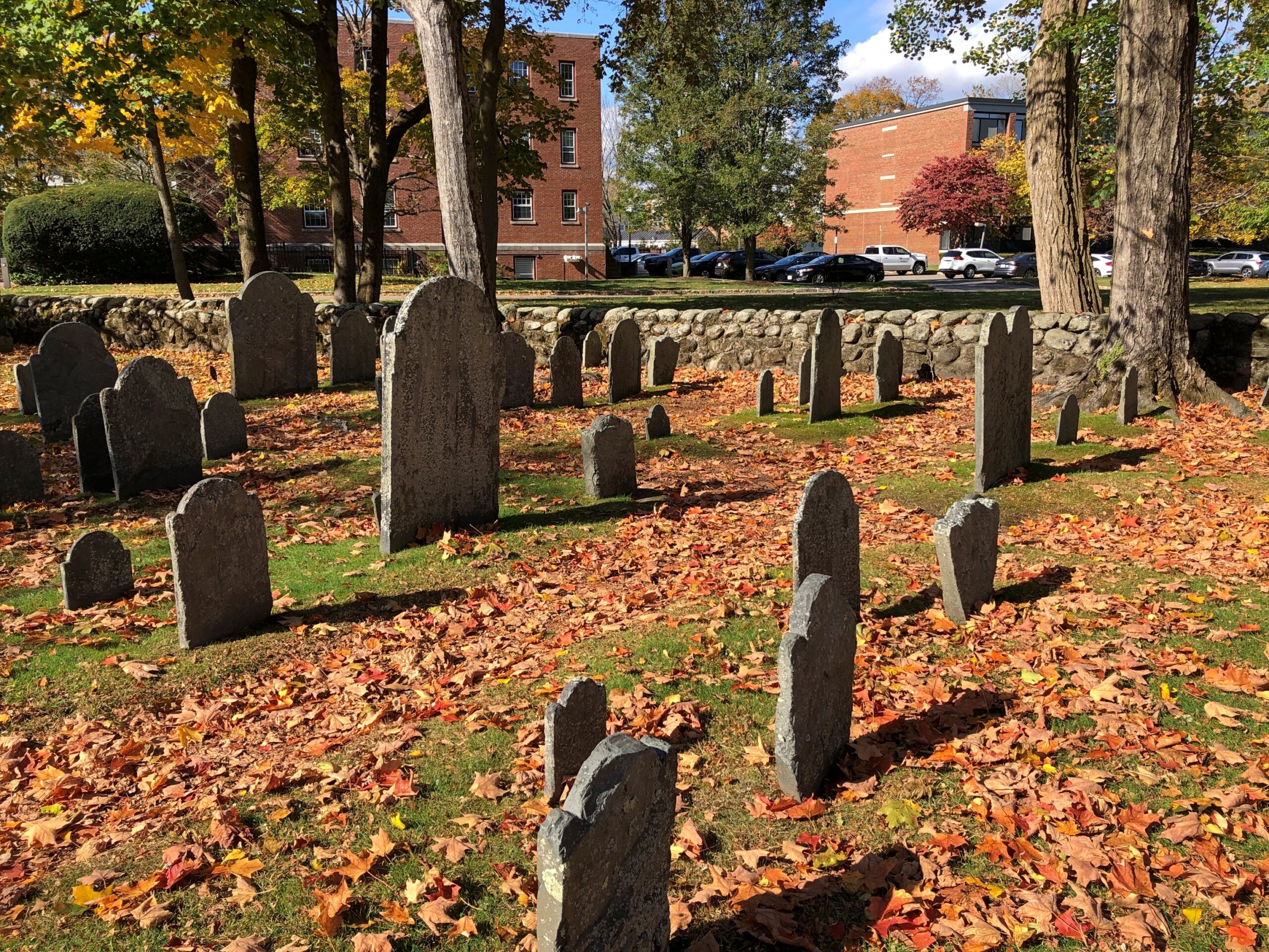
South Burying Place
South Burying Place

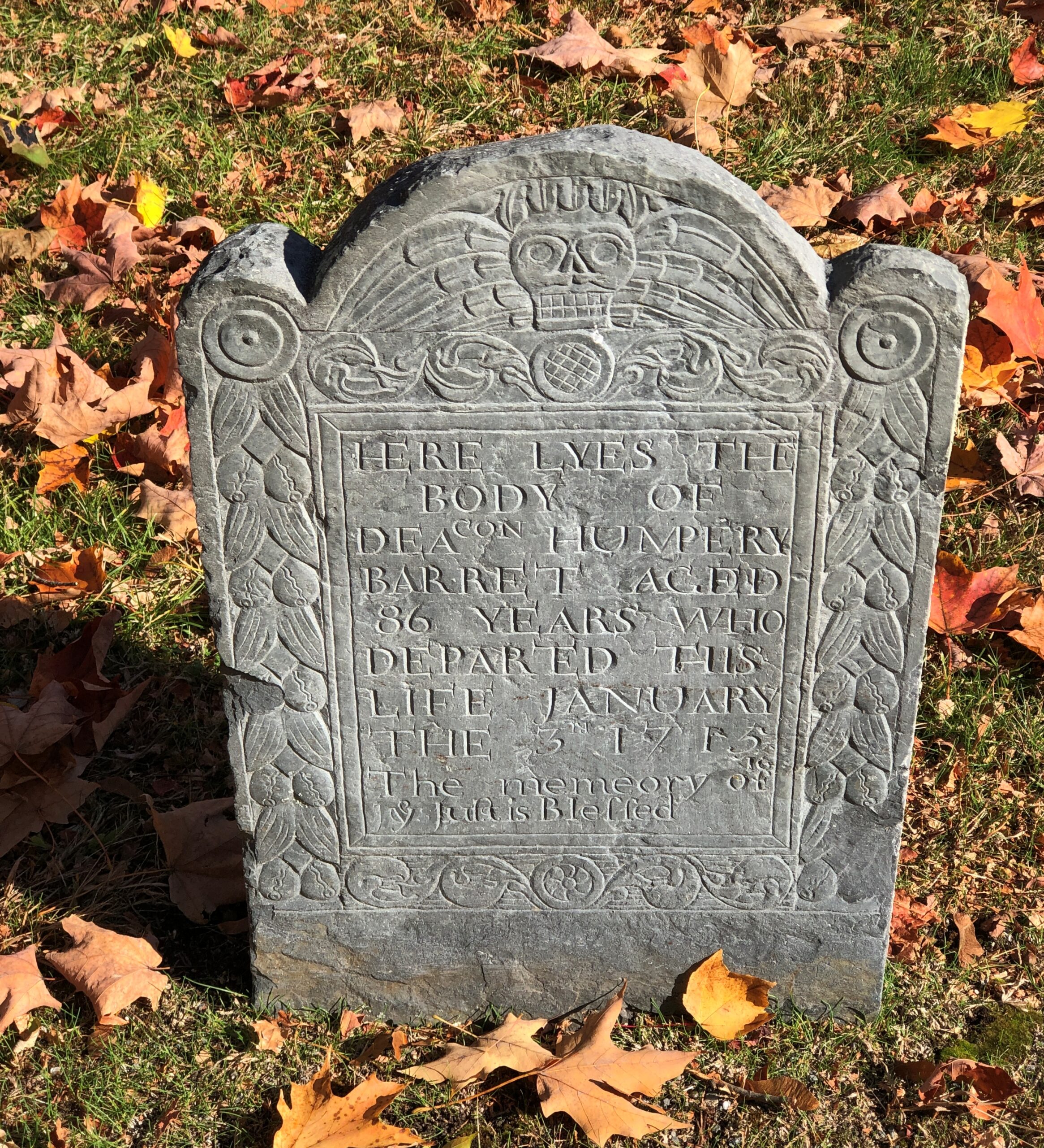
Notably similar in style to Lexington, and why would they be any different?

South Burying Place
South Burying Place

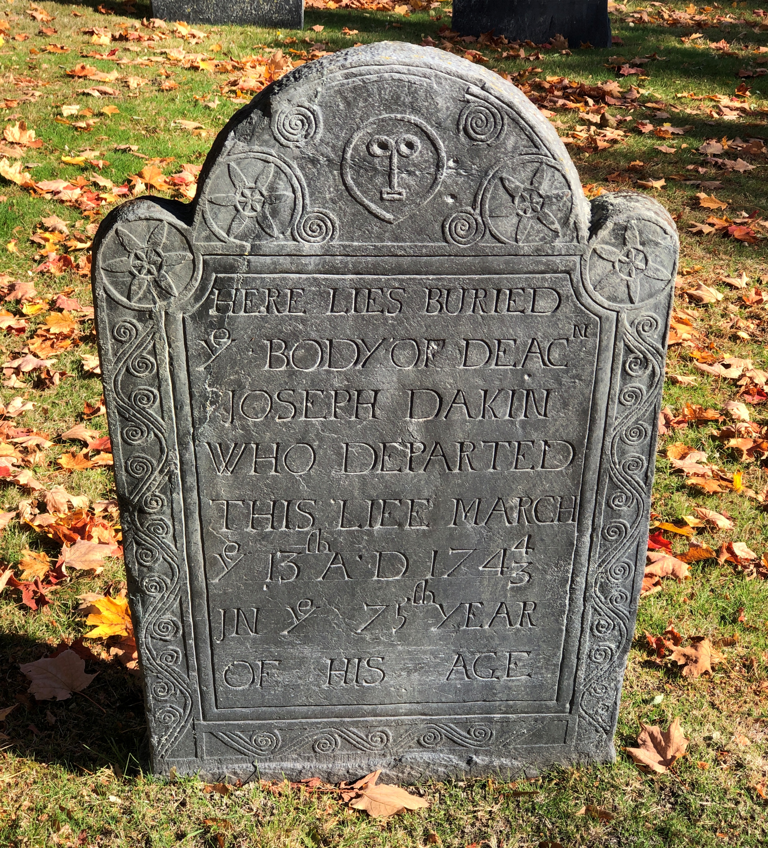
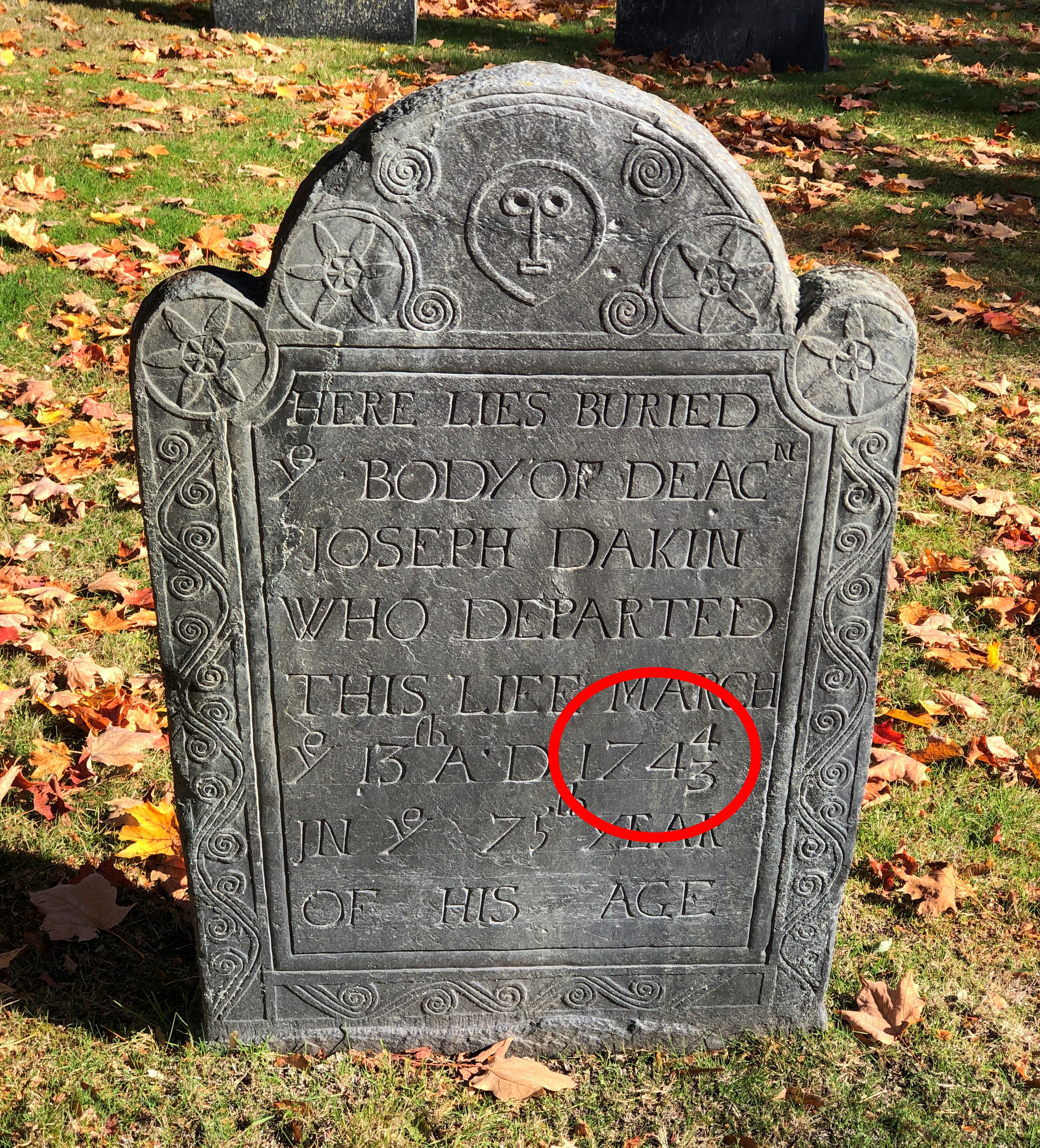
One detail on the latter stone caught my attention. It took me a few minutes to work it out.

South Burying Place

Deacon Joseph Dakin happened to depart this life on March 13, 1744/3. Ahead of the British switch to the Gregorian calendar in 1752, there were competing ideas of when New Year’s Day should be: January 1 or March 25. Most of the rest of Europe had gone to January by the 1740s, but England clung to its traditional date. He died March 13, 1743 by the the traditional reckoning; March 13, 1744 if January 1 is the first day of the year. Besides switching to Gregorian, the ’52 change fixed January 1 as New Year’s Day in the English-speaking world.

That’s the kind of detail that can make my day. A lagniappe of the visit. South Burying Place itself was a lagniappe to my travels that day. The cemetery I had in mind to see was Sleepy Hollow Cemetery, a short drive from Concord’s main retail street. Not to be confused with the one of the same name in New York state, though I have to say that one looks like it would be worth a visit.

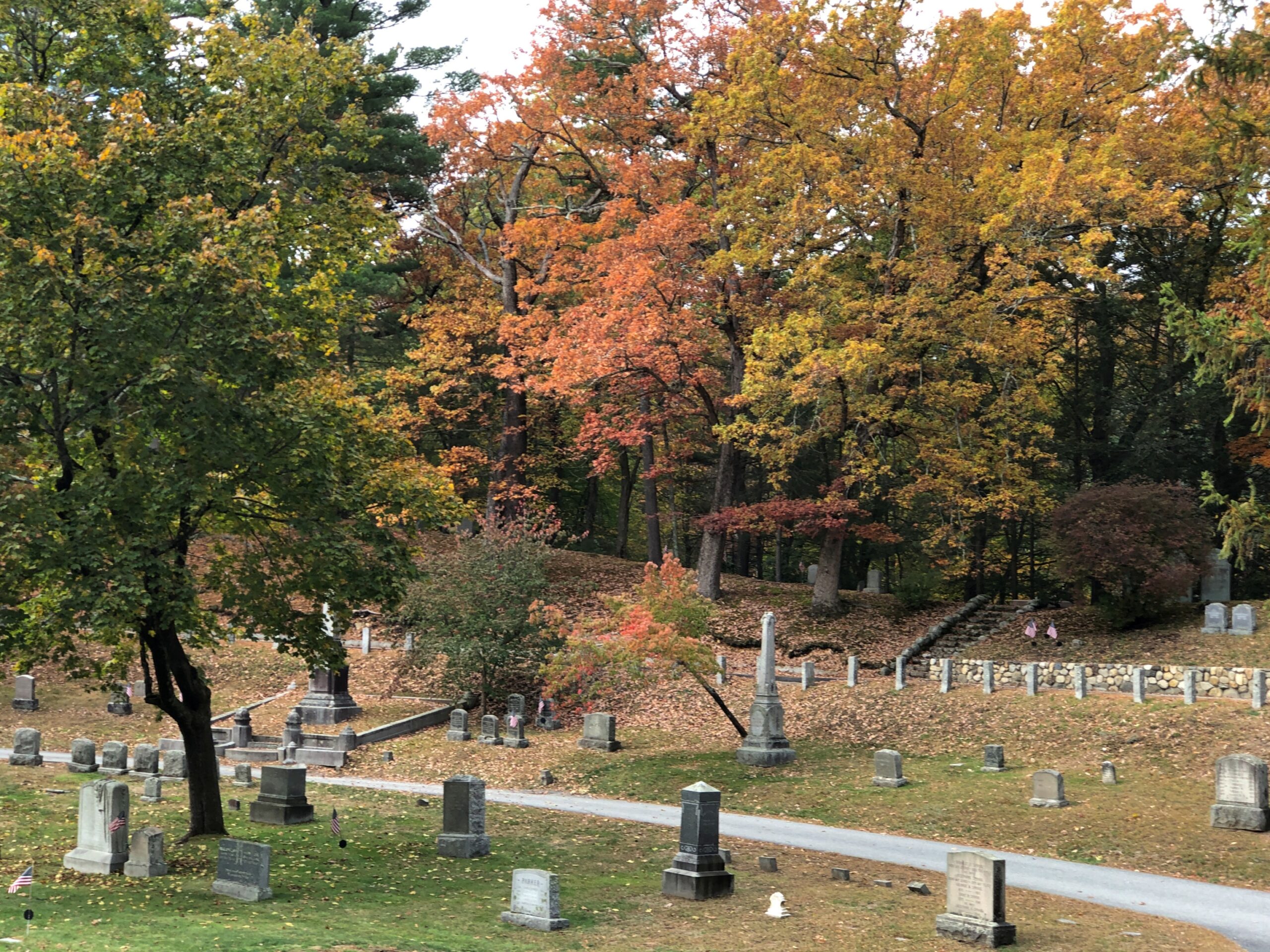
Sleepy Hollow in Massachusetts is in a wooded hollow.

Sleepy Hollow Cemetery

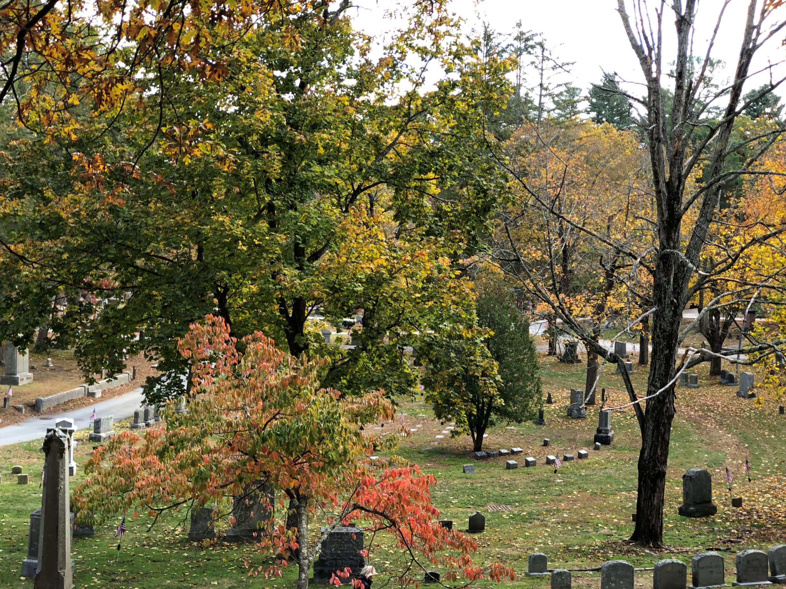
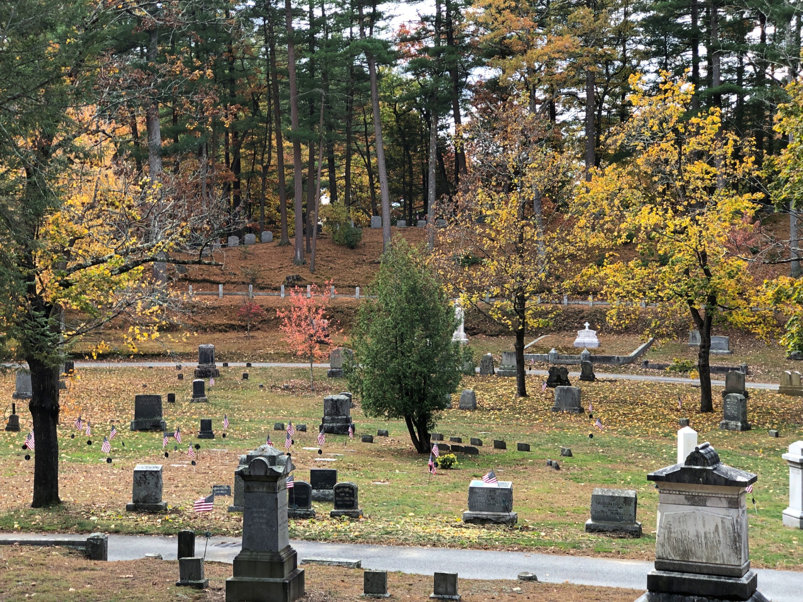
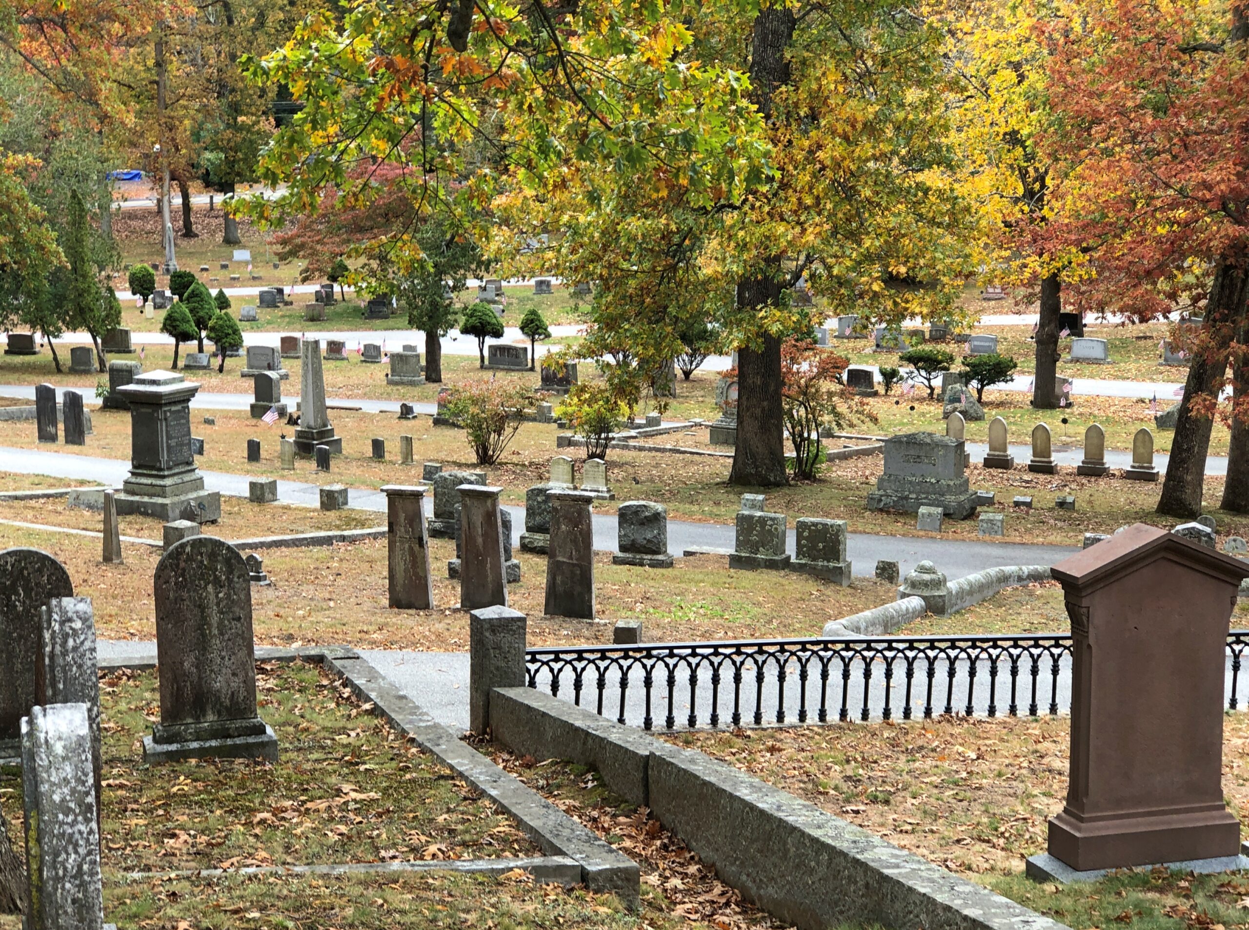
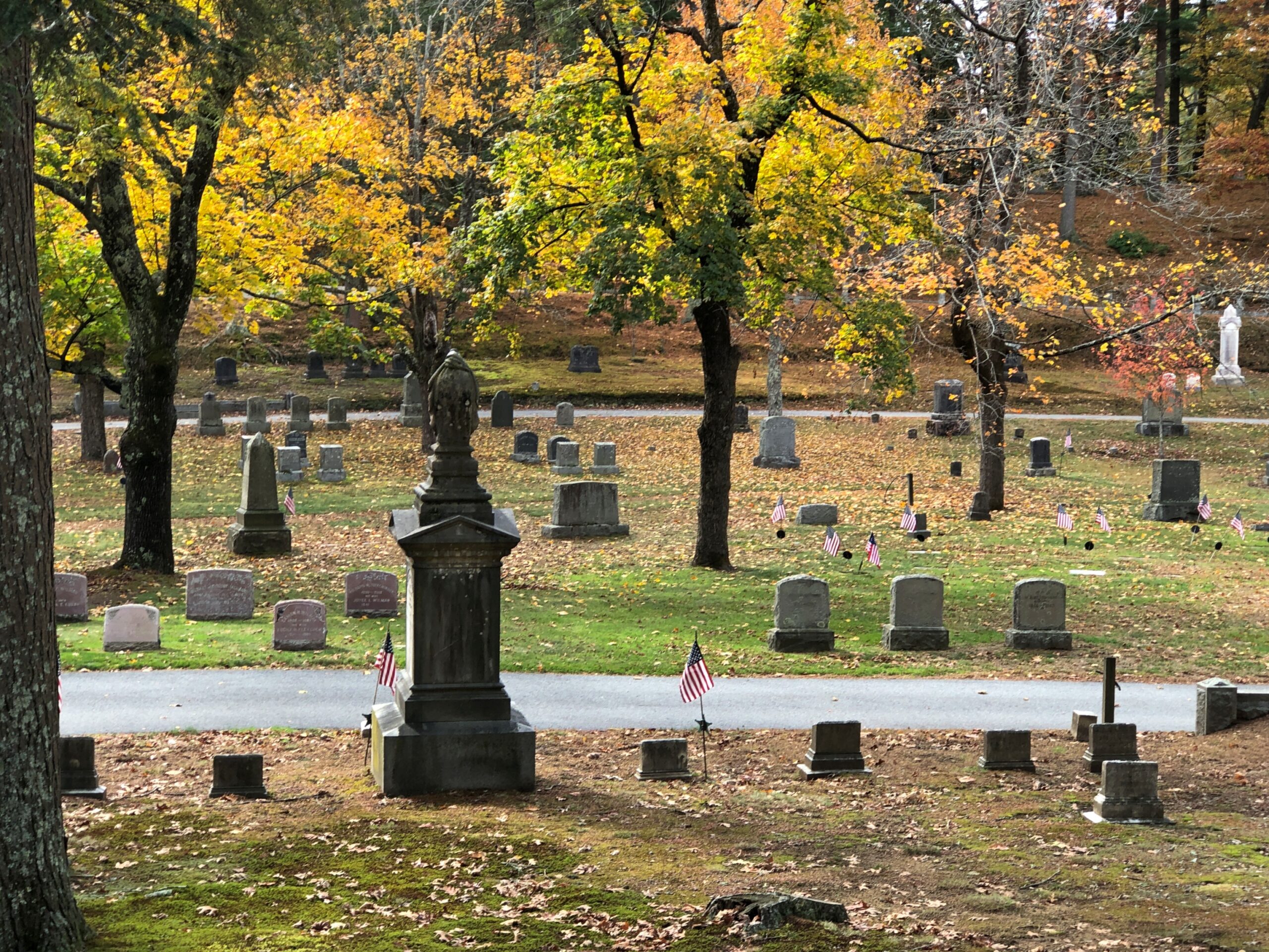
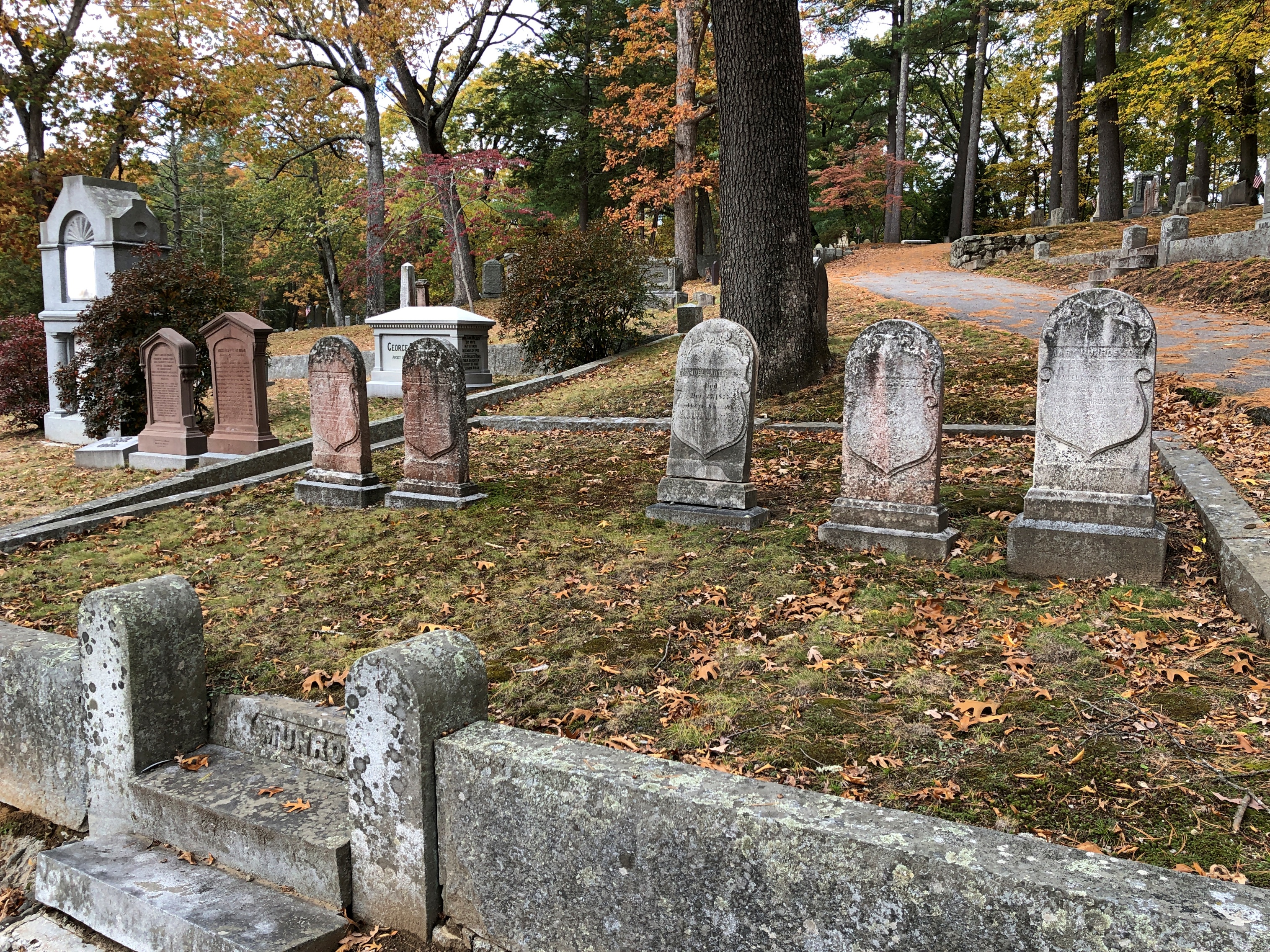
A wooded hollow. That’s a good place for a cemetery. Better yet, Sleepy Hollow is a cemetery of some age, by North American standards. Even better yet, autumn colors.

Sleepy Hollow Cemetery

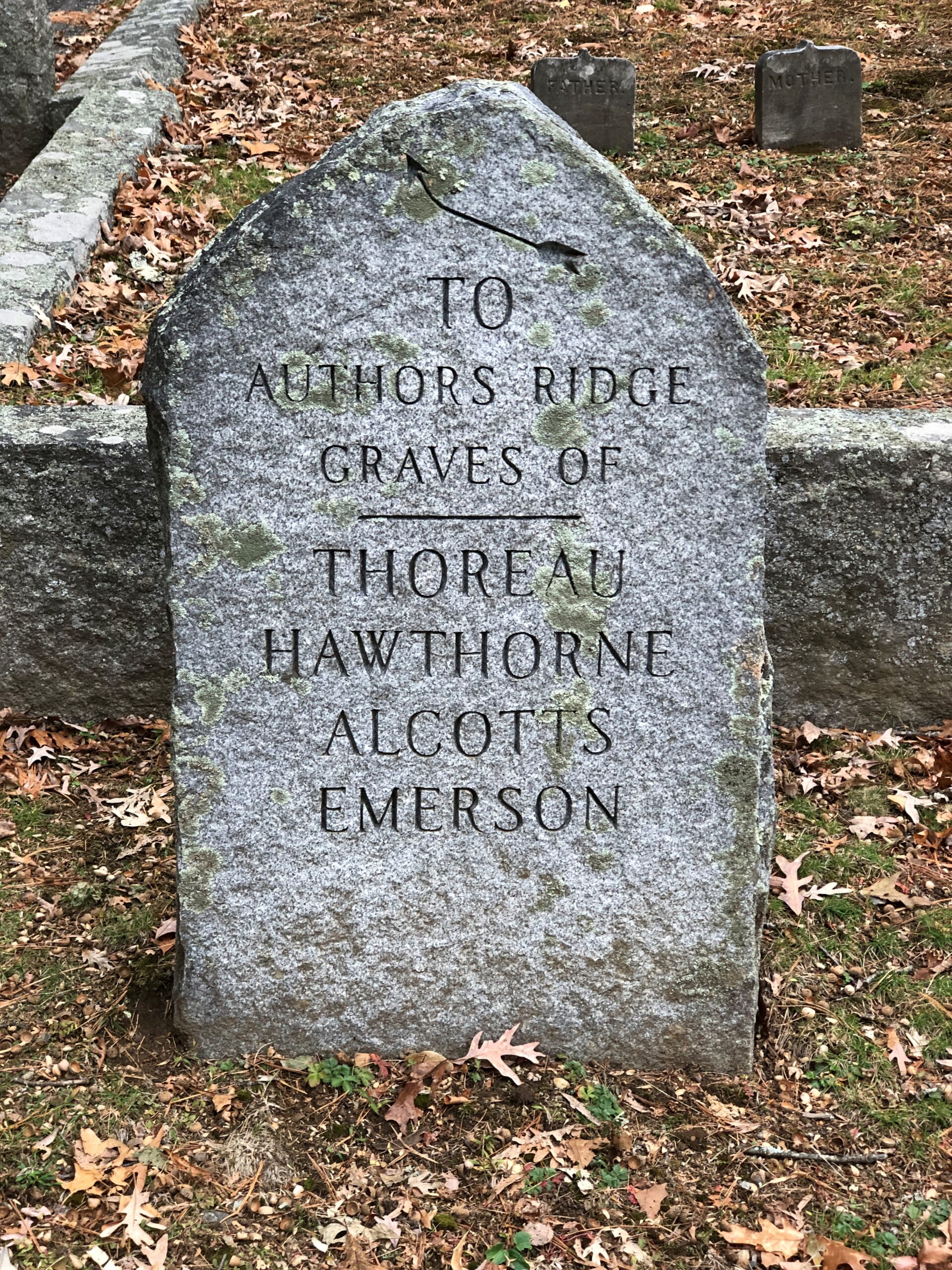
When I got there, I found I wasn’t alone among the living. A rare thing at a cemetery. A trickle of people came and went to pay their respects to a clutch of famed authors who are buried at Sleepy Hollow. They’re up on Authors Ridge. The cemetery thoughtfully built a small parking lot at the base of the ridge, to facilitate that trickle of literary pilgrims.
Sleepy Hollow Cemetery

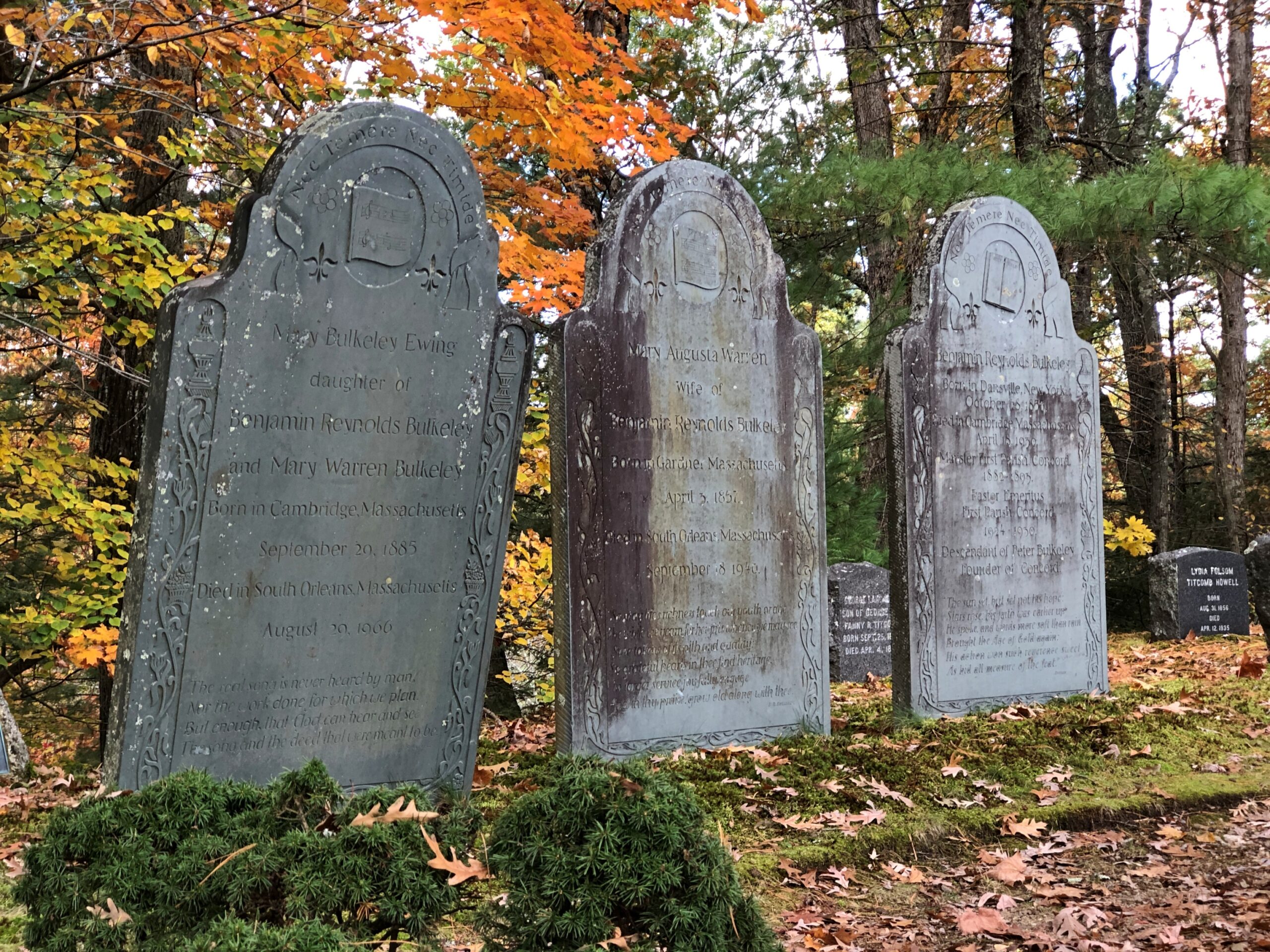
A path from the lot leads upward. At the crest of the ridge, the authors are found with other family members. In alphabetical order:

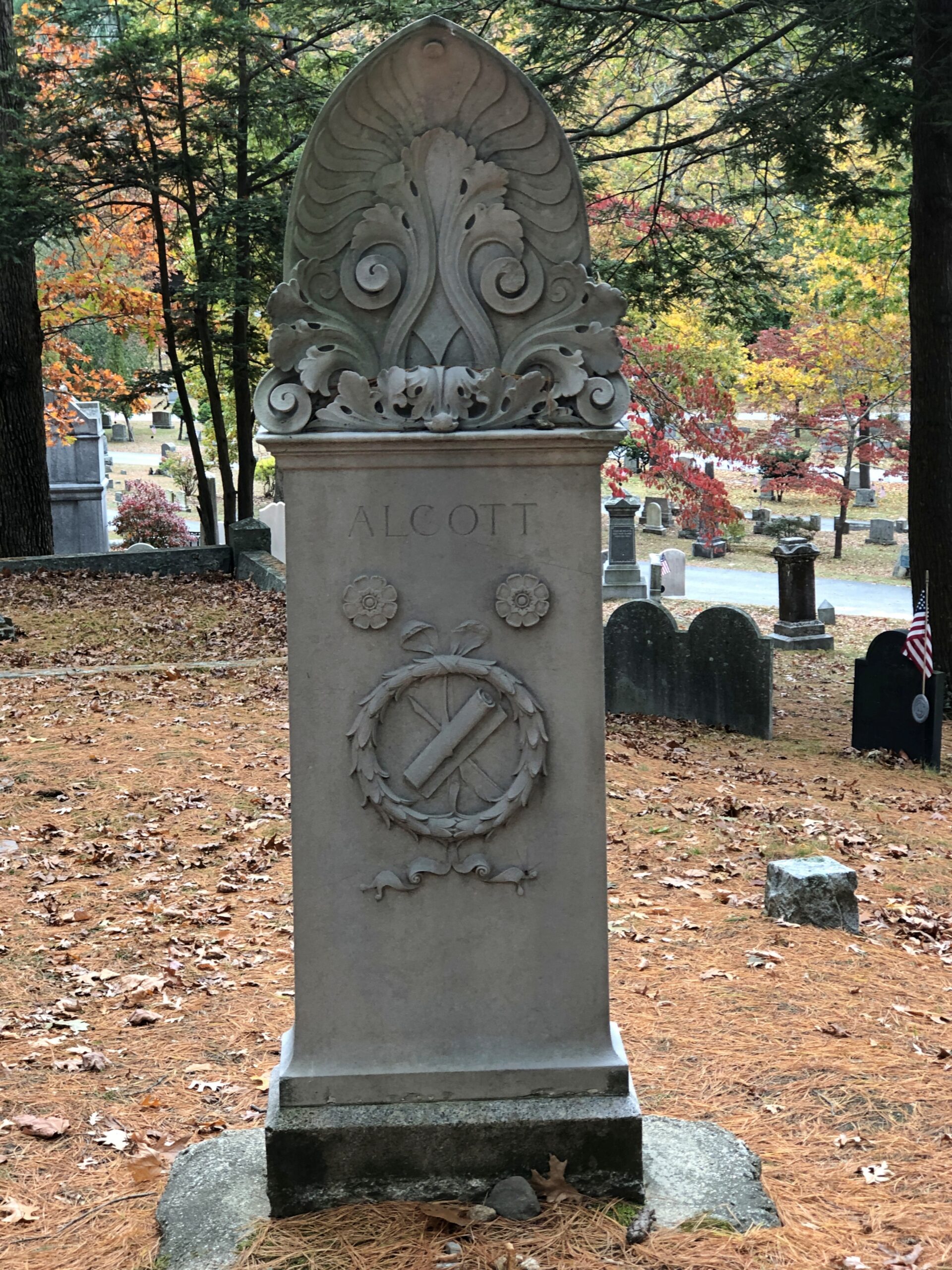
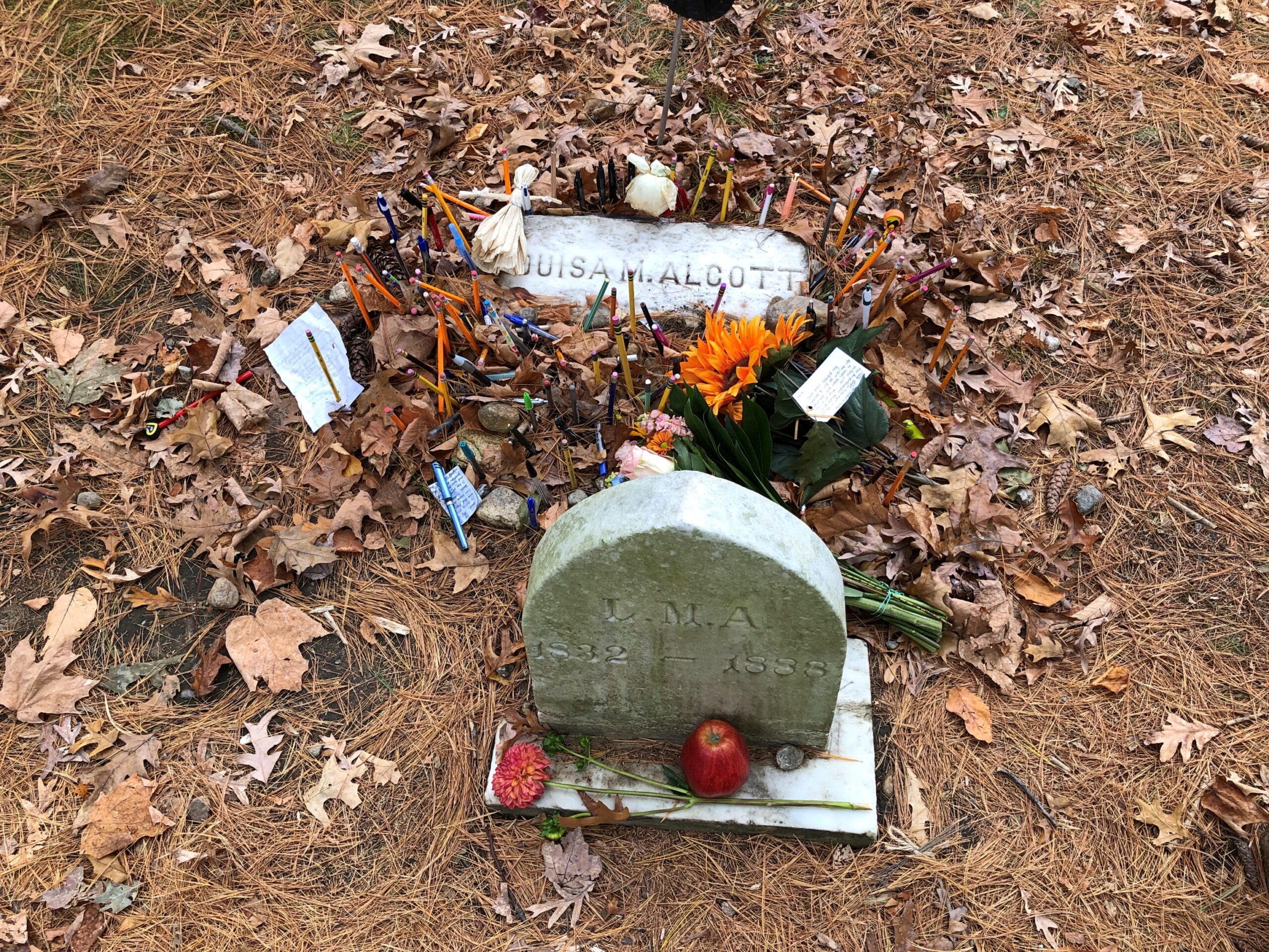
Louisa May Alcott.

Sleepy Hollow Cemetery

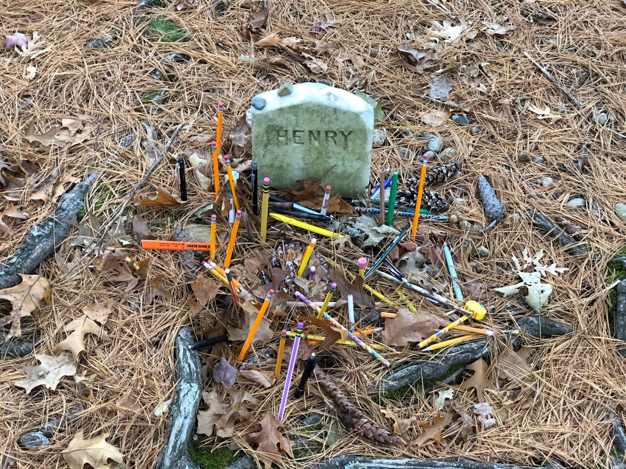
Here visitors don’t leave stones or small coins, but pencils, pens and paper. She wasn’t the only one to attract writing instruments.

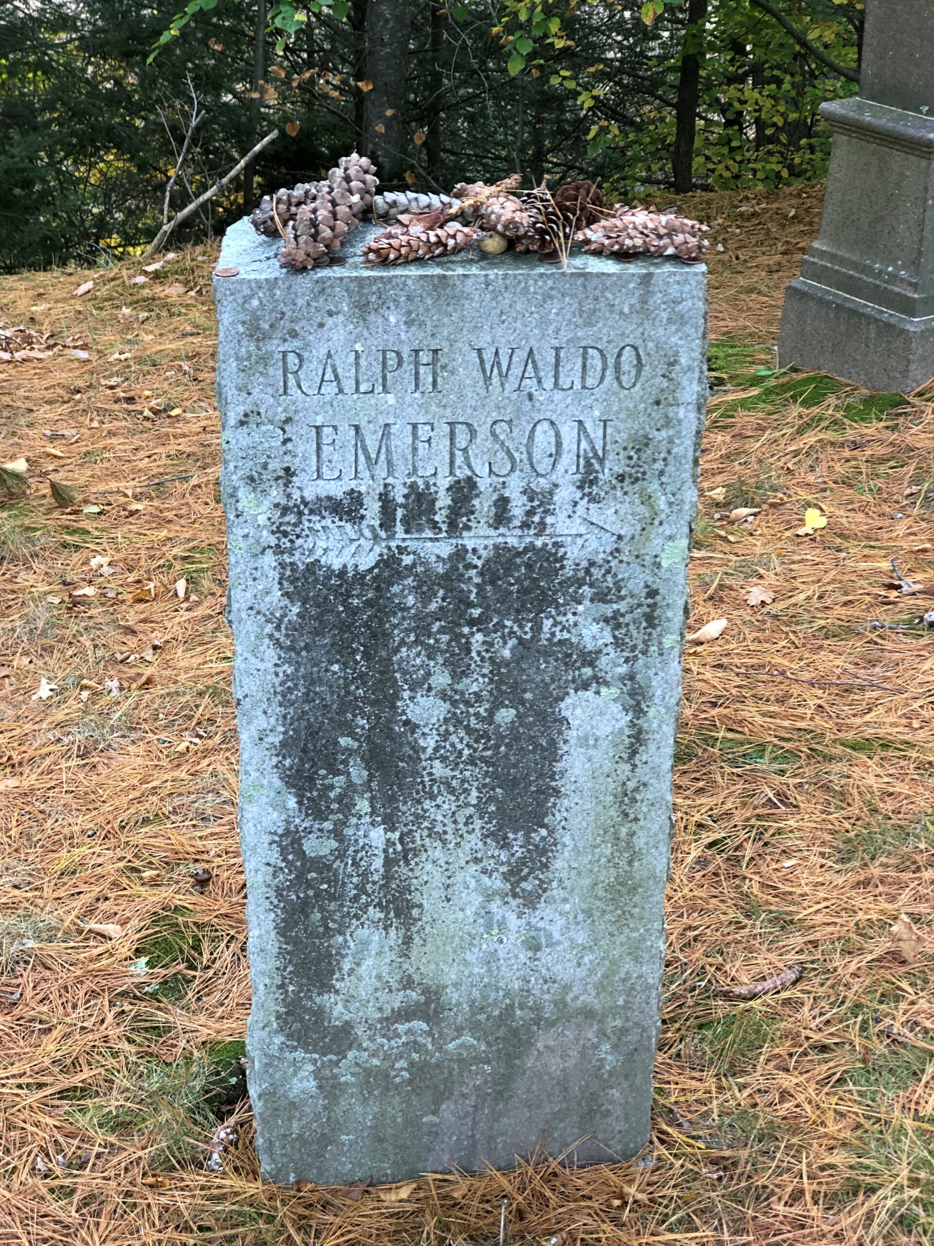
Ralph Waldo Emerson.

Sleepy Hollow Cemetery

Where’s Waldo? Right there. Interesting that his memory attracted pine cones.

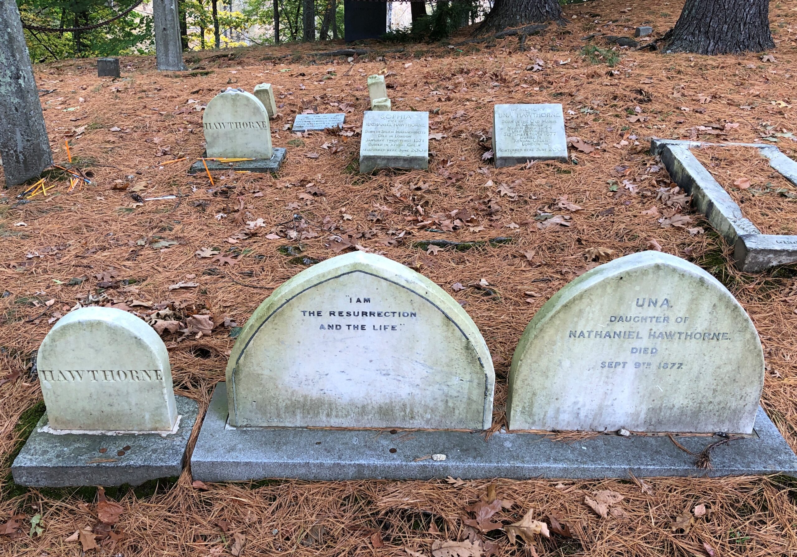
Nathaniel Hawthorne.

Sleepy Hollow Cemetery

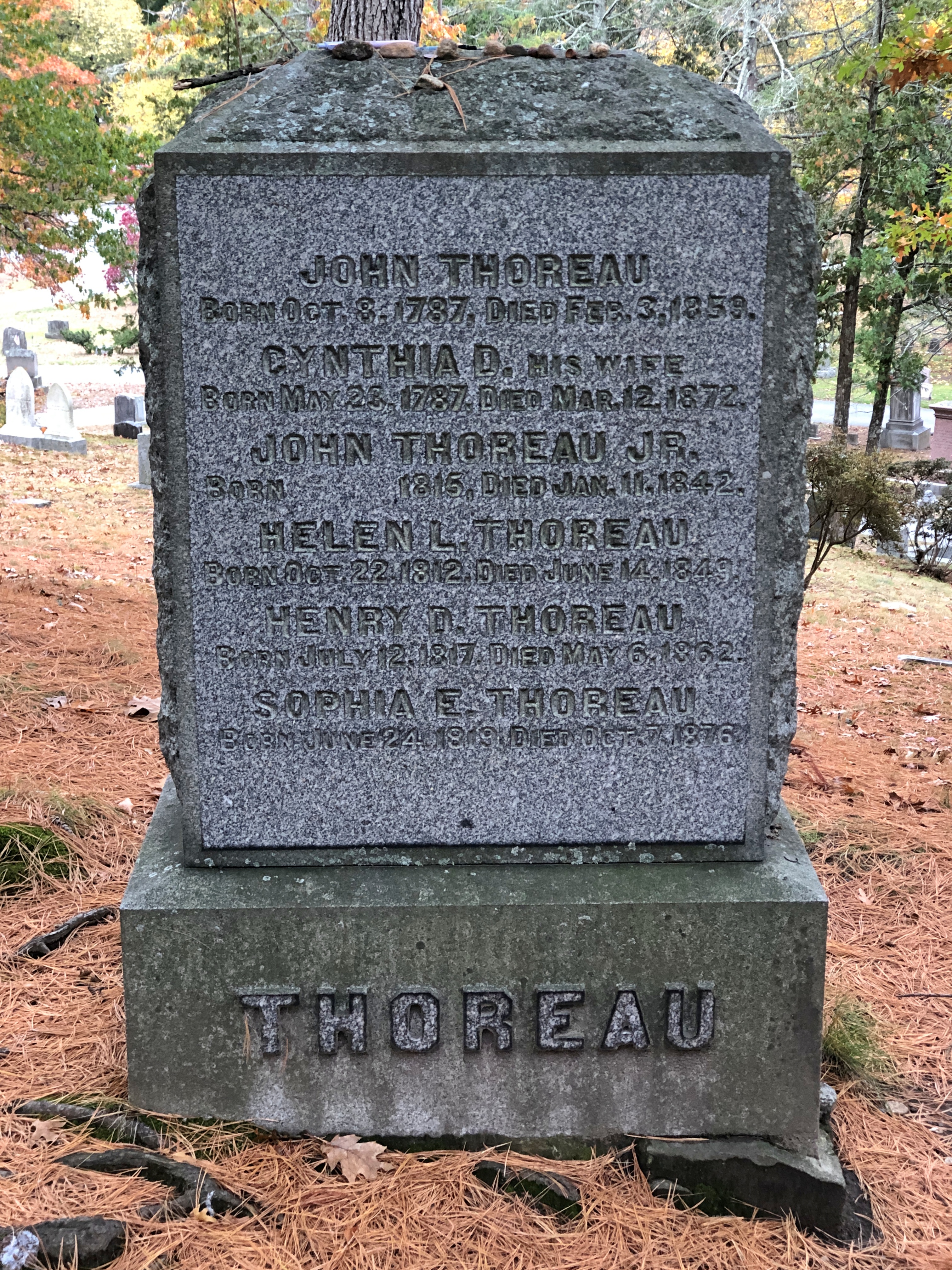
Henry David Thoreau.

Sleepy Hollow Cemetery

When I parked at the small lot, I noticed a group of four girls, college students would be my guess, heading up the path to Authors Ridge. I waited a few minutes in my car, since I didn’t want to interrupt their pilgrimage. Also, I wanted the ridge to myself, if possible. I guessed they wouldn’t be long, and soon they came down the path, got in their car and left.

About an hour later, when I had finished my own cemetery stroll, I was checking my maps in the car, when a middle-woman pulled up, parked, and headed up Authors Ridge, walking her small dog. The trickle was continuing.

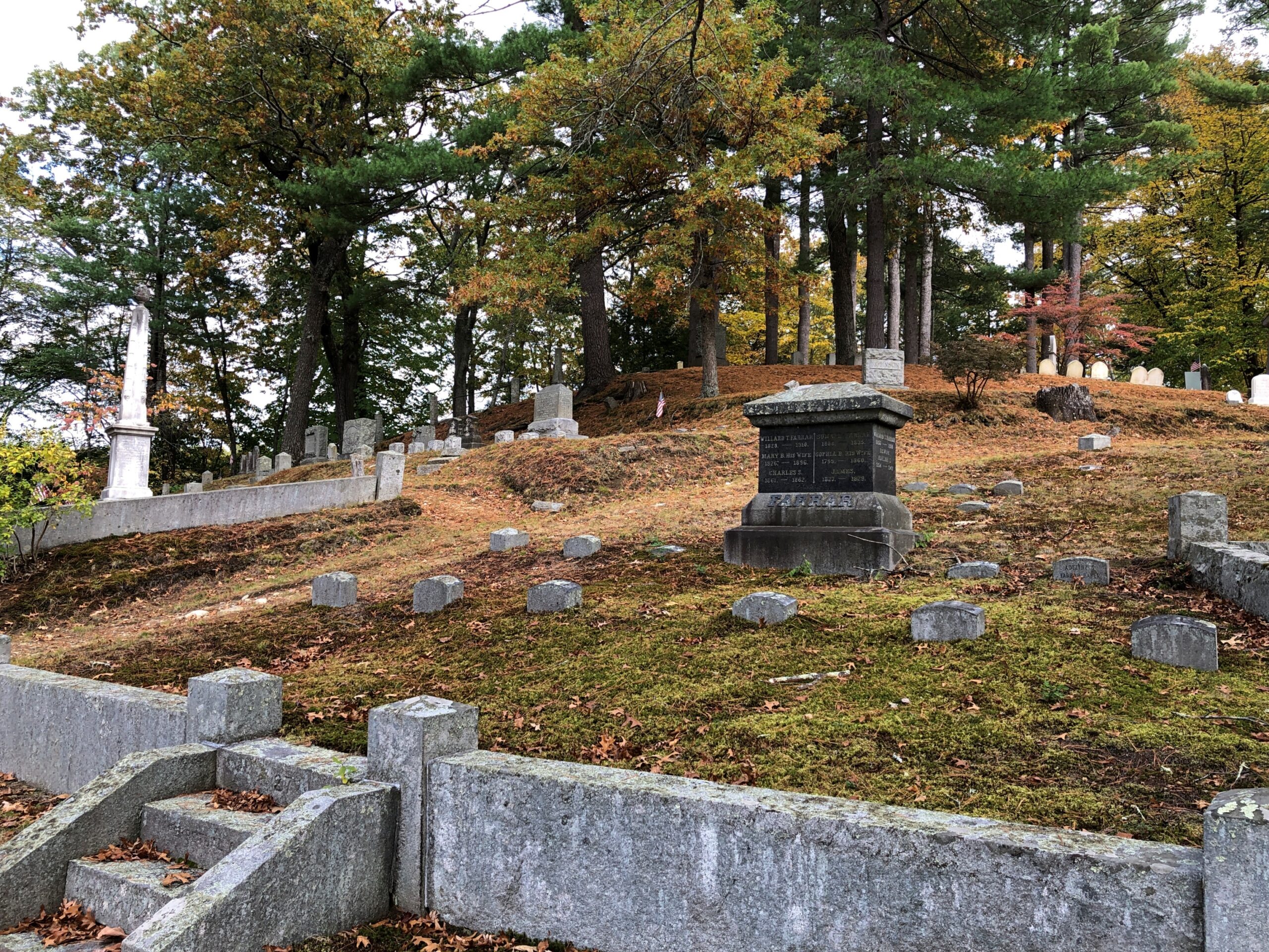
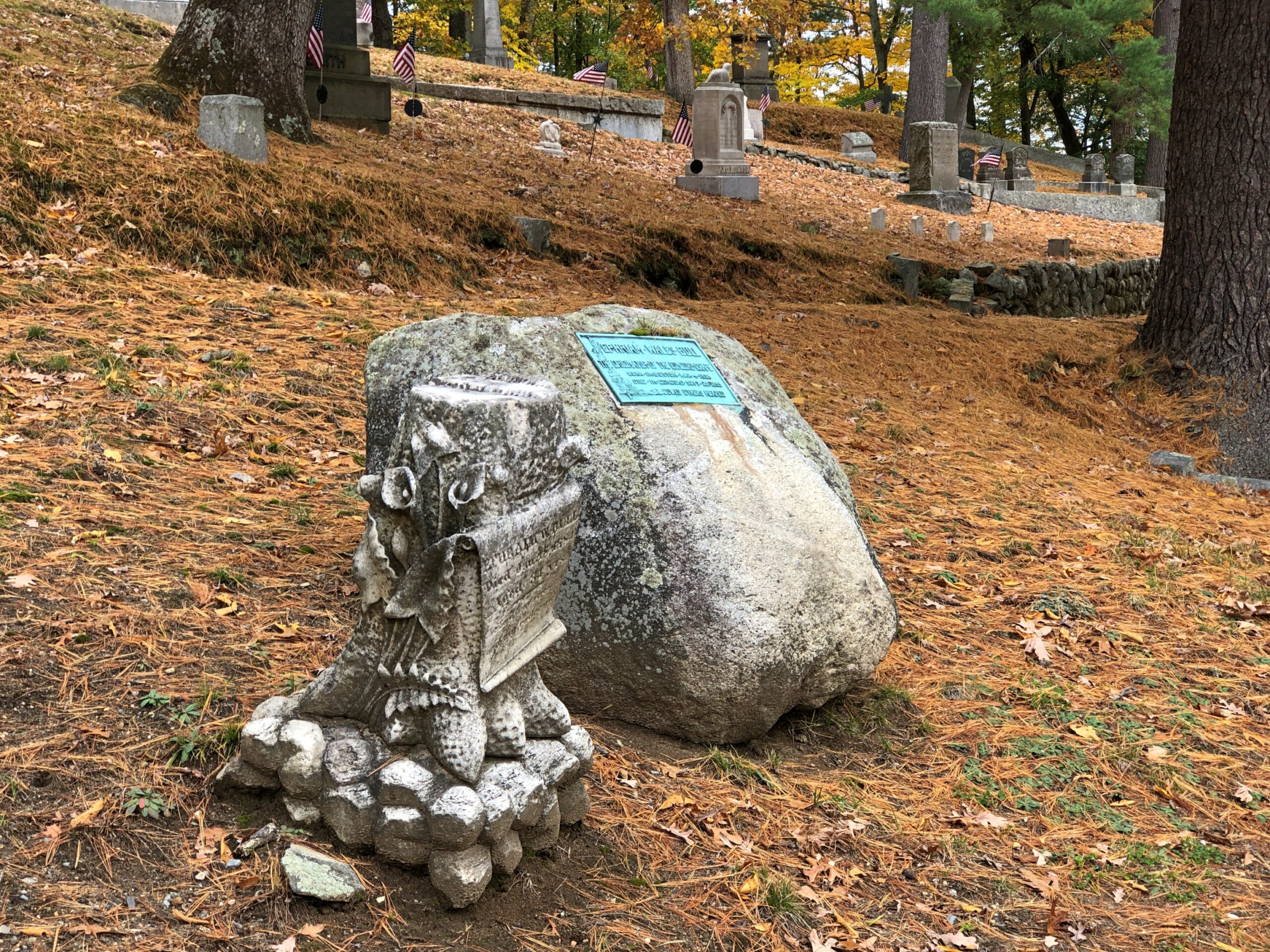
I preferred a more leisurely inspection of the authors’ stones, and the rest of the cemetery, for that matter. Such excellent contour.

Sleepy Hollow Cemetery

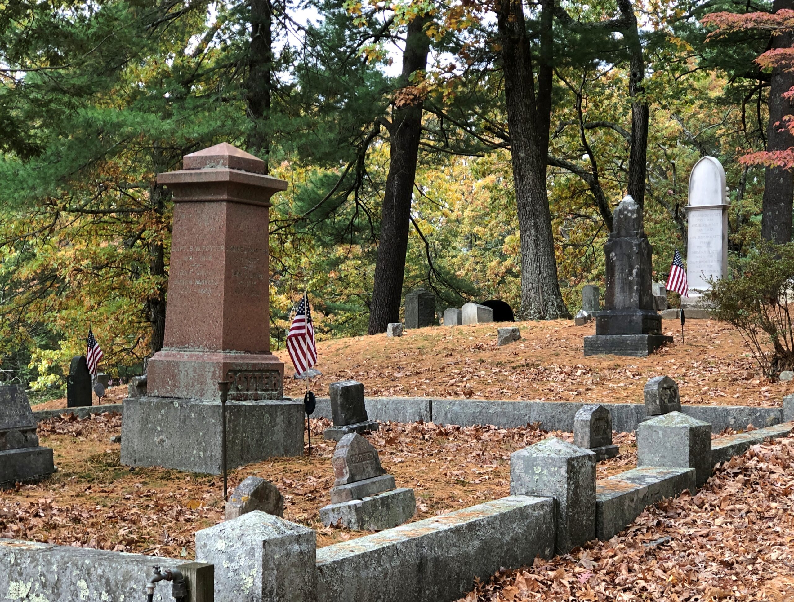
There’s also a large selection of stones for non-famous residents of this part of the world.

Sleepy Hollow Cemetery

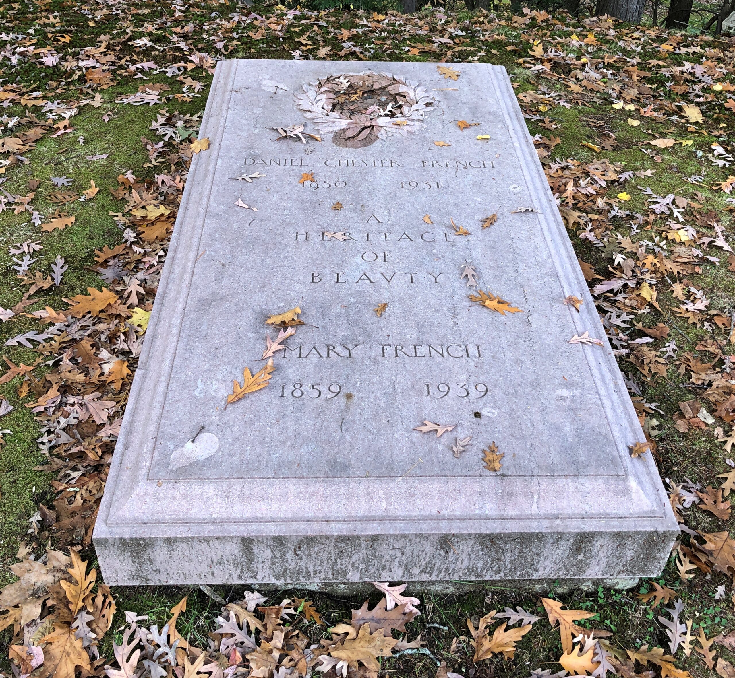
Besides, the authors aren’t the only notable burials. Here’s Daniel Chester French, sculptor of renown.

Sleepy Hollow Cemetery

If the seated Lincoln at the Lincoln Memorial was the only thing he ever did, he’d still be remembered. But of course he did a lot more. The smaller version of “The Republic,” bright gold in color and standing even now in Chicago, is one that comes to mind. So do the allegories at the Alexander Hamilton U.S. Customs House at the southern tip of Manhattan. And Gen. Oglethorpe in Savannah.

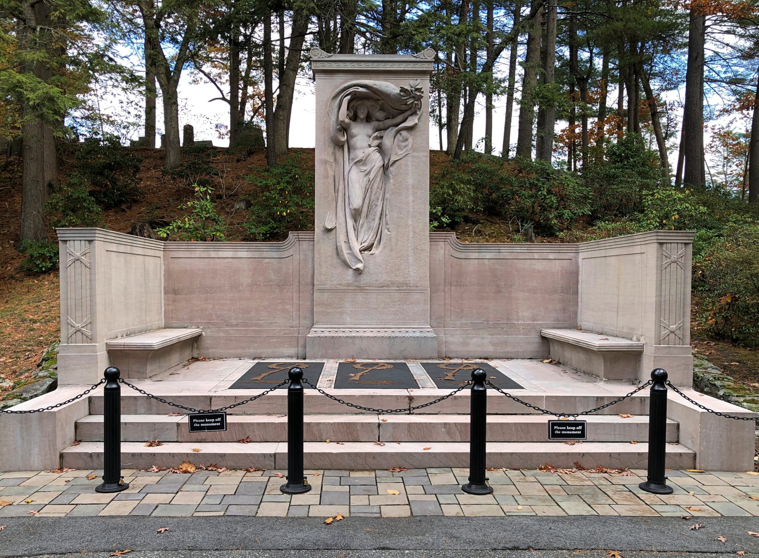
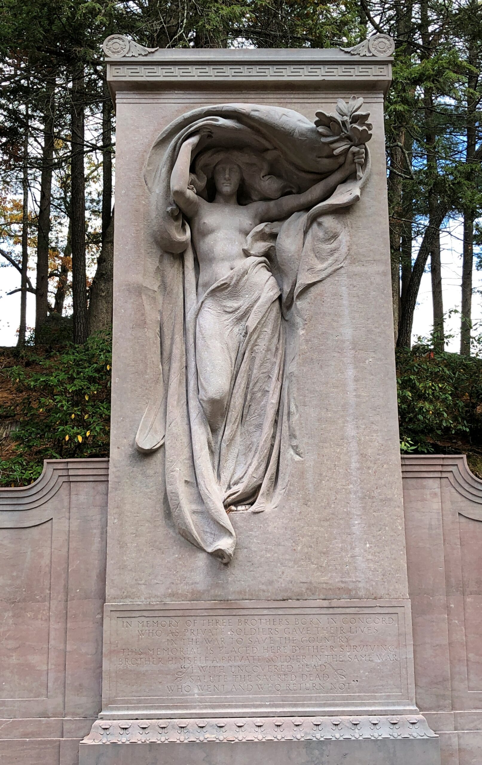
But you don’t have to go so far to find one of French’s works. Elsewhere in Sleepy Hollow is the Melvin Memorial, honoring three Concord brothers named Melvin (Asa, John and Samuel), who each gave their last full measure of devotion for the Union in ways that represent the spectrum of soldier death in that war: died in combat, of disease, and in a prison camp.

Melvin Memorial

The figure is known as Mourning Victory, a version of which is held by the Met.

Melvin Memorial

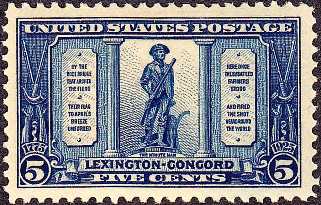
Another famed work of French’s is in Concord: namely, “The Minute Man” at Minute Man National Historical Park.

I didn’t bother with that historical park this time, since I knew it would be closed. But I did see it 30 years ago, and it’s stuck with me. Just example of French’s work standing the test — and literally standing the test — of time.

More Lexington

Cute, Lexington. Cute.

Lexington, Mass

I didn’t visit Massachusetts last month to do sightseeing, but rather to see old friends – Rich, Lisa and Steve. They are the latest in my visits to old friends in ’25, which took me to Texas, Tennessee, North Carolina, Georgia and New York before I arrived in Massachusetts, where I stayed with Rich and Lisa, whose home is in Lexington.

Being a mid-week visit, my Massachusetts friends had work to do during much of the day on October 22, which is how I ended up at Battle Green that morning. I wasn’t about to sit around at Rich and Lisa’s when I could go see nearby places. Even places I’d been before, such as Battle Green. But it had been about 30 years, so (as usual) it was like I’d never been there before.

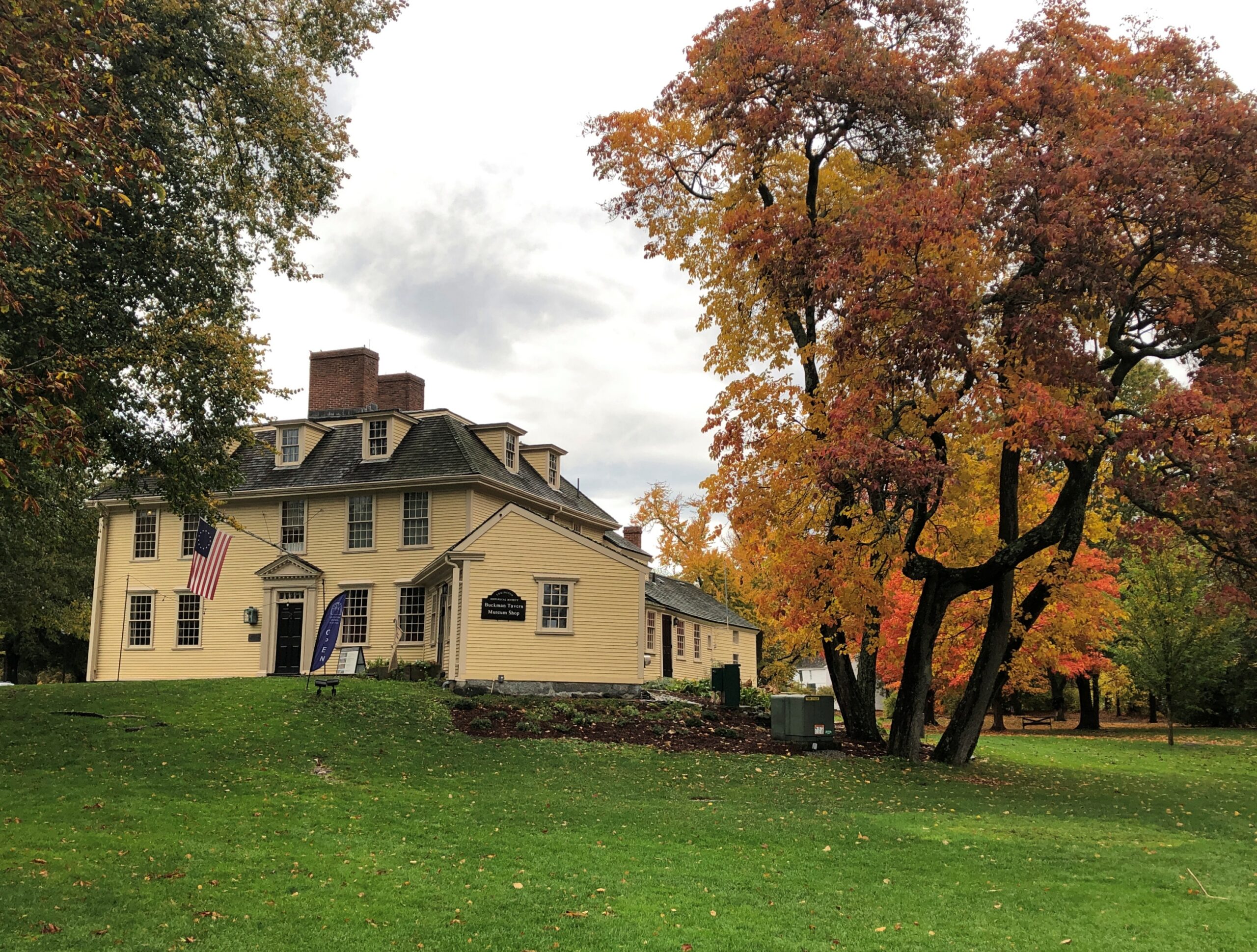
Near Battle Green is Buckman Tavern.

Lexington, Mass

I didn’t remember visiting before. It’s a small museum these days, dedicated to the part it played in the Battle of Lexington – militiamen gathered there ahead of the battle, not knowing what to expect – but also its existence as a tavern in colonial and early Republic days.

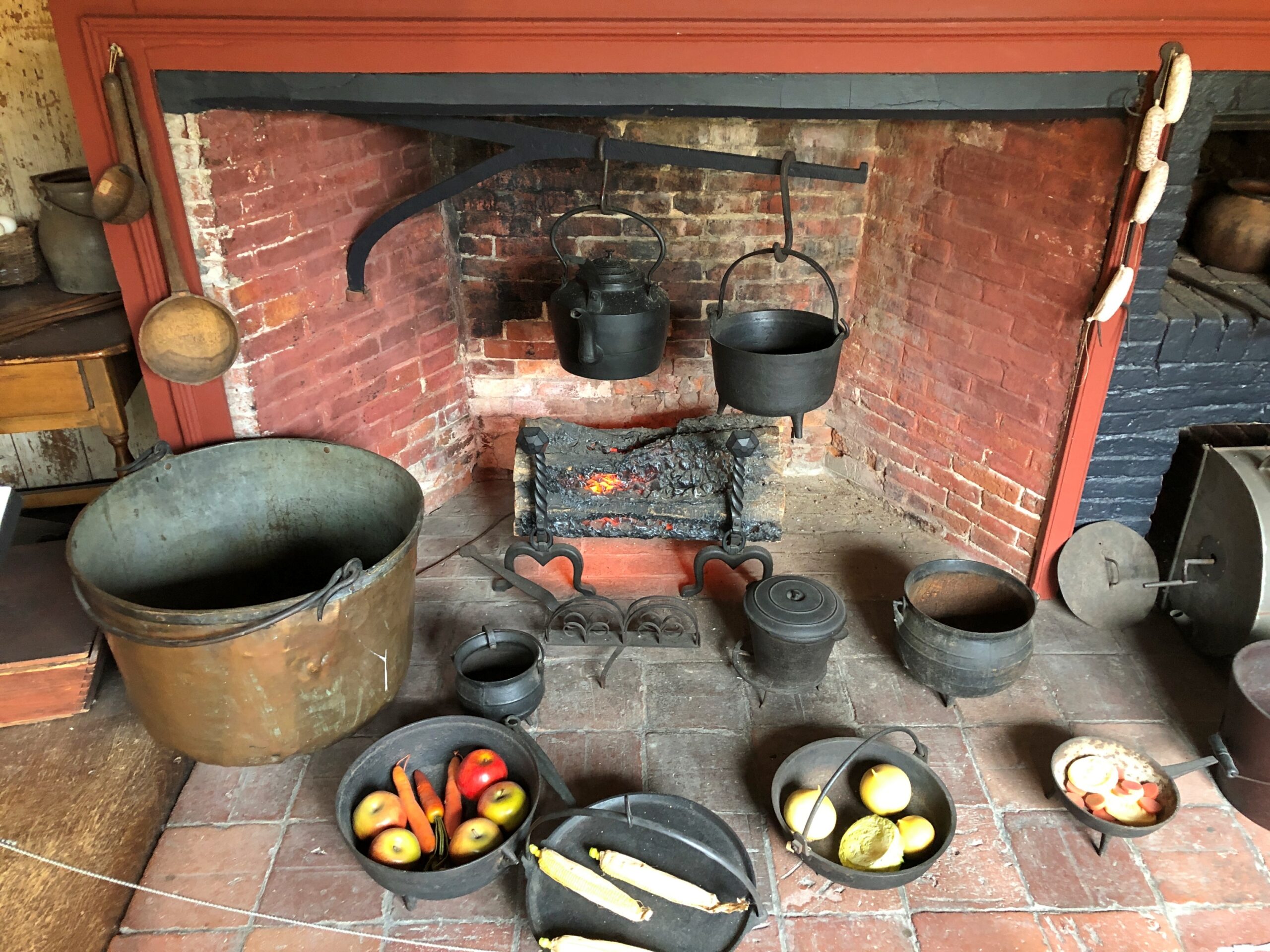
Wandering through, I couldn’t help being impressed by how much effort running a tavern must have involved in those days, which not only included work in the building itself, but also running a nearby farm, since 18th-century tavern keepers weren’t going to get their food and drink from wholesalers, shipped in by truck.

Lexington, Mass

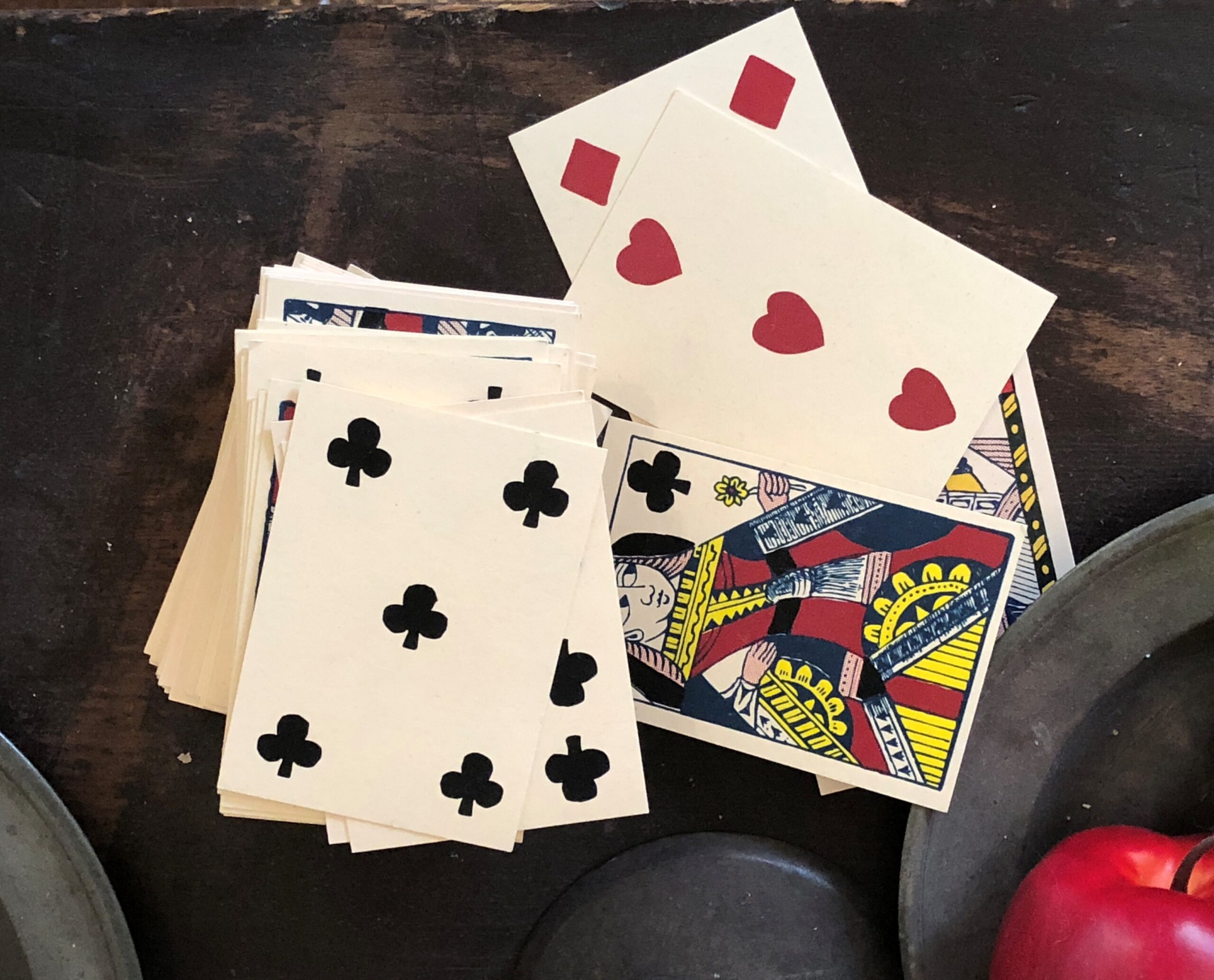
Of course, just staying alive in the 18th century, or really most anytime before the 20th century, seems like it would have been a lot of grinding effort for most people a lot of the time. But they had their recreation, too (and of course drinking).

Lexington, Mass

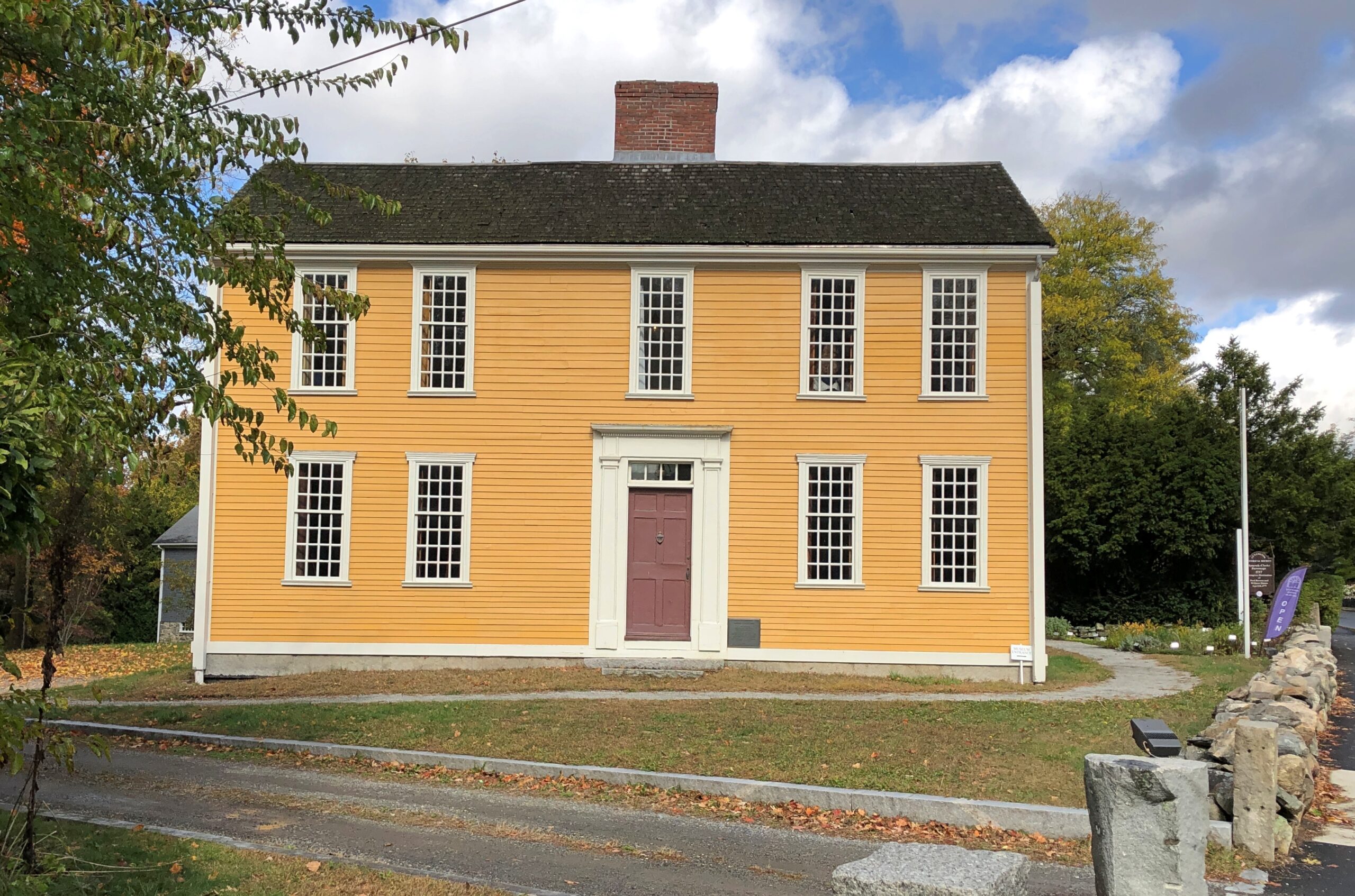
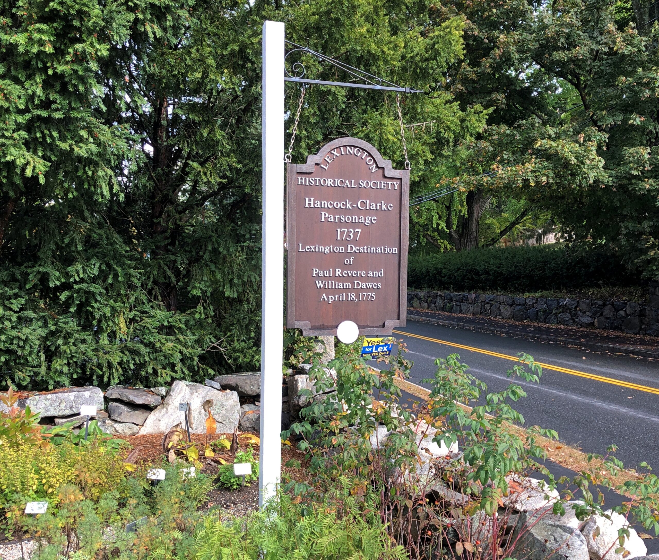
Not far from Battle Green, on the fittingly named Hancock Street, is Hancock-Clarke Parsonage, another Lexington museum these days, and one I didn’t recall visiting before. It was close enough to the green to walk there. I took the noon tour.

Lexington, Mass
Lexington, Mass

I’m glad William Dawes gets this due on the sign. As my one-armed 8th grade history teacher told us, Listen my children and you shall hear/ of the midnight ride of William Dawes just doesn’t work. (He wasn’t the first to notice.) I see that he has a memorial at King’s Chapel Burial Ground in downtown Boston. If I ever make it back there, to visit Hopestill Barns, and I should, I’ll look for Dawes.

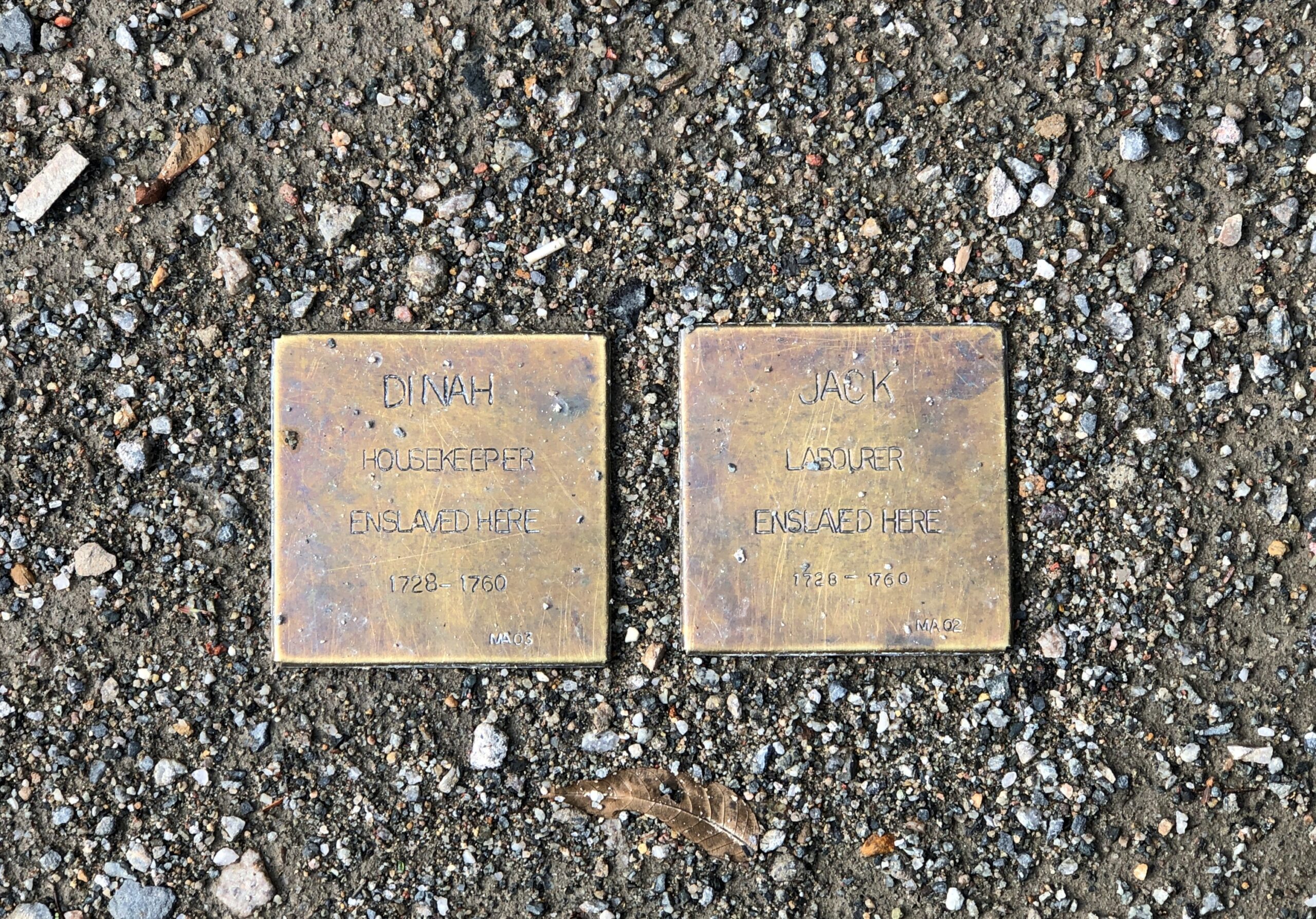
Also mentioned at Hancock-Clarke: the slaves that worked at the house during the pre-Revolutionary period, Jack and Dinah. Their names appear on small plaques near the museum entrance.

As the longstanding residence of Lexington’s minister, Hancock-Clarke has a rather different feeling than the tavern down the road. That is, austere yet well-furnished due to the wealth of the Hancock family. John Hancock’s grandfather, Rev. John Hancock (d. 1752), lived there, and afterwards Rev. Jonas Clarke (d. 1805) and his passel of children lived there during the Revolution. So it was entirely reasonable that John Hancock and Sam Adams were staying there on the night of April 18, 1775. As a visitor in modern times, you can see the very place where those two sat and drank (tea, the docent claimed) in front of one of the house’s large windows.

That evening, I had dinner with Rich and Lisa and Steve at Field & Vine in Somerville, which made for that most excellent combination: a good meal and convivial conversation. In 30 years since I spent any time in Somerville, the town has apparently become a foodie destination. Who knew?

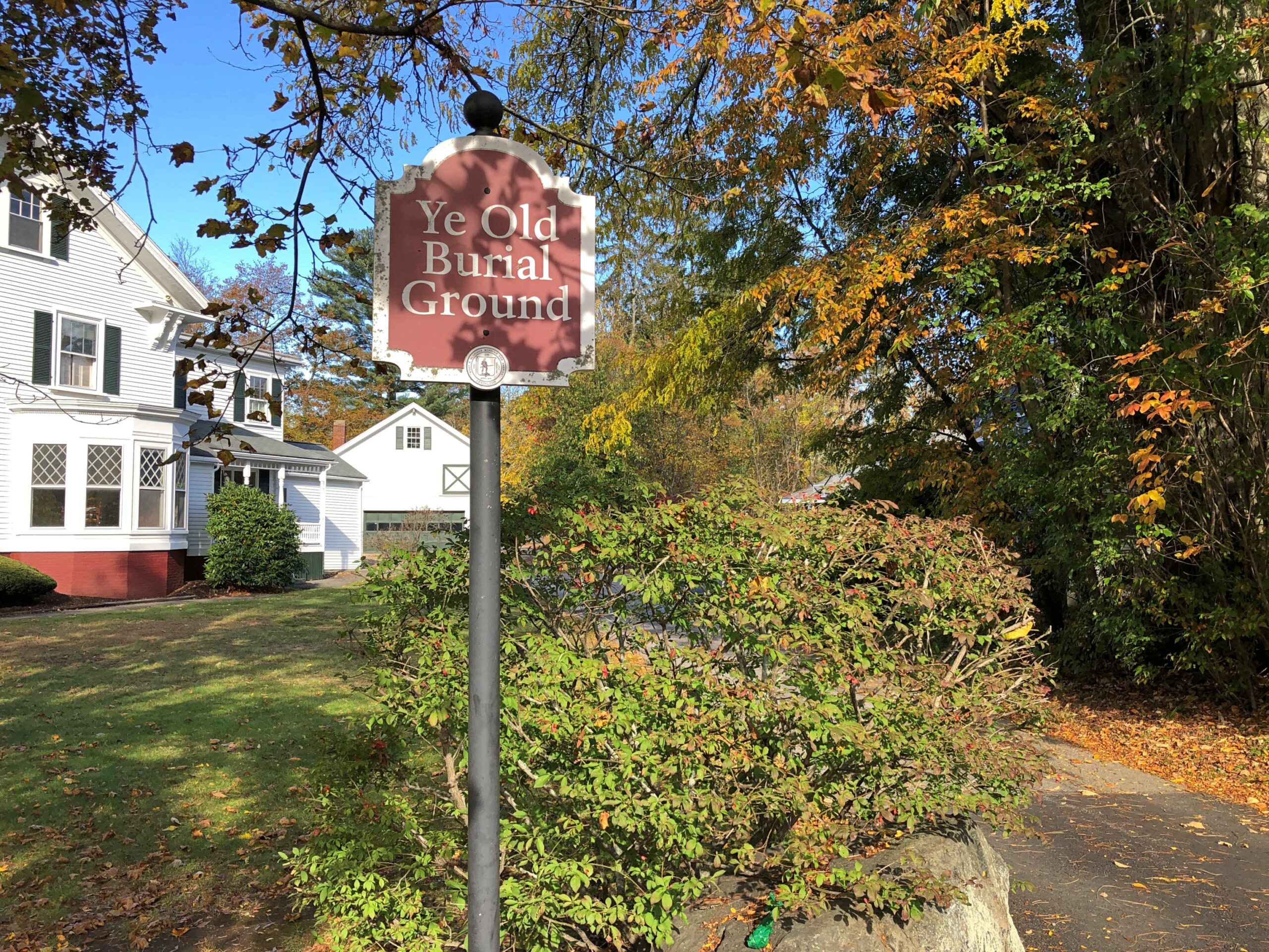
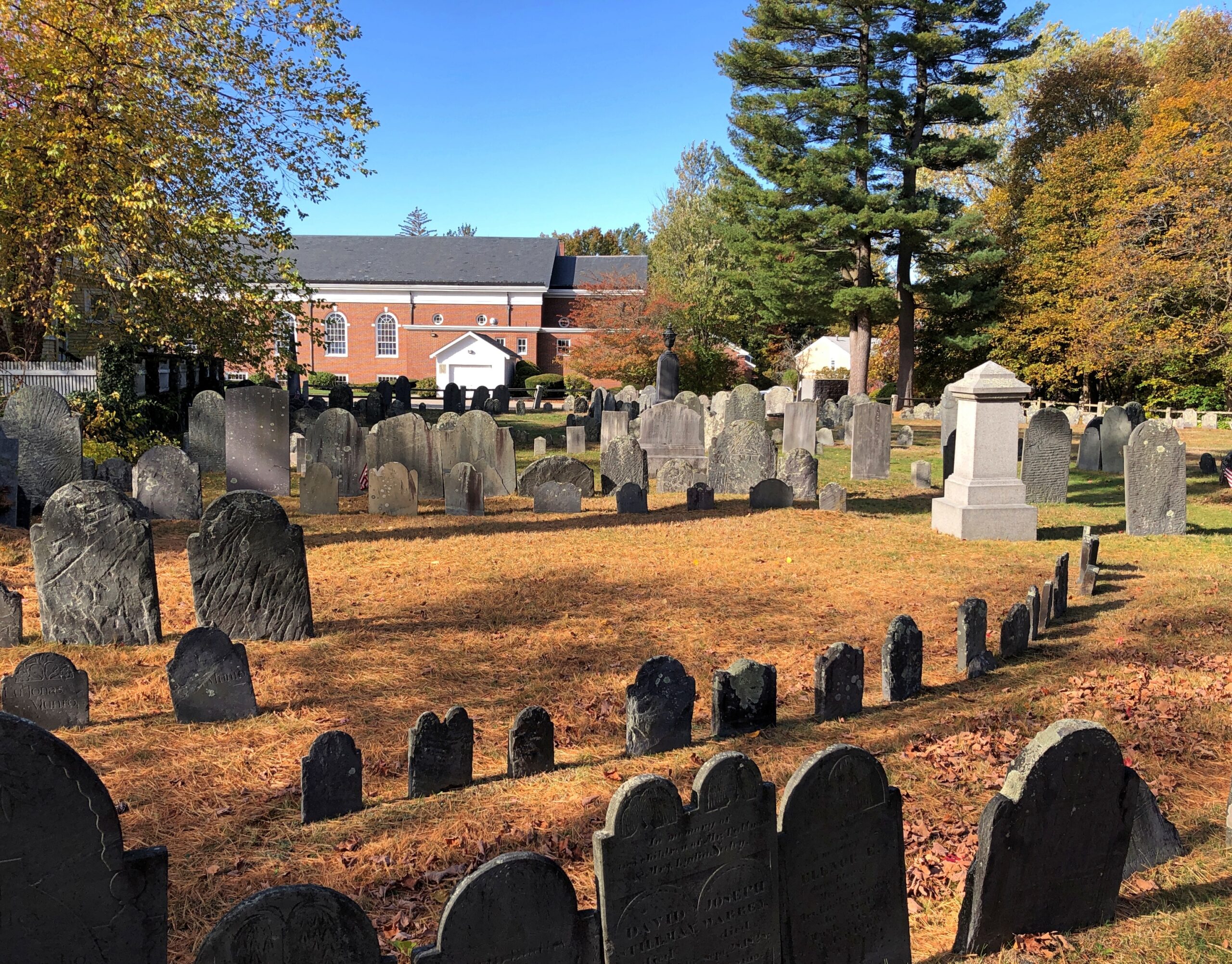
On the morning of 23rd, I left Massachusetts to begin my drive home. True to character, not a direct drive. But I didn’t want to leave Lexington without a visit to the Old Burial Ground, which I hadn’t had time for the day before. “Ye” Old Burial Ground, as the town puts it. At least there isn’t an “e” tacked onto “Old,” but I doubt that whoever did the sign was thinking, let’s use a thorn.

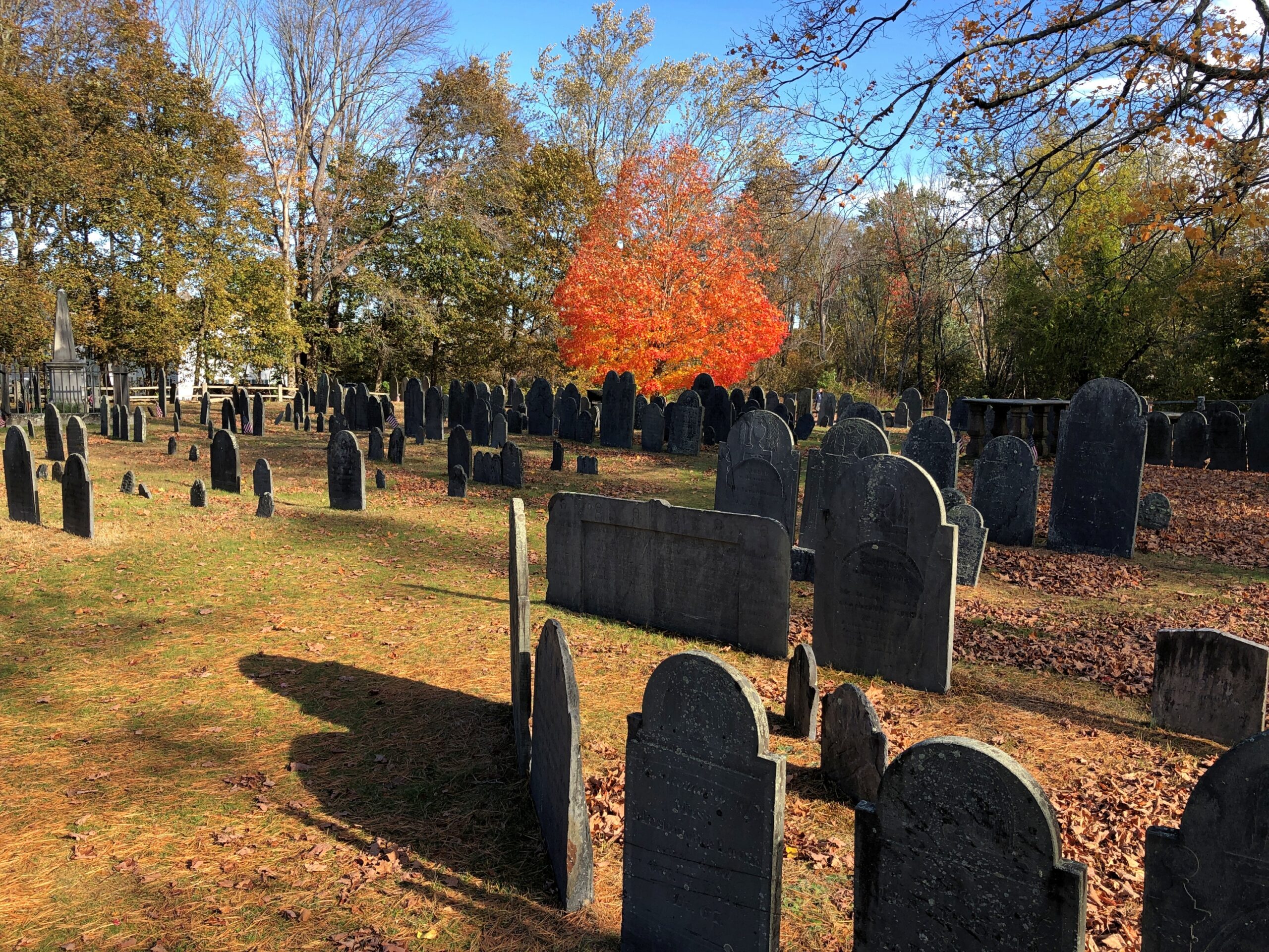
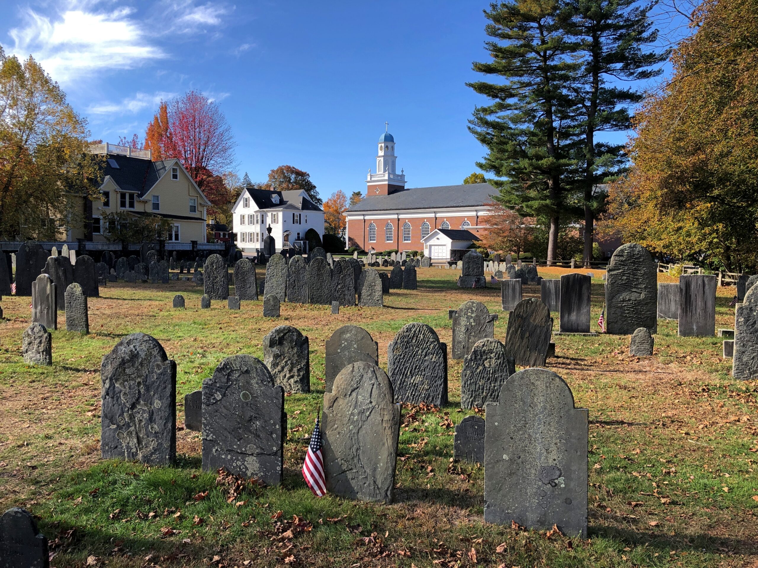
That aside, it’s a fine old cemetery.
Ye Old Burial Ground

The building in the background, incidentally, is the Church of St. Brigid. One wonders how most of the permanent residents of the Old Burial Ground would react to a Catholic church in the vicinity. Not too well, I suspect.

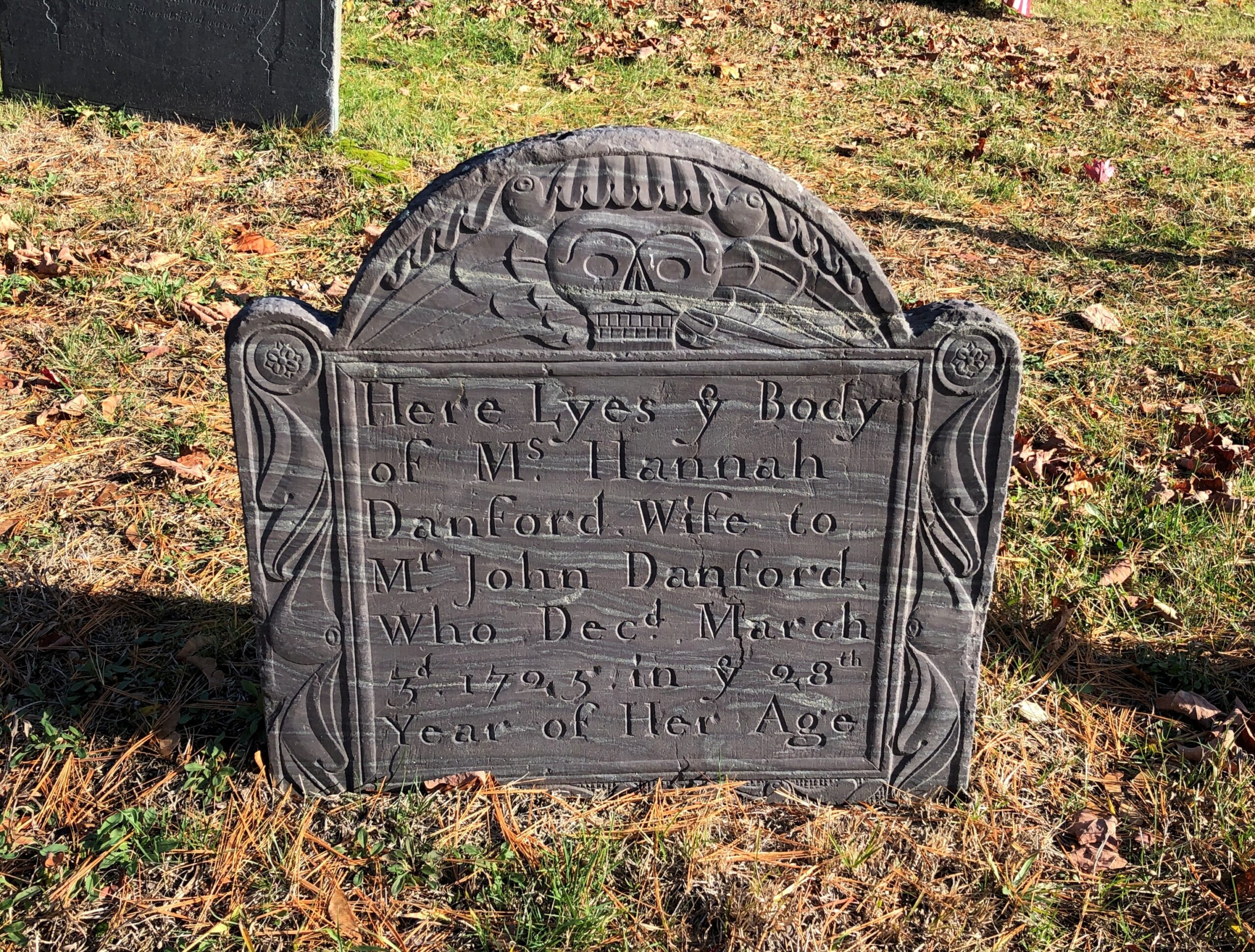
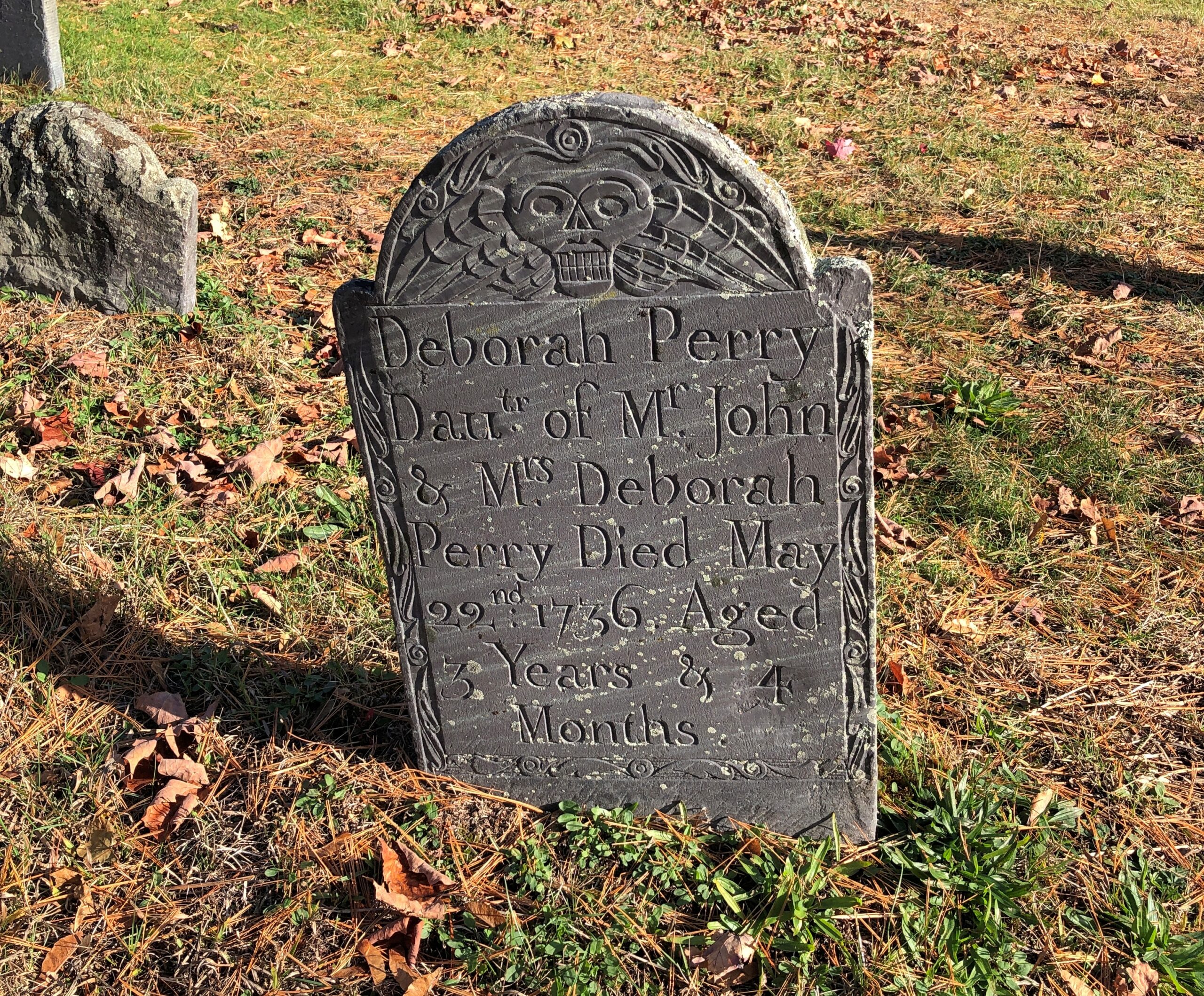
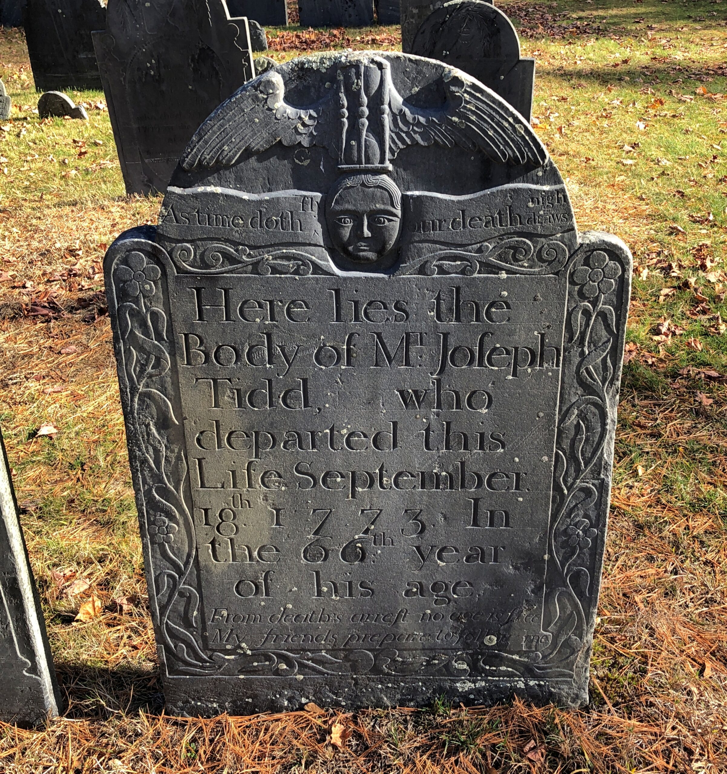
Memorials from a time before the Victorians came along and ennobled them a bit.

Ye Old Burial Ground

Or we moderns came along with our “celebration of life” euphemisms. It’s right there on the stone: As time doth fly, our death draws nigh.

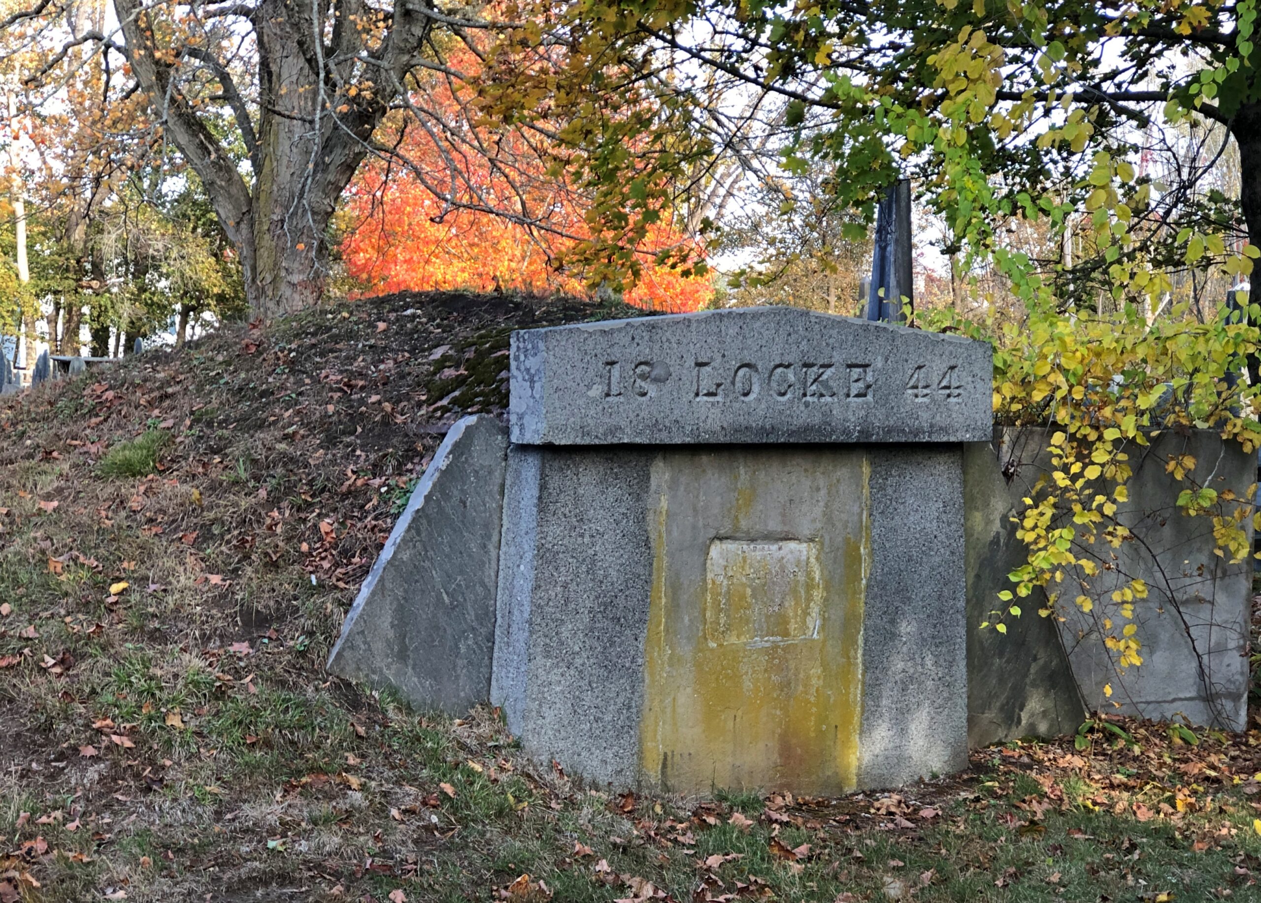
Not many tombs like this. Locke might have been the only one, come to think of it.

Ye Old Burial Ground

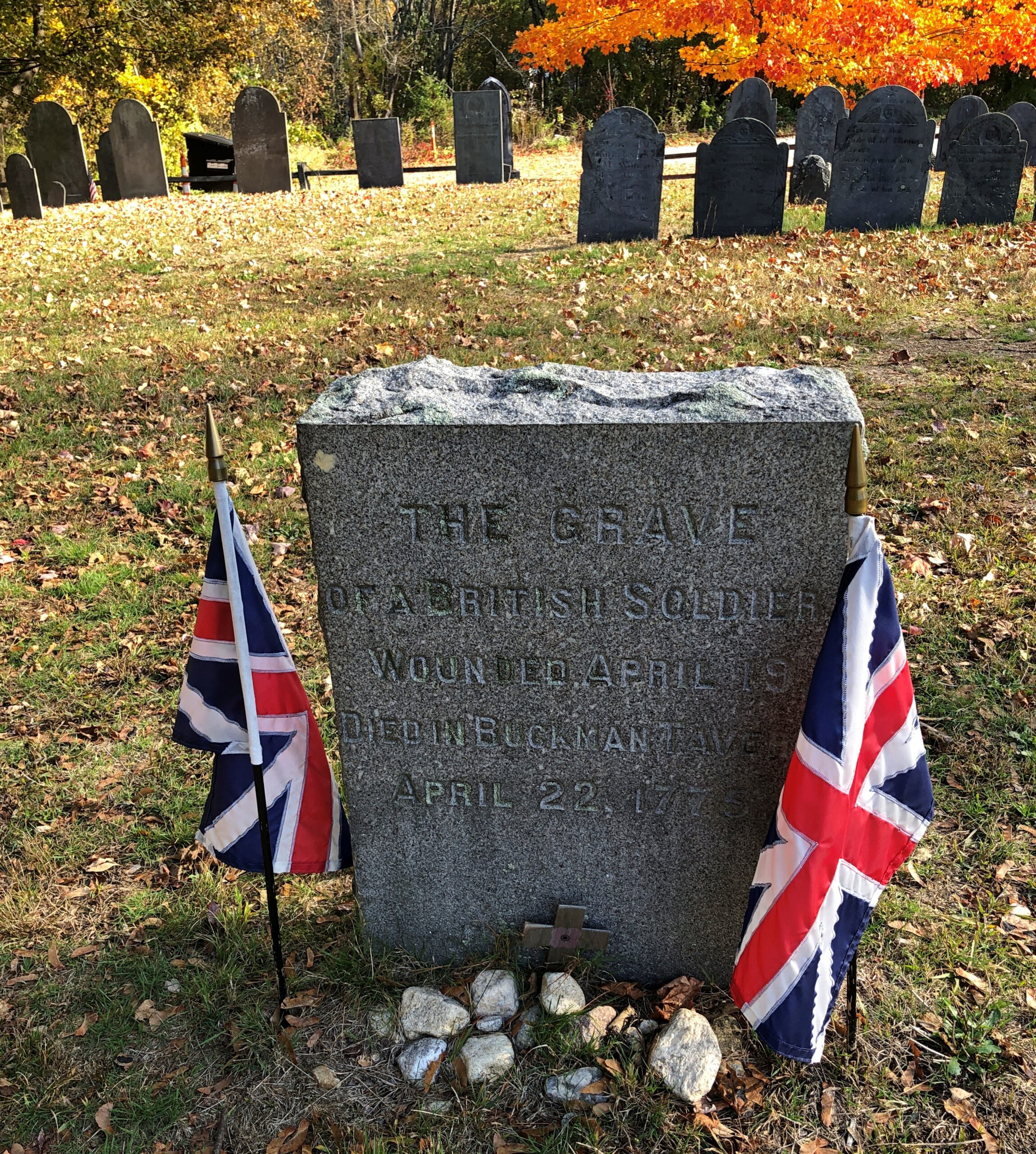
Something of a surprise.

Ye Old Burial Ground

Maybe not. However they felt about Regulars, the townspeople surely must have felt that a dead one deserved a Christian burial, and it wasn’t like they could ship him back home. The stone clearly came later, long after the passions of the war had cooled.

Indeed: Joseph Fiske, Lexington’s town doctor, recorded a bill for seven wounded soldiers he treated at Buckman Tavern the day after the battle [did he get paid?]. This soldier was likely one of them, but succumbed to his wounds in the following days. The simple granite slab was erected by the Lexington Historical Society in 1905.

The wonder is that anyone knew where the Regular was buried at all. Unless they were guessing in 1905. After all, militia commander John Parker – who died of TB only months after the Battle of Lexington – is known to be in the Old Burial Ground, but his exact location is unknown.

Grove Street Cemetery, New Haven

By the afternoon of October 21, New York City was in my rearview mirror, but I wasn’t that far away: New Haven, Connecticut. I wanted to made a short stop at Yale University. During the tedious minutes spent looking for a legal parking place close enough to campus to make that doable, I doubted the wisdom of my idea, but eventually I found a spot. Also, I was ready: I had a roll of quarters for parking meters. Most of them can be paid by app or some such these days, but they also take quarters (most of them), and I’m a traditionalist when in comes to parking meters.

Yale is sprawling, leafy and picturesque in a collegiate sort of way. Digression: The centennial of Fred Waring’s recording of “Collegiate” passed earlier this year, and no one mentioned it. That’s almost as important a musical anniversary as that of “Yes, We Have No Bananas.”

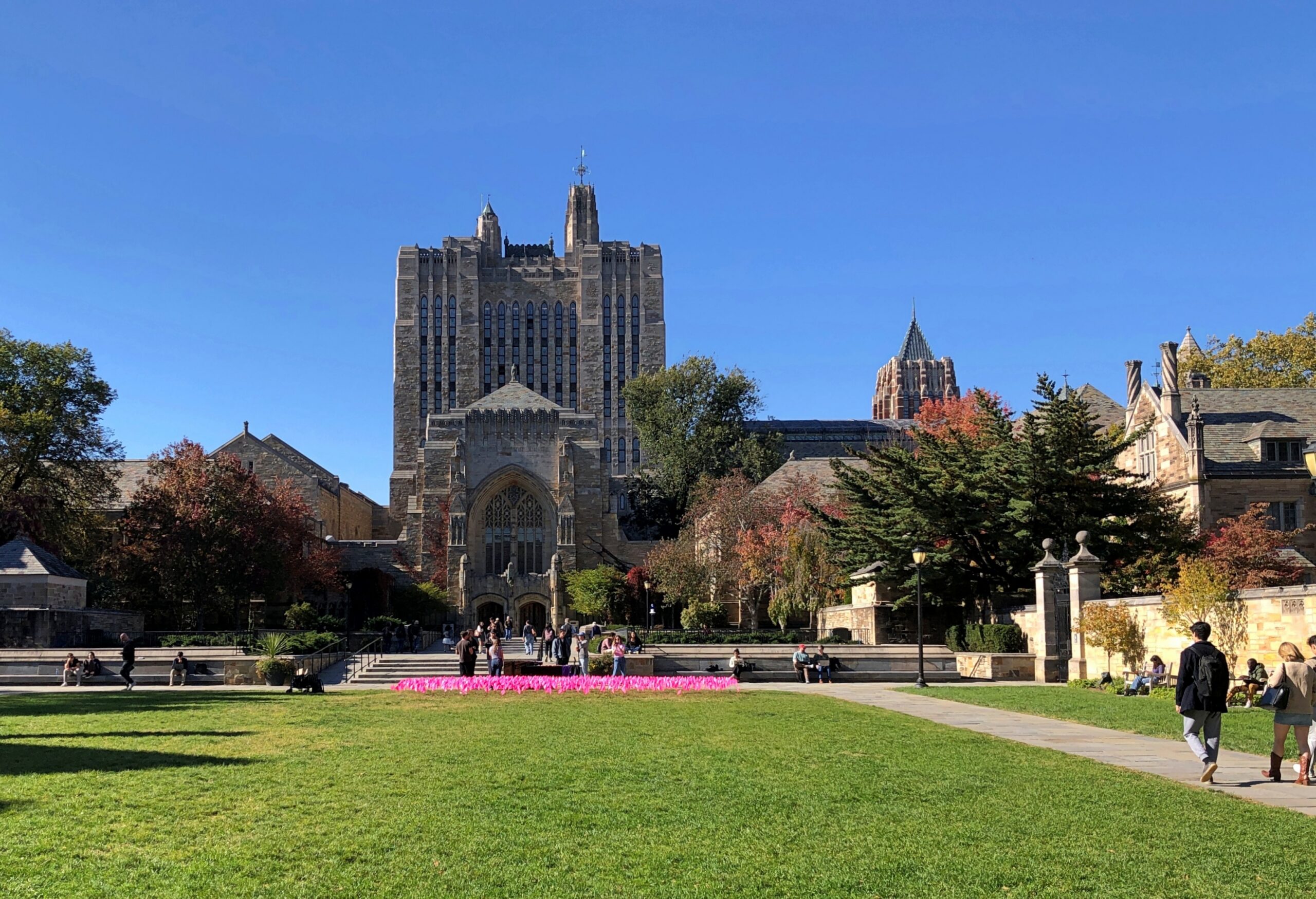
Yale
Yale

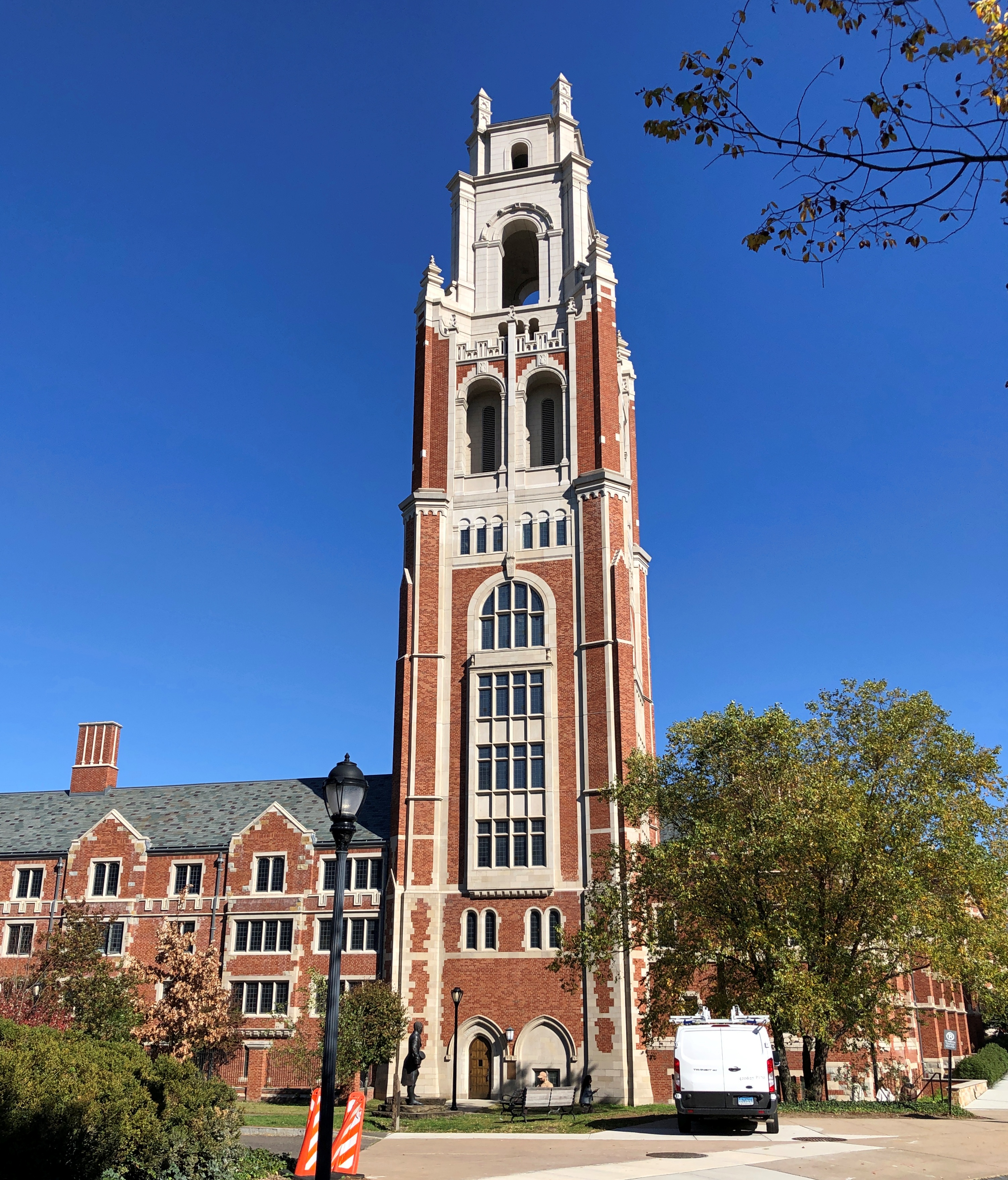
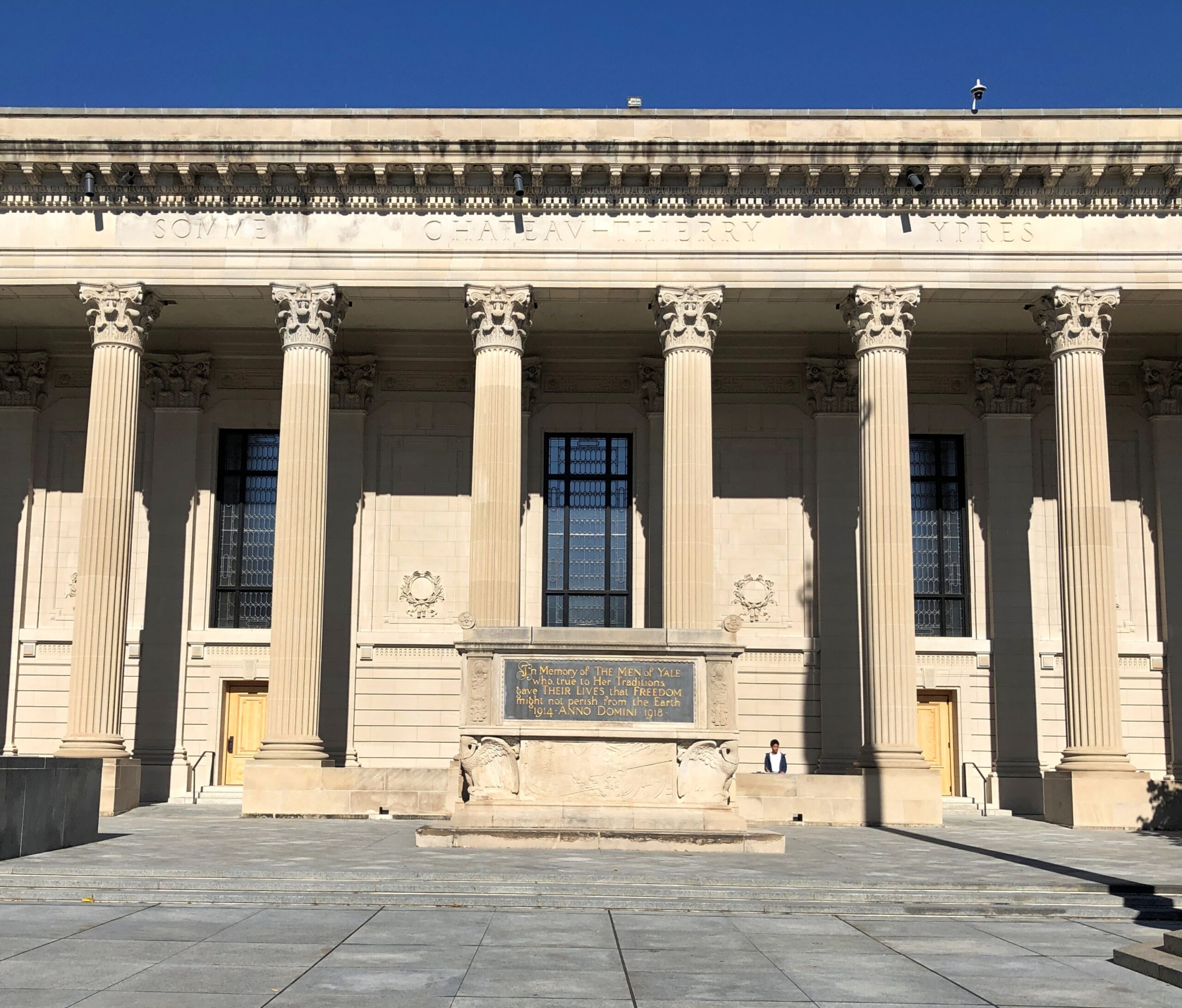
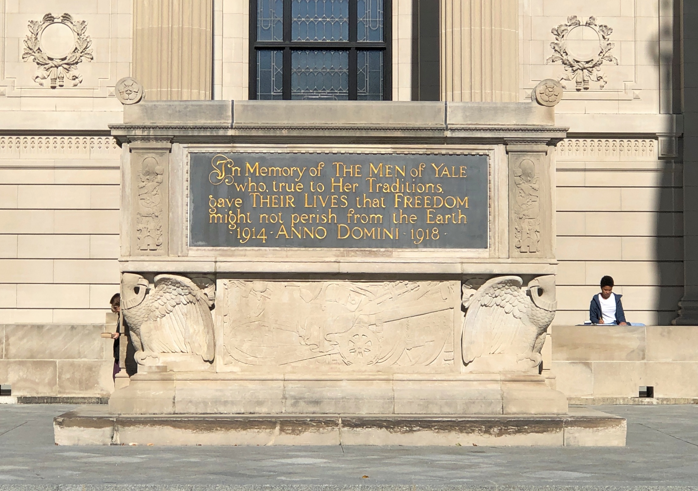
Good to see a prominent memorial to the Yale men who didn’t return from the Great War. RIP, gentlemen.

Yale
Yale

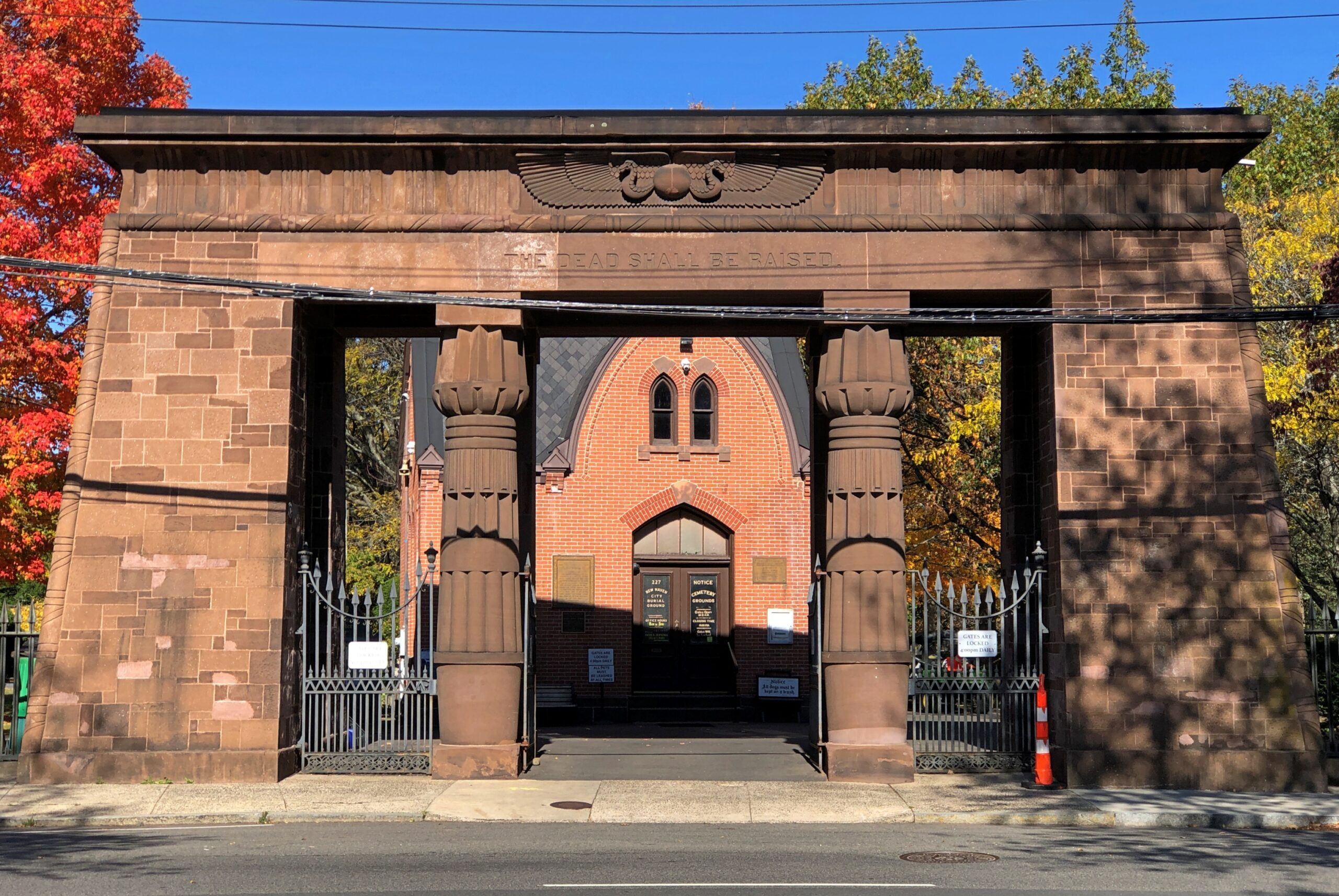
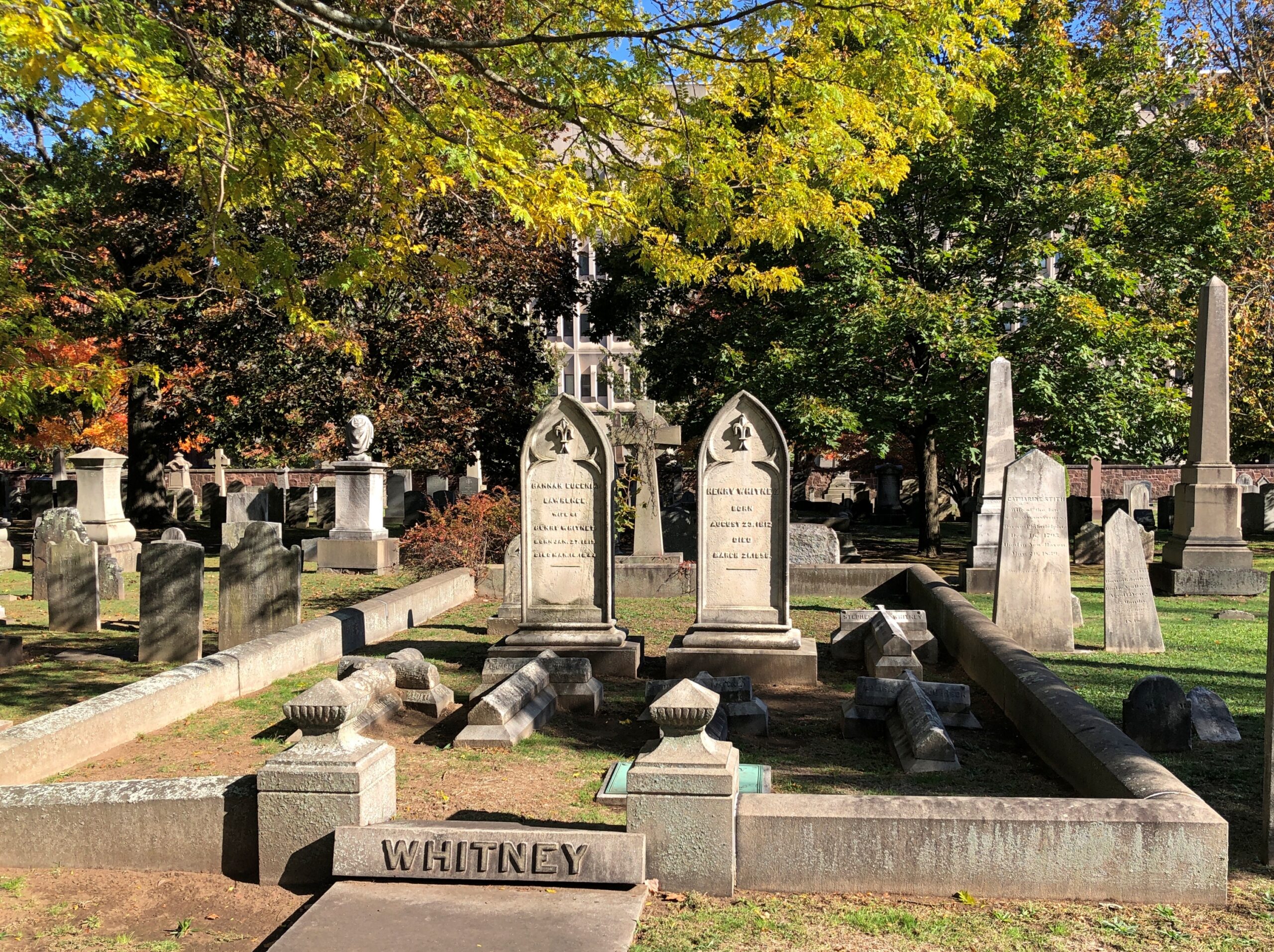
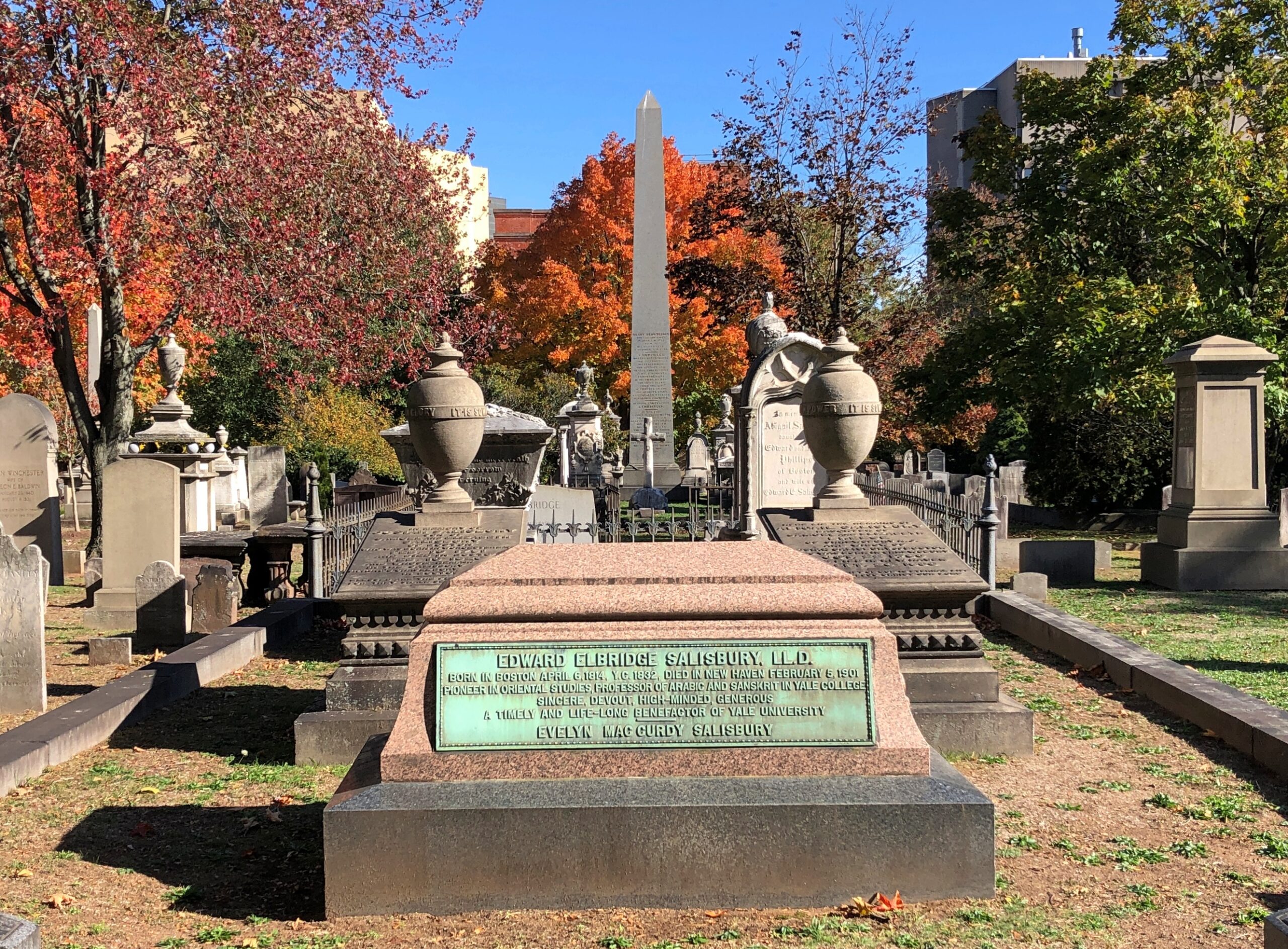
Adjacent to the Yale campus is the Grove Street Cemetery, sporting a fine Egyptian Revival entrance. Not something you see often.

Grove Street Cemetery

That’s what Vanderbilt needed, a cemetery across the street. All we ever had across the street was the fast food that’s now found on campuses: Krystal, Bojangles, Popeyes, Pizza Hut (Inn?), Wendy’s, etc.

Grove Street owes its founding to pestilence. “After severe yellow fever epidemics in 1794 and 1795, the [New Haven] Green was simply too crowded to continue as the city’s chief burial ground,” the cemetery’s web site says. “In 1796 a group of New Haven citizens led by U.S. Senator James Hillhouse planned a new cemetery on a location at the edge of town. Their efforts were officially recognized in October 1797 when the State of Connecticut incorporated the cemetery as the New Burying Ground in New Haven.”

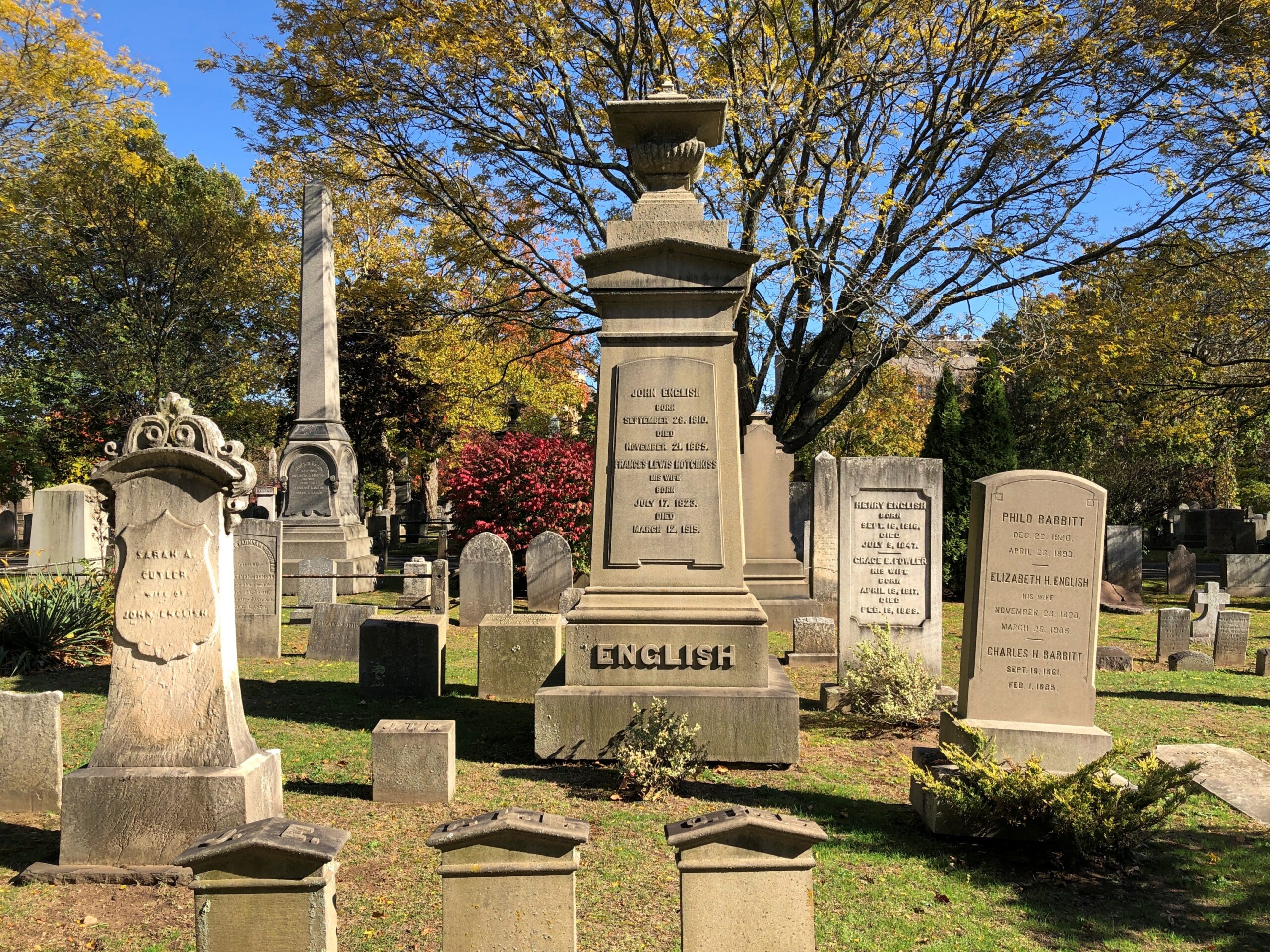
Since then, the population of the cemetery has grown, with stones of various shapes recalling the dead, and trees to provide them shade.

Grove Street Cemetery

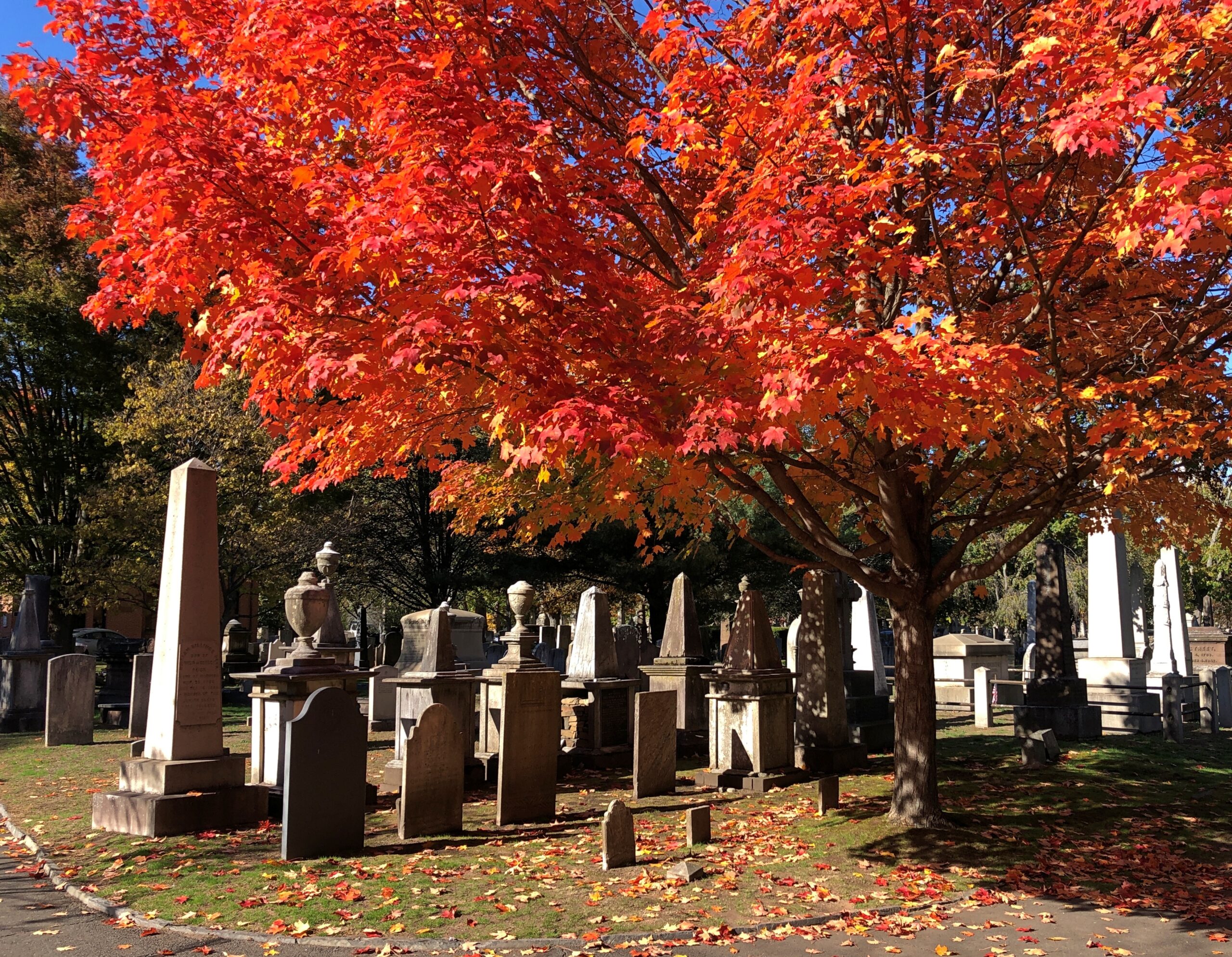
In October, the trees also provide color.

Grove Street Cemetery


I didn’t go looking for anyone in particular, though there are a lot of notables here. Such as Eli Whitney, inventor; Noah Webster, lexicographer; Josiah Willard Gibbs Jr., scientist; Lyman Beecher, abolitionist and prohibitionist; and O.C. Marsh, paleontologist, among many others.

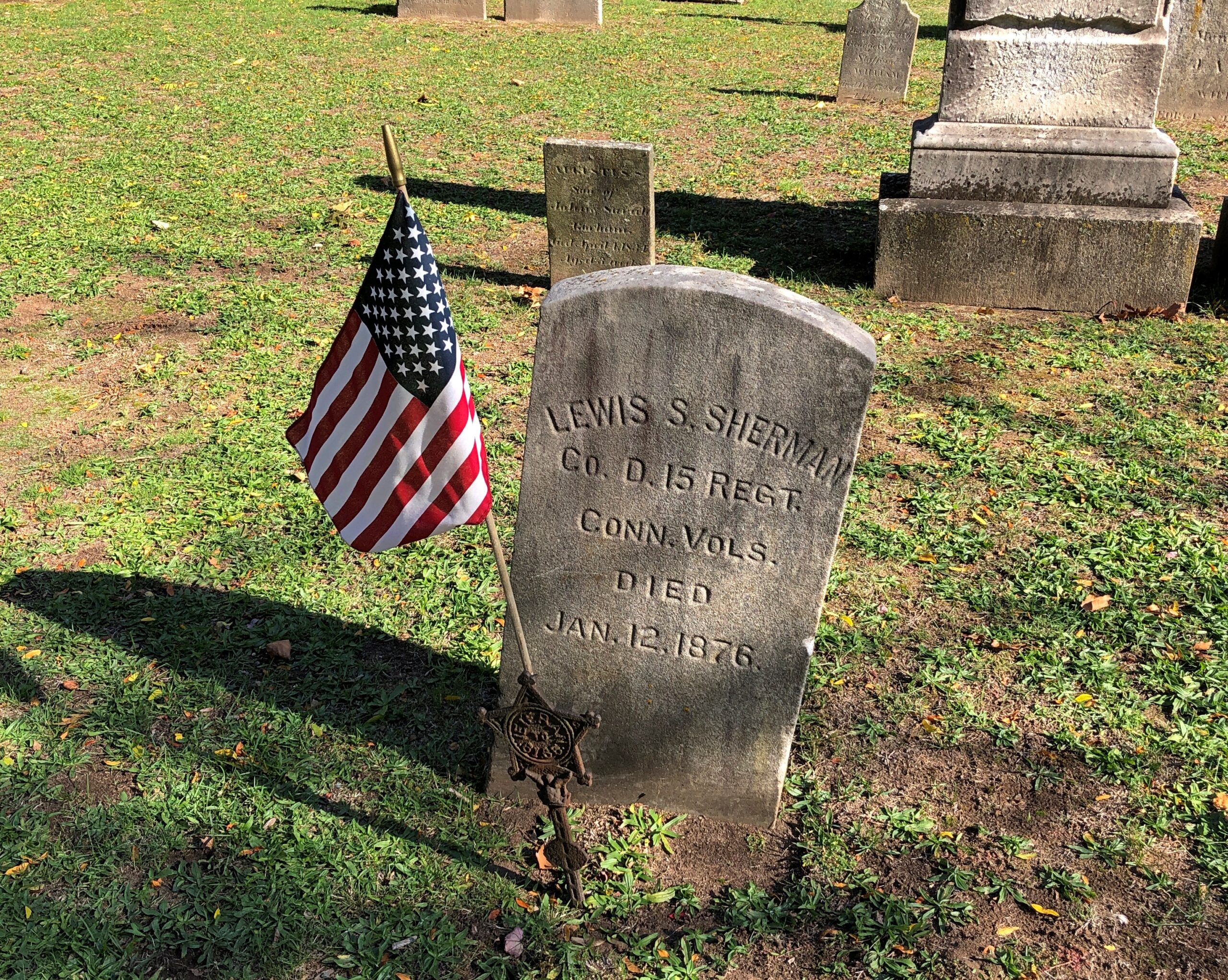
A scattering of stones mark veterans.

Grove Street Cemetery

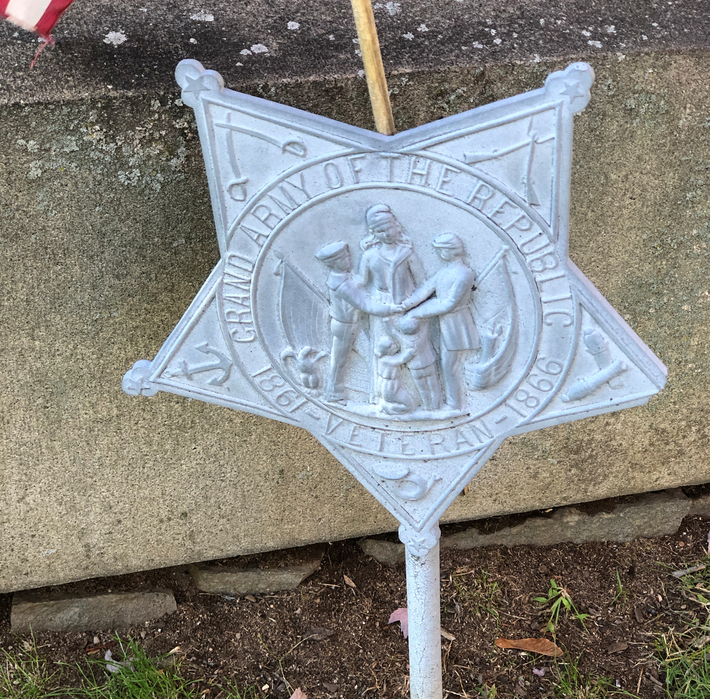
Including one with a GAR star that’s obviously a replacement for something older.

Grove Street Cemetery

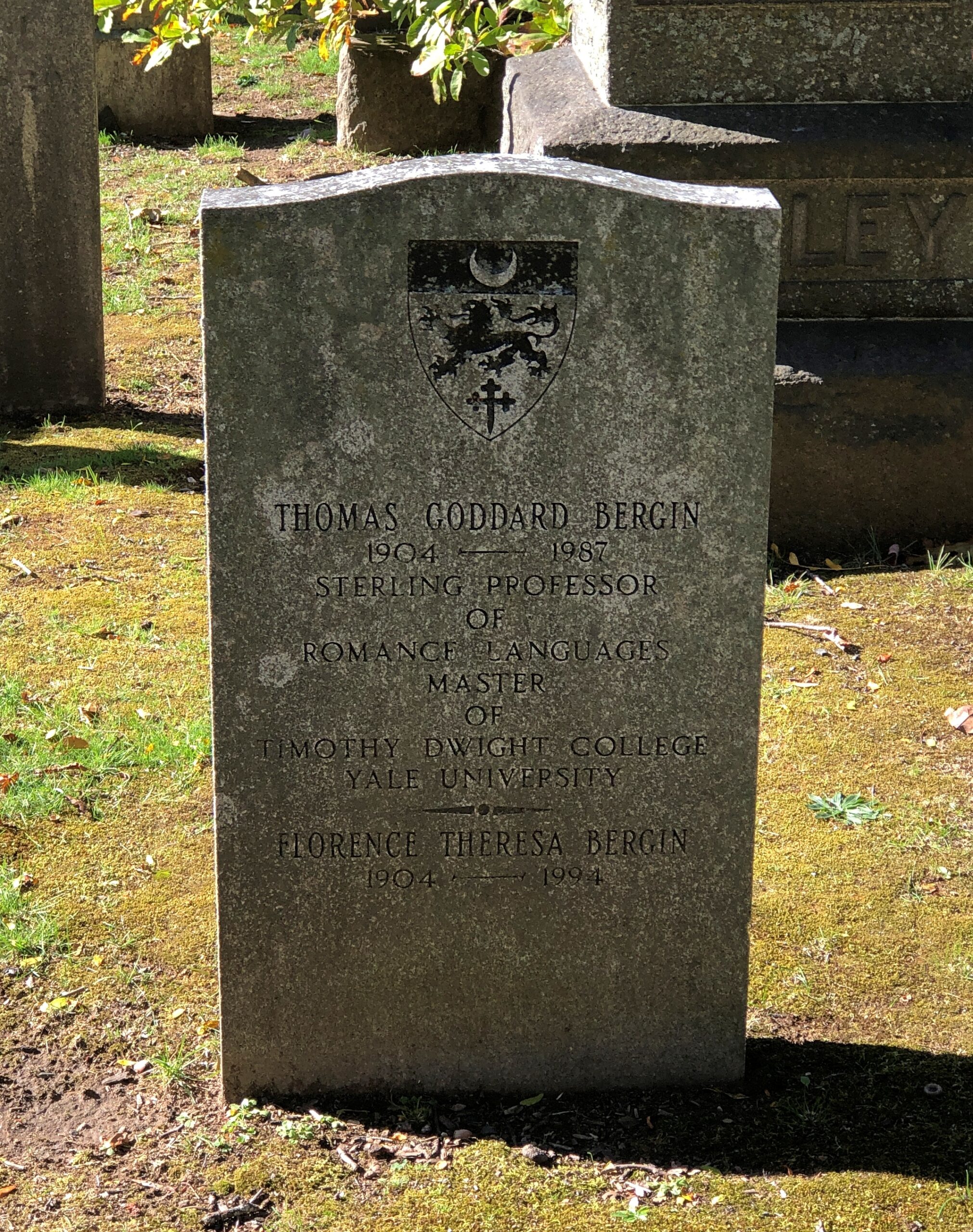
Being so close to Yale, a fair number of academics rest at Grove Street.

Grove Street Cemetery

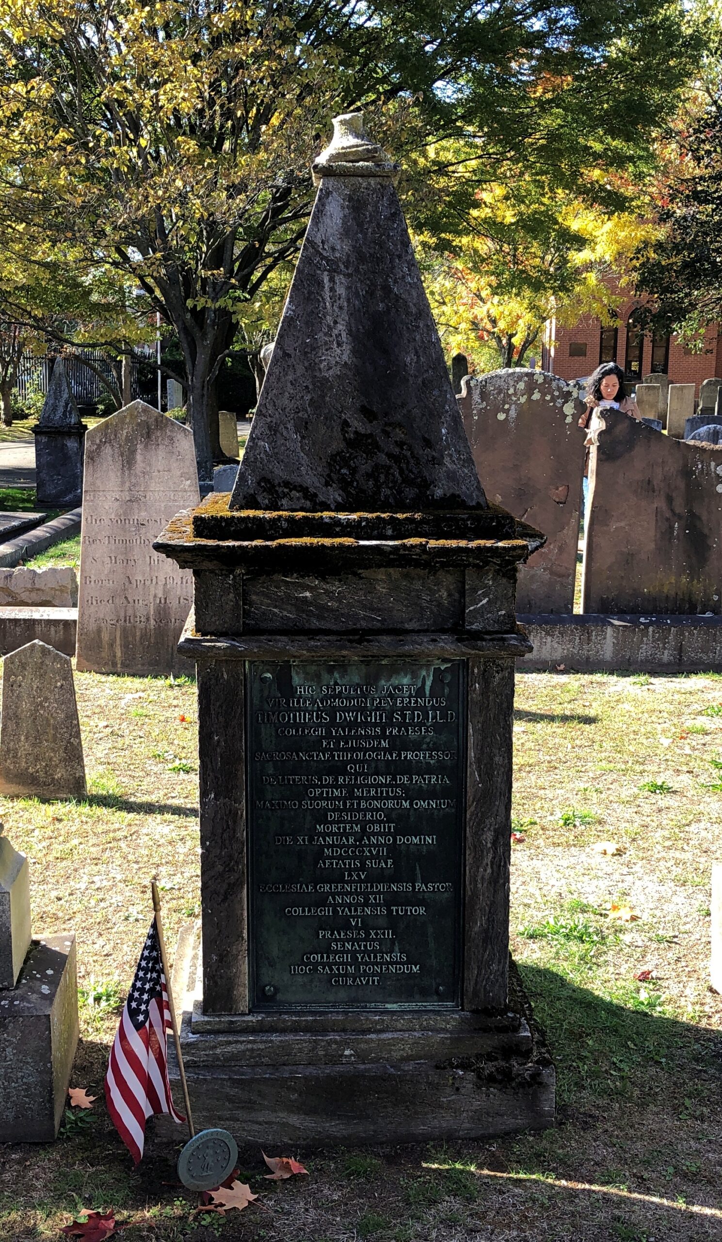
Including this fellow. It’s a little hard to see, but his memorial is inscribed in Latin.

Grove Street Cemetery

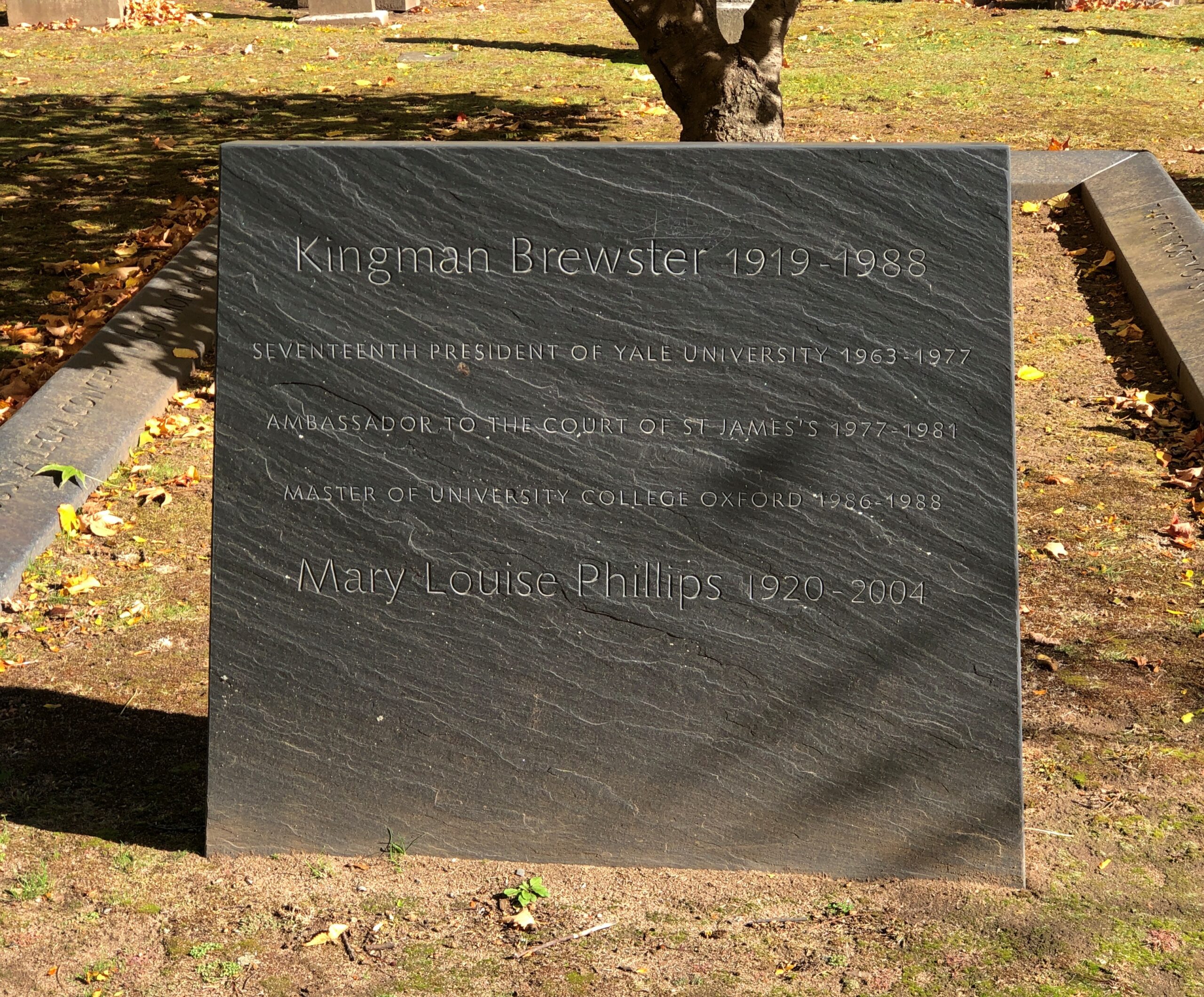
Kingman Brewster was president of Yale from 1963 to 1977, at a time of considerable hubbub on campus, and changes in university policy. Such as going coed in 1969, relatively late for an Ivy League school. No doubt cemeteries are well populated these days by Yale alumni angered by that decision.

Grove Street Cemetery

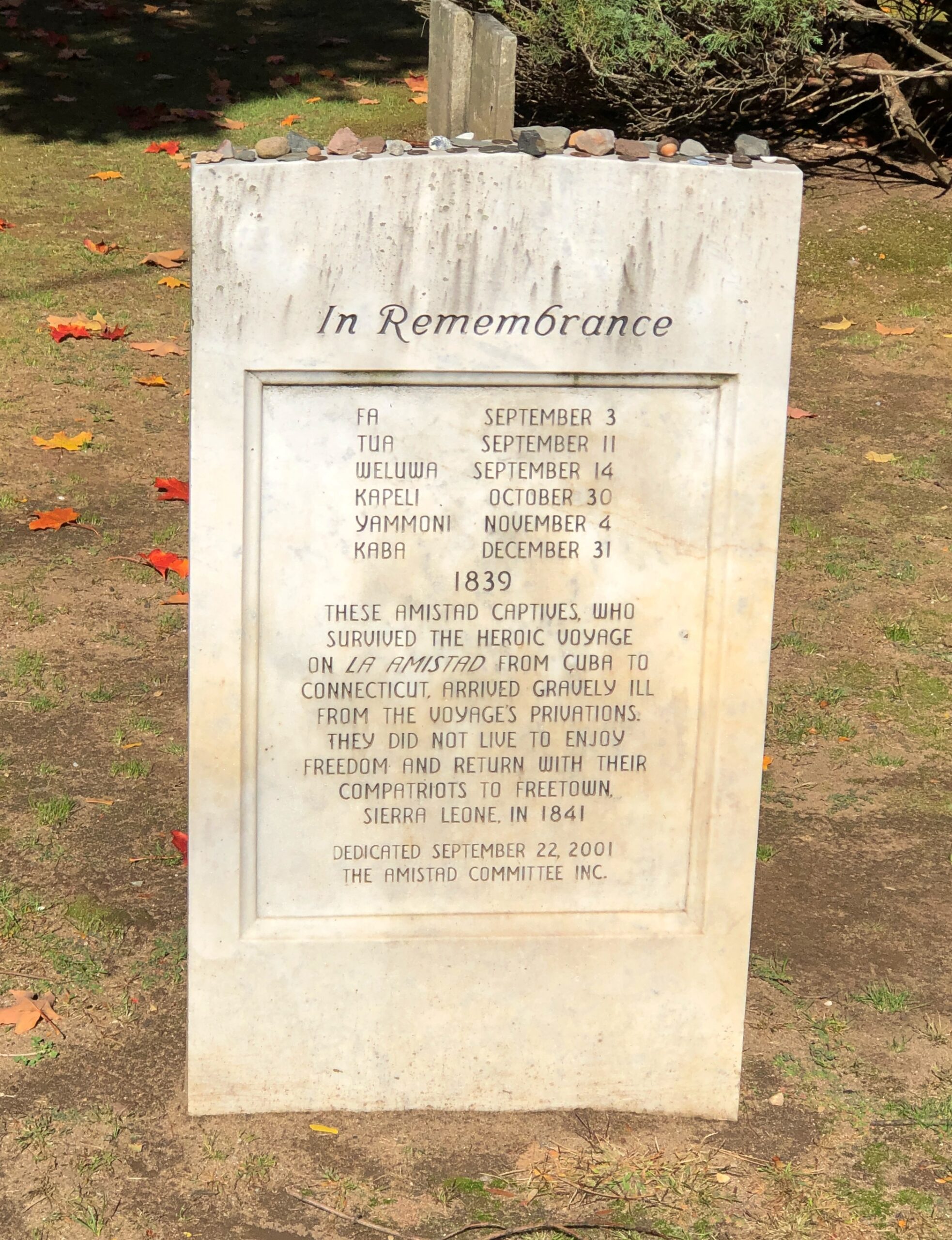
A surprise find: a memorial to captives from La Amistad who died in New Haven, waiting for the adjudication of their case. Waiting for their freedom, that is.

Grove Street Cemetery, New Haven


Elsewhere in the cemetery reposes Roger Sherman Baldwin, who argued the case for the Amistad captives, and Professor Josiah Willard Gibbs Sr., who deciphered their language (Mende).

Remarkably, the names of the captives aren’t forgotten. RIP, Fa, Tua, Weluwa, Kapeli, Yammoni and Kaba.

Catskills ’25

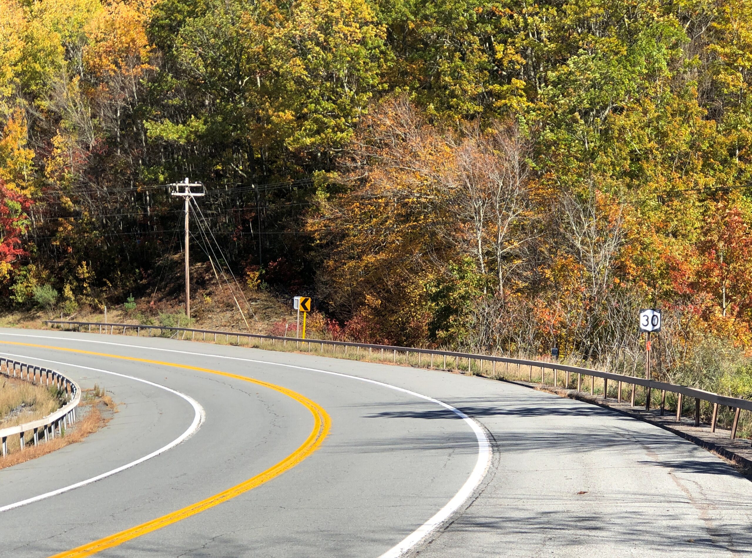
The highway New York 30 winds along the northwestern edge of Catskill Park because it follows the winding East Branch of the Delaware River, which would picturesquely come in and out of view as I drove that highway on the crisp late morning of October 16. I stopped at a place called Downsville. Wiki calls it “census-designated place, and former village in the town of Colchester, Delaware County, New York.”

This raises some questions. How is a village part of a town? (Colchester is marked on maps as not far away, but not on NY 30.) How does a place become a “former” village? People still clearly live there. Maybe I’ll investigate these questions sometime. Maybe not.

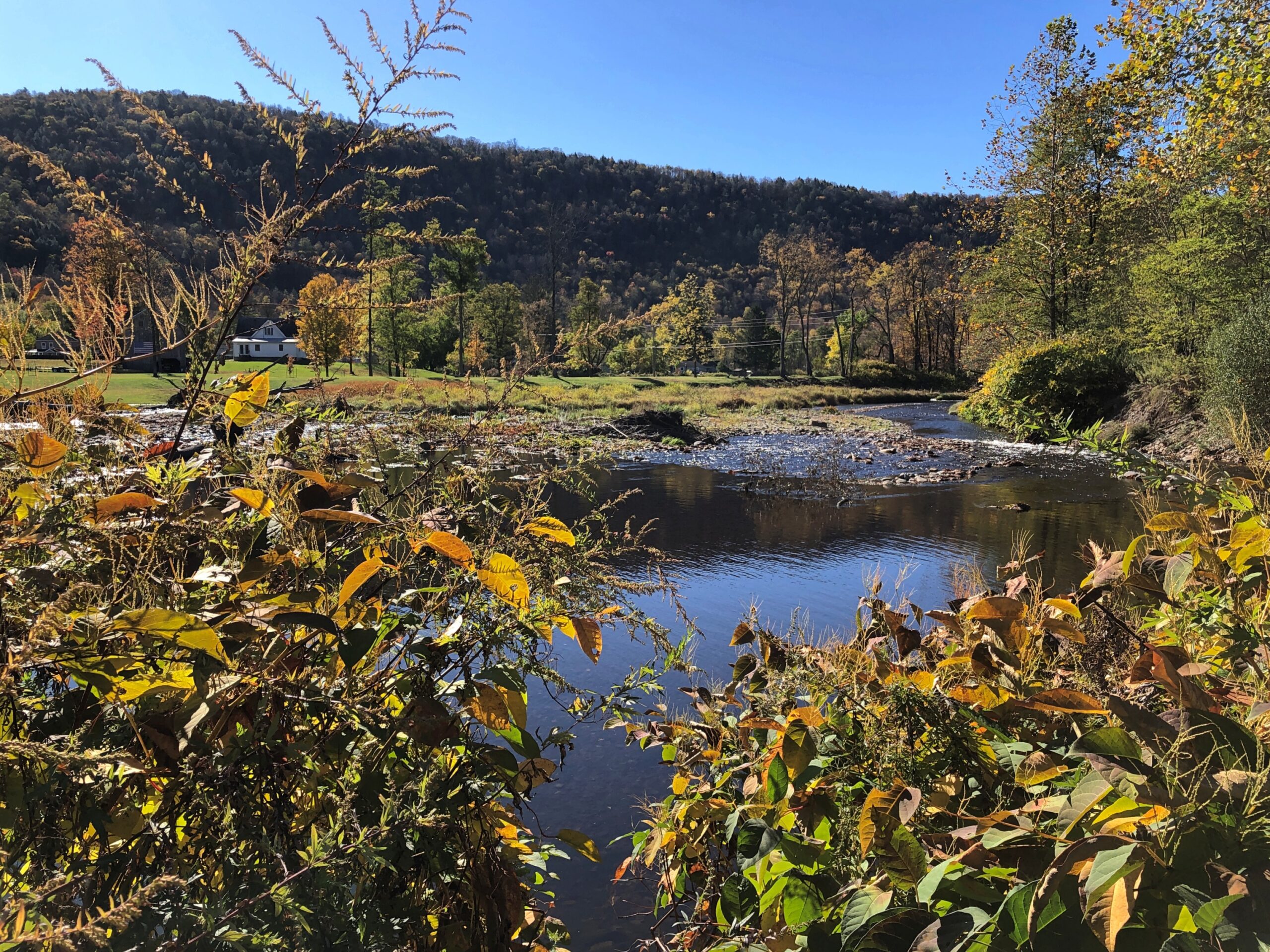
Village or former village, it’s at a pleasant spot on the East Branch.

East Branch of the Delaware River

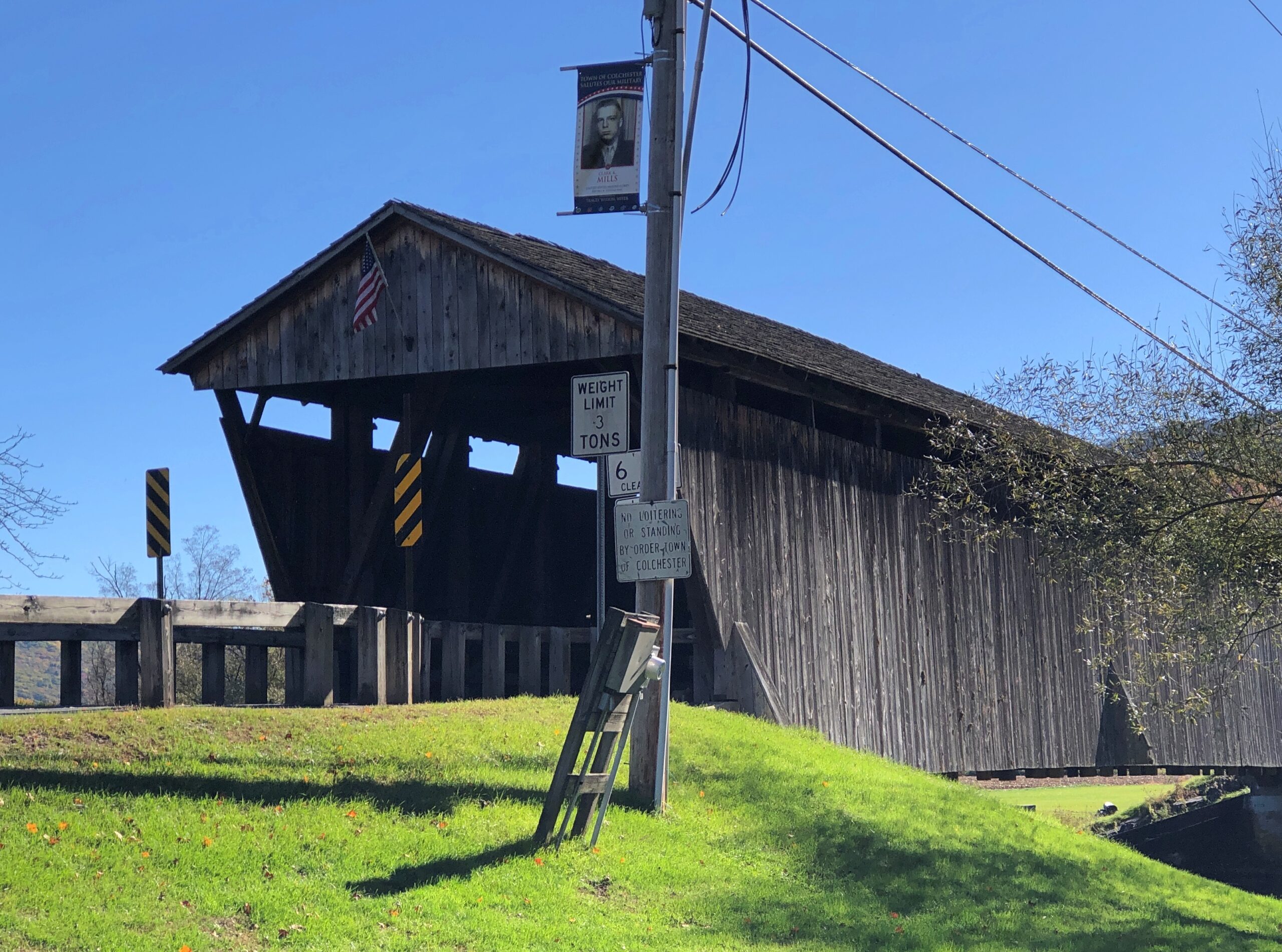
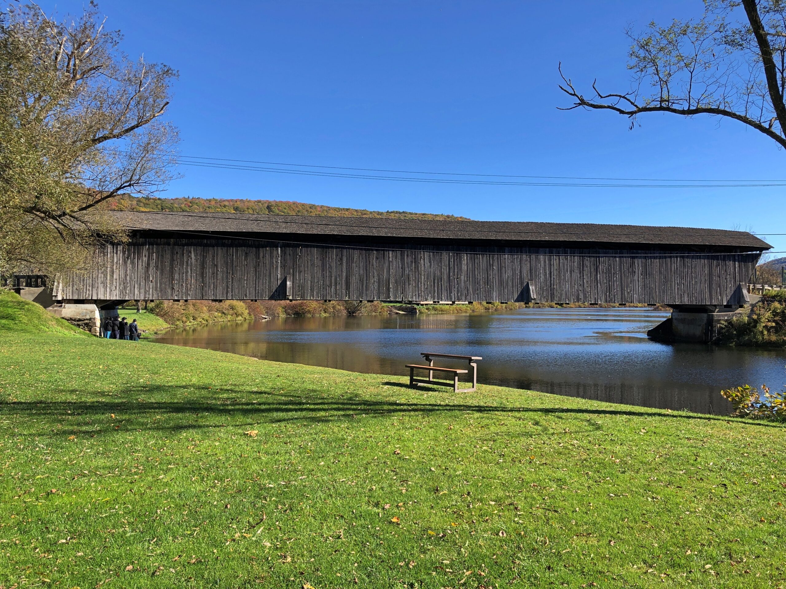
I stopped because a sign directed me to a covered wooden bridge, one that crosses the East Branch about a block away from NY 30.

Downsville, NY covered bridge

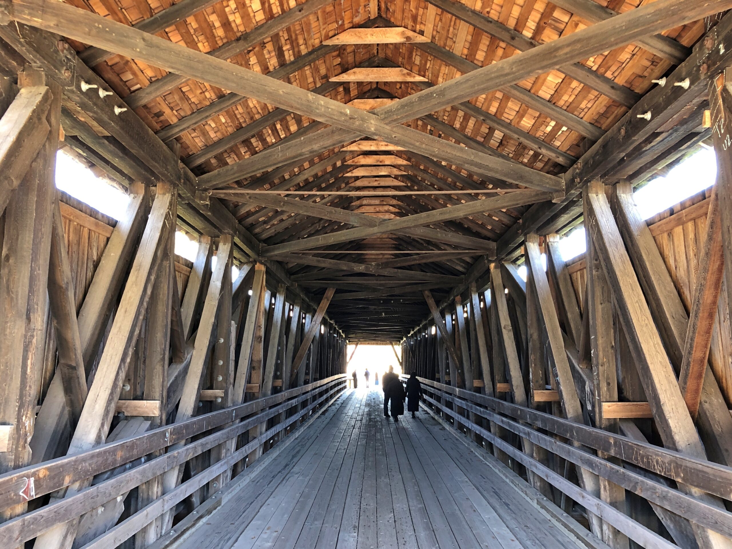
“The Downsville Covered Bridge is one of six covered bridges still standing in Delaware County…” explains the New York State Covered Bridge Society. “Built by Robert Murray in 1854, this 174-foot-long, single span structure incorporates the Long truss design patented on March 6, 1830 by Lieutenant Colonel Stephen H. Long of Hopkinton, New Hampshire, with an added Queenpost truss. This truss design is rare to Northeastern covered bridges.” 

Nice work, Mr. Murray, and the workers who have maintained it as a vehicular bridge down to the present day.

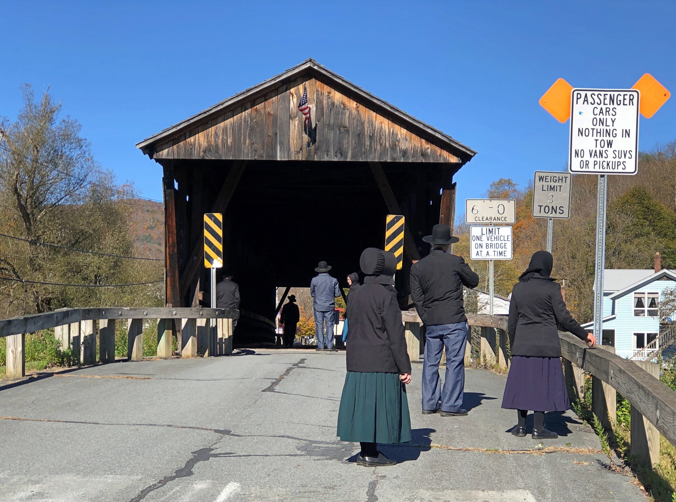
There’s a small park on the river next to the bridge, and a parking lot. Soon after I arrived for a look-see, a large van pulled up to the lot and about a half-dozen Plain People got out. They were there for a look-see too. So we were all on the bridge together.

Downsville NY covered bridge

I try not to do ethnic profiling, but I couldn’t help thinking that a top tourist sight for Plain People might well be a covered wooden bridge. Then I wondered, how is it they came in a van? As I was leaving, I noticed a non-Plain man waiting for them in the drivers seat. The Plain People equivalent of a Shabbos goy, I suppose. Except maybe that he can work any day except the Sabbath?

Not far away in Downsville is the Paige Cemetery. I had that to myself, as usual.
Paige Cemetery, Downsville, NY

New York 30 continues a long way on the shores of the Pepacton Reservoir. Still car commercial driving.

NY 30
NY 30

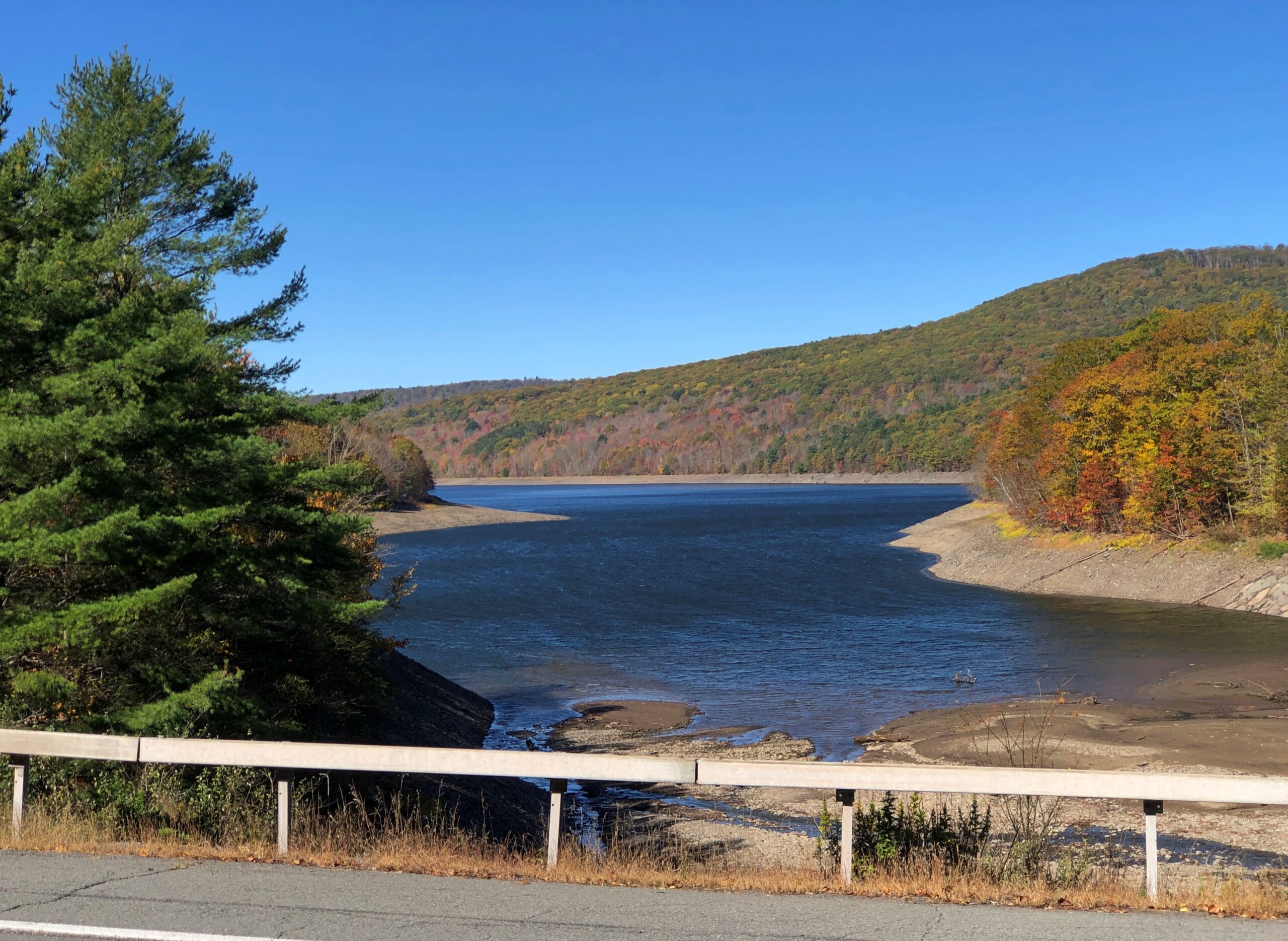
The Pepacton Reservoir, seemingly so peaceful on a brilliant autumn day, has a hell of a back story.

“It is formed by the damming of the East Branch of the Delaware River, which continues west and joins the lower Delaware River,” says NYC Environmental Protection. “It consists of one basin, approximately 15 miles in length [that] holds 140.2 billion gallons at full capacity, making it the largest reservoir in the city system by volume. It was placed into service in 1955.

“Pepacton Reservoir is one of four reservoirs in the City’s Delaware Water Supply System. As the reservoir with the largest capacity, it normally contributes more than 25% of the total daily water flow into New York City.

Italics added, because they needed adding.

Once I left NY 30 and headed east on NY 28, which put me on a path toward the Hudson River Valley and NYC and Long Island, traffic kicked up several notches. It was still mostly a pleasant drive.

Most of the traffic was headed west into the park, opposite of the way I was going; as only to be expected on a Thursday ahead of a colorful fall weekend. The Catskills are still a destination, if not quite the Catskills of yore. Some of the old story was told to the rest of the country through TV shows in previous decades, or even more recently: namely, The Marvelous Mrs. Maisel.

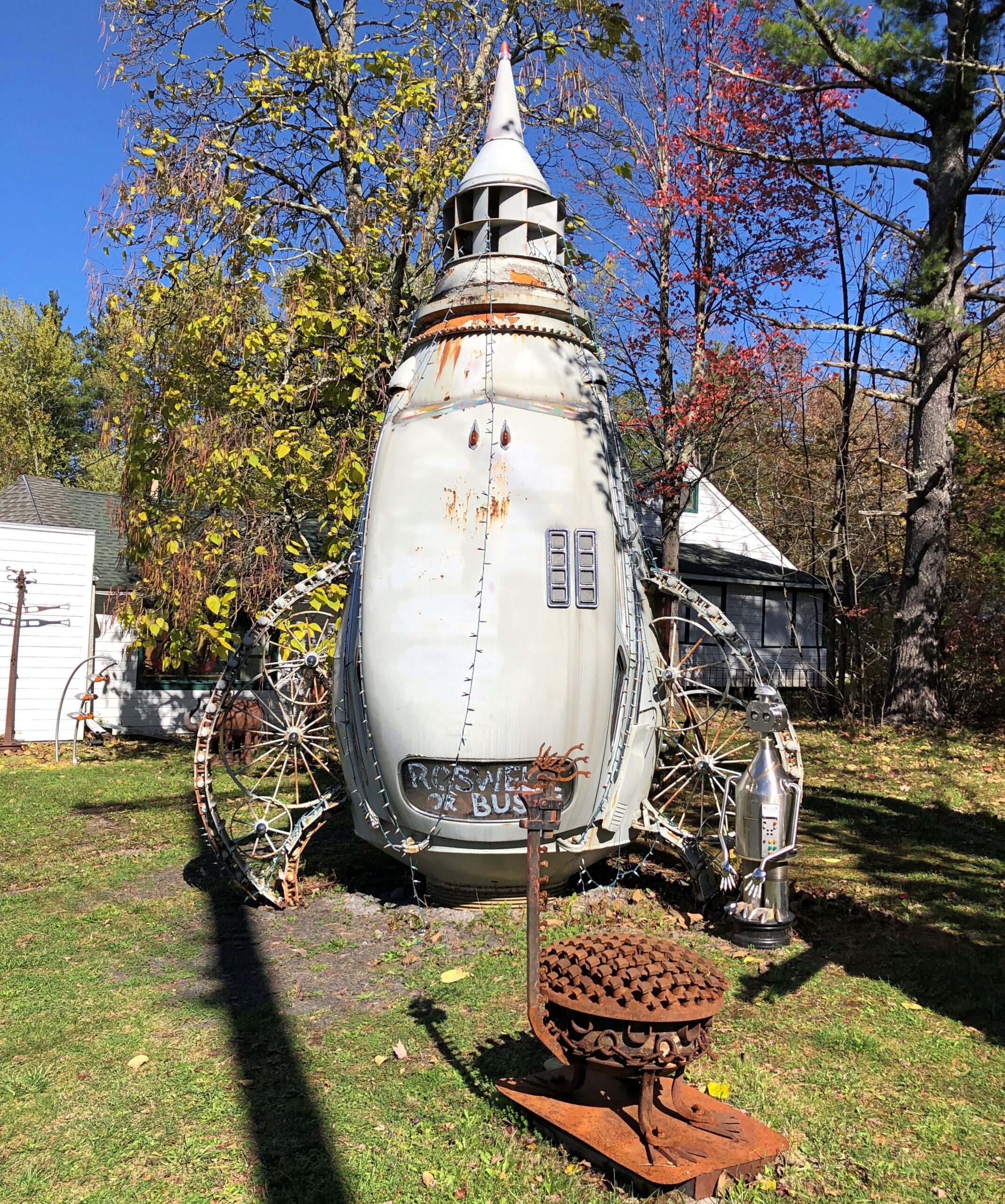
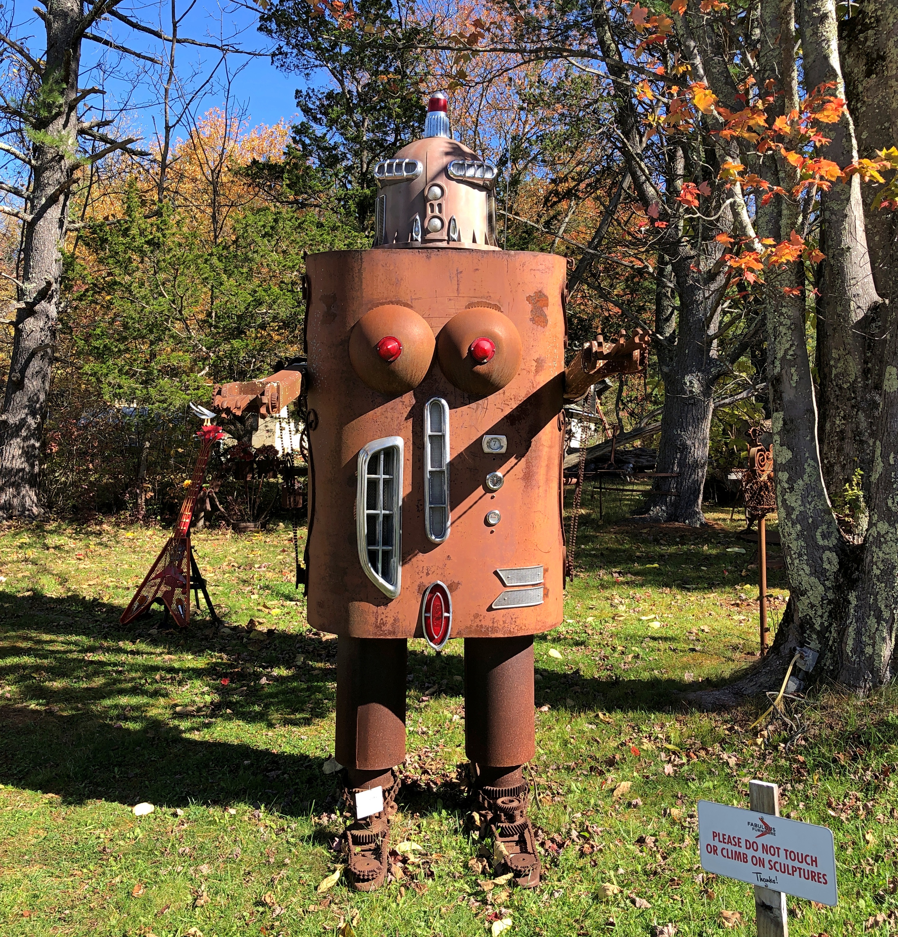
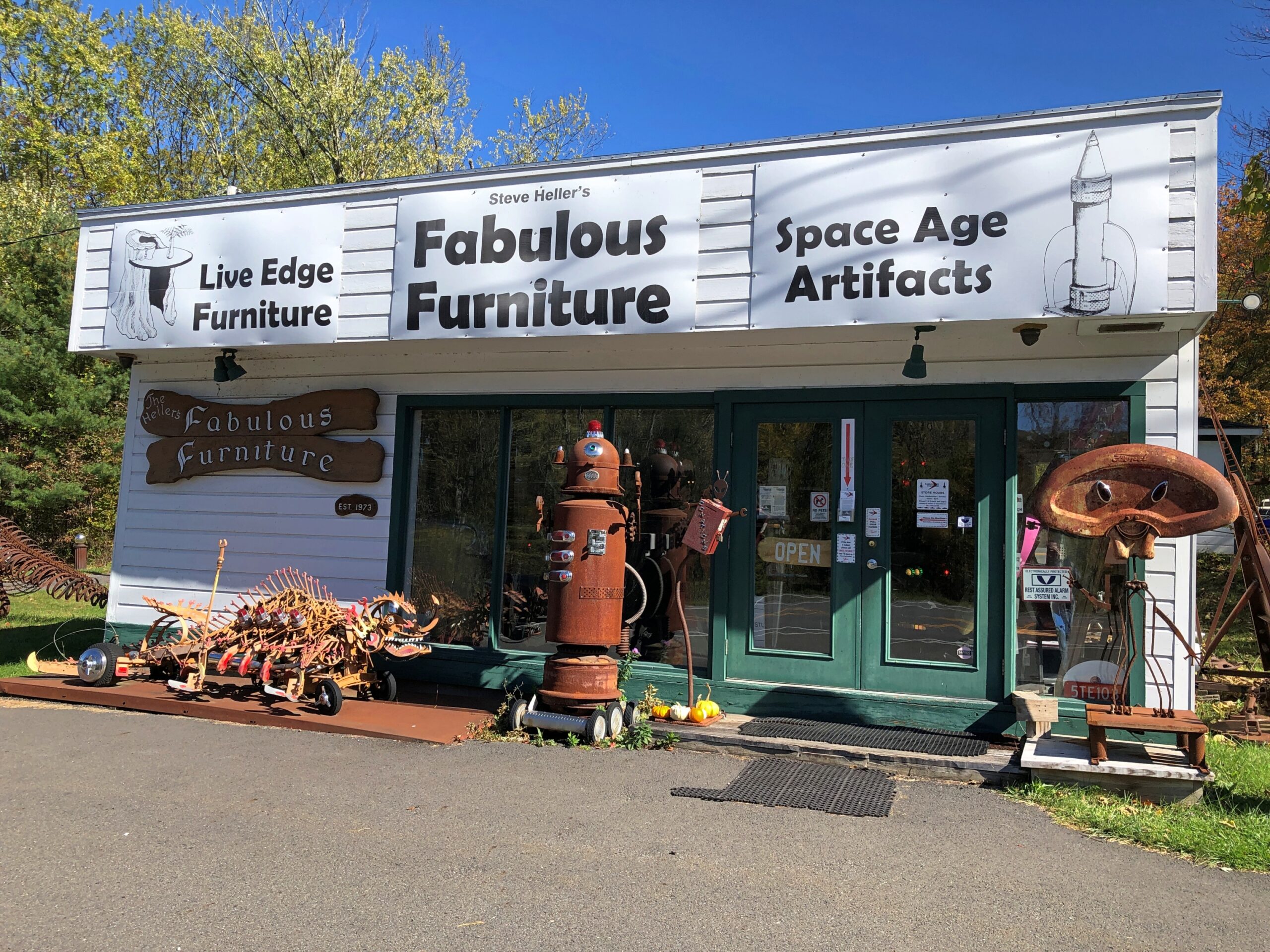
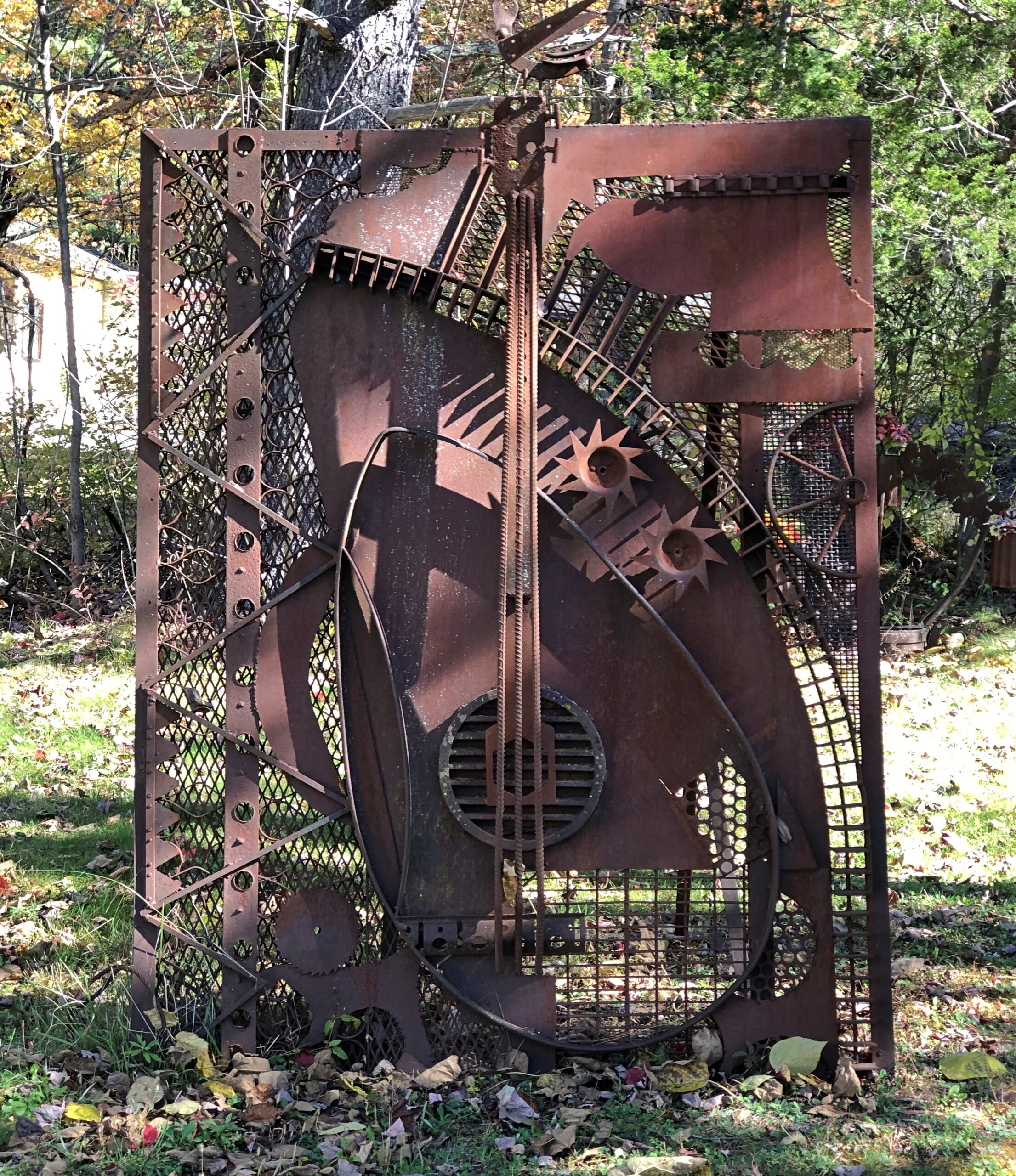
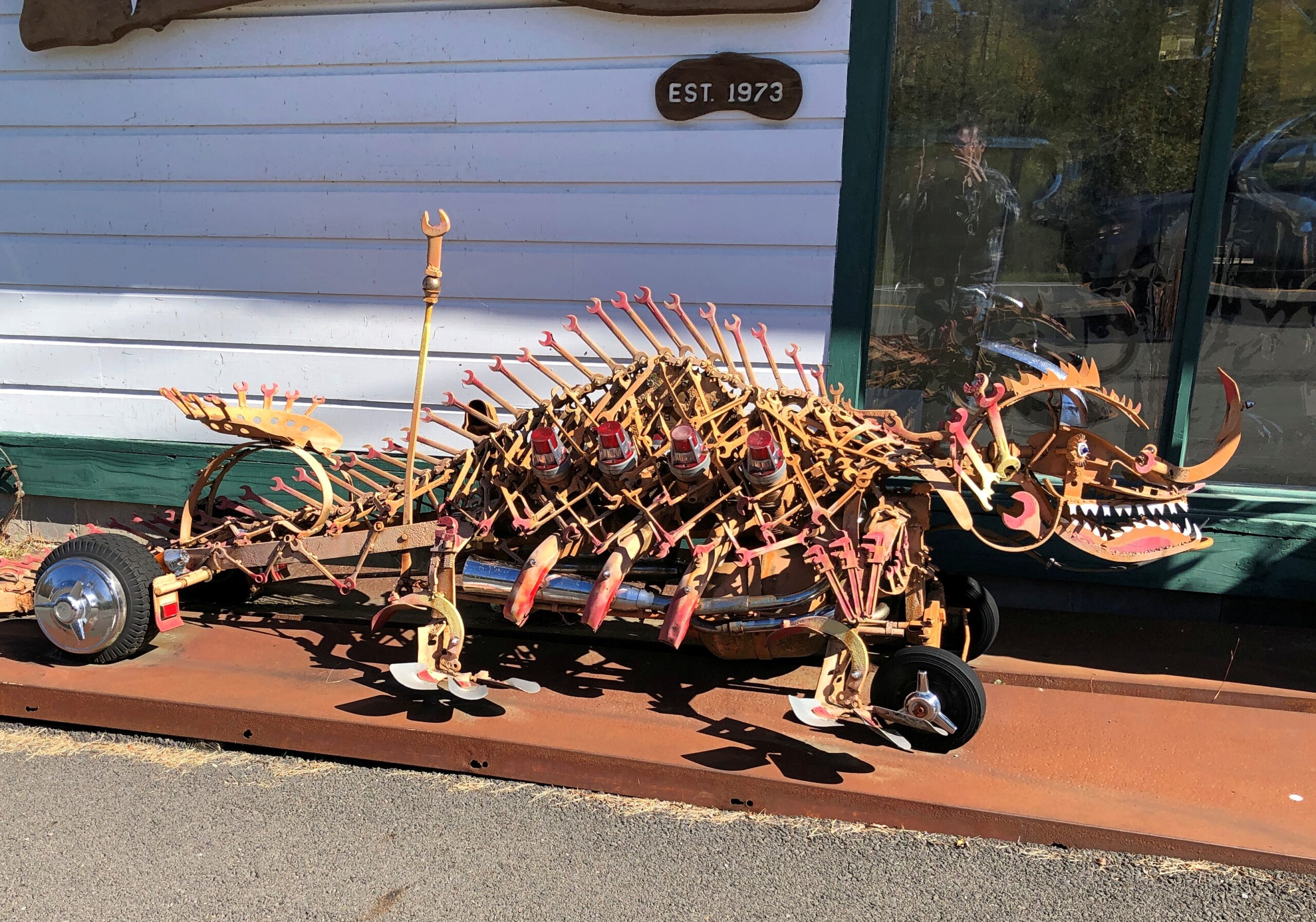
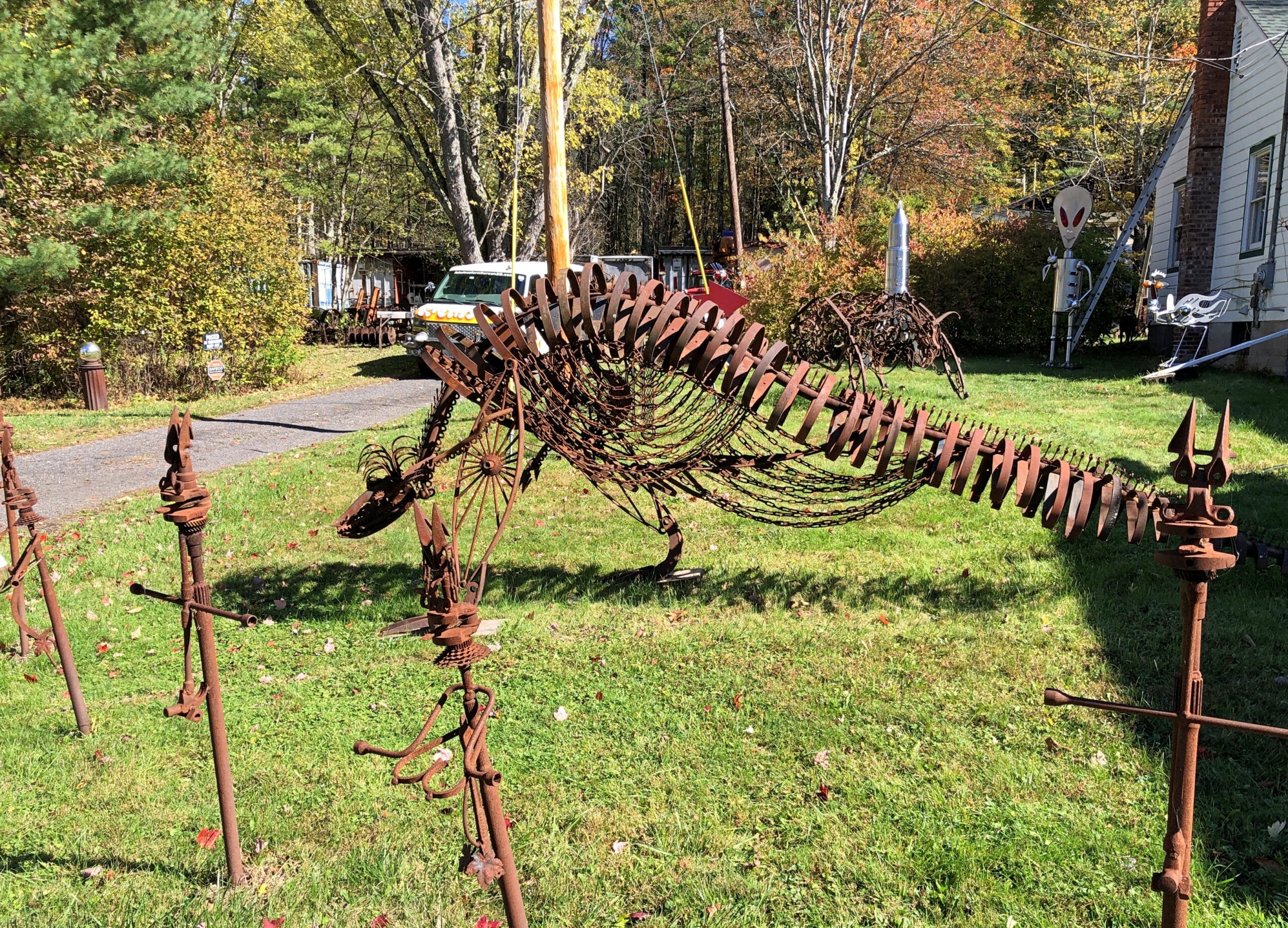
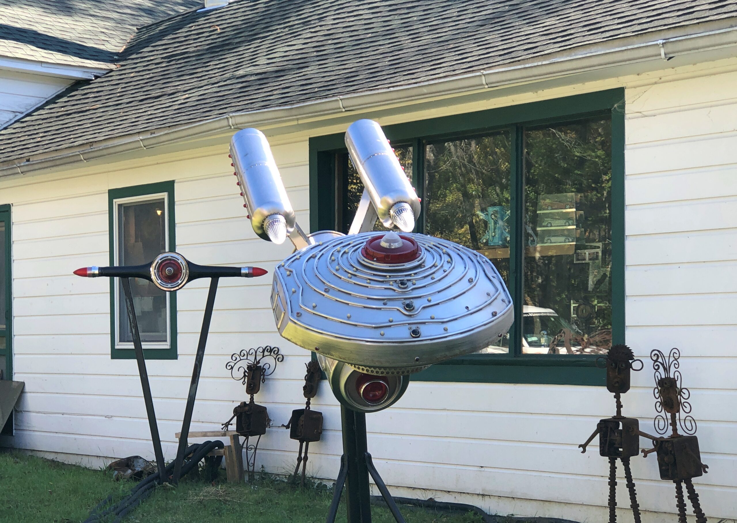
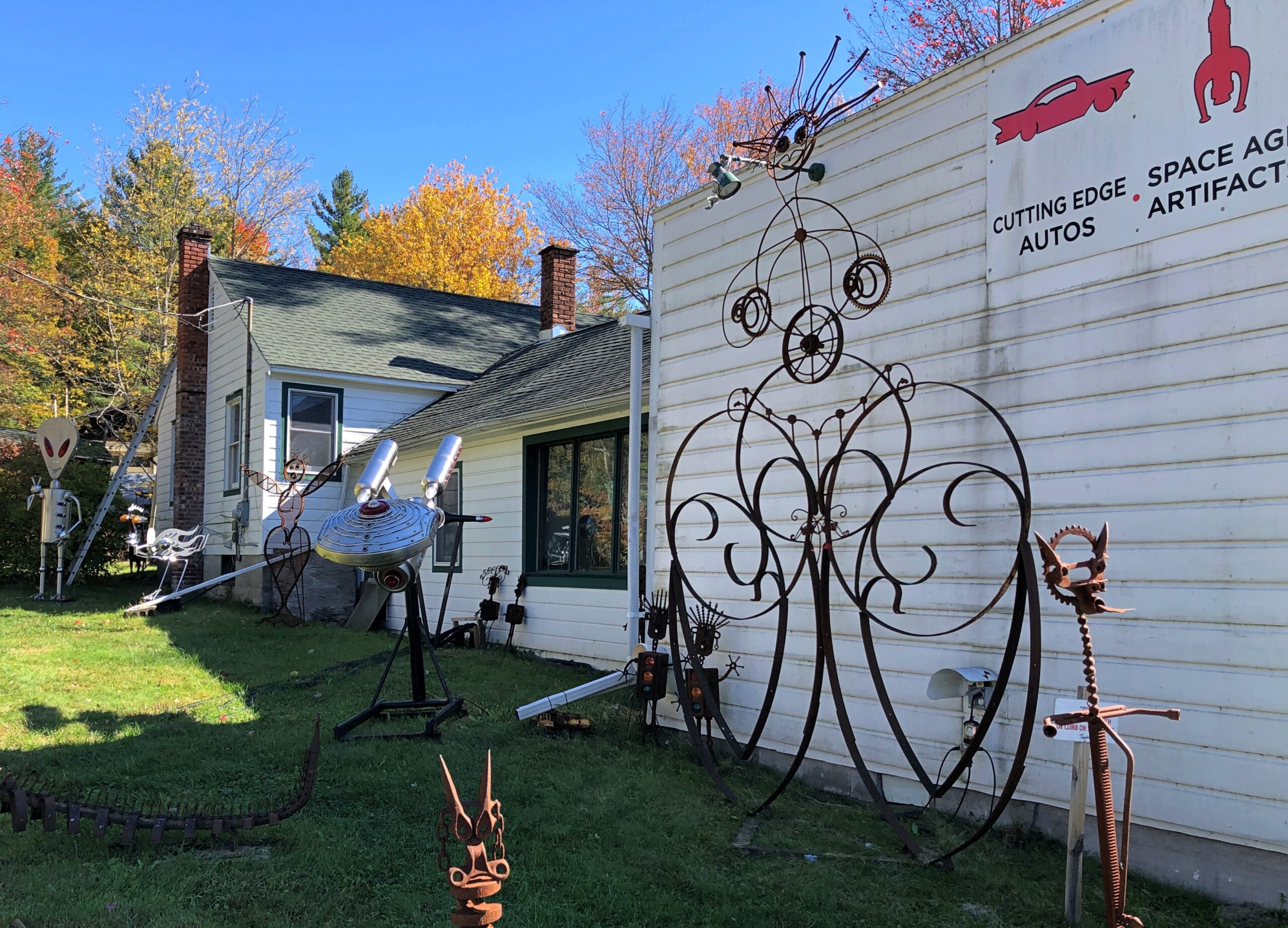
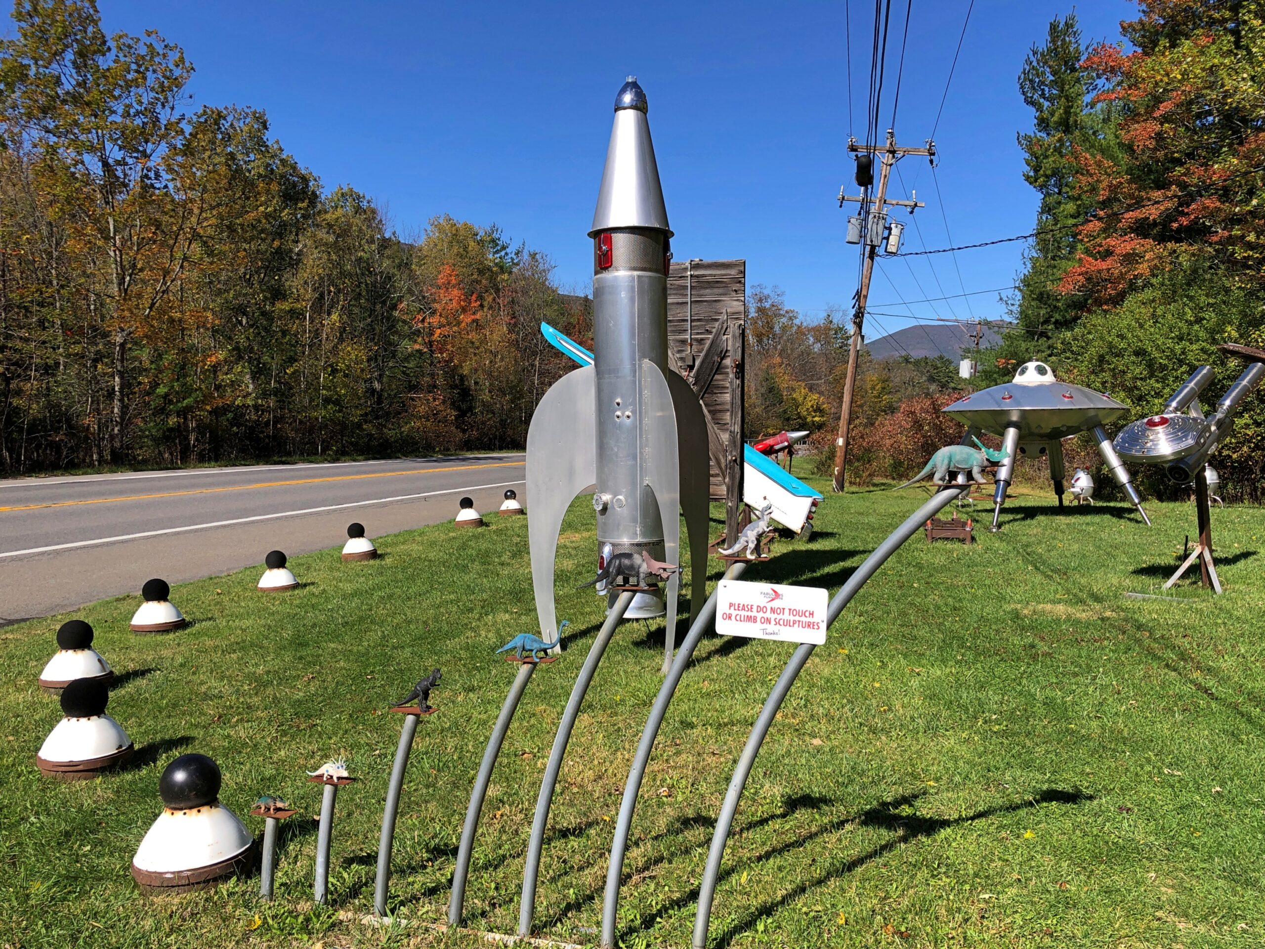
Metal spaceship and robot sculptures haven’t been part of the Catskills narrative that I know of. But there they were, right off NY 28.

Fabulous Furniture, Catskills

As part of this place of business.

Fabulous Furniture, Catskills

Some artful metal for sure.

Fabulous Furniture, Catskills

More.

Fabulous Furniture, Catskills

Fabulous work, Mr. Heller, but those Space Age artifacts are of a Space Age that never quite was. Too bad.

The Basilica of St. Fidelis, Cathedral of the Plains

Today I let Google finish “Cathedral of the…” and got the following responses, top to bottom (capitalization sic): Sea, deep, Holy Angels, holy angels photos, forsaken, immaculate conception, incarnation, Madeleine, deep ds3, pines.

Cathedral of the Sea is La catedral del mar, a “Spanish drama series” that I’d never heard of, though I have been to Santa Maria del Mar. The Cathedral of the Deep and of the Forsaken appear to be aspects of electronic games, and the others are churches in various places.

Not on the list is the Cathedral of the Plains. But it’s out there, in central Kansas.

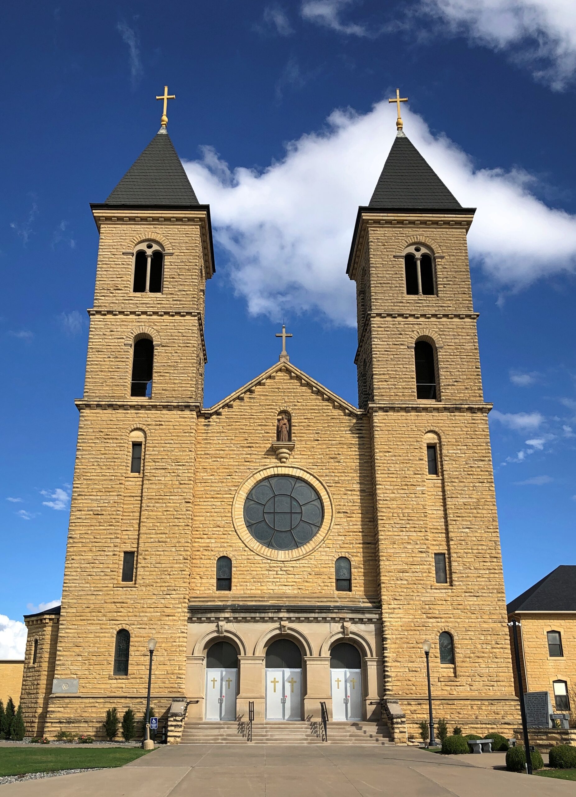
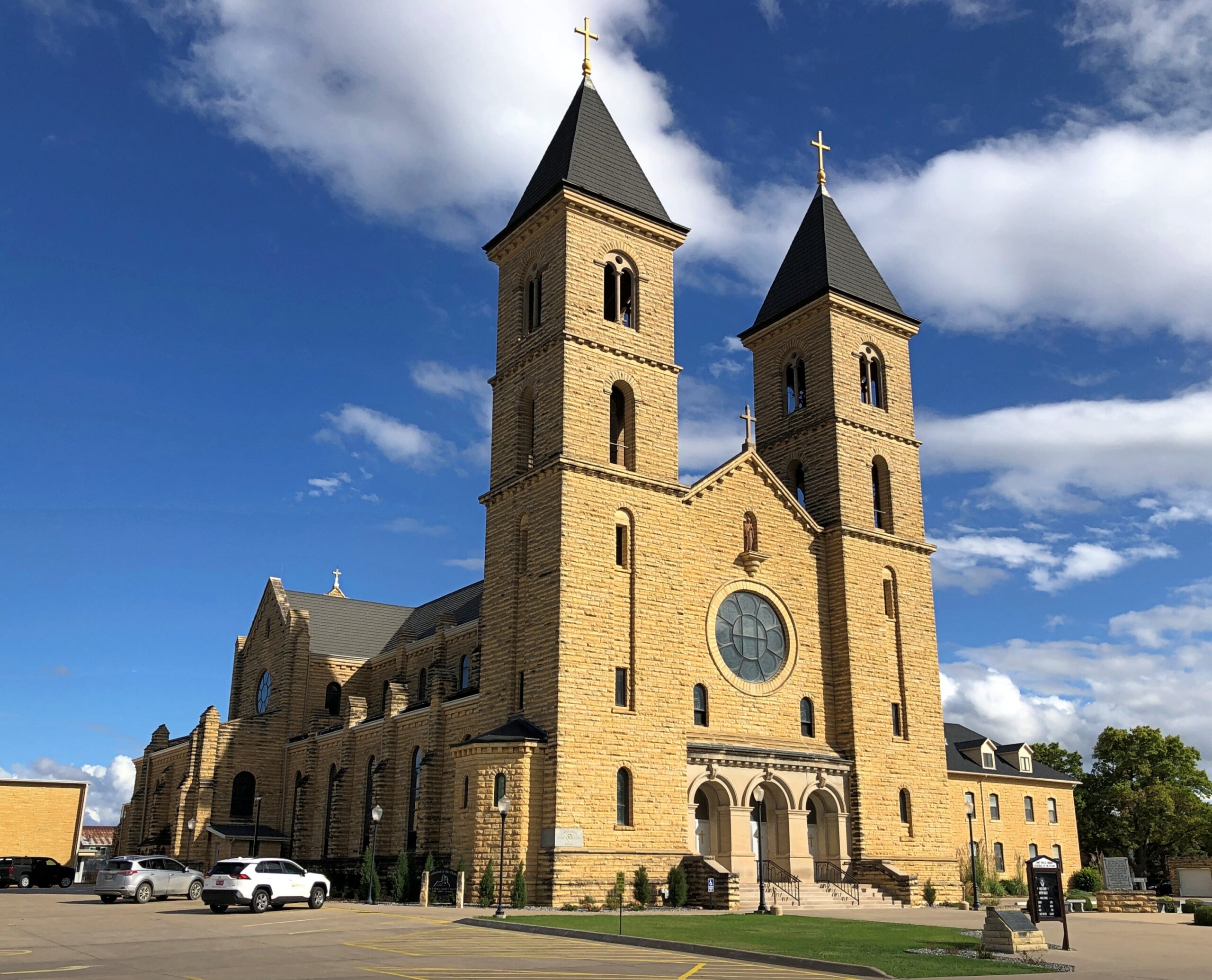
Cathedral of the Plains

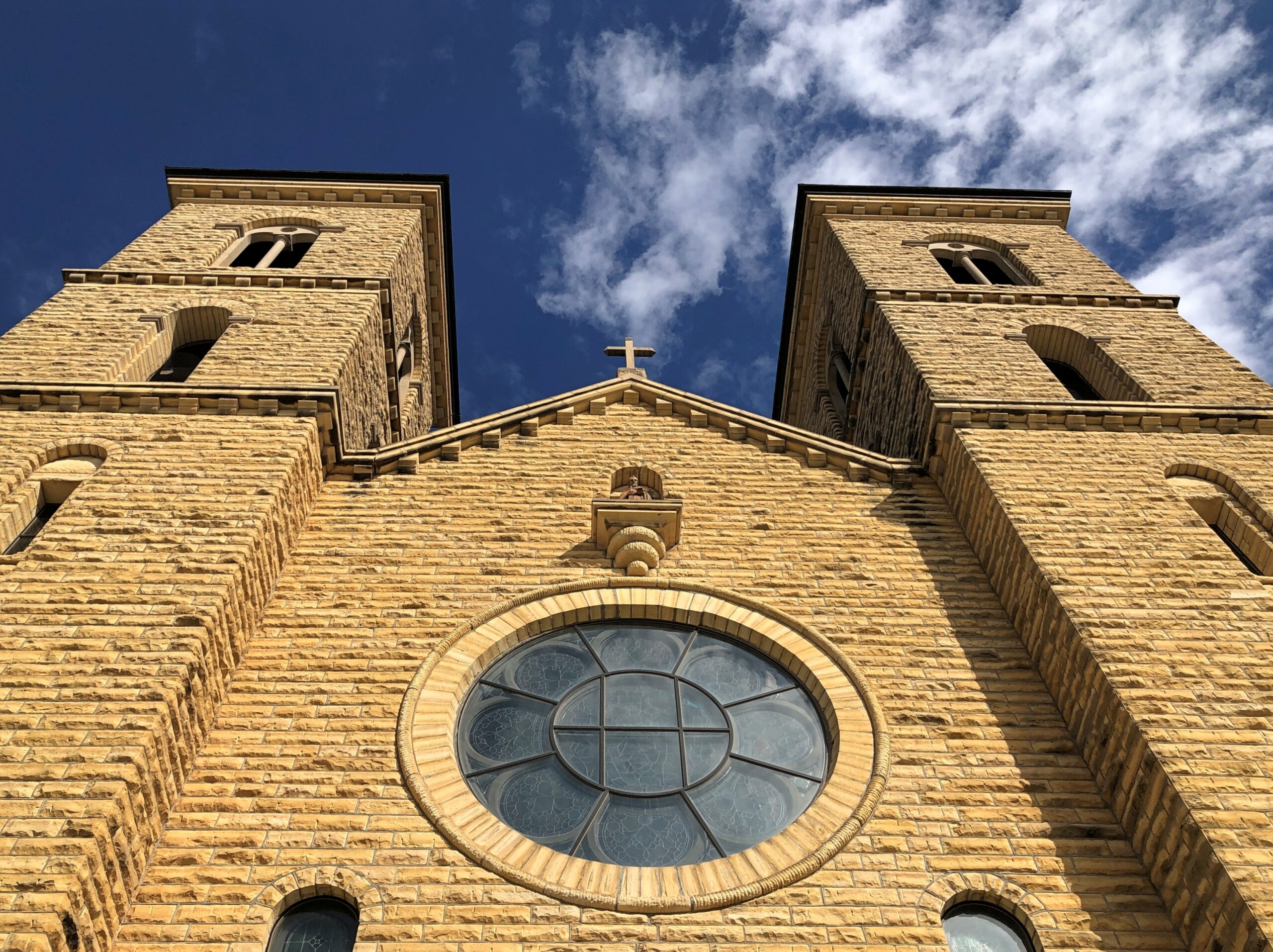
That’s a nickname, since the church isn’t actually a cathedral, but the wording does appear on its point-of-interest spot on road maps – and naturally that got my attention. Formally, the church is the Basilica of St. Fidelis, said to be the largest church west of the Mississippi by seating capacity (1,100) upon completion in 1911 in Victoria, Kansas. Conveniently (for me), some decades later I-70 was built not far away.

John T. Comès (d. 1922), a Pittsburgh architect, designed the church for a congregation of Volga German immigrants. Who had come to greater Victoria starting in the 1870s. Why Victoria? Why not? No doubt they looking for flat farmland.

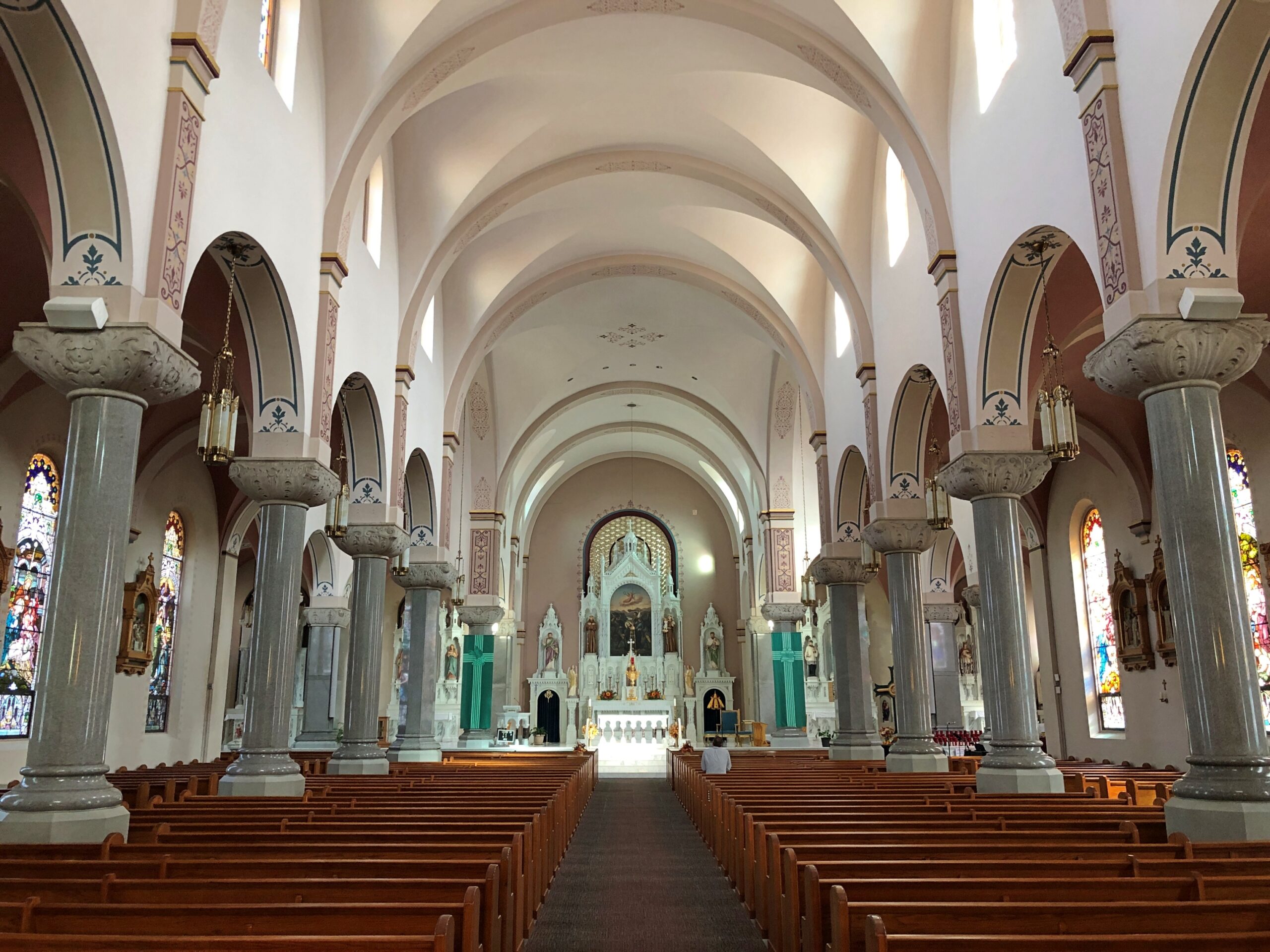
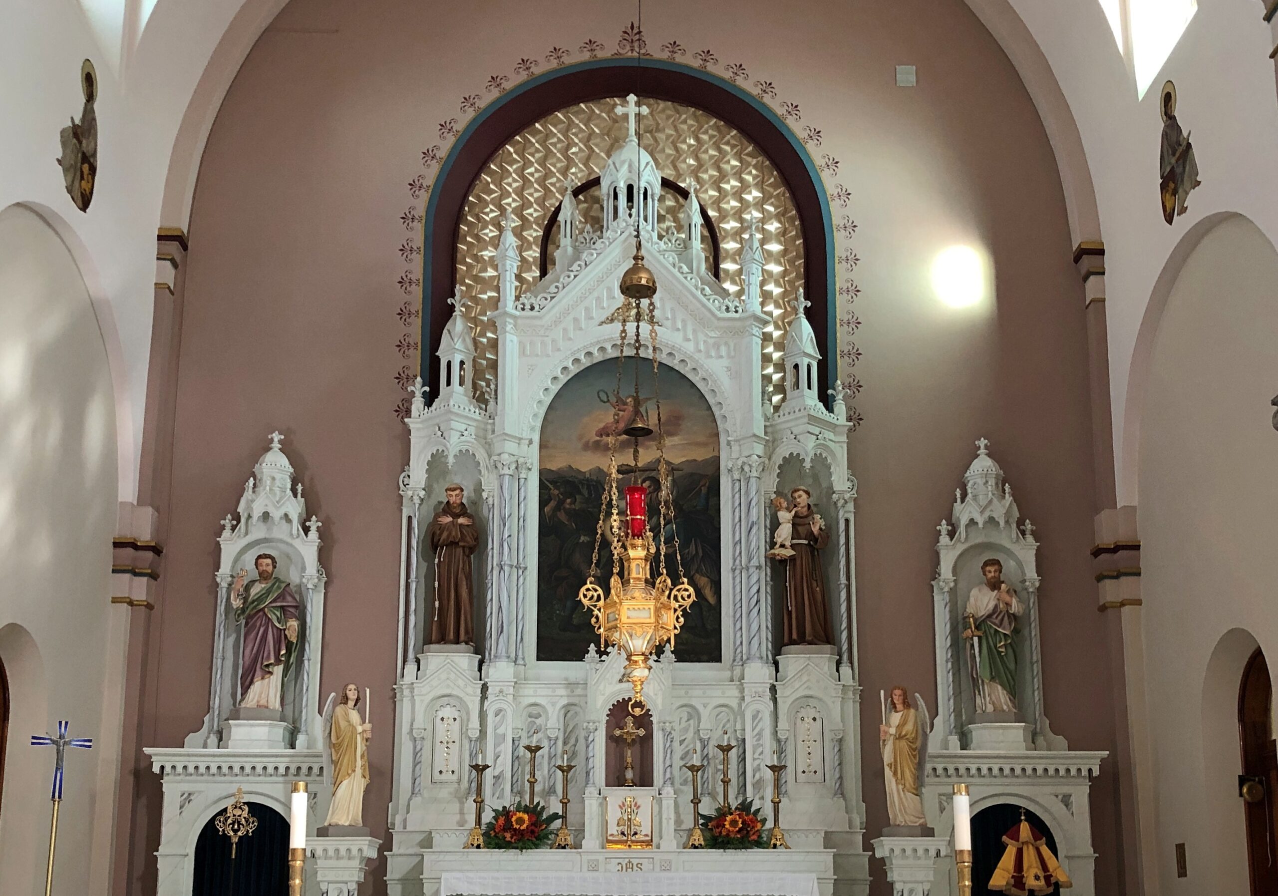
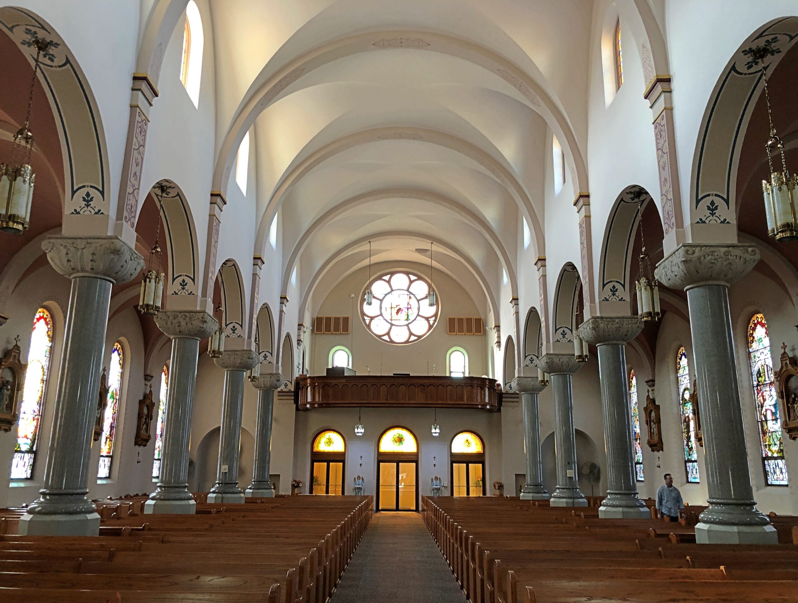
Comès, an incredibly prolific specialist in Catholic churches, did a fine job.

Cathedral of the Plains

Nice.

Cathedral of the Plains

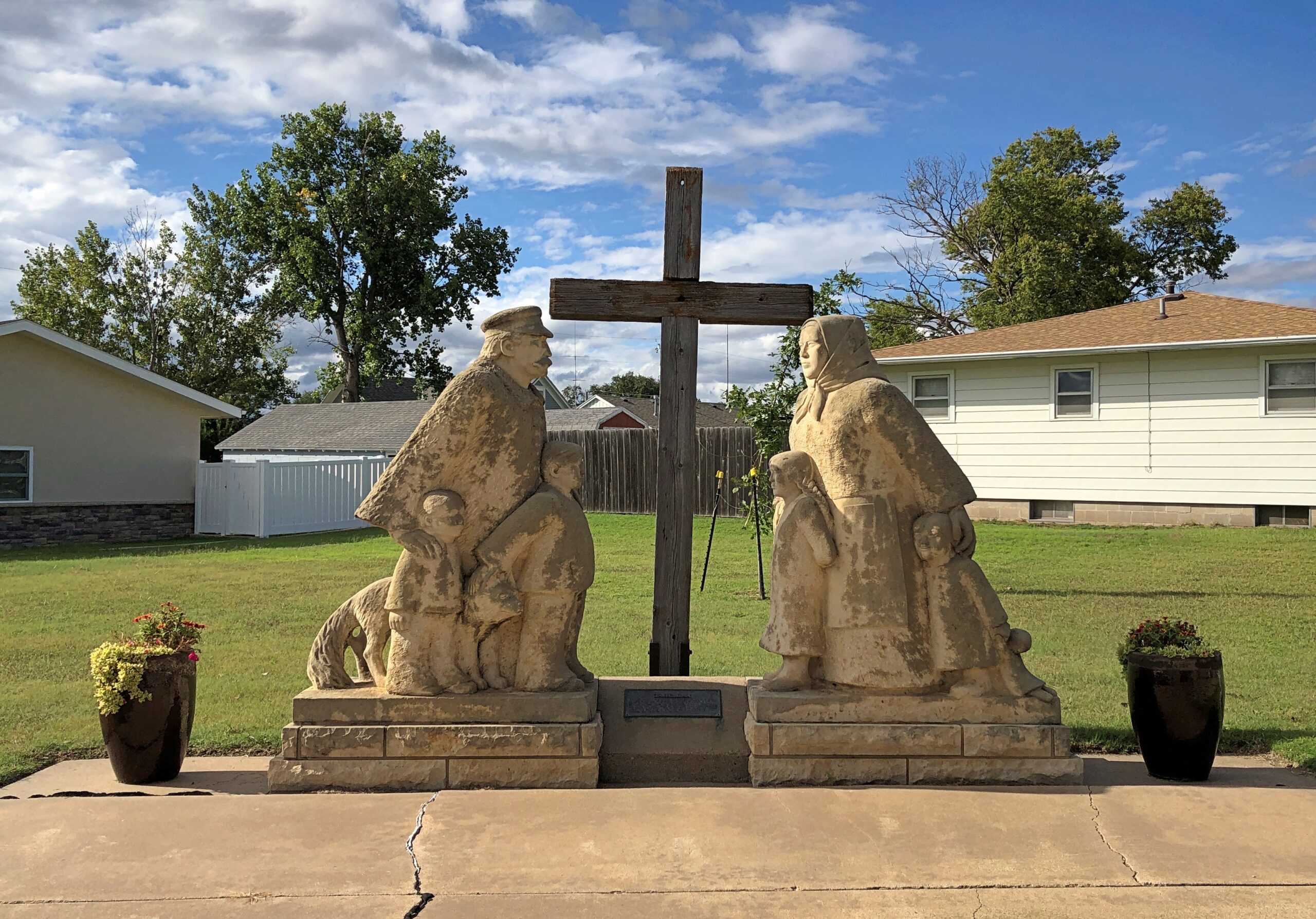
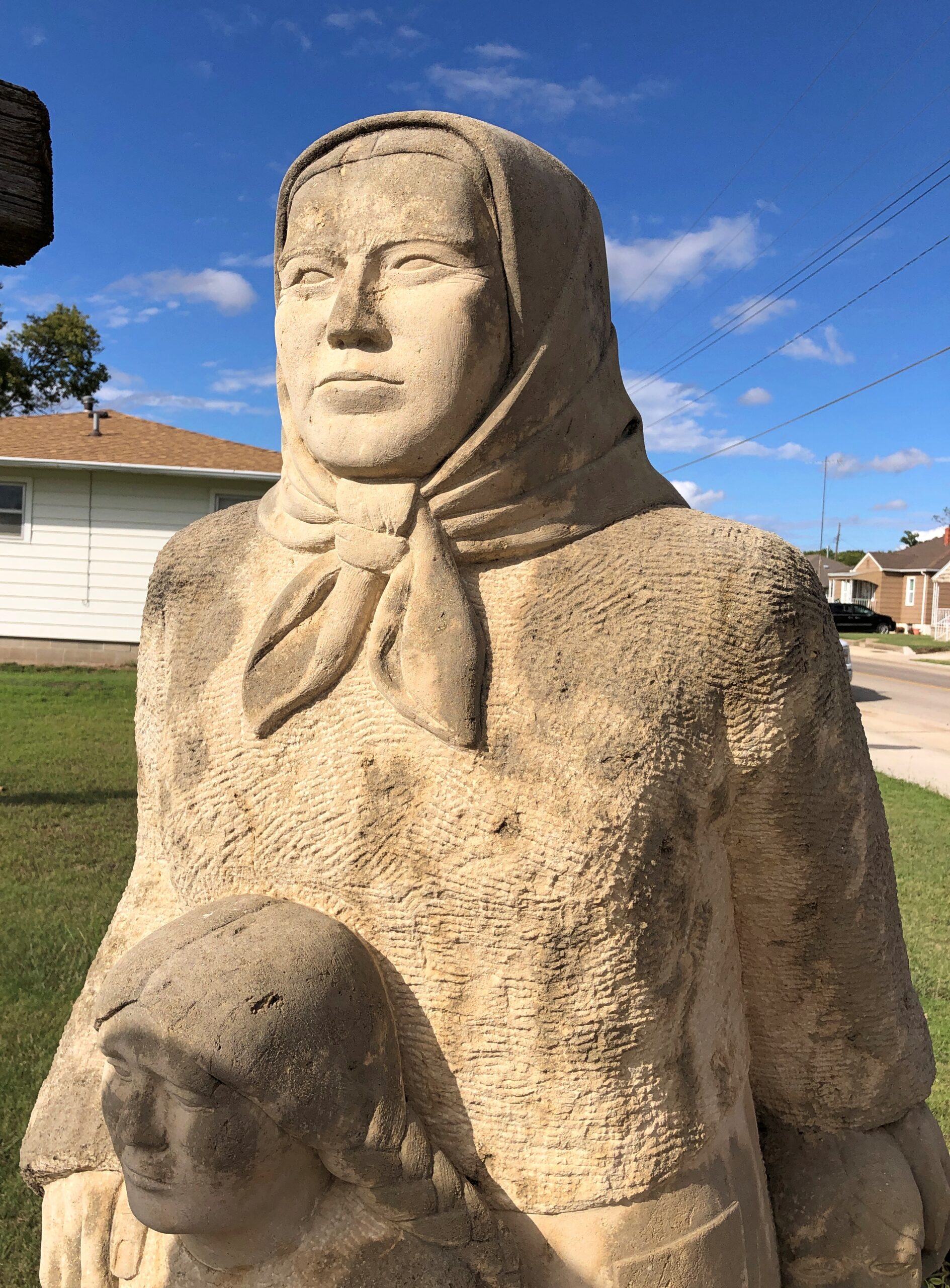
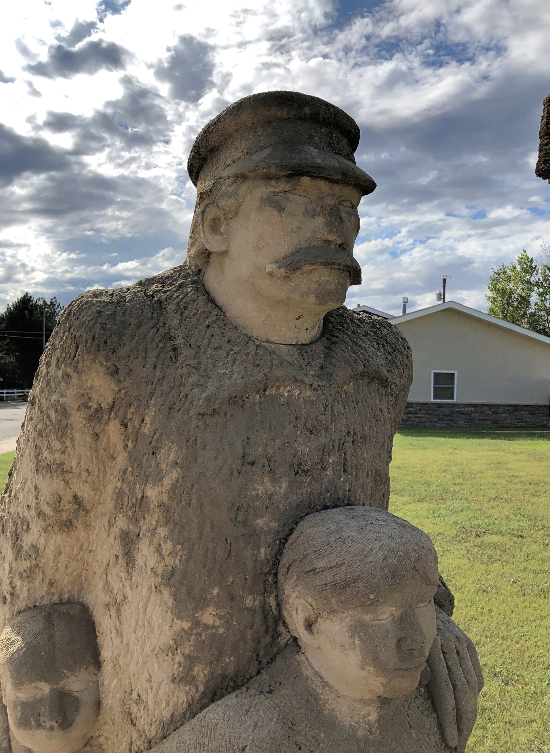
The Volga Germans aren’t forgotten. No doubt their descendants are all around this part of Kansas. In 1976, the townspeople erected a memorial to their immigrant ancestors, across the street from St. Fidelis. A work by Pete Felton, a “Kansan limestone carver,” according to this posting, which also mentions limestone fenceposts as important in Kansas — something else to look into sometime.

After nearly 50 years, the statues are looking a little weatherworn, but they abide.

Victoria, KS

The woman and daughters caught the light at that time of day, the afternoon of September 23.

Victoria, KS

The man and sons did not. Would sunlight have made him less – Stalinesque?

Victoria, KS

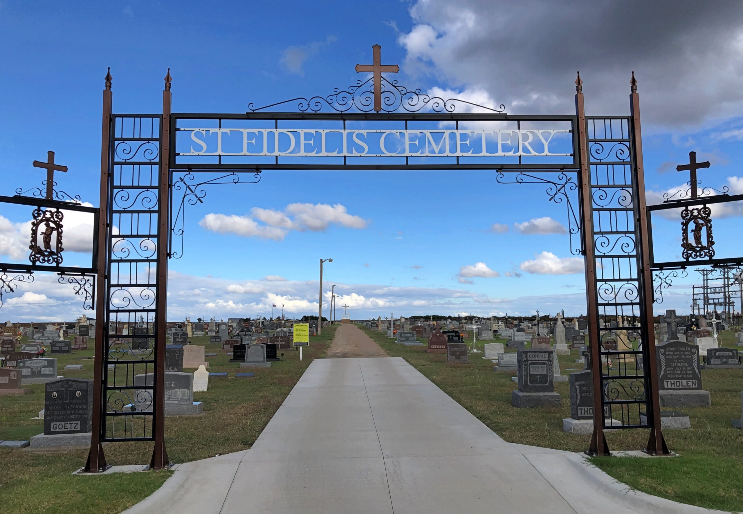
Never mind. St. Fidelis Cemetery isn’t far to the north of the basilica, and I stopped by.

St Fidelis Cemetery

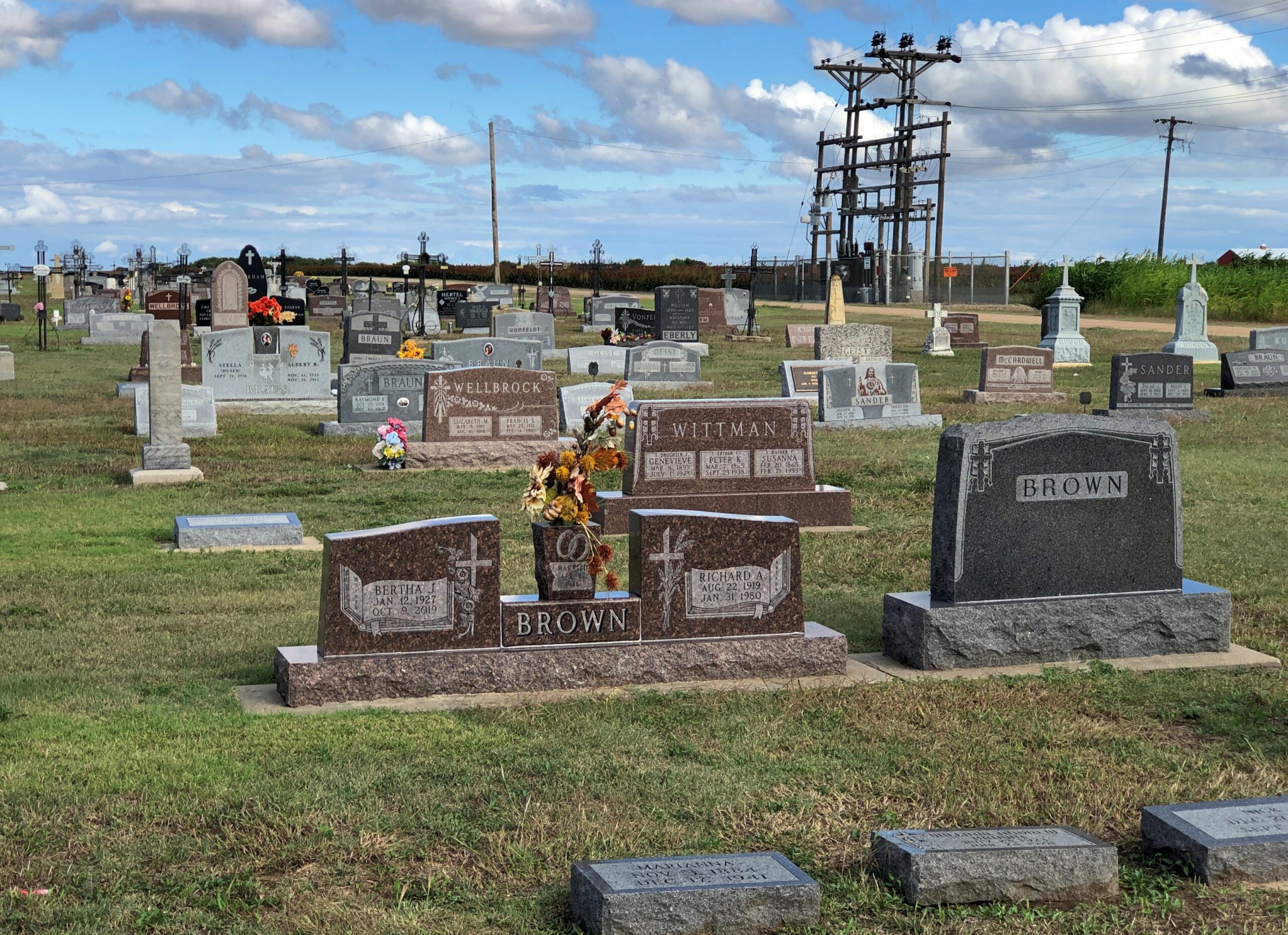
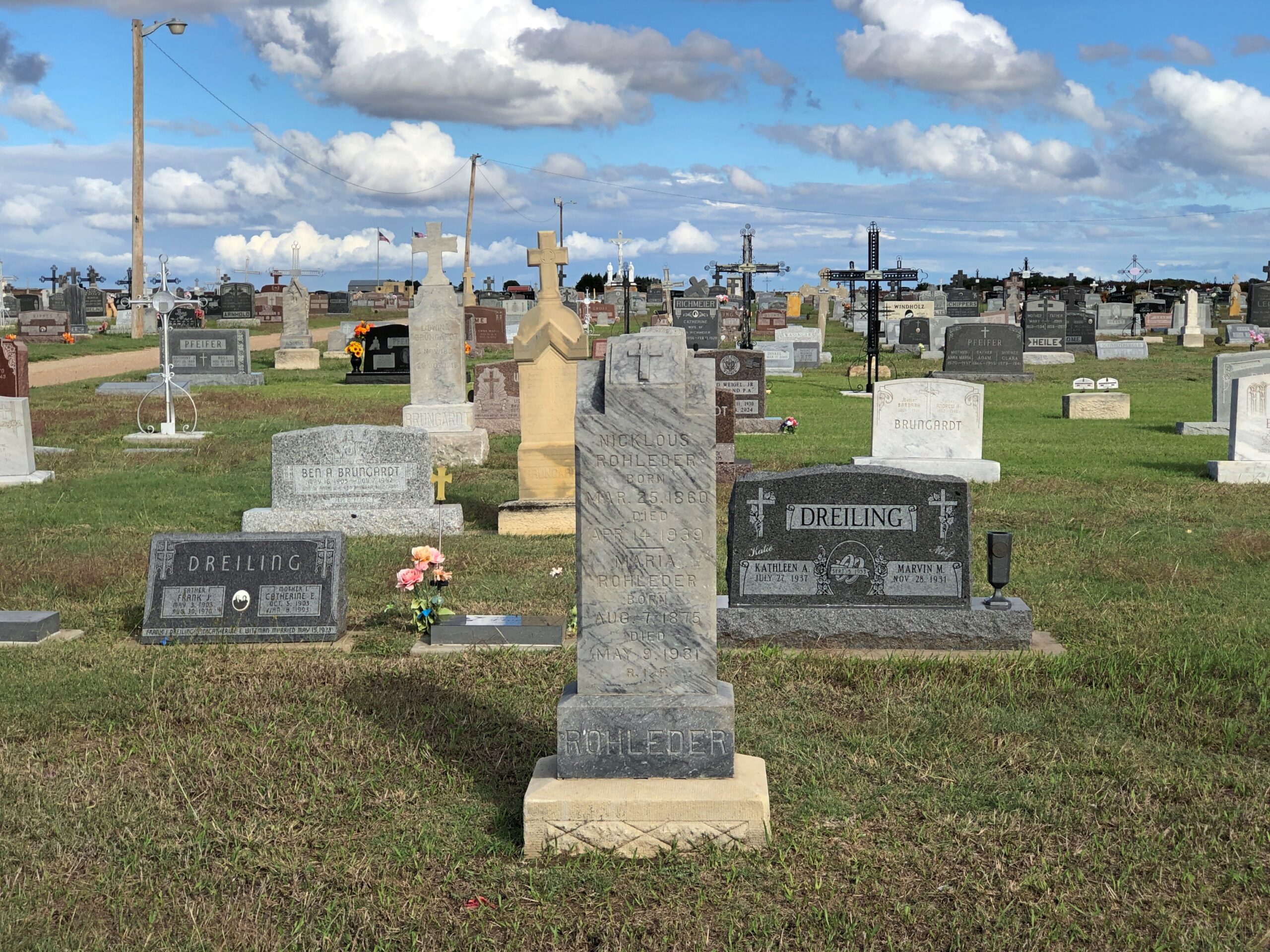
A good variety of memorials in a nice setting, even if the land lacks contour and there’s no flora beyond grass and cut flowers.

St Fidelis Cemetery
St Fidelis Cemetery
St Fidelis Cemetery

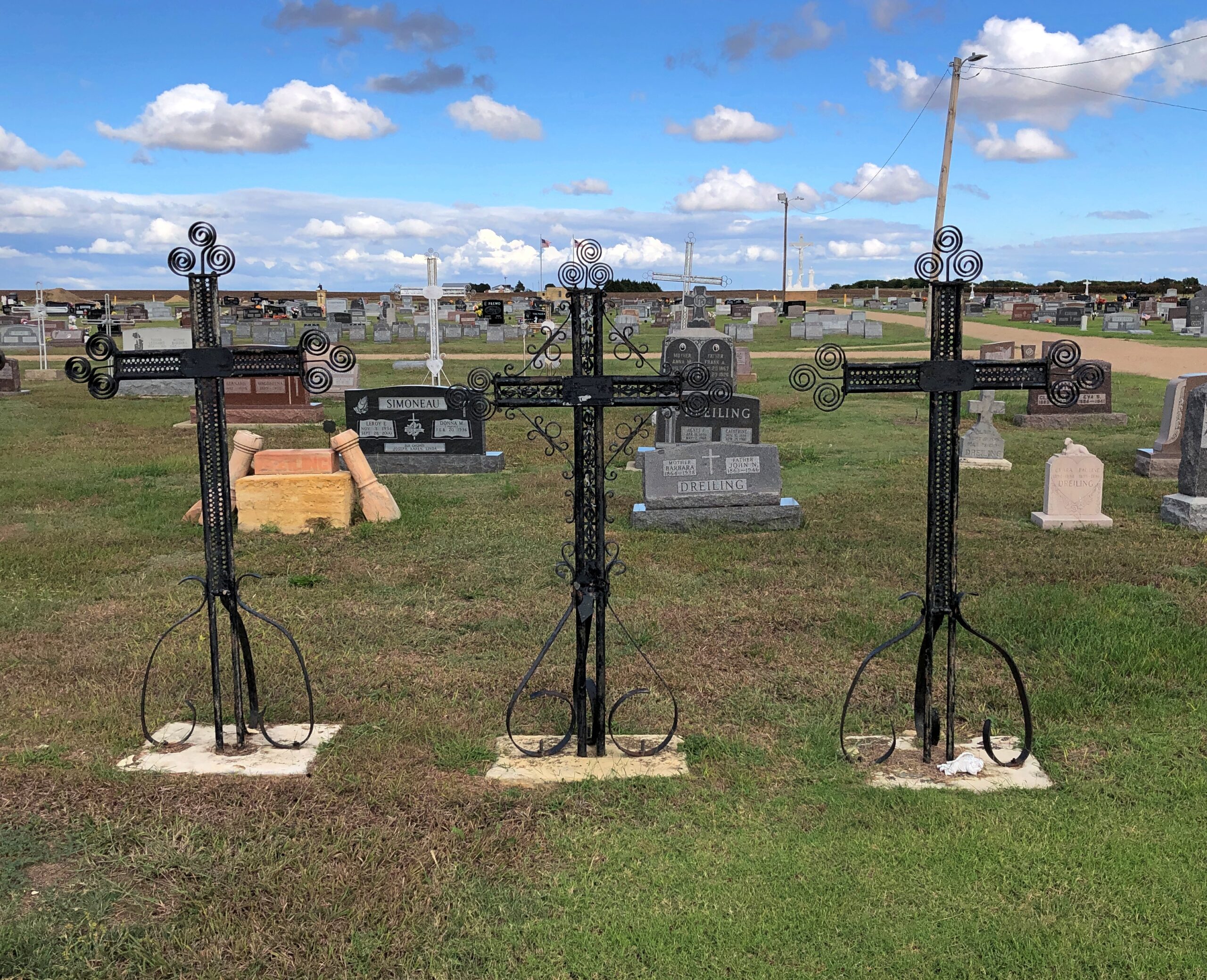
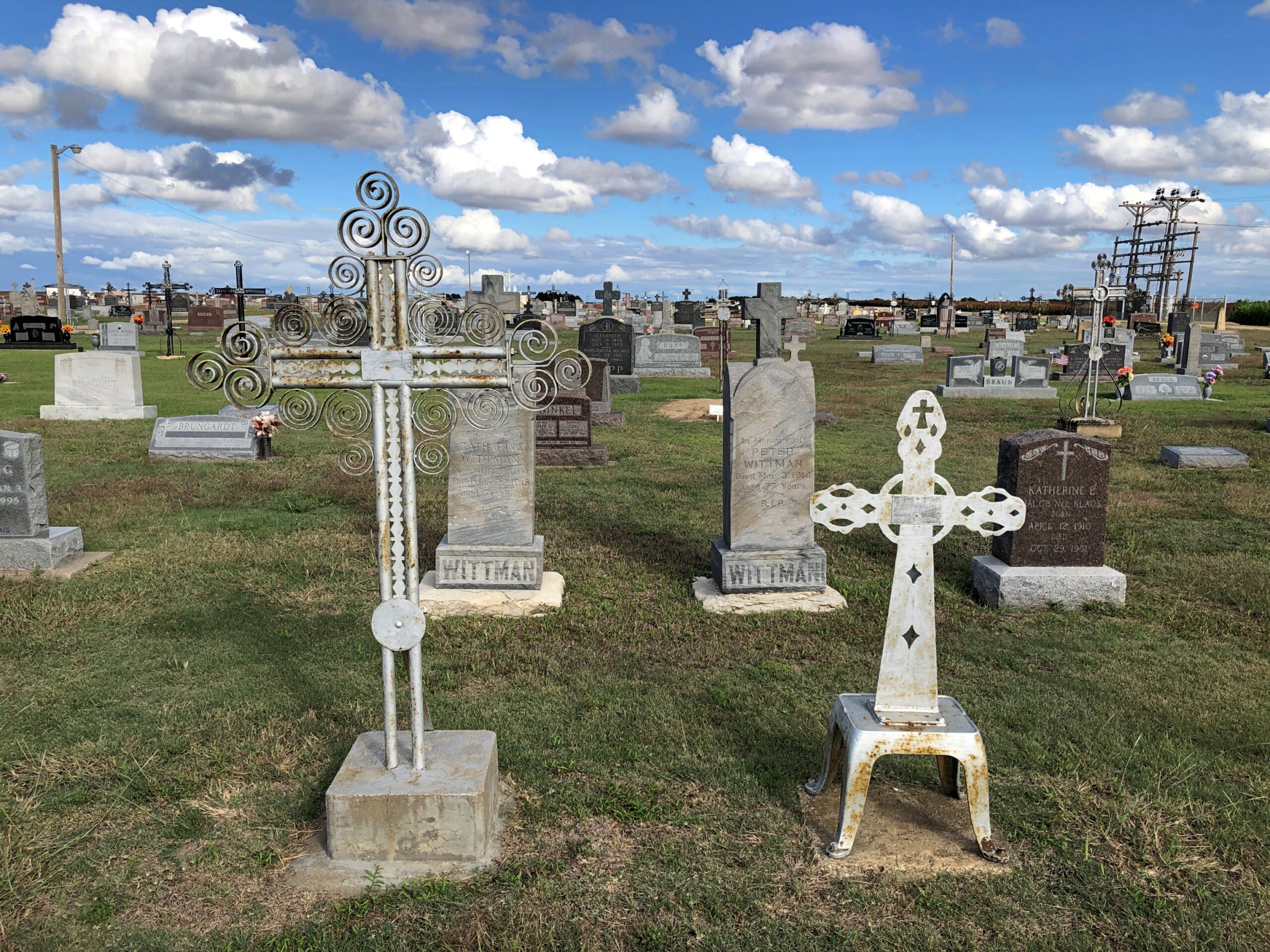
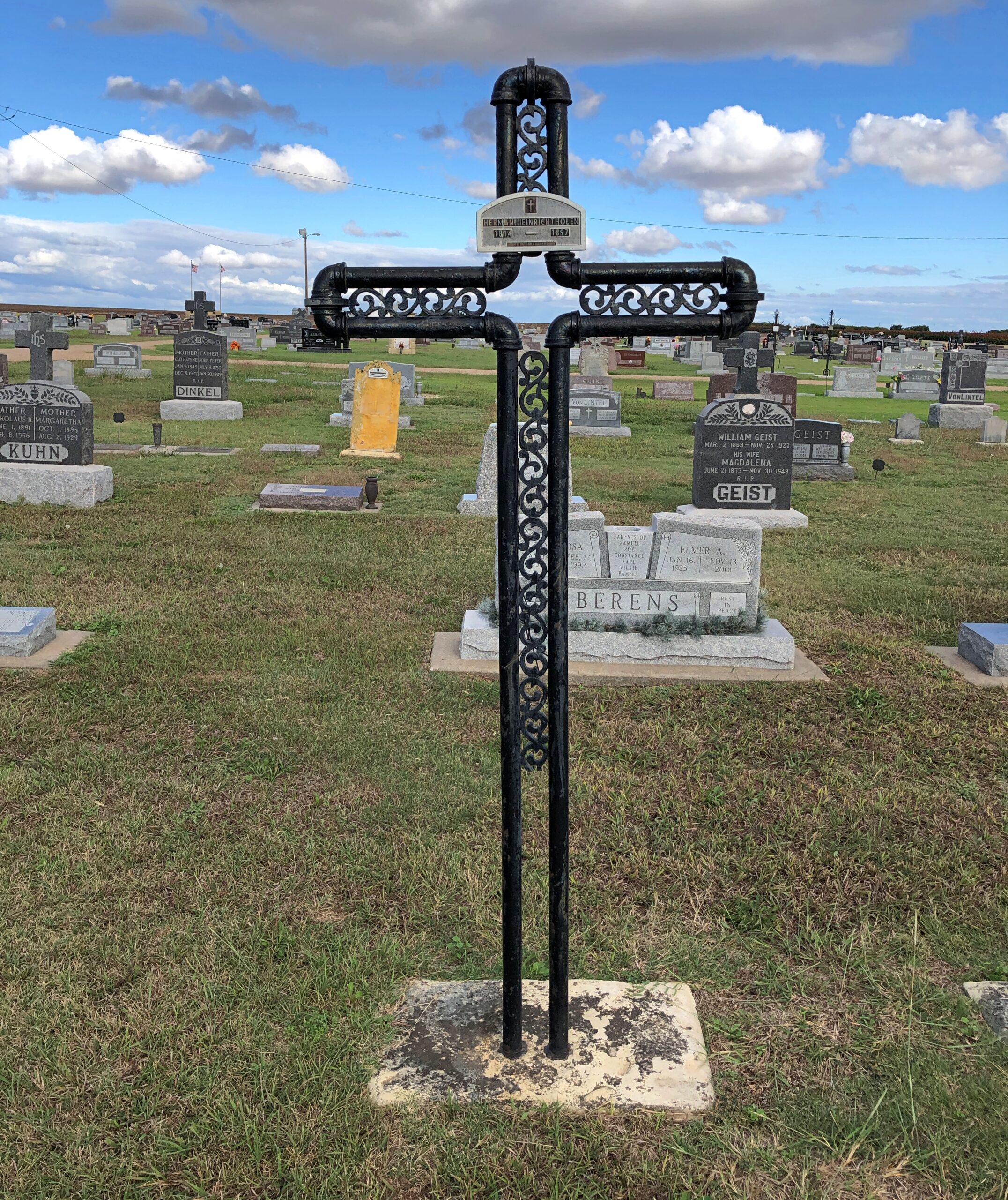
Then I started to notice iron crosses.

St Fidelis Cemetery
St Fidelis Cemetery
St Fidelis Cemetery

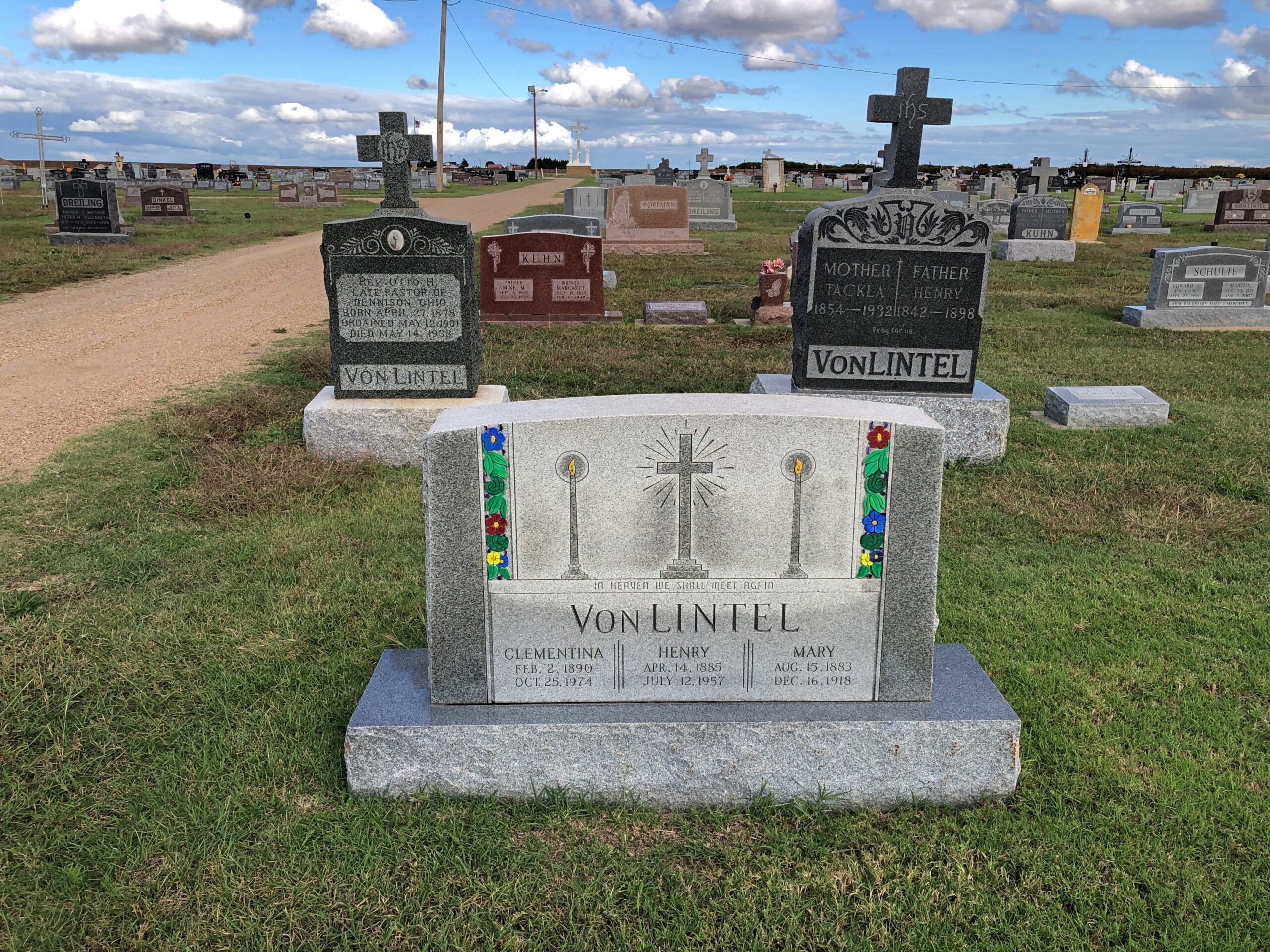
A lot of them. That called for further investigation, and it wasn’t long before I found out that Volga Germans were known for their wrought-iron crosses.

“German-Russian blacksmiths began making wrought-iron crosses in North Dakota as early as 1884,” says an article posted by North Dakota State University. “The hand-made crosses were most prevalent in central North Dakota from the late 1880s to about 1925, when marble and granite became more popular for grave marking. Most wrought-iron crosses appear in Catholic graveyards, although a few of these markers are also found in German-Russian Lutheran graveyards.”

The article talks of their crosses in North Dakota, but notes that they are also found in the “Northern Plains.” Such as Kansas, apparently.

Two Southern Wisconsin Cemeteries

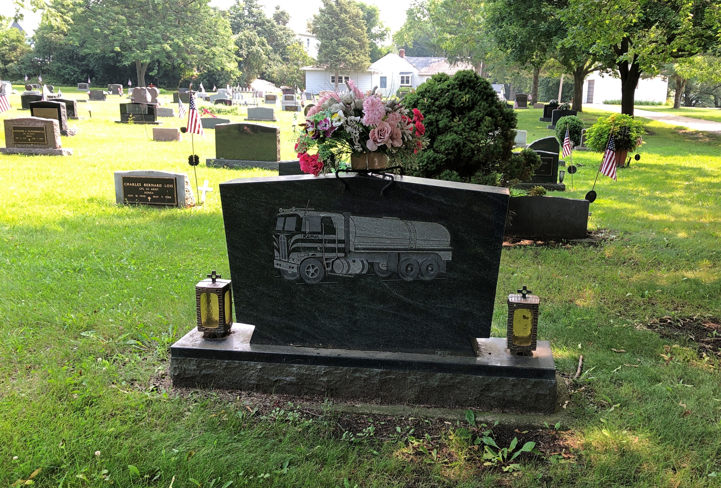
Something I’d never seen on a gravestone: a truck. I’ll bet most people can say that.

St Mary's Cemetery, Burlington, Wis

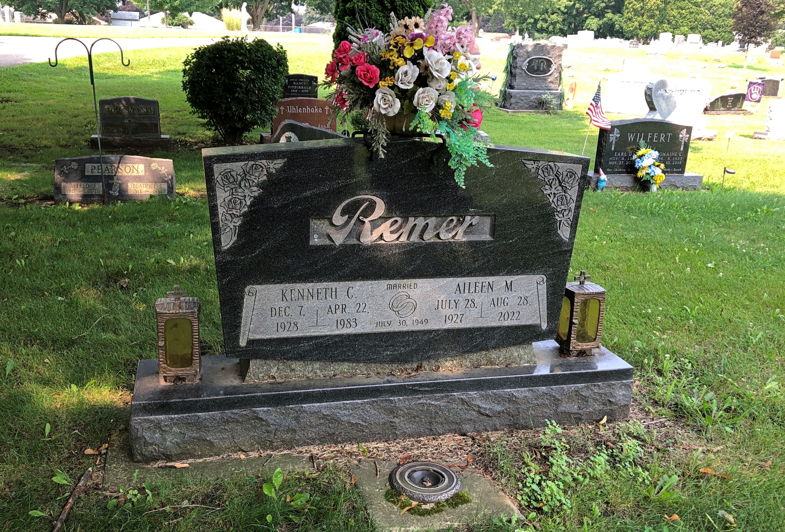
My best guess when I saw it was that Kenneth C. Remer was a trucking man who, among other things, lived through the short romanticization of trucking men in the mid-1970s. Something I’m sure is lost on later generations, as if that matters. If I were silly enough to say “That’s a big 10-4” to either of my daughters, I wouldn’t expect comprehension. That bit of code wasn’t invented by truckers, but even so.

I looked him up, as one can in our time. His obit says he was a “partner in Remer Milk Service.” So could be he drove a milk truck, at least sometimes. That is a liquid-hauling truck depicted on the stone. Not something celebrated in song and story, but useful work all the same.

Further down the rabbit hole, I came across this: “The 1970s Trucking Craze Can Be Traced Back to a Regional TV Commercial for Bread.” I never knew that, or if I did, I forgot it in the 50 years since then, because I’ve devoted very little thought to the subject over that time. Just another thing invented by ad men.

Another thought on that: though “Convoy” was much more popular, C.W. McCall’s “Wolf Creek Pass” is by far the more entertaining song. (And it’s a real place.) A better song about driving a truck is “Willin’,” originally by Little Feat. Of all people, the inestimable Linda Ronstadt did a remarkable cover of it.

I encountered Mr. and Mrs. Remer at St. Mary’s Cemetery in Burlington, Wisconsin last month. A Catholic cemetery with a nice assortment of stones.

St Mary's Cemetery, Burlington, Wis

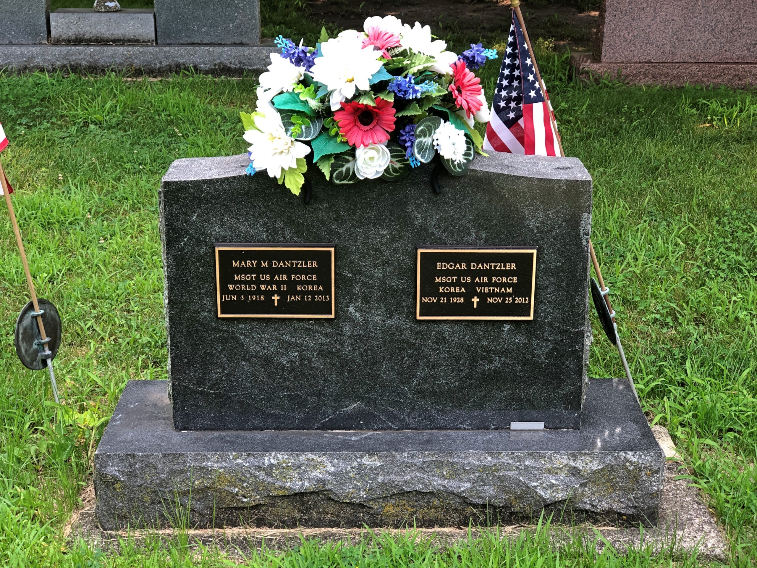
Unusual: two Air Force (I assume originally Army Air Corps) Master Sergeants, married to each other.

St Mary's Cemetery, Burlington, Wis

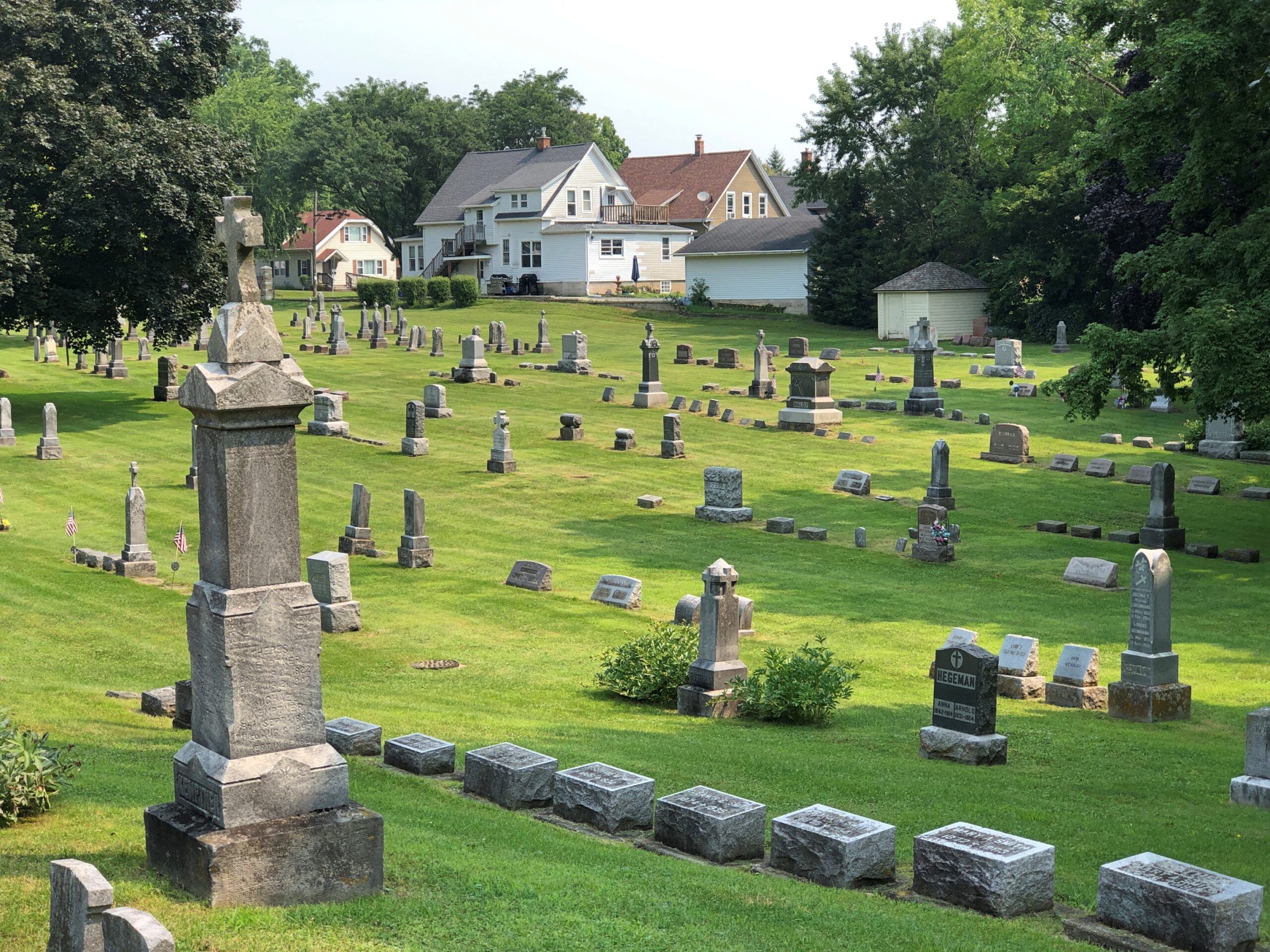
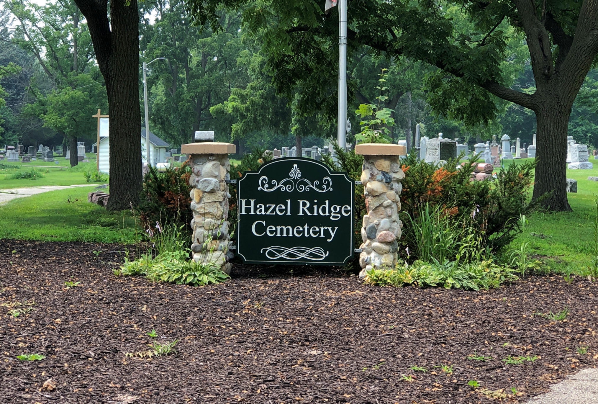
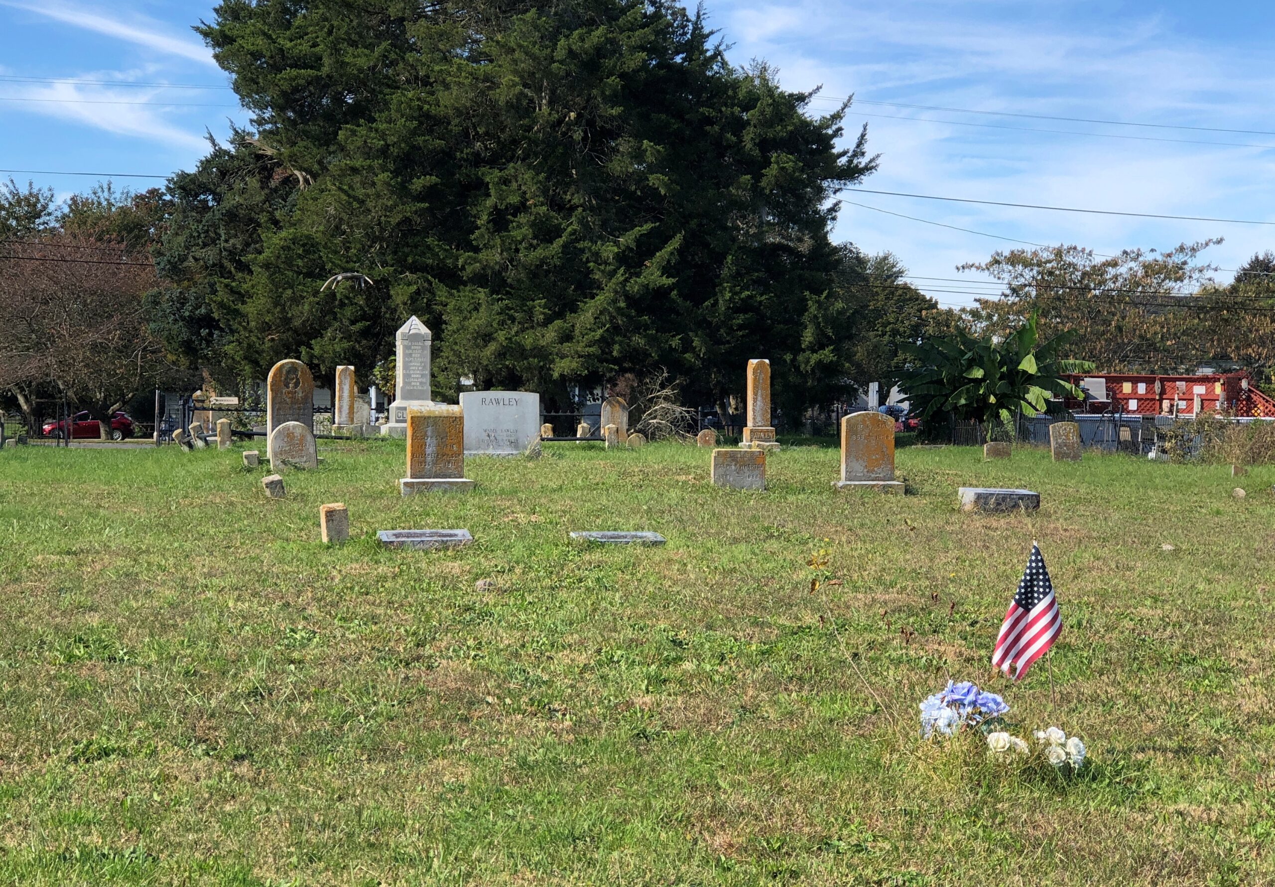
During my recent visit to Elkhorn, Wisconsin, I did no more than look for an “historic cemetery” on Google Maps to find Hazel Ridge Cemetery. Historic for sure, founded more than 150 years ago.
Hazel Ridge Cemetery

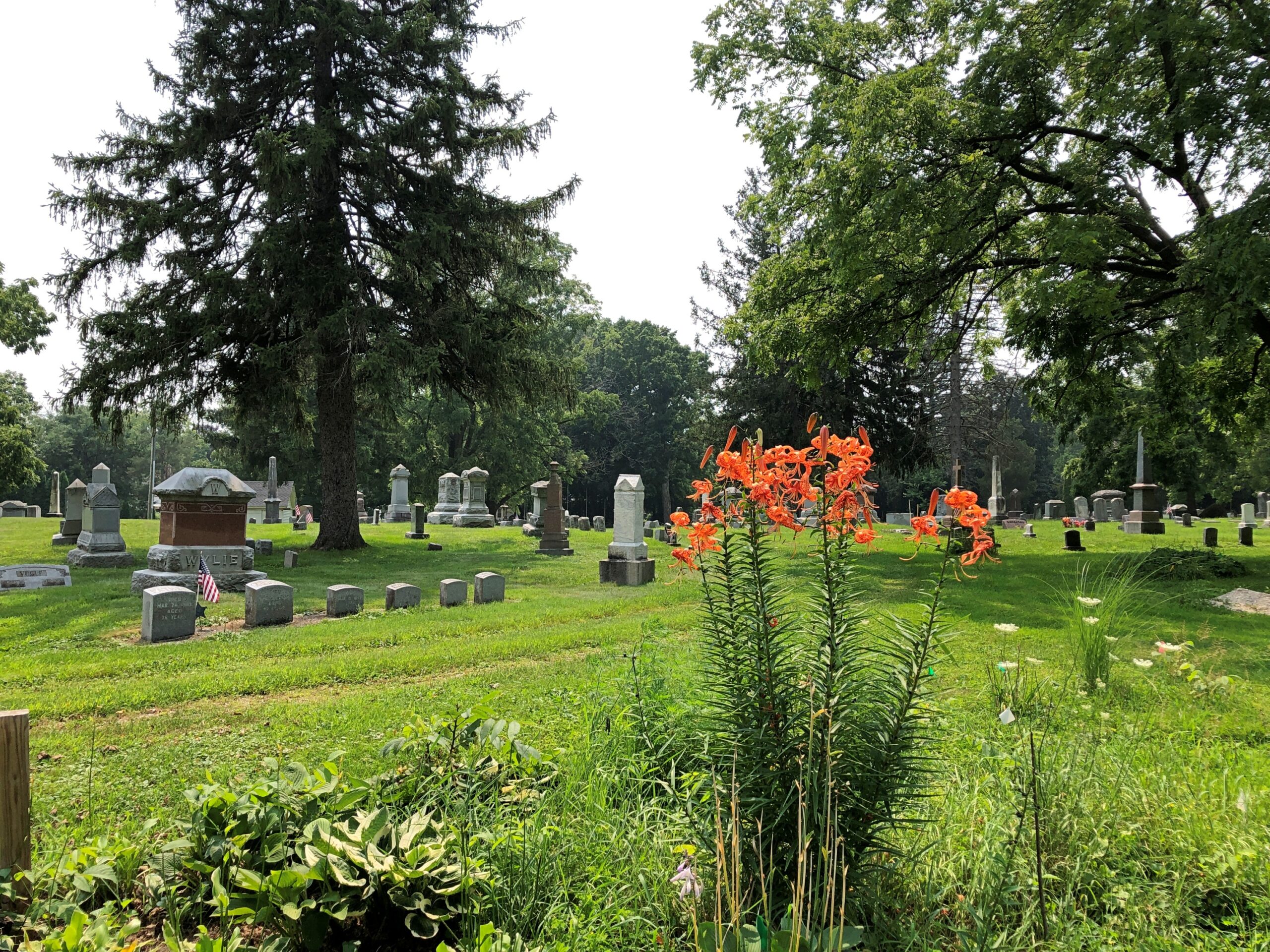
It too has a fine collection of memorials. The cemetery is also an arboretum, with more than 25 native species and ornamental varieties.

Hazel Ridge Cemetery

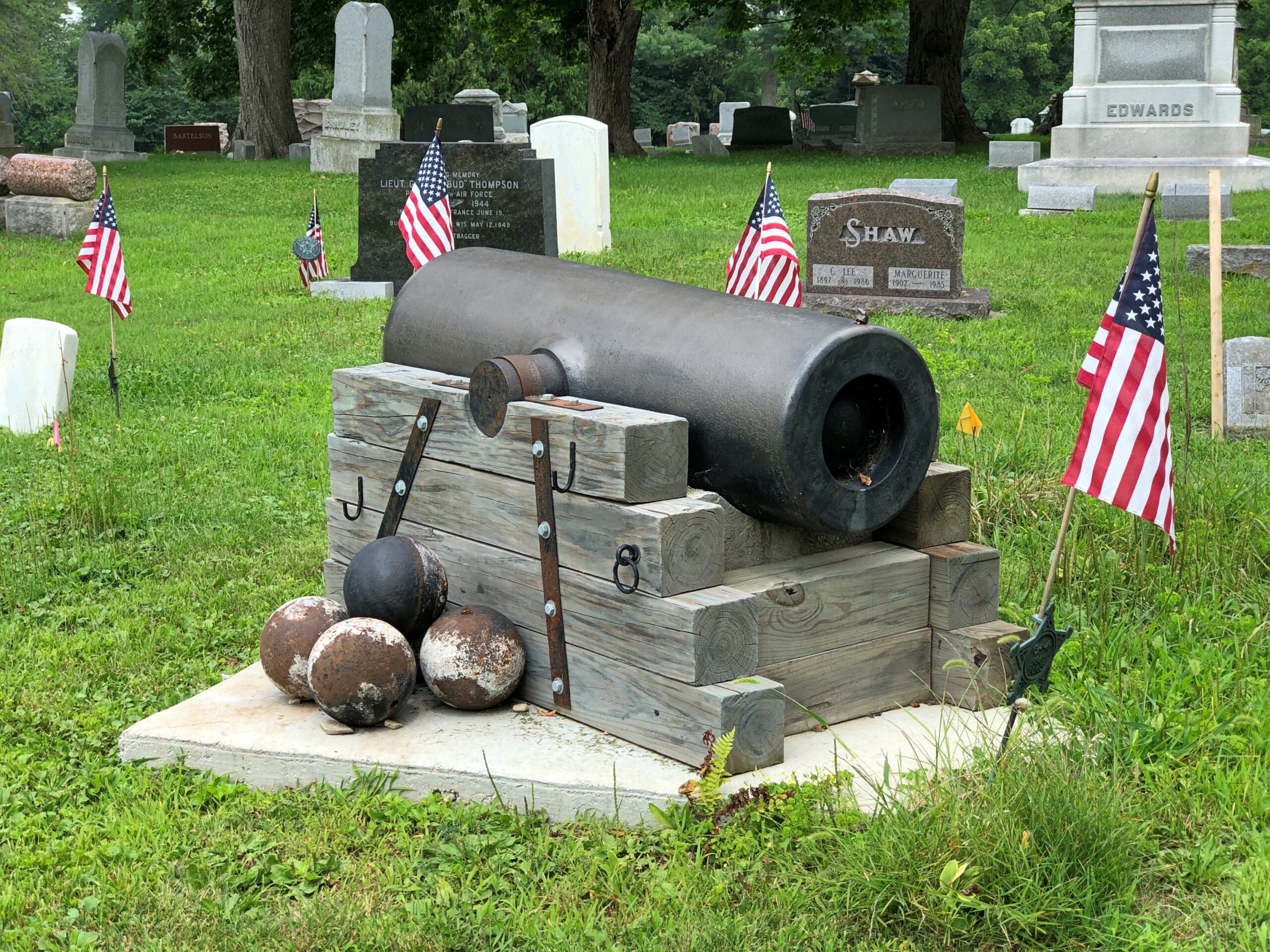
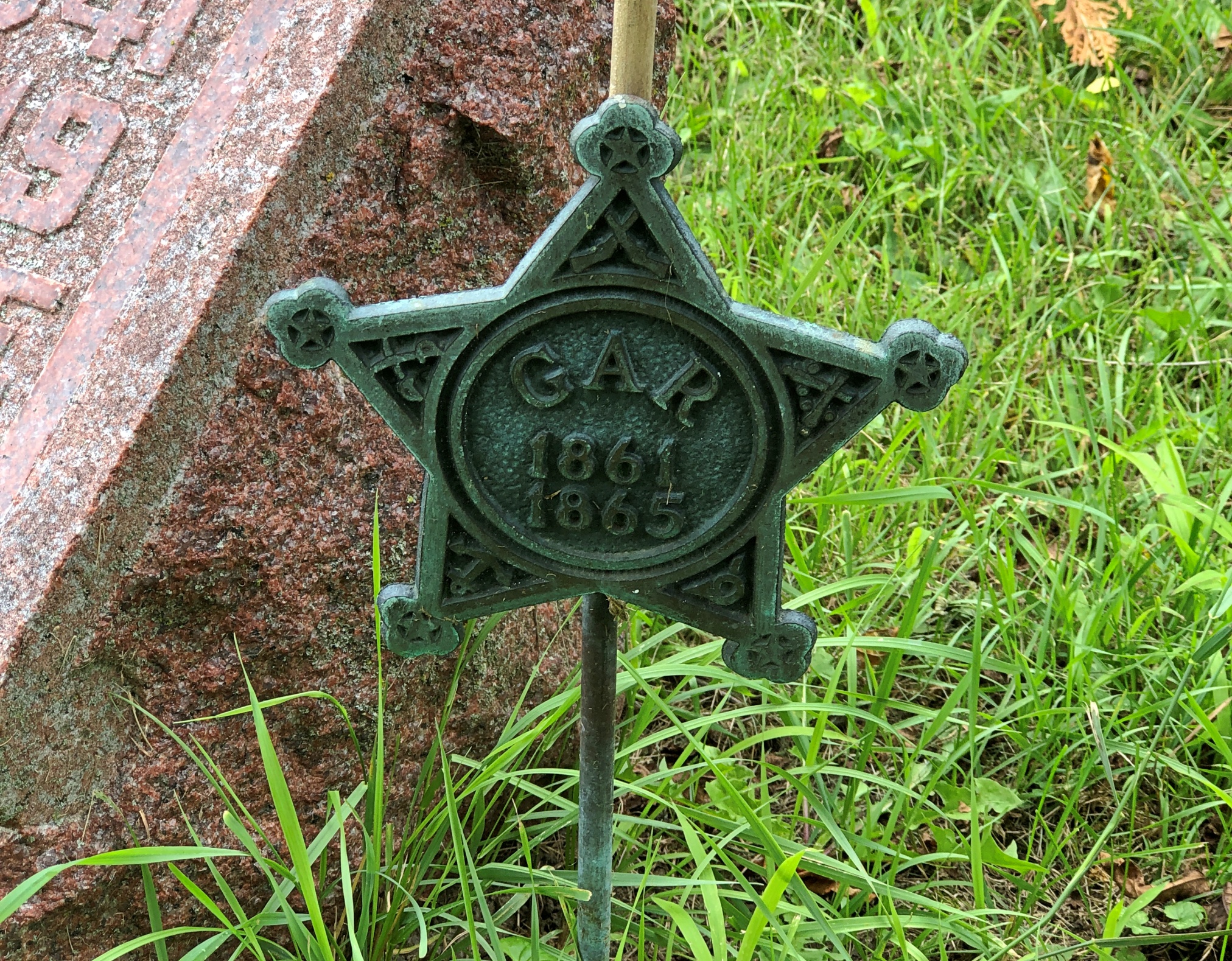
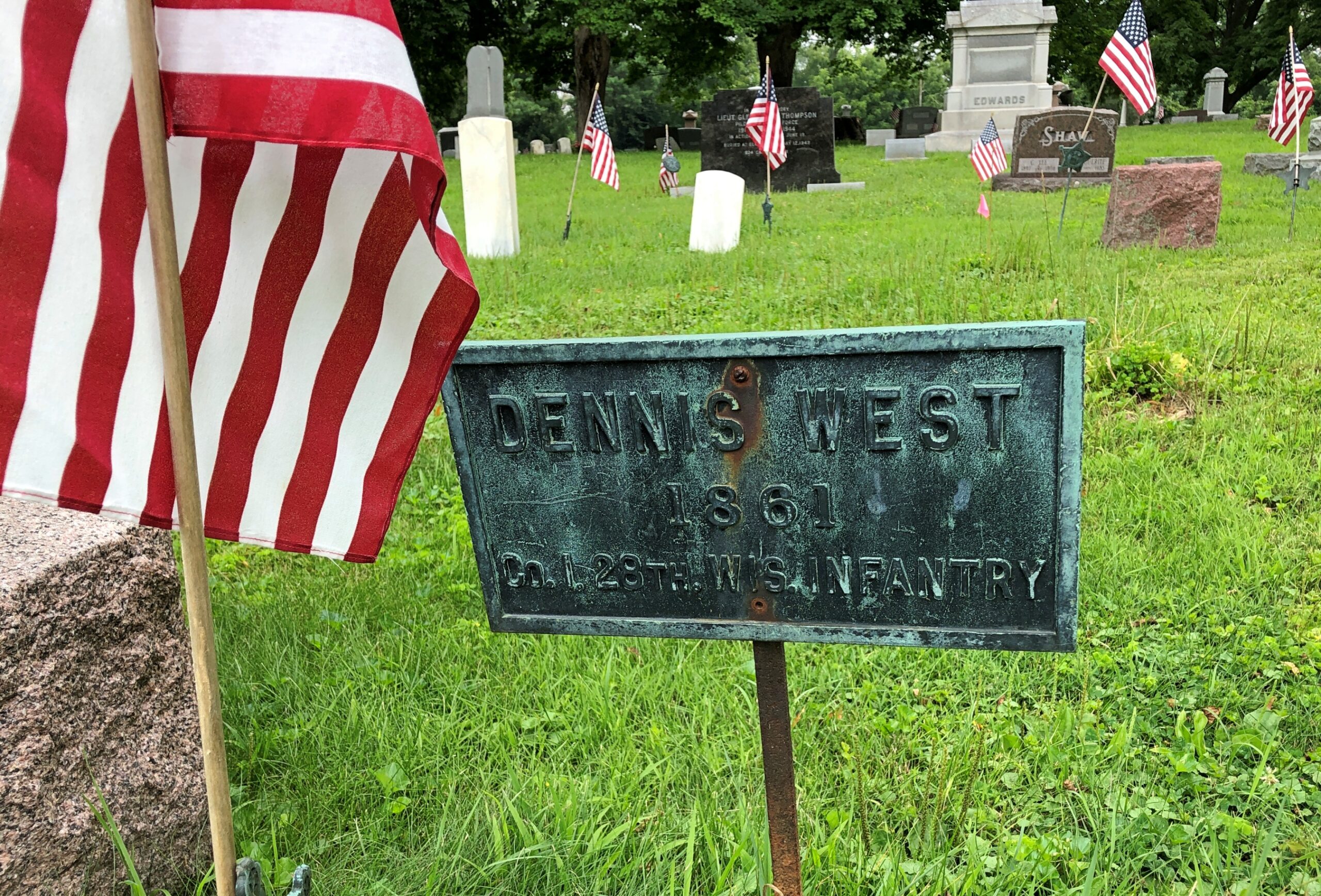
Hazel Ridge has a clutch of war dead memorials, including an 8-inch siege Howitzer as the centerpiece of a Grand Army of Republic memorial.

This particular cannon, according to a nearby sign, was made in 1862 at the Fort Pitt Foundry in Pittsburgh. I assume it did its part for the Union. Nearby are soldiers who did likewise.

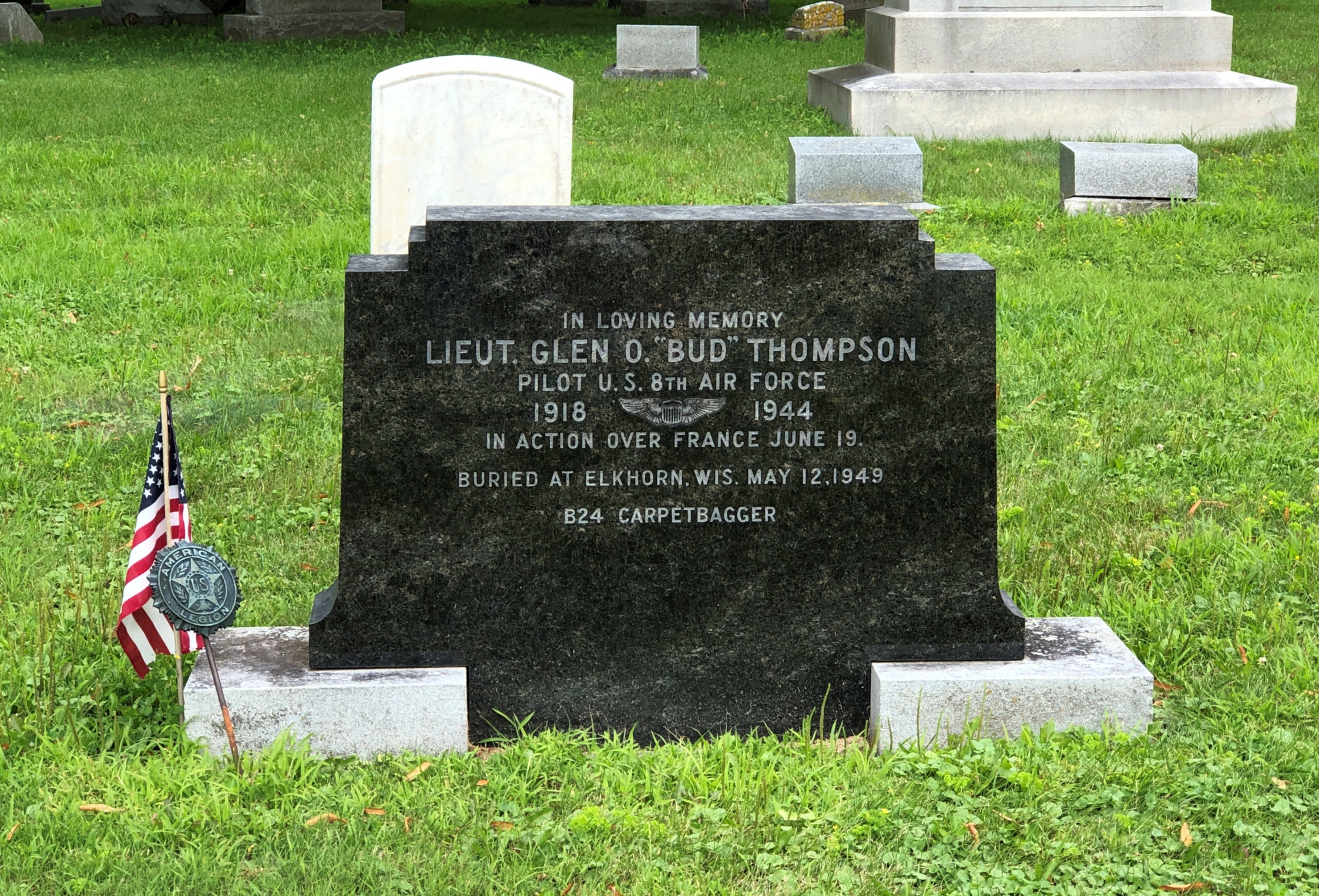
And those who died in later wars.

The single word “Carpetbagger” on the stone tells quite a story. Operation Carpetbagger involved black-painted B-24s flying low and slow by night, dropping supplies and agents to the resistance in France before and after the Normandy invasion. Clearly dangerous work. RIP, Bud.
Rockville, Indiana

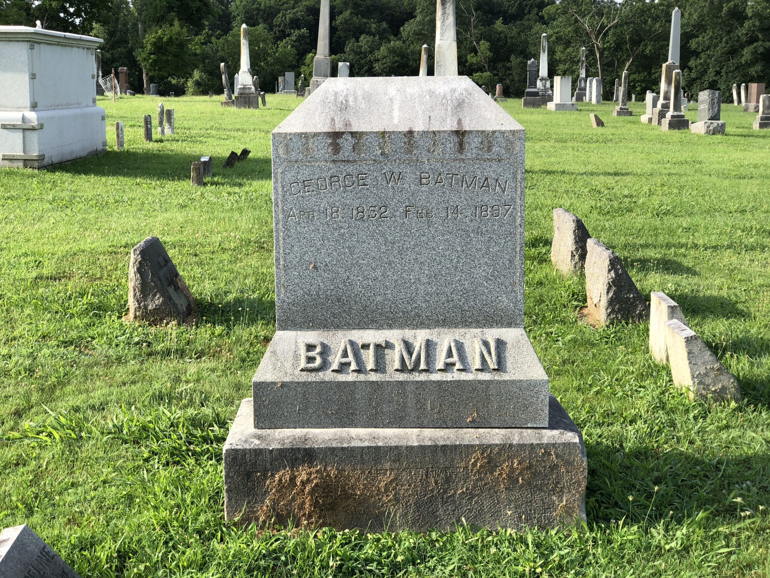
Now I’ve seen it: the grave of Batman.

George W. Batman, that is, who died in 1897, so he never lived to see his surname put to the other uses we all know so well. Variants of his name include Bateman, Battman and Baitman, meaning that Batman really isn’t that odd. Except it does look odd on that large stone, but only because of recent conditioning by a particularly successful fictional character. George W. happens to repose at Rockville Cemetery in Rockville, Indiana, and I happened to visit early one Sunday morning in late July.
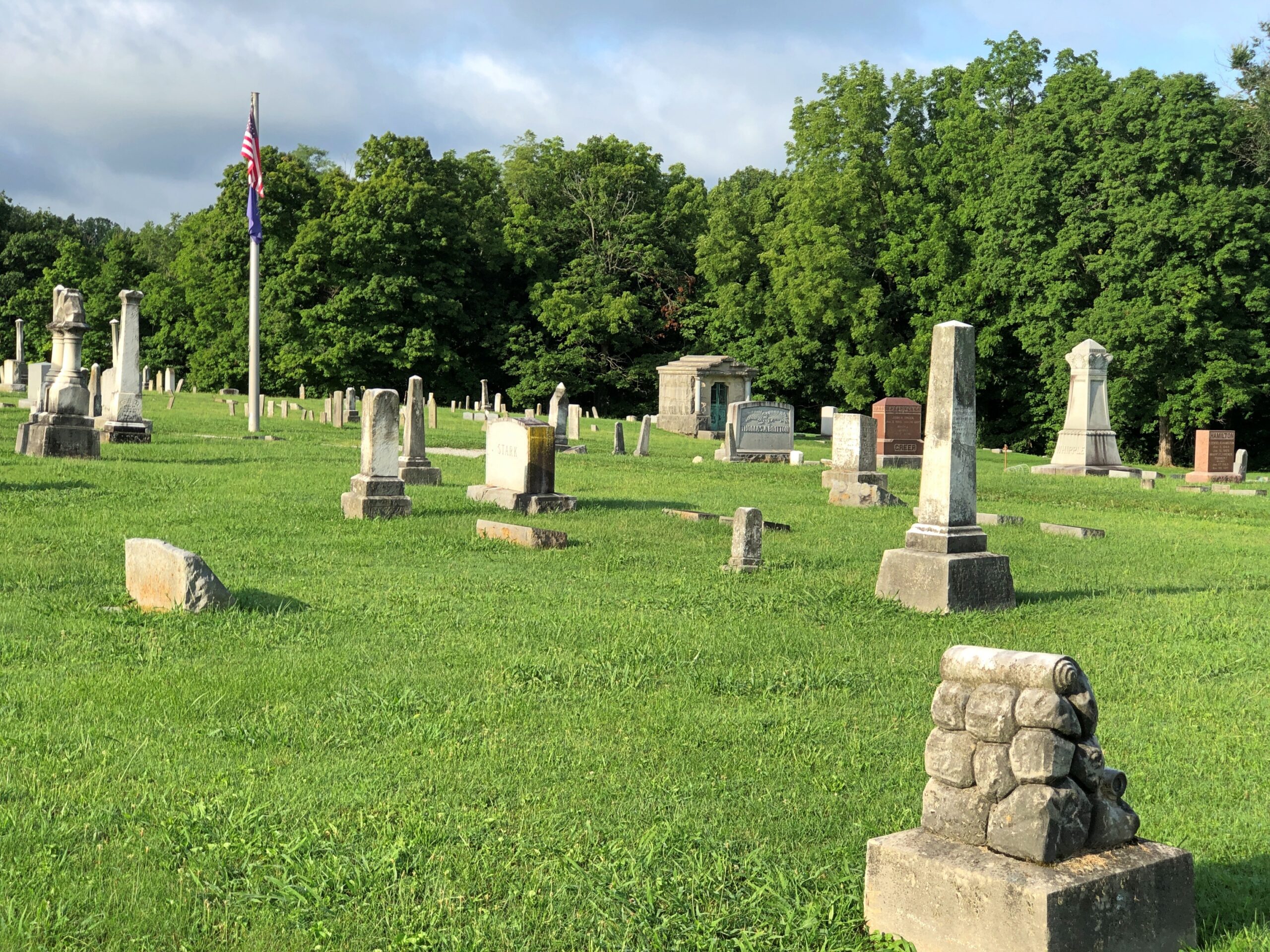
Rockville Indiana Cemetery

A pleasant graveyard, founded in 1824 — same year as the town itself — and well marked by upright stones, but not overly landscaped.
Rockville Indiana Cemetery

A few memorials reach upward, but not that far.

Rockville Indiana Cemetery

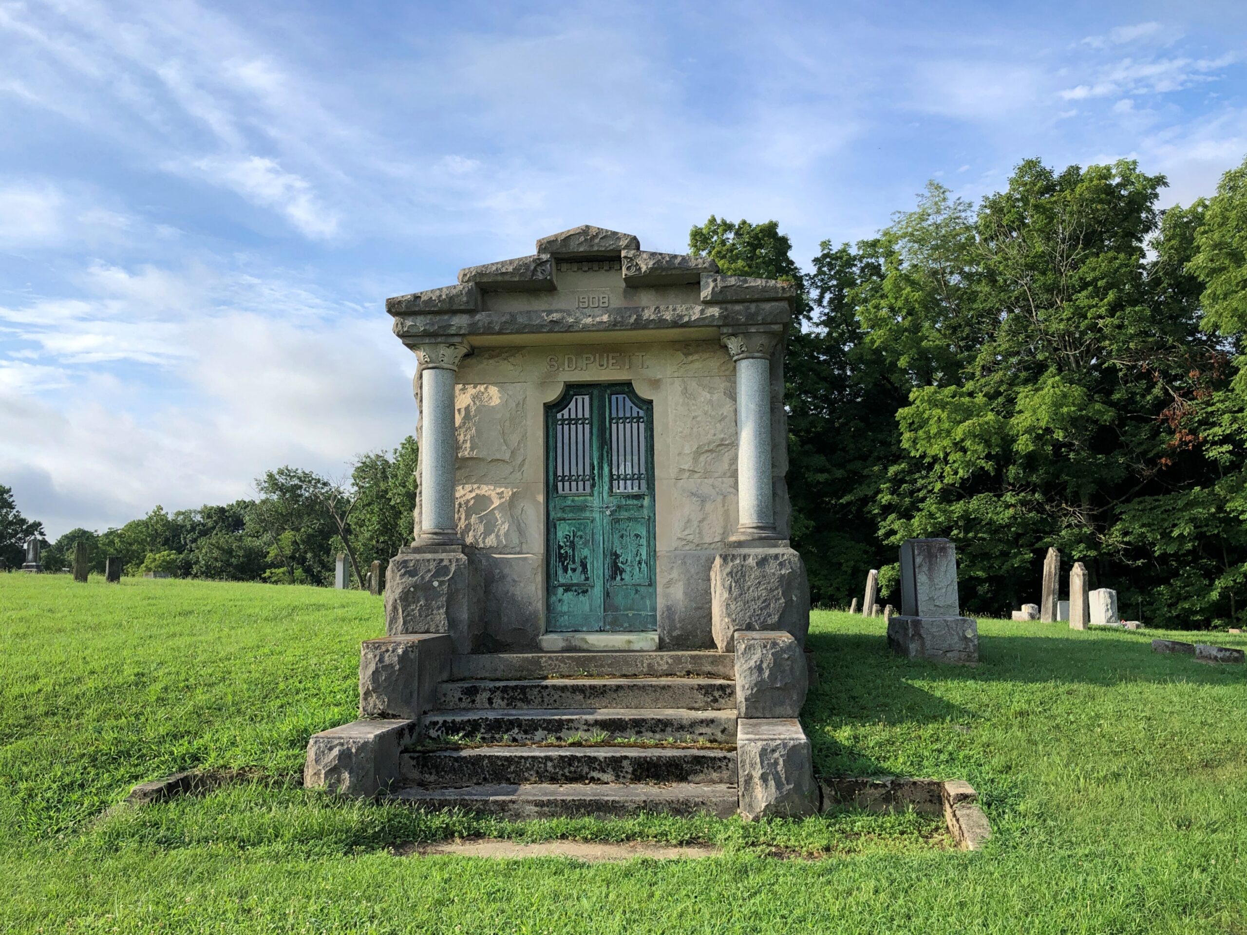
A few mausoleums denote formerly big fish in the small pond that is Rockville, seat of Parke County.
Rockville Indiana Cemetery

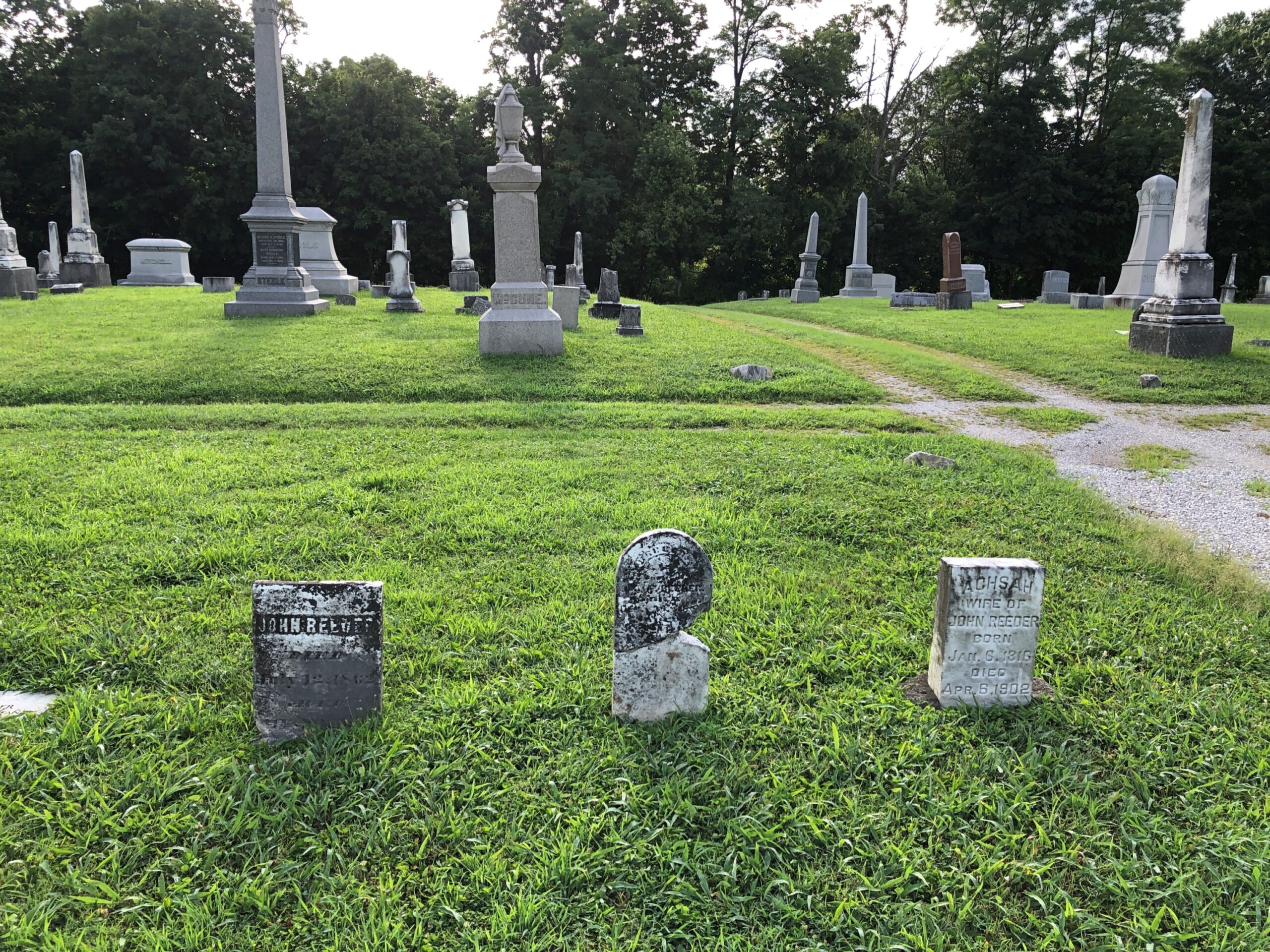
Mostly modest stones populate the cemetery, presumably for regular folks of the past.
Rockville Indiana Cemetery

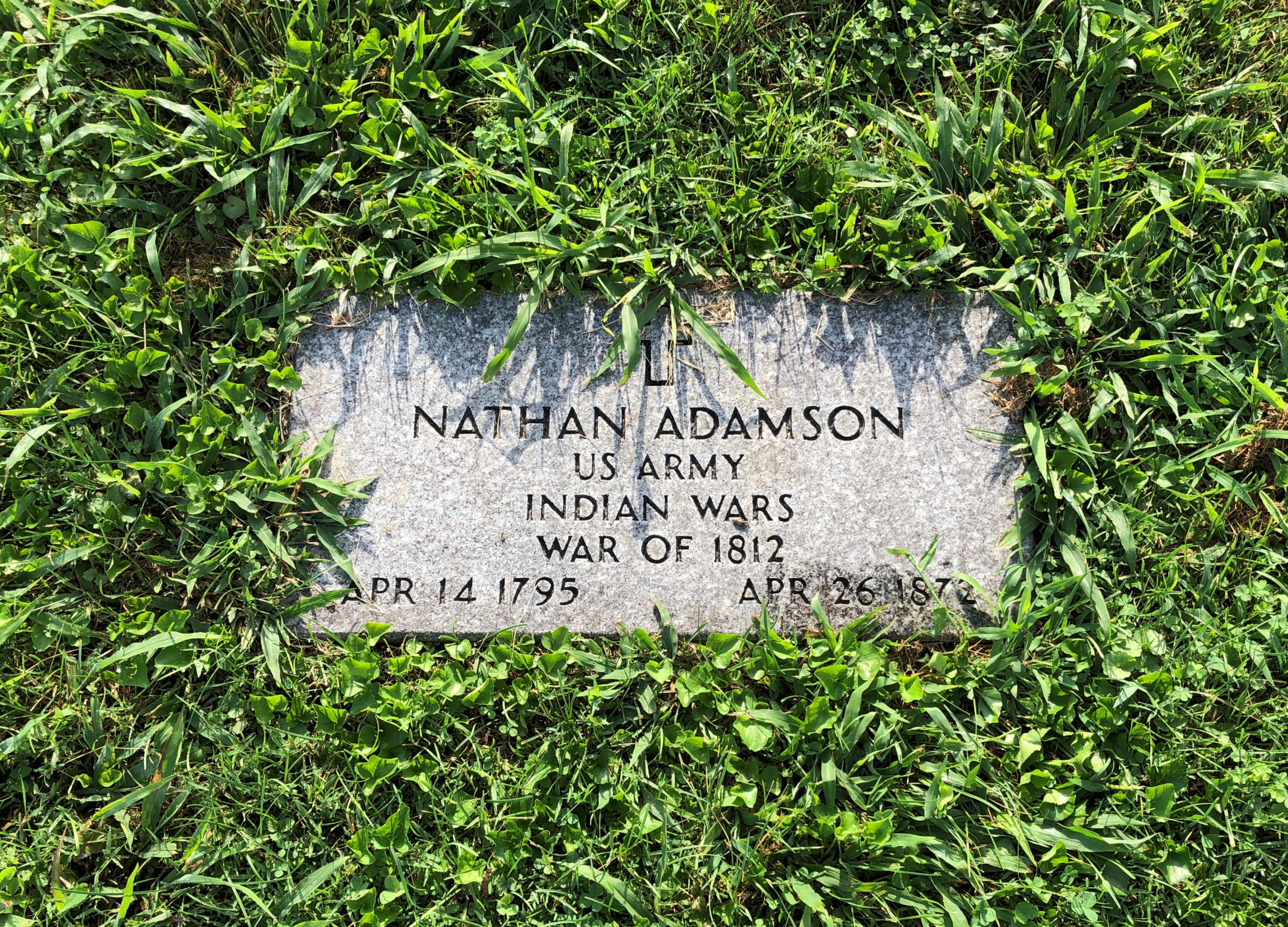
It isn’t too often that you see veterans of the War of 1812 (but not never).

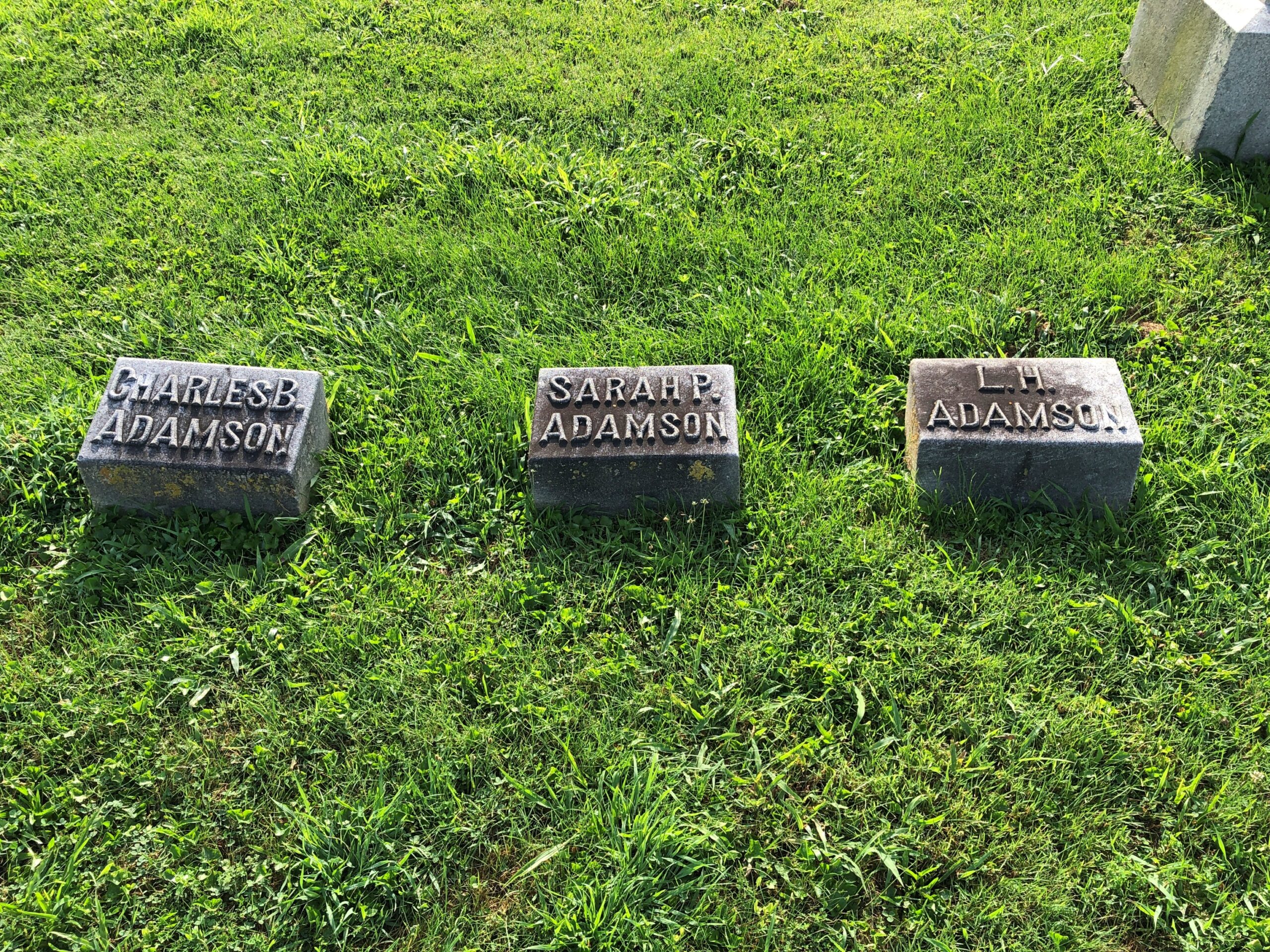
Numerically speaking, there just weren’t that many compared to later, greater wars, and probably many of their graves aren’t marked as such. Nathan was near the other Adamsons, and indeed two of them (per Find-A-Grave) are his children.

Not too many blocks from the cemetery is the Parke County Courthouse. We encountered it on Saturday afternoon, soon after arriving in Rockville (pop. about 2,600), when temps were about as high as they would be that day. Sweaty 90s.

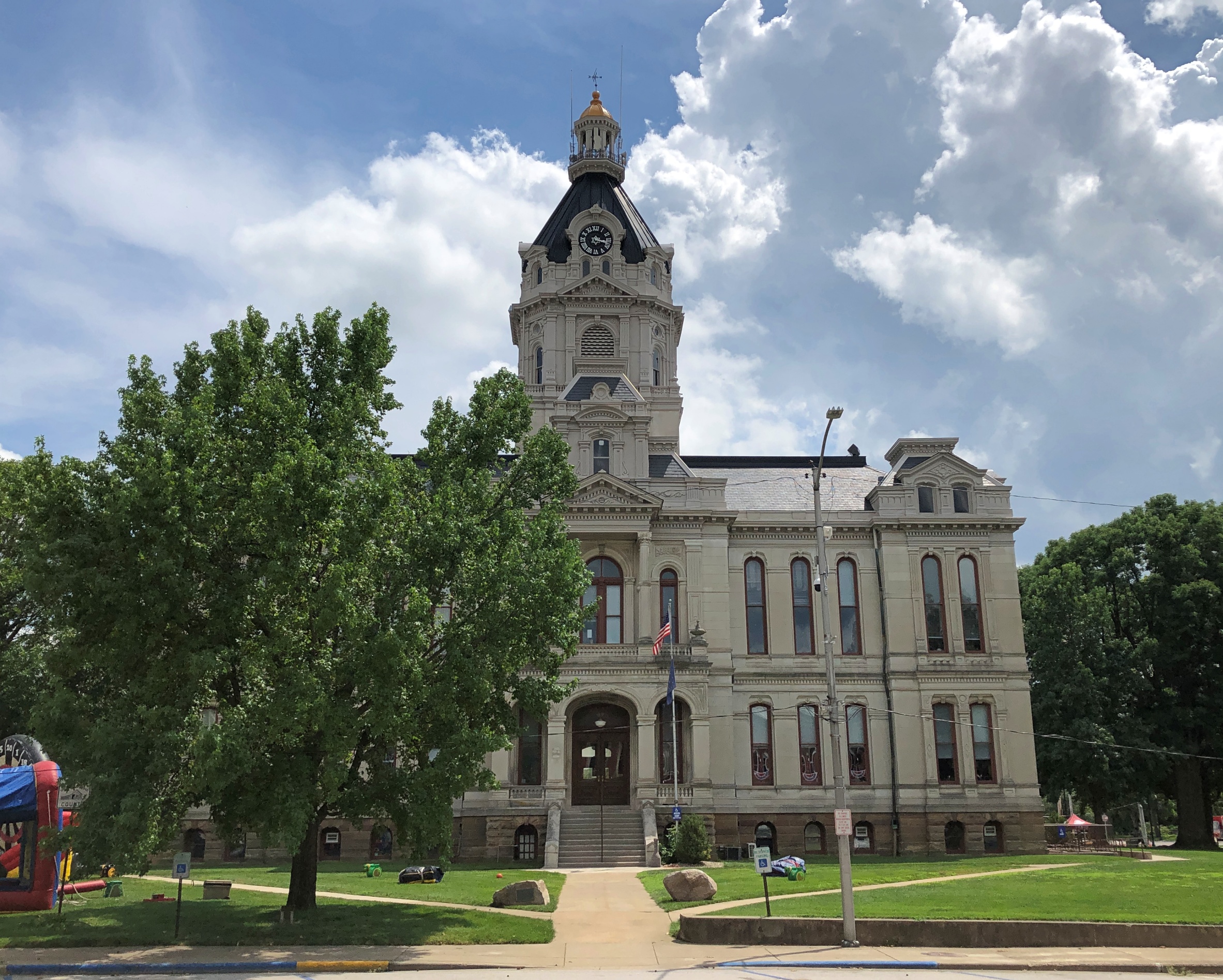
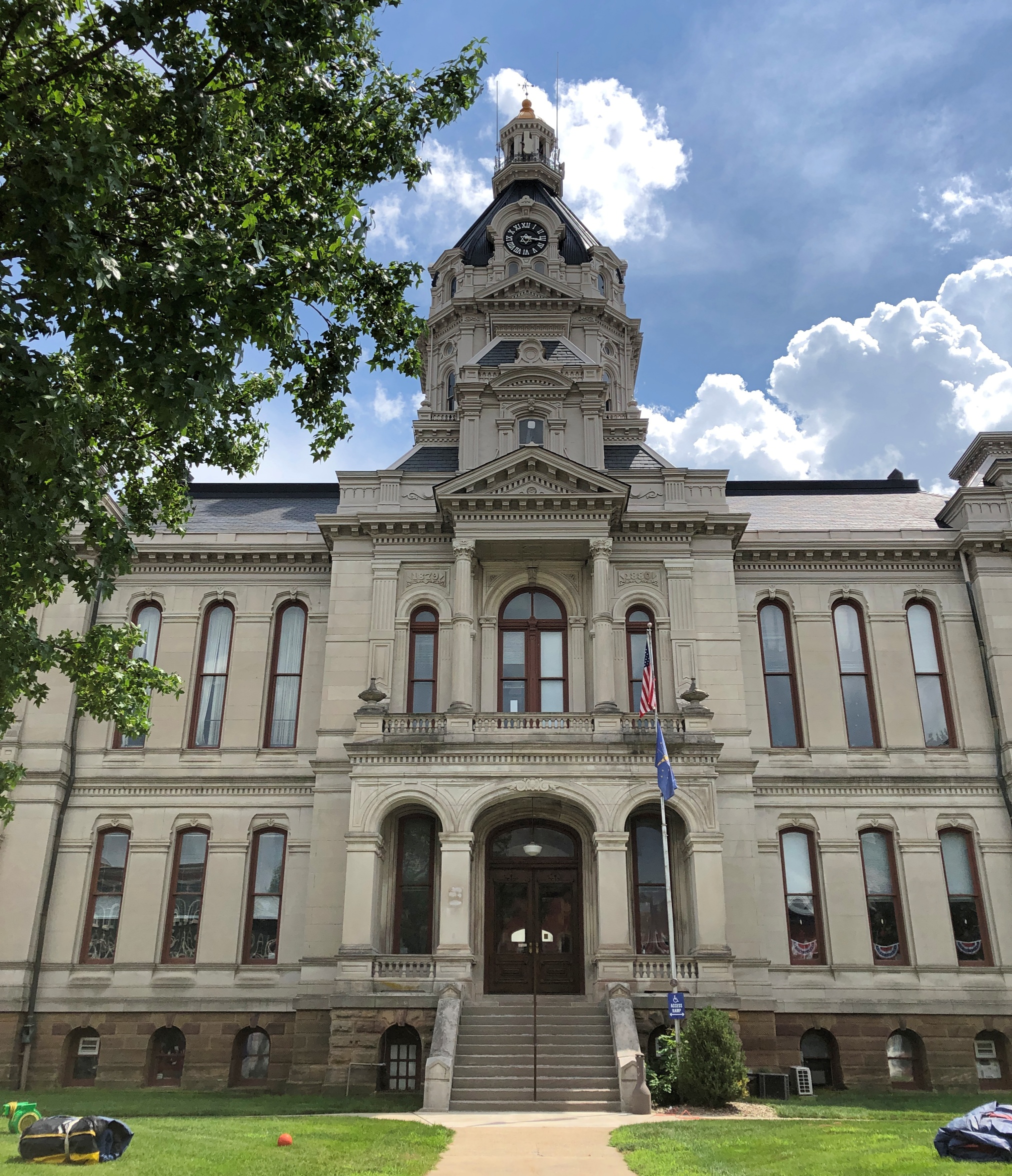
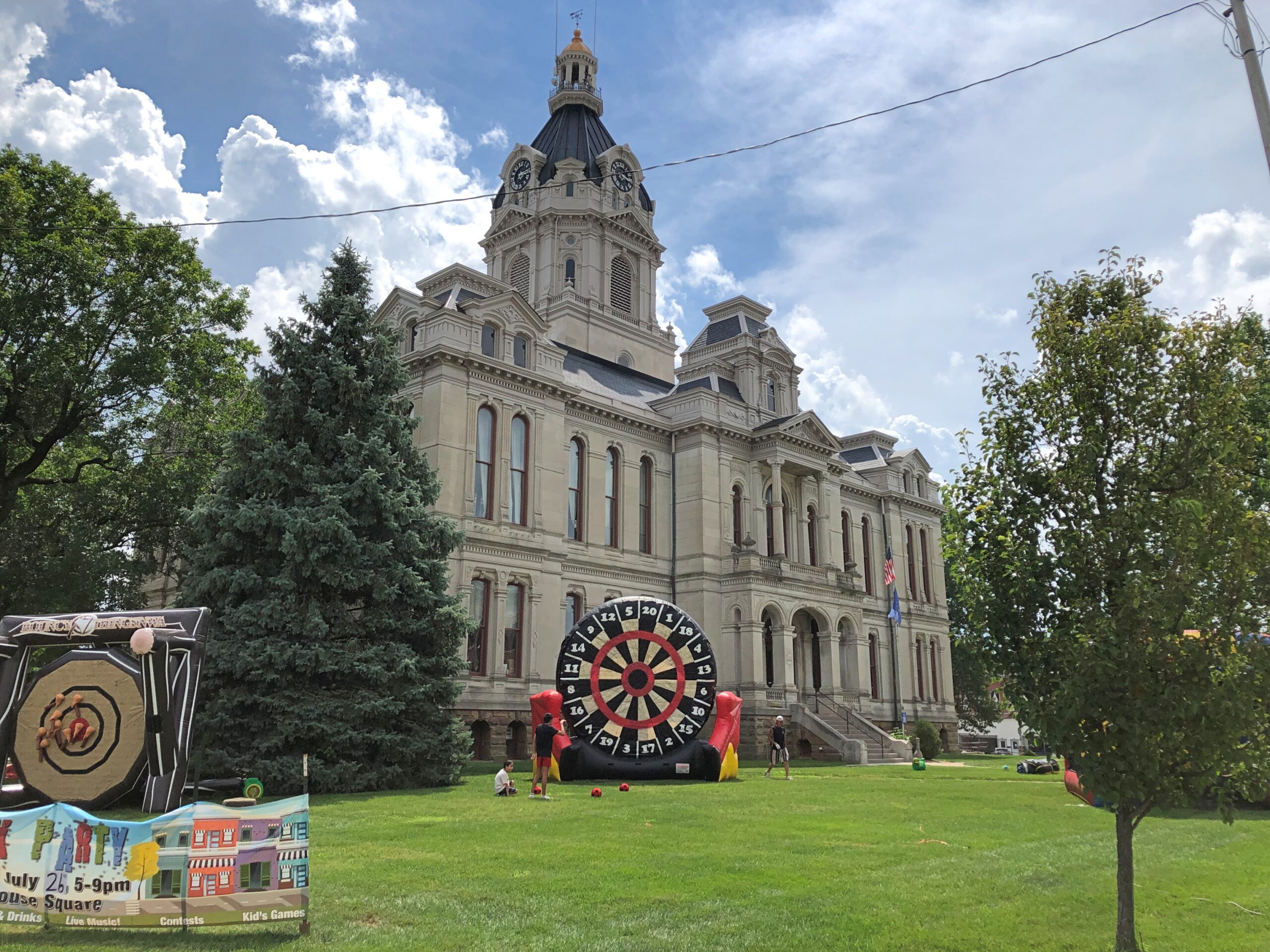
The courthouse is a grand Second Empire pile with some Beaux Arts added to the mix, completed in 1882, during the golden age of U.S. courthouses. Designed by T.J. and Brentwood Tolan, a father and son team. They did a lot of courthouses.

Parke County Courthouse

The giant dartboard isn’t something you see too often on courthouse grounds. Could it be the Dartboard of Justice? That’s how sentencing is done for crimes that call for one to 20 years in the jug; a toss by the judge, or the jury foreman.

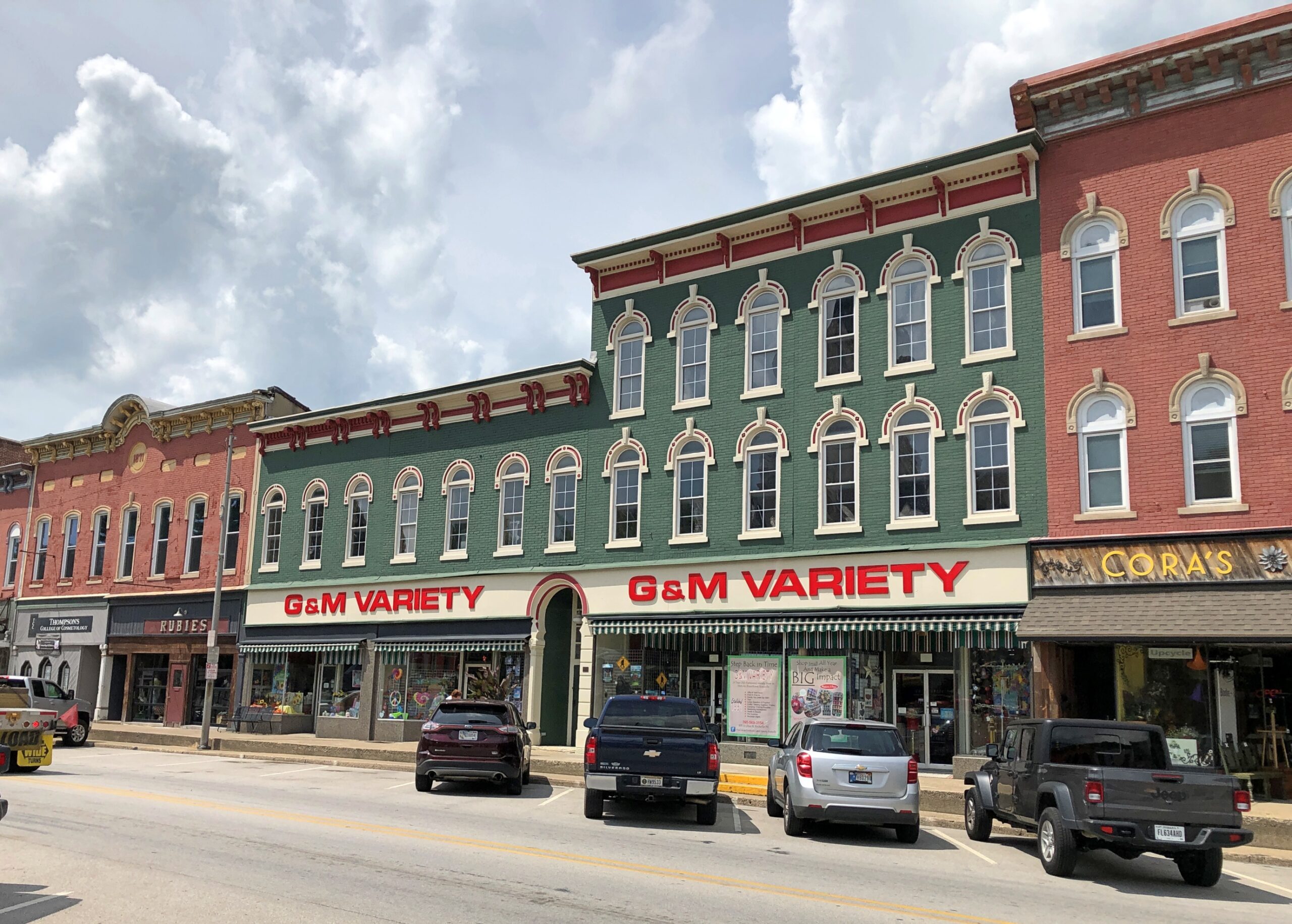
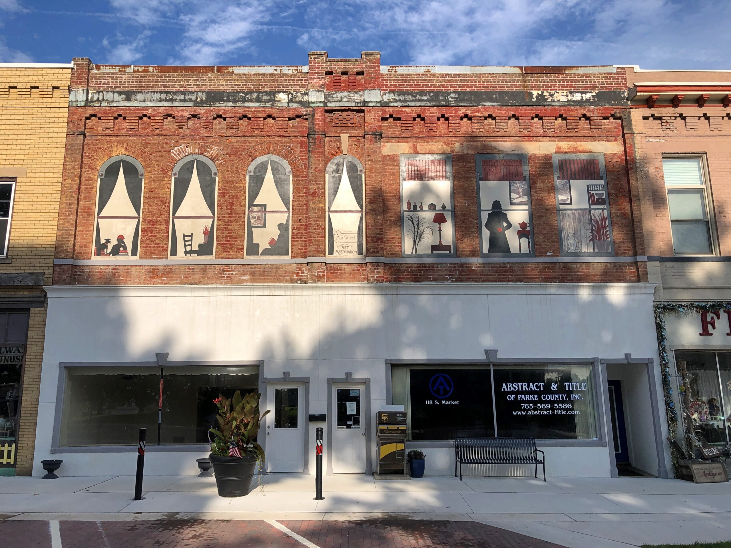
No, a small street festival was being set up at that moment, though not up and running yet. It was too hot for that anyway. But not for a quick look at some of the buildings ringing the courthouse, most in good shape and mostly tenanted.

G&M Variety has the soul of a five-and-dime, but a more accurate classification these days would be a five-and-ten dollar store: a step above a dollar store, the love child of a convenience store and a standard grocery store, with a souvenir shop added to the mix. Roaming around its aisles was pleasant, for a look at the sometimes unusual merchandise, and the AC.

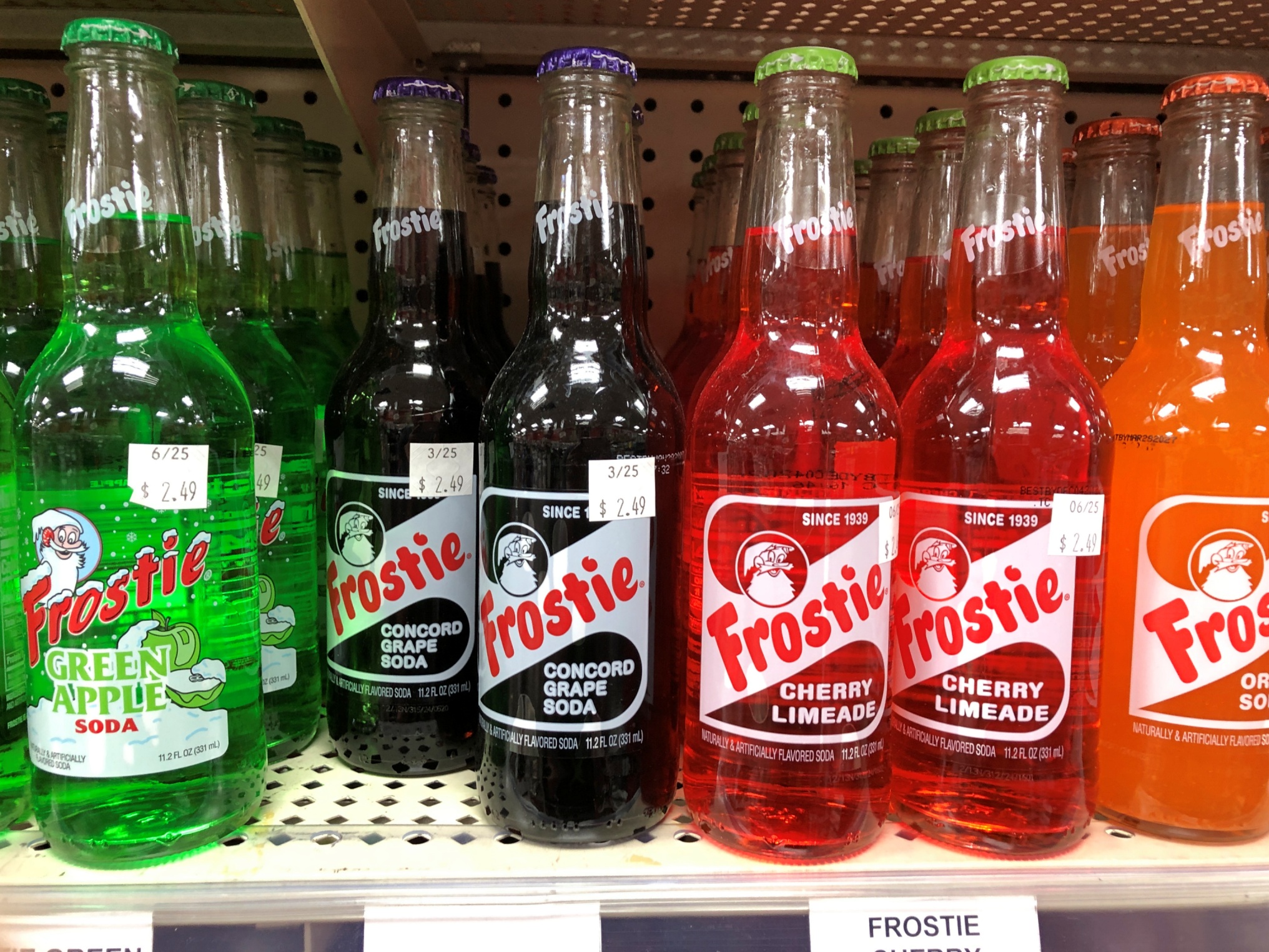
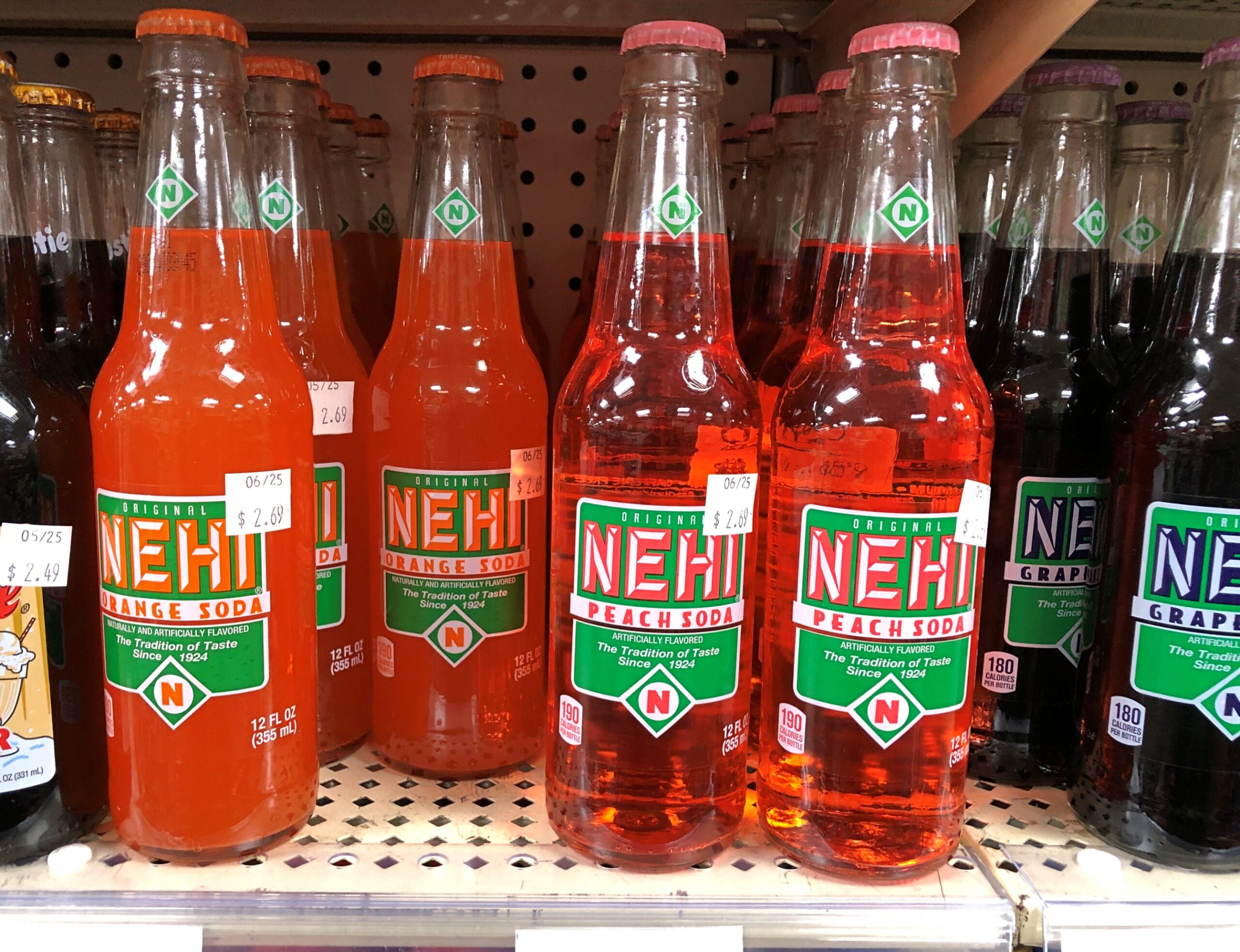
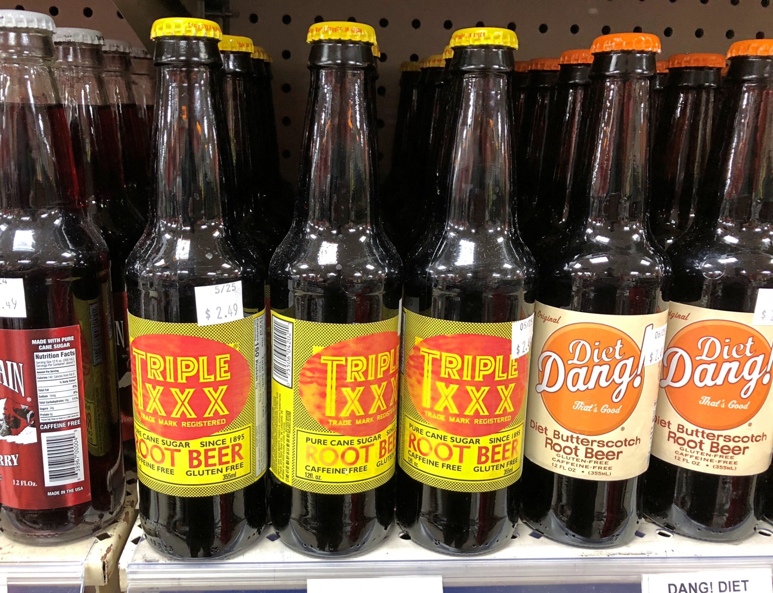
Drinks on sale that made me recollect sodas from my mid-60s childhood.

Frostie! Nehi! Triple XXX! Dang? We didn’t have Dang. Butterscotch root beer?

Pangs of nostalgia weren’t enough for me to spend $2.49 for an ordinary-sized soda, though I was a little thirsty.

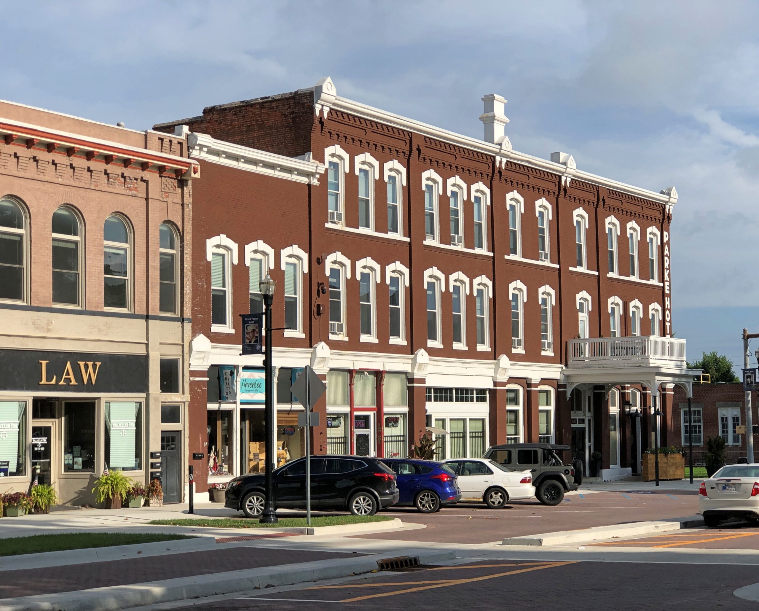
More courthouse square.

Parke County Courthouse Square

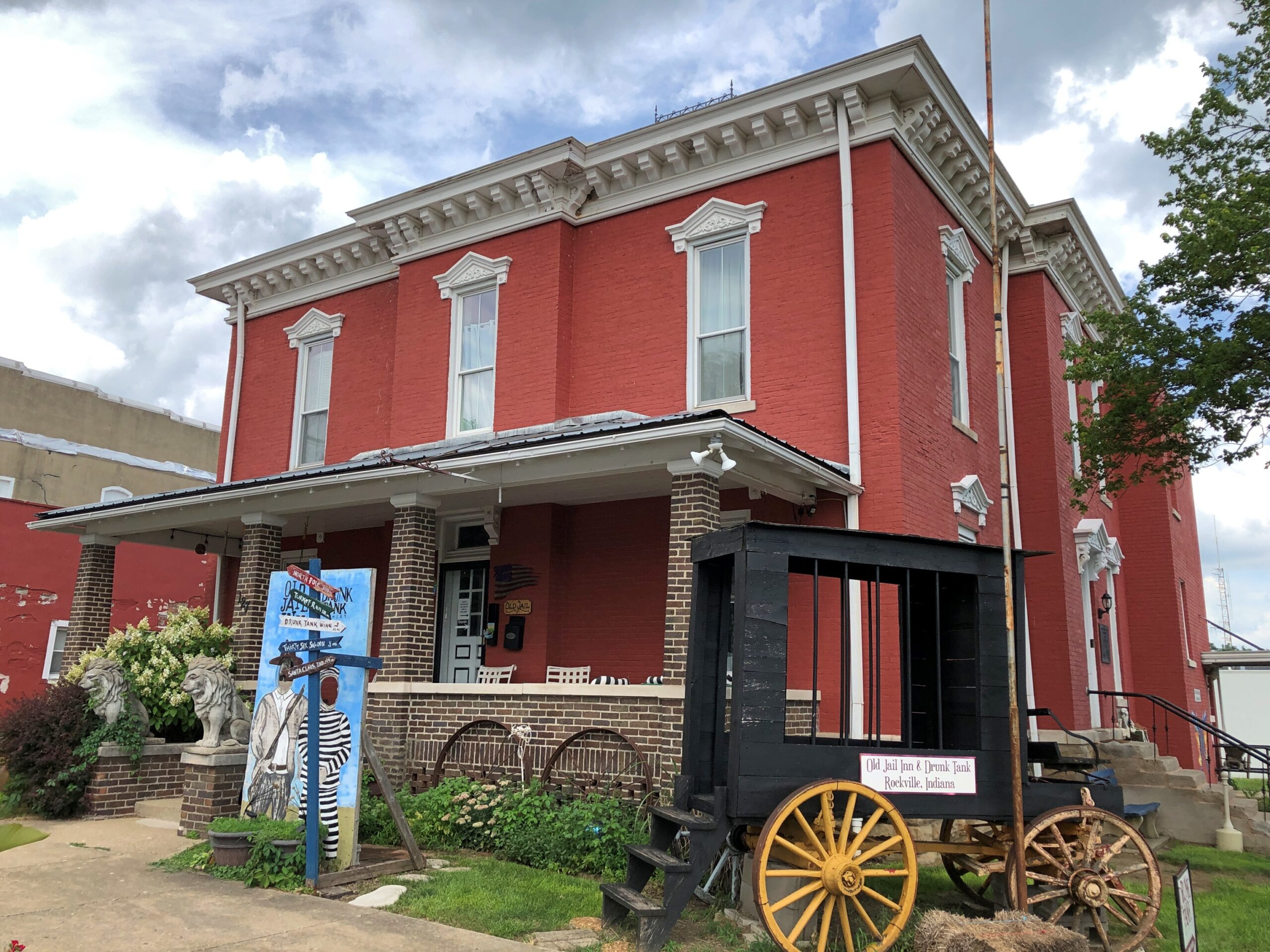
The Old Jail Inn & Drunk Tank, now a B&B.

Parke County Courthouse Square

I returned to the square on Sunday morning, after the cemetery, for a further look when it wasn’t so hot.

Parke County Courthouse Square

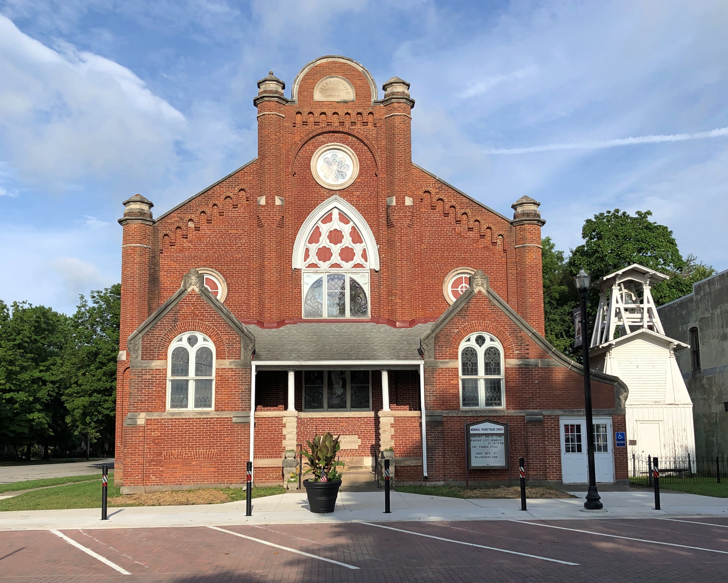
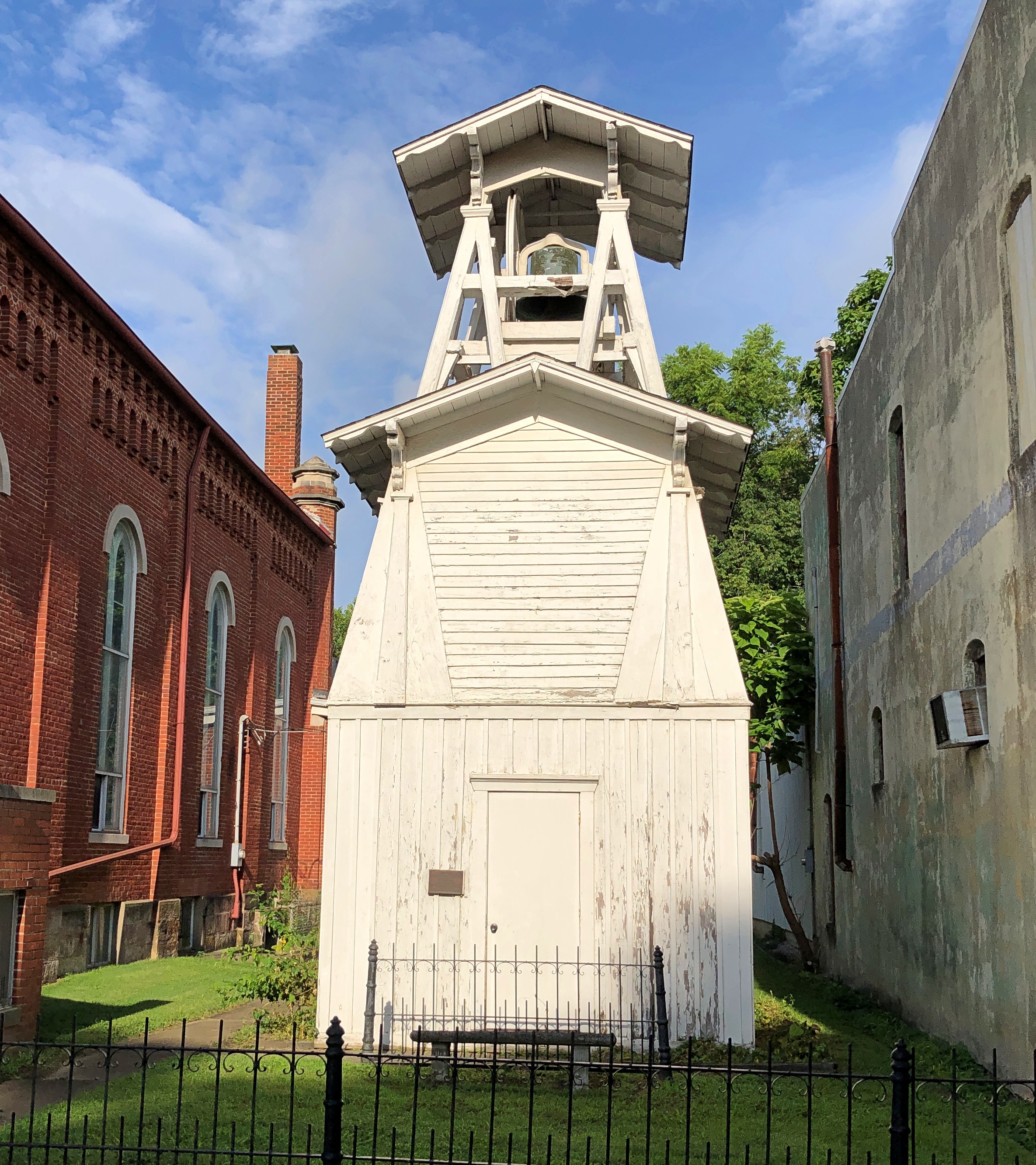
Memorial Presbyterian Church and its freestanding bell tower.

Parke County Courthouse Square

It isn’t a Presbyterian church any more — its cross conspicuous in its absence — though a Presbyterian congregation meets there sometimes. These days it counts as an event space, with music performances, recitals, meetings, and other gatherings there, according to Billie Creek Village, more about which later.

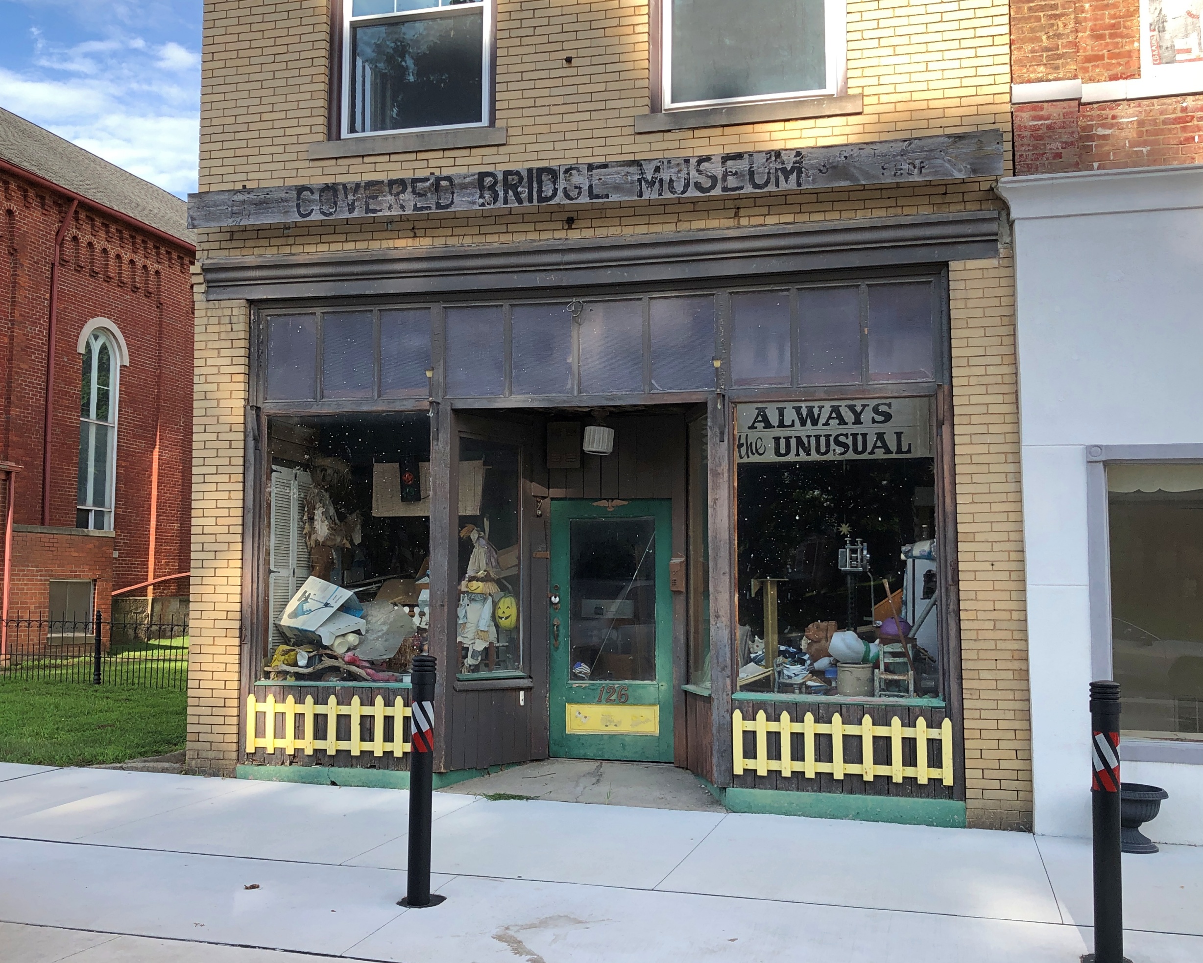
Next to the former church.

Museum? I’m a little skeptical.

Augusta Flyby

In the heat of midday back in late June, en route to Athens, Ga., I arrived at the Georgia Welcome Center on I-20, a sizable structure just inside the state, and did what I needed to do. Returning to my car, I wondered whether I should drive into Augusta, only a few miles off the Interstate at that point. Specifically to downtown, to see what I could see, even at 90+° F. or so.

Would it be worth the short detour? At that moment, the lyrics of a song of my youth came to mind, as the only mention of Augusta I know in popular music.

I beg your pardon, mama, what did you say?

My mind was drifted off on Martinique Bay

It’s not that I’m not interested, you see

Augusta, Georgia is just no place to be.

The song was “An American Dream” by the Nitty Gritty Dirt Band (a.k.a. the Dirt Band) – with backing vocals by Linda Ronstadt, no less – which reached No. 13 on the Billboard Hot 100 after its release in late 1979, and probably annoyed Augusta’s city fathers and other local boosters. But all that was nearly a half century ago, so I expect any annoyance is long gone as the tune has slipped into obscurity.

The song merely came to mind then, as songs often do, and didn’t affect my decision – which was to go. Do a flyby, in my idiosyncratic nomenclature for such a visit. That is, pass through a place, but a little more than merely driving through. If I see anything interesting during a flyby, I’ll stop for a short look. (So not only is my nomenclature eccentric, it isn’t really accurate. Who cares.)

Sure enough, I spotted something worth stopping for.

James Brown mural, Augusta

A mural at the intersection of James Brown Blvd. and Broad St., completed in 2020 by an artist named Cole Phail. Though born in South Carolina, Brown grew up in Augusta, a fact I previously didn’t know.

James Brown Blvd

Later I learned that there’s a bronze of the Godfather of Soul not far away on Broad, but I didn’t look around enough to spot it, considering the heat dome, which seemed to be bearing down on me personally at that moment. So I looked at the mural, got back in my car, and blasted the AC. A few blocks away, as I was driving along, I saw an open church. I had to stop for that, too.

St Paul's Church, Augusta

St. Paul’s Episcopal. Not only a church building, but a church graveyard as well.

St Paul's Church, Augusta

Inside, some fine stained glass.

St Paul's Church, Augusta

“Four buildings on this site have been destroyed,” the church web site says. (Sank into the swamp? Burned down, fell over, then sank into the swamp? Speaking of 50-year-old references.)

“Our present church, built in 1919, was designed as a larger copy of the 1820 church lost in Augusta’s Great Fire of 1916. Among the furnishings saved from the fire is the original baptismal font brought from England in 1751, now located in the narthex.

“History buffs will find the church yard fascinating. Many undocumented graves lie beneath the ground, but others are marked, including that of Col. William Few, a signer of the United States Constitution, whose portrait hangs in the narthex…”

Missed the painting. But I did see Col. Few’s stone.

St Paul's Church, Augusta

A busy fellow, both before and after the Revolution, including attendance at the Constitutional Convention in 1787, and a stint as one of Georgia’s first Senators under the Constitution. His capsule bio at the Biographical Dictionary of the U.S. Congress mentions all that, except leaving out the fact – detailed by the stone I saw – that he was reinterred at his current location in 1973.

Also, no word on whether he knew Button Gwinnett, everyone’s favorite early Georgia politico. He must have. Gwinnett might have had a similar career had he not ended up on the wrong end of a dueling pistol in ’77.