Stockbridge, Massachusetts

Not long ago, I wondered how accurate the lyrics of “Alice’s Restaurant Massacre” were on one specific point. I had my reasons.

You can get anything you want at Alice’s Restaurant
Walk right in, it’s around the back
Just a half a mile from the railroad track

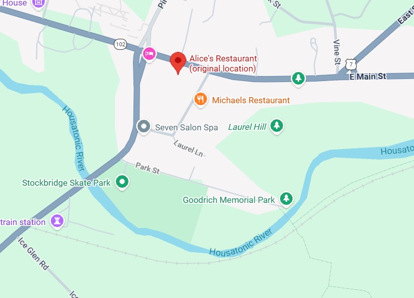
Seems like a convenient rhyme, but that’s not all. Google Maps tells me that the site of Alice’s Restaurant is about a half a mile from a railroad track. I didn’t save the scale on this map, but the distance is correct. This is mildly amazing. Who expects geographical accuracy from a song lyric?

That morning, April 14, I’d extracted myself from Midtown Manhattan via various sorts of transport, retrieving my car at long-term parking at Newark International, and planned to spend the night in Portsmouth, New Hampshire. Though New England isn’t large, it is molasses when it comes to driving through its densely settled areas, and first I had to get out of New Jersey and New York, then cross Massachusetts. All that meant an all-day drive. Stockbridge, Massachusetts, former home of Alice’s Restaurant, was a stop along the way.
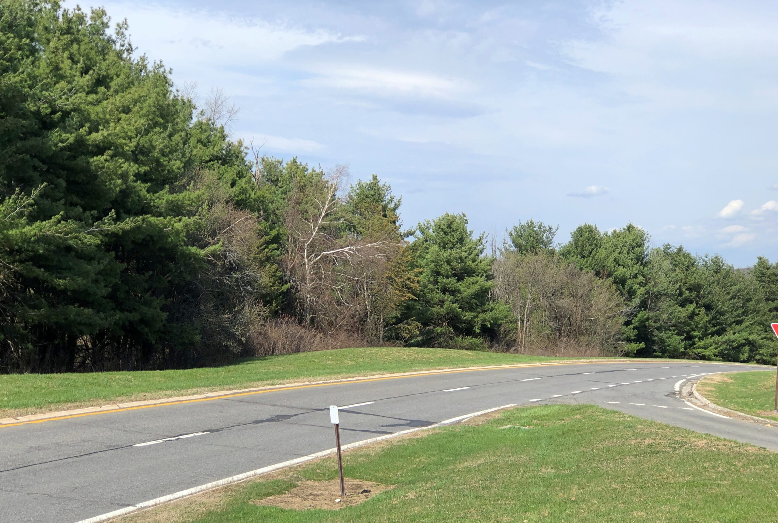
Near the eastern edge of New York state, I cruised north on the Taconic State Parkway.

That sounded good, I thought when I noted the name on a map. It was. Budding greenery, smooth driving, no trucks. Or that many other cars, the further north you go. Construction started about 100 years ago, at the urging of then private citizen Franklin D. Roosevelt. The parkway is in the same league as the Natchez Trace Parkway or the Blue Ridge Parkway, though only about a quarter as long as either.
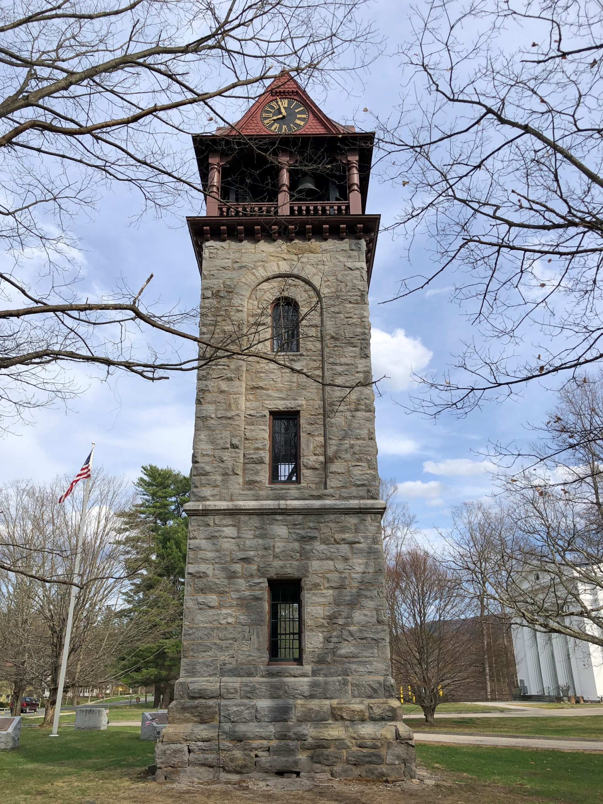
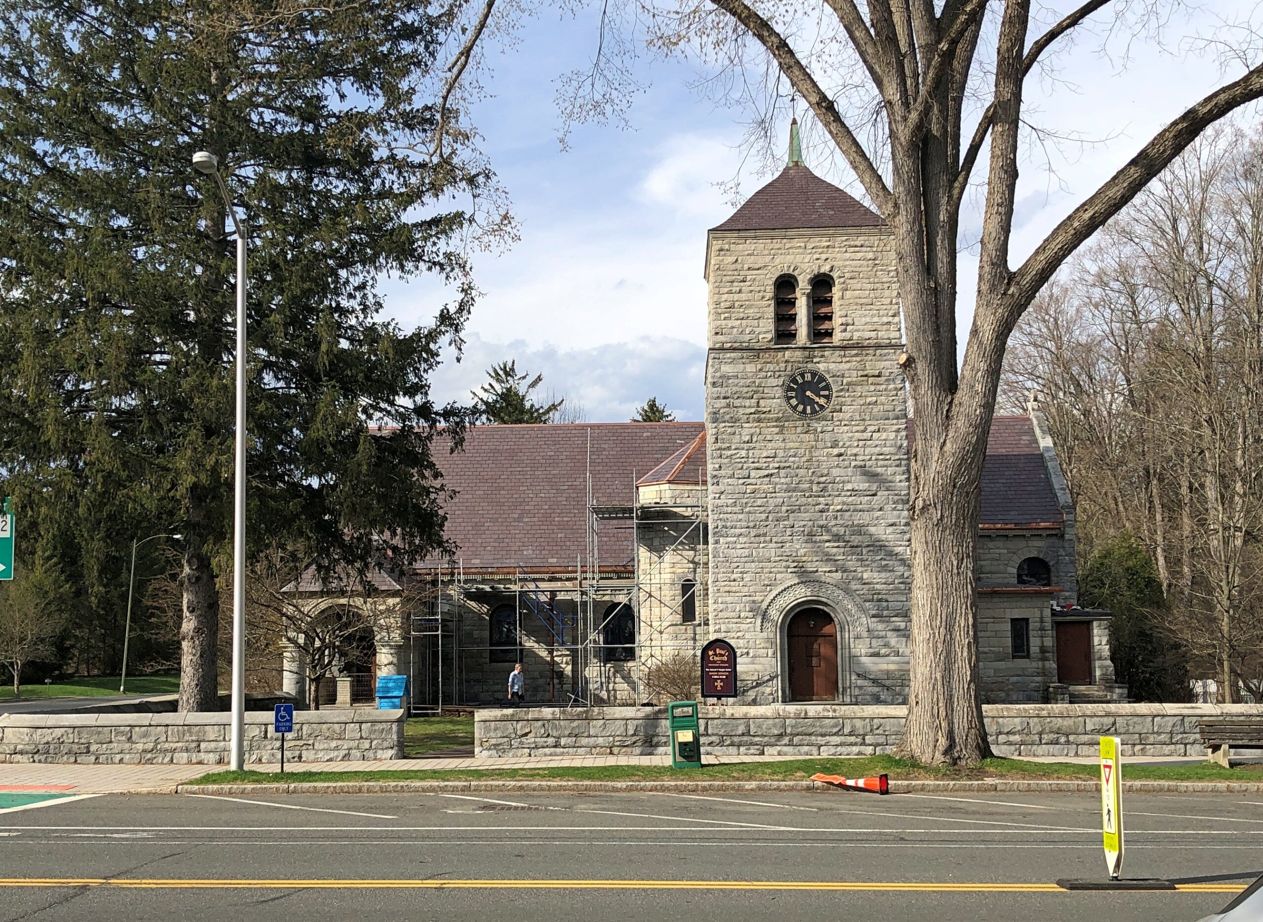
Once I’d gone far enough north, I took connecting roads to the Massachusetts Turnpike. Stockbridge, which is slightly south of the turnpike, counted more-or-less as a midway point on my day’s drive. As I entered town via Massachusetts 102, I noticed a tower. A stone tower, exuding 19th-century New England sturdiness. Its clock was wrong.

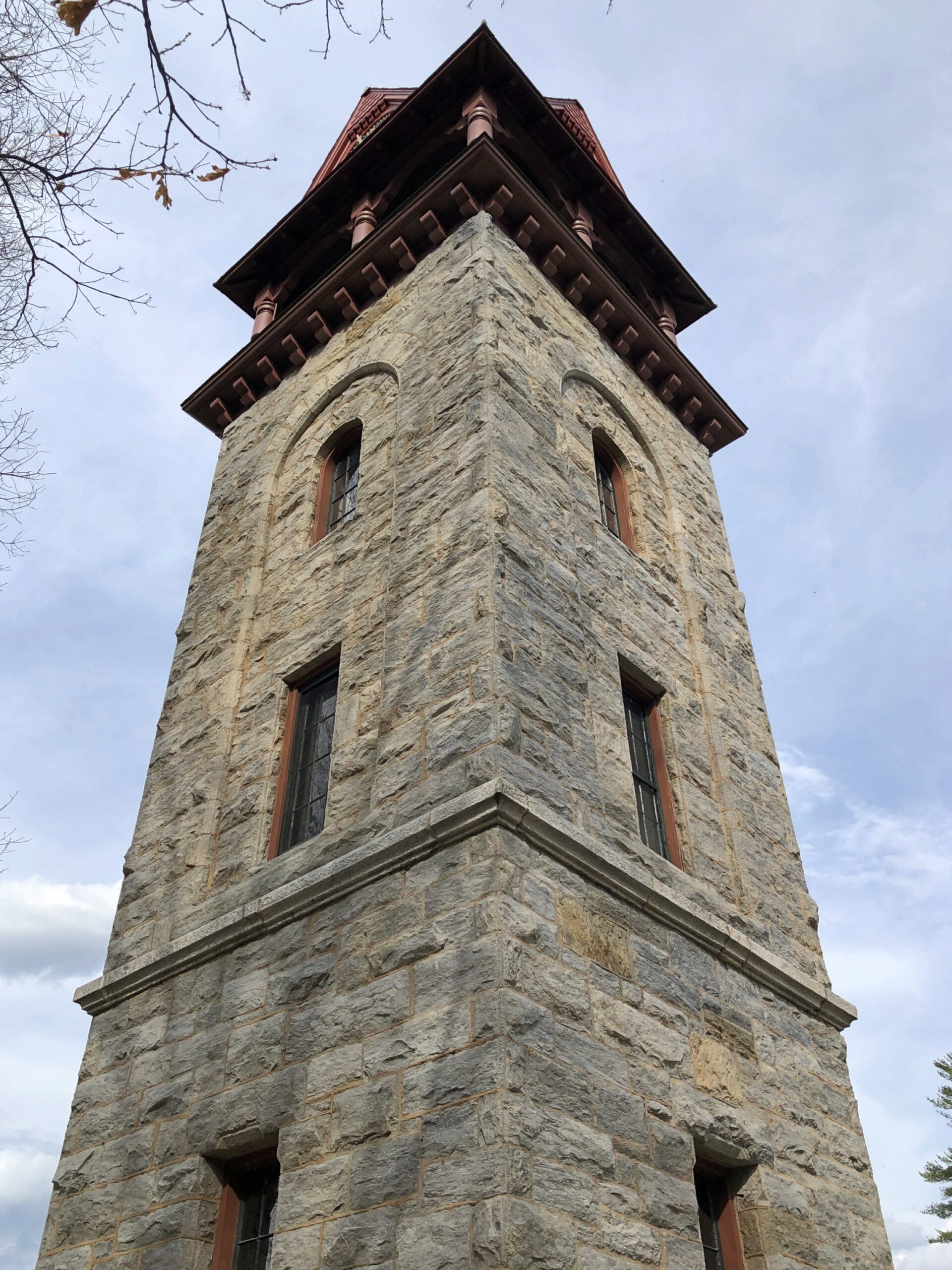
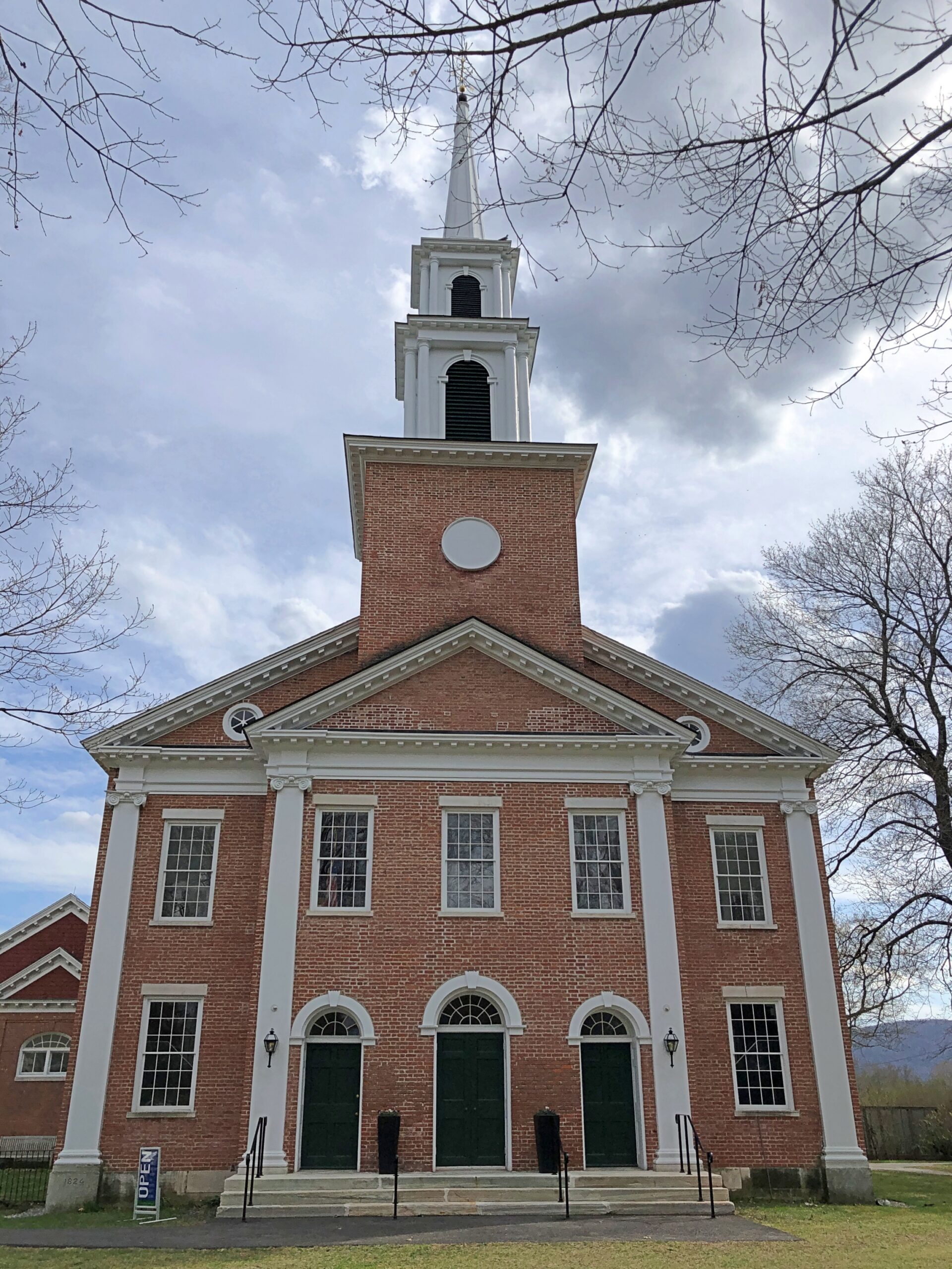
The Children’s Chimes Tower, a 19th-century bell tower built on the site of the town’s original church. A 19th-century replacement for that church stands near the bell tower, looking as New England as can be.

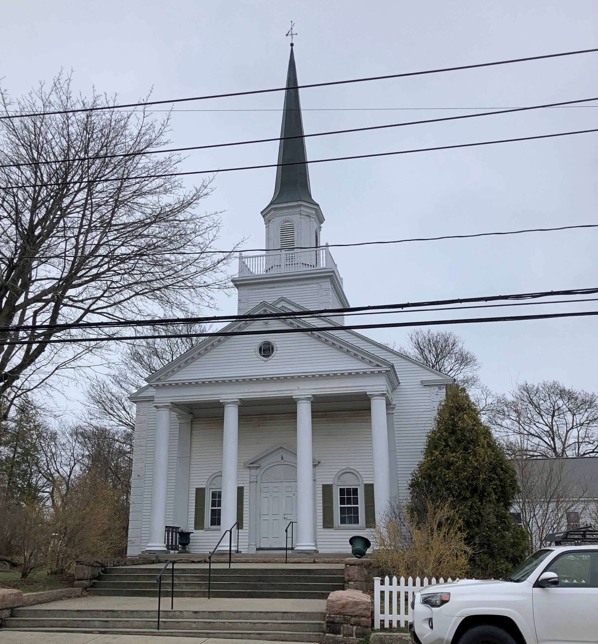
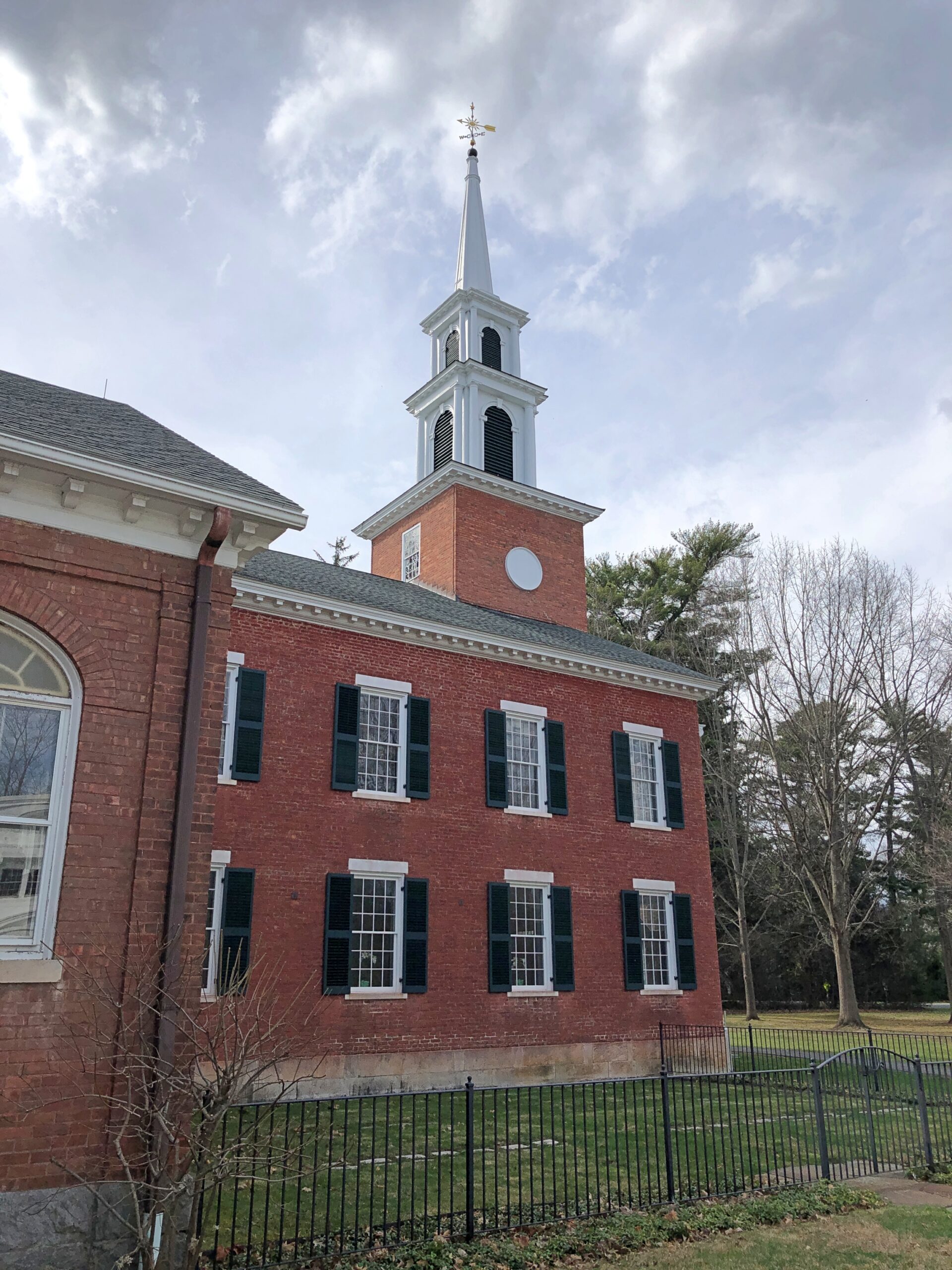
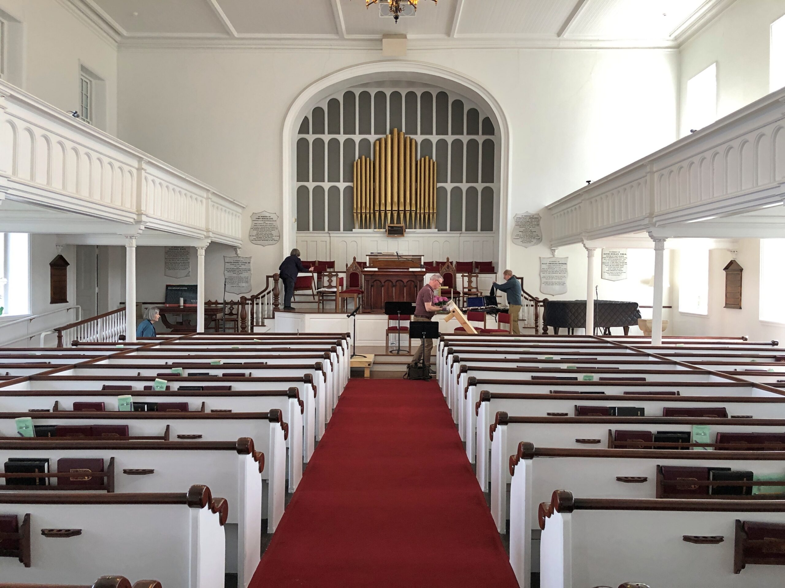
The First Congregational Church UCC. Remarkably, it was open.

Musicians were practicing, or rather seemed to be wrapping up a practice. They paid no attention to me as I looked around.

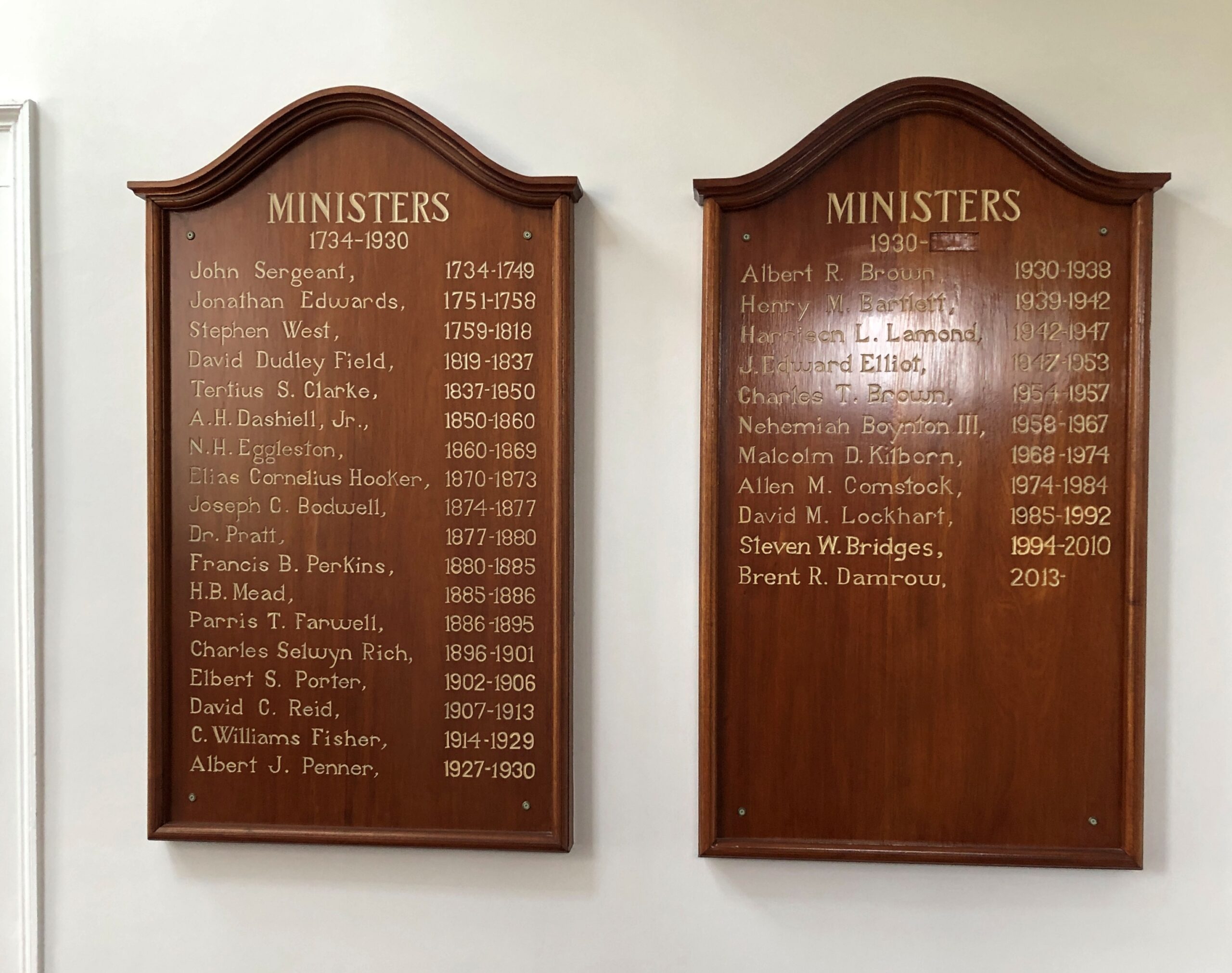
Jonathan Edwards was the church’s second pastor. “Sinners in the Hands of an Angry God” Jonathan Edwards? Yes.

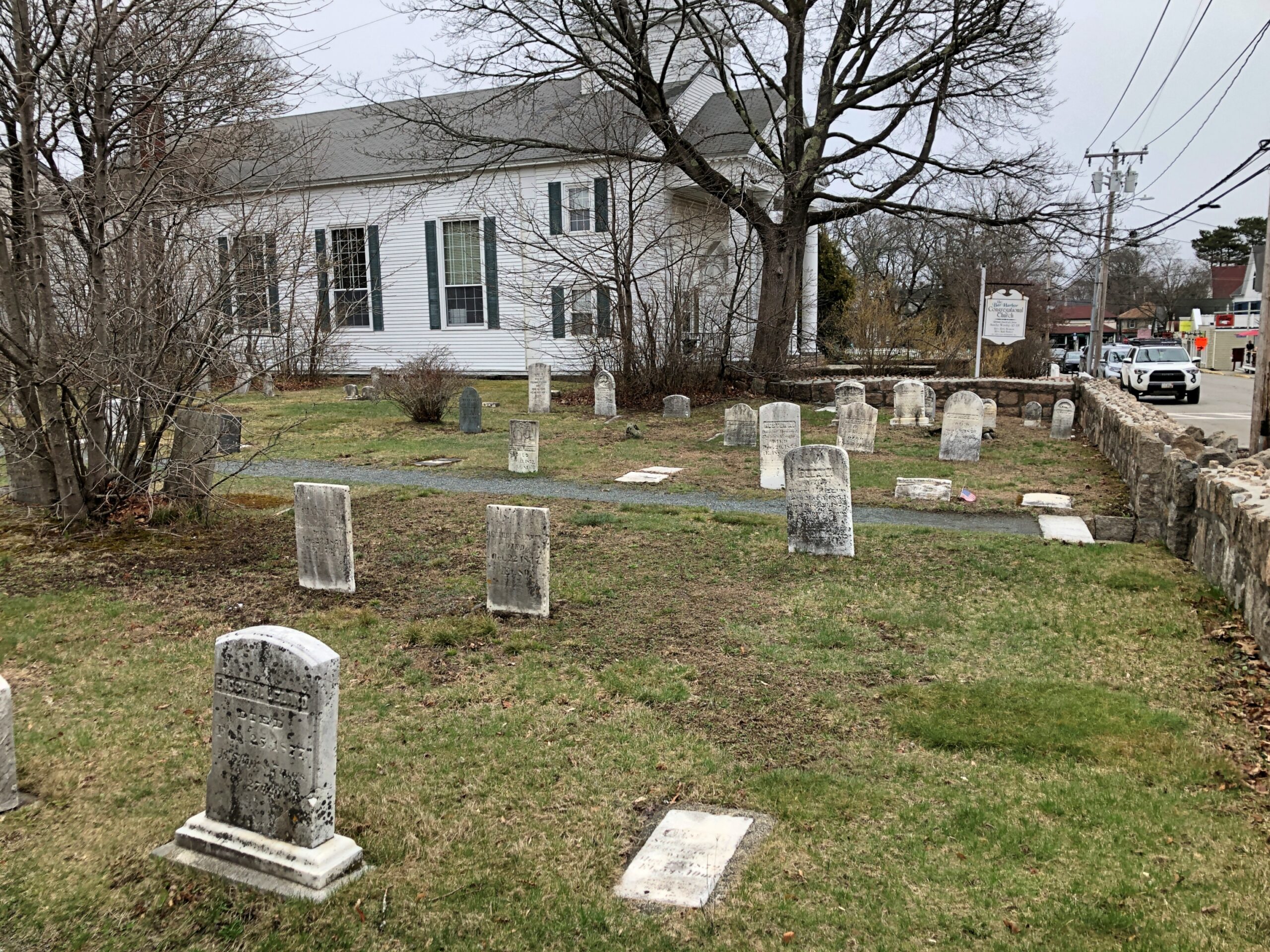
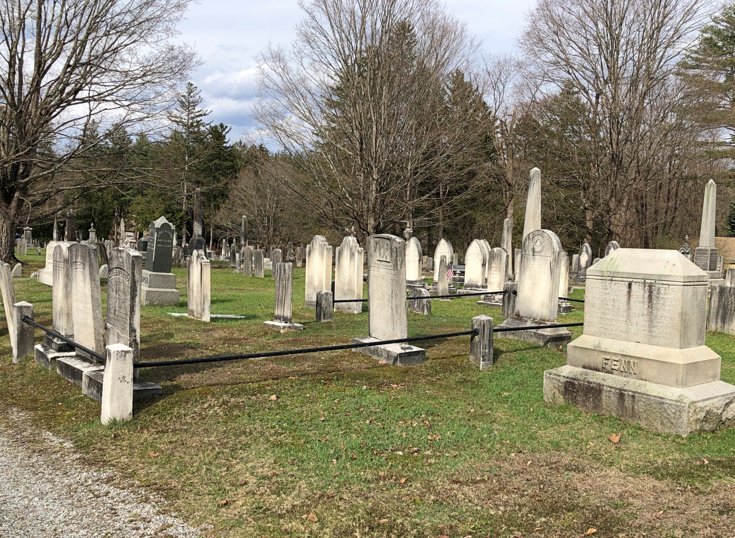
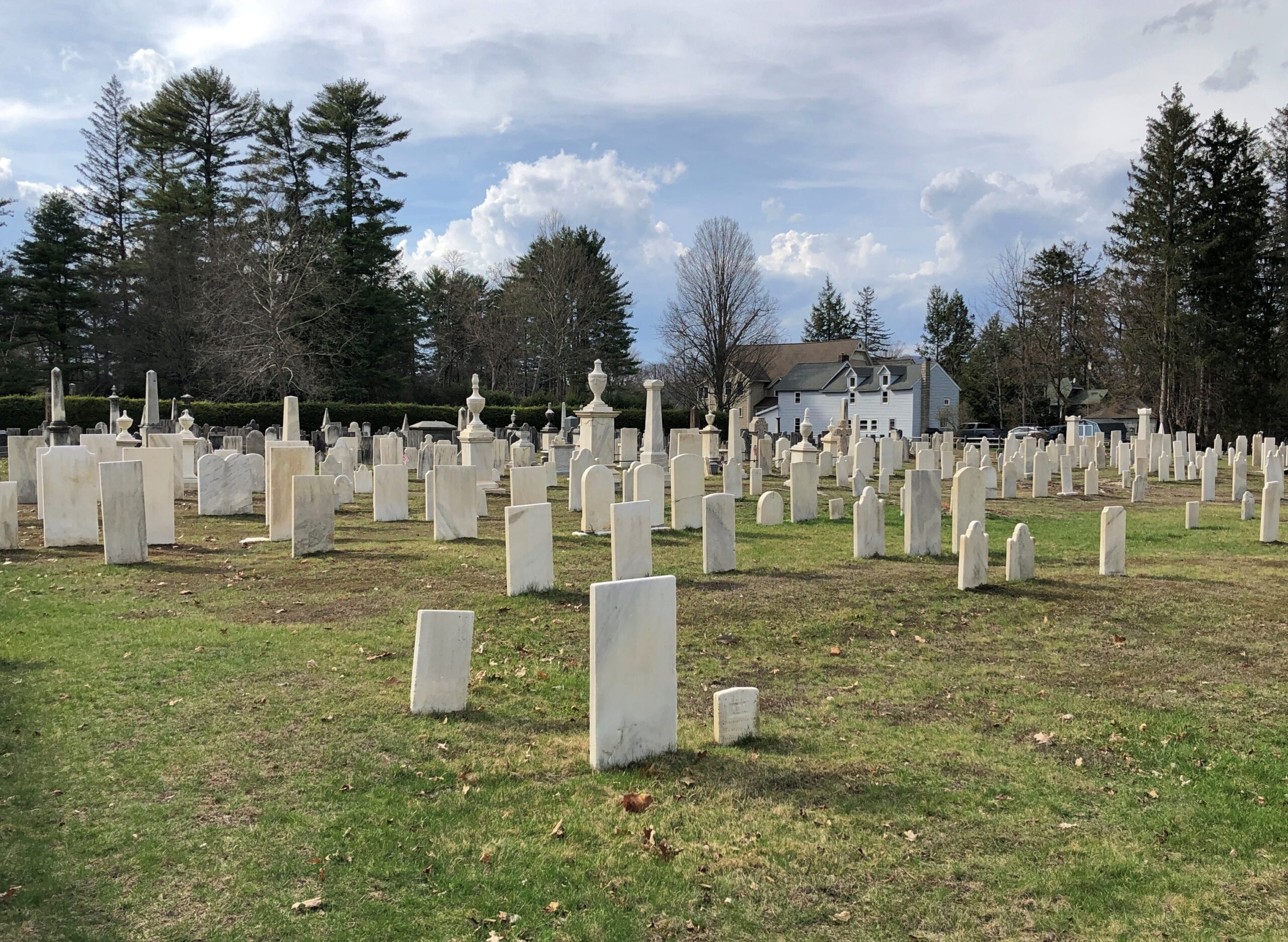
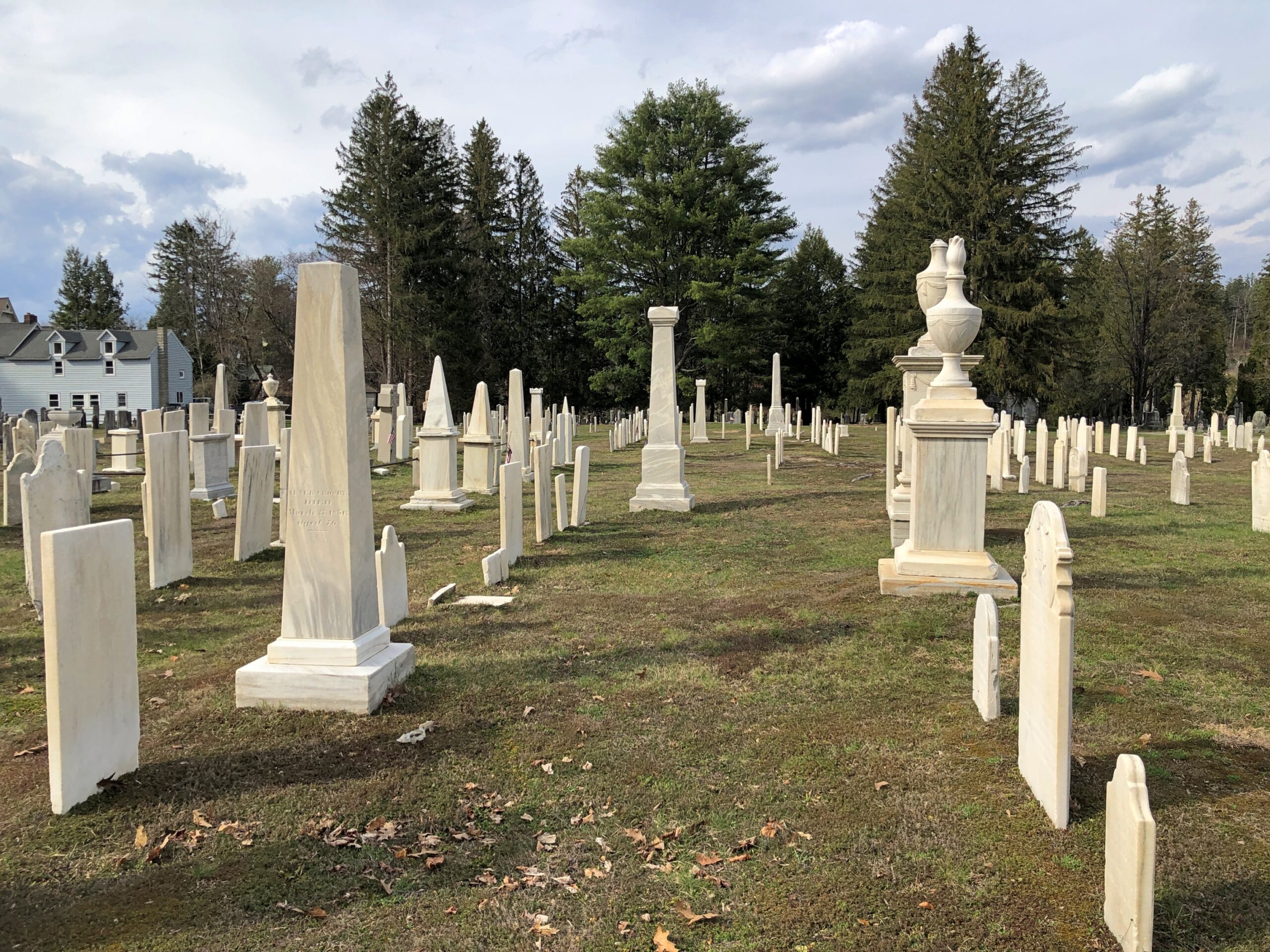
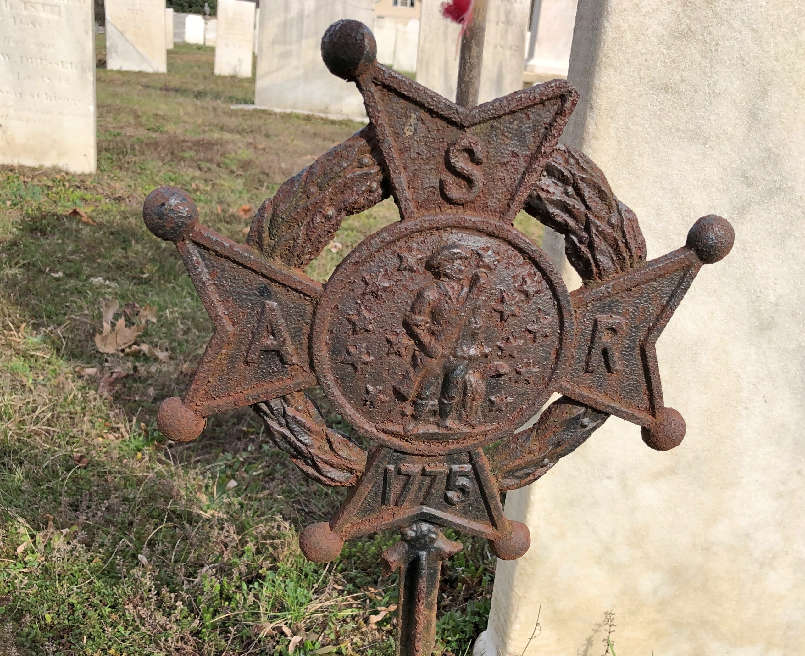
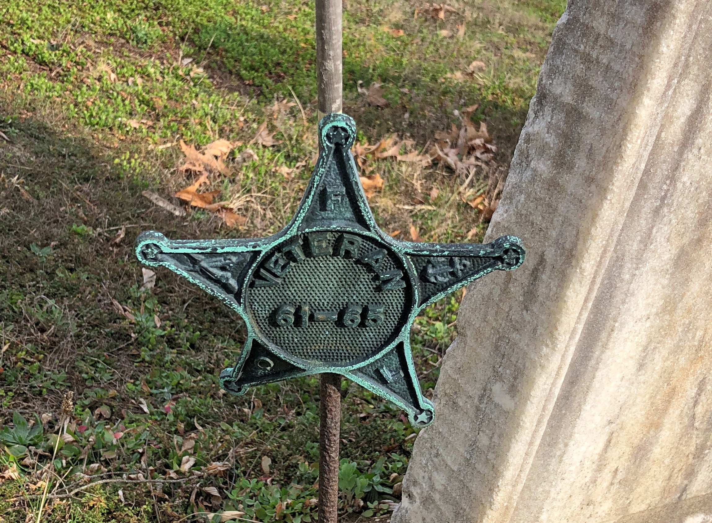
Across the road from the church and freestanding bell tower – which doesn’t chime, except in the summer – is the town cemetery.

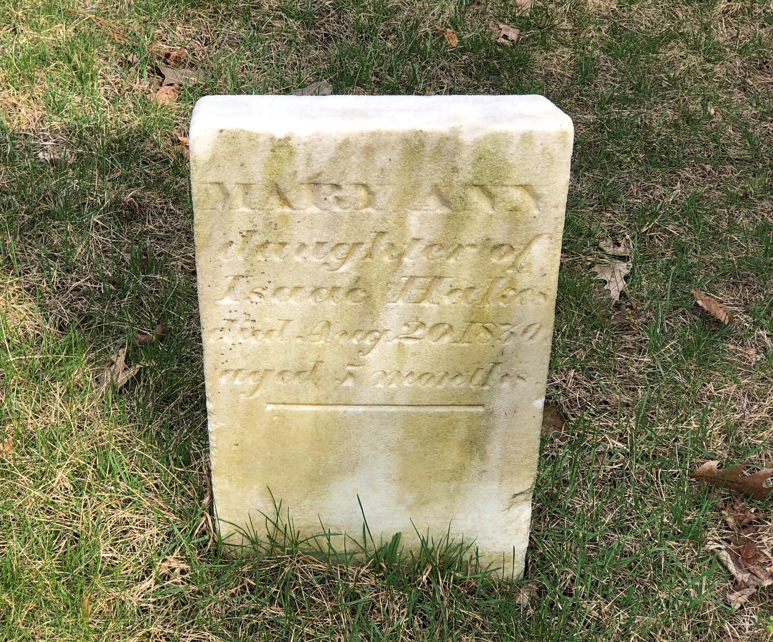
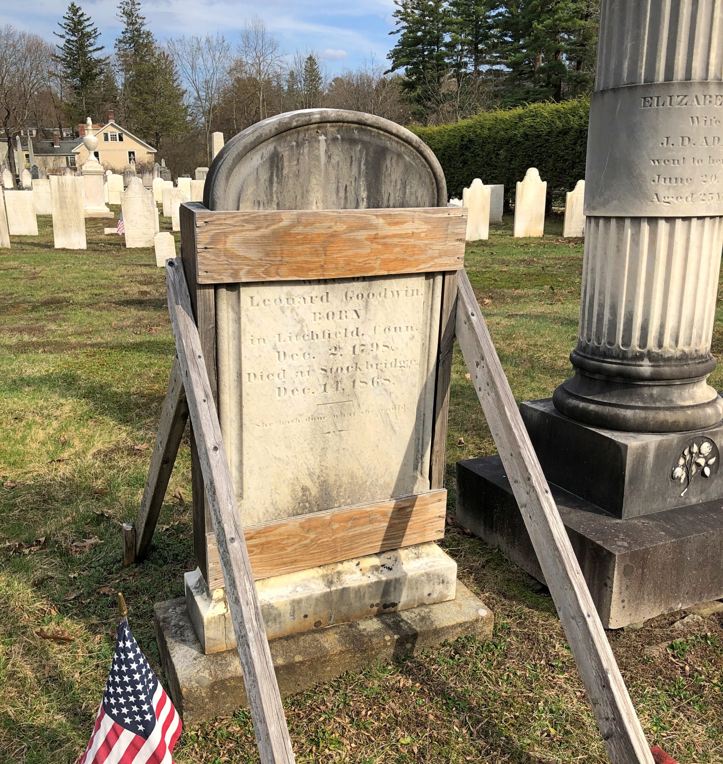
“One of the earliest burials was the first minister, John Sergeant, who died in 1749,” says the Stockbridge Library. “Members of the Mohican tribe who joined the church also were buried here. Twenty years later, discussions began about ways to enclose the burial area to keep out cattle, horses, and pigs. It wasn’t until 1853, however, that a new organization in town, the Laurel Hill Association, took on the responsibility to clean and protect the area.”

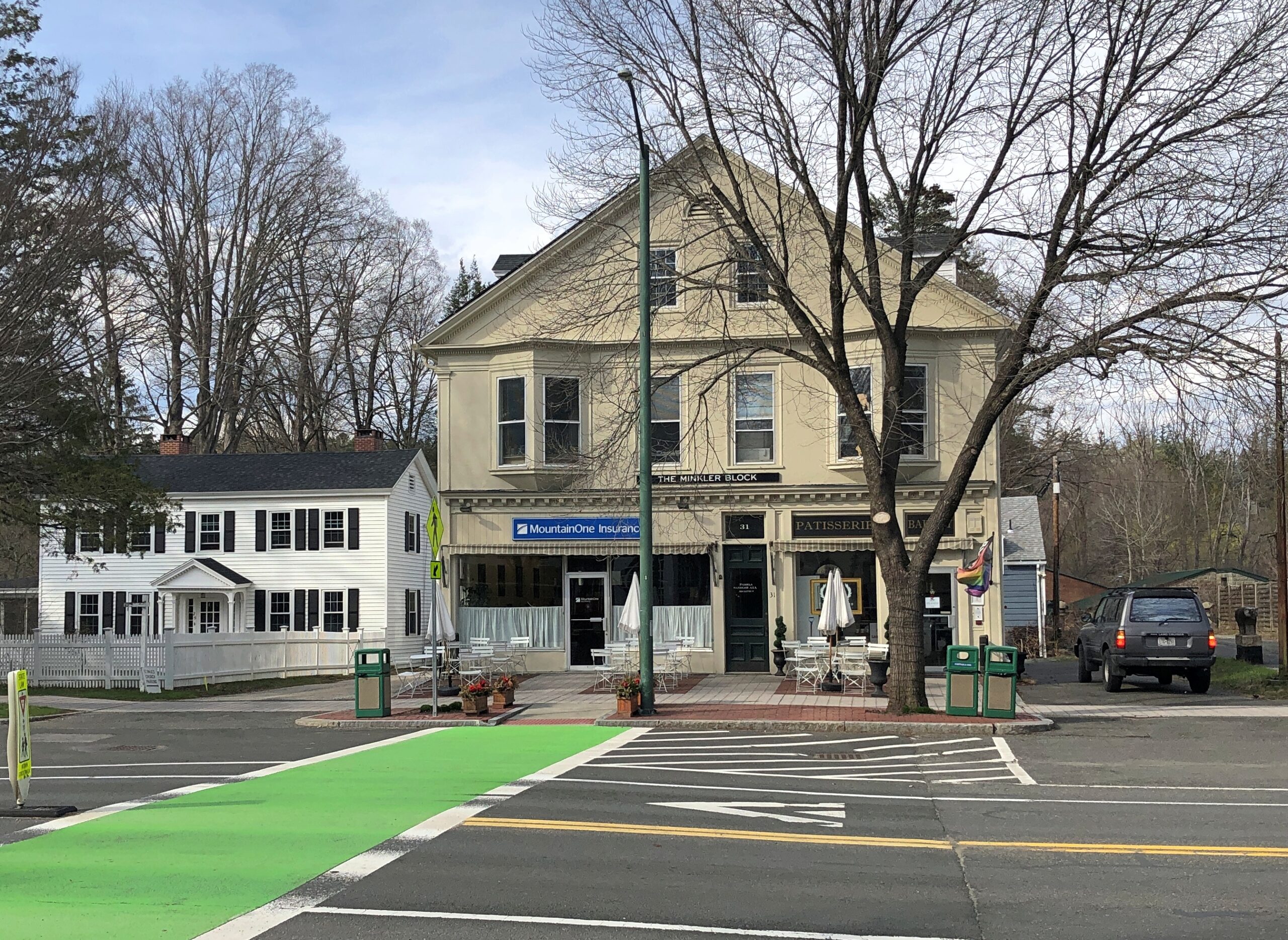
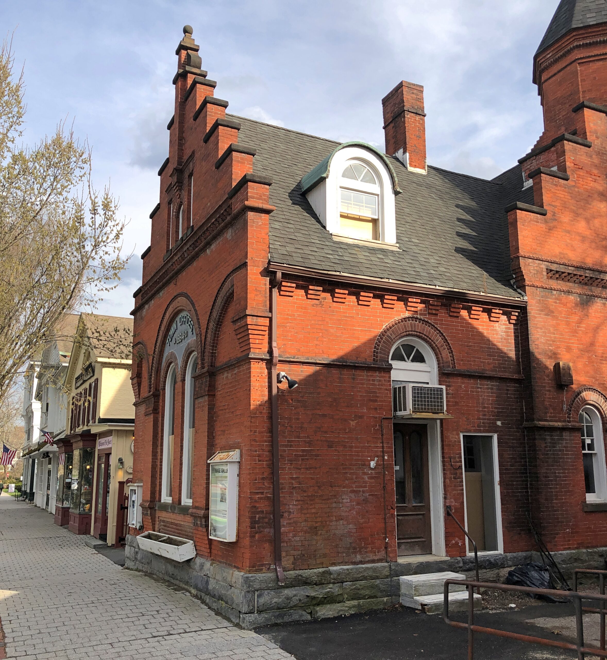
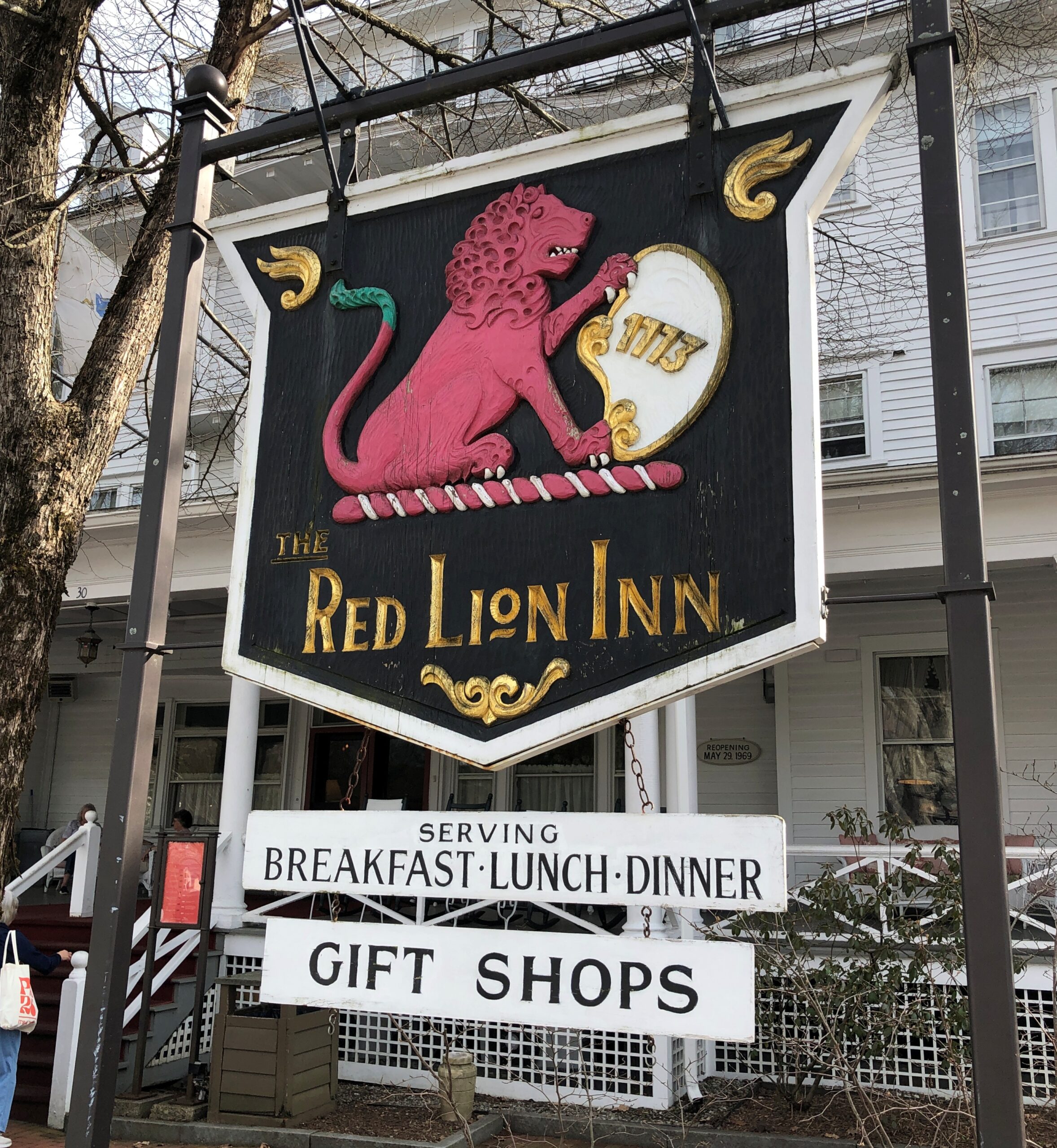
Route 102 turns into Main Street, with its shops, hotels, and other establishiments.
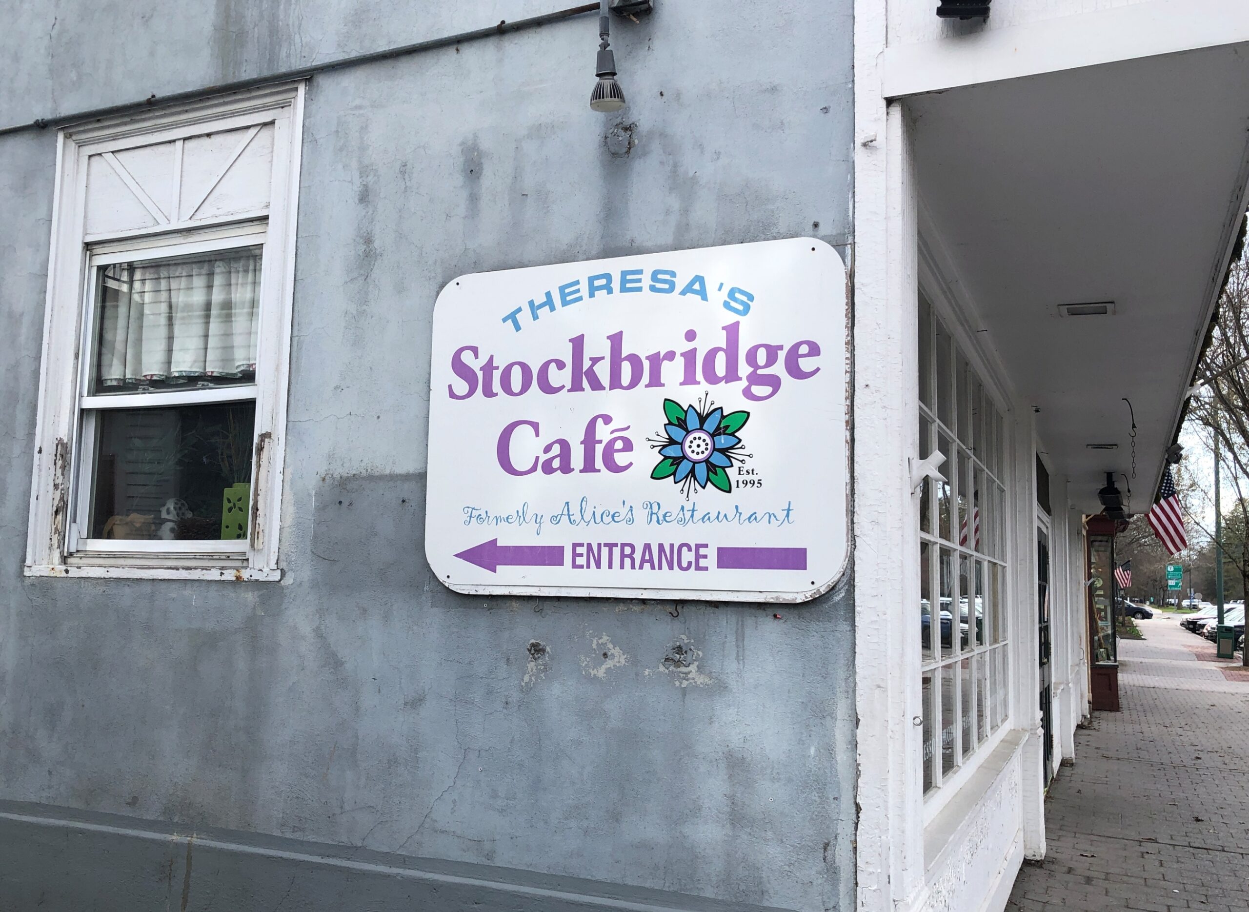
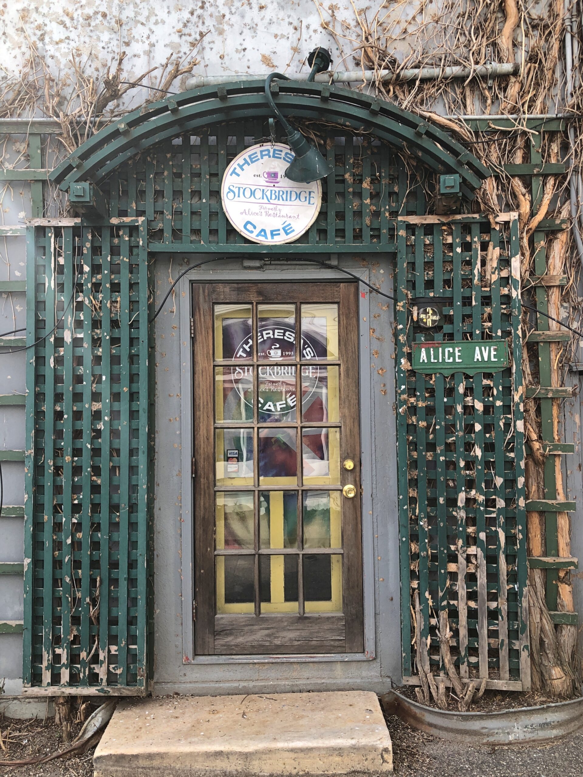
And, around the back (off Main St., that is), just a half a mile from the railroad track, is Theresa’s Stockbridge Café.

Closed for the day.

Pine Barrens Disorientation

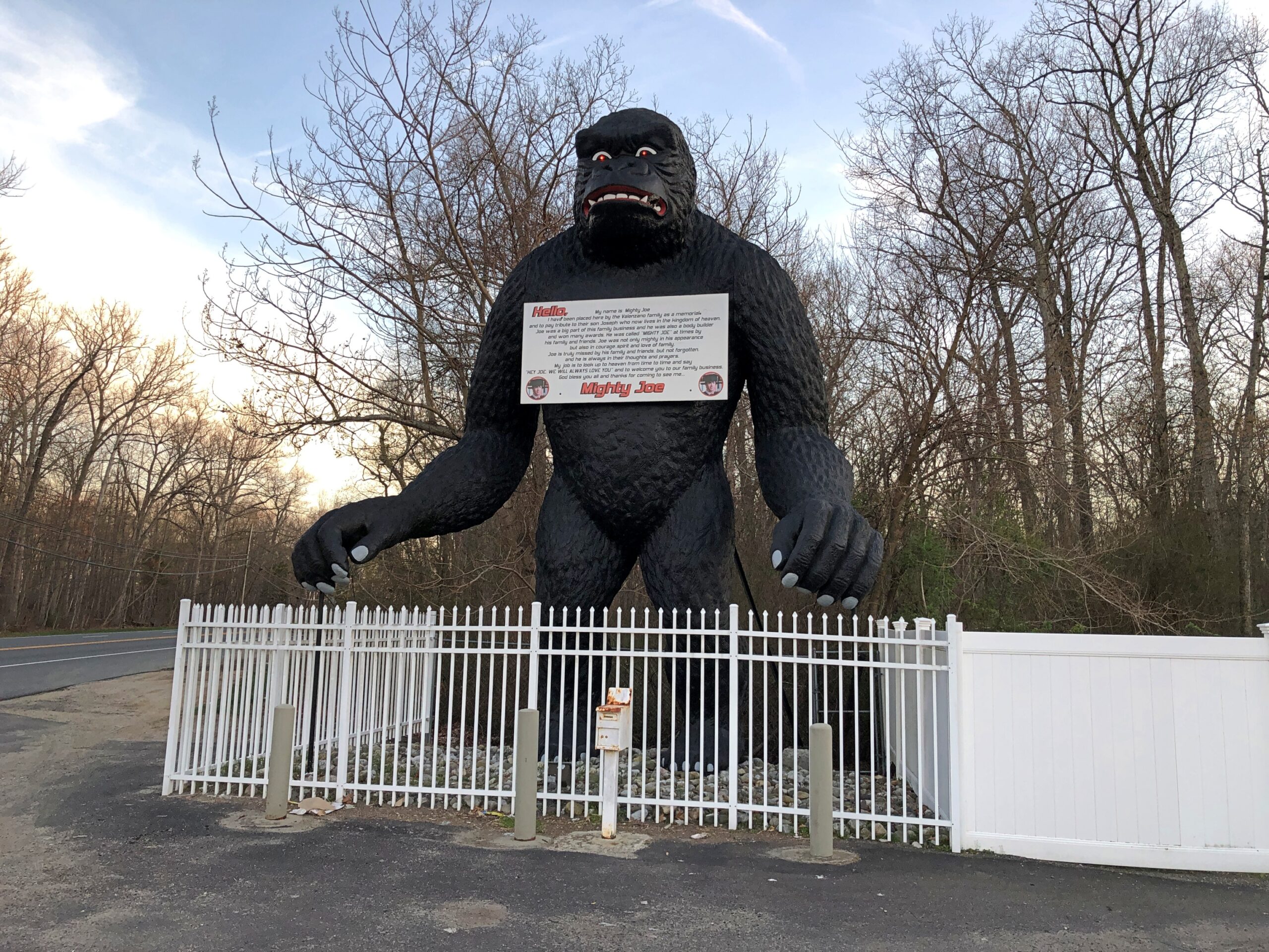
Down in South Jersey earlier this month, I didn’t see the Jersey Devil. I did see Mighty Joe.

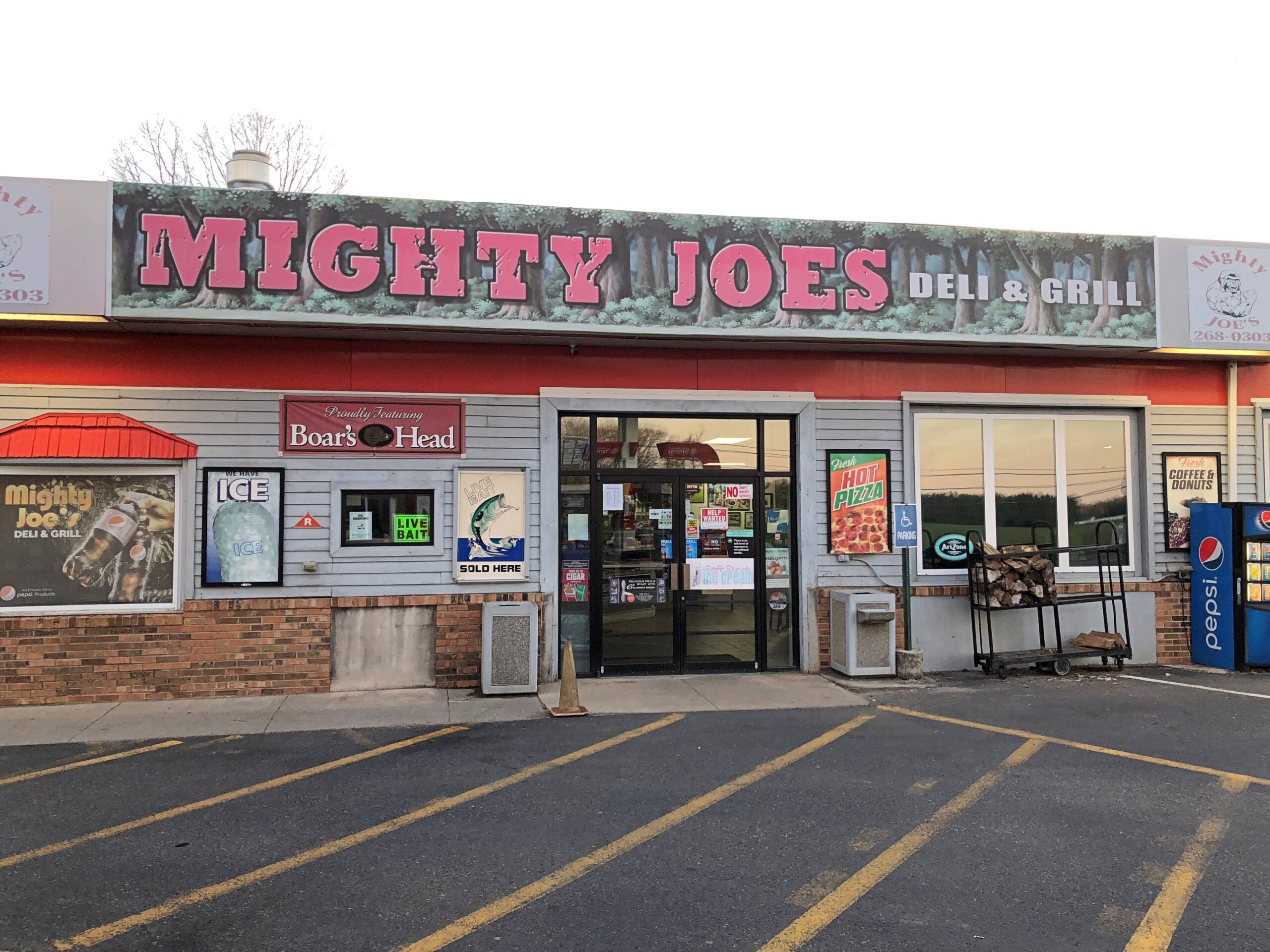
He counted as my introduction to the Pine Barrens, standing at a convenience store on US 206 in Indian Mills, Shamong Township, New Jersey. His story, which Roadside America tells well, began in Spain – really? – though immigrant Mighty Joe apparently has spent most of his existence in New Jersey as a commercial mascot of one kind or another. He’s still that, but also a memorial to the son of the store’s owner, Larry Valenzano, according to the sign on the gorilla’s chest. The younger Valenzano, a body builder nicknamed Mighty Joe, died of cancer in 1999.

I didn’t stop for Joe heading south on US 206. Can’t stop for everything. I figured I wouldn’t see him on my return to Trenton either, since I was planning to return on smaller roads through the heart of the Pine Barrens, after visiting Atlantic City. All went according to plan, until I actually got into the heart of the Pine Barrens fairly late in the afternoon of April 9.

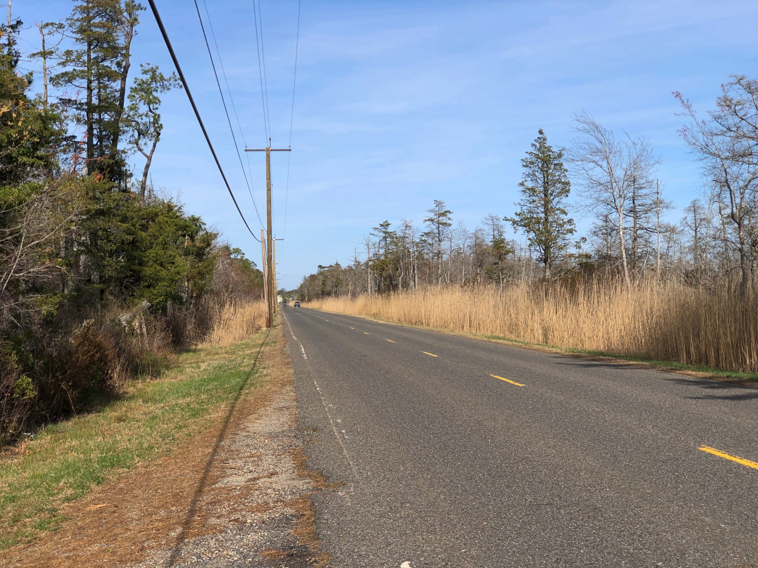
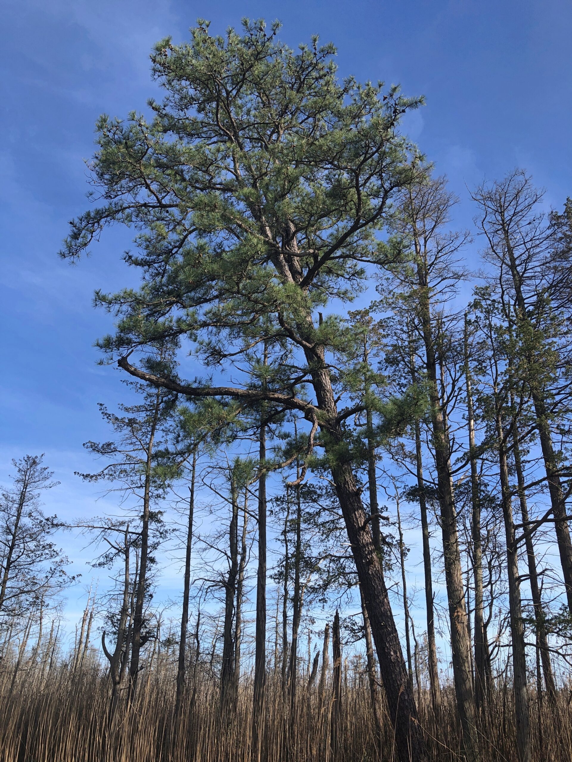
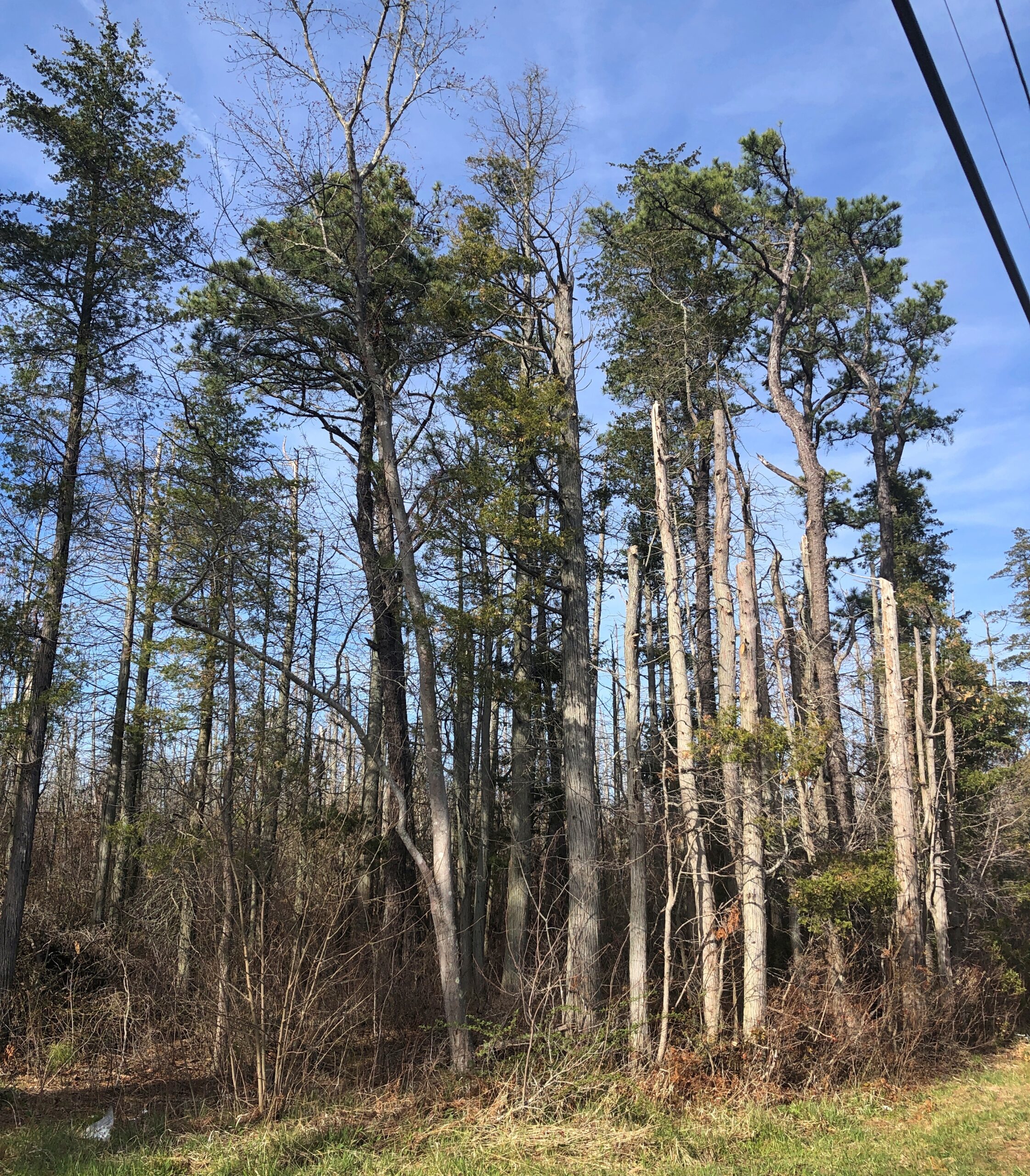
Considering how close you are to Philadelphia and New York, it’s remarkable how remote the Pine Barrens feel. The region, I understand, is the largest surviving forest on the Eastern Seaboard south of Maine’s North Woods, totaling over 800,000 acres.
The region is also called the Pinelands. It certainly fits.
Remote, maybe, but still plenty of signs of human habitation, past and present. I stopped to take my bearings at a wide place in the road, and noticed gravestones.

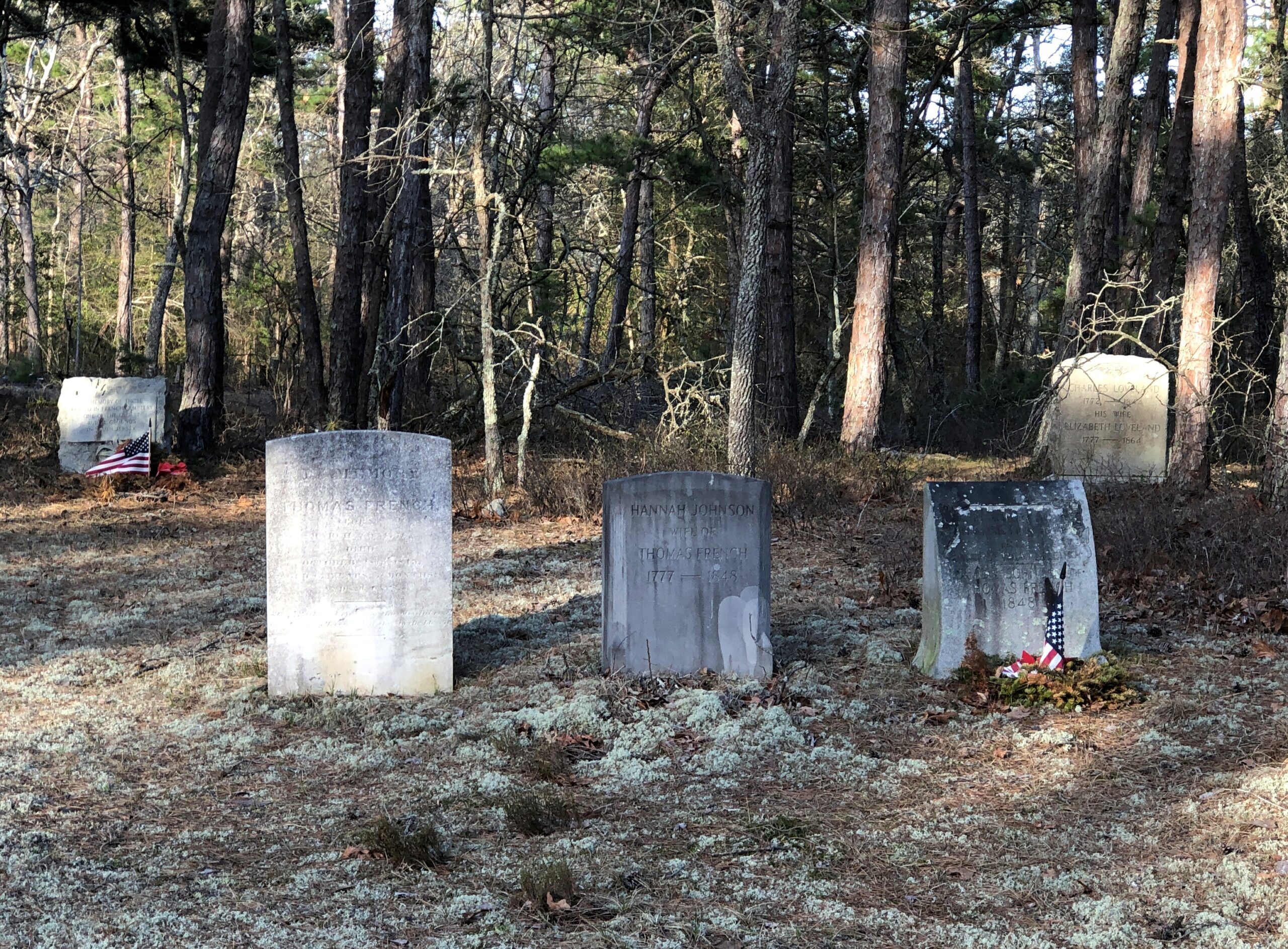
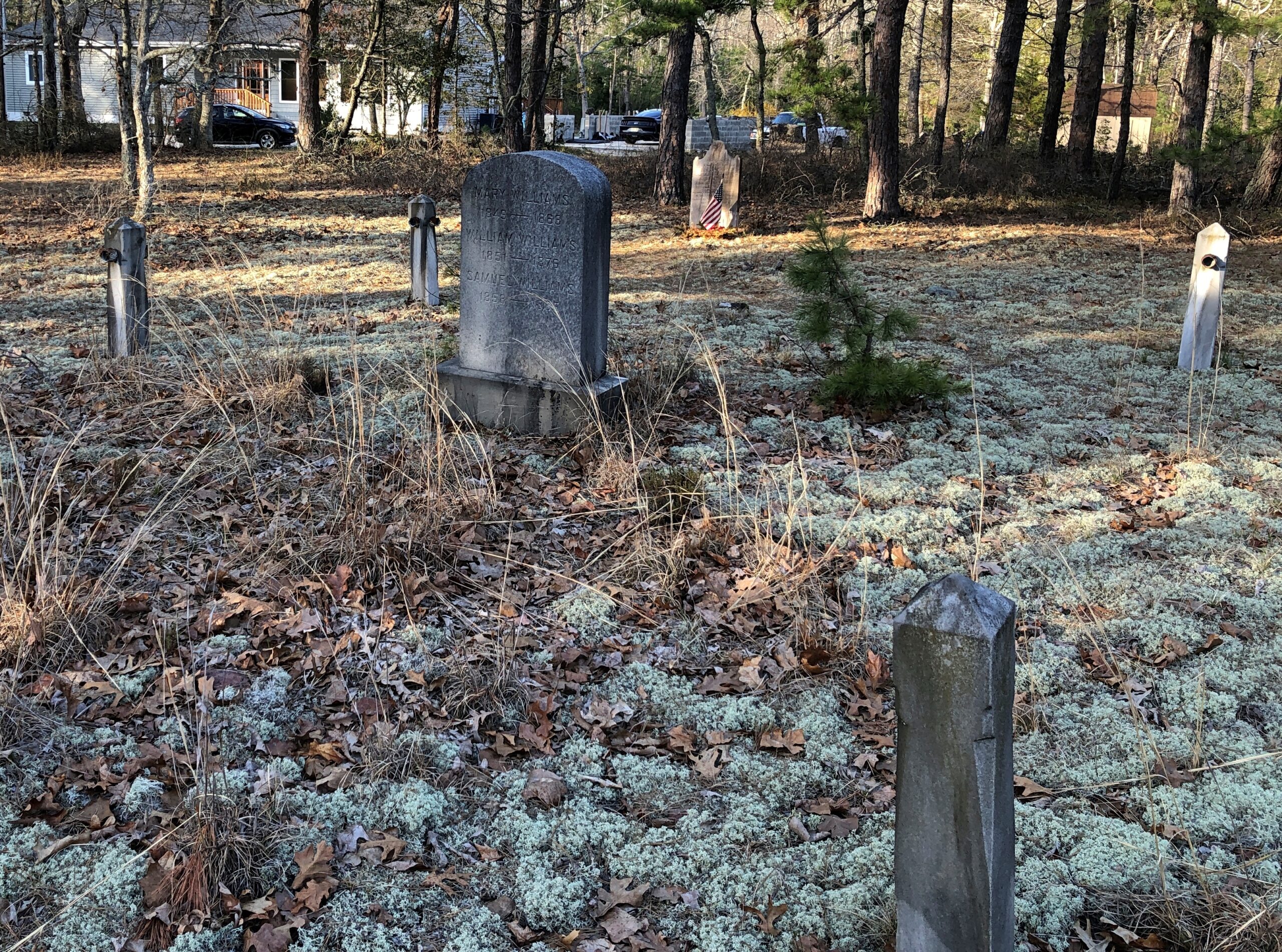
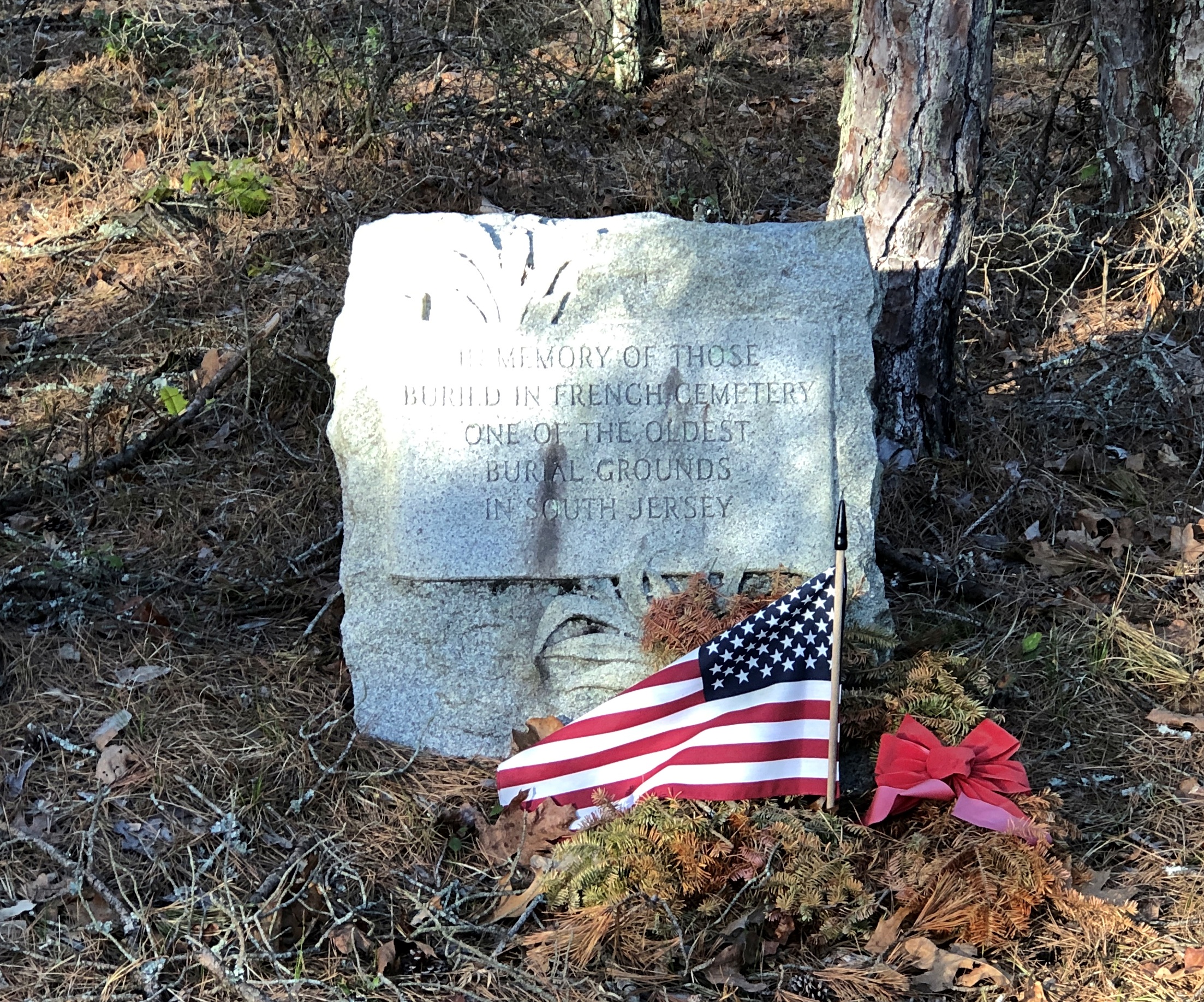
French Cemetery, named for a number of people buried named French, not for their nationality. “One of the oldest burial grounds in South Jersey,” the stone asserts. Could be, but I have no way to check that.

Interesting little spot anyway, northeast from Egg Harbor City and past the Mullica River and near the Wading River. Or was that the actual location? I was traveling on marked county roads, but pretty soon I started seeing county road signs covered with black plastic bags, next to newer signs. I can only guess, but I think that meant a recent change in the numbering of the county roads.

That further meant that both my paper and electronic maps were wrong – in as much detail as they had anyway, which wasn’t a lot. “Lost” is too strong a word, but I’d say I was disoriented in a web of meandering, ill-marked roads. I stopped more than once among the pines of the Pinelands to try to figure out a better course.

Then it occurred to me: I remembered seeing some of the exit numbers on highways near Trenton had been changed, too. I’m speculating, but I think that had something to do with my GPS going just a little funny in the head the night before. Damn it, New Jersey.

Eventually I worked my way back toward Egg Harbor City, a sizable town on US 30, which connects with US 280, which goes straight back to Trenton; the way I’d come. That’s how I was able to stop to see Mighty Joe.

Even so, I happened across a few places in the Pinelands to stop, especially Batsto Village, site of the former Batsto Iron Works.

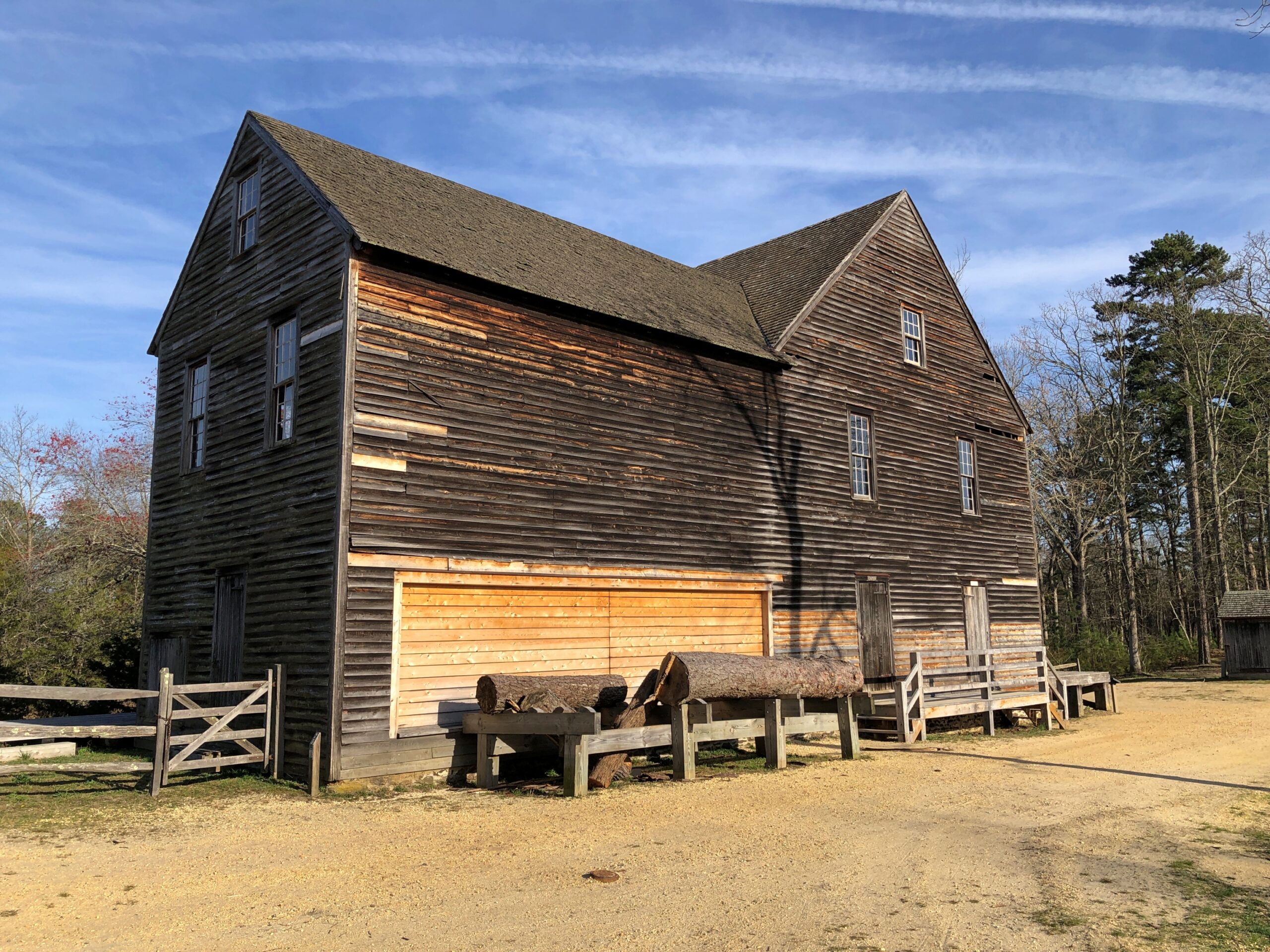
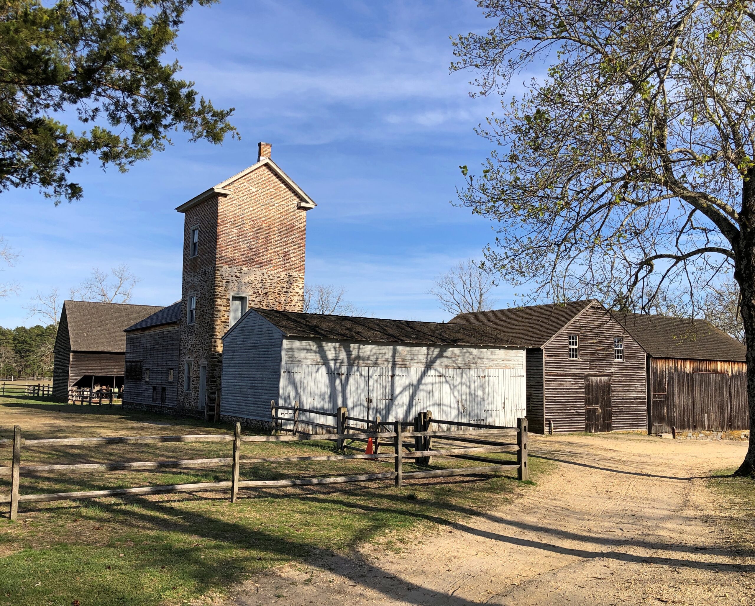
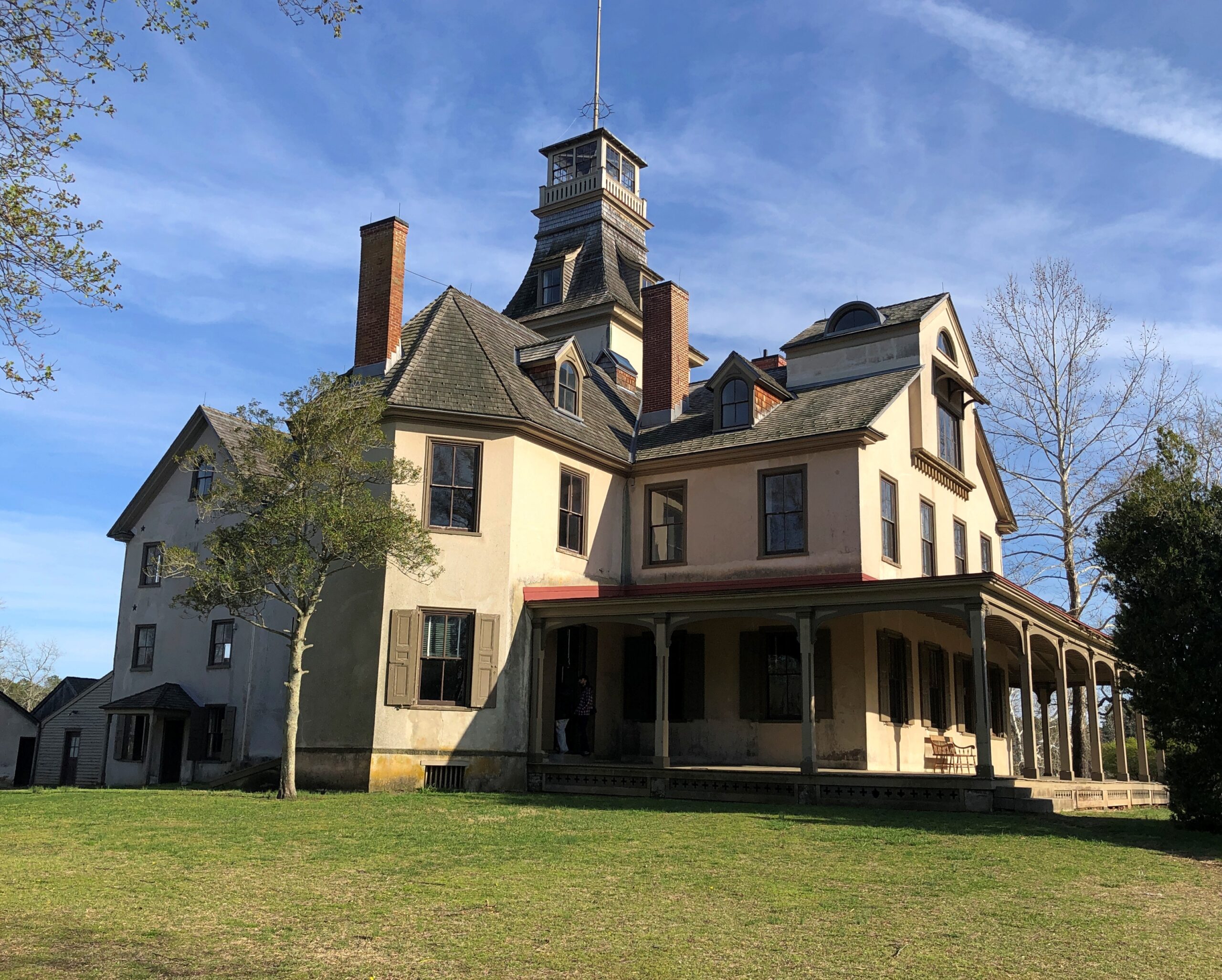
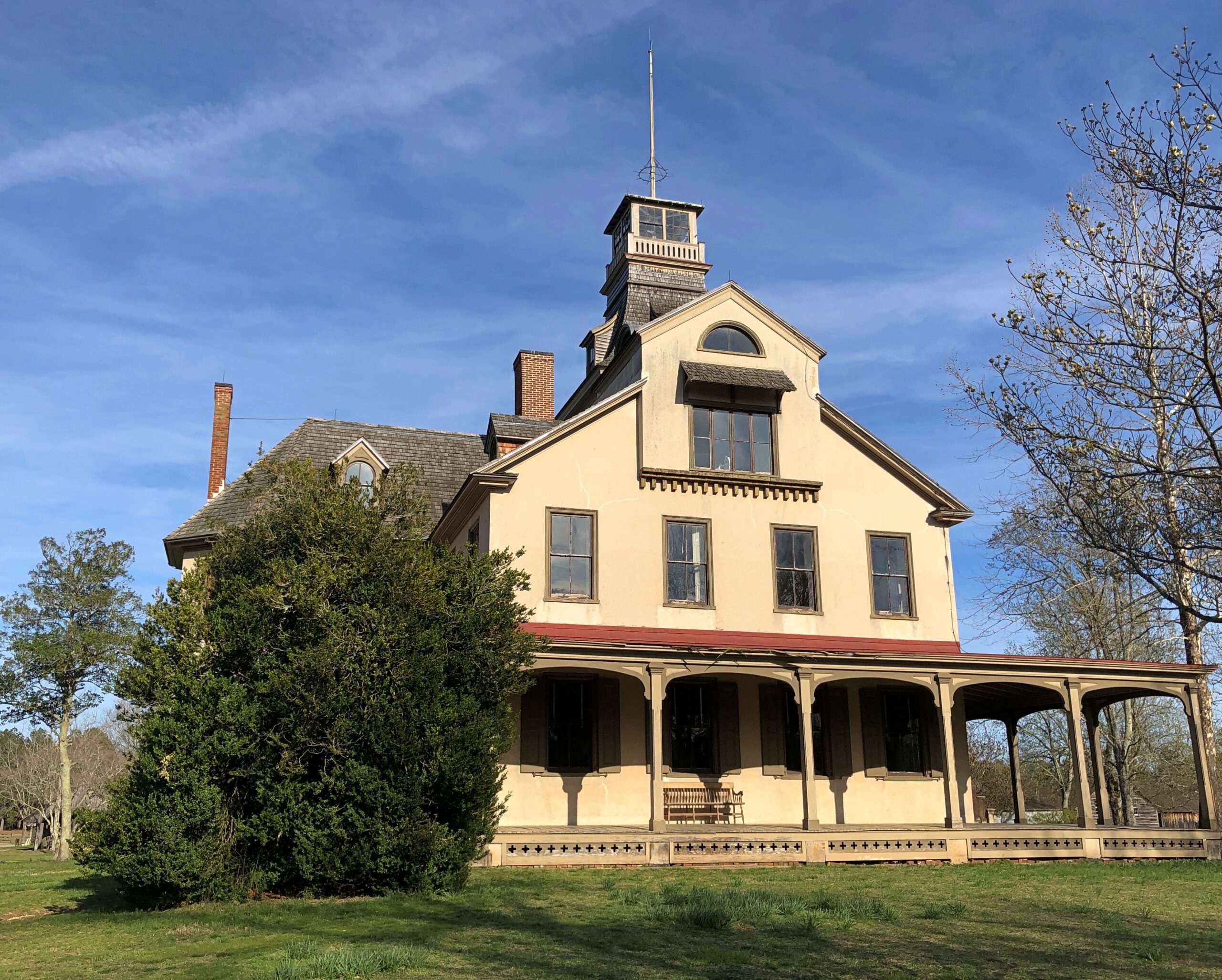
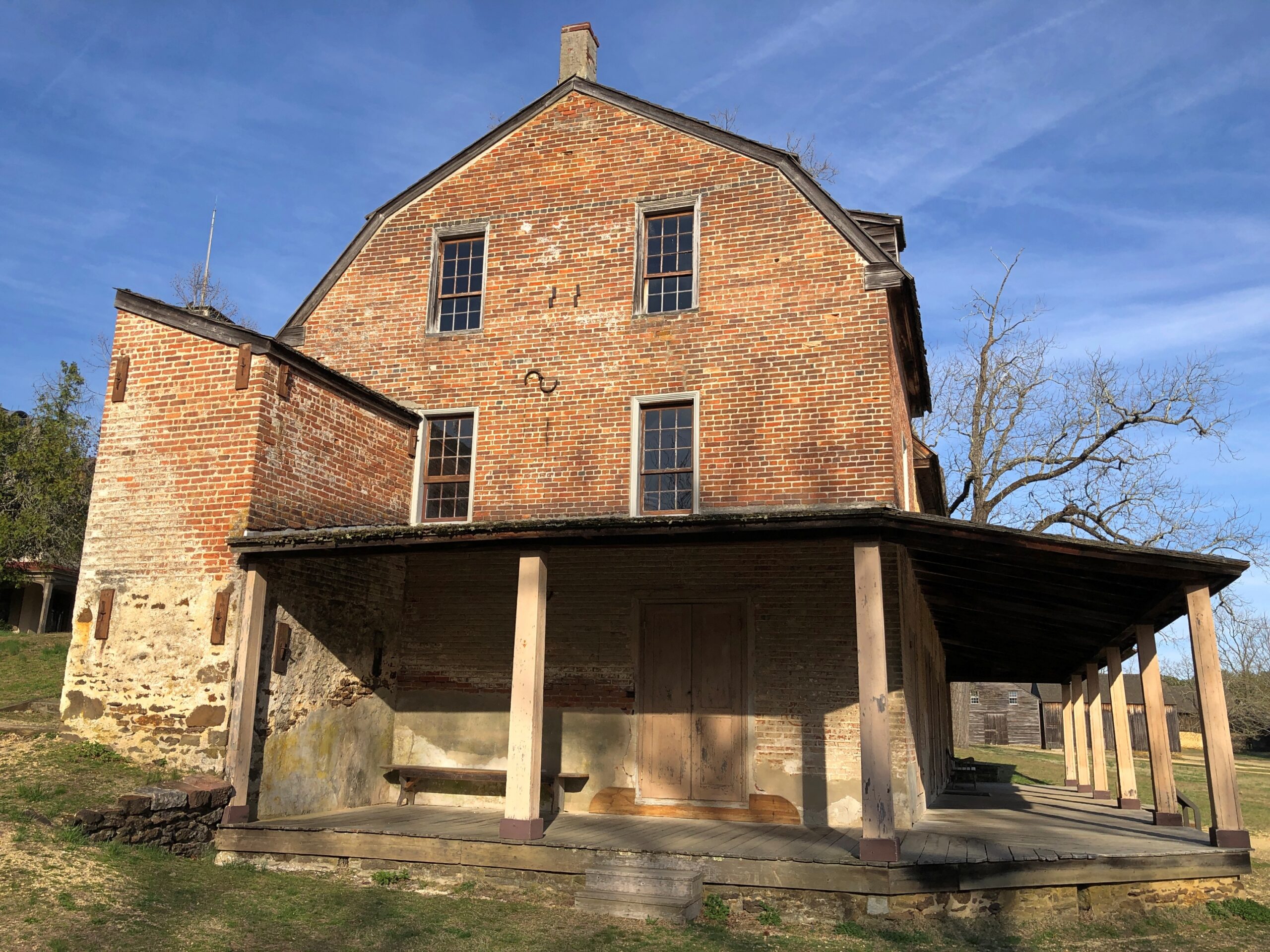
Most of the open-air museum buildings are 19th century, but the Batsto Iron Works had roots that went back to Colonial times. Some enterprising early NJ settlers found bog iron in the area. By the 19th century, the iron smelting was doing well enough to support a company town, including of course the boss’s house.

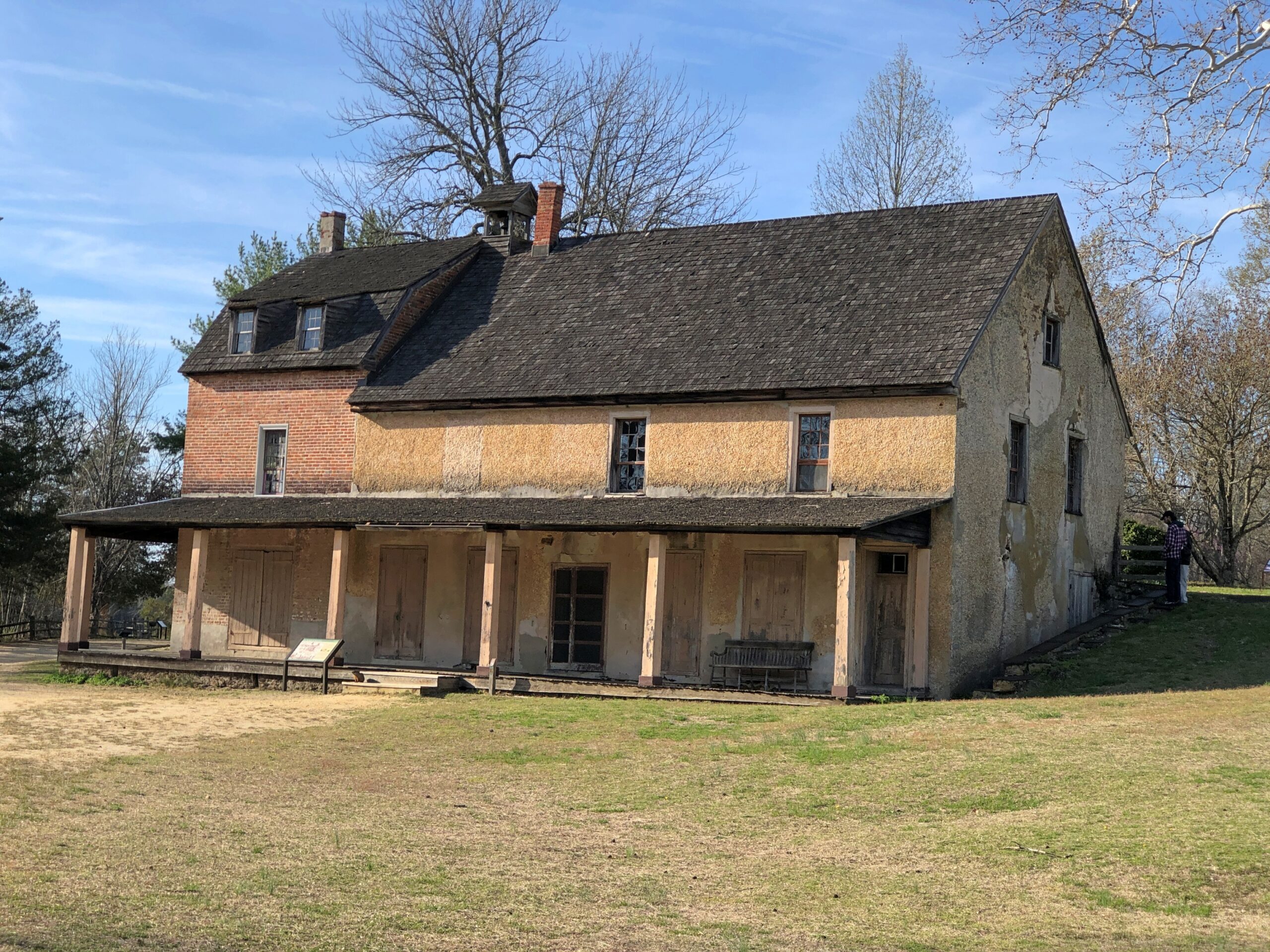
The company store.

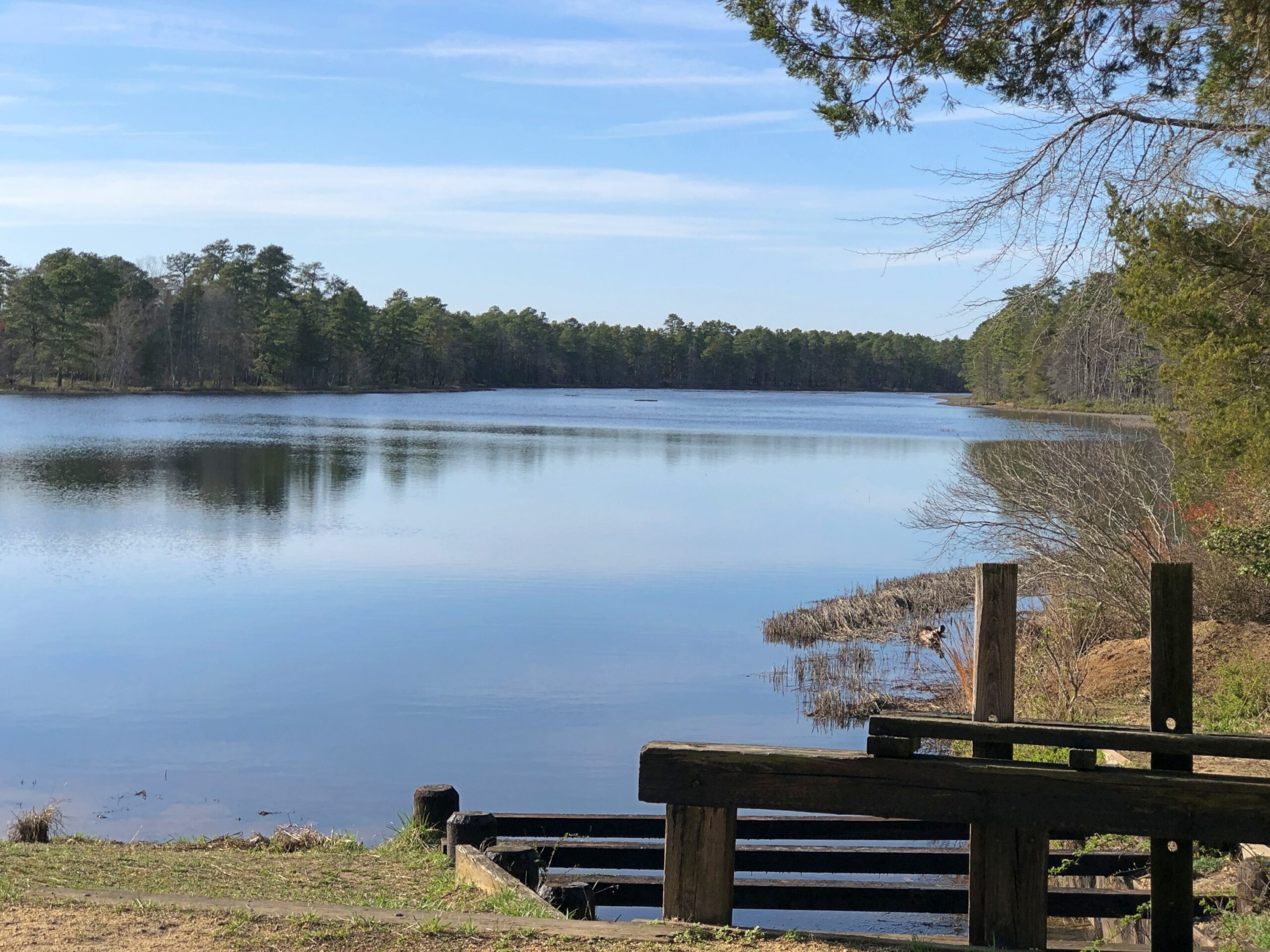
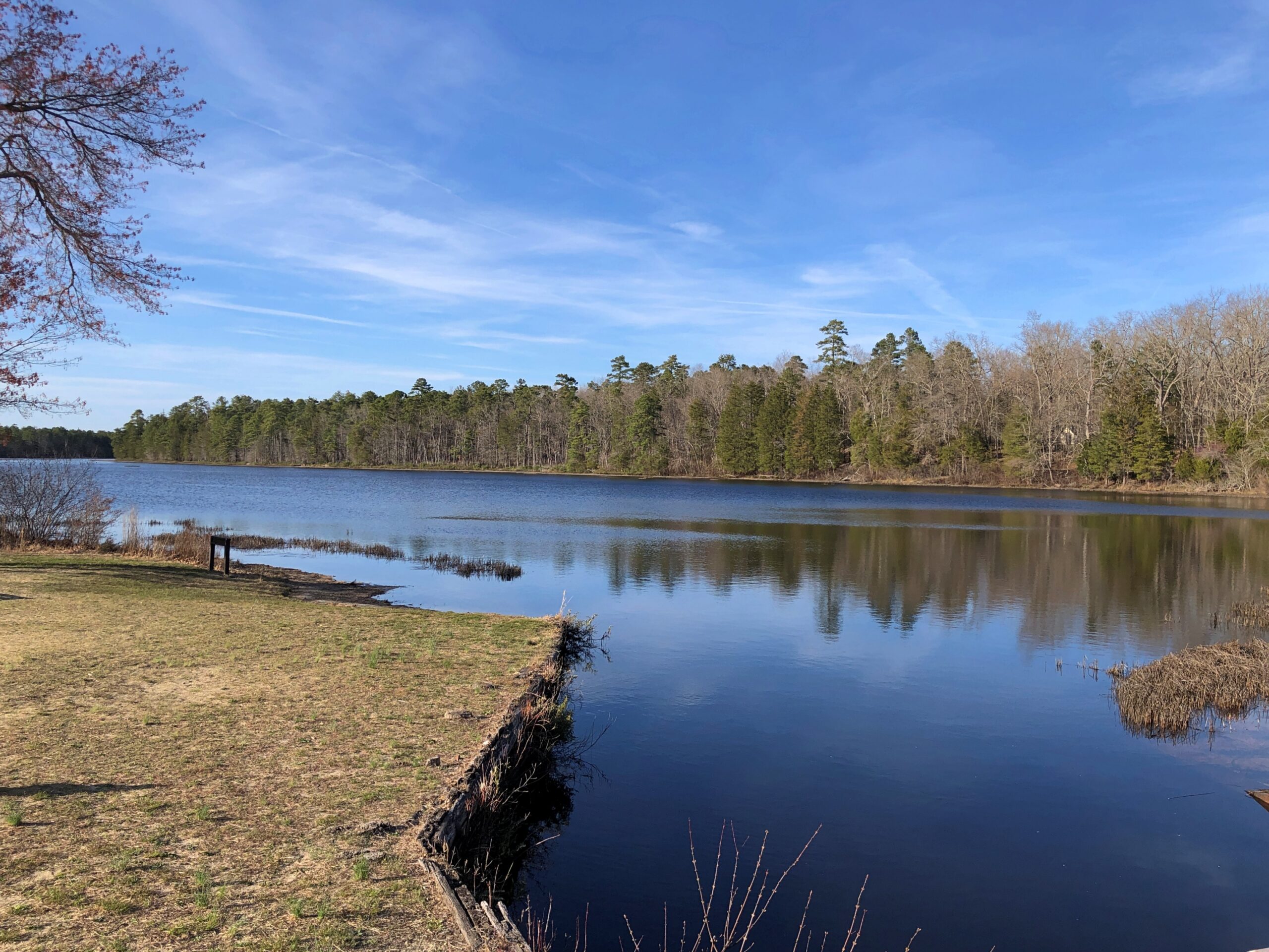
The company paid in script until the workers were organized enough to demand legal tender for their labor. Unlike at Fayette Historic State Park in Michigan, the actual industrial facility, the 19th-century blast furnace, is long gone. The place has a good-looking lake, however. Created by a small dam on Batsto River to harness the water for the sawmill.

A vista that says New Jersey? Yes, but not the New Jersey of song and story.

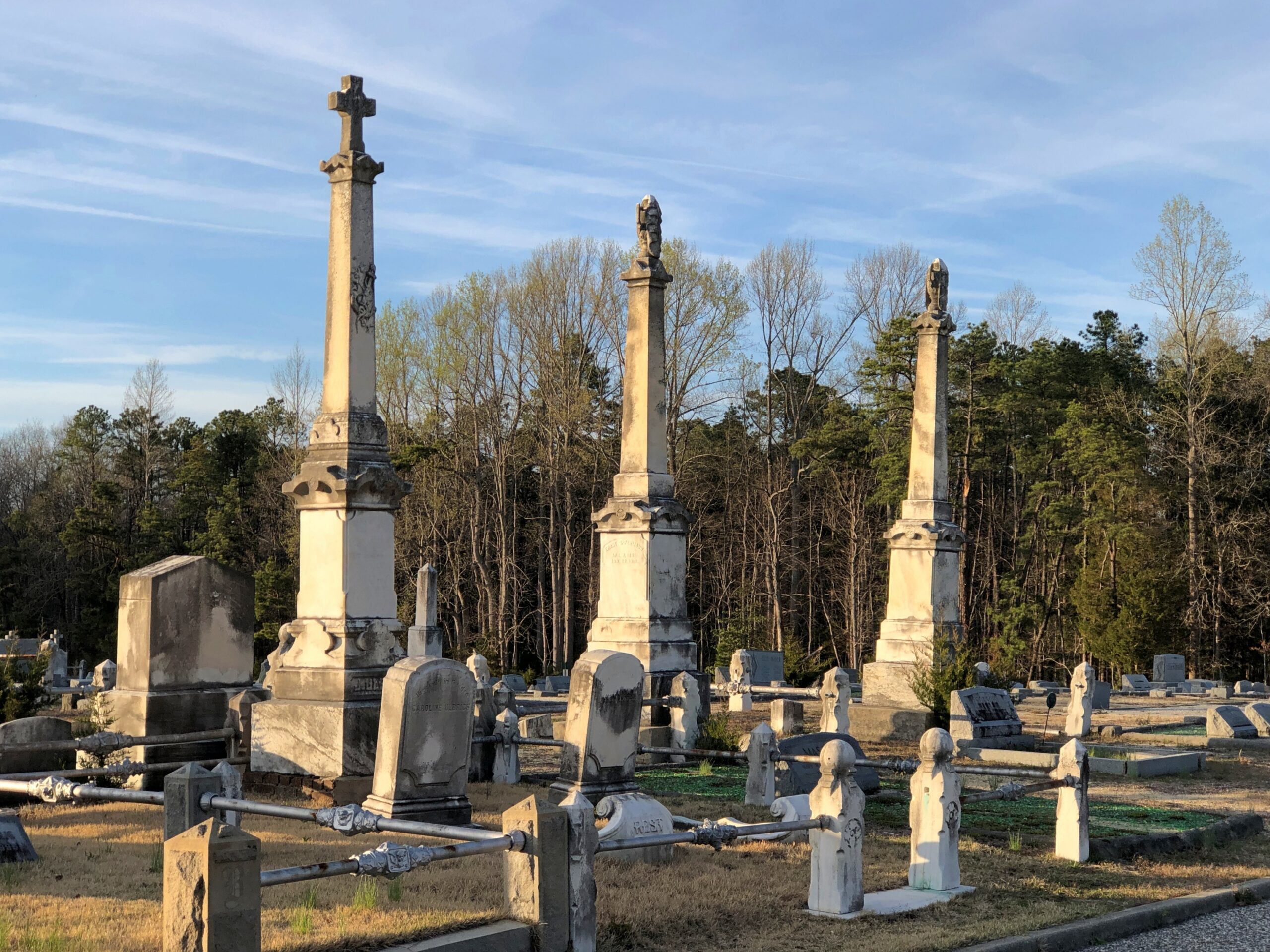
Back in Egg Harbor City (pop. 4,442), I chanced across the Egg Harbor City Cemetery – another reason to leave the GPS inactive most of the time. If the box tells you where to go, you’ll miss minor misdirections that take you to unexpected places.

I’ve come up with my next approach to traversing the Pine Barrens. There will be a next time, provided my health holds out. That’s always a contingency these days, but anyway the approach can’t be as rational as trying to plot oneself on a map, or even follow the directions from a machine.

The region isn’t that large. That is, provided your car is gassed and in good running condition, since walking out of the Pine Barrels, even following surfaced roads, seems like a bad idea unless you’ve prepared yourself to do so. Assuming you drive, pick a direction – say east, toward the morning sun – and head that way, hewing to the direction as much as possible. It won’t be too long before you come to a reliably numbered state or US highway. Or in that case, the Garden State Parkway.

Sounds doable. Unless you encounter the Jersey Devil.

GTT ’26 Details

Time for spring break. Back to posting around April 26, when it might actually be spring in northern Illinois. There have been a few days recently when I’ve been able to sit out on my deck comfortably, which is my idea of spring, but not that many.

The recent trip to Texas seems like a while ago now. As usual, though, there were many details. A lot more than I can convey, but here are a few more.

Faces

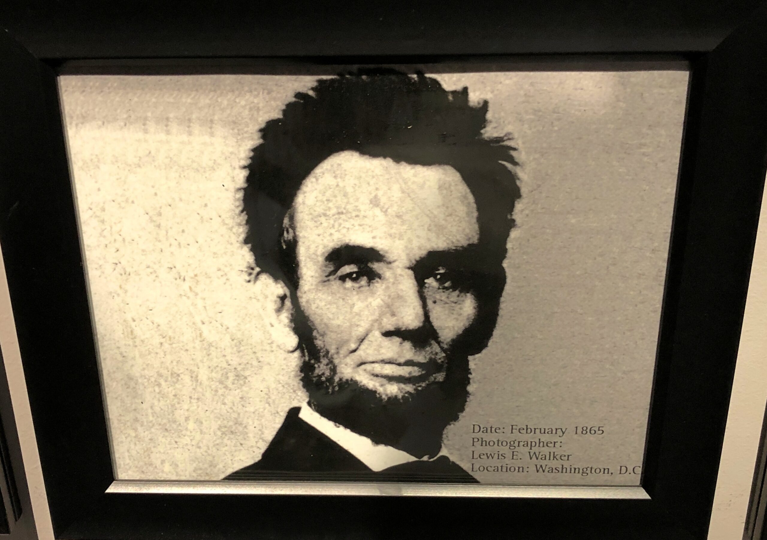
At the National Funeral Museum in Houston, one display featured, chronologically, 20 photographs of Abraham Lincoln. The third to last one, from February 1865, is one you don’t see much.

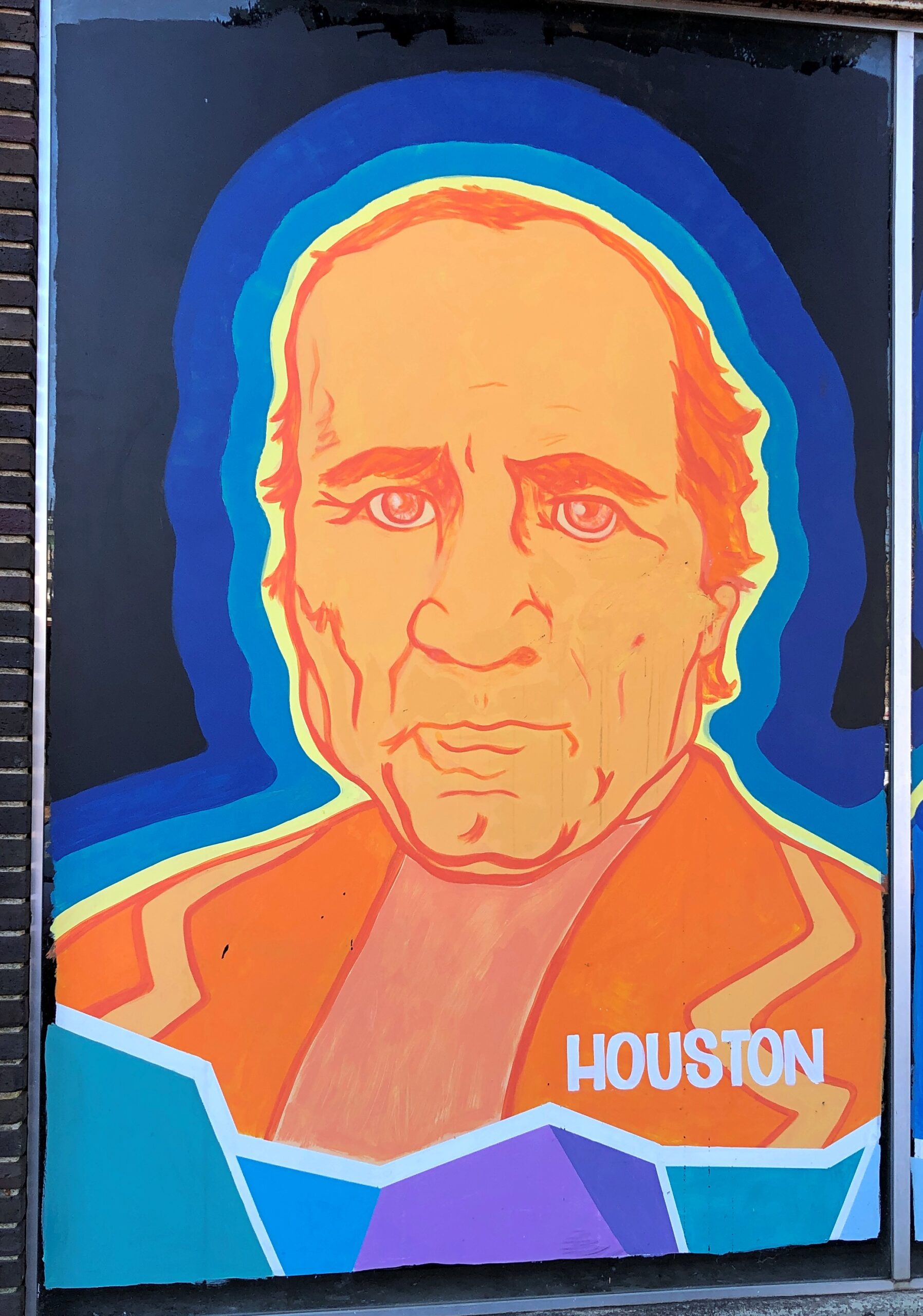
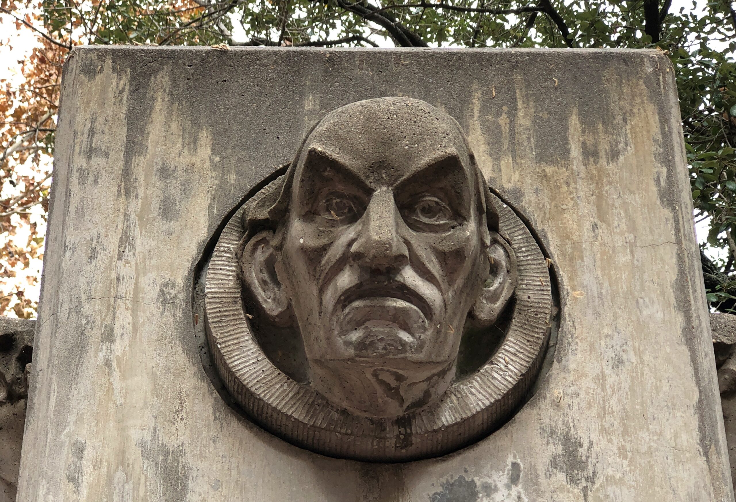
On a wall in downtown Nacogdoches, familiar figures from Texas.

I didn’t work out who this was supposed to be, in downtown Houston. Better that way, I think.

Signs

This place in Austin, well known to Tom, serves most delicious tacos.

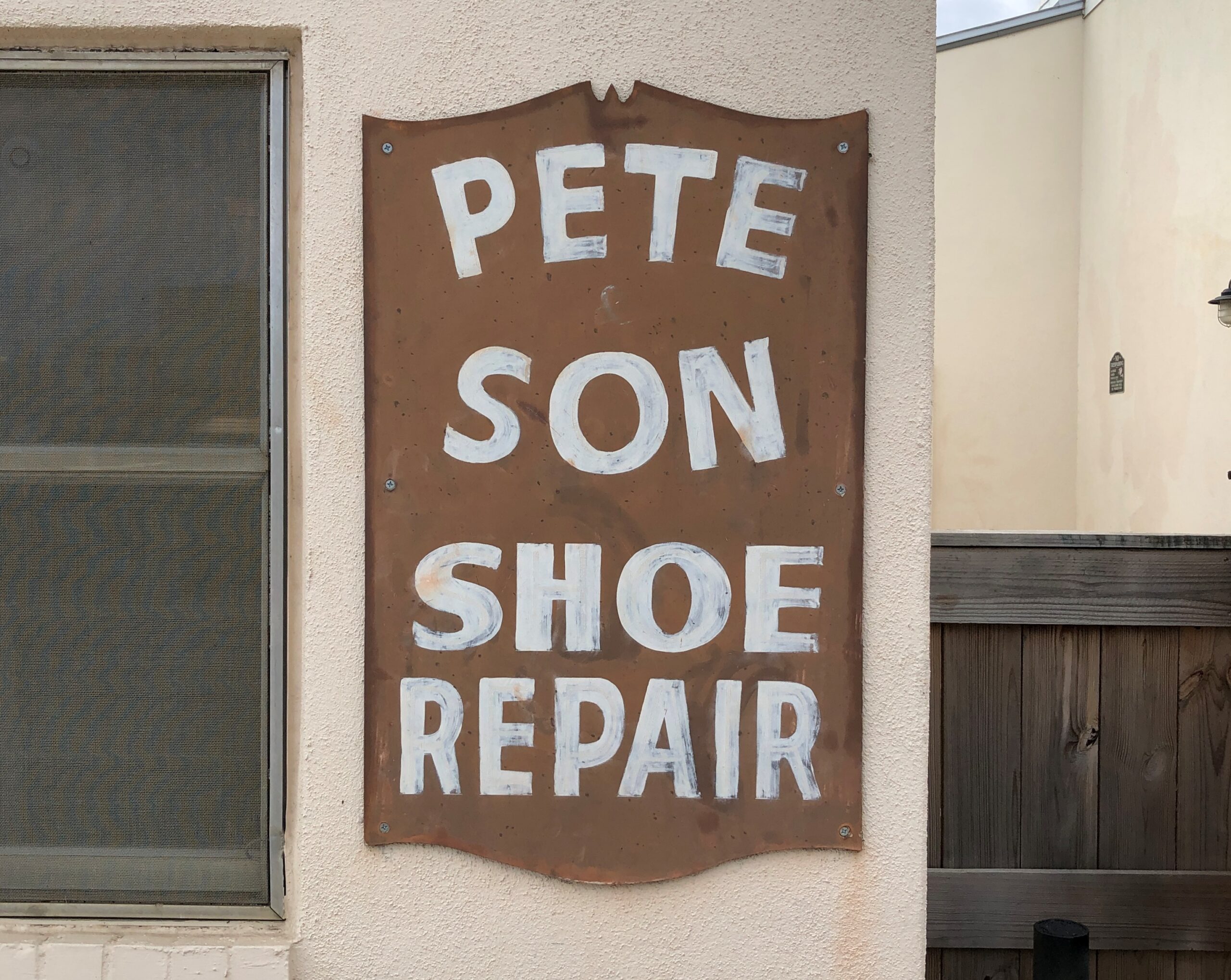
Bastrop: Cobbling runs in the family.

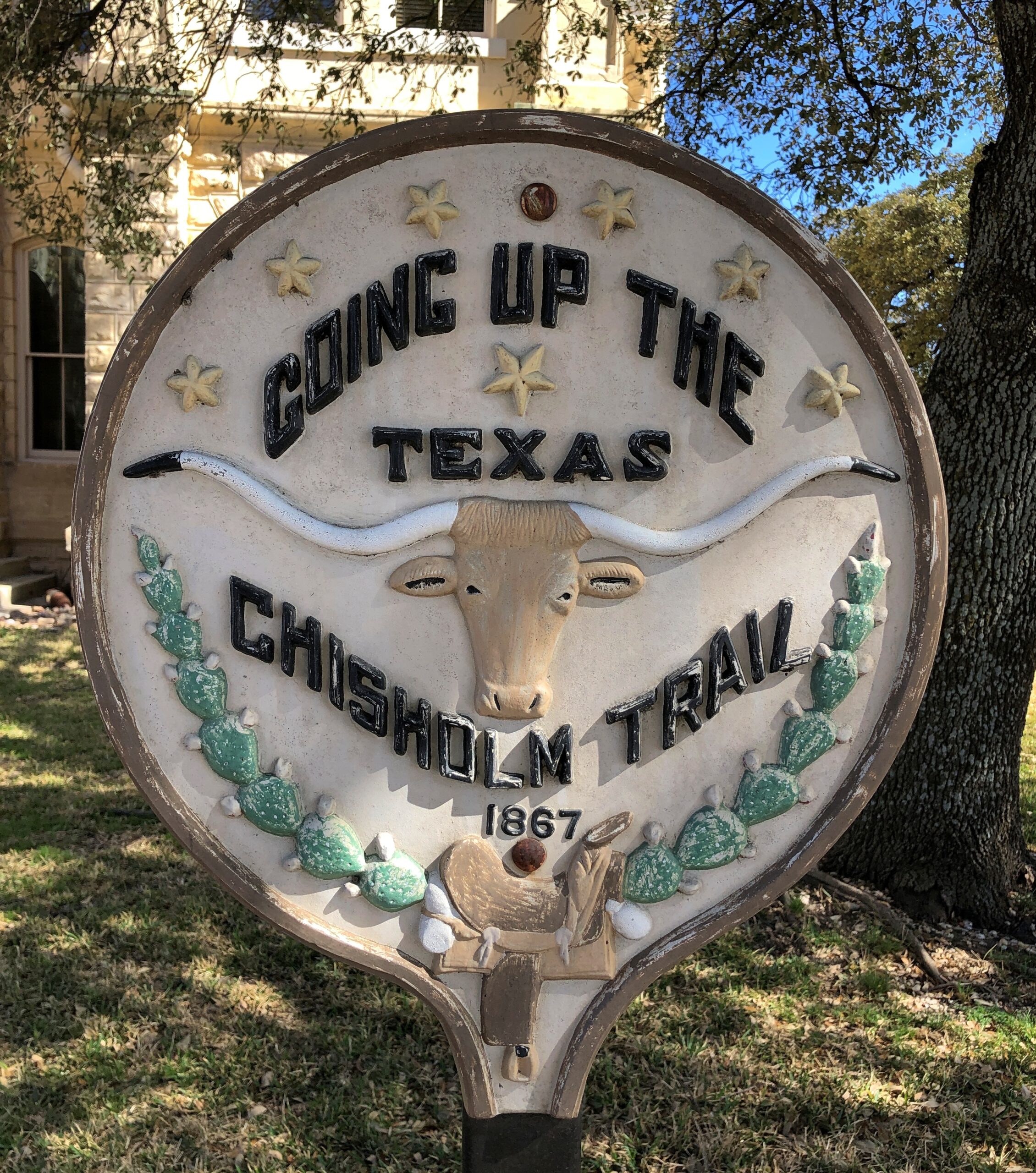
Belton.

Structures

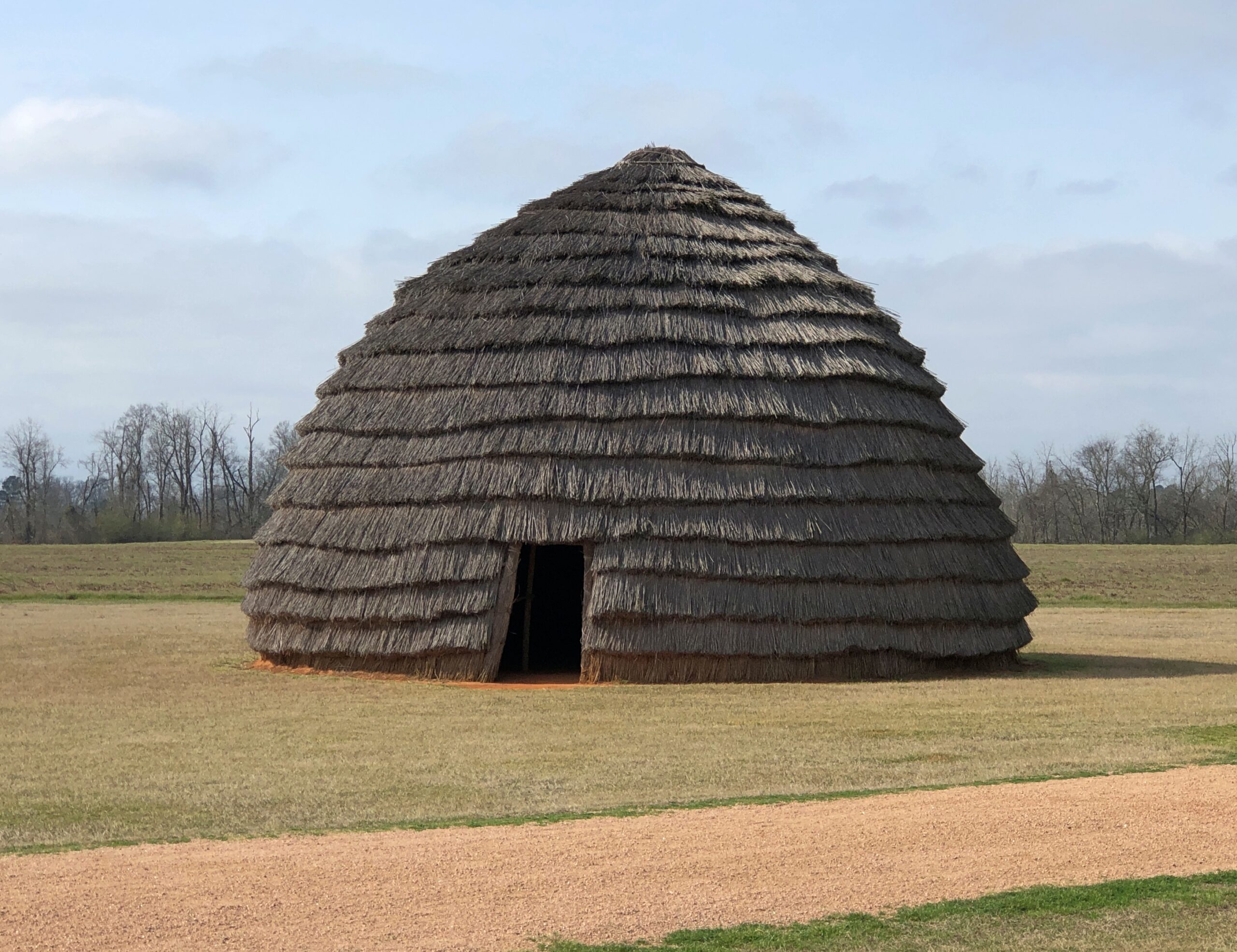
A re-creation of an ancient Caddo home.

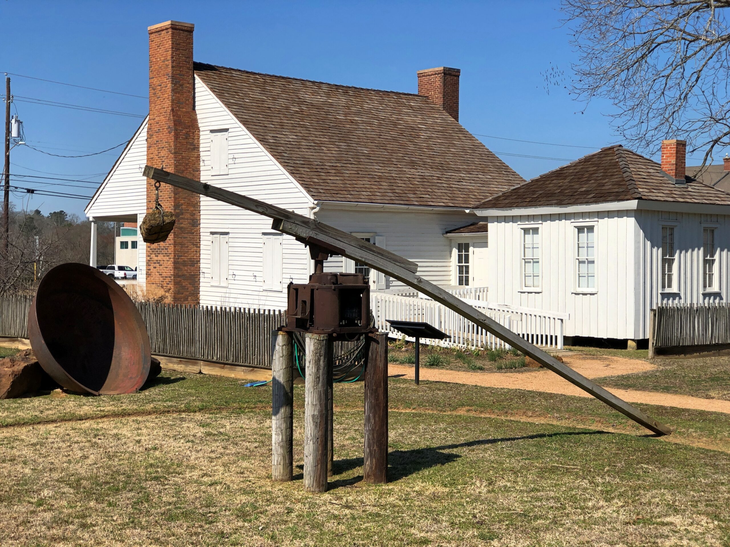
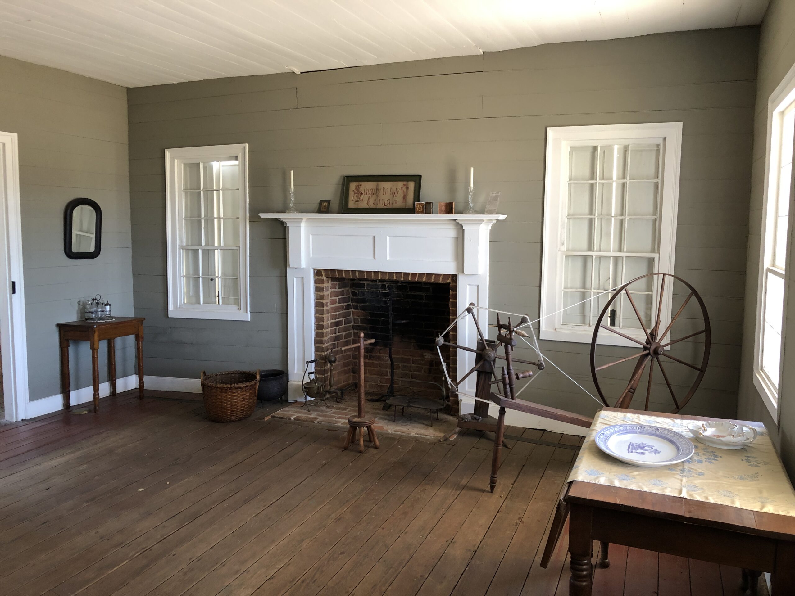
Durst-Taylor Historic House & Garden in Nacogdoches.

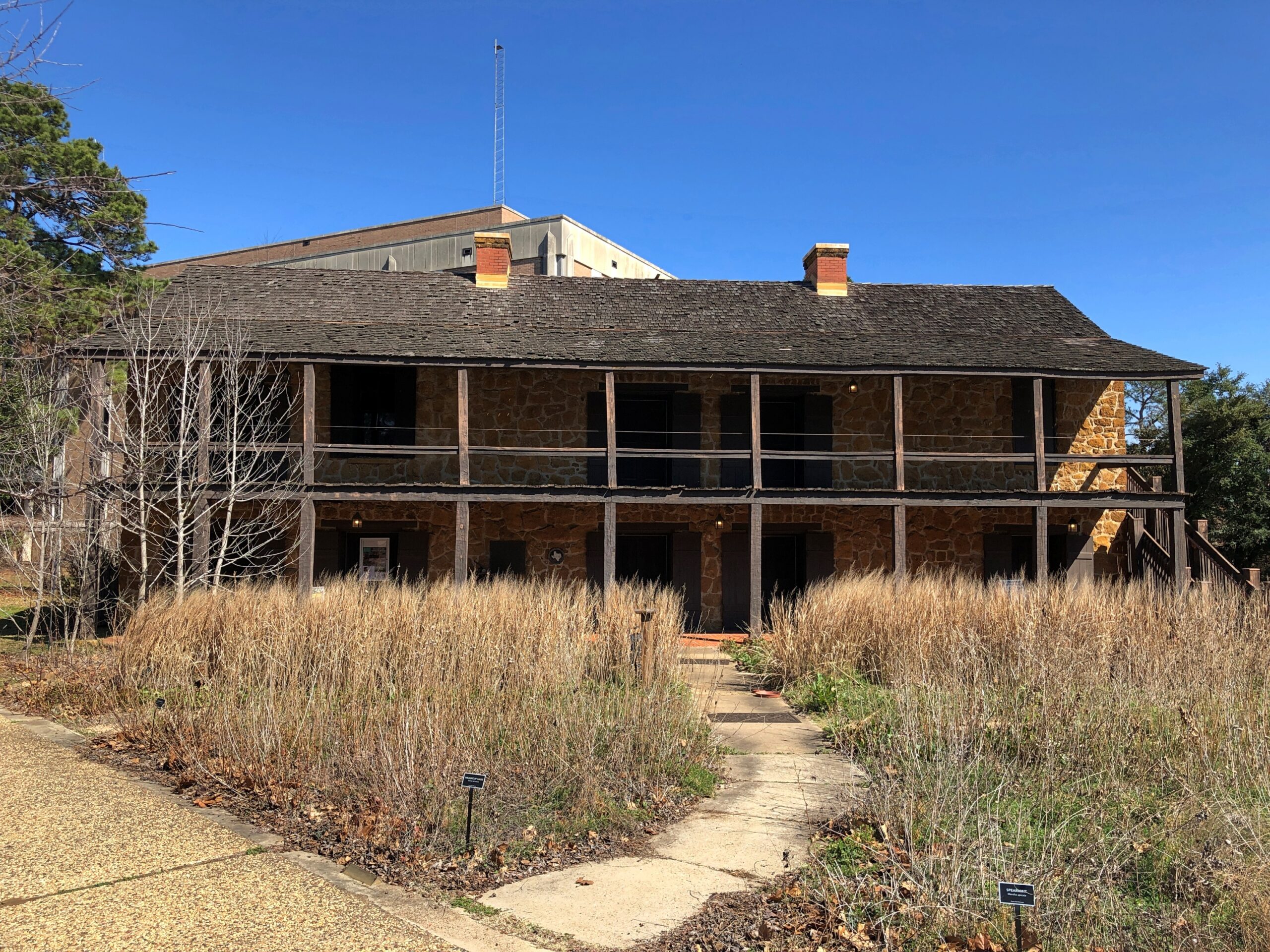
The Old Stone Fort Museum in the same town, which is made of stone, but was never a fort. On the campus of Stephen F. Austin State University. Recommendation to the university: if you want people to visit the place, provide just a little unrestricted parking. A little visitor parking anywhere on campus would be good.

Then again, the university seems determined to move the structure anyway — which might mean taking it apart, and then not putting it anywhere where because such a move would cost too much.

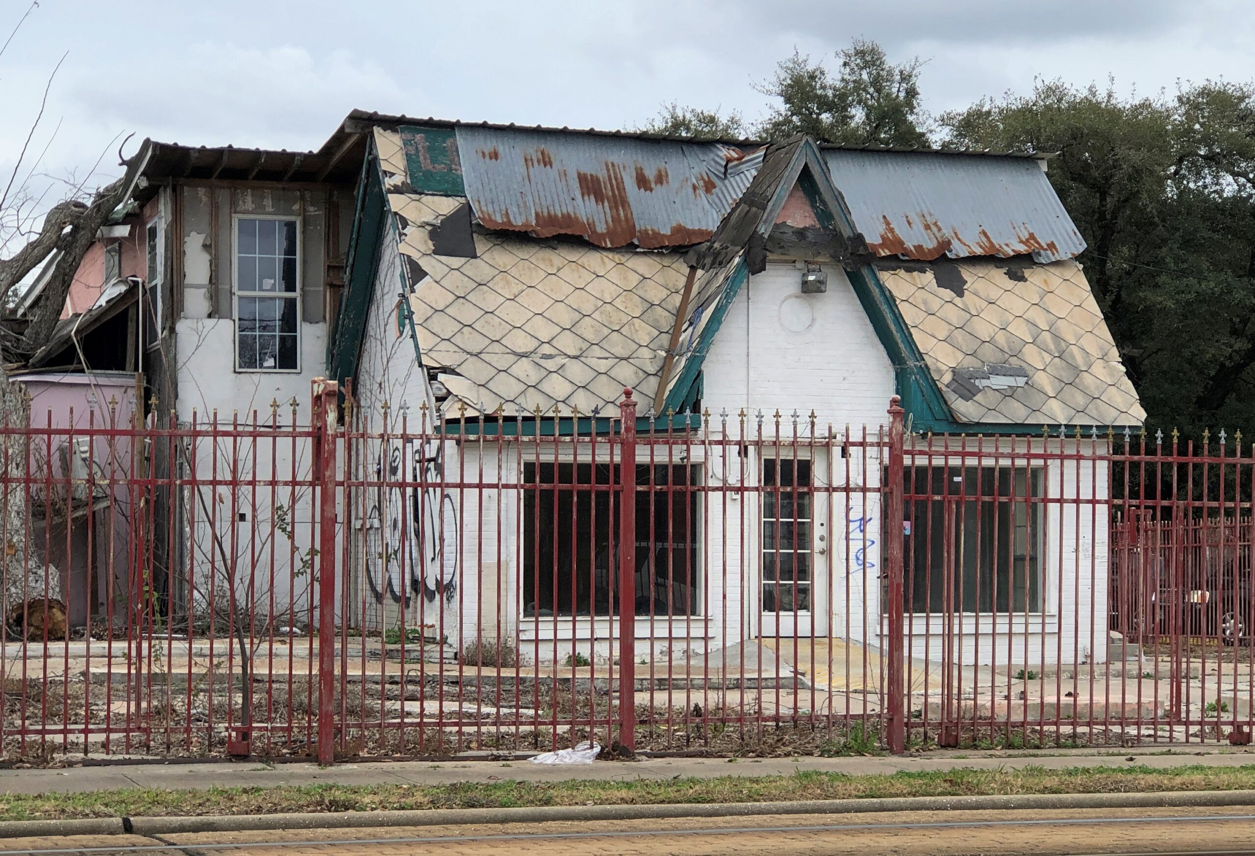
A place that has seen better days in Houston.

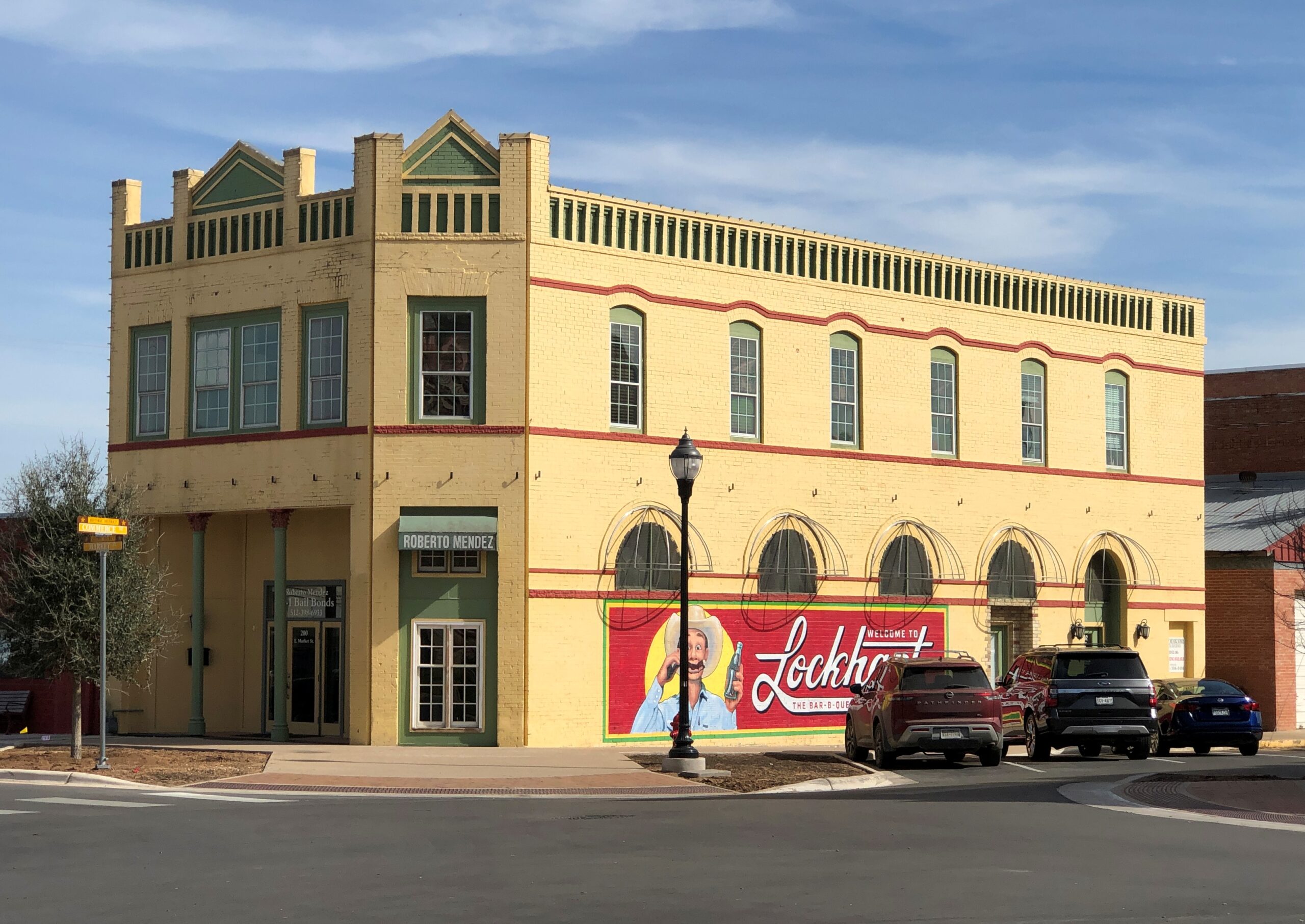
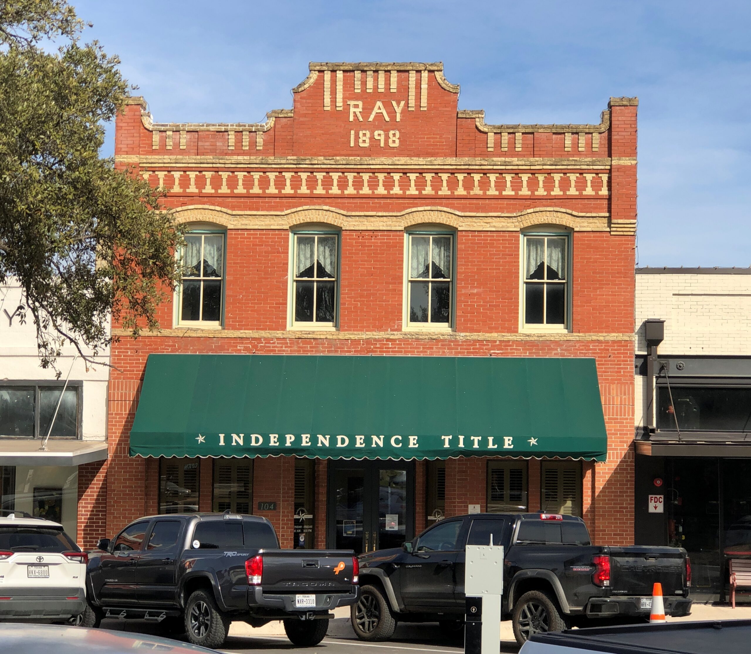
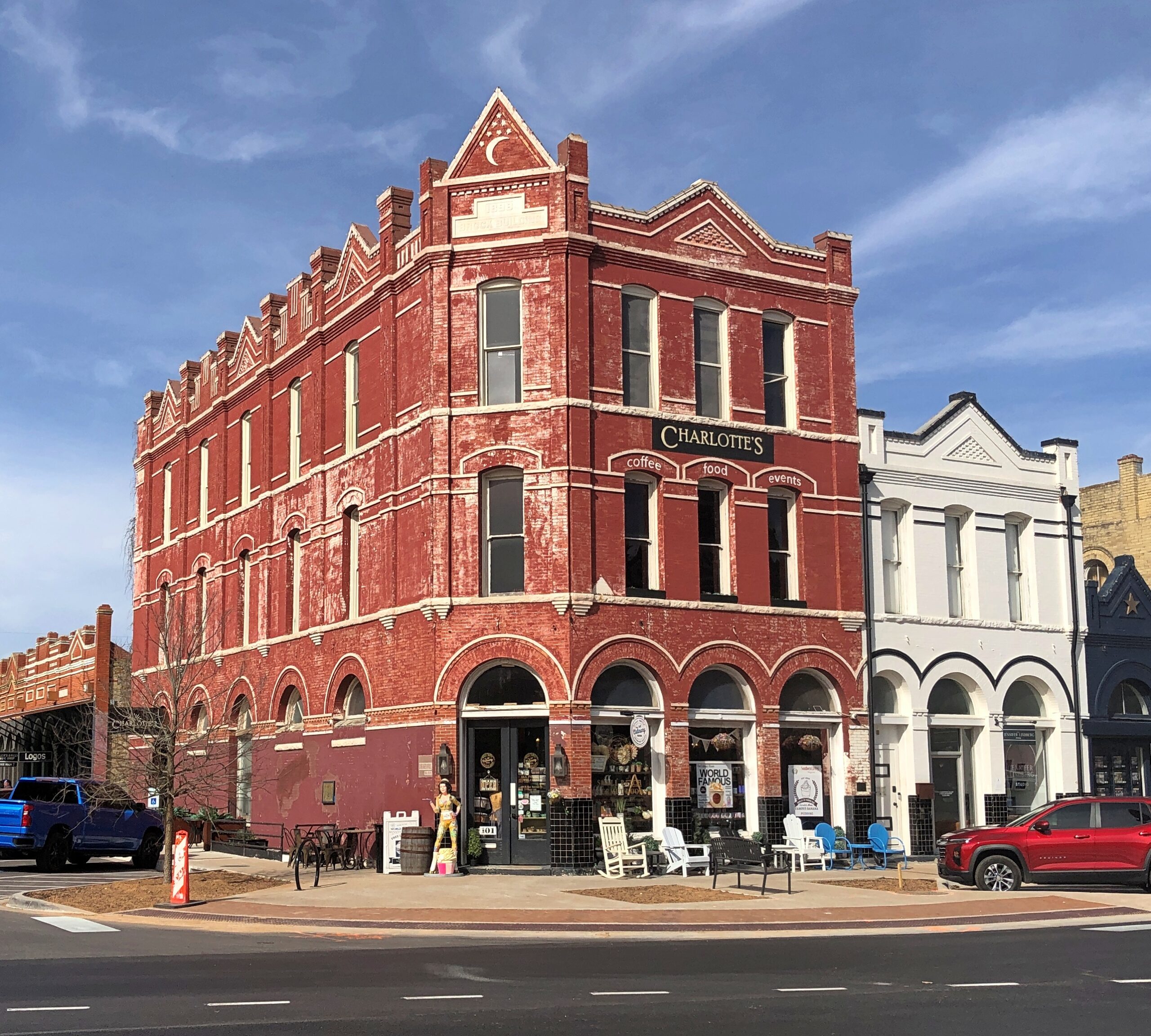
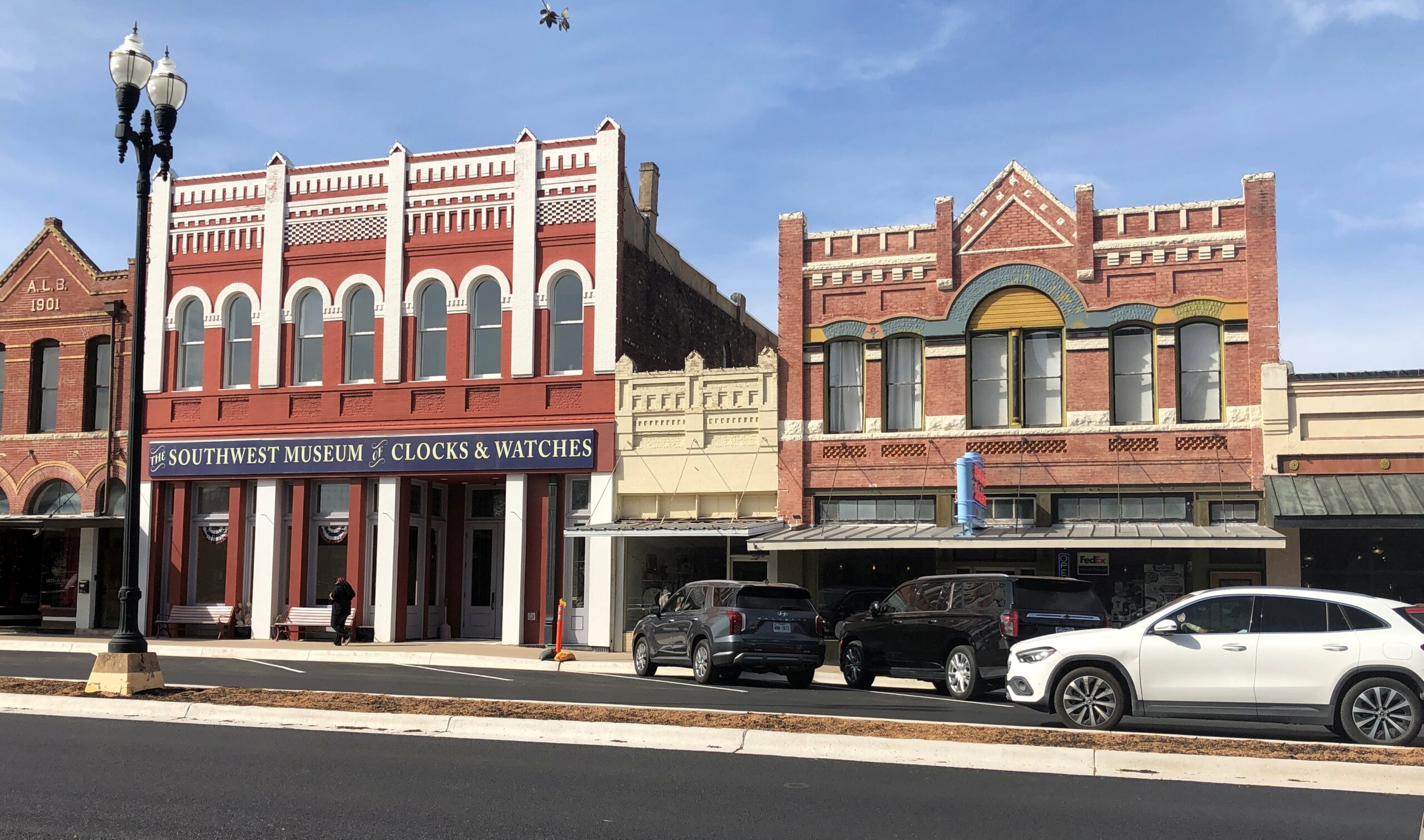
Downtown Lockhart.

The Southwest Museum of Clocks & Watches is permanently closed, alas.

Items

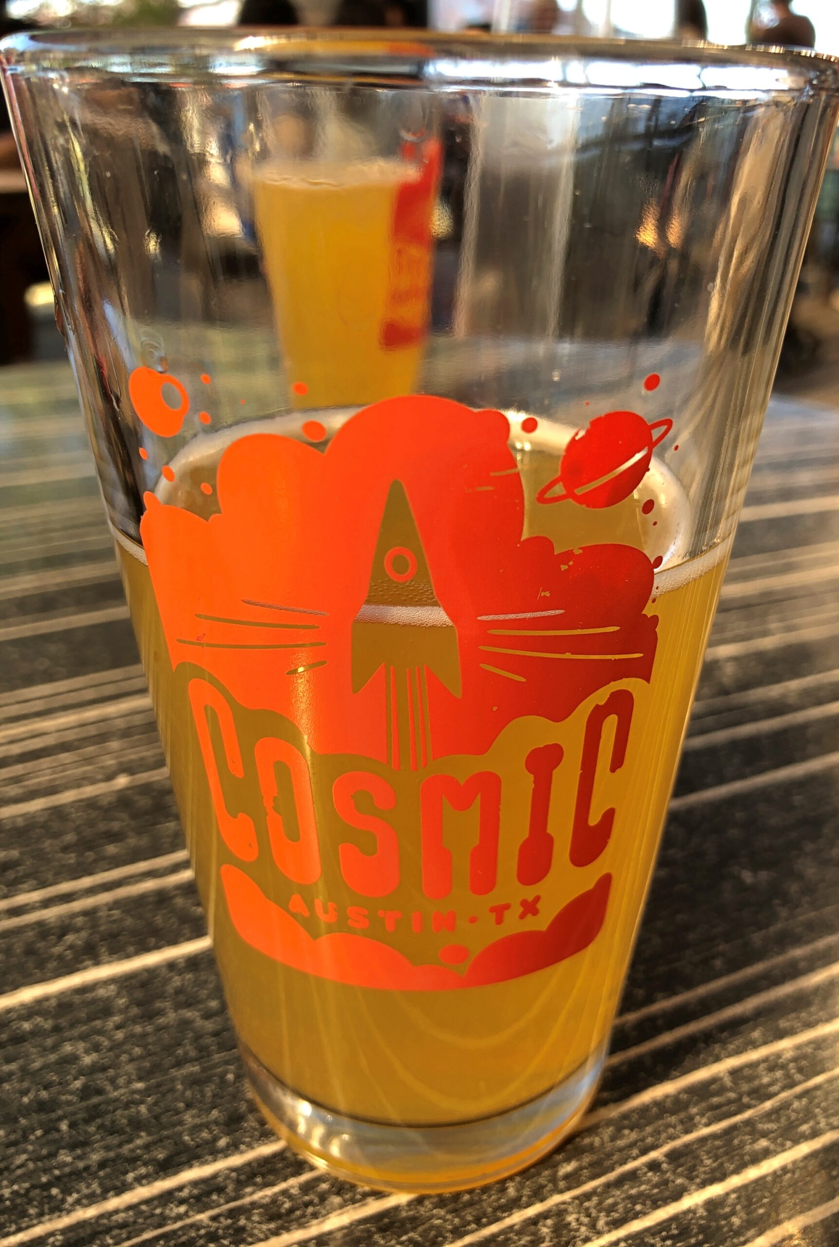
Cosmic in Austin is a bar and a collection of food trucks that surround an informal plaza with a lot of tables and chairs and shade. It’s a very pleasant place, and within walking distance of Tom’s home.

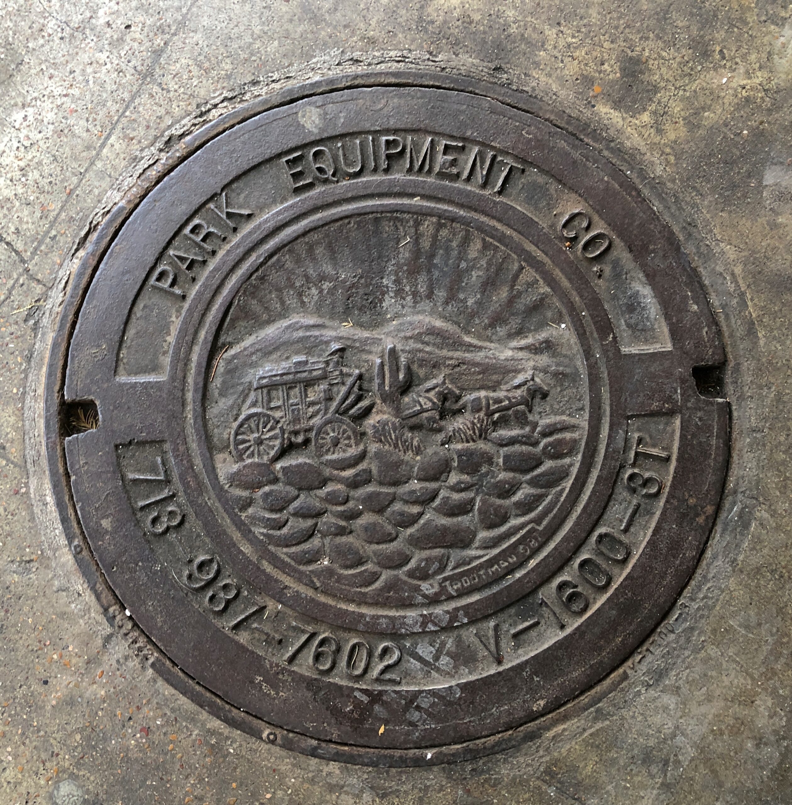
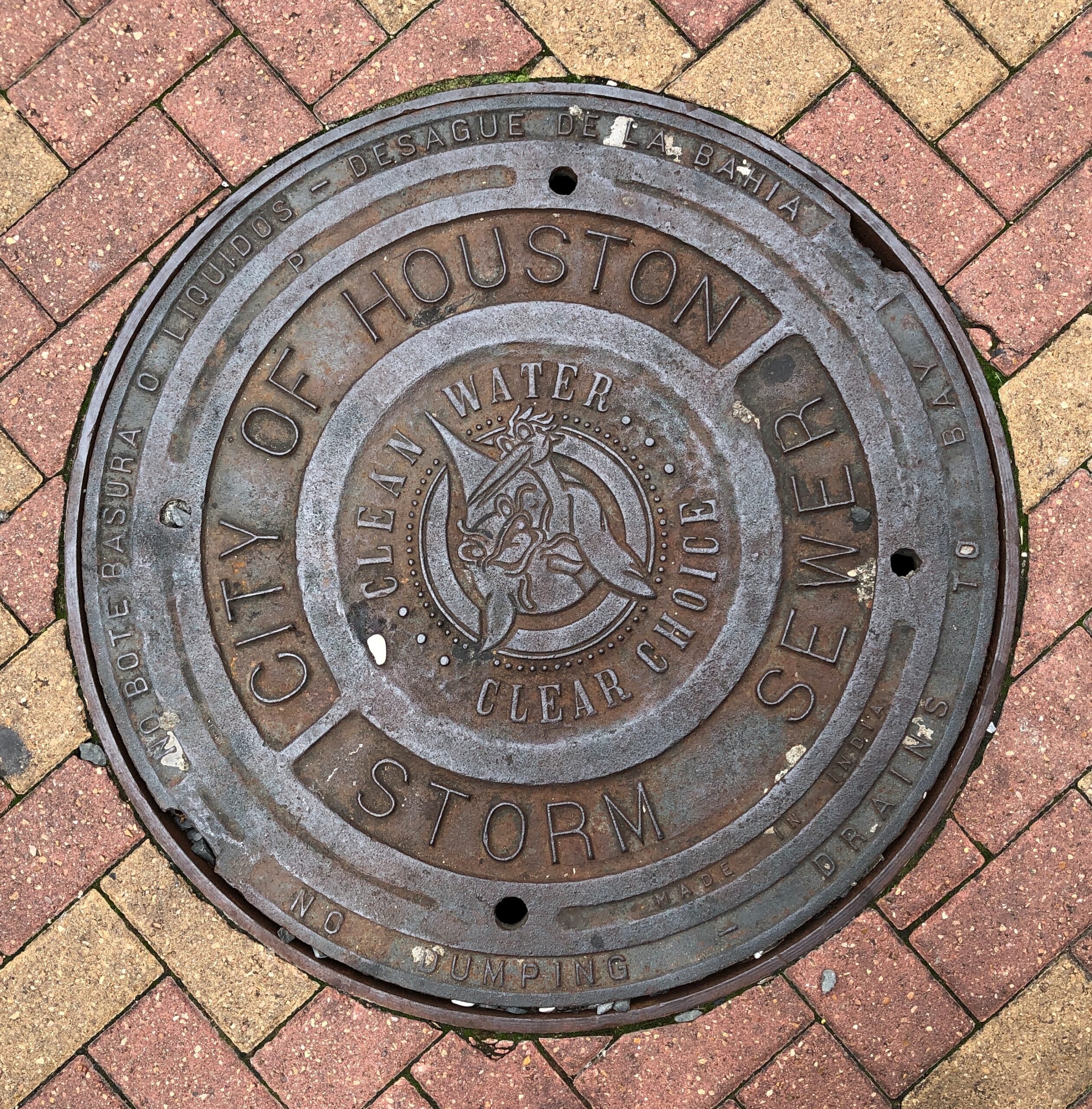
Houston manhole covers.

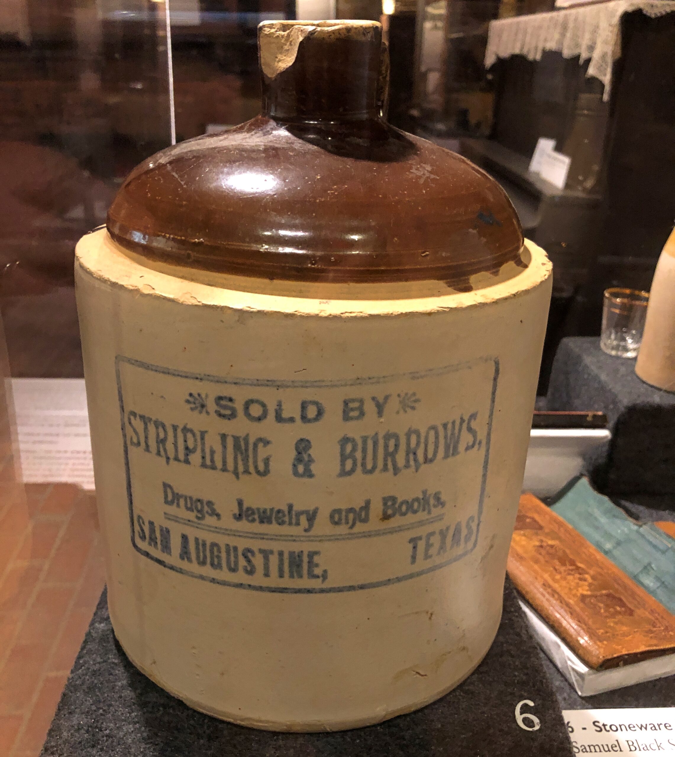
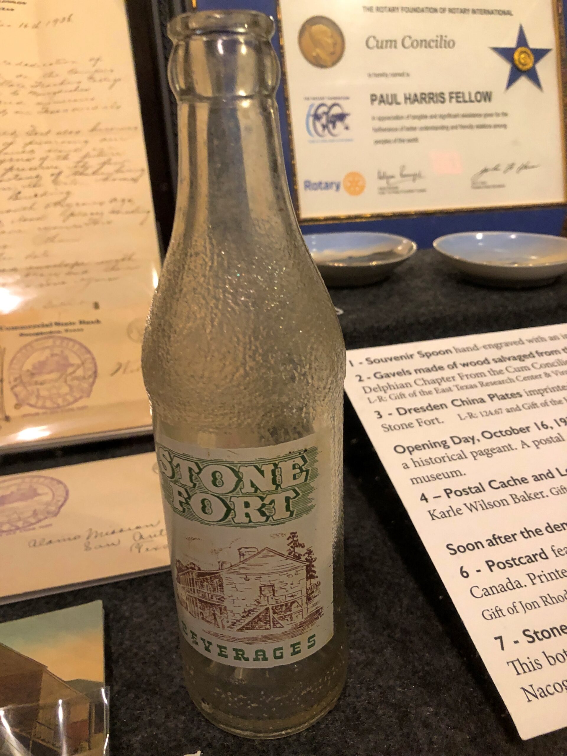
An artifact at the Old Stone Fort, but from San Augustine, and a hyperlocal soda bottle.

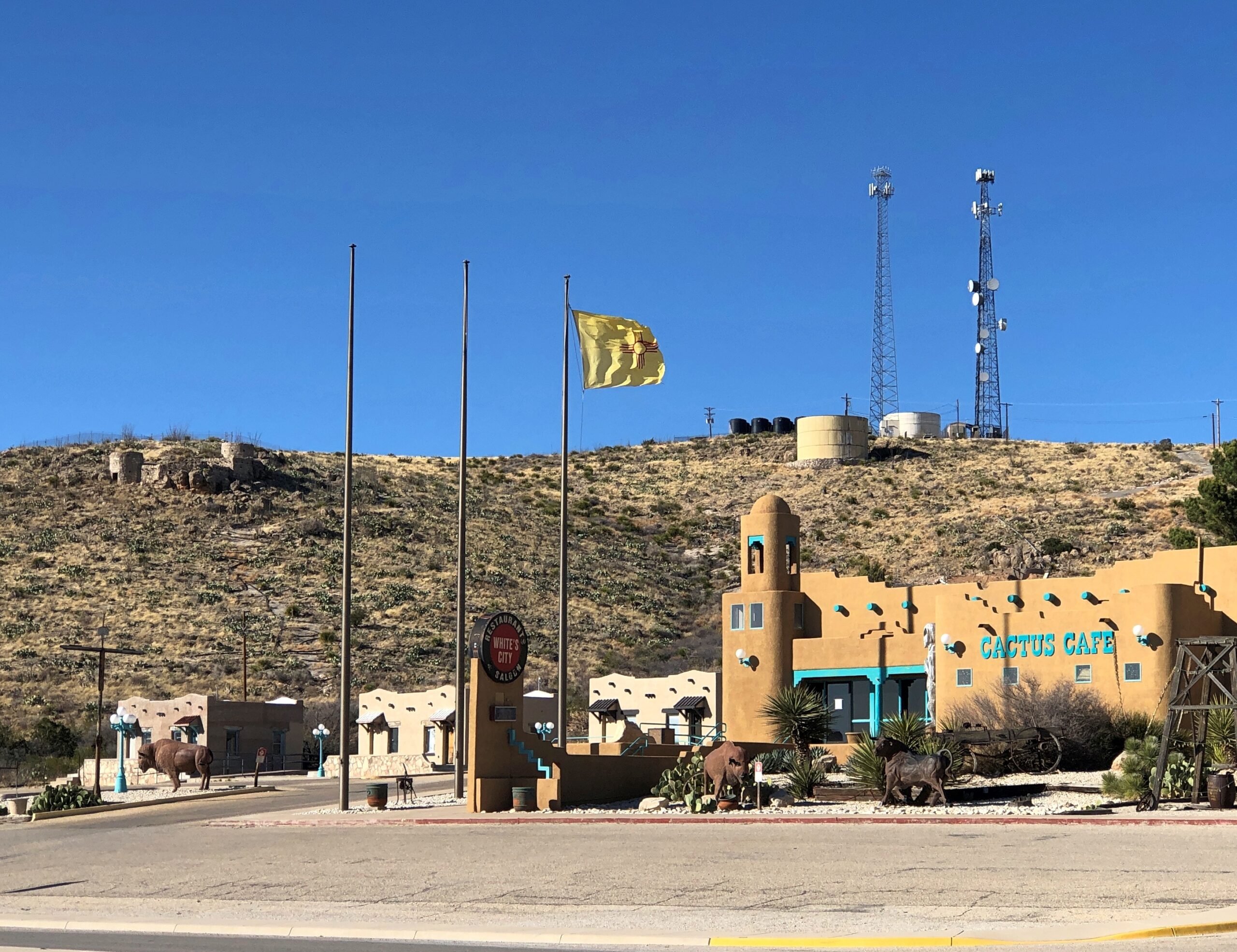
The New Mexico flag near Carlsbad NP.

Landscapes

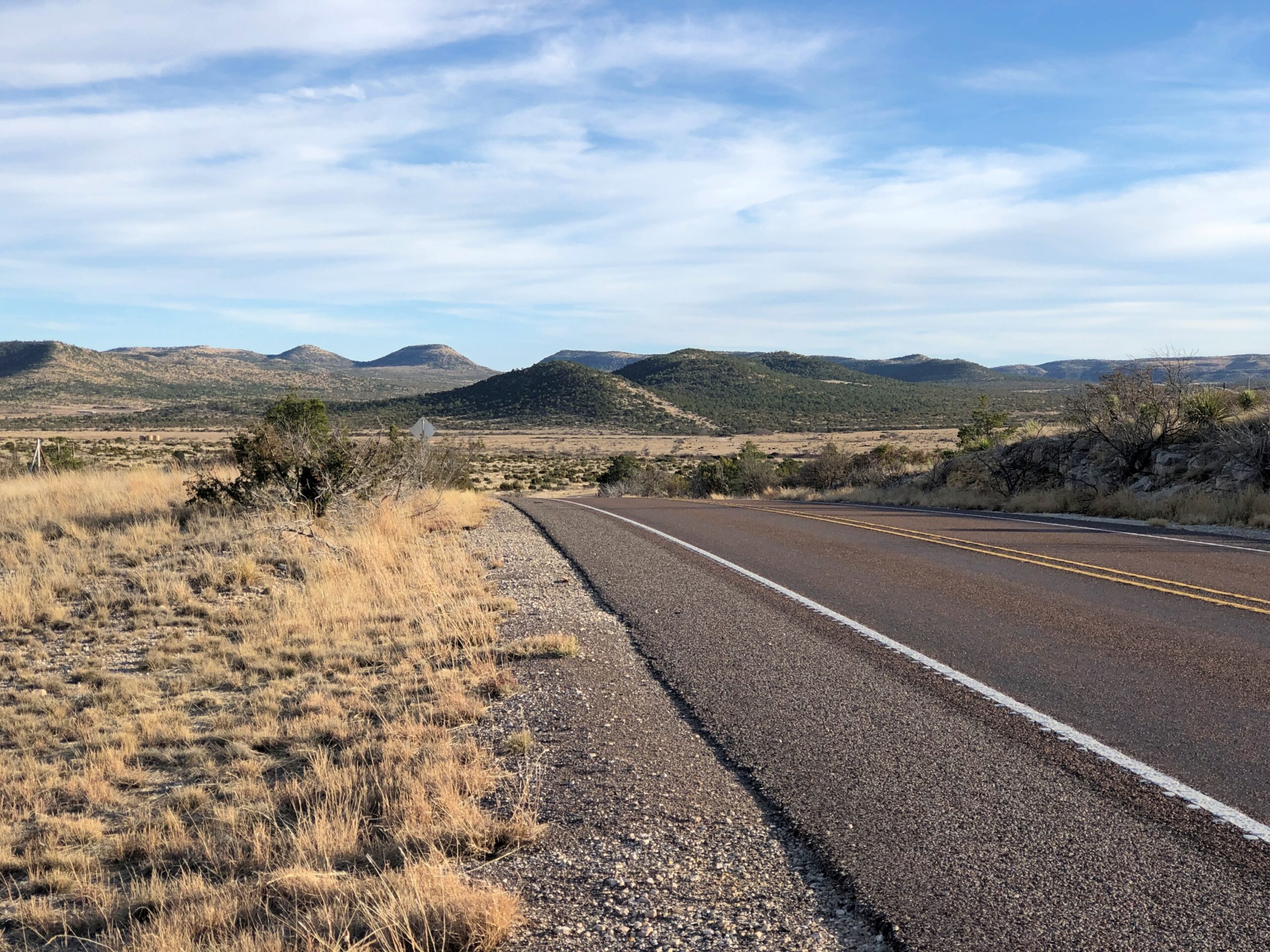
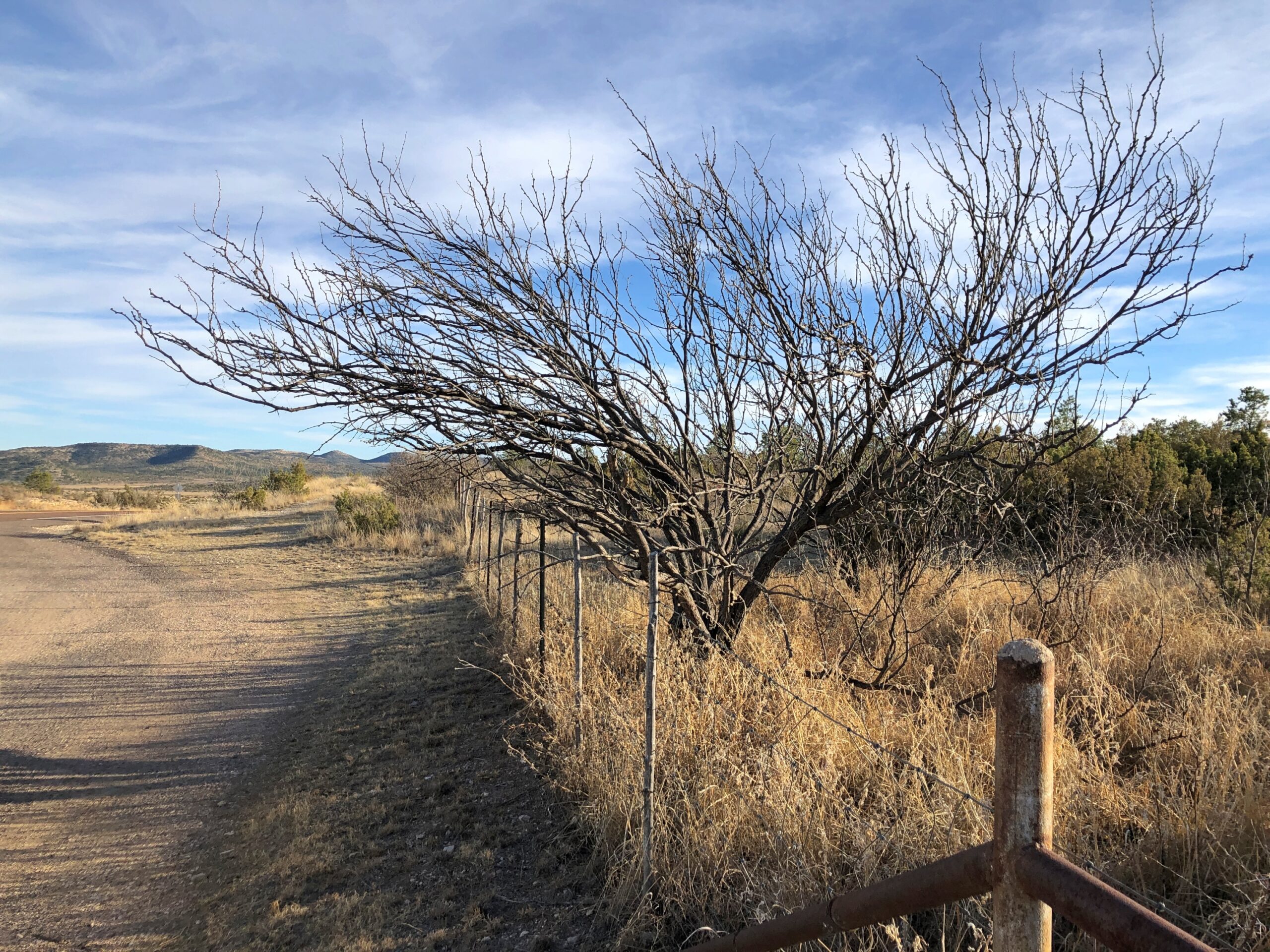
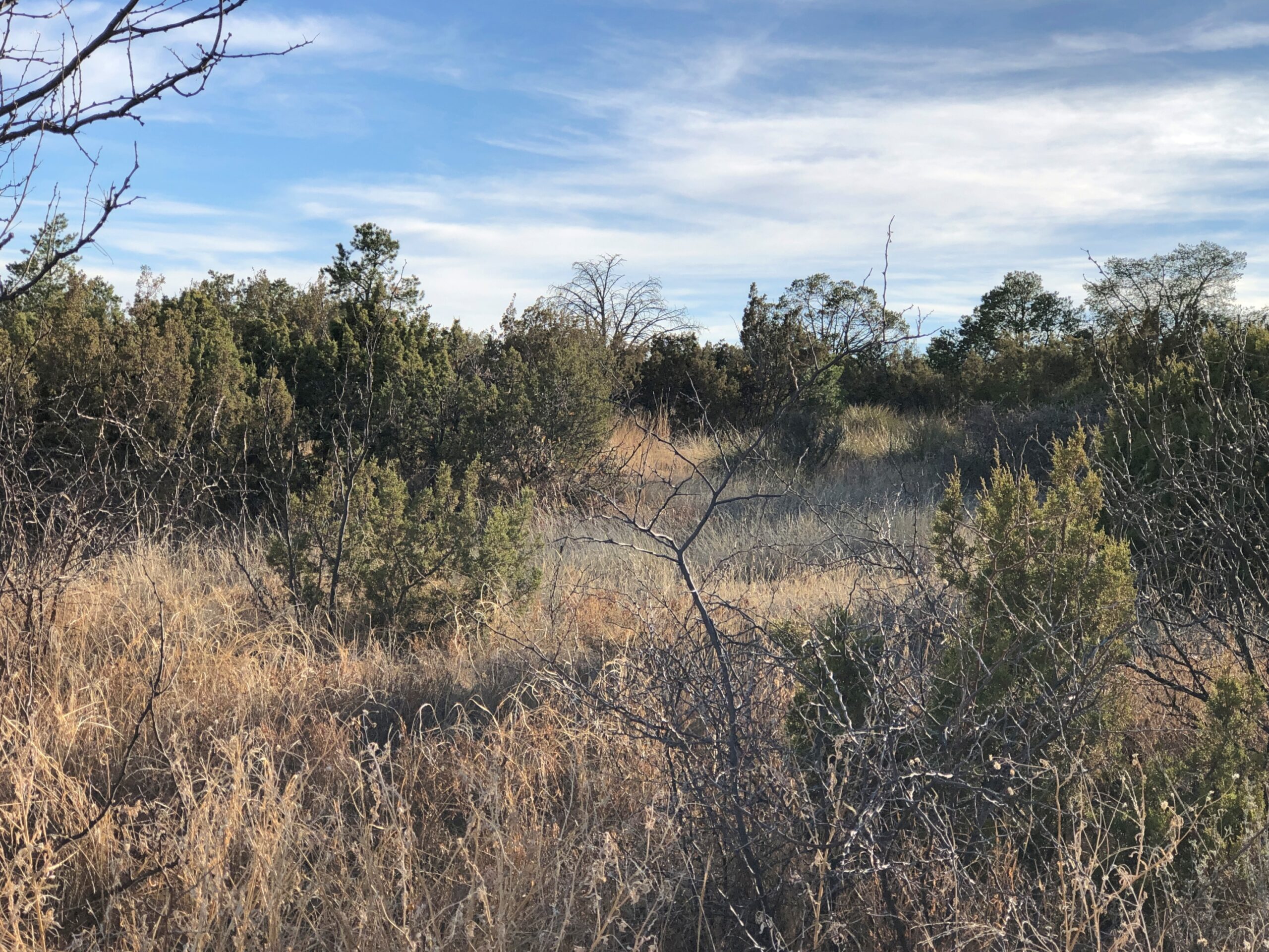
Not just any landscapes, but within the Sierra Madera Astrobleme in West Texas. US 385 cuts right through the ancient crater for about eight miles, on the way to Marathon. You’d never know but for signs telling you that you’re entering the astrobleme, and one telling you that you are leaving it.

Memorials

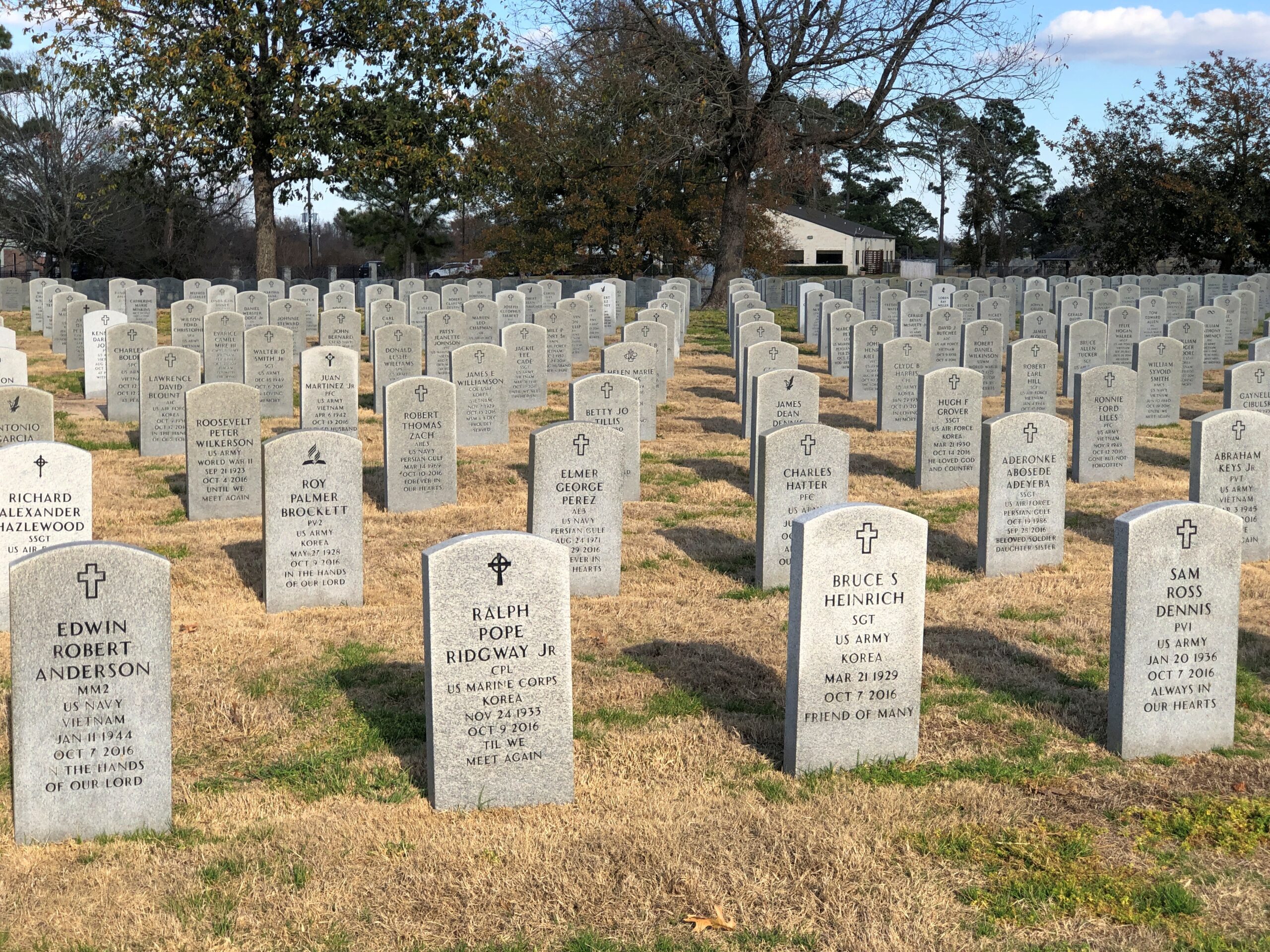
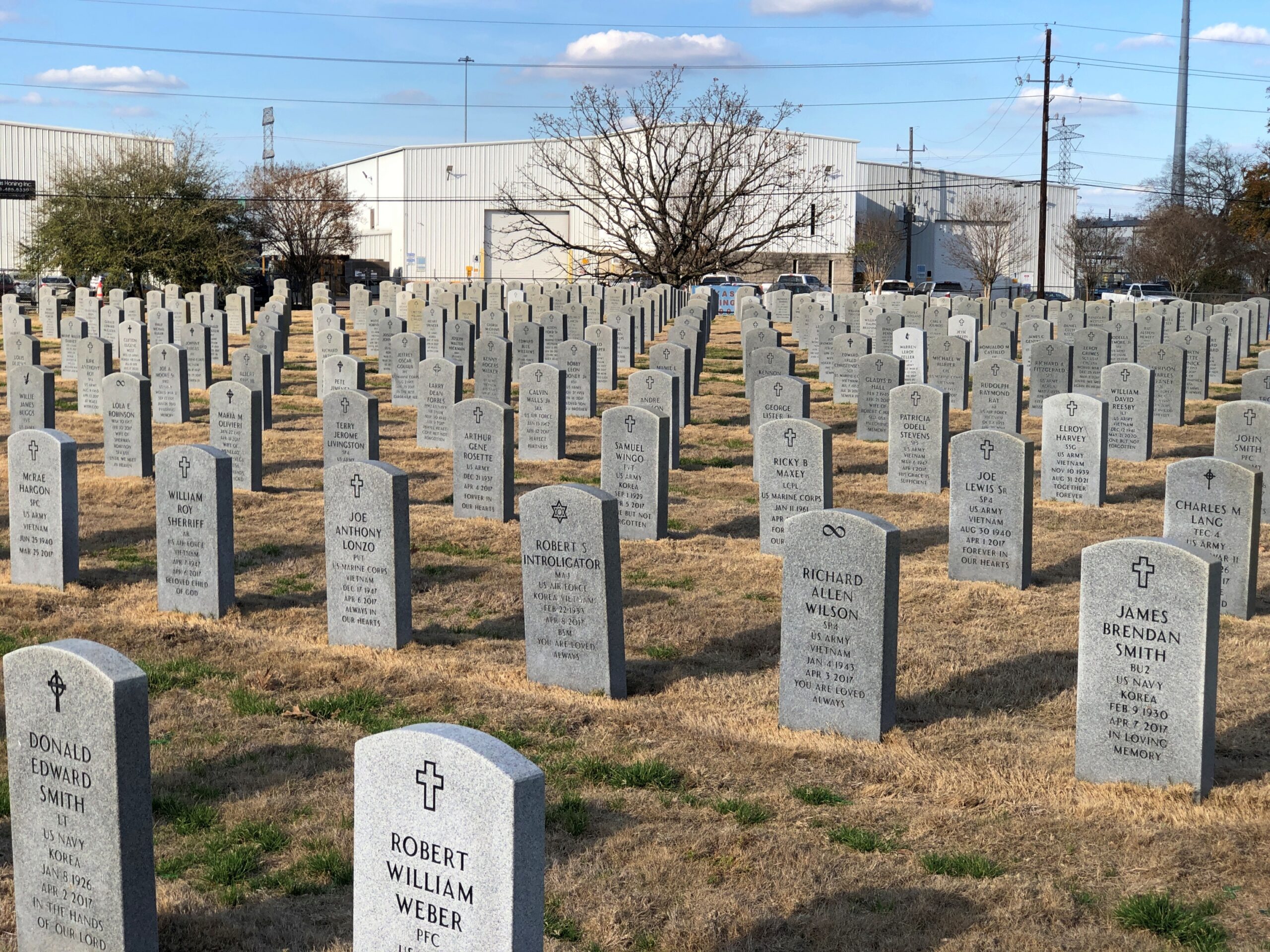
The Houston National Cemetery.

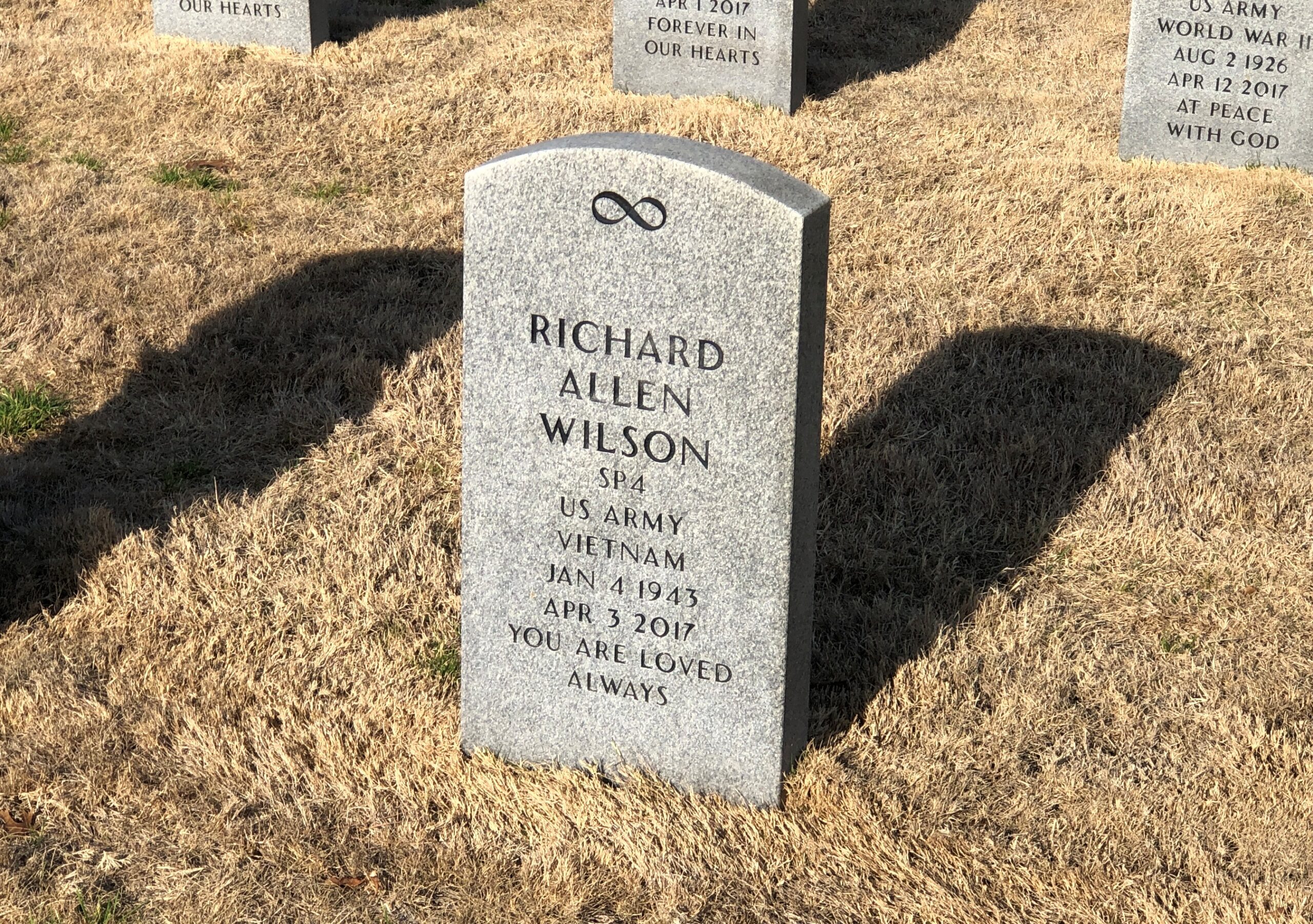
RIP, Richard Allen Wilson. I don’t think that I’d ever seen an infinity symbol on a national cemetery stone. That, of course, made me curious, and I checked: it is one of the 98 various symbols that the National Cemetery Administration allows. The list is here.

I’m familiar with most of them, but not quite all of them, such as the Church of World Messianity, which is a Japanese new religion – it’s hard to keep track of all of those – and the Aaronic Order Church, which may or may not be part of the LDS movement, but in any case is an American sect. Hard to keep track of all those, too.

The NCA says: “No graphics (logos, symbols, etc.) are permitted on Government-furnished headstones or markers other than the available emblems of belief, the Civil War Union Shield, the Civil War Confederate Southern Cross of Honor, and the Medal of Honor insignias… Emblems of belief for inscription on Government headstones and markers do not include social, cultural, ethnic, civic, fraternal, trade, commercial, political, professional or military emblems.”

So (for example) symbols for the Loyal Order of Moose or some odd emoji or maybe a grawlix will not be considered, though as a comment about the Army, the latter would be funny.

Finally, a less formal memorial, but I’m sure just as heartfelt.

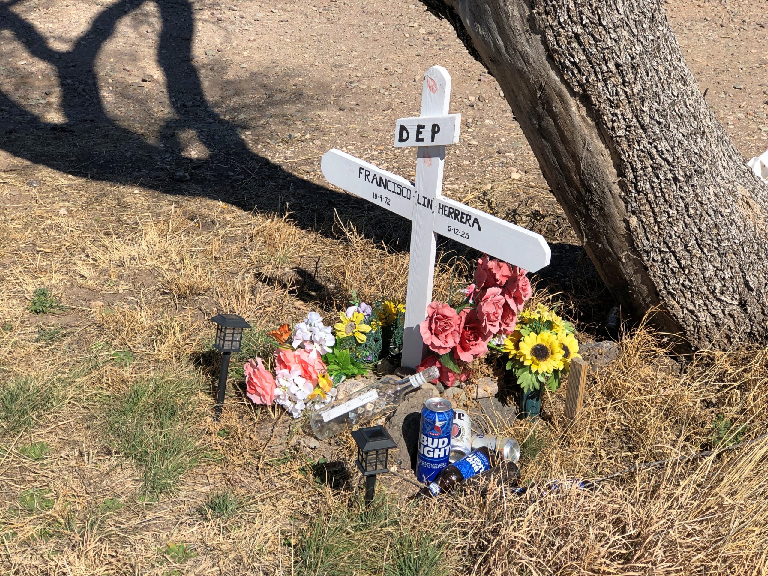
A memorial for Francisco Lin Herrera happens to be near the Giant paintings outside of Marfa. He died in an accident along that stretch of US 90. RIP, Francisco.

Palestine, Texas

Terrific lightning storm rolled by to the south last night at about 11. Little rain but a prodigious amount of cloud-to-cloud lightning, unlike anything I’ve seen in years. The last time might have been when we were under such a near-rainless storm in North Dakota nearly 20 years ago. After watching in fascination from the back door, I got my phone and recorded about 30 seconds of the spectacle.

As usual, video only conveys a fraction of the visual power of the moment. But, in spite of the channel it’s on, it isn’t AI.

I was curious today which volume of the Encyclopedia Brown books — whose protagonist is a sharp grade-school boy who solves crimes and mysteries — mentioned the town of Palestine, Texas. Even though I grew up in Texas, I’d never heard of the place until I read an EB story in the early ’70s that mentioned a string of places that some international jewel thief was traveling to: Moscow, Odessa, London, Paris, Palestine and Athens. The boy detective determined that the criminal would be in Texas, since those are all places in that state, and especially because “Palestine” is called “Israel” now, as he said.

You might wonder (I do now, anyway) what business an international jewel thief would have in a place like Moscow, Texas (pop. 170) or London, Texas (pop. 180), but never mind. It didn’t take long for me to find a YouTube review of Encyclopedia Brown Keeps the Peace (Book 6, originally published 1969), including the case that mentions the Texas towns. The reviewer takes the book to task, asking “can grade-schoolers be expected to know this information?” No, of course not. They can be expected to learn it, however.

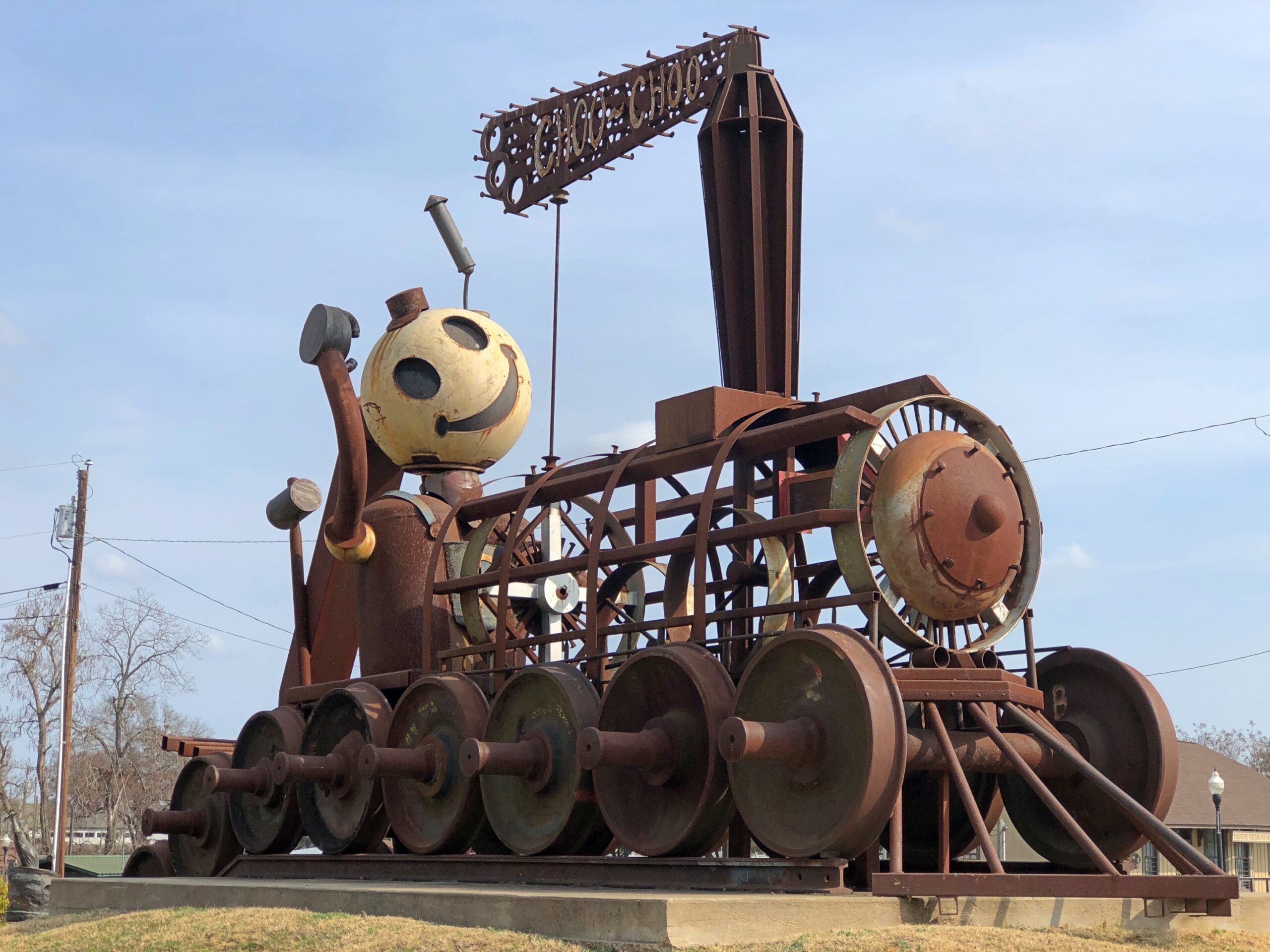
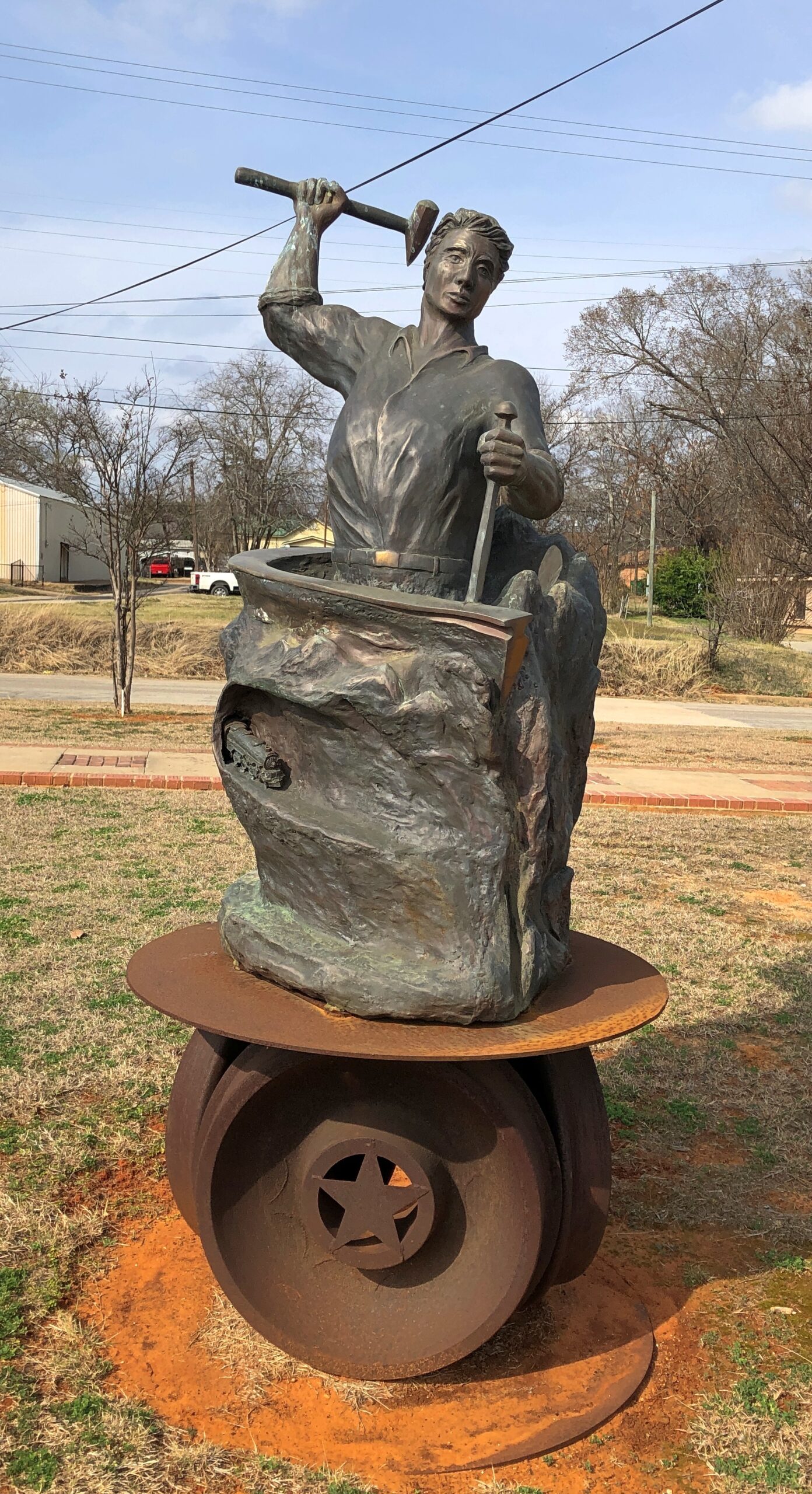
Now I know exactly where I learned about Palestine (Pal-es-TEEN) more than 50 years ago. I didn’t arrive in Palestine in person until this February, on my way to Dallas from Nacogdoches. During my visit, I made the acquaintance of this fellow.

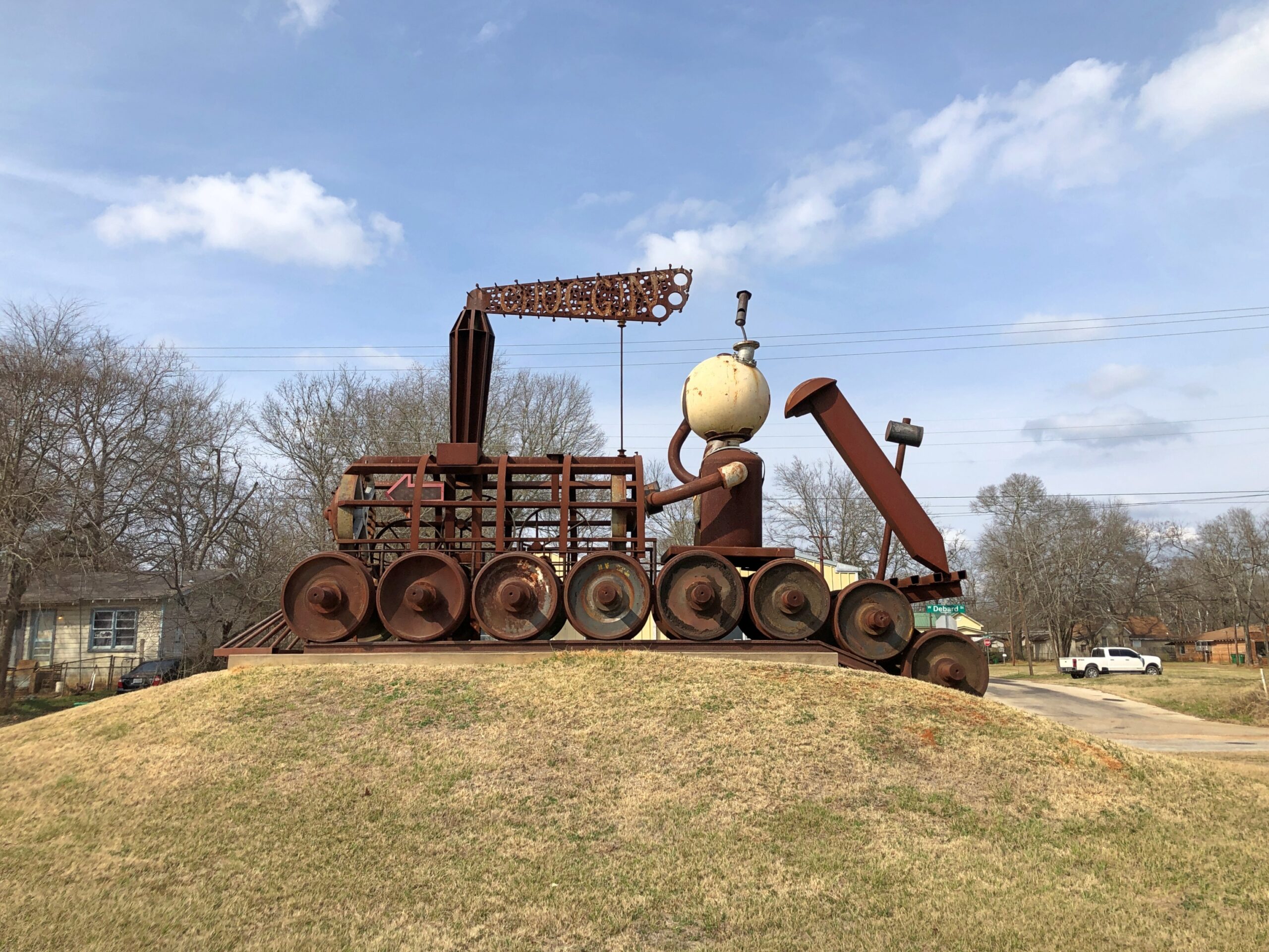
The sculpture is called “Chuggin’ ” (2020), created by Dewane Hughes, a sculpture professor at the University of Texas in Tyler. Railroads are important in the history of Palestine, so much so that one terminus of the Texas State Railroad – a linear state park along a former short line RR – is in the town. The other terminus is in Rusk, about 25 miles away. Not running in February, unfortunately.

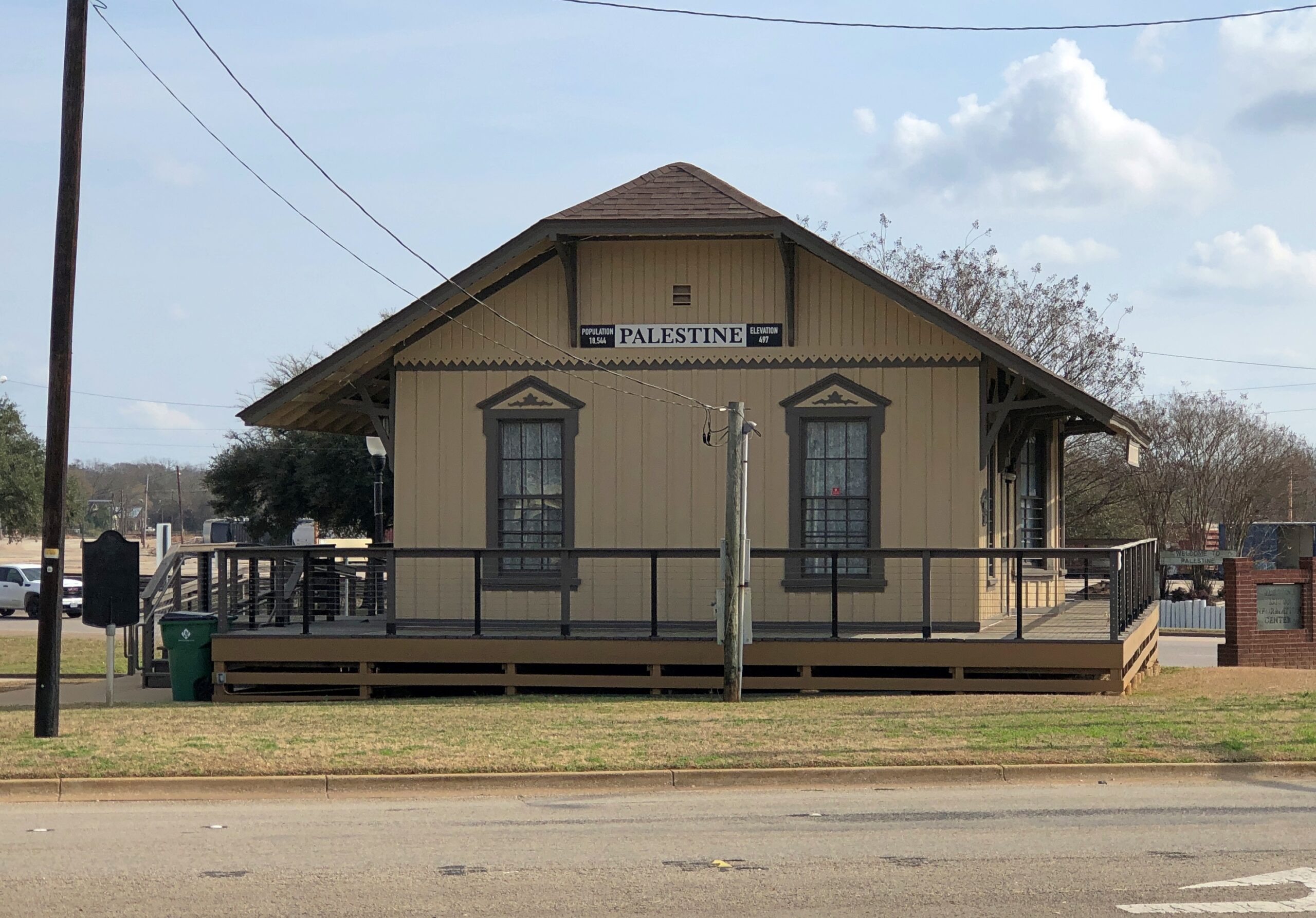
“Chuggin’ is near the town’s visitor center, a former RR depot.

Also nearby is “Forging History” (2014) by Dale Montagne, with the base made of three actual rail car wheels.

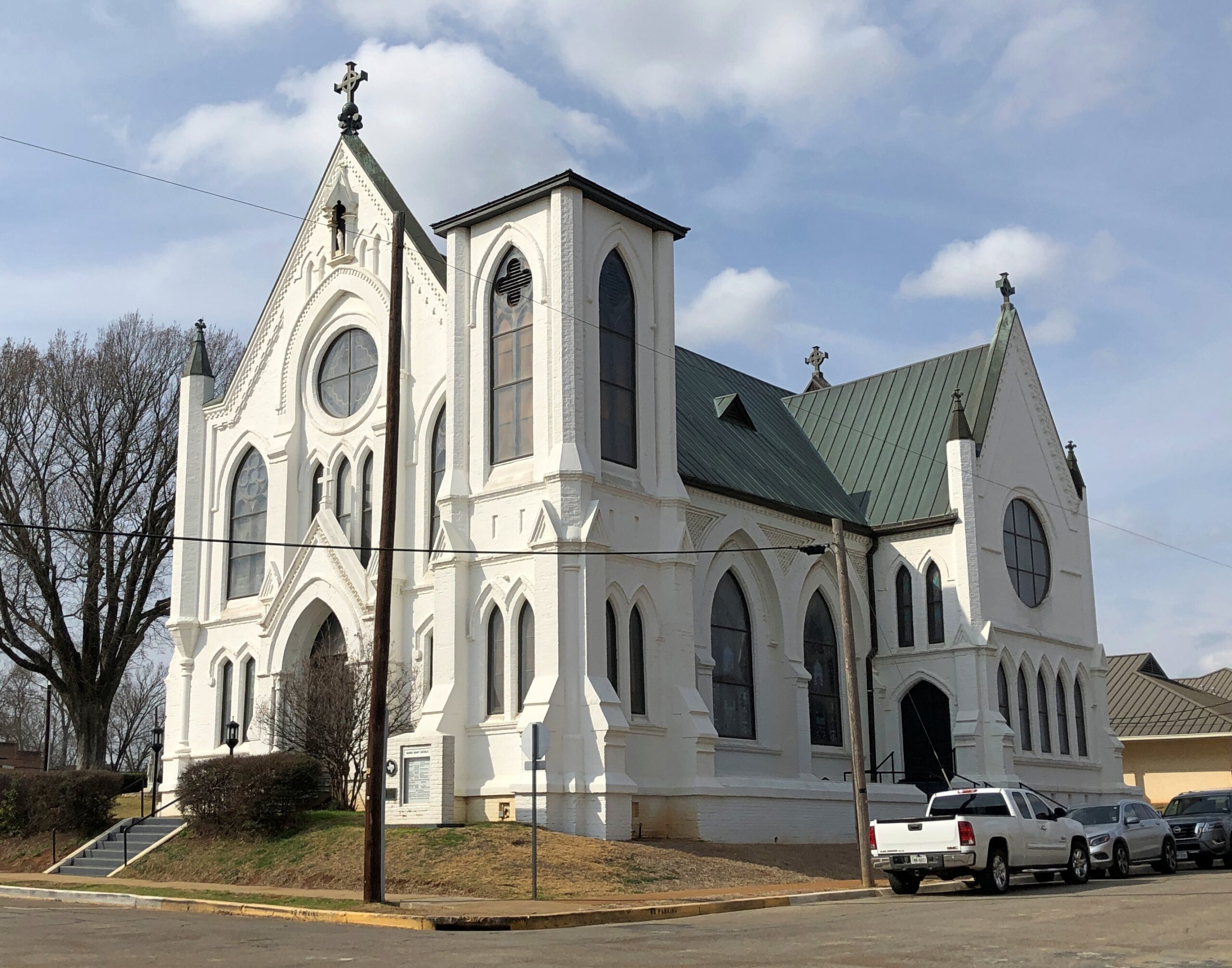
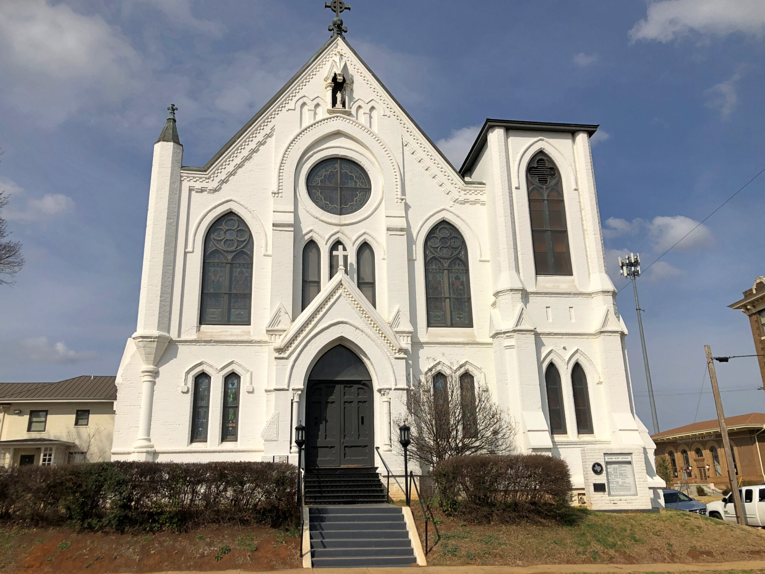
Parking was easy to find in downtown Palestine, traffic light. Parallel parking was available right across from the splendid Sacred Heart Catholic Church, as it happened, an 1890s creation by Nicholas Clayton, who was most active in Galveston before the hurricane. Originally many of the congregation were workers on the International-Great Northern Railroad Co., which had a major presence in Palestine.

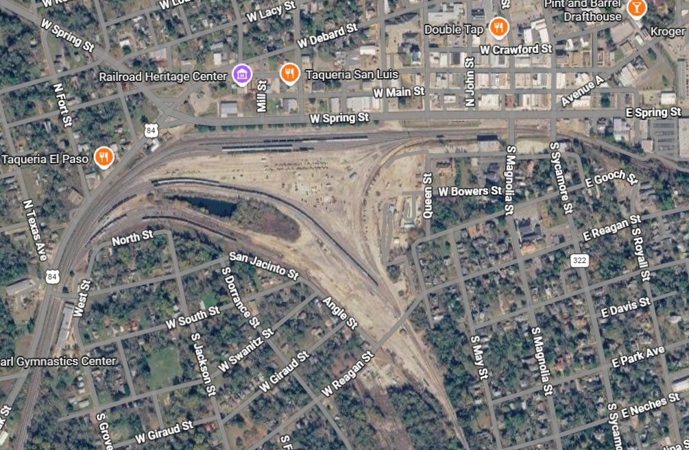
Palestine still has a sizable rail yard south of downtown.

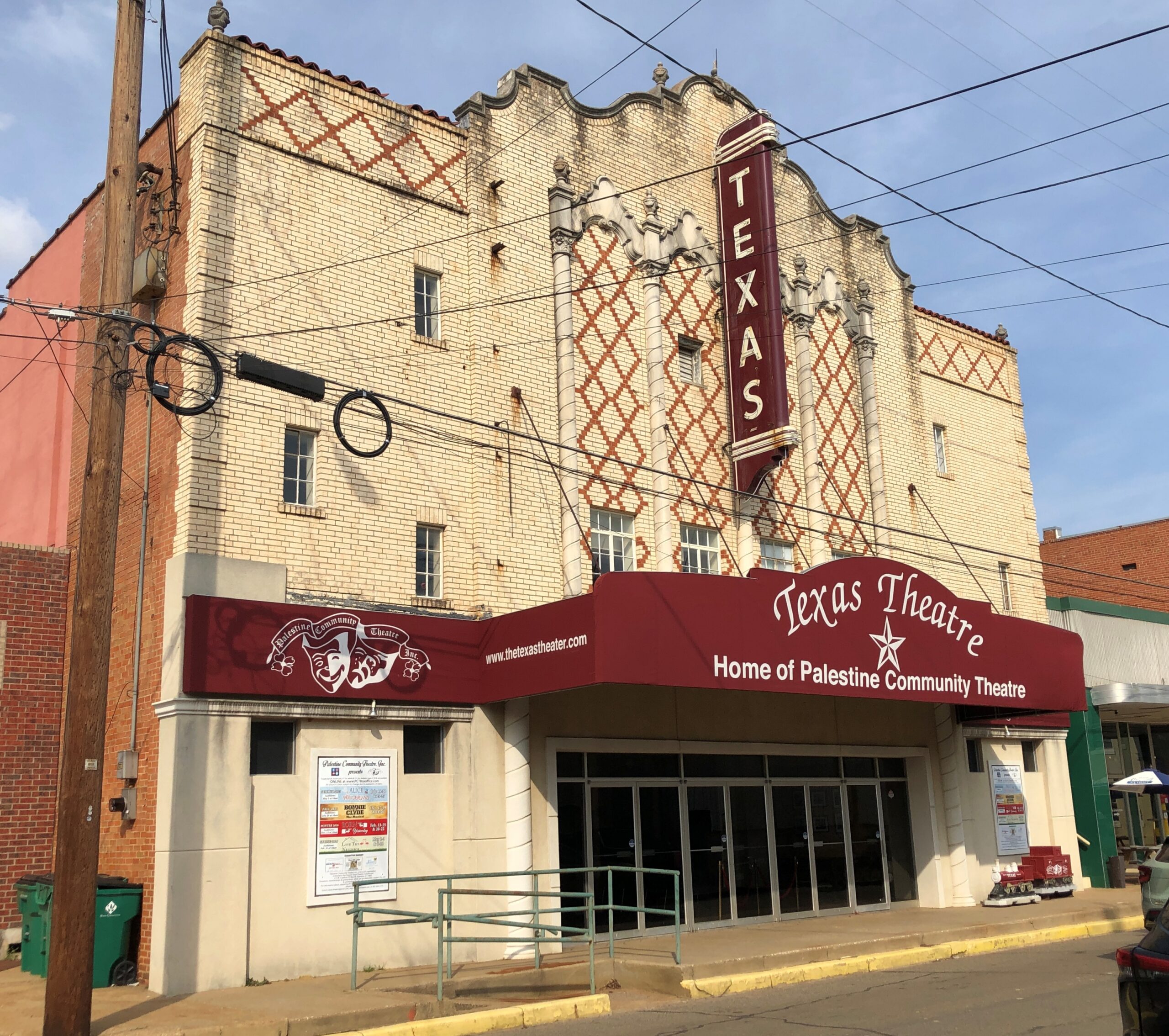
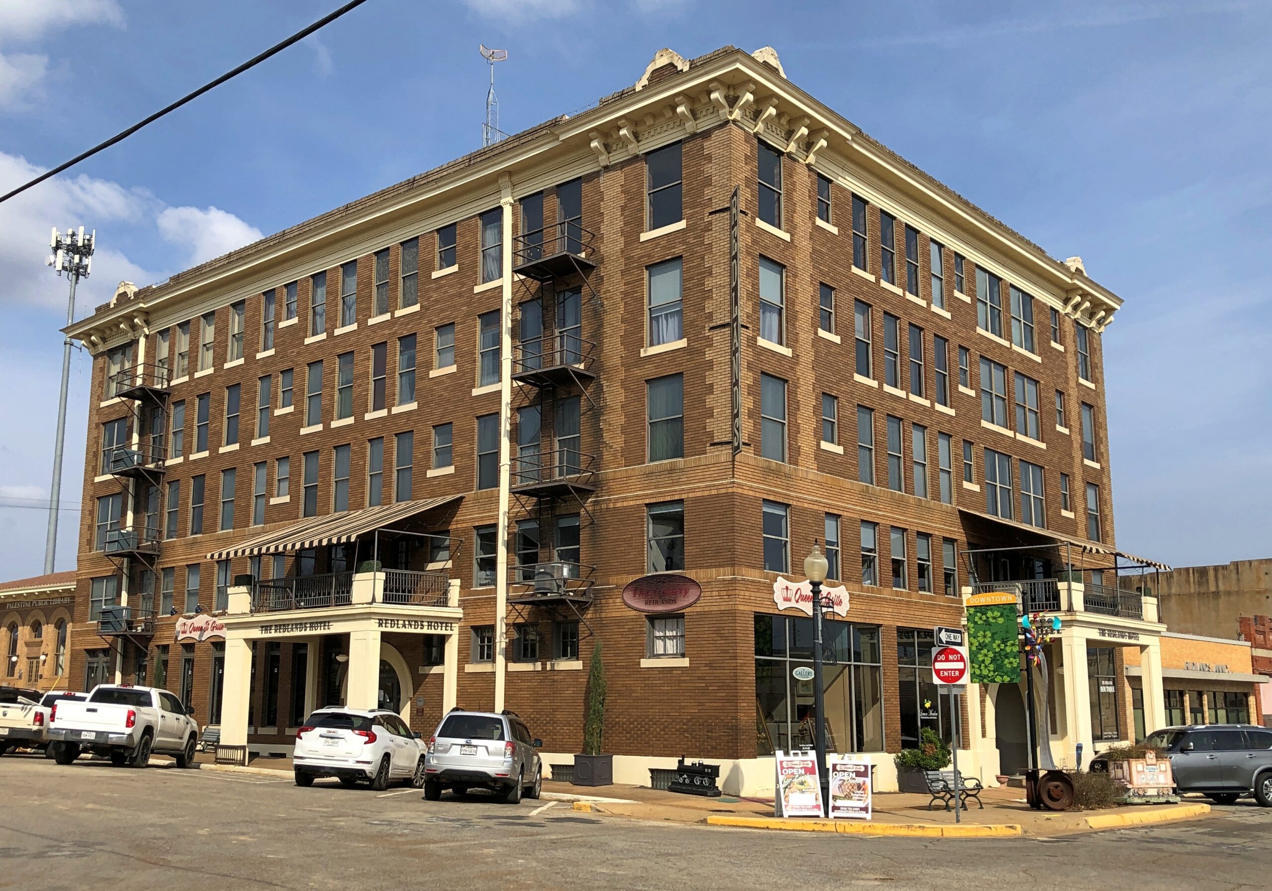
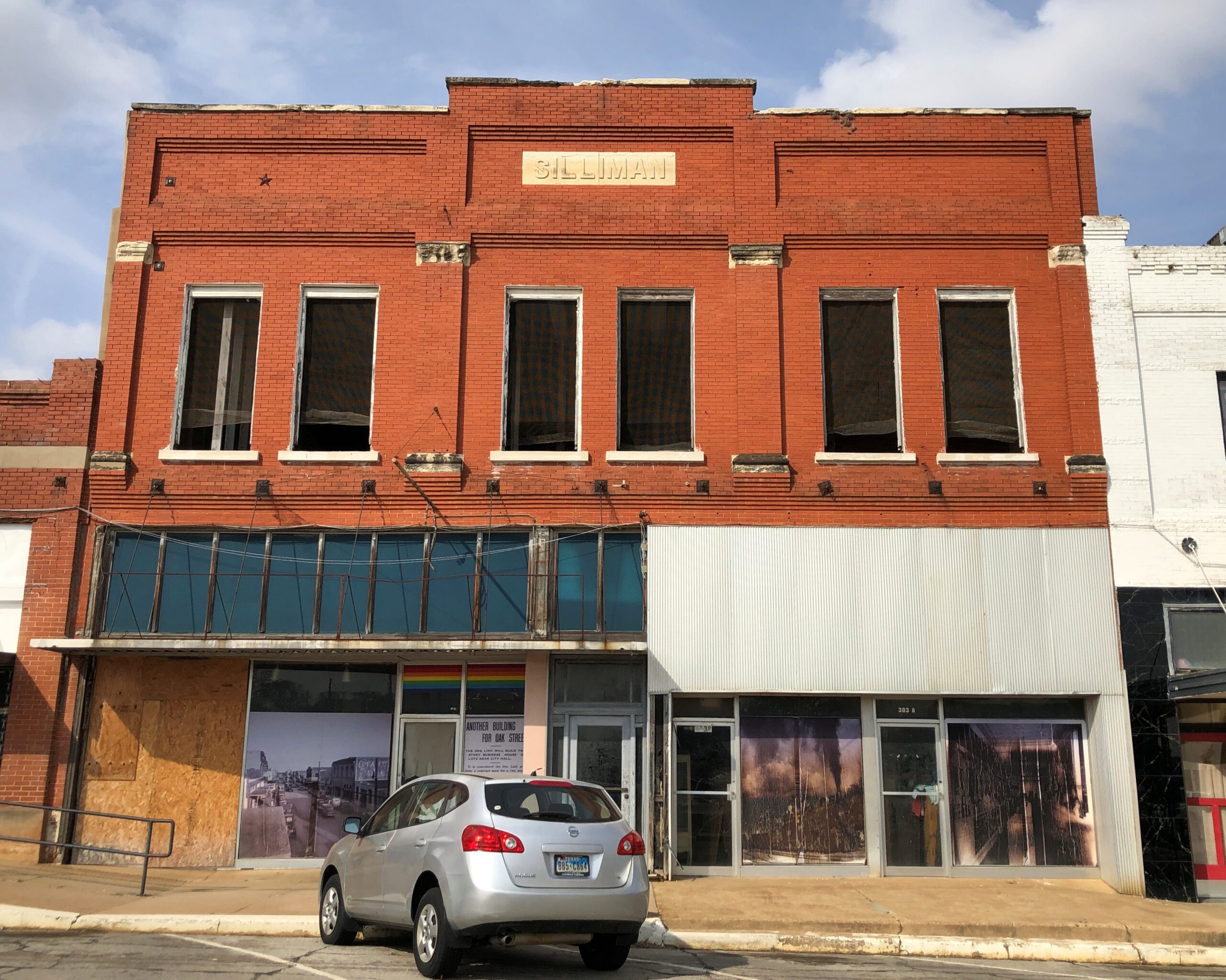
Took a walk around downtown. Like most large towns, or small cities, there is a mixture of ongoing businesses –

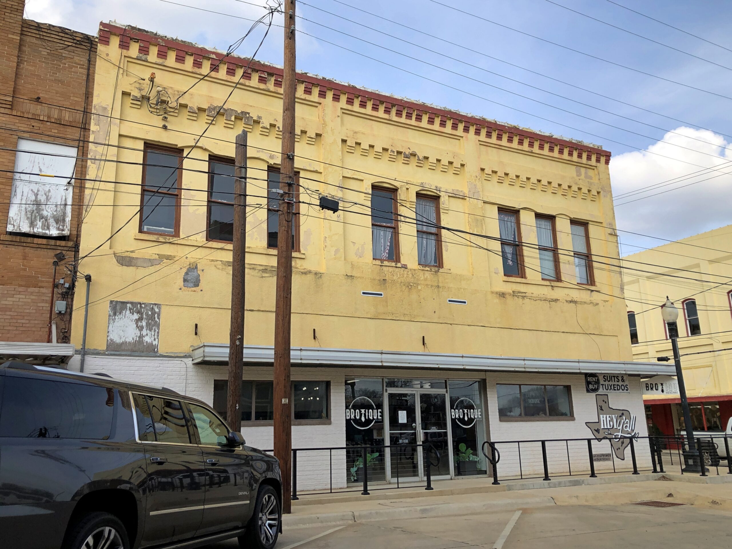
— with vacancies.

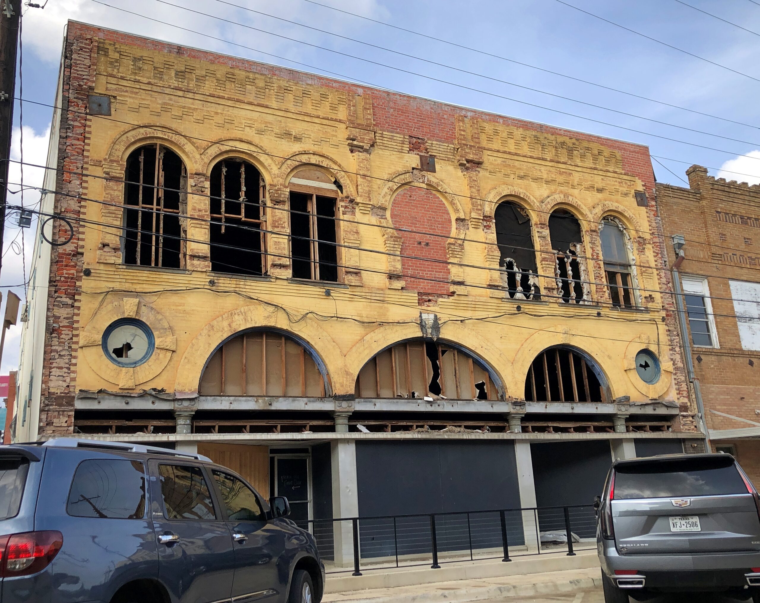
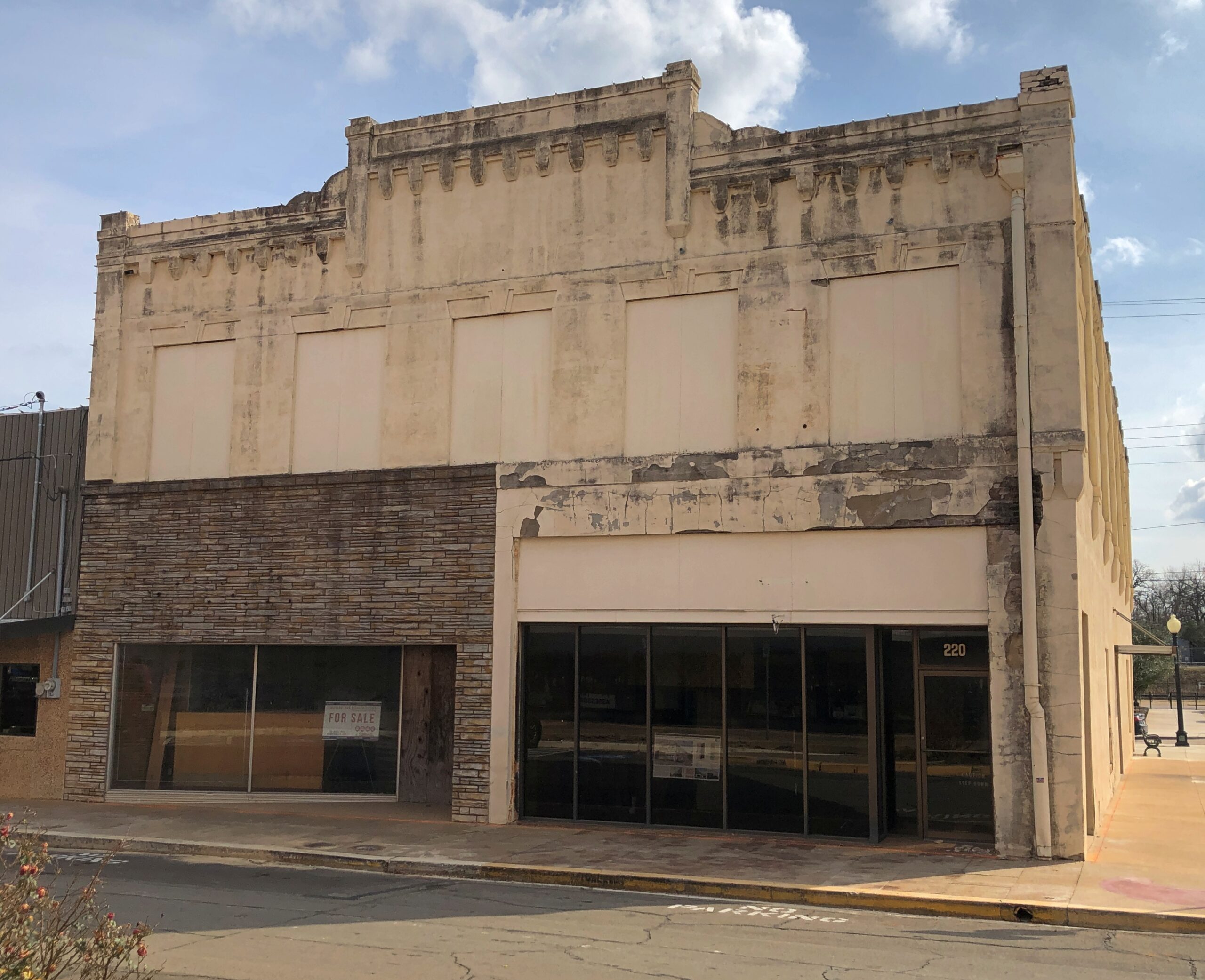
Got some buildings with really good bones, as it’s been said in the real estate biz.

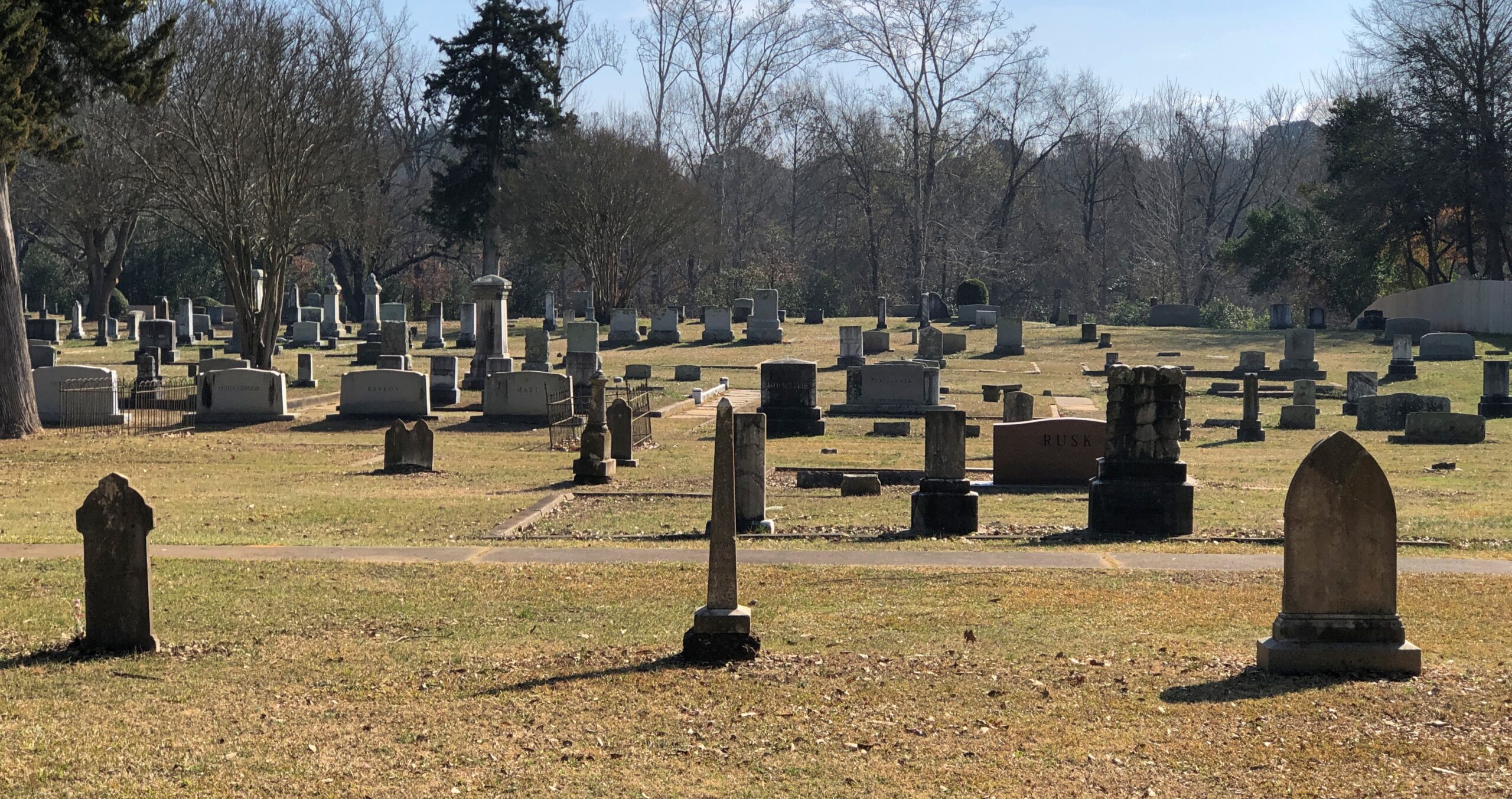
The Palestine City Cemetery is to the east of downtown, but not very far. Nowhere is that far in town.

City Cemetery, Palestine Texas

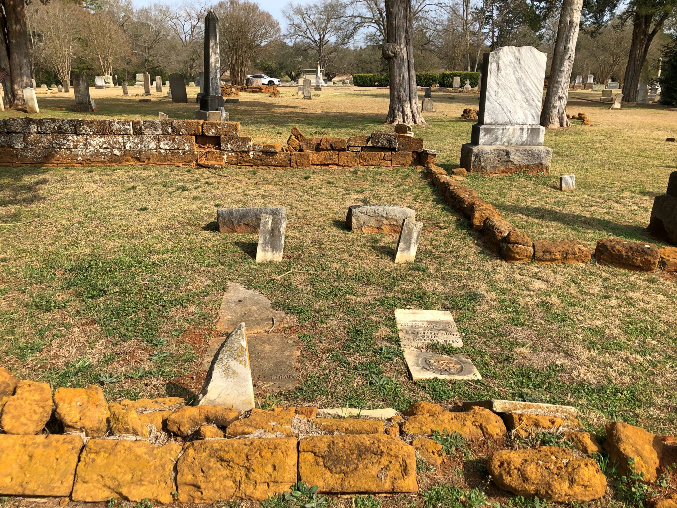
The crumble is on.

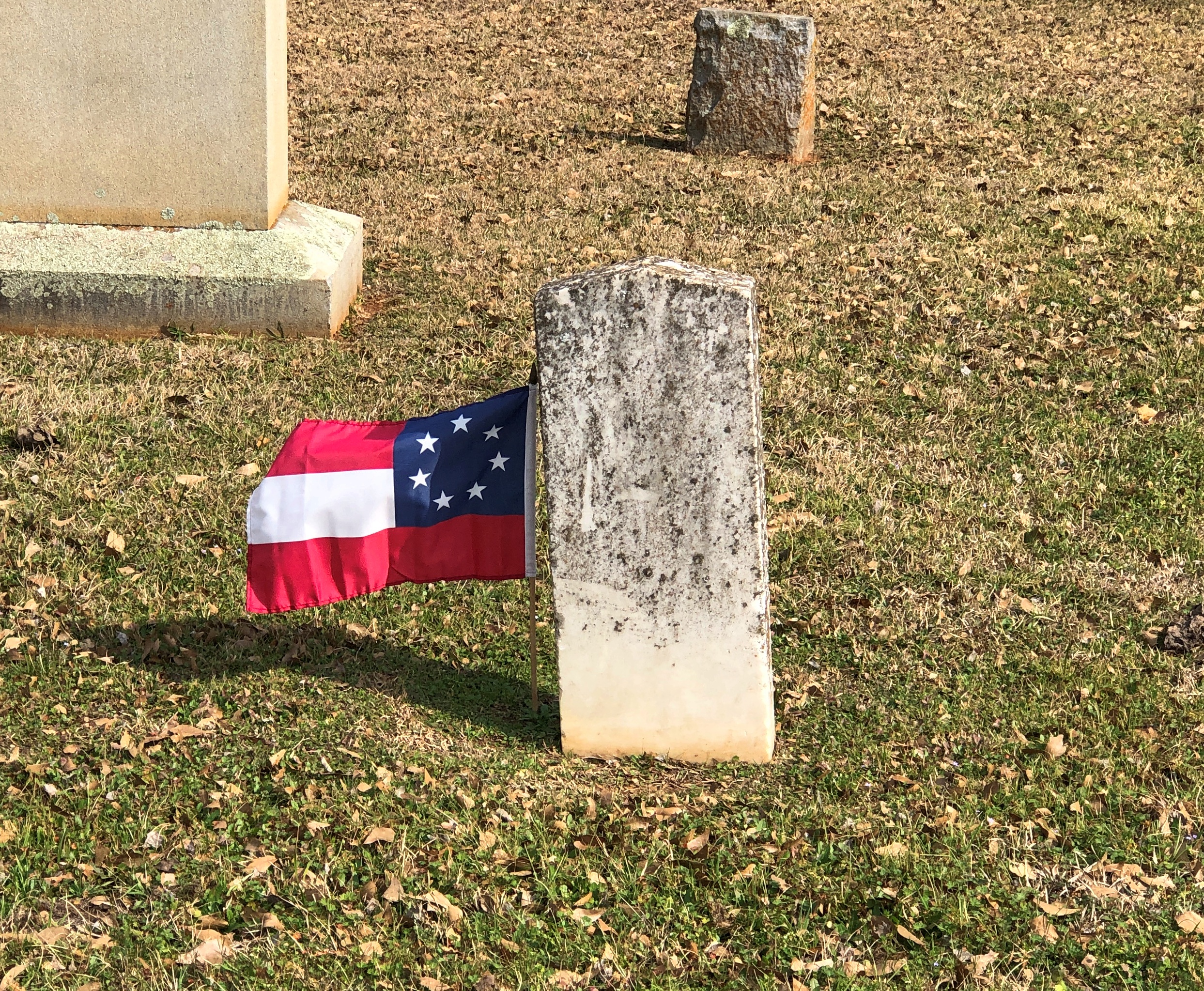
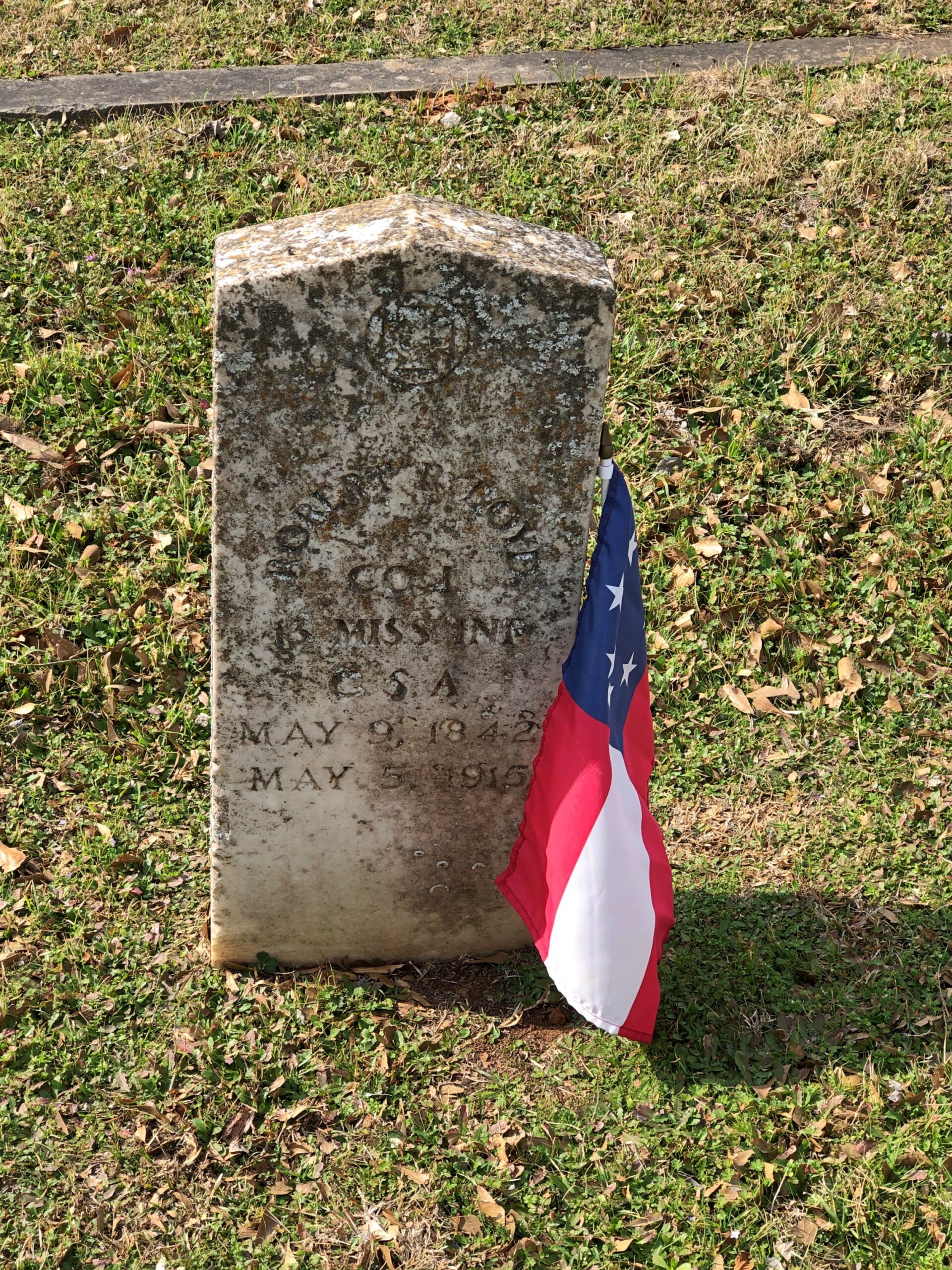
Something you don’t see that often. Not just the Stars and Bars, but the very first version with seven stars. In the fullness of not much time, six more stars were added.

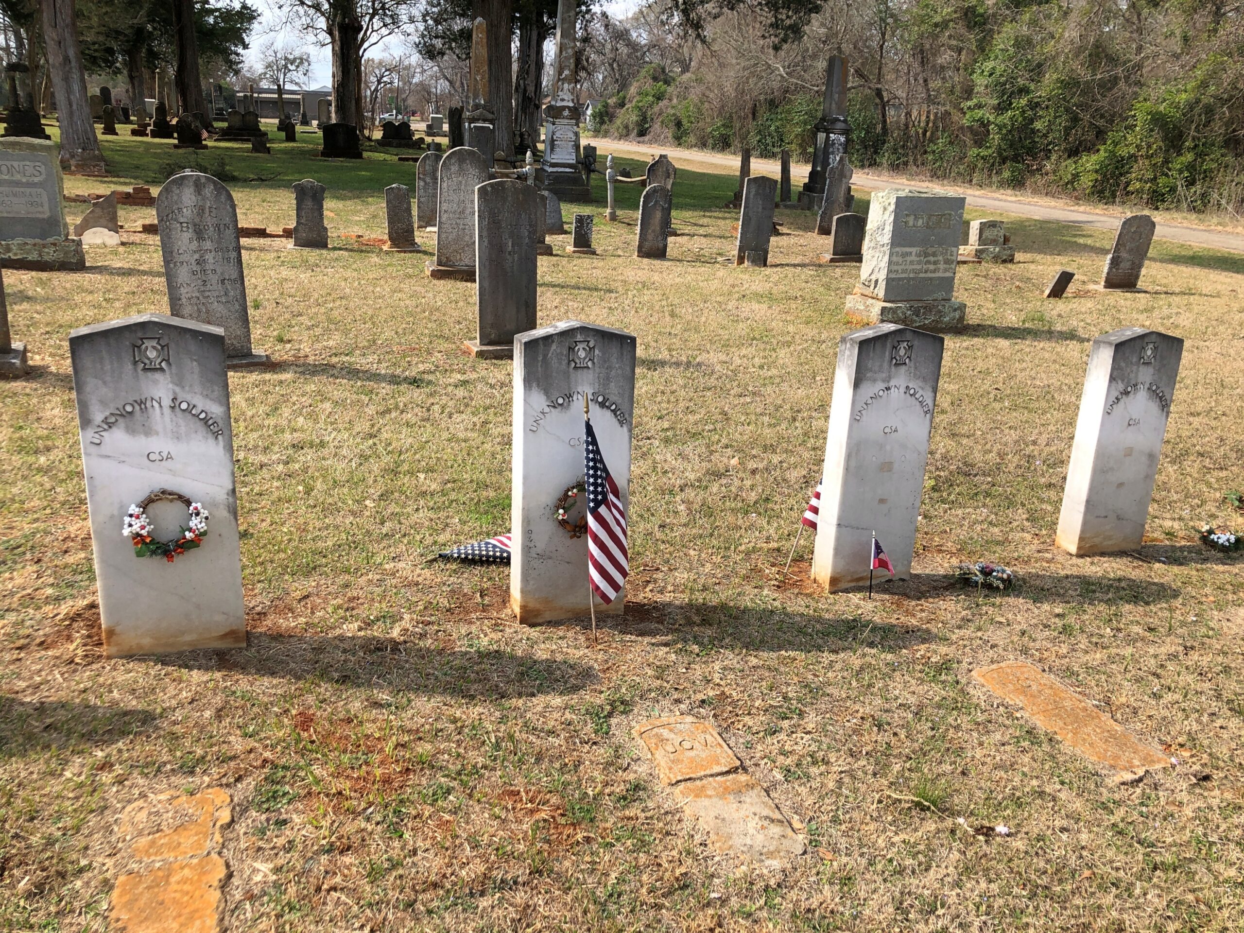
Unknown CSA soldiers.

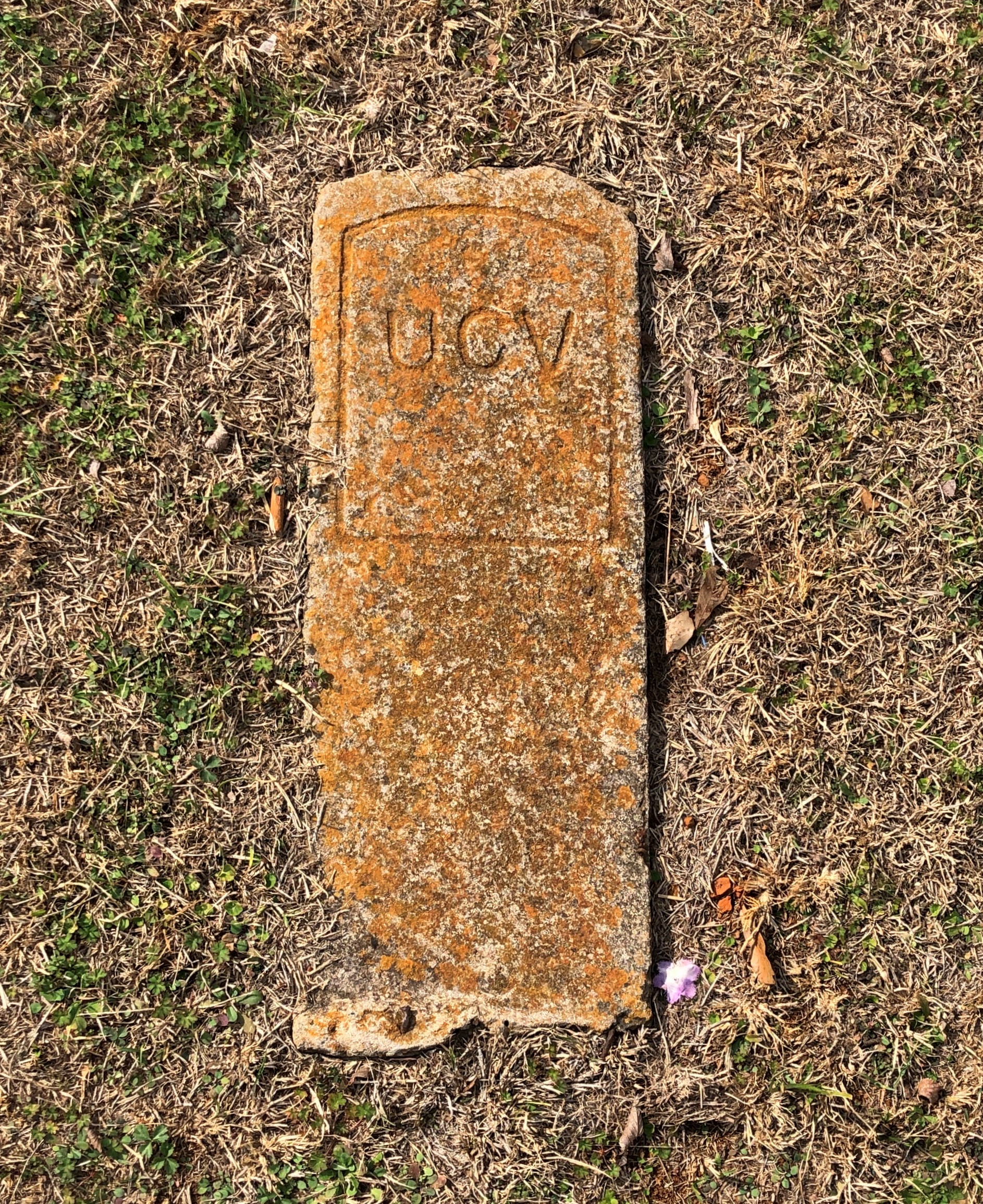
I assume United Confederate Veterans, the Southern equivalent of the GAR, placed this stone and those like it.

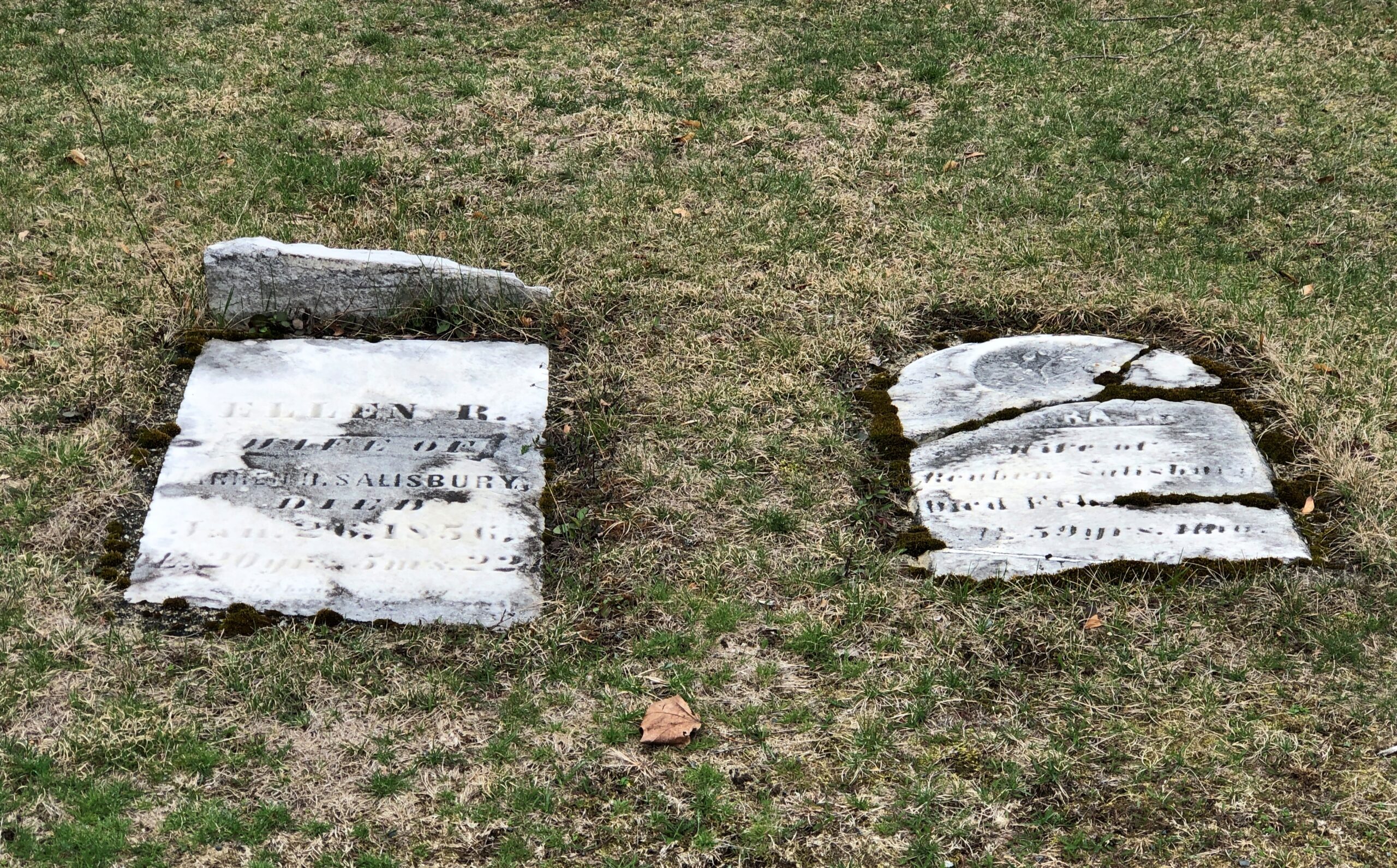
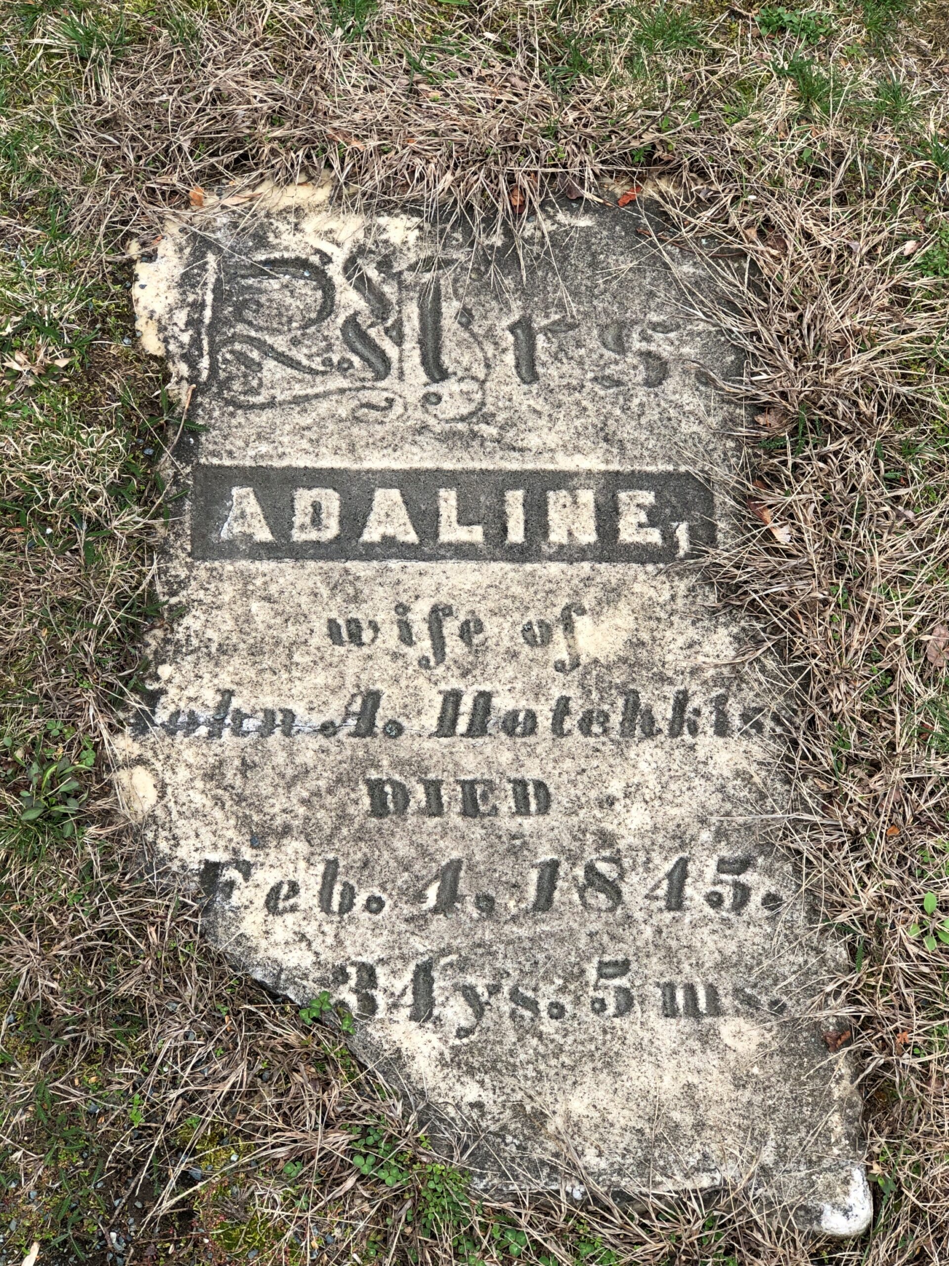
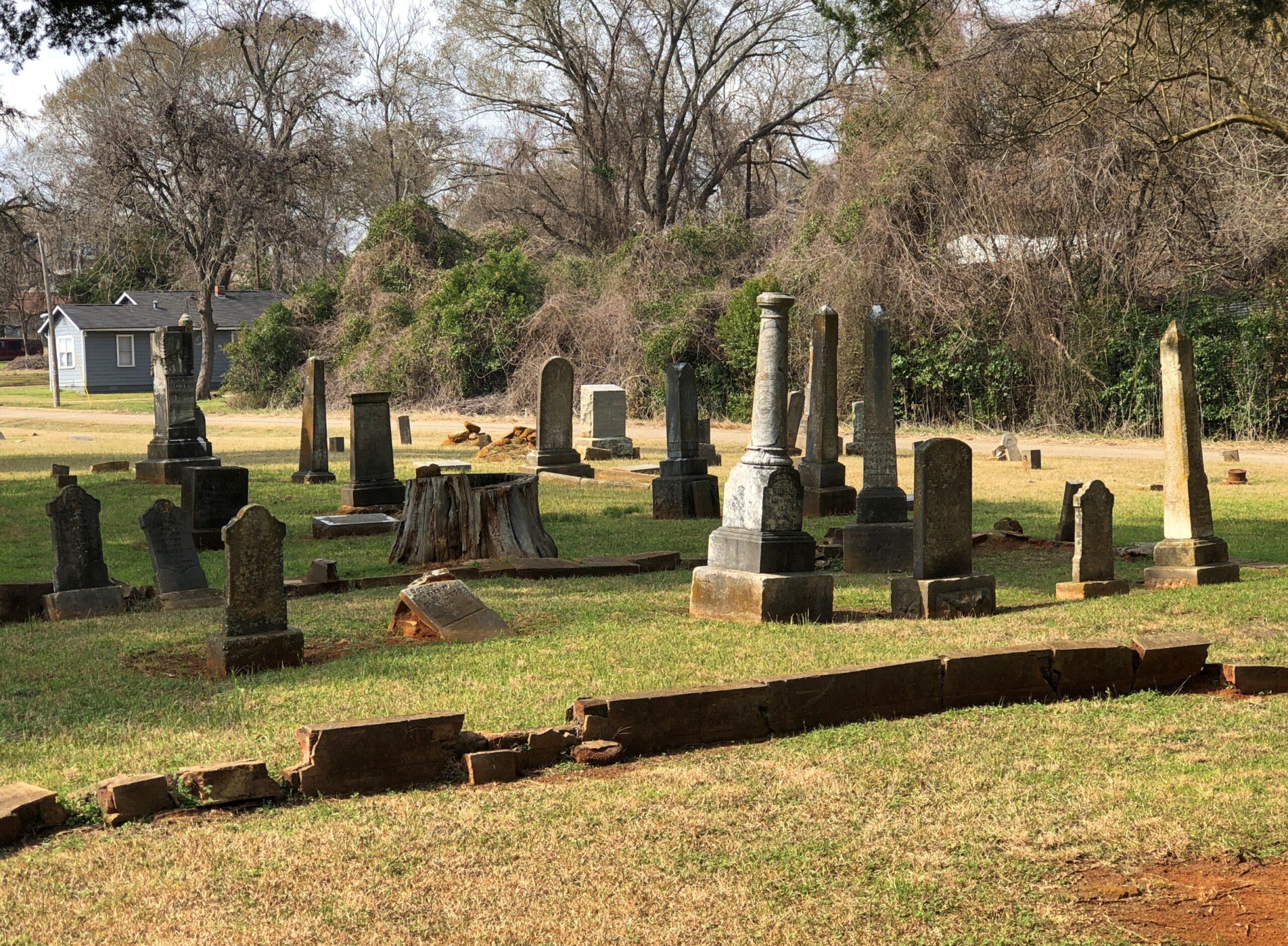
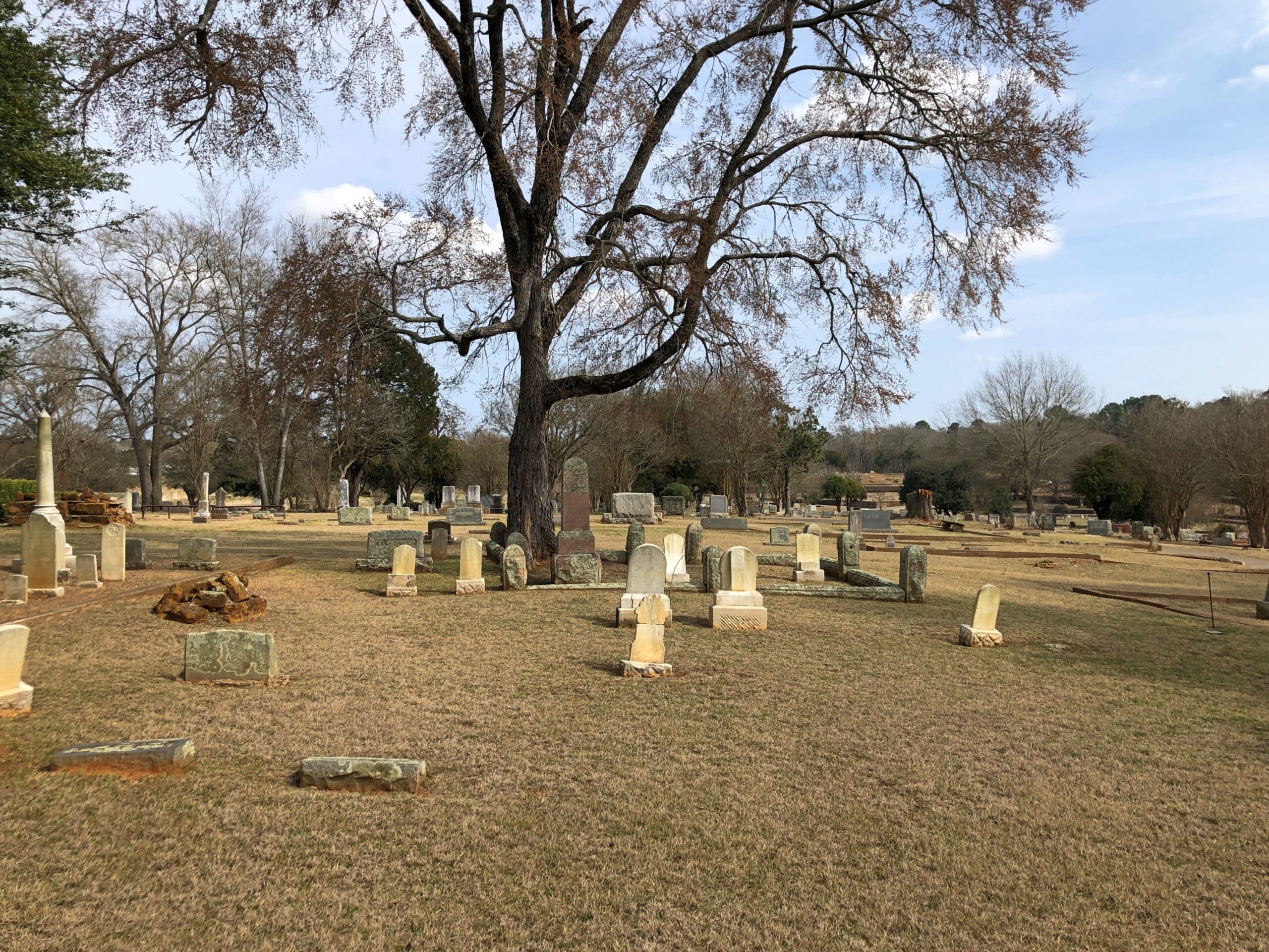
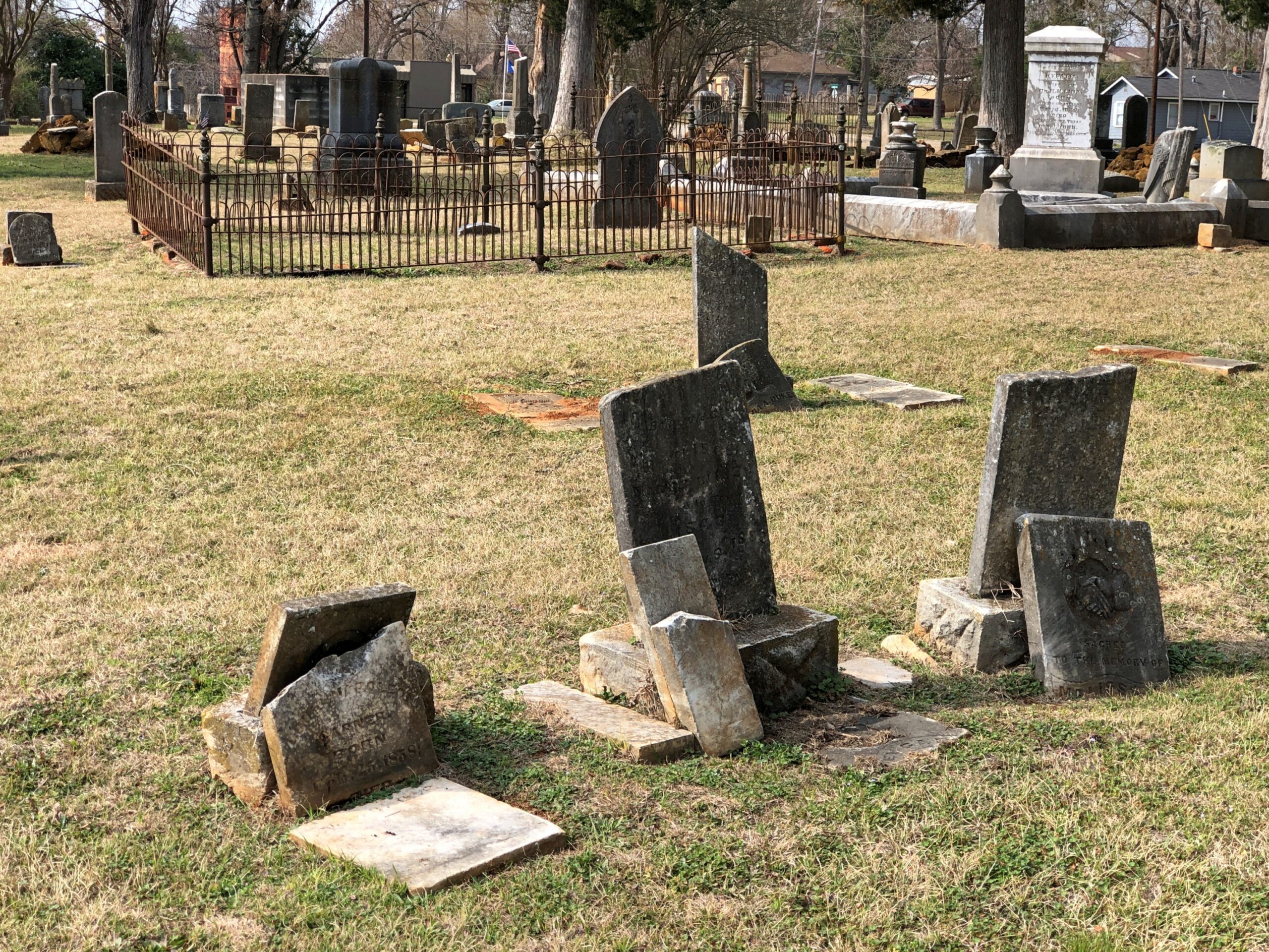
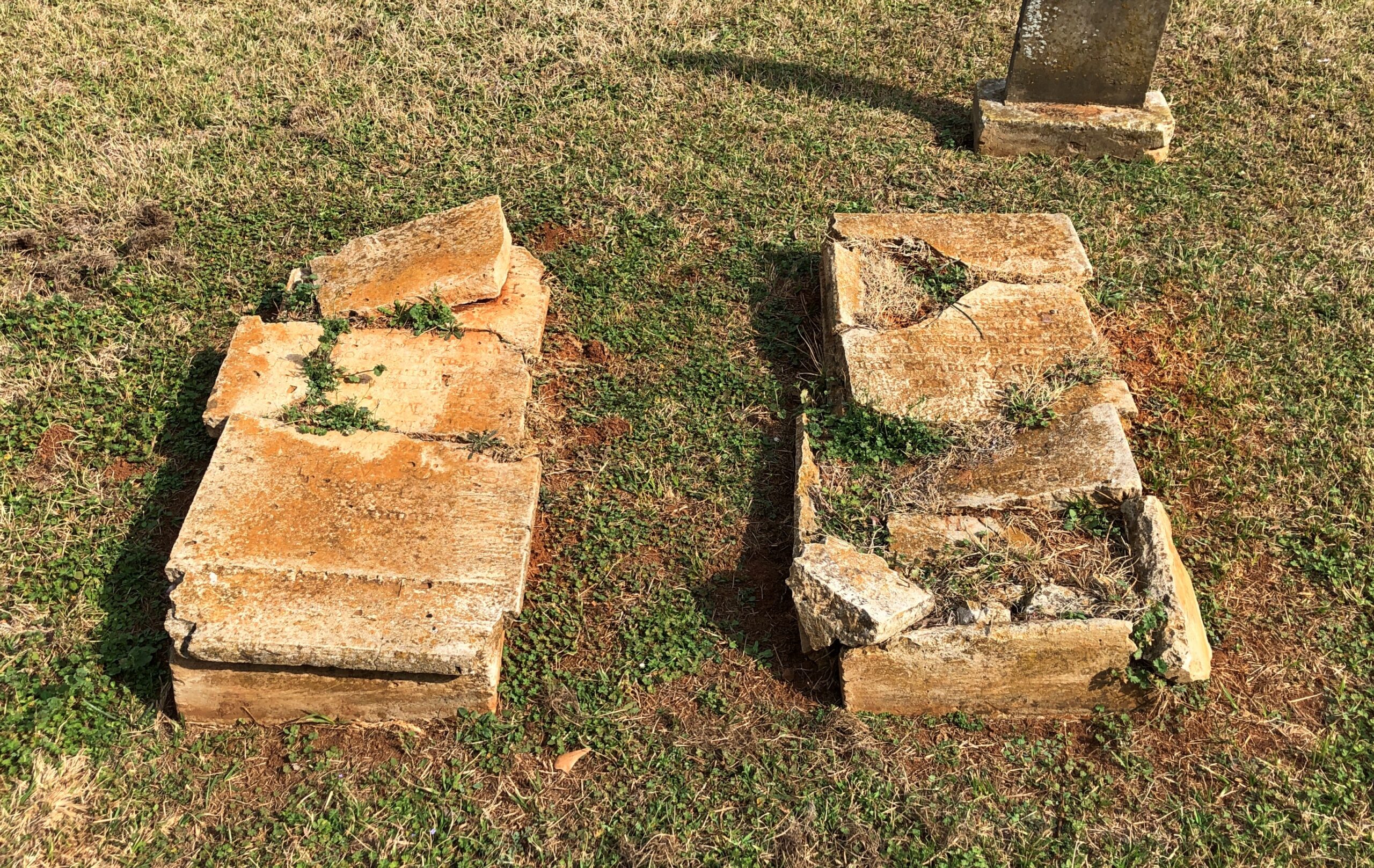
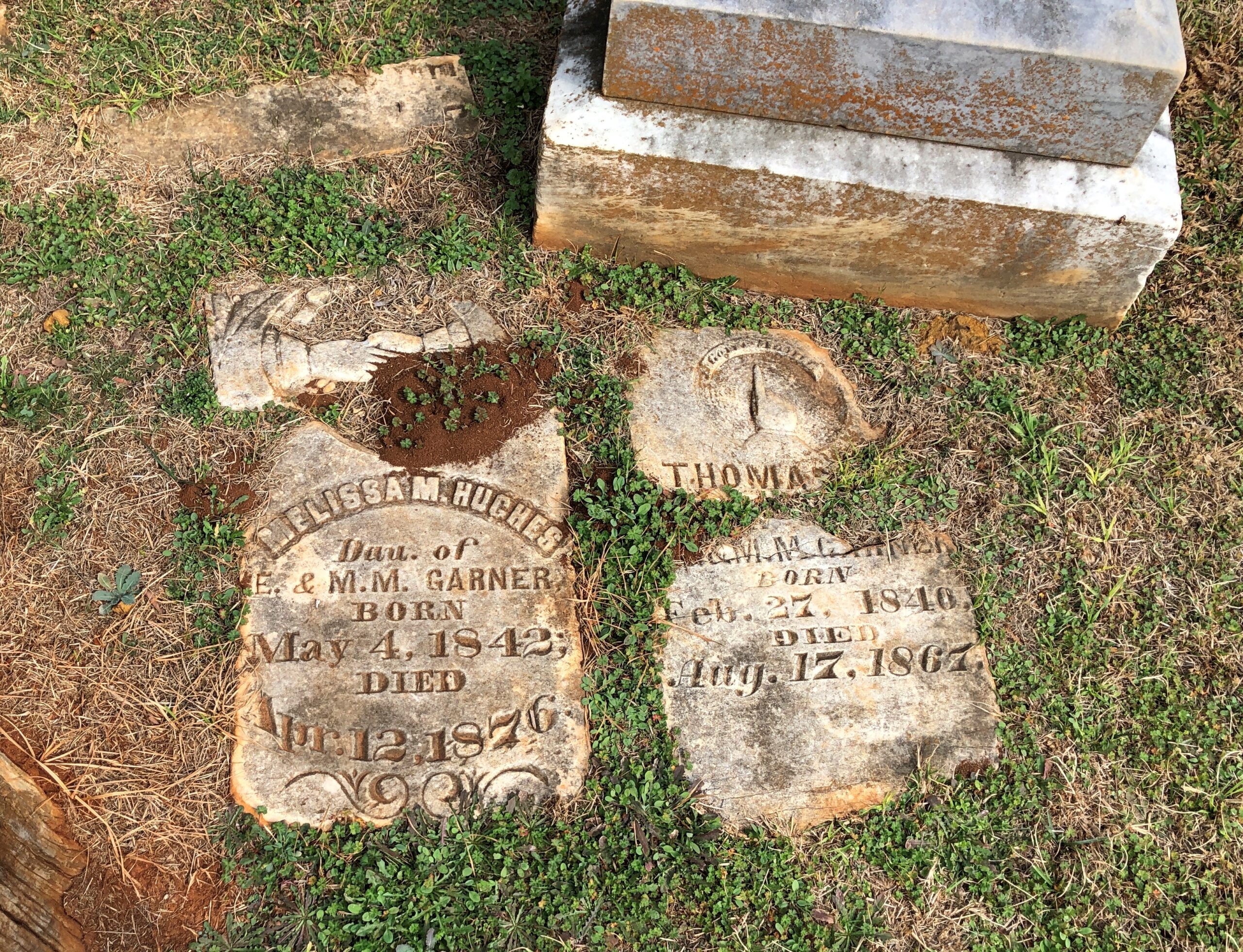
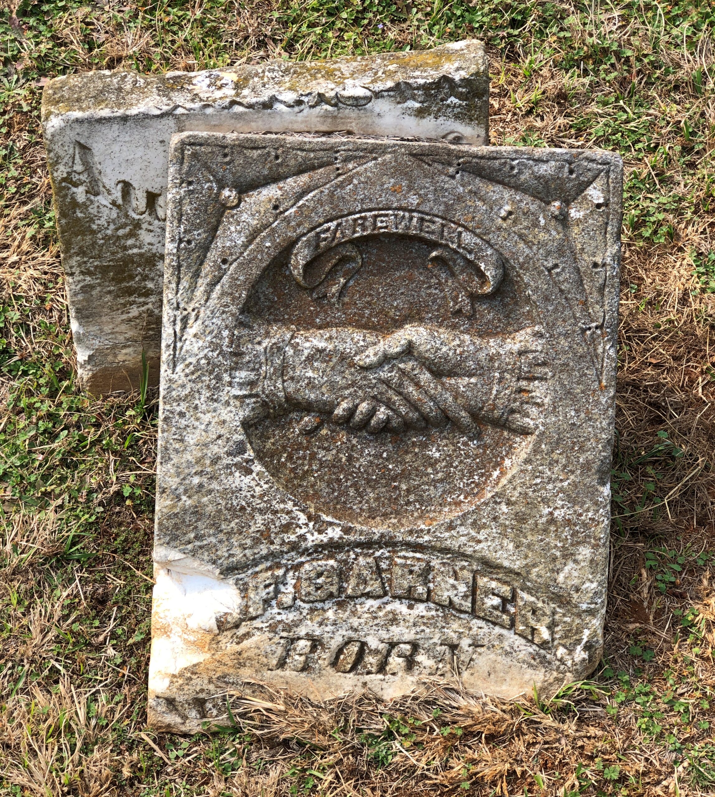
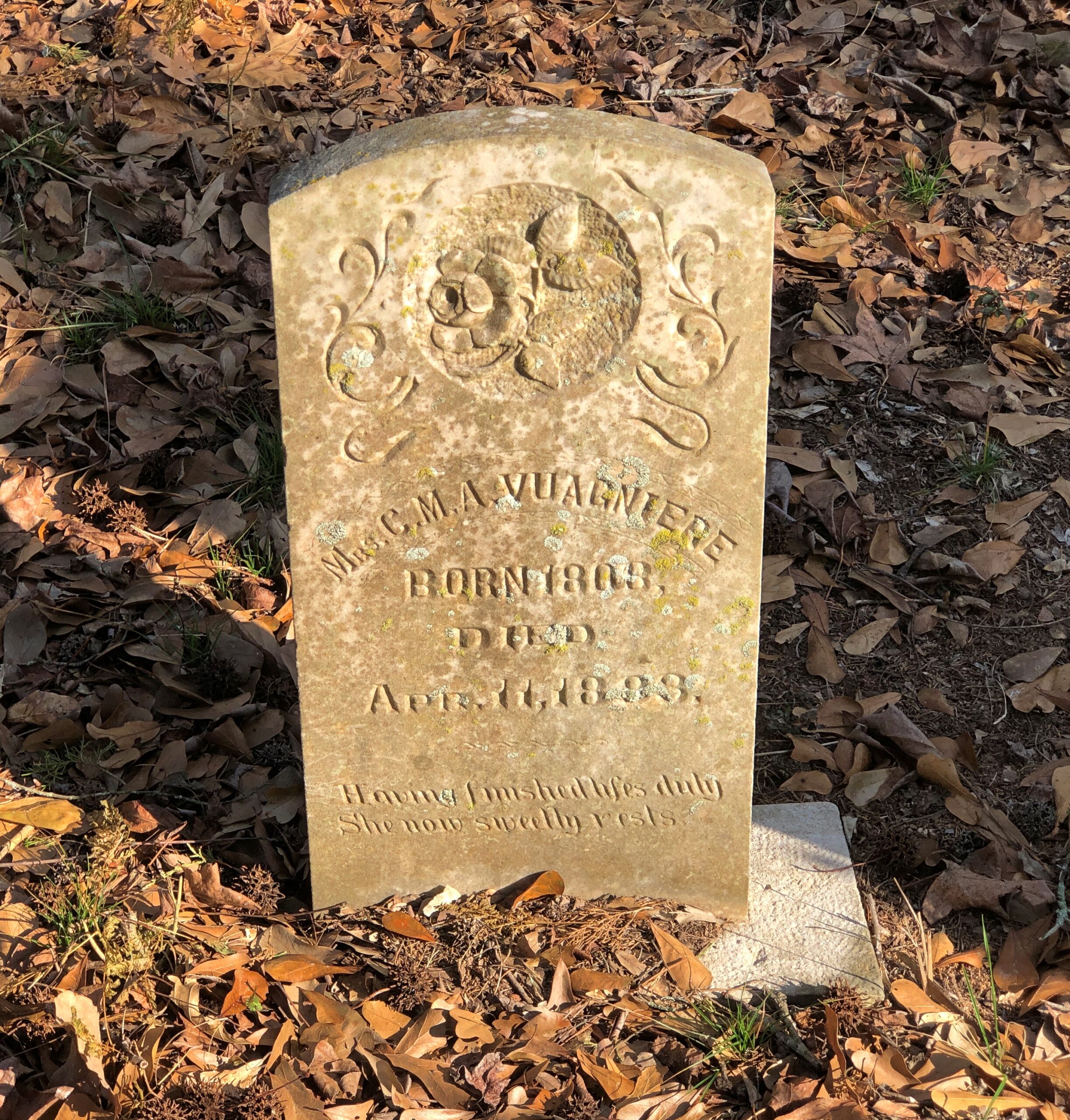
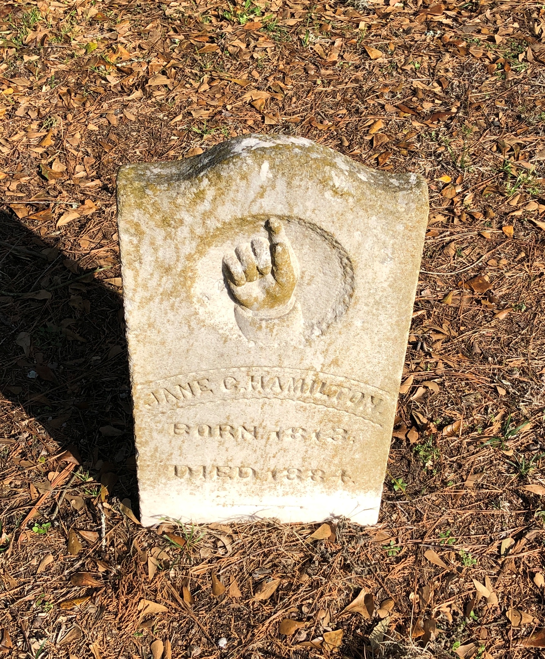
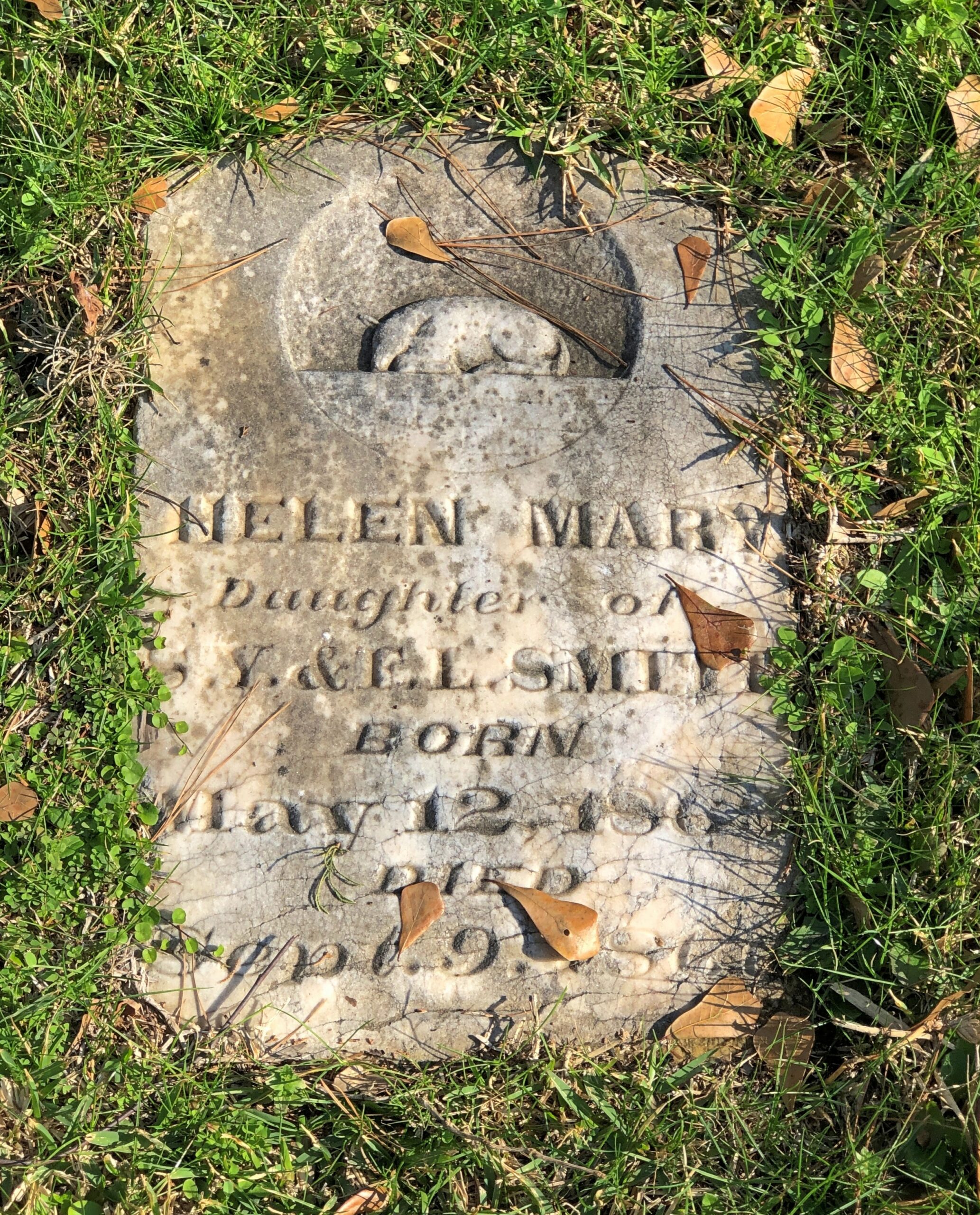
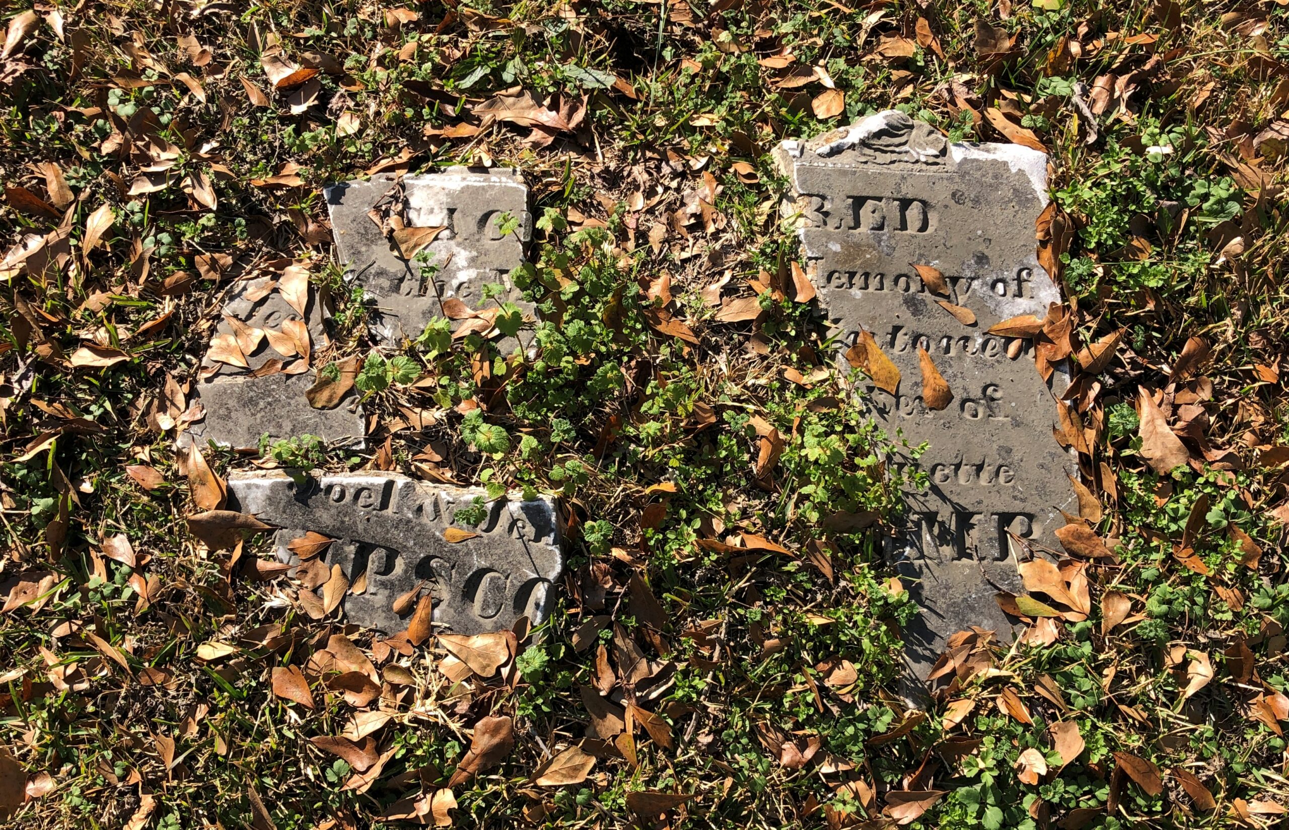
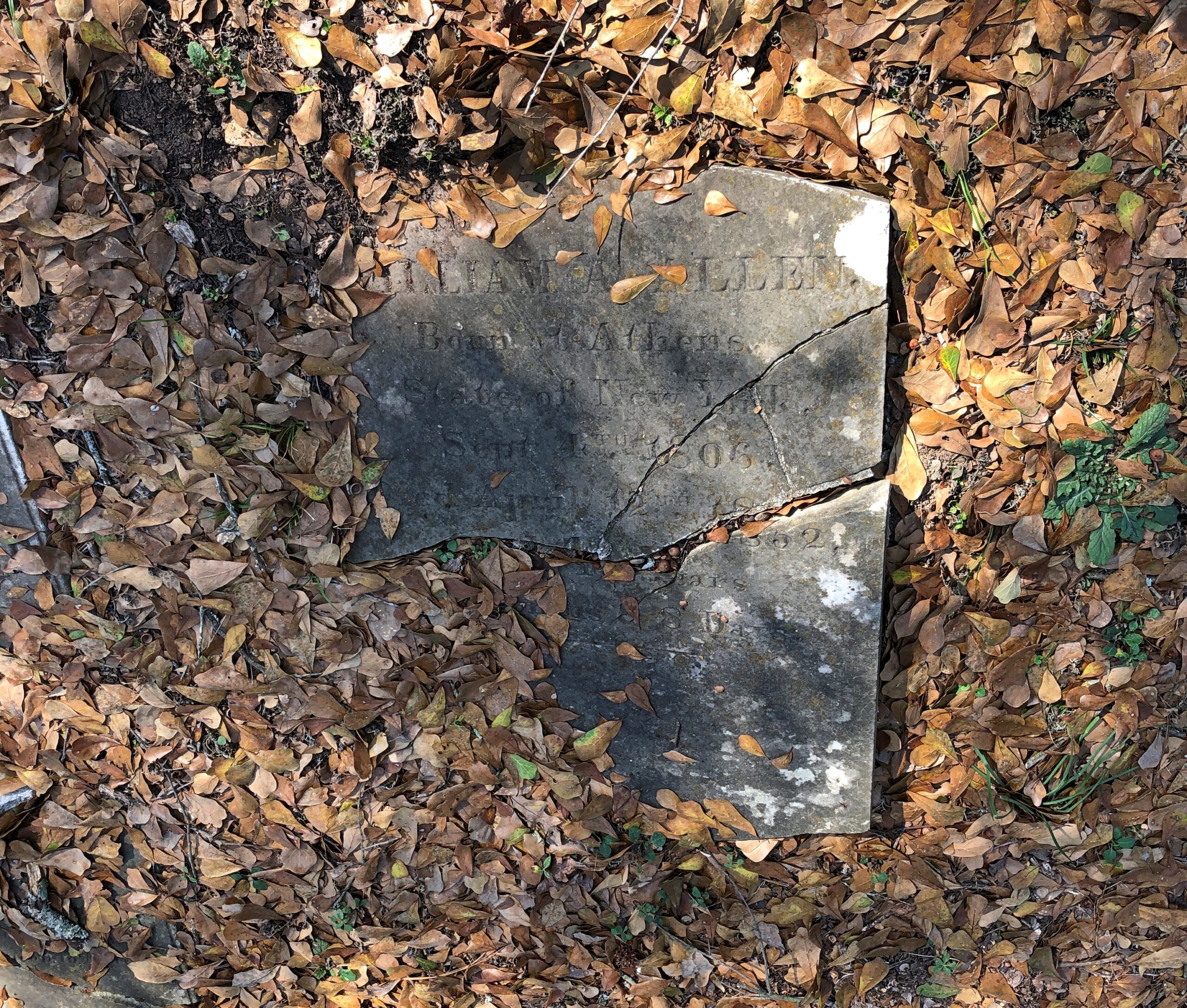
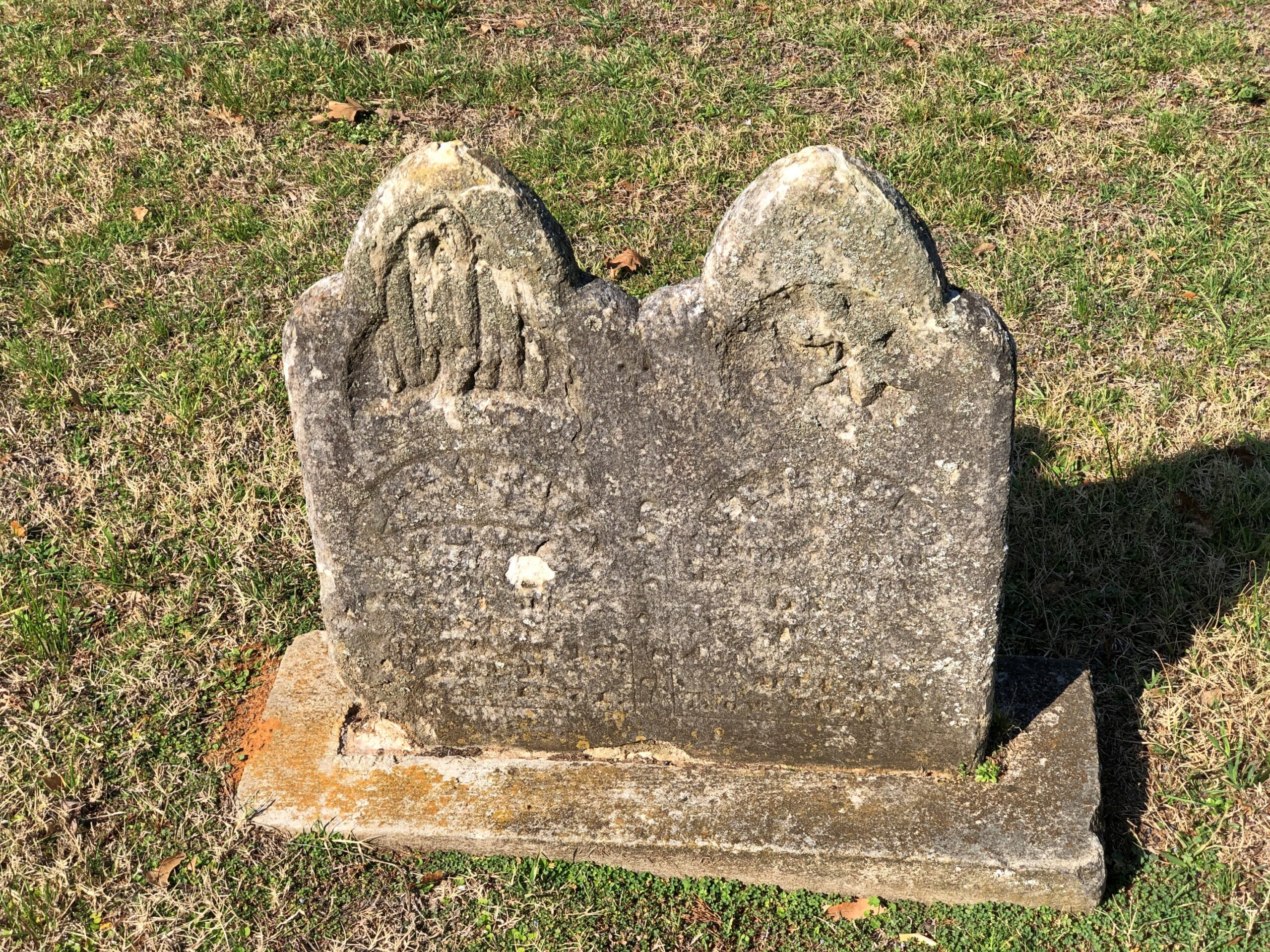
The cemetery has an impressive number of worn, broken stones, soldiering on through the elements.

Victorian sentiment in stone, said with due respect.

Would that kind of soft decay, the romanticism of stones worn by time and the elements, have appealed to Victorian sensibilities? Could be.

Oakwood Cemetery, Huntsville

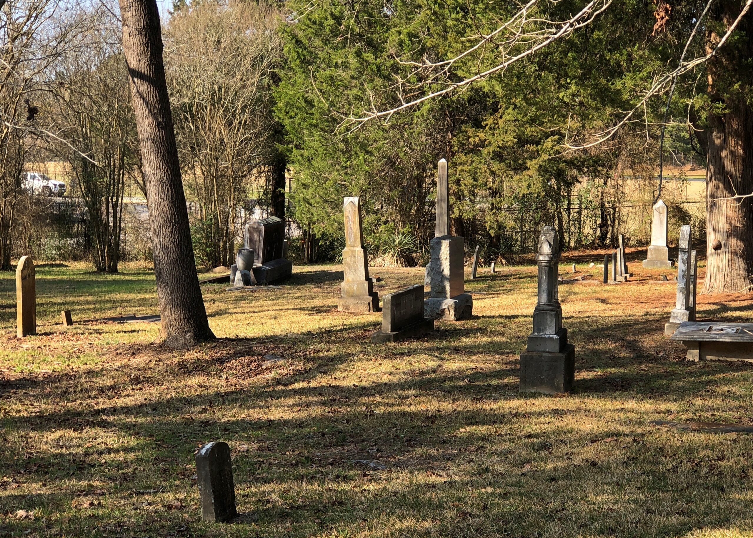
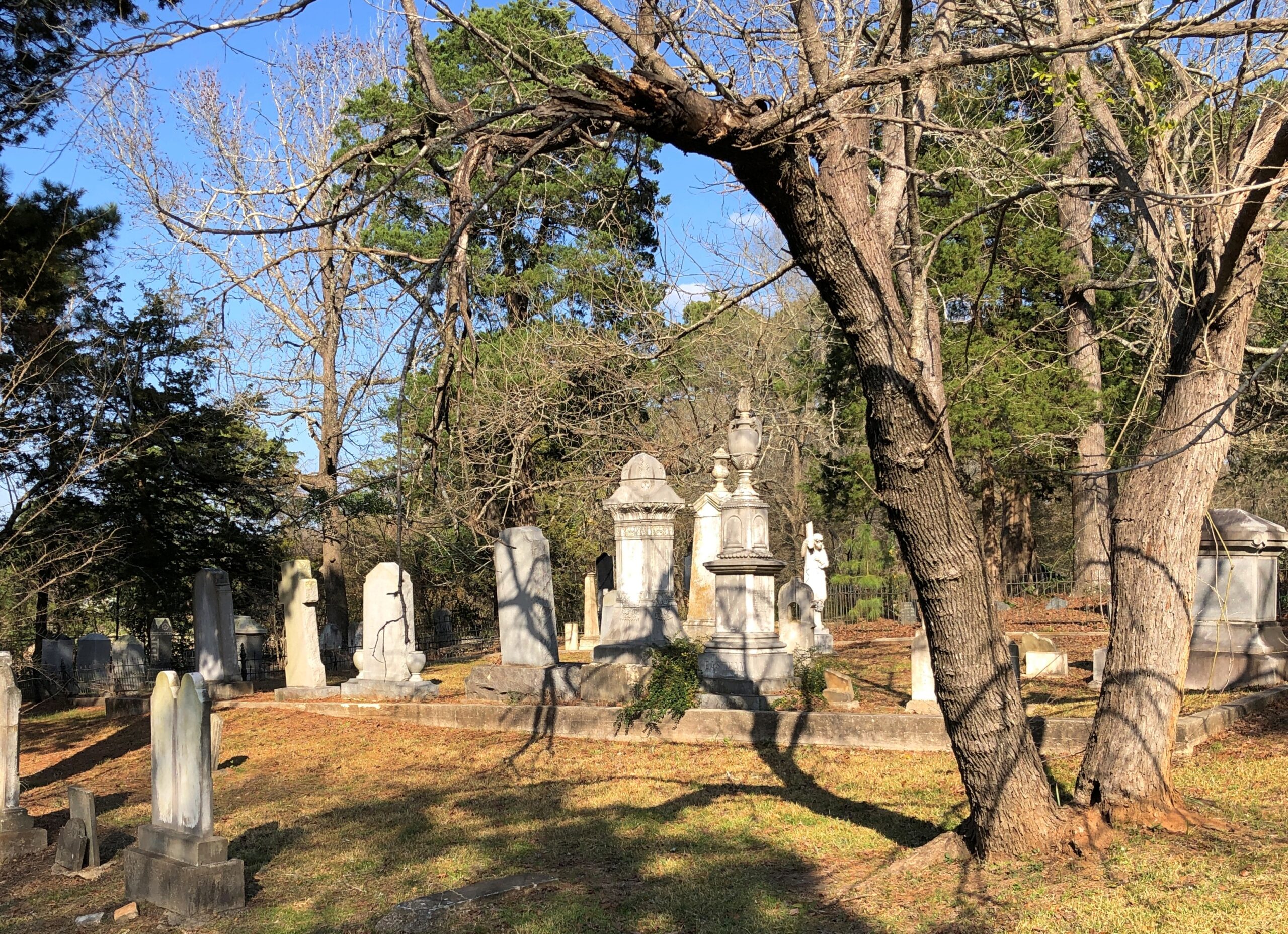
Sometimes the right word just comes to you: tatterdemalion. As in, the tatterdemalion historic Oakwood Cemetery in Huntsville, Texas, or at least the older section of it.

I use that word with great affection for tatterdemalion cemeteries – ragged and dilapidated, the ragamuffins of the cemetery world, attracting even less attention than the big-deal Victorian cemeteries in the big cities. These cemeteries might be scruffy, but their repose is deep.

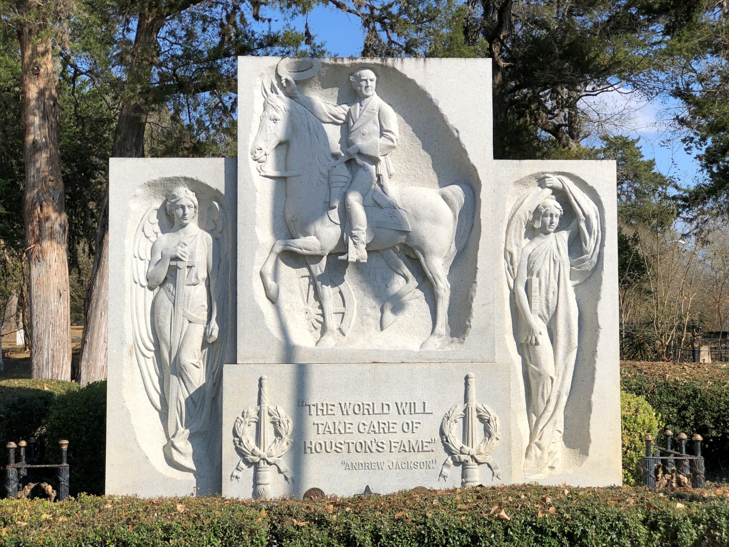
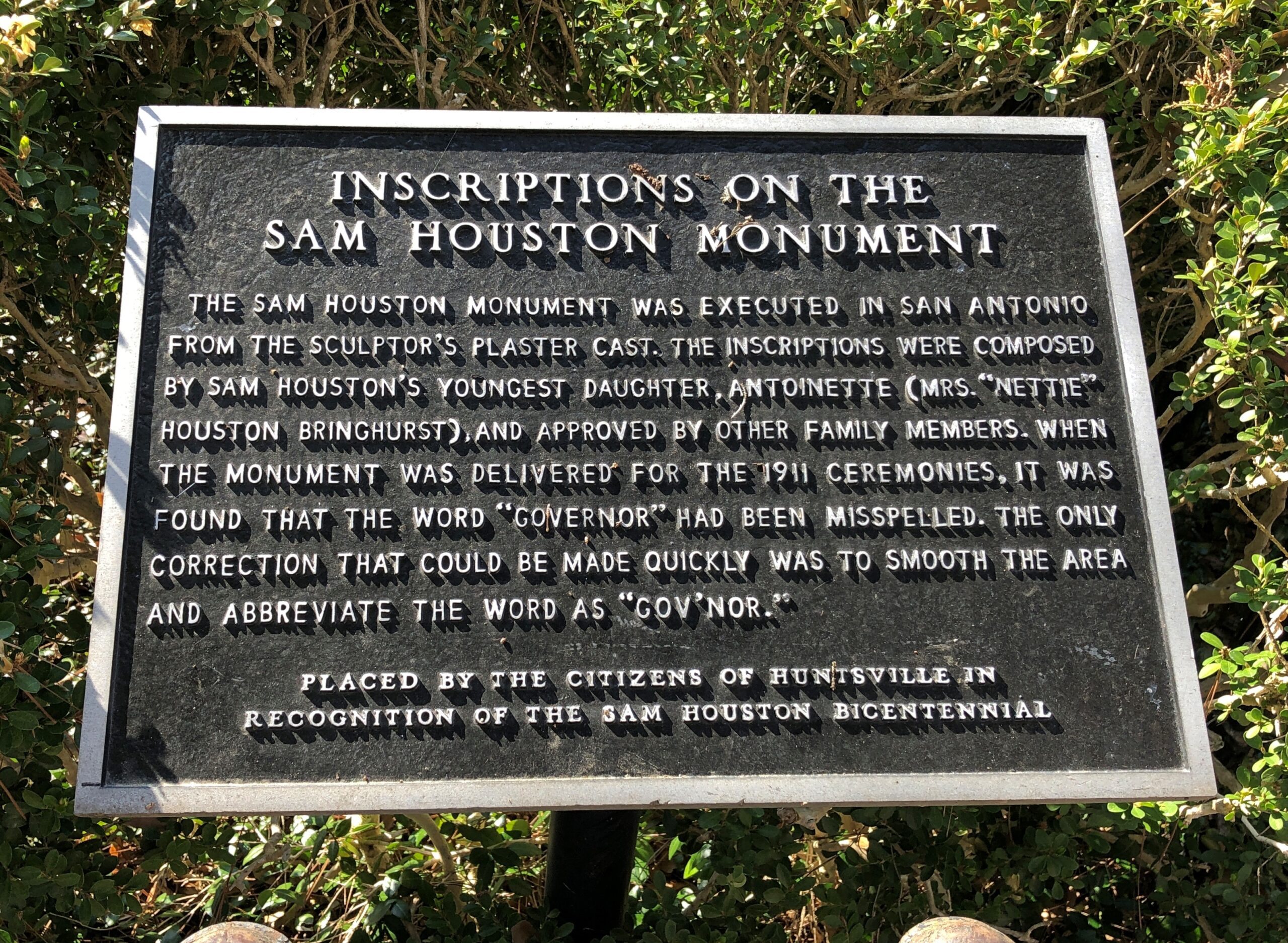
Oakwood does have Sam Houston, so people must come for him.

Oops.

You can park your car on the street, walk a few seconds to Gen. Houston’s stone, pay your respects, and never enter the cemetery proper.

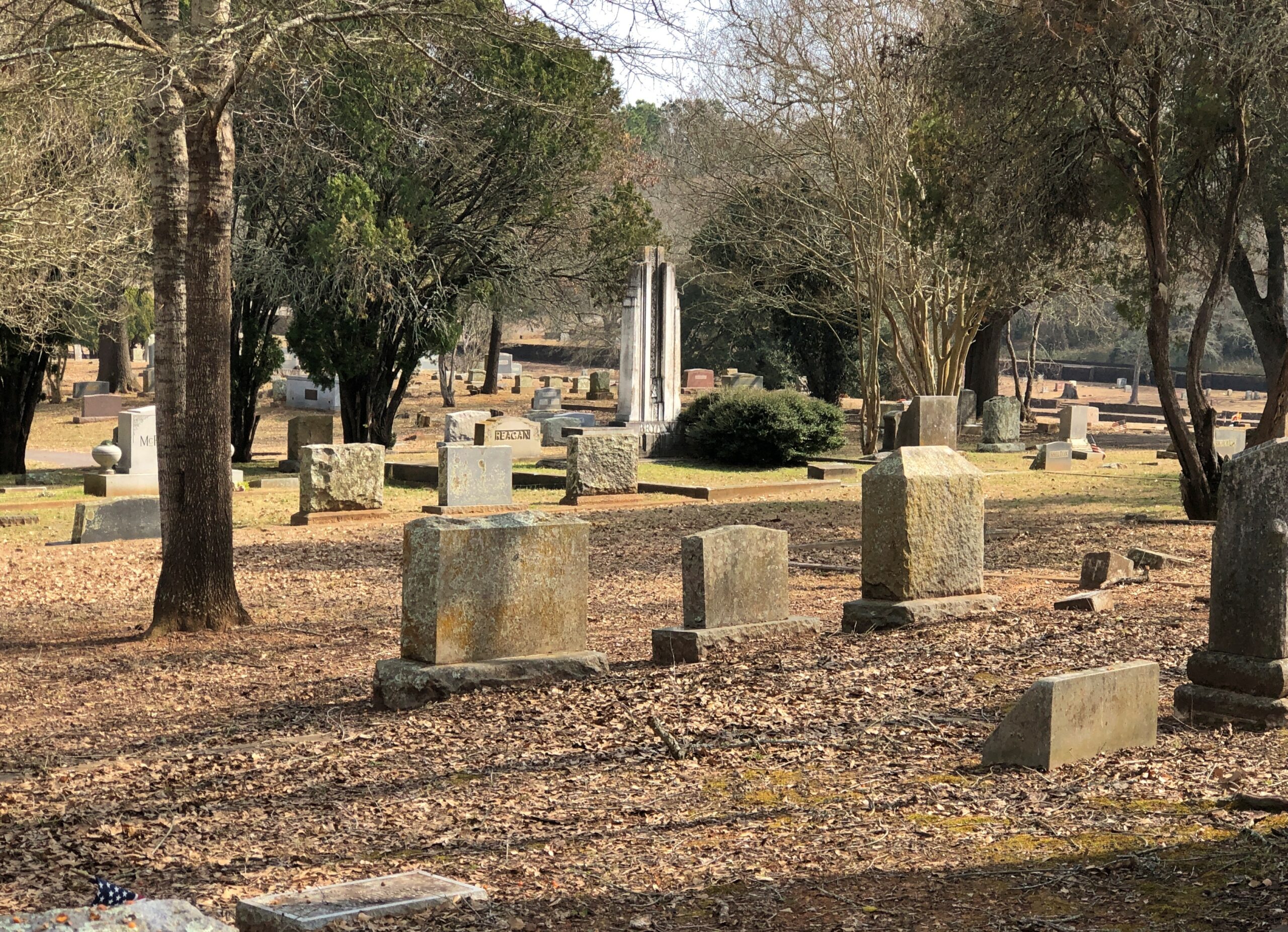
Too bad. The grounds extend along a long strip of land, generally sheltered by such pines as you find in the piney green East Texas, and sport a variety of stones, older and newer, moderately ornate and more modest.

Some smashed slowly by time. The fate of all, eventually.

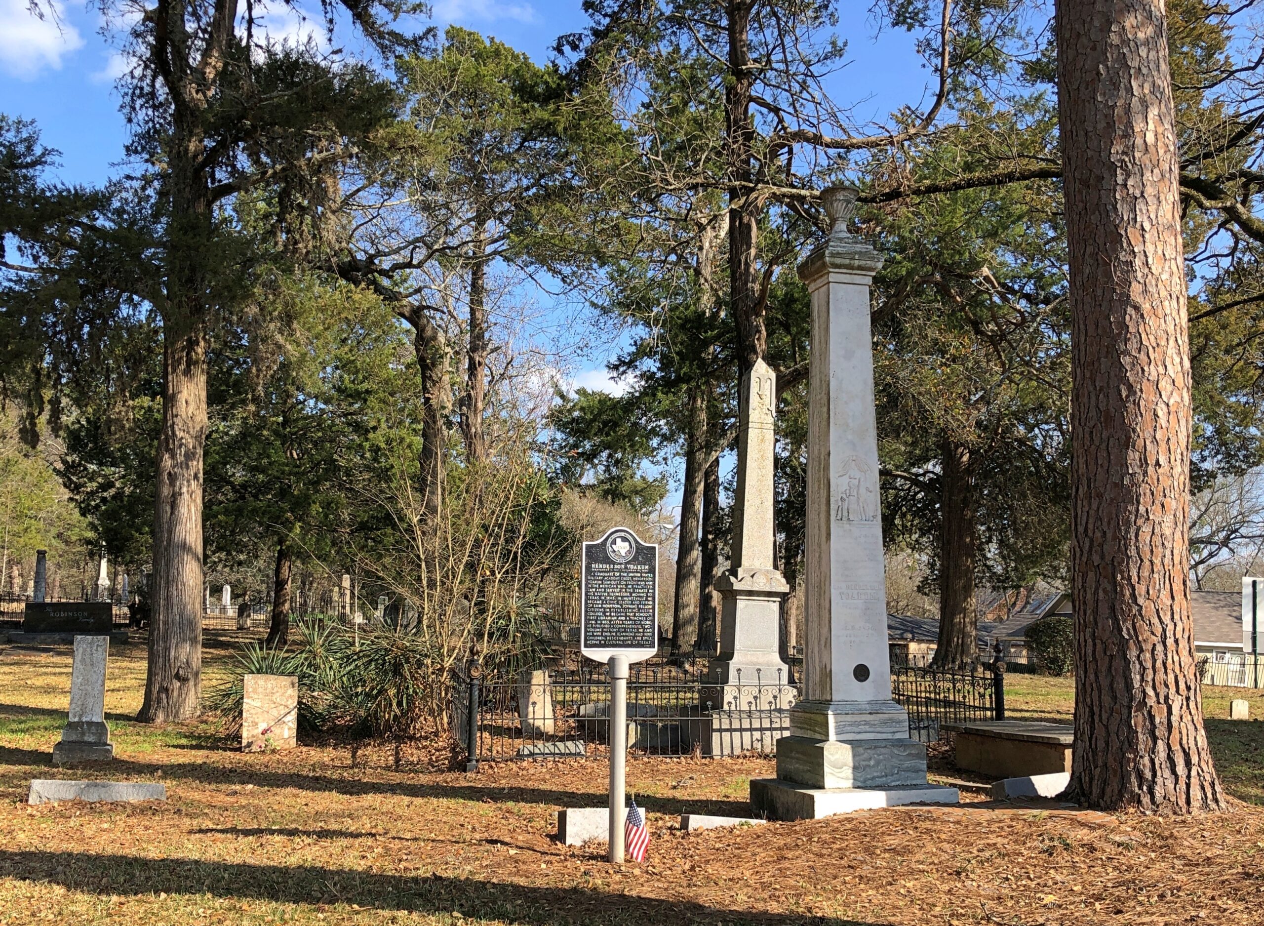
Henderson King Yoakum (d. 1856) is here. He was on the ground floor when it came to writing Texas history, authoring a two-volume work titled History of Texas from Its First Settlement in 1685 to Its Annexation to the United States in 1846 in 1846. His is the taller of the two obelisks.

Henderson King Yoakum

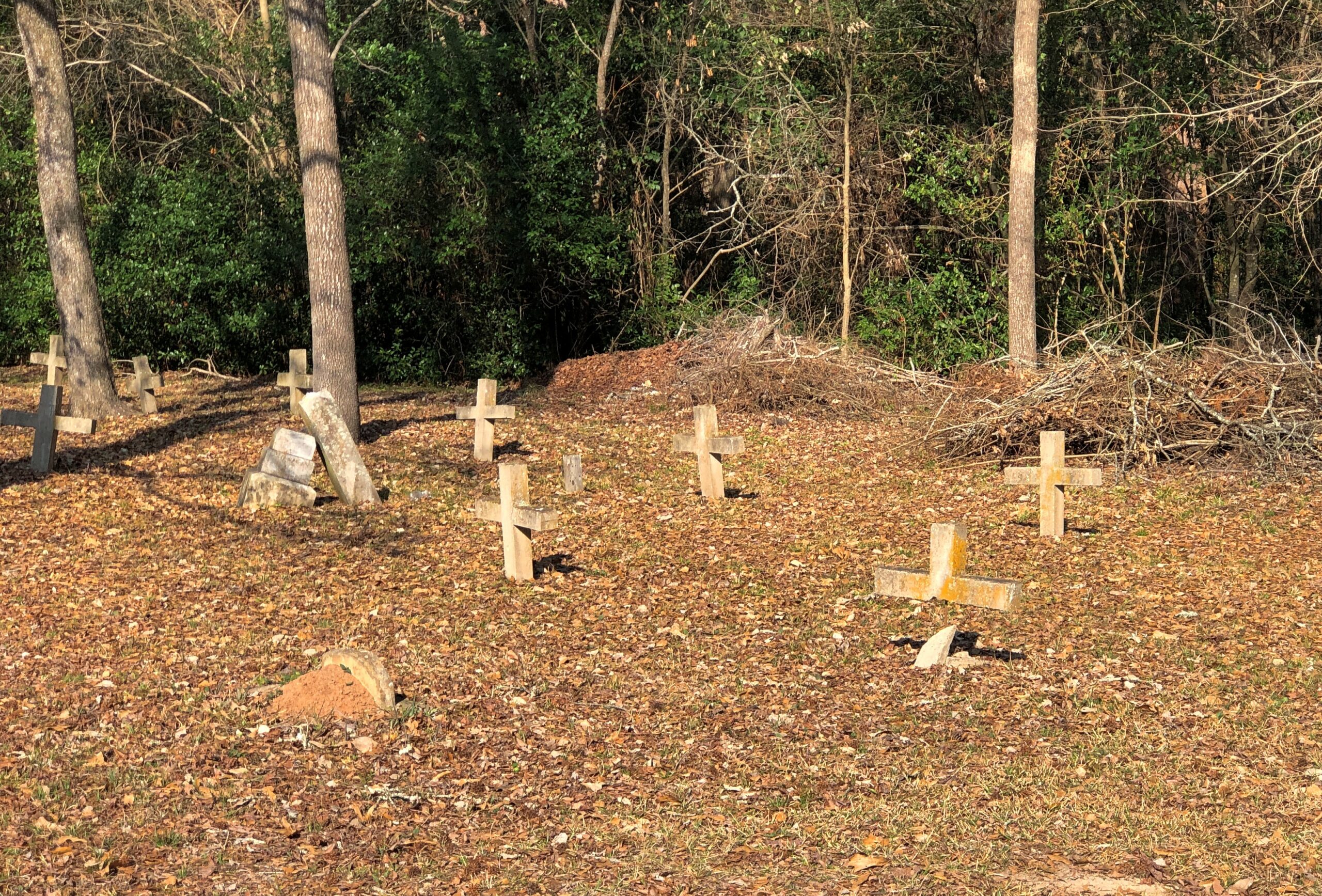
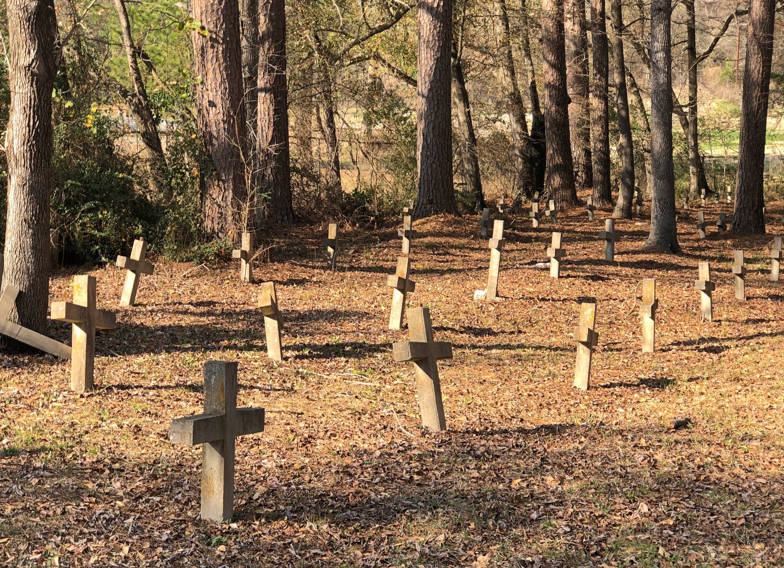
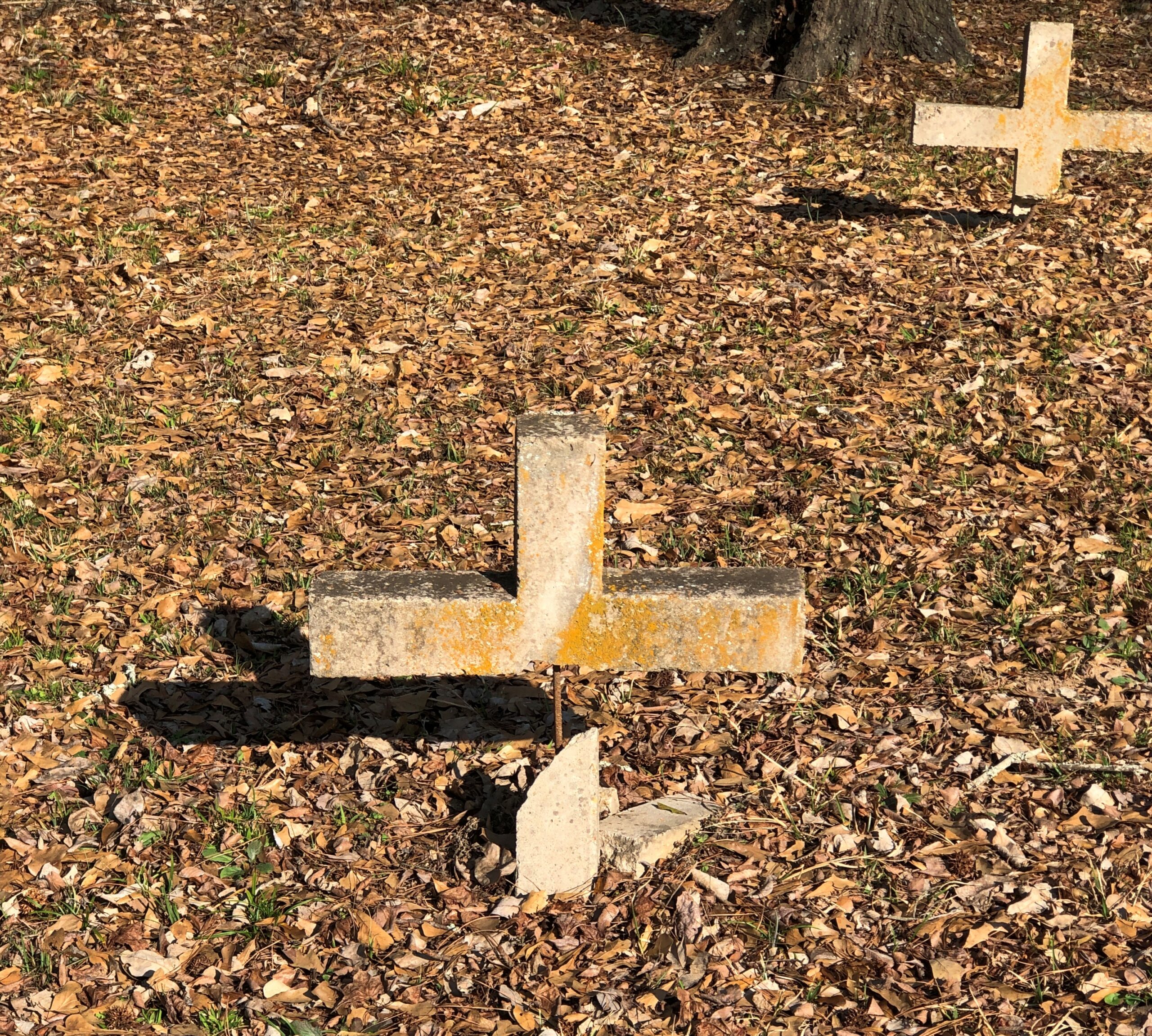
Off in a corner of the older section – which is the sector near Houston – are simple crosses.

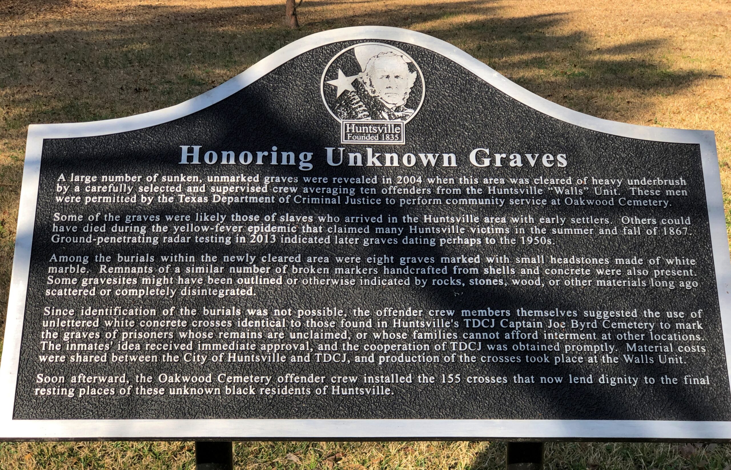
They tell a story. Actually, no. A sign nearby does. It’s worth reading in its entirety.

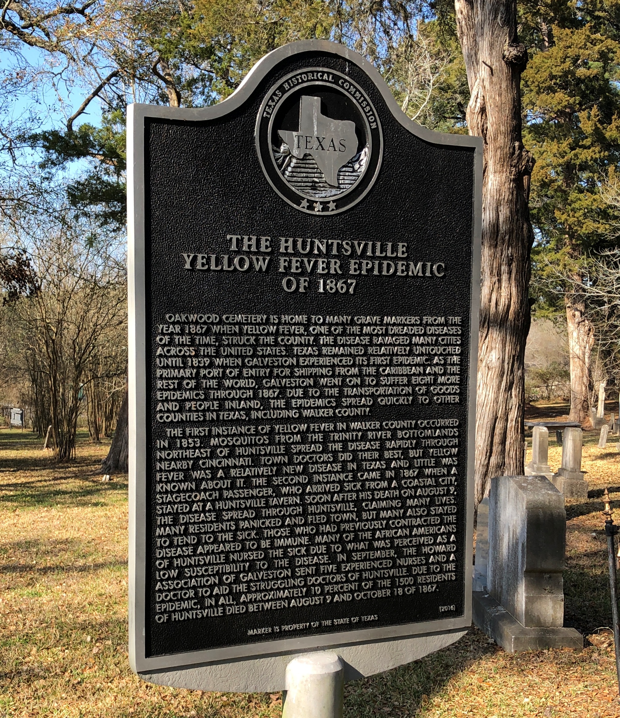
A related story, about the yellow fever epidemic of 1867.

To summarize, in case the text in the photo is hard to read: a lot of Huntsville residents died that year from yellow fever, though not Gen. Houston, who was already dead. Wonder whether any Huntsville physicians or other men of science died persuaded that miasma did them in.

Oak Grove Cemetery, Nacogdoches

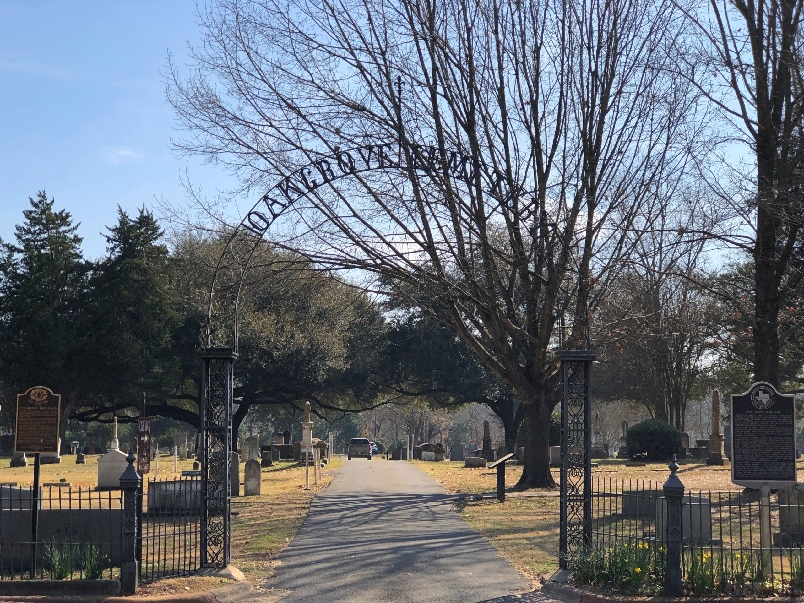
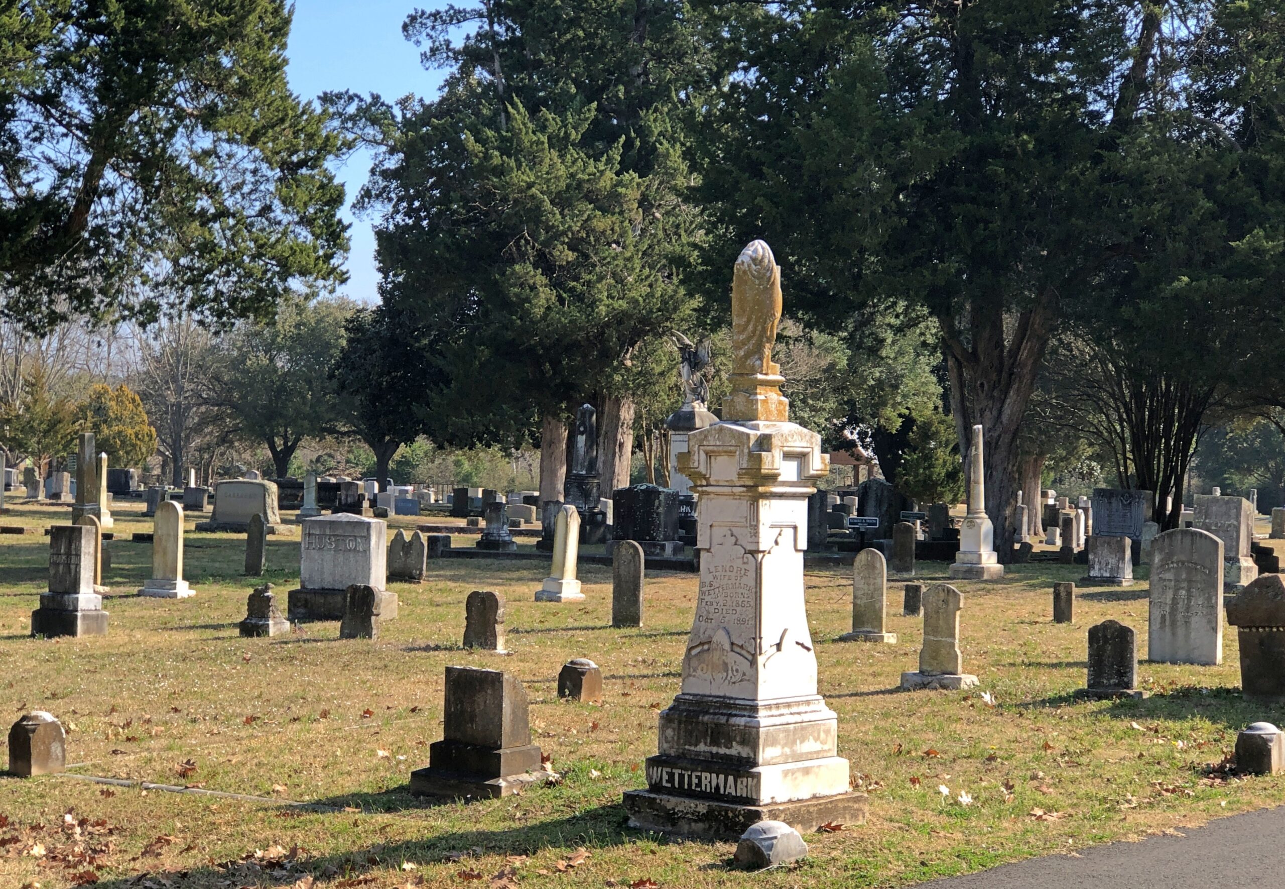
Houston’s Glenwood Cemetery sprawls out near downtown, adjacent to much of the parkland along Buffalo Bayou. In Nacogdoches, Oak Grove Cemetery is a more modest burial ground. Nacogdoches is a more modest city. The entrance to Oak Grove is about a half block from the Main St., but the grounds are still tucked away in a residential neighborhood along Lanana St.

Decent flora, but not a garden cemetery.

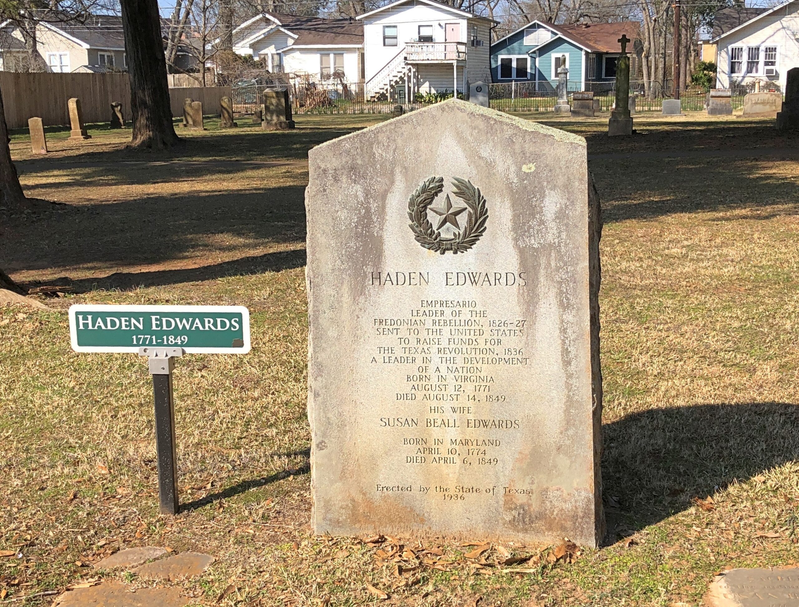
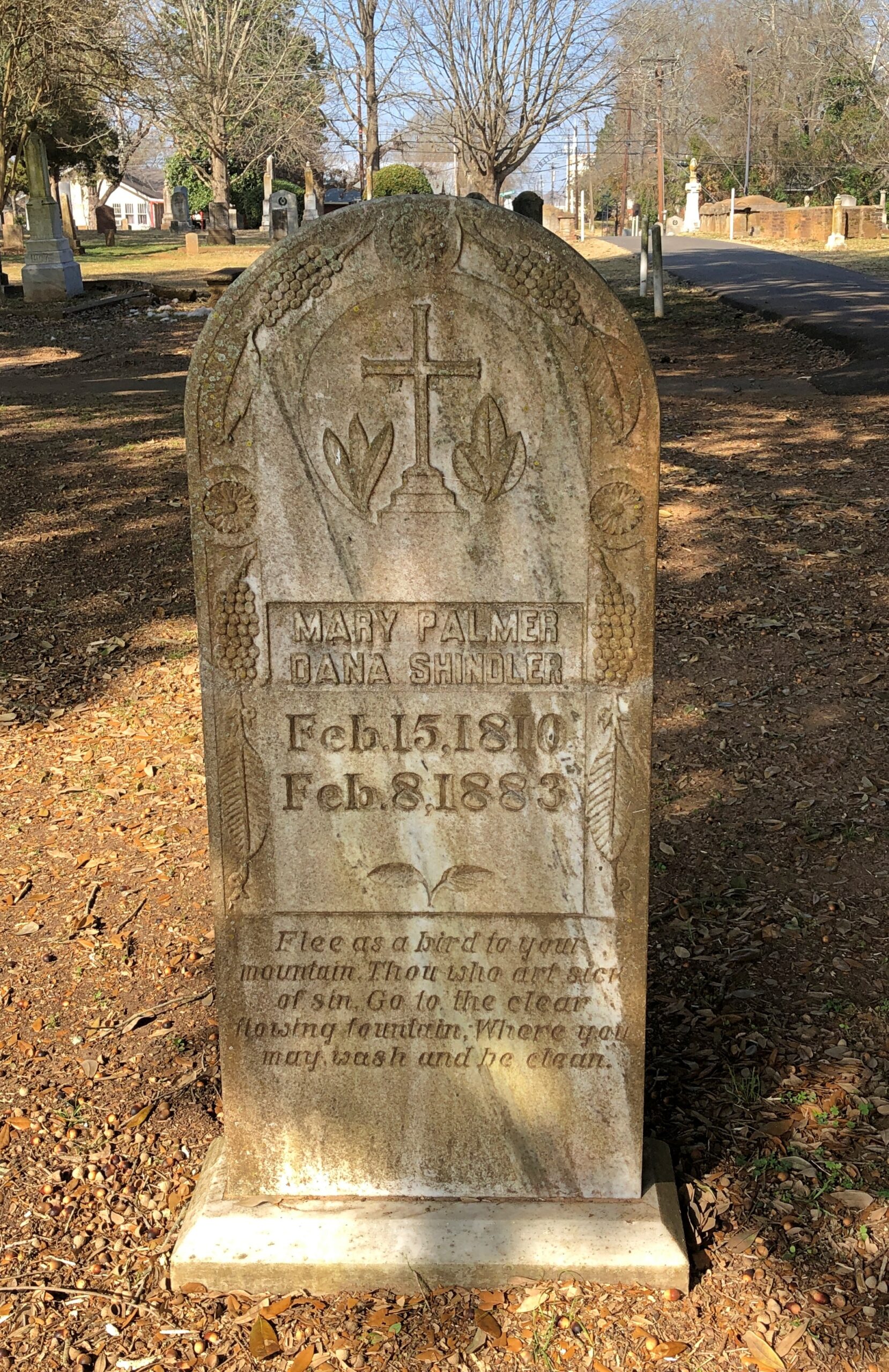
It’s an old cemetery by modern Texas standards – the first burial was the year after independence – so the cemetery punches above its weight in one way: noted early Texans. Such as Harden Edwards.

The state saw fit, during the 1936 Centennial, to put up a new stone for Edwards, an empresario and “Leader of the Freedonian Rebellion,” who must have penned the rousing tune, “Hail, Hail Freedonia,” for future generations to enjoy.

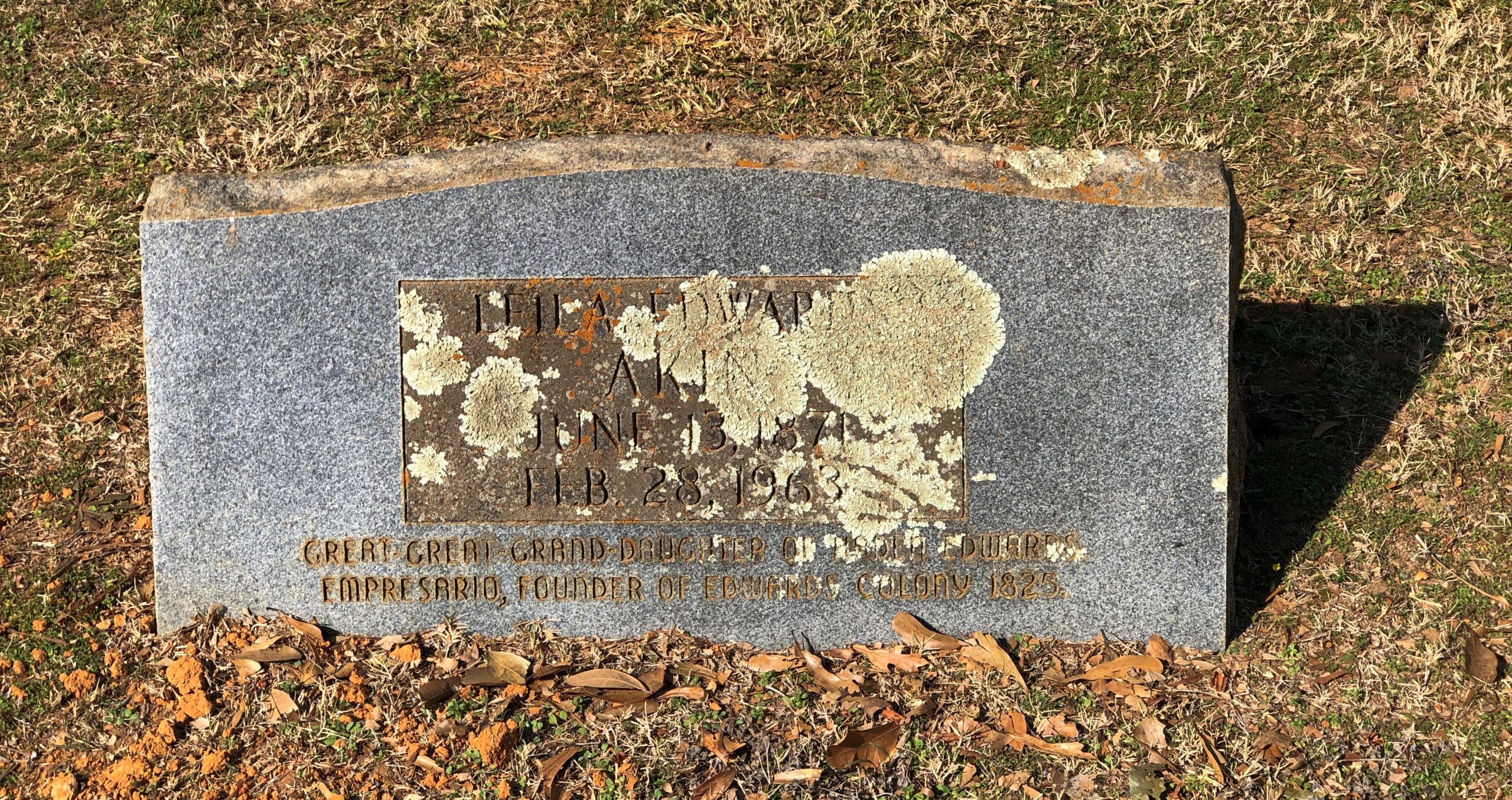
The stone of a great-great granddaughter of Edwards who died in 1963 seems eager to bask in his remote glory. Why not?

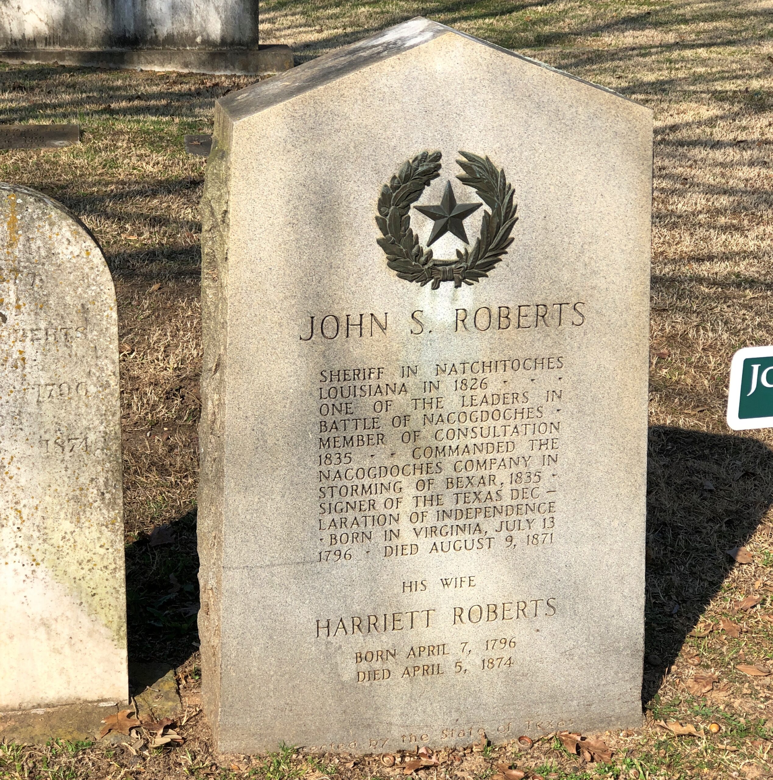
One of the cemetery’s four signers of the Texas Declaration of Independence (60 men in total signed it).

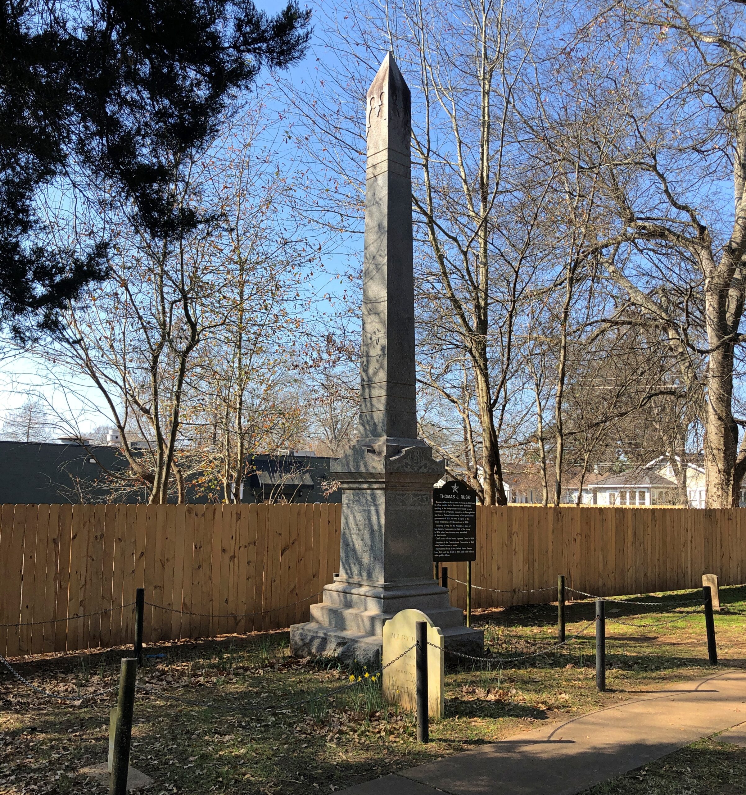
A big name around here: Thomas J. Rusk.

He was a signer, fought at San Jacinto, and had a notable career in antebellum Texas and U.S. politics. There’s is a town a county over from Nacogdoches named Rusk, seat of Cherokee County. Also, strangely, a font based on his handwriting was created in our time, “Texas Hero.”

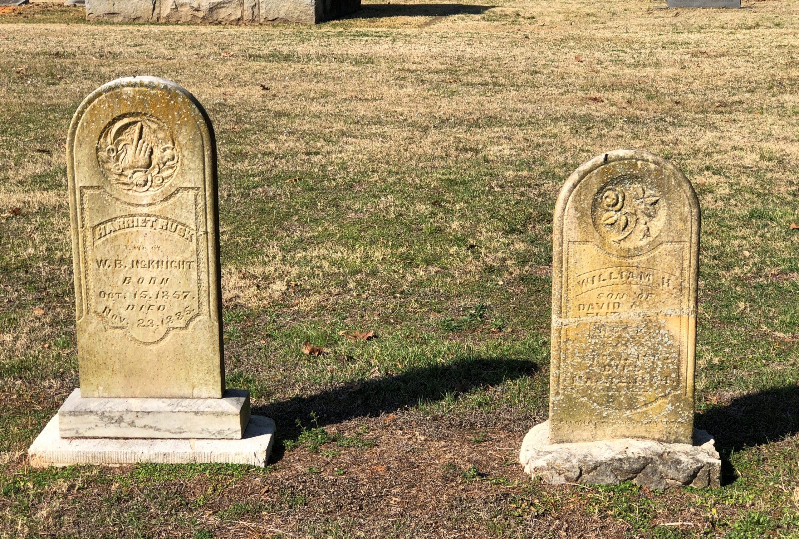
Some regular folks.

I don’t know how ordinary this person was, but perhaps he was gifted with Victorian prolixity. Or maybe his family was.

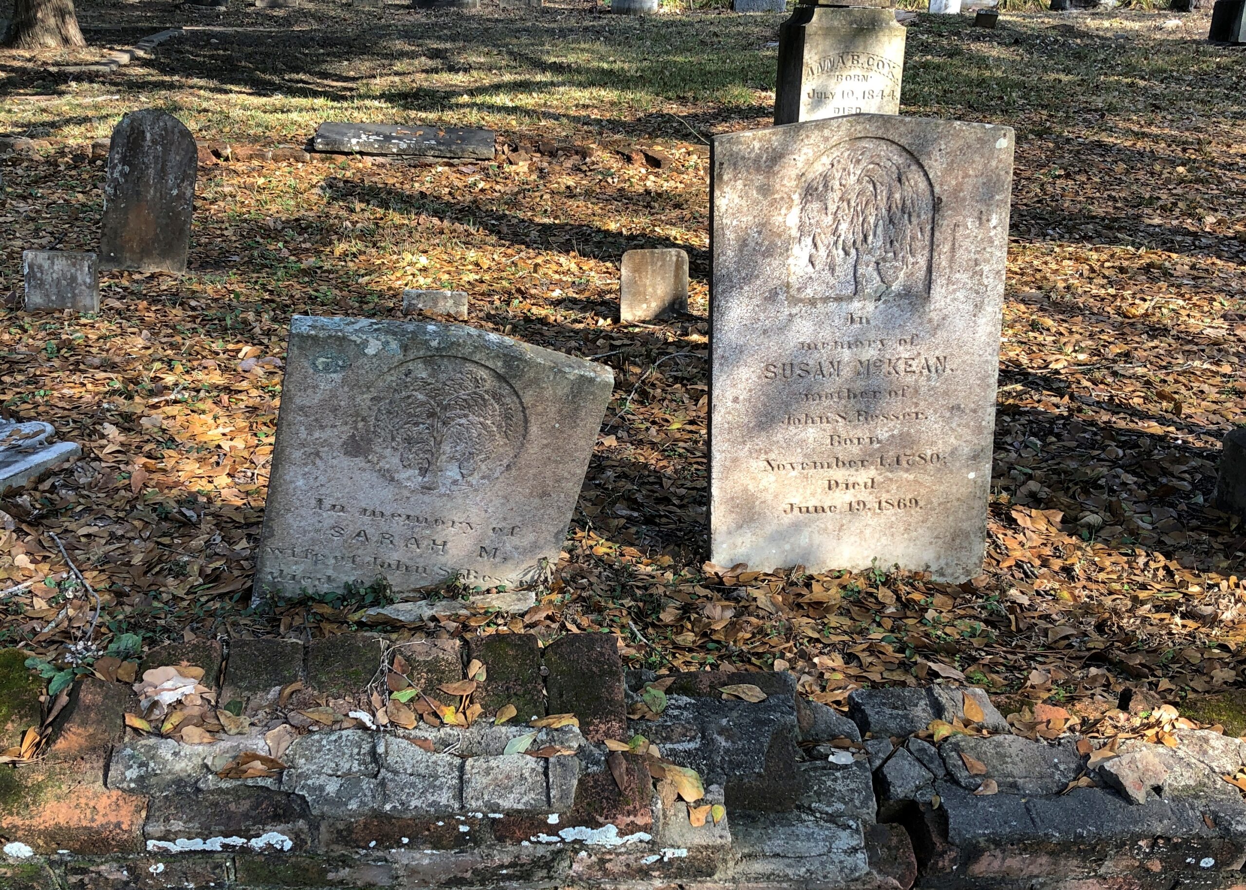
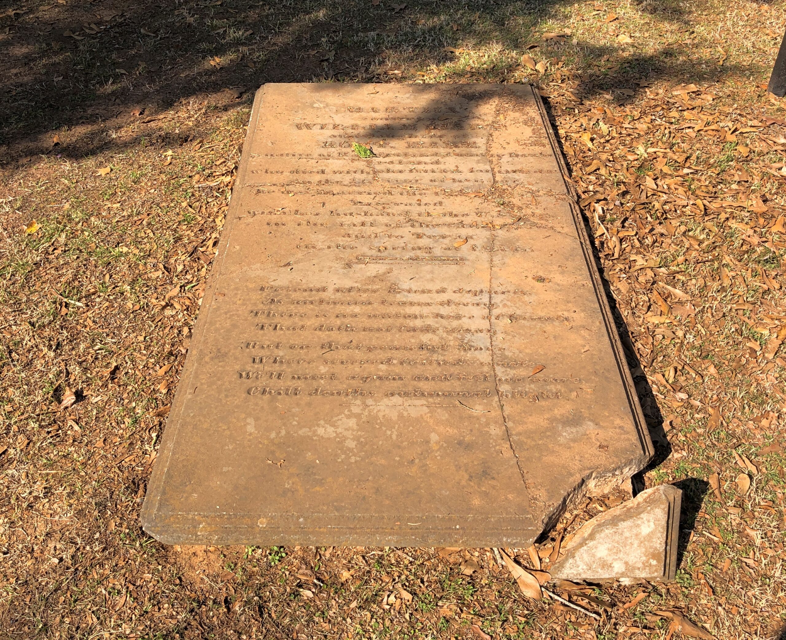
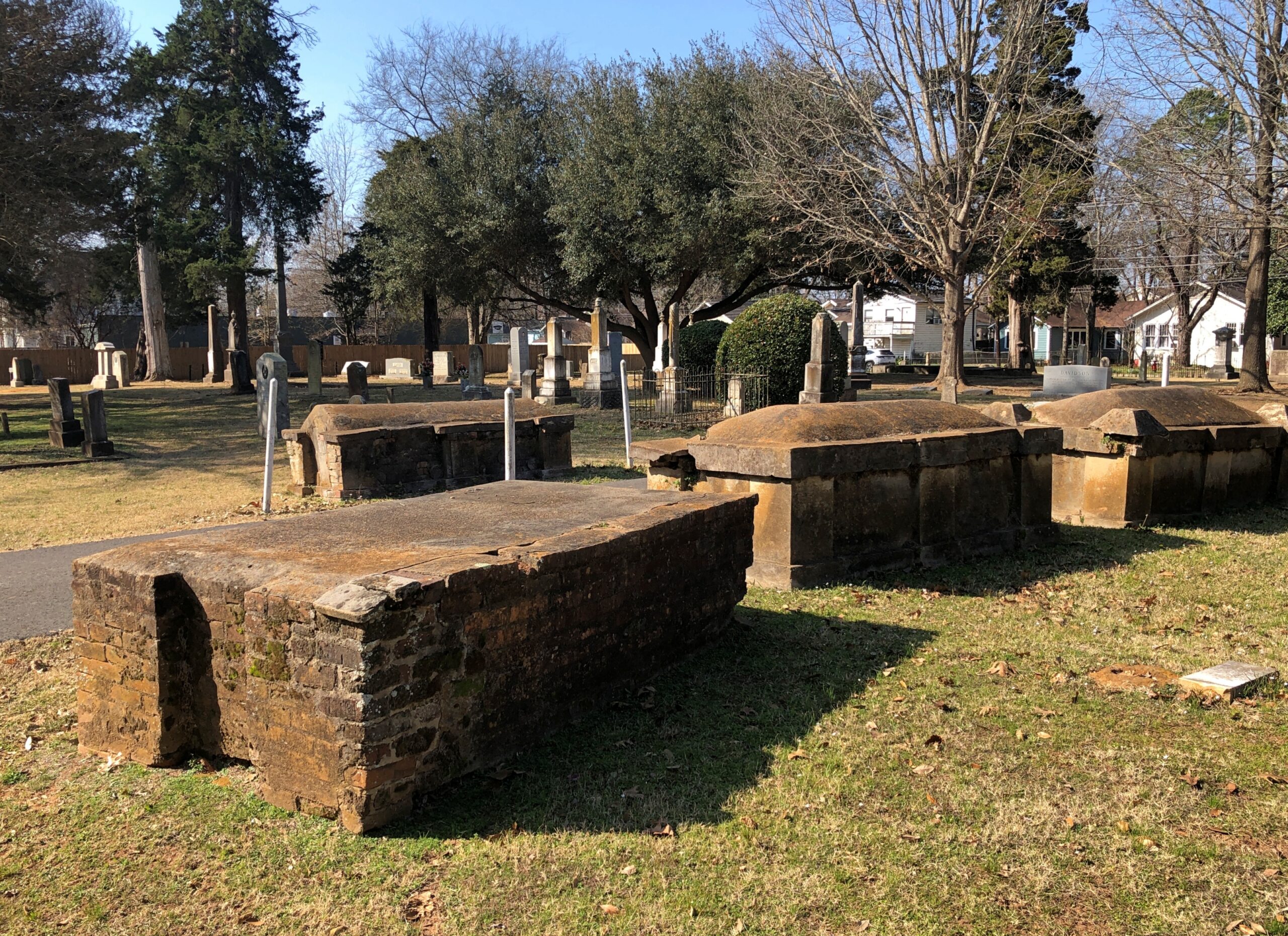
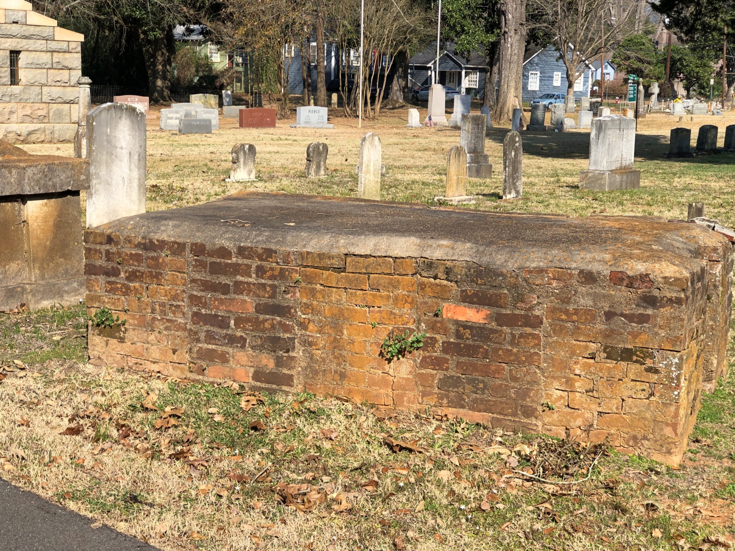
Brick tombs of the kind I’ve seen elsewhere in the South from roughly the same period, that is, sometime in the 19th century.

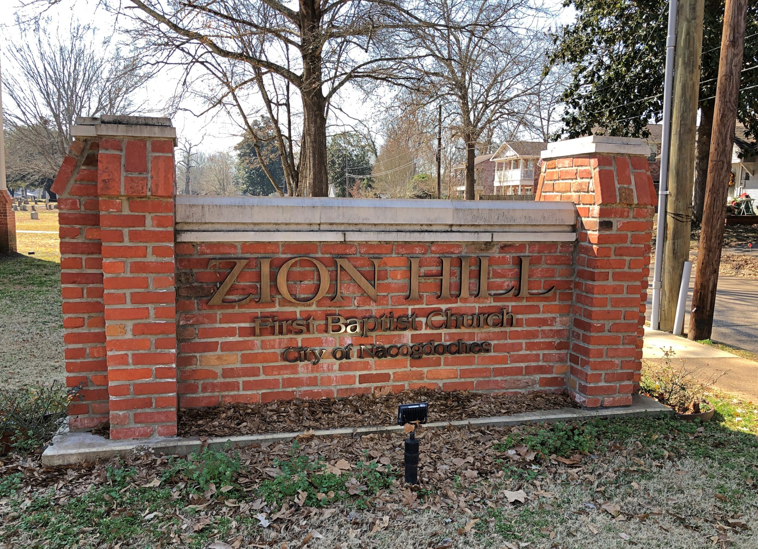
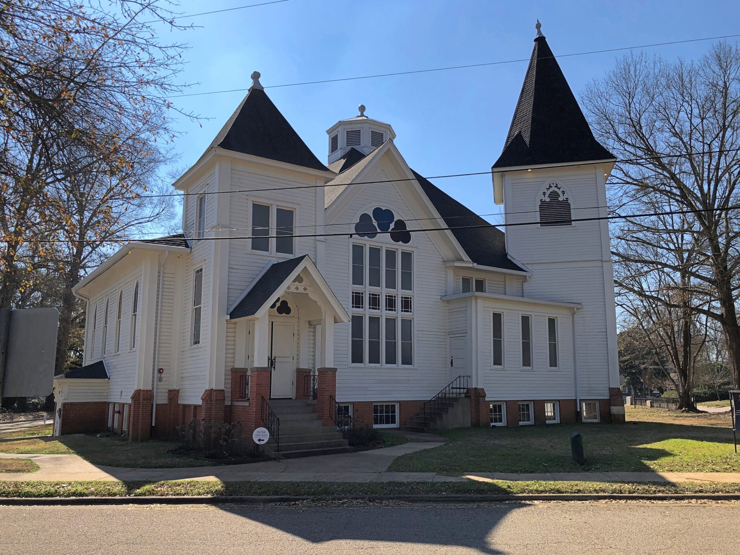
Adjacent to the cemetery but not associated with it is the former home of Zion Hill Baptist Church, one of the oldest African-American Baptist congregations in Texas, founded in 1878. The church is on the corner of Lanana and the delightfully named Bois d’arc St., as in lumpy “apples.”

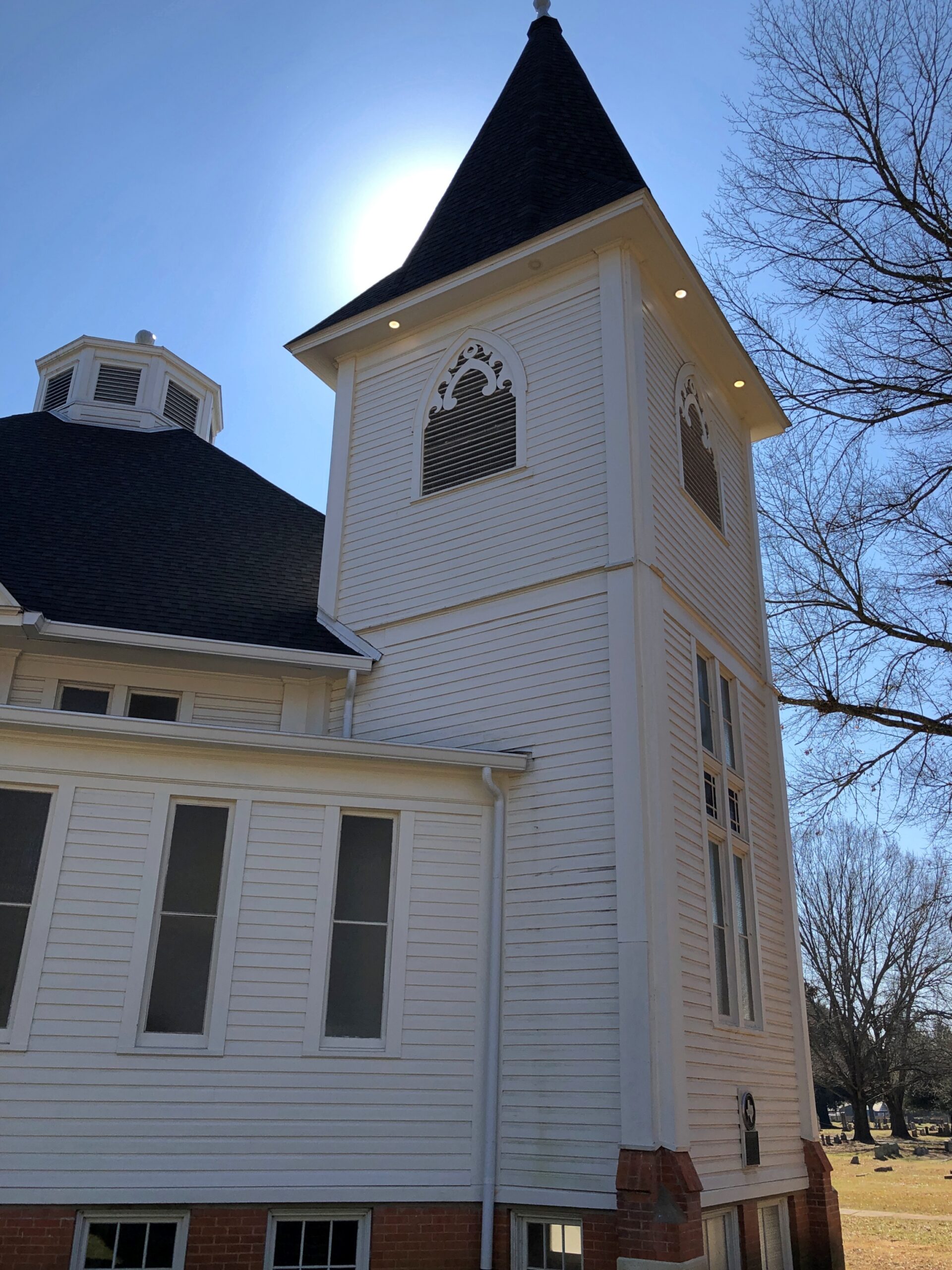
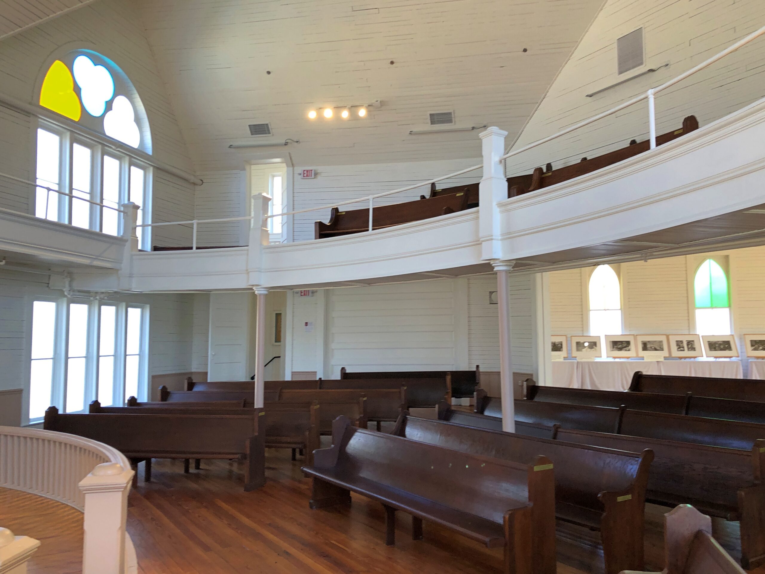
The congregation hasn’t used the structure, designed in 1914 by architect Diedrich Rulfs, for nearly 40 years. It’s a fine little museum these days, restored to its early 20th century glory.

Rulfs was a German who made good in Texas, as so many have, within a very special niche: most of the buildings worth seeing in Nacogdoches are his work.

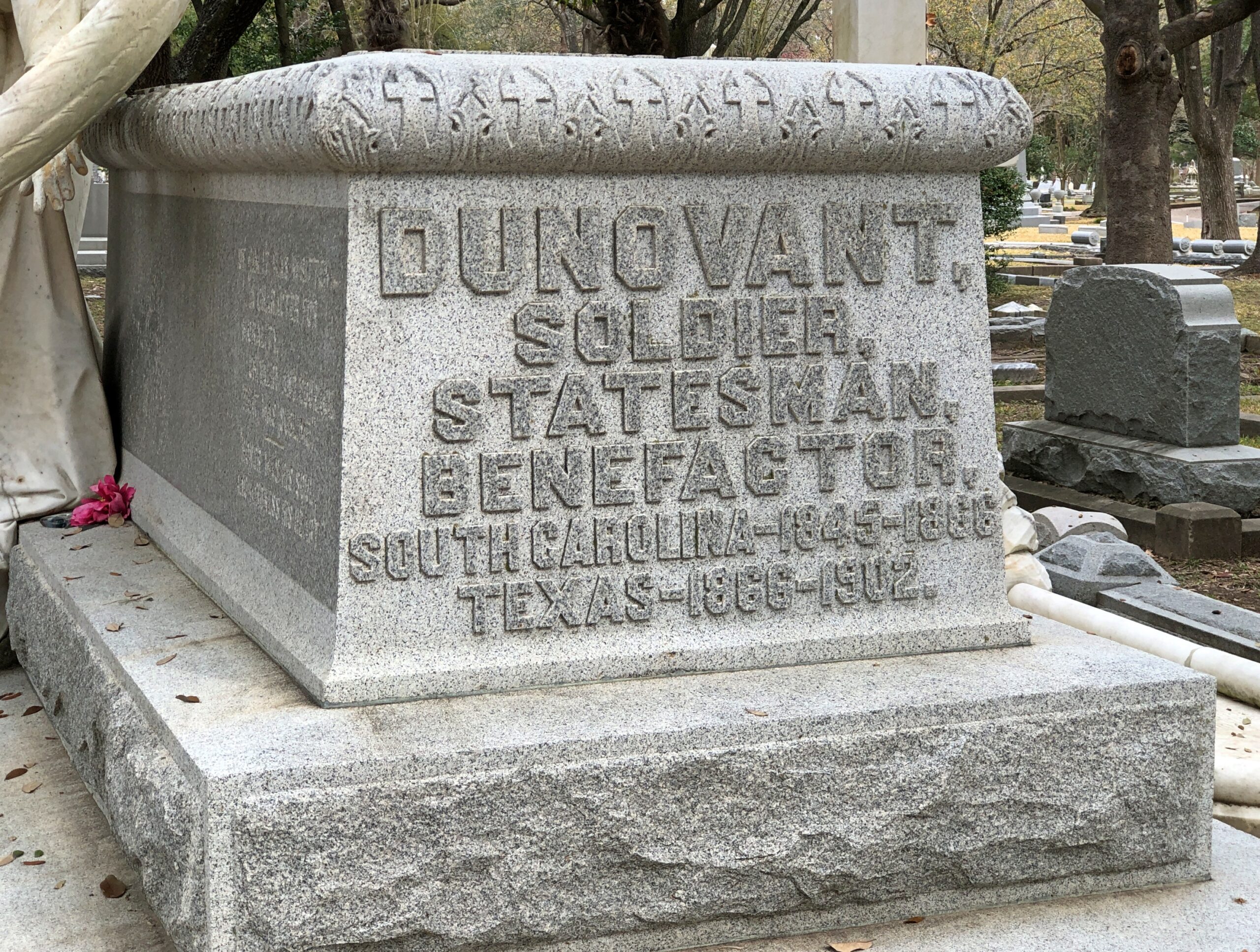
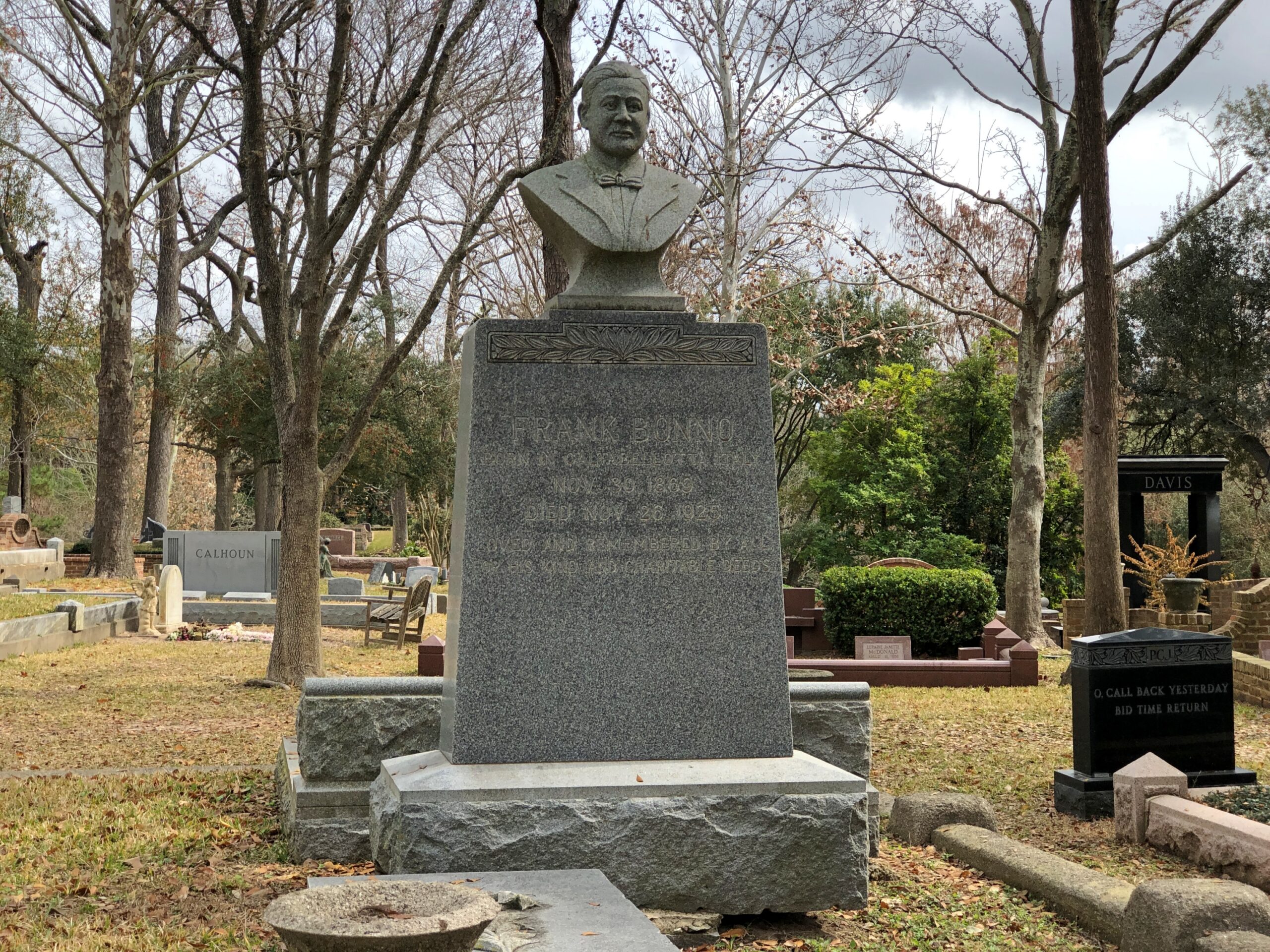
Glenwood Cemetery, Houston

Another in the very large file of Things You Don’t See Everywhere.

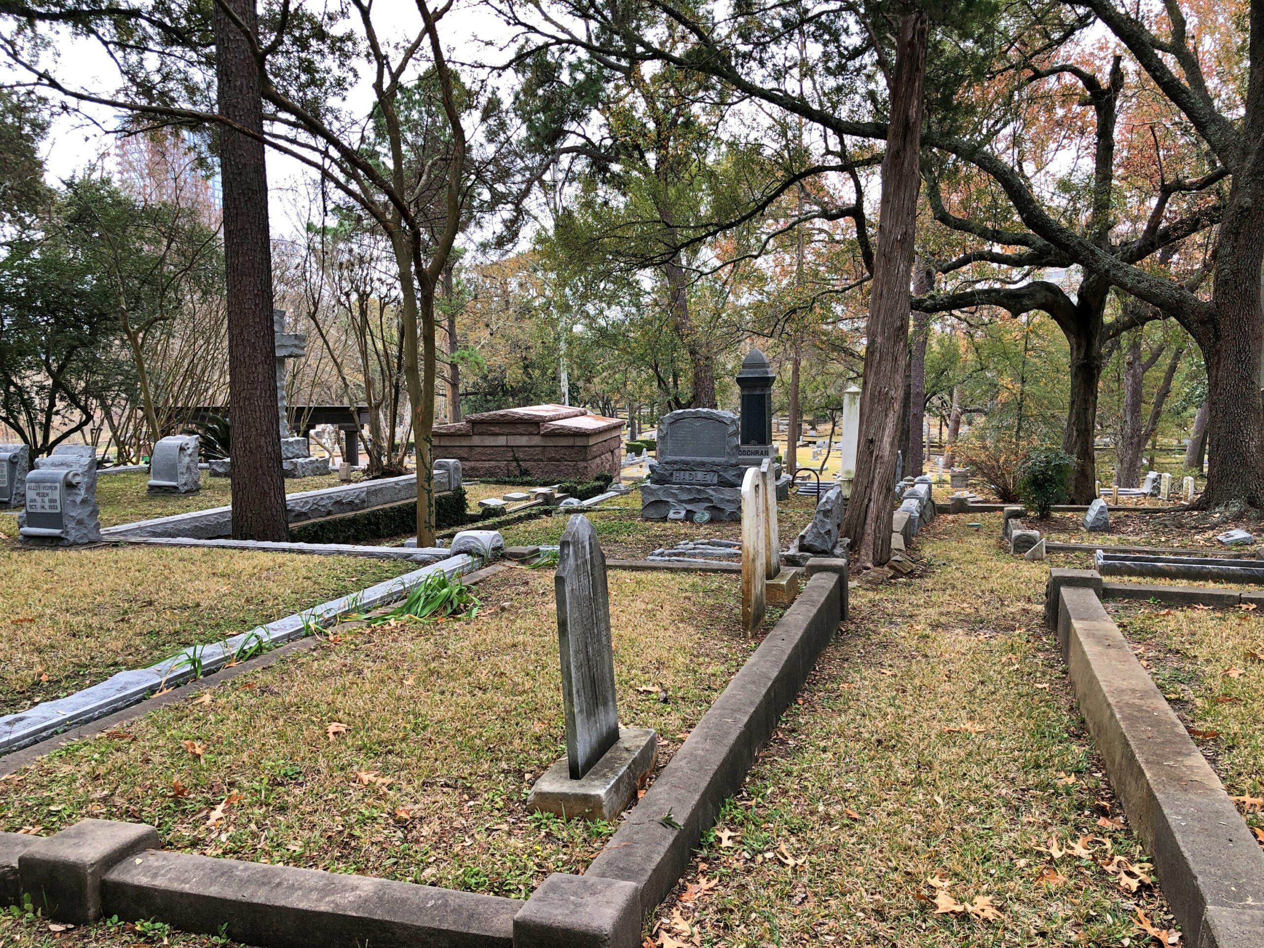
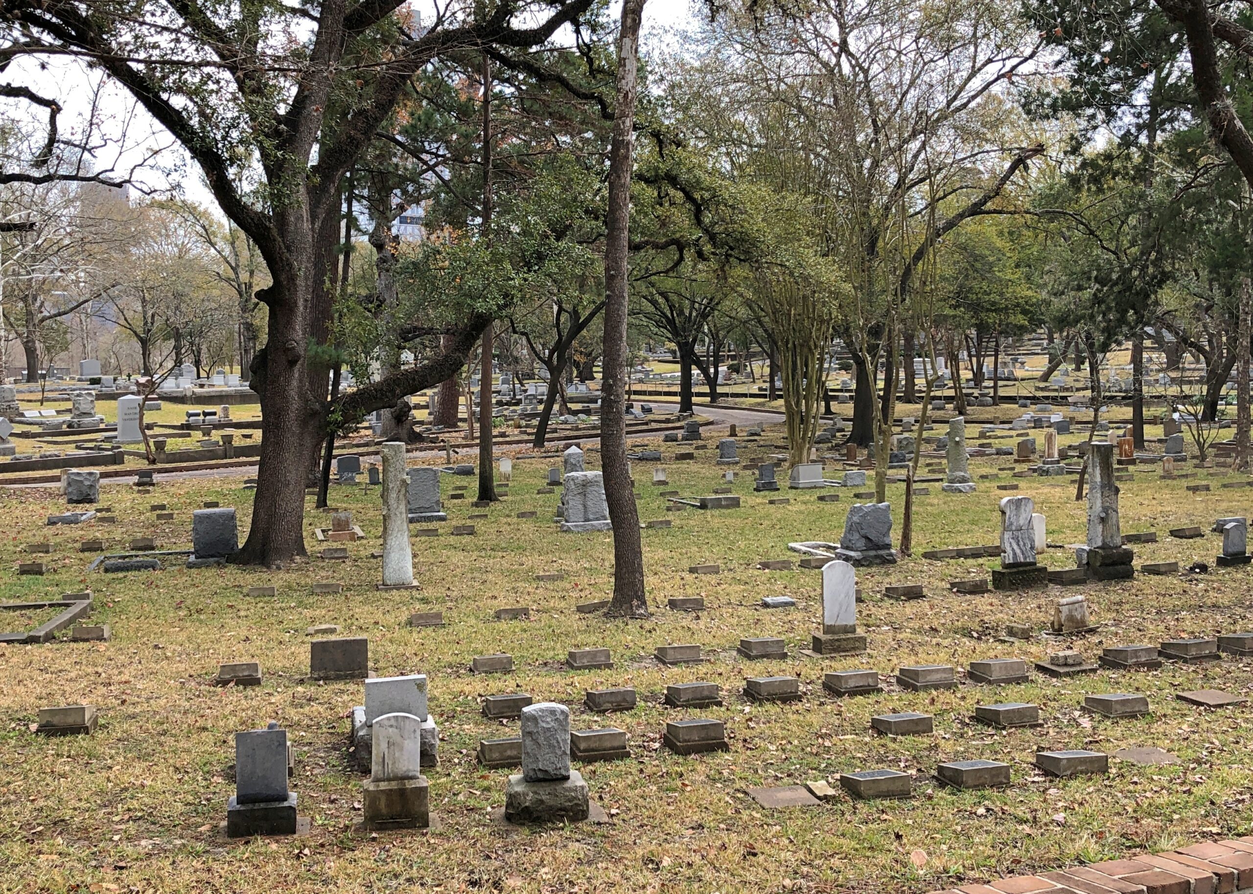
Go to a Texas cemetery of any size and of an older vintage, and you might well see one. While in Houston, I made my way to the Glenwood Cemetery, which isn’t far from downtown.

Expansive, slightly rolling but also partly hilly, and chock-a-block with stones for the departed.

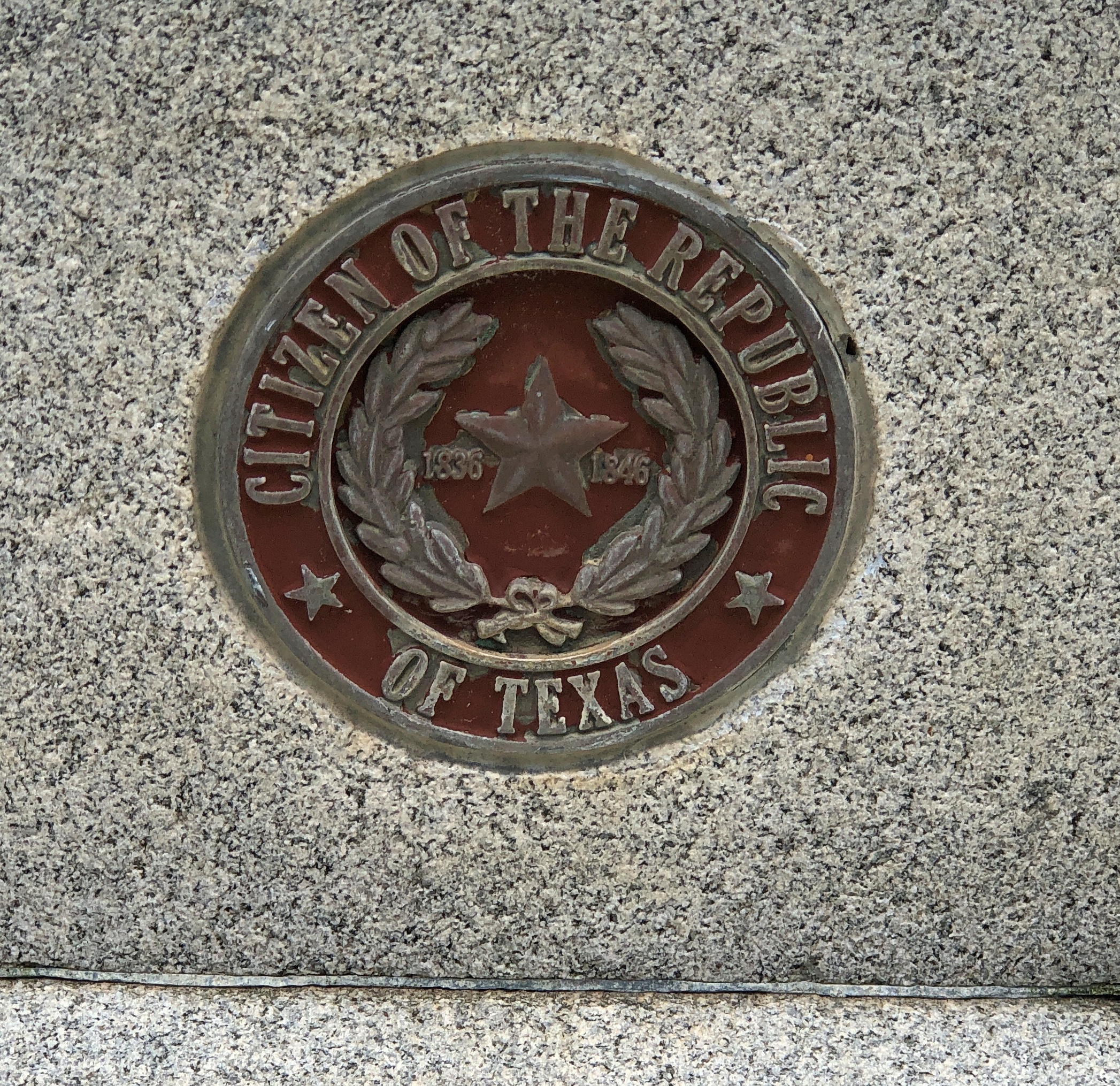
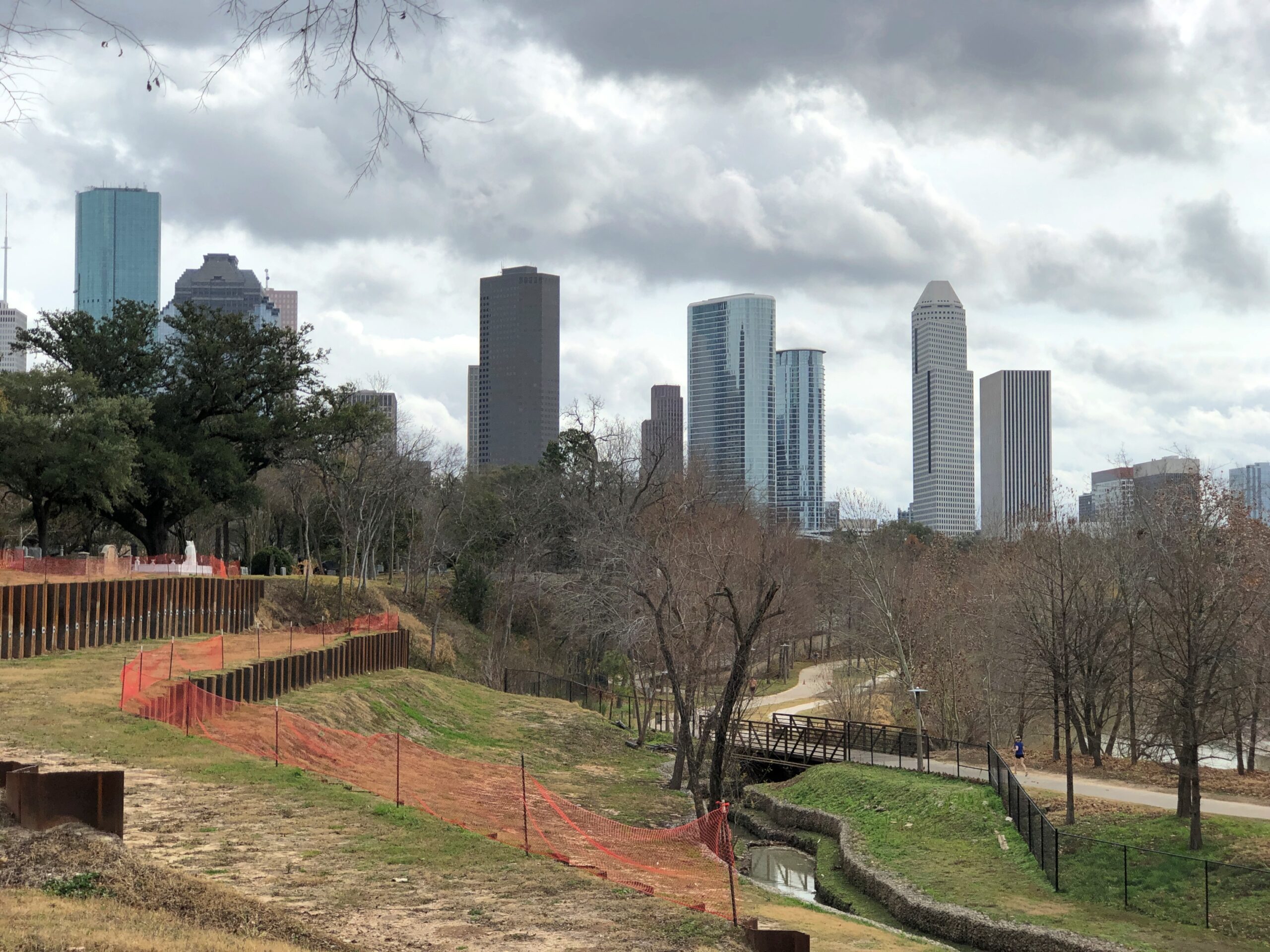
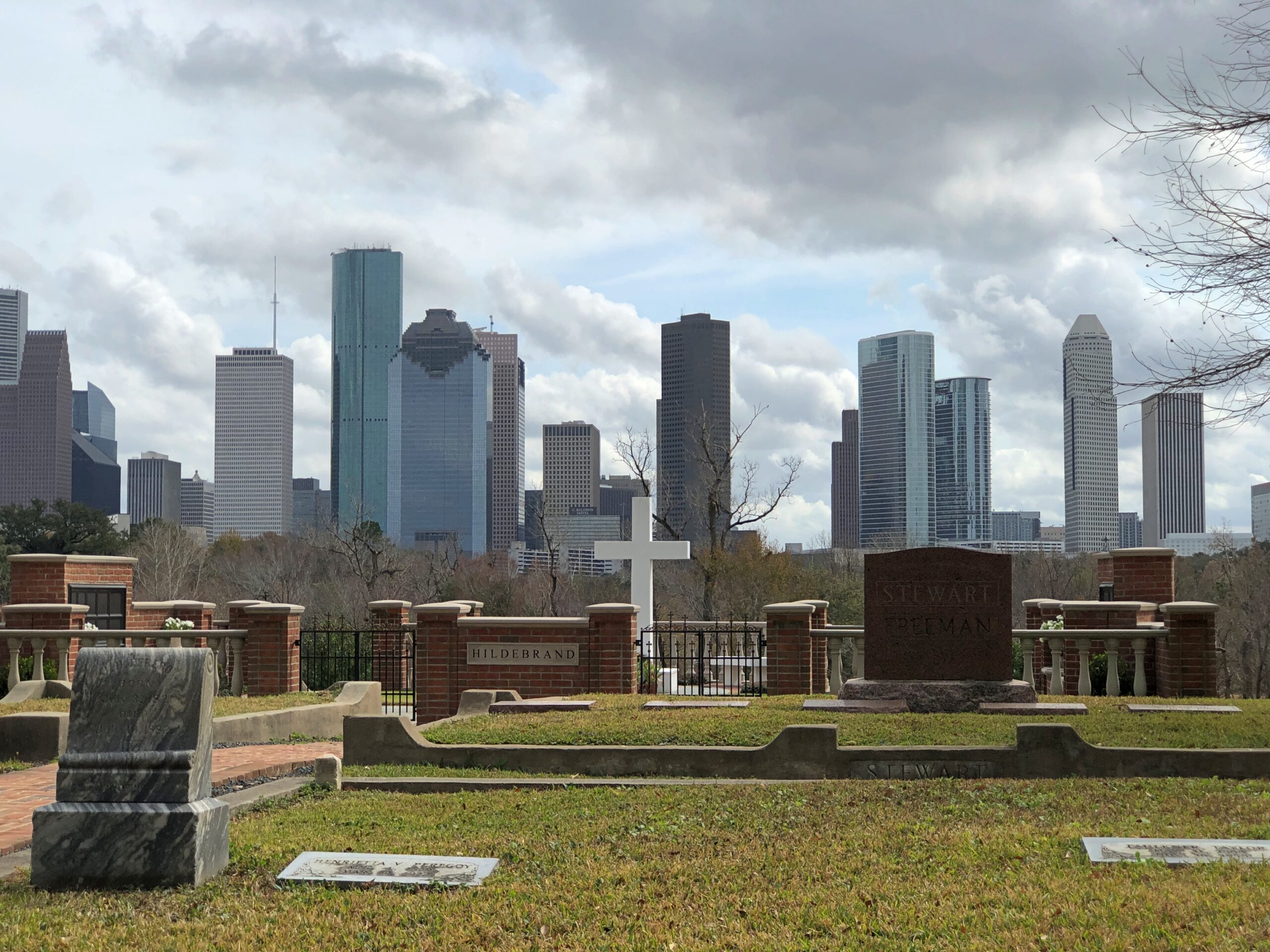
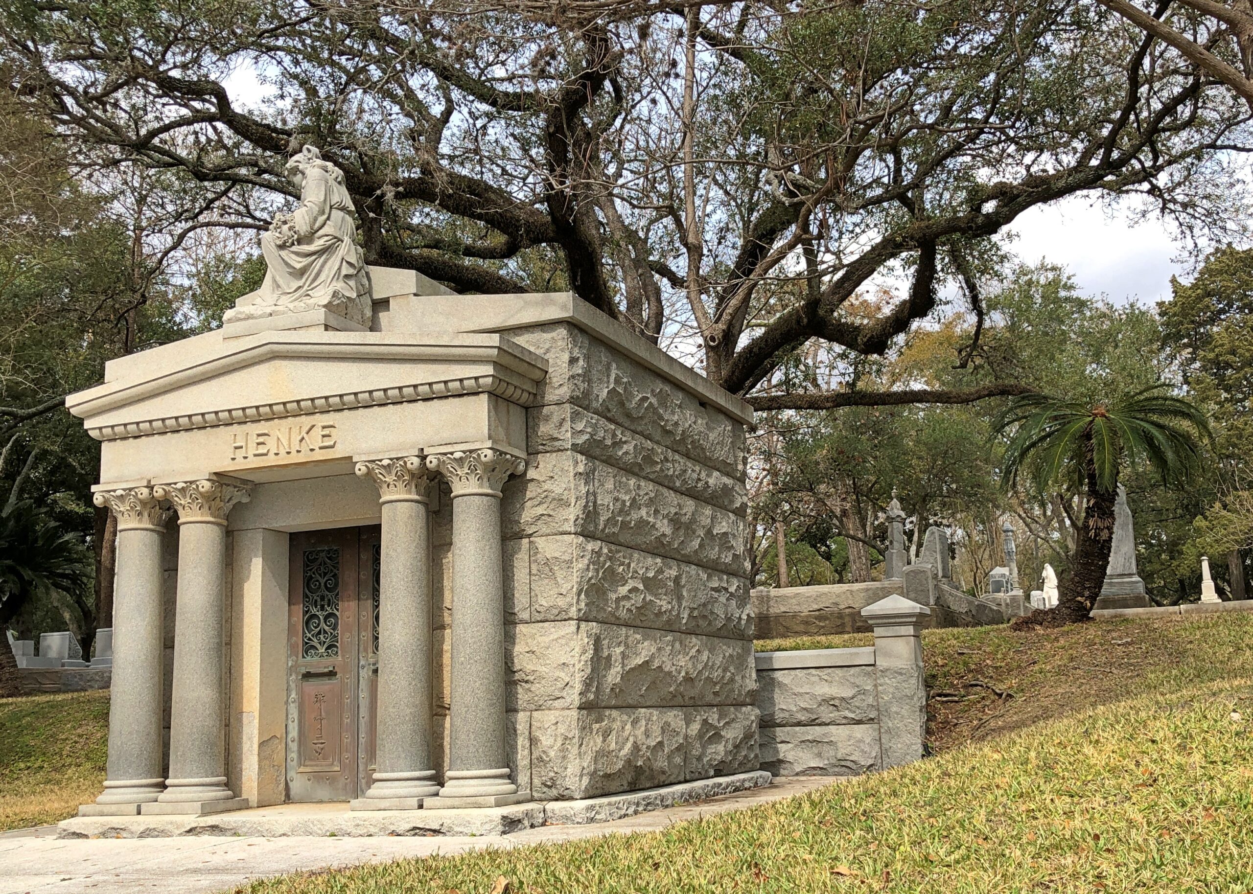
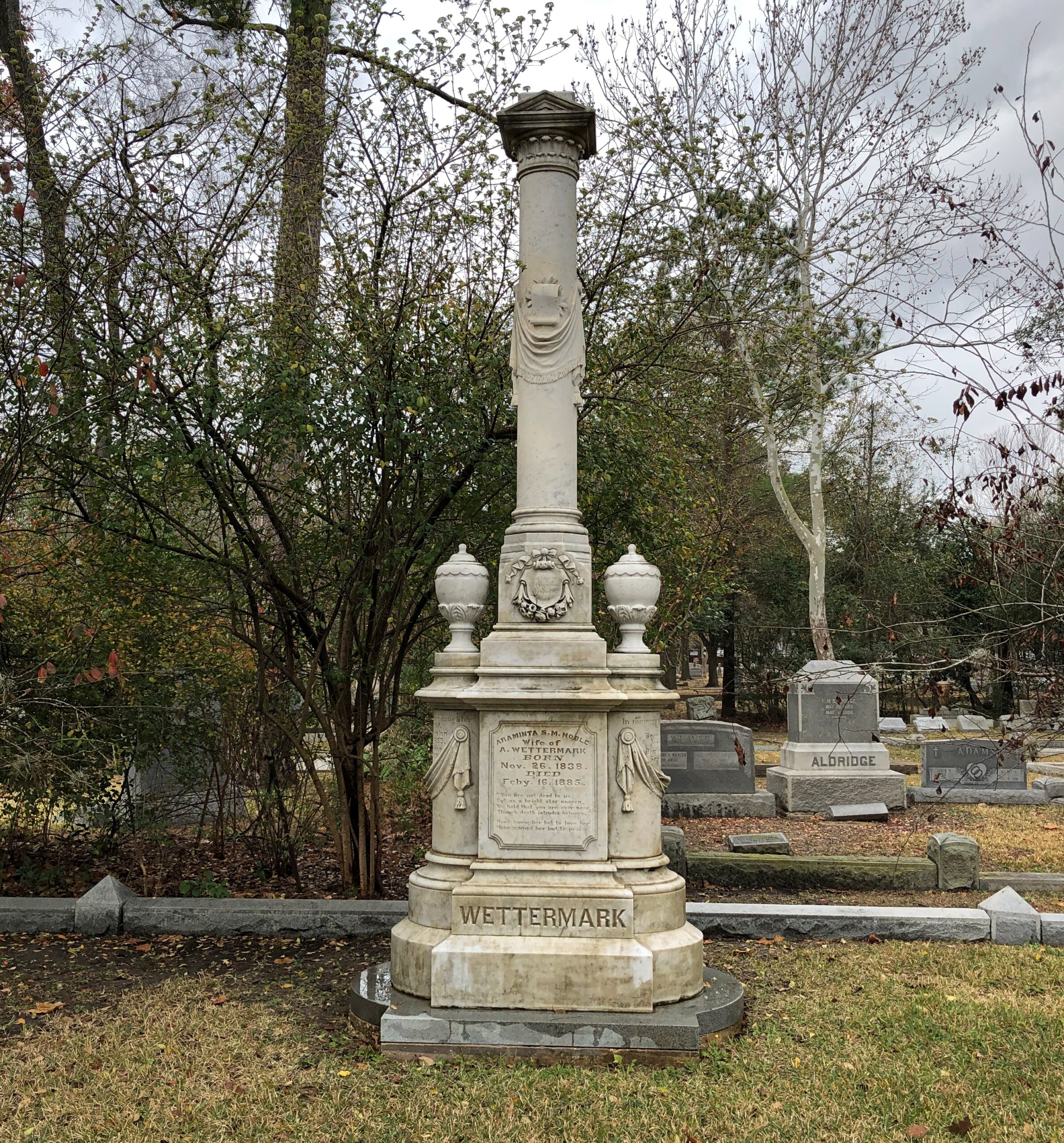
Pretty lush in the spring or summer, but earth tones take over for the winter. Glenwood Cemetery is Houston’s rural cemetery movement cemetery, opening in 1871 and since becoming the permanent residence of citizens of the Republic, but also assorted mayors, governors, business men and other Houston notables, including those with the scratch for some sizable memorials. Some monumental.

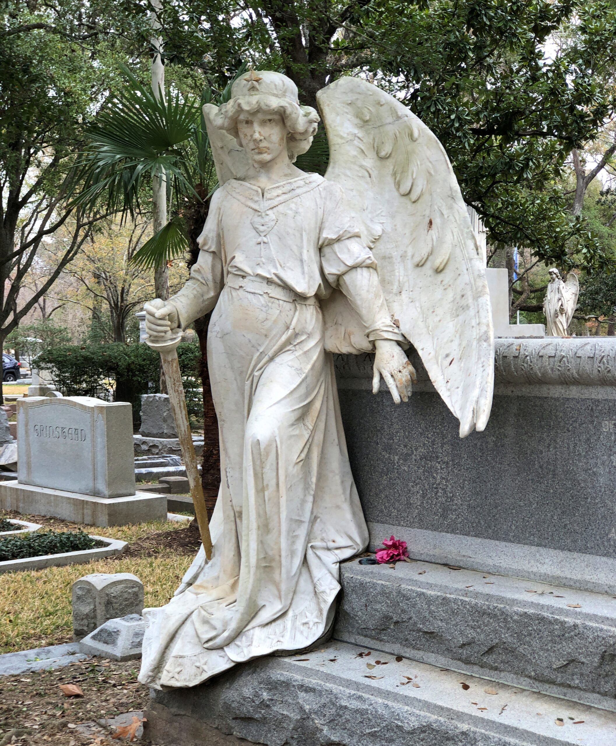
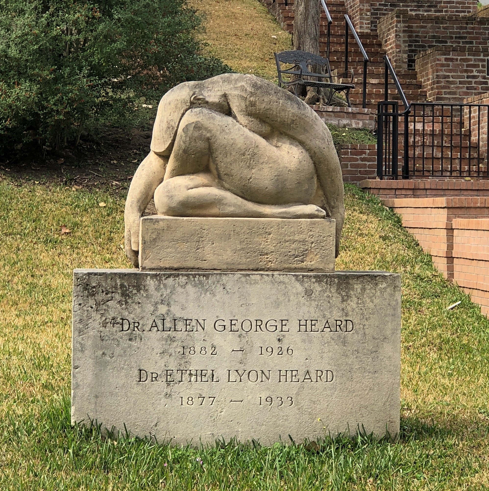
Others more artistic.

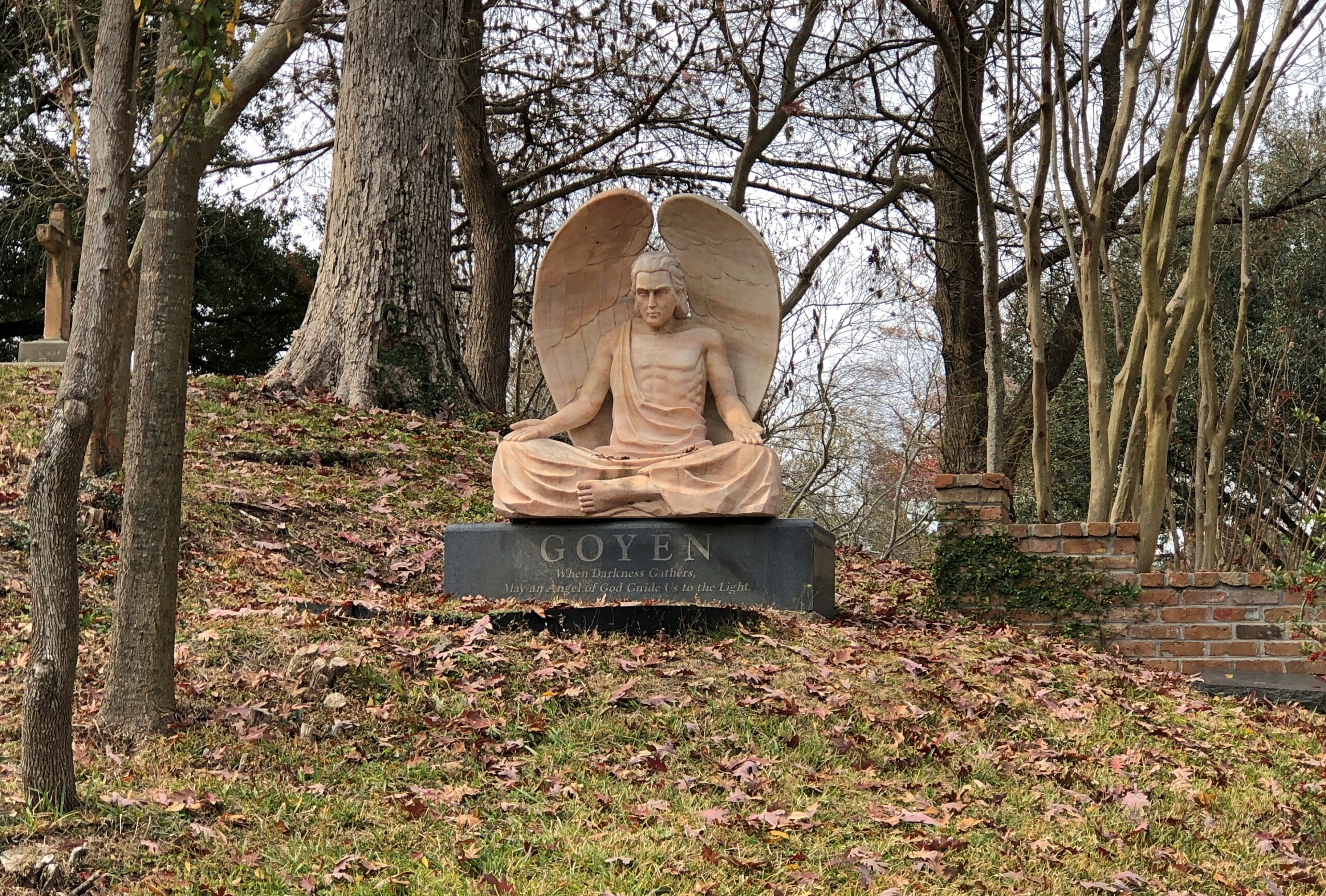
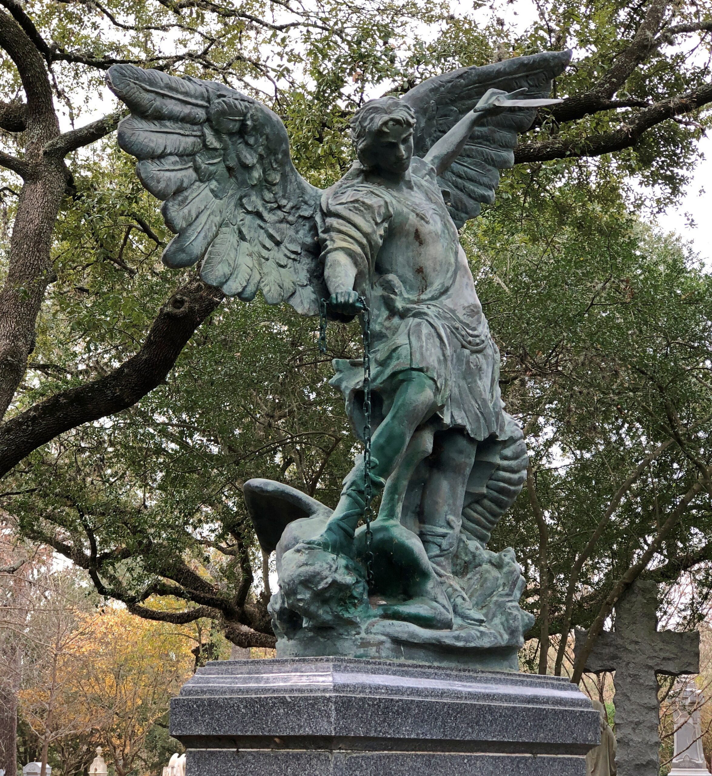
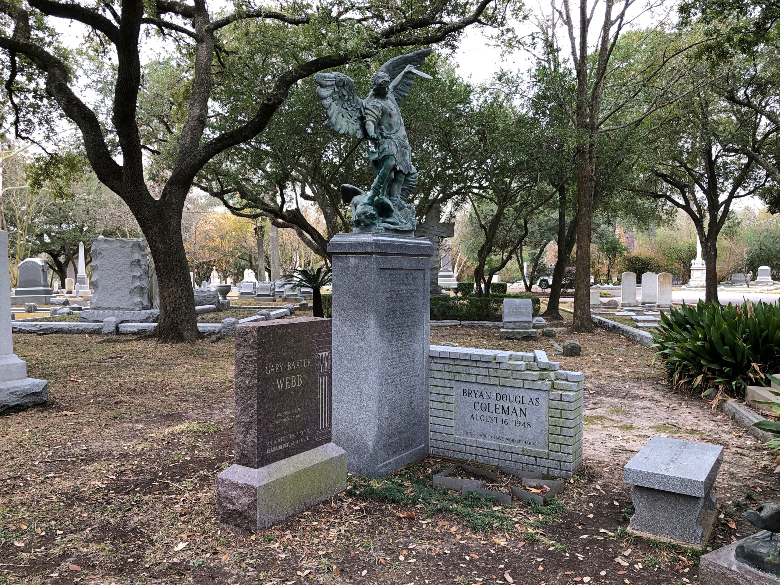
Goyen is an angel, looking rather not like one you might see on a Hallmark card. Below, looks like St. Michael body-stomping Satan.

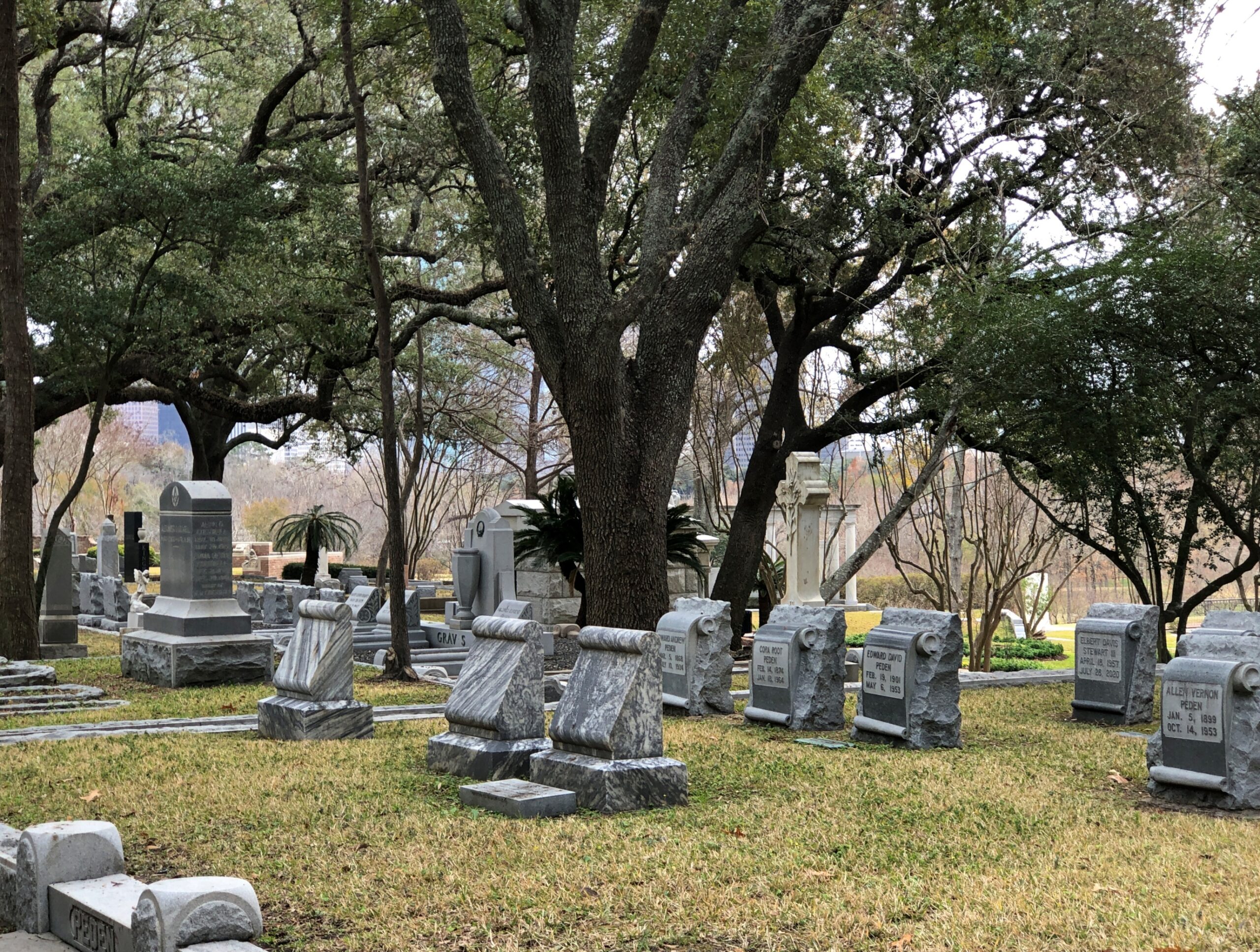
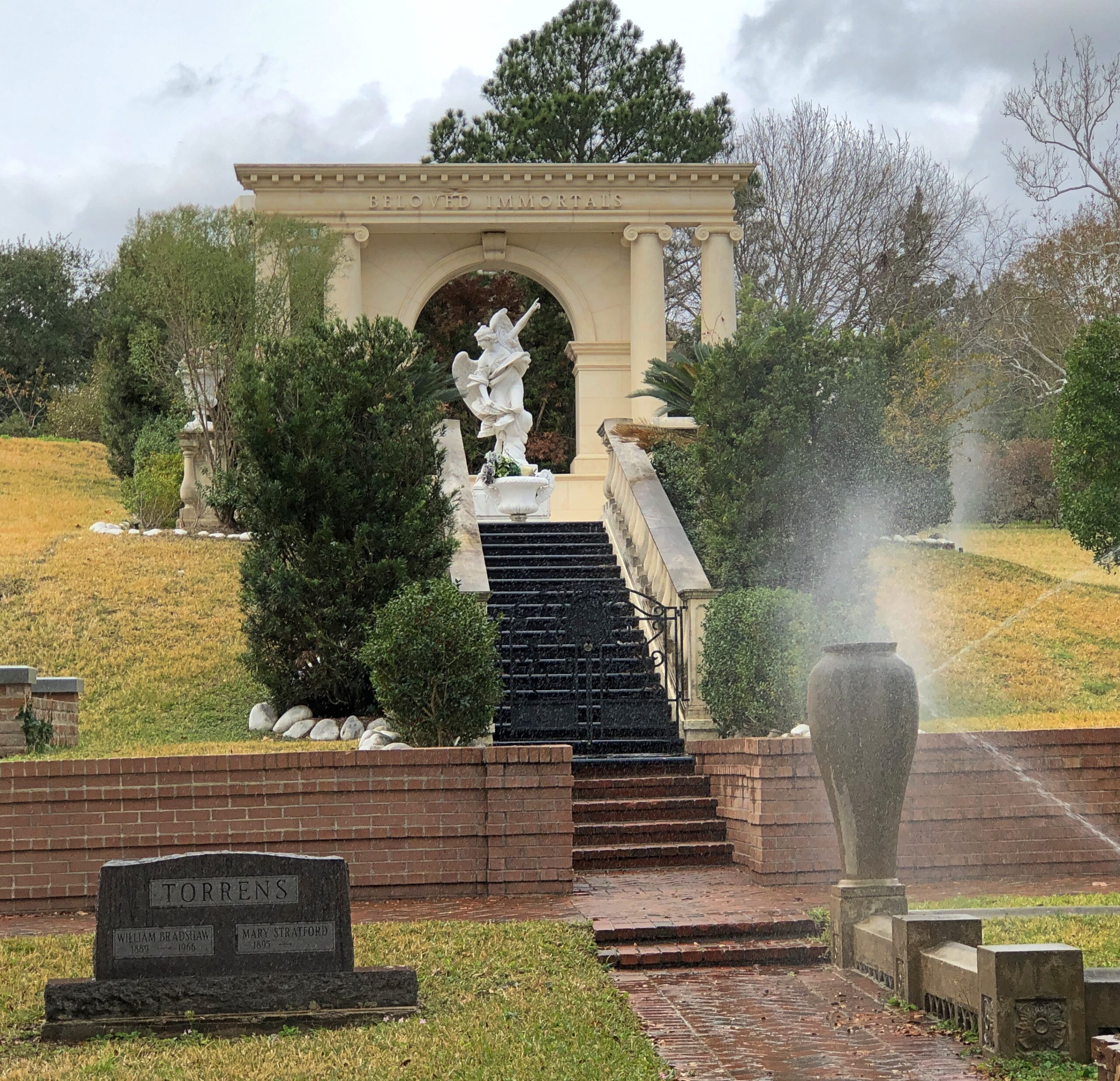
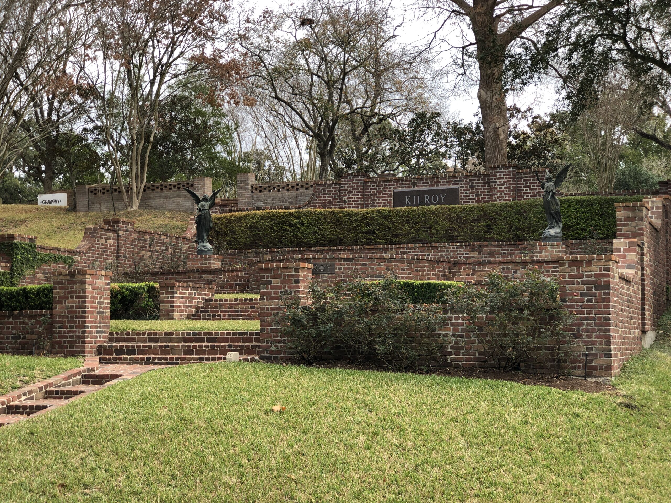
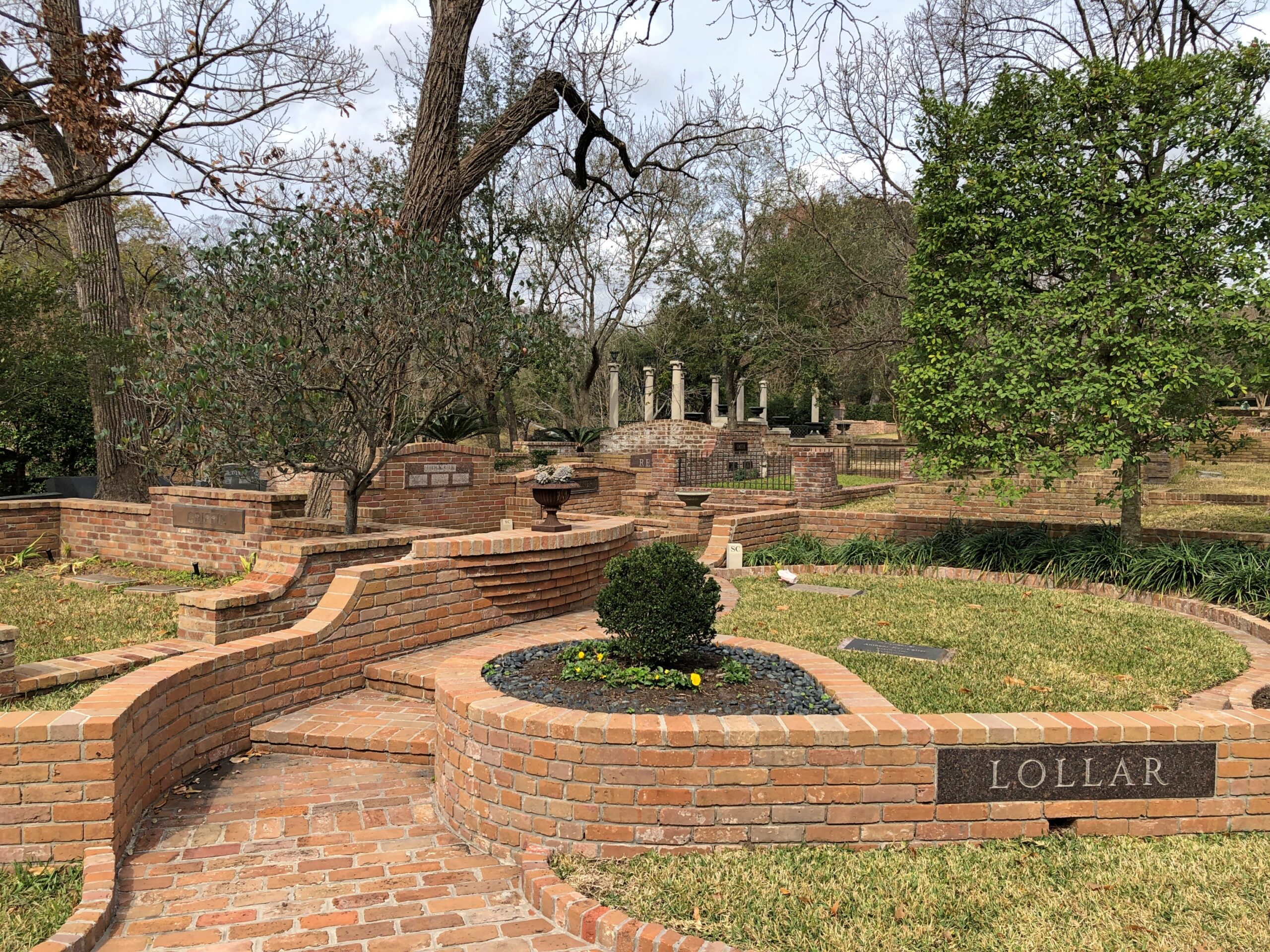
A large section of the cemetery, among the hills, uses artful bricks and intricate layouts and other features to convey old money – as old as Houston’s going to get, anyway, so we’re not talking about the Rothschilds.

All very nice, but it’s good not to overlook more ordinary folk.

Including the usual sort of sad memorials you always find.

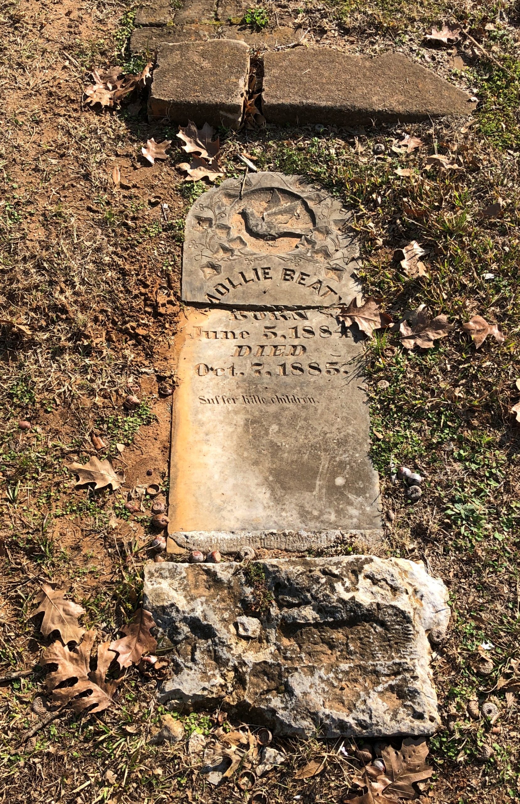
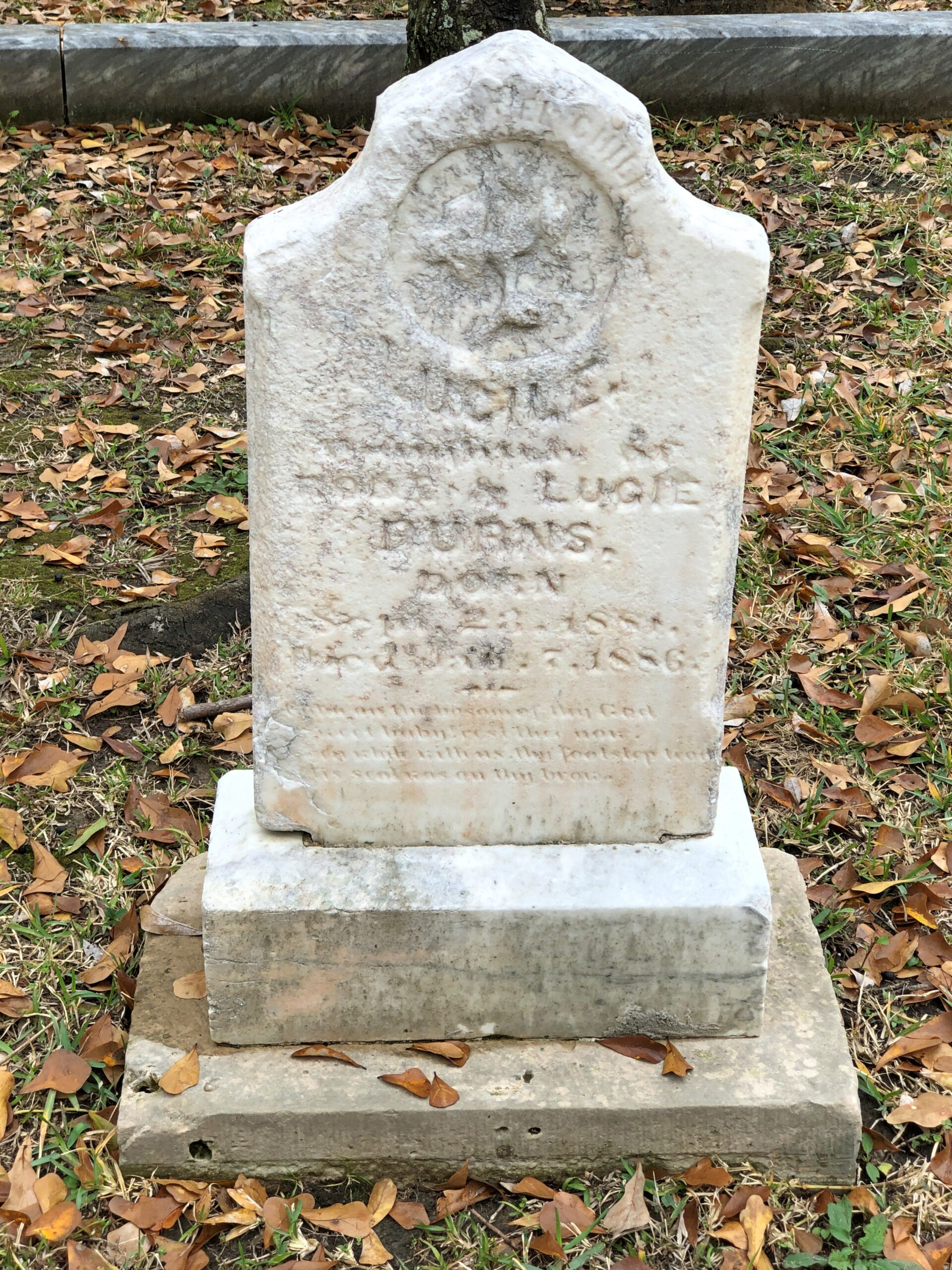
Well worn by time, but you can tell it memorializes a child.

Key West Cemetery

Back on Tuesday. A holiday’s a holiday, even if it comes in the pit of winter, where we definitely find ourselves. The memory of Sunny Florida gets a little more distant each time I feel the wind in single-digit temps.

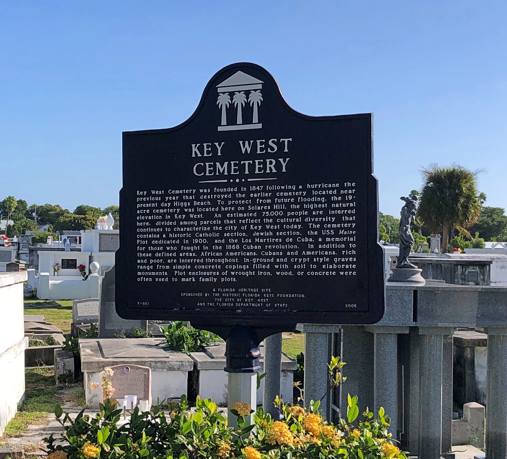
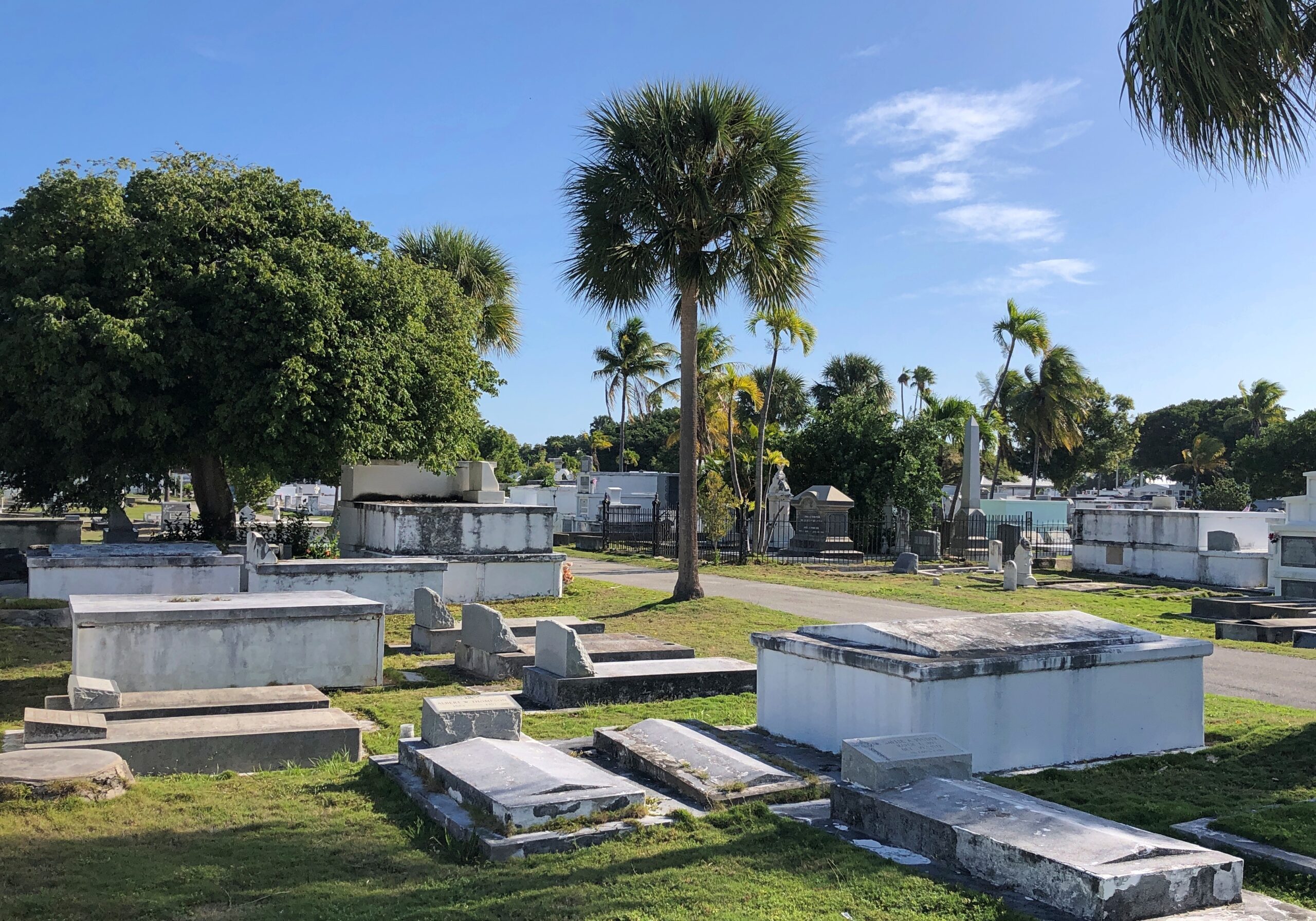
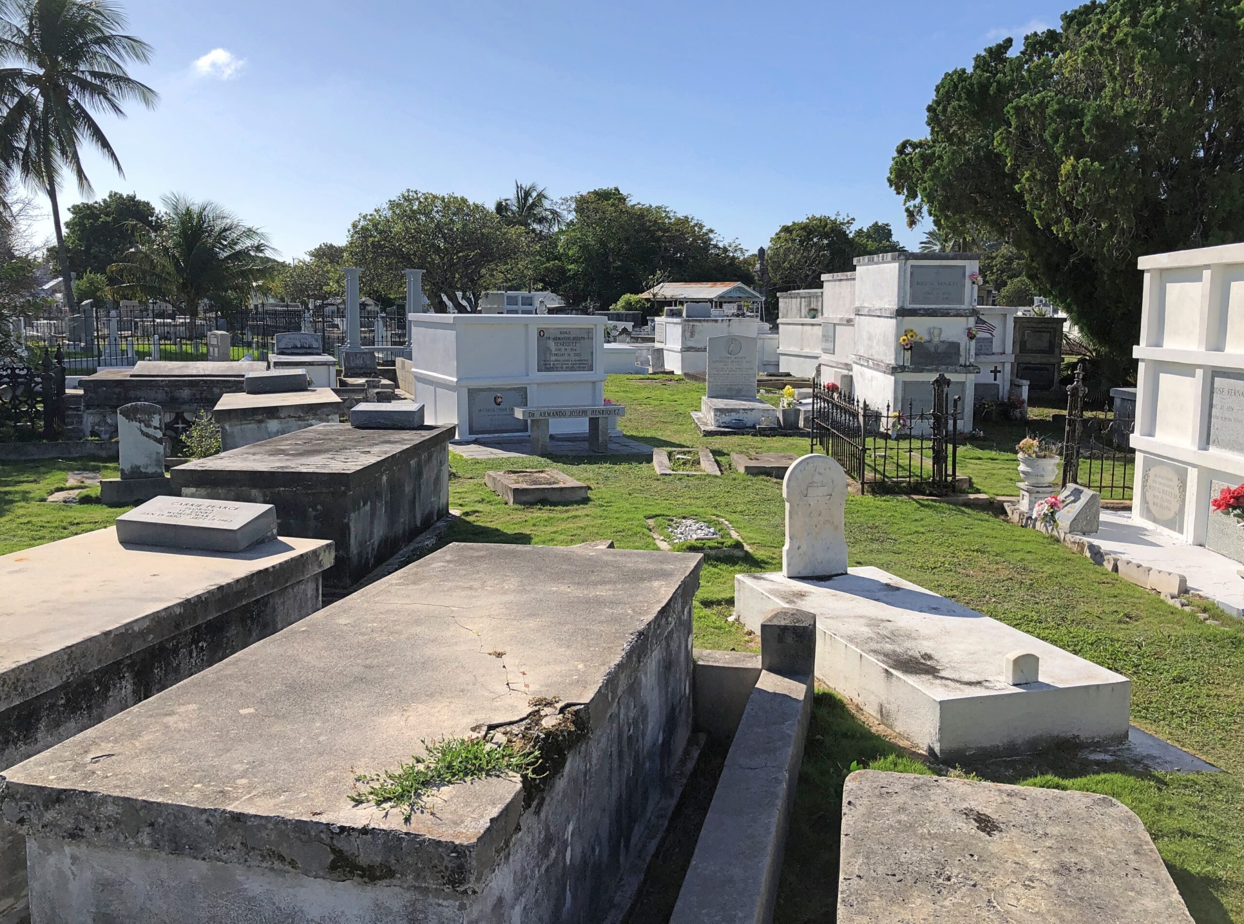
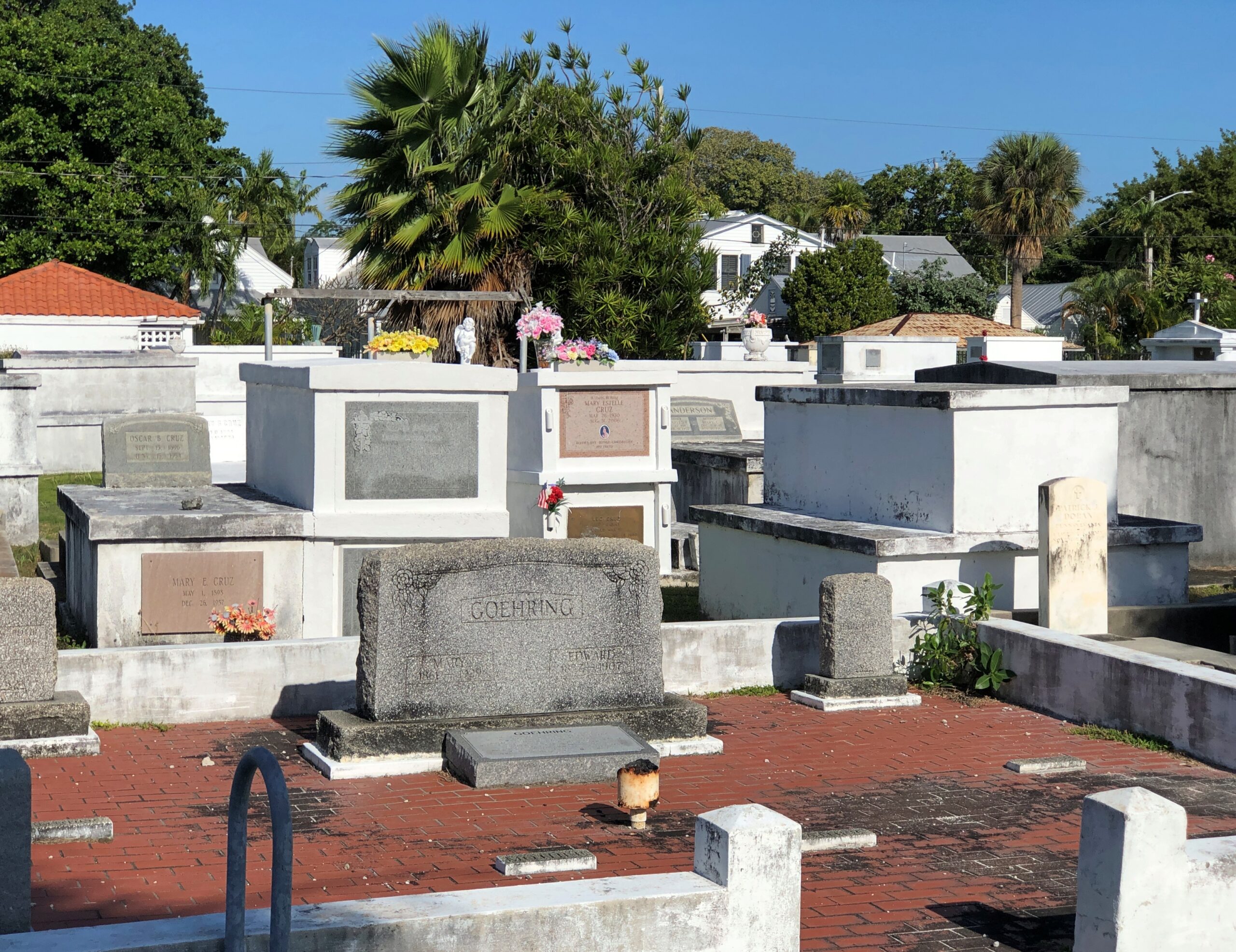
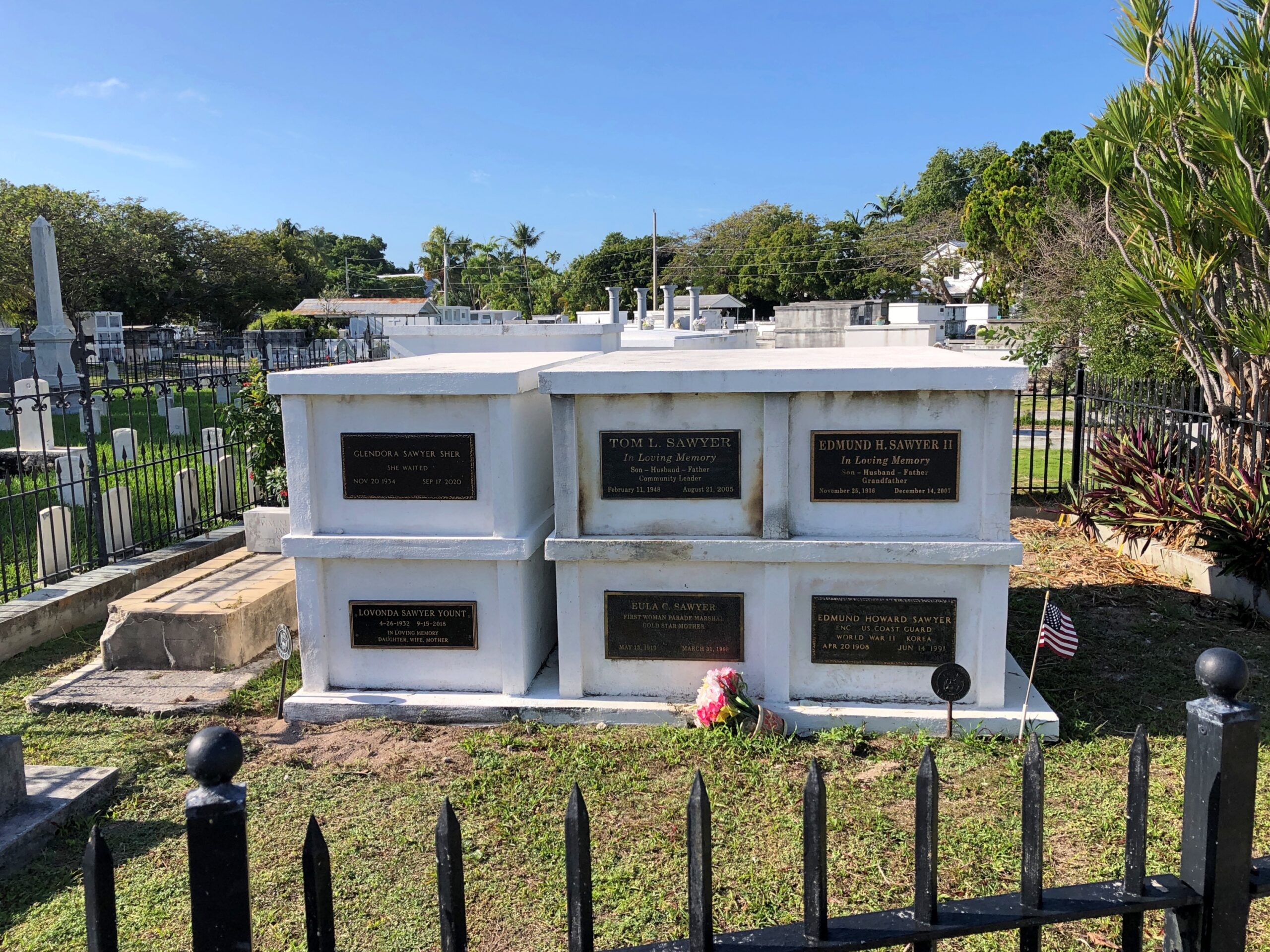
In diminutive Key West, you’ve gone a long way after a few blocks. So a long way from Duval Street in that town is Key West Cemetery, which is also at a distance from the ocean — one measured in a few thousand feet. At the cemetery you’ll find a mix of above-ground tombs and standard stones. Styles from Old Florida and later, in other words.

We drove into Old Town Key West our second day rather than take the hotel shuttle, which we had the first day. I was gambling that the local parking information I’d picked up first-hand more than a decade earlier wasn’t obsolete yet, which it could well have been. The town has notoriously tight parking, for obvious reasons.

Two prayers for such a situation.

O Lord, by your grace

Help me find a parking space

O Jesus, full of grace

Help me find a parking space

Just the thing, provided you’re sure one of the many attributes of the Almighty is a sense of humor. Parking is perhaps a function of Plastic Jesus? (And I like this version, among the many out there.)

Then again, asking for a parking intercession might only seem to be praying for something trivial. For all we know, parking a certain car in a certain place on a certain day might via the butterfly effect prevent a deadly typhoon somewhere.

Anyway, my strategy worked out and we parked for no charge a stone’s throw – and I mean that almost literally – from Key West Cemetery.

Once upon a time, mid-19th century Key West had a burial ground nearer to the water. A hurricane in 1846 applied a large amount of water and wind to that location in a short time, smashing tombs and markers and returning bodies to the open air. Gruesome to consider, but the incident did inspire Key West city fathers to open a new cemetery on high ground. High for Key West, that is, 16 feet above sea level.

That has worked out. As many as 100,000 permanent residents now rest across 19 acres, roughly three times the living population of the city: all races and stations of life; Protestants, Catholics and Jews; Cuban cigar workers and Bahamian mariners; soldiers, sailors and civilians.

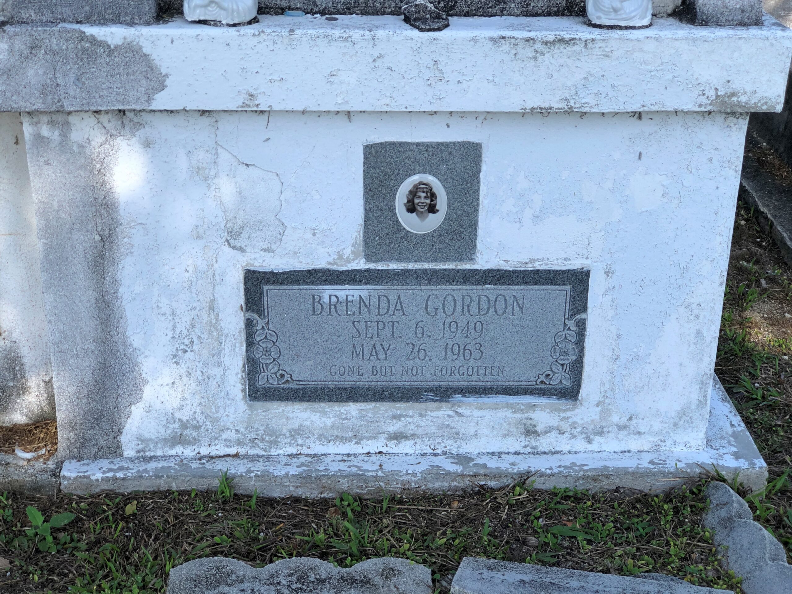
Many sad stories, as usual. Even if we can’t know the details at this distance.

Other residents include one Abraham Sawyer (d. 1939), a dwarf who reportedly refused to be a part of carnivals, instead working for manufacturers to advertise their products. He requested to be buried in a full-sized grave, but since I didn’t read of him until later (today), I didn’t go looking for him.

There is also the story of Elena Hoyos (d. 1931). Read the Find a Grave story, which I promise will be one of the stranger things you’ve read in a while, true or not.

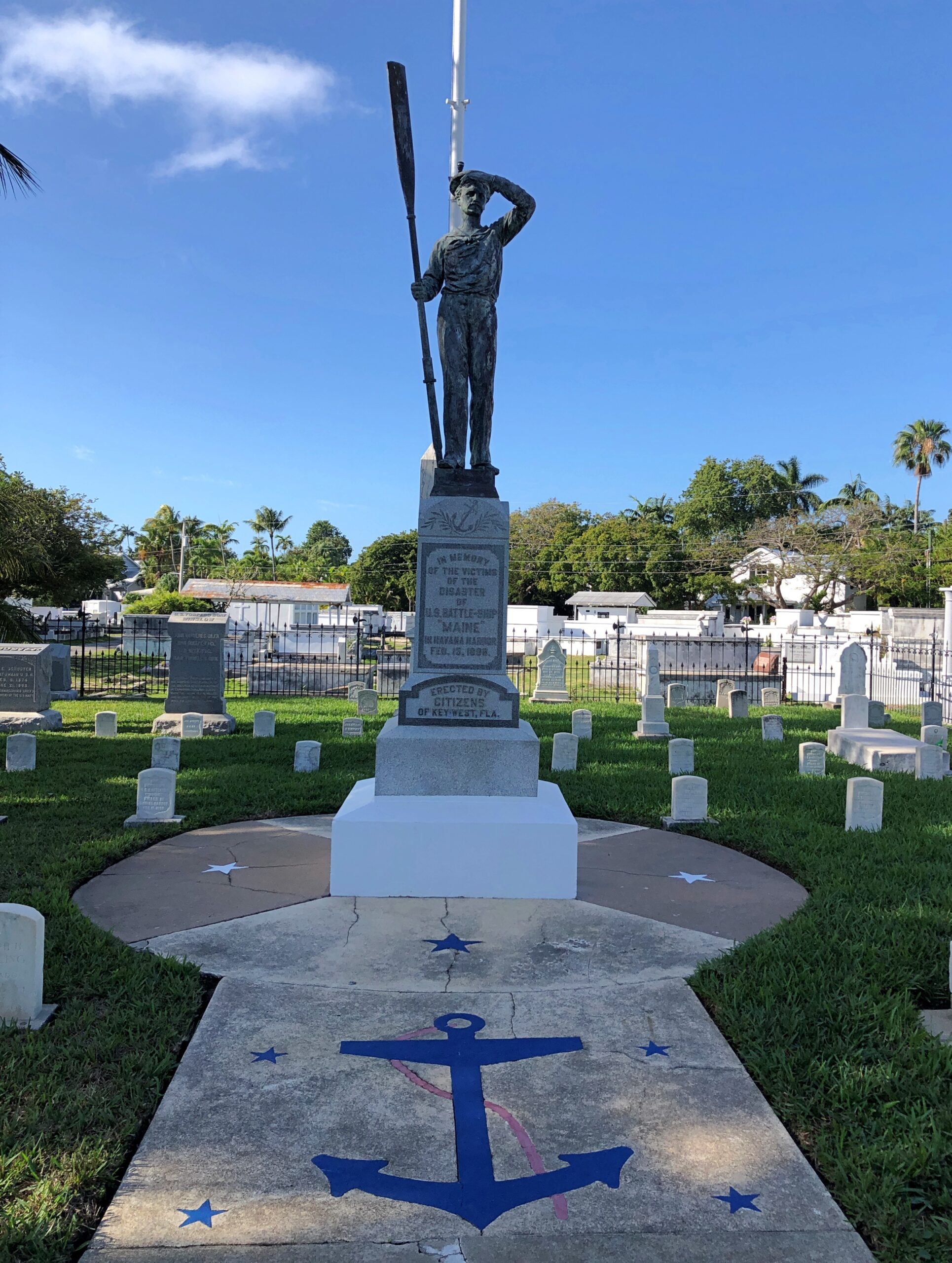
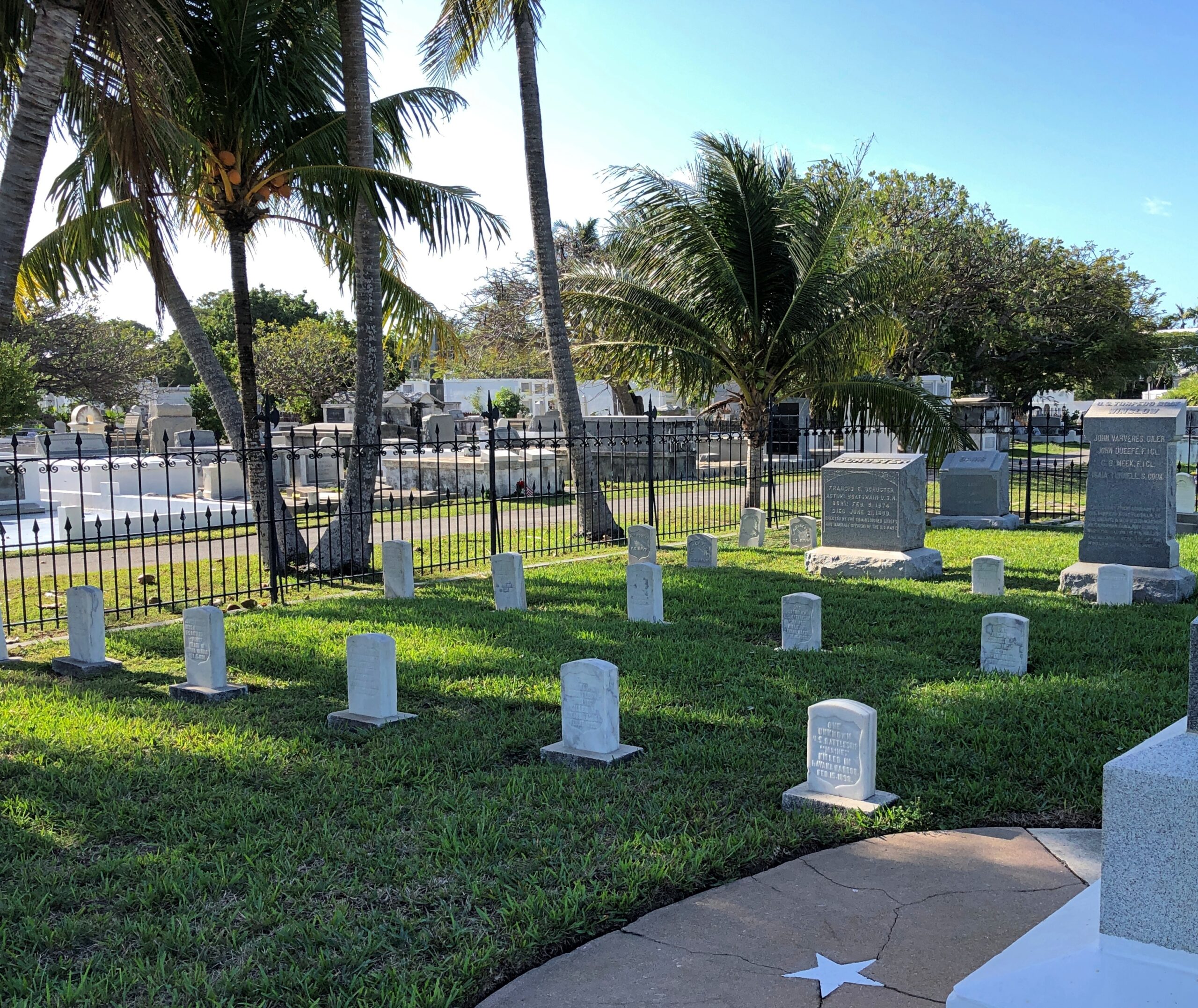
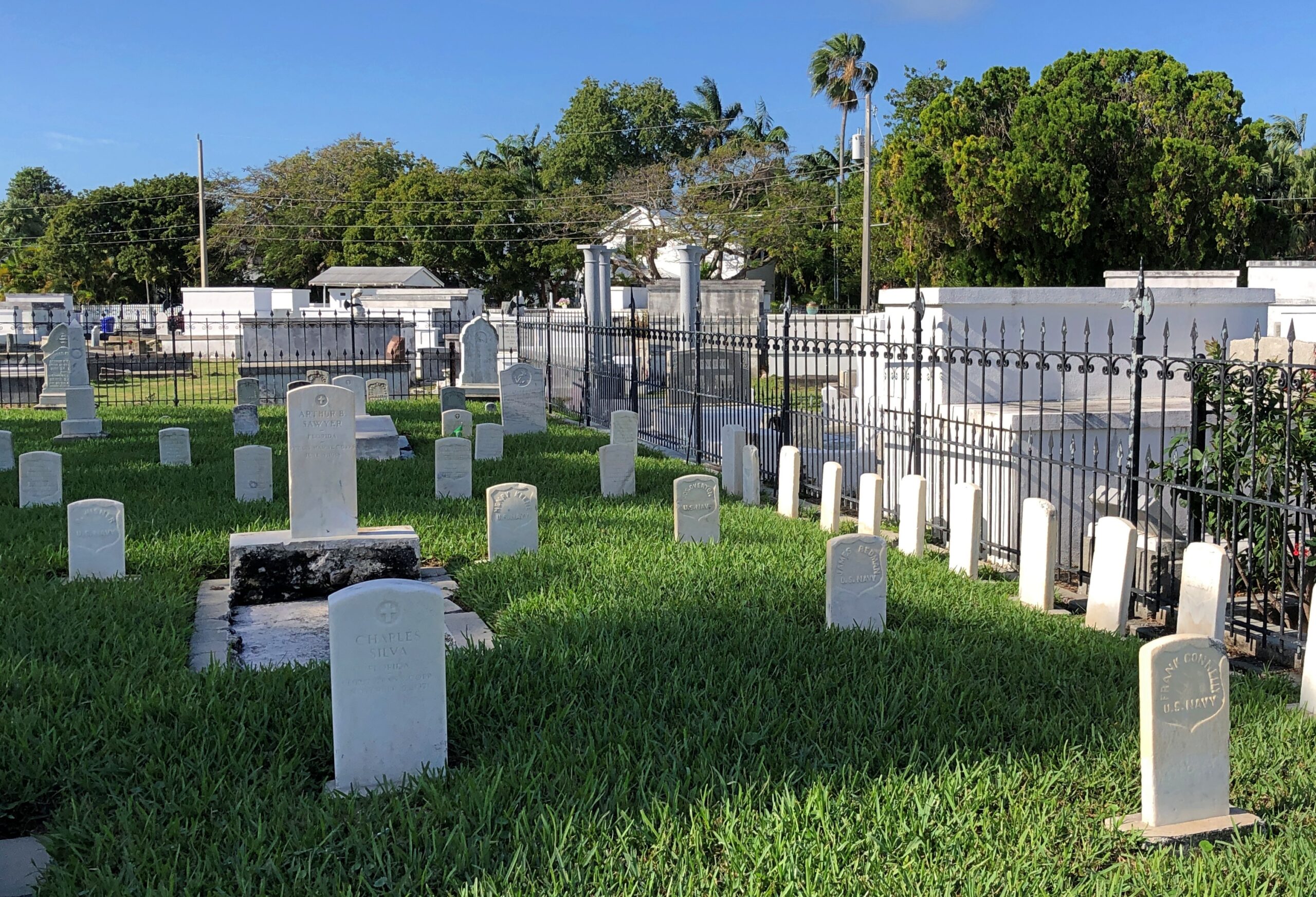
The U.S. Navy Plot is square in the middle of the cemetery.

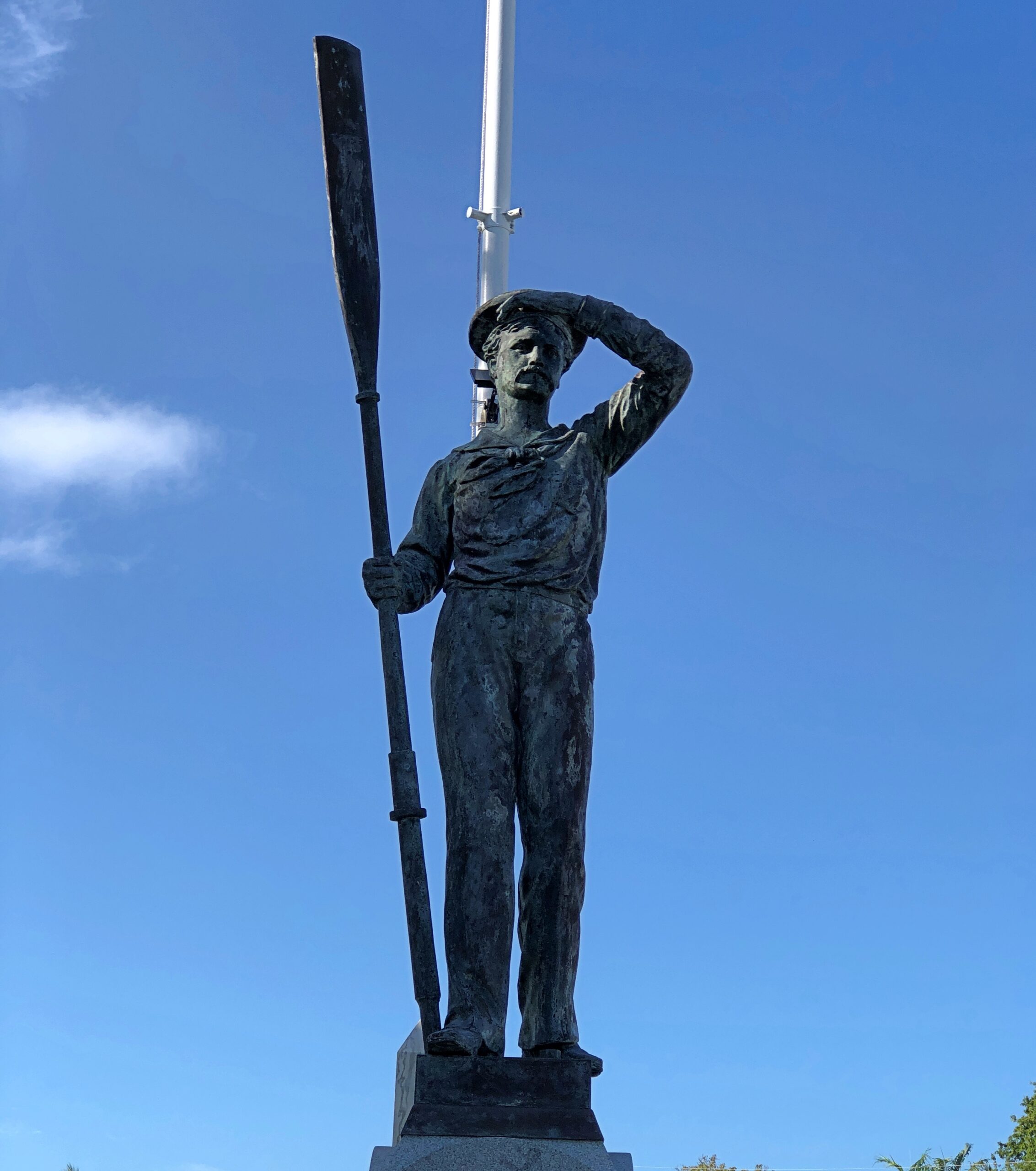
The centerpiece is a memorial to the dead of the Maine. Note the mast behind the sailor statue. That’s from the Maine.

The monument’s granite base says:

IN MEMORY OF THE VICTIMS OF THE DISASTER OF THE U.S. BATTLESHIP ‘MAINE’ IN HAVANA HARBOR FEB. 15, 1898, ERECTED BY THE CITIZENS OF KEY WEST, FLA.

Some of the men who died on the Maine ended up in the Navy Plot: the closest U.S. cemetery when they needed to be interred, and fast. Twenty-four of them, only seven of whom were identified.

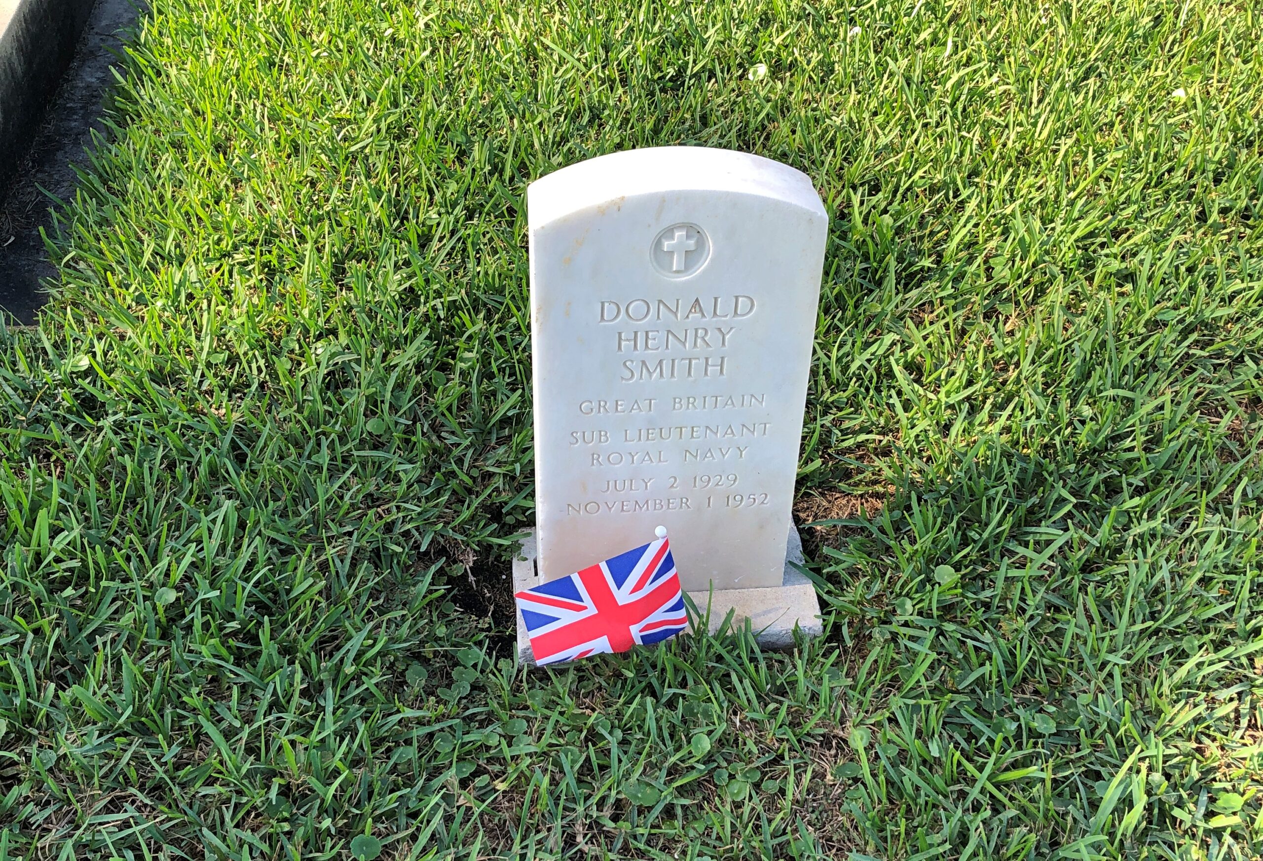
Other sailors repose there as well. Such as Sub-Lieutenant Donald Henry Smith, Royal Navy.

That’s a little odd, but foreign servicemen do sometimes end up in American soil (such as at Vicksburg). I looked around a little, then asked Google AI how Sub-Lieutenant Smith came to be there.

The hive bots said: Donald Henry Smith (1929-1952) is buried in the Key West Cemetery, specifically in the U.S. Navy Plot, likely because he was a young man who died at age 23, possibly serving in the Navy or connected to the naval community, with the plot itself dedicated to fallen sailors, a common burial spot for service members in Key West.

So, navy guys get buried with other navy guys, sometimes. Or maybe because a navy is a navy? Thanks for nothing, AI.

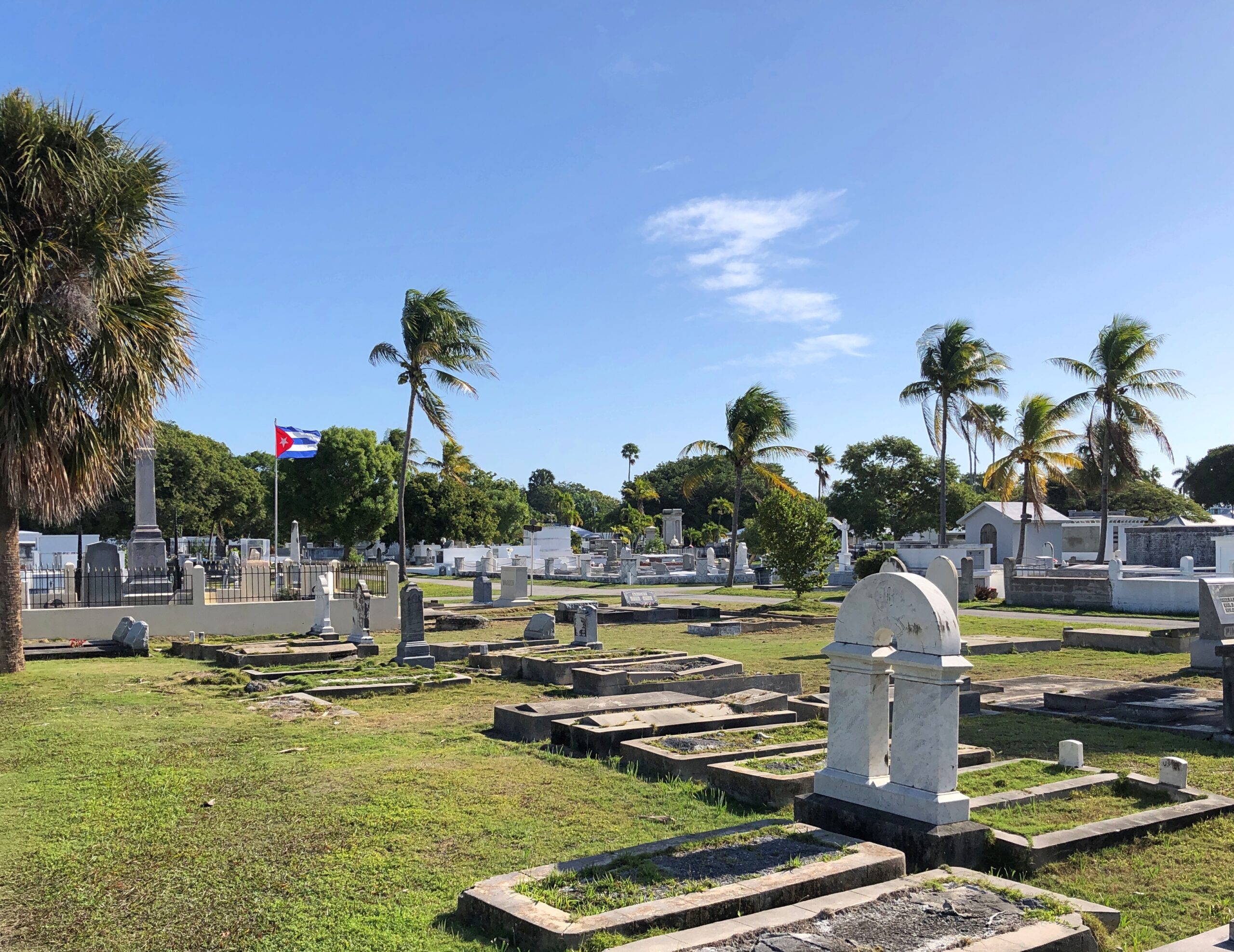
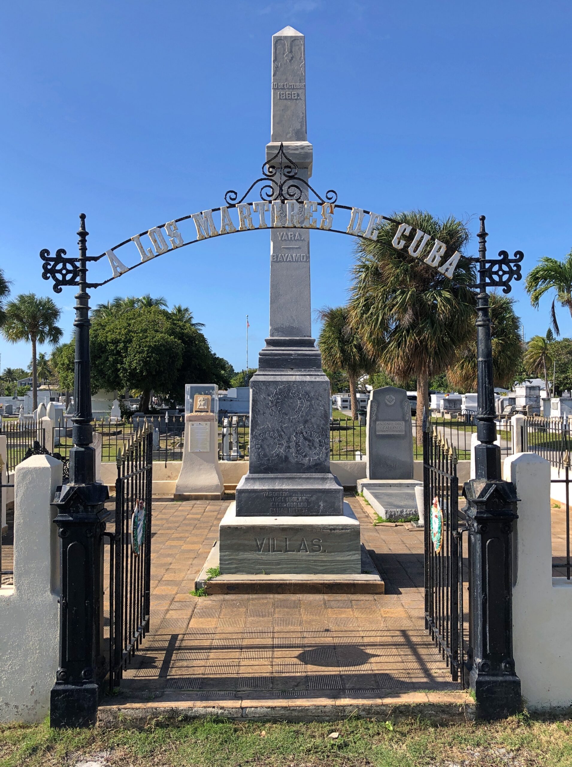
I spotted a Cuban flag and went to investigate.

A Los Martires de Cuba.

Not all of them are with Jose Marti in Cuba itself. Guess this counts as another of the Little Cubas to be found in warm climes close to the home island.

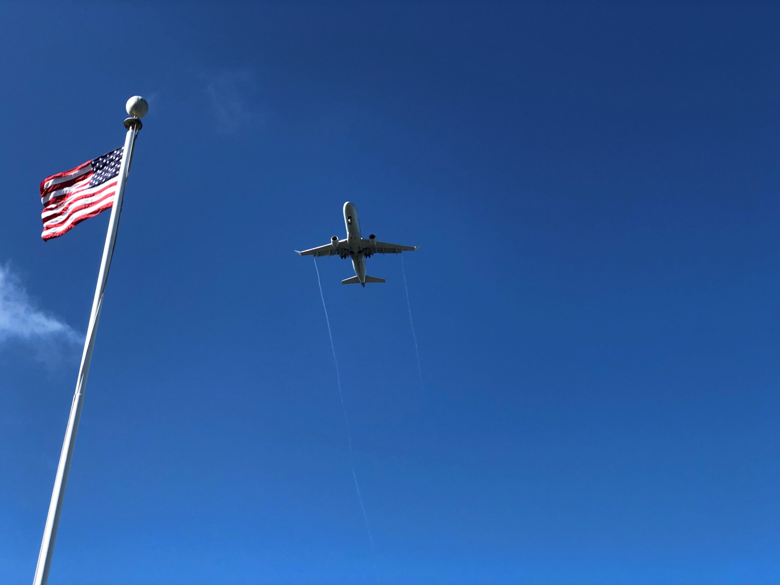
The cemetery is under the flight path for planes headed for Key West International (EYW).

Then again, most of the island must be.

Three Missouri Museums Along the Way

At least a foot of snow covers the ground outside, so it’s good to be inside. Winter has fully returned, but at least the early part, when the holidays are yet to come, and not the post-New Year grind of January or the interminable days of February, the alleged shortest month.

Thanksgiving was low key. I expect that’s actually true for most people, however many anecdotes there are about fractious Thanksgivings. Low key doesn’t get into sitcoms or in real or made-up tales on a Thanksgivingishell subreddit.

Back to posting after Christmas, maybe the first Sunday after. Got a lot to do before then.

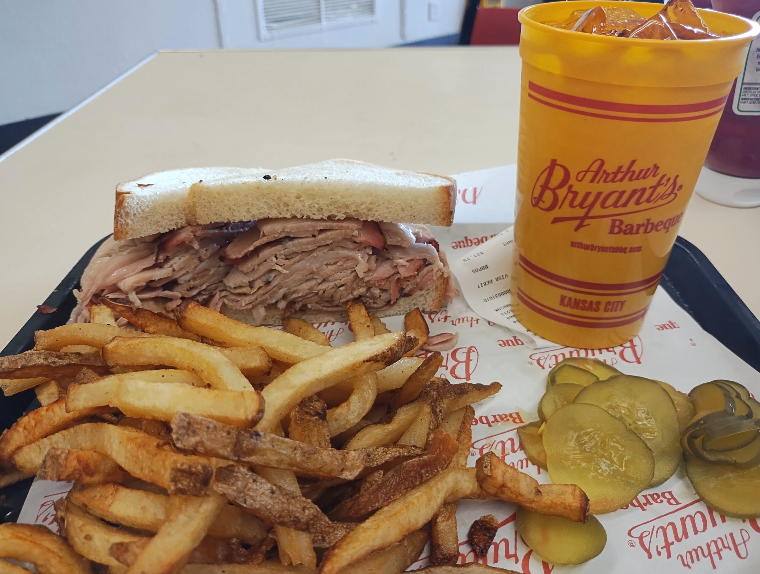
One more note about Kansas City in September. Besides the World War I Museum and Memorial, there was one more place I wanted to be during my visit: Arthur Byrant’s, for the barbecue I remembered so fondly from the late 1990s. Good ‘cue has sustained AB long after the pitmaster of that name died in 1982.

Kansas City

I’d go again.

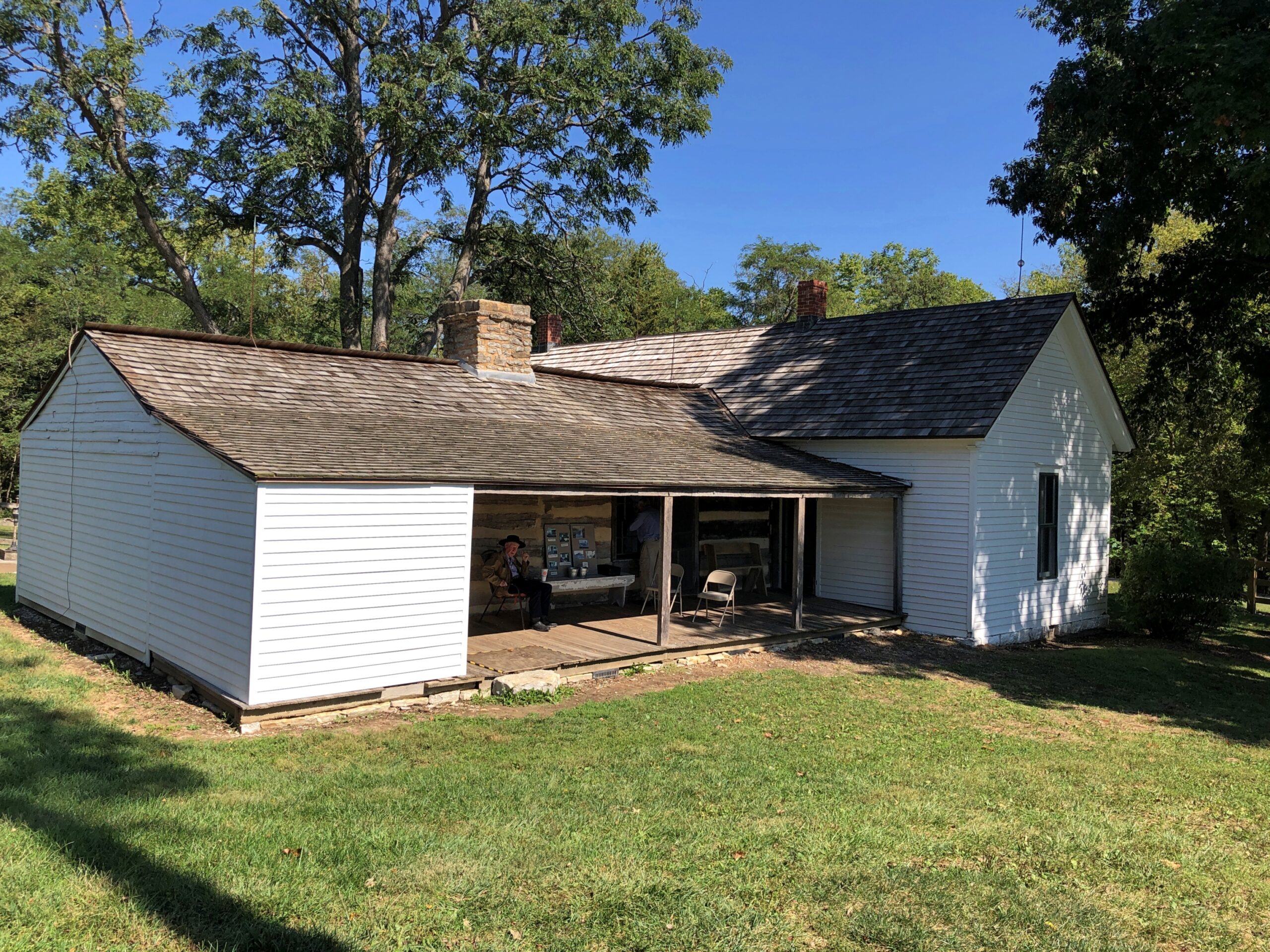
After I left KC, I headed not too far northeast to the Jesse James Birthplace Museum.

The birthplace museum, like the house, isn’t a large place, but it does convey some of the life and times of the famed outlaw, with some good artifacts and reading. Posters, too. I hadn’t realized that Jesse James was a character in the very last Three Stooges theatrical release, The Outlaws is Coming (1965), but there was the poster, along with ones advertising better-known biopics or Jesse James-adjacent movies. Somehow I missed that Stooges picture on TV as an impressionable kid, though I saw the likes of The Three Stooges Meet Hercules.

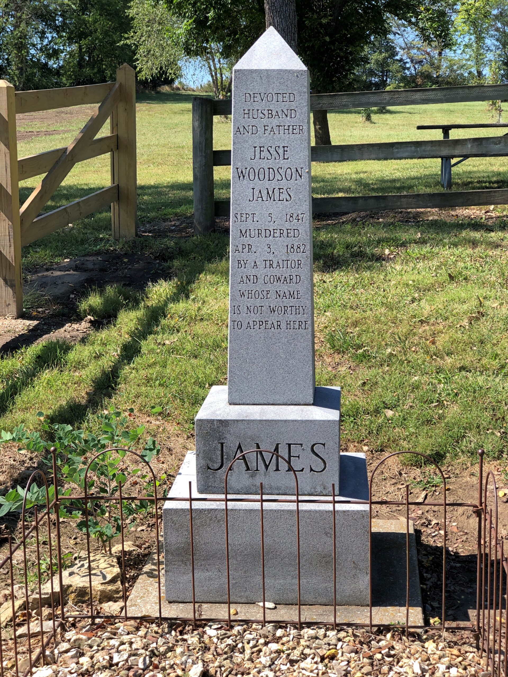
Jesse used to be buried at the homestead.

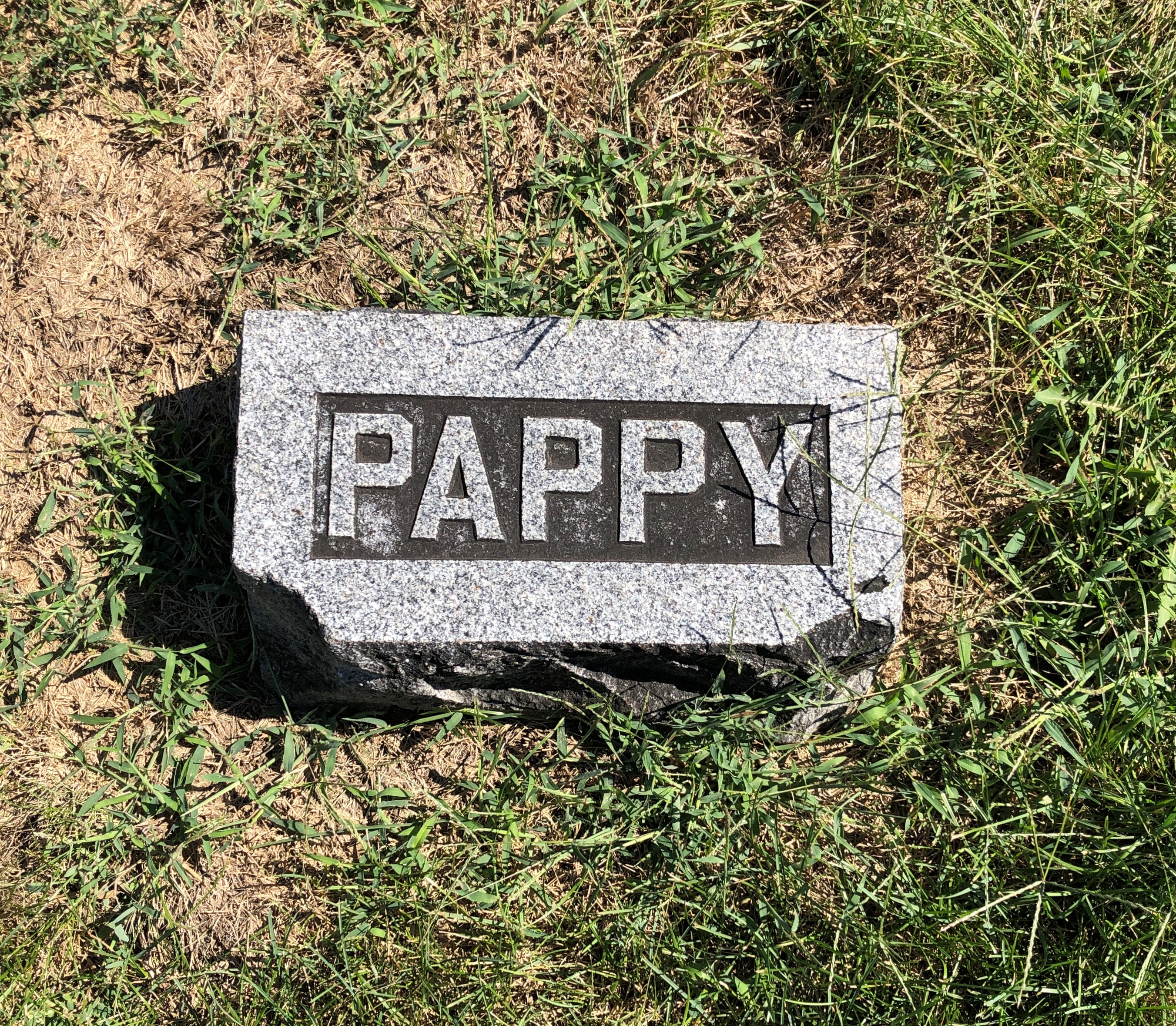
But at some point he was moved to Mount Olivet Cemetery in nearby Kearney, Missouri. Jesse receives rocks and flowers and coins from visitors 140+ years after his assassination by the Coward Robert Ford (“coward” capitalized, because the word is welded to his name in popular memory). As for Jesse, not a bad posthumous haul for a train robber.

Just as an example, do the Newton Boys get that kind of attention? No, they do not.

“The Newton boys were a criminal gang composed of brothers Willis, Joe, Jess and Wylie (Doc), who operated mostly in Texas during the 1920s,” says Texas State Historical Association. “Willis ‘Skinny’ Newton robbed over eighty banks and six trains from Texas to Canada with his brothers and other outlaws, including the single biggest train robbery in United States history. By the time they were captured, they may have stolen more money than all other outlaws at that time combined.”

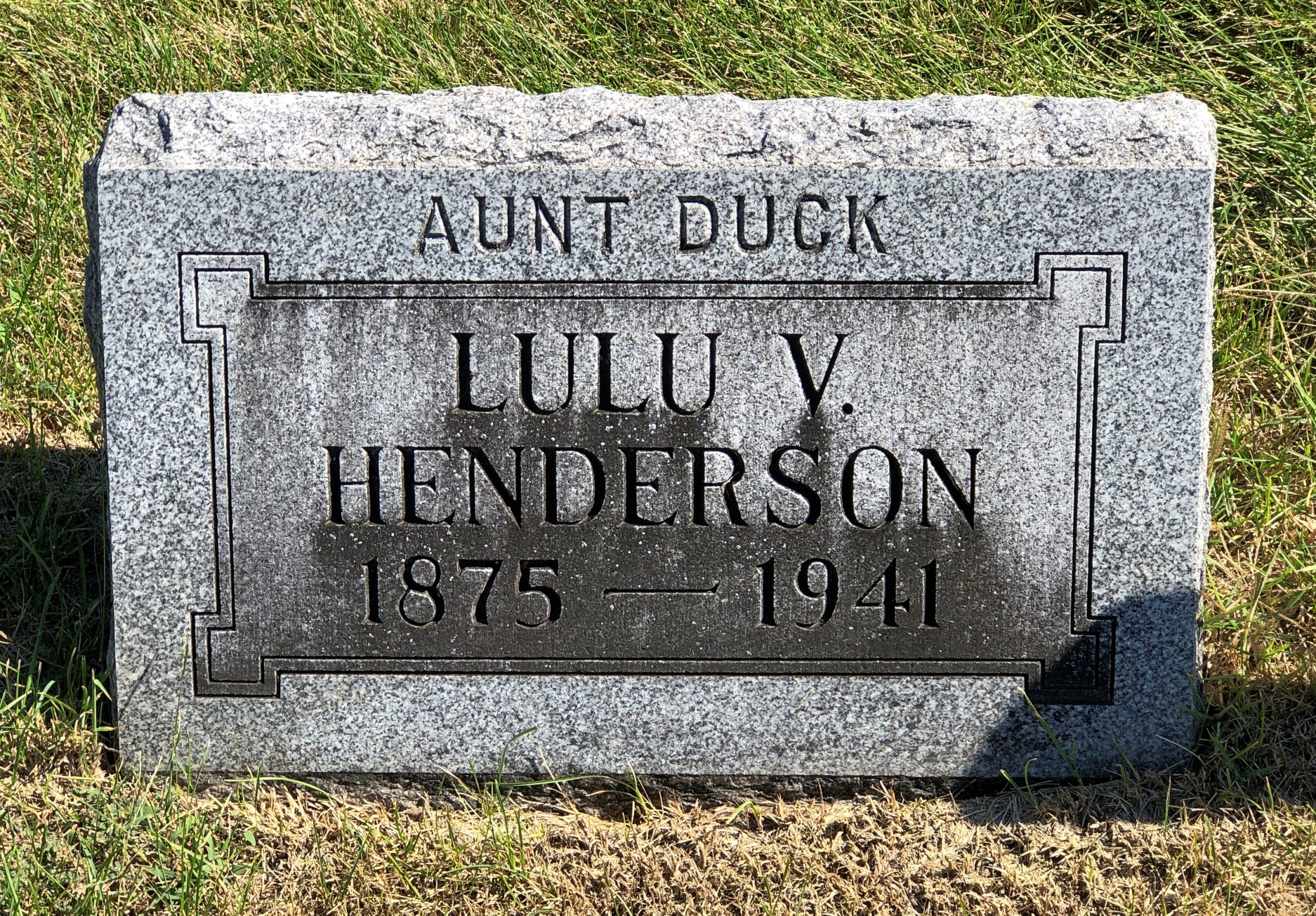
I liked Mount Olivet. Got some stones of yore.

Aunt Duck had to have been a character.

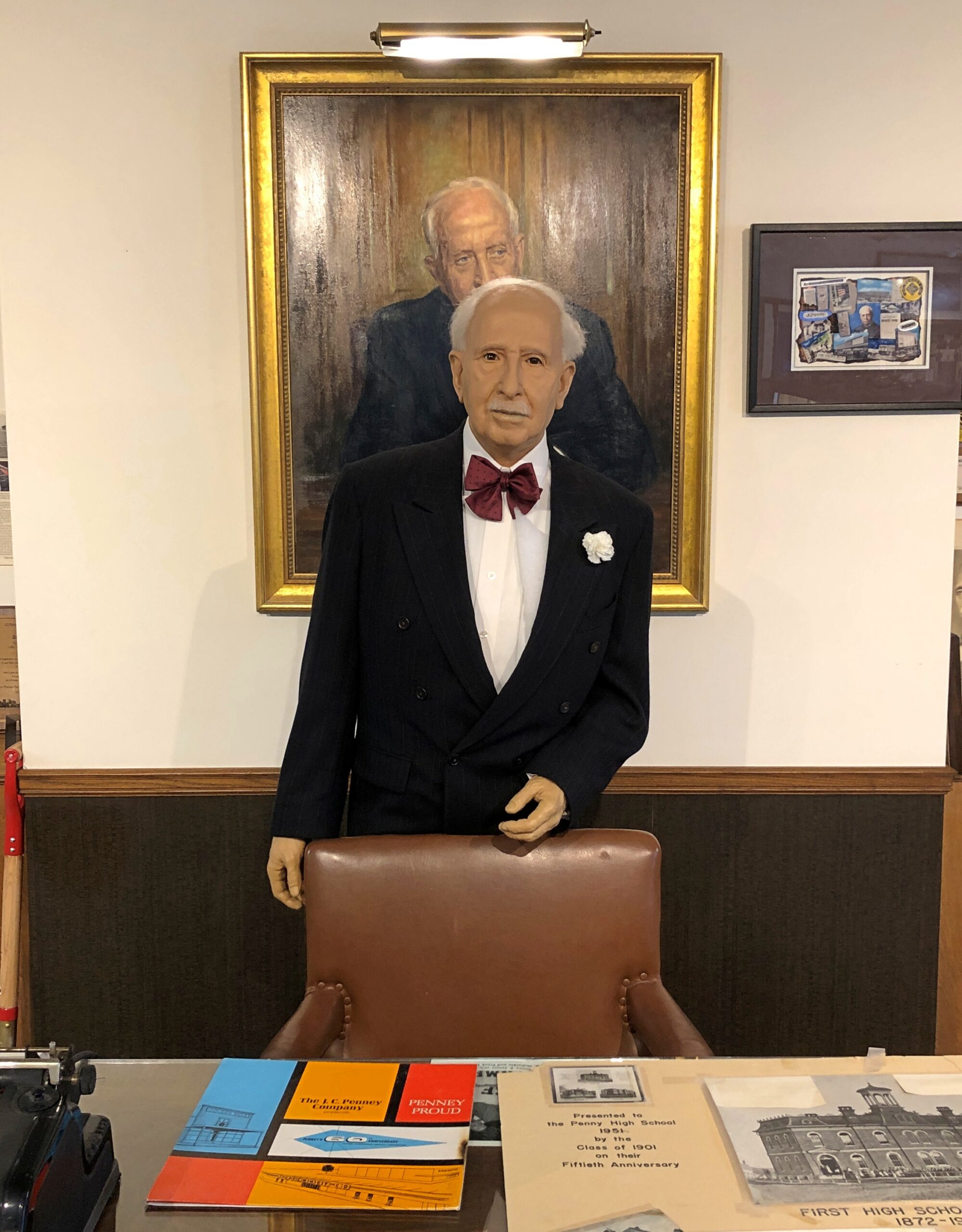
Further east, along U.S. 36 in Hamilton, Missouri, is the two-roomed JC Penney Library and Museum. The town library is in one room, the museum in the other. Most of the Penney artifacts are under glass. A wax JC Penney stands in front of a portrait of the department store mogul.

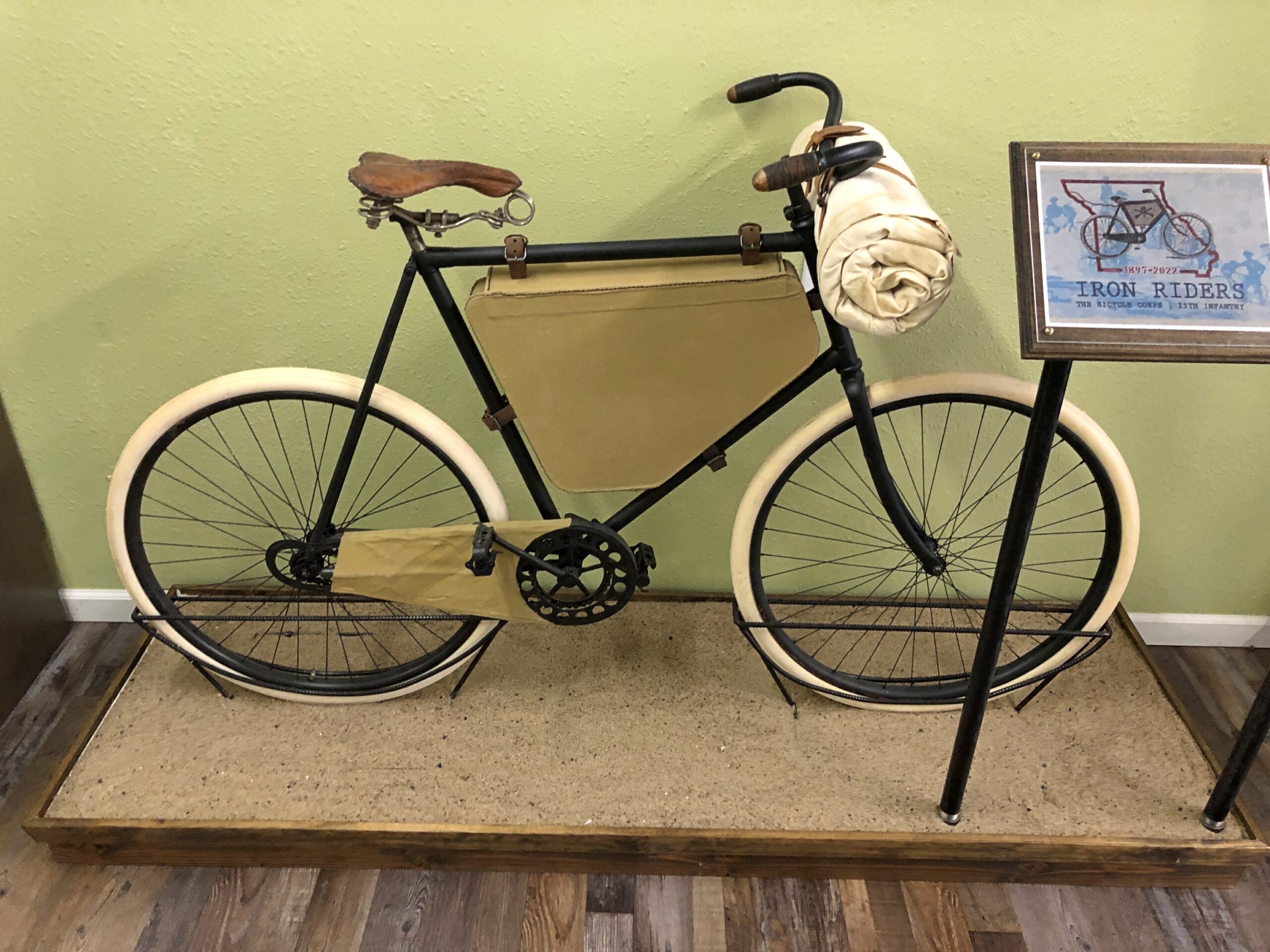
In Laclede, Missouri, is the Gen. John J. Pershing Boyhood Home State Historic Site. A fine museum about the General of the Armies, including an exhibit on something unknown to me, the Twenty-Fifth Infantry Bicycle Corps — the Iron Riders. The Army tested long-distance bicycling in 1897 as a strategy for troop movement, with the corps riding from Missoula, Montana to St. Louis. Pershing wasn’t involved in that effort, but it did happen during his time in the military. Quite a story. Deserves to be better known.

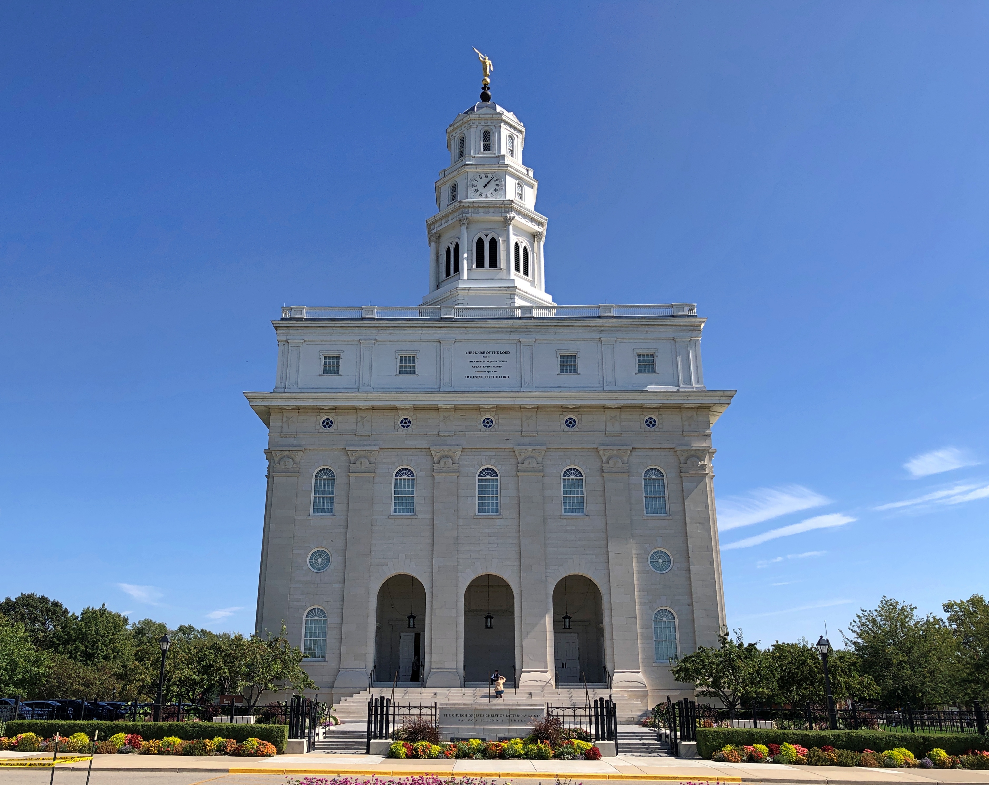
One the last day of my driving, I didn’t want to stop for much, but I did spend a while in Nauvoo, Illinois.

There’s a LDS temple there now. It wasn’t the last time I came this way, in 1997. I couldn’t go in, of course. For that you’d have to join the club.

Silverton, Colorado

Cold winds rolled through northern Illinois today. Seven inches of snow are forecast for Saturday. What? Right, it’s winter. The winter solstice is just the shortest day of the year.

Back to posting on Sunday. Regards for Thanksgiving.

Something to upset PETA sympathizers.

Silverton, Colorado

Stroll down Greene St. in the mountain town of Silverton, Colorado, at least in mid-September this year, and you’d have had the opportunity to buy a hide for $300. We did, but declined. Still, it wasn’t just a Colorado detail, but a Western one. The West, where men are men and cow hides hang in the sun. As far as I could tell, you couldn’t buy a hide with Bitcoin, but I suppose you’d have to ask the seller to be sure.

Not five minutes after we’d parked off the main thoroughfare of Greene Street in Silverton, on a large side street, a steam locomotive hauling a valuable cargo — tourists — pulled into town, a block from where we parked. The Durango & Silverton Narrow Gauge RR train from Durango had arrived. Instantly the streets around the train were thick with those same tourists who had paid roughly $100 a head for the scenic ride, though I suppose many, the majority maybe, had gotten a slight discount as seniors.

Silverton, Colorado
Silverton, Colorado

I assume the economy of 21st-century Silverton depends pretty heavily on these arrivals, at least in the warm months, as day after day the line disgorges its many passengers for their layover. No doubt the likes of High Noon Hamburgers or the Shady Lady or a lot of the other businesses in town wouldn’t be viable otherwise.

Silverton, Colorado

Blair St., paralleling Greene St. a block away. No need for pavement.

Silverton, Colorado

Greene St.

Silverton, Colorado

Lots to see on Greene.

Silverton, Colorado
Silverton CO

Including the fine Colorado flag, flying at Railroad Art by Scotty, a seriously cool gallery.

Silverton CO
Silverton CO

“Railroad Art by Scotty presents the custom matted and framed collector Railroad Art Prints by renowned railroad artist H.L. Scott, III,” its web site says. “These are not photographs and they are not created on the computer. These are pen & ink drawings created by Scott using the technique known as STIPPELING or pointillism.”

One of the few buildings I’ve seen that clearly states its elevation.

Silverton CO

The Grand Imperial Hotel. A lofty name to live up to, but probably posh enough to do so.

Silverton CO

Restored to its 1880s appearance in the 2010s, no doubt at considerable expense.

As it looked in 1940, a photo from the Library of Congress, Farm Security Administration-Office of War Information Photograph Collection.

More Greene St.

Silverton CO
Silverton CO

Greene is short, because Silverton isn’t very large, and so the street, now a road, soon heads for the hills.

Silverton CO

The Hillside Cemetery of Silverton.

Hillside Cemetery of Silverton

An apt name.

Hillside Cemetery of Silverton

With a good view of the town.

Silverton

Some sizable memorials.

Hillside Cemetery of Silverton

More modest ones.

Hillside Cemetery of Silverton

Echoes of lost men from another time. Beyond the outstanding beauty of a hillside cemetery in the flush of autumn, reason enough to visit the cemetery.