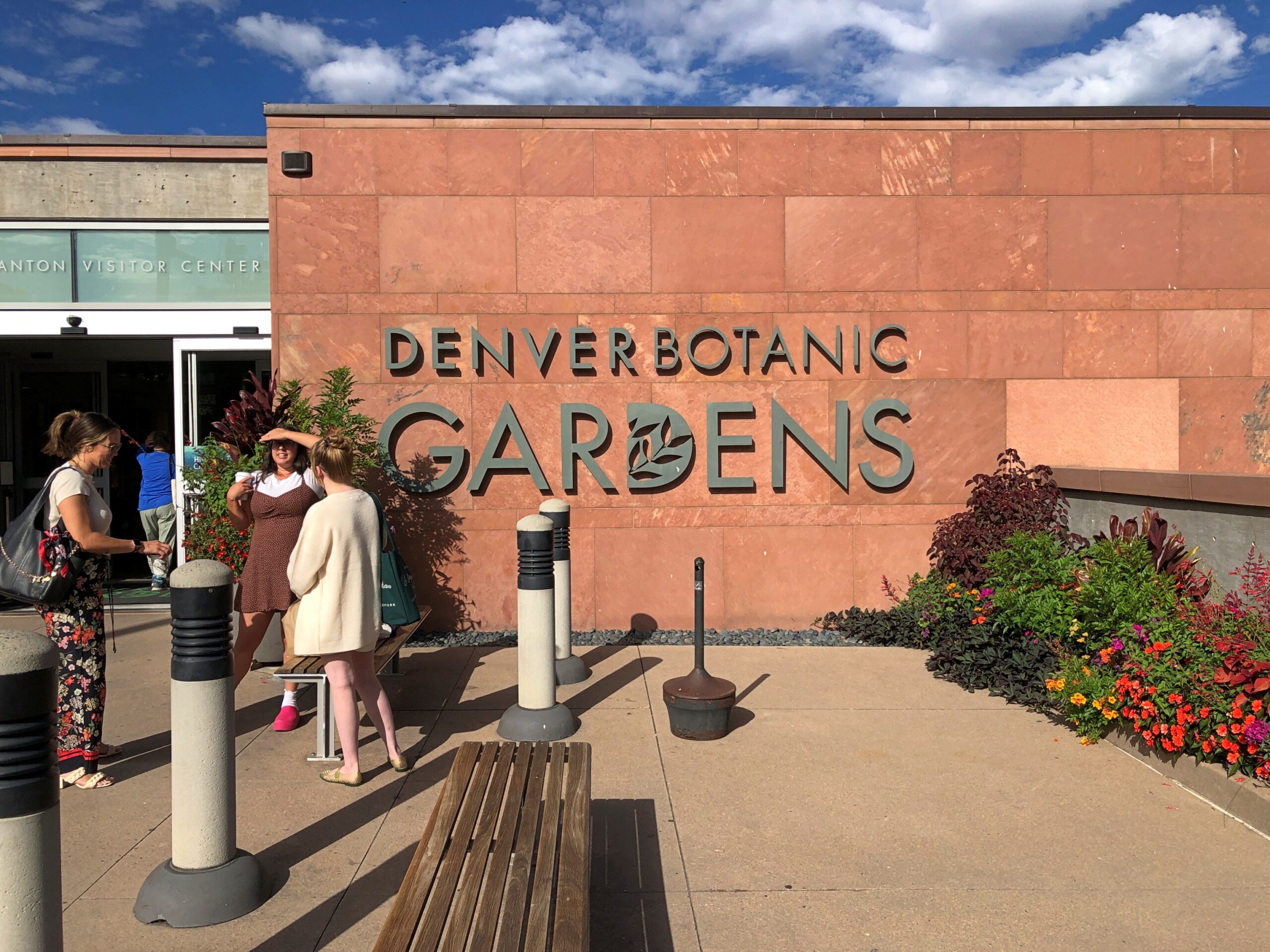
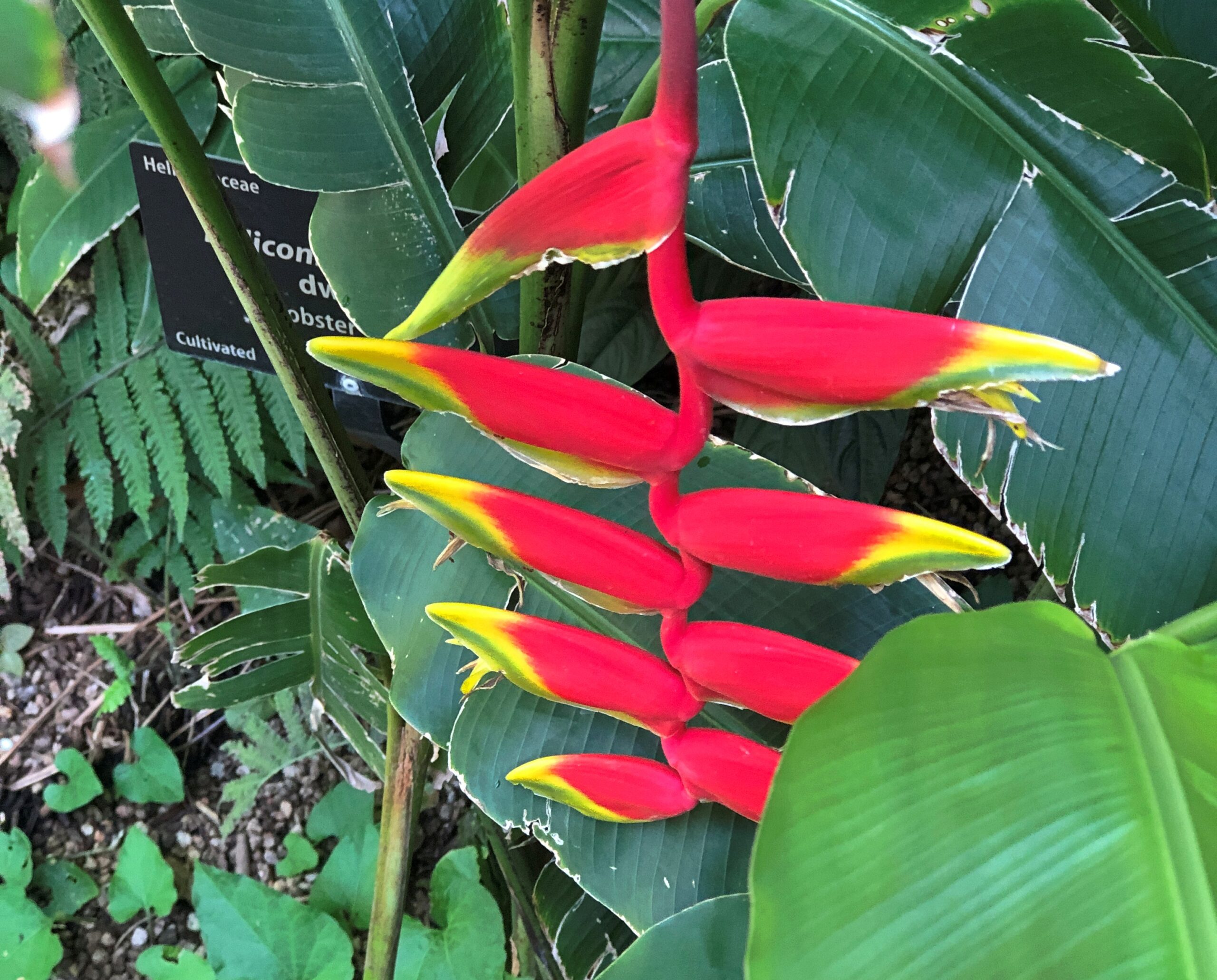
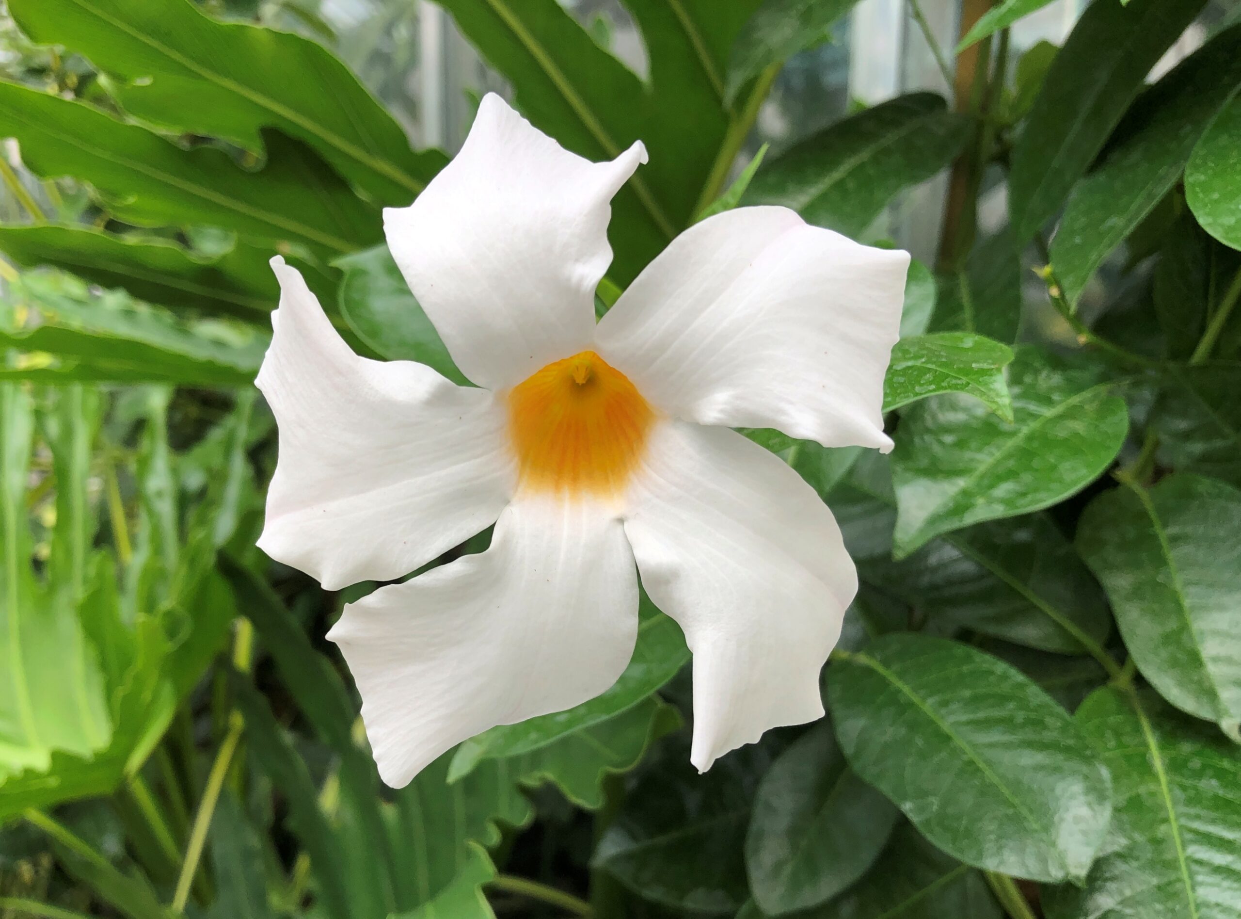
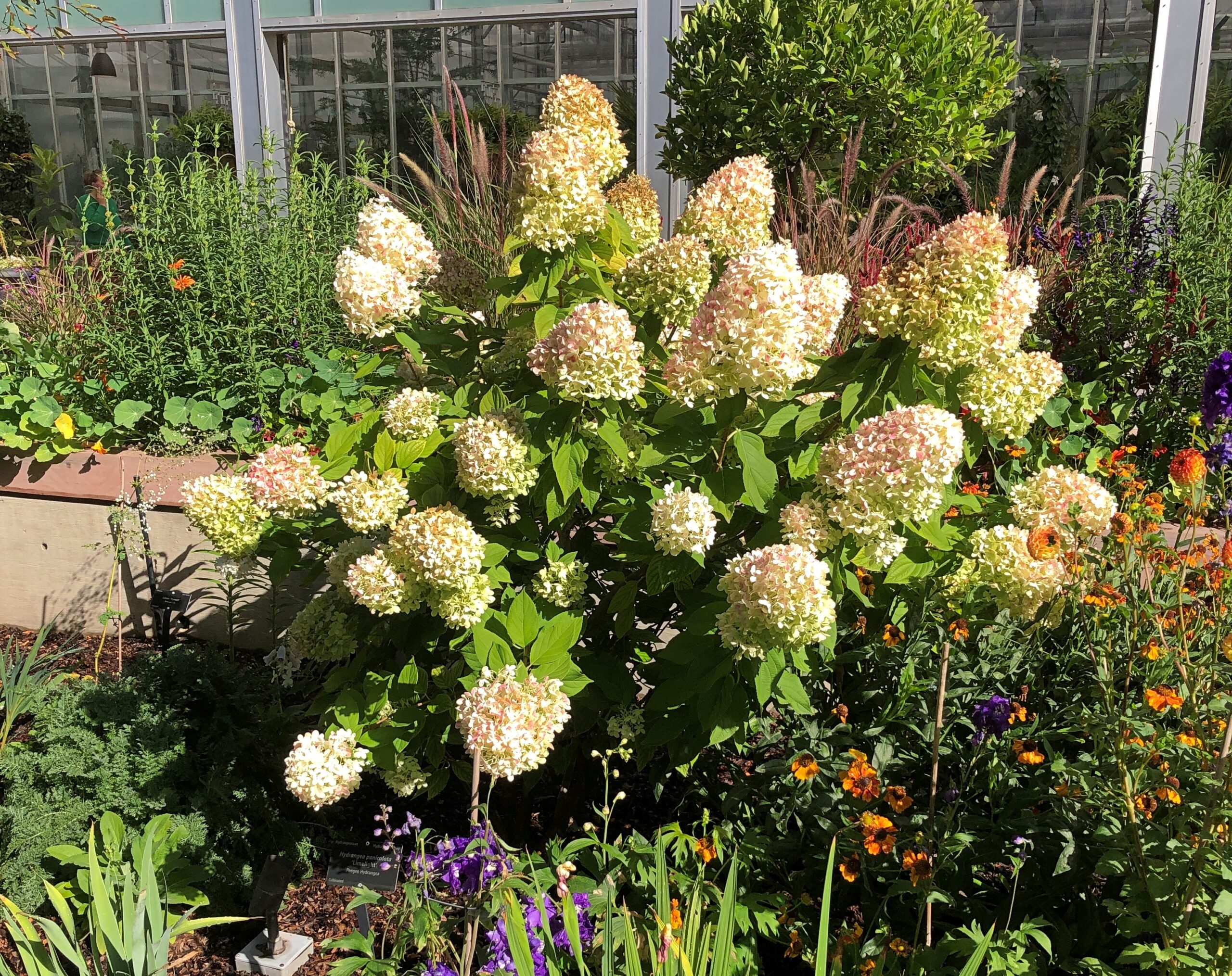
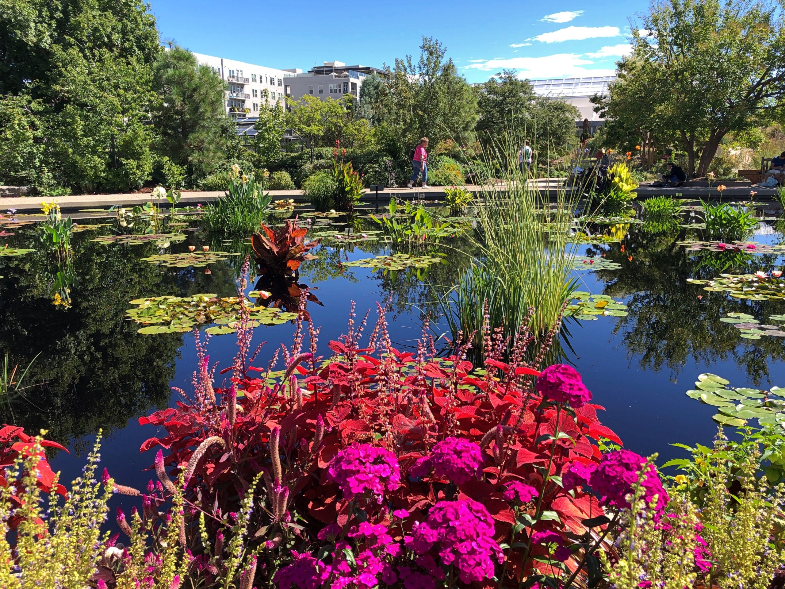
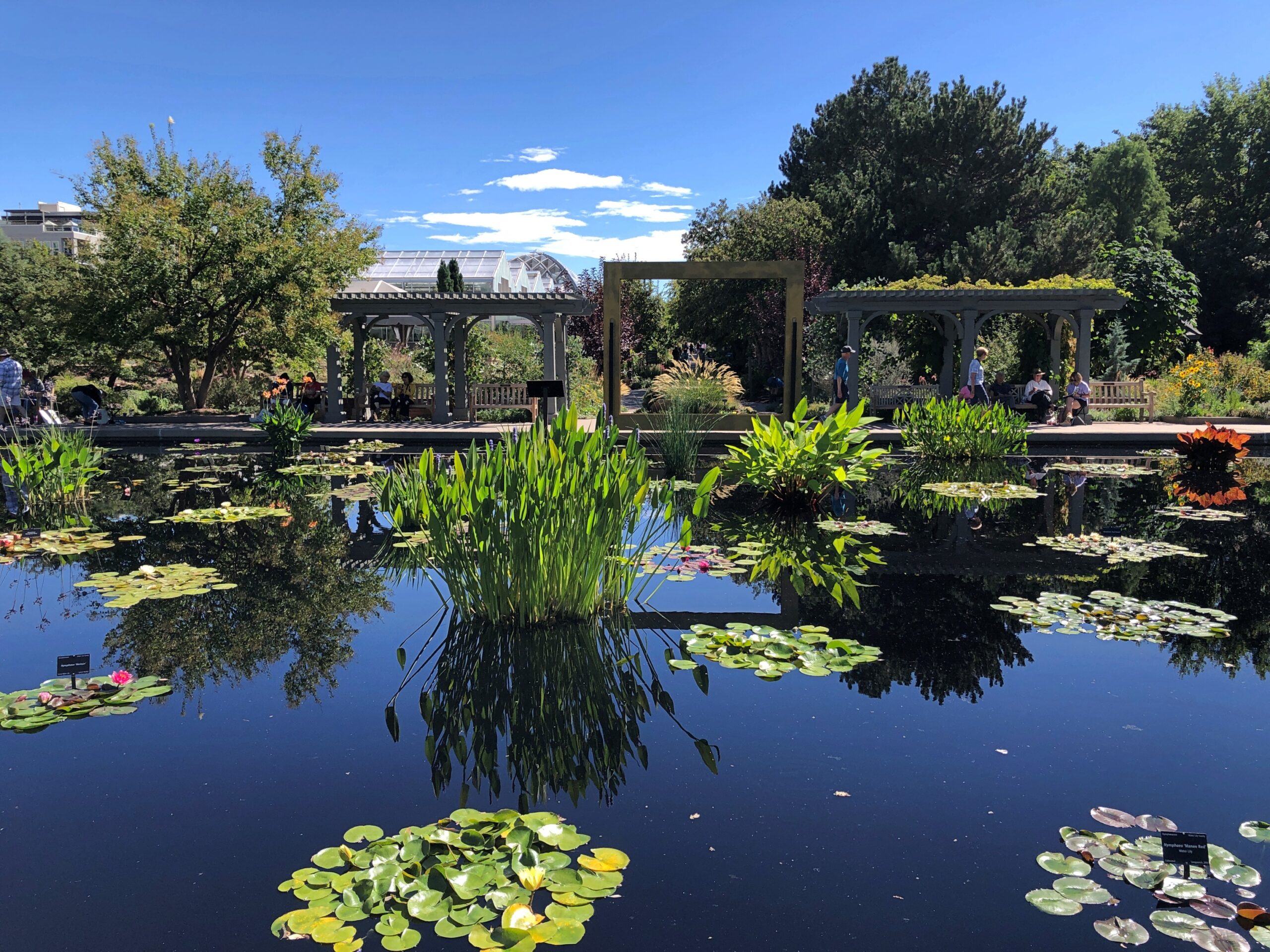
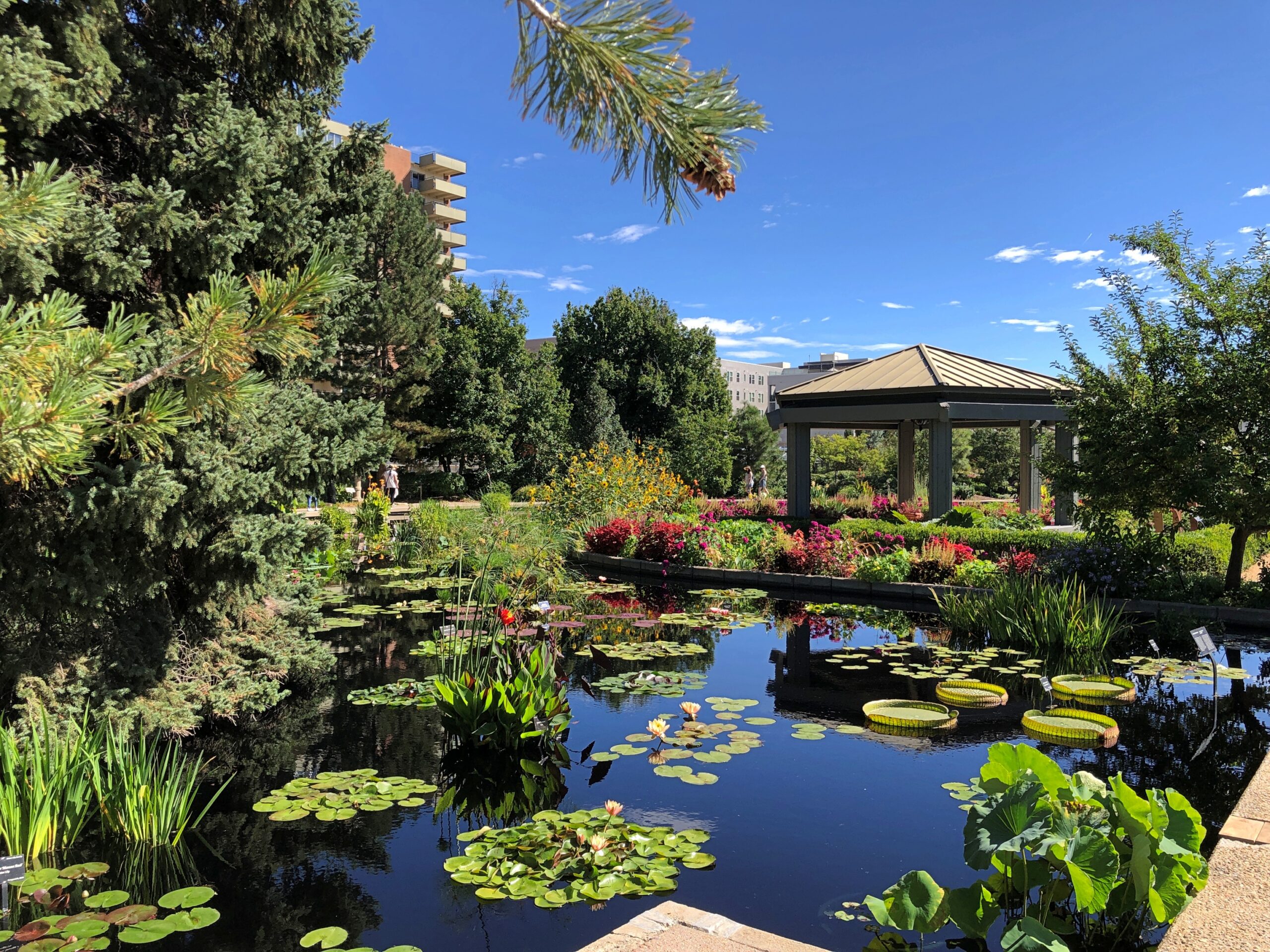
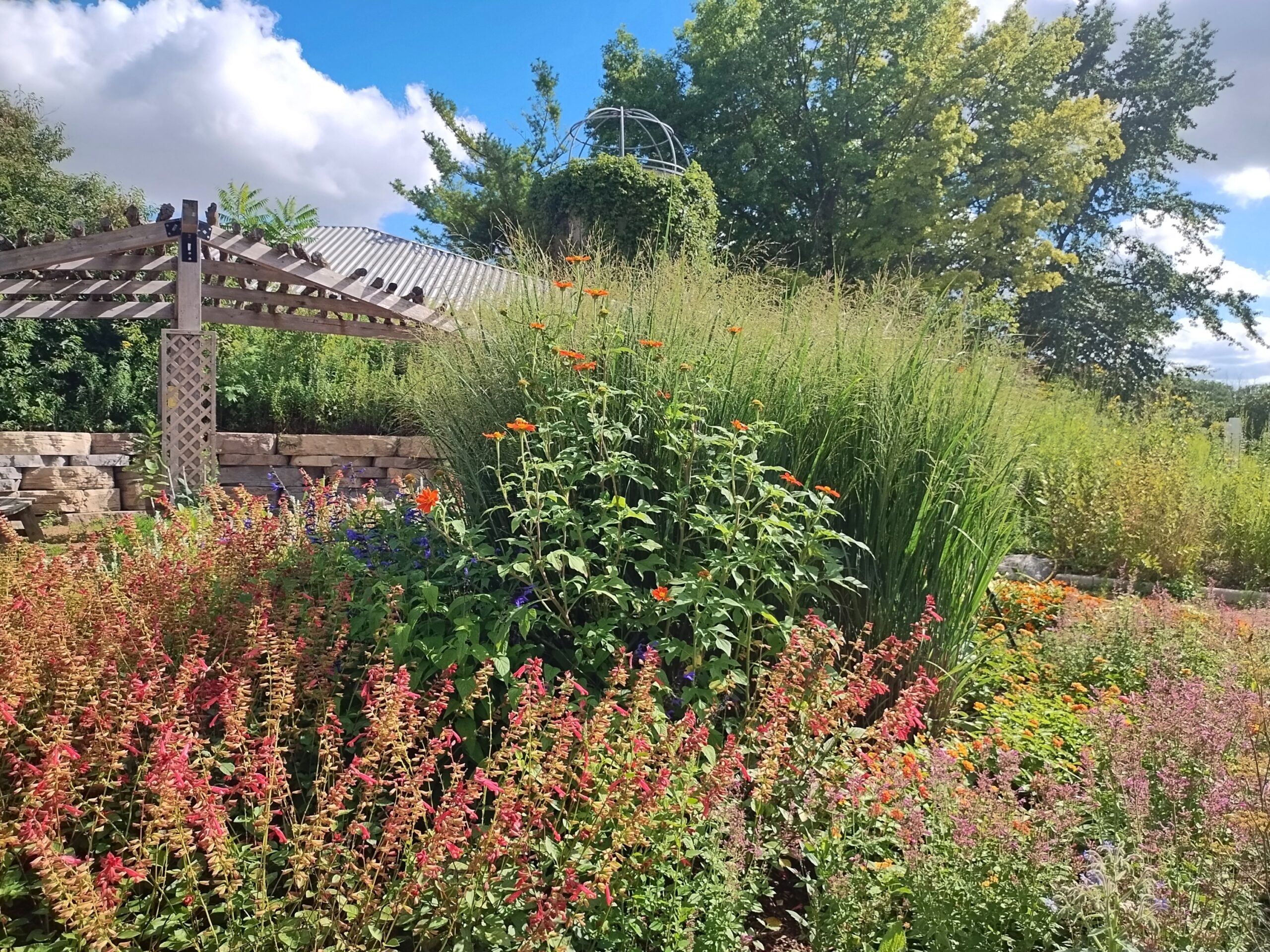
Our only full day in Denver, September 10, was forecast to be a hot one, so we schemed to arrive at the Denver Botanic Gardens when it opened in the morning and stay there until the heat became uncomfortable. We liked the place so much that we stayed well after the heat locked into high.
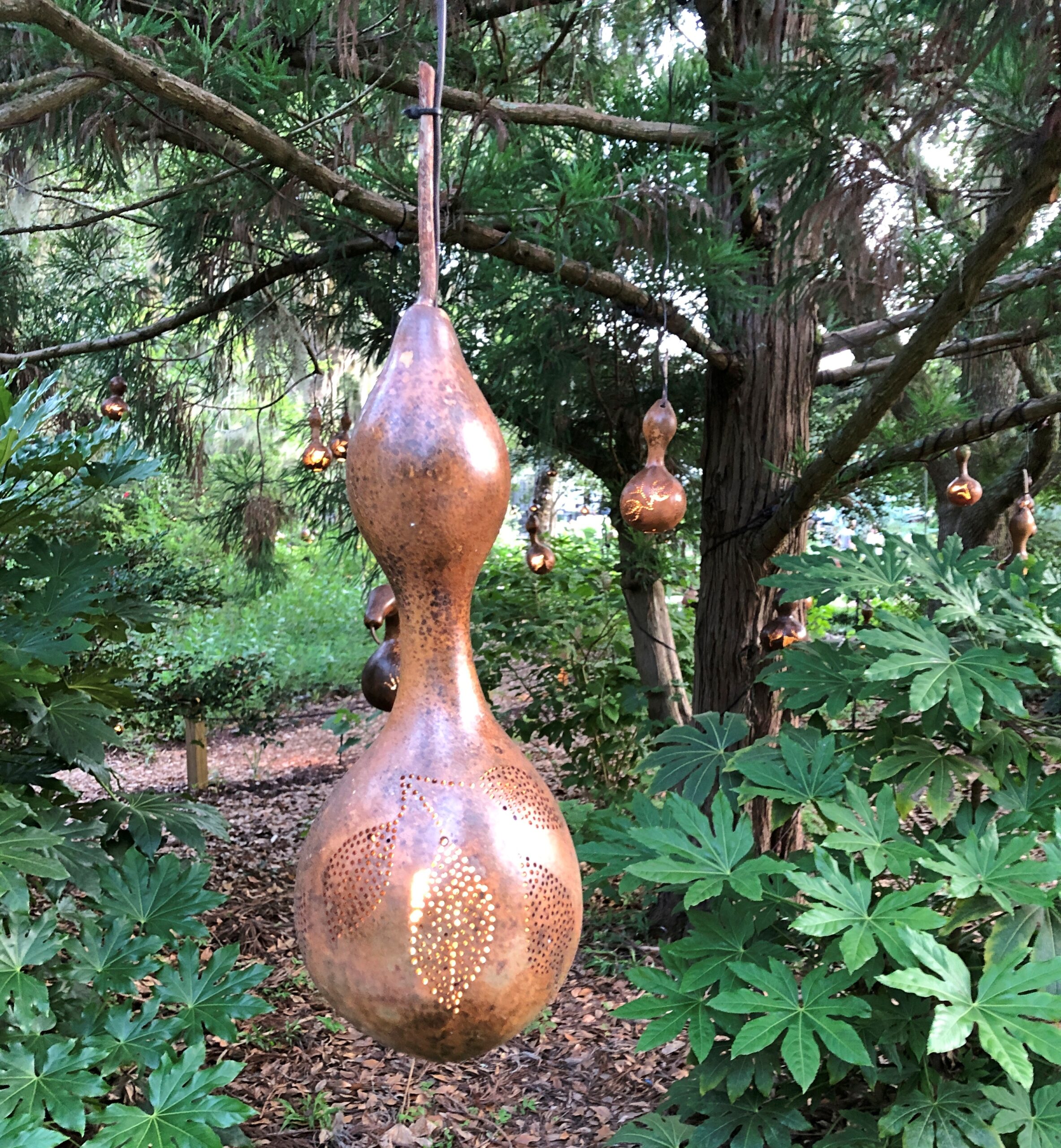
The place includes a few whimsical installations, but mostly it’s straightforward flora.
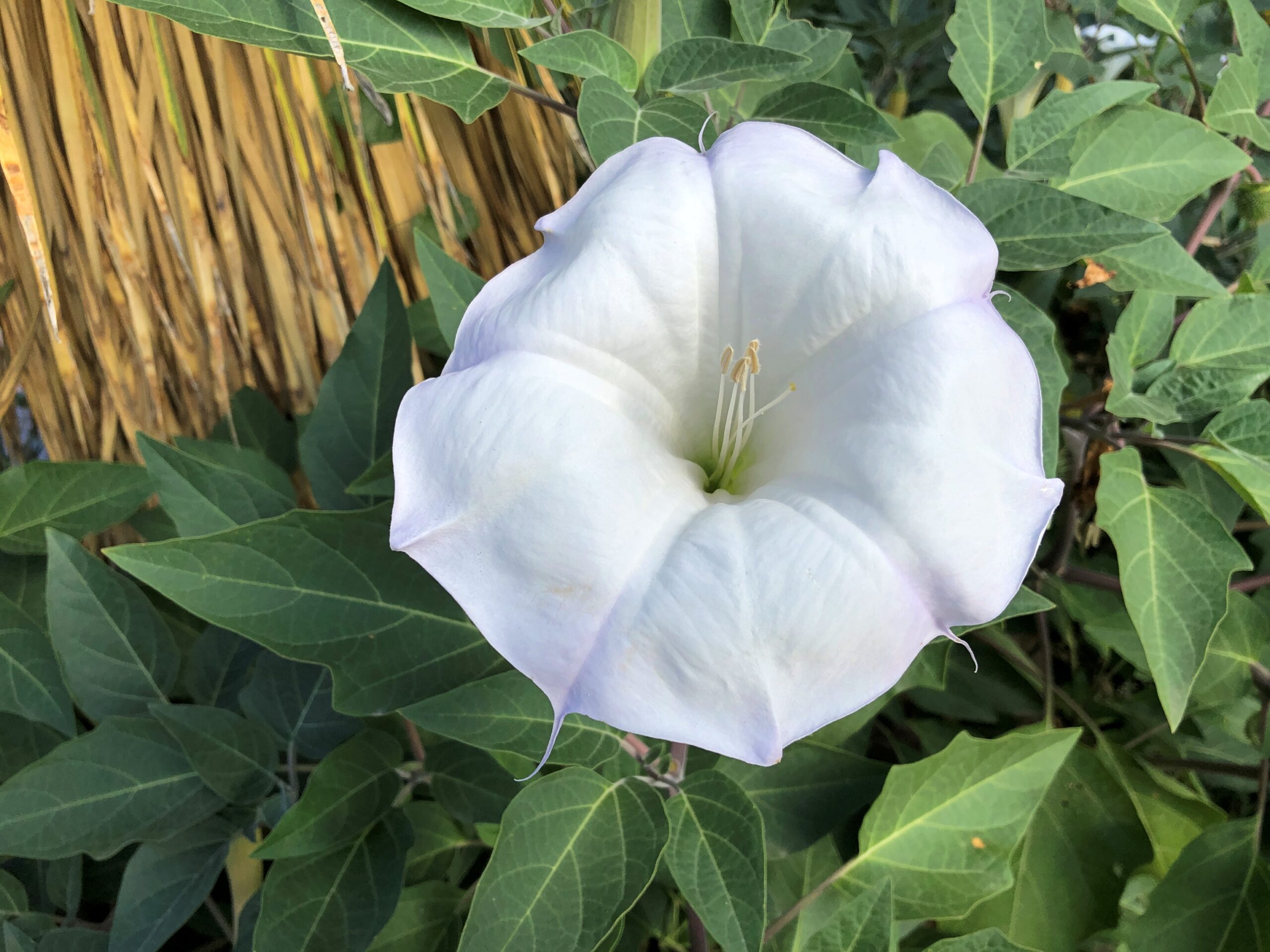
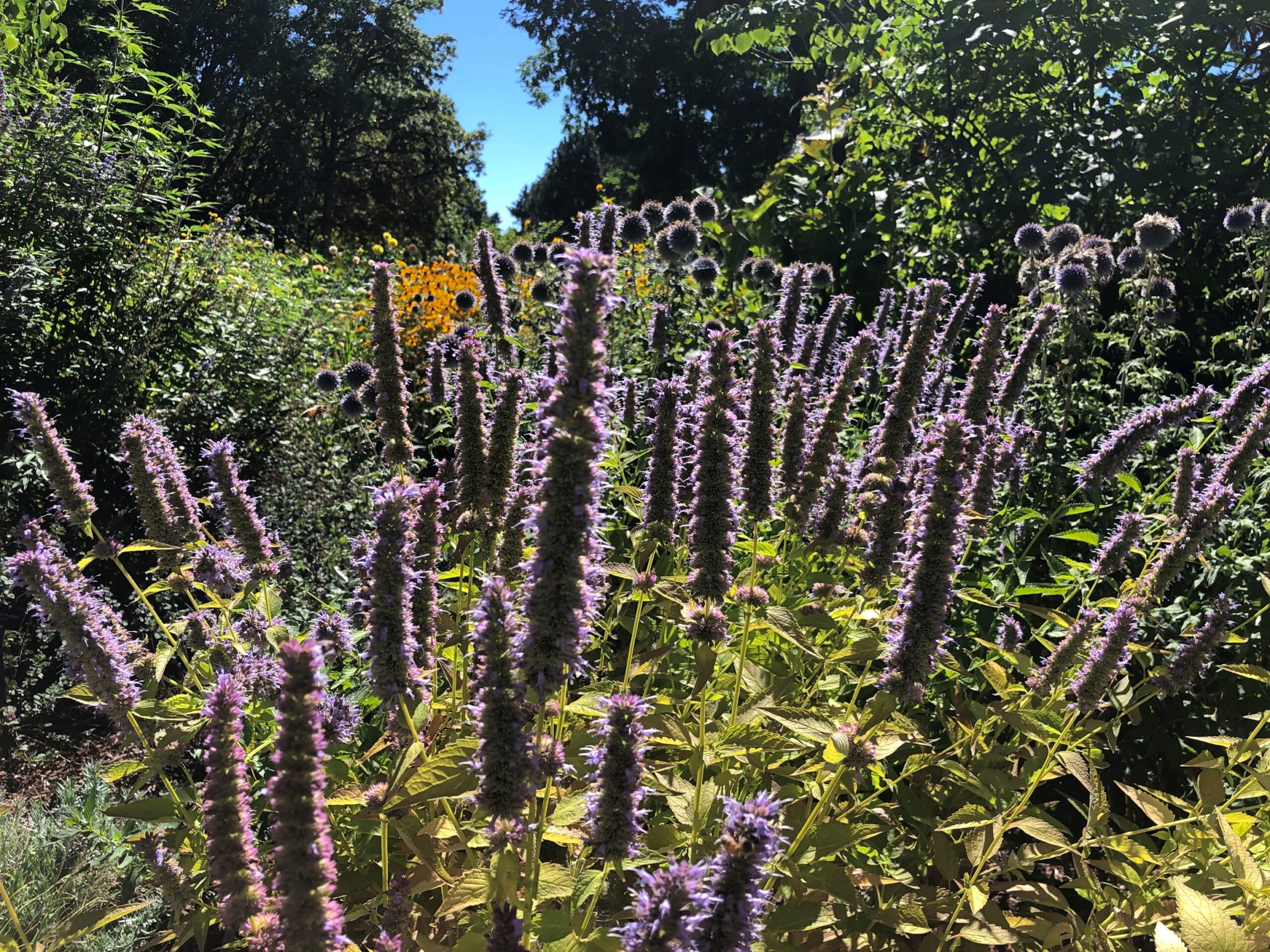
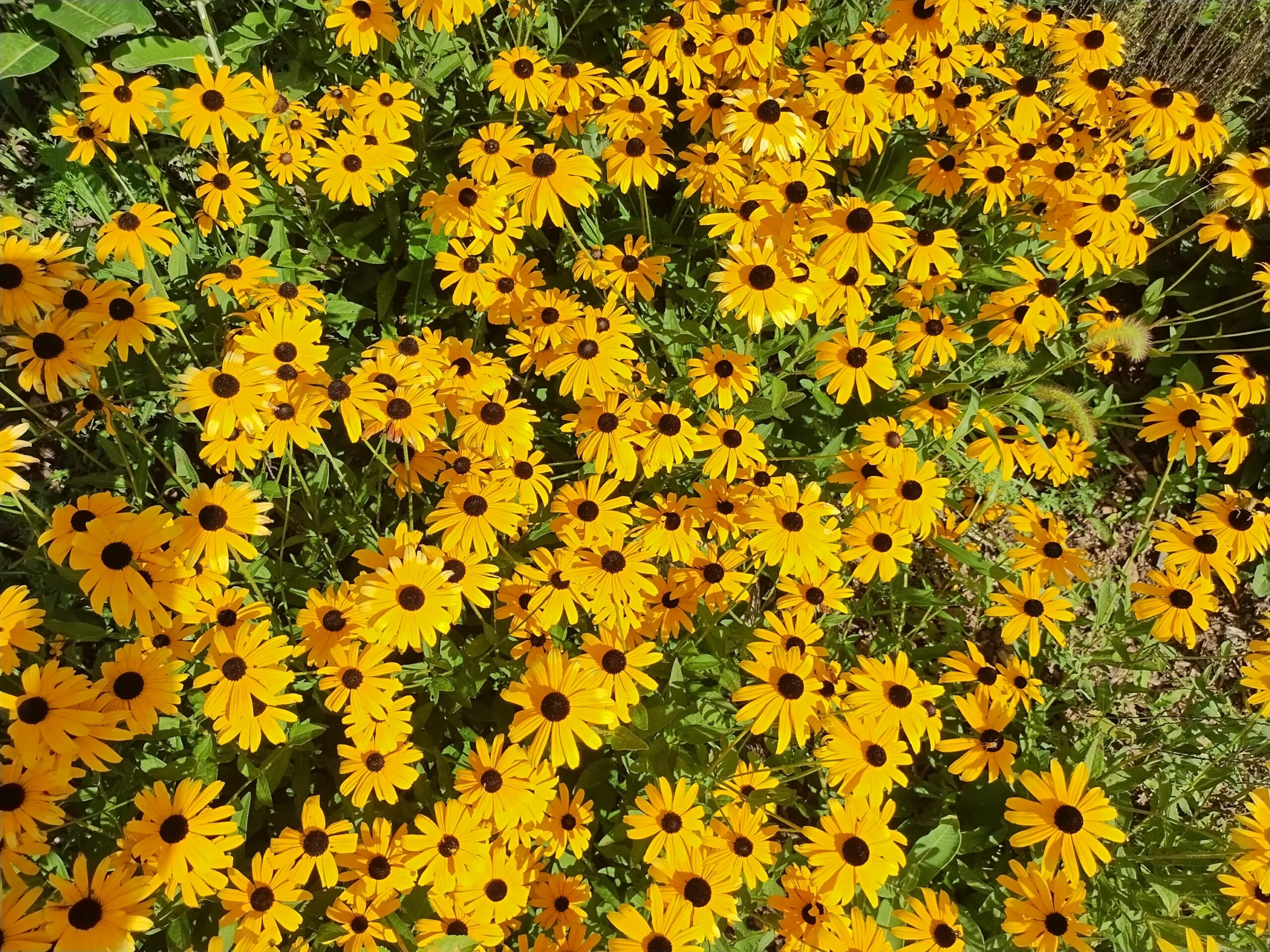
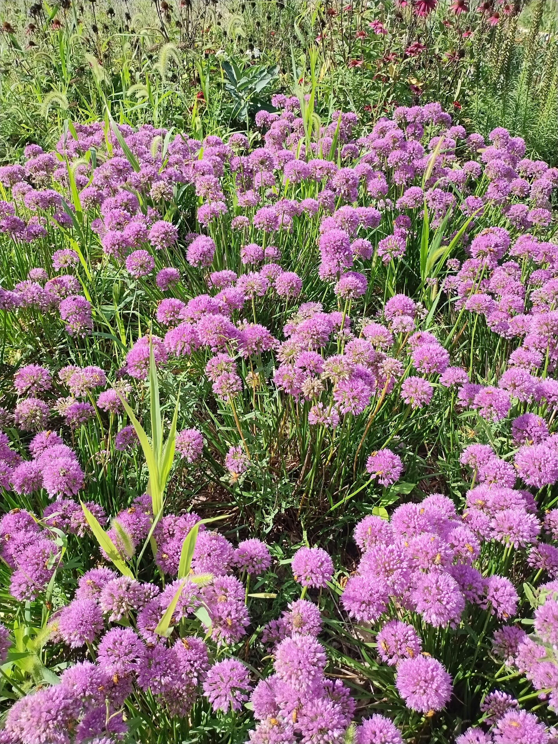
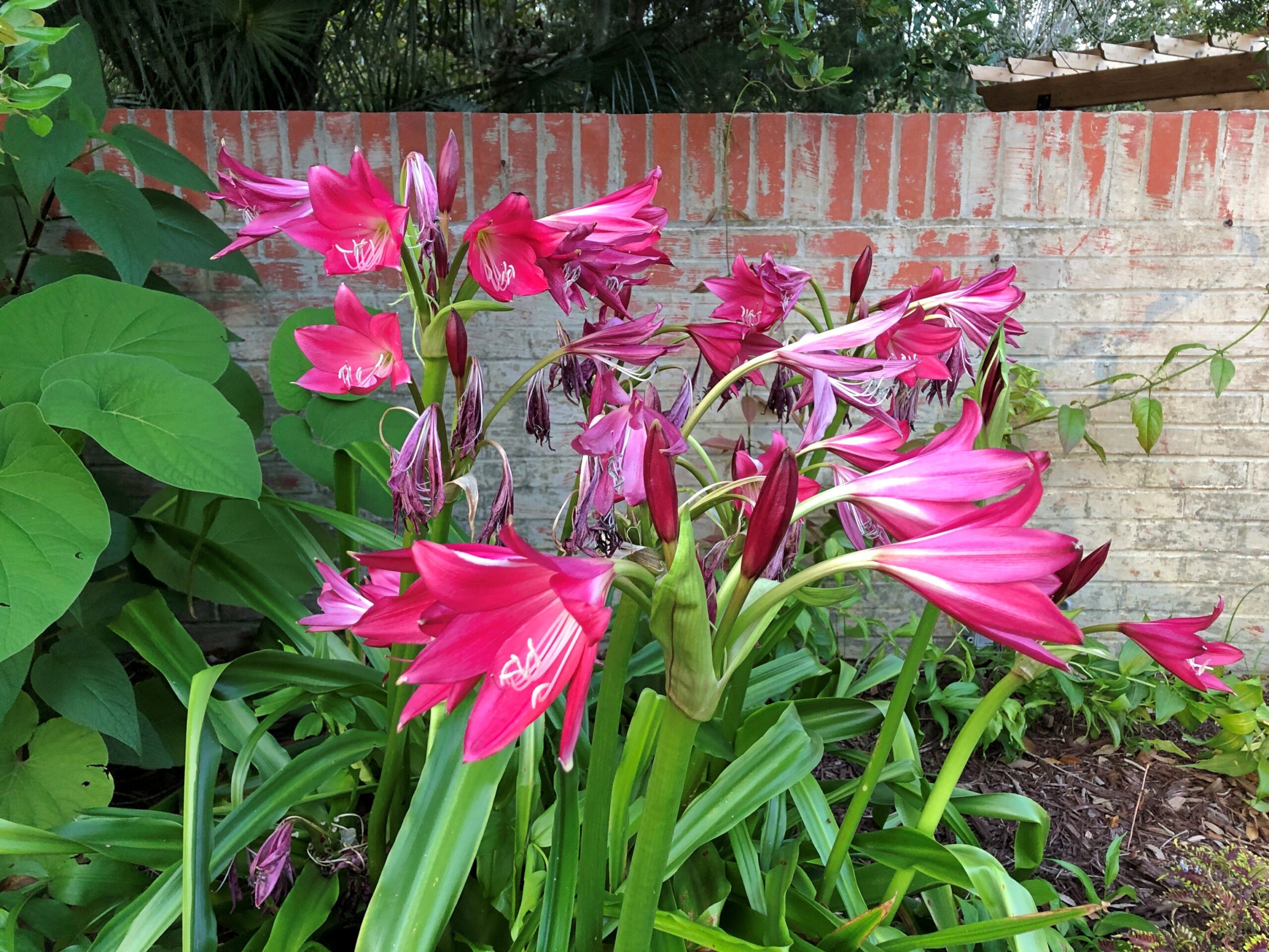
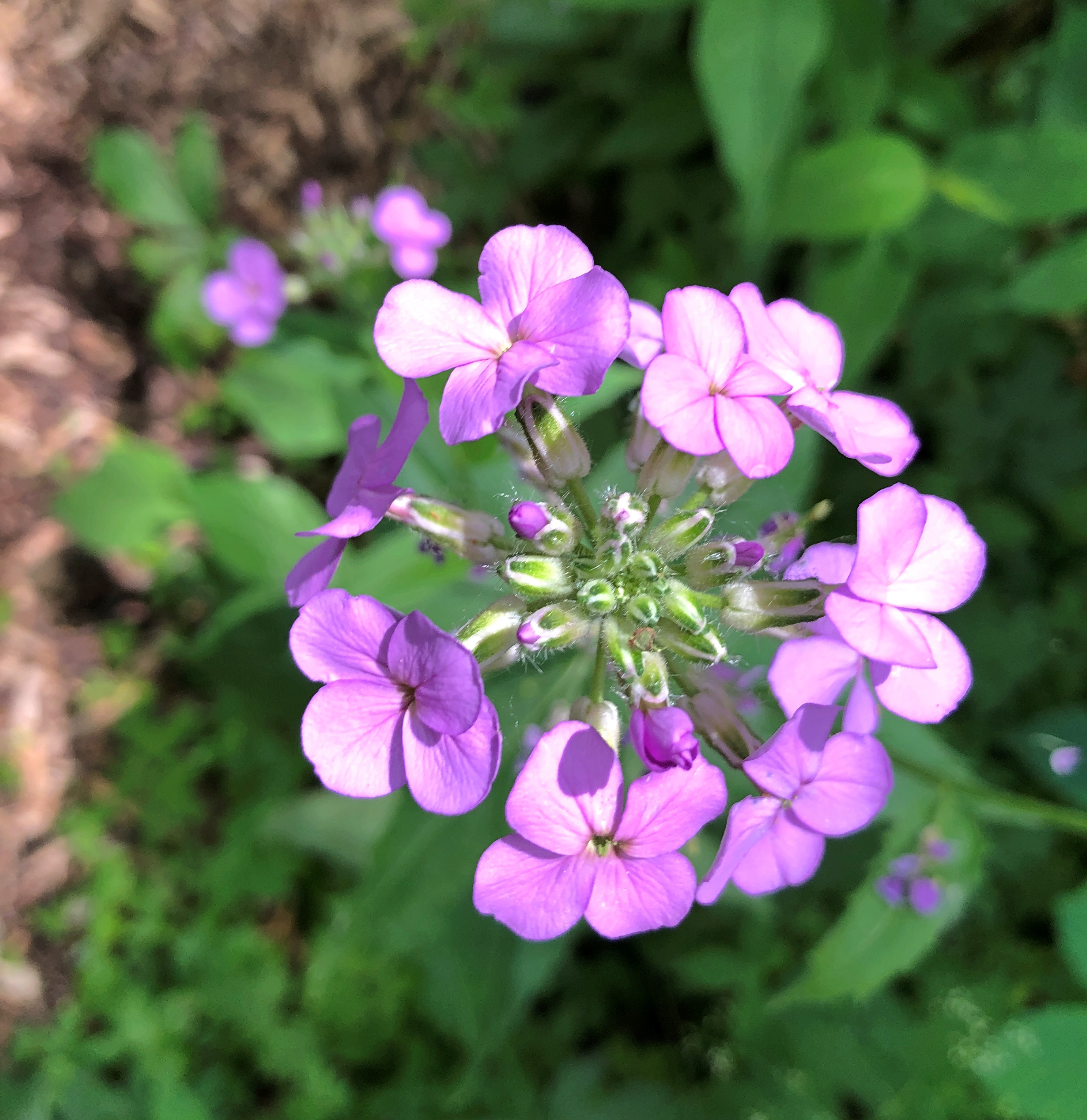
The flowers alone were worth the price of admission. Singly.
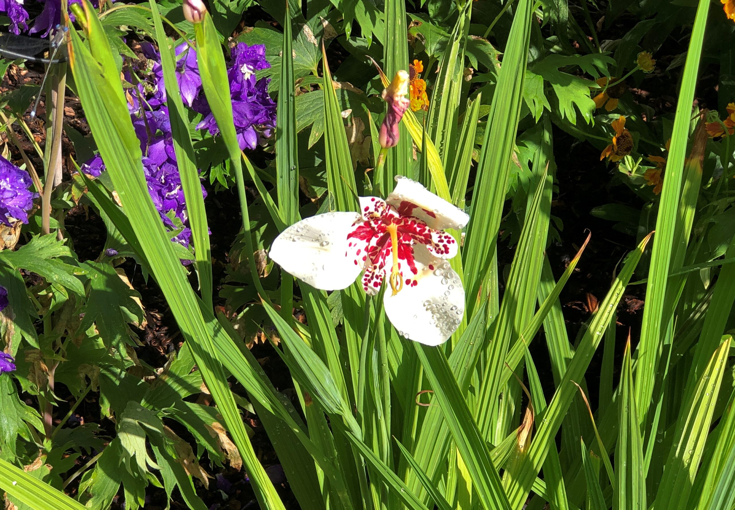
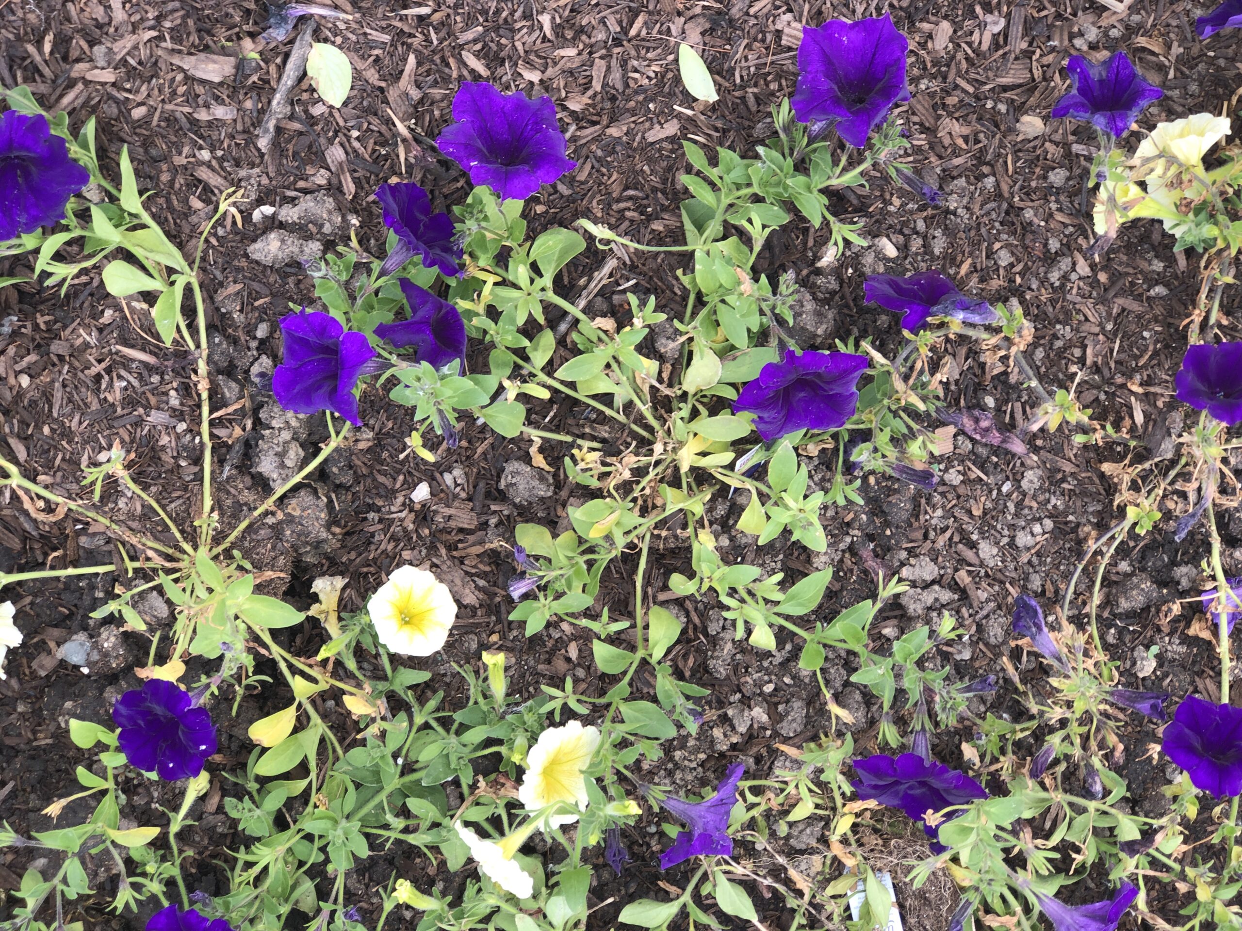
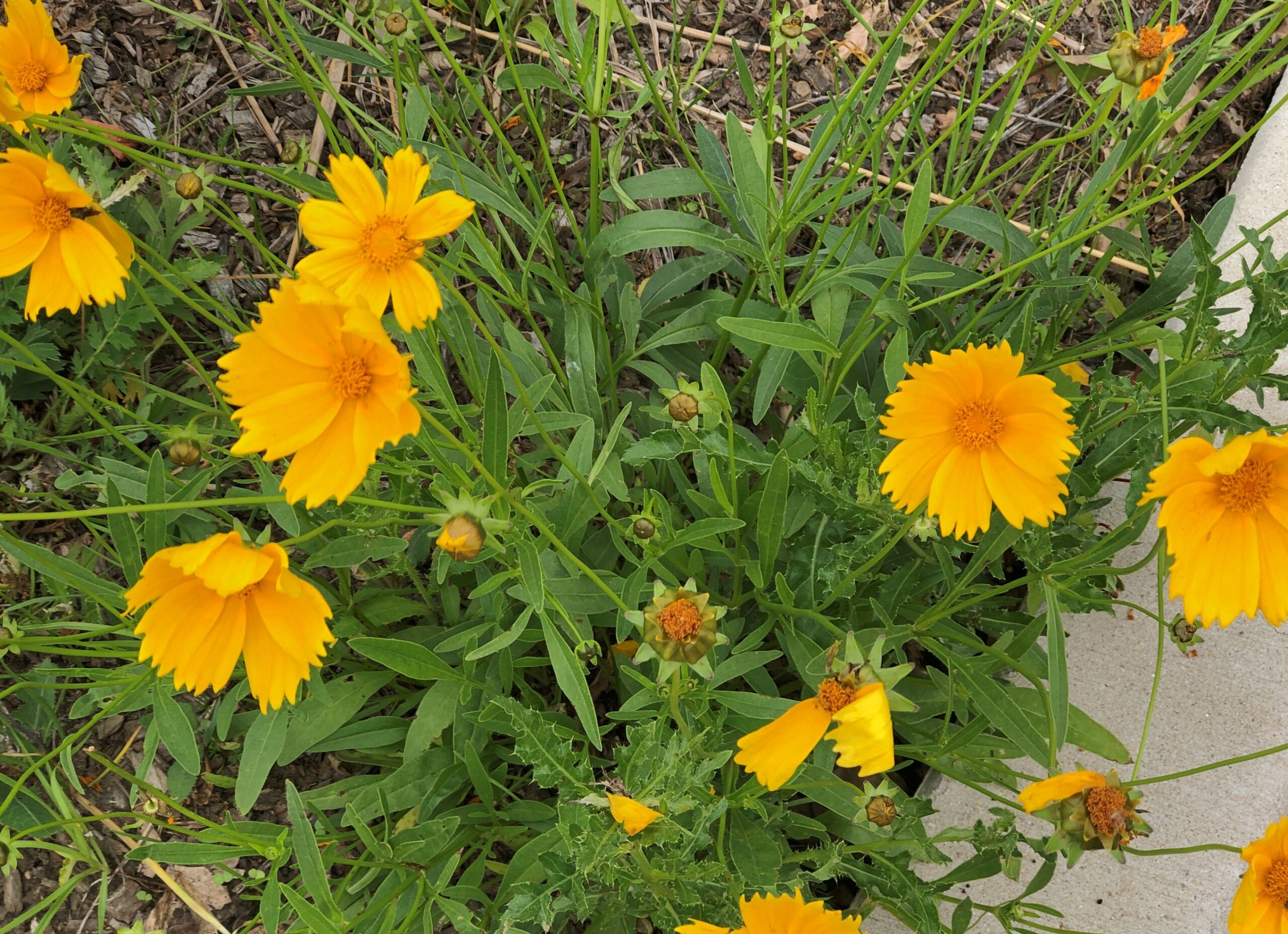
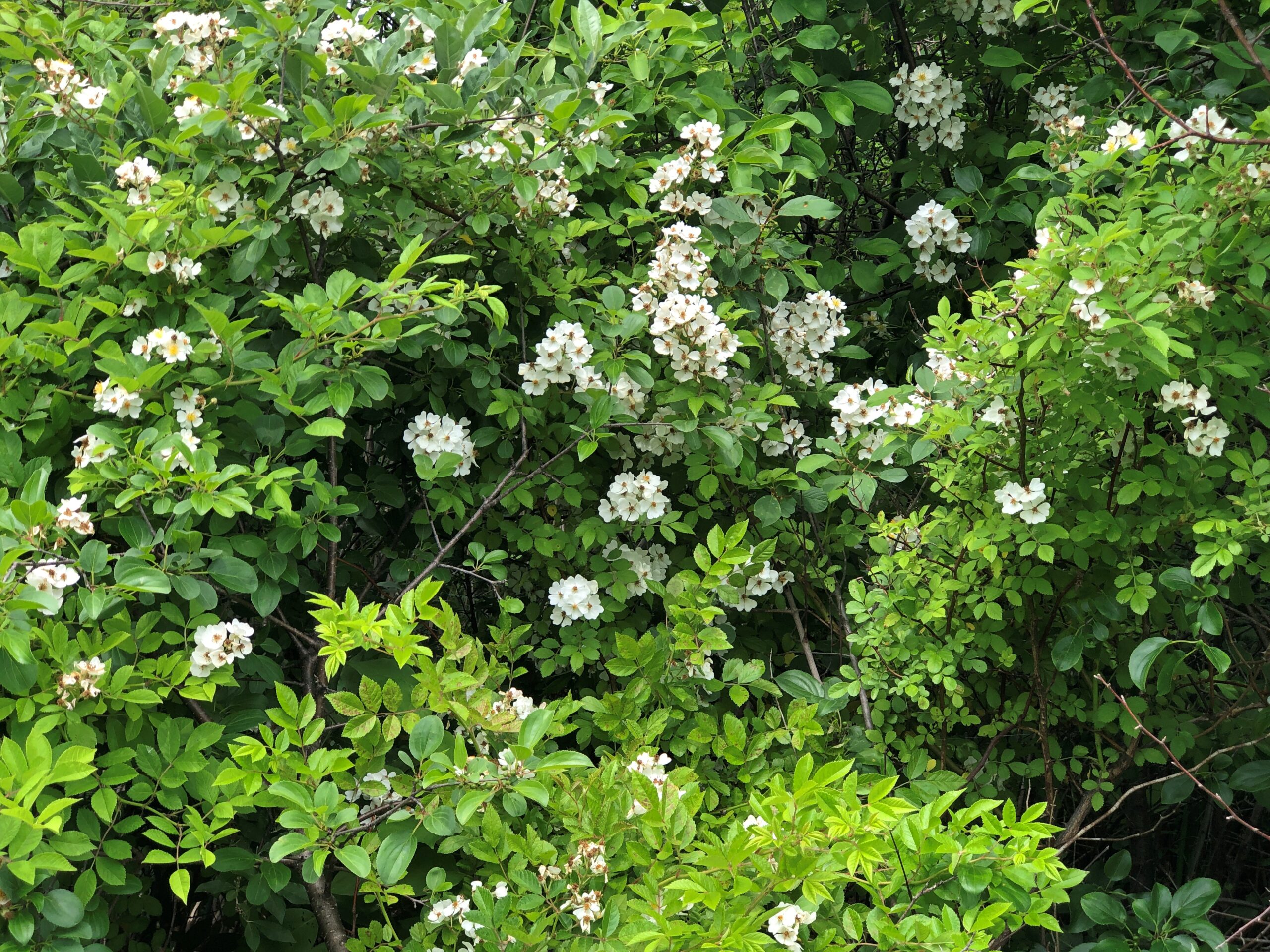
And in profusion.
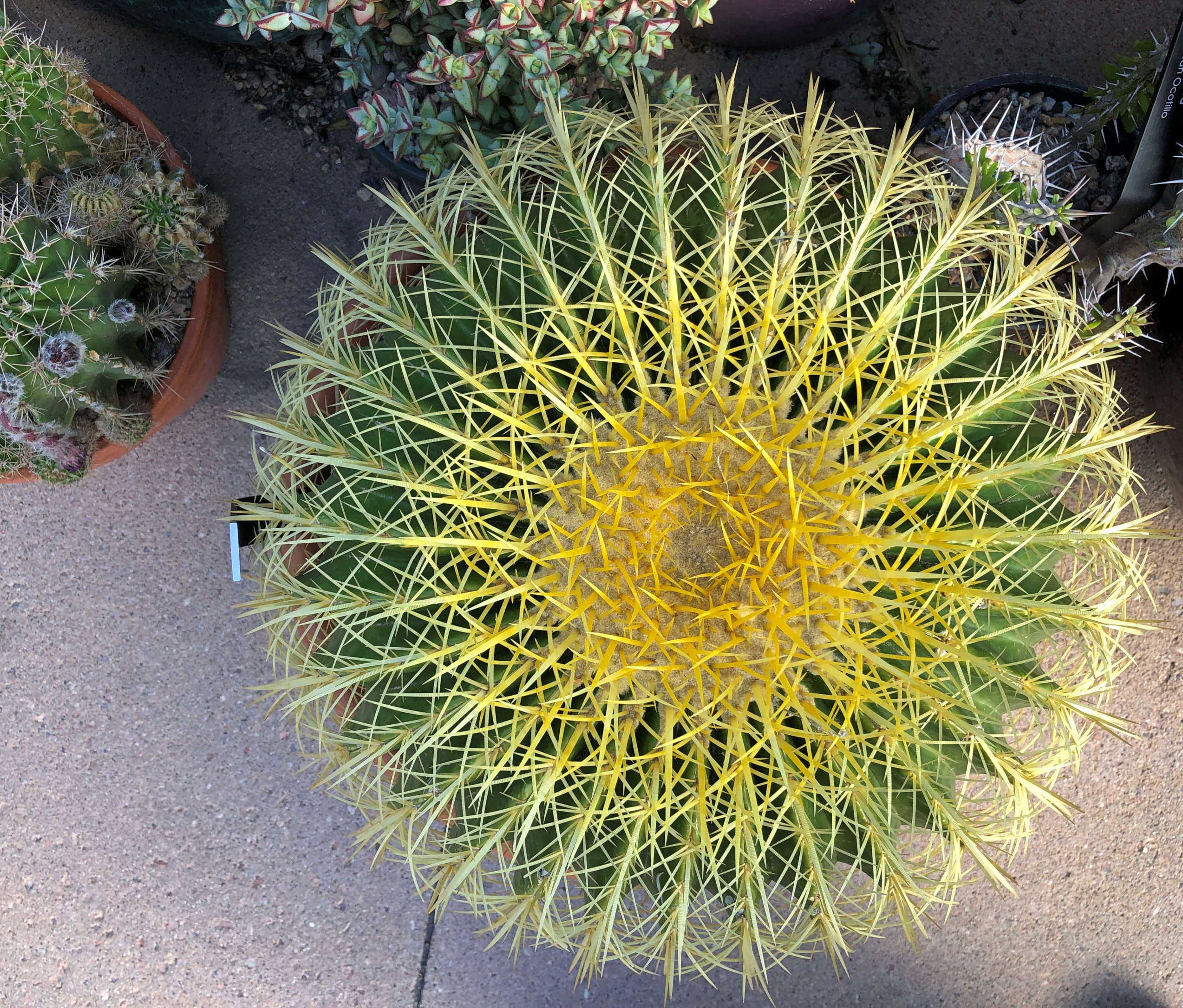
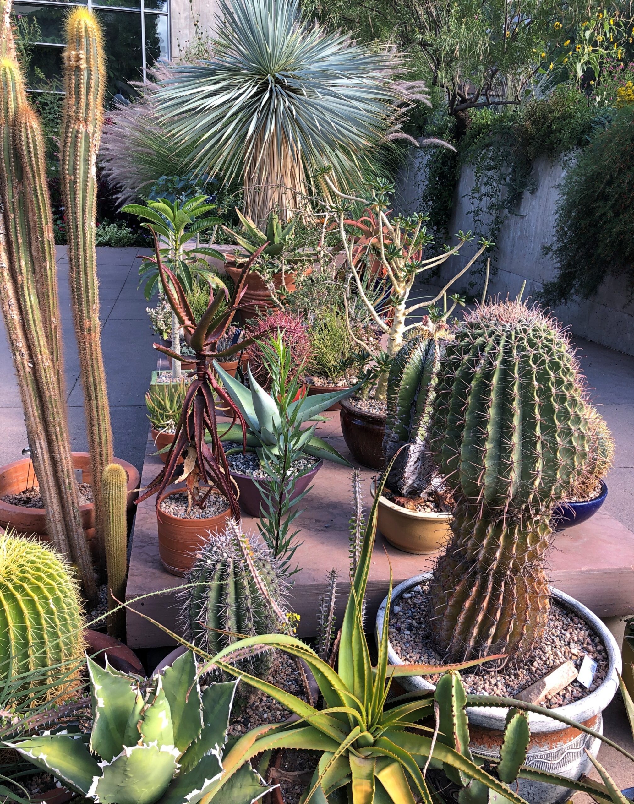
At 23 acres in the middle of a major metropolitan area, the gardens are enormous, with paths leading off in various directions to a sizable pond garden, a Japanese garden, and a giant tropical conservatory, among other features, such as an alpine garden and a steppe garden and a xeriscape demonstration garden (“Dryland Mesa”). Not to forget cacti.
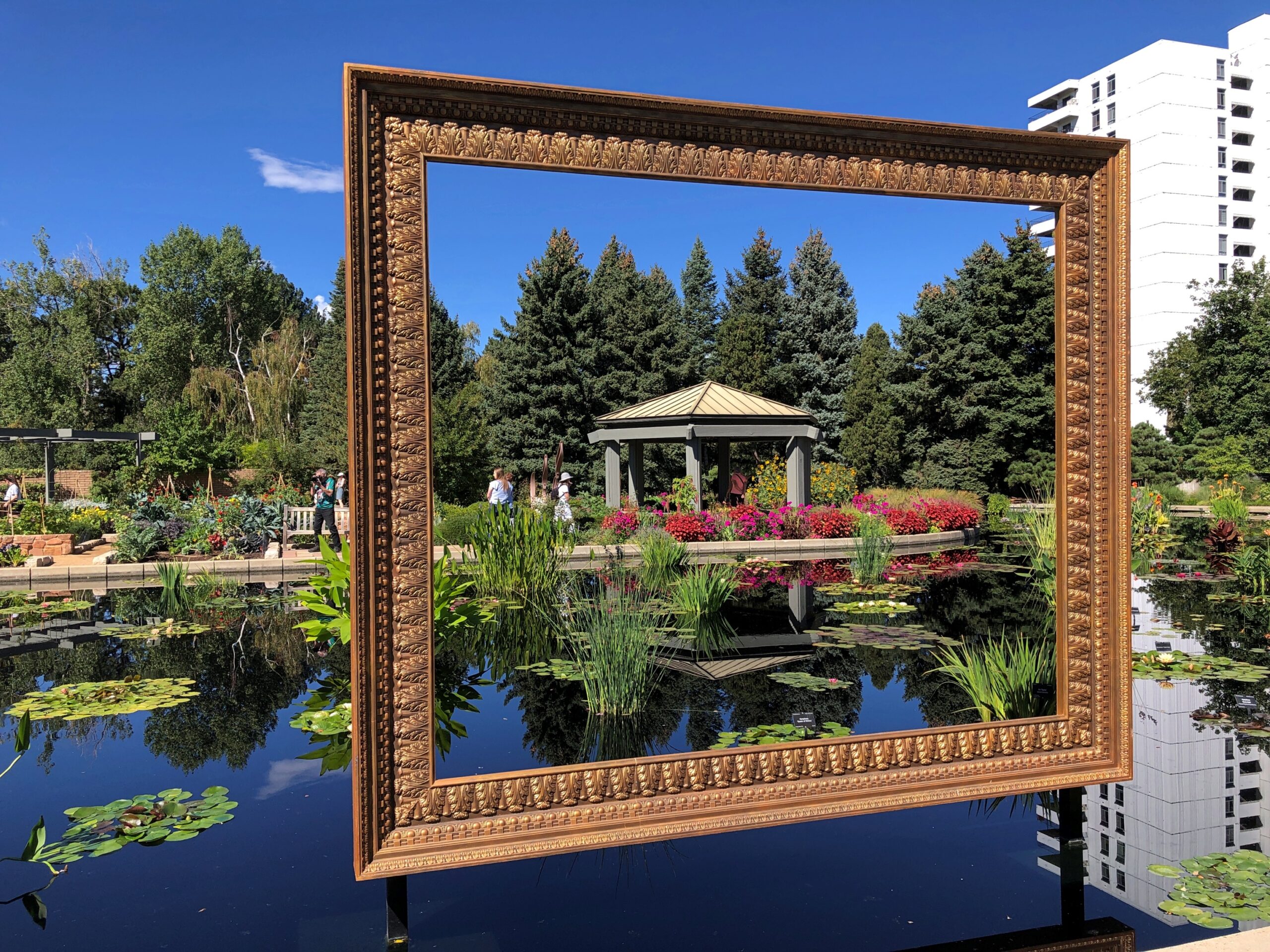
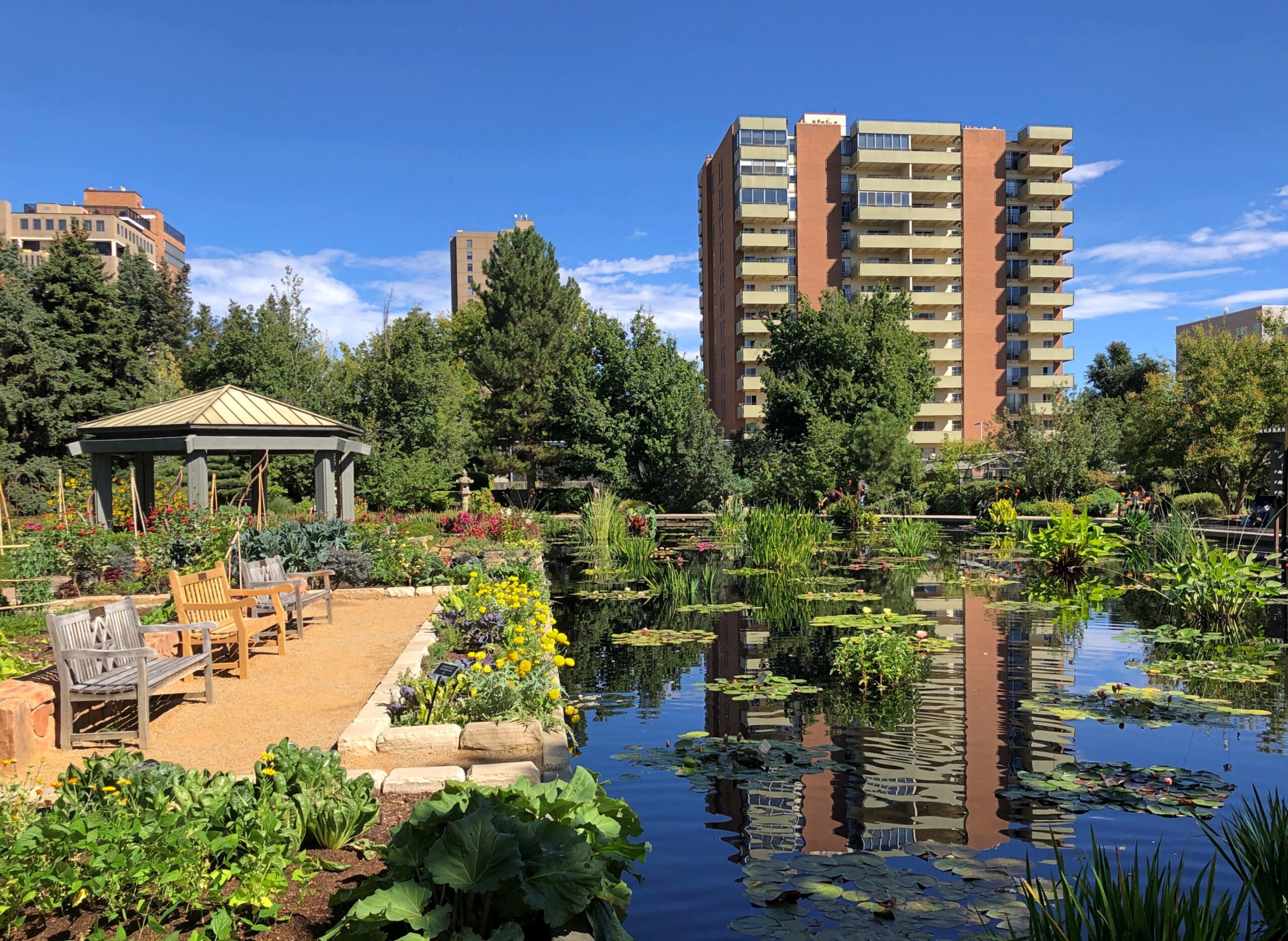
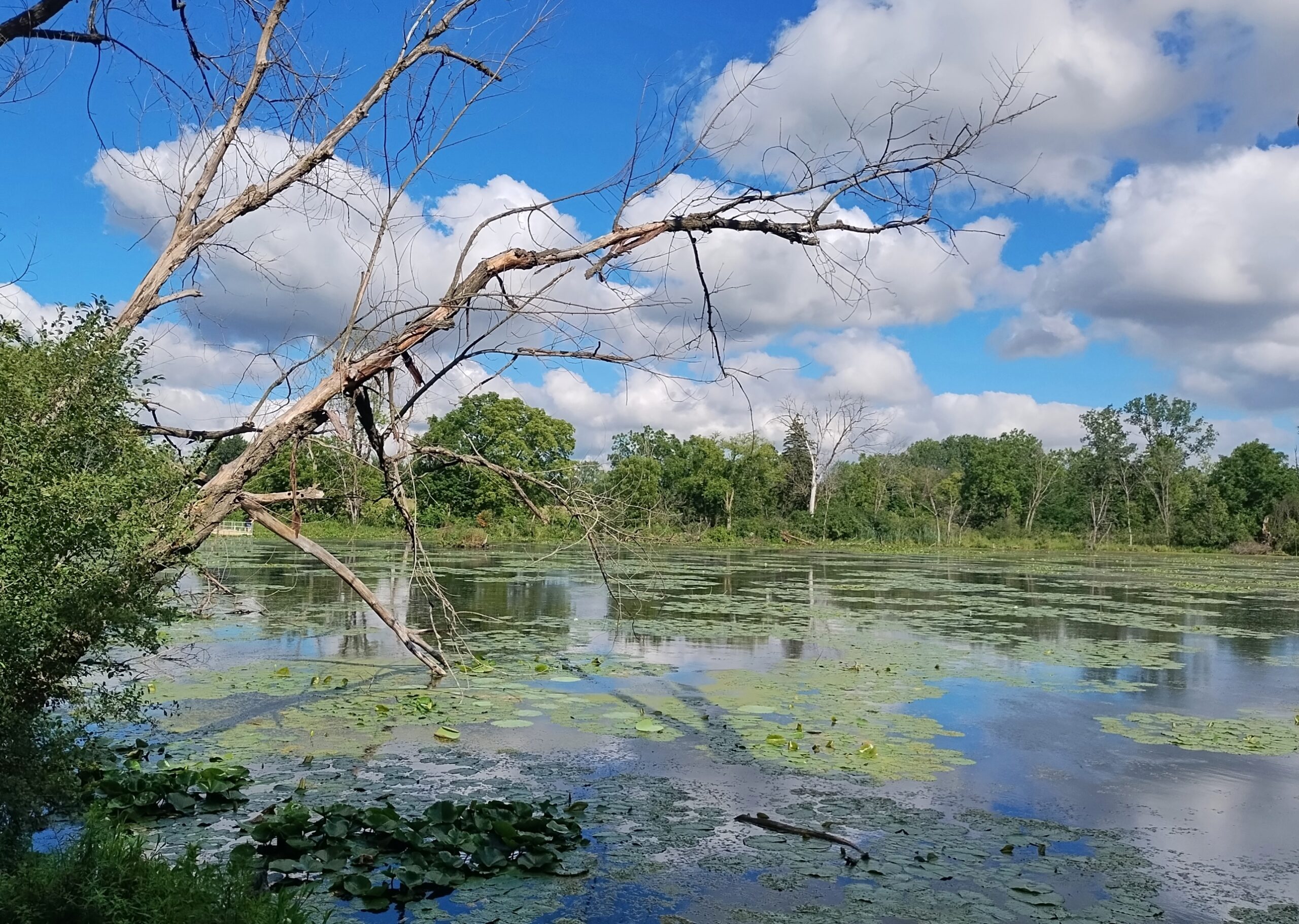
There was no way to see everything, so we focused on various parts, such as the pond.
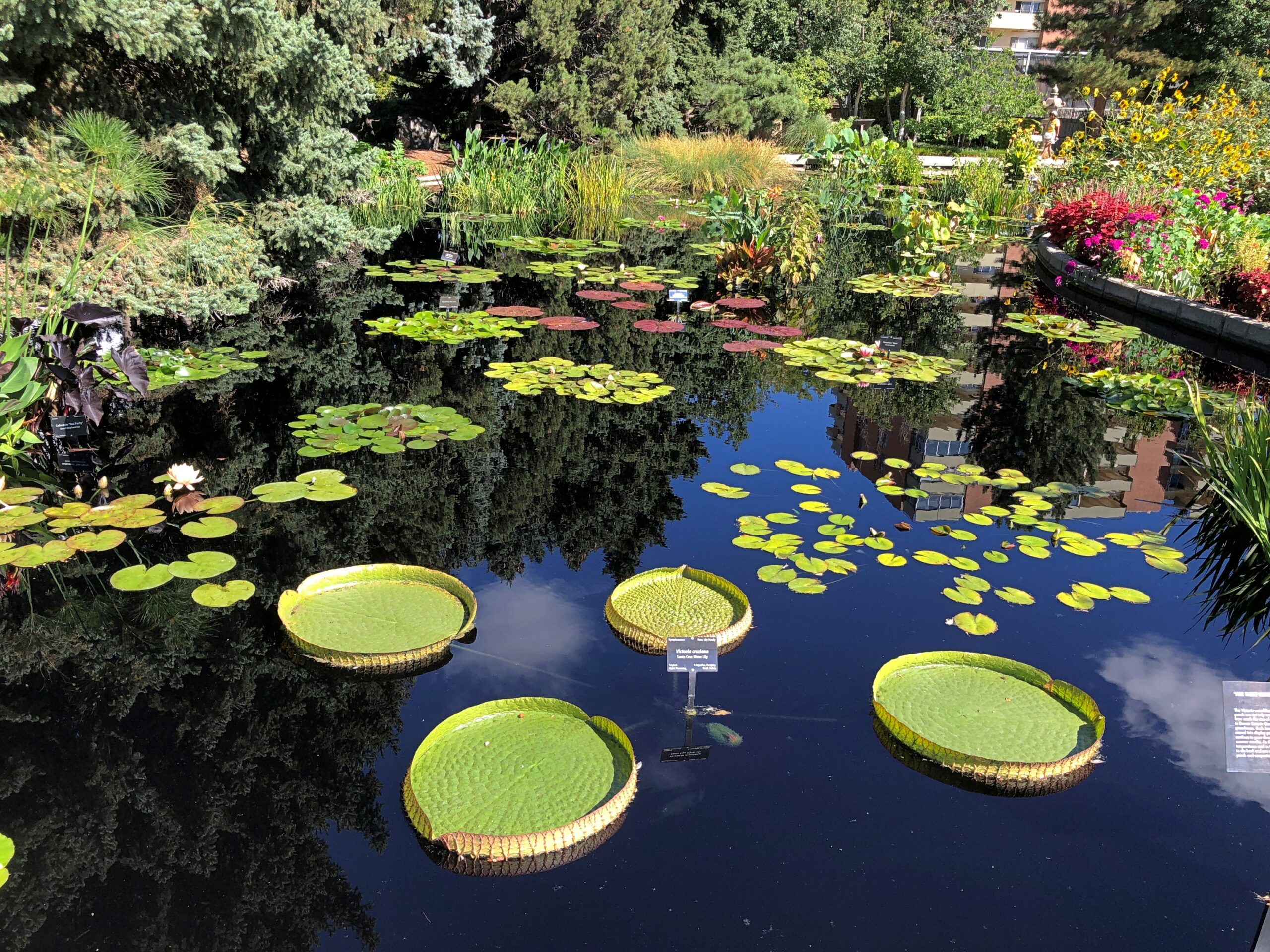
I’d never see lily pads like this.
Built for squadrons of dragonflies to land on.
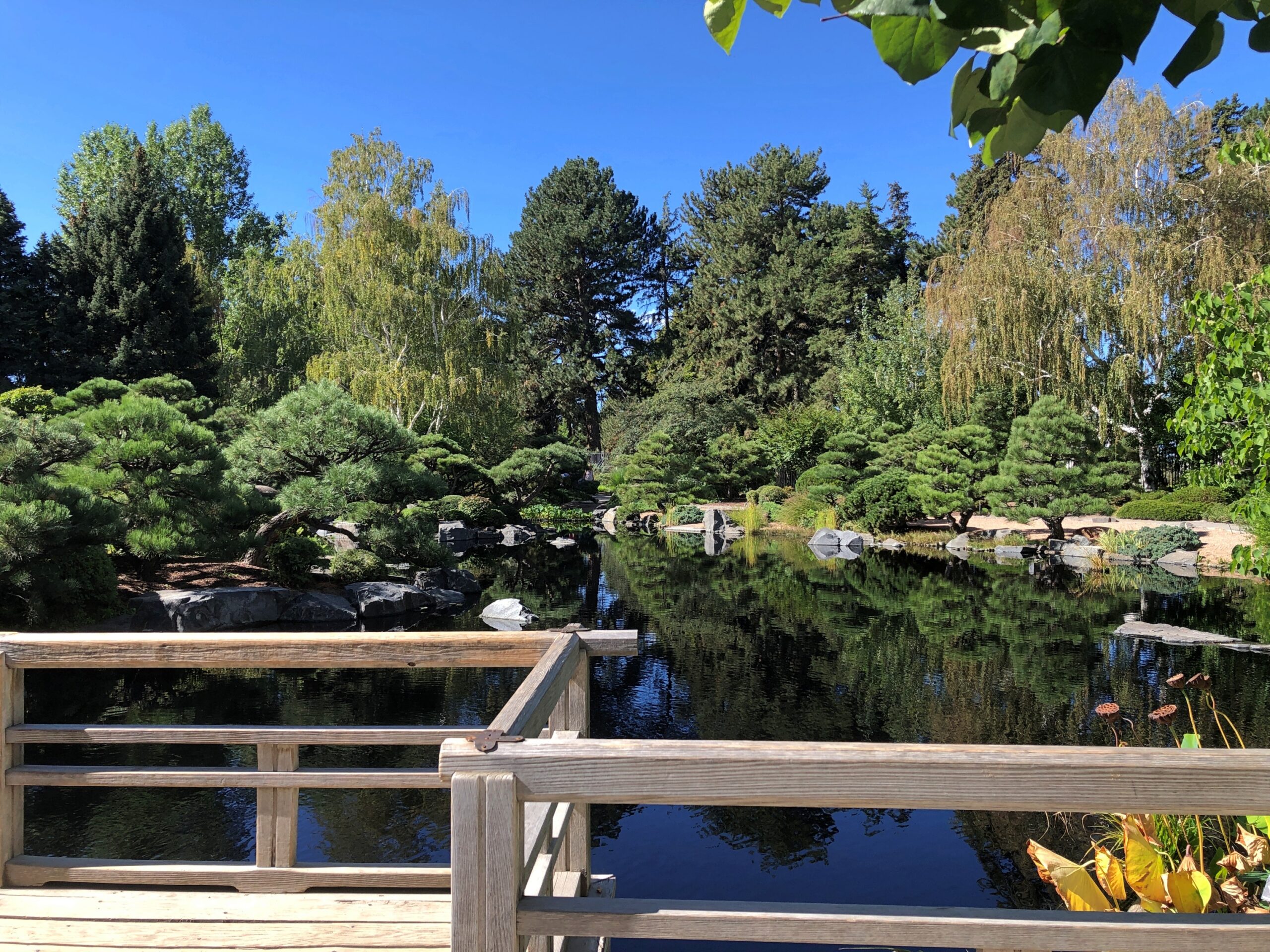
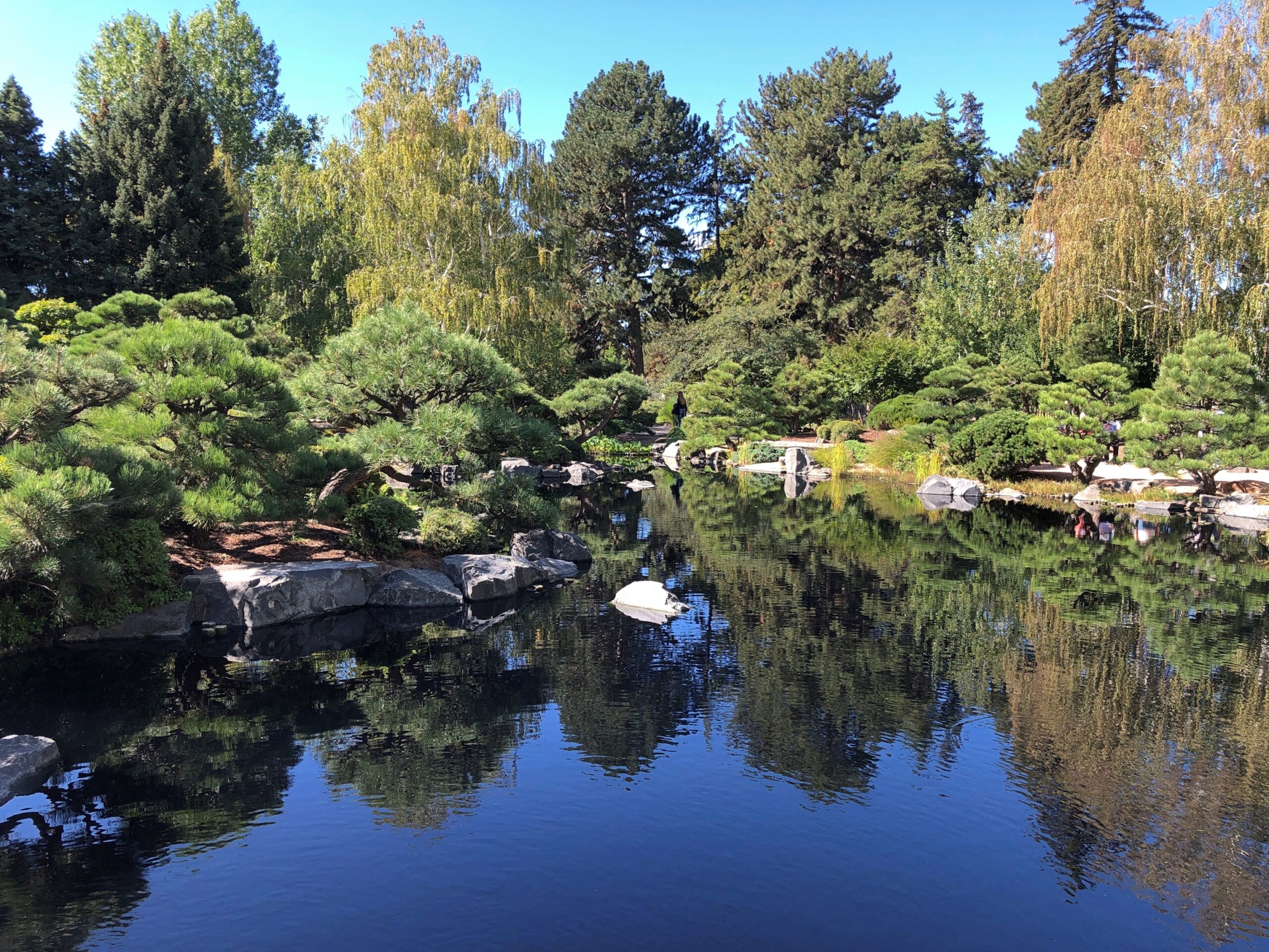
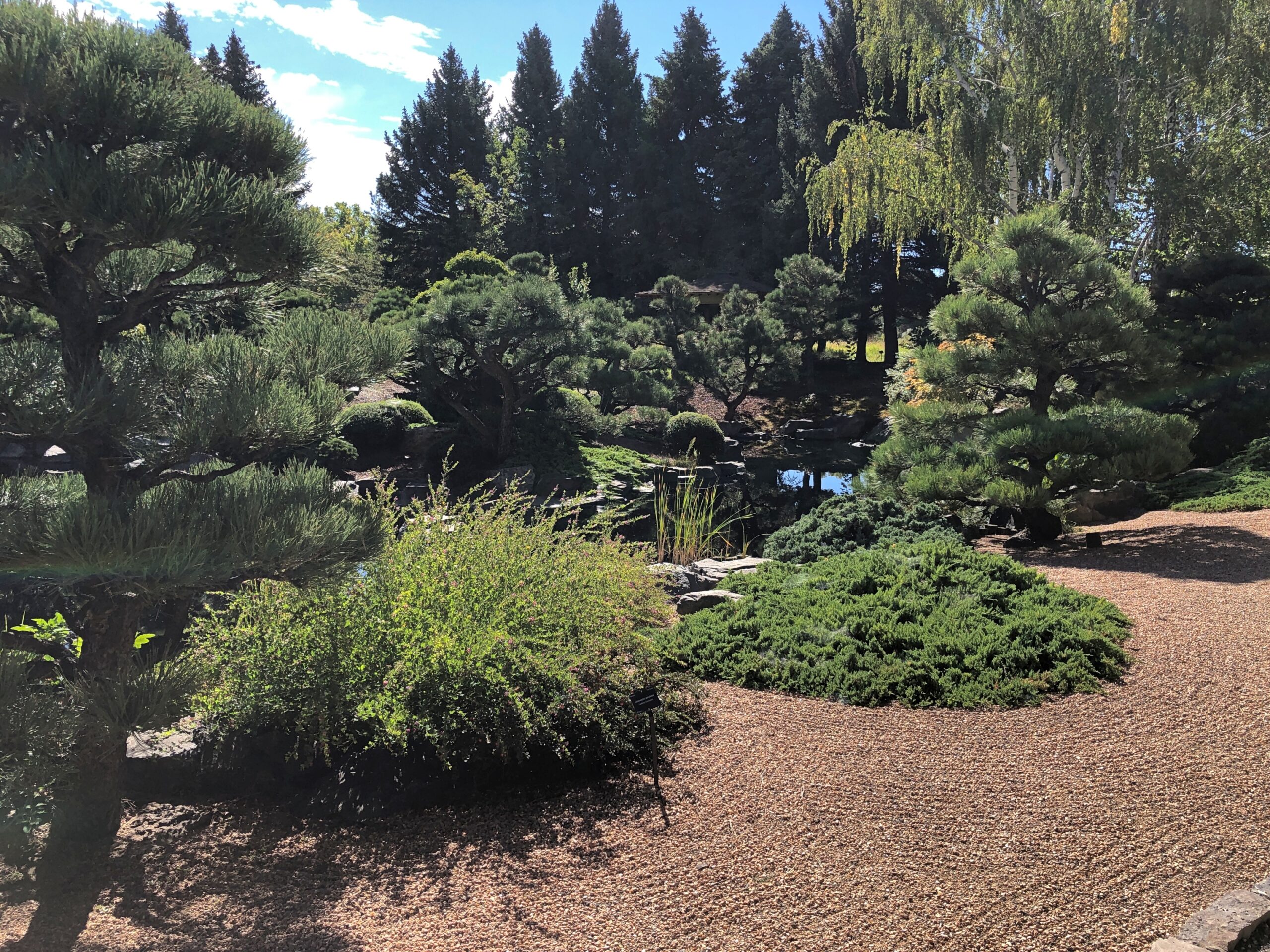
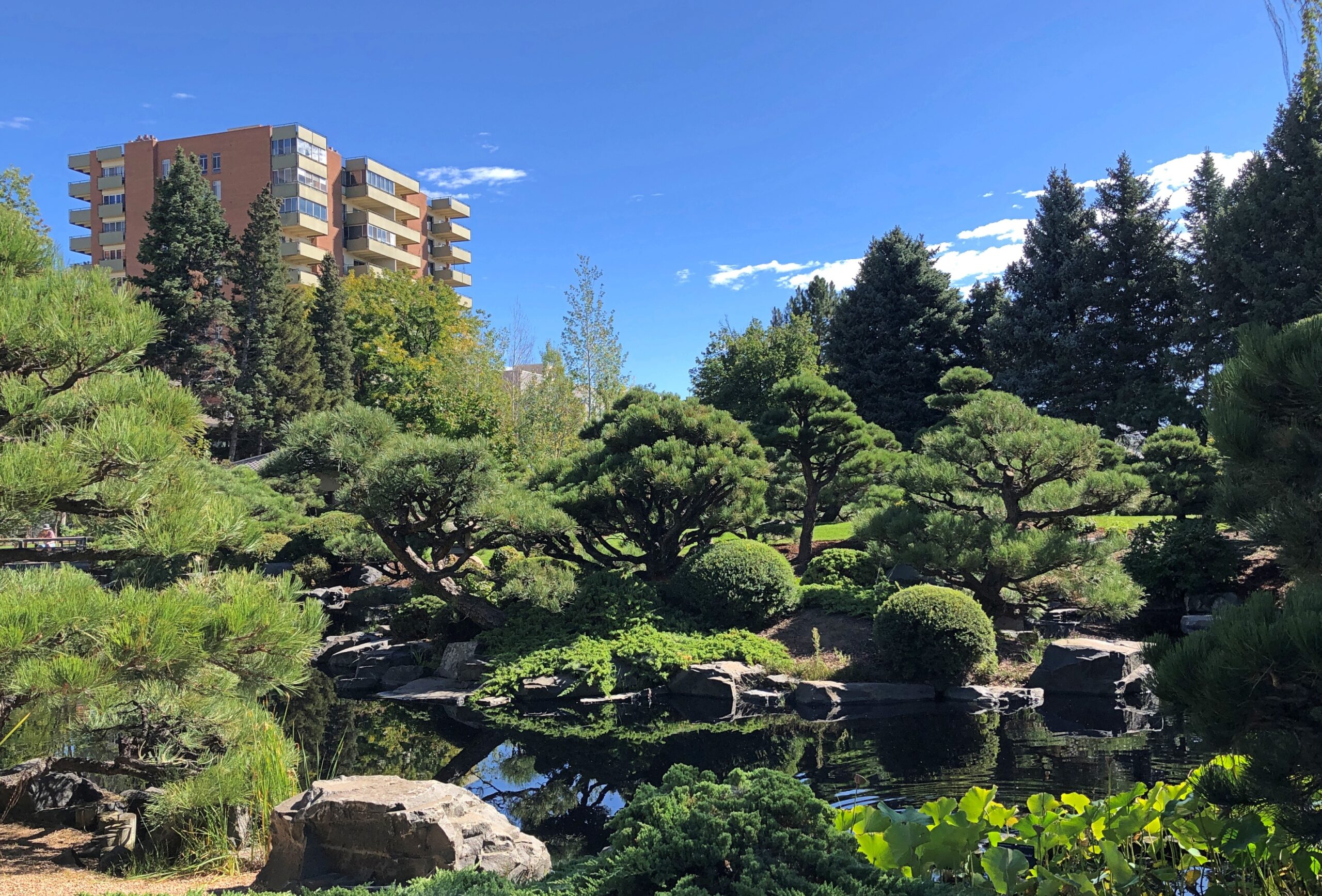
We also spent time in the Japanese garden, known as Shofu-en, the Garden of Wind and Pines, designed by Koichi Kawana (d. 1990). He did the Japanese garden at the Chicago Botanic Garden and a lot of other places, curiously including Suiho-En, the Garden of Water and Fragrance at the Donald C. Tillman Water Reclamation Plant in Los Angeles.
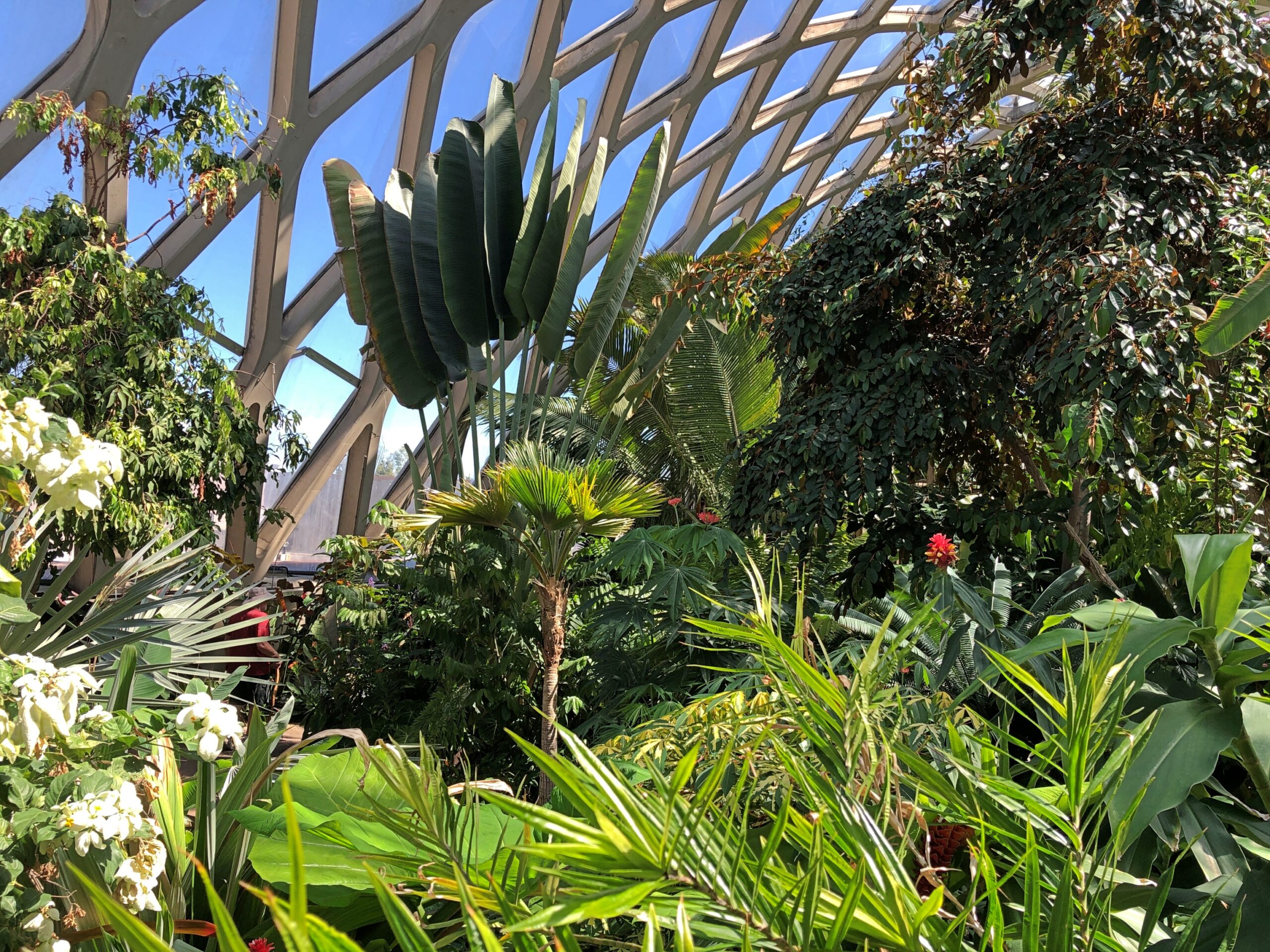
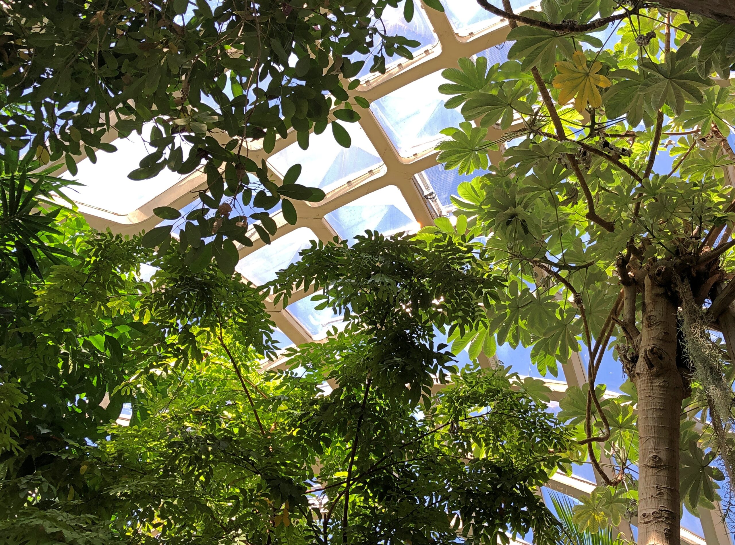
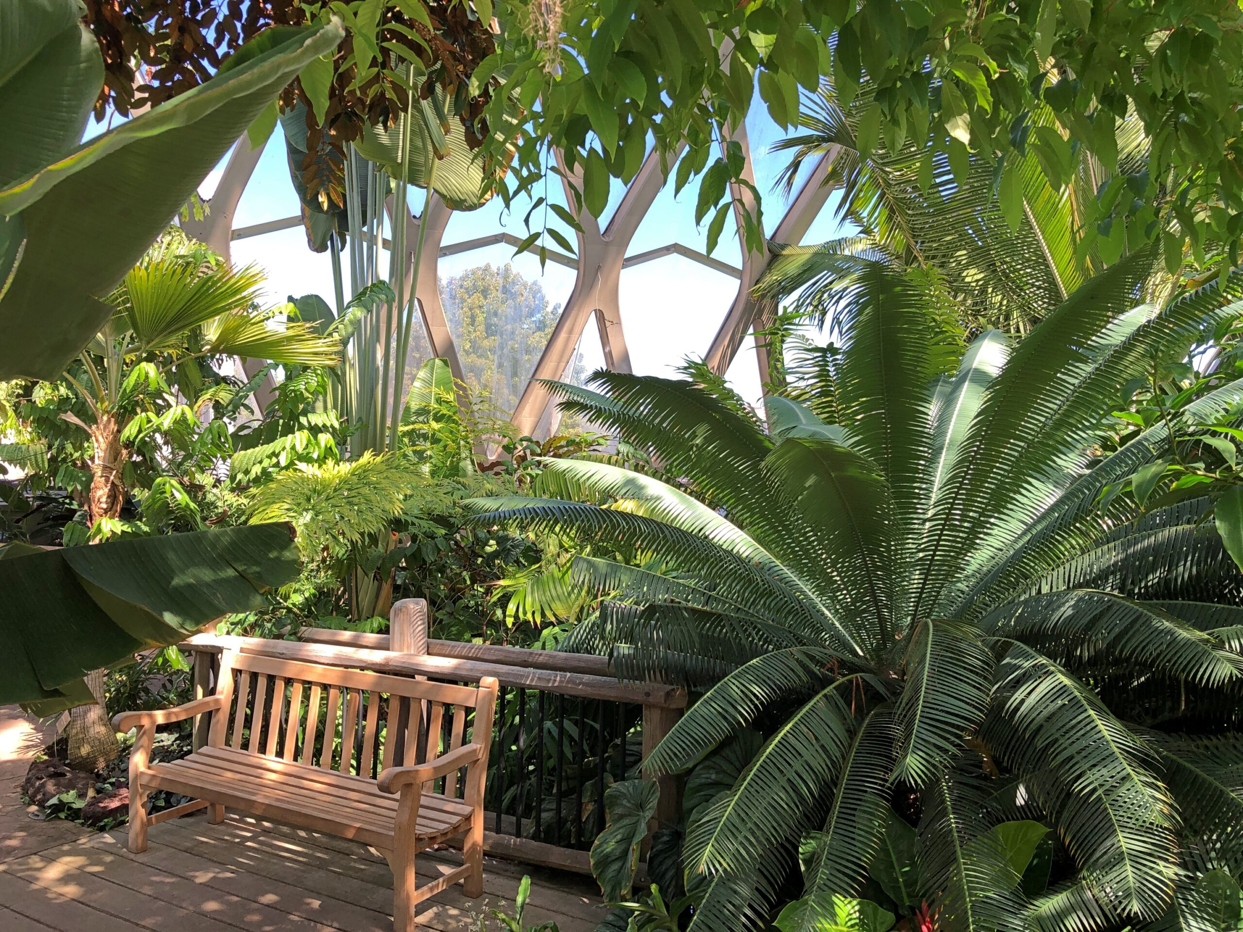
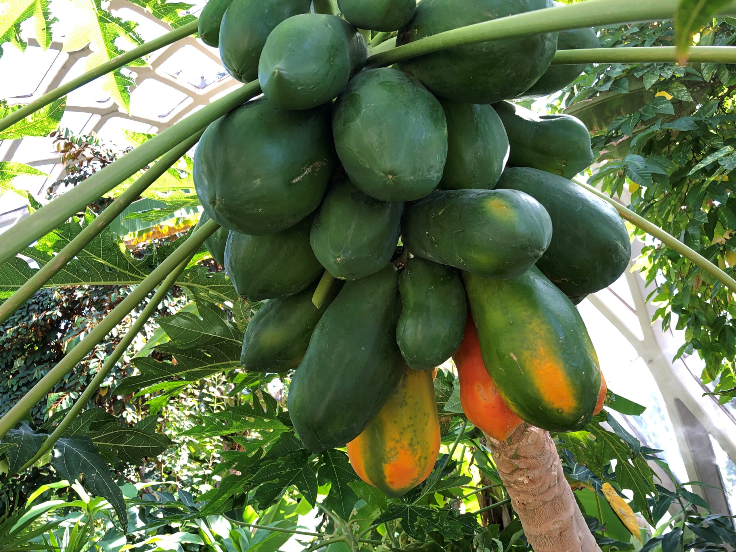
Then there was the conservatory.
To listen to the three-minute audio on this page, the place sounds as high-maintenance as you’d expect, especially the watering and pruning that’s done by hand. To keep a slice of the tropics alive in a mile-high temperate location, I’d say it’s worth the effort.
In 800 years or so, will people come from significant distances to look at the ruins of my mid-century neighborhood? That doesn’t seem likely for any number of reasons. I’d be surprised if my own house survives until the next century, considering how good people are now at razing and rebuilding. But considering such a long span of time, there’s no way to know.
That’s the kind of thing I wonder about when facing structures of that age, especially those whose inhabitants are known mainly by the structures and other items they long ago cast off.
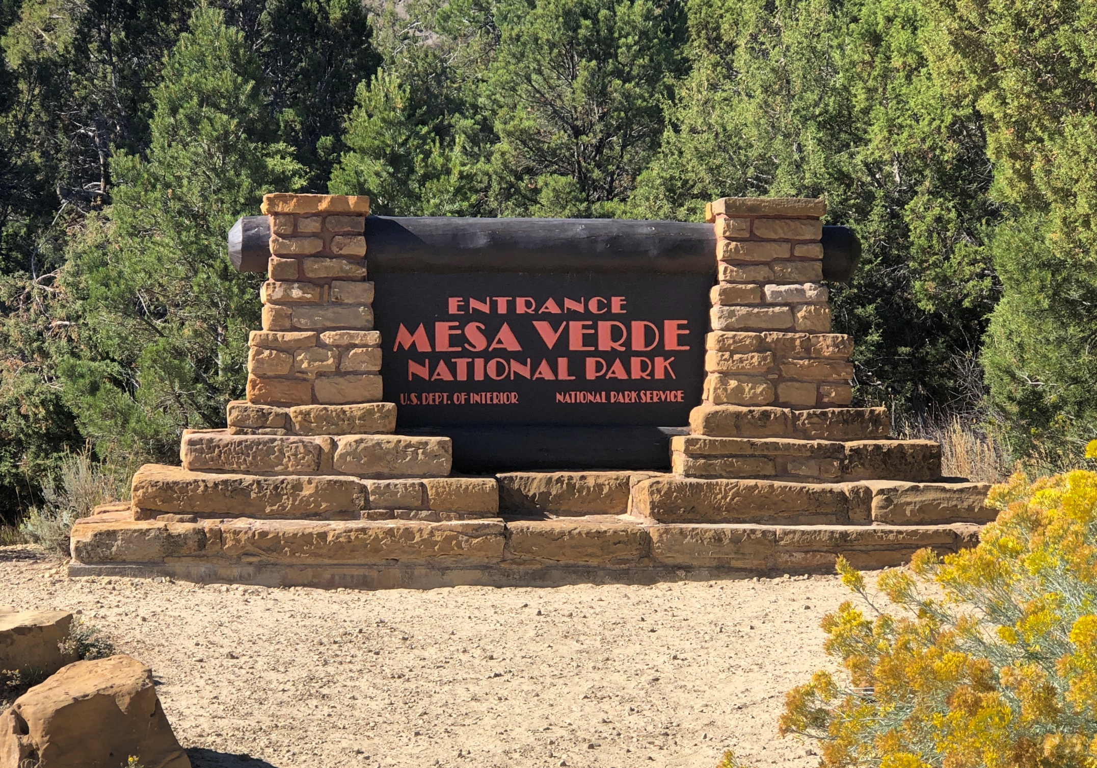
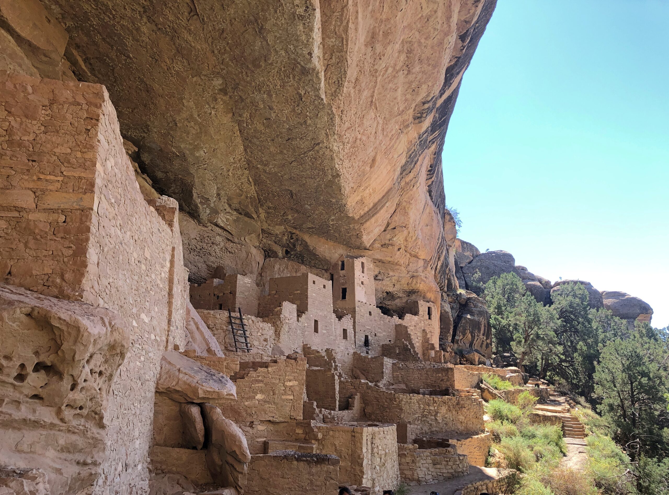
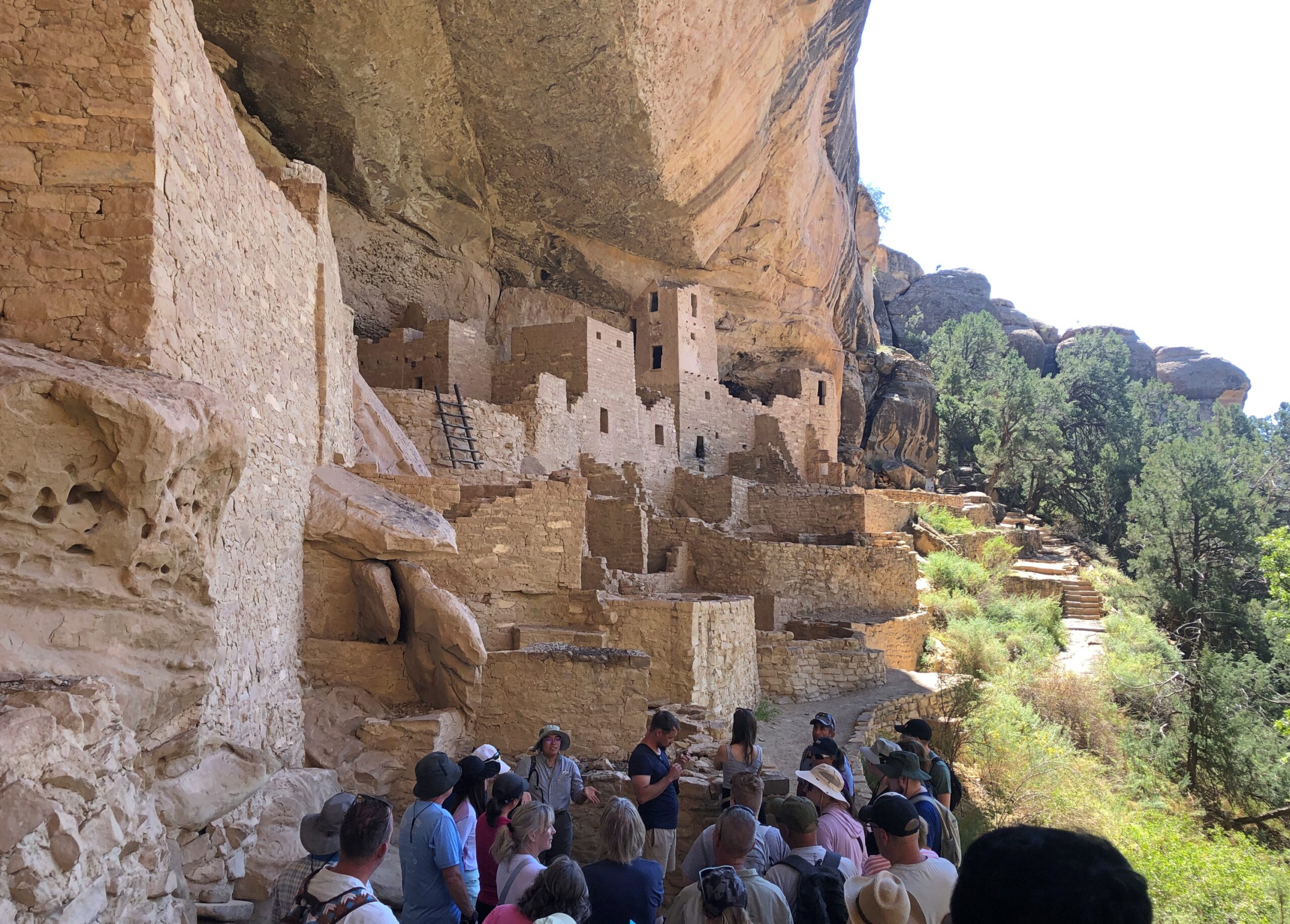
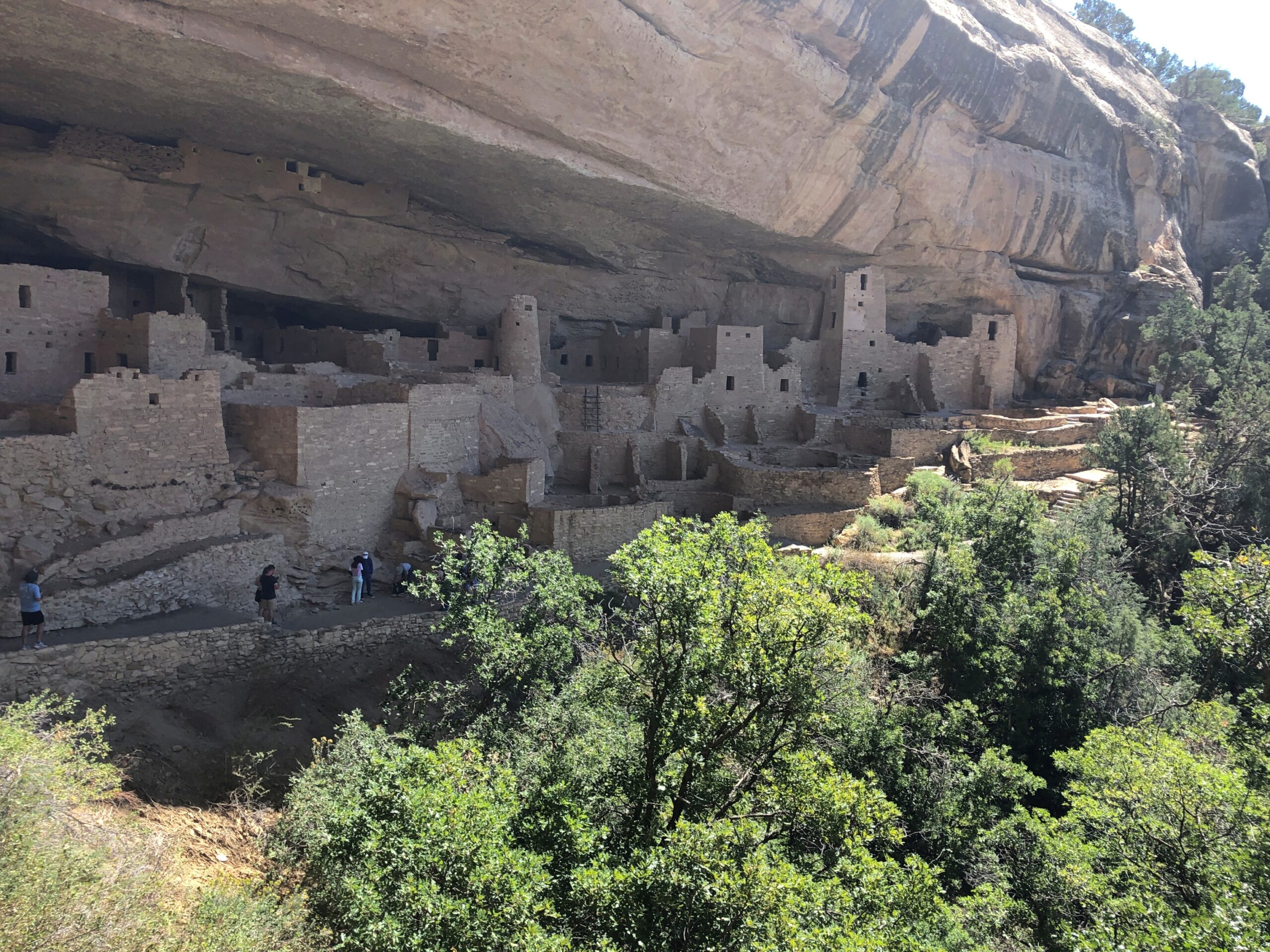
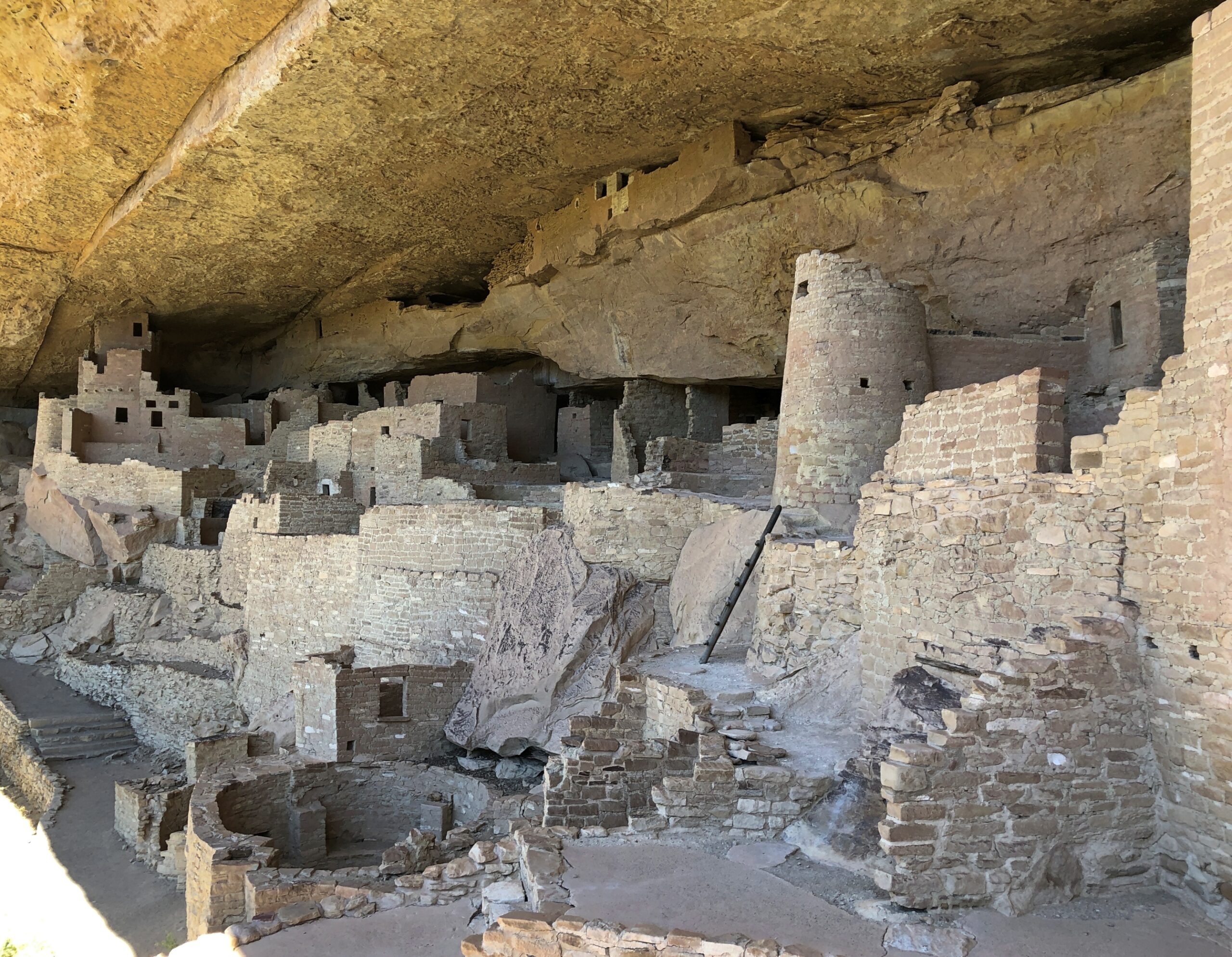
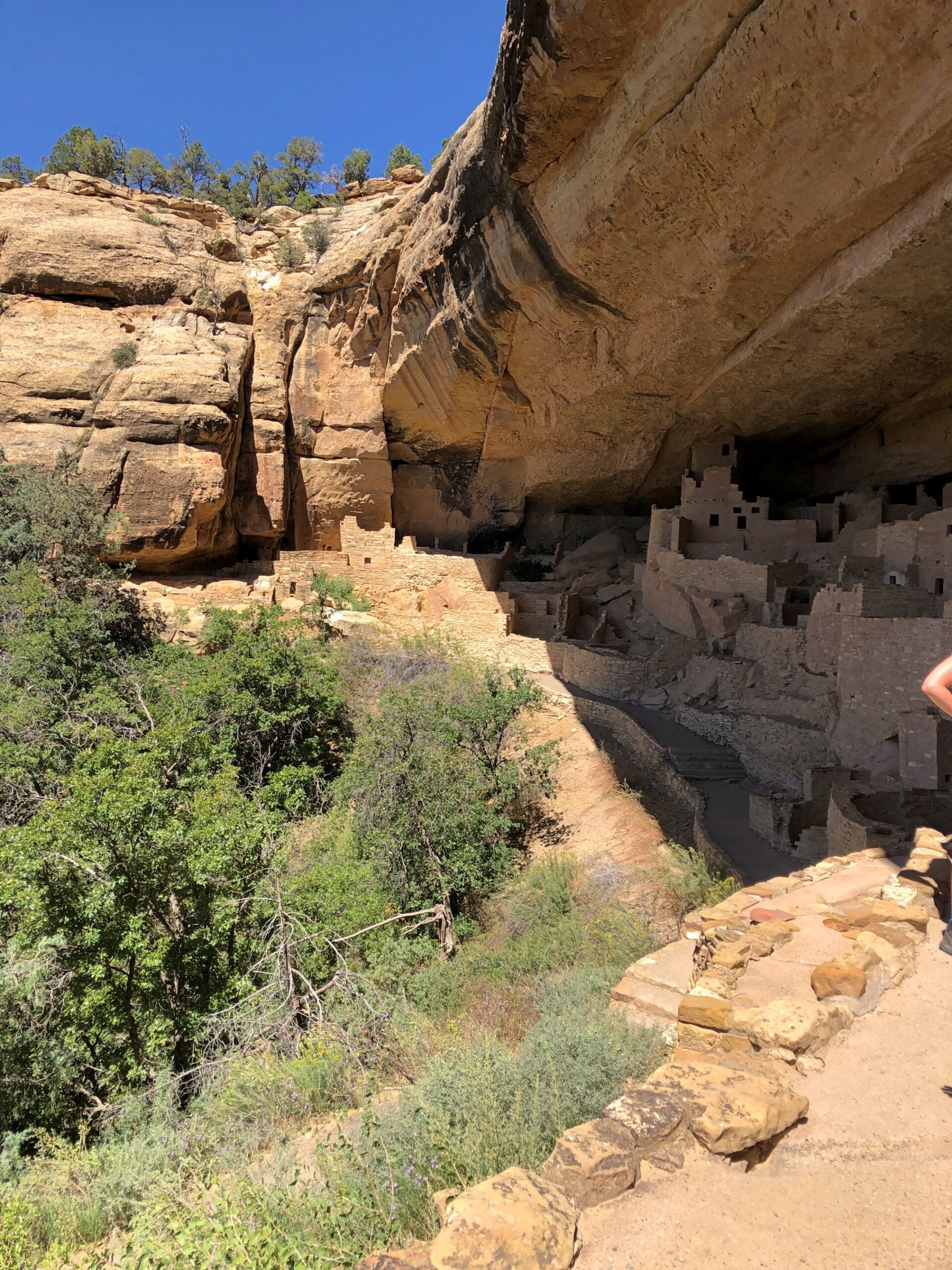
On September 17, we’d come to the Cliff Palace at Mesa Verde National Park. To get close, you sign up and pay for a ranger-guided tour, which goes down stone stairs, along the edge of the cliff near the dwellings, and then back up some stone stairs (built by the CCC; does that even need to be said?). The elevation is 7,500 feet or so, but that didn’t cool things down that day. It was hot and sweaty.
A shot like that took some effort. We were hardly alone at Cliff Palace.
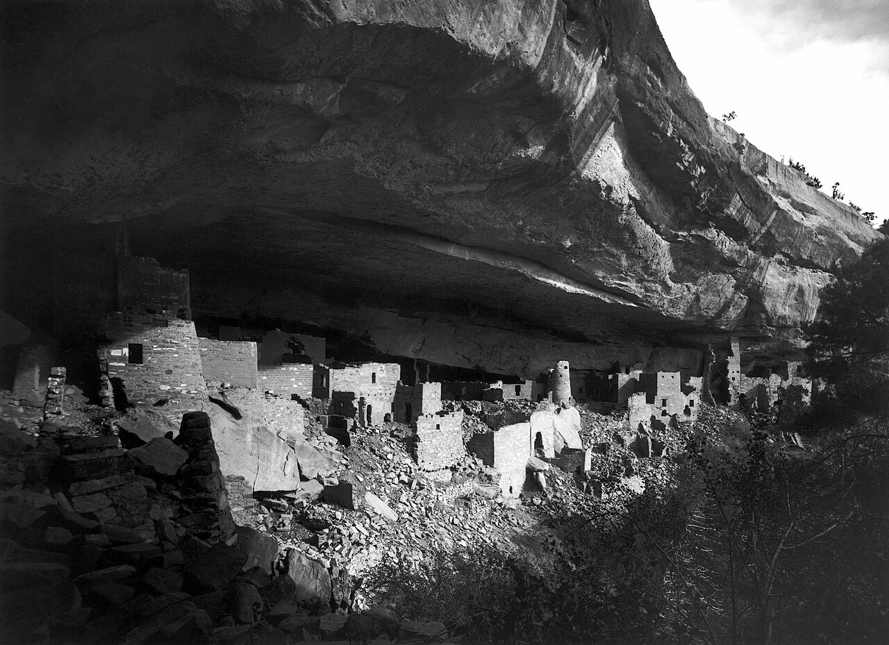
The ruins, which are most certainly near a cliff, are probably not a palace in the grand sense of a royal residence. More of a neighborhood, one of many in the vicinity, though the largest. Also, not quite as much of a ruin as it used to be. This is an image of the Cliff Palace from 1891, taken by Gustaf Nordenskiöld.
Not as long ago as all that, considering the age of the structures, but before TR inked the bill creating the national park, and back when you could help yourself to whatever was lying around, as the explorer (and photographer) Nordenskiöld apparently did, taking many items back home to Sweden. Eventually, the items made their way to Finland. A few were returned recently.
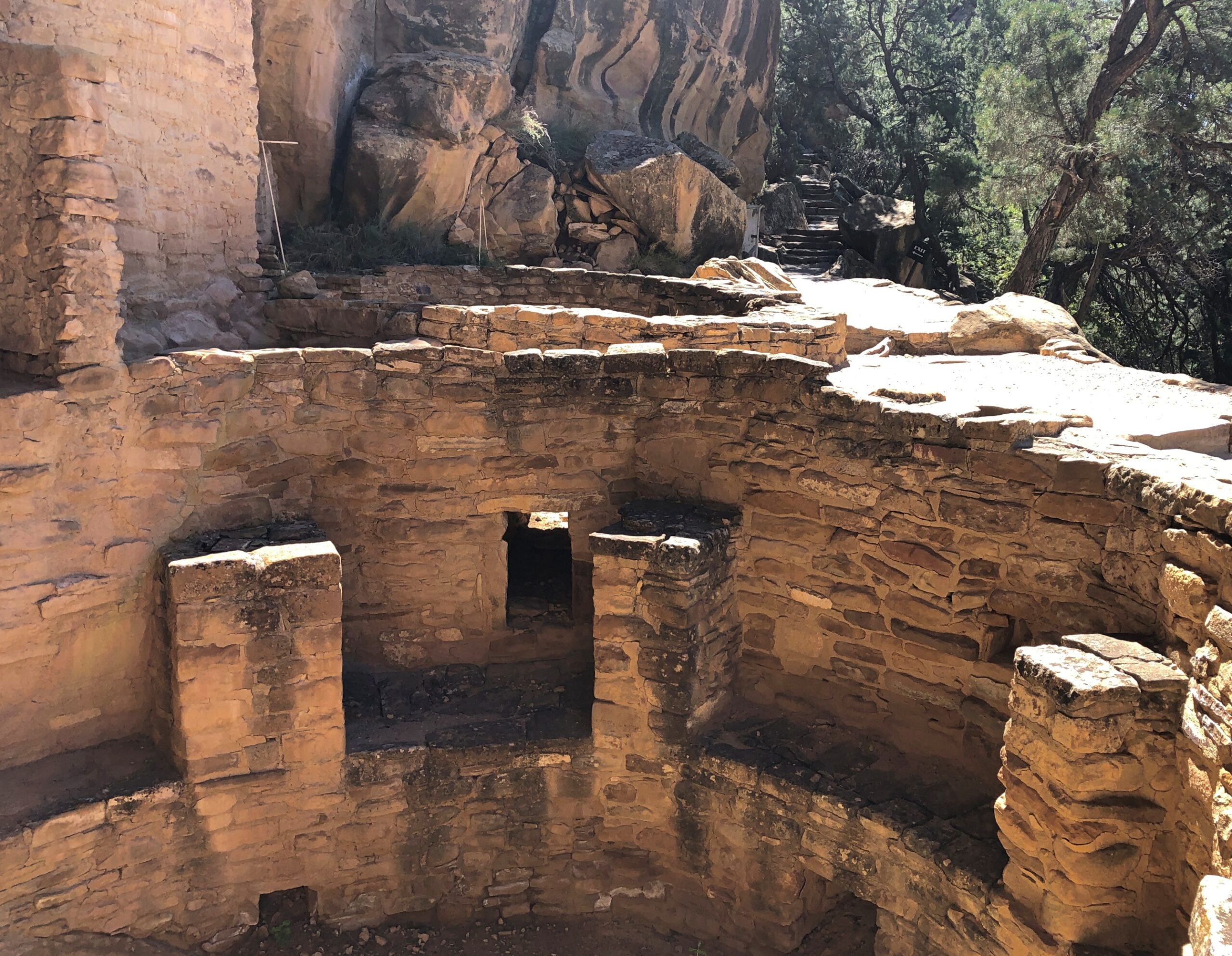
The ruins aren’t quite as ruined these days. The 20th century was a period of stabilization. Not as many artifacts got nicked either.
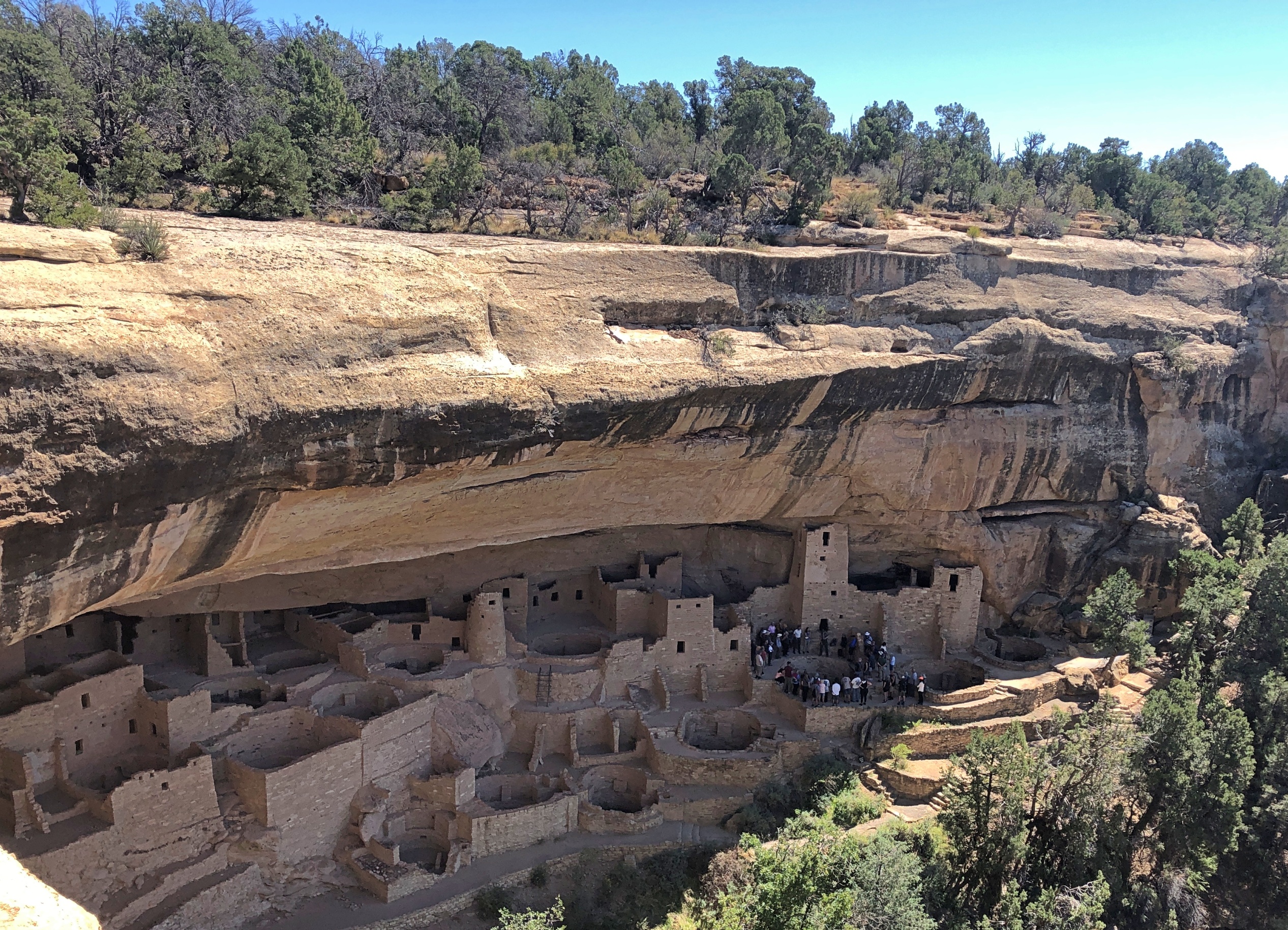
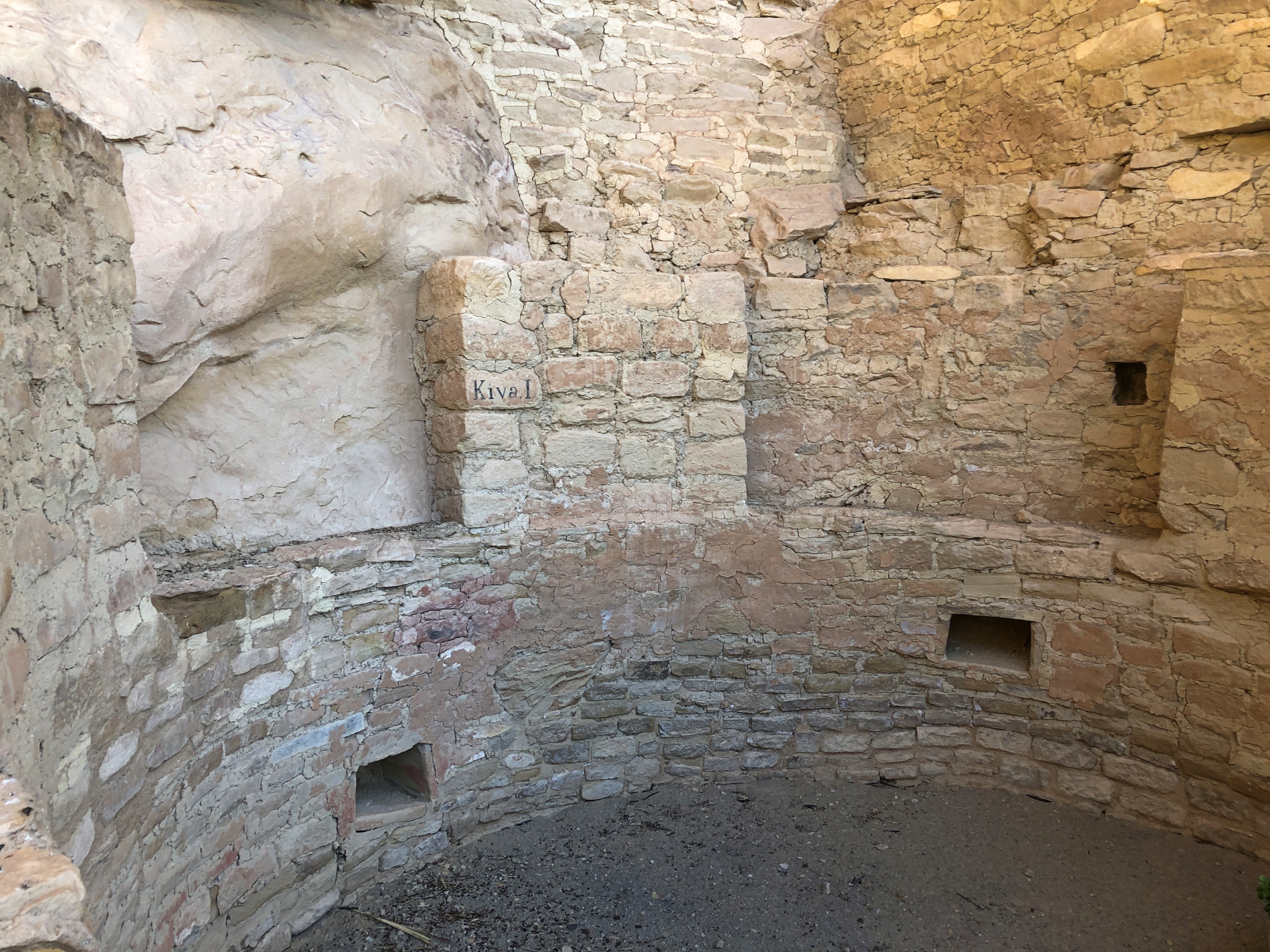
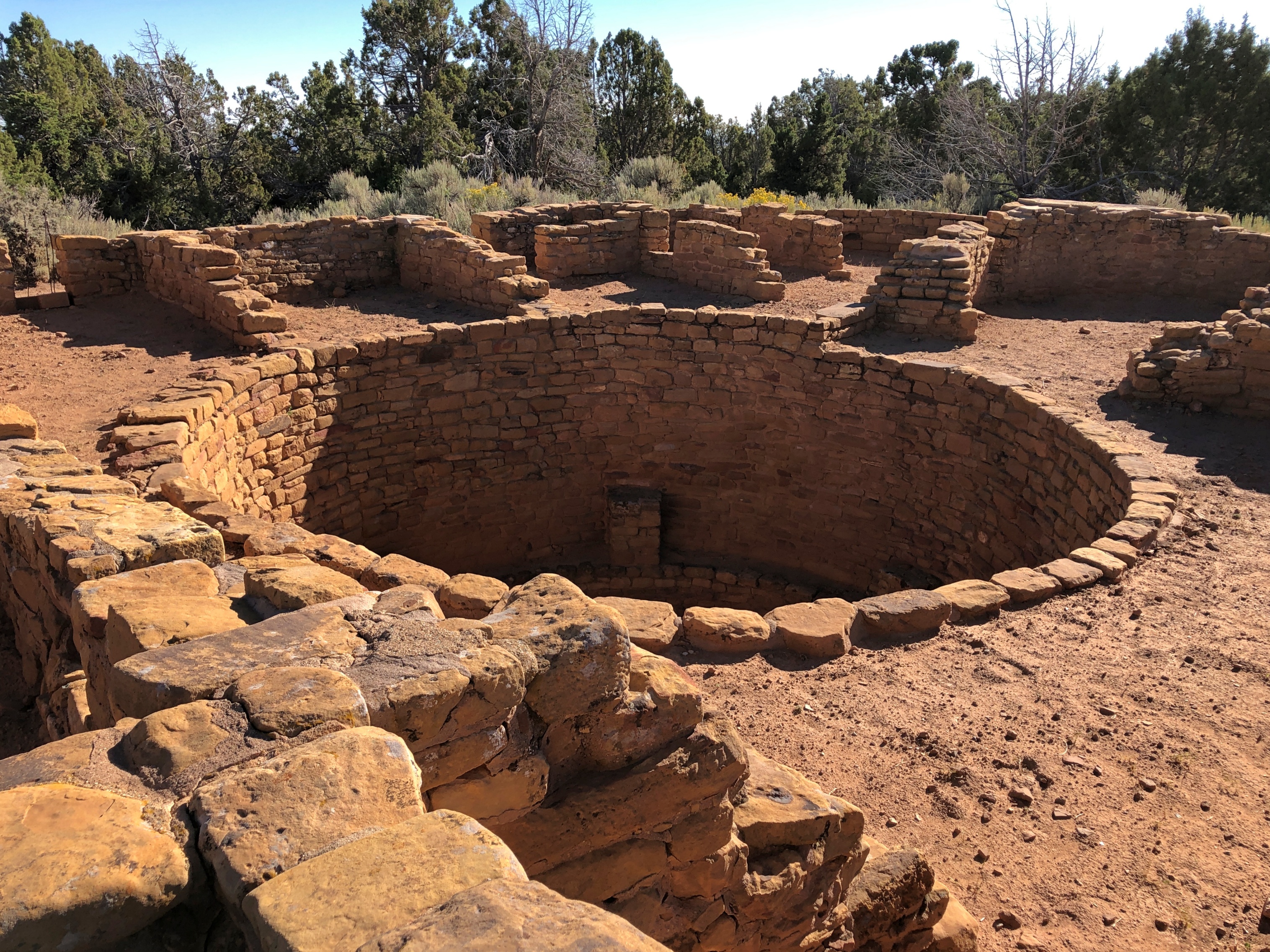
A kiva. The largest one at the Cliff Palace, I think. A religious site similar to others in the Southwest, such as at Bandelier National Monument (and now I know that was a kiva).
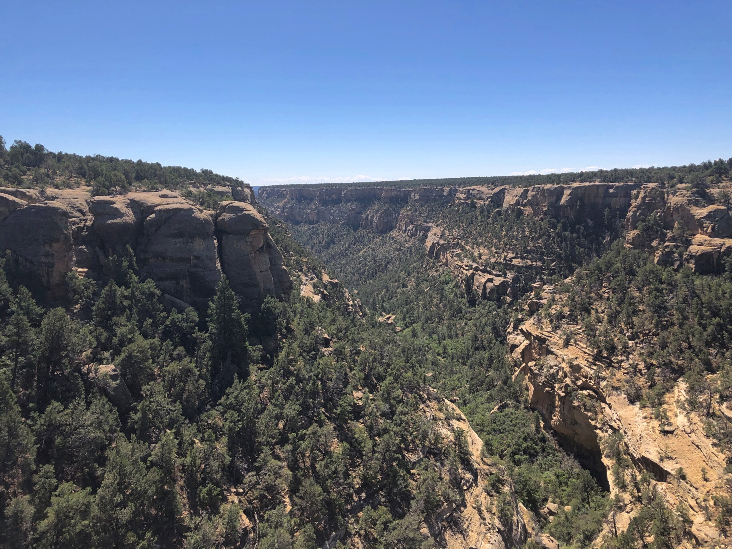
The canyon below the Cliff Palace. Imagine having to scramble up and down the walls regularly, to tend to fields or fetch water or escape from marauders.
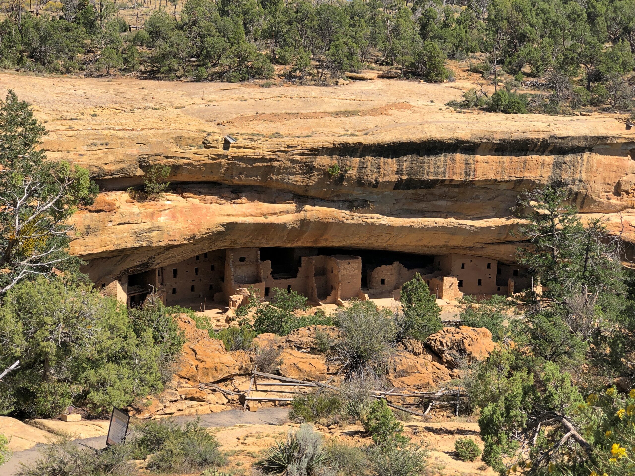
Mesa Verde is of course much more than the Cliff Palace, since the park protects an estimated 5,000 archaeological sites, including 600 cliff dwellings. The main road through the park (built by the CCC, naturally) takes visitors to other overlooks. The dwellings of Spruce Tree House are sizable and also off limits these days, until the overhead rocks are stabilized.
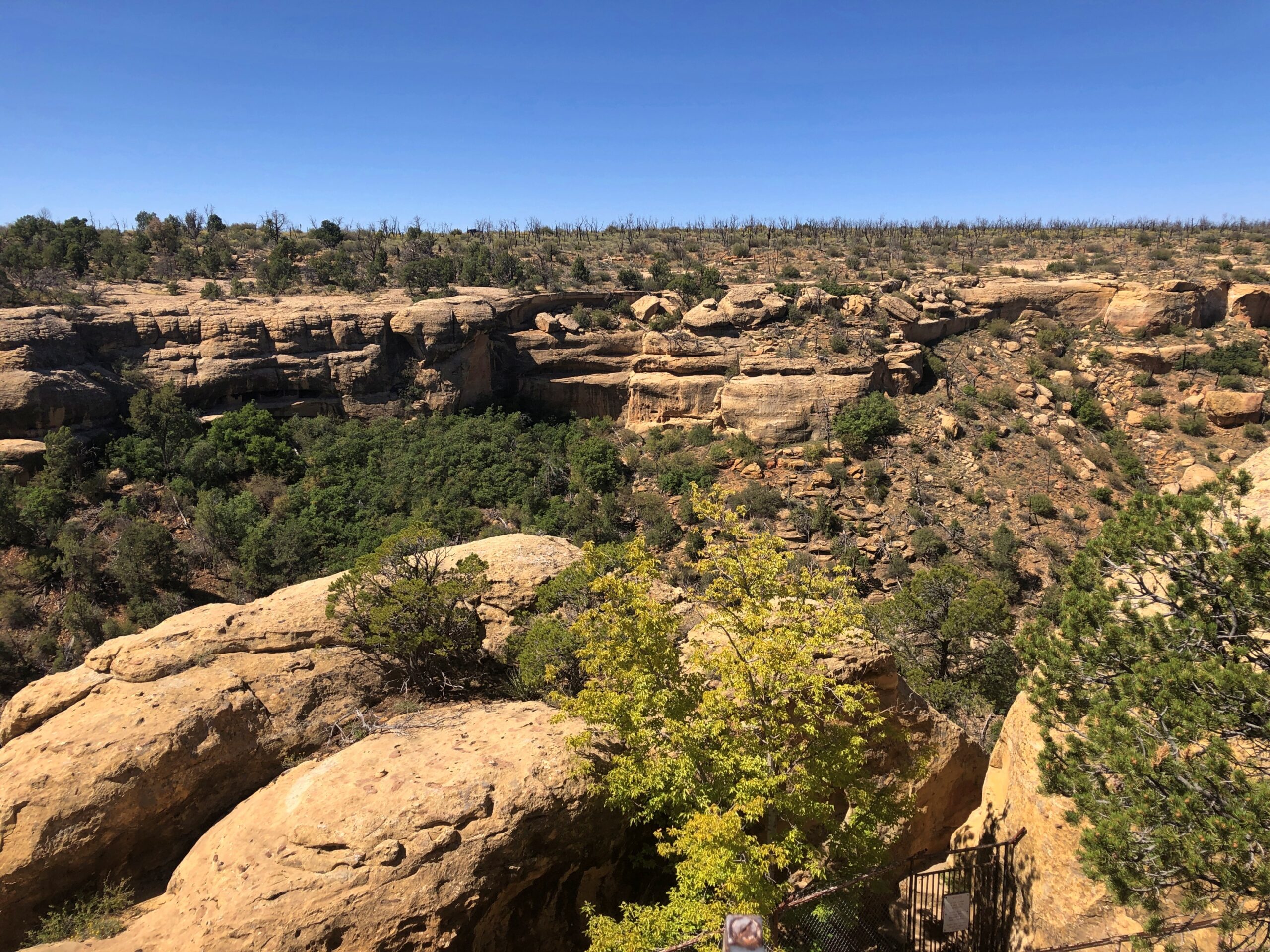
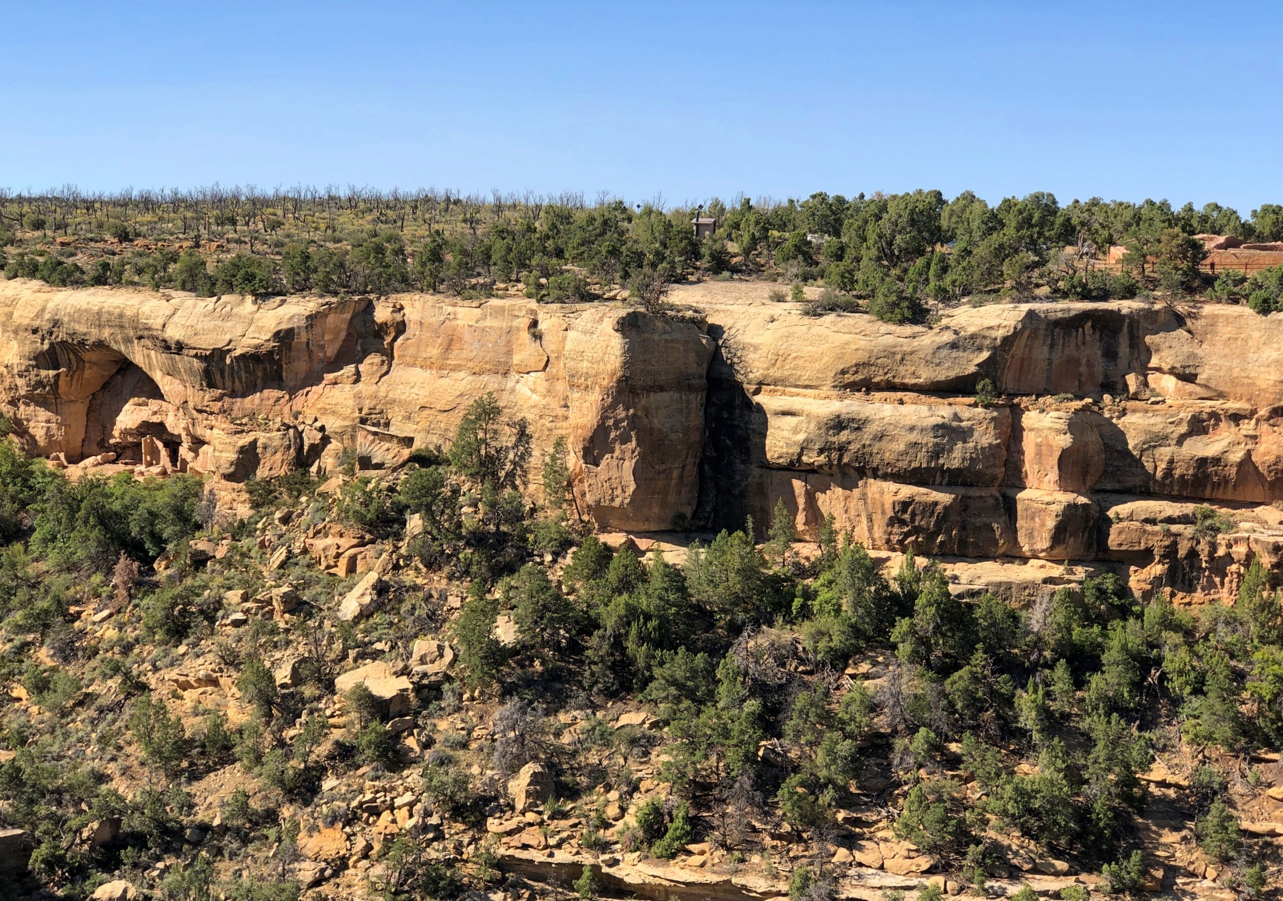
More cliff dwellings. They are a little hard to see, but they are there.
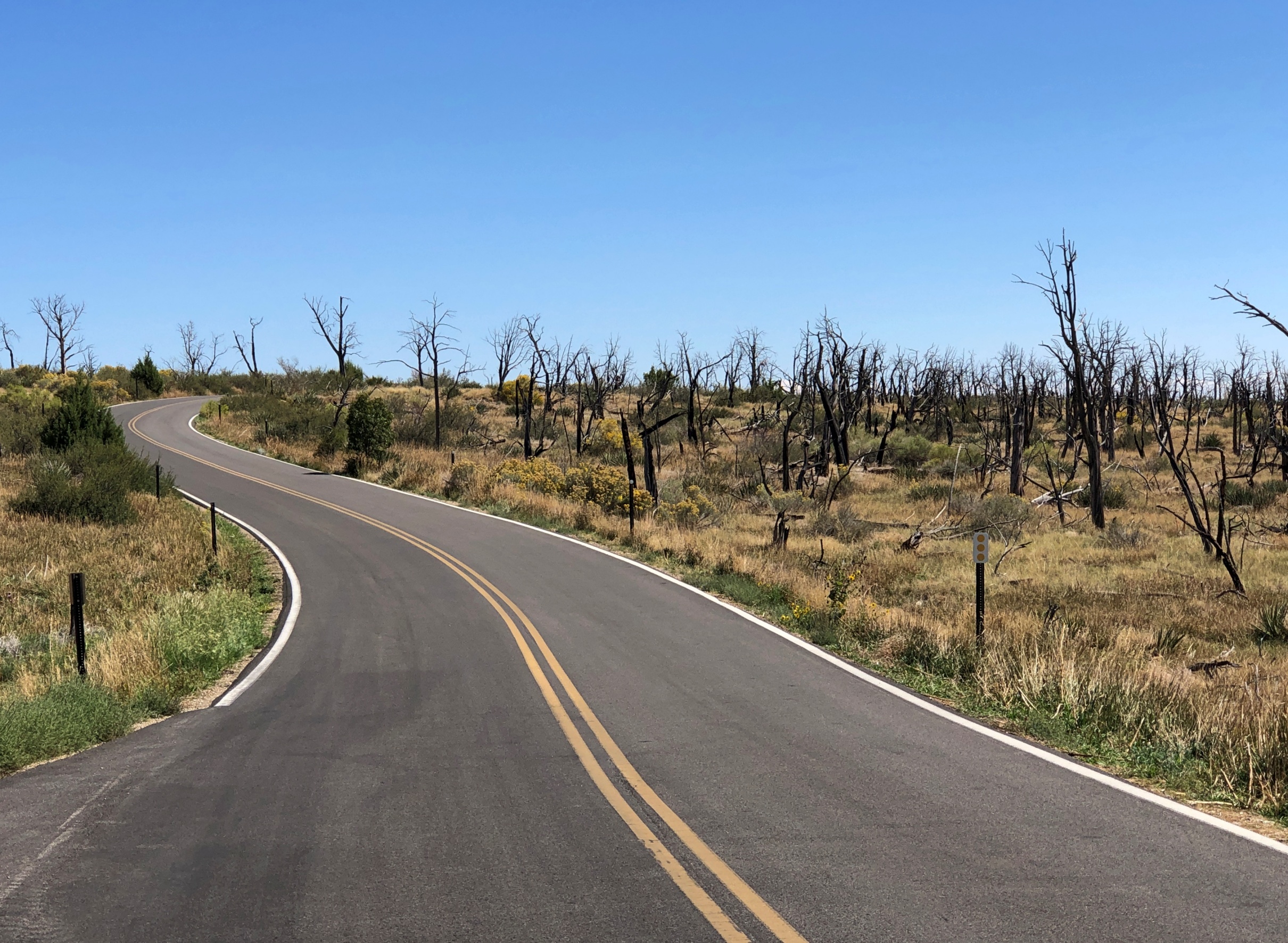
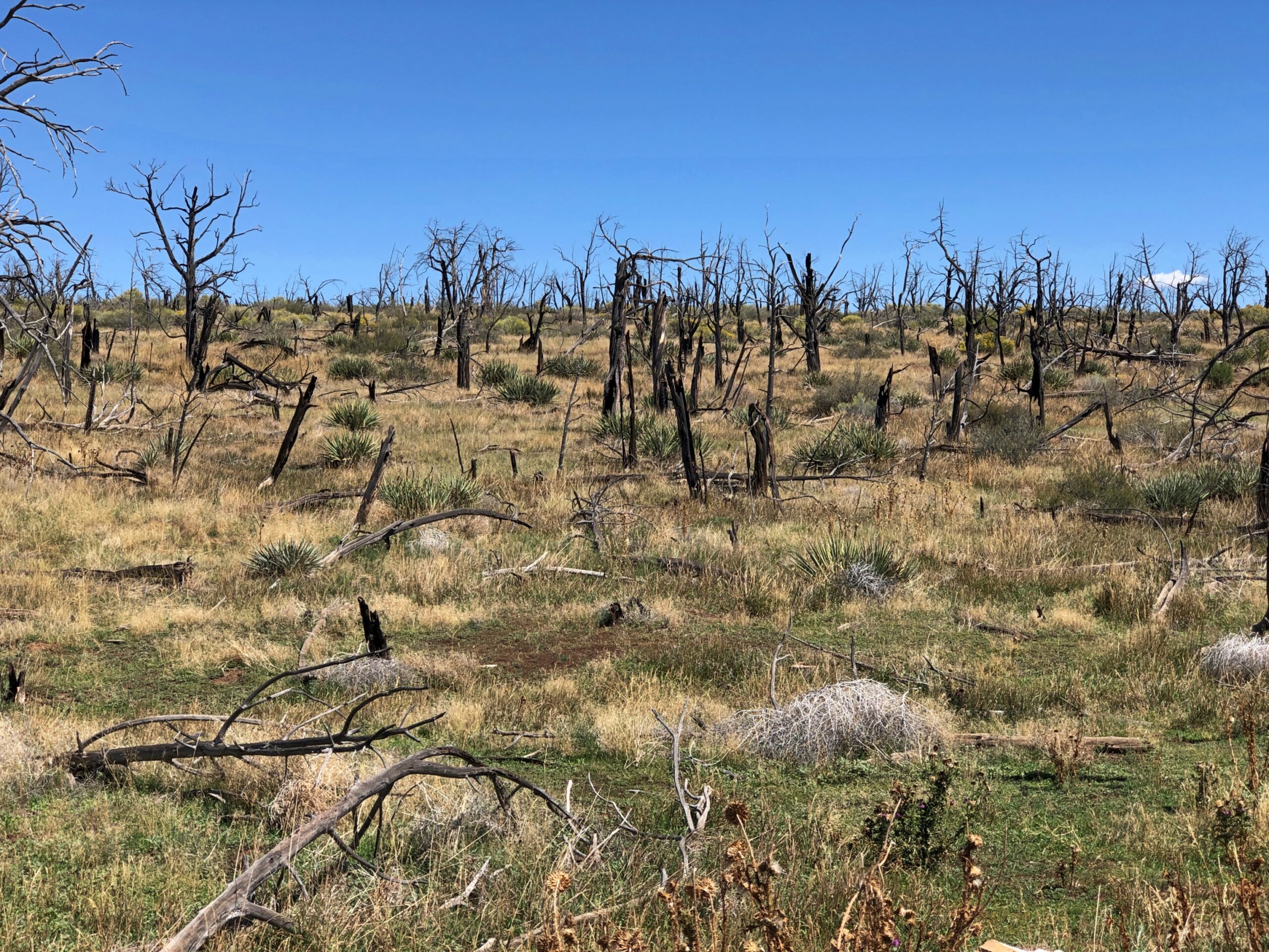
On top of the main mesa, the road also goes through areas burned by wildfire at one time or another.
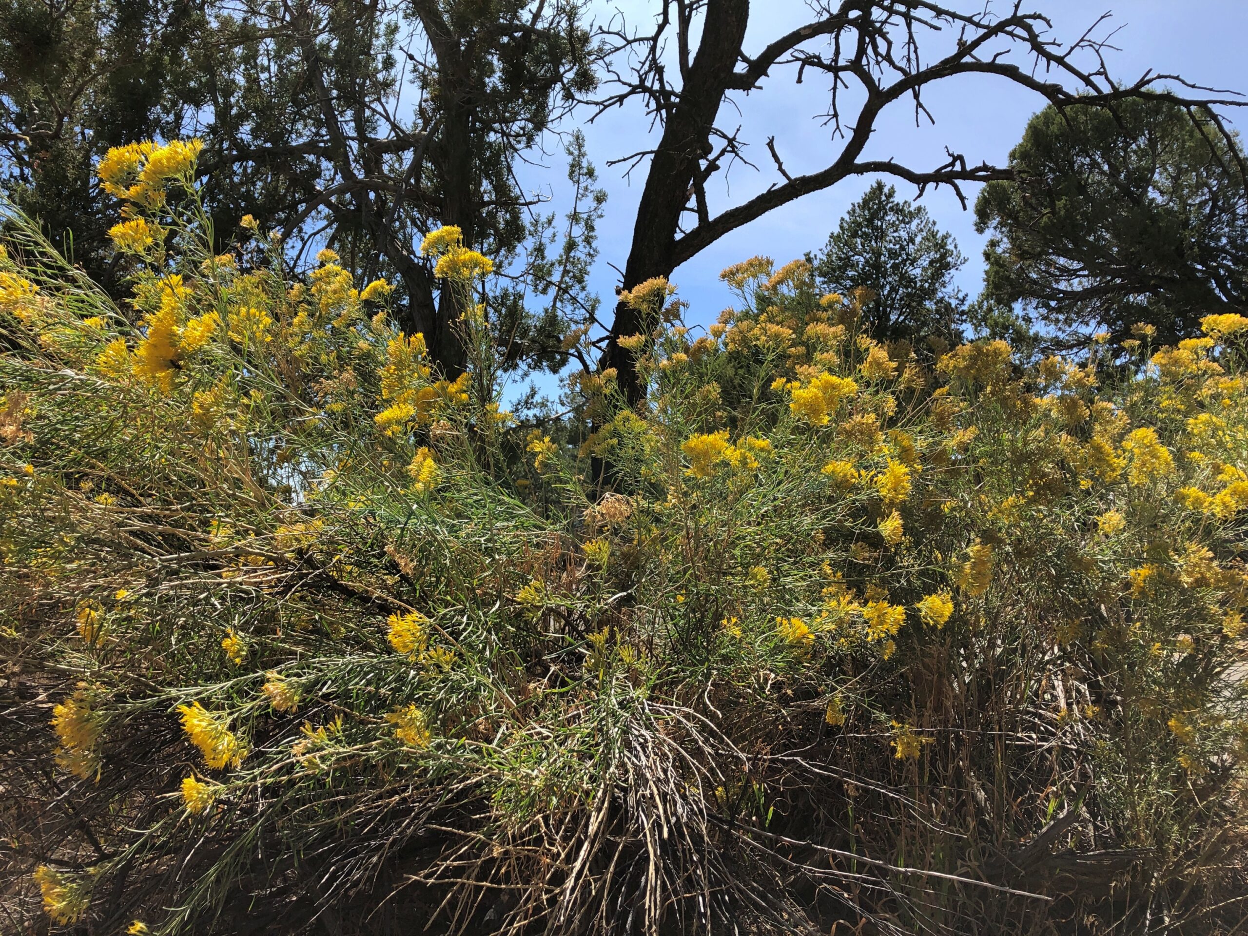
Flora always bounces back.
I had the vague idea that the inhabitants of the cliff dwellings disappeared mysteriously after about 1300, but visiting the park schooled me on more current thinking. They left, but there was nothing mysterious about it. Drought hit them, and hit them hard, so they migrated to find water and other sustenance. Persistent violence was probably a factor, too, as tends to happen in periods of strained resources. So it’s pretty clear that Ancestral Puebloans’ descendants even now live among the tribes along the Rio Grande, not too far away.
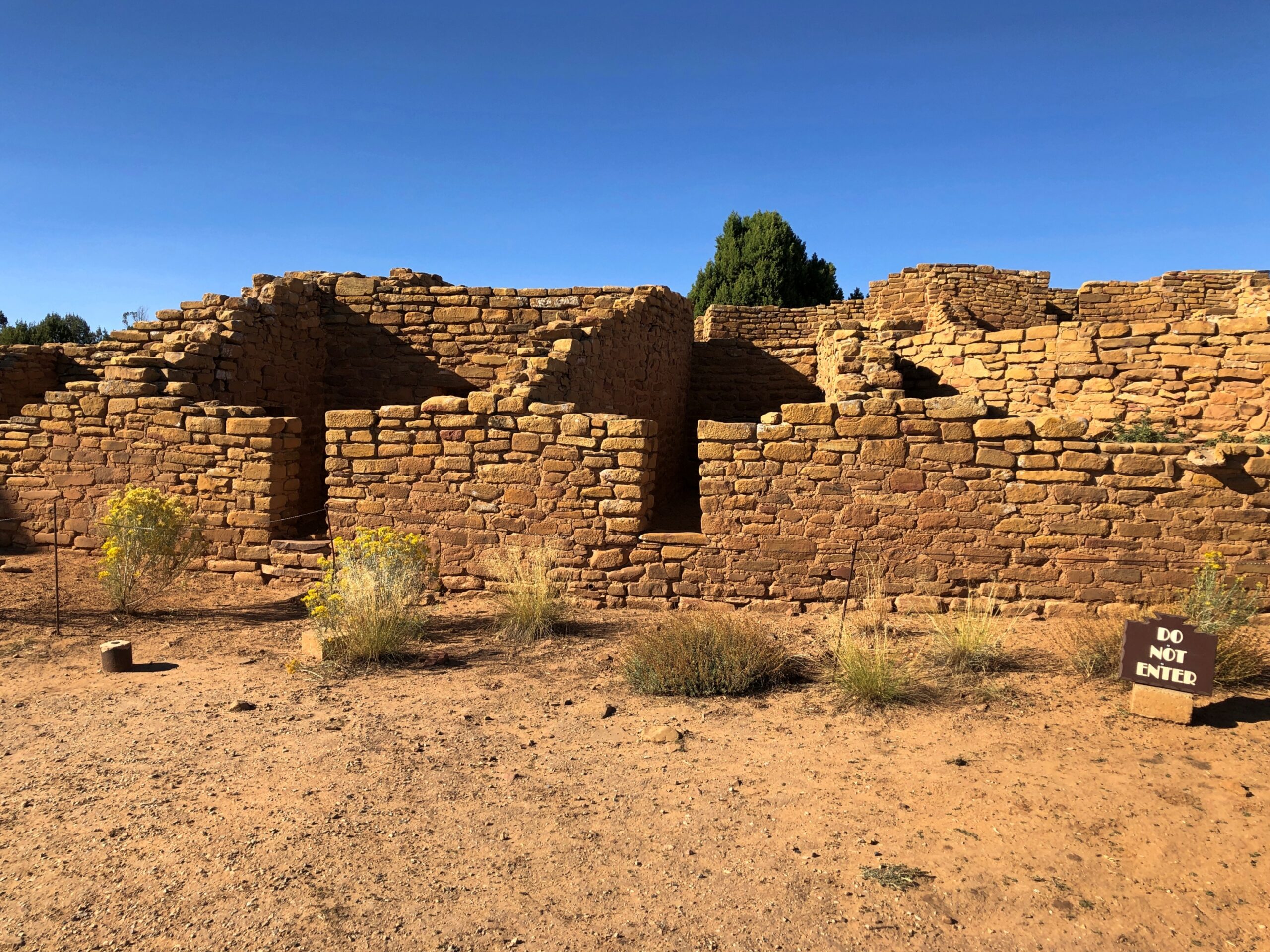
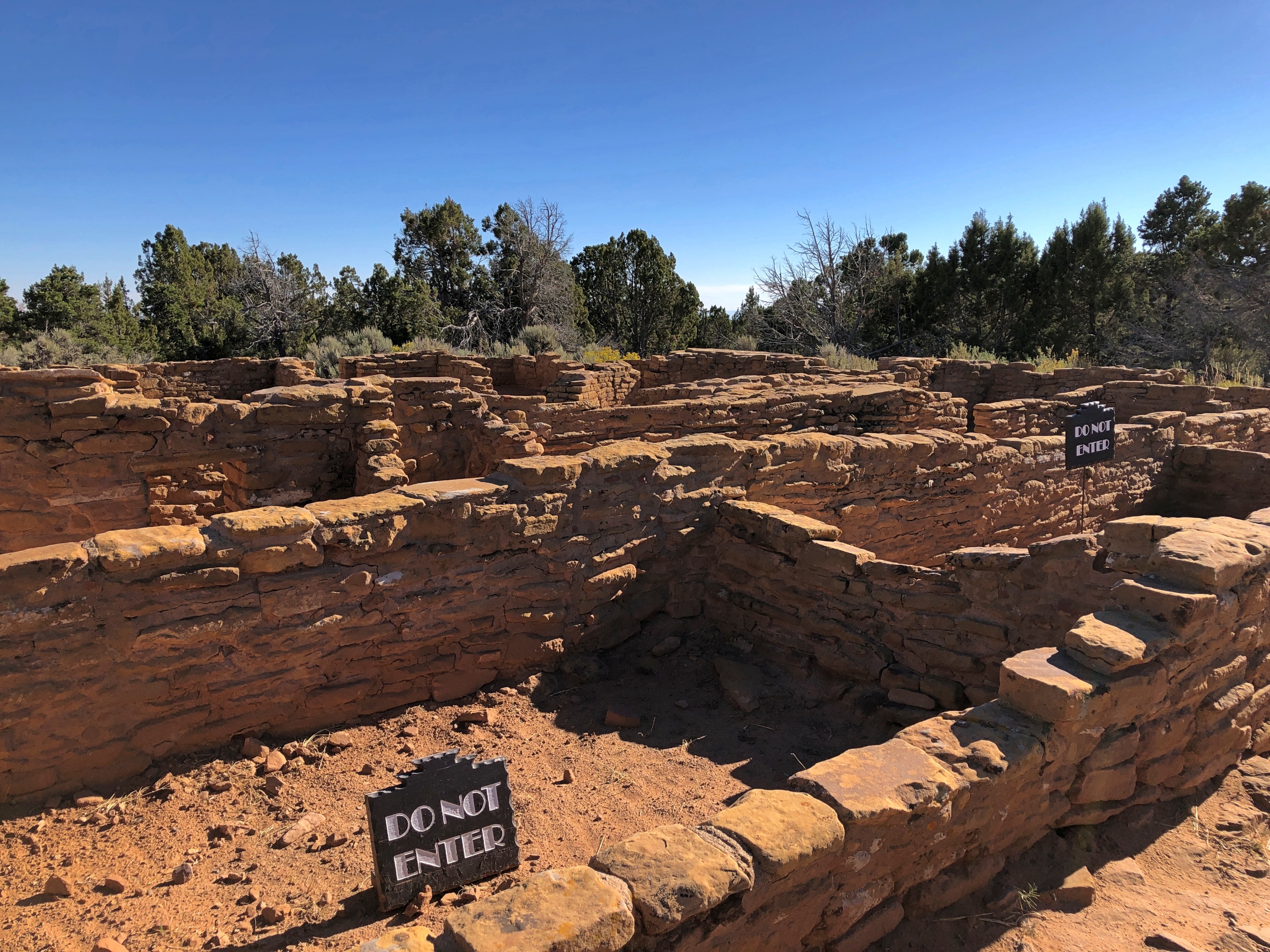
I also didn’t realize that the well-known cliff dwellings were only occupied for a relatively short time, in the grand scheme of native inhabitation: only about a century. Before that, most of the inhabitants lived atop the mesas. One such ruin is called Far View, which isn’t far from the road.
I heeded this signs and didn’t enter. But you can walk around the perimeter and imagine the passing centuries.
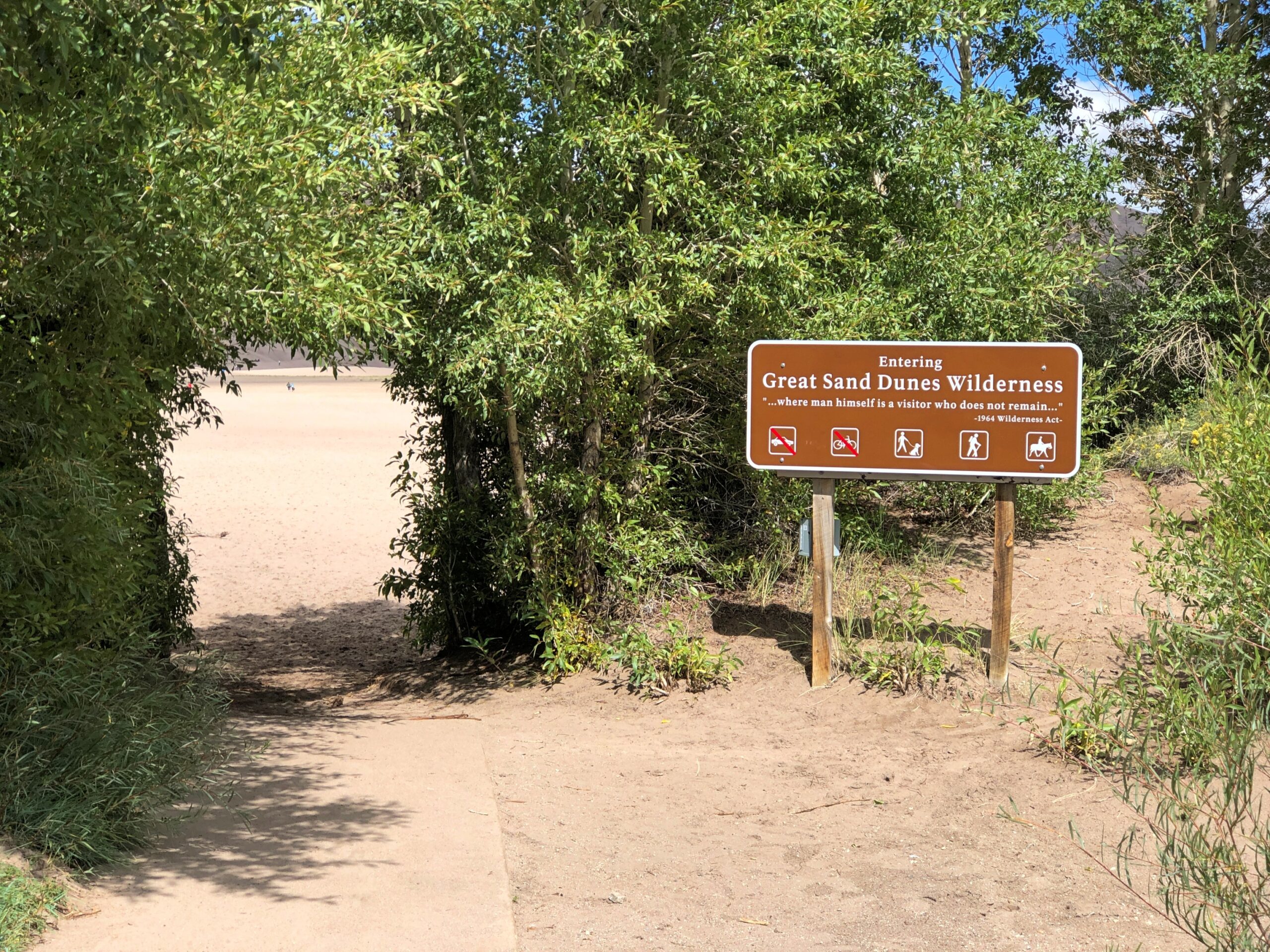
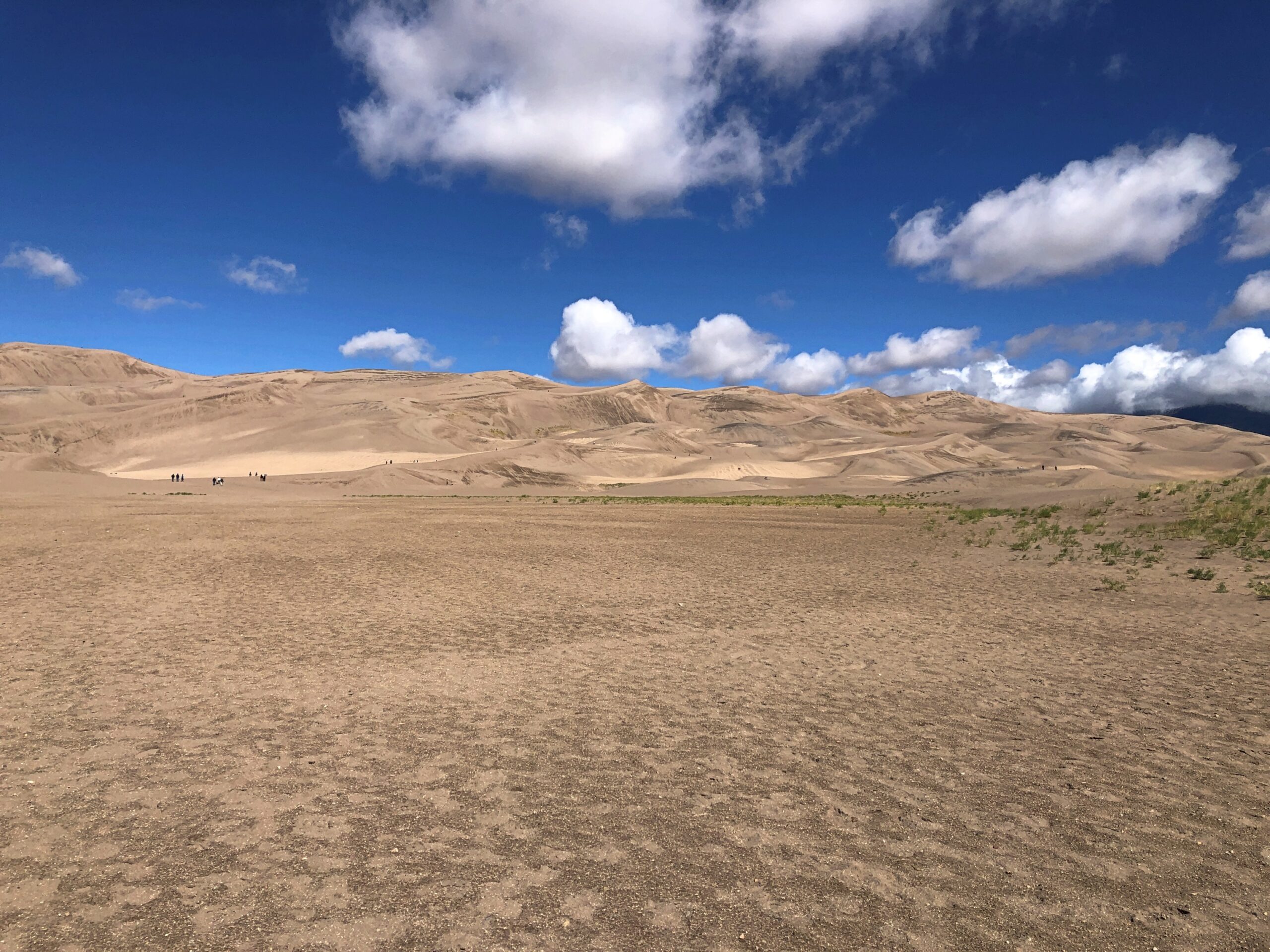
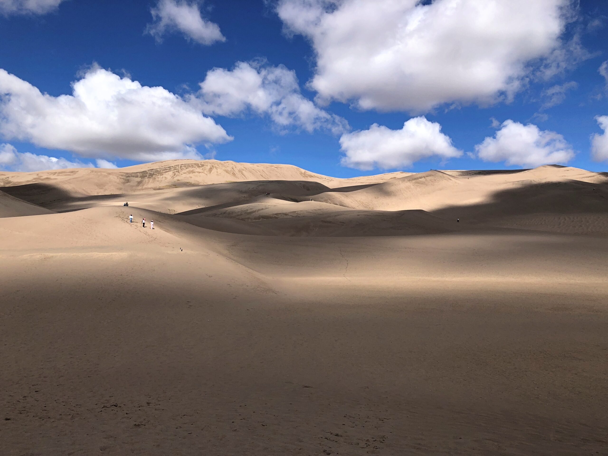
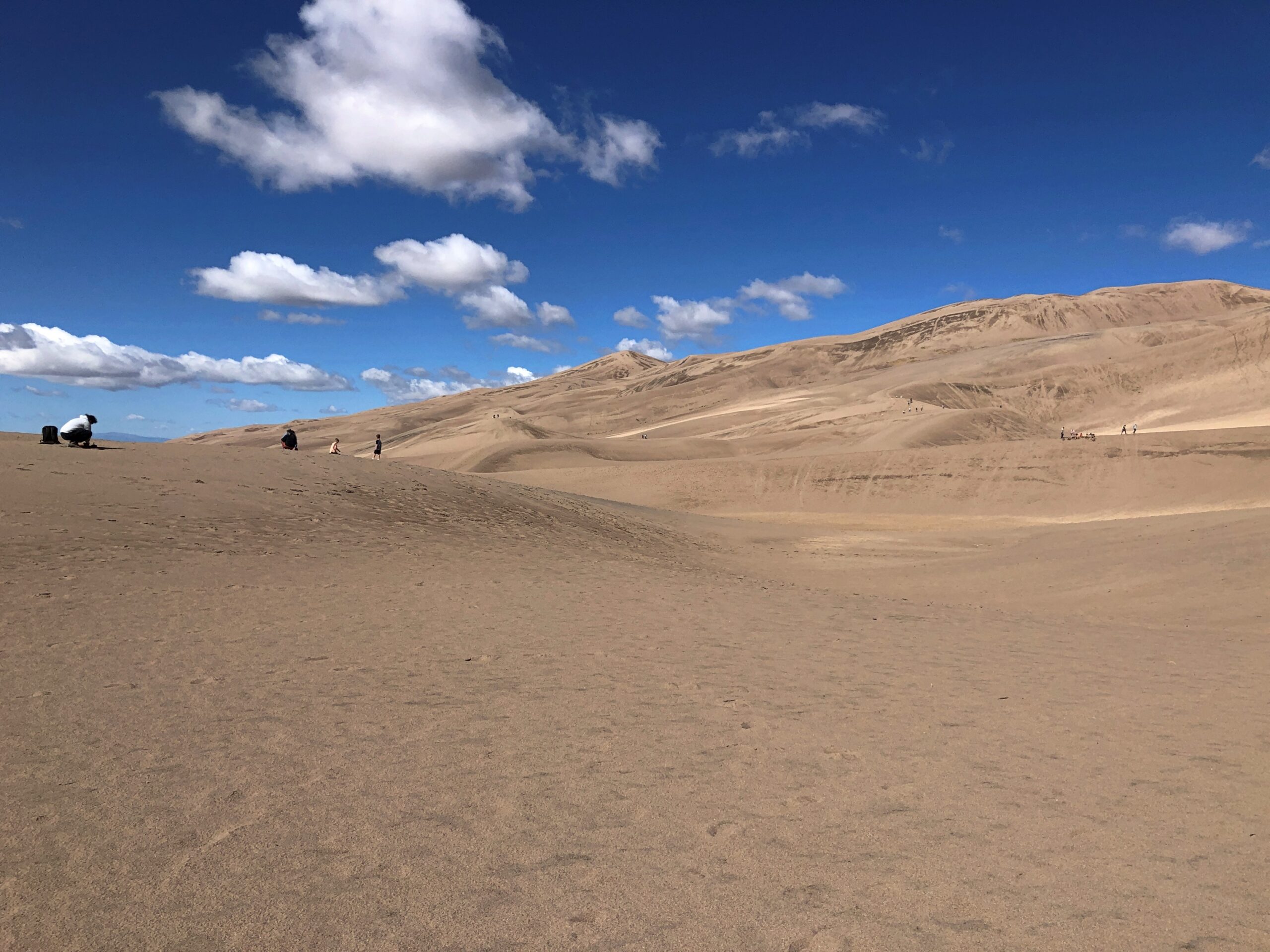
It’s a safe bet that when most Americans think of scenic Colorado, they think of the sort of mountains you see at Rocky Mountain National Park, or many of the other ranges in the state. Less likely to come to mind is 1.5 cubic miles of sand. That much sand is hard to imagine at all.
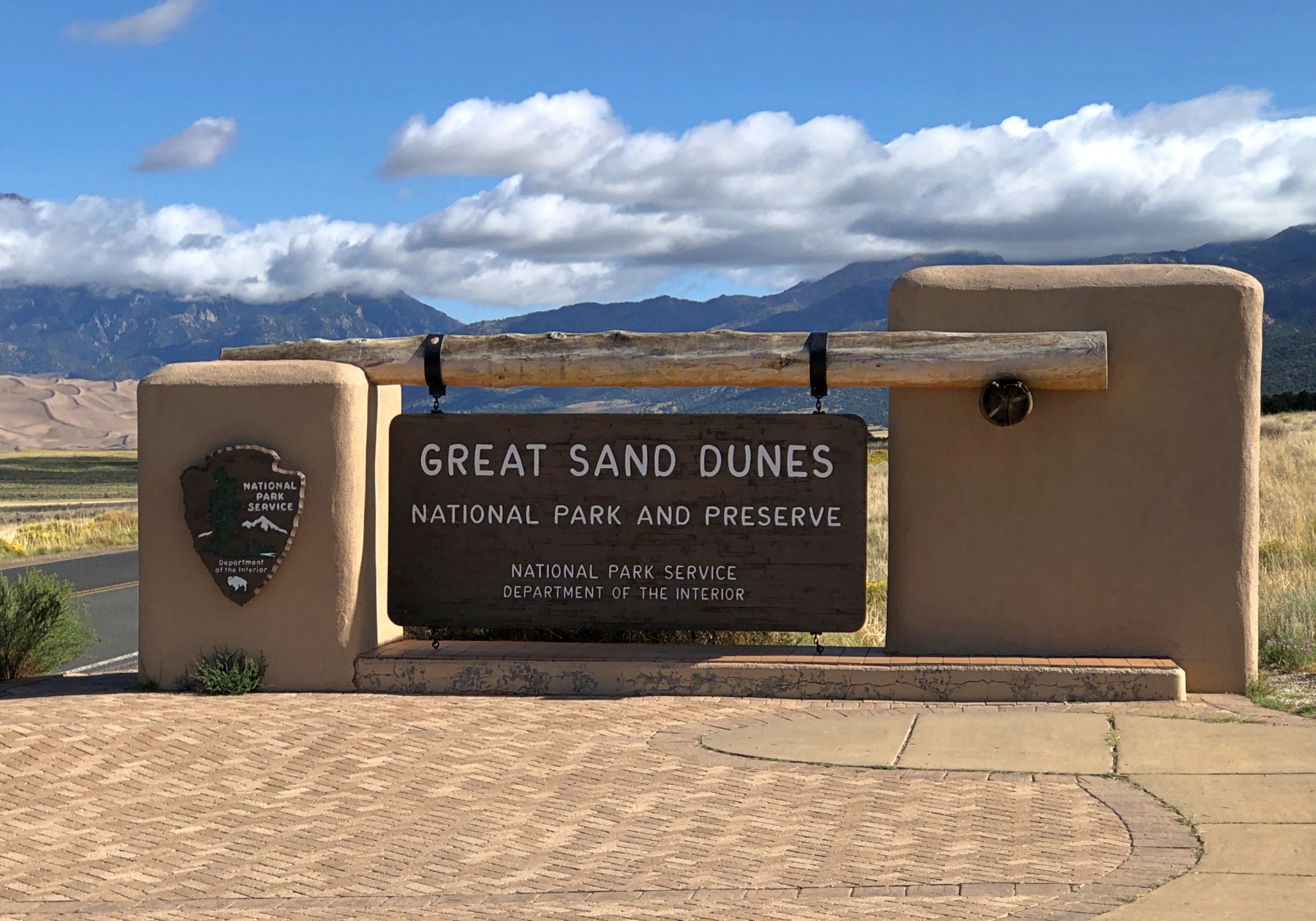
That’s the amount of sand thought to be piled at Great Sand Dunes National Park in southern Colorado. Naturally, it isn’t a 1.5-mile cube, though the idea is amusing. The NPS notes that the sand is more spread out: “The 30 square mile (78 sq. km) active dunefield is where the tallest dunes reside. It is stabilized by opposing wind directions (southwestly [sic] and northeasterly), creeks that recycle sand back into it, and a 7% moisture content below the dry surface.”
We approached the park on September 14, heading eastward on Lane 6 North, an Alamosa County road through the flatlands of San Luis Valley, an enormous stretch of land between the San Juan Mountains and the Sangre de Cristo Mountains. At 8,000 square miles, San Luis is the world’s largest alpine valley, the Denver Gazette asserts, with an average elevation at more than 7,600 feet.
Great Sand Dunes was a national monument for longer than it has been a park, though park status represents an enlargement of the monument that President Hoover created. It is Colorado’s newest national park, raised to that status only a little more than 20 years ago.
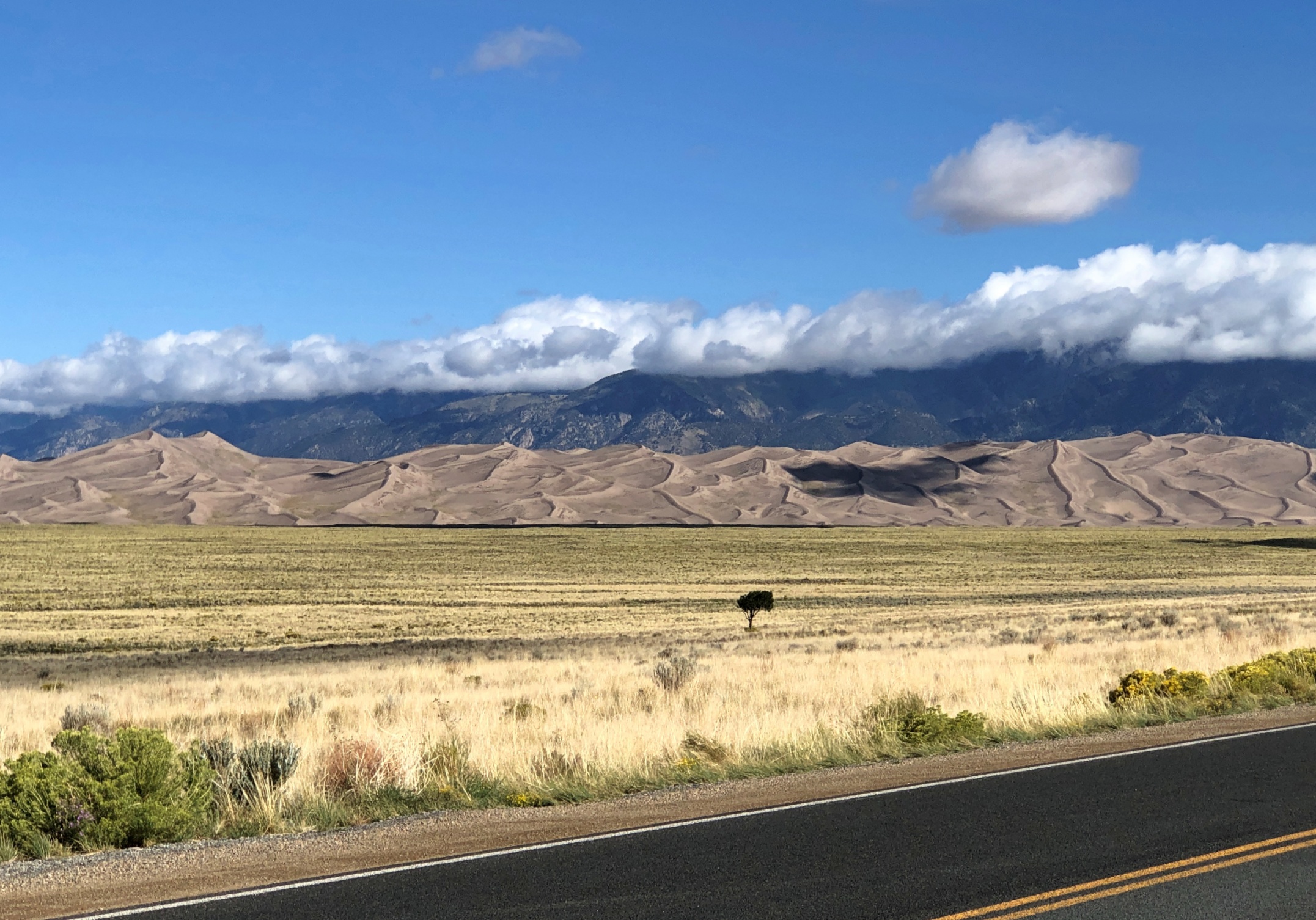
At a distance of some miles from the park, you notice a pale rim at the foot of the Sangre de Cristo range. As the mountains come better into view, so does the rim, soon looking like a vast pile of sand – which it is – pushed up against the mountains by some enormous broom – which it was not (see above).
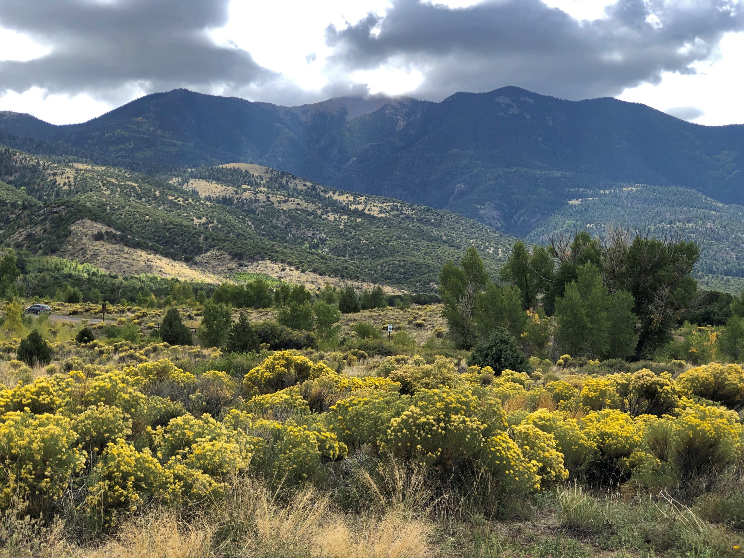
Also on offer: a nice view of the Sangre de Cristo, including flora that thrives in the sandy soil of its foothills.
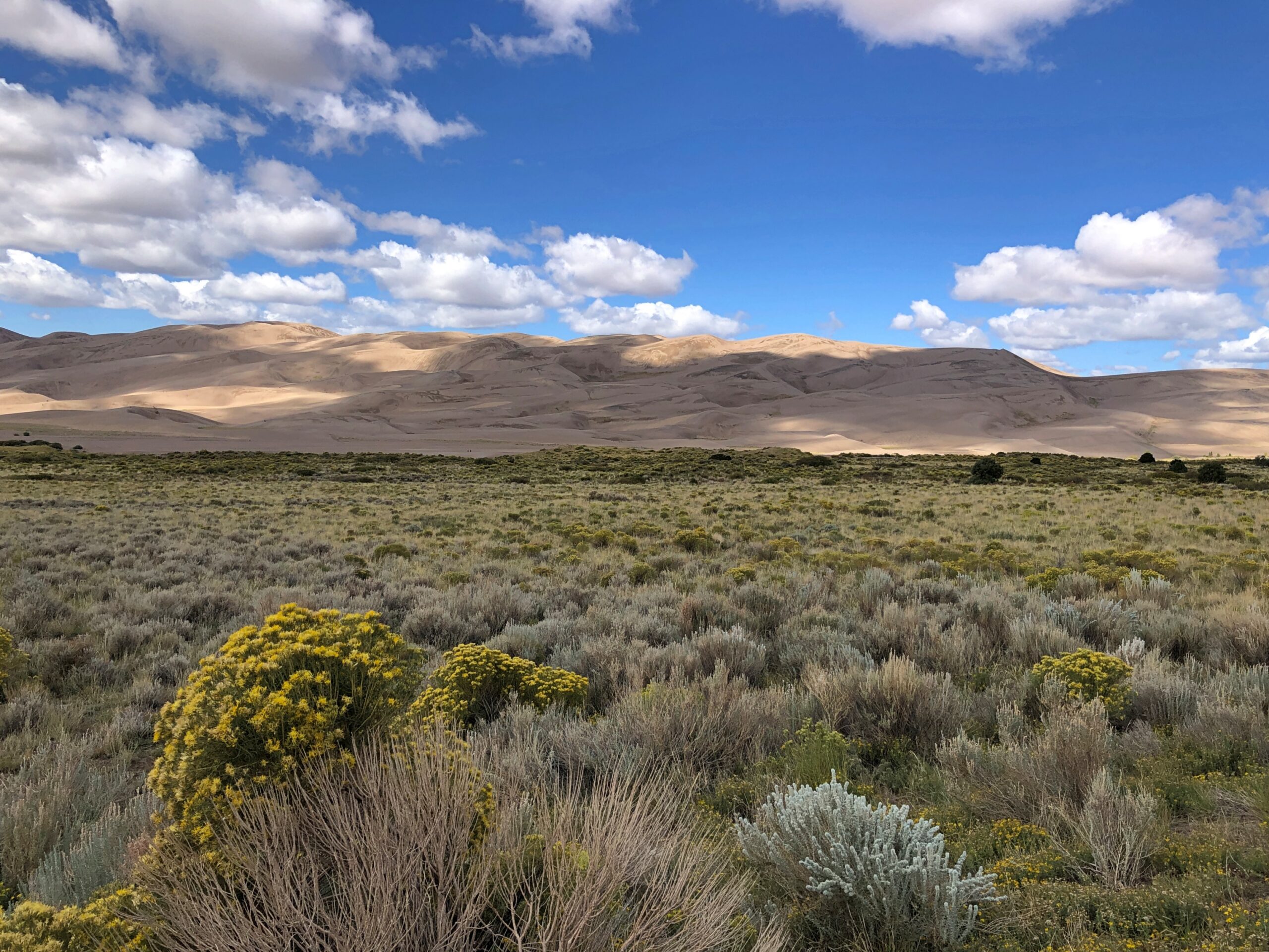
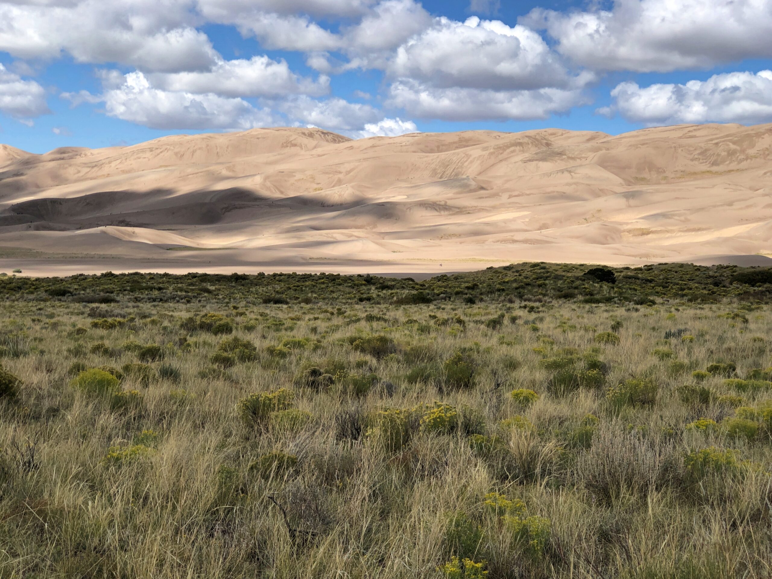
The tourist side of GSDNP features a visitor center and a parking lot and, a short ways away, camp sites. Vegetation girds the parking lot. From there – dunes at the other end of a long sand flat.
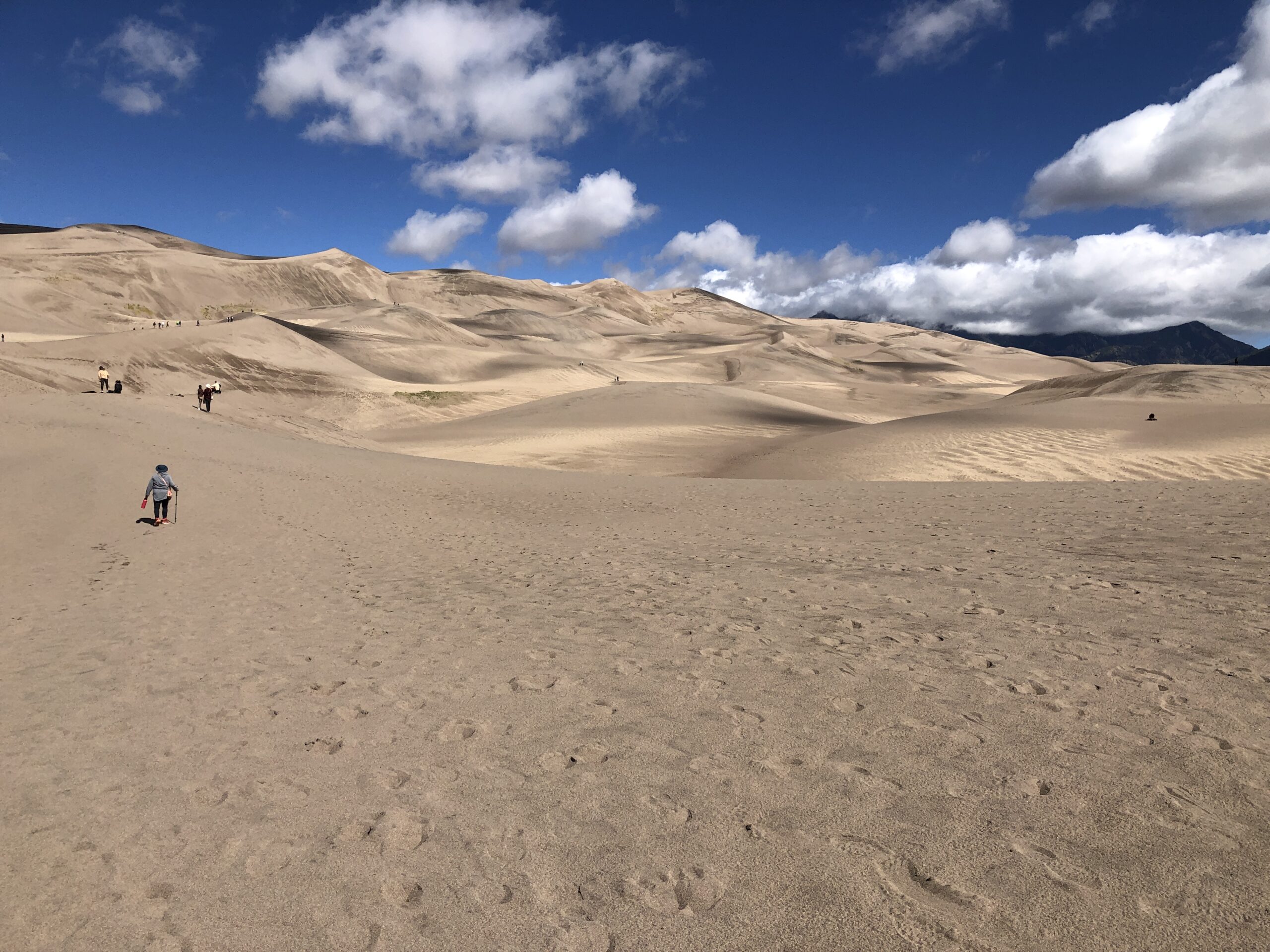
No further signs, no trails. Visitors head toward the dunes and wander around wherever they want.
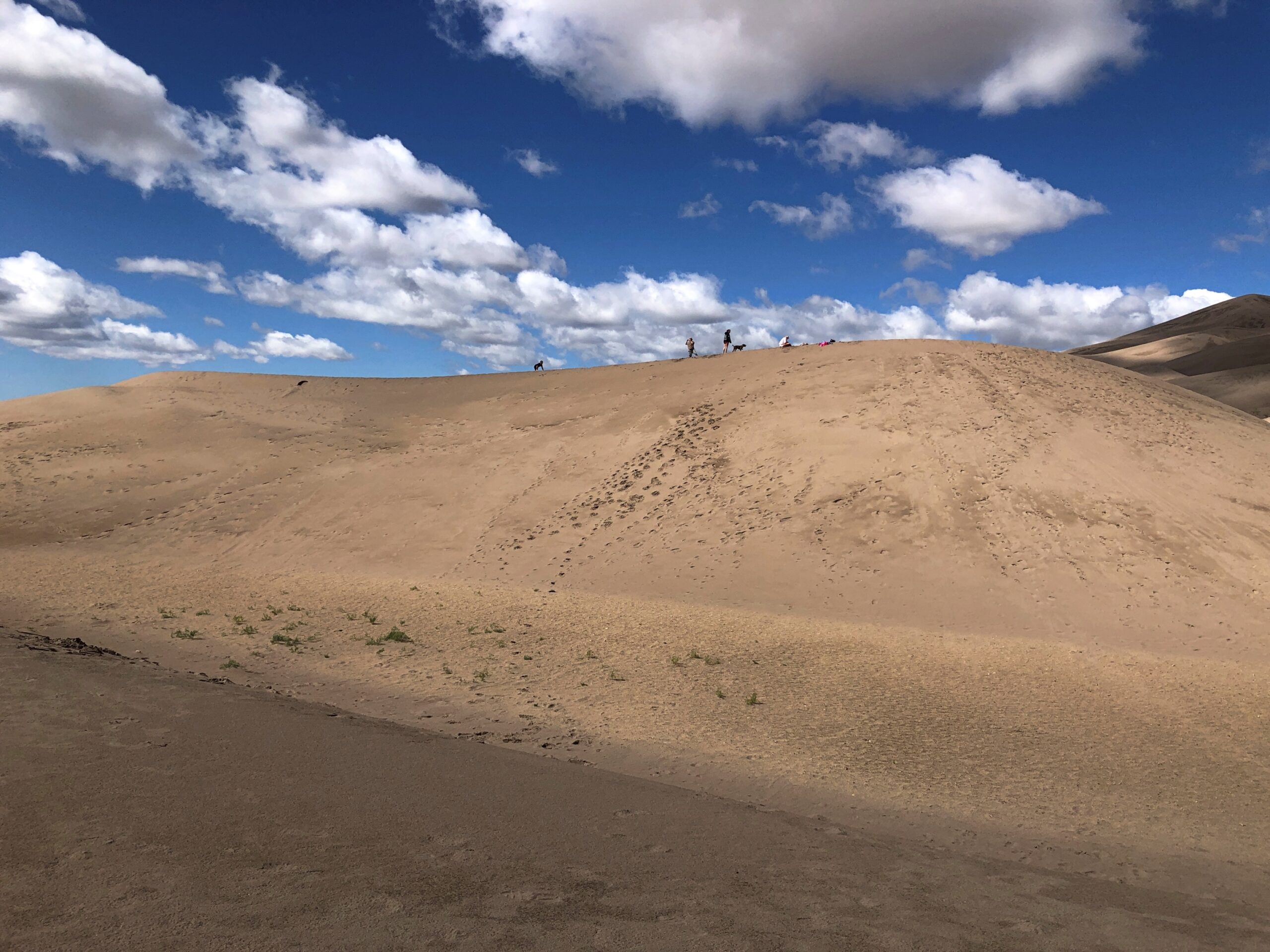
A major activity is sandboarding. Like snowboarding, I suppose, only without the freezing white stuff. Atop this dune, sandboarders are ready to slide.
It’s a young person’s and young families’ game. We happened to meet a pair of young men on one of the dune crests, boards in hand. One of them was wearing a Texas A&M cap, and I asked if he’d gone to school there. He had, finishing a few years ago. I wasn’t entirely certain that he believed me when I told him my grandfather was Class of ’16. That is, 1916.
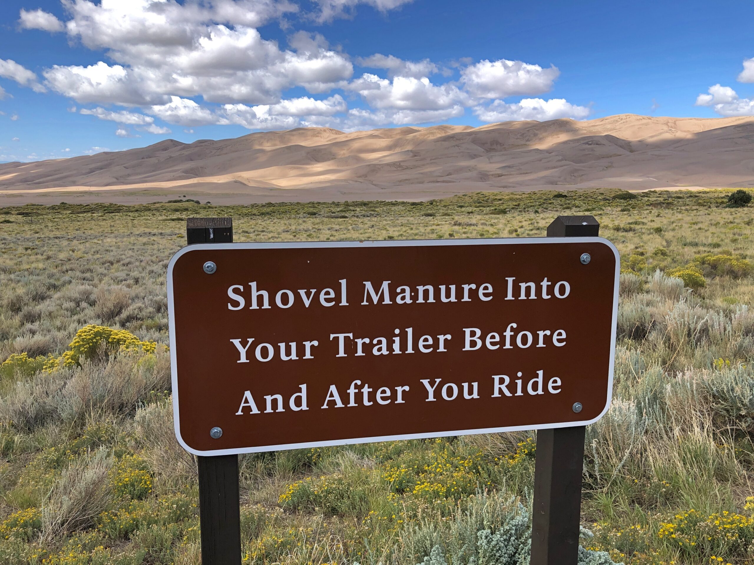
Horseback riding is also allowed on the dunes, under certain conditions.
We merely took a walk, climbing a few of the smaller dunes. I’d learned my lesson back in 2007, when we clawed our way up a large sand dune in Michigan, at Sleeping Bear Dunes National Lakeshore: “It was a slog. One foot up, then it slides down a bit. After all, it’s warm sand. Make that pretty hot sand. Step, slide back, step, slide back, step, slide back. Rest. Heat. Sweat. Sand in shoes. Remove sand pointlessly, because it comes back. Step, slide back, step, slide back…”
The day at GSDNP wasn’t quite as hot as in Michigan, but the sand was just as sandy. So we admired North America’s largest pile of sand, but not from the top of any particularly large pile.
On September 15, KKTV in Colorado reported that Trail Ridge Road through Rocky Mountain National Park was “briefly closed Sunday [the 14th] due to the wintry weather. This was first time snow and ice shut down the road since it reopened in May.”
We drove that road two days before, on the 12th. As the article notes, the “48-mile highway through the park is North America’s highest continuous paved road and connects the east and west sides of the park… [it] reaches 12,180 feet at its highest point. Alpine Visitor Center, where snowfall was caught on webcam, is located at about 11,796 feet.”
We’d spent the night before in Granby, Colorado, from the looks of it a growing town – complete with large rows of spanking-new townhouses – and from there entered the park from the western, or less crowded side. The eastern entrance near Estes Park, Colorado, has a more direct connection to the mobs coming from greater Denver.
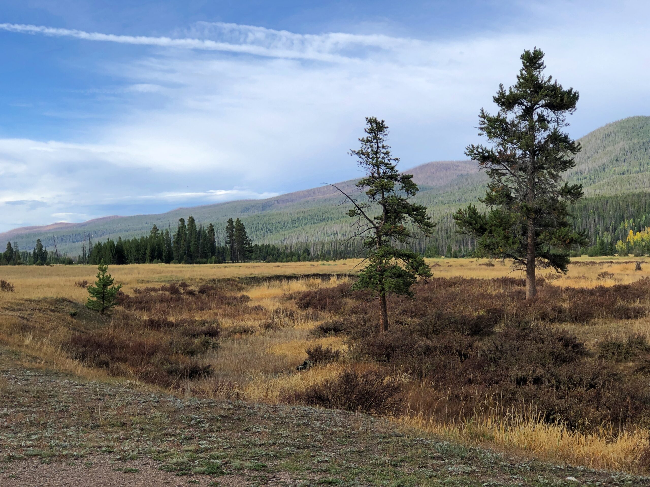
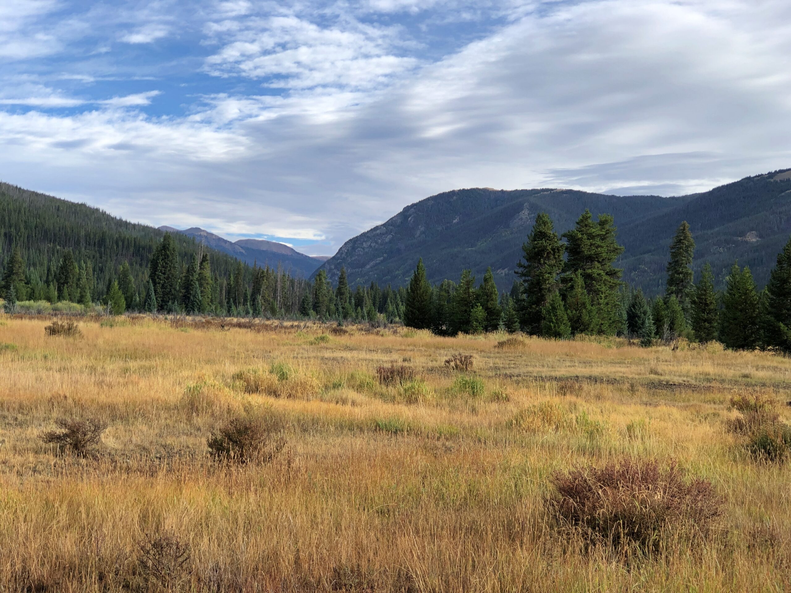
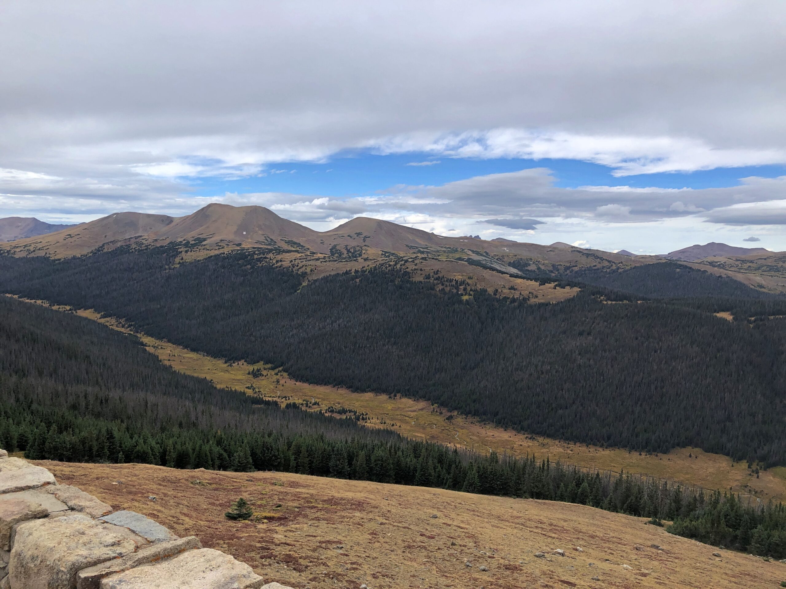
RMNP is a place of majestic vistas. We came for that, and were not disappointed. But I was just as impressed by something we saw near the western entrance at a place called Holzwarth Historic Site, in the Kawuneeche Valley. A picturesque place.
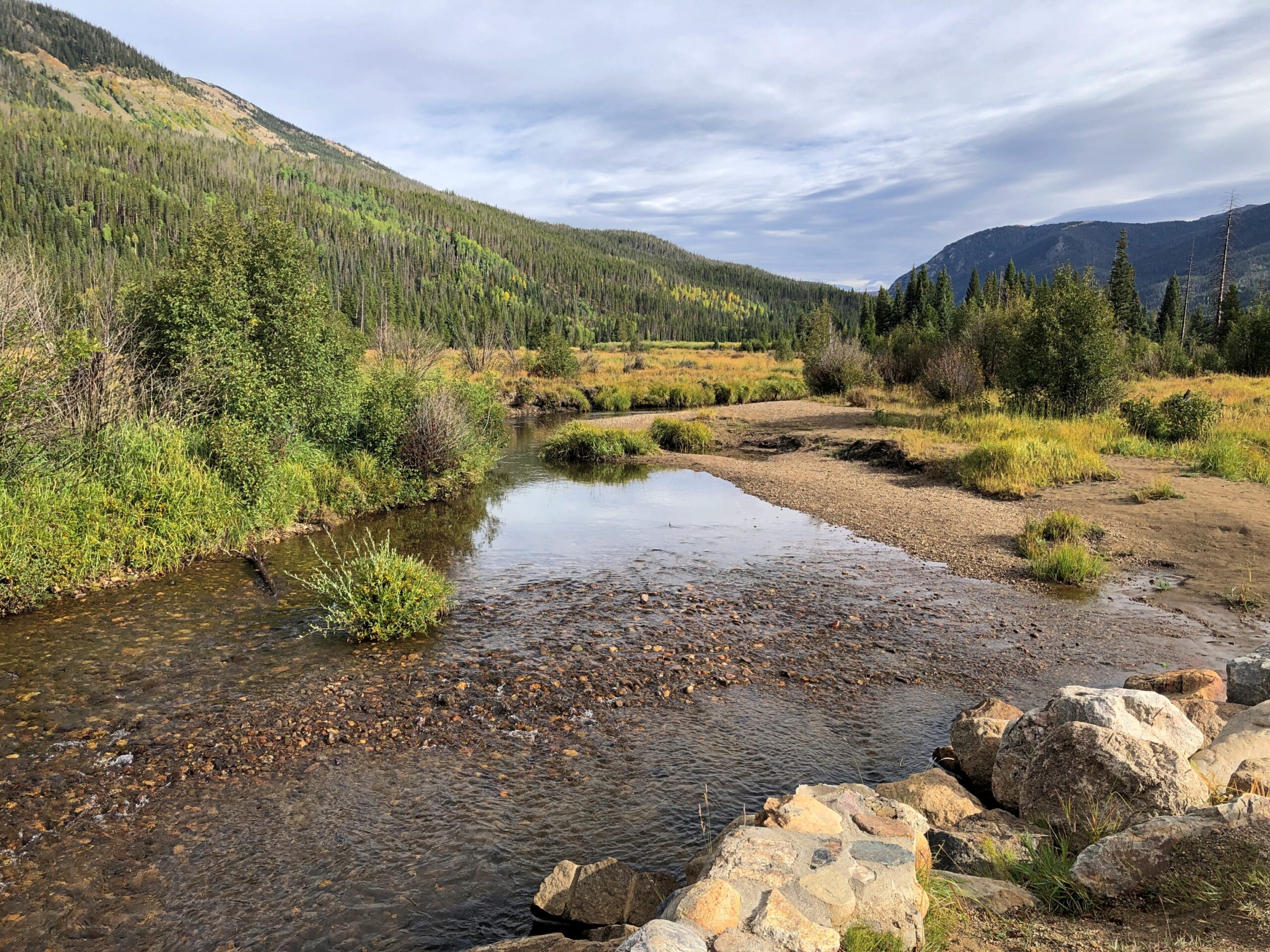
It was the first place we stopped in the park, walking on a path through part of the valley. A small bridge crossed what looked like a creek.
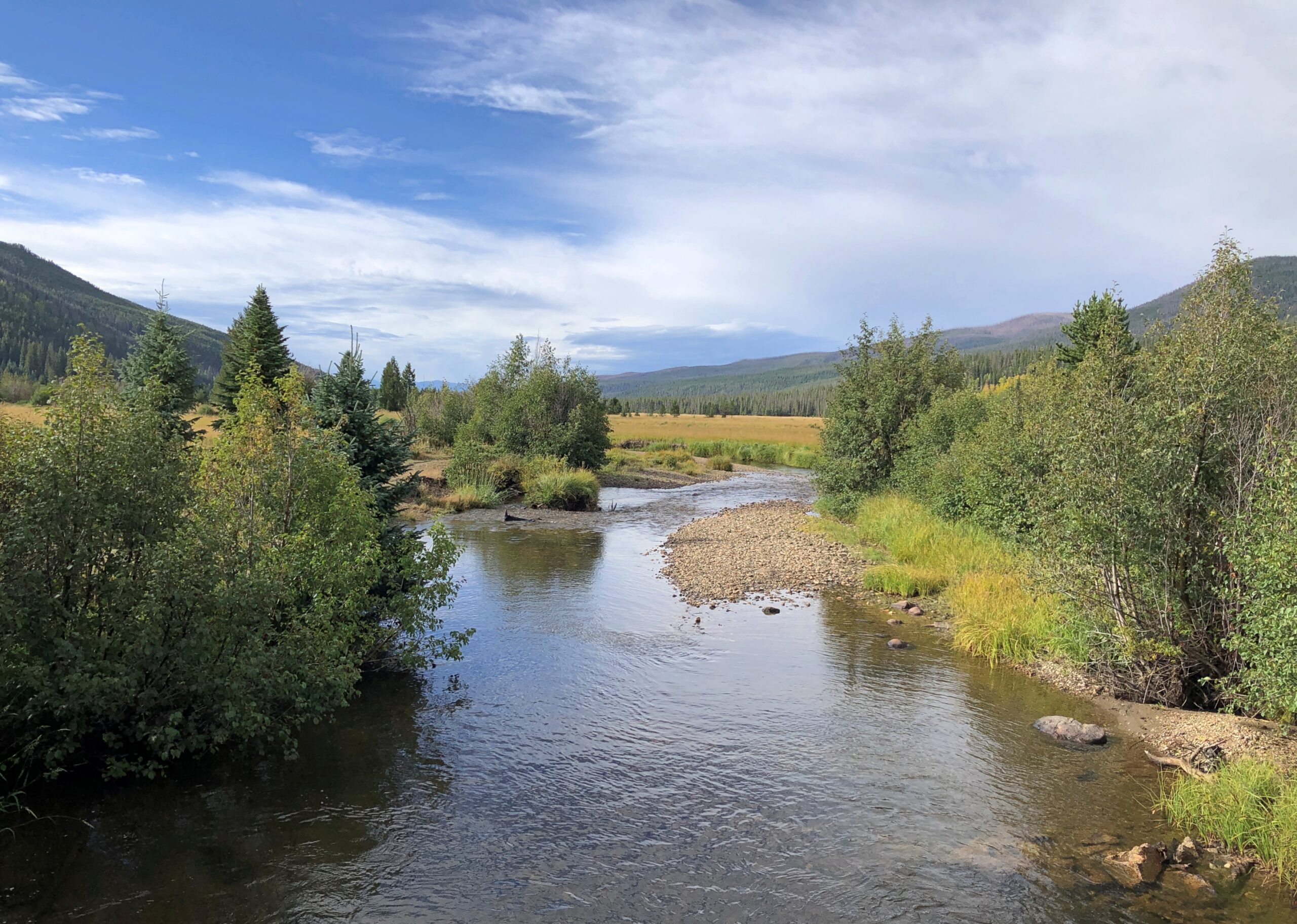
A sign on the bridge informed us, however, that this was the Colorado River. A flabbergasting moment. I’d known that the Colorado rises in one of the remote parts of the park, but I didn’t know we were going to encounter the river – whose downstream will carve epic canyons and be dammed to the hilt for the water and power needs of millions of people – by crossing it on foot in a few seconds.
The Holzwarths ran a dude ranch on the site for much of the 20th century, before selling it to the Nature Conservancy, which eventually resulted in the area being added to the national park. A number of the dude ranch buildings still exist not far from the baby Colorado River.
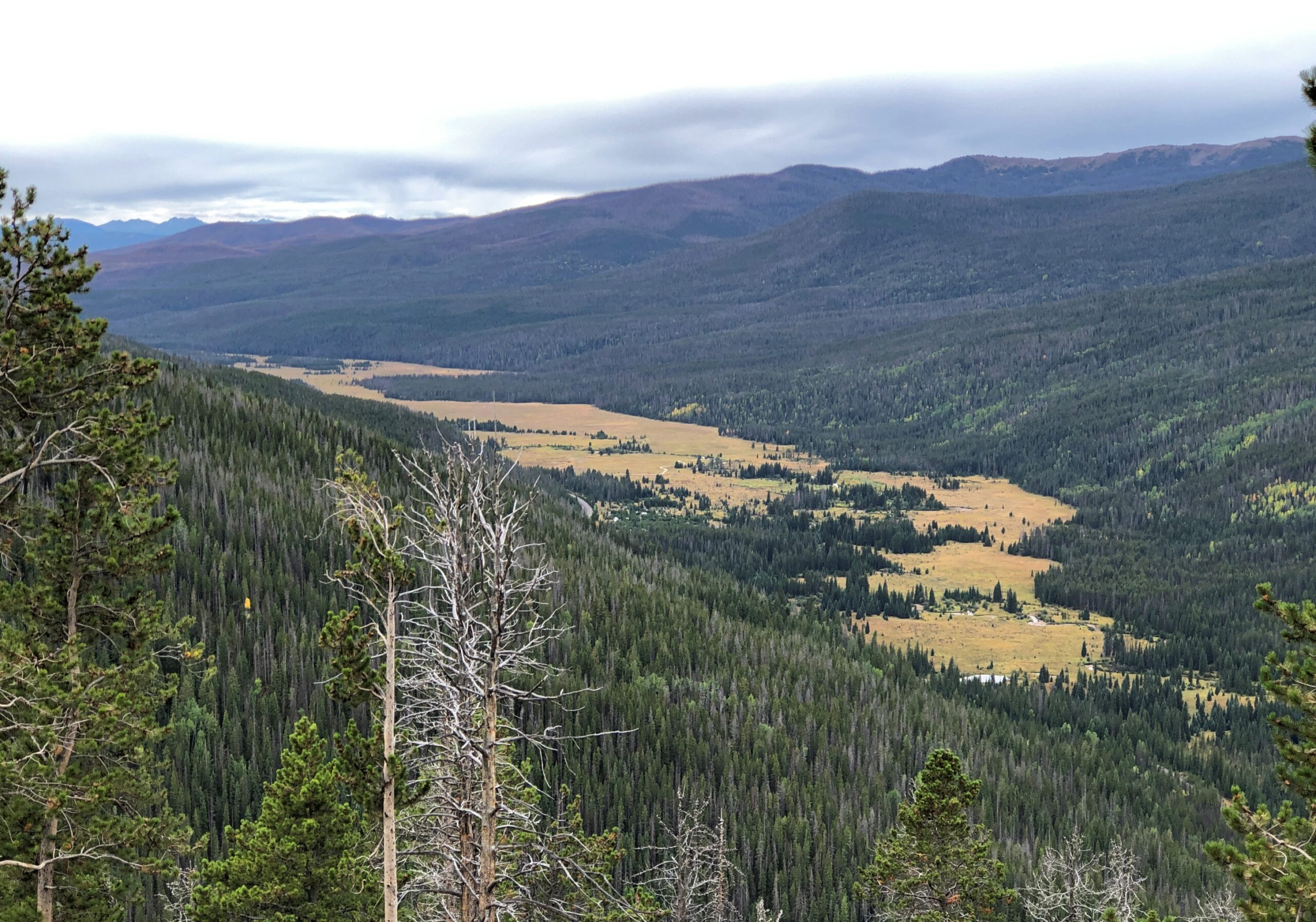
From the valley Trail Ridge Road, which is also US 34, heads upward. A look back at the valley.
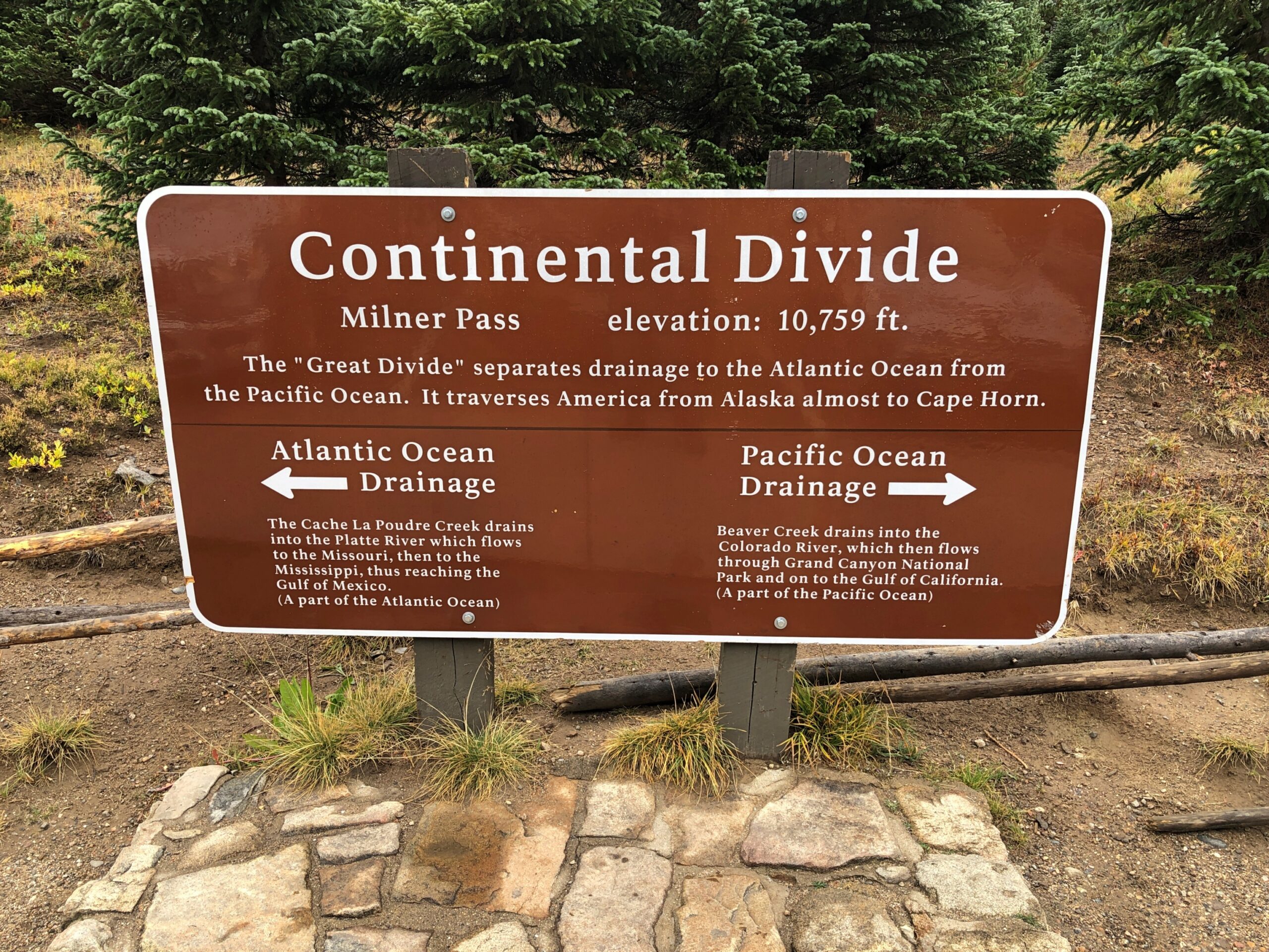
Soon you reach Milner Pass on the Continental Divide, crossing back to the Atlantic side; we’d crossed to the Pacific side at Berthoud Pass the day before outside the park, on the way to Granby.
From there, the road takes you above the tree line. By that elevation, the warmth down in the valley is just a memory, as brisk chilly winds blow. The air was still above freezing that day, but not by much.
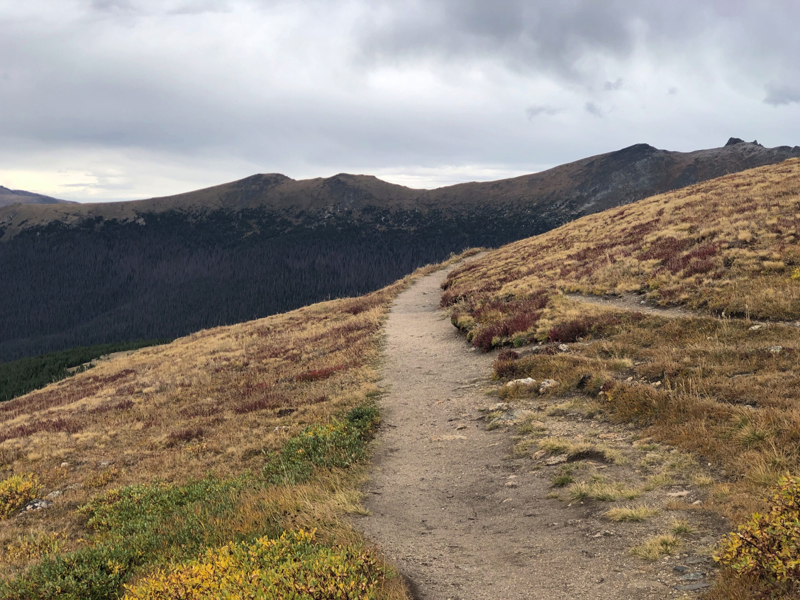
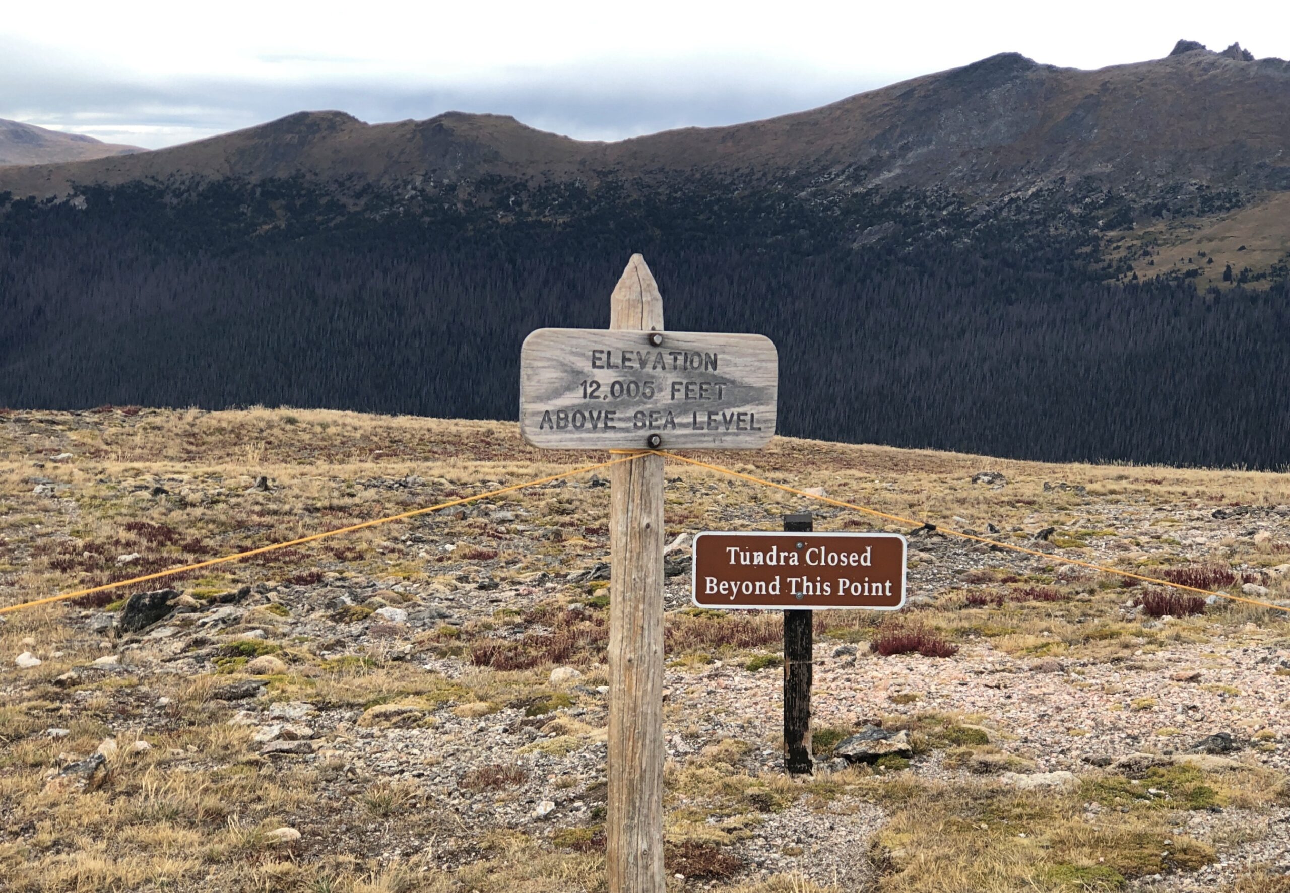
From one of the several pullouts on the road, a path through fields of alpine tundra.
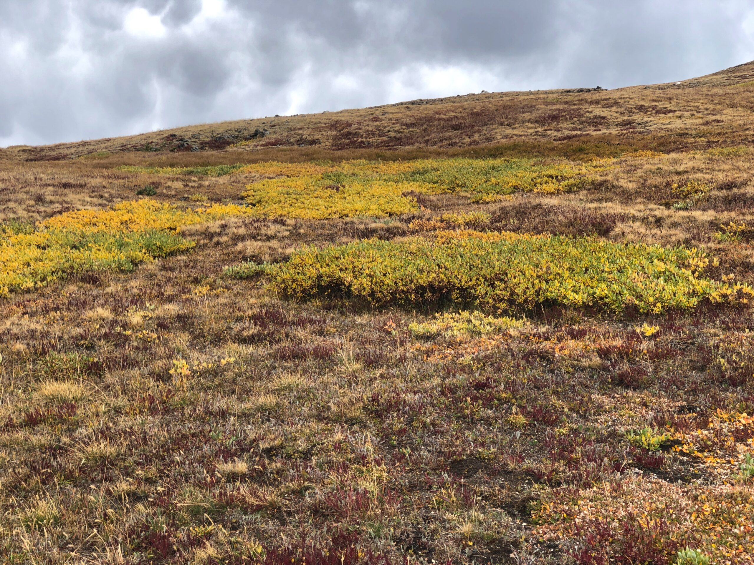
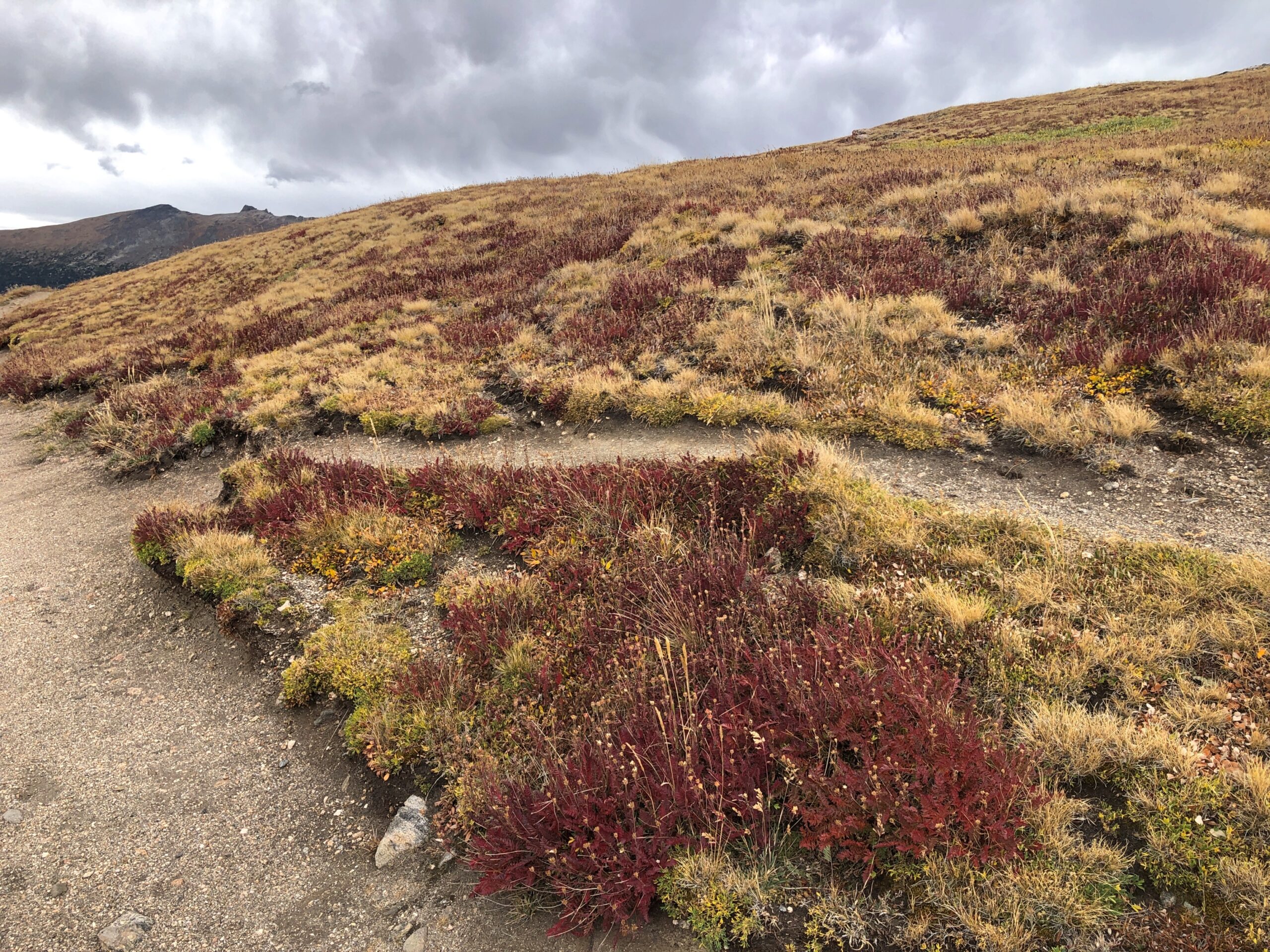
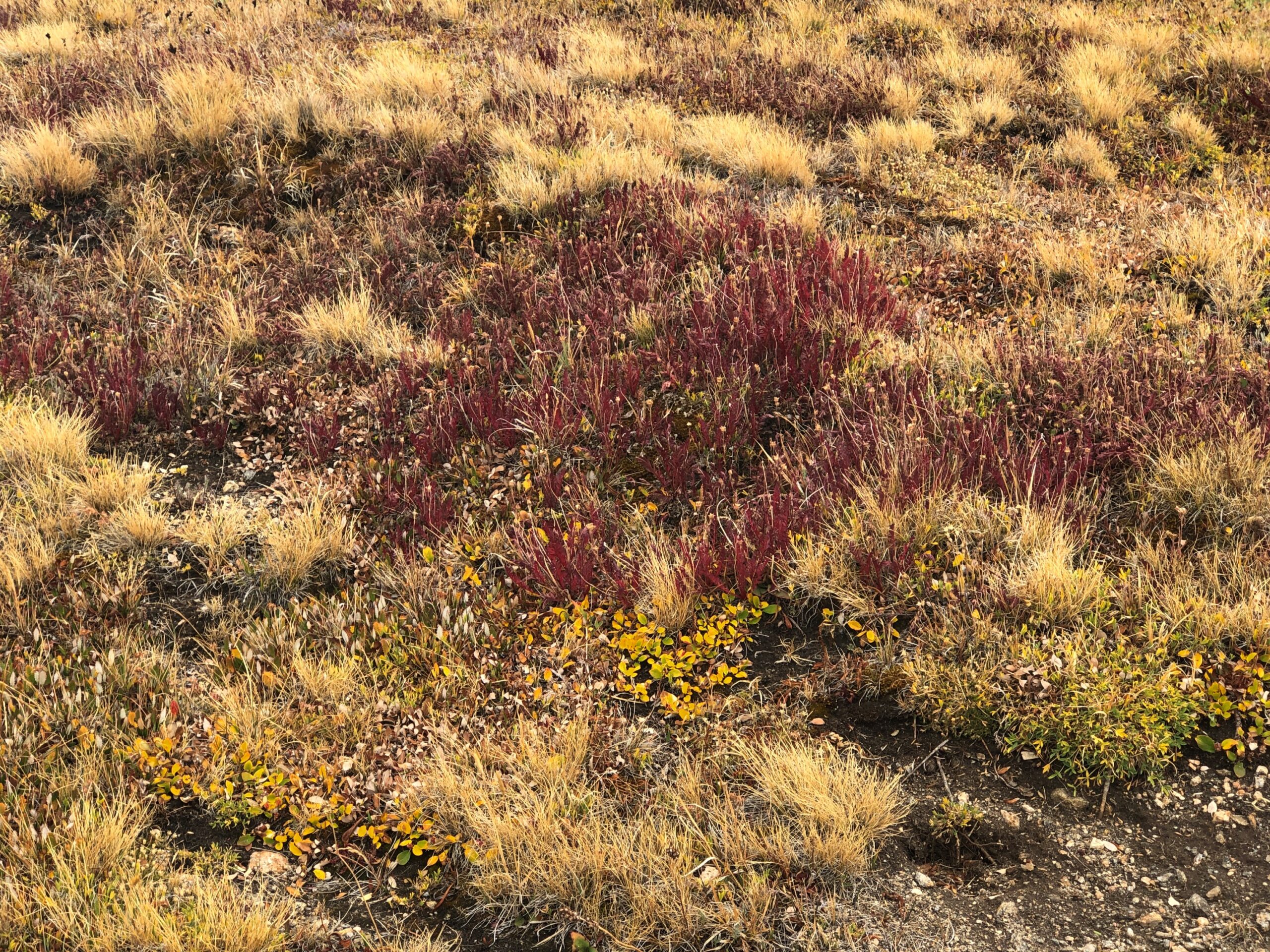
Been a long time since I’d seen any. Back in the Canadian Rockies? No, Alaska. Still, a while ago. We’d reached autumn above the tree line, with the tundra turning.
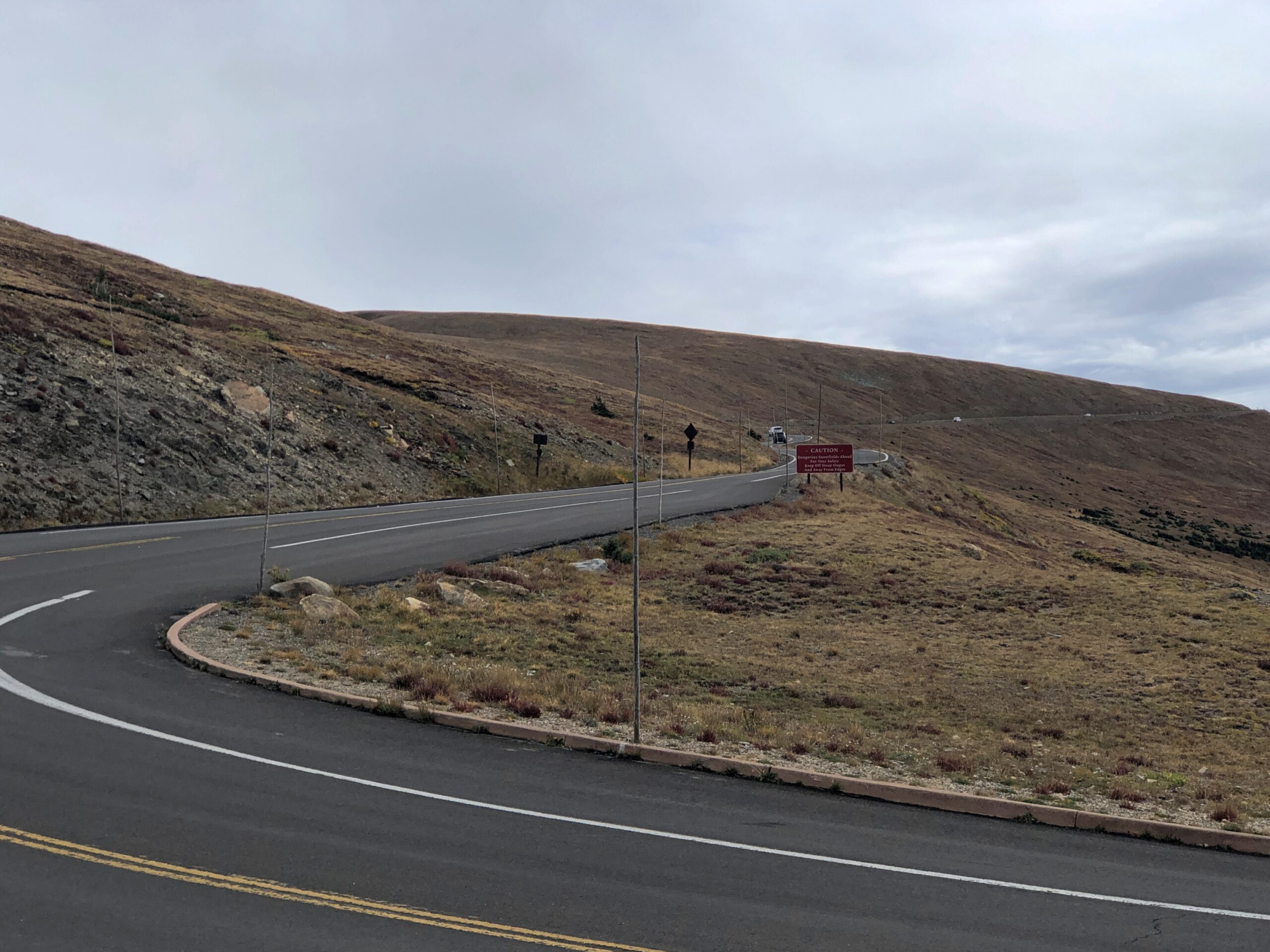
The road goes on.
Who first built the road? There was none when Rocky Mountain NP became a national park, with President Wilson’s signature on the bill. Improvements came later, and of course they were by the CCC.
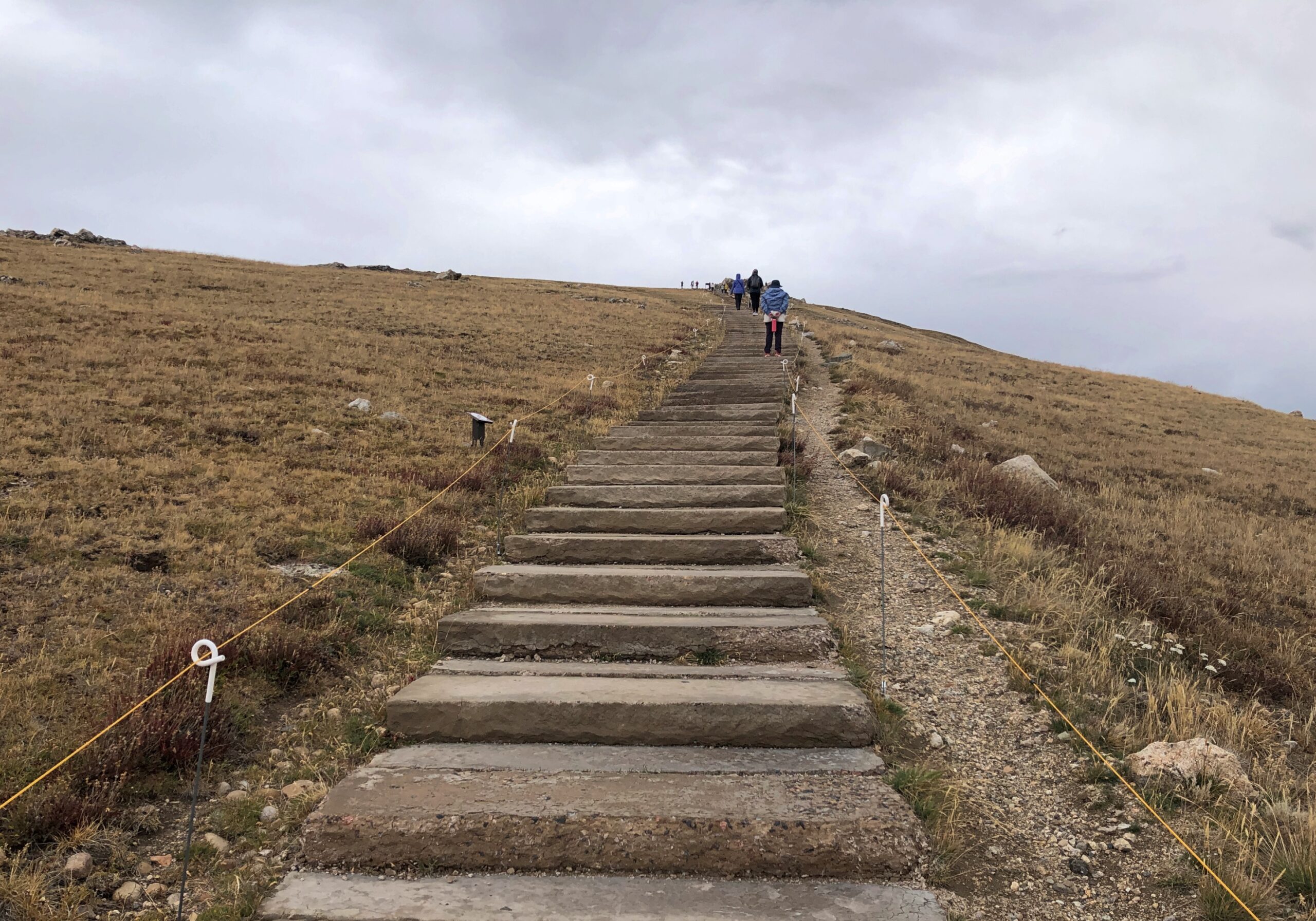
At the Alpine Visitor Center, parking was hard but not impossible to find. The views are good from there, but if you want the better vistas, you climb some outdoor stairs. Roughly 200 feet of them.
The air was cold and there wasn’t enough of it. Or so it seemed. I took my hiking pole, put on a sweater and cap and started up. I could have bought a small can of oxygen at the gift shop, had I known about it. I saw a woman, clearly older than me, coming up the stairs as I was headed down, pausing to inhale vigorously from such a can.
Yuriko and Emi made it to the top before I did, but by taking a number of breaks, I managed to get to there myself. Just another thing I should have done 30 (40) years ago. But even then, I’d have been tired at the top.
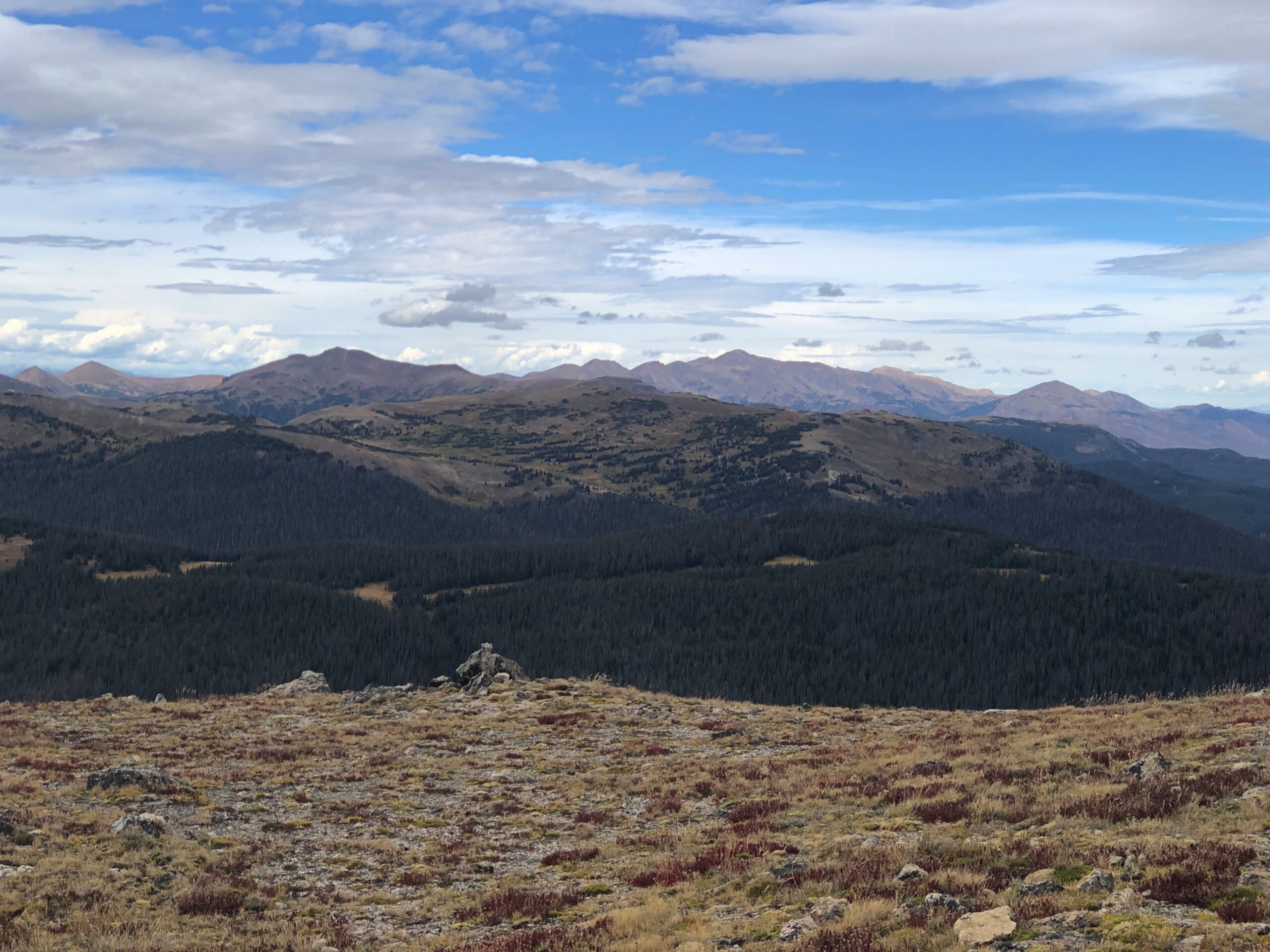
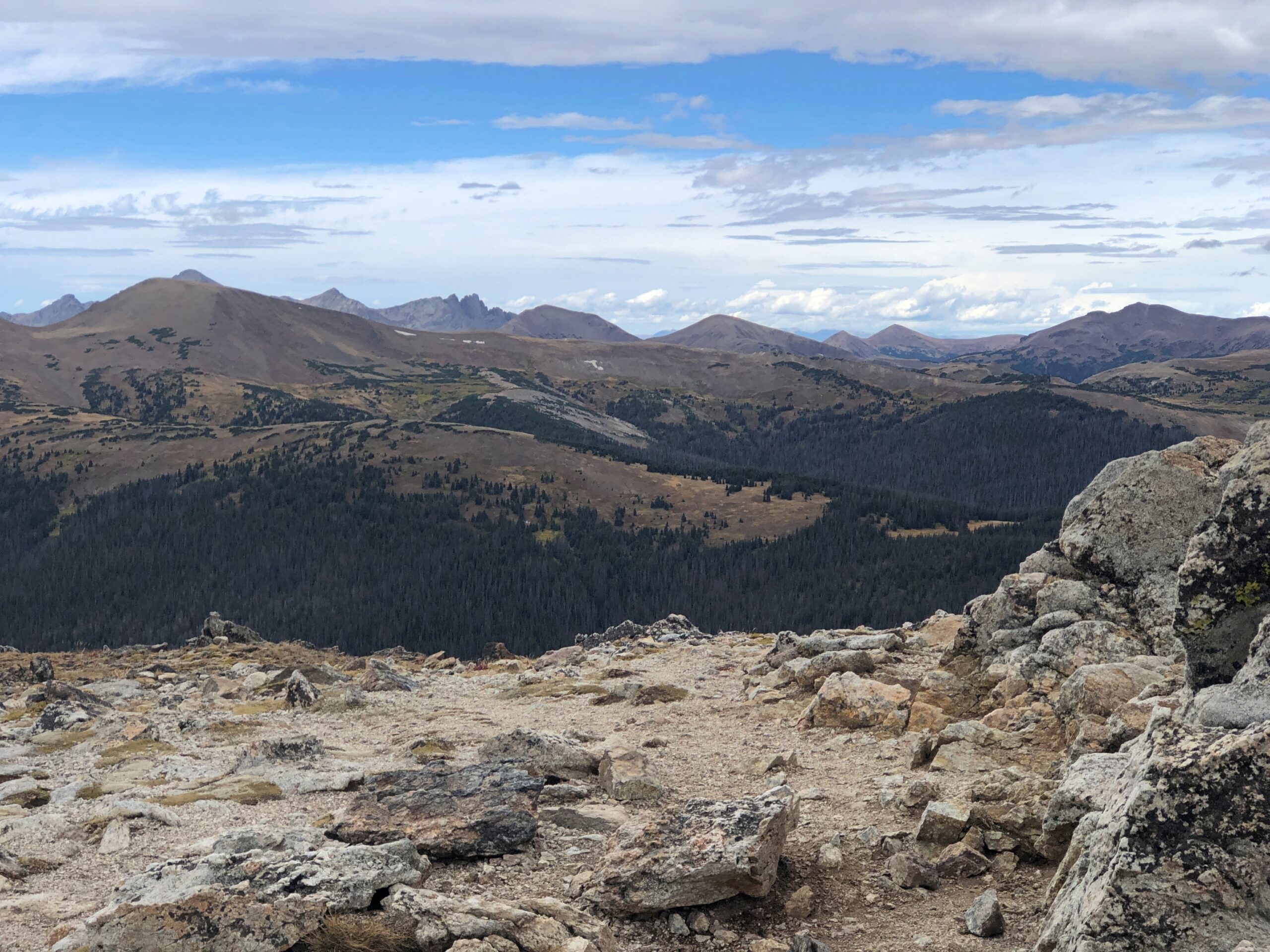
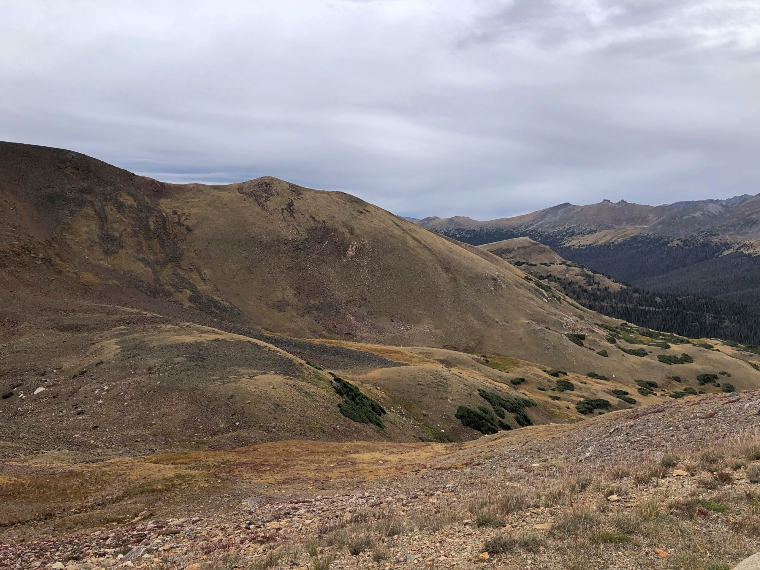
It’s that extra five feet that leaves you gasping, I think. No matter, the view was worth the gasps. Entirely. The images, as usual for this kind of vista, barely convey the scene in its glory. This is going to be a persistent reality over the next few days’ posts.
Enough to make you burst out with a rendition of “Rocky Mountain High.” If you had the oxygen. I have to say I was glad to repair soon to a lower altitude, one below the tree line. From the Alpine Visitor Center, the road heads toward the eastern entrance to the park, a good many miles away and several thousand feet closer to sea level.
Before we left the parking lot, we saw a fox — guess that would be an alpine fox, pointy snout, pointy ears, billowing with orange and white fur — trot onto the parking lot, as if it had a car parked there. A young ranger, presumably used to the elevation, took chase. Not to catch the fox, which would have been impossible, but probably to prevent the animal from getting run over. Roadkill is one thing, but parking lot kill would have put a small dint in the scenic wonder all around. Anyway, the fox headed for the slopes.
Not only was the air better below tree line, fall foliage was well under way, something we haven’t gotten much of even now here in northern Illinois, though it won’t be long.
One down, three to go. One of the marvels of Colorado’s four national parks is how different each of them are from the others, as we would soon see for ourselves.
After being relatively wet, August in northern Illinois has turned relatively cool to end its days. A few days ago, we took a walk at the unusually green (for August) Spring Valley here in the northwest suburbs.
August flowers, Illinois edition.
Earlier this month, an enormous rainstorm blew through southern Wisconsin, doing damage in Milwaukee and elsewhere, including Waukesha County. Too much water too fast, and not nearly enough space in the Fox River channel that runs through the city and county of Waukesha. In the city, the river made a raging, dangerous rise not far from the picturesque downtown. If that area had flooded, that would have been in the news cycle for a little while anyway, but it looks like most of the damage was in more rural parts of the county. Regardless, it represents a lot of property damage.
“In Menomonee Falls, a crew was spotted pulling a car out of a massive sinkhole,” local TV News reported. “The once-raging waters this weekend washed away the road in an industrial area on Campbell Drive, leaving just a cliff. In the crater, the car had been trapped. The driver was fine. Inside the sinkhole, drainage pipes seemed to be tossed around like Lincoln Logs.”
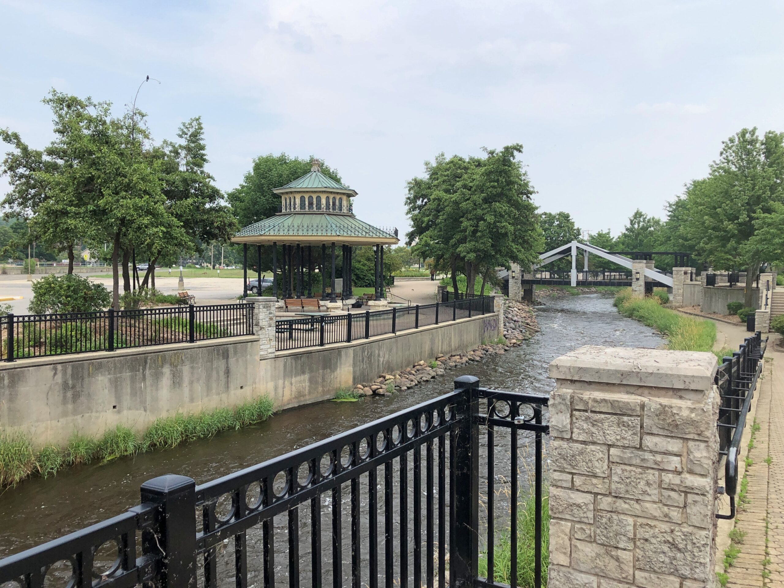
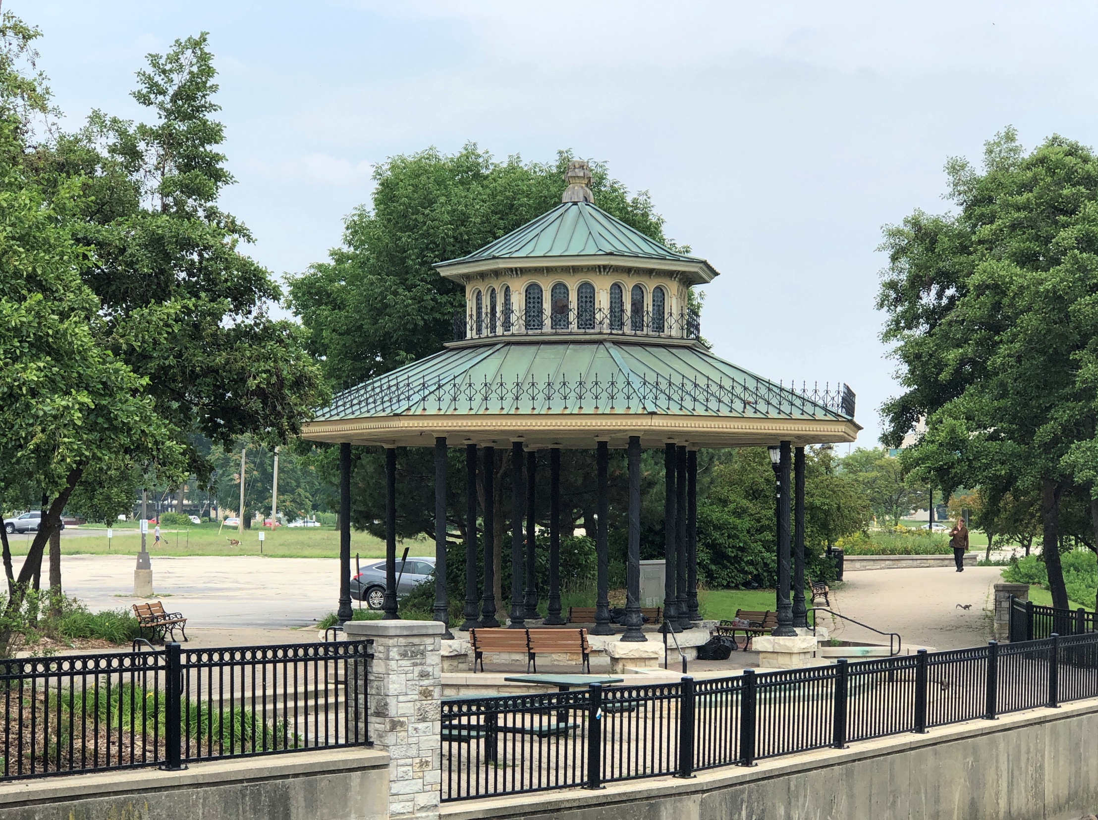
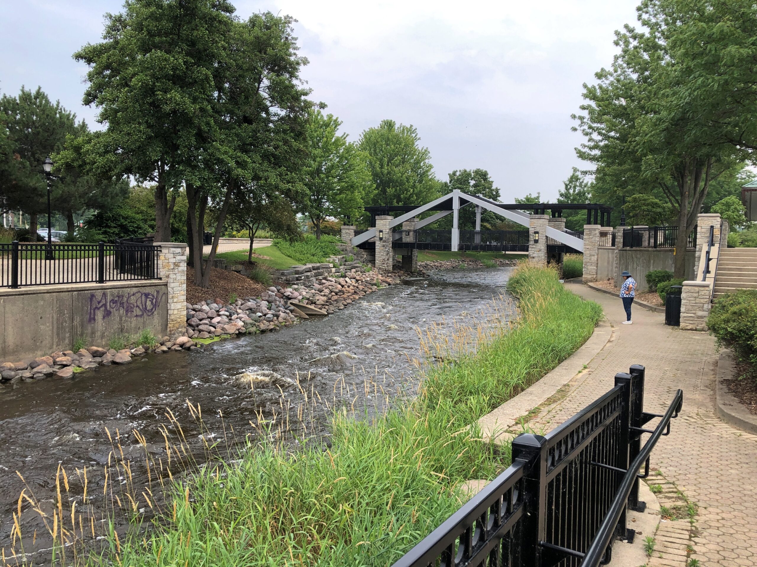
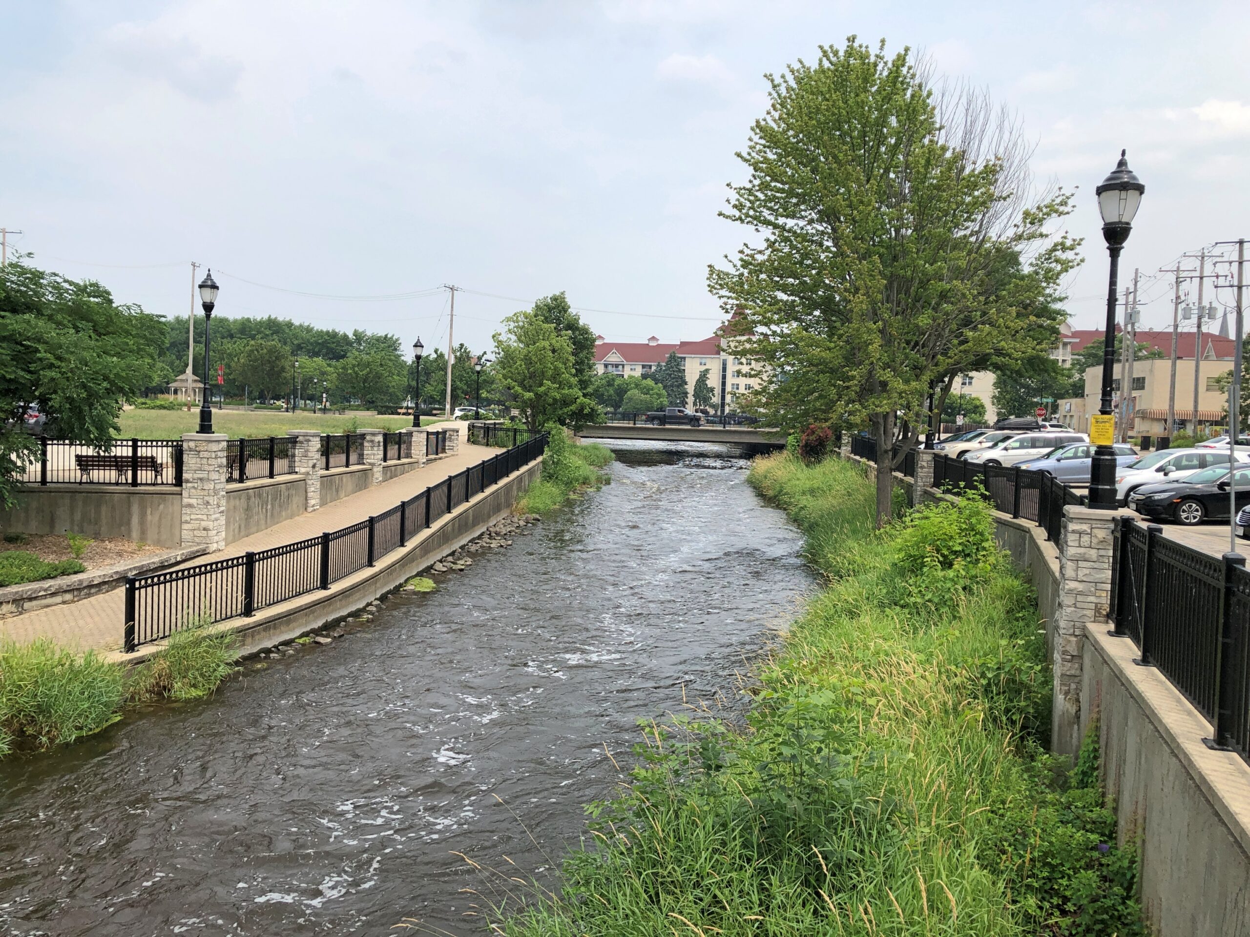
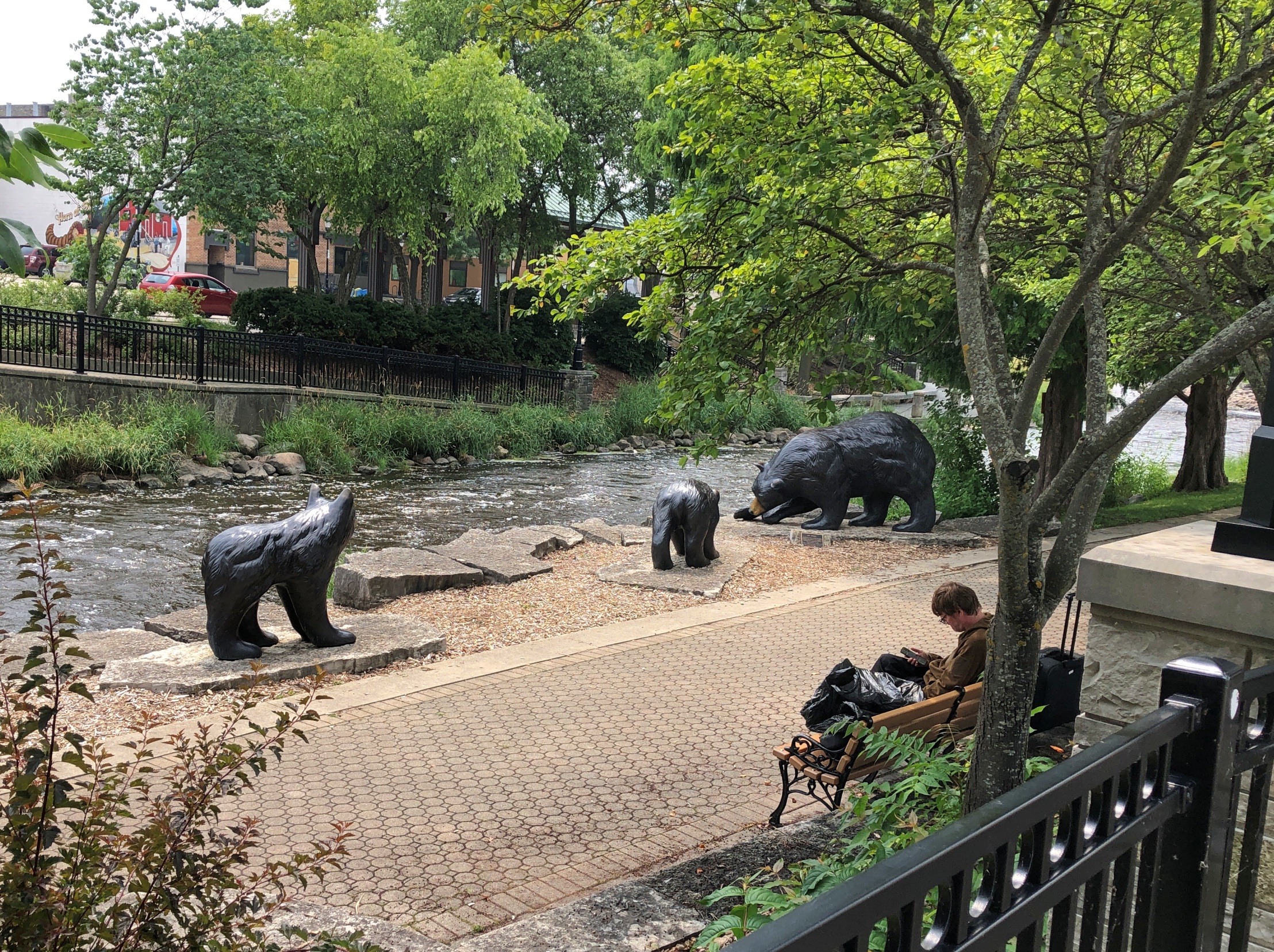
About two weeks earlier, on a nearly hot, clear day, we took a walk along the Fox, accessed a block or so away from downtown’s main streets. The river was flowing vigorously, but without a hint of the rampage to come (and why would there be?). This is the same Fox River that runs west of metro Chicago and to the Illinois River, and not the one that runs into Green Bay. Just to keep things interesting, there are apparently two other Fox Rivers in Illinois as well.
Across the way, a gazebo.
Every town over 5,000 has to have a gazebo, according to Wisconsin law. Wisconsin is almost alone in its gazebo mandates, with most other states having repealed theirs in the 1960s and ’70s – though some counties in other states still mandate the structures.
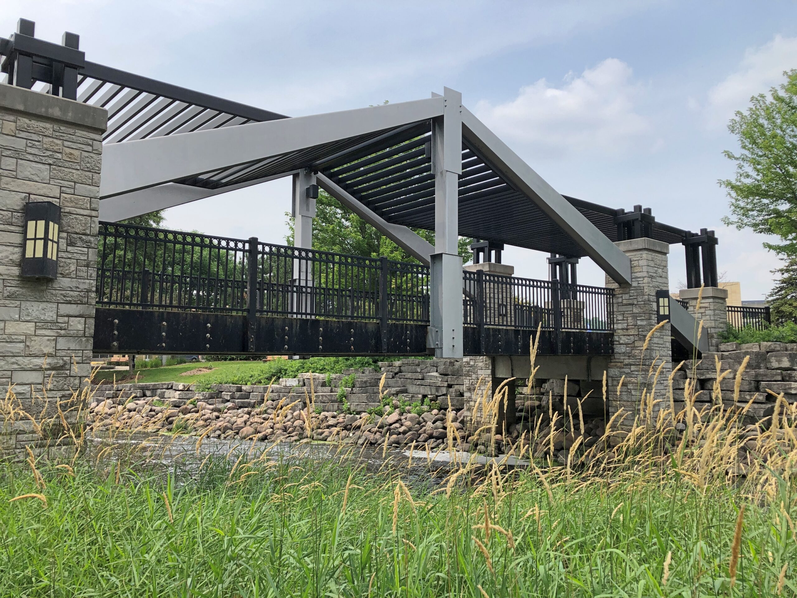
An artful pedestrian bridge.
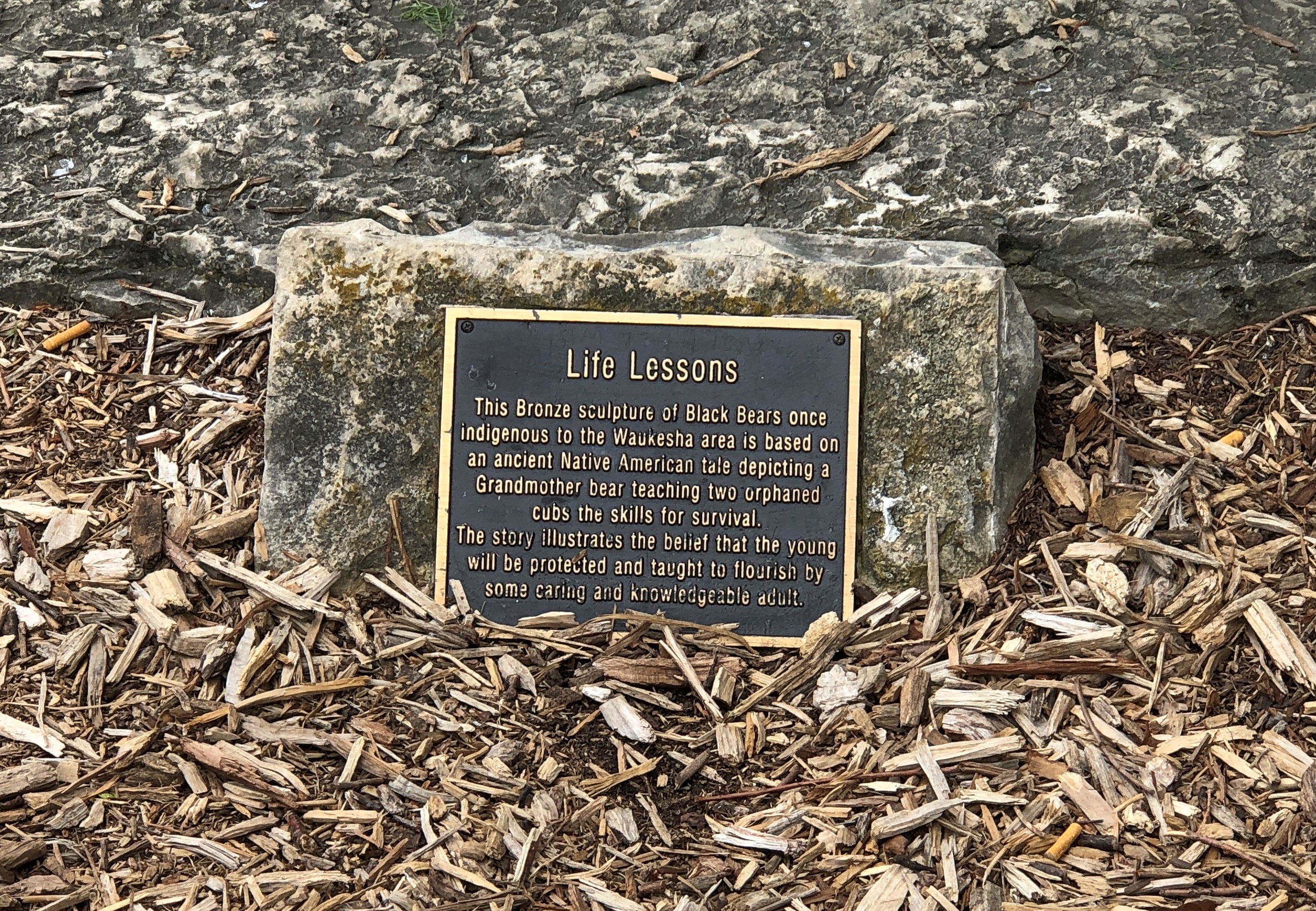
More river, and also bears. Bronze bears.
Hope the river didn’t take them away, but I’d think the figures would be anchored pretty well.
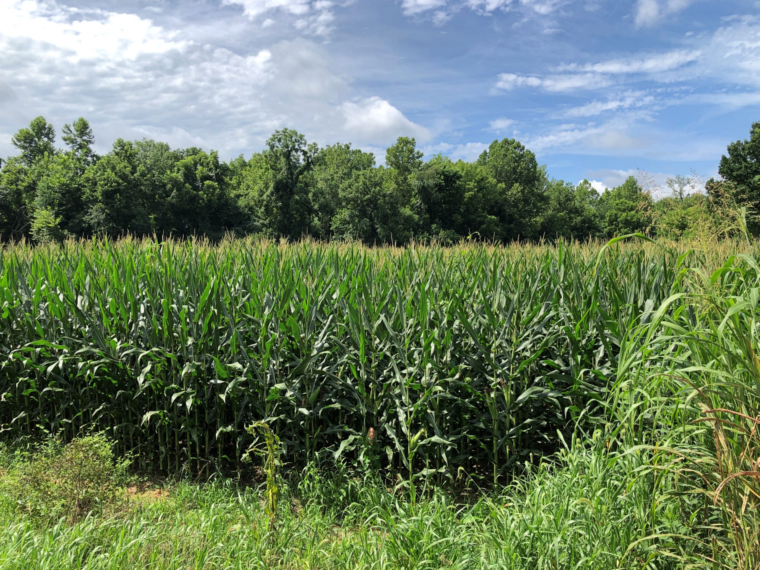
Even though you see enough corn driving through the Midwest, it’s still a little hard to imagine 5.1 million acres of corn (or anything else). Yet that’s how much corn – maize, Zea mays – was planted in Indiana alone in 2024, according to the Indiana Corn Marketing Council, with 5.05 million acres harvested. Even after being in the thick of a summer crop, the thought of that much boggles the mind.
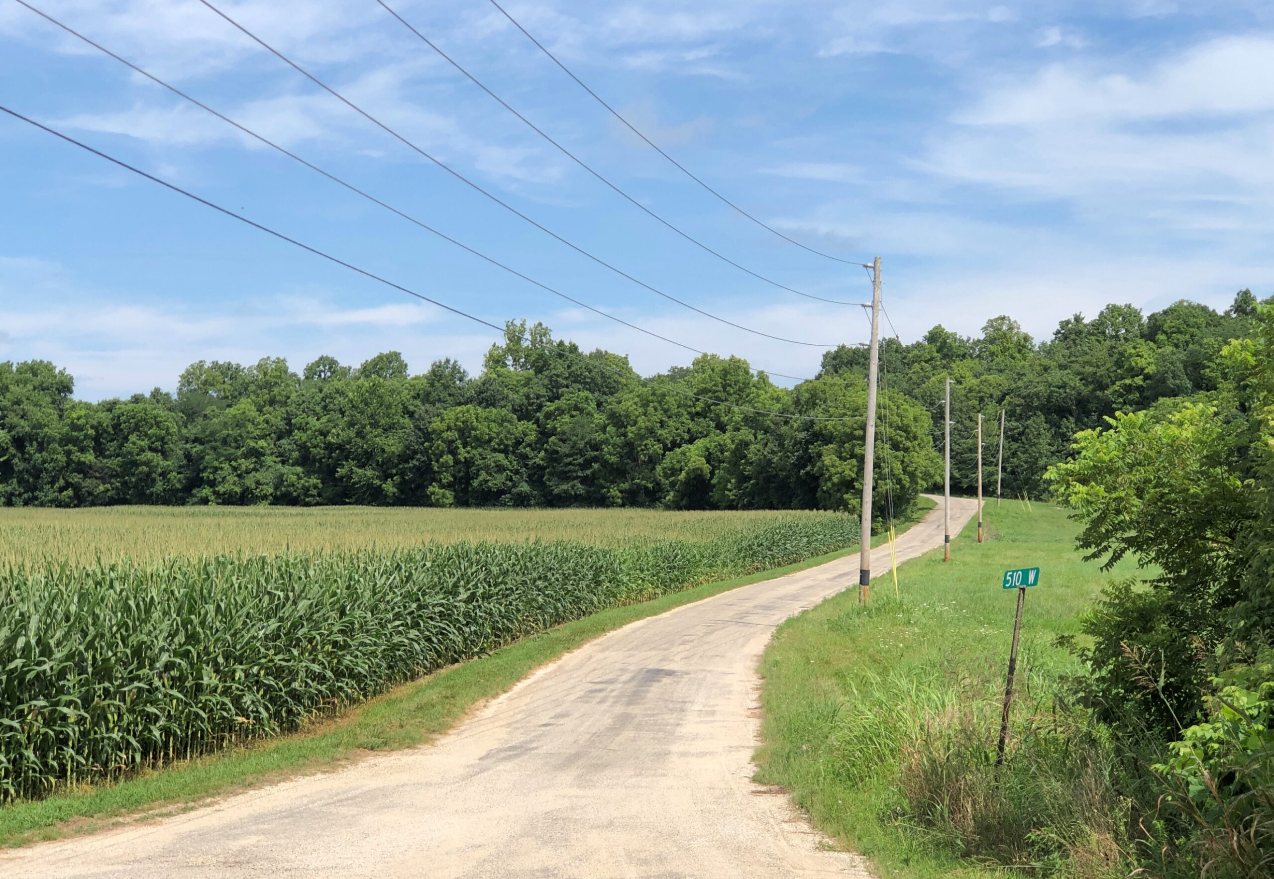
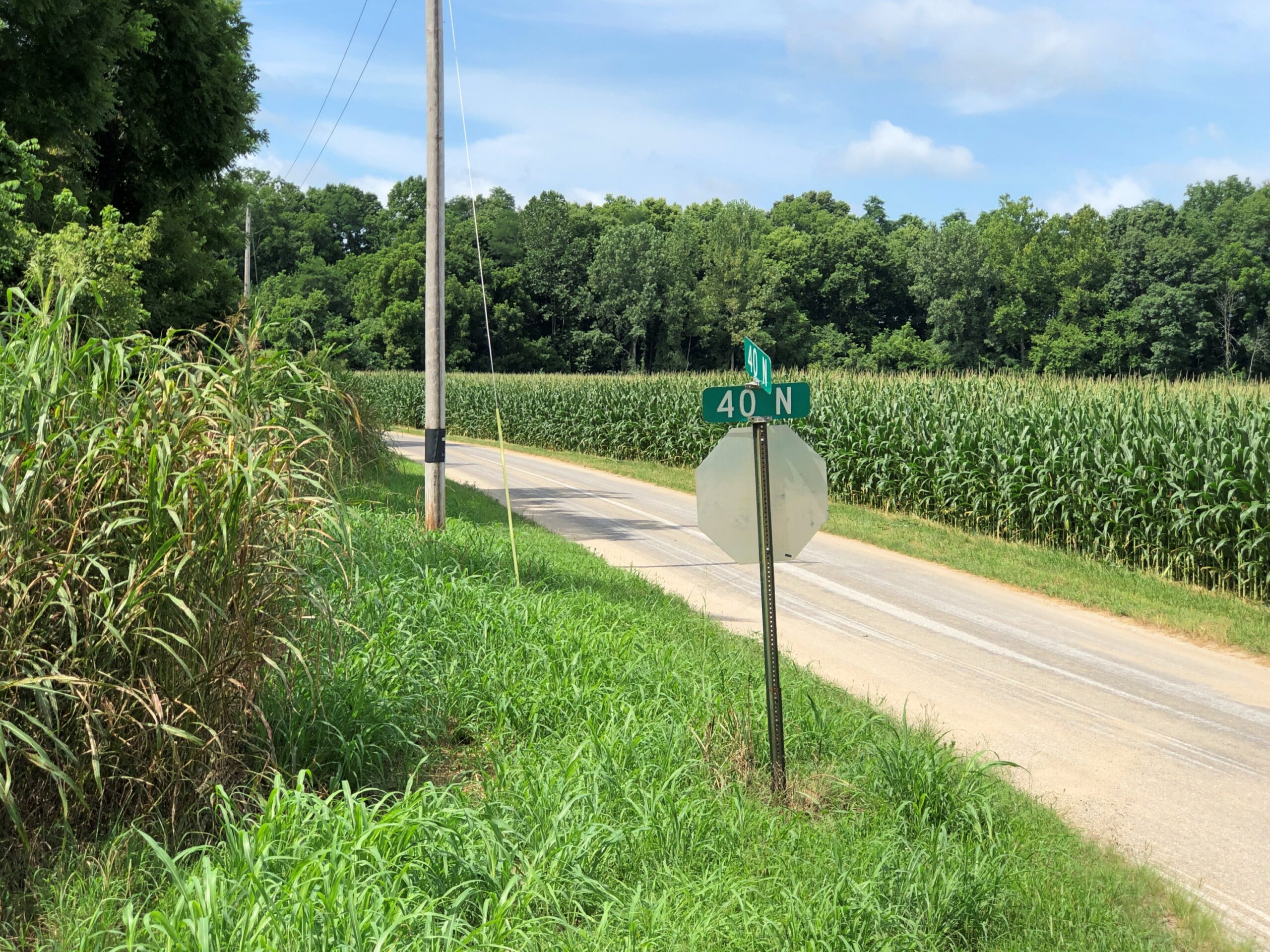
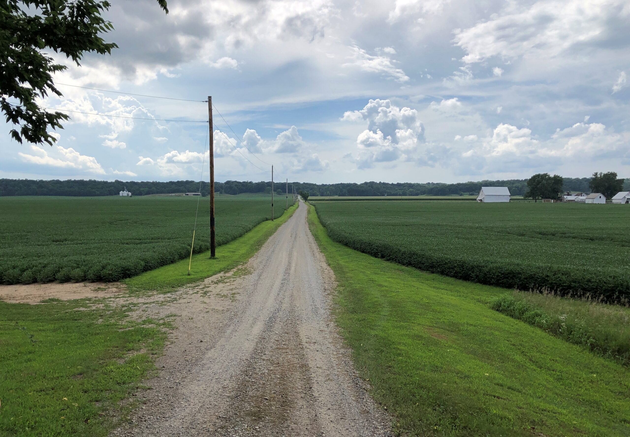
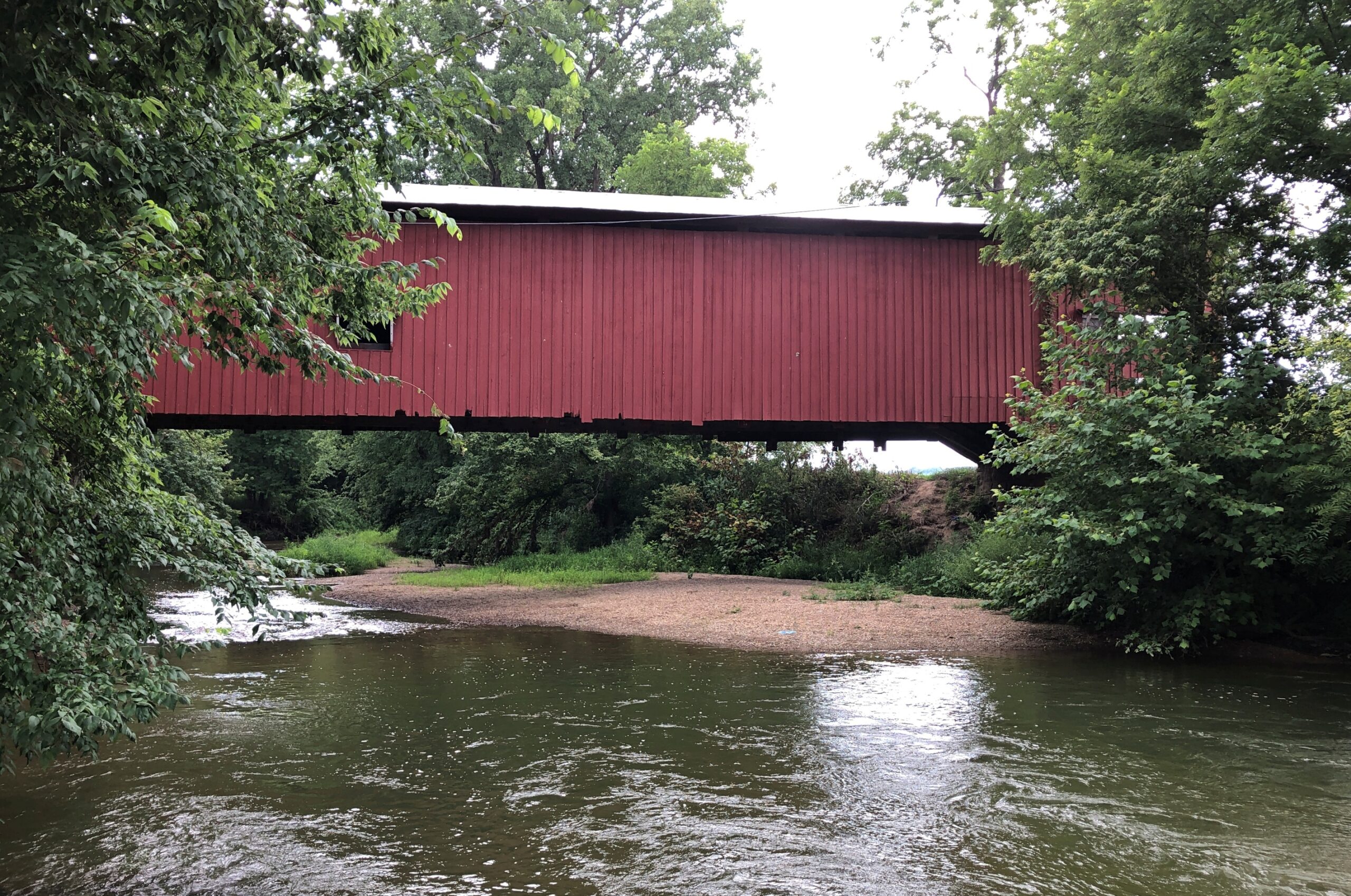
We didn’t go to Parke County, Indiana, in late July to admire the corn, though I did take a moment to make a few higher-than-an-elephant’s-eye corn pictures. You don’t have to go nearly that far to find corn. We came for the covered bridges, spending a Saturday night in the county seat of Rockville, Indiana, and out looking for bridges on Saturday afternoon and Sunday morning. To get to them, you have to take to the small roads crisscrossing the area, some paved, some not, but all pretty high quality.
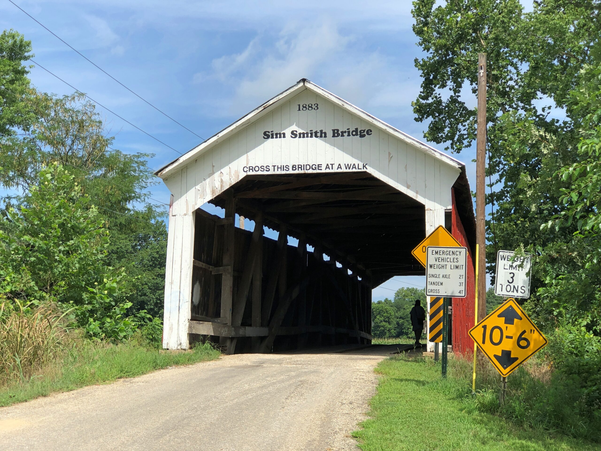
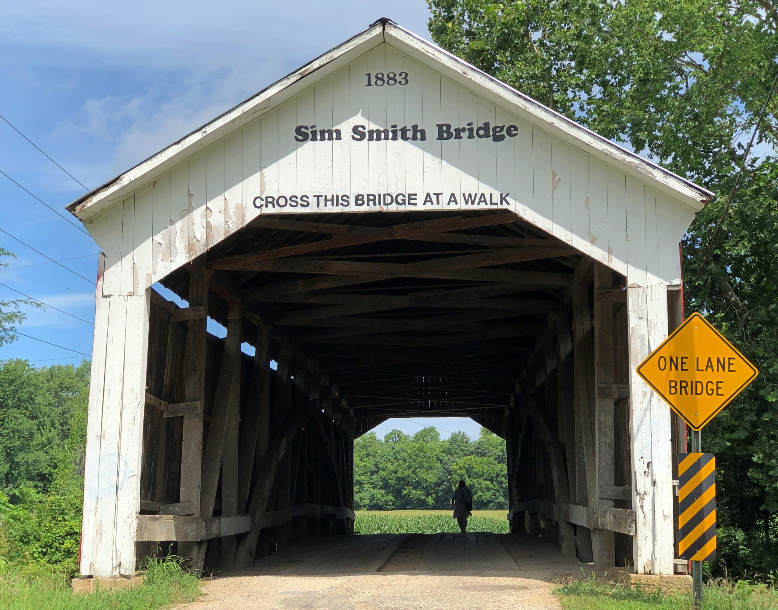
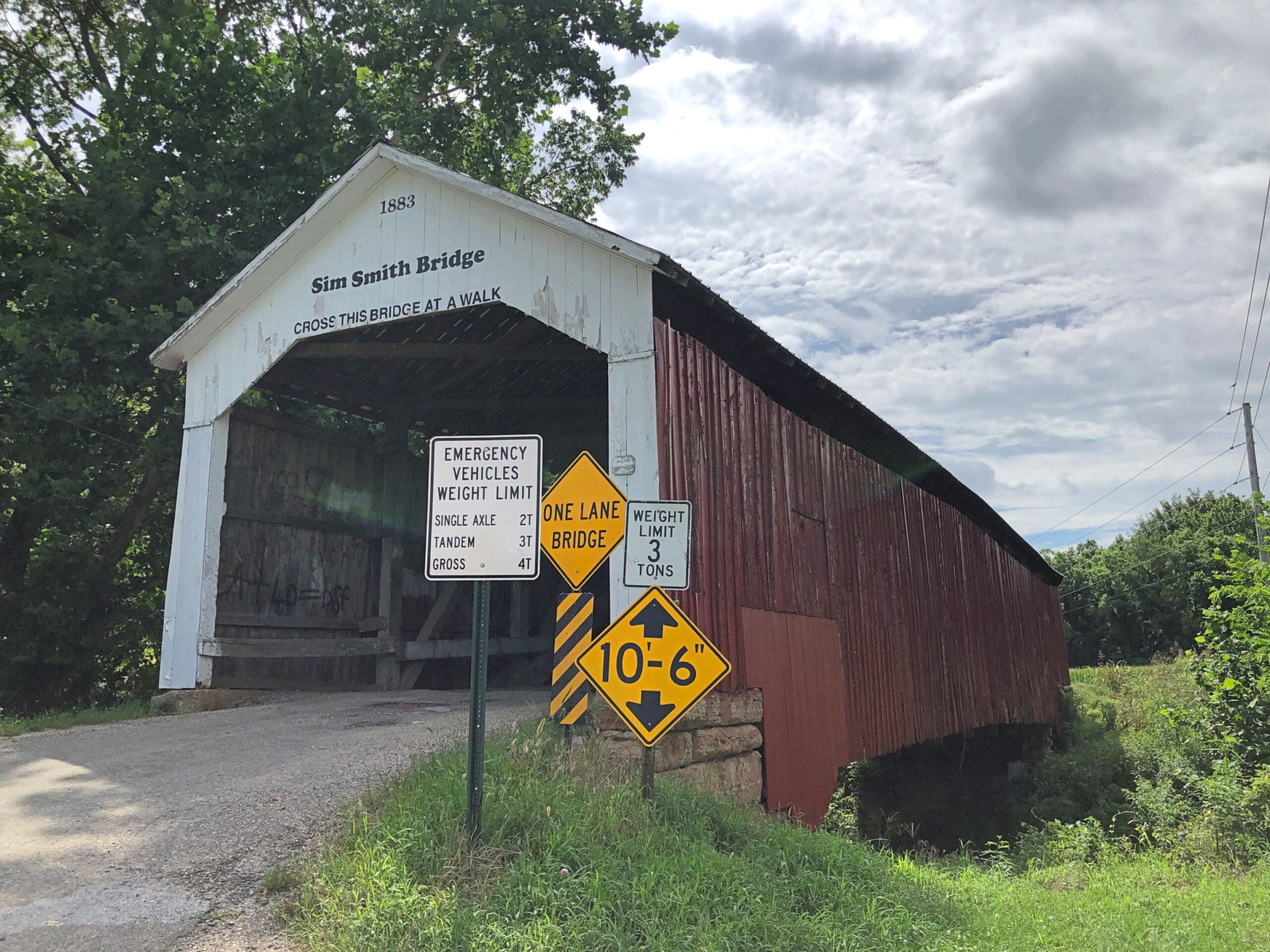
Roads lead to bridges, such as Sim Smith Bridge, vintage 1883, which crosses Leatherwood Creek. “Locally, this bridge has the reputation as haunted,” says a guide map I picked up. Uh-huh.
West-central Indiana is well-watered, a welter of creeks feeding the Wabash River. Covered wooden bridges cross many of them, each of more than a century old. Cedar is the main material. I’d guess being well-watered was good for the farmers here in the late 19th century, except for one thing: they complicated shipping one’s crop to buyers, either to animal feed processors or human-food makers. So, bridges.
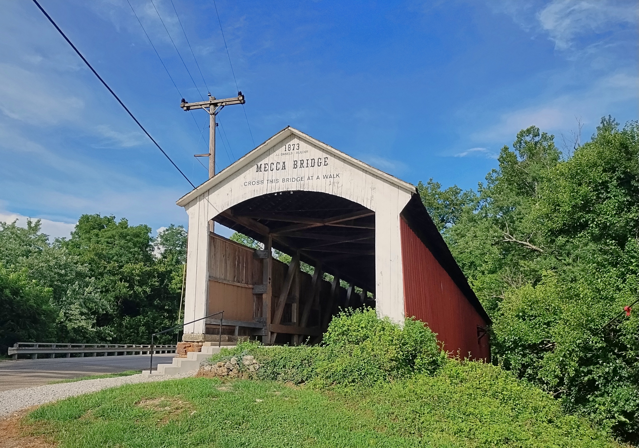
Mecca Bridge, near Mecca, Indiana, across the Big Raccoon Creek. 1873.
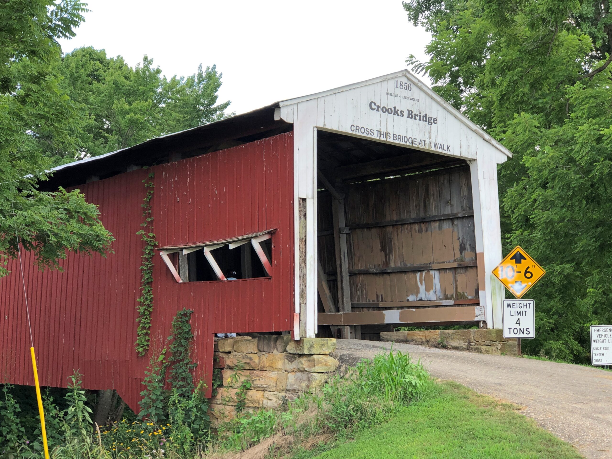
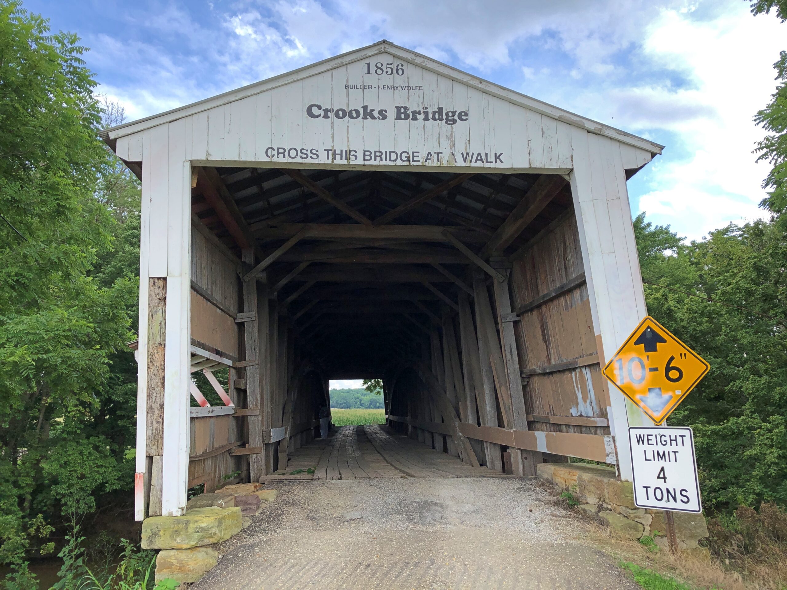
Crooks Bridge, across Little Raccoon Creek. Competed in 1856.
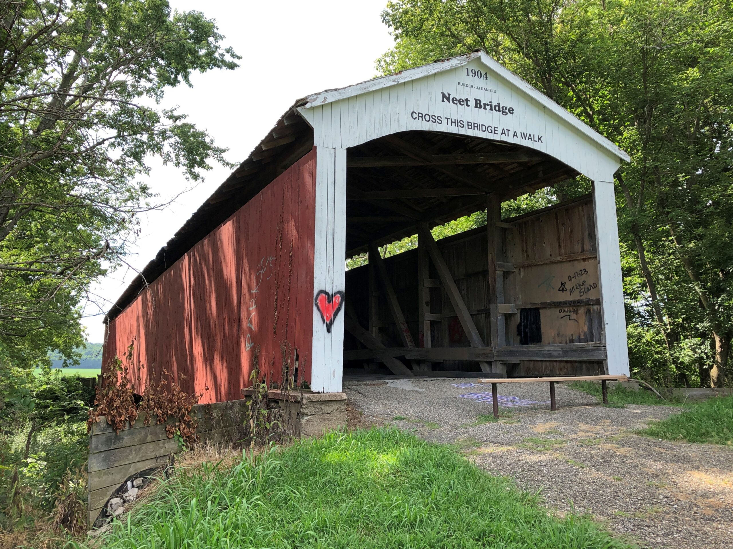
Neet Bridge, 1904, also across Little Raccoon Creek.
Local organizations count 31 historic bridges in Parke County, each with a name and known origin. Local organizations promote historic bridge tourism, as well they should, including a give-away paper guide (Parke County Guide) that other guides should aspire to, so detailed and useful is it. But I can also report that even on a summer weekend, when it was hot but not dangerously so, or especially humid, overtourism hasn’t spoiled the place. Most of the time, at the half-dozen or so bridges we visited on a weekend, we were alone. Even the bridges that still carried auto traffic had little, so that walking across each on foot was never an issue.
An carpenter (and lawyer) named J.A. Britton (d. 1929) built many of the bridges in Parke County in the late 19th and early 20th centuries, presumably as the organizer of a small construction crew, but also with the sort of hands-on approach that had him laboring alongside the other men. I like to think so, anyway, but whatever the arrangement, bridge building was his business, and he built them to last. Some are still vehicle bridges. Others are pedestrian bridges. Most are in situ, with a few moved to parks or other places.
Parke County was enough of a market for a few decades that J.A. Britton had a competitor, J.J. Daniels, who left behind some structures as well, such as the Neet and Mecca bridges.
Most of the Parke County bridges are Burr Arch Truss bridges, following a design that combines a truss and an arch, invented by a bridge builder back east in the early 19th century, one Theodore Burr. Seems like the design works really well for this kind of bridge.
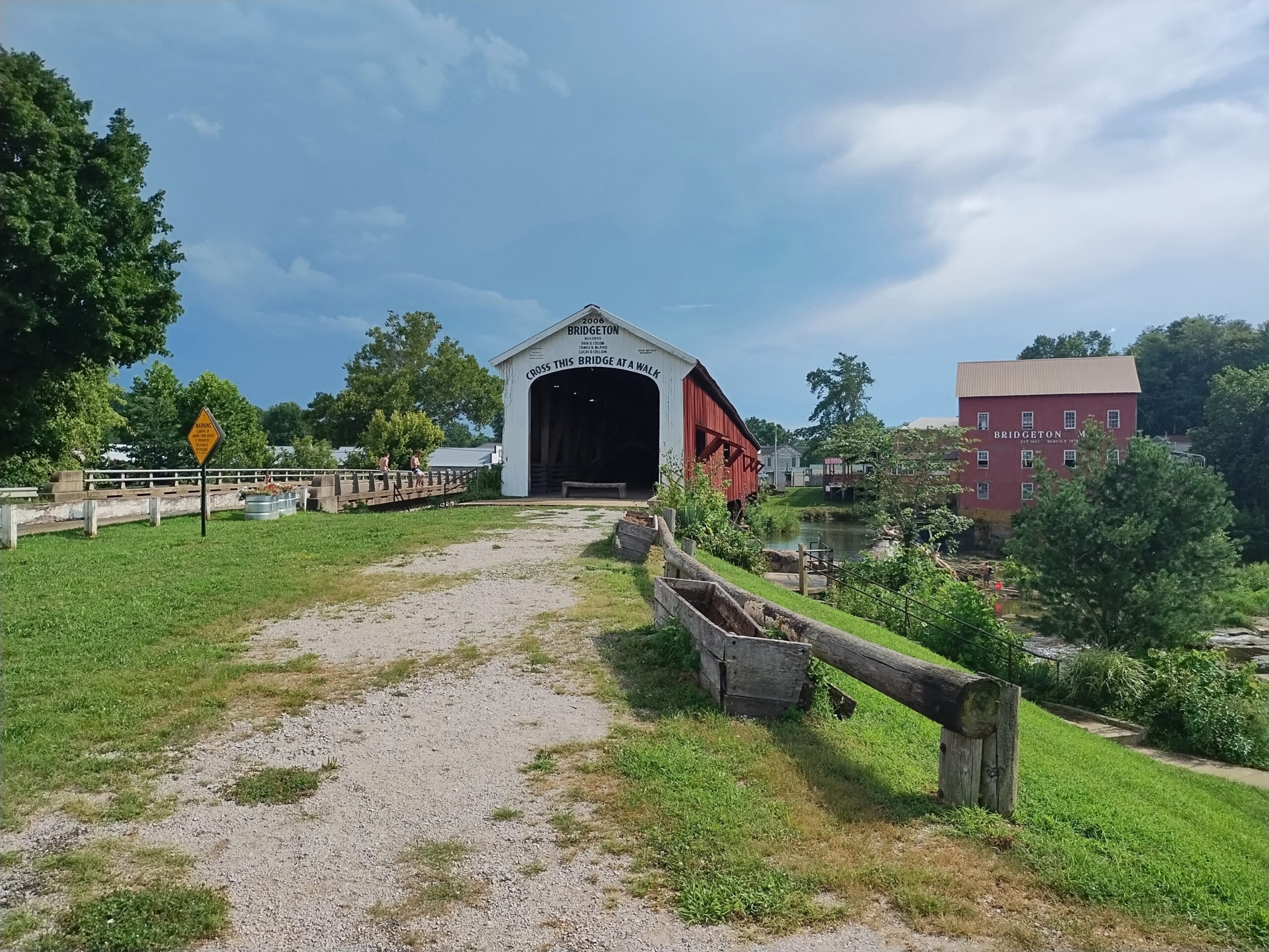
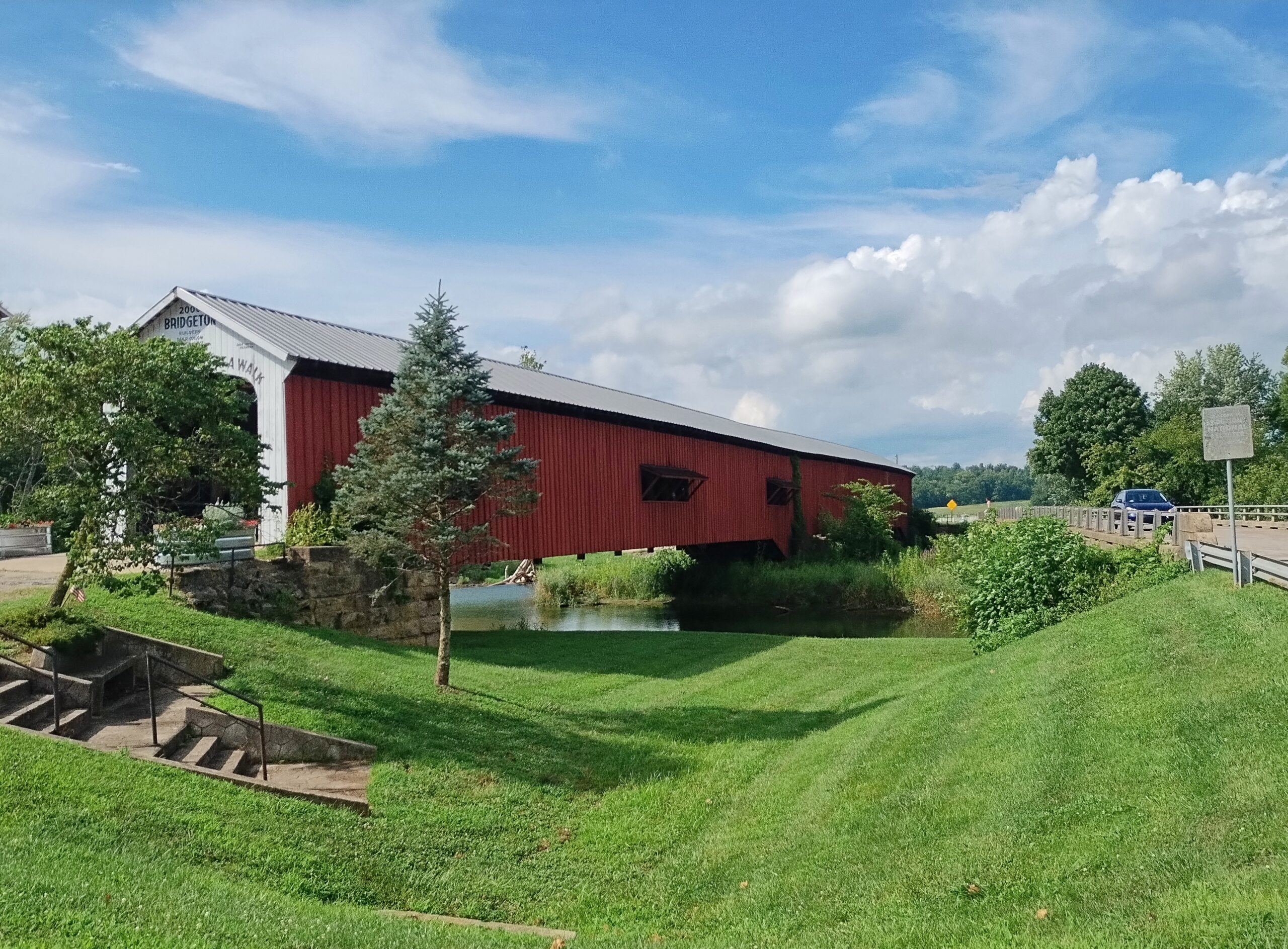
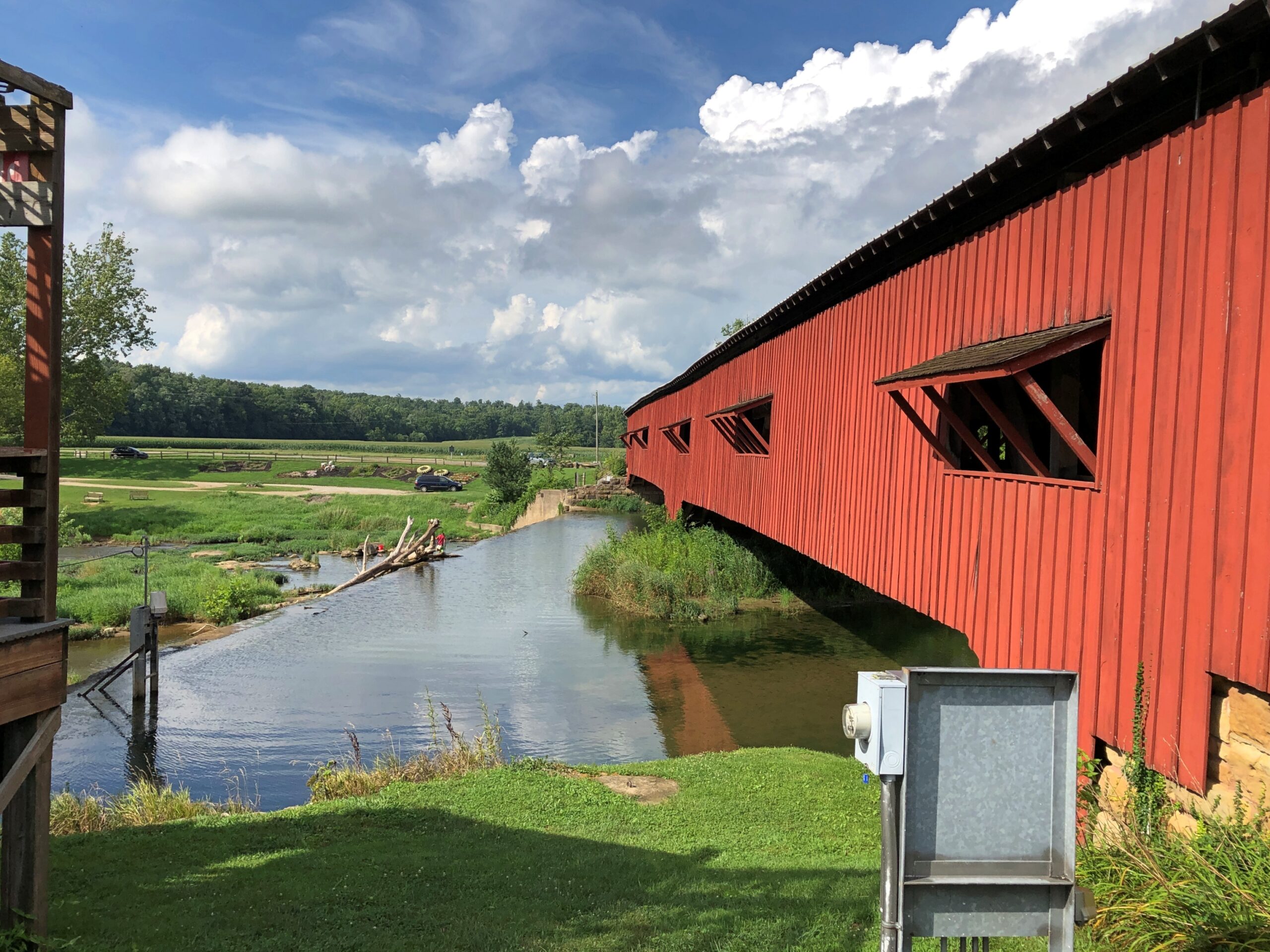
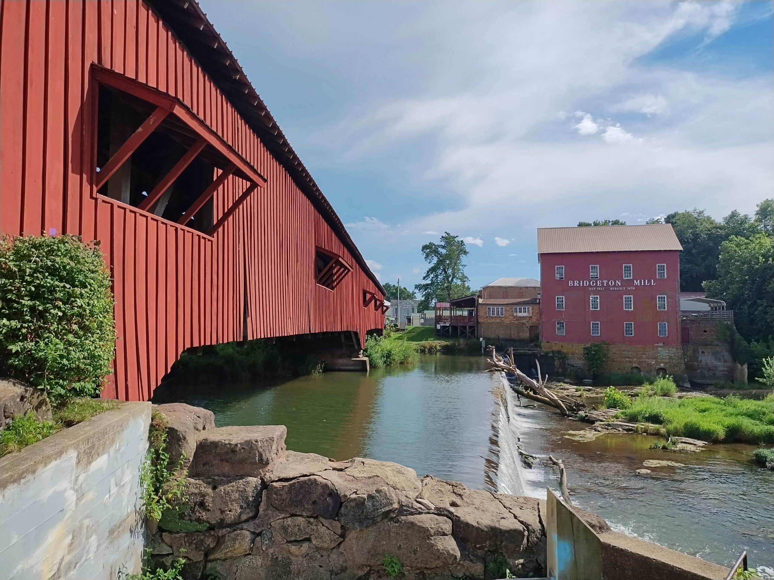
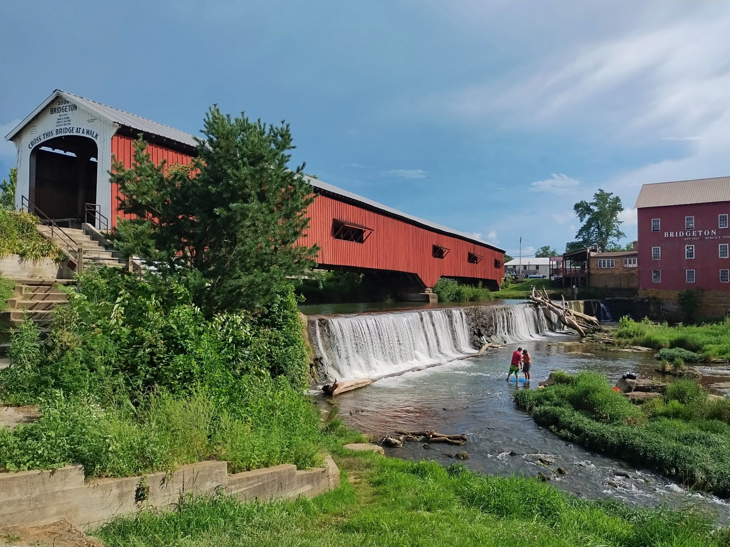
Not all the bridges are out in the corn-planted countryside. Bridgeton Bridge, crossing Big Raccoon Creek, is in the small town of Bridgeton, Indiana, which includes a former mill rising over the creek, now retail. Unlike the others we saw, it dates from 2006, a faithful replica of an earlier bridge destroyed by wanker arsonists.
Over a waterfall, for that extra picturesqueness.
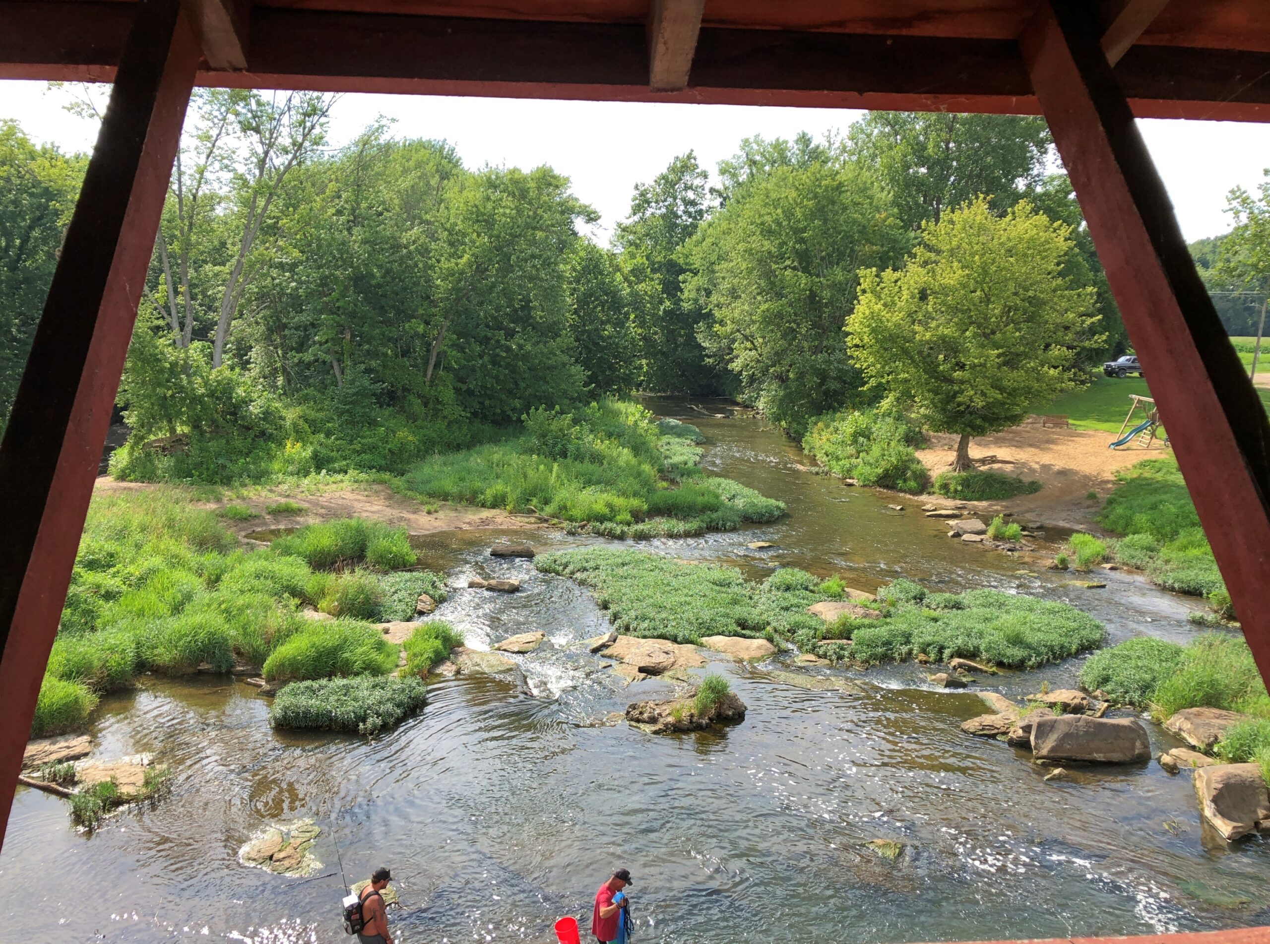
The view from the bridge.
The creek below was deep enough to allow teenagers, some boys but also at least one girl, to jump off the modern vehicle bridge next to the wooden bridge as a matter of fun, not grievous injury, because while we were around, we saw and heard them doing so. Good to see kids out having fun that didn’t involve small electronic boxes, by gar.
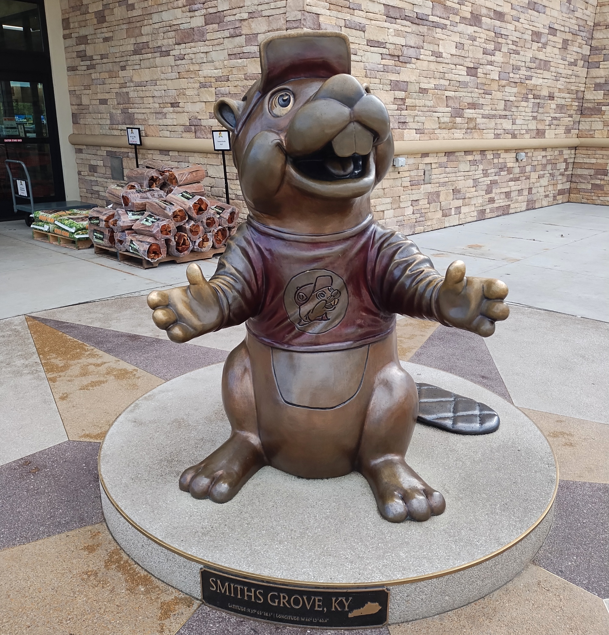
The Buc-ee’s imperium marches on. On my way to Tennessee that first day, I stopped at the location near Smiths Grove, Kentucky, to visit its gleaming facilities. Business was reasonably brisk that Monday, but nothing like the bedlam on the Sunday, nearly two weeks later (on the trip’s last day), when I stopped on the way back home at the same place, for the same reason.
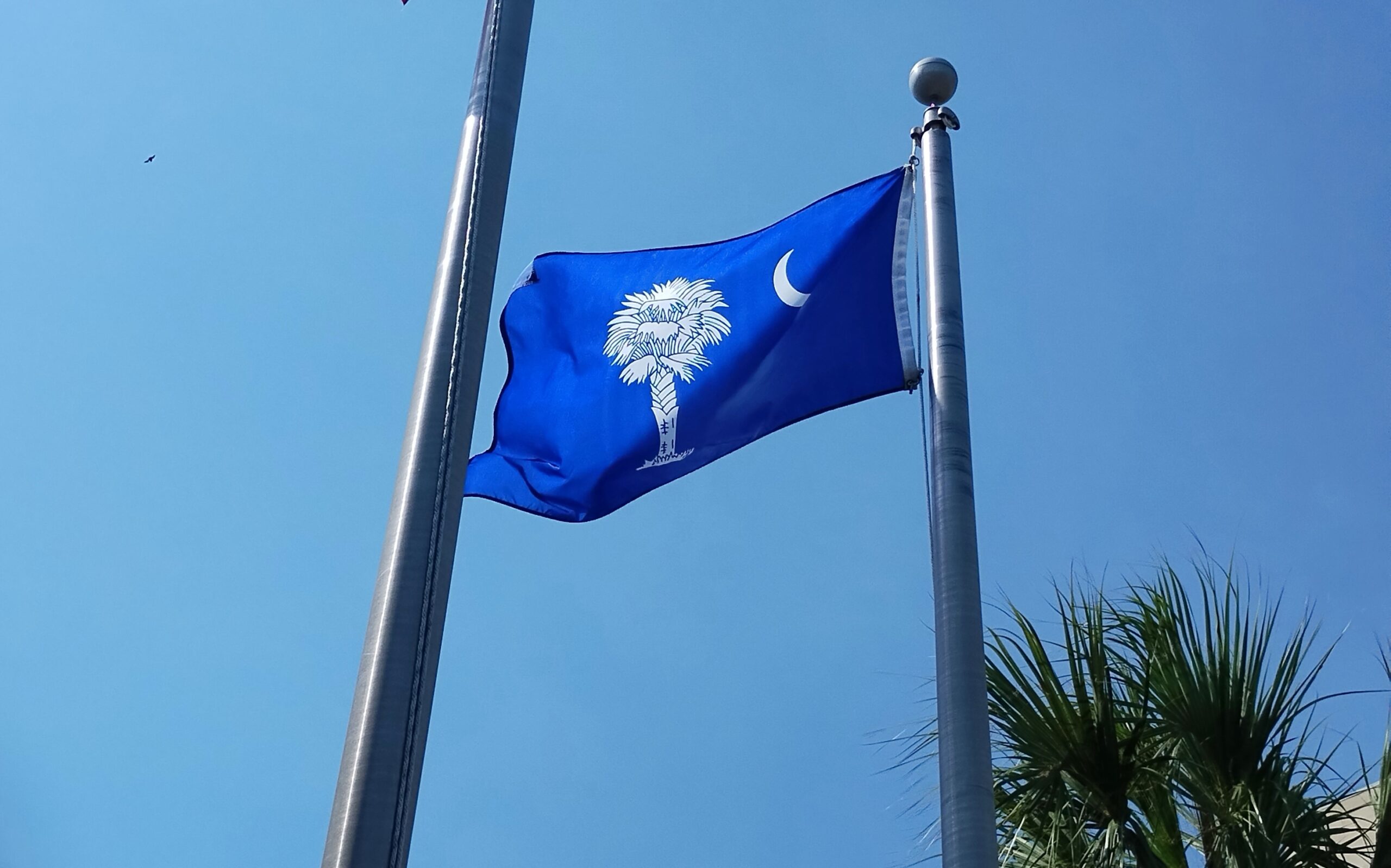
South Carolina
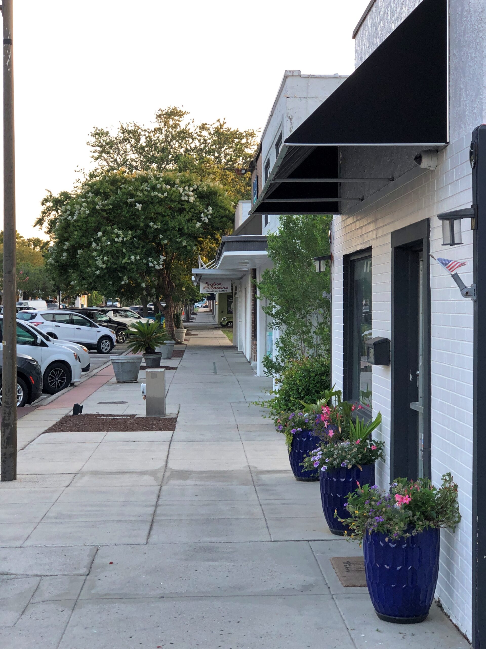
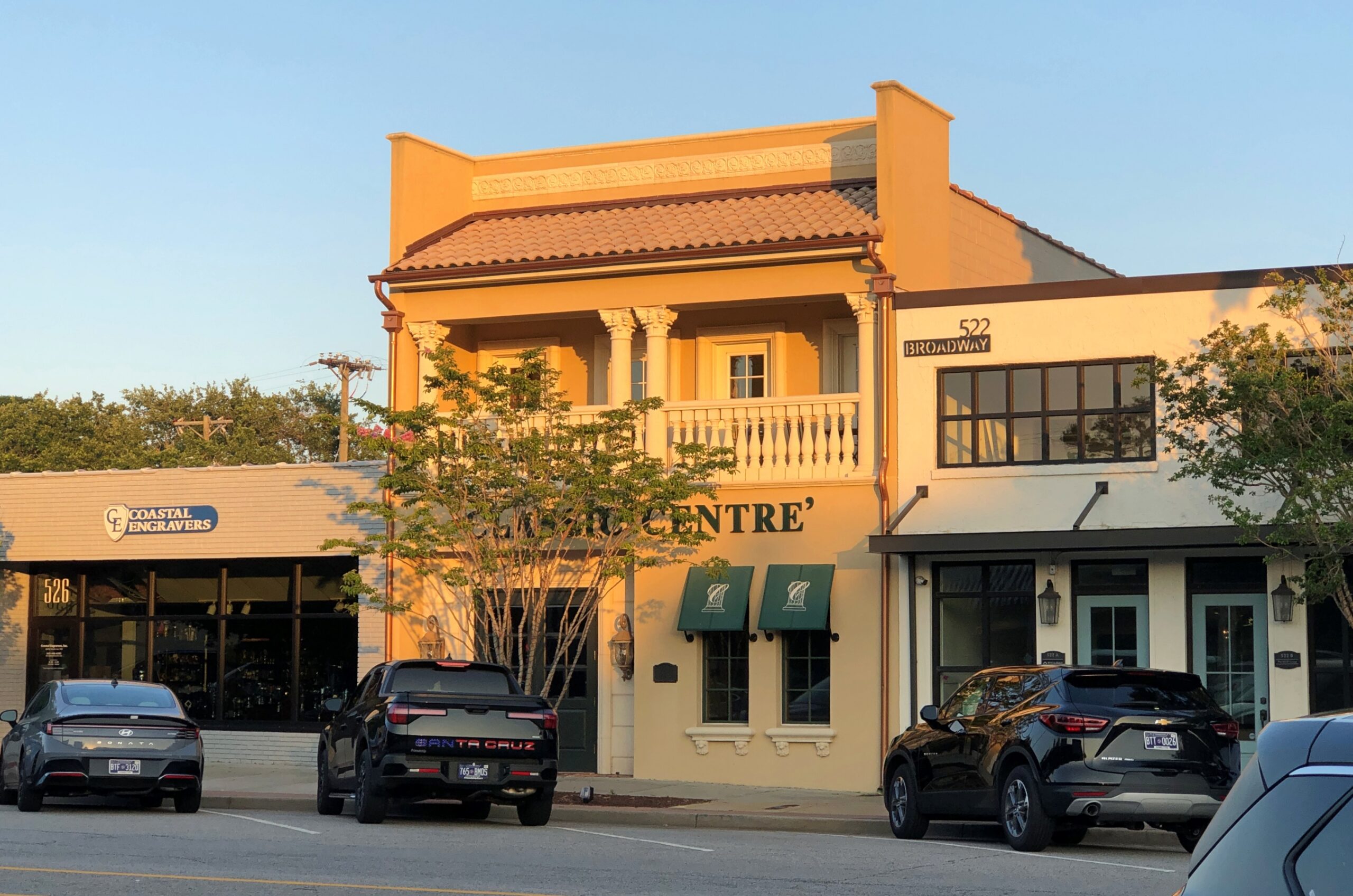
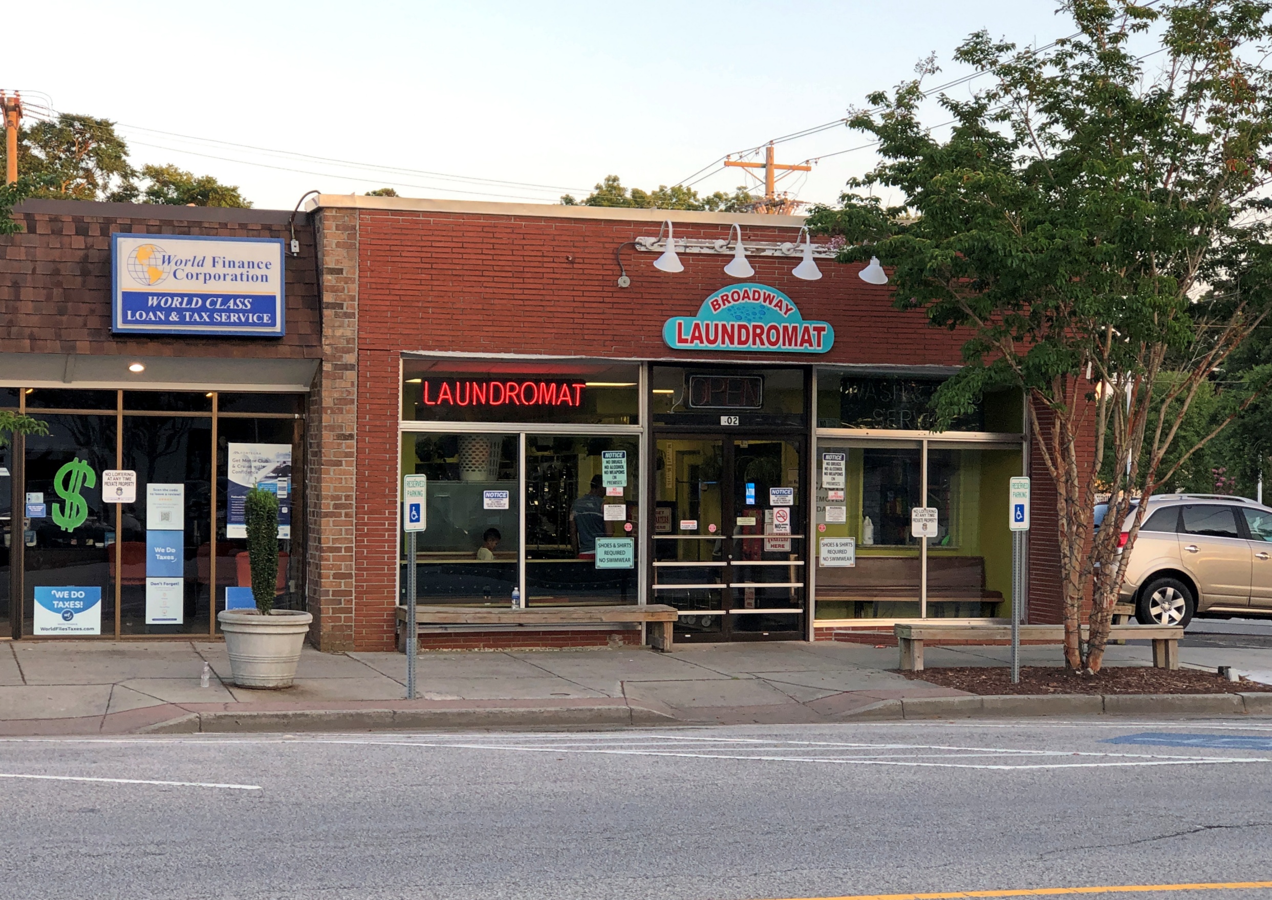
Had a pleasant walk down a non-tourist street on a Sunday in Myrtle Beach. Not a lot going on. The late afternoon light had a nice glow.
Myrtle Beach International Airport used to be Myrtle Beach Air Force Base, which began as Myrtle Beach General Bombing and Gunnery Range in 1942 for use by the U.S. Army Air Corps. It closed in 1993.
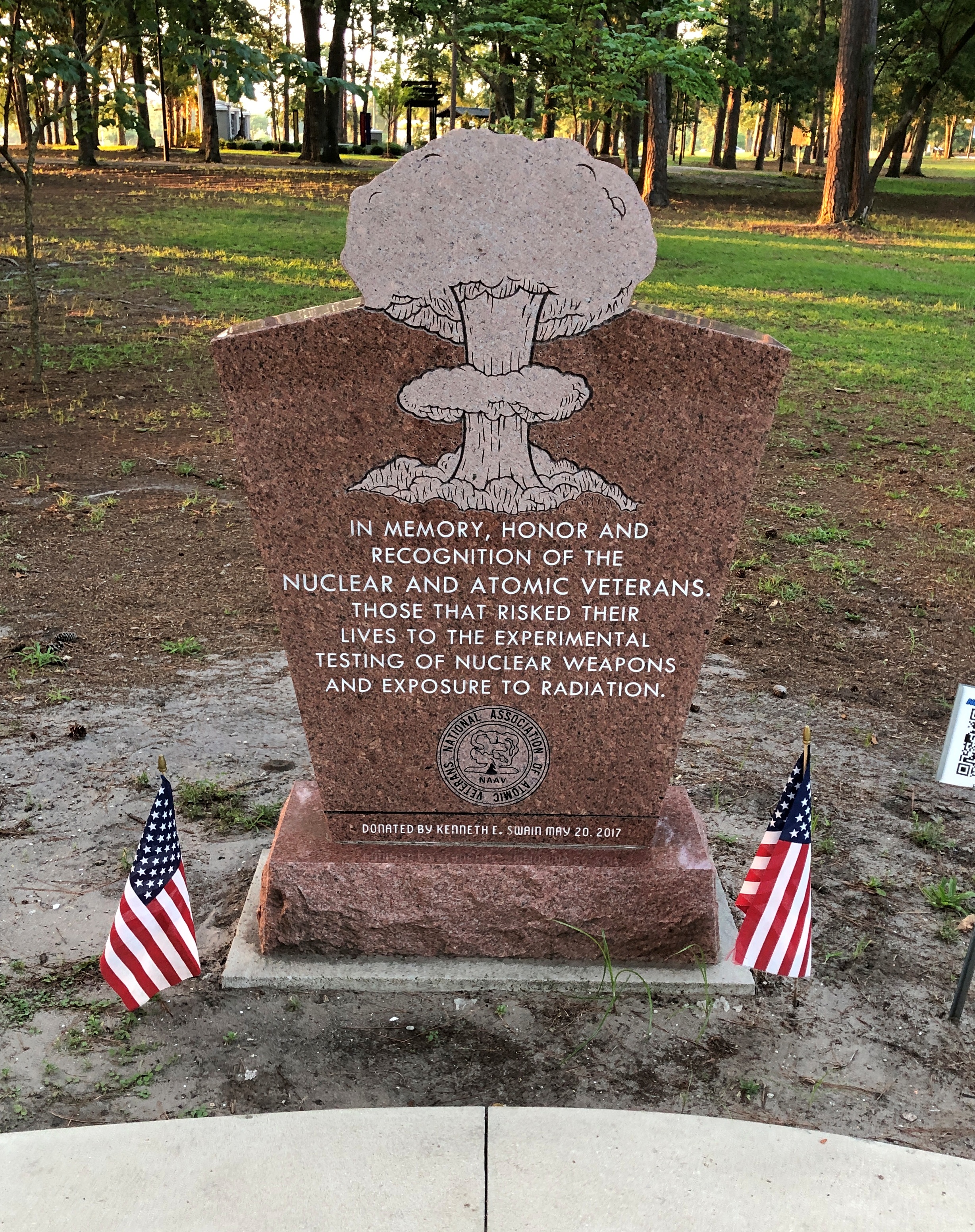
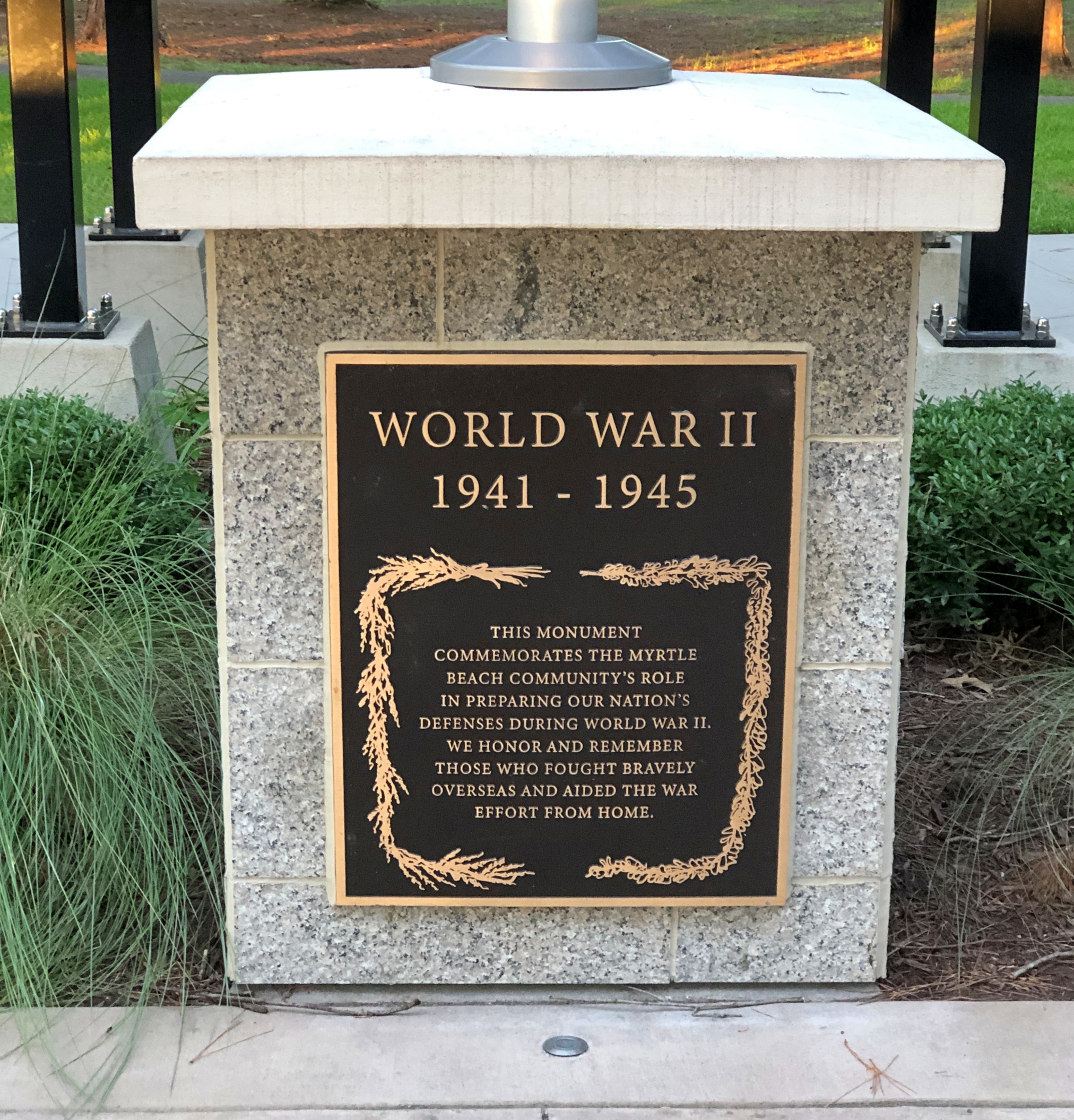
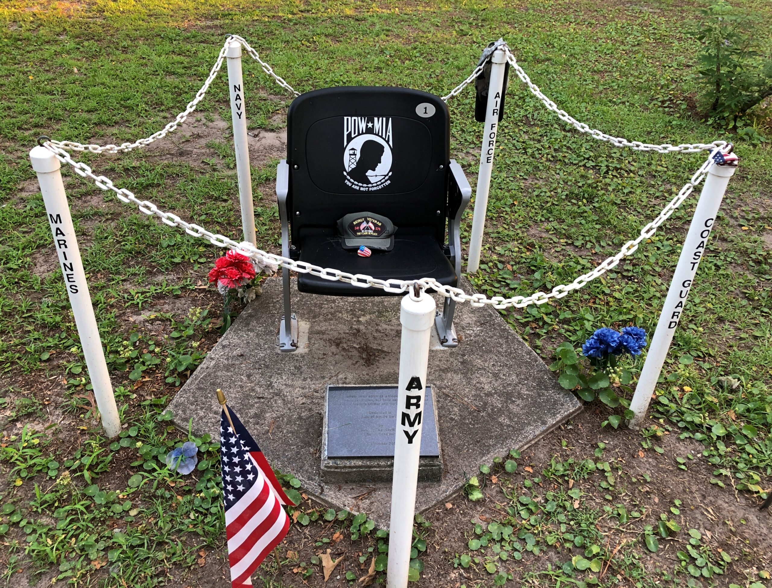
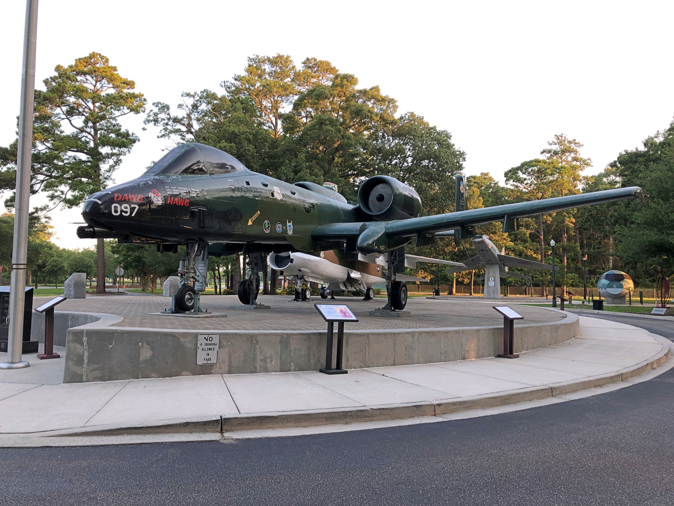
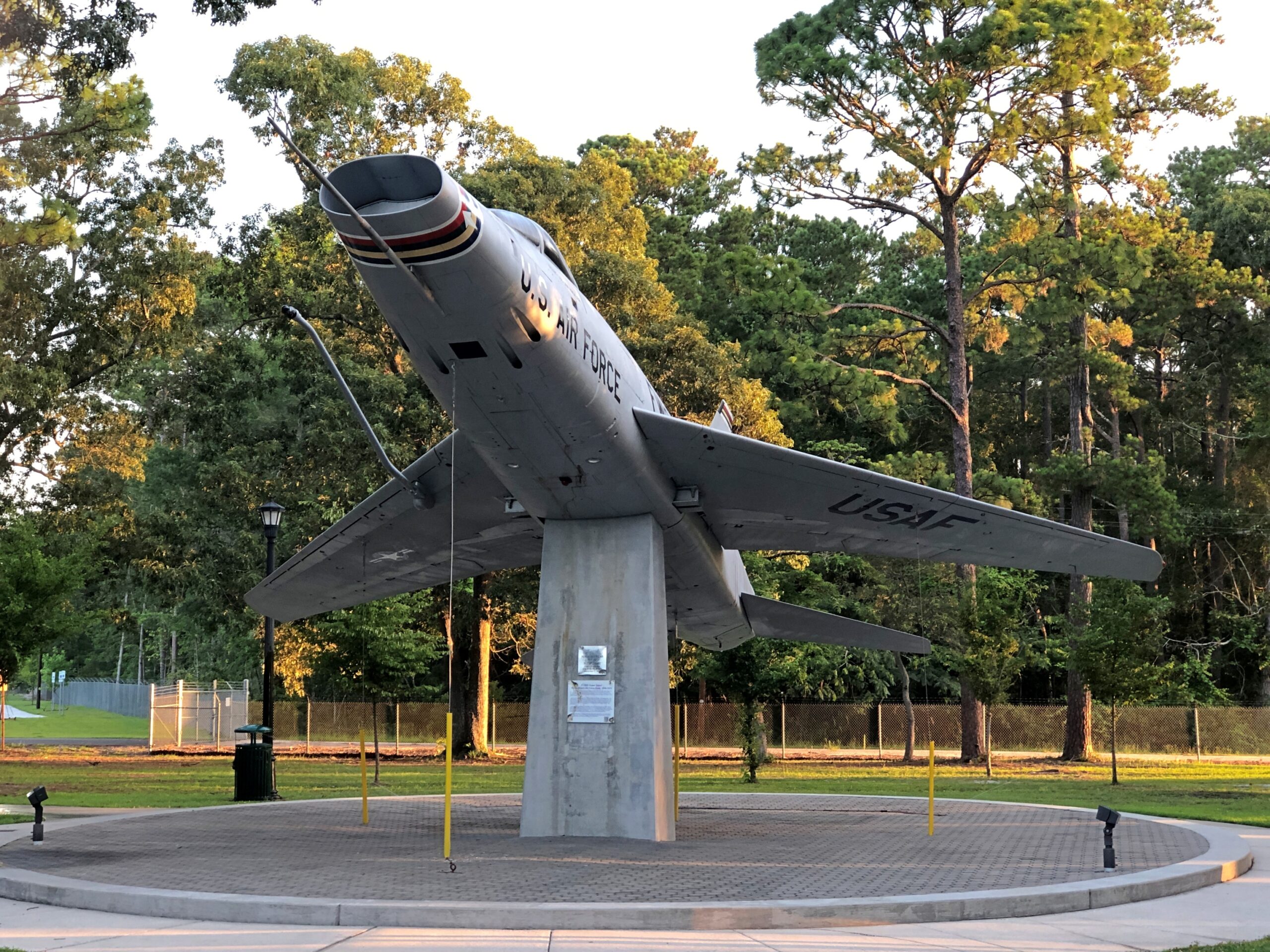
One legacy of the base is a cluster of military memorials near the perimeter of the airport – at a place called Warbird Park, which is fully accessible to casual visitors – that includes something you don’t see all the time.
It is one memorial among many.
As well as some of the aircraft that used the air base.
Found at a MB beach shop among the clothes and beach equipment. Nothing says Myrtle Beach better than skulls, no?
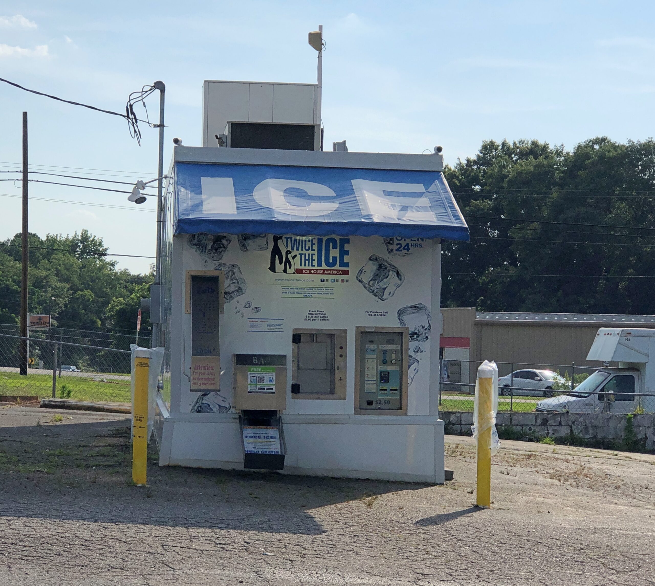
An automated, Fotomat-style ice store in north Georgia. They’re not as common up north, with the closest of this brand to me (I checked) in Aurora, Illinois.
Twice the Ice is the brand name. Quick facts: there are about 3,300 Twice the Ice locations so far in the United States and elsewhere – water and ice “vending machines,” according to one page on the company web site. Another page on the same site puts it at over 4,000 locations, which just means part of the site isn’t being updated. Whatever the exact number, there are a lot, and most if not all are franchised, representing about 1,000 franchisees.
It’s automation we call all get behind. I don’t think the machines are putting ice handlers and baggers at local gas stations and grocery stores out of work, since who holds that specific job?
So far as I know, “Ice is Civilization” is not the company motto. But it could be. It was said with such conviction by Allie Fox in The Mosquito Coast.
Of course, by the end of the book and movie both, he was howl-at-the-moon mad. So maybe some other slogan. Then again, that line is one of the few things – besides the fact that Allie Fox goes nuts chasing Utopia – that I remember from either the book or the movie after about 35 years. So it’s pretty memorable.
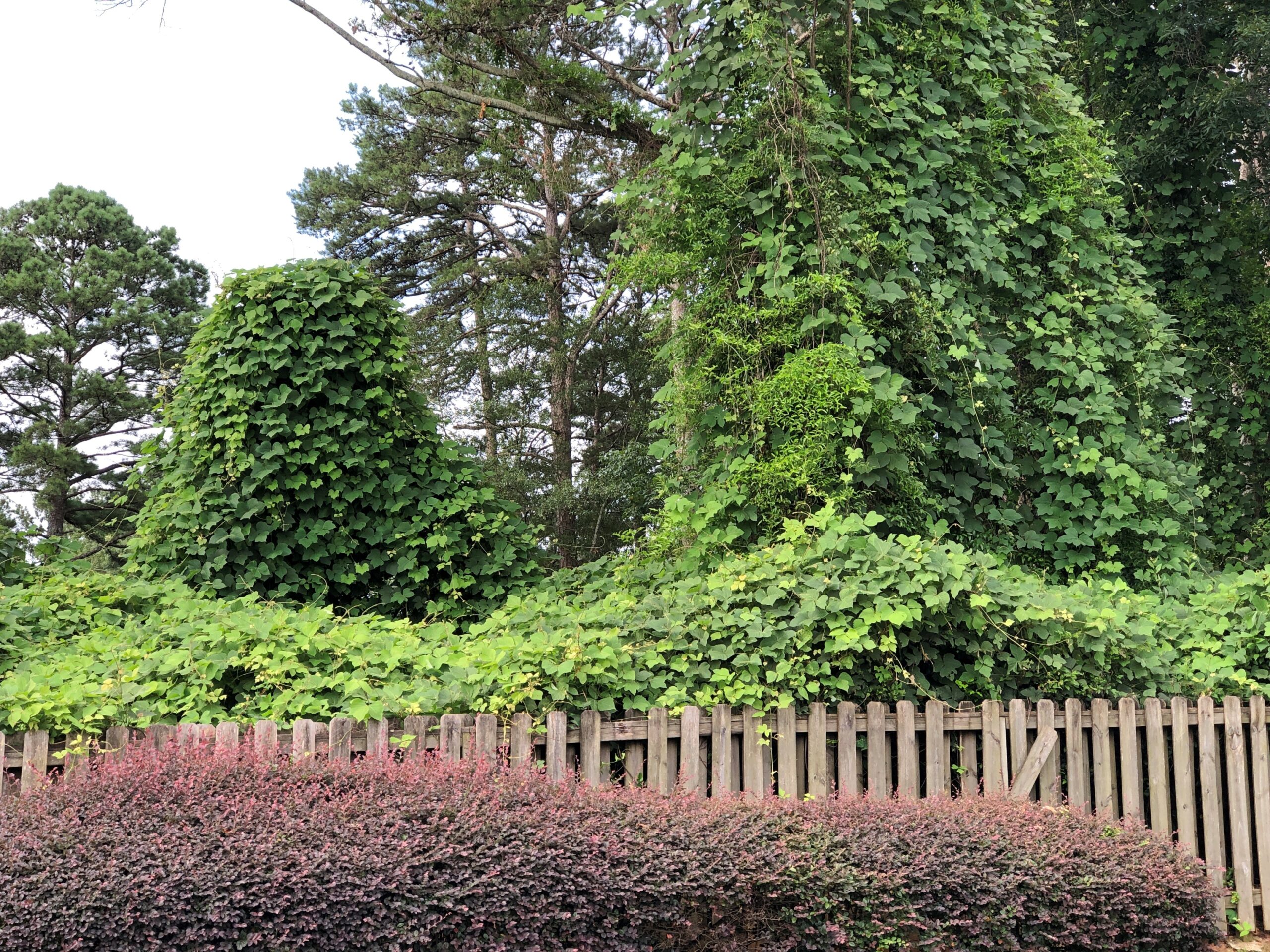
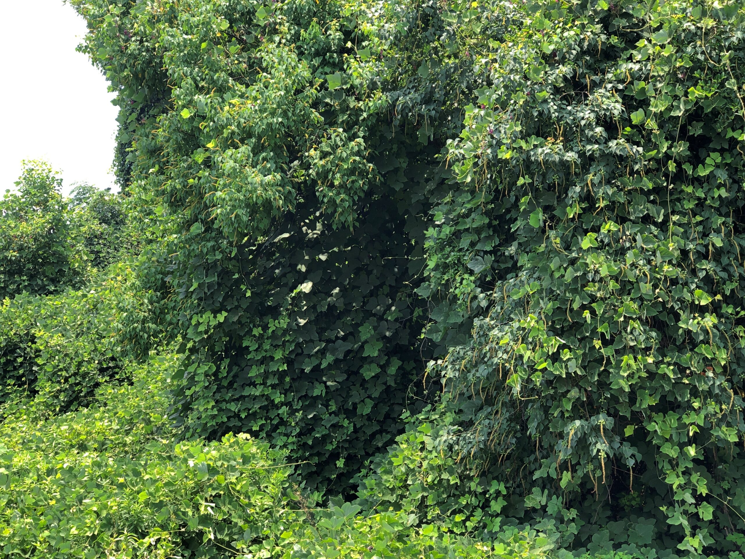
After gassing up at a station in north Georgia, I parked away from the pumps near the edge of the property to fiddle with my phone for a few minutes. Just outside the car window, kudzu lurked.
Which got closer.
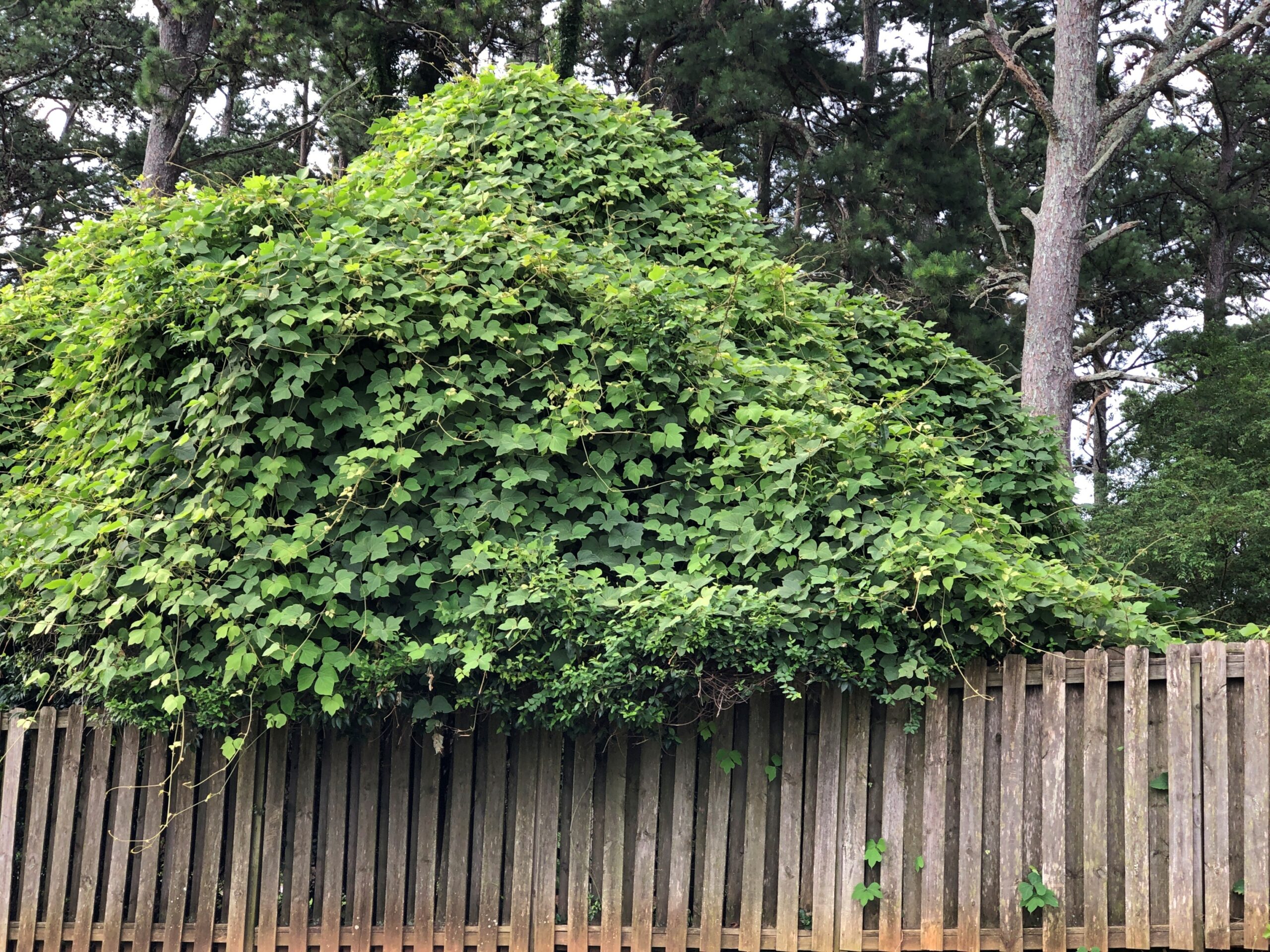
And closer. Man, it grows fast.
Not really, but I did see all that kudzu at the edge of the gas station property. Kudzu. Who hasn’t seen the walls of it down South?
“In news media and scientific accounts and on some government websites, kudzu is typically said to cover seven million to nine million acres across the United States,” Smithsonian magazine reported in 2015. “But scientists reassessing kudzu’s spread have found that it’s nothing like that. In the latest careful sampling, the U.S. Forest Service reports that kudzu occupies, to some degree, about 227,000 acres of forestland, an area about the size of a small county and about one-sixth the size of Atlanta.
“That’s about one-tenth of 1 percent of the South’s 200 million acres of forest. By way of comparison, the same report estimates that Asian privet had invaded some 3.2 million acres — 14 times kudzu’s territory. Invasive roses had covered more than three times as much forestland as kudzu.”
Yet kudzu is regarded as a particularly intractable invasive species. How is that? It grows well in highly visible places. Such as next to a gas station parking lot. Smithsonian notes: “Those roadside plantings — isolated from grazing, impractical to manage, their shoots shimmying up the trunks of second-growth trees — looked like monsters.”
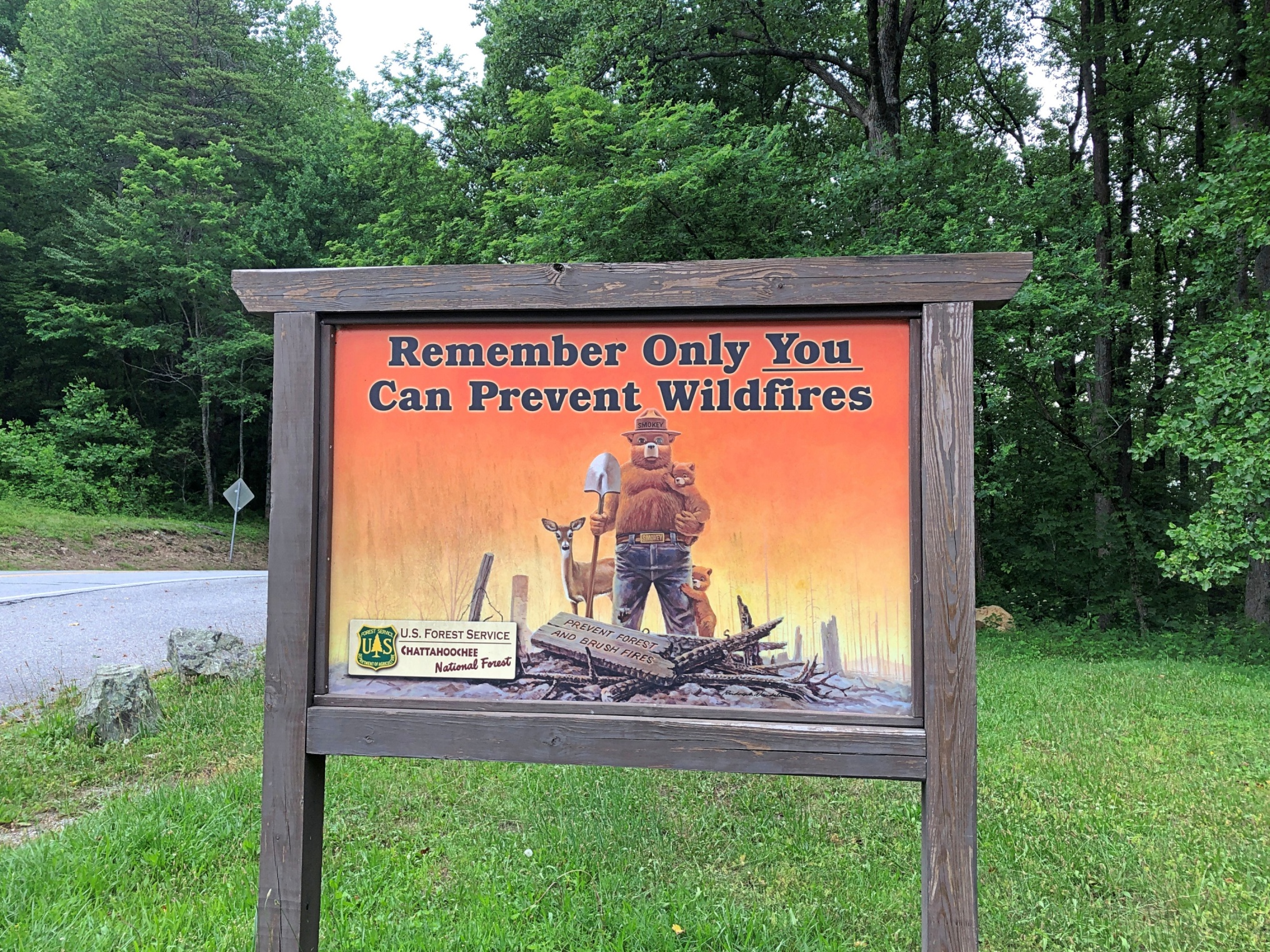
Along Georgia 60 in Chattahoochee NF, Smokey Bear is still at his job.
One thing leads to another online, and Smokey eventually lead me to “Smokey the Bear Sutra.” Only takes a few minutes to read, and it’s a trip. Just like the song “Elvis is Everywhere,” there’s a founding document of a religion in the distant future, one that asserts that humans should never have given up worshiping bears.
Yesterday rain came again to this rainy summer, and had the happy effect of turning the temps down outside today to wrap up July – pleasant 70s F. even at the noonday peak. Northern summers have much to recommend them.
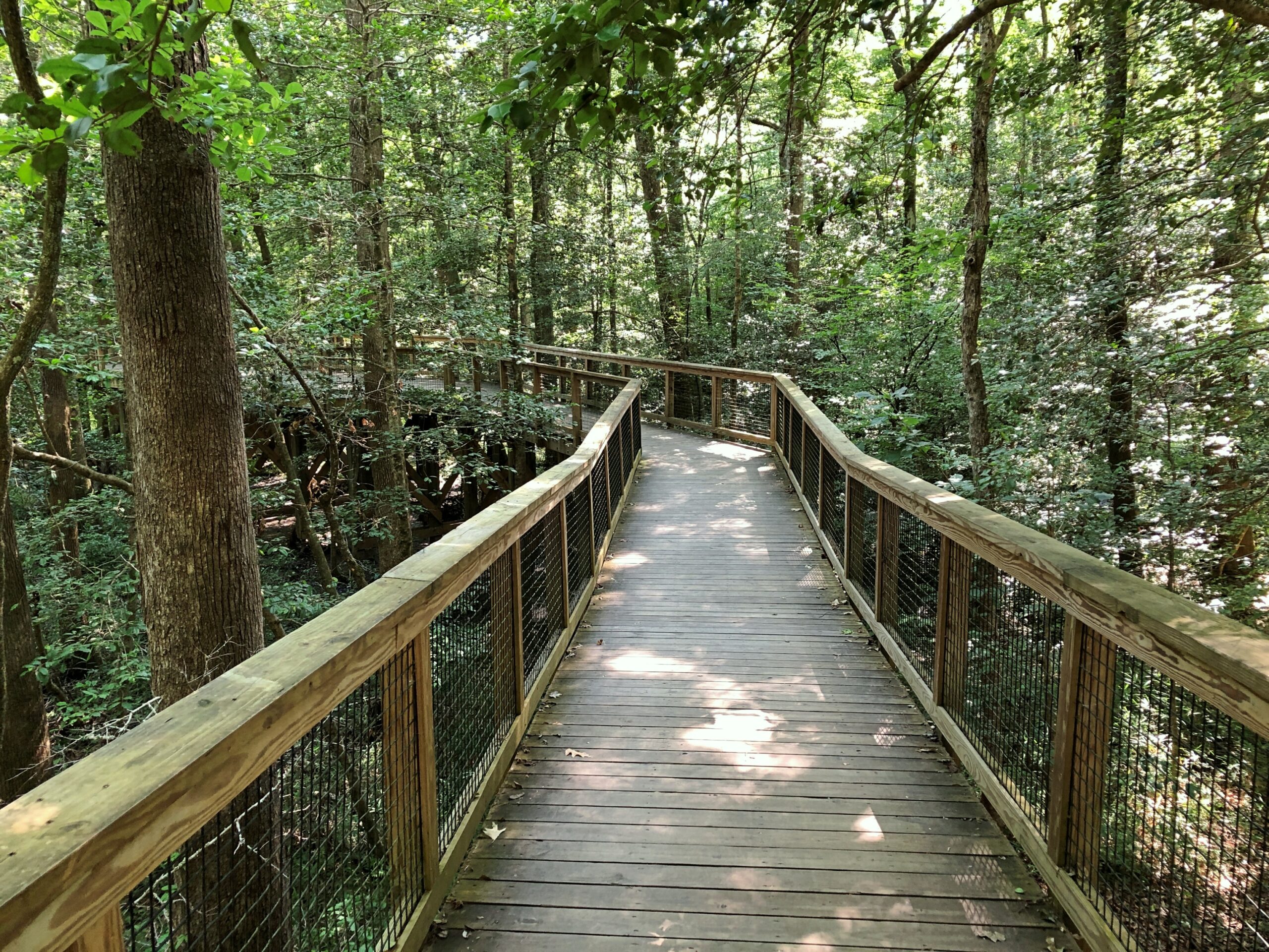
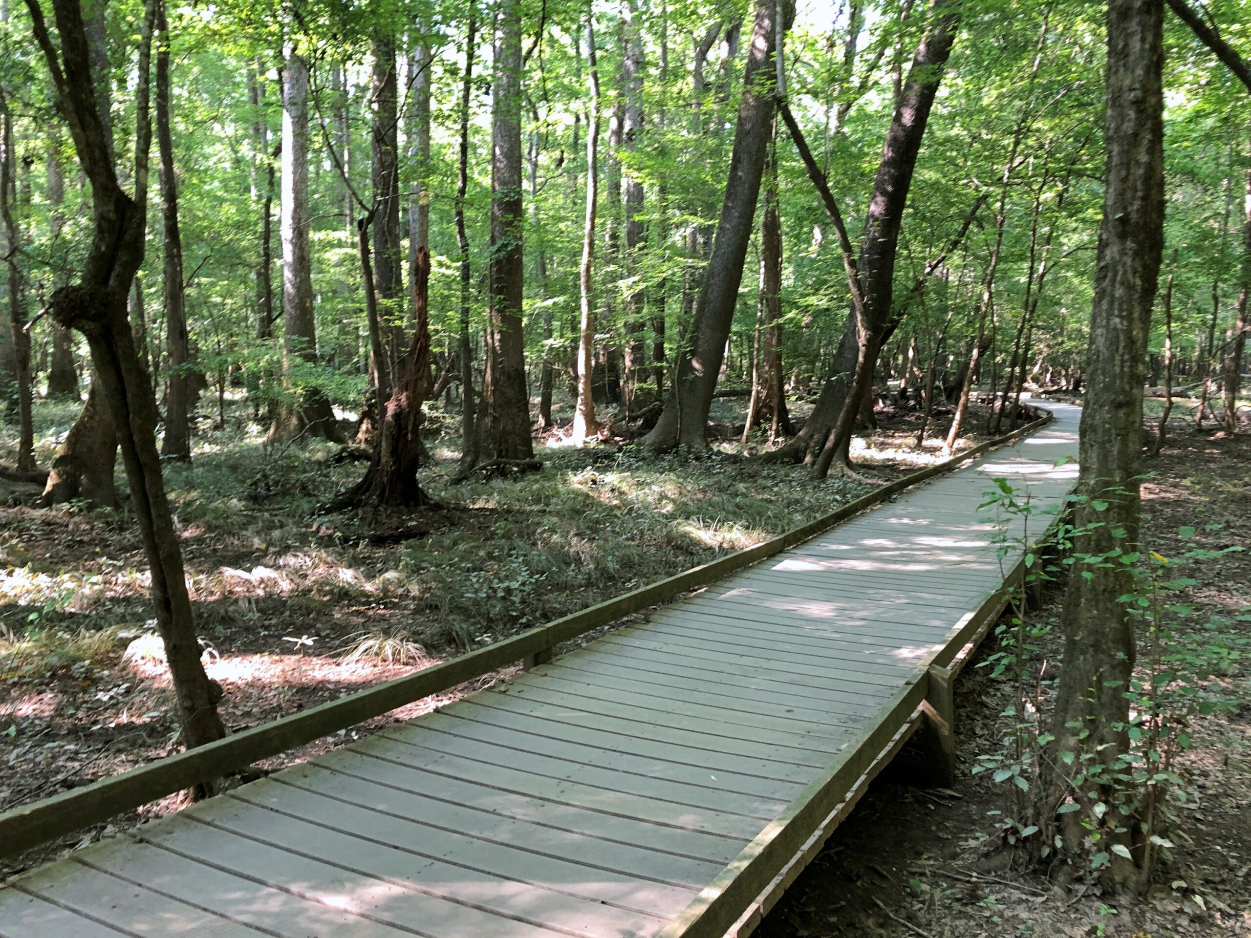
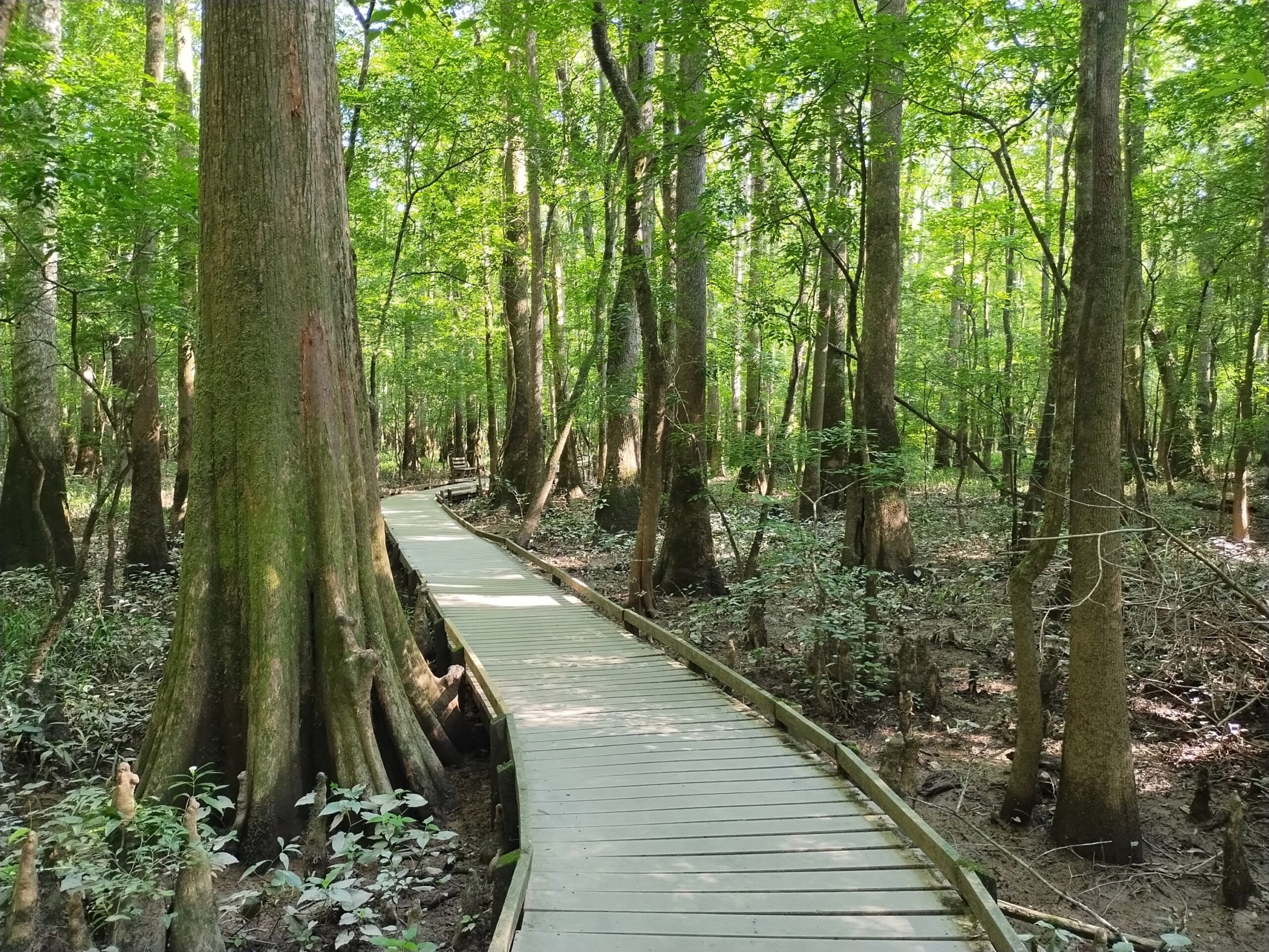
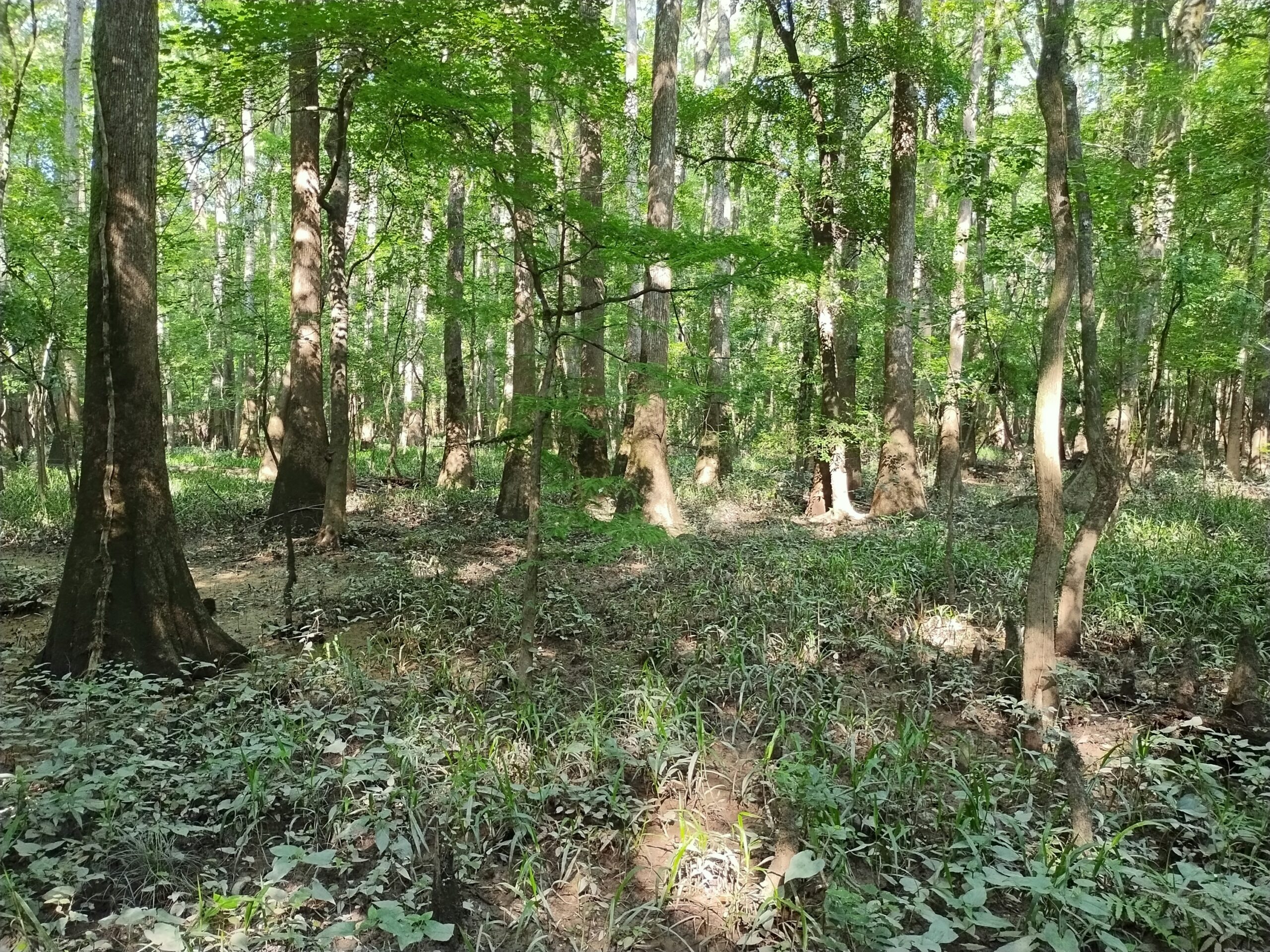
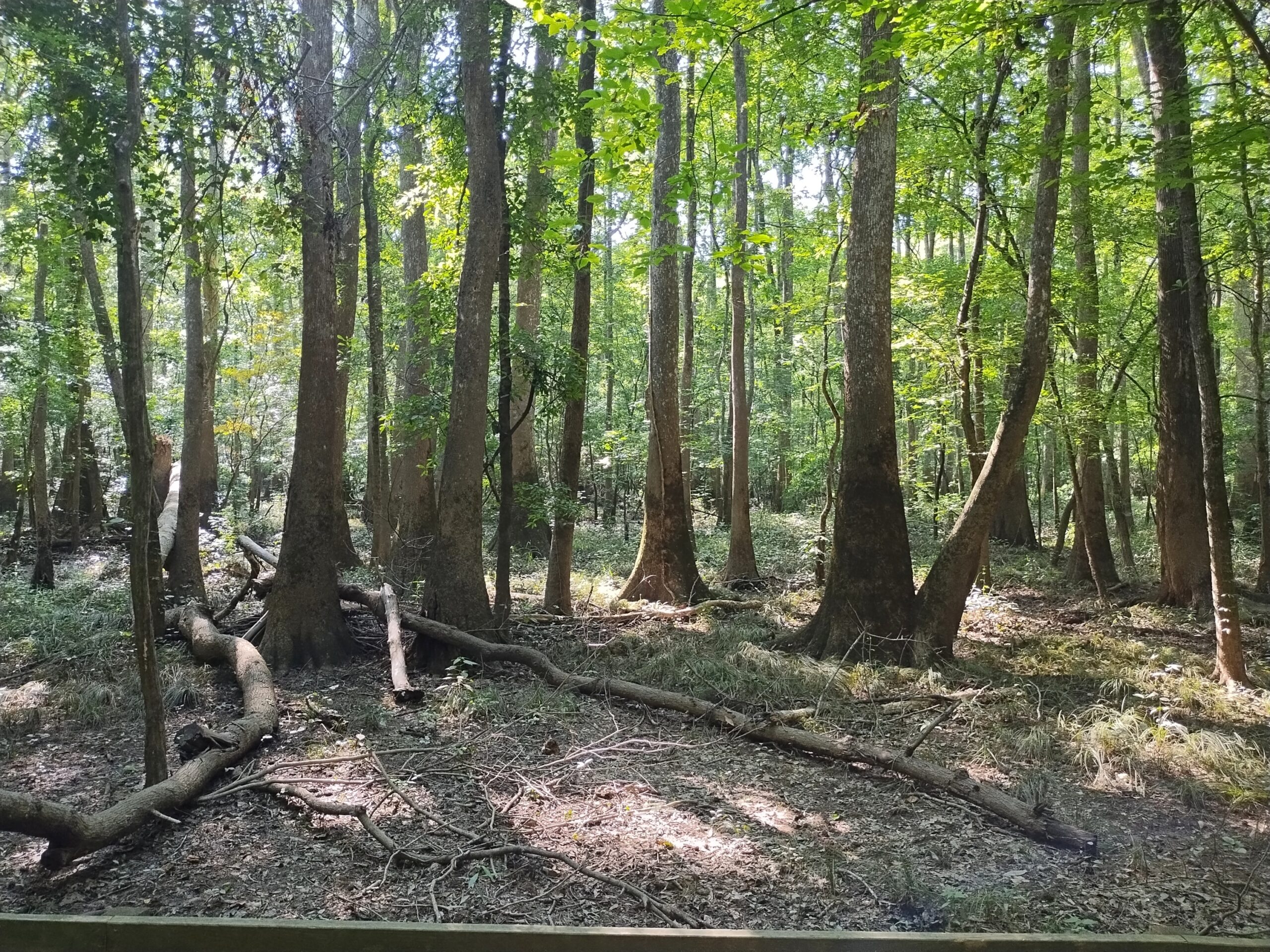
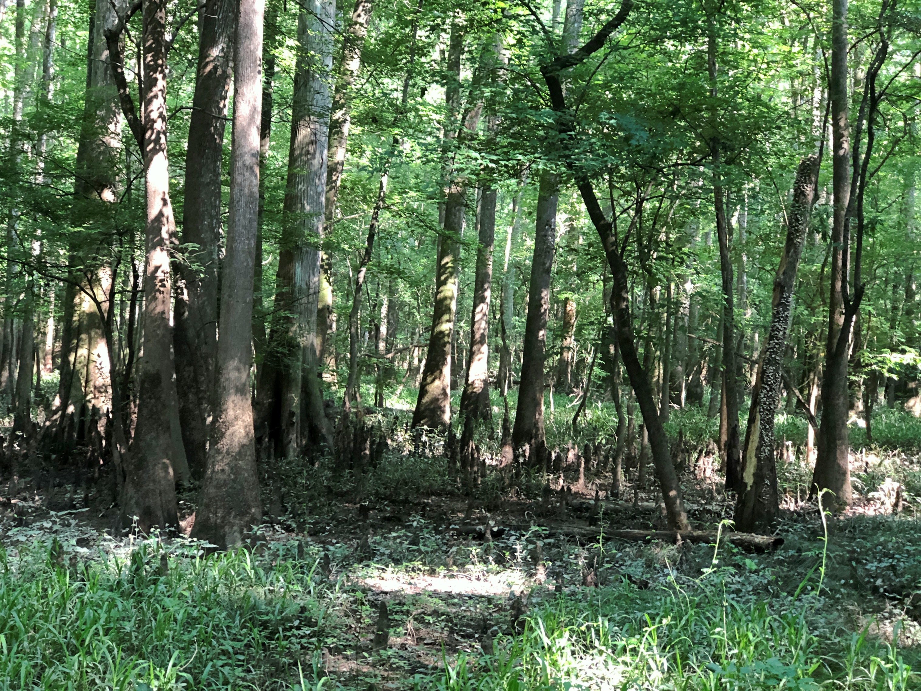
At a hotter time and place, I walked along a boardwalk through a patch of old-growth floodplain forest in the middle of South Carolina. Turns out, that’s a rare kind of landscape, but I didn’t know that at the time.
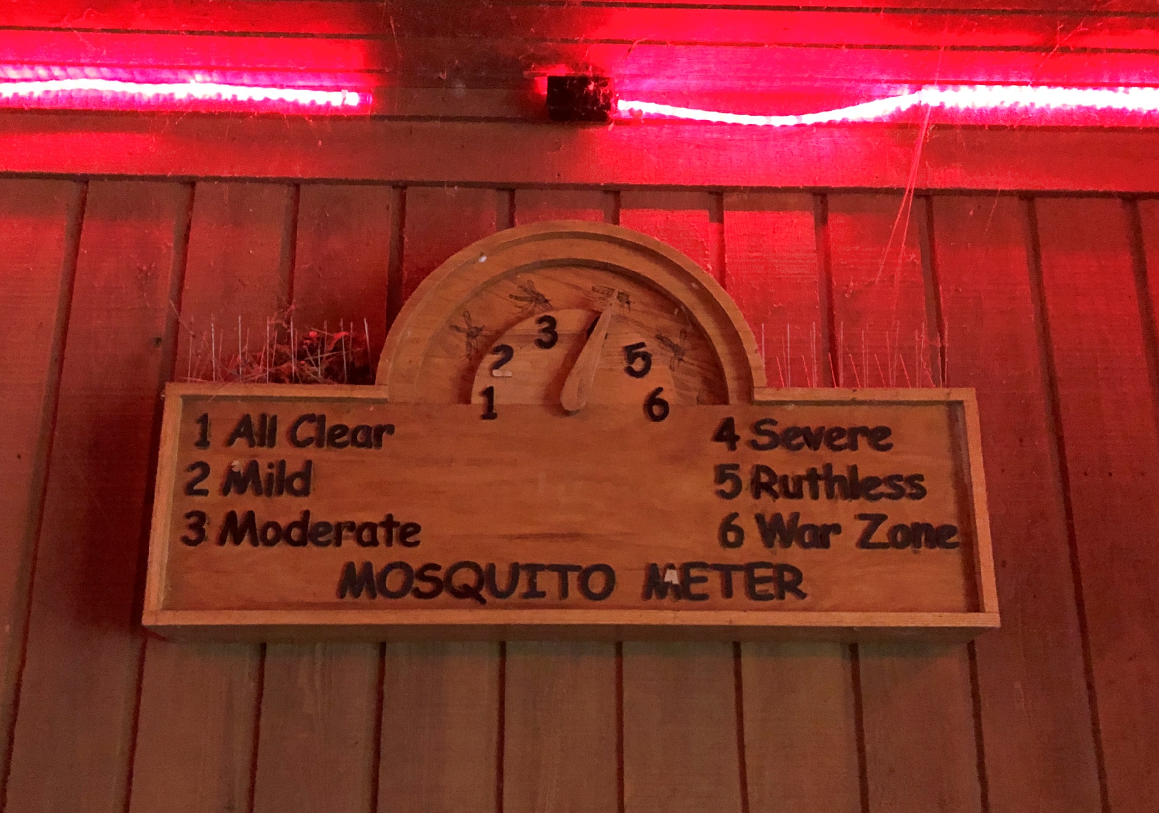
Somewhere on the way, I renamed Congaree National Park, my location at that moment, in my head. I imagined an act of Congress special to do so. The new name: Congaree National Park and Mosquito Preserve.
I can’t say I wasn’t warned. This information was on display at the park visitors center.
I wouldn’t call Congaree a great unknown, but it is true that among the 63 U.S. national parks, it stood as the 51st-most visited in 2024, attracting 242,049 visitors. Considering that no admission is charged, I wonder how the NPS came up with such an exact number. In any case, that’s a remarkably skinny total compared with the millions who go annually to better-known parks, especially considering that the main park entrance is roughly 30 miles from a sizable city, namely Columbia, SC.
Anecdotal evidence points to the same conclusion: no one I’ve told about the park seems to have heard of it. Then again, I don’t know that I ever gave it much thought myself, except to note it a few times over the years on maps of South Carolina, a state I’d scarcely seen before June – among the Lower 48, the last one I visited.
Other national parks have majestic mountains or picturesque glaciers or striking deserts or epic coastlines or an important history of human activity. They have high-profile wildlife and ecosystems unique in the world. Congaree does count as a special place, preserving a tiny fraction of the floodplain forests that used to cover much of the Southeast, but that’s a little hard to appreciate on the ground, especially as the target of its high-profile wildlife, mosquitoes.
Of the former vast stands of Southeastern floodplain forests, the park, at 11,000 acres, represents much of the roughly 0.5 percent that survives, according to the NPS. Most such land lost its trees to build buildings, plank ships and create railroad ties. The land itself was drained for pastures, farms and settlements.
So Congaree NP is essentially a high-quality museum piece of a landscape, surviving the 19th and early 20th centuries due to inaccessibility. After much agitation on the part preservationists, the area became a national monument by act of Congress in 1976, with President Ford’s signature on the bill (and became a national park in 2003). Apparently that kind of story doesn’t fire the tourist imagination.
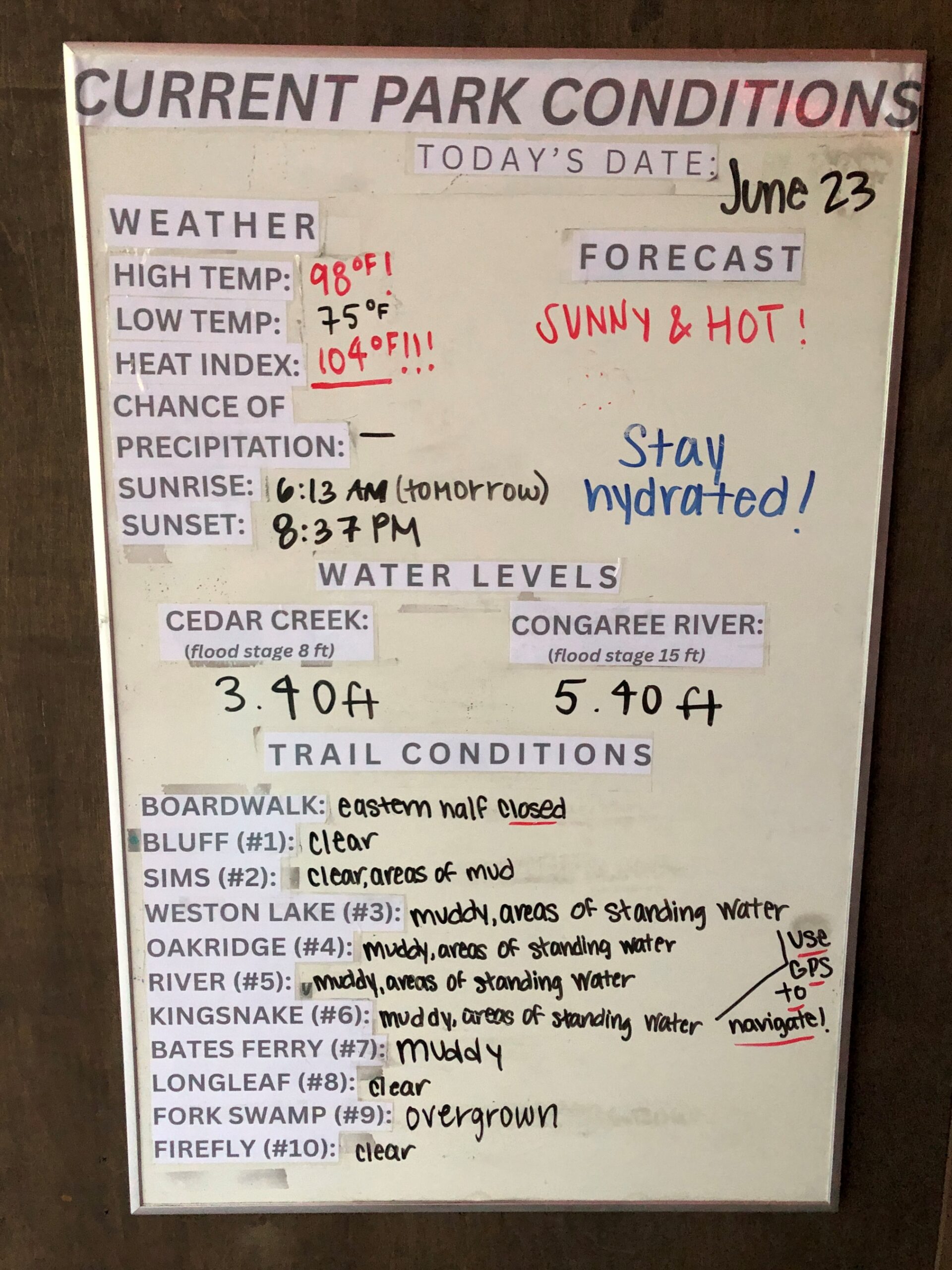
Also, while the boardwalk was an easy walk, most of the rest of the park sounds logistically hard on foot. “The Congaree is a wetland forest, and indeed it seems like water is everywhere,” notes American Forests. “There are very few places in the park where you can travel more than a half-mile in one direction without having to cross a pond, lake, creek, seasonal channel (locally called a gut), slough, wet flat, or muck swamp. It is an aquatic and terrestrial maze that constantly changes. About 10 times a year there really is water everywhere as the Congaree River rises to flood the entire area.”
Still, the article lists a large number of tree species that call the park home, including some very tall examples – taller than anywhere else, in some cases.
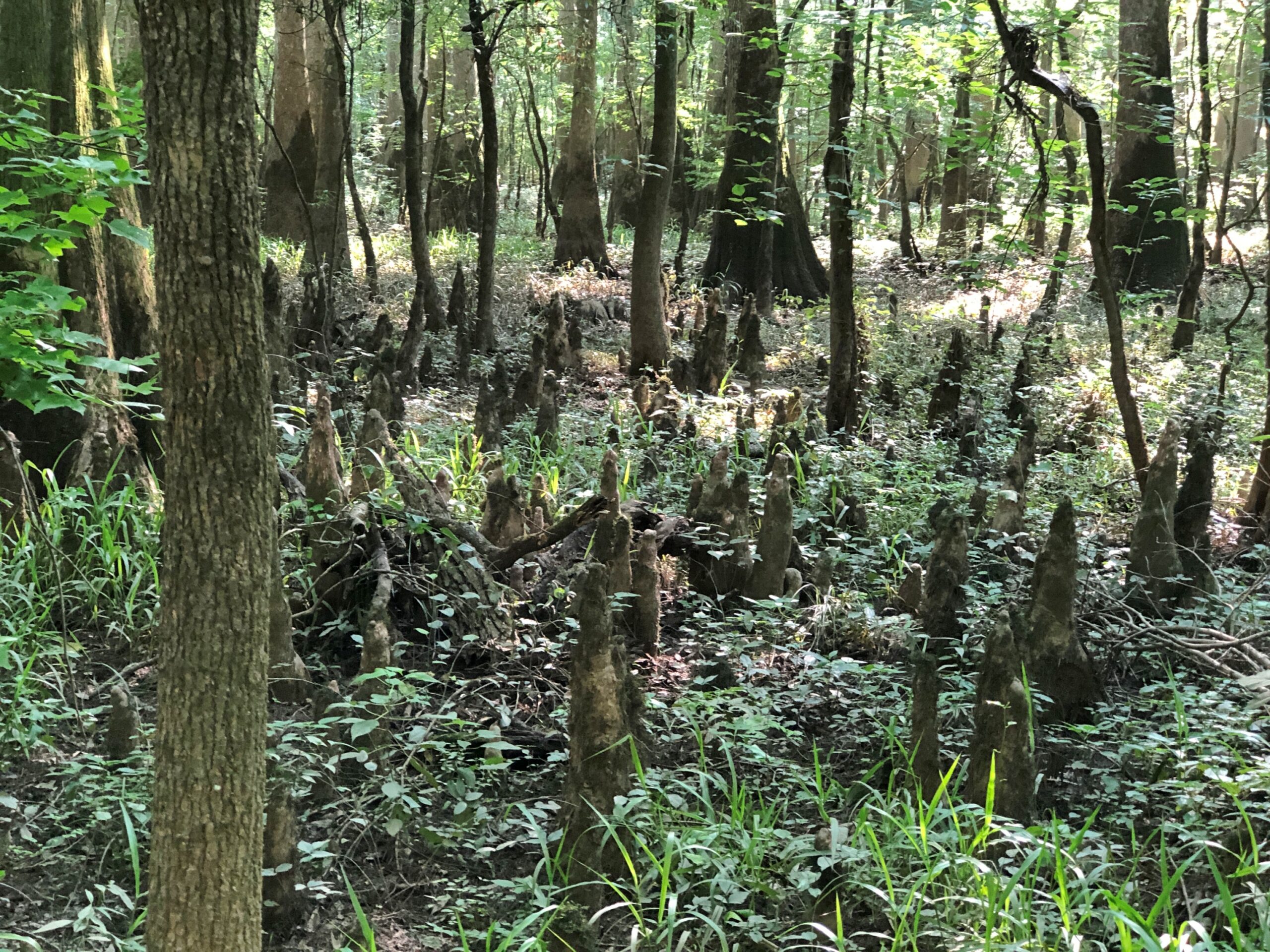
I’m no expert on trees, but I do know cypress when I see them, with their exaltation of “knees,” those knob-like growths.
***
Not long ago, I found out that Dr. Jamison died late last year. That would be Theodore Roosevelt (Ted) Jamison Jr., born 1933, so he made it past 90. I added this message on an obituary site:
I’m sorry to learn about the passing of Dr. Jamison, but glad that he clearly lived a long, interesting life, loved by family and friends. In 1978, he taught a summer school class for a few weeks at Alamo Heights High School in San Antonio. I was 17 that summer and in that class. It might have been a history or political science class – I don’t remember – but in fact, the class was the Wisdom of Ted Jamison. That wisdom was considerable, as he offered his thoughts and observations about the nation and the world, including prescient warnings about attacks on our freedoms. He also shared snippets about his life up to that point. I didn’t know the half of it, but even then I realized he was a remarkable teacher, an assessment I haven’t revised in the near half-century since then. Reading his obituary, I also see what a remarkable human being he was. RIP, Dr. Jamison.
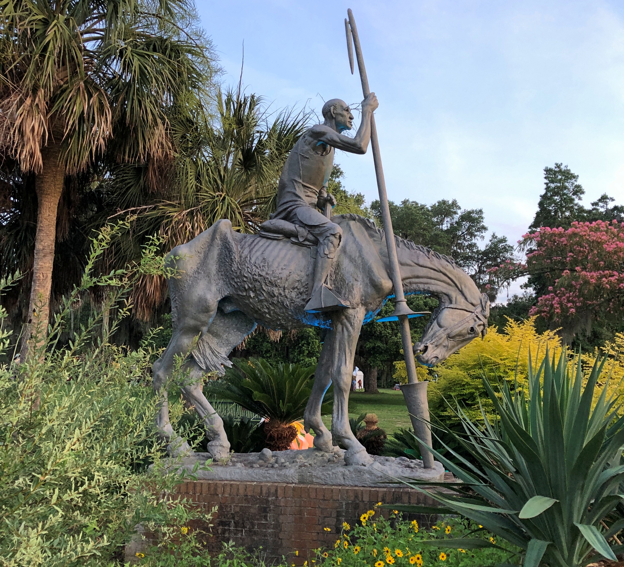
How does the saying go? Wherever there is Don Quixote –
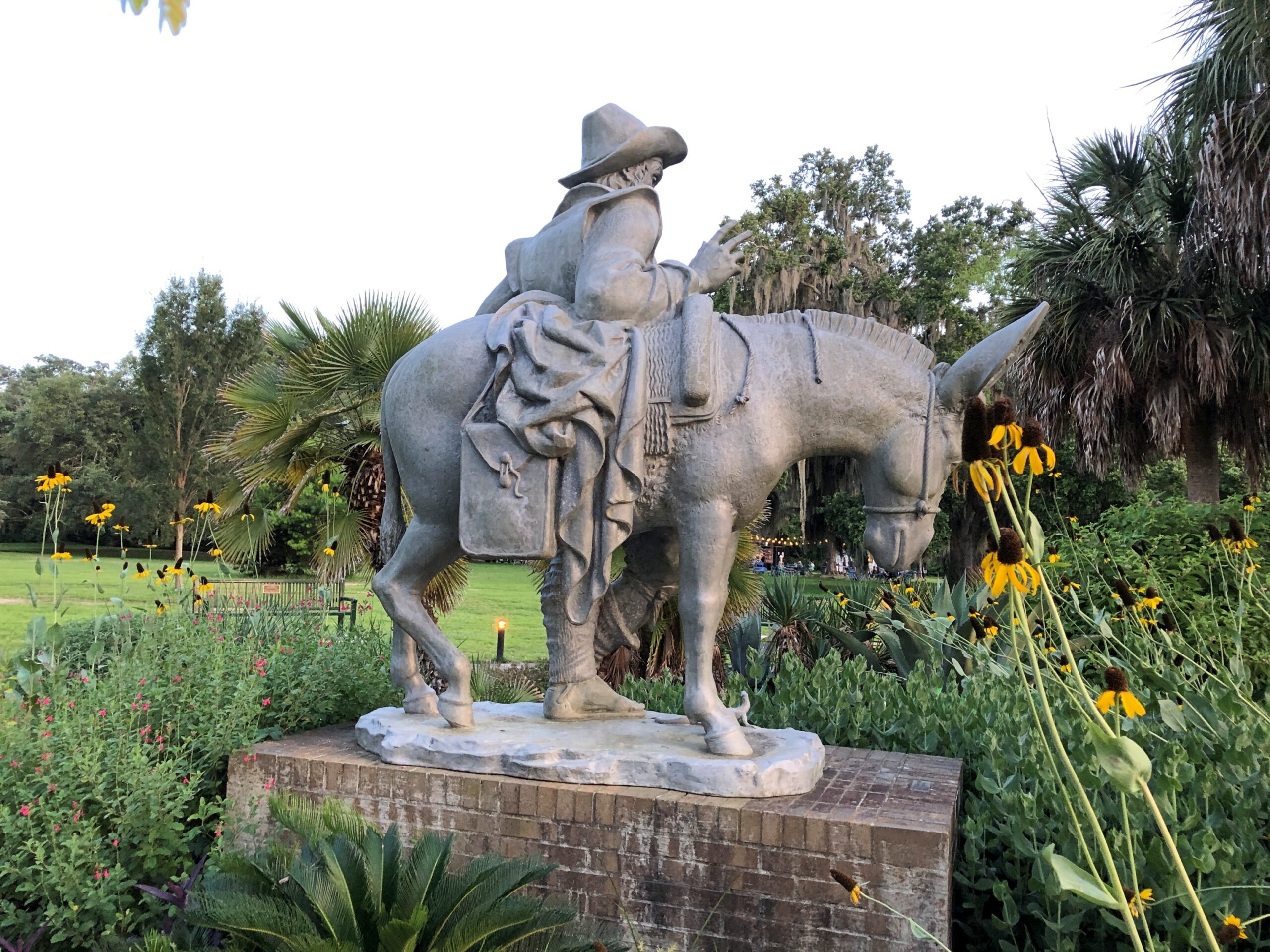
– there is Sancho Panza.
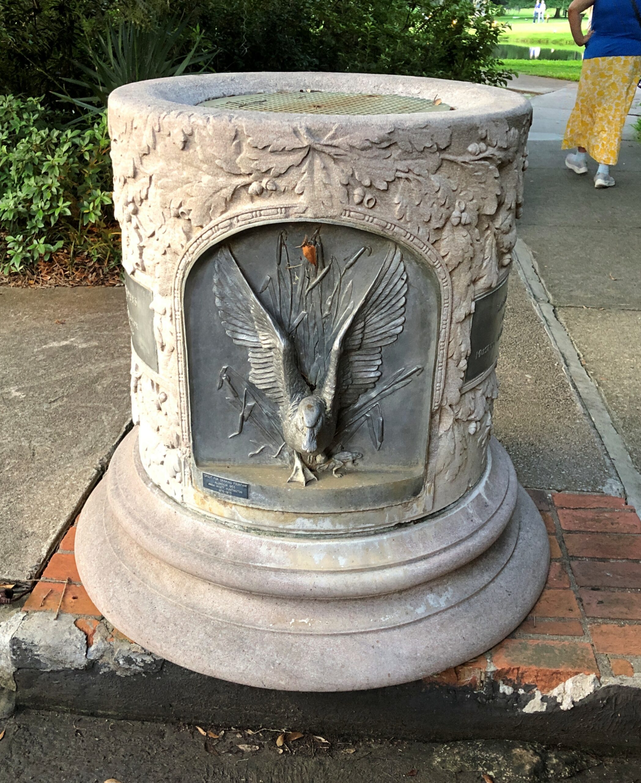
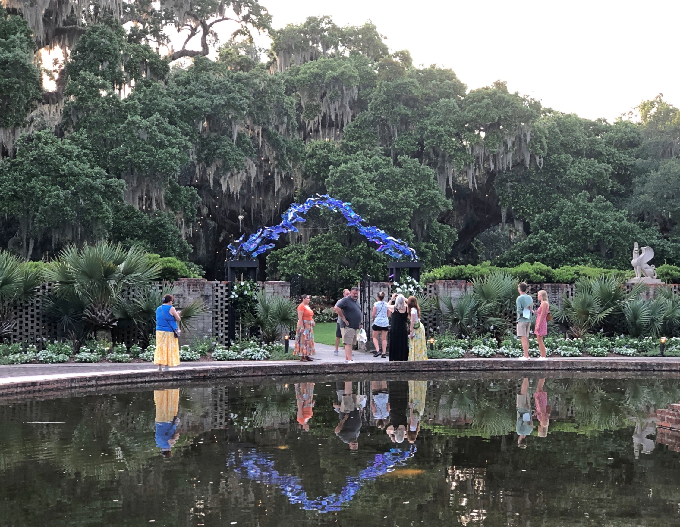
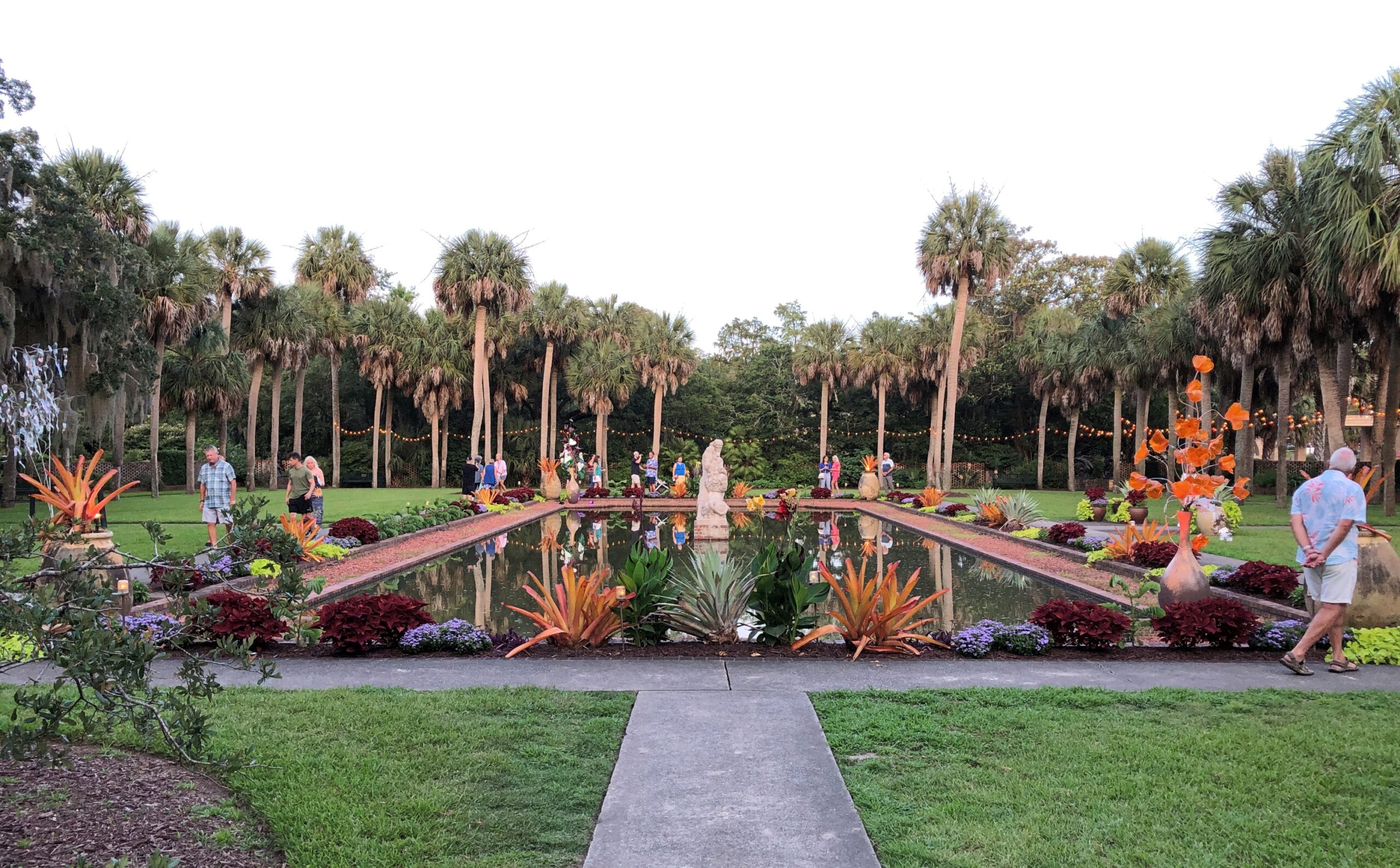
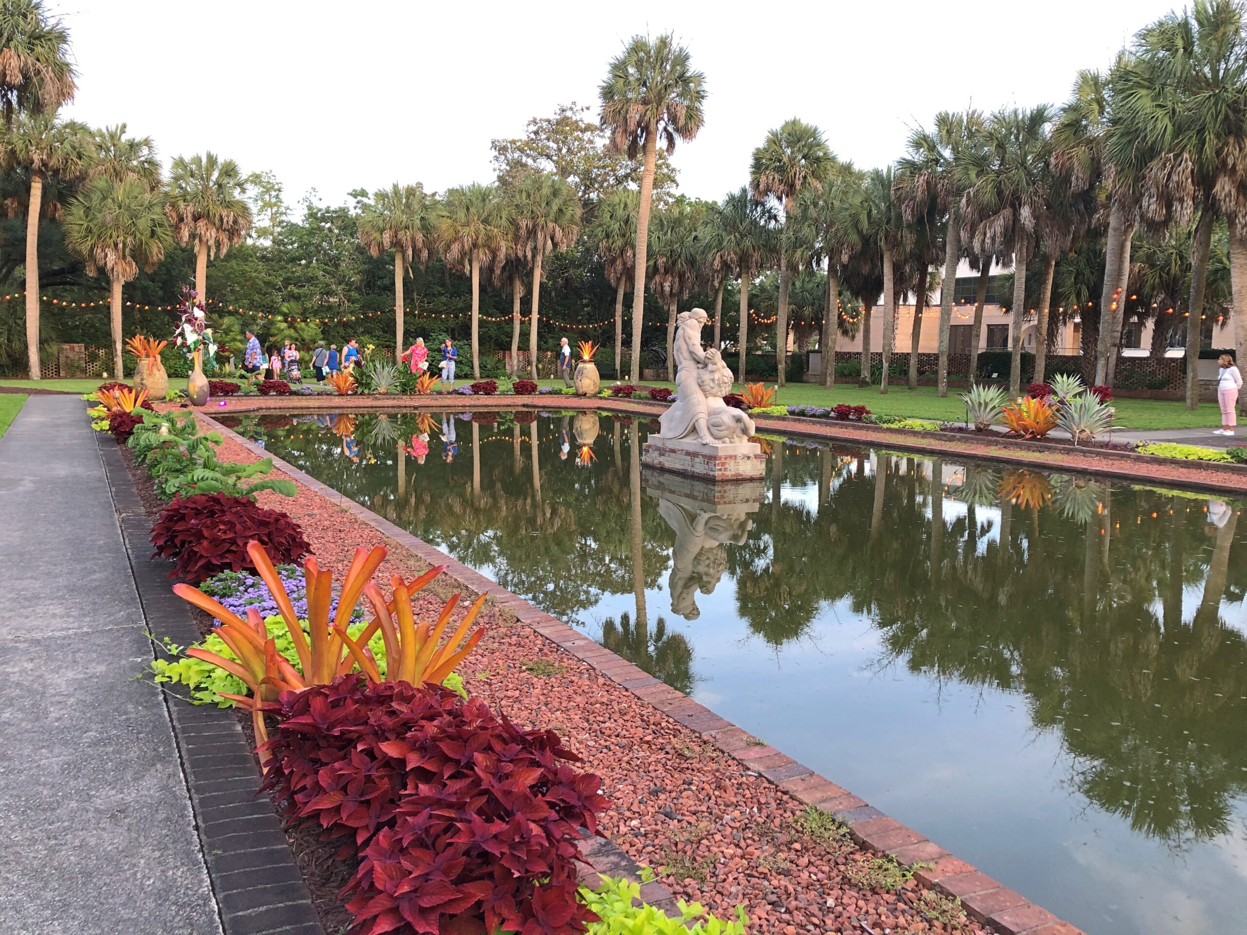
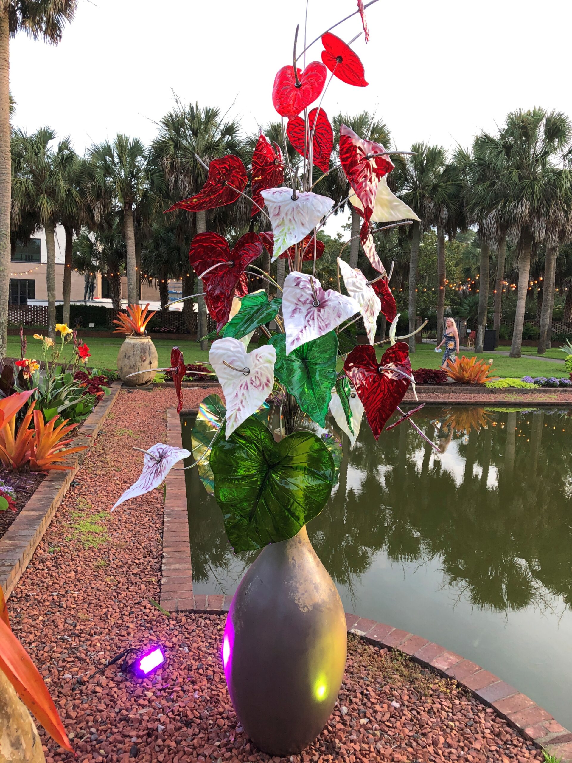
No one says that as far as I know. But you could. Anna Hyatt Huntington (d. 1973) created “Don Quixote” in 1947, and eventually Carl Paul Jennewein (d. 1978) did the companion “Sancho Panza” in 1971, apparently at Huntington’s request. You can find the famed literary pair in aluminum among many other artworks at Brookgreen Gardens in South Carolina – over 2,000 works by 430 artists, according to the garden. We arrived late in the afternoon of the 21st, dodging most of that day’s heat by timing it that way.
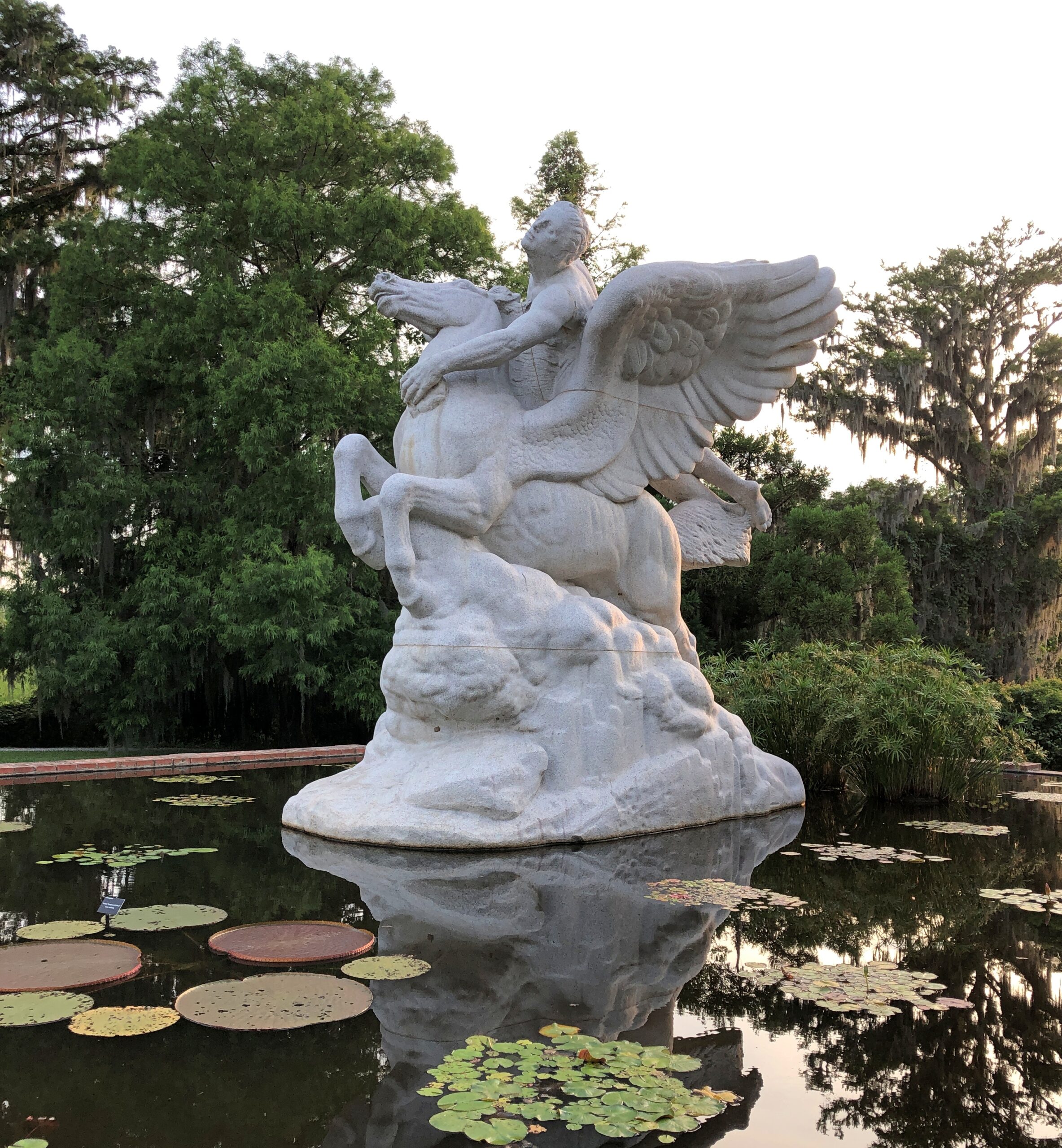
Some works are larger than the Cervantes characters.
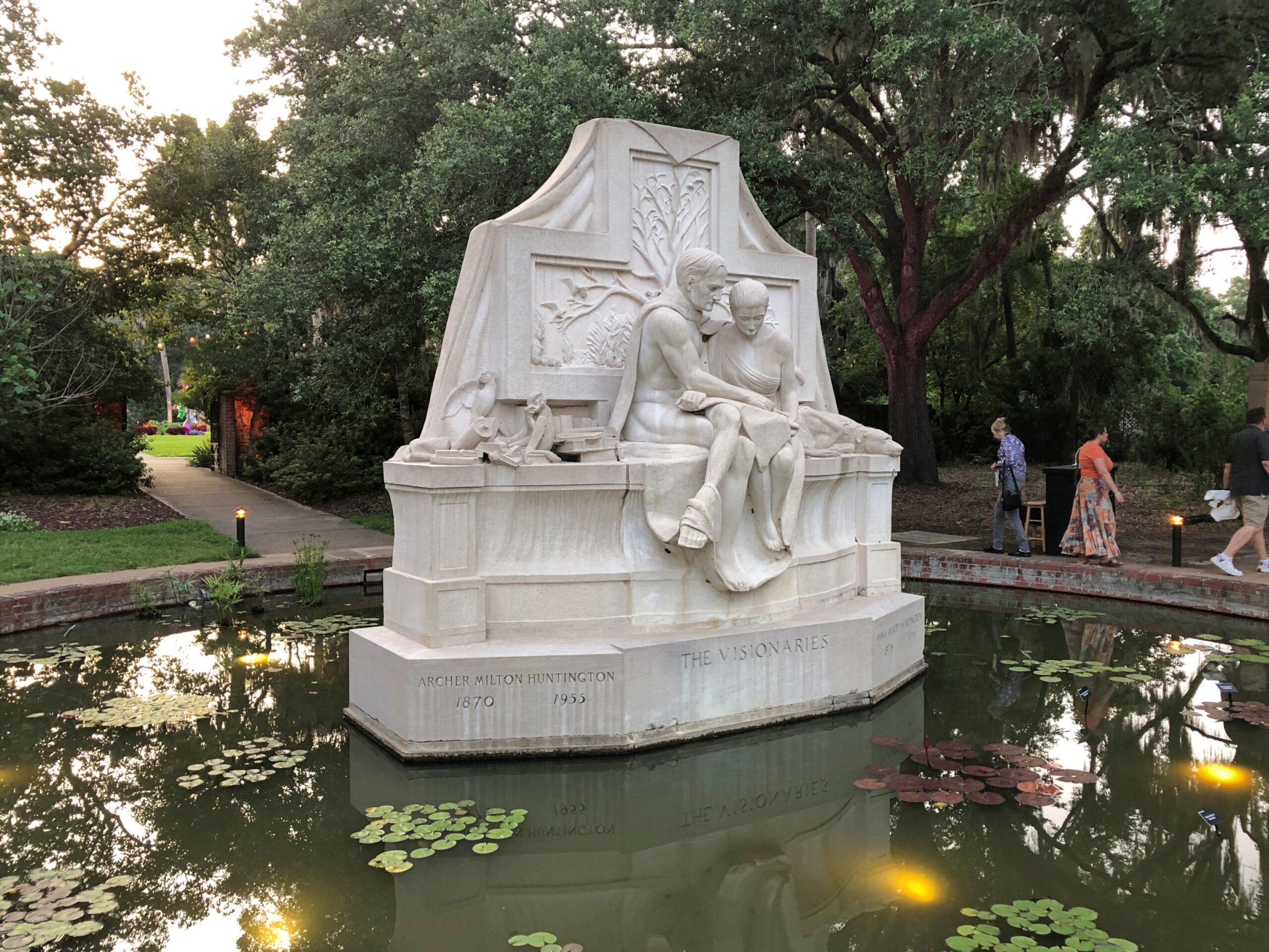
Archer Milton Huntington (d. 1955) isn’t entombed in that artwork, as much as it looks like it. He’s in a mausoleum in the Bronx befitting a very wealthy man, so this one just honors him. Along with his wife Anna, a successful artist in her own right, railroad heir and scholar Archer acquired the land and planned the gardens.
Others works aren’t as large, or as conventional.
The sculpture garden, formally known as Archer & Anna Hyatt Huntington Sculpture Garden, is only part of Brookgreen Gardens. Spanning 9,100 acres, the grounds also count as a botanical garden, and there is a zoo and wilderness areas, all teased out of the swampland, rice fields, woods and beaches that marked the site before the 20th century. Some historic sites still exist on the land, especially relating to the rice plantations that used to be there.
“From its inception [in 1931], Brookgreen had a three-pronged purpose: first, to collect, exhibit, and preserve American figurative sculpture; second, to collect, exhibit, and preserve the plants of the Southeast; and third, to collect, exhibit, and preserve the animals of the Southeast,” the garden’s web site explains.
Paths wind through the lush landscapes.
And under towering oaks bearded with Spanish moss.
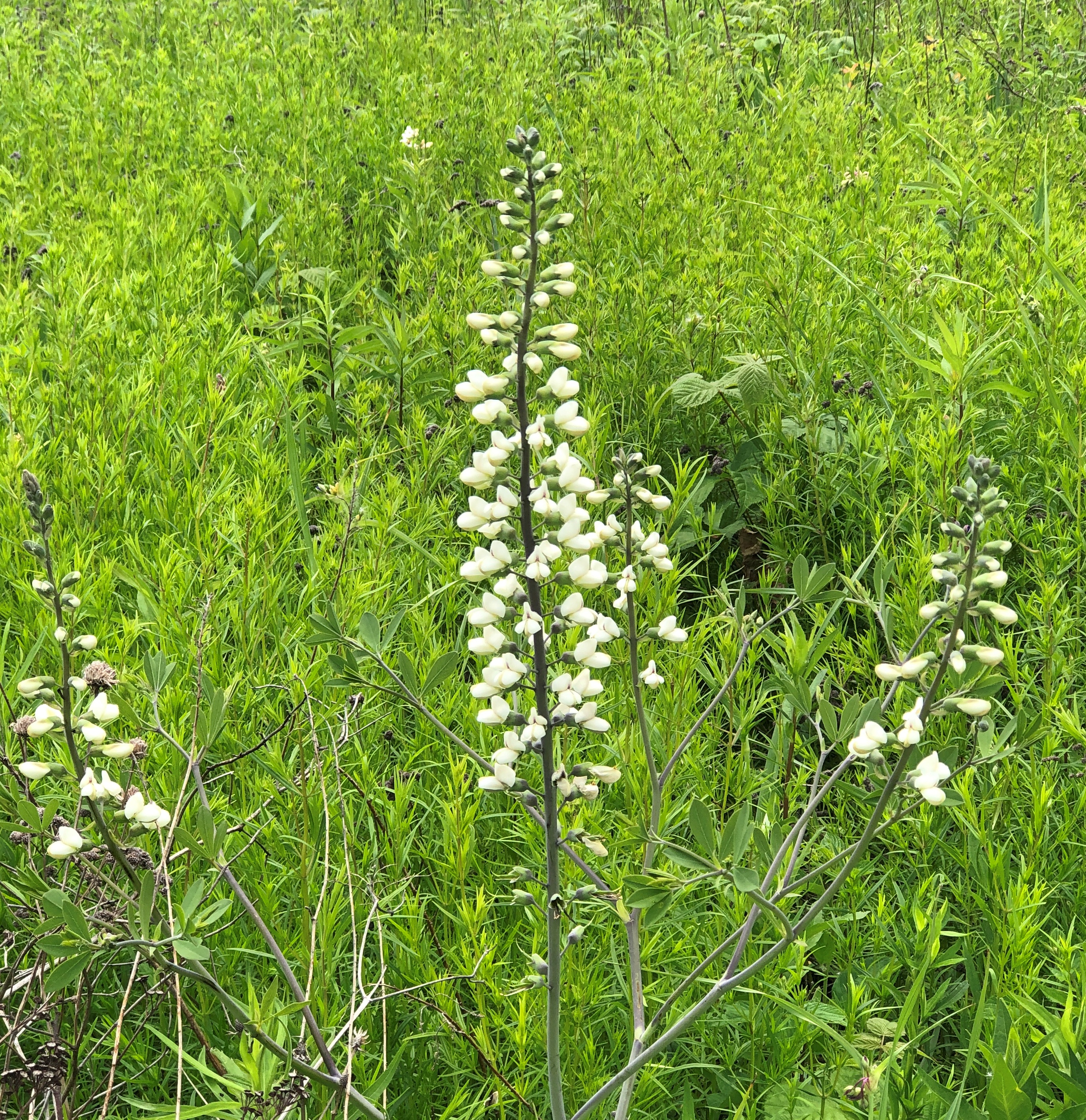
Summer moves forward. Some flora from around the time of the solstice this year, all found on public land hereabouts in the Northwest Suburbs.
It was a rainy summer as of June, and it has been in July. When I got home today, I found driveway and deck puddles and damp bushes. Lush, flowery bushes.
Sad news over the radio: Tom Lehrer, 97, died. All the cool kids in the ’70s had your records in high school, Mr. Lehrer. Not really. But I did, and so did my friends, and we’re better for it even now.