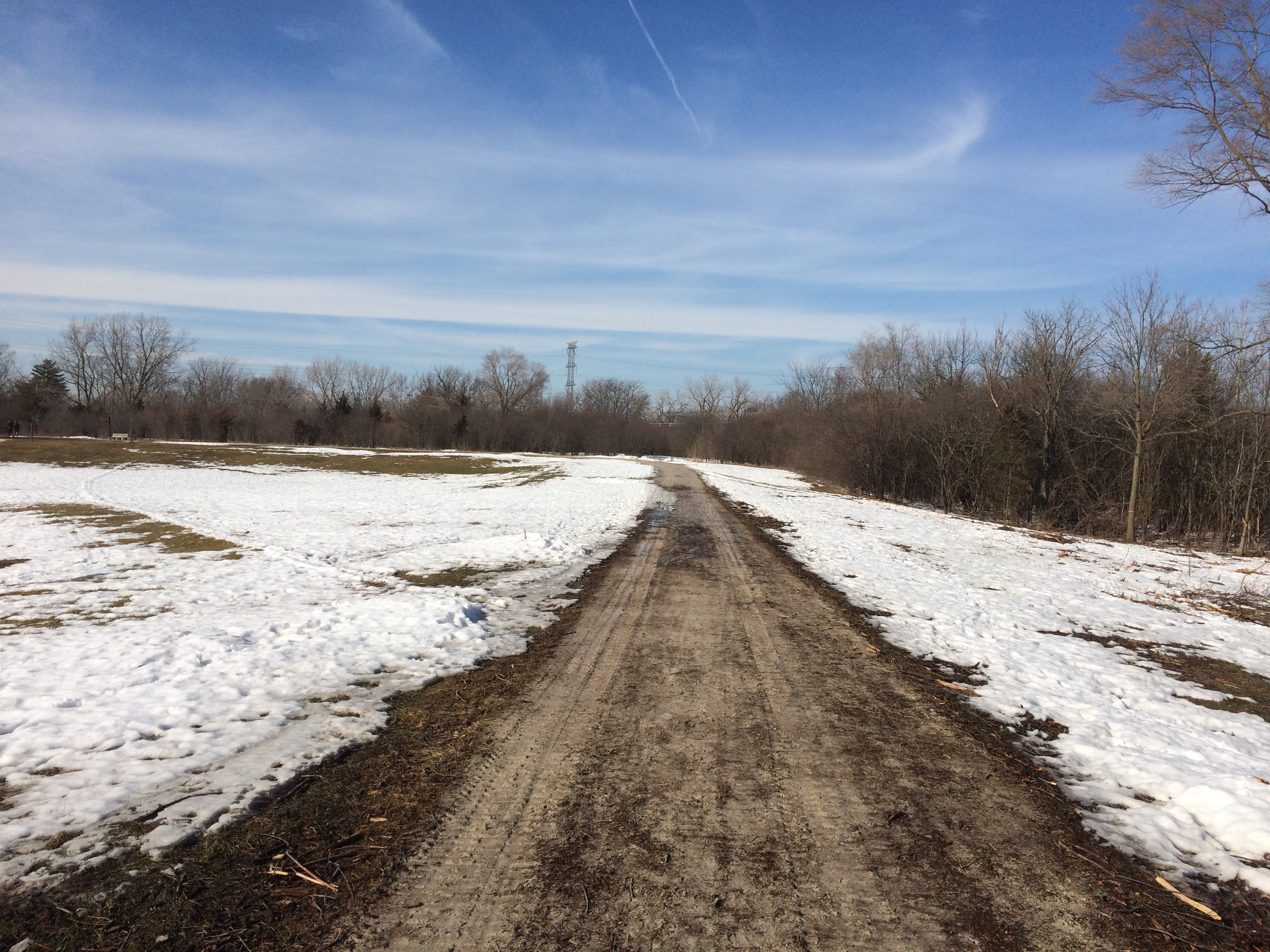
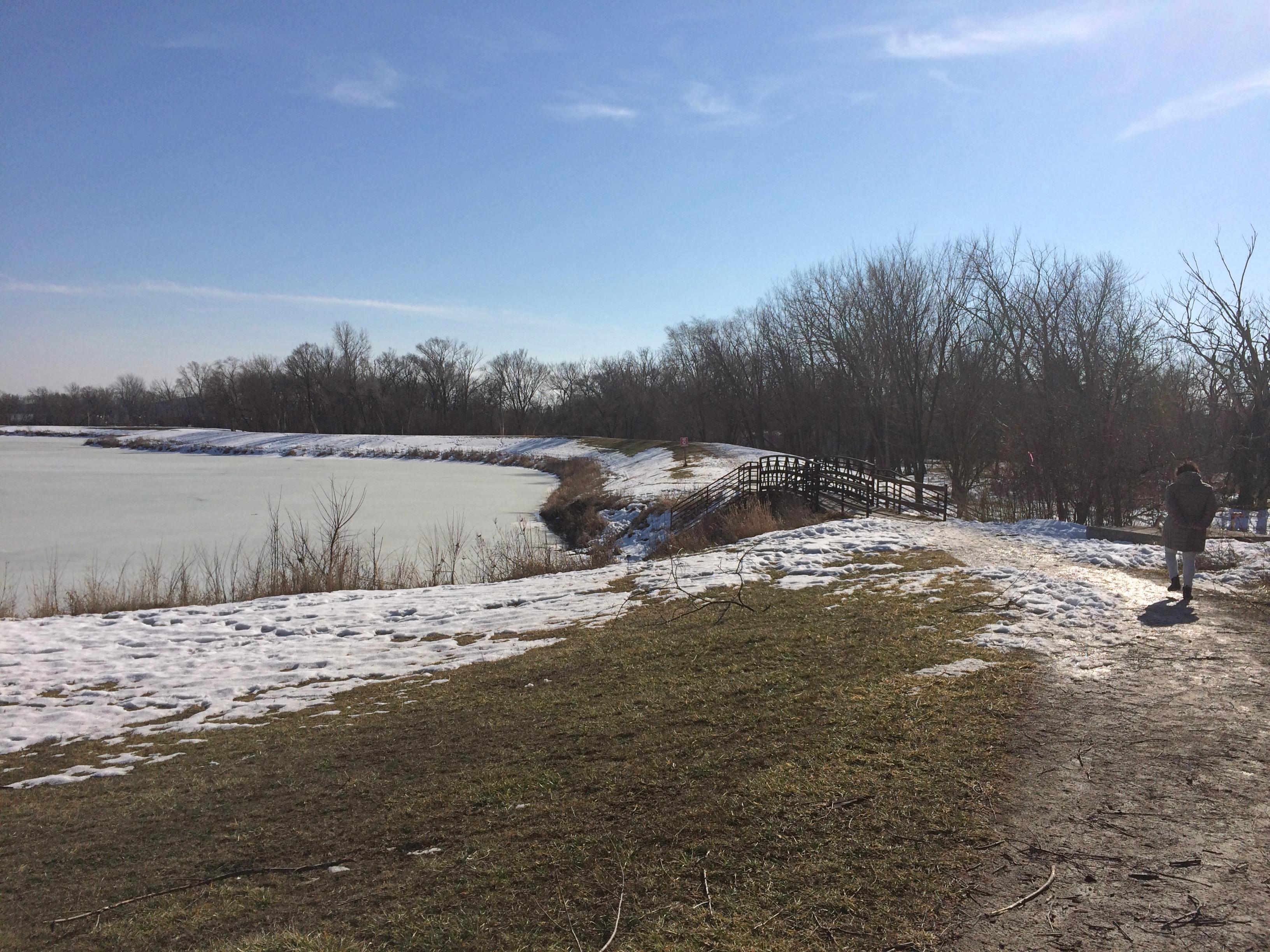
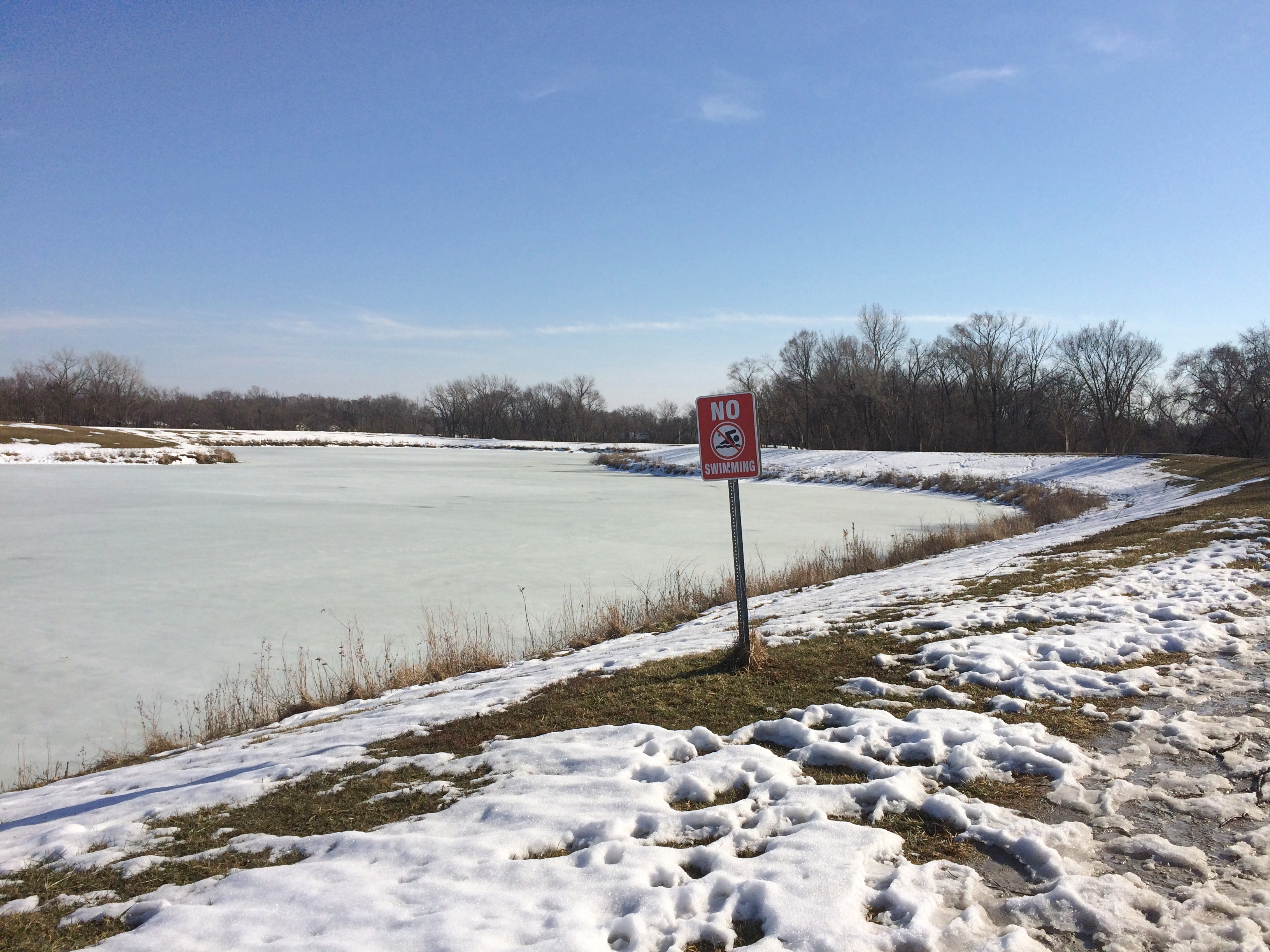
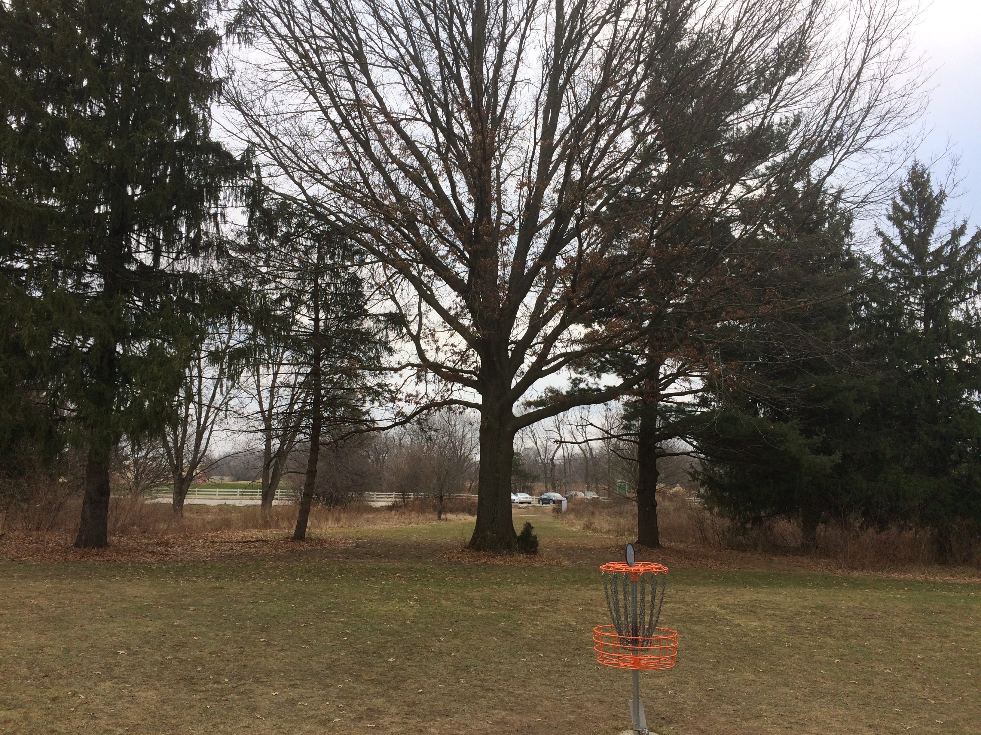
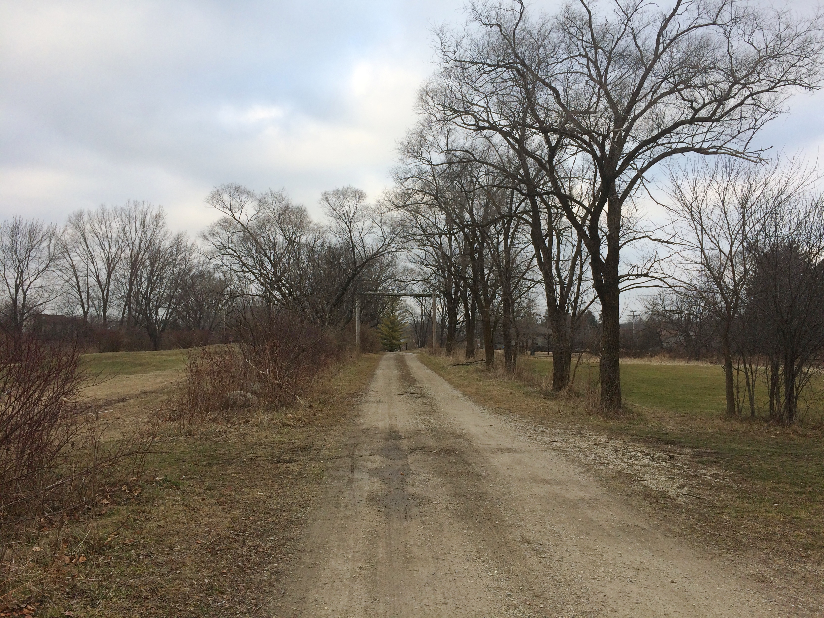
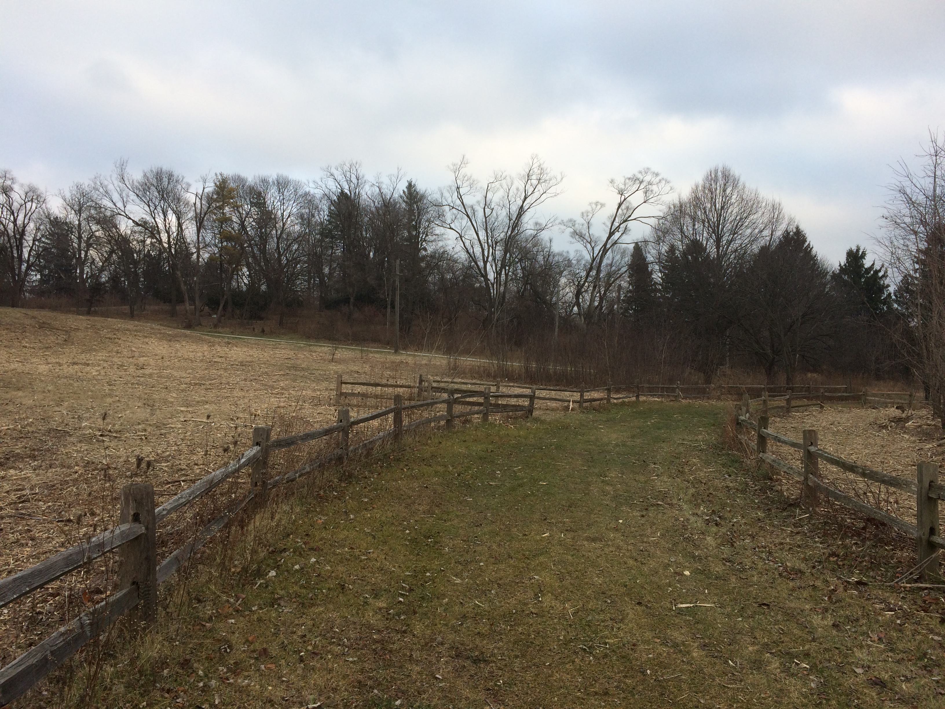
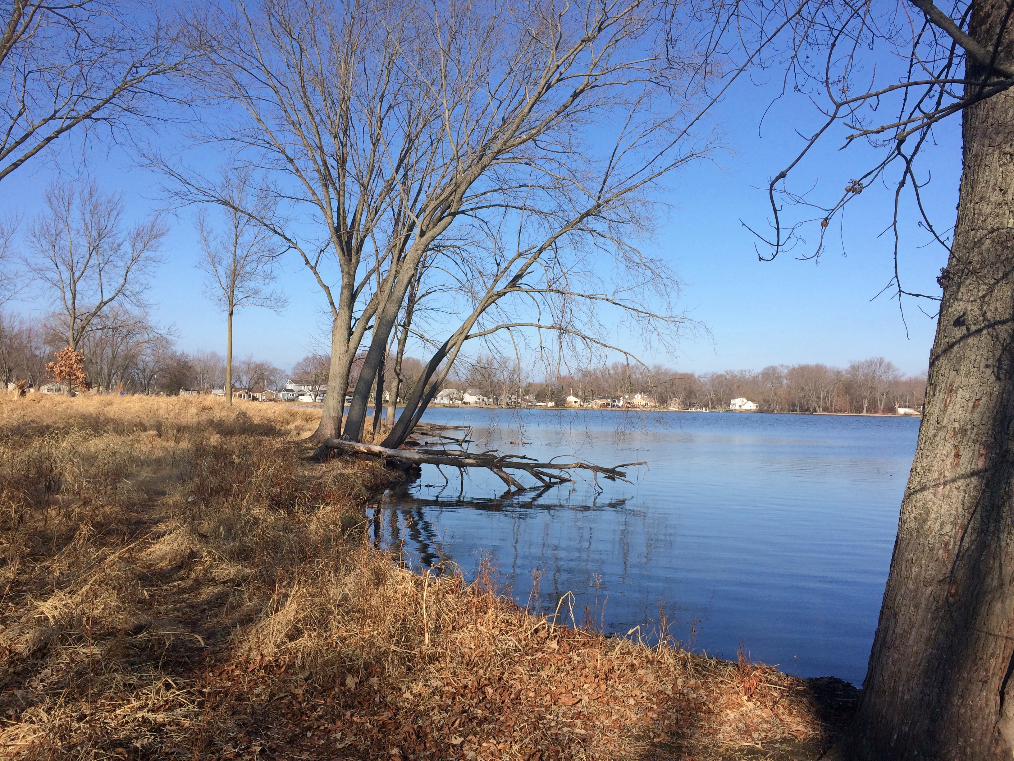
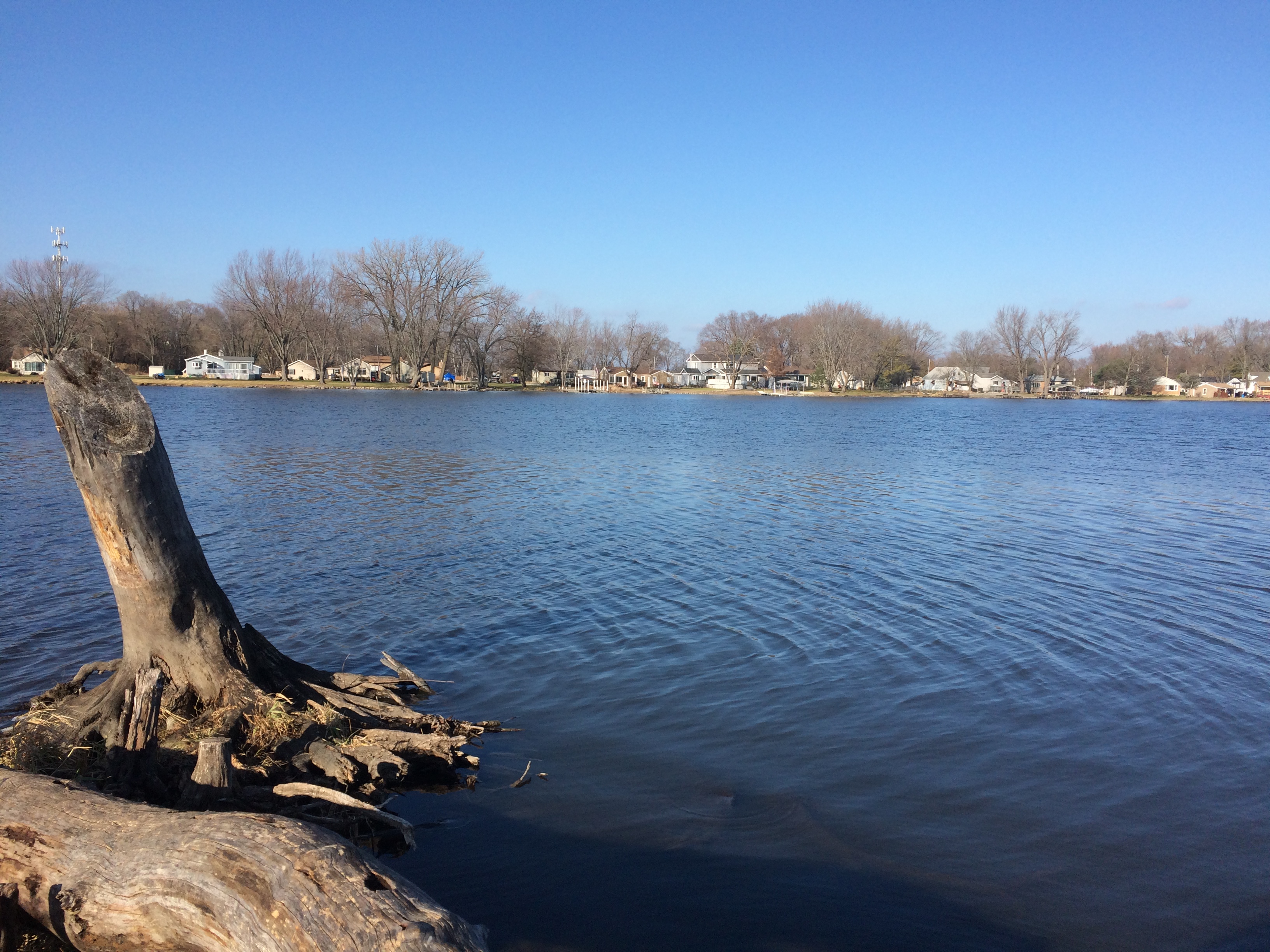
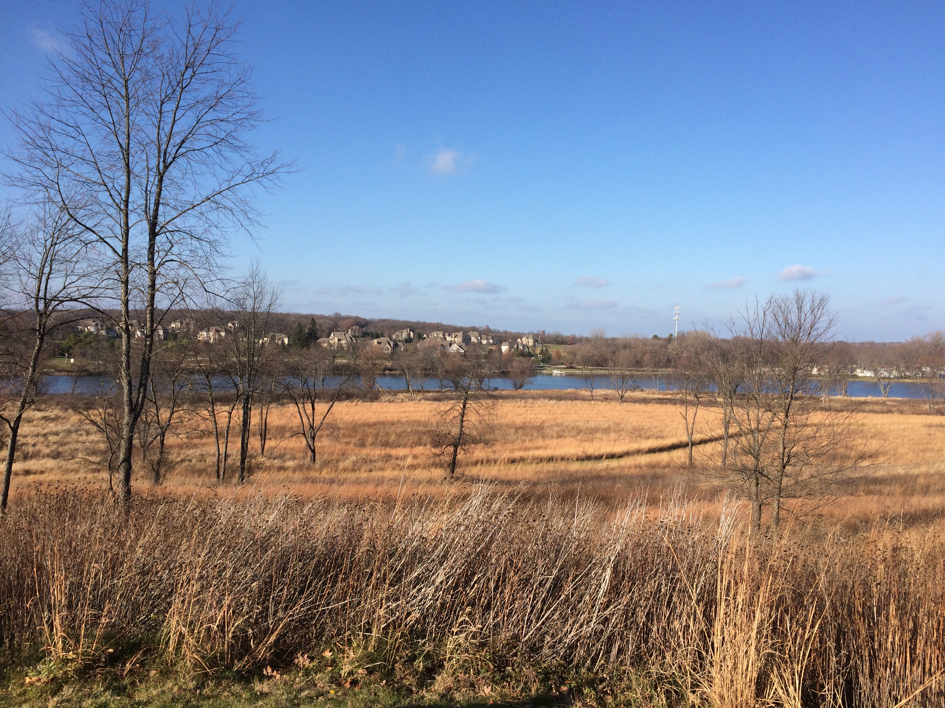
Red Gate Woods, The Dawn of the Atomic Age & Ray Cats

At about 15,000 acres, the Palos Preserves form the largest concentration of land in the Forest Preserve District of Cook County. Names pour out from the map, if you bother to look: Willow Springs Woods, Paw Paw Woods Nature Preserve, Wolf Road Woods, Saganashkee Slough Woods, McMahon Woods, Spears Woods, White Oak Woods, Crooked Creek Woods, Cap Sauers Holding Nature Preserve, and Swallow Cliff Woods North.

The preserves include Camp Bullfrog Lake, Tomahawk Slough, Maple Lake, Longjohn Slough, Crawdad Slough, Joe’s Pond, Horsetail Lake, Laughing Squaw Sloughs, Camp Kiwanis Equestrian Staging Area, and the Little Red Schoolhouse Nature Center. About 50 miles of trails cross this arboreal kingdom in southwest Cook County.

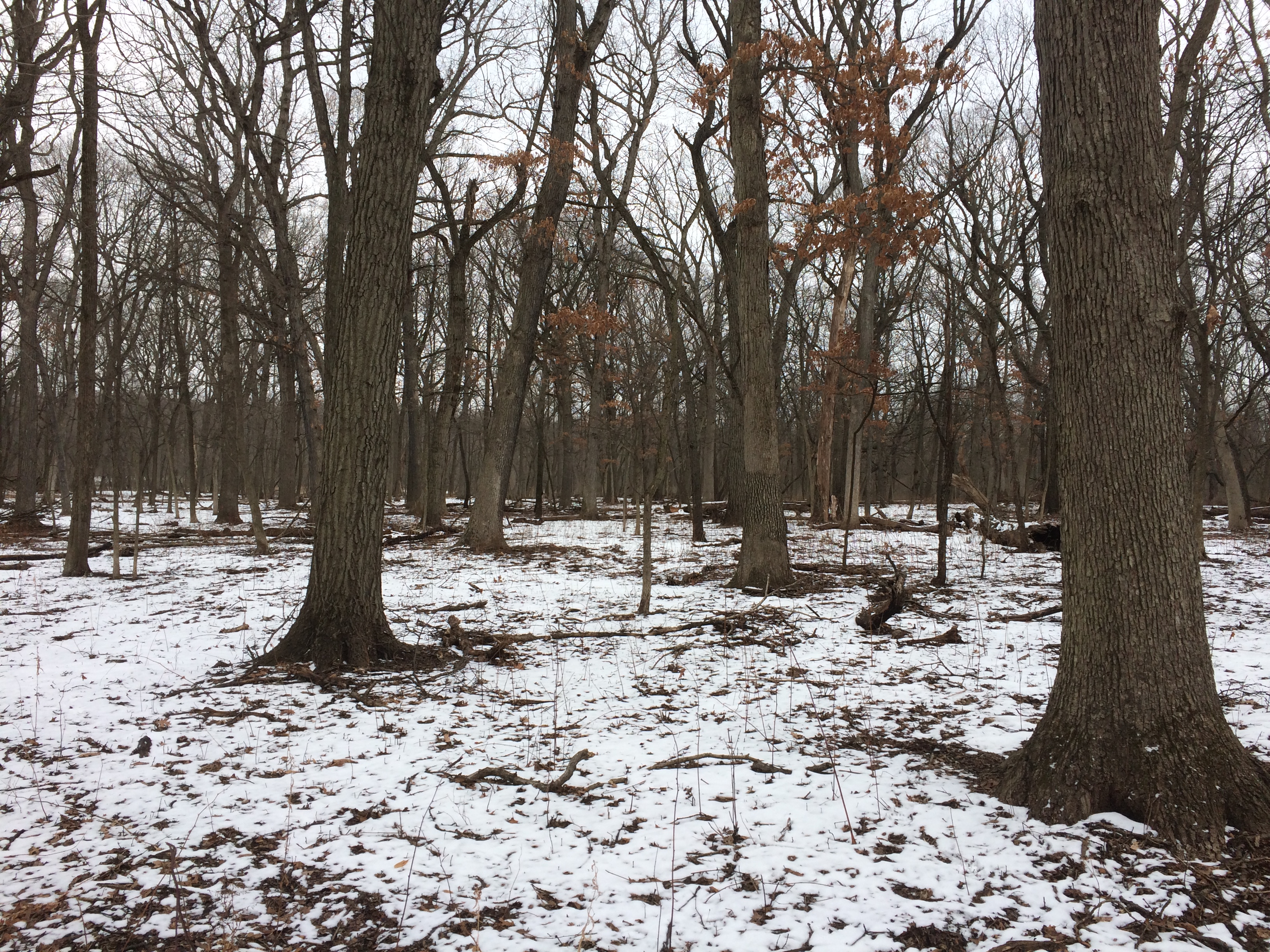
Red Gate Woods is much like the other sections, but with a singular distinction. It includes the burial site of the world’s first nuclear reactor, the famed CP-1, which was originally at the University of Chicago but soon rebuilt at Red Gate as CP-2 since, you know, nuclear research in a densely populated urban area was understood to be a risky proposition even in the early 1940s.

I’d known about Red Gate for a while, but never gotten around to visiting the site. Pleasantly warm Saturday was the time to do so, I decided.

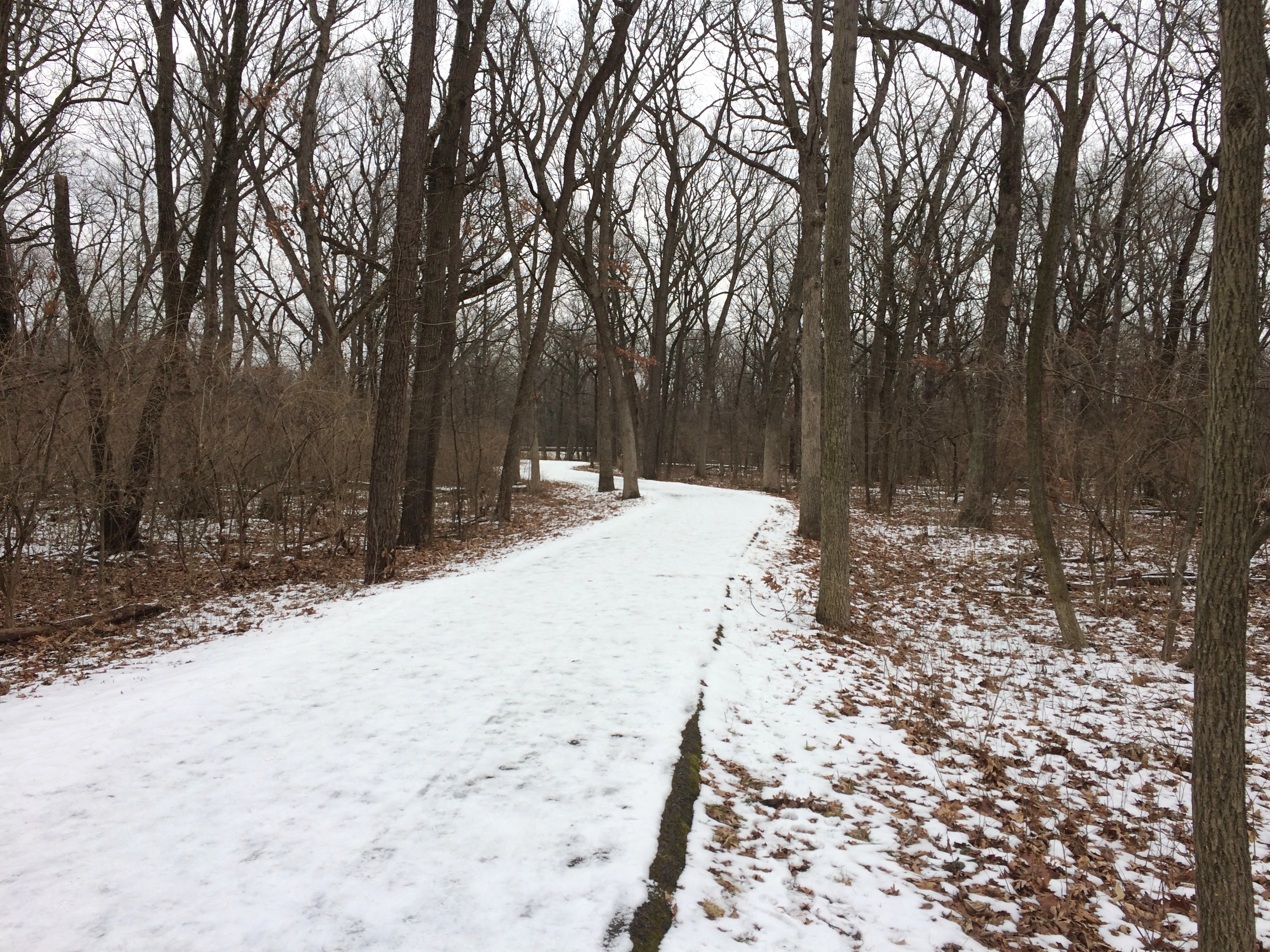
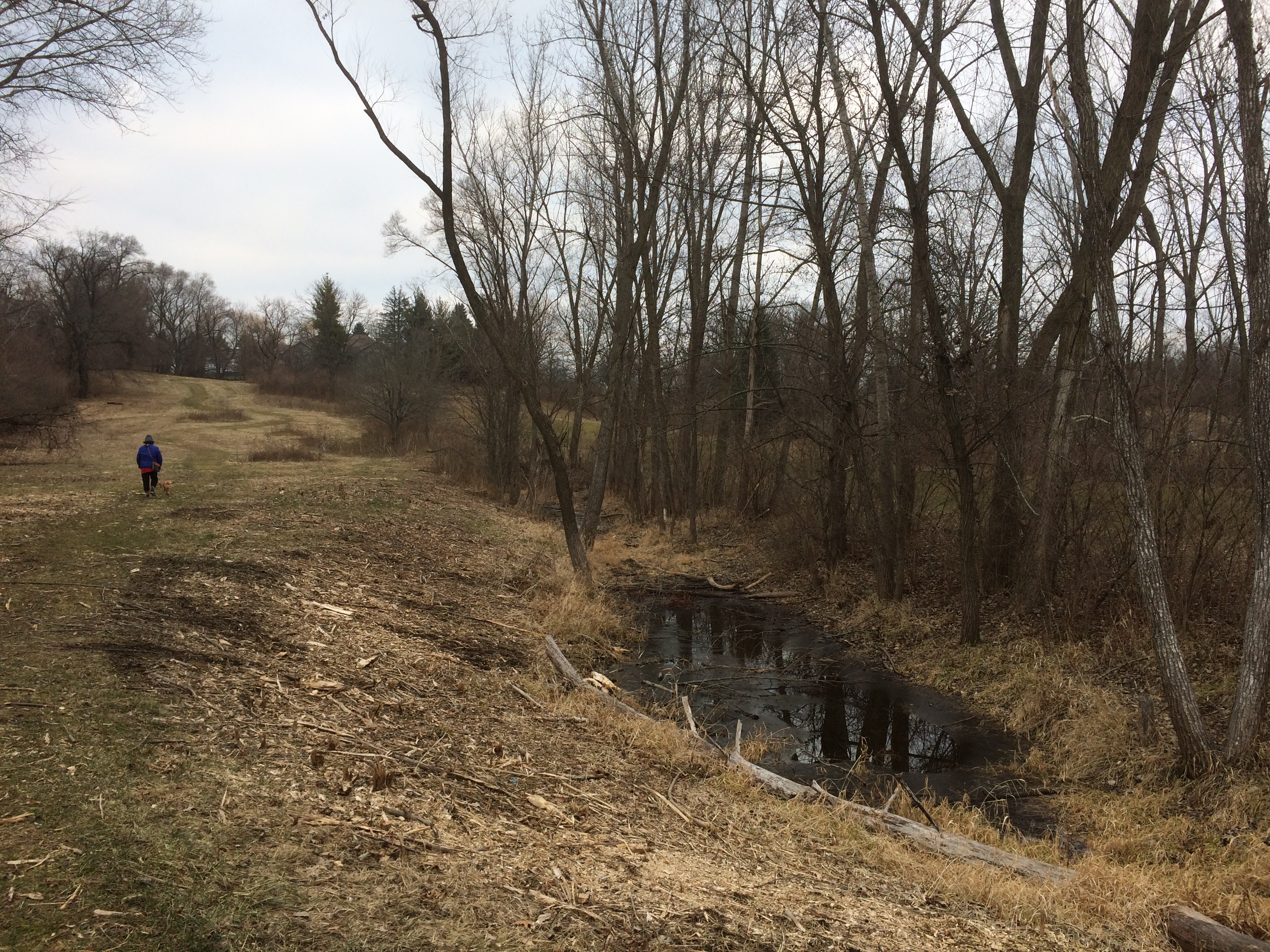
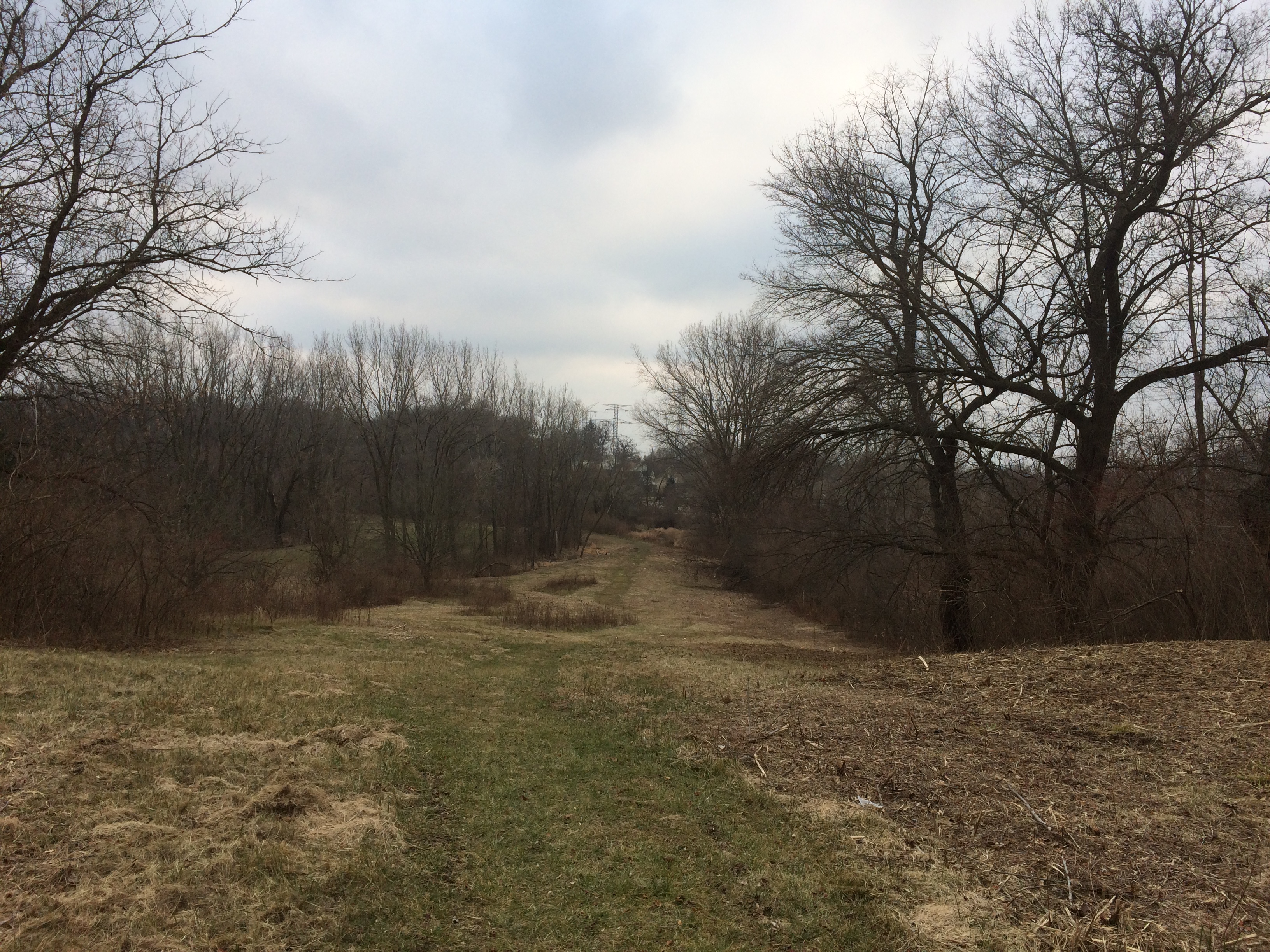
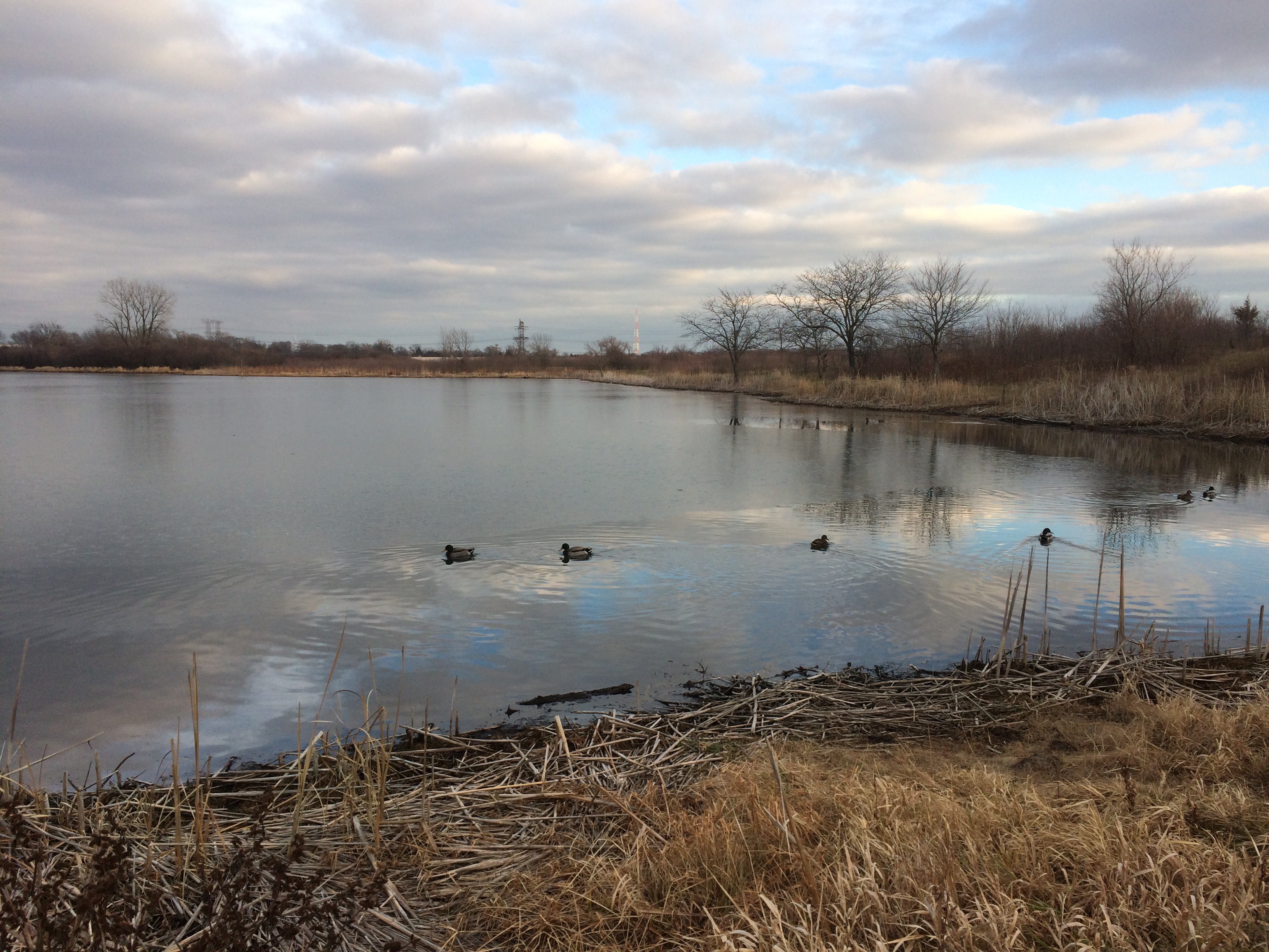
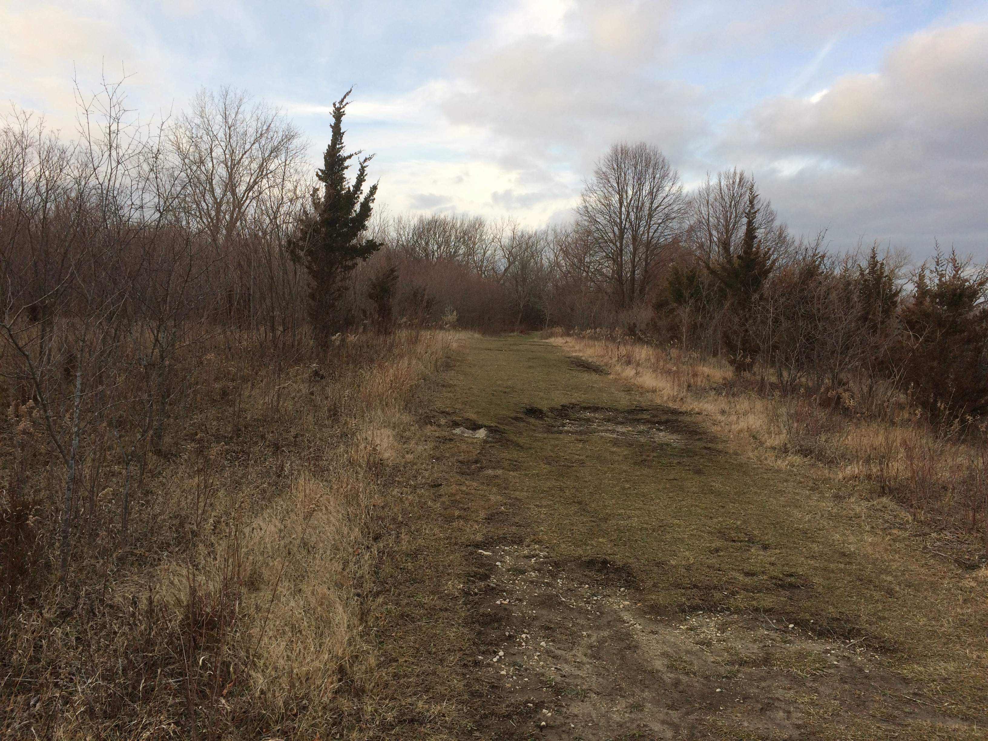
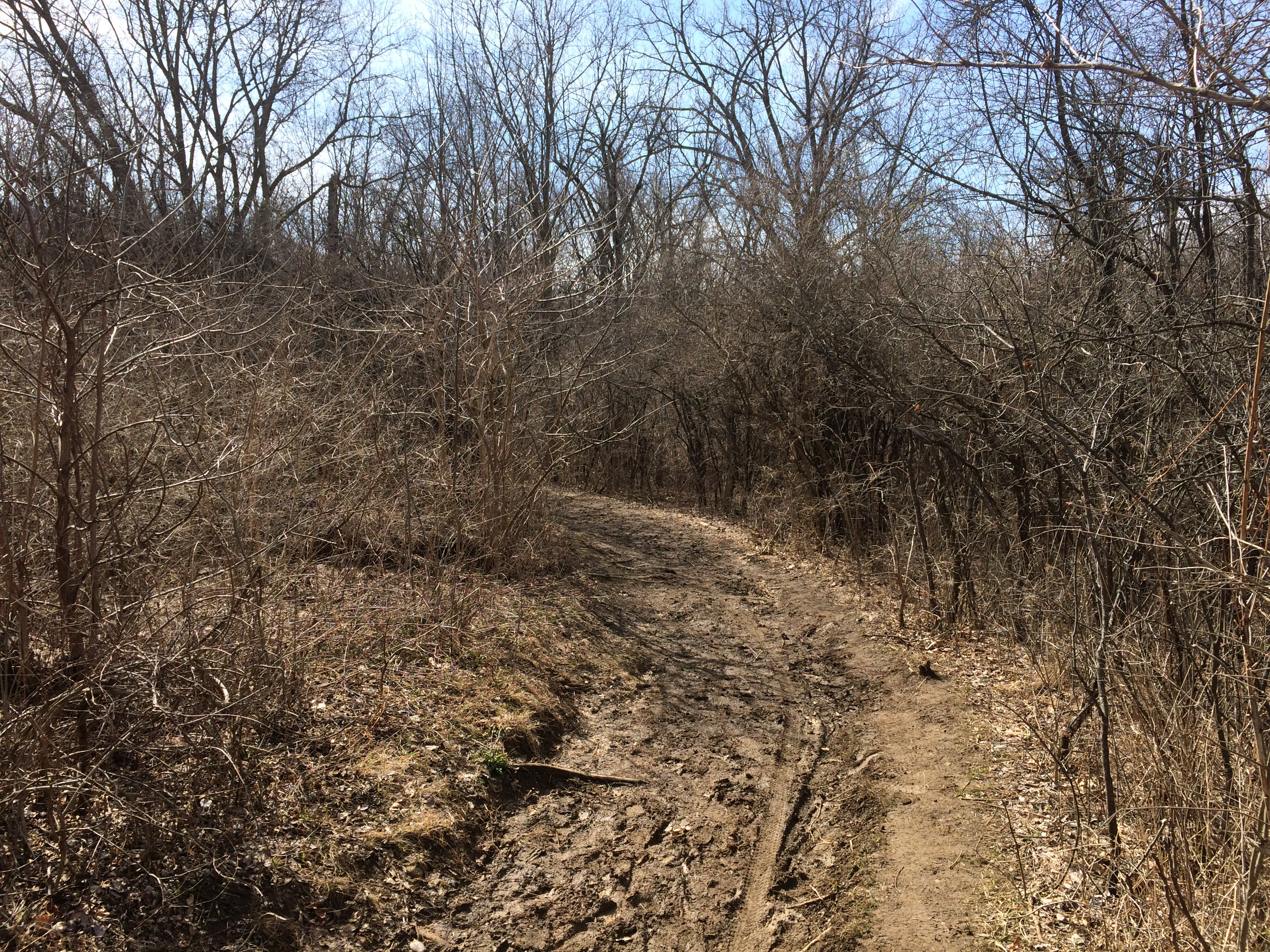
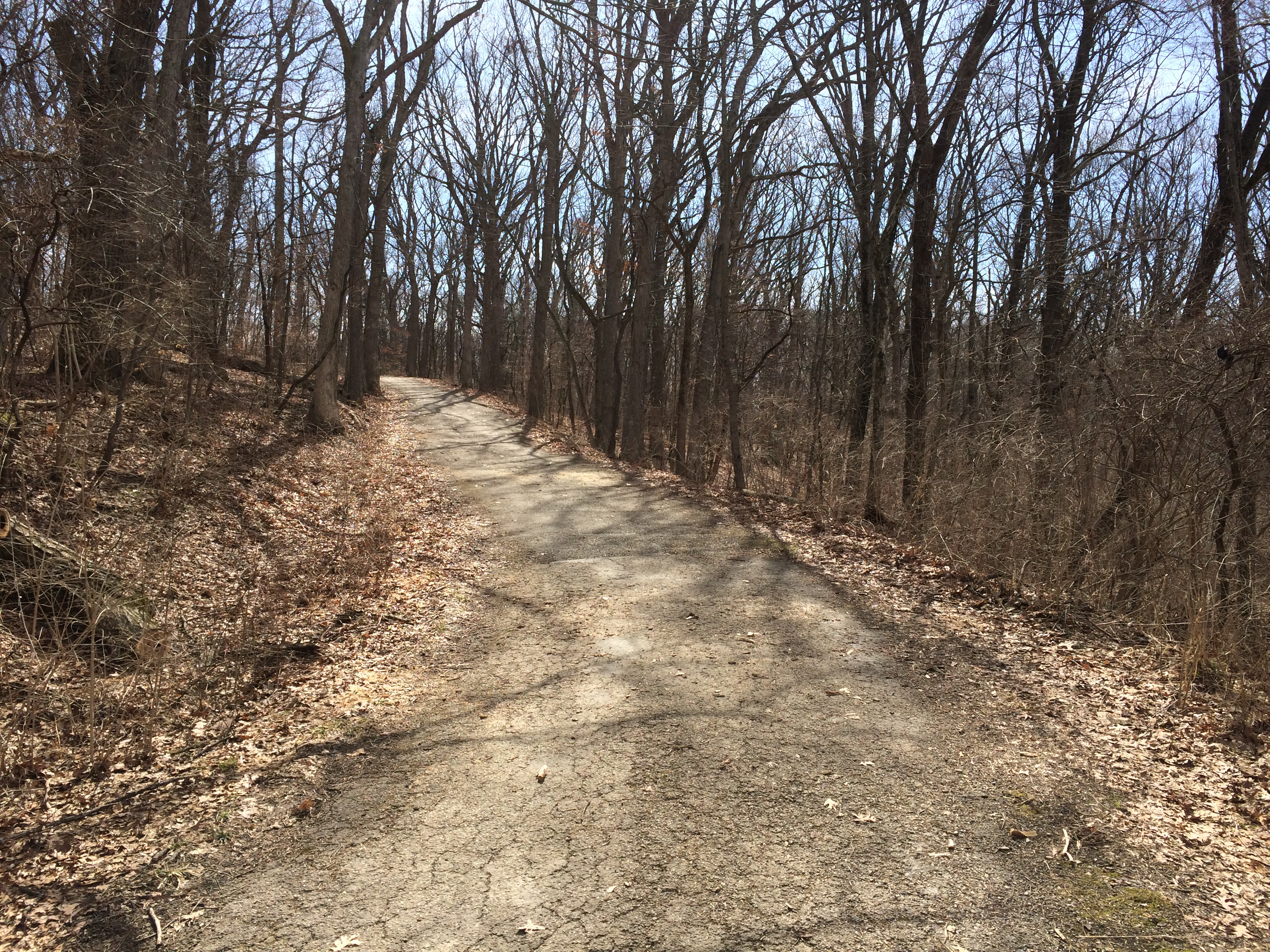
The entrance to Red Gate is on Archer Avenue very near St. James at Sag Bridge. A sign at the edge of the Red Gate parking lot describes how to get to the burial site, so off I went along an unpaved and still somewhat muddy trail. Red Gate WoodsSoon that connects with a paved trail, which made the going easier.
Red Gate Woods
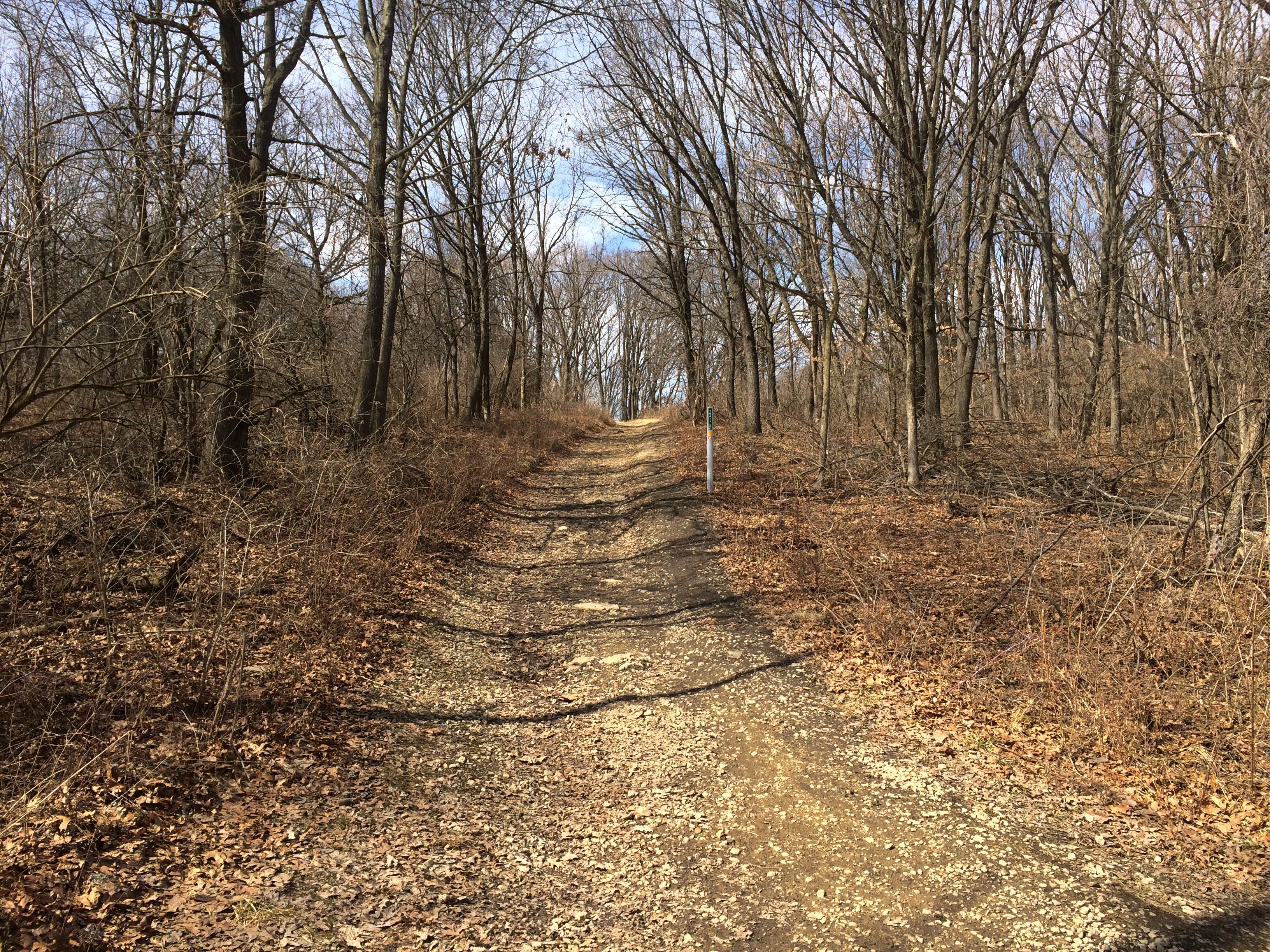
The hills weren’t that steep, but there were slopes along the way.
Red Gate Woods
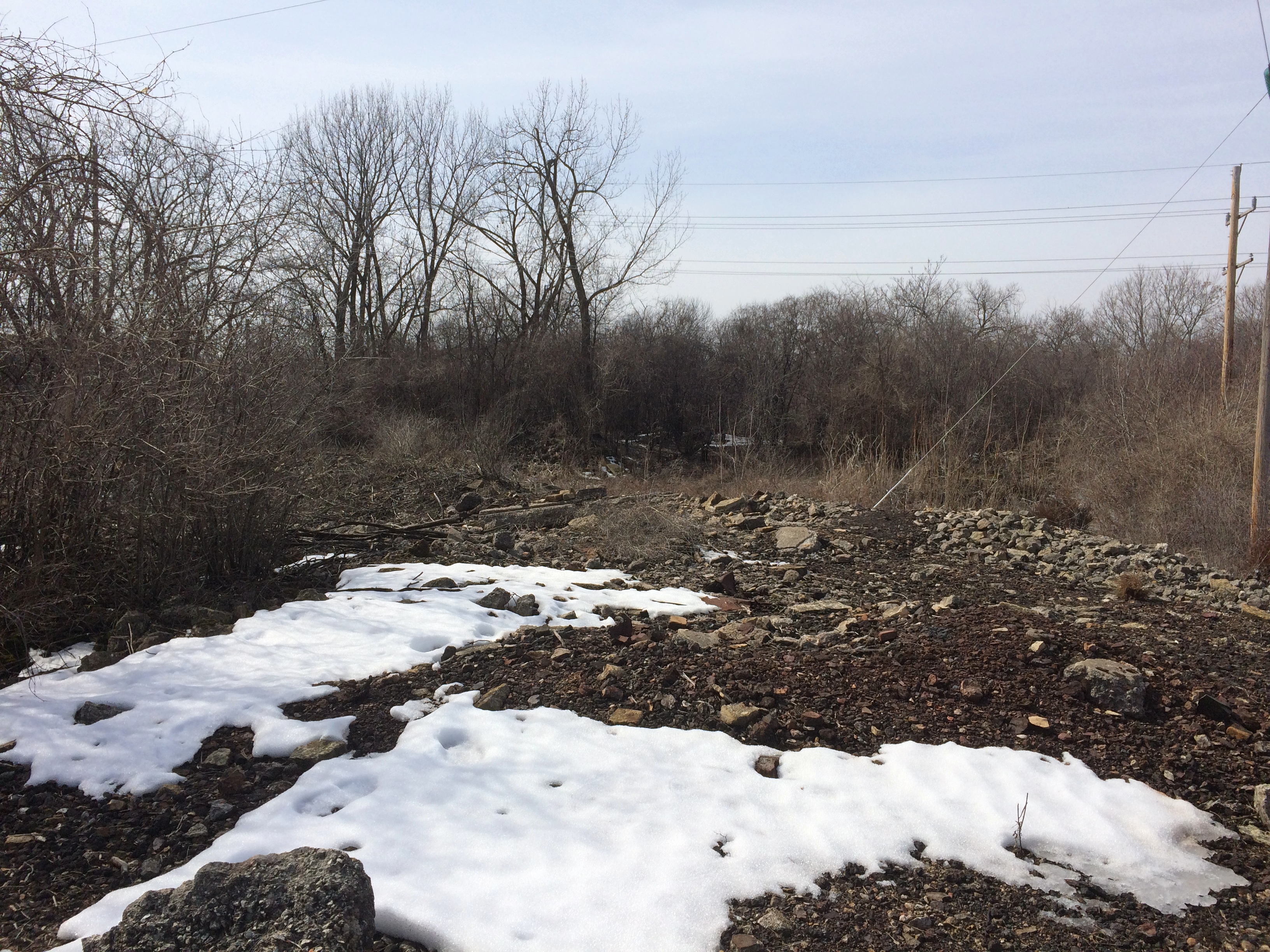
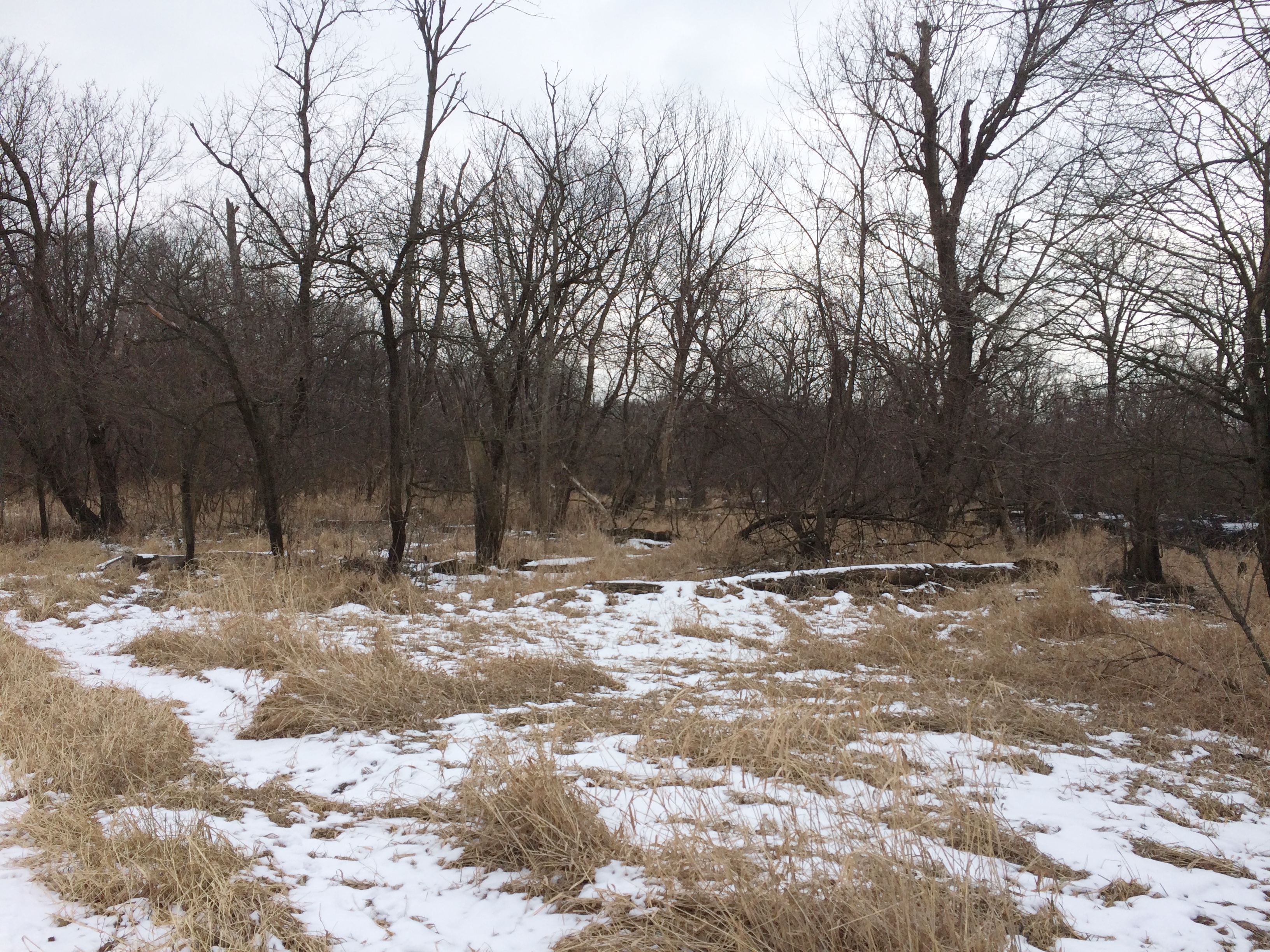
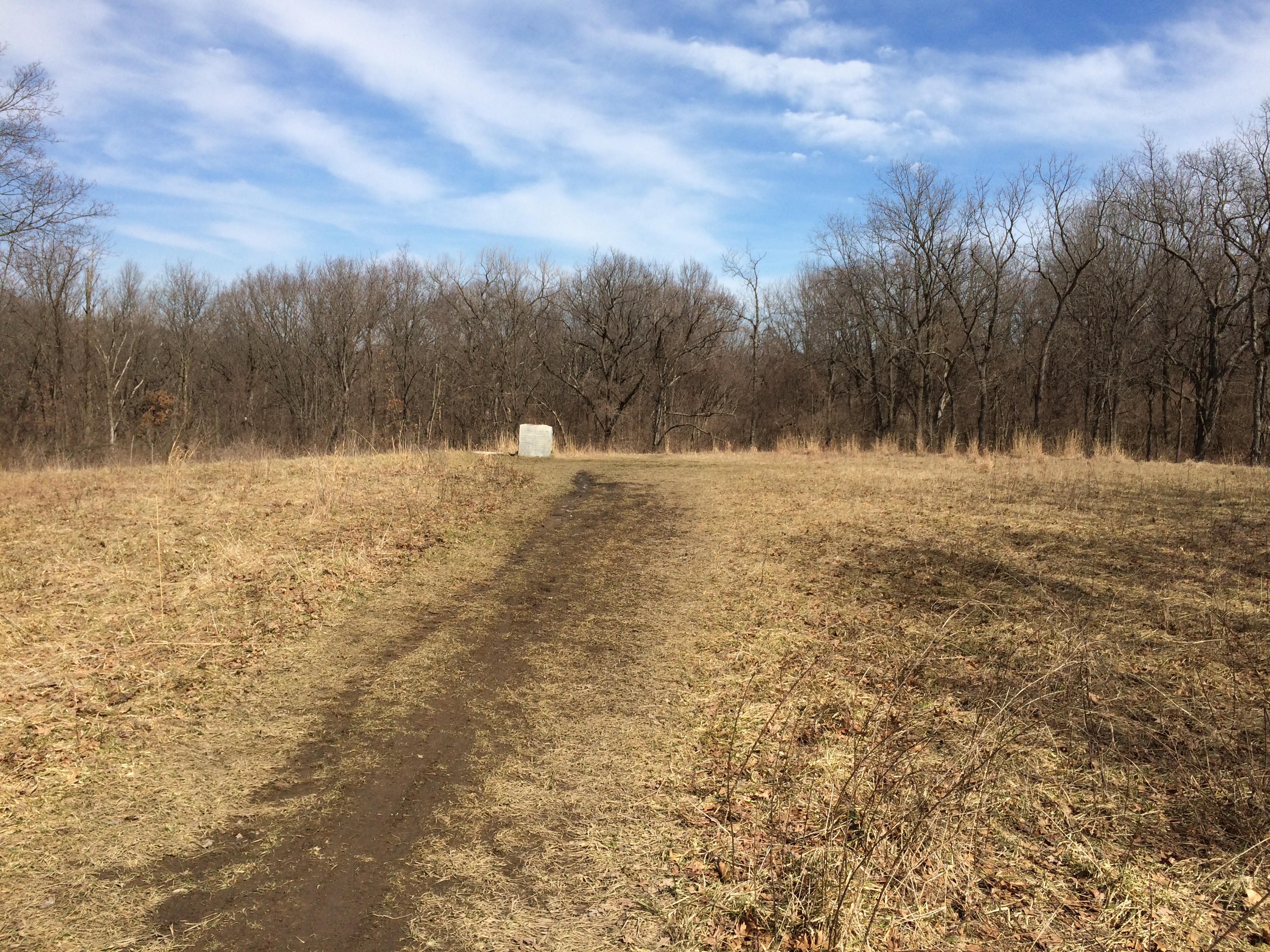
I almost missed the site. It’s actually on a spur off the main trail, out in an open field. It is the open field.
Red Gate Woods
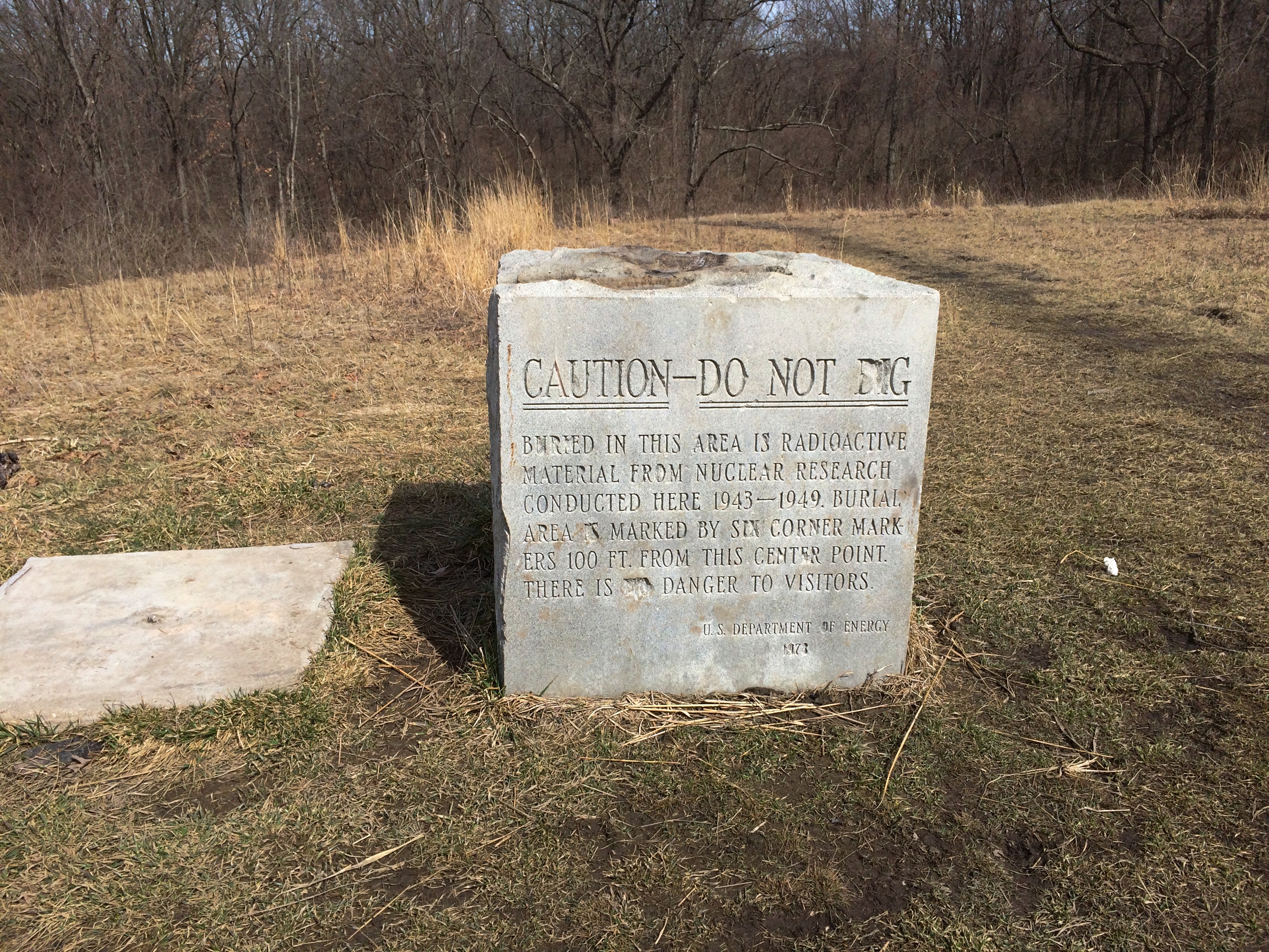
The stone includes some informal editing. Do I believe the area is dangerous? No, I do not. Not to someone who spends five minutes there.
Red Gate Woods
The burial area, the stone says, is marked by six corner markers 100 feet from the stone (presumably, in six directions). So I went looking for one of the markers. It wasn’t hard to find. I spotted most of the rest of them as well.
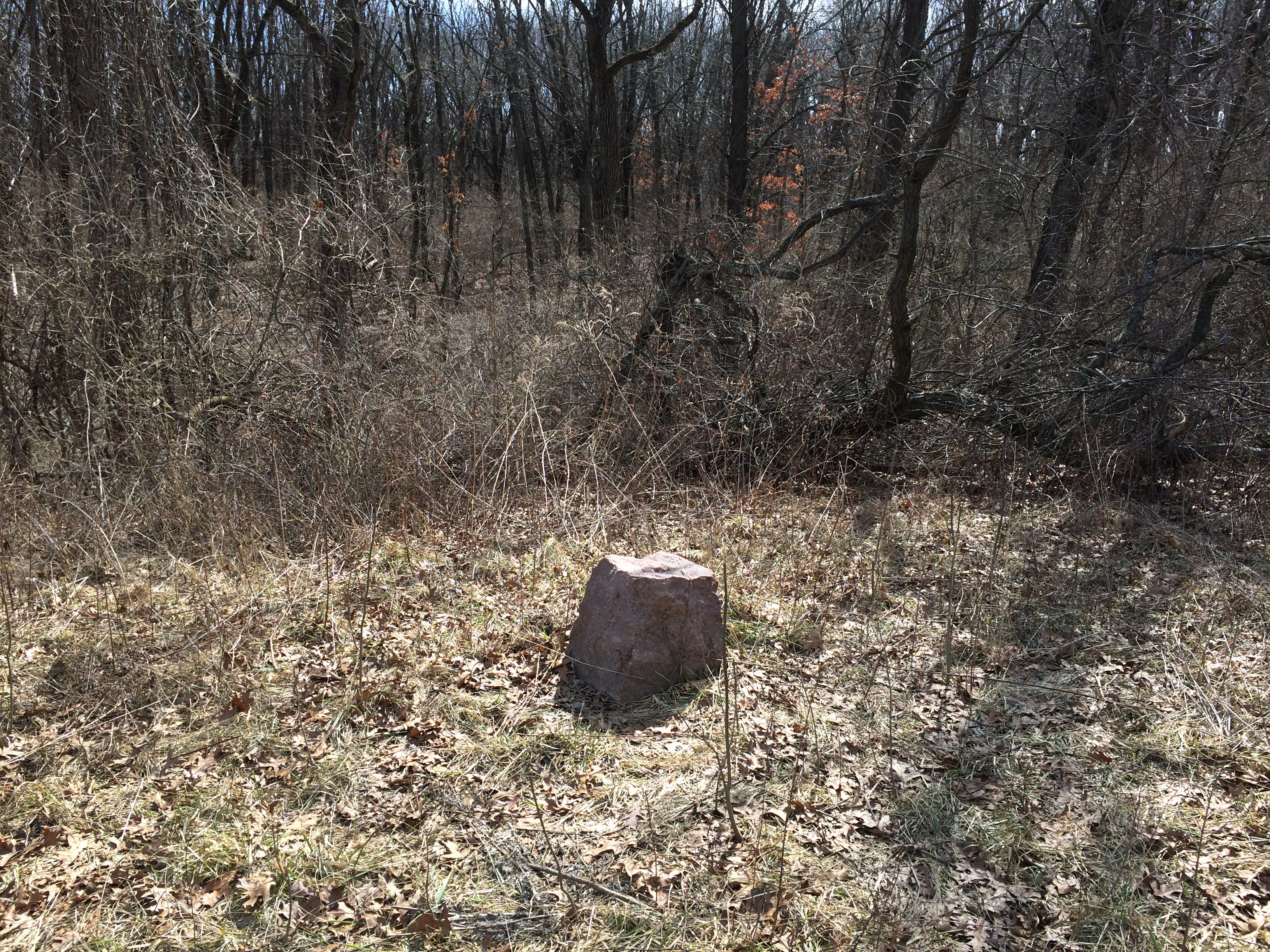
Red Gate Woods
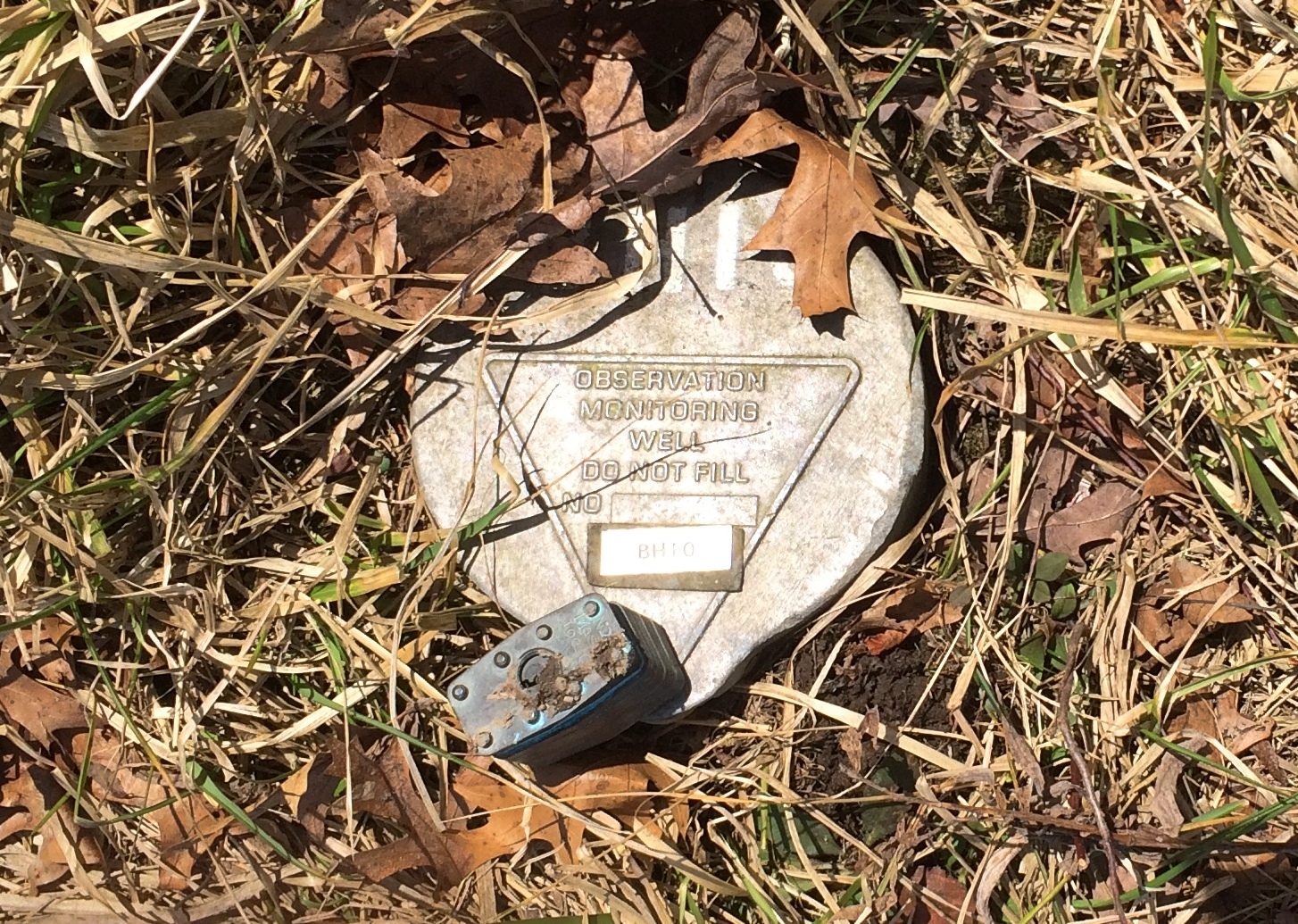
Saw this as well. A well.
Red Gate Woods
Maybe it is dangerous to dig there, but I couldn’t say for how long. Another century? A thousand years? More? Does Red Gate need a long-time nuclear waste warning? I’m not smart enough to know, but it would be interesting if the forest preserve district installed one.

And turn a few special cats loose in the area. Eh? Mental Floss mentions a plan — who knows how serious — to warn distant posterity of radioactive hazards using specially bred cats.

“But the strangest suggestion by far came from two German linguists. They argued that governments around the world should breed cats that turn colors when exposed to radiation. These so-called ‘ray cats’ could then be immortalized in song and legend, so that even after the scientific knowledge of radiation had been lost to the sands of time, folklore would tell of their supernatural power to change their fur in the presence of extreme danger.”
In song and legend. Someone has already written the song.

Hadley Valley Preserve

On Sunday after leaving the Joliet Iron Works Historic Site, we planned to get takeout at a place in Joliet found via Google Maps, but after driving a few blocks, an old-fashioned technique for finding something to eat kicked in. That is, we saw it ourselves, and stopped on impulse.

Chicken-N-Spice. The place looked good, and it was: crispy fried chicken, warm mashed potatoes and gravy and tender biscuits. It was still a little cool to eat outside, so we found a spot to park and ate in the car.

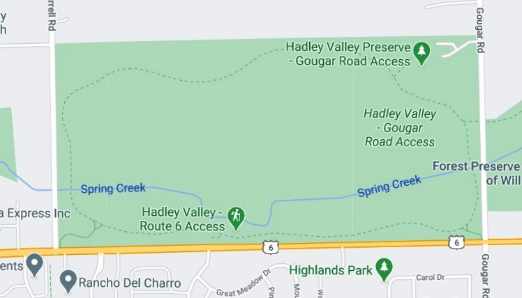
After lunch we drove to the Kansas-shaped Hadley Valley Preserve, a unit of the Forest Preserve District of Will County.

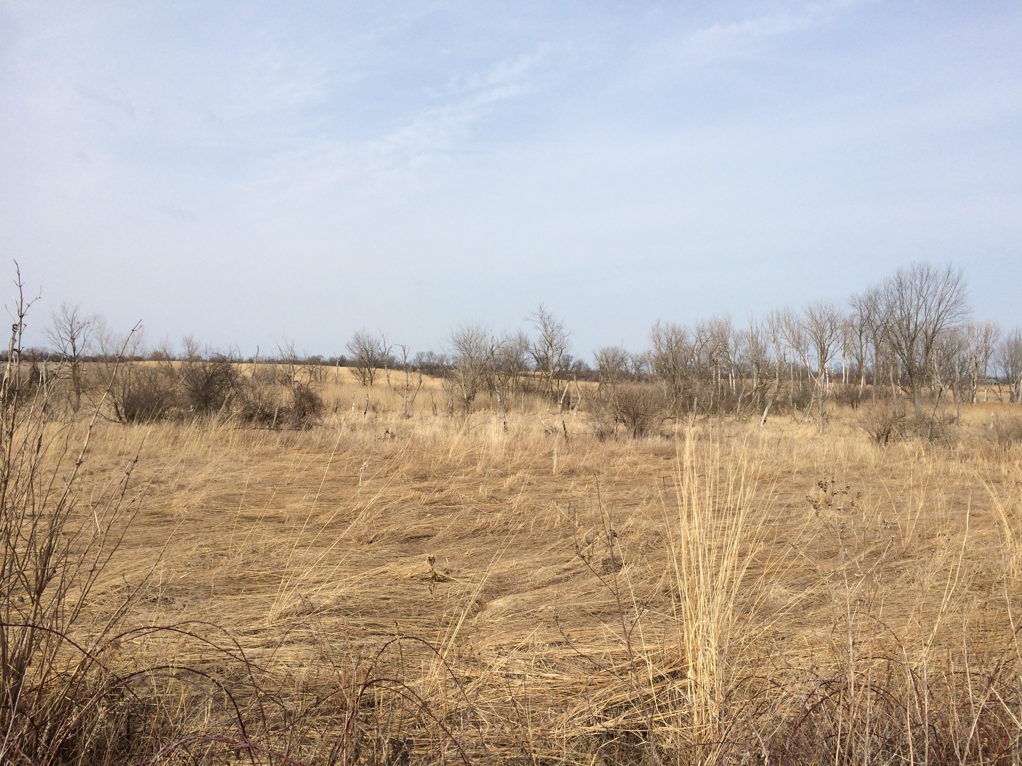
Not really much of a valley, but the 685-acre preserve is a savanna, according to the FPD: a grassland with scattered tree growth and a mix of shrubs and wildflowers (in season).

Looks that way.Hadley Valley Preserve

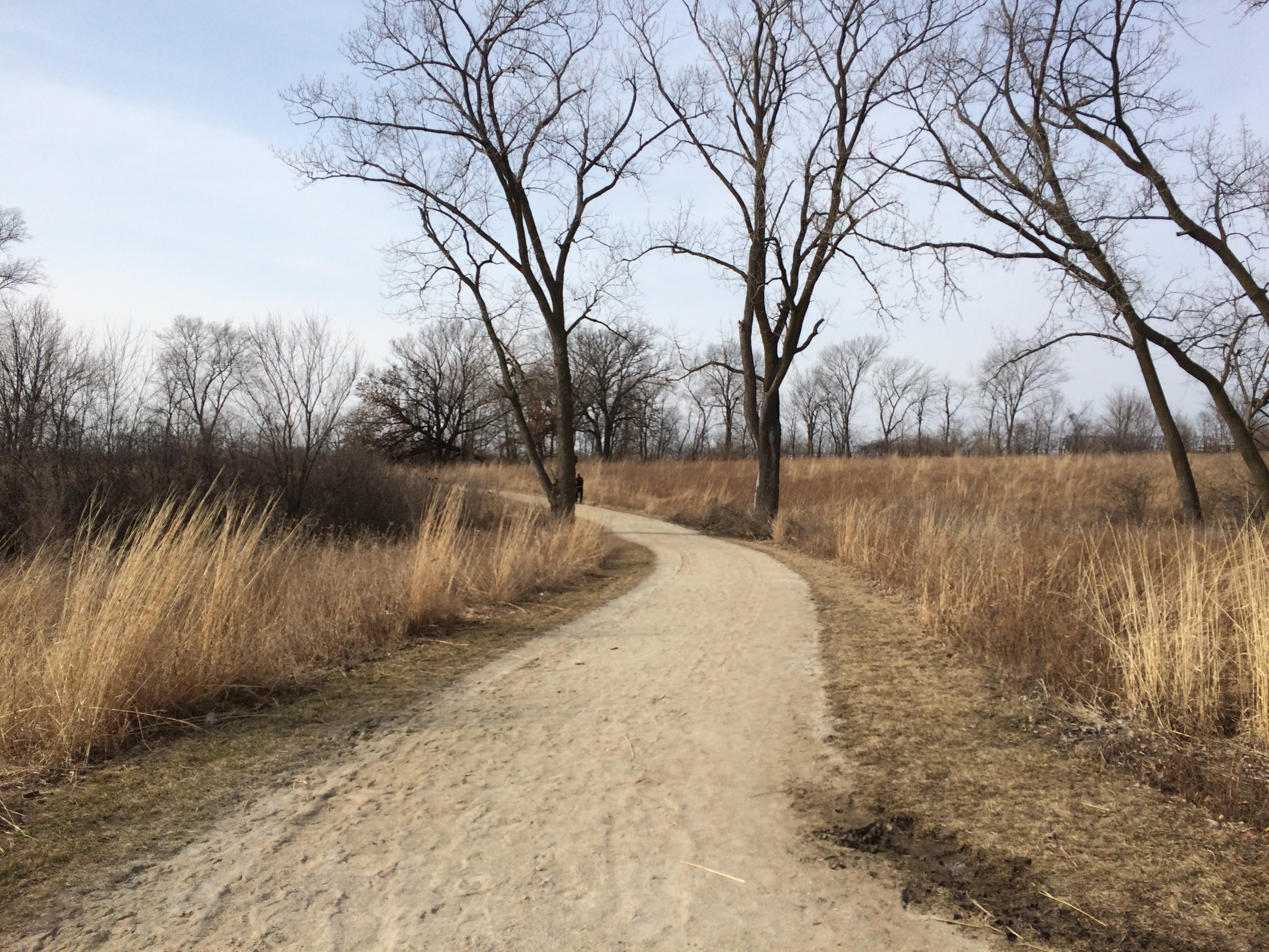
Hadley Valley PreserveThe trail makes an oval all the way around. We walked the whole thing counterclockwise, about 2.5 miles, with temps in the mid-50s and sunshine that wasn’t oppressive. Most of the mud had dried up by the time we walked it, unlike last week’s trail.
Hadley Valley Preserve
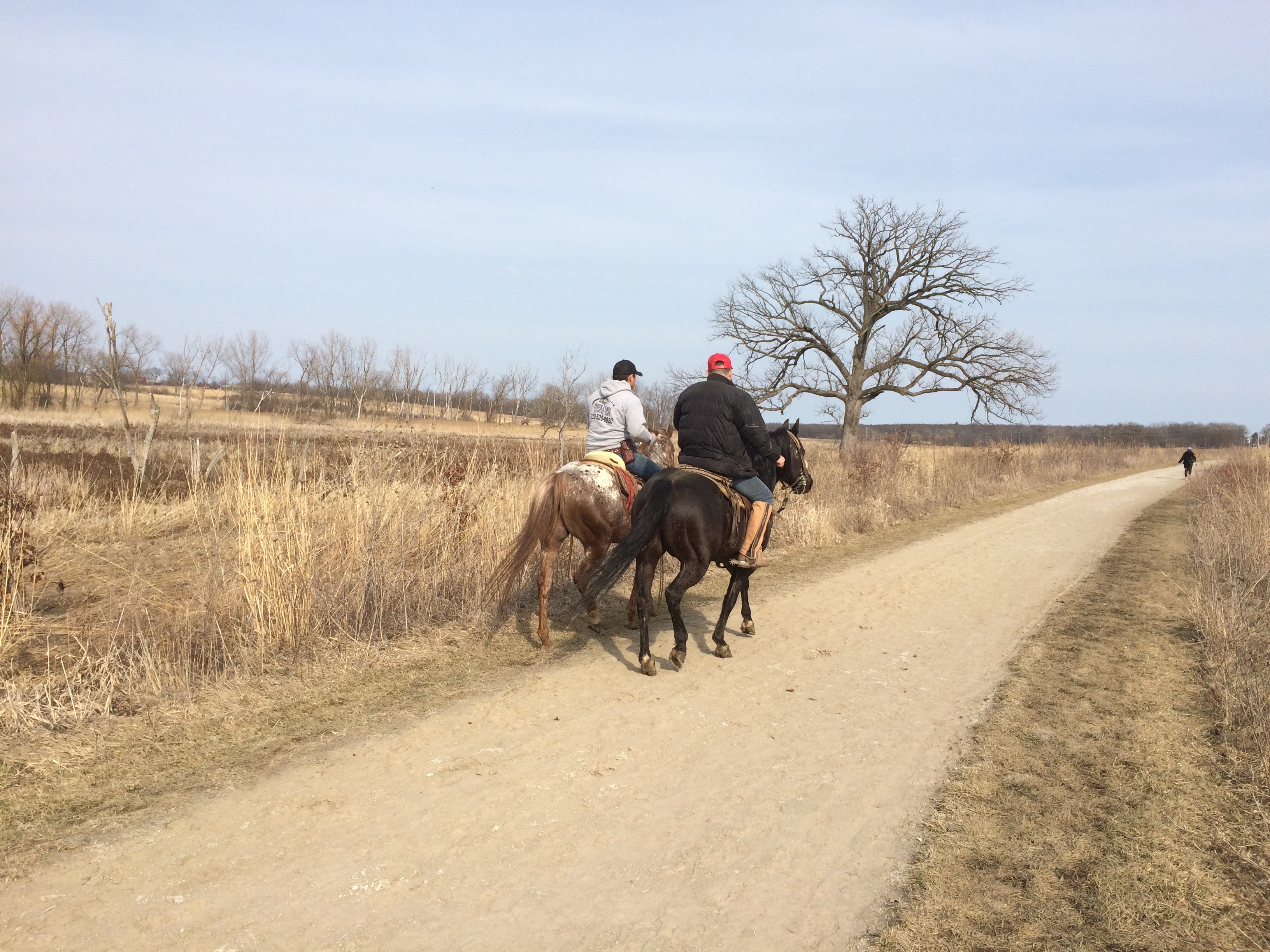
There were other walkers but also horses and their riders, about a dozen all together at one point or another on the trail.
Hadley Valley Preserve
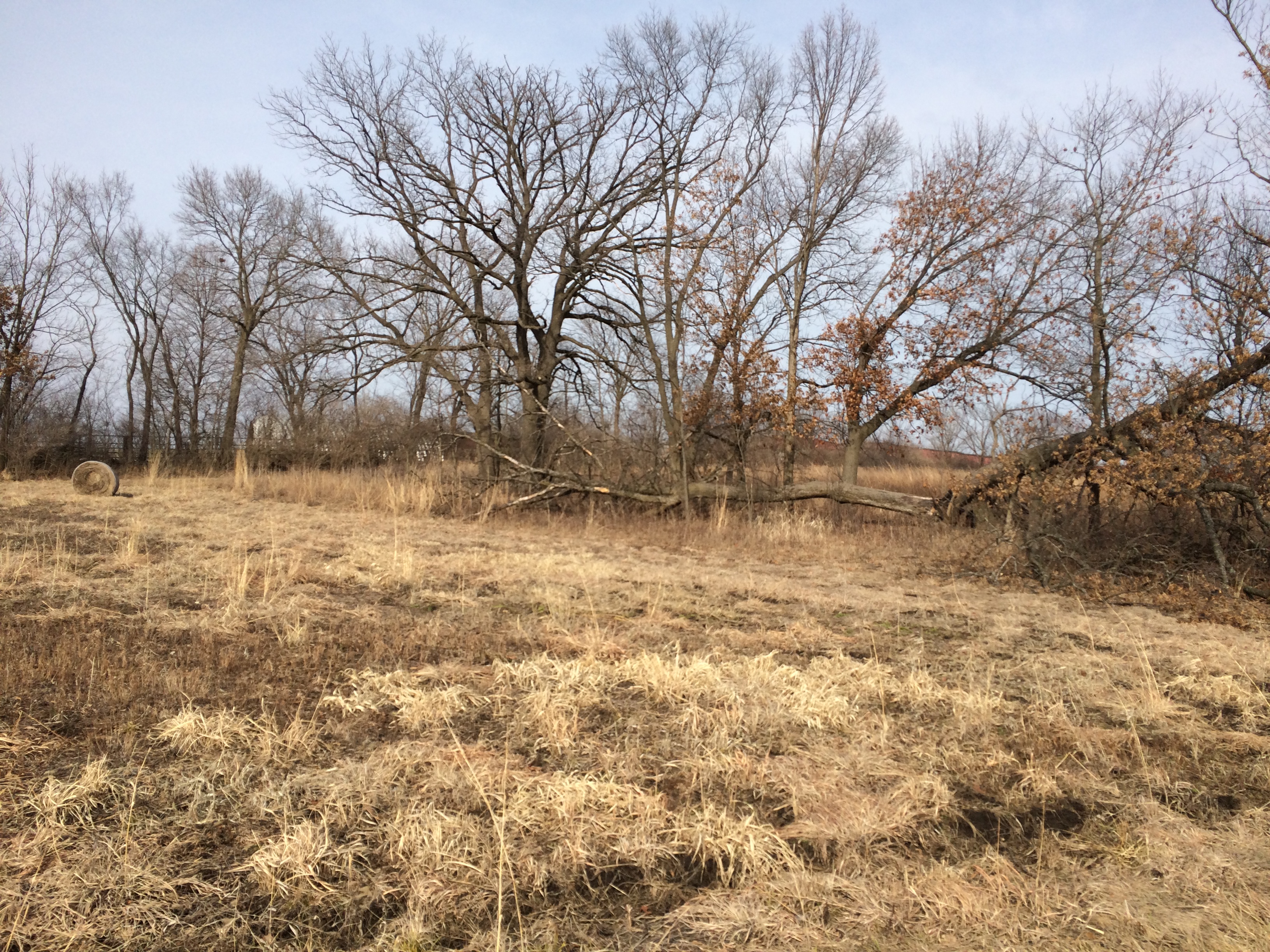
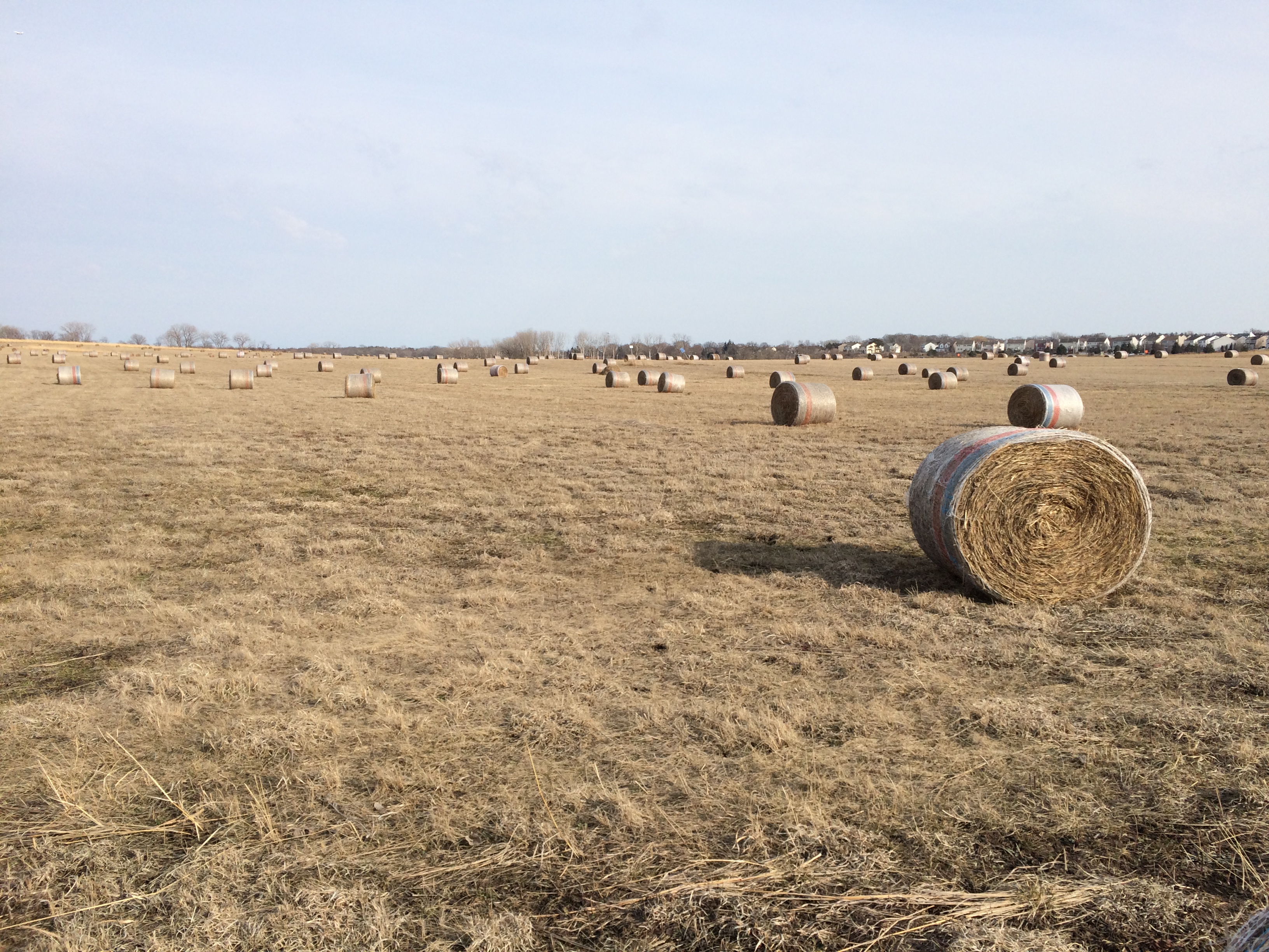
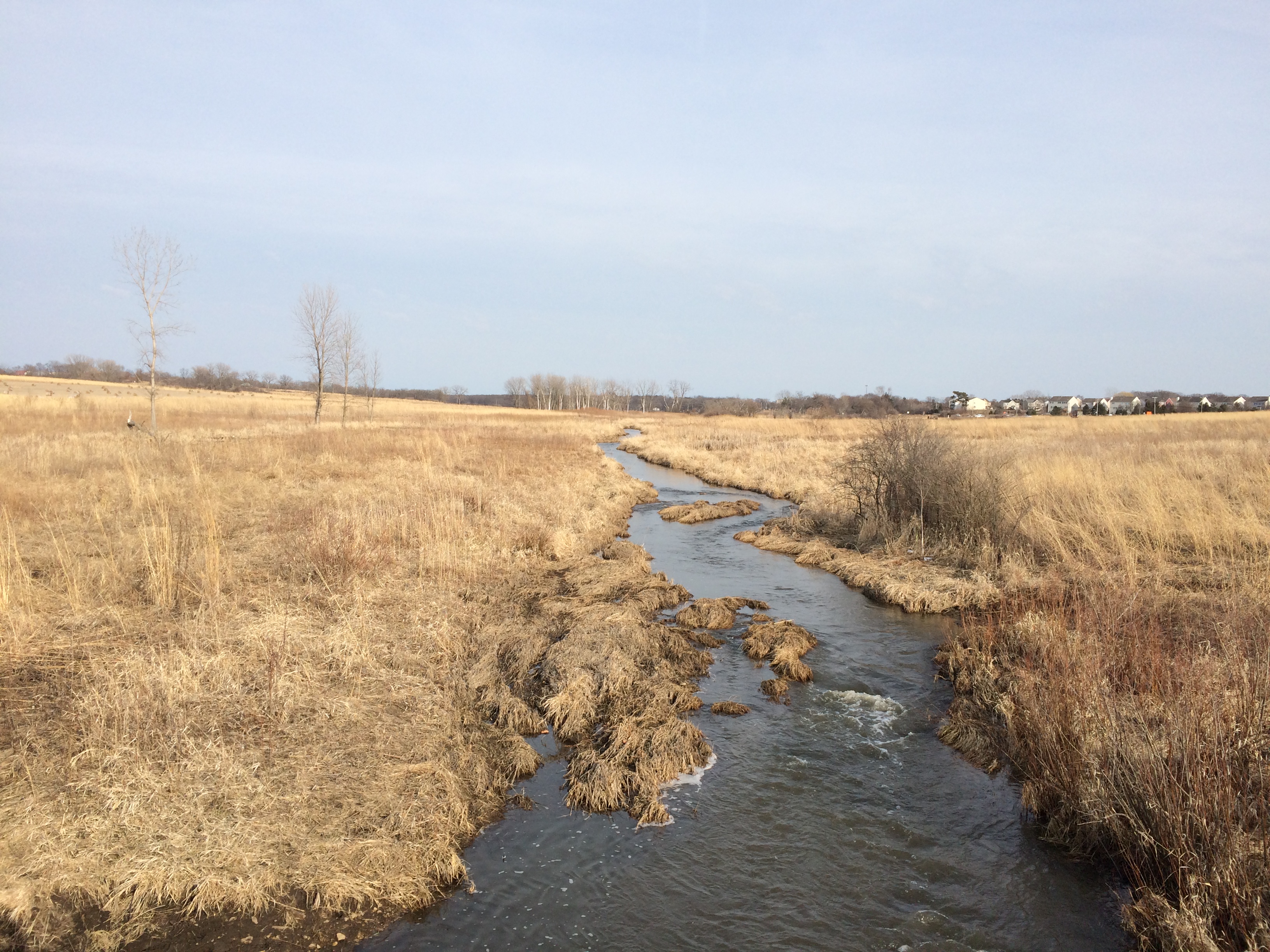
Rolls of hay. Not as picturesque as possible, but the scattered rolls have some charm.Hadley Valley PreserveSpring Creek runs from east to west through the length of the preserve.
Hadley Valley Preserve
The creek eventually connects with Hickory Creek in Joliet, and from there flows to the Des Plaines River and, of course, the far-off Gulf of Mexico eventually.

Joliet Iron Works Historic Site

For early March, and especially considering the snows and bitter days of February, Sunday felt gloriously warm. Temps were in the mid-50s by the early afternoon, and we needed no further encouragement to go find a place to walk, though it took some driving to get there.

We went south. There are lots of places to see in southern metro Chicago, including the Joliet Iron Works Historic Site.
Joliet Iron Works Historic Site
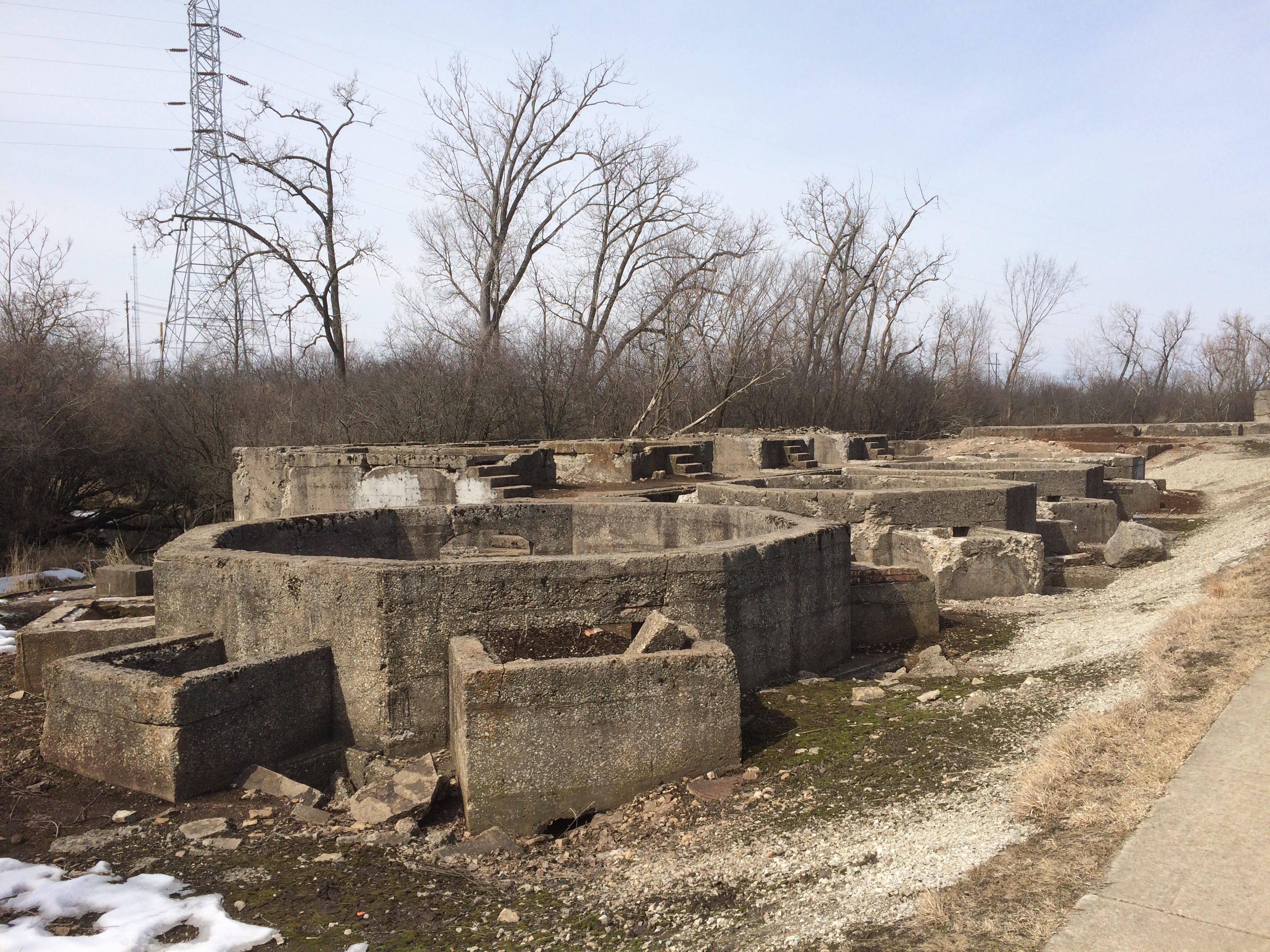
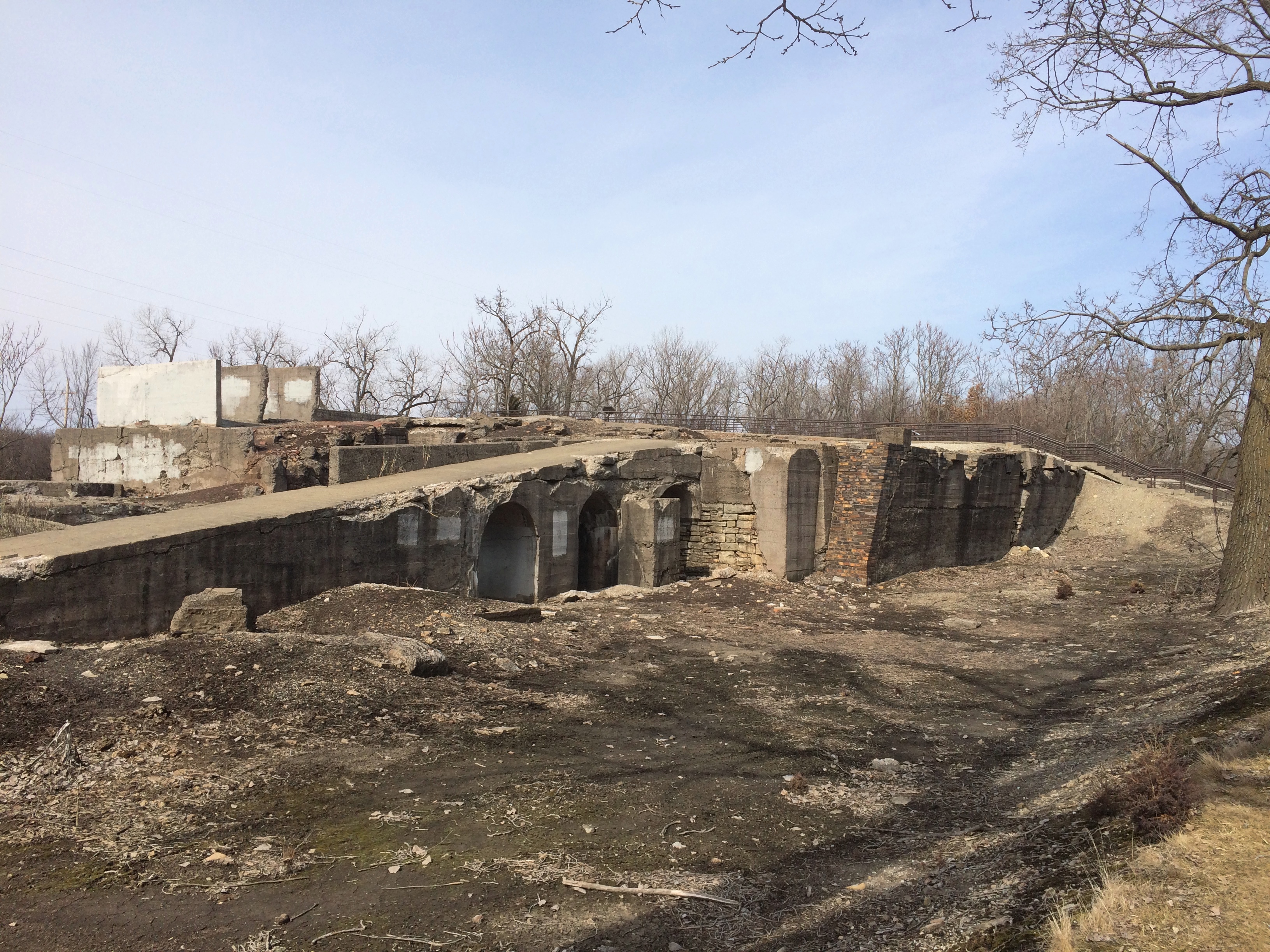
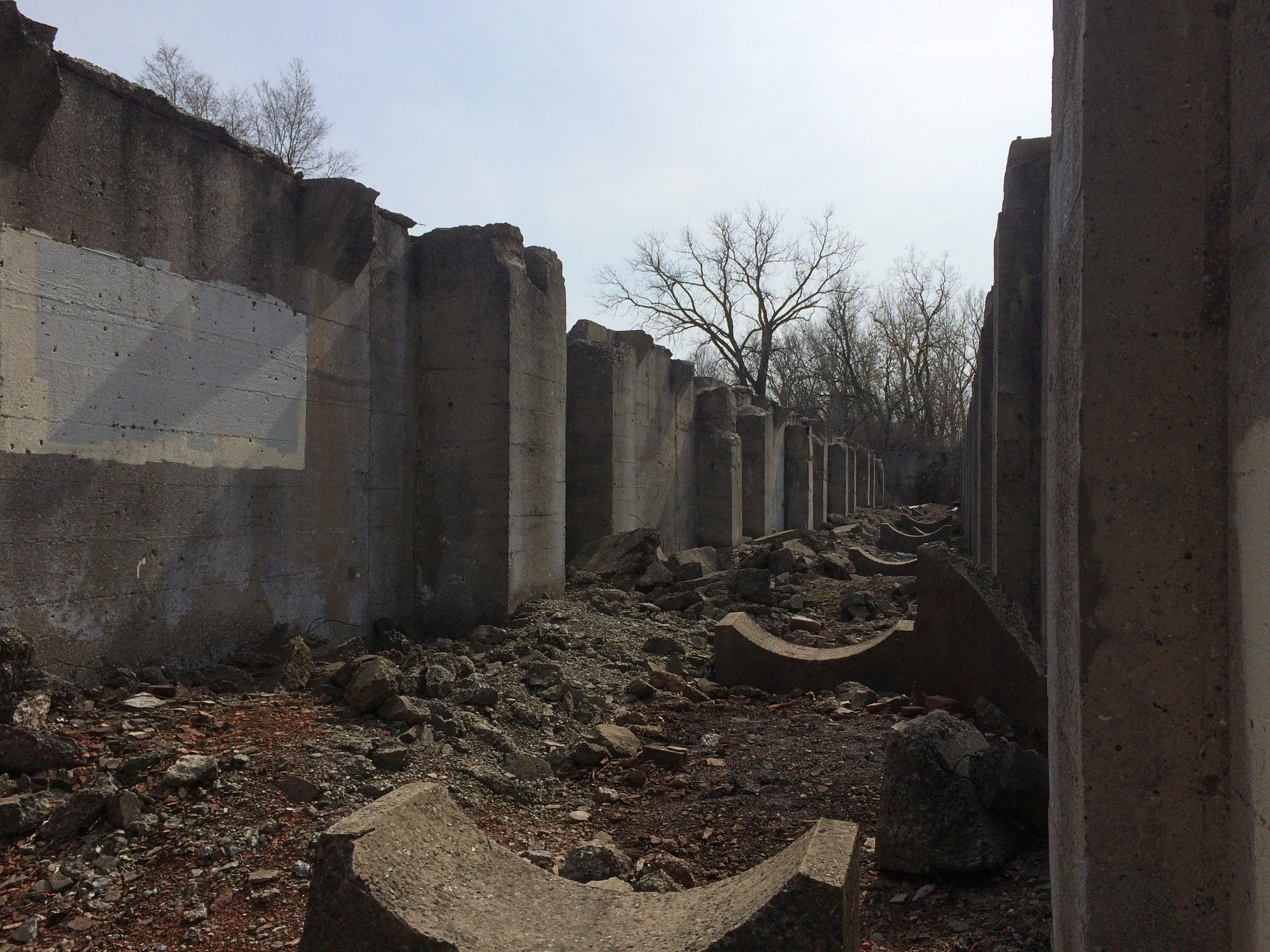
Industrial ruins, that is. Unfortunately not the towering metal husks you might see in Pittsburgh or Birmingham, Alabama, but worth a look all the same.

A path runs through the ruins about a half mile, roughly parallel to RR tracks to the east, and the Illinois & Michigan Canal to the west, though those aren’t always visible.
Joliet Iron Works Historic Site
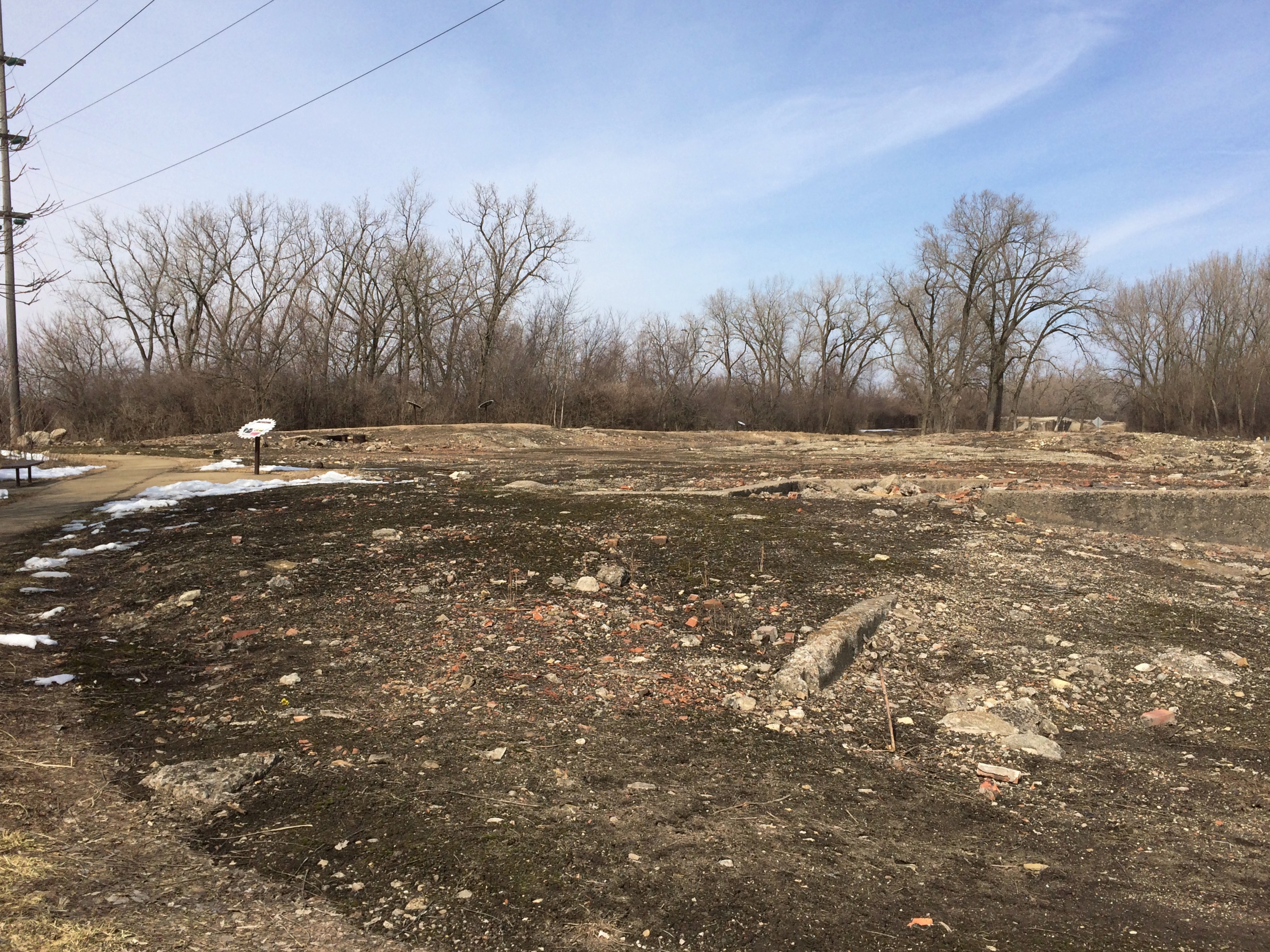
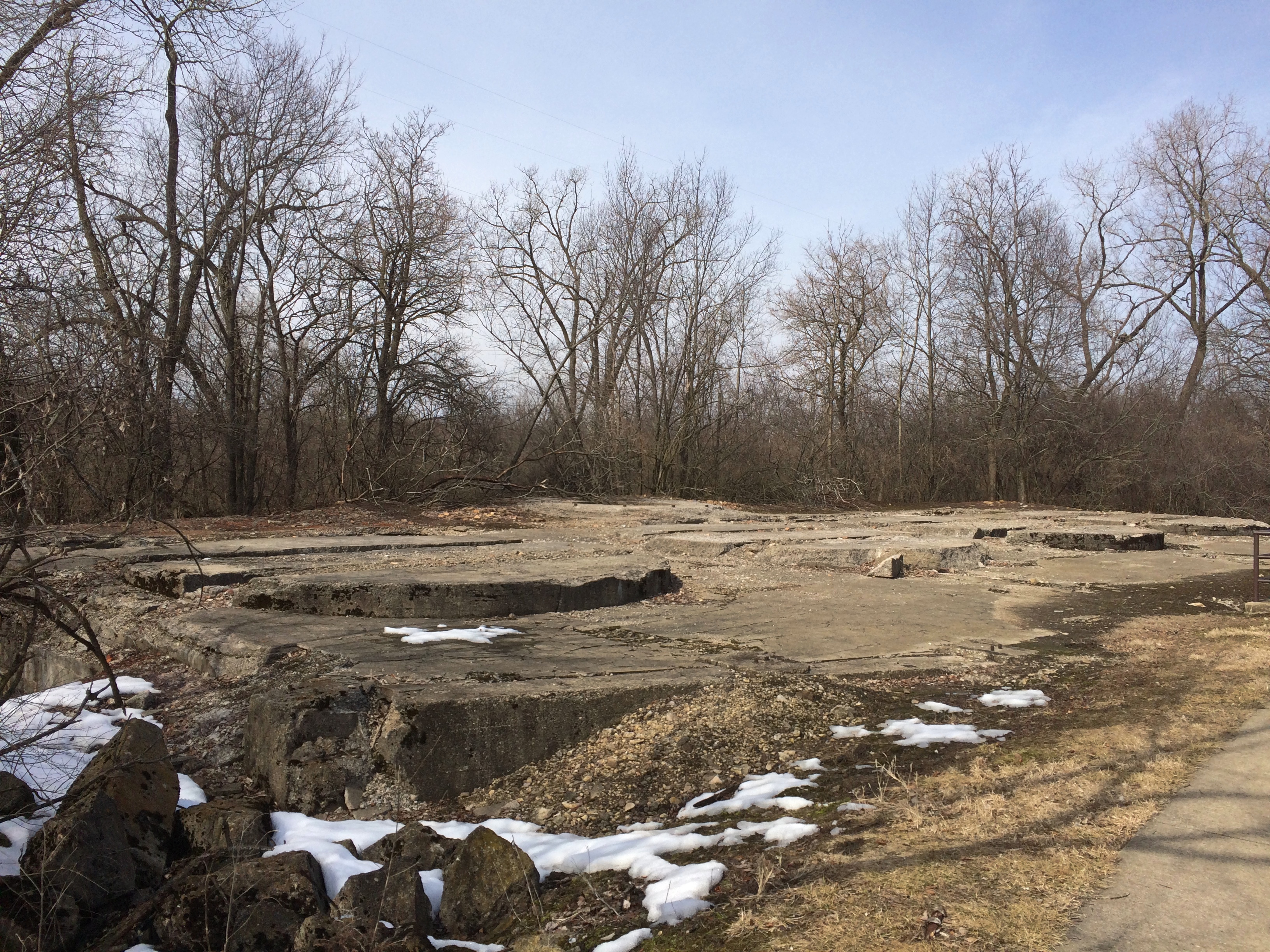
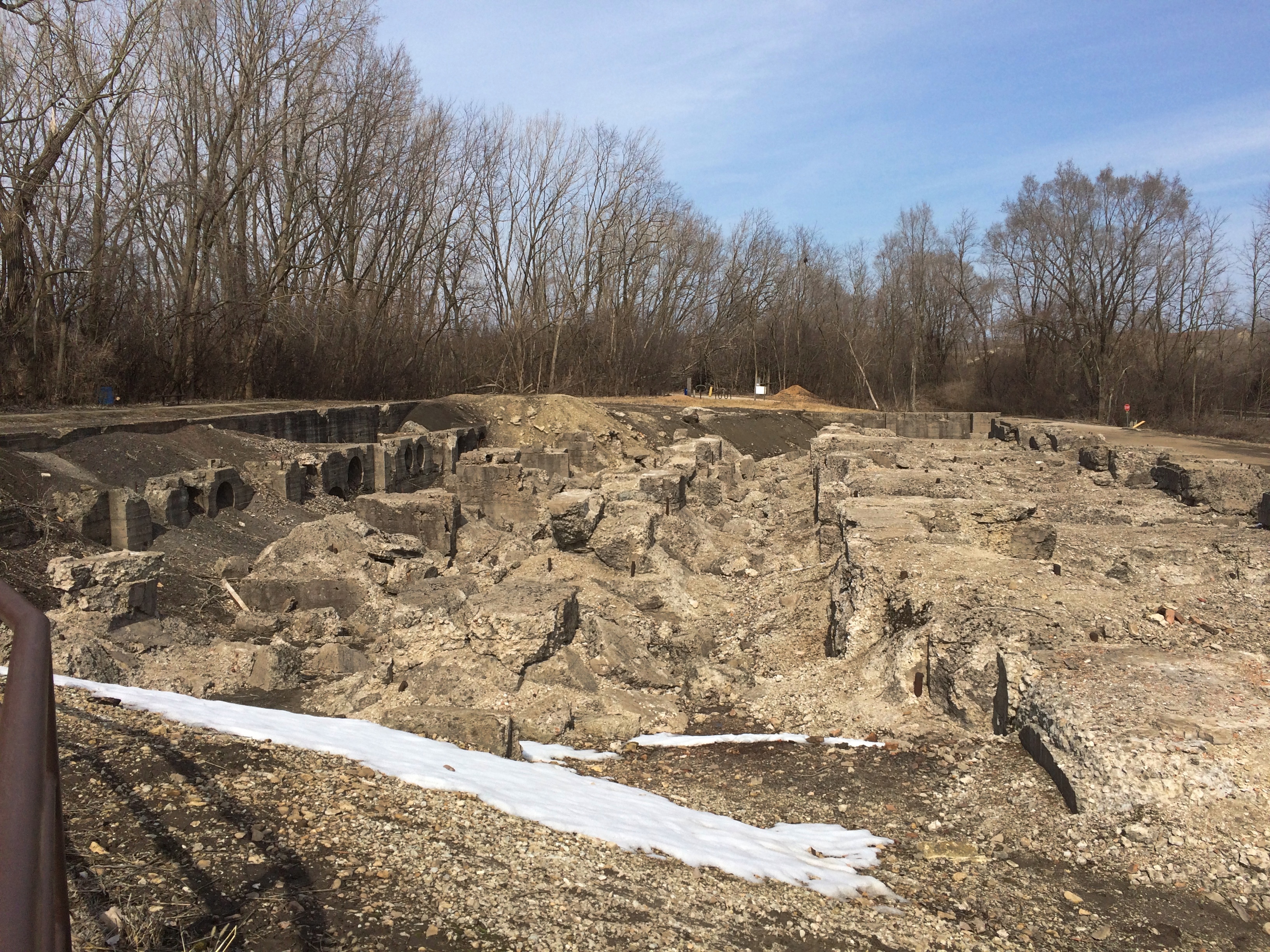
Toward the southern end of the site, it’s mostly rubble, and not always much at that.Joliet Iron Works Historic Site Joliet Iron Works Historic Site Joliet Iron Works Historic SiteFurther north, there are the stubs of the sizable structures that used to be there.Joliet Iron Works Historic Site Joliet Iron Works Historic Site Joliet Iron Works Historic Site

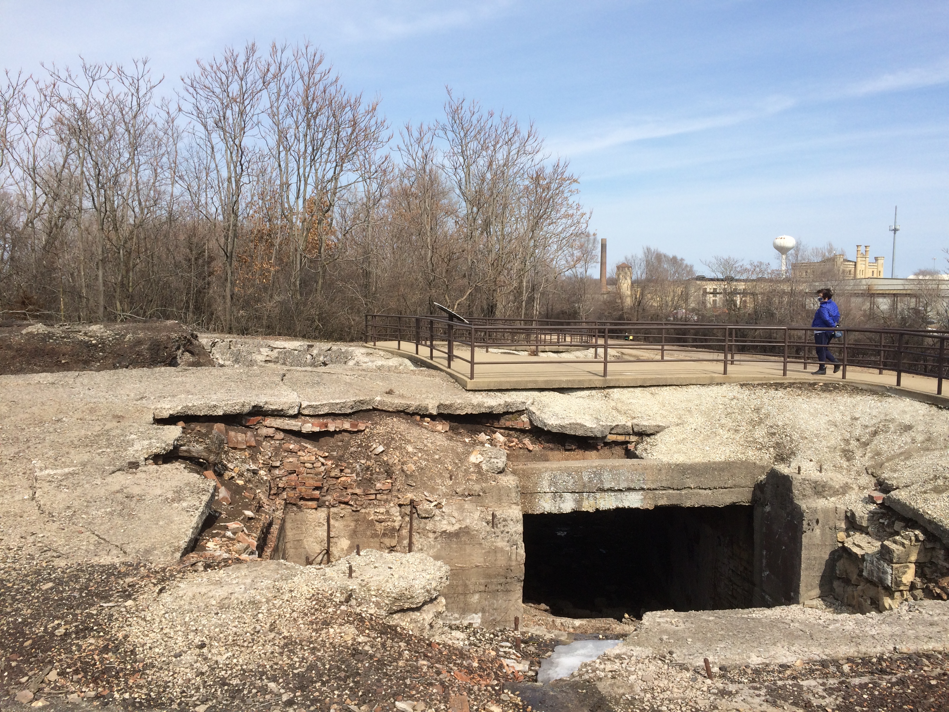
Including some dark holes.
Joliet Iron Works Historic Site
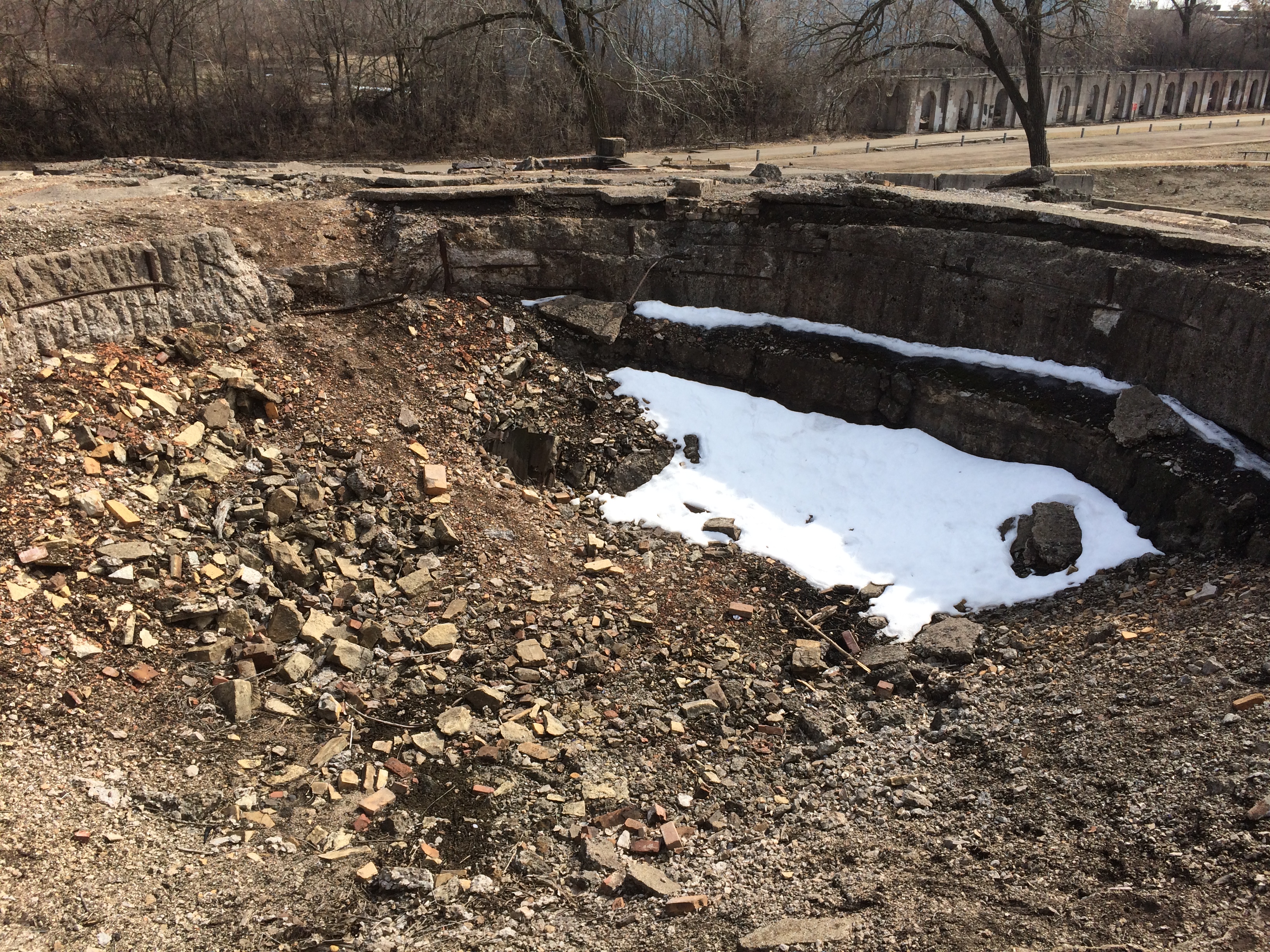
This pit is the foundation of a once mighty, and mighty dangerous, blast furnace.
Joliet Iron Works Historic Site
Once I was reminded of some of the images of Knossos that I’ve seen. Like this one.Joliet Iron Works Historic Site
“The factory opened in 1869 and was a massive facility for the time….” notes Atlas Obscura. “Employing four huge blast furnaces and a few thousand employees, the metal works produced around 2,000 tons of raw pig iron each day.”
Not sure where that figure came from. On site, one of the signs said that soon after the plant opened, the total was 50 tons of pig iron a day. By 1910, production was 400 tons a day.

“The plant kept putting out metals until 1936 when it closed for a short time before being reopened [for the war effort]. However, its new life was not to last that long either, as the works became unprofitable and were abandoned in the 1980s.”

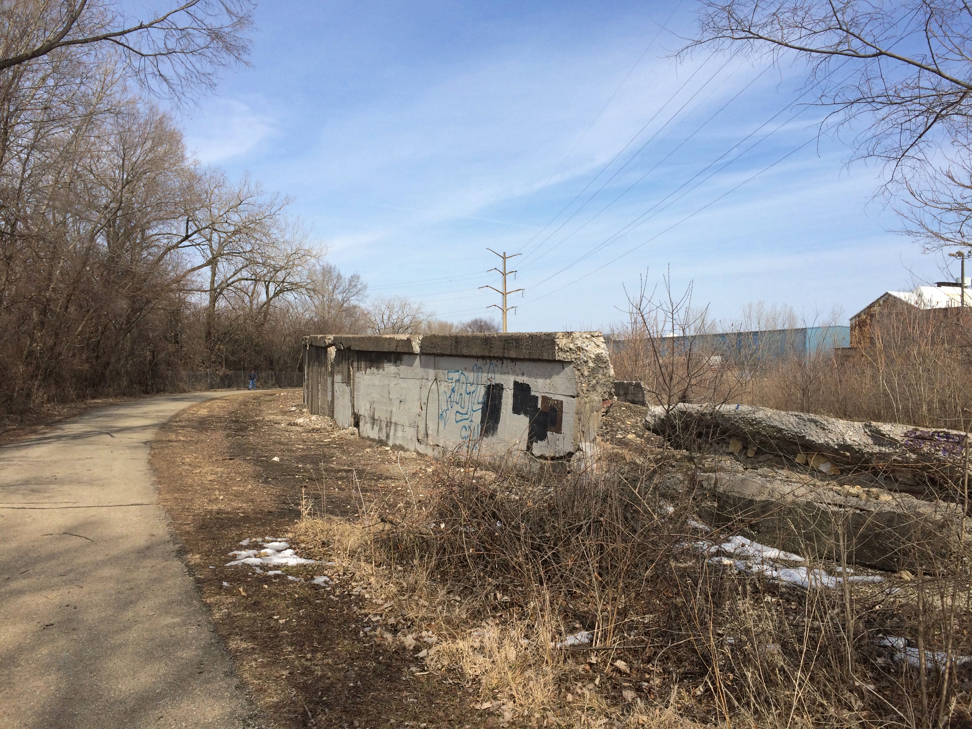
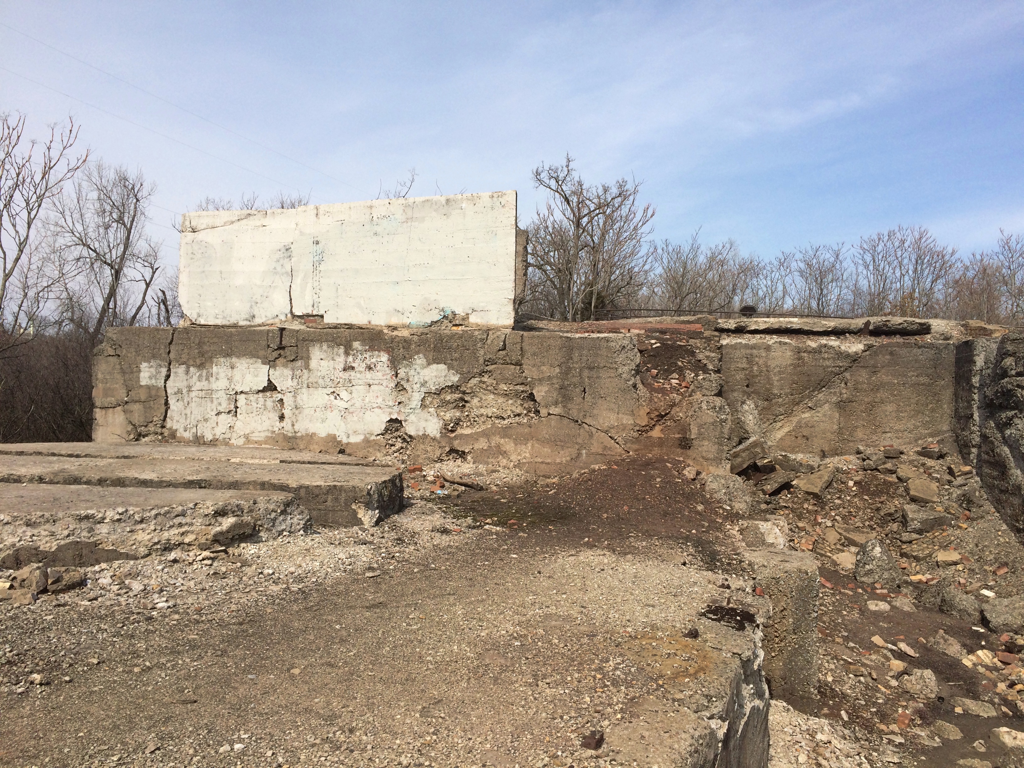
Surprisingly little graffiti marks the ruins, though there are places where it’s clear it has been painted over. Such as here.
Joliet Iron Works Historic Site
But new graffiti is probably added regularly.
Joliet Iron Works Historic Site
The Forest Preserve District of Will County acquired the site in the 1990s, and stabilization efforts have been enough to allow it to be open to the public. Parts of the site, anyway.
Joliet Iron Works Historic Site
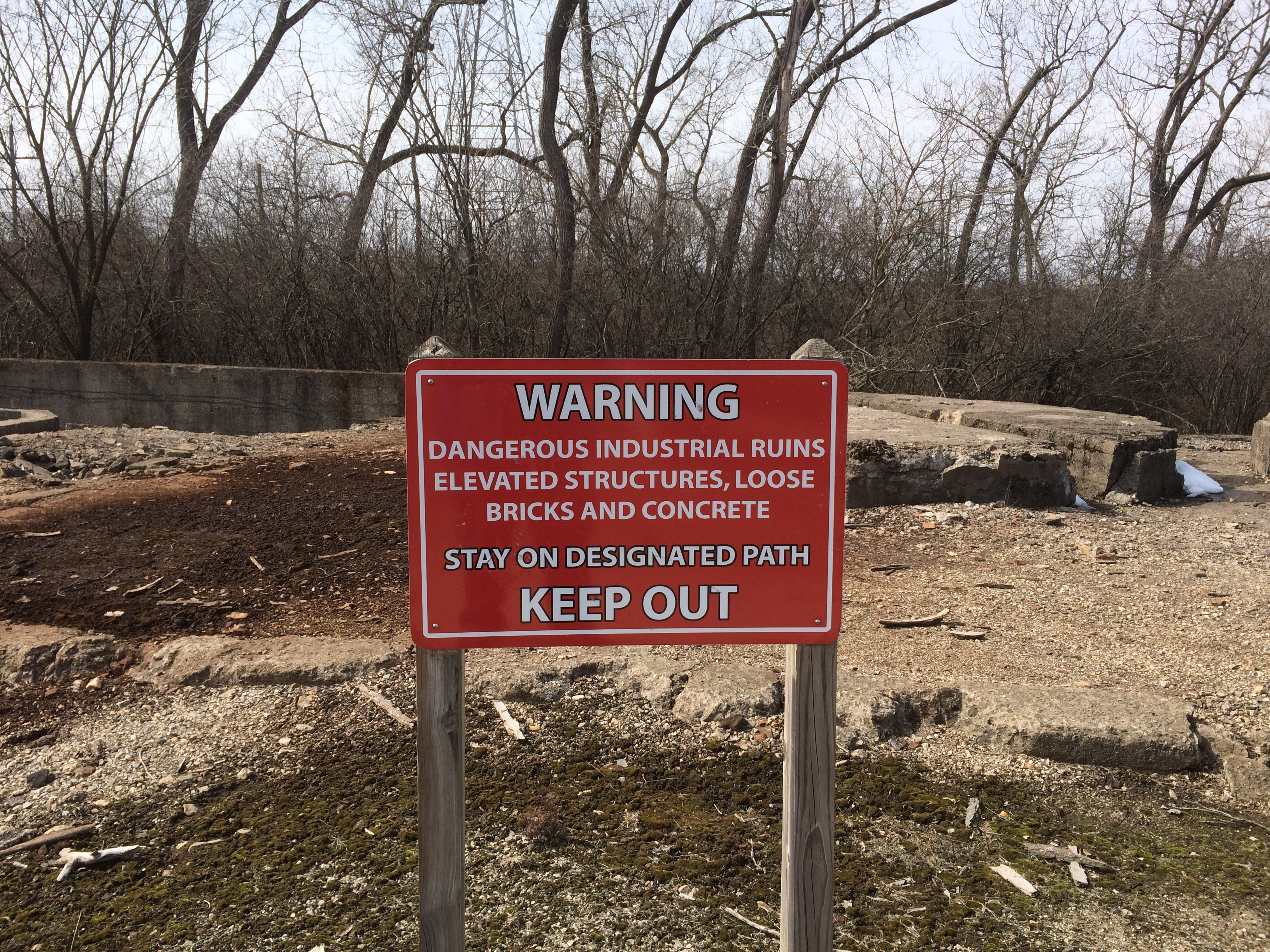
You can’t say you haven’t been warned.

Cricket Creek Forest Preserve

Saturday wasn’t exactly warm, but it was above freezing, sunny and mostly windless, which had been true for some days before that. So we figured forest preserve paths might be clear of ice at least. We were mostly right, but not completely.
Cricket Creek Forest Preserve
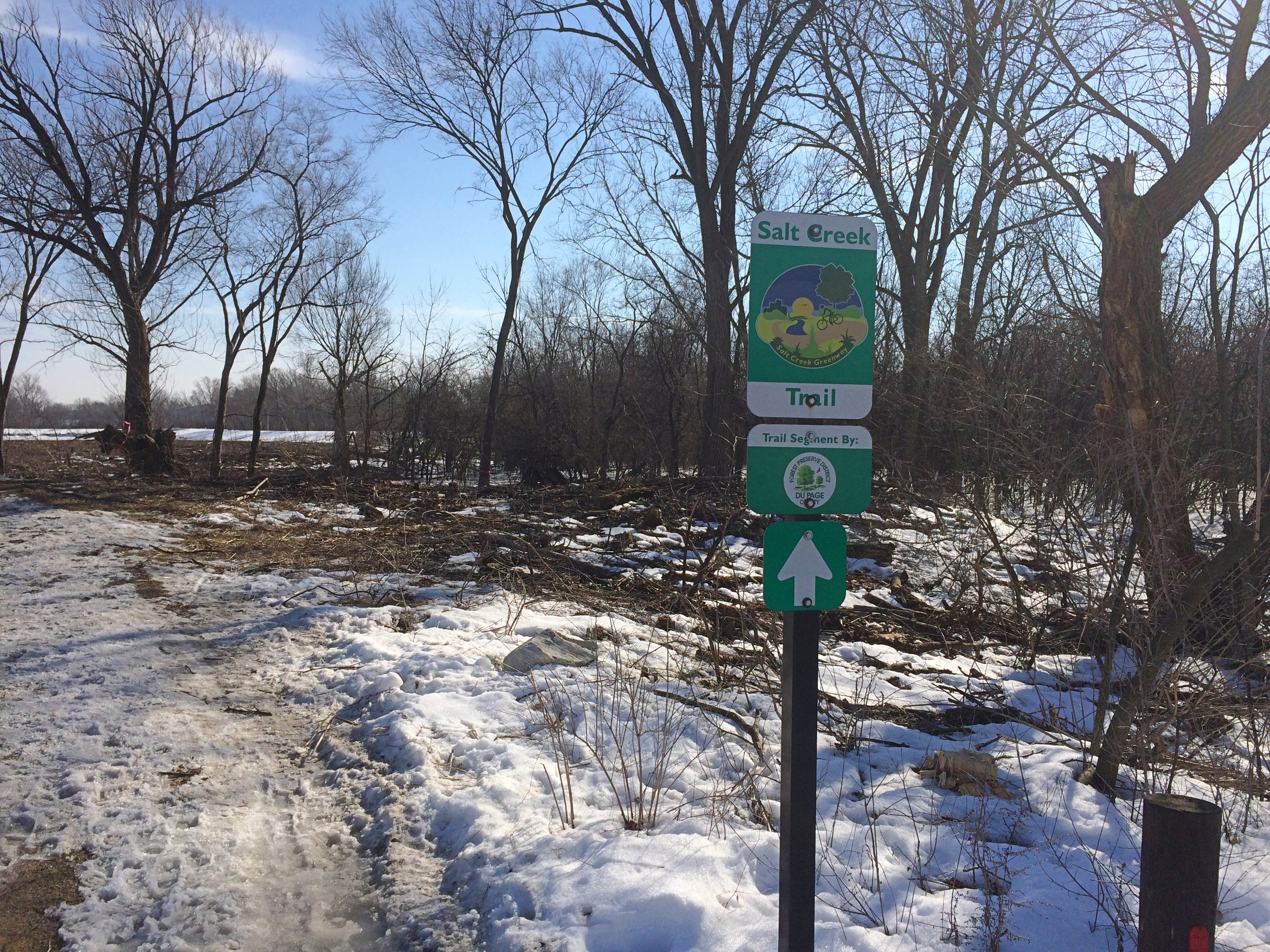
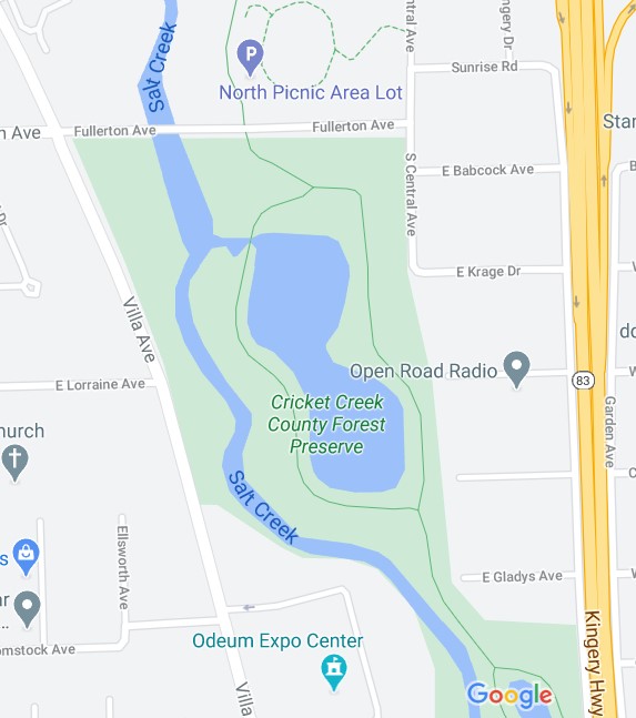
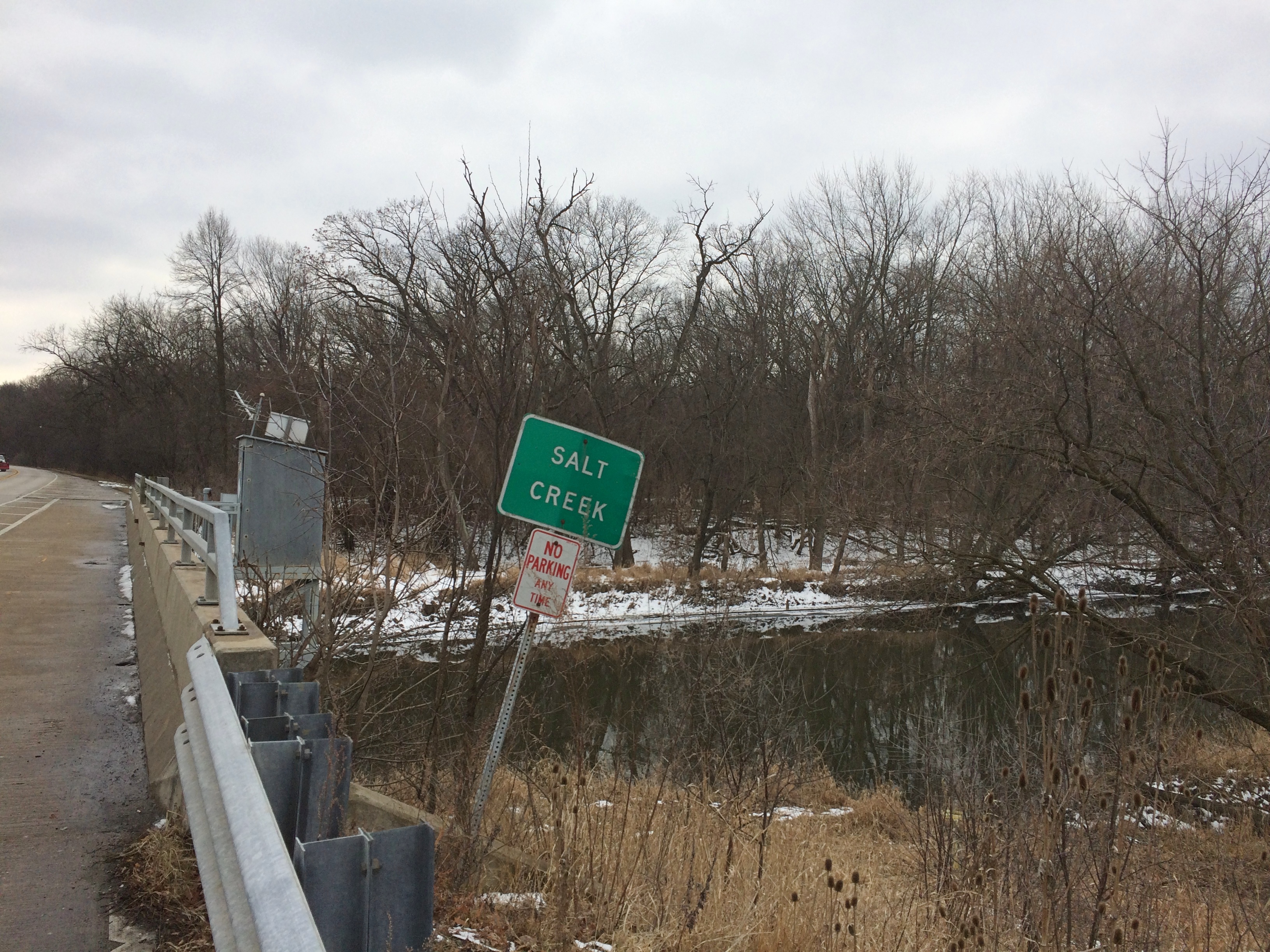
That’s at the north entrance of Cricket Creek Forest Preserve in Addison, which generally follows Salt Creek as it meanders through DuPage County. The Salt Creek Trail runs through the 208-acre forest preserve.

The map depicts only the northern section of Cricket Creek. Further south are two more ponds, including one reserved for model boat sailing.

“The land was prairie until the late 1930s, when it started to transform into agricultural fields dotted with homes,” the DuPage County FPD says. “The Forest Preserve District acquired the first 40 acres in 1974 and made subsequent purchases through 2016, eventually transforming a flood-prone housing development into a beautiful forest preserve.”

The trails are crushed limestone.
Cricket Creek Forest Preserve
The photos don’t really show it, but underfoot on the path was a crushed limestone slush, making for occasionally sicky mud. Better than ice, I’d say.
Cricket Creek Forest Preserve
We made it most of the way around the pond, until we came to patches of unmelted snow and ice.
Cricket Creek Forest Preserve
So we turned around and went to the other side of the pond, essentially doing a U-shape partly around the pond. Not the most idyllic walk, but walking ought to be an all-season activity, including winter — mild winter days, that is.

Bemis Woods

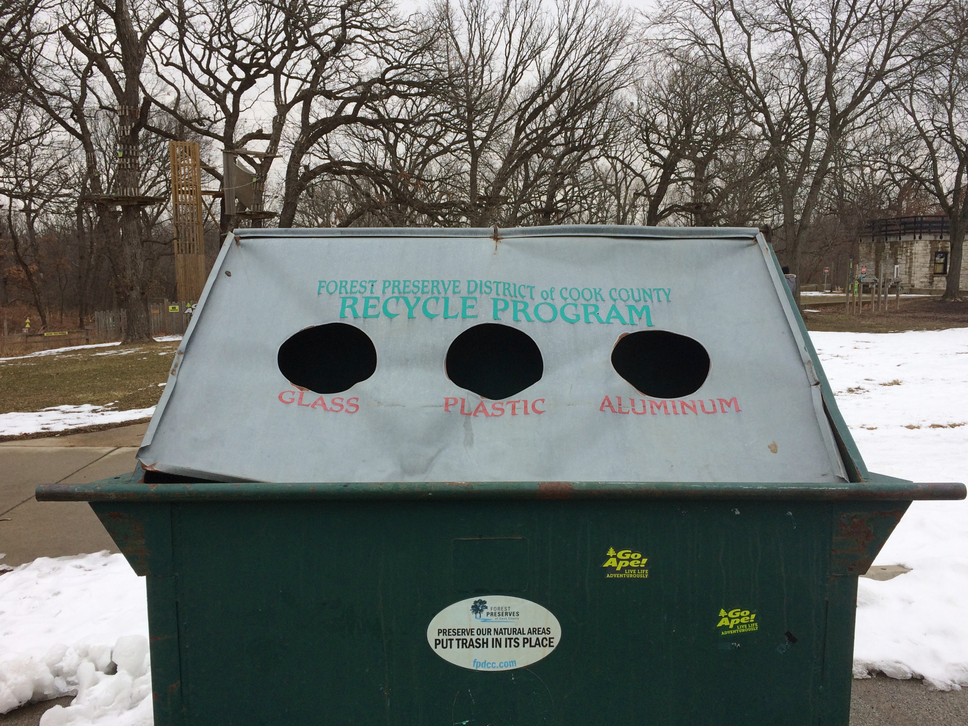
This is the funniest thing I saw over the weekend.
Bemis WoodsA recycling container belonging to the Forest Preserve District of Cook County. As soon as I saw it, I had the urge to peek inside. You’d expect three separate spaces, right? No. Everything goes into the same large space.

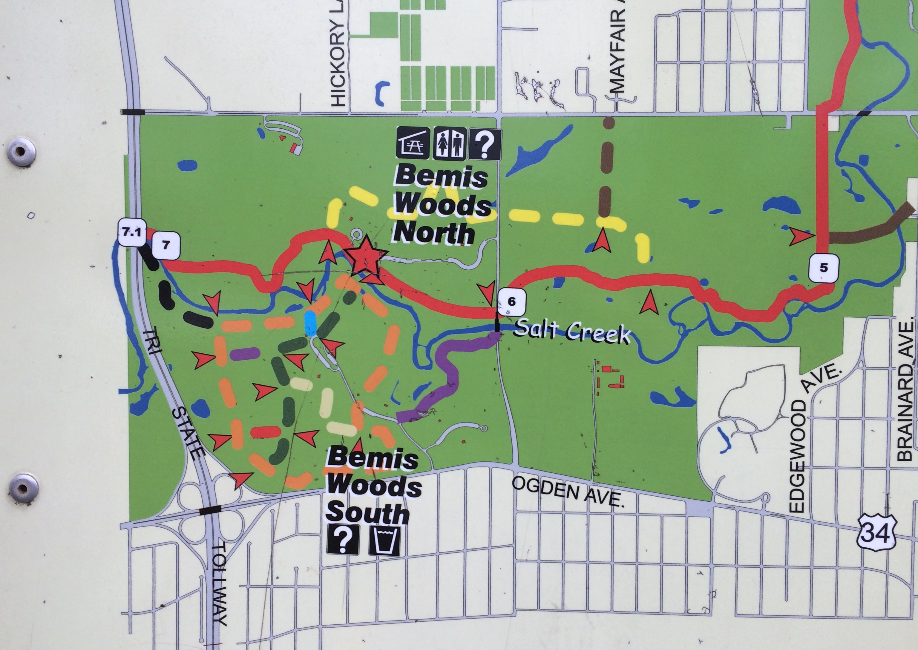
We were at Bemis Woods, a forest preserve in Westchester, Illinois, a western suburb just to the east of the DuPage County line and I-294.
Bemis WoodsWe walked from the parking lot to the green trail, then the red trail, then the purple trail, then on the road back to the parking lot. About a mile and a half in all. The trails were a little treacherous.
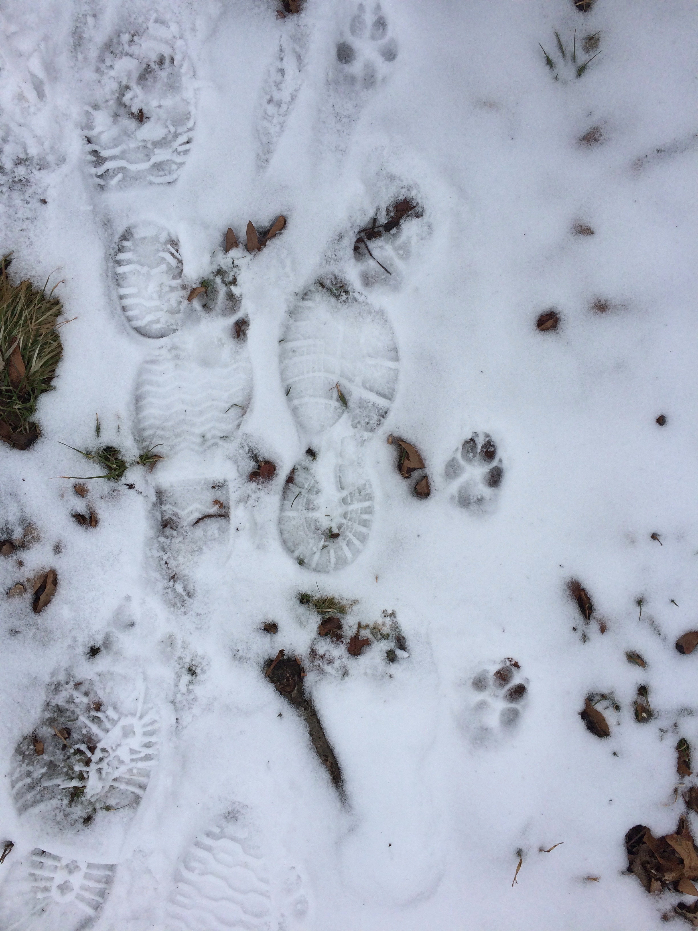
Bemis WoodsThe snow cover was thin, and where previous walkers had been, some of the snow had been scuffed enough to re-freeze as ice. Some parts of the trail were well covered with slippery zones, others less so.

Evidence of many other walkers, people and dogs, was easy to spot.
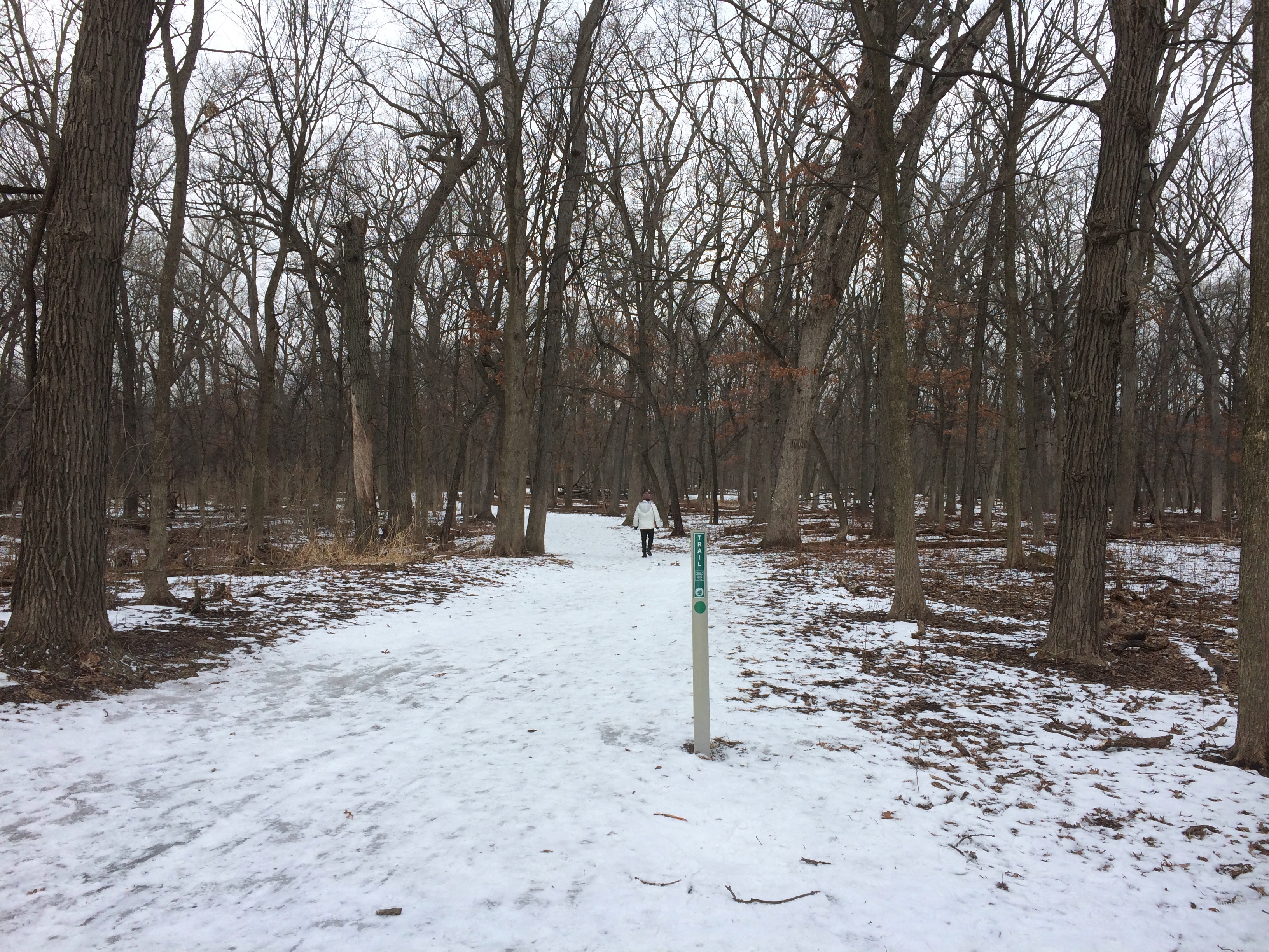
Bemis WoodsStill, it was a good walk through the woods at just below freezing.Bemis Woods

Bemis WoodsBemis WoodsWe crossed Salt Creek twice. Once at a footbridge. The view from there.
Bemis WoodsOnce along Wolf Road.
Bemis WoodsA good walk, but summer’s better on the whole. As it is for most things. The last time I was near Bemis — a little to the west, that time — was in August more than two years ago.

Poplar Creek, Winter ’21

So far winter hasn’t been all that harsh. No blizzards, no subzero stretches. We’ve gotten snow a few inches at a time, which has thinned out during days just above freezing. Still, I suspect an Arctic blast is coming soon. Probably after the heavy snow due tomorrow night.

In the meantime, temps around freezing mean we can take walks in forest preserves. Not long ago we took the dog out to the Poplar Creek Forest Preserve (formally the Arthur L. Janura Forest Preserve). It’s close by here in the northwest suburbs, but we hadn’t been in a good while.

Poplar Creek FPPoplar Creek FPPoplar Creek FPOff the main path is a path to Bode Lake.
Poplar Creek FPPoplar Creek FPLooks frozen over, but I bet the ice is pretty thin, so no walking on the lake unless you’re a small creature. No ice fishing either. If that’s the price of a mild winter, I don’t mind.

Voyageur Landing

Two days after Christmas, it was warm enough to visit yet another forest preserve. This time of the year, any day above freezing without patches of ice counts as good enough for a walk. Snow and ice would fall a few days later.

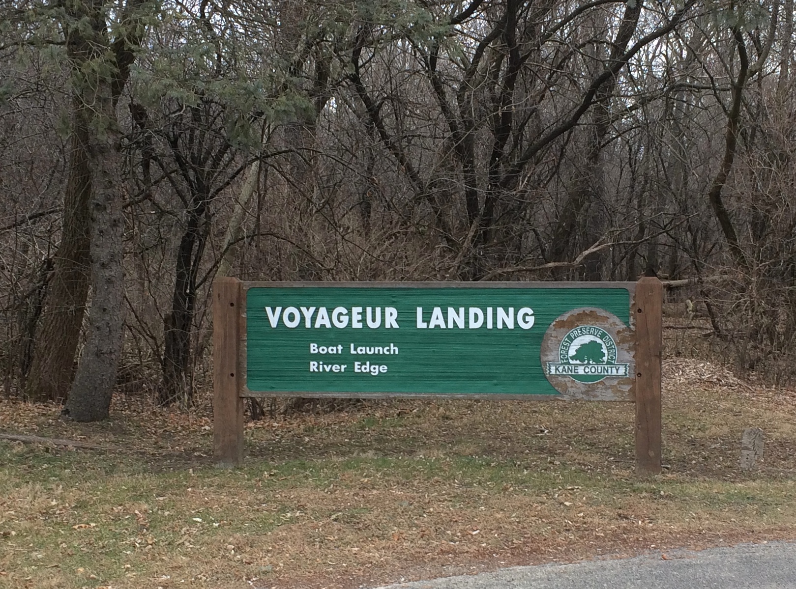
We went to a relatively small patch of land in Kane County, hugging the west bank of the Fox River: Voyageur Landing.

Voyageur LandingDid roving Frenchmen pass this way in centuries past? Could be. In late December 2020, not many people at all were there, just us and a dogwalker and a jogger or two.
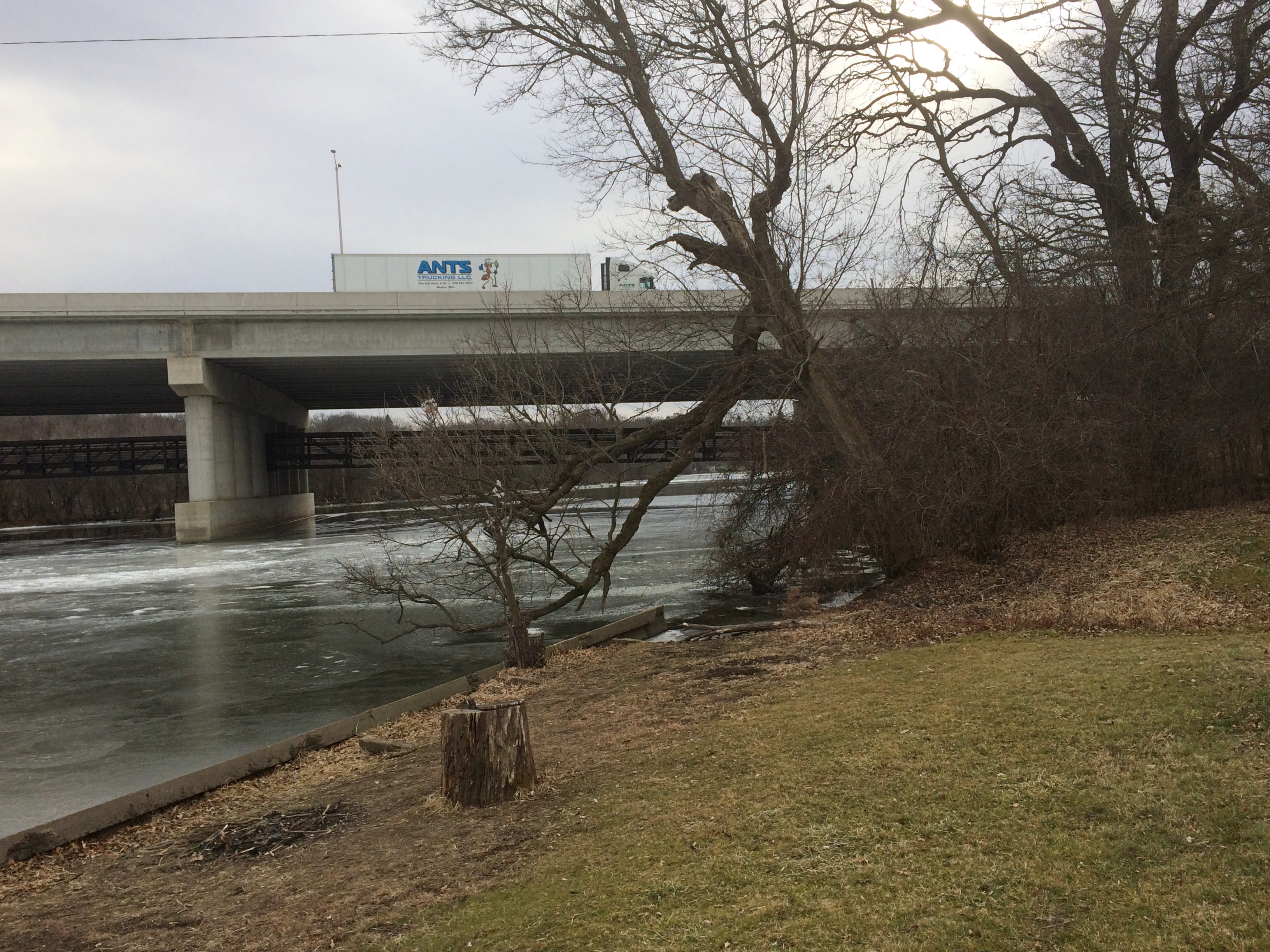
The preserve stretches to the north of the bridge that takes I-90 across the Fox.
Voyageur LandingFrom there you follow the river.
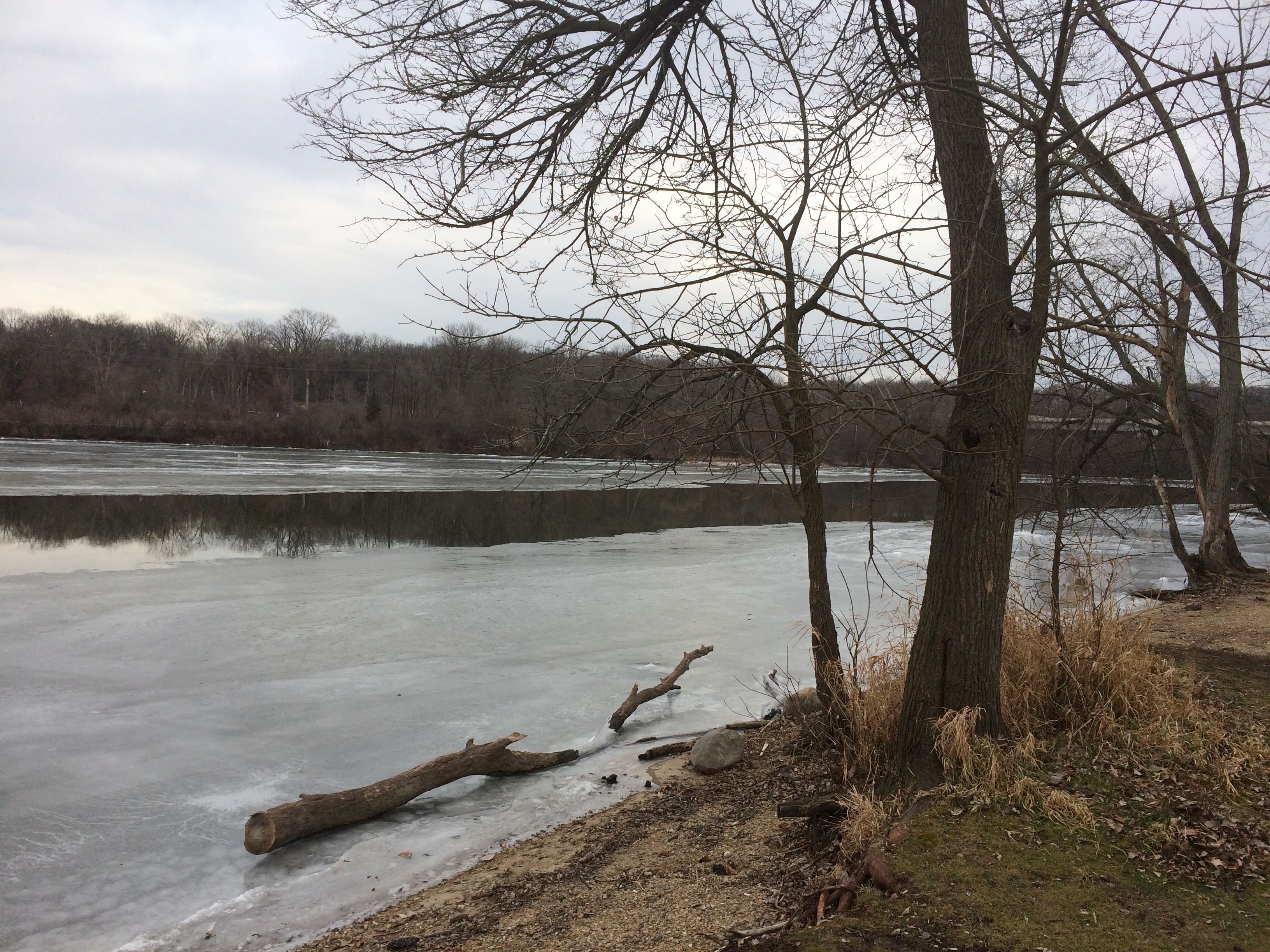
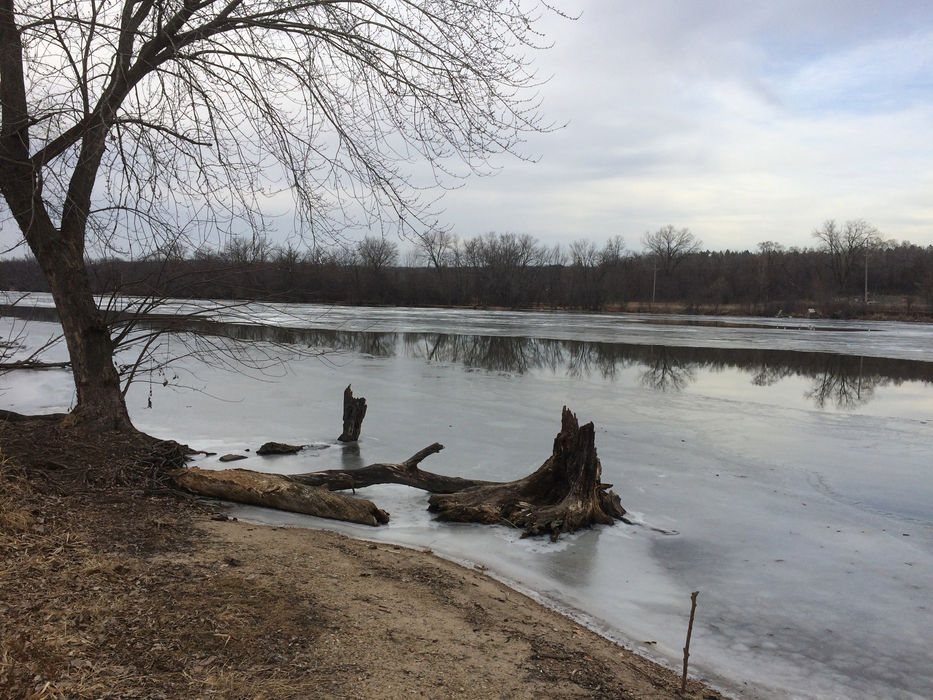
Voyageur LandingVoyageur LandingThrough the wintertime forest.
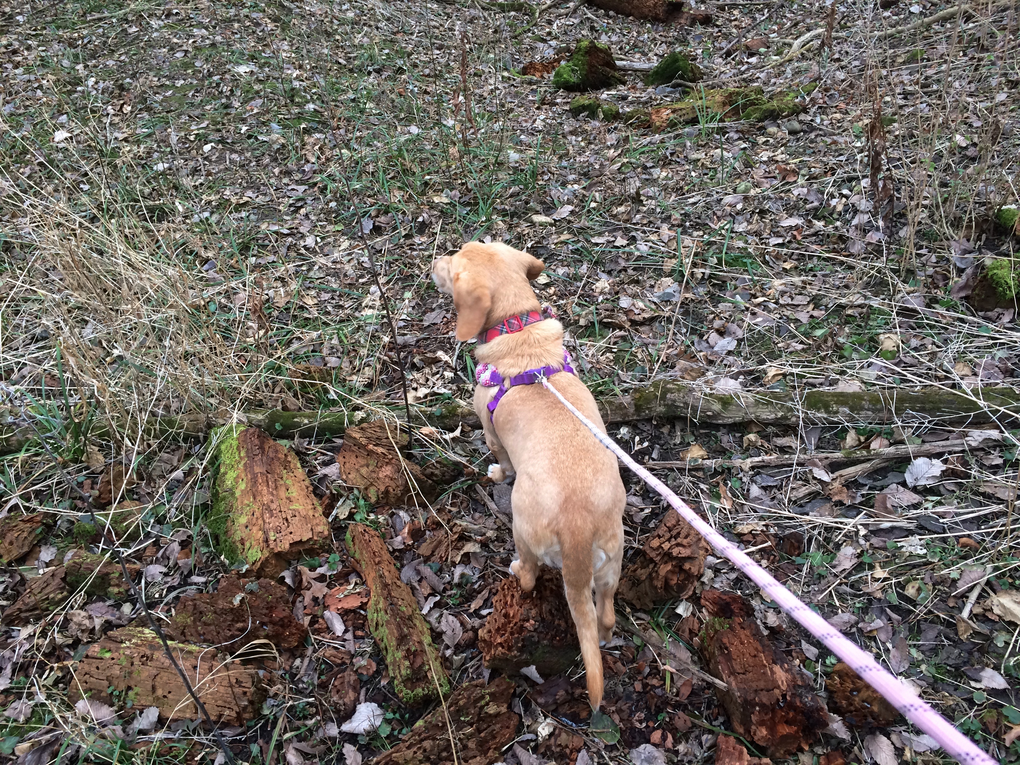
Voyageur LandingVoyageur LandingVoyageur LandingShe found a large number of places to sniff. Not so surprising even for an old dog.

Rolling Knolls

The weekend turned out to be fairly mild, with temps over 40 during the days and no rain or snow. Time to find a new forest preserve and take a walk. We went to one to the west of us, but still in Cook County: Rolling Knolls.
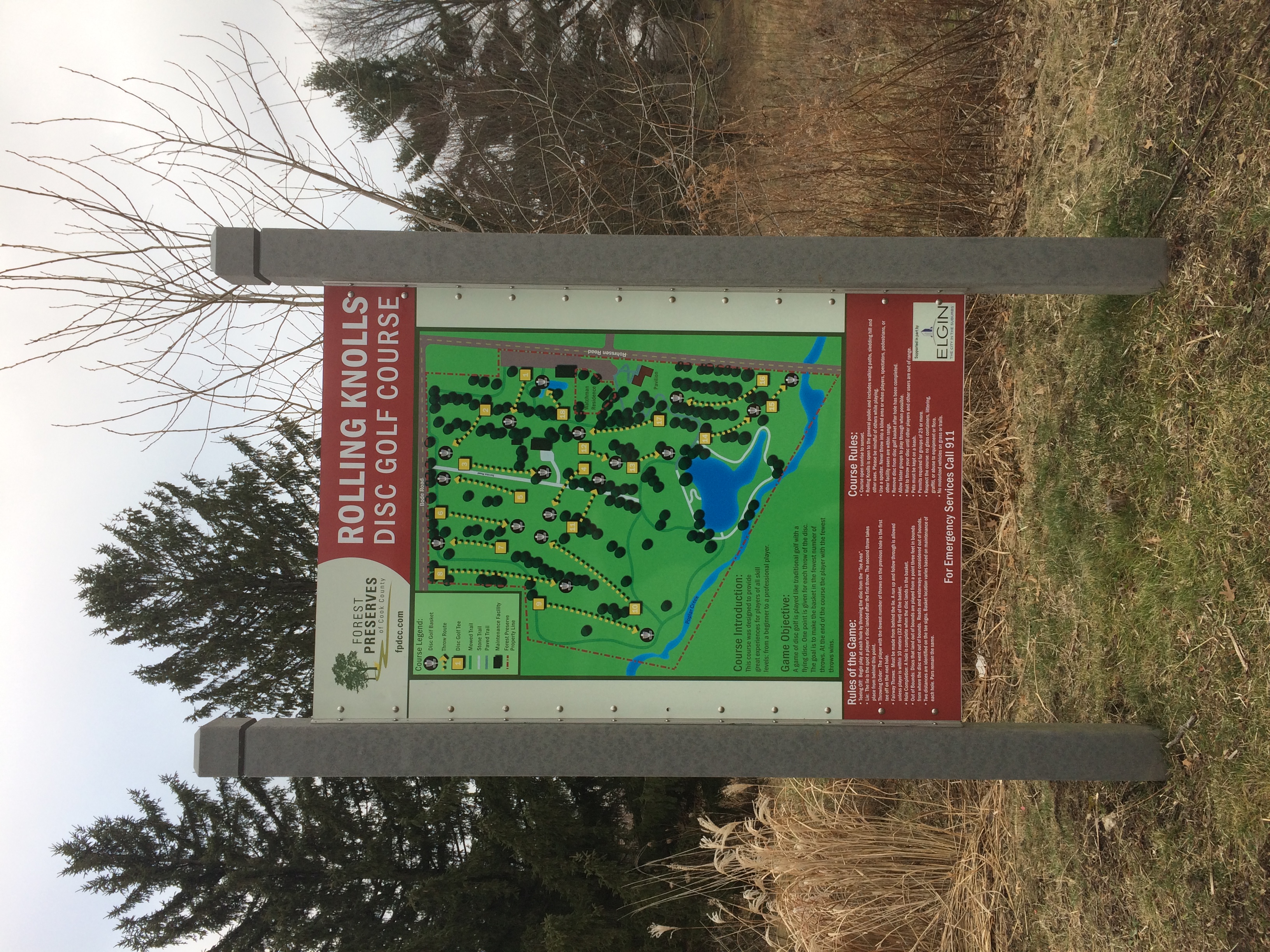
rolling knollsThat sounds like the name of an upscale housing development out toward the exurbs, with nary a hint of land contour. But actually the 55-acre forest preserve rolls along pretty well, with a variety of modest hills.

It used to be a standard golf course, but in 2017 the grounds were modified to accommodate frisbee golf. Or rather, disc golf. Just looking at a few sites devoted to the sport, it’s pretty clear that the disc golf writers anyway eschew any talk of frisbees, maybe regarding them as those Pluto platters that hippies used to toss around to amuse themselves.

Disc golf then. I don’t actually have an opinion on its nomenclature, so I’ll go along with writers such as this.

So we wandered into the course, passing by a couple of the holes.
Rolling KnollsThere was a scattering of people playing, usually clusters of three or four young men, though two of the groups included a young woman. We managed to stay out of the way of play, but that wasn’t hard considering how few people were around. Before too long we found a dirt road.
Rolling KnollsIt led south to a trail that winds around the edge of the preserve. Looks a little remote, but the sound of traffic in the distance was a constant.
Rolling KnollsPast the browns of the season.
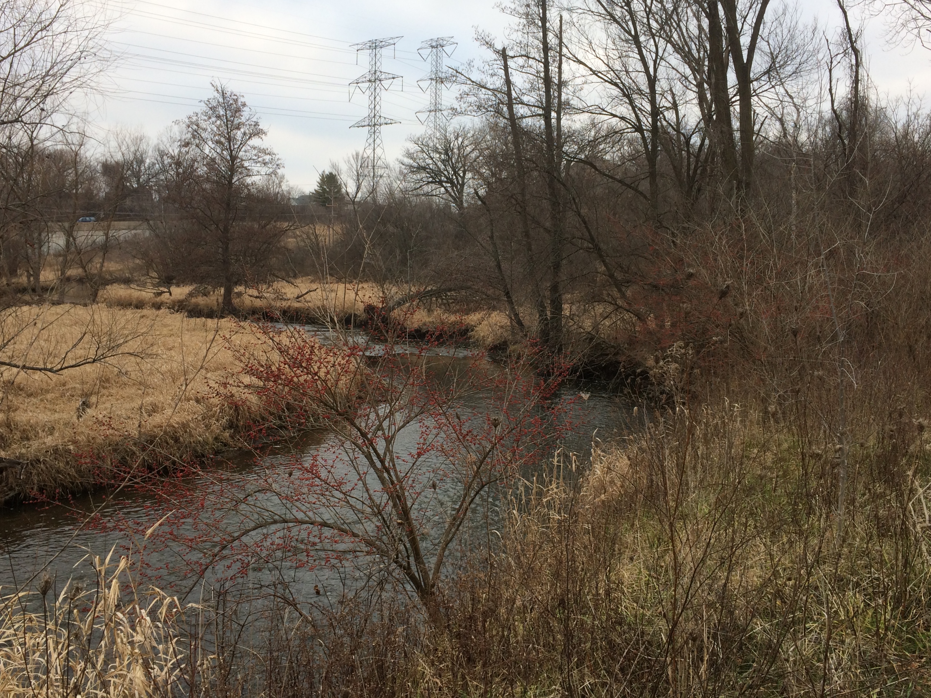
Rolling KnollsRolling KnollsRolling KnollsGlad to see a flowing crick. Wasn’t sure its name.
Rolling Knolls

Later, I found out: Poplar Creek. I’ve walked its banks before.

East Branch

We haven’t been in any restaurants or theaters or concert venues since March, and our membership at the municipal indoor pool long ago lapsed. On the other hand, we’ve been to a lot of green spaces this year, now brown as fall has vanished into winter, including city parks, state parks, and one national forest, monument and park each. But especially that kind of undeveloped land specific to Illinois: the forest preserve, a localized legacy of Progressive Era activism.

I wondered how many we’ve been to this year, so I made a count. Five visits to forest preserves we’ve been to before, and 10 new ones, variously in Cook, DuPage, Kane and Lake counties. I doubt that we visited more than one or two new ones a year before 2020. Fifteen is only a small fraction of however many hundreds of preserves there might be statewide, but I’m glad we’ve taken the walks, and plan to continue doing so next year.

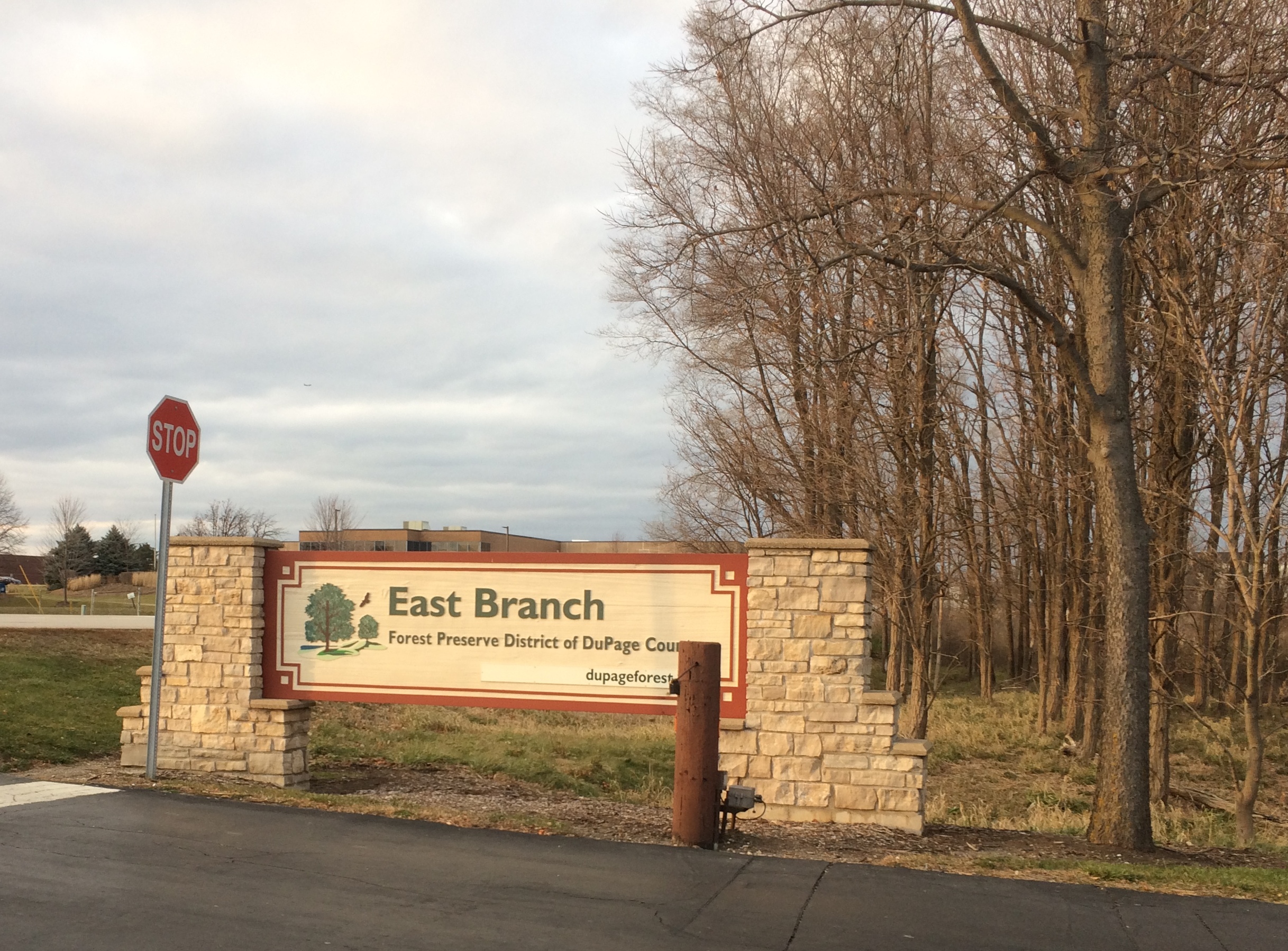
On Saturday afternoon, we took a walk at East Branch, a 521-acre unit of the DuPage County Forest Preserve District in Glendale Heights. Temps were in the 40s. That’s warm enough for a forest preserve walk.
East Branch forest preserve“East Branch was previously used as farmland prior to the Forest Preserve District acquiring it in the early 1970s,” the district web site says. “During the 1980s, wetlands were created along the East Branch DuPage River as mitigation for the construction of Interstate 355.”

A trail from a small parking lot off Glen Ellyn Road leads to a small lake.
East Branch forest preserveIt’s called Rush Lake. The district asserts that it’s a good place to see waterfowl, and so it was. Ducks, at least.
East Branch forest preserveThe main trail circles around the lake, though sometimes a little ways from the shore. Hoofprints in the mud along the way meant horse riding is an activity there, but we didn’t see any riders. We saw two men with fishing poles, a woman walking a dog and a man simply walking around. That was all.
East Branch forest preserveIt was about an hour until sunset. The view to the west.
East Branch forest preserveThe view to the north.
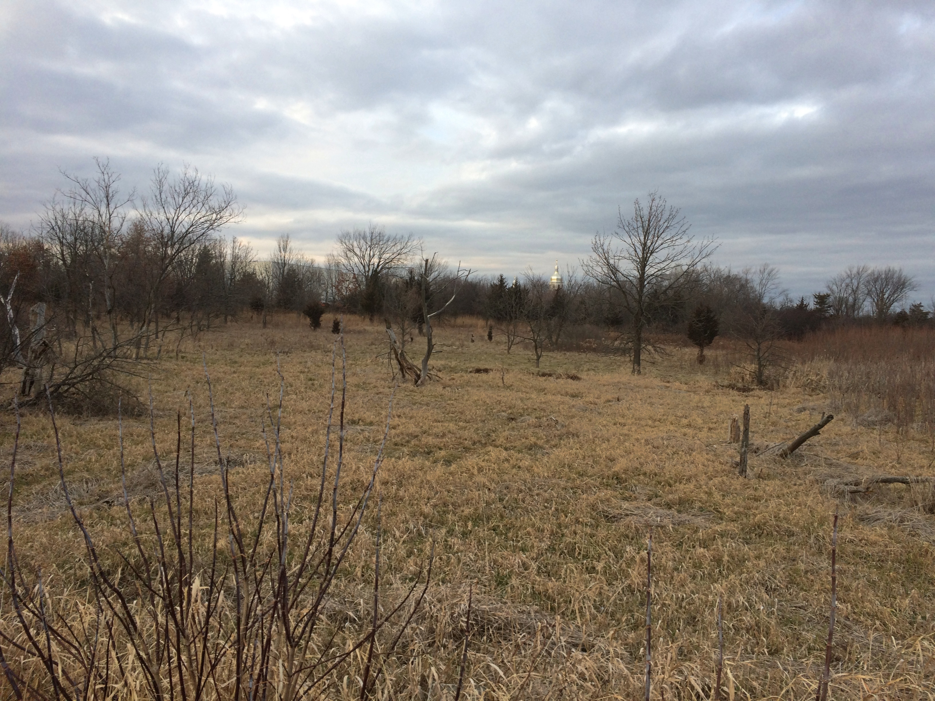
East Branch forest preserveThe dome off in the distance is St. Andrew Ukrainian Orthodox Cathedral.

Grassy Lake Forest Preserve

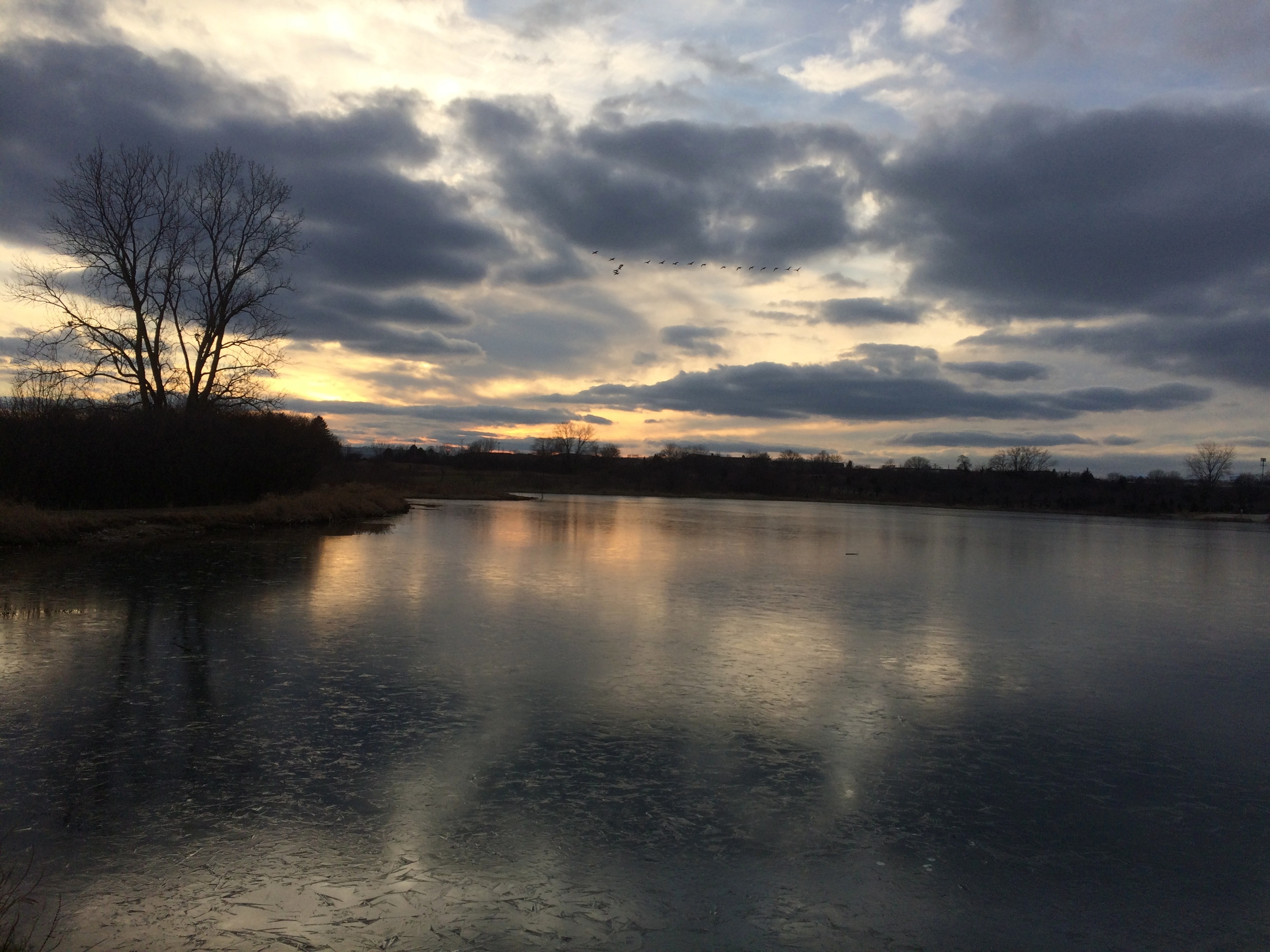
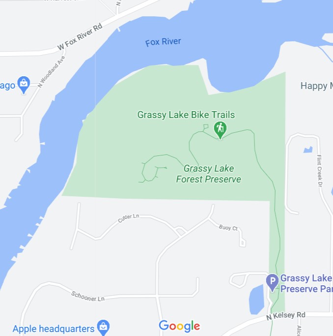
Up among the various Barrington-named towns in northern Illinois — Barrington itself, but also North Barrington, South Barrington, Barrington Hills, Lake Barrington — is the Grassy Lake Forest Preserve, a unit of the Lake County Forest Preserve District. Its 689 acres are tucked away along the banks of the Fox River, a tributary of the Illinois River.
Grassy Lake FP
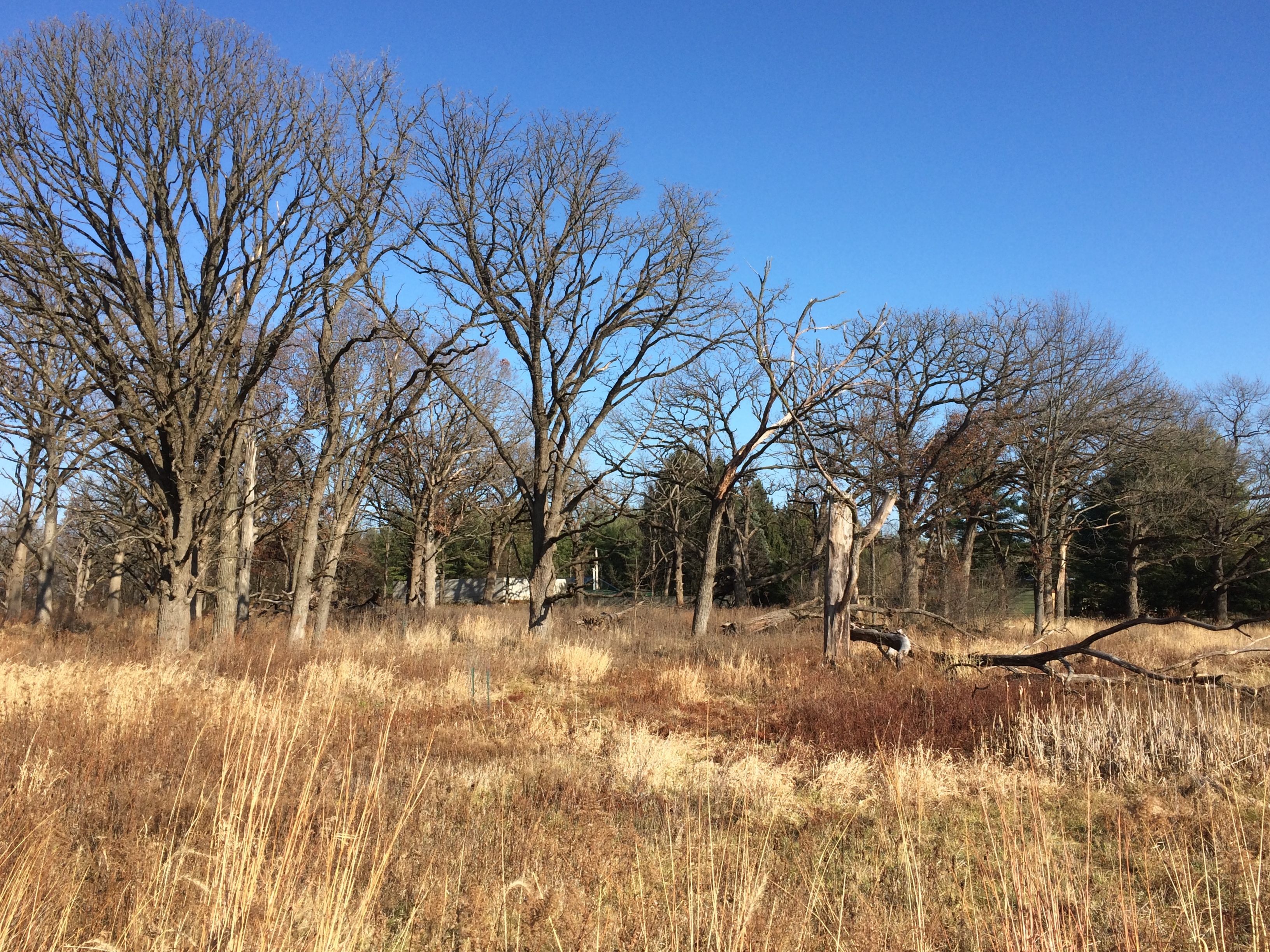
“Silver maples, cottonwoods and willows line the banks of the Fox River and its floodwater-storing floodplain,” says the Lake County FP web site. “Burly old-growth oaks occupy slightly higher ground above the river, and former agriculture fields now being restored to prairie can be viewed.

“Prominent geological landforms such as kettles and kames tell of Lake County’s not too distant glacial shaping, while providing sweeping views of the river valley and the surrounding area. Centuries-old landscape plantings of catalpa trees, Douglas firs, and a hedgerow of osage orange remind of us those who lived here before us.

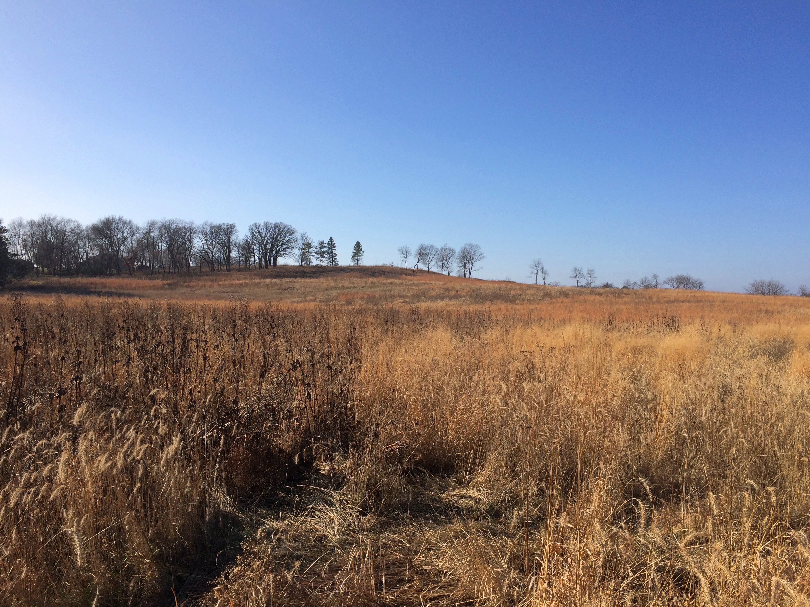
I’m not sure exactly what a kettle or kames might look like, but I assume they’re some of the undulations we saw in the landscape. We arrived soon after noon on the day after Thanksgiving. This year, we participated in Buy Nothing Day by taking a hike.Grassy Lake FP
Grassy Lake FP
Grassy Lake FP
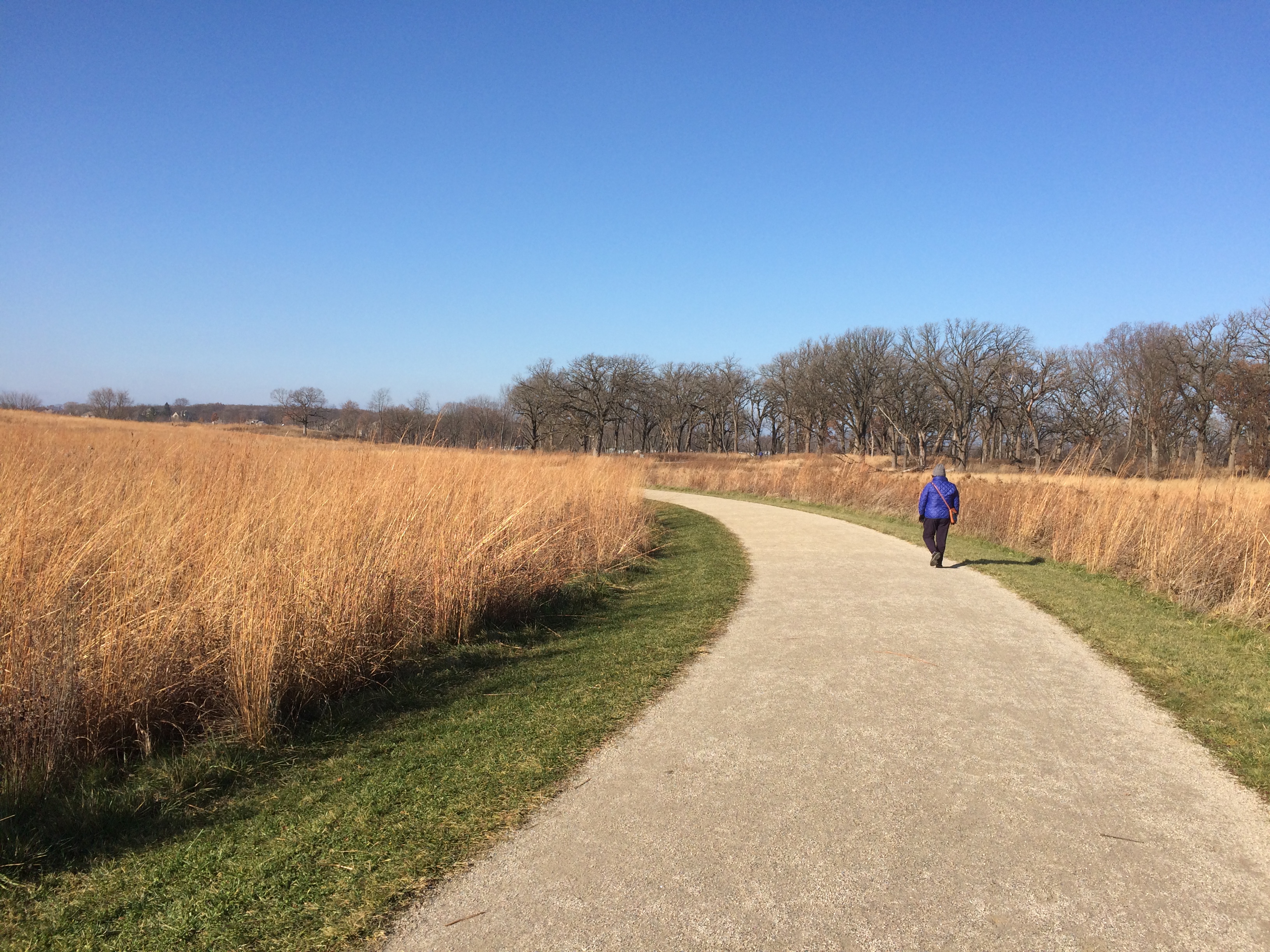
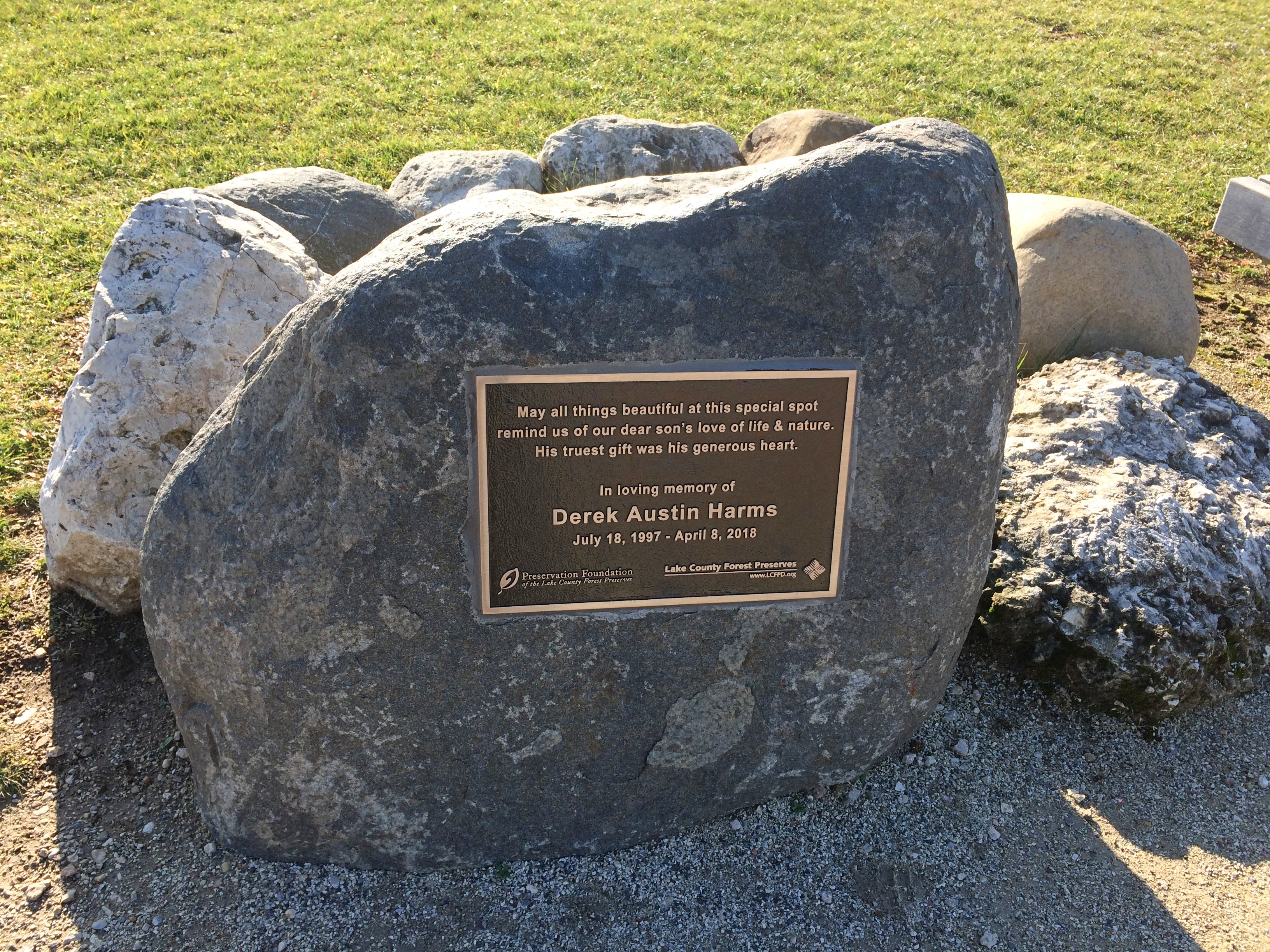
The trail winds into the forest preserve. Soon you come to a memorial to an unfortunate lad named Derek Austin Harms that includes trees and benches and a boulder with a plaque.
Grassy Lake FP
It isn’t hard to find out more about the young Mr. Harms, 1997-2018.

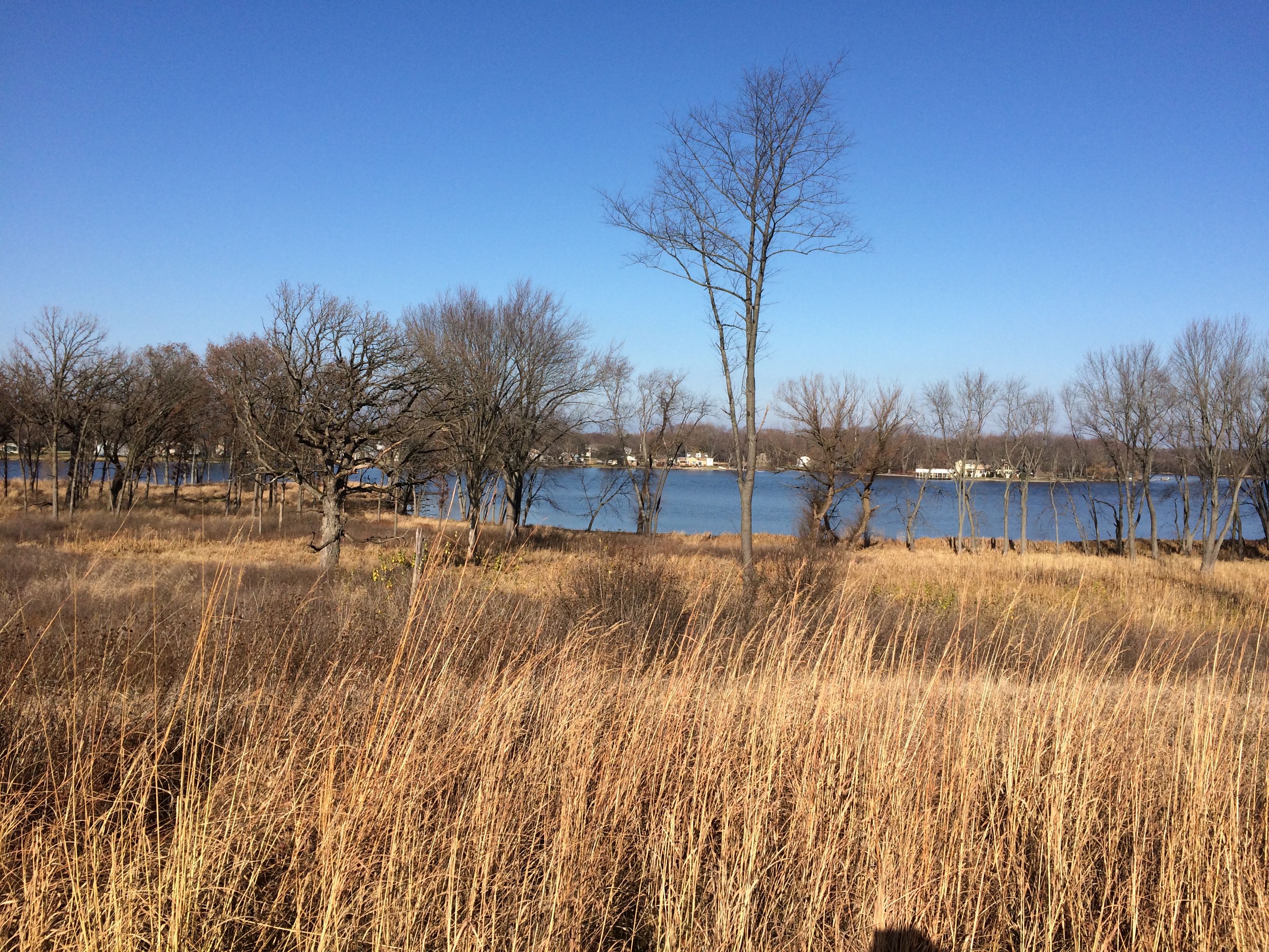
Side trails wander down to the edge of the Fox. The river widens quite a lot at this point, perhaps forming the feature called Grassy Lake, though I haven’t found anything to confirm that.
Grassy Lake FP
Grassy Lake FP
Grassy Lake FP
Follow the main path far enough and it rises to the highest point in the forest preserve, where it dead ends.
Grassy Lake FP
Not the highest view I’ve seen recently, but on a clear warm-for-November day, a good one.