Meacham Grove ’20

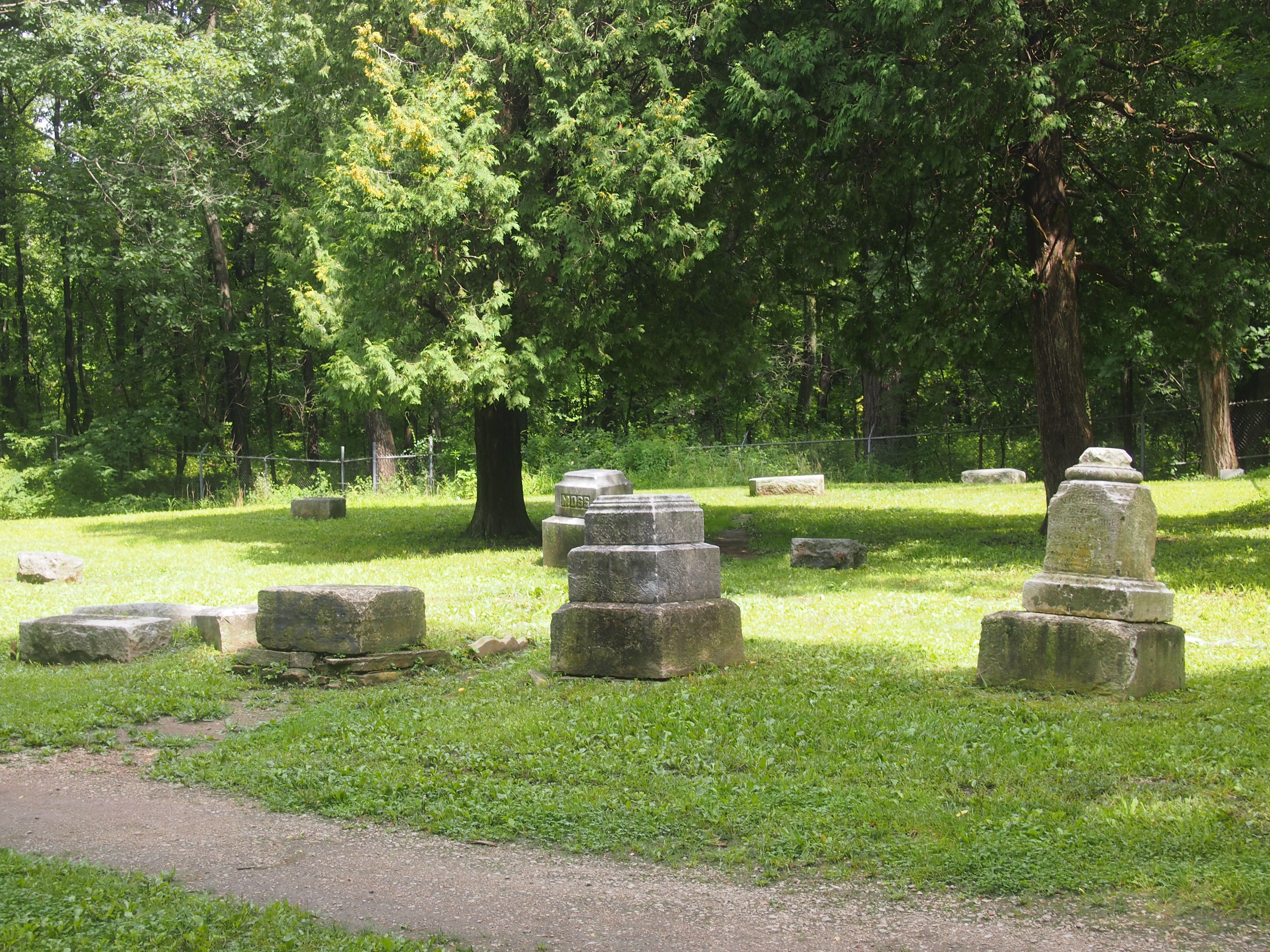
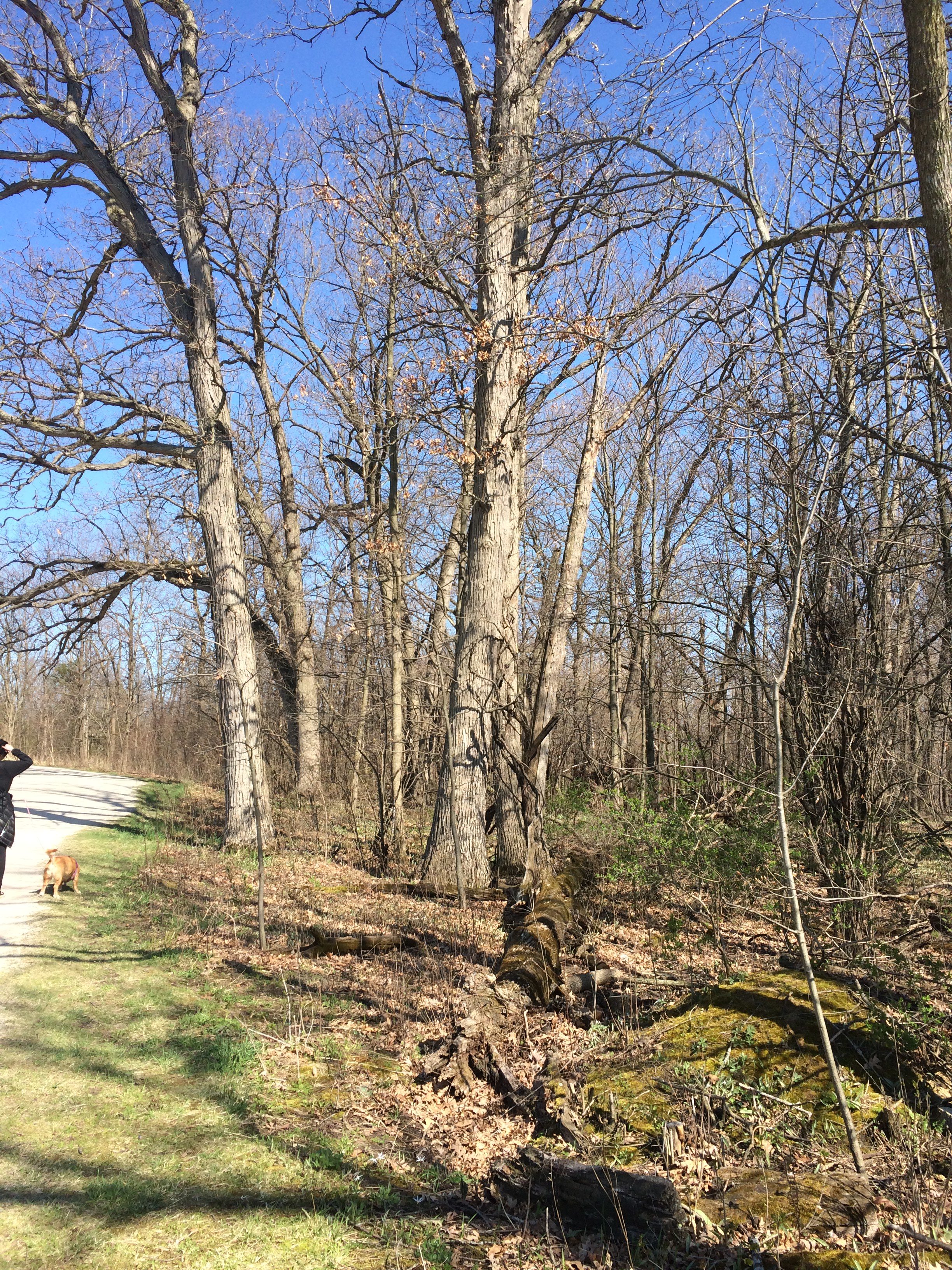
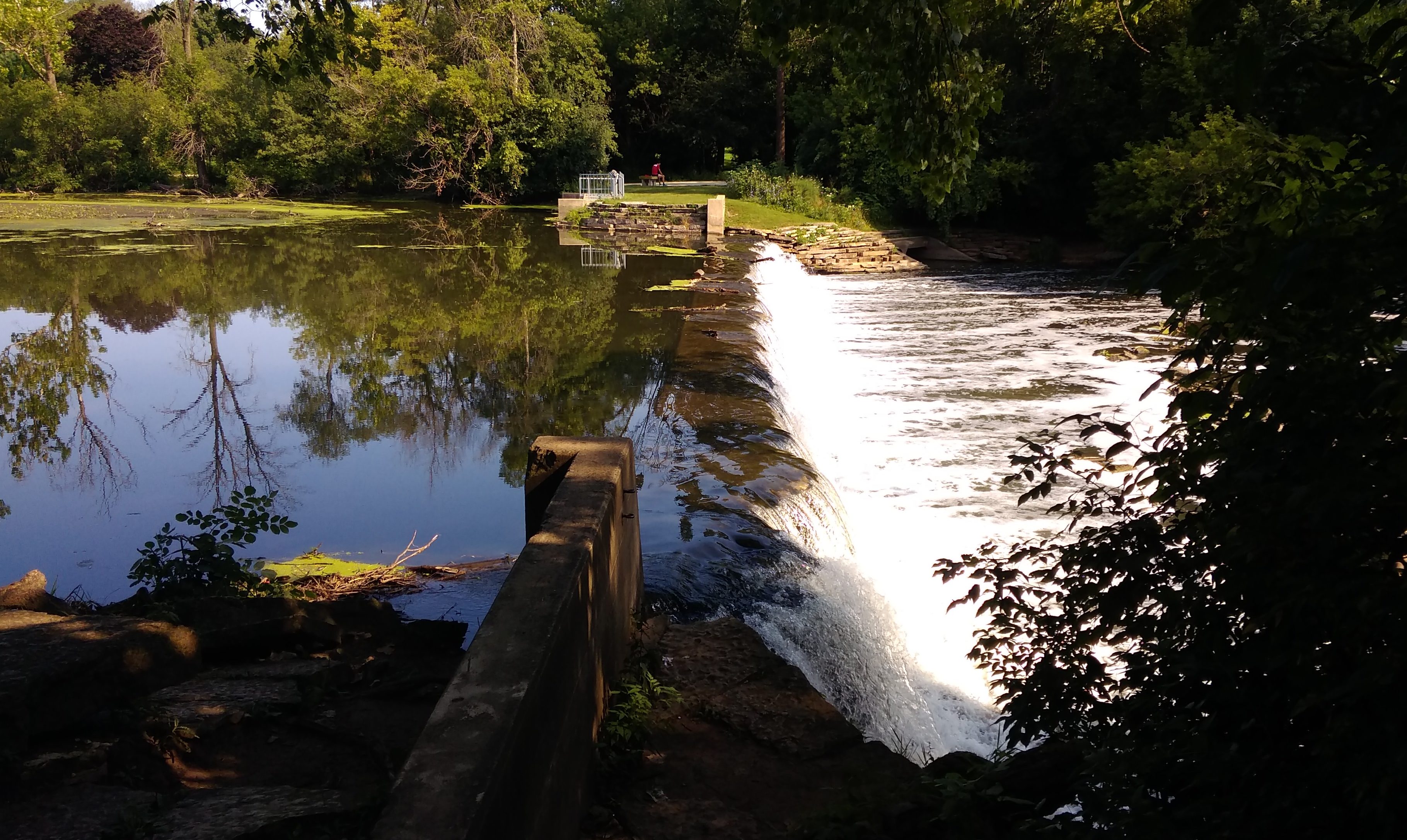
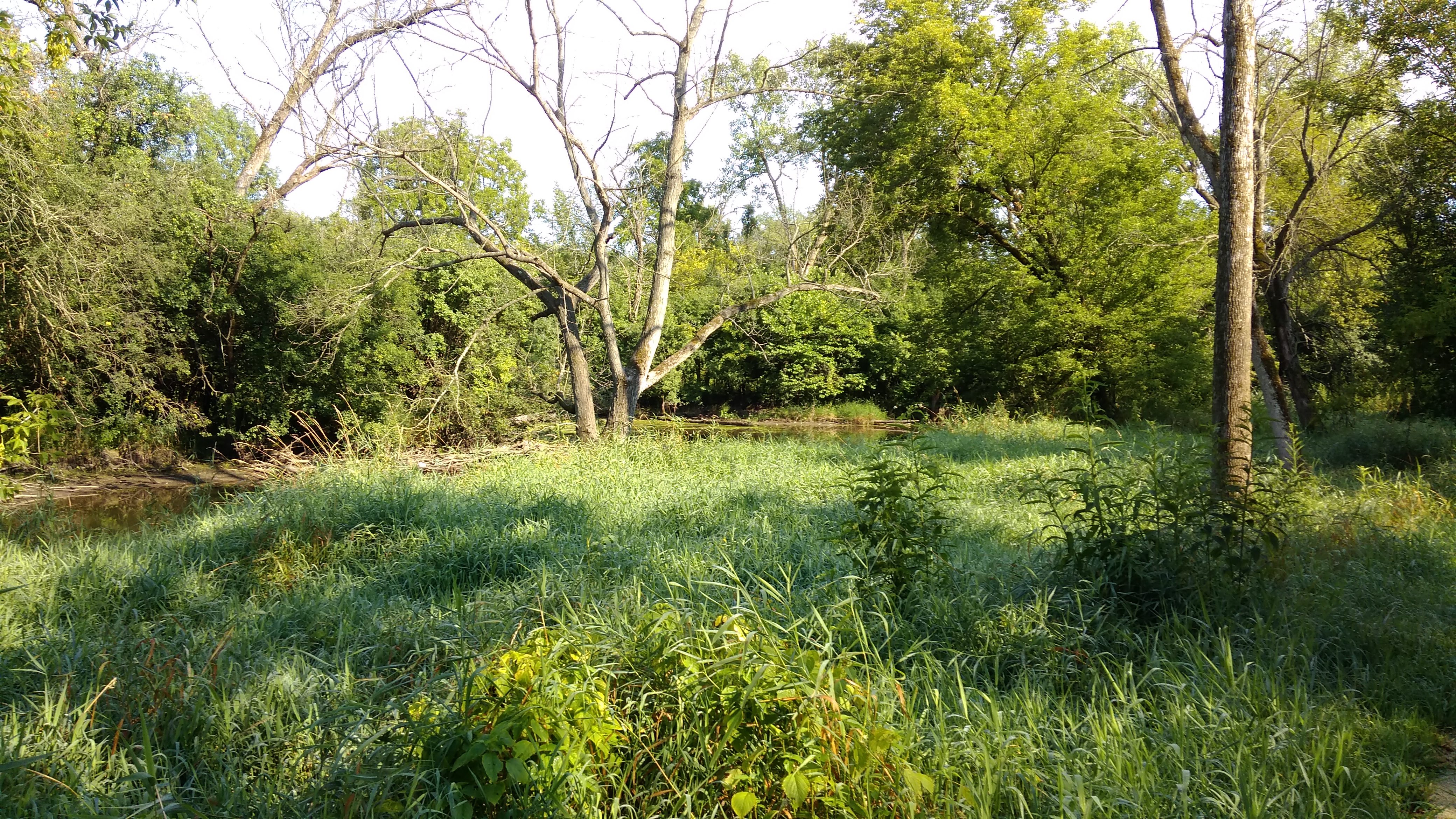
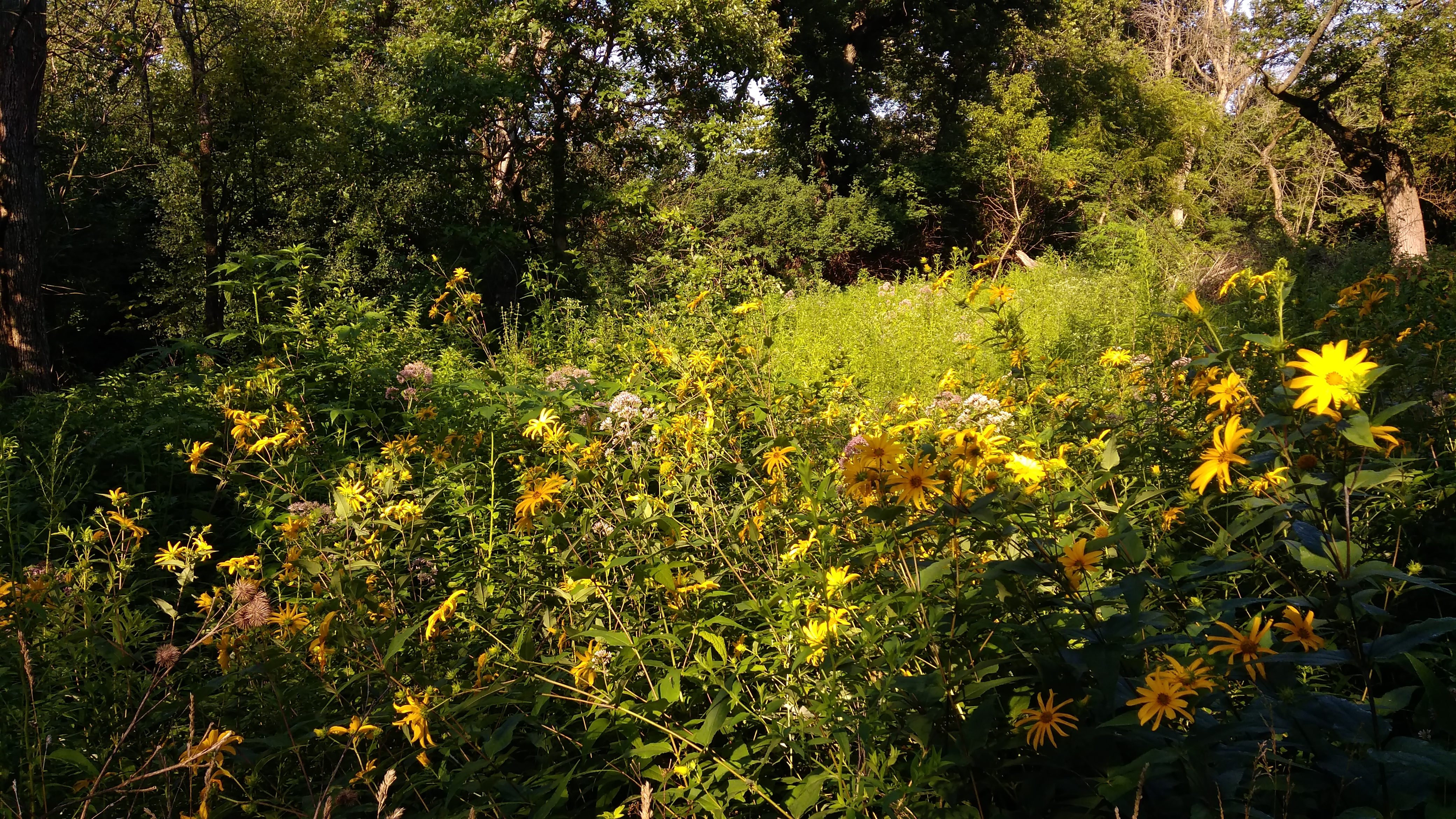
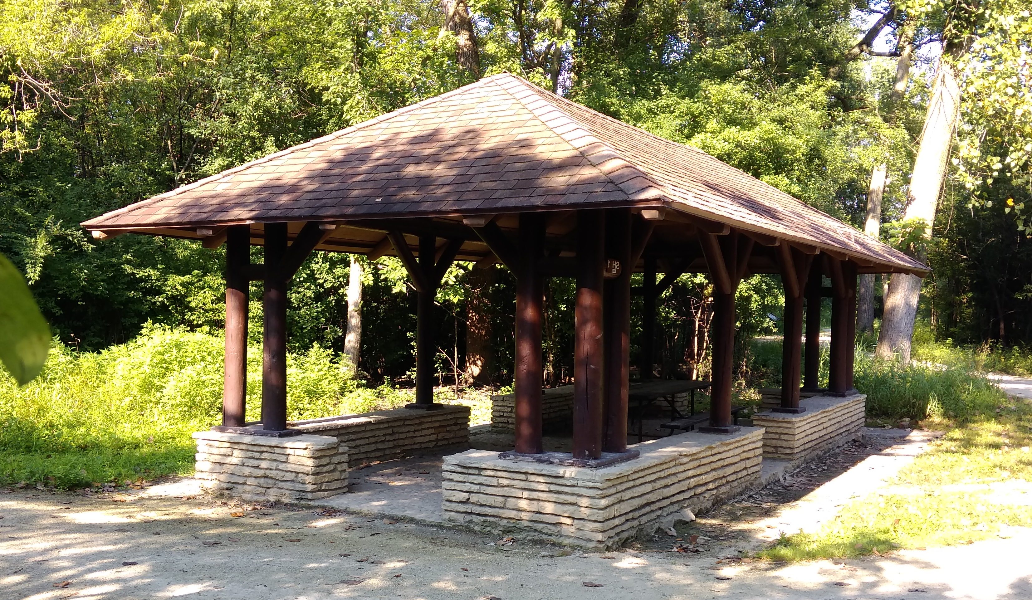
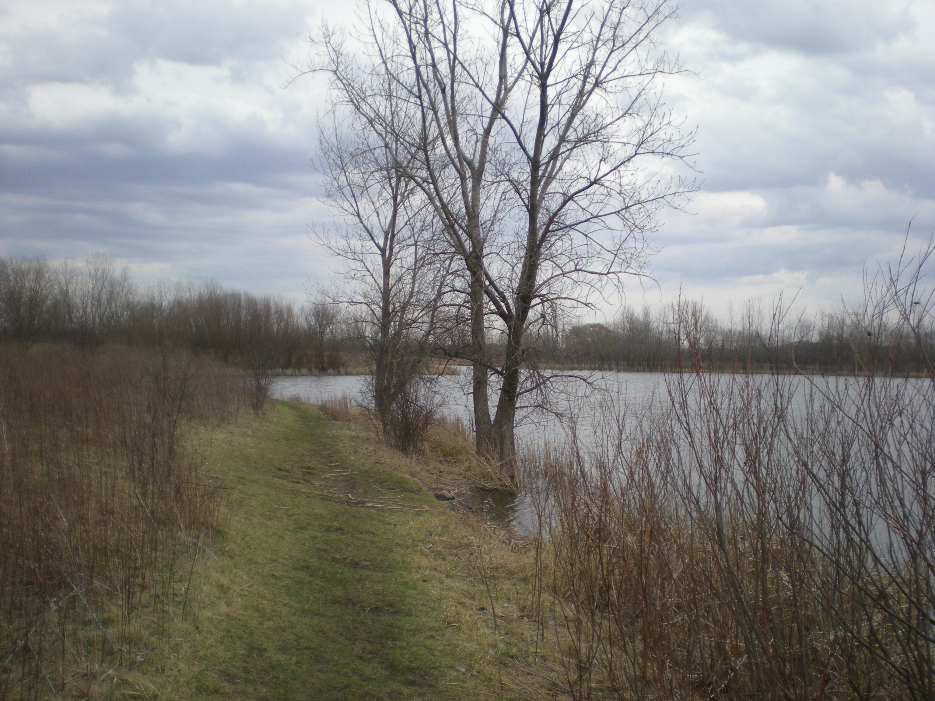
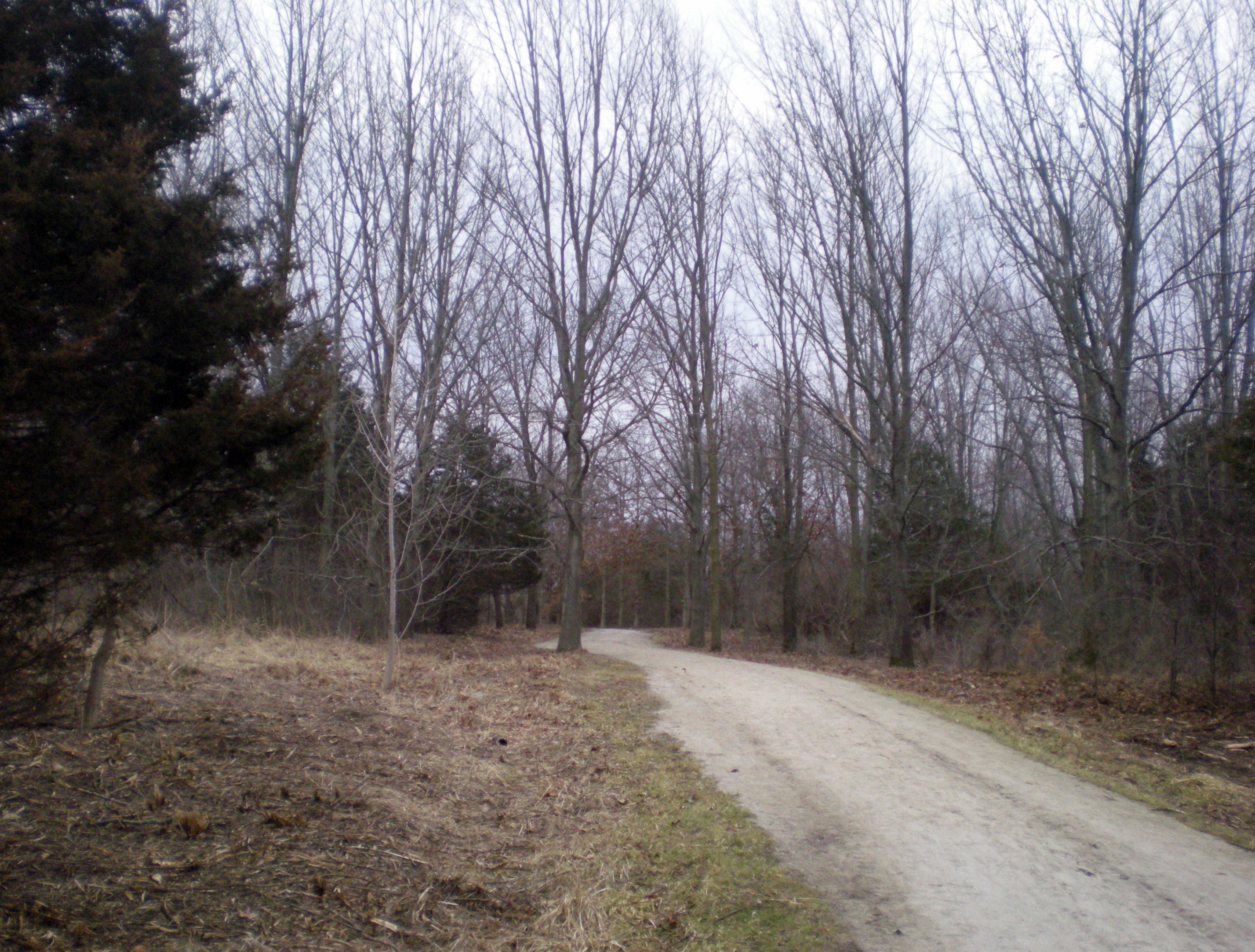
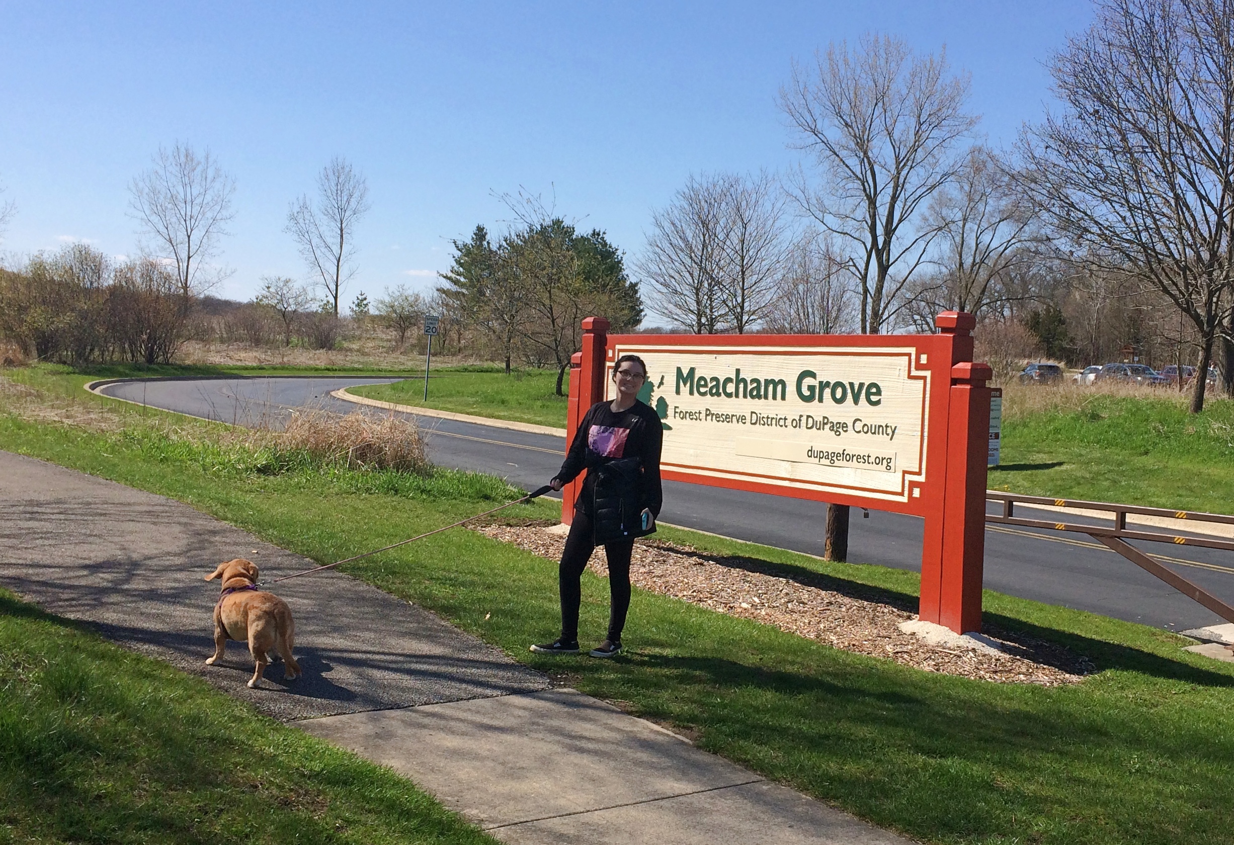
On Sunday we took advantage of the warm conditions and went to Meacham Grove, which is part of the Forest Preserve District of Du Page County.Meacham Grove 2020

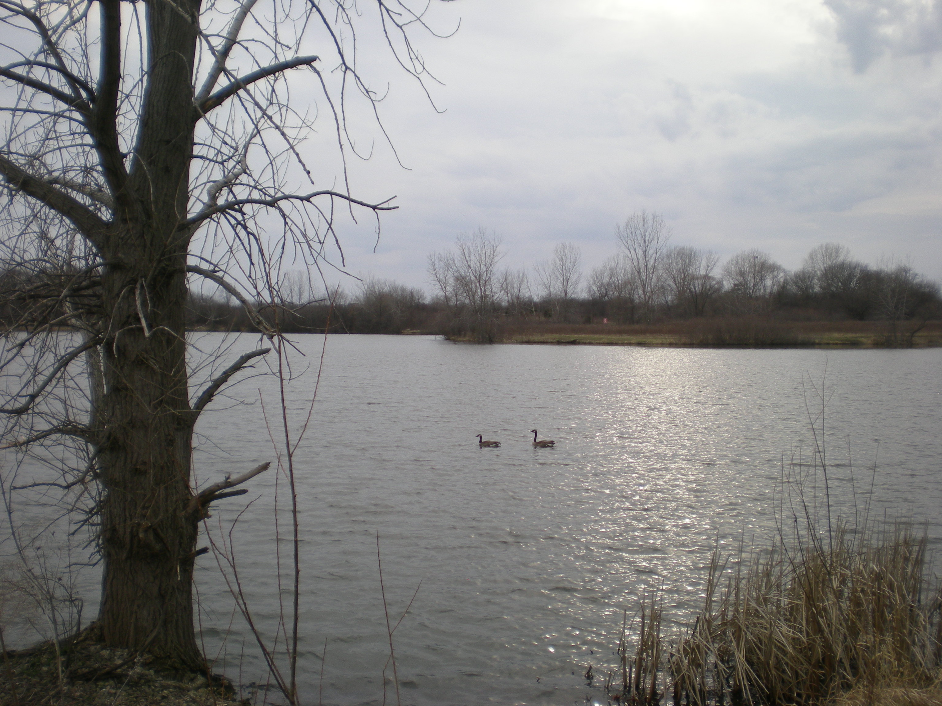
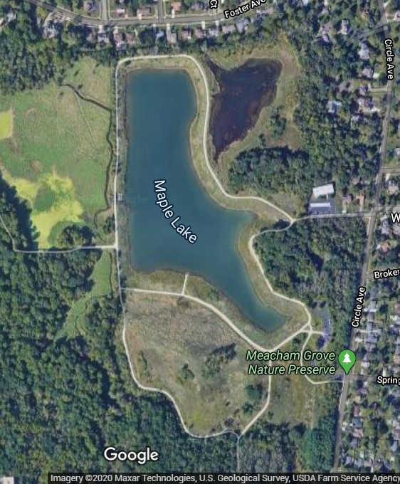
Been a while since we’d been there. Maybe this long ago. Ann said she didn’t remember the place. We walked around the Maple Lake, mostly following the gravel path.

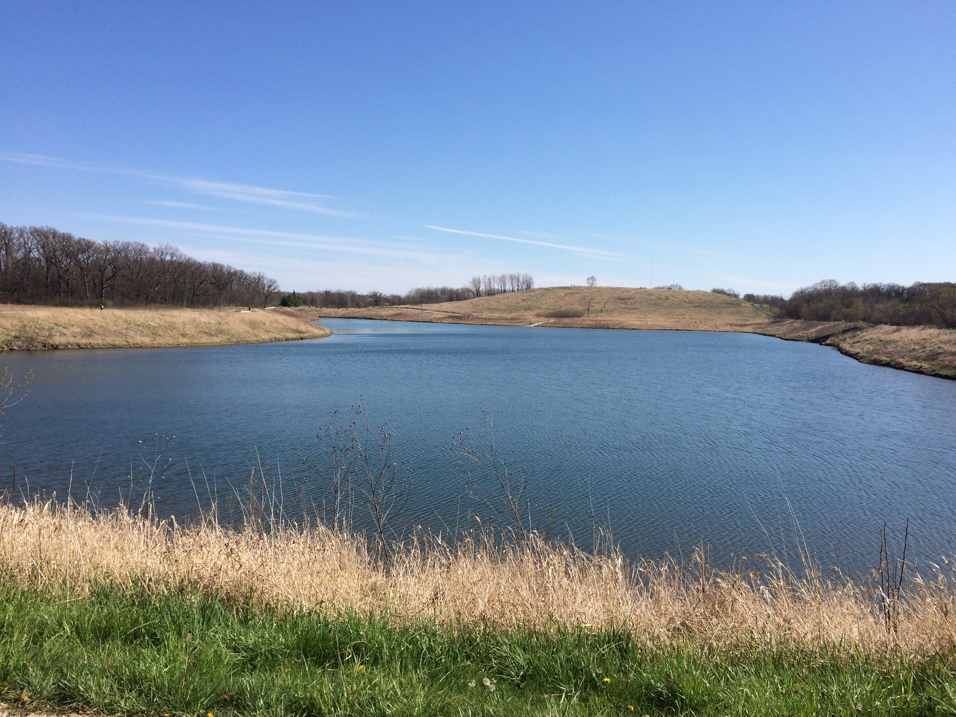
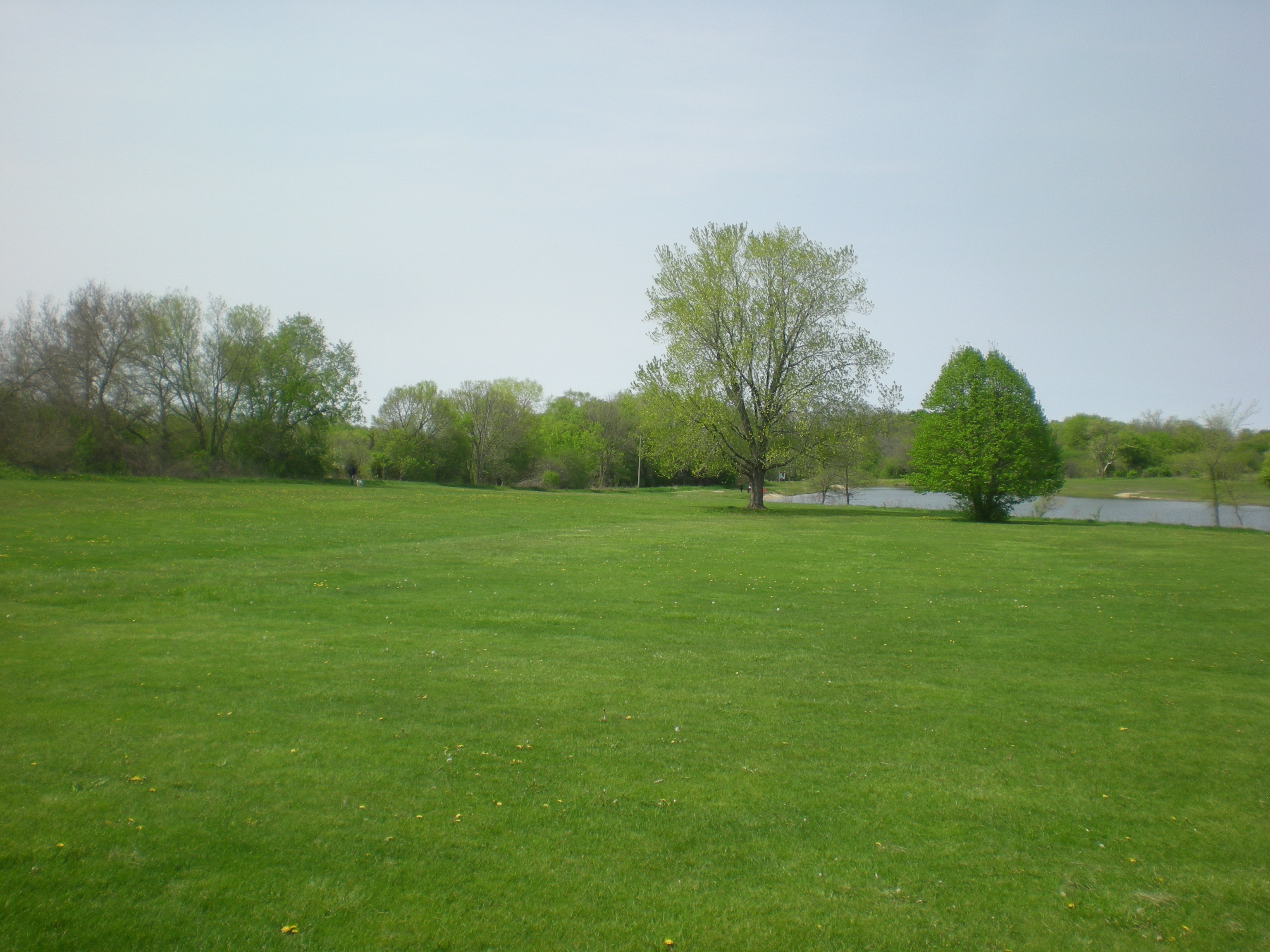
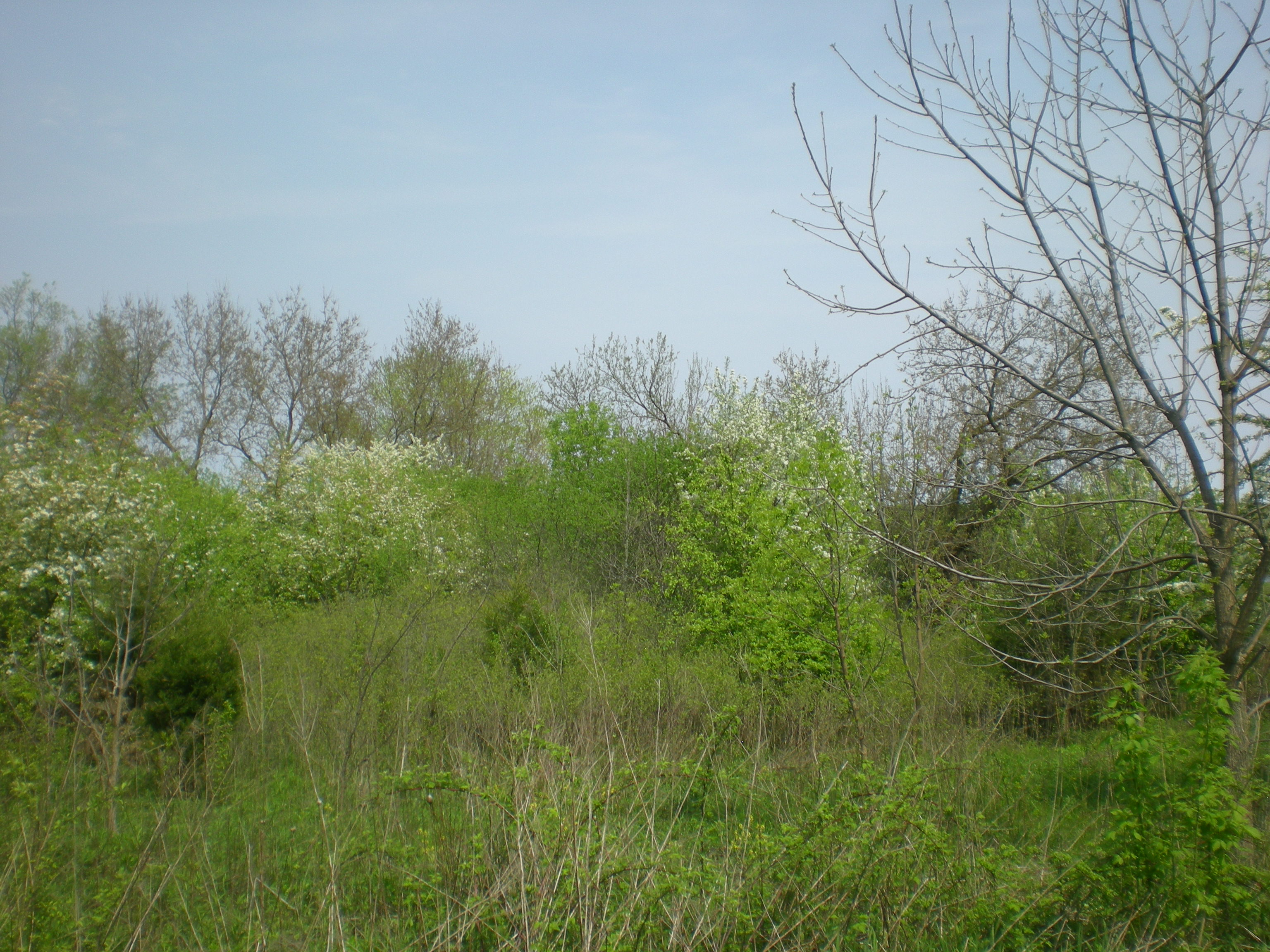
The grass along side the lake is green. The trees just beginning to bud.
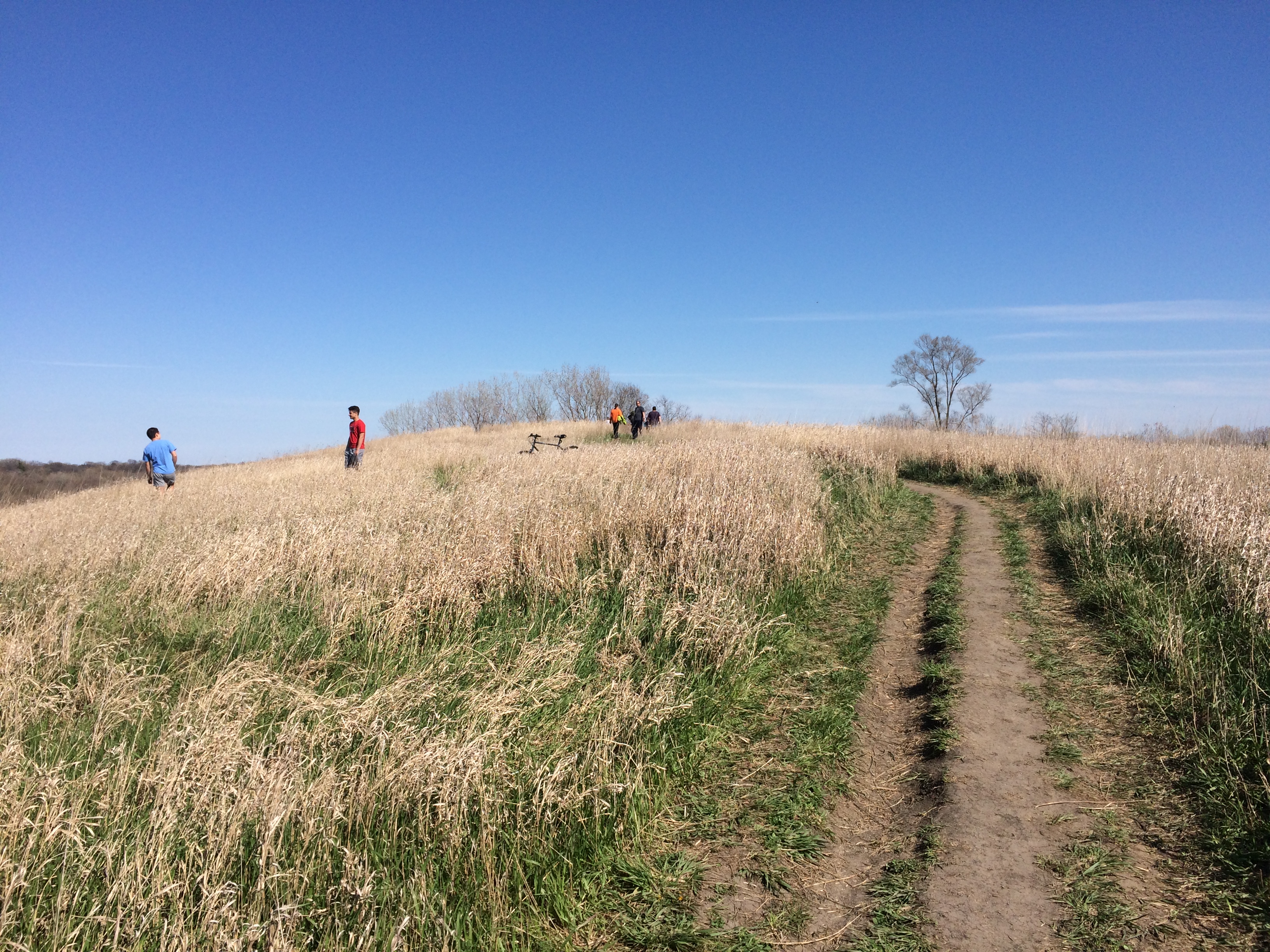
On the south end of Maple Lake is a small hill. You can walk on the path along the south side of that hill or the one on the north side of it. Or you can climb the hill. That’s what we did. A sizable hill for Illinois, but not really that steep.Meacham Grove HillA scattering of people were on the hilltop, and on the trail around the lake for that matter. Easy to keep one’s distance anyway.

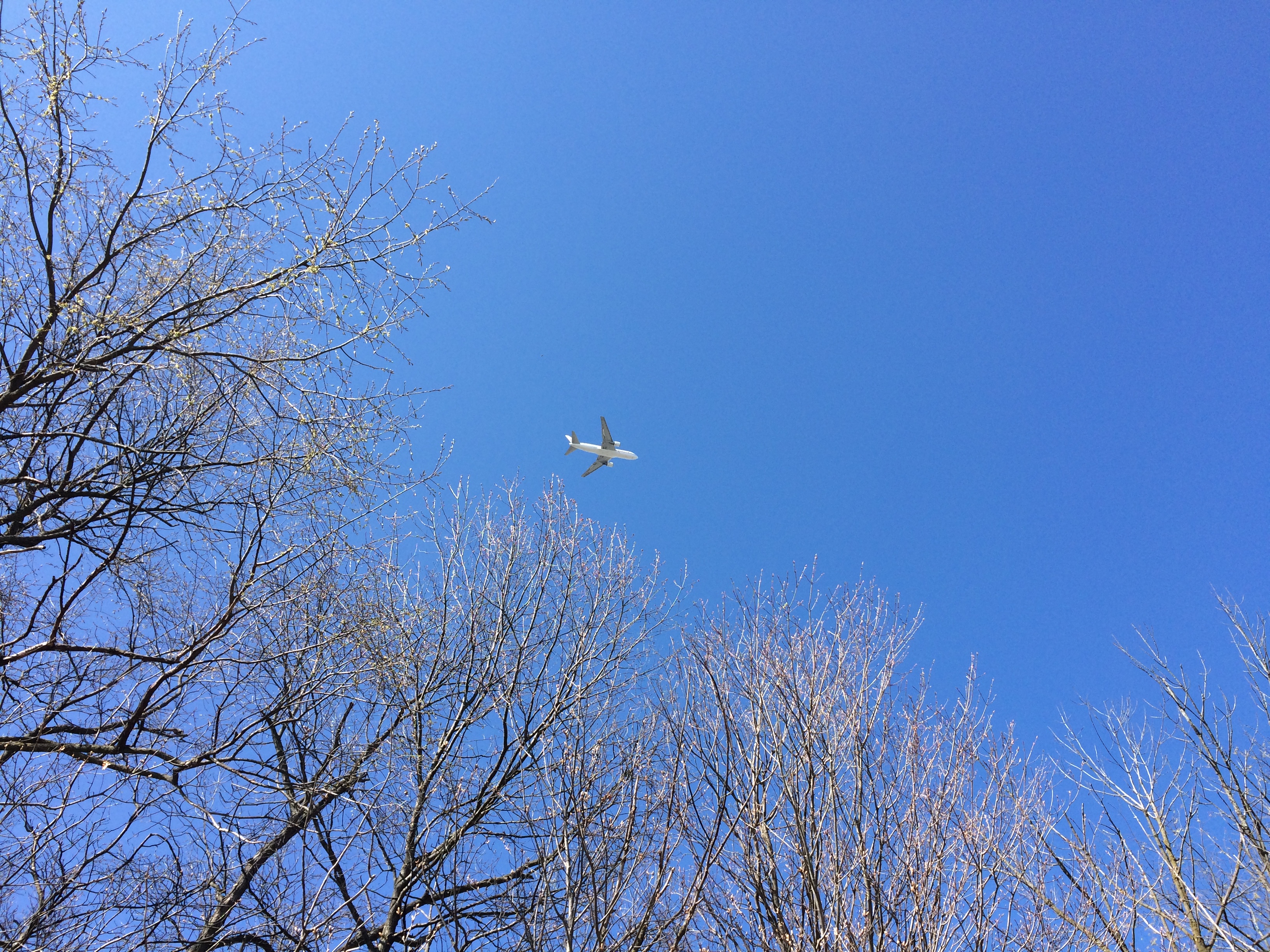
O’Hare is a few miles due east of Meacham Grove. In normal times, planes would fly over every minute or two. These days, it seemed to be every three or four or five minutes, though I didn’t keep an exact record.
Still, there’s no doubt that traffic in and out of O’Hare is way down.

Around Mallard Lake

Another Sunday, another longish walk with the dog. Yesterday, with all the snow melted and the sun overhead, we went to Mallard Lake, which is part of the Forest Preserve District of Du Page County.

Considering the time of the year, it didn’t look so much different from this visit. One difference was the number of people. With fewer out-of-house diversions now, people seem to be visiting parks and forest preserves more than before. A fair number of them came to fish, while others like us had their dogs along, or were just out taking a walk. Even so, there was plenty of room to keep at a good distance from everyone else.

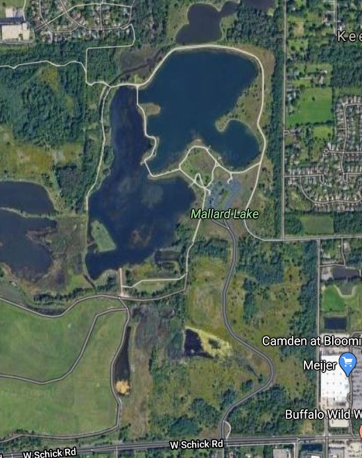
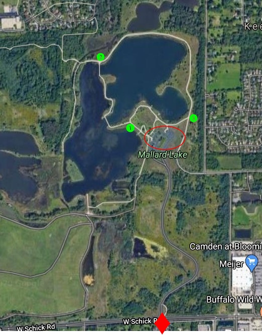
The entrance is on Schick Road. I marked the entrance with a red diamond. 

From there we drove to the parking lot, circled in red. Then walked clockwise on the white path (gravel) around Mallard Lake, 1-2-3. A mile, maybe. Between 1 and 2 are two small islands connected by footbridges, and the rest of the path partly hugs the shore.

Nice walk, except for a while the wind kicked up and blew across the still-cold lake, dropping temps a good deal. Without much wind, it was an early spring day; with the wind, it was a late winter day.

Along Poplar Creek

Another Easter activity of ours: a long walk. Lots of people can say that. The pandemic has done more for getting people out on the sidewalks than anything I can think of, at least here in a suburb that has sidewalks.

Easter Sunday happened to be warmish this year, especially when compared to Easter Monday. By late in the evening on Monday, it was already down around freezing, headed for a morning low today of 28 F. Bah.

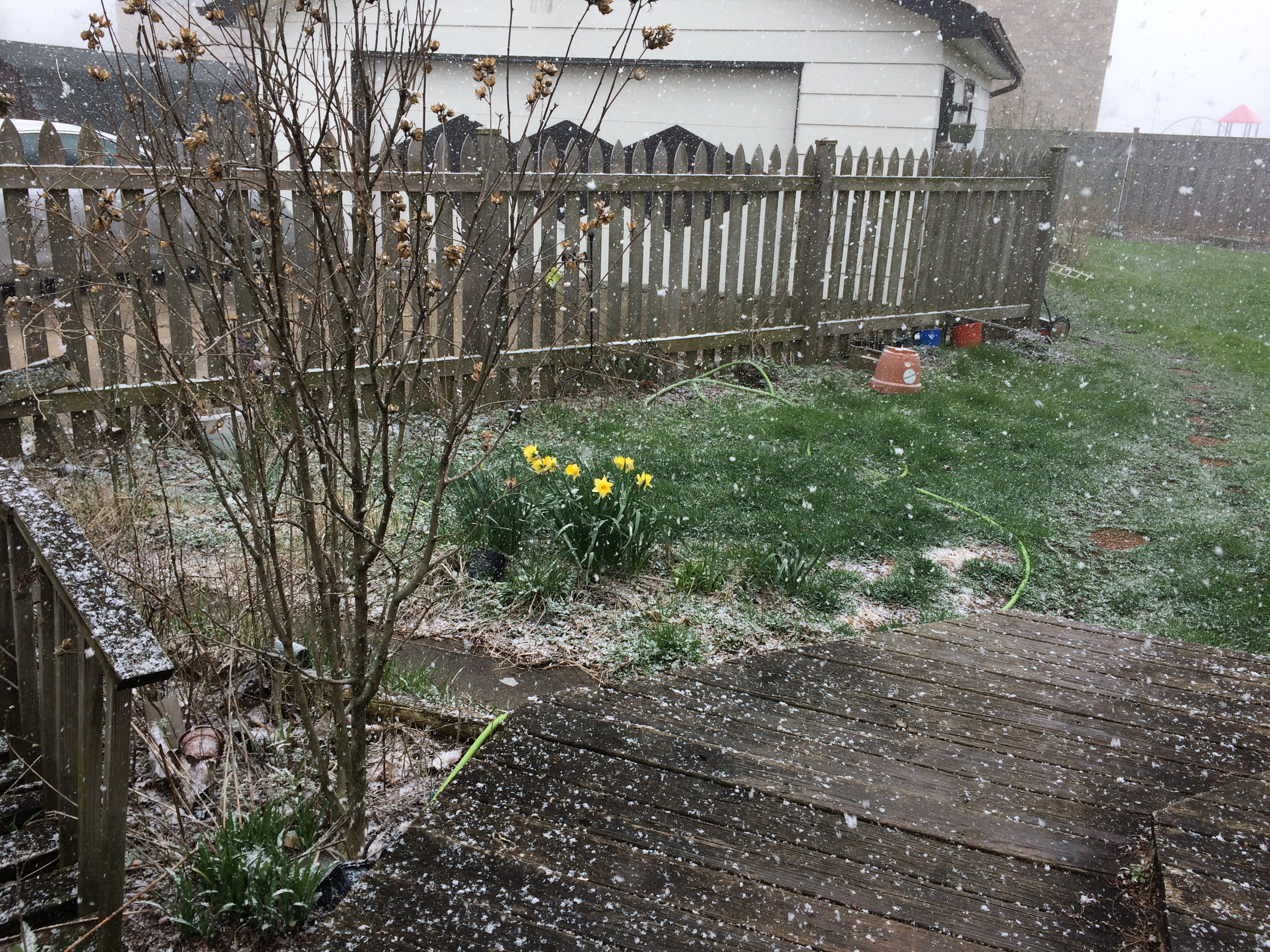
At about noon today, there was snow. At least it didn’t last long and it didn’t stick.

Back to Sunday. In the afternoon, we went to the Arthur L. Janura Forest Preserve, also known as the Poplar Creek Forest Preserve. All of us, including the dog.

That’s only one section of a much larger property, which is part of the Cook County Forest Preserve District. Fortunately the state hasn’t ordered such places closed, though various events in the district have been cancelled. Such an order would be nonsensical, considering how much social distancing you can do in such a large expanse, but some jurisdictions don’t seem to have much sense.

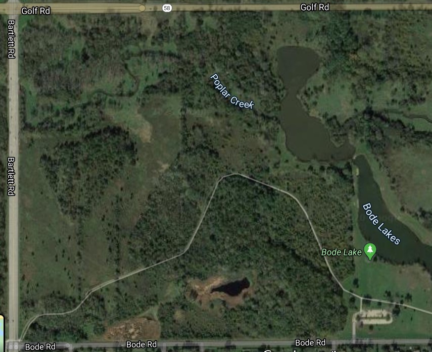
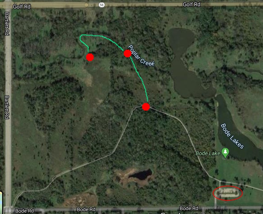
A modified version of the map.

We walked from the parking lot (circled in red) along the paved path (in white) until we got roughly to where I’ve put a red octagon. From there, we headed overland to the banks of Poplar Creek (the next octagon) and then followed the creek along its curve, reaching roughly the position of the third octagon. We returned more or less the same way. Looks long, but I don’t think the walk was more than a mile and a half round trip.

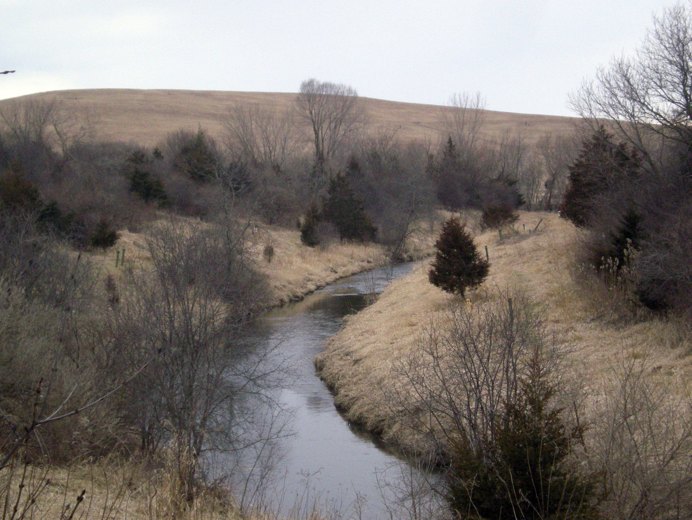
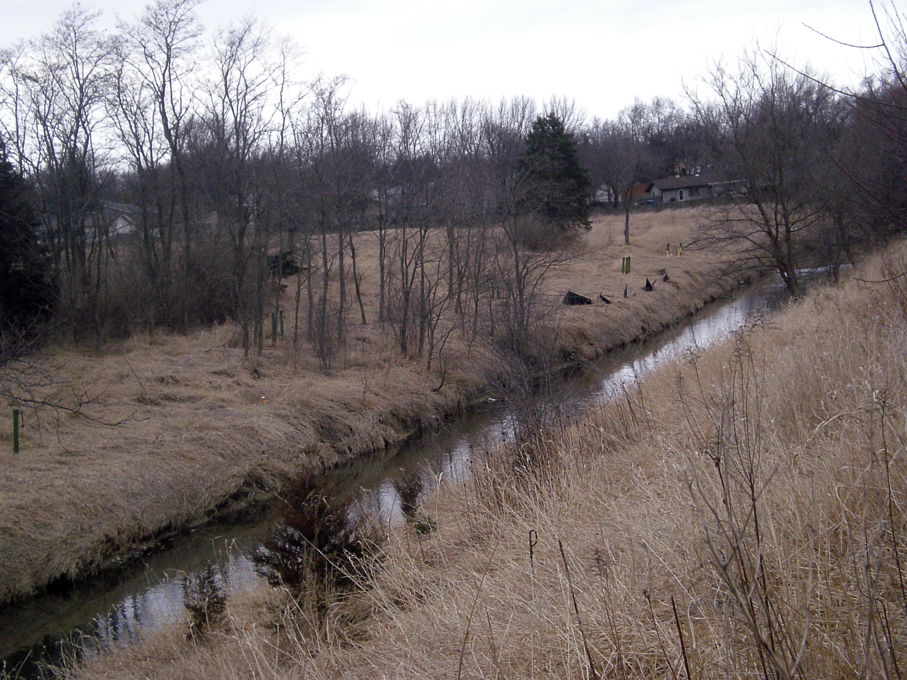
There on Poplar Creek, it’s hard to believe you’re in a metro area of 9 million or so — except for the traffic on Golf Road. Not visible, but audible, even if the sound is a little diminished in these pandemic days. The creek, fairly full from spring rain, gurgled along.

Poplar Creek is a tributary, ultimately, of the Fox River, which feeds the Illinois River. That in turn flows to the Mississippi. So the water we saw was destined, mostly, for that mighty river and the far-away Gulf.

The route was muddy and sometimes strewn with fallen branches and rocks. The grass and weeds and other foot-level plants are greening nicely, while the trees and bushes are getting their start, but haven’t caught up yet.

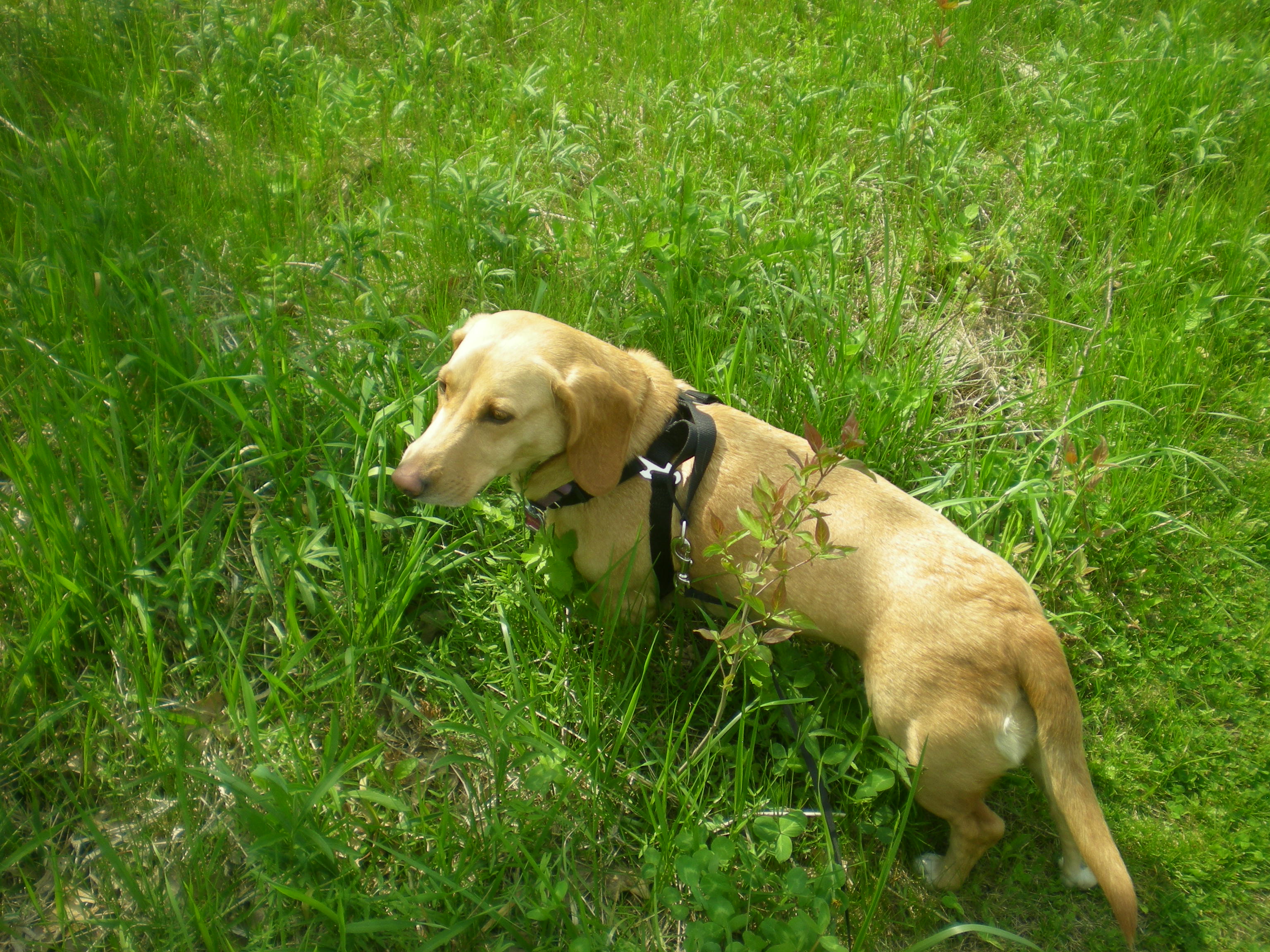
I think dog thoroughly enjoyed her walk, tramping through the mud, sniffing everything she could, and chewing on blades of grass when we paused. We didn’t have such a bad time either, momentarily away from shelter in place.

Mabery Gelvin Botanical Gardens

RIP, Bernie Judge. He was an old-school Chicago newspaperman and my boss 30 years ago. Not a mentor, exactly, but I did learn a few things from him — most of which I didn’t appreciate until later.

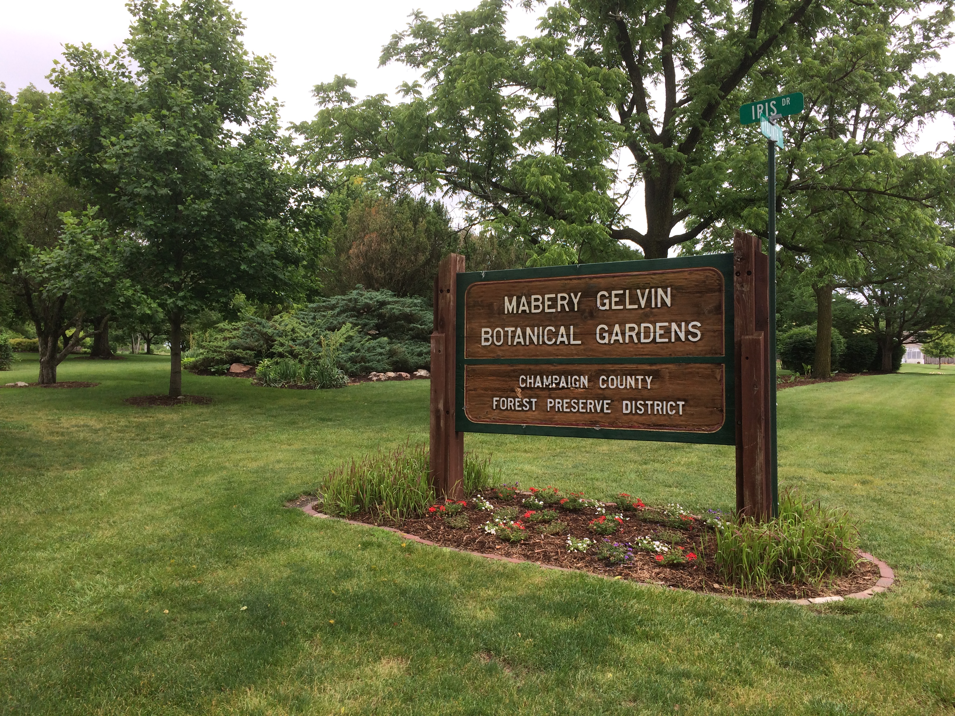
By last Sunday morning, the rain had stopped and we visited the Mabery Gelvin Botanical Gardens in Mahomet, Illinois, not far outside Champaign.
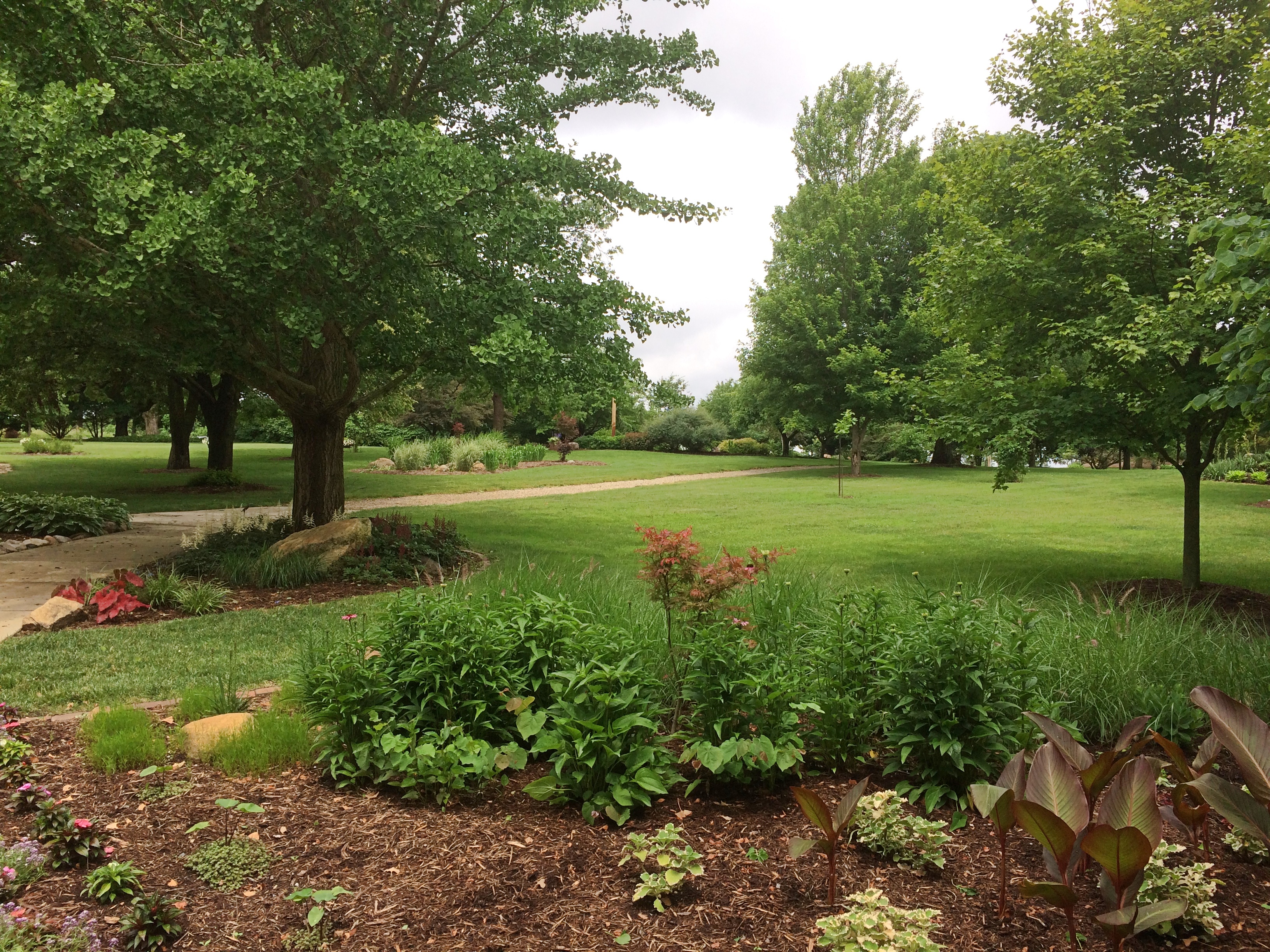
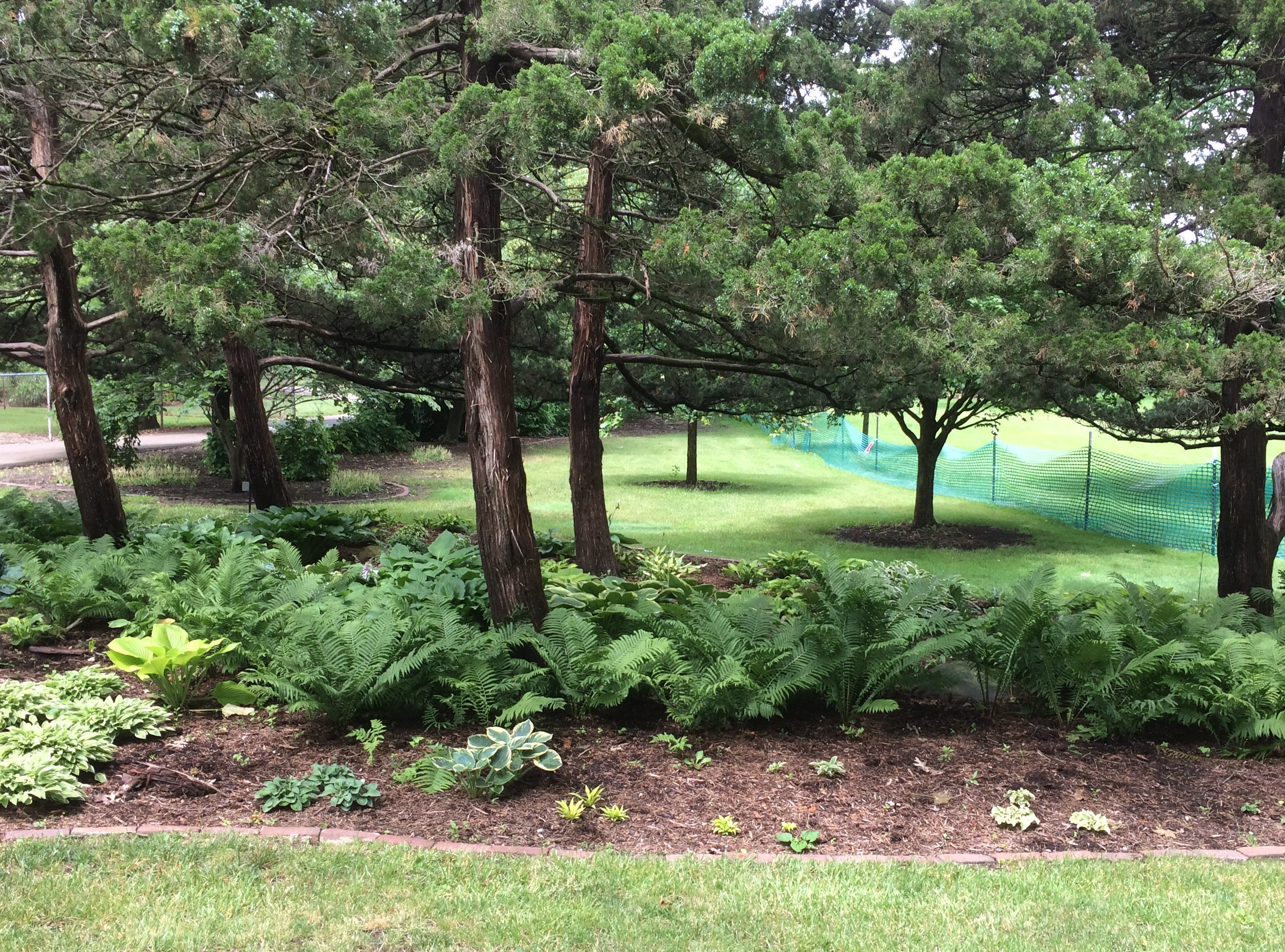
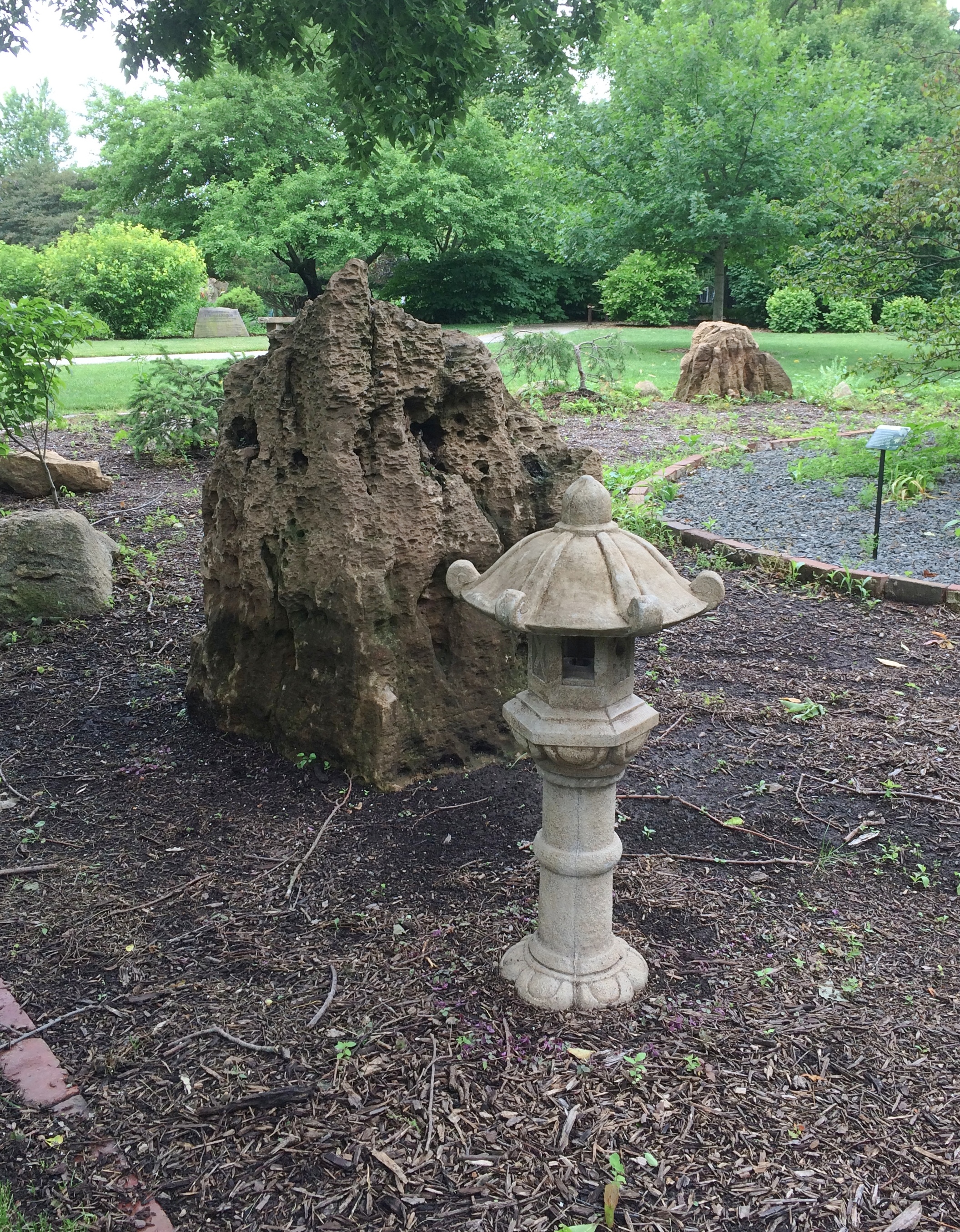
At eight acres, the garden isn’t large, but it is a pretty place in June.
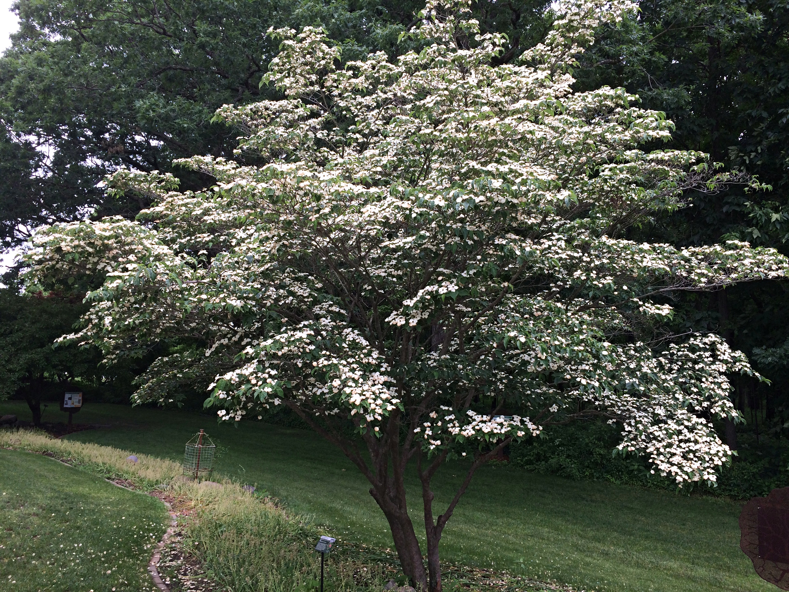
Mabery Gelvin Botanical GardensMabery Gelvin Botanical GardensFeaturing the blooming Dogwood (Cornus kousa).
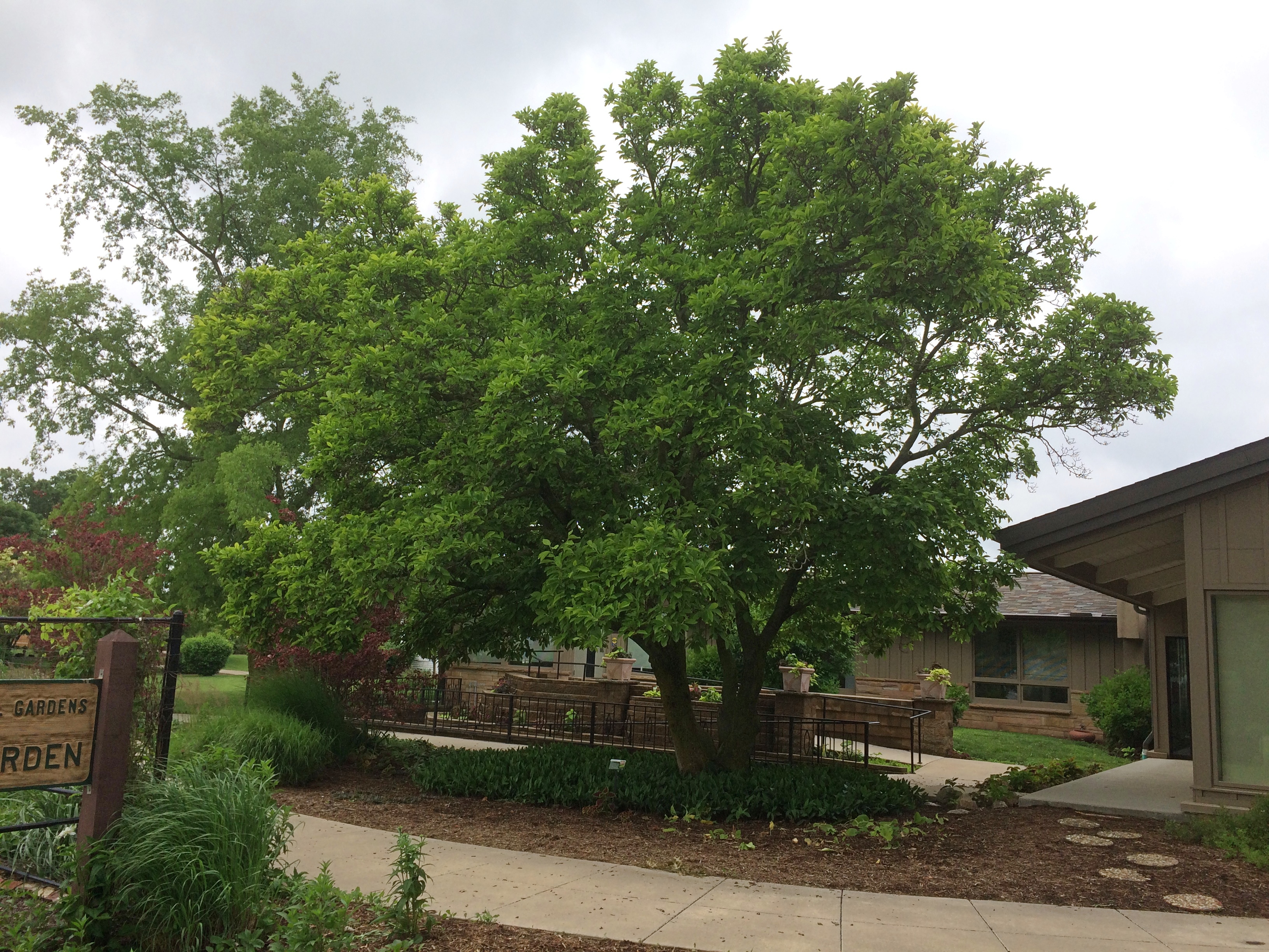
A Saucer Magnolia (Magnolia x soulangeana). The South doesn’t get all the magnolias. According to the sign next to the tree, “… the genus magnolia is 95 million years old. Older than bees, they are pollinated by beetles.”
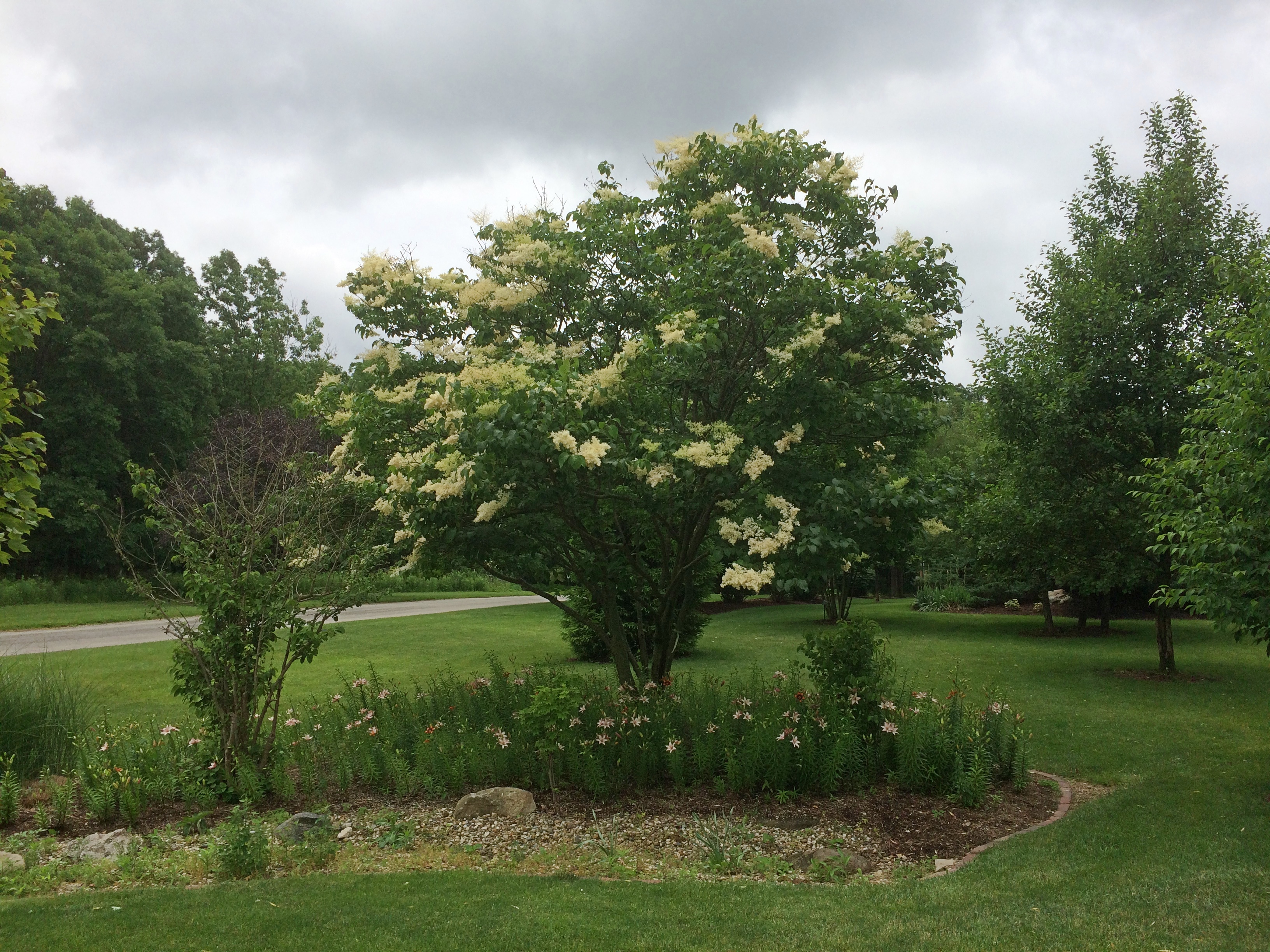
Japanese lilac (Syringa reticulata).
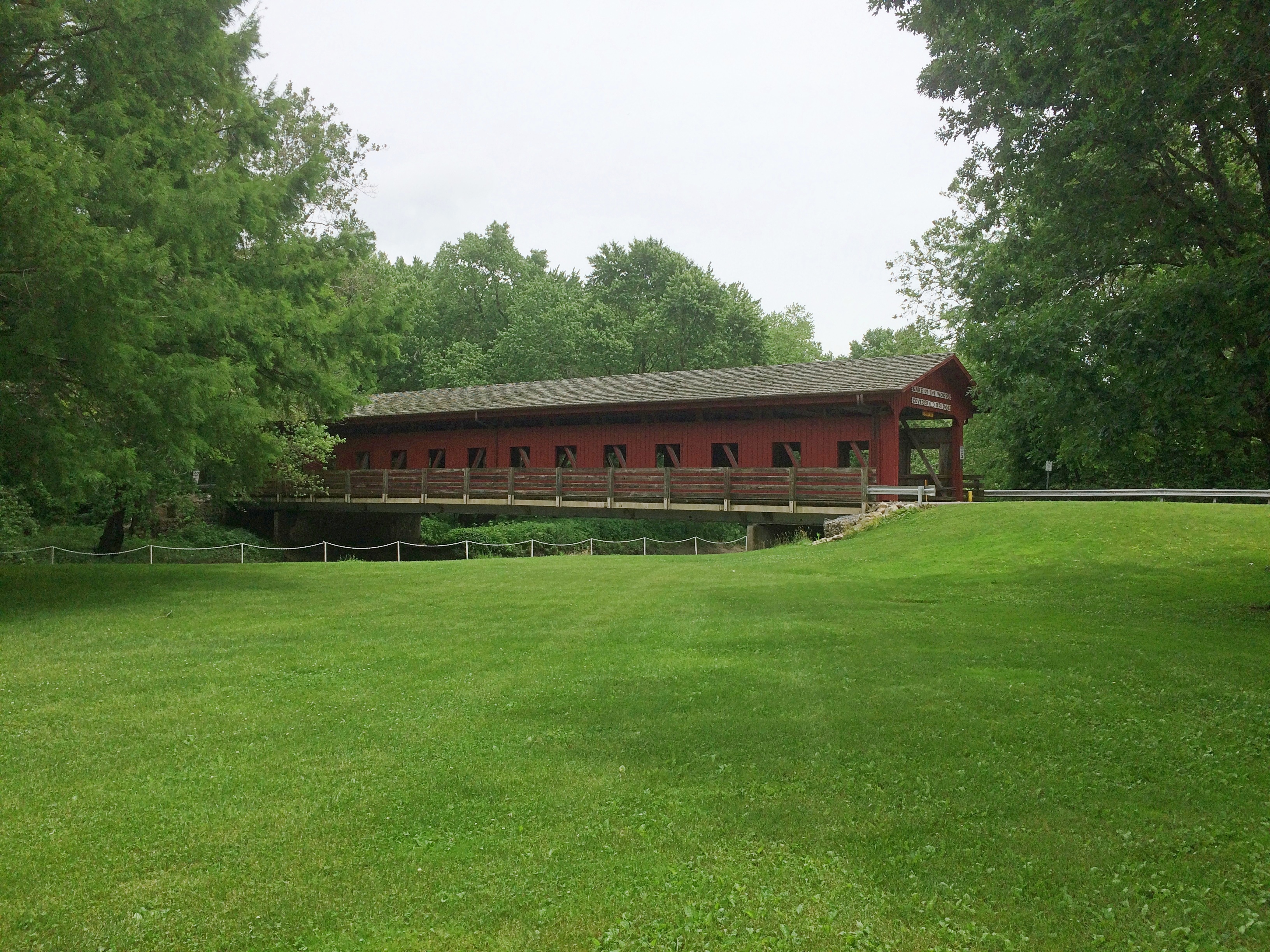
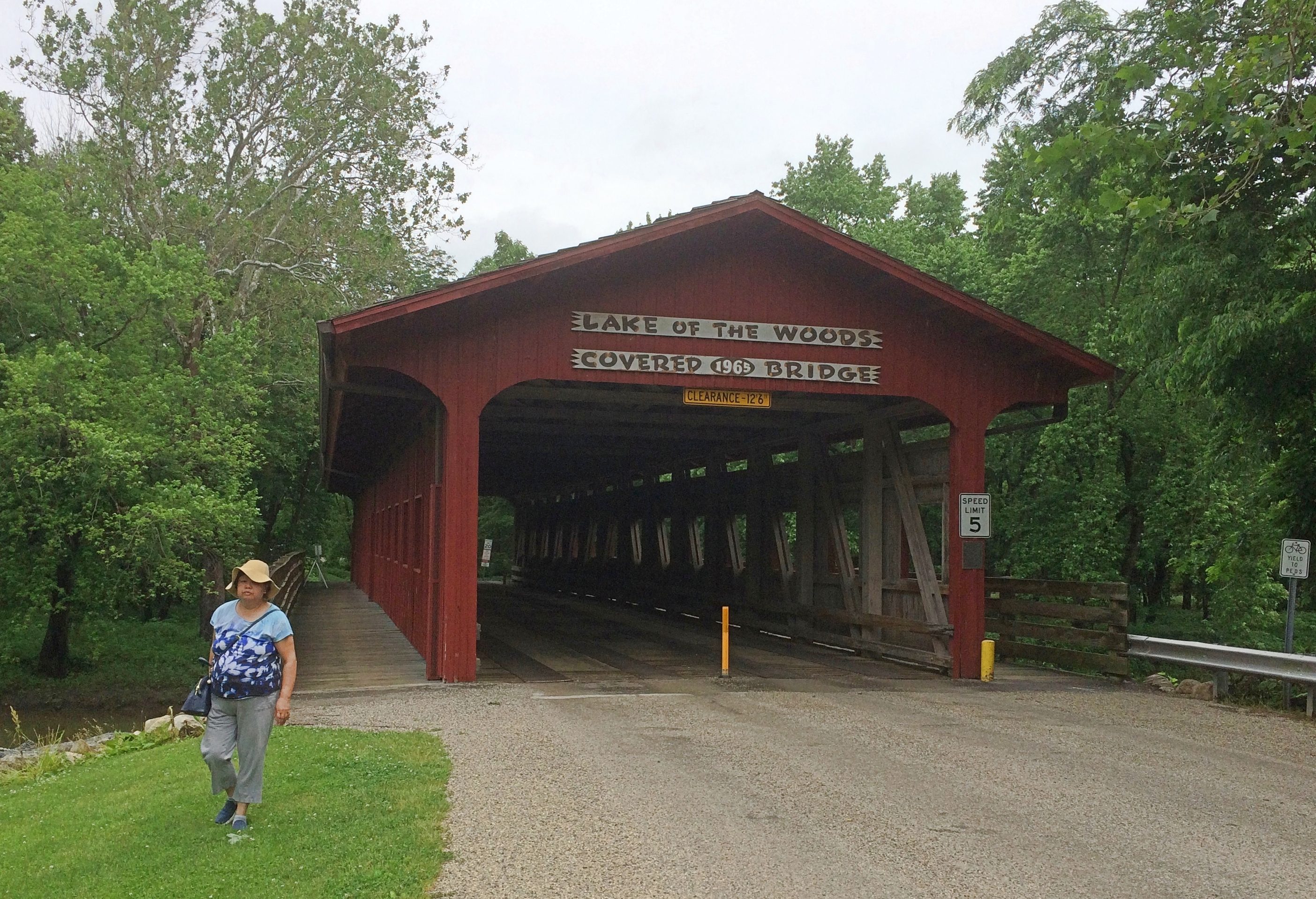
The garden is part of the larger Lake of the Woods Forest Preserve. We took a walk along some of its trails, eventually coming to a covered bridge: Lake of the Woods Covered Bridge. Wooden construction, but also with hidden steel support to make it vehicle-worthy.
Lake of the Woods Forest PreserveLake of the Woods Forest PreserveIt isn’t one of the 19th-century bridges you find in the Midwest. Rather, vintage 1965. As the park district says: “After the purchase of an 80-acre tract of land west of the Sangamon River in the 1960s, the Lake of the Woods Covered Bridge was constructed to connect the two sides of Lake of the Woods Forest Preserve in Mahomet. Designed by German Gurfinkel, a Civil Engineering instructor at the University of Illinois, the bridge was a replica of the Pepperel Bridge [sic] near Boston.”

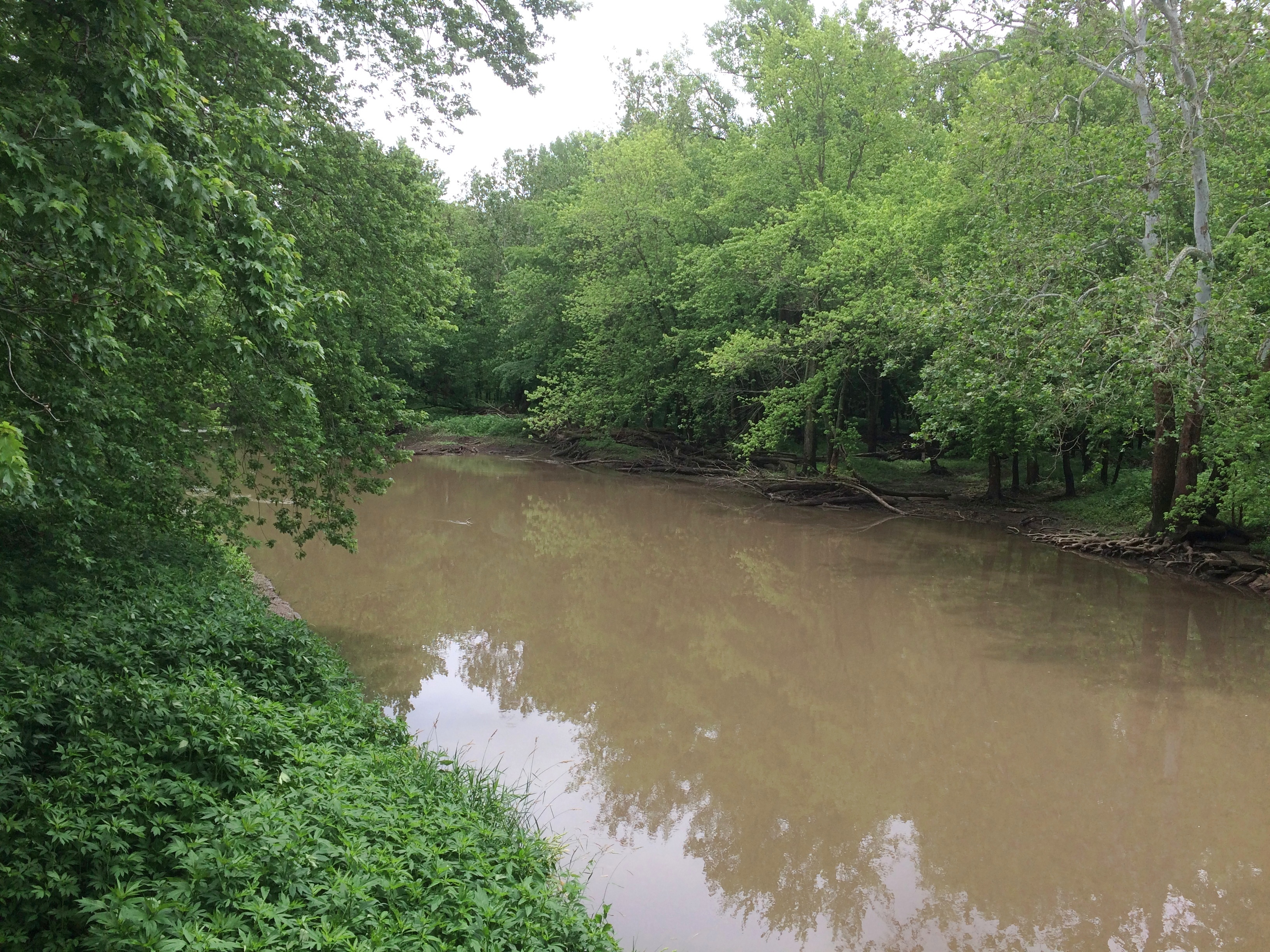
The view from the bridge of the Sangamon River, which flows on to Springfield and then to the Illinois River.
We walked across the bridge. You should cross bridges when you come to them, if possible. Before we left the forest preserve, we also drove across it, because we don’t get to drive across covered bridges that much.

Graue Mill & Fullersburg Woods Forest Preserve

Not long ago I was passing through the western suburbs, not too far from where I lived — and it feels a little strange to put it this way — around the turn of the century. Since I had a little extra time, I decided on a whim to visit the Graue Mill and Museum.

Re-visit it. The last time I was there, I remember pushing one of my daughters in a stroller. I don’t remember which one. In either case, that was a while ago. Around the turn of the century.

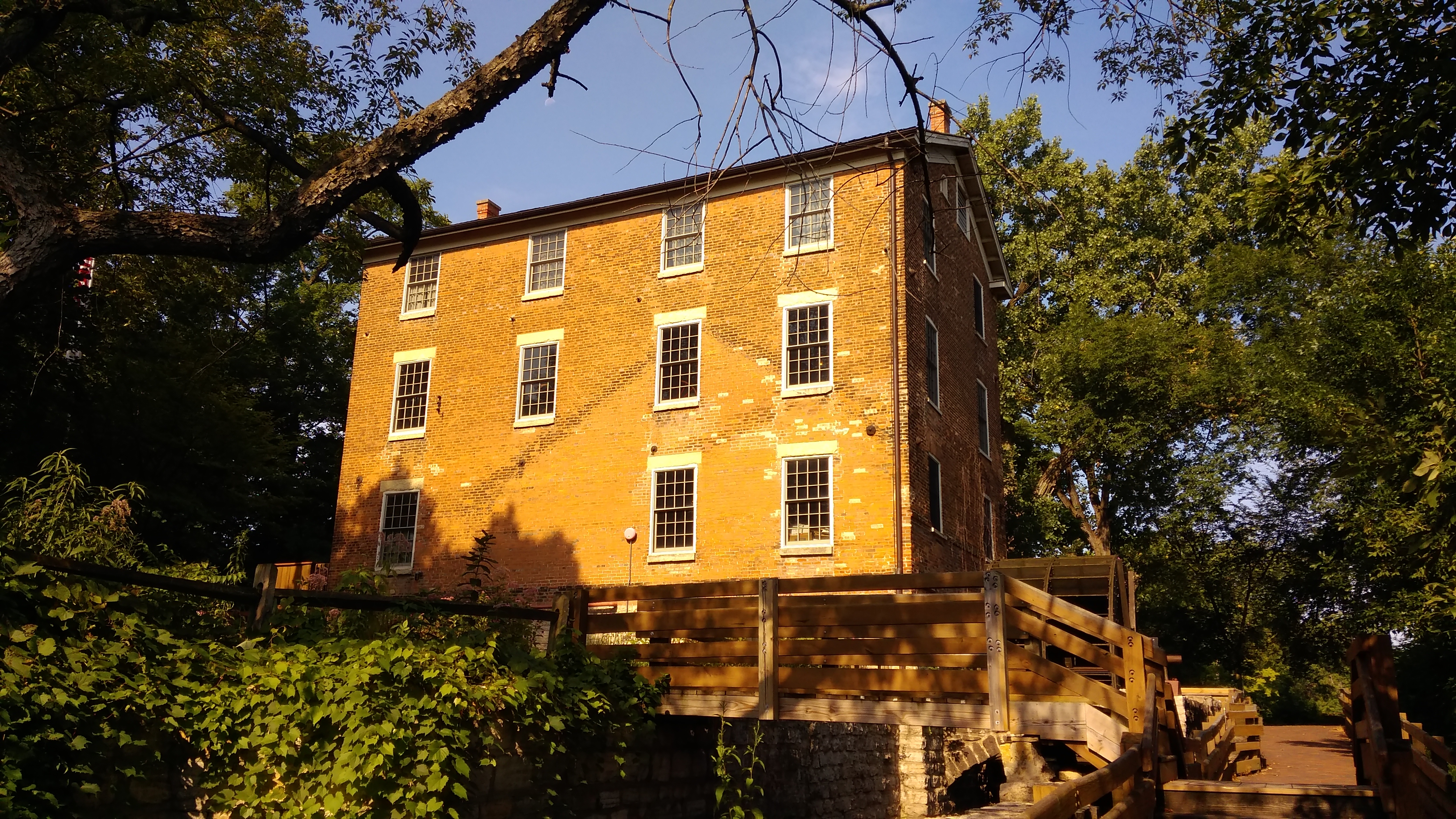
Graue Mill is a water-powered grist mill on Salt Creek in DuPage County, dating from the 1850s. The machinery inside is elaborate, restored to operation, and still grinding small quantities of grain that the museum sells. I didn’t go inside this time, but pondered the handsome exterior of the mill.

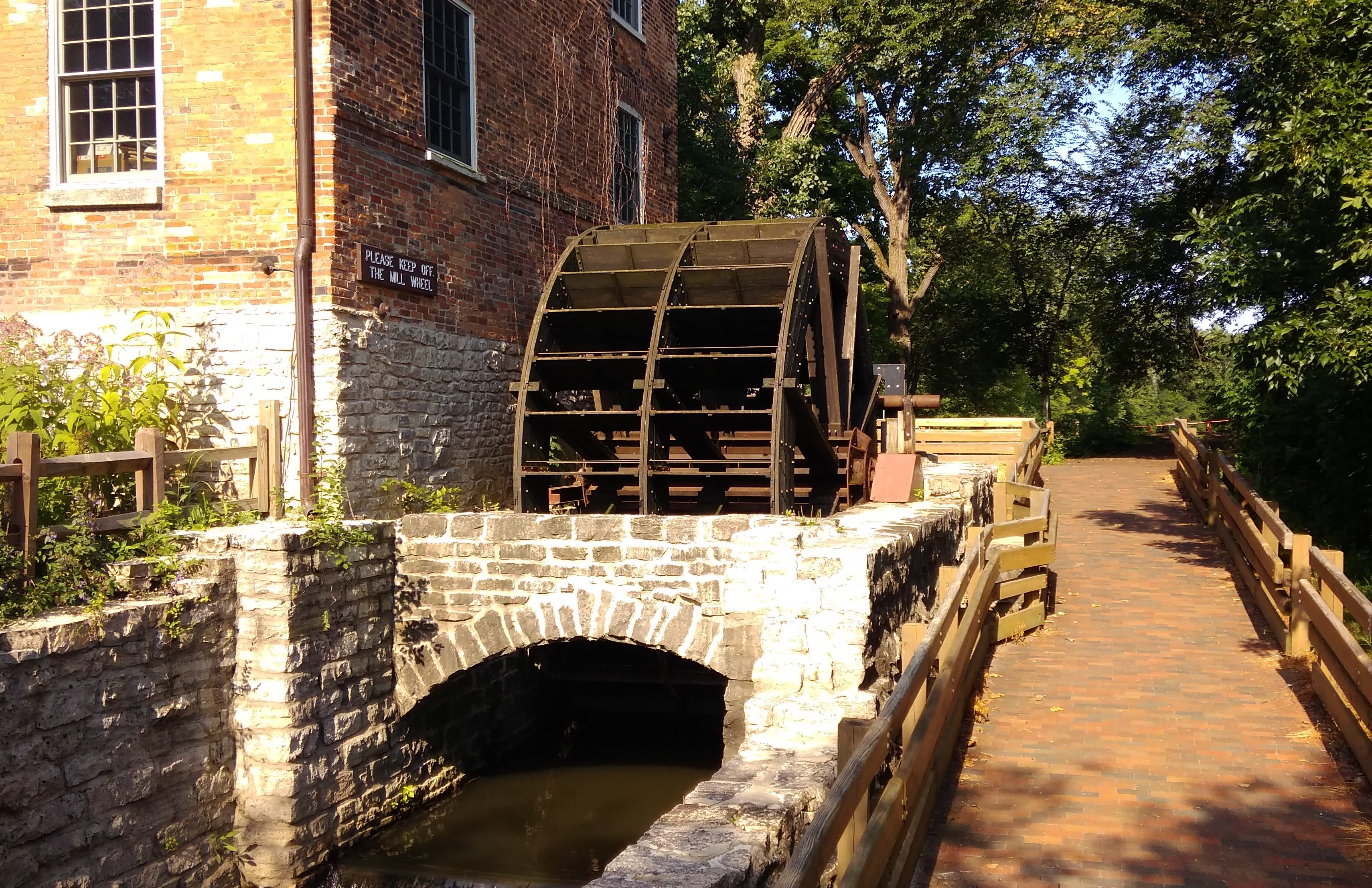
As well as its large water wheel.
“Frederick Graue was born in Germany, came to the United States and settled in Fullersburg, Illinois, in 1842,” the museum’s web site says. In 1849, he purchased the site of a sawmill that had burned down, along with his partner William Asche, and constructed a gristmill there. Asche later sold his share to Graue.

“Limestone for the basement walls was quarried near Lemont; bricks for the rest of the walls were made from clay from the Graue farm and fired in kilns near the mill site; flooring, beams, and posts were from white oak timbers cut along the I&M canal. The four one-ton buhrstones used for grinding were imported from France. After the gristmill opened in April 1852, it ground wheat, corn and other grains produced by local farmers.

“The mill was a major center of economic life during the 19th century and was also used by Fred Graue to hide runaway slaves on their journey to freedom in Canada.”

In the 20th century, the now-obsolete mill fell into ruin, but it was restored in the 1930s by none other than the CCC. Specifically, Troop V-1668, made up of veterans. These days, the mill is part of the Fullersburg Woods Forest Preserve, which is a unit of the DuPage County Forest Preserve District. The village of Fullersburg, for its part, was never incorporated and doesn’t exist as a modern entity.

This is Salt Creek next to the mill, which gives it its power.
Salt Creek, despite its name, is really more of a river in this part of DuPage County, but never mind. It joins the Des Plaines River in Cook County, which later joins the Illinois and then of course the Mississippi.

I had time enough to take a stroll on one of the paths through Fullersburg Woods Forest Preserve, not too far from the mill.

Along the way, the path takes you past other views of Salt Creek, slightly upstream from the mill.
Past summer fields. The years do go by like so many summer fields.
And a handful of well-maintained CCC structures.
Though I didn’t capture any of the activity with my camera, the paths of Fullersburg Woods are very popular with dog walkers and their dogs.

Songbird Slough

Sometimes a name on a map is intriguing enough to inspire a visit to the place. So it was with Songbird Slough, a part of the Forest Preserve District of DuPage County. Charming name. When we went on Friday afternoon, it was toward the end of a pleasantly warm day, the kind you get sometimes in March (but not too often).

The Forest Preserve District says that “the 393-acre preserve is a part of a large glacial kettle formation that is the low point for a 1,000-acre watershed that drains the surrounding urban area. Songbird Slough is a combination of natural and constructed wetlands, fishing ponds, restored prairies, and meadows.”

Still a little ahead of the greens of spring, but not a bad place for a stroll, especially in 70-degree temps.
Songbird Slough, DuPage County“This urban retreat serves as a nesting spot for numerous grassland and song birds, and is a great spot for wildlife viewing, especially during waterfowl migration season,” the forest preserve continues. Not that many highly visible birds around on Friday, but there were a few.
Songbird Slough DuPage CountyWe left at about 6 pm for a 20-minute or so drive home. By the time we got home, it was 10 or even 15 degrees cooler. The sudden drop was the beginning of a cold, wet, generally unpleasant winter-spring mix of a weekend.

Bachelor’s Grove Cemetery (Or, I Ain’t Afraid of No Ghost)

By the end of August, summer’s a little tiring, but I’m also not glad to see it go. Odd how that works. Back to posting again on September 6.

As if I hadn’t seen enough cemetery grounds for the day last Saturday after I visited the Oak Woods Cemetery, I decided before going home to fulfill a longstanding ambition and see Bachelor’s Grove Cemetery in south suburban Bremen Township. Going all the way to the south suburbs just to see Bachelor’s Grove has always been a stretch, but I was already further south than I usually go, making the cemetery relatively close.

Bachelor’s Grove is known for one thing locally, and maybe even in the wider world: ghosts. Graveyards.com’s Illinois page, which usually includes fairly sober assessments of burial grounds, says the following:

A small, abandoned graveyard in the southwest suburbs has been called the most haunted place in Chicago — and one of the most haunted places worldwide.

This is Bachelor’s Grove.

WARNING: Do not go in or near Bachelor’s Grove Cemetery at night. Do not go in or near Bachelor’s Grove Cemetery at Halloween, or for several weeks before or after that date. You will be arrested and charged with trespassing.

The author of graveyards.com recommends that you don’t go to Bachelor’s Grove at all.

How do we know the place is haunted? Same way we know anywhere is haunted: people say it is. If I sound skeptical, I am. Not necessarily about the reality of noncorporal beings, but about the tales of Bachelor’s Grove. It’s easy to tell stories about an abandoned graveyard in the woods, especially if those woods happen to be in a suburban area where teens are looking for places to hang out undisturbed.

On the other hand, I’m not skeptical that forest preserve police — Bachelor’s Grove is on forest preserve land in our time — might go looking for nighttime visitors. The cemetery has an indisputable history of wankers showing up to vandalize the stones. Otherwise I can’t see that visiting the cemetery counts as trespass, since the point of a forest preserve is public use.

To get to Bachelor’s Grove, you park at one of the Rubio Woods Forest Preserve parking lots on the north side of the Midlothian Turnpike (143rd), and then cross that road not far to the west. A trail leads into the woods from the south edge of the turnpike. A sign on a chain between two posts says NO ENTRY, but I took that to mean vehicular traffic, since the path is wide enough for a car.
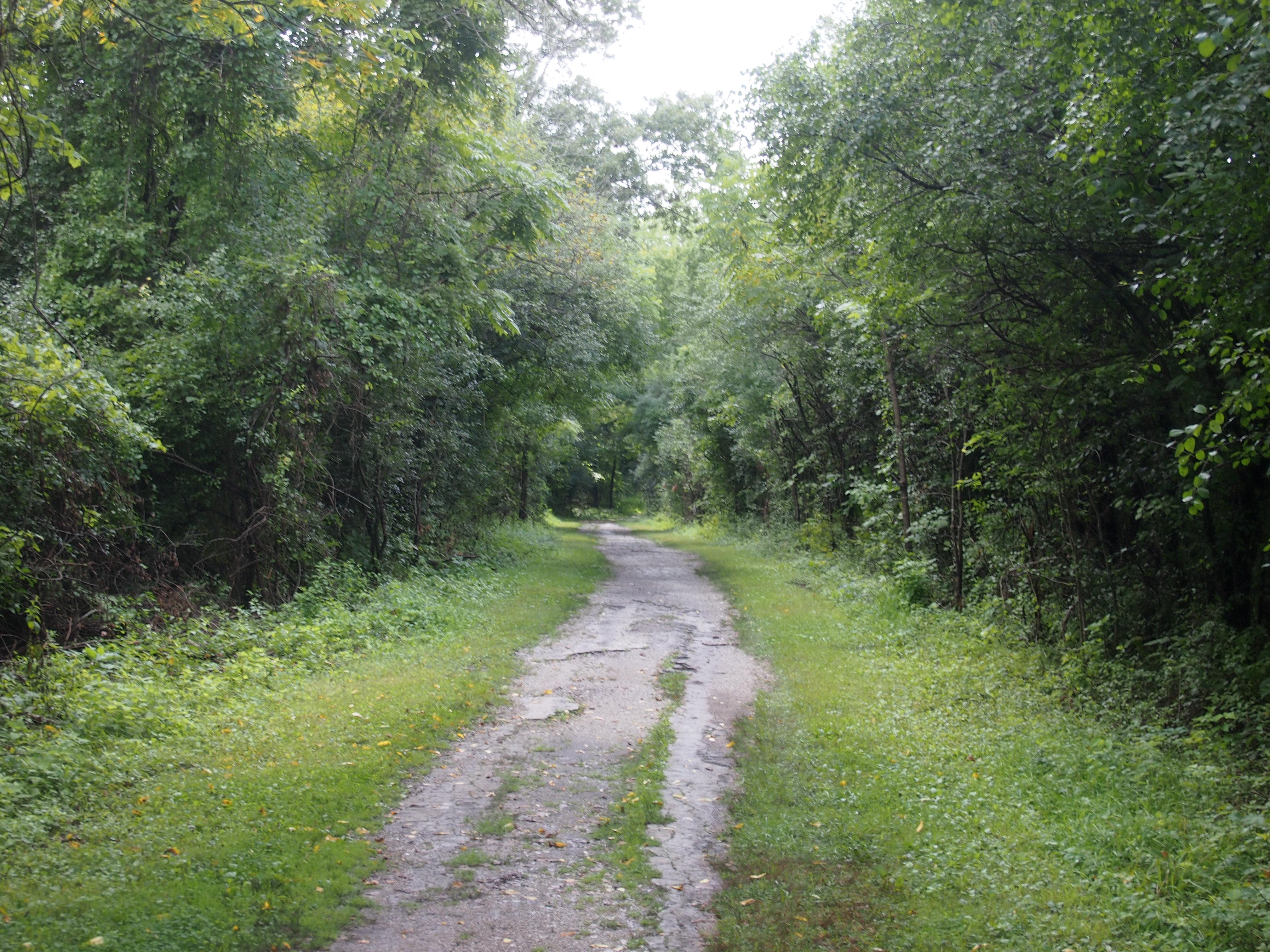
Path to Bachelor's Grove Cemetery, IllinoisI’ve read that this is the former route of the Midlothian Turnpike. If so, that would have taken traffic next to the cemetery, which is about a fifth- or a quarter-mile walk away. The cemetery itself presumably predates any modern paved road, having been founded, according to Graveyards.com, in 1864. The most recent burial was supposedly in 1965, but in any case it never was a large or populous necropolis. Instead of a city of the dead, more like a hamlet of the dead.

Older pictures of the cemetery, such as at Graveyards.com, depict a unkempt place, but on August 27, 2016, I found a well-maintained graveyard, at least in terms of undergrowth control, surrounded by a tall, newish chain-link fence, but with no gate. There are no signs telling you the name of the place or anything else.
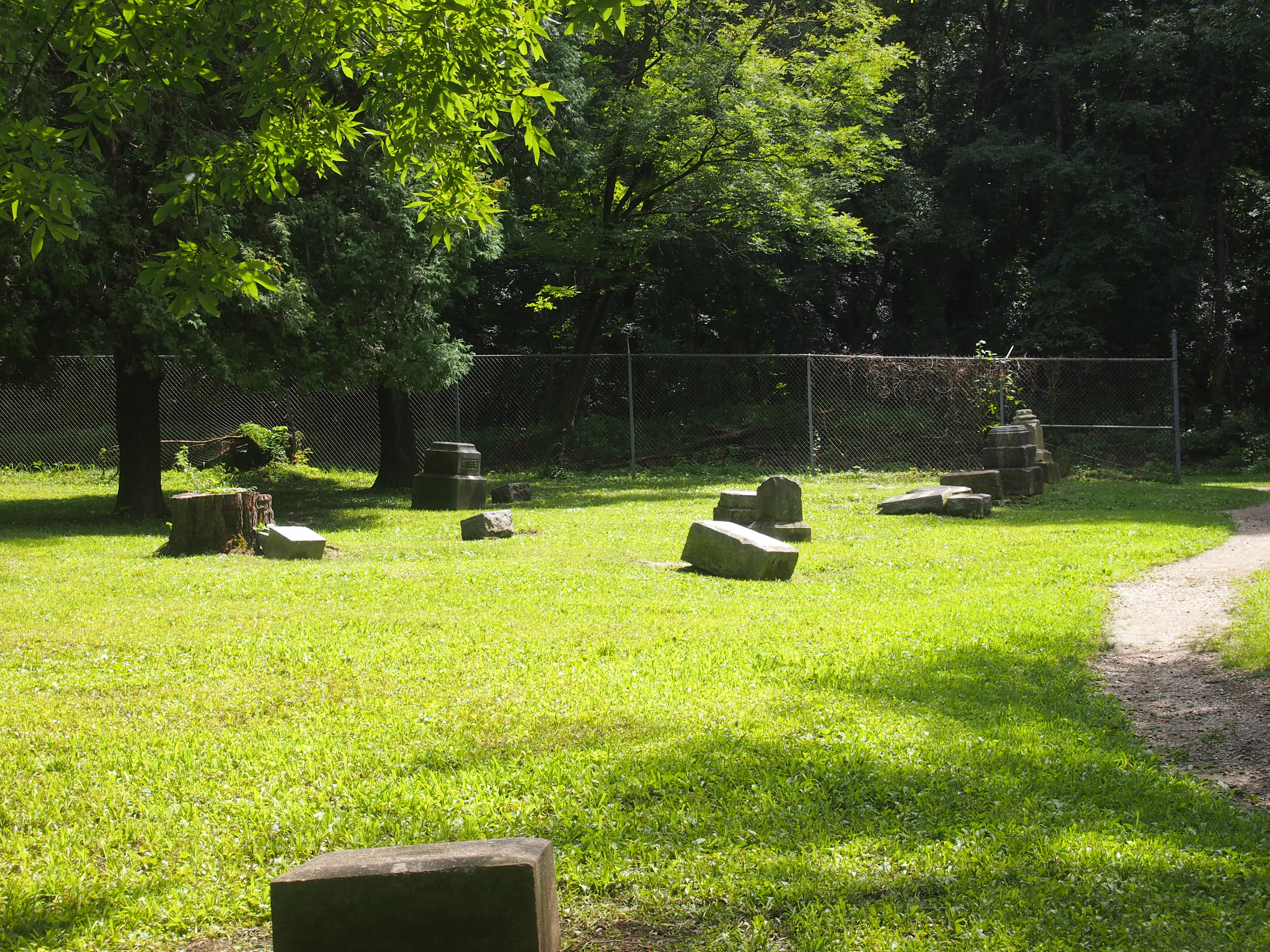
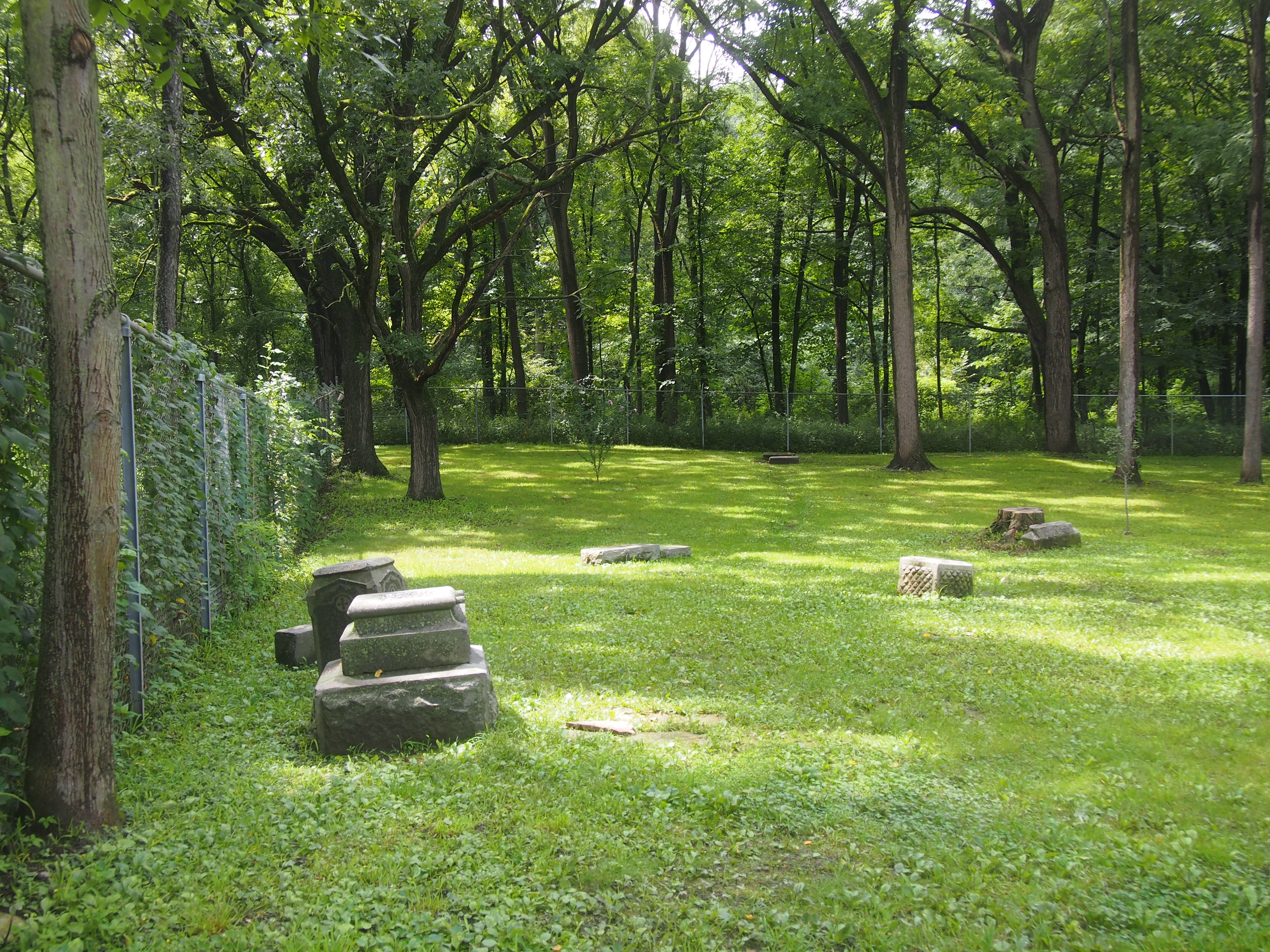
Bachelor's Grove Cemetery IllinoisBachelor's Grove Cemetery Illinois 2016Bachelor's Grove Cemetery Illinois 2016Could be that the forest preserve is now taking a “broken windows” approach to discouraging vandalism. That is, if the grounds look cared for, people are less like to do further damage. There’s still plenty of evidence of earlier damage, however, such as tumbled-down tombstones.
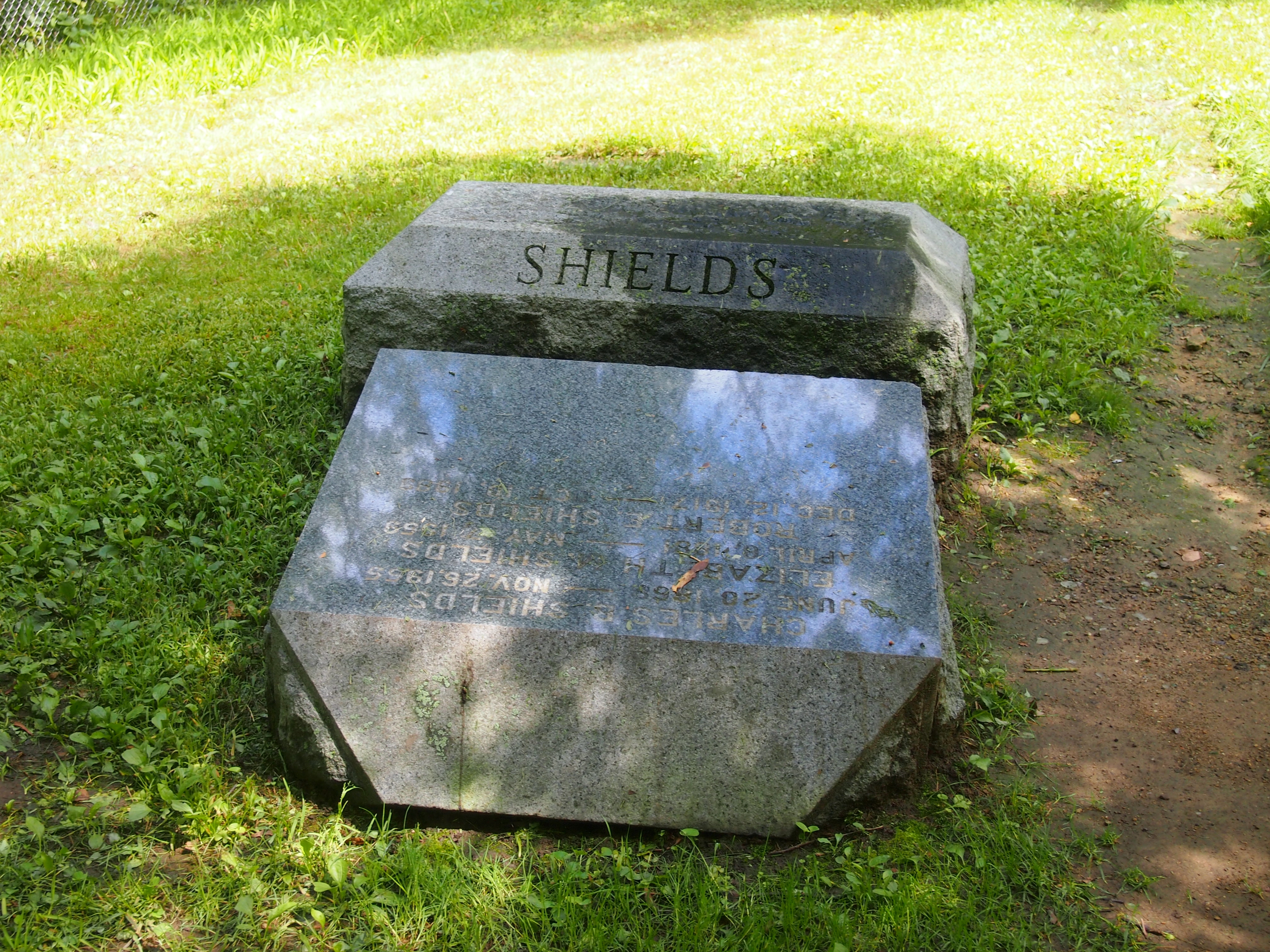
Bachelor's Grove Cemetery Illinois 2016Evidence of wankers with spray paint, too.
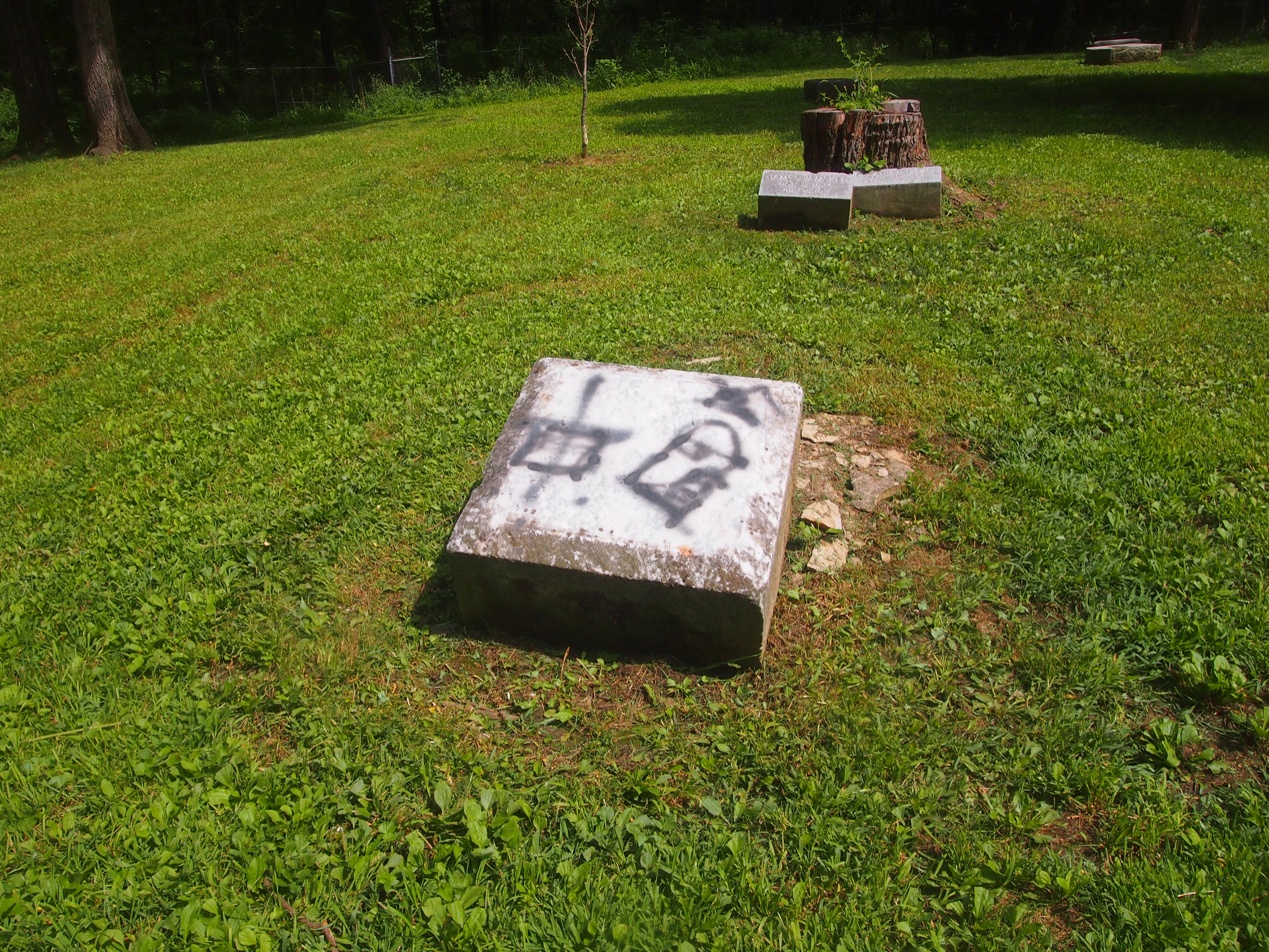
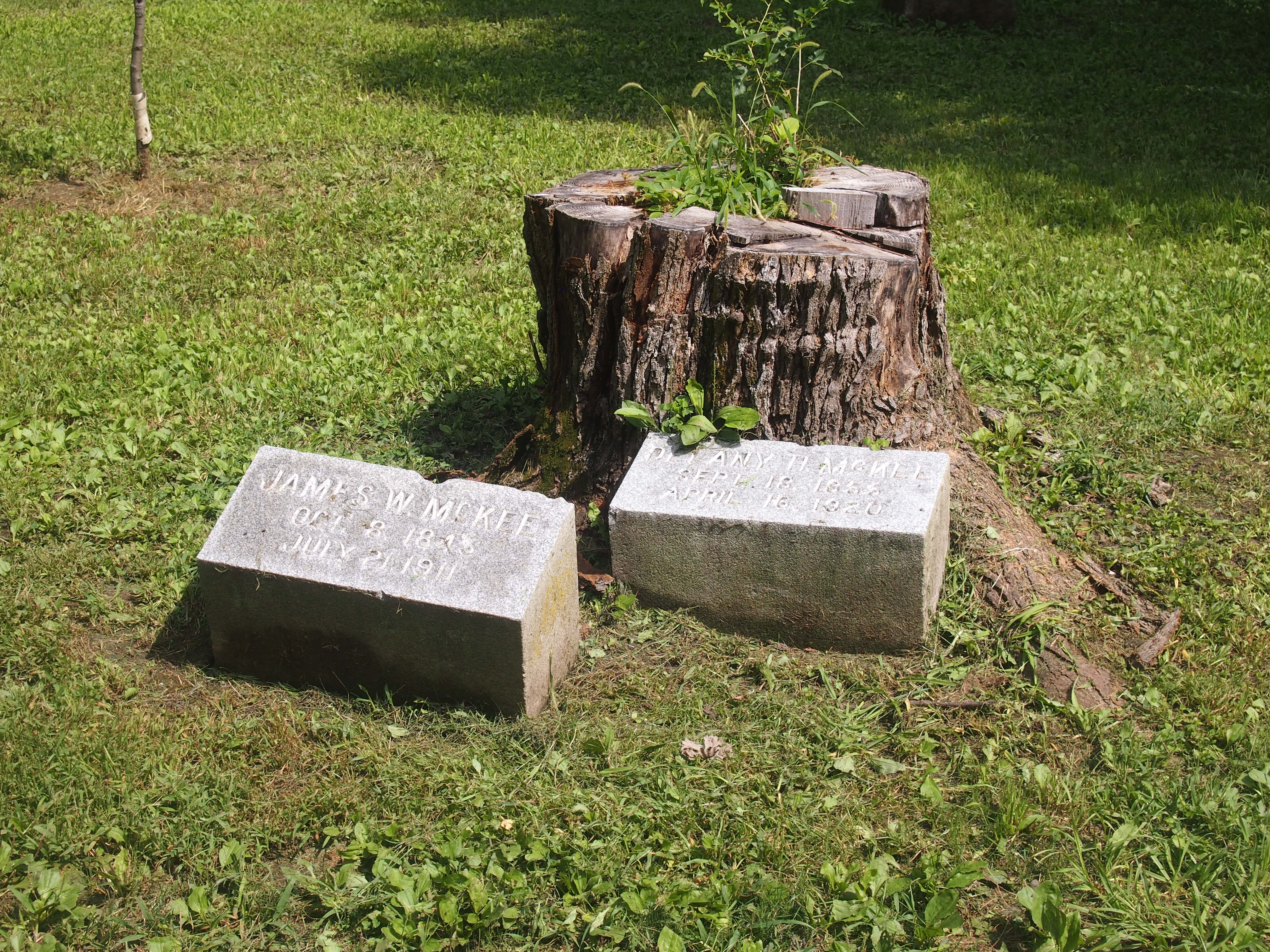
Bachelor's Grove Cemetery Illinois 2016Many of the stones merely look old and weather-worn, some of them beyond deciphering any names or other information.
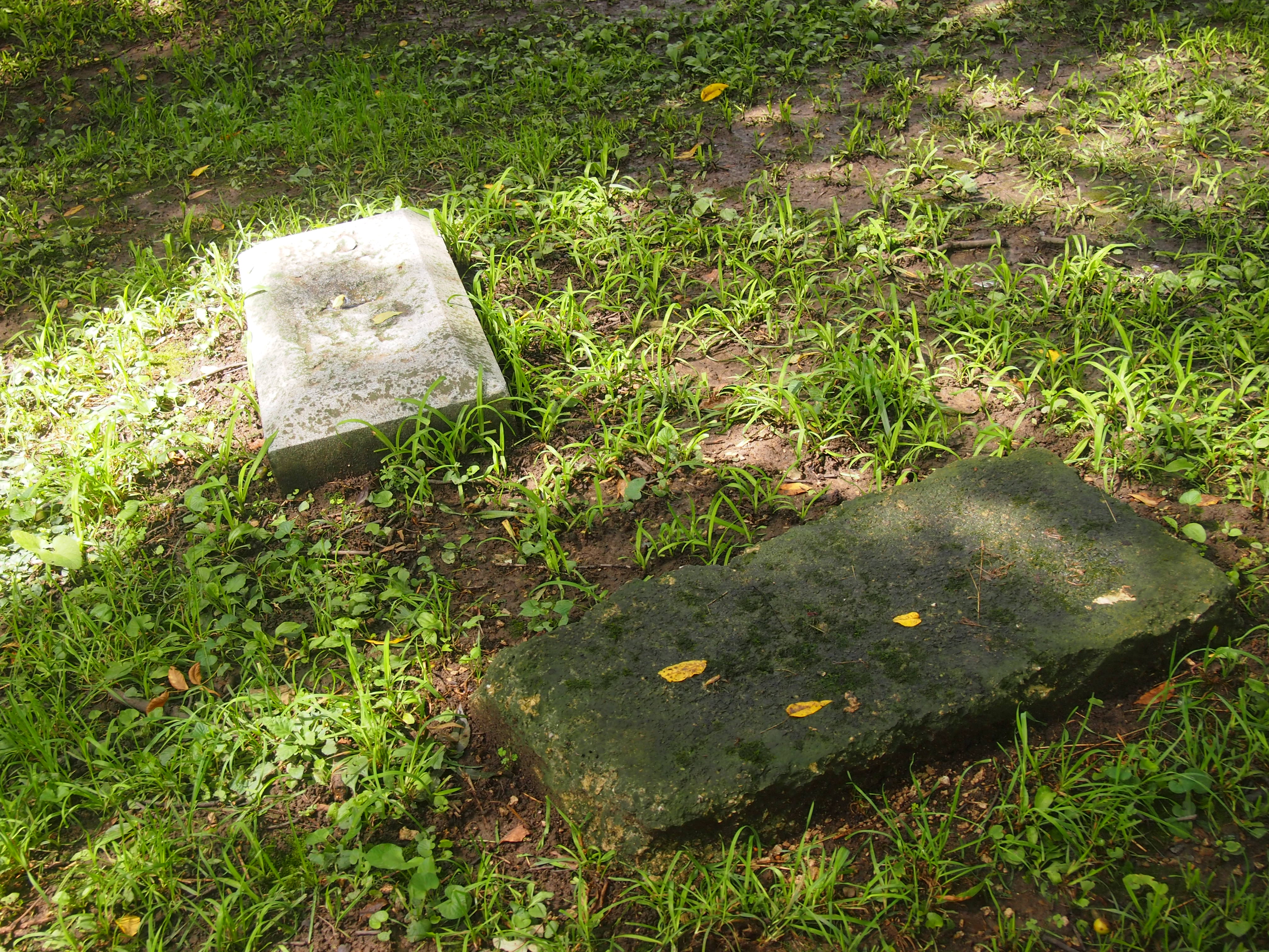
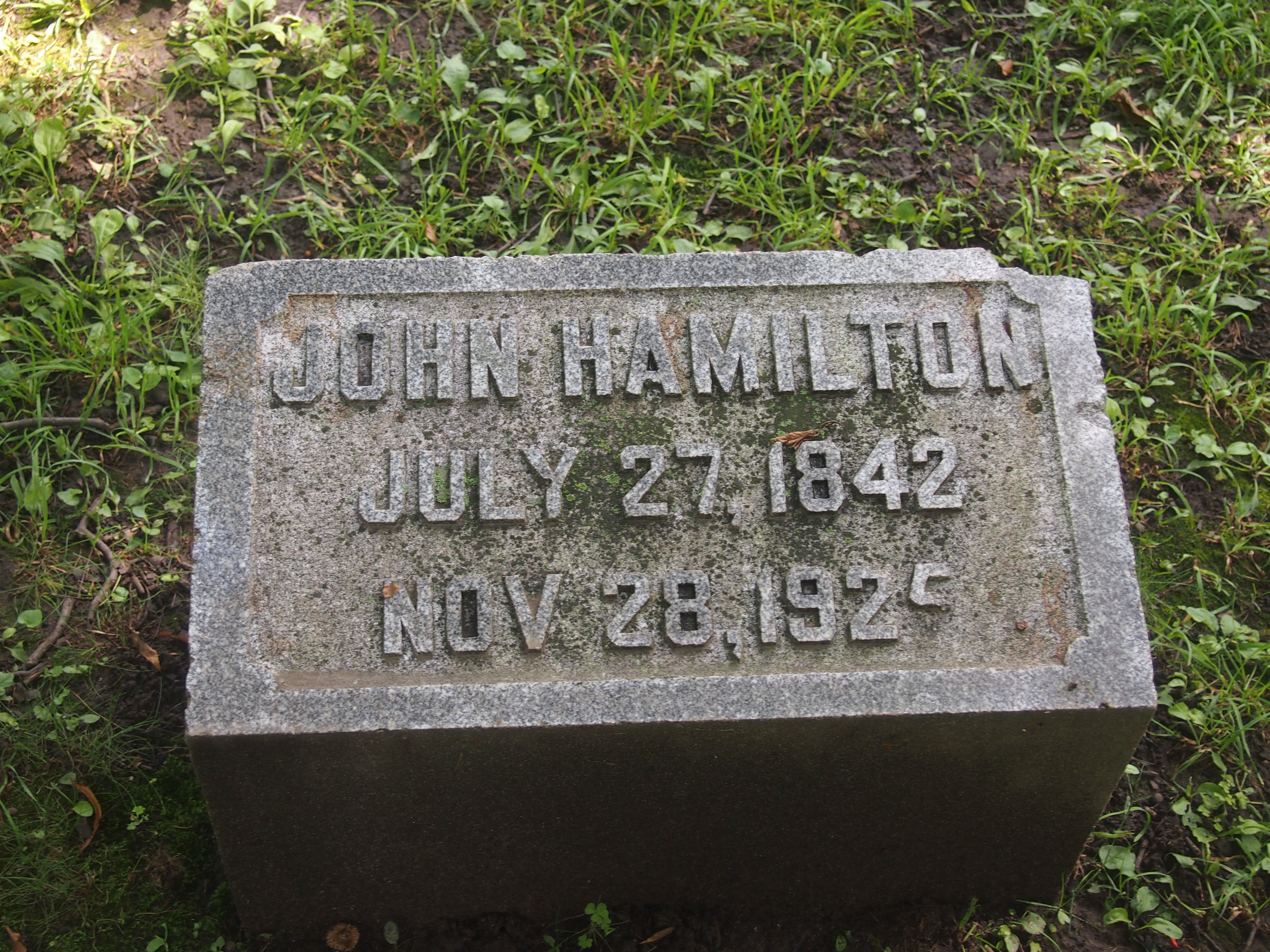
Bachelor's Grove Cemetery Illinois 2016Bachelor's Grove Cemetery Illinois 2016Others have held up better, or maybe are more recent replacements.
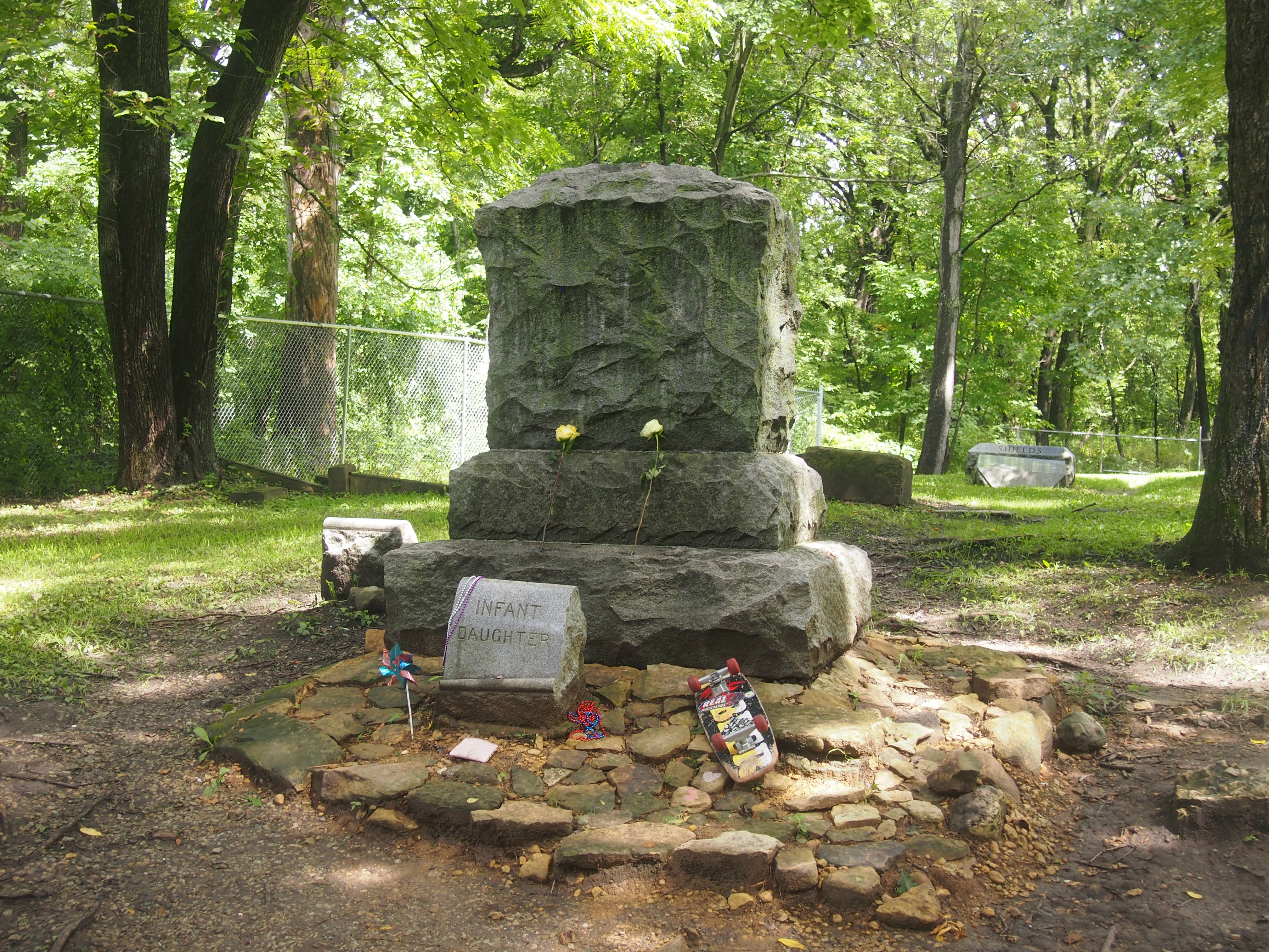
Bachelor's Grove Cemetery Illinois 2016Bachelor's Grove Cemetery Illinois 2016The cemetery clearly has living visitors who do the opposite of vandalism. People have left items for the “Infant Daughter” at the largest stone in the graveyard, with the name Fulton on the other side. According to Graveyards.com, a descendant of these Fultons was the last trustee of the cemetery, turning it over to the forest preserve district in 1976.
Bachelor's Grove Cemetery Illinois 2016I was the only living person at Bachelor’s Grove early that afternoon, but as I was leaving the forest preserve, I saw a man and a woman headed in the direction of the cemetery. So I guess there’s often a trickle of curious visitors. Unless I saw a couple of really life-like haints, down to the sunglasses and baseball caps.
Greener and Greener

The greening of northern Illinois happens every spring, but I never get tired of it. Here are a few views on Saturday of the Poplar Creek Forest Preserve, a place we’ve been going for some years.

There are expanses of grass at the forest preserve.
Poplar Creek Forest PreserveAlong with thickets.
Poplar Creek Forest PreserveThe blooming dogwood.
Poplar Creek Forest PreserveAnd the eagerly exploring dog, mostly exploring with her nose.
Poplar Creek Forest PreserveProvided, of course, you take the dog out for a special-treat walk among the May greenery.

The Mallard Lake Trail, Near the West Branch of the Du Page River

I noticed a sign today at Mallard Lake Forest Preserve, which we haven’t visited in nearly a year.

Mallard Lake FP, Du Page CountyUh-oh. I don’t think that sign was there last year. But now there’s evidence that the dread zebra mussel has invaded these waters, as it’s hopscotched across the lakes of the world. Wiki tells me that the mussel has come from its native lakes of southern Russia to be a pest in North America, Great Britain, Ireland, Italy, Spain and Sweden.

It’s no trifling matter. The Virginia Department of Game and Inland Fisheries tells us that, “Many water treatment and power facilities must now treat their systems to keep them free of zebra mussels, beaches must be periodically cleaned of decaying masses of dead zebra mussels, and bottom-dwelling organisms and fisheries have been negatively impacted. In the United States, Congressional researchers estimated that zebra mussels cost the power industry alone $3.1 billion in the 1993-1999 period, with their impact on industries, businesses, and communities over $5 billion.”

Fortunately, zebra mussels don’t invade the land to attack casual walkers on forest preserve paths. That’s all we wanted to do today, because once again the weekend was unusually warm for February, nearly 60 degrees F.

Instead of simply circumambulating Mallard Lake, we also walked along a spur called the Mallard Lake Trail, which leads to a municipal park called Heritage Park, which is part of subdivision I know nothing about. For a quarter of a mile or so, Mallard Lake Trail seemed remote, though it was an illusion, helped by the day’s strong winds, which muffled the sound of traffic off in the distance.
Mallard Lake TrailWithin view of part of the trail is the West Branch of the Du Page River.
West Branch Du Page RiverIt might have been a natural-flowing stream at one time, but it has the look of a man-made channelization at this point. By the time we got here, the middle-of-the-woods illusion was punctured by houses in the background, and a school off in the other direction.
West Branch Du Page RiverThe West Branch of the Du Page River flows quite a ways south — including through downtown Naperville — to meet the Du Page River in Bollingbrook, Ill. The Du Page joins the Des Plaines at a place called Moose Island in Channahon, Ill., but very near there the Kankakee River joins the Des Plaines and they all form the mighty Illinois River, a direct tributary of the Mississippi just north of St. Louis.

So you might say we took a stroll in a very small part of the Illinois River watershed, which includes all of the little cricks and rivulets around here.

Pit of Winter, and No Place to Toboggan

According to online sources, the temperature outside as I post is zero degrees Fahrenheit, with small negative numbers expected in the near future. Tomorrow will see highs in the positive single digits. So here we are, in the pit of winter.

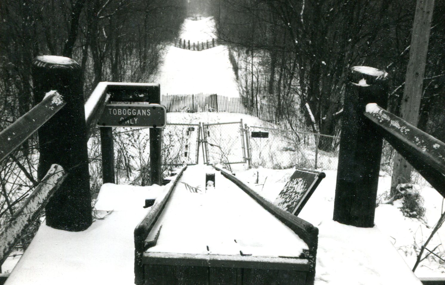
Twenty-eight Januaries ago I was tramping around at one of the Du Page County Forest Preserves, maybe Blackwell Forest Preserve in Warrenville. I used drive out from the city periodically to visit a friend in Warrenville, usually on a Saturday. During the warm months, I’d help him tend his large garden, receiving a share of the produce.

In the winter, I forget what we did, besides watch videos and — on January 23, 1988 — visit a snow-covered forest preserve as the snow fell. I had my camera, and it was during a period when I was taking black-and-white pictures. We happened across a closed toboggan run.

Du Page County Jan 1988I can’t pin it down now, or rather don’t want to spend much time at it, but I’m fairly certain that the local forest preserves closed their handful of toboggan runs sometime not long before I took the picture. Probably it was the expense, or the liability, or both.