Open up the Fibber McGee’s closet of Mackinac Island, and countless turtles come tumbling out.
By “open up,” I mean Google the term “Mackinac Island turtle” and the references come fast and thick: Lore of the Great Turtle, a book published by Mackinac State Historic Parks; Great Turtle Park; Great Turtle Kayak Tours; Great Turtle Toys of Mackinac Island; the Great Turtle Drop, which happens on New Year’s Eve; the Great Turtle Half Marathon & 5.7 Run/Walk; Great Turtle Brewery & Distillery; Great Turtle Creations of Mackinac Island; Heart of the Great Turtle Island – Gchi Mshiikenh Deh Minising Project; Turtle Fudge; the Great Turtle Sunset Voyage; and Great Turtle Lodge.
The association with turtles goes a long ways back, long before the appearance of Europeans in this part of the world.
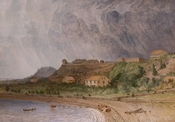
“Mackinac Island is a shortened version of the Native American name pronounced Michilimackinac,” says the island’s web site. “The Anishinaabek people named this area and Mackinac Island Michilimackinac, meaning place of the great turtle.
“Why great turtle? They thought that Mackinac Island, with its limestone bluffs, looked like a giant turtle rising out of the water.”
Dig around a little more, and more emerges.
Writing in 1896 in a book called Mackinac, formerly Michilimackinac (isn’t the Internet Archive a fine thing?), one John R. Bailey had this to say:
“Michilimackinac is claimed to be derived from the Indian words Michi, ‘great,’ and Mackinac, ‘turtle,’ from a fancied resemblance to a large mud turtle; also from the Chippewa Mi-chi-ne Mau-ki-nouk, the two meaning ‘the place of giant fairies.’ [Henry] Schoolcraft says there is another meaning besides ‘great turtle.’ It also means ‘spirits,’ or ‘fairy spirits.’ The spirits were want to take the form of a turtle and become ‘turtle spirits.’ ”
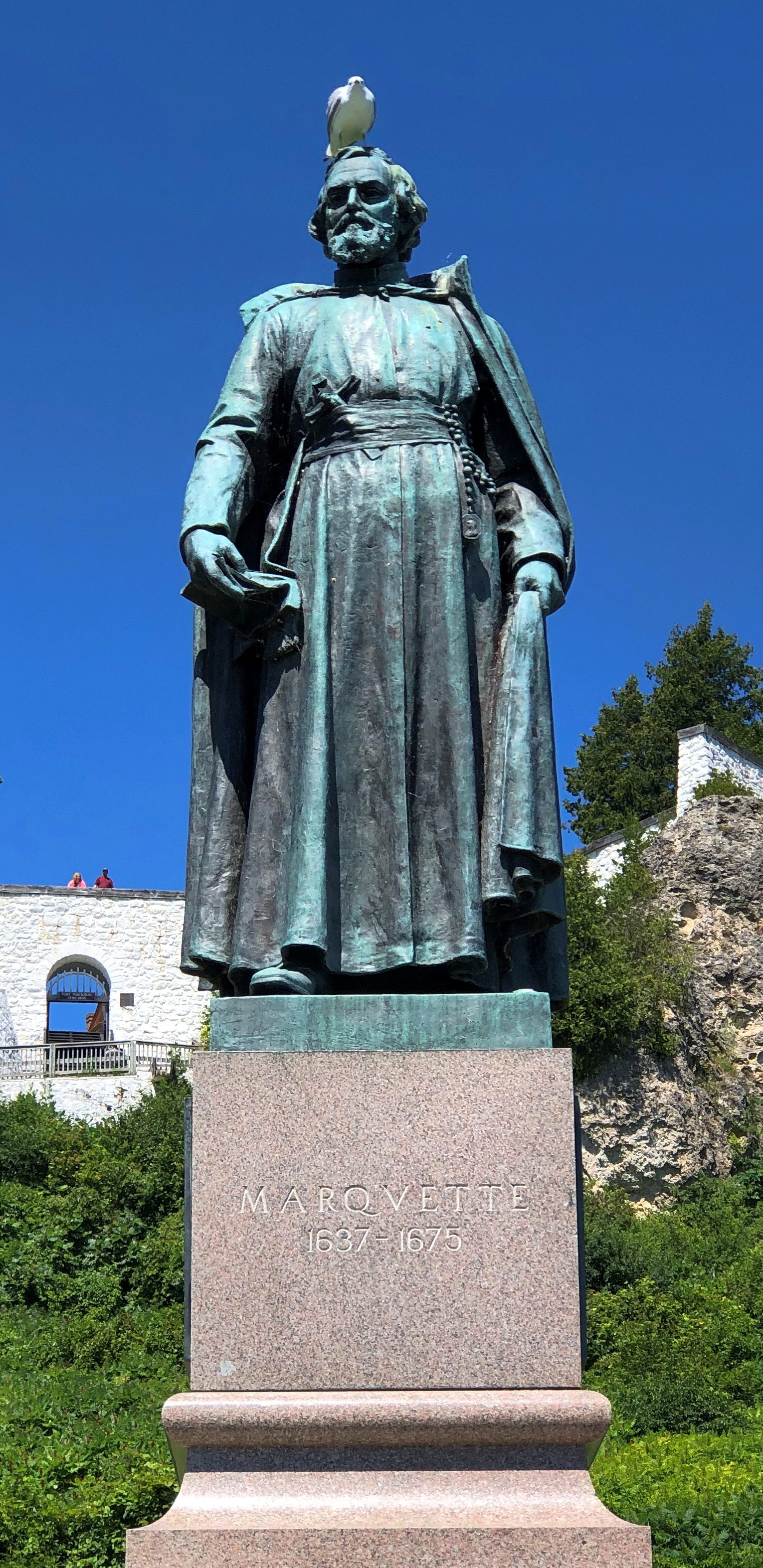
All that goes to explain this sight, at the Gate House restaurant on Cadotte Ave. on the island.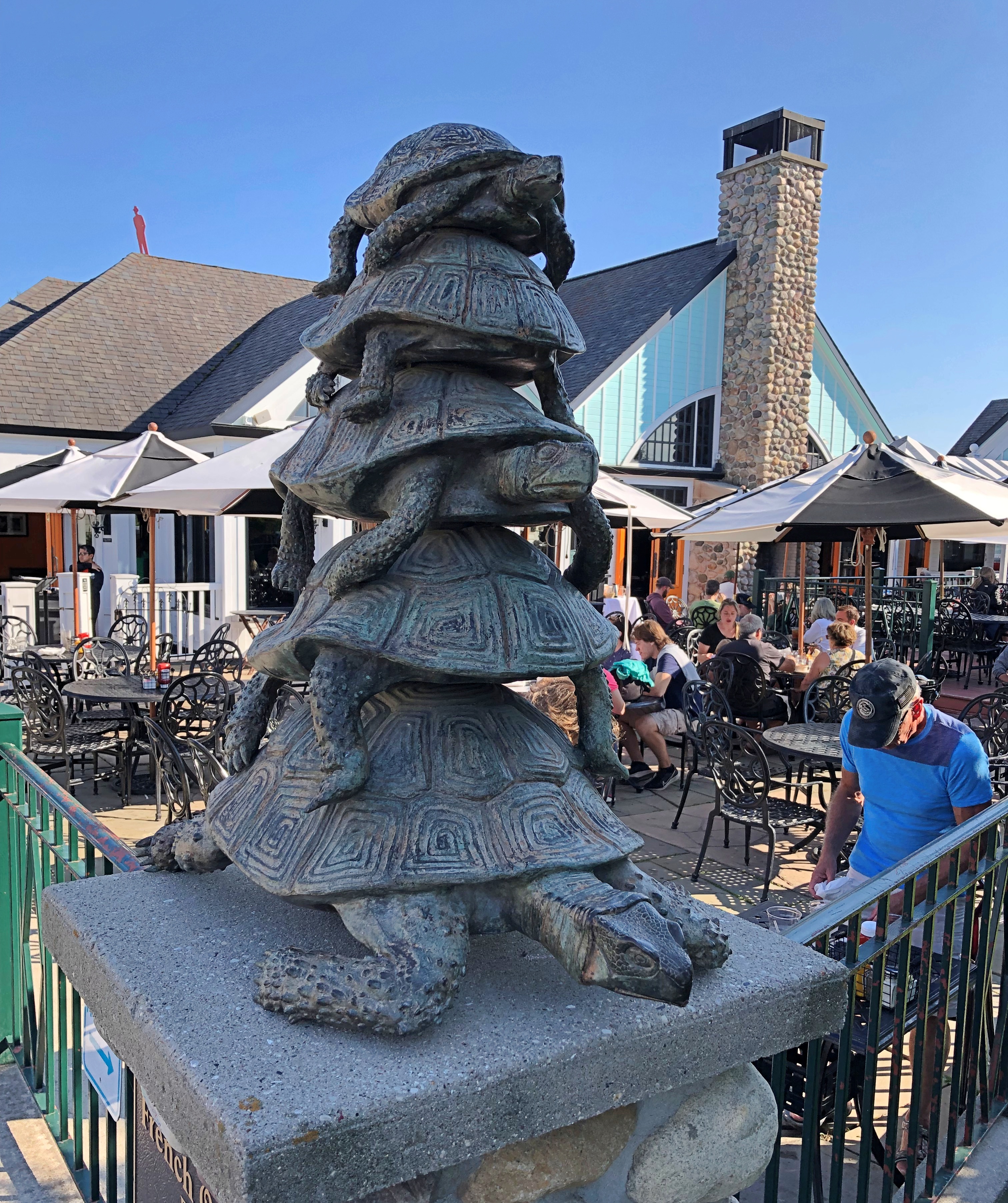
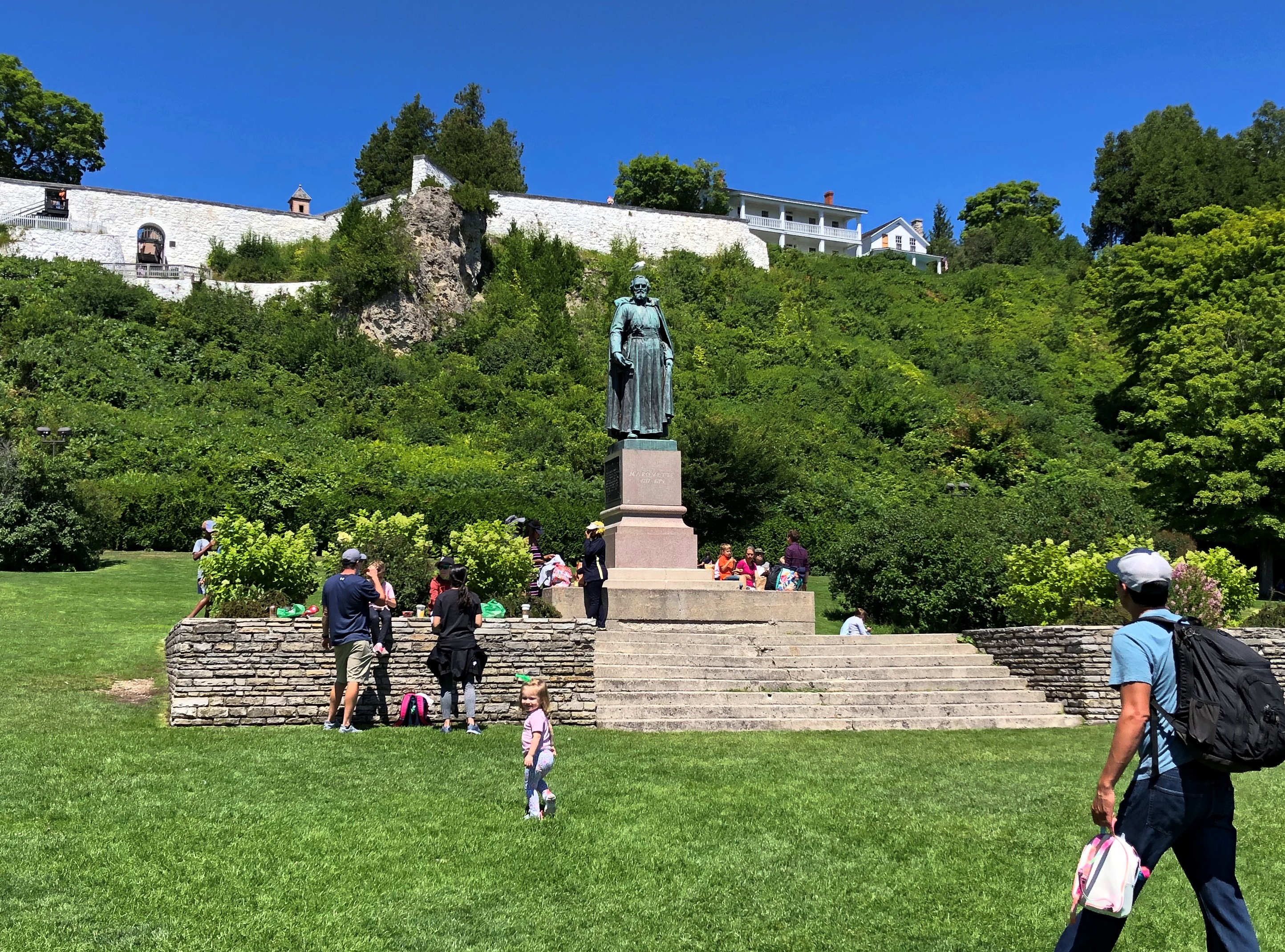
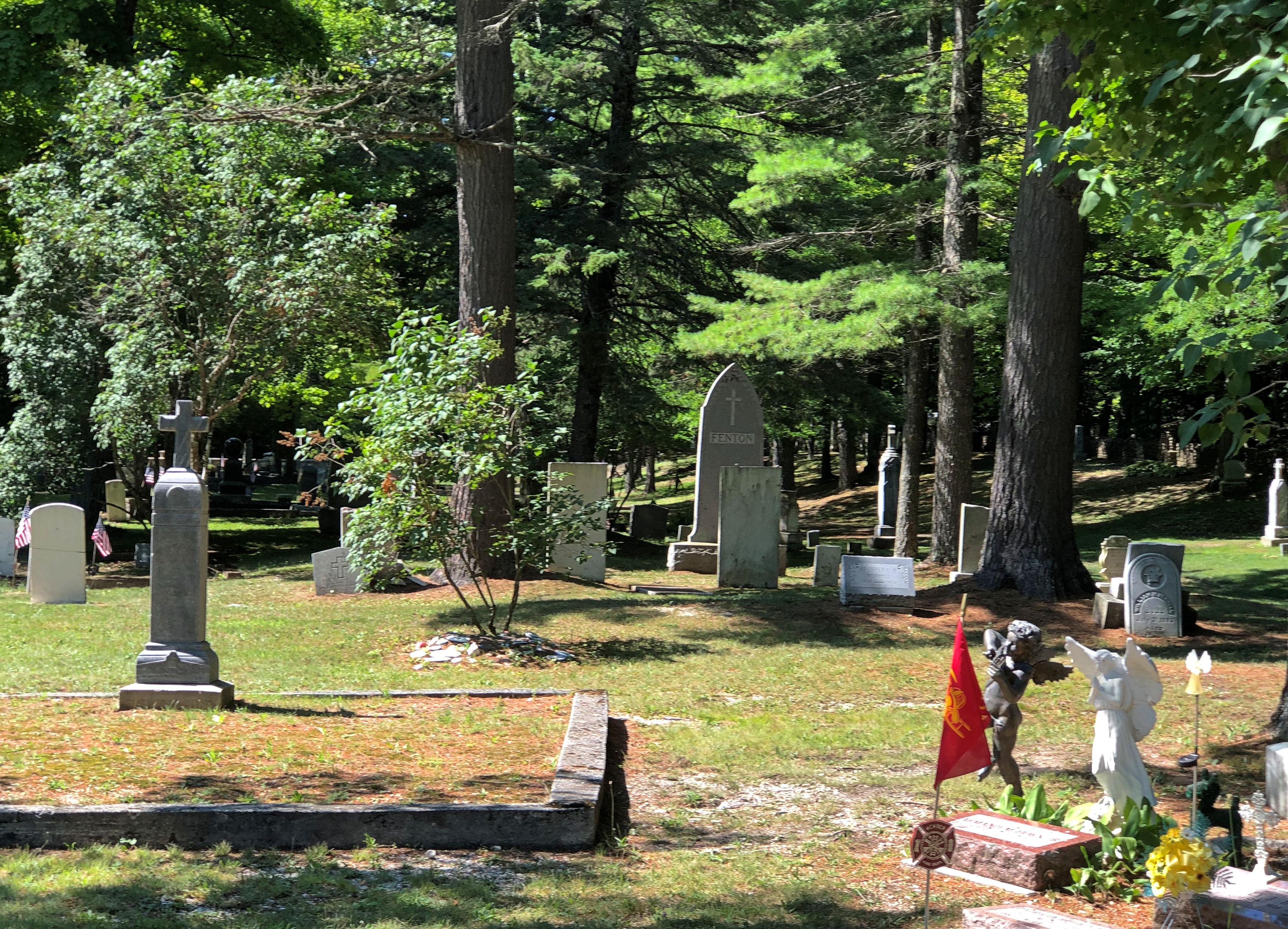
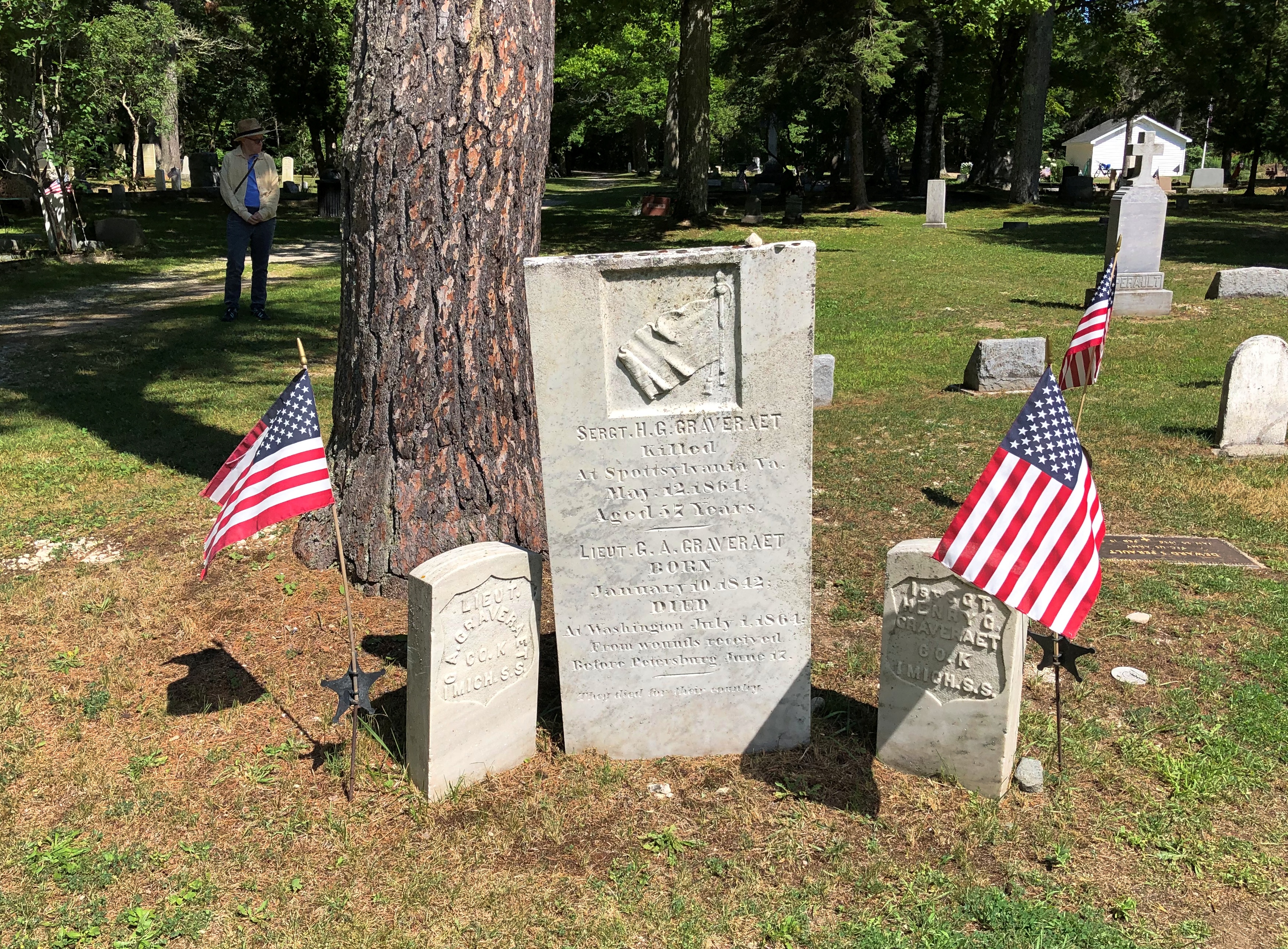
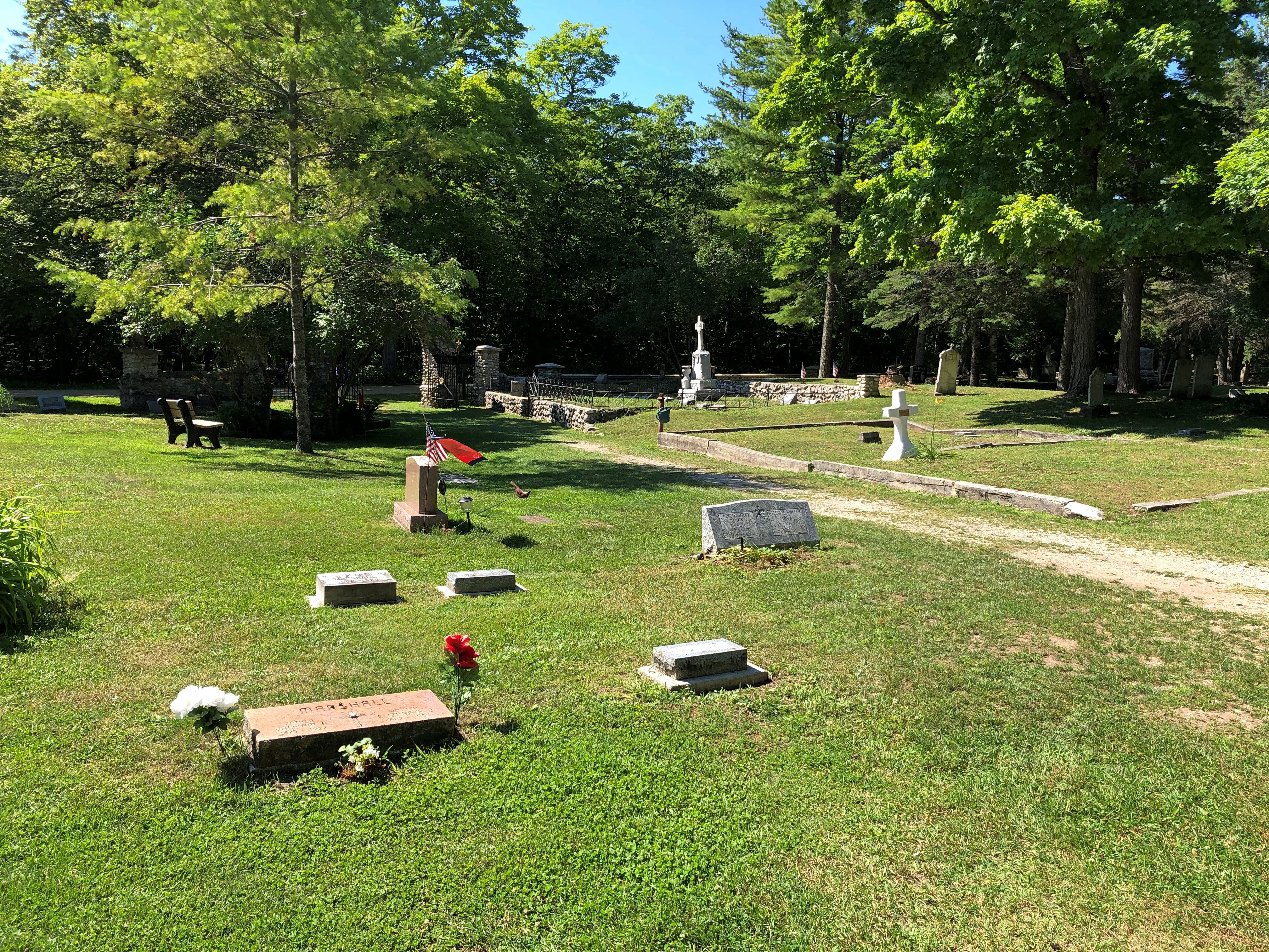
While wandering around on the hilly territory of central Mackinac Island, we contacted Gate House by phone for reservations. They offered us a slot for an hour later, or about enough time for us to walk there after a detour through one of the historic cemeteries. Such is scheduling in non-motorized Mackinac.
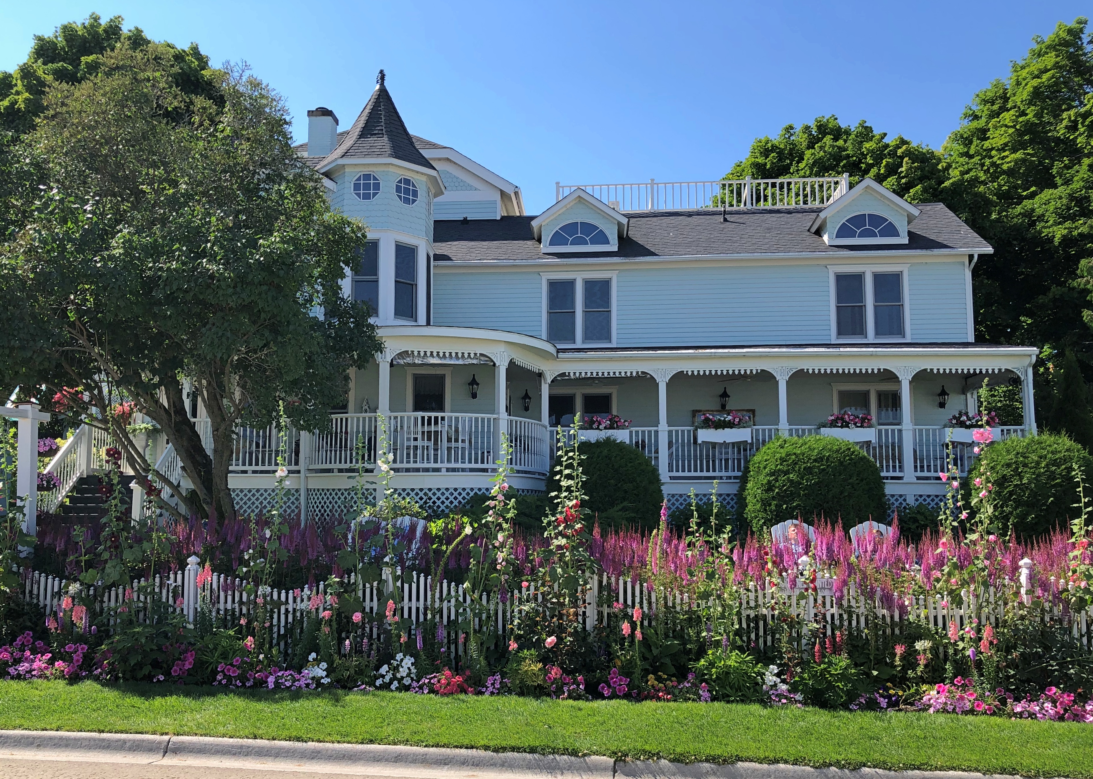
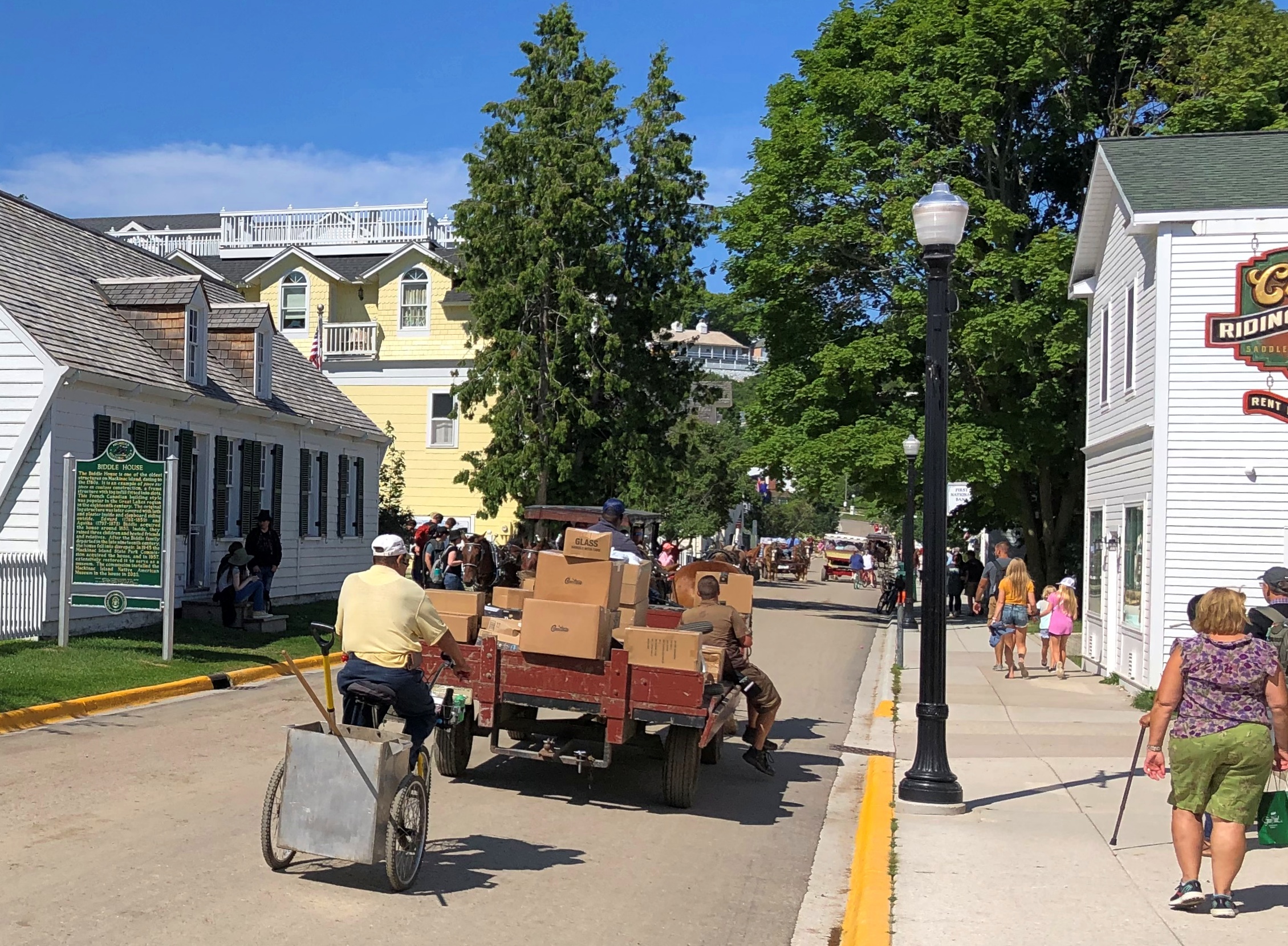
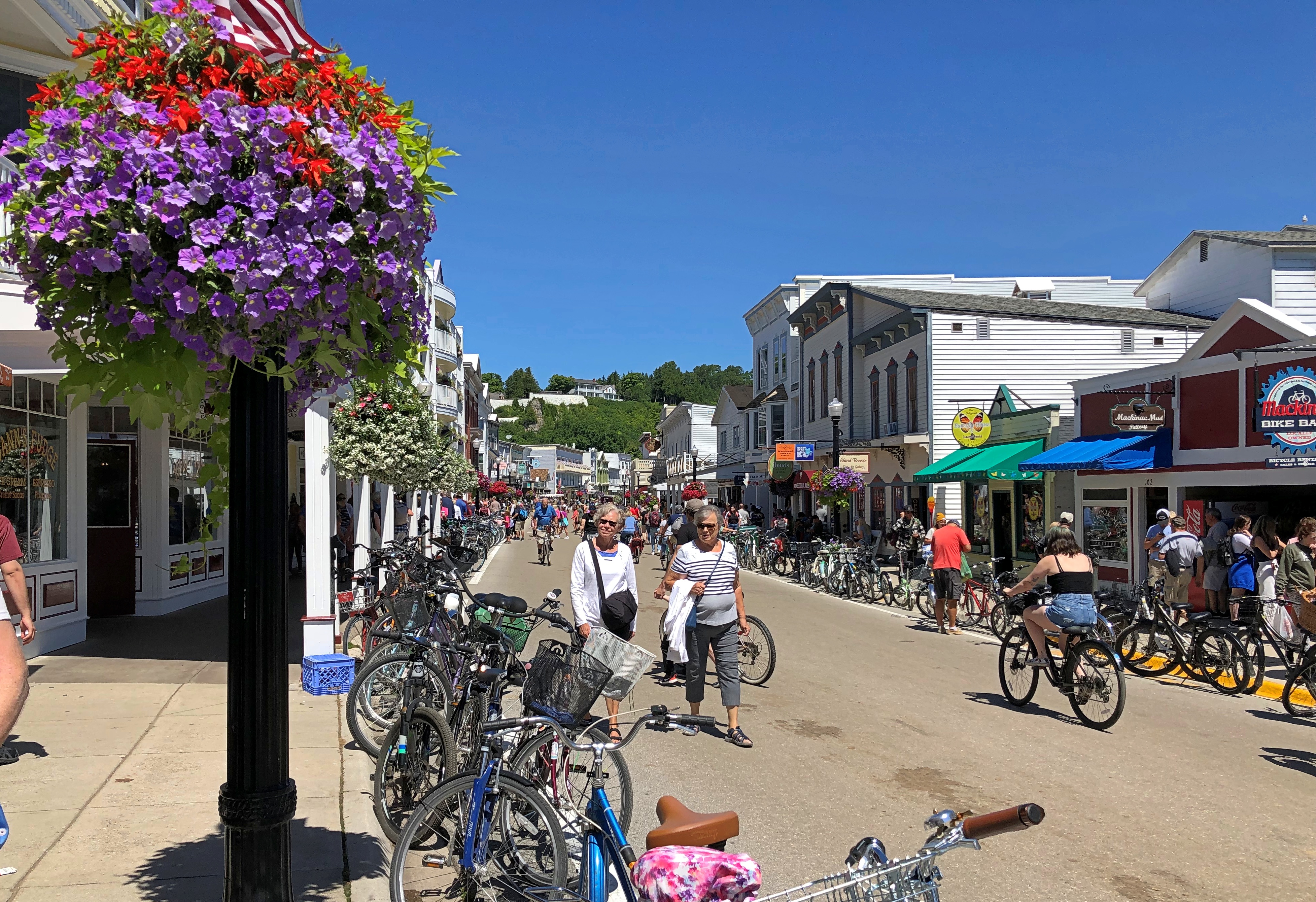
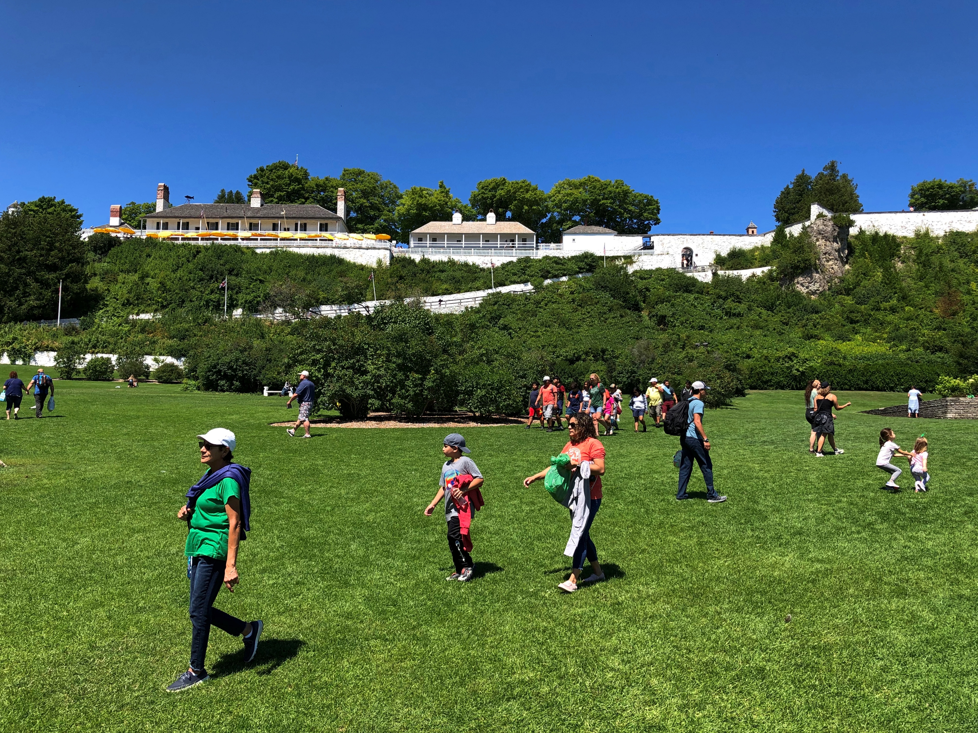
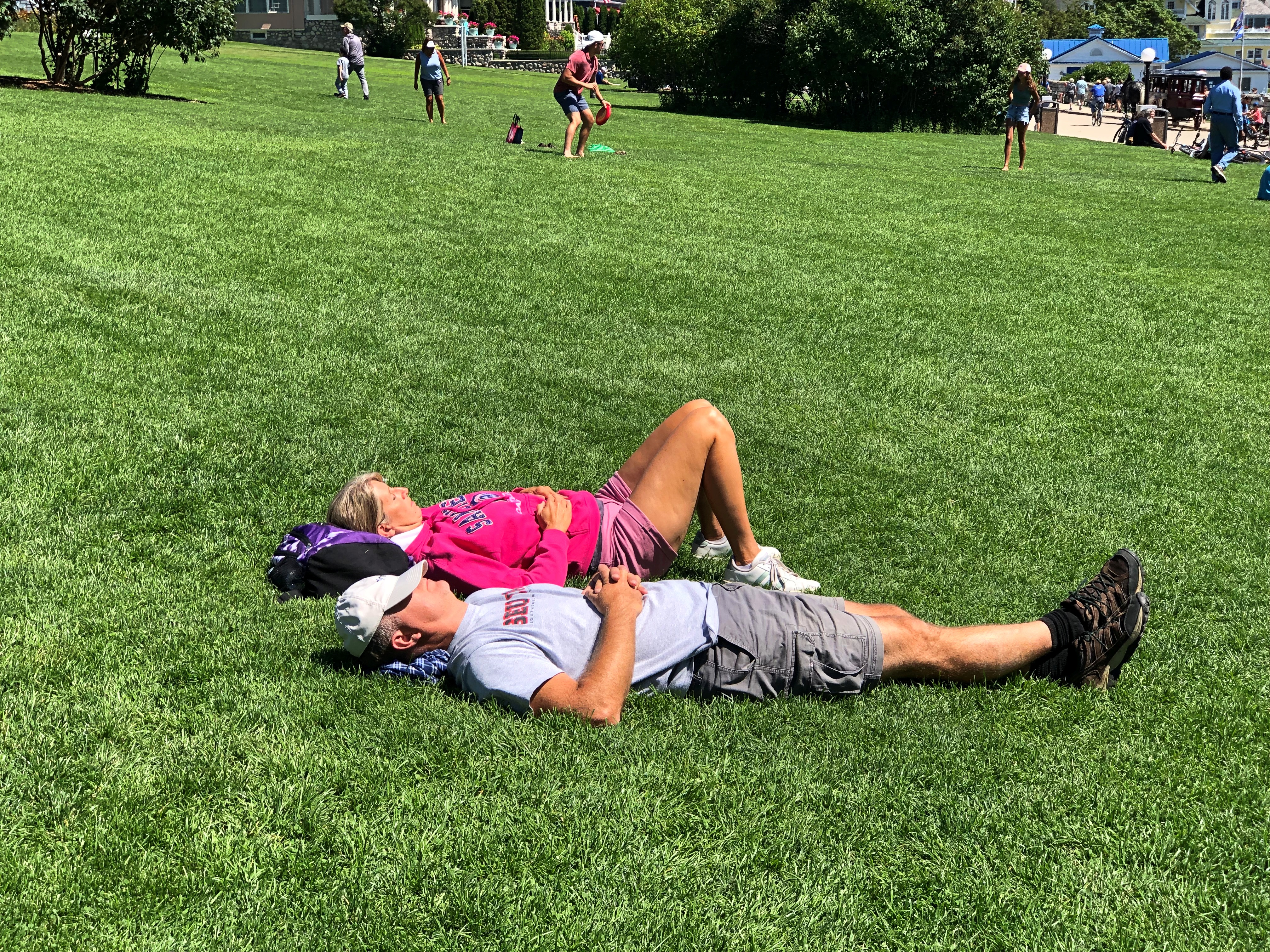
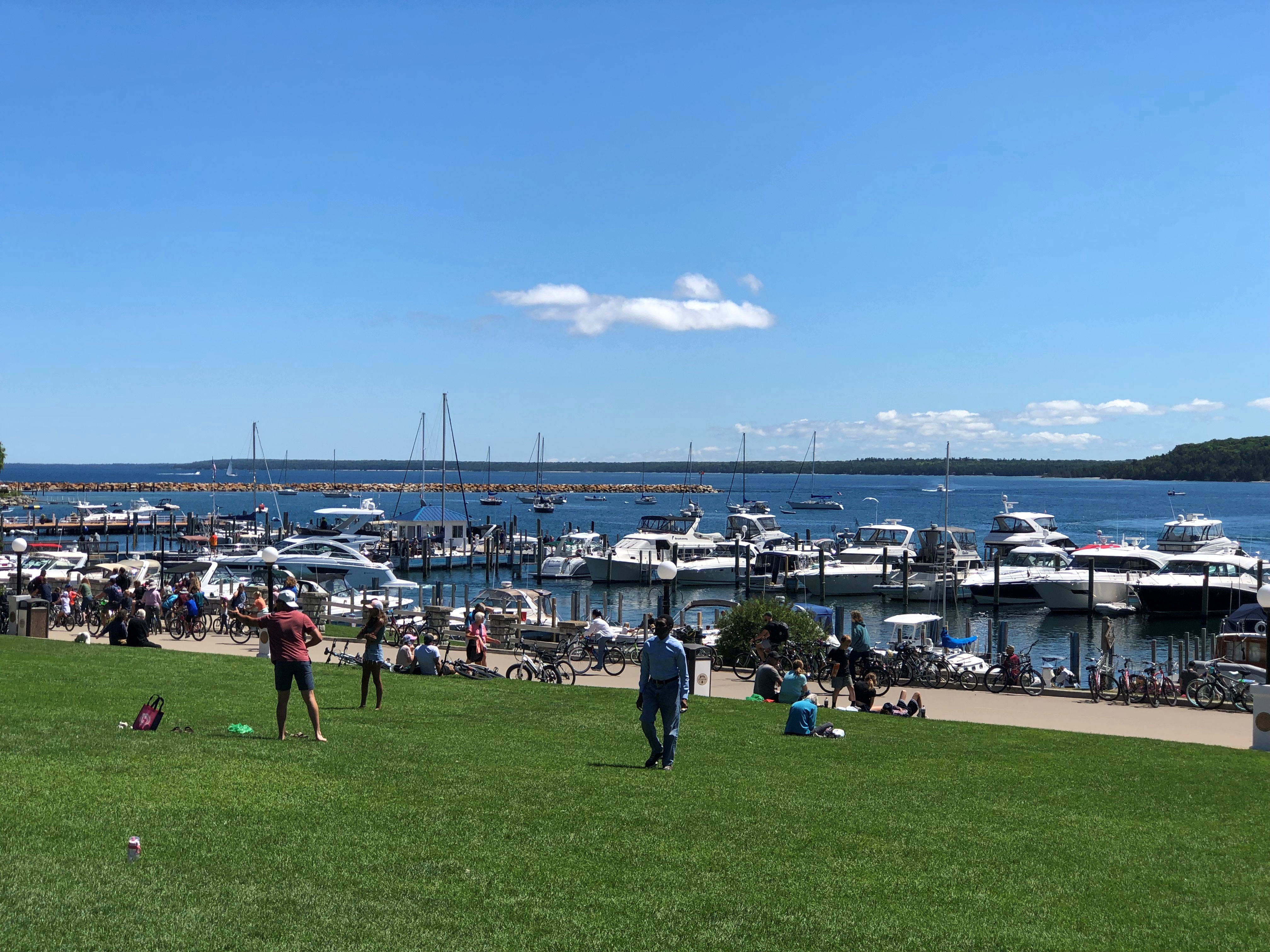
We wanted to avoid Main Street, so after descending from the highlands, we walked along Market Street instead, just a block inland from Main. A lot of people were on that street, but not as many as the mob on Main.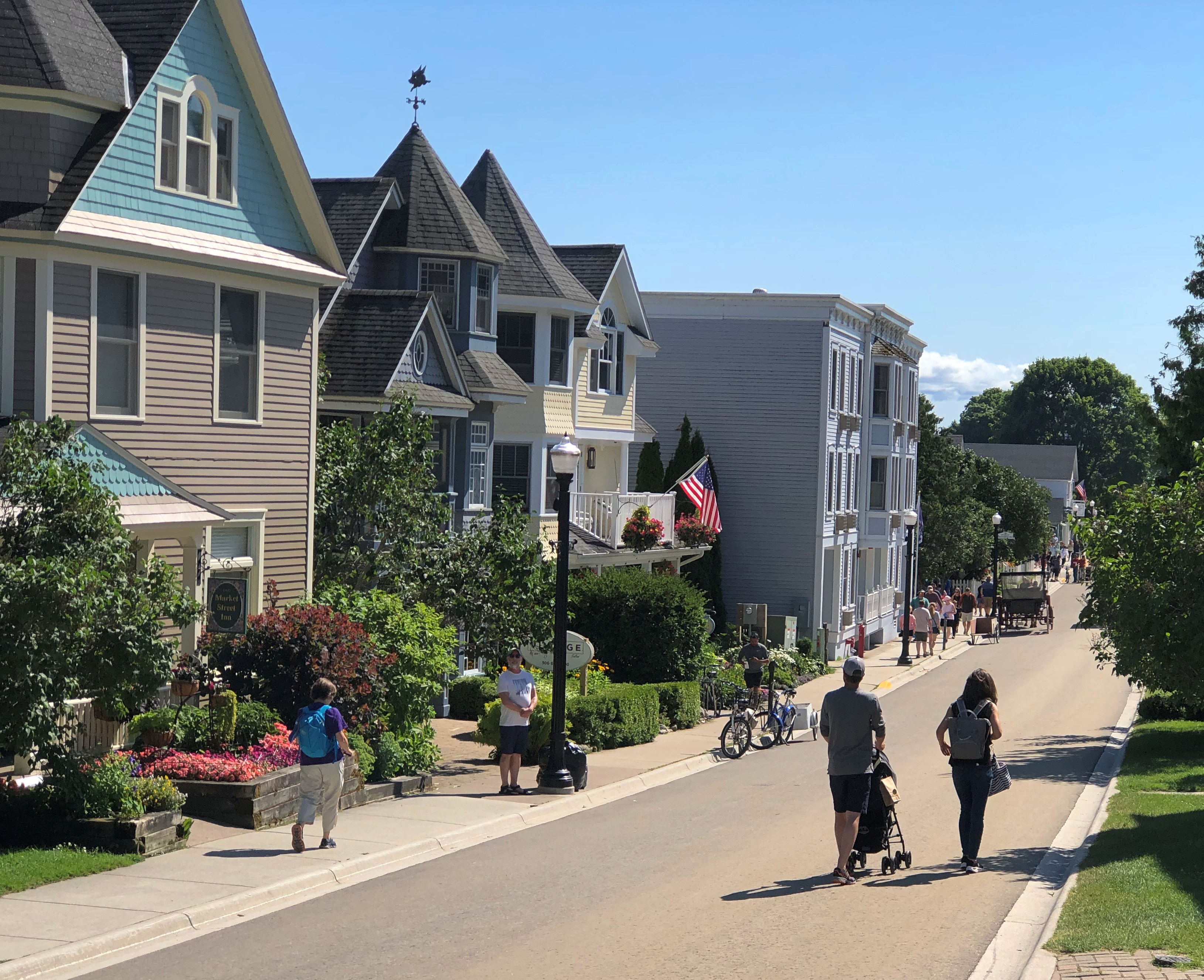
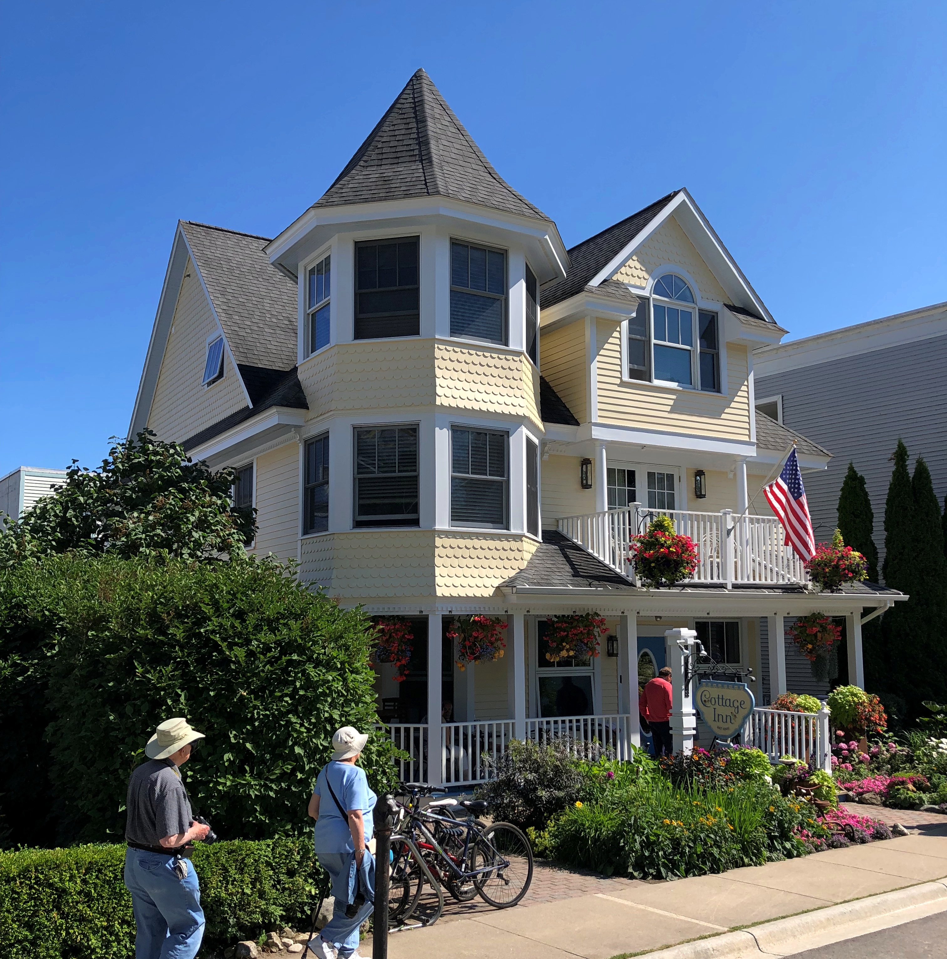
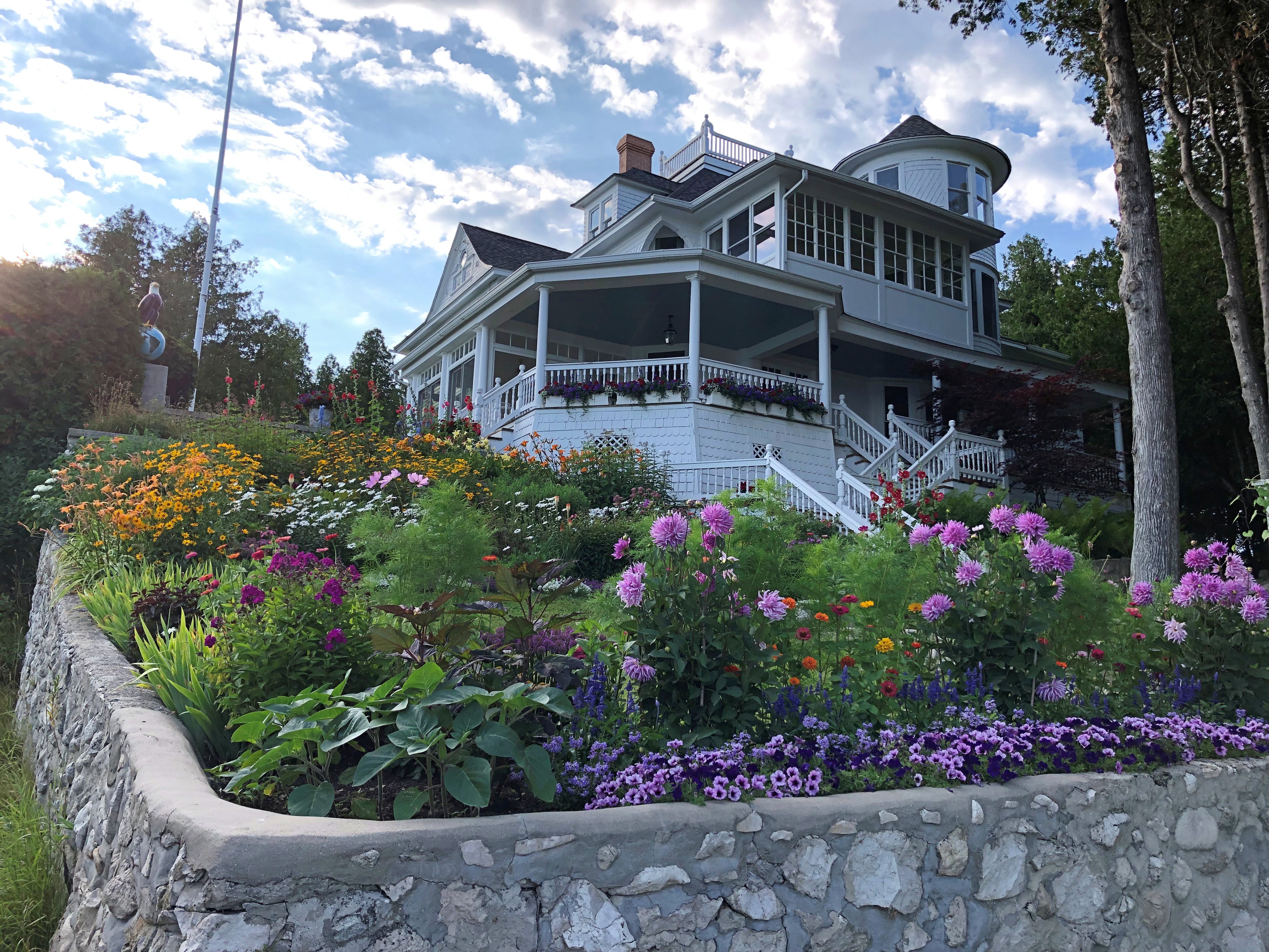
The street is lined with many fine structures, originating during the great age of private development on the island in the late 19th and early 20th centuries.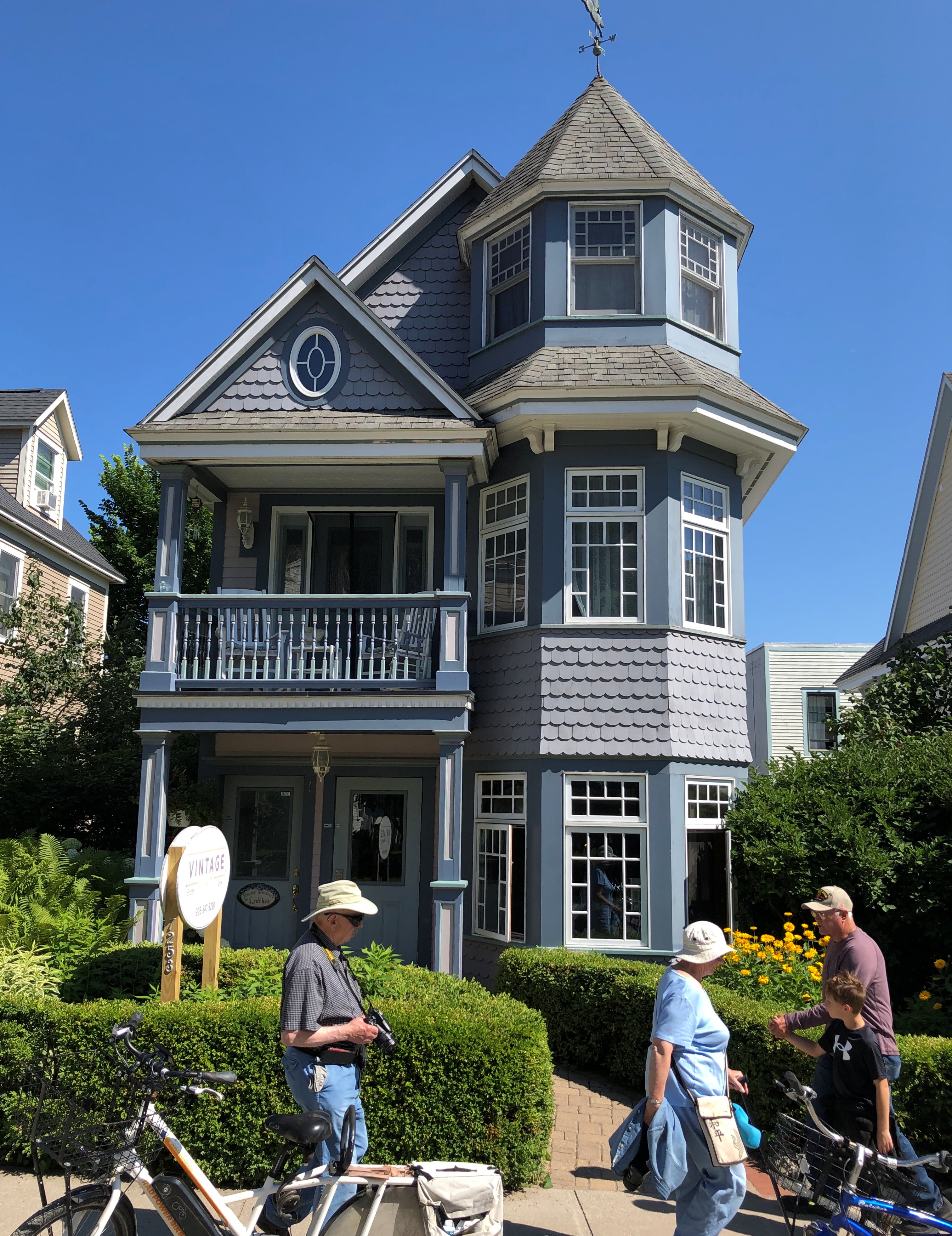
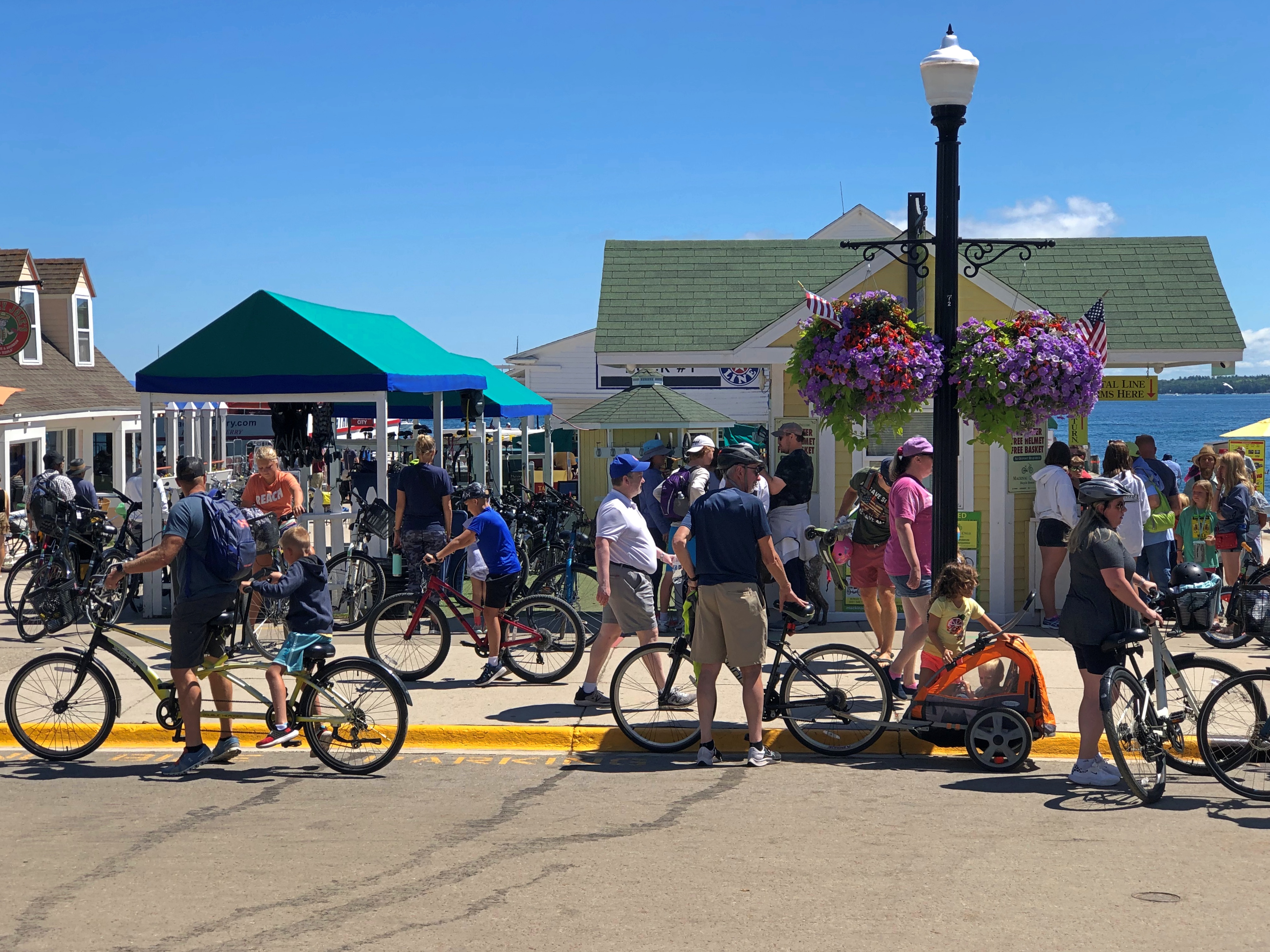
Traffic wandered along. Pedestrians and bicyclists, of course, but also no small number of horse-drawn carriages. Including something none of us had ever seen before: a horse-drawn UPS wagon.
As we had our lunch — really an early dinner — al fresco at Gate House, I couldn’t help but notice the difference in aural texture of a busy non-motorized road compared with what we are used to, here in the lingering age of the gasoline-powered internal combustion engine. The intermittent clop-clop-clop was actually pleasant, though of course the horses sometimes leave less pleasant mementos of their passing by.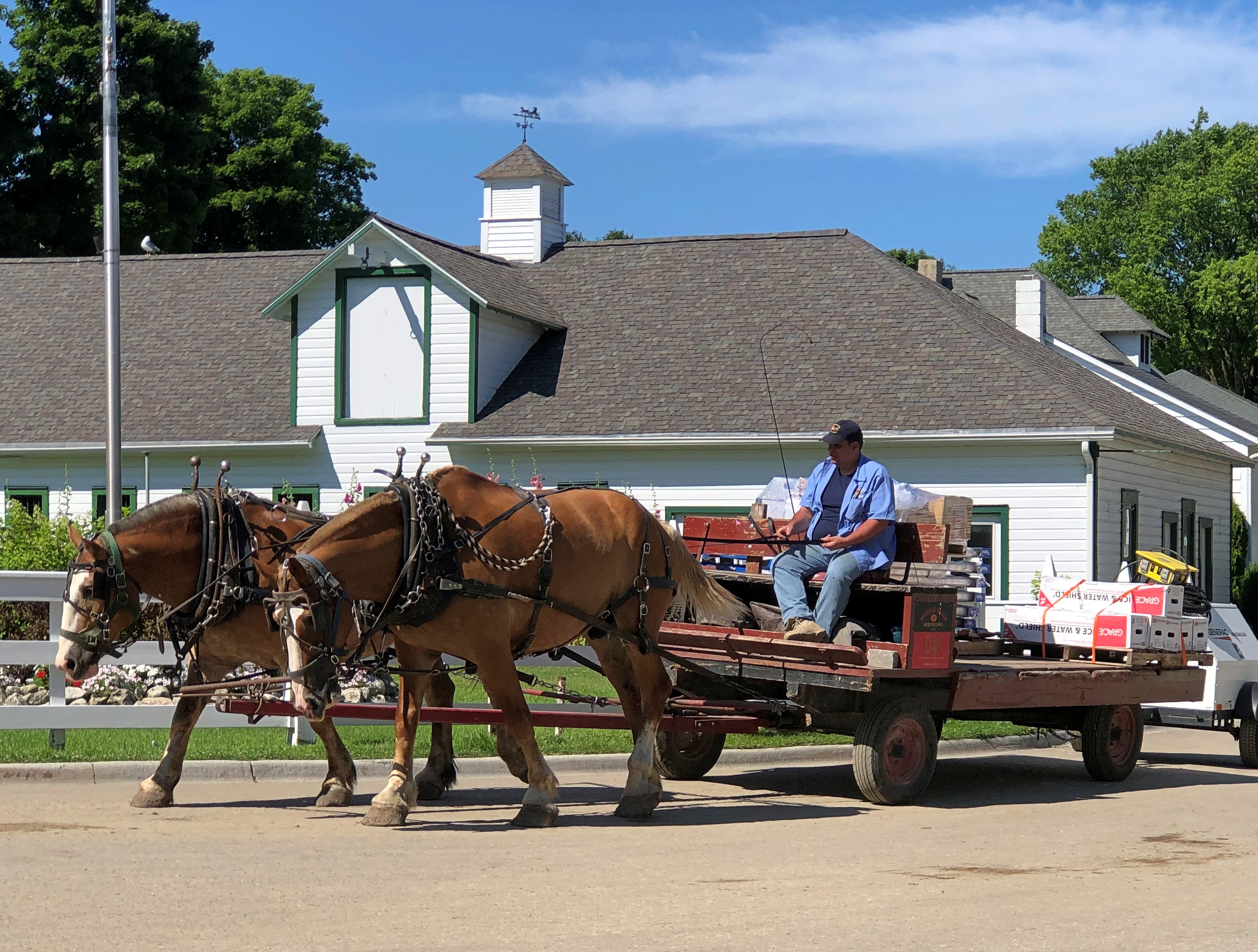
Late lunch-early dinner was pleasant as well, though at island prices. I had the walleye.
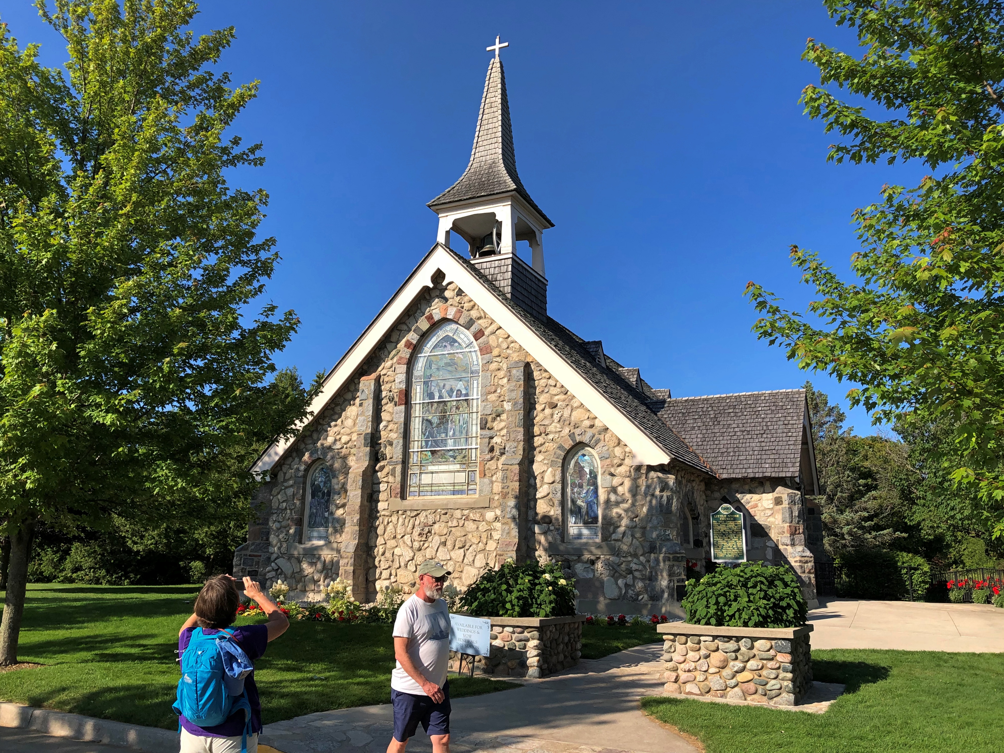
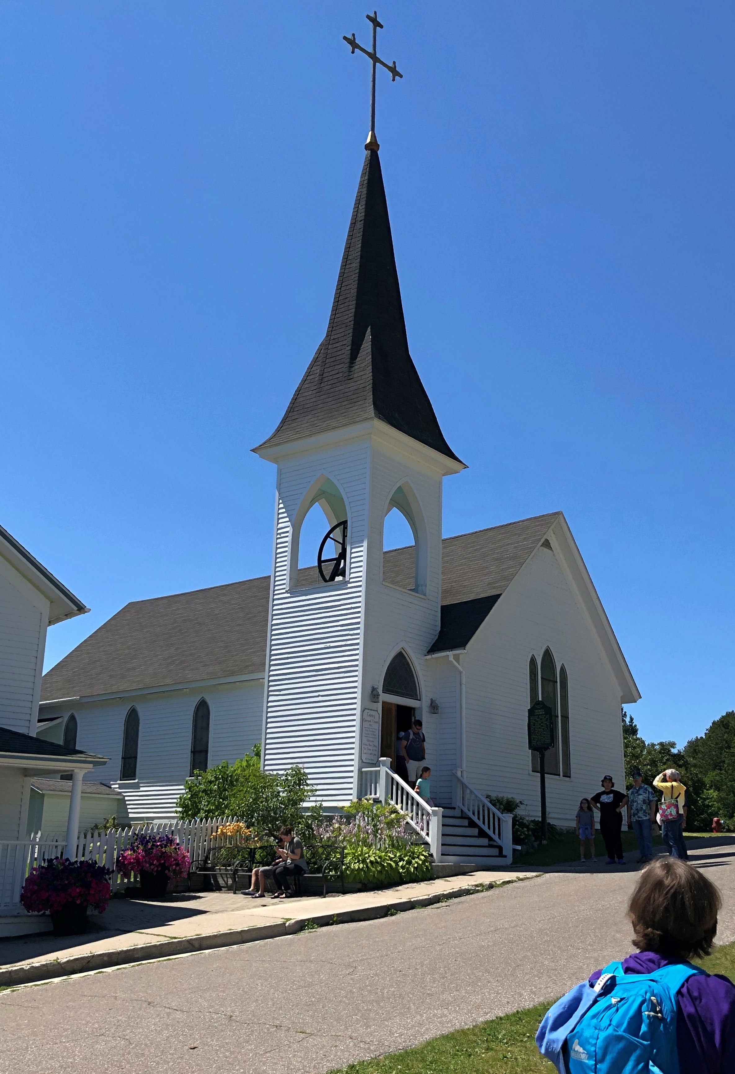
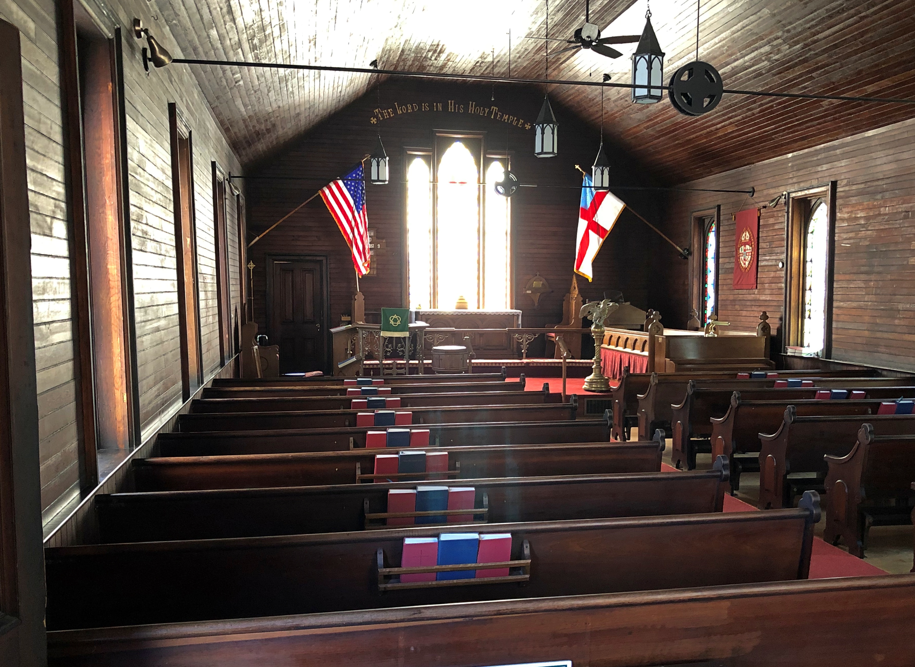
Almost across the street from Gate House is the Little Stone Church. We took a look after our meal was done. It isn’t that big, definitely made of stone, and looks like a church (as it is; Congregational). Unfortunately, it was closed.
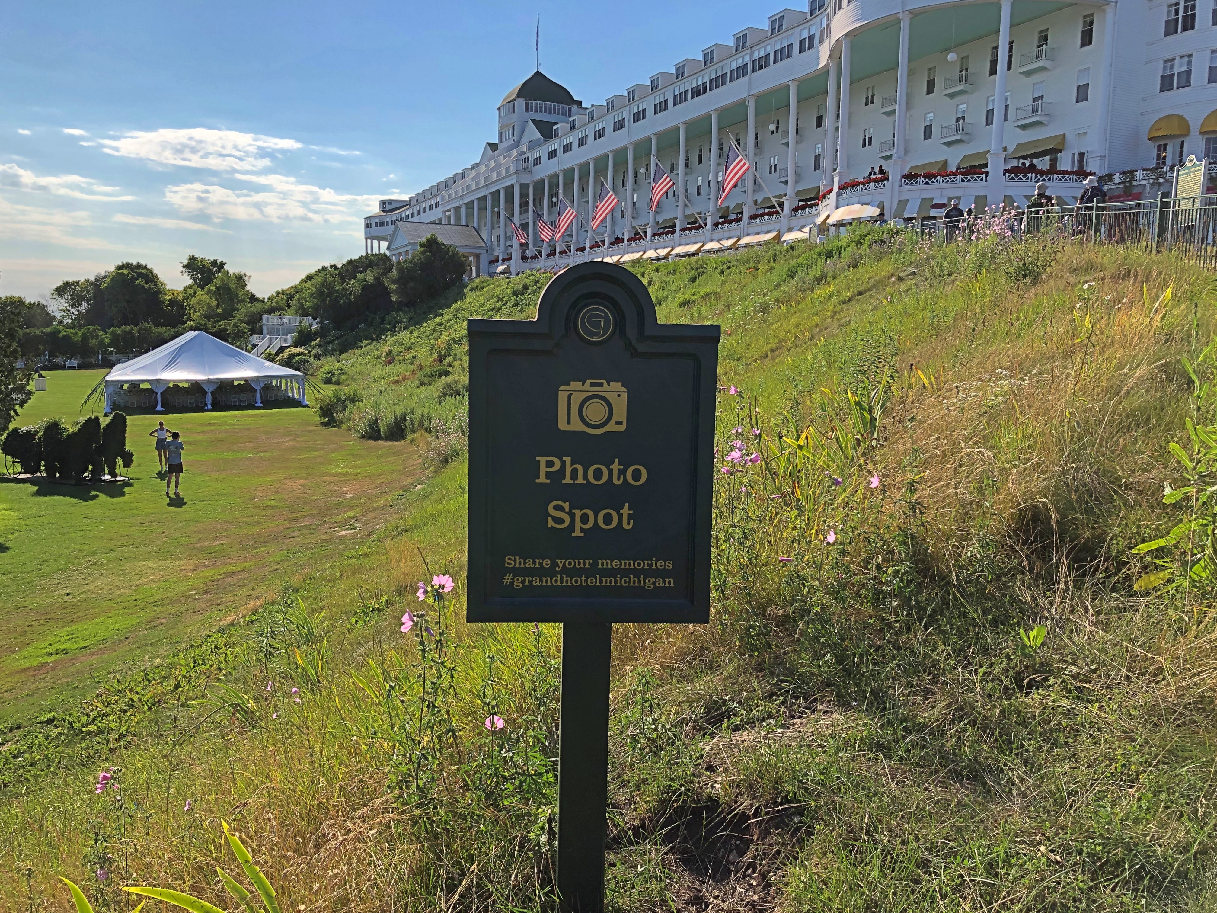
Within sight of the church is the much more famous Grand Hotel. We took a stroll in that direction.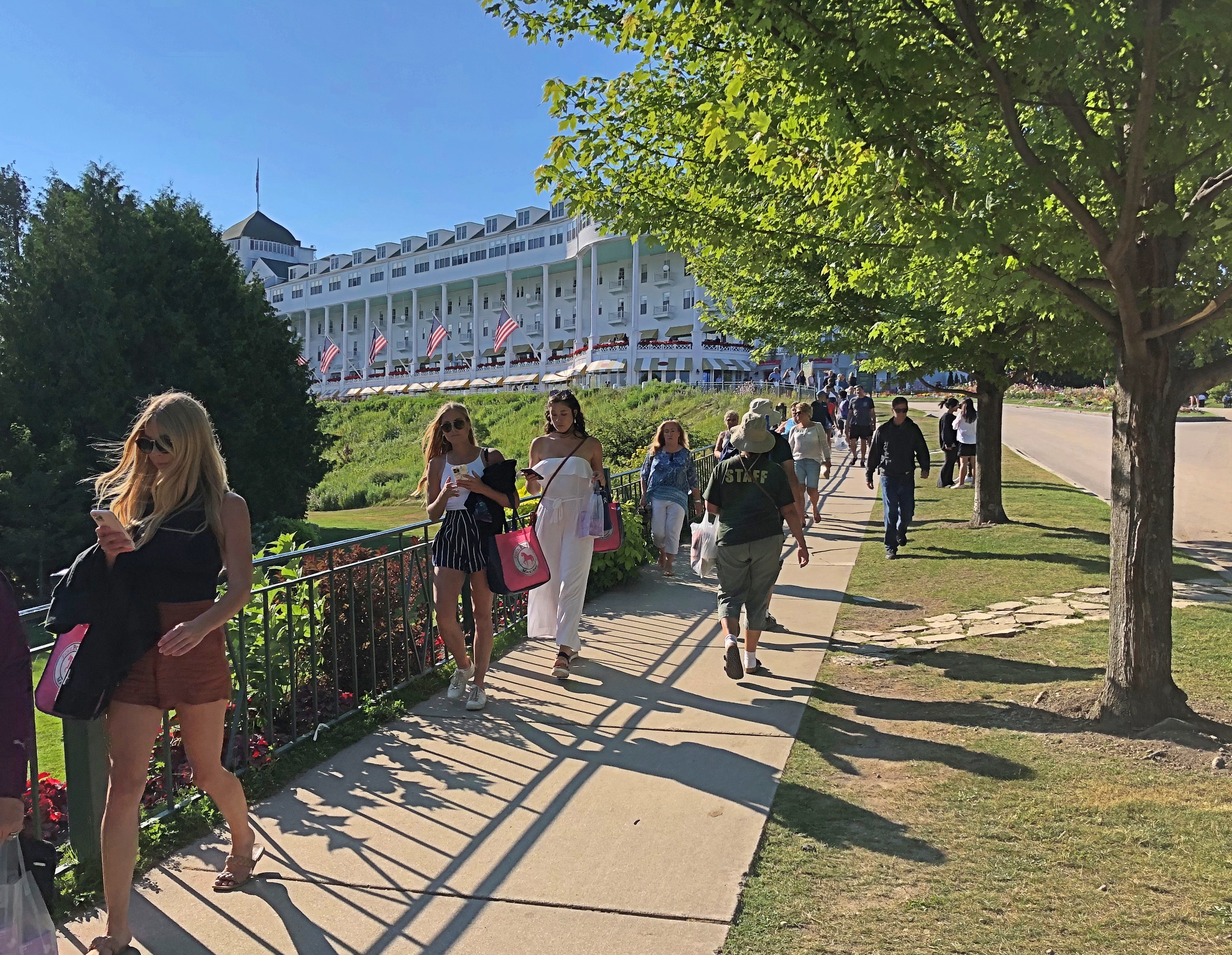
Grand indeed.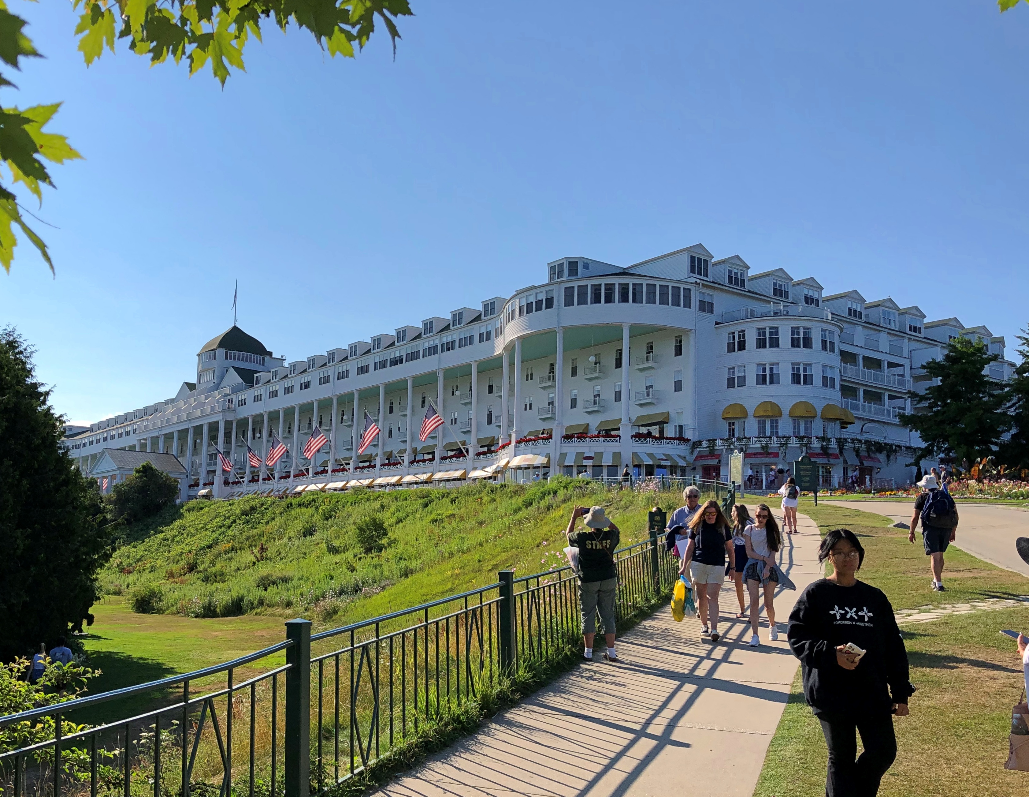
And trolling for social media mentions.
The porch is said to be the world’s longest, and a special enough place that it charges admission. We would have paid, but as it turned out we’d arrived just as a dress code went into force on the porch, and none of us were dressed for it. So we went for ice cream at the shop under one end of the porch. A good treat, at island prices.
A sign memorializing a lesser-known conference that happened here. It wasn’t Bretton Woods, but the hotel will take what it can get, historically speaking.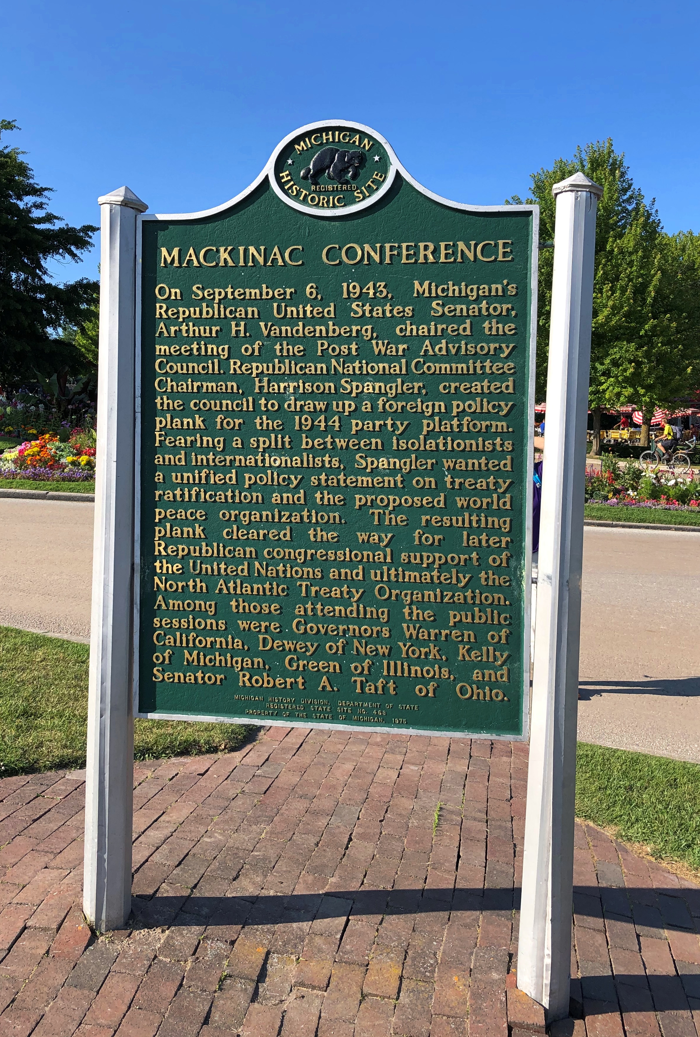
The hotel dates from 1887, back when railroads built hotels. In this case, a joint development Grand Rapids and Indiana and the Michigan Central RRs, as well as the Detroit & Cleveland Navigation Co., a Great Lakes steamship company of yore. These days, the Grand Hotel is owned by KSL Capital Partners, a private equity investor.
Though the porch was off limits, we hoi polloi could take a walk on the street below. Up close, one notices that the hotel paint is peeling, and in places needed more than a little touch up. Could be that, like the Golden Gate Bridge, the structure is always being painted, at least in the warmer months.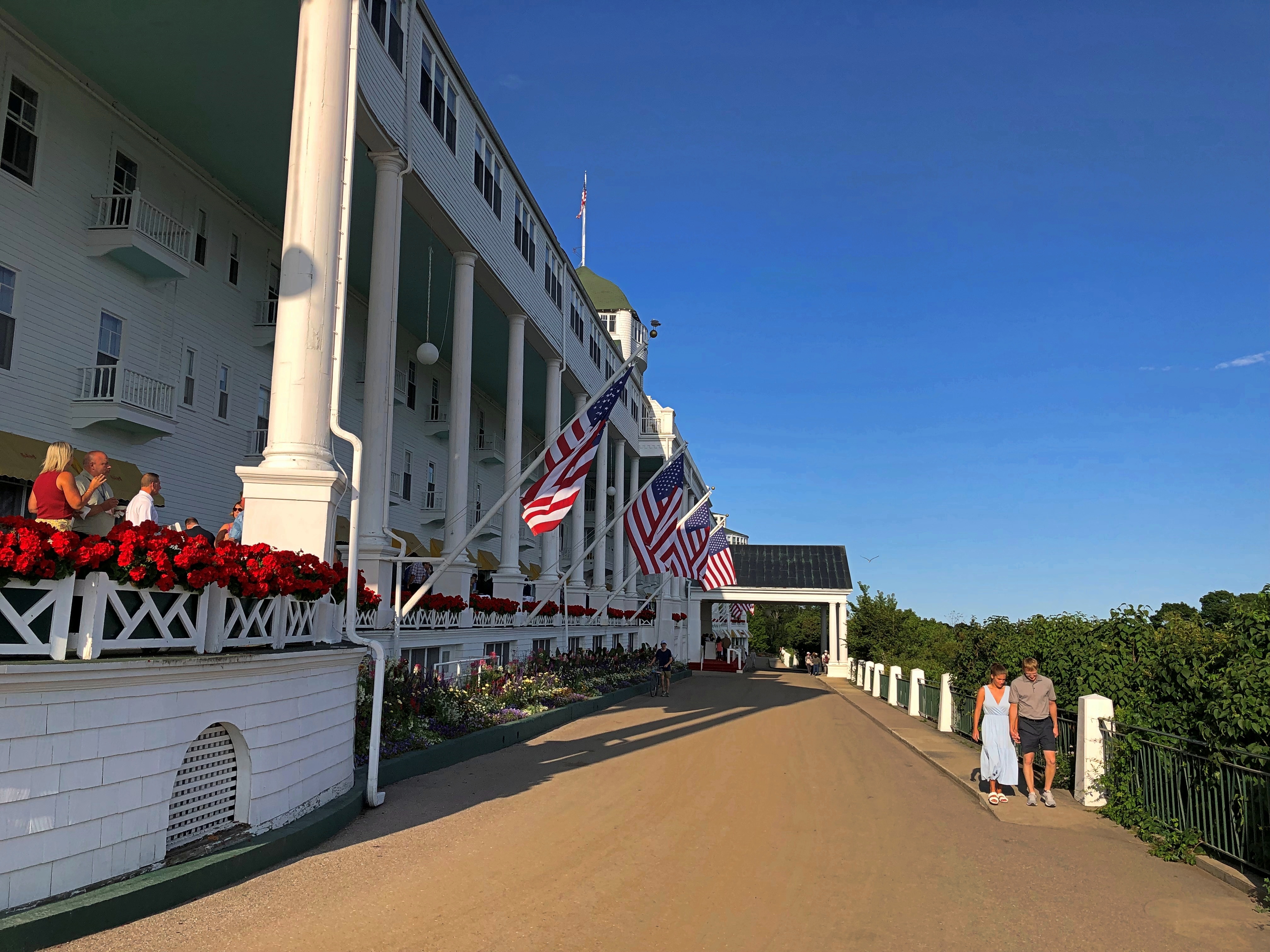
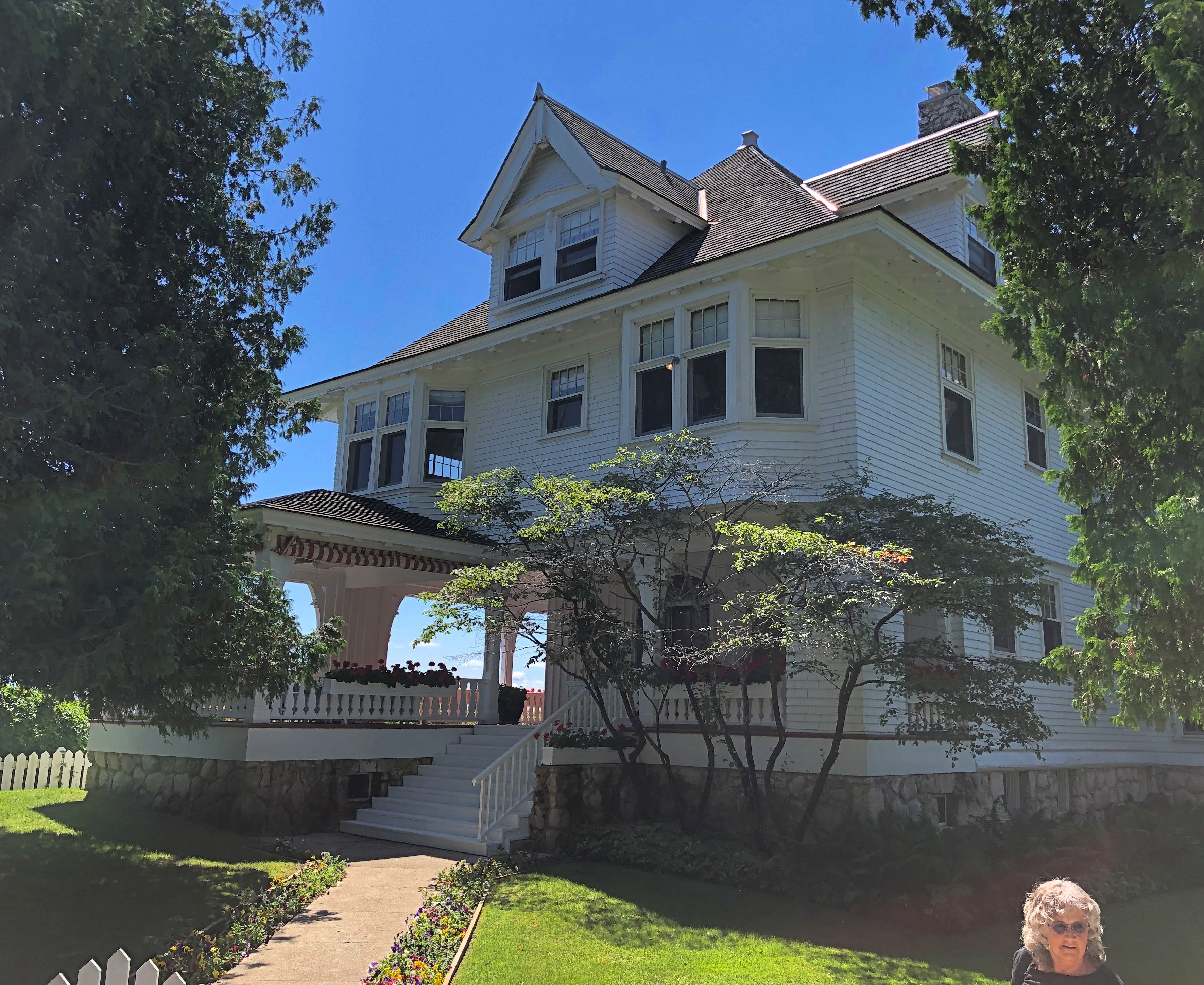
From the hotel, we followed a street lined with fine old houses — the summer “cottages” of the wealthy of 100-plus years ago. Of course, if you owned one now, you’d be wealthy, at least on paper.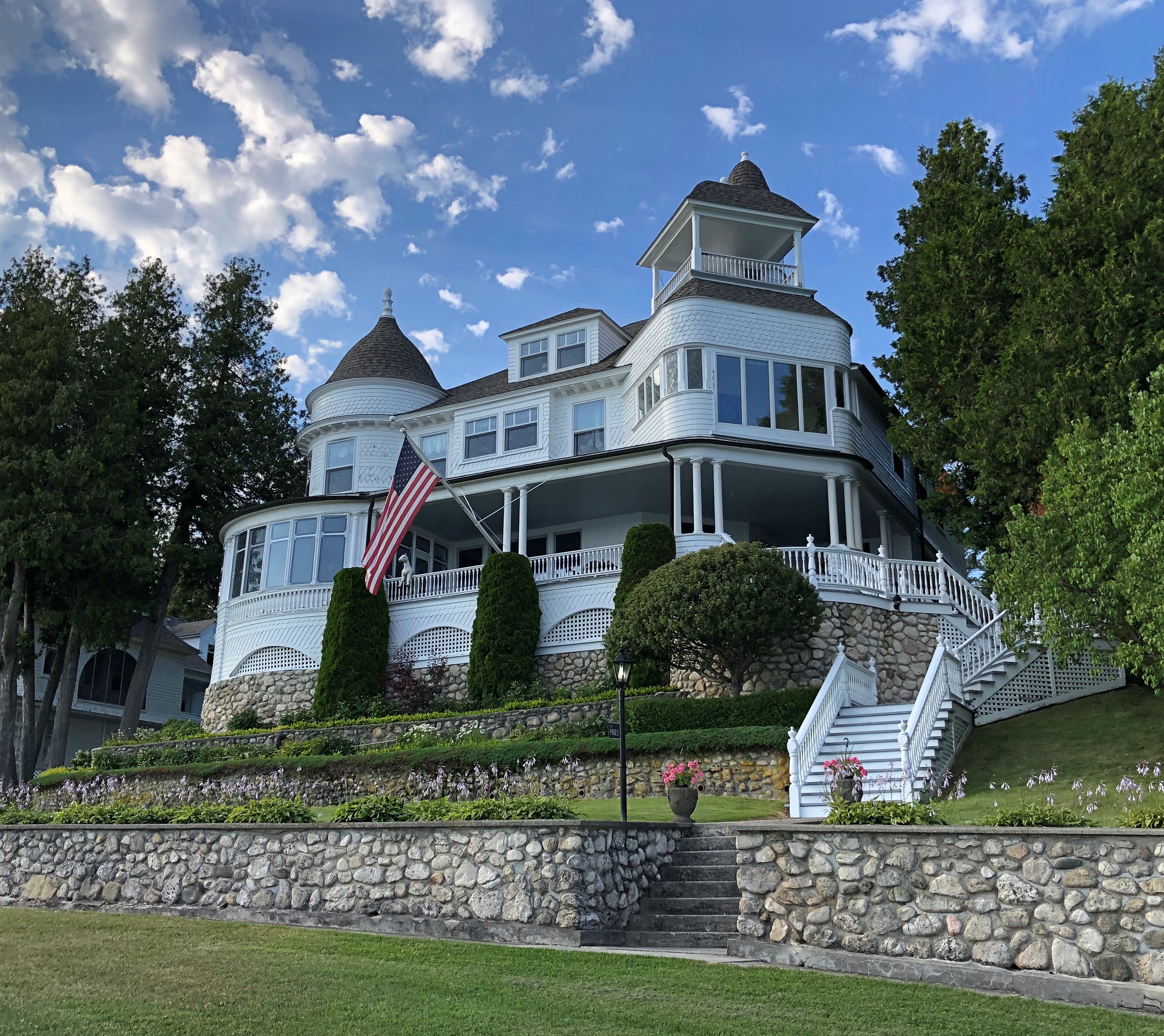

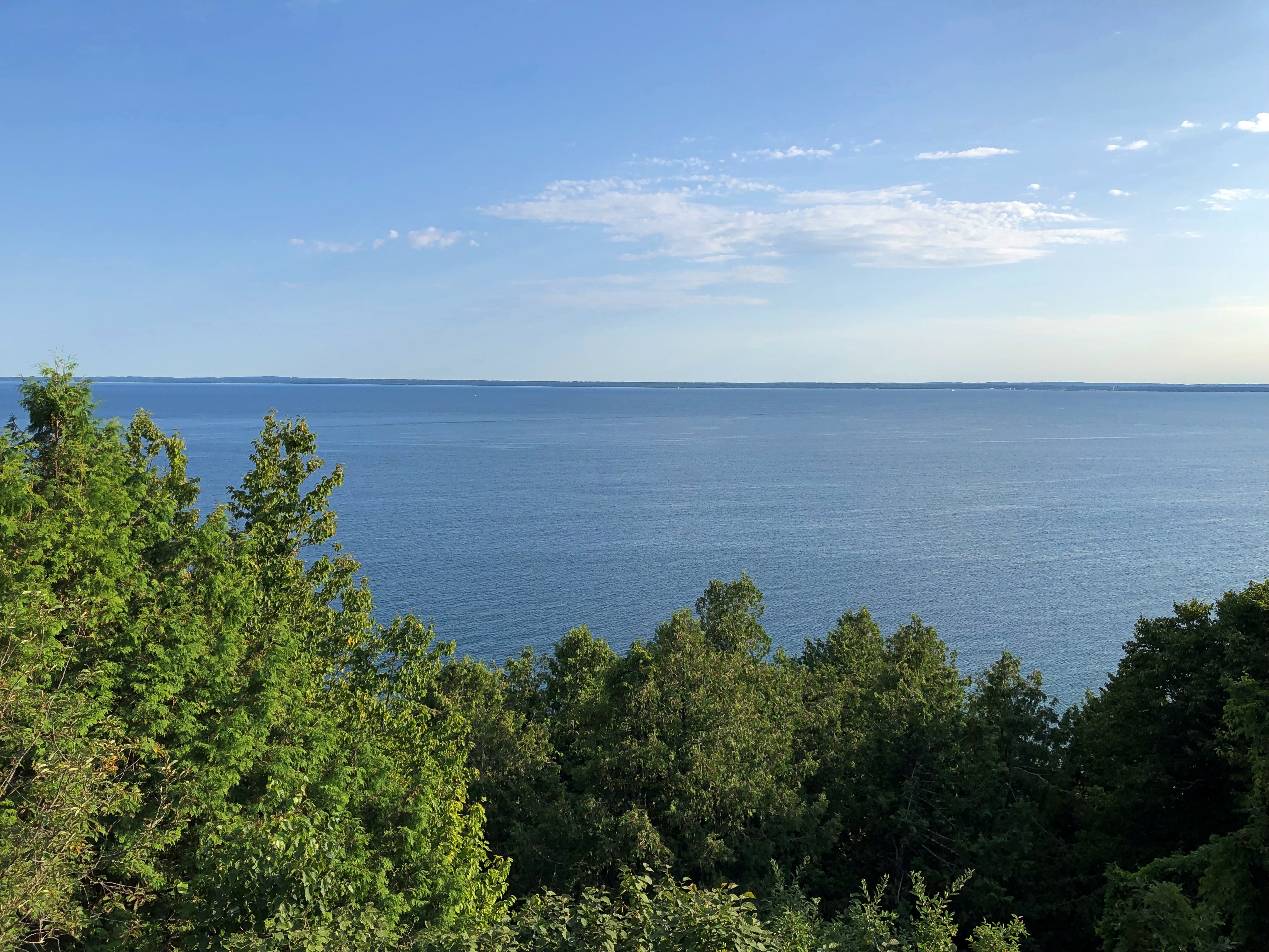
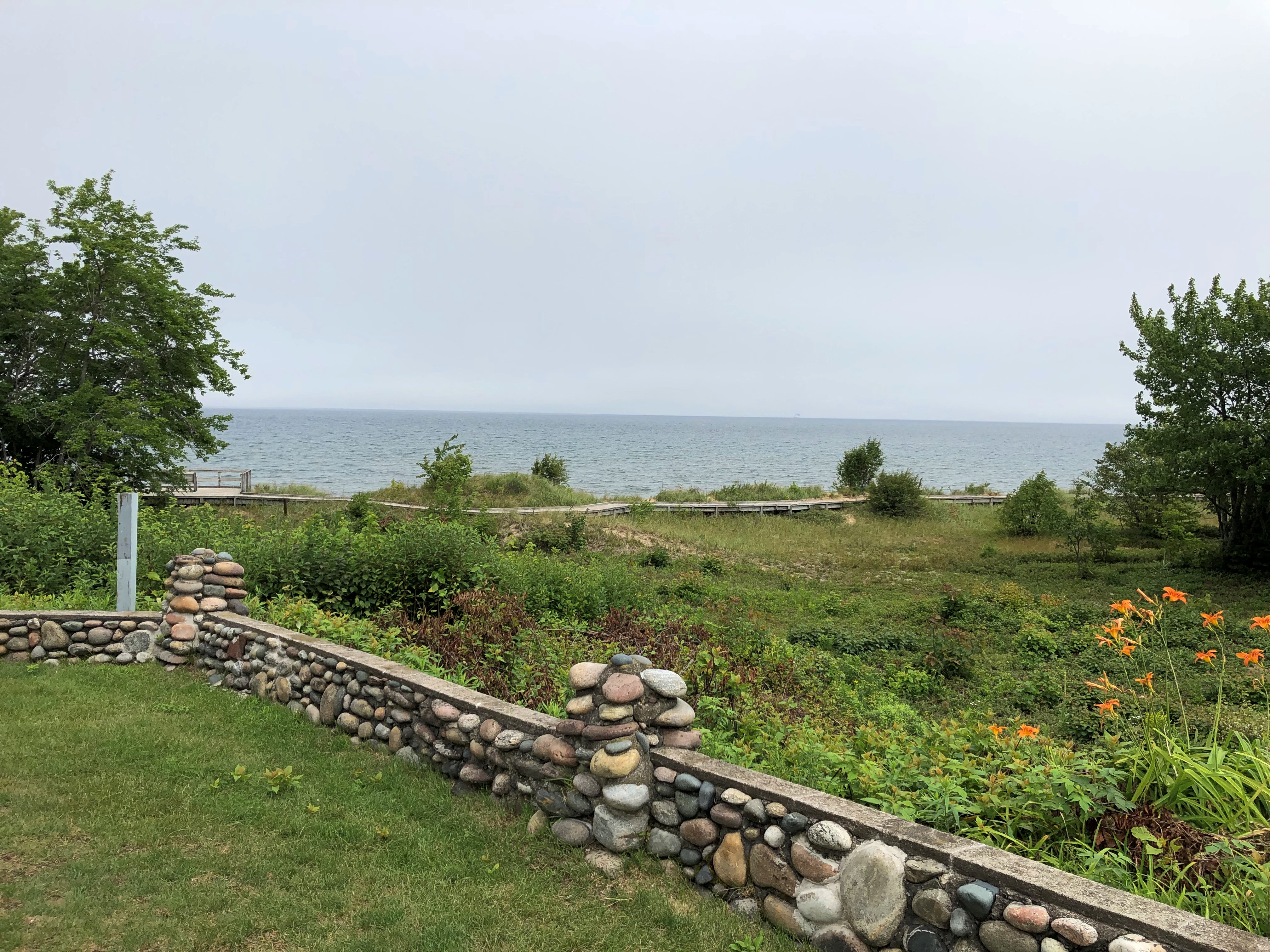
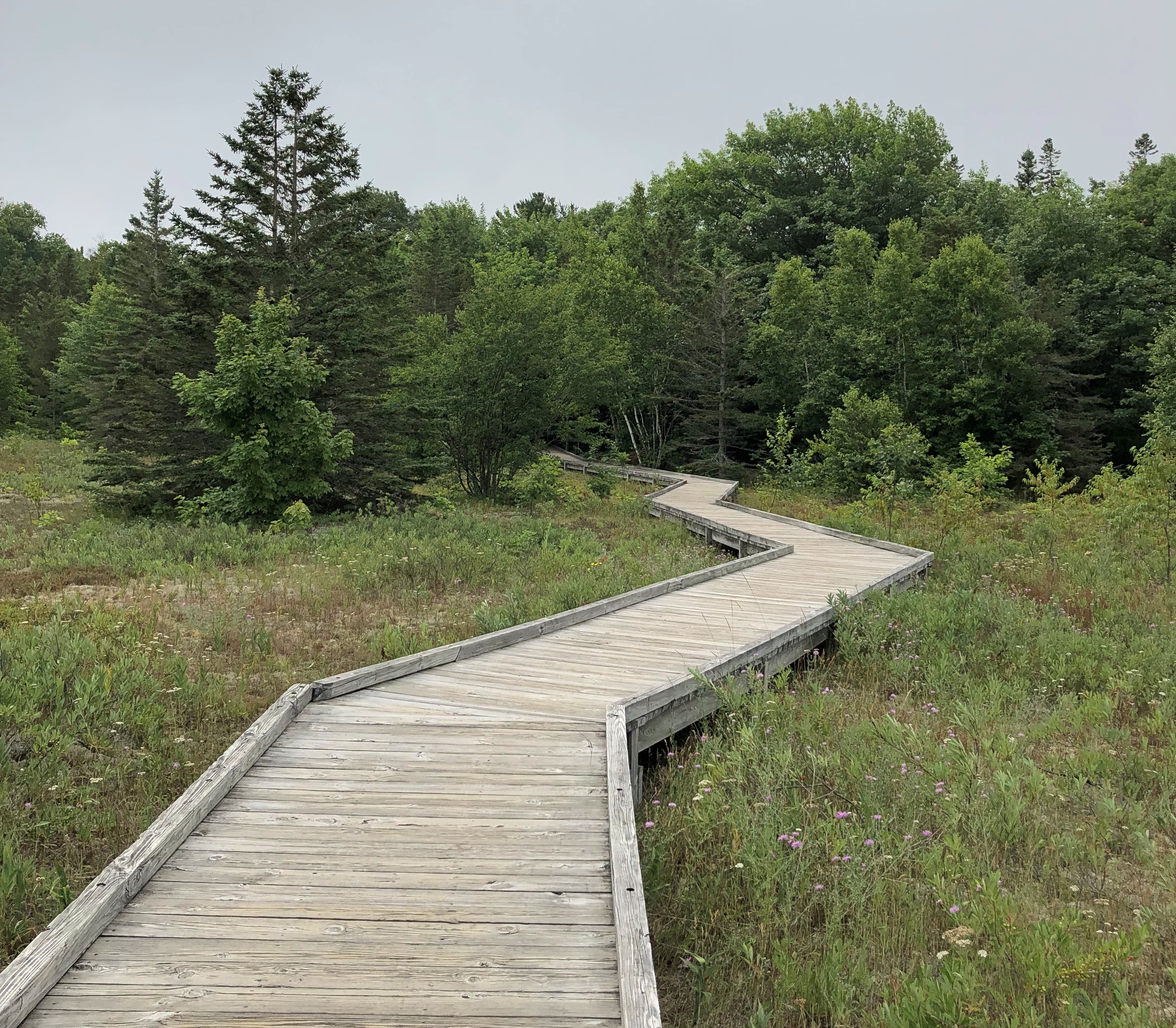
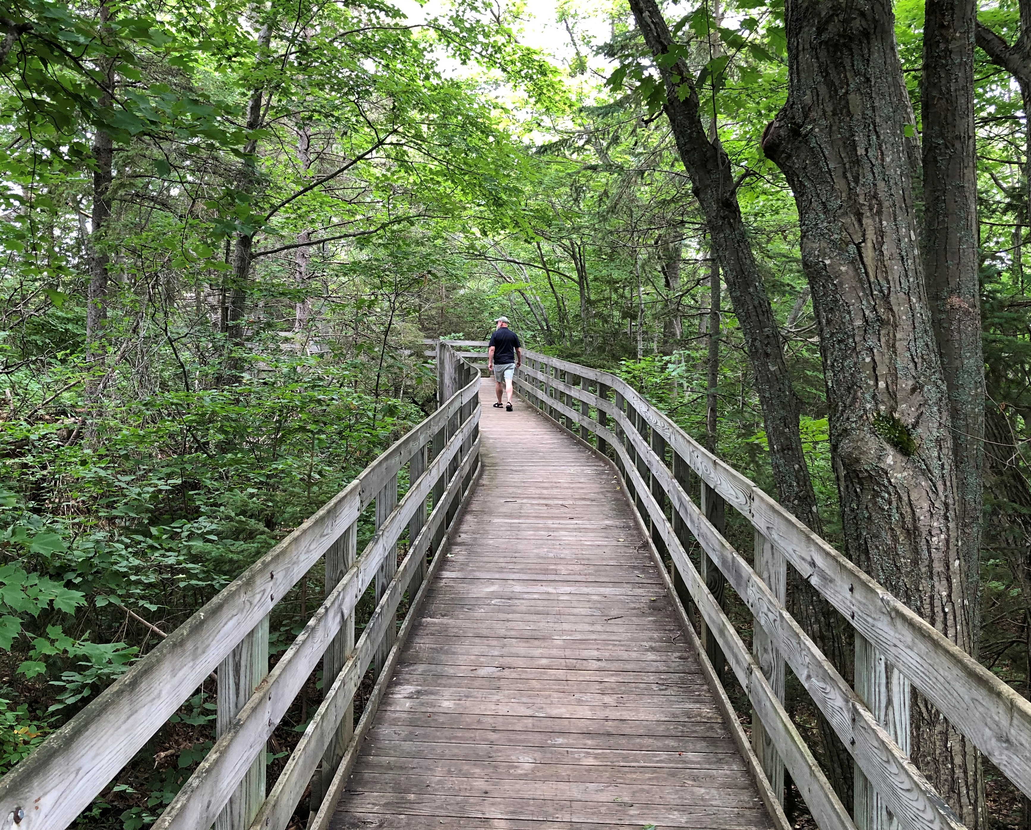
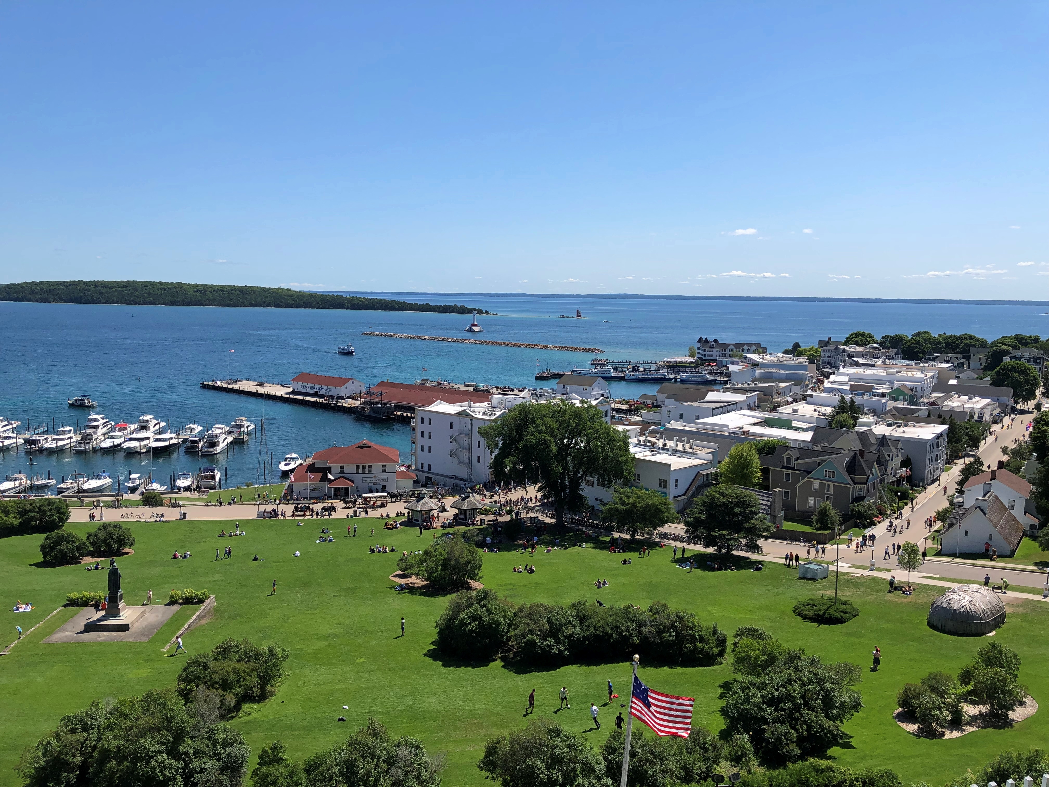
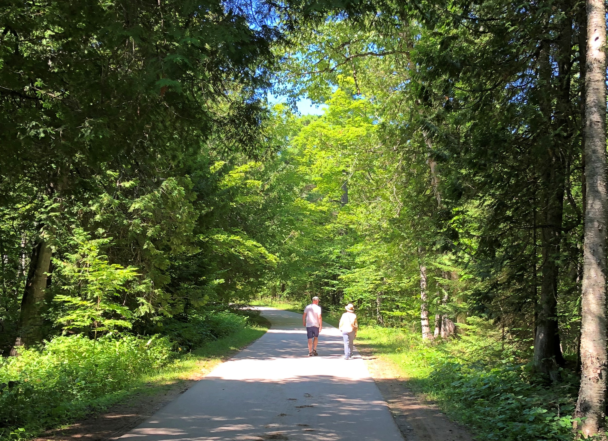
Soon the street changes into a bluff-side path, with good views. We followed it a while.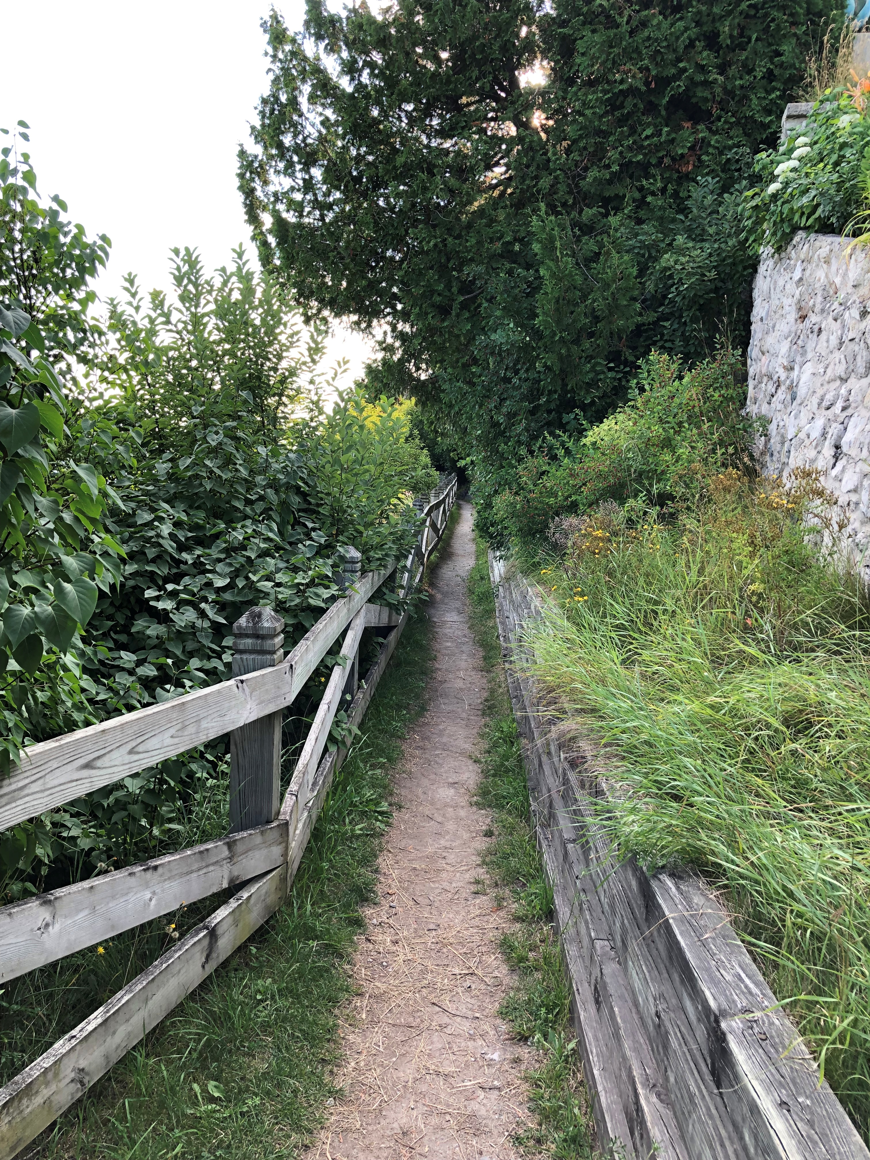
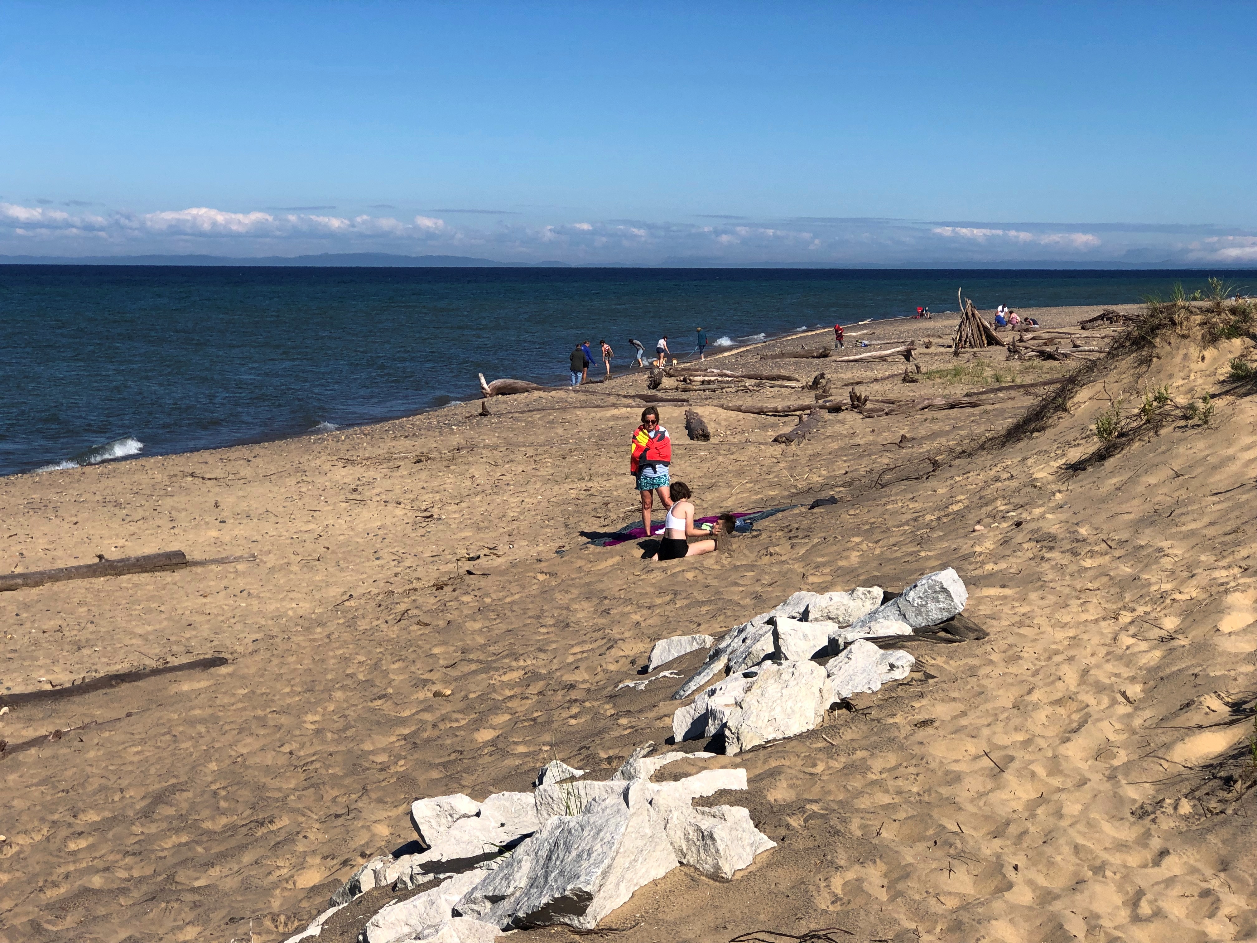
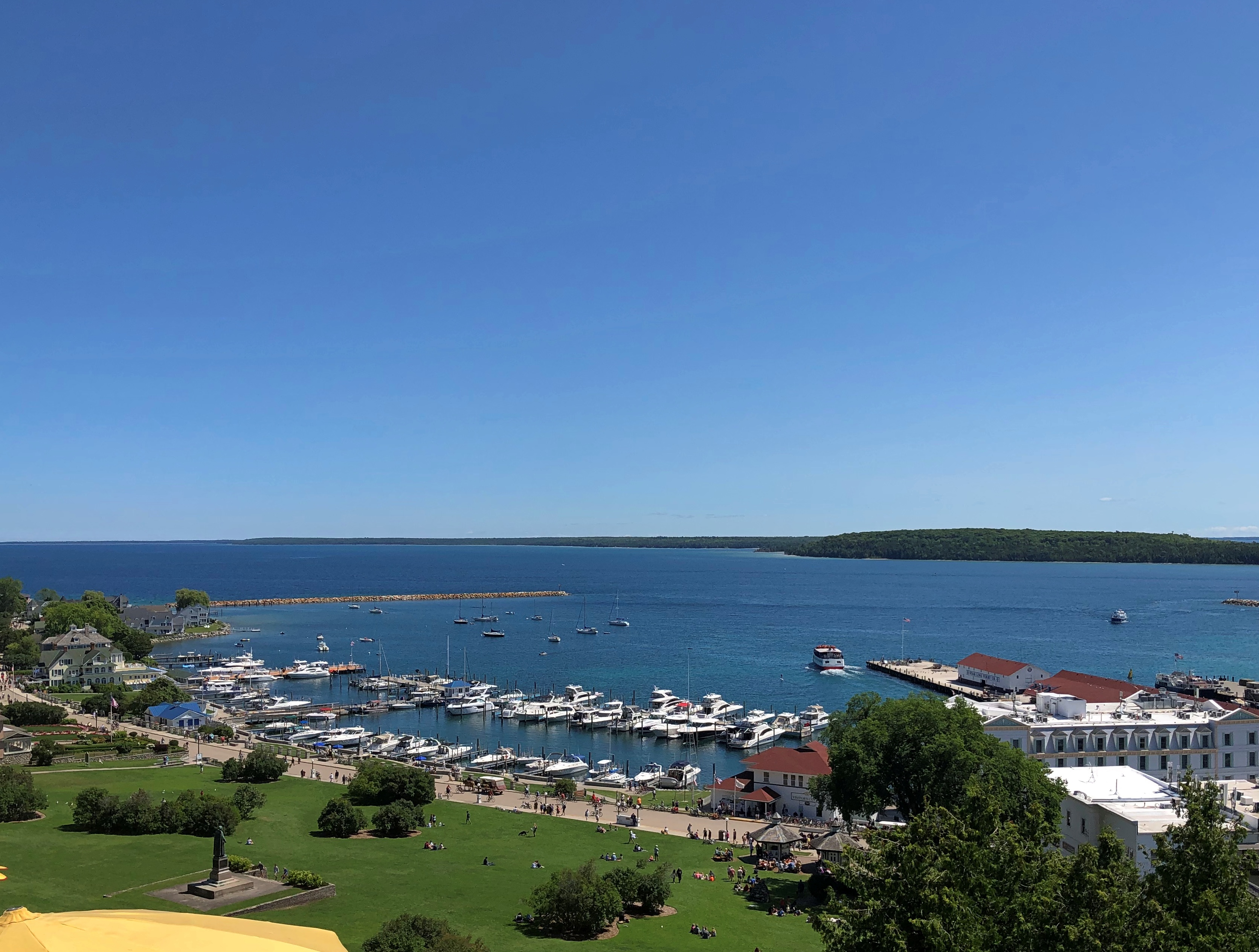
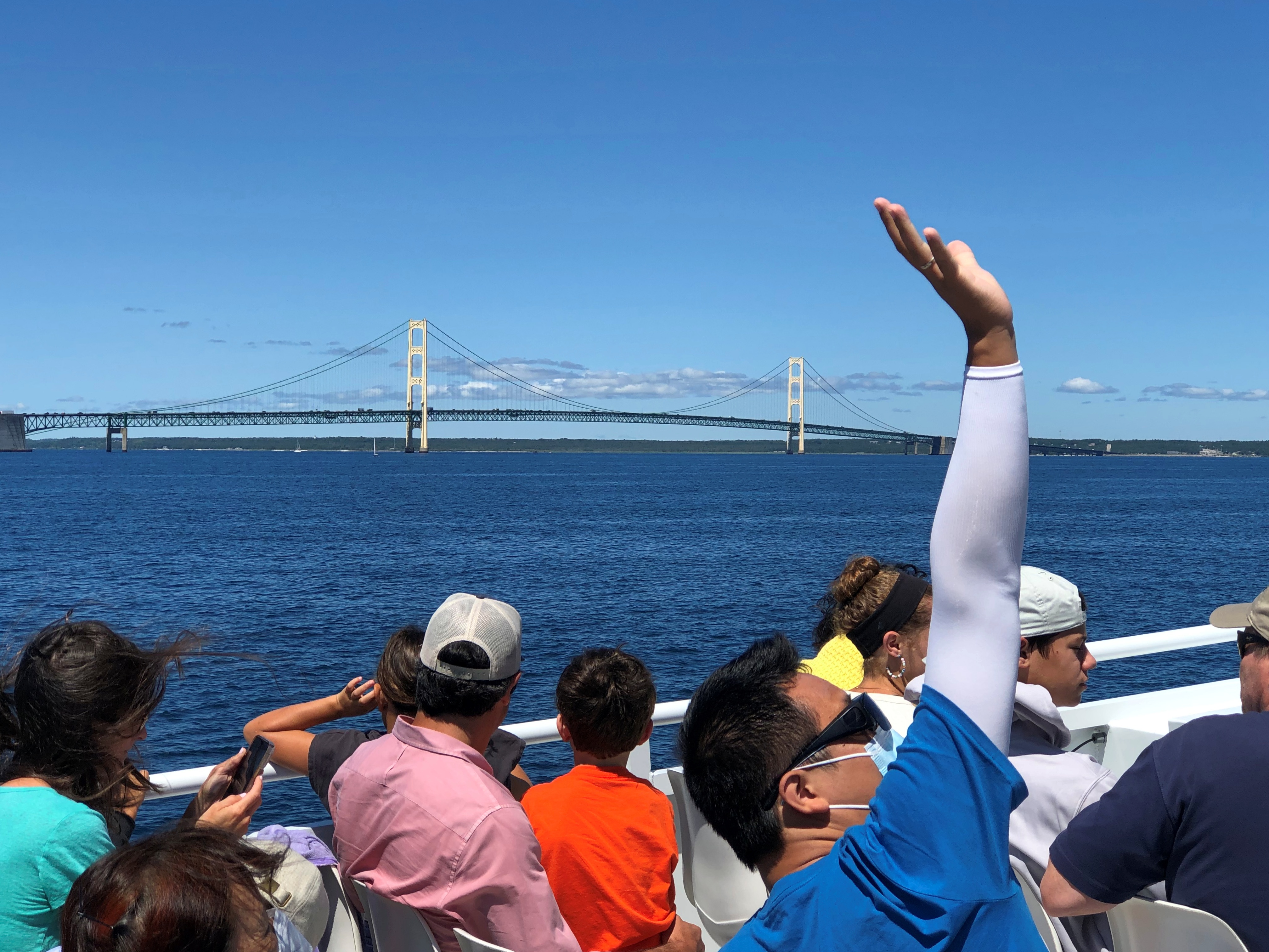
Eventually, wooden stairs led down to the road that circles the island, and we walked back to Main Street via that road to catch the ferry back to the mainland. We made occasional stops on the rocky shore of Lake Huron.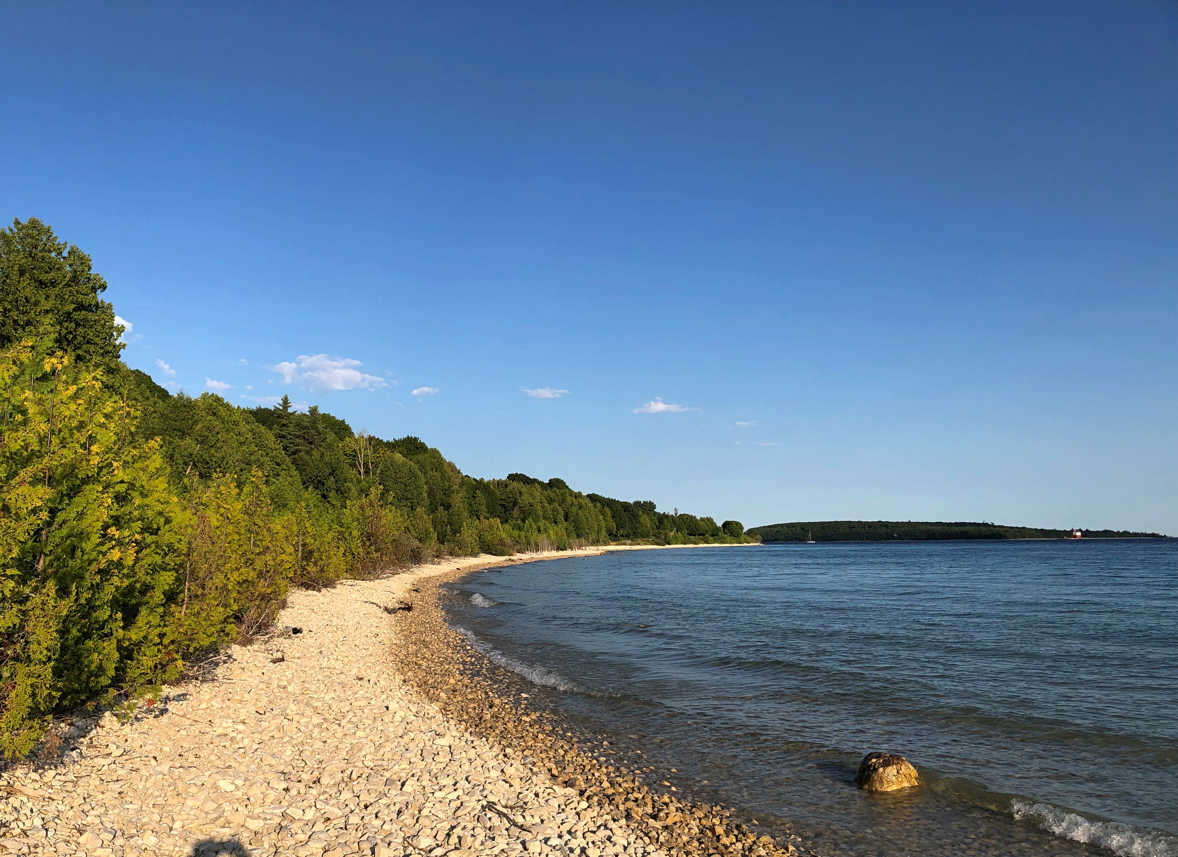
If there’s a next time, maybe I’ll rent a bicycle. But Mackinac Island is a perfectly fine walking destination.


