Shrine of Our Lady of Guadalupe, La Crosse

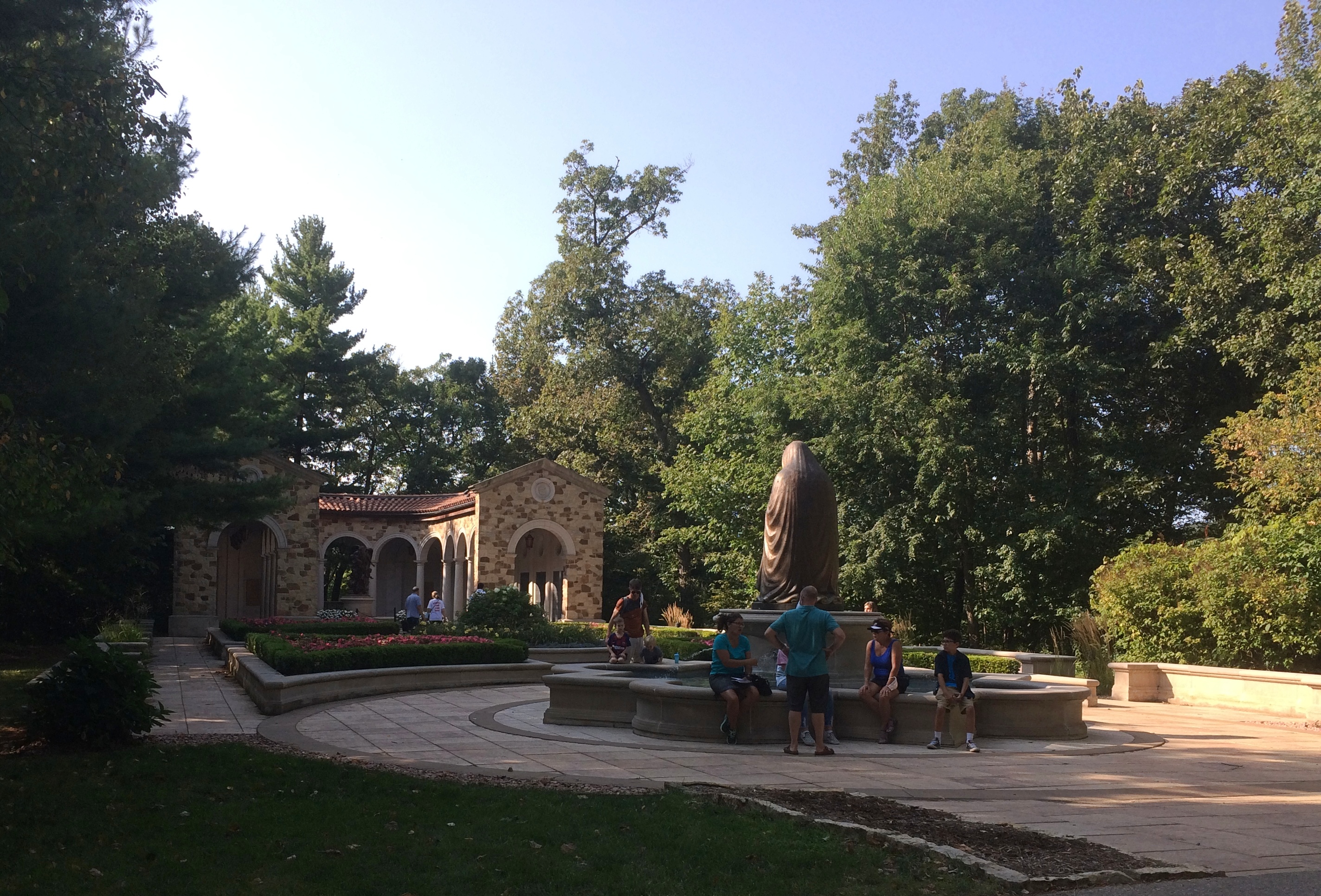
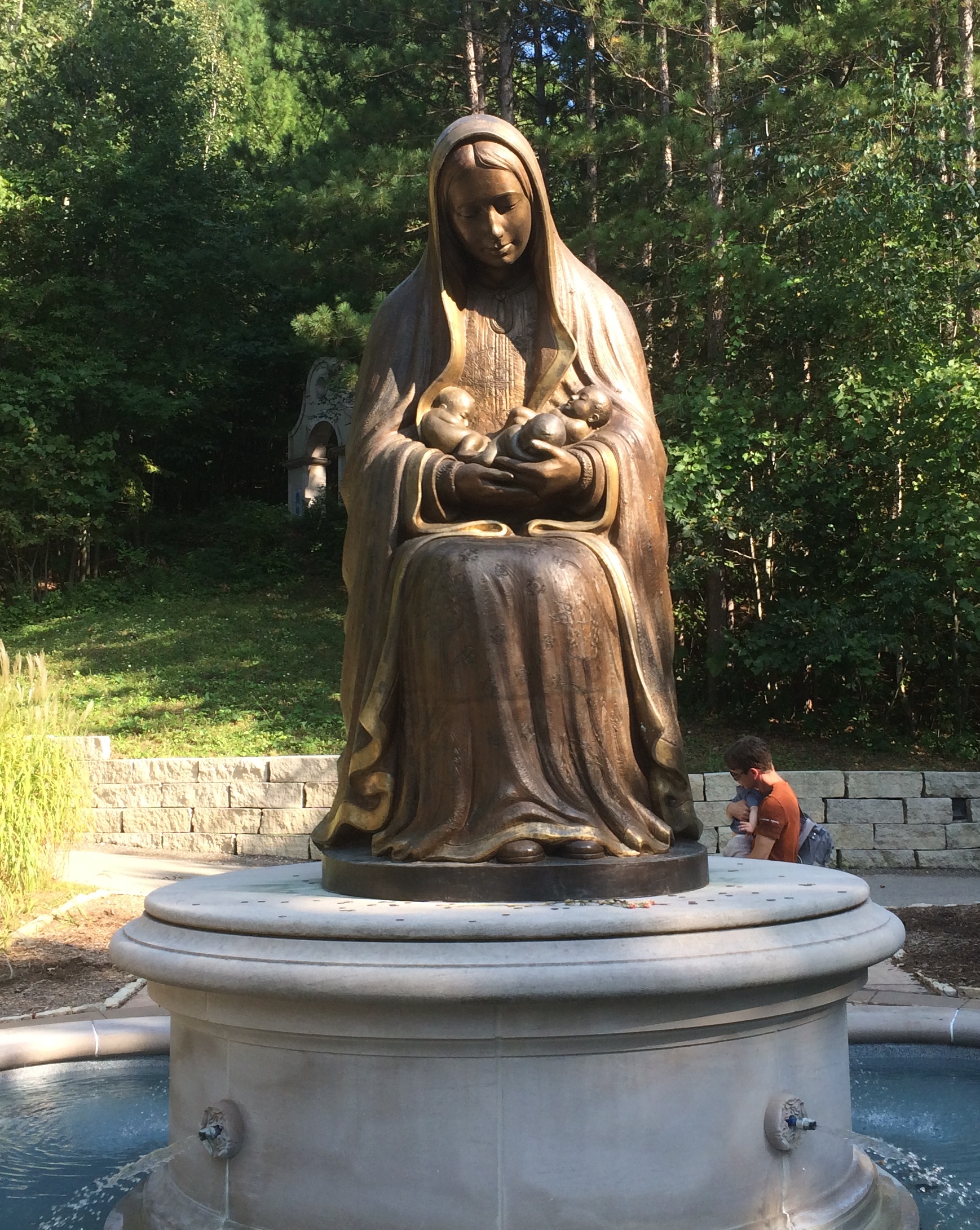
Turn off of U.S. 14 as you approach La Crosse, Wisconsin, from the east, and a small road goes a short way to the Shrine of Our Lady of Guadalupe. The shrine is no small affair, but rather a complex of buildings and sites, including a large shrine church, chapels, statues, memorials, devotion areas, the Stations of the Cross, a rosary walk, and a visitors center plus cafe and gift shop, mostly along a winding walking path through hilly, wooded territory.

Roughly 100 acres, I’ve read, and while it looks like a rural setting, according to Google Maps, the boundaries of the city of La Crosse reach down to the south like a dogleg to include the area around the shrine. Maybe the Diocese persuaded the City to annex the land, to facilitate city services.

Why La Crosse? As far as I can tell, because the former Bishop of La Crosse, lately Cardinal Raymond Leo Burke, really wanted a shrine. He asked permission of the Holy See, which agreed, though I like to think that at the bottom of one communique or another, the Vatican also said, you figure out how to pay for it.
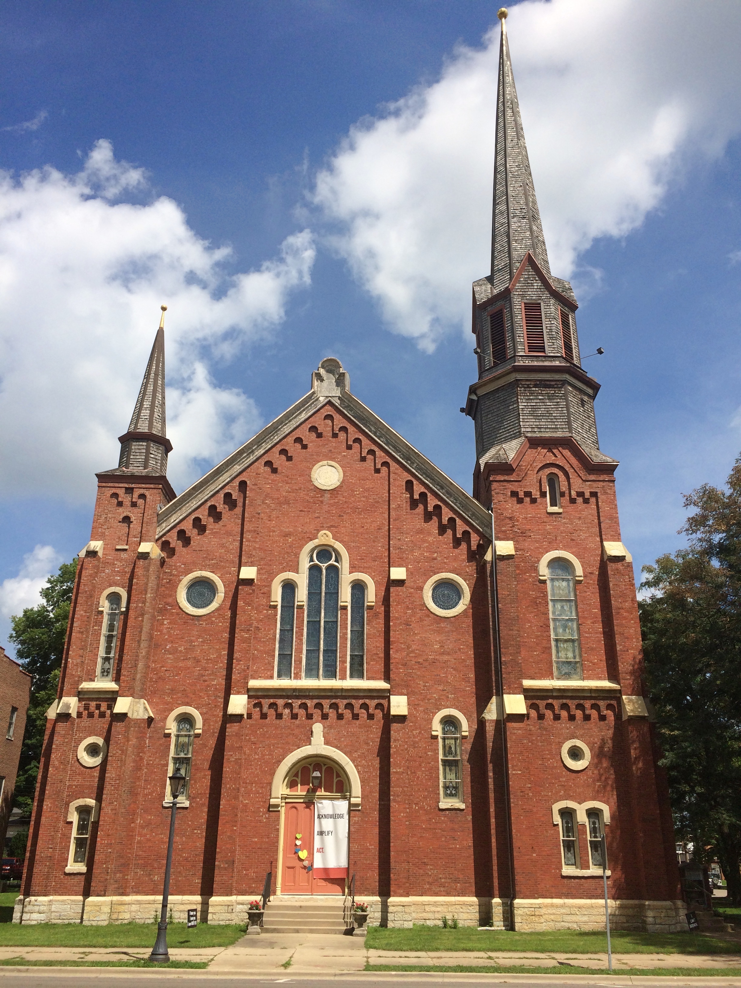
Whatever the case, funds were obtained and construction began in 2004, with the shrine dedicated in 2008. So in the long history of Catholicism, the place is spanking new.

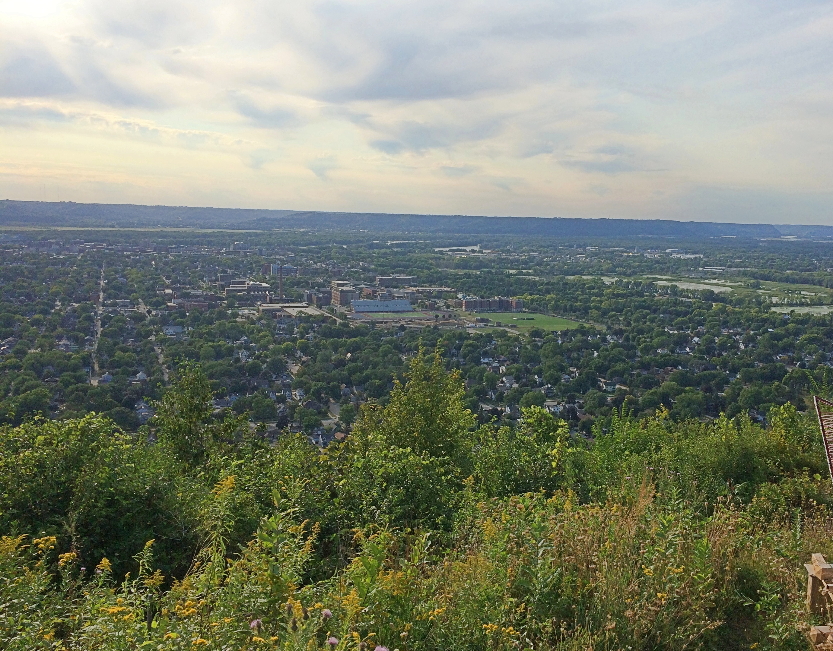
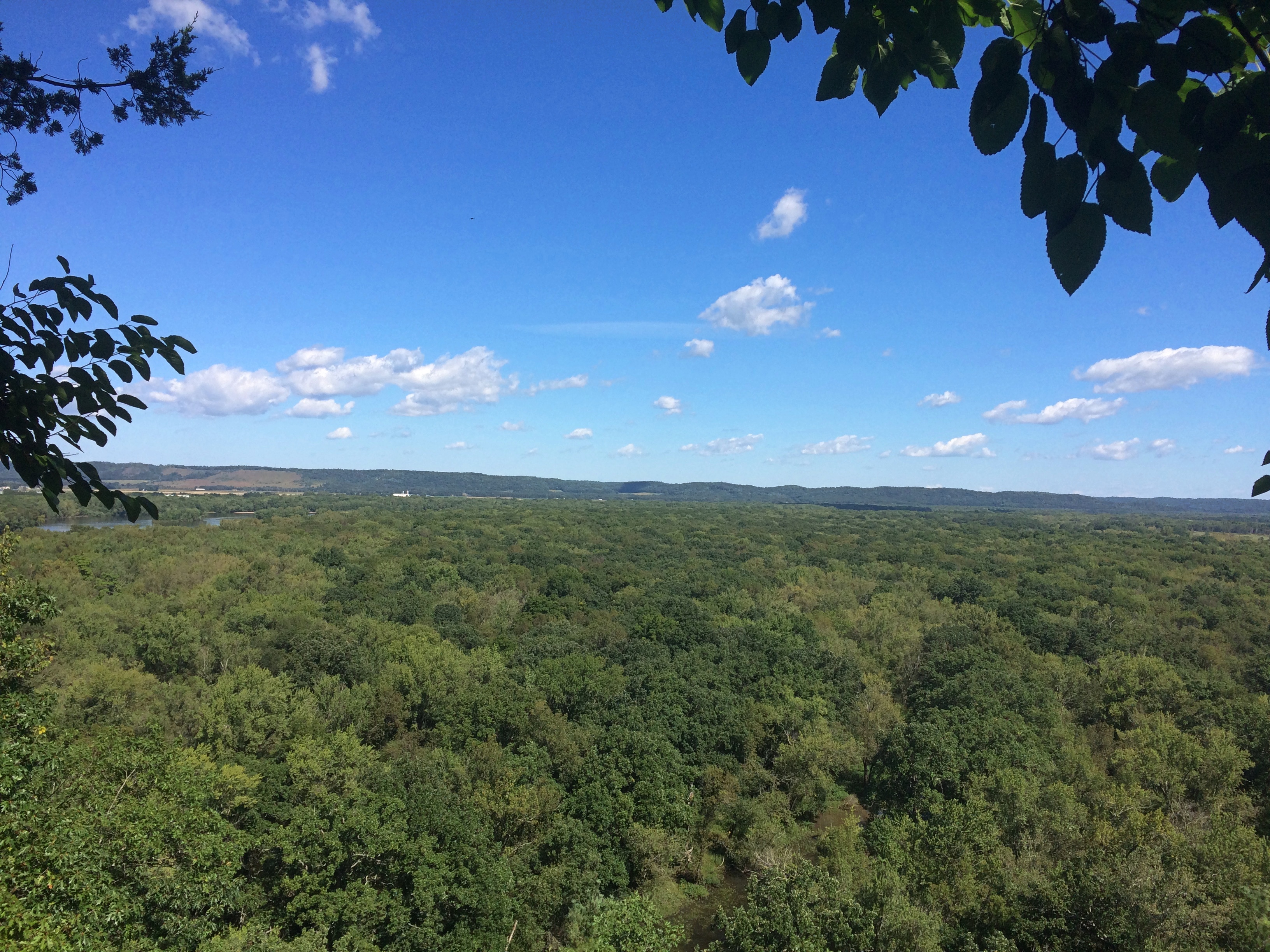
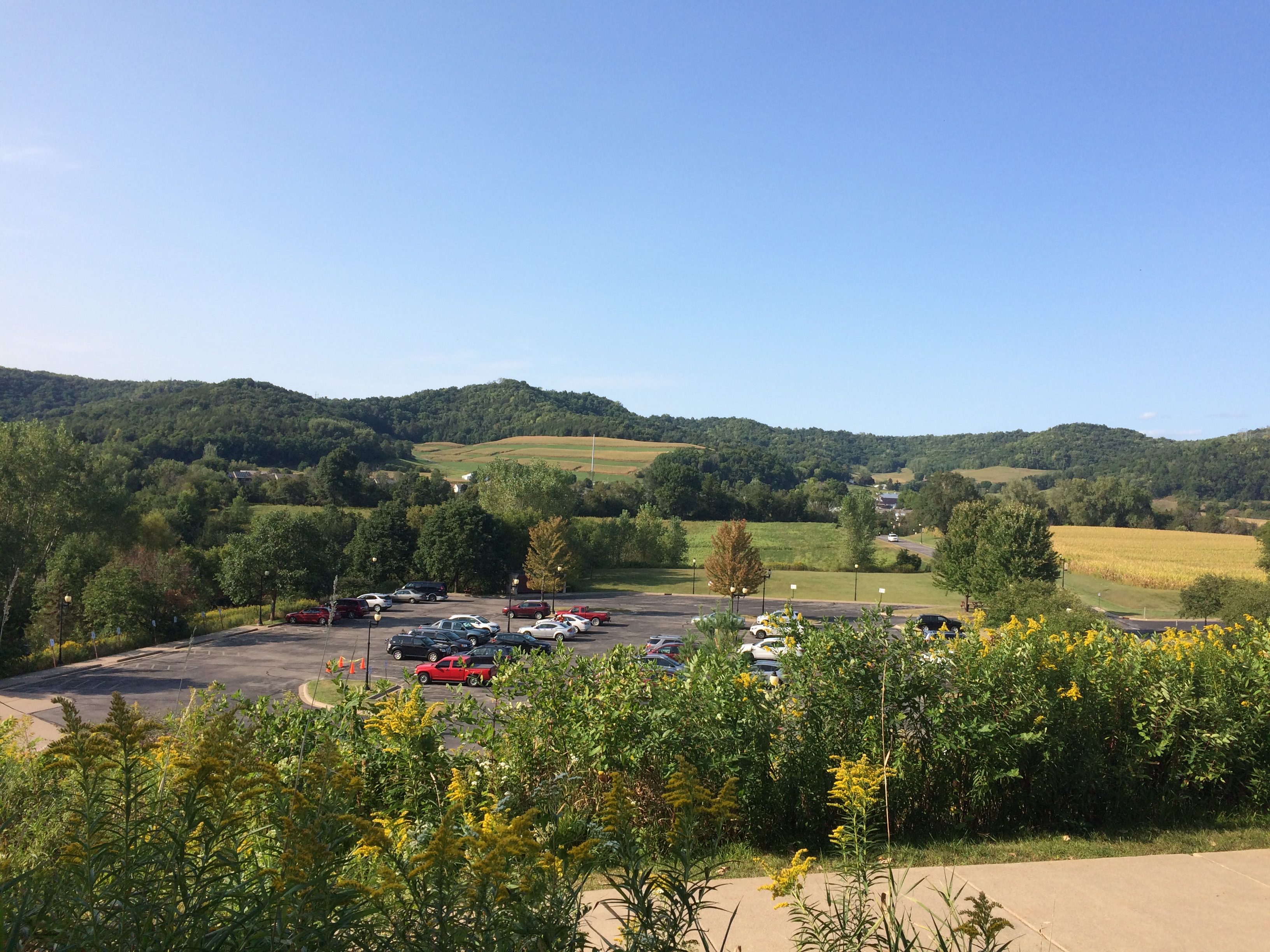
We arrived mid-afternoon on Saturday. Almost at once the curving path offers a nice view of the surrounding Driftless Area (and the parking lot).
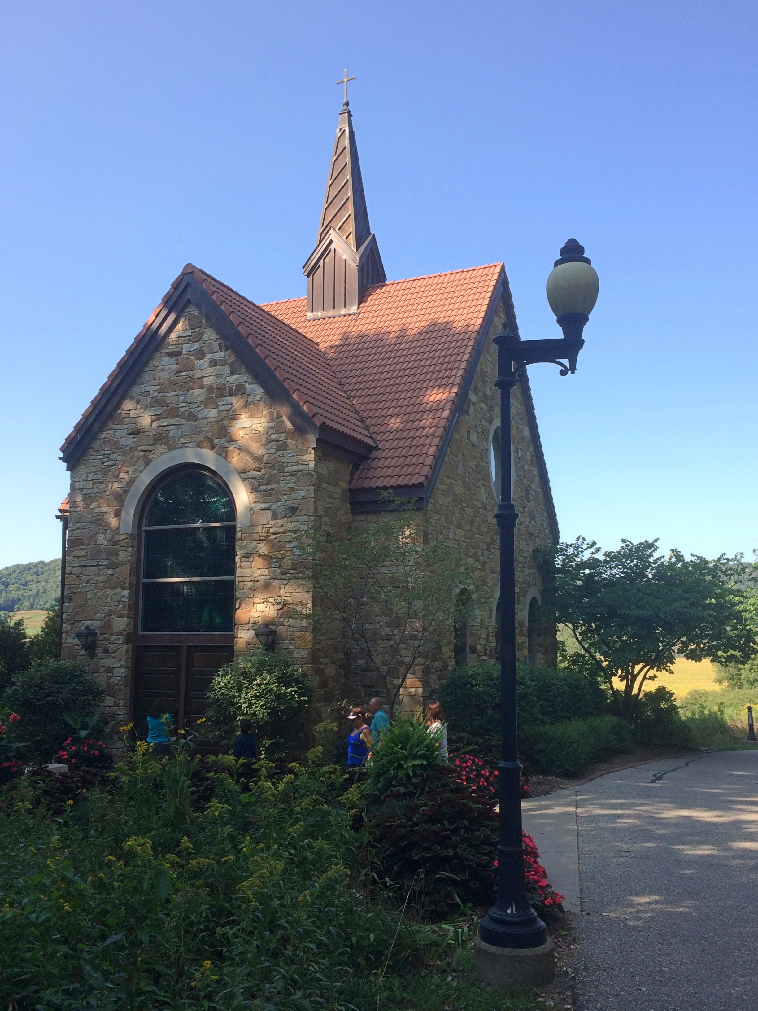
Shrine of Our Lady of GuadalupeThe first structure on the path is the Mother of Good Counsel Votive Candle Chapel, designed by the locally based River Architects, who have done a number of religious structures.
Shrine of Our Lady of GuadalupeI didn’t count them, but I’ve read there are 576 votive candles inside the chapel.
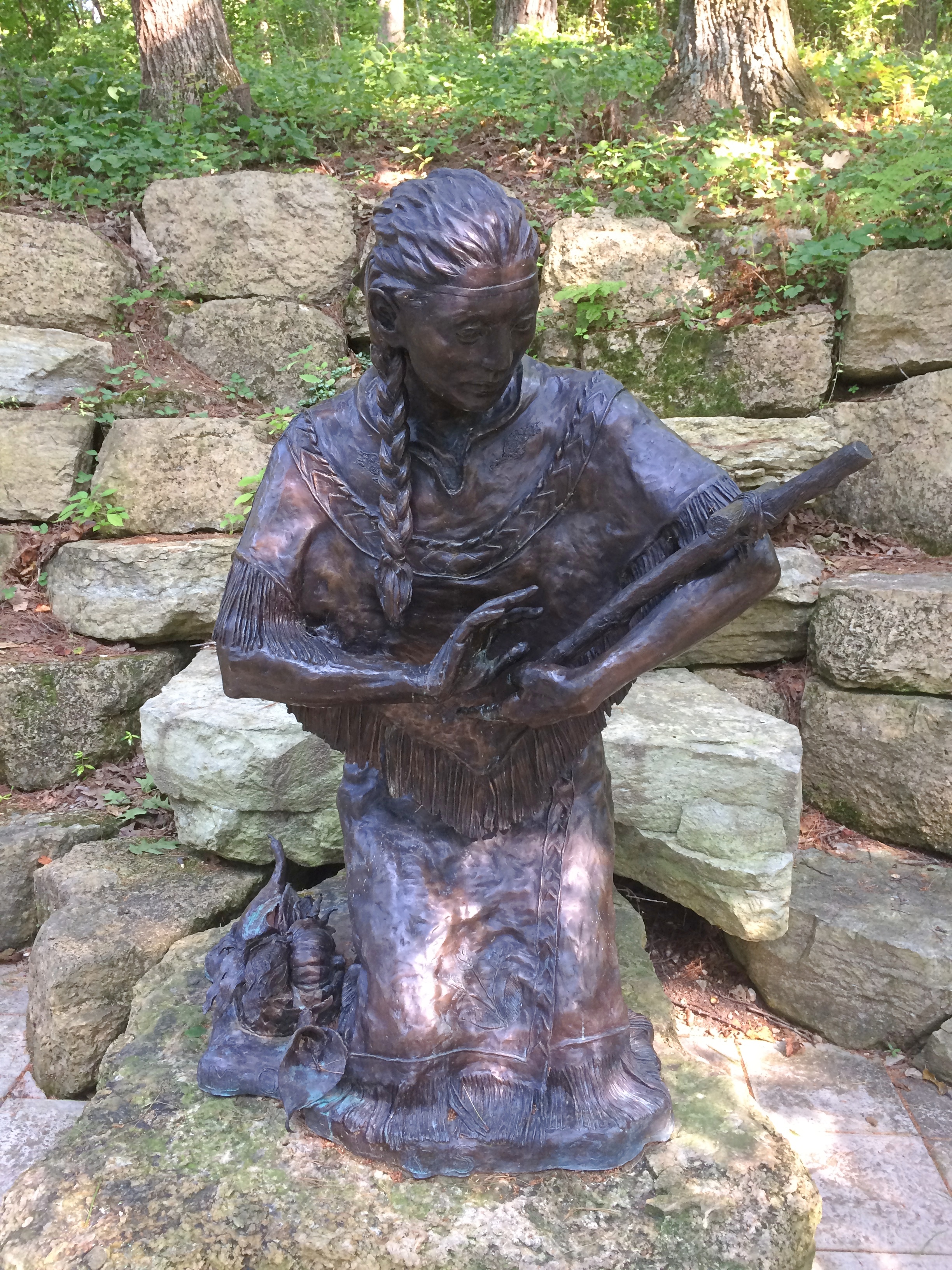
Shrine of Our Lady of Guadalupe votive chapelFurther along the path are devotional areas, including one featuring Saint Kateri Tekakwitha, Lily of the Mohawks, with a bronze by artist Cynthia Hitschler.
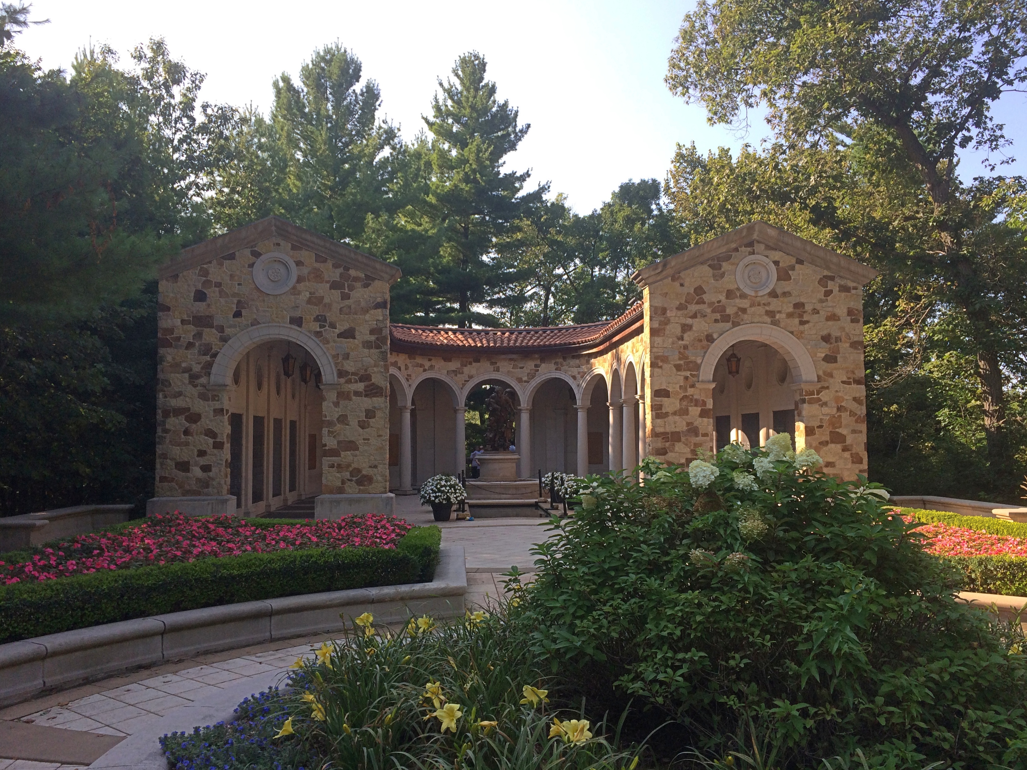
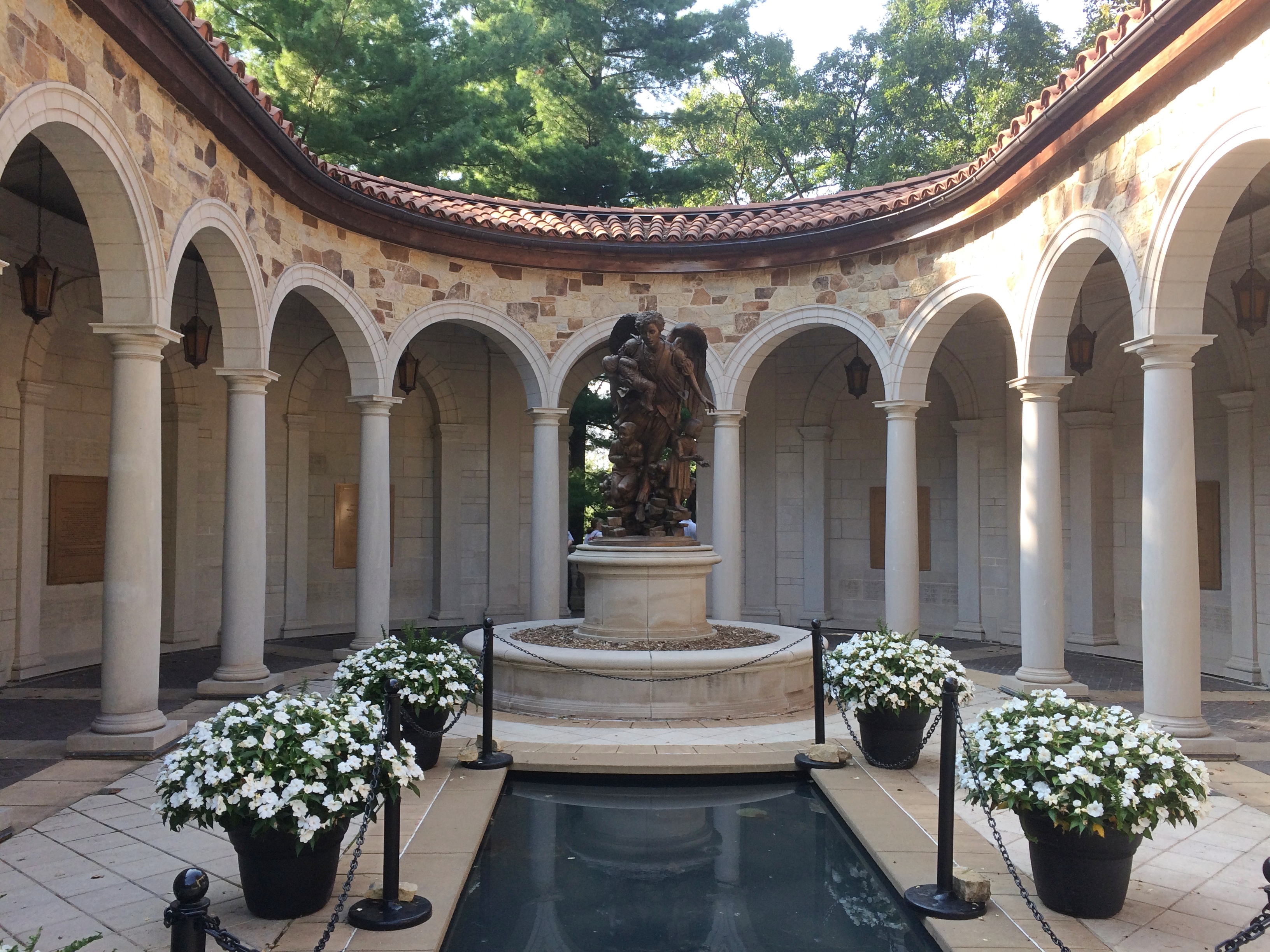
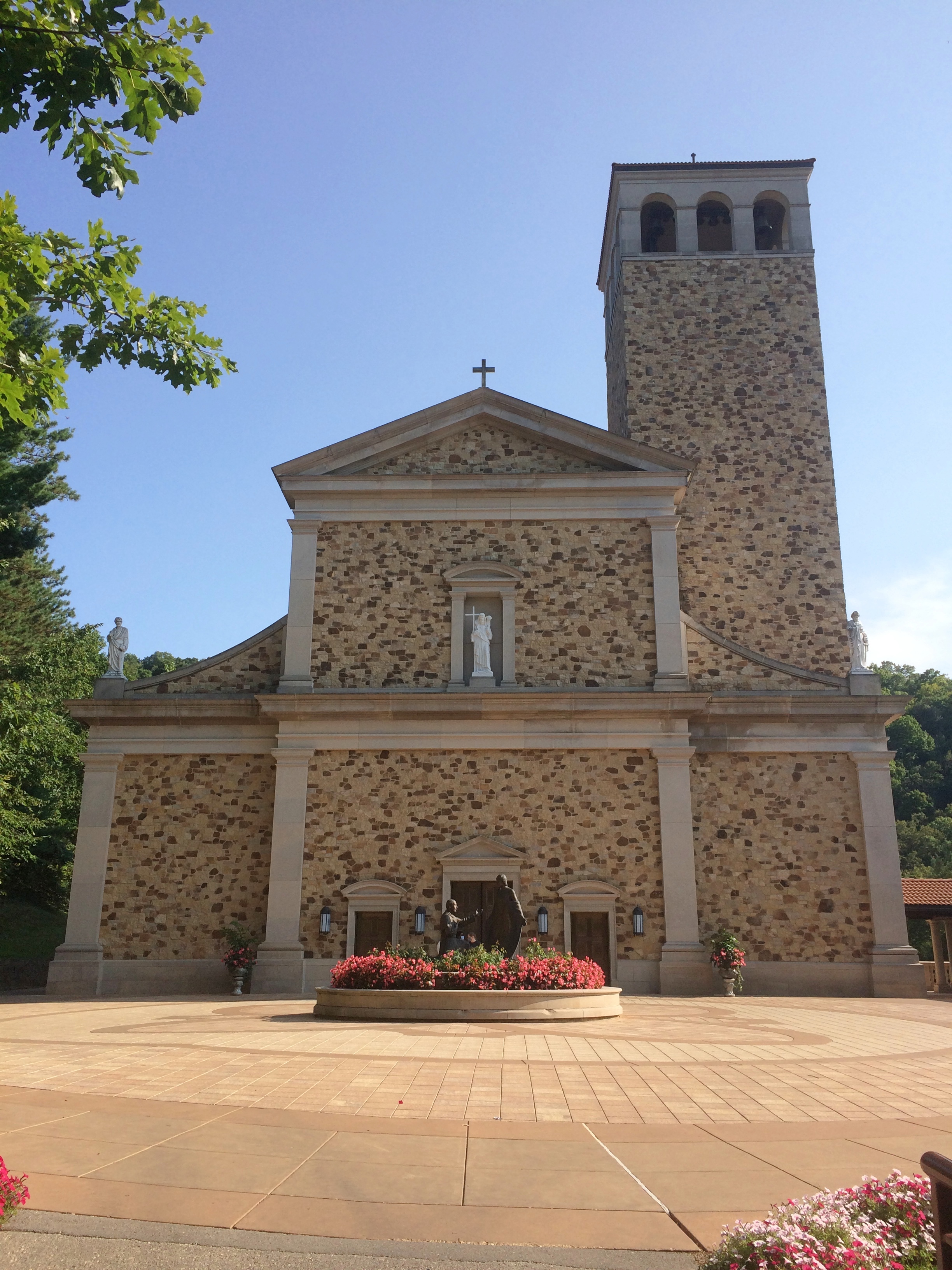
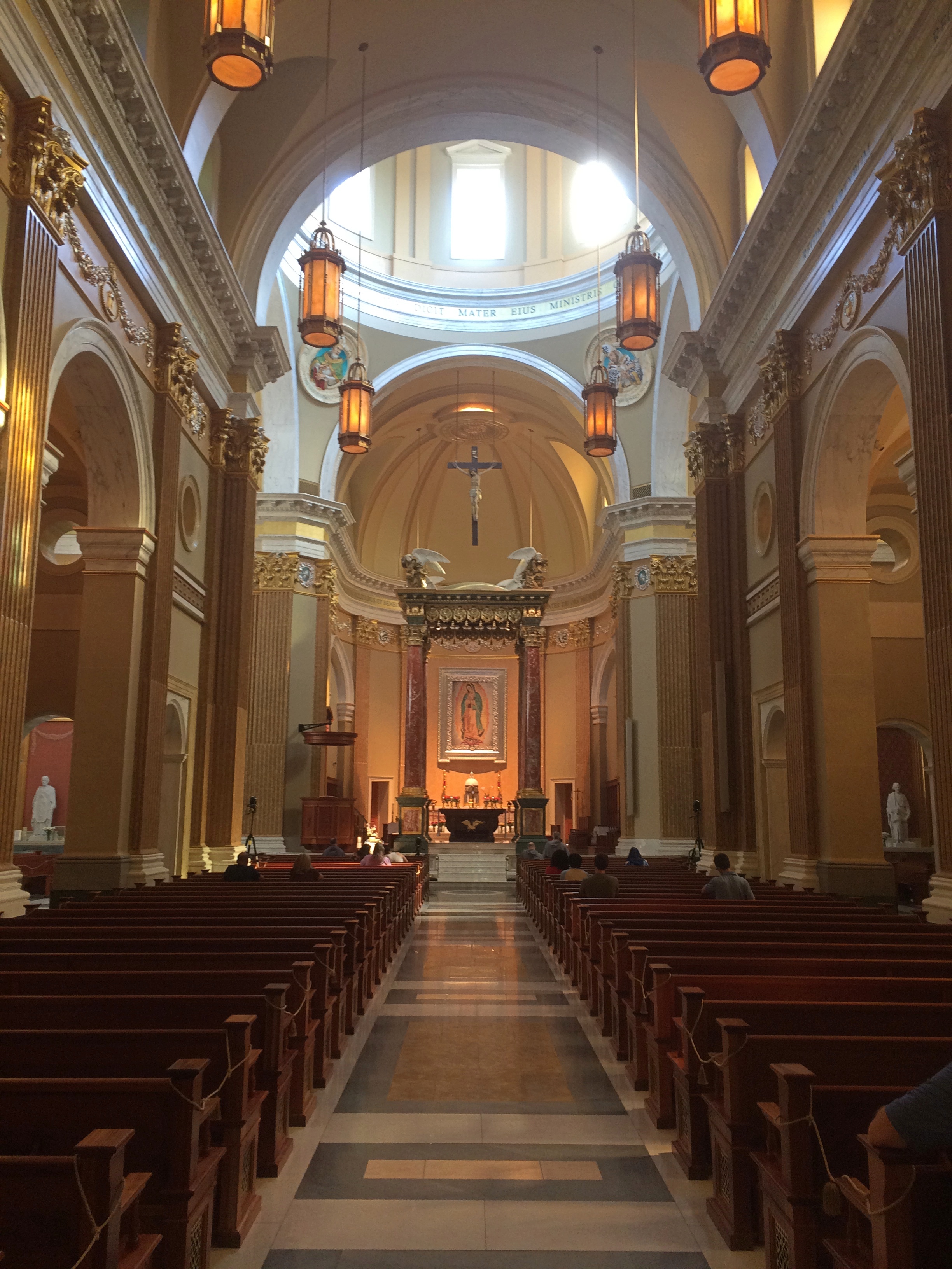
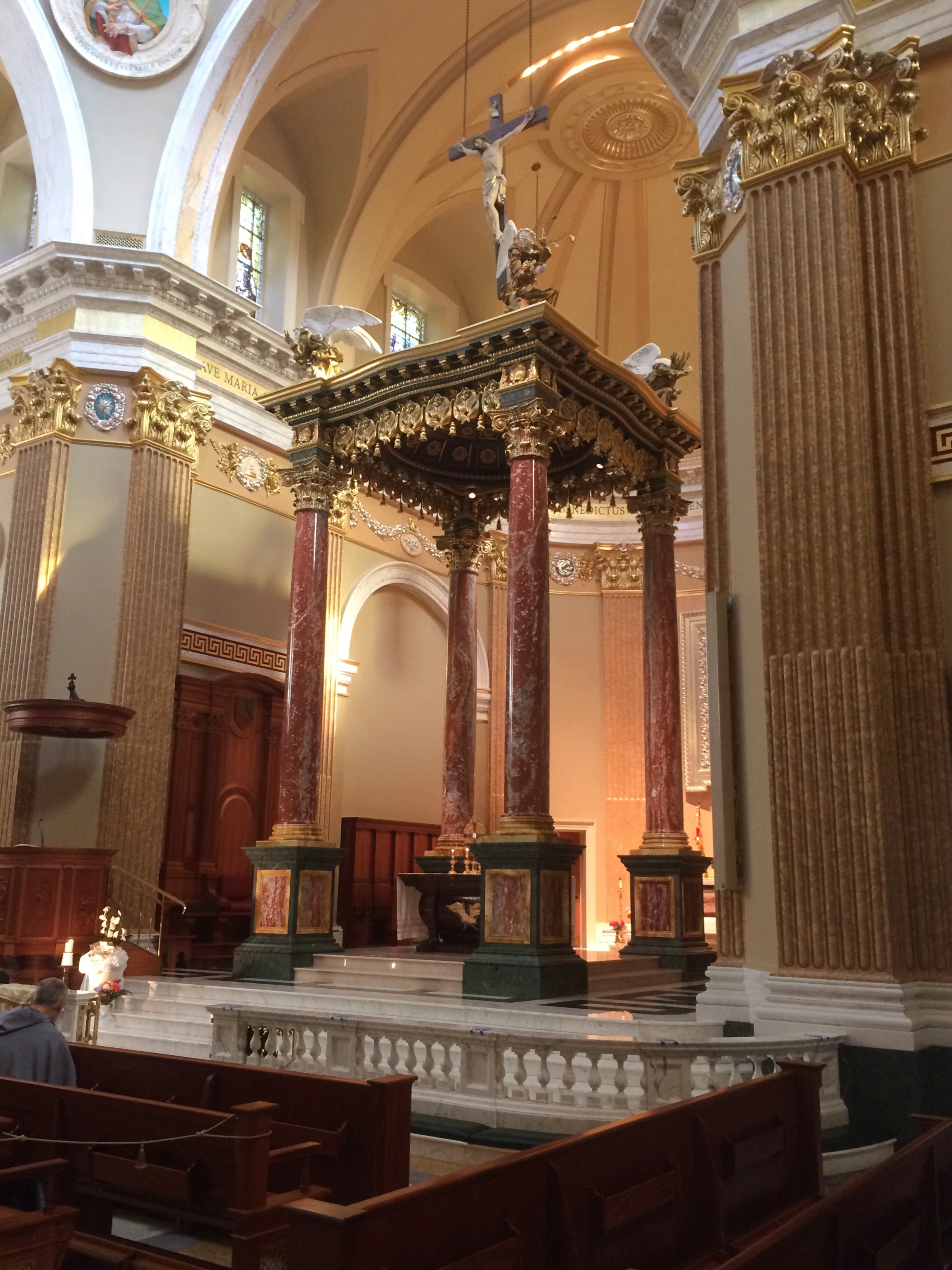
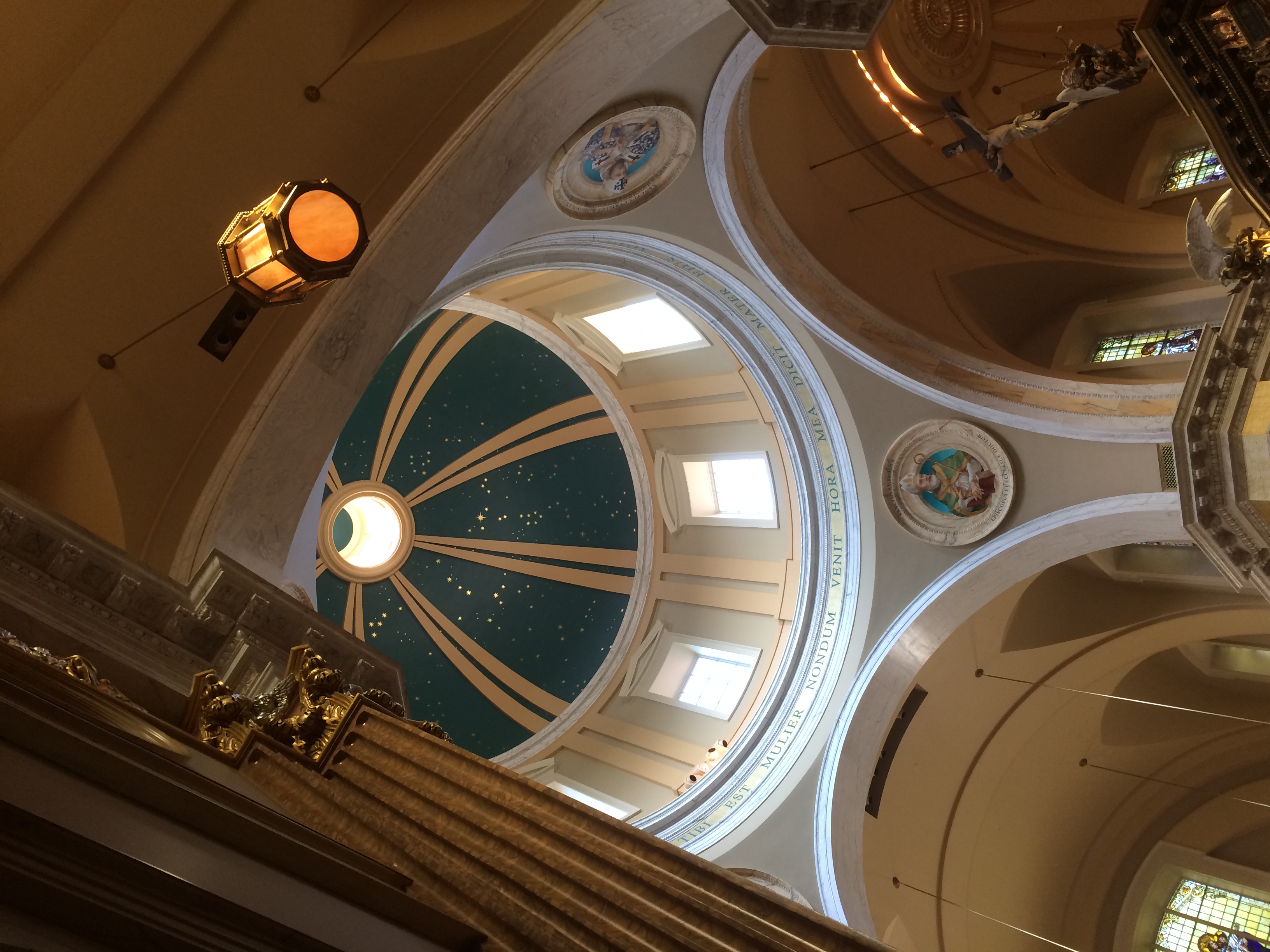
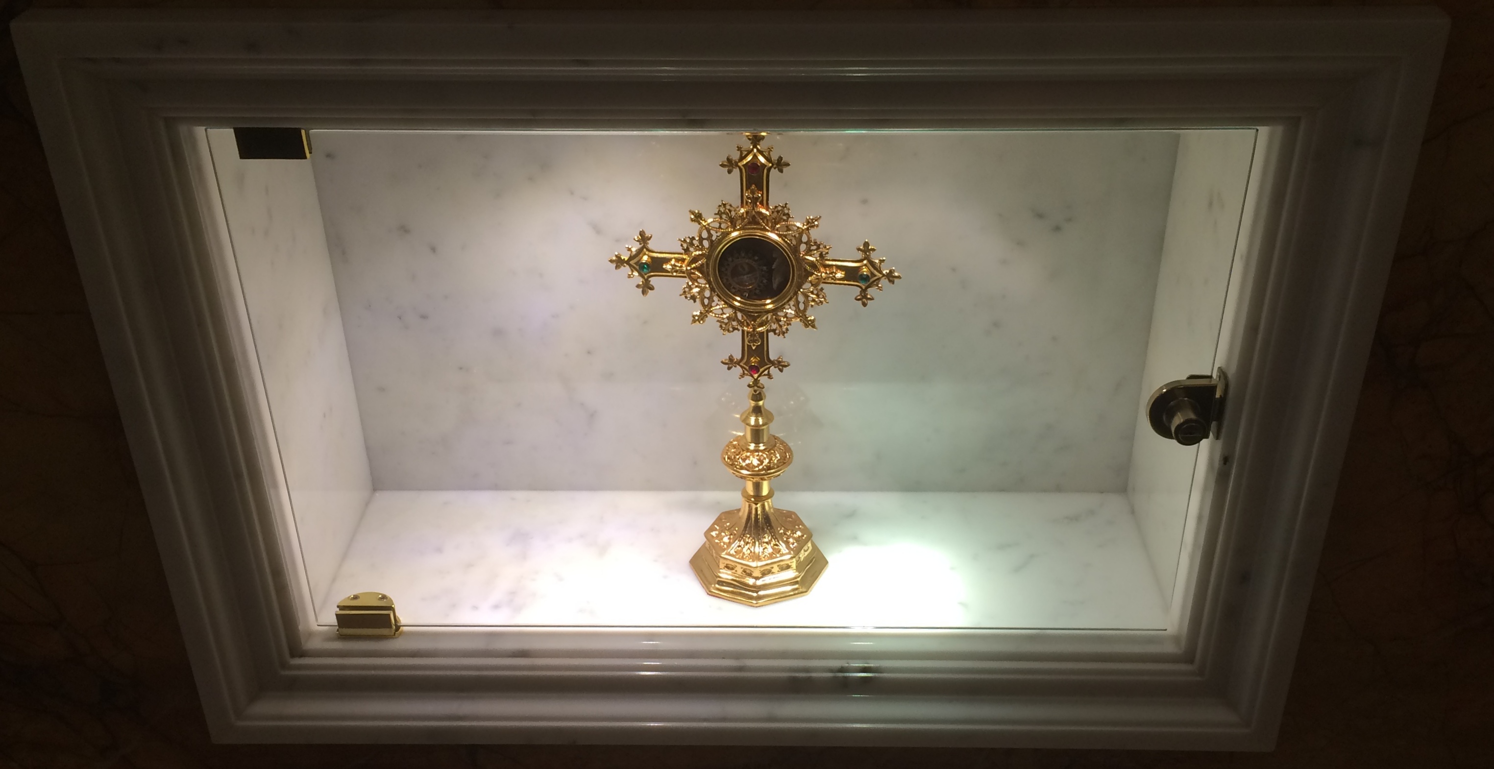
Shrine of Our Lady of Guadalupe Saint Kateri Tekakwitha, Lily of the MohawksAround a bend is the Memorial to the Unborn, also by River Architects.Shrine of Our Lady of Guadalupe Memorial to the UnbornShrine of Our Lady of Guadalupe Memorial to the UnbornShrine of Our Lady of Guadalupe Memorial to the UnbornShrine of Our Lady of Guadalupe Memorial to the UnbornNearby is a plaza fronting the Shrine Church, a design using stone from Minnesota and Wisconsin by Duncan Stroik, another specialist in sacred spaces. The interior takes inspiration from St. Mary Major in Rome.Shrine of Our Lady of Guadalupe Shrine ChurchShrine of Our Lady of Guadalupe Shrine ChurchShrine of Our Lady of Guadalupe Shrine ChurchShrine of Our Lady of Guadalupe Shrine ChurchOn the side walls are paintings, mostly of saints, along with reliquaries in glass cases under the paintings. I encountered one of Bl. Miguel Agustin Pro, S.J., with a reliquary containing one of his first-class relics, though the sign didn’t say what.
Shrine of Our Lady of Guadalupe Shrine ChurchI’d encountered him before, in wood, but without any relics.

La Crosse ’20

Last year for the Labor Day weekend, we headed east to the shores of Lake Huron. This year, we headed west to La Crosse, Wisconsin, which has its own water feature, the various channels of the Mississippi River.

The trip was structured like our visit to Prairie du Chien in July: Friday night in Madison, a slowish drive on U.S. 14 to La Crosse the next day, where we spent Saturday night, and then a somewhat faster return on Sunday afternoon, mostly on I-90. La Crosse was the destination, but we also stopped at various places along the way there and back.

We visited a major Catholic shrine, looked down on La Crosse from a tall bluff, looked down on the Wisconsin River from another bluff, ate food obtained from drive-thrus more than once, swam in a hotel pool for the first time in ages, stopped at a large farm stand, slept on an island as a thunderstorm moved through the area, walked along the Mississippi, came very close to the border with Minnesota without entering that state, walked around downtown and a university campus, drove along an astonishingly beautiful Wisconsin Rustic Road northeast of La Crosse, spent time in the Bicycling Capital of America, and saw a couple of rural cemeteries, an installation of outsider art and the back lot of fiberglass statue manufacturer.

A good little trip. That’s what we can do these days.

I can report a number of changes in Wisconsin since July. Masks are now more emphasized, especially by businesses at their entrances, some citing local directives. More people seemed to be wearing them. Also, political yard signs have sprouted. It’s my impression that, simply in terms of signs, Trump has a slight edge in rural Wisconsin. But I also have to say there was no shortage of Biden signs in those rural stretches.

We stopped by whim a few places along U.S. 14. Such as at a historic marker just west of Mazomanie. The marker told us that a town had once prospered on the site.

VILLAGE OF DOVER
Beginning in 1844, nearly 700 settlers were brought into this area by the British Temperance & Emigration Society, organized the previous year in Liverpool, England. By 1850 Dover boasted a hotel, post office, cooper, blacksmith, shoemaker, wagon shop and stores. When the railroad chose Mazomanie for a depot site and made no stop in Dover, Doverites moved their houses into Mazomanie and Dover faded away to become a ghost town.

The site does look fairly undeveloped in our time, except for a small fence.
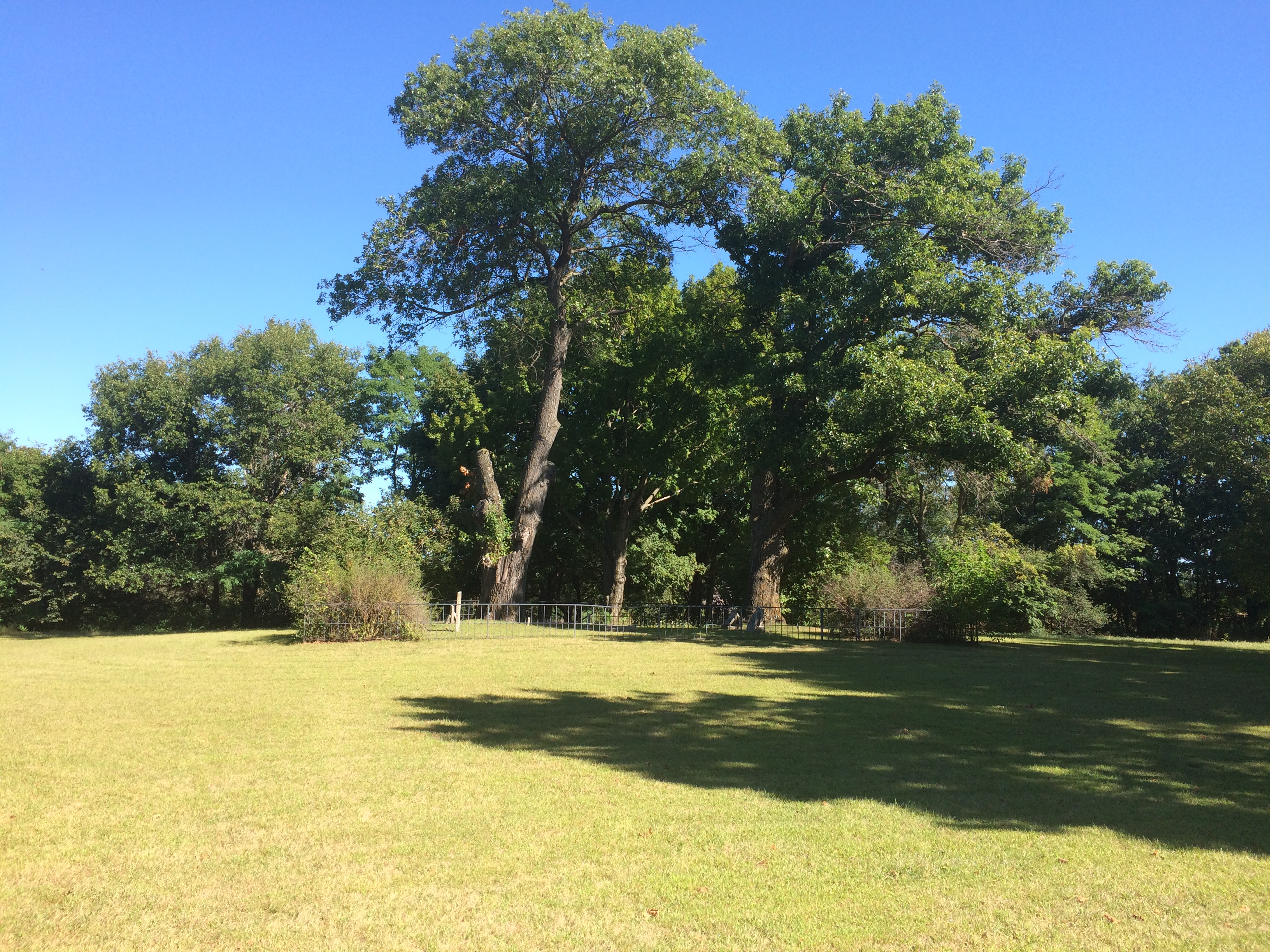
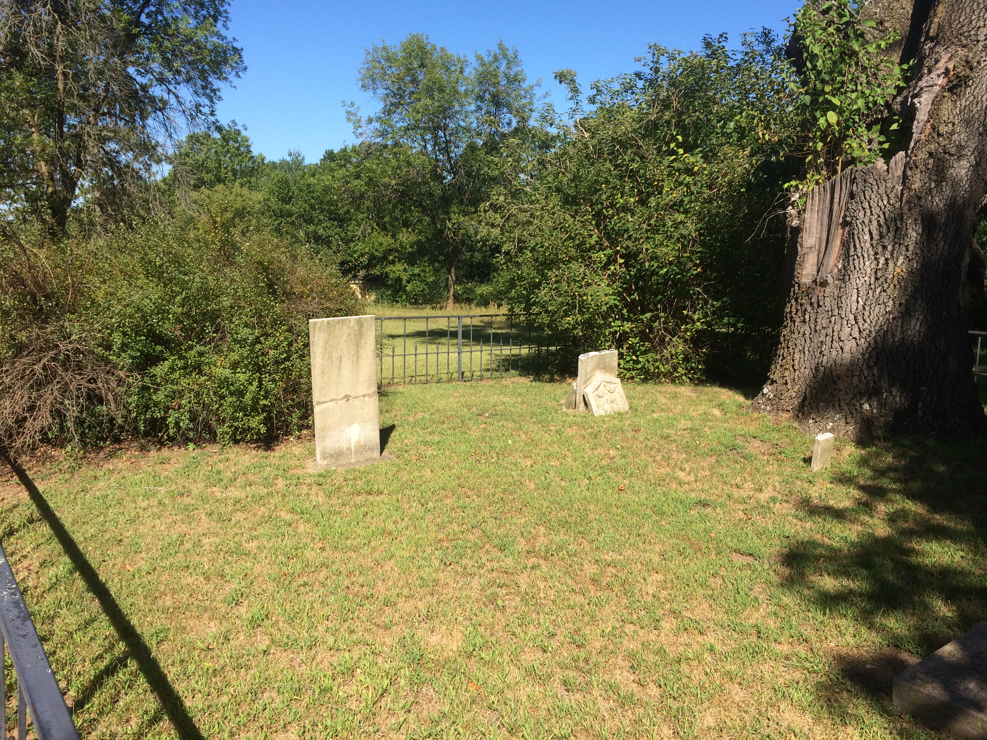
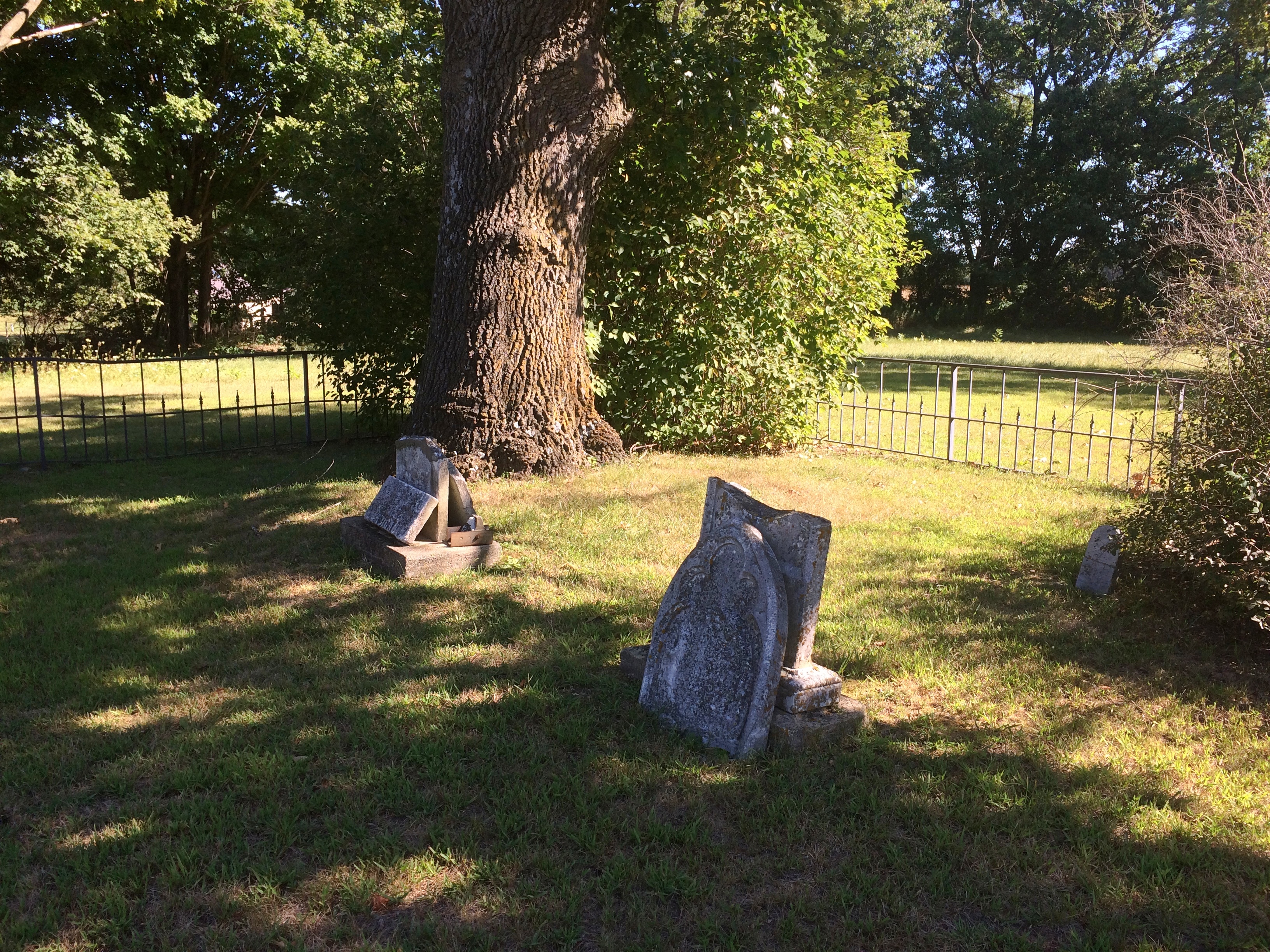
Dover, Wisconsin ghost townBehind the fence is something that the living residents of Dover probably never considered moving: a small slip of a cemetery.
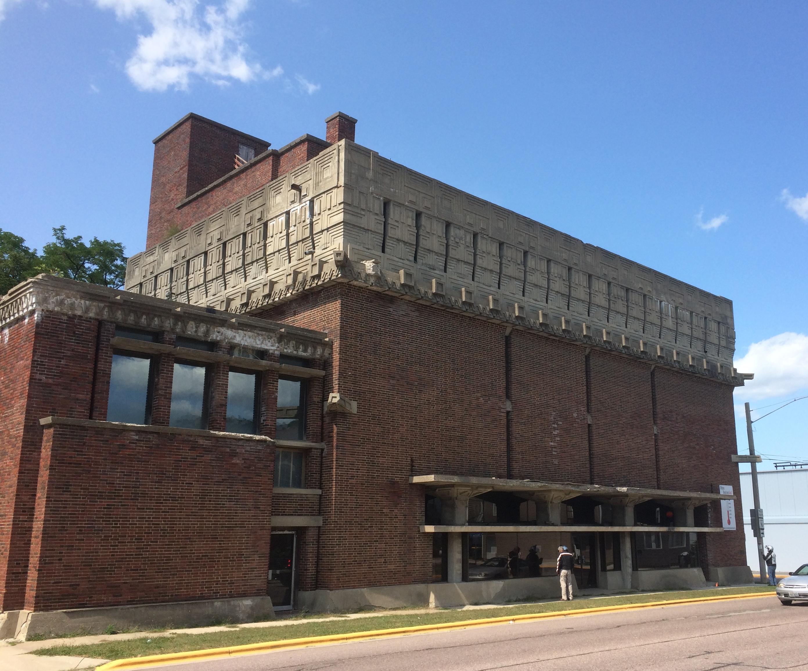
Dover, Wisconsin ghost town cemeteryDover, Wisconsin ghost town cemeteryIn Richland Center, seat of Richland County, we stopped for a few moments to take a look at the A.D. German Warehouse. It is an unusual-looking warehouse. The front:
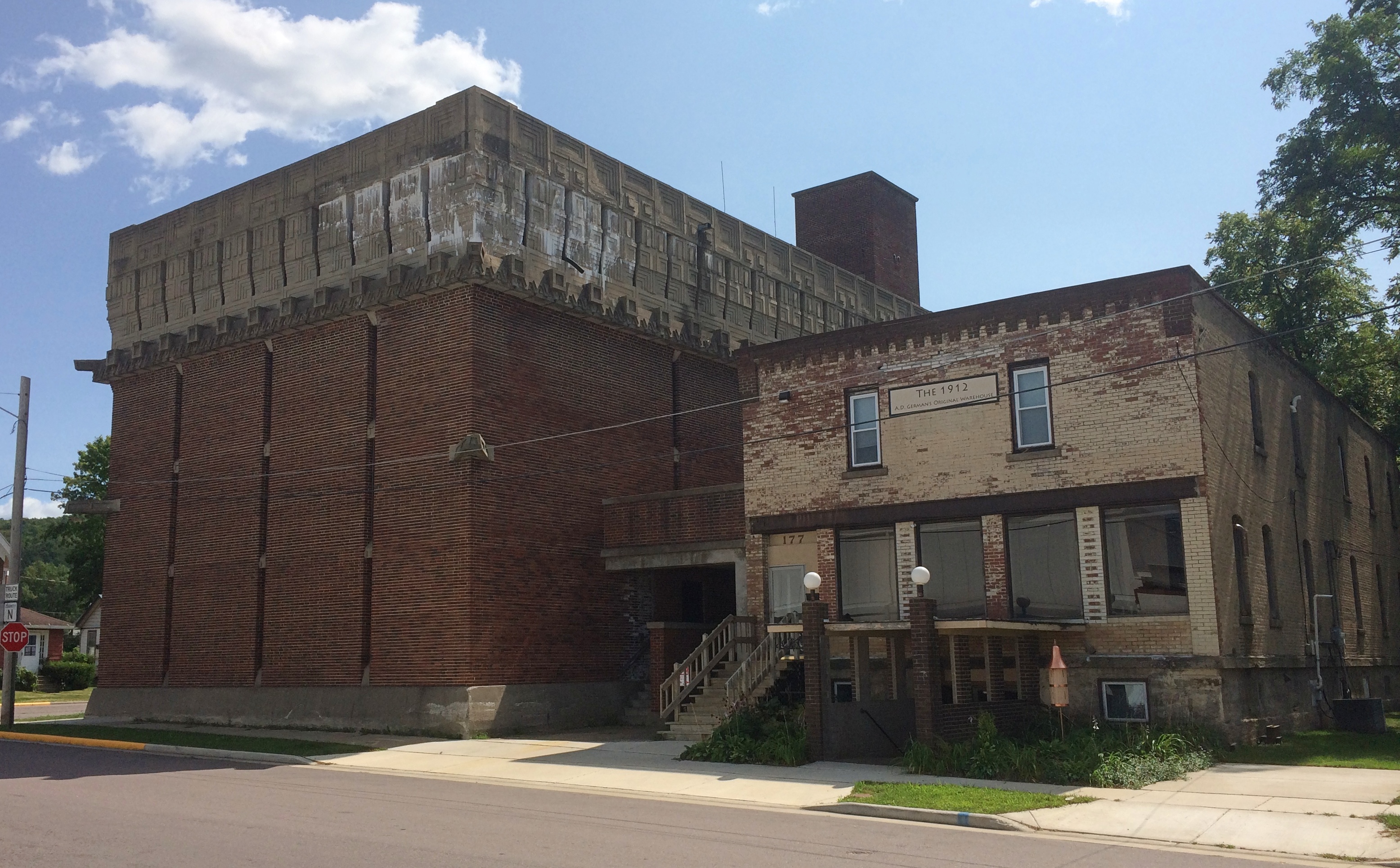
AD German Warehouse Richland CenterAD German Warehouse Richland CenterThe back, including a building with a sign that says it is an older A.D. German Warehouse.
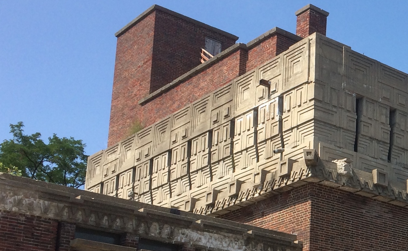
AD German Warehouse Richland CenterUnusual or not, the “new” A.D. German is known for one thing: being designed by Frank Lloyd Wright, and apparently his only warehouse.

“The A.D. German Warehouse is an impressive brick structure topped by a magnificent concrete frieze,” says Wright in Wisconsin. “Generally considered to resemble a Mayan temple, this avant-garde warehouse and attached music room was built for A. D. German’s wholesale grocery business.”

A Mayan temple. The thought amuses me no end. It also makes me re-imagine modern warehouse/distribution buildings, those absolutely utilitarian linchpins of the modern economy. What if some of them had splashes of ornament taken from different times and places? Some friezes from the Parthenon. A touch of a Babylon ziggurat. Or some Mayan elements.

But no. That isn’t the sort of society we live in. You want to spend money on what? Just build the damn thing.

Speaking of which: “Construction was stopped with the building unfinished in 1921, after spending $125,000, which exceeded the original cost estimate of $30,000,” Wright in Wisconsin continues. “It is the only remaining commercial structure designed by Wright that still exists from this time period.”

No wonder he didn’t do any other warehouse commissions. Yet I’m glad to say that an effort is under way to restore the thing. Never mind that it’s a Wright. The world is just a little better place for having a Mayan-flavored warehouse somewhere outside the homeland of the Maya.

On the outskirts of Richland Center, there is a field flying more than 300 flags.
merican Legion Veterans Memorial Park, Bayard de Hart Post 13It’s part of the American Legion Veterans Memorial Park, Bayard de Hart Post 13. Must be quite a sight when the wind is up. At the base of each flag is a stone plaque with the name and service details of a local veteran, living or dead.

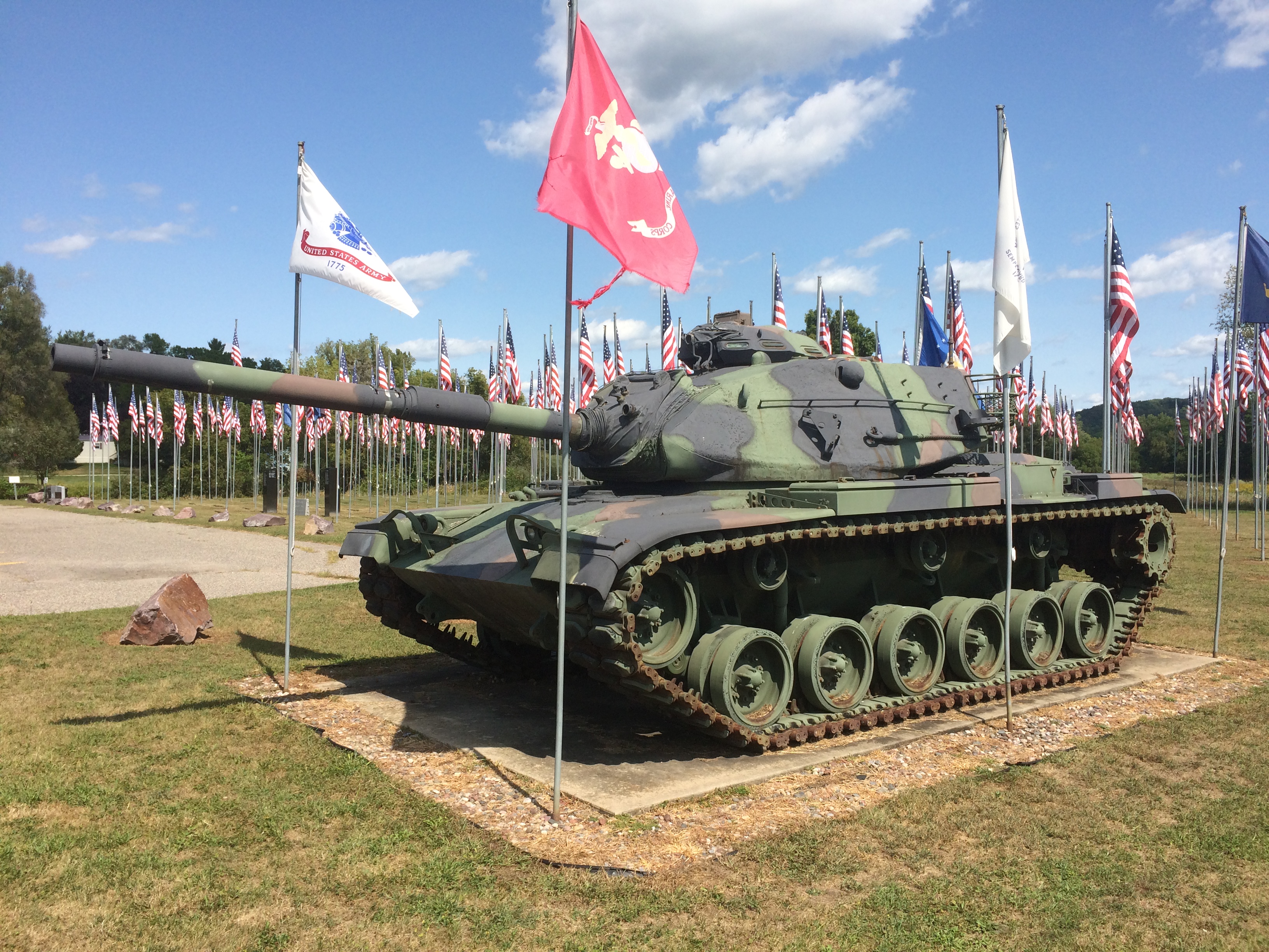
There’s also a tank.
merican Legion Veterans Memorial Park, Bayard de Hart Post 13An M60 A3, a sign said, a kind of tank that last saw use in action (for the U.S.) during the first Gulf War.

Oglesby Sights

Sizable towns cluster around the Illinois River in north-central Illinois like so many stones on a necklace: Morris, Ottawa, LaSalle, Peru, Spring Valley, Princeton. Then there’s Oglesby, which isn’t so sizable, at about 3,500 people. The place is named after the long-ago Illinois governor, whom I’ve encountered before in Decatur and Chicago.

We became acquainted with Oglesby last weekend because we stayed overnight in a motel in the town, to take advantage of its proximity to Starved Rock SP and Matthiessen SP, though we decided not to visit the latter.

To become acquainted with the town, you can drive down the east-west Walnut St. for about two miles. On Sunday morning, I went out for gas early, which also meant looking around. Lilly joined me.

The town post office on Walnut looked about as WPA as can be. Being Sunday, we couldn’t go in and look at the 1942 mural, “The Illini and Pottawatomies Struggle at Starved Rock” by Fay E. Davis, which is said to be quite something.

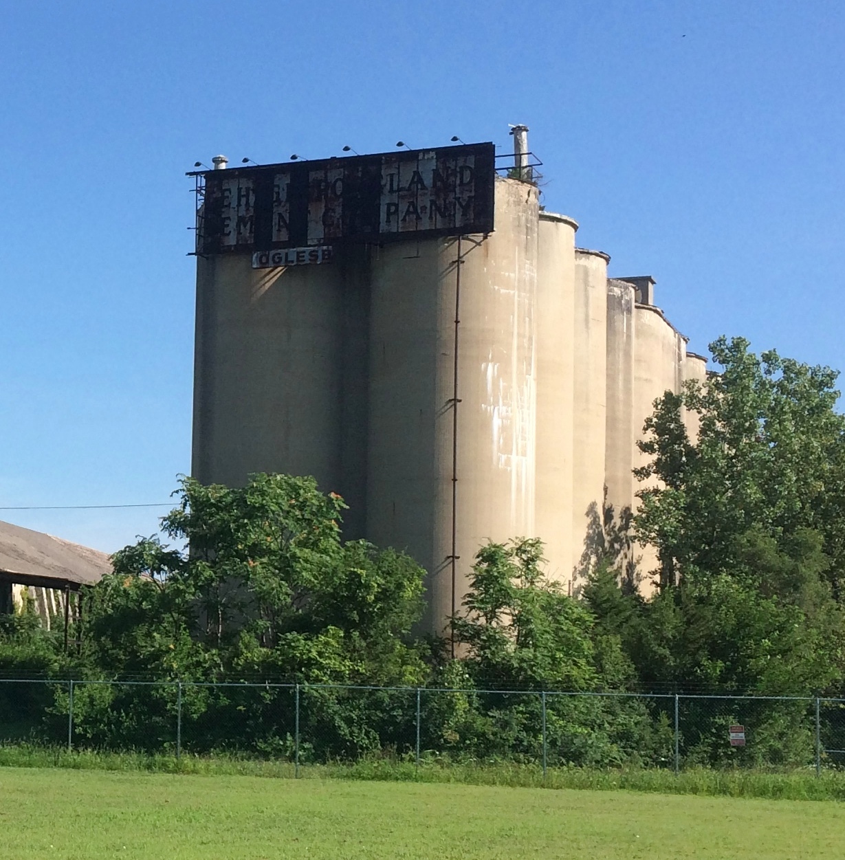
Soon we arrived at this structure, which would loom over Walnut St., except that it’s set back a few hundred feet and behind a fence. The fence is pretty new.
Lehigh Portland Cement Co Oglesby IllinoisAn old enough ruin to sport fully grown trees in its midst. An interesting enough ruin to be fenced, though I figure local teens have no problem getting in when the mood strikes.

The blackened sign is just barely legible.

LEHIGH PORTLAND CEMENT COMPANY OGLESBY

That’s all I needed to find out more about this industrial ruin. For decades, Oglesby lived by the extraction and processing of minerals, especially the manufacture of cement and concrete.

The Chicago Cement Co. started operations on the site in 1898. Lehigh, a Pennsylvania company, acquired Chicago in 1916 and ran the plant until 1963. Apparently Lehigh decided at that time that modernization of the plant wouldn’t be worth the expense, and so closed it.
I have to report that cement and concrete production in the area isn’t dead yet. Illinois Cement Co., which is across the river in LaSalle, still seems to be in that business, and related hard-stone entities dot the map: the Mertel Gravel Co., Ladzinski Concrete Finishing Co., Lafarge Aggregates, Wenzel Concrete Works and Ruppert Concrete, to name a few (and those last two are in Oglesby).
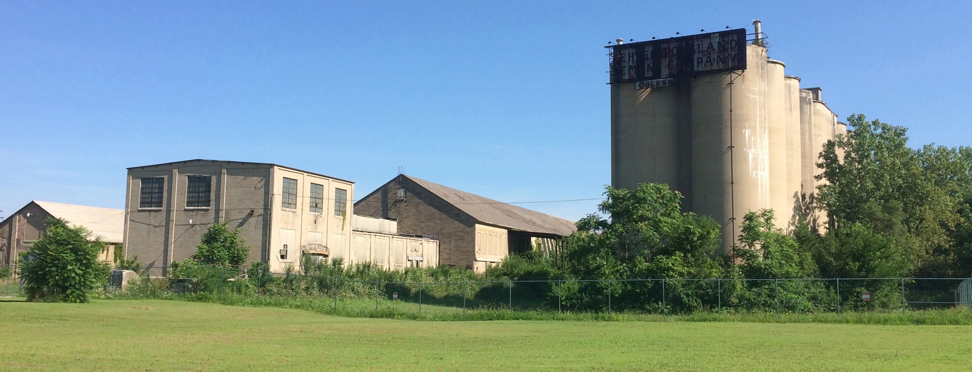
The above image is only a part of the ruin.
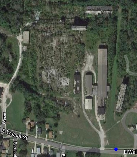
Lehigh Portland Cement Co Oglesby IllinoisEven that doesn’t depict the whole of it. Note how far it goes back when you look on Google Maps. We were looking at the property from about where I’ve put a blue dot.
Lehigh Portland Cement Co Oglesby Illinois“This looks like the most interesting thing in Oglesby,” I told Lilly. Too expensive to tear down, I figure, so there it stands, letting the decades take their toll.

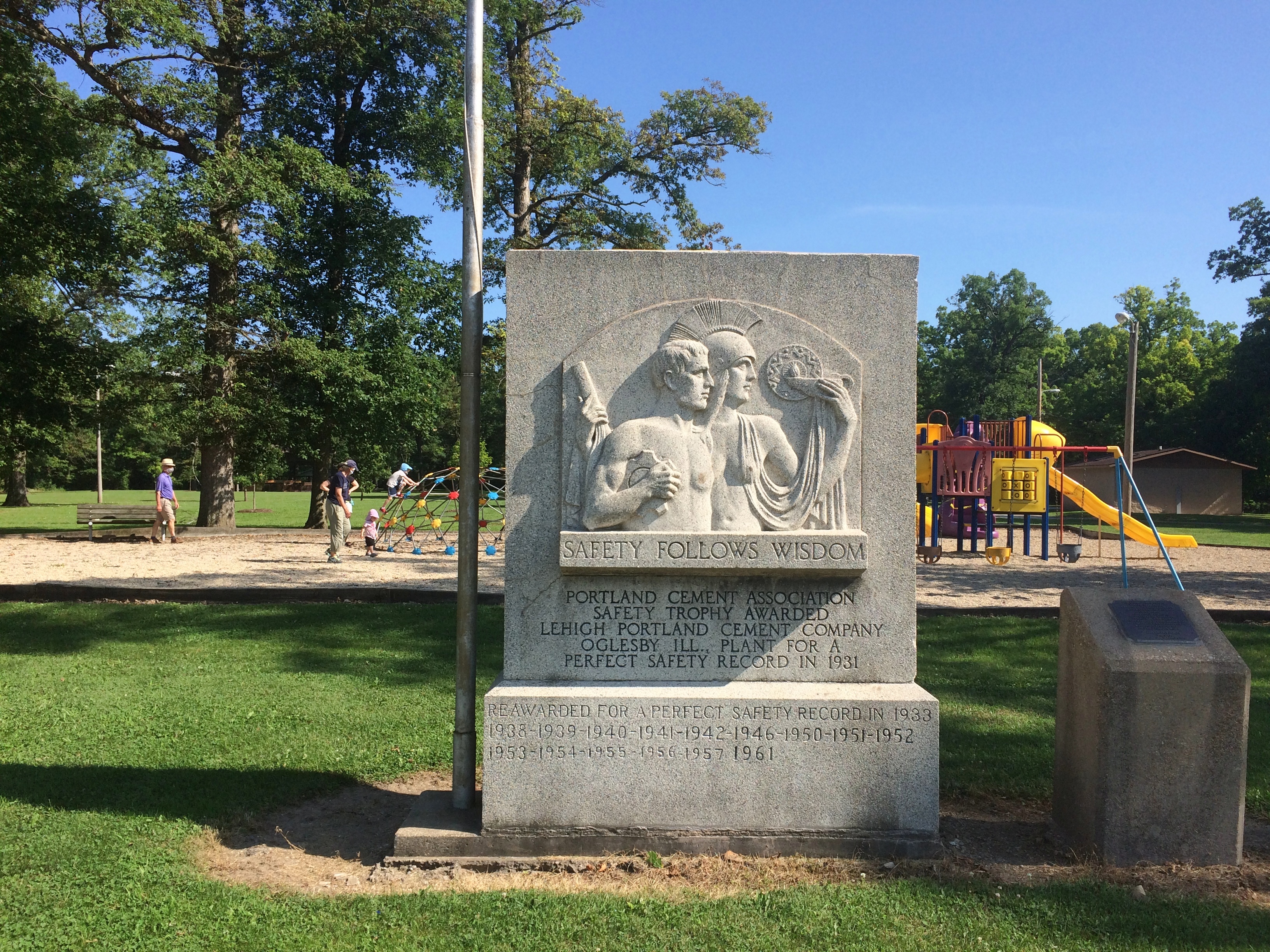
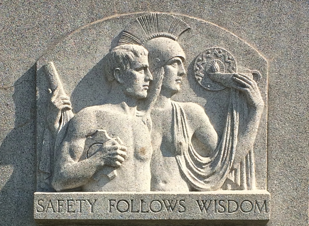
Down Walnut to the east was something almost as interesting, and cement related, too.Safety Follows Wisdom Oglesby IllinoisAn intriguing bit of work in a small public park — Lehigh Park — donated by the company to the town in 1945 (the side plaque says that). Turns out the work is one of a genre of memorials, awarded by the Portland Cement Association, with examples wherever cement is or was made. They’re made of cement, of course.

“Cement ‘Safety Follows Wisdom’ monuments, first presented in 1924, for perfect safety records at cement plants,” says the Historical Marker Database. “The winning design came from an Art Institute of Chicago team directed by sculptor Albin Polasek.” (I’ve happened across his work before.)

Safety Follows Wisdom Oglesby illinoisDo a casual search and you’ll find Safety Follows Wisdom stones all over the country. It’s something I had no inkling of until I drove down a main street in a small town and — more importantly — got out of the car and looked around. The devil might be in the details, but I find that the joy of traveling is in the details.

Ottawa Sights (Not the One in Canada)

We arrived in Ottawa, Illinois, on Saturday in time for lunch. We decided on carry-out from Thai Cafe on Columbus St., which seems to be the only Thai joint in town. At a population of 18,000 or so, maybe that’s all Ottawa can support.

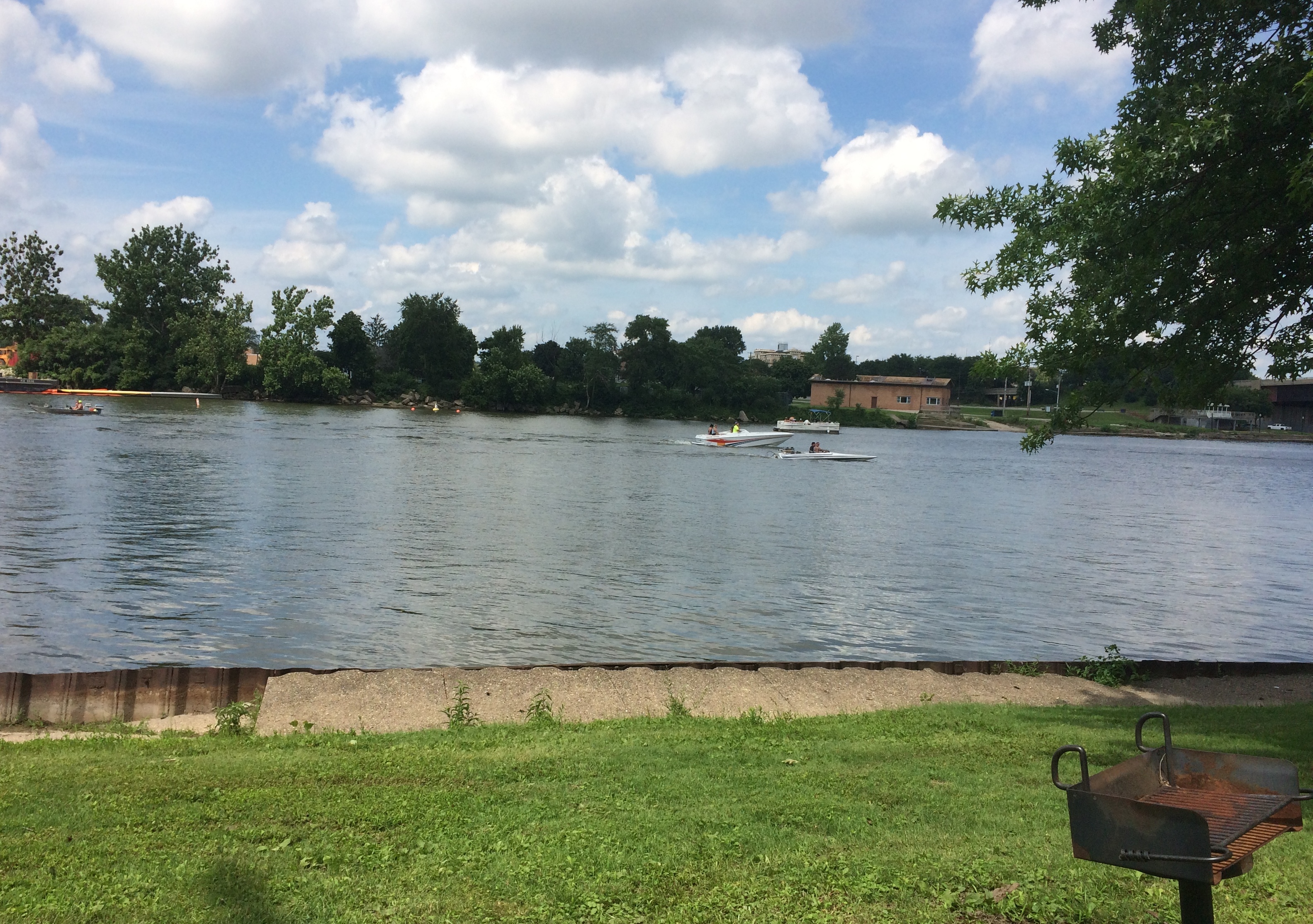
We took our food to Allen Park, a municipal park on the south bank of the Illinois, and found a picnic shelter. The river’s large and on a weekend in July, home to a lot of pleasure craft.
Ottawa Illinois 2020Sometimes, the river must be angry, such as on April 19, 2013. Got a lot of rain in northern Illinois about then, so I believe it.

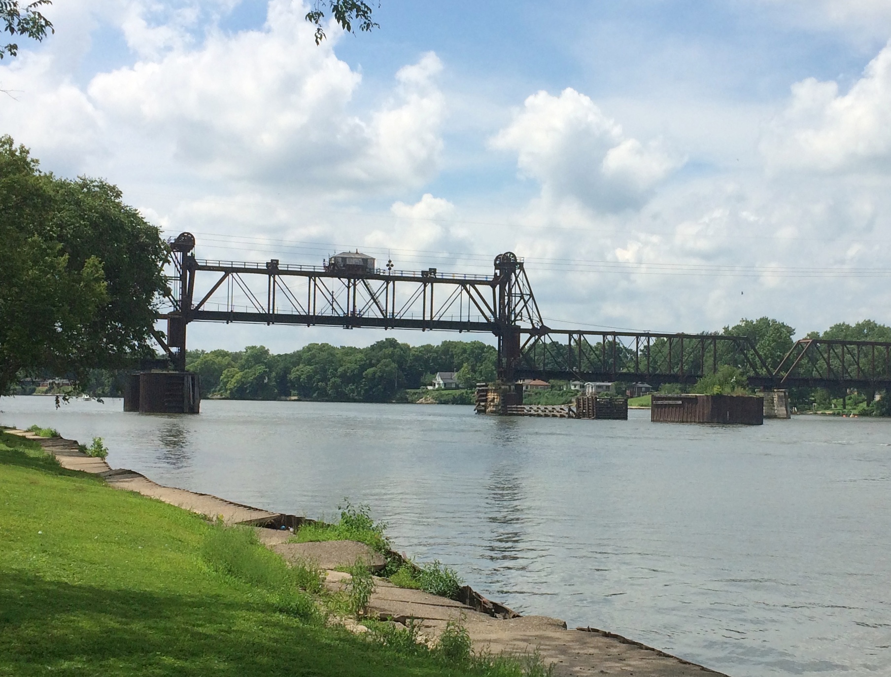
Ottawa Illinois High Water MarkDownstream a bit is the Ottawa Rail Bridge, which rates a page in Wikipedia. The current bridge dates from 1898, though it was modified in 1932.

Ottawa Illinois Rail Bridge

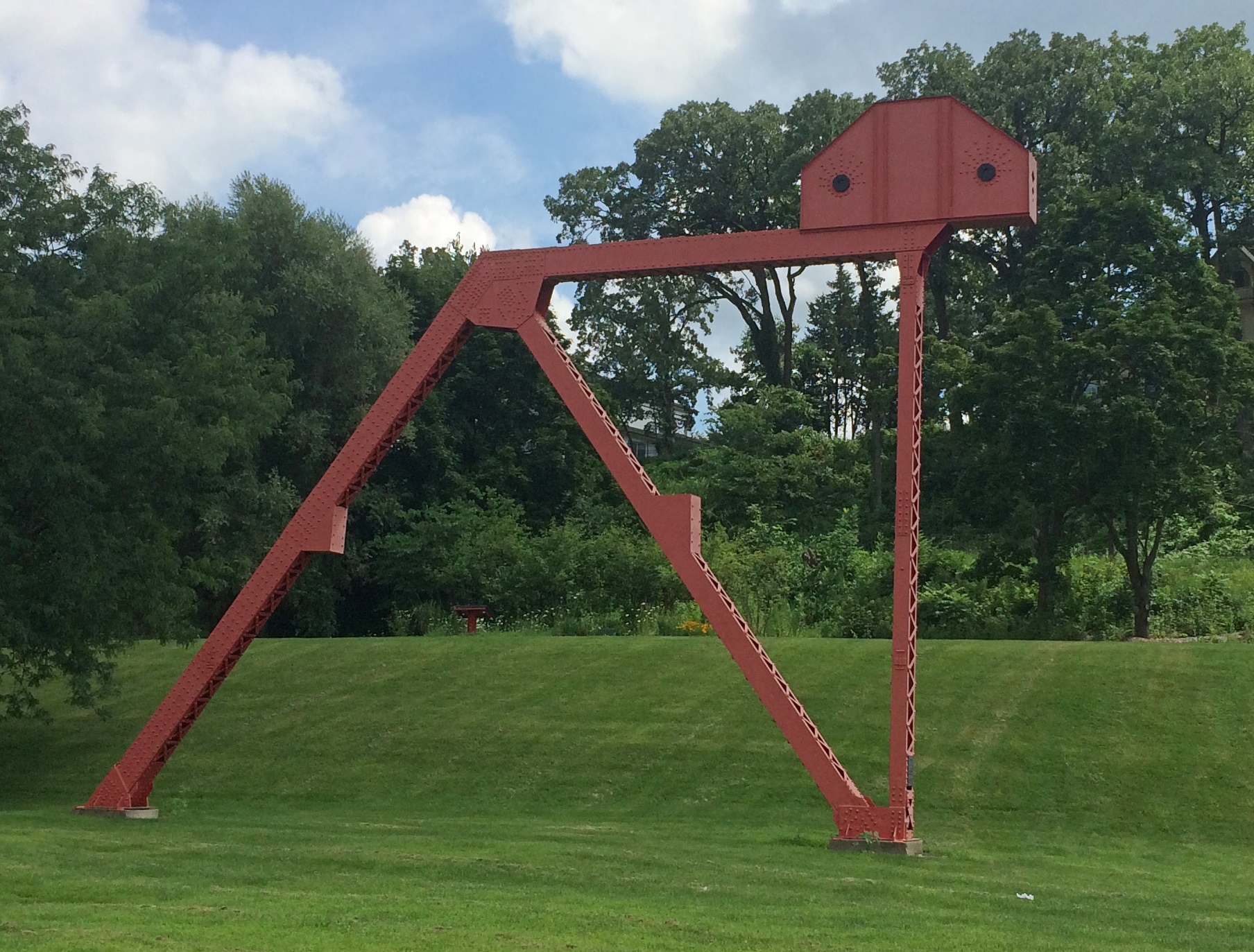
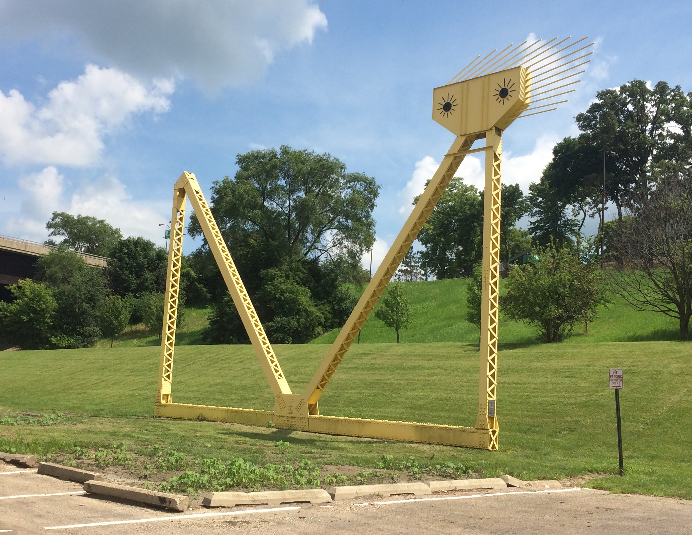
Two large metal sculptures rise in the park, both by Mary Meinz Fanning. The red one is “Bending.”
Ottawa Illinois BendingThe yellow one is “Reclining.”
Ottawa Illinois Reclining“Fanning was the driving force behind the creation of the red and yellow steel sculptures at Allen Park by the Illinois River in Ottawa,” says a 2010 article in The Times, which seems to be a local paper.

“The 40-foot-tall sculptures, which weigh 17 tons each, were erected in 1982 and 1983 from parts of the 1933-built steel girder Hilliard Bridge that was demolished in 1982 to make way for the present-day Veterans Memorial Bridge. Fanning died of illness Nov. 4, 1995, in Ottawa at age 48.”

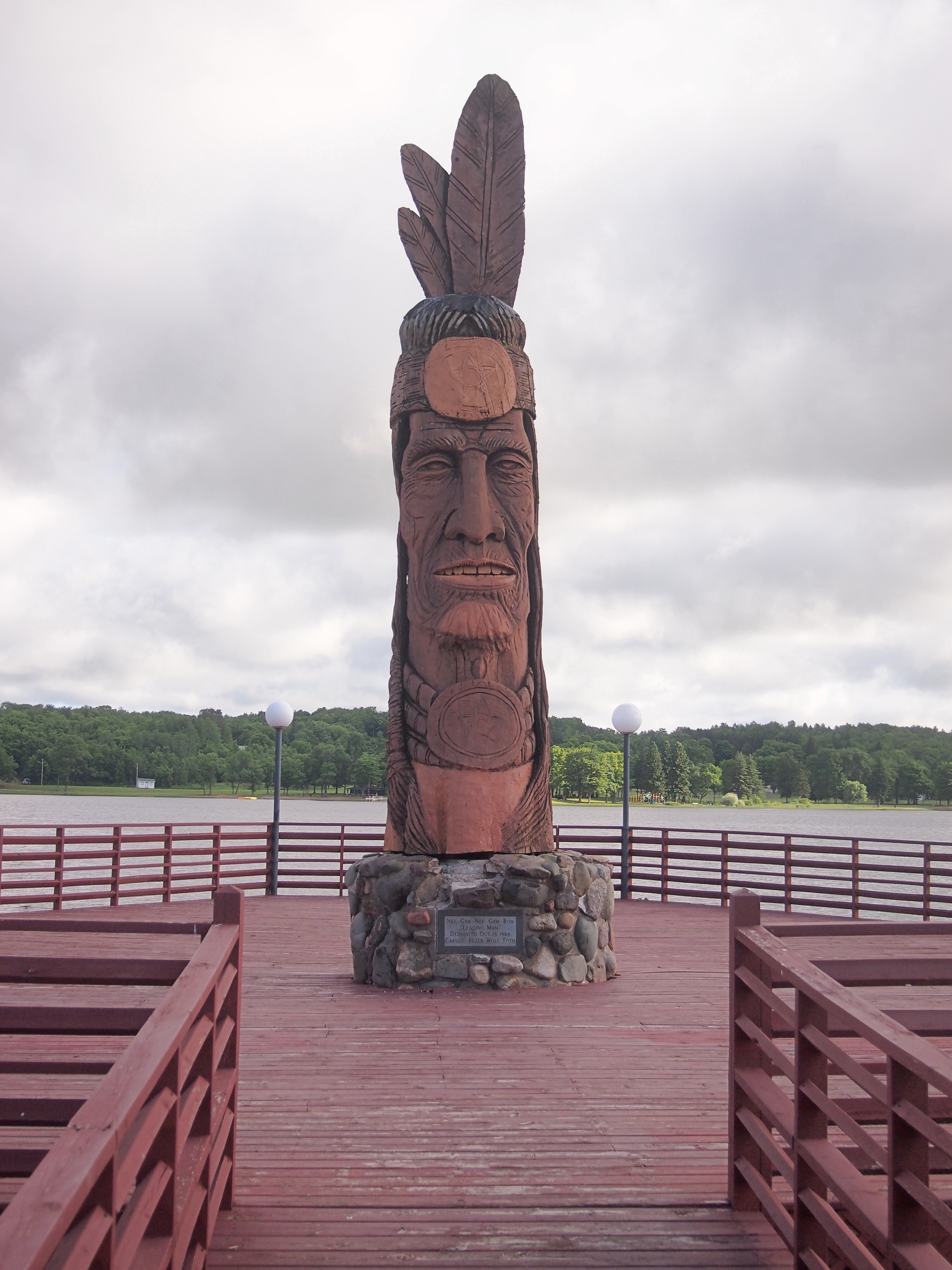
Just as you enter the park, you also see a wooden sculpture: one of artist Peter Toth’s “Whispering Giants,” which I’d forgotten I’d heard of till I looked him up again. The one in Allen Park is Ho-Ma-Sjah-Nah-Zhee-Ga or, more ordinarily, No. 61.

Looked familiar. I realized I’ve seen one before —
Nee-Gaw-Nee-Gaw-Bow That one is Nee-Gaw-Nee-Gaw-Bow or No. 59, and we saw it by chance in Wakefield, Mich. about three years ago. Apparently the artist has put up at least one in each state.

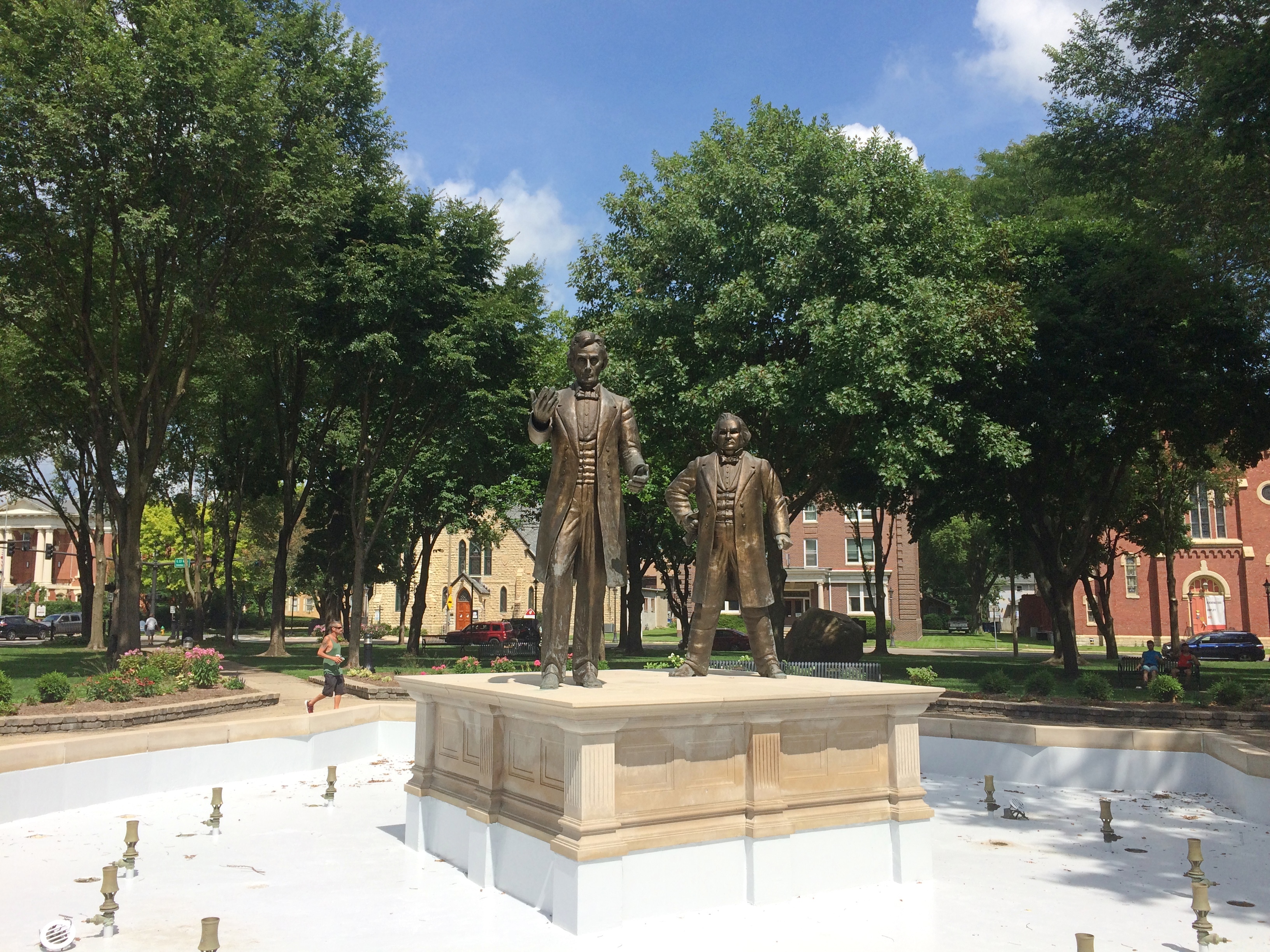
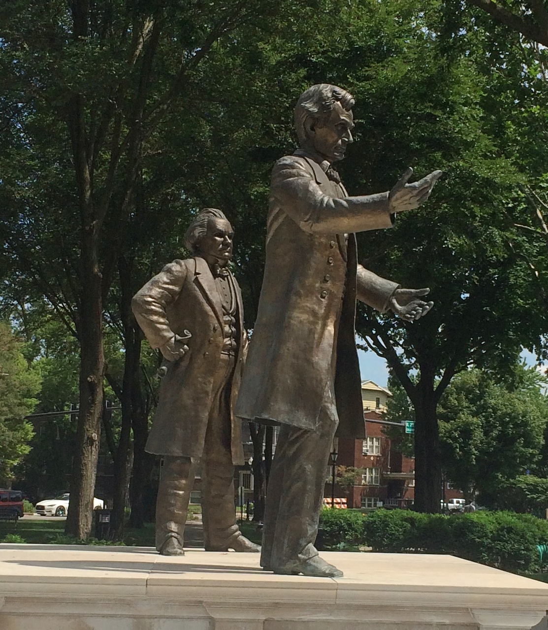
Ottawa has a place in U.S. history mainly for two things. One that the town is happy to celebrate: the first Lincoln-Douglas debate in 1858. The other is the awful story of the Radium Girls, poisoned by luminous paint at a clock factory in Ottawa in the early 20th century. For a long time, there was no public acknowledgment of that incident. Now there is. But I didn’t know the Radium Girls have a statue in town (since 2011), so we missed that.

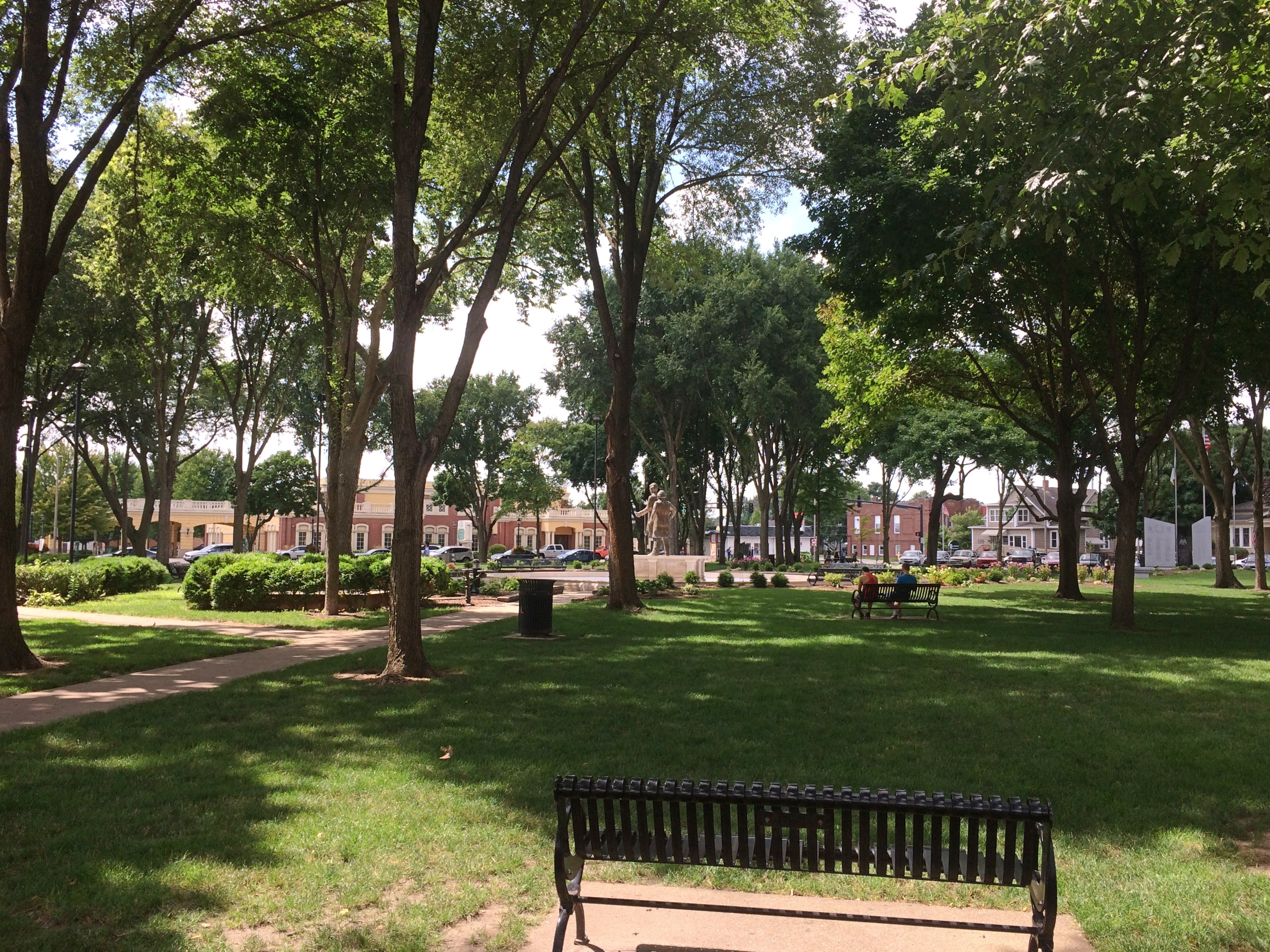
We didn’t miss the site of the Lincoln-Douglas debate, which is in the shady, square-block Washington Park.
Ottawa Illinois Washington ParkLincoln and Douglas are there as part of a fountain to memorialize the event. They were cast in bronze in 2002 by Rebecca Childers Caleel.
Ottawa Illinois Washington ParkOttawa Illinois Washington ParkIt would have been more pleasant if the fountain were on, but maybe it was dry for public health reasons in our time. The noontime heat was oppressive, so we didn’t have a leisurely look-around the area as much as we might have otherwise. There are other memorials in the park, and plenty of historic structures nearby, forming the Washington Park Historic District.

Those buildings include the Third District Appellate Court Building (1850s), the Reddick Mansion (1850s), the Ottawa First Congregational Church (1870), Christ Episcopal Church (1871), and a Masonic Temple (1910). A few blocks away, the LaSalle County Courthouse looked interesting, too, but we only drove by.

I managed to take a close look only at the former Congregational Church building.
Ottawa Illinois Washington Park Open Table Church

Ottawa Illinois Open Table Church of Christ

Gothic Revival in brick. These days, the church is part of the Open Table United Church of Christ.

Boscobel & Fennimore, Wisconsin

Road trips aren’t just about the destination, but sights and oddities along the way. Recently in southwestern Wisconsin, for instance, we stopped in Boscobel, looking for takeout. We found it at Udder Brothers Creamery. How could we pass up a place with a giant cow? Also, a giant wild turkey?

Note that the turkey not only proclaims Boscobel as Wisconsin’s Turkey Hunting Capital, but as Birthplace of the Gideon Bible as well. We wanted to be on our way, so we didn’t investigate that further at the time.

But now I know: “The birthplace of the Gideons was the Central House Hotel on September 14, 1898, in Boscobel, Wisconsin,” says Wisconsin Historical Markers. “Traveling salesmen John H. Nicholson of Janesville, Wisconsin, and Samuel E. Hill of Beloit, Wisconsin, shared a room in the crowded hotel because of a lumberman’s convention.

“In Room 19, the men discovered that they were both Christians; they talked about starting a Christian traveling men’s association. The following May the two salesmen, joined by a third, William J. Knights, rekindled that idea, and on July 1, 1899, founded the Gideons.”

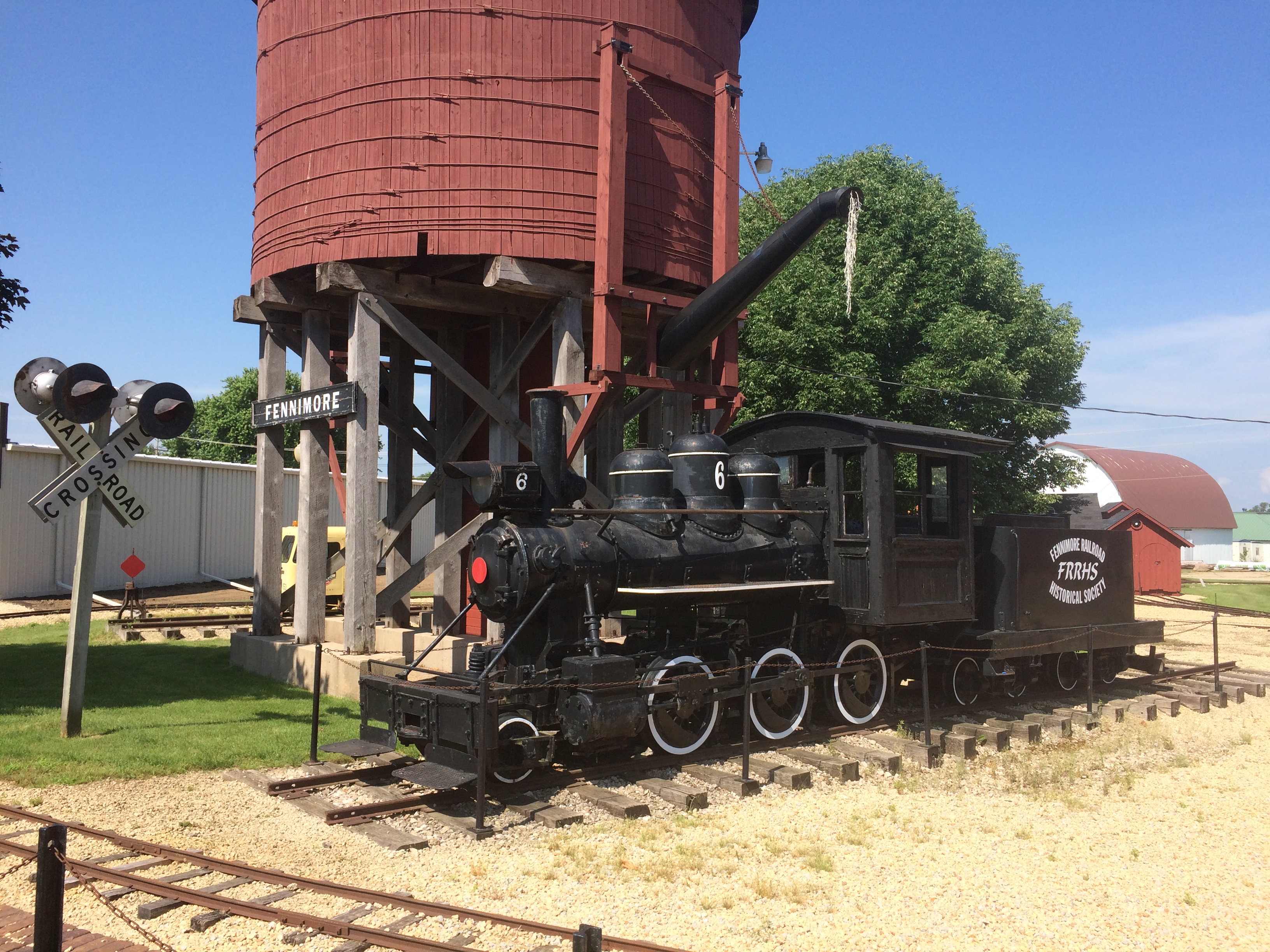
Dang. I should have at least found the plaque. Down the road from Boscobel is Fennimore, another Badger State burg we passed through. Hunger wasn’t the main consideration there, so we spent a little more time, especially at a small park featuring The Dinky.
Fennimore, Wisconsin train
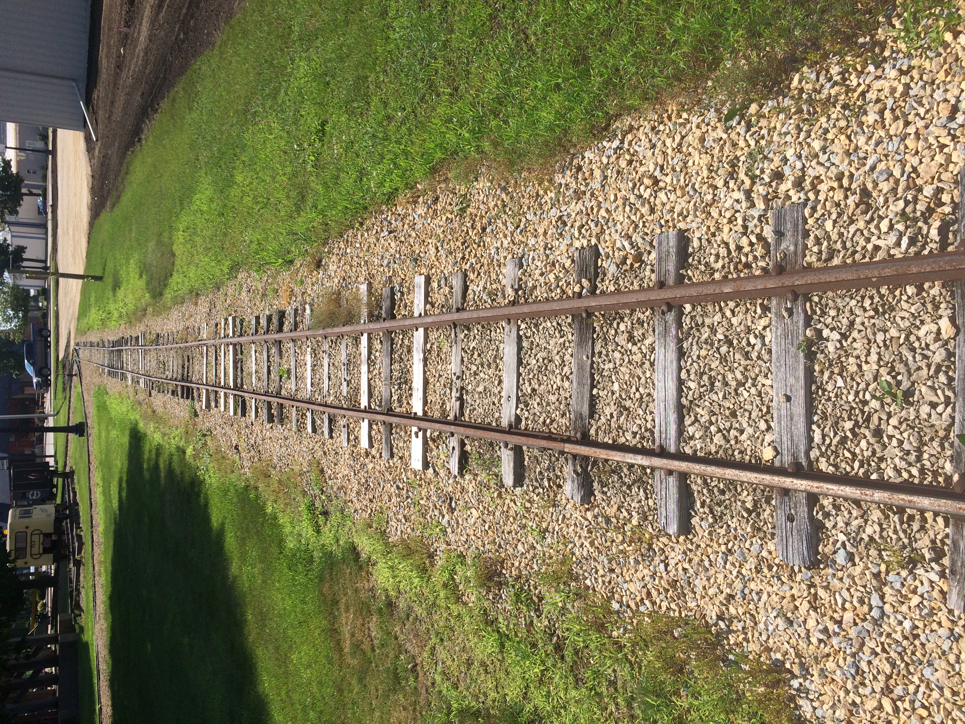
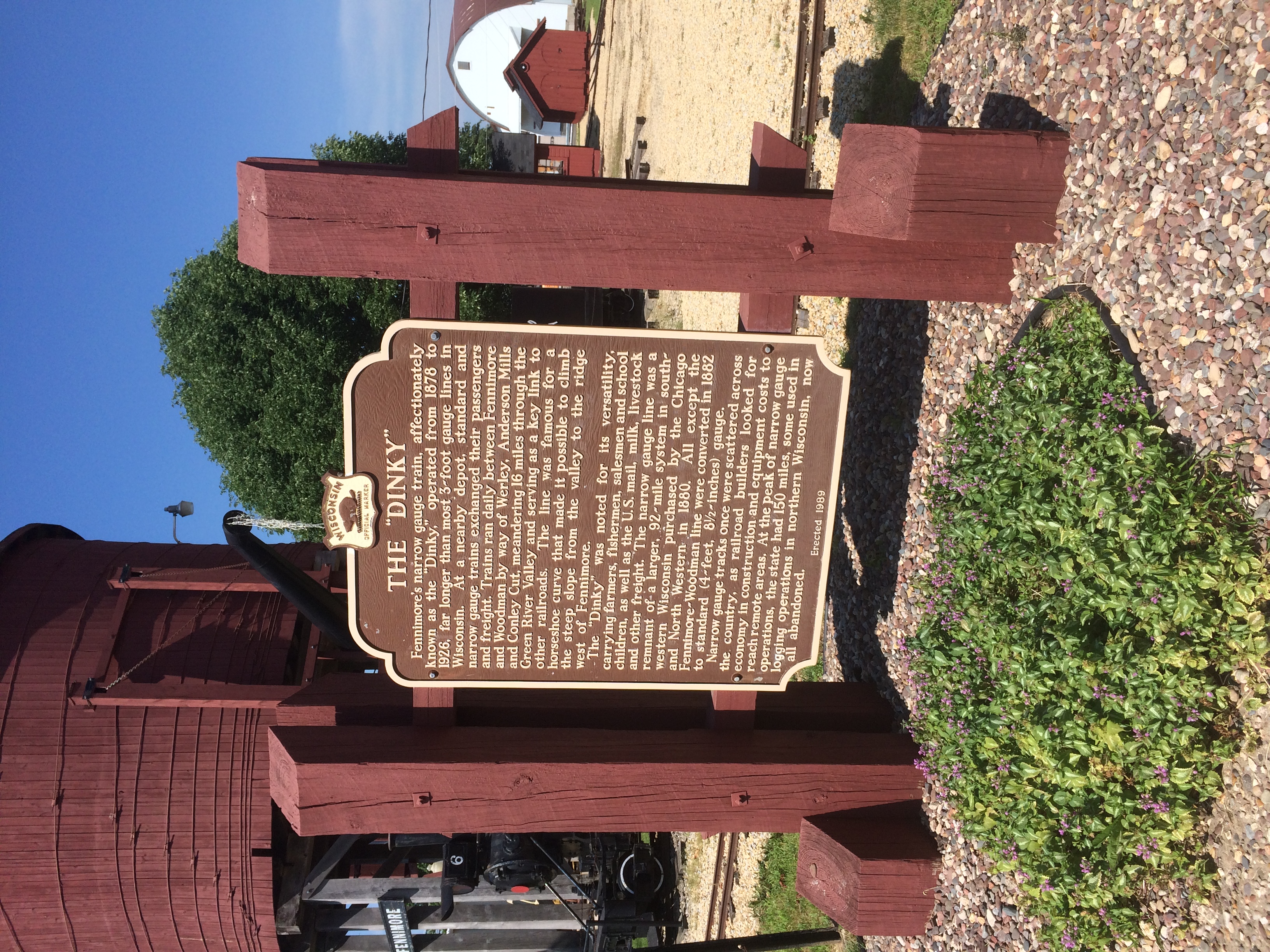
It’s a narrow-gauge (3-ft.) locomotive in operation from 1878 to 1926. “Trains ran daily between Fennimore and Woodman by way of Werley, Anderson Mills and Conley Cut, meandering 16 miles through the Green River Valley,” its historical marker says.
Fennimore, Wisconsin train
“At the peak of narrow gauge operations, the state had 150 miles, some used in logging operations in northern Wisconsin, now all abandoned.”
Fennimore, Wisconsin train
Narrow gauge, for sure.

Prairie du Chien: Fort Crawford Military Cemetery, Trail of Presidents &c.

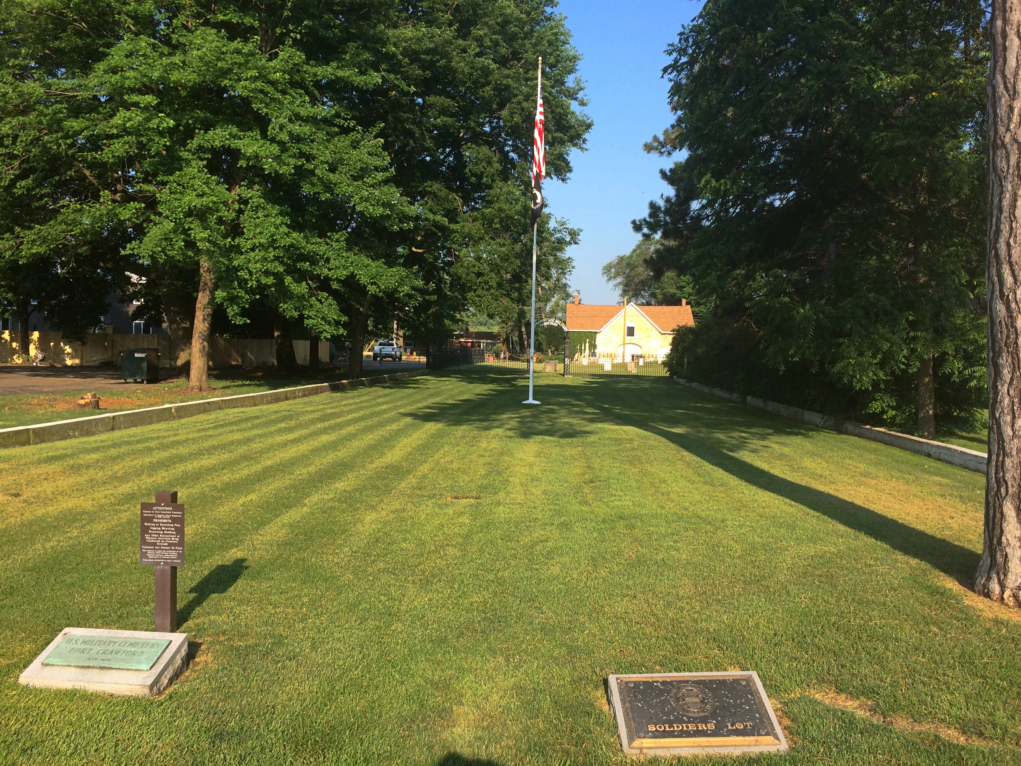
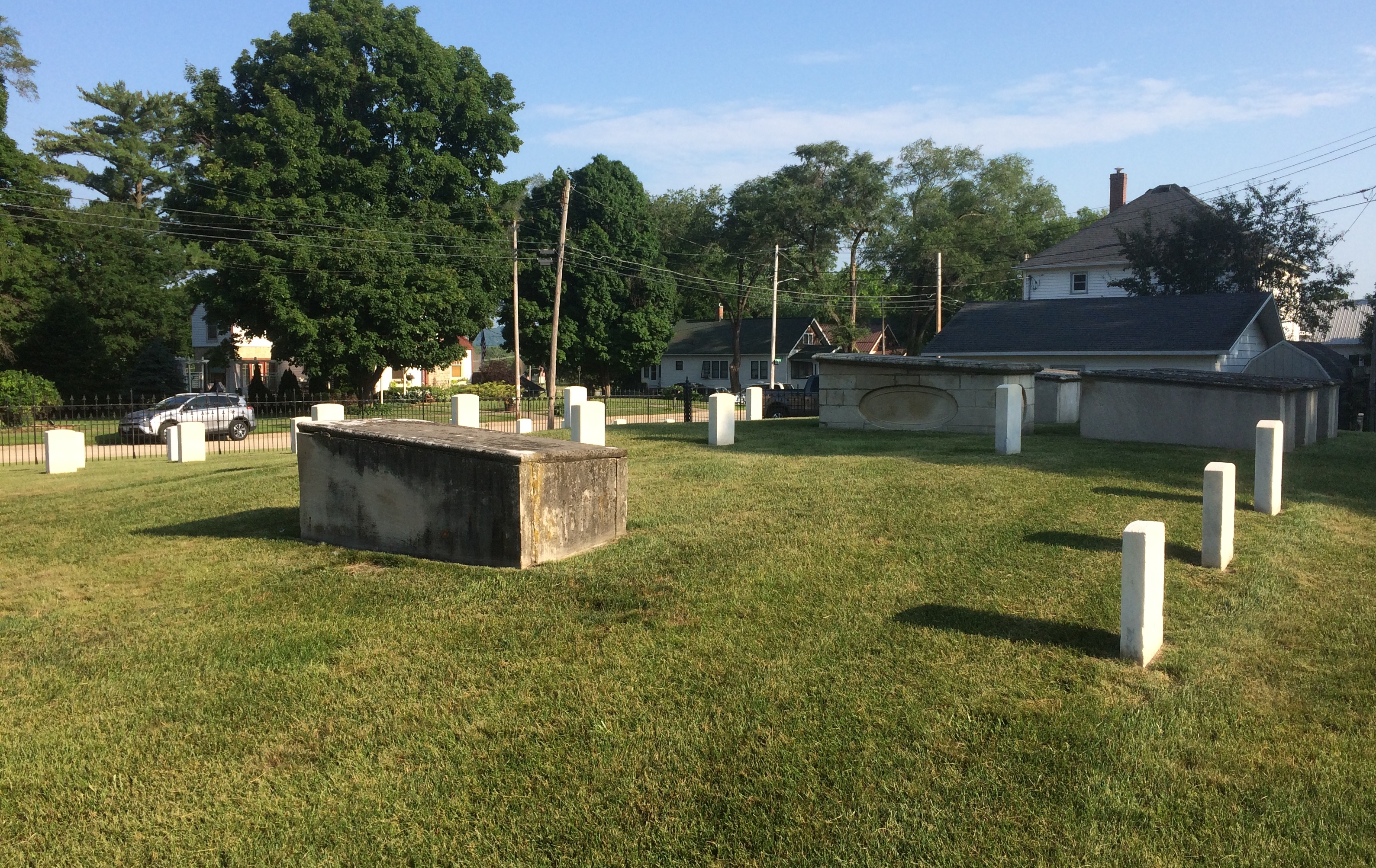
Not all road trips include visits to cemeteries or presidential sites, but I’m glad when they do. Our recent visit to the Driftless Area included both. On Saturday morning, I got up a little early to put gas in the car by myself. Yuriko knows what this means: I visit a local cemetery, too, if I can. She dozed on in the room while I drove a short distance to the Fort Crawford Military Cemetery, also known as the Fort Crawford Cemetery Soldiers’ Lot.

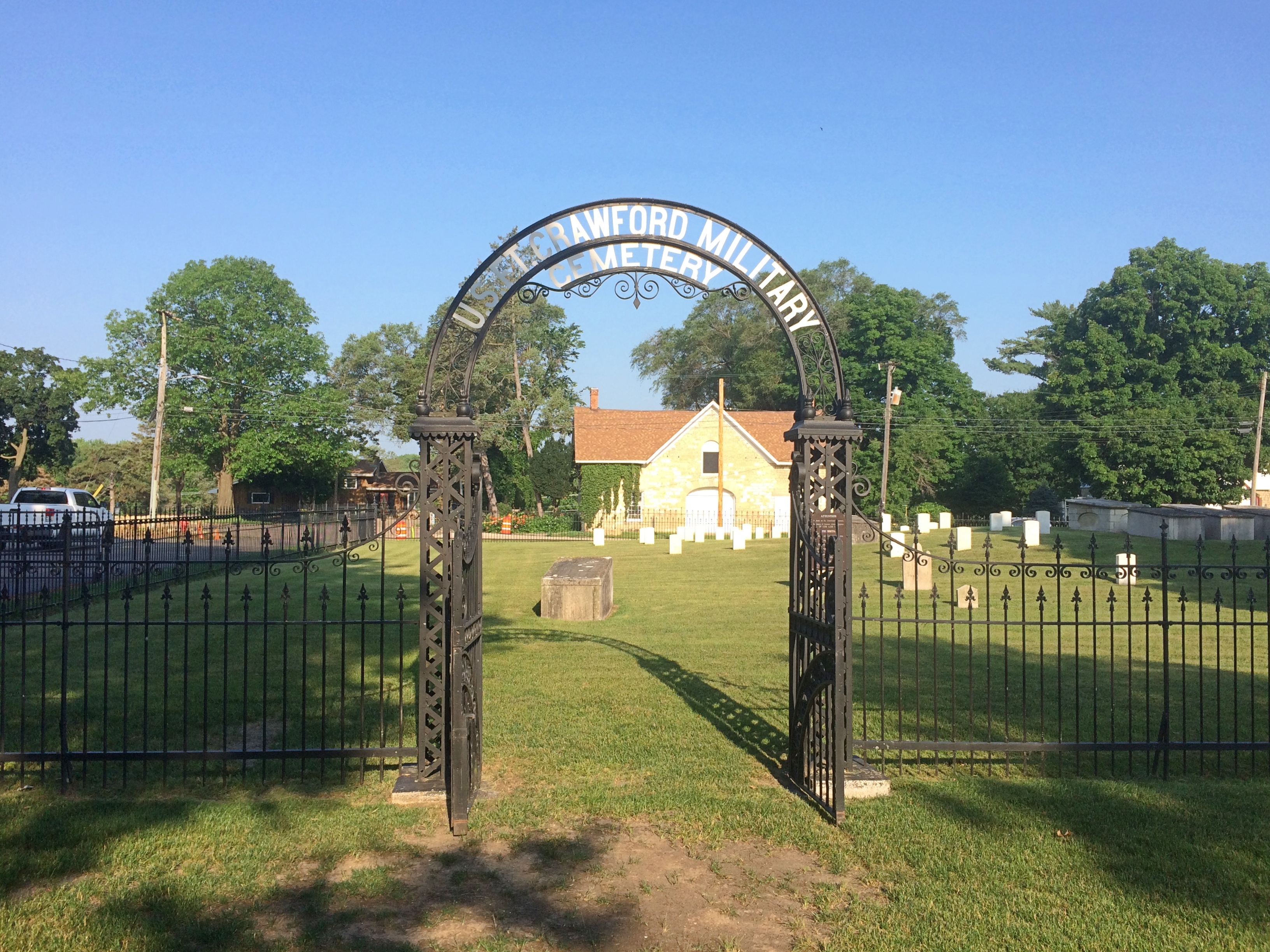
The entrance to the cemetery is a narrow patch of land in the residential section of mainland Prairie du Chien, with the burial ground at some distance behind an iron fence. Or maybe soldiers are buried in patch of ground, but I didn’t see any indication of it.
Fort Crawford Military Cemetery
“Fort Crawford Cemetery is located on the former site of the Fort Crawford Military Reservation in Prairie du Chien, Wisconsin,” says the National Cemetery Administration, which is part of the VA.

“There were two subsequent Fort Crawfords in Prairie du Chien during the 1800s. The original Fort Crawford, built in 1816, was situated adjacent to the Mississippi River. Repeated flooding led to its abandonment in 1826. Rebuilt on higher ground in 1830, the second incarnation of Fort Crawford operated until 1856.

“The first burials here were of the members of the 1st and 5th Infantry regiments stationed at the fort. The soldiers’ lot includes eight above-ground box-tombs that were likely erected by the regiments. The United States received the title for the lot in 1866. There are approximately 64 interments in the 0.59-acre soldiers’ lot…”Fort Crawford Military Cemetery

It’s sparsely populated.
Fort Crawford Military Cemetery
With some of the inscriptions practically illegible.
Fort Crawford Military Cemetery
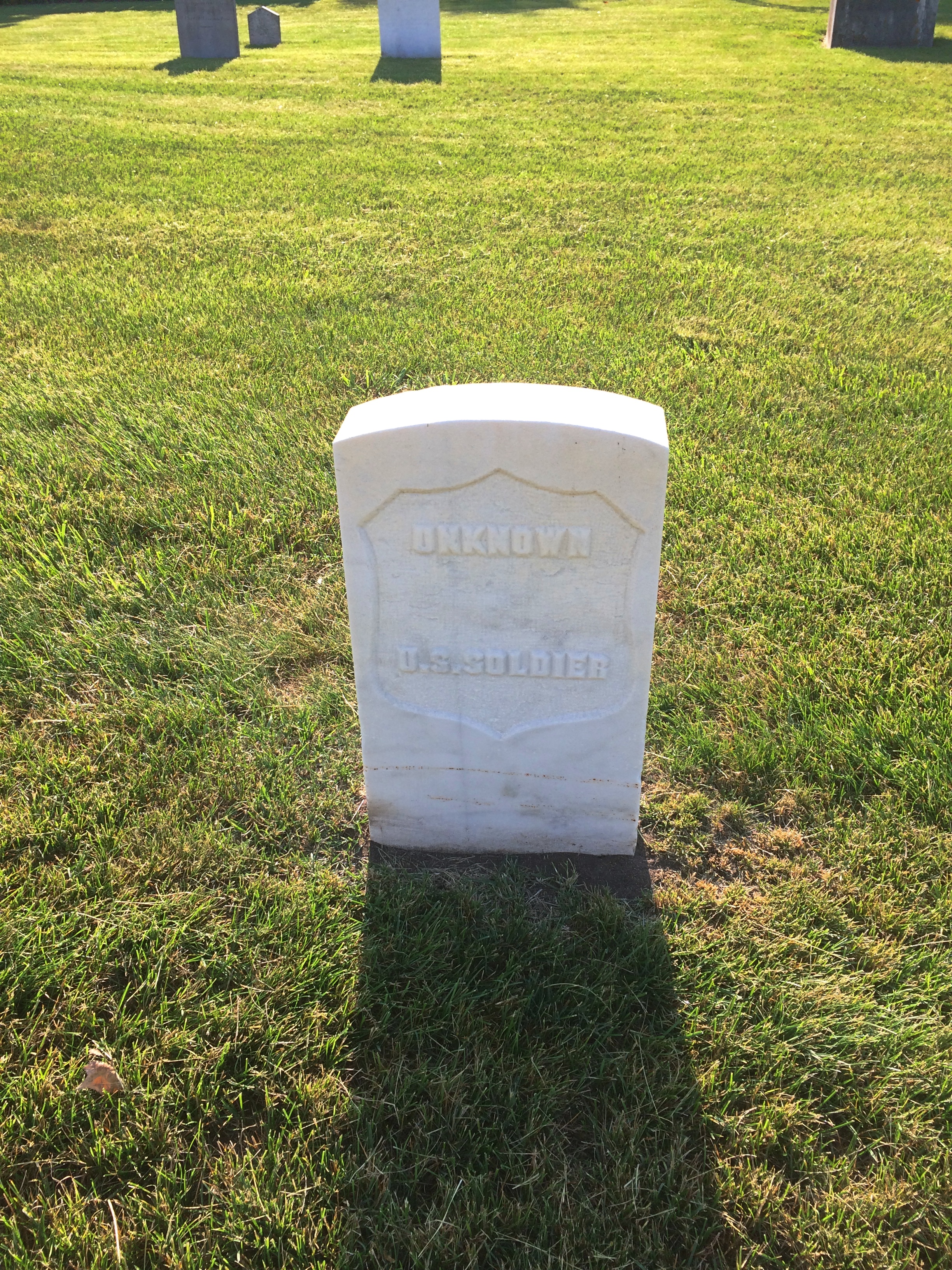
Others were legible, but conveyed only anonymity. This looks like a latter-day stone, dedicated to an unknown. There were a sprinkling of these in the cemetery.Fort Crawford Military Cemetery

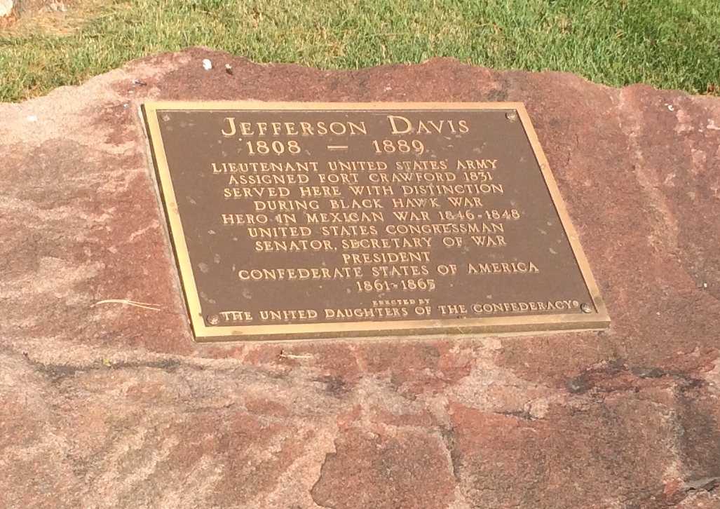
As I left, I spotted this near the entrance, attached to a boulder.
Fort Crawford Military Cemetery
Just goes to show you how thorough the Daughters were. A memorial so obscure that no one has called for its removal? Not so.

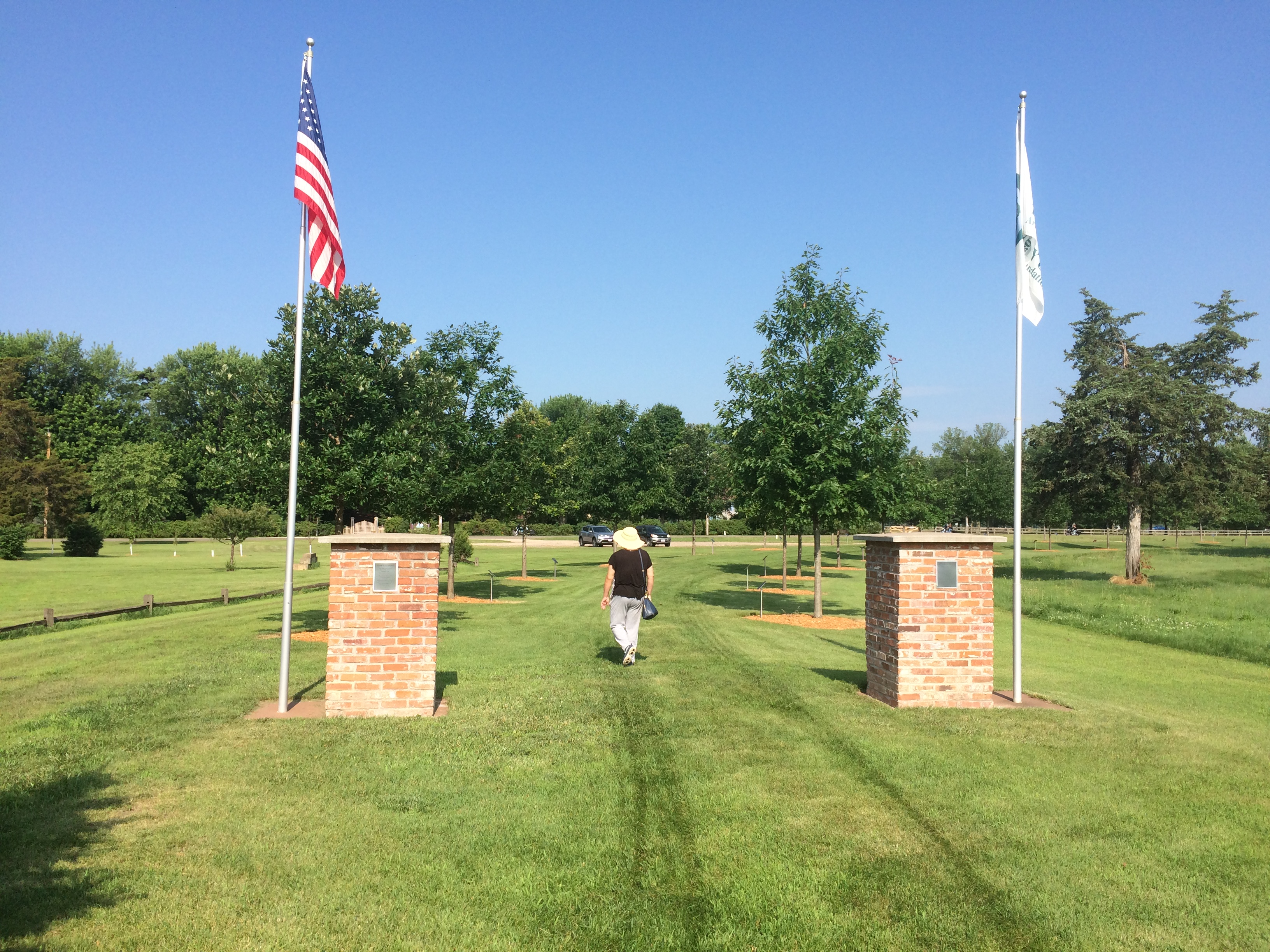
On St. Feriole Island, I happened across a presidential site of sorts: Trail of Presidents. Trees in honor of presidents, arrayed in two rows to form a path, and originally planted in 2014.Trail of Presidents
I expected a tree planted for every U.S. president, which would have been the standard approach. But in fact the trees only honor presidents who visited Prairie du Chien either in or out of office, and includes two presidents of other entities besides the United States. I was surprised.

The full and semi-literate text of the sign at Trail of Presidents is here.

The honored U.S. presidents include: Andrew Jackson, William Henry Harrison, Zachary Taylor, Millard Fillmore, James Buchanan, Abraham Lincoln, Ulysses Grant, James Garfield, Grover Cleveland, Benjamin Harrison, William McKinley, Woodrow Wilson, Calvin Coolidge, Herbert Hoover, Harry Truman, Dwight Eisenhower, John Kennedy, Richard Nixon, Jimmy Carter, George H.W. Bush, Bill Clinton and George W. Bush.

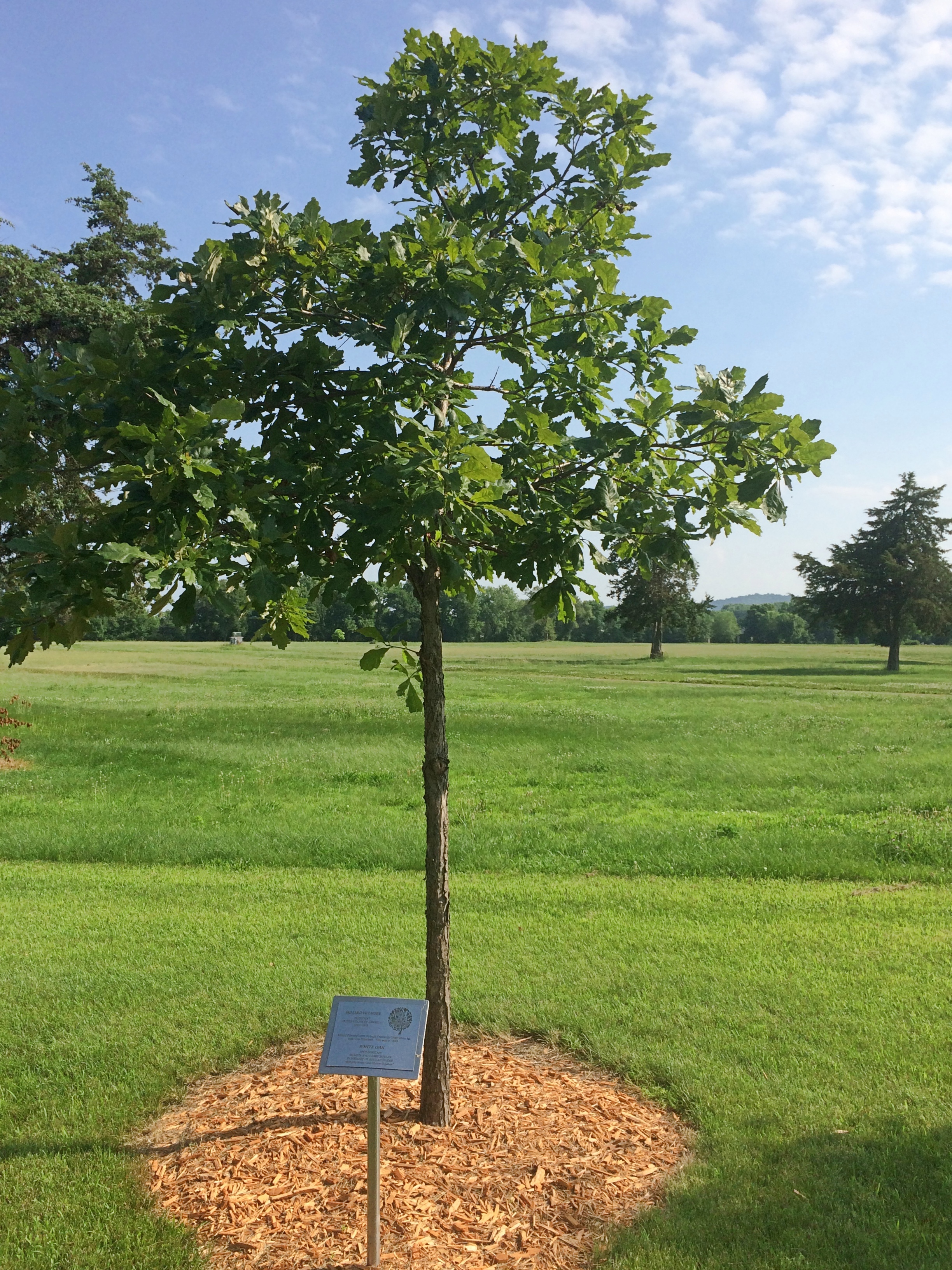
For instance, President Fillmore has a white oak.
Trail of PresidentsHis plaque explains that he passed through Prairie du Chien when he was vice president in 1849. I haven’t ever seen anything about the travels of Vice President Fillmore — and out to the spanking-new state of Wisconsin that year would have been far afield — but I assume there’s some source for this buried in Fillmore’s papers, or maybe local news accounts.

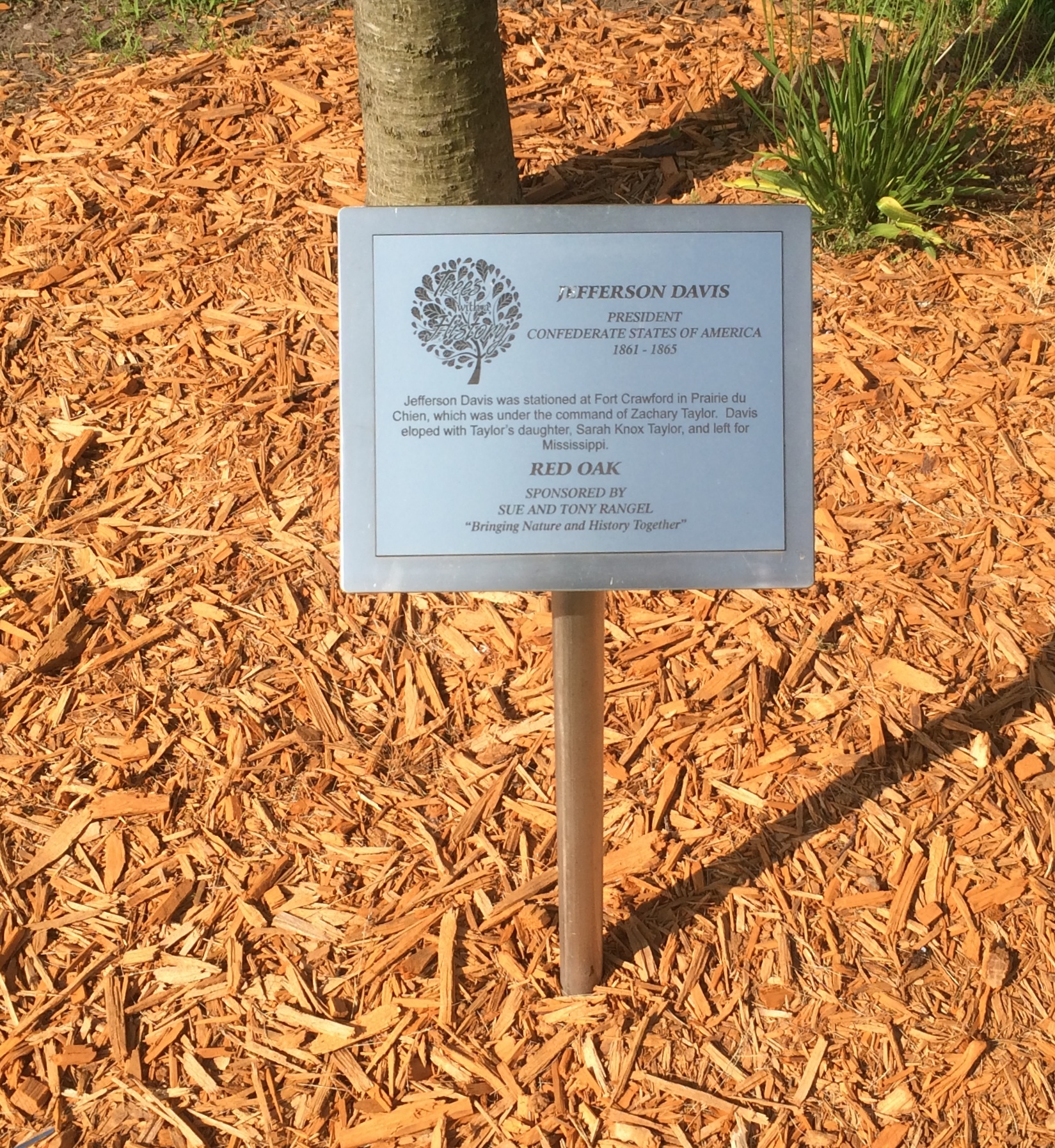
The non-U.S. presidents? One was him again. He was stationed here, after all.
Trail of Presidents

Also, curiously, Vicente Fox also has a tree, a red oak. “Vicente Fox attended Campion High School in Prairie du Chien in the 1960s,” the plaque says. “He then returned to Mexico.”

The last tree has been reserved for the next president to visit, so it isn’t too late for the most recent living officeholders.

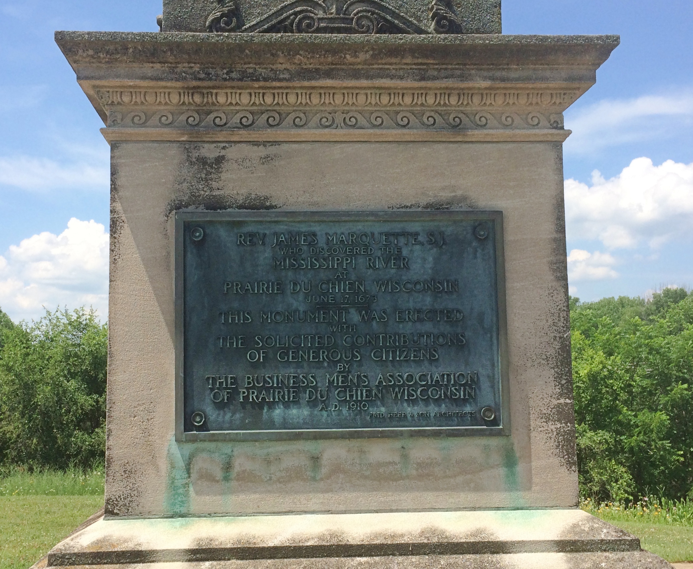
One more Prairie du Chien sight I came across was overlooking the Mississippi, but not on St. Feriole Island. Rather, a statue of Marquette stands atop a tall column near the local chamber of commerce, and also not far from the bridge connecting Prairie du Chien with the town of Marquette, Iowa.
Prairie du Chien Marquette statue

Rev. James Marquette, S.J.
Who discovered the
Mississippi River
at
Prairie du Chien, Wisconsin
June 17, 1673
This monument was erected
with
The solicited contributions
of generous citizens
by
The Business Men’s Association
Of Prairie du Chien, Wisconsin
A.D. 1910
Fred Herber & Son Architects

Unusual to see him called “James,” which doesn’t sound very French. We’ve seen him honored elsewhere around the Great Lakes; Pere Marquette got around, back when muscle power (yours or an animal’s) was the only way to do it.

Prairie du Chien: St. Feriole Island

One thing I wanted to find out from our most recent road trip was how to pronounce Prairie du Chien, pop. 5,600 and seat of Crawford County, Wisconsin. Or more exactly, how to say the local version of Chien. However that turned out, it was bound to be more elegant than Dog Prairie.

Sure, I could have looked it up any time. The Internet overflows with such minutiae. But sometimes random web sites are wrong.

According to what I heard many times on local radio, this is correct. Prairie du SHEEN, as in a soft luster or the actors Martin and Charlie. Maybe the 17th-century Frenchmen who founded the place said it some other way, but that hardly matters.

Marquette Road (Wisconsin 35) is the commercial spine of the modern town, featuring chain stores, restaurants, motels, gas stations and other businesses. Residential Prairie du Chien is a few blocks on either side. Perpendicular to Marquette Road is a much shorter shopping/tourist street, Blackhawk Ave., sporting the likes of Bob’s Bar, Jim’s Bar, Cafe Hope, the Blackhawk and Rowdy’s (more bars), Something for Everyone (a thrift store) and Pete’s Hamburger Stand.

During the day on July 3, Blackhawk Ave., which we drove down a few times, was fairly busy. Among other things, a long line of people were waiting to buy takeout from Pete’s. Guess it’s a local favorite.

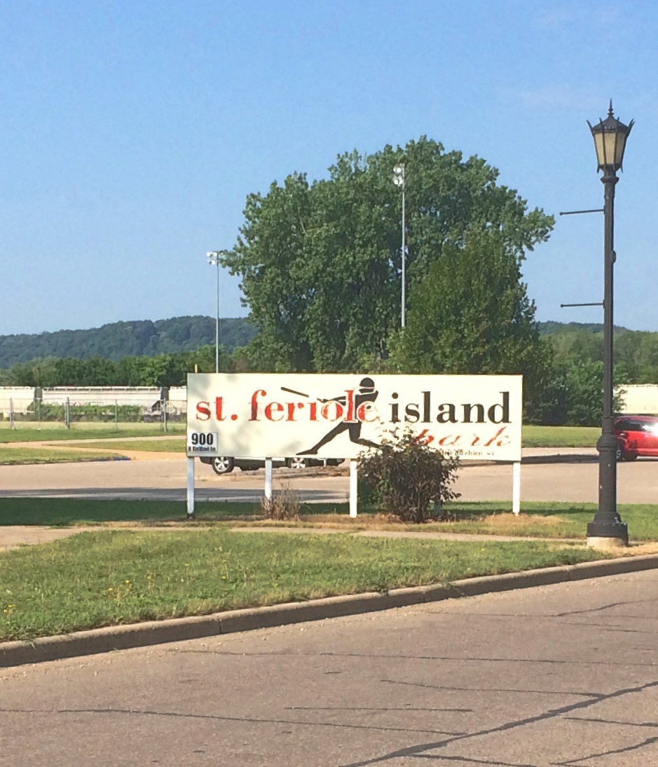
Much less crowded — not crowded at all — was St. Feriole Island, an island in the Mississippi that’s part of Prairie du Chien and just to the west of the rest of the town. We spent some time there looking around, both before and after we visited Effigy Mounds NM.

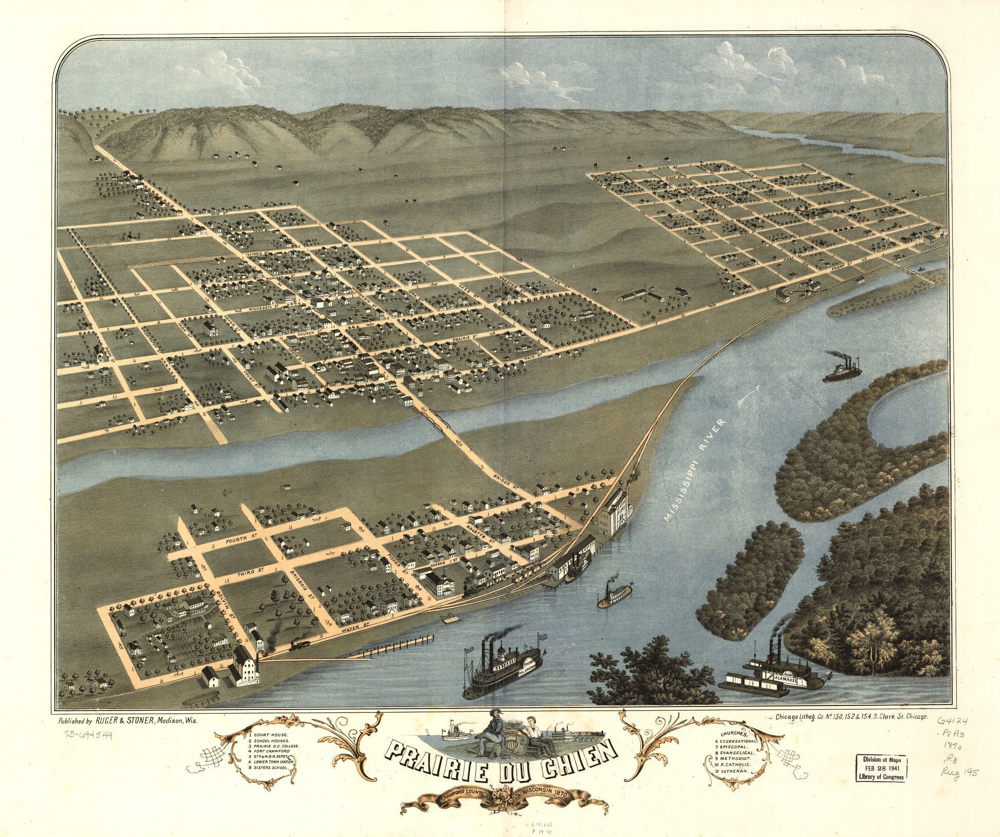
The island is prominent on this map, published in Madison, Wisconsin, in 1870.Note that the 1870 town isn’t connected to the rest of the world by a state highway system, but by a rail line and, more importantly, the Father of Waters. Also, what is now Blackhawk Ave. was then called Bluff St.

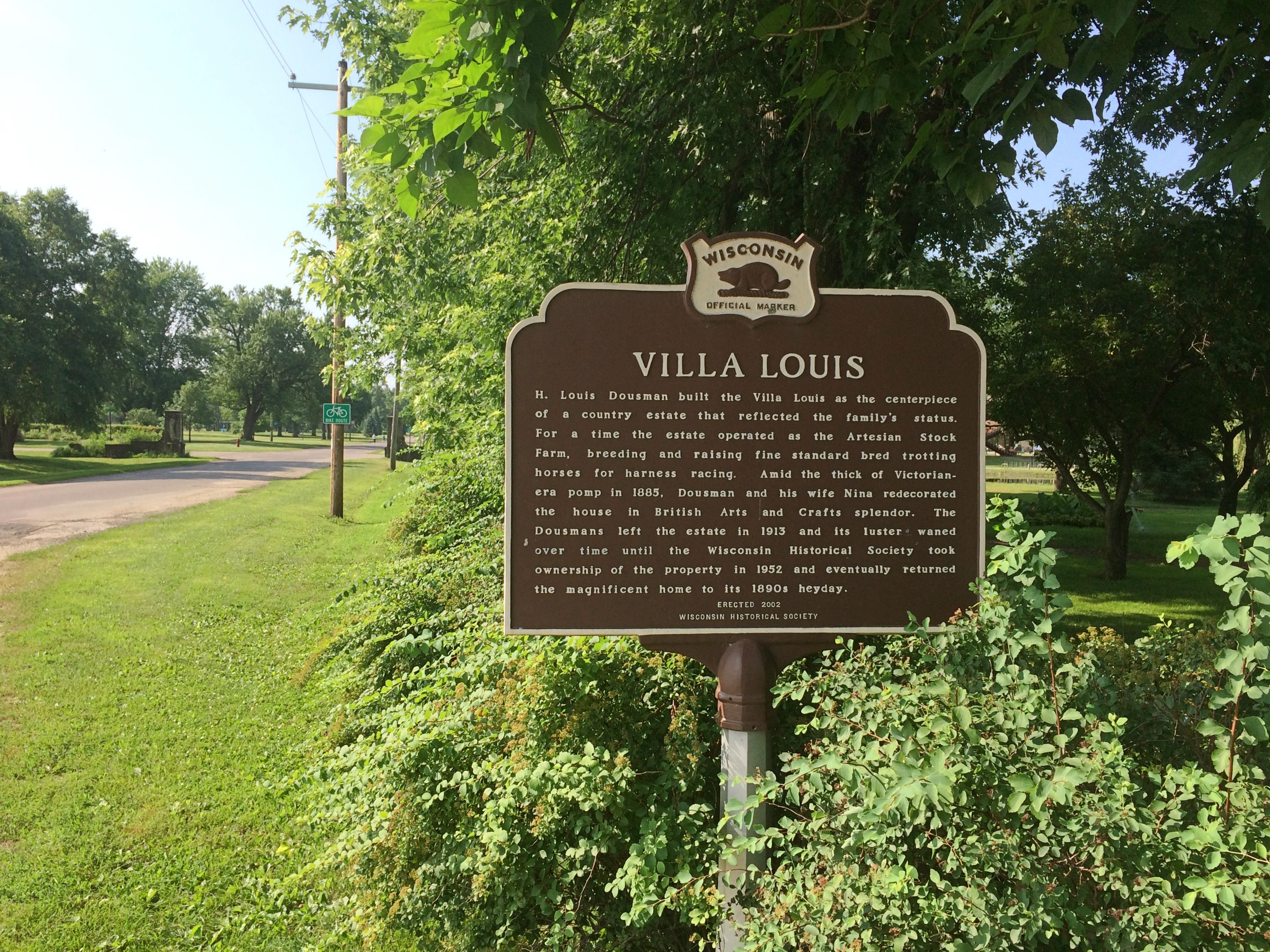
“Prairie du Chien had its beginnings on this island,” the town web site says. “It was the first location of Fort Crawford, which was involved in the War of 1812, and is the home of the historic Villa Louis mansion, the origin of which goes back to Joseph ‘King’ Rolette and Hercules Dousman, who made fortunes in fur trading and land dealings…

“This is where the industry that supported the city in the 1800s was located, so rail access was installed in 1890 [sic, the map clearly shows a rail line 20 years earlier, which still runs near the river]. After repeated floods and fires, the city was relocated to the mainland on the Wisconsin side, which was higher and far less prone to flood. Industry remained on the island, gradually closing down or moving to the mainland until well past World War II.”

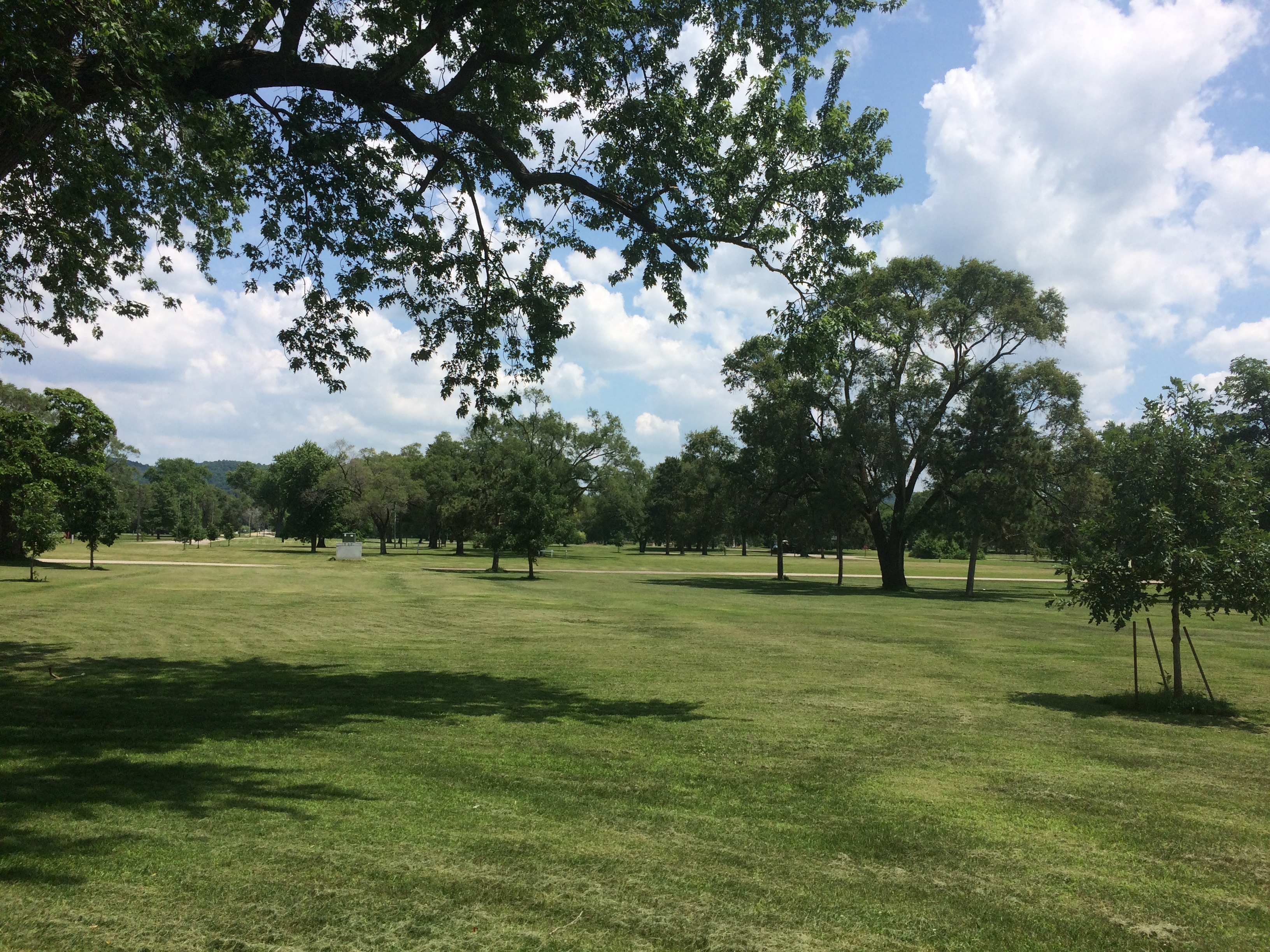
The Mississippi River Flood of 1965 was apparently the final straw for the neighborhood. These days, the island is mostly St. Feriole Island Park, with sports and recreation facilities, a few historic structures, and a lot of open land, though still divided in part by a grid of streets.
St. Feriole Island
St. Feriole Island
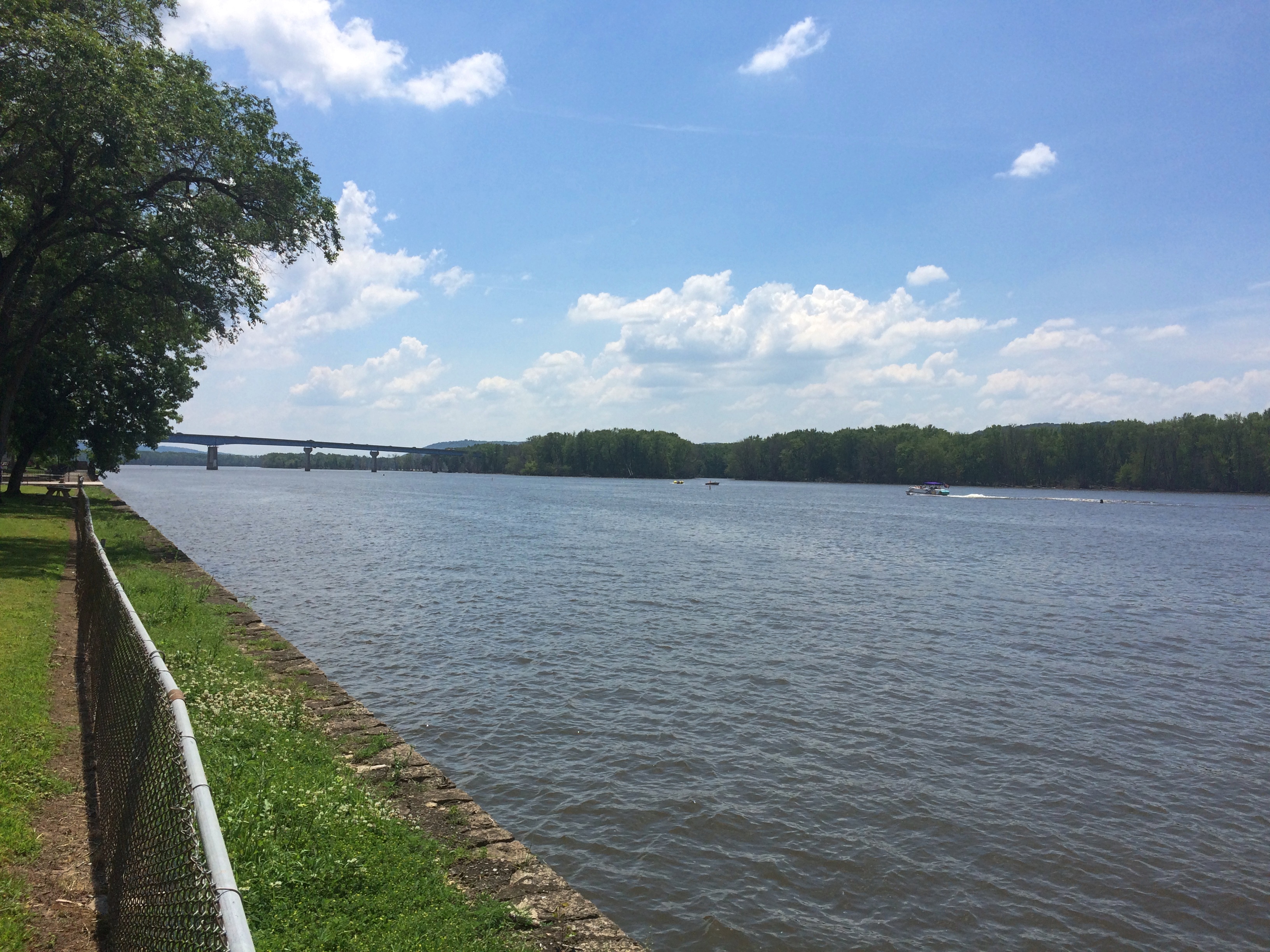
We had lunch on Friday at one of the picnic tables with a view of the Mississippi.
St Feriole island
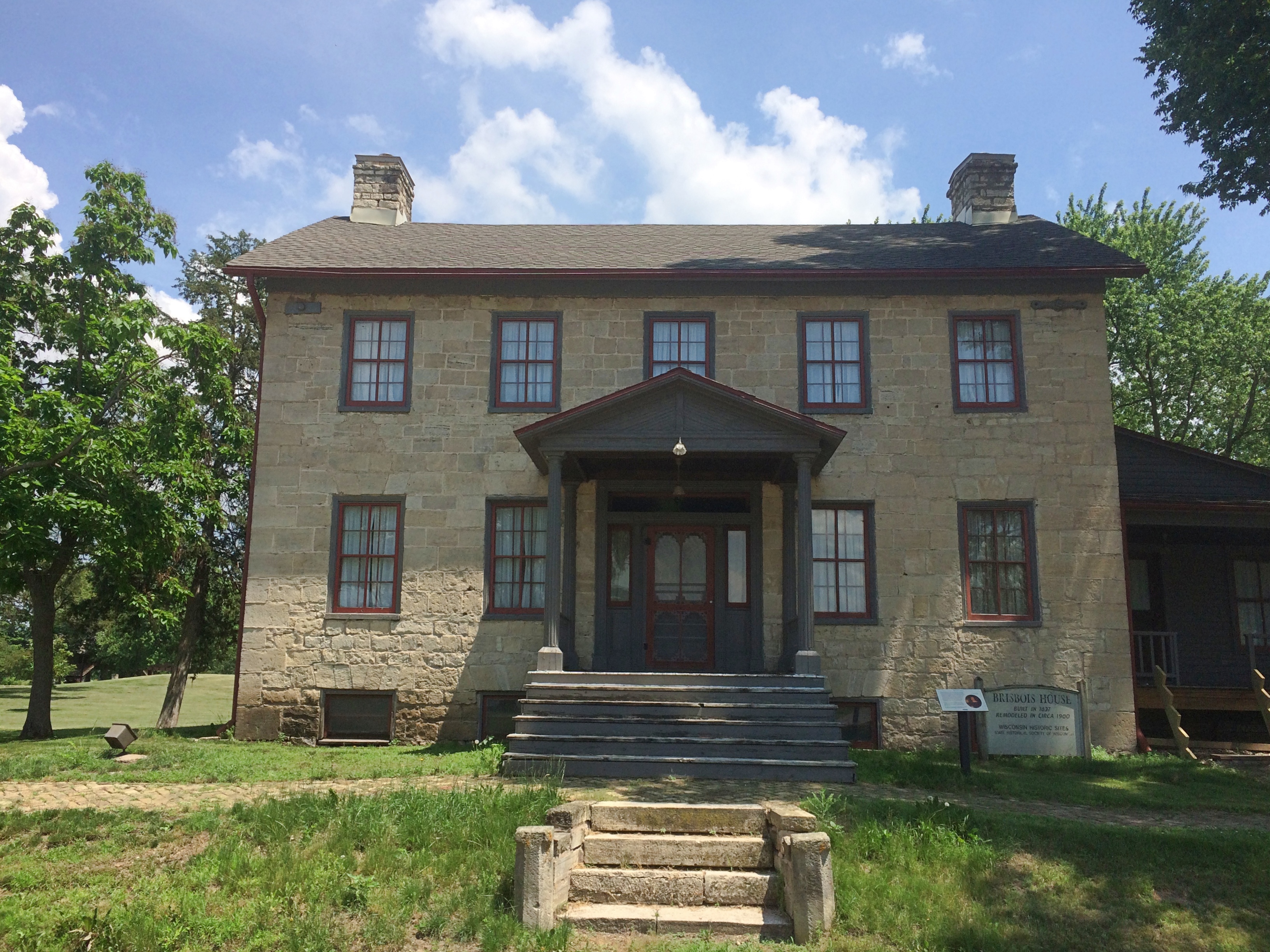
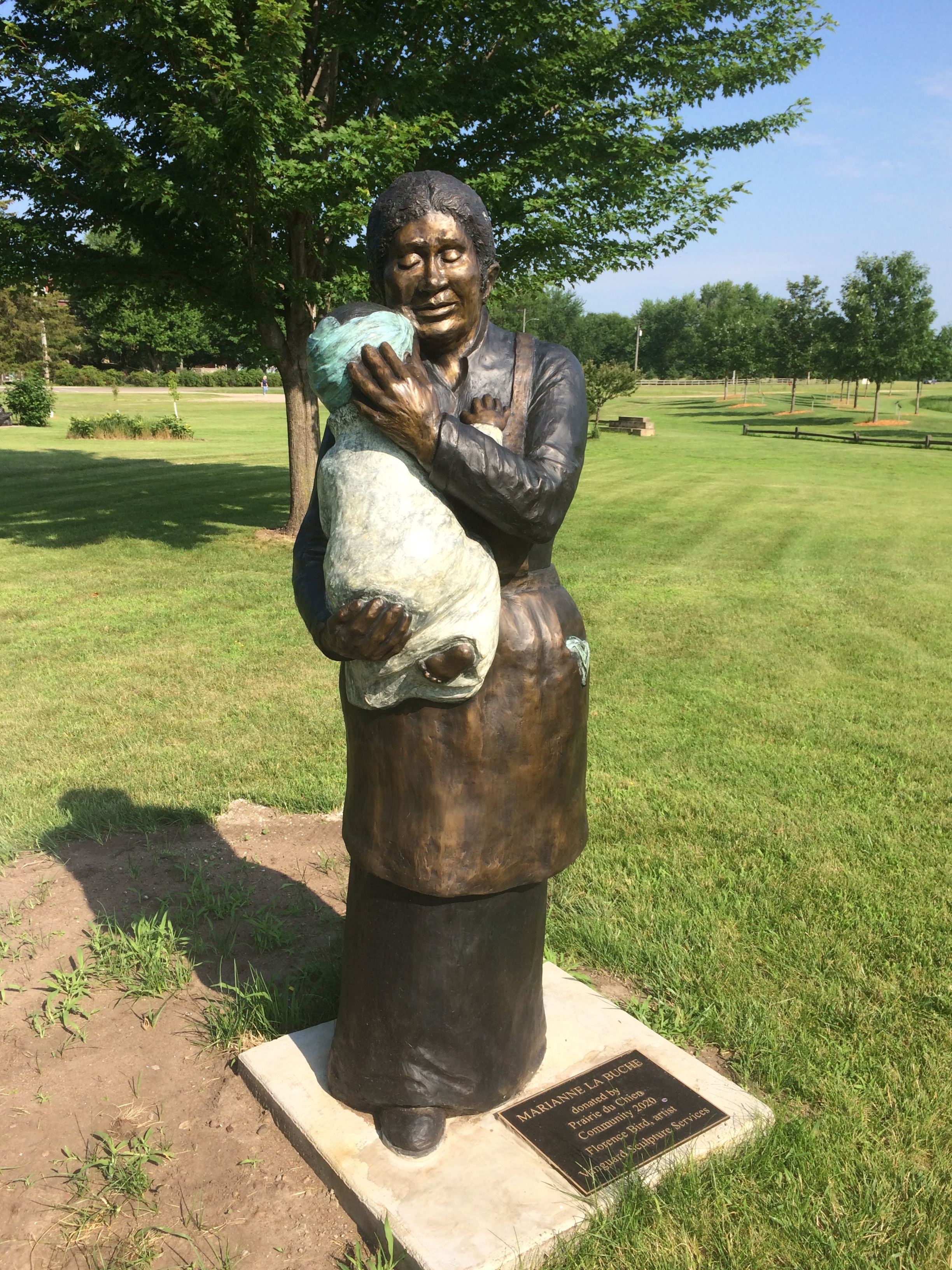
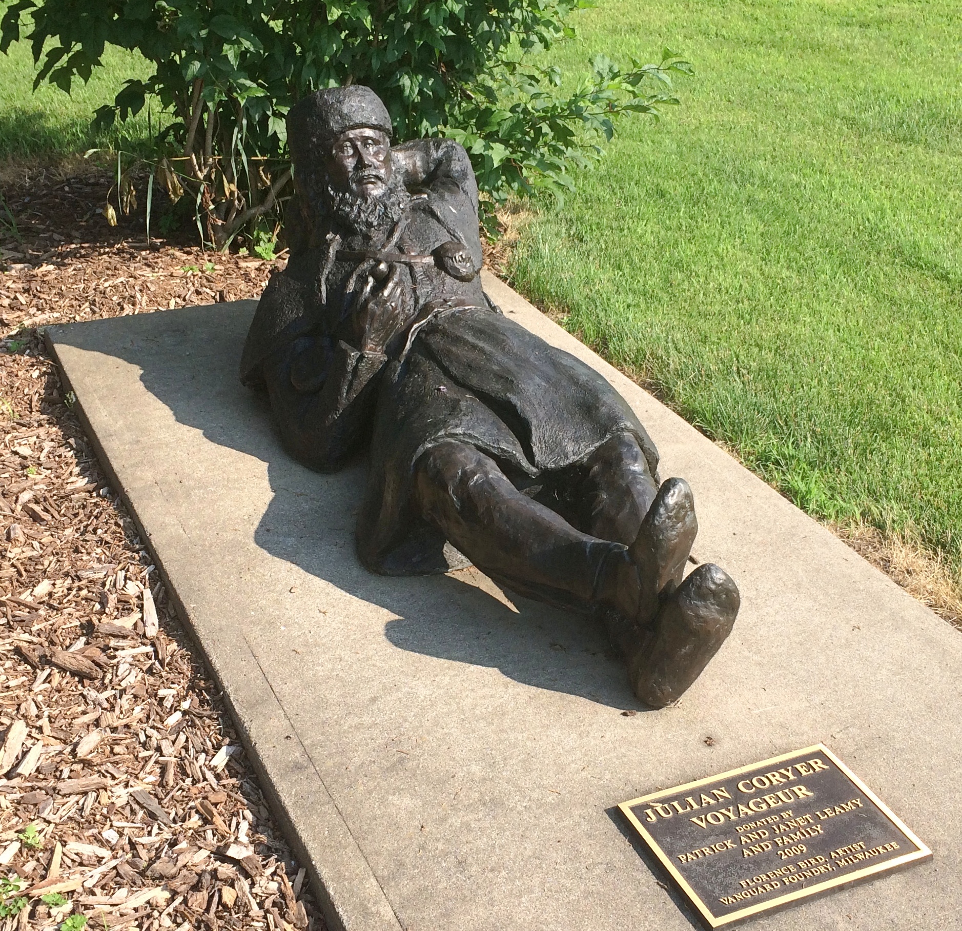
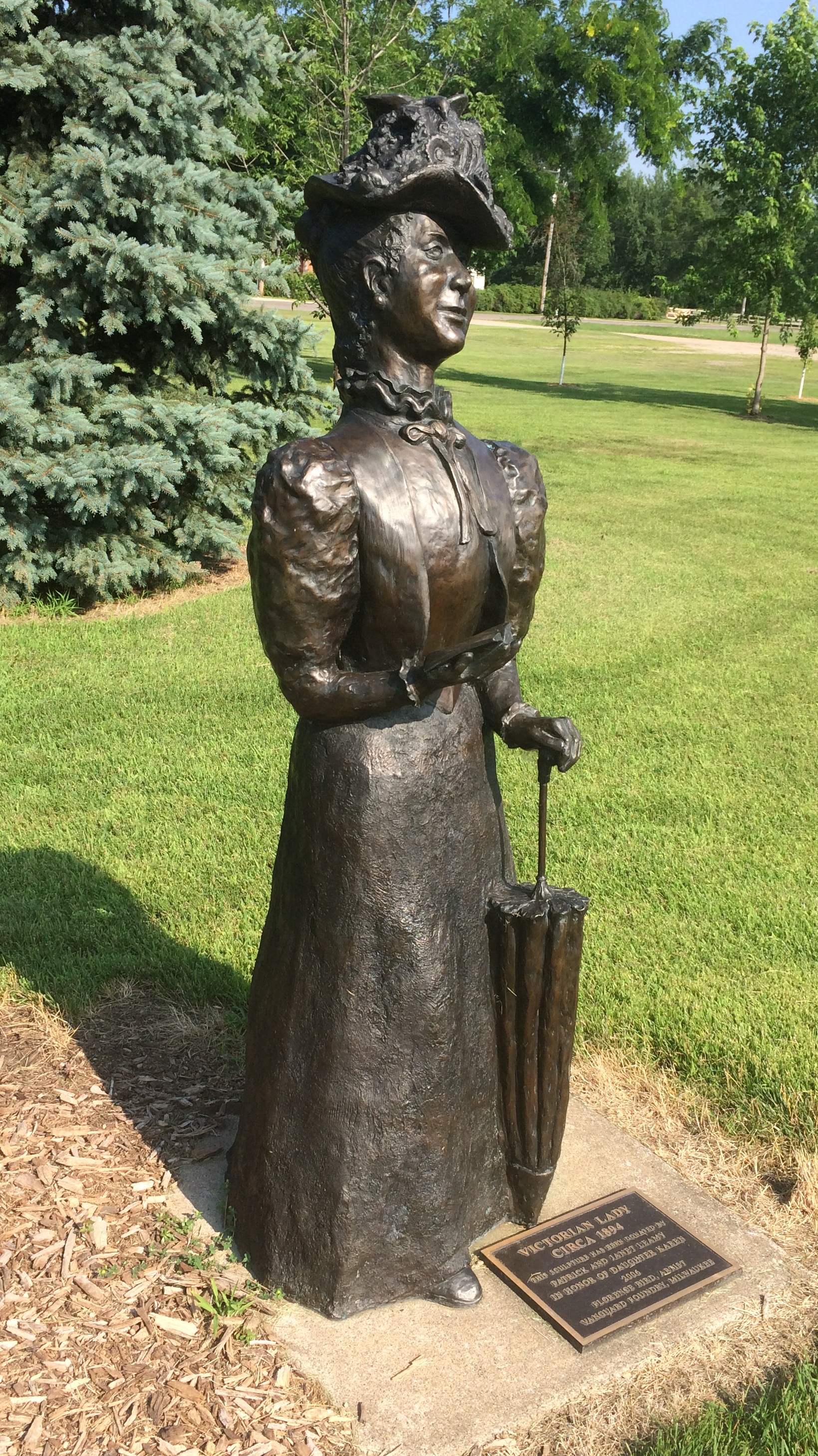
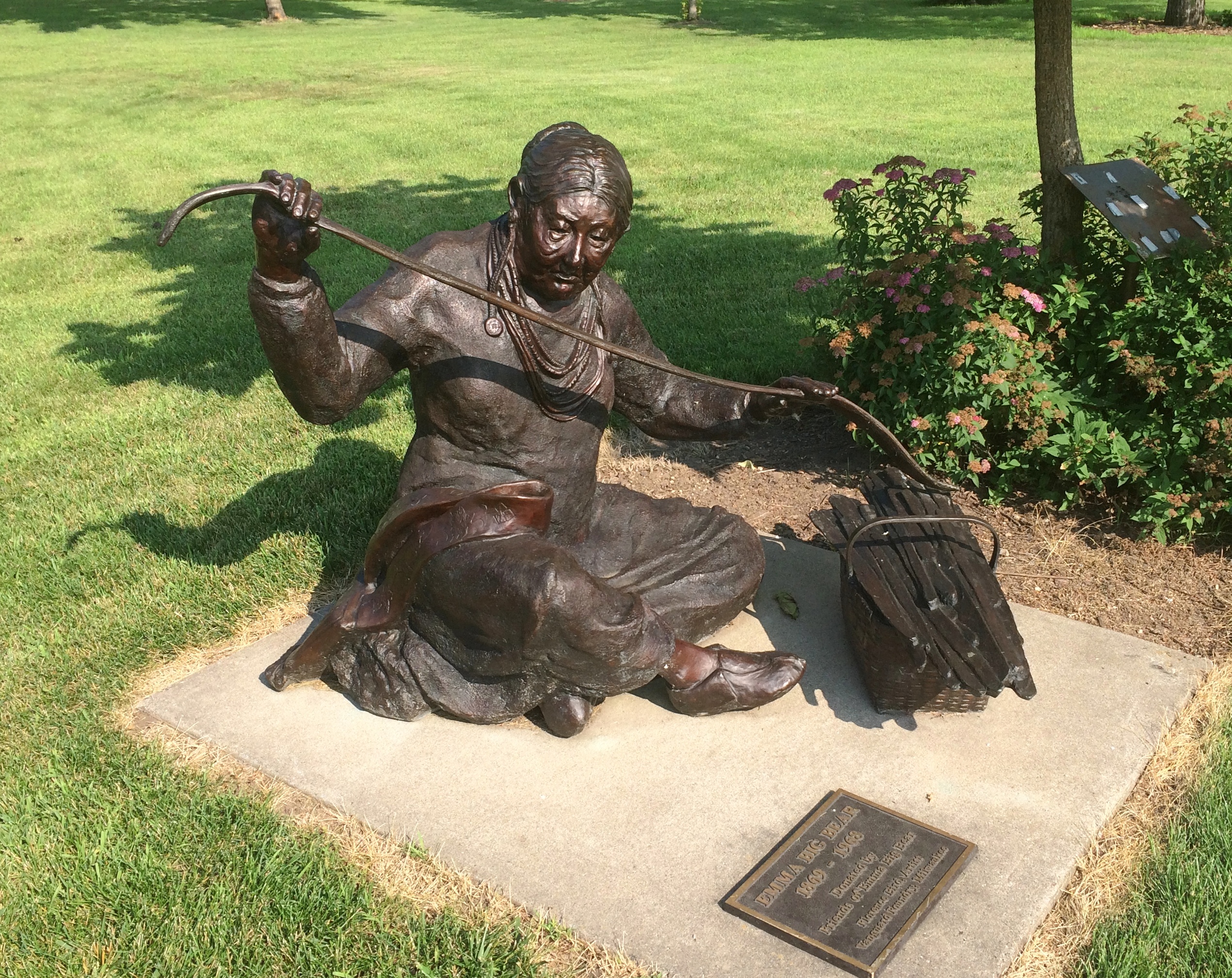
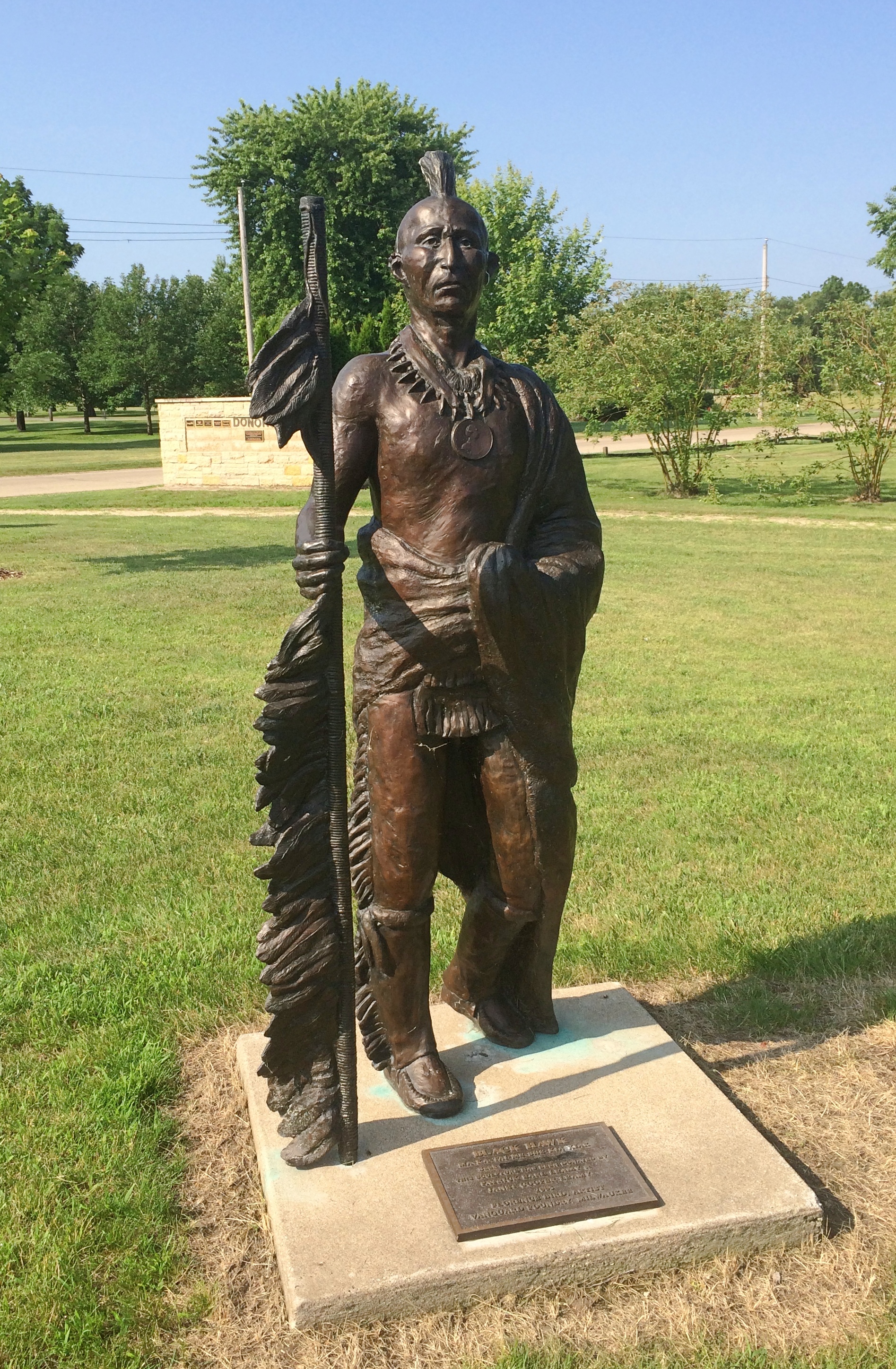
The Brisbois House is one of the park’s historic structures, dating from 1837 (though other sources put its construction in 1815).St. Feriole IslandIn any case, it isn’t open now. Neither is the Villa Louis, nor the Fur Trade Museum on the island.St. Feriole Island Villa LouisThe Mississippi River Sculpture Park on the island is open. Unlike most sculpture parks, which feature a variety of works by a variety of artists, this one includes only works by sculptor Florence Bird, which are depictions of people associated with the history of Prairie du Chien.

Such as the park’s most recent addition — less than a month ago — of a bronze of Marianne LaBuche, a frontier doctor (“community healer,” her sign says) of the early 19th century.St. Feriole Island
Also depicted: Julian Coryer, voyageur, though it looks like he’s between voyages.St. Feriole Island
A “Victorian lady.”
St. Feriole Island
Emma Big Bear, basketmaker.St. Feriole Island
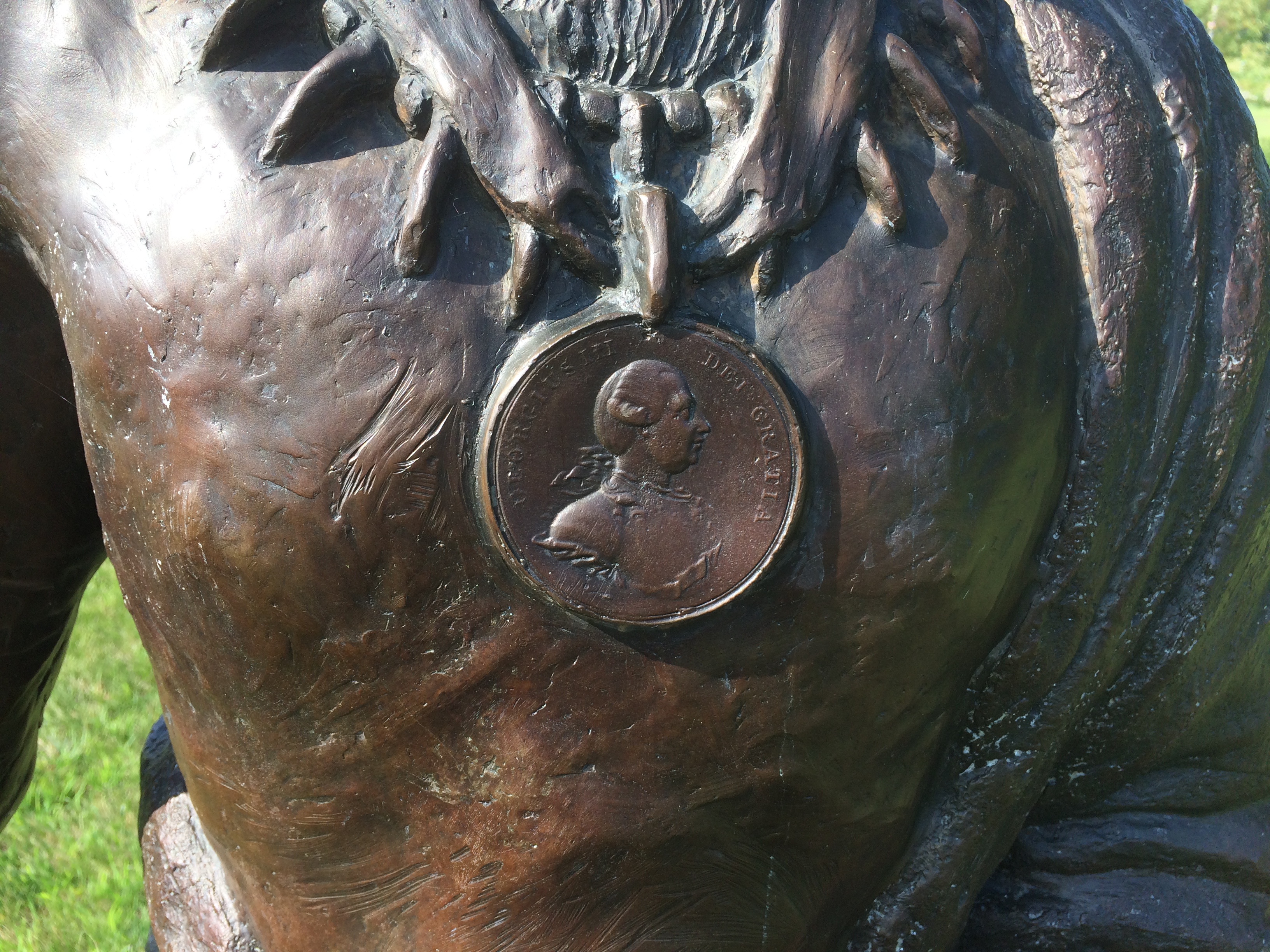
Here’s Black Hawk (Ma-ka-tai-me-she-kia-kiak).St. Feriole Island Black HawkNote his medallion.St. Feriole Island Black Hawk
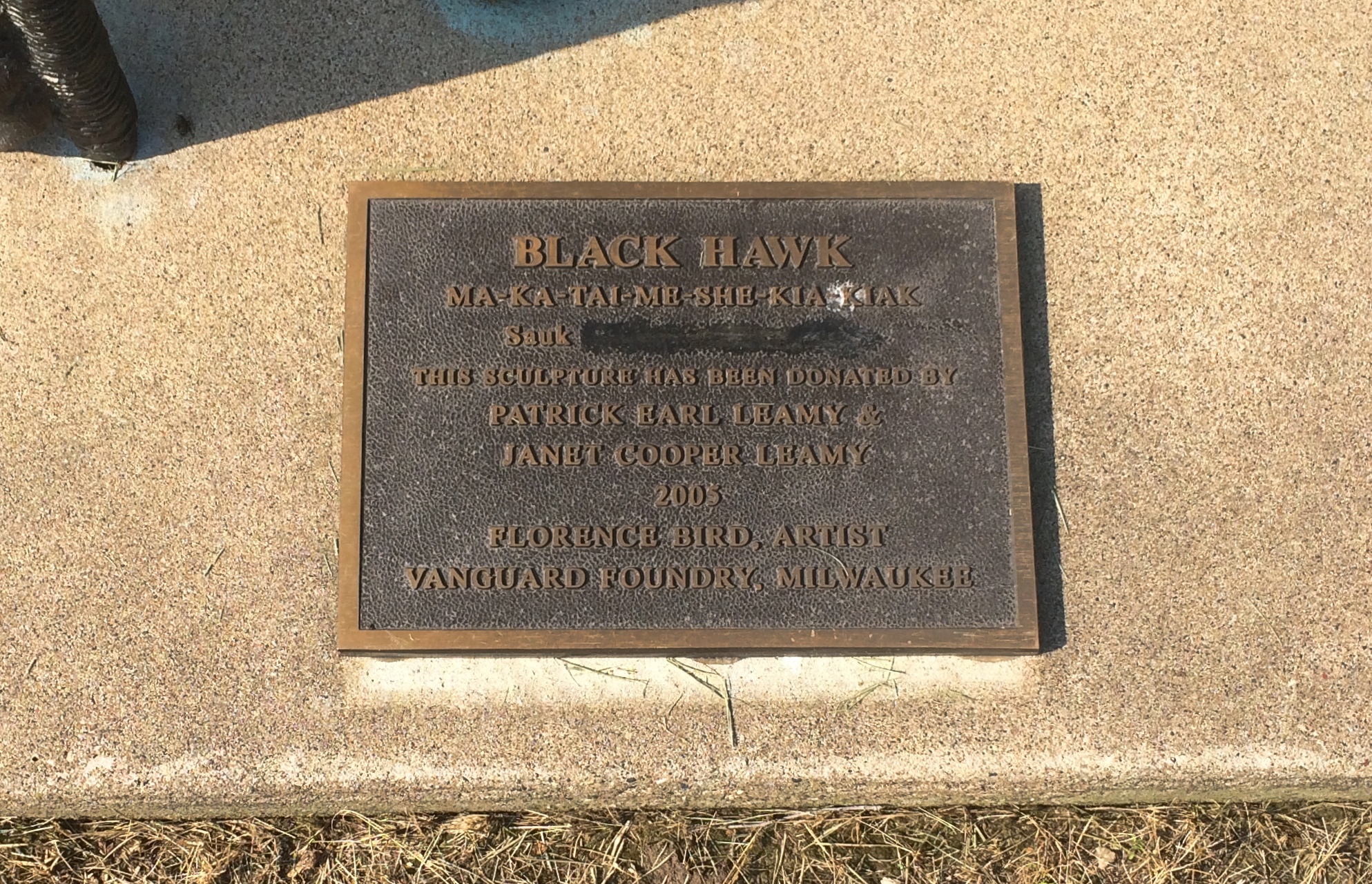
His plaque has been edited, either officially or unofficially, since 2005.
St. Feriole Island Black Hawk
Not sure what was blocked out or why. But these times make me attuned to statue revisionism, however minor.

Walnut Hill Cemetery, Baraboo

We finished our hiking at Devil’s Lake SP at about 3 in the afternoon and headed into Baraboo for something to eat. Not so long ago, that would have meant parking ourselves at a restaurant for a meal. Though there are no restrictions on indoor dining in Wisconsin now — the whole kit and kaboodle was thrown out — we thought better of it, and ordered takeout.

That left us about 20 minutes to wait for the food. Rather than wait in the car in the restaurant parking lot, I consulted Google maps and found a nearby place to go: the 52-acre Walnut Hill Cemetery, which has about 11,500 permanent residents. Baraboo, the Census Bureau tells me, has a shade over 12,100 living residents.

It’s a pleasant cemetery.Wallnut Hill Cemetery Baraboo
Wallnut Hill Cemetery Baraboo
Wallnut Hill Cemetery BarabooI hadn’t come to see any specific grave, but I had to investigate one of the few mausoleums I saw, there on a small rise.
Wallnut Hill Cemetery Baraboo
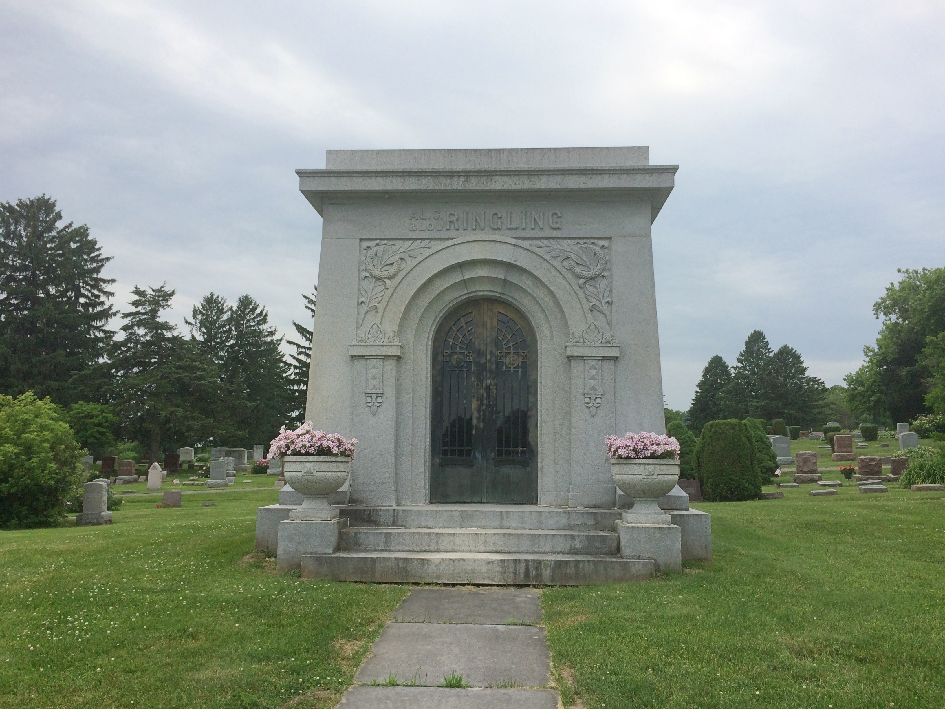
It turned out to be the resting place of Al. Ringling (1852-1916), the eldest of the circus family, and his wife Lou. Makes sense. Baraboo was a circus town, after all.
Walnut Hill Cemetery Baraboo Al. Ringling
Later I read that some of the other circus brothers are buried at Walnut Hill as well, but I didn’t spot them. I did see another intriguing stone.
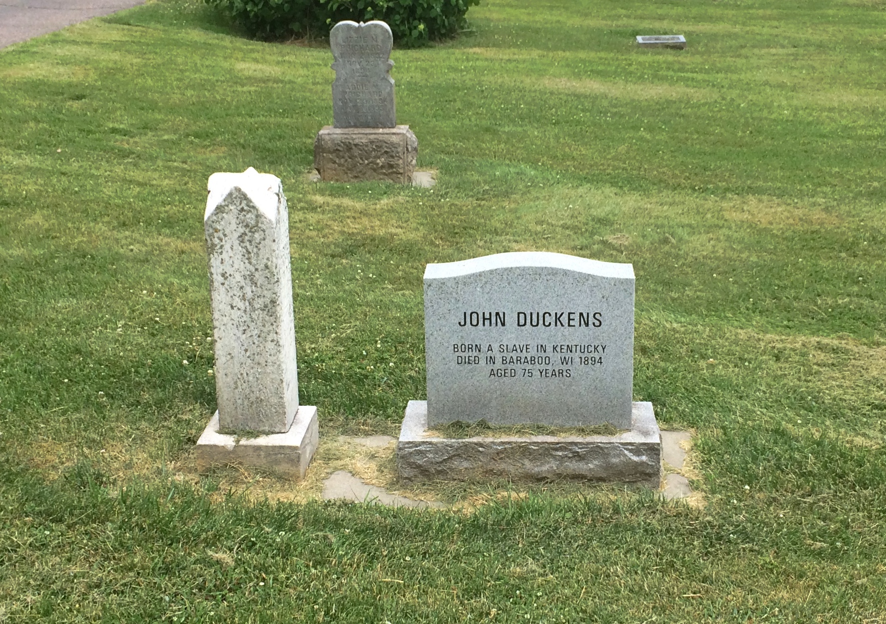
Walnut Hill Cemetery Baraboo John Duckens

JOHN DUCKENS
Born a slave in Kentucky
Died in Baraboo, Wi 1894
Aged 75 years

A new-looking stone at that. It’s a replacement for a weather-worn original, put there only in 2011 by the Sauk County Historical Society, which published a sketch of his life — probably all that’s possible — as a Sauk County Notable.

Wednesday Water & Fire

Back to posting again on Tuesday. It’s an early Memorial Day this year, five days removed from Decoration Day, and in fact May 25 is as early as it can be under the Uniform Monday Holiday Act. Next year the holiday swings to the latest possible position, May 31, and then in 2022, it’s square on Decoration Day.

Warmish day today, this Wednesday, a relief from a too cool Tuesday. Pleasant enough to have lunch on the deck. The grass is still squishy underfoot.

Many places in this part of the country have had a lot of rain. Too much in some places. I read today that downtown Midland, Mich., flooded because the rain-swollen Tittabawassee breached a dam not far away. Of course, rain was only the immediate cause. Looks like a whole lot of negligence on someone’s part. Boatloads of litigation, dead ahead.

The story caught my attention mainly because we visited Midland only last year, on September 1, taking a stroll in places that are now underwater.

This evening I went outside to take a few things to the garage. Returning, I noticed a bright object in the sky off to the northwest. It looked like a fire balloon. A single one, drifting along. I was astonished. I’m pretty sure I’ve only ever seen pictures of them before, not the thing itself.

Who launched it? Why? Who thought that was a good idea in a suburban area, with rooftops to catch fire? The risk is probably fairly small, but still — that’s not something I want landing near me. On the other hand, the balloon made a pretty sight as it wandered along. I watched it as it went from being a small flickering light to a very small flickering light in the sky, finally disappearing in the distance.

Springtown Cemetery

Near the entrance to Marengo Cave in Marengo, Indiana, is a patch of land called Springtown Cemetery. Some of the cave runs further underneath, I think.

A sign outside the cemetery fence says: This cemetery, one of the first in this area, dates back to the early 1800s, when Marengo was known as Springtown. Oris Hiestand, one of the discoverers of Marengo Cave, is buried here. The land for the cemetery was given to the town by Mr. Samuel M. Stewart, the first owner of Marengo Cave.

The rain had just slacked off when I took a look around. It isn’t overcrowded with stones.
Springtown Cemetery, Marengo, IndianaThe stones might or might not represent everyone who’s buried there. Someone may know for sure. Or not.

A few unexpected touches of green in late December.
Springtown Cemetery, Marengo, IndianaMossy, wet stones honoring obscure people in an obscure corner of the world.Springtown Cemetery, Marengo, IndianaSpringtown Cemetery, Marengo, IndianaSpringtown Cemetery, Marengo, IndianaIf that’s not a momento mori, I don’t know what is.