Streetscapes in the Driftless Area

Four years ago in June, we visited the Driftless Area, where the modern borders of Illinois, Wisconsin and Iowa meet. I called the trip the Tri-State Summer Solstice Weekend ’14.

Driftless because for whatever reason, glaciers didn’t cover the area during the most recent ice ages. Besides its interesting geography — hills in Illinois, what a concept — the Driftless Area has some charming towns.

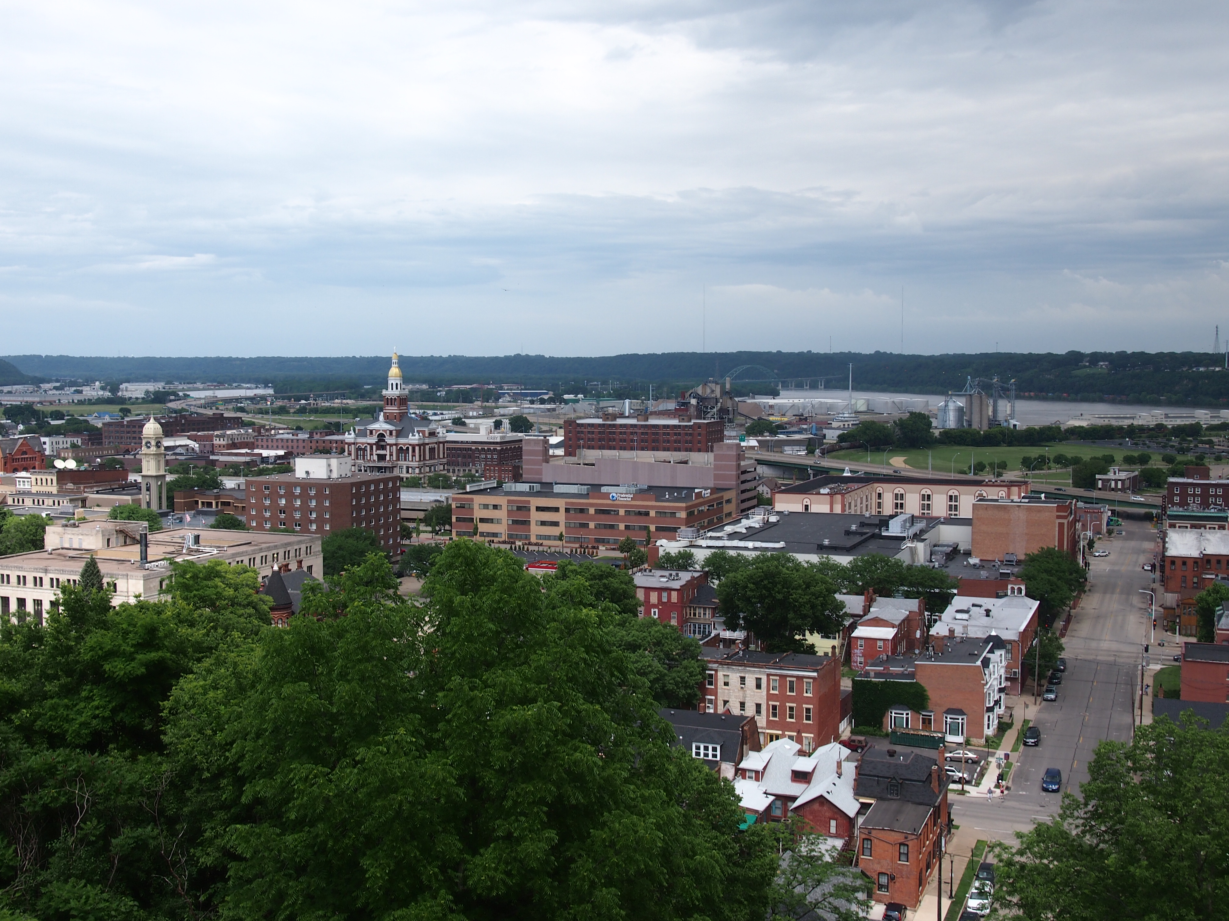
Such as Dubuque, as seen from the hill rising over the town, looking down toward the Mississippi.

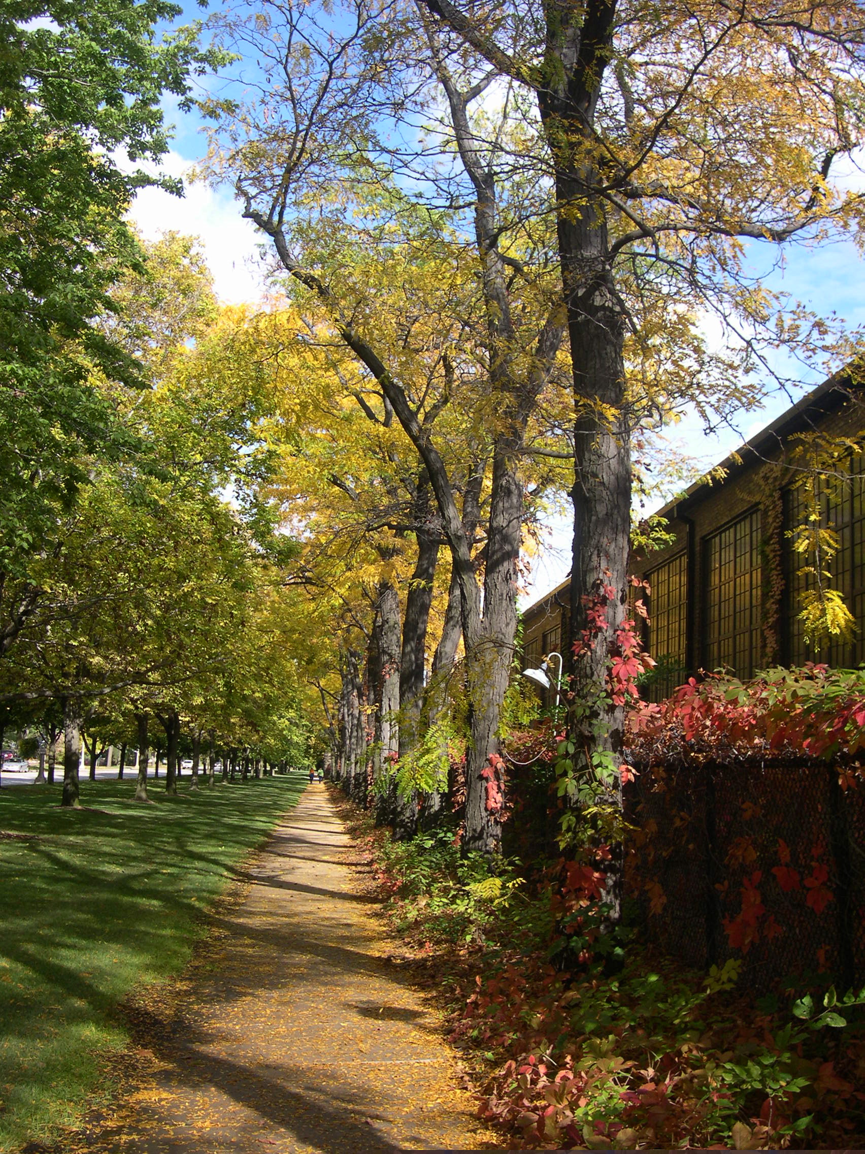
Down in the streets.

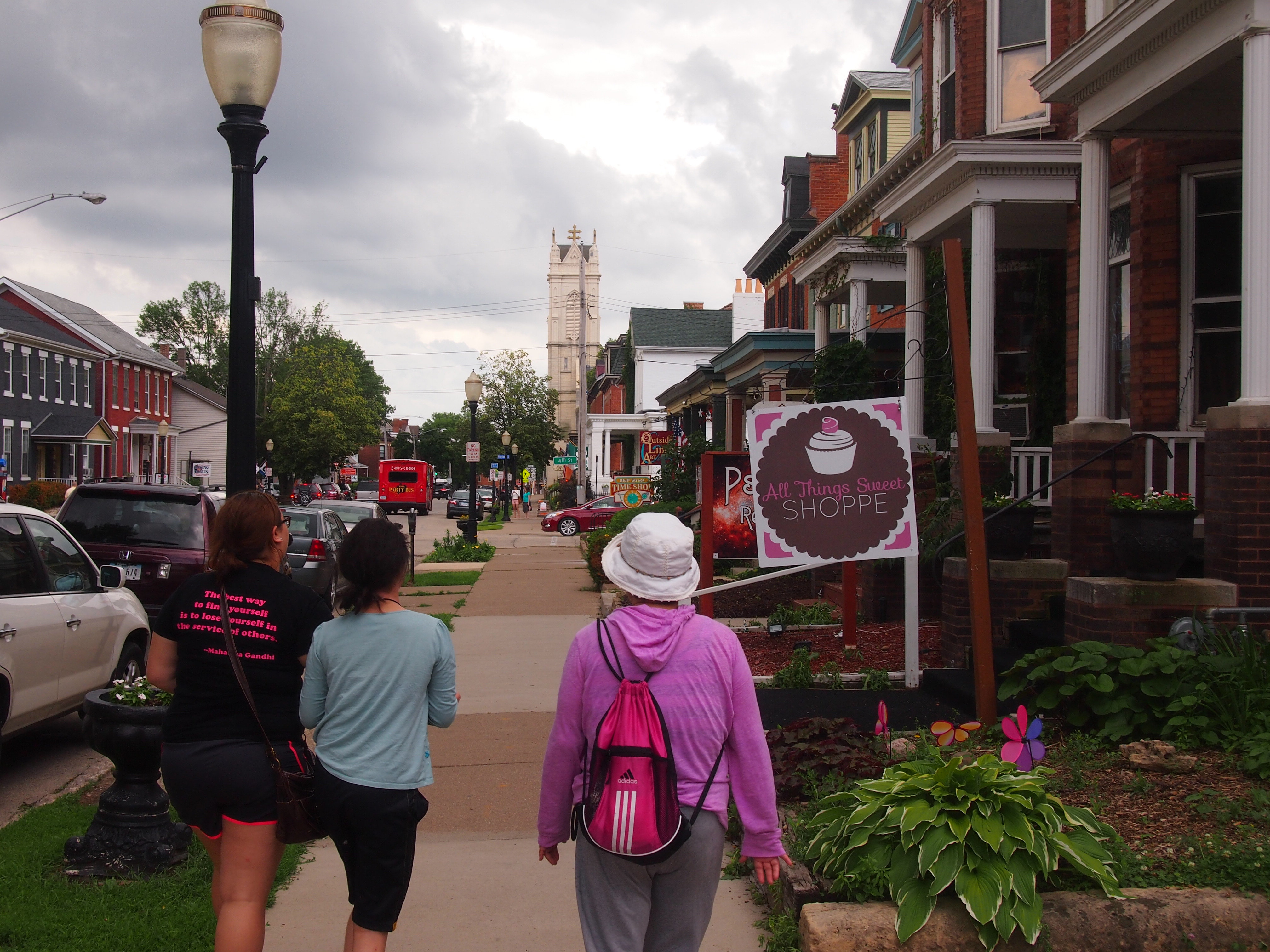
It’s always good to find a handsome small-town streetscape. On this trip, there was Galena, Illinois.

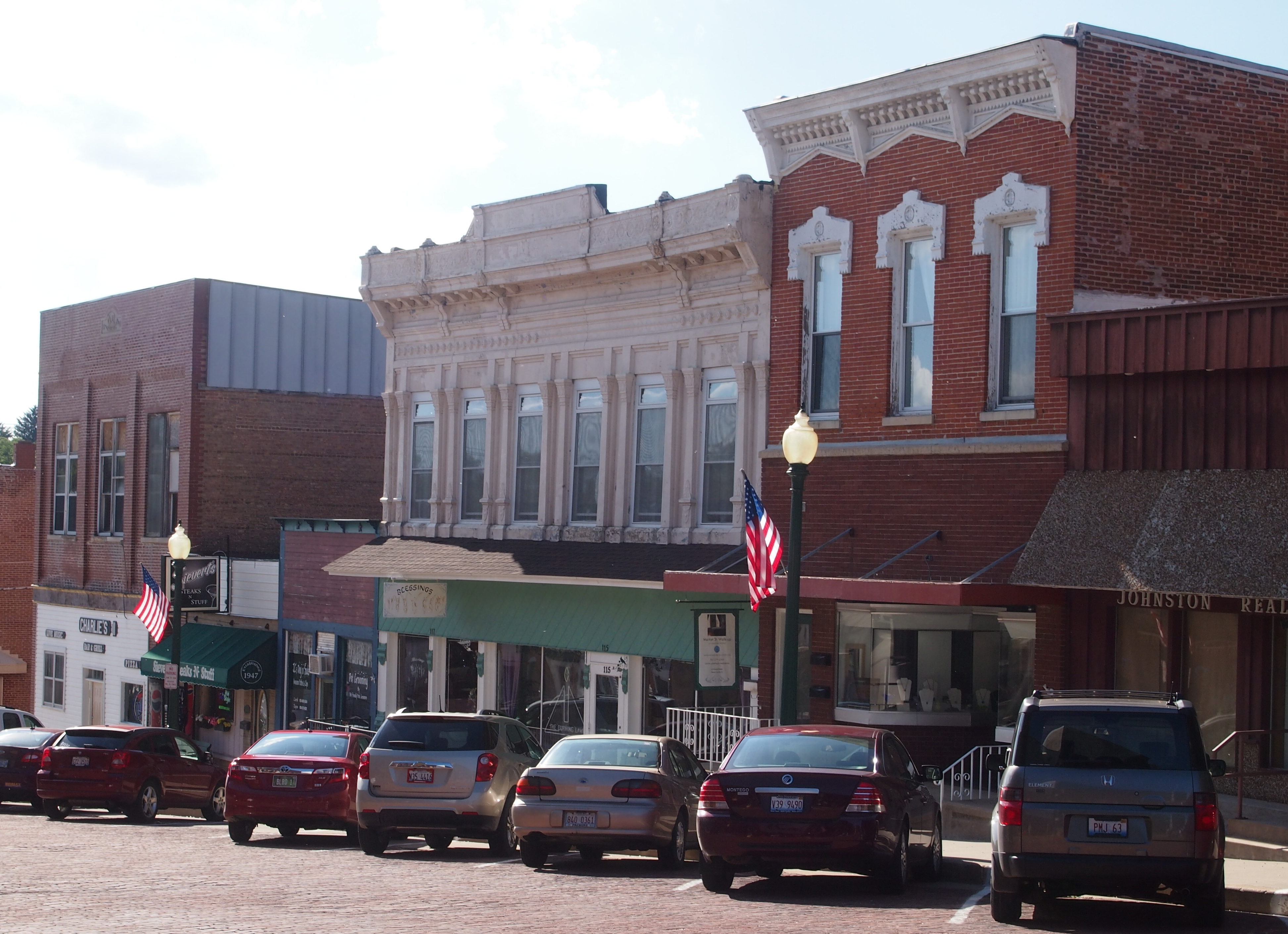
Mount Carroll, Illinois.

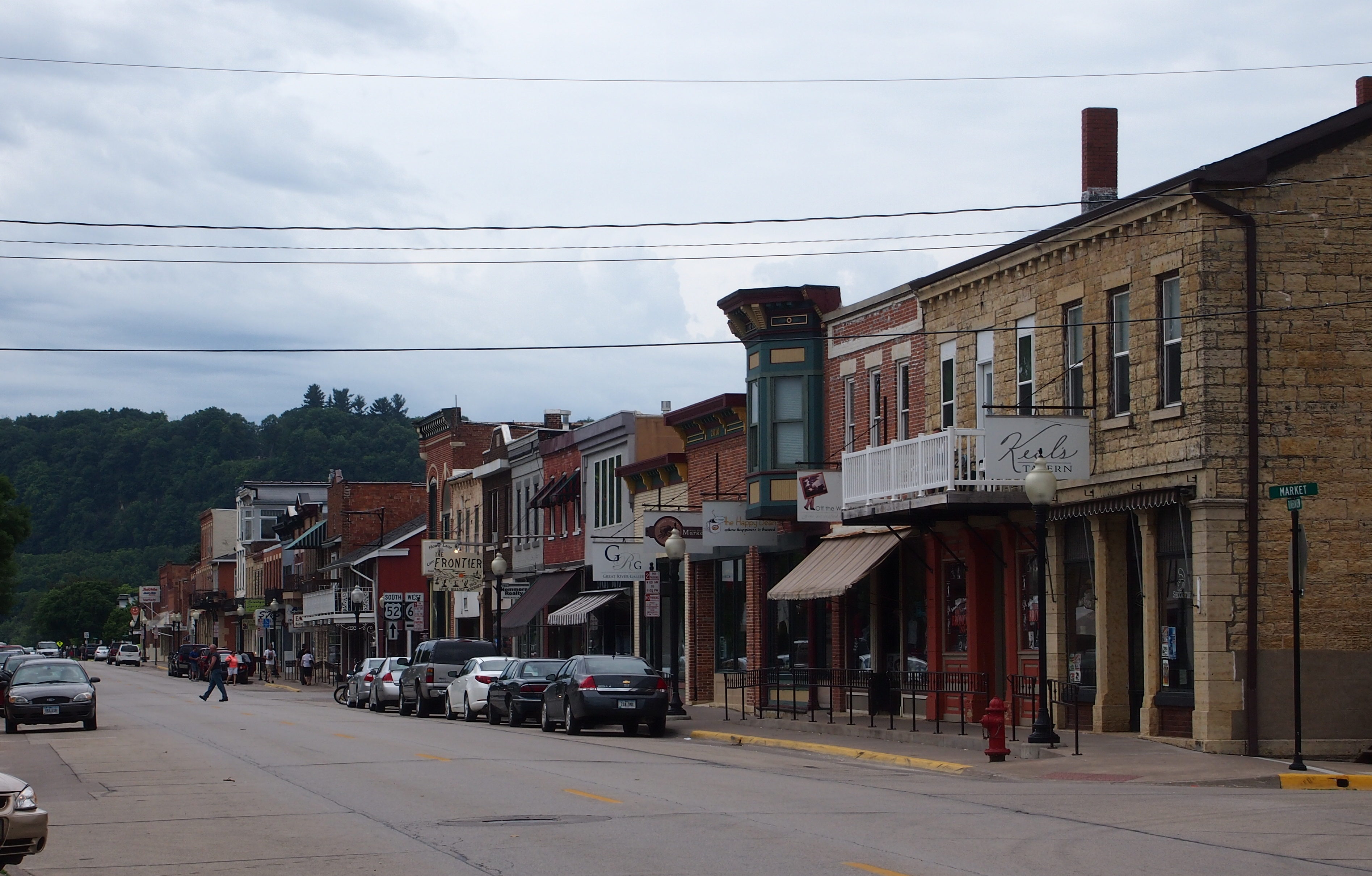
The even more obscure Bellevue, Iowa.

In Bellevue I stopped to look at Lock and Dam No. 12 on the Mississippi River, and took a short look at the town, too.

Arthur and Arcola 2018

On Saturday, we were at a small bookstore and antique shop in Arthur, Ill., down in what’s known as the Illinois Amish country of the east-central part of the state, and as we were leaving, Ann mentioned that she’d seen some Amish romance novels in the store.

Just another thing I’d never thought of. The world keeps tossing things like that at me. According to Time, at least, the Amish romance novel is quite a thing:

“In Amish romance novels, there is no sex, but lots of babies; no nakedness, but layer upon layer of clothing is removed; and no physical contact between unmarried couples— unless perhaps God wills it through a tornado, or a house fire, or a buggy accident — and, well, it turns out that happens between attractive Amish singles quite a lot.”

It also turns out that most of the readers and most of the writers of such yarns aren’t Plain People at all, though the magazine does mention one example:

“The authors of Amish fiction freely admit that most of them are not Amish, either. ‘I can think of only one Amish writer I know of,’ says [author Beverly] Lewis, who made a point of living with Amish families to learn more about them. ‘She’s Old Order Amish, Linda Byler, and she has a bishop who’s given her permission to write Amish novels. She had an electric typewriter reconfigured to have batteries in it, which are allowed in Amish culture, so she can write.’ ”

Wonder what actual Old Order Amish think of all the weird attention the rest of the world pays to them. Maybe not much. They’re probably pretty busy doing other things most of the time.

We drove down to that part of Illinois over the weekend just to look around, and it is a little odd as a destination. I’ve never seen any Amish, or Mennonites either, wandering around looking at the Chicago suburbs just because they’re different from home.

This was our second visit; the first time was in 2007. This time we spent time in Arthur, at the book store, and at a small street festival, a few antique stores, and an ice cream shop. Tasty soft serve, served by women in bright-colored Mennonite dresses: purple for one, nearly lime green for another. We also poked around Arcola for a while, including a visit to the Visitors Information Center, located in a renovated Illinois Central depot, ca. 1885, and an antique store.

As far as I could remember, not much had changed in either town, or the farmland between (fairly dense with farmhouses), except that one of the restaurants we went to in Arcola had closed, and so had the distinctly non-Amish Raggedy Ann Museum in Arcola.

Not to worry, the woman at the desk at Visitors Information Center told us. A new one was opening up. Or maybe had just opened, though a lot of the old one’s collection went to the National Toy Museum in Rochester, New York. We decided not to follow up on that tip. Visiting a Raggedy Ann museum is a thing you need to do only once.

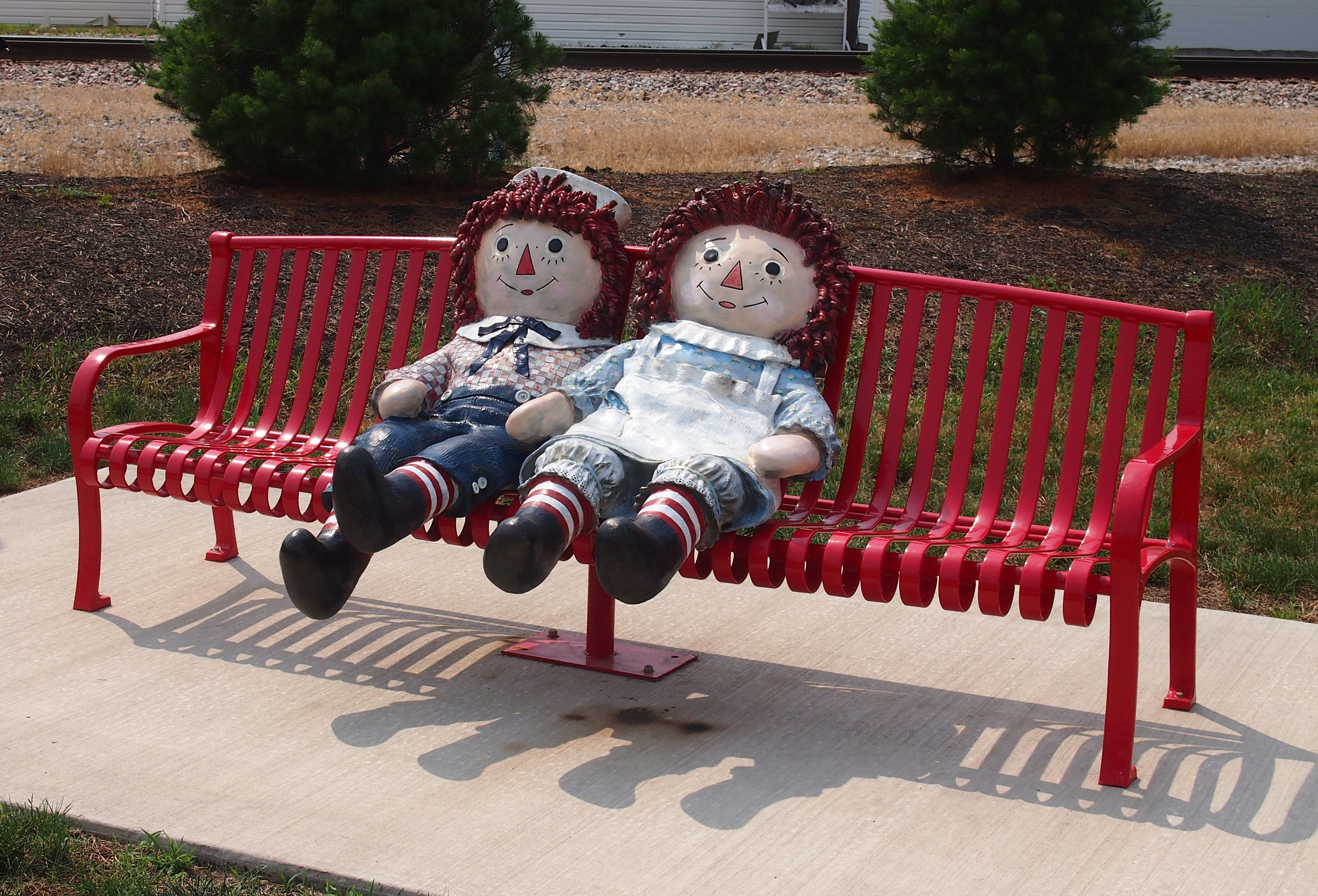
Whatever the status of the museum, Arcola hasn’t forgotten Ragged Ann and Andy. In 2016, the town unveiled these painted bronzes near the Visitors Information Center.
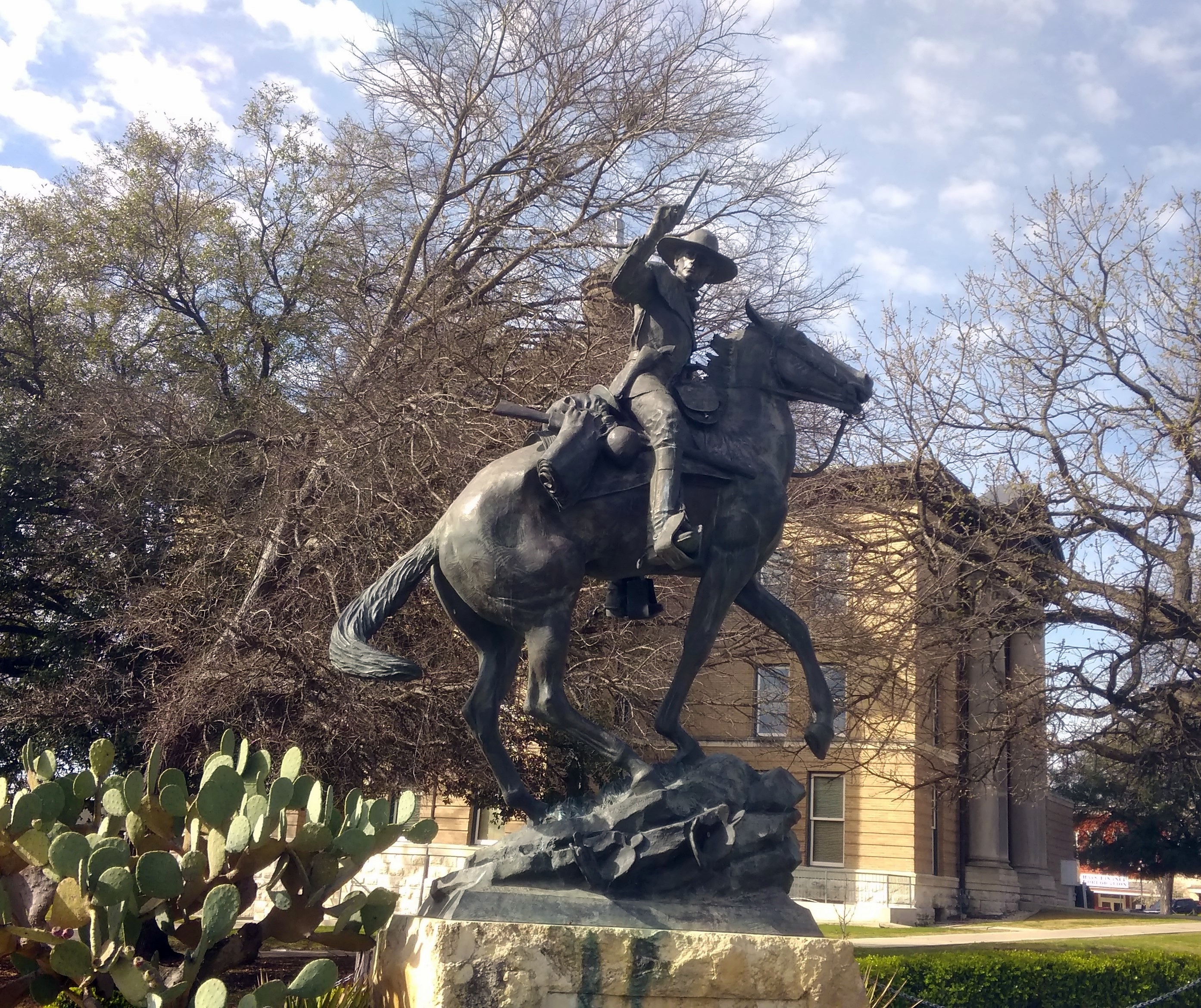
The artist is named Jerry McKenna, a Texas Hill Country sculptor.

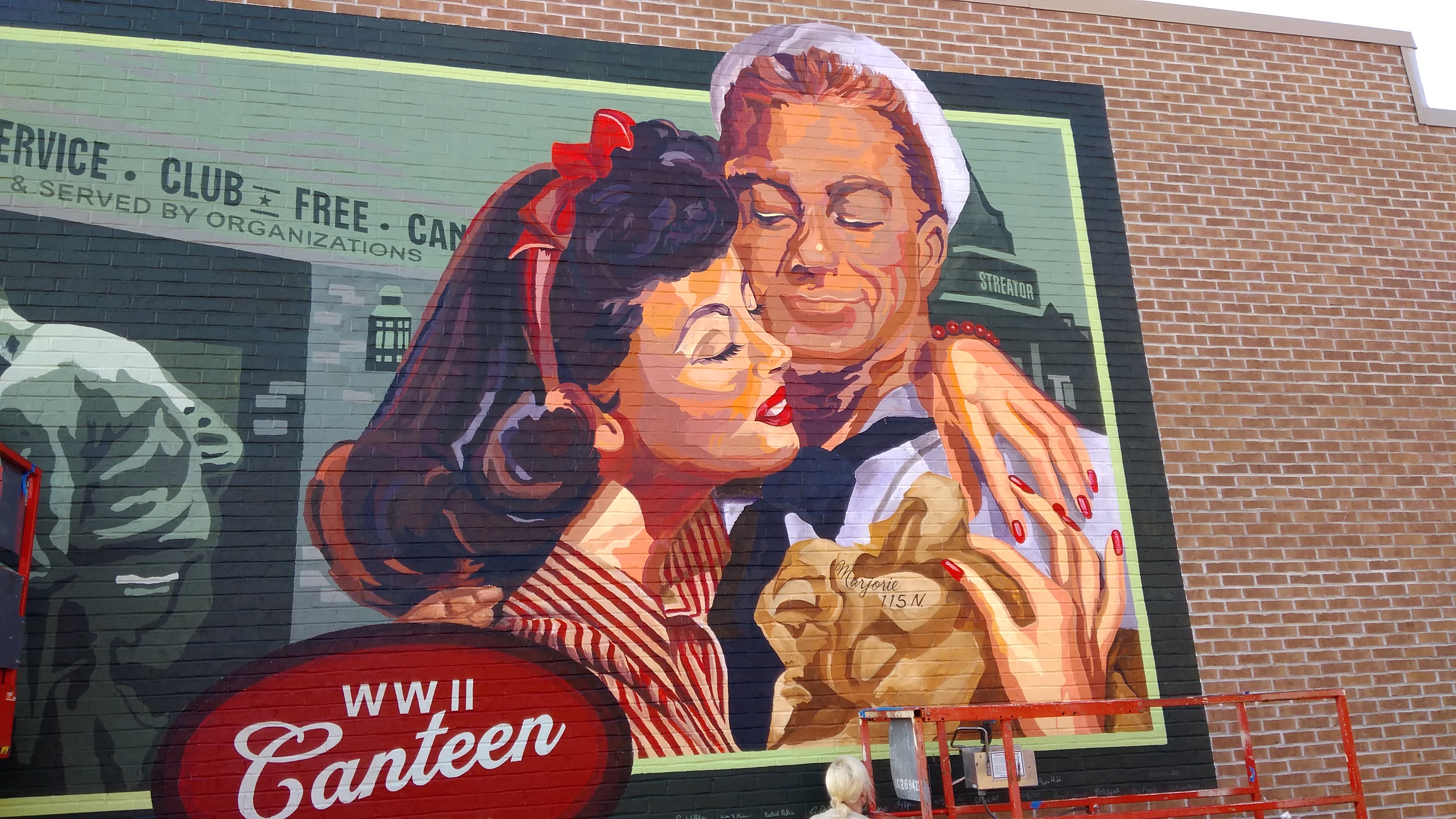
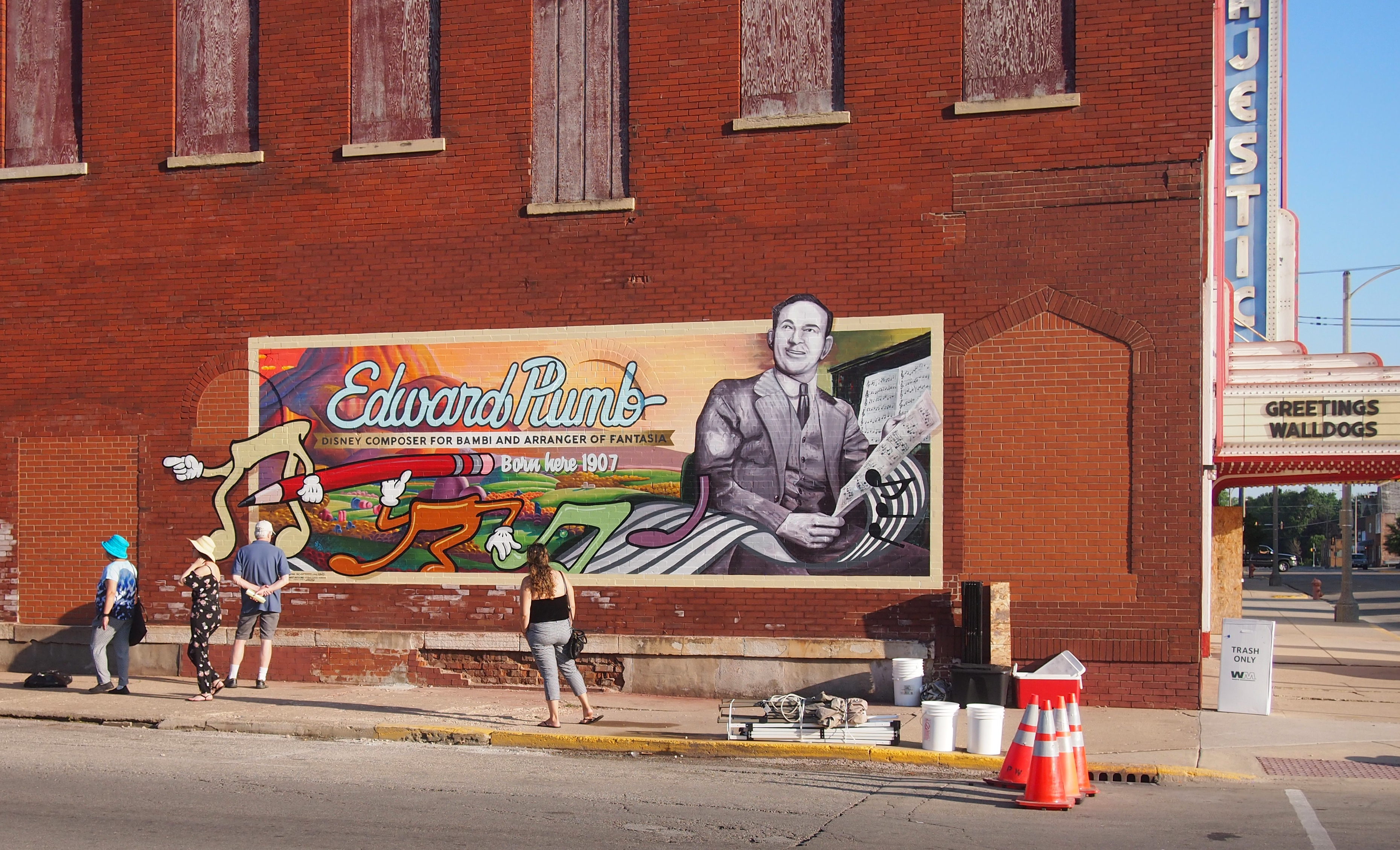
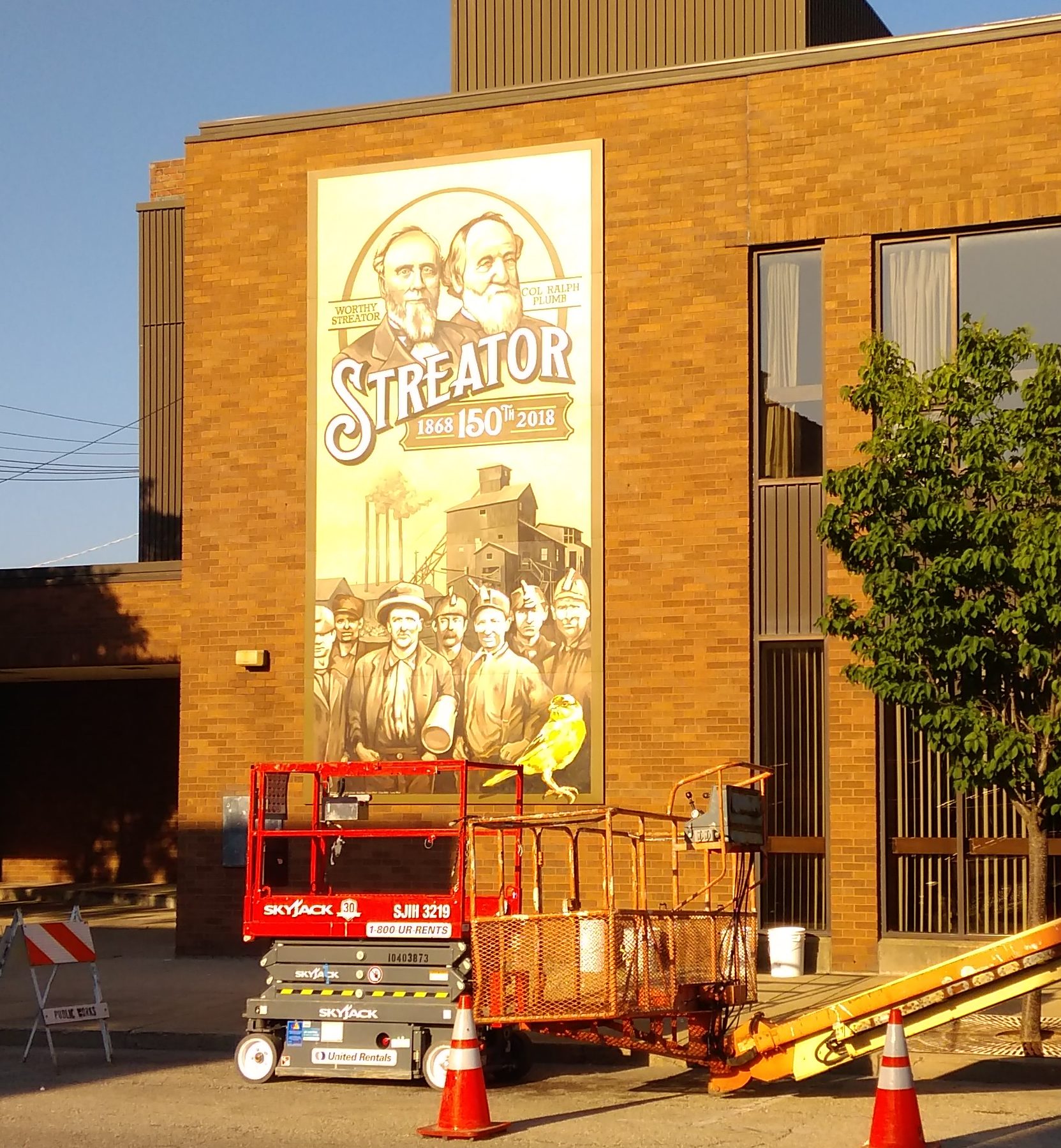
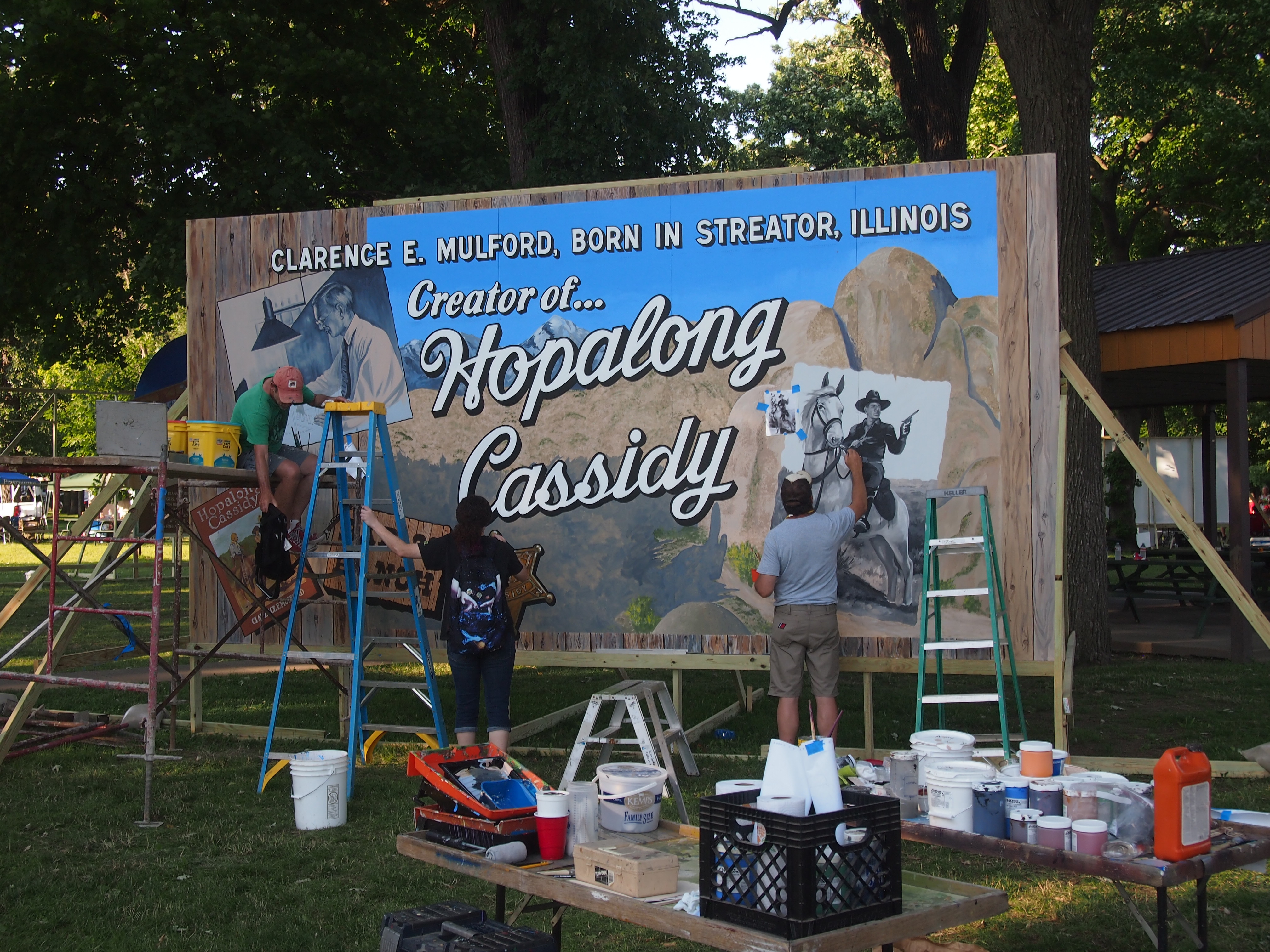
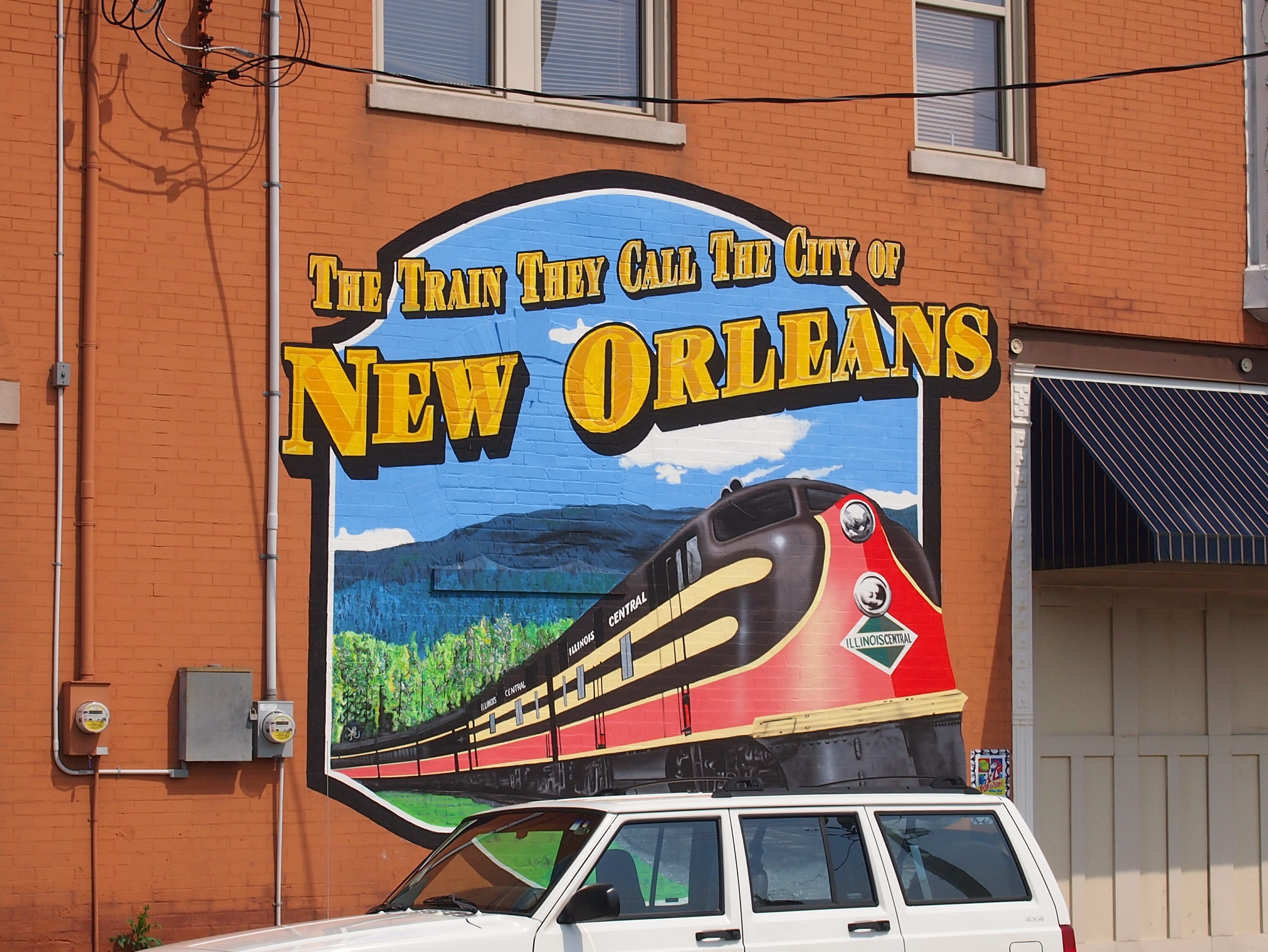
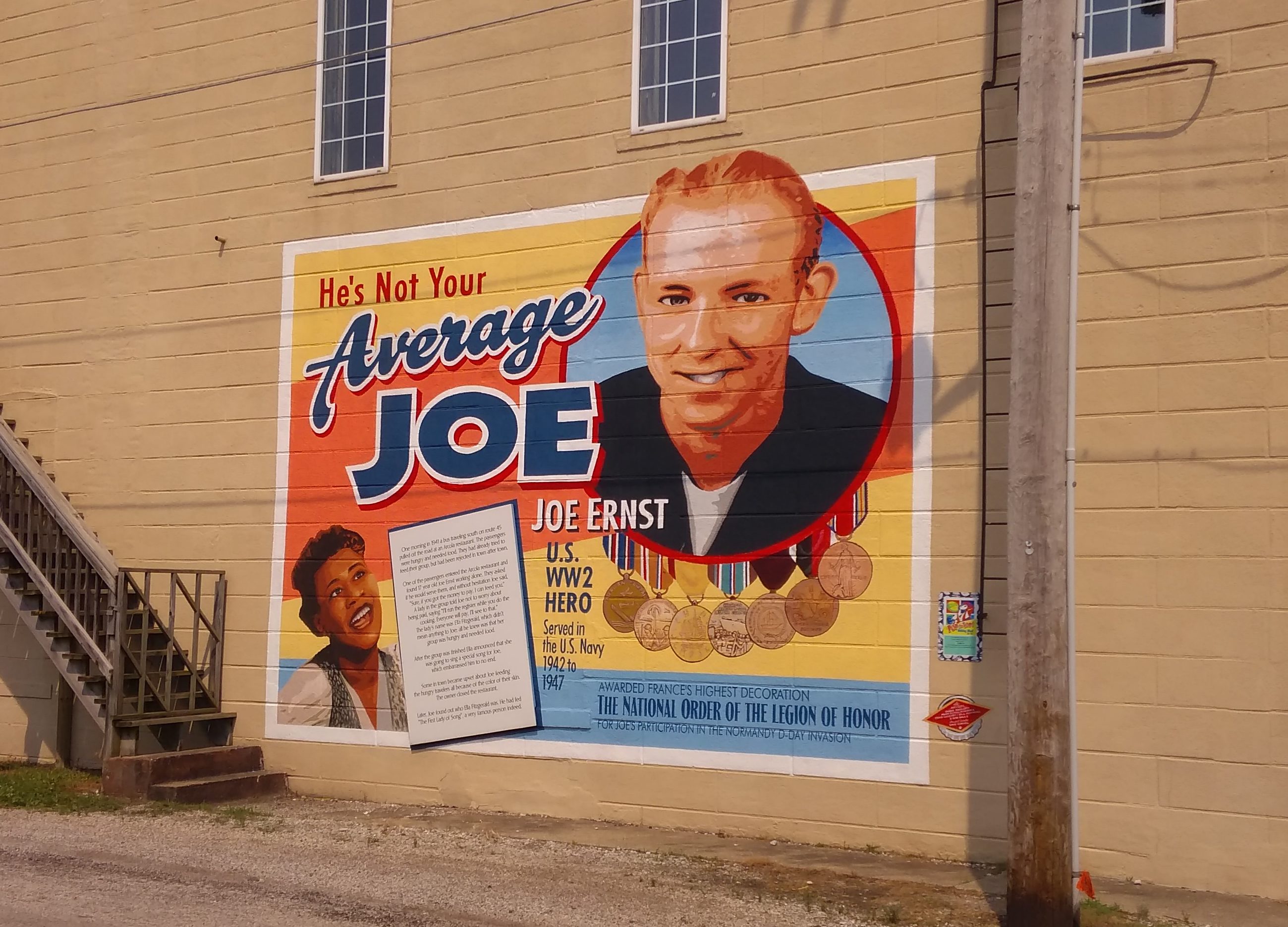
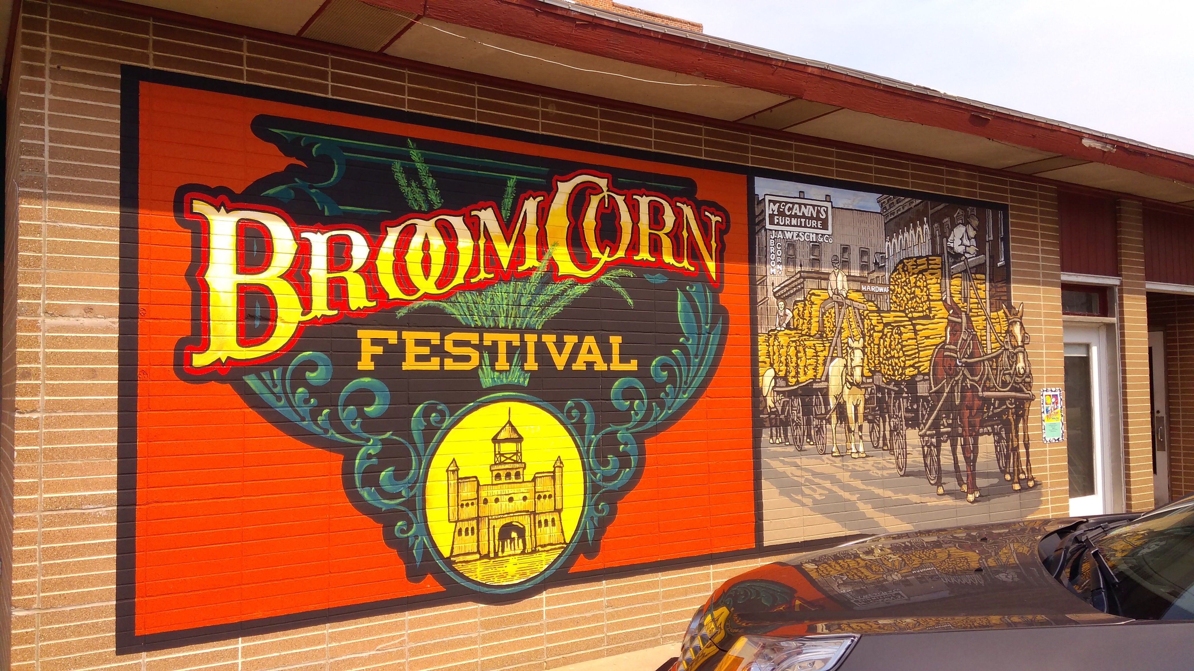
We also looked at a few of Arcola’s wall murals. They weren’t there in 2007.
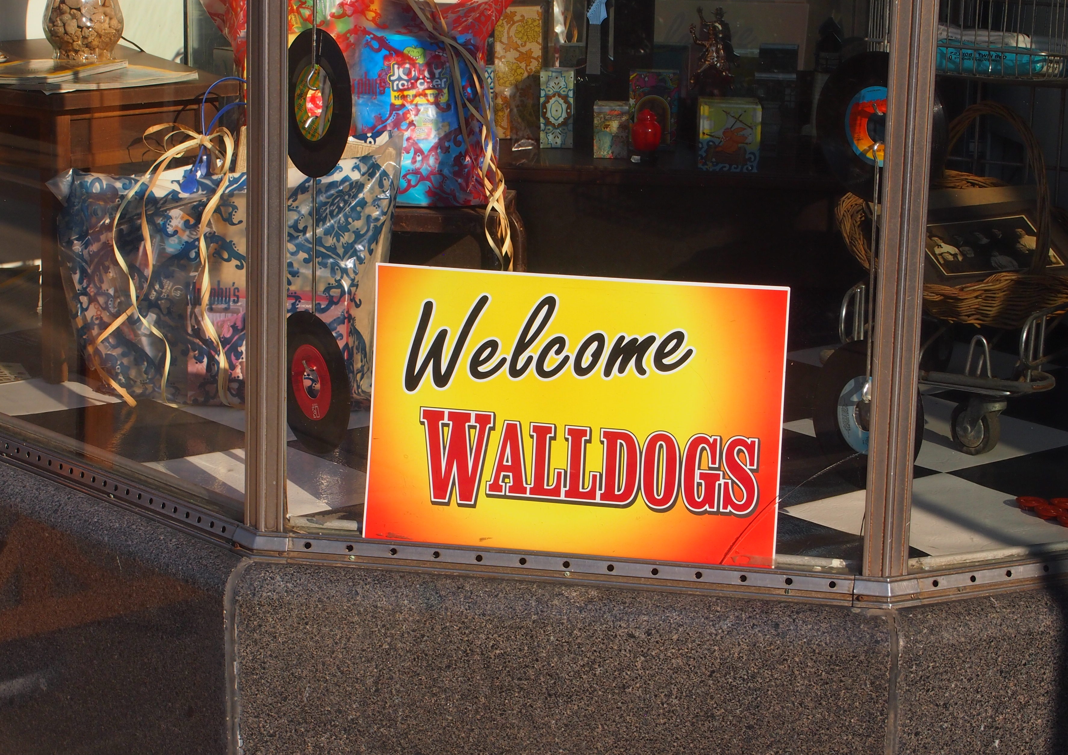
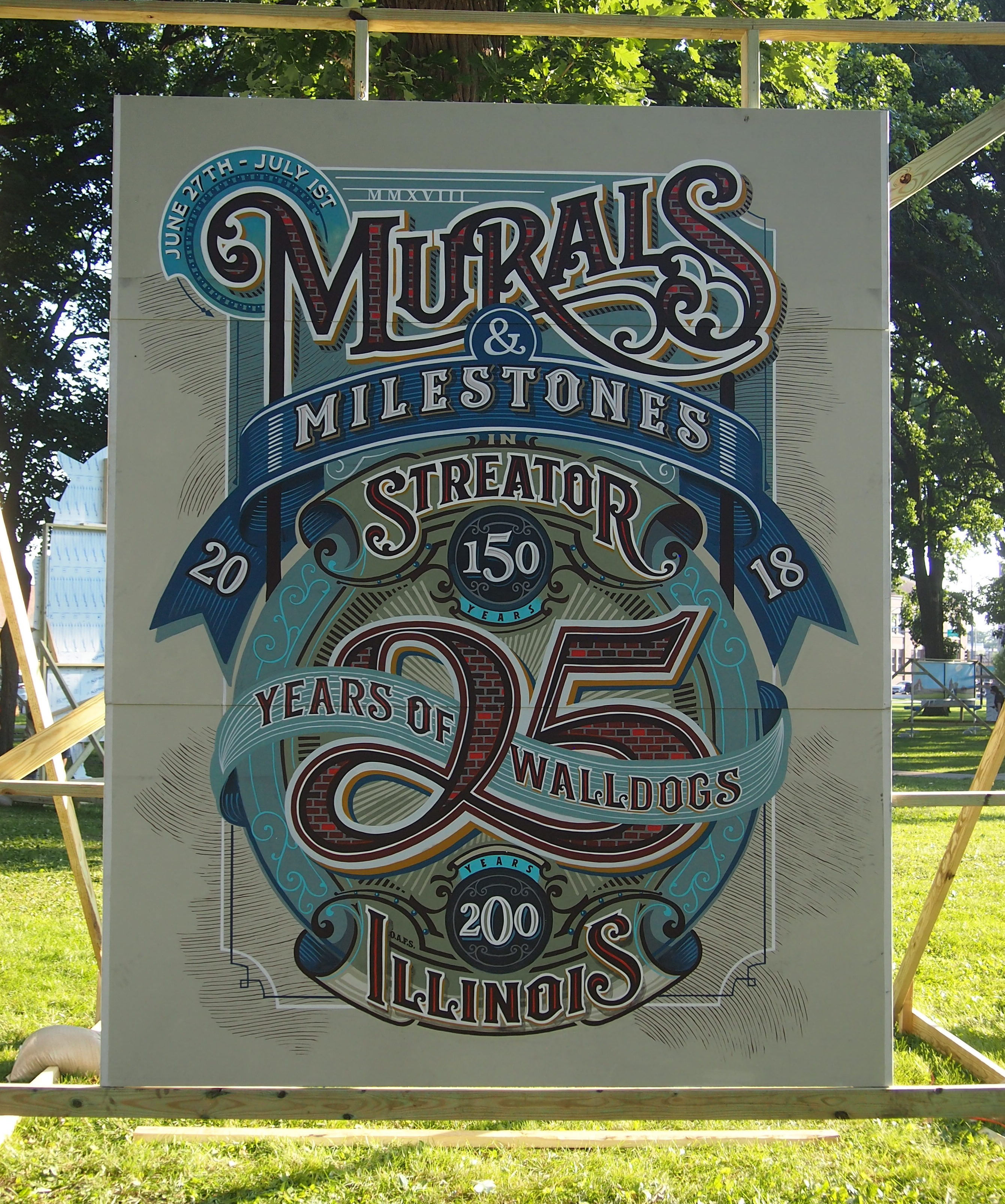
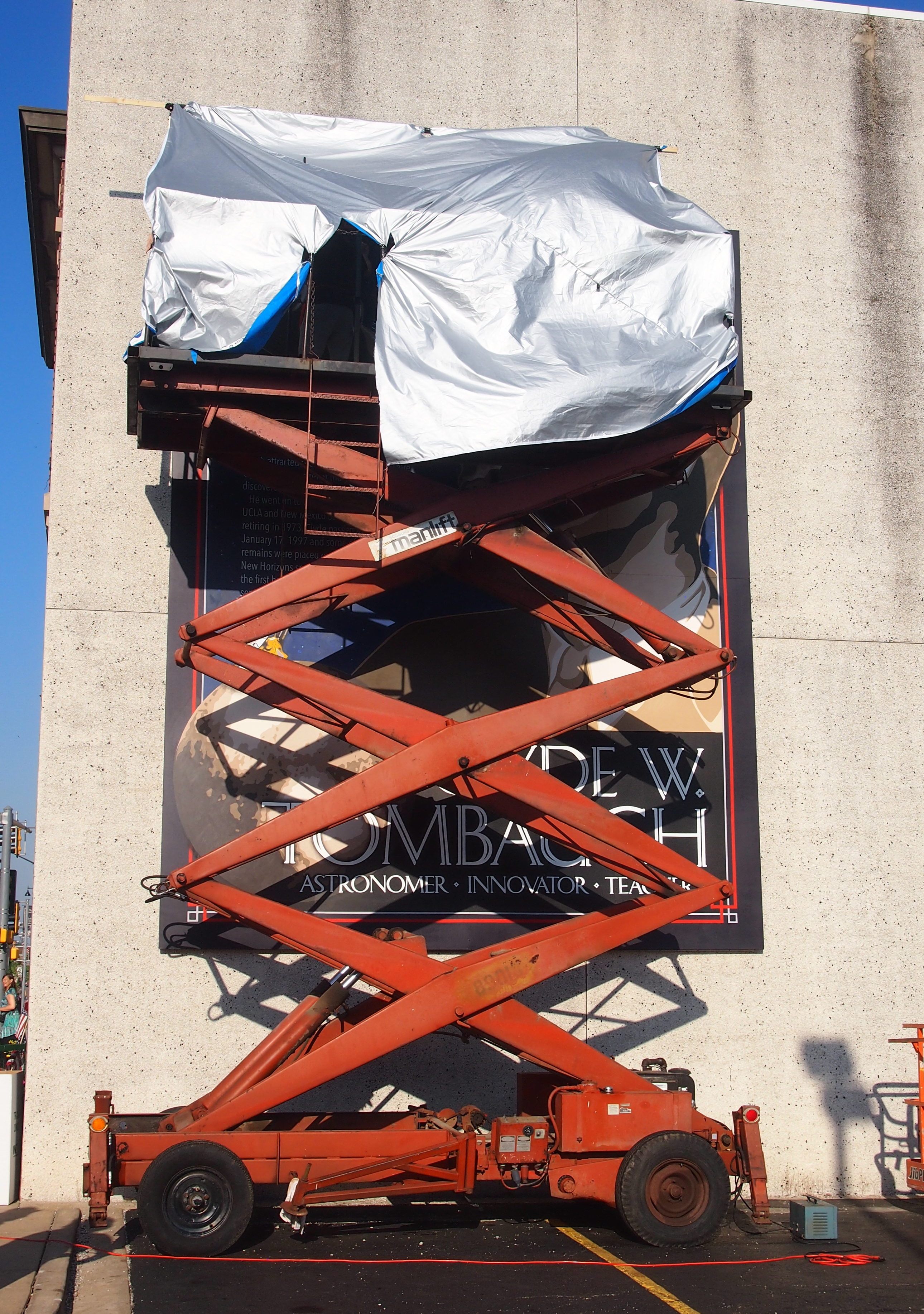
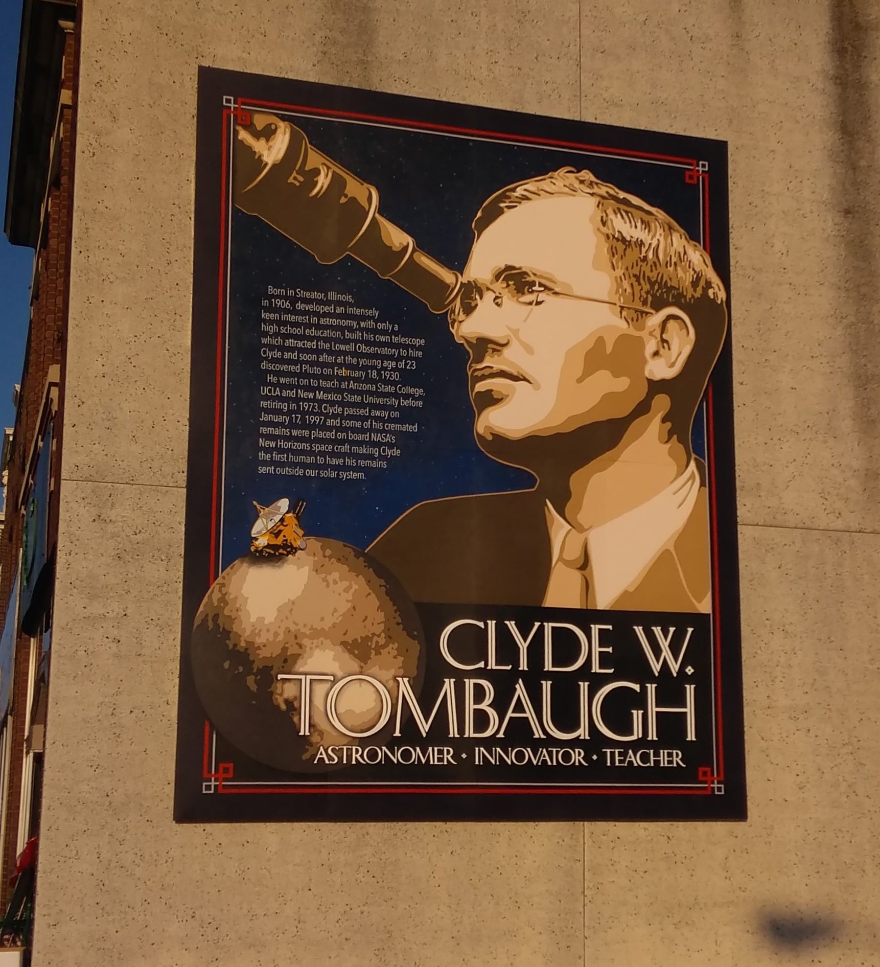
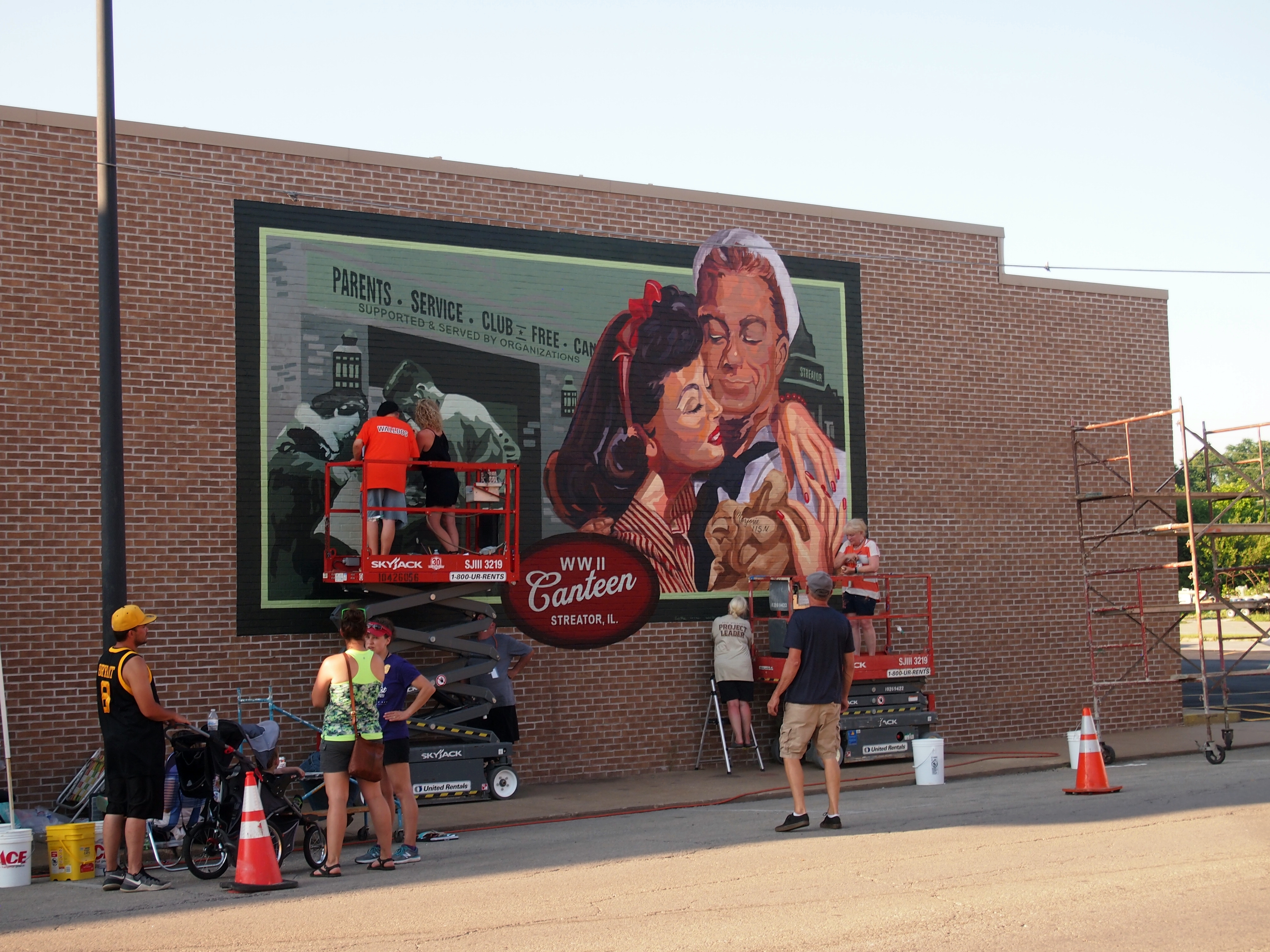
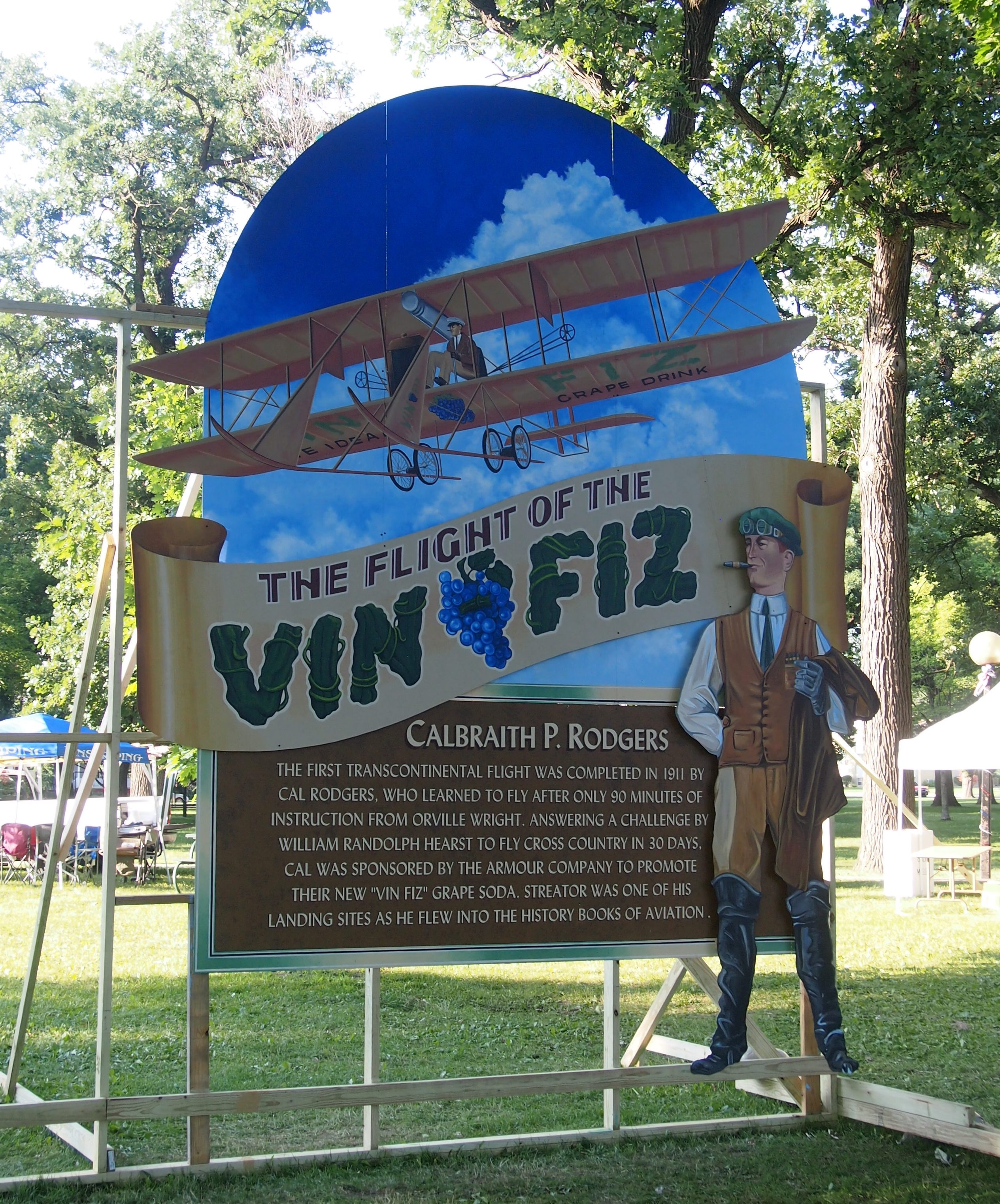
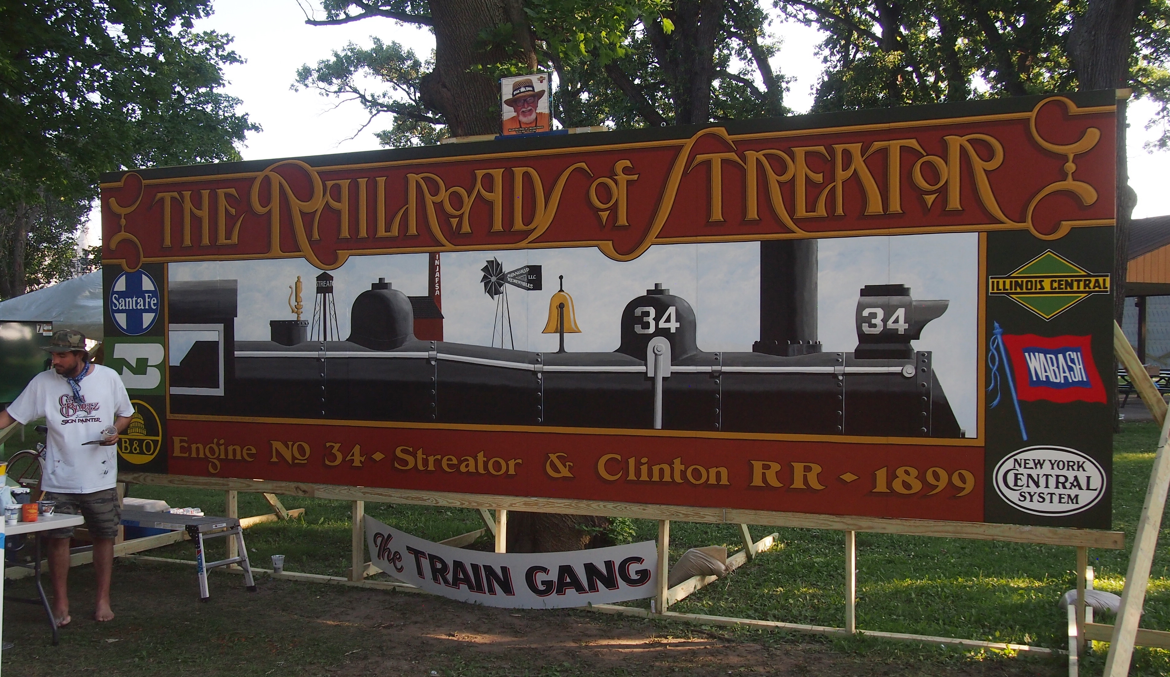
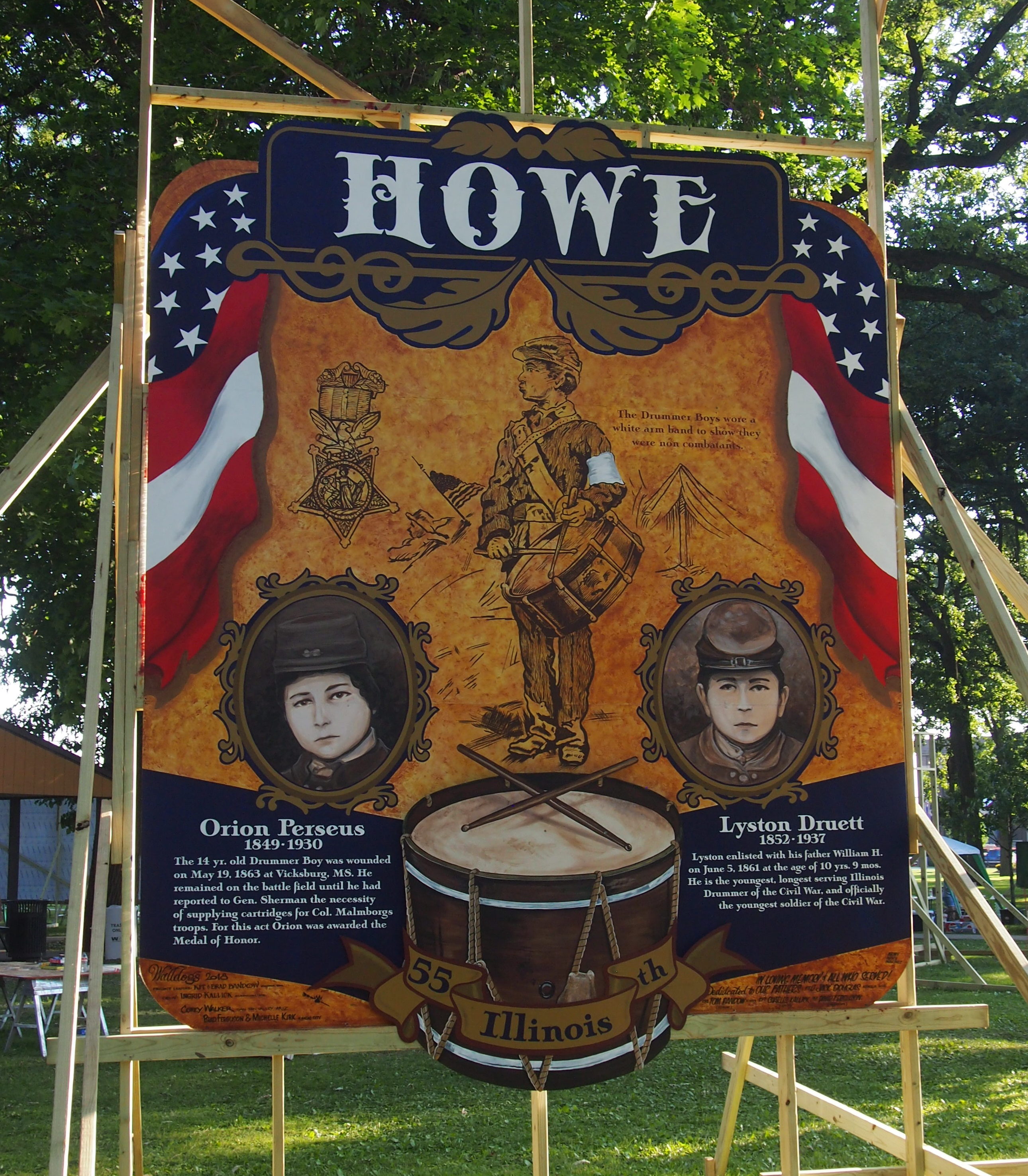
“During the week of June 20-24, 2012, over 130 artists from across the United States as well as Canada, New Zealand, Scotland and Australia descended upon Arcola leaving behind 15 historic murals,” the town’s web site says. “Known as the Walldogs, the loose affiliation of sign painters, graphic artists and other talented individuals reunite annually to entertain and transform a community with their special brand of artistic interpretation, entertainment, and friendship.”

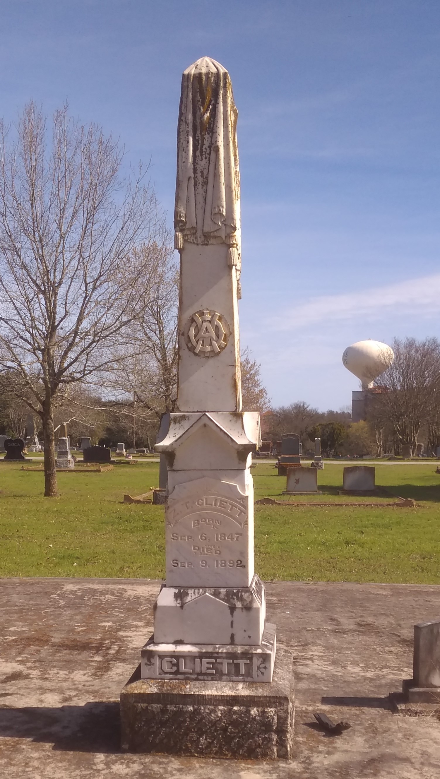
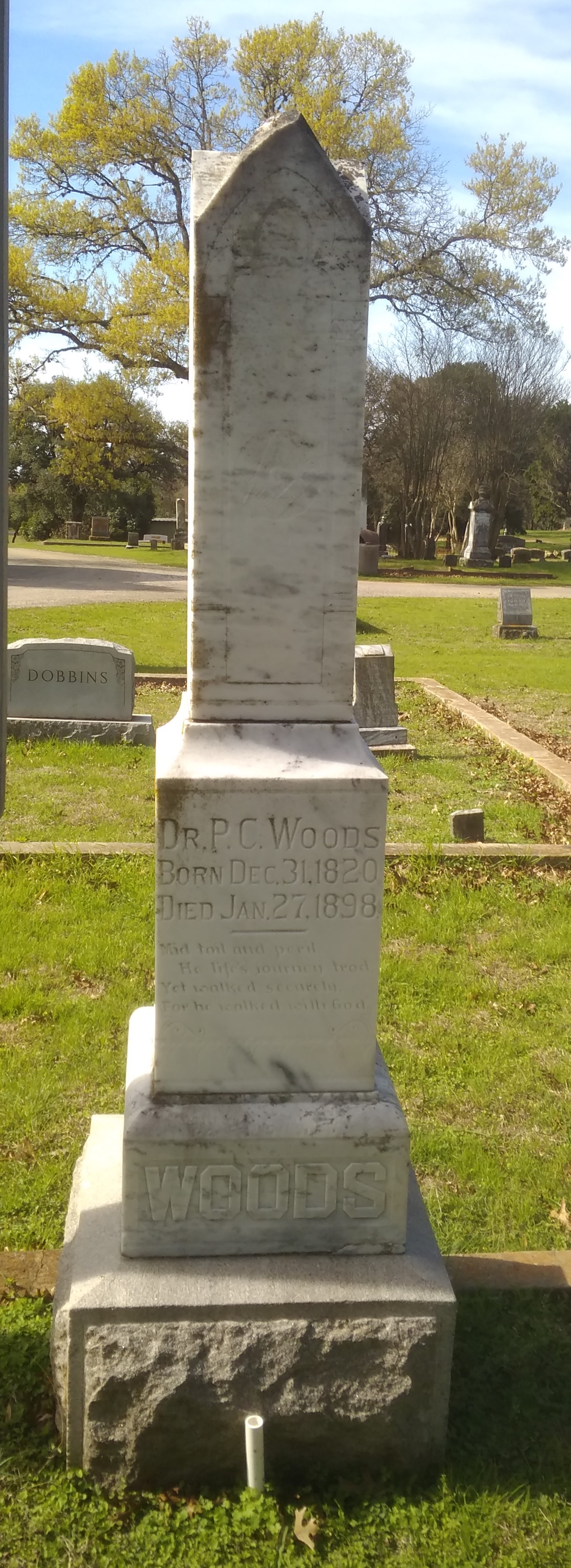
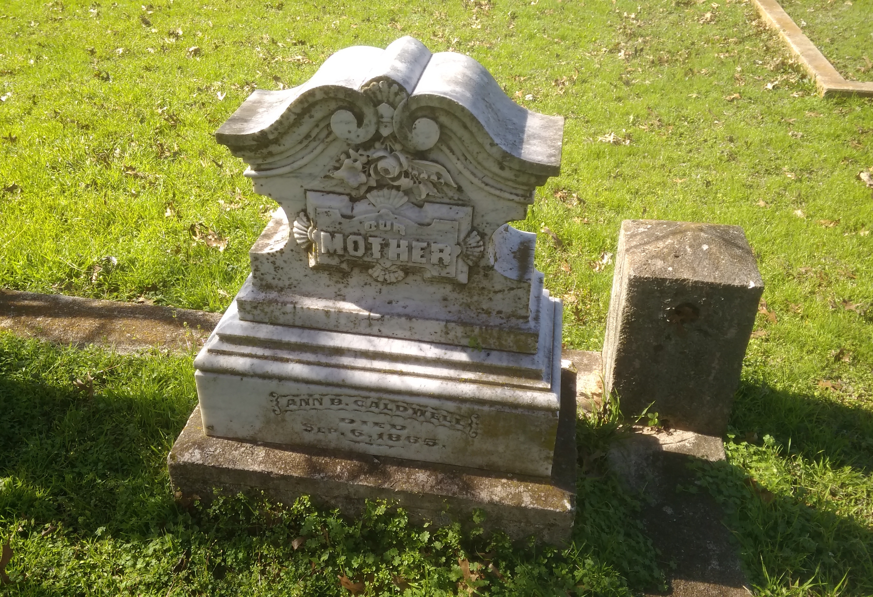
Three West Texas Cemeteries

Heading out from San Antonio on U.S. 90, I considered a stop in Uvalde, Texas, to see the Briscoe-Garner Museum. Briscoe, as in Dolph Briscoe, 41st governor of Texas (in the 1970s, so I remember him), whose family owned 560,000 acres of Texas land not long after his death in 2010. That’s about 875 square miles, or about two-thirds the size of Rhode Island, and not a lot smaller than the Grand Duchy of Luxembourg.

Garner, as in Cactus Jack Garner, 39th Speaker of the U.S. House of Representatives and 32nd Vice President of the United States, who famously said the vice presidency wasn’t “worth a bucket of warm piss.” Especially when you end up at odds with your president. So far he’s the longest-lived vice president or president in United States history, and, as some anonymous writer at Wiki points out, had the distinction of living during the presidencies of both Johnsons: Andrew and Lyndon.

Enough there for a pretty good museum, I’d say. But as I stopped at a rest area along U.S. 90, I did a little more checking and found that the museum is closed on Mondays.

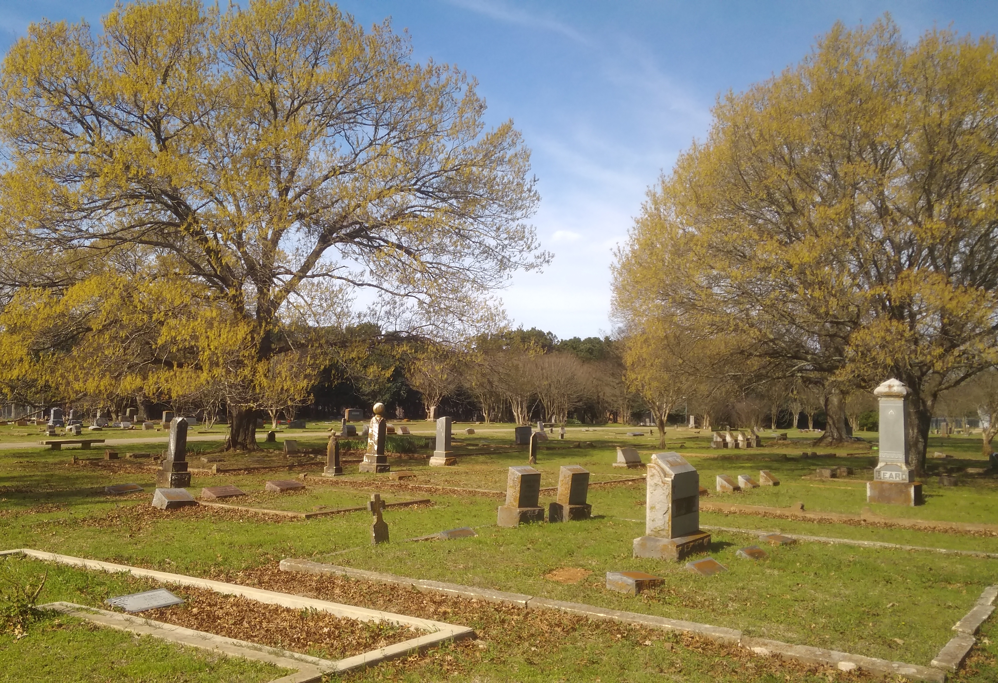
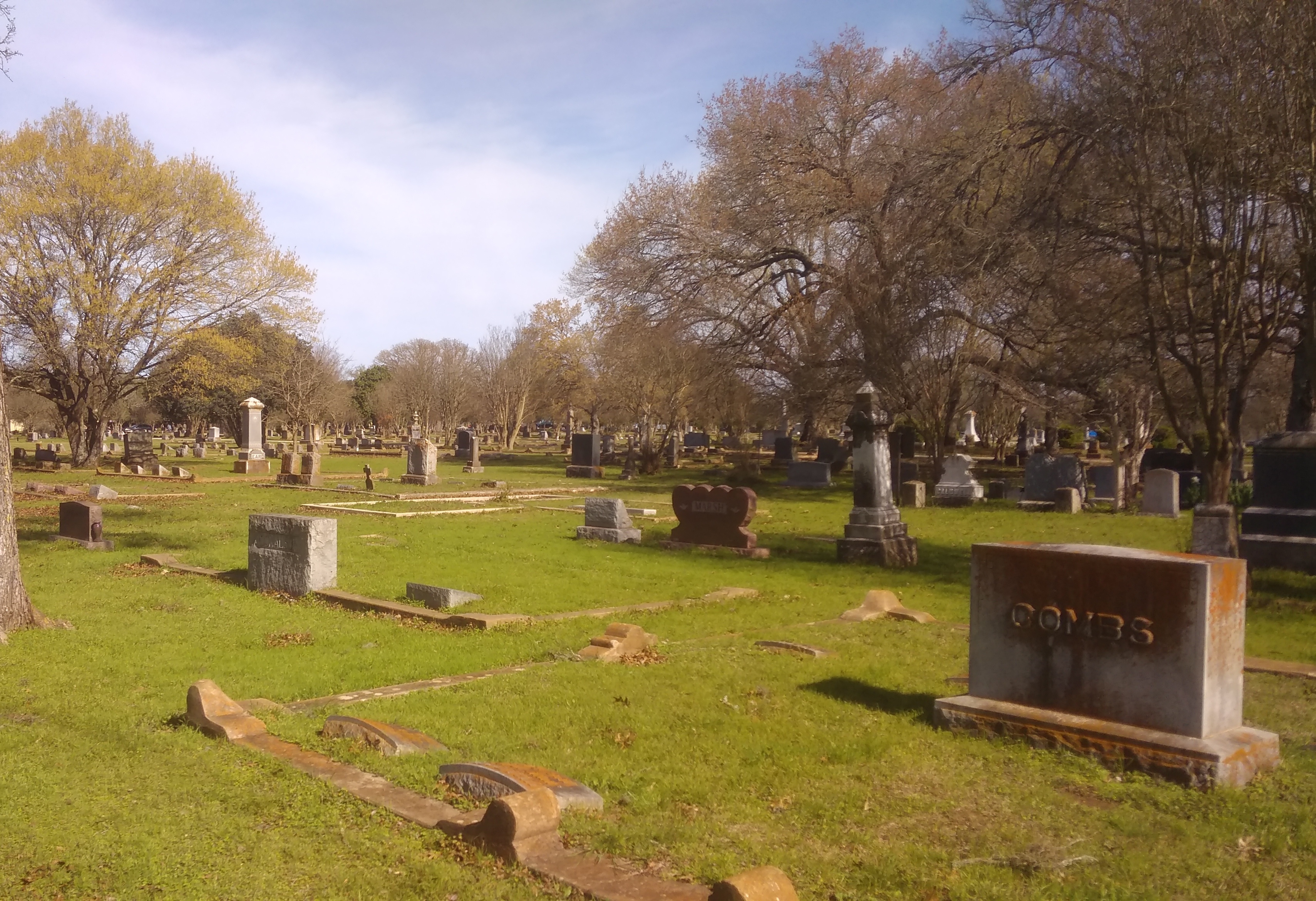
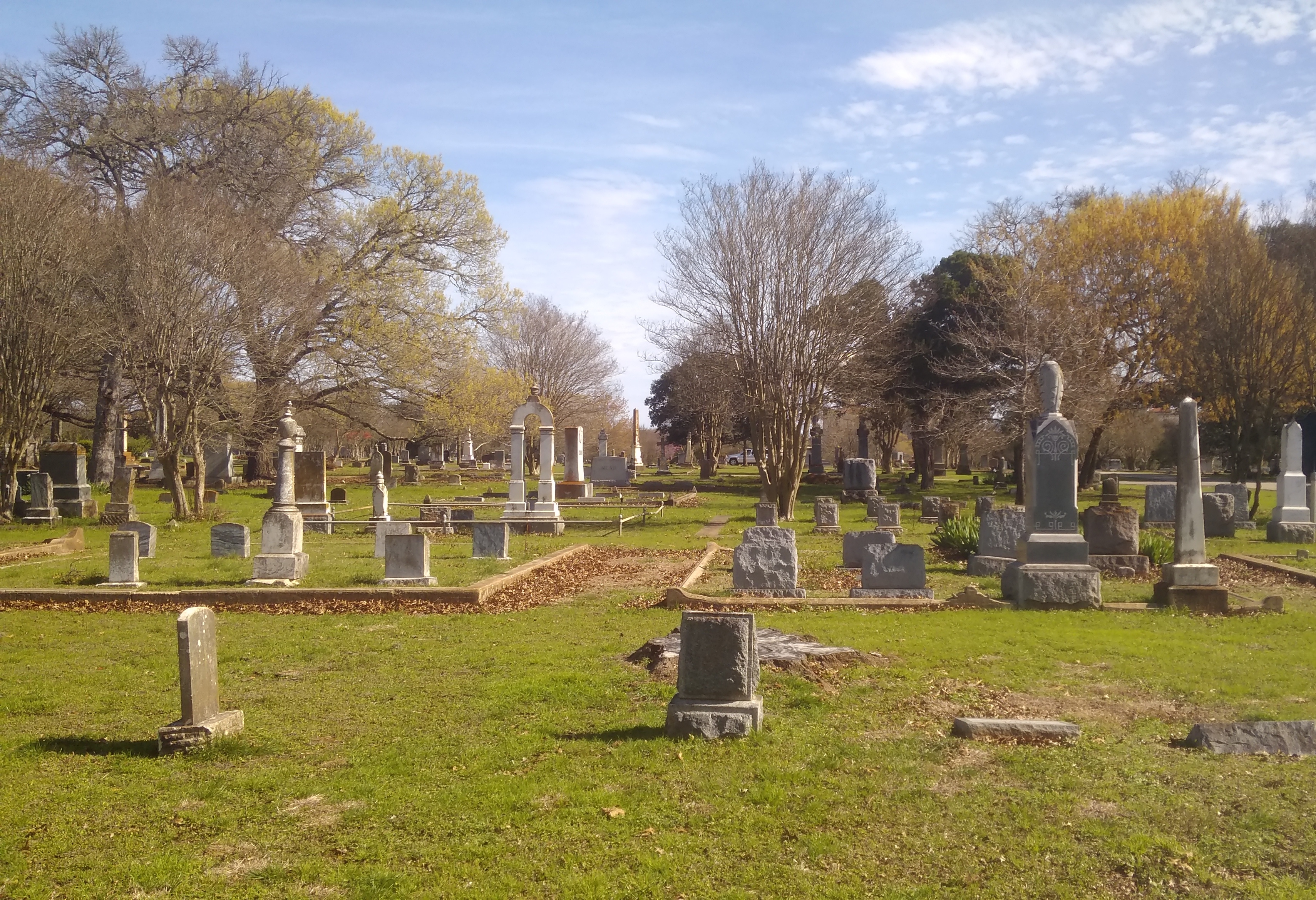
So I decided to drop by Uvalde Cemetery and find Garner’s grave. It’s a large burial ground, marked by some trees and greenery, but not overly garden-like.

Still, I figured I could find Garner. There would probably be flag poles near him. So there were.

Here’s the grave of John Nance Garner and his wife Marietta Rheiner Garner. Imagine that, he was a fully grown man at the turn of the 20th century, and yet lived to see men travel into space.

How many vice presidential graves have I seen? That is, the resting places of men who were never also president? Only one other that I can think of. I got a look from some distance at the stone of John C. Calhoun in Charleston. I need to seek more of them out.

In Fort Davis, Texas, after visiting the National Historic Site of that name, I dropped by the Jeff Davis County Library to check my email, and found it to be a fine adaptive reuse of a late 19th-, early 20-century building complex that had once been a general store, post office, an early telephone exchange and other things.

Just off Texas 118 in Fort Davis is a sign that says Pioneer Cemetery. I had to take a look at that. A narrow path, completely surrounded by the kind of diamond wire-mesh fence that you might see in any suburb, led to the cemetery gate. That was the only entrance that I saw, and otherwise the cemetery grounds were surrounded by fenced-off private houses. That felt a little odd at first, but soon I got used to it.
Like the region, the cemetery is sparsely settled.

But there are a few headstones and fenced-off plots.
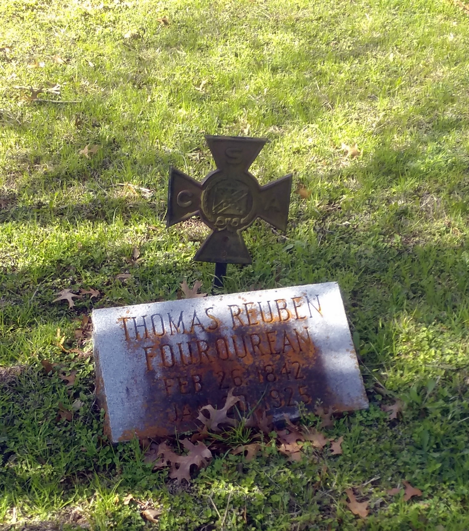
One old soldier that I could see, Joseph Granger, CSA.

According to the plaque at the entrance, the cemetery was active from the 1870s to 1914, which also says that immigrants named Dutchover are buried here, along with a madwoman and a couple of horse thieves. Sounds like a motley mix of pioneers, all right. Here are some Dutchovers.

Marfa, Texas, famed among the glitterati these days, still looks a lot like a small West Texas town, though with galleries, tony hotels and Manhattan-priced shops thrown in the mix. Unfortunately, after visiting the McDonald Observatory and Fort Davis, I didn’t have the time or energy to visit the sizable Chinati Foundation in Marfa, which I’m sure is a worthwhile destination.

I did look around at some other spots. The Presidio County Courthouse is handsome, for one thing.

The Hotel Paisano is decidedly handsome, too.
Before I left Marfa, I stopped at Cementerio de la Merced, a desert cemetery with a mix of wooden markers and more formal stones. Bet not many of the glitterati pause there to pay their respects.

The names on the graves are largely, but not completely, Hispanic in origin. Not far away, but separated by a fence, was a graveyard mostly of formal stones, and Anglo names.

Marfa Public Radio had this to say: “One cemetery is known as the Anglo cemetery. The other two — Cementerio de la Merced and the Marfa Catholic cemetery — are Hispanic…

” ‘Well, it was not legally segregated, but it was segregated by custom,’ says historian Lonn Taylor, a former curator at the Smithsonian Institution in Washington DC…

“In this part of Texas, Hispanics hold many key political offices. Yet a visible reminder of historic inequality are the cemeteries, where in death, people remain divided.”

One Cadillac Ranch & Two Stonehenges

Driving out of Amarillo toward the west I got the impression that the city comes to an end at Soncy Road, a major north-south street. City to the east, open fields to the west. Looking at the city on Google maps, I see that impression isn’t absolutely accurate, but it’s pretty close.

I was going that way to see the Cadillac Ranch. Because that’s a thing you see while passing through Amarillo, like you might mosey over to the Eiffel Tower while visiting Paris for the first time. Google Maps simply calls it the Cadillac Ranch, as does my Michelin atlas. Curiously, my Rand McNally atlas calls it Stanley Marsh’s Cadillac Ranch.

The Cadillac Ranch isn’t far out of town, just south of one of the I-40 feeder roads, which is the former U.S. 66 at the point, so it counts as a Route 66 site for enthusiasts of that road. You can park off the feeder and see the installation from that vantage.

The Cadillac Ranch field is fenced with barbed wire, but not to worry. Visitors can go through a graffiti’d gate.

You walk right up to the 10 cars buried at an angle in the Panhandle soil and join everyone else looking at them or spray painting them.

Roadside America, the authority on attractions of this kind, says that “Cadillac Ranch was invented and built by a group of art-hippies imported from San Francisco. They called themselves The Ant Farm, and their silent partner was Amarillo billionaire Stanley Marsh 3. He wanted a piece of public art that would baffle the locals, and the hippies came up with a tribute to the evolution of the Cadillac tail fin.

“Ten Caddies were driven into one of Stanley Marsh 3’s fields, then half-buried, nose-down, in the dirt (supposedly at the same angle as the Great Pyramid of Giza). They faced west in a line, from the 1949 Club Sedan to the 1963 Sedan de Ville, their tail fins held high for all to see on the empty Texas panhandle. That was in 1974….”

Since then, the cars have been falling apart, but more importantly covered and re-covered ad infinitum with spray paint. The images I took on the afternoon of April 27, 2018 depict how it looked then — a look that I figure is almost as fleeting as cloud formations.

Note also that plenty of people don’t bother taking their spray cans with them when they leave.

The cars weren’t the only surface on which people paint.
Besides being a roadside oddity, I liked the Cadillac Ranch because there’s nothing else to go with it — no visitors center, no gift shop, no exposition signs, not even anything to tell you what the place is called or who created it.
My recent peregrinations also took me to two other places with upright objects installed in the ground, both Stonehenge replicas that I spent a few minutes looking at. One, completed in 2004, was at the University of Texas of the Permian Basin in Odessa.

Unlike the original, visitors are free to get as close as they like to the Permian Basin Stonehenge and even touch the stones. Spray painting would probably be discouraged as rank vandalism, however.

Roadside America again: “Made of limestone slabs up to 19 feet tall and 20 tons apiece, Permian Basin Stonehenge is slightly shorter than the original, but it’s exact in horizontal size and astronomically accurate. Although a plaque in front of the ‘henge claims that the replica is ‘as it appears today in England,’ that’s not exactly true.

“The slabs are blocky leftovers donated by a quarry, so they’re approximations, not duplicates; the Stonehenge stands in a circle of reddish Texas gravel, not the green Salisbury Plain; and the Heel Stone, which marks the summer solstice, had to be stuck in the ground across a street.”

On the last day of my trip, I stopped briefly in Rolla, Missouri, and got a breakfast sandwich at Hardee’s. Not far away was the Missouri University of Science and Technology’s Stonehenge replica. What better place to sit and eat your breakfast sandwich?

It’s a half-sized granite replica. Not a commanding presence, but worth a look. Once more to the Roadside America well, which says the replica was built in the 1980s to “showcase the stone carving capabilities of [the school’s] High Pressure Water Jet Lab.”

Fort Davis National Historic Site

The town of Fort Davis, which I later learned is unincorporated despite being the county seat of Jeff Davis County, Texas, has an example of an historic site worth seeing, though probably not worth going to see: Fort Davis National Historic Site. I was there a week ago, after visiting McDonald Observatory.

The place was a military post from 1854 to 1862 — Confederate the last of those years — and again from 1867 to 1891 as part of the string of forts in the region to protect emigrants, mail coaches, and freight wagons.

Fort Davis National Historic Site had about 60,900 visitors last year, putting it at 278th out of 377 Park Service units. About an hour wandering around the grounds was enough to see the standing buildings, ruins, a handful of exhibits, and the sizable parade ground.

Without this sign, there’s little to tell you that the old San Antonio-El Paso Road passed this way.
The odd thing to me is that when Fort Davis was re-established after the Civil War, the U.S. Army kept the name. Sure, Jefferson Davis had been Secretary of War in the 1850s. But from the point of view of the United States government, he had done some questionable things since then. Maybe it’s just an example of bureaucratic inertia.

Seaside, Florida 2007

Has it been 10 years since I roamed the New Urbanist streets of Seaside, Florida? It has. Did a whole week’s posting about it, including Seaside, Florida Part 1 and the Last Photo Series of Seaside. Hope the recent winds and rain didn’t cause the place too much harm.

I stayed in WaterColor during that visit, a newer planned community next to Seaside. So close, in fact, that it’s an easy walk between the two.

Near Sideside, FloridaSideside, FloridaAlmost immediately Seaside offered up pleasant buildings to look at. These were along County 30A, which ran between the town and the Gulf.

Sideside, Florida

Sideside, Florida

Other structures were further into the town. In this case, commercial.

Sideside, Florida

Near the beach.

Sideside, Florida

Water’s edge near Seaside.

Sideside, Florida

The easily walkable brick streets of Seaside.

Sideside, FloridaEasy mainly because there was no one else around. I wrote at the time that “I saw only one or two other pedestrians, a couple of bicyclists and one car drive by in the hour or so that I spent on the streets, looking at things and taking pictures.”

Even the golf carts were idle.
Sideside, FloridaThere’s no golf course around that I know of, but such carts would be a good way to get around a town this size. I expect things are a lot busier starting around November and finishing in around April. Perhaps only the die-hard Seasiders stay for the sticky summers and the thrill of hurricane season.

I took a close look — zoomed it on in — at the last picture and saw that the house’s name (Seaside houses have names) is Apple Pie A La Mode.

More Vincennes

At Grouseland in Vincennes, during the tour, our guide pointed out a sizable crack in the wall of one of the upstairs bedrooms. She said that was the only damage to the interior walls that the long-time modern owners of the property, the Daughters of the American Revolution, decided not to repair. That’s because the 1811-12 New Madrid earthquakes make the crack. That crack might be the only visible relic anywhere of that long-ago event. Historic damage preservation, you might call it.
Outside of the Harrison mansion are a few memorials, one of which is homely indeed.
Two blocks south of this marker on March 6, 1814, was born Sarah Knox Taylor, daughter of Capt. and Mrs. Zachary Taylor.
Miss Taylor married Lieut. Jefferson Davis at Louisville, Kentucky on July 17, 1835 and died in West Feliciana Parish, Louisiana, on September 15 of that same year.

Zachary Taylor subsequently became the twelfth President of the United States, and Jefferson Davis the first and only President of the Confederate States of America.

Erected by the United Daughters of the Confederacy 1964

A Confederate memorial, sort of, but somehow I doubt that memorial revisionists are going to be flustered by it.

Grouseland has a small gift shop. You can buy William Henry Harrison Pez dispensers there. I did.

William Henry Harrison PezWHH Pez is now going to keep company with my Franklin Pierce bobblehead.

At the George Rogers Clark National Historical Park gift shop, you can buy a flag I’ve never seen anywhere else: the George Rogers Clark Flag. I got one of those, too.
George Rogers Clark FlagThe Clark flag is now going to keep company with my Come And Take It flag that flies on our deck during the warm months.

Apparently Clark’s men didn’t carry the flag at the Battle of Vincennes, but it was around — a previous American commander at Sackville, before the British took the fort, might have used it. Clark got his name attached to it anyway. Also, it isn’t clear why red and green were its colors. Never mind, all that mystery adds interest. It’s distinctive, and you can find it displayed with more conventional flags at the National Historical Park.
George Rogers Clark Memorial flagsVisible from the George Rogers Clark National Historical Park is the Lincoln Memorial Bridge across the Wabash (US 50), the border at that place between Indiana and Illinois. An elegant bridge.
Lincoln Memorial Bridge, Vincennes, IndianaThis was where a young Abraham Lincoln (age 21) and his family is thought to have crossed into Illinois for the first time in 1830. On the Illinois side of the river, that event is marked with a memorial.
Lincoln at 21 memorial, entering IllinoisProbably the Lincolns crossed the river on a ferry. Crossed the river, checked out the memorial, and then when on their way. I admit, that sounds like a scene from a Mel Brooks movie, but it’s something I thought of while looking at the memorial.

Lincoln crossing into Illinois memorial

Officially, it’s the Lincoln Trail State Memorial, designed by Nellie Verne Walker and erected in 1938.

One more thing in Vincennes: a small museum to a native son. Anyone younger than me (roughly) might have a hard time identifying him.
Red Skelton mural, VincennesThe museum was closed on Sunday, and we didn’t have time for it anyway, but I did tell the girls that Red Skelton was an old vaudevillian, long before my time. I remember him on television, which was essentially televised vaudeville in his case. Who in our time would do comedy that included “The Silent Spot”?

George Rogers Clark National Historical Park

There’s probably no way to measure this, but I believe that the George Rogers Clark Memorial, which looks very much like it belongs on the National Mall or somewhere equally prominent, is the most obscure large memorial in the country. Who’s ever heard of it, especially outside Indiana? But at more than 80 feet high and 90 feet across at the base, with walls two feet thick, it cries out to be acknowledged as Founding Father-class memorial.George Rogers Clark MemorialThe structure is the centerpiece of the George Rogers Clark National Historical Park, which is near the Wabash River in Vincennes, Indiana, just across from Illinois. In early 1779, when Indiana and Illinois were unrealized political entities contingent on a Patriot victory in the Revolution, Fort Sackville stood on the site — more or less. It was around the area somewhere, and occupied by a British garrison.

Above the memorial’s 16 Doric columns, the inscription says: The Conquest of the West – George Rogers Clark and The Frontiersmen of the American Revolution.
George Rogers Clark MemorialIn a tour de force, days-long maneuver in the dead of a Midwestern winter, George Rogers Clark led the forces that assaulted Fort Sackville and took it from the British. But that was just the climax of his efforts.

“Clark began his campaign of attempting to weaken the British position by influencing the French settlers in the area to support the American cause,” the NPS says. “Through these efforts, Clark was able to capture the Illinois Country posts of Kaskaskia, Prairie du Rocher, and Cahokia. Soon after, this French influence was extended over 150 miles to the settlers in Vincennes, and they also declared themselves allies to the Americans.

“… George Rogers Clark in the late summer of 1778 [was] in Cahokia, at a council he called with local Indian tribes in an effort to negotiate peace. By convincing [British Lt. Gov. Henry] Hamilton’s Indian allies to switch sides, Clark could further diminish the resources available to the British.

“Although Clark’s forces at this council were far outnumbered by the Indians in attendance, he impressed the warriors with his bold manner. Many of the leaders of these tribes were convinced to accept the white belt of peace rather than the red belt of war. While this council certainly strengthened Clark’s efforts, there were still many tribes who chose to continue their alliances with the British.”

In older histories, at least, Clark is thus credited with allowing the United States to acquire the Northwest Territory under the terms of the Treaty of Paris in 1783. Of course, more recent historians disagree about how important Clark’s campaign was in influencing that outcome, as historians do.

Probably the Crown considered that part of North America lost anyway, since newly independent Americans would surely pour into the territory. On the other hand, who knows? Had there been a British garrison in Indiana, and more British-aligned Indians, they might have tried to hang on to the area, as they did Canada.

Also, just in passing, Clark established a settlement in Kentucky that would become Louisville. Finally, he’s William Clark’s elder brother; he of Lewis & Clark fame, whom everyone has heard of. So why is George Rogers Clark so obscure? (Well, not completely to Hoosiers.)

Such is the ebb and flow of historic reputation. Still, Clark got himself a spiffy monument eventually, at the insistence of the people of Vincennes and probably a fair number of Indiana politicians in Washington, around the time of the 150th anniversary of the battle.

New York architect Frederic Charles Hirons designed the memorial, and it was considered important enough for President Roosevelt himself to come dedicate it in 1936 (though the Coolidge administration got the process started).

Inside — air conditioned in our time, a good thing — is a bronze of Clark. On the floor is Clark’s statement to the Virginia Council in 1775, requesting aid for Kentucky: If a country is not worth protecting, it is not worth claiming.

George Rogers Clark statue, Vincennes

Hermon Atkins MacNeil did the sculpture. I’d heard of him already — he also designed the aesthetic Standing Liberty Quarter, which I’d argue we should go back to, once Washington’s been on the quarter 100 years (coming up in 2032).

The murals depicting the campaign are by Ezra Winter. Some details:

George Rogers Clark Memorial

George Rogers Clark Memorial - muralAfter I wrote about Geo. Rogers Clark and his NHP, I mulled over how many National Historical Parks there are, and how many I’ve been to. Fifty-one all together — not the same as National Historical Sites, of which there are 78. I remember visiting 13 such NHPs, two of which were only this year, though I might have forgotten a few. As for sites, only 11. I need to get out more.

The Basilica of St. Francis Xavier, Vincennes

Ah, woe is Houston. It could have easily been my hometown. Even though it isn’t, I hate to see it underwater.

Vincennes, Indiana, has a handsome downtown, or at least a well-appointed main street. We drove on that street on August 20, but didn’t stop because the 90-plus temps that day discouraged walking around. Elsewhere in the town, I noticed the grass as it should be in August: brown, indicating sustained heat and not a lot of rain recently.

A few blocks away from downtown Vincennes is the Greek Revival-style Basilica of St. Francis Xavier, dating from 1826 and built on the site of two previous churches, the first going back to Frenchmen building a log structure ca. 1732. A plaque near the entrance calls it The Old Cathedral.

Center of the Catholic faith and scene of the great events of early American history in the old Northwest Territory. This historic and stately cathedral was raised to the rank of a basilica by His Holiness, Pope Paul VI, March 14, 1970.The Basilica of St. Francis Xavier, VincennesThe Basilica of St. Francis Xavier, VincennesThe interior sports large wooden Doric columns dividing the nave from aisles, a painted ceiling, murals and some fine stained glass. Stately indeed.
The Basilica of St. Francis Xavier, VincennesI told Ann how stained glass was used to tell Biblical stories to people back when most were illiterate, and that the tradition continued after that. Or sometimes they illustrate general principals, such as Jesus being Jesus.
The Basilica of St. Francis Xavier, VincennesOne you don’t see too often, or at least I don’t think so: the Lord as a 12-year-old at the Temple.
The Basilica of St. Francis Xavier, VincennesI’m just guessing, but the mural to the left of the altar (its own left) seems to be St. Francis Xavier in the Spice Islands (Malikus). Here’s a detail.

St. Francis Xavier Basilica, Vincennes

Toward the back is a fine-looking organ. I can’t say a thing about it, except I wouldn’t have minded hearing its pipes blow.
St. Francis Xavier Basilica, VincennesOut in front of the basilica, there’s a statue that’s unlikely to rise the ire of any would-be memorial revisionists: Father Pierre Gibault (1737-1802). Sculpted by Albin Polasek, much of whose work is visible in Florida.
St. Francis Xavier Basilica, VincennesI had to look him up. He was a Jesuit missionary and priest in the Northwest Territory, and when war came, he provided vital help to George Rogers Clark in his effort to capture Vincennes from the British in February 1779. Perhaps that was his way of paying back the British, whom he witnessed conquer New France in the Seven Years’ War.

Grouseland

Grouseland is the inelegant name of a more elegant-that-expected house, supposedly named after the plentiful birds in the area, and thought to be the first brick building in Indiana — the Indiana Territory in those days. It was the home of territorial Gov. William Henry Harrison and his family in the early years of the 19th century. Long before Tippecanoe and Tyler too.

Even longer before “We Are the Mediocre Presidents,” though I’d argue that Wm. Henry Harrison was one of the great U.S. presidents. And one of the worst. He didn’t have time to be anything else.

Last Sunday we arrived in Vincennes, Indiana, hard by the Wabash River, and Grouseland was our first stop. Guess I need to add it to my vanity list of presidential sites, which I haven’t updated in more than three years. Maybe next Presidents Day.

Grouseland, Vincennes, Indiana

Patterned after the Harrison manse in Virginia, Grouseland probably would have been no great shakes in the early 19th-century Old Dominion, but out in the wilderness of Indiana, it must have been impressive. It’s still impressive in small-town Vincennes. The exterior walls were built sturdy enough to endure for more than two centuries, but most of the interior is a faithful re-creation, considering that after the Harrisons left, the property was given over the other uses, including a period as a barn.

Grouseland, Vincennes, Indiana“As governor, Harrison saw his principal task as opening lands belonging to the local Indian tribes to white settlement,” the NPS says of Grouseland’s heyday. “He negotiated a series of treaties that provided for the cession of millions of acres of land, but his success generated strong resistance.

“Tecumseh, the famous Shawnee leader, who was trying to recruit other tribes to join him in armed resistance, met with Harrison at Grouseland in 1810 and warned that his people would fight to prevent further white encroachment. Located to the left of the center hall, the ‘Council Chamber,’ is where Harrison held many meetings with Indian leaders and conducted much of his business as governor.”

We got to the house just in time for a guided tour, given by a fetching Vincennes University history major undergrad volunteering for the gig. The campus extends off in the distance from Grouseland. Until I looked it up, I knew nothing about the school except as a spot on the map. (Pretty much the same could be said for Vincennes.)

From its web site: “VU is Indiana’s first college. William Henry Harrison, the ninth U.S. President, founded VU in 1801 while serving as governor of the Indiana Territory. VU was incorporated as Vincennes University on November 29, 1806.”

So that’s another Harrison legacy. Attaboy, William Henry.