RIP, Patricia Deany, mother of our dear old friend Kevin Deany, and a kind and gracious lady. She passed last week at age 90.
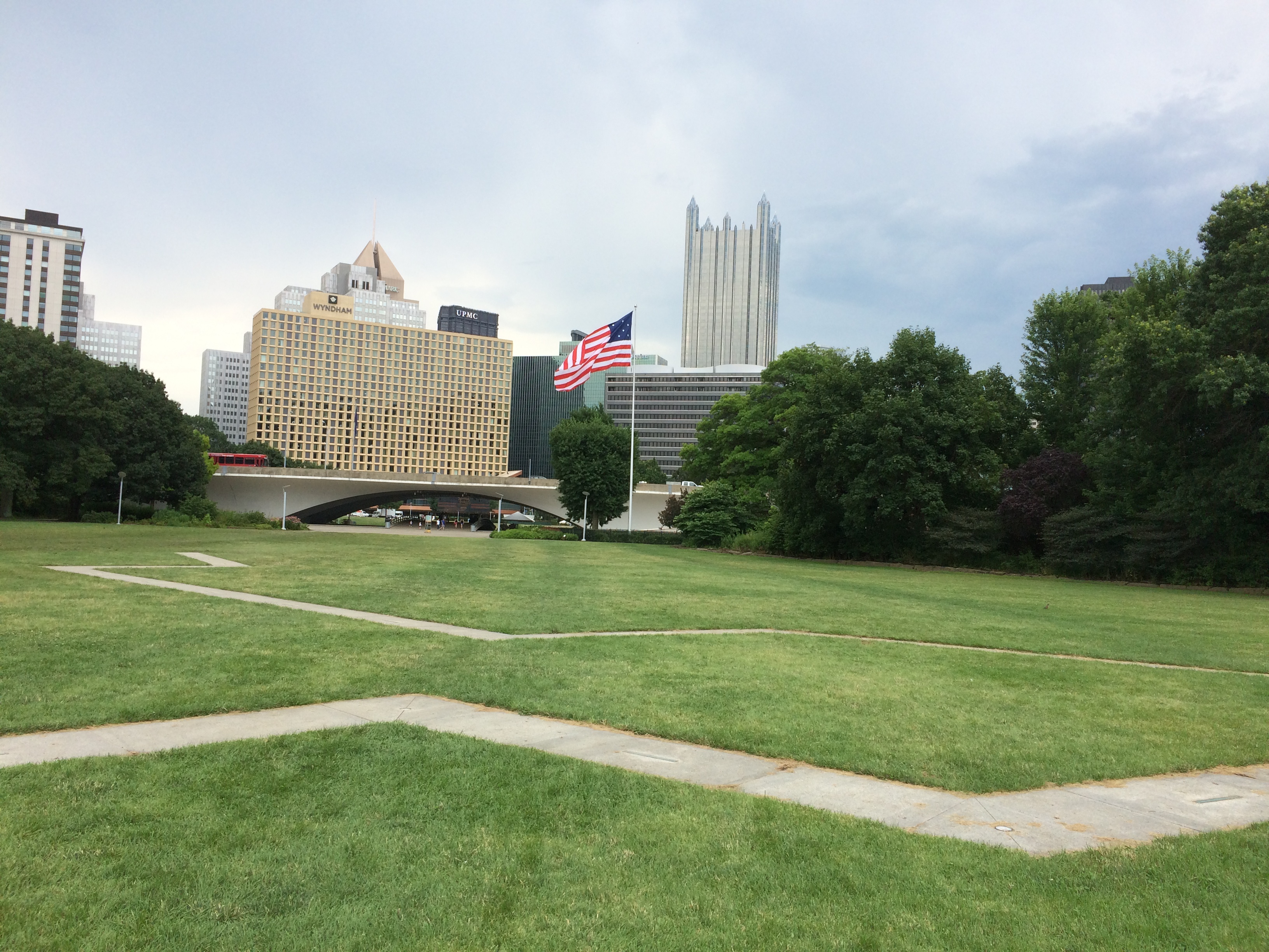
At the confluence of the Allegheny and Monongahela rivers is Point State Park, a 36-acre triangular patch of land that may well be featured in every bit of tourist literature ever published about Pittsburgh since the park’s creation nearly 50 years ago.
But that’s no excuse not walk over to the park from downtown Pittsburgh and make a circuit around the fountain at the tip of the park, which is what we did after lunch at the Oyster House on July 5.
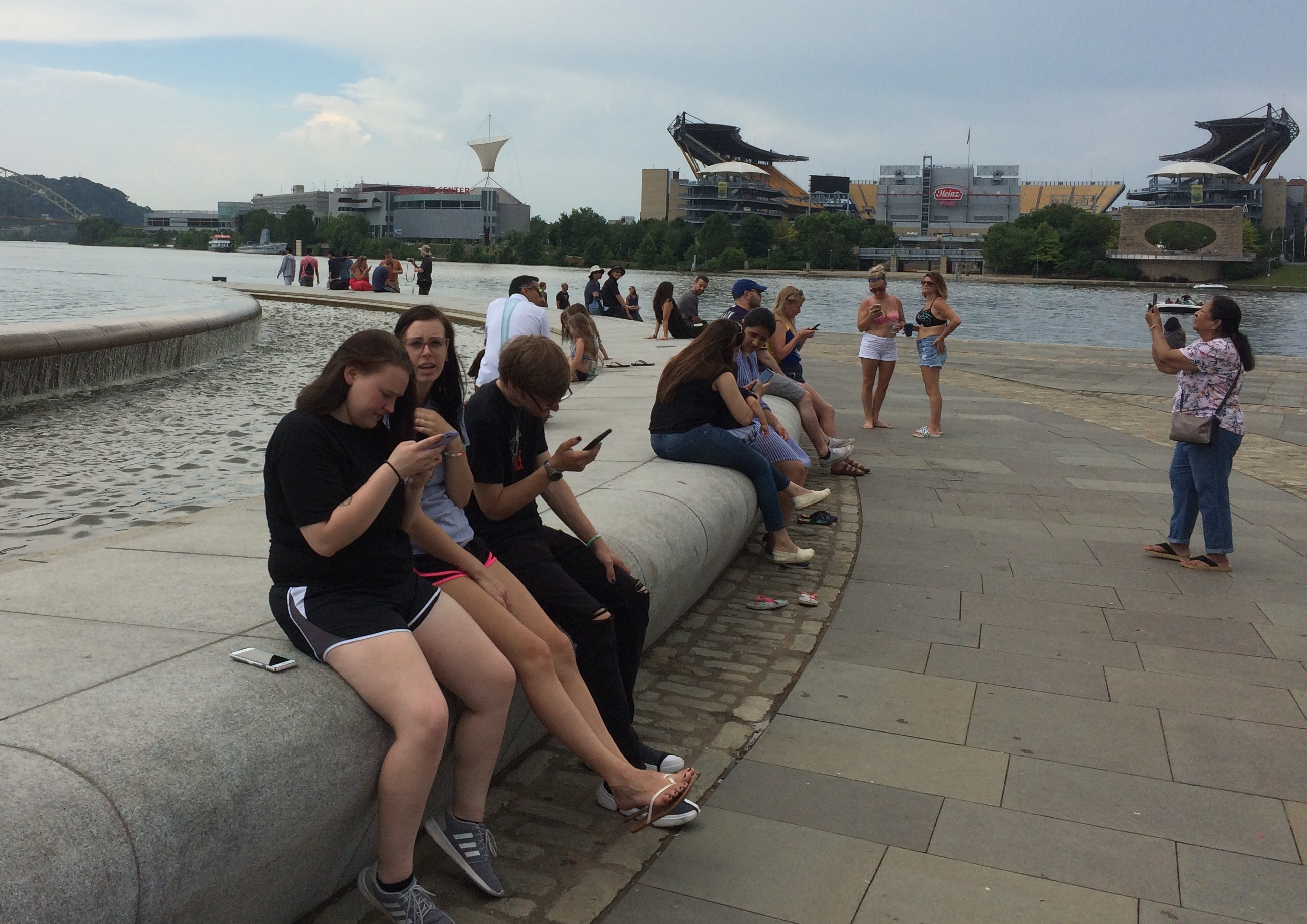
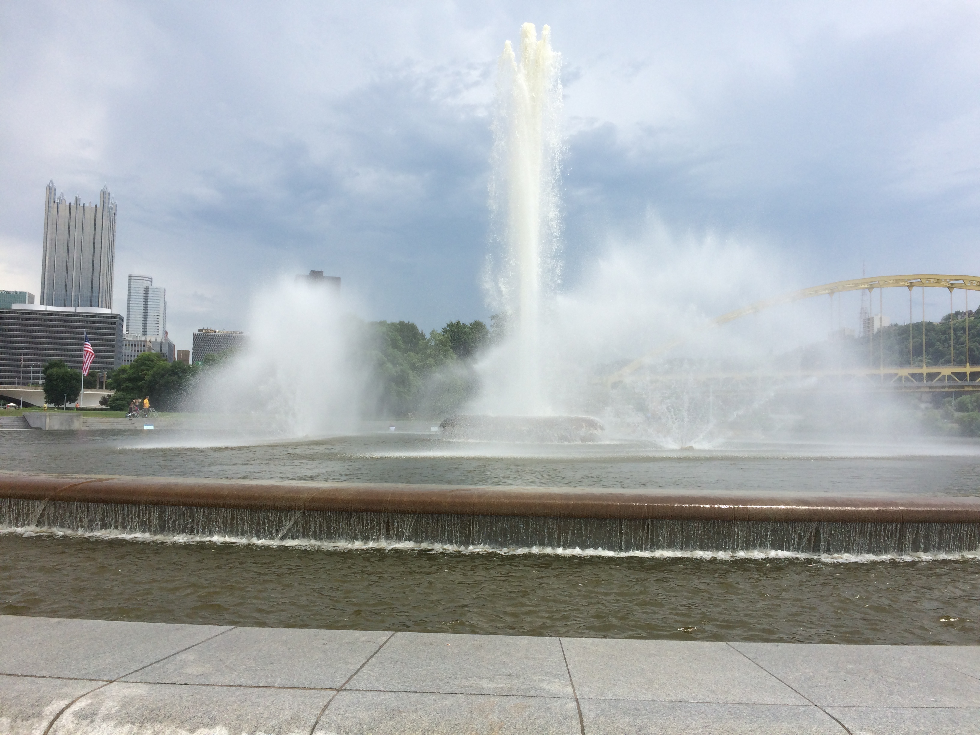 That image makes it look like no one else was there, which wasn’t true at all.
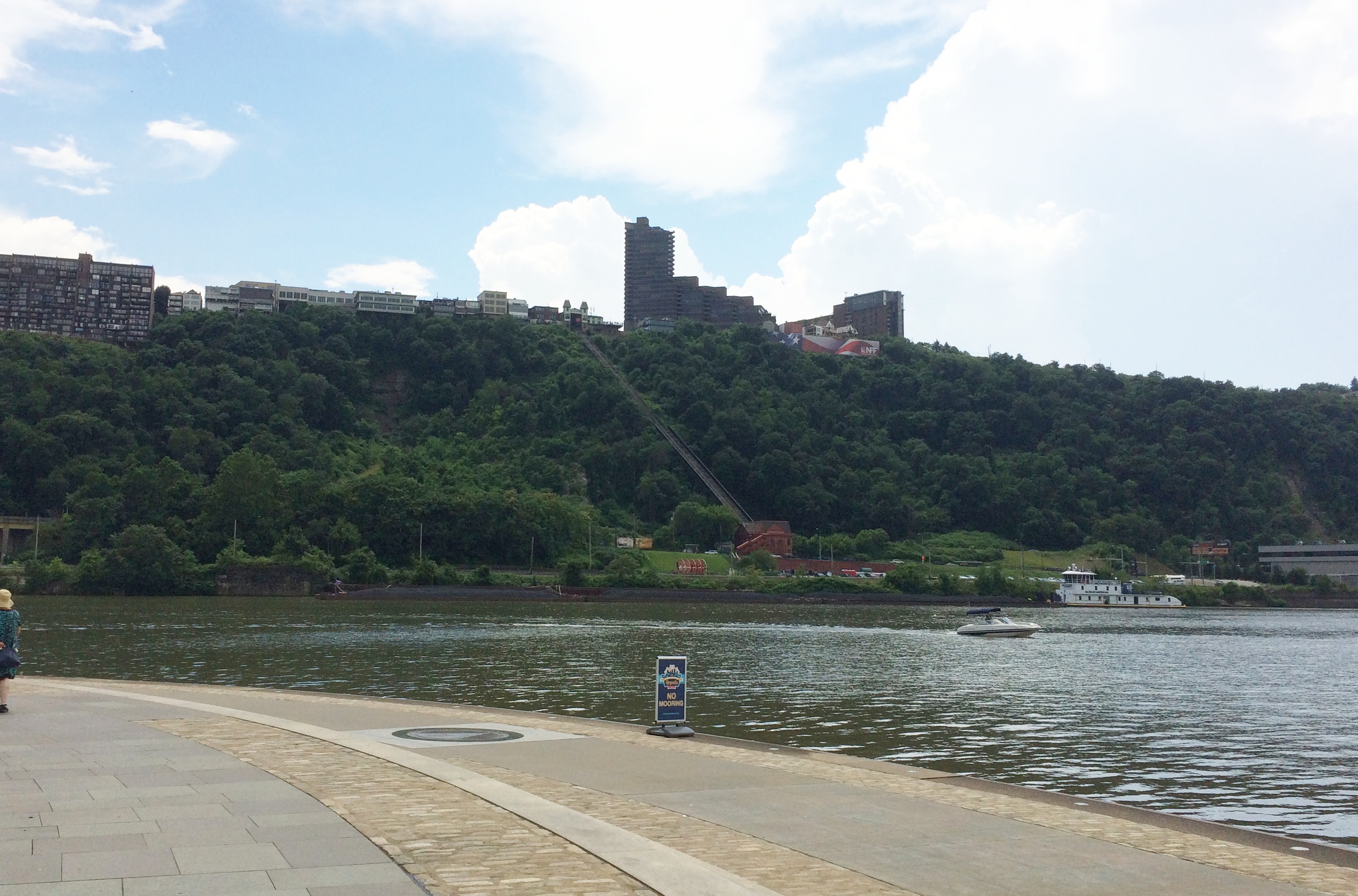
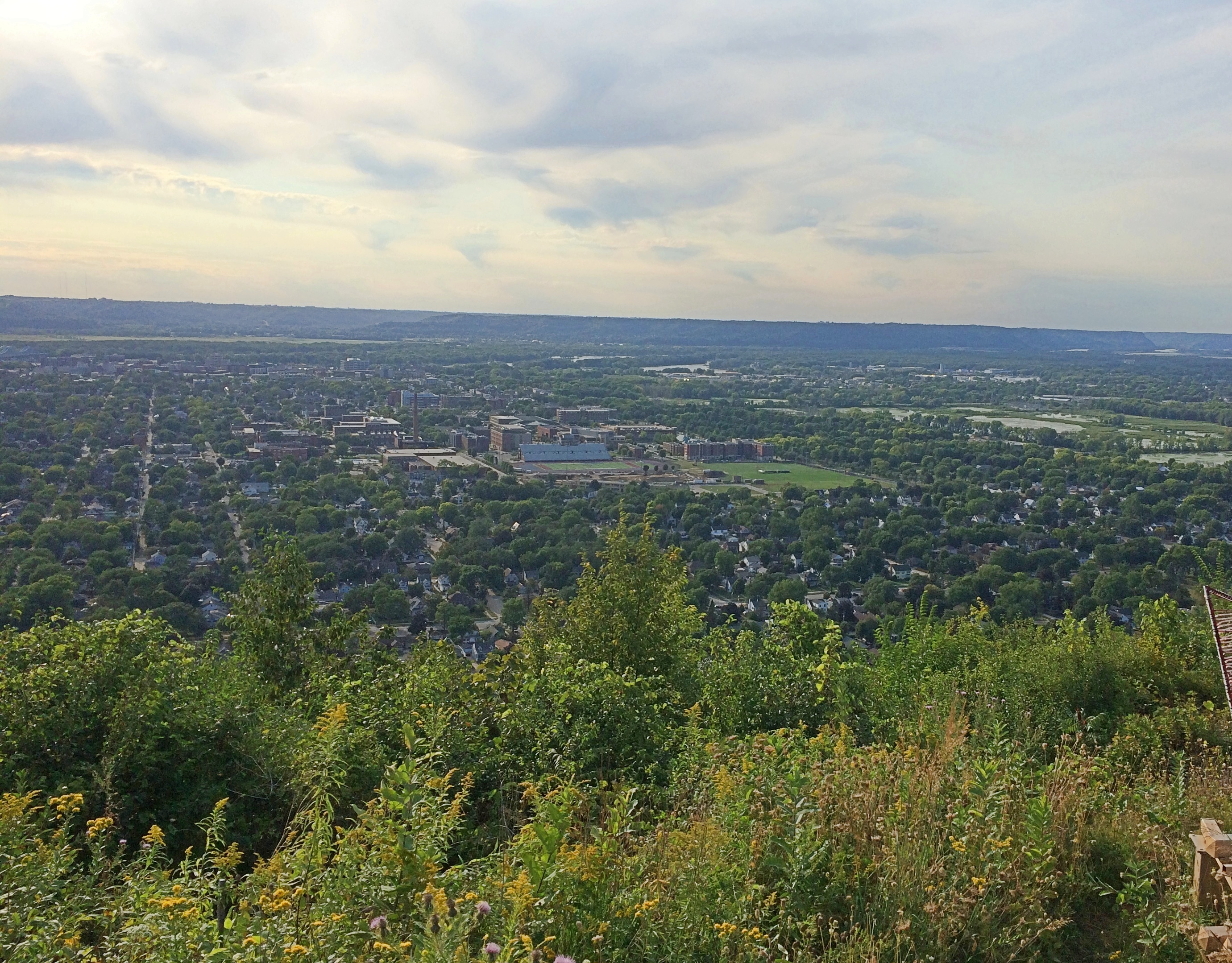
 The park offers views of various other parts of Pittsburgh, such as Mt. Washington and the Duquesne Incline.
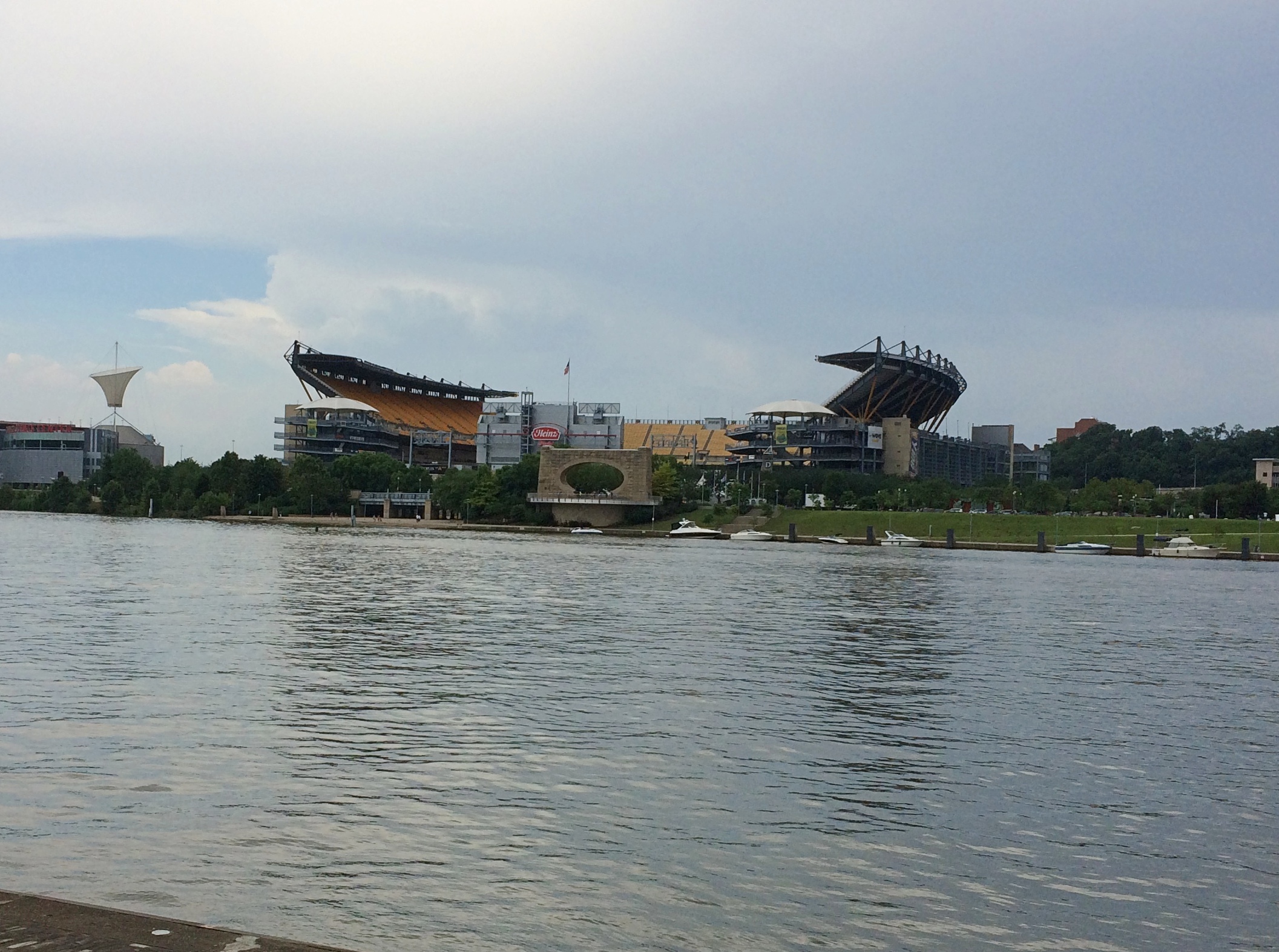
Or Heinz Field, home of the Steelers. There ought to be a giant ketchup bottle in there somewhere.
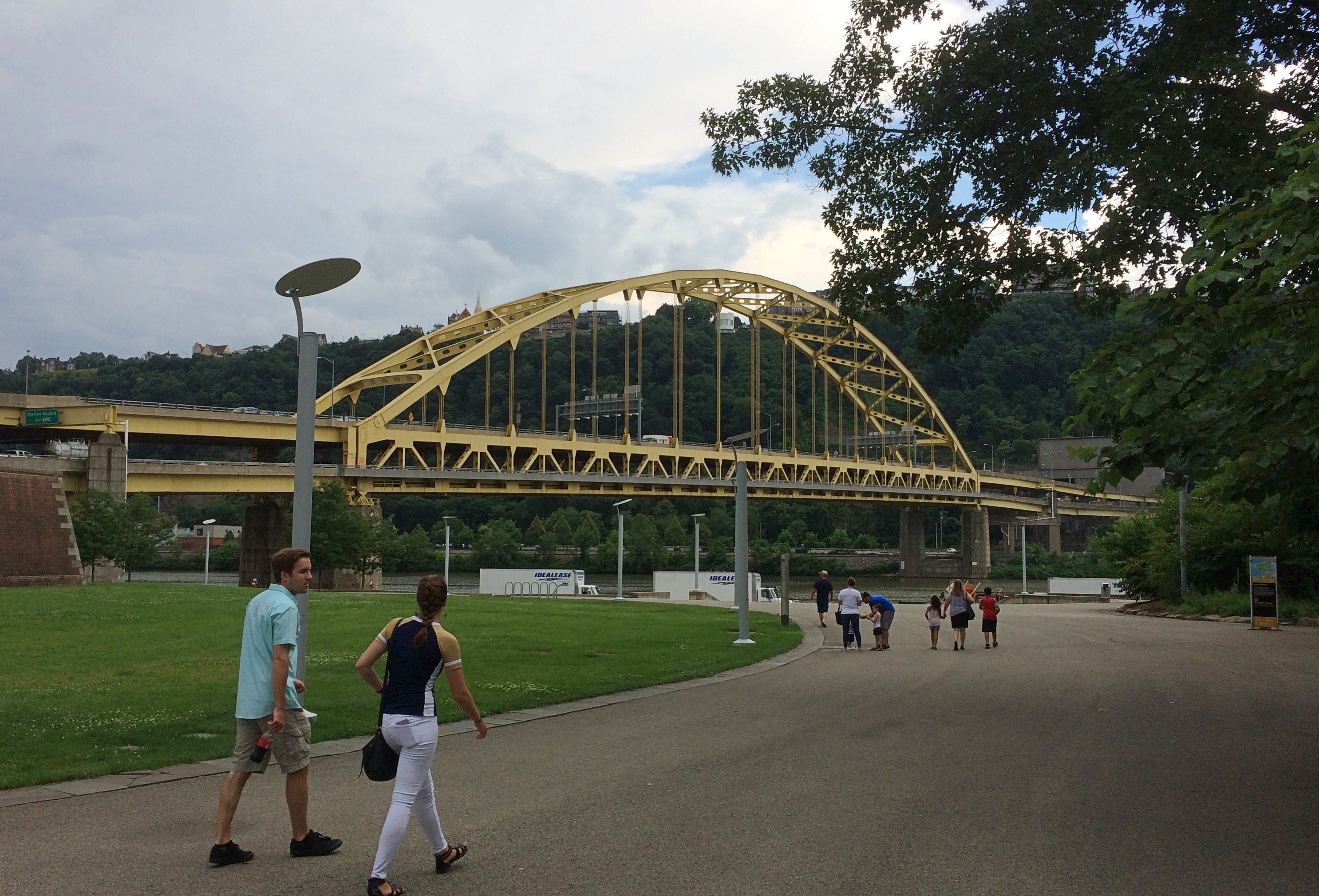
Away from the fountain, there’s a view of the Fort Pitt Bridge, which carries I-376 across the Monongahela. It replaced the Point Bridge, which was destroyed, along with the Manchester Bridge, to make way for the park.
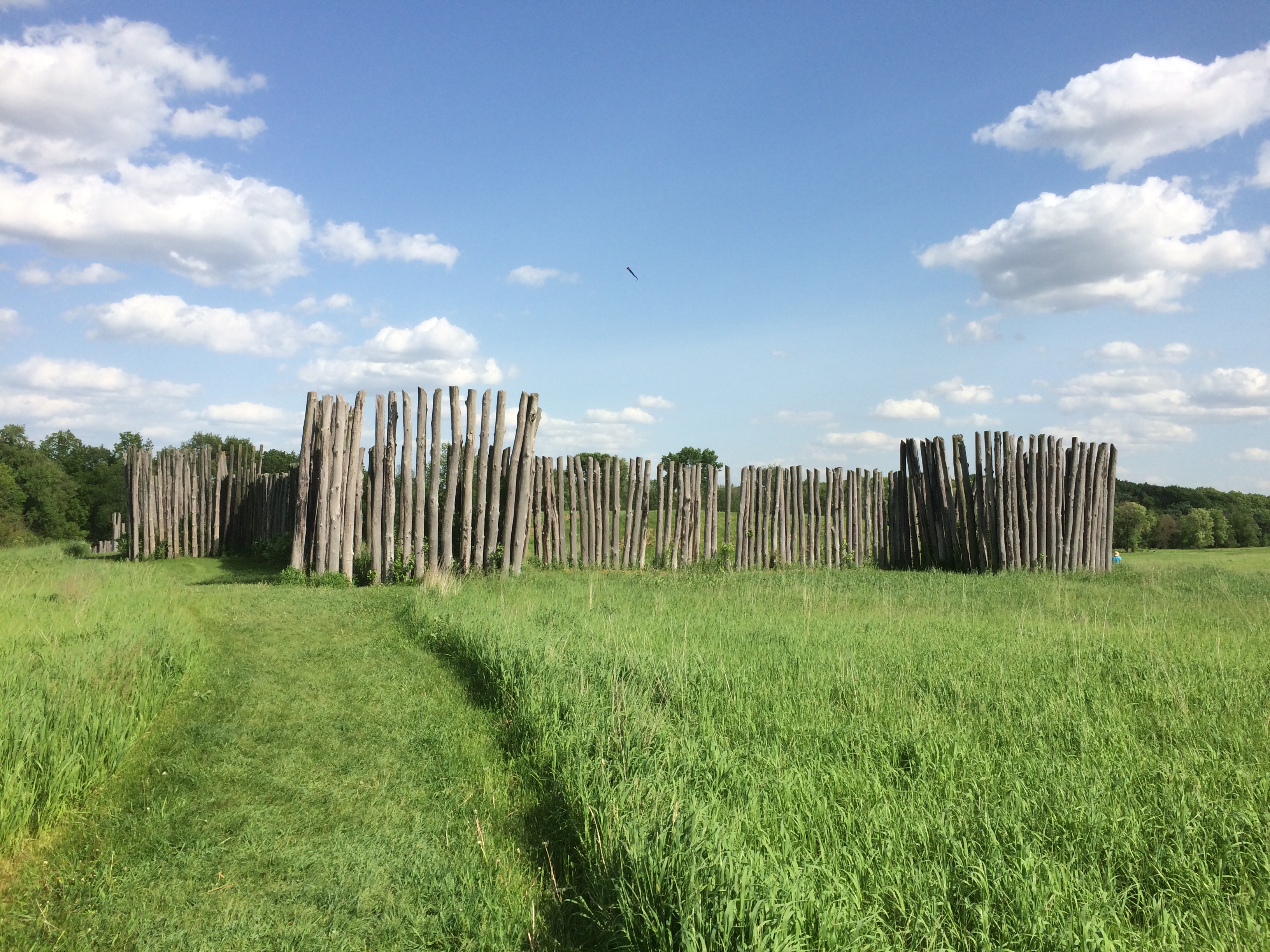
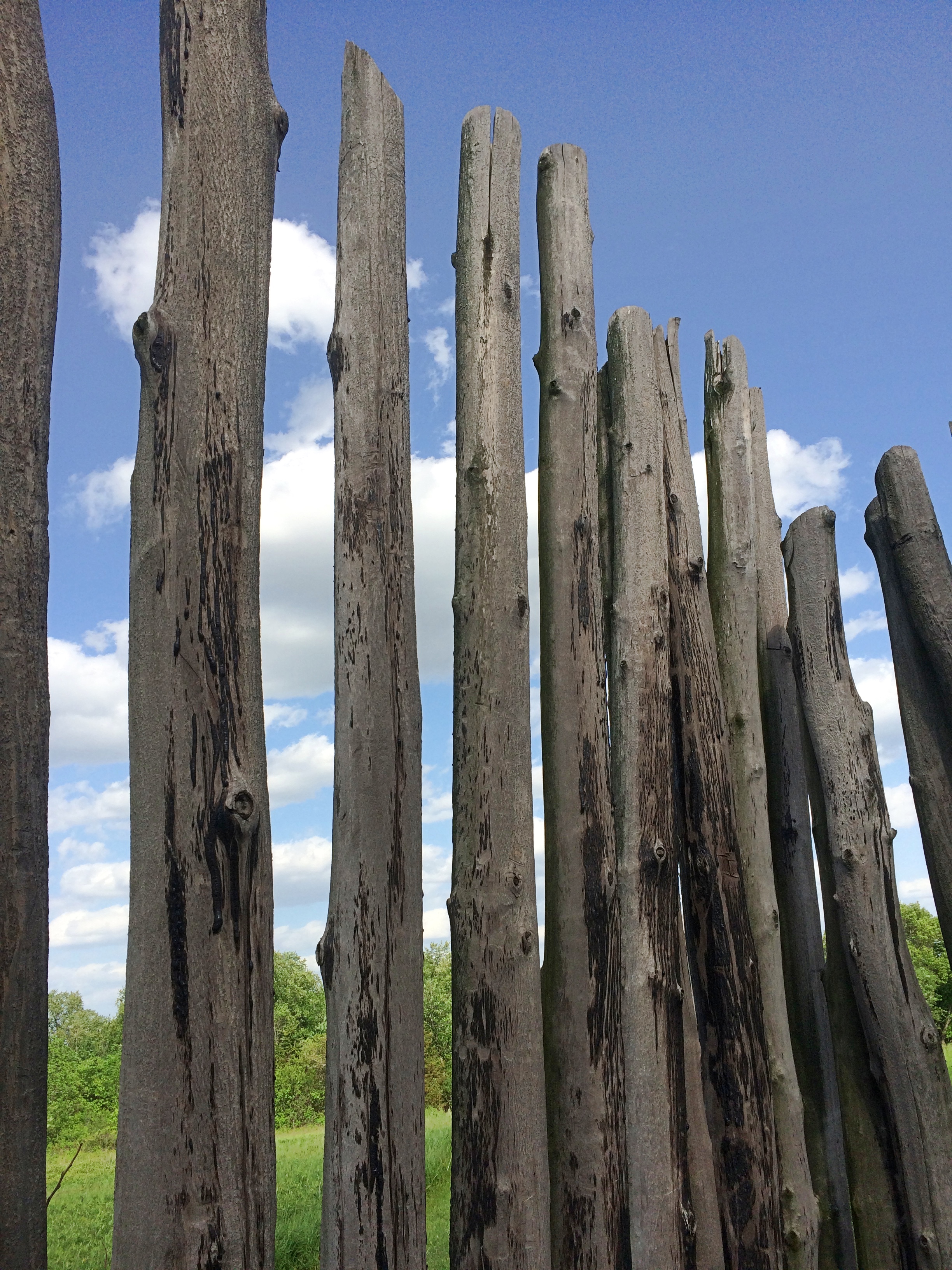
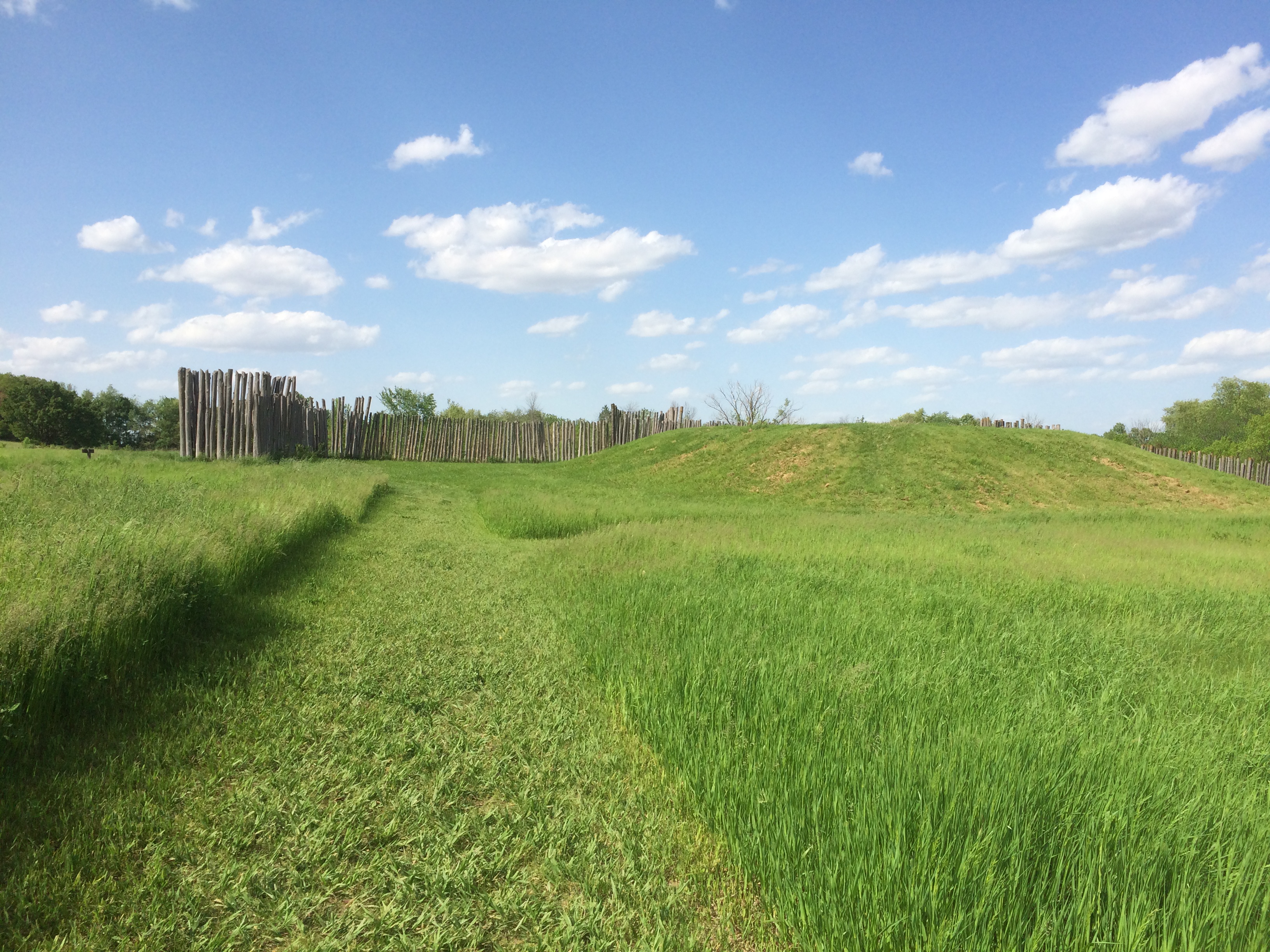
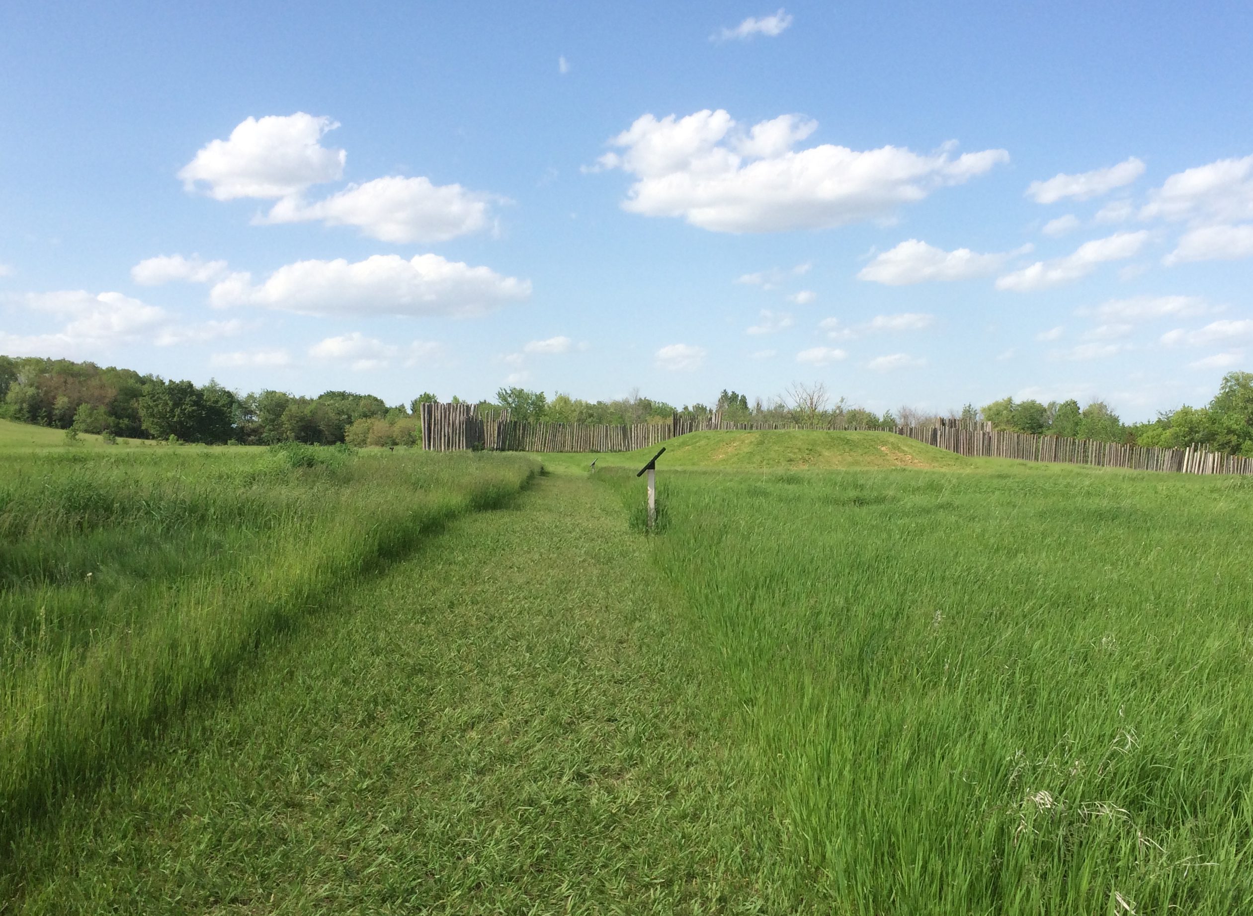
Besides being a pleasant green space with views, the park makes various nods to the early history of Pittsburgh. An irregular path of sidewalk follows the outline of Fort Duquesne, the French outpost. Elsewhere other sidewalks mark the outline of the somewhat larger Fort Pitt, the succeeding British outpost, also in the classic star (Bastion) shape.
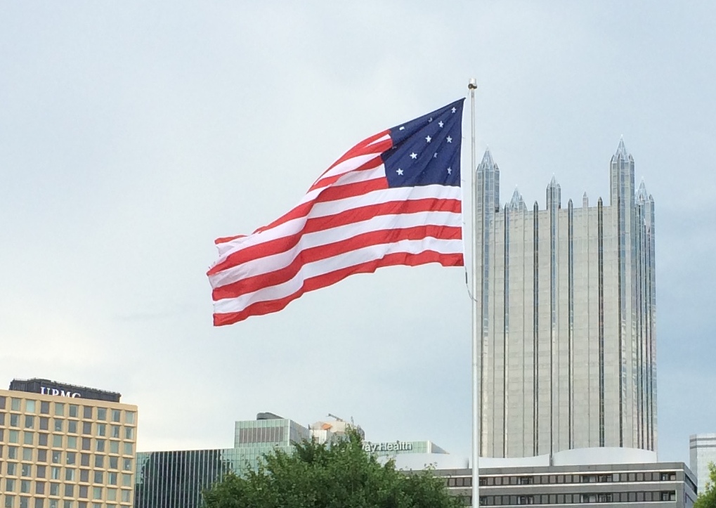
The U.S. flag is a little unusual. Not in having 13 stars, but in that they aren’t the circular arrangement you usually see. Then again, no one specified how the stars in the canton should be arrayed in those days (and maybe we should go back to that).
 On one edge of the park is the Fort Pitt Block House, Point State Park’s only surviving structure from colonial times, built in 1764 as a redoubt of Fort Pitt. It has endured since then in its original spot, for many years as a residence, more recently as a relic.
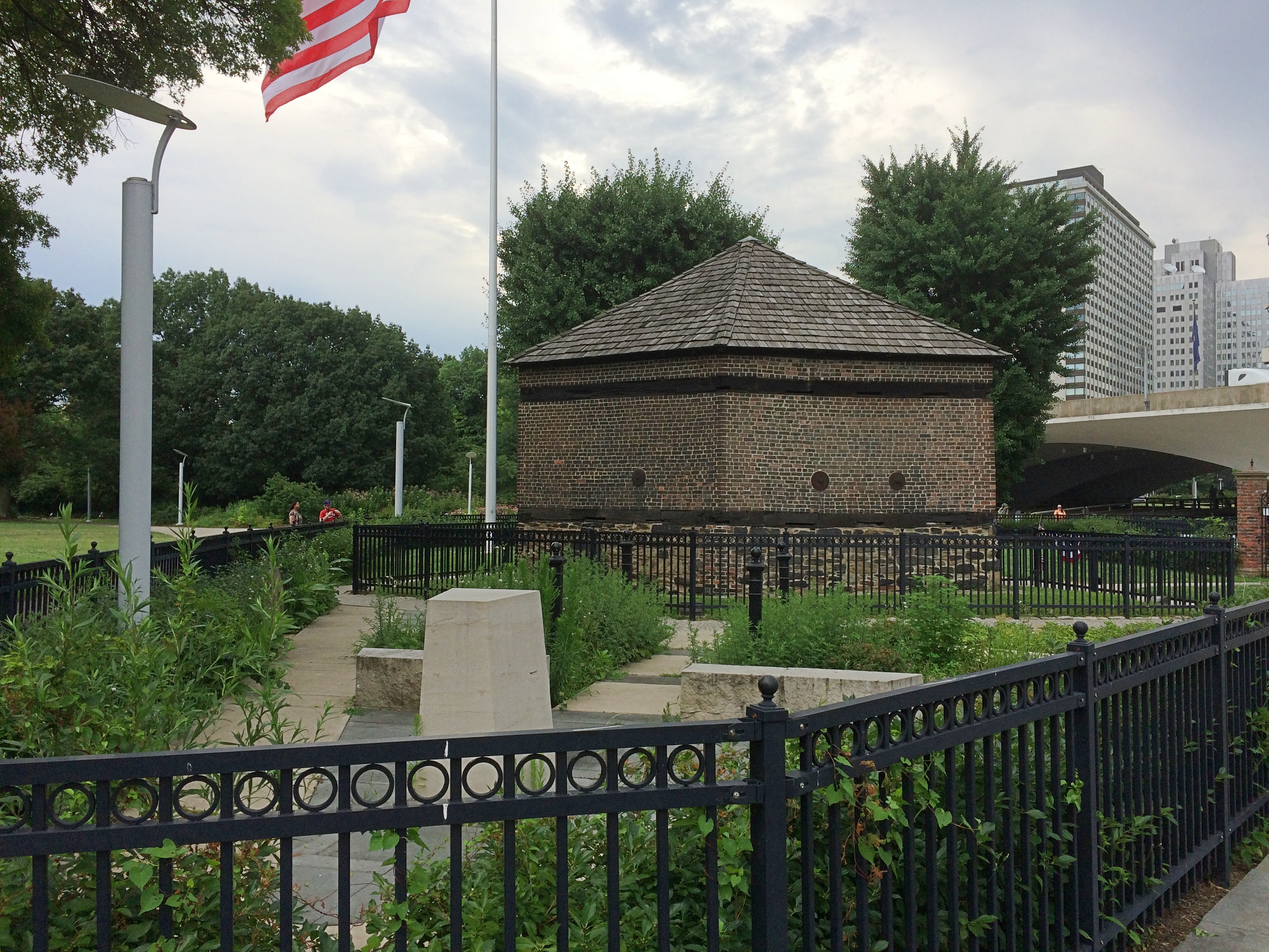
Our walking tour of downtown Pittsburgh started at the Block House, led by an energetic young woman, native to Pittsburgh and eager to talk about various places and buildings, though less about design and more about history.
Naturally, the names of Pittsburgh robberbarons Andrew Carnegie and Henry Clay Frick came up a lot, including the story about a dying Carnegie writing a letter to the estranged Frick asking for a meeting, presumably in the spirit of reconciliation.
Les Standiford tells the story, via NPR. A man named Bridge, who delivered the letter, was Carnegie’s assistant.
“Frick’s ire was, after all, legendary. He’d gone toe-to-toe with strikers, assassins, and even Carnegie himself, and had rarely met a grudge he could not hold. Long before Frick had constructed the mansion that would dwarf Carnegie’s ‘Highlands’ up the street, he had gone out of his way to purchase a tract of land in downtown Pittsburgh, then built a skyscraper tall enough to cast Carnegie’s own office building next door in perpetual shadow.
” ‘Yes, you can tell Carnegie I’ll meet him,’ Frick said finally, wadding the letter and tossing it back at Bridge. ‘Tell him I’ll see him in Hell, where we both are going.’ ”
Whatever else you can say about the steely-eyed bastard Frick, at least he had no illusions about his benevolence, as Carnegie seemed to have had. Our guide also mentioned the taller Frick building next to Carnegie’s, and in fact pointed them out. They are both now overshadowed by more recent Pittsburgh buildings, of course.
At one point, we passed by a building associated with both Carnegie and Frick, along with a lot of other Gilded Age and later tycoons: the Duquesne Club on Sixth Ave.
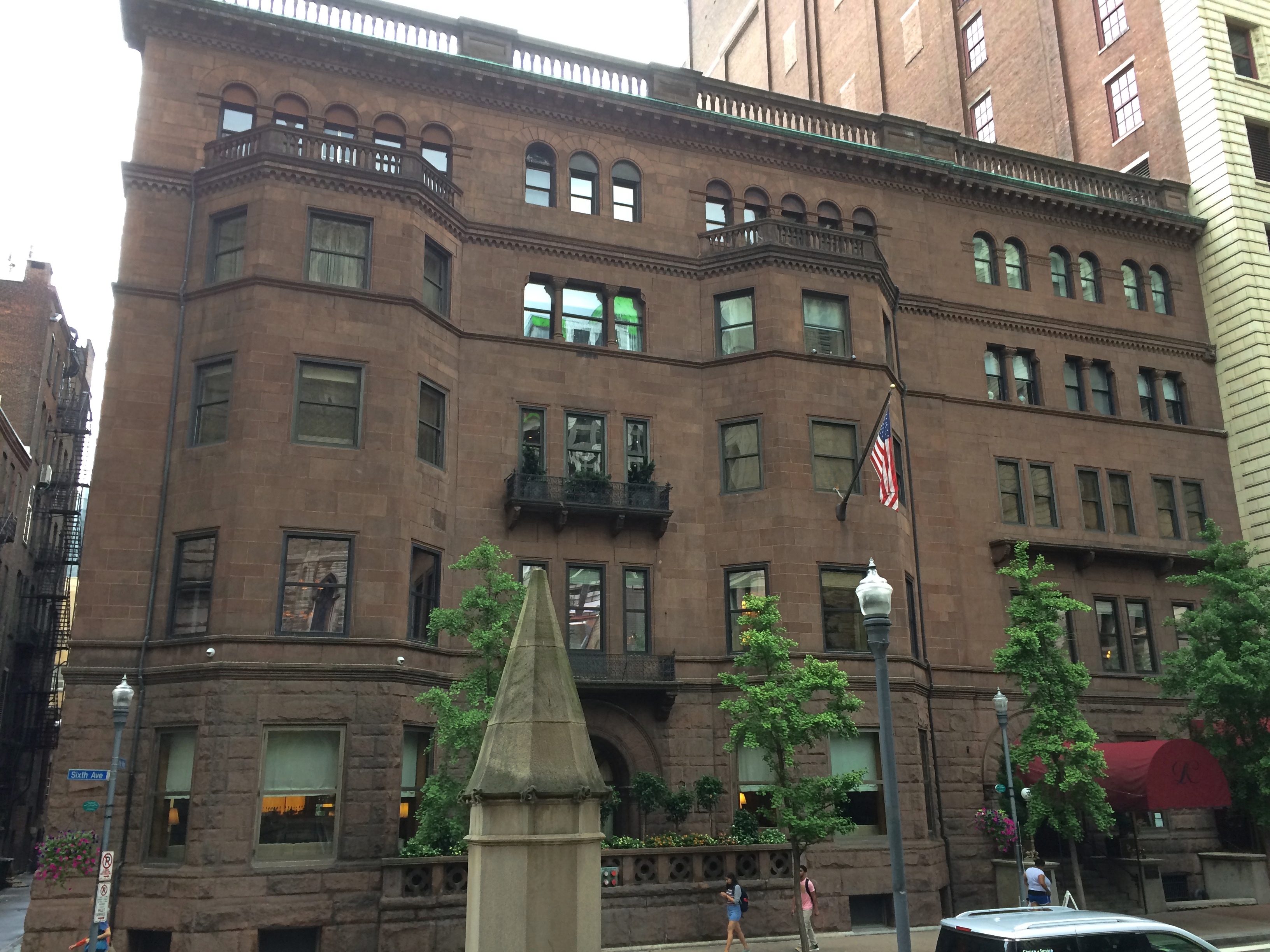 Founded in 1873 and still a social club for the wealthy, its current home, a Romanesque structure designed by Longfellow, Alden & Harlow, opened in 1890. Just in time for Carnegie and Frick to discuss, possibly over brandy and cigars, the busting of the Amalgamated Association of Iron and Steel Workers.
Speaking of labor history, not far away from the club, I noticed this historic marker.
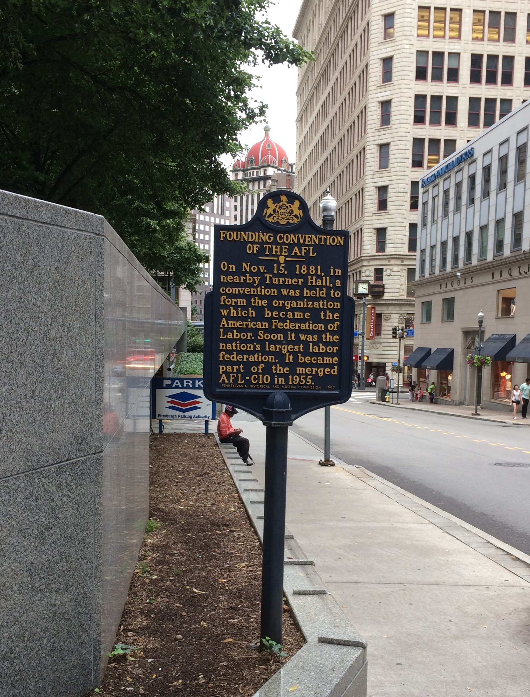 The founding convention of the AFL was in a Turner Hall. Our guide didn’t mention that, and I asked her about the Turner Hall. She hadn’t heard it. To be fair, I’d never heard of Turner Halls until recently either. To be extra fair, I’m not guiding walking tours of a major American city, so I consider that a small lapse on her part.
The Turner Hall in Pittsburgh, unlike that in Milwaukee, is no more. The site is now called Mellon Square, a 1950s park-like creation paid for by the Mellons to go with the development of Alcoa’s new headquarters building at that time.
Alcoa isn’t there any more, and the building is now known as the Regional Enterprise Tower, but it still has its distinctive aluminum skin. The New York modernists Harrison & Abramovitz designed it.
I’ve read that a Beaux-Arts palace of a theater, the Nixon, was destroyed to make way for Alcoa, causing some consternation even in the tear-it-down midcentury.
Another historic marker that I noticed (that also wasn’t on the tour).
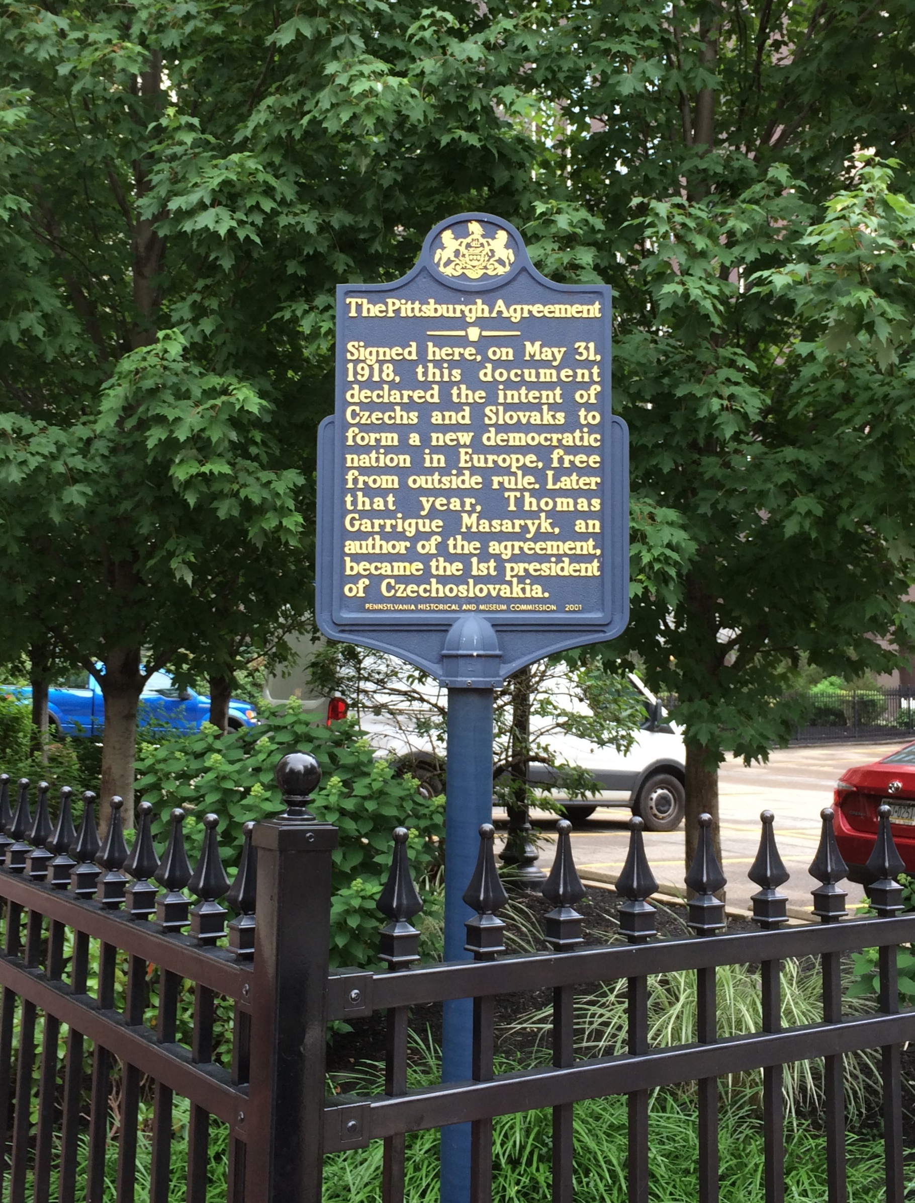 Why Pittsburgh? I wondered. I looked it up later. NPR again: “Slovak culture is everywhere in the Steel City. It’s home to the Honorary Slovak Consulate, a handful of social clubs, cultural centers and annual holiday festivals dedicated to maintaining and celebrating Slovak traditions.
“ ‘Allegheny County has the highest percentage of all of the counties in the United States, not just Pennsylvania, of people who claim Slovak heritage,’ said Martin Votruba, head of Slavic studies at the University of Pittsburgh.
“Slovaks and Czechs formed a group called the Czecho-Slovak National Council of America. Because there were so many Slovak immigrants living in Pittsburgh, Votruba said it seemed like the perfect location to have a big meeting on Memorial Day in 1918.”
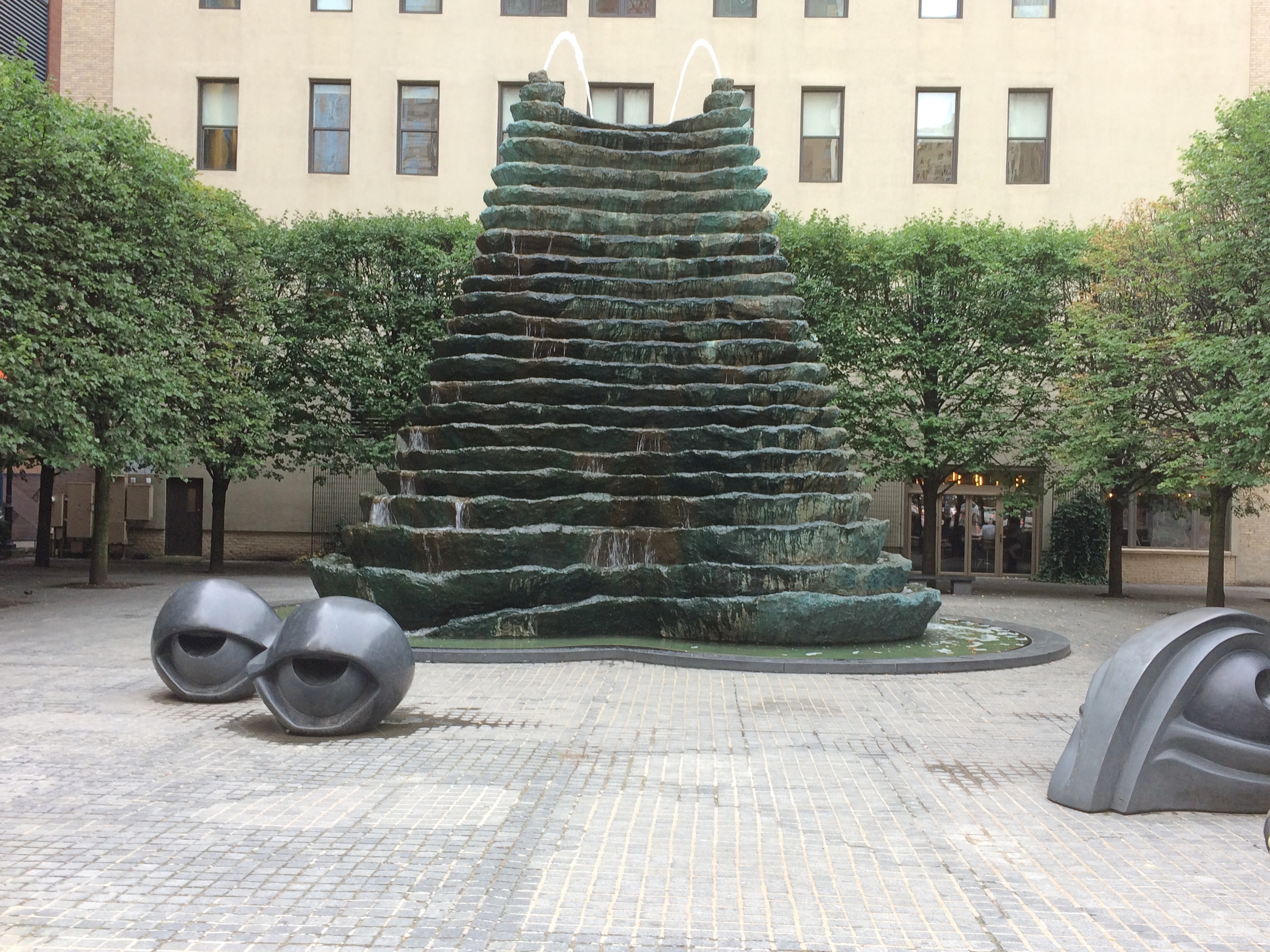
Along the way, we looked at a work of public art in Pittsburgh, a 25-foot bronze fountain centerpiece at Agnes R. Katz Plaza by Louise Bourgeois, completed in 1999. The eye-like smaller bronzes are actually benches, though it’s hard to tell from this angle.
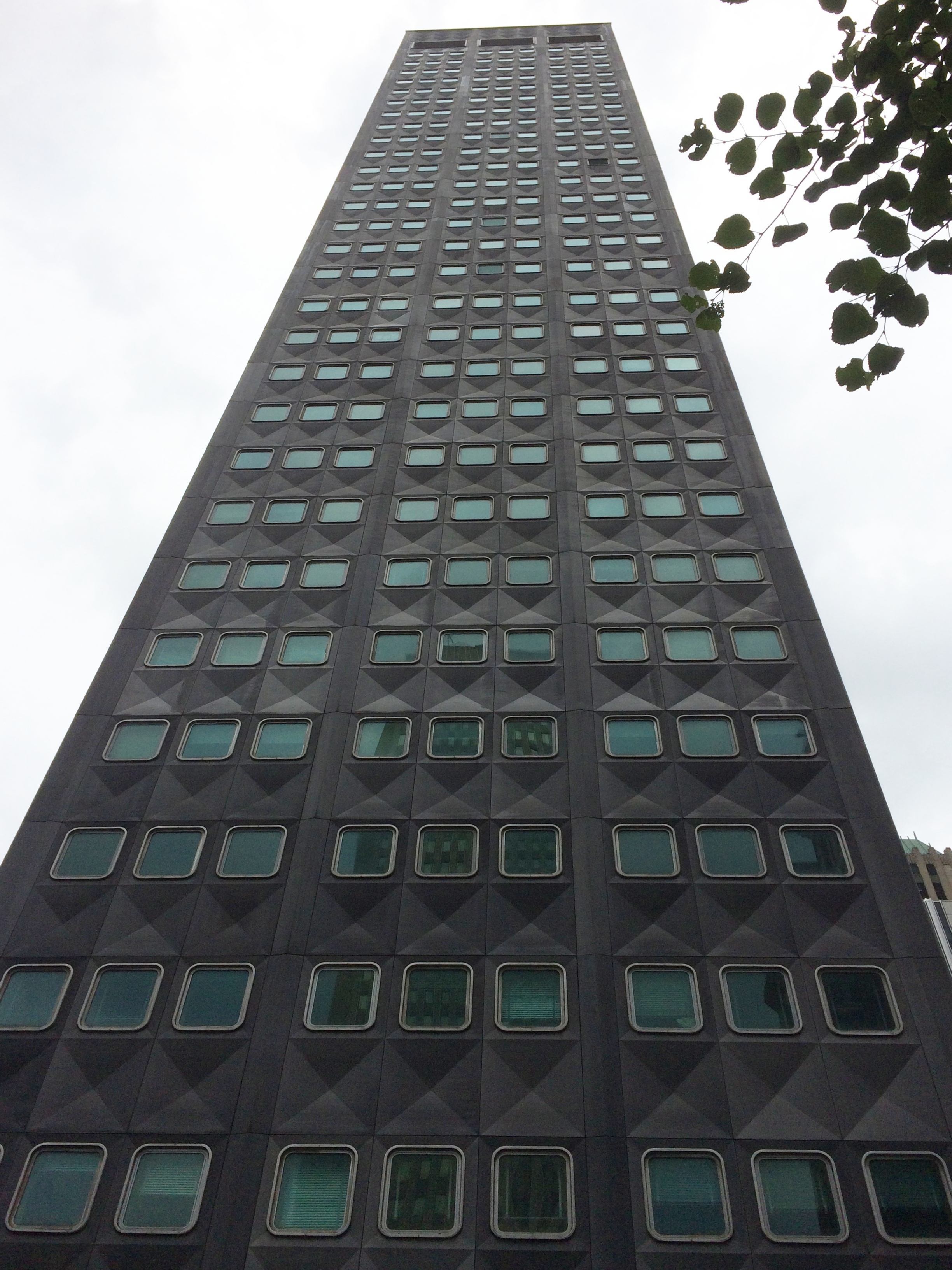
 By the time we got to the U.S. Steel Tower, the tallest building in Pittsburgh, a light rain was falling. It would continue at varying strength through the rest of the walk.
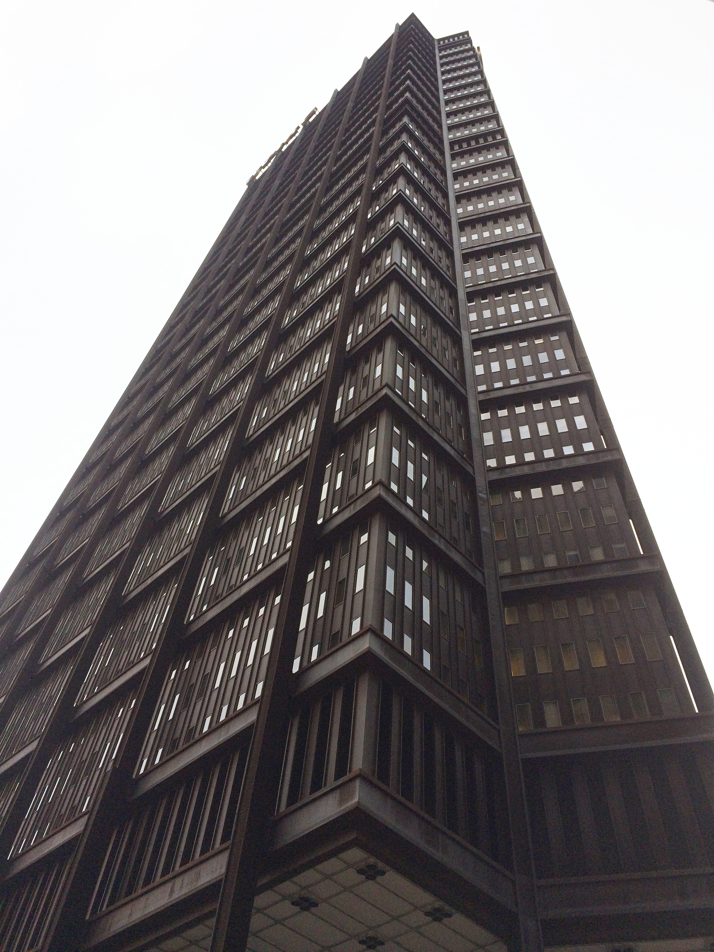
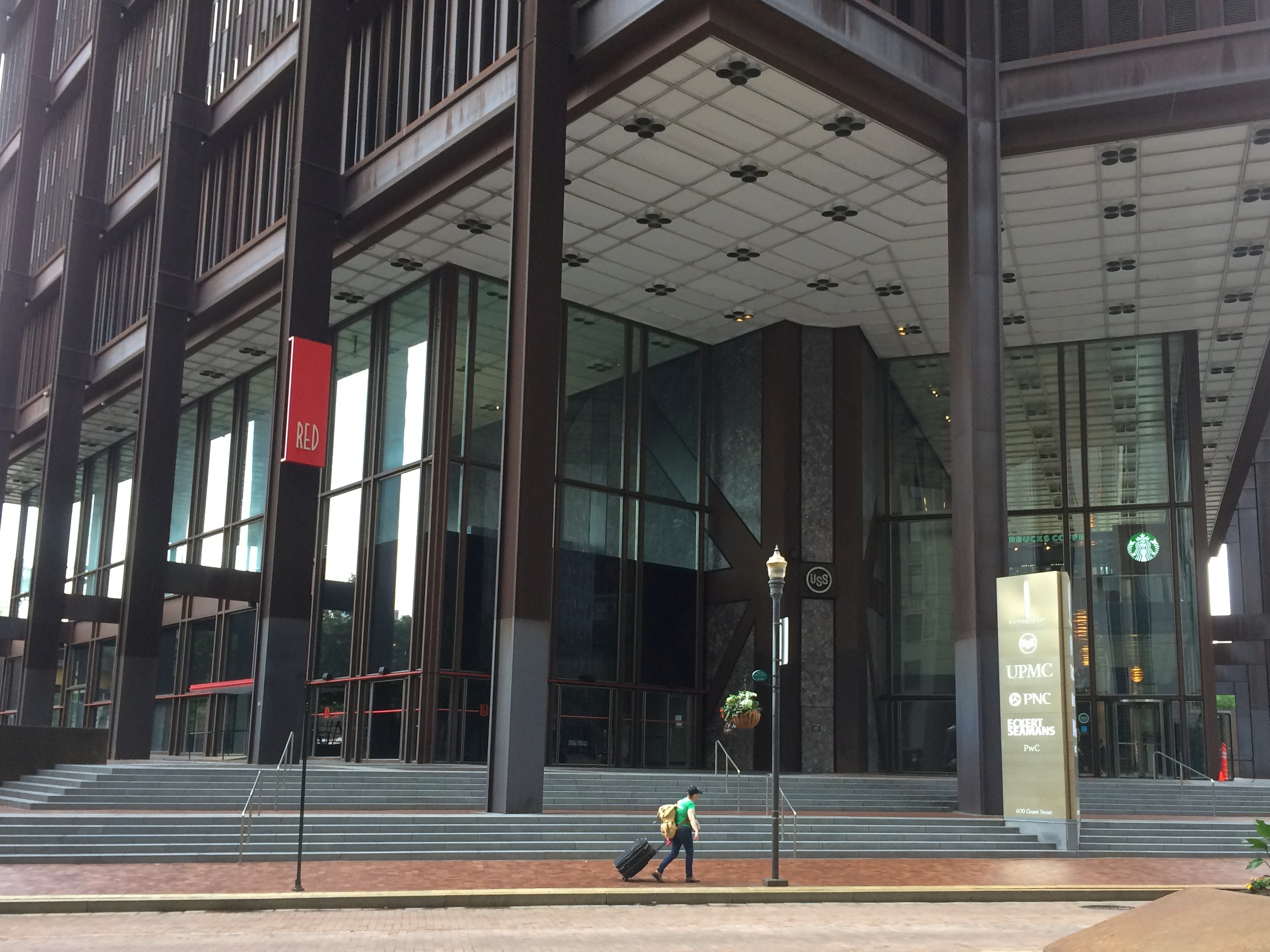 No aluminium for this behemoth, rather steel and lots of it. This too is a Harrison & Abramovitz design. The company made steel for its own building, a newish product at the time, corten or weathering steel, which ends up with a dark brown oxidation over the metal to protect the structure from the elements and obviate the need for paint. (The steel still has many surprising uses.) According to our guide, however, until recently the building skin had an unfortunate habit of spitting granules of this rust onto the sidewalks and people below.
Aluminium, steel and then glass. Fitting for the HQ of PPG, also a stop of the tour. Founded in 1883 as Pittsburgh Plate Glass, these days PPG is a supplier of paints, coatings, optical products and specialty materials.
The complex is actually six buildings, all opening in the early 1980s as part of the effort to revive downtown Pittsburgh. By that time, Johnson/Burgee were the go-to NY architects, so they designed the PPG. Rain prevented me from making a good image, but the tallest of the buildings towers over a plaza that features an ice rink in colder weather. It looks like this on a sunny day.
Toward the end of the tour, we made a stop at a place on Smithfield St. that has no marker of any kind and in fact isn’t distinctive in any way, except for one thing: it was the site of an early nickelodeon, thought to be the first theater anywhere devoted exclusively to movies, as opposed to a live theater with a few machines tucked away to separate patrons from their coins.
“The first exclusive moving pictures theater in Pittsburg and the world was opened in 1905 by Harry Davis and John P. Harris in the Howard Block, west side of Smithfield street, between Diamond and Fifth avenue,” one E. W. Lightner wrote in 1919.
Diamond St. is no longer called that. Oddly enough, the change to Forbes St. was made as late as 1958. I’d imagine that would have been hard to do.
Lightner continues: “Curious to say, the second exclusive picture theater of the world was opened in Warsaw, capital of Poland, by a Pittsburg Polander, who saw the Davis-Harris adventure and recognized the possibilities of presenting so wonderful and profitable a development in his native country.”
“The original and only ‘Nickelodeon’ was opened at 8 o’clock of the morning and the reels were kept continuously revolving until midnight. A human queue was continuously awaiting the ending of a performance and the emptying of chairs. Inside an attendant would announce, ‘show ended,’ and spectators would be hustled gently to the street and new spectators welcomed, seated as quickly as possible, and the picture would again respond to the magic reel.”
As you can see, it was pretty much a nothing site when Google Images came by.
Still looks that way in July 2019. There ought to be a marker there at least, or maybe even a hipster bar with a nickelodeon theme.
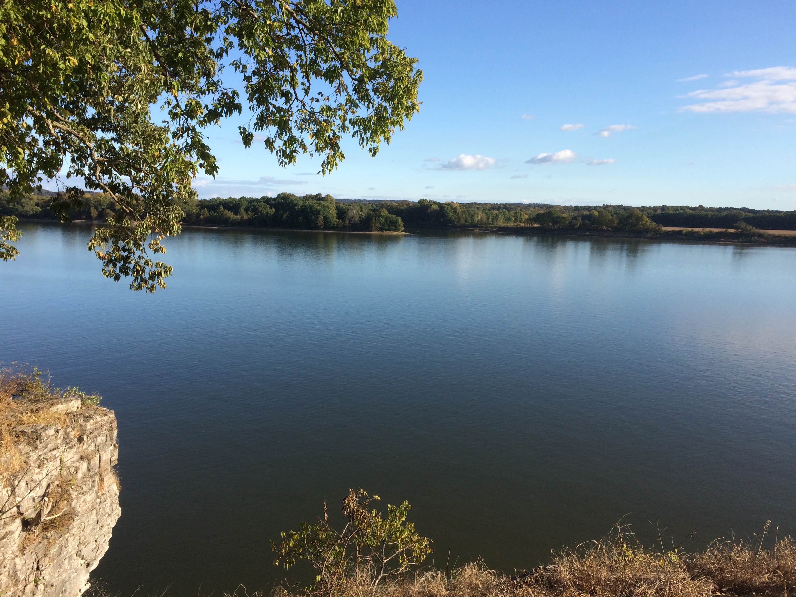
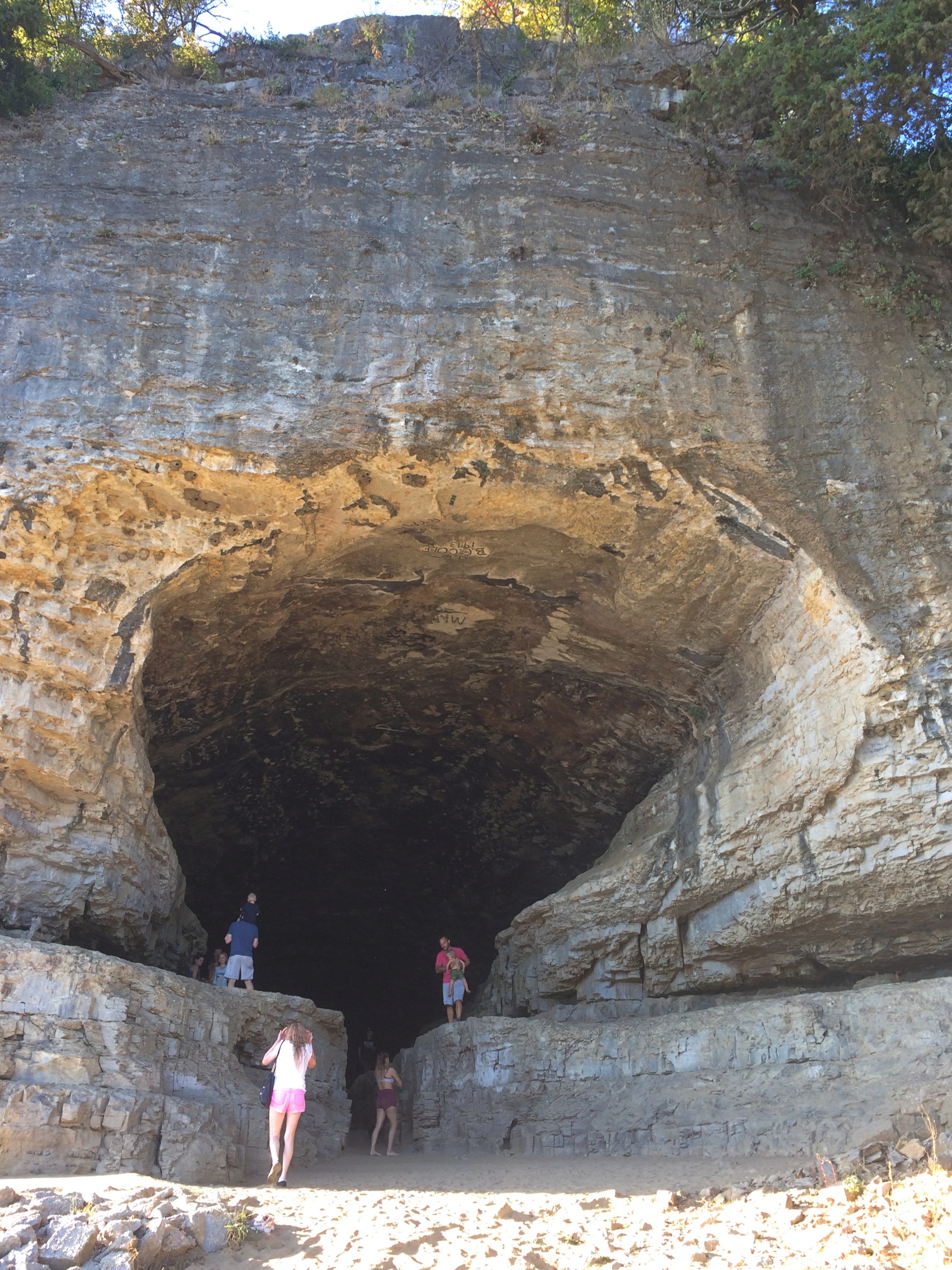
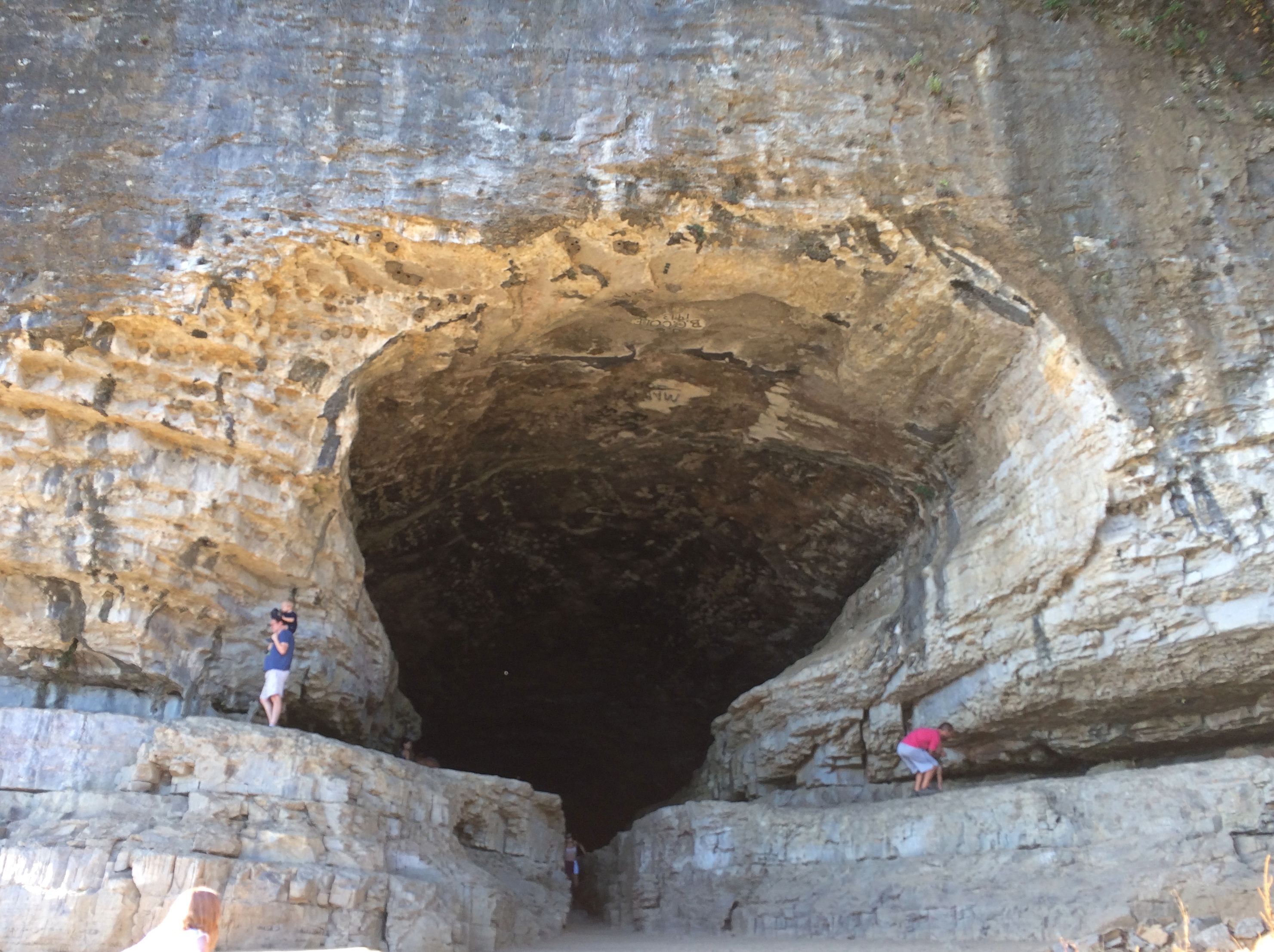
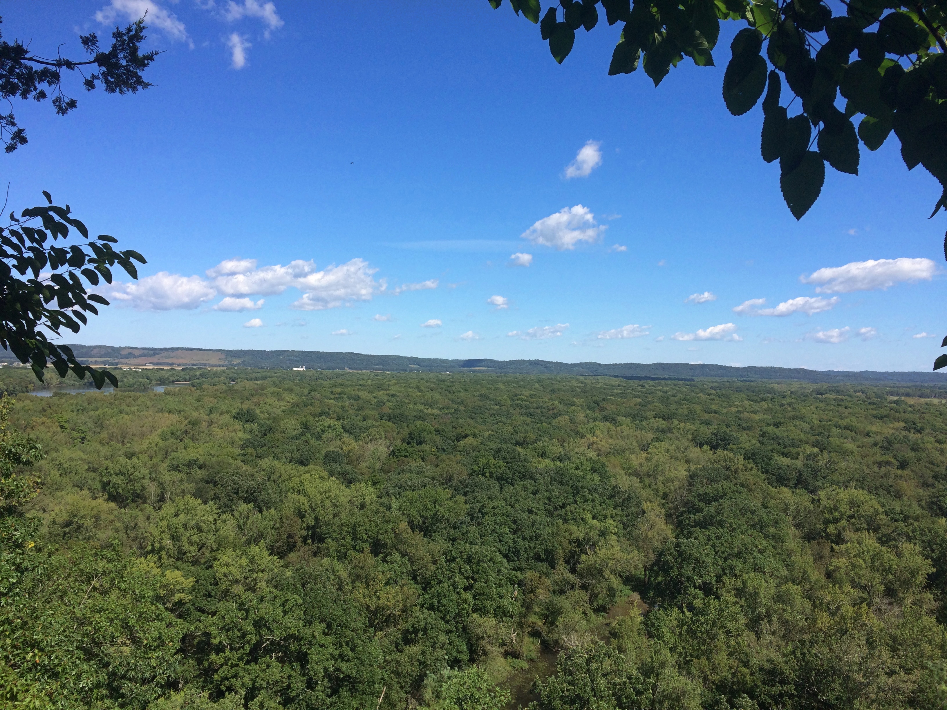
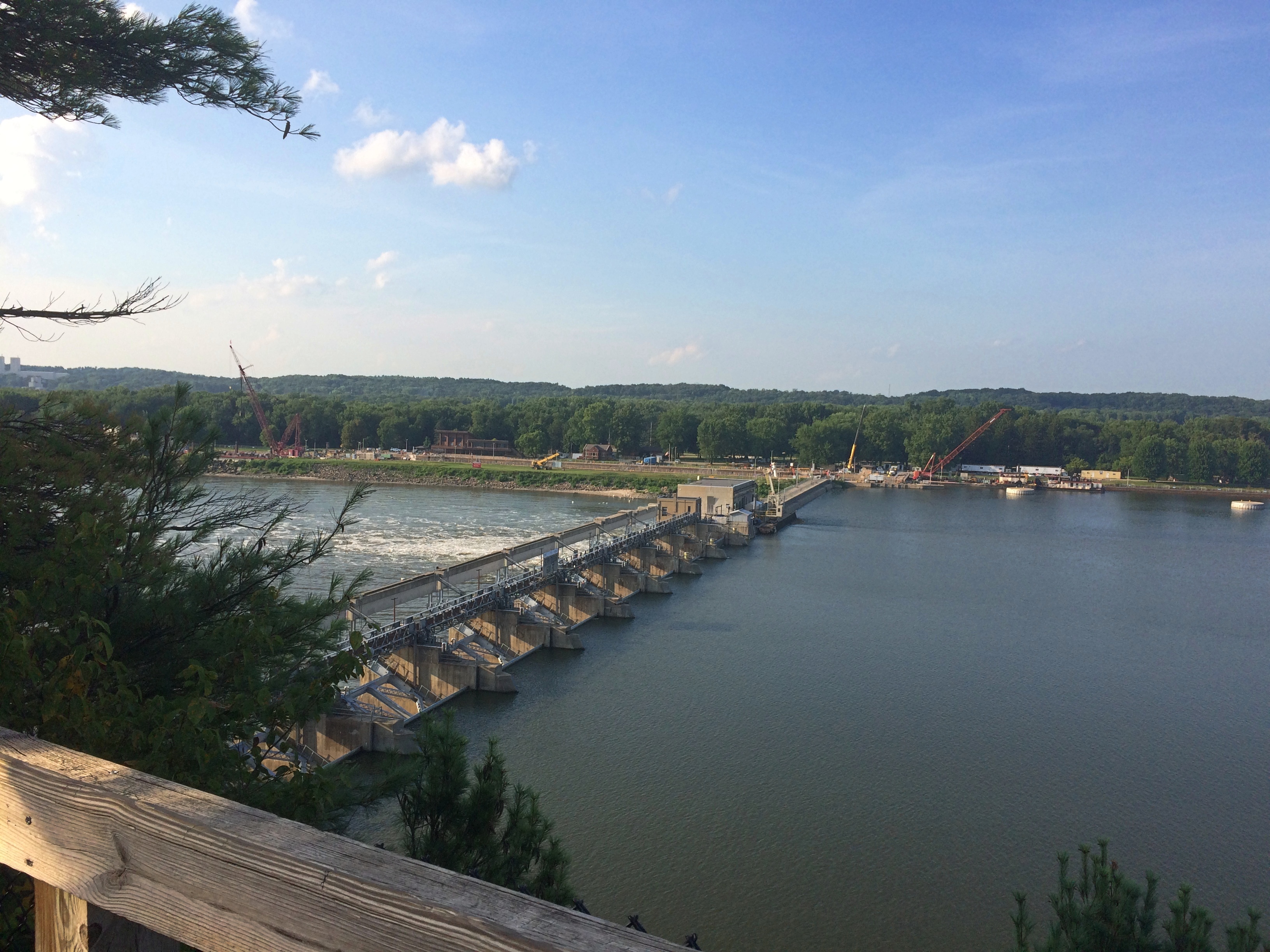
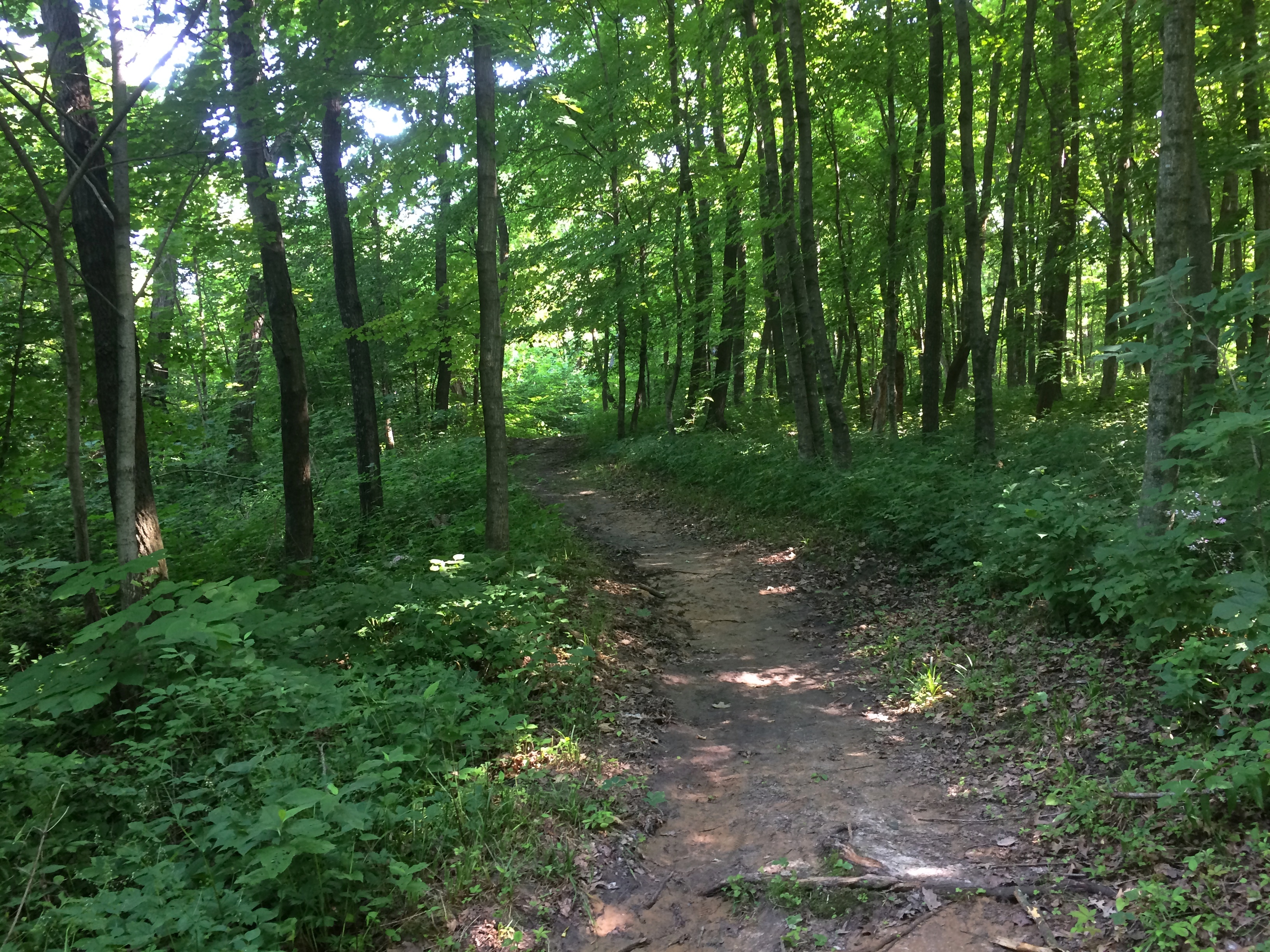
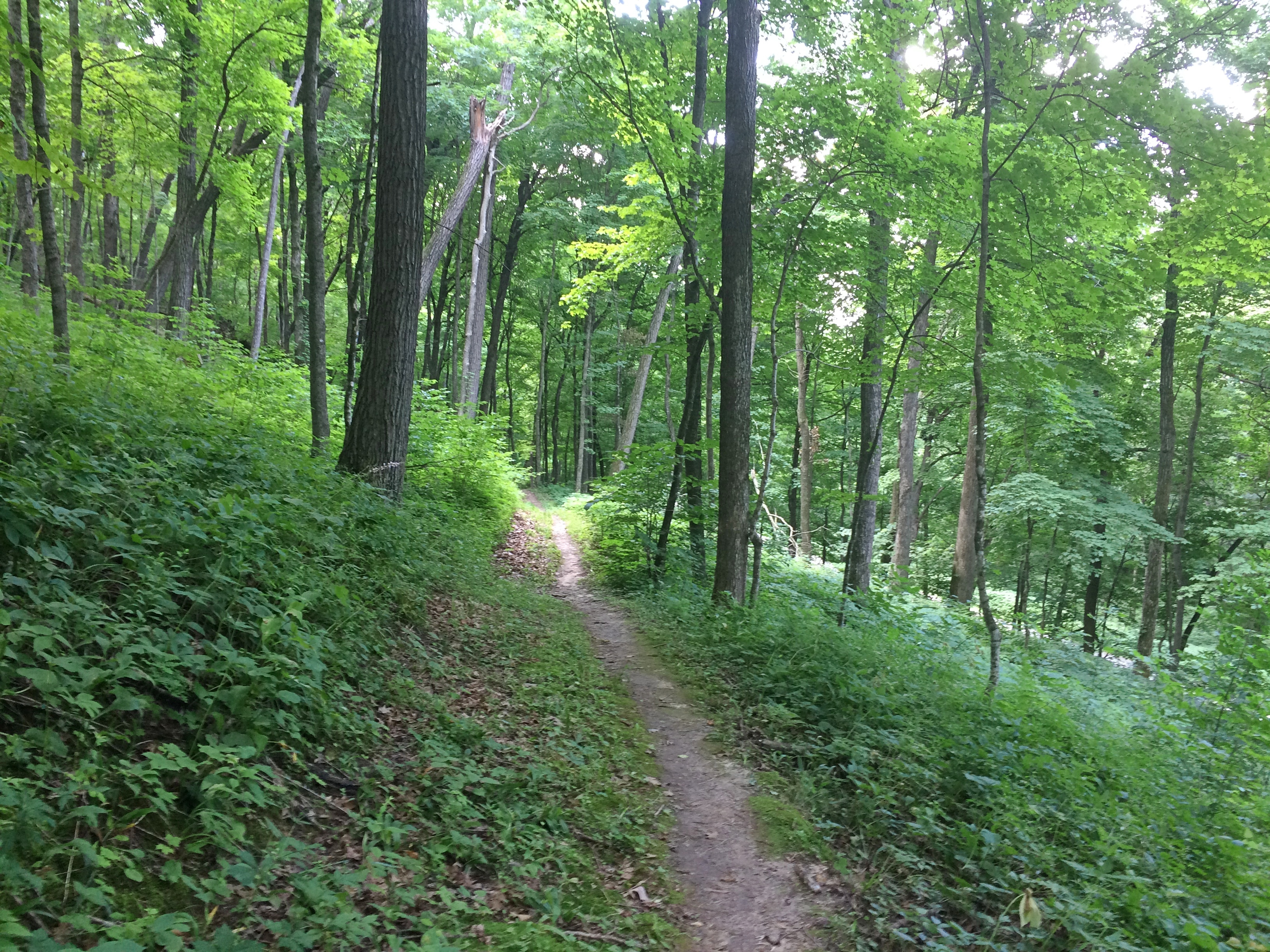
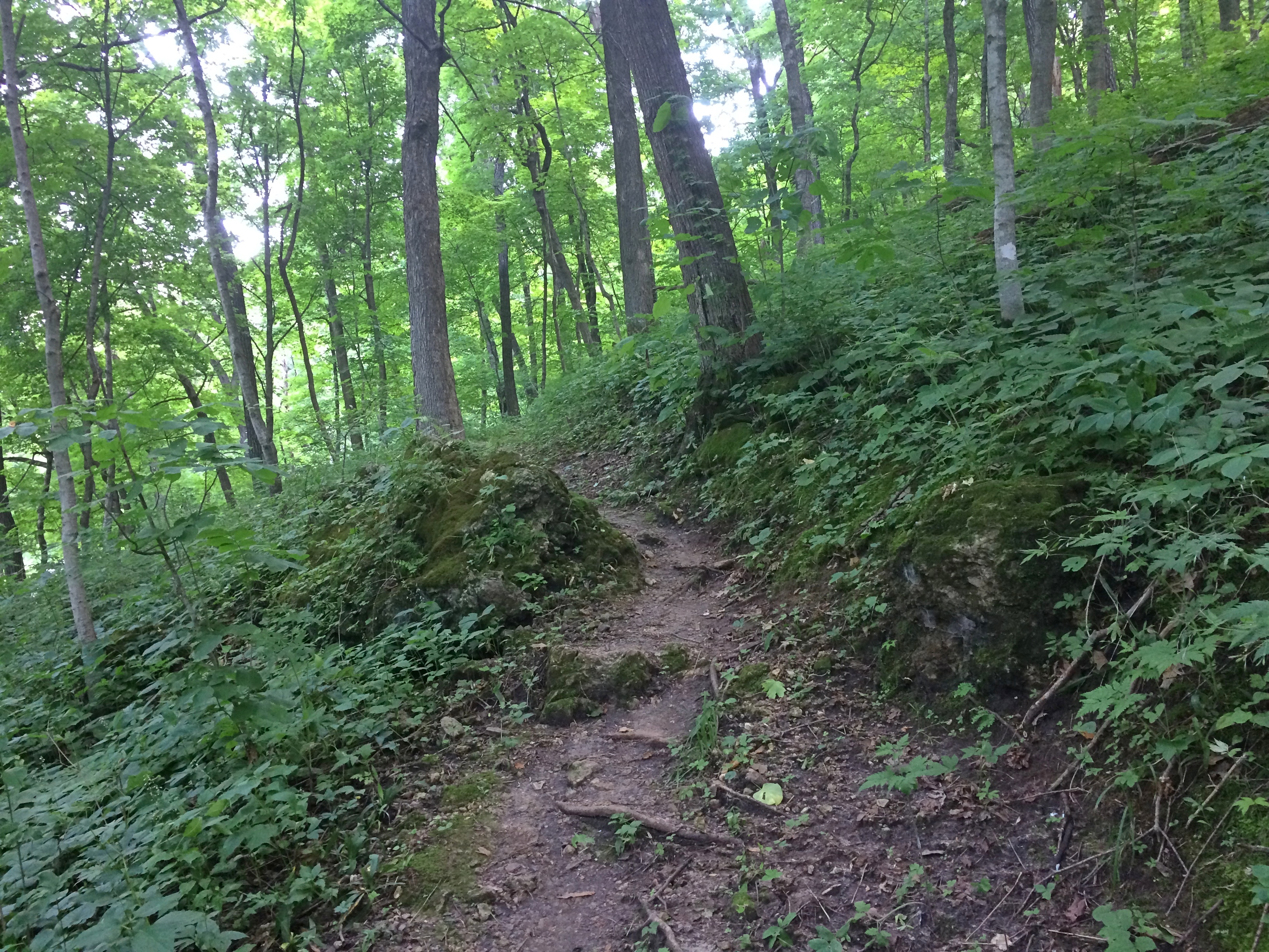
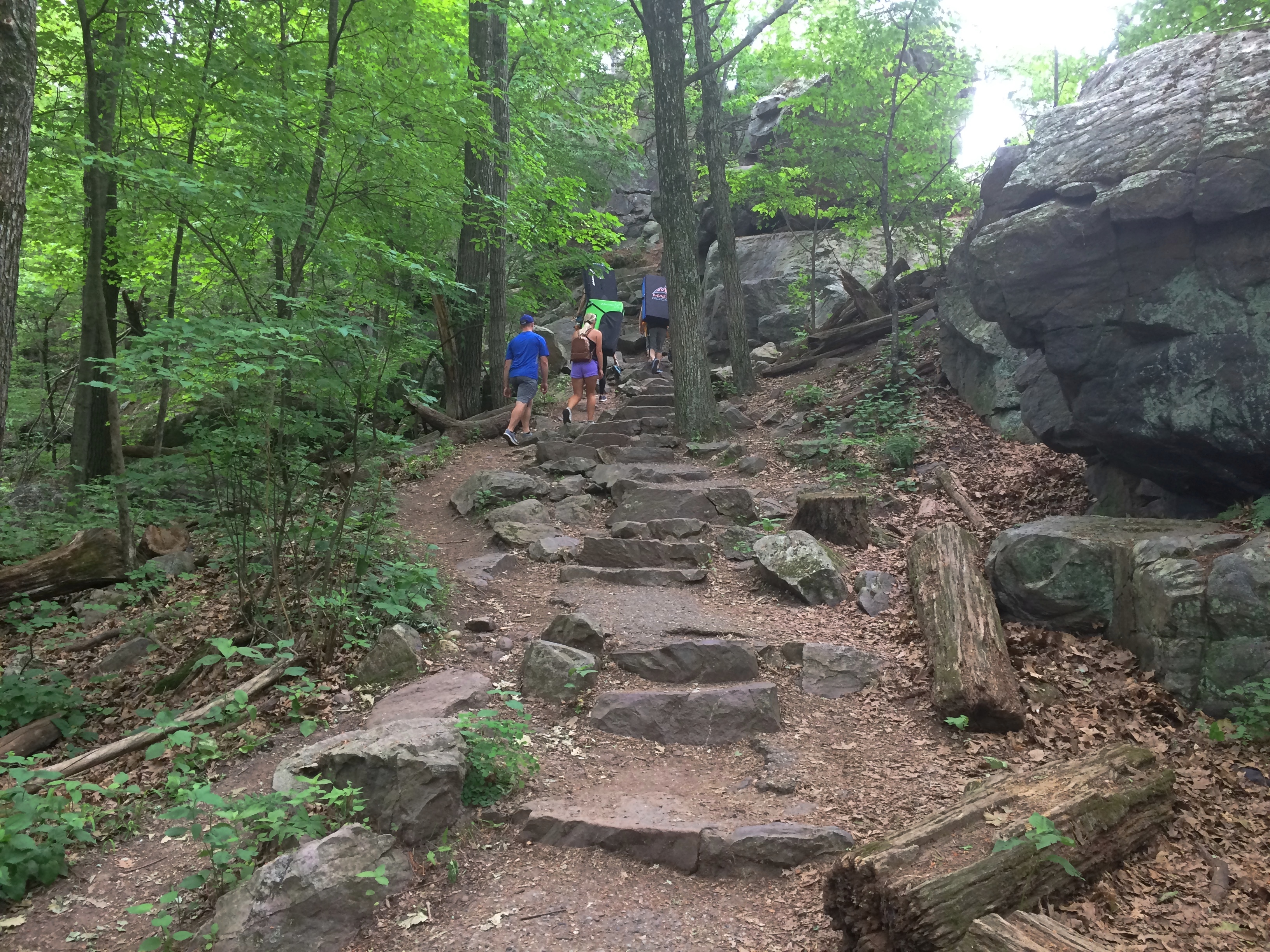
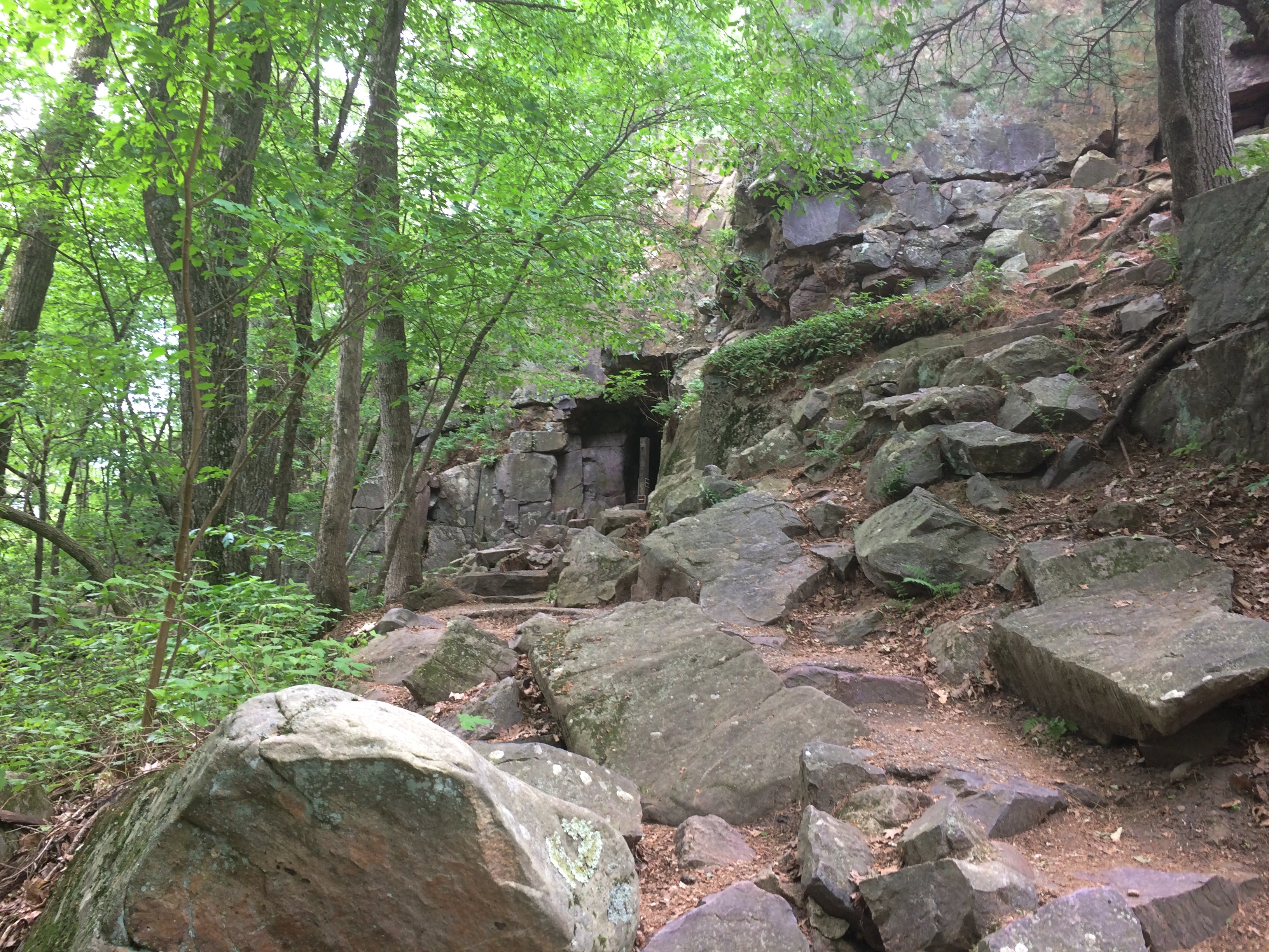
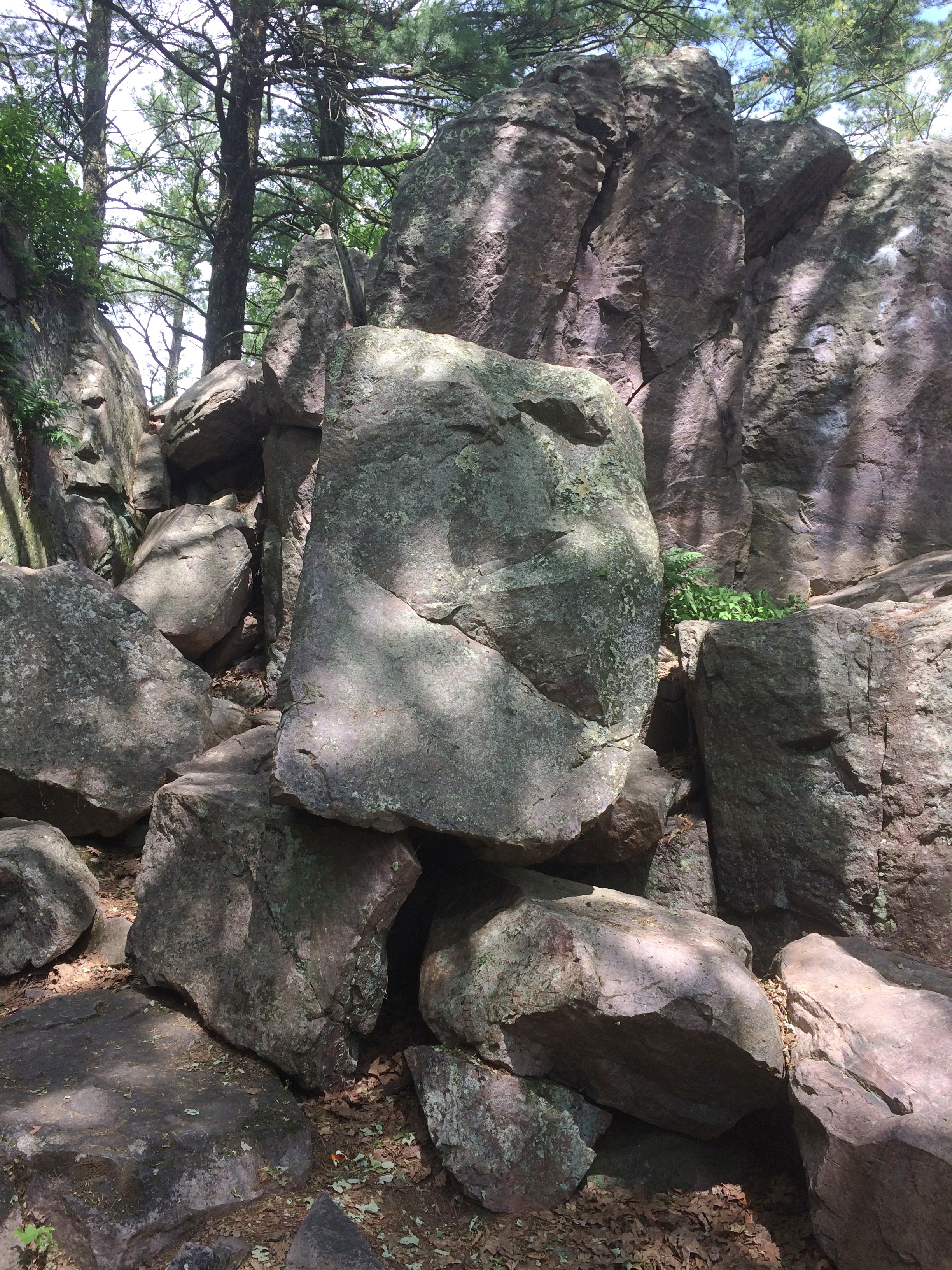
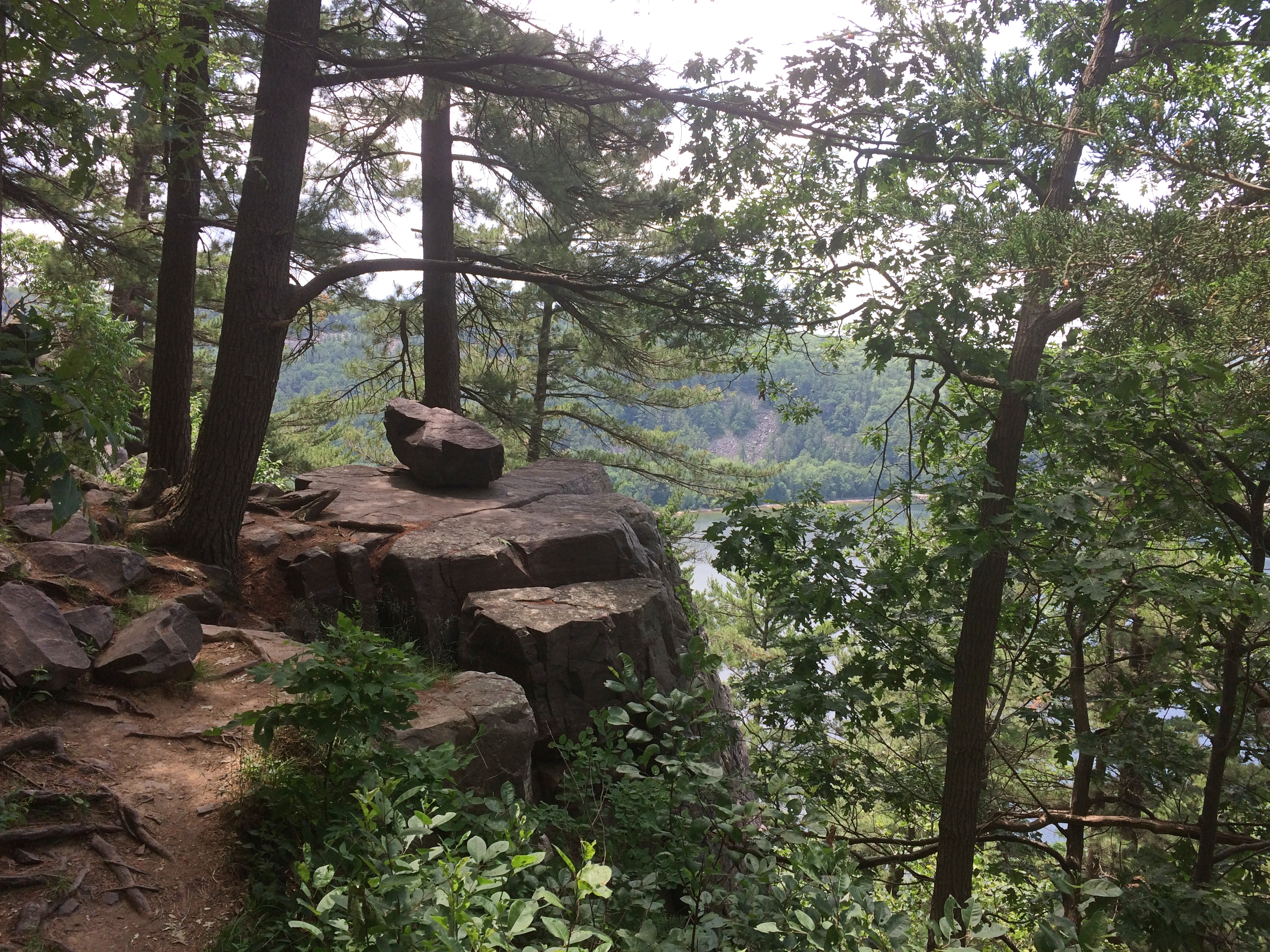
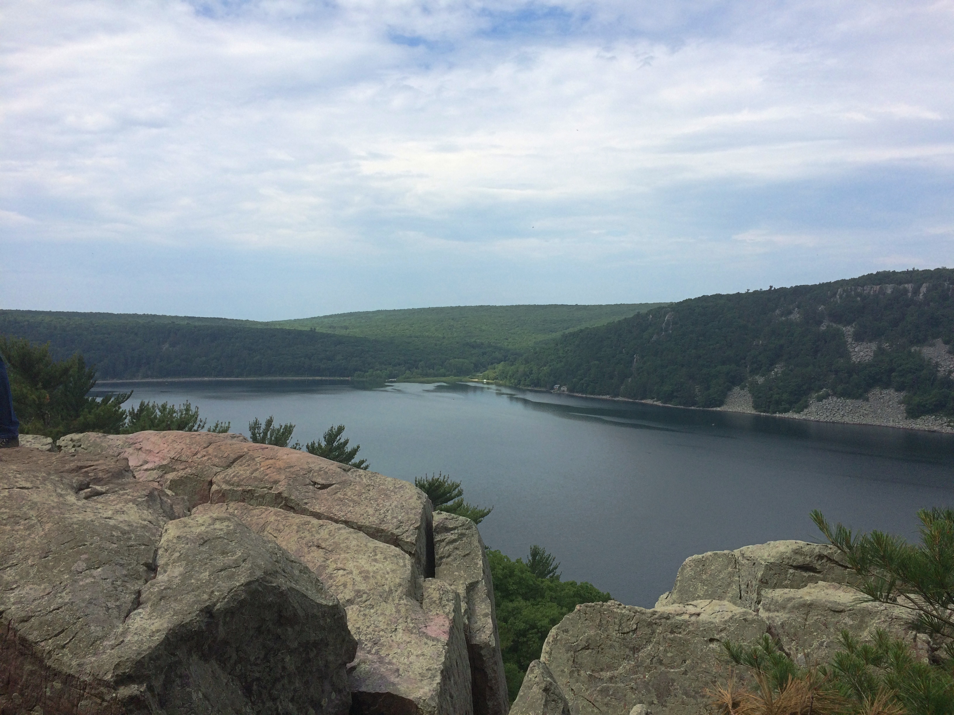
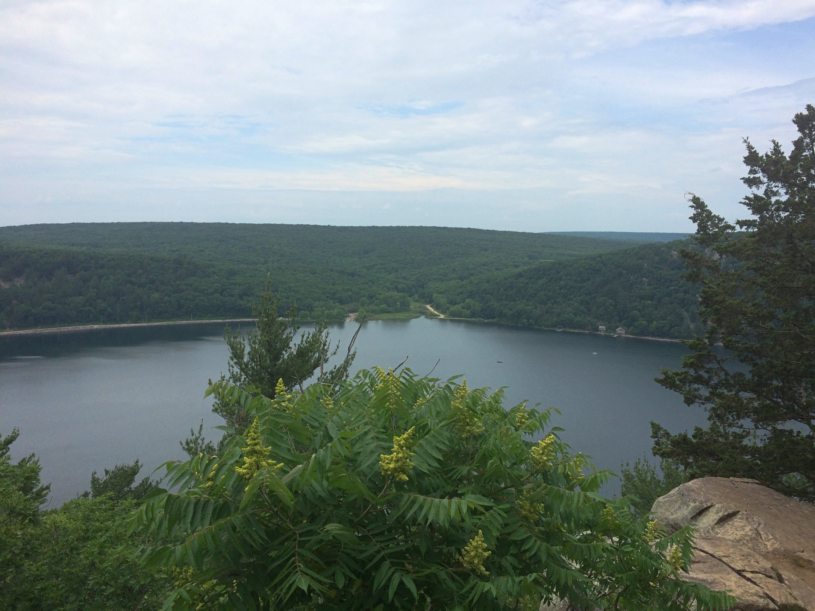
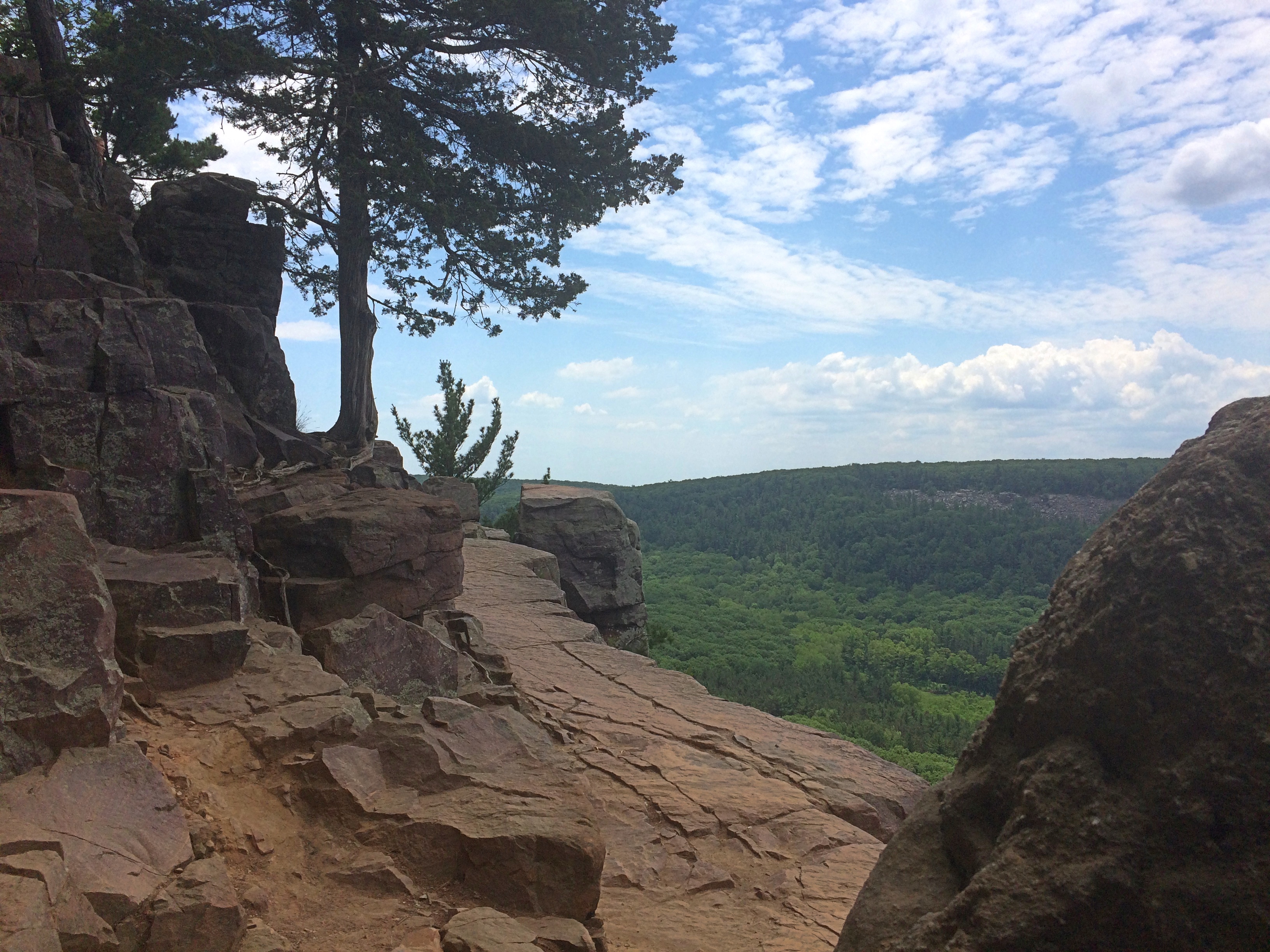
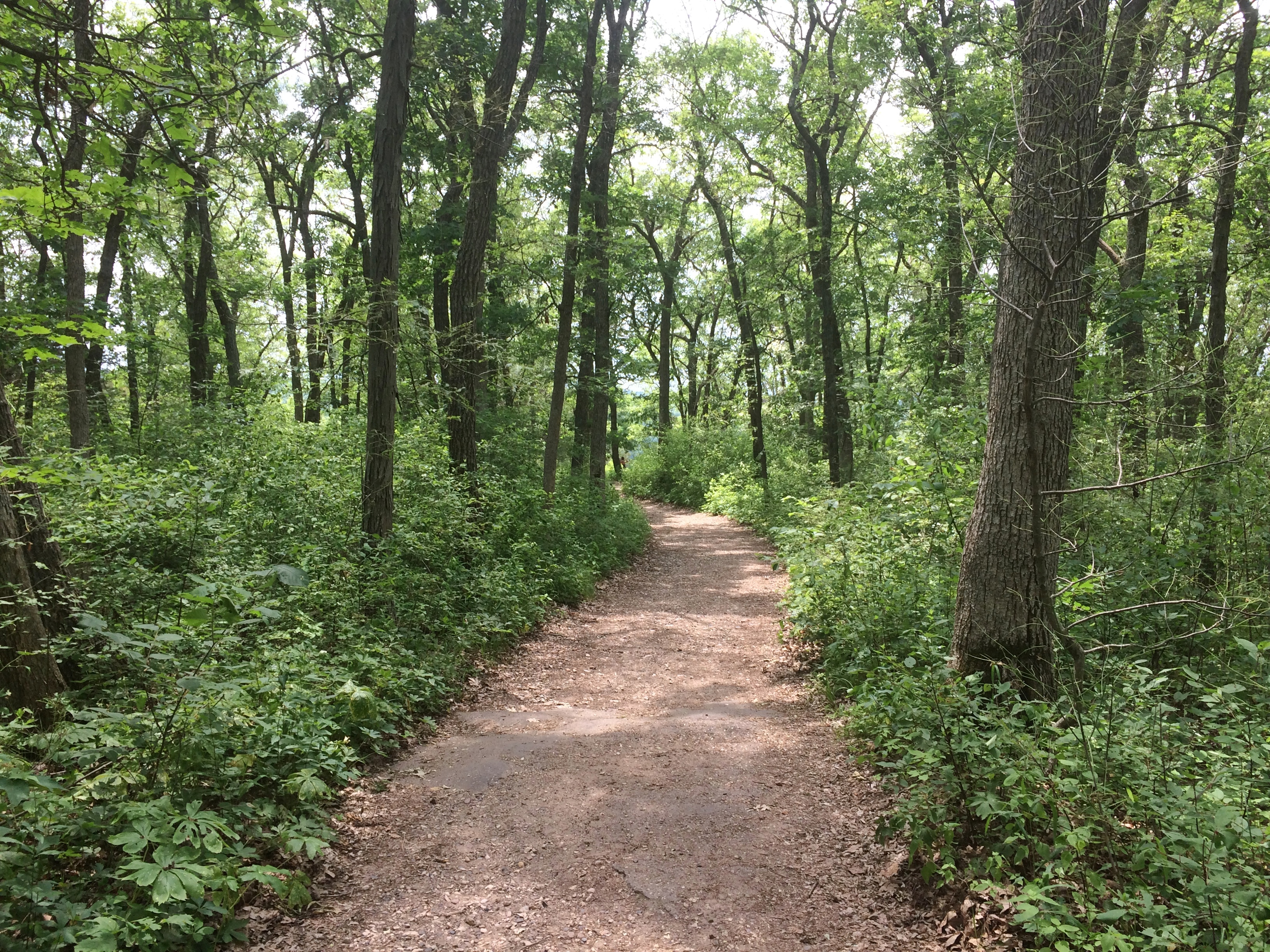
 Looking back up at some trees lording over the edge of the cliff.
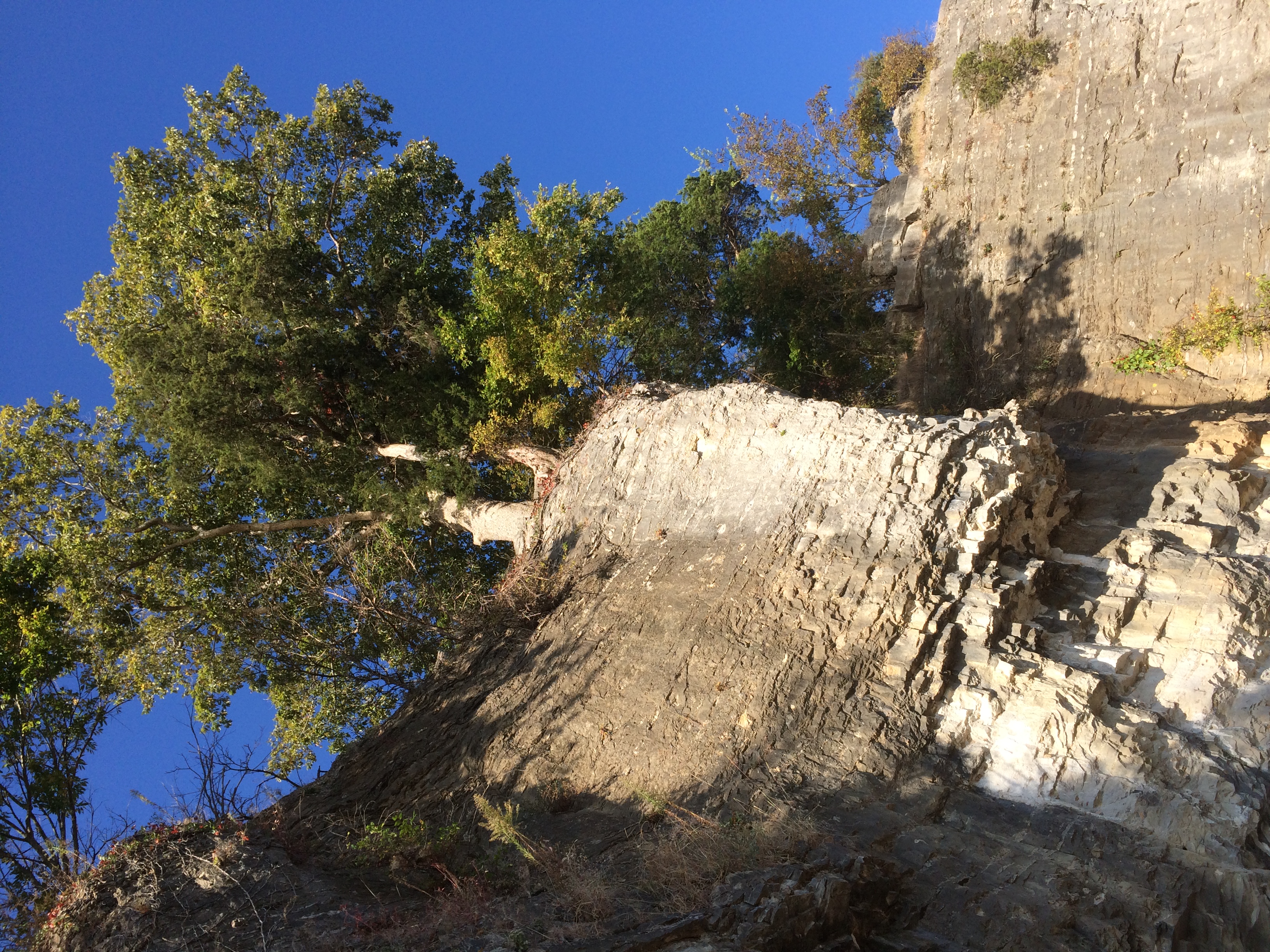


#/media/File:Orange_county_indiana_courthouse_08_2007.jpg)
#/media/File:Plan_of_Fort_Pitt,_1759.jpg)