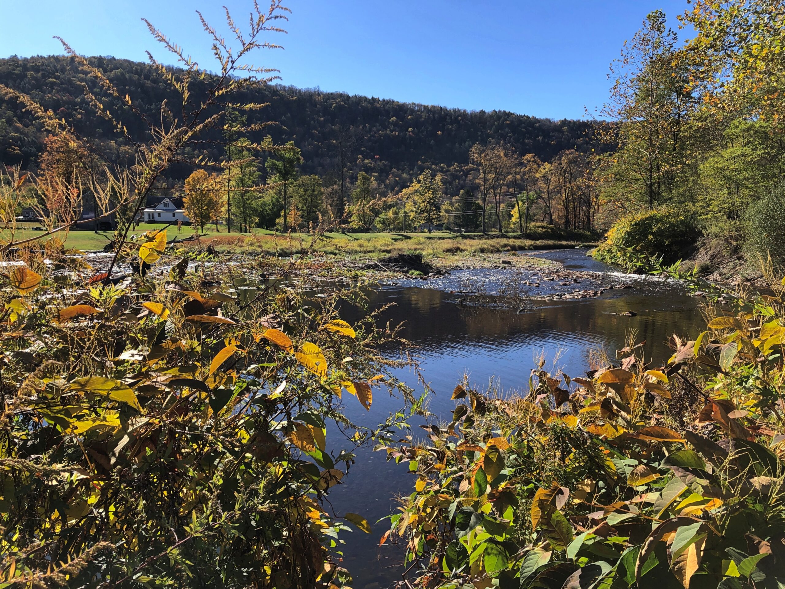
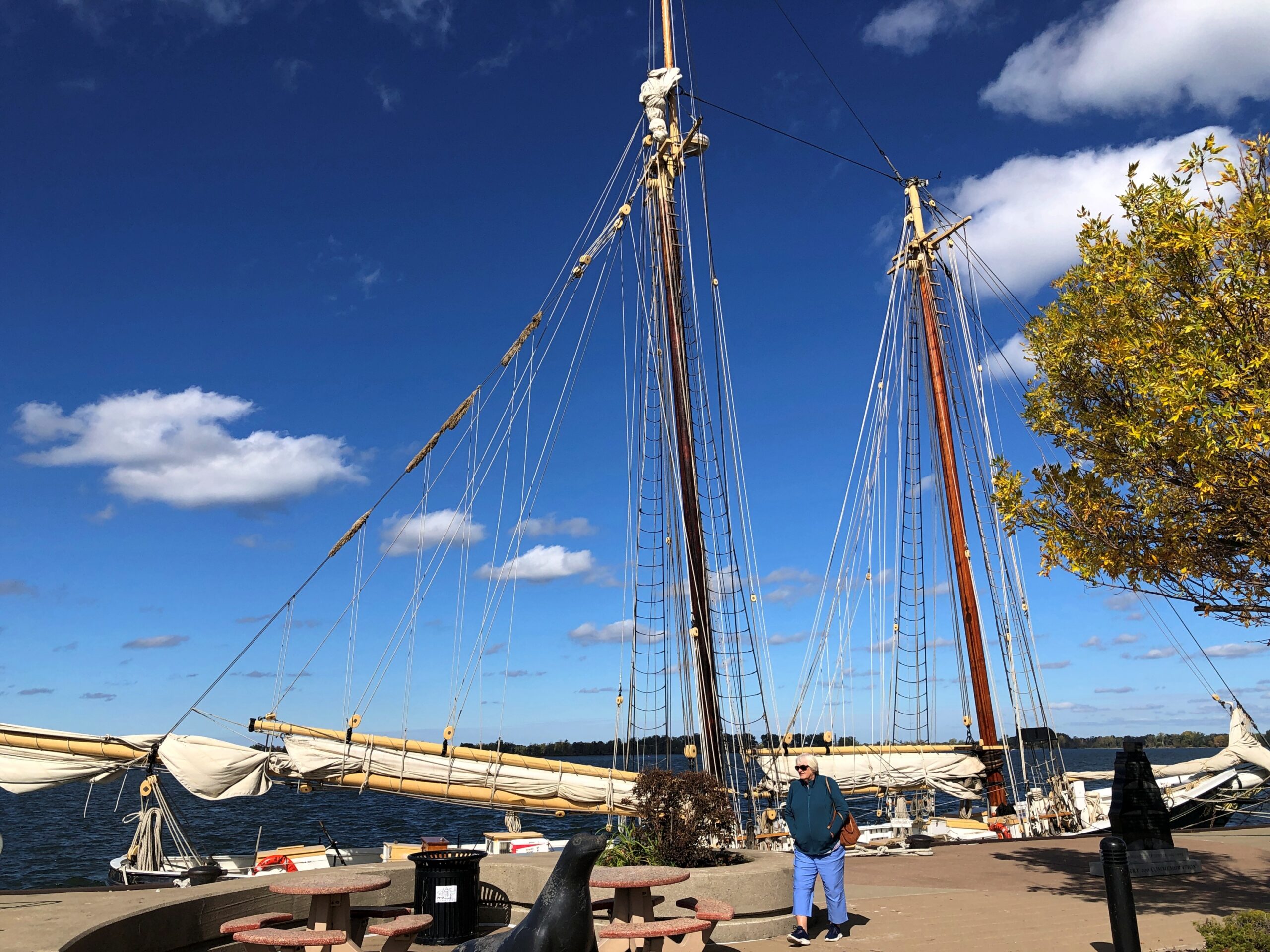
On the morning of October 19, Fort Greene Park in Brooklyn was still pretty green.

Of course, the 30-acre park was named for the talented Revolutionary War general, not for the hues of its 50-plus species of trees, very many of which seemed to be ginkgoes. Whatever the coloration, the park proved to be a nice place for a stroll that day, offering a more manageable size than either Central Park the day before, or Prospect Park would later that day (as great as those two are).
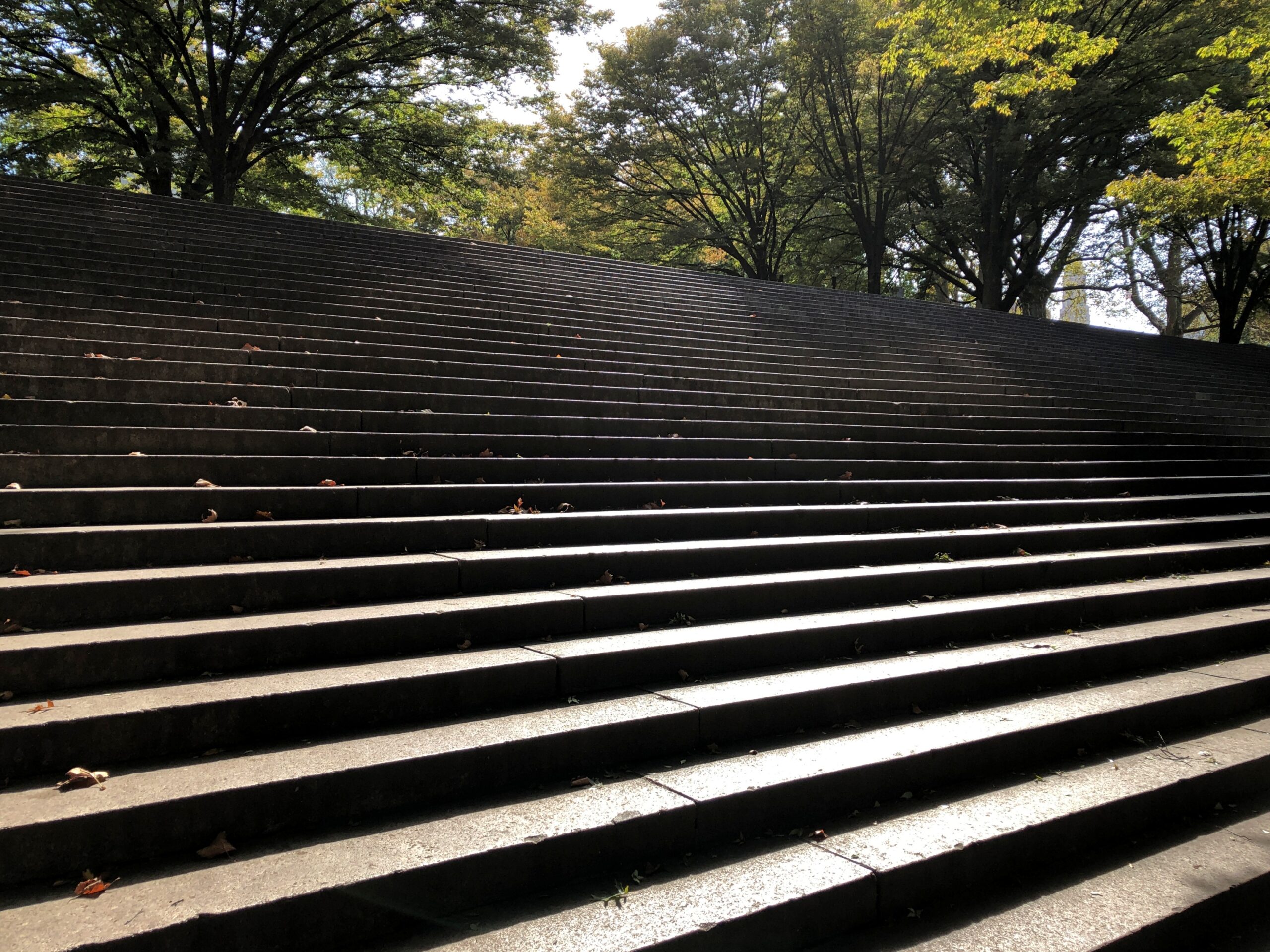
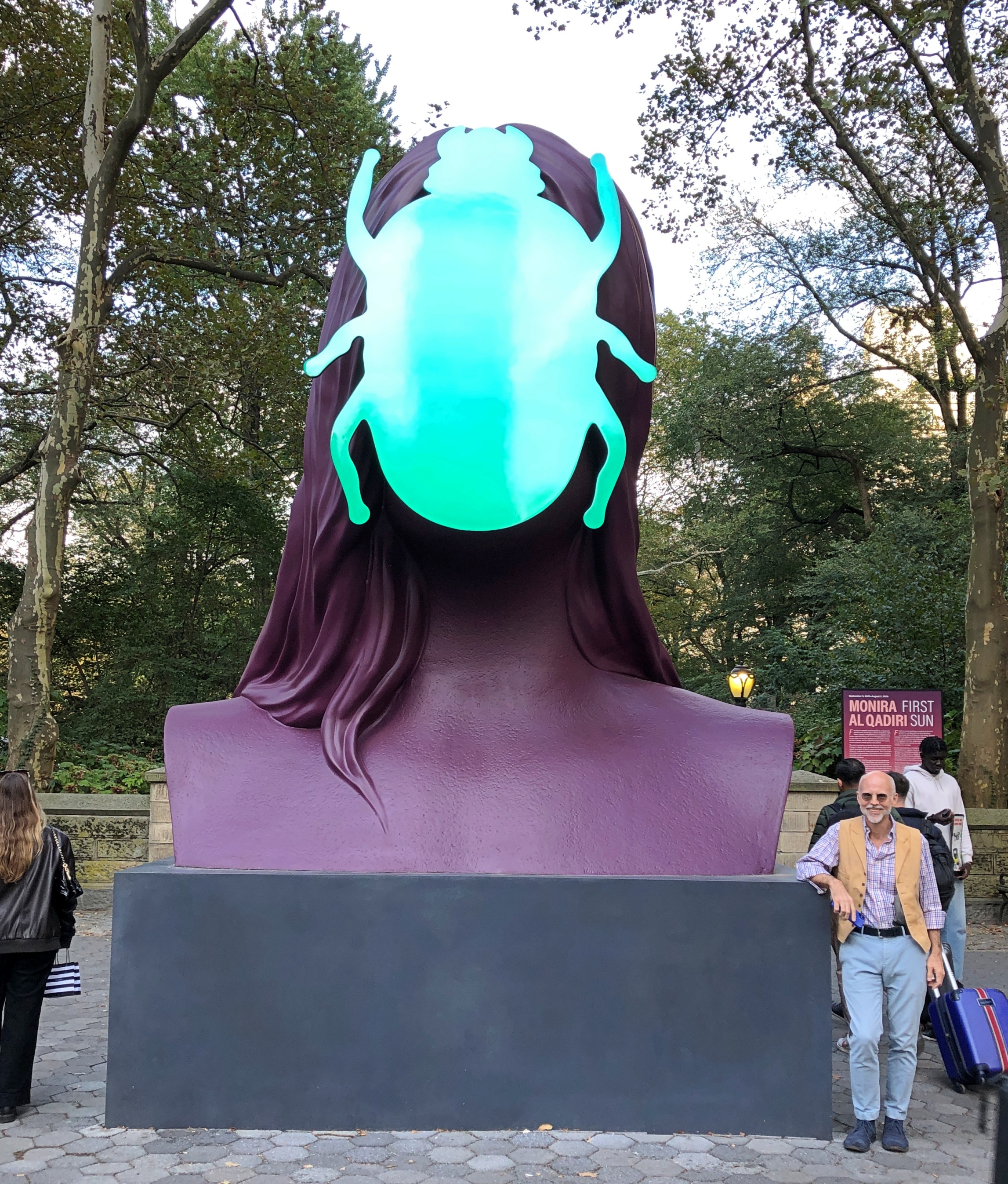
My idea for attending Open House New York was Manhattan on Saturday, Brooklyn on Sunday, planning that took us – by this time, just the two of us – to Atlantic Terminal by way of the LIRR on Sunday morning. From there, Fort Greene Park is a short walk, though once you get there, it’s something of a hustle to climb the park’s central hill. A fort had been on the site, active during the Revolution and again for the War of 1812, for a reason.
As a park, Fort Greene came of age at roughly the same time as the idea of municipal parks themselves, that is during the mid-19th century, with some agitation on the part of Walt Whitman – editor of the Brooklyn Eagle in the late 1840s – helping facilitate its creation.
In 1857, Whitman wrote about the place, known at the time as Washington Park: This beautiful ground is now covered with rich verdure, and is one of the pleasantest resorts anywhere around. On its lofty tops you feel the breeze, and from them behold one of the finest views in the world. Most of the trees are yet too young to cast much shade, but they are growing finely.
We recollect there was a very obstinate and indignant opposition to the securing of these noble grounds, some twelve years since, when the project was mooted before the Common Council and the public. It was argued that Brooklyn was not rich enough to stand the expense of purchase; and that it would be better to let the “old fort” be dug away, and blocked up with buildings.
Fortunately these counsels did not prevail. A more far-sighted policy… carried the day.
Is there any one left of those who so furiously opposed Washington Park, who is not now glad that his opposition did not succeed?
I’m also glad there’s a park, though leaving the ruins of the fort might have been an interesting approach to creating one. As Whitman would surely have appreciated, 21st-century Brooklynites were out in numbers (but not crowds) to enjoy the park on a warmish fall day, walking their dogs and turning their kids loose to play. A scattering of other people had come for Open House.
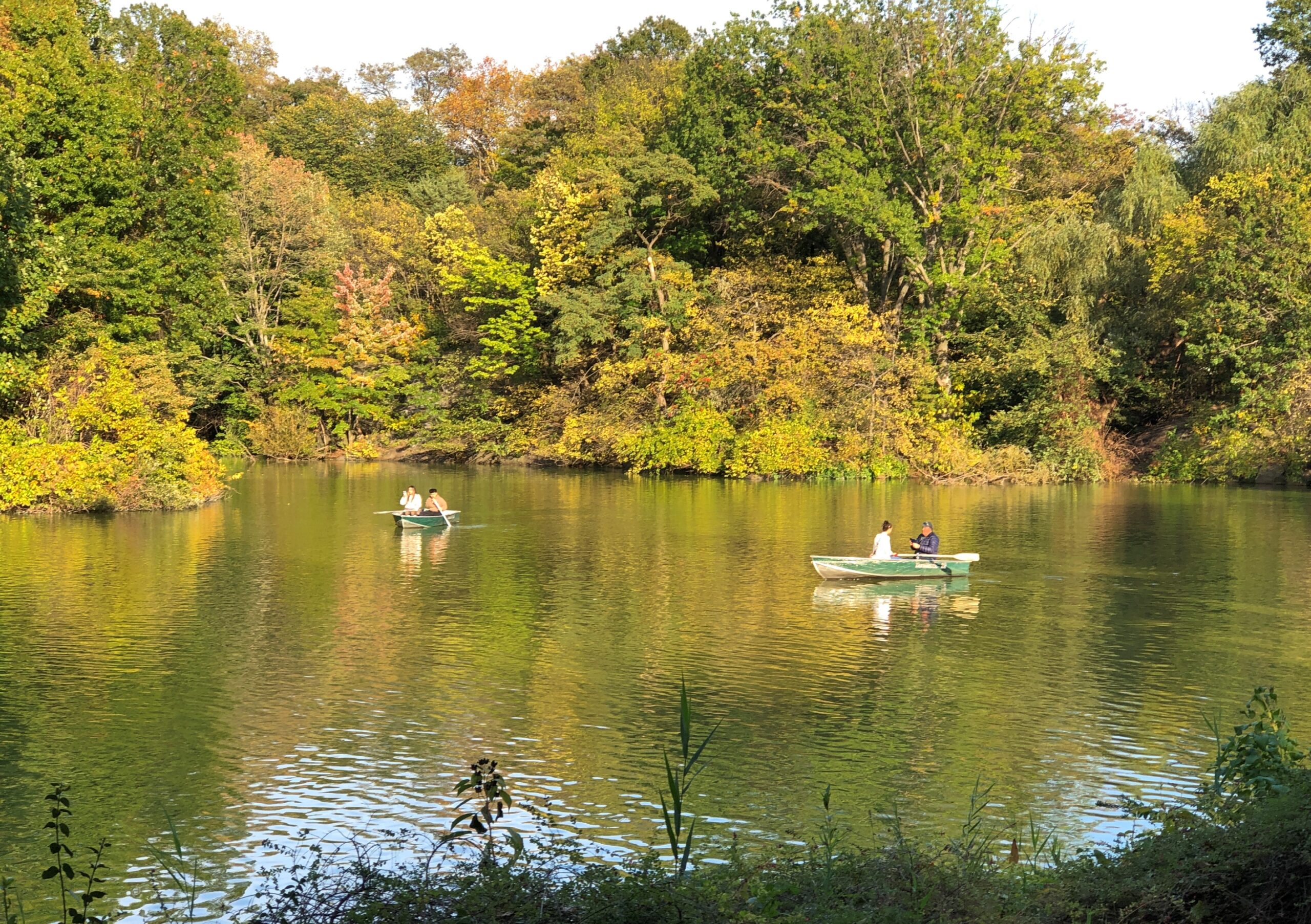
The green space and trees were only the first layer. Come 1867, Frederick Law Olmsted and Calvert Vaux applied their considerable talents into making Fort Greene into their vision of an urban park, a small-scale version of Central Park or Prospect Park. That’s reason enough to visit.
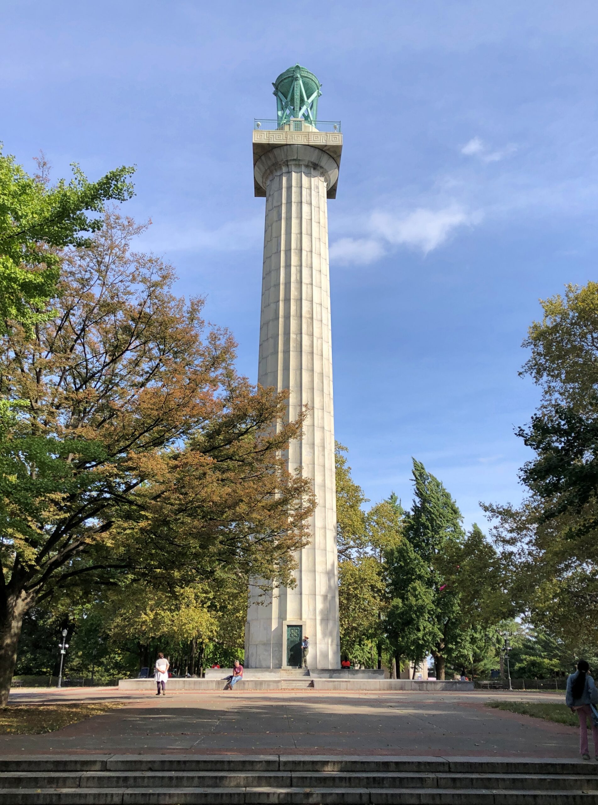
One of their additions: grand outdoor stairs.
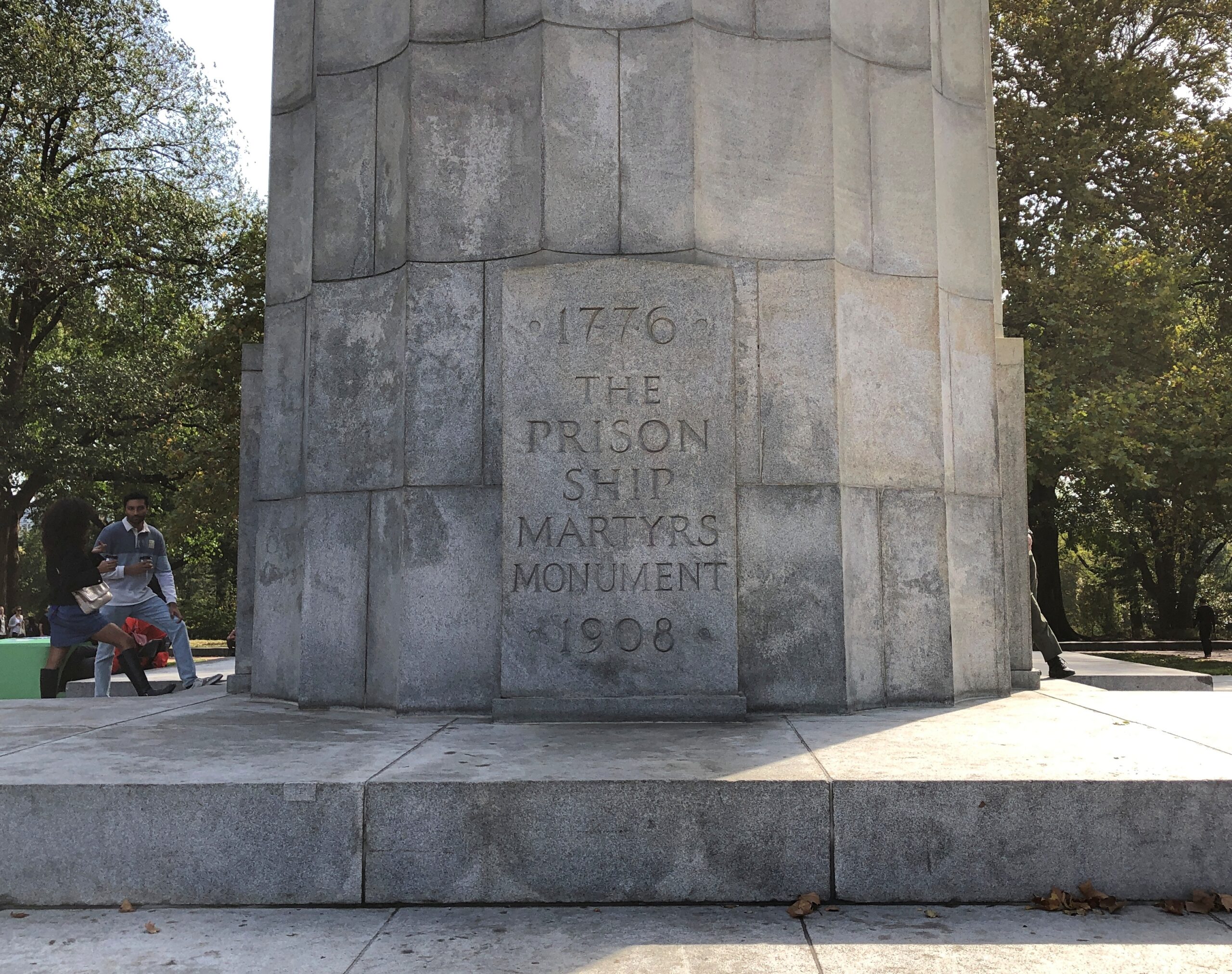
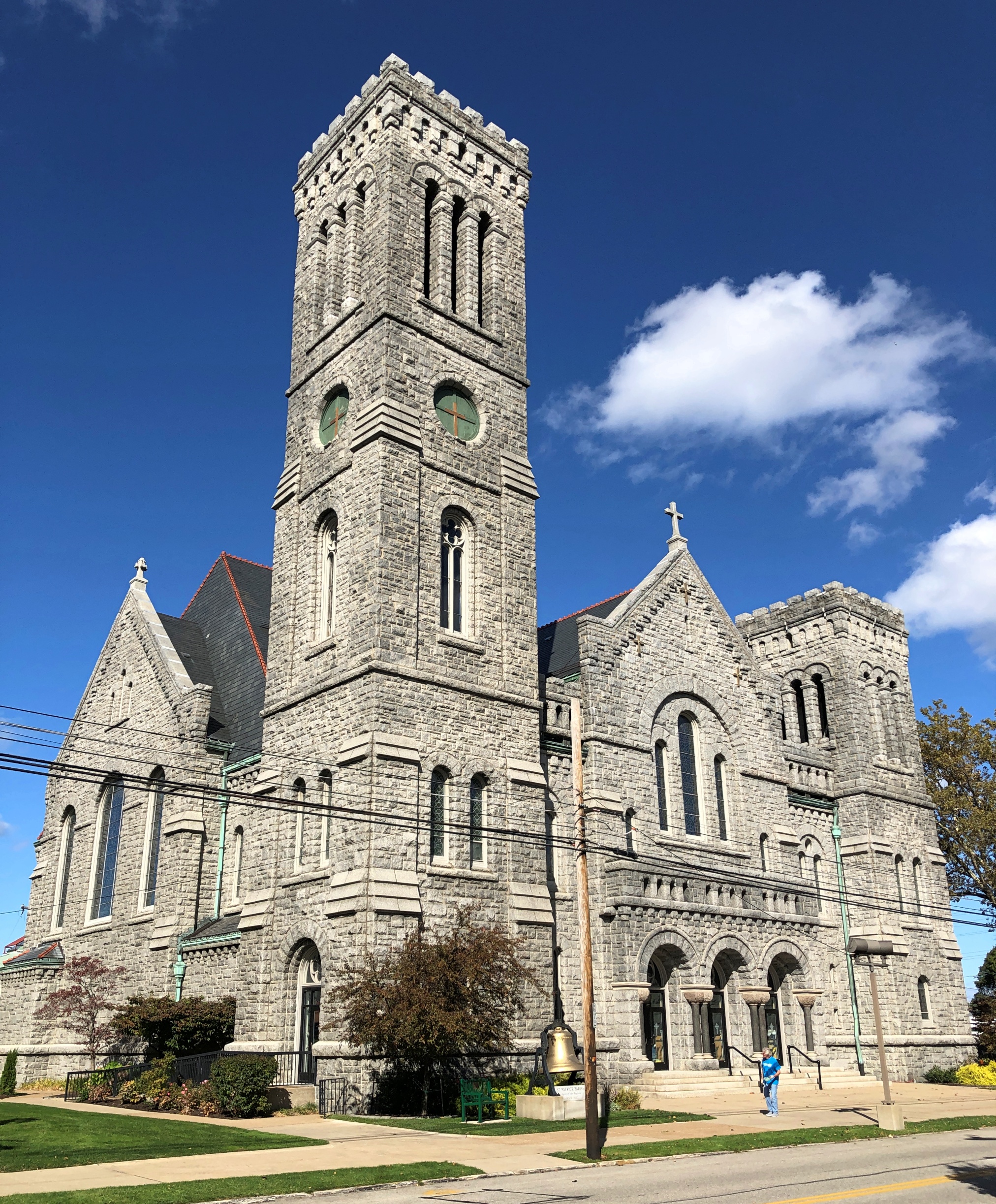
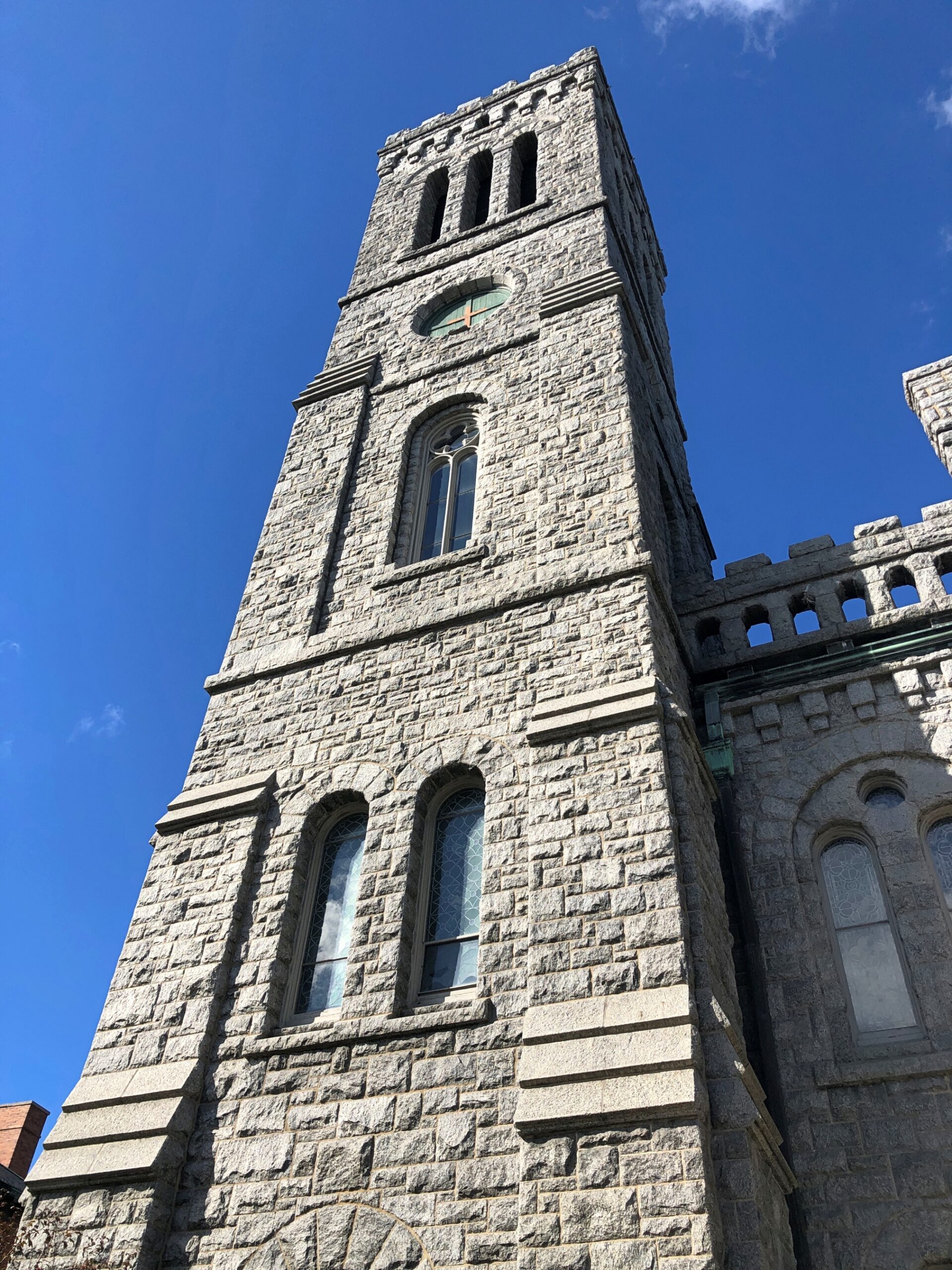
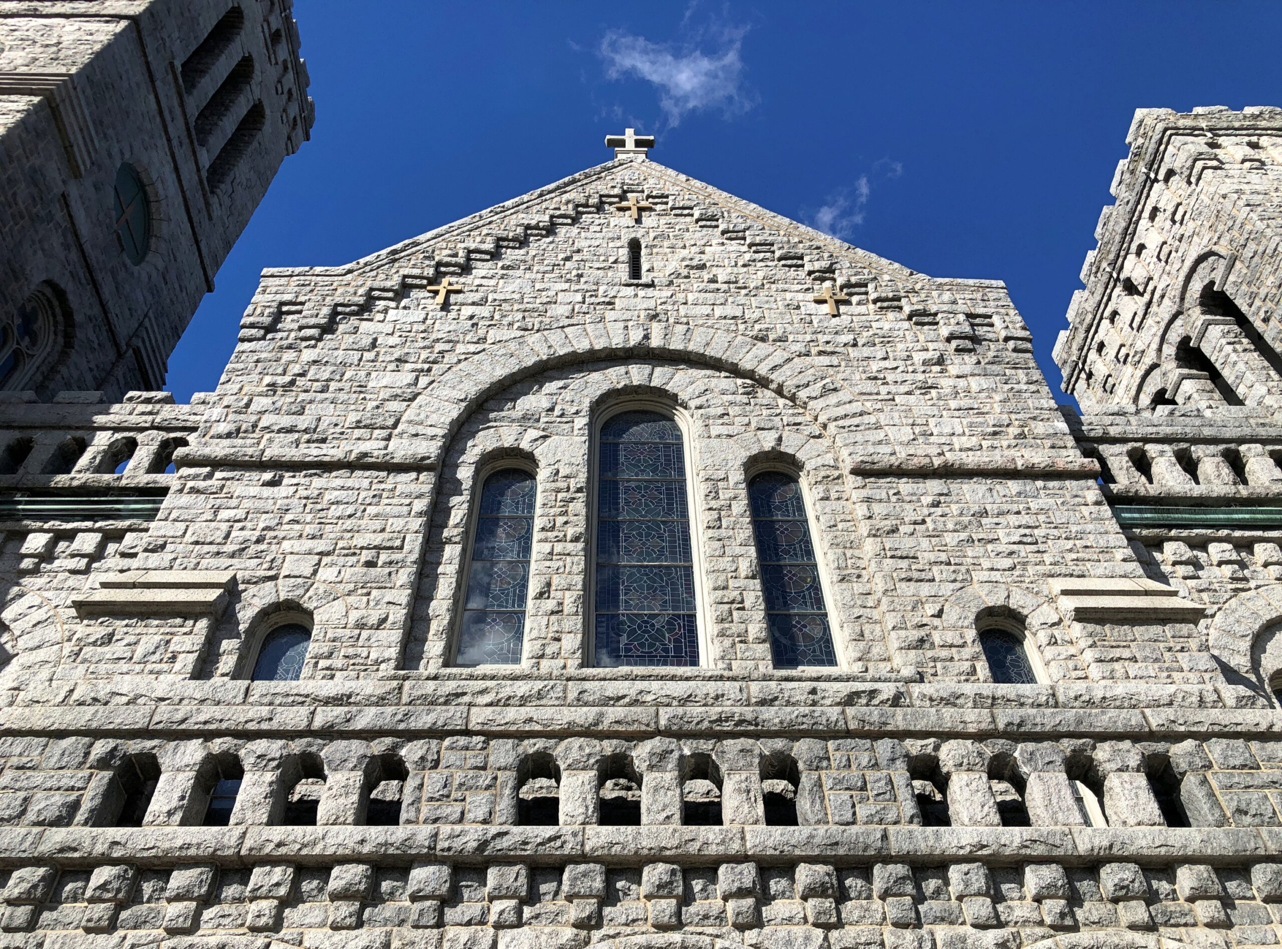
It wasn’t until 1908 that those stairs led to the Prison Ship Martyrs Monument, memorializing the more than 11,500 POWs who died in wretched conditions aboard British prison ships during the Revolution.
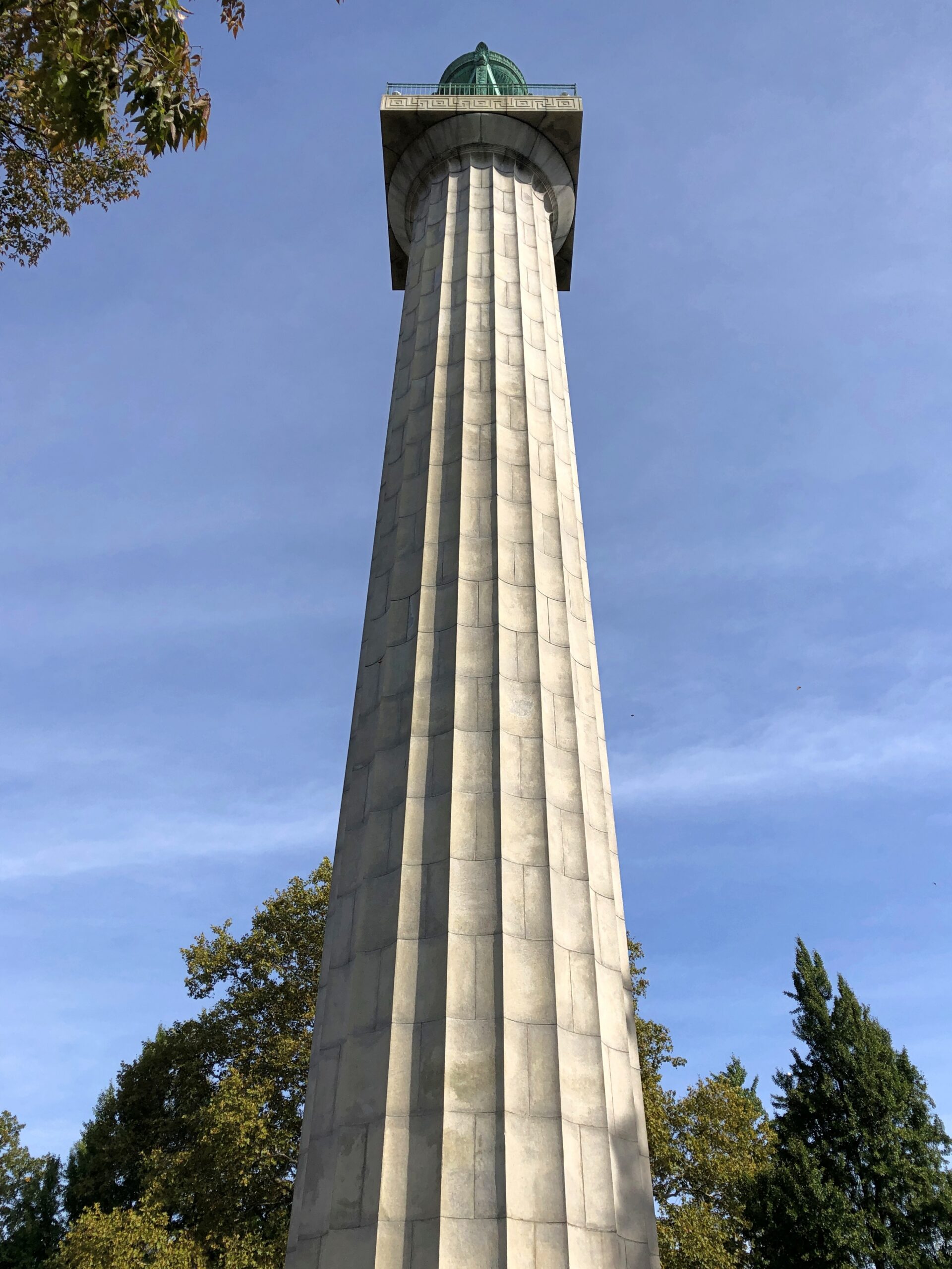
The column isn’t usually open, but Fort Greene Park was an Open House site, so we were able to go inside after waiting in line a short time. I was expecting stairs inside. But there was just a rusty iron ladder, which the park ranger who led us into the column called “scary.” I agree.
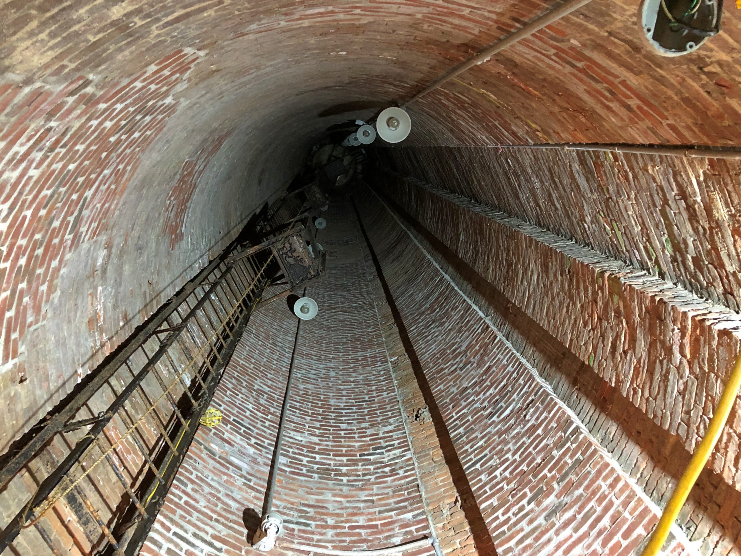
There had been a spiral staircase in the memorial’s early days, but it is long gone. I wasn’t in a stair-climbing mood at that moment anyway, so for me it was just as well. If the city ever comes up with the scratch, there might be stairs again, the ranger said.

She also told us about the formation of the park, the long delay in setting up the memorial, and the tomb on the grounds that holds bones of some of the prisoners. The tomb isn’t open to the public.
A newer memorial, plaque-on-rock style and in place almost 50 years now, was dedicated by a young King Juan Carlos in memory of the Spaniards who fought for American independence.
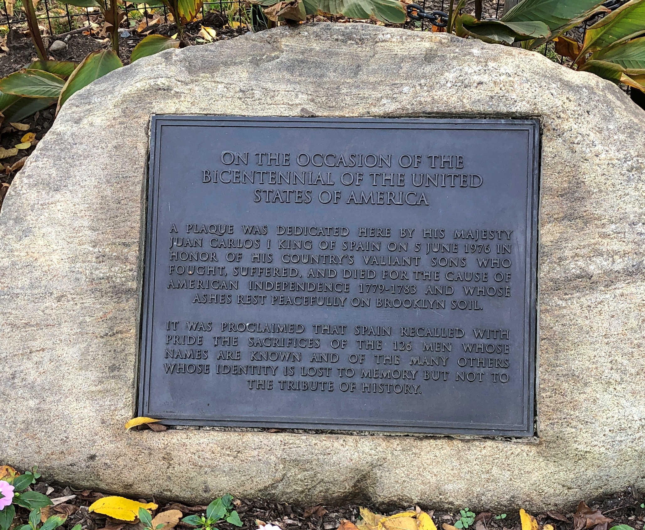
French assistance to the nascent United States was mentioned prominently in school but not, that I remember, Spanish efforts, which were nothing to sneeze at. Maybe by 1898, Spaniards who gave the matter any thought considered the U.S. a pack of ingrates, but such is geopolitics. By 1976 and later, it was high time to acknowledge the likes of Bernardo de Gálvez and his men, and I was glad to find out that Pensacola still celebrates Gálvez Day (May 8).


.jpg)