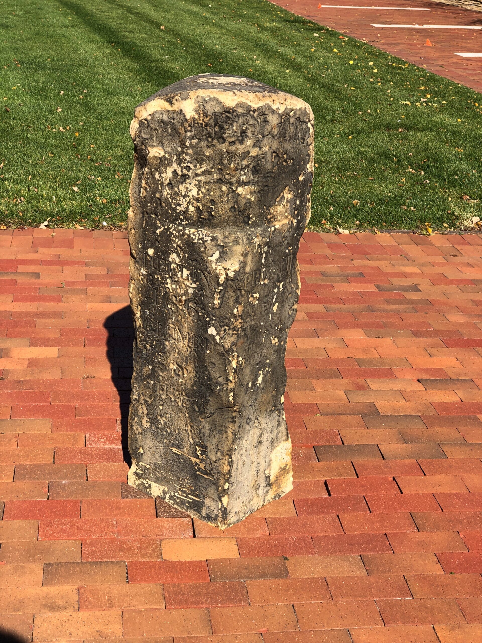
Which of these two destinations aren’t like the others?
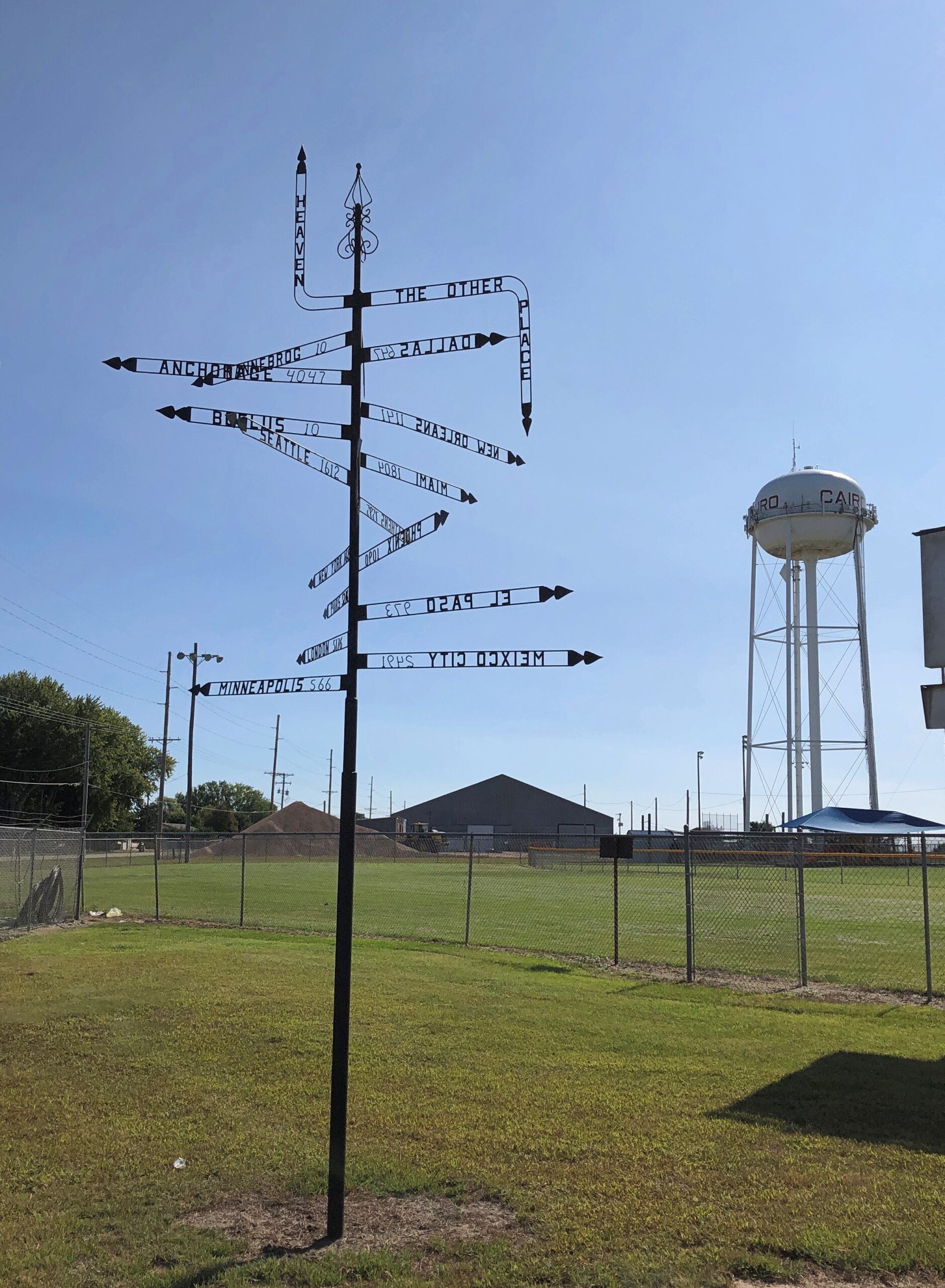
That’s a beginner’s-level question. Better question: where can you find this pole, with mileages and – what units measure the distance to Heaven or Hell? – other signs?
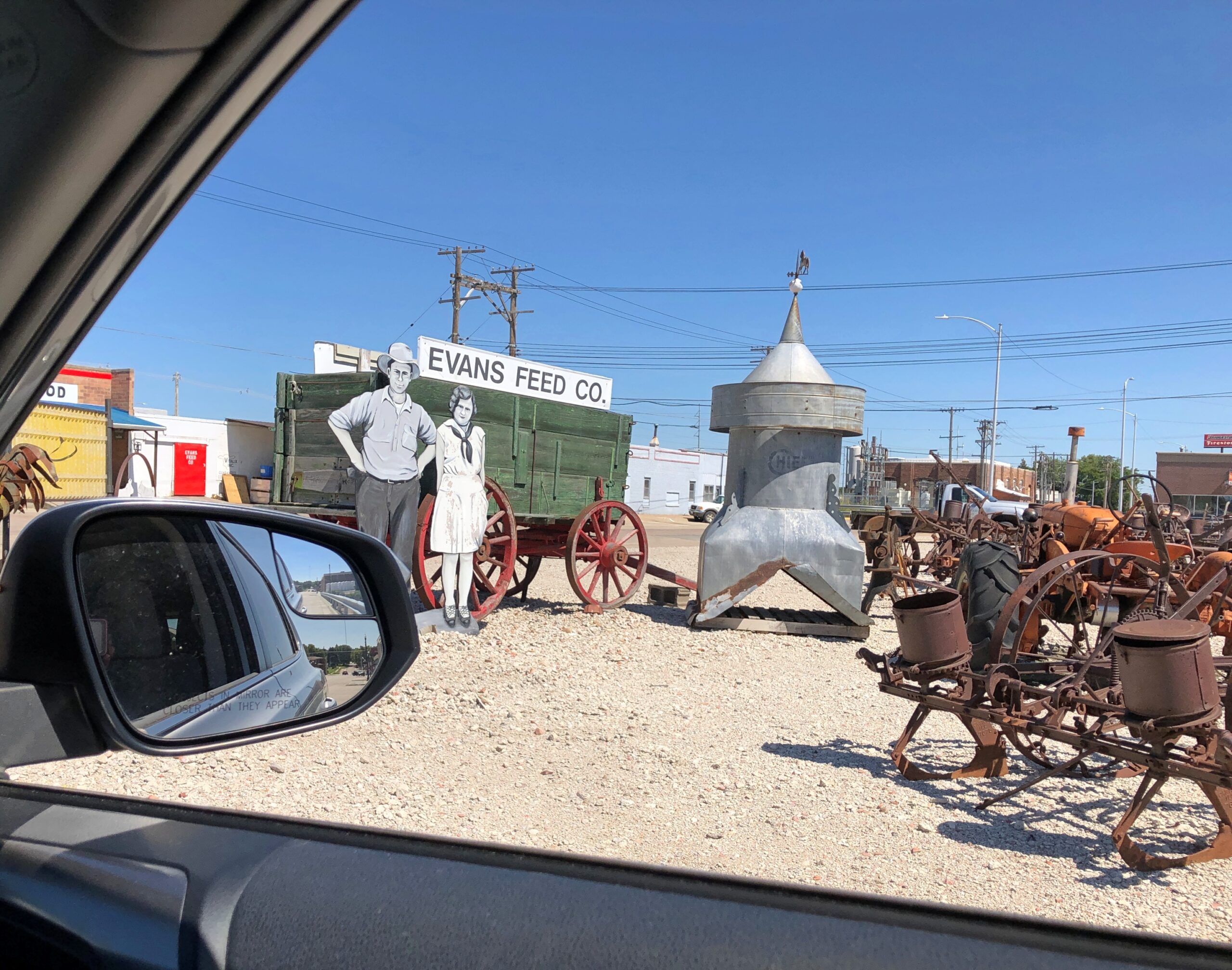
Answer: Cairo, Nebraska.
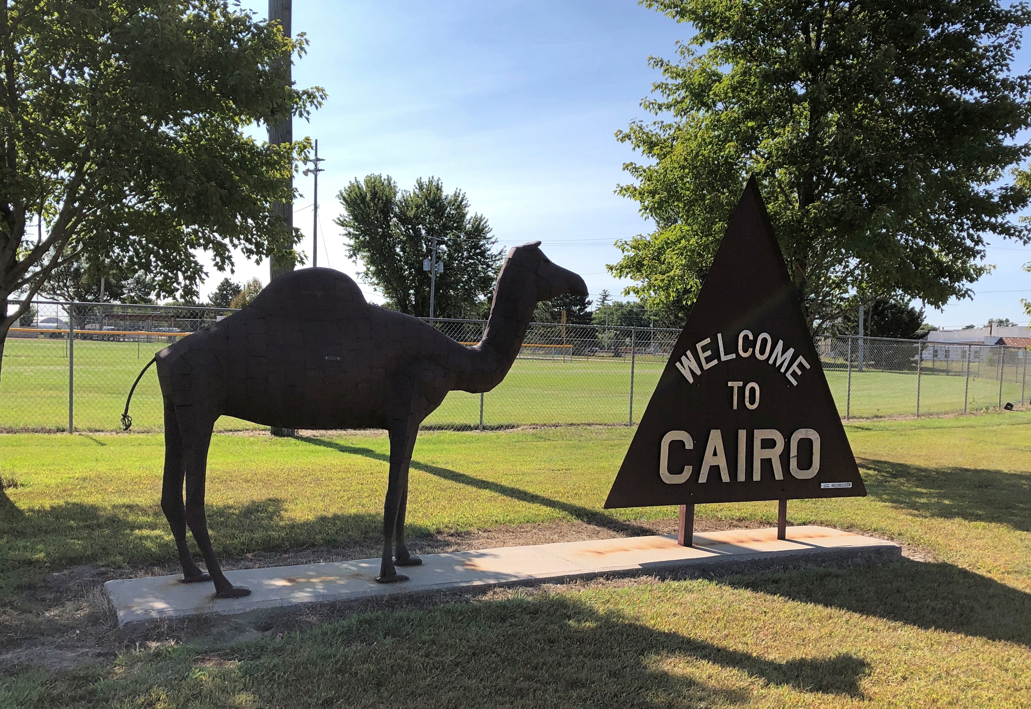
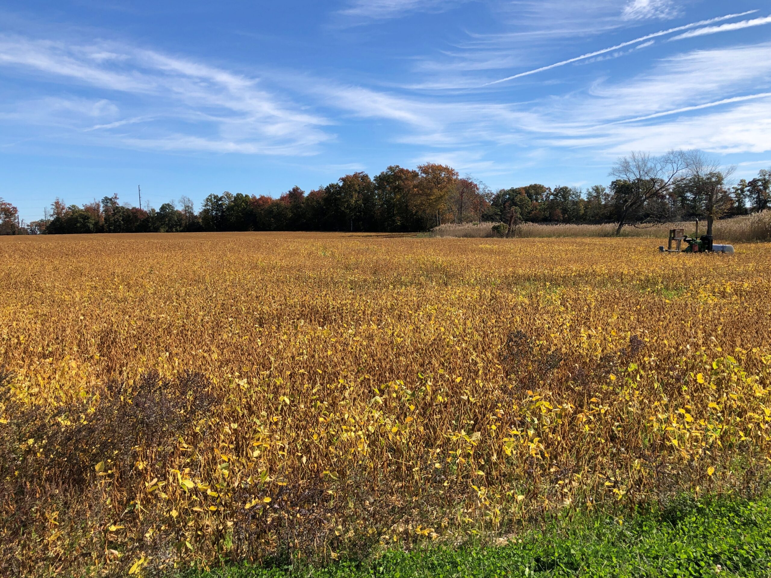
Maybe a palm tree was in the works, but the city decided not to spend any more money. Cairo (pop. 822) is one of the small chain of small towns on the eastern section of the highway Nebraska 2, which runs westward and north of Grand Island. Cairo is the first place I stopped on my way west on that highway in early September.
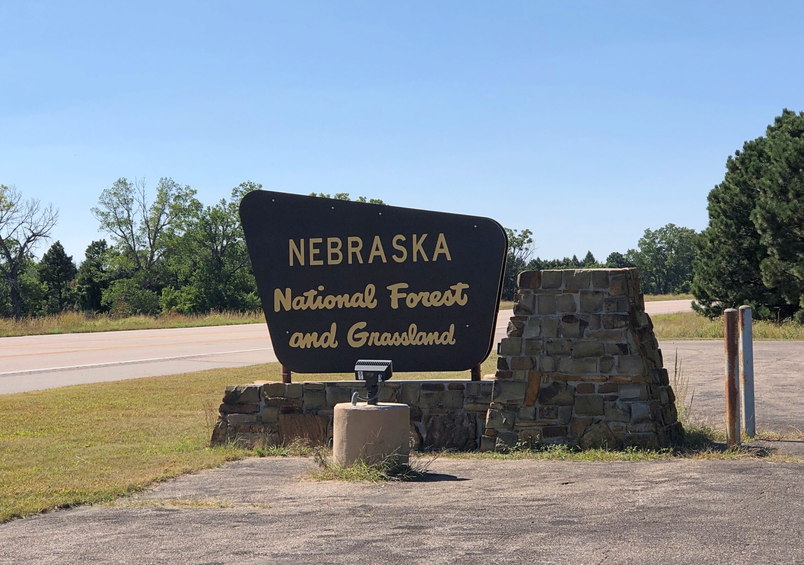
Eventually the highway reaches the Nebraska National Forest and Grassland, a patch of (partly) wooded land that inspires the question, there’s a national forest in Nebraska?
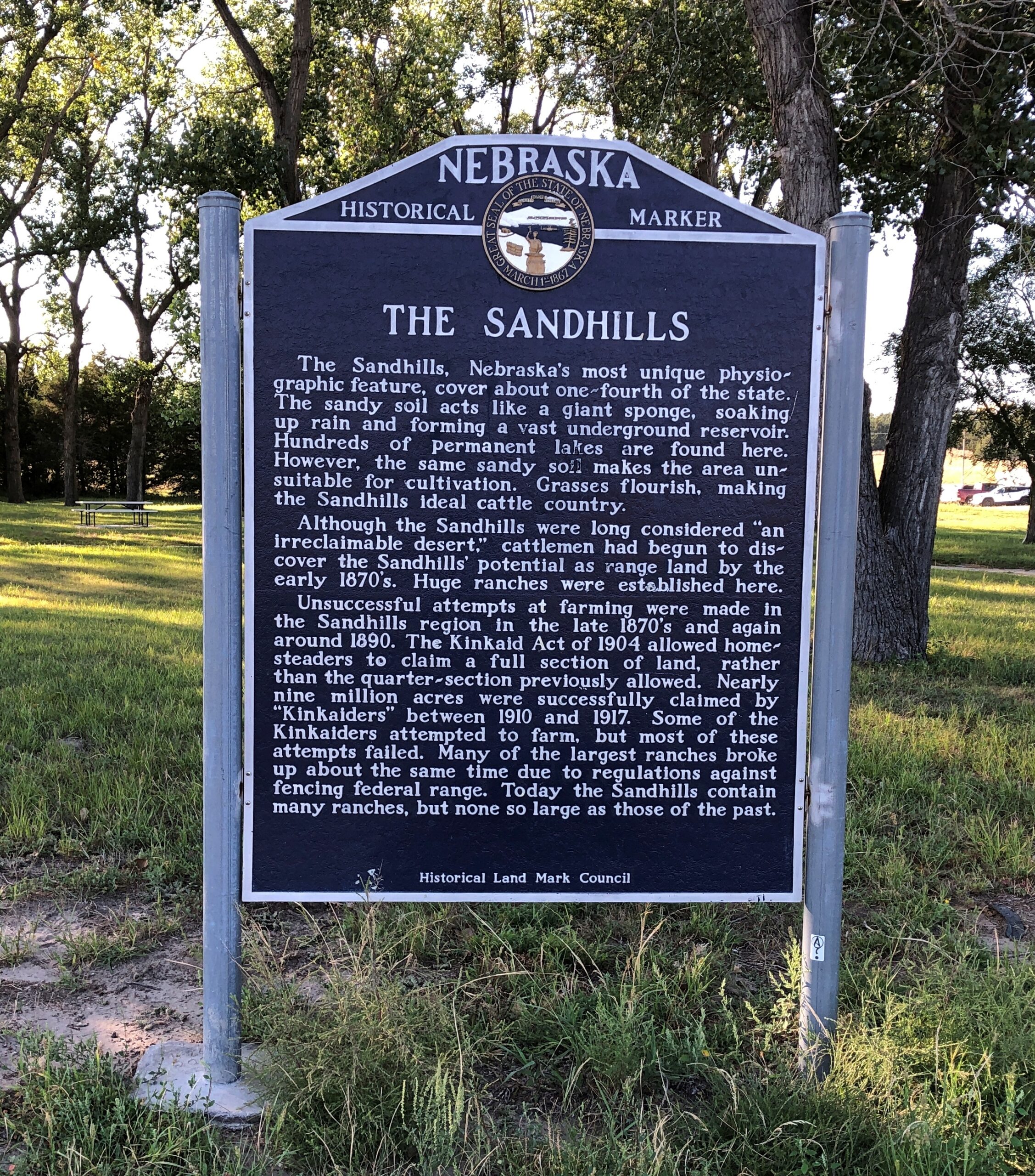
West from the forest, Nebraska 2 crosses the Sandhills, an unusual place here in North America, with the land morphing from cropland to ranch land on sandy steppes. The towns on the way are mere hamlets, and sometimes not even that. On the western edge of the Sandhills, one comes to the sizable town of Alliance, Nebraska, home of Carhenge and railroad staging area for coal trains headed east.
Before I did the drive, I was looking forward to it as much as any of the roads in Colorado. It lived up to expectations. Nice when that happens.
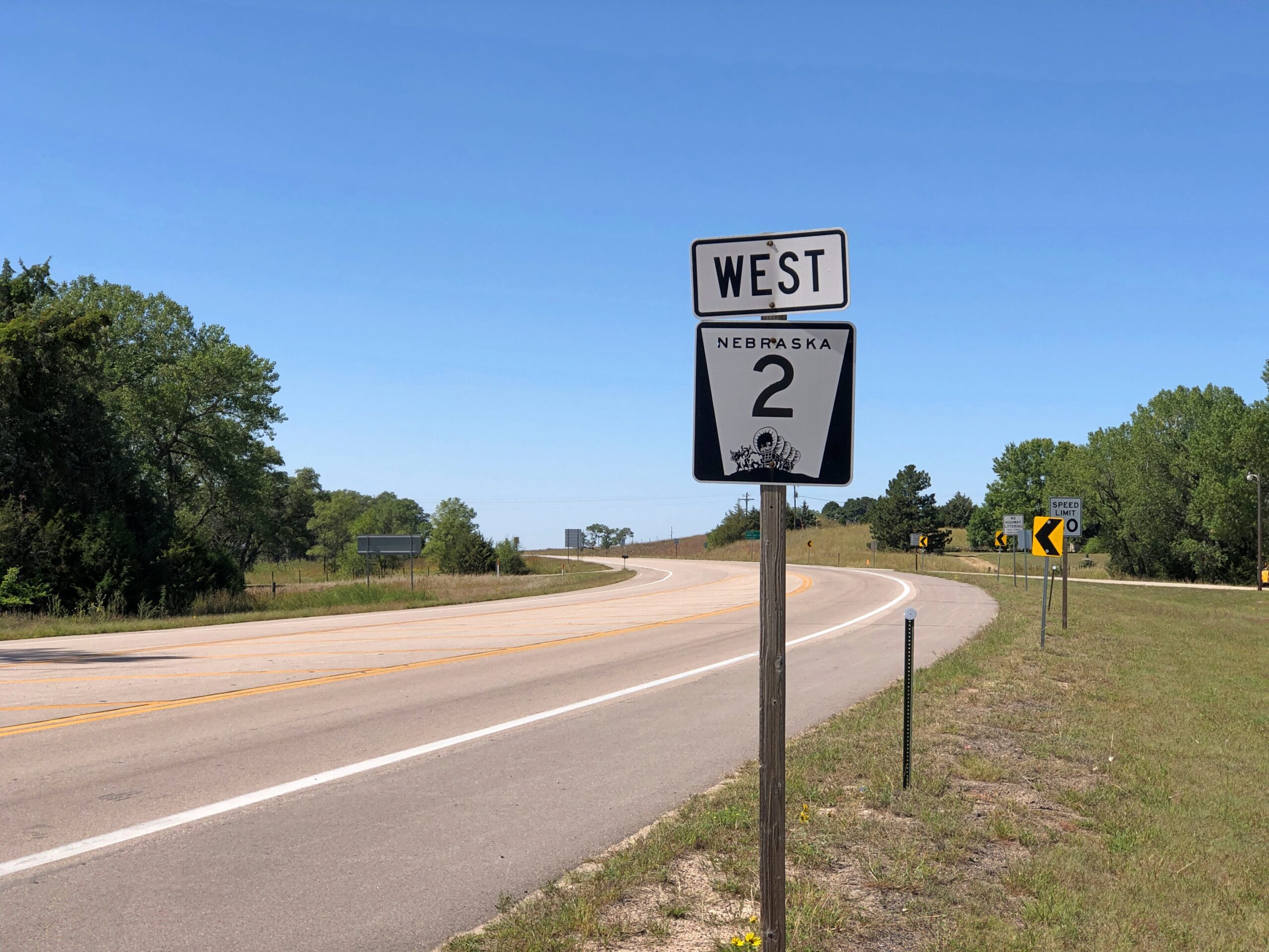
The Fence Post cites Charles Kuralt’s fondness for Nebraska 2: “Highway 2 is not just another highway that goes somewhere. Highway 2 is somewhere,” he’s known to have said. I’d say whatever else his failings, Kuralt had good taste in roads.
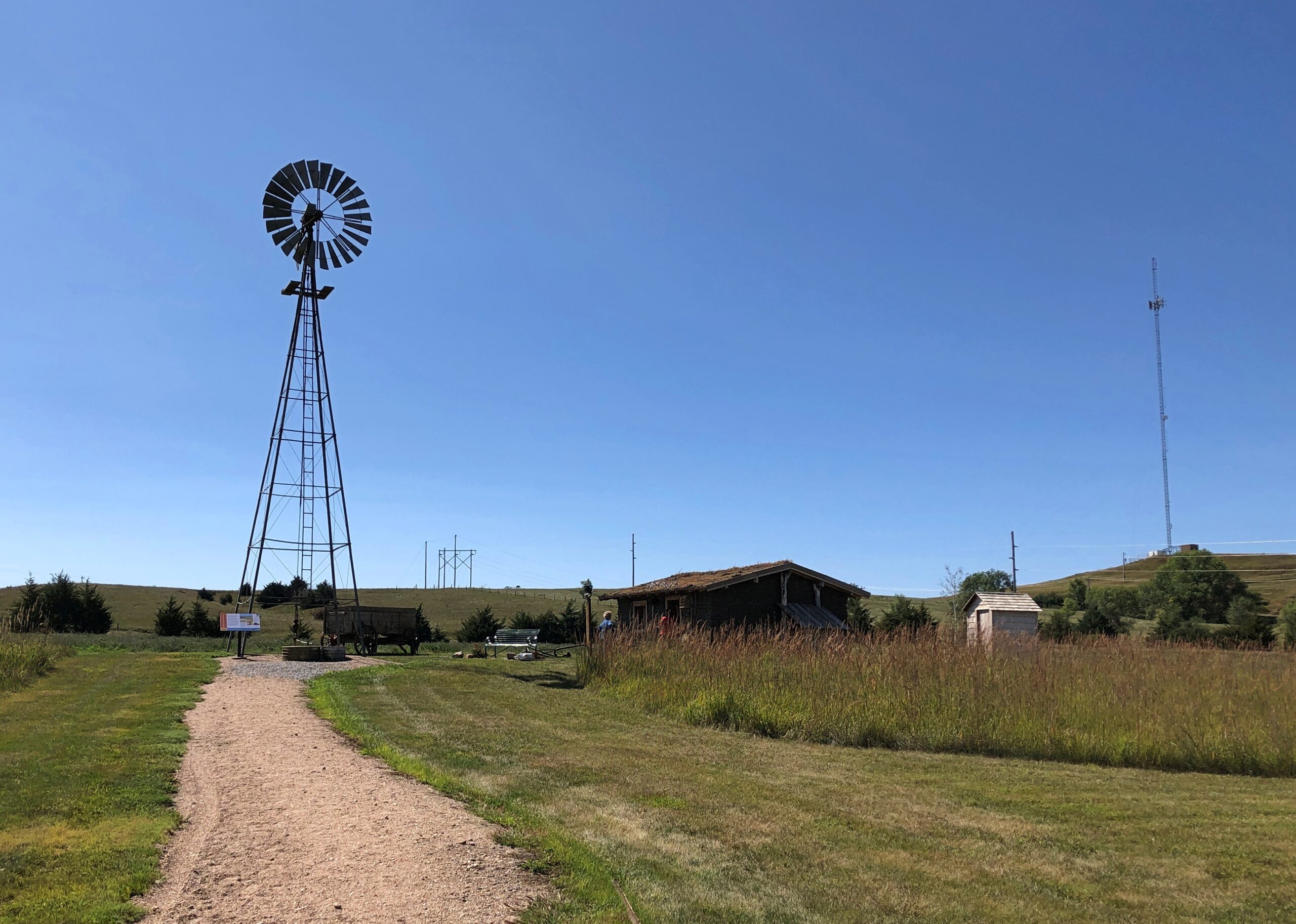
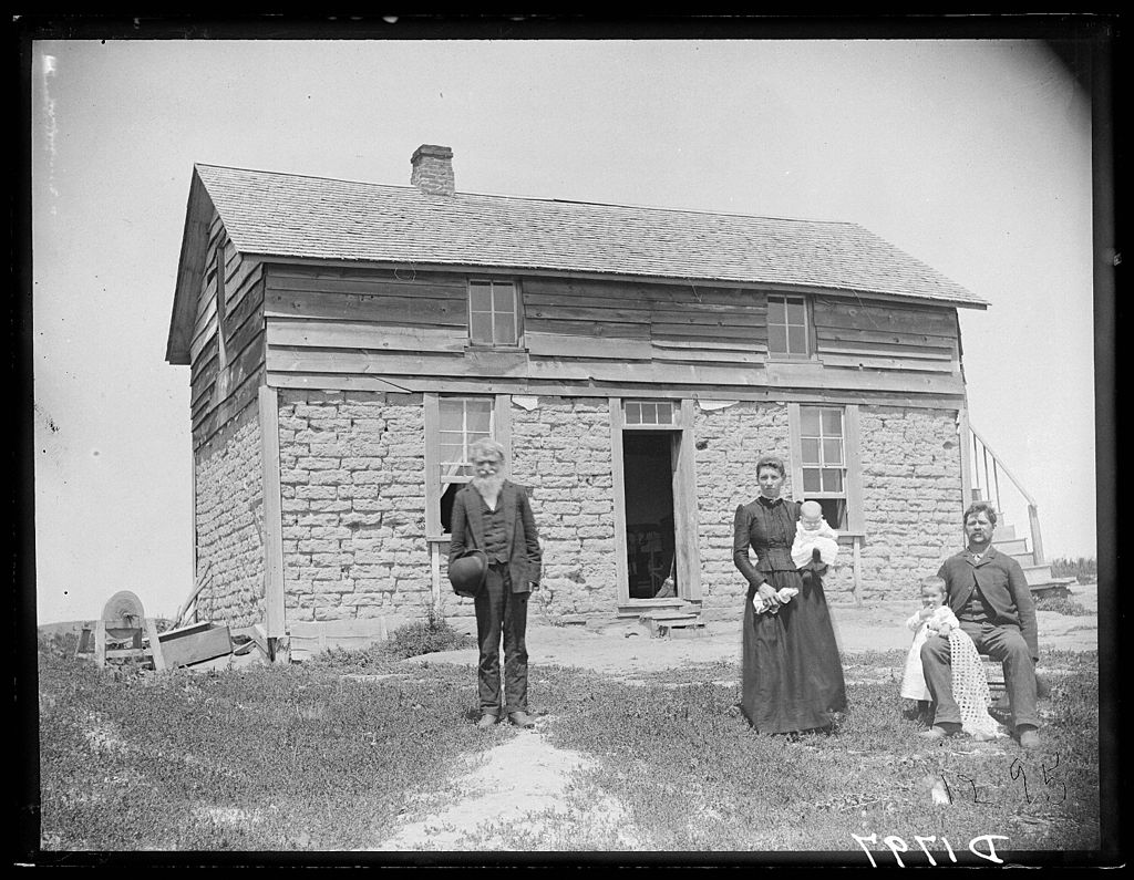
Just outside Broken Bow (pop. 3,491), seat of Custer County and pretty much the only town of any size in that county, the Sandhills Journey Scenic Byway Visitor Center offers a building with bathrooms and pamphlets and displays and, for my visit at least, a grandmotherly and talkative volunteer. Old enough, she said, to remember when the highway was just a road through the countryside that attracted no attention from the outside world. Not a scenic byway, and sand hill cranes were just flocking birds. Now a trickle of tourists and bikers and RVers come this way. She had some solid recommendations, especially a good diner for lunch.
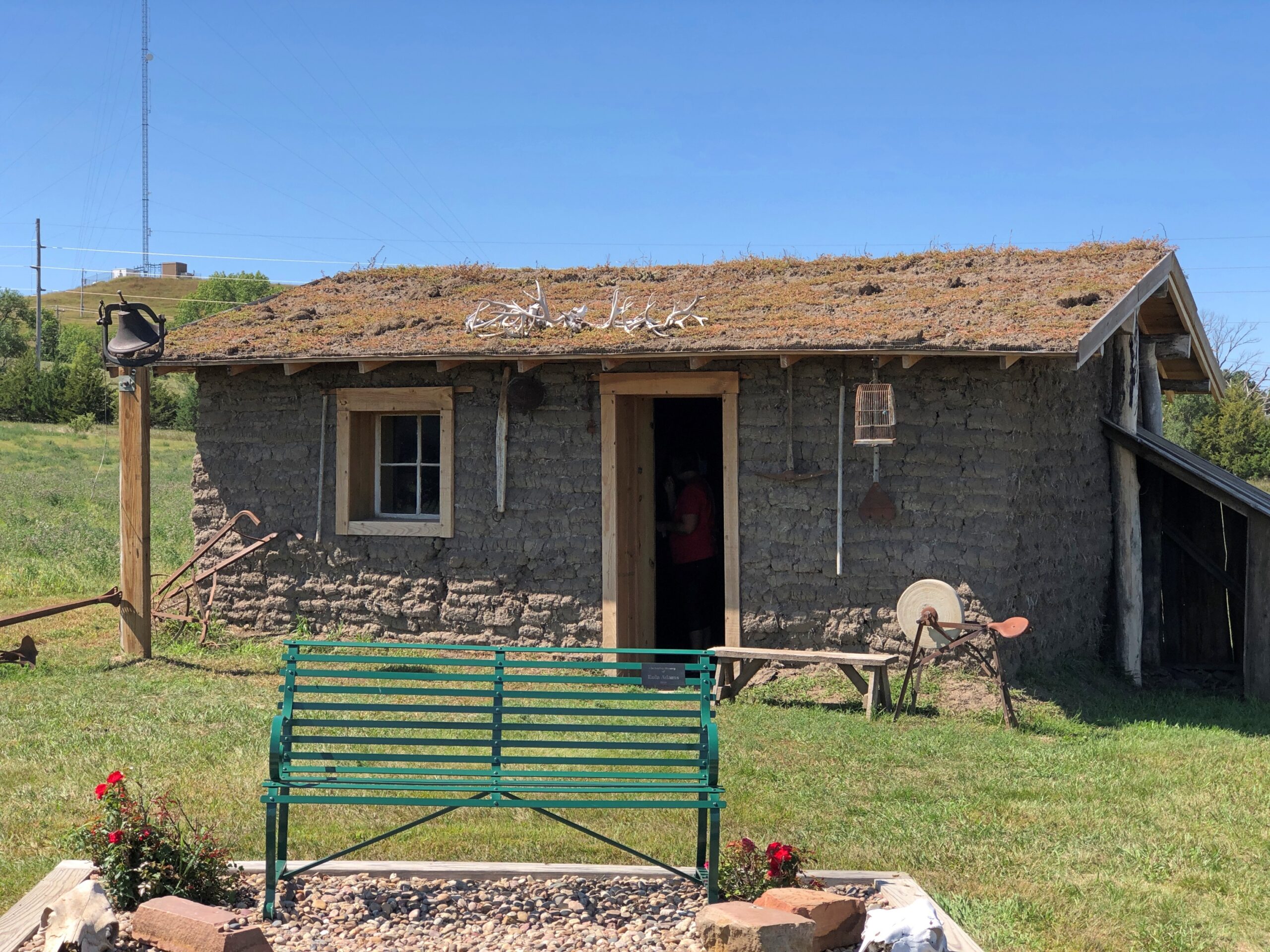
The visitor center grounds include a relocated (or was that reconstructed?) Sandhills cabin. The residences of the farmers trying to scratch out a living in the Sandhills, and finding out that no amount of scratching would make decent crops grow consistently from the land.
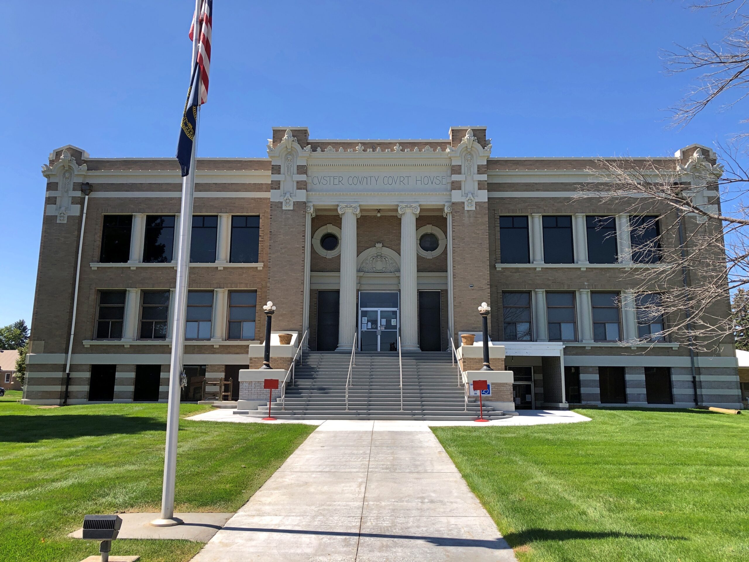
The Custer County Courthouse. Saturday, closed.
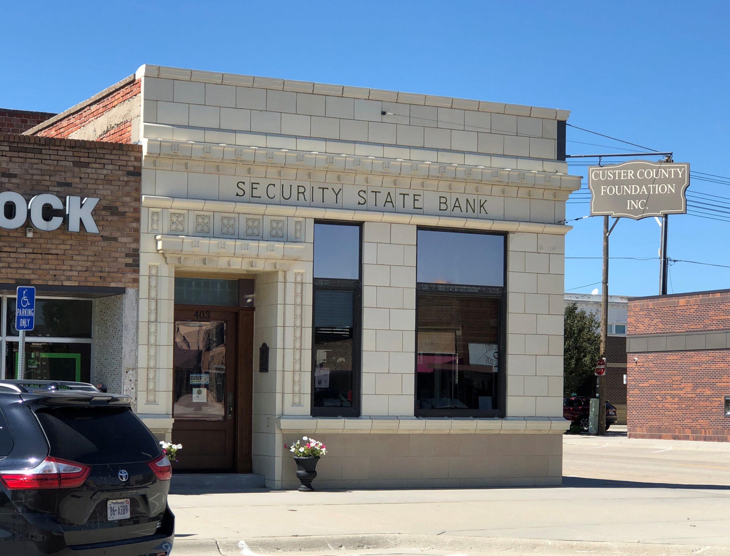
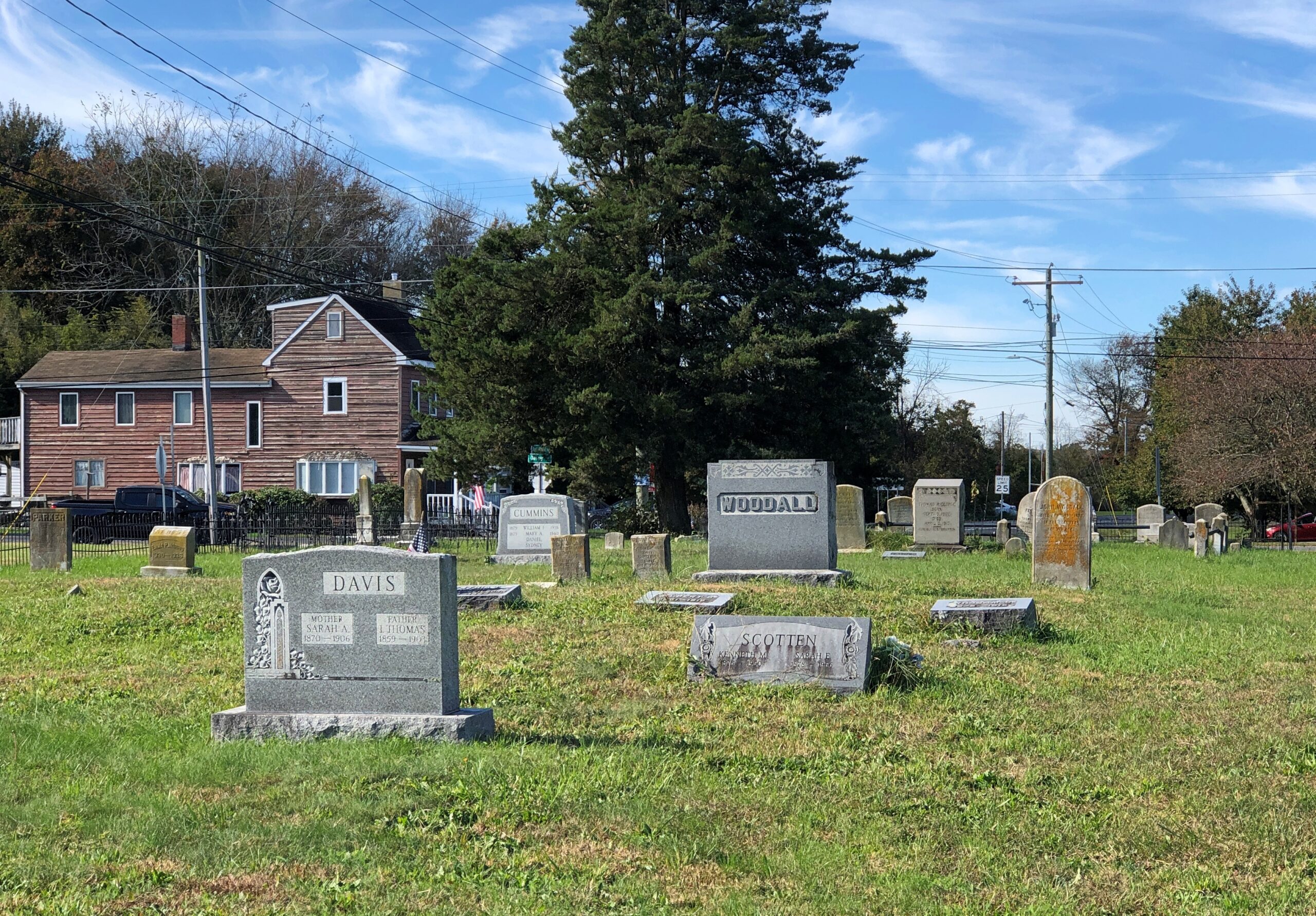
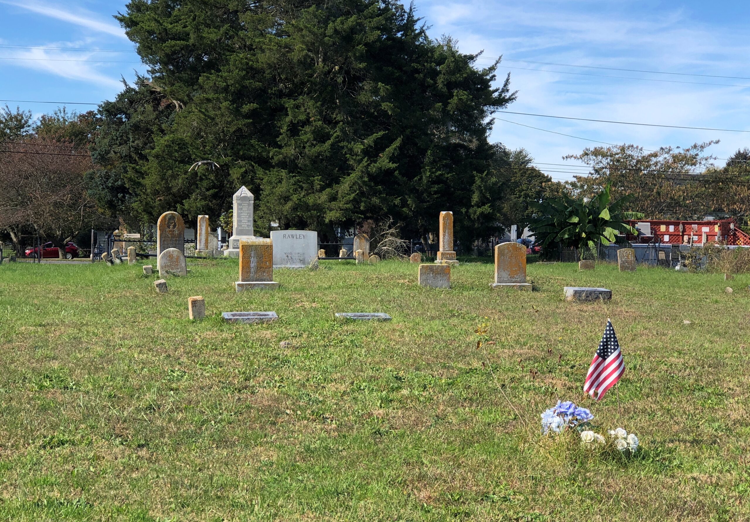
A block from the courthouse, some buildings around City Square Park.
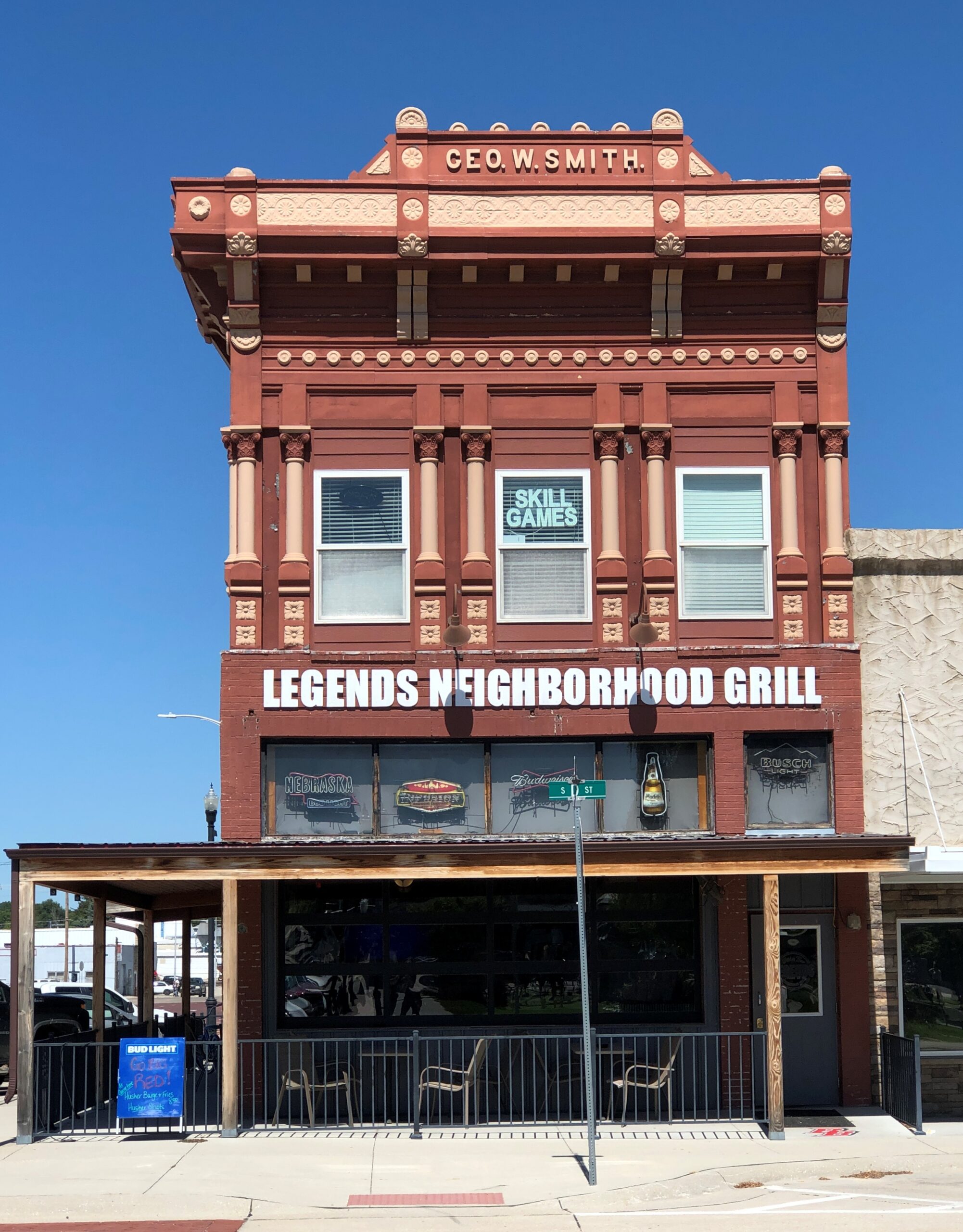
City Square Park is a generic sort of name. Wonder whether there’s anyone from the town who can be honored by renaming the park? Looking at list of notables from Broken Bow, one instantly stands out.
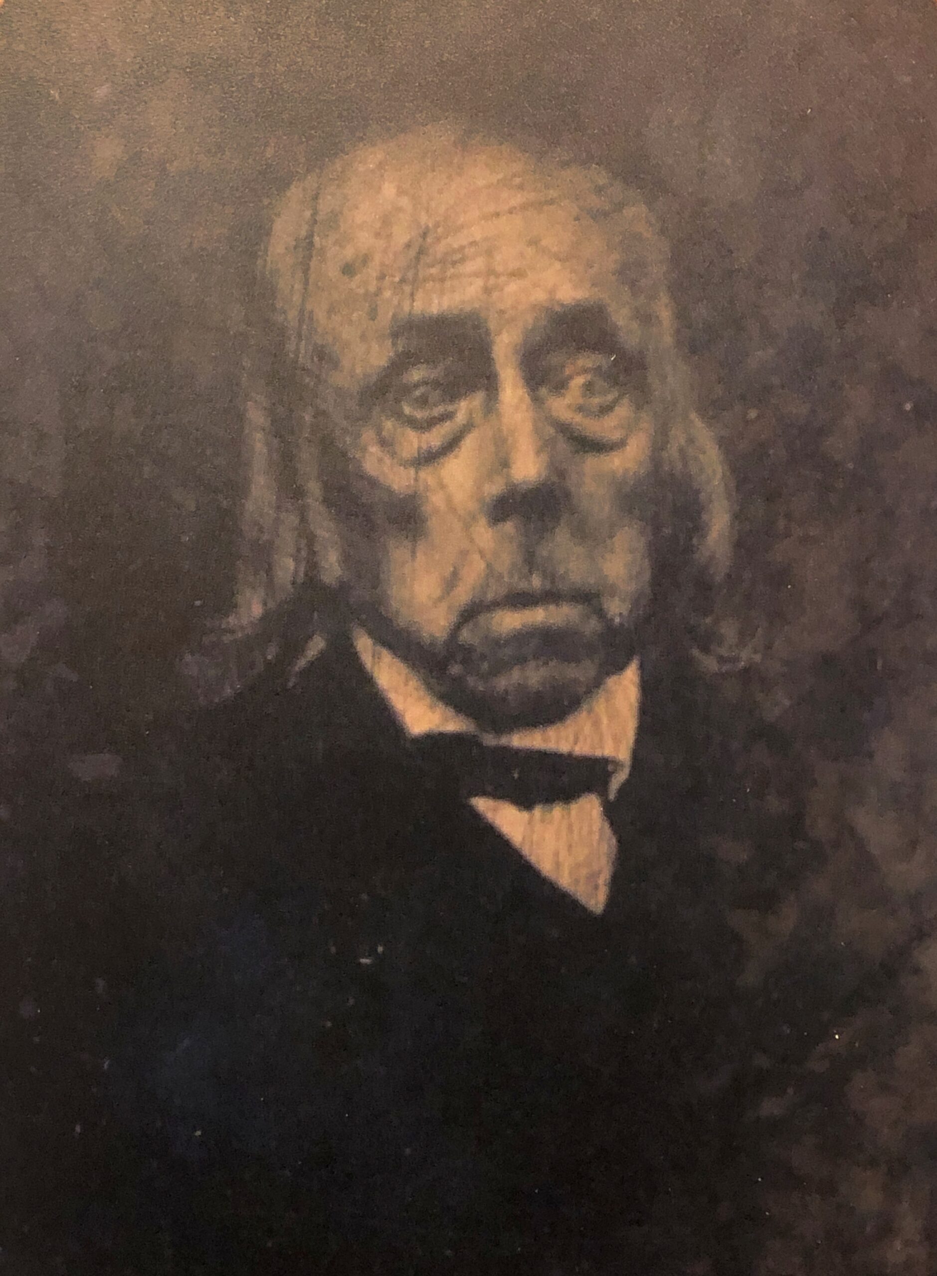
This guy: Solomon Butcher.
Wiki: “Solomon D. Butcher (January 24, 1856 – March 18, 1927) was an itinerant photographer who spent most of his life in central Nebraska, in the Great Plains region of the United States… he began in 1886 to produce a photographic record of the history of European settlement in the region. Over 3,000 of his negatives survive; more than 1,000 of these depict sod houses.”
Definitely name the park after Butcher, Broken Bow.
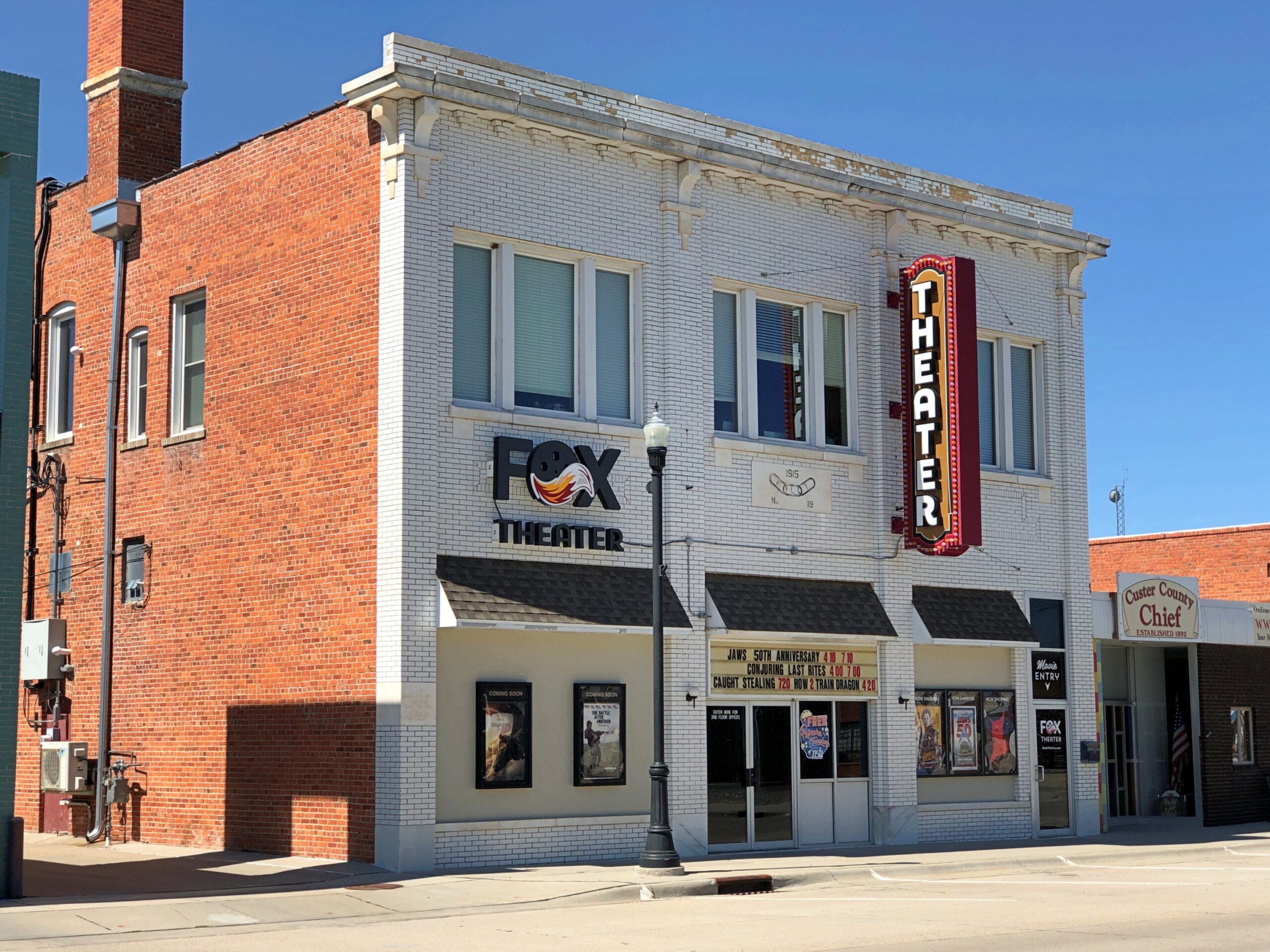
One more in that town. I couldn’t be bothered to get out of the car.
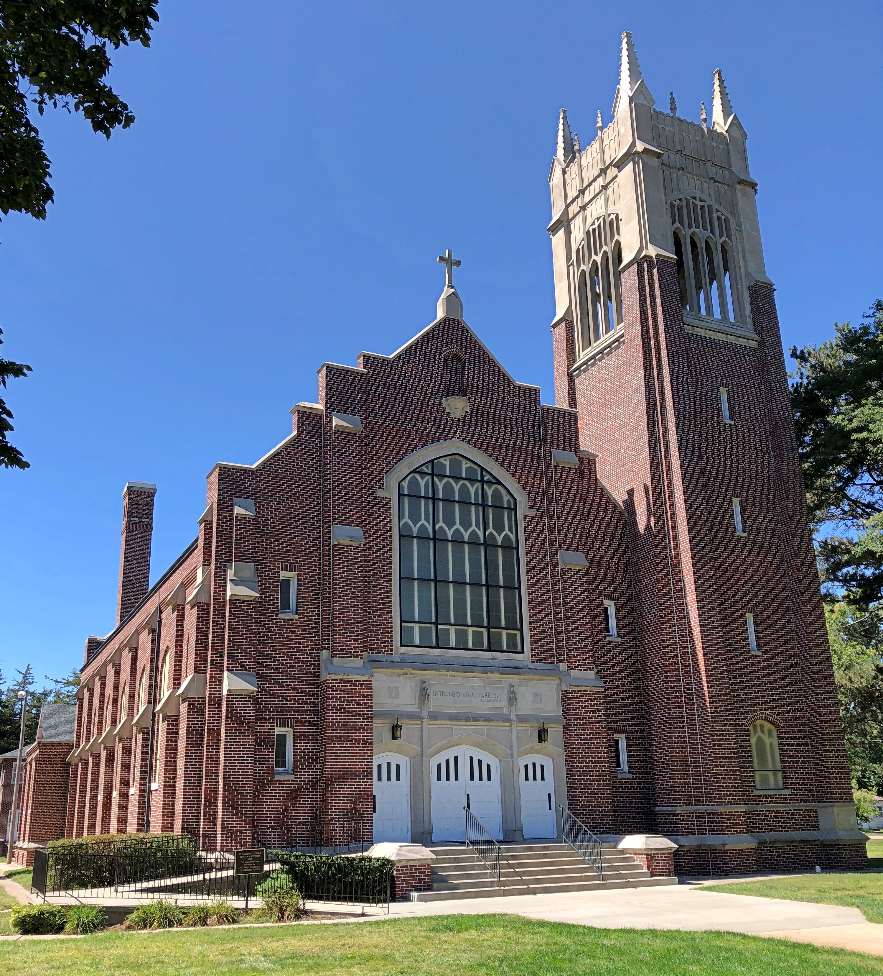
West of Broken Bow is Anselmo (pop. 145), home of this church, St. Anselms Catholic Church, nicknamed Cathedral of the Sandhills. Saturday, closed.
A more common sort of building, not far from the church.
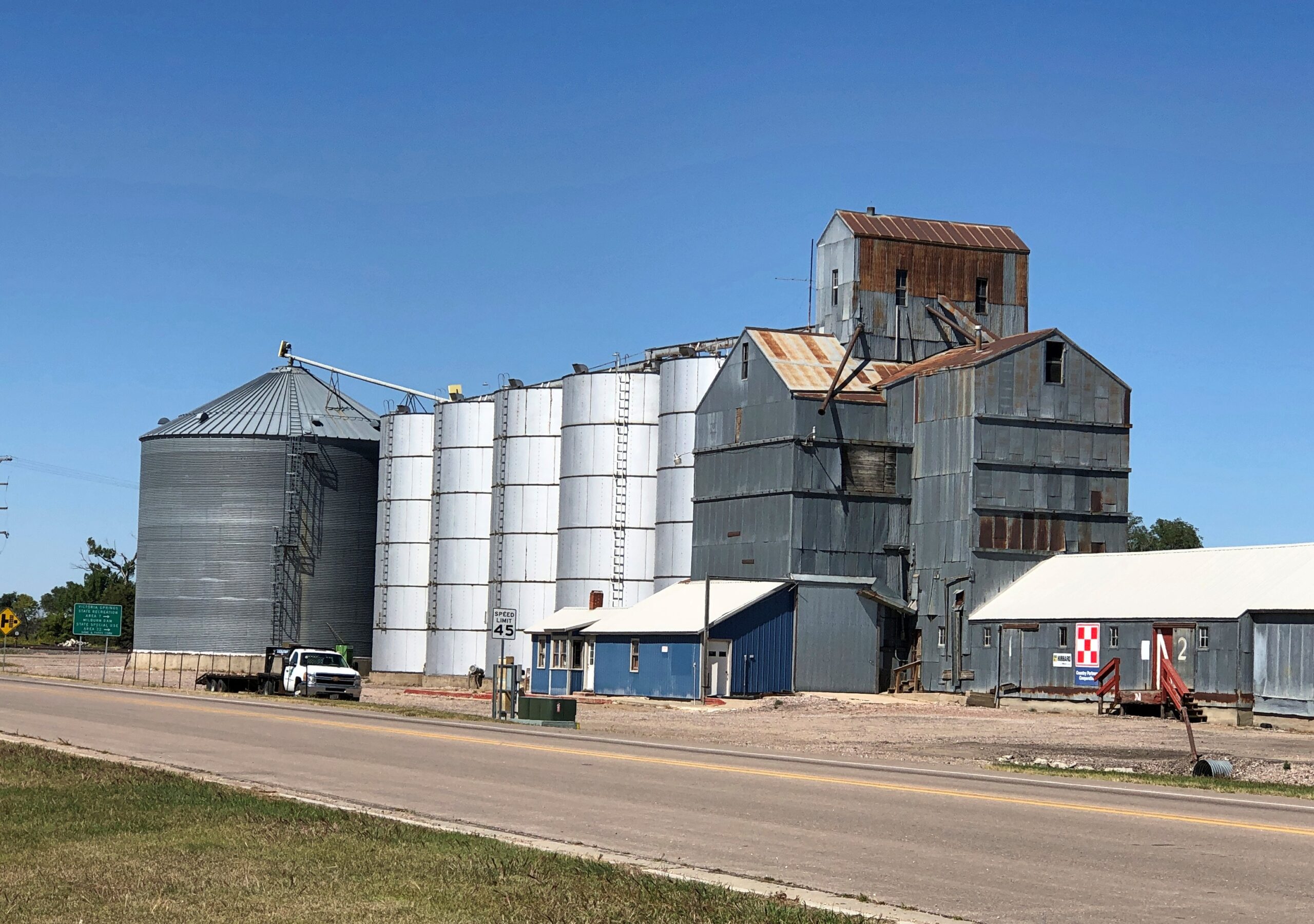
Not the most imposing that I saw, but representative of the many structures like it. The grist of a photo collection. Of course it has been done. I’m pretty sure I saw a room of Bernd Becher’s photos of water towers at the Modern Art Museum of Fort Worth.
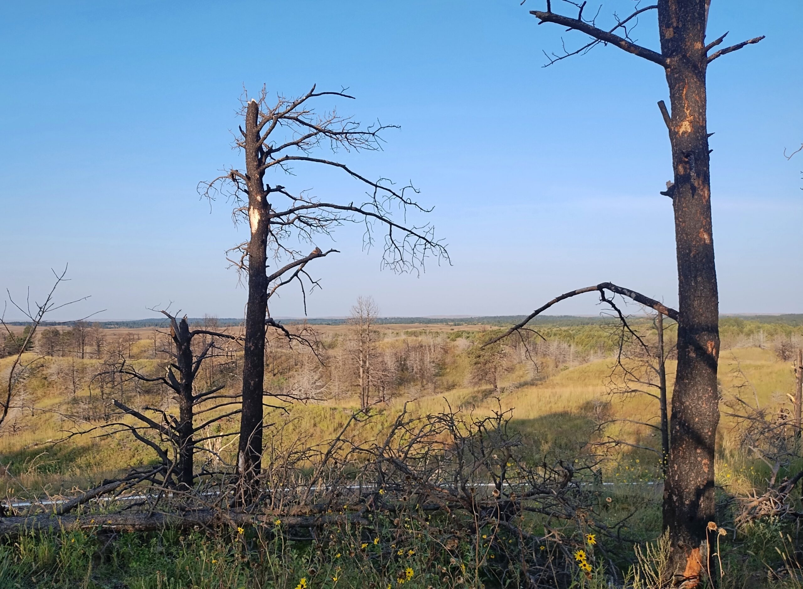
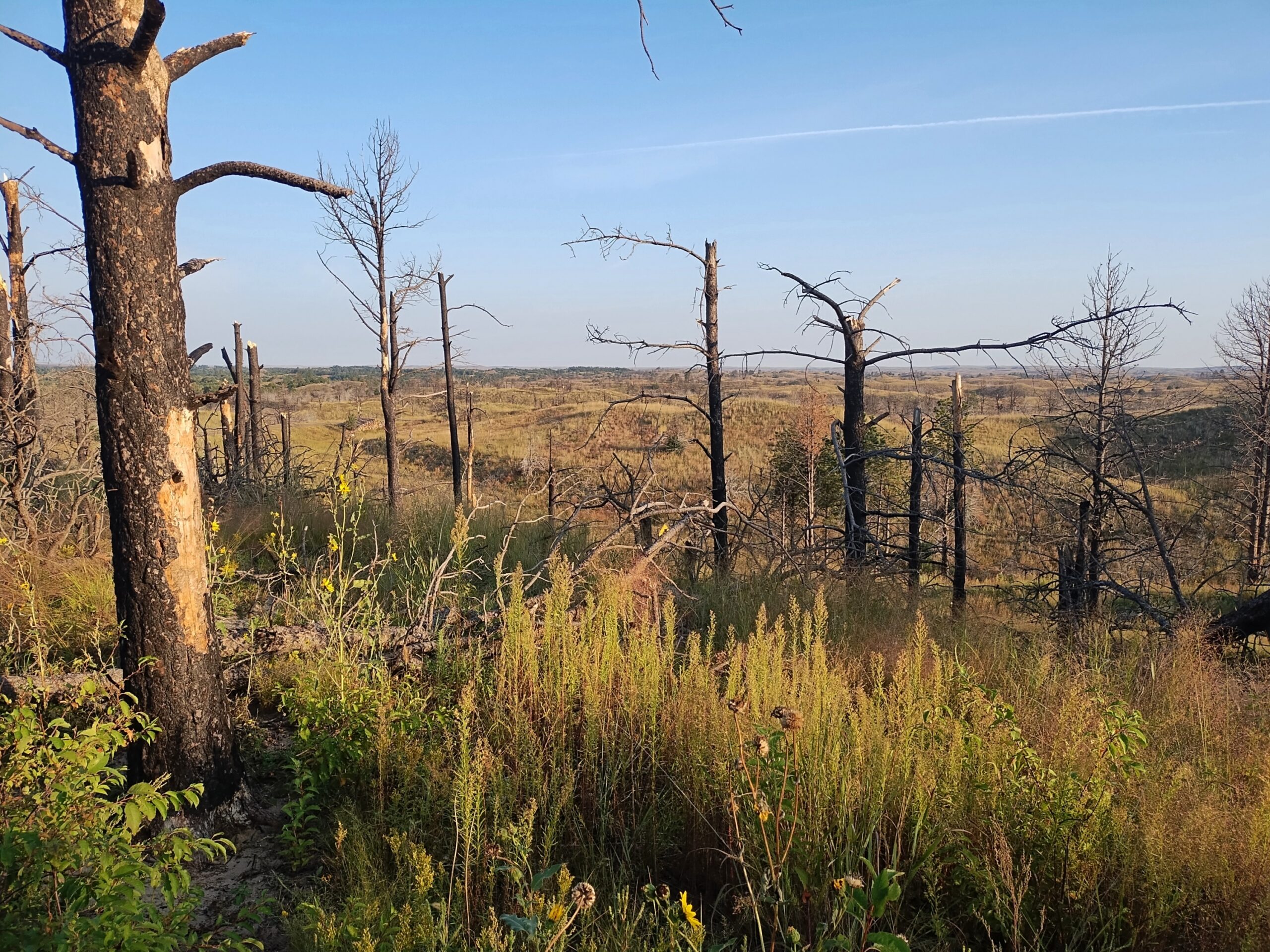
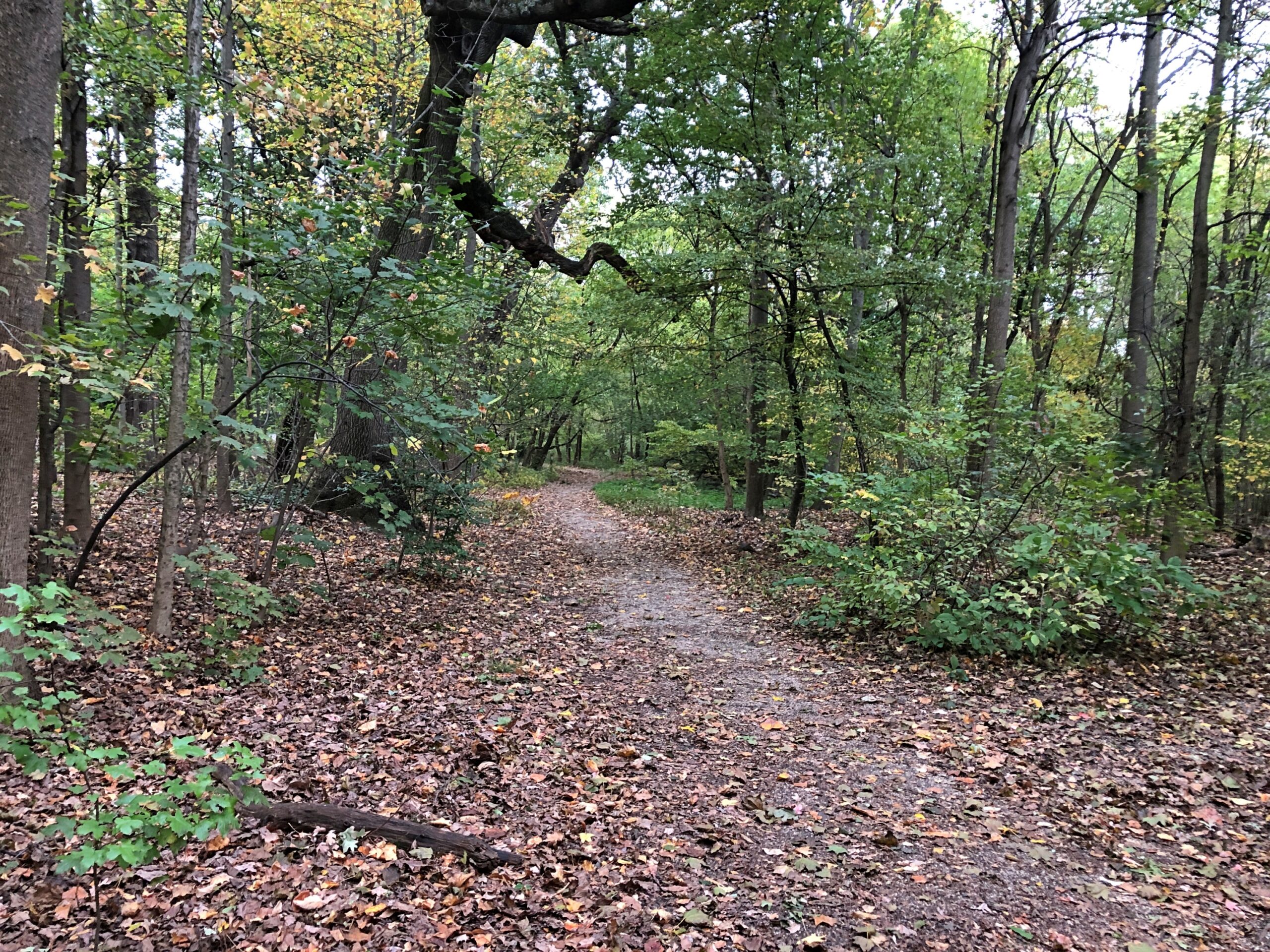
Nebraska National Forest and Grassland is in an unexpected place, slap in the middle of Nebraska, not due to a freak of nature, but the efforts of human beings. Specifically, mass plantings of trees by the federal government for more than 100 years, beginning (not a surprise) during the administration of Teddy Roosevelt.
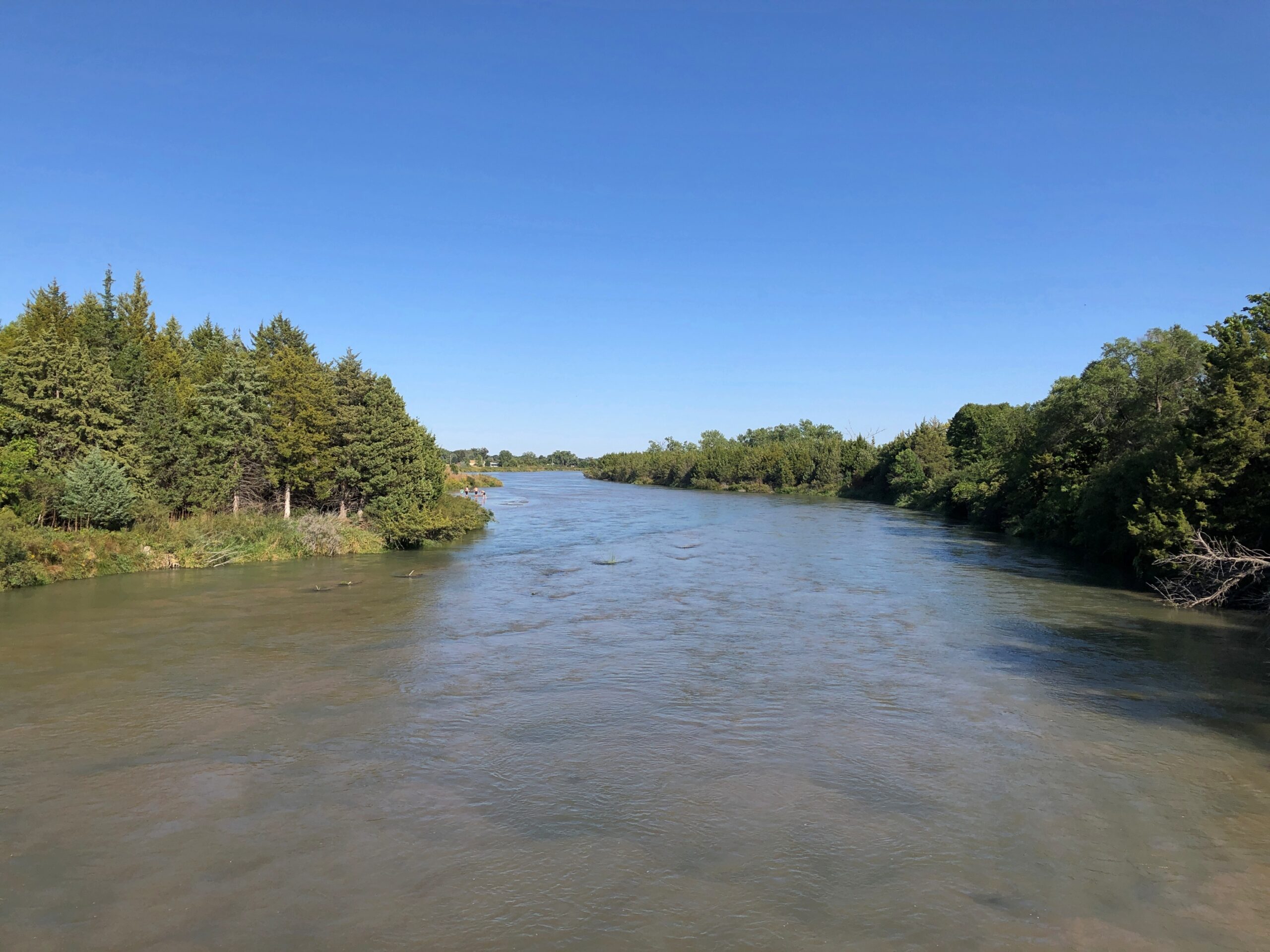
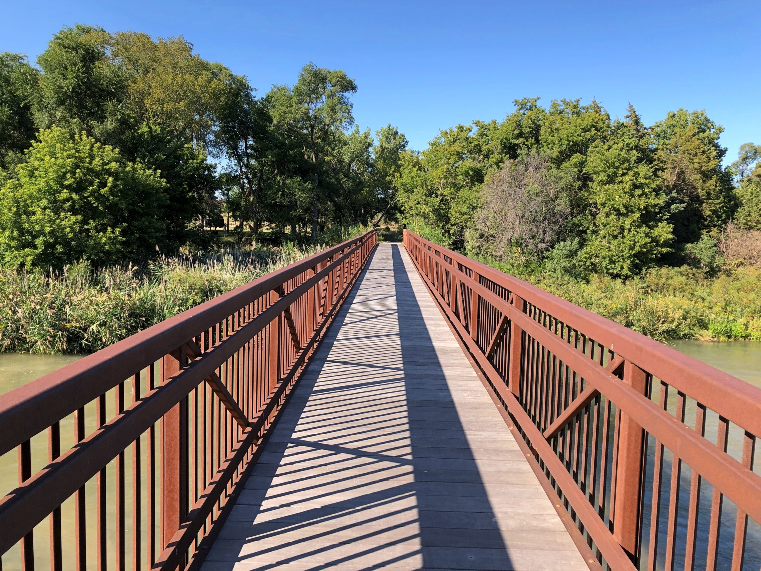
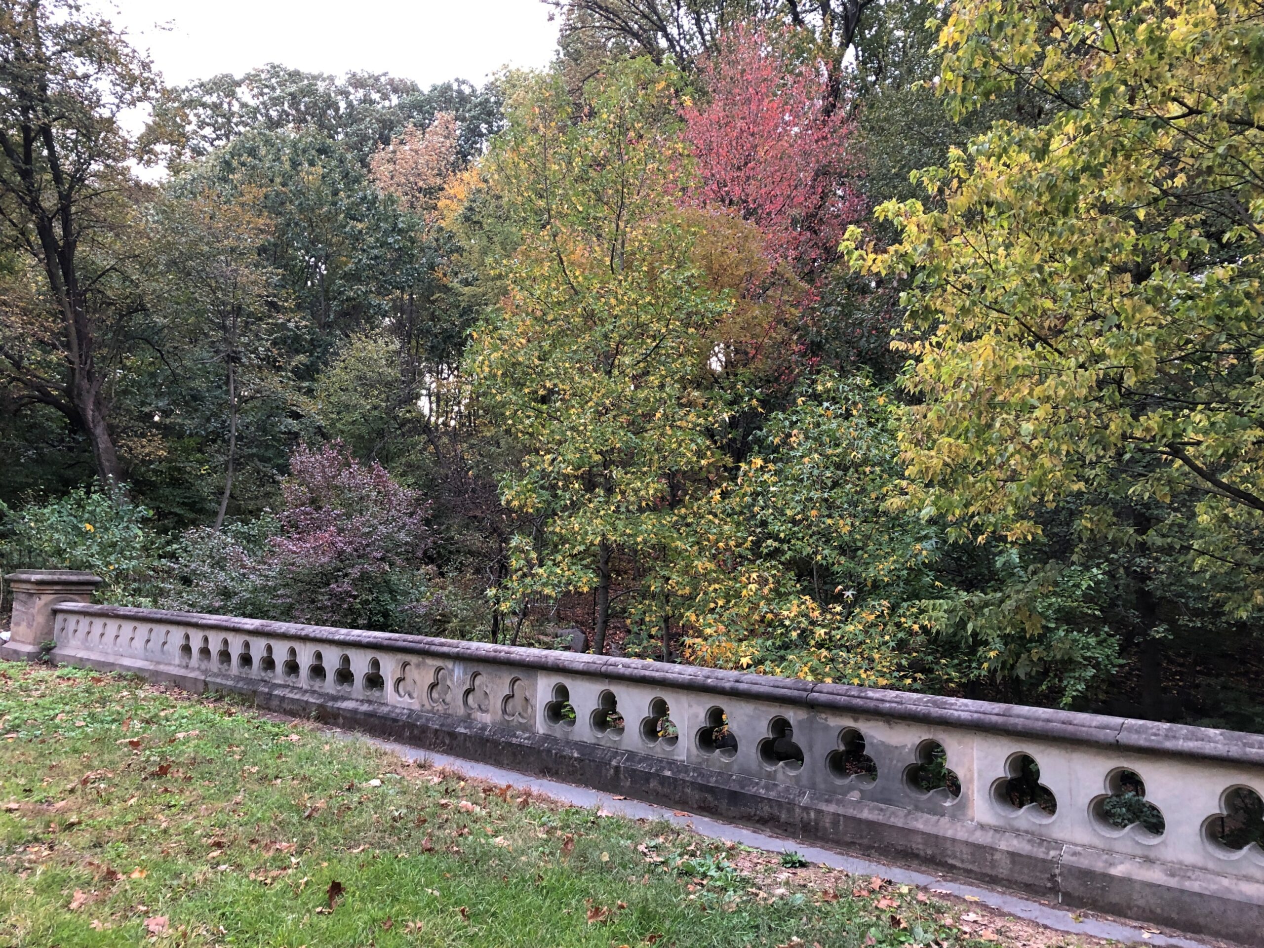
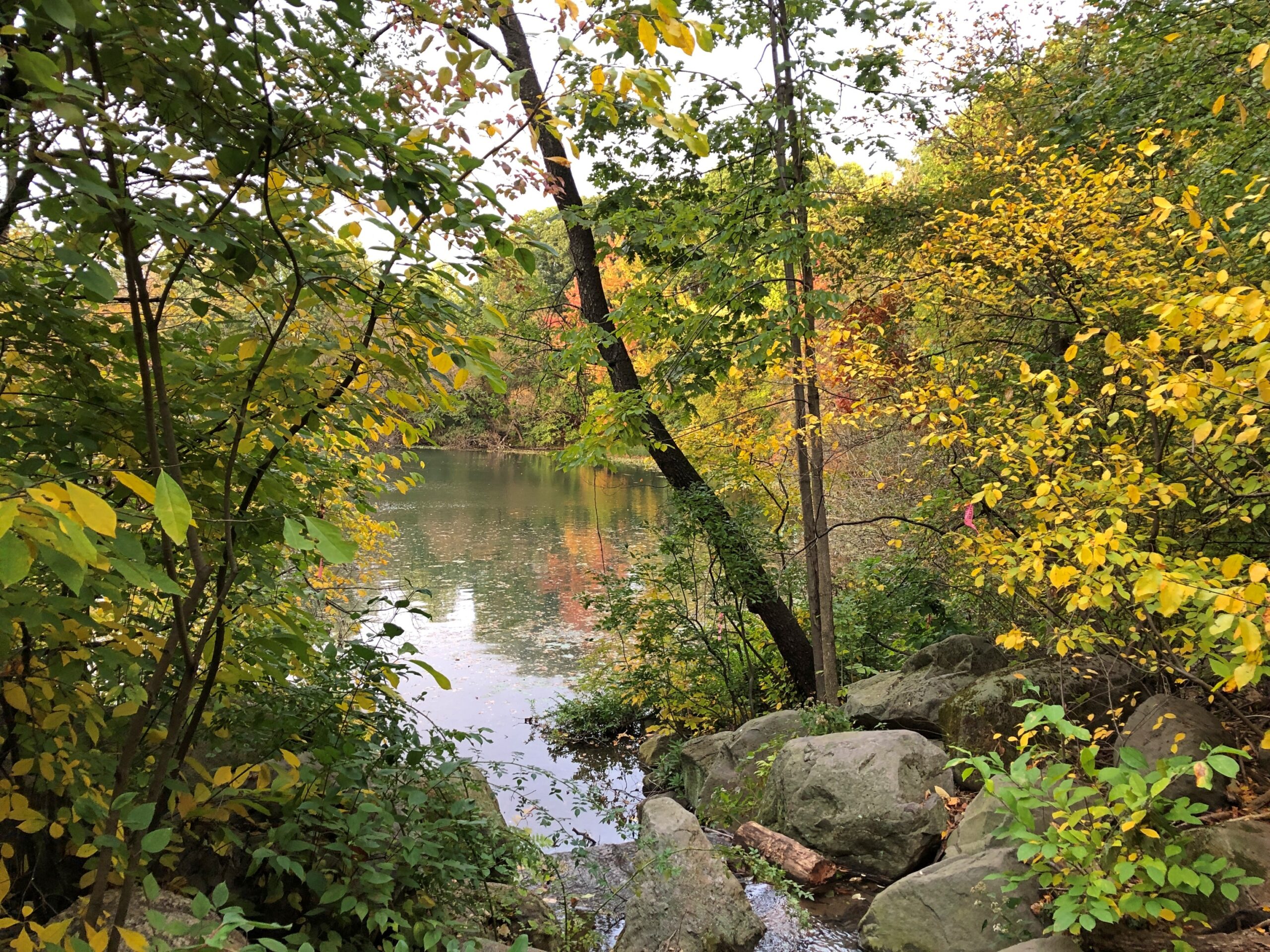
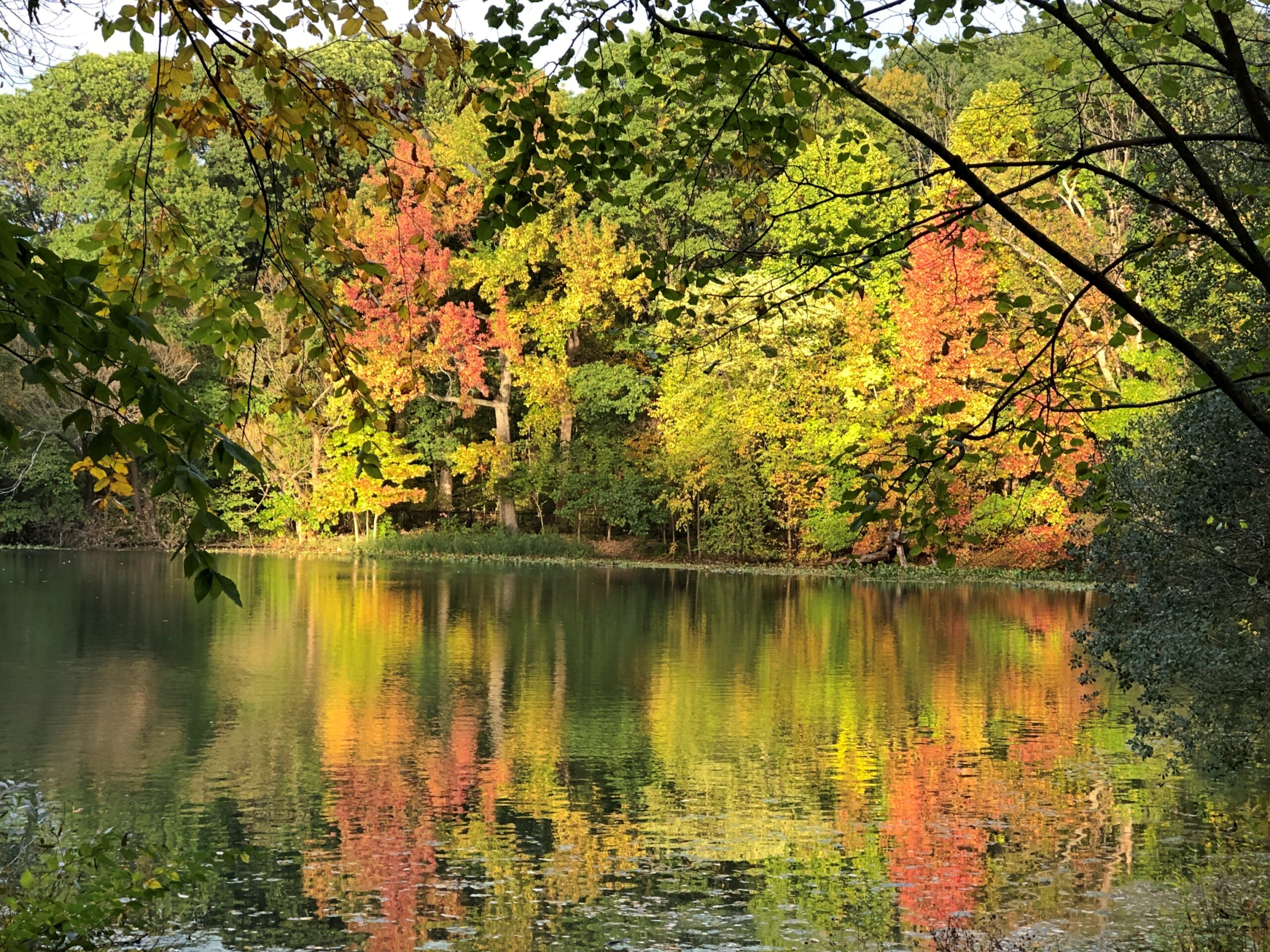
Near the national forest entrance is the Middle Loup River, broad but shallow, and crossable on a foot bridge.
I camped in the national forest. The campgrounds weren’t completely full, but there were more people than I expected for a remote spot in Nebraska. Then again, it was a Saturday night, and soon enough I figured out what brought most of them: the ATV trails. Not long after dawn on Sunday, the campers across from me – a man and a small knot of teenage boys – roared away in a small caravan of ATVs crusted with dust from the day before.
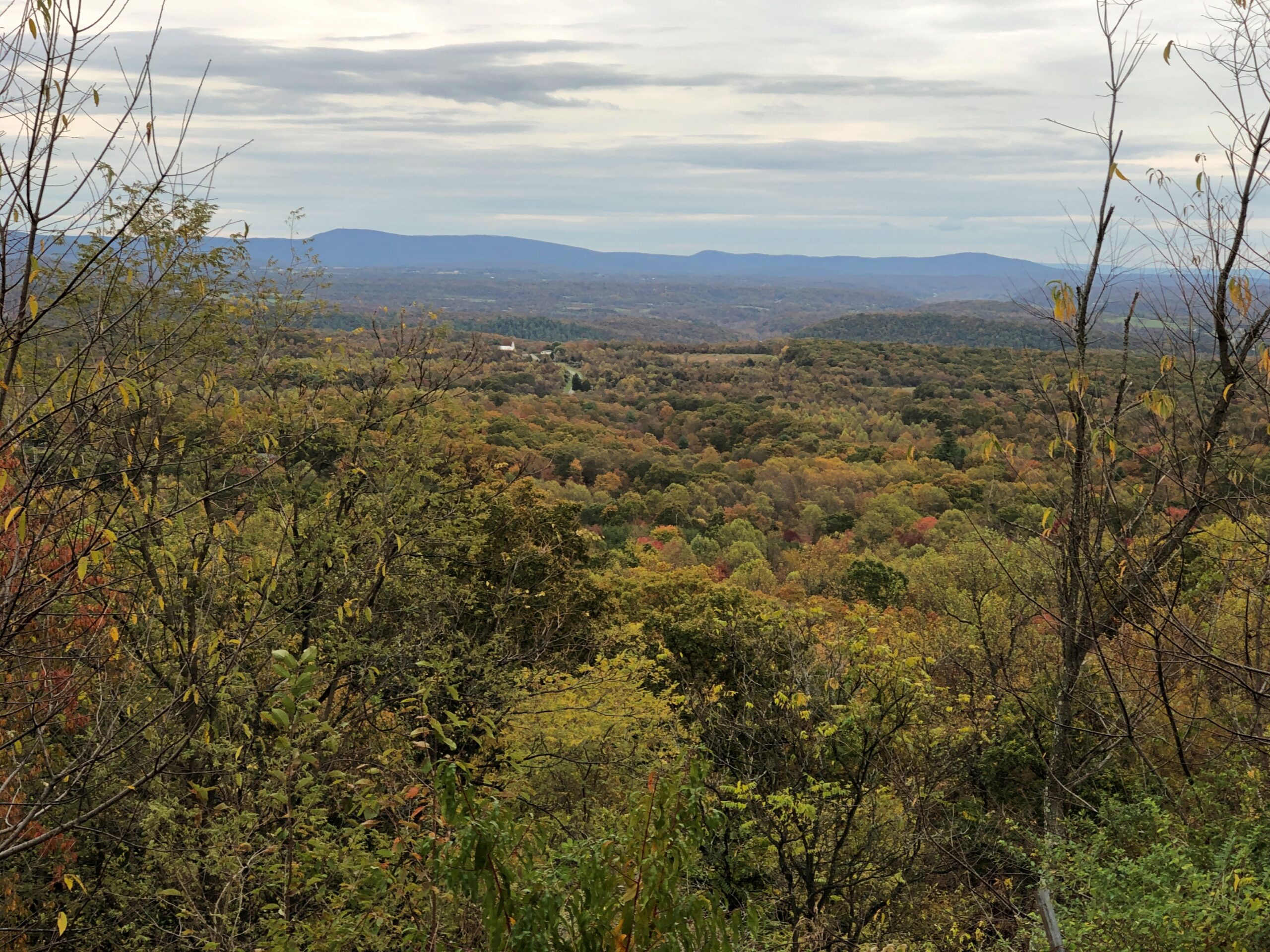
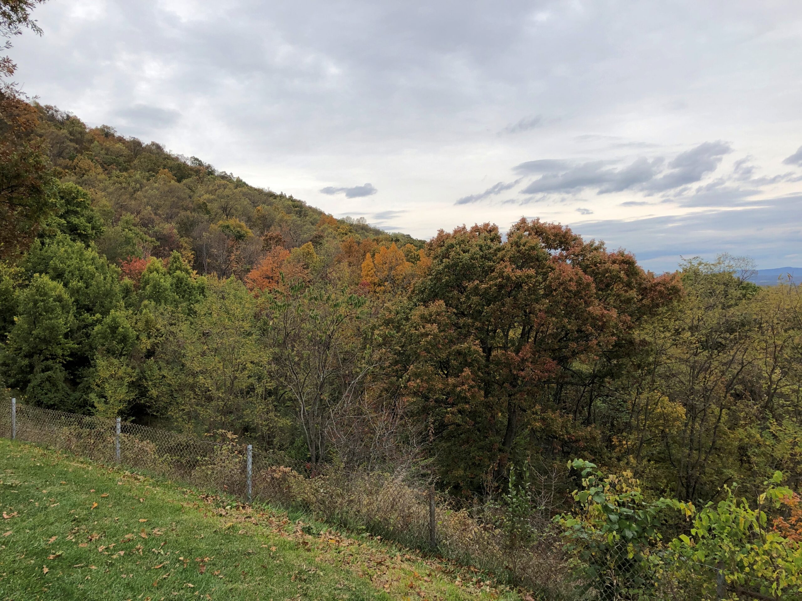
I packed up and sought out a quieter place. A national forest hill with a fire tower and some views. The tower was closed.
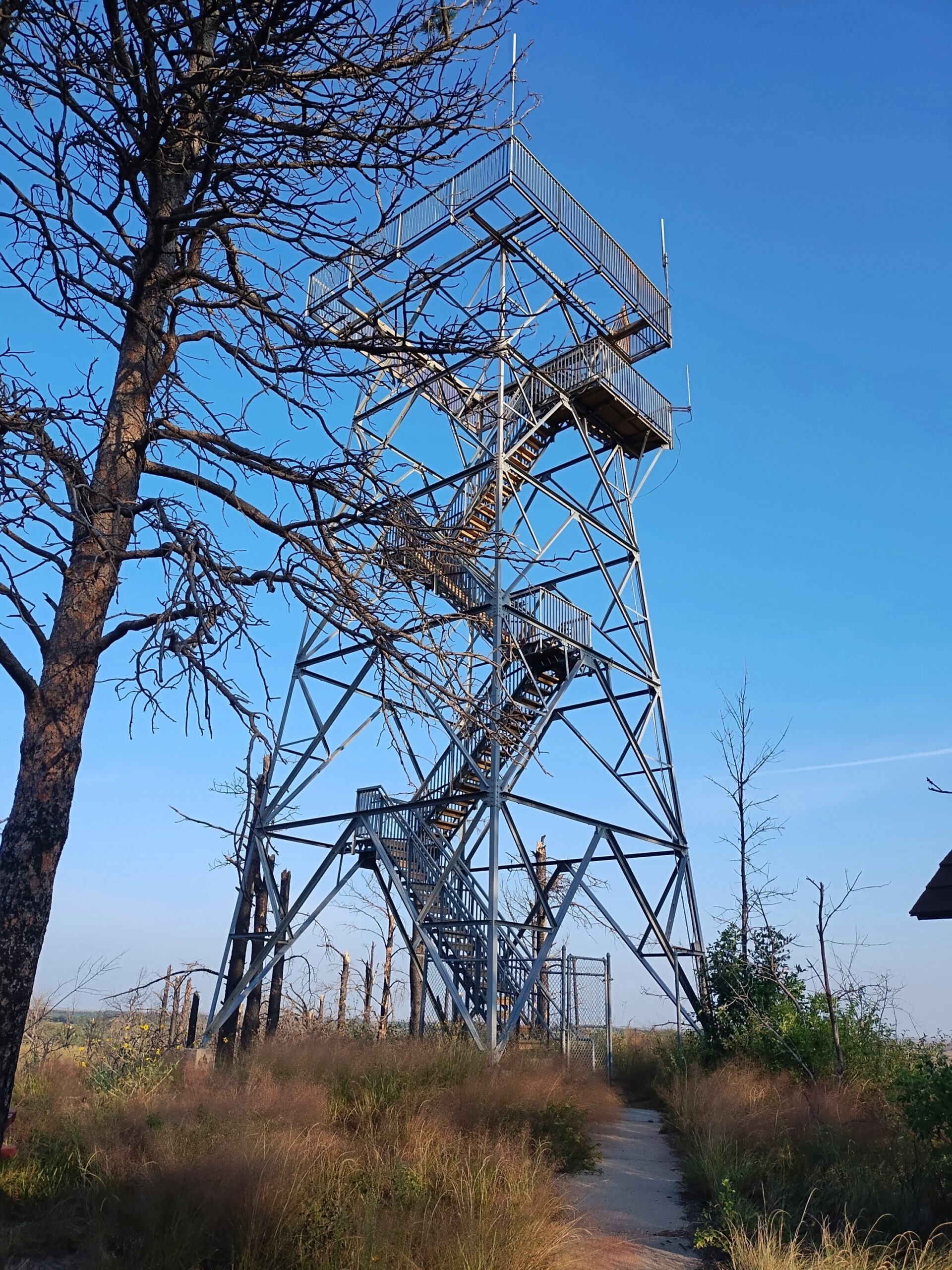
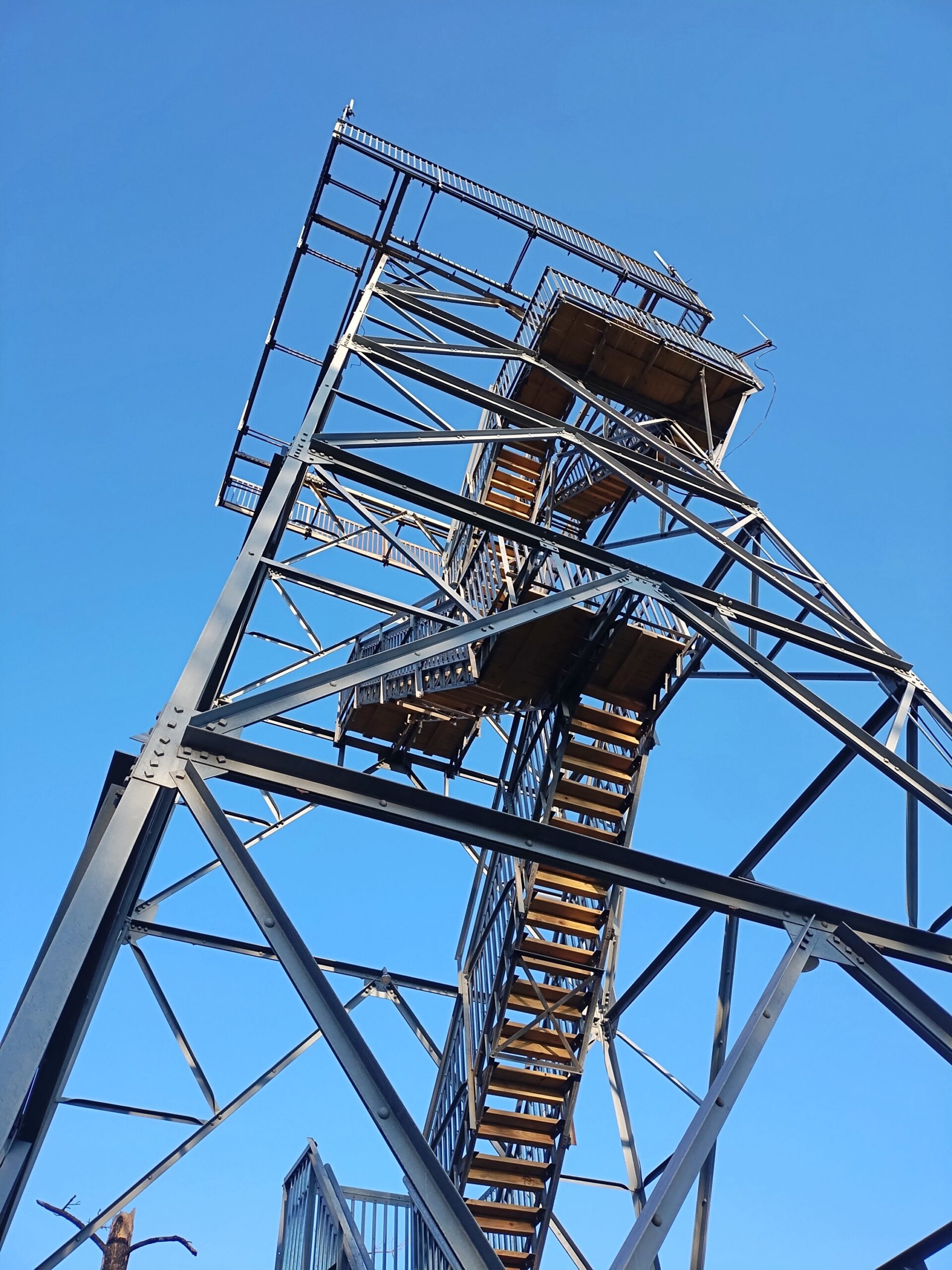
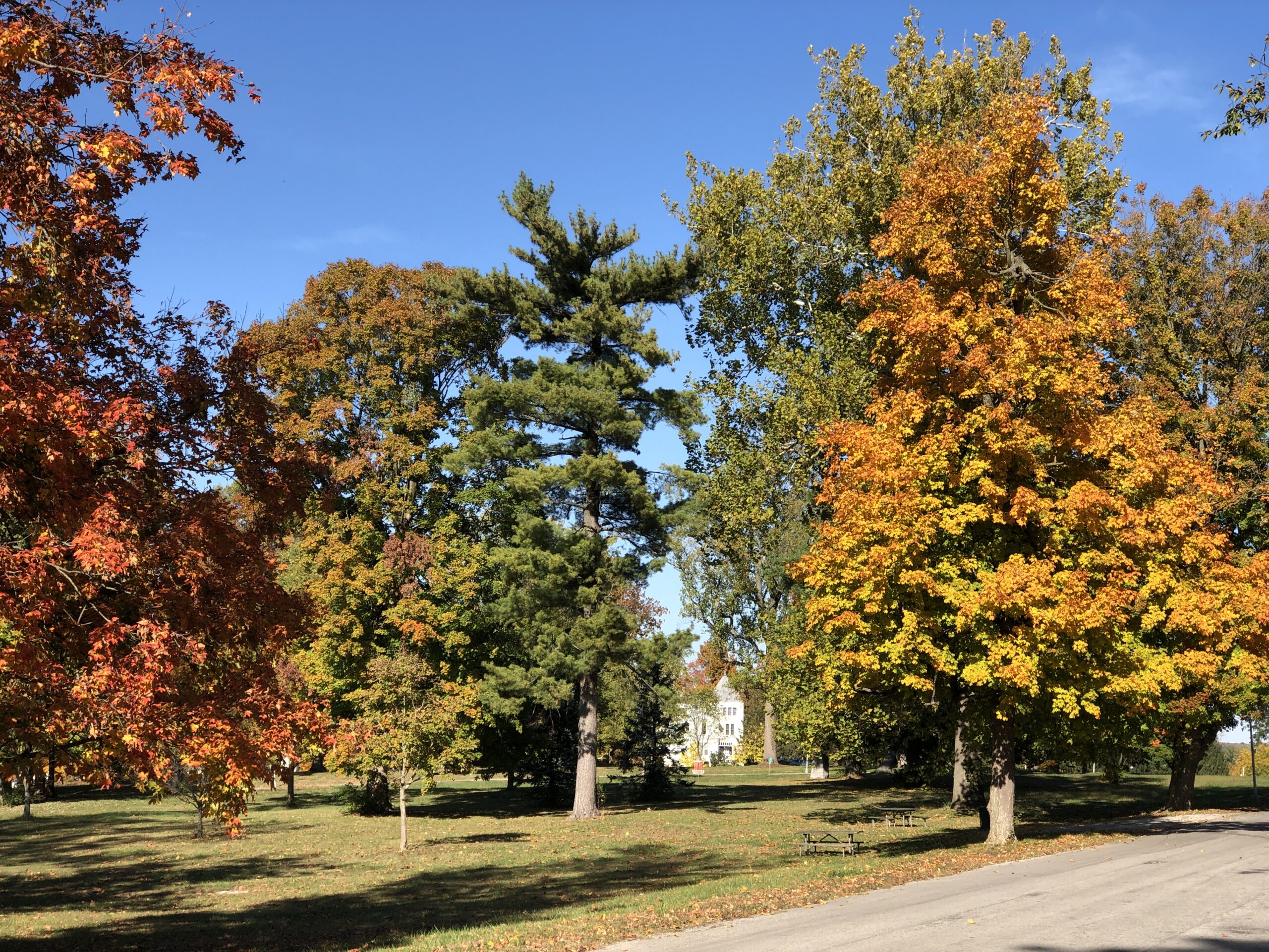
But the views were still pretty good.
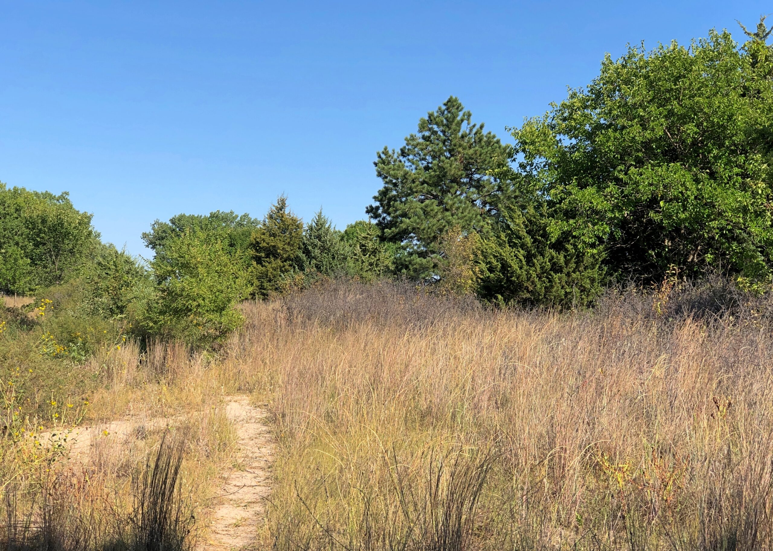
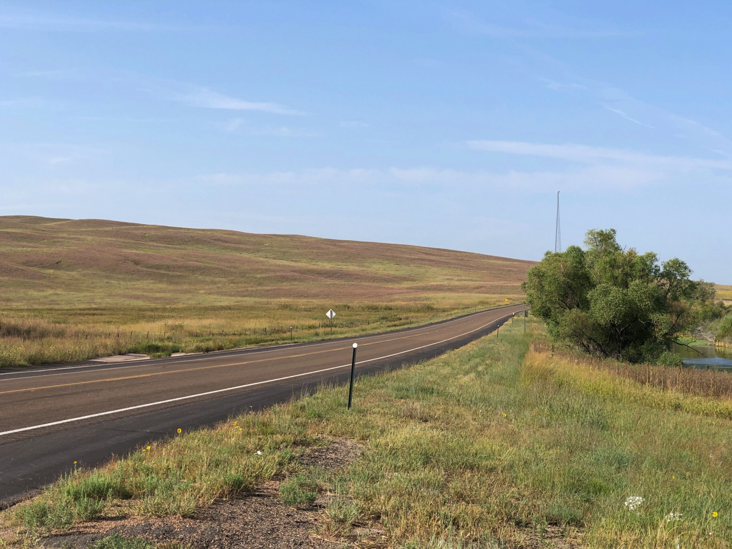
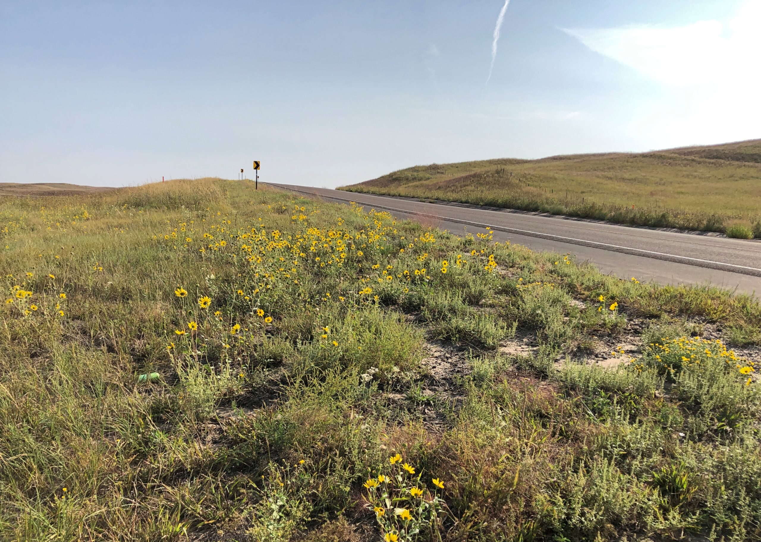
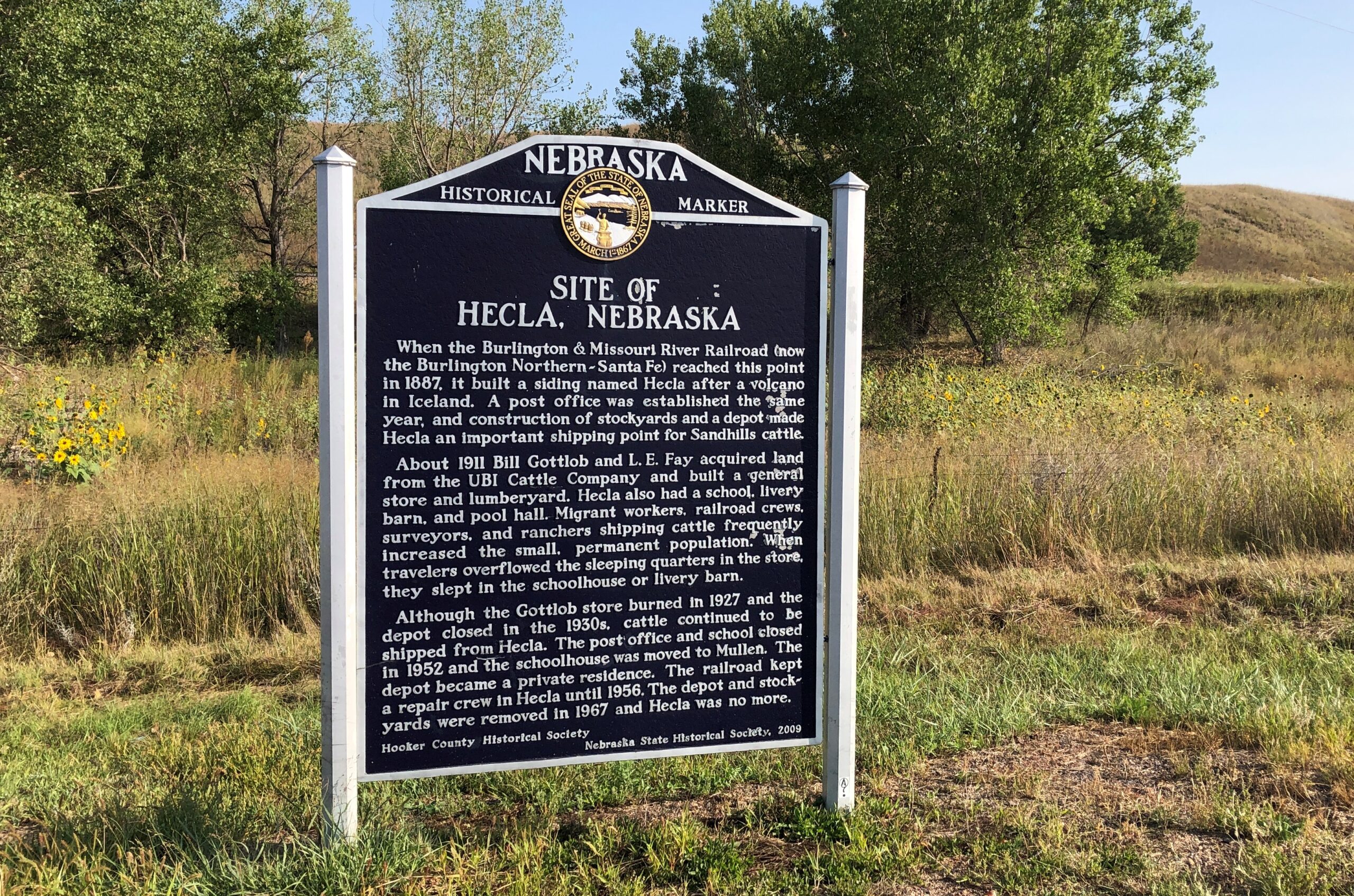
West from the national forest, Nebraska 2 heads into the rolling grassland of the Sandhills proper. In the village of Thedford (pop. 208), varied public interpretations of the Sandhills are available for reading.
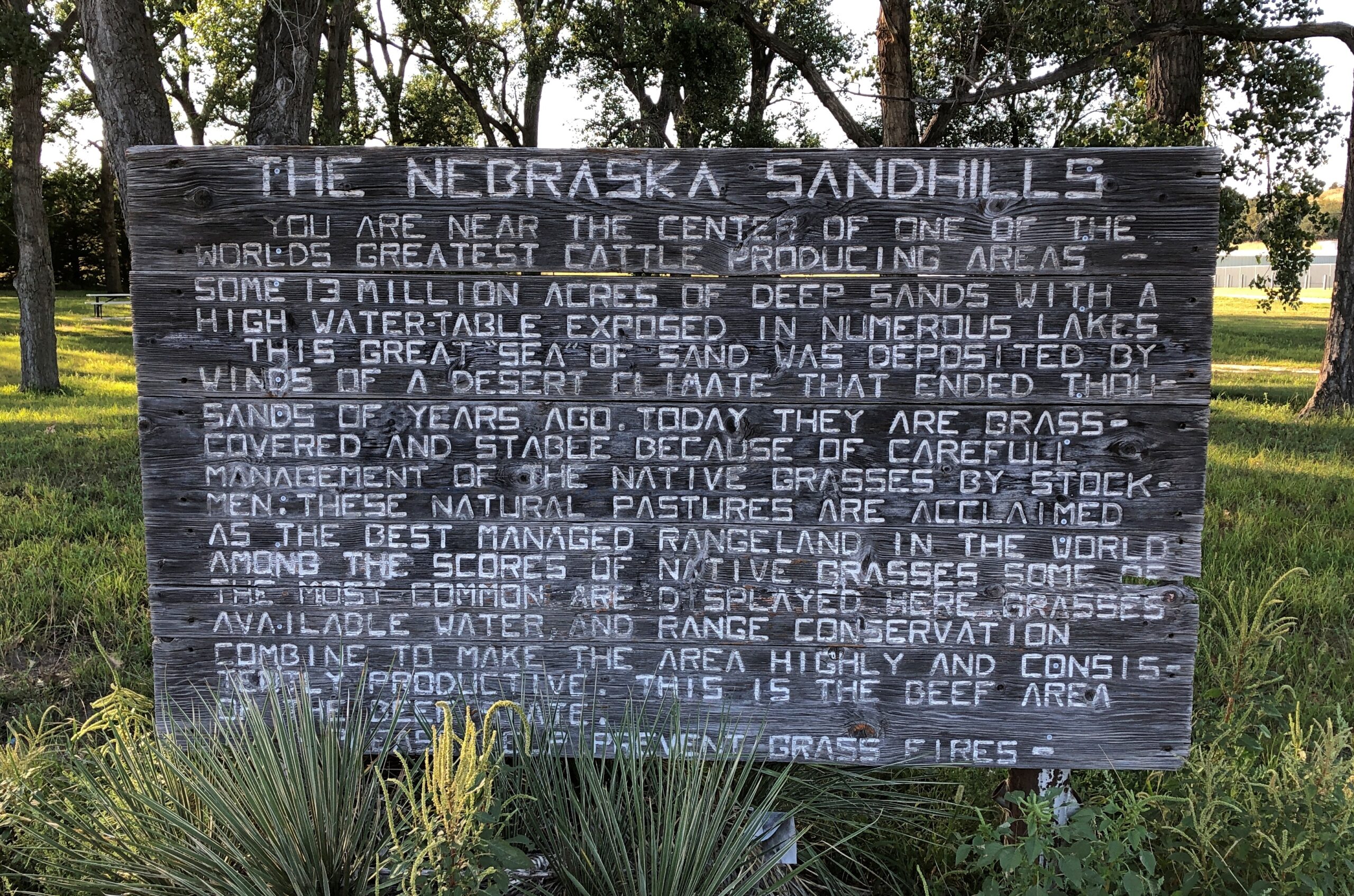
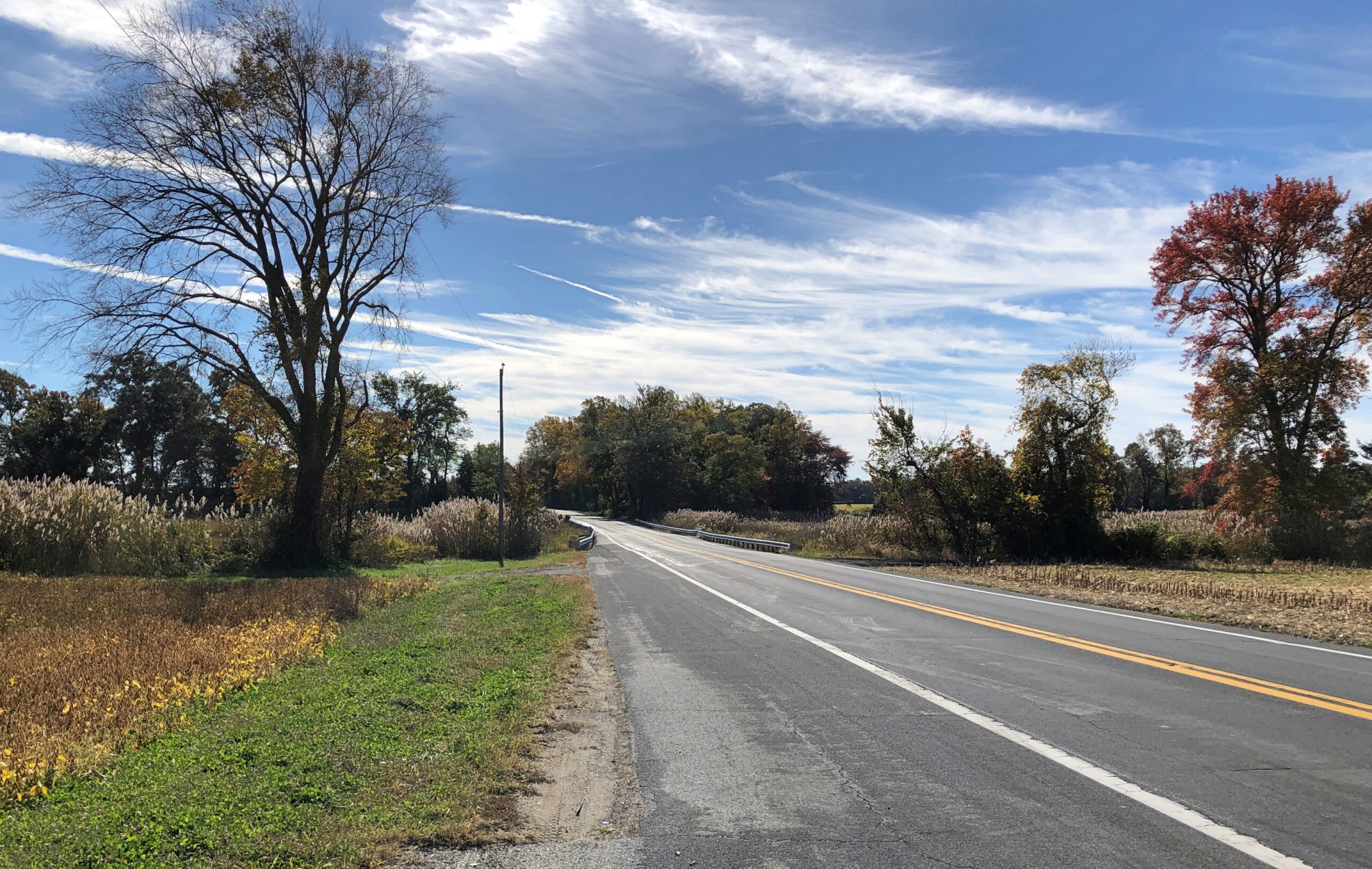
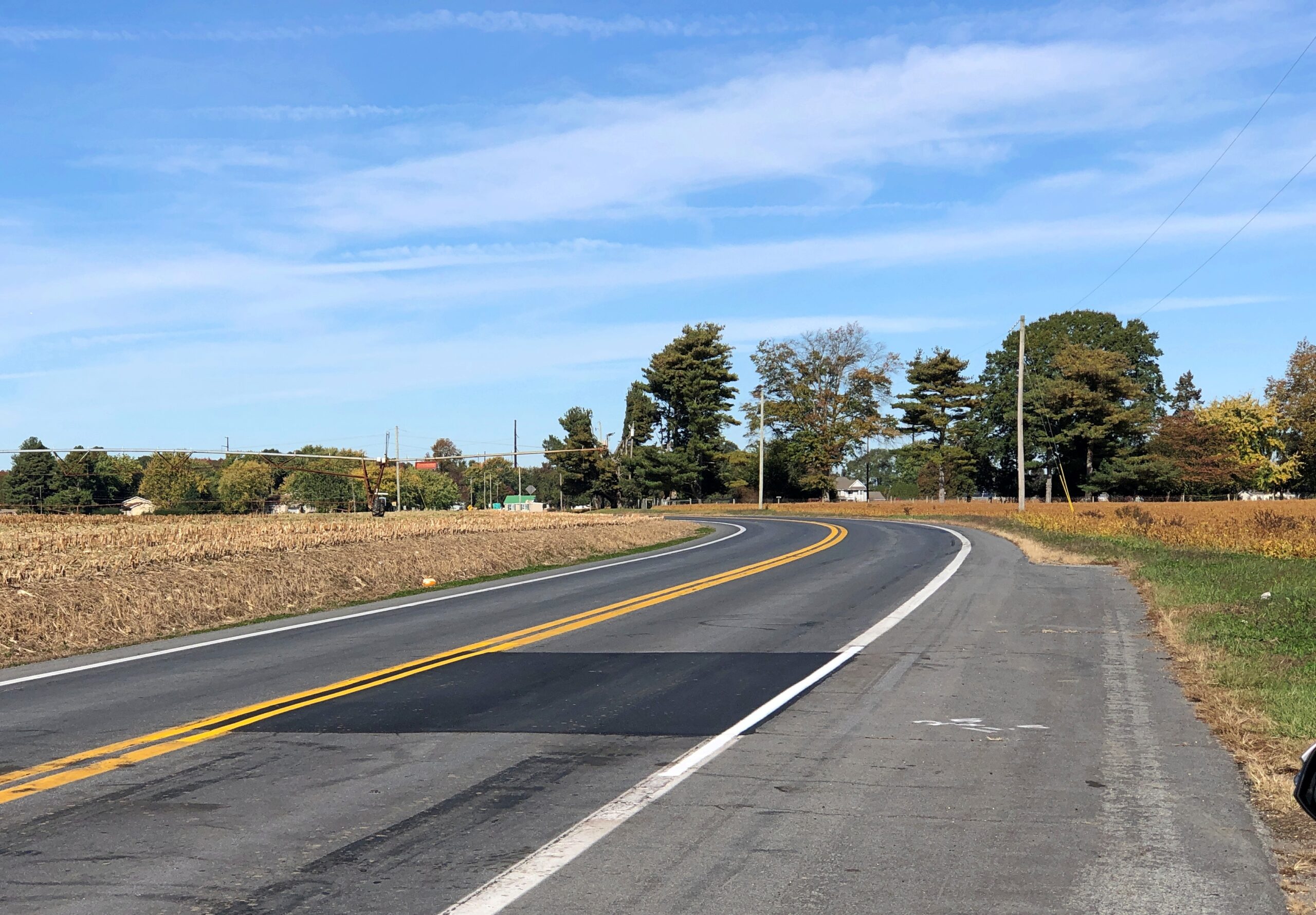
The terrain along the highway Nebraska 2 might seem monotonous to some. Too bad for them. You’re driving across a kind of ocean, terrain all wavy, except that it’s solid ground, marked by occasional trees or manmade structures, and side roads — trails — wandering deeper into the hills.
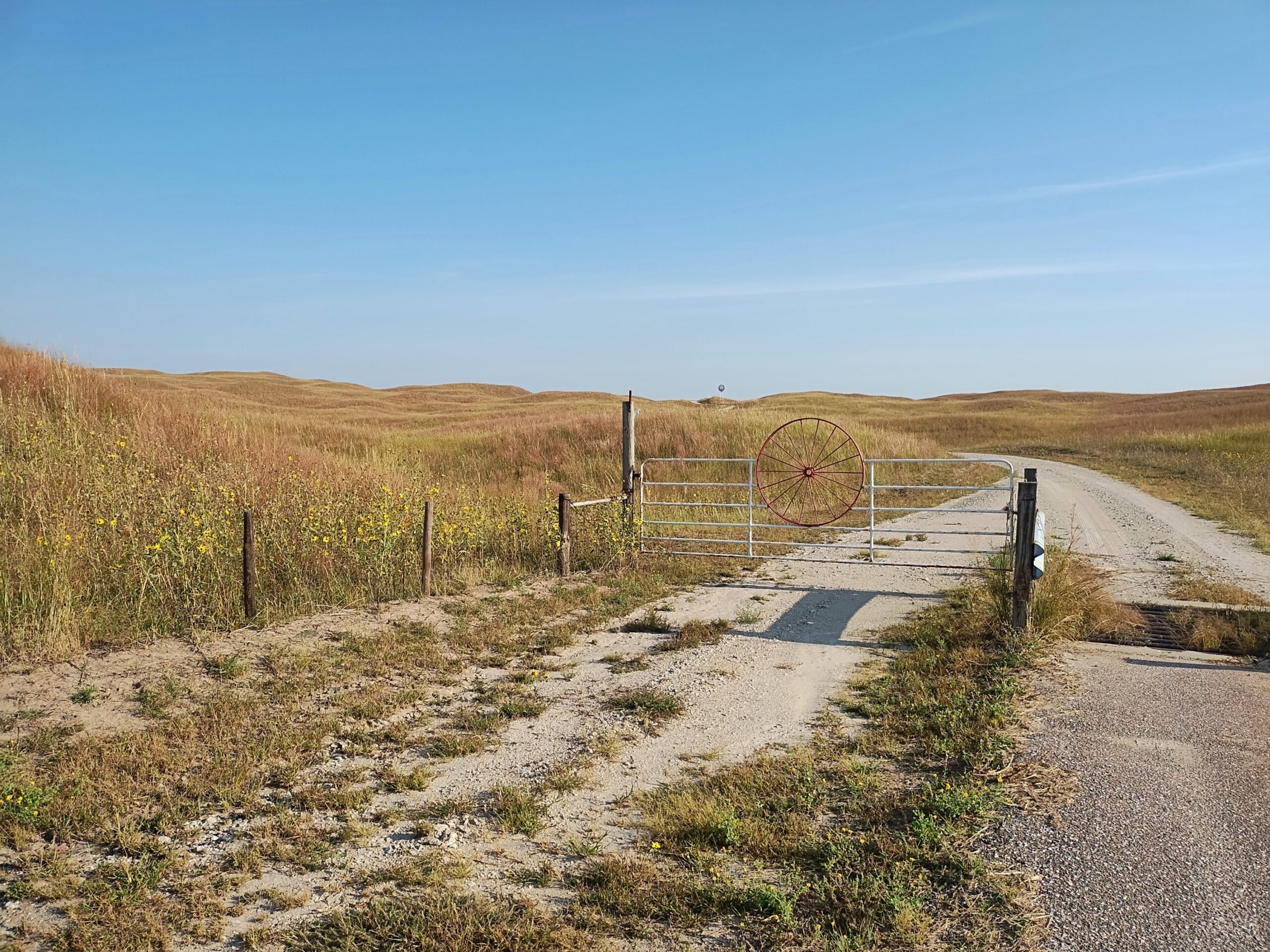
The handful of towns are really just wide places in the road. Sometimes, not even that.
Nebraska 2 parallels the BNSF line, which came first.
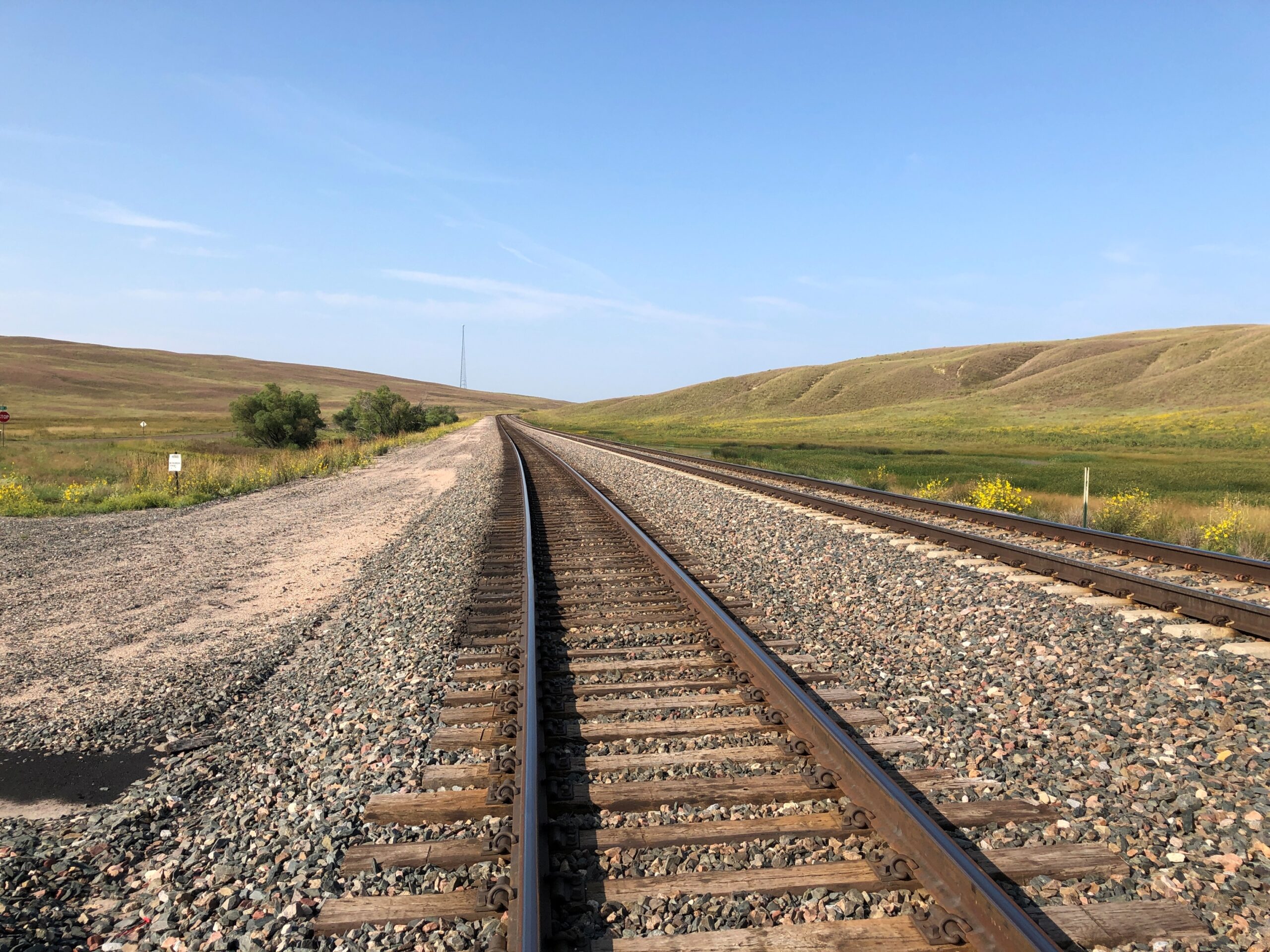
Note: I was standing on a public side road to take that picture, as I do with all my RR shots.
Eventually, I took the road to Alliance. But that was merely incidental. Out this far, the road, as Kuralt said, is the destination.

