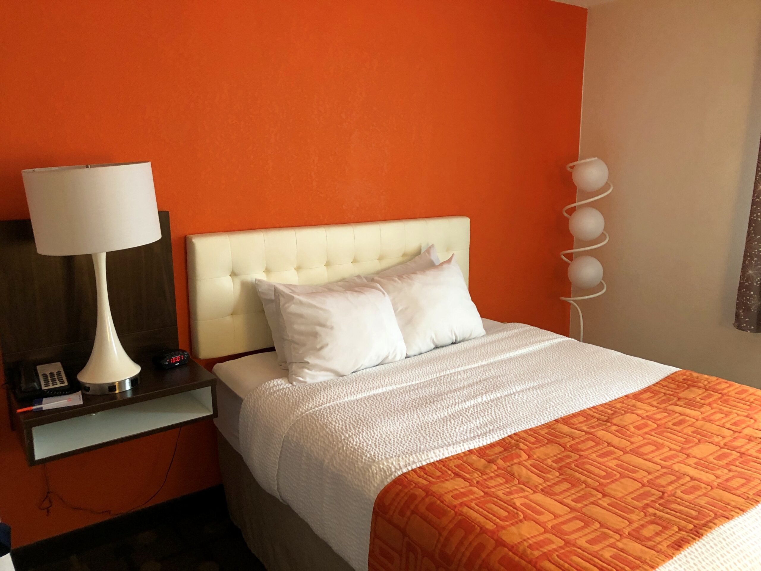
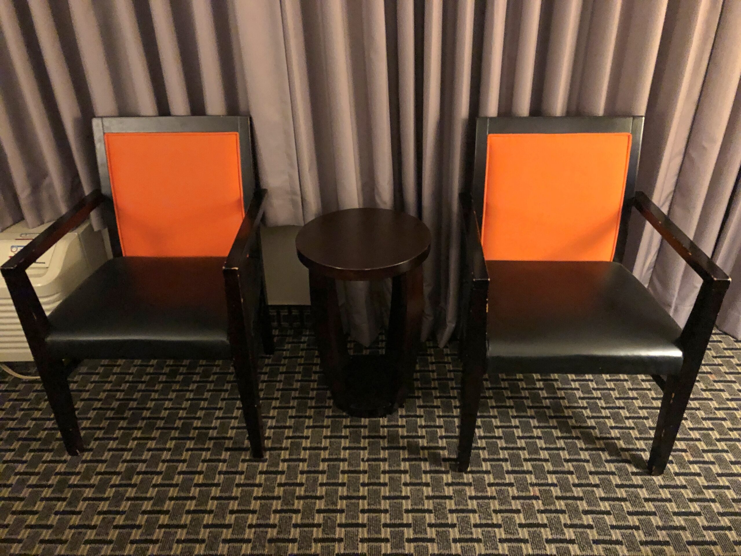
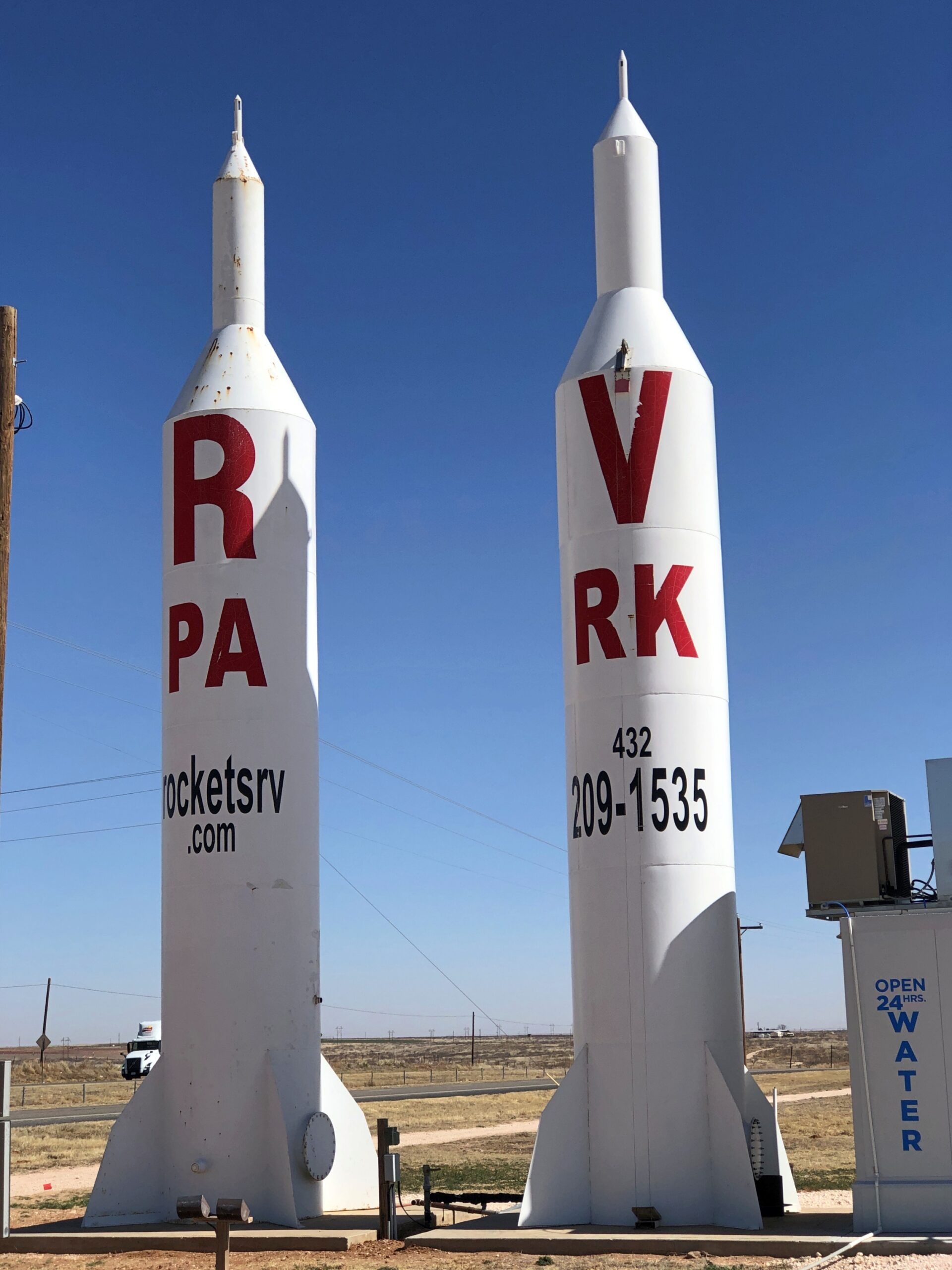
Howard Johnson, it turns out, is serious about renovating its rooms retrostyle. What says Howard Johnson midcentury, the heyday of the much-diminished chain, better than orange? – a lot of orange.
I’m just old enough to be nostalgic for midcentury motels. Maybe I’m just the right age, since as a kid, I didn’t have to concern myself with the details of getting to the motels or paying for them. I was along for the ride and the stay. I did, however, starting with the Cave Vacation of 1972 at age 11, concern myself with packing – my own stuff, but also the items everyone would need, put in the trunk of the car. To the mild amazement (I think) of my mother.
The Portsmouth, New Hampshire Howard Johnson, whose full brand name these days is Howard Johnson by Wyndham, checked a lot of the other boxes besides raw orange overload.
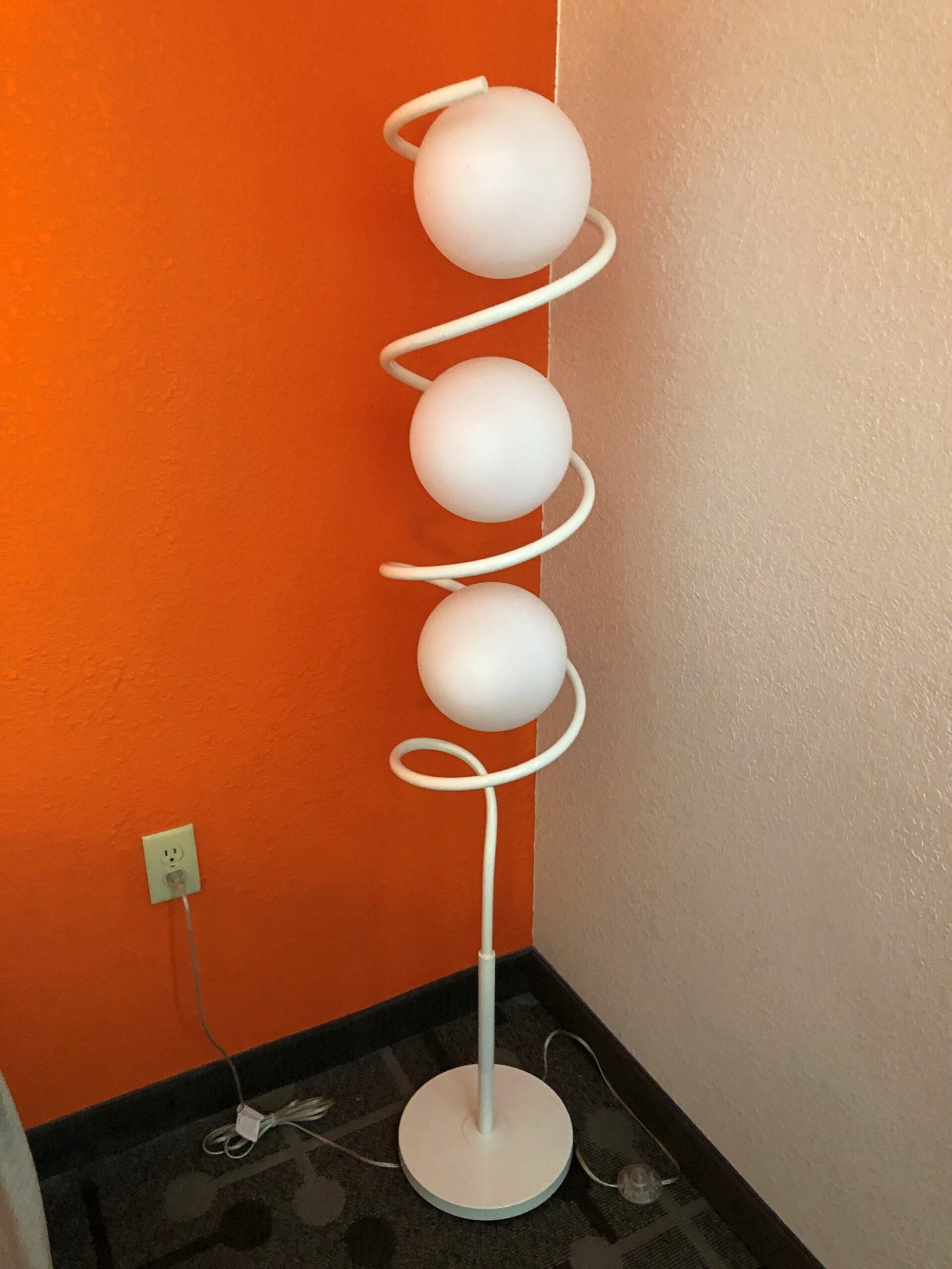
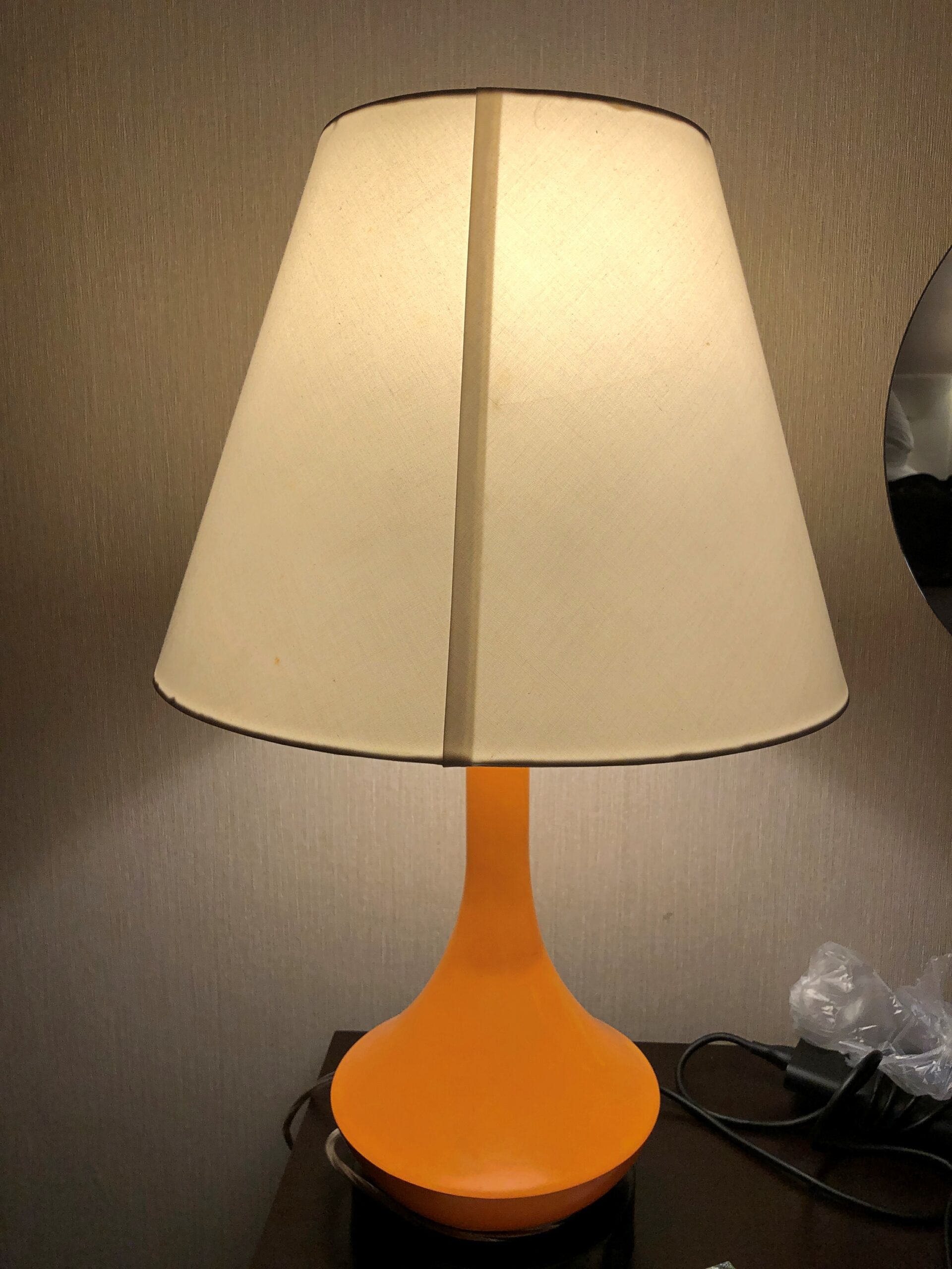
Not sure if these are precisely period lamps, but they remind me of the period.
The room had a modern TV, naturally, and as befitting our time, a lot of outlets, including USBs. Unfortunately, there was no bottle opener attached under the sink. Or a gossamer paper ribbon around the toilet announcing that it had been sanitized for my protection. Just quibbles. The room had the right feeling.
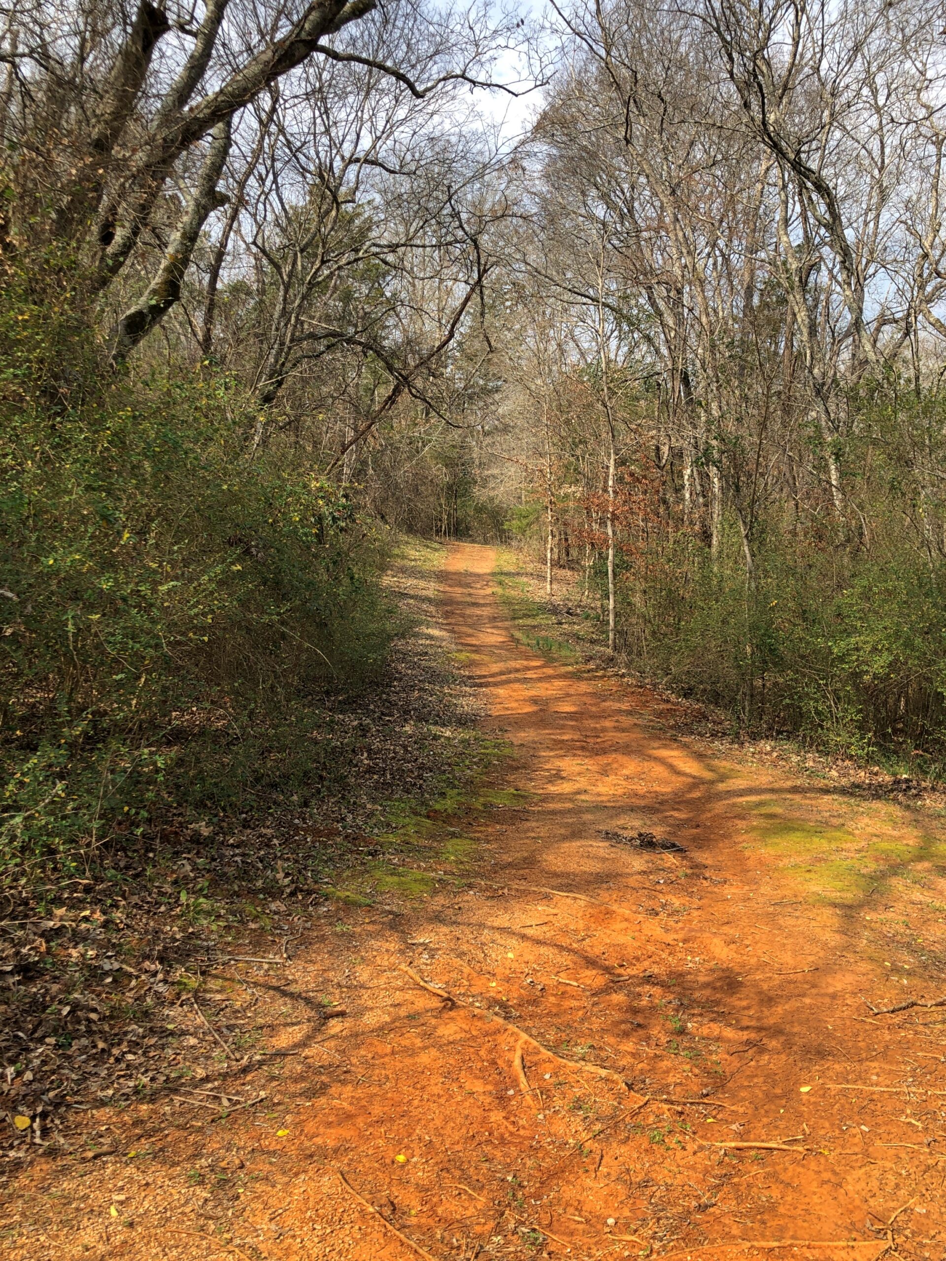
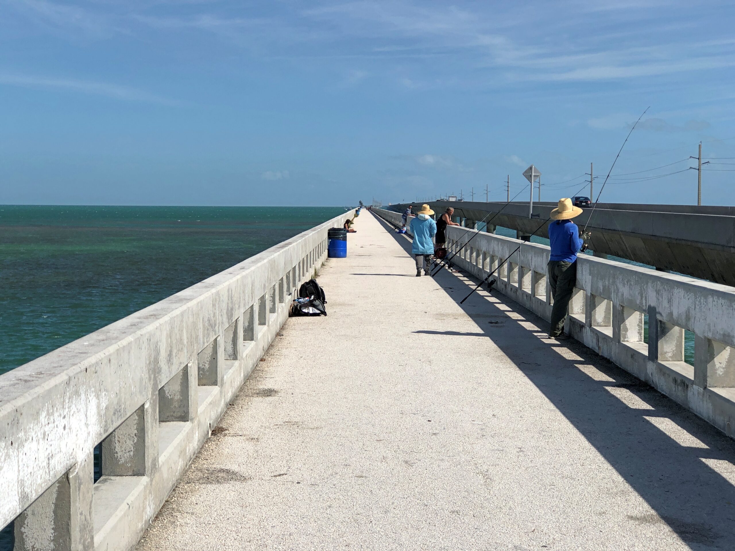
I found myself in New Hampshire in mid-April headed east to Maine. Some days earlier, on April 7, I’d left metro Chicago by car for the Northeast again. I returned on April 24 after 3,499 miles on the road. Dang, I should have gone that extra mile we’re always hearing about.
After visiting the Northeast last October, I hadn’t intended to return quite so soon. Then Lilly and Dan scheduled their engagement party for April 11, 2026, in Midtown Manhattan, which meant a return to New York City at least. The easier (and cheaper) thing to do would have been for all of us to fly there, spend a few days, and then fly home.
I wanted to go to the party, of course, but that approach to getting there didn’t appeal – so I drove by way of Indiana, Ohio, Pennsylvania and New Jersey, where I squeezed a day into my schedule to look around. Yuriko and Ann flew in the day before the event, and we attended the party in the upstairs Manhattan Manor room of Rosie O’Grady’s on 51st, between 6th Ave. and 7th Ave. I’d never heard of the place before, but eventually learned that Rosie O’Grady’s is a sentimental favorite of Lilly and Dan’s when they visit New York. That only goes to show that one’s children have, or should have, aspects of their lives you know nothing about.
We had a large time that evening, meeting members of Dan’s family and many of his friends, and seeing many of Lilly’s friends for the first time or the first time in years. My nephew Dees was able to attend from Austin and my nephew Robert and his fiancée Meredith came from Brooklyn.
That wasn’t quite it for NYC – my nth visit, Yuriko’s third and Ann’s first – since we had another day and a half to kick around. We spent time strolling in a budding springtime Central Park and at MoMA and in a couple of Greek diners and one of the locations of the delightful Angelina bakery. All in all, an enjoyable time, all too short. Yuriko and Ann flew home, but I made my trip just a little longer.
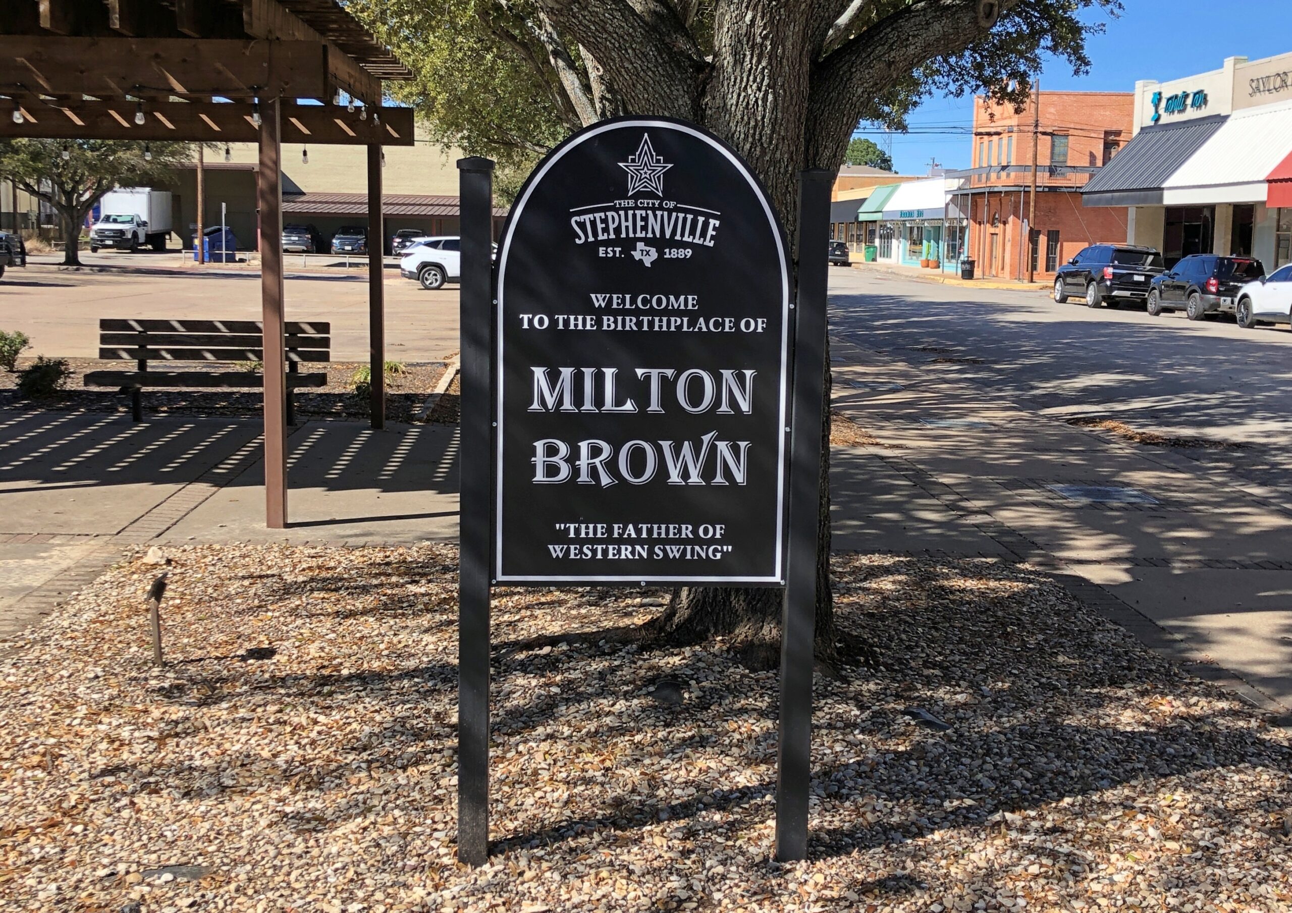
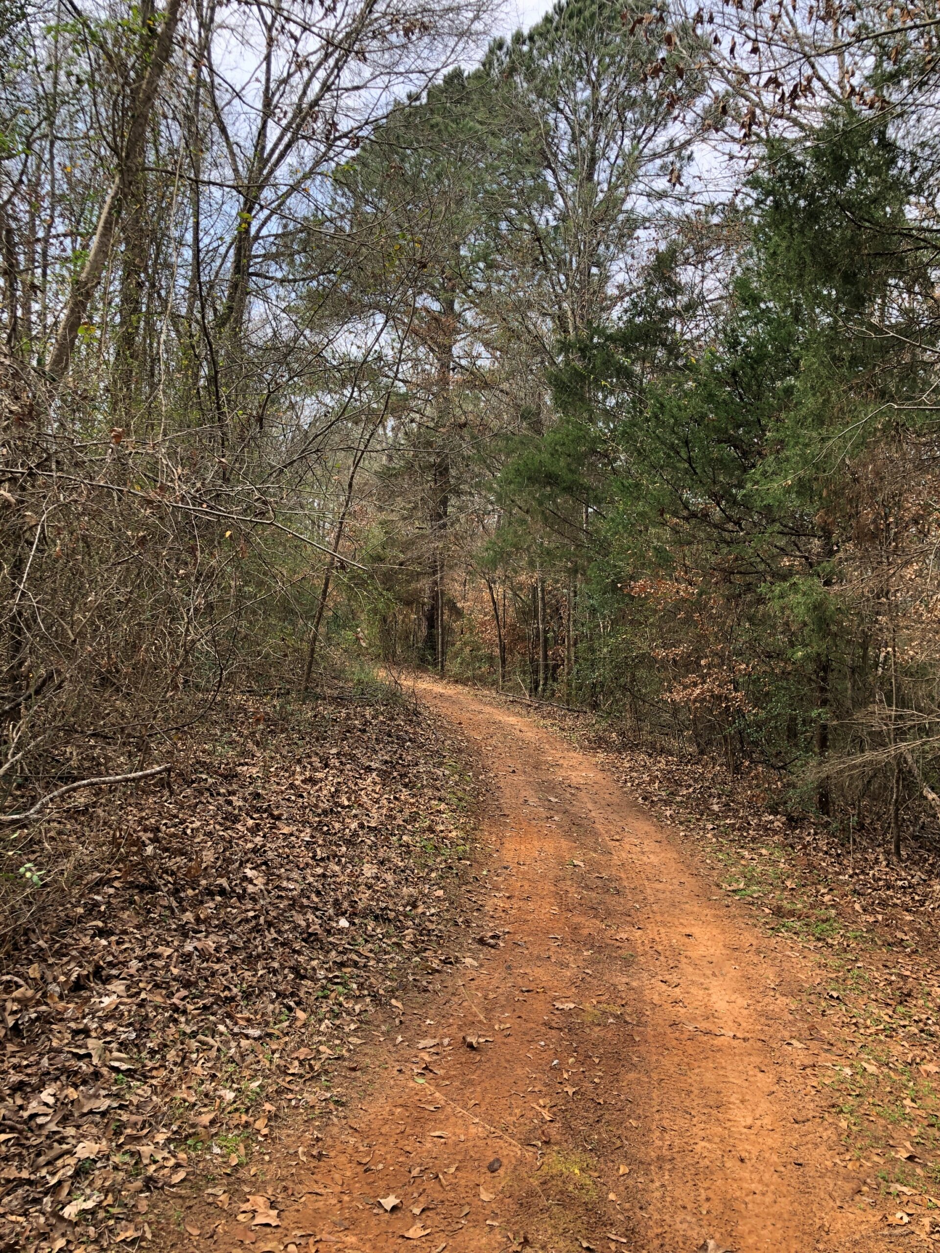
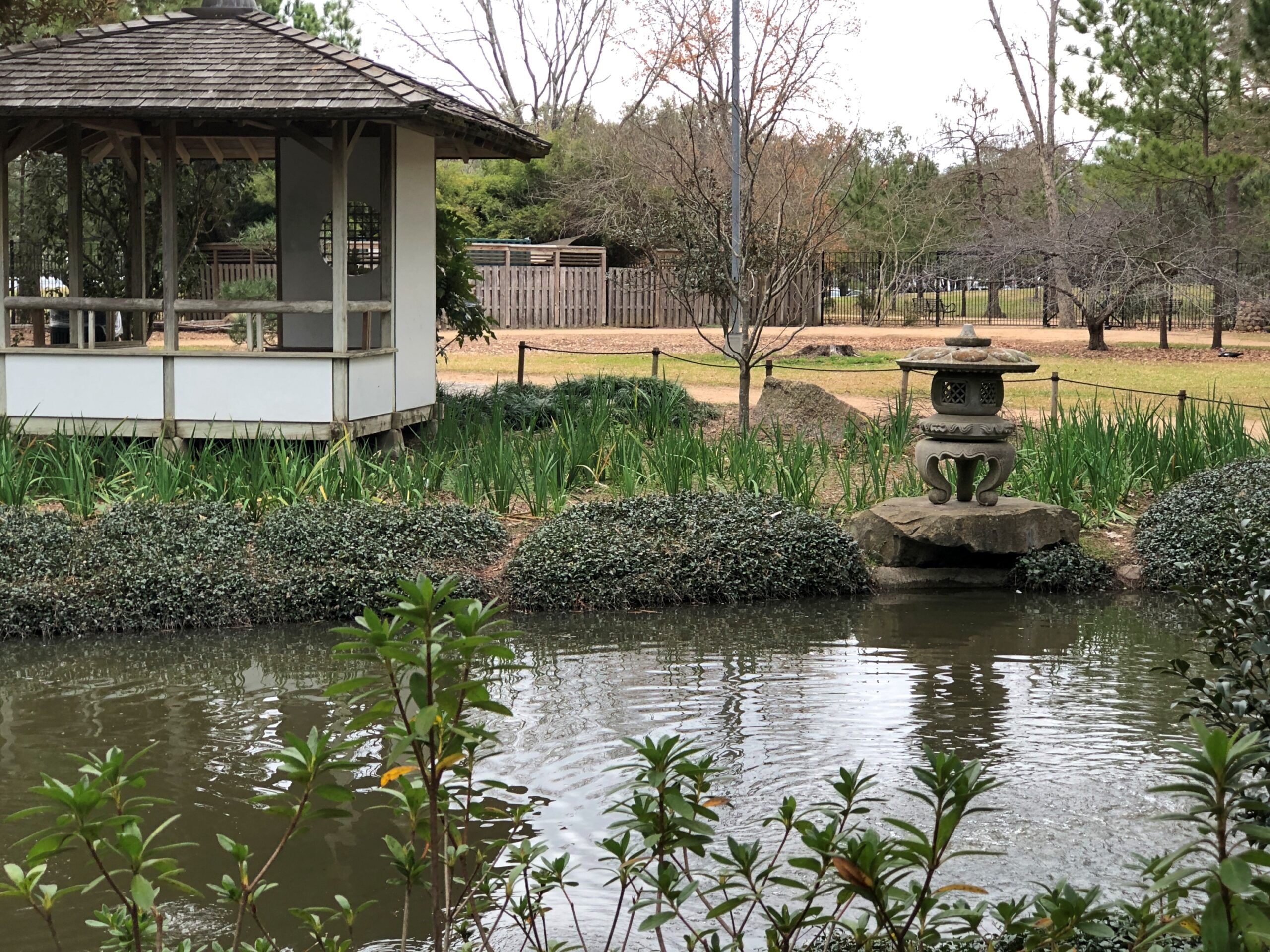
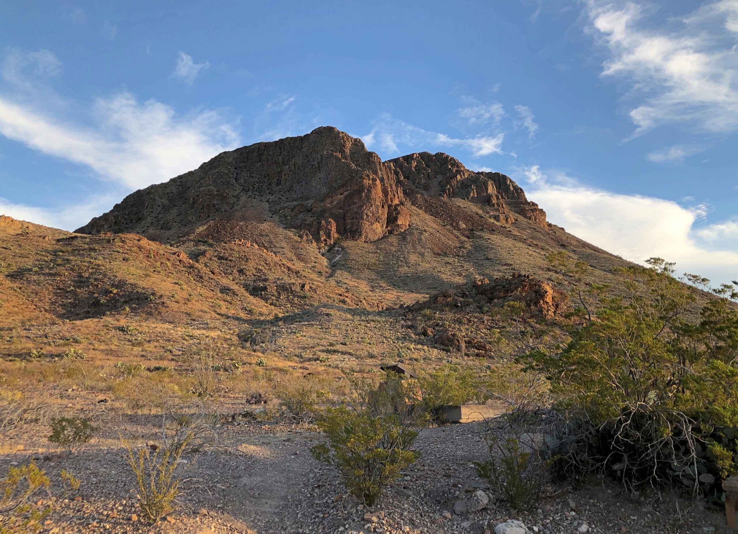
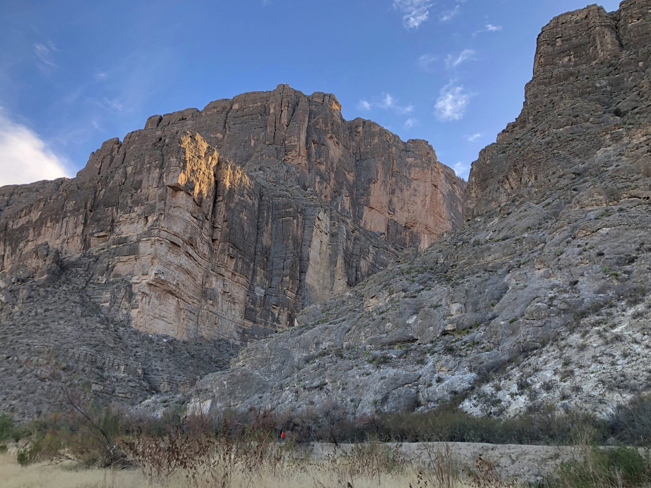
Namely, I had another large time, this one in Boston, with my friends Rich and Lisa and Steve. That was slated for a week after the party, so I had a few days to spend between NYC and Boston. Where to go? Maine. Geographically not between those major metros, but nothing is that far apart in New England, as all drivers who grew up in Texas know.
After my visit with my Boston friends on the weekend of April 18-19, I took a (fairly) slow drive home, passing through western Massachusetts and stopping in upstate New York long enough to visit historic places I couldn’t in October because the federal government shutdown. From there, I traversed Pennsylvania, Ohio and Indiana again, along a somewhat different route than I’d come. Of course.
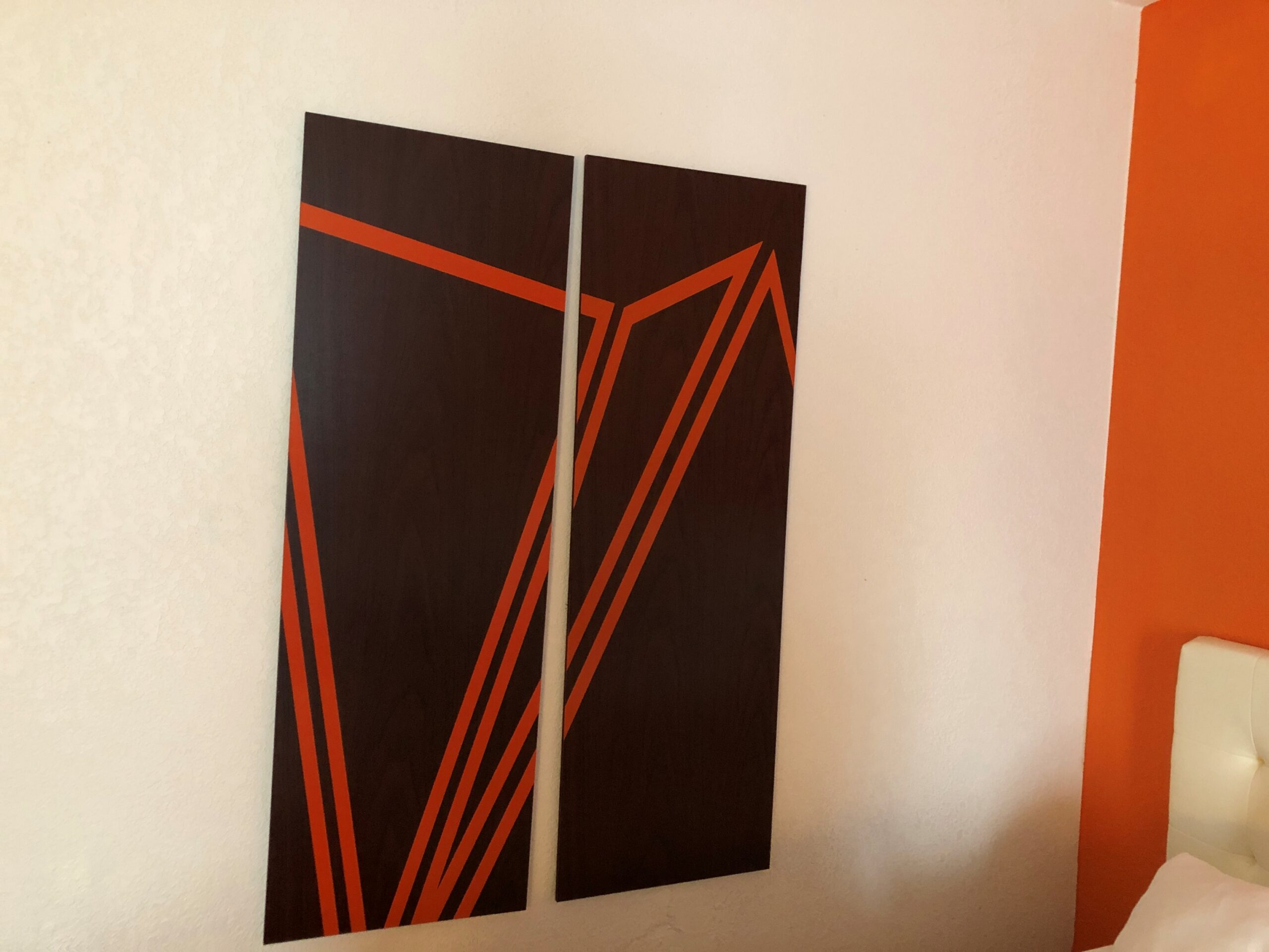
The last night of the trip, I stayed at another Howard Johnson. It had the location I wanted, in western Ohio, and the price wasn’t bad, but I was also curious how orange it was going to be. The answer: not quite as much as the Portsmouth property, but more than most places.
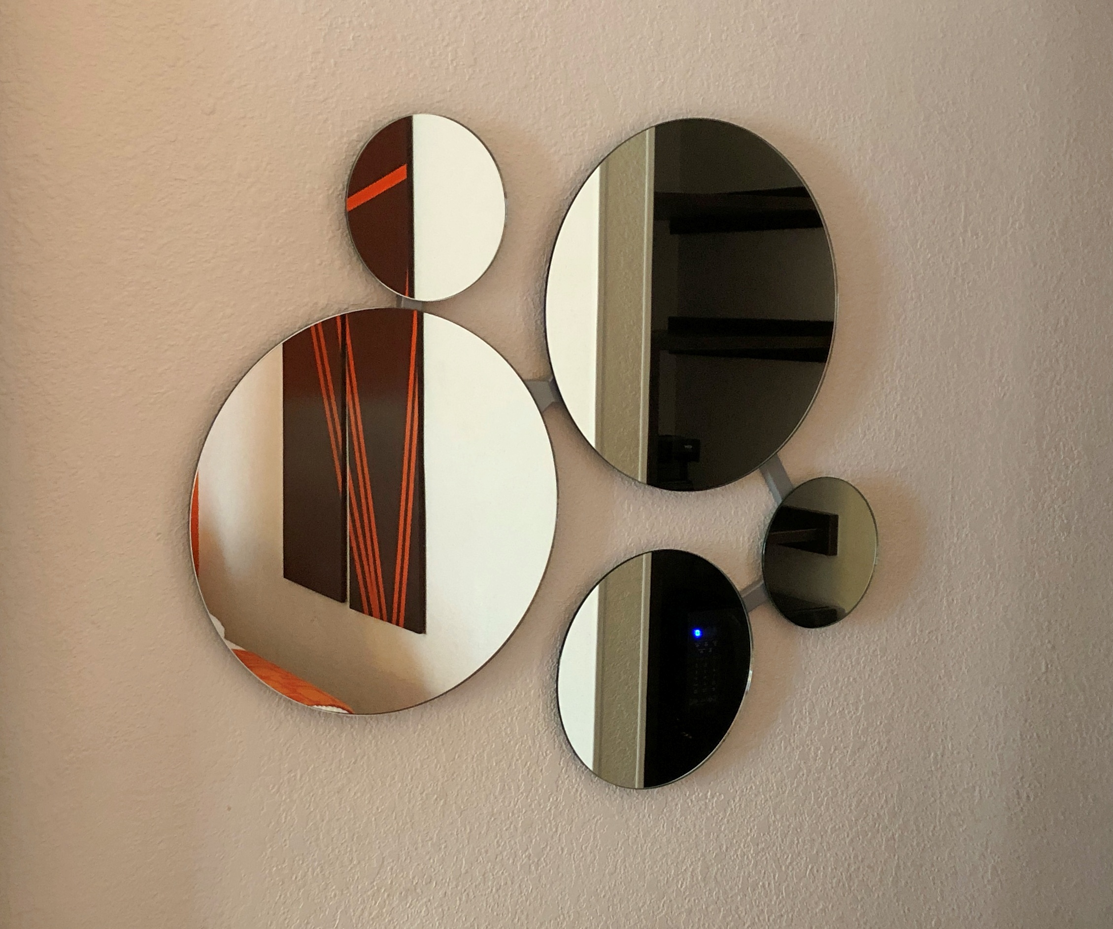
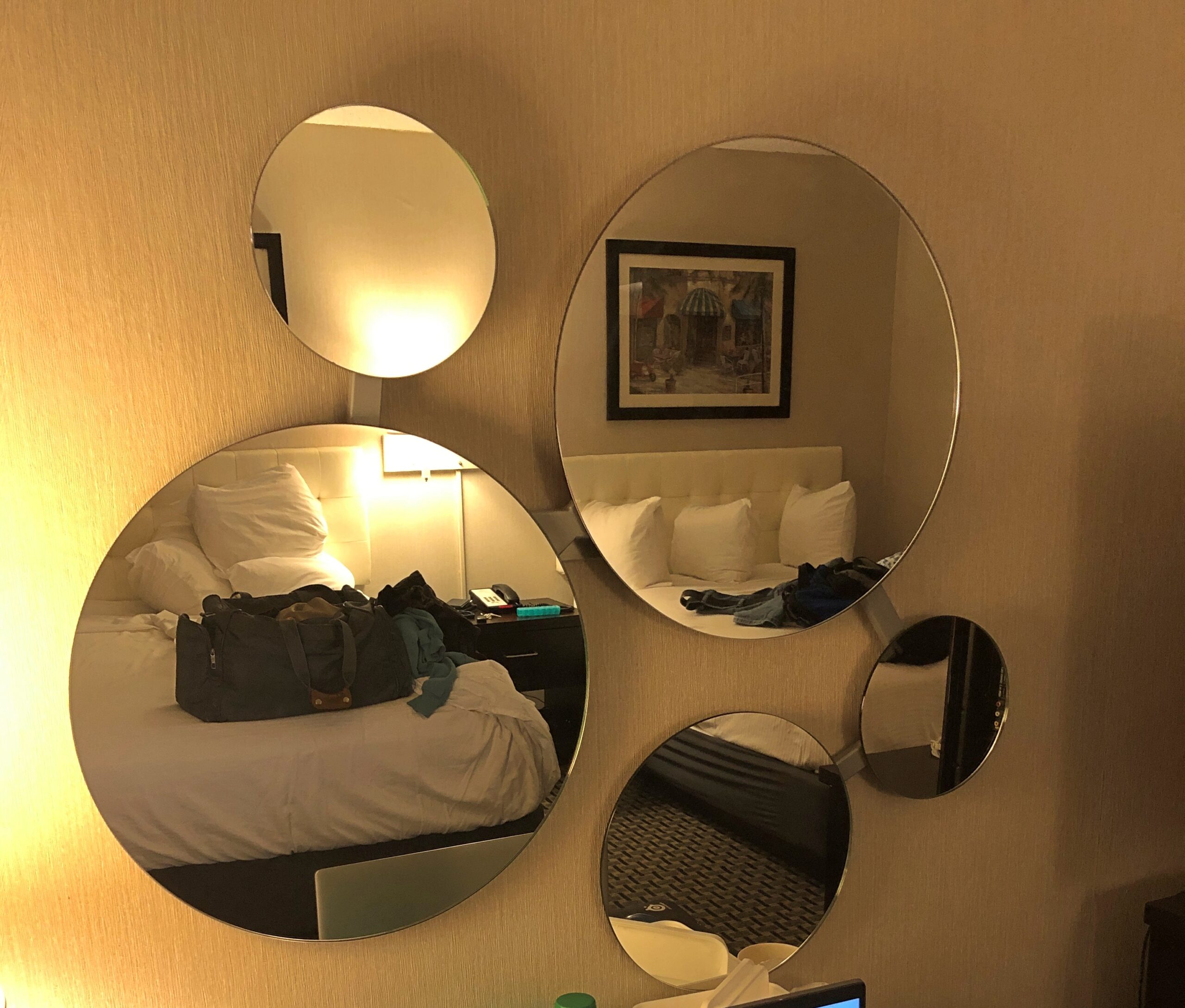
Including the same circular mirror array. Wyndham must have gotten them in bulk.
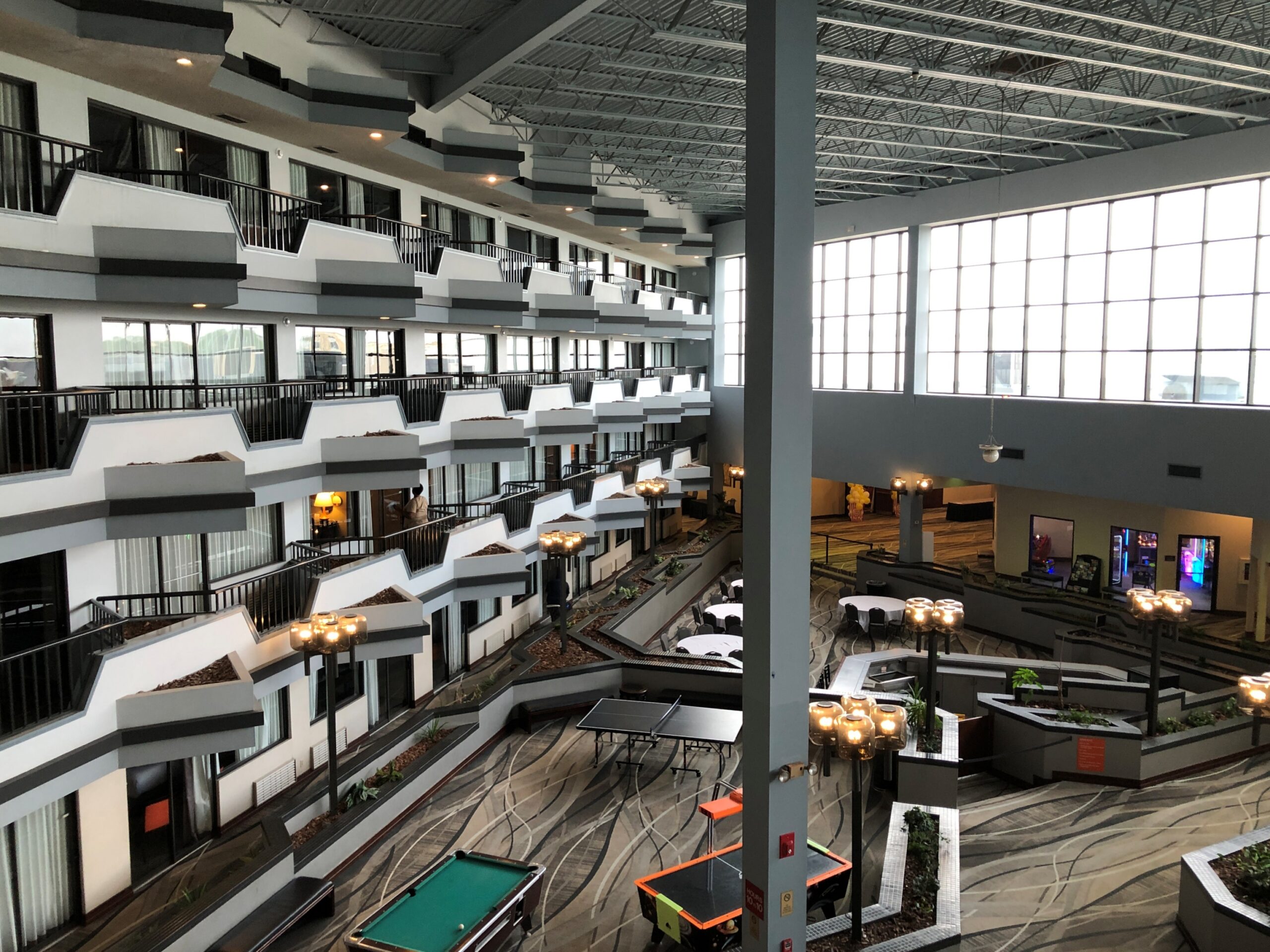
The unusual thing about the Lima, Ohio Howard Johnson is its sizable enclosed atrium — visible from my room’s balcony, also unusual in a limited-service hospitality property.
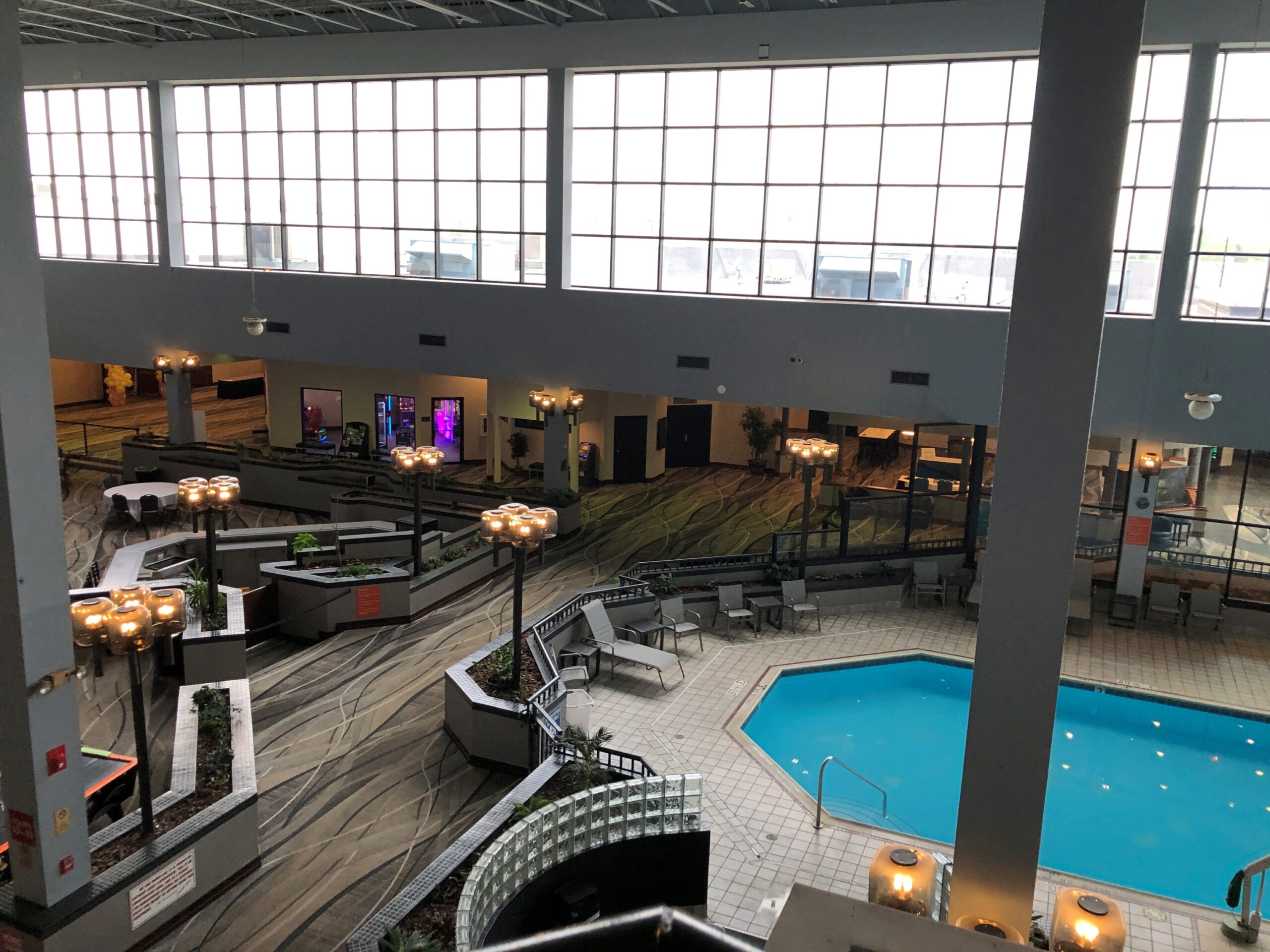
I asked the clerk if the property had been something else, once upon a time, and she said it had, offering a name I didn’t recognize and don’t remember, though I expect it might have been an independent property trying to make a go of it. Tough going in Lima, I bet.


