North Carolina, South Carolina

Maybe I should have looked at something like this before driving between Knoxville and Charlotte last month.

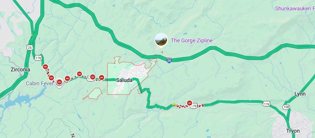
Note the array of Construction Zone markers along I-40. Turns out travelers are lucky to be able to drive the road at all, considering that Hurricane Helene last year did so much damage that the highway – an Interstate of considerable importance regionally – was closed for five months, only reopening on March 1.

Reopening as a two-lane road, with each lane bounded on the outside by those concrete barriers you never want to see when driving. Separating the lanes is what amounts to a curb, painted yellow. This goes on for about 12 miles, as reconstruction work goes on. That isn’t a long stretch of road under normal conditions, but when you’re between barriers, behind a truck and in front of a truck, with traffic (many trucks) coming the other way just on the other side of a yellow curb, and little margin for error on anyone’s part, your reaction as a driver is going to be: when will this end?

That was my reaction, anyway. Had some nice drives on this trip. Western North Carolina I-40 wasn’t one of them.

“The hurricane washed away about 3 million cubic yards of dirt, rock and material from the side of I-40,” NCDOT reported. I’m having trouble visualizing a million cubic yards, much less three, but I’m sure it was a staggering amount.

“The stabilization process involved driving steel rods into the bedrock, filling the rods with grout, applying a metal screen then sprayable concrete to the face of the walls. There were four different rigs operating at the same time.

“Crews installed 90,000 square feet of soil-nail walls across the 10 different damage locations in less than 130 days. They also drilled nearly 2,100 feet of nails and fortified 4 miles of the shoulder for truck traffic.”

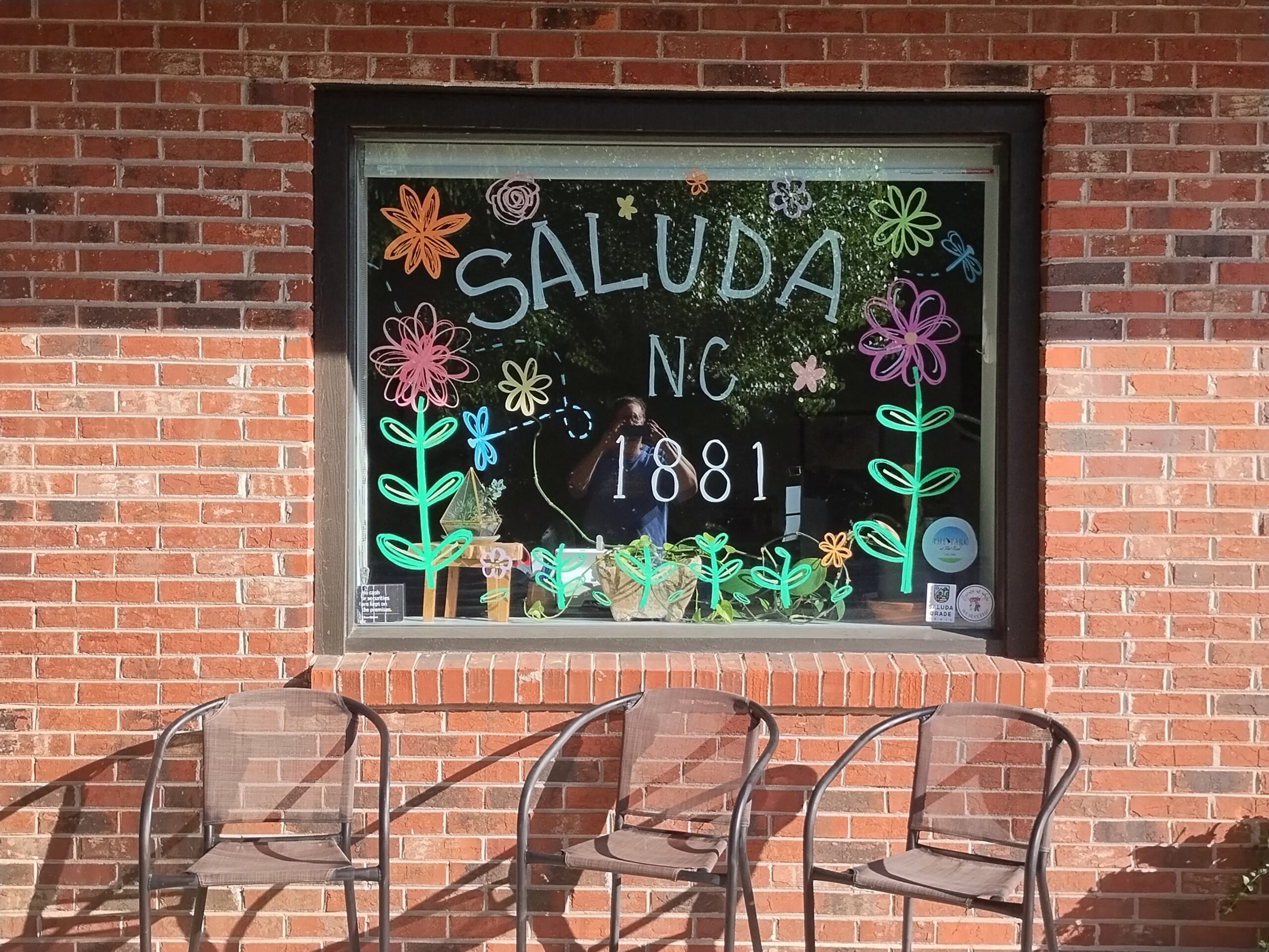
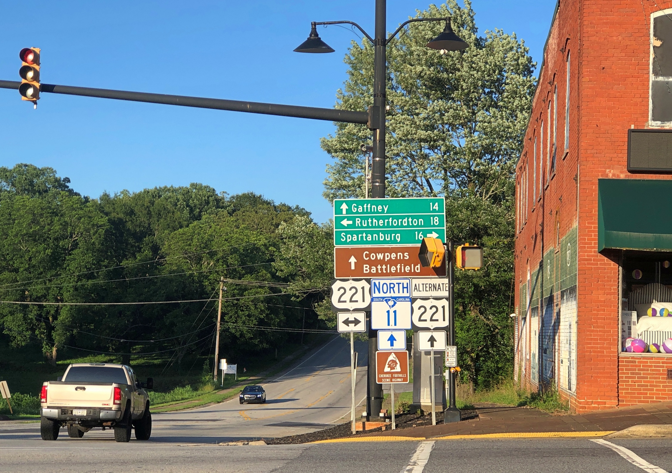
My goal for the afternoon had been to take I-40 from Knoxville to Asheville and then I-26 south to its junction with South Carolina 11, which is Cherokee Foothills Scenic Highway, and take that road east. I’d been advised that the town of Saluda, NC, on US 167, was a pleasant place to stop, and it was, though most of the shops were closed by the time I got there.

Saluda, NC

I had the idea that I would drive US 176 to the next town, Tryon, NC. Oops, no. Road closed. Maybe the hurricane did that as well.

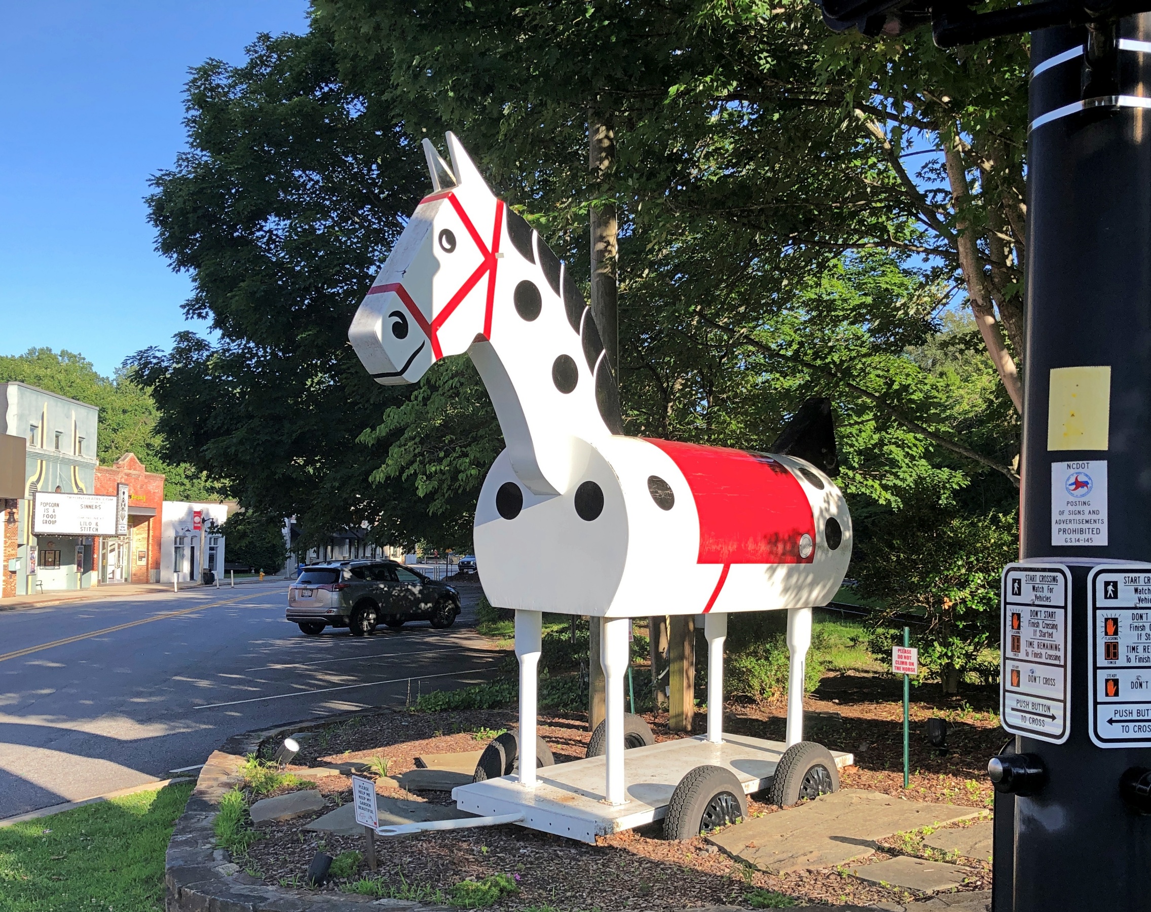
So I got back on I-26 and went to the Tryon exit. I didn’t have any idea what to expect in Tryon, certainly not the Tryon Horse, which is a large toy horse on wheels. It stands on US 176, known as South Trade St. at that point. This is the fifth iteration of the horse in nearly 100 years.

“[The first Tryon Horse] was originally designed as an advertisement for the first horse show held in Tryon at Harmon Field in 1928,” says the Tryon History Museum. “It came from a drawing done by Eleanor Vance, based on an idea from Romaine Stone, who was active in the Tryon Riding and Hunt Club, and from then seventeen-year-old master builder Meredith Lankford.

“The Tryon Horse was built in the basement of Miss Vance and Miss Yale’s house by Meredith Lankford and Odell Peeler and was assembled in the driveway… The Tryon Horse… was brought out for future horse shows and parades, and was stored in the Paper Box Factory located on Depot Street. Unfortunately, the first horse was destroyed when the factory burned in the 1930s.”

It was no accident that the talent was available locally in the 1920s to build such a thing. At the time, Tryon was noted for a company that made toys, especially high-end wooden toys.

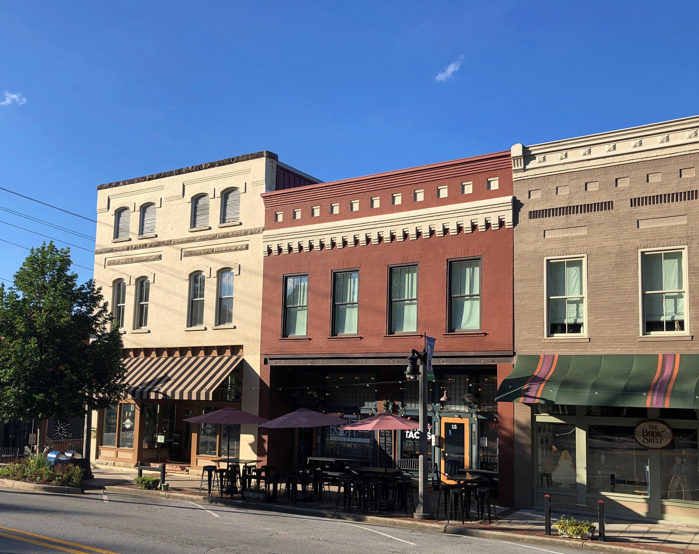
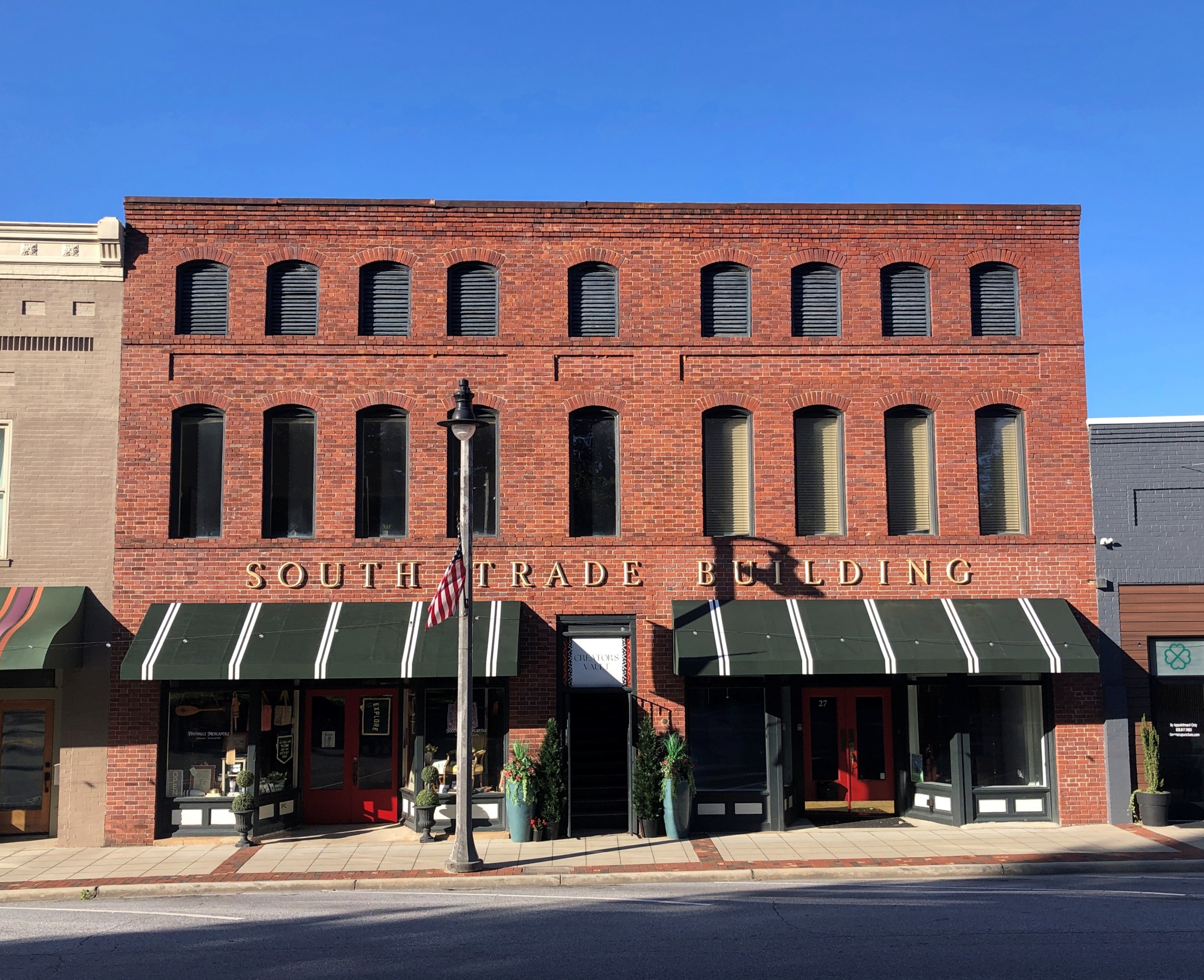
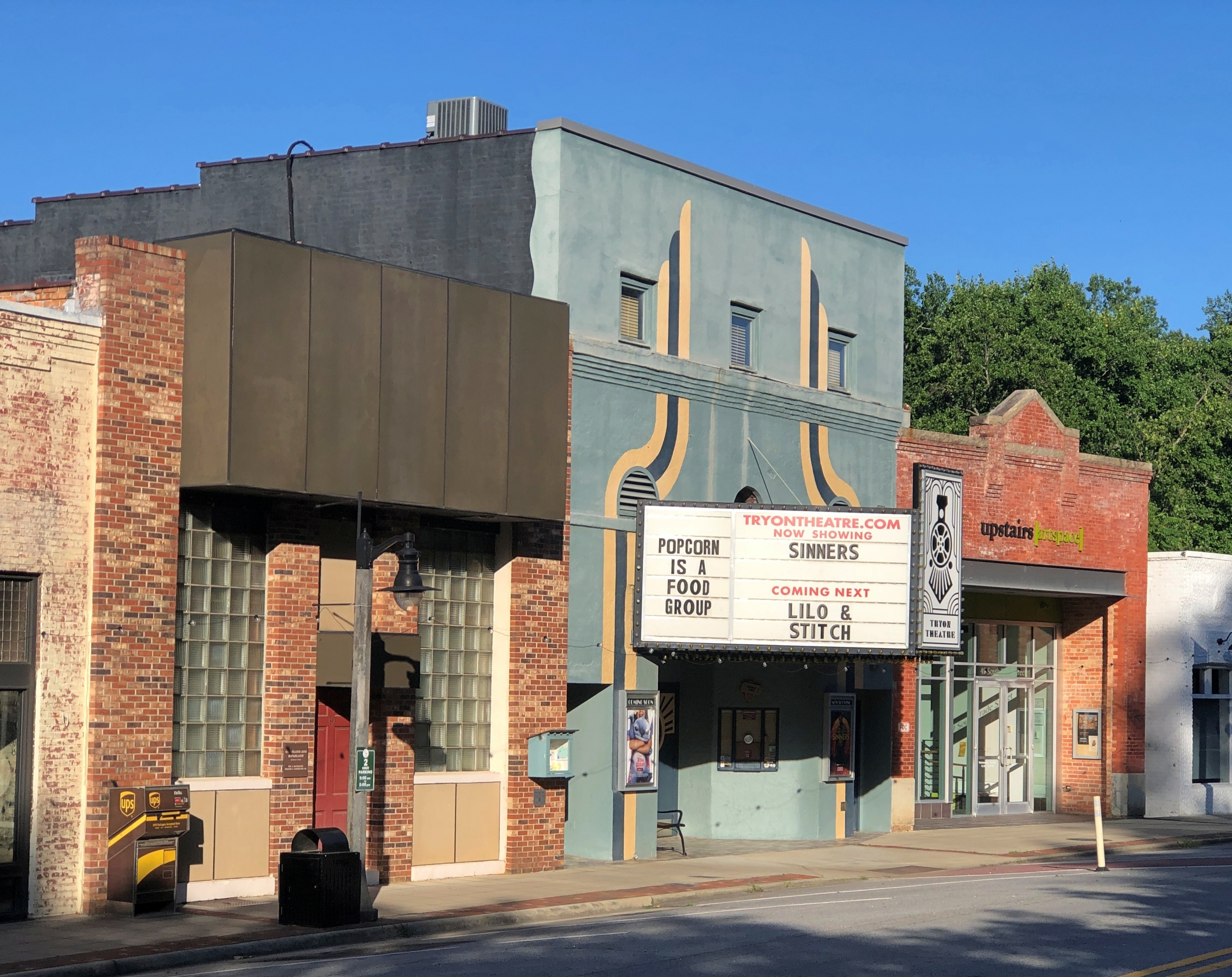
South Trade St. is a handsome thoroughfare, populated by older buildings developed to support trade.

Tryon NC
Tryon NC

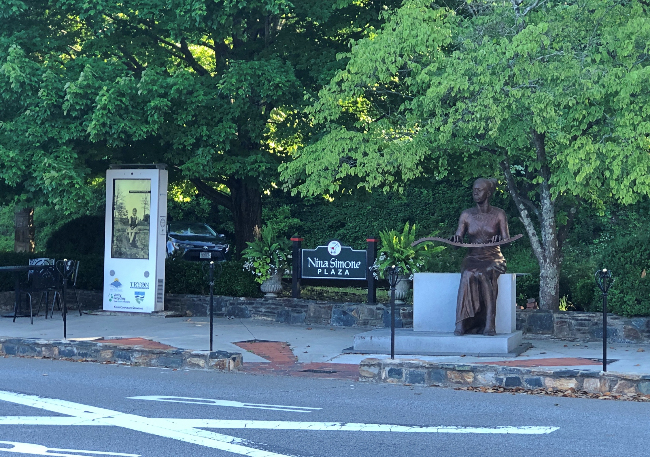
Something else I didn’t expect on the street: Nina Simone Plaza.

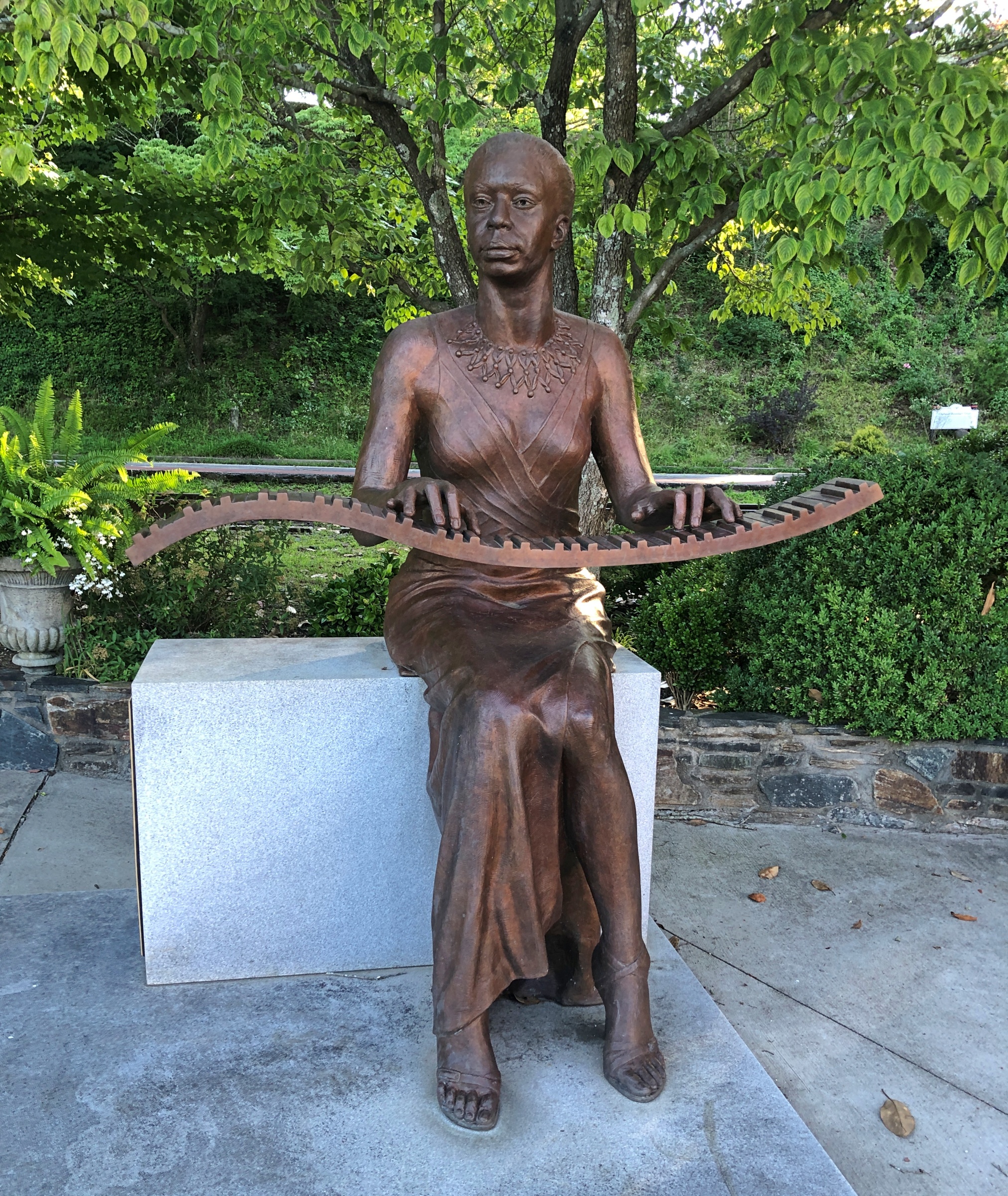
Complete with a bronze of the musician and activist, who grew up in Tryon, and who no doubt got out as soon as her talents allowed. She died in 2003; the statue was dedicated in 2017.

Nina Simon bronze, Tryon NC

A remarkable detail (so I’m remarking on it): “The sculptor, Zenos Frudakis, included a bronze heart containing Simone’s ashes welded to the interior of the figure’s chest,” says the University of North Carolina. For his part, Frudakis has had quite a career.

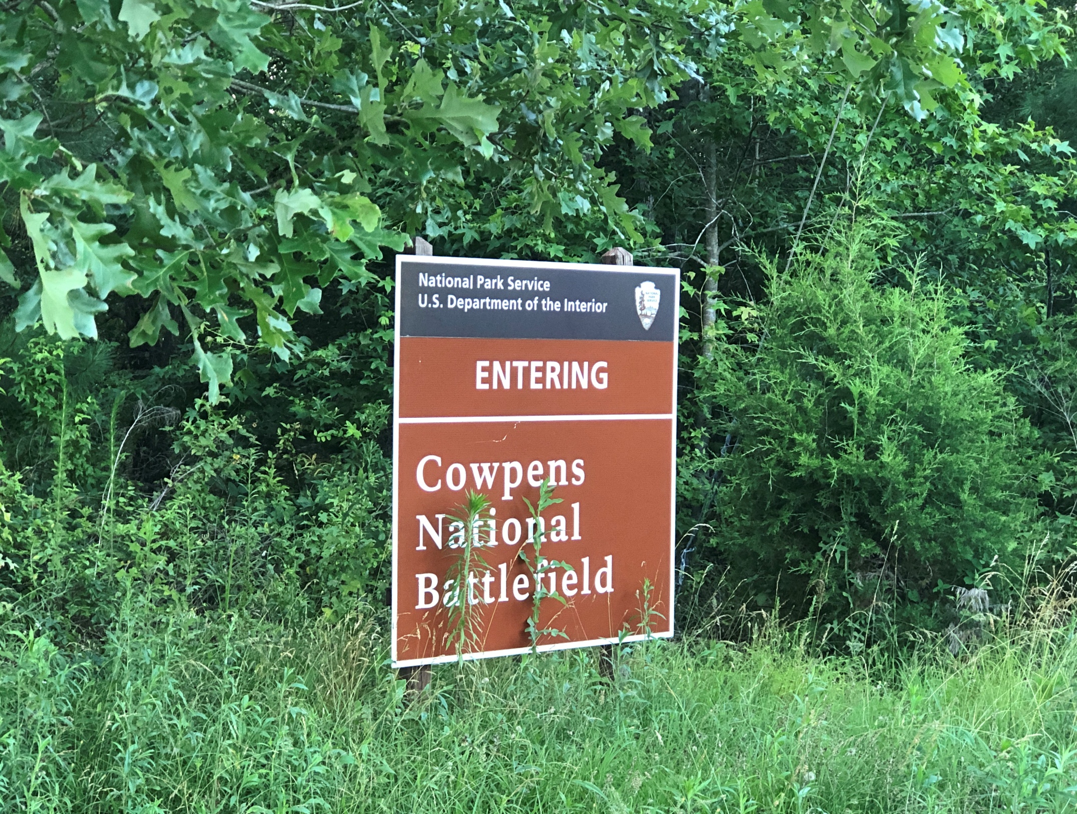
Later in the day, I eventually made it to South Carolina 11 at Campobello, SC, and drove east to its end for 50 miles or so to Gaffney, SC. I’d intended to visit Cowpens National Battlefield along the way.

No dice. The main entrance to Cowpens was closed by the time I arrived. I understand closing the visitors center at the end of the day, but the entire place? A mile or so east on SC 11 was an alternate entrance, so I stopped there.

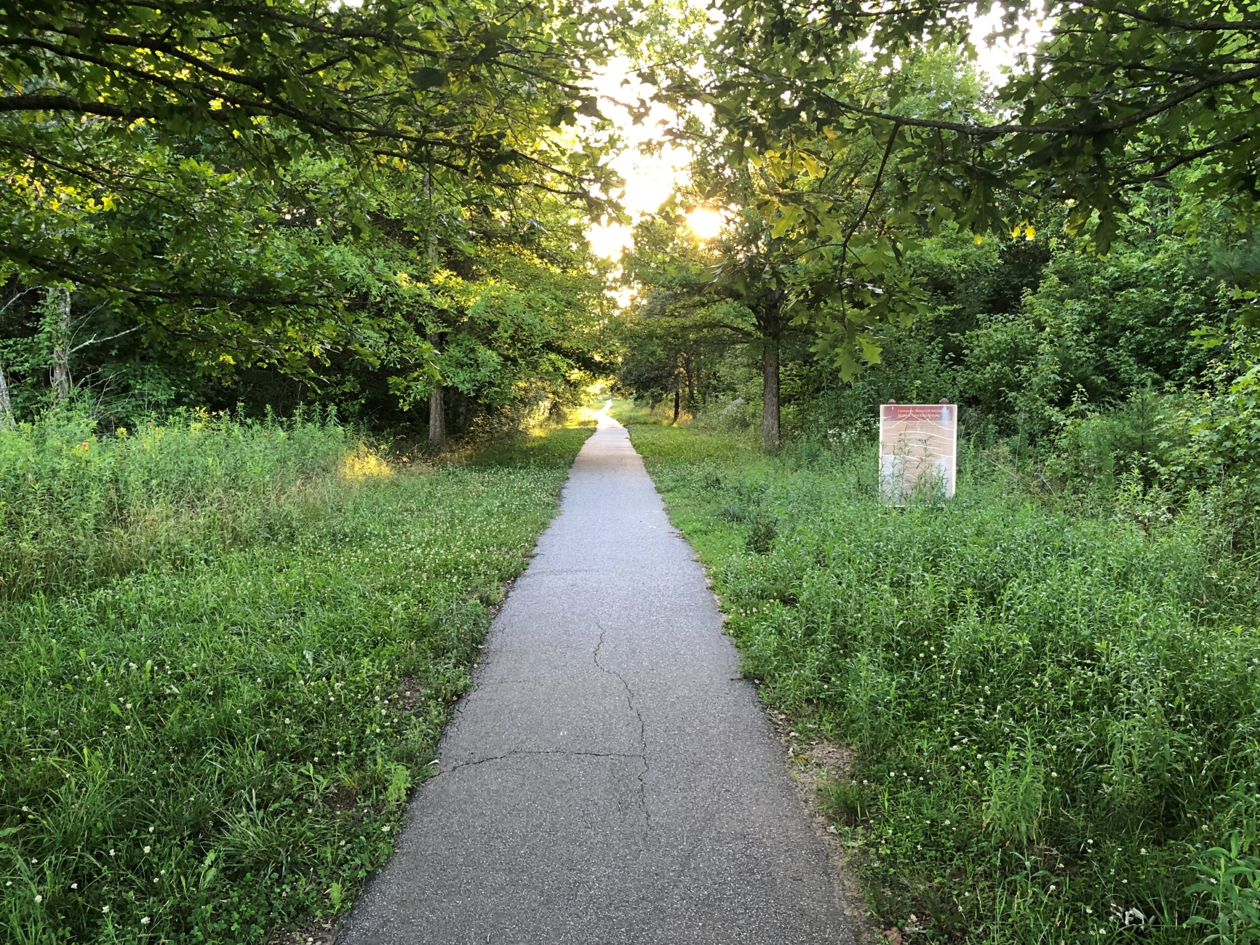
I walked down the path toward the battlefield, but thought better of it after about 10 minutes.

Cowpens National Battlefield

I wanted to get to Charlotte before the end of the day. Summer days are long, but not endless. Also, mosquitoes.

Scottsburg, Indiana

Just the latest in bad news: the lodge on the North Rim of the Grand Canyon burned down due to wildfire. At least no one died in the incident, but it’s always unfortunate when a grand edifice meets its end. I wouldn’t bet on reconstruction, either.

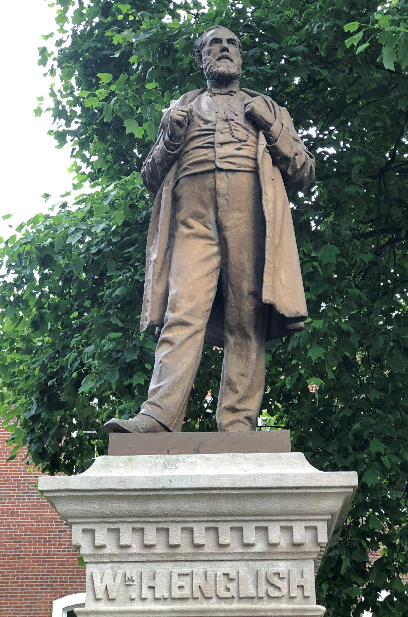
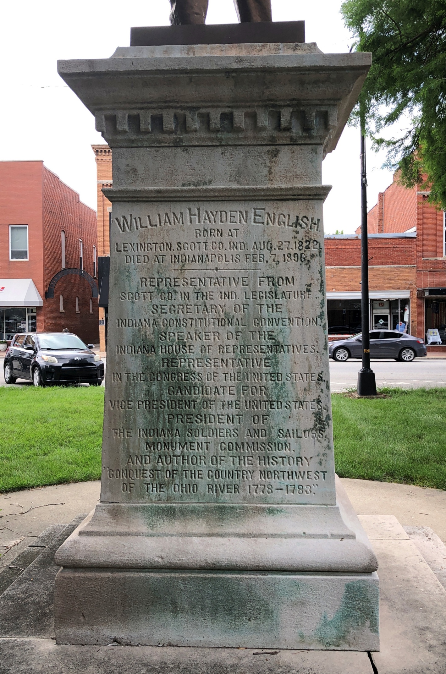
The heat was already on by the time I arrived in Scottsburg, Indiana on the first day of the trip, June 16. But not enough to keep me from taking a stroll around the Scott County courthouse, where I found native son William H. English.

Scottsburg, Indiana Scottsburg, Indiana

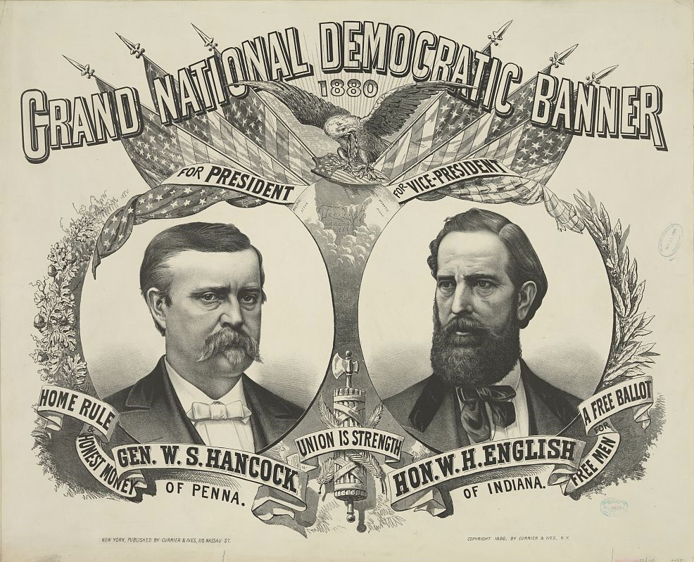
After only a few hours on the road, by chance, I’d come across a presidential sight. Presidential adjacent, anyway, since English (d. 1896) is that most obscure of obscurities, someone who ran for vice president and lost – in 1880 in his case, on the Democratic ticket with Winfield Scott Hancock, who himself isn’t going to ring any bells outside presidential history buffs. The statue went up in 1908.

That was the election James Garfield won, which he no doubt regretted before long.

English, or his heirs, felt that a book he wrote, Conquest of the Country Northwest of the Ohio River 1778-1783, was worth a mention along with the offices he held or aspired to. The marvel here in the 21st century is that the work is just about instantly accessible (Vol. 1 and Vol. 2). An illustration facing the Vol. 1 title page (on the optitle page?) not only falls into the They Don’t Make ‘Em Like That Anymore category, it’s squarely in, No One Would Think of It territory. Just as well, I figure.

To get to Nashville from metro Chicago, the direct route is via I-65, which cuts across Indiana. Considering the importance of both of those cities to me, I’ve driven the route more times than I can count. But I have to report that it isn’t one of the more interesting drives in the nation, and at eight to nine hours drive time in the best of conditions, you feel it yawn beneath your wheels when you yourself yawn.

So the strategy over the years has been to break up the trip. Such as a place like Scottsburg, pop. 7,300. The town is close enough to Louisville to be its exurb – maybe. I haven’t spend enough time in Louisville, as interesting as it is, to have any sense of its greater co-prosperity sphere, or at what distance that might peter out.

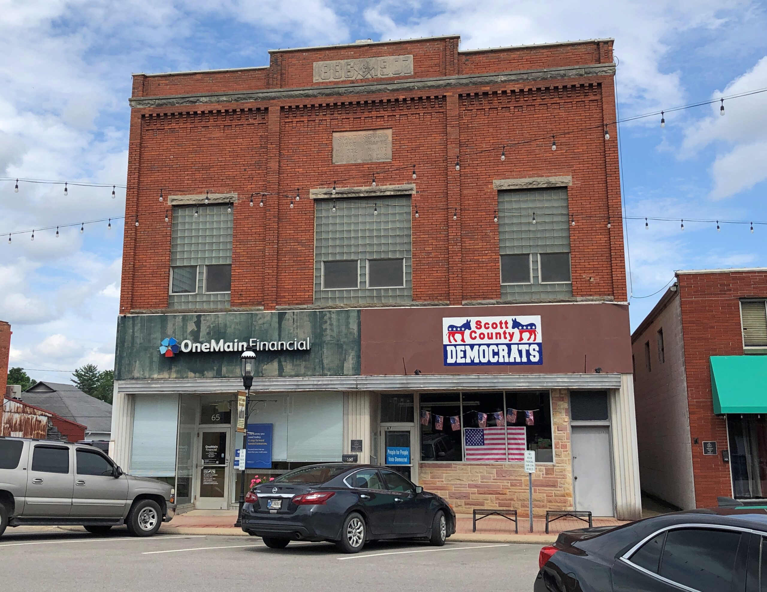
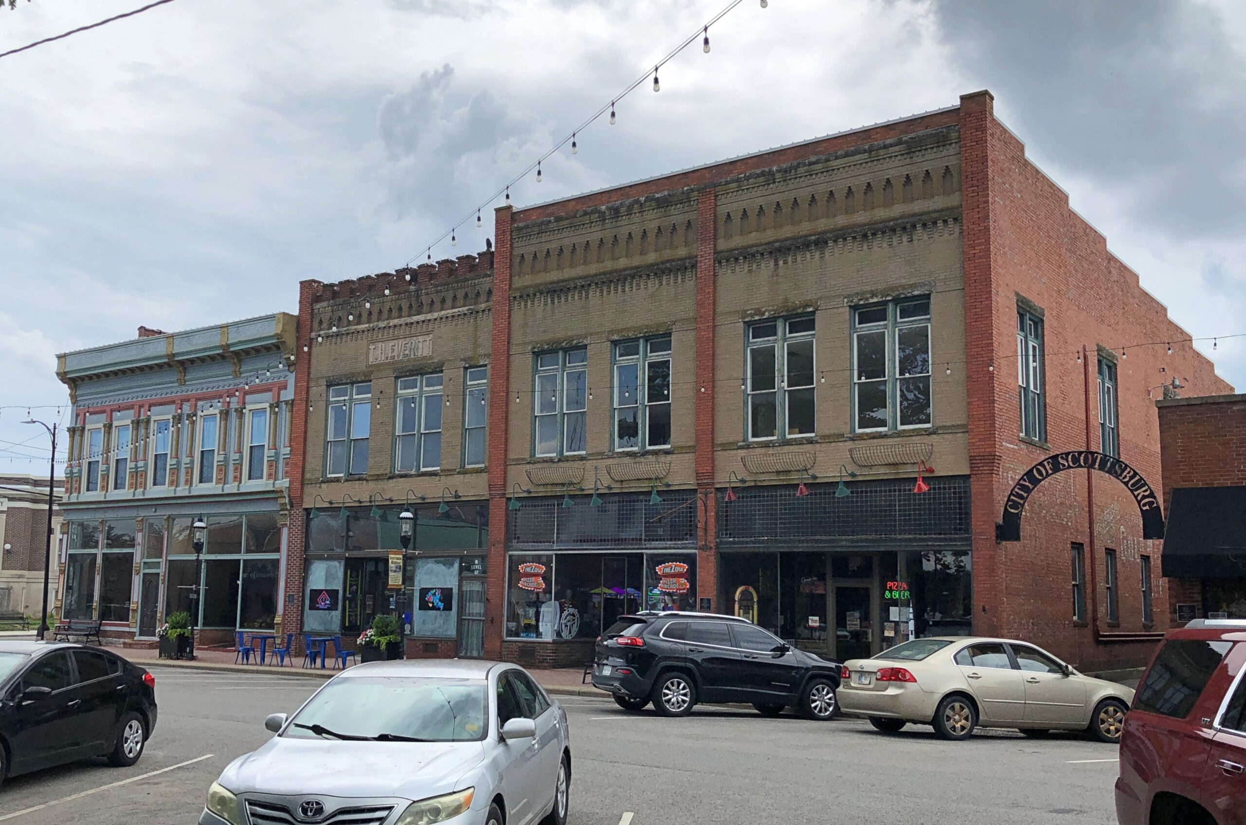
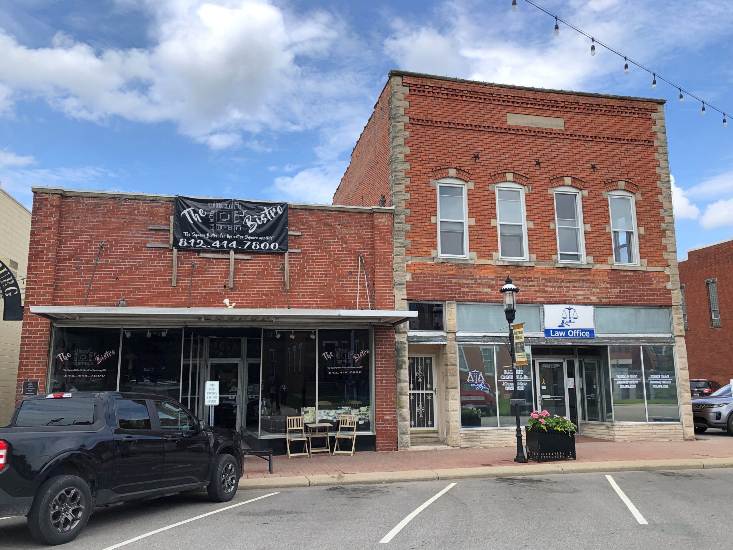
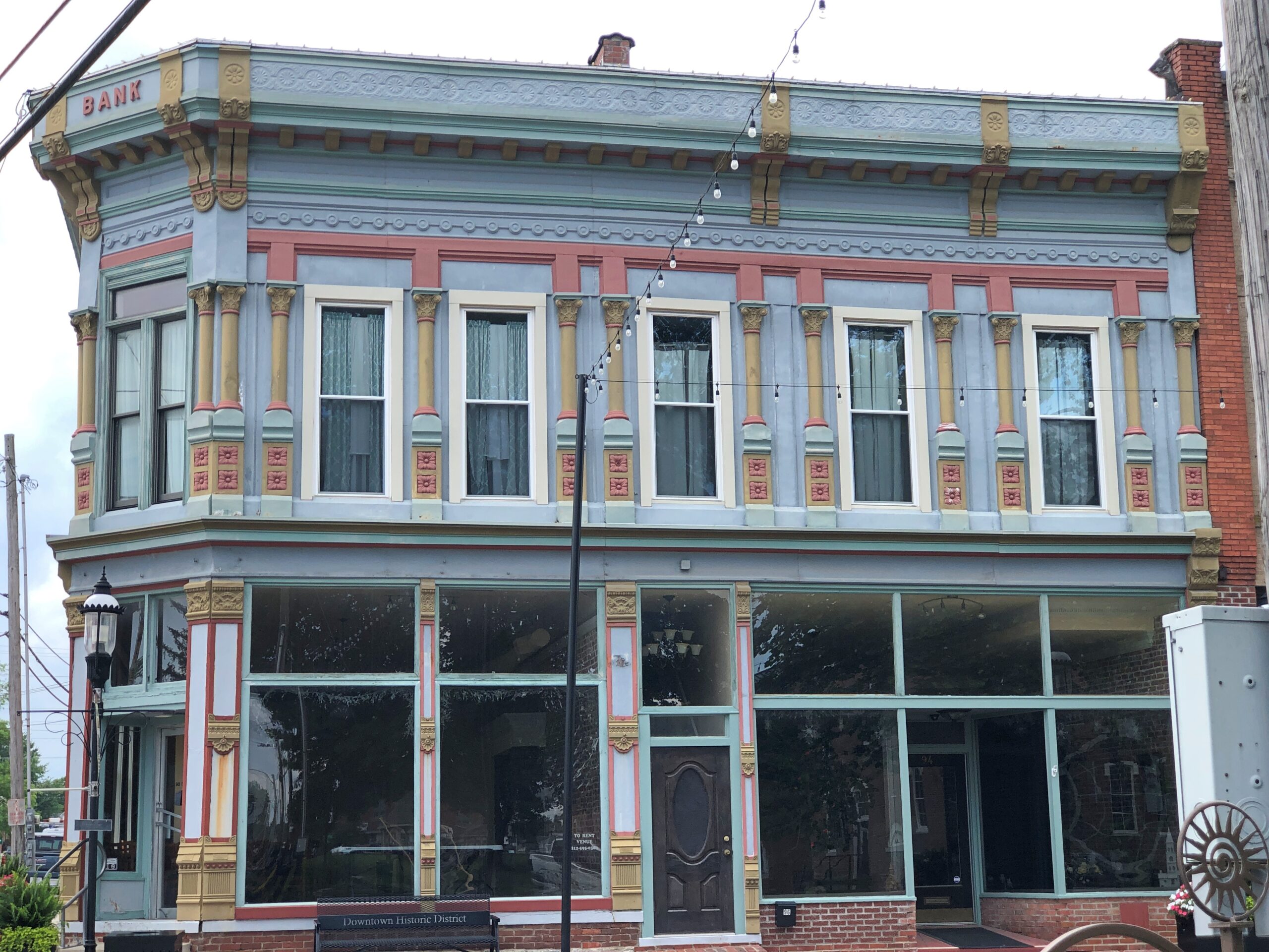
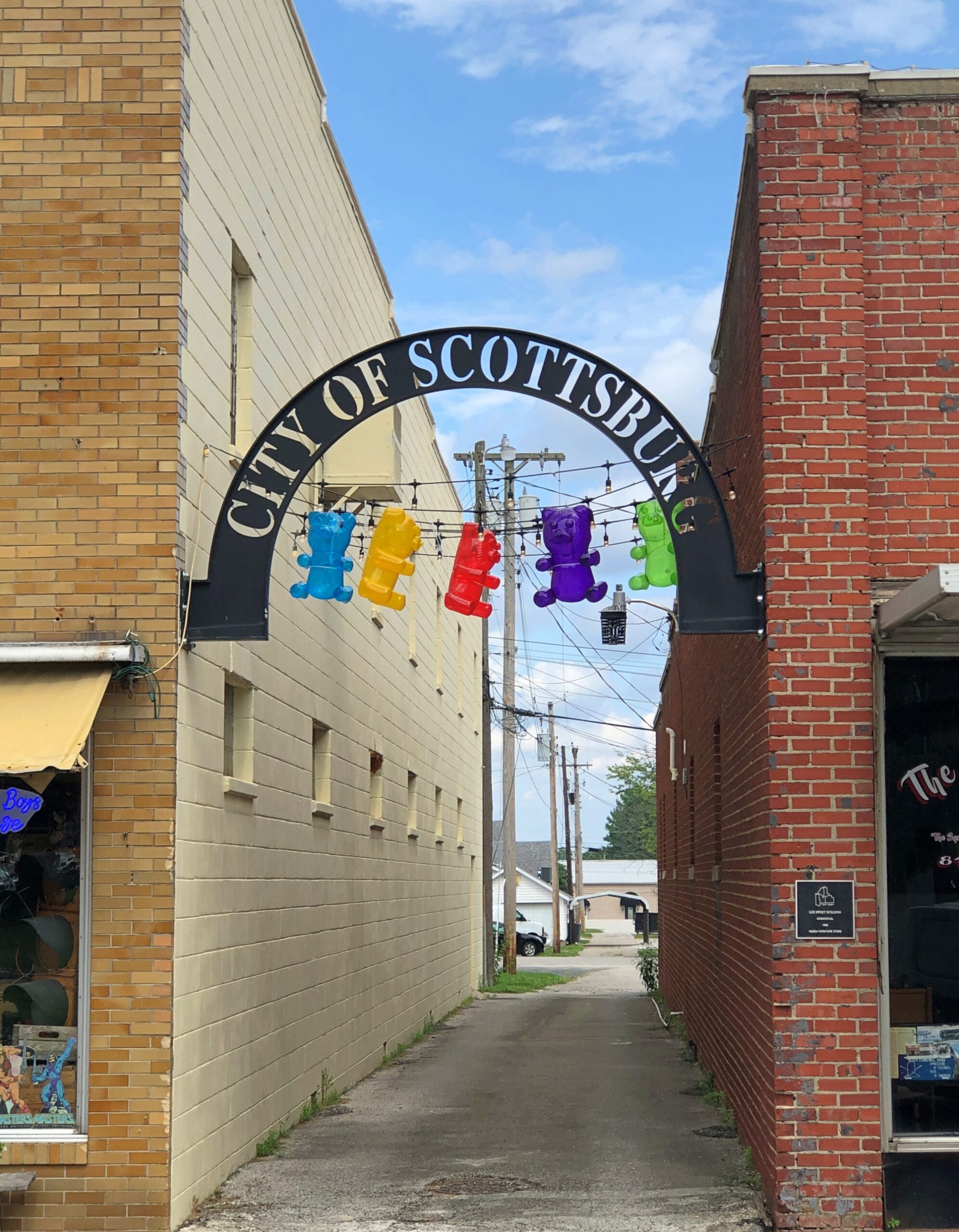
Scottsburg has one thing a picturesque exurb needs: a picturesque courthouse square. Or at least elements of it.

Scottsburg, Indiana Scottsburg, Indiana

Downtown is in fact a national historic district: Scottsburg Courthouse Square Historic District. I get a kick out of discovering that kind of thing retroactively, which I did this time.

“The district is composed of one-, two-, two-and-a-half and three-story brick and stone commercial structures with zero setbacks, which form an essentially contiguous perimeter to the wooded courthouse lawn,” its registration form on file with the U.S. Interior Department says. “There are a total of 48 contributing buildings within the district. The character of the district is defined by late 19th and early 20th century commercial architecture with significant examples of the Italianate, so Richardsonian Romanesque, Renaissance Revival, Colonial Revival, and Art Moderne styles.

“The predominant building material is red brick, as evidenced by the courthouse and 29 commercial buildings within the district. Secondary materials include Indiana limestone and various shades of buff and yellow brick, decorative brick work, cast iron, ornamental pressed metal and glazed tile and Carrera glass…”

Scottsburg, Indiana Scottsburg, Indiana

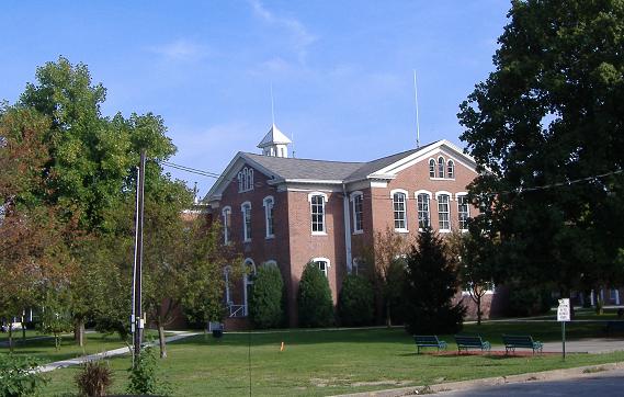
In the heat of the moment (literally), I neglected to get a decent shot of the courthouse itself, but someone called Bedford thoughtfully put an image in the public domain.

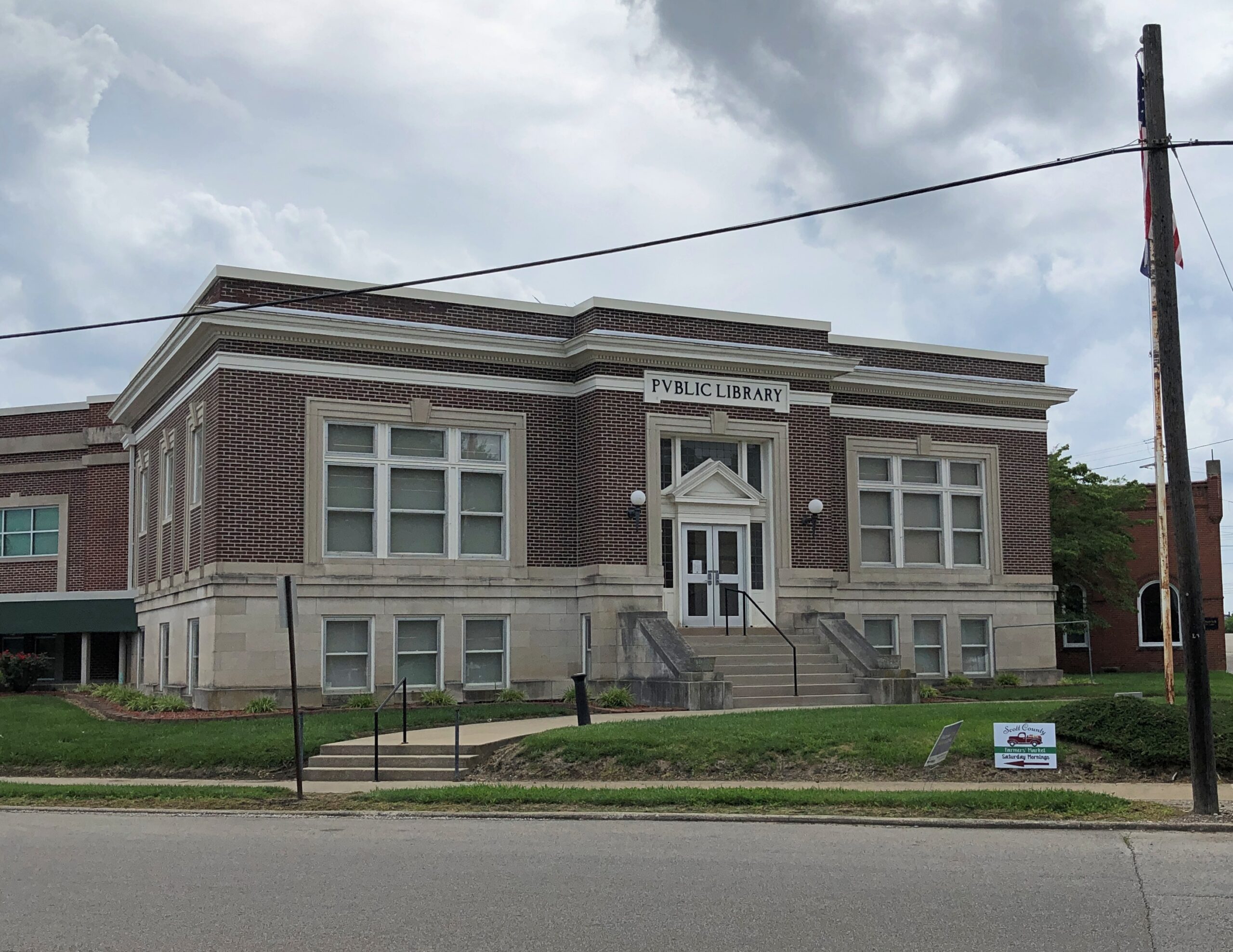
Could it be a Carnegie Library?

Scottsburg, Indiana

Yes. Completed 1917, still a library. One of the more than 1,680 in the United States funded by the robber baron, many of which endure after a century plus.

Some courthouse square details.

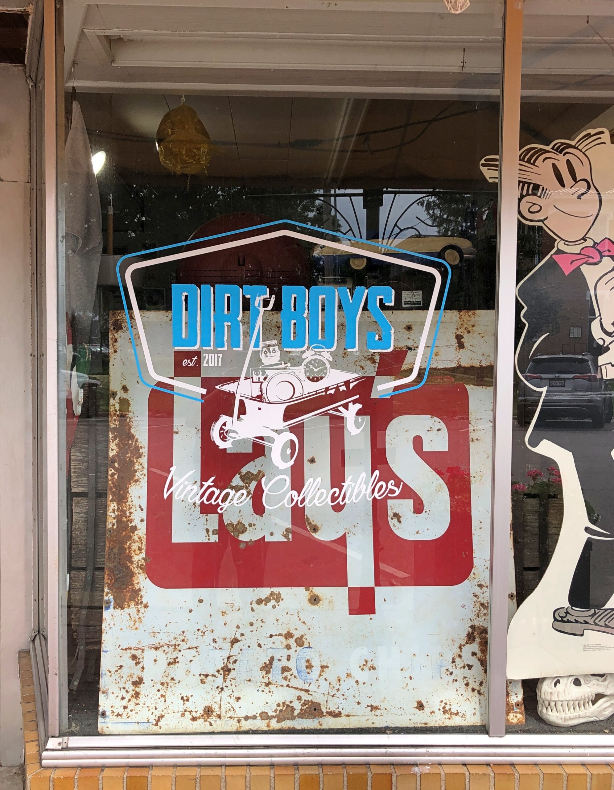
Dirt Boys Vintage Collectibles joins the likes of city offices and law offices, but also Warriors Den coffee shop, Time Zone Pizza Arcade, Chicago City Pizza and Bootlegger’s Bar & Grill. Those not needing to eat can visit Wildflowers Boutique, Moxie Music Center or Working Class Tattoo Parlor, all there on the square.

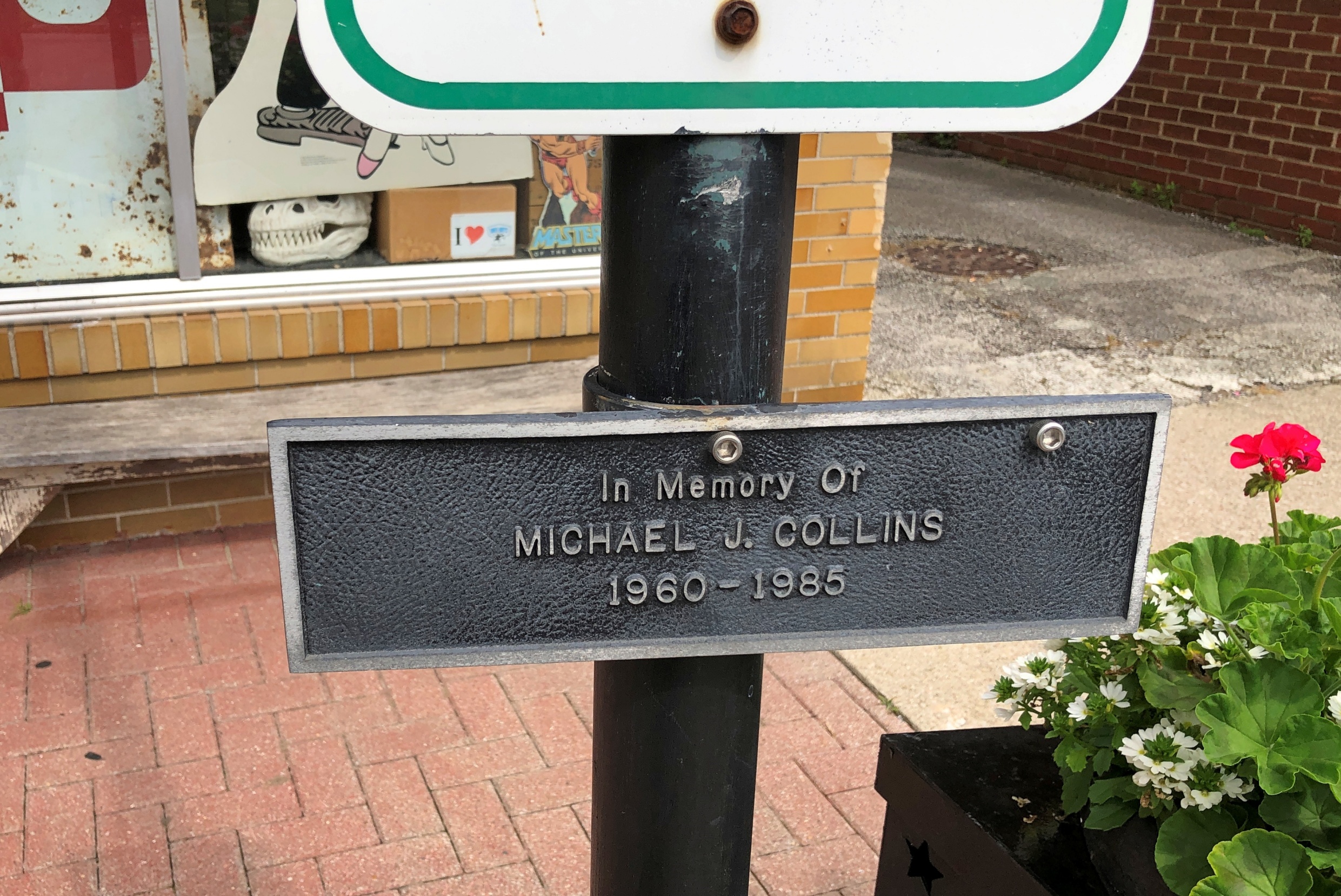
So is a plaque to the memory of one Michael J. Collins (d. 1985).

Scottsburg, Indiana

A contemporary of mine who didn’t make it far out of the gate. RIP, Michael, whoever you were. Are.

Southern Loop ’25

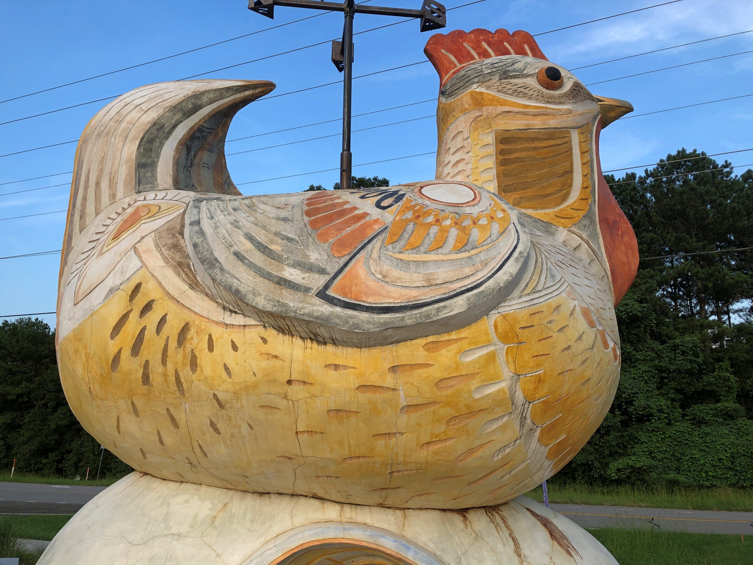
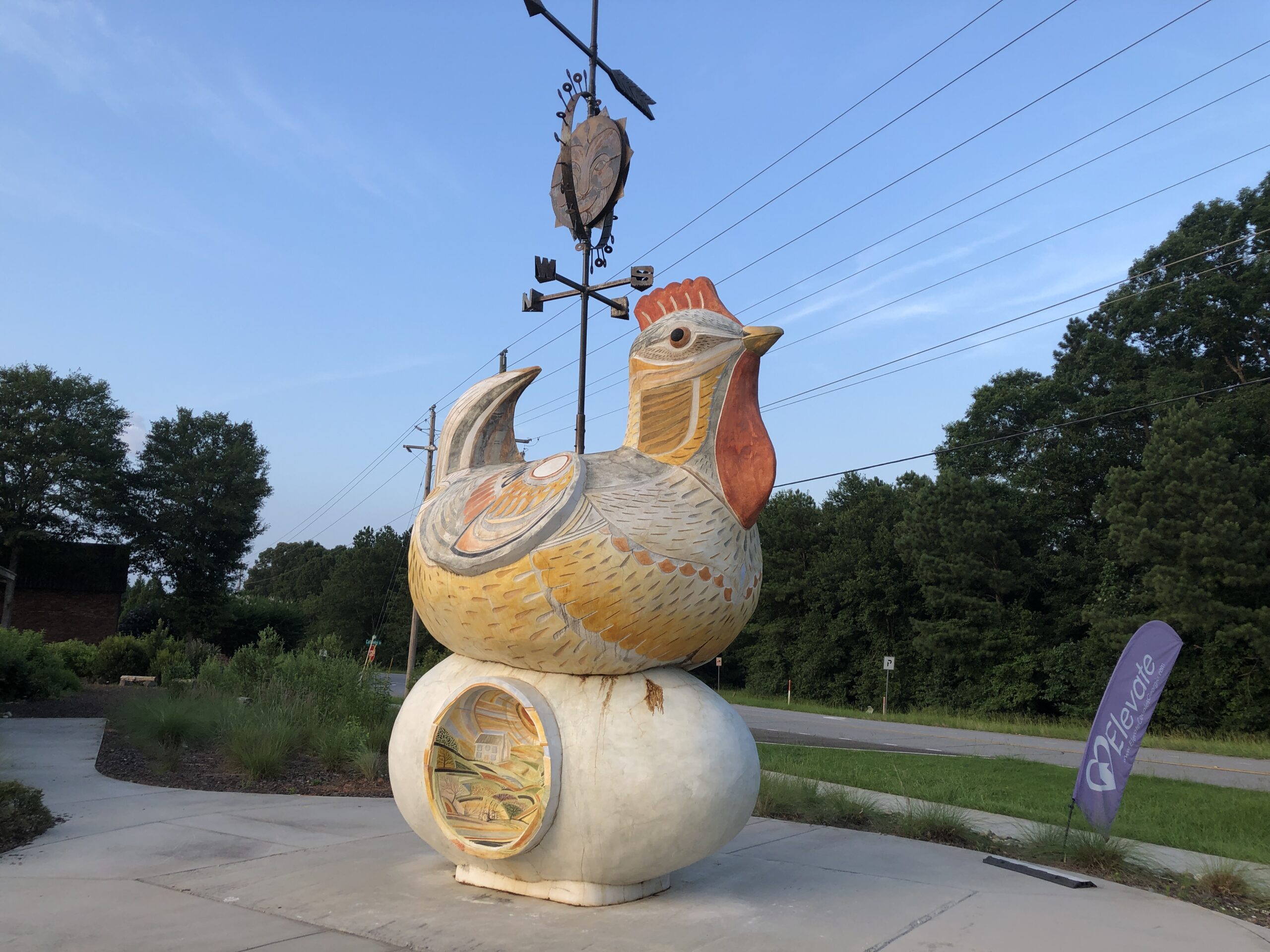
Sometimes you’re driving along, minding your own business because your business at that moment is driving, and you see a two-story chicken near the road. Three stories if you count the iron weather vane perched atop the bird.

Chicken!
Chicken!
Chicken!

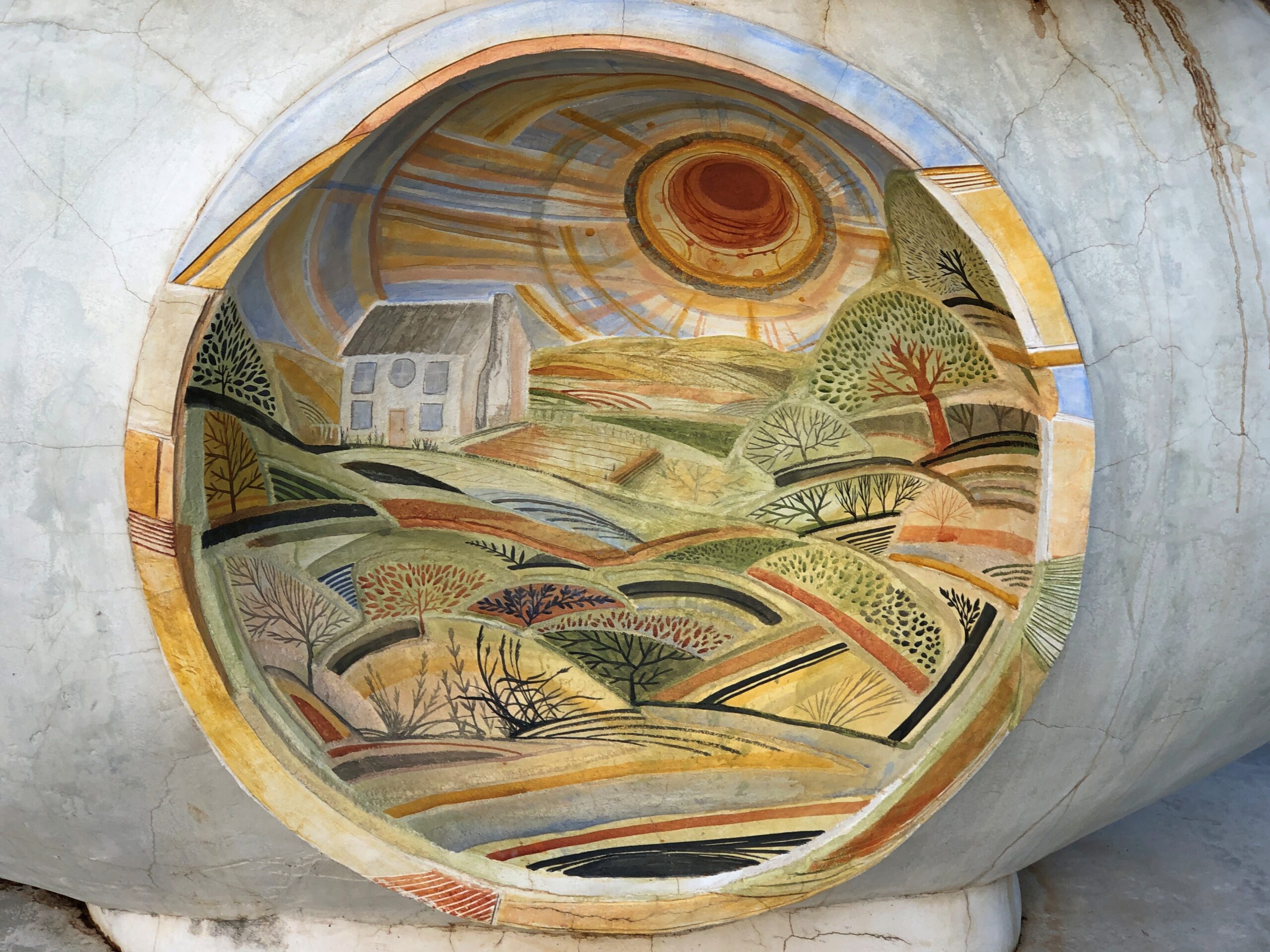
I had to stop to see that. More precisely, it’s a concrete chicken on a concrete egg, settling the question of which came first (the concrete did). The chicken, and the egg, are on property owned by the University of Georgia, used for the Athens-Clarke County Extension in Athens. Erected in 2022. More about the work, “Origins,” is here. All ag extensions should have just a little whimsy.

The chicken appeared roughly in the middle of the 3,285 miles I drove between June 16 and June 29, taking a lasso-shaped path from the Midwest across the Southeast, all the way to the ocean at Myrtle Beach, South Carolina: through Indiana, Kentucky, Tennessee, North Carolina, South Carolina, and Georgia, and back through Tennessee, Kentucky and Indiana.

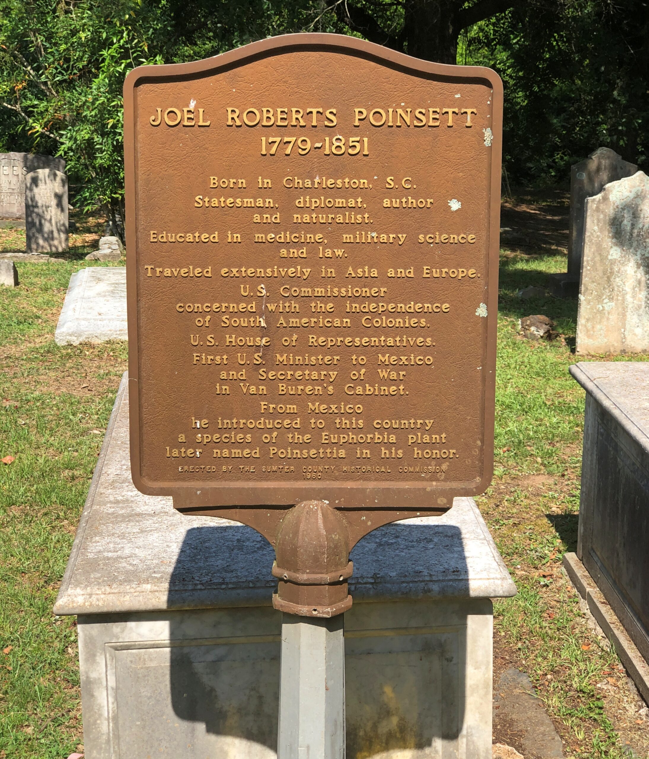
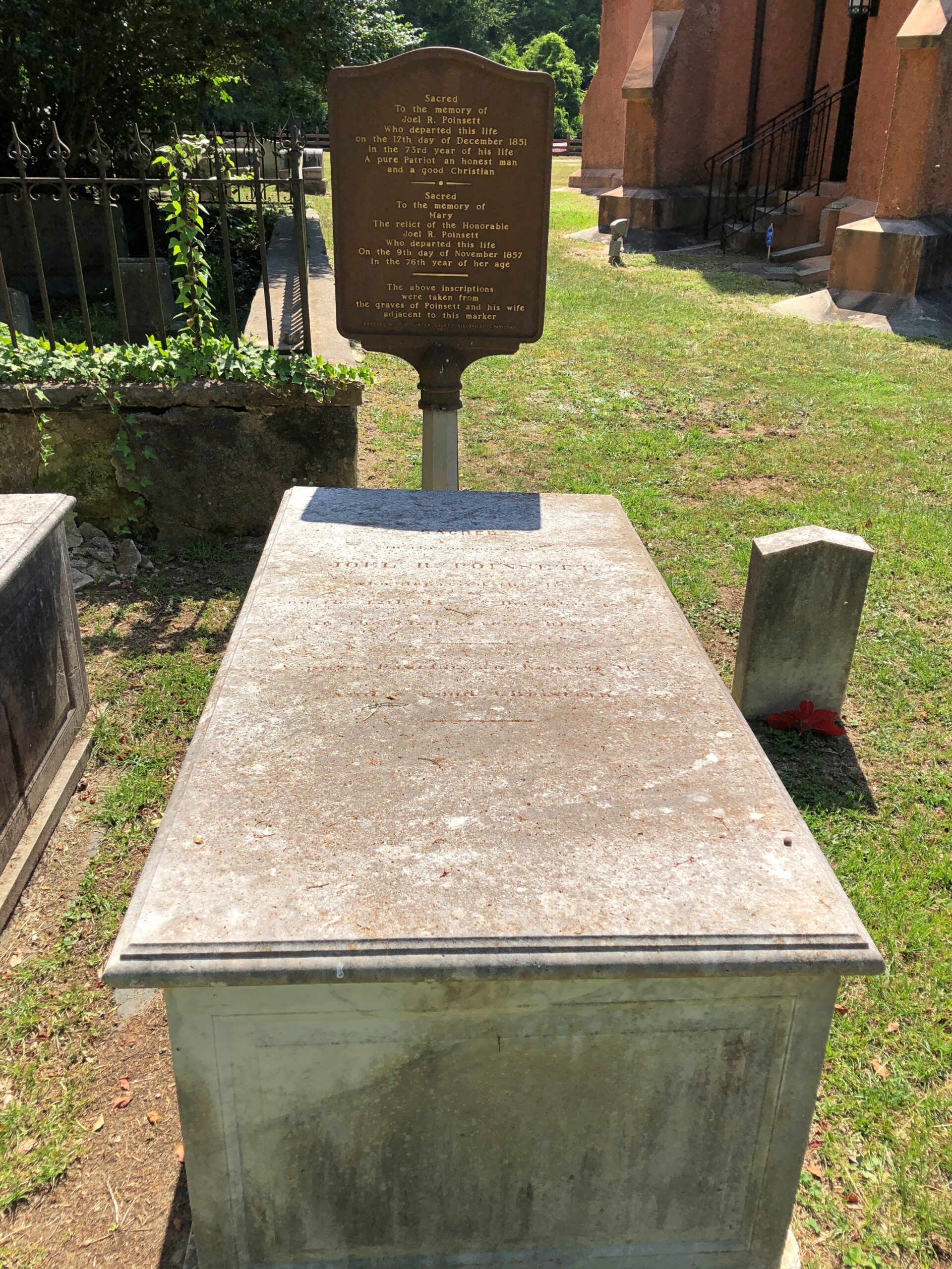
The concrete hen took the cake for novelty, but along the way I saw a memorial to a mostly forgotten incident in the War of 1812, went into a mirrored tower built for a world’s fair, chanced on the spot where the mostly forgotten diplomat who brought the poinsettia to the U.S. is buried, and braved the tourist sprawl that is Mrytle Beach. I heard stories of Blackbeard while near the coast, near his hideouts. I strolled the genteel downtown of the second-oldest town in North Carolina, passing the notable spot where Pepsi-Cola was invented. We visited a three-story souvenir shop that has stood the test of time in Myrtle Beach, which I’m happy to report sells not just postcards, but vintage local postcards, at popular prices. One evening we wandered past sculptures and colored lights among the Spanish moss in South Carolina. For a moment I beheld a complete set of the U.S. gold coins minted in Dahlonega, Georgia.

I drove by houses, farms and fields, past small businesses open and defunct, and junkyards and billboards — an industry that would collapse without ambulance chasers, I believe — and factories and water towers and municipal buildings. That is to say, structures and greenery of all manor of use and upkeep, an inexhaustible variety of human and natural landscapes. Homogenization my foot. Except, of course, every burg with a zip code also has at least one dollar store.

We – my machine and I and sometimes Yuriko, who flew to Myrtle Beach to meet me for a weekend – experienced an incredibly lush Southeast not long after a rainy spring, on big roads and small, straight and curvy, all the while defying the heat. I heard it enough on the radio: a “heat dome” had settled over the eastern United States. It persisted from the first day in Indiana to the last day in Indiana, though it had moderated a bit by then. Temps were in the 90s most days, but nothing that’s going to faze a Texan with an air conditioned vehicle and bottled water.

We did adjust our schedule to mostly be out in the morning or evening, except at Myrtle Beach, where a walk in the heat that made me feel my age and maybe then some. A less hot but more humid walk in a mostly forgotten national park in South Carolina saw flights of mosquitoes barreling down on me. A few of them penetrated my DEET coverage.

I saw and did all that and much more, but that was only the bronze and silver of the trip. The gold was visiting old friends.

That was actually the priority this time around. Before the trip, one of the friends I planned to visit asked me via text: “What’s your trip about?”

My text answer: “Visit old friends, see new things & take long drives.”

In Nashville, Stephanie and Wendall.

In North Carolina, Dan and Pam. She had enough sense not to wander around in the heat with us.

In rural Tennessee, Margaret and Dave.

Separately in Georgia, Layne and Stuart. I was glad to see them all, and I think they were all glad to see me. Known most of ’em since the 1980s, and we had a time — then and now.

A Small Selection From the Large Universe of Indian Truck Art

Our driver in India, who took us around to places in Delhi, Agra and Jaipur, seemed like a good fellow, but it was hard to say for sure. He was perhaps a decade or so younger than us, so none of us were youngsters. He had less hair than I do – and indeed might have used some of his tip money one day to have most of what little he had shaved off – and less stomach, but not none. Even in modern India, I take that as a sign that he has done reasonably well in his job driving foreigners around, though probably not well enough to ever to be a foreigner himself somewhere.

We of course have no Hindi, and he had only enough English for basic communication about stopping for meals and destinations, and to exchange other bits of other biographical information, such as his status as a father of five, and ours as parents of two. Riding on the dashboard, looking back at the driver and the passengers, was a colorful image of a deity. I didn’t ask him about it, but after some thought, realized was probably Lakshmi, the goddess of prosperity and fortune, among other attributes. That would fit for your place of business.

He typically would receive two sorts of calls, which he answered in what I assume was rapid-fire Hindi. One kind from his boss – the fellow who rented us the car and driver, and who had a salesman’s command of English – probably asking where we were and, for all I know, where we were going to stop for lunch that day; all I can say about that is I hope the driver got a cut, because his boss surely got one. Or at least a no-charge lunch. The other kind of call involved the voice, or voices, of young women, who were pretty clearly his daughters asking for something. You don’t need a common language to understand that.

It might be just as well that we couldn’t distract him with a lot of chit-chat. He needed to concentrate on the task at hand, namely driving in urban India’s packed streets. Packed with every sort of vehicle you can imagine and then some: trucks, cars, buses, motorcycles, motorized tuk-tuks, human-powered tuk-tuks, bicycles, scooters and other moving thingamabobs, horns blowing and each edging around the other in a tide that sometimes moved and sometimes didn’t.

When there was no motion for any more than a short time, beggars would appear in amazingly short order, and so would merchants toting their wares: one that stood out was at a jam near one of Delhi’s enormous traffic circles, which circle forlorn green spots with forlorn monuments. A tall, healthy-looking youth, who was at that moment a book-wallah carrying packages of books wrapped in clear plastic. Heavy-looking books, too, text books for learning programming or coding or whatever the tech industry calls it these days. I got a glance and he was off. I’m sure he knew we weren’t in his customer base.

Add to that a steady flow of other pedestrians, and not just ordinary walkers or people hanging out in the street — though there were plenty of those — but also men hauling goods on their backs or pushing carts or wheelbarrows. I swear I saw a guy pushing along a couple of chandeliers on a cart down one street.

In short, traffic like a lot of urban agglomerations in the world, down to details like rolling chandeliers. It’s one thing to know that in the abstract, another to see it so many years after the last time you did. I thought the traffic congestion was bad in Bangkok. (And it was.) But Delhi seems to have a special flair for congestion.

We passed a temple in Jaipur as pilgrims arrived. For a few miles, we passed pilgrims in small groups, headed for the temple, with vendors along the way giving them drinks or bits of food at no charge. Our driver was able to communicate that to us. Life spills into the streets.
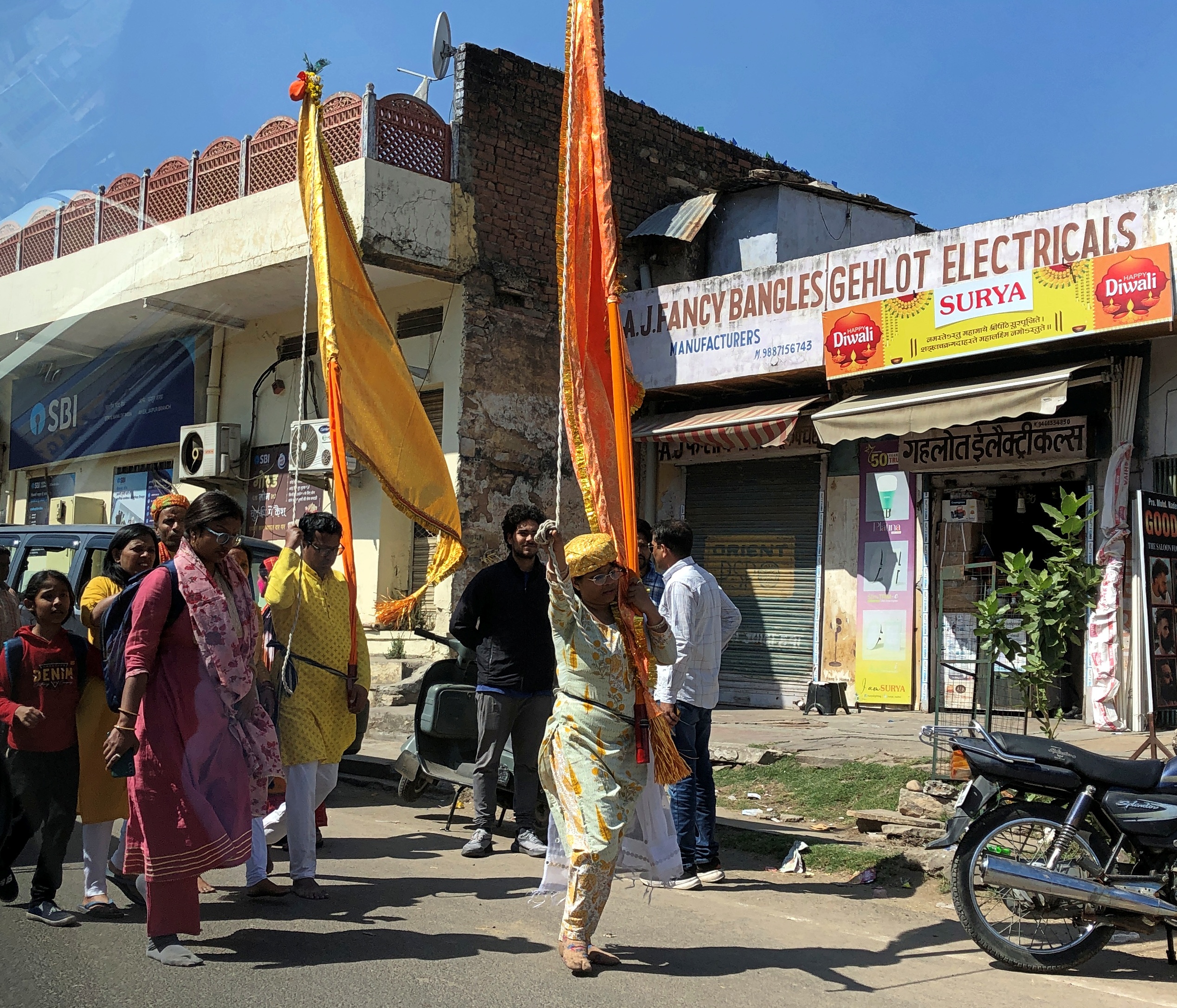
I don’t want to forget another important source of movement on the roads of India: animals. Many dogs in the city, idle-looking by day but undertaking noisy turf quarrels by night, and not far from town, bovines in profusion, but also monkeys, horses (ridden and riderless), camels, goats (singly and herded), sheep (ditto) and more. The animals weren’t generally in the road, except when they were. I didn’t see any elephants rambling around, but I wouldn’t have been surprised if I had, after a few days on the road.

Our driver navigated it all without incident. Of course, it’s home to him, has been for a long time, but even so, he had admirable skill. Not that I would ever want to do it myself – it’s not home to me, never has been – but I had long enough to watch his technique and, in a wider context, get an inkling that there is some method to the madness of the roads.

He mainly used the horn to announce I am here to vehicles he probably was going to pass in ordinary driving, as opposed to their prime use in North America, which is to announce I AM HERE! in emergencies. (Unless you’re an asshole.) Our driver was hardly alone in his liberal use of the horn, which made for more beeping than I’ve heard since my earlier trips to urban glops like Rome, Beijing and, beepiest of all for some reason, Pusan, South Korea.

I close my eyes and I can recall those Pusan nights in ’90 in my non-climate controlled room, drinking the tea available in pots just outside everyone’s door, swatting mosquitoes that had clearly feasted on me moments before they died, and listening to the irregular beep-BEEP-beep-beeps of auto horns wafting in through the damaged window screens, along with more mosquitoes.

Cruising down the intercity highways in India was another kind of education. Namely, I remembered reading about the Republic of India’s efforts in recent decades to build good highways. We only experienced a small sample, in a well-traveled part of north-central India, but from the looks of that, and things I’ve read, I’d say achievements along those lines have been made. Roads to gladden the heart of my civil engineer and South Texas road-building grandpa. Progress. I agree, though at an environmental cost.

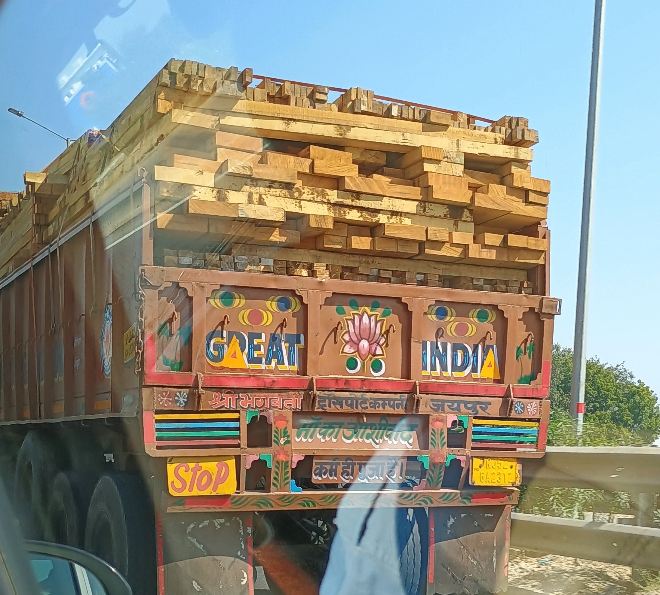
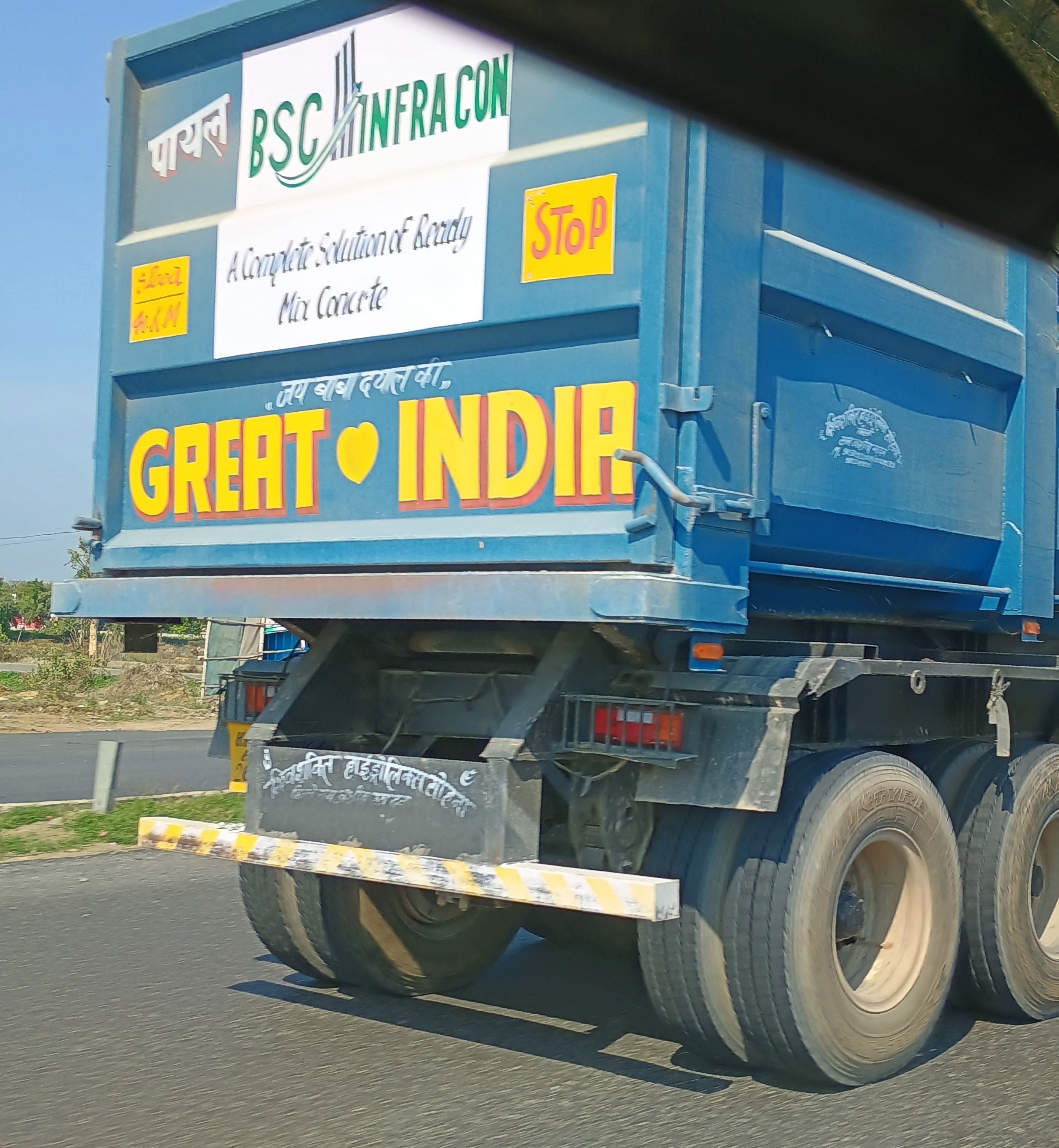
Such roads facilitate commerce, and that means trucks – painted trucks. During the long drive between Jaipur and Delhi, I started paying closer attention to the trucks, which were typically not the 18-wheelers you might see on an Interstate, but smaller vehicles. Bigger than pickups, though. Each with a unique paint job.

The rolling canvases of India – A symphony of truck art design and culture

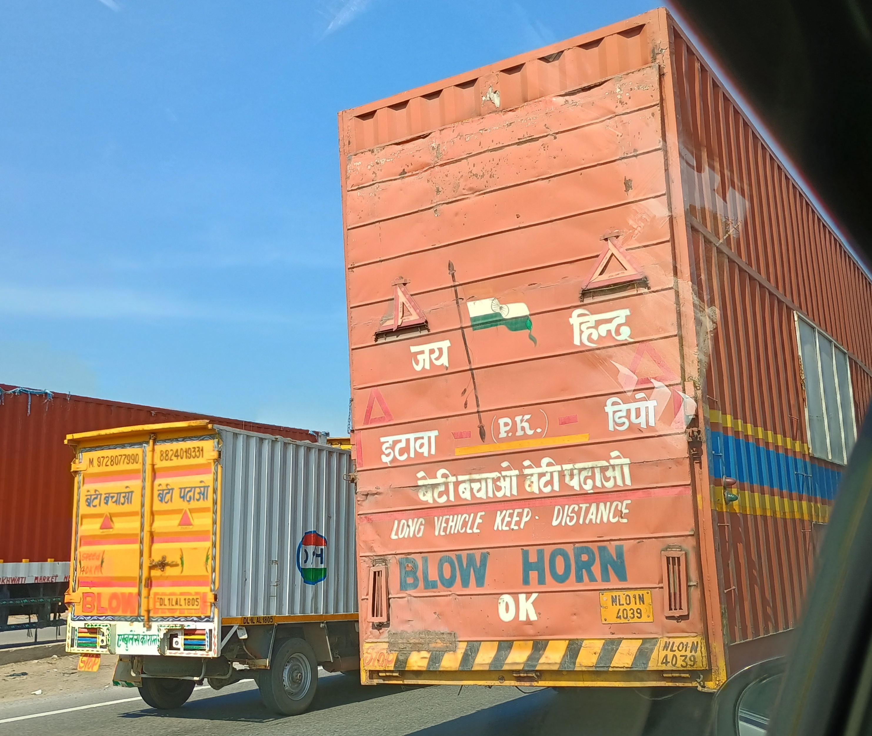
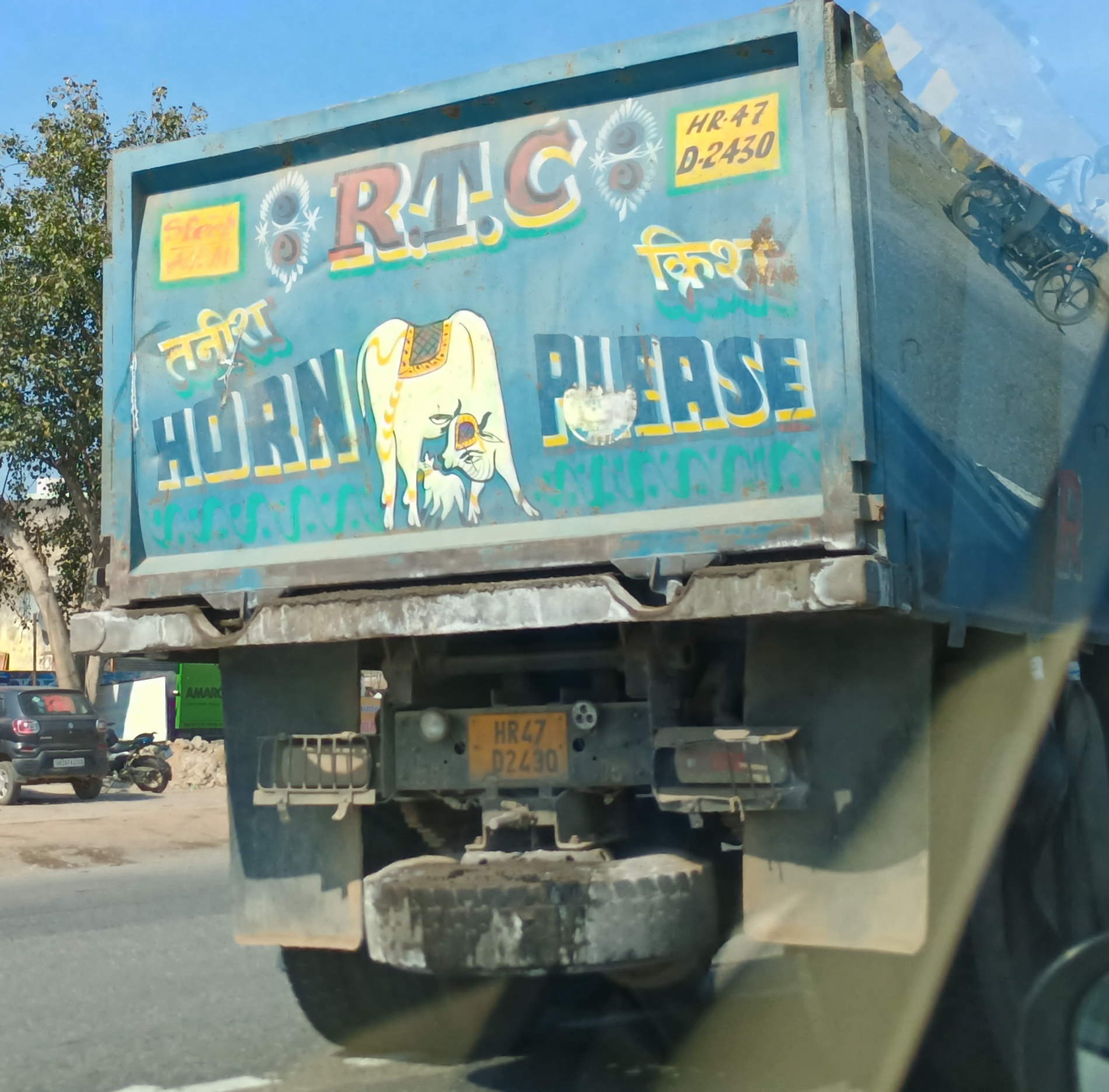
Like manhole covers in Japan, trucks are an art medium of renown in India. Wish I’d been paying attention earlier, I might have had a better perch for taking pictures.Indian truck art Indian truck art Indian truck art
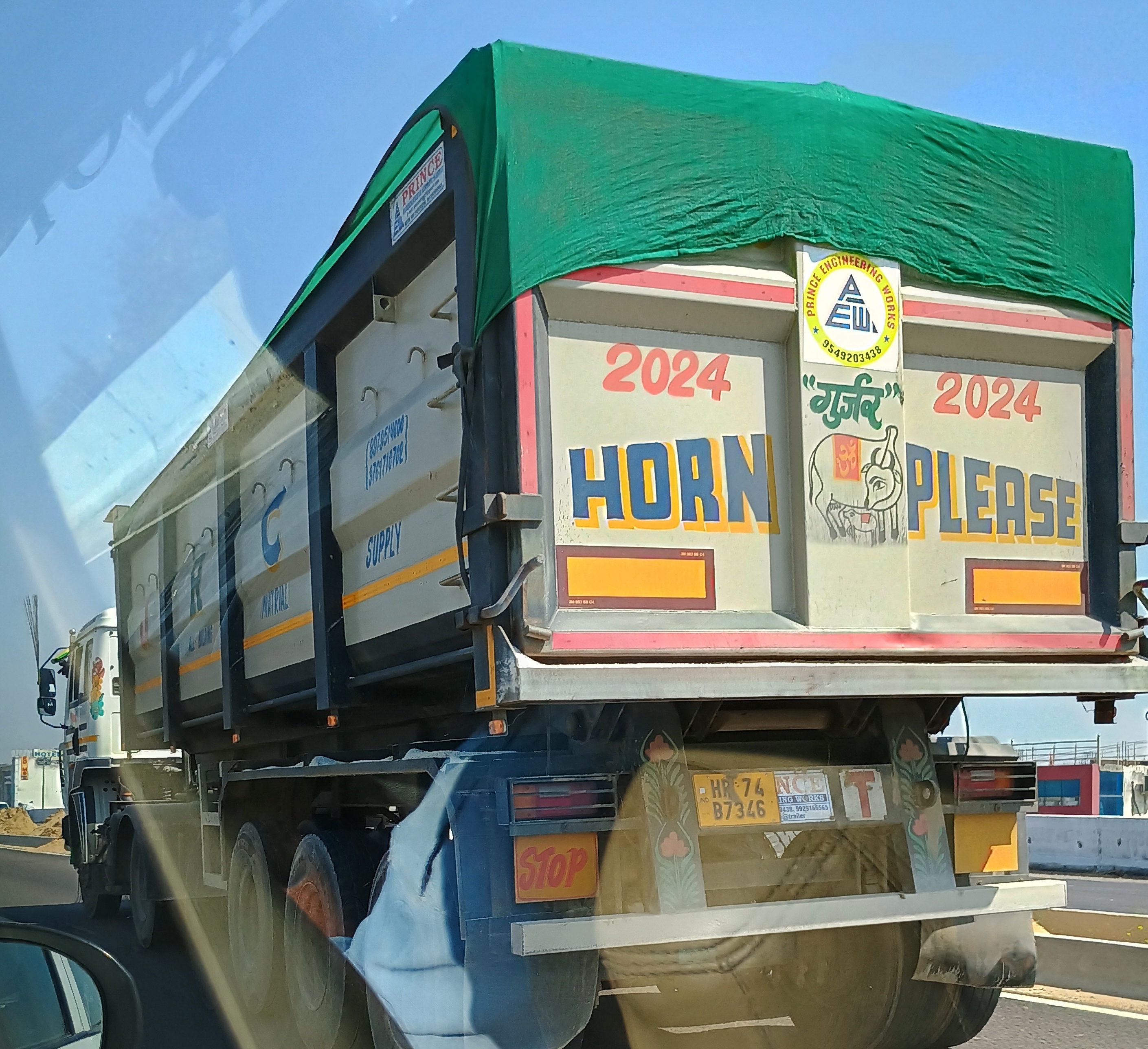
Enroute, which is devoted to Indian history, tells of the origin of painted trucks in India:

“The transformation of these trucks began with the construction of intricate wooden crowns on their cabins, a practice that originated as Bedford trucks gained widespread acclaim. As trucking expanded, particularly during the 1940s, companies began personalizing their vehicles with unique logos, becoming a form of truck art recognizable to all, regardless of literacy.

“These embellishments evolved into elaborate designs, akin to the competitive decorations seen in buses of that era, aimed at attracting customers. Even after India gained independence, the influence of British Bedford trucks persisted, as Hindustan Motors [still around, what a great name] commenced assembling them locally in 1948. The design legacy of Bedford trucks laid the groundwork for subsequent generations of Indian trucks, with echoes of their aesthetic enduring in the majority of trucks on Indian roads.”

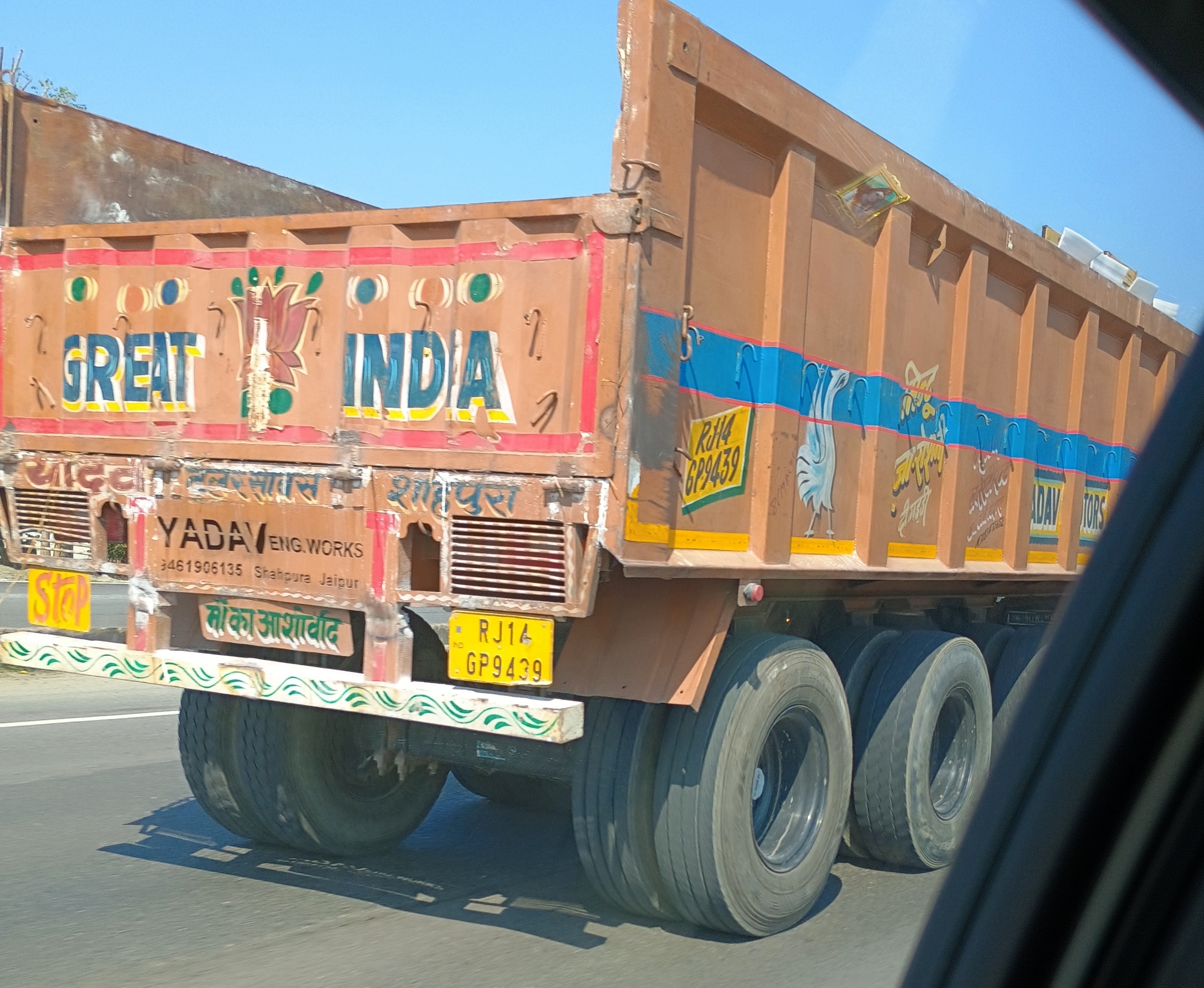
Great India is a popular slogan.Indian truck art Indian truck art
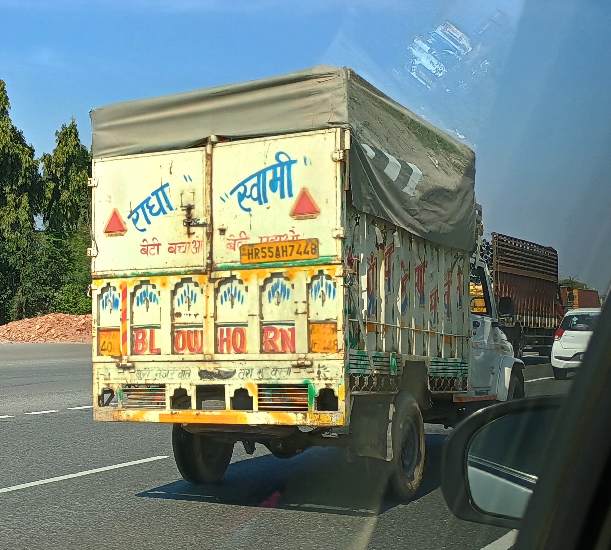
Even more popular, Blow Horn, or some variation.Indian truck art Indian truck art Indian truck art
More from Enroute: “In India, the landscape of truck design is significantly influenced by laws and regulations, notably the Central Motor Vehicles Act (1989) and the Code of Practice for Construction and Approval of Truck Cabs, Truck Bodies, and Trailers, among others… [Somehow, this doesn’t surprise me.] The phrases ubiquitous in Indian truck art, such as ‘Horn Please,’ ‘Keep Distance,’ and ‘Use Dipper at Night,’ have origins in legislative requirements mandating their presence on trucks.”Indian truck art
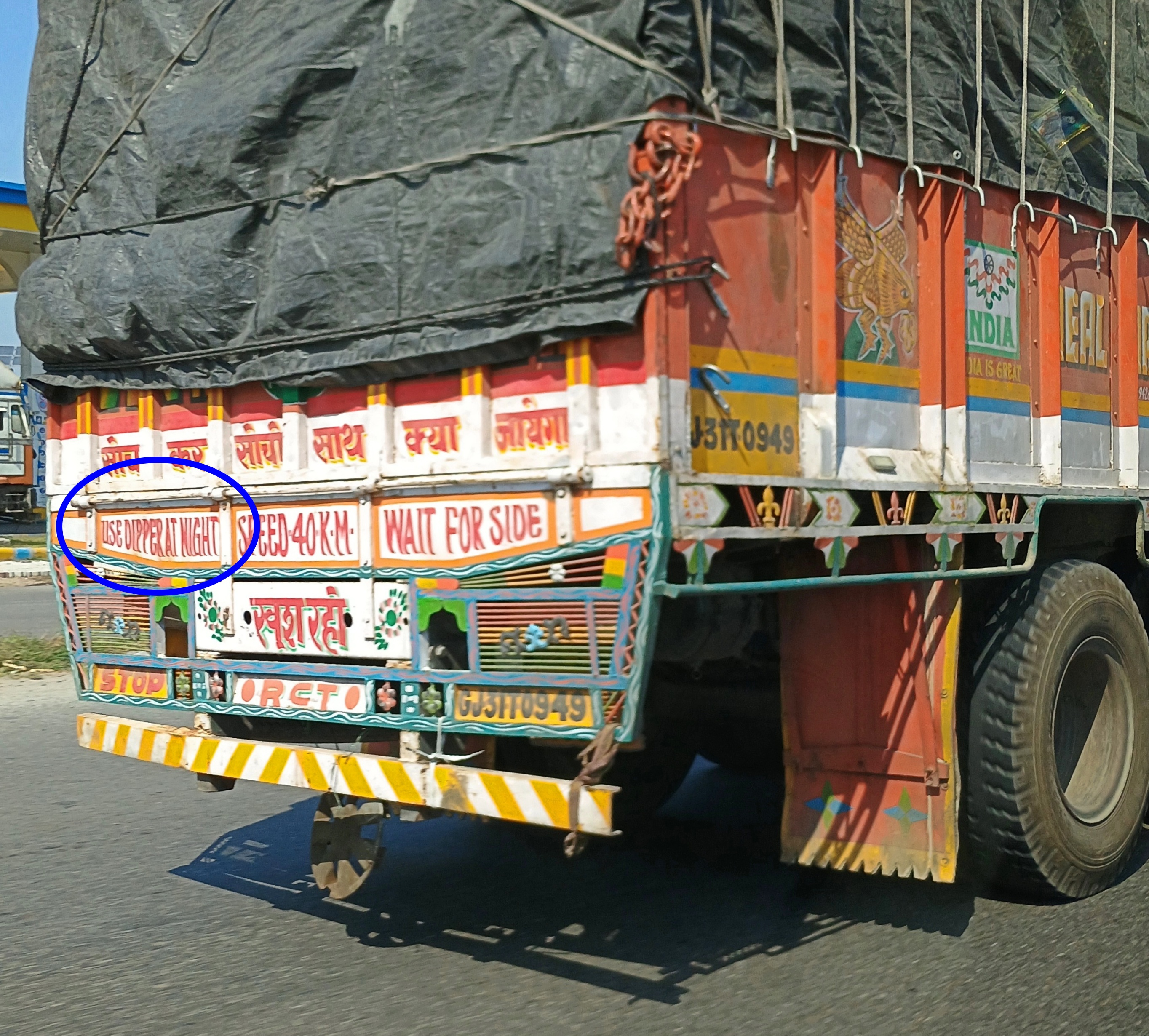
Use Dipper at Night? I saw that sometimes as well. One meaning: use dipped headlights. Don’t be the guy that uses your brights on a busy nighttime road, in other words. But that’s not all, according to an Indian site called Onlymyhealth.

“In the late 1980s and 1990s, India faced a rising HIV/AIDS epidemic, with truck drivers identified as a high-risk group…. Tata Motors along with NGOs initiated creative strategies to reach this mobile but hard-to-target demographic. Truck drivers were known for their love of truck art and slogans, so organisations leveraged this cultural quirk as a medium to promote awareness. Tata Motors, in collaboration with the TCI Foundation, adopted the widely recognised phrase ‘Use Dipper at Night’ to launch a creative initiative aimed at promoting safe sex among truck drivers.”

Later, Dipper became the brand name for a condom in India, marketed in a colorful way that has won some awards in the Indian advertising industry. Come to think of it, Blow Horn might just have another meaning, but never mind.
Scatterings

Texas – they say, or was it in a song? – is full of wide open spaces. “The Wide Open Spaces of Texas” must have been a lesser-known Western swing hit. Or not. The [Dixie] Chicks did one called “Wide Open Spaces,” which is clearly about coming of age and leaving home, and vaguely the West, but not as specific as Texas.

You don’t have to drive very far from urban and suburban Texas to find the spaces. Head south on US 281, which can be picked up in the urban-suburban conglomeration that is the northern half of Bexar County. The further south you go on that road, which becomes I-37, the more sparse the population and buildings become. Soon you pass into Atascosa County.

The increasingly arid land flattens out and the brush is pretty thick, browns and yellows and grays, maybe a less wild version of the thorny Nueces Strip further south. Or something like the Hill Country, but no hills, and few well-to-do city dwellers or retirees taking up residence there. Many Atascosa County residents are of the bovine sort, though I didn’t see that many cattle from the road, as one does sometimes. But they’re out there, the 2022 Census of Agriculture tells me: more than 65,000 head in the county that year, which sounds like a lot, but this is Texas. Plenty of counties have that many and many more.

A scattering of crops is also raised in the county, but for real economic action there’s the service industry, like in most places, and some oil. A scattering of pumpjacks is visible from the highway. That’s Atascosa County, a scattering of this and that. But with a family connection: my mother spent part of her formative years in Jourdanton, the county seat, and periodically even as late as the 1990s (I think), she would visit old friends there. I went with her sometimes in the ’70s.

From San Antonio, I-37 continues southeast through Atascosa, Live Oak and Jim Wells counties, to Nueces County, whose seat is Corpus. A few towns tick by, but not many: Campbellton, Whitsett, Swinney Switch (a fun name), Mathis, with slightly larger burgs just beyond the immediate highway: Three Rivers, George West, Sandia.

Choke Canyon State Park is some miles to the west of the road, and its reservoir is not visible, except in signage. But looking at an online review of the park, it’s clear that while the territory may be arid, not too much to support all kinds of fauna. Invisible from 80 mph, but the animals are out there, getting by.

“Stayed 2 days in a cabin,” houstonphotojourney says [all sic]. “Saw tons of javelinas and their babies, white tailed deer, gorgeous green jays were all over the park, wild turkeys, vermillion flycatchers, orange crowned warblers, ladder backed woodpeckers, downy woodpeckers, crested caracara, a wilson’s snipe, common ground doves, golden fronted woodpeckers, western meadowlarks, american coots, long billed thrashers, killdeer, verdin, had regular evening bunny visitors.”

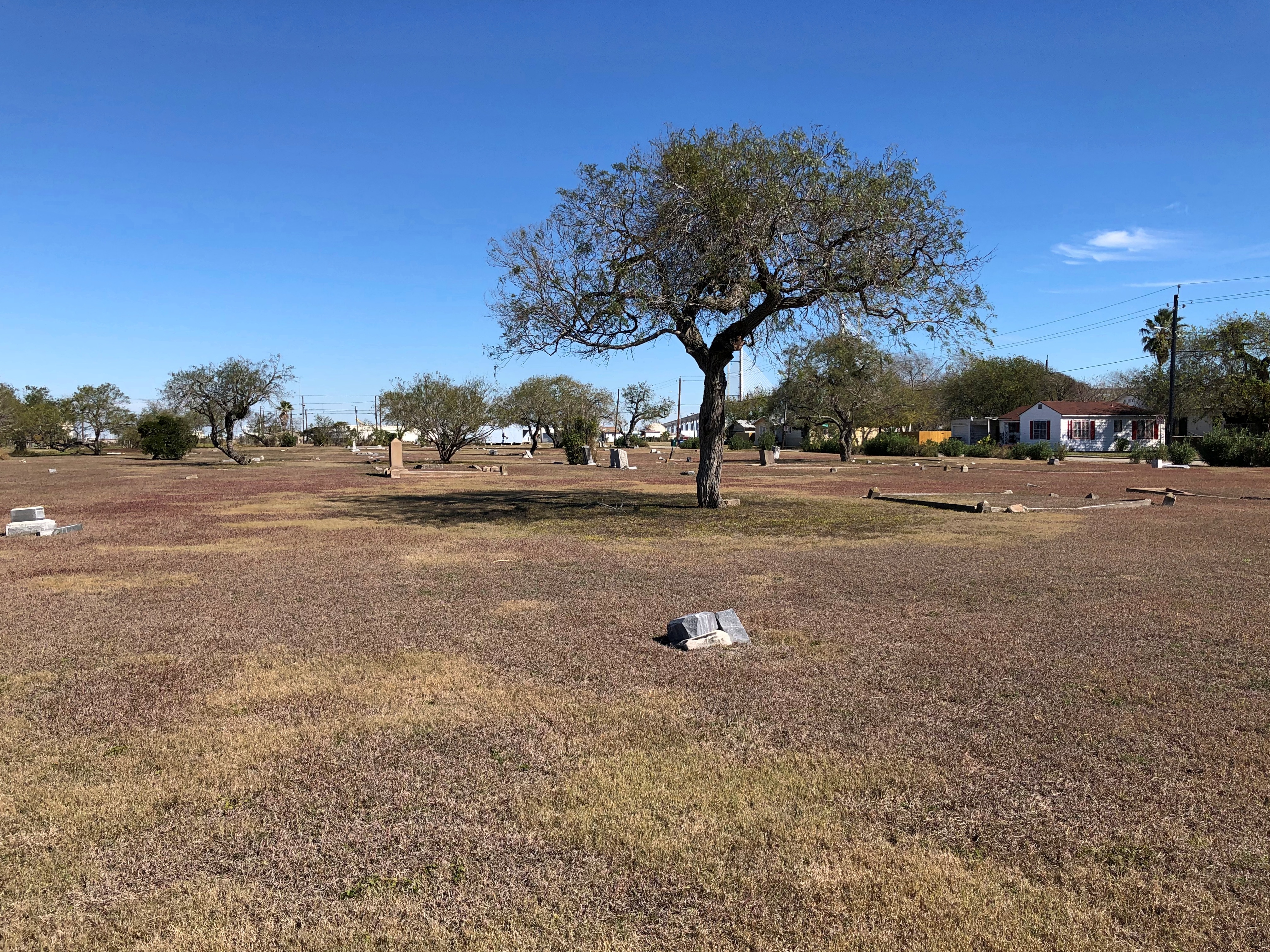
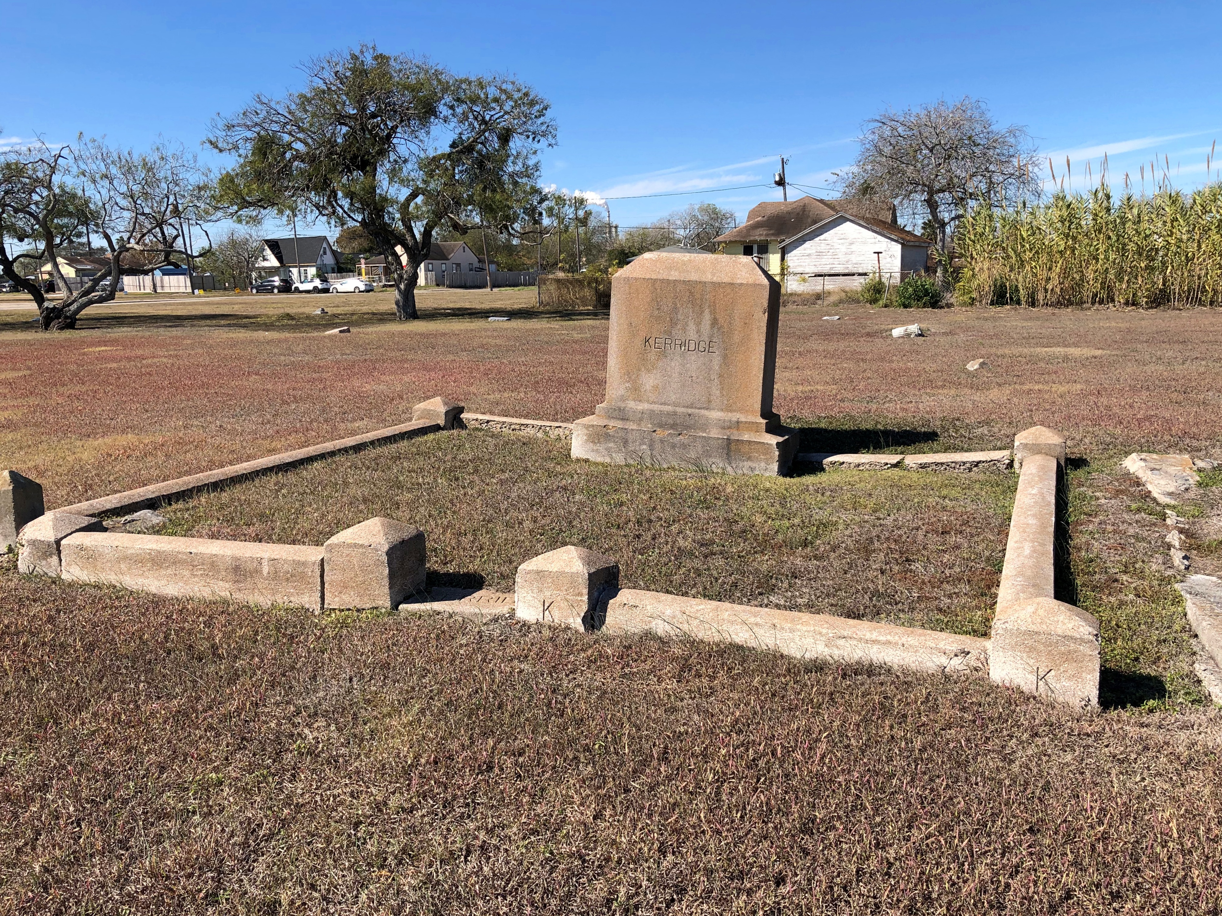
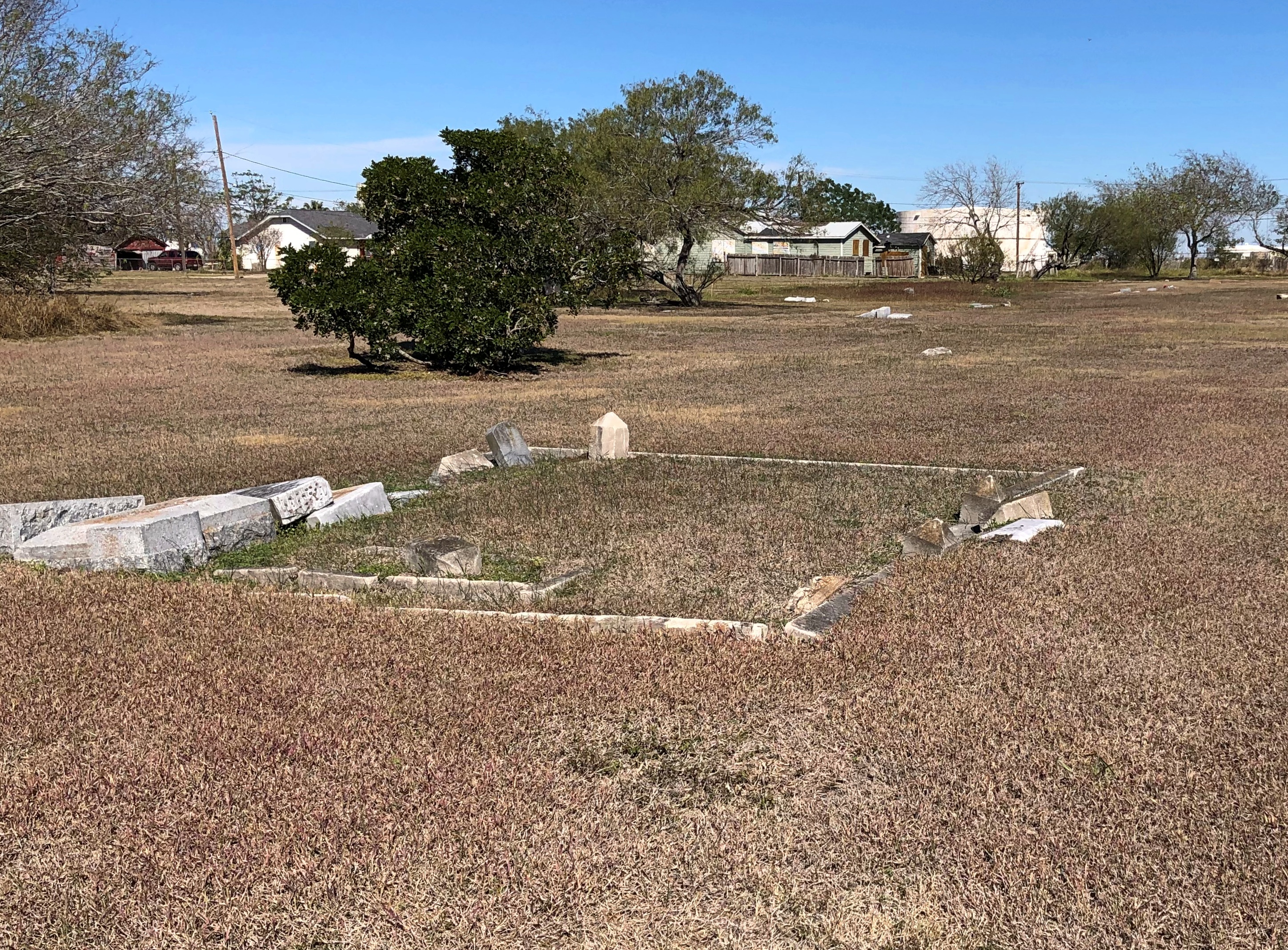
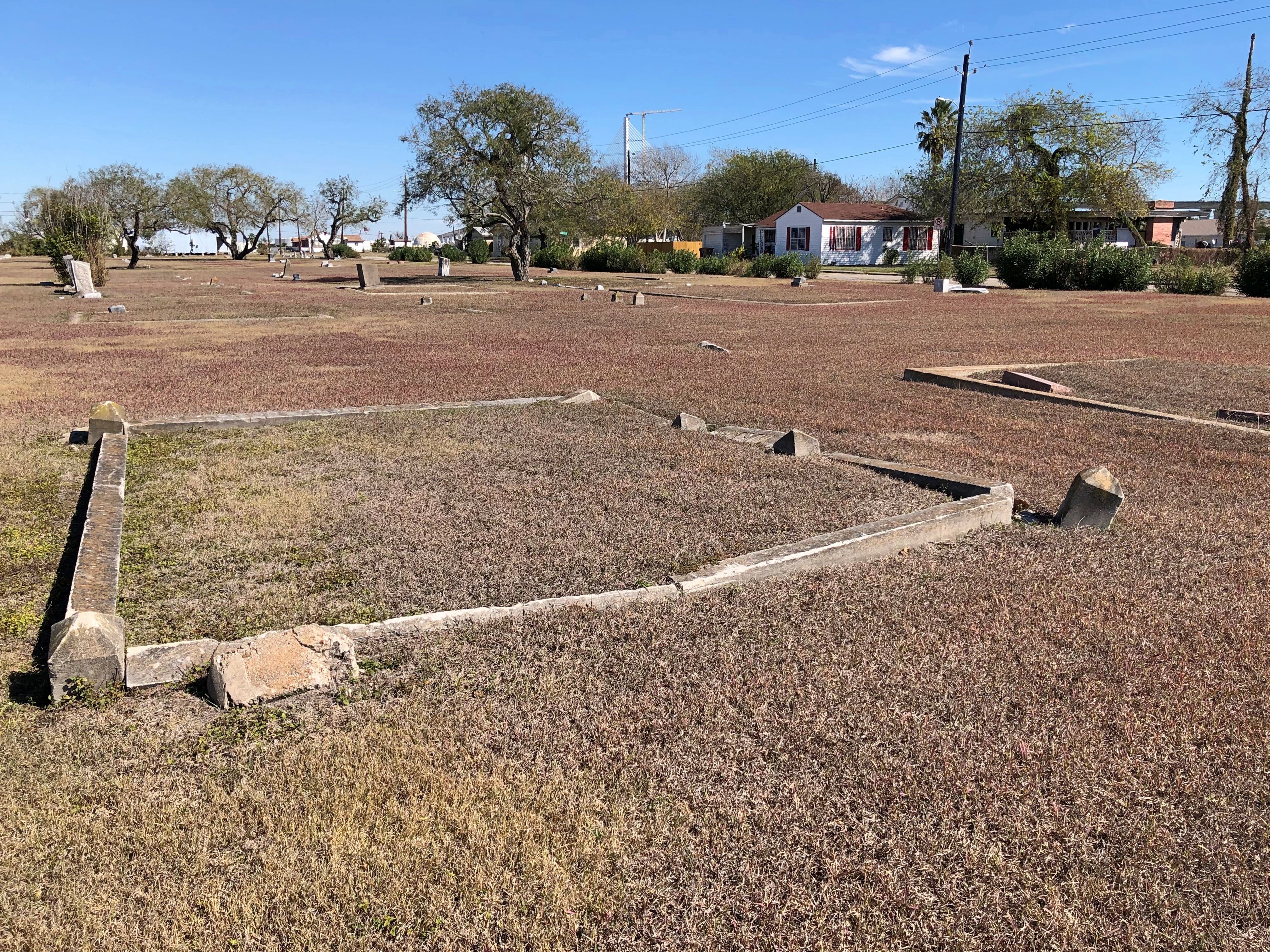
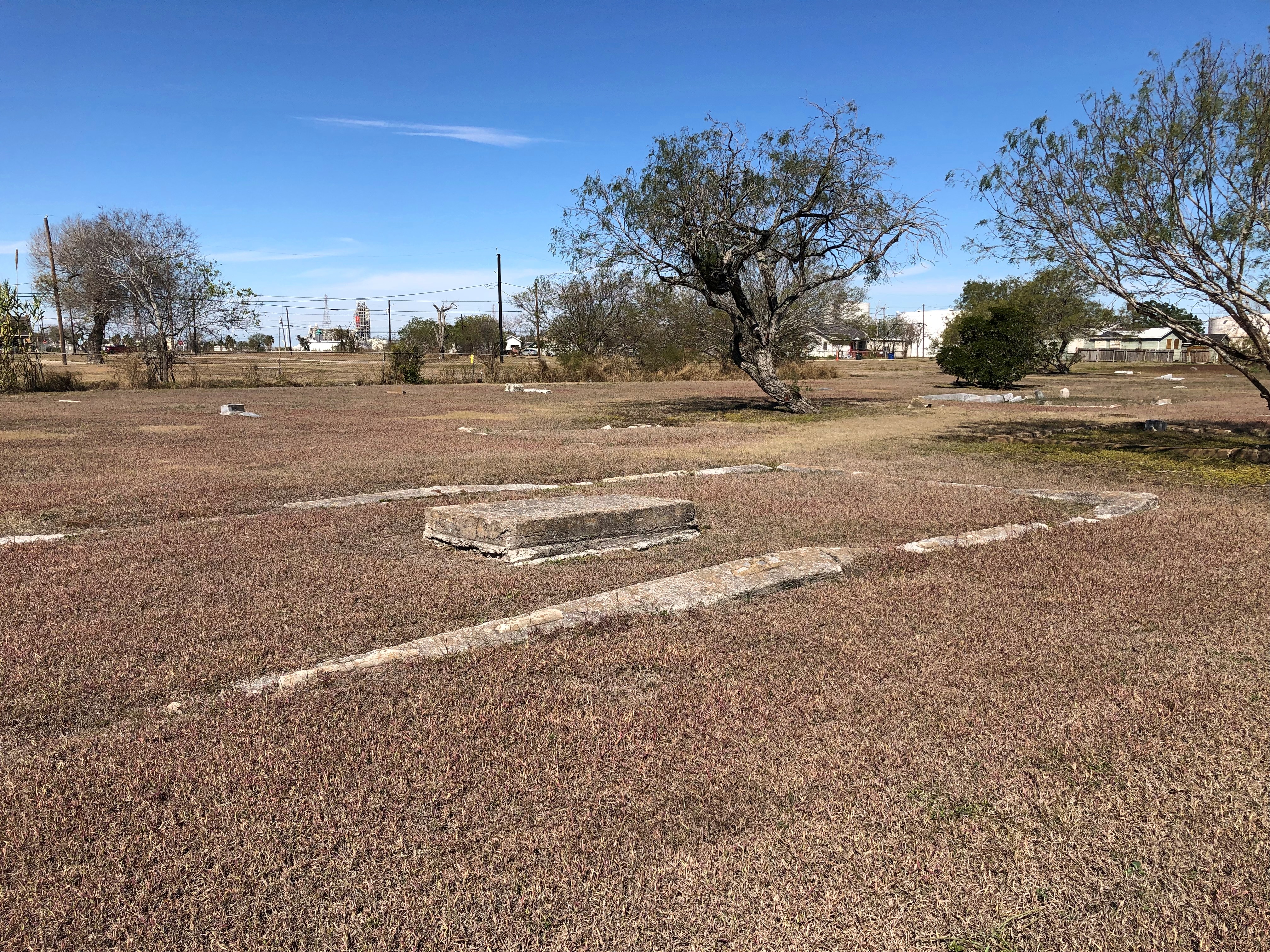
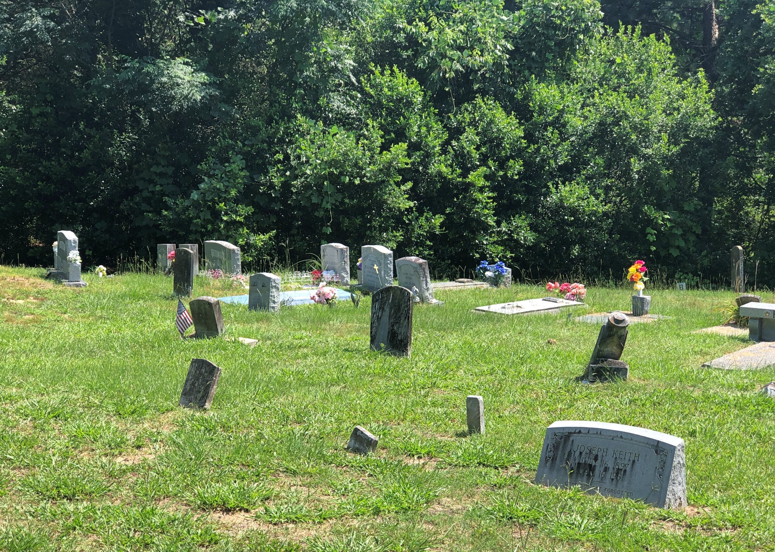
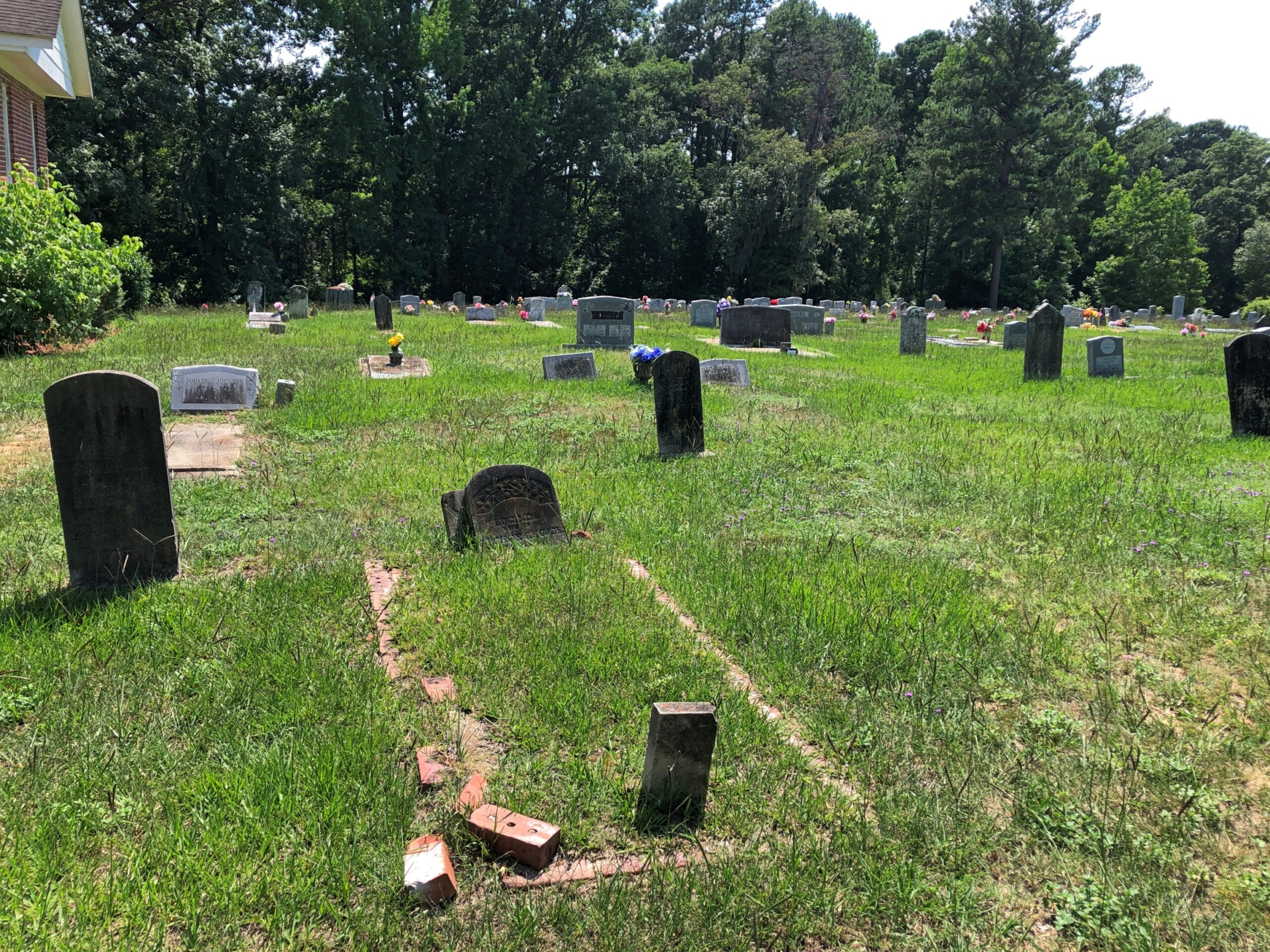
We found some wide open spaces at a cemetery in Corpus Christi last week – at least in an urban context. Or barely urban, since the neighborhood around the cemeteries features a scattering of houses (that word again), a lot of vacant lots, darkened landscape and a large part of the city’s petrochemical industry in the near distance, toward Nueces Bay.Bayview Cemetery, Corpus Christi Bayview Cemetery, Corpus Christi

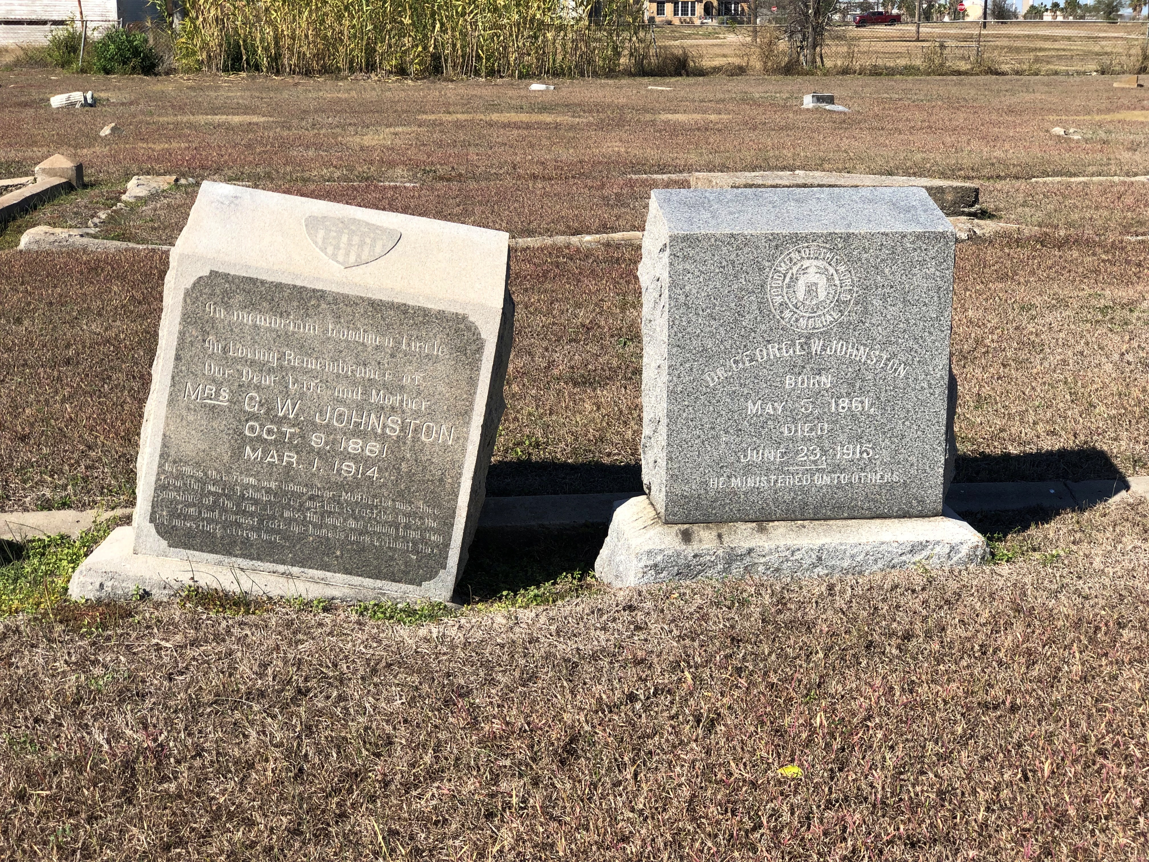
A graveyard that humanity is forgetting. Guess that is the fate of the majority of all graveyards so far. A scattering of stones are upright and legible, despite that.Bayview Cemetery, Corpus Christi Bayview Cemetery, Corpus Christi

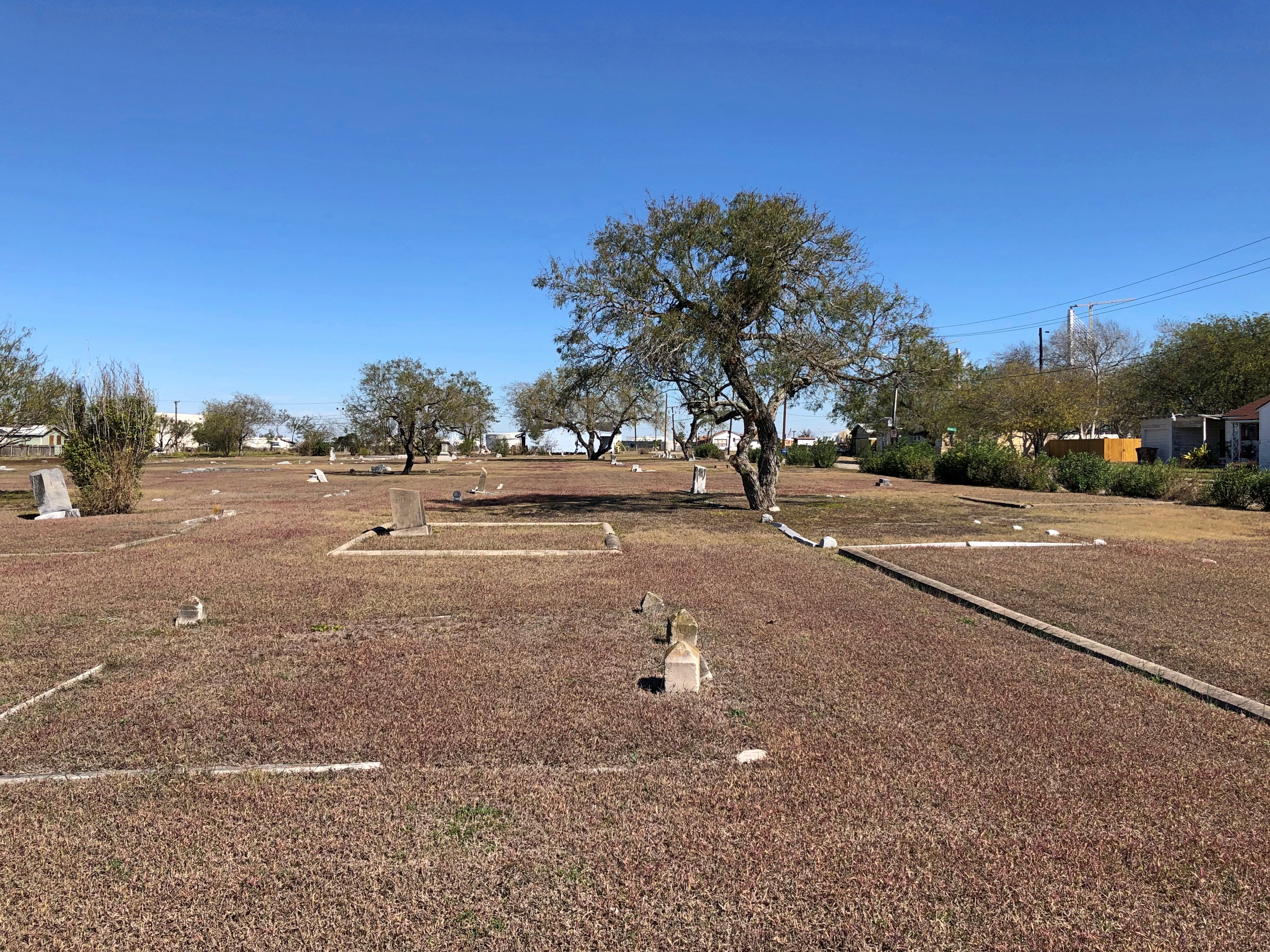
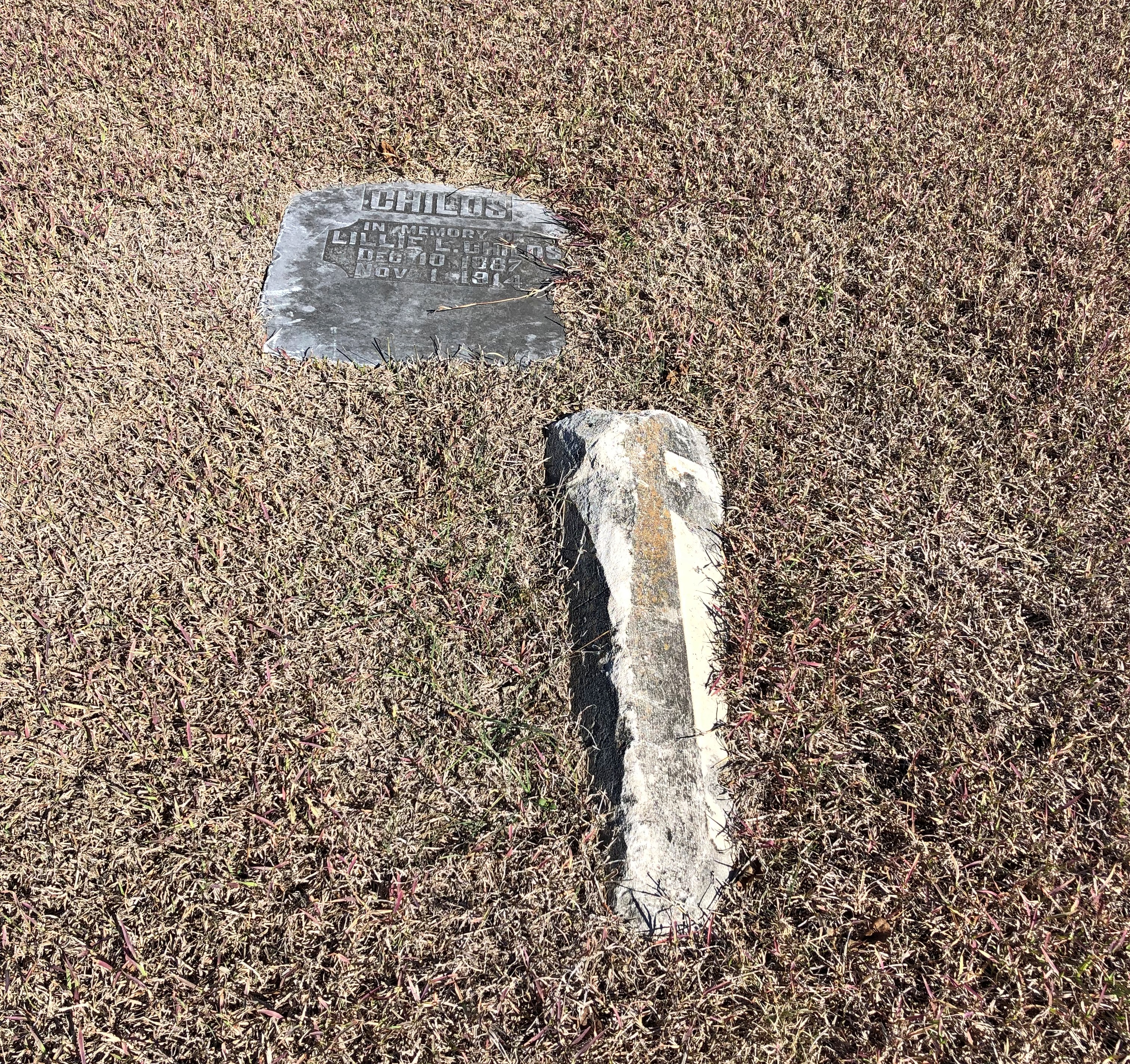
Most are not.Bayview Cemetery, Corpus Christi Bayview Cemetery, Corpus Christi

Entire family plots are now anonymous, at least to casual visitors like my brothers and I.Bayview Cemetery, Corpus Christi Bayview Cemetery, Corpus Christi

There isn’t any signage to identify the cemetery that I could see. It was just some city blocks, if you can call them that, cobbled together as a burial ground, but it’s been a long time since any of the graves were new.

I knew from reading that a place called Bayview Cemetery was the historic cemetery to visit in Corpus. Early settlers are there, along with participants of the war with Mexico, marked by a fair number of standing stones, at least to judge by the photos. The kind of place at which the local historical society conducts periodic tours.

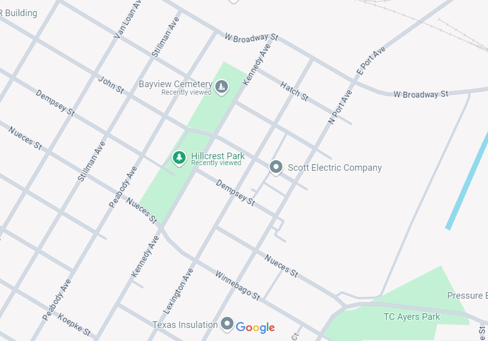
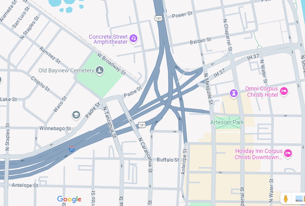
The cemetery we’d gone to was called Bayview on the electronic map. Turns out the historic one is called Old Bayview on the same map, but simply Baywiew in some of the other materials on line. Anyway, to get to the historic Bayview from the less picturesque Bayview, we had to deal with this knot of highways a bit to the east. If you’re going to be a big city in Texas, or at least aspire to be one, you need flyover expressways, and lots of ’em.

We didn’t make it. Instead of going to the cemetery, I managed to get in the lane to crosses the Harbor Bridge to North Beach, where we planned to eat anyway. Later, as we started on the way home, visiting the historic cemetery was again flummoxed by a wrong lane in the tangled overpasses. In cases like that, I take it as a sign, or at least a suggestion, to visit that place some other time.

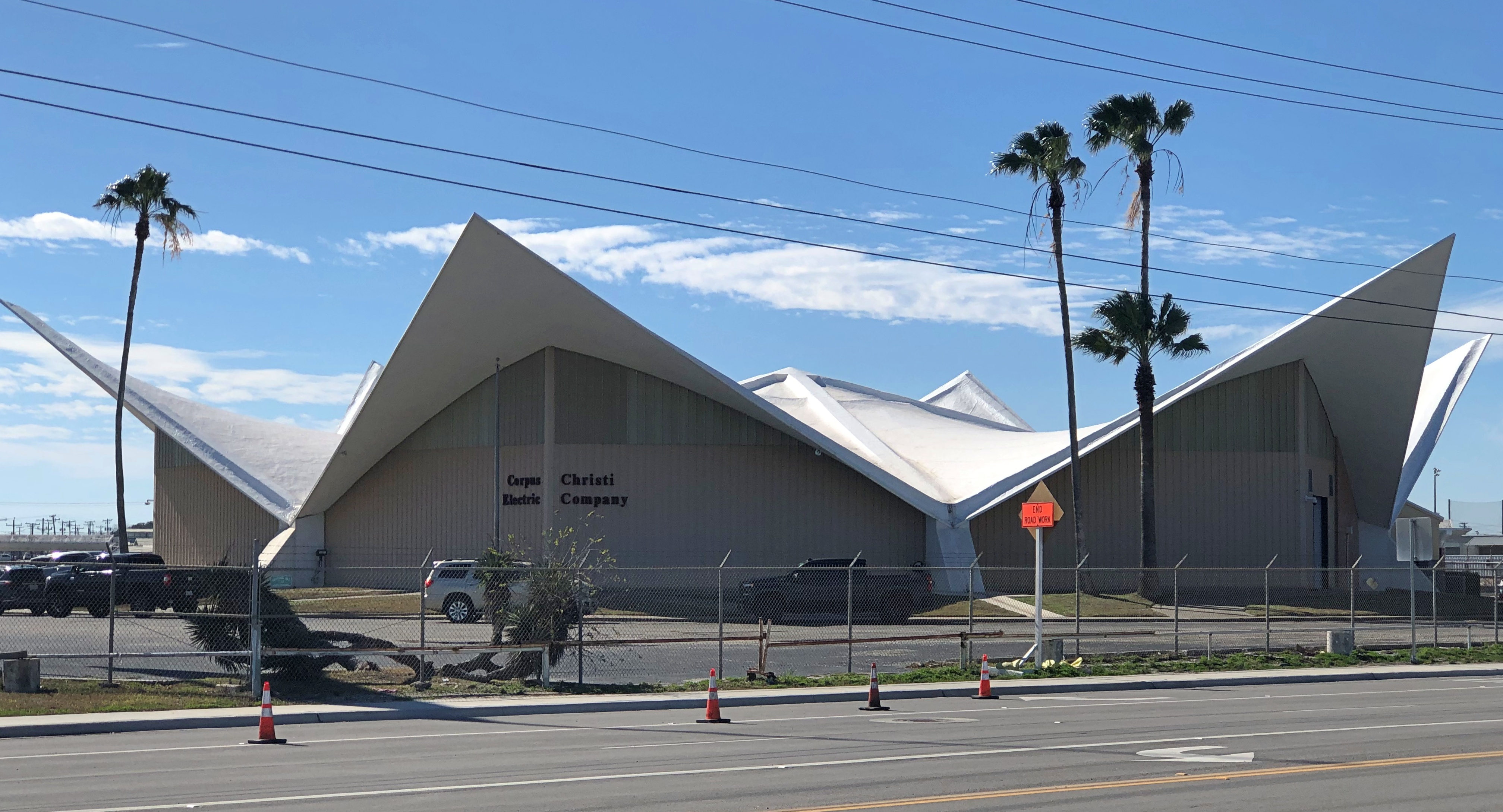
At one point, I did stop across the street to check Google Maps and we were treated to a view of Corpus Christi Electric Co.

If that doesn’t say built during the 1960s, I don’t know what does. And so it was: 1965. Originally the Lew Williams Chevrolet Dealership, designed by Donnelly and Spear, with Wallace R. Wilkerson as structural engineer – something worth noting for a structure like this.

“Prominently sited at the intersection of two main thoroughfares, the circular former auto showroom links a set of eight hyperbolic paraboloids that dynamically thrust upward at each of their pointed ends,” says the Society of Architectural Historians. “At the time, the showroom’s 185-foot clear interior span was considered as the largest to be erected in concrete in the United States.”

Cybertrucks on the Loose

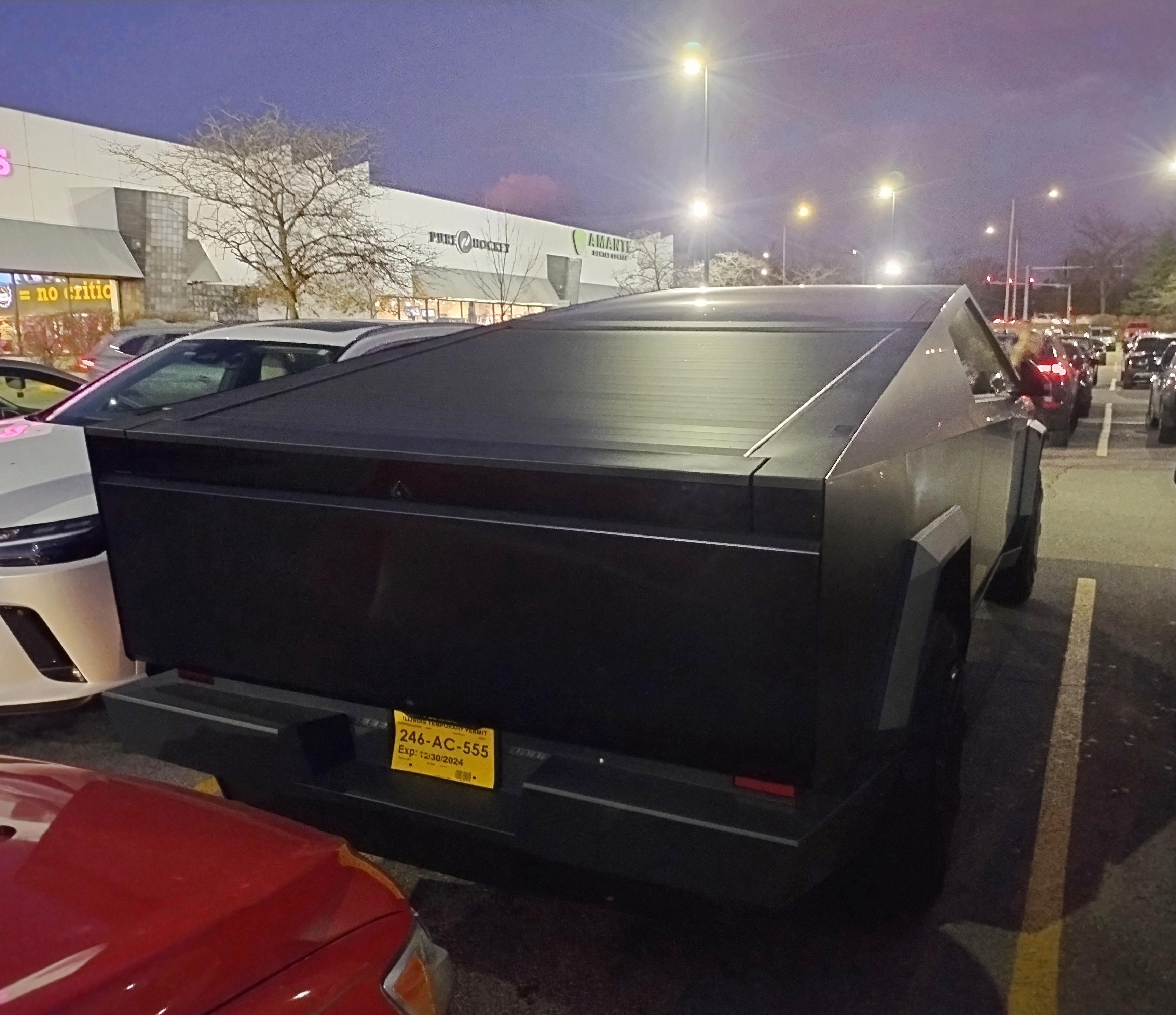
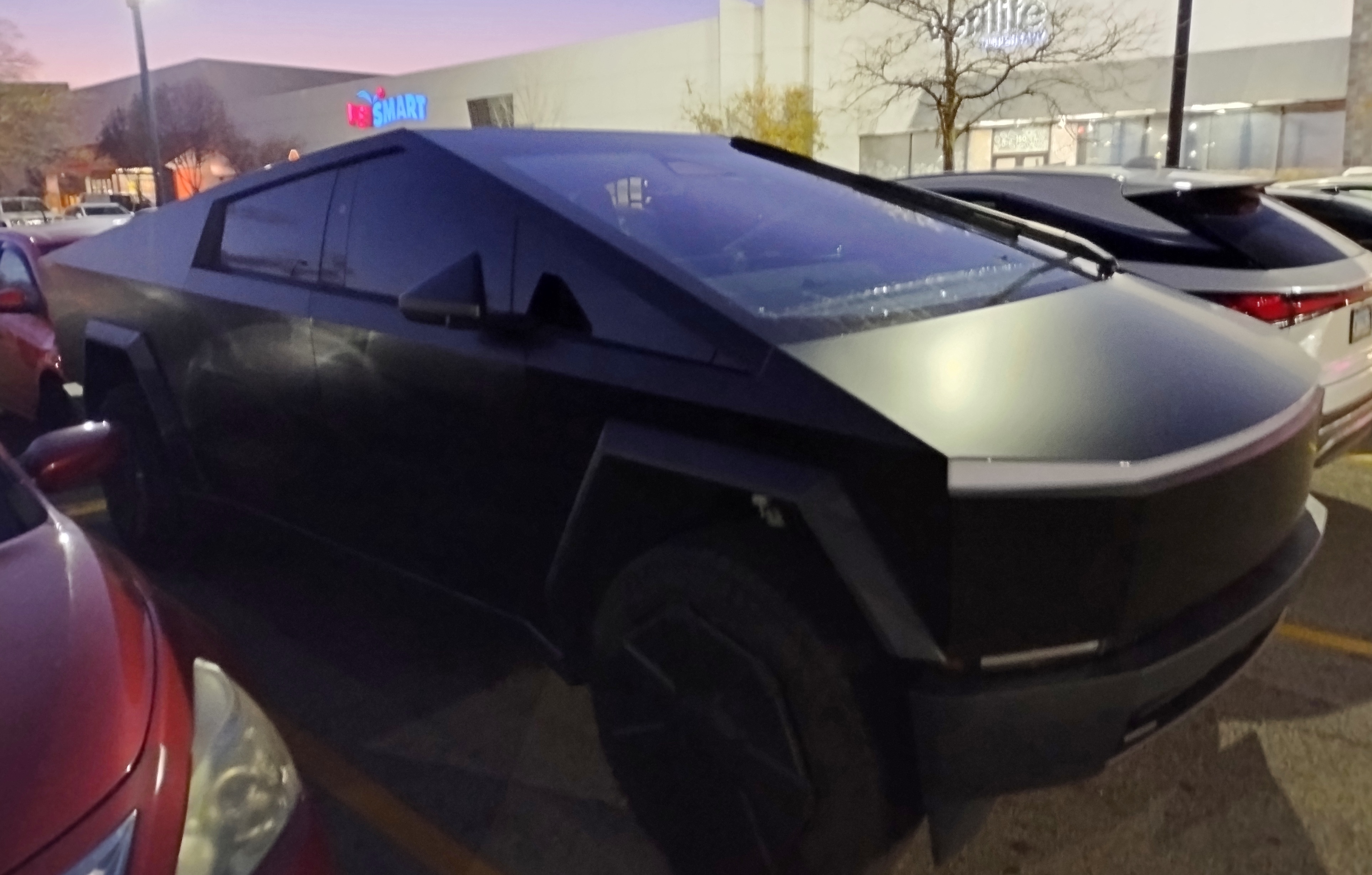
This was a first in Illinois. Spotted the other day in a northwest suburban parking lot after dark, but even so it stands out.

I’d seen a handful of them before, but not around where I live. Rather, I saw three of these oddities on the road this summer, one in Montana, another in Washington state, and yet another in Wyoming. As those vehicles were moving, and so were we, I didn’t snap any pictures. Tesla Cybertrucks, they are called.

They were all black. Is Tesla taking the Model T approach to color so famously commented on by Mr. Ford himself? (Which isn’t quite true.) If I wanted a pink Cybertruck, which would really stand one, would that be possible? Here’s one aftermarket gold one. Gold-plated, anyway, which seems something like having a gold toilet.

Some tens of thousands of Cybertrucks have been sold, but apparently not quite at the rate Tesla anticipated. Production has slowed for the moment.

MSRP: $82,235 to $102,235, according to Car and Driver. The magazine further has this to say: “Tesla’s otherworldly electric pickup is a mash-up of polarizing styling and bleeding-edge technology that results in surprisingly nice-to-drive hulk of a truck,” which also uses the terms “moonshot tech” and “unique look.”

Polarizing styling, eh? Otherworldly? Unique look, that’s for sure. The magazine is being polite. Even at the low end of the range, that price is madness, especially for a vehicle looking a lot like a car of the future, as drawn by an eight-year-old boy 50 years ago.

Sarnia to Tobermory

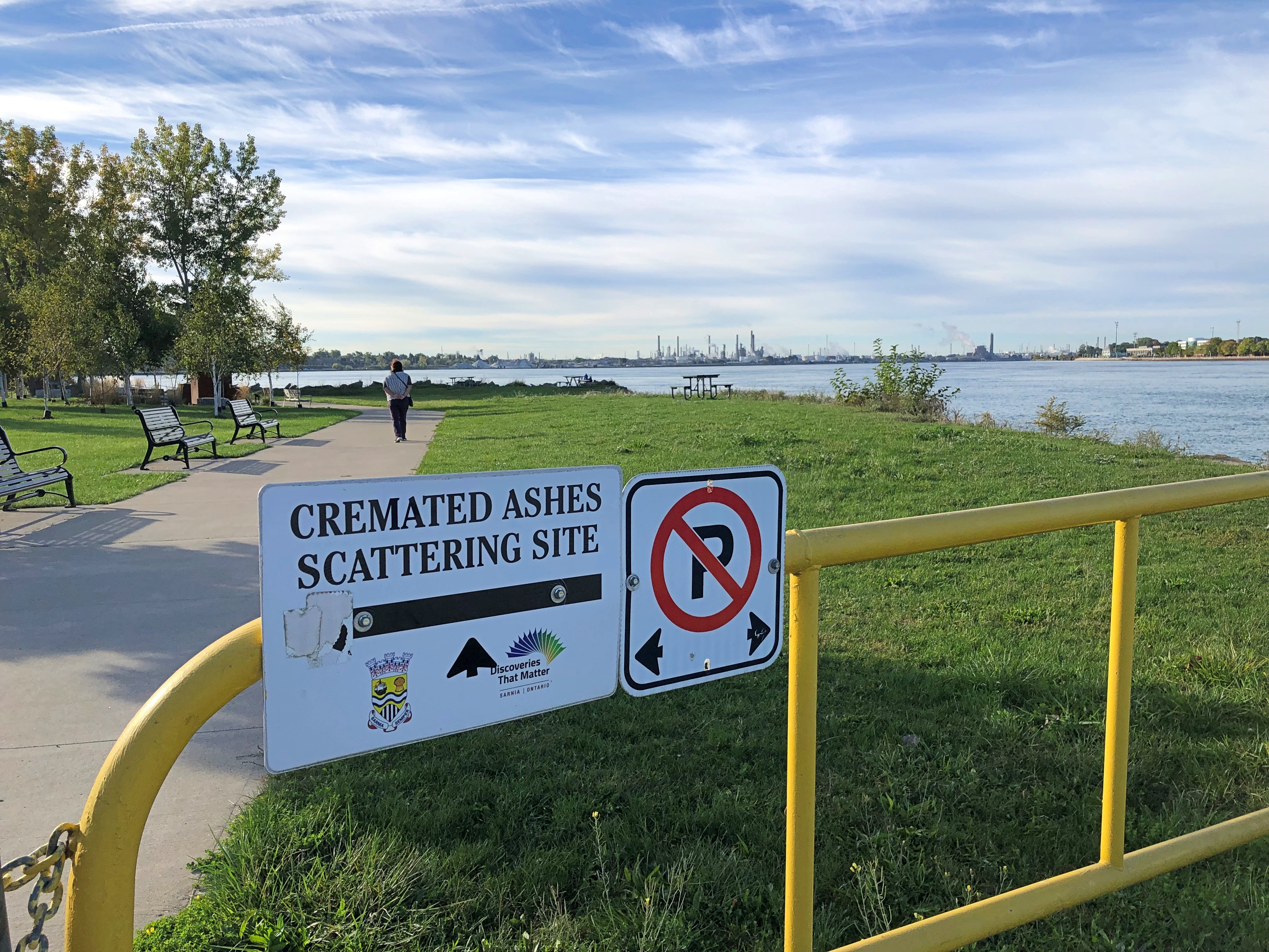
Fairly early on the morning of October 8, this sign got my attention.Sarnia

It’s hard to know whether that’s a gracious gesture on the part of the City of Sarnia, Ontario, or a mild example of Northern nanny state-ism — the difference between you’re welcome to scatter here vs. you can only scatter in permitted places. But it was also good to know that we had the option, if we happened to have any ashes with us.

For all I know, people are scattered here often, and it certainty would be harmless compared to a lot of chemicals that have gone into the St. Clair River around Sarnia over the years. After all, this the home of the Sarnia Blob, an example of industrial pollution so epic that it has its own name.

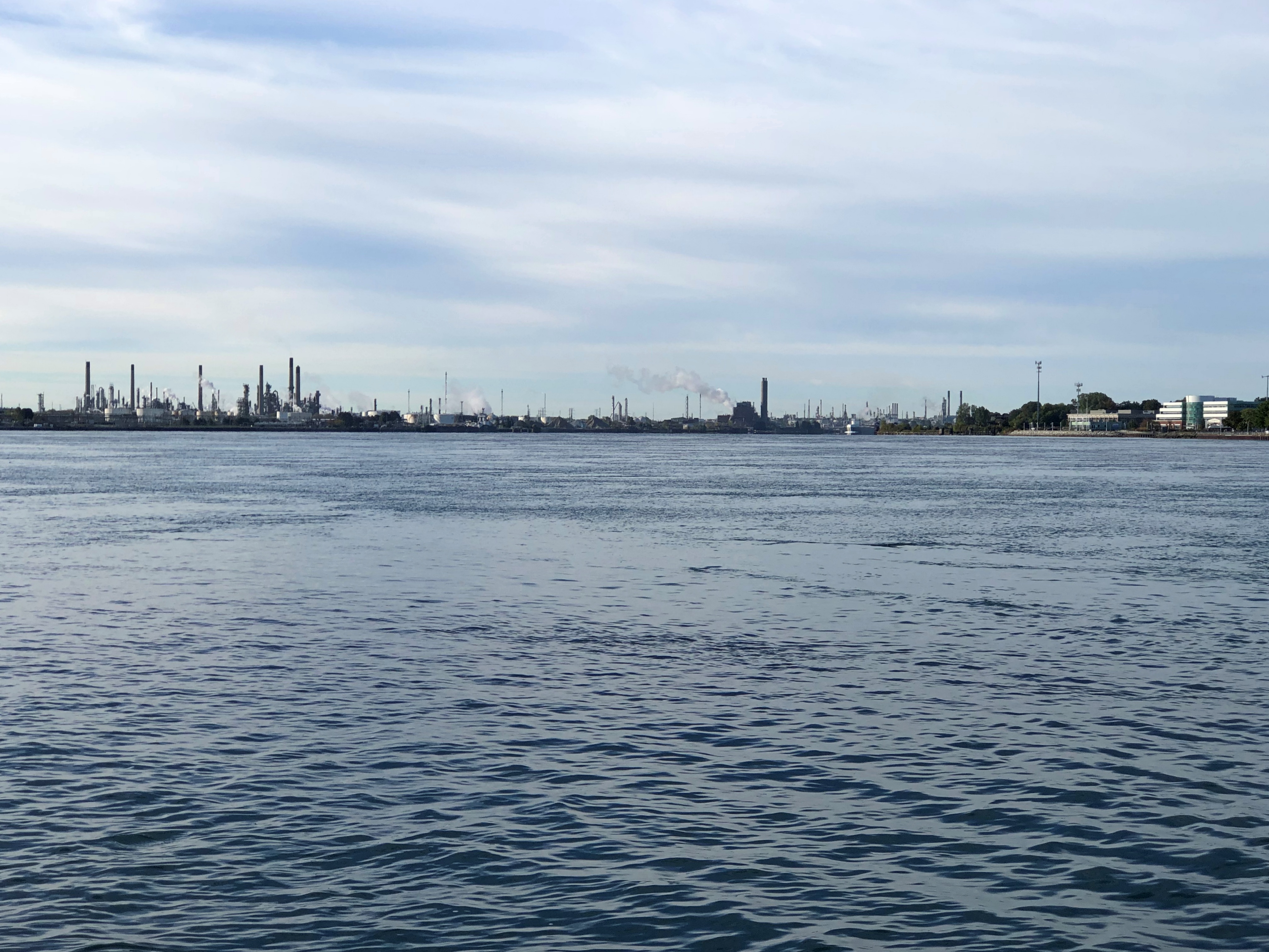
That morning, after a modest breakfast and checking out of our room only a few blocks away, we went to take a look at Point Lands, a Sarnia municipal park on the St. Clair. Beyond the cremation sign is a view of Port Huron, Michigan, U.S. industrial twin of the Canadian industrial town of Sarnia.Sarnia

Almost 40 years ago, Dow Chemical managed to spill over 2,900 gallons of perchlorethylene, a dry-cleaning solvent, with more than 520 gallons of that oozing into the St. Clair. That combined with God knows what else to form a massive a tar blob. The river at this point is home to much of Canada’s chemical and petrochemical industry, and let’s say the attitude about chemicals in the water in most decades of the 20th century was a mite lax.

The dark mass settled, submerged on the riverbed. Before long it was found by divers, and eventually its high toxicity became a major environmental news story. Something like the burning of the Cuyahoga River, though with Canadian reserve compared to the brashness of the American fire. They say since then the St. Clair, like the Cuyahoga, has been remediated, but I’m not taking a dip.

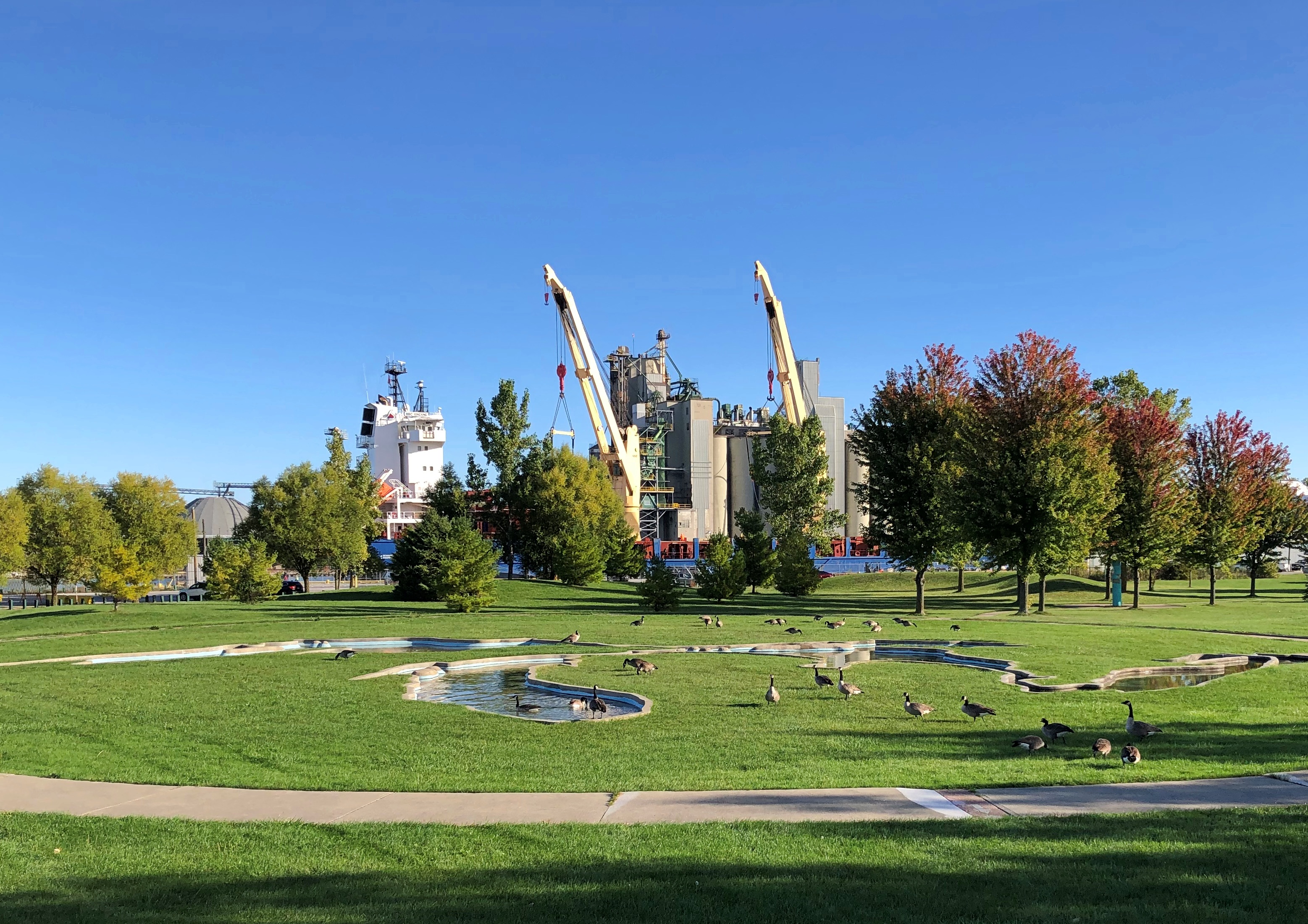
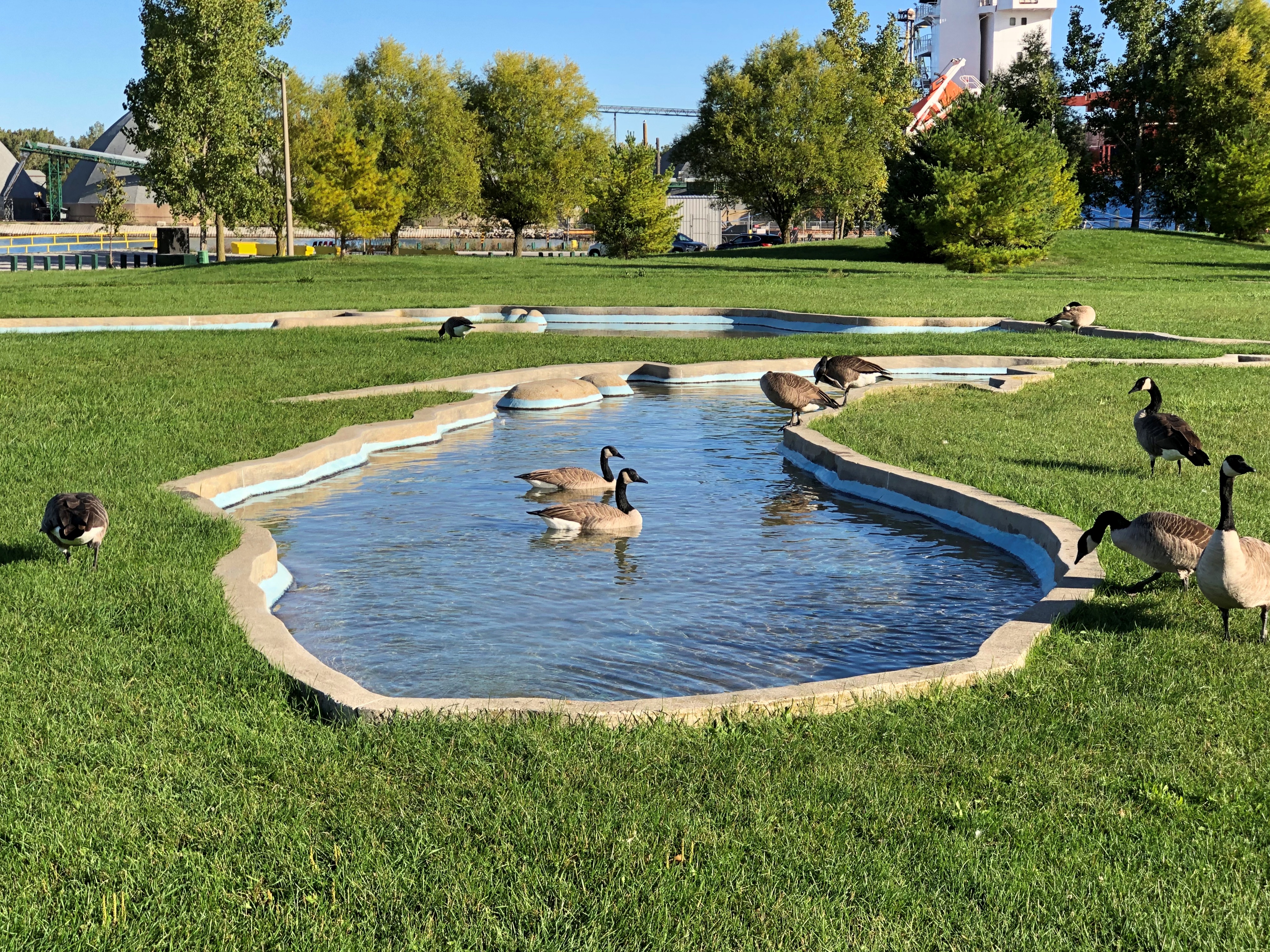
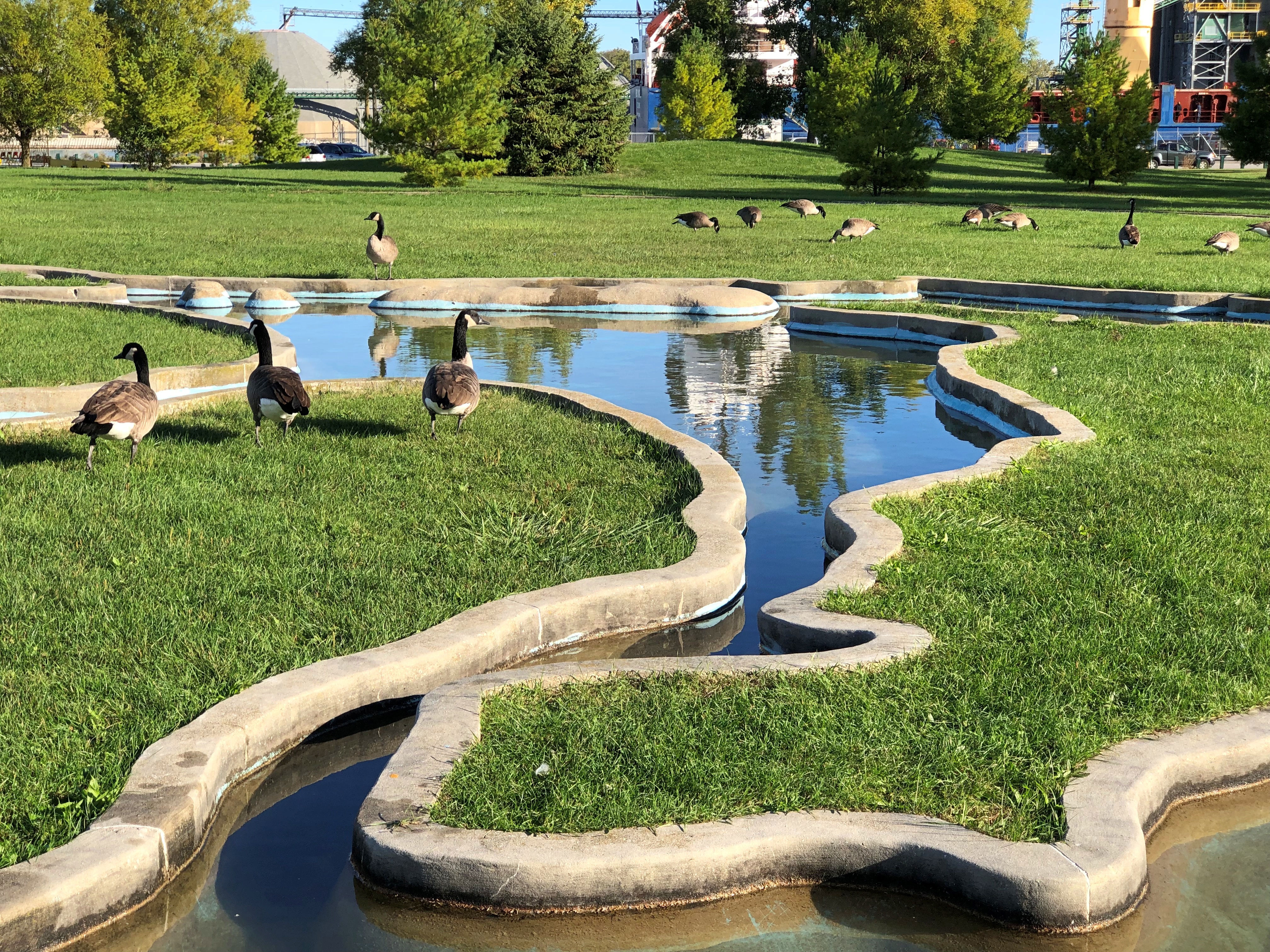
If word of the chemical waste blob got to me in far-off Nashville in 1985, I’ve long forgotten. Later Dow Chemical bugged out of Sarna, but not before commissioning a model of the Great Lakes in concrete in this park.Sarnia Sarnia Sarnia

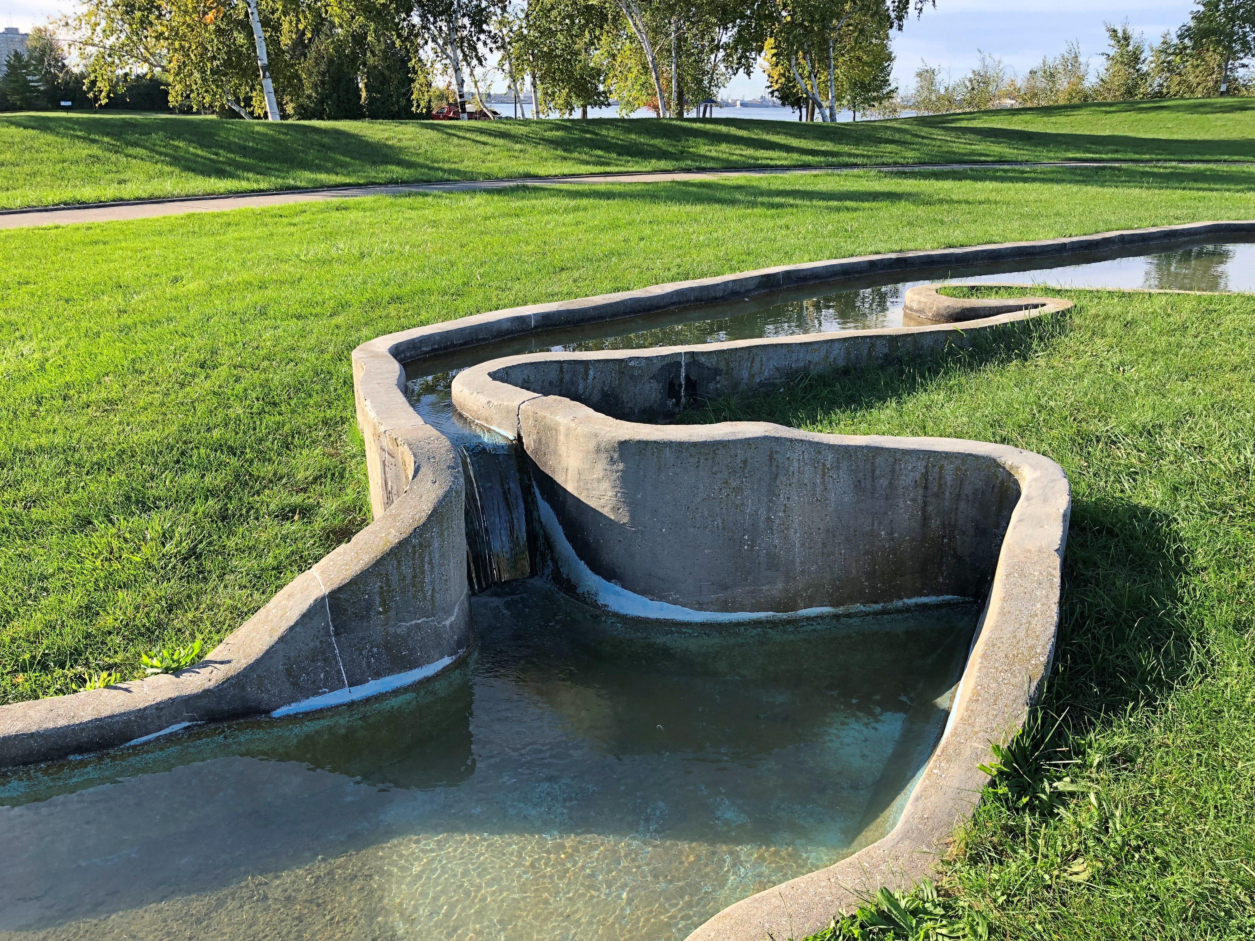
Including a model of Niagara Falls.Sarnia

Up the coast from Sarnia, we bought gasoline from the Kettle & Stony Point Gas & Convenience, which I assume is owned and operated by members of the Kettle & Stony Point First Nation. It was a full-service gas station, with a fellow asking how much I wanted and then pumping it in (fill ‘er up). I couldn’t tell you the last time I ran across that, but it’s been decades. Also, its prices were about 10 cents a liter cheaper than other stations around there, making for an all-around good retail experience.

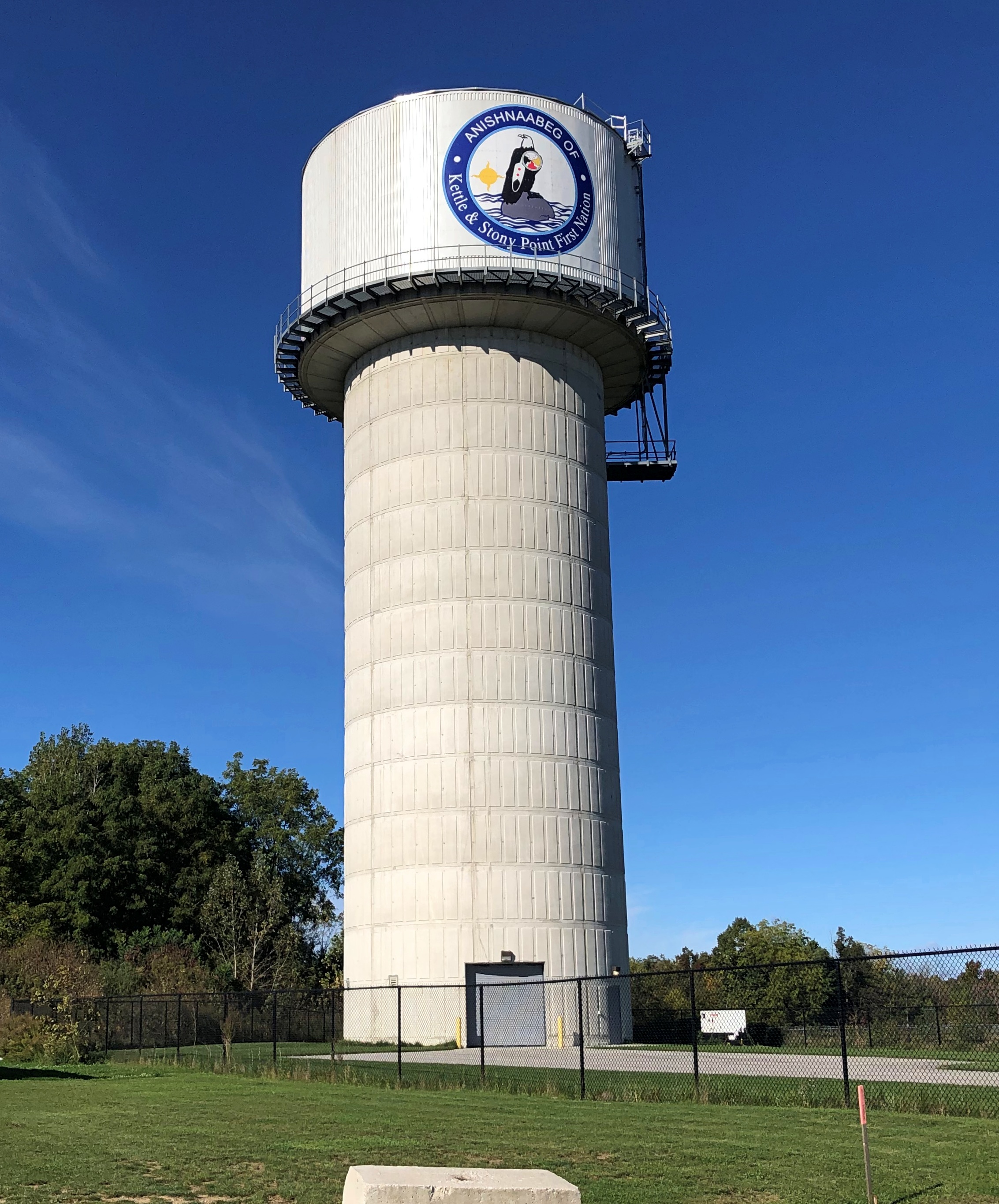
Near the station, the tribal water tower.Ontario 21

At this point we were traveling on highway King’s Highway 21 (Ontario 21, as far as I’m concerned), a two-lane blacktop that mostly follows the Lake Huron shore. On that shore is Pinery Provincial Park, a 6,260-acre stretch of beach and oak savanna. For us, it meant easy hiking in the forest and walking on the beach, so we spent a few hours there.

That kind of exercise inspired a quest for a latish lunch, which we found at the Out of the Blue Seafood Market in the town of Bayfield, feasting on Lake Huron whitefish fish & chips in the nondescript shop. The road food ideal: delicious, local, inexpensive and found completely by chance.

Ontario 21 was often a pleasant drive, though passing through well-populated areas meant slow going sometimes. The road wasn’t exactly crowded, but busy enough to be a little tiring. Only a little. Mostly we crossed farmland. Grain fields, the likes of barley, sorghum and oats, I understand, eventually gave way to cattle fields and woods and wetlands.
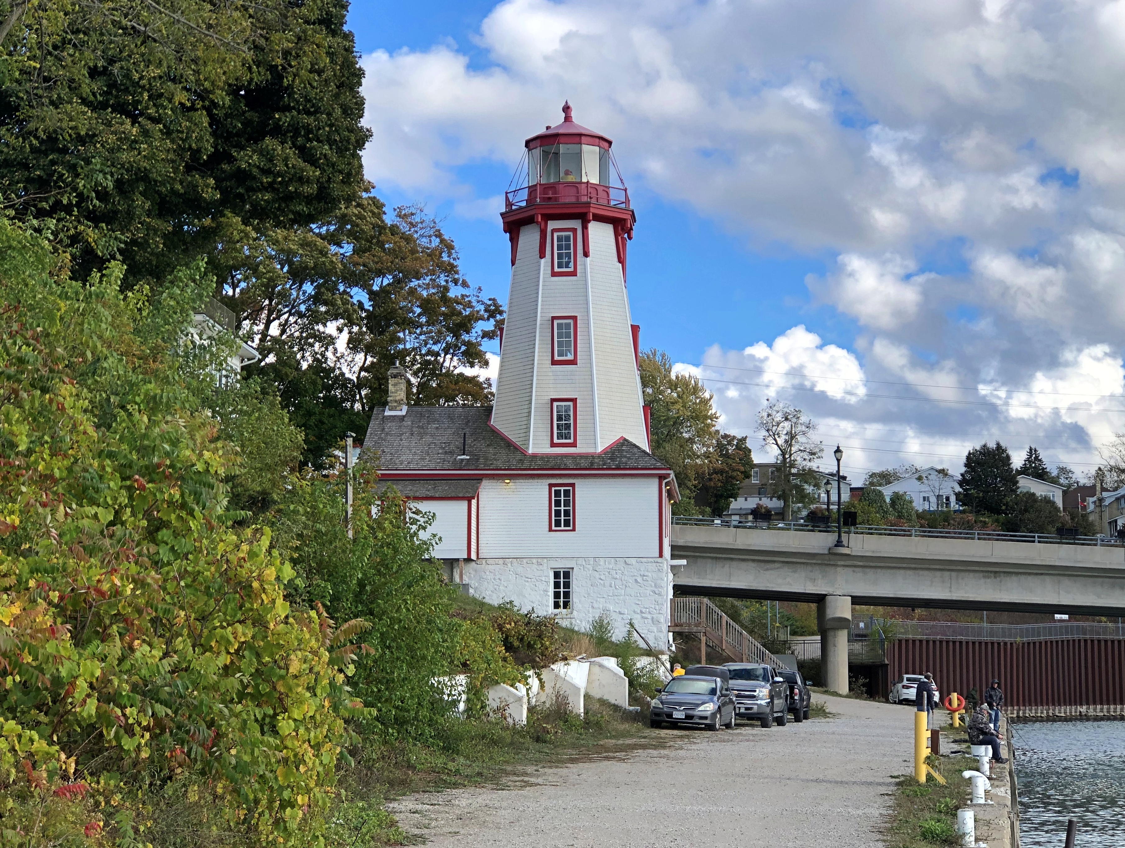
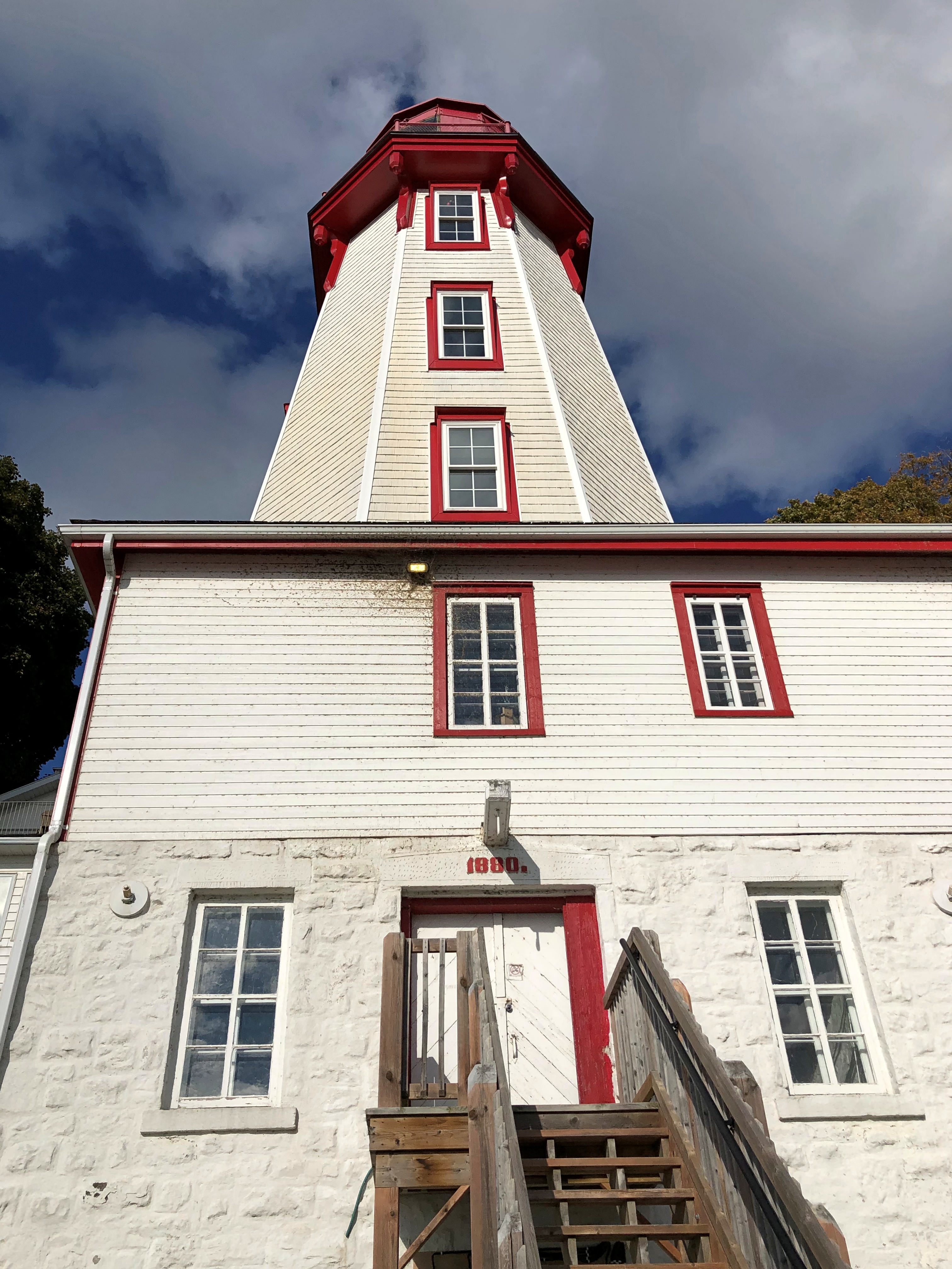
The wind had kicked into high gear by later in the afternoon, when we got to Kincardine. Formerly illuminating the harbor is a lighthouse, a late 19th-century creation.Kincardine. Kincardine.

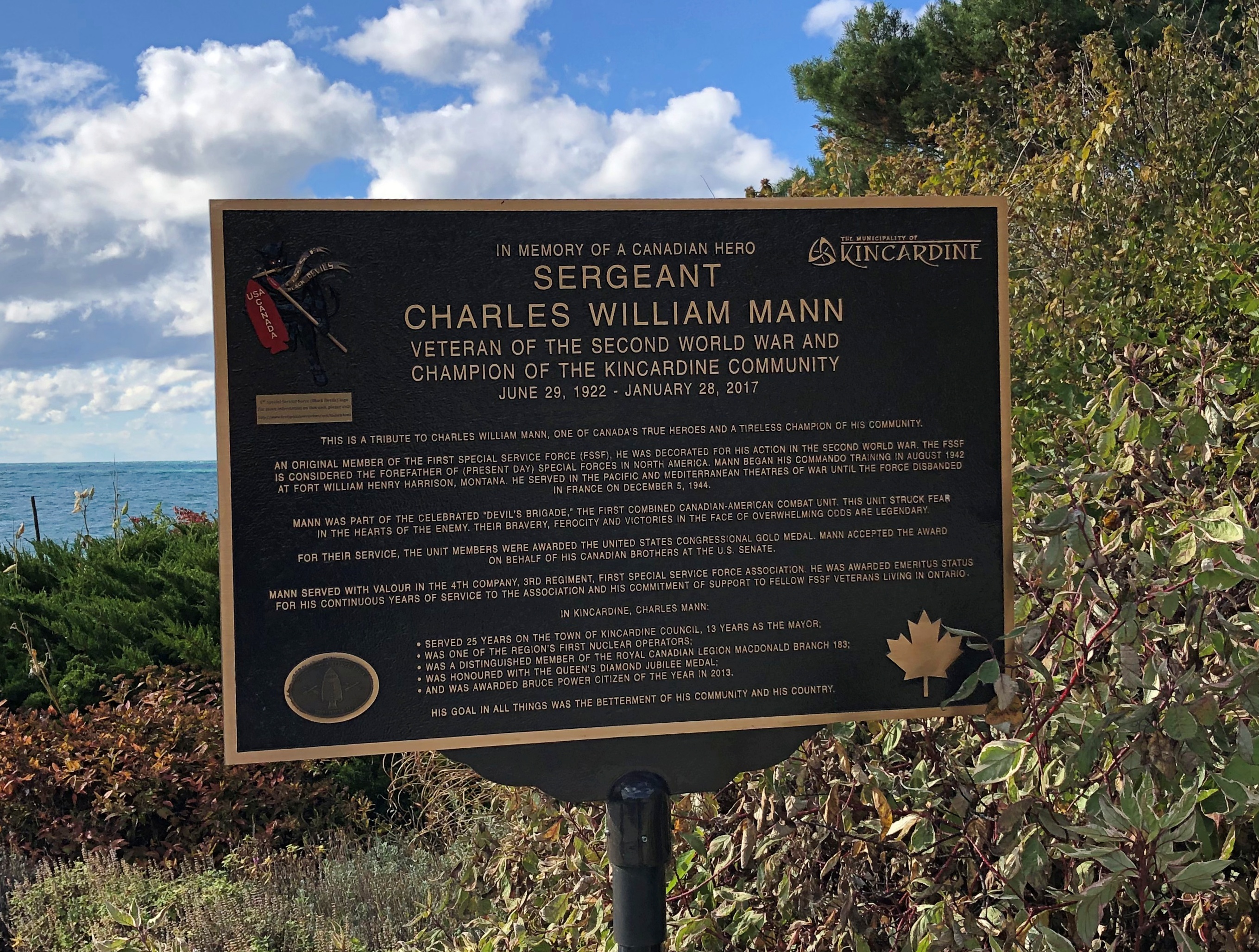
Another story I learned, facing the lake at Kincardine: one about a Canadian member of the First Special Service Force.1st Special Service Force 1st Special Service Force

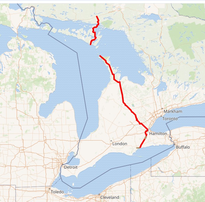
Later, we connected with Ontario 6, which is quite the road, and took it north on the Bruce Peninsula proper to Tobermony. Settlement got sparser and sparser the further north we went.

The northern section of Ontario 6 is connected to the southern section by a large ferry  docking at Tobermory; we saw it loading the next morning, which naturally led to musings. On to Manitoulin Island? Up from there to connect on the mainland with the Trans-Canada Highway into Sault St. Marie?

Not this time. But you know how it goes: distant roads are calling me. Except that they’re not actually that distant.

The Columbia River Gorge

A happy birthday to Jimmy Carter, president of my adolescence, who some years ago outlasted every other holder of that high office, now reaching 100. I can’t presume to know the secret of his longevity, but can speculate that lasting long enough to vote against you-know-who might have been an inspiration to hang on.

While reading about President Carter today, I came across the conclusion of a speech at the dedication of the Carter Presidential Library in Atlanta on October 1, 1986.

I must tell you, Mr. President, that your countrymen have vivid memories of your time in the White House still. They see you working in the Oval Office at your desk with an air of intense concentration, repairing to a quiet place to receive the latest word on the hostages you did so much to free, or studying in your hideaway office for the meeting at Camp David that would mark such a breakthrough for peace in the Middle East. Others will speak today, Mr. President, of all phases of your political career and your policies. For myself, I can pay you no higher honor than to say simply this: You gave of yourself to this country, gracing the White House with your passion and intellect and commitment. And now you have become a permanent part of that grand old house, so rich in tradition, that belongs to us all. For that, Mr. President, I thank you, and your country thanks you.

Who said that? Ronald Reagan.

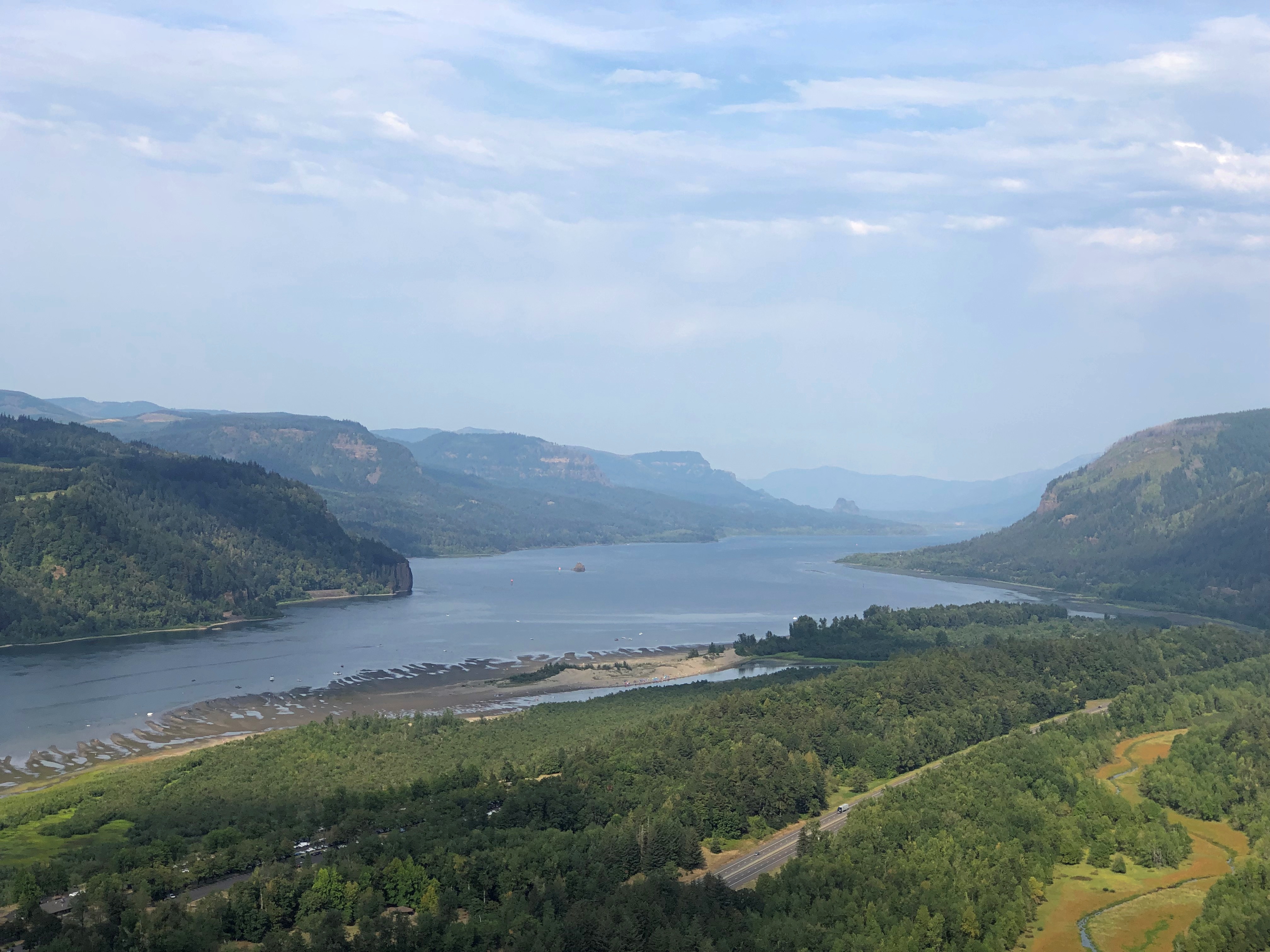
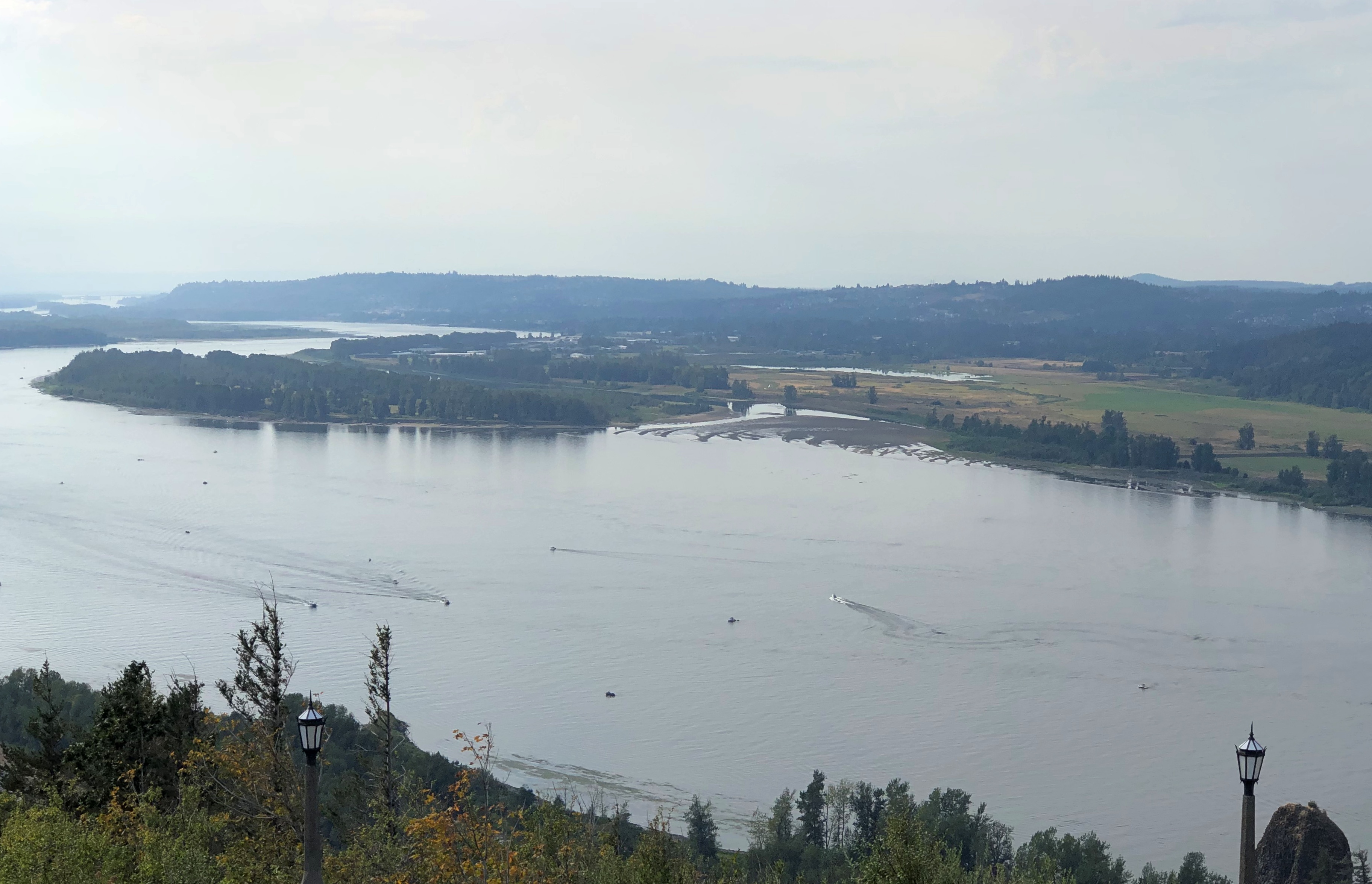
A month ago today we headed east from Portland on US 30, which soon becomes the Historic Columbia River Highway, beginning at the sizable town of Troutdale, an intriguing place that seems to count as exurban Portland. As highways go, the road is antediluvian, first surveyed in the 1910s, partly following a 19th-century wagon route. Old, but well maintained, it’s a smooth drive in our time, though fairly busy.
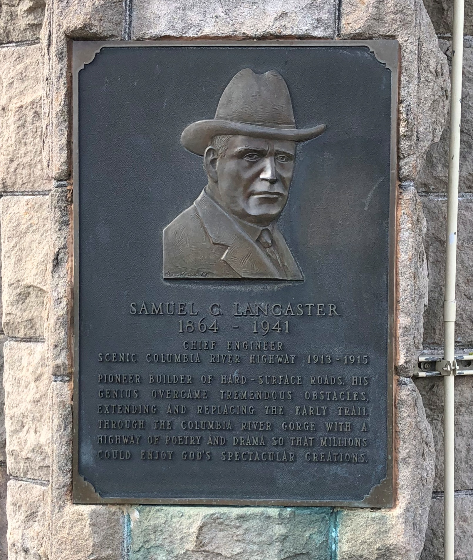
The highway’s engineer, Samuel C. Lancaster, got himself a plaque along the way, which calls the road a highway of “poetry and drama.” He collaborated with business tycoon and good roads promoter Sam Hill to get the road built.Columbia River Gorge

That is, he left a legacy of vistas. One could do a lot worse.

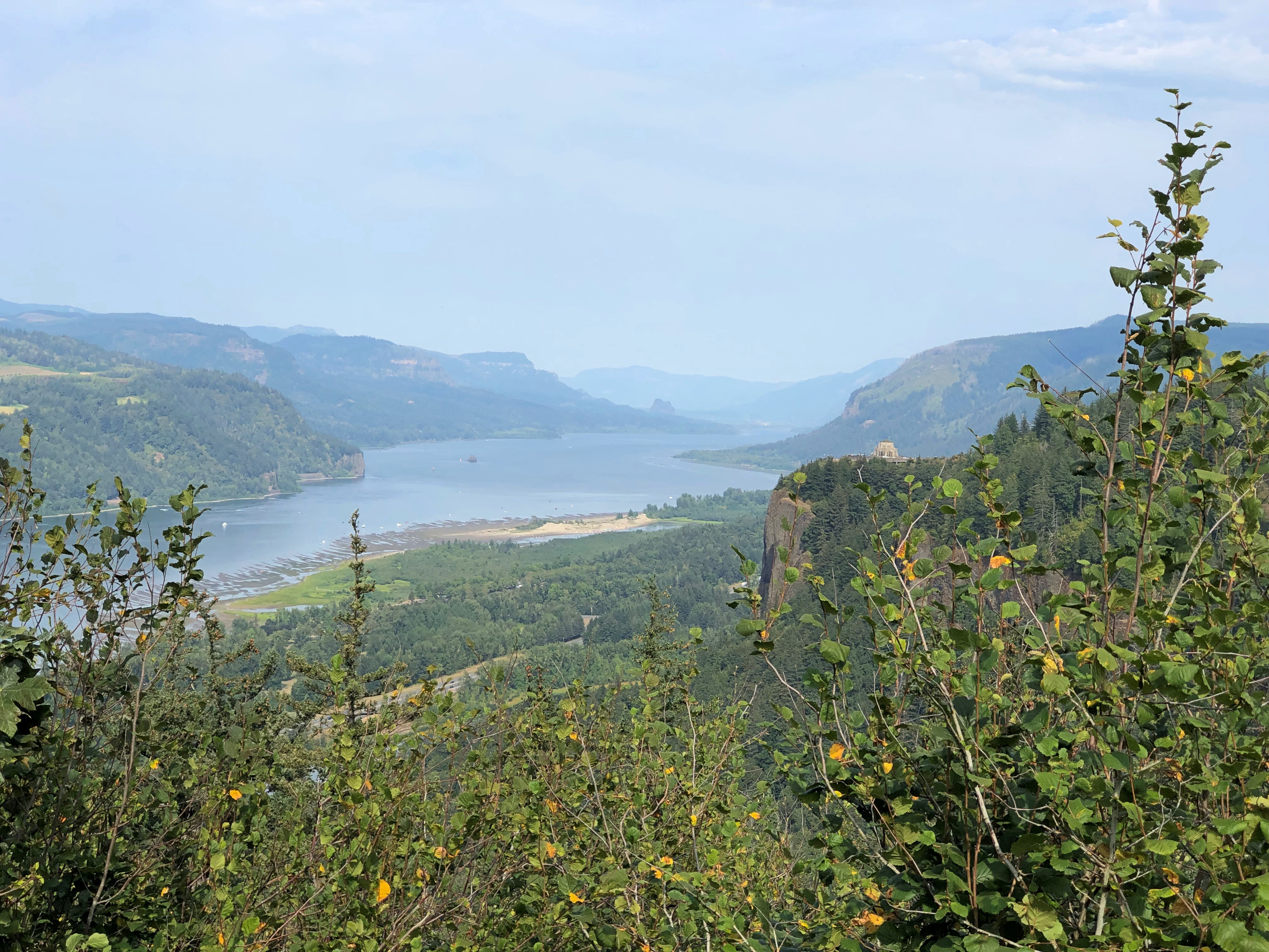
At Chanticleer Point.Columbia River Gorge

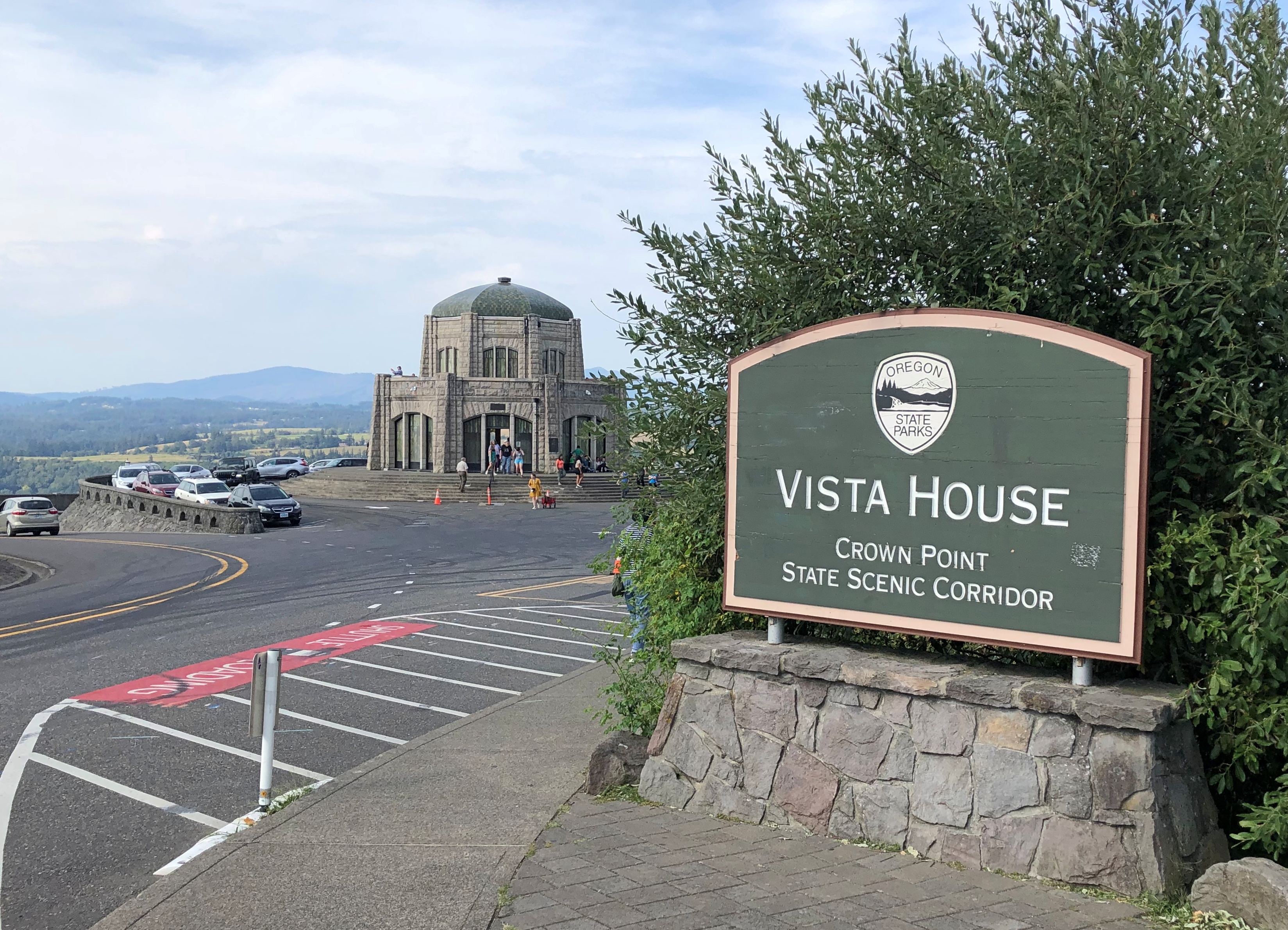
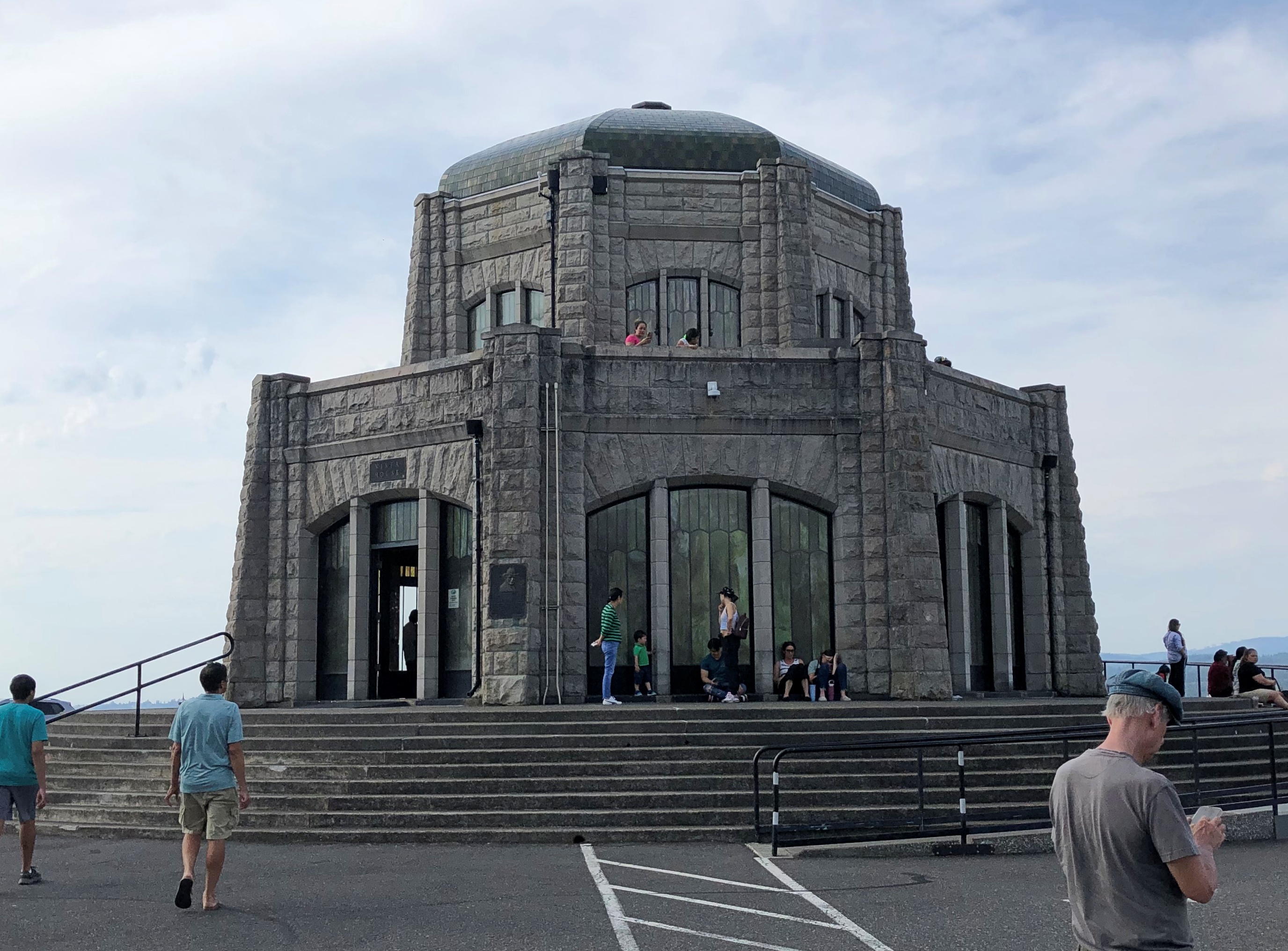
Further east is Crown Point, a promontory more than 700 feet high, with an even more sweeping view of the mighty Columbia. The builders of the highway knew this too, and included an observation tower: Vista House.Columbia River Gorge Columbia River Gorge

Designed by Edgar M. Lazarus and completed in 1918. Elegant stonework, and an expensive development, I’ve read. I’d say worth it, for providing more than a century of vistas.Columbia River Gorge Columbia River Gorge

Inside Vista House is a small museum, gift shop, and an information kiosk where we got helpful information from the person at the desk. She said that the highway (US 30) was closed for construction a few miles to the east, and that if we wanted to visit Multnomah Falls, we’d need to backtrack a few miles and then take I-84, the modern road that also passes through the Columbia River Gorge.
That we did.Columbia River Gorge

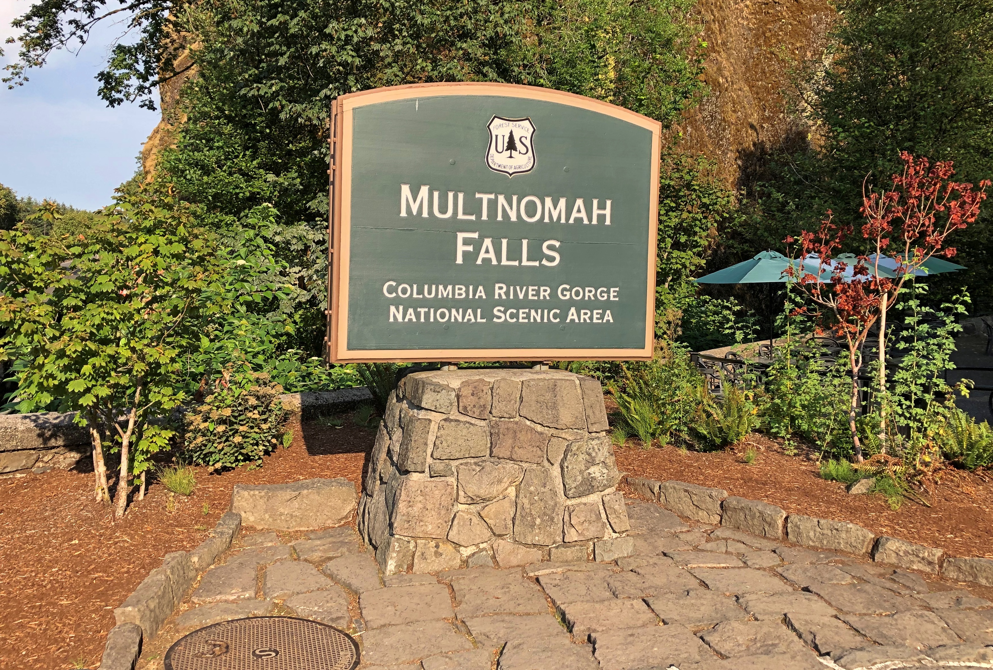
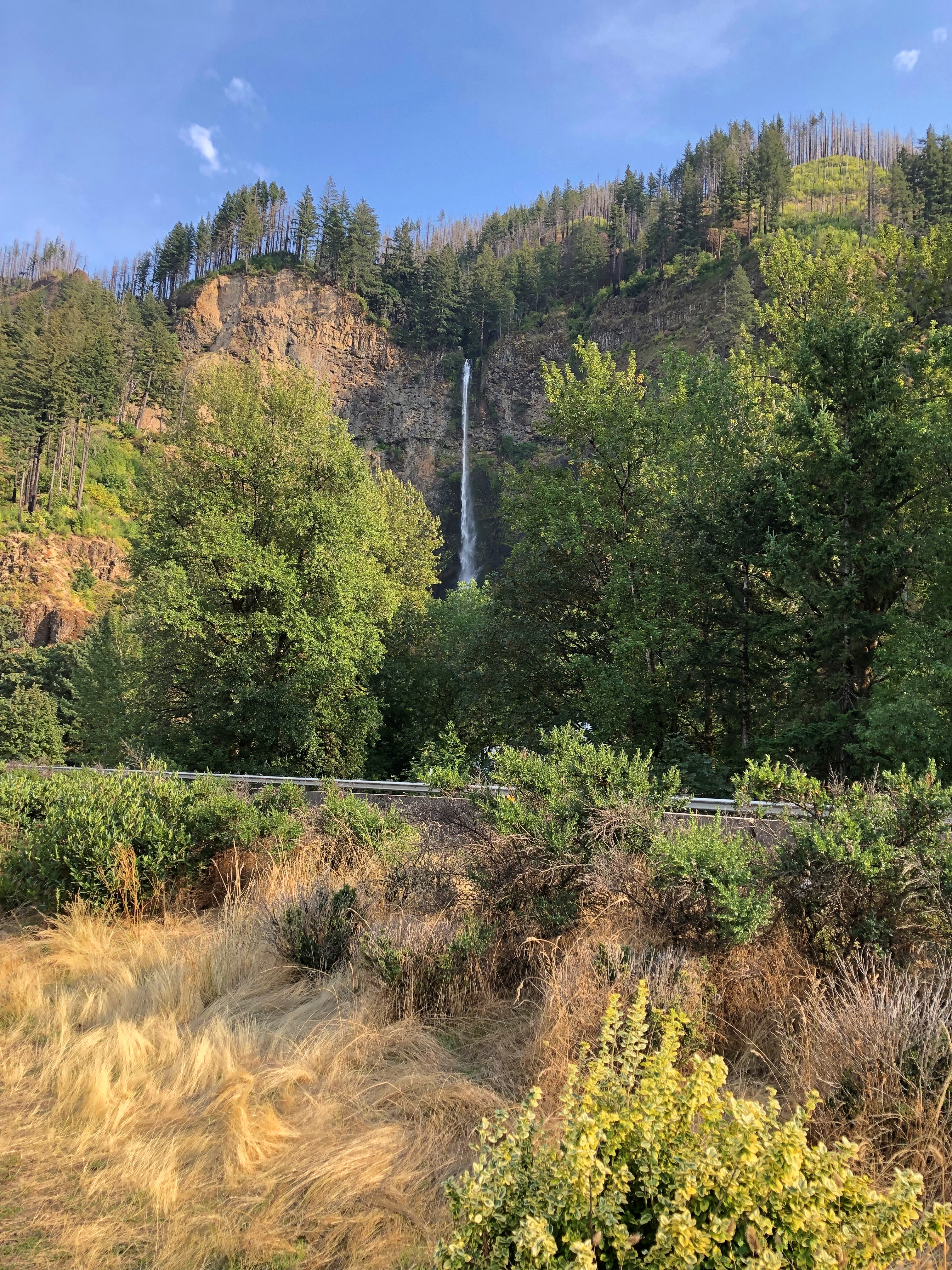
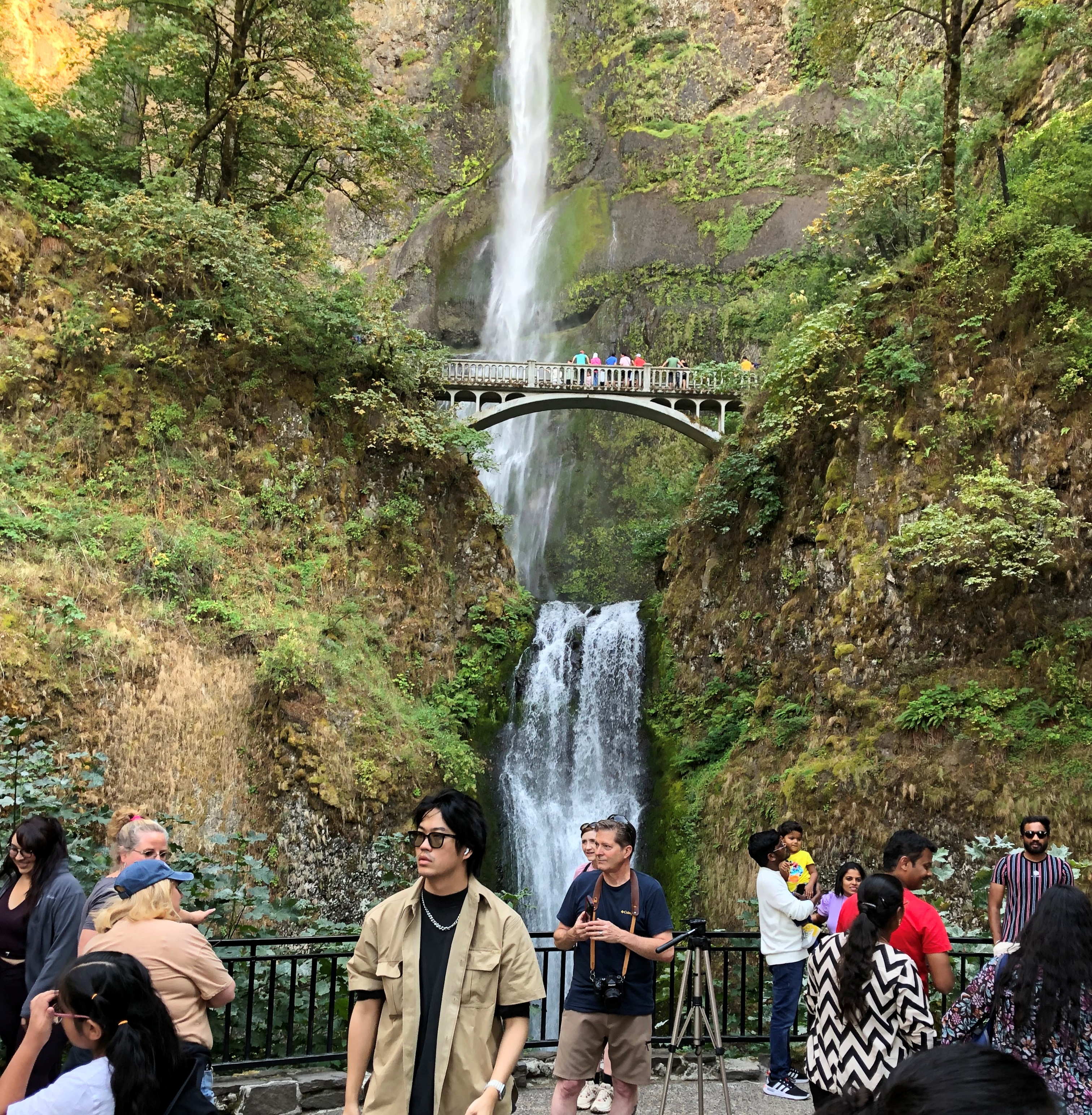
To see the falls, at least on September 1, you needed to book a slot, and we did that as well. Tall falls near a highway draws a crowd, though that isn’t apparent at a distance.Multnomah Falls

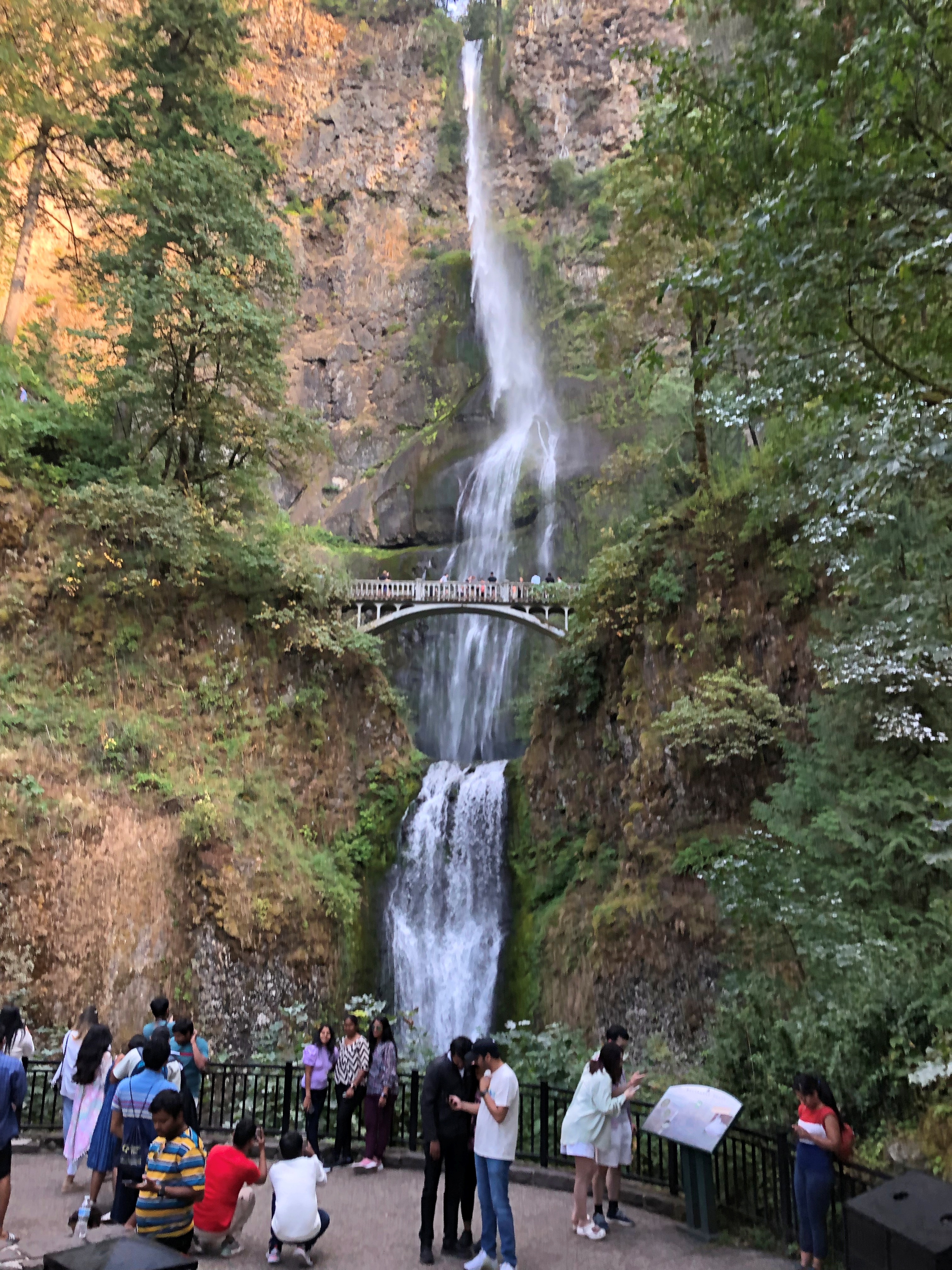
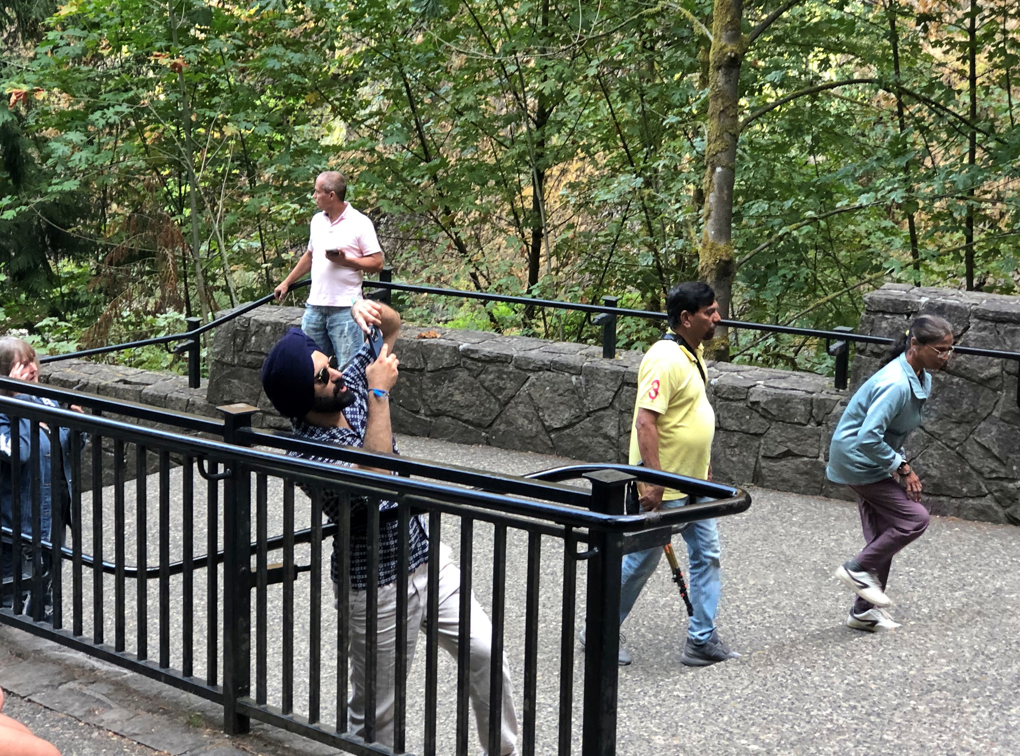
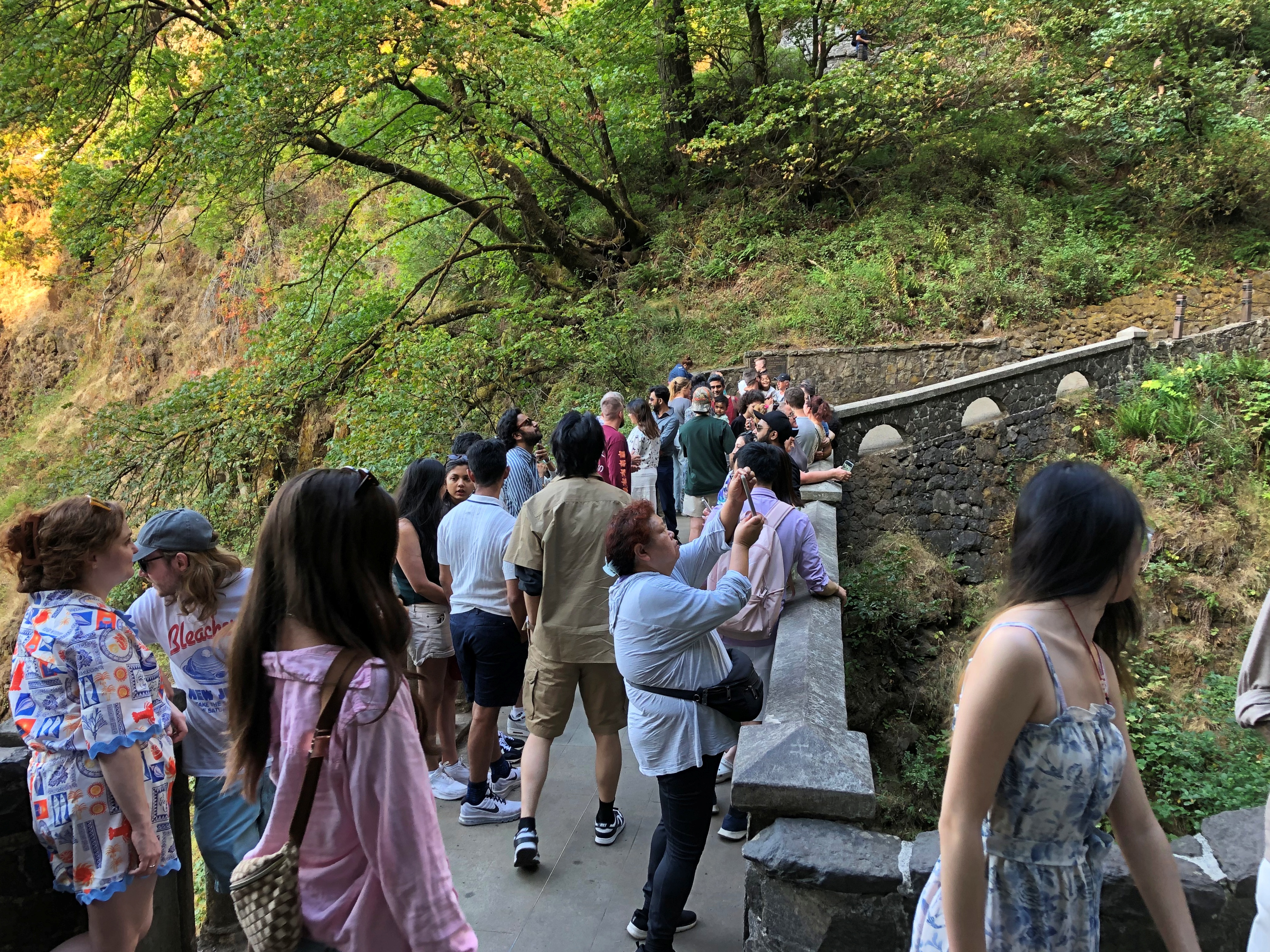
If you edit just so, that isn’t apparent closer up either.Multnomah Falls Multnomah Falls

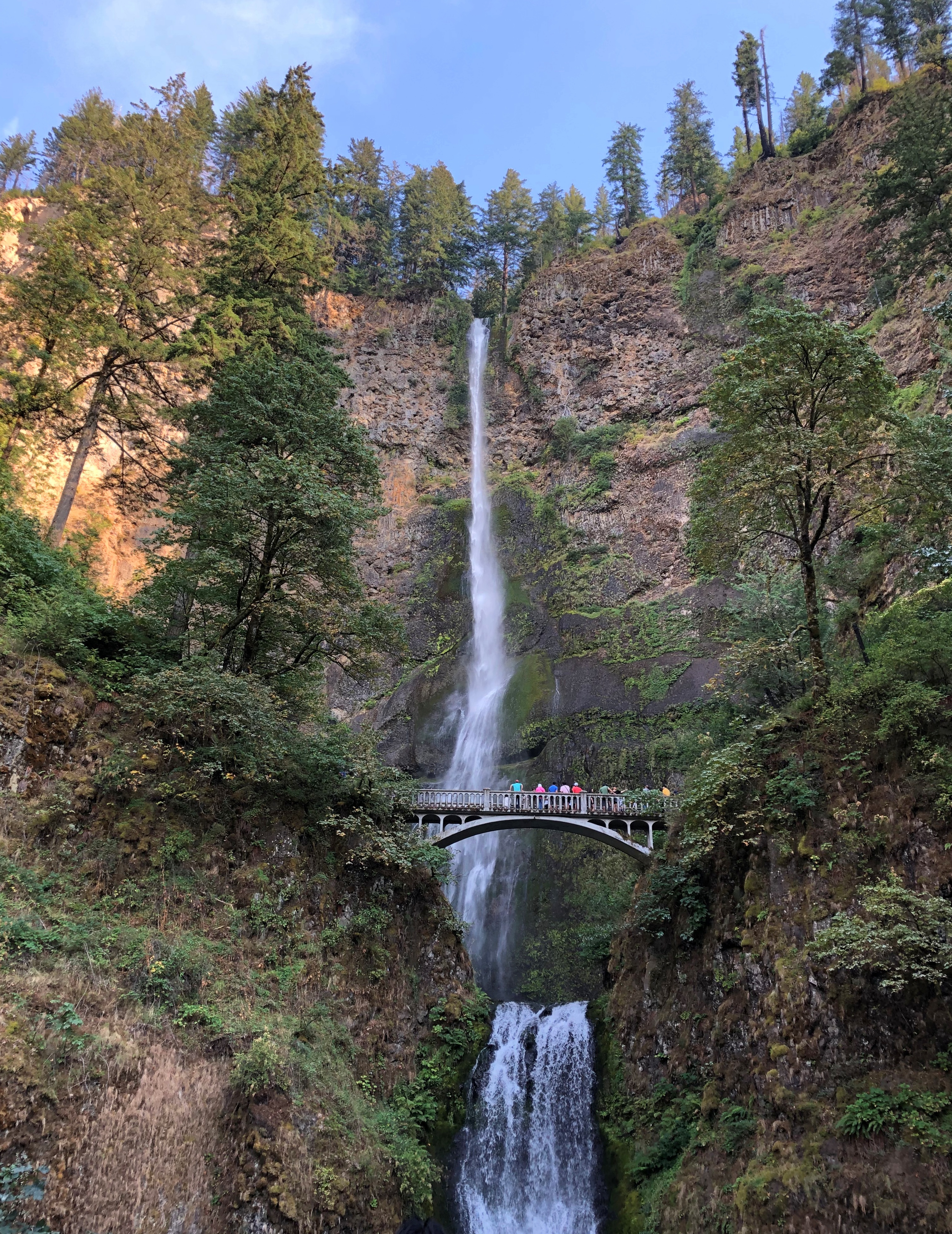
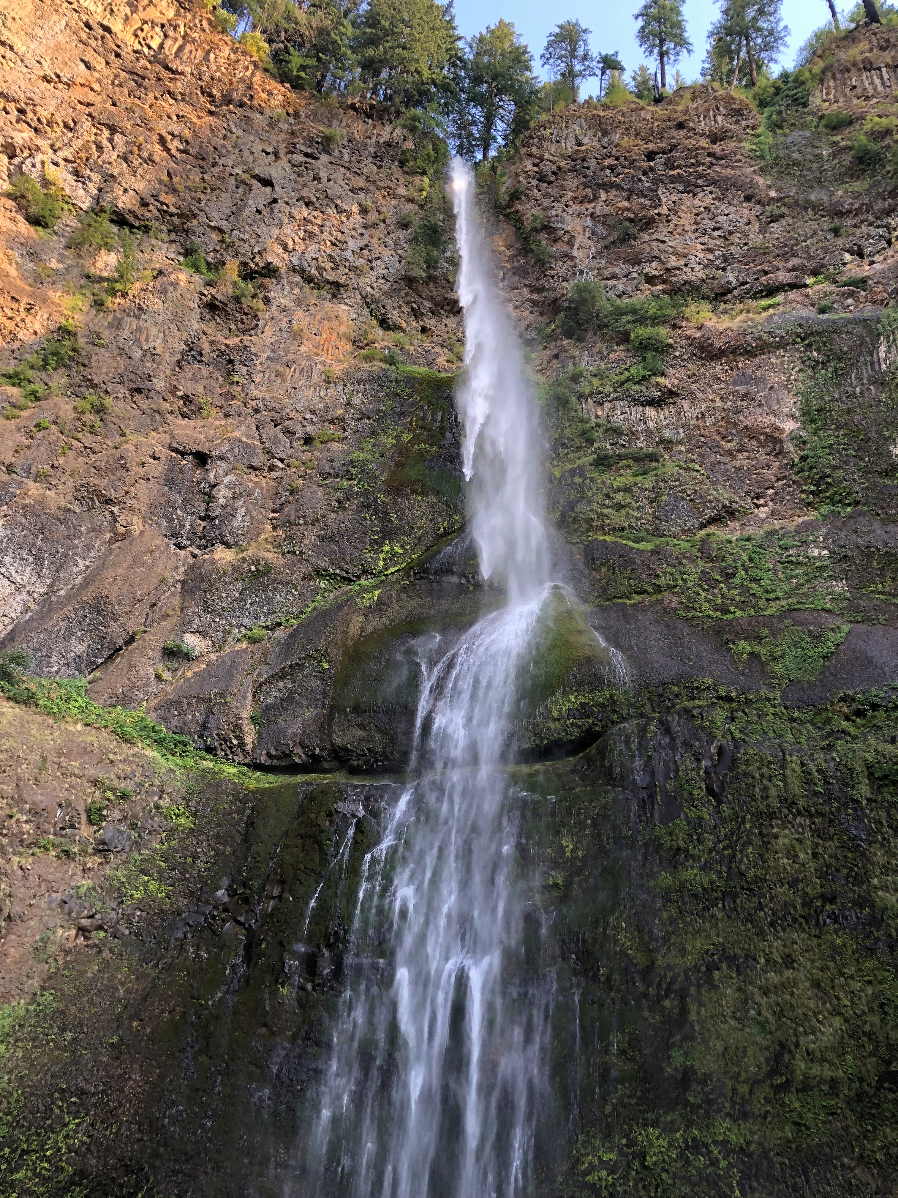
But on a visit to the falls, which drop 635 feet in two plunges, you won’t be alone.Multnomah Falls Multnomah Falls Multnomah Falls

A stone footbridge 100 feet above the lower pool is the place to climb to and point your camera.Multnomah Falls

“Formed by the cataclysmic Missoula Floods beginning 15,000 years ago and fed mainly by underground springs, Multnomah Falls drops… in two major tiers down basalt cliffs,” says the office of the Oregon Secretary of State. “It ranks as the tallest waterfall in Oregon and is one of the most visited tourism sites in the state.”

Two million visits a year, to quantify that statement. As I’ve noticed in a fair number of other places, that’s not much of an issue, since the crowd is in a pretty good mood.

Missoula Floods?

“After millennia of relative calm, the colossal Missoula Floods crashed through the [Columbia River] gorge several times between 12,000 and 18,000 years ago,” wrote science writer Richard Hill in the Oregonian. “The source of the floods was the 2,000-foot-deep, 200-mile-wide Glacial Lake Missoula. Until the last ice age started to thaw, an ice sheet at the mouth of the Clark Fork River in northern Idaho and Montana blocked it.

“But slowly, melted water cut a channel into or under the ice, collapsing the dam and unleashing the lake’s 500 cubic miles of water. It sped into the narrower confines of the gorge at 75 mph and submerged Crown Point. The ice dam repeatedly would reform, and the flood process would start again.

“Recent studies… found evidence of at least 25 massive floods. They calculated the largest flood discharged roughly 2.6 billion gallons a second — about 2,000 times larger than the Columbia’s 1996 flood.”

1996 flood?

Another one of those things I’m sure I heard about, but memory of it has evaporated as surely as the flood waters. Epic, the Oregonian calls it.

Going-to-the-Sun Road

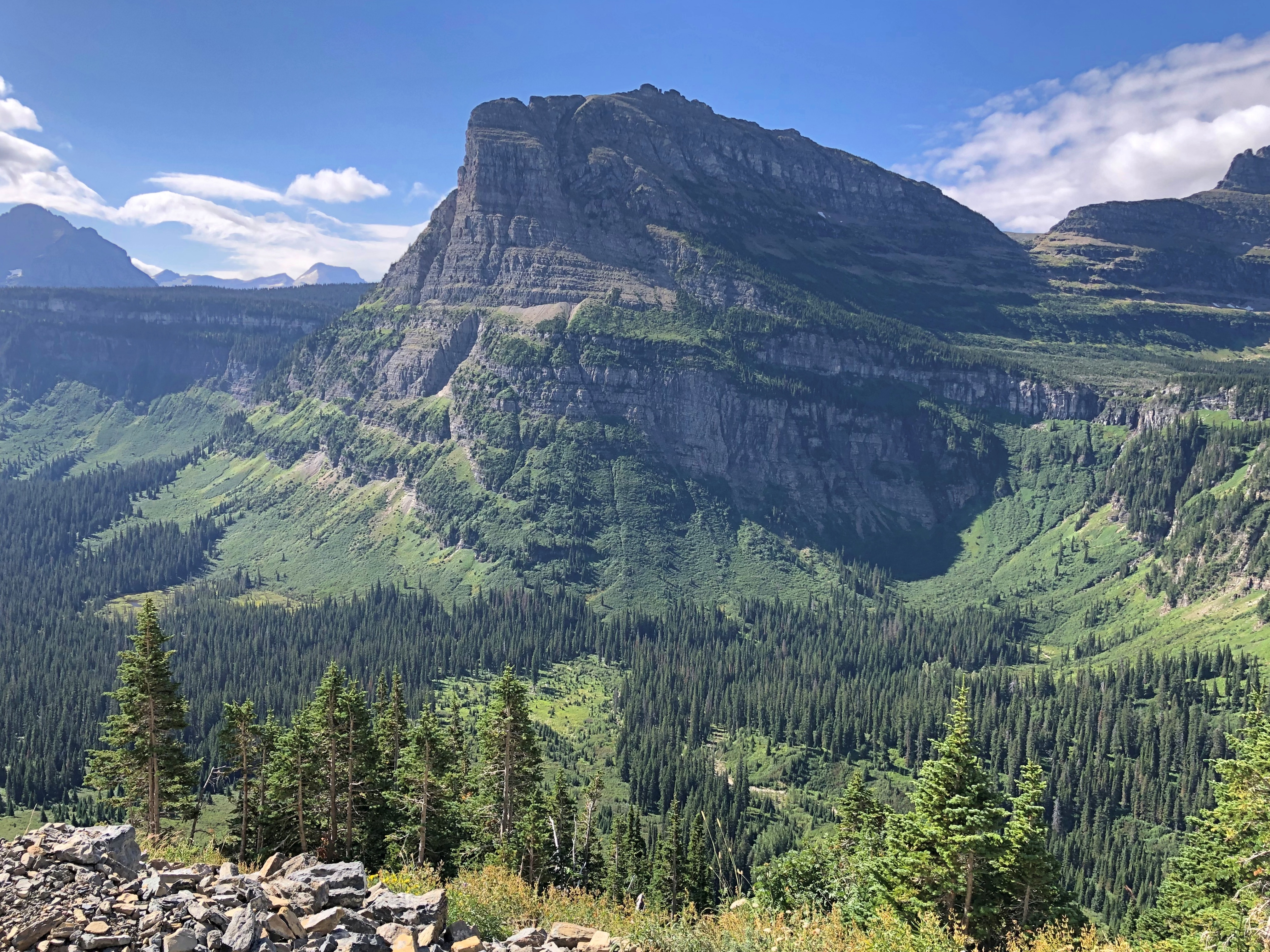
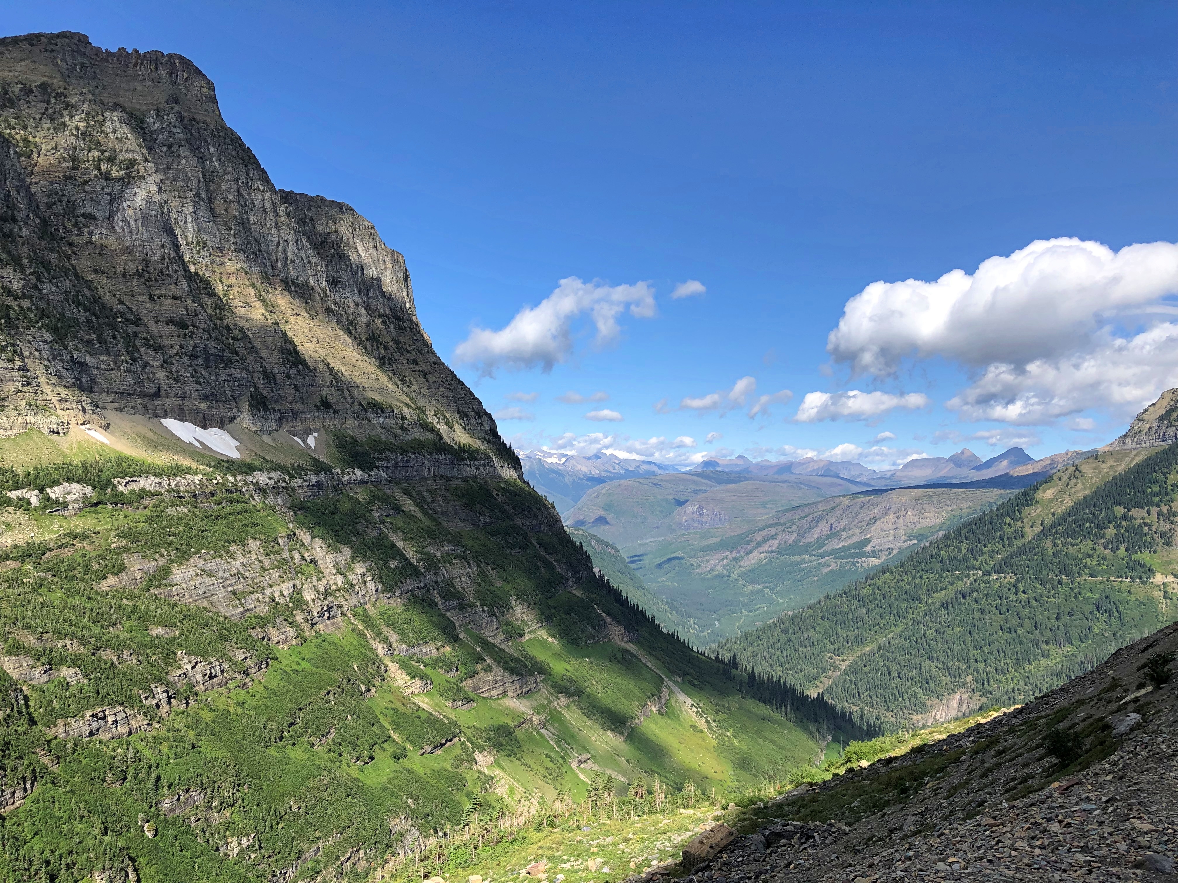
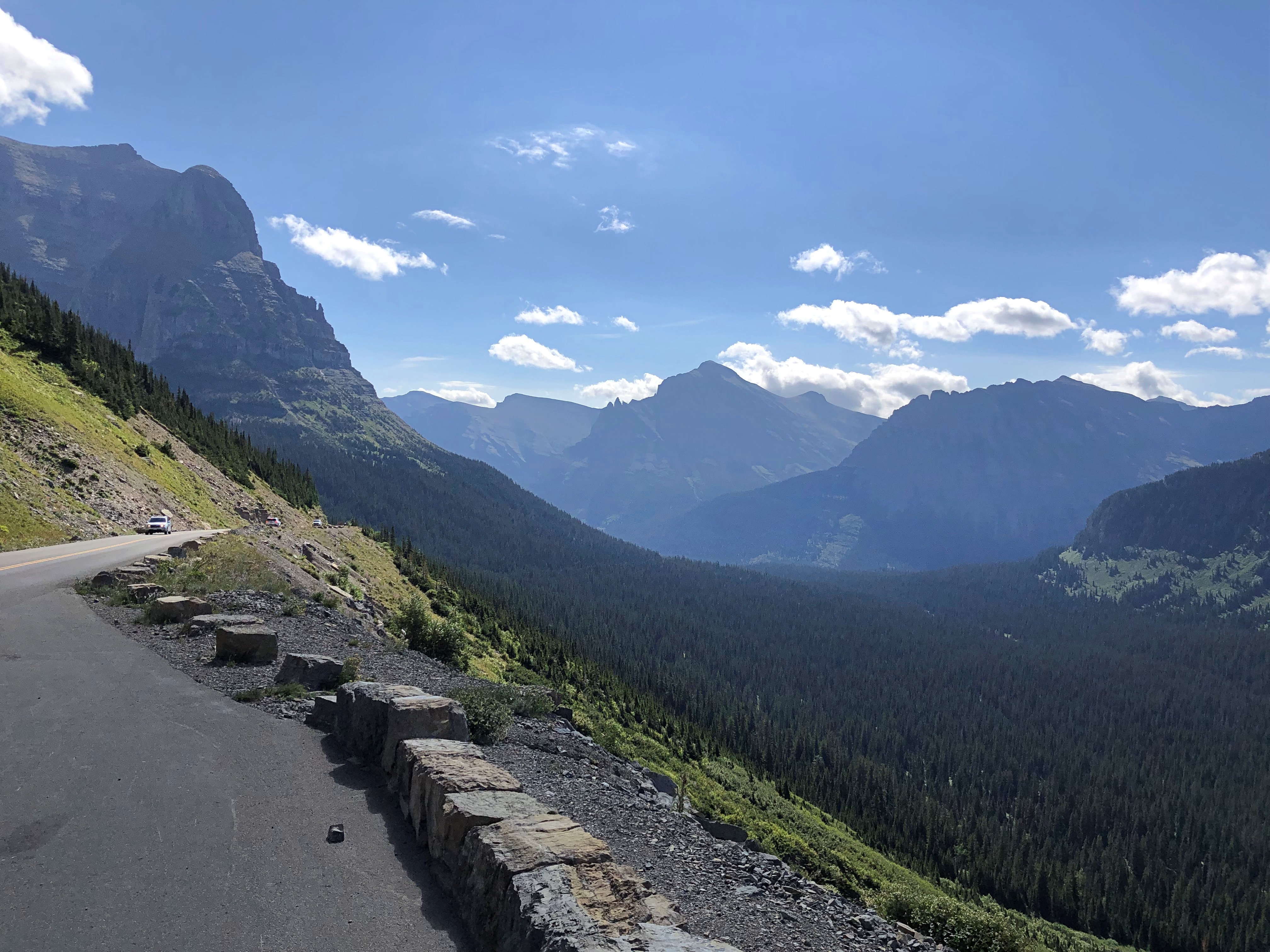
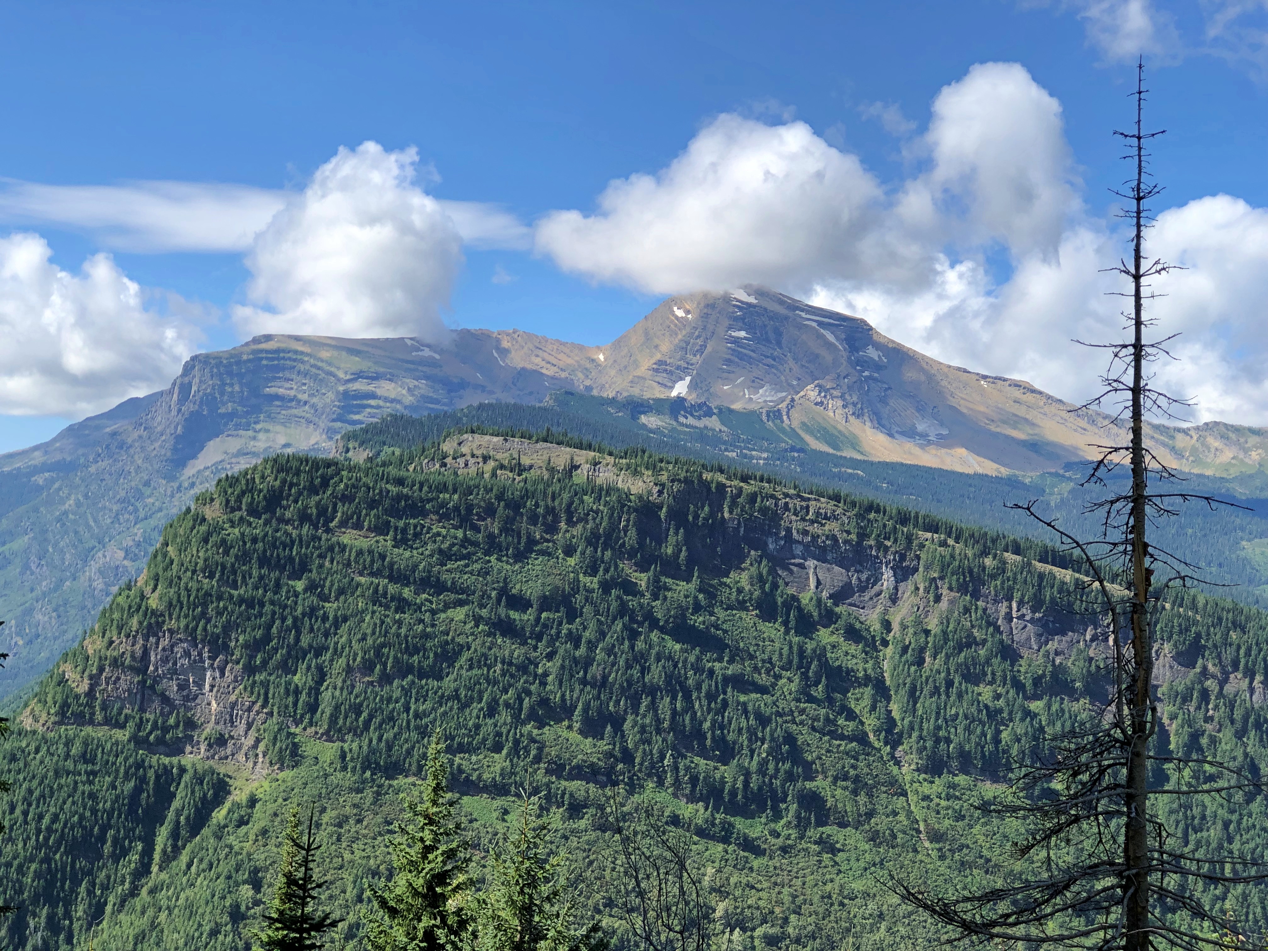
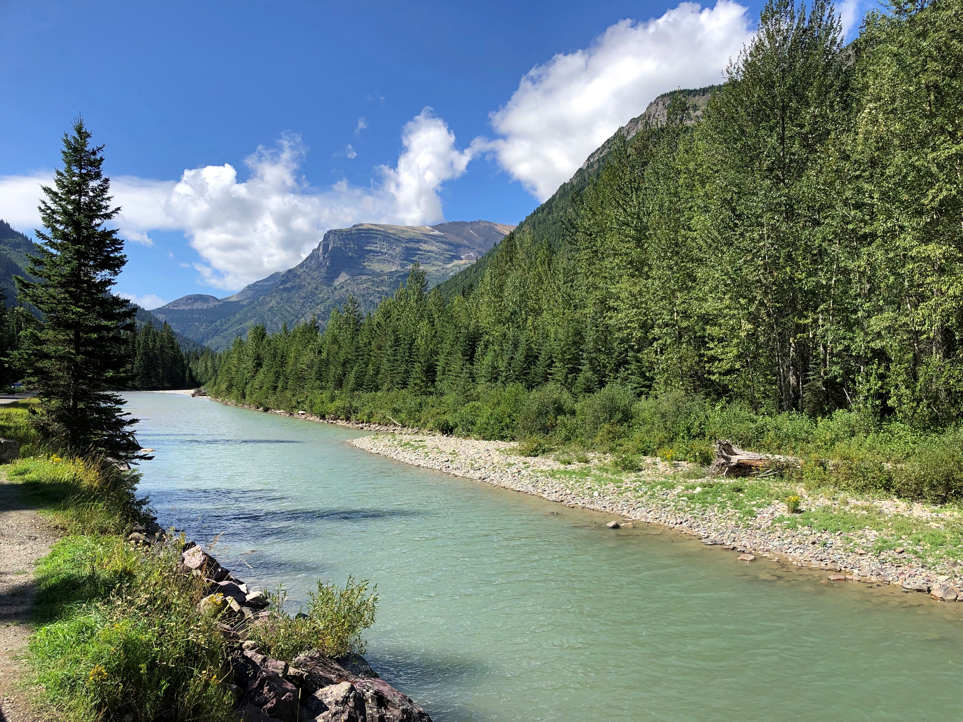
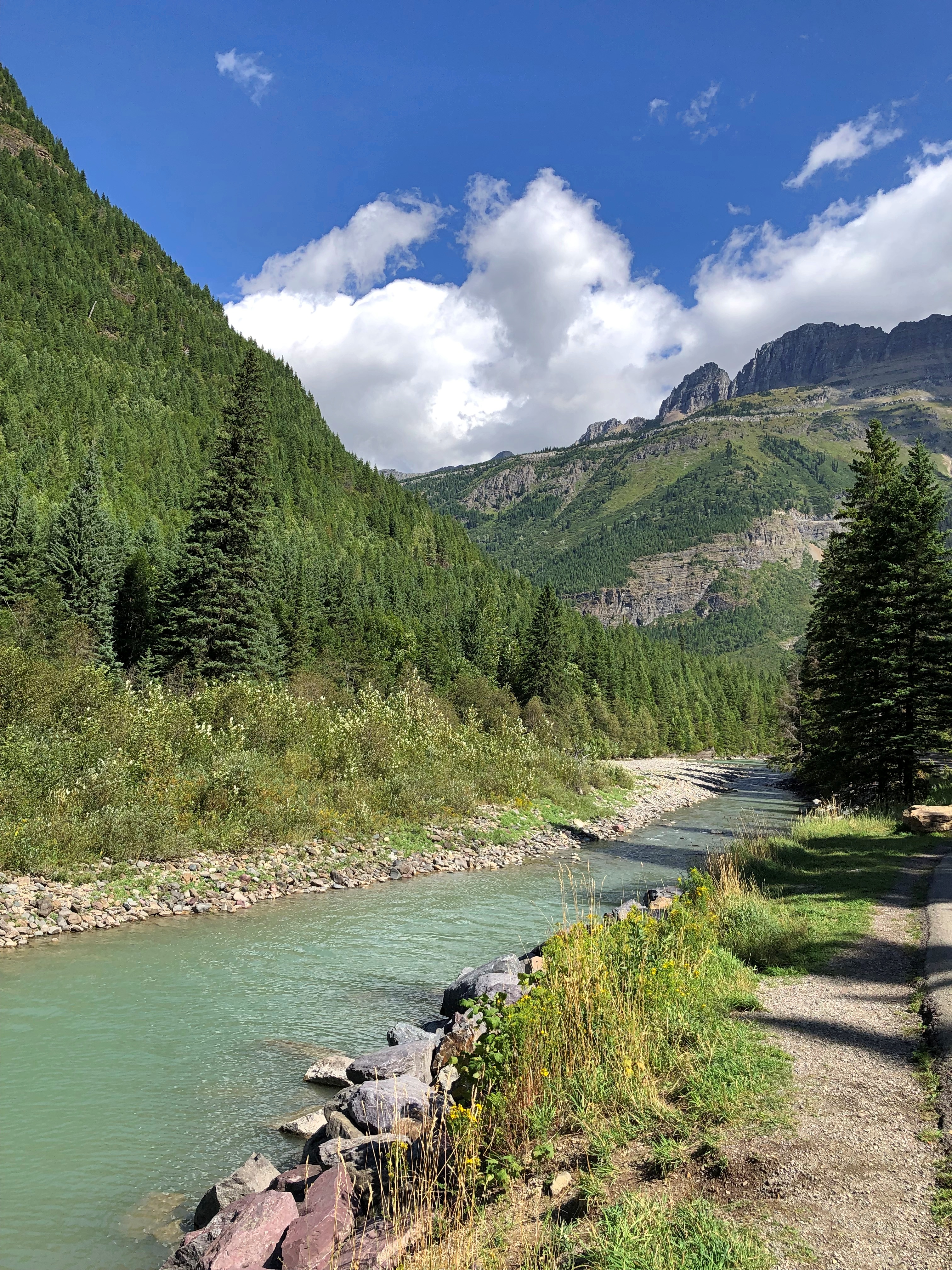
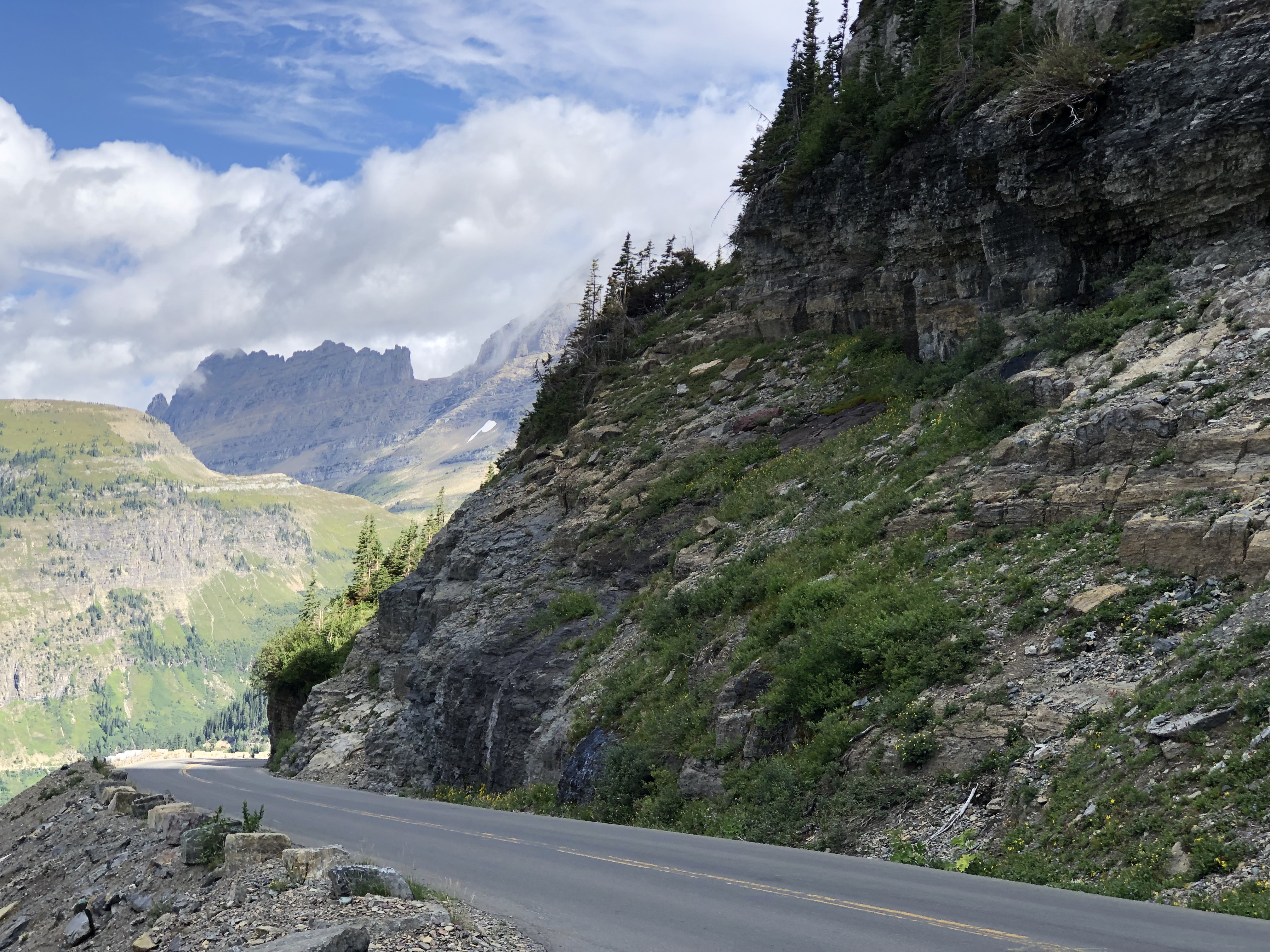
No point in burying the lead. Going-to-the-Sun Road in Glacier NP is famed for its splendid mountain scenery, and for good reason.  Going to the Sun Road Going to the Sun Road Going to the Sun Road Going to the Sun Road

The road is also an epic feat of civil engineering. With its large pullouts for auto tourism, it dates from what you might call the golden age of road building in national parks, which was spurred by the prospect of auto tourism. Beginning about 100 years ago, that is, and a key factor in making Glacier a tourist magnet over the years.

Nearly or over 3 million visitors have visited each year since 2016, except for 2020. In 2022, Glacier was tenth-most visited of the 63 national parks.

On August 24, we drove westward on the two-lane Going-to-the-Sun Road, which winds across Glacier for 50 miles or so. Hard to believe that such a poetic name is government sanctioned, but so it is, named for the nearby Going-to-the-Sun Mountain, which in turn had been named that by the remarkable, and mostly forgotten, James Willard Schultz. Apparently he took it upon himself to name features in the future Glacier National Park long before it was a park, which it became in 1910, with President Taft’s signature on the bill.

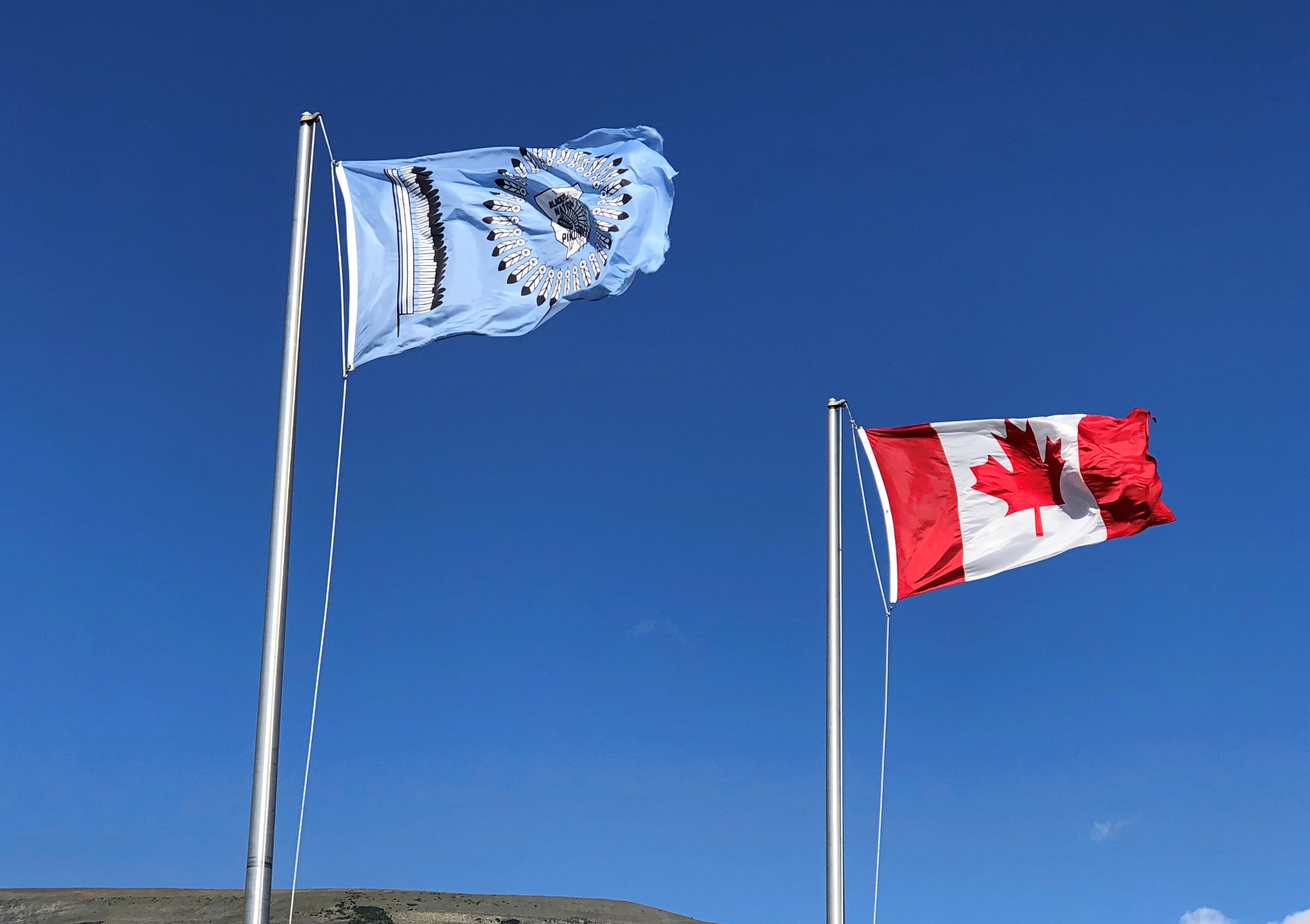
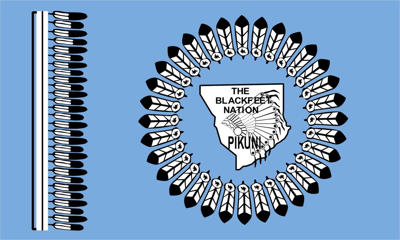
The eastern entrance to the road has a visitor center, which flies two flags of nearby nations, along with the Stars and Stripes.

The less familiar one is the Blackfeet Nation.

The Blackfeet Reservation, at 1.5 million acres, is half again as large as Glacier NP, which comes in at about a million acres. The reservation is due east of the park, and in fact they share a border on the eastern side of the park. Indeed, much of the park was part of the reservation until the tribe was obliged to cede the land in the 1890s.

Another digression: “The Chief Mountain Hotshots are a Native American elite firefighting crew based out of the Blackfeet Indian Reservation located at Browning, MT with Glacier National Park as their backyard,” the Bureau of Indian Affairs says.

“The Chief Mountain Hotshots are a highly trained self-sufficient hotshot crew working in wildland firefighting. On average, the Crew works 15-20 large fire incidents and travels 10,000-20,000 miles a year.” More about the hotshots is here.

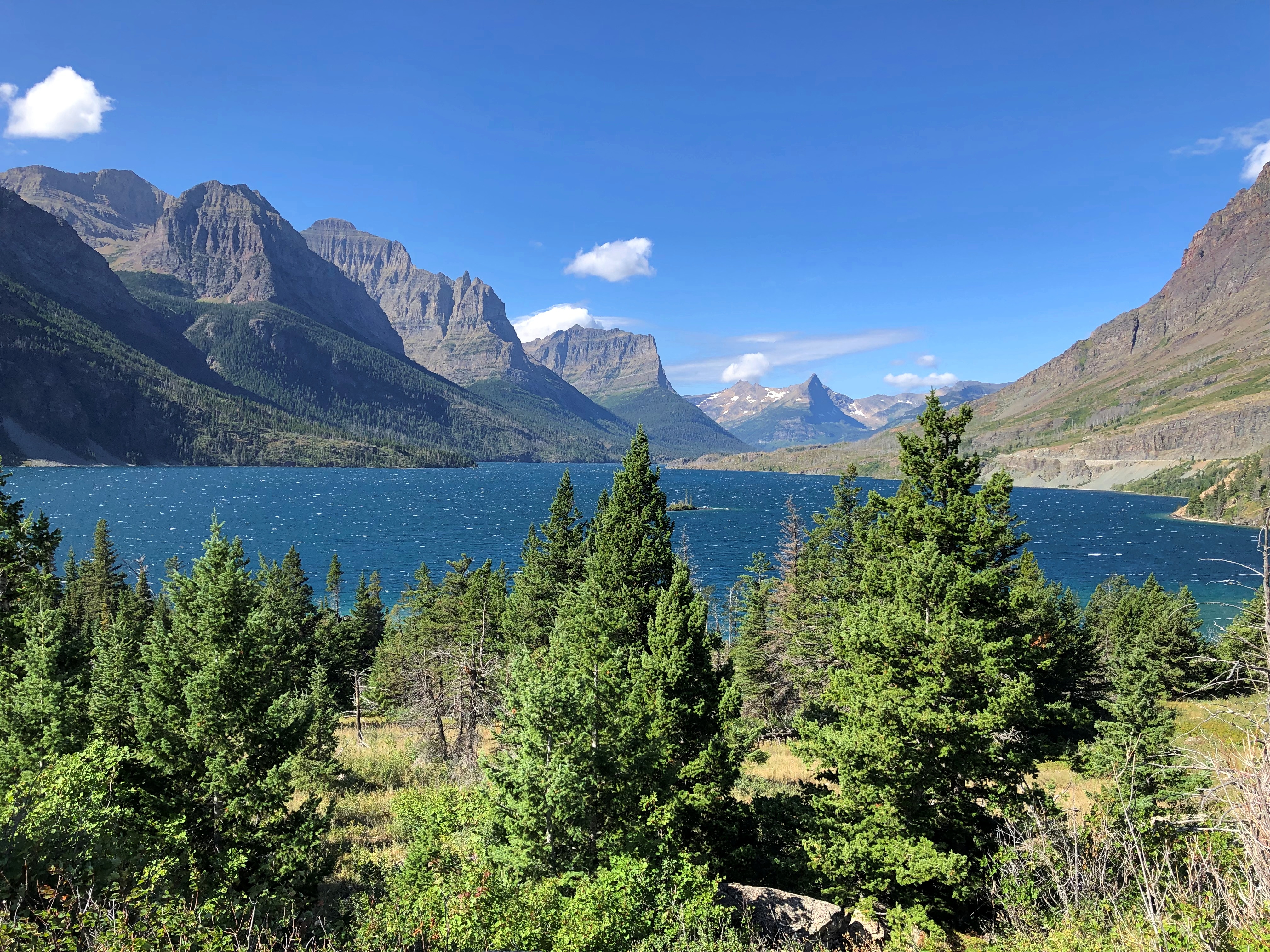
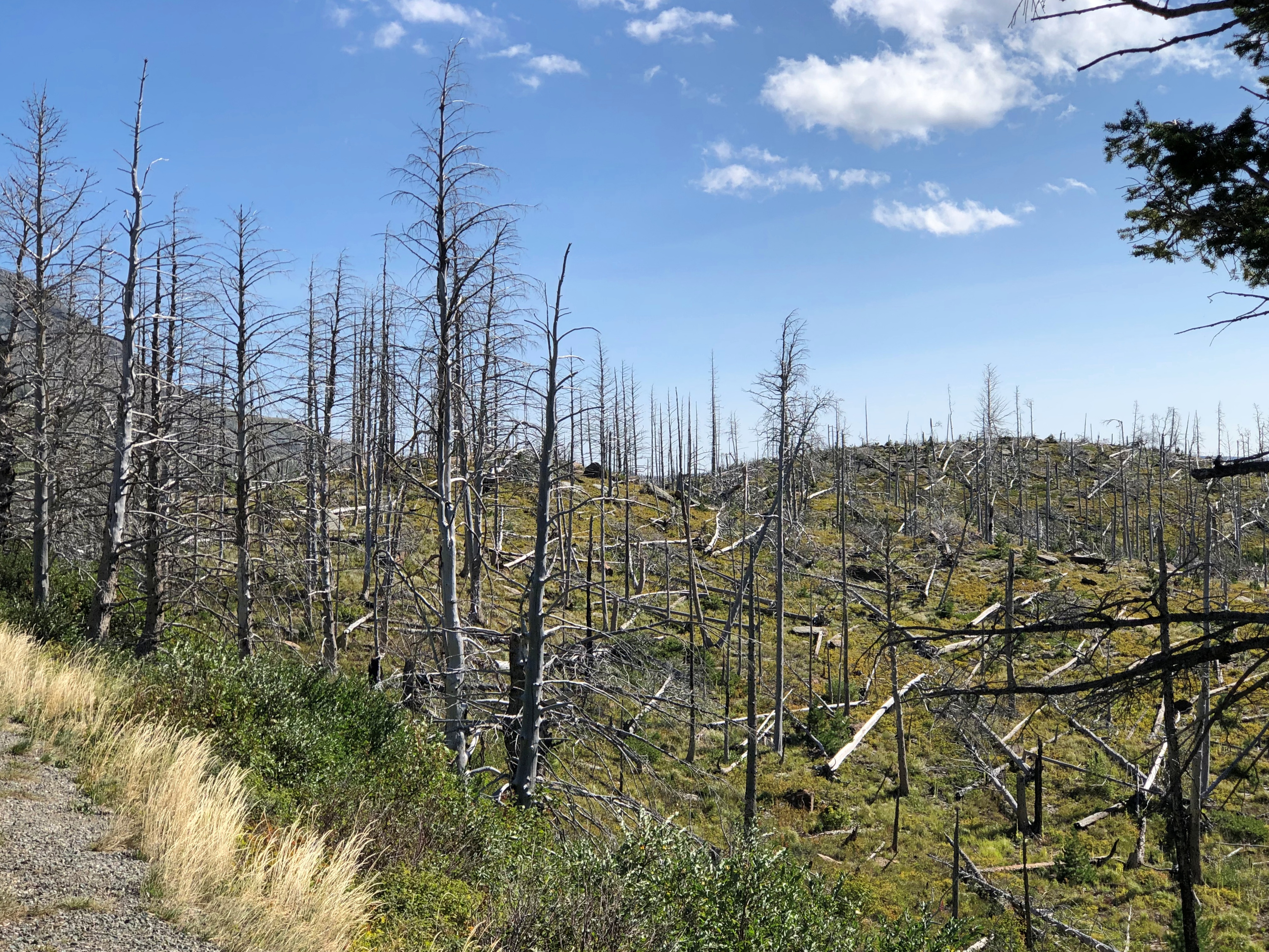
All good to know, but I’m glad there were no wildfires in the vicinity for them to fight. As the road passes along the north shore of cold-water Saint Mary Lake — Going to the Sun Road

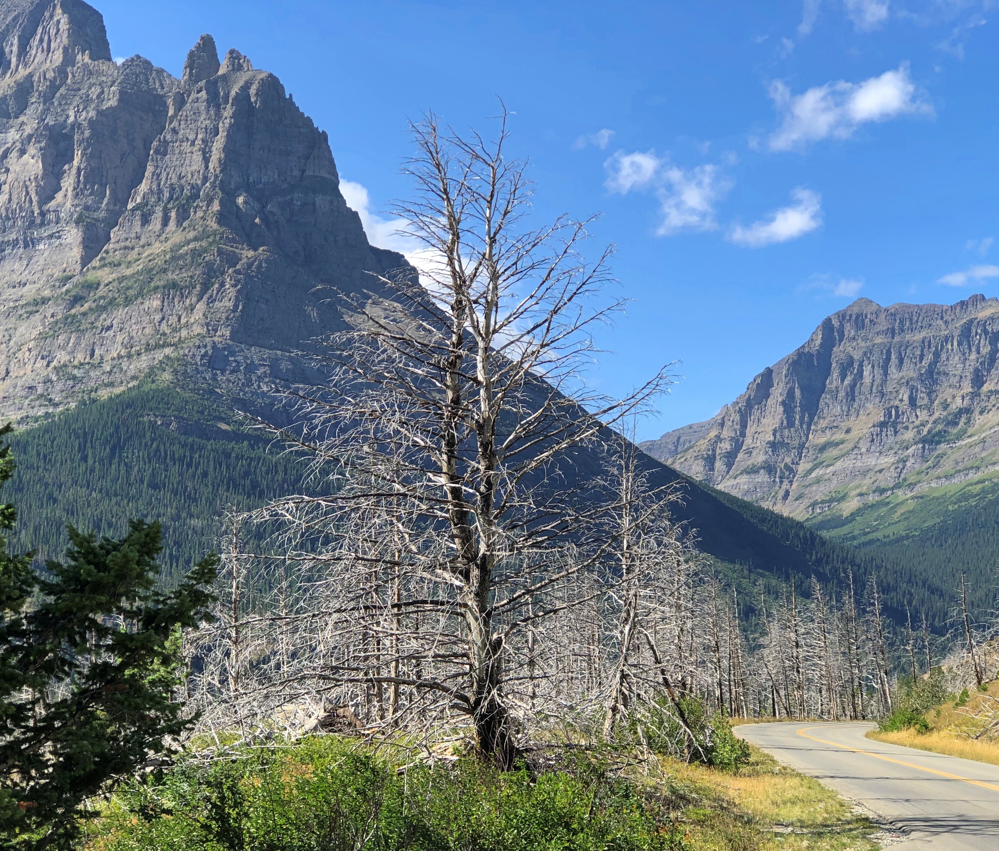
— clearly there has been some wildfire.

The road rises from the lake, elevation 4,484 feet, toward the Continental Divide at Logan Pass, elevation 6,646 feet.Going to the Sun Road Going to the Sun Road Going to the Sun RoadGoing to the Sun Road

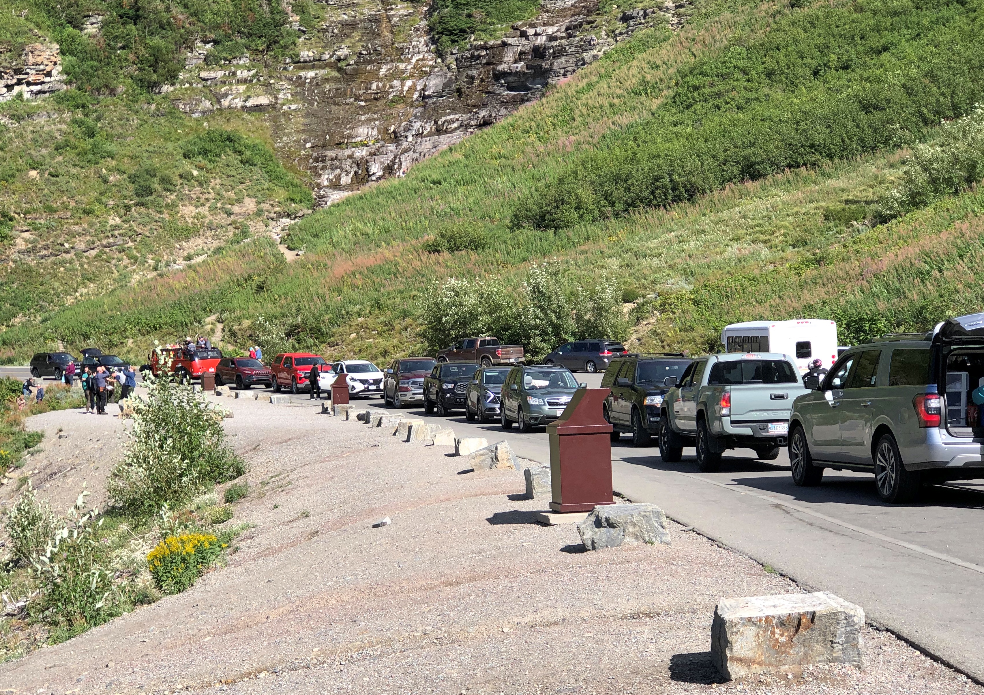
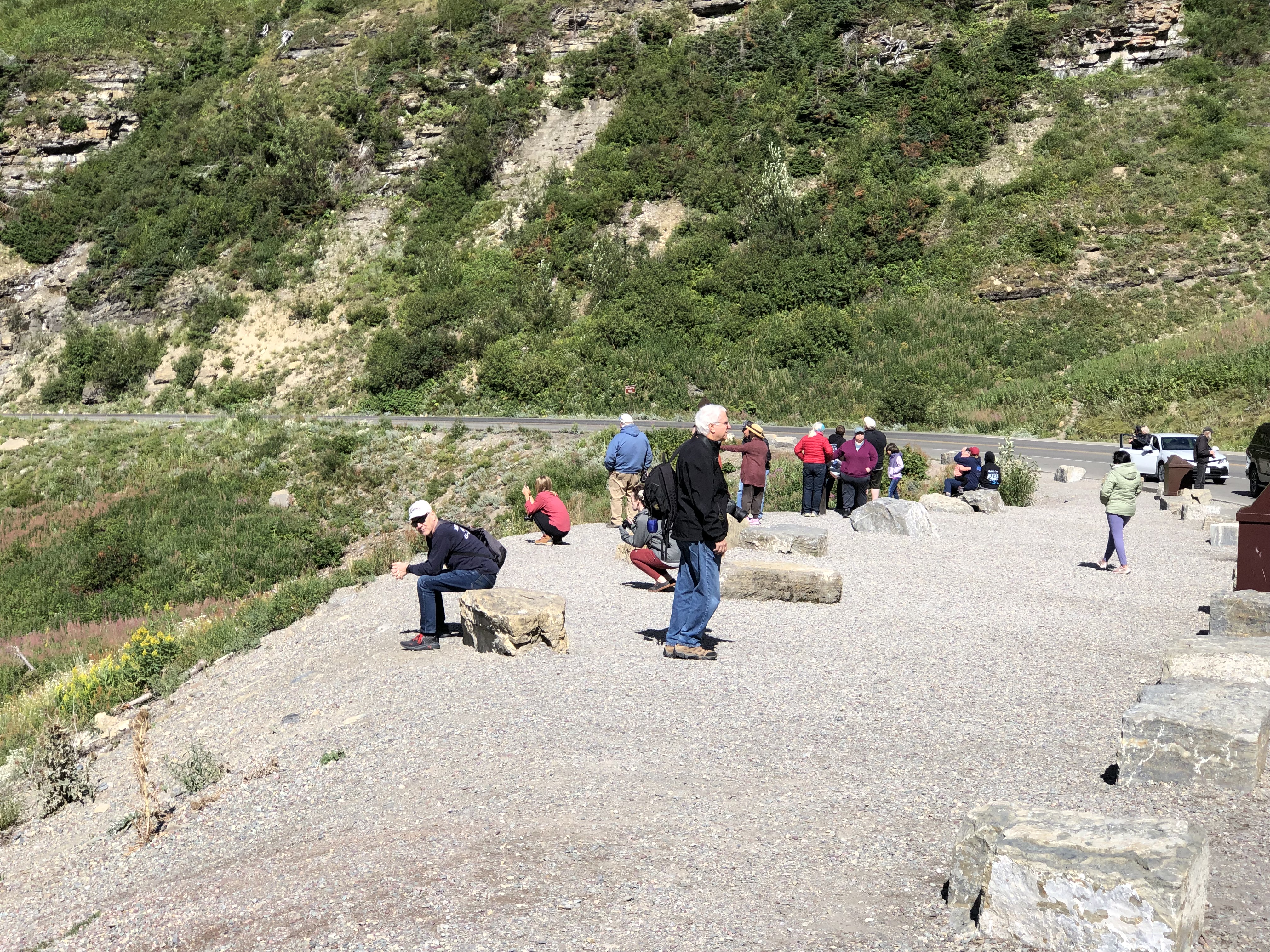
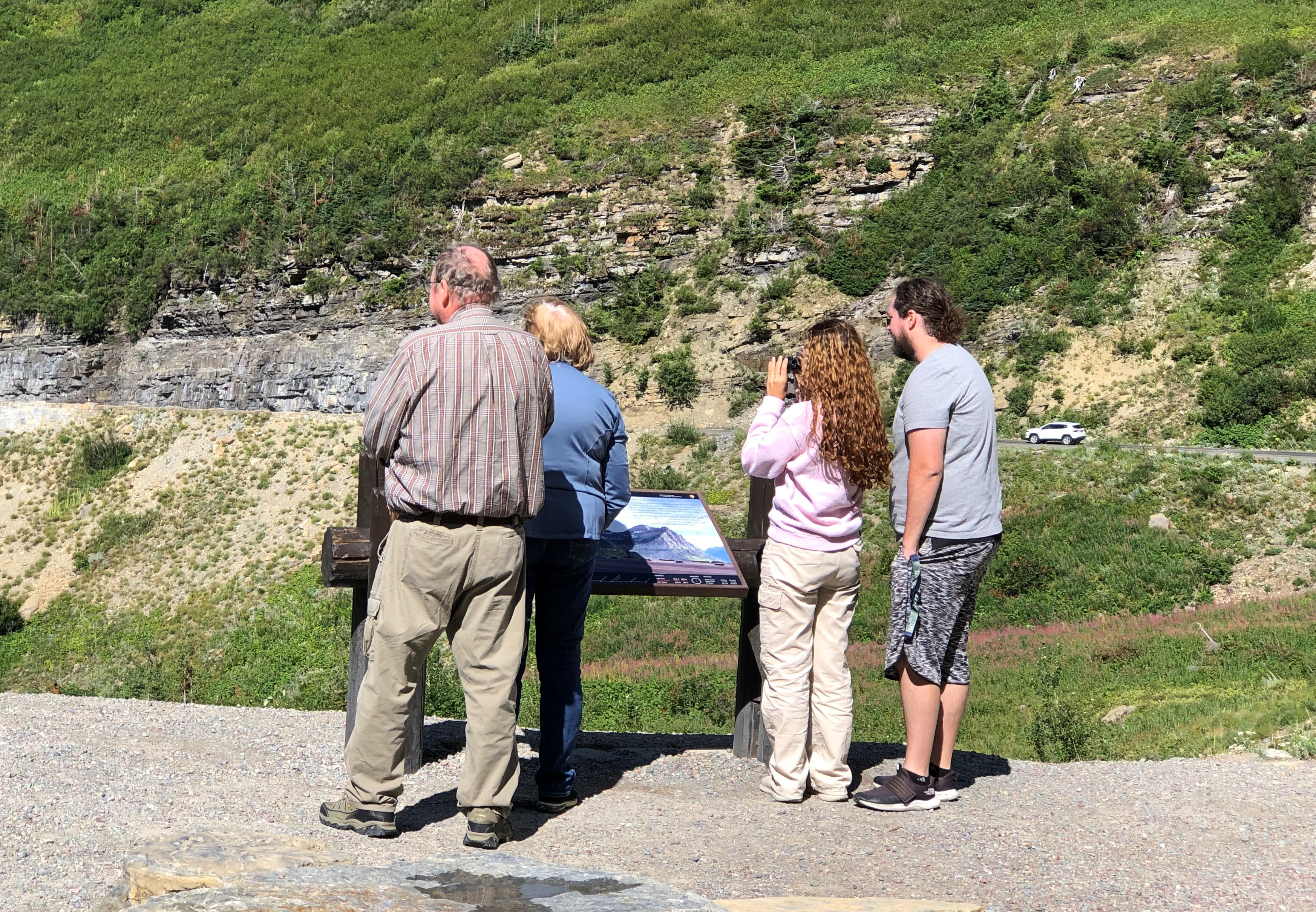
Logan Pass is the kind of place we would stop, but there was no available parking. This pic was taken by a photographer named Ken Thomas, who thoughtfully put it in the public domain.

No trucks or RVs allowed on the road, since they wouldn’t fit in some (many) places. That doesn’t keep drivers off the road, however. During the warm months when it’s open, Going-to-the-Sun is a busy place.

Even so, much of it still has that classic mountain appeal of low traffic.Going to the Sun Road

Except when there are knots of traffic. Just a few.Going to the Sun Road

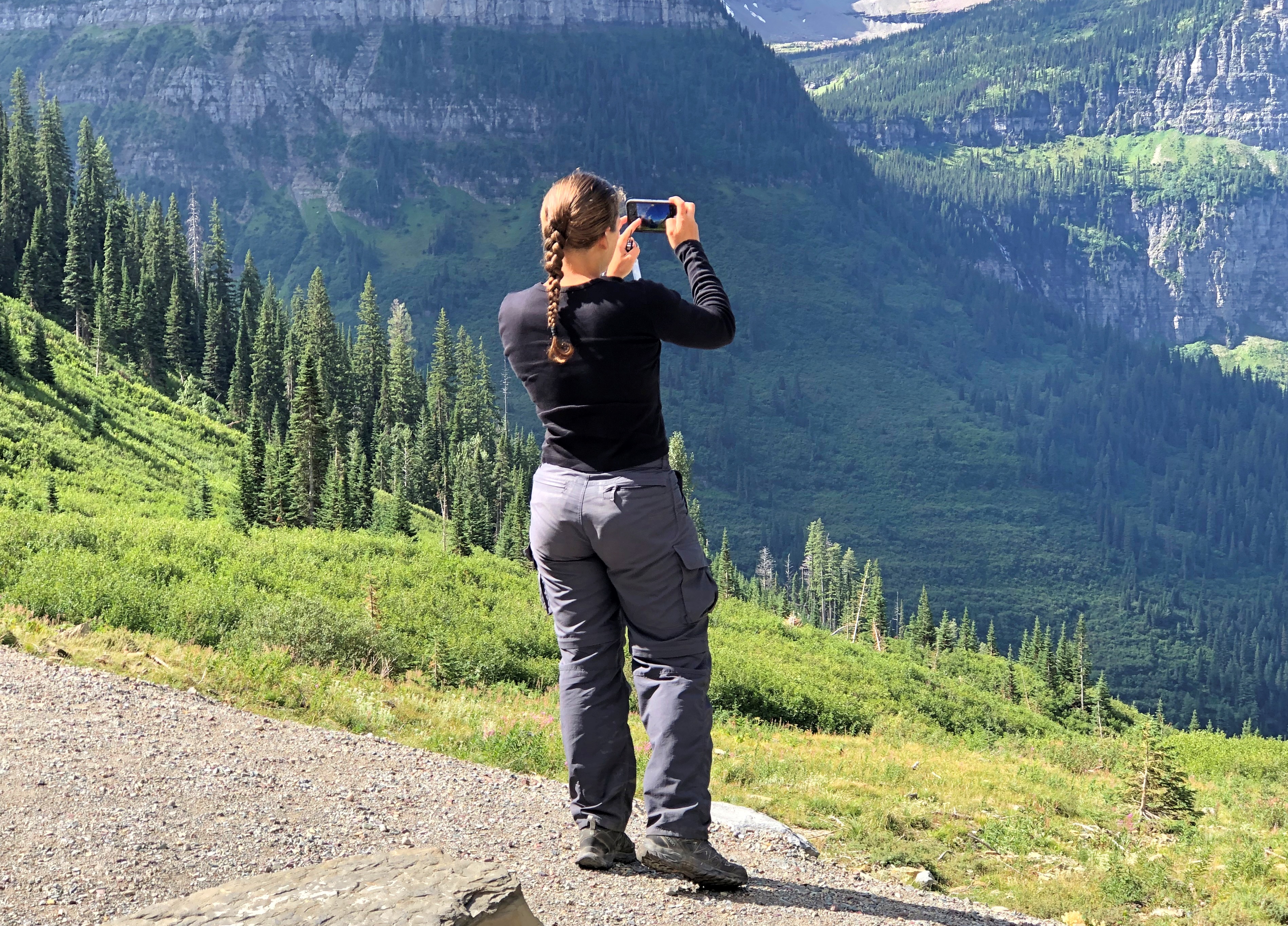
Mountain scenery has a broad appeal.Going to the Sun Road Going to the Sun Road Going to the Sun Road

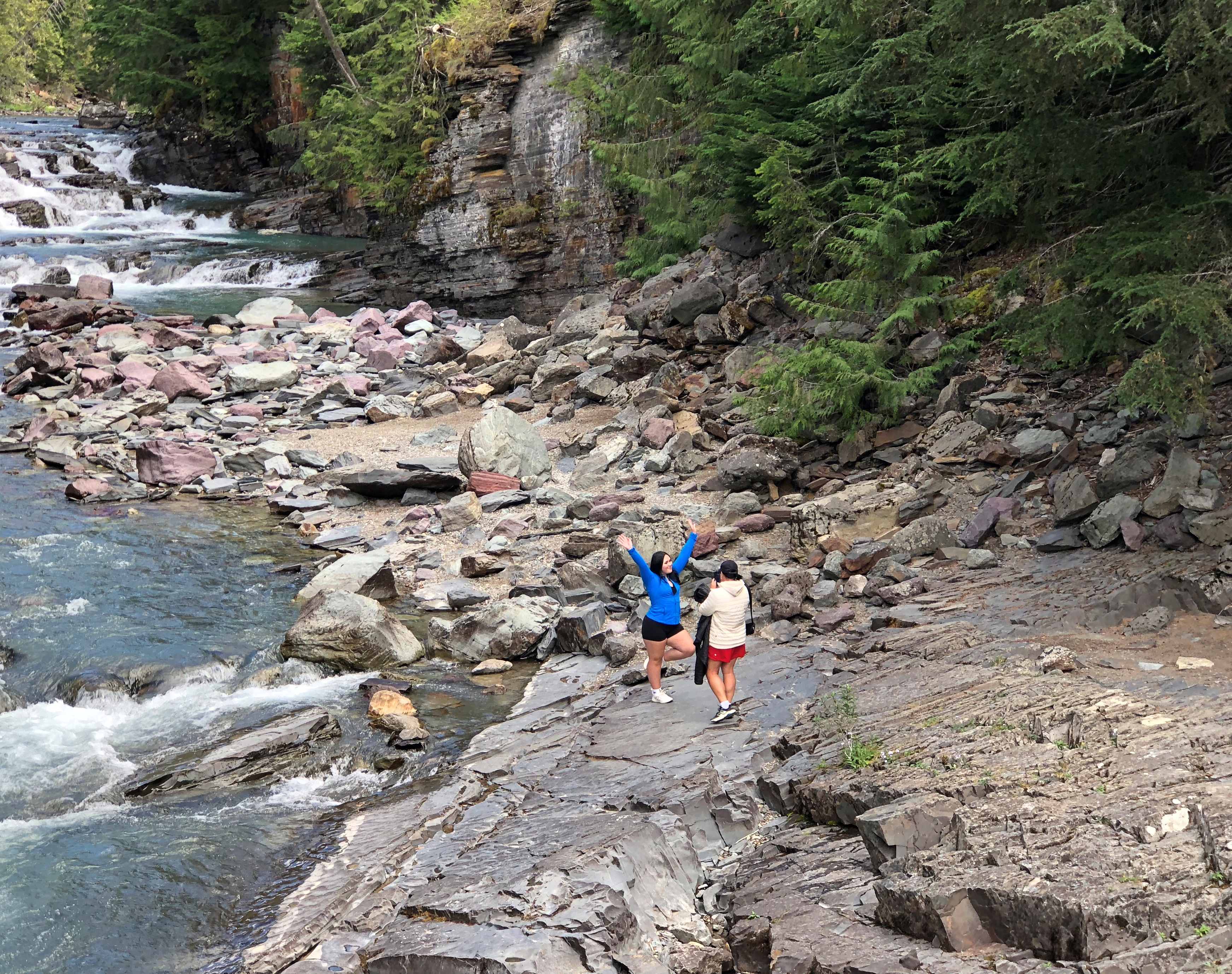
Toward the east end of the park, the road parallels McDonald Creek for a number of miles before it connects with Lake McDonald, the larger of the park’s two major lakes, and the lower, at 3,153 feet elevation. Some of the creek has more of a river look.Going to the Sun Road

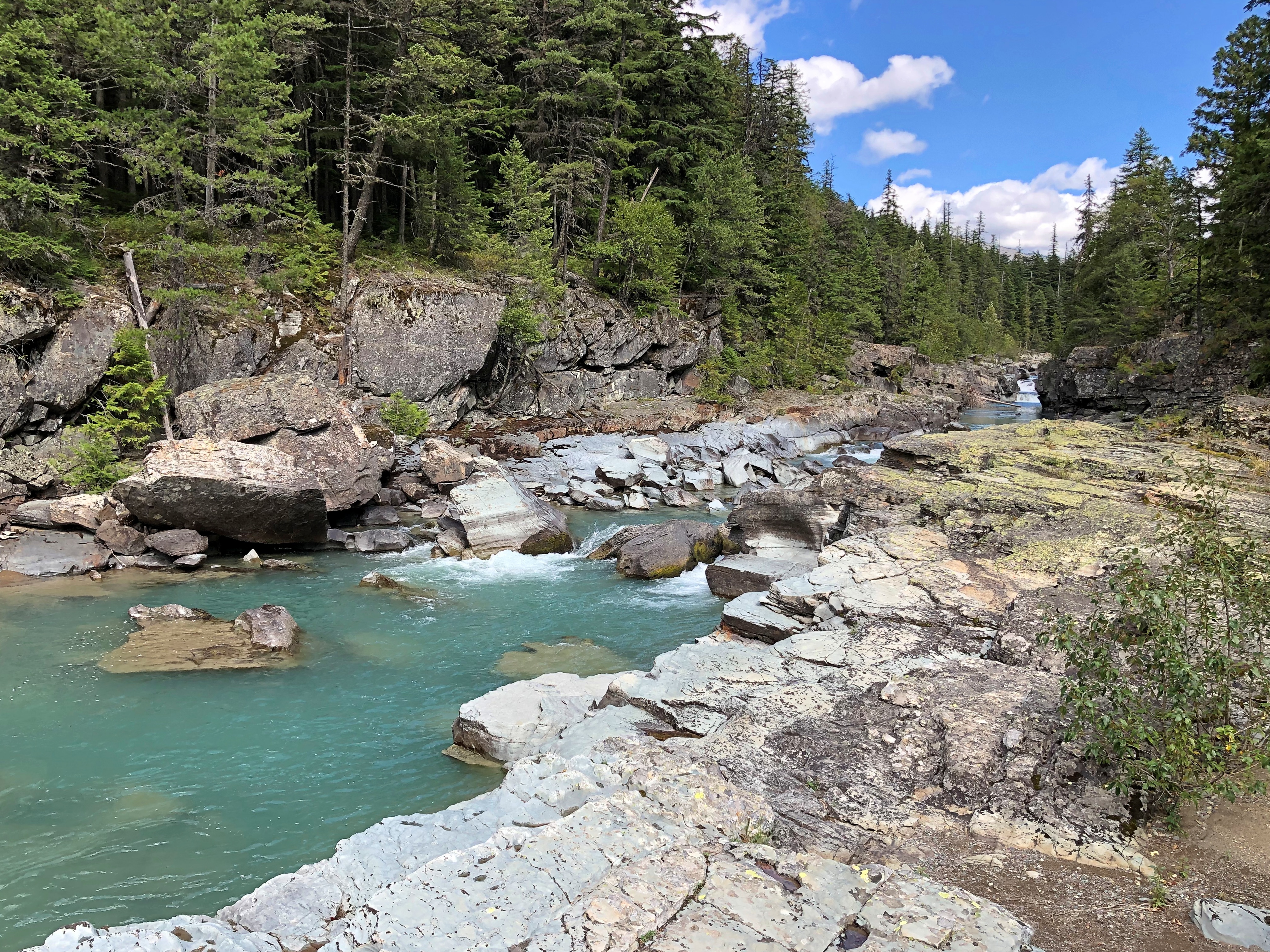
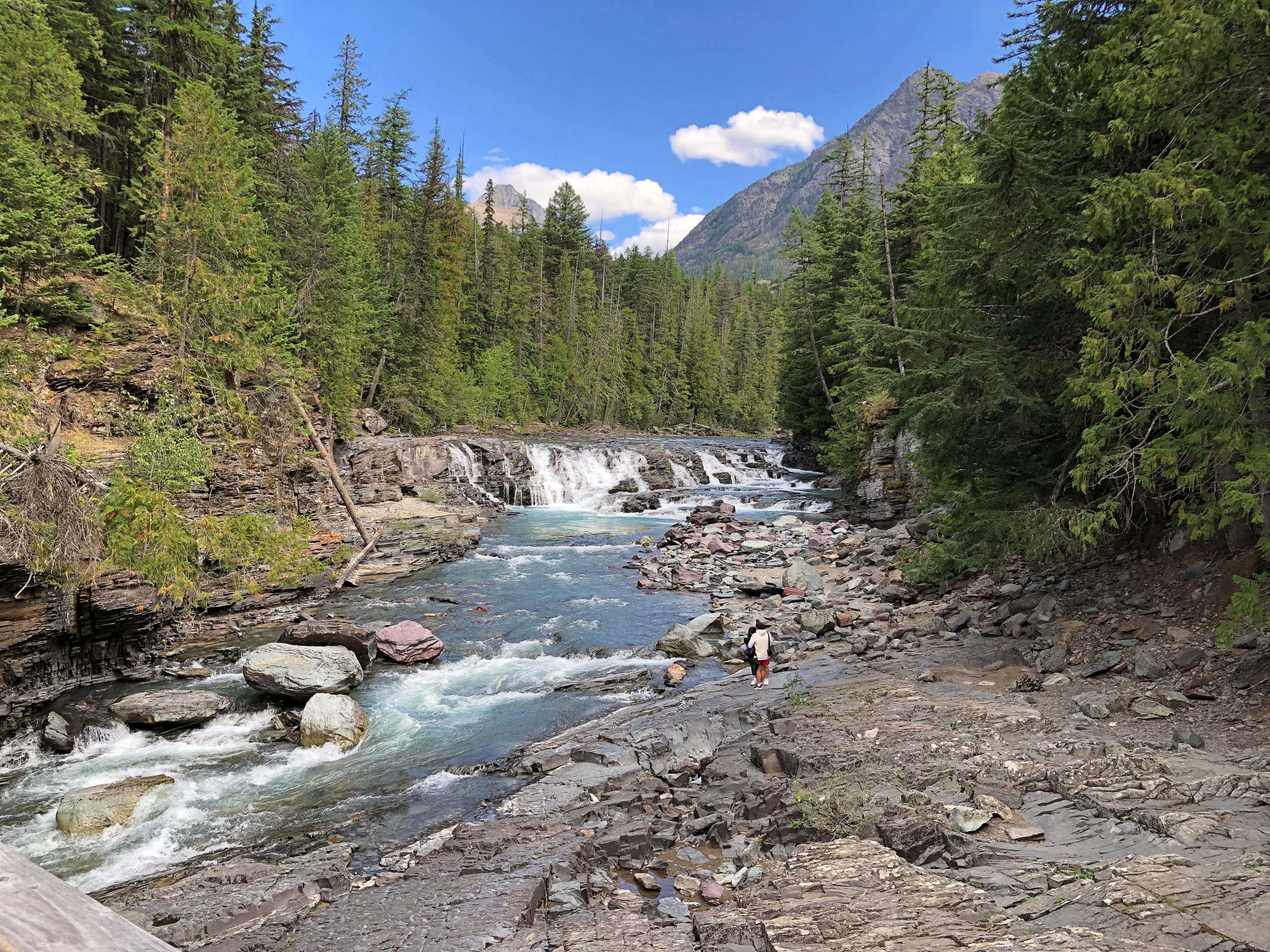
Closer to the lake, the creek is rocky.Going to the Sun Road Going to the Sun Road Going to the Sun Road

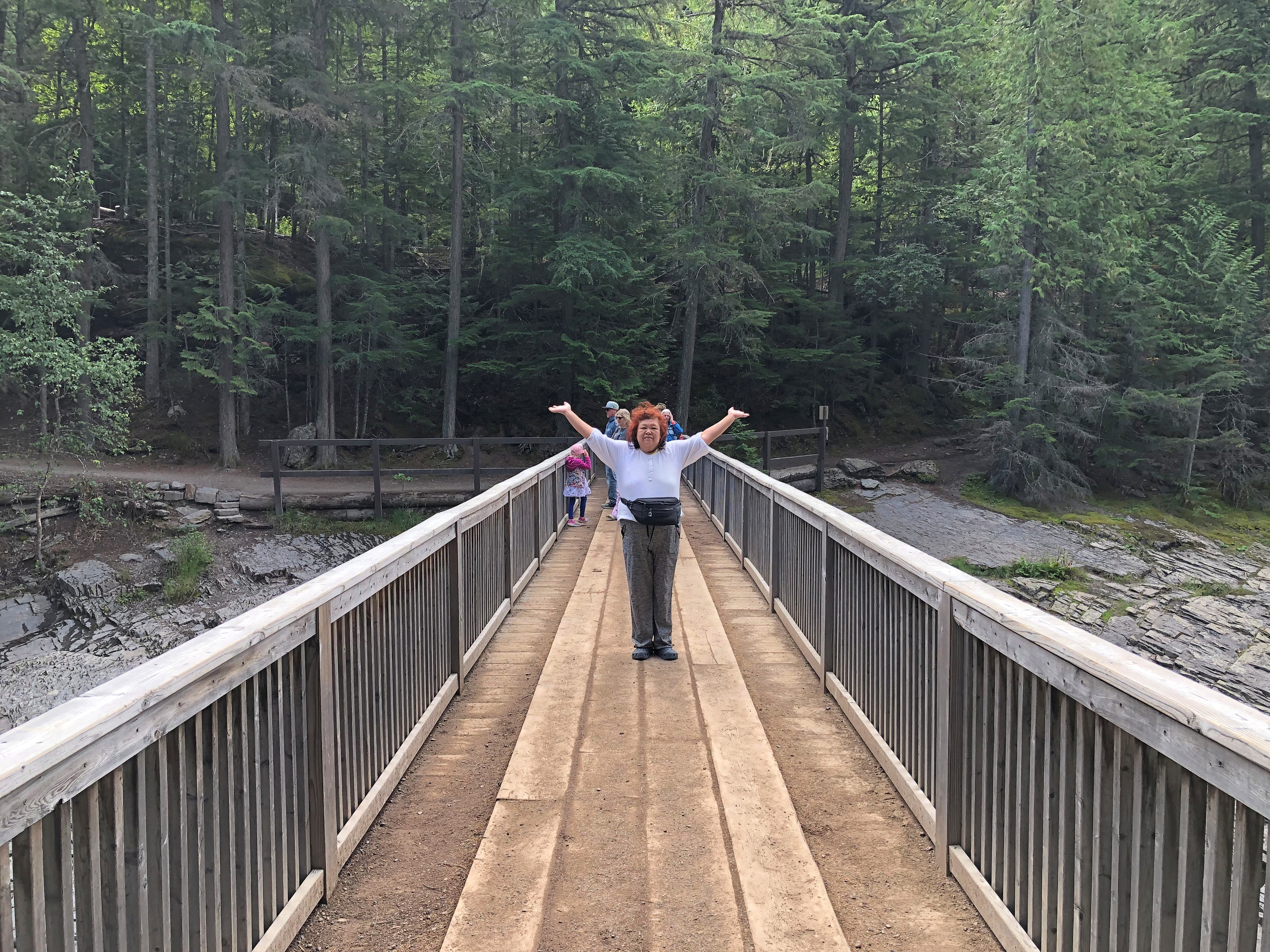
The water is bound for the Flathead River, a tributary of the mighty Columbia. We stopped at a wooden bridge across the creek.Going to the Sun Road

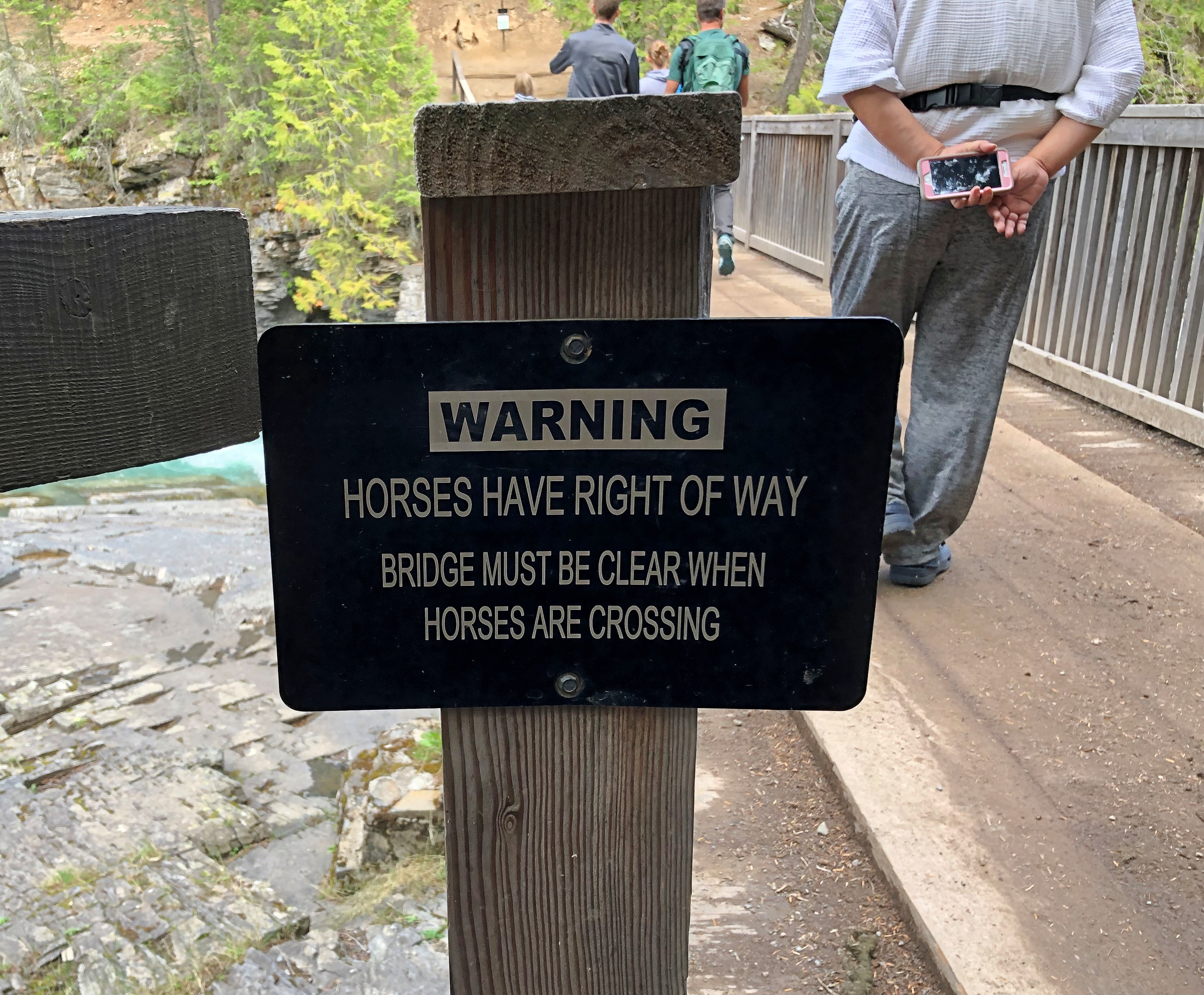
Pedestrians can cross, but a sign warns that horse traffic has the right of way.Going to the Sun Road

Not something you see too often. I assume that’s horses with riders, as part of a horse-riding trail, though maybe wild horses might have the right of way too. Like bears or moose, they’re large and might insist.

Bears!

Nosing around the other day, I was a little surprised to find a National Park Service web page called “Deaths in National Parks,” which details mortality in the wider universe of NPS properties, which is about 430 locations, not just the 63 formal national parks. For a six-year period including calendar years 2014 to 2019.

Among other factoids, taken verbatim: motor vehicle crashes, drownings, and falls are the top three leading causes of unintentional deaths in parks, in that order; half of medical deaths (50%) occurred while the individual was engaged in a physical activity (e.g., hiking, biking, swimming); suicides account for 93% of all reported intentional deaths.

People die while hiking and walking, and swimming and boating, in other words, but the number-one risk is driving. The graph for Unintentional Deaths by Cause affirms that auto accidents are indeed number one, but drowning and falls are popular ways to die, too. A very rare way to die, on the other hand – only three times in six years – is “wildlife.” Which could involve an angry bear, but maybe not. Could be a mountain lion or even be a poisonous snake.

Even so, we boldly took our hikes out West, at Glacier NP and later Grand Teton NP, armed with bear spray. So did a lot of other people. The distinctive shape of the can, with the spray nozzle up top, was attached to a lot of people’s belts or, as we did, in an exterior pocket of a backpack. Though attacks are very rare, better to have one, I figured. I don’t want my last thought to be about how statistically unlikely my death is. Bears aren’t known to care about statistics. Rather, I want my last thought to be, There, I just sprayed the bear! Doesn’t seem to be working…

This is quite the rabbit hole. (Bear cave?) Bear encounters used to be a worse problem, at least in Yellowstone NP. The site Bear Aware has an article called “History of Bear Feeding in Yellowstone National Park,” which includes some astonishing information.

“In the 1920s, the National Park Service began actively encouraging bear feeding as a way to attract visitors and generate revenue for the park,” the article explains. “Feeding stations were set up throughout the park, and rangers would even bring food to bears in order to ensure their presence in certain areas.

“As the popularity of bear feeding grew, so did concerns about the impact on the bears and their natural behavior. Bears became increasingly habituated to humans and dependent on handouts, leading to a rise in aggressive behavior and dangerous interactions with park visitors.”

By 1970, the NPS had figured out that decades of feeding bears was a bad idea, and ended the practice.

“Since the 1960s, the recorded number of negative encounters between humans and bears has dropped from 48 to 1 annually,” the article notes. I like that term, “negative encounters.” I suppose just seeing the bears at a distance, and safely moving away, as we did at Glacier, would be a “positive encounter,” or maybe neutral.

But do Yellowstone bears, in as much as they remember their history — maybe more that we realize — recall the days of ranger-sanctioned feeding with warm nostalgia? Stealing picnic baskets was no big deal, the older bears tell the younger ones. Yogi was a role model.