Other Sweet Drives, Part 2

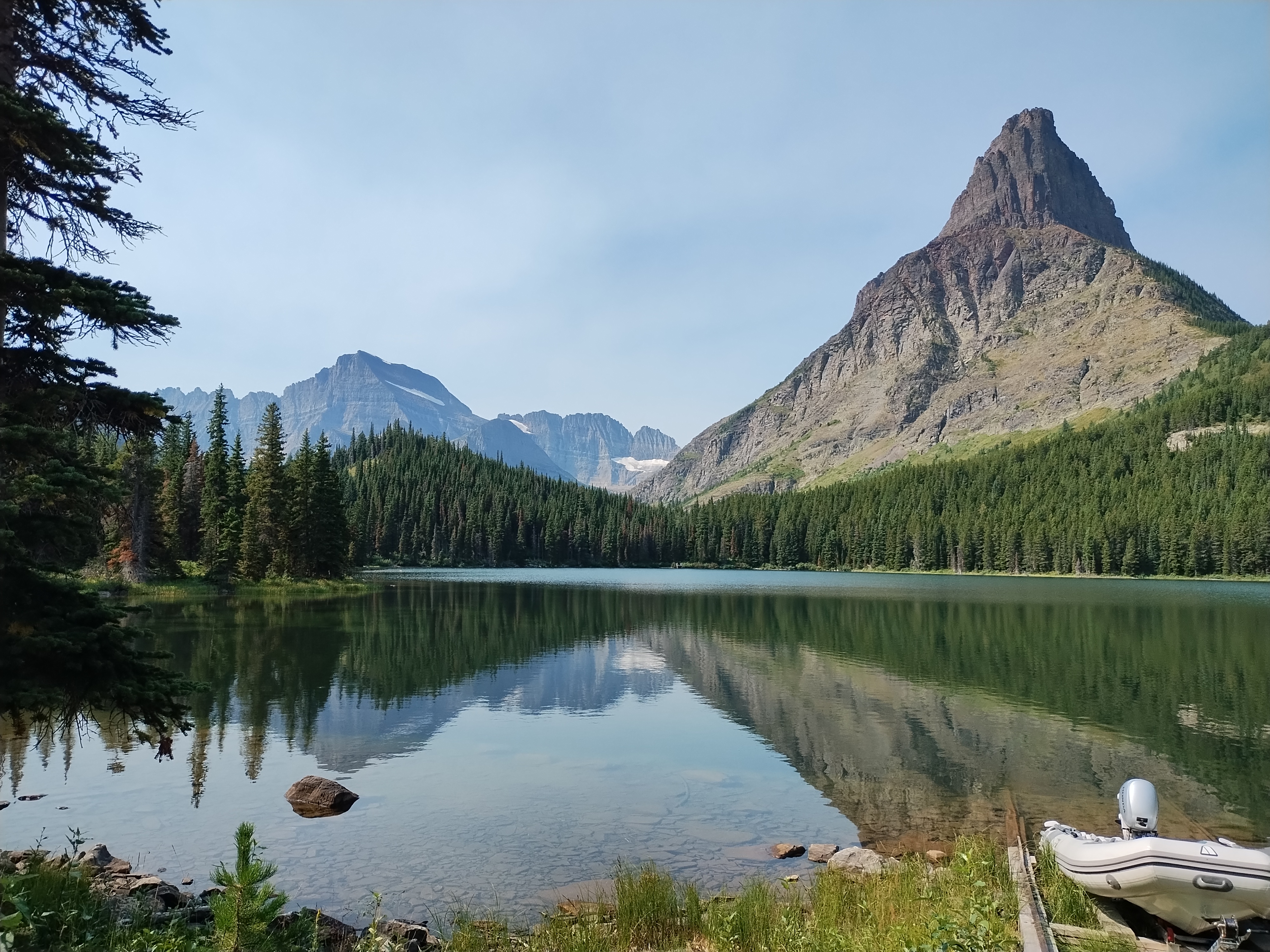
It’s one thing to expect a scenic drive experience and then experience it. That can be outstanding, such as driving on the Going-to-the-Sun Road through Glacier NP. (Which has a remarkably poetic official name for a government project.)

Then there’s the class of excellent drives you were not expecting. Such as the Moki Dugway, to cite an example from a previous trip. Or the following road.

Washington 155

From the Grand Coulee Dam and the adjacent town of Grand Coulee southwest to the town of Coulee City, which isn’t near the dam, is about 30 miles on a highway known as Washington 155. I wasn’t expecting much.

Immediately you launch into arid, rocky country, and soon high cliffs appear, facing a long lake most of the way. The road runs between the cliffs and lake. Off to the right headed in our direction is the narrow Banks Lake, part of the massive Columbia Basin Project to create power and capture water for crop irrigation. Beyond the lake were some mountains, but in the distance.

Reading about it later, I discovered that the lake, while manmade, doesn’t dam any river, much less the Columbia. The lake submerges part the formerly dry Grand Coulee with water pumped in from Roosevelt Lake, the much larger body of water formed by the Grand Coulee Dam.

All that was nice enough to look at, but nothing like the towering black cliffs to the left of the road. Walls of black stone, crumbling in many places, devoid of much vegetation, inspiring to contemplate. Closer to the town of Grand Coulee, the road briefly cuts through two rock walls, one of them part of the impressive Steamboat Rock State Park. At least I’m pretty sure that’s what the road does. It’s a little fuzzy even about a week later, but a good kind of fuzzy.

Mostly I have images of a highway in the shadow of dark cliffs, but all brightly lighted by the late summer sun, and the (apparently) moving forms of the rocks themselves. No two sections of the cliff were quite alike.

This series of images, though going the opposite direction as we did, conveys a bit of the scenery.

US 20 East of Boise

If you’re going to cross Idaho from Boise across the Snake River Plain, at least by car, you can take I-84, which generally follows the river and passes through the most populated sector of the state, with Boise, Mountain Home, Twin Falls, Pocatello, Blackfoot and Idaho Falls as beads on that particular string.

Or you can take I-84 to Mountain Home, and then head east on US 20 across to Idaho Falls. That’s what we did. Good old US 20, a road to Boston in that direction, if you want to go that far. In Idaho, it’s a road through dry, hilly, sparsely populated territory.

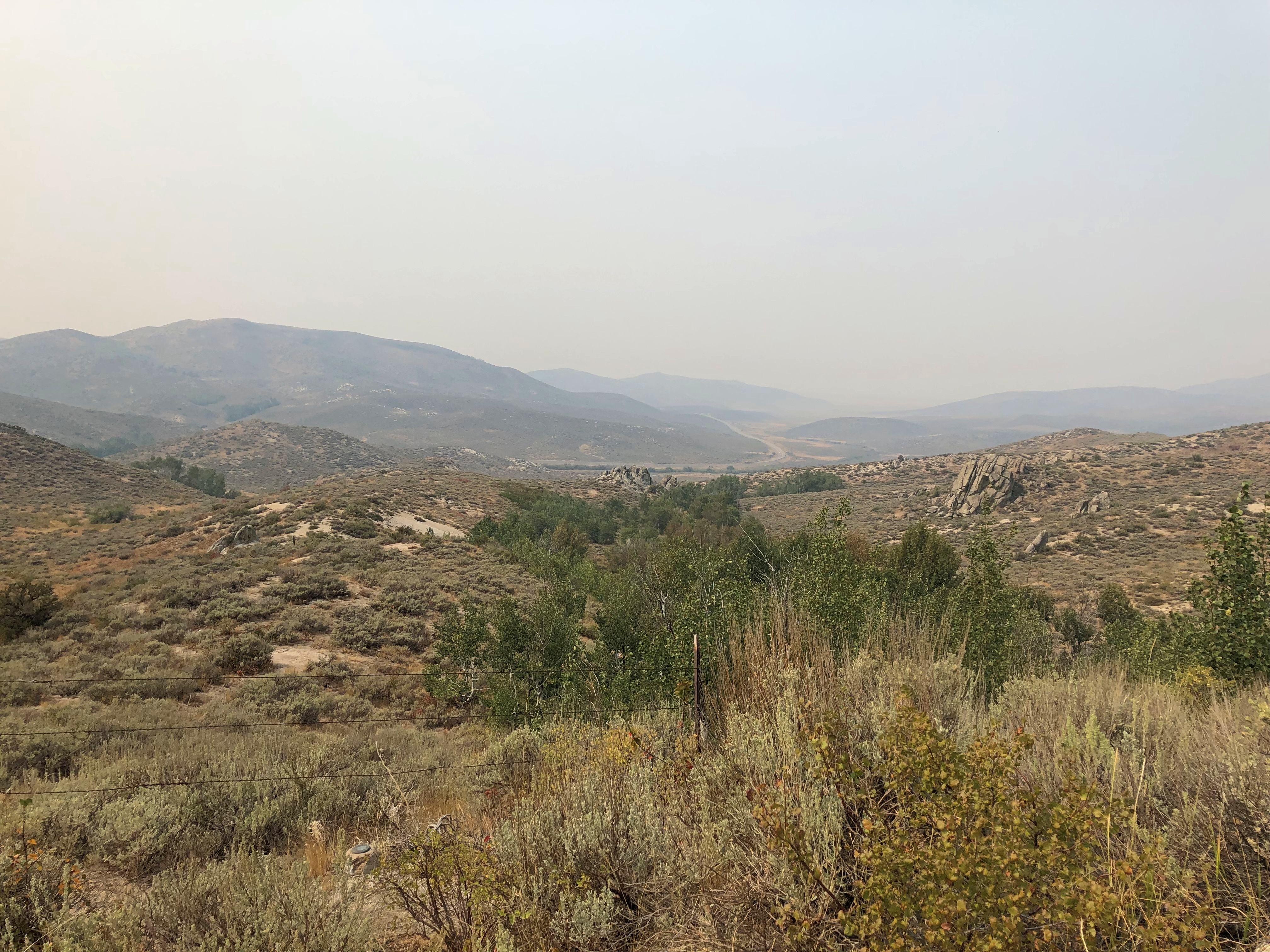
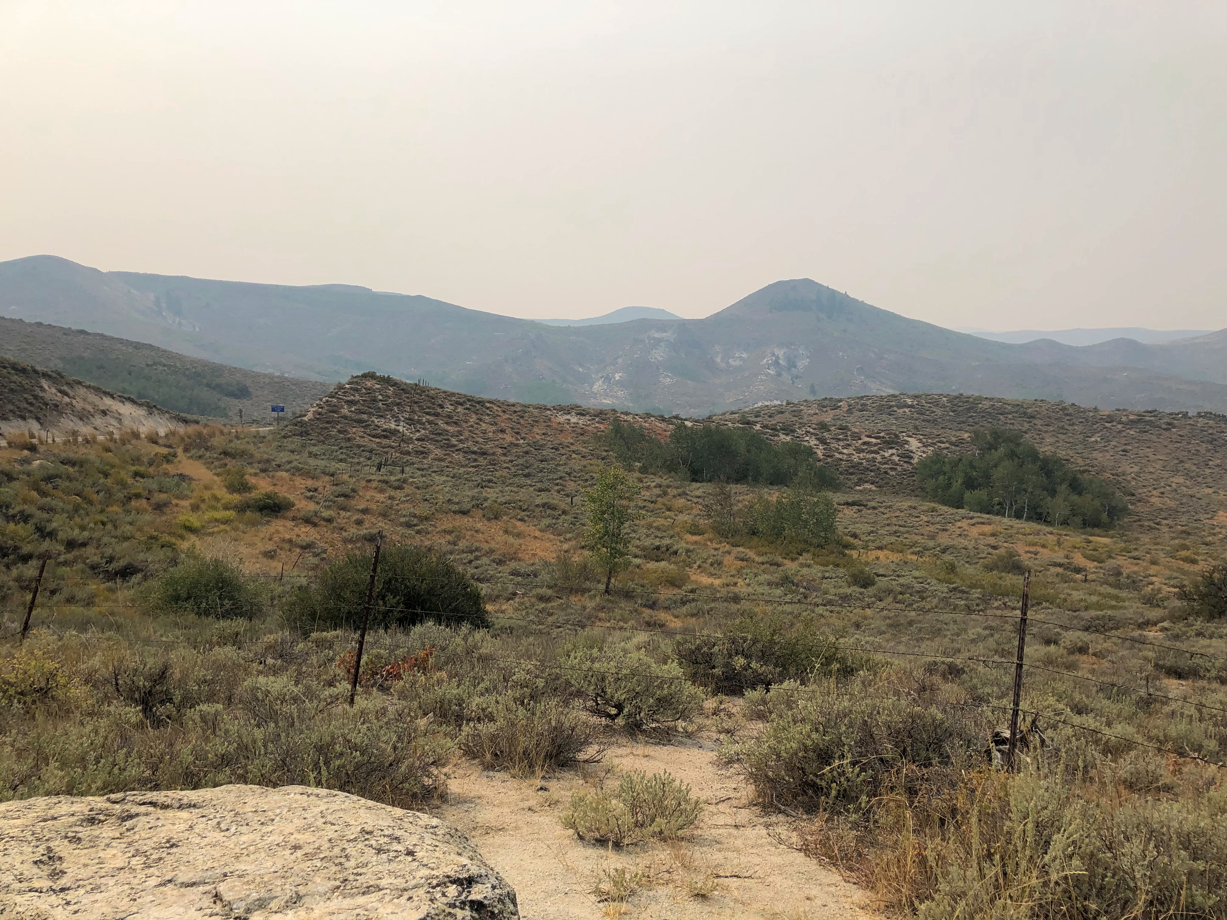
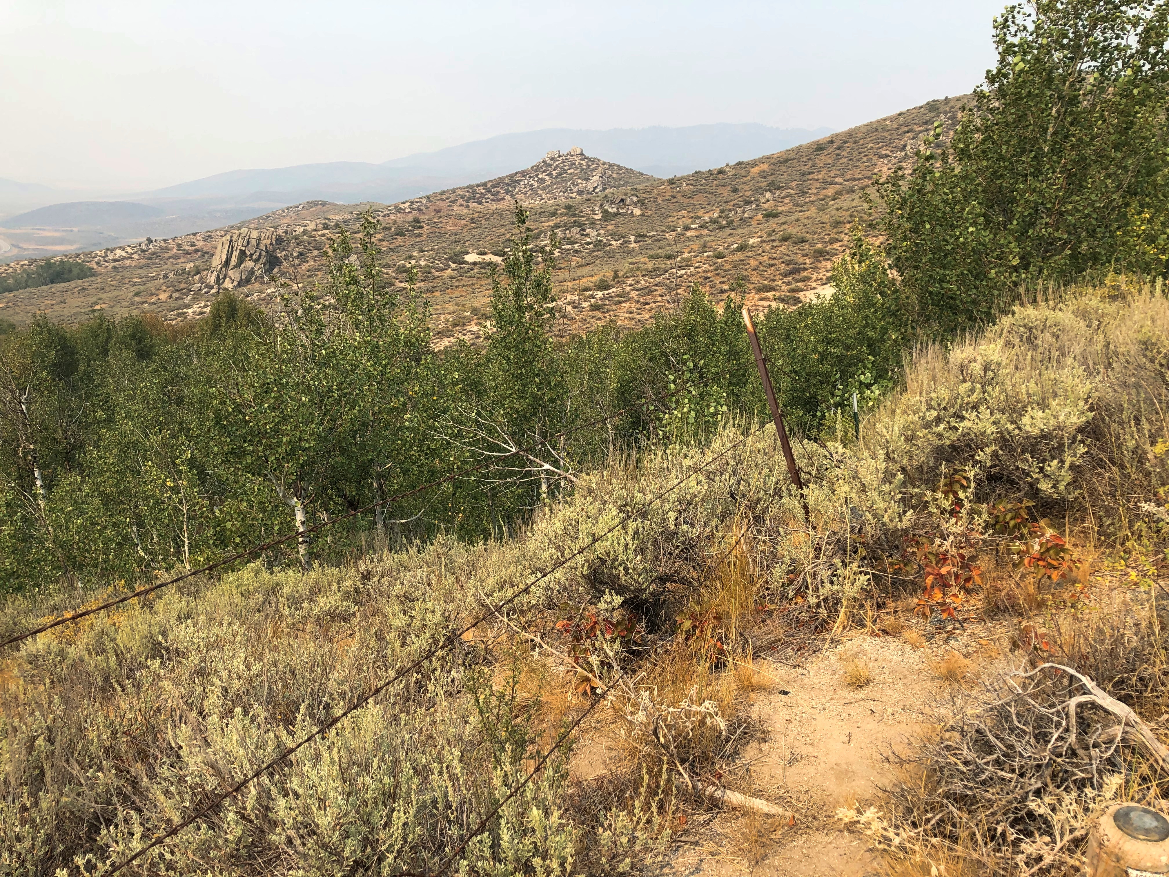
This summer, with the haze of a not-too-distant wildfire.US 20 east of Mountain Home US 20 east of Mountain Home US 20 east of Mountain Home

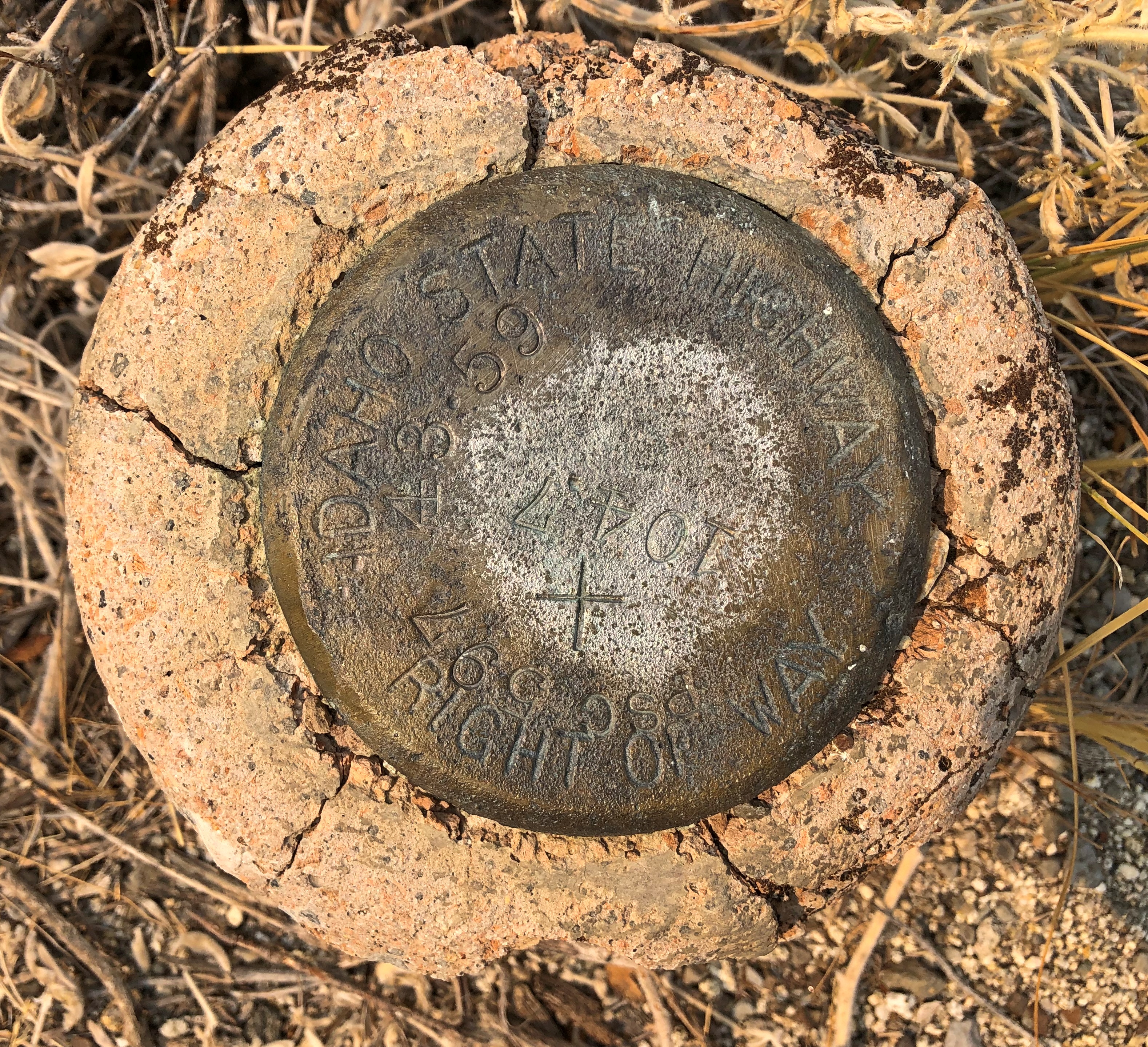
An Idaho State Highway survey marker of considerable age. No doubt built to last. ID Highway Survey Marker

The route was, I suspect, a state highway originally, only later (in the 1940s) becoming part of the US system. Or maybe even US routes had to bear these markers, at least in Idaho. The answer is in some paper files in storage somewhere.

US 20 in Idaho also connects with the entrance, and only paved driving, in Craters of the Moon National Monument. East from there, the road goes through flatter country, including a few small towns, such as Arco (pop. 879), which has the distinction of being the first town to be lighted using atomic power, in 1955, by the nearby National Reactor Testing Station, now the Idaho National Laboratory. Also, the Butte County HS senior class paints its graduation year on the side of a high hill near the town. Since the 1920s, so that’s a lot of numbers. They were so distracting I pulled over for a moment to look at them,

Teton Pass Highway

Back in June, a section a winding mountain road, Wyoming 22, collapsed. The road’s eastern terminus is in Jackson, Wyoming, tourist hub and wealth magnet. The western terminus is at the border with Idaho, where the road becomes Idaho 33, which takes you to Victor, Idaho, just a few miles west of the border. For simplicity, I’ll call both sections the Teton Pass Highway.

I read about the collapse at the time, since I knew we might go that way, and promptly forgot about it when we set off and, more importantly, when we booked a place to stay in Victor, for the same reason anyone stays (or lives) in Victor: the avoid the high costs of Jackson. I’m glad to say WYDOT had the stretch open by the time we first drove there, on September 4, though it was a slow spot, with a lot of construction equipment still active on and near the road.

The Teton Pass Highway is an exercise in climbing a steep grade (signs say 10%) and then rolling down another one. You and your machine, that is. Our engine growled fairly hard, but nothing sounding like it was being overtaxed. There are some winding stretches on the highway, but they aren’t that numerous. Traffic is fairly thick. So on the whole, it isn’t the best of scenic drives.

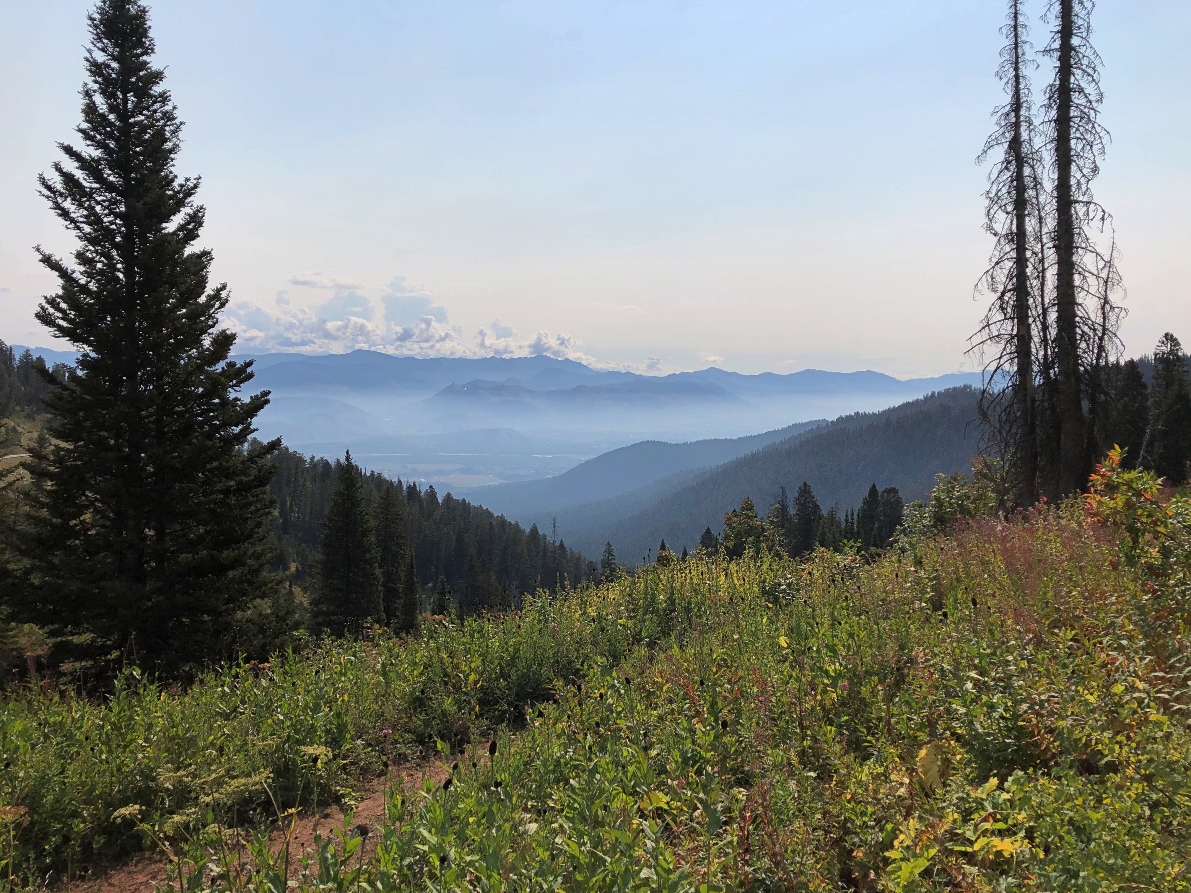
But if you stop at the pass itself, elevation 8,431 feet, you get your first glimpse of the Grand Tetons. First ever for us.Teton Pass Sept 2024

Honorable Mention: I-84 in Eastern Oregon

After paralleling the Columbia River, eastbound I-84 dips sharply to the southeast, taking a route between the Blue Mountains and the Wallowa Mountains in parts of Wallowa-Whitman National Forest. Not that I knew those names when we were barreling down that mostly empty, very black blacktop. But I could see them along the way. The mountains, that is: some of the yellowest mountains I’ve ever seen, with some brown blended in, but also a healthy dose of gold.

Other Sweet Drives, Part 1

Our trip to the West wasn’t just about driving. But it’s the West, after all. Driving was the keystone of the trip, and sometimes the icing on the cake.

North from Helena, Montana on US 287 & US 89

Helena, Montana, and its surprising charms fade pretty quickly into scrubby, arid high hills north of town on I-15. That day, August 22, was bright as summer, but not blazing hot. That Interstate will take you to the Montana towns of Great Falls and Shelby, and on to one of those border posts with Canada that closes for the night after 10 pm.

We weren’t going there. Destination: a campground just outside the east entrance of Glacier National Park. So soon we left the Interstate for US 287, a main road through Lewis and Clark County and then Teton County, and which passed through the most golden brown territory I’ve ever seen.

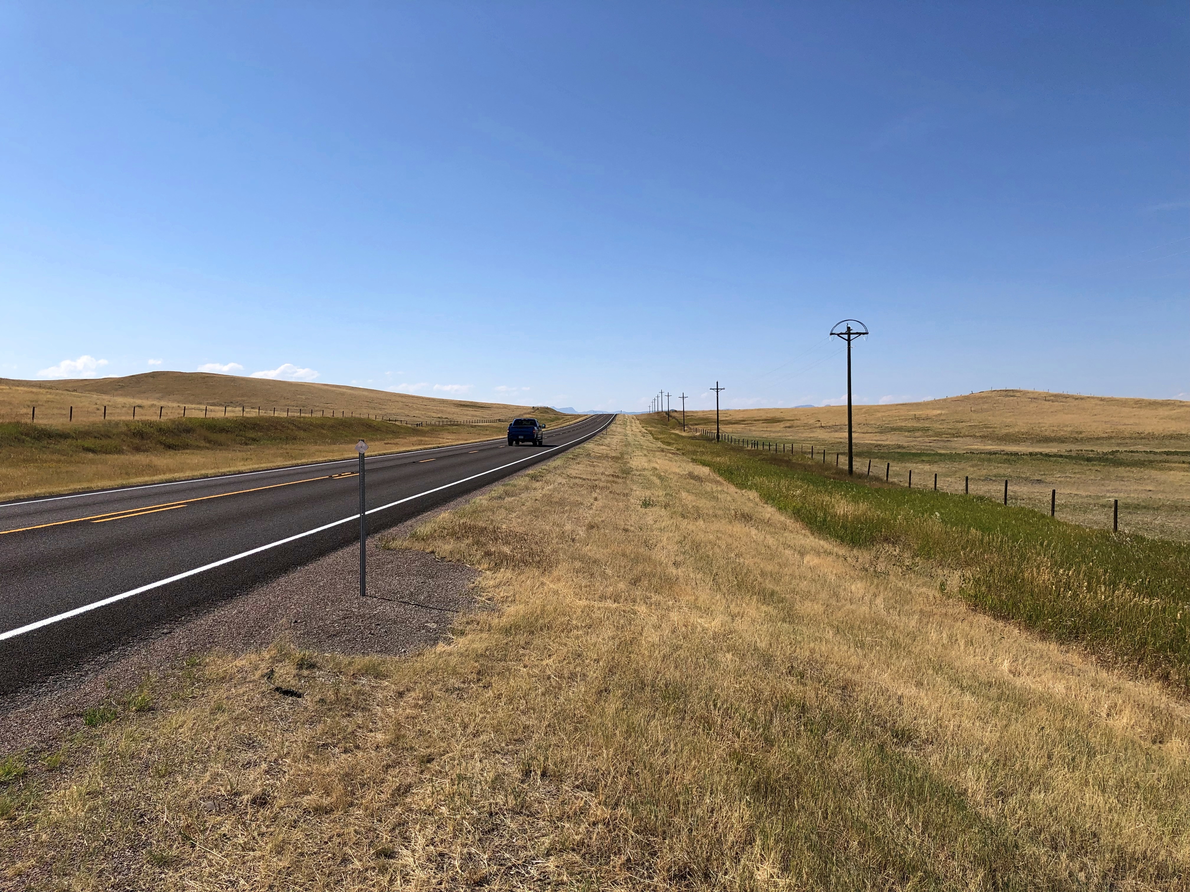
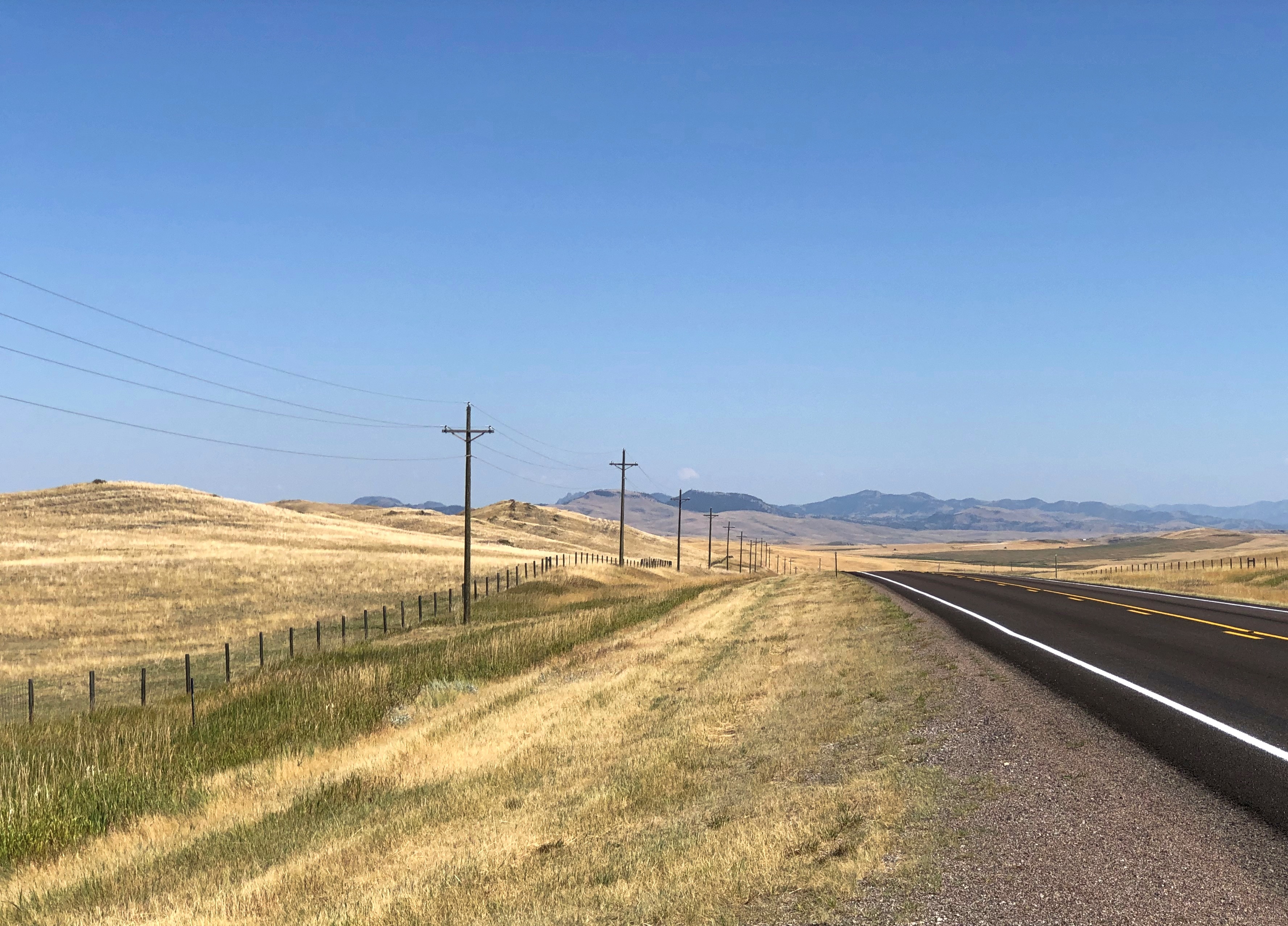
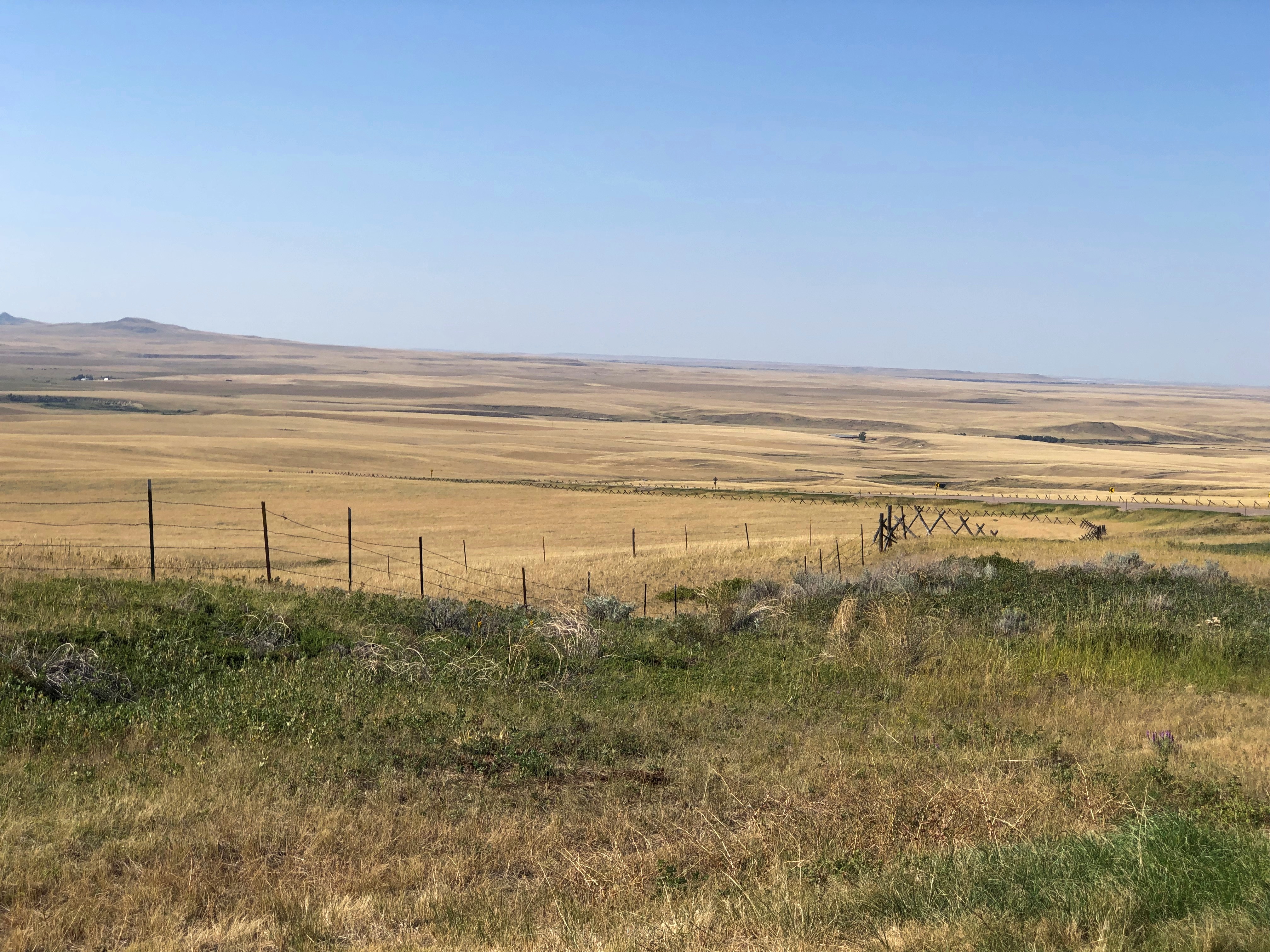
Many signs were up in Montana and Wyoming warning one and all about the extreme dryness and the high risk of wild fire, and I believed them. Still, no roads were closed, so we went on. We drove past a lot dry grasslands, much of which was probably for grass crops, just a cigarette flicked out of a pickup away from a dangerous inferno. But a what a great color.North of Helena

That the photos barely capture.North of Helena

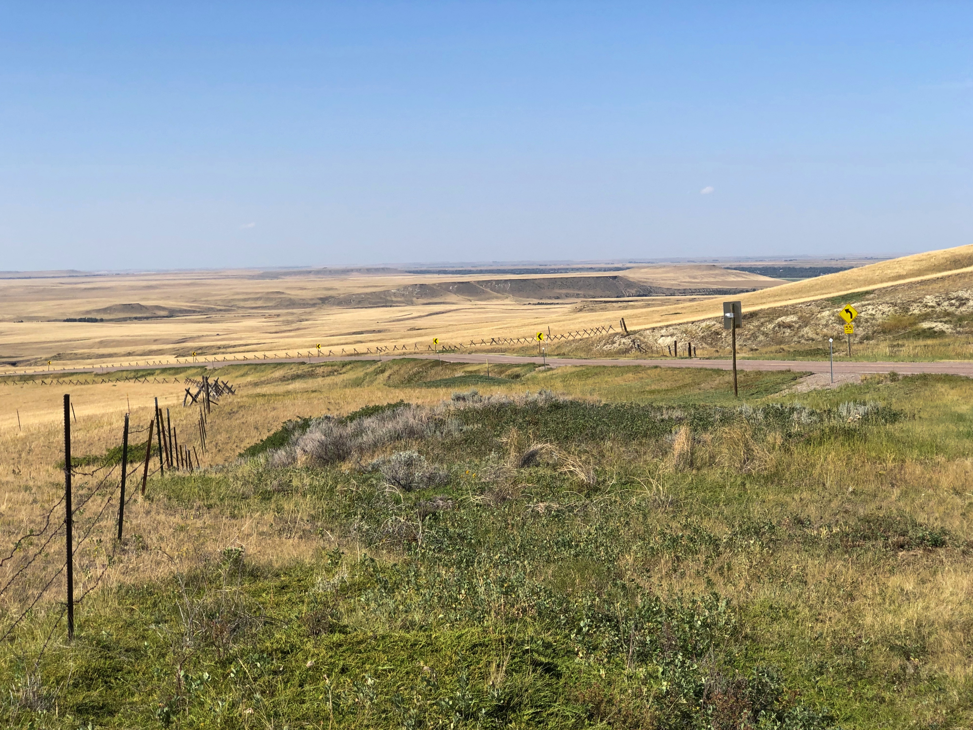
US 287 ends at the Teton county seat, Choteau, from which you take US 89 north. The dry grasslands continued, looking less like cropland, so dry even cattle are scarce.North of Helena

A steppe, yes?North of Helena

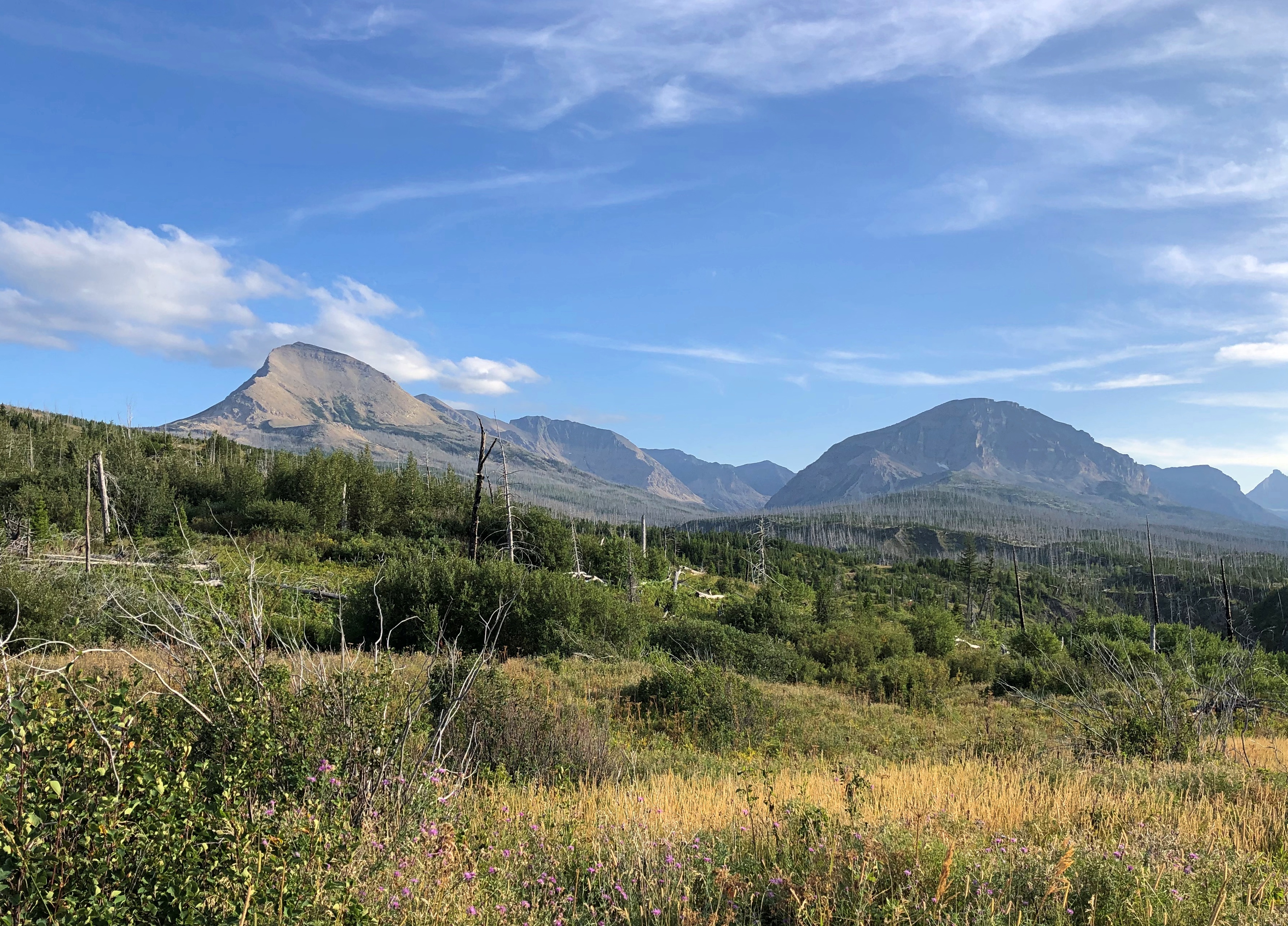
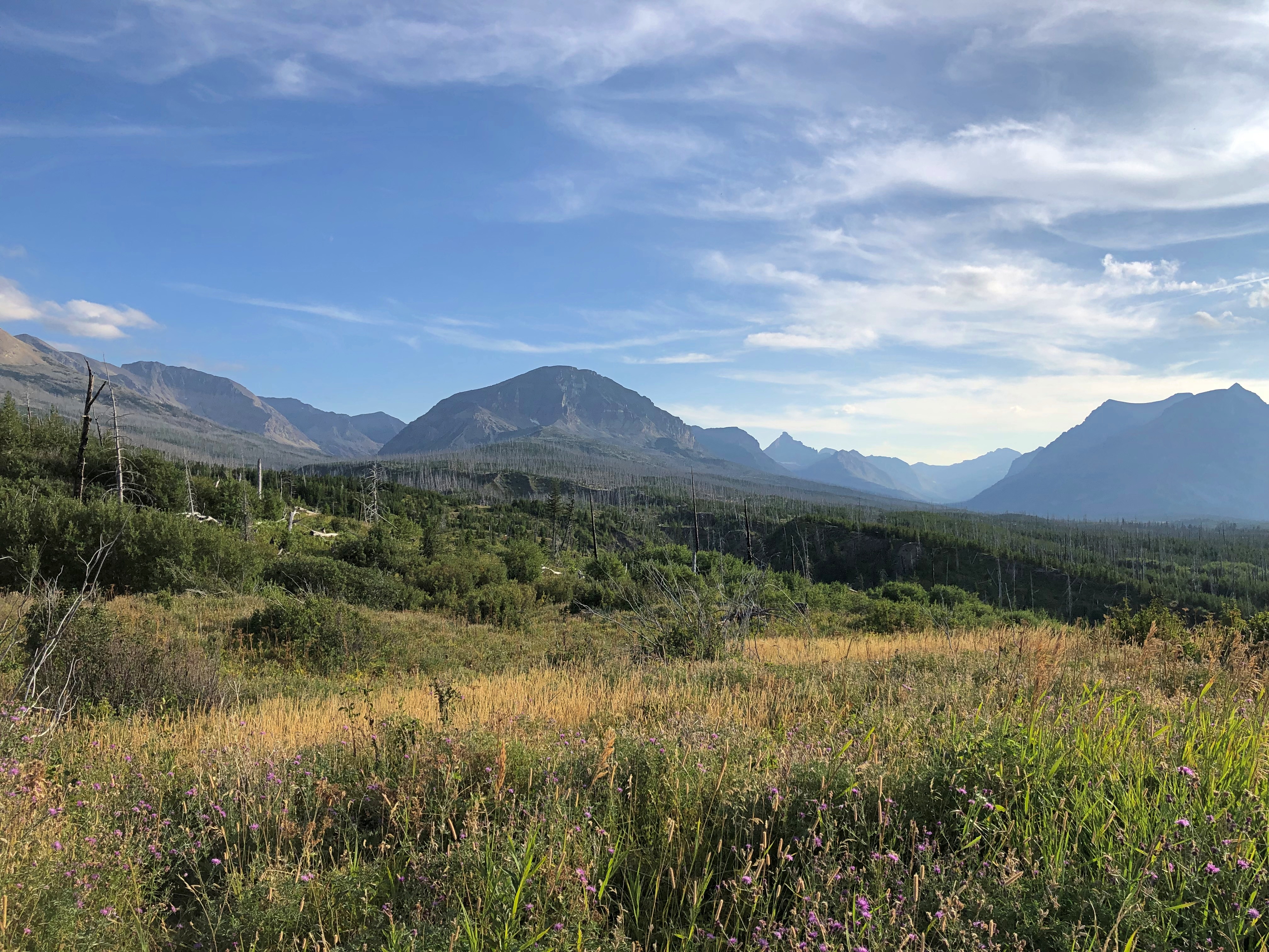
Yes. But with mountains growing larger, off to the west, the further north we went. Off in that direction, that is, west – was the beginning of the Mountain West, the foothills and low ranges marking the beginning of the Rockies. By the time we got to St. Mary’s, an entrance on the east side of Glacier NP, the mountains were lording over the flatlands, just off in the distance, and getting closer all the time.near Glacier NP near Glacier NP

All in all, a fairly low stress, high scenic value road. At times we were the only car, and only humans, within sight, though that’s something of an illusion. There are people around, just not that many.

US 14, Yellowstone to Sheridan, By Way of the Bighorn Mountains

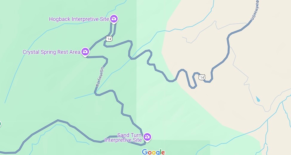
I have no images made during the best drive of the trip, only a vivid memory of the ten minutes or so, after dark and after driving most of the day last Friday, that we traversed a part of US 14 not far west of Sheridan, Wyoming, in the Bighorn Mountains.

That’s only a small section of the road, and it isn’t even the highest point in the Bighorns. All those curves came as we headed down from Granite Pass, which is more than 9,000 feet above sea level.
I know that mountain driving isn’t for everyone (such as Yuriko). But talk about a way to be in the moment. If you aren’t in the moment, you have no business driving such a switchback-y route. There you are, applying just the right amount of pressure on the brakes, edging the wheel just in the right direction, as the winding track unfolds ahead, each moment unlike the last. It’s almost as if you aren’t pressing those brakes or tipping that wheel. You and the machine are.
For bonus points, flip off your brights just the instant you’re aware of an oncoming car, and back on again the instant it passes. I did that too, but only two or three times, since it wasn’t a crowded road. More traffic would have raised the stress level a lot and harshed this particular buzz for me.

One more detail, for most of the twists and turns, and unique to our transit of the mountains: “All I Wanna Do” was on the radio at that moment, coming in clear despite our location. Somehow, that added to the experience, though I can’t call it a driving song. Still, it’s one of best capture-a-moment songs I know of.

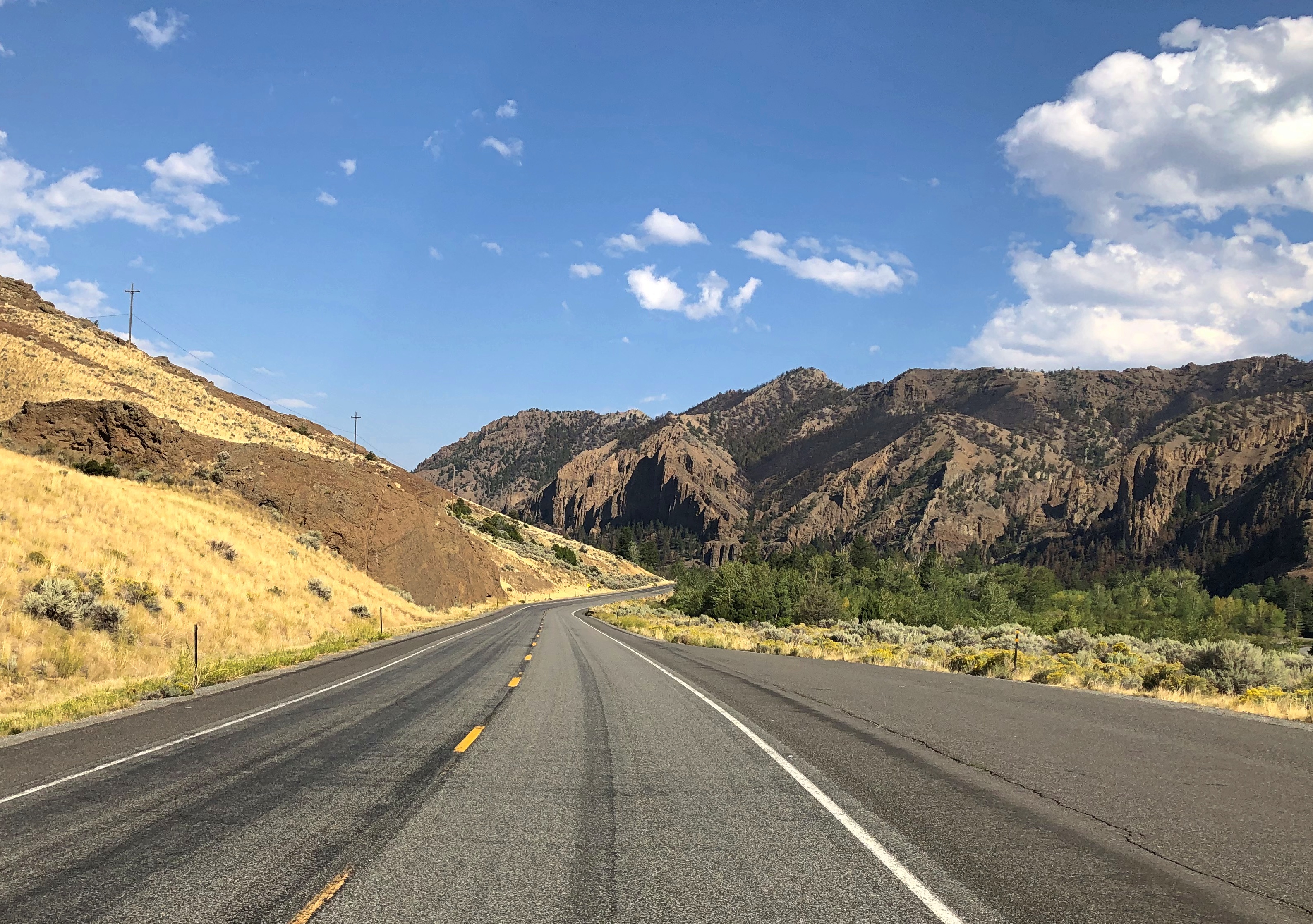
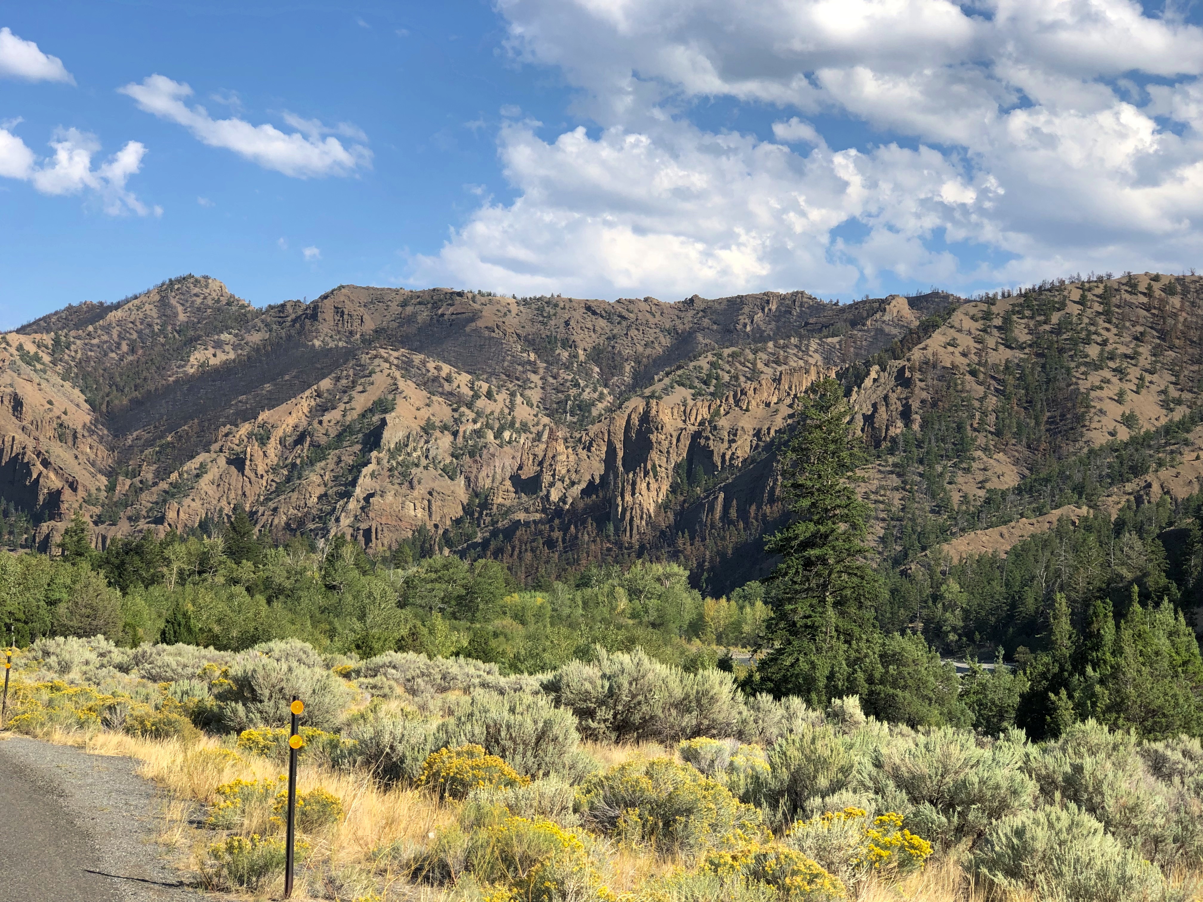
Earlier in the day, we headed east from Yellowstone on US 14/16/20 – as we went eastward, the other two higher numbers eventually disappeared – and found it to be more of a straight road. Sometimes the drive revealed scenery equal of anything in a national park, rolling through the Absaroka Range and Shoshone National Forest, and, after passing through Cody, Wyoming, the Bighorn Basin, as an approach to the Bighorn Mountains. Part of of road is the Buffalo Bill Cody Scenic Byway.

Browns and dry yellow predominated. Just east of Yellowstone, you’re among the impressive Absarokas. They lent their name to a lesser-known new state movement in the 1930s. Lesser-known to me, anyway.US 14 Bighorn Mountains US 14 Bighorn Mountains

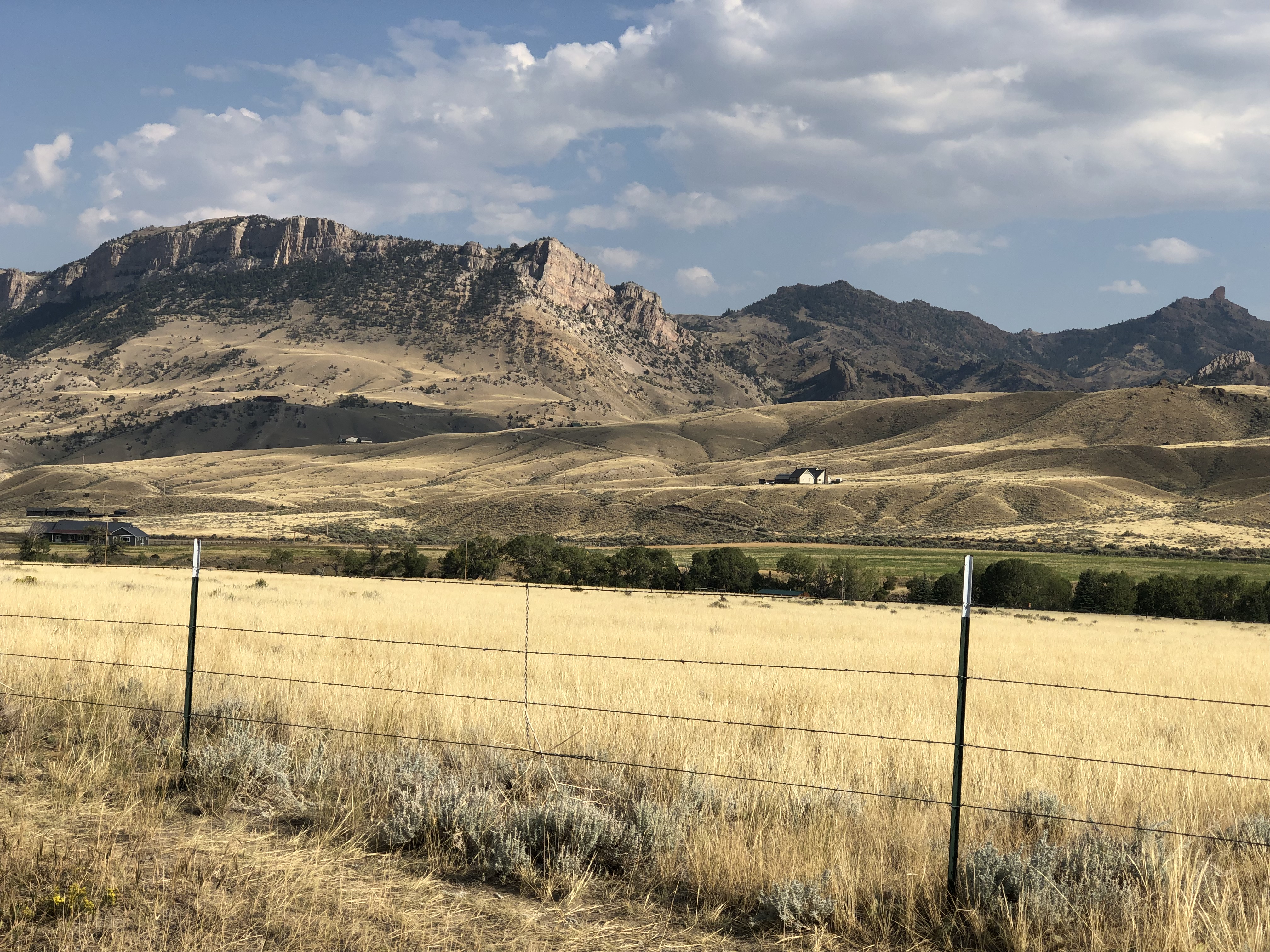
The mountains receded and the road passes through a broad valley.
US 14 Wyoming

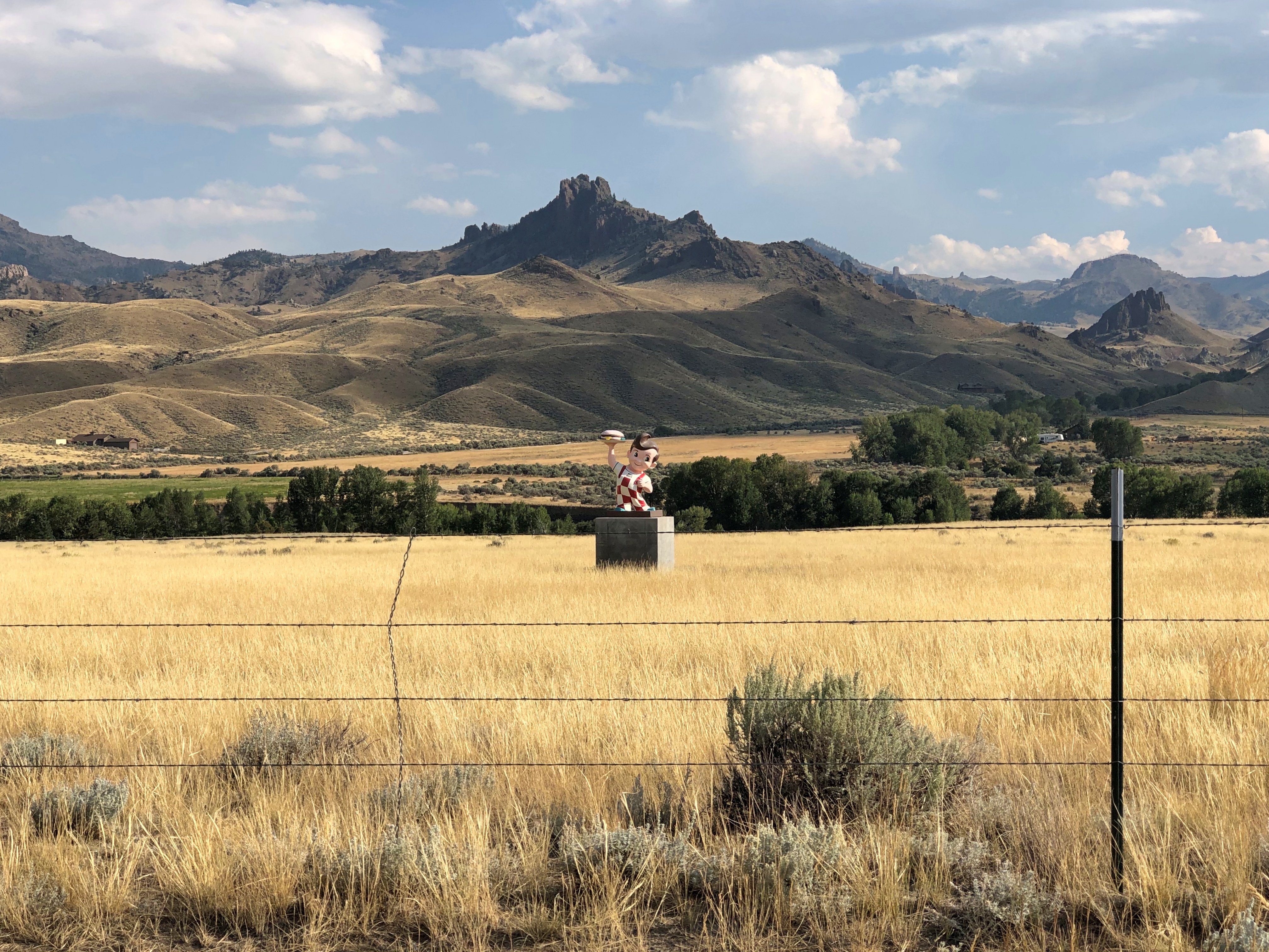
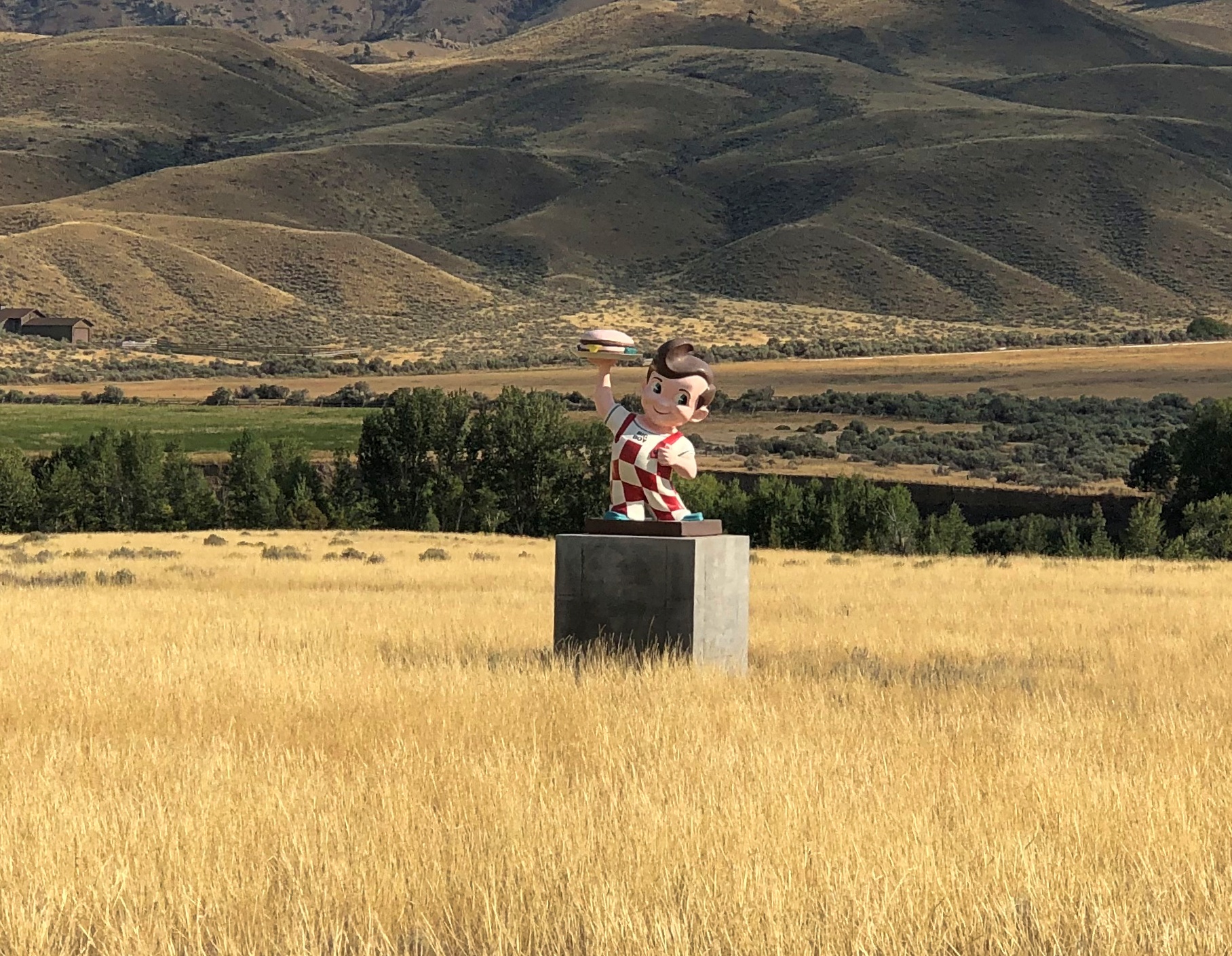
Wait, what was that?US 14 Big Boy US 14 Big Boy

The Wapiti Big Boy, the Cowboy State Daily calls it, after the valley, and the nearest town.

“ ‘Big Boy restaurants were everywhere (at one time), and I’ve always wanted to have a Big Boy and celebrate what’s great about the Big Boy,’ said James Geier, who owns the Wapiti Big Boy statue and the land it now calls home,” CSD reports.

“ ‘I’m a sculptor and have a design business,’ he said. ‘My art and the placement of Big Boy was really all about wanting the conversation to go on, whether you’re a tourist going through the world or a local.’ ”

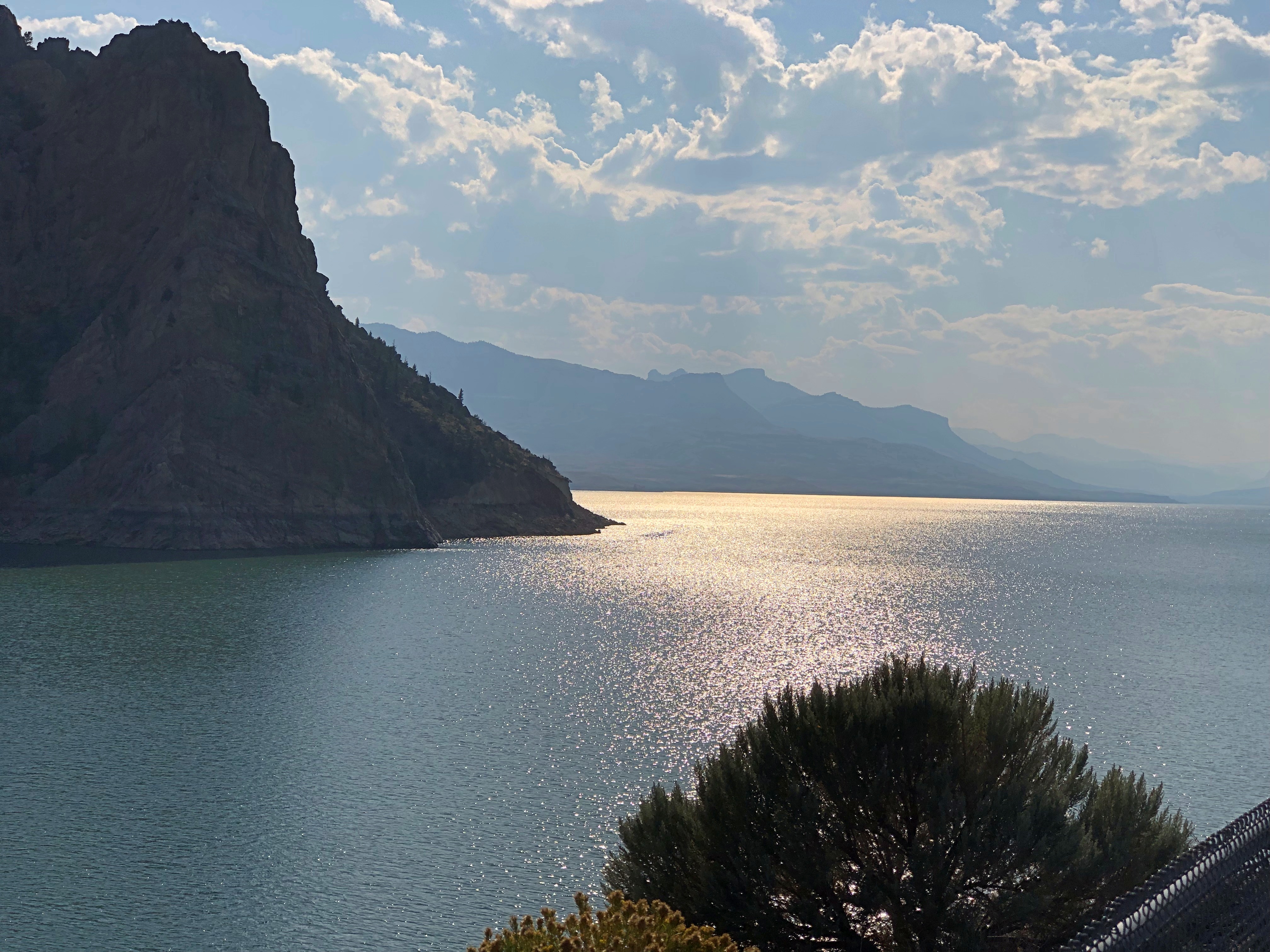
The road then passes Buffalo Bill Reservoir. A manmade lake on the Shoshone River. Once upon a time, William Cody owned much of the land now covered by the lake.US 14 Buffalo Bill Cody Lake US 14 Buffalo Bill Cody Lake

Beyond that is the town of Cody, where we tarried to buy barbecue and eat it in the main city park for dinner. I can recommend Fat Racks BBQ. Its pulled pork, specifically.

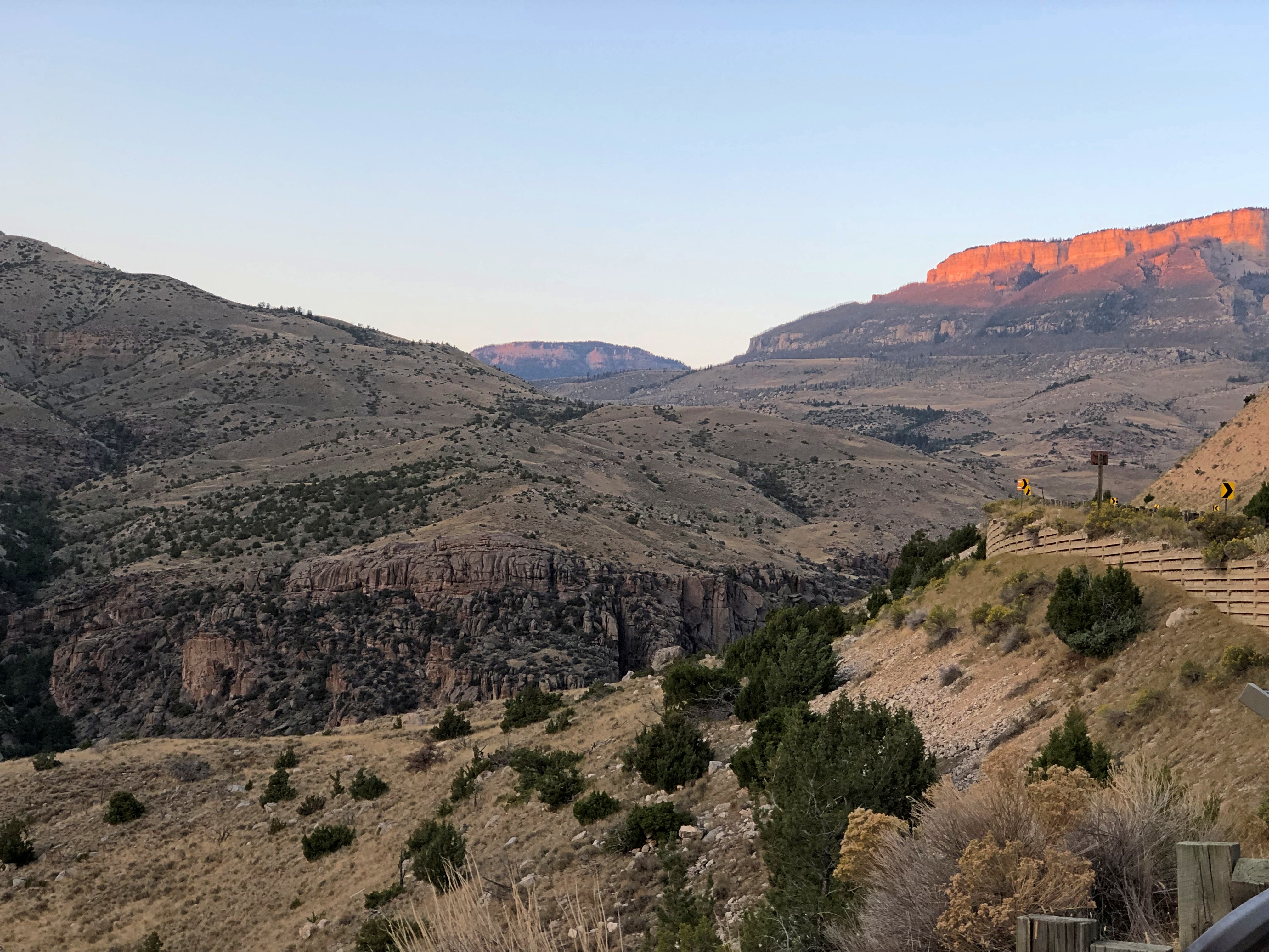
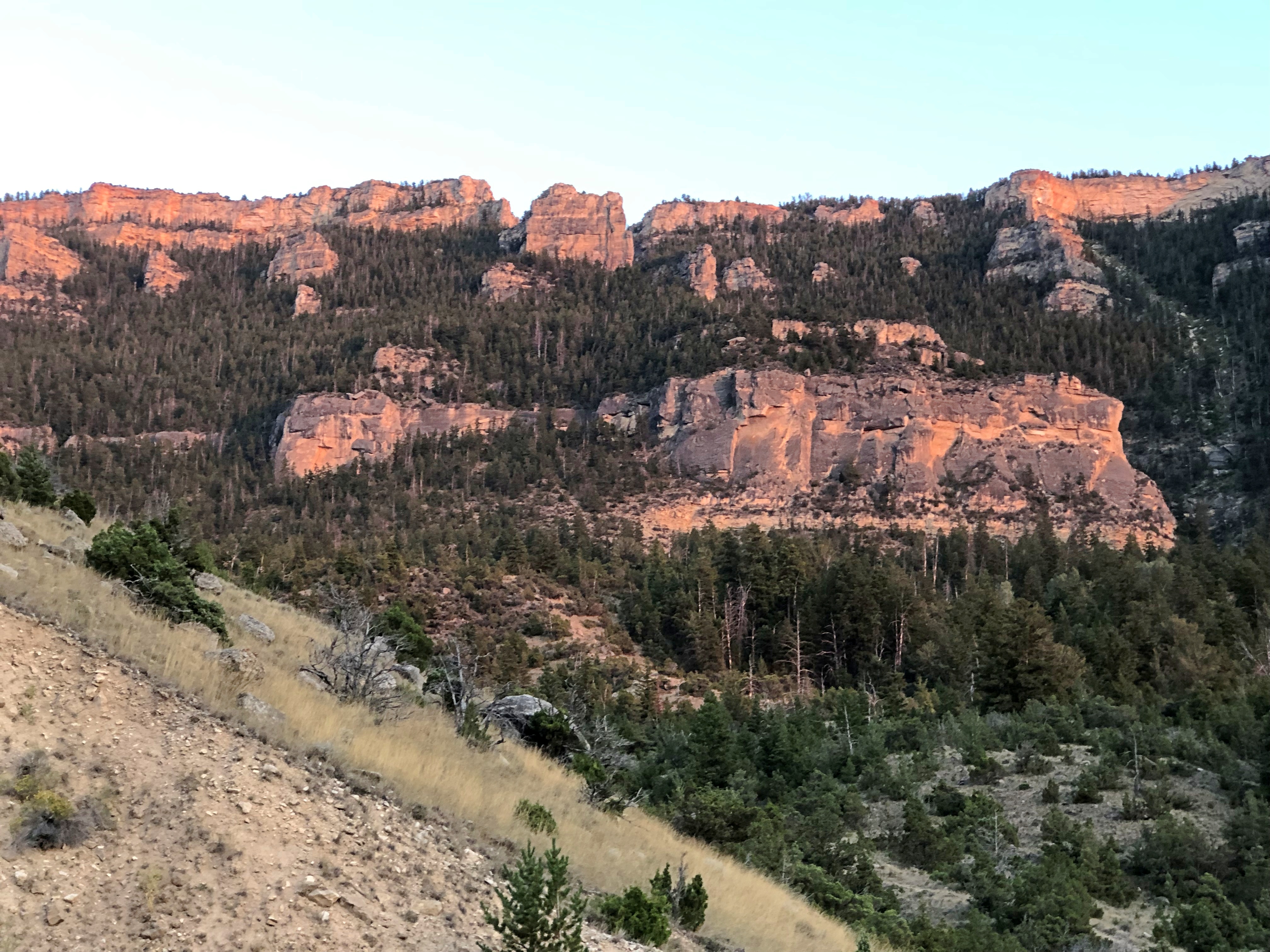
Heading into the Bighorn Mountains east of Cody.US 14 Bighorn Mountains US 14 Bighorn Mountains

By that time, the light was fading, and soon enough we were driving in the dark, though the road was well marked by reflectors, and illuminated by our headlights. Once we emerged from the twists, the drive to the motel in Sheridan was only about 20 more minutes, so the downward grade on US 14 essentially capped off a capital day of driving.

The I-90 Western States Road Epic

I marvel that what Yuriko and I just did is even possible. Between Sunday, August 18, and Sunday, September 8, inclusive, we drove from metro Chicago to metro Seattle and back.

The kind of trip I call an epic. Which just means a long one. All together, we drove 5,916 miles across nine states. We visited cities, towns, remote farm and ranch land and forests, crossed plains, rivers small and mighty, hills, and mountain ranges. We visited our eldest daughter in far-off Washington state and reached the Pacific Ocean.

I call it an epic, but that’s only my idiosyncratic label. By historical standards, our trip was laughably easy. All we needed were some (but not a lot) of those three basic ingredients of modern travel in North America, and a fair number of other places: time, money and – perhaps the most elusive for many people, though of course the other two are often limiting – the will to go.

We did not need a supply train or pack wagons. We carried all the communications equipment we needed in our pockets. Food and fuel were easily purchased.

We did not need the permission of any authority at any level of government, beyond a drivers license or license plates, which aren’t specific to interstate travel. We paid no gang a toll, no one baksheesh to pass through their land.

We did not need to be armed. We encountered no hostility of any kind. Crime, of course, is possible anywhere, and I like to think we were careful. I was only really anxious about the possibility once, but even then nothing happened.

I’m positive that the greatest risk to life and robust health was the fact that we just drove nearly 6,000 miles over roads of varying size and traffic density, some of which were a bit hairy. I like to think we were careful about that, too, putting our combined 72 years’ driving experience to the task, and we got home with nary a dent nor a scratch, much less anything worse.

The epic was conceived and carried out in three parts of roughly a week each: the drive out west, the visit in the Pacific Northwest, and the drive back east. On that structure we hung four main events and many other smaller ones. And by events, I mean seeing places in three cases, and visiting family and friends in one. On the way out, we saw Glacier National Park. In Seattle, we visited Lilly and Dan, as well as two old friends of mine, Bill and Tom, and their spouses, but also spent a couple of days at Sol Duc Hot Springs at Olympic National Park. On our return, we saw Grand Teton National Park.

Some of the driving counted as a necessary chore, such as the route through Wisconsin, Minnesota, South Dakota and ultimately Wyoming: I-90. If you want to, you can drive all the way to Seattle on I-90, a total of just a little more than 2,000 miles, according to Google Maps. We didn’t want to do that. We used I-90 to get to Wyoming and then Montana on the way out, and return from Wyoming on the way back. For us, that was two days’ worth of driving each way.

Once we got to Montana, we took smaller roads that crossed that state and Idaho and Washington state. On the return, we crossed another part of Washington, Oregon and Idaho, back to Wyoming, also mostly using smaller roads, except for a stretch of I-84. Those small roads sometimes provided exceptionally scenic driving, or driving through territory the likes of which we hadn’t seen before. And there was some fun mountain driving. By fun, I mean curves.

Going out, we reached the vicinity of Devils Tower National Monument after two days on I-90, and stayed there for two nights; next, Helena, Montana for a night; then a campground outside the St. Mary’s entrance of Glacier National Park for two nights. Spokane for one night; and into Seattle.

A view in Glacier NP.Glacier National Park

It would have been six nights in Seattle, but we spent one camping in Olympic NP in the middle of that week. The return began with two nights in Portland; a night in Boise; a visit to Craters of the Moon National Monument and then three nights near Grand Teton NP; one in Sheridan, Wyoming, and then back to the I-90 funnel back home.

A view in Grand Teton NP.Grand Teton NP

Squint and you can imagine randy Frenchmen of yore saw mammaries.

Virtual Lightbulbs & Cats

Something new in the world of robots asking whether I’m a robot.

Or at least something new to me. Previously I’ve tended to run into a challenge to click on buses or motorcycles or traffic lights or the like. Maybe those have been cracked by nefarious robots pretending to be people, and so we need cats to foil them.

Whatever the case, there was a reason for the CAPTCHA photos of objects you’d find driving.

“In 2012, Google started snippets of photos from Google Street View,” says the Grove Street Auto Repair Blog. “By 2014, the CAPTCHA system was primarily focused on training AI. Google has mentioned that by this time, they used CAPTCHA to teach self-driving cars, such as the new rideshare Waymo vehicles.”

I think I’d read about that before. It’s a steep learning curve for the robot cars, apparently.

Arkansas 7, Up To & Including the Hidden Ruins of Dogpatch USA

We bought some roses to plant the other day and they turned out to be produced in Tyler, Texas. They were found at a major retailer here in Illinois, so that means the Tyler rose industry isn’t completely gone. I already knew that from reading about it, but it was good to see the fact confirmed in the form of stems and thorns.

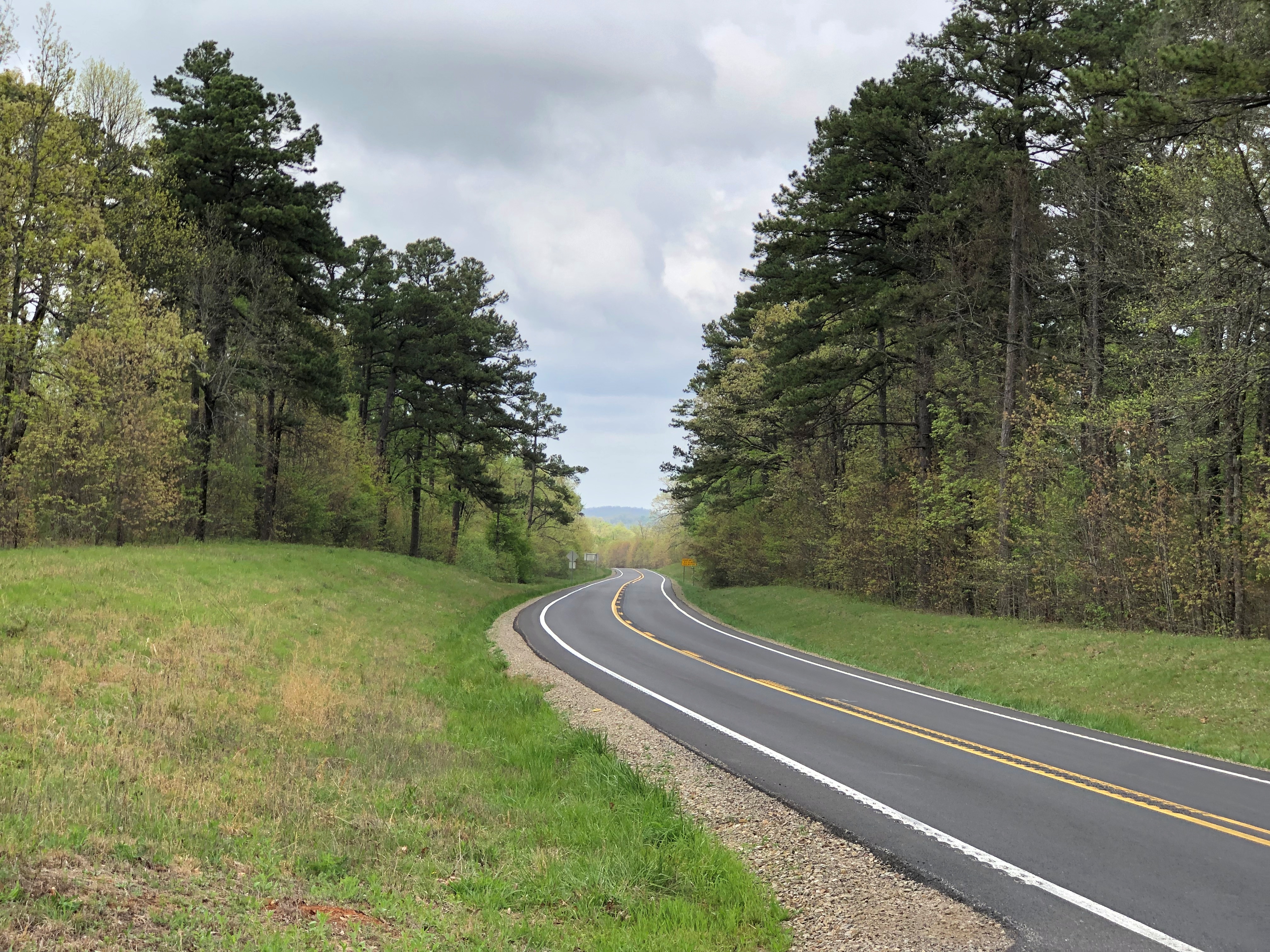
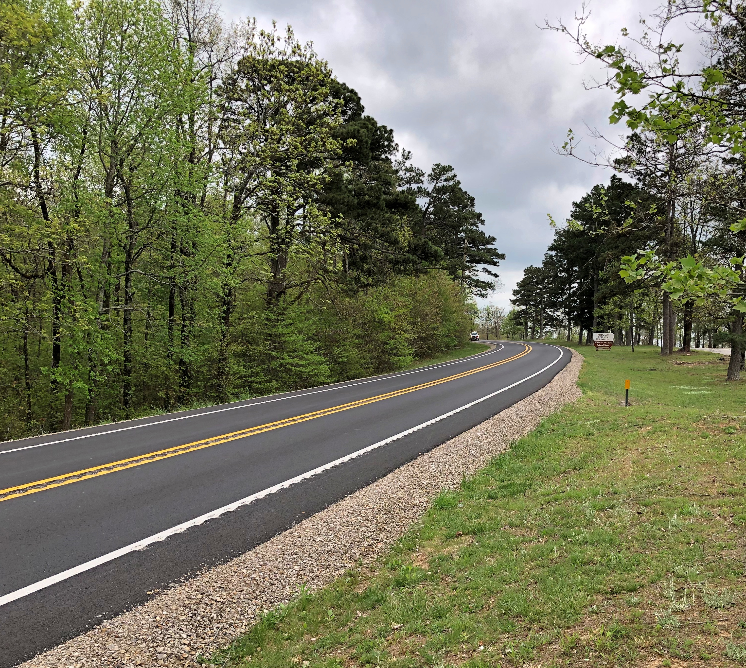
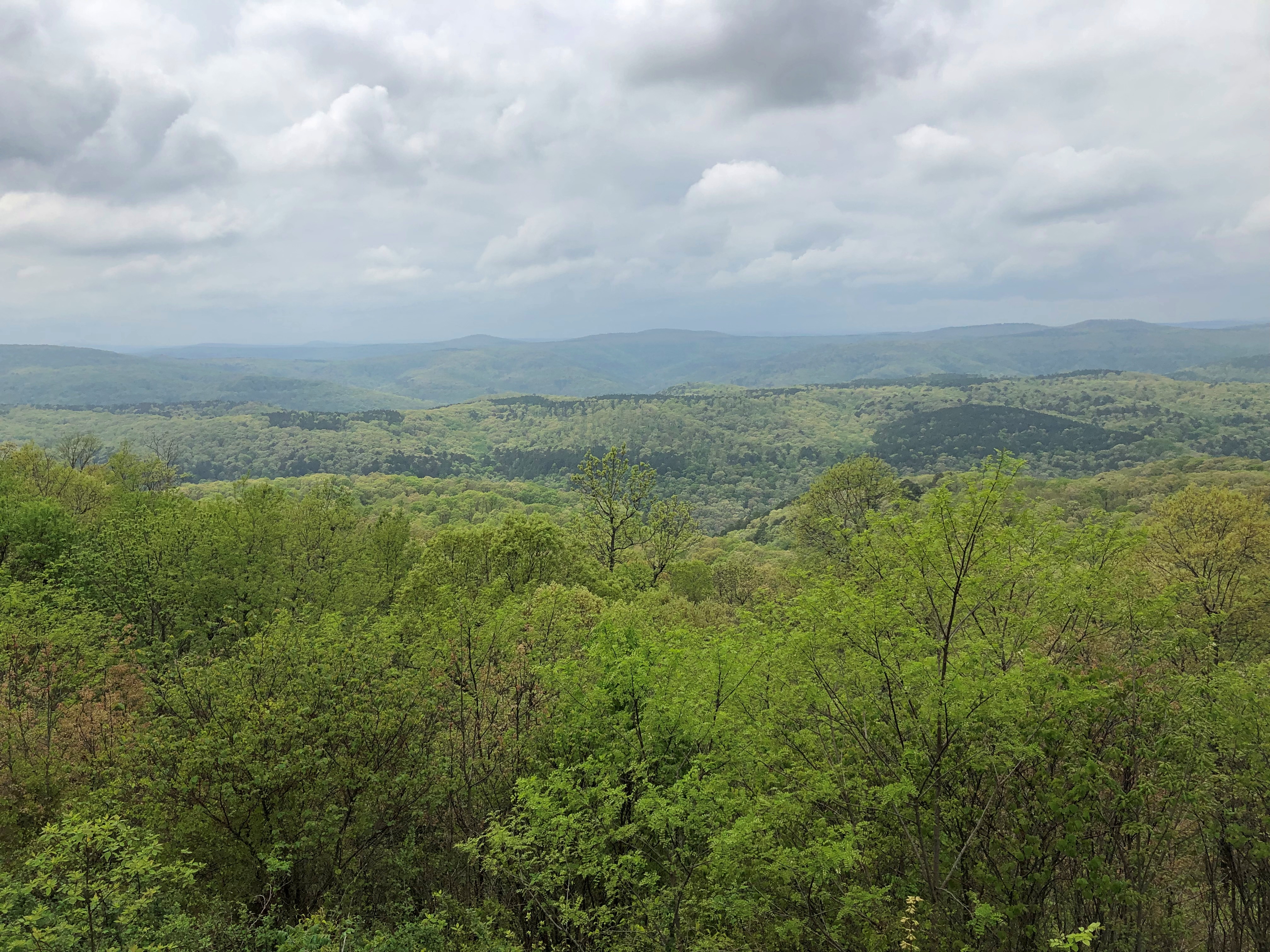
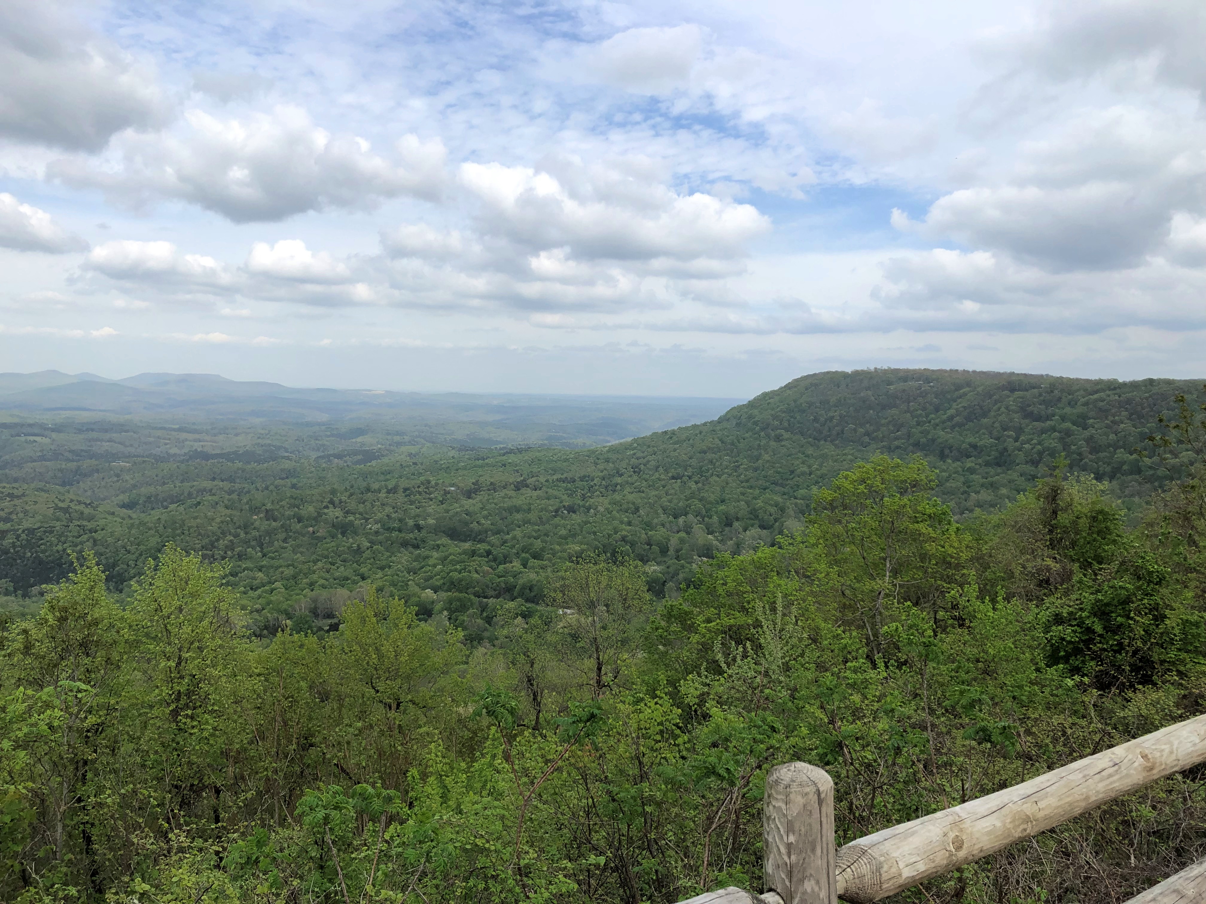
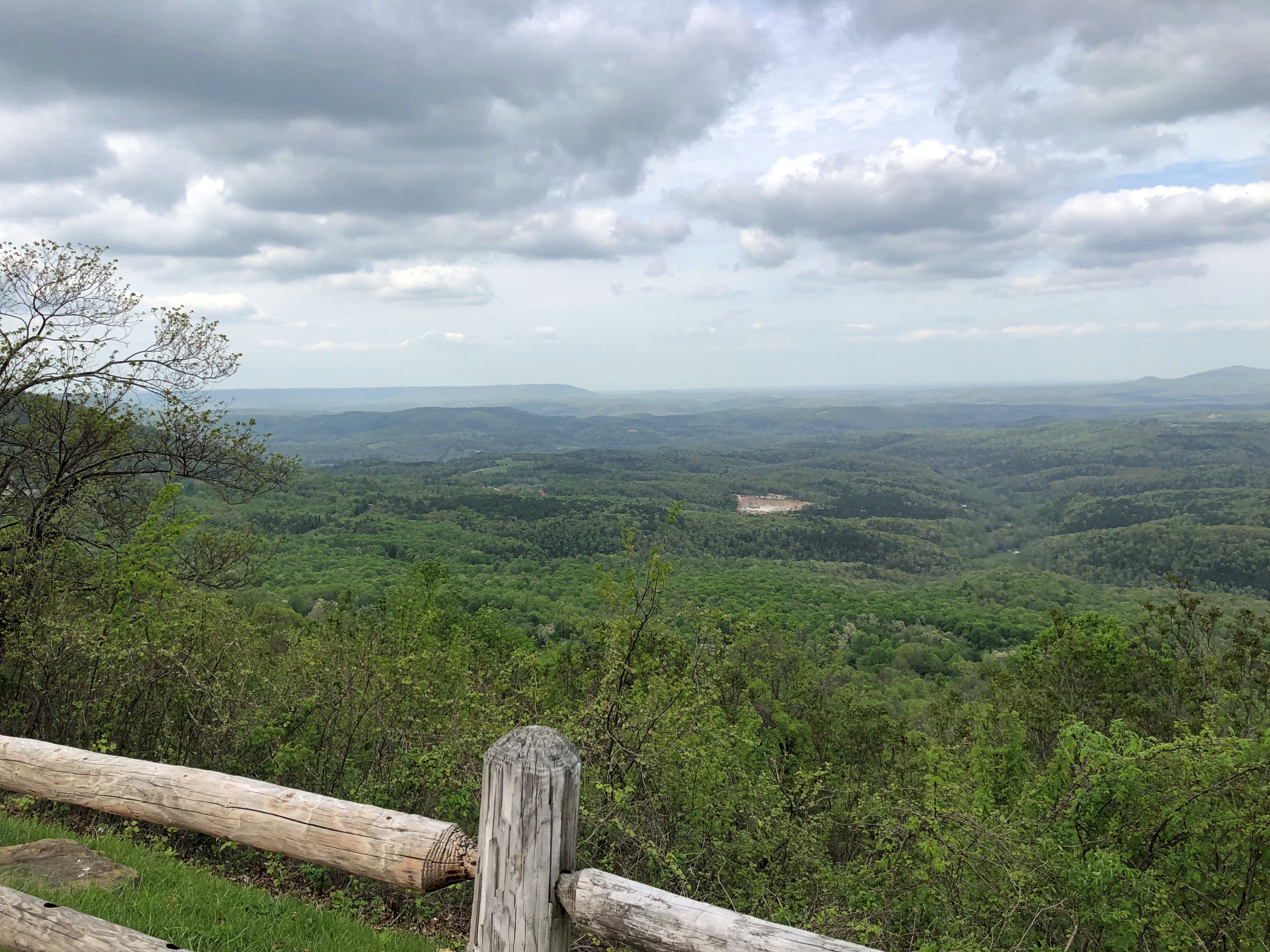
My idea of a good driving road.Arkansas 7 Arkansas 7

Everything you need – hills, greenery, occasional small towns and roadside views, a winding aspect – and nothing you don’t – much traffic, especially large trucks.

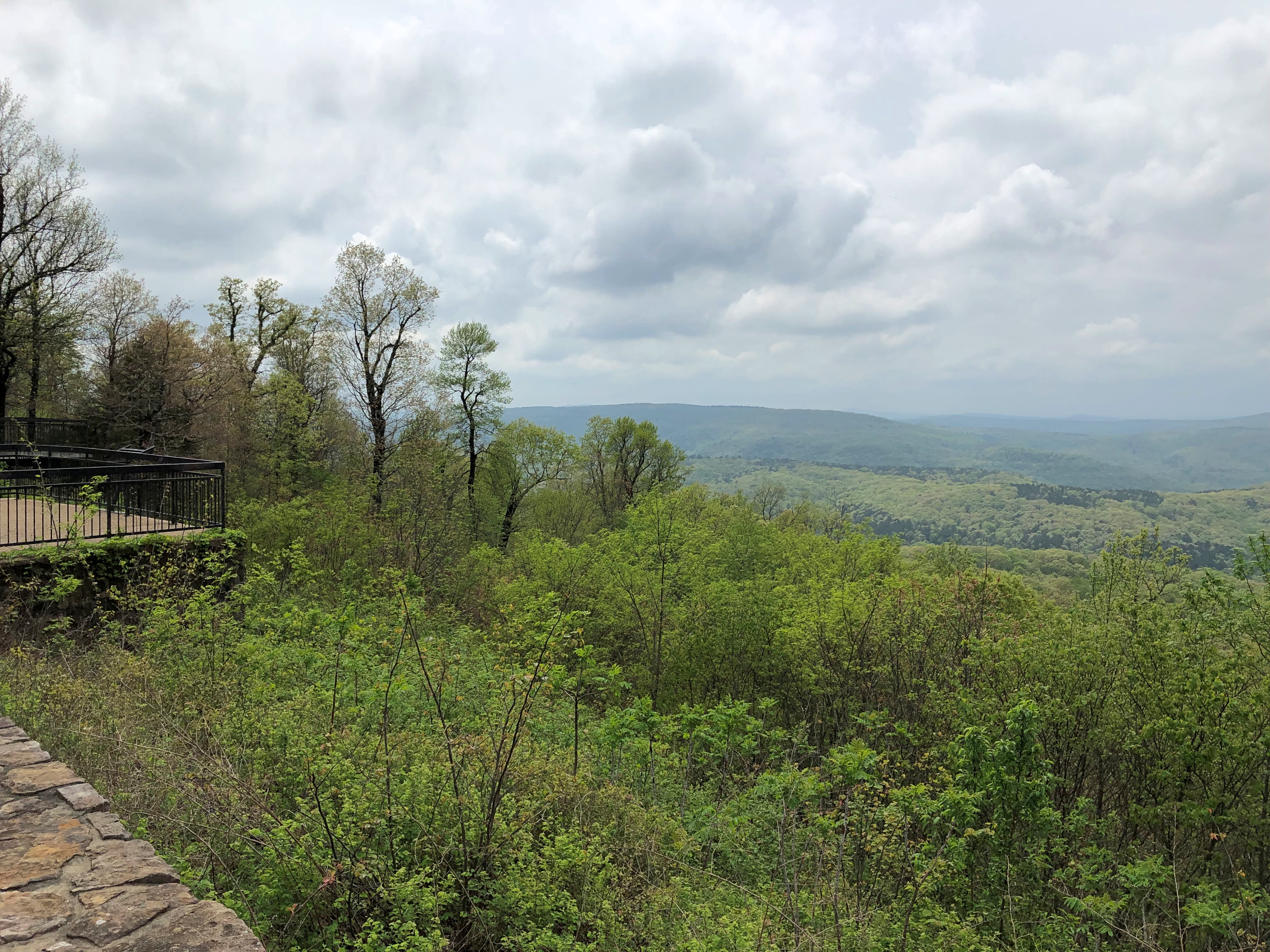
I created the images when I wasn’t driving, of course, but at a wayside stop along Arkansas 7, a mostly two-lane highway crossing north-south through the state that’s scenic most of the way, and in fact an Arkansas Scenic Byway. We picked up the road where it meets I-30 at Caddo Valley on April 14, and took it into Hot Springs. The next day, we headed north along the road, through the Ouachitas and the Ozarks, parts of which are designated Ouachita National Forest and Ozark-St. Francis National Forest.

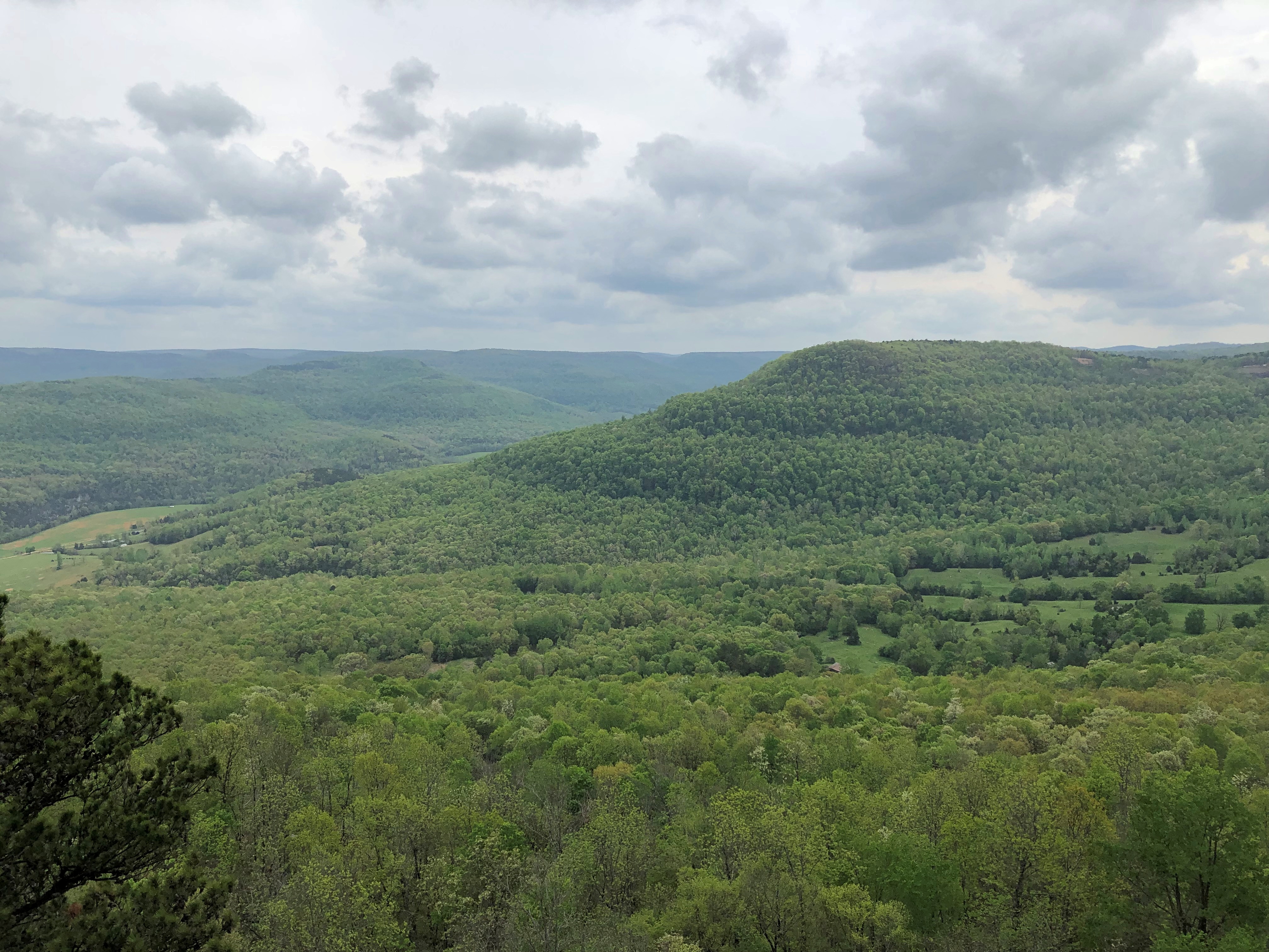
North of Russellville, which was the only place with much traffic, the lush scenery kicks into an expansive high gear. The old saw is that you can’t eat scenery, and while that’s literally true, the underlying notion that scenery is a worthless frill strikes me as an affront to one of life’s better pleasures. At least for those of us fortunate enough to live above subsistence poverty.Arkansas 7 Arkansas 7

South of the small town of Jasper is a feature called the “Arkansas Grand Canyon.” Called that by the scattering of businesses along the way who would like you to stop, anyway. Geographically, it’s the Buffalo River Canyon. Grand, maybe not, but impressive. Met my periodical quota for vistas.Arkansas 7 Arkansas 7

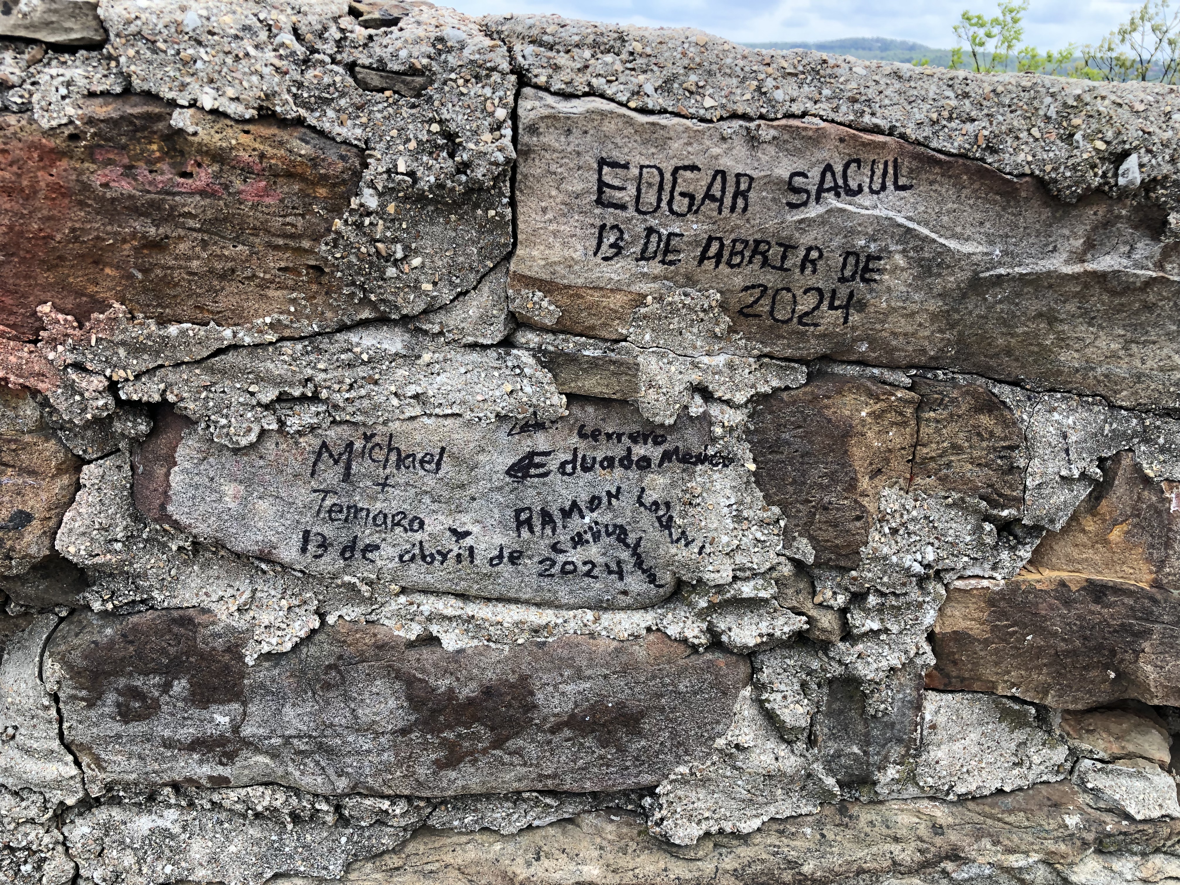
Passersby left their mark. Maybe in some future time, it’ll be considered historic and thus protected.Arkansas 7 Arkansas 7

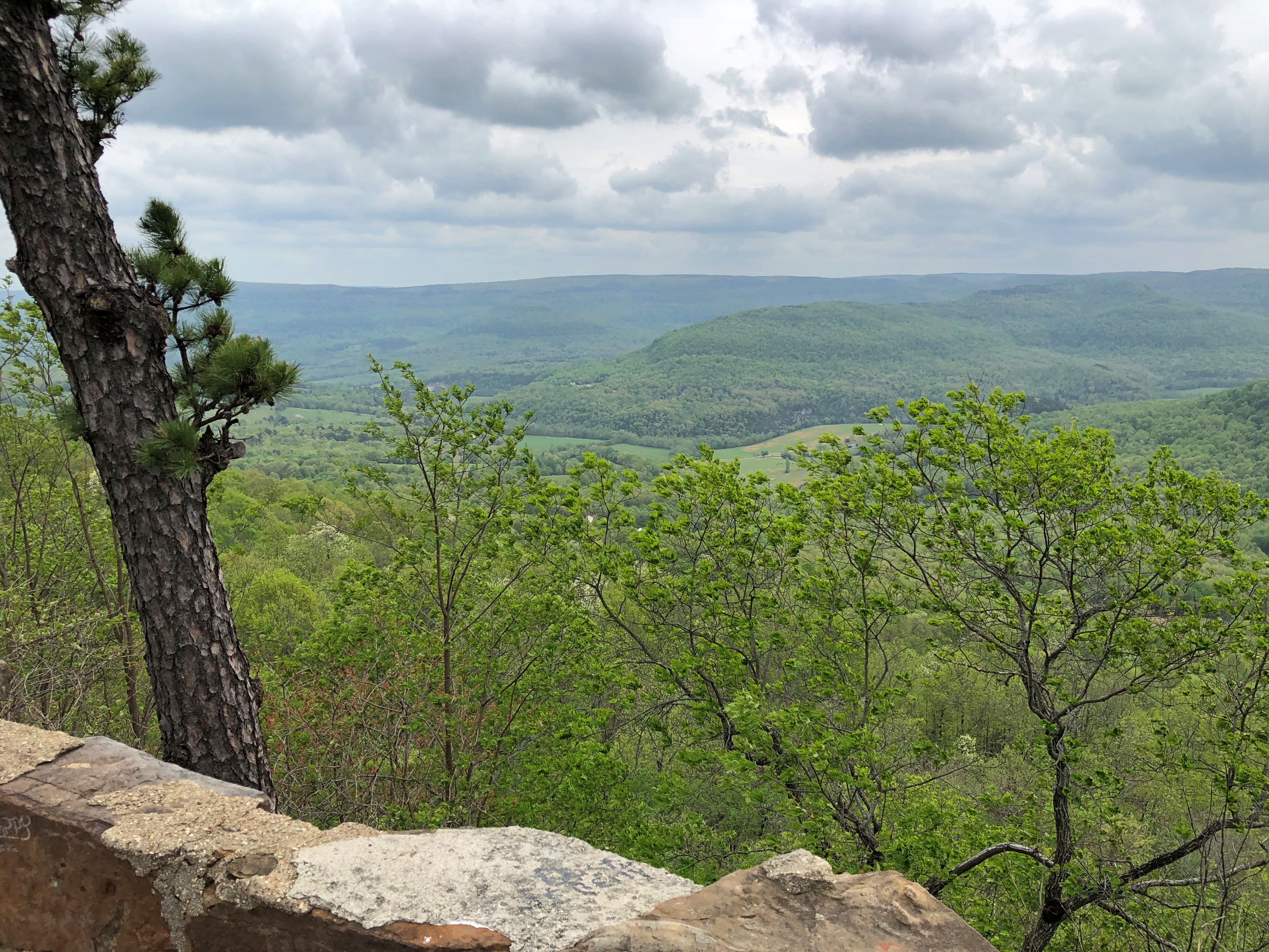
Another roadside perch. I wasn’t sure if this counted as the “Grand Canyon,” but it hardly mattered. Scenery to flavor the drive.Arkansas 7 Arkansas 7

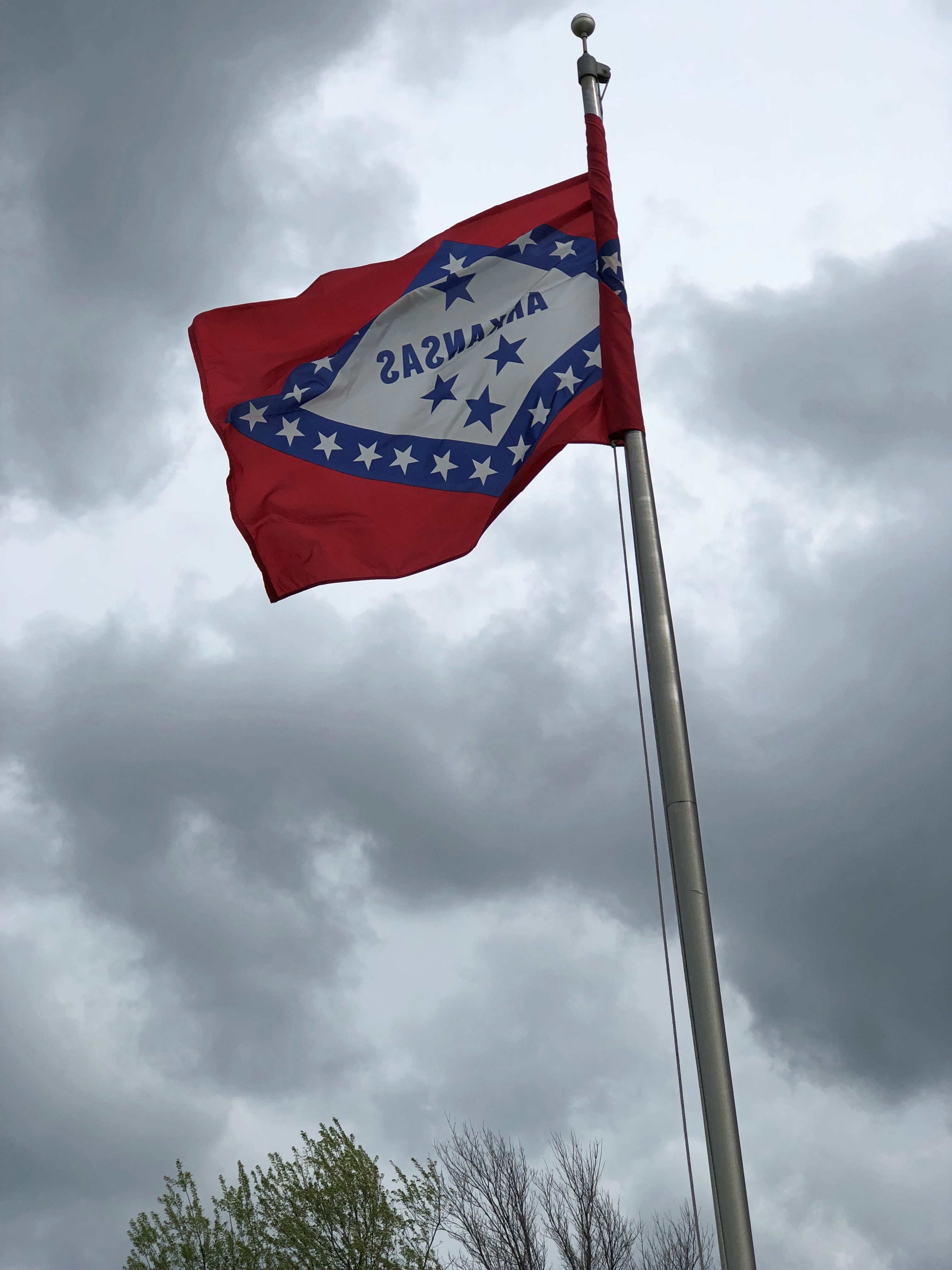
Arkansas in the breeze.

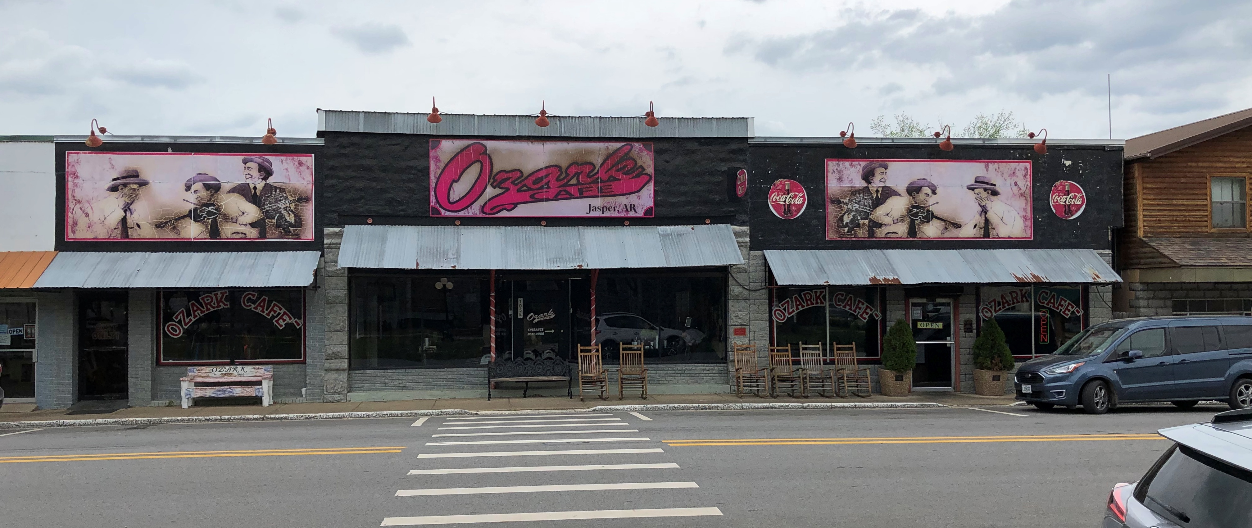
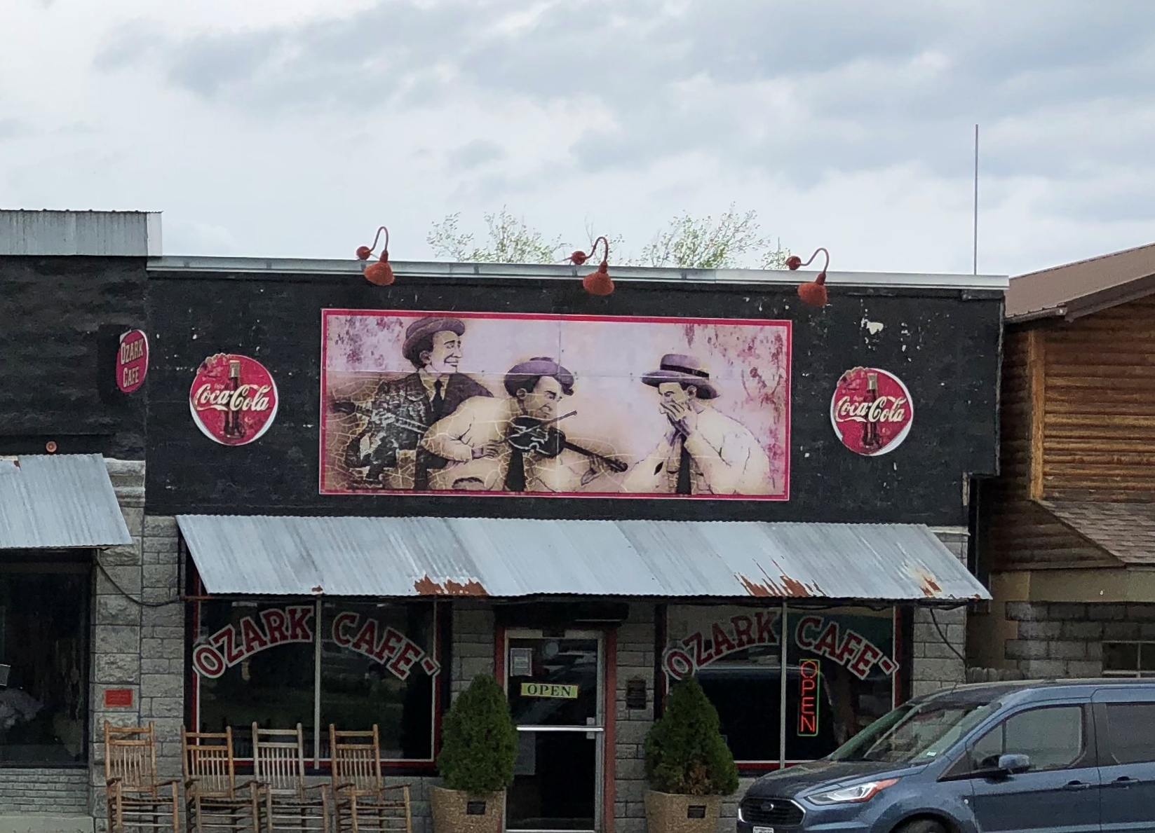
We stopped at the Ozark Cafe in Jasper (pop. 547) for a latish lunch. Decent grub and idiosyncratic decor, including mountain musicians outside and a wall nearly full with characters from Li’l Abner inside. That comic never did much for me, but it’s always good to see local color.Ozark Cafe, Jasper, Ark Ozark Cafe, Jasper, Ark

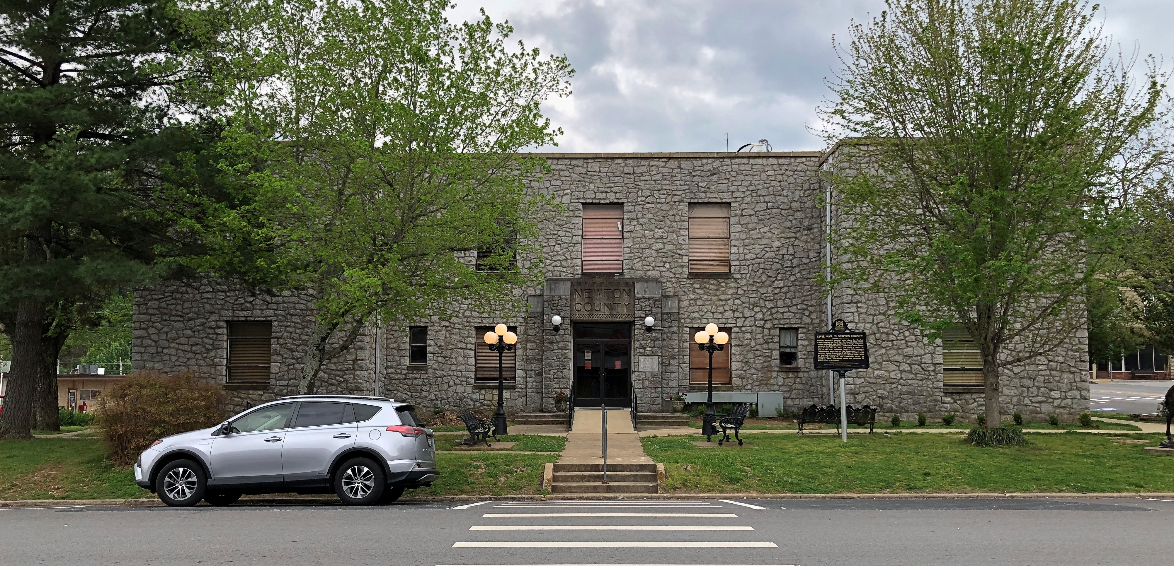
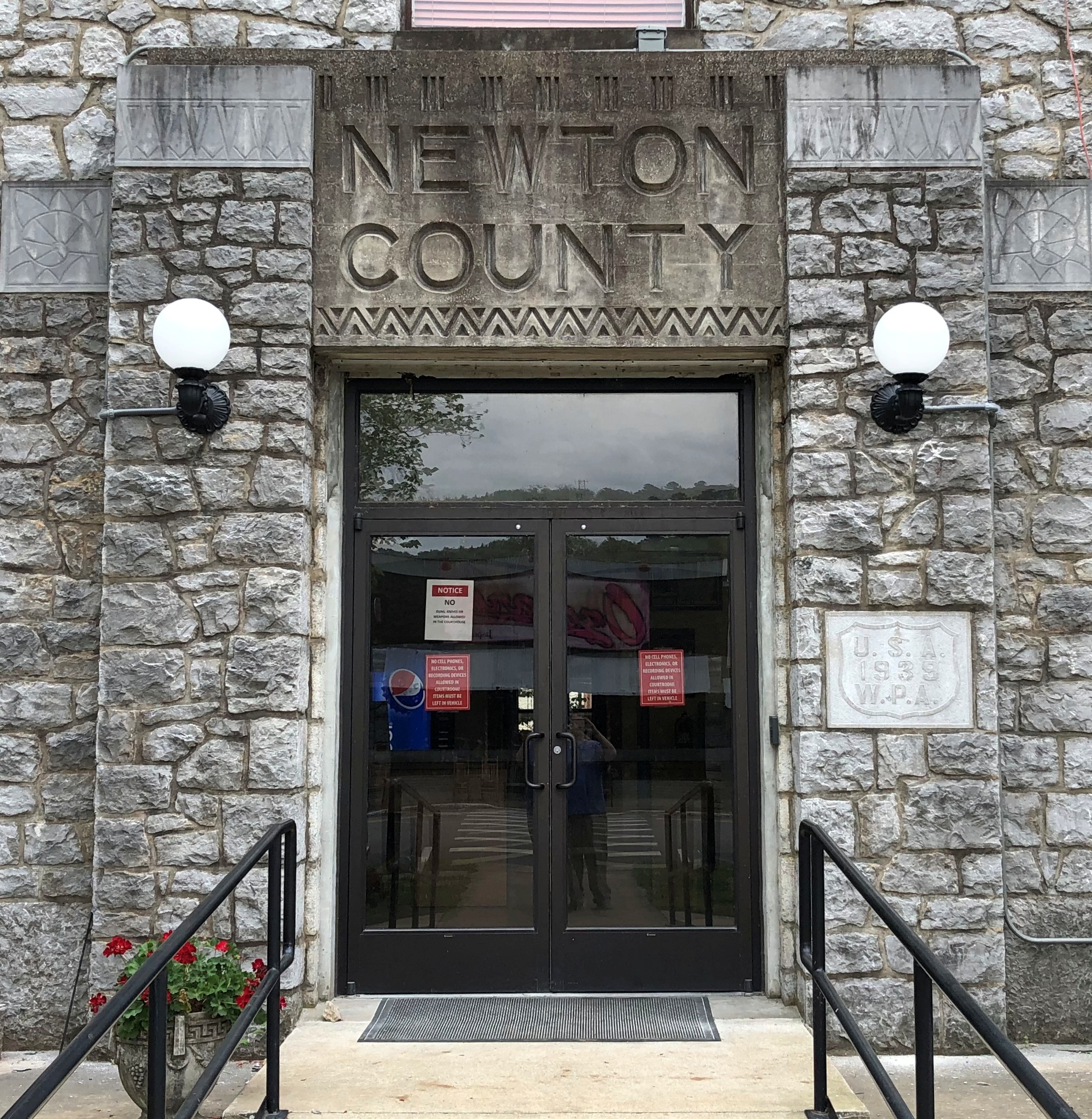
The cafe is across the street (still Arkansas 7) from the Newton County Courthouse. Another solid legacy of the WPA.Newton County (Ark) courthouse Newton County (Ark) courthouse

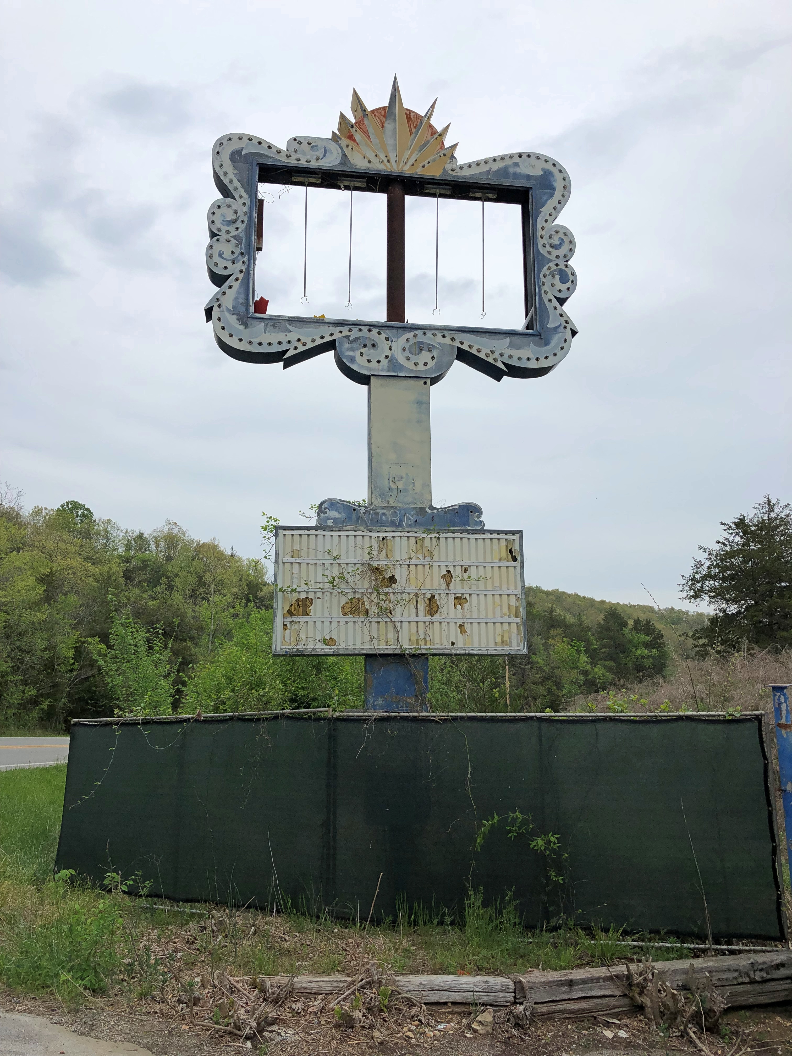
Up the road a piece from Jasper is a site that Google Maps calls Dogpatch to this day. Intrigued, I looked into it, finding that Dogpatch USA, a Li’l Abner theme park, used to be there. It operated longer than I would have thought, from 1968 to 1993. This is all you can see of it now, from Arkansas 7.Dogpatch USA 2024

“Dogpatch USA is a classic American roadside attraction,” wrote one Rodger Brown, who visited during the park’s last summer in ’93.

“It’s a basket of cornpone and hillbilly hokum in a beautiful Ozark mountain setting. Nearby is a waterfall, limestone caverns, and a spring that flows clear and steadily into a creek that has powered a gristmill for more than 150 years. There are rides and gift shops, and at the heart of the park is a trout farm where visitors can catch and cook rainbow trout, ‘the gamest of all inland fish.’ The decor is bumpkin kitsch. The faux-illiterate signs along Dogpatch’s macadam footpaths read like a Po’ Folks menu: ‘Onbelievablee delishus Fish Vittles Kooked fo’ Sail.’

“Dogpatch opened in 1968, but its history, in a generous sense, begins about a hundred years earlier…. in 1900, the word ‘hillbilly’ first appeared in print, toting on its wiry back a croker sack full of iconography — squirrel rifles, corn cob pipes, floppy felt hats, feuds, a degraded language, and depraved life… Out of this crashing surf where industry and the marketplace met the mountains, Li’l Abner was born.

Li’l Abner was the first comic strip to star mountaineers as main characters, but [creator Al] Capp’s hillbilly compote was certainly not unique. His versions of hillbillies were consolidated forms drawn from a widespread tradition of mountaineer caricatures: there’s the voluptuous rag-clad ‘tater sack sexkitten; the grizzled corn-cob pipe smoking visionary crone matriarch; the lay-about ineffectual pappy; and the clodhopping oblivious proto-Jethro Li’l Abner, the all-American country boy — part Alvin York and Abe Lincoln, a little Sambo in whiteface, and Paul Bunyan with a drawl.

“Li’l Abner first appeared in 1934, two years after the publication of Erskine Caldwell’s Tobacco Road, and within a few years the cartoon was a contender with Dick Tracy, Blondie and Little Orphan Annie as America’s number-one comic strip.”

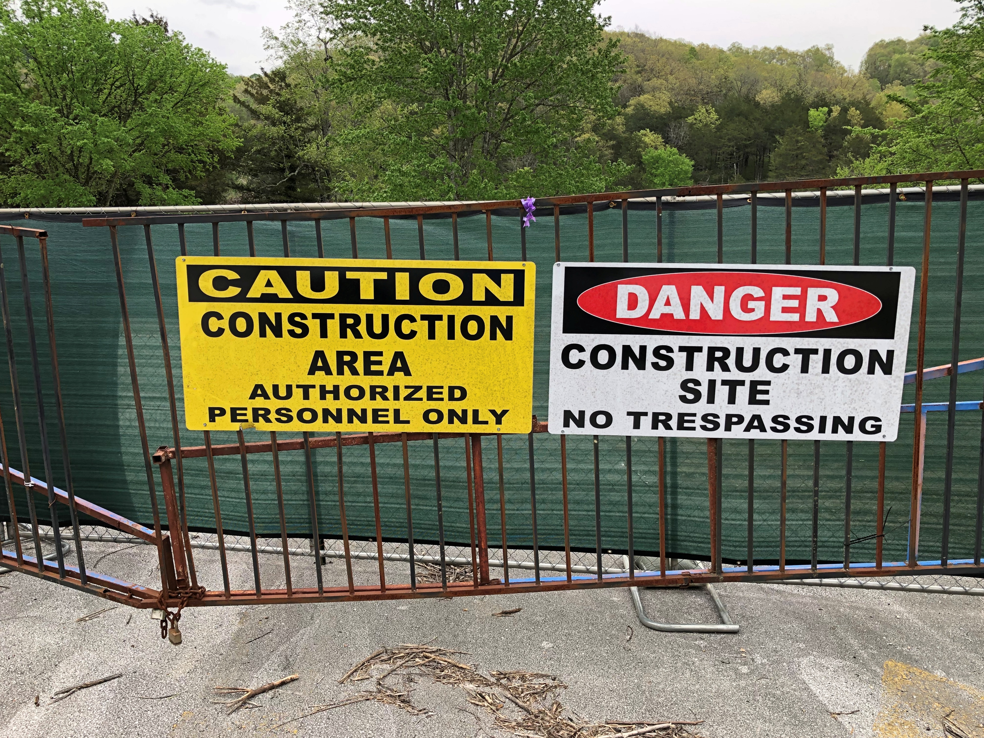
Dogpatch USA isn’t a welcoming place these days, and it’s impossible to see the ruins without trespassing.Dogpatch USA 2024

Those signs say construction, but there was no visible evidence of any such thing. The place needs to be stabilized for some ruin tourism, I reckon. I’d pay (a little) to see what’s left of the bumpkin kitsch and faux-illiterate signs.

How I Learned Michael Landon Didn’t Look Much Like Charles Ingalls

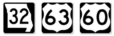
Because of our drive through southern Missouri on April 6, first on Missouri 32, then U.S. 63 and U.S. 60, generally trending west but also somewhat south, I’ve learned a few things.

One, there’s a crater on Venus named after Laura Ingalls Wilder, which is mentioned in passing here and confirmed by the USGS.

All features on that planet are named after females, real or fictional. Specifically, according to the IAU, craters are named for “women who have made outstanding or fundamental contributions to their field (over 20 km); common female first names (under 20 km).” I assume the measurements refer to diameter.

This page on planetary nomenclature is fascinating stuff, as far as I’m concerned. Dig down a little deeper, and you’ll find 900 Venusian crater names, from Abigail (the name) and Abington (actress Francis Abington) to Zurka (gypsy first name) and Zbereva (aviator Lidiya Zvereva, d. 1916). With a death date like that, I’d assume a flying accident, but no: typhoid fever.

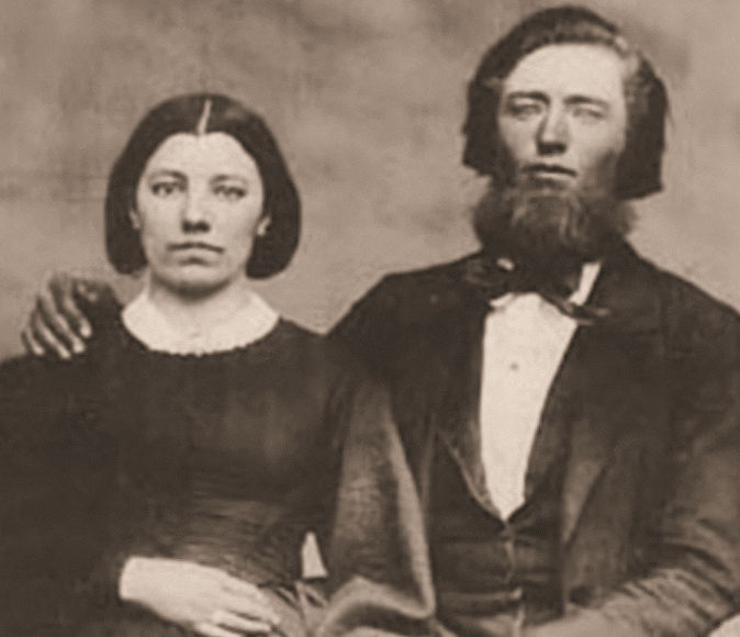
Also, I learned that Michael Landon, who portrayed Laura Ingalls Wilder’s father on TV, doesn’t look much like the man, Charles Ingalls. I can see that for myself, as he’s pictured with his wife Caroline here.

If it had been up to me, Landon would have at least sported a beard like Chas. Ingalls’. I don’t know whether that would have made Little House on the Prairie a better show, but it couldn’t have hurt.

The drive wasn’t quite car commercial driving. There was some traffic, and while the spring green woods and flowering patches of Mark Twain National Forest and the farms and businesses and churches and small-town buildings of southern Missouri offered pleasant enough scenery (and a favorite town name: Cabool), it wasn’t a Class A two-lane drive, as we would experience later, in Arkansas.

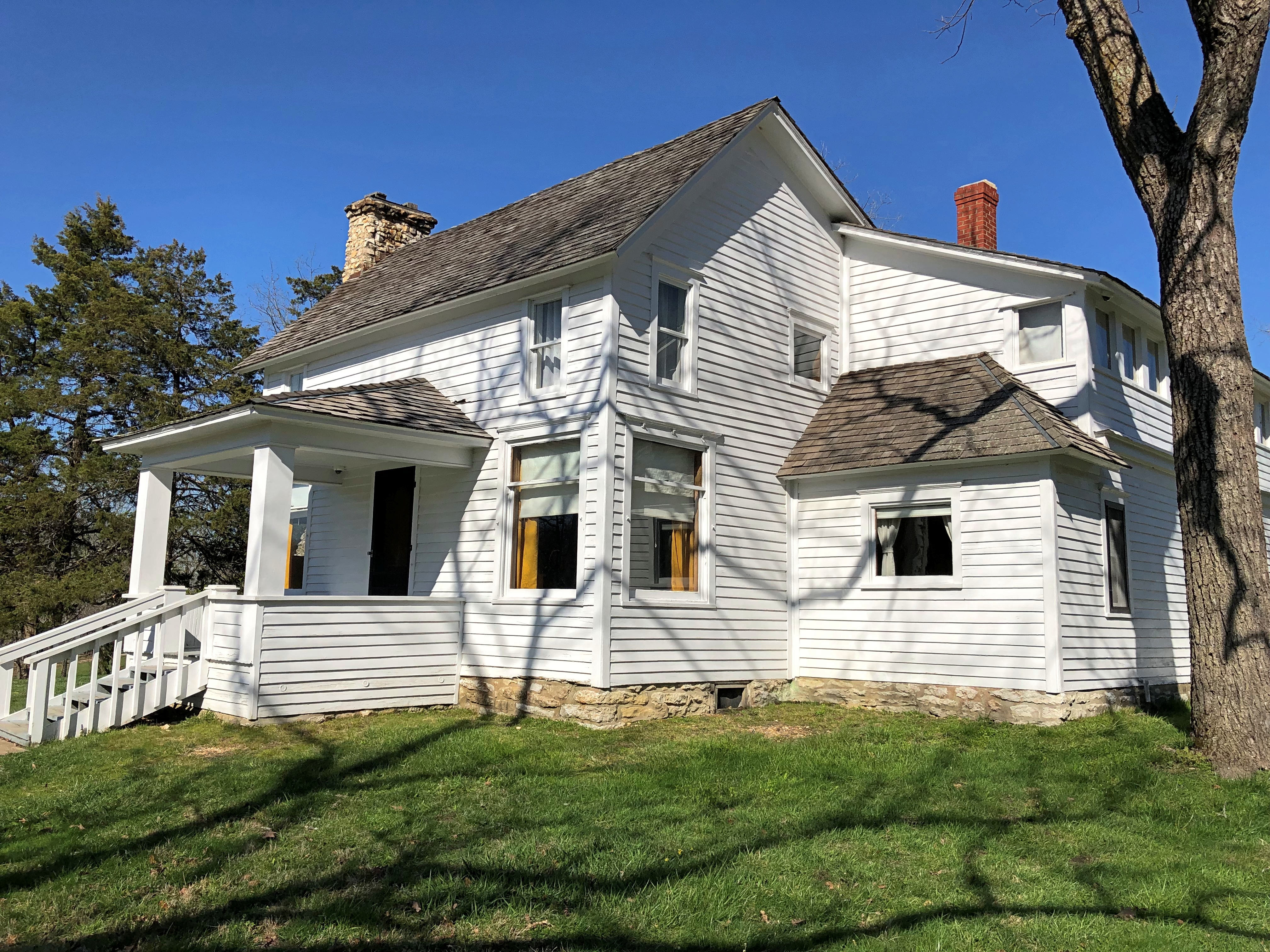
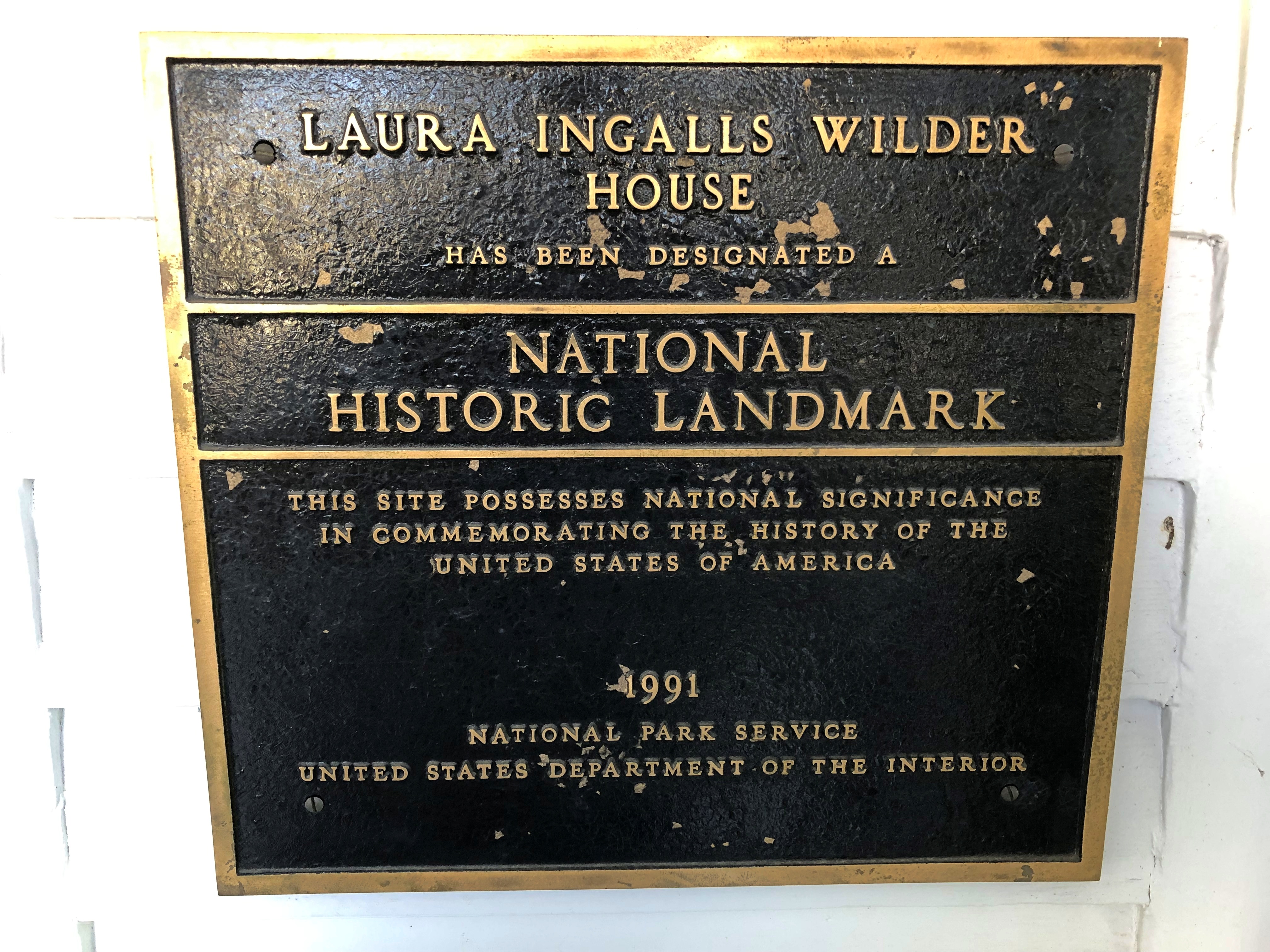
Late in the afternoon, we came to the Laura Ingalls Wilder Historic Home and Museum, near U.S. 60 as it passes through Mansfield, Mo., and we were just in time to catch the last tour of the day. That’s what ultimately turned my attention to Venusian craters, 19th-century beards, etc.Laura Ingalls Wilder home Laura Ingalls Wilder home

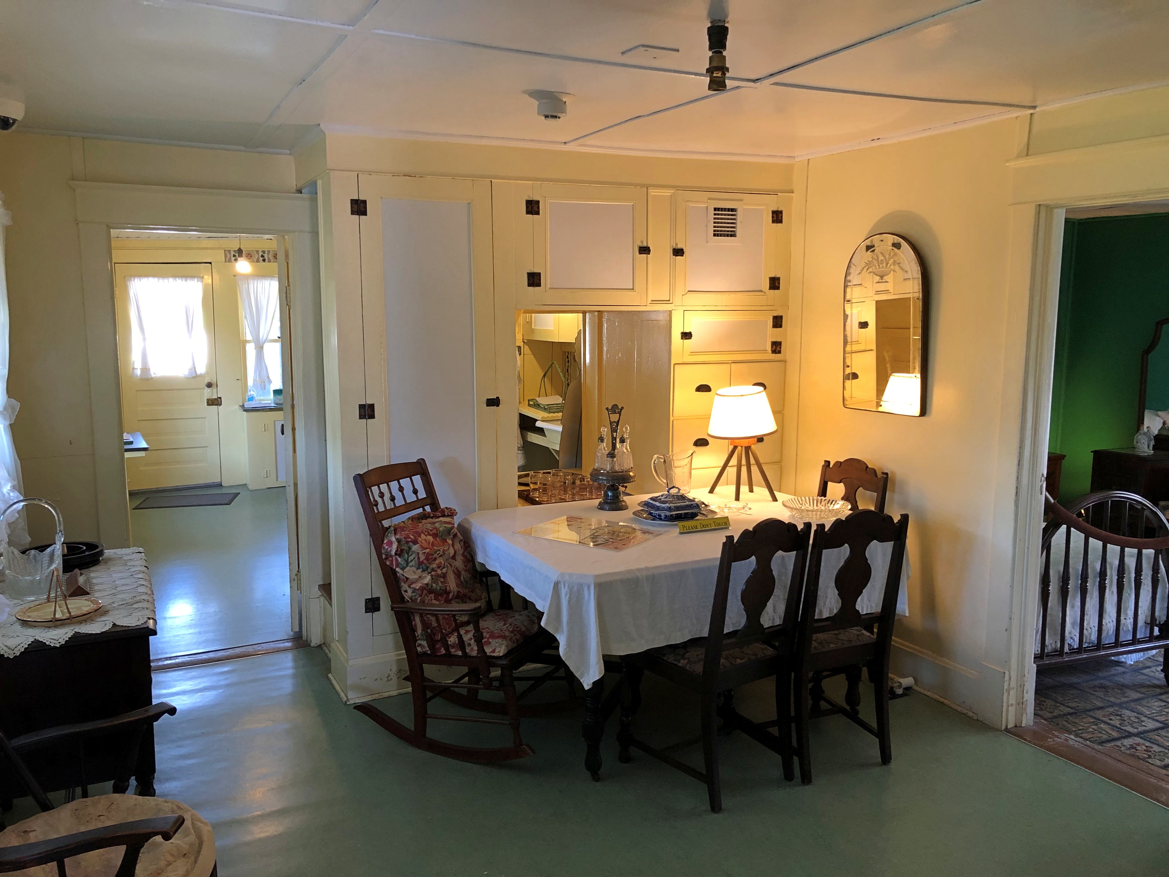
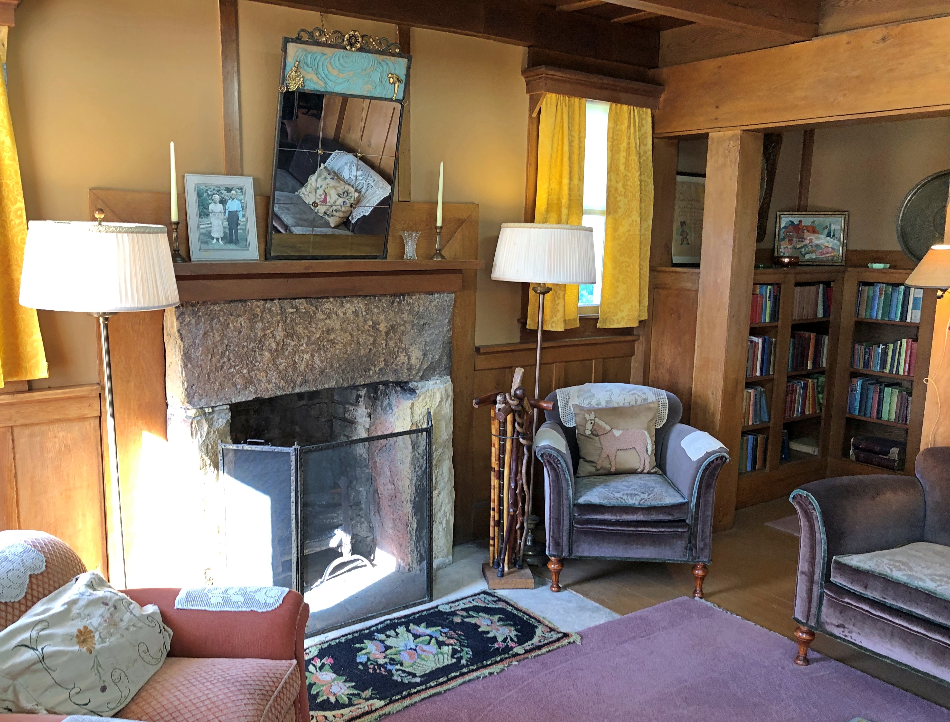
Not bad for an essentially self-built house – mostly by Wilder’s husband, Almanzo Wilder. She lived until 1957, for many years at this house, and could afford comfortable furnishings later in life.Laura Ingalls Wilder home Laura Ingalls Wilder home

Though the colors and styles were different, the living room nevertheless reminded me of my grandparents’ home in San Antonio. It had a similar old-folks-in-mid-century feeling somehow.

Queen of All Saints Basilica

The latest run of warm days is now ending, with rain moving through northern Illinois. In its wake, more seasonable temps for early March. Sunday wasn’t seasonable at all, with the air heated to a pleasant low 70s F.

On Sunday afternoon I headed for the the northwest side of Chicago. You’d think that would be straightforward, considering that I was coming from the northwest suburbs, but no: O’Hare takes up a sizable chunk of real estate between those two areas, and there’s no going under it like in Los Angeles. One goes around.

I was sure I didn’t need to consult a map, either. Go more-or-less east on a major road (Irving Park) that curls along the southern edge of the airport; go north on another major road that is just east of the airport (Mannheim); and then connect with the east-west road (Devon) that would take me to the part of the city I wanted to visit.

Easy, especially since I knew the first part of the route well. I often take those first two roads to the airport entrance. True, I had to go a little further north on Mannheim into less familiar territory to connect with Devon, but all I’d have to do is watch for Devon. So I did.

No, that wasn’t it, but it’ll be soon. No, that’s not it either, maybe the next major light. No, not that one. Maybe one more. No. We’ve all done this: expect something while driving, sure that it will come up soon, and it doesn’t. So I pulled over to check my map, finally, and I was some distance north of where I want to be. Mannheim doesn’t actually connect to Devon. The next major north-south street east of Mannheim, which is River Road, does. Oops.

Use the GPS, you say. I still say no. I wasn’t going to be late for anything that needed my punctuality, for one thing, but more important, I passed through a stretch of relatively unfamiliar and interesting territory as I navigated my way southeast to Devon. Metro Chicago is so large that that’s possible even after living here for decades.

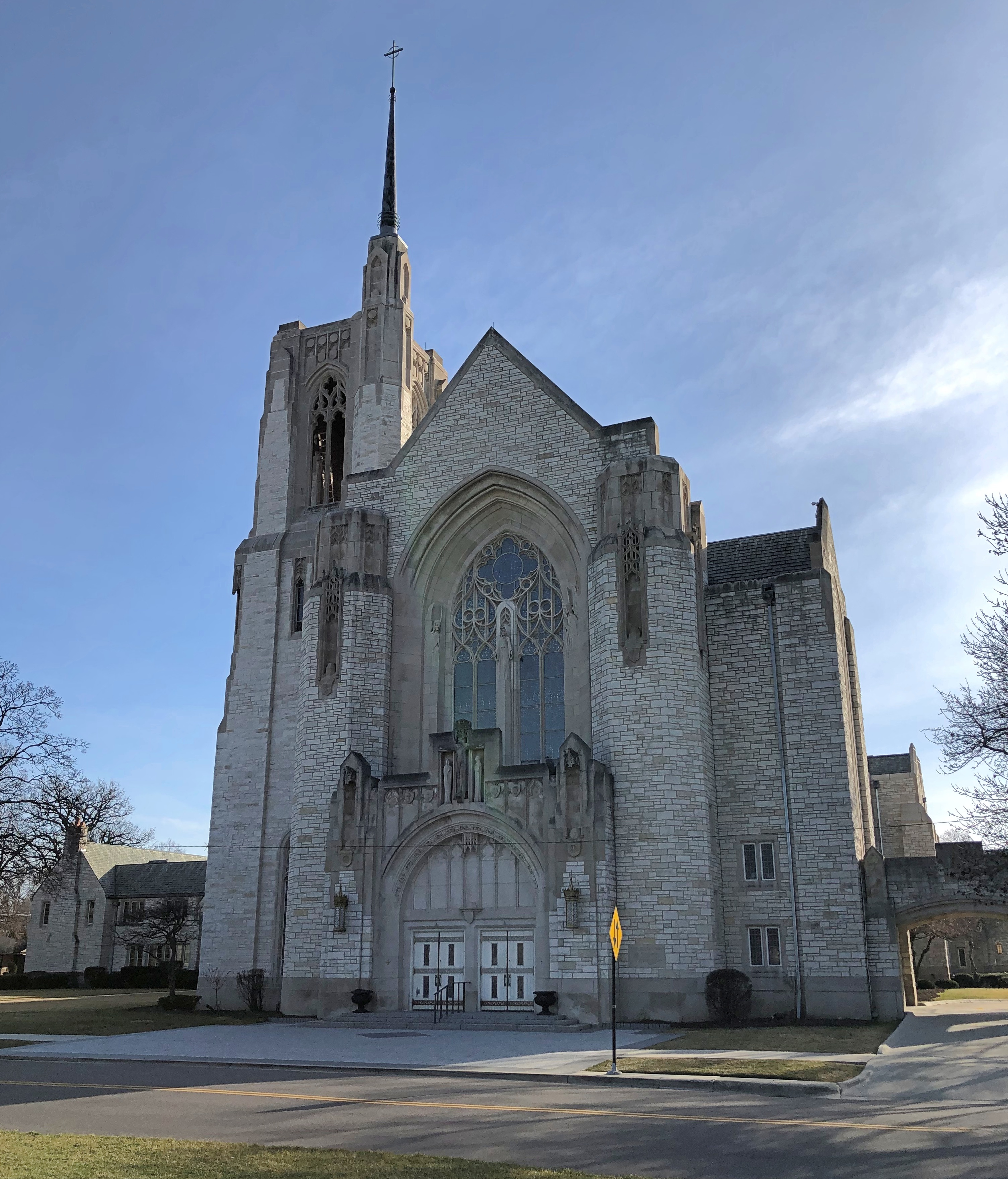
Had I not been “lost” I would never have noticed this along the road.Queen of All Saints Basilica Queen of All Saints Basilica

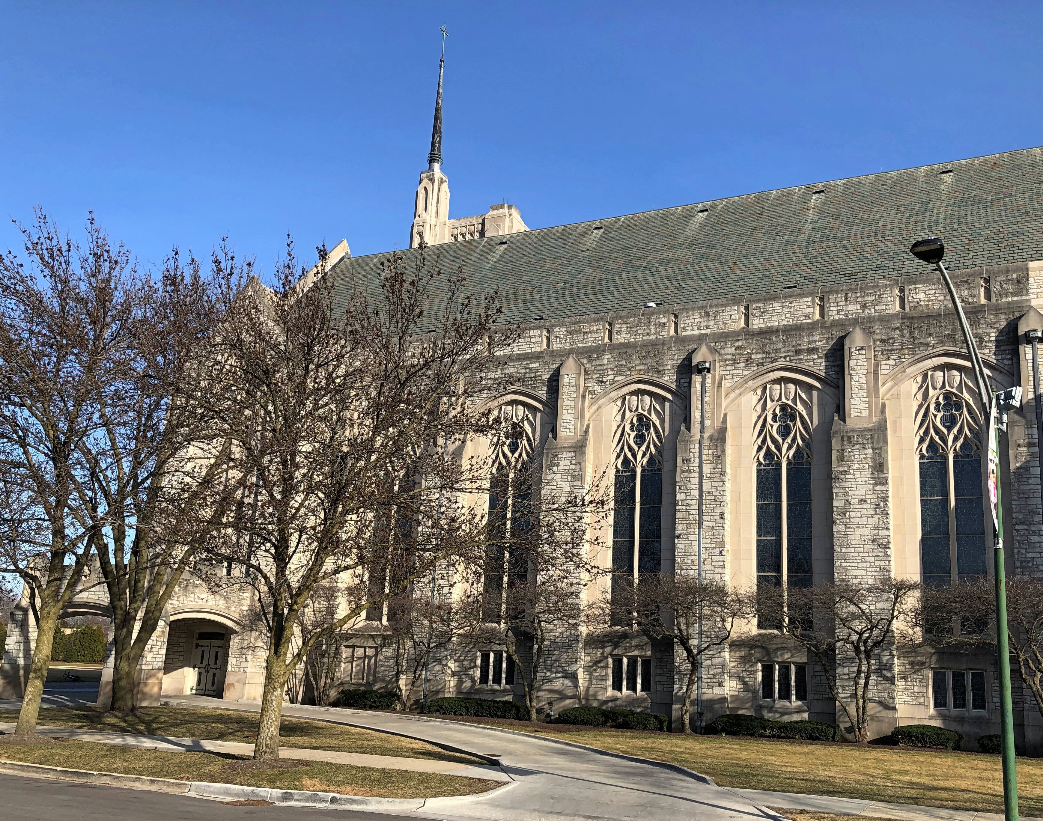
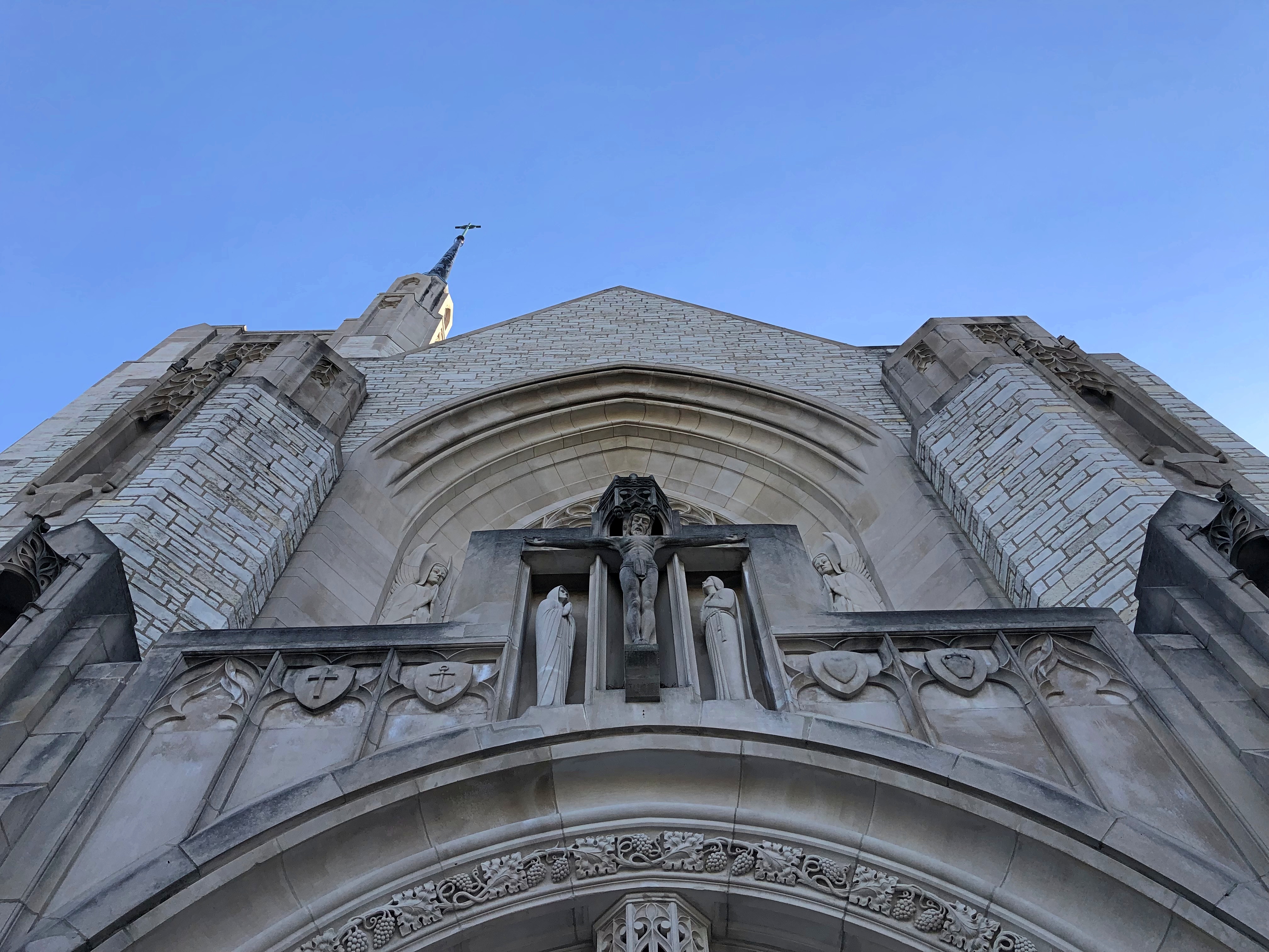
I’d happened across Queen of All Saints Basilica in the Sauganash neighborhood of Chicago, one of the three minor basilicas in the city. I might have seen it on a list of local Catholic sights some time, but I didn’t remember it and didn’t set out to see it. But see it I did, though it was already closed. The exterior had to do.Queen of All Saints Basilica Queen of All Saints Basilica

Completed in 1960, so I’m surprised it isn’t more modernist. But I suppose the diocese wanted neo-Gothic, and that’s what architects Meyer & Cook provided. That firm seems to be better known for the art deco Laramie State Bank Building, also on the western edge of Chicago. While Queen of All Saints is certainly impressive, what if the diocese had asked for an art deco church?

The Kingdom of Elvis

Is December here in northern Illinois evolving – devolving – into a chilly but snowless period? So far not much this year, including forecasts for the next week+. I can live with it.

I picked up Ann from Normal not long ago. Part of that involved a solo drive of two hours, much of it through the flat, featureless winter darkness of rural Illinois. Odd thoughts bubble up at such times and along such stretches, and that’s one reason I like this kind of driving, provided I’m not too tired.

A thought bubble this time, on the long road, fleshed out a little bit more later: Say there’s a major religion in 500 years – 1,000 years – whose founding document is the song “Elvis is Everywhere” by Mojo Nixon. The song makes a welter of theological claims: read them here. They might sound dodgy to you or me, but people believe the damnedest things, and I don’t expect that to change in the coming centuries.

The Kingdom of Elvis, let’s call it, but it isn’t a secular state. It’s a religion with certain tenets:

• Everyone has a bit of Elvis in him or her, and in fact inanimate objects participate in Elvis nature. That’s every human being, regardless of their other differences.

• There is an anti-Elvis – the hallmark of whom is that he has no Elvis in him. The evil opposite one walked the Earth at (roughly) the same time as Elvis, calling himself Michael J. Fox. Not much is known about him, but lore and artists depict him as diminutive and able to travel in time. A female figure, almost as evil (a nightmarish succubus, according to certain interpretations), called herself Joan Rivers.

• Elvis has been a creator throughout history, including before he made himself flesh in the 20th century (First century, to believers). Stonehenge in Britain and the Pyramids of Egypt, which Elvis lavished special attention on, are venerated as especially holy sites, as is Bermuda and the waters around the island. The homeless population of Elvis’ time (roughly) are regarded as saintly, since Elvis himself spoke to them, but that doesn’t apply to later homeless.

• Elvis has a special connection to the maritime industry, which has its own Elvis lore and ritual, though it isn’t clear why – scholars and laypeople have long debated why Elvis needs boats (compare with a parallel religion also with roots in the 20th century that asks, what does God need with a starship? Elvis believers think of that other religion as “jive.”)

• Intelligent beings that live elsewhere in the Universe resemble Elvis, “a perfect being.” Eventually the people of the Earth will more and more resemble Elvis – and indeed ultimately animate and inanimate matter alike will become Elvis. This process is called “Elvislution.”

• Believers are active participants in Elvislution, first speaking to Elvis, calling on him for healing, and to bring the perfect Elvis light. Elvis responds by calling on them to sing – like He sings — singing being a major form of worship for them. Exactly what kind of singing has been the subject of much acrimony down the centuries, but the practice has also produced ethereally beautiful songs.

• Posture is also important when singing like the King, but (again) different groups have different ideas about how to position and move their legs and lips. Stories are told of a fool called “Billy Idol” who didn’t worship Elvis properly.

Naturally, I could elaborate more – about how Mojo Nixon was widely regarded as Elvis’ prophet, but very little was actually known about him; and in fact a splinter group accepts a different prophet, a singer from the mid-21st century, who did one of the countless thousands of different recordings of the song; or how depictions of Elvis vary widely, but usually he wears sparkling white clothes marked by rhinestones and always — always — long sideburns.

The lyrics, demented as they are, are fairly easy to hear, to Mojo’s credit. Enjoy.

The Peshtigo Fire Museum & Fire Cemetery

You can drive from Sault Ste. Marie to metro Chicago in a day. It would be a long day, maybe eight or nine hours depending on traffic, construction, etc., but you can do it. I decided against such a long day, breaking the trip roughly in half by spending the last night of the drive around Lake Superior – which I was leaving far behind by this point – in Marinette, Wisconsin.

One reason: so I could enjoy a leisurely drive through the UP, including westward on Michigan 28 and then south on National Forest 13 through Hiawatha National Forest.

These are roads unlikely to make it on conventional best-drive lists, except for one that I might compile myself according to idiosyncratic lights, which might also include the Icefields Parkway, Lake Shore Drive, Alamo Heights Blvd., North Carolina 12 on Hatteras and Ocracoke islands, among others that come to mind. That the UP has two such favorite roads says something about the car-commercial driving to be had in the mostly forested UP.

Light enough traffic, at least on National Forest 13, that you can stand on the center line and take pictures at your leisure.

Another thing about NF 13: It took me to Pete’s Lake once upon a few times, and again on August 5, though I didn’t camp this time or experience a thunderstorm or yahoos yelling in the distance. It remains a sentimental favorite spot.National Forest 13

On the morning of August 6, I finally headed home, with one more stop in mind: Peshtigo, Wisconsin, a place that demonstrates, if nothing else, that the human mind is a creature of habit.

That includes me. I only mentioned the town in passing in 2006, when we stopped at the Peshtigo Fire Museum.Peshtigo Fire Museum Peshtigo Fire Museum

The building is a former Congregational church, on the site of a Catholic church that burned down in the firestorm of 1871 – which remains the deadliest wildfire in U.S. history, according to the National Fire Protection Association. Remarkably, the Maui wildfire is, for now, placed at fifth; modernity can’t protect us from everything.

“On the night of October 8, 1871, in Peshtigo, a lumber town about seven miles southwest of the Michigan-Wisconsin border, hundreds of people died: burned by fire, suffocating from smoke, or drowning or succumbing to hypothermia while trying to shelter in the Peshtigo River,” notes USA Today.

“But the fire also raged across Oconto and Marinette counties into Michigan’s Upper Peninsula, while another blaze burned across the bay of Green Bay in Brown, Door, and Kewaunee counties.”

No one knows exactly how many people perished in the Peshtigo fire — I’ve seen varying estimates, all in the low thousands — but it was certainly more than in the Great Chicago Fire, which happened the same day. Which one is mostly remembered? Chicago, of course, thus illustrating a habit of mind. Once a thing enters the tapestry of the popular imagination, it can crowd out similar events.

Peshtigo isn’t a large museum, but it is full of stuff.Peshtigo Fire Museum

The museum includes much information and a few artifacts from the fire, though naturally not much survived. The fire itself is illustrated not by photography, but artwork.Peshtigo Fire Museum

Two volunteer docents were on hand to spread the word about the fire. It’s the only distinction for modern Peshtigo, pop. 3,400 or so. One was a woman about my age, the other a woman about Ann’s age. Again, good to see young’ins up on their local history.

Speaking of that, the museum is actually more local history than the single incident of the fire, as important as that is. As such, there are many artifacts from the entire spectrum of the town’s history (including in the basement).Peshtigo Fire Museum Peshtigo Fire Museum Peshtigo Fire Museum Peshtigo Fire Museum

Next to the museum is the Peshtigo Fire Cemetery.Peshtigo Fire Cemetery Peshtigo Fire Cemetery Peshtigo Fire Cemetery

Including survivors of the fire.Peshtigo Fire Cemetery

Along with many who did not.Peshtigo Fire Cemetery Peshtigo Fire Cemetery

Too grim a note to end on. Not far south of Peshtigo is a roadside plaque I’d seen before, but not photographed.45th parallel Wisconsin 45th parallel Wisconsin

“The most obsessive of all of 45th Parallel markers are the plaque-on-rocks sponsored by Frank E. Noyes,” says Roadside America. “We know that he sponsored them because he put his name on every one.

“Frank was 82 years old, a faithful Episcopalian and 32nd degree Mason, and president, general manager, and editor of The Daily Eagle, a Wisconsin newspaper founded by his dad. For reasons lost to time, he became fixated on the intangible world of latitude in 1938 and put up plaques around his home town of Marinette to mark the halfway line.”

There are other such signs, of course, not of Frank Noyes origin, such as at the Montana-Wyoming border, as seen in 2005.

Except for bathroom and gas breaks, the Wisconsin 45th parallel proved to be the last stop of the nearly 2,000 miles around the lake.