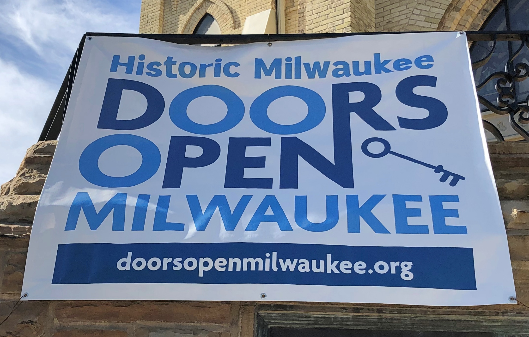
Once upon a time, Frank Lloyd Wright took a stab at designing affordable housing. He didn’t get far for various reasons (including, maybe, his temperament), but relics of the effort occupy the north side of the 2700 block of W. Burnham St. in Milwaukee to this day. We arrived to take a look around noon on Saturday.
I bought some postcards from the nonprofit that now owns most of the block. One line on one of the cards says: “Burnham Block is the only location in the world where six Wright-designed homes sit side by side.”
I’d say that’s reaching for a distinction, but in any case the block was worth seeing. FLW is usually worth a look, even in the case of an obscure warehouse building in otherwise obscure Wisconsin town.
The houses on the block have that FLW look, all right.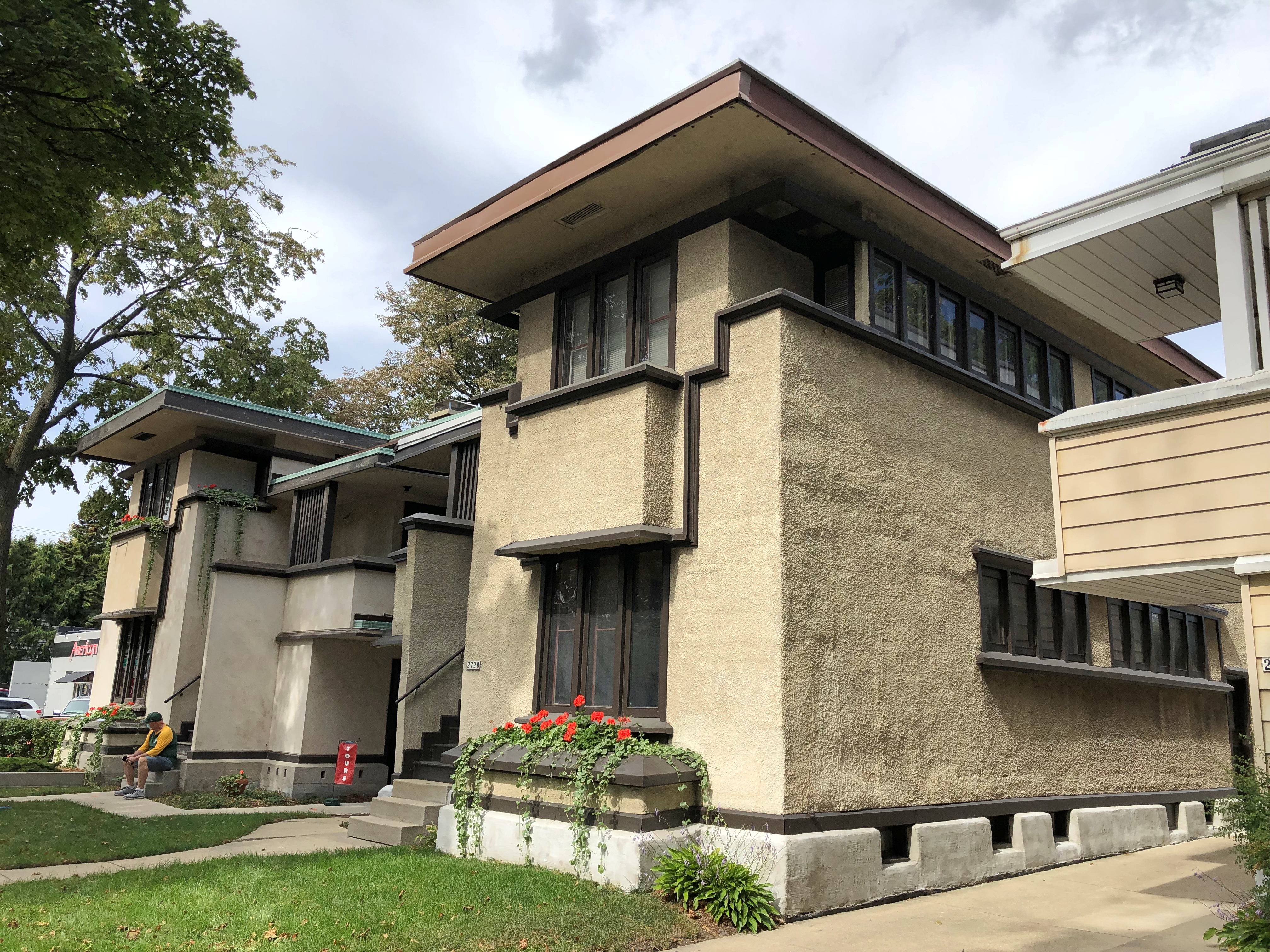
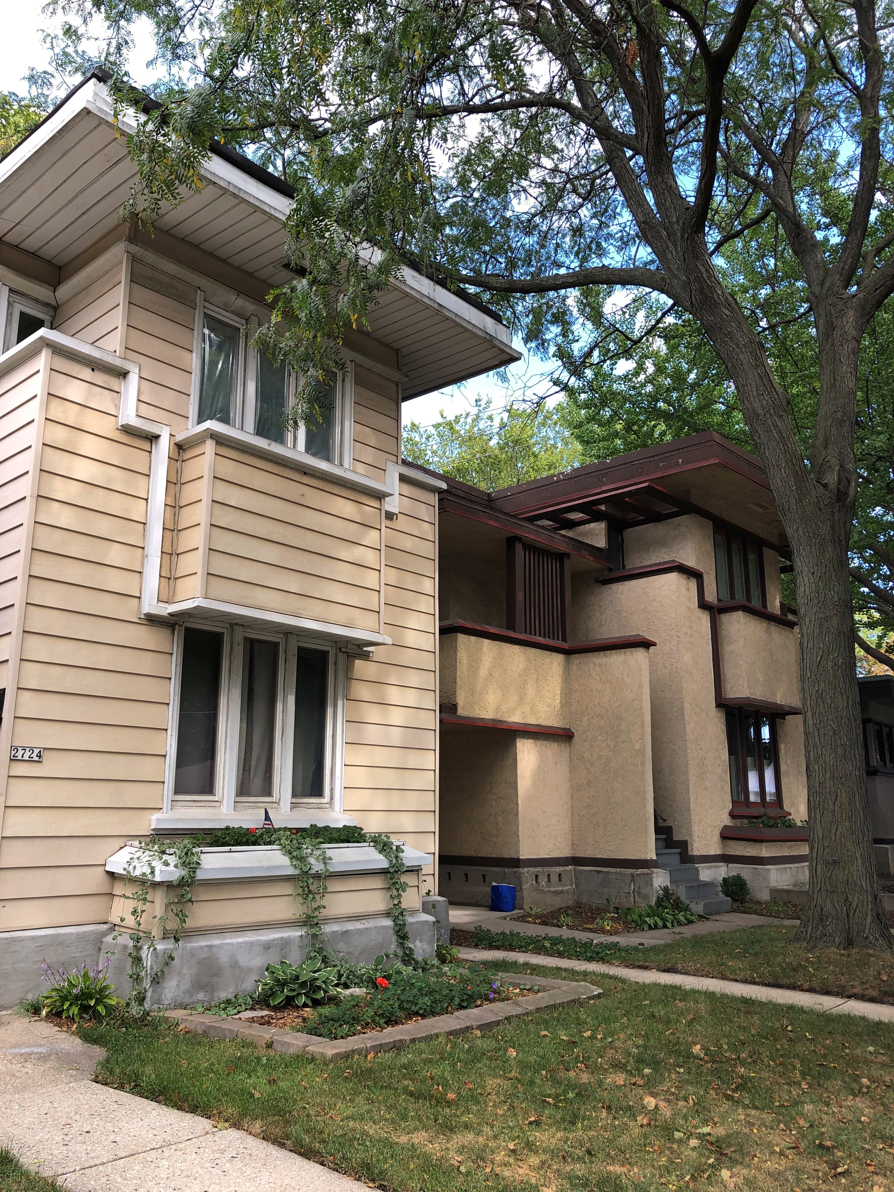
At one point the owner of the house on the left, which is in the middle of the block, had the temerity to put siding on the house, which horrifies the Wright purists, who have been acquiring the houses one by one in recent years, but haven’t gotten that one yet. When they finally do, it will be restored to its 1910s look, once funds are raised (always a consideration with FLW works).
The six are American System-Built Homes. To quote from the last time we saw one, which was in 2015: “Between 1915 and 1917, Wright designed a series of standardized ‘system-built’ homes, known today as the American System-Built Homes, an early example of prefabricated housing. The ‘system’ involved cutting the lumber and other materials in a mill or factory, and then brought to the site for assembly; thus saving material waste and a substantial fraction of the wages paid to skilled tradesmen.”
 Much more detail on the Burnham houses is at web site of the organization that owns most of them.
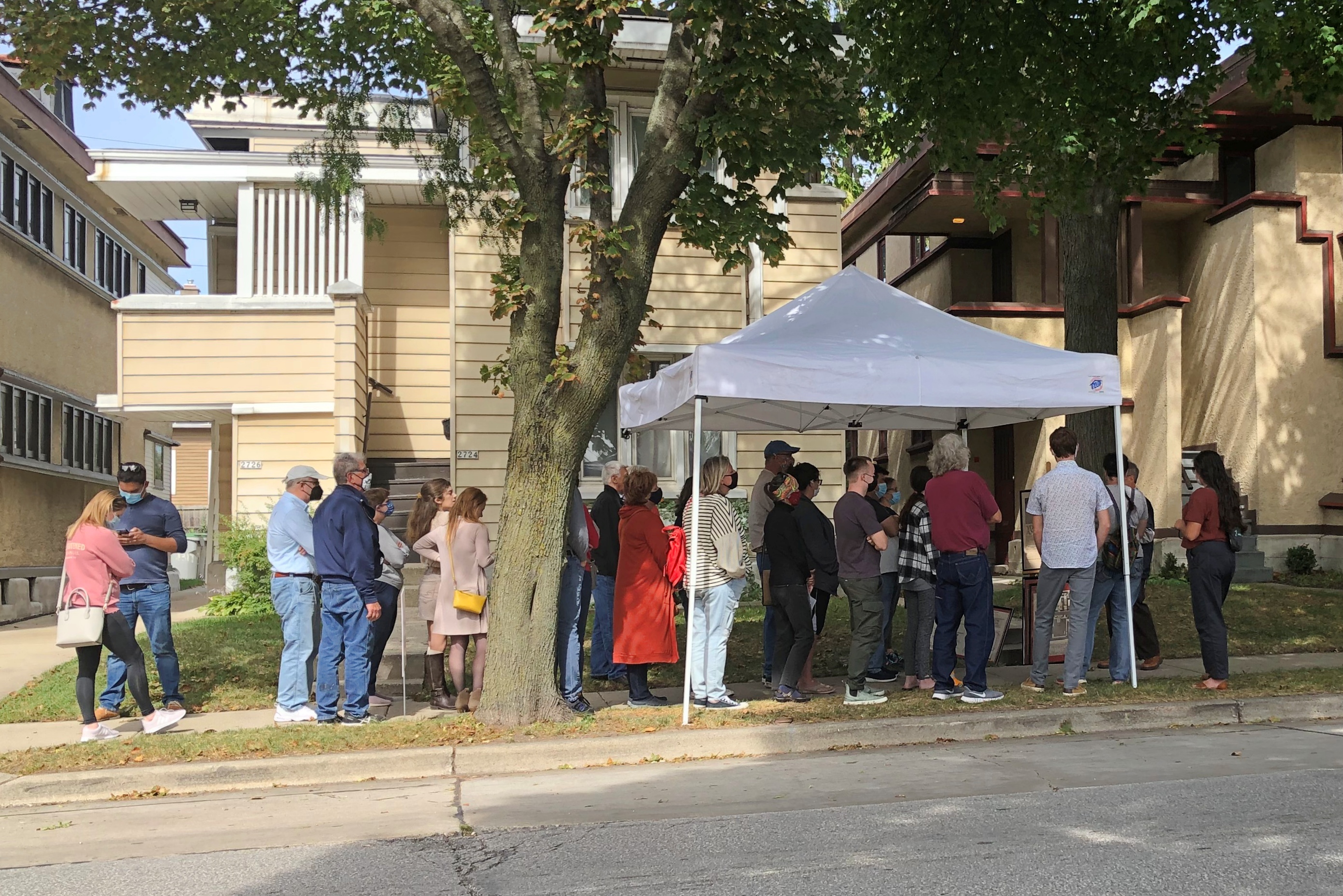
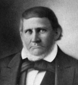
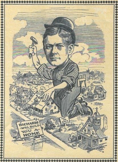
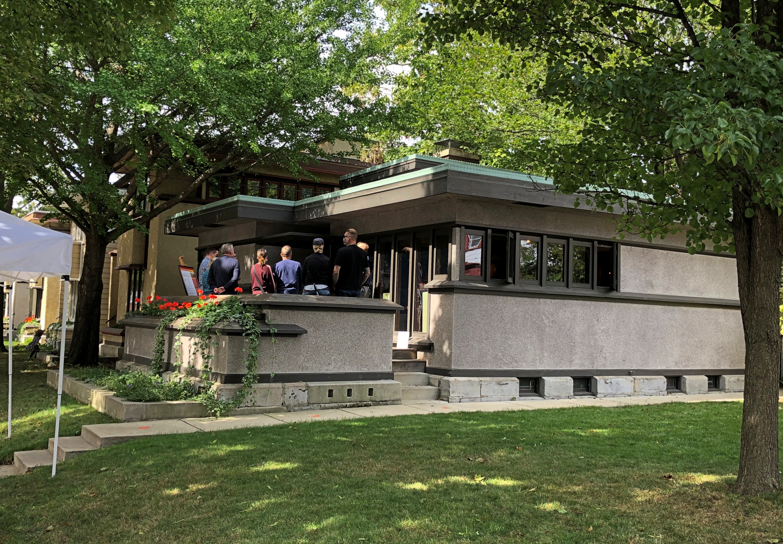
On Saturday, only one of the houses was open for a tour (the B-1 model, roughly 800 square feet), taking about a dozen people at a time, so we had to wait 20 minutes or so each to get in. While we waited, a docent talked about the houses, and FLW, and the houses’ developer, whom he quarreled with — Arthur Richards, pictured in an early 20th-century ad — the cost-savings measures, the history of the properties after Wright gave up on the American System but before the world acknowledged them as products of The Genius, which was decades later, and more.
This is the B-1, with people waiting on the porch to get in.
The inside is impressive in a number of ways, but mainly in its efficient use of the small space, and its inexpensive wood buffed up to look elegant. Two pictures in the slide show here that illustrate that. Nice place to visit, I thought, but not enough room for essential clutter.