Golden West Nuggets

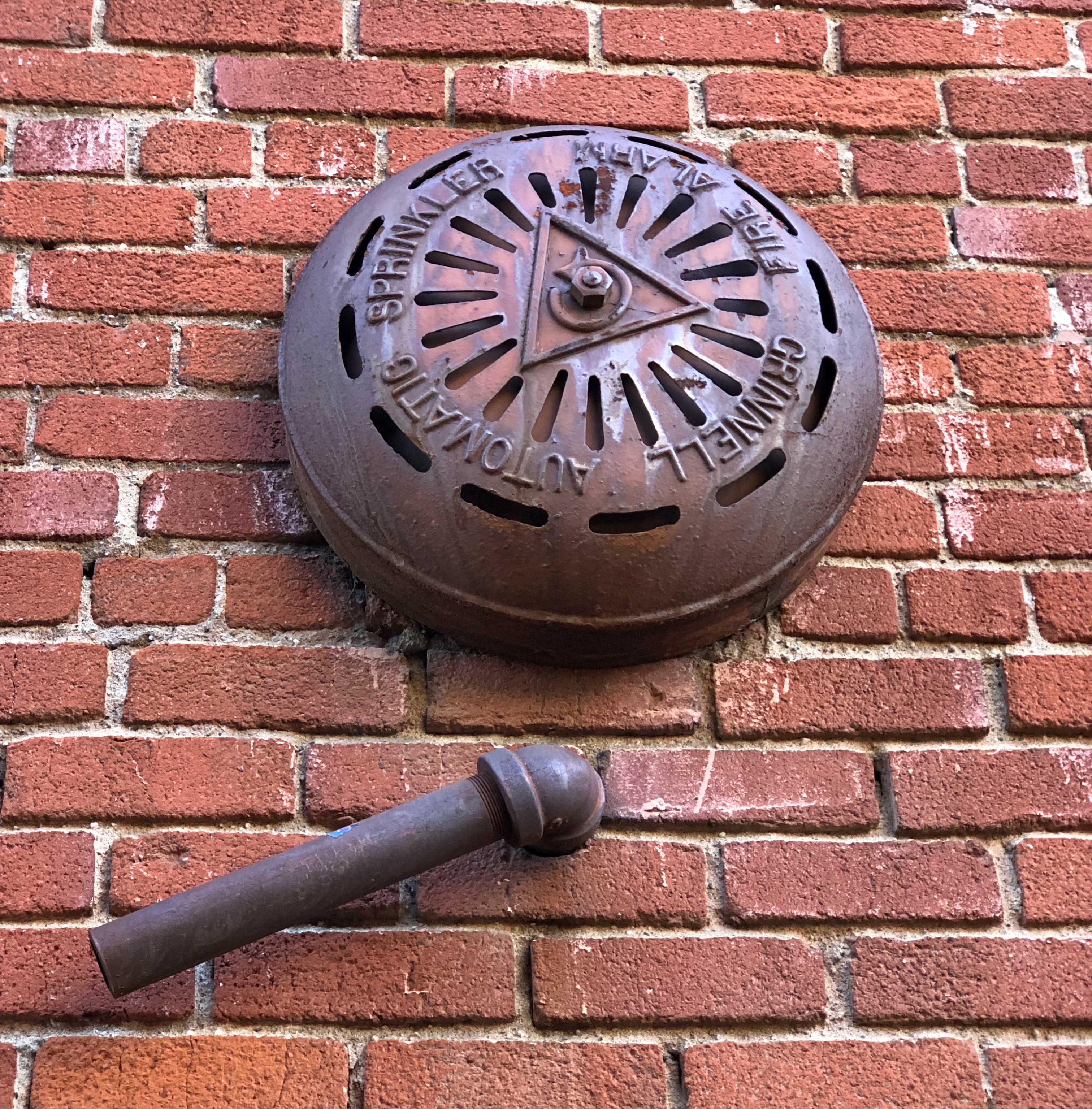
This is the kind of detail that keeps the built environment interesting. A visible part of an alarm system of some earlier vintage, operable or not.Placerville, California

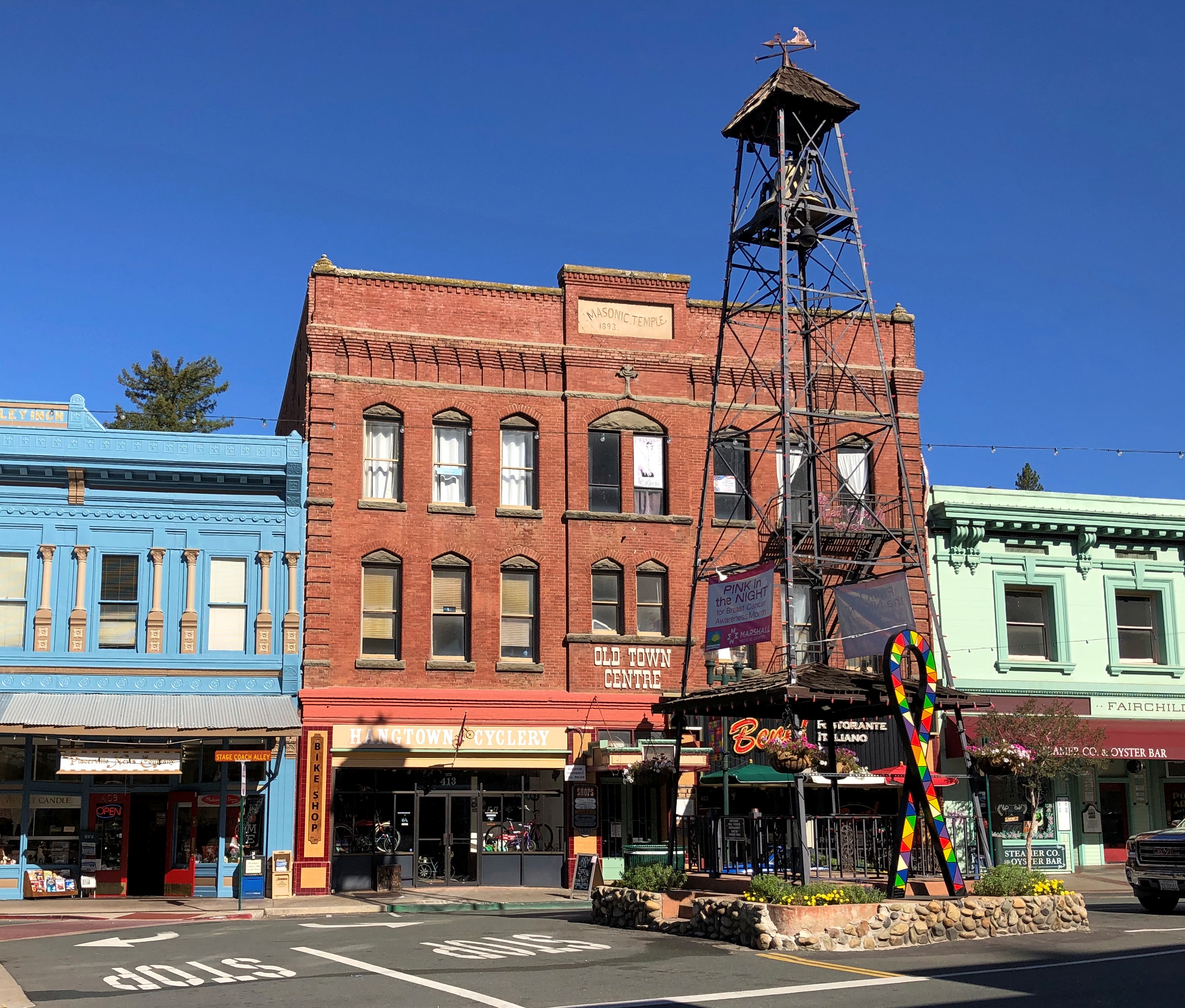
To be found in Placerville, California. You can also take a look at a small tower of some vintage in that town.Placerville, California Placerville, California

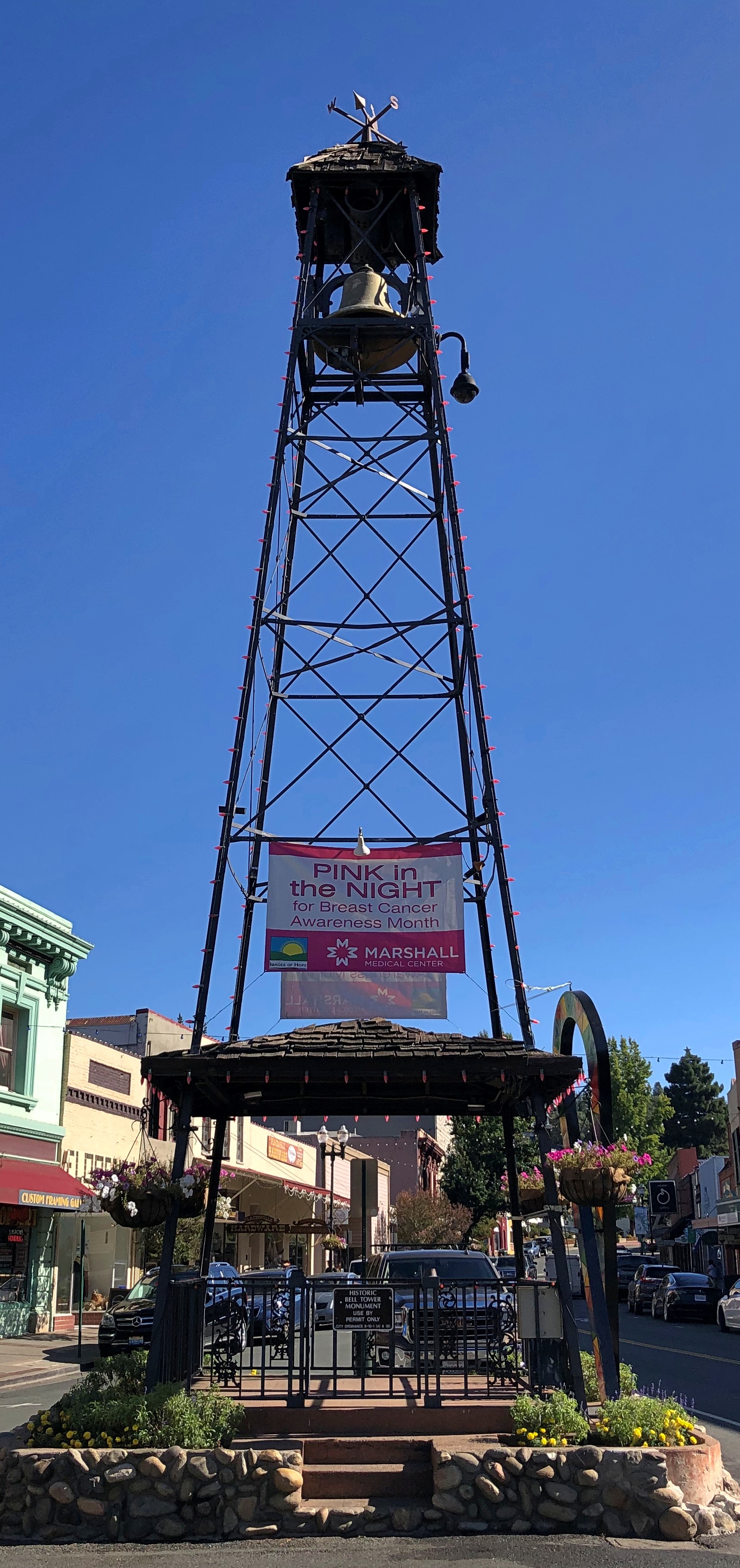
Placerville’s old bell tower. For use in the pre-electronic communication days, with a ring meaning something’s going on, come quick.

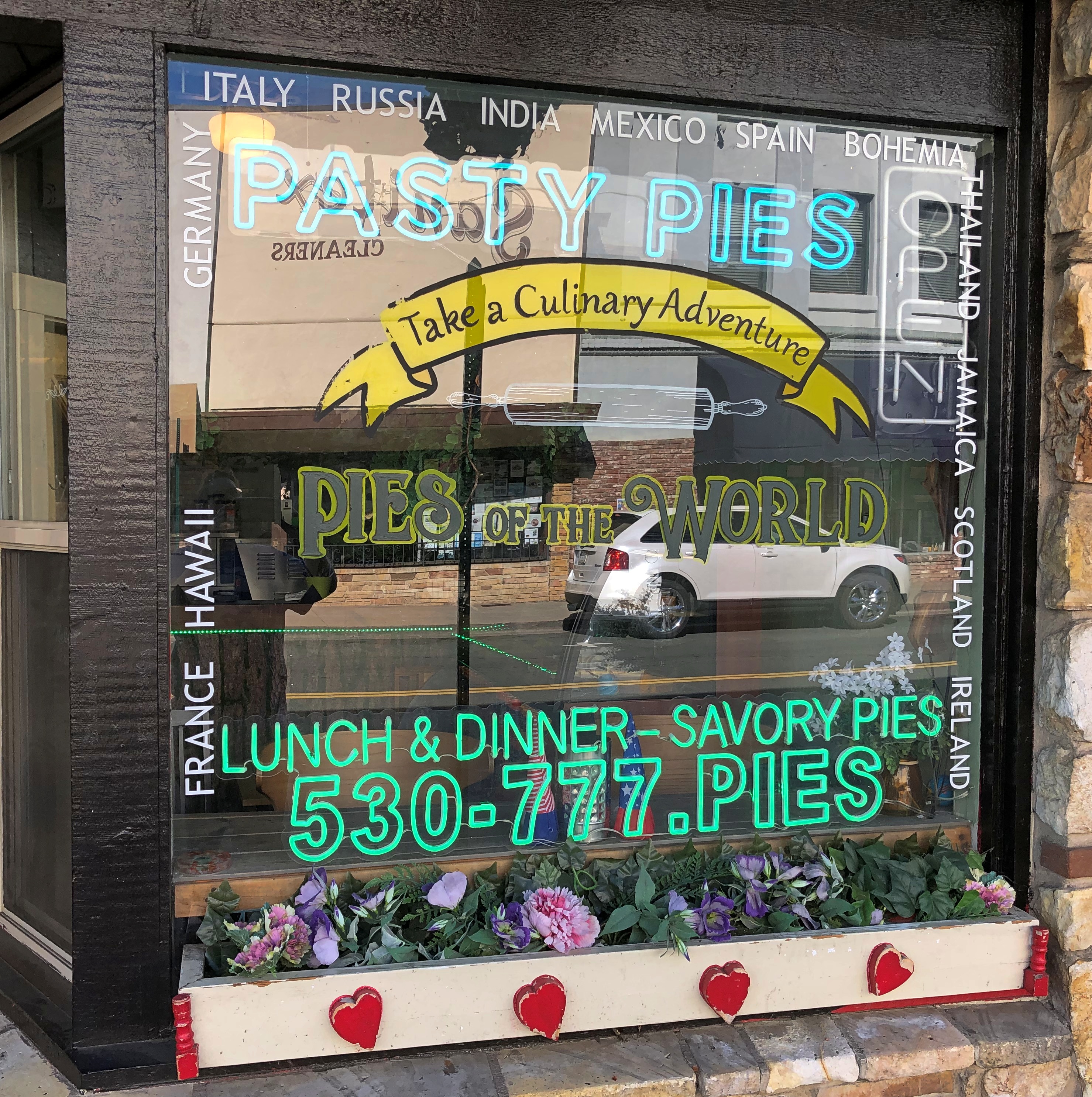
Wish I’d been hungry in Placerville, but no.Placerville, California

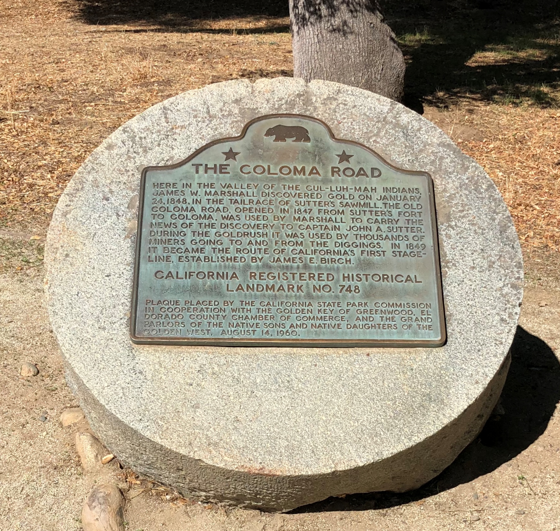
Some miles away, a Coloma plaque. I’m a fairly regular reader of plaques.

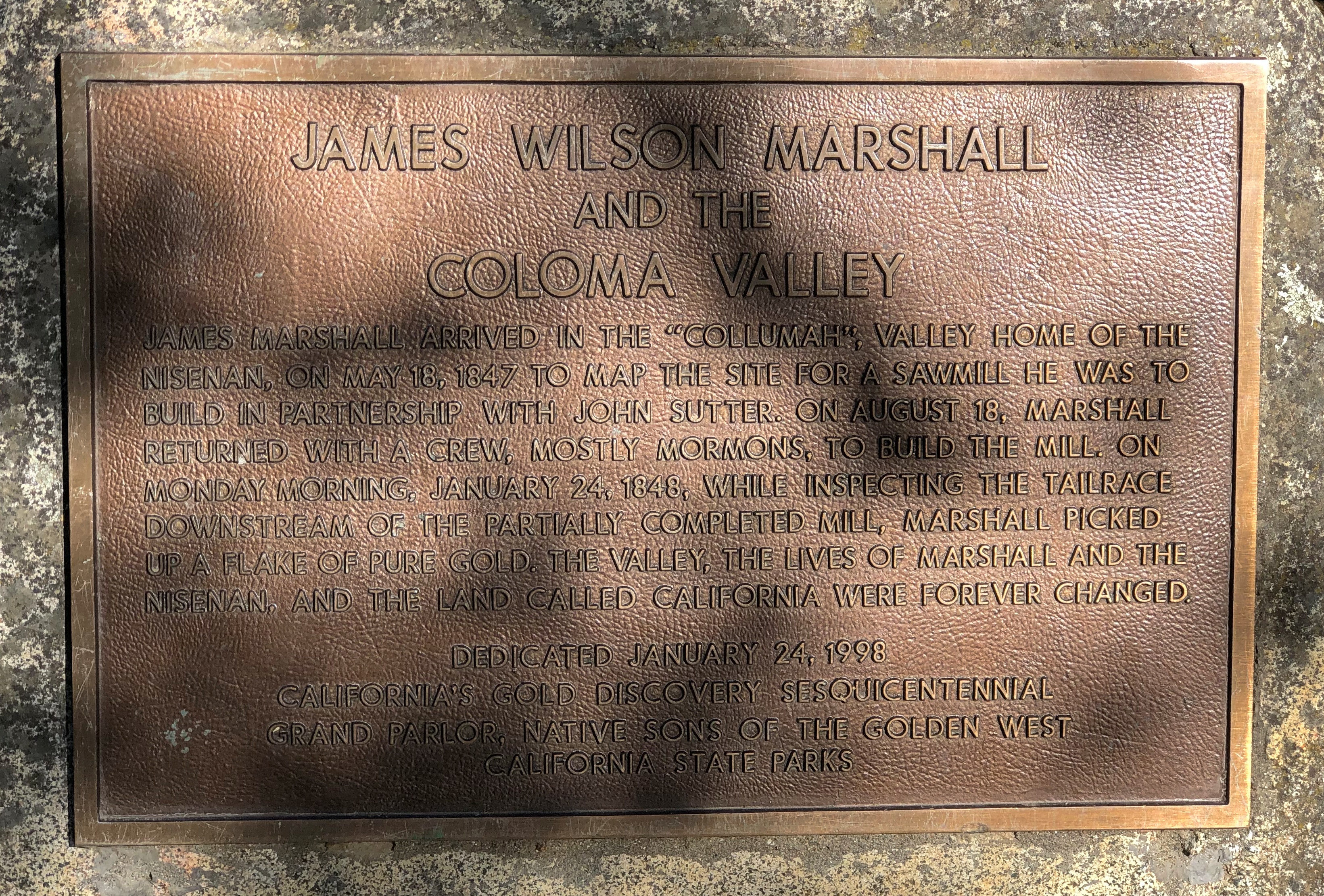
Another. I could post nothing but plaques, but that would be more granular than I want to be.

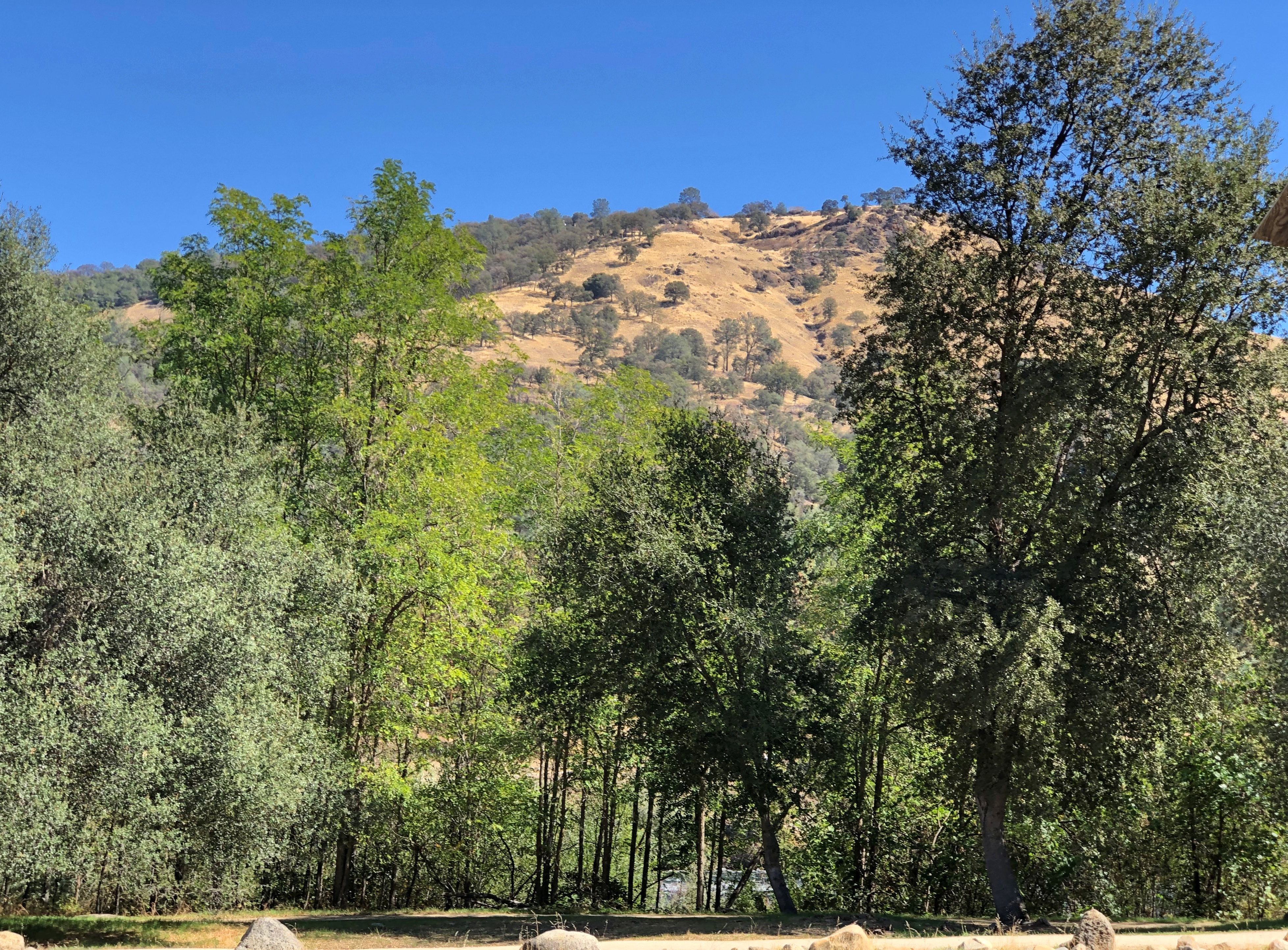
It’s a good-looking part of California anyway.Coloma Valley, California

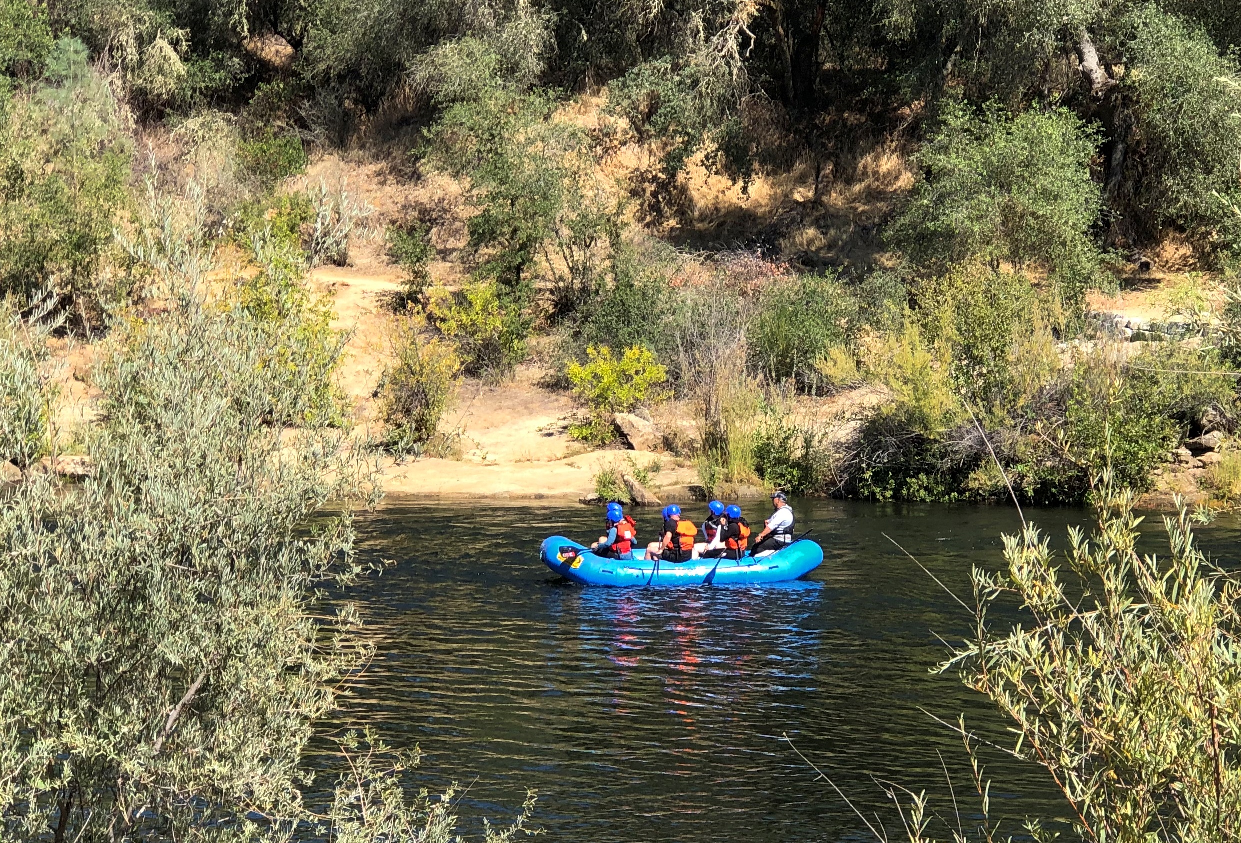
With recreational opportunities.Coloma Valley, California

Mark Twain on Lake Tahoe (from Roughing It): “At last Lake Tahoe burst upon us, a noble sheet of blue water lifted some 6,000 feet above the level of the sea, and walled in by a rim of snow-clad mountain peaks that towered aloft a full 3,000 feet higher still.

“As it lay there with the shadows of the mountains, brilliantly photographed upon its surface, I thought it must surely be the fairest picture the whole earth affords.”

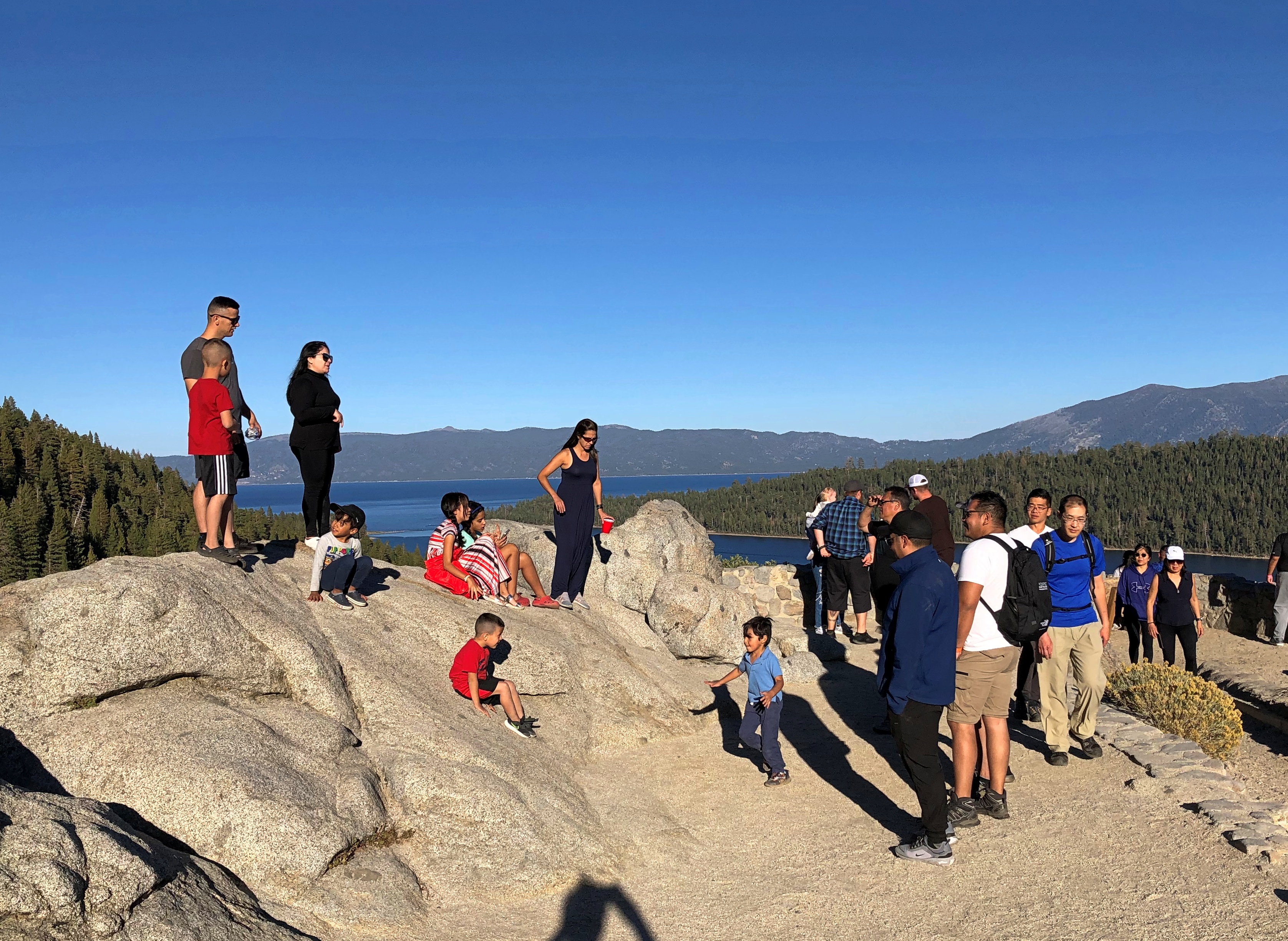
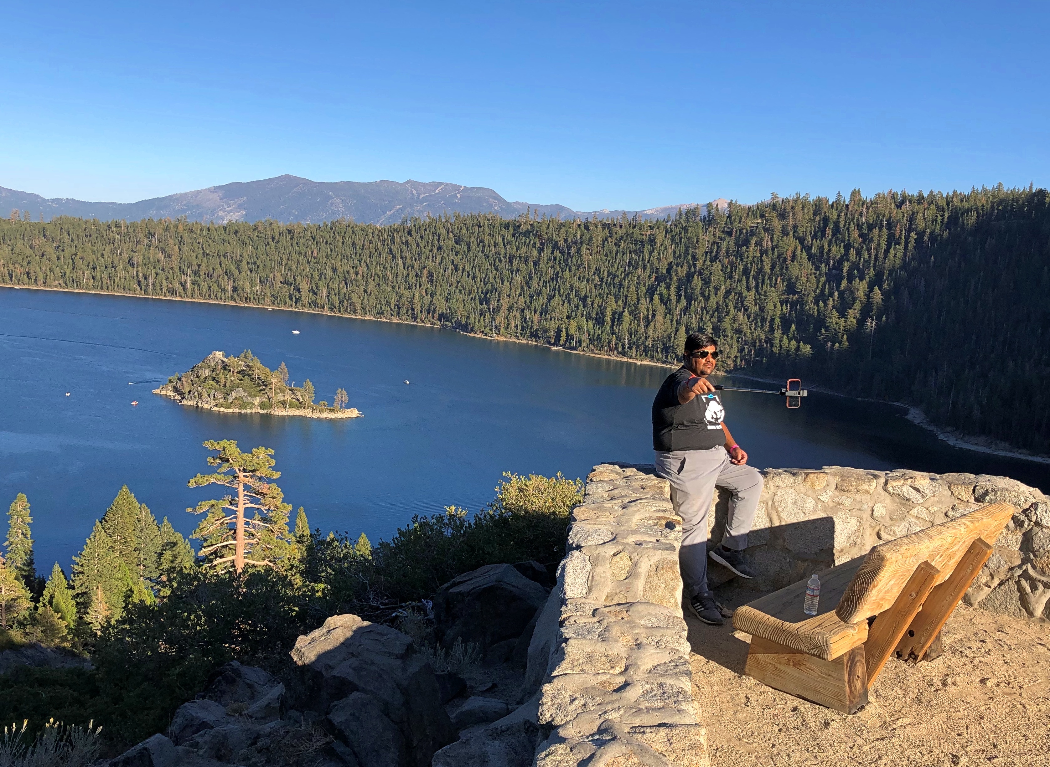
Enjoyable vistas for sure. It was good to see other people there.Lake Tahoe 2022 Lake Tahoe 2022

I had breakfast my first morning in Reno at a restaurant for old people — except that’s me now, isn’t it? But on a weekday mid-morning, I was one of the younger patrons. Decent food, though a touch expensive (a contagion from California, no doubt, plus the inflation du jour).

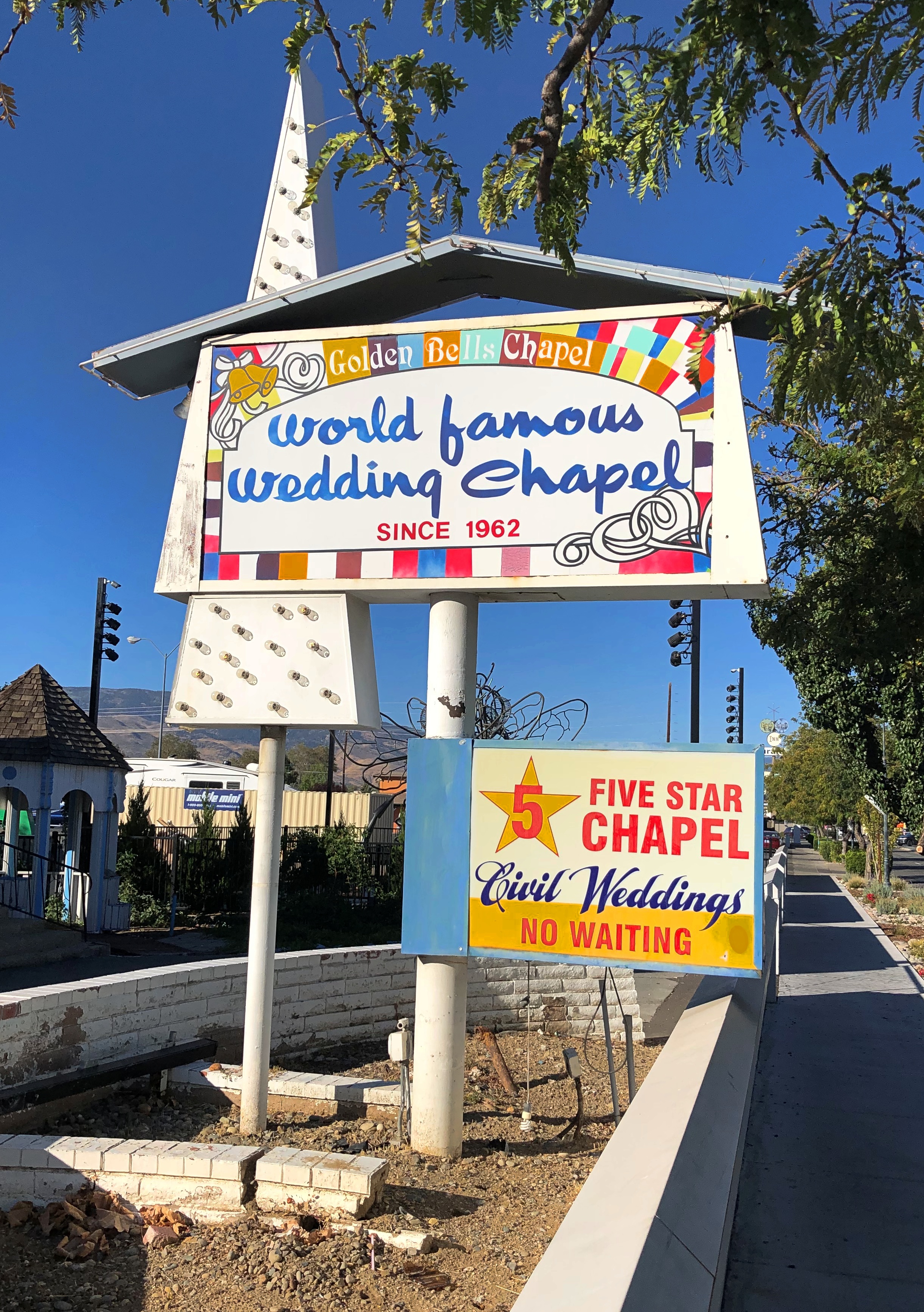
After I finished, I went out to leave, but noticed a sign I had to see, not far away. I took a closer look.Reno
reno

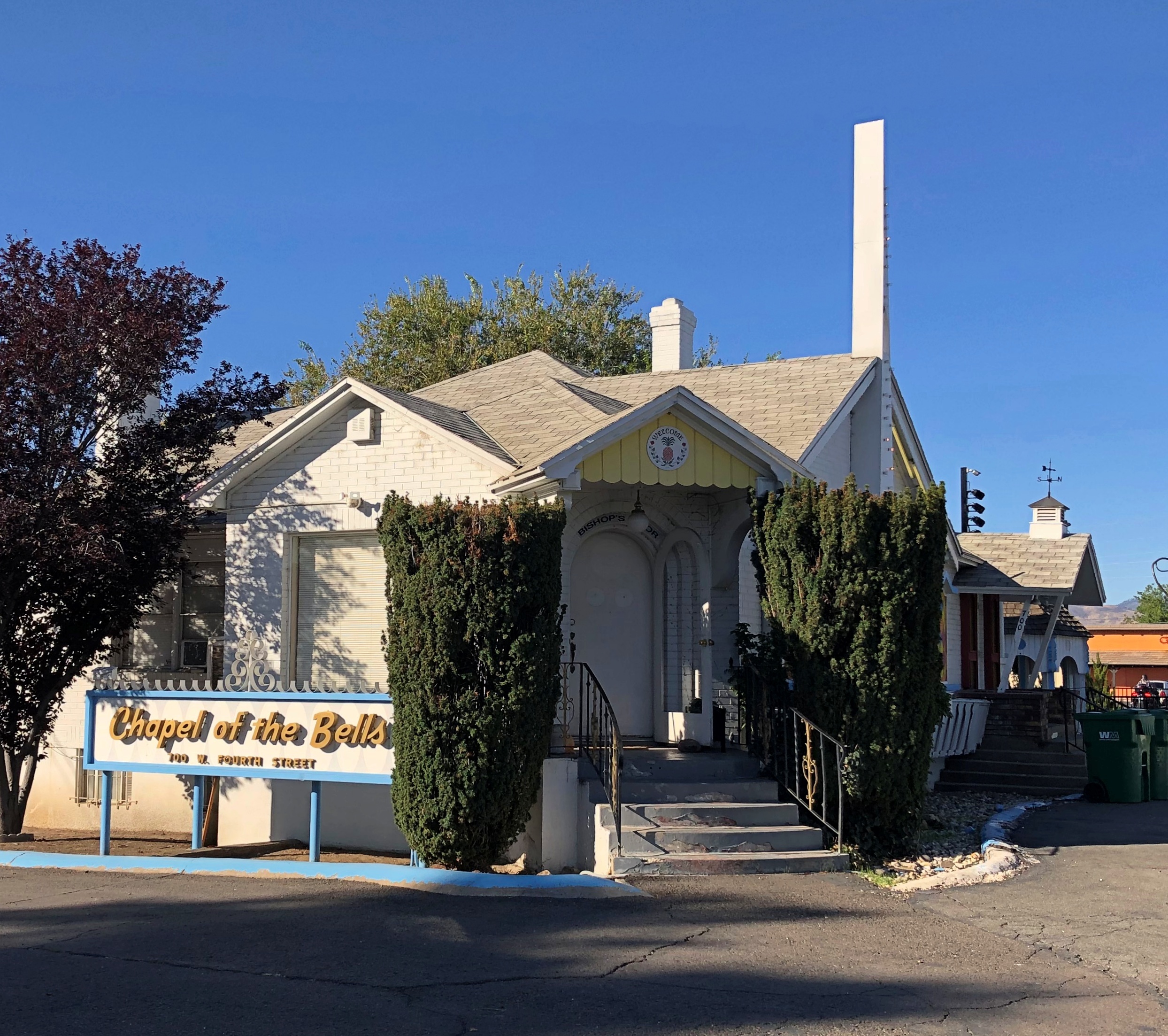
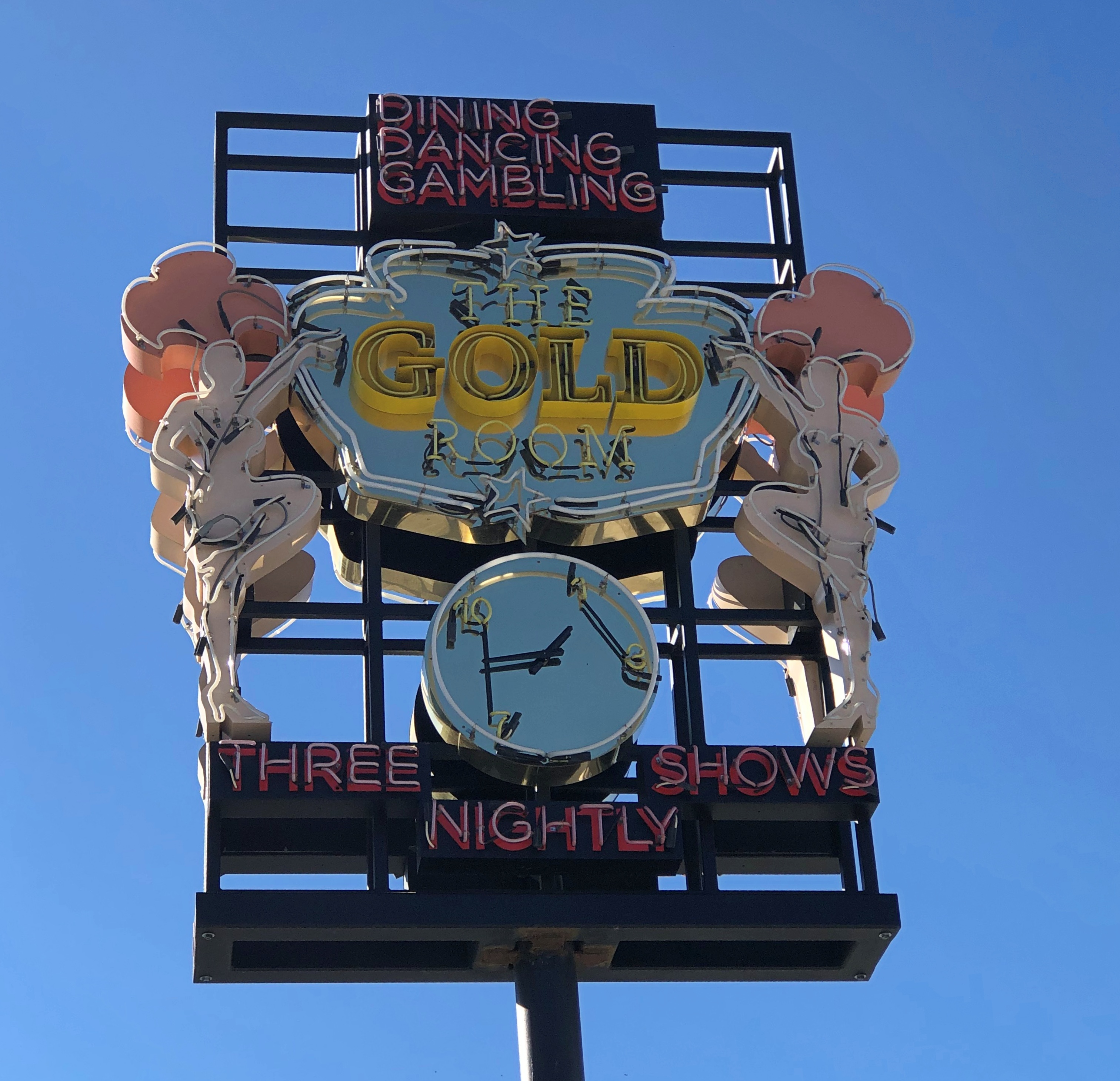
Not in the market, but someone must be. If that isn’t local color, I don’t know what is.

When serendipity is with you on the road, that kind of sighting leads to others. That’s what happened that morning in Reno. This was nearby the wedding chapel.Burning Man art in Reno

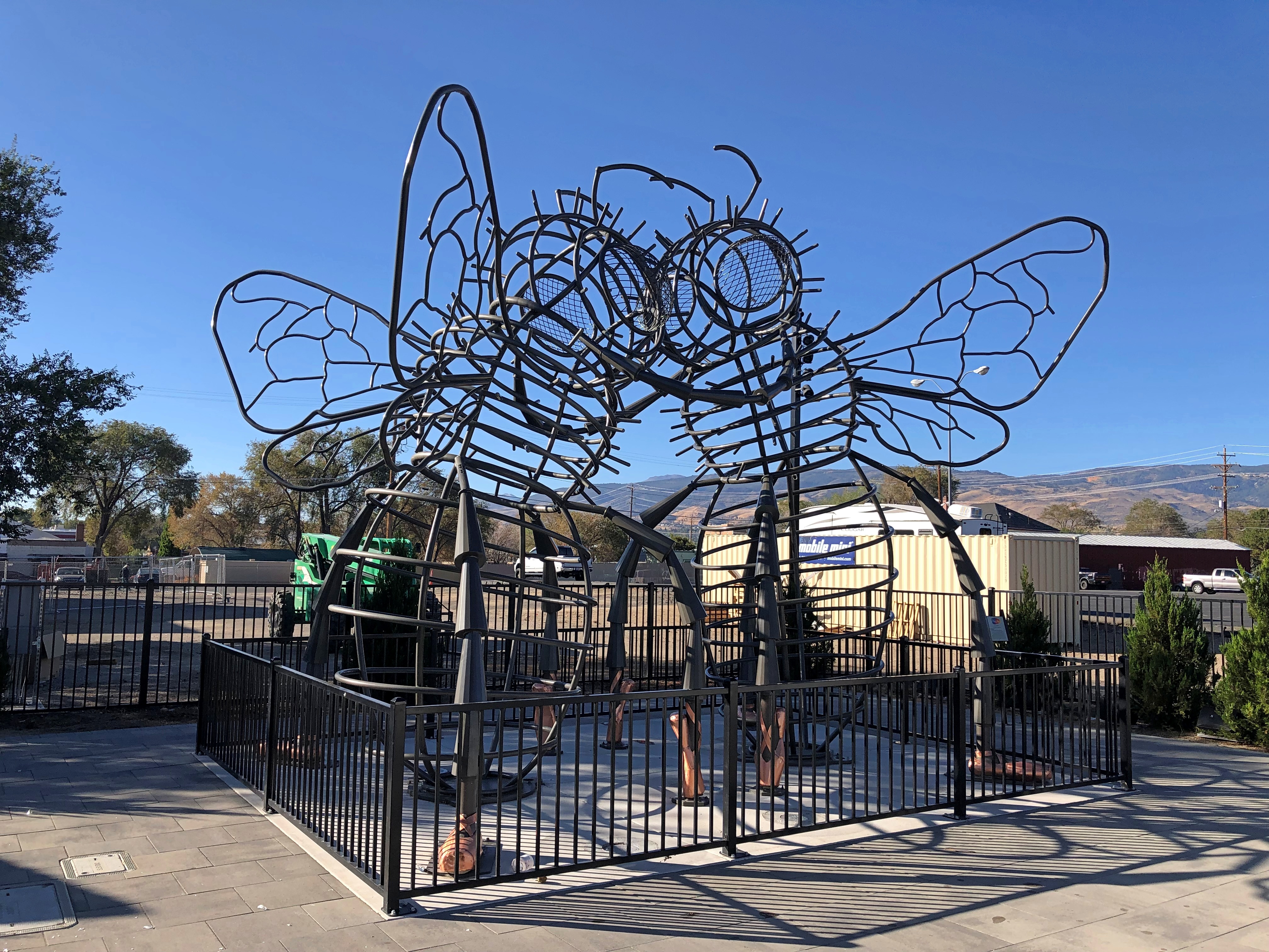
“Bee Dance” by Andrea Greenlees (2019), according to its sign, which also said it was created at Burning Man that year.

On the next block — all this was on West Fourth Street in Reno — was a closed off place called Glow Plaza, an outdoor event space that only opened this year. Well, open for concerts on the weekends. It wasn’t open for me to look around, though there was some construction going on at an adjacent site (probably new apartments), so maybe that restriction was just temporary.

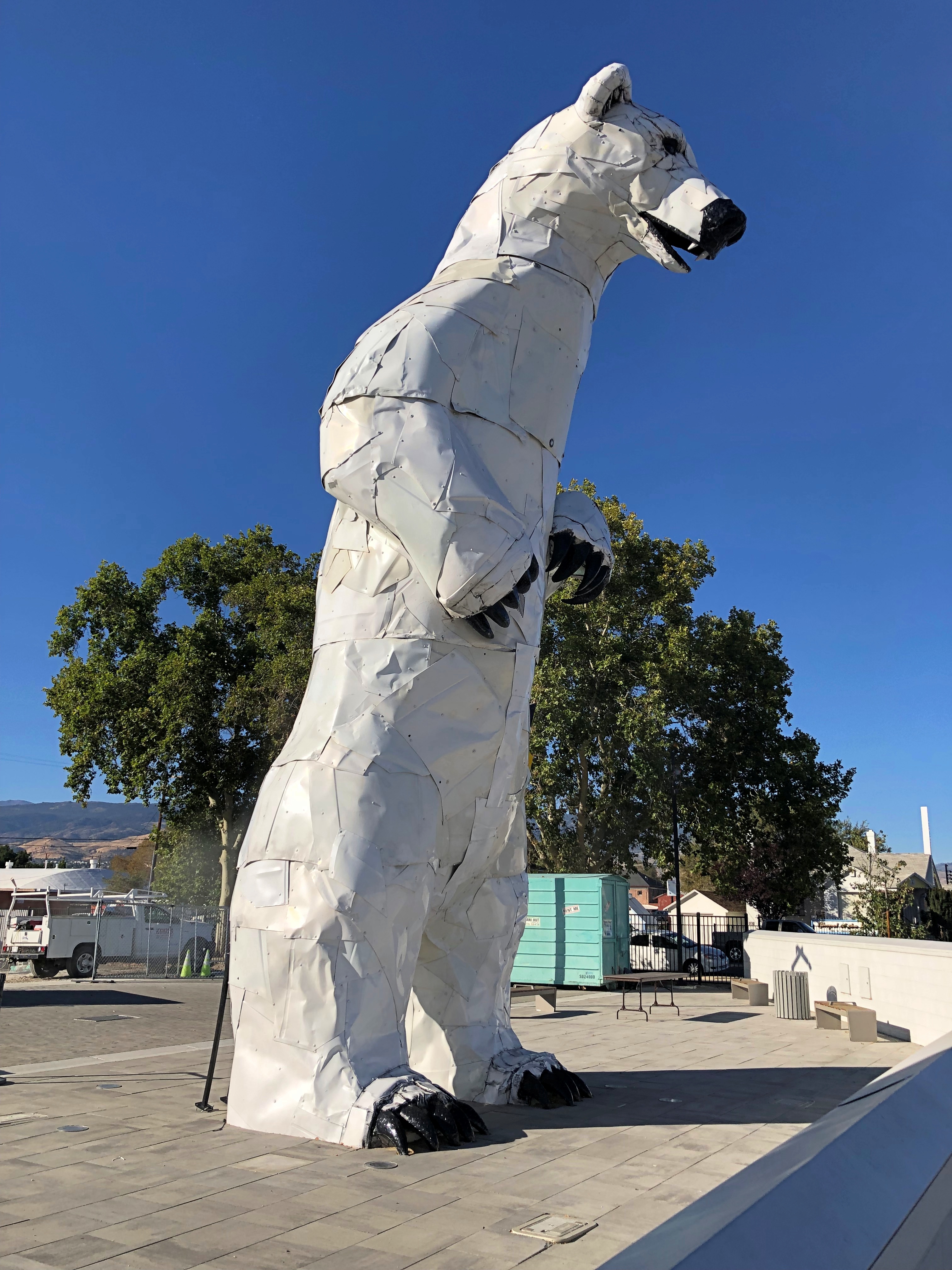
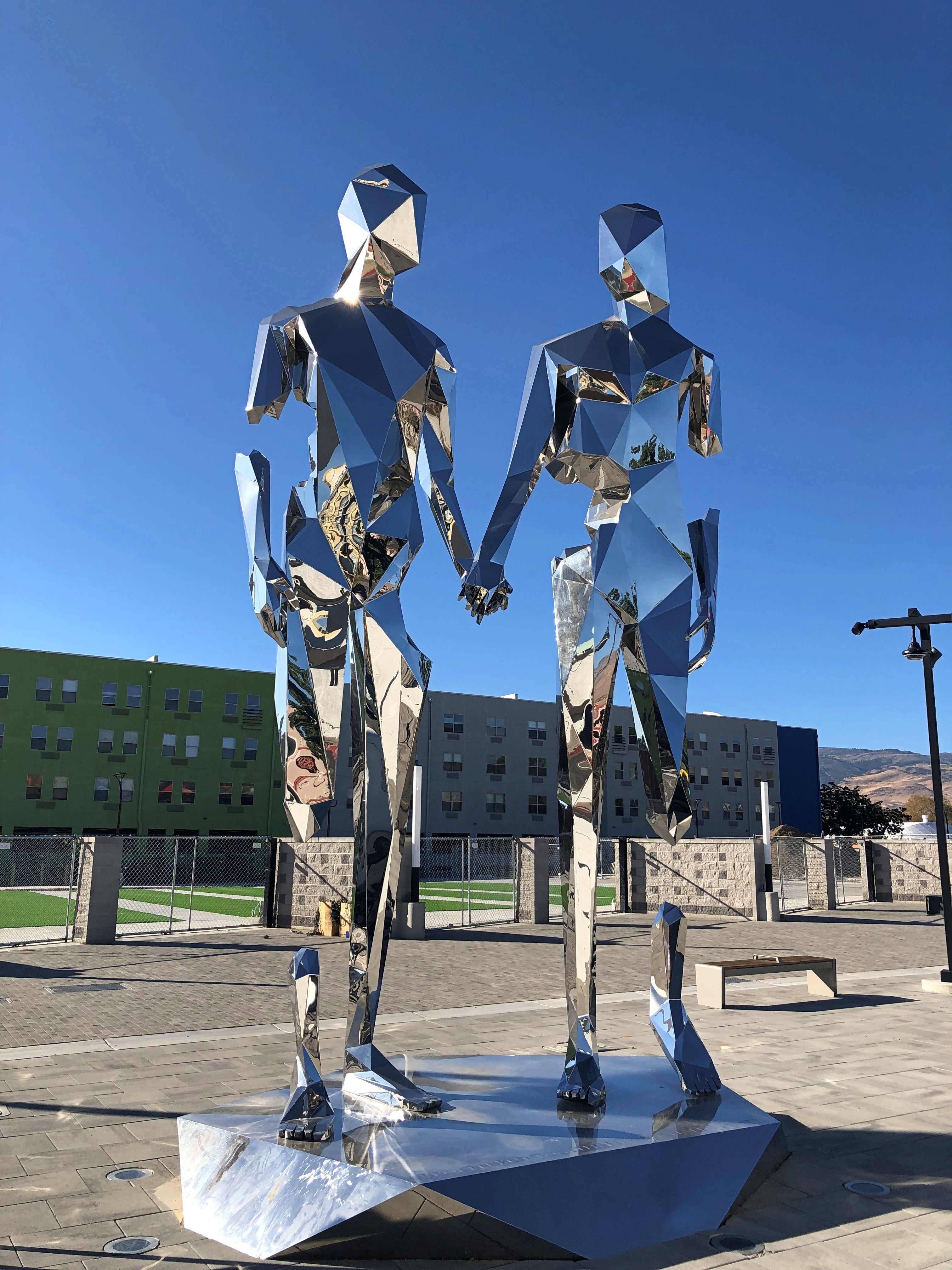
Anyway, I got a look from the sidewalk. New-looking sculptures.Reno polar bear Reno art

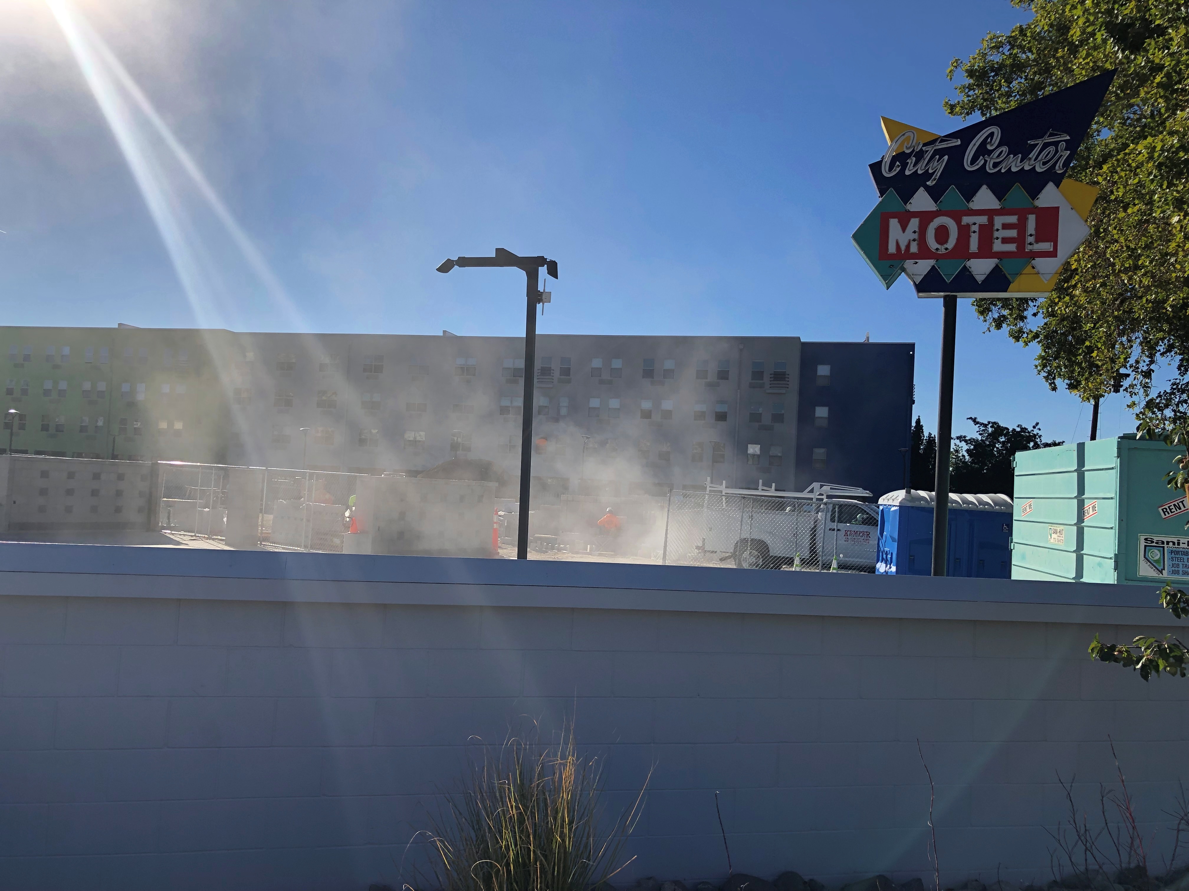
Including vintage Reno neon, or maybe close-replica homages.Reno neon Reno neon

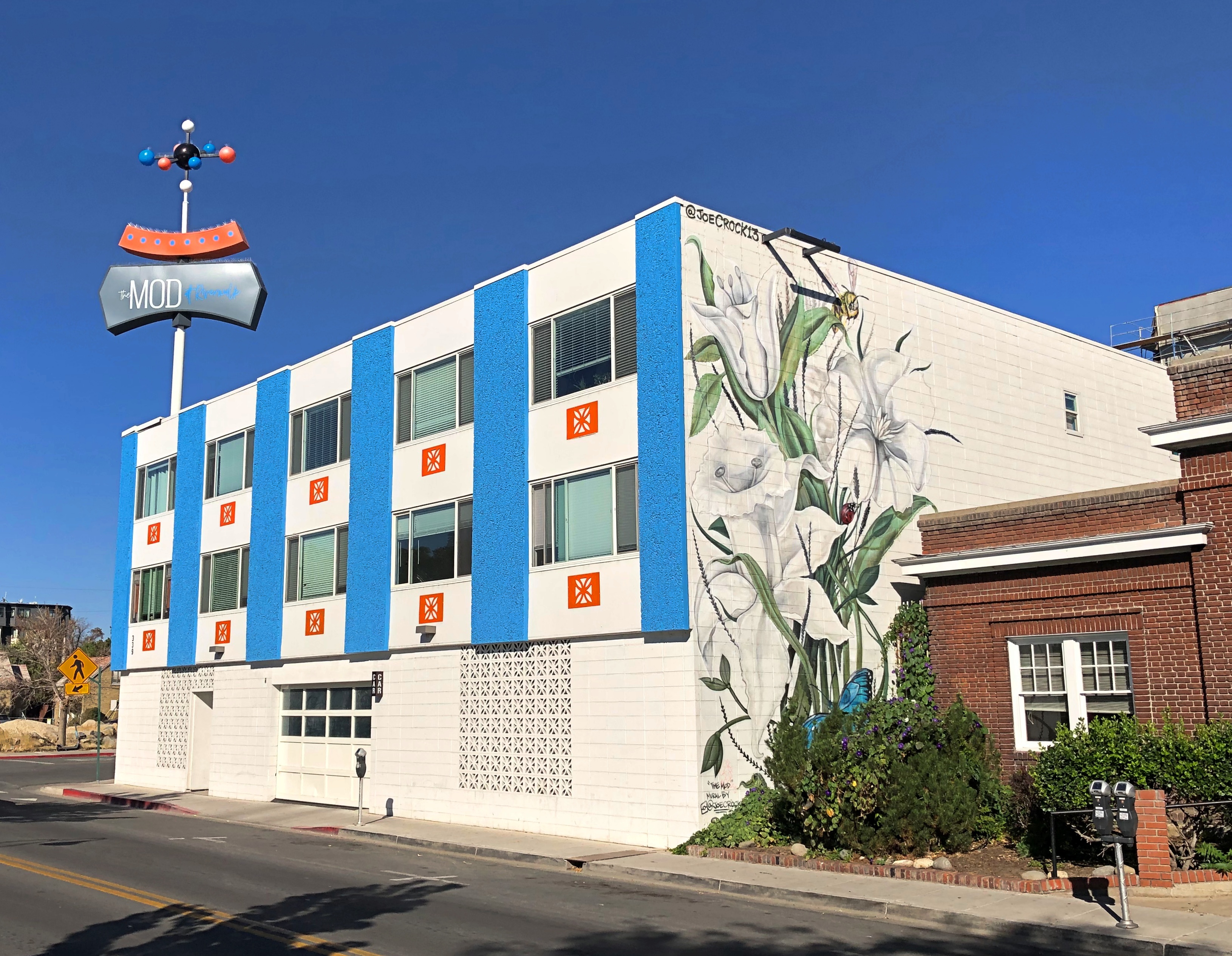
Speaking of apartments, this property in downtown Reno has the look of a 2010s adaptive reuse. I checked, and it is. It used to be a motel. The loss of an SRO property? Maybe, but I didn’t know there was much of that left.The Mod, Reno

Now it’s an “upscale micro-unit living facility,” to borrow a phrase from Northern Nevada Business Weekly. I checked again, and its rents range from $1,100 to $1,700 (the low end of the range is for about 250 square feet).

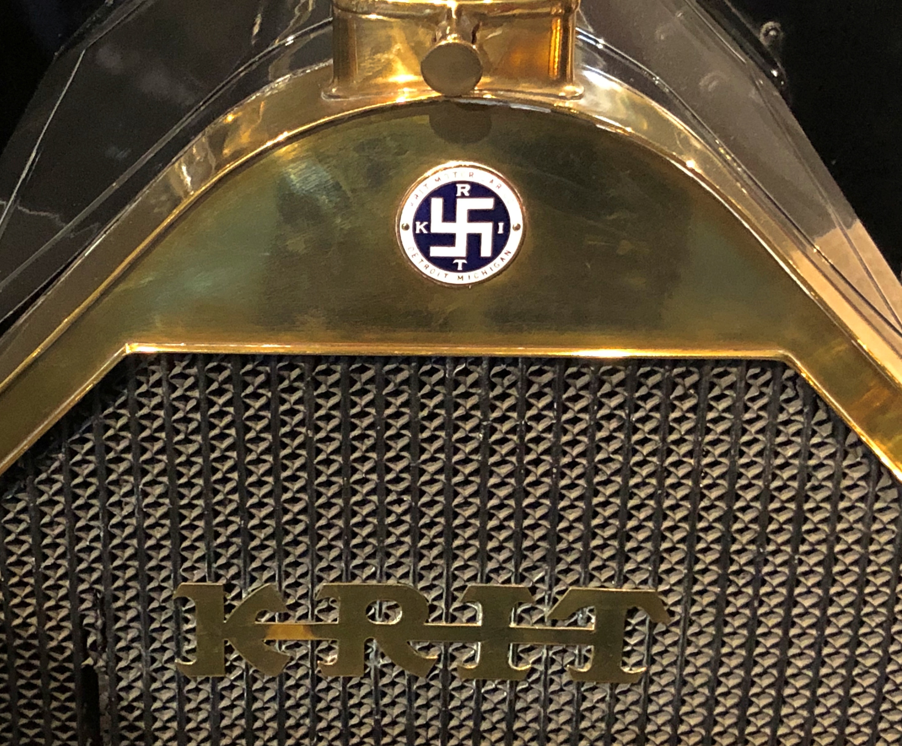
Could have done an entire posting of name plates on vintage cars at the National Automobile Museum. The familiar and the less familiar.National Automobile Museum, Reno National Automobile Museum, Reno

That last one’s an attention-getter. You can find it on a Krit Motor Car Co. auto, made years before jackbooted lowlifes shanghaied the symbol.

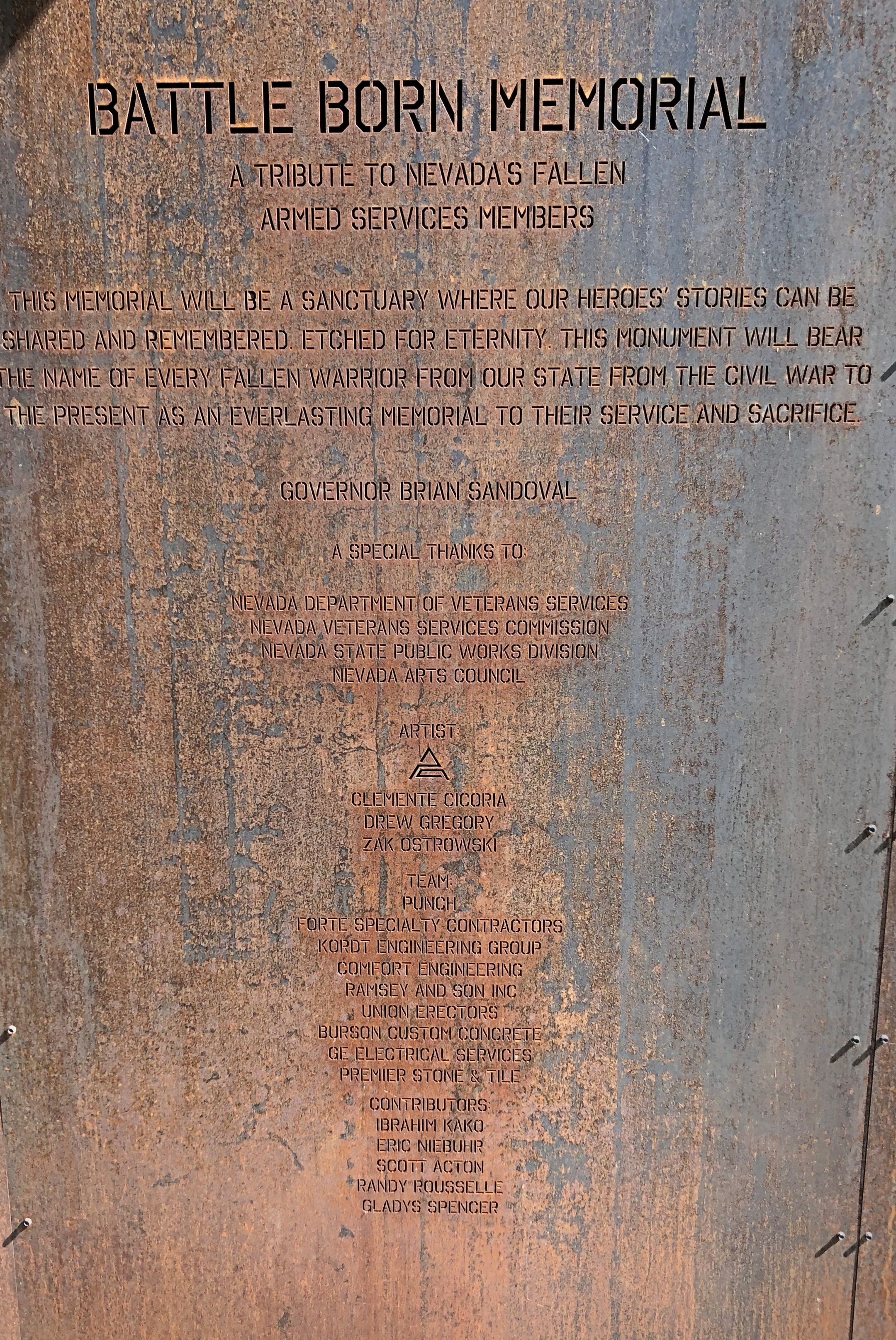
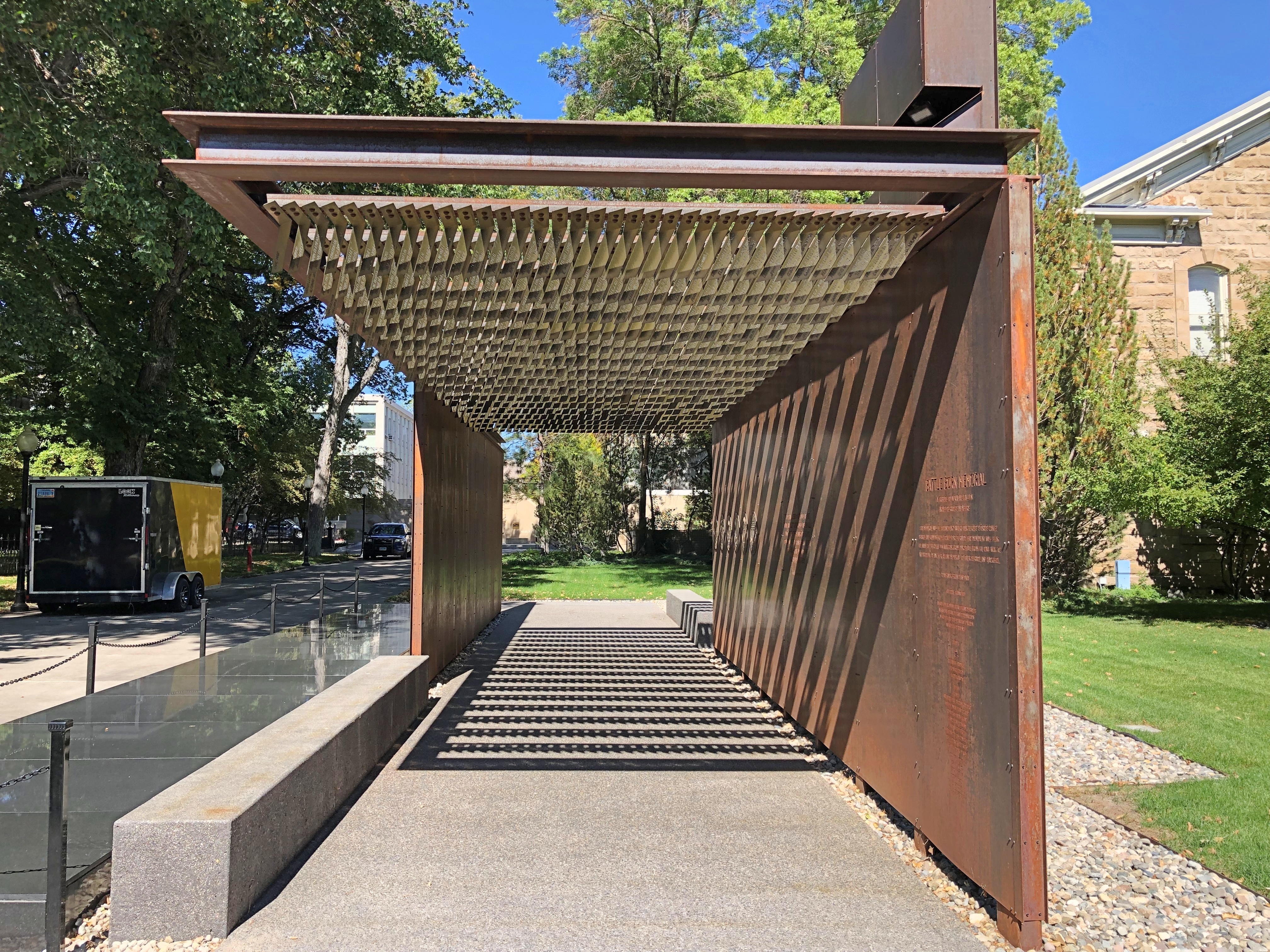
The Battle Born Memorial in Carson City, dedicated to fallen soldiers from Nevada.Battle Born Memorial, Carson City, Nevada Battle Born Memorial, Carson City, Nevada

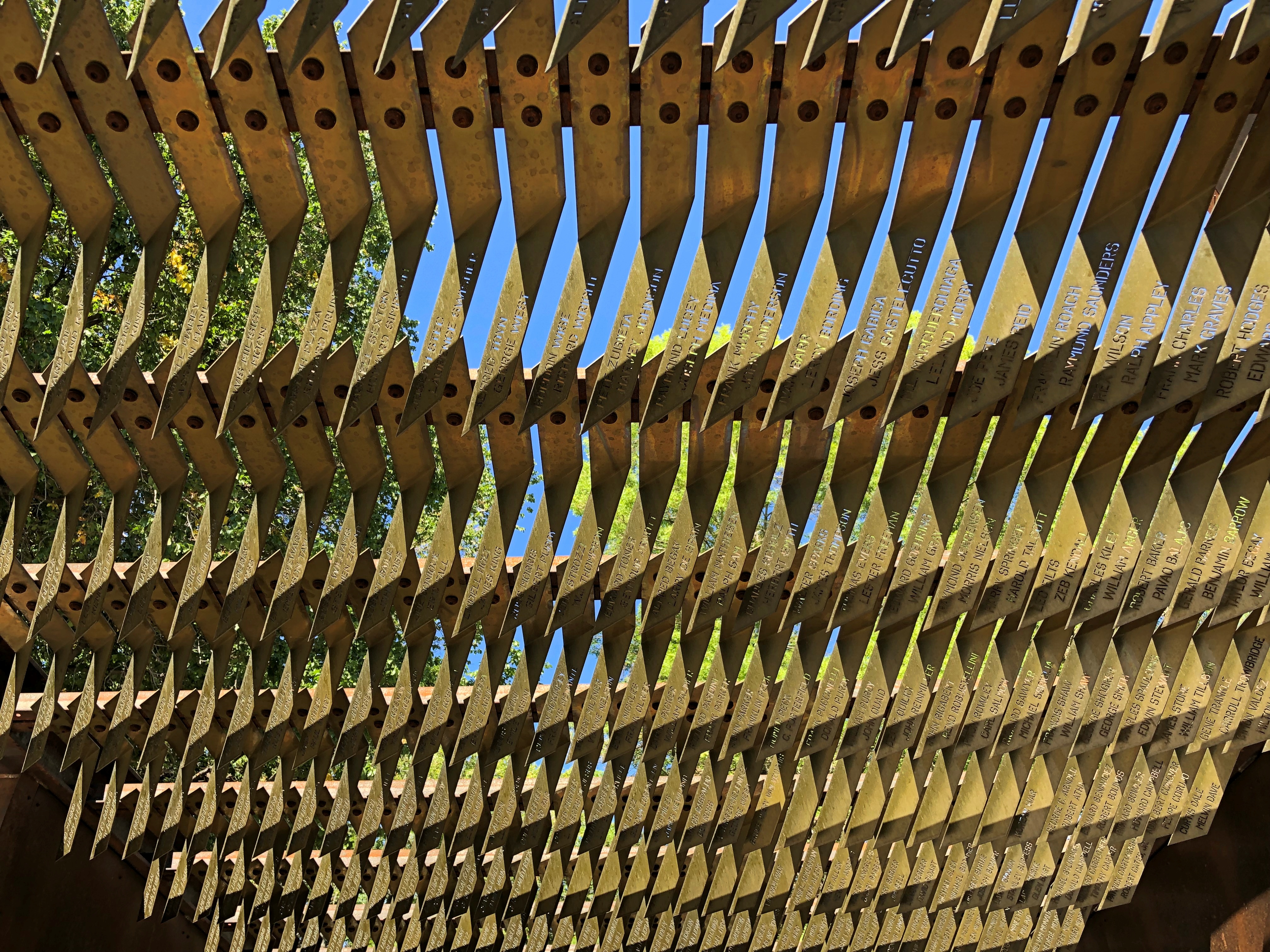
At first I thought, iron? True, iron is at the heart of modern war. But as soon as I was inside, and looked up, I realized how fitting the material is. A remarkable memorial.

Especially when you gaze up at it.Battle Born Memorial, Carson City, Nevada

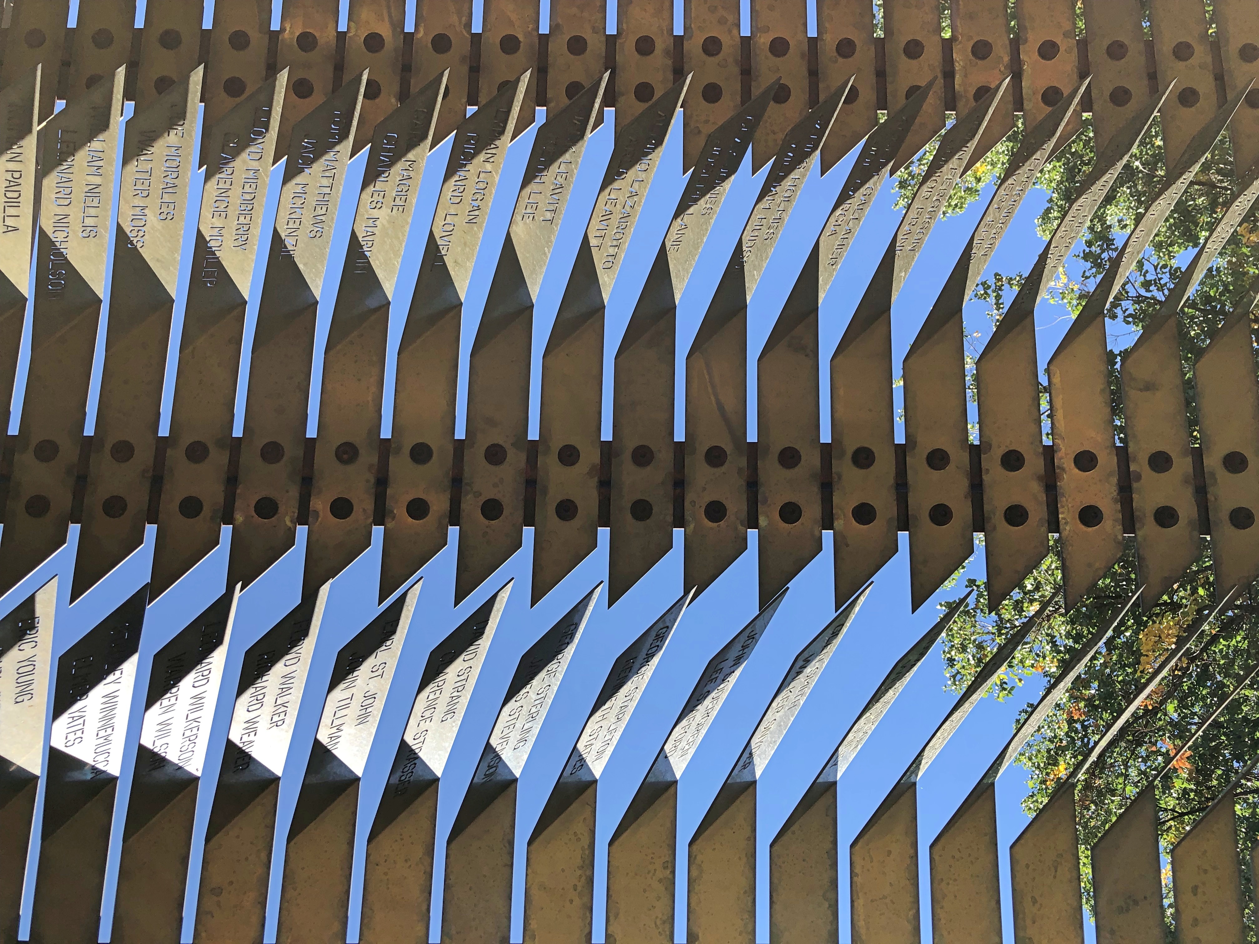
The names of the fallen are inscribed there.Battle Born Memorial, Carson City, Nevada Battle Born Memorial, Carson City, Nevada

Eight hundred and ninety-five names, I understand. Punch Architecture did the design, which was completed in 2018.

Later I looked up Battle Born. I didn’t know that was a nickname for Nevada. Everyone’s heard Silver State, but not Battle Born State. I puzzled on that a while, but eventually realized that when Nevada entered the union (1864; Lincoln needed another two Senators), it joined the fight, as a state, to keep that union together.

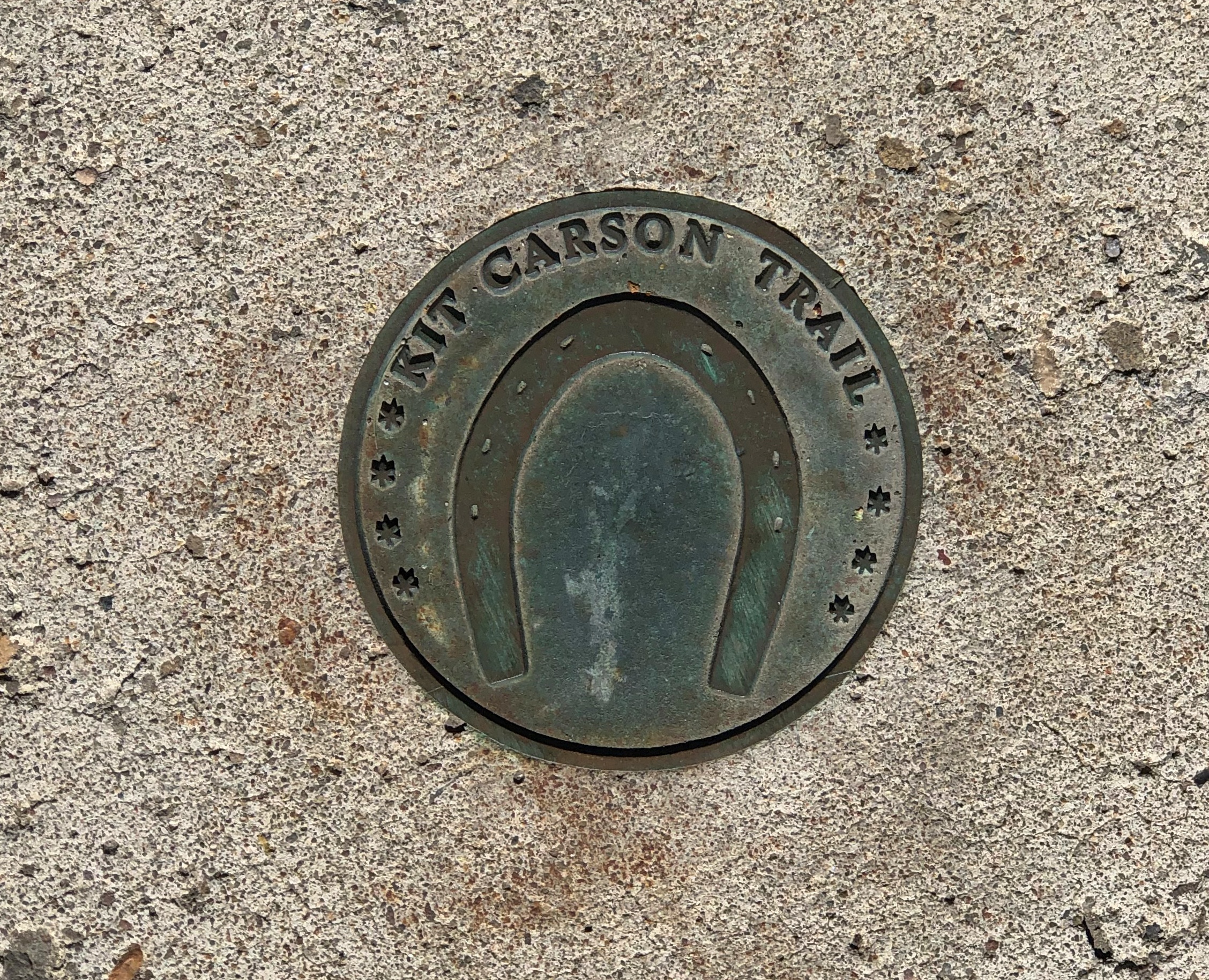
A much smaller metal-work, underfoot in Carson City. Good to know I’ve been on the Kit Carson Trail.Carson City, Nevada

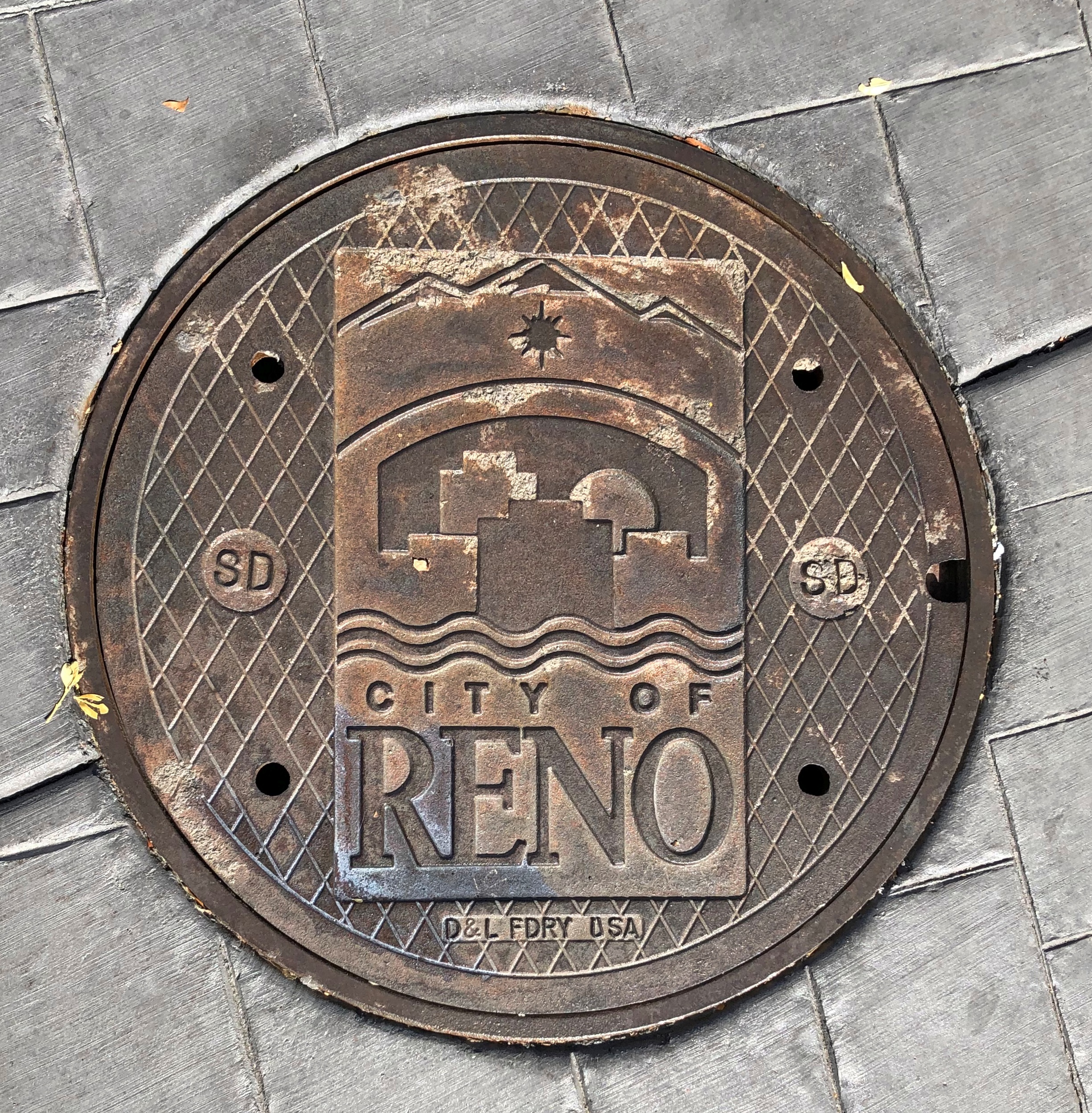
Underfoot in Reno.Reno, Nevada

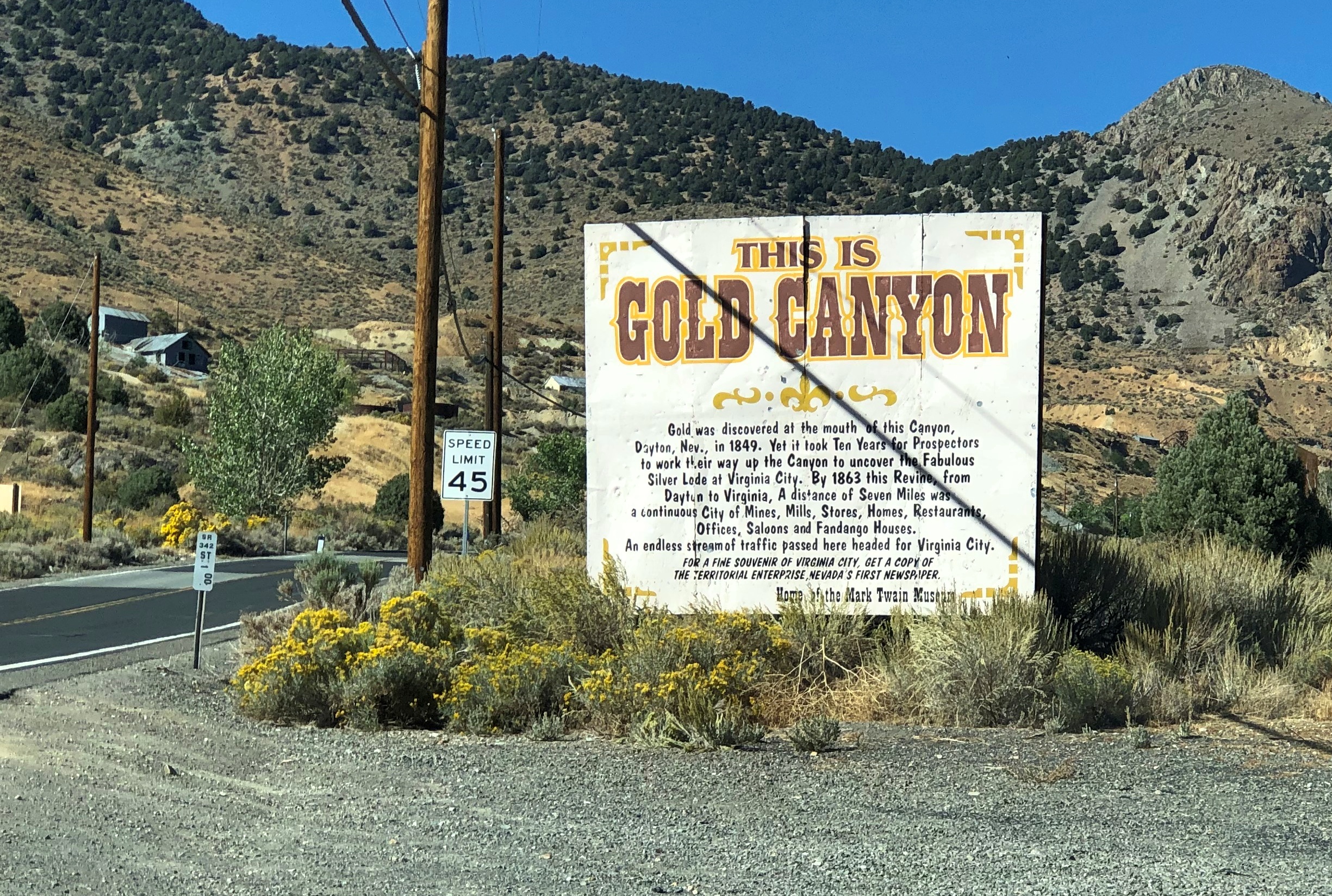
On the road to Virginia City.Gold Canyon, Nevada

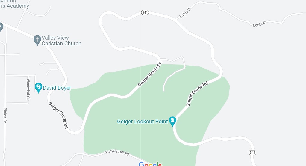
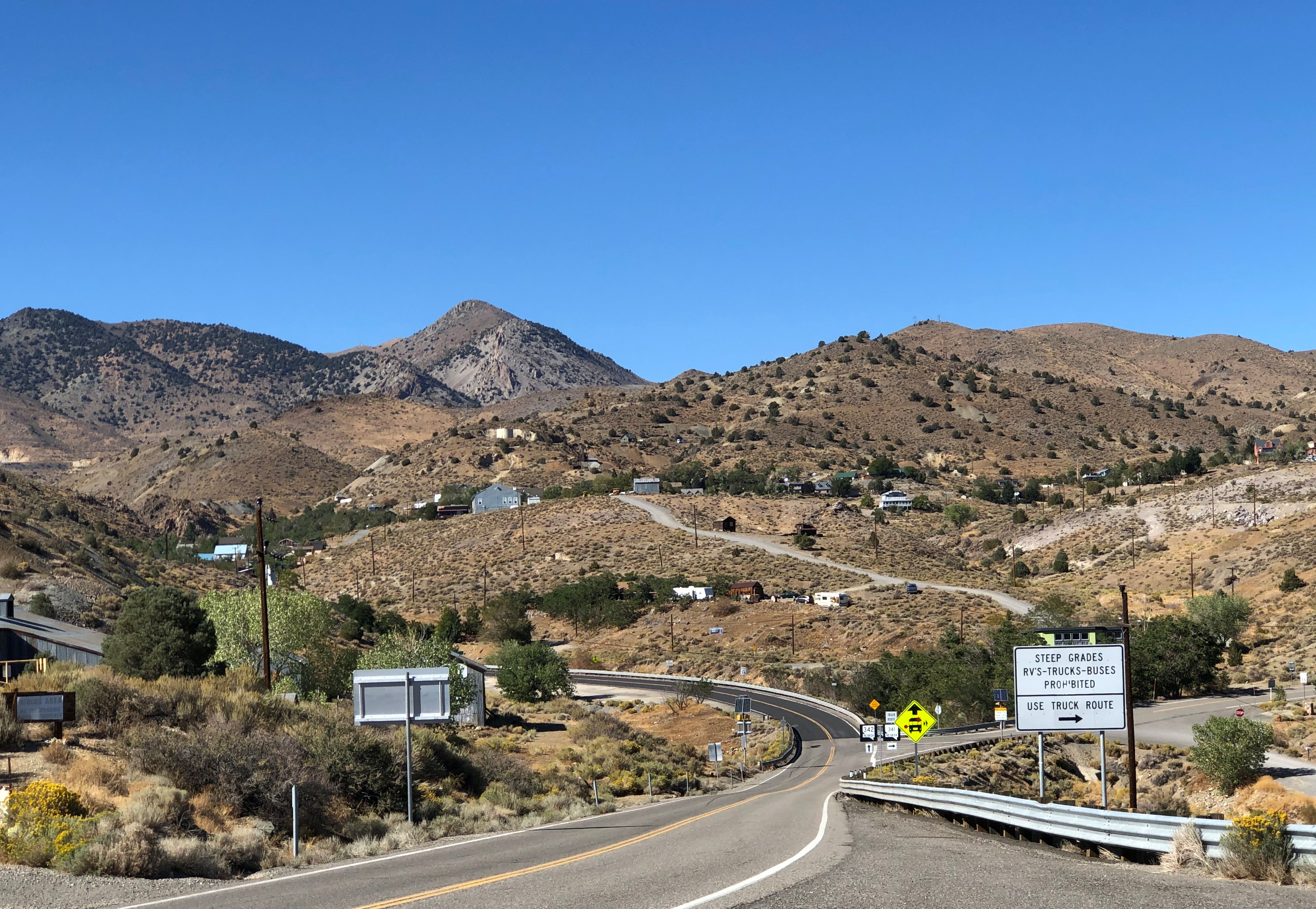
The drive out from Virginia City to I-580 is along Nevada 341, and it’s a winding drop of a drive through arid landforms. This snip from Google maps illustrates the winding-est part of the road, called Geiger Grade Road at that point. The entire drop is from more than 6,100 feet above sea level at Virginia City to Reno’s 4,500 feet.

Light traffic on a sunny weekday afternoon. A fine drive if you’re paying attention. Almost car commercial driving.

This instead of a real map.Donner Memorial State Historic Park

No, California. Don’t do this. It’s false economy. I don’t know how, I just know that it is.

I figured out my way around without a gizmo map. I even found a spot a few hundred yards from a parking lot, and a little off a nearby trail, where I could sit in the sun for a few minutes, and listen to only faint sounds. Almost as quiet as Joshua Tree or Big Bend NPs.Donner Memorial State Park

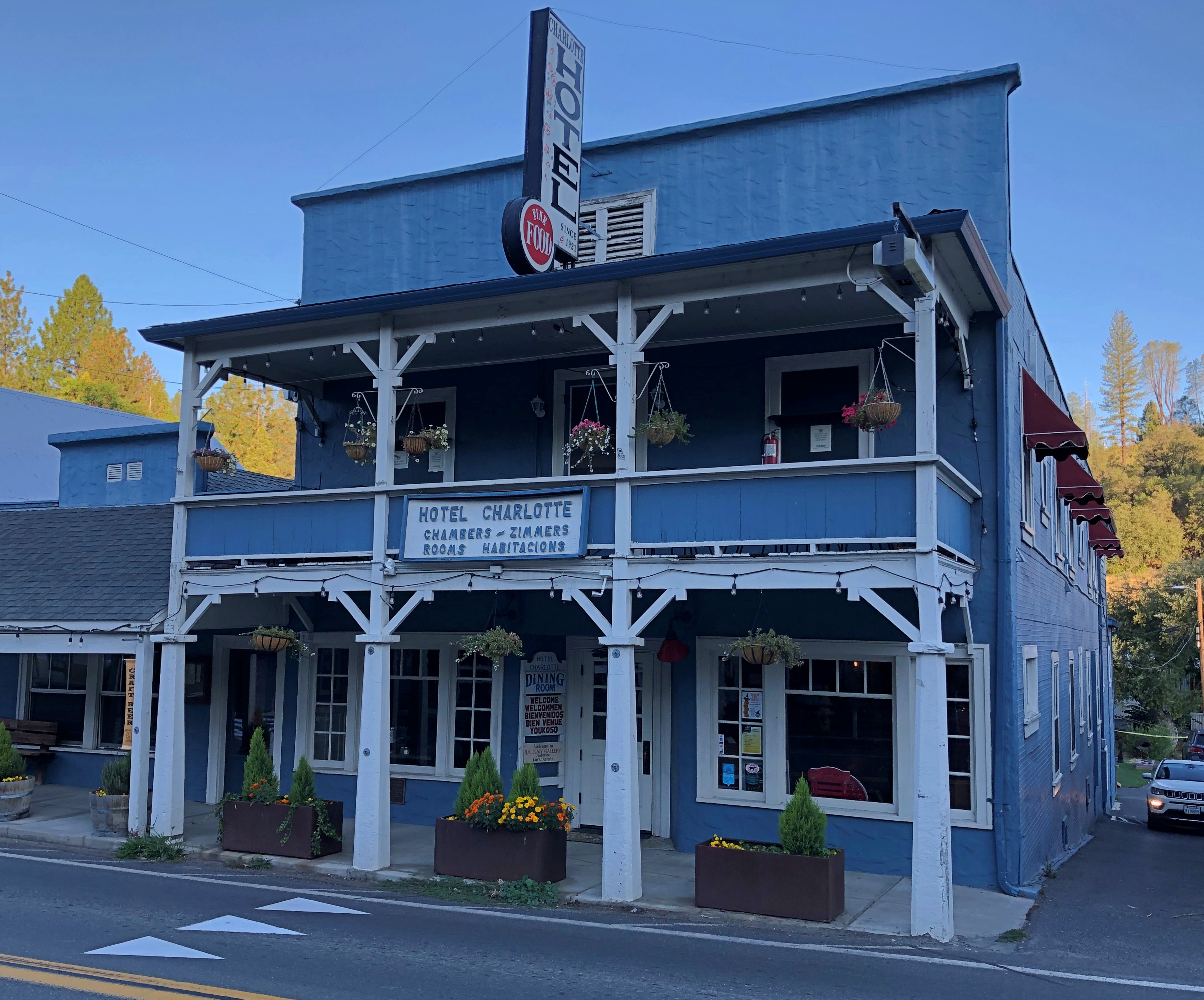
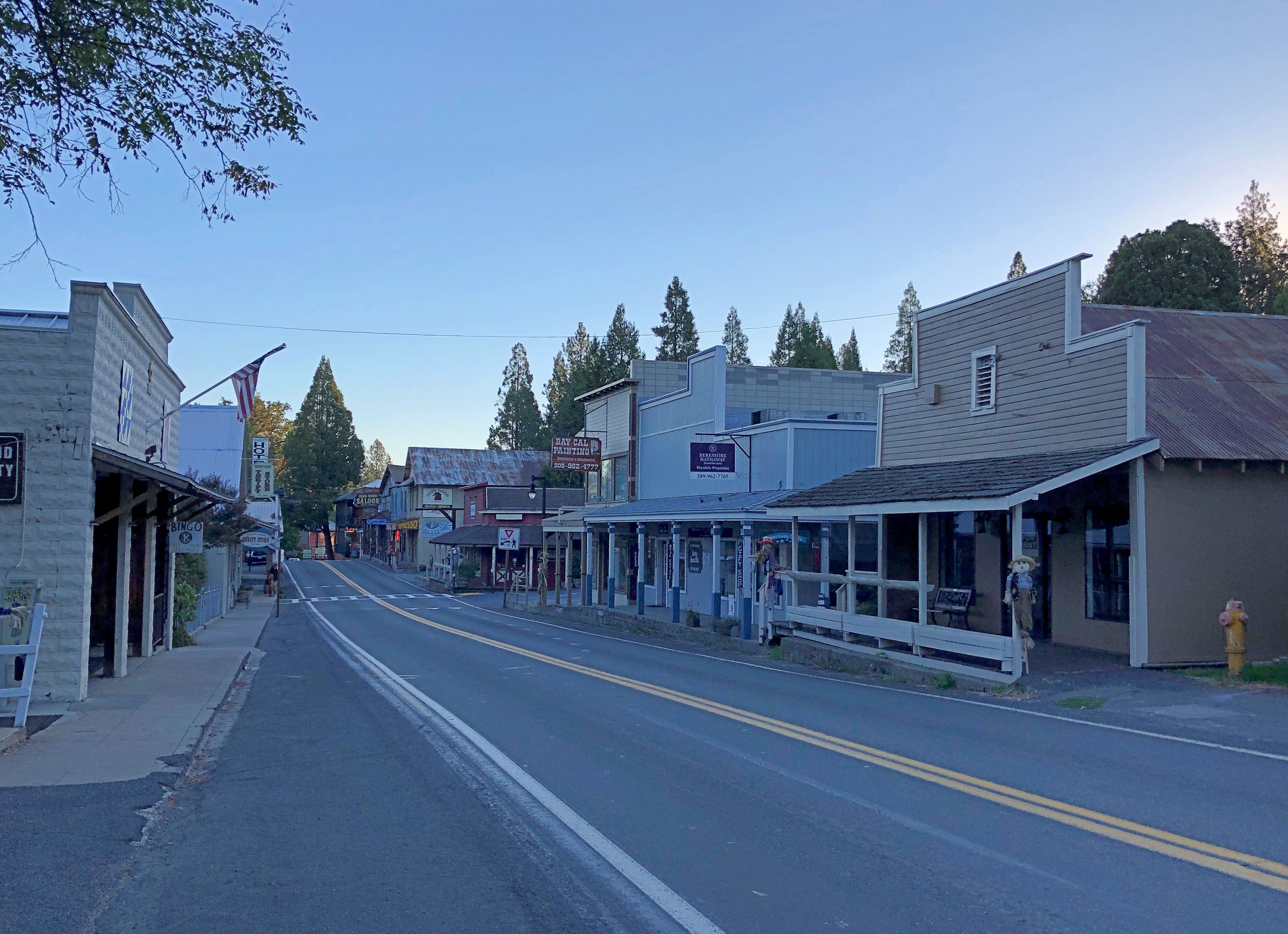
The Hotel Charlotte in Groveland, California. Now a hundred years old, it’s the kind of place that gives you a brass key, and lets you know there’s a fee for replacing it. Basic and comfortable, though the most expensive place I stayed on this trip; you’re really paying for near access to Yosemite NP.Groveland, California

Main Street in Groveland (California 120), just after dawn.Groveland, California

A few more images. Such as in Sacramento.lumpia truck Sacramento

I had to look up lumpia: spring rolls found in the Philippines and Indonesia. And northern California, it seems. Too bad I wasn’t hungry. Also, it was closed. Not long after, I saw a Balinese restaurant in Old Sacramento. Still wasn’t hungry. Damn.

I was driving to the last place I was going to stay in Sacramento on the late afternoon of October 7, and I got a little turned around, wandering some neighborhood streets before the inevitable moment when I pulled over to consult Google Maps.

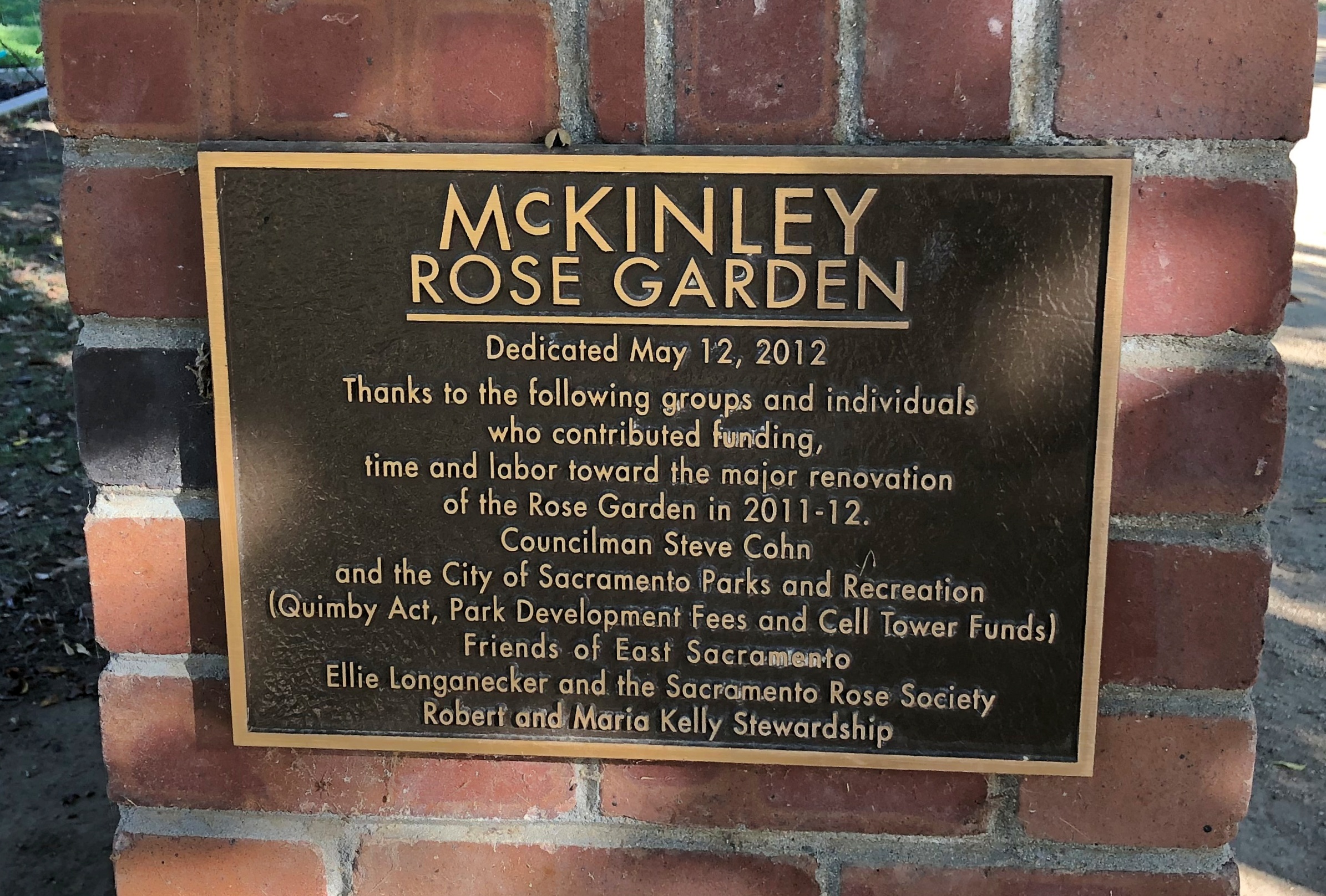
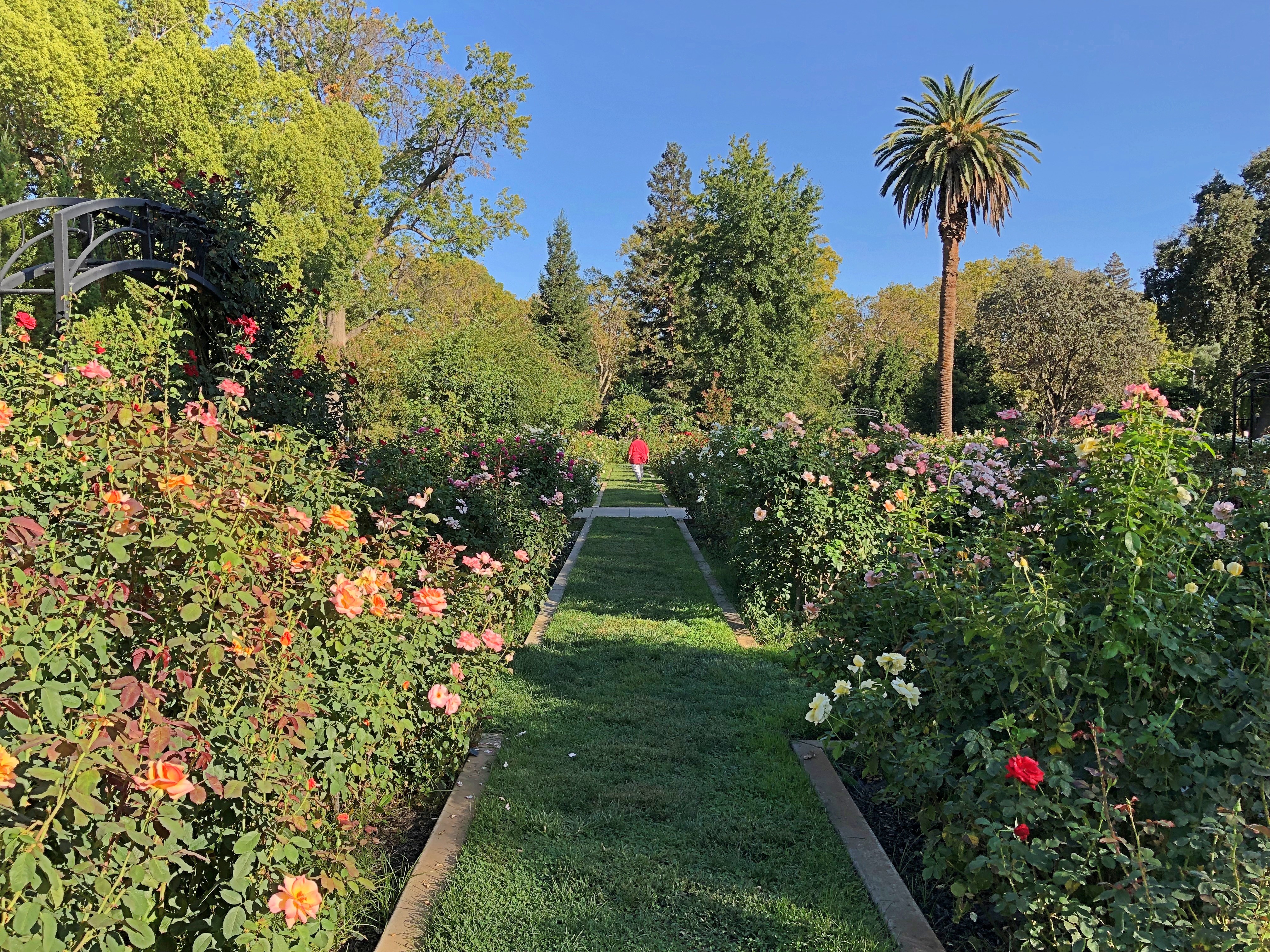
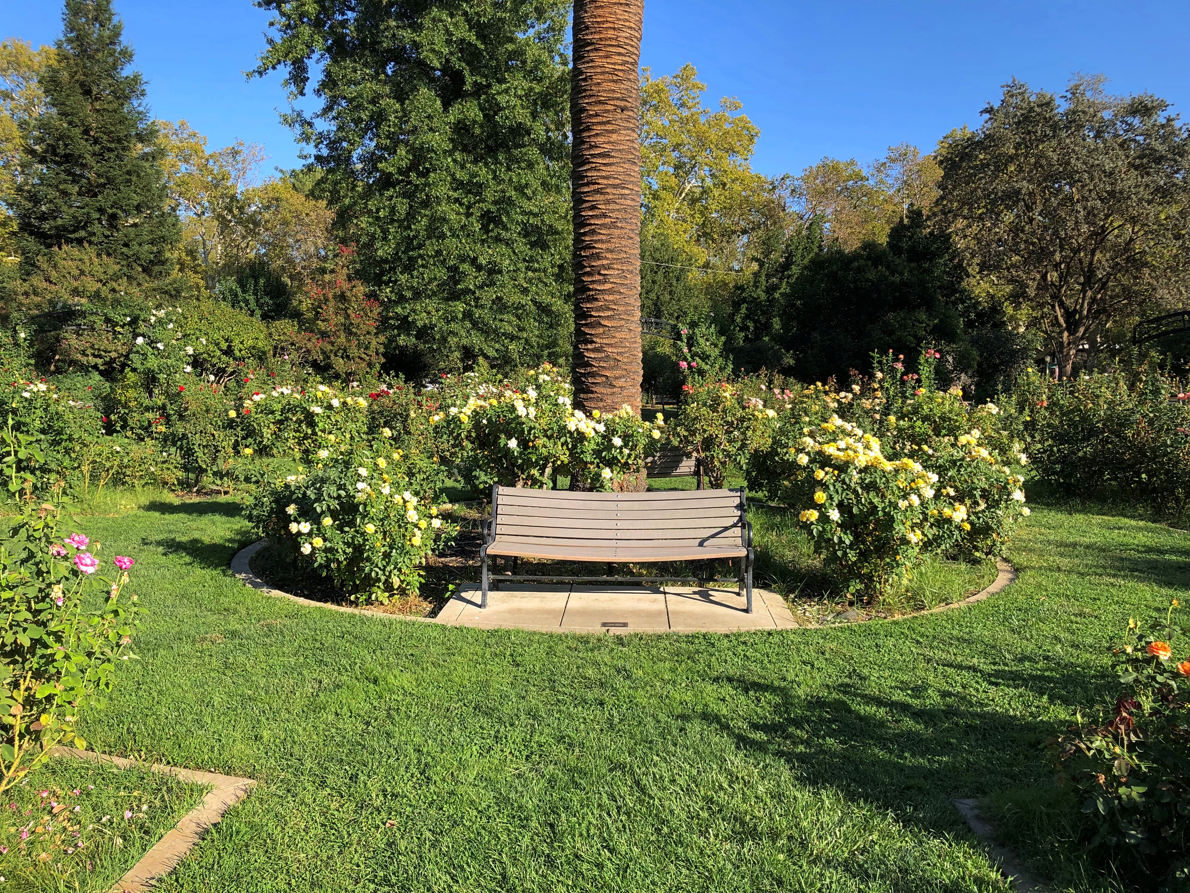
I chanced on this place.McKinley Rose Garden, Sacramento

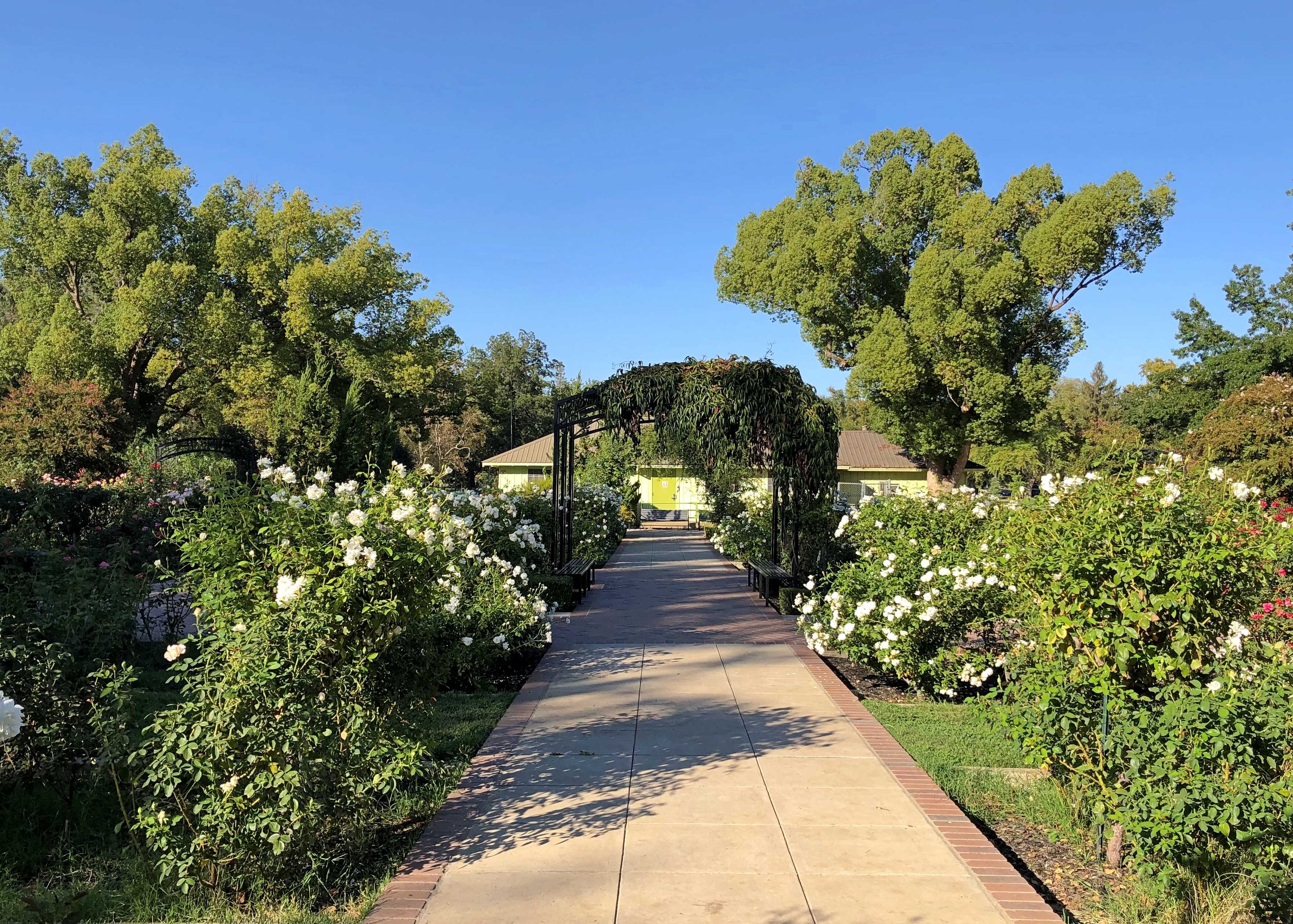
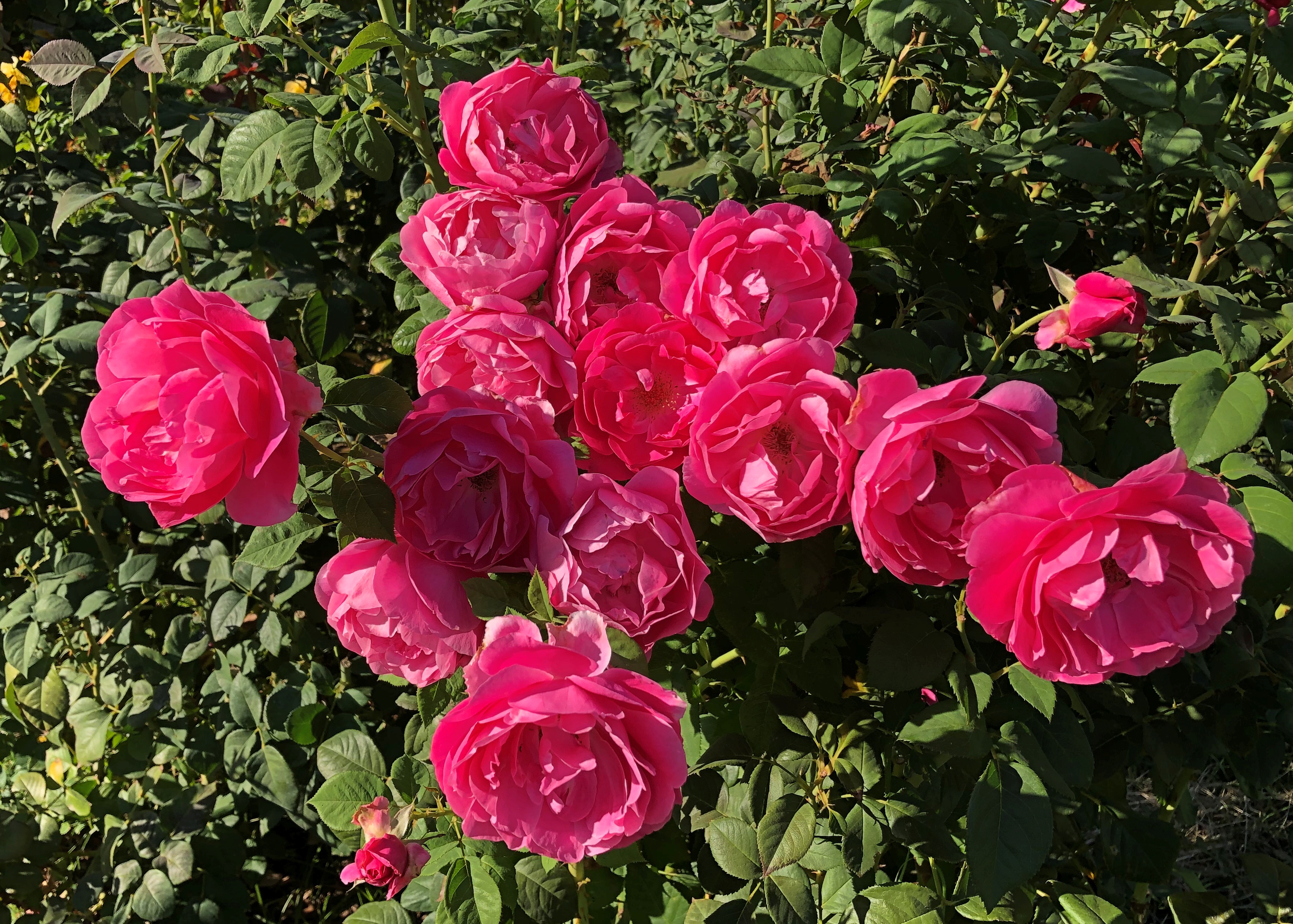
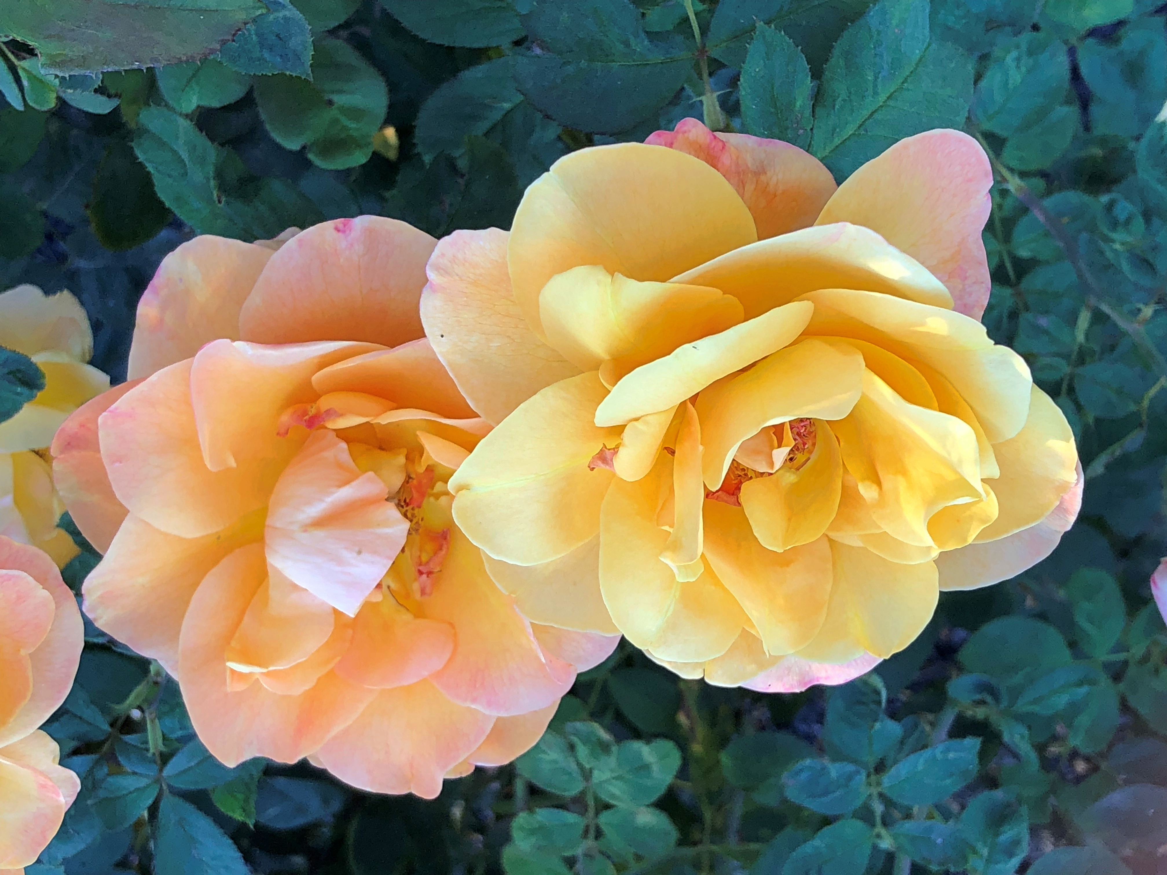
What a garden it is.McKinley Rose Garden, Sacramento McKinley Rose Garden, Sacramento McKinley Rose Garden, Sacramento

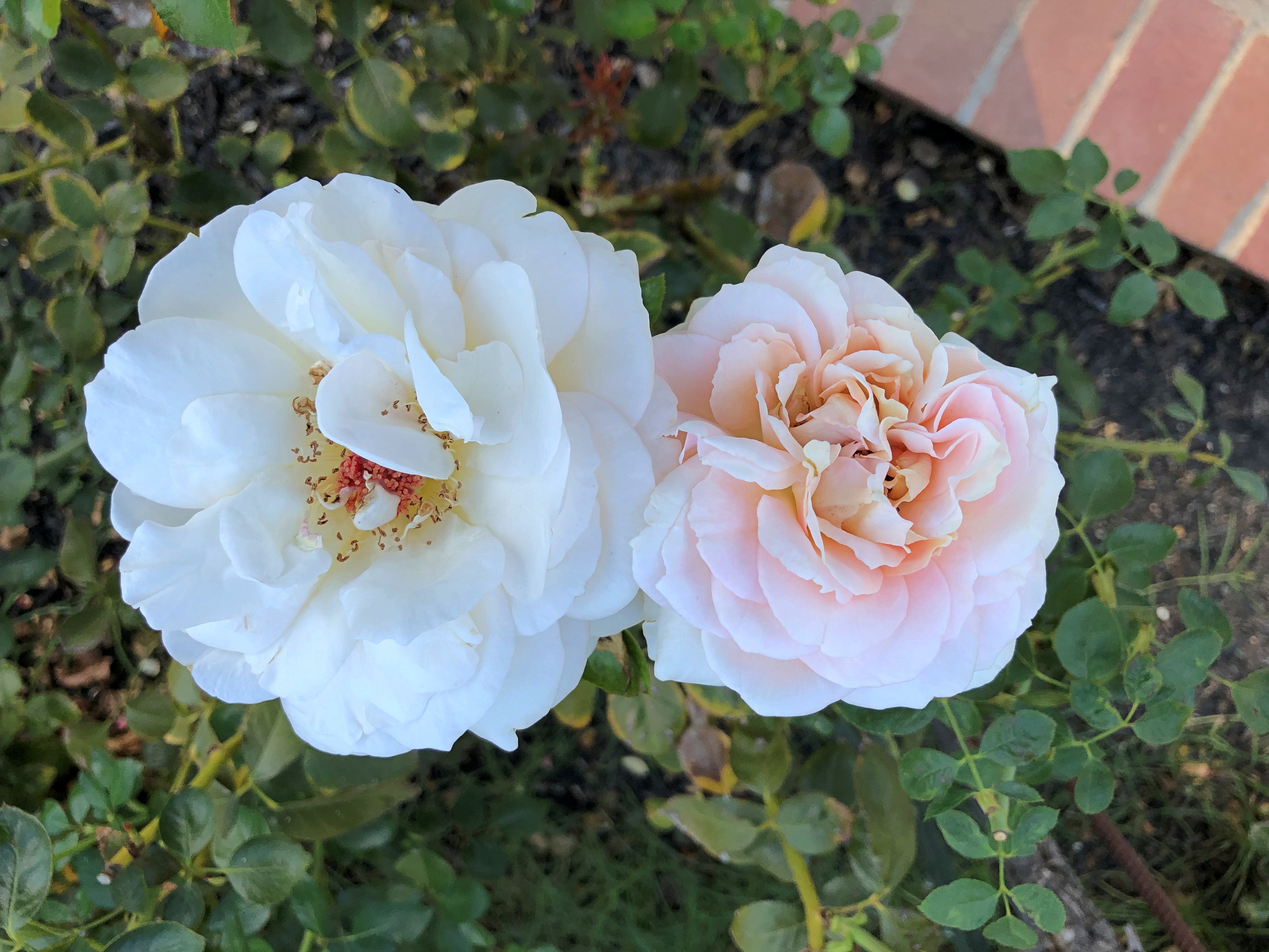
An extravaganza of roses.McKinley Rose Garden, Sacramento McKinley Rose Garden, Sacramento McKinley Rose Garden, Sacramento

Go in the garden and ask the rose its meaning.

Virginia City

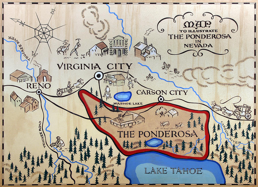
Bonanza started each week with a map on screen, and that was probably the best thing about that TV show. Not just any map, but an idiosyncratic depiction of the Cartwrights’ vast ranch Ponderosa, which straddled Lake Tahoe at some inexact moment in the 19th century.

Set illustrator Robert Temple Ayres (d. 2012) designed the original, “Map to Illustrate the Ponderosa in Nevada,” in 1959. I wasn’t a regular watcher of Bonanza, either in prime time or afternoon repeats, but I did know that map.

That show might have been the first time I ever heard of Virginia City, Nevada, which is featured prominently on the map, toward to top, because it is more-or-less oriented with the east to the top. Maybe Ayres was trying to tell us all something about the importance of Jerusalem. More likely, he needed to fit the map on horizontal TV screens.

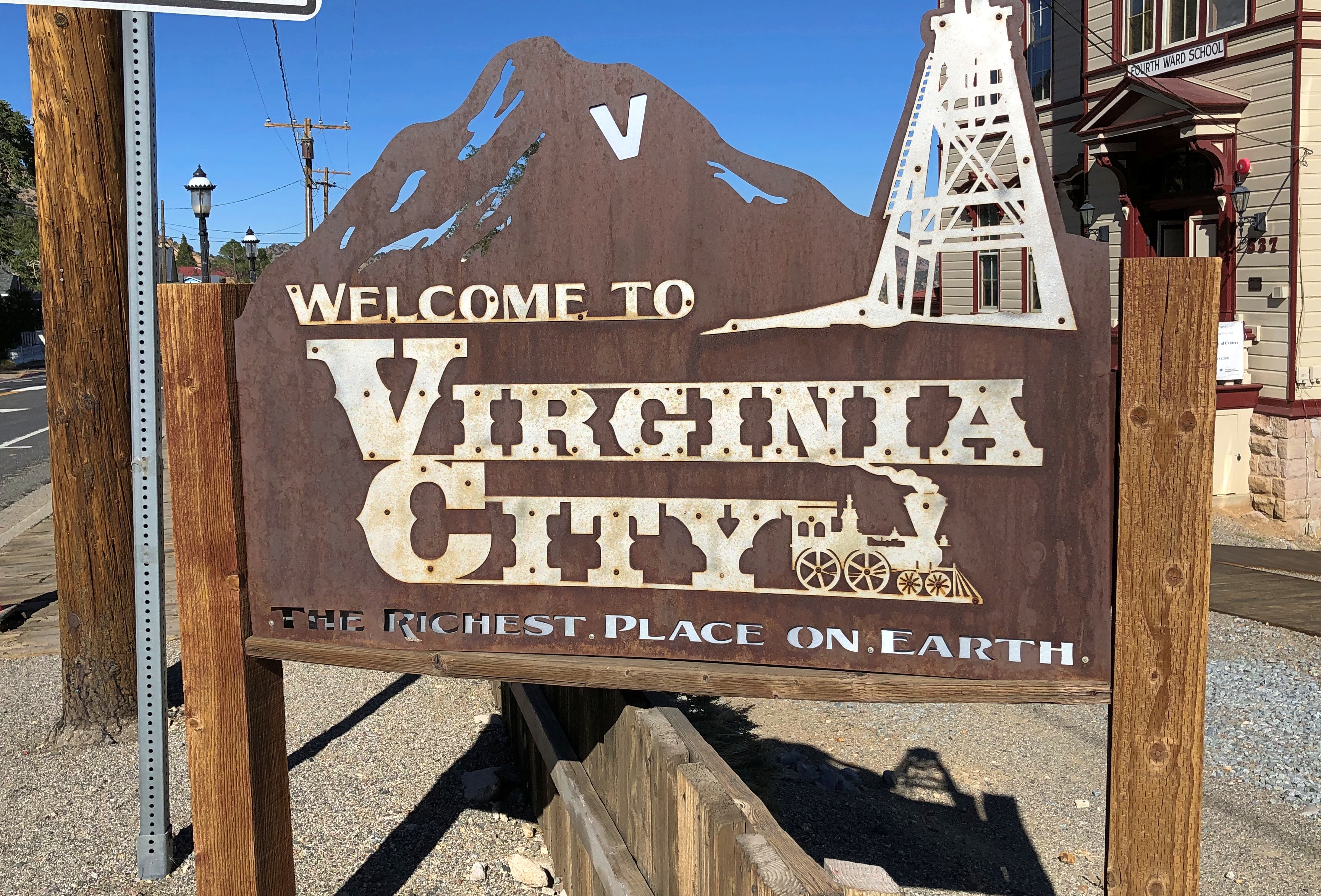
Also, if I remember right, the Cartwrights were always going to town — to Virginia City — for one reason or another. After leaving Carson City on October 3 to return to Reno, I decided to go by way of Virginia City myself, which is on Nevada 341. The drive climbs into the Virginia Range, and the city sits on what used to be the Comstock Lode.Virginia City, Nevada Virginia City, Nevada

At less than 800 residents, the city is a town, nothing like its silver boom heyday in the 1870s, when there was a population of more than 25,000. The town you see now mostly dates from after 1875, when the original V. City burned down.

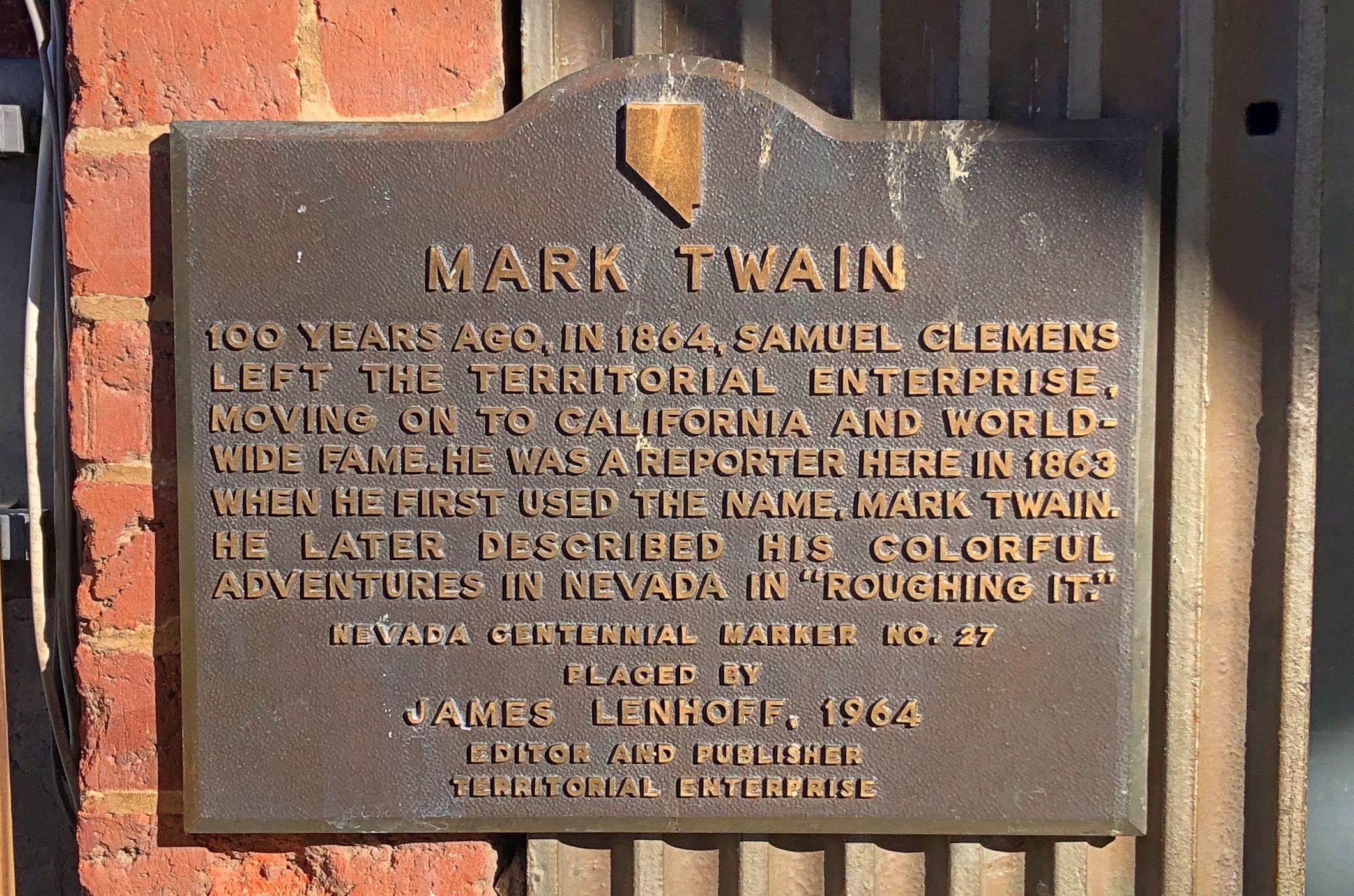
Local boosters haven’t forgotten that a young Samuel Clemens lived here for a while.Virginia City, Nevada

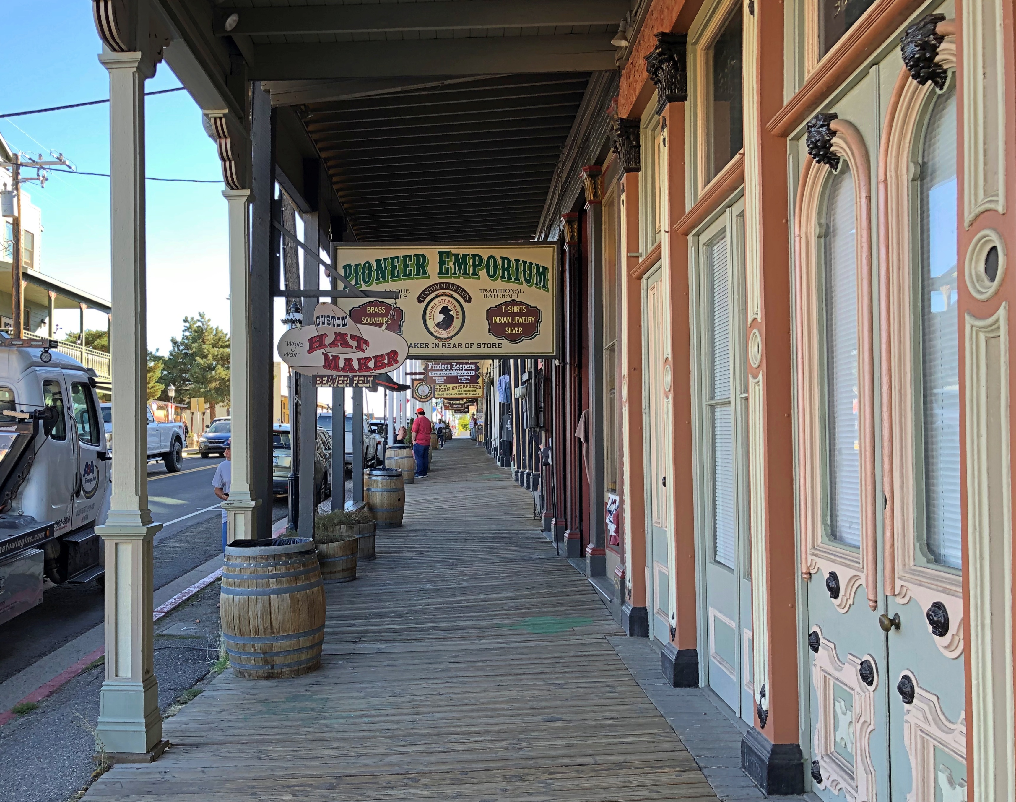
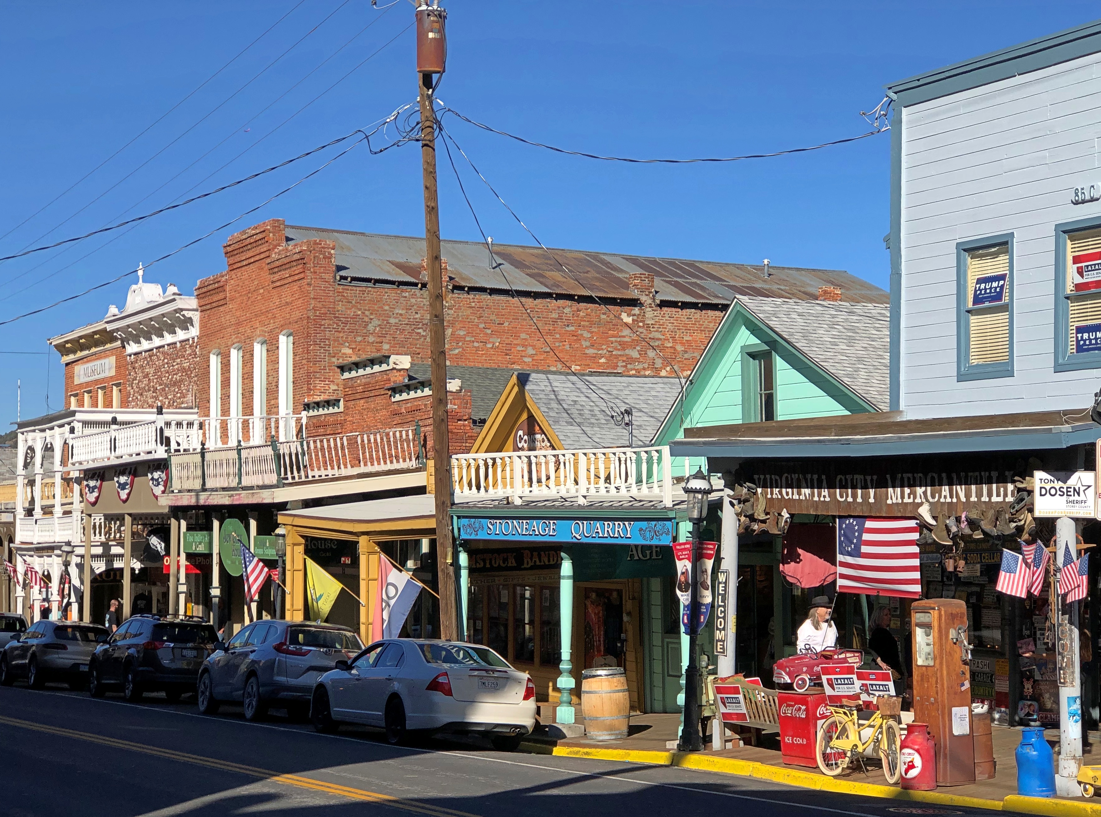
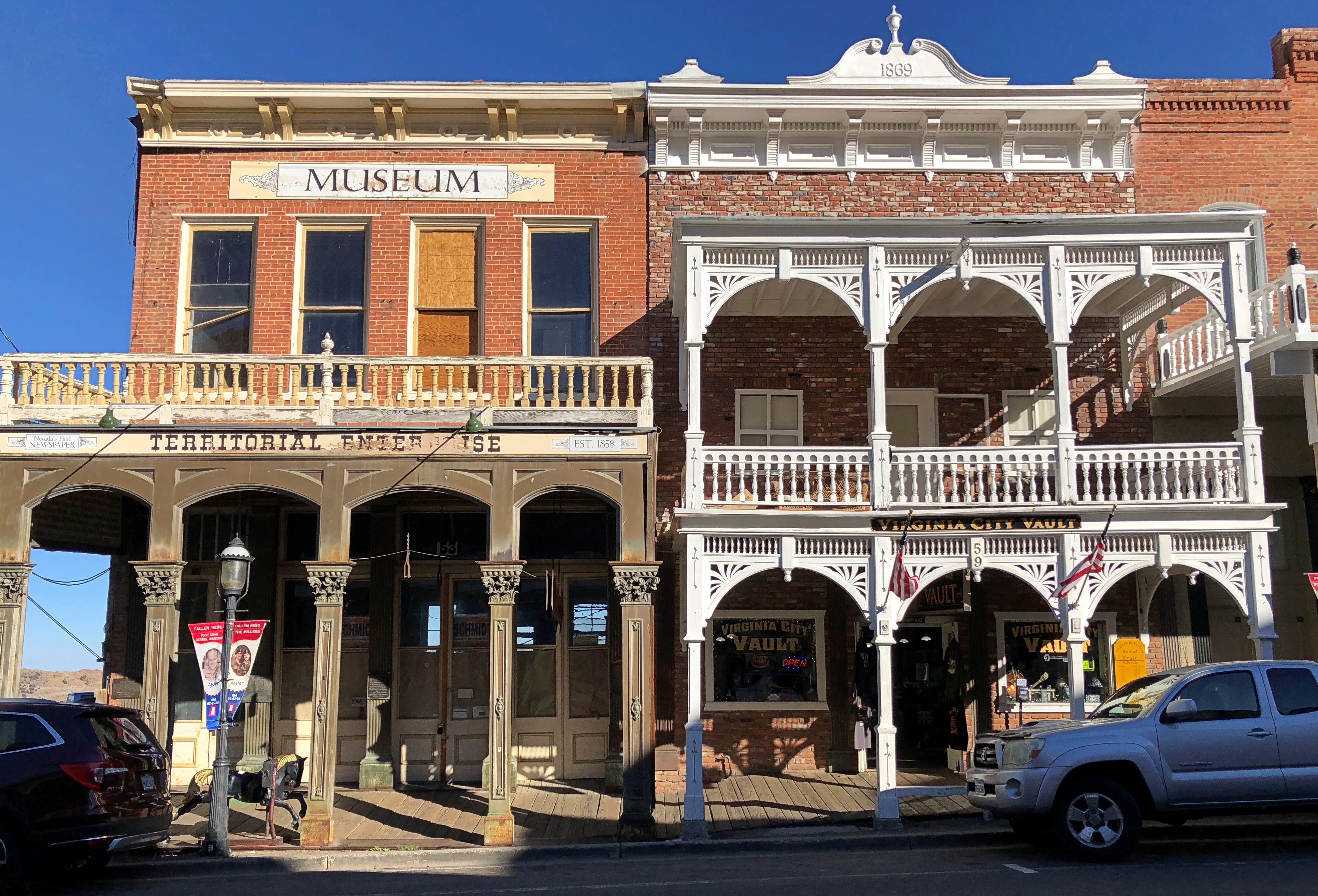
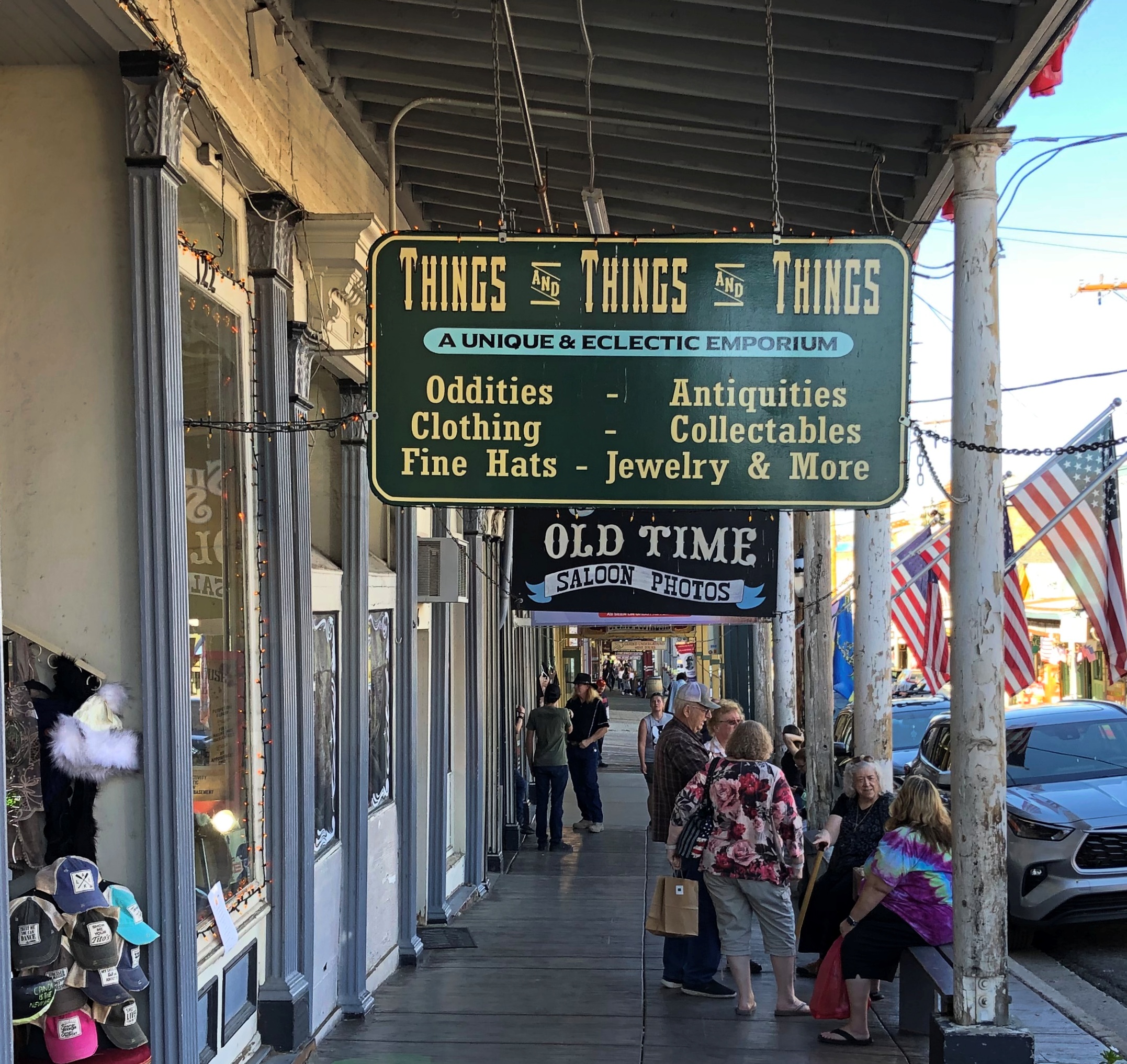
The main street is C Street.Virginia City, Nevada Virginia City, Nevada Virginia City, Nevada

You can stroll down C Street and visit the likes of the Fourth Ward School Museum, Cafe Del Rio, Virginia City Jerky, Wild Horse Gallery, Comstock Firemen’s Museum, Tahoe House (a hotel), Washoe Club Museum & Saloon, Garters and Bloomers, Grant’s General Store, Virginia City Mercantile, Red’s Old Fashioned Candies, Comstock Bandido (clothes), Palace Restaurant & Saloon, Silver Queen (another hotel), Bucket of Blood Saloon, Priscilla Pennyworth’s Emporium, Red Dog Saloon, The Way It Was Museum, Buzzard Creek Collectibles and much more.

The name of this place was particularly apt.Virginia City, Nevada

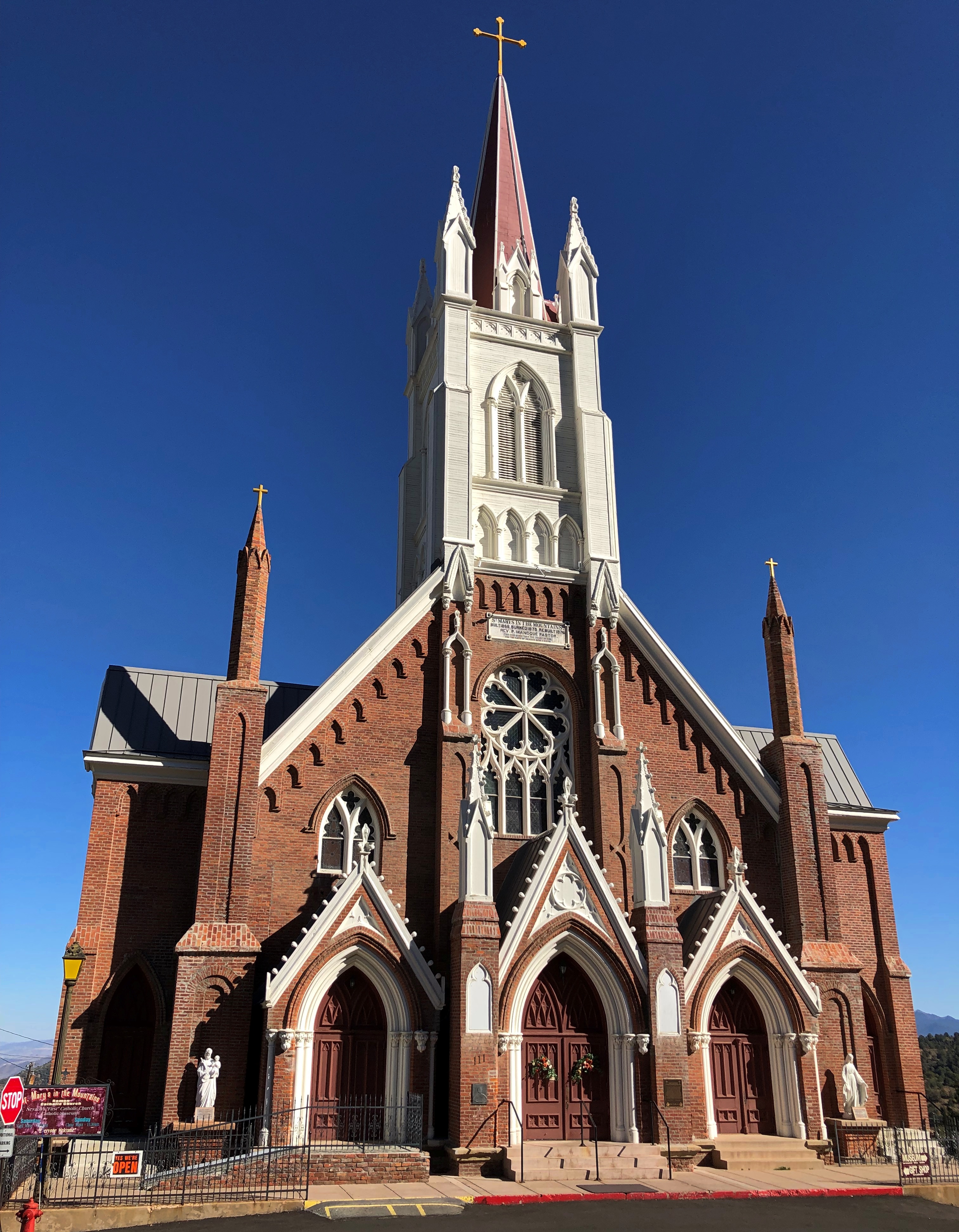
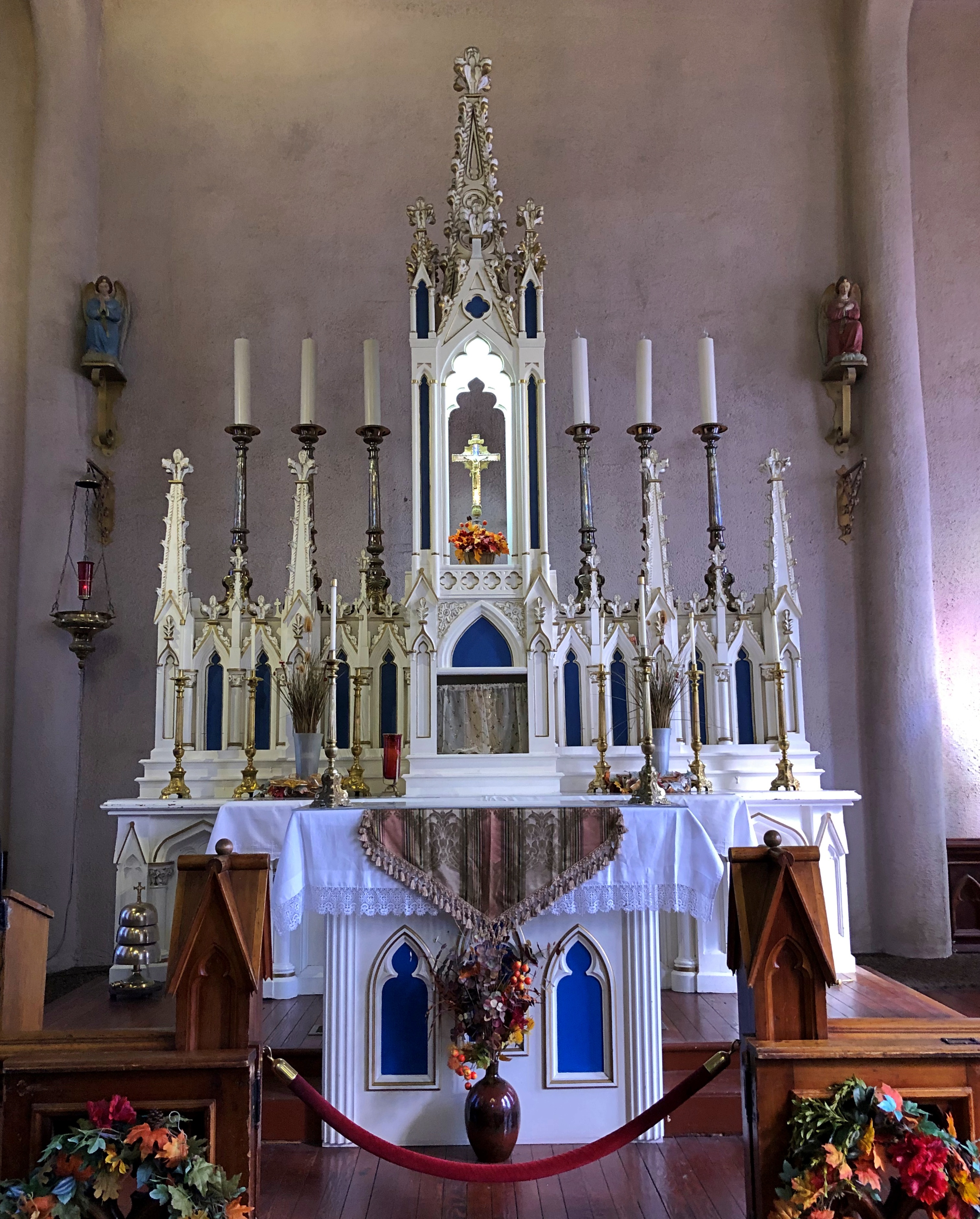
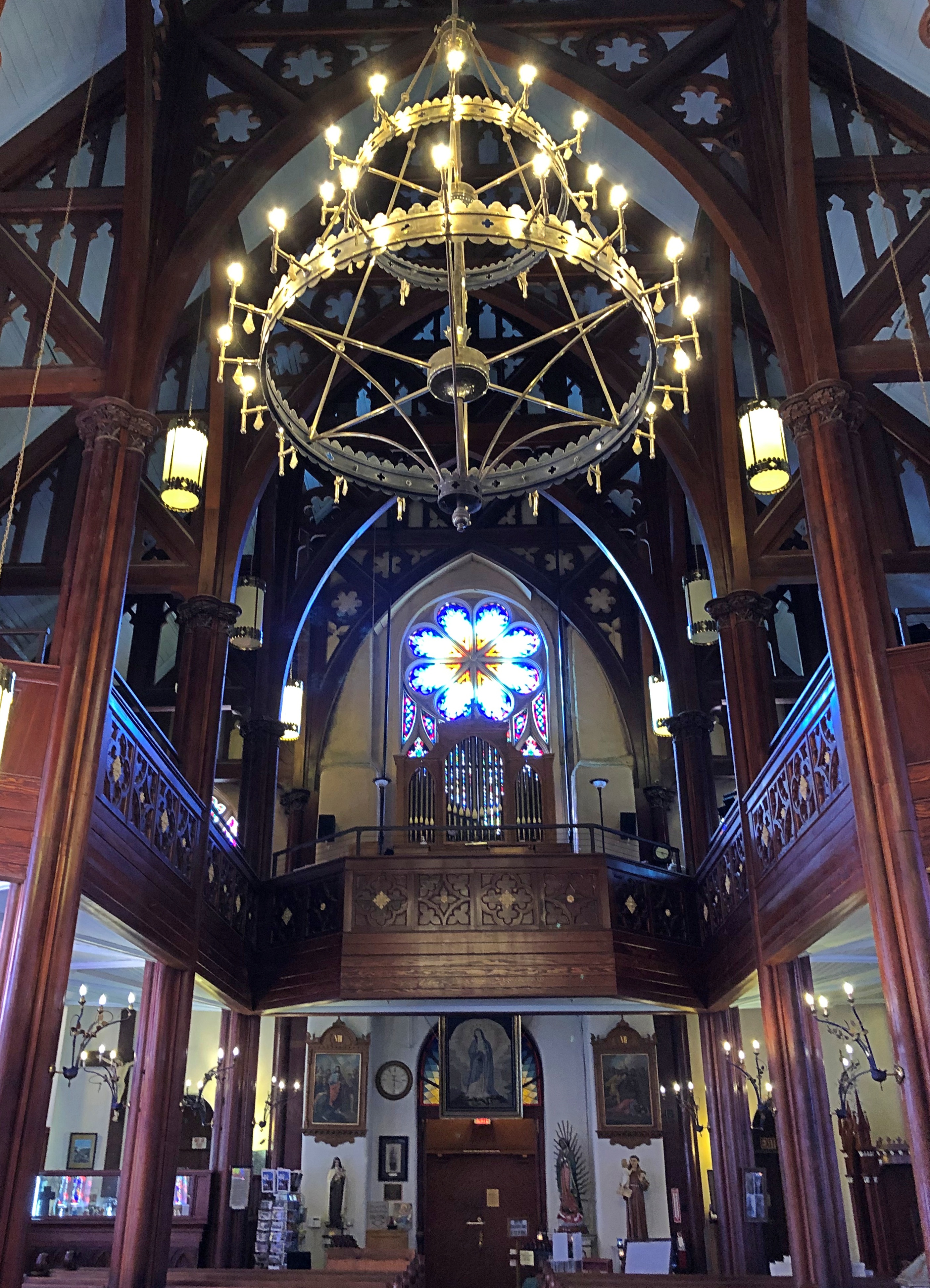
I hadn’t come to Virginia City to shop. Rather, I sought out St. Mary’s in the Mountains Catholic Church on E Street. Considering that the town is built on the side of a slope, it was a walk downhill to get there.St Mary's of the Mountain - Virginia City, Nevada
St Mary's of the Mountain - Virginia City, Nevada

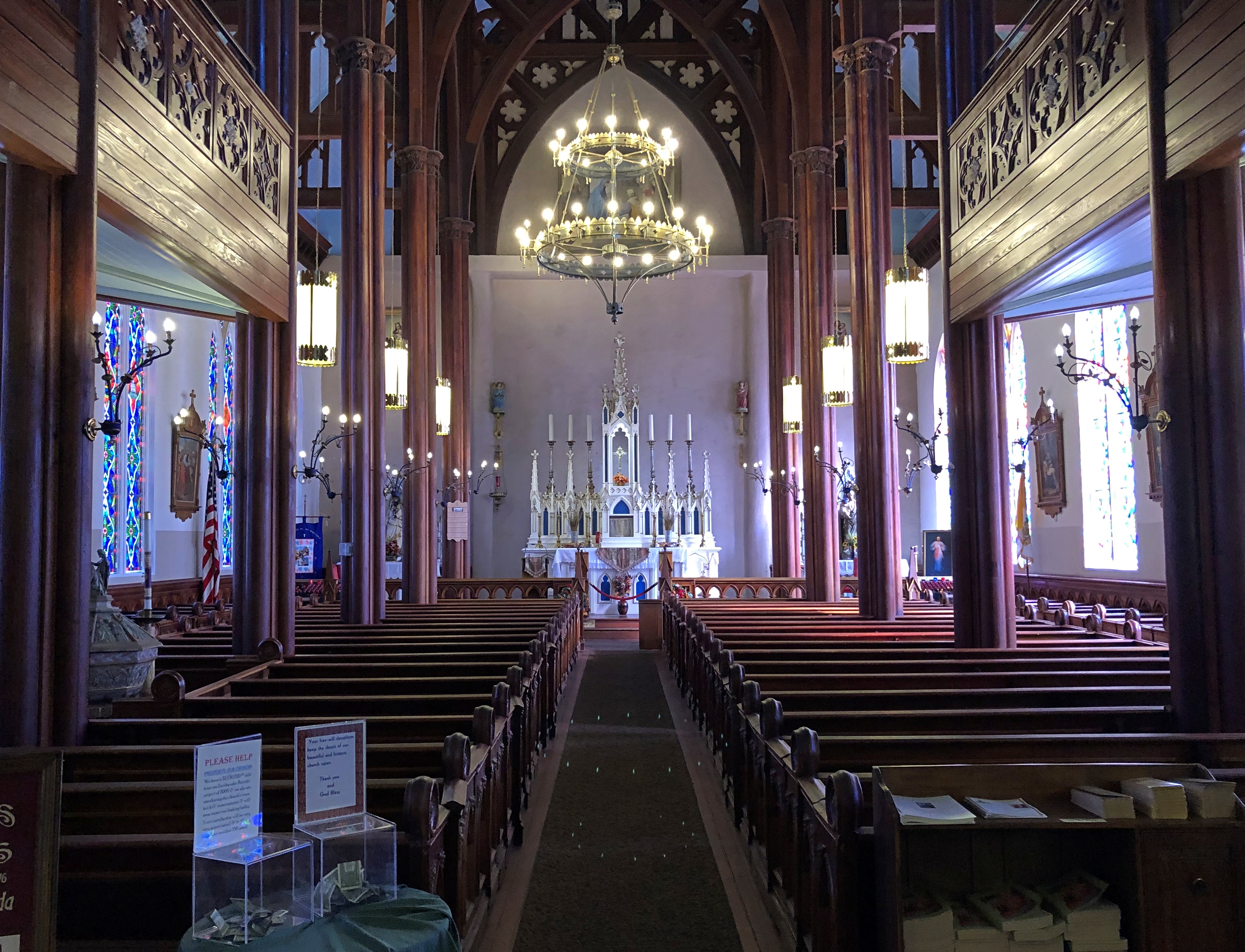
Completed in 1870 and rebuilt after the fire in ’75. I was glad to find it still open for the day.St Mary's in the Mountains - Virginia City, Nevada St Mary's in the Mountains - Virginia City, Nevada St Mary's in the Mountains - Virginia City, Nevada

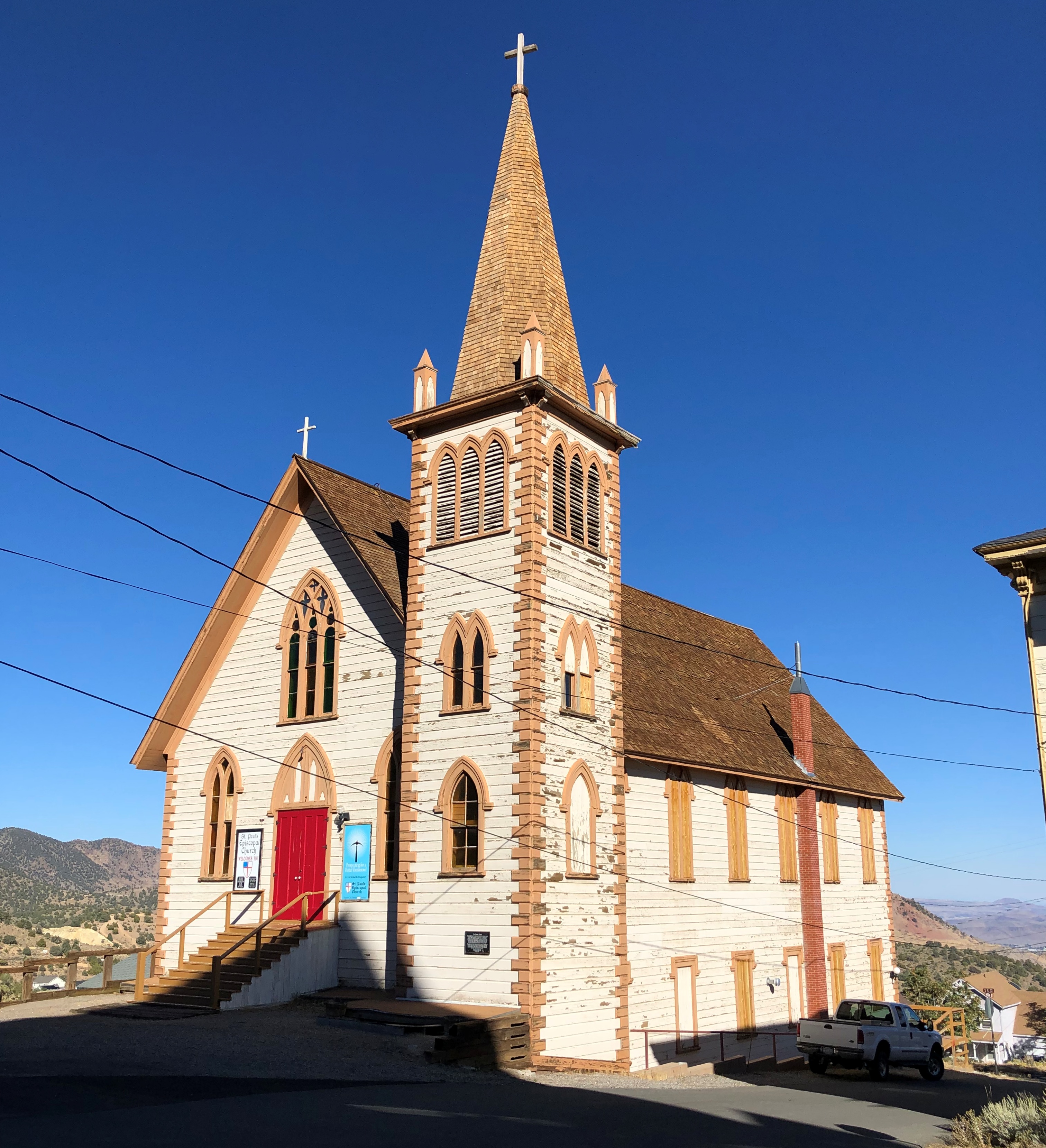
Nearby is the more modest St. Paul’s Episcopal Church. It wasn’t open.St. Paul's Episcopal Church Virginia City, Nevada

Nice view from next to the church, though. Note the gazebo. What was it Mark Twain said about gazebos? They’re the mark of civilization, even in rough-and-tumble Nevada? Well, maybe he didn’t say that.
St. Paul's Episcopal Church Virginia City, Nevada

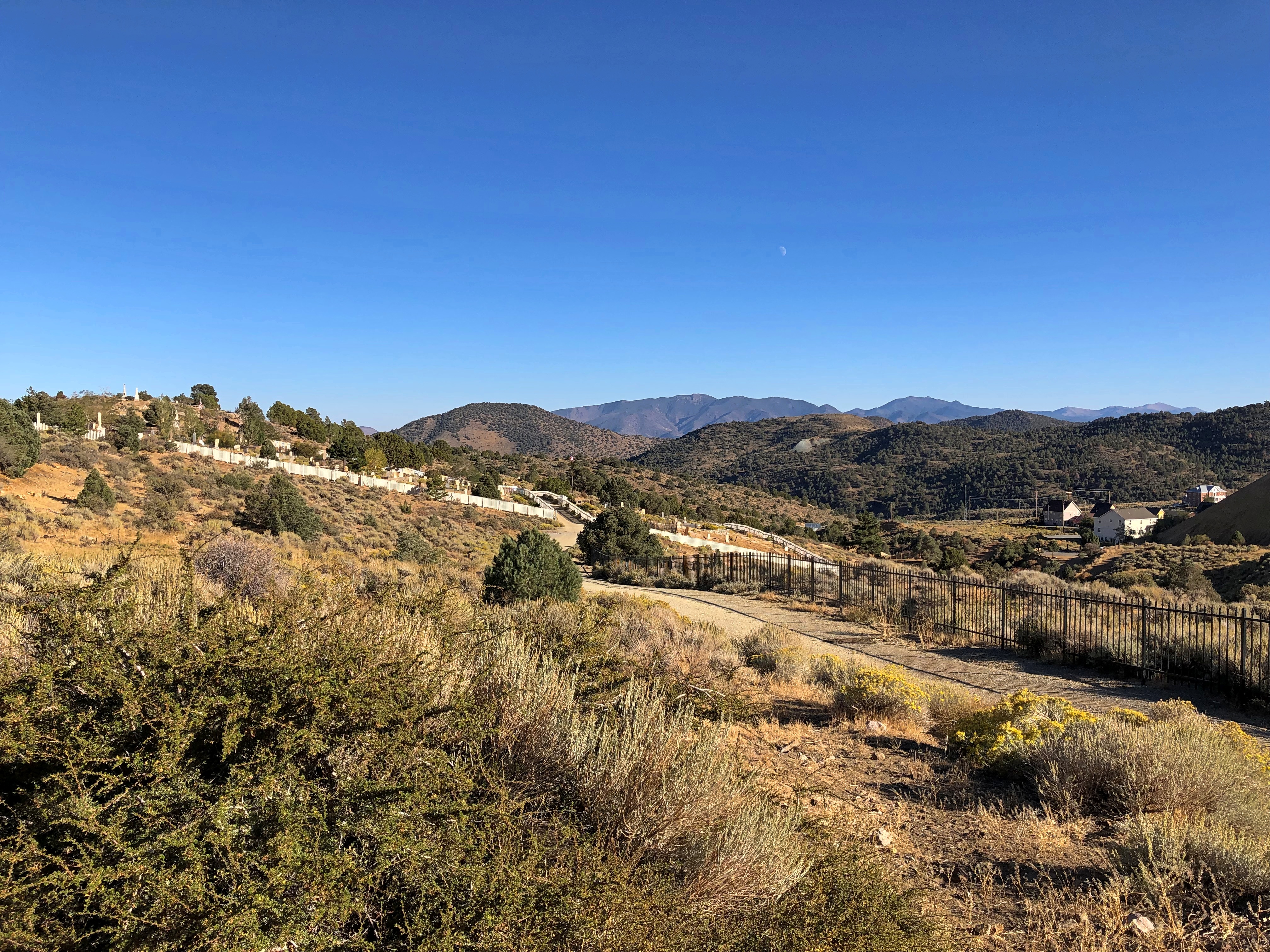
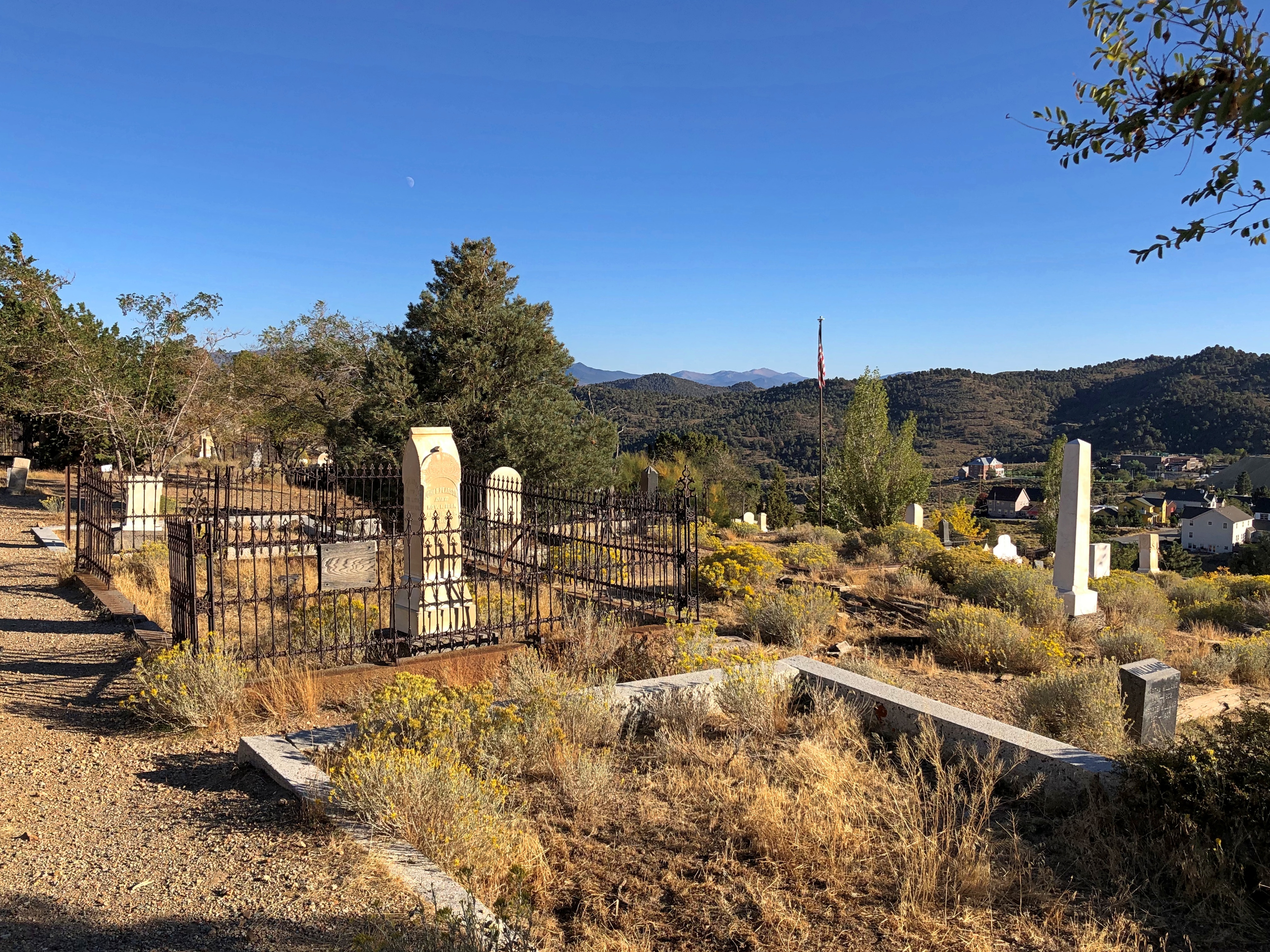
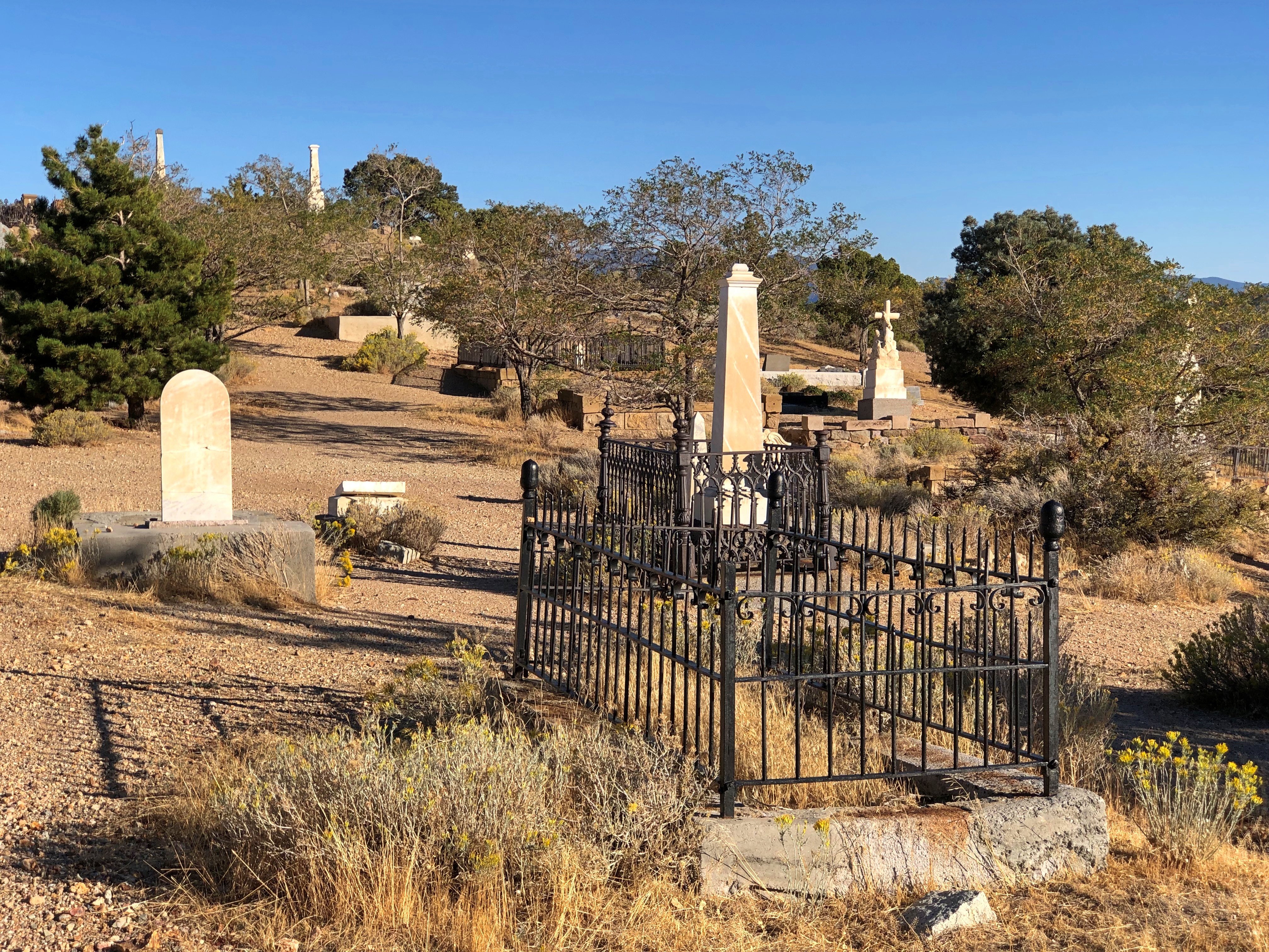
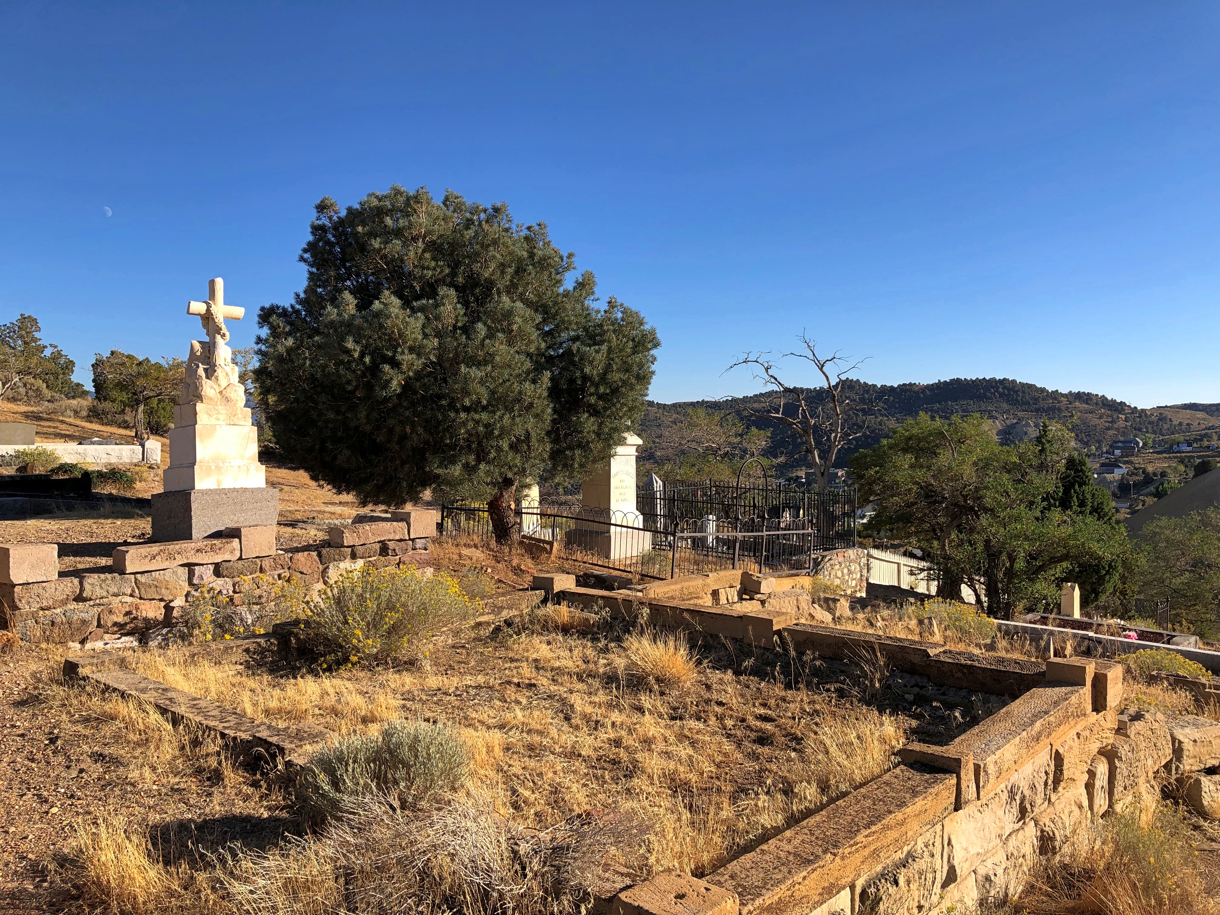
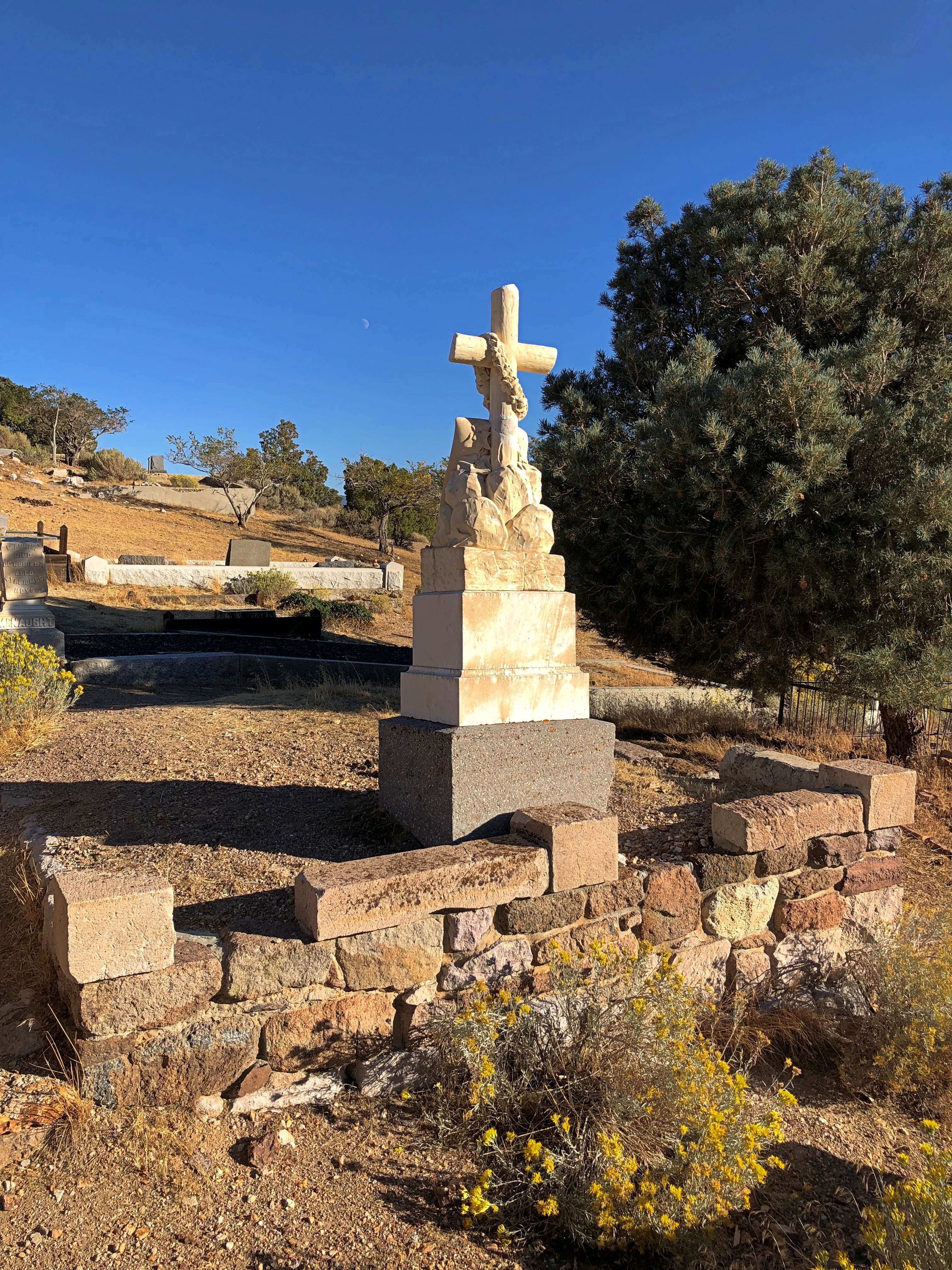
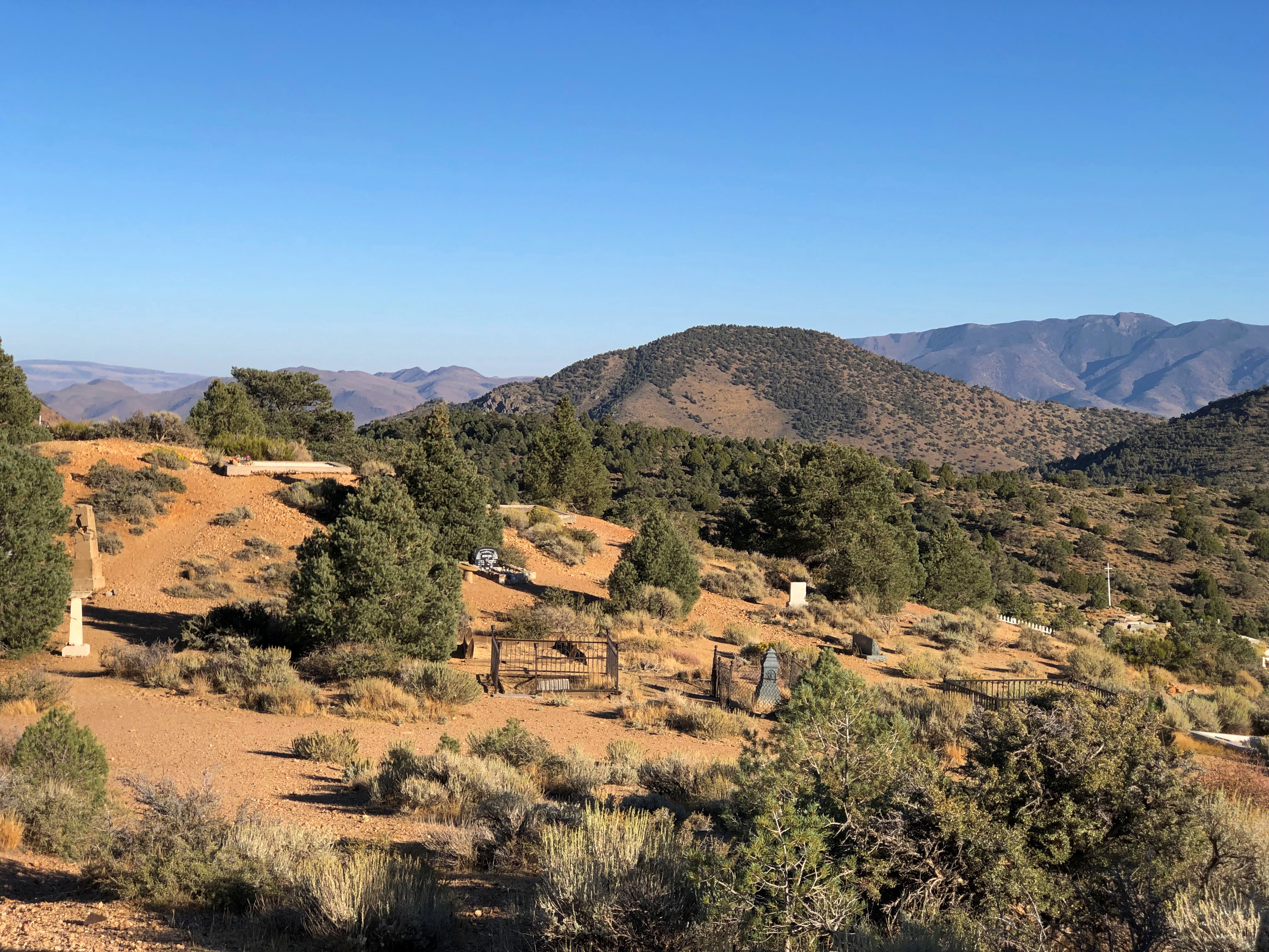
Soon I visited Silver Terrace Cemetery, which is on the edge of town. You don’t have to go far to get there, but it is a bit of a walk once you’re at the entrance.Silver Terrace Cemetery, Virginia City. Nevada

Worth the effort. Finally, a cemetery with a distinctive local name. I’m glad its organizers didn’t pick Greenwood or Woodland or something else completely at odds with Nevada geography.Silver Terrace Cemetery, Virginia City. Nevada Silver Terrace Cemetery, Virginia City. Nevada

Not a lot of large memorials, or many trees, but the place has character. And some contour.Silver Terrace Cemetery, Virginia City. Nevada Silver Terrace Cemetery, Virginia City. Nevada Silver Terrace Cemetery, Virginia City. Nevada

“Very few of the adults entombed here are native to Nevada, which offers a window into the cultural melting pot that was drawn to the glamour of the largest silver strike in U.S. history,” Travel Nevada notes. Glamour? More likely, they wanted to get rich.

“Most of who worked the Comstock were immigrants… nobody famous is buried here, just those who devoted their lives to developing Comstock Lode.”

The Golden West ’22

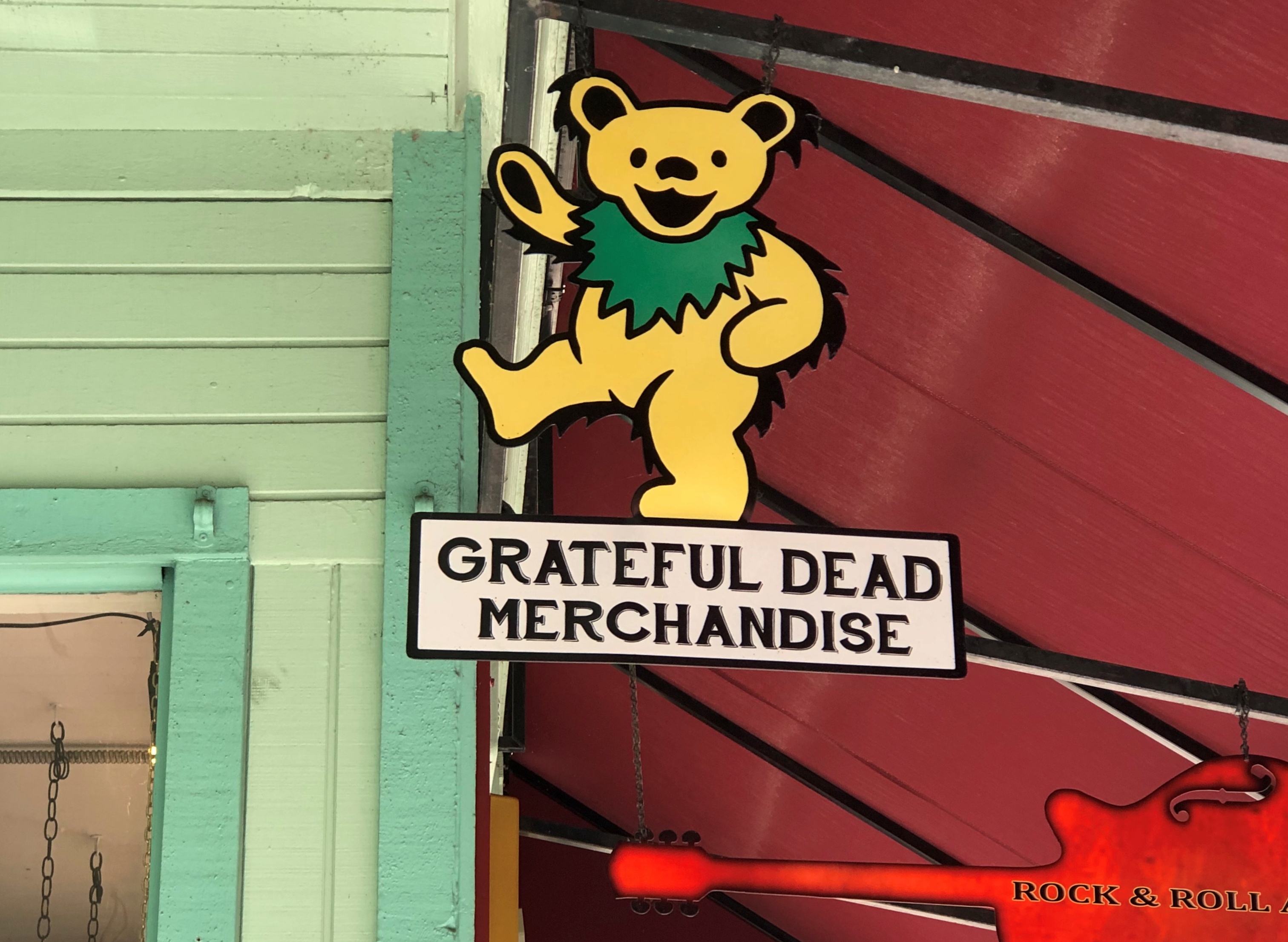
Early this month, I ventured near the West Coast again, though to places in that vast region I’d never seen before. That is, parts of northern California, where you can see the likes of marching bears looking to sell you band merch, though you have to provide your own hallucinogens.Placerville, California

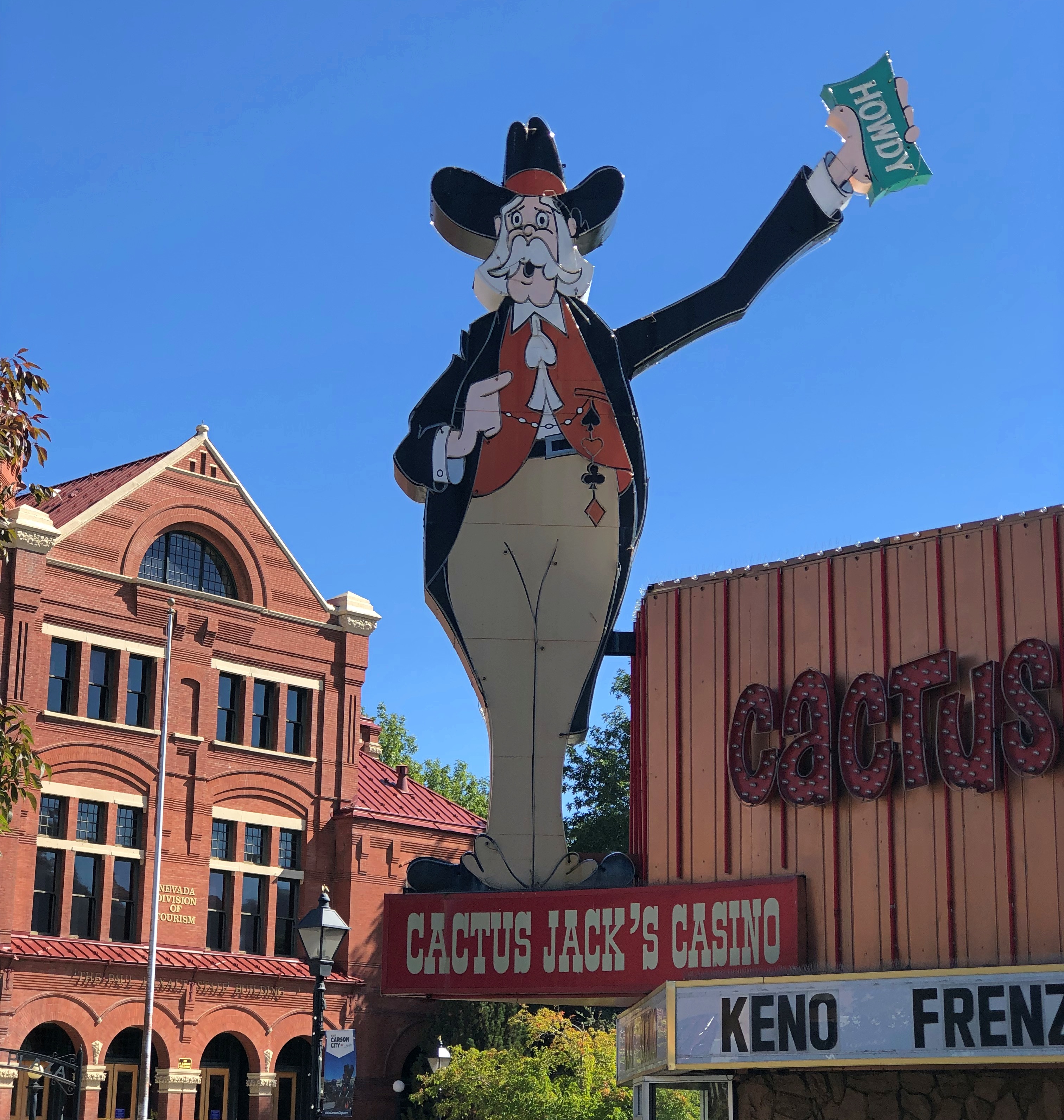
Across the border in Nevada, signs say howdy, come on in and enjoy games of chance that favor the house.Carson City, Nevada

This year’s travels have followed a specific design. The overarching goal was to travel with members of my family and by myself. Early in the year, the prospect of a bonus trip with old friends emerged, and toward the end of the year, the prospect of going somewhere for company business did as well.

That has all come to pass. In March, I went to Savannah with Ann. In May, the Colorado Plateau with Yuriko. In late July and early August, around Lake Michigan with old friends. In September, Jay came to visit me – but we also popped up to Milwaukee. Early this month, I went to California and Nevada, a trip I’ll call the Golden West because one’s trip ought to have fanciful names. Lilly joined me for part of the time.

Sacramento was the trip’s fulcrum. I flew in on October 1 fairly late and spent the first night there. The next morning, I headed east, following narrow roads across the Sierra Nevada, to the shores and vistas of Lake Tahoe, by way of the site where John Marshall found gold in 1848, an event he came to rue. At least he’s remembered: the place is called the Marshall Gold Discovery State Historic Park.

I spent two nights in Reno. My first morning in that town, October 3, I took a walk near the Truckee River, which I had no notion existed before coming to this part of the country – a feeling I had more than once during the trip, along with a few moments of ah – that happened there? Reno is also home to the National Automobile Museum, which takes a bit of a different approach that the one in Fairbanks, sporting a lot of interesting old vehicles, but also some not so old.

That afternoon I drove to Carson City. When I was young and started poring over maps, I found it curious that Carson City, by all appearances a small place, was capital of a large state like Nevada. Large in area, anyway, since it was later I’d learn about Nevada’s relatively small population. Later still – that is, now – Nevada actually isn’t that small in population, coming in at no. 32 among the several states with about 3.1 million people, ahead of the likes of Arkansas, Mississippi and Kansas, among others.

For its part, Carson City has a population of about 58,000 (that’s the MSA, third-smallest for a capital, larger only than the Pierre, SD, and Juneau, Alaska MSAs). Naturally I ambled over the state capitol for a look. The Nevada State Museum, which includes the former Carson City Mint, unfortunately wasn’t open. Cactus Jack pictured above, incidentally, greets Carson City visitors. I didn’t go in to that casino. Or any in Reno.

Virginia City was another thing I didn’t know about Nevada. It was a name on a map and I had the vague notion that it was little more than a ghost town, the residuum of long-finished silver mining. False. Silver mining did take place there in a big way, but now V. City lives on as a major tourist destination, the sort of place that has refurbished its vintage buildings into bars, restaurants, souvenir shops and small museums.

It occurred to me when visiting the site of the Comstock Lode in Nevada — V. City is built on top of it — that that was the silver part of the trip. The gold part had been on the the western slope of the Sierra Nevada in California. Silver and gold. Gold and silver. Either has a good ring to it.

The next day, I walked the colorful Virginia Avenue in Reno, and visited the Reno Art Museum before I quit town, heading back to Sacramento by way of the larger I-80, which allowed me to stop at Donner Memorial State Park. That place provided me a that-happened-here? moment. It isn’t called the Donner Pass for nothing, though I suspect the members of the party who didn’t survive would have taken a pass on posthumous fame, in exchange for making it across the mountains.

Fairly early on the morning on October 5, I picked up Lilly at the airport in Sacramento. Our goal for the day was a hotel in Groveland, California, near the entrance of Yosemite National Park, but we lingered for a look at the state capitol, and then headed south on California 99, a four-lane freeway through the San Joaquin Valley.

We stopped briefly along the way, feeling the heat and sensing the dryness of the place. California is in another drought, after all. Yet the crops grow there in abundance, at least as long as the ag industry has the political muscle to get the water it needs.

Back up in the Sierra Nevada, temps were also surprisingly warm – in the 80s most of October 6, the day we spent at Yosemite NP. I acquired and sent a number of postcards of Yosemite, because I’m a traditionalist that way. On some of them, I wrote that I was much impressed by the massive rock formations, but had no urge to climb any of them.

The next morning, we drove back to Sacramento, where I took Lilly to the airport. That left me with half a day more to kick around that city, which I did, leaving on the morning of October 8. The surprise for me in my last walk around Sacramento was the collection of impressive modernist and postmodernist buildings, especially along the Capitol Mall.

All in all, a good trip. I even got to meet a local, there in Reno, more about whom later. That’s the gold standard for an authentic travel experience, at least according to some lines of thought. That or “live like a local,” though that somehow always seems to mean visiting the right bars, but never (say) spending time stuck in traffic like a local would.

Bishop Hill State Historic Site, 1997

I’m sure there will be some chatter about the 25th anniversary of the death of Diana Spencer this week, but I won’t add to it, except to say we were out of town that Labor Day weekend.

Some years ago, I wrote: “We made it as far west as Iowa, briefly, but the main focus was getting to Nauvoo, Illinois, perched way west on the banks of the Mississippi. The first day [August 30, 1997], we stopped at a place called Bishop Hill, which itself was the site of a religious commune in the 1840s and ’50s, home to a good many Swedish immigrants that followed a charismatic Swede.

“Alas, he died [indeed, was murdered] and there was no one to take his place, unlike certain other cults that flourished around that time and later went to Utah, so they parceled out the commonly held lands to cult members in the 1860s. About a hundred years later, their descendants became interested in restoring some of the town’s buildings, which have their charms. The church was nice in a sort of plain way, and the hotel was a fine example of 1850s Midwest architecture.”

In our time (including 1997), Bishop Hill is a small town in Henry County, Illinois, and a few of its buildings constitute Bishop Hill State Historic Site. The name is an English version of the birthplace of sect founder Erik Jansson, who was from Biskopskulla parish in Uppland, near Uppsala, Sweden. There may be a hill at that place in Sweden, but I’m pretty sure there’s no hill at Bishop Hill in Illinois.

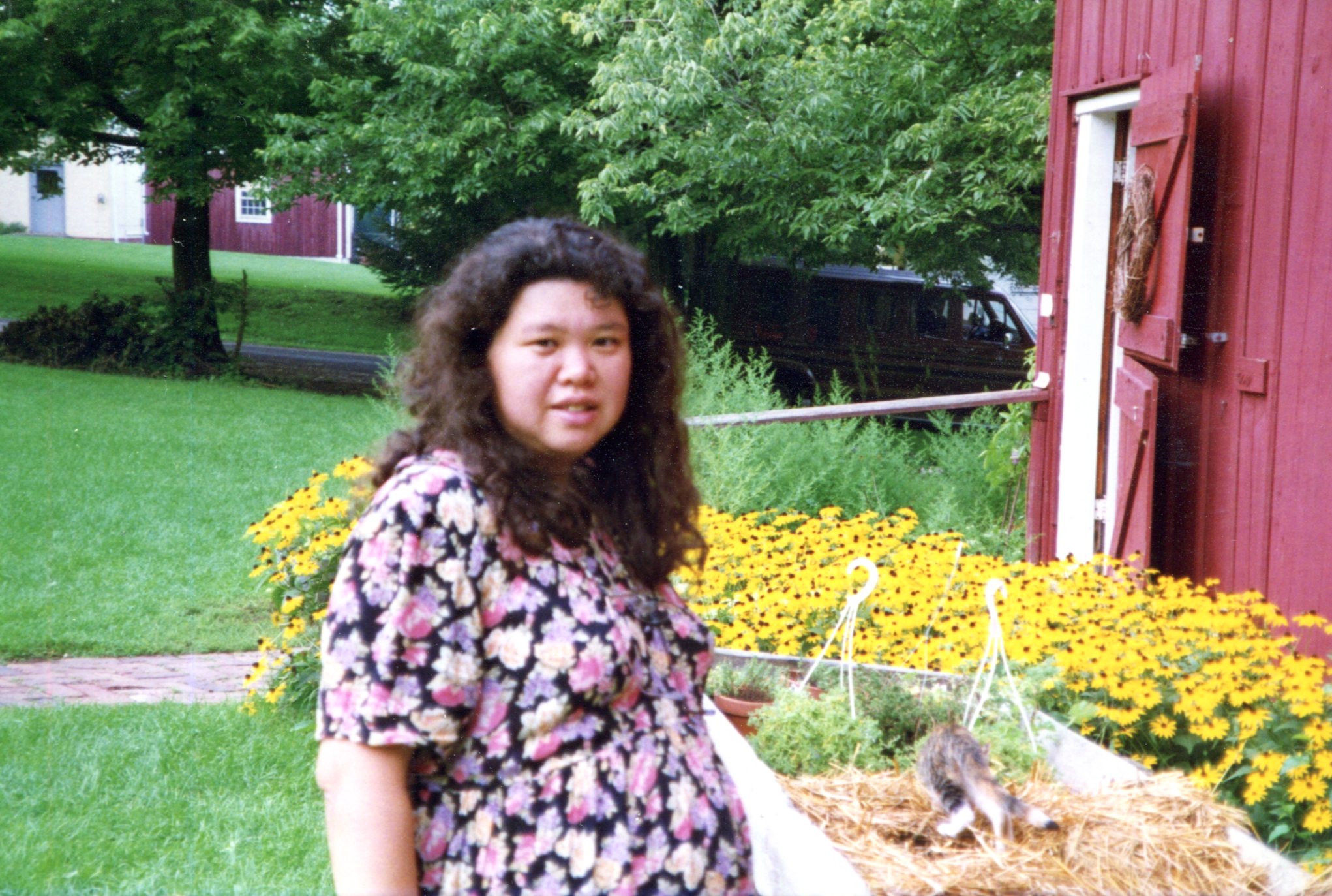
I took some pictures. It was still the days of film cameras, so only a few. Such as of Yuriko, who was large with child at that moment. The child will be celebrating her 25th birthday come November.
Bishop Hill, Illinois, 1997

Note the bed of brown-eyed susans. Late August is their time. The other day, we saw an enormous crop of them along the shore of Volkening Lake.

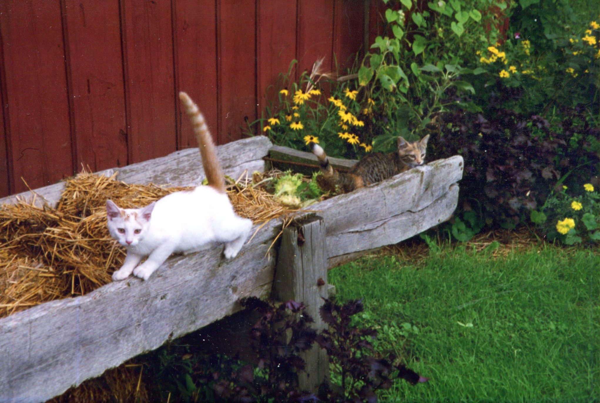
A local cat, who was large with tail.
Bishop Hill, Illinois, 1997

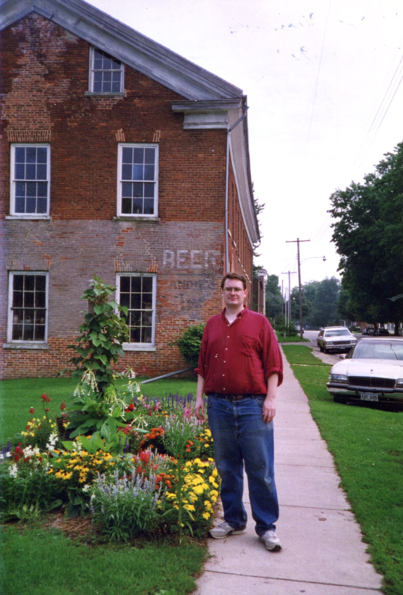
Next, I’m standing near one of the older buildings in town, though I don’t believe it’s part of the historic site. Someone used to sell beer there. Curiously, the same building can be seen in the image illustrating Bishop Hill’s Wiki page.
Bishop Hill, Illinois, 1997

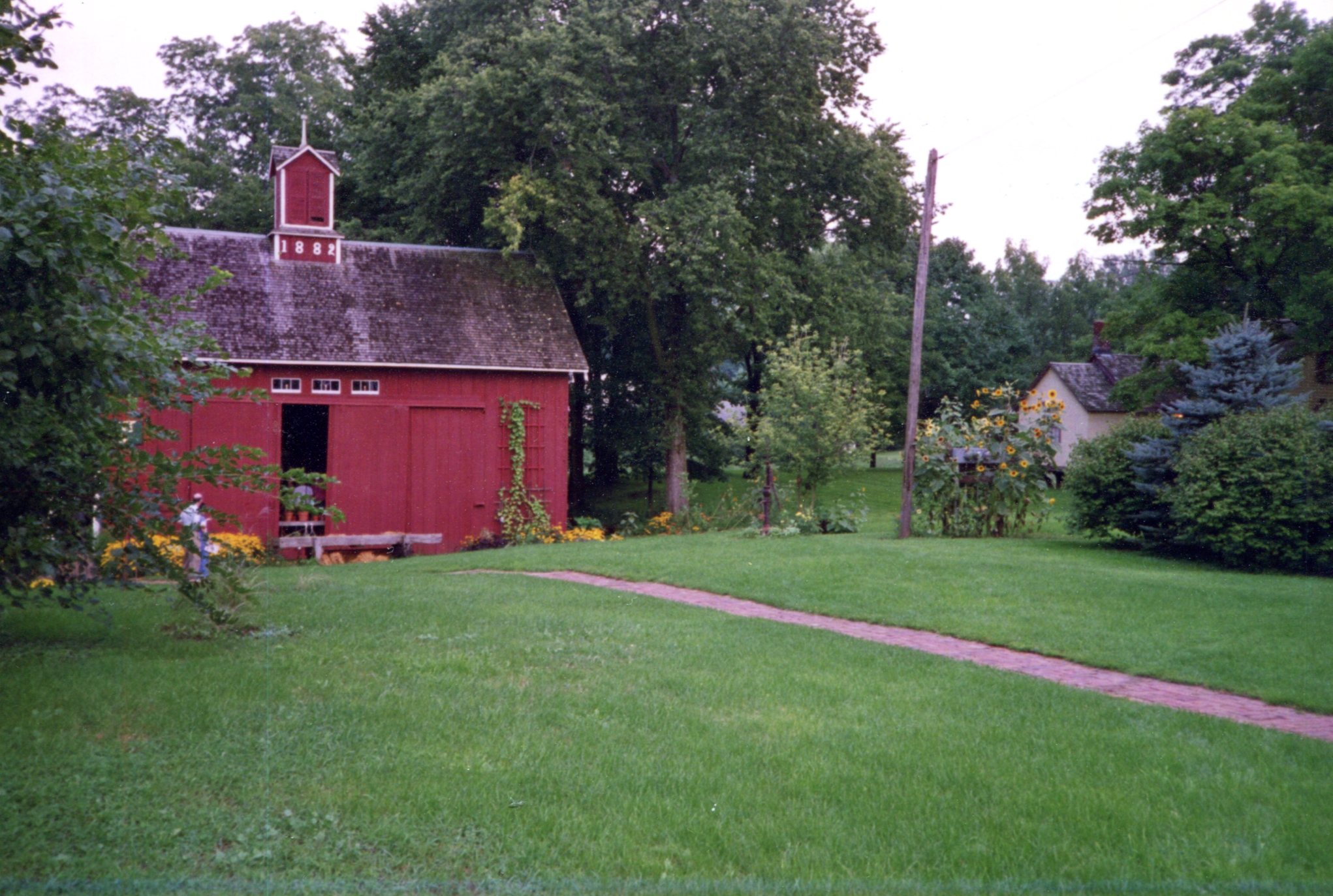
Another view
Bishop Hill, Illinois, 1997

I won’t swear to it after 25 years, but I think we arrived too late in the day to see the interiors of most of the historic buildings. In any case, it was our last trip before full-blown parenthood.

Back to Normal

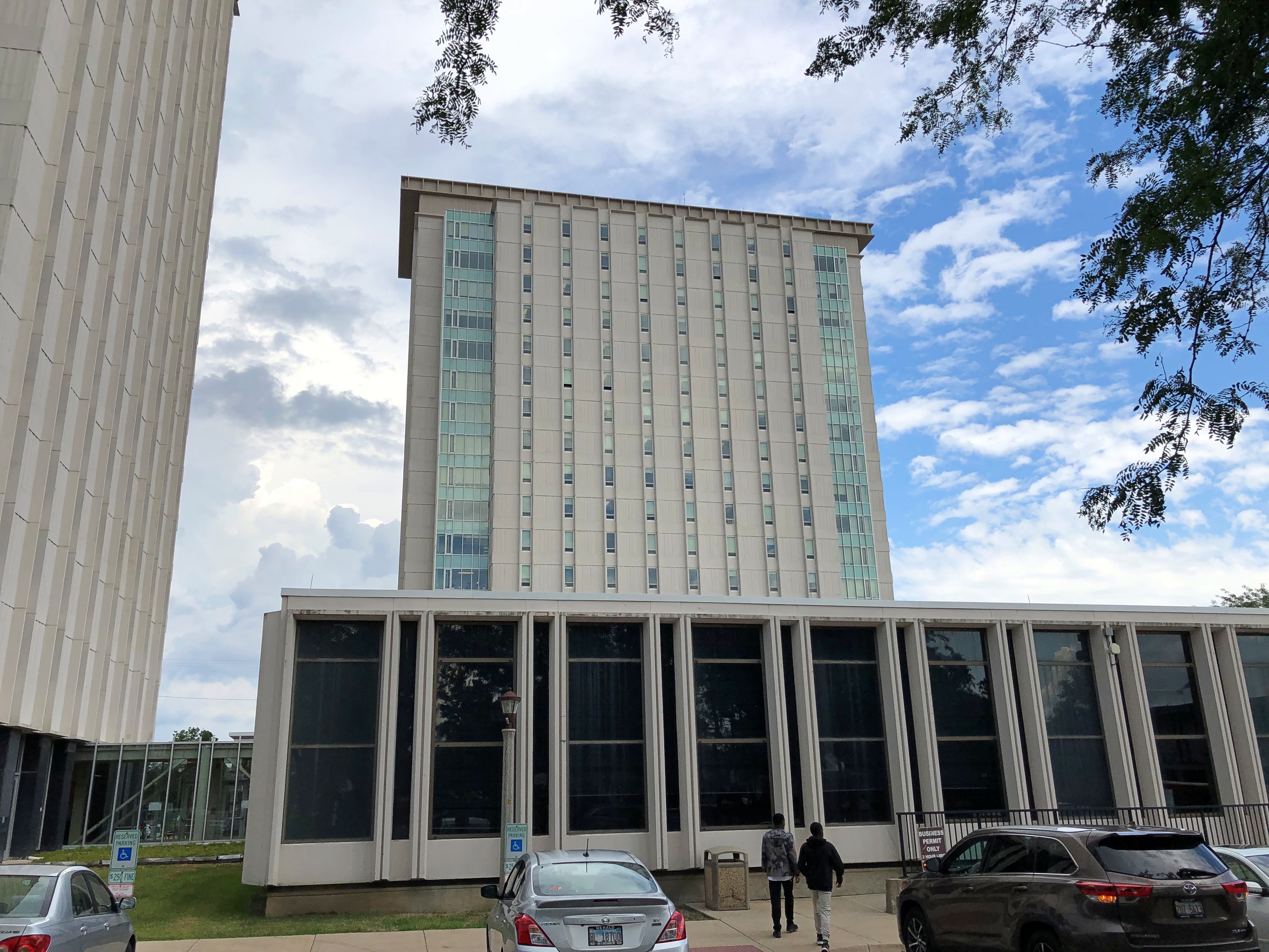
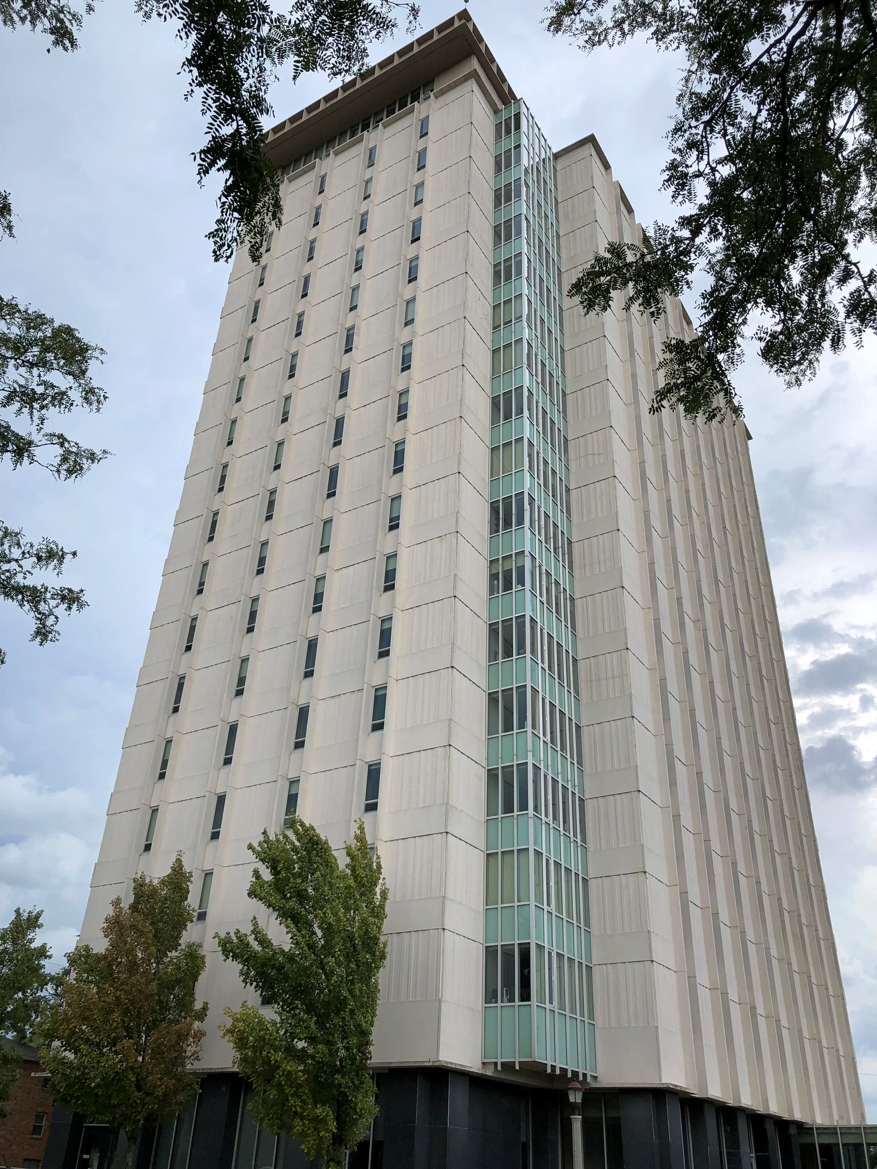
Last Saturday, I drove Ann and some of her stuff back to Normal for her new school year as a sophomore. Her room is in this tower.Normal, Illinois

Which is next to this tower.Normal, Illinois

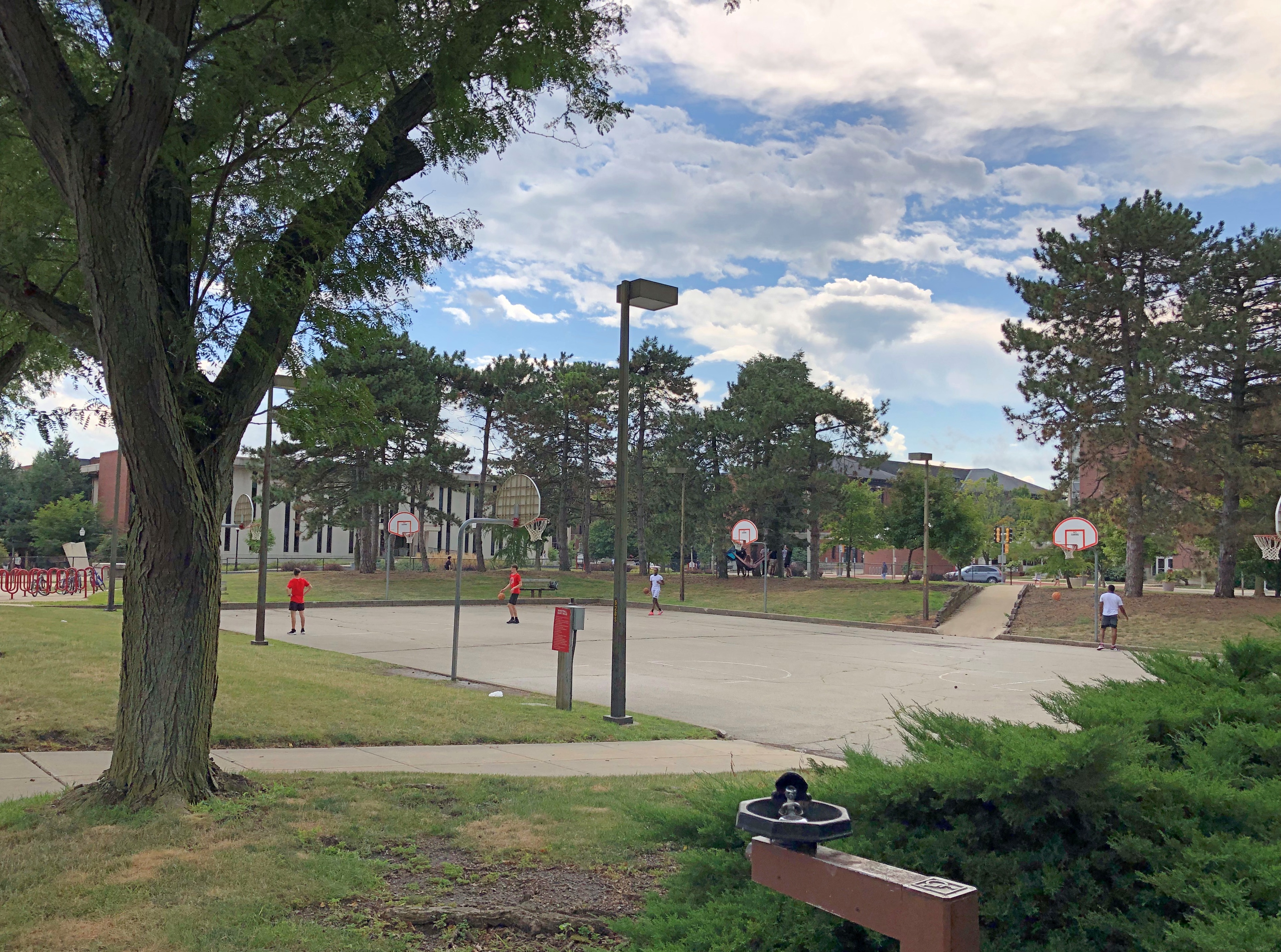
Nearby is basketball —Normal, Illinois

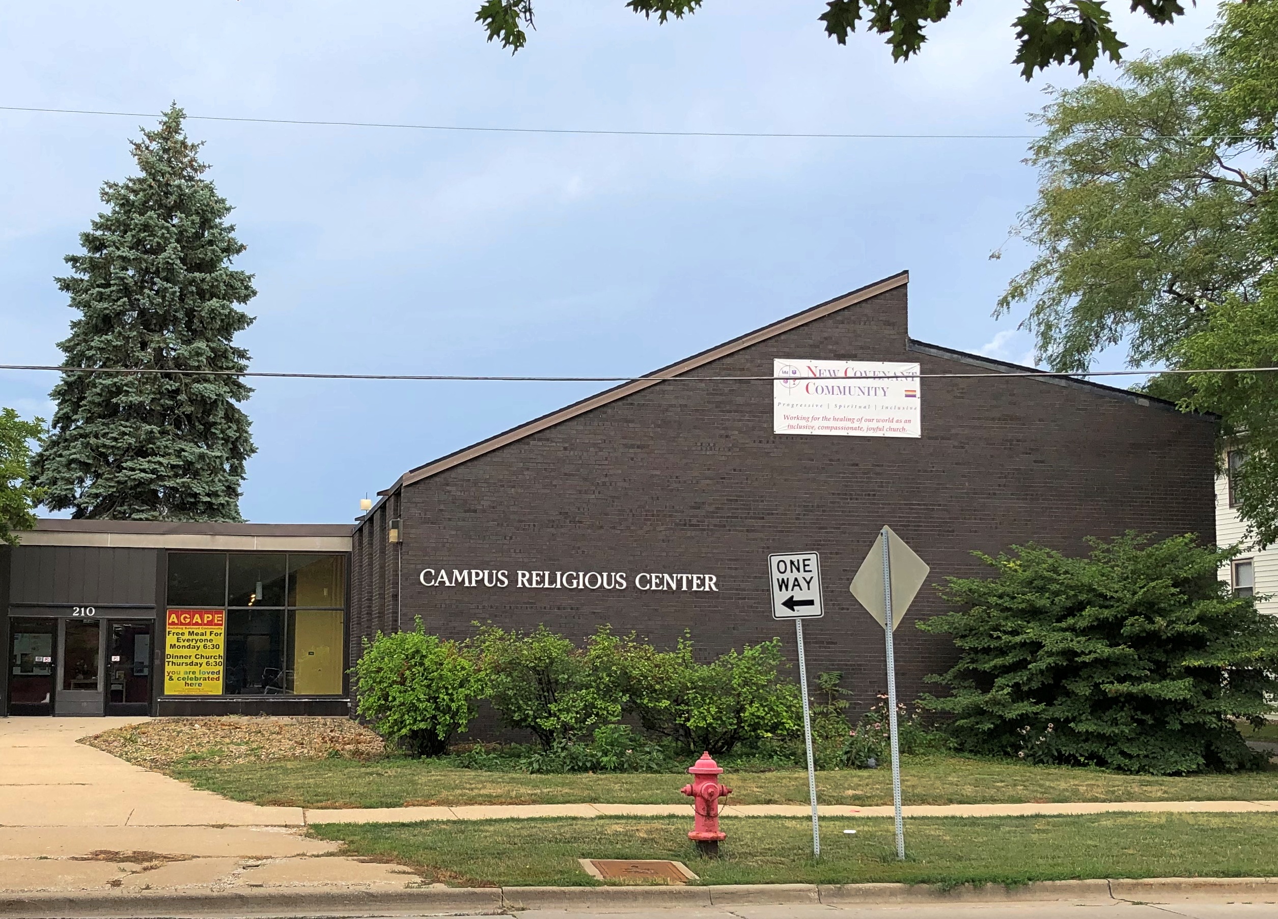
— and religion.Normal, Illinois

But not that much religion. According to a sign near the door, the building is occupied by the New Covenant Community (a “tri-union congregation”), the Judson Baptist Fellowship, the Lutheran Student Movement — and the Center for Mathematics, Science & Technology.

Maybe the landlord (ISU, I assume) considers scientism a religion, but more likely, a tenant is a tenant.

Around Lake Michigan Bits & Pieces

Here’s a set of facts that only I’m likely care about, but I find remarkable anyway.

My recent trip with friends to the UP and back began on July 30 and ended on August 7. Fifteen years earlier, in 2007, I took a trip with my immediate family to the UP and back, from July 30 to August 7. I didn’t know about the coincidence until I read a previous posting of mine. I wish I could say that I’d taken a July-30-to-August-7 trip 15 years before that, in 1992, but no: Singapore and Malaysia was June 29 to July 10 that year (I had to check.)

Both were counterclockwise around Lake Michigan, but such is the richness of worthwhile sights in that part of the country that the two trips touched only at one point: the Mackinac Bridge. And in the fact that we spent time in the UP.

Is it so different now than 15 years ago? Except for maybe better Internet connectivity (I hope so) and maybe a worse opioid problem (I hope not), not a lot seems to have changed.

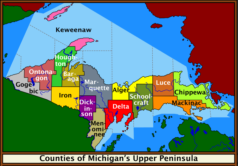
The UP’s population in 2020, per the Census Bureau, was about 301,600, representing a decline from 311,300 in 2010 and 317,200 in 2000. Truth be told, however, the UP’s population has never been more than about 325,600, which it was in 1910. After a swelling in population in the 19th century, especially after the Civil War, numbers have held fairly steady, meaning an increasingly smaller percentage of Michiganders and Americans, for that matter, live in the UP.

A spiffy public domain map.

Of course, the trip started in metro Chicago, and our first destination was BAPS Shri Swaminarayan Mandir Chicago in Bartlett, Illinois. A striking piece of India within short driving distance of home, I once said, and I’m pretty sure my friends agreed with that assessment.

Next: Indiana Dunes National Park. I had in mind we’d walk along a trail I knew, and a beach I liked, but no parking was to be had on a Saturday in summer. We were able to stop at the the Century of Progress Architectural District for a few minutes, and amble down to the beach for a few more from there. They liked that, too, and I’m sure had never heard of that corner of Indiana.

Across the line in Michigan, we went to Redamak’s in New Buffalo. Crowded, but it was then that we collectively decided, though it was unspoken, that good food in a restaurant setting was worth the risk of the BA.5 variant. I’m glad to report that none of us had any Covid-like symptoms during the entire run of the trip.

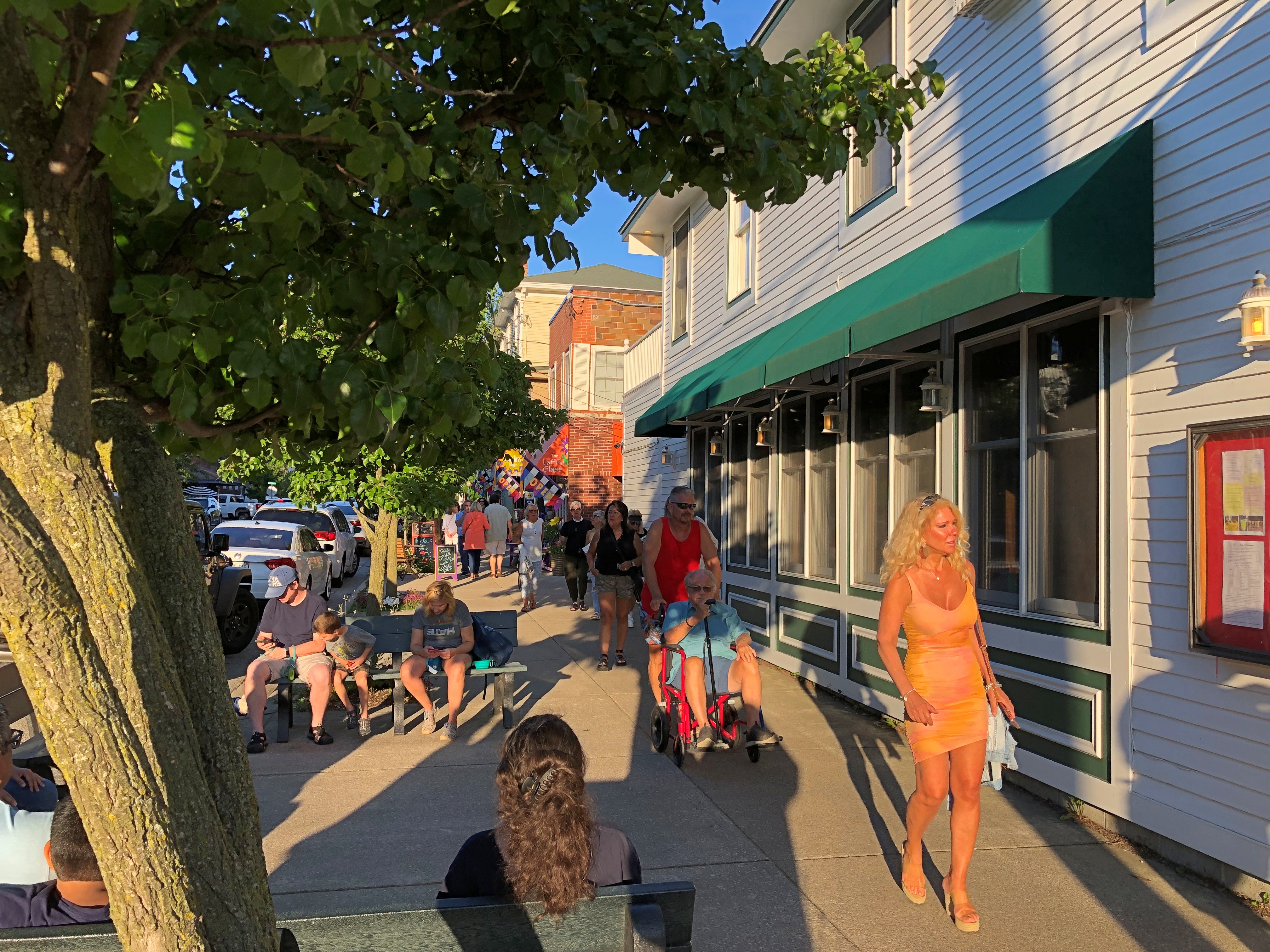
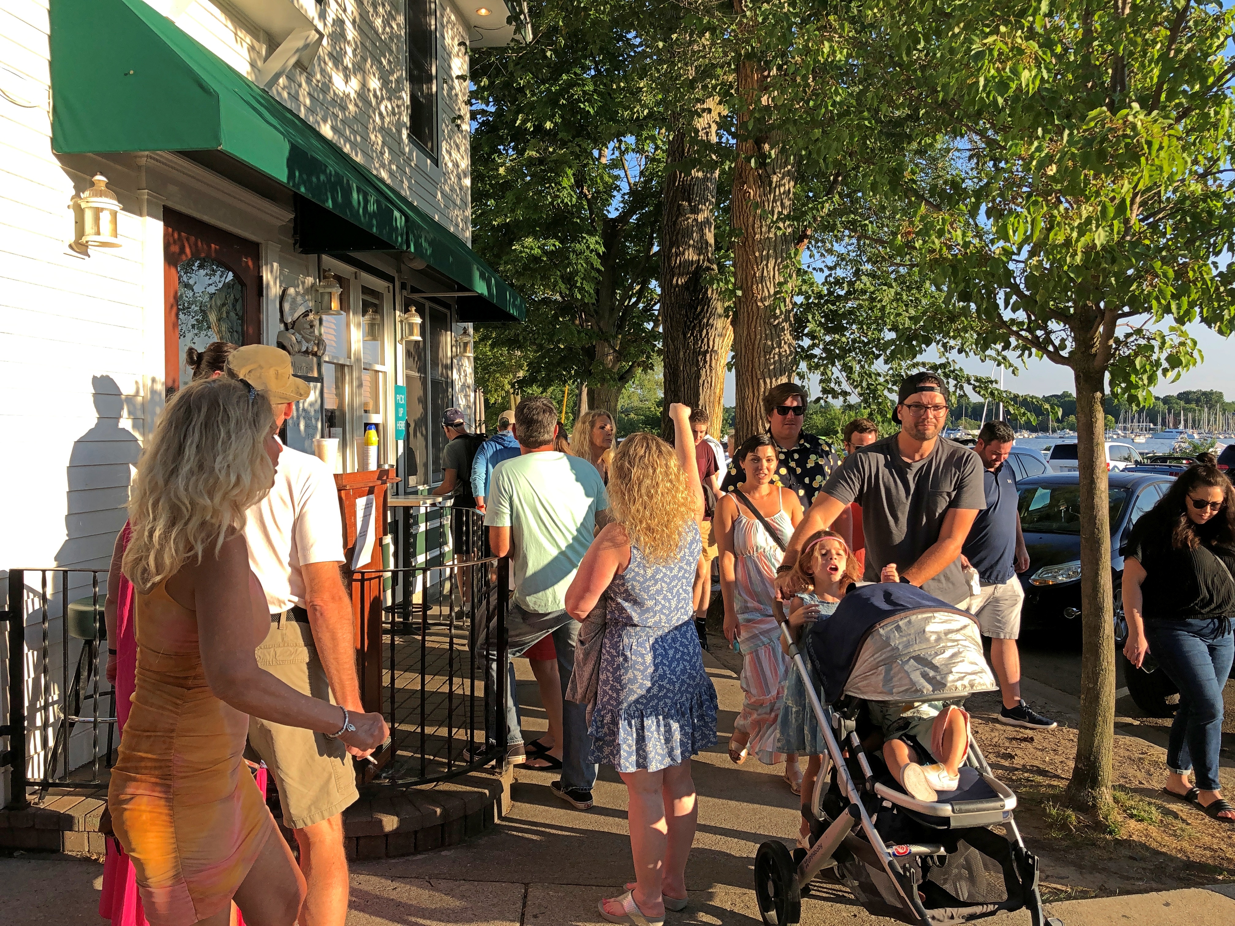
Those were my first-day suggestions. Now my friends had one: Saugatuck, Michigan, which is actually two small towns, the other being named Douglas. I’d seen it on maps, but that was the extent of my awareness. Turns out it’s a popular place on a summer Saturday, too. Especially on the main streets.Saugatuck, Michigan Saugatuck, Michigan Saugatuck, Michigan

Once we found parking, the place got a lot more pleasant. We wandered around, looking at a few shops and buying ice cream for a short sit down.

A small selection of Saugatuck businesses vying for those visitor dollars (no special order): Uncommon Coffee Roasters, Glik’s clothing store, Kilwin’s Chocolate, Sand Bar Saloon, Country Store Antiques, Bella Vita Spa + Suites, Tree of Life Juice, the Owl House (“gifts for the wise and the whimsical”), LUXE Saugatuck, Santa Fe Trading Co., Marie’s Green Apothecary (“all things plant made”), Mother Moon book store, and Amazwi Contemporary Art, just to list only a fraction of the businesses.

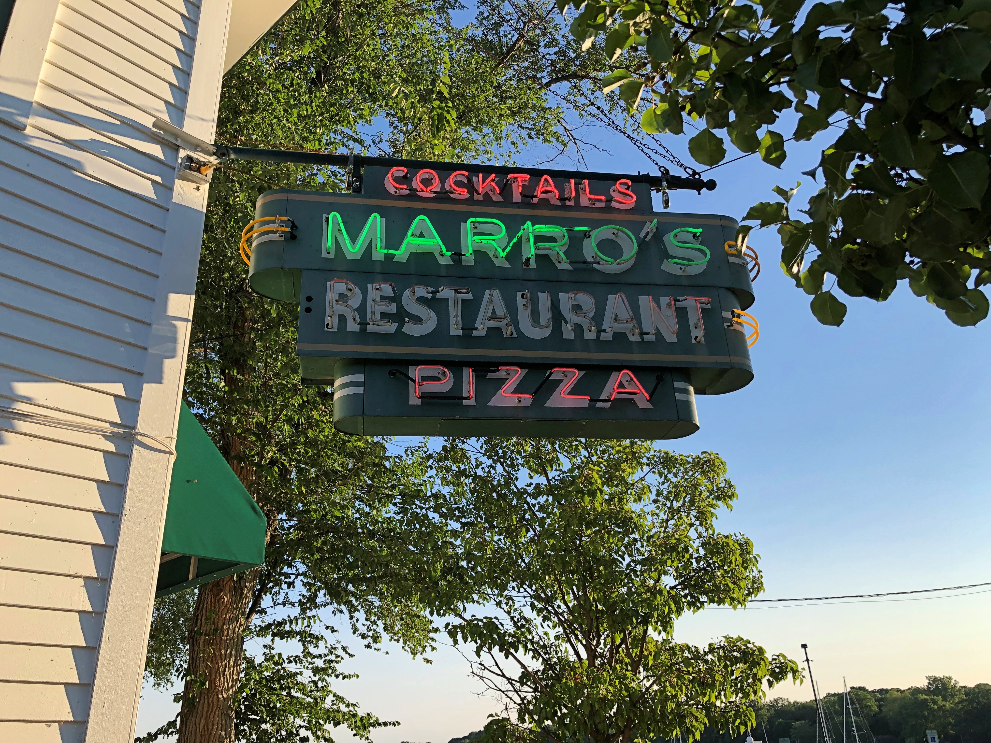
Not a lot of neon, but there was this.Saugatuck, Michigan

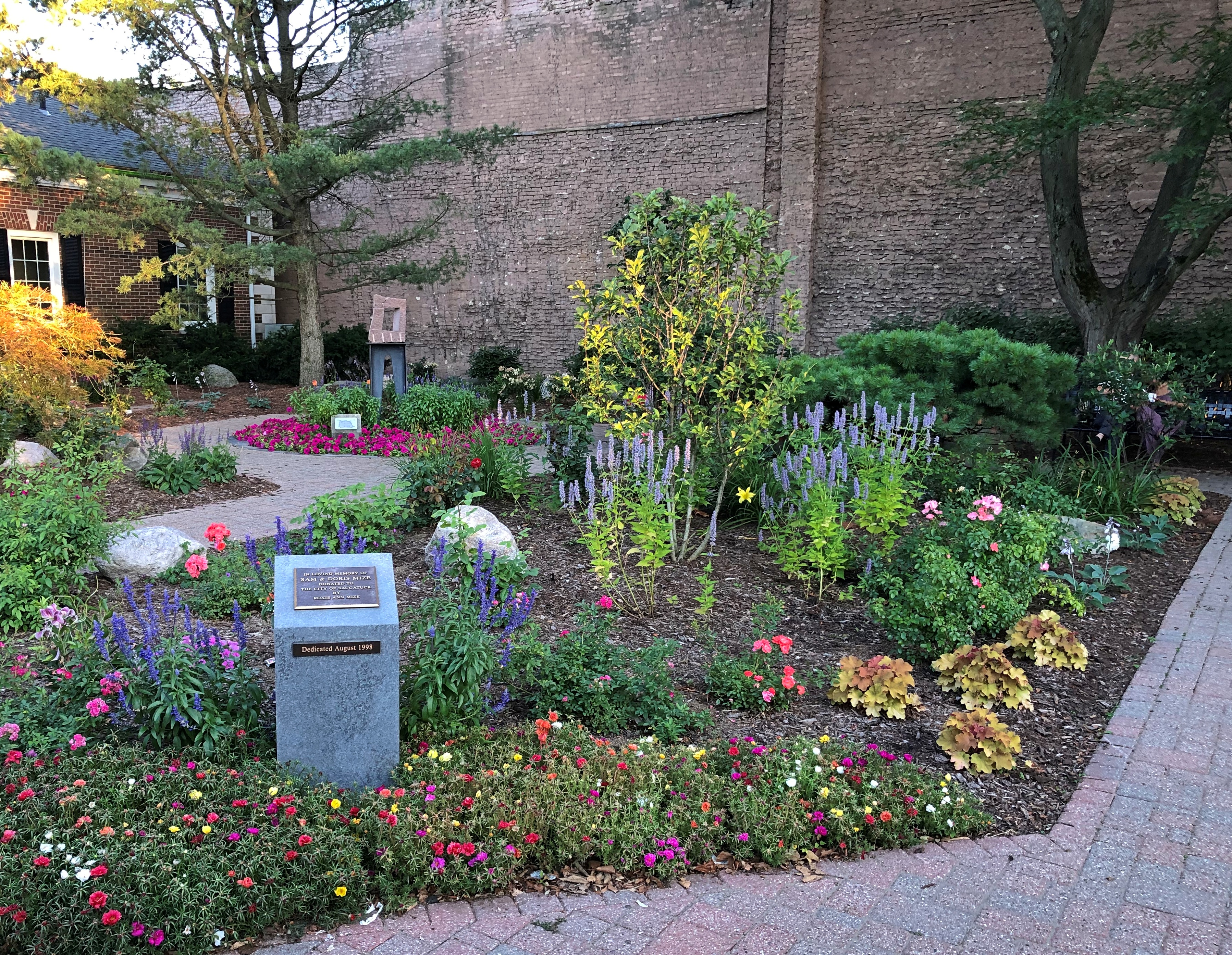
I liked the little public garden. Rose Garden, at least according to Google Maps.Saugatuck, Michigan

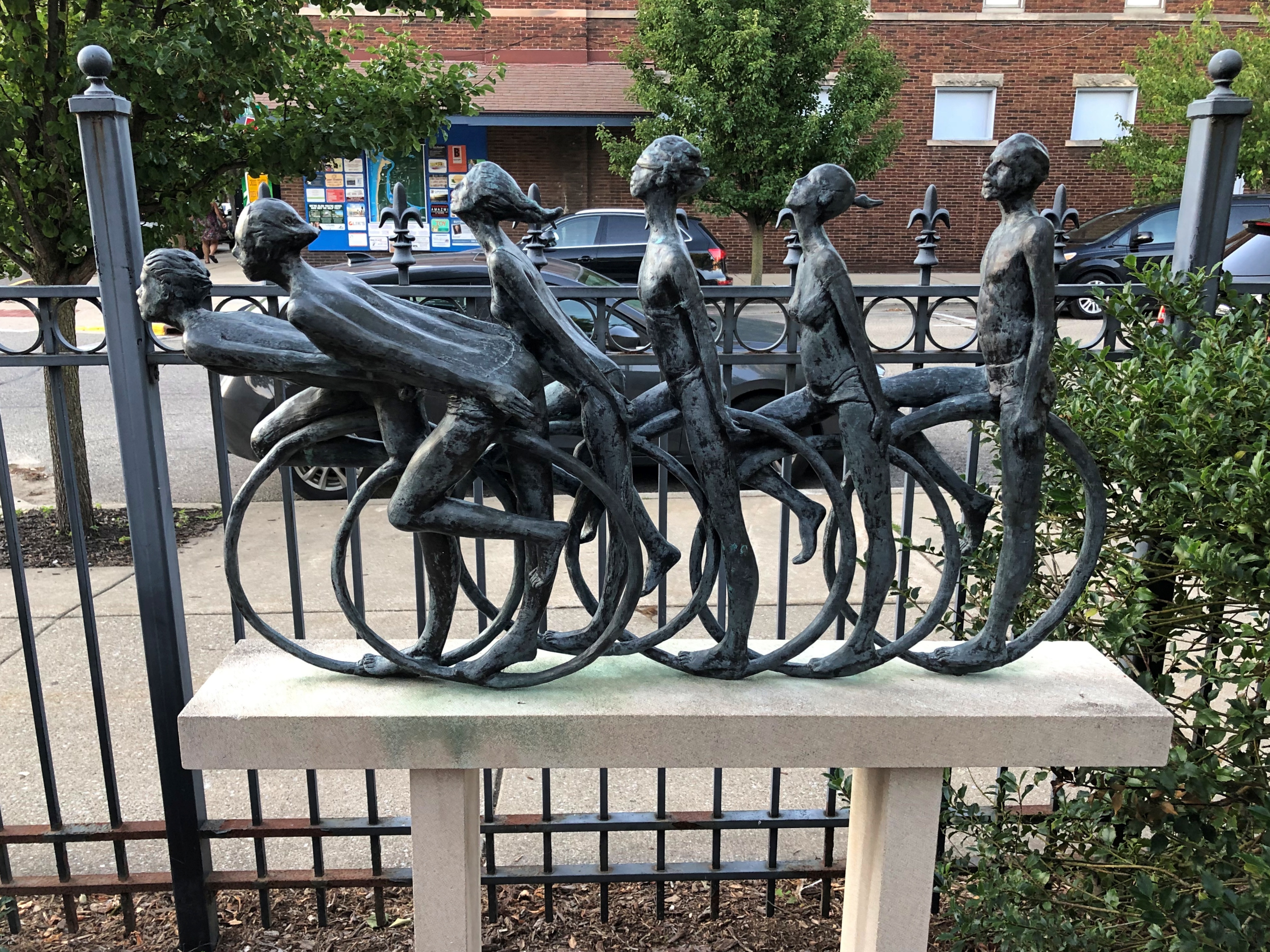
And its sculpture, “Cyclists,” by William Tye (2003).
Saugatuck, Michigan

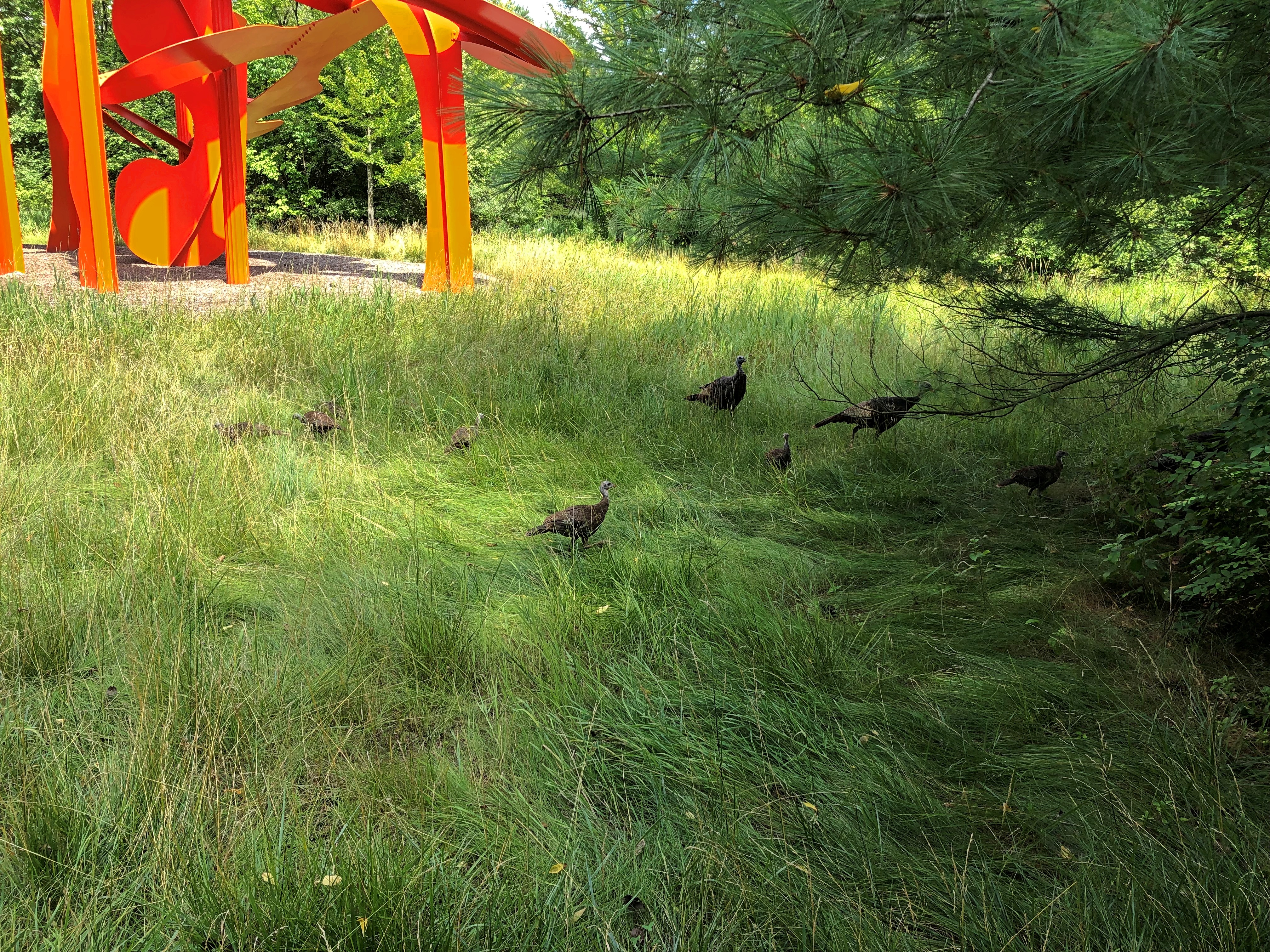
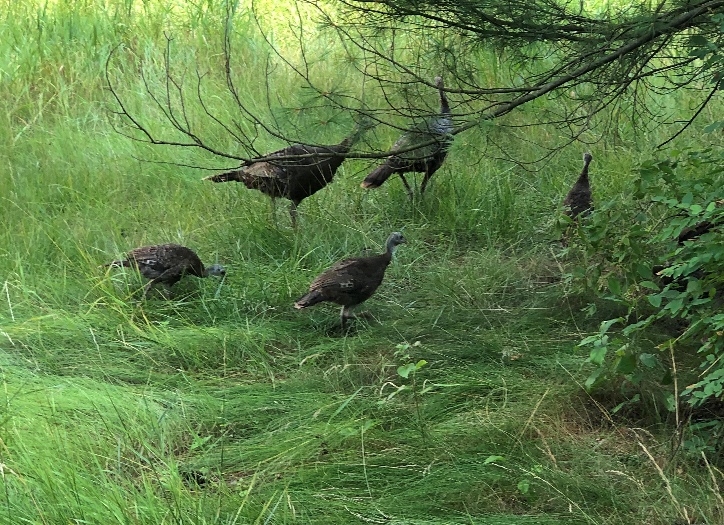
At the Frederik Meijer Park & Sculpture Garden, we encountered a flock of what looked like wild turkeys.Frederik Meijer Sculpture Garden turkeys Frederik Meijer Sculpture Garden turkeys

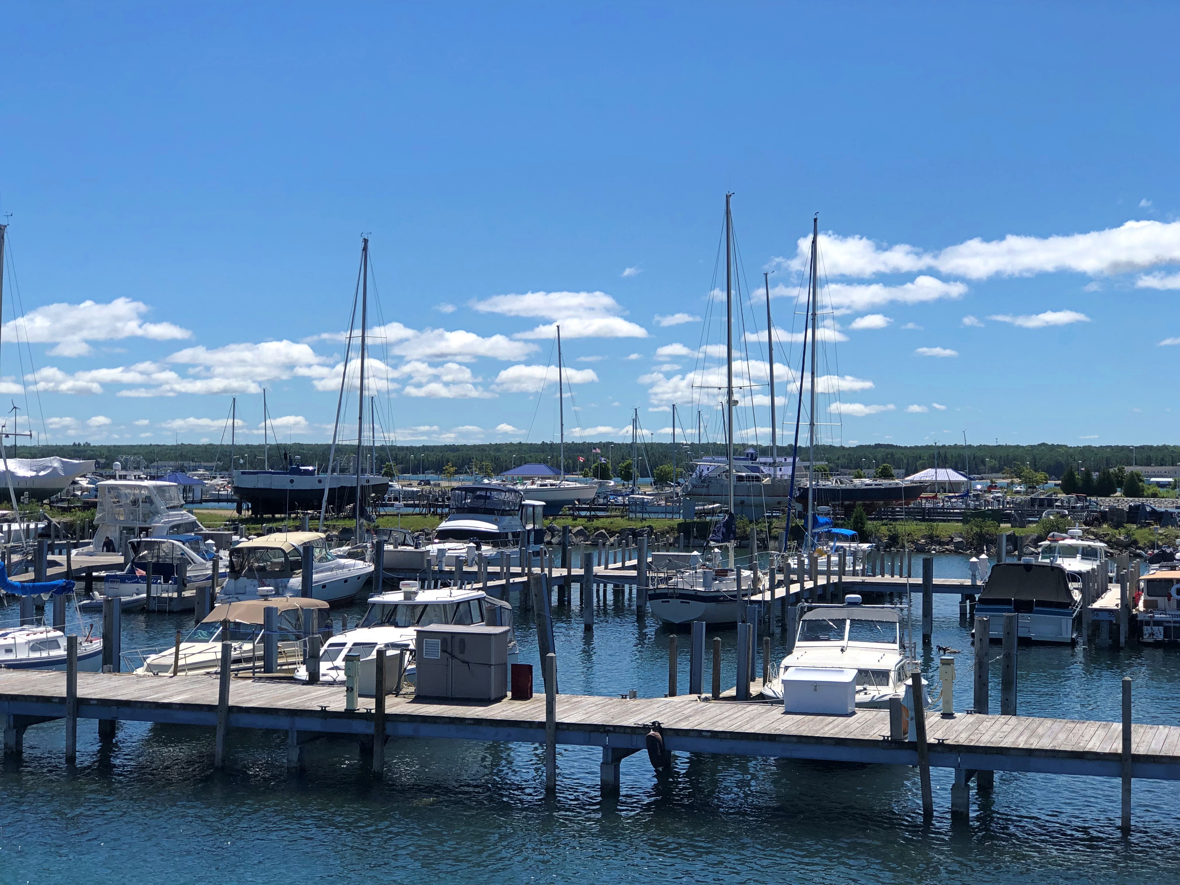
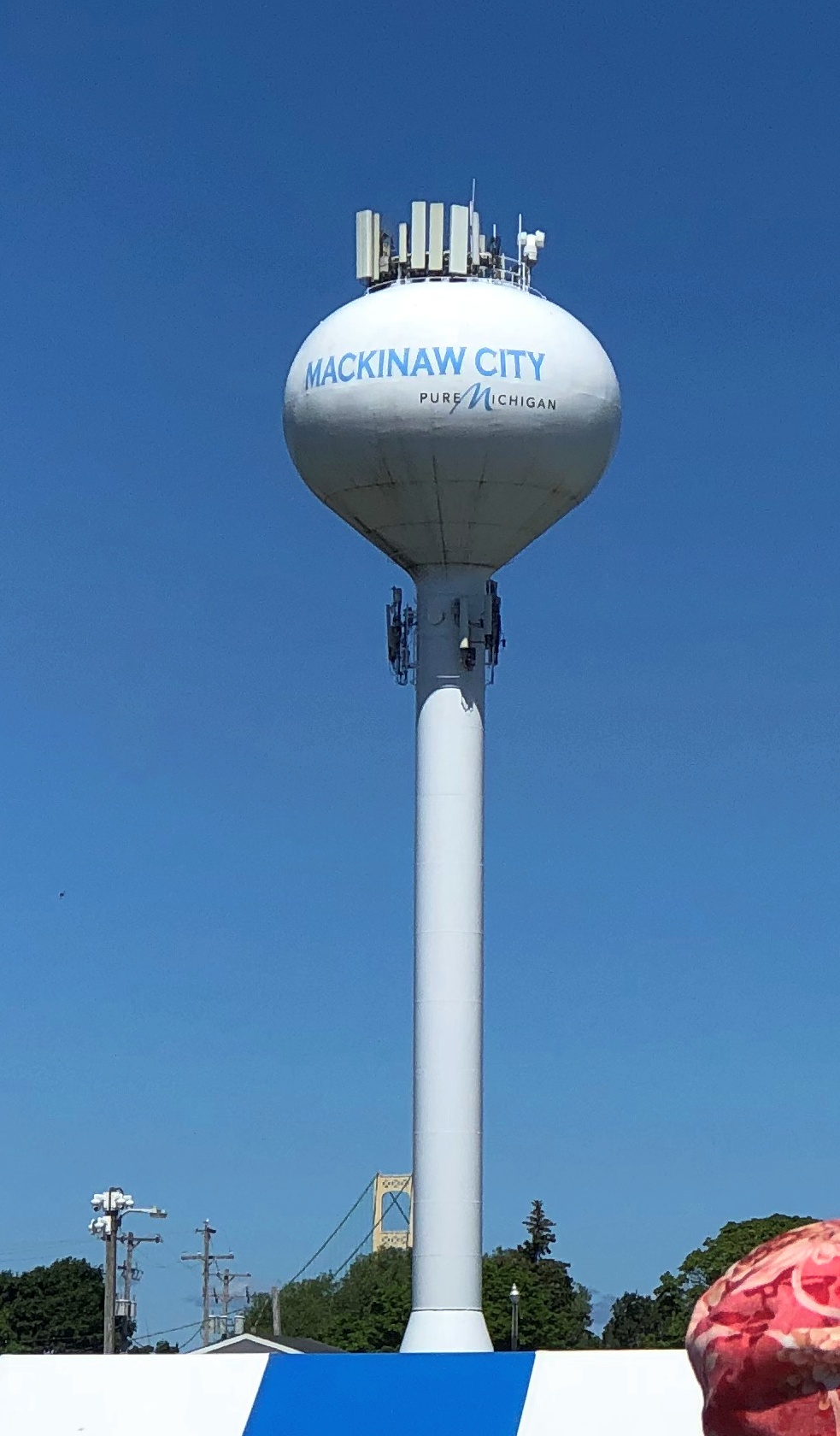
The marina at Mackinaw City, from which boats to Mackinac Island depart, and a highly visible structure nearby.Mackinac City, Michigan Mackinac City, Michigan

You can be sure that we spent that afternoon on Mackinac Island.Mackinac Island

Besides the Mackinac Island Ramble (that’s what I’m calling our walk there), we took a number of other good walks on the trip.

One was at the 390-acre Offield Family Working Forest Reserve, near Harbor Springs, Michigan. Its excellent wayfinding — clear and immediately useful signs and maps — helped us through its mildly labyrinthine paths that curve through a lush forest with no major water features, including parts that had clearly been used as a pine plantation.

Clouds threatened rain but only produced mist in the cool air. Wildflowers might have been a little past peak, but there was a profusion, and a rainy spring and early summer put them in robust clusters of red and blue and gold and white, near and far from our path. Everywhere a damp forest scent, wonderful and off-putting at the same time.

On August 5, our last full day in the UP, we had lunch in the small town of Grand Marais, on the shores of Lake Superior. As tourist towns go, it’s minor league, but all the more pleasant for it. The extent of souvenir stands at the main crossroads was a single enclosed booth, staffed by a young college woman who was maybe a relative of the owner. The selection of postcards was limited, but I got a few.

Right there on the main street of Grand Marais is the Pickle Barrel House. You can’t miss it. We didn’t.

Afterward, we found our way to the eastern reaches of Pictured Rocks National Lakeshore, since the town is considered the eastern gateway to the lakeshore. That end of the lakeshore doesn’t have the pictured rocks, but there’s a lot else.

One trail on lakeshore land took us down to a beach on the south shore of Lake Superior. Sabel Beach, by name. You climb down a couple of hundred stairs to get there, but see the vigorous Sable Falls on the way. The way wasn’t empty, but not nearly the mob city on the southern shore of Lake Michigan or the waterfront at Mackinac Island.

Another lakeshore trail took us along Sable Dunes, which only involved a modest amount of climbing — not nearly as much as the Dune Climb at Sleeping Bear Dunes National Lakeshore — though sometimes the path underfoot was sand without vegetation. On the whole, the dunes support a full collection of the sort of hardy yellow-green grasses and bushes and gnarled trees you see near a beach. For human hikers, the dunes eventually provide a more elevated vista of the lake, which reminded me of the look over Green Bay last year.

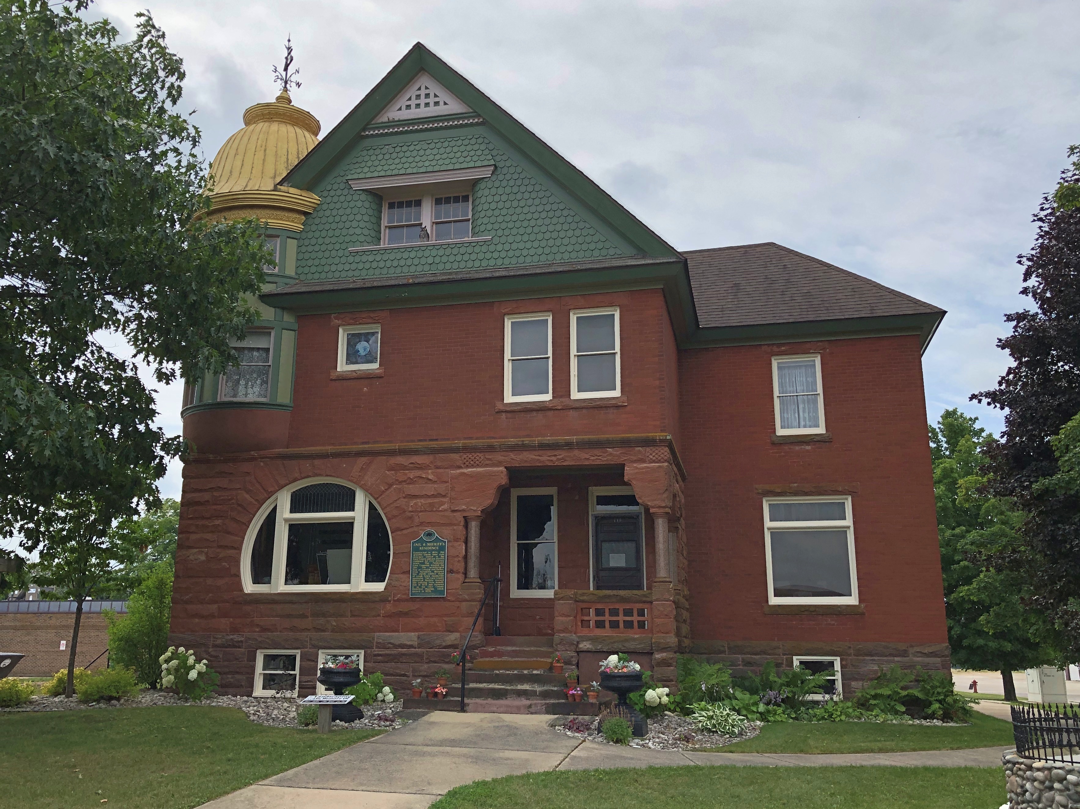
We spent two nights in Newberry, Michigan. Still no more signs of møøse than the last time I was there. I did have the opportunity to take a short walk around town. This is the Luce County Historical Museum (closed at that moment), which was once the county jail and sheriff’s residence. It’s complete with a time capsule on the grounds for the Newberry centennial in 1982. Planned re-opening: 2082. That’s optimism.Newberry, Michigan

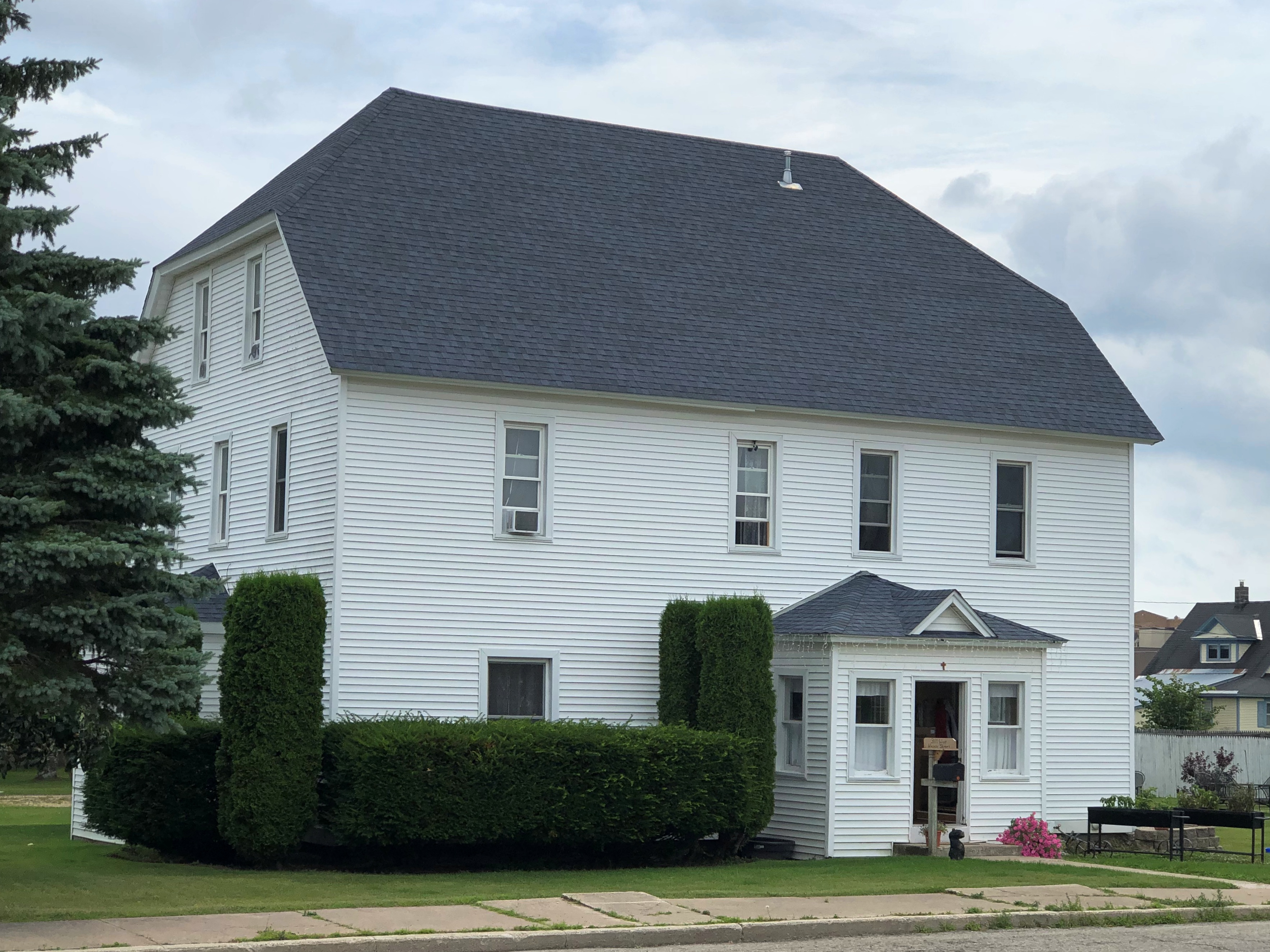
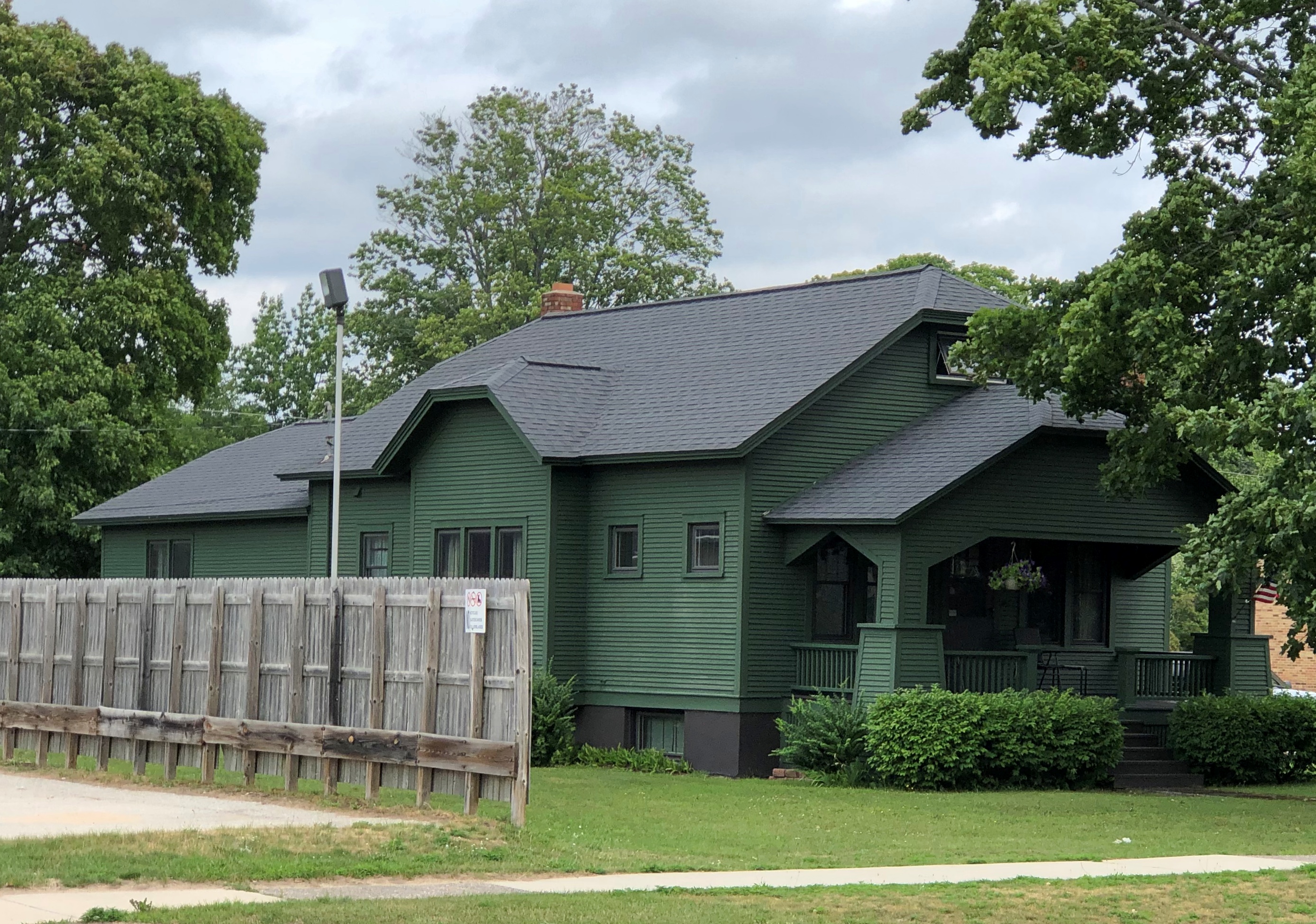
A few other nearby buildings.Newberry, Michigan Newberry, Michigan

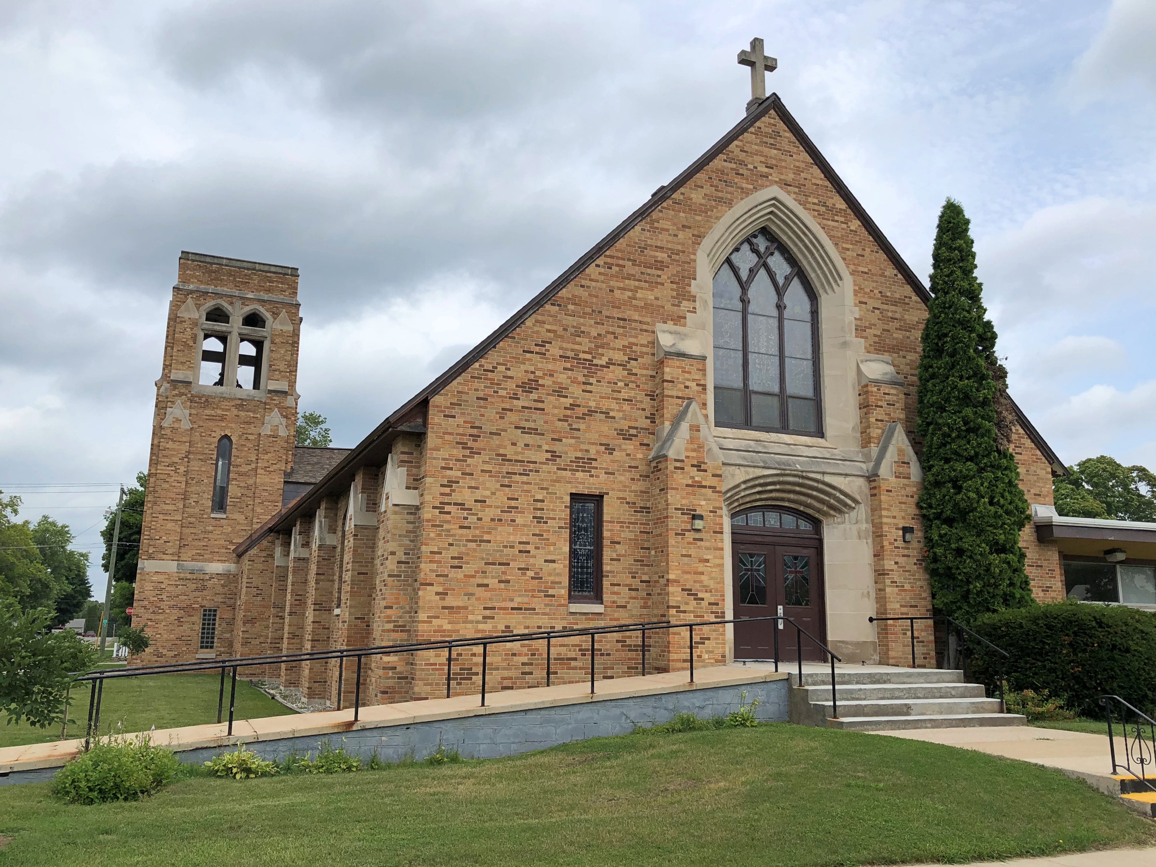
Saint Gregory’s Catholic Church.Saint Gregory's Catholic Church

We encountered rain much of the last day of the trip, August 7, so mostly it was a drive from our lakeside rental near Green Bay (the water feature) in Wisconsin home to the northwest suburbs. We didn’t stop in Milwaukee, though we buzzed through downtown on I-94, which offers a closeup of the skyline.

We did stop at Mars Cheese Castle before we left Wisconsin. How could we not do that?

Mackinac Island Ramble, Part 2

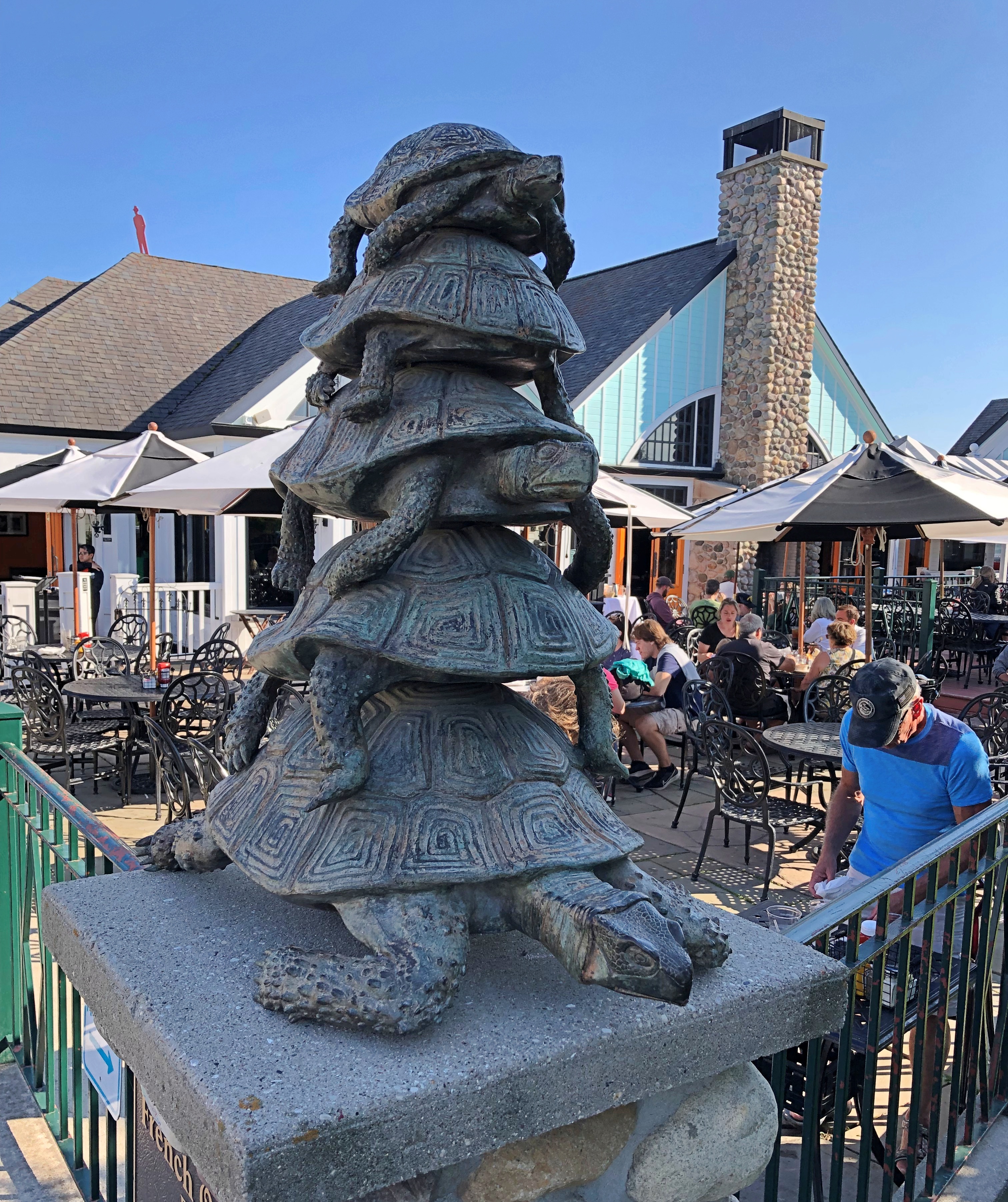
Open up the Fibber McGee’s closet of Mackinac Island, and countless turtles come tumbling out.

By “open up,” I mean Google the term “Mackinac Island turtle” and the references come fast and thick: Lore of the Great Turtle, a book published by Mackinac State Historic Parks; Great Turtle Park; Great Turtle Kayak Tours; Great Turtle Toys of Mackinac Island; the Great Turtle Drop, which happens on New Year’s Eve; the Great Turtle Half Marathon & 5.7 Run/Walk; Great Turtle Brewery & Distillery; Great Turtle Creations of Mackinac Island; Heart of the Great Turtle Island – Gchi Mshiikenh Deh Minising Project; Turtle Fudge; the Great Turtle Sunset Voyage; and Great Turtle Lodge.

The association with turtles goes a long ways back, long before the appearance of Europeans in this part of the world.

“Mackinac Island is a shortened version of the Native American name pronounced Michilimackinac,” says the island’s web site. “The Anishinaabek people named this area and Mackinac Island Michilimackinac, meaning place of the great turtle.

“Why great turtle? They thought that Mackinac Island, with its limestone bluffs, looked like a giant turtle rising out of the water.”

Dig around a little more, and more emerges.

Writing in 1896 in a book called Mackinac, formerly Michilimackinac (isn’t the Internet Archive a fine thing?), one John R. Bailey had this to say:

“Michilimackinac is claimed to be derived from the Indian words Michi, ‘great,’ and Mackinac, ‘turtle,’ from a fancied resemblance to a large mud turtle; also from the Chippewa Mi-chi-ne Mau-ki-nouk, the two meaning ‘the place of giant fairies.’ [Henry] Schoolcraft says there is another meaning besides ‘great turtle.’ It also means ‘spirits,’ or ‘fairy spirits.’ The spirits were want to take the form of a turtle and become ‘turtle spirits.’ ”

All that goes to explain this sight, at the Gate House restaurant on Cadotte Ave. on the island.Mackinac Island

While wandering around on the hilly territory of central Mackinac Island, we contacted Gate House by phone for reservations. They offered us a slot for an hour later, or about enough time for us to walk there after a detour through one of the historic cemeteries. Such is scheduling in non-motorized Mackinac.

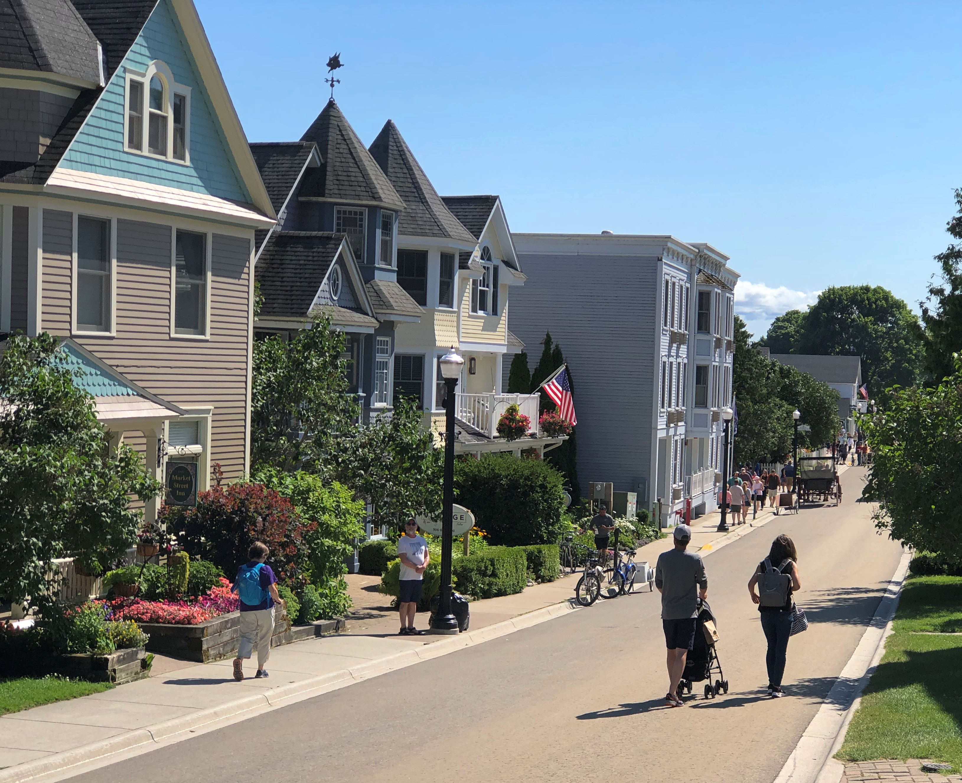
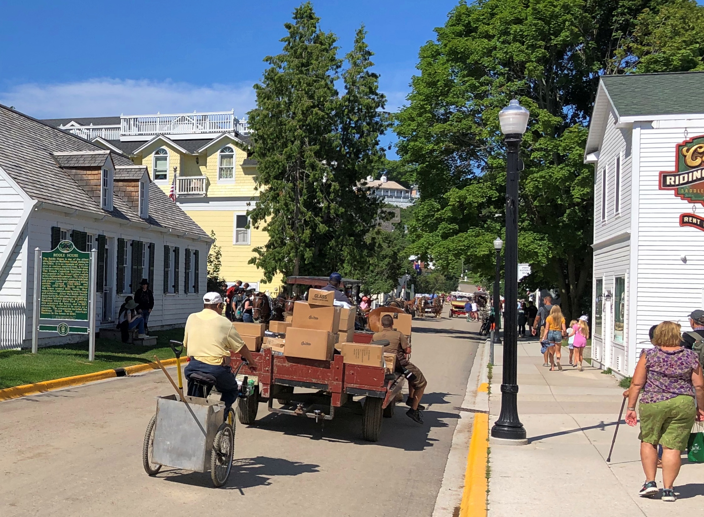
We wanted to avoid Main Street, so after descending from the highlands, we walked along Market Street instead, just a block inland from Main. A lot of people were on that street, but not as many as the mob on Main.Market Street Mackinac Island

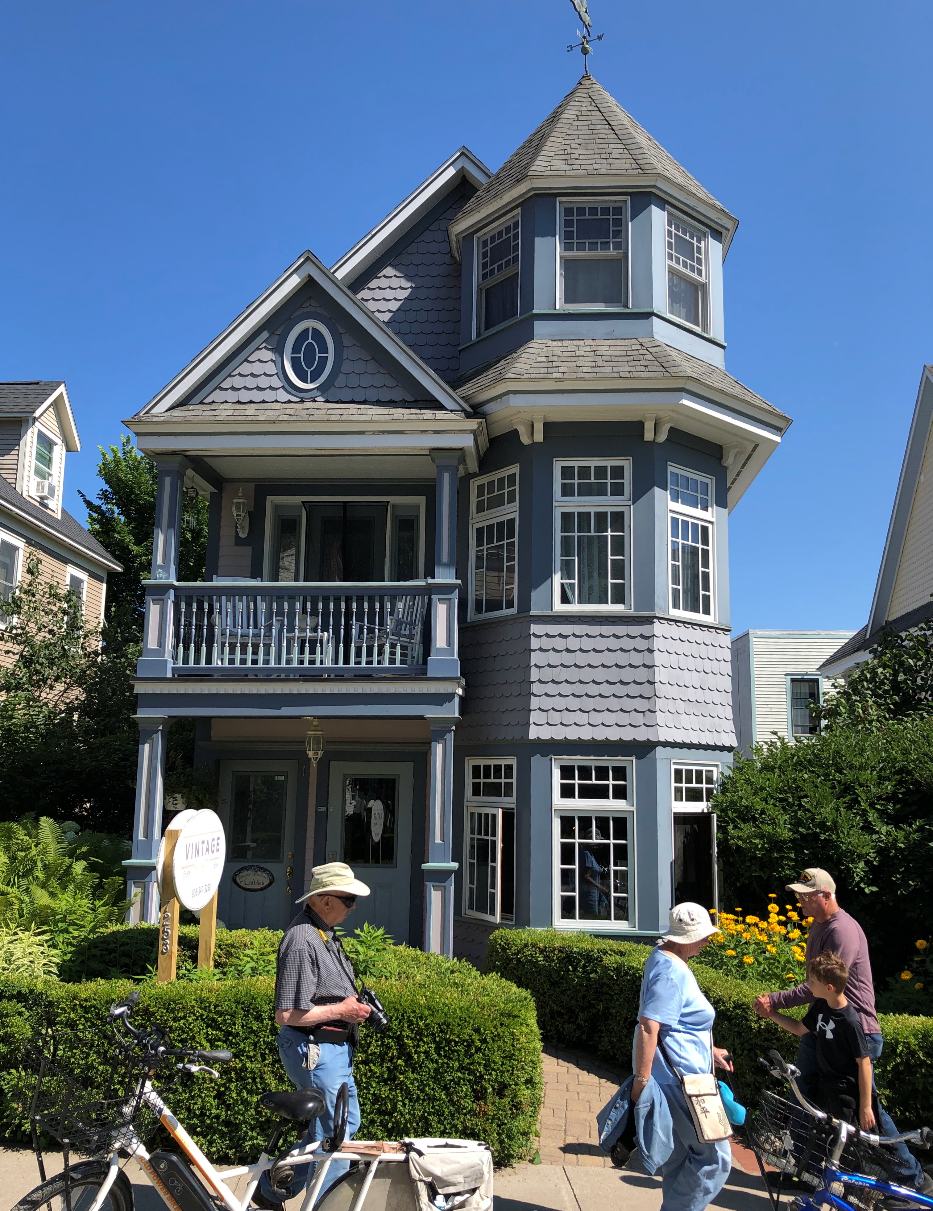
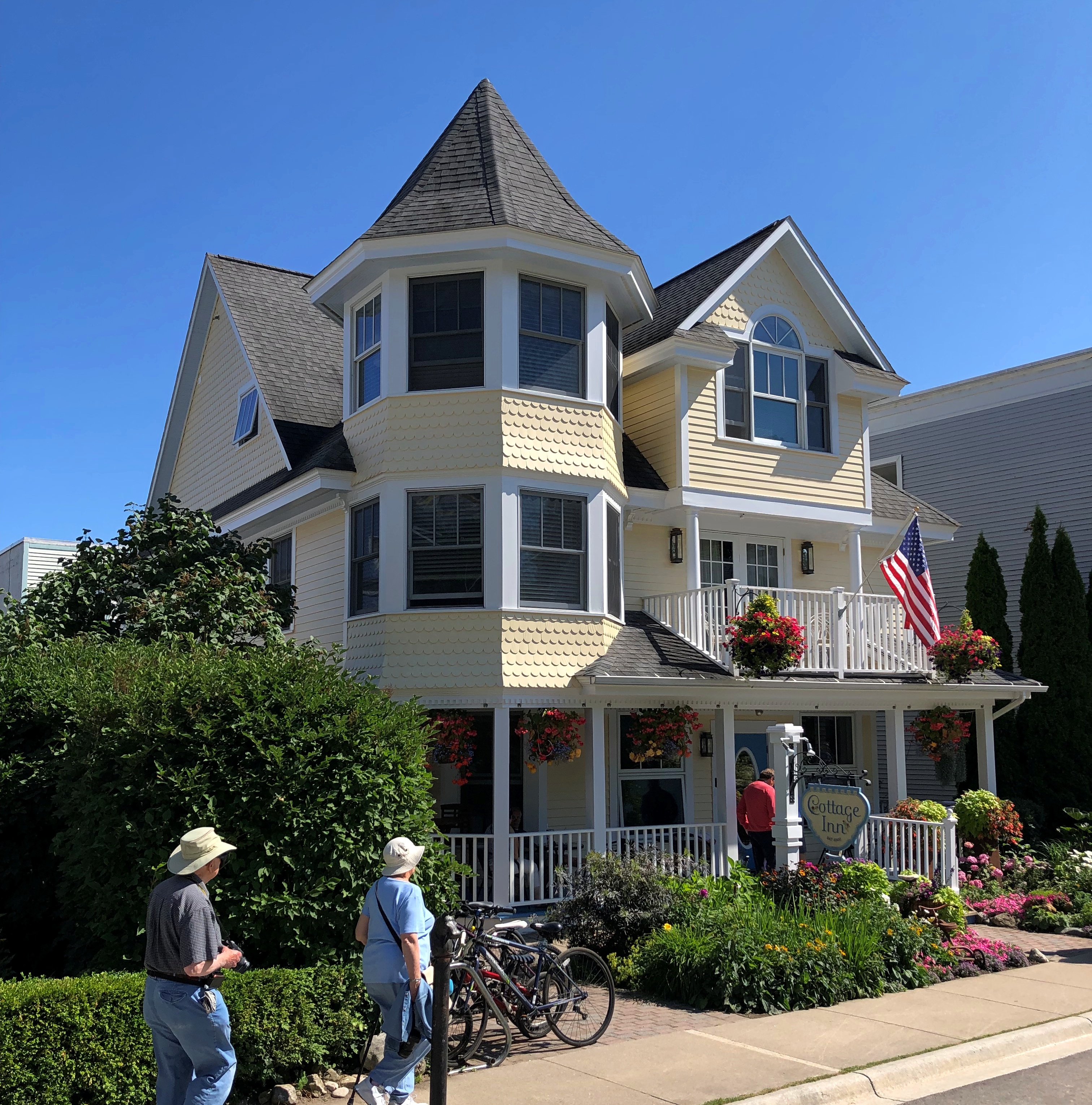
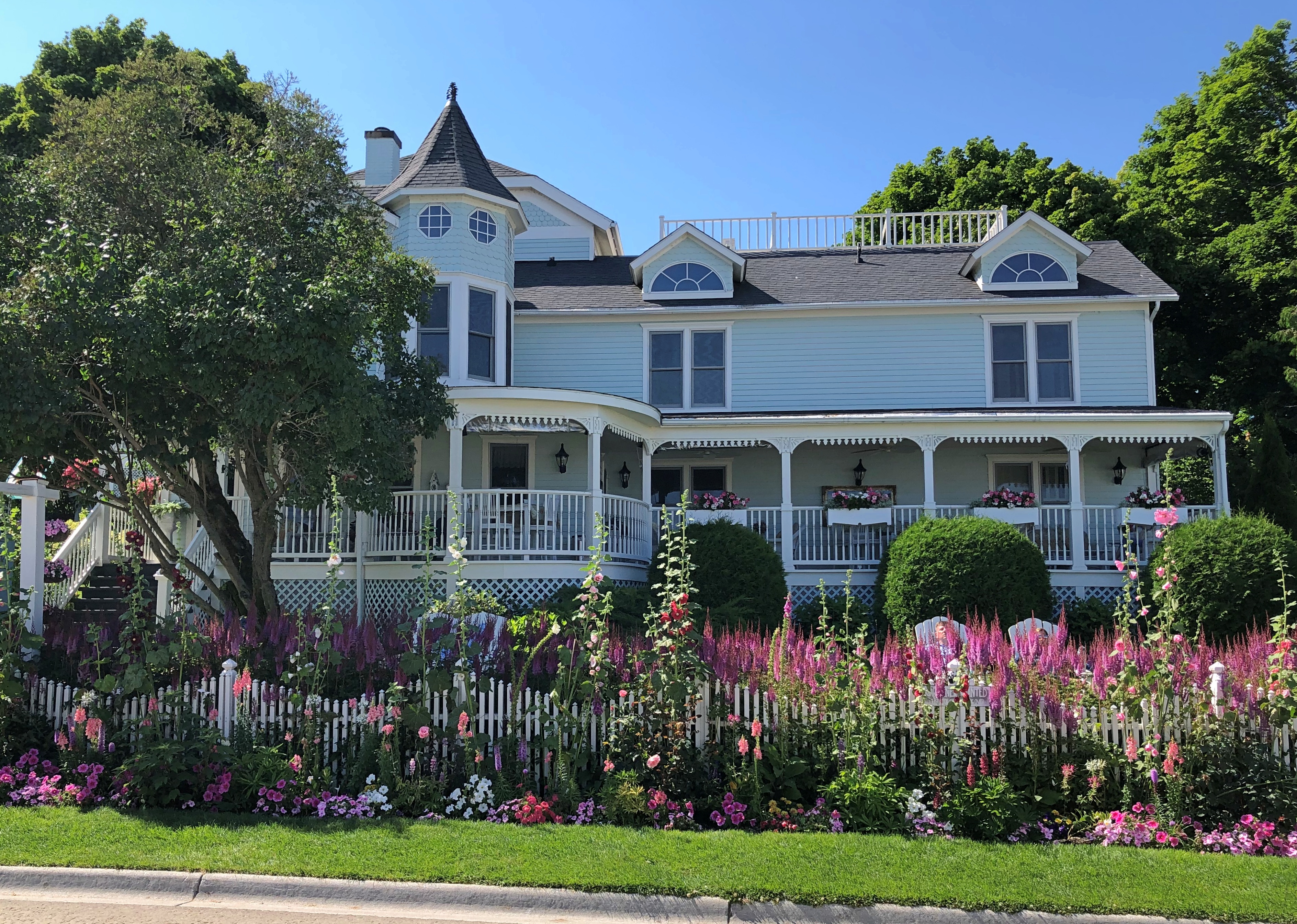
The street is lined with many fine structures, originating during the great age of private development on the island in the late 19th and early 20th centuries.Market Street Mackinac Island Market Street Mackinac Island Market Street Mackinac Island

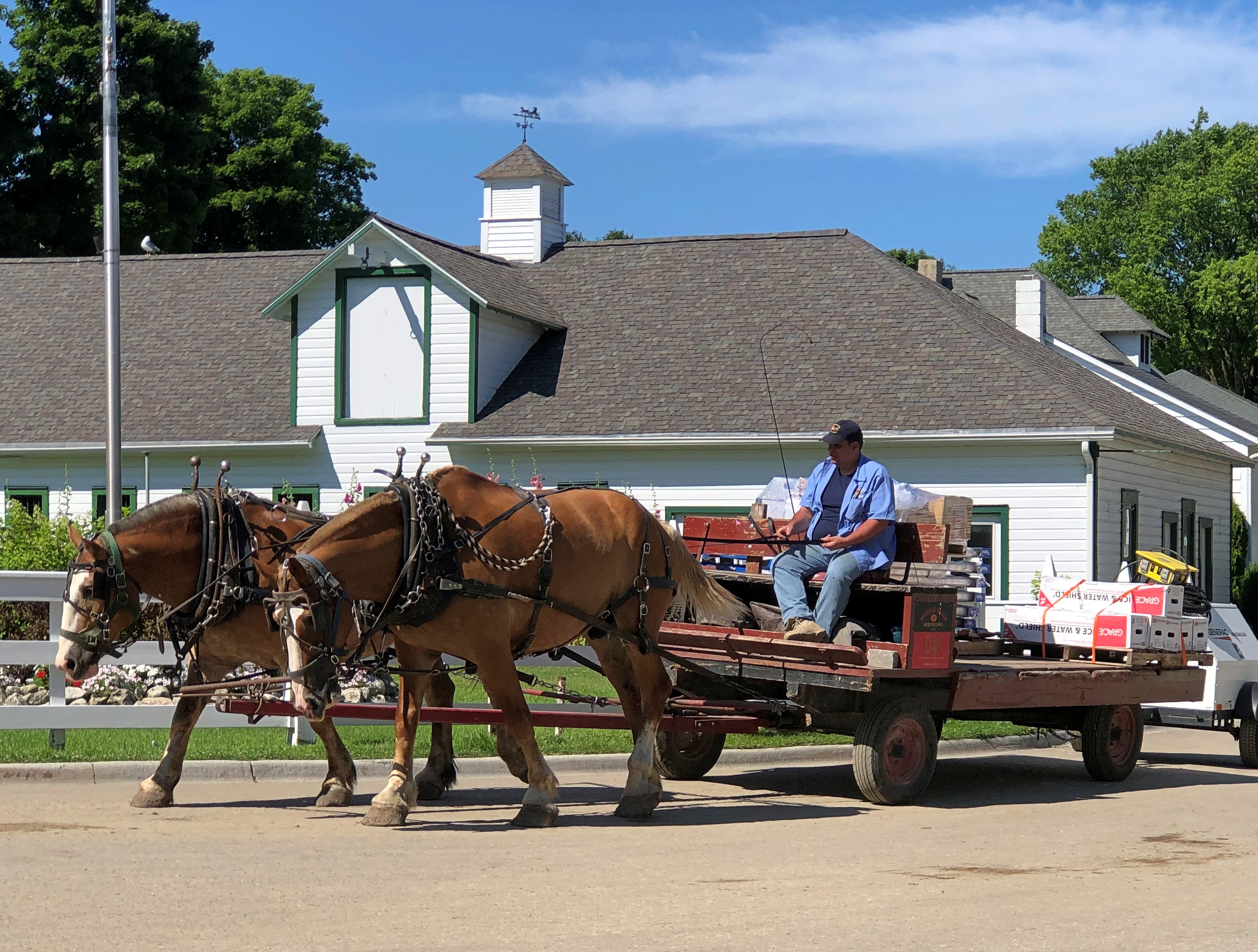
Traffic wandered along. Pedestrians and bicyclists, of course, but also no small number of horse-drawn carriages. Including something none of us had ever seen before: a horse-drawn UPS wagon.
Market Street Mackinac Island

As we had our lunch — really an early dinner — al fresco at Gate House, I couldn’t help but notice the difference in aural texture of a busy non-motorized road compared with what we are used to, here in the lingering age of the gasoline-powered internal combustion engine. The intermittent clop-clop-clop was actually pleasant, though of course the horses sometimes leave less pleasant mementos of their passing by.Market Street Mackinac Island

Late lunch-early dinner was pleasant as well, though at island prices. I had the walleye.

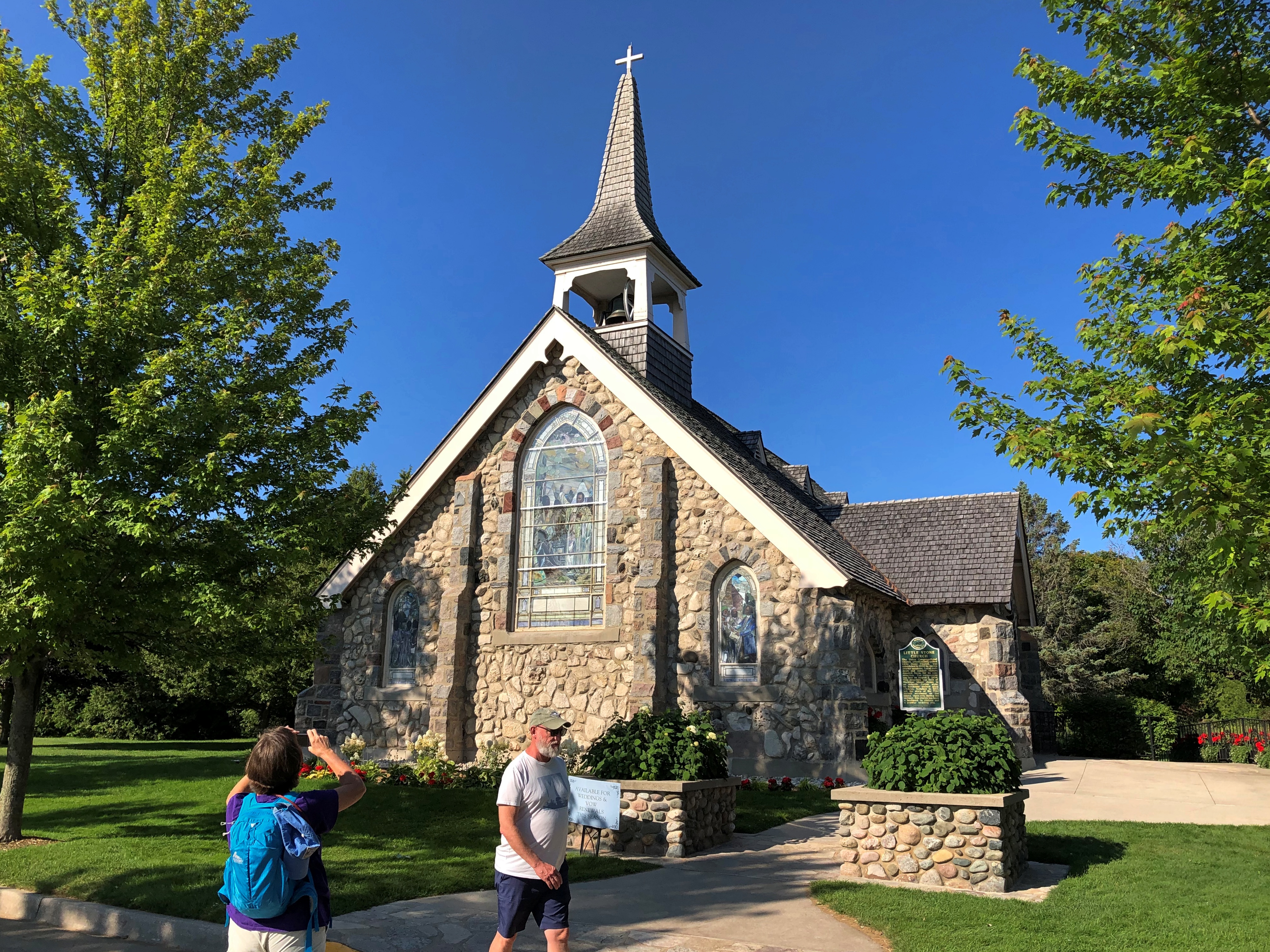
Almost across the street from Gate House is the Little Stone Church. We took a look after our meal was done. It isn’t that big, definitely made of stone, and looks like a church (as it is; Congregational). Unfortunately, it was closed.
Little Stone Church Mackinac Island

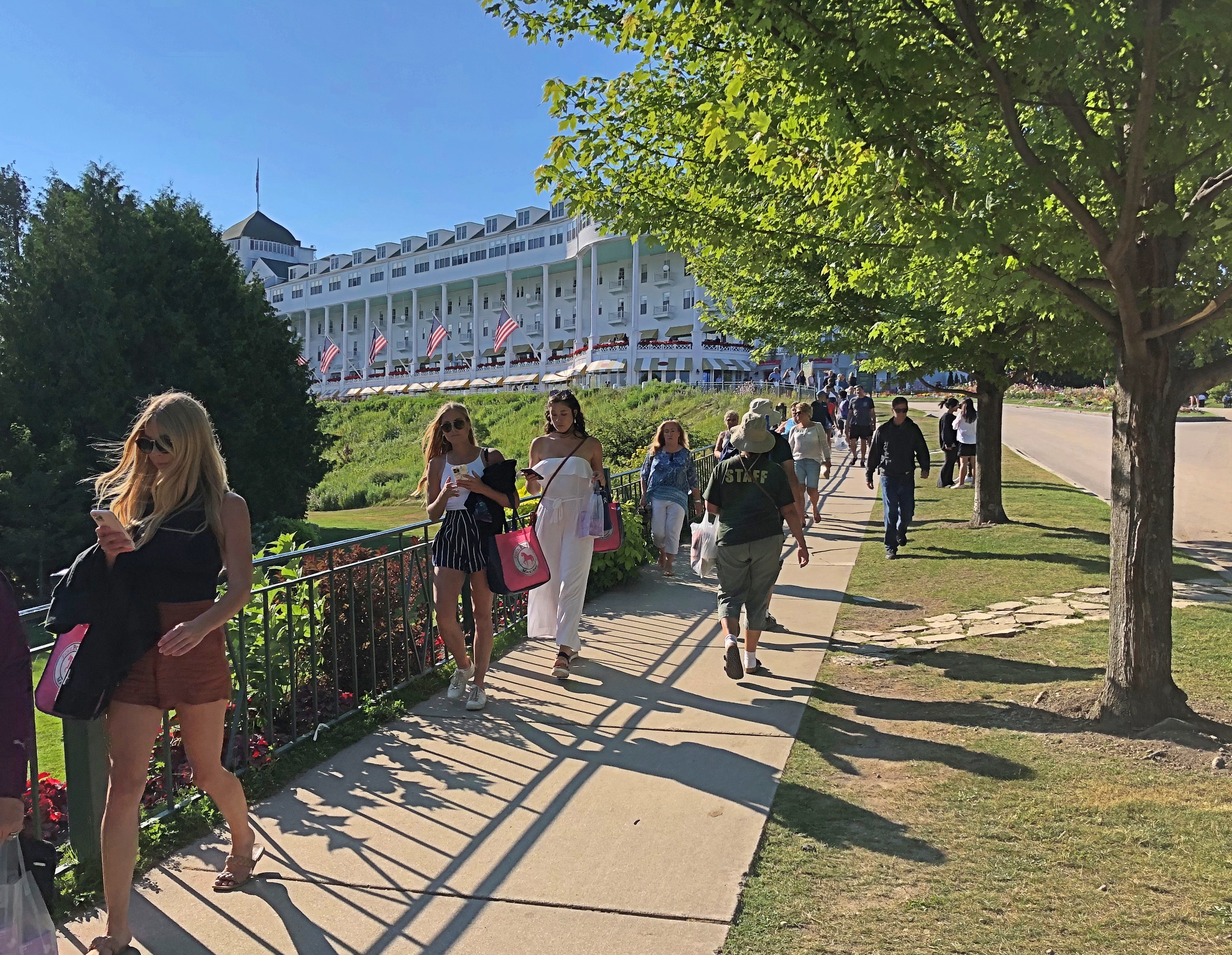
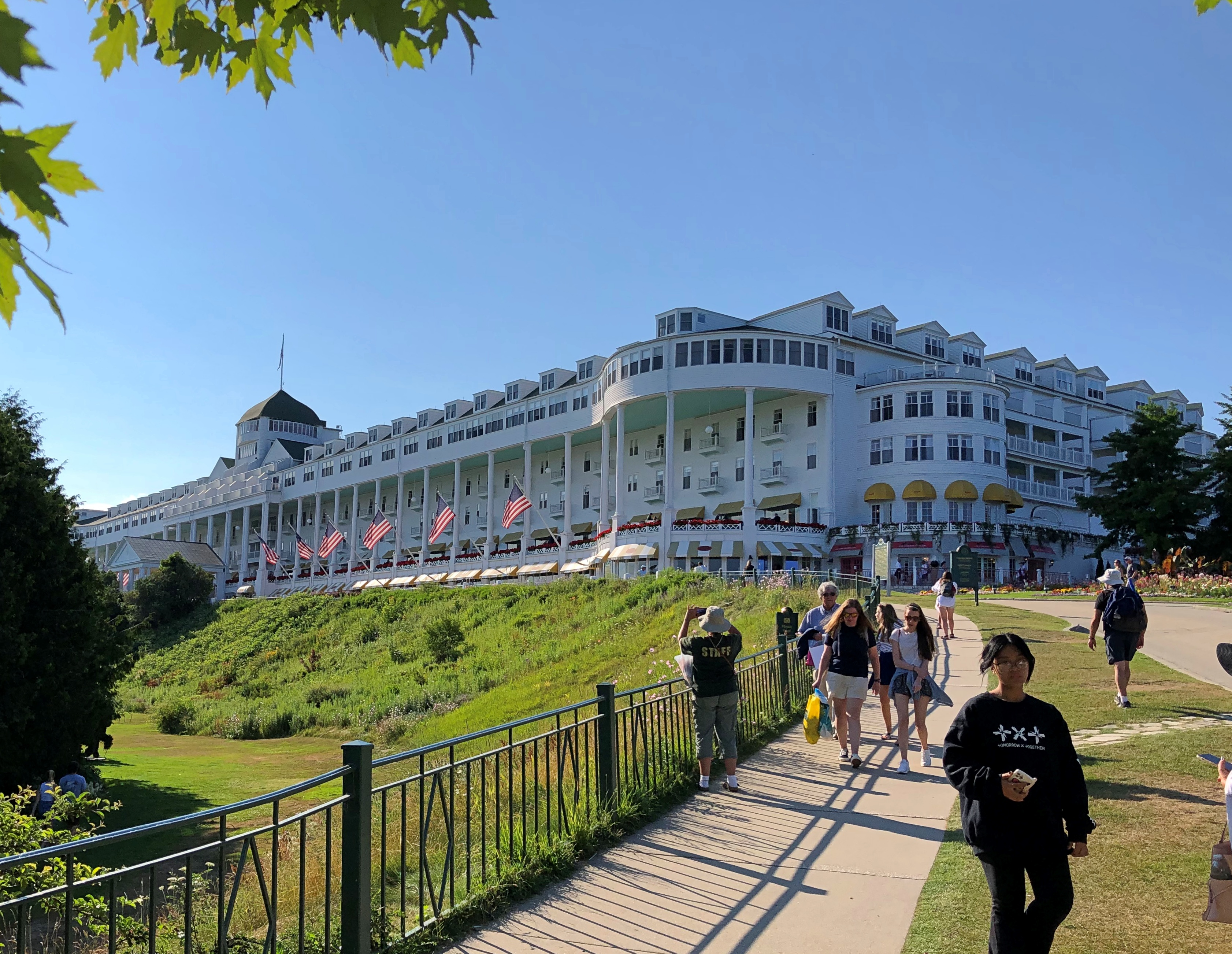
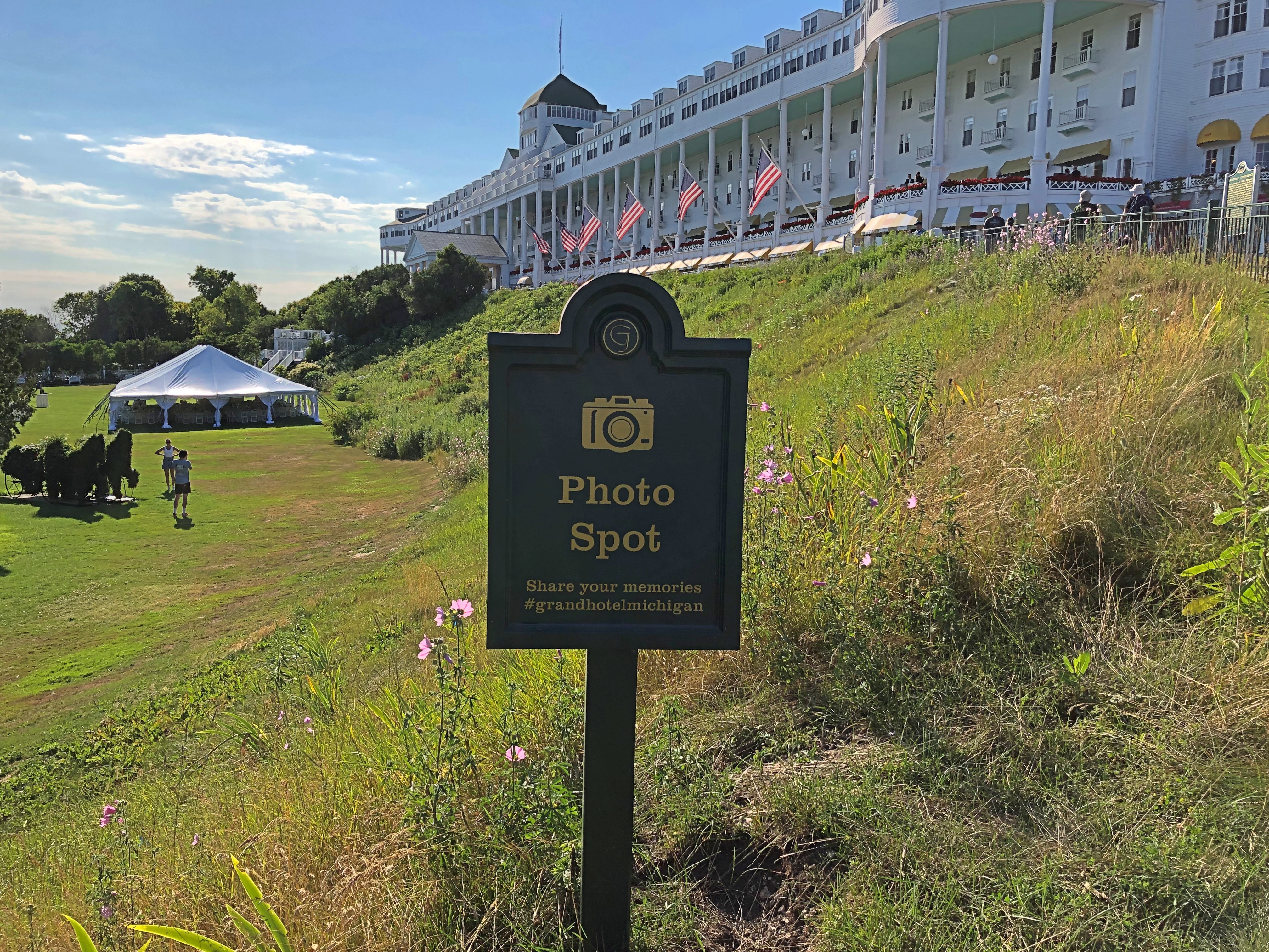
Within sight of the church is the much more famous Grand Hotel. We took a stroll in that direction.Grand Hotel Mackinac Island

Grand indeed.Grand Hotel Mackinac Island

And trolling for social media mentions.
Grand Hotel Mackinac Island

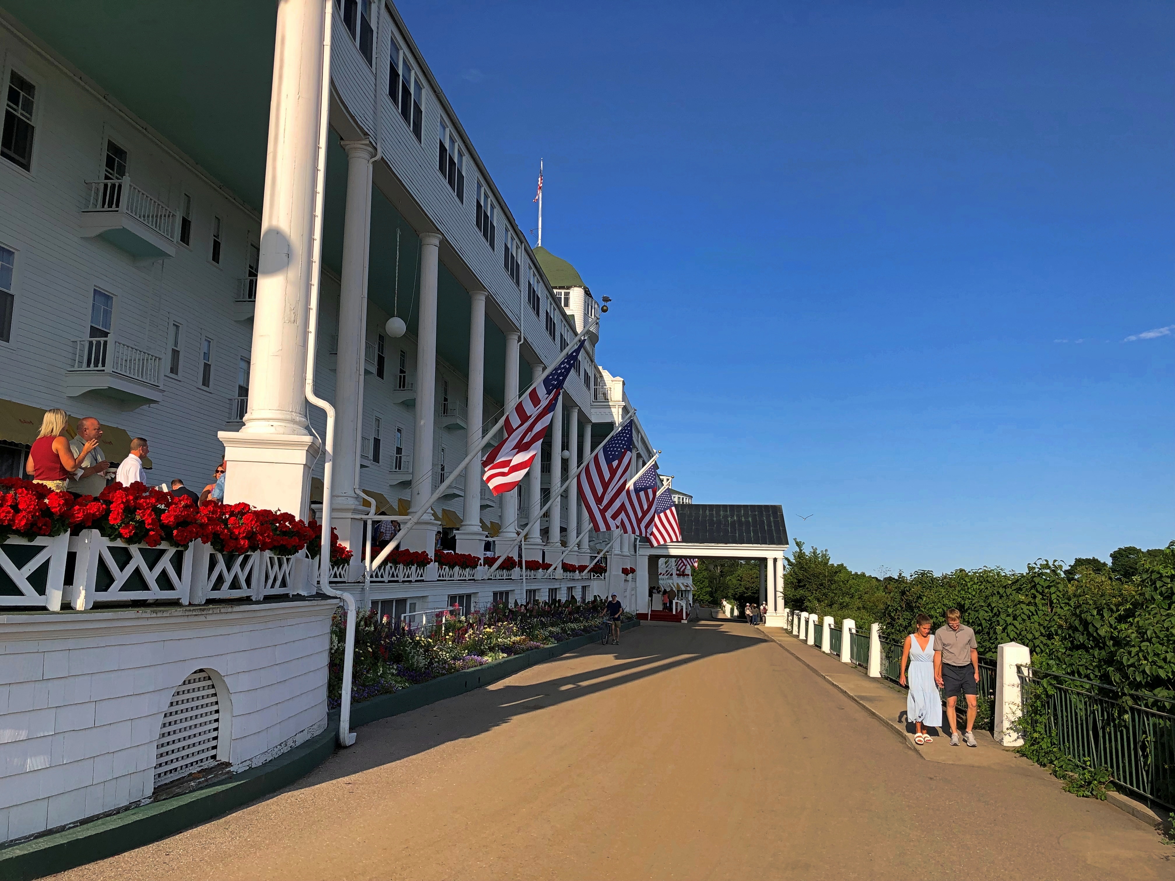
The porch is said to be the world’s longest, and a special enough place that it charges admission. We would have paid, but as it turned out we’d arrived just as a dress code went into force on the porch, and none of us were dressed for it. So we went for ice cream at the shop under one end of the porch. A good treat, at island prices.

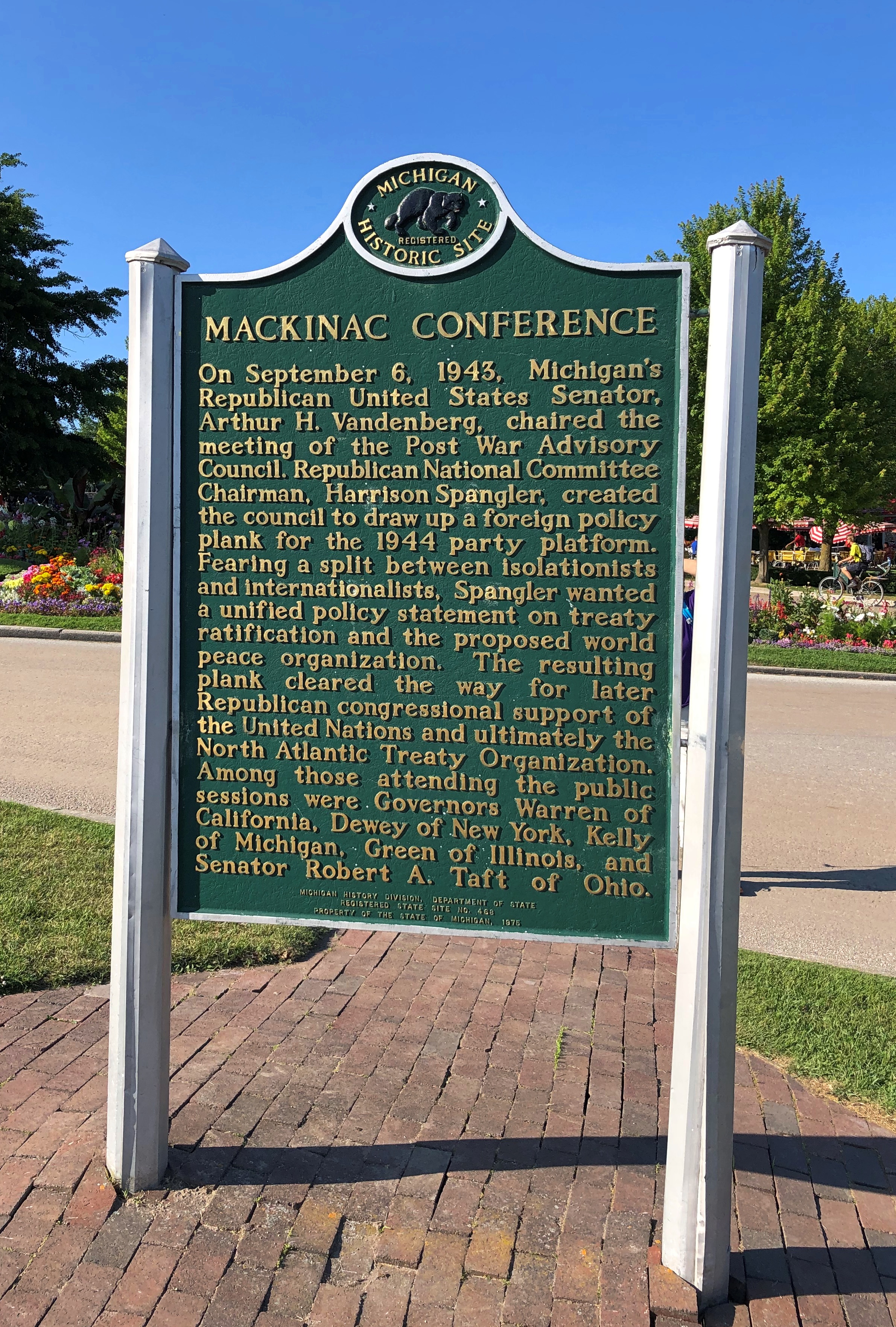
A sign memorializing a lesser-known conference that happened here. It wasn’t Bretton Woods, but the hotel will take what it can get, historically speaking.Grand Hotel Mackinac Island

The hotel dates from 1887, back when railroads built hotels. In this case, a joint development Grand Rapids and Indiana and the Michigan Central RRs, as well as the Detroit & Cleveland Navigation Co., a Great Lakes steamship company of yore. These days, the Grand Hotel is owned by KSL Capital Partners, a private equity investor.

Though the porch was off limits, we hoi polloi could take a walk on the street below. Up close, one notices that the hotel paint is peeling, and in places needed more than a little touch up. Could be that, like the Golden Gate Bridge, the structure is always being painted, at least in the warmer months.Grand Hotel Mackinac Island

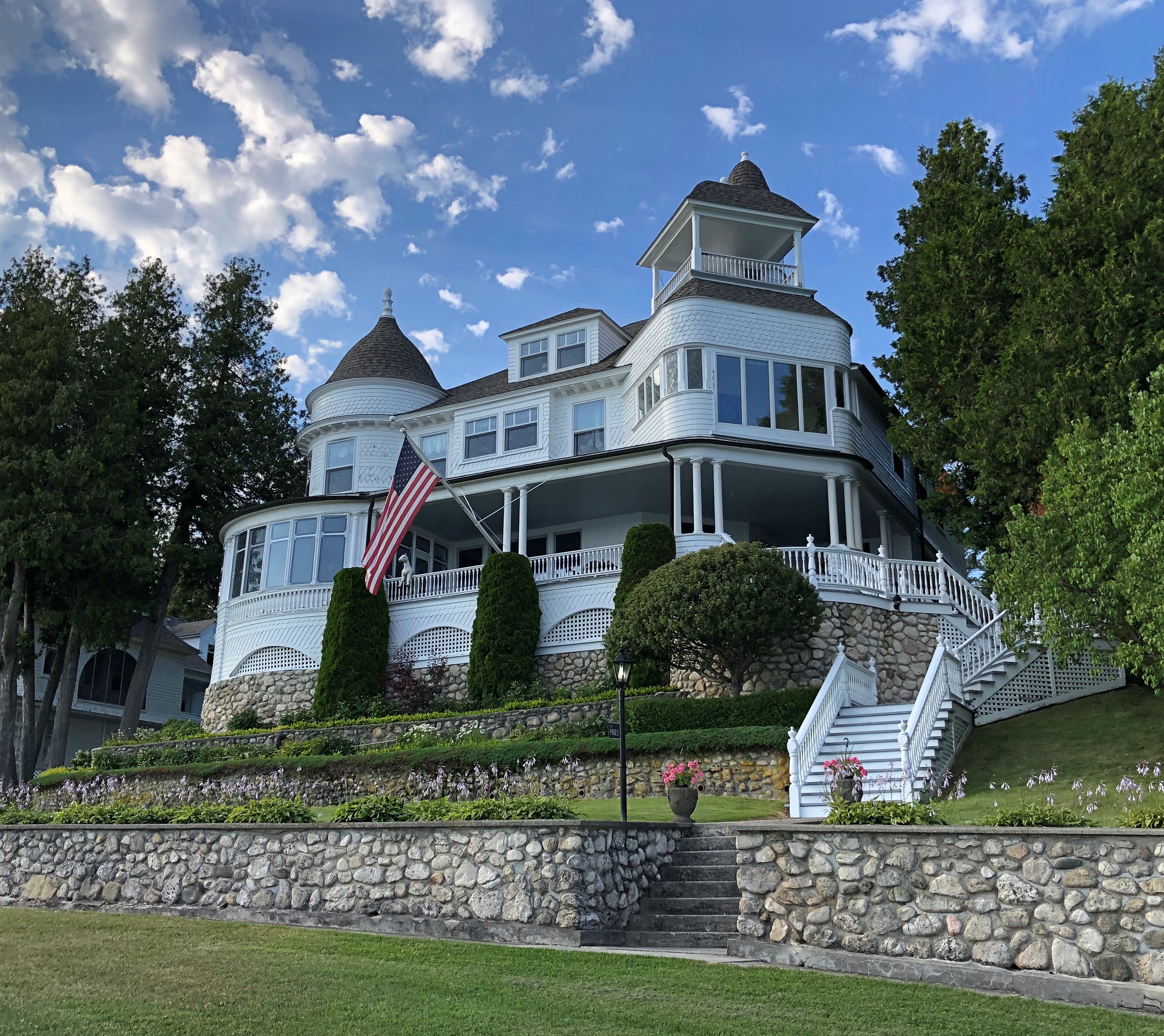
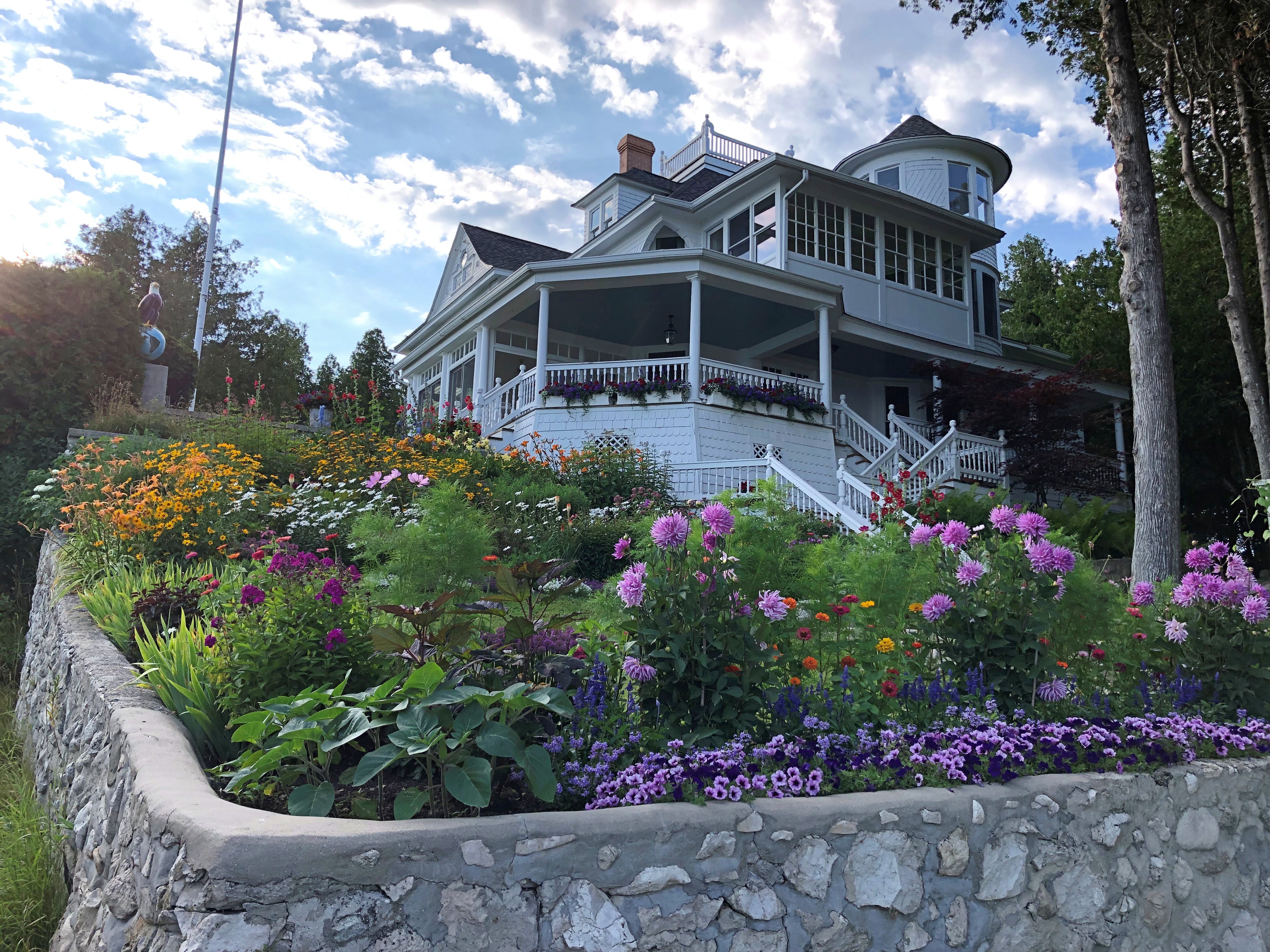
From the hotel, we followed a street lined with fine old houses — the summer “cottages” of the wealthy of 100-plus years ago. Of course, if you owned one now, you’d be wealthy, at least on paper. Mackinac Island  Mackinac Island  Mackinac Island

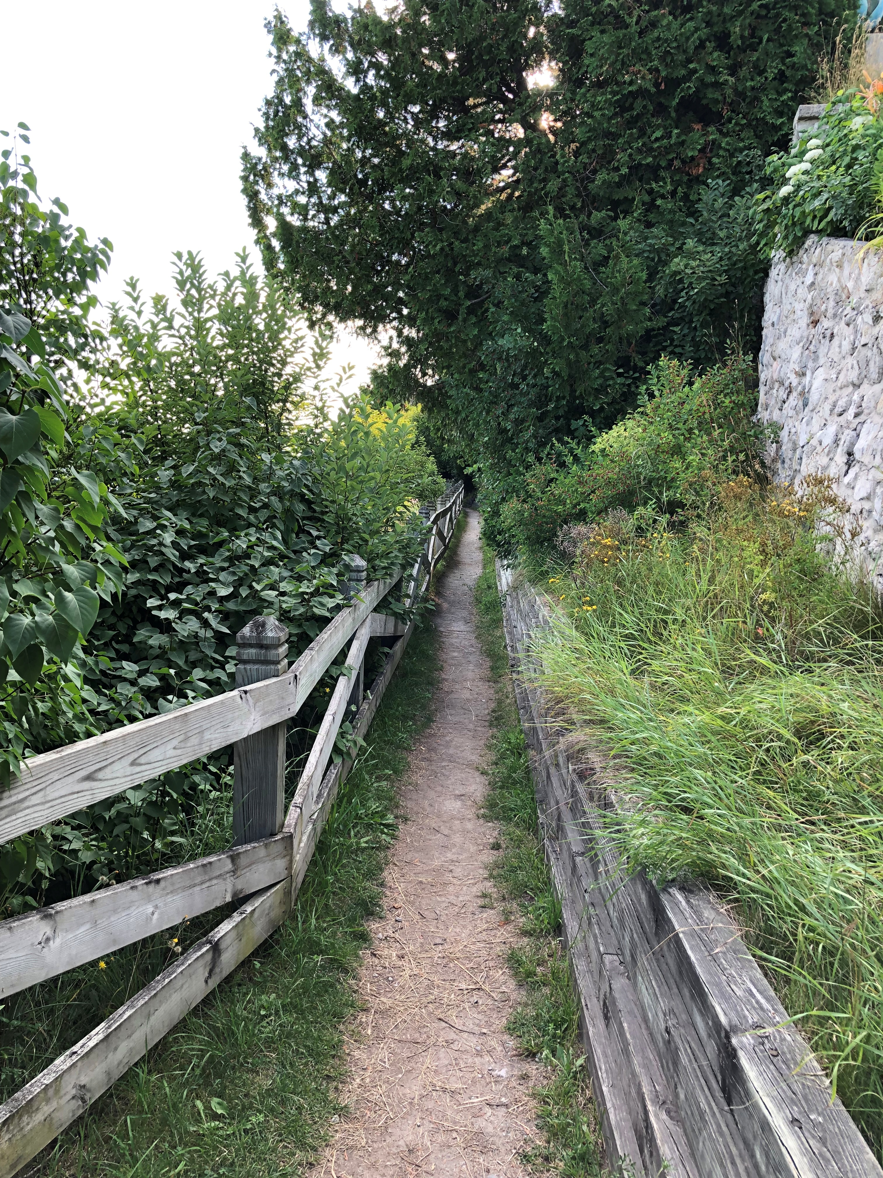
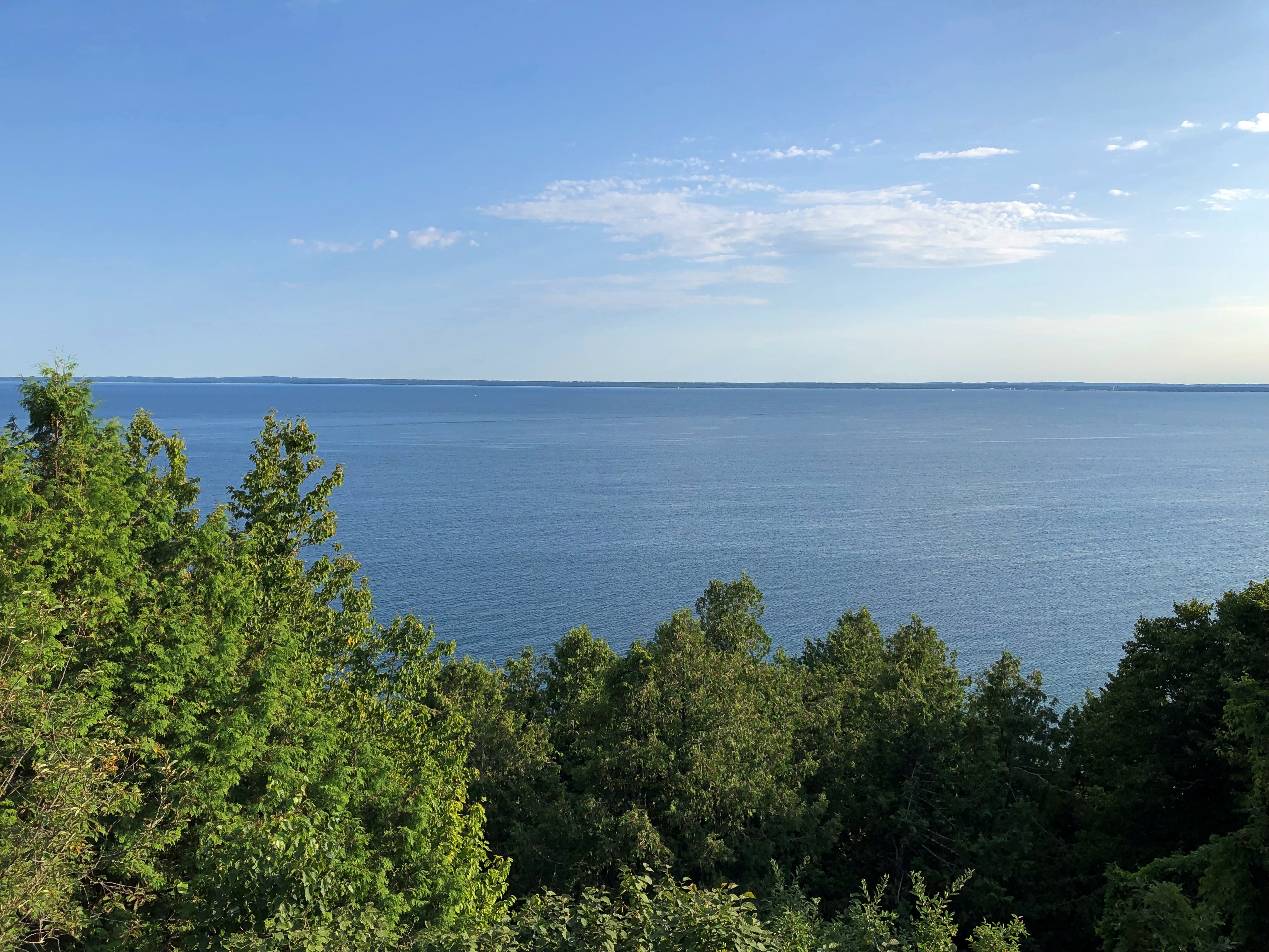
Soon the street changes into a bluff-side path, with good views. We followed it a while. Mackinac Island
 Mackinac Island

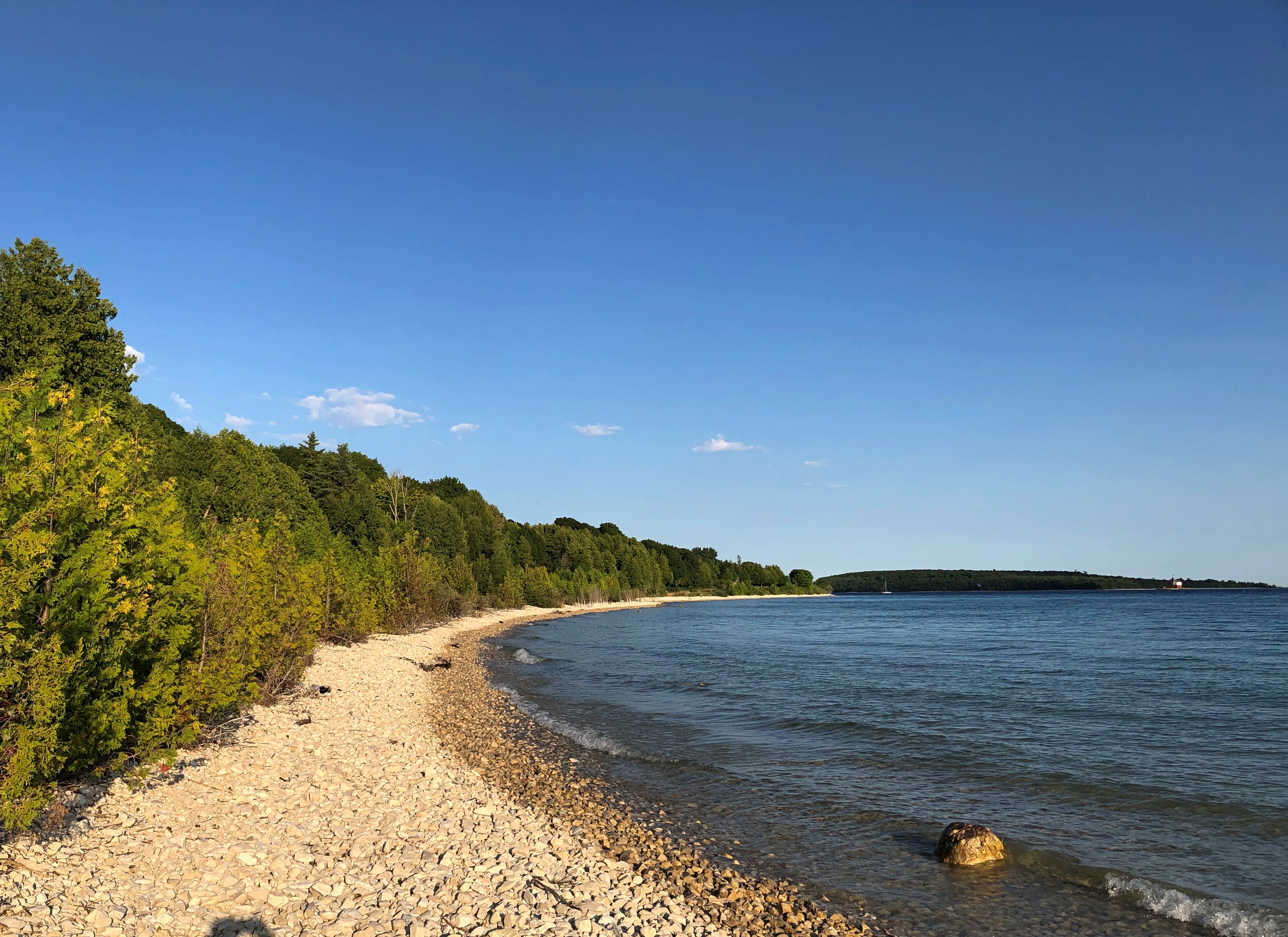
Eventually, wooden stairs led down to the road that circles the island, and we walked back to Main Street via that road to catch the ferry back to the mainland. We made occasional stops on the rocky shore of Lake Huron. Mackinac Island

If there’s a next time, maybe I’ll rent a bicycle. But Mackinac Island is a perfectly fine walking destination.

Fort Mackinac

In 1780, the British commander at Fort Michilimackinac, which had been a French post on the mainland south shore of the Straits of Mackinac until the British had won it in the Seven Years’ War, decided to build a more defensible fort on Mackinac Island (and perhaps, one with a shorter name). He picked a bluff overlooking the lakeshore.

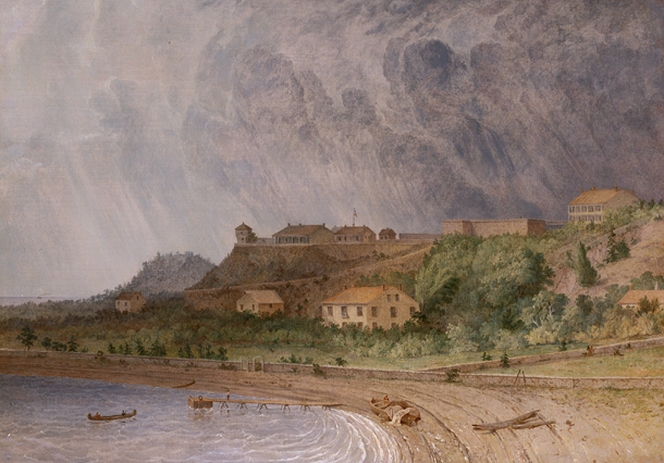
Fort Mackinac, Michigan by Seth Eastman

“Fort Mackinac, Michigan” by Seth Eastman (1872)

The fort stands there to this day, though in somewhat different form: a tourist attraction. As a tourist, I was duly attracted.Fort Mackinac

Note the Boy Scout. Turns out in visiting Mackinac Island, we were visiting a presidential site. It’s a slightly convoluted story, but well relayed by the island’s web site.

These days, a group of Boy and Girl Scouts raises and lowers about two dozen American flags across Mackinac Island each day during the summer. They also act as guides at the fort. The fellow at the entrance wasn’t the only one we saw.

He was the only one I talked to, however. Tried to, that is. I asked him why Boy Scouts were at the fort, and perhaps a career involving public interaction isn’t in his future, because he sputtered a few unintelligible words and looked at me as if I’d tried to talk to the guards at Buckingham Palace.

So I had to learn later that the flag-raising and other duties started “in 1929 when then-Michigan Gov. Fred Green commissioned eight Eagle Scouts from around the state as honor guardsman on Mackinac Island,” the island’s web site says.

The governor’s summer residence, by the way, is on Mackinac Island, very near the fort, though the house didn’t begin that function until 1944. We walked past it on the way to the fort.

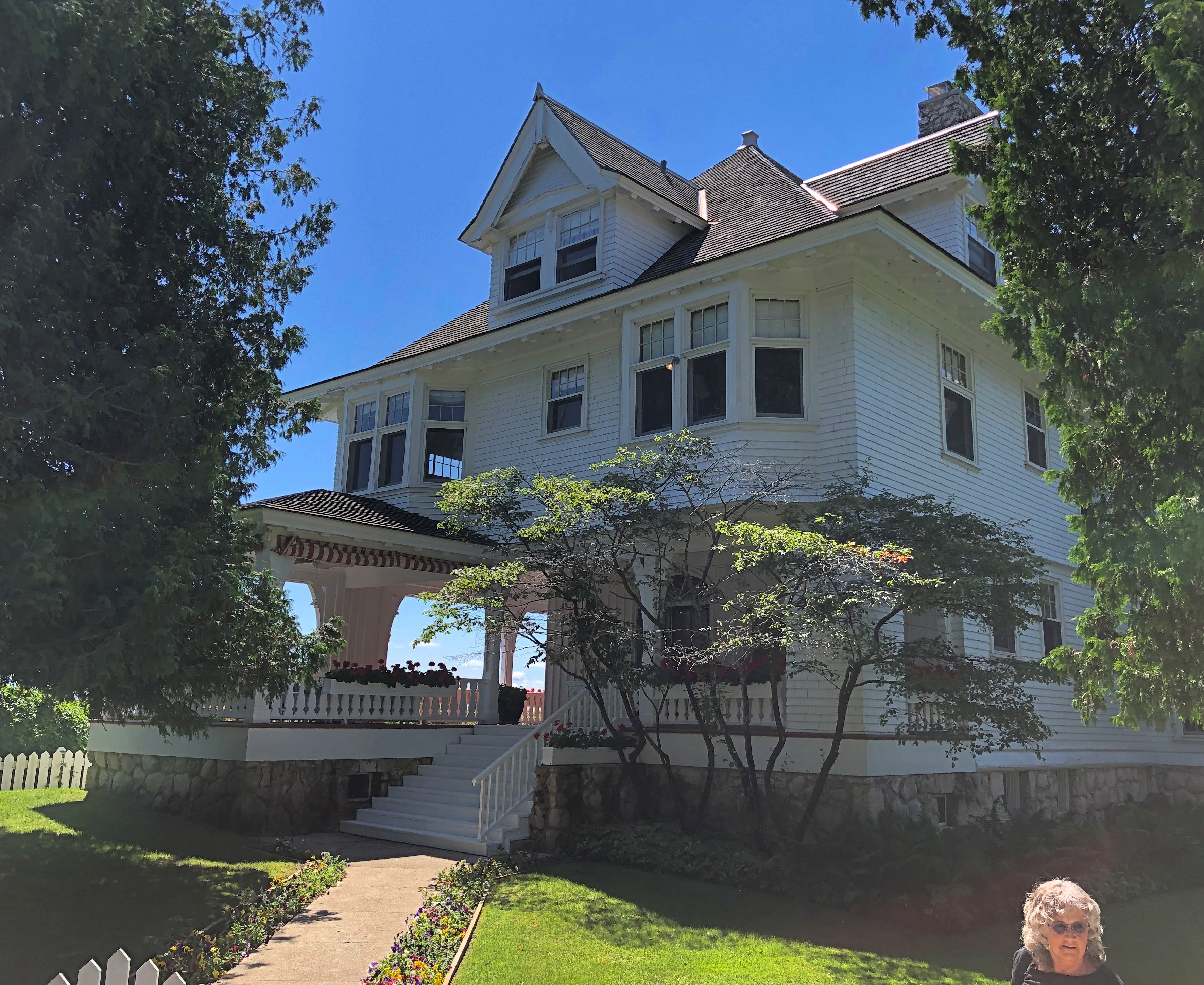
Its formal name is the Lawrence A. Young Cottage, dating from 1902. Young was a successful Chicago attorney who had it built as his summer home.

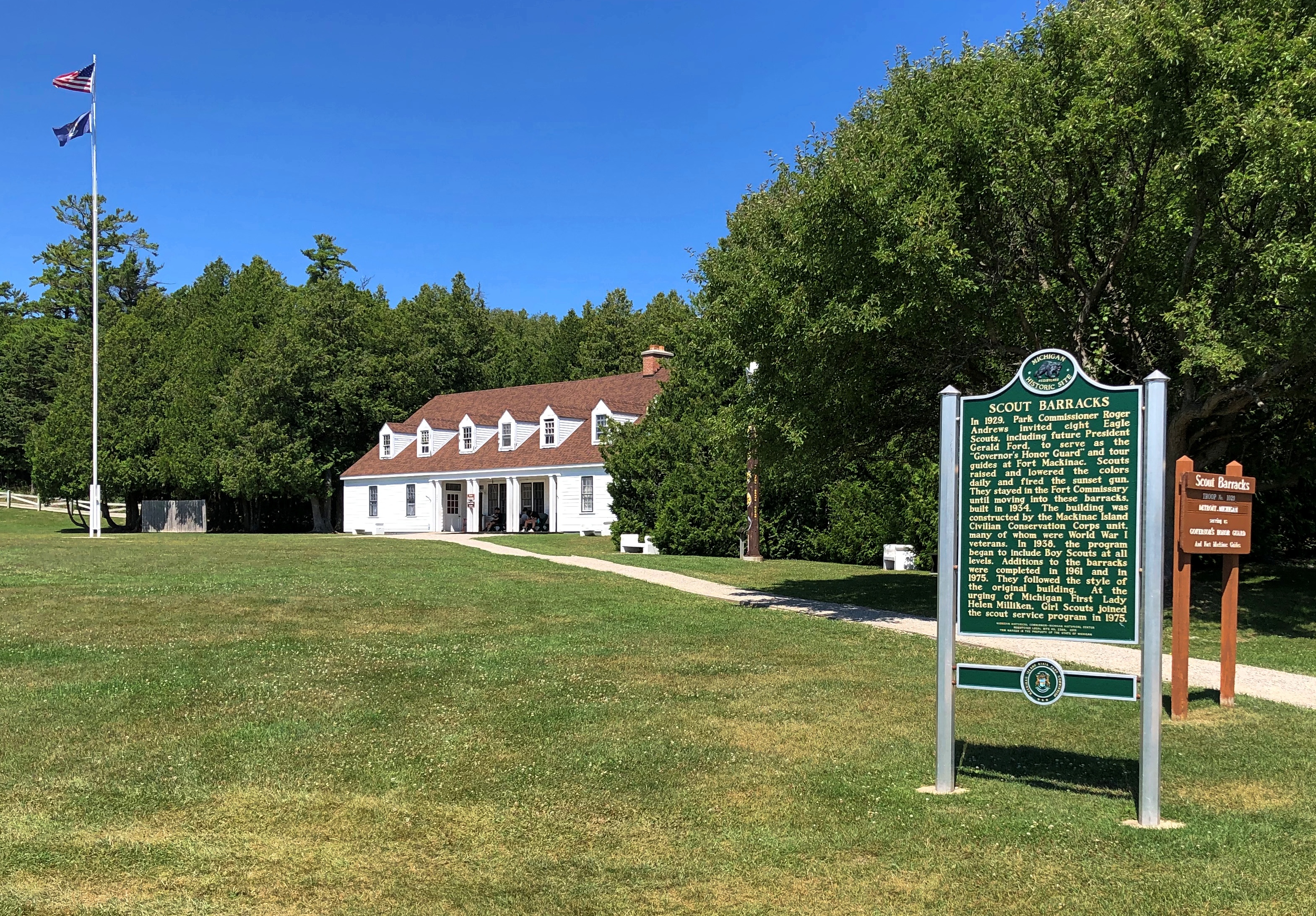
The presidential connection? In 1929, one of the charter group of scouts tapped by Gov. Green was none other than Gerald R. Ford.

The scout barracks aren’t far from the fort, either. We passed those after we left the fort.

Inside the fort.Fort Mackinac Fort Mackinac

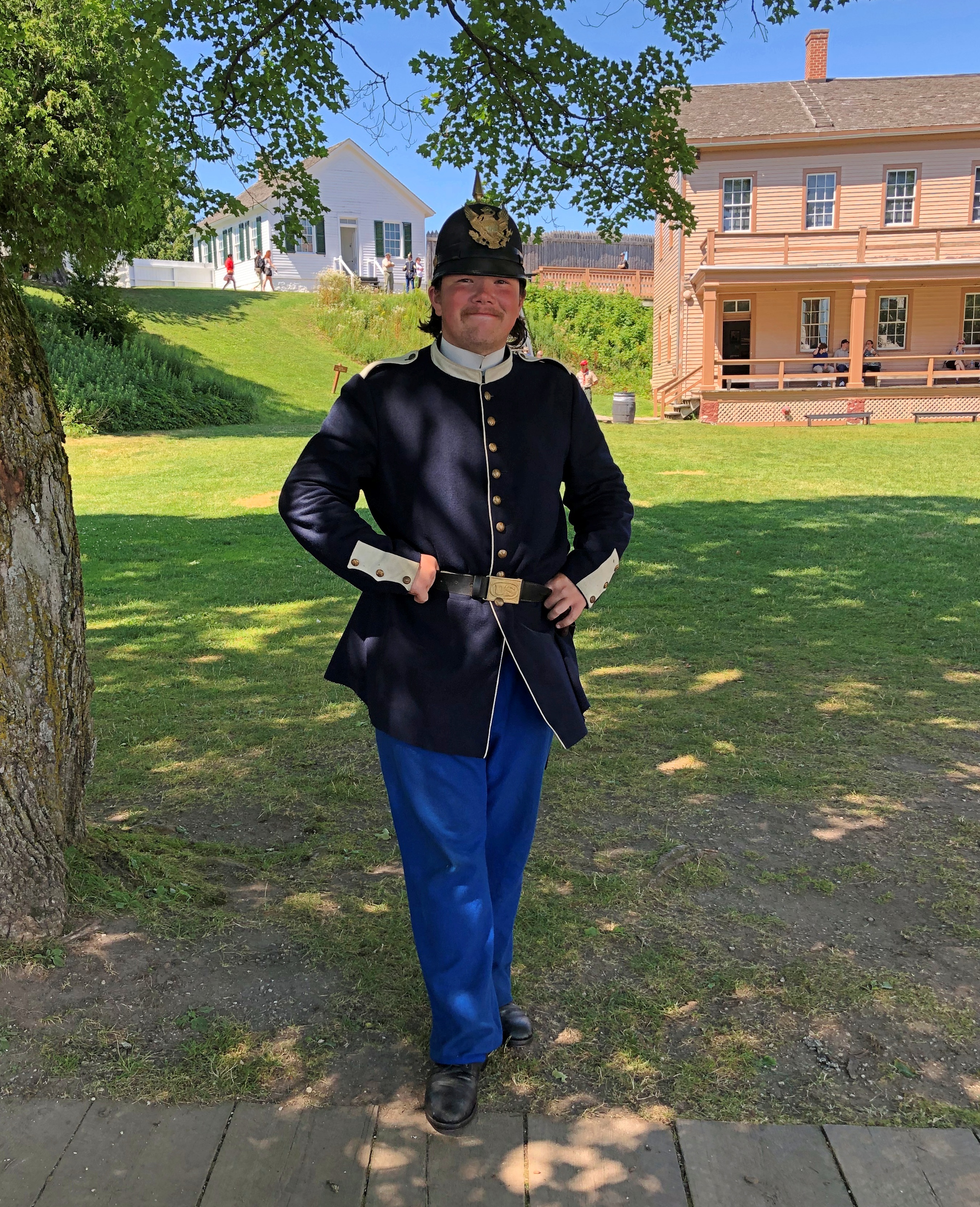
Besides the scouts, there were a handful of somewhat older folk in costume. I told this fellow he was wearing a capital uniform.Fort Mackinac

Unlike the scout, he was talkative, and able to tell us in some detail about the uniform, though I think he was a little confused about my use of the term “capital” to mean “fine” or “excellent.” An apt term for a spiffy 19th-century uniform, if you asked me.

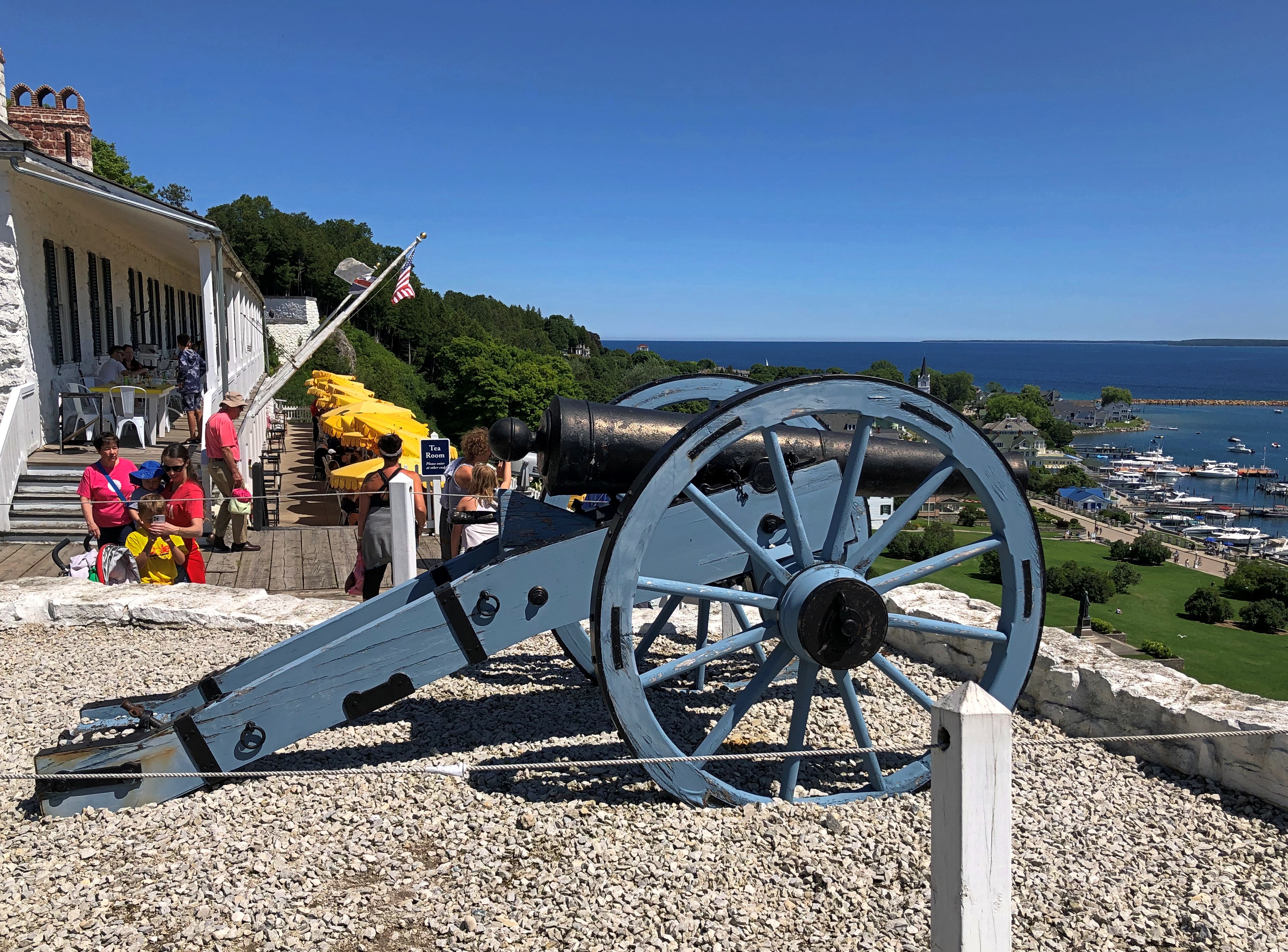
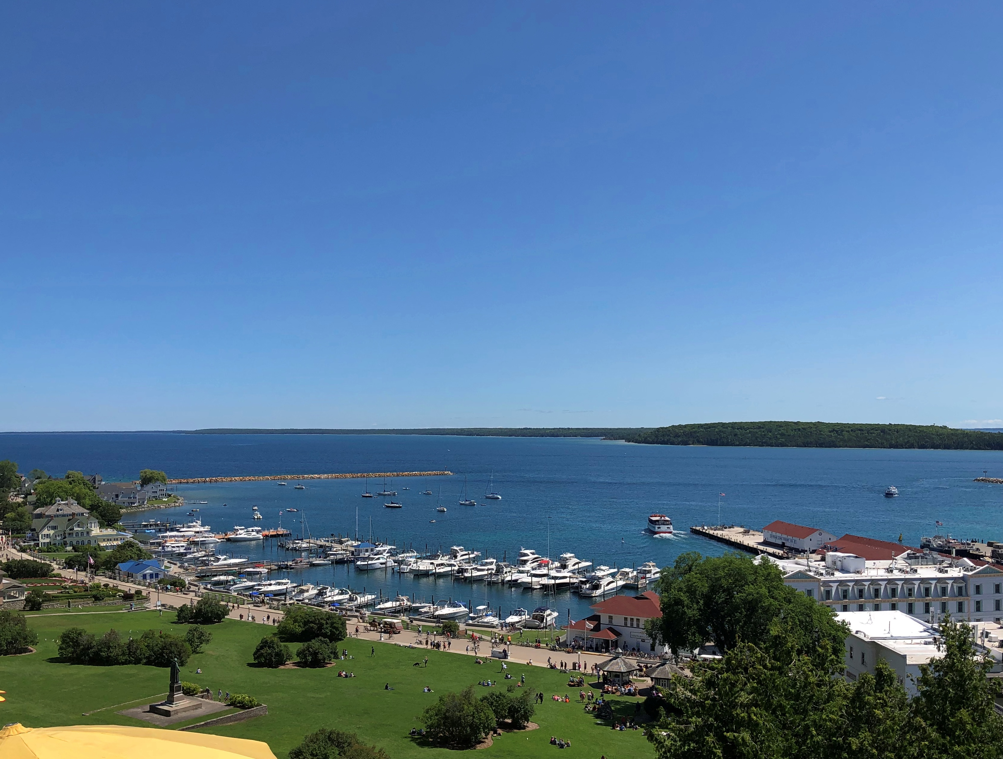
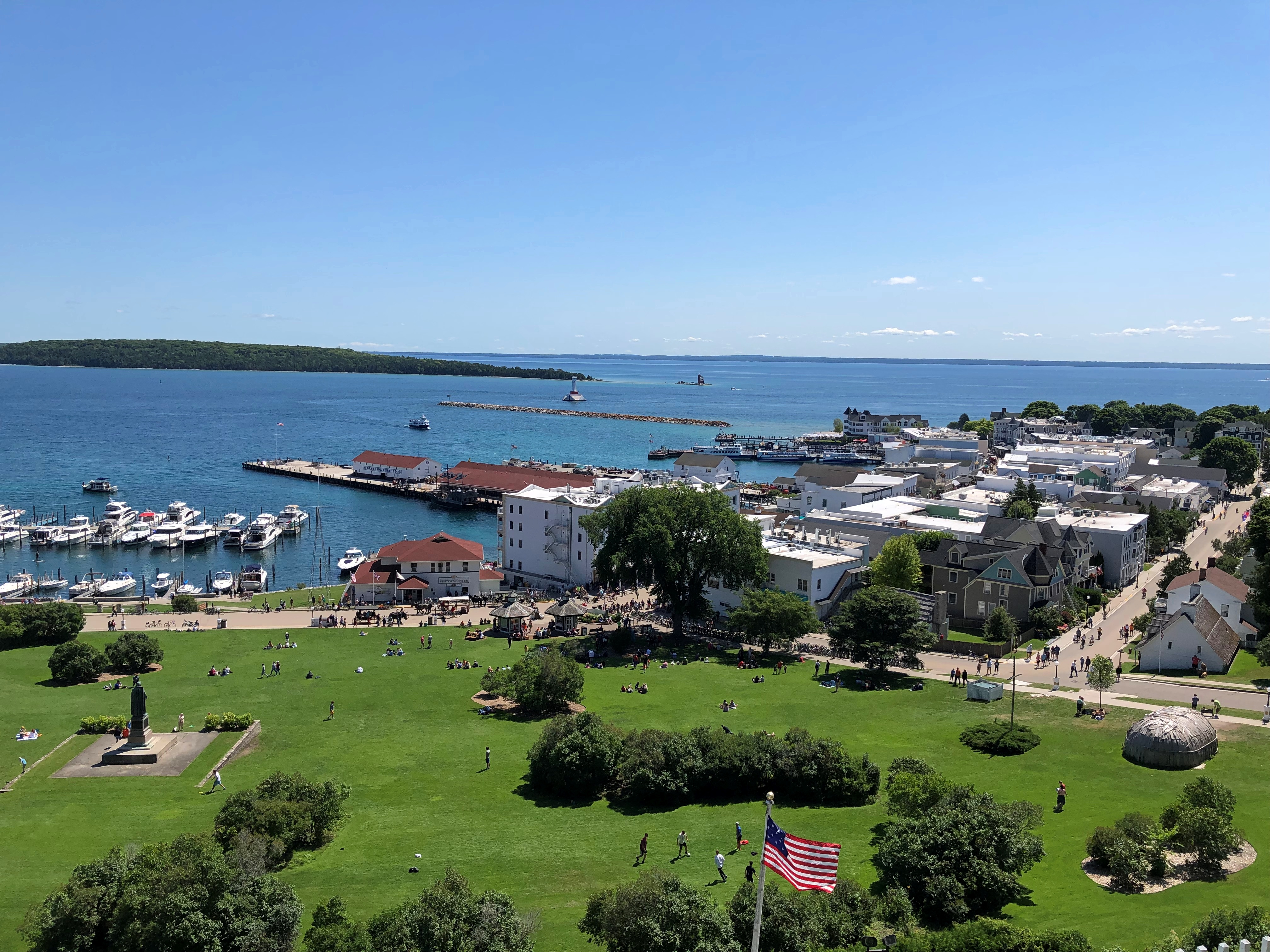
There are some terrific views from the fort, as a pre-modern fort would have.Fort Mackinac Fort Mackinac Fort Mackinac

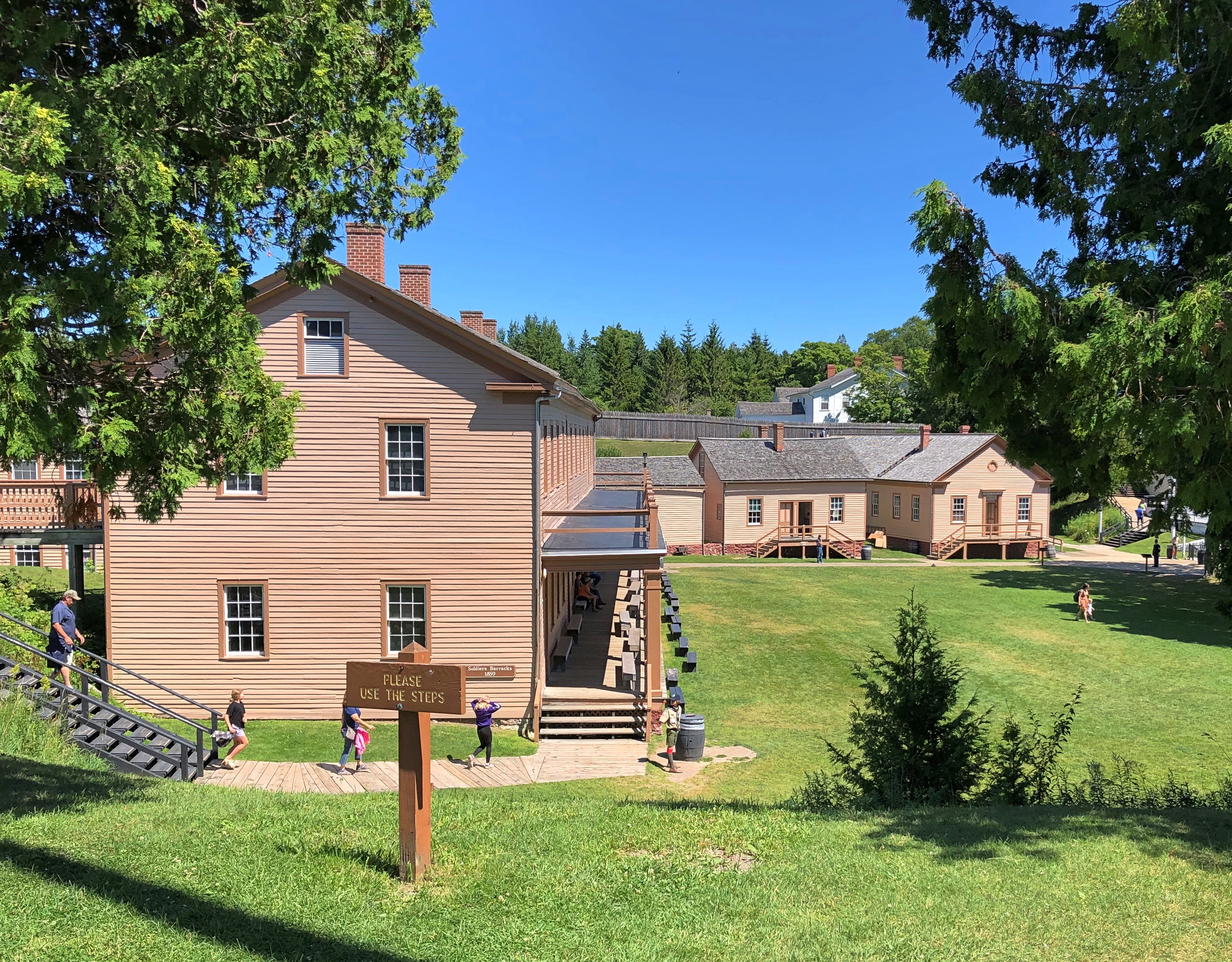
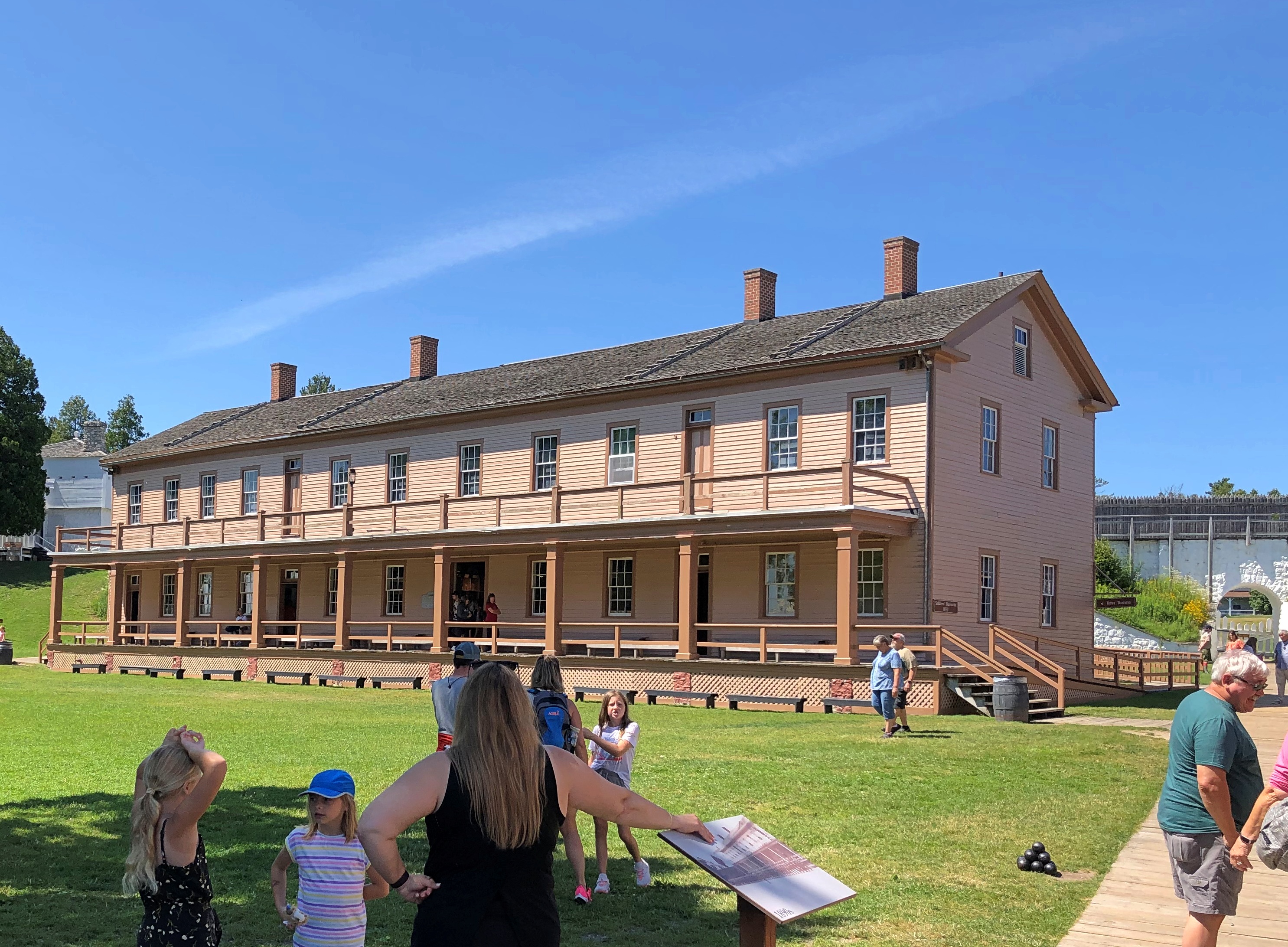
The historic buildings include the post HQ, bathhouse, soldiers barracks, officers quarters, post hospital, a storehouse, guardhouse and more. The rooms were stocked with artifacts and expository signage. More modern spaces included a light-meal restaurant taking advantage of those terrific views, a gift shop and bathrooms (authentic 19th-century Army latrines wouldn’t go down well with the museum-going public, I figure).

The fort is, I’ve read, one of the few surviving more-or-less intact from the Revolution and War of 1812, when it saw action. Later, as British Canada receded as any kind of threat, Mackinac’s usefulness as a military post did as well, but it lingered as U.S. Army property until 1895.

By that time, much of Mackinac Island had been designated as Mackinac National Park. Astute NPS observers might object that no such park exists, and they’d be right. Created in 1875 as the second national park, Congress dissolved it in 1895 and turned it over to the state of Michigan, which created its first state park that same year out of the same territory, including the now-decommissioned fort.

After I saw the fort, I read the story of its U.S. commander in 1812, one Porter Hanks. Lt. Hanks surrendered the fort without a fight, as he was hopelessly outnumbered. He and his men were paroled by the British forces. Wiki, which seems to be reasonably sourced, picks up the story:

“Lieutenant Hanks made his way to Detroit and the American military post there. Upon his arrival, superiors charged him with cowardice in the surrender of Fort Mackinac. Before the court martial of Lieutenant Hanks could begin, British forces attacked Fort Detroit. A British cannonball ripped through the room where Hanks was standing, cutting him in half and killing the officer next to him as well.”

That’s one way to get out of a court martial, but surely not how Lt. Hanks would have wanted.

Mackinac Island Ramble, Part 1

Things to know about Mackinac Island, Michigan.

  • It really is an island, about 4.3 square miles in Lake Huron, and not far from both the Lower and Upper Peninsulas of Michigan.
  • Most of the island is Mackinac Island State Park, but there is a town, and 470 or so people live there full time.
  • Mackinac is famed for allowing no motorized vehicles on its streets, except for a handful of emergency vehicles.
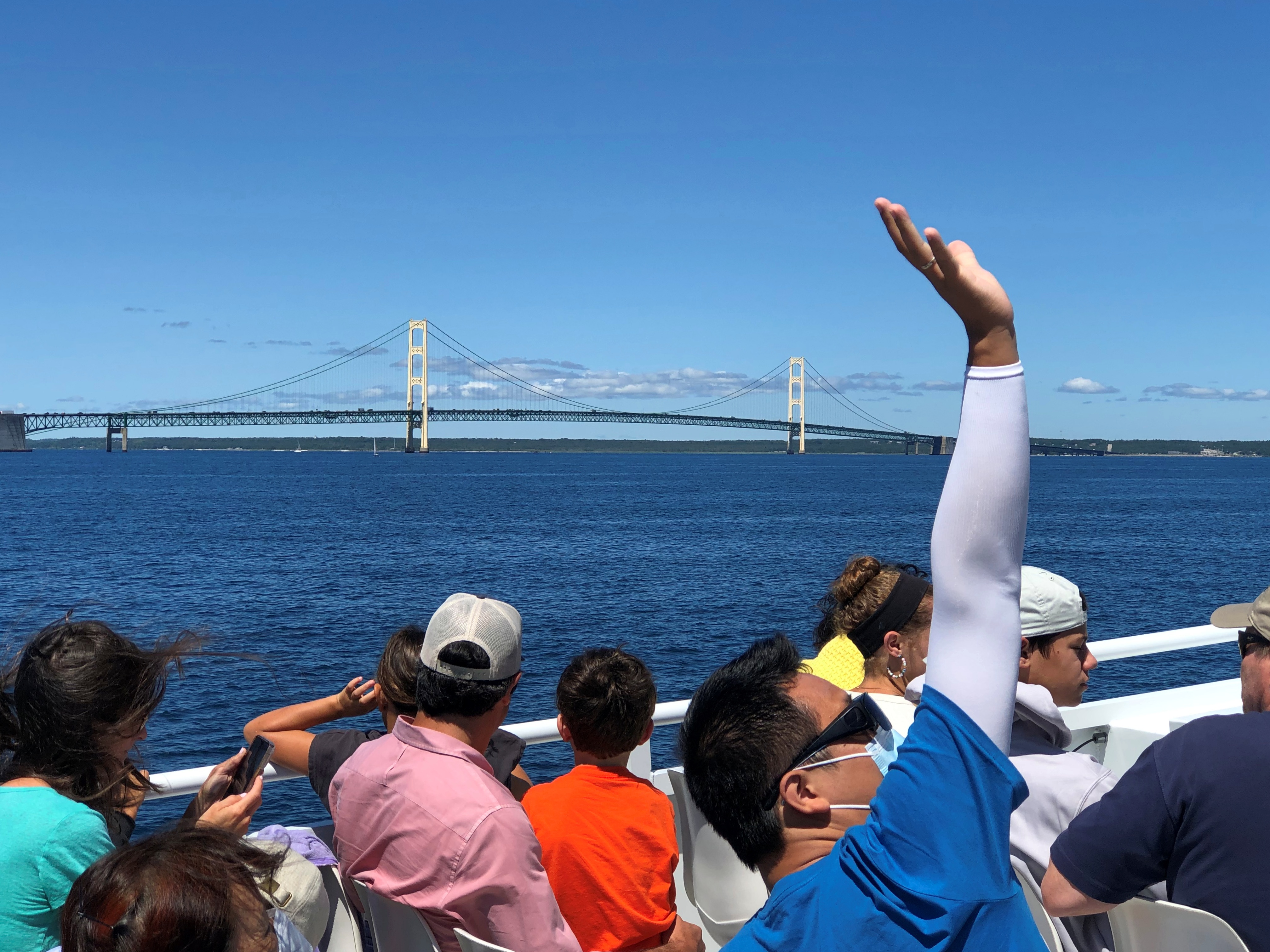
  • Regular passenger ferry services connect the island with the mainland; the ride takes about 20 minutes. The view of the Mackinac Bridge from the ferry is terrific.

Mackinaw Bridge

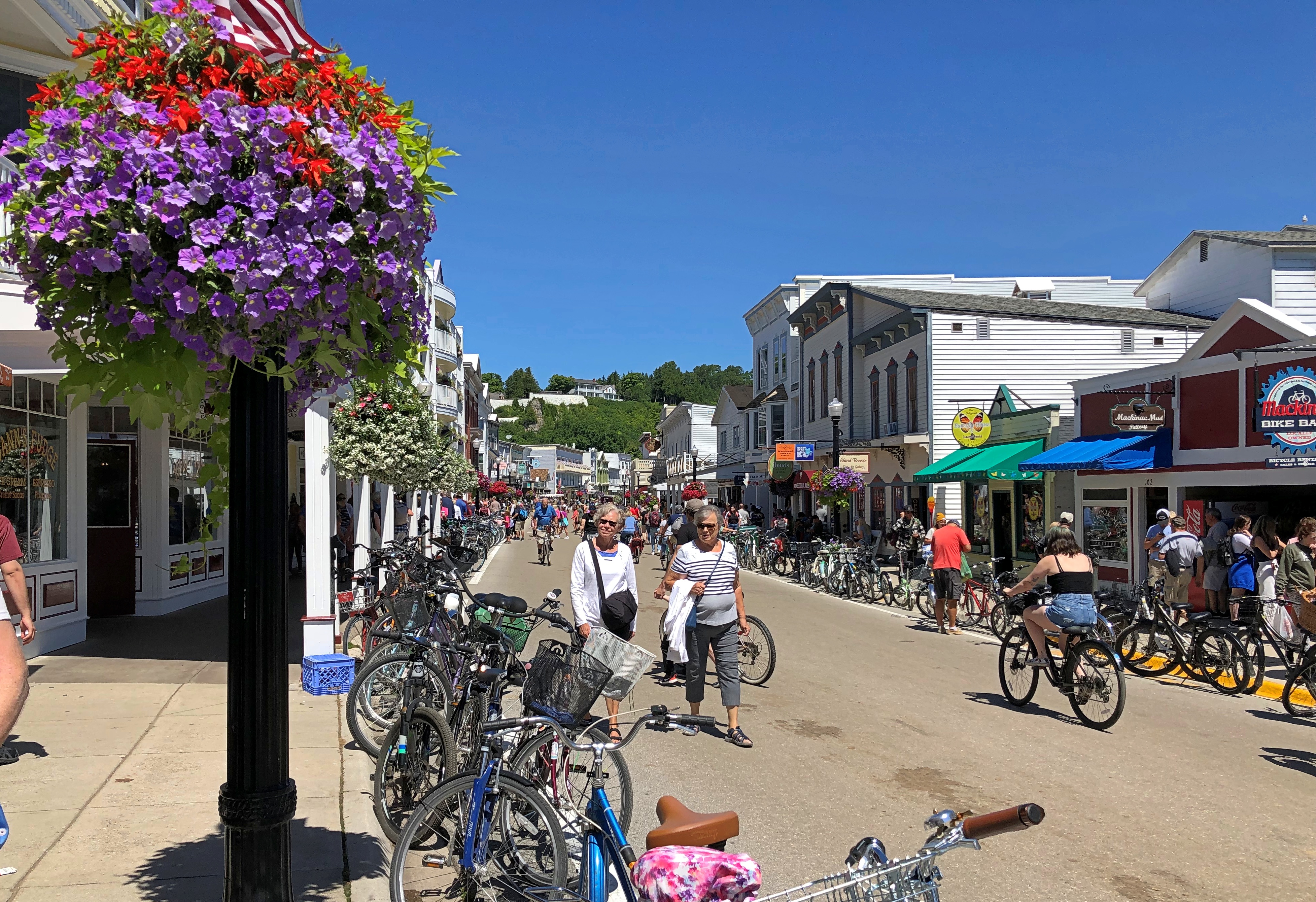
The ferries from the mainland dock at the aptly named Main Street. The closer you are to Main Street on Mackinac Island, the more people there are. Even on a weekday. We arrived early in the afternoon of Tuesday, August 2. The day was sunny and warm.Mackinac Bridge Mackinac Bridge

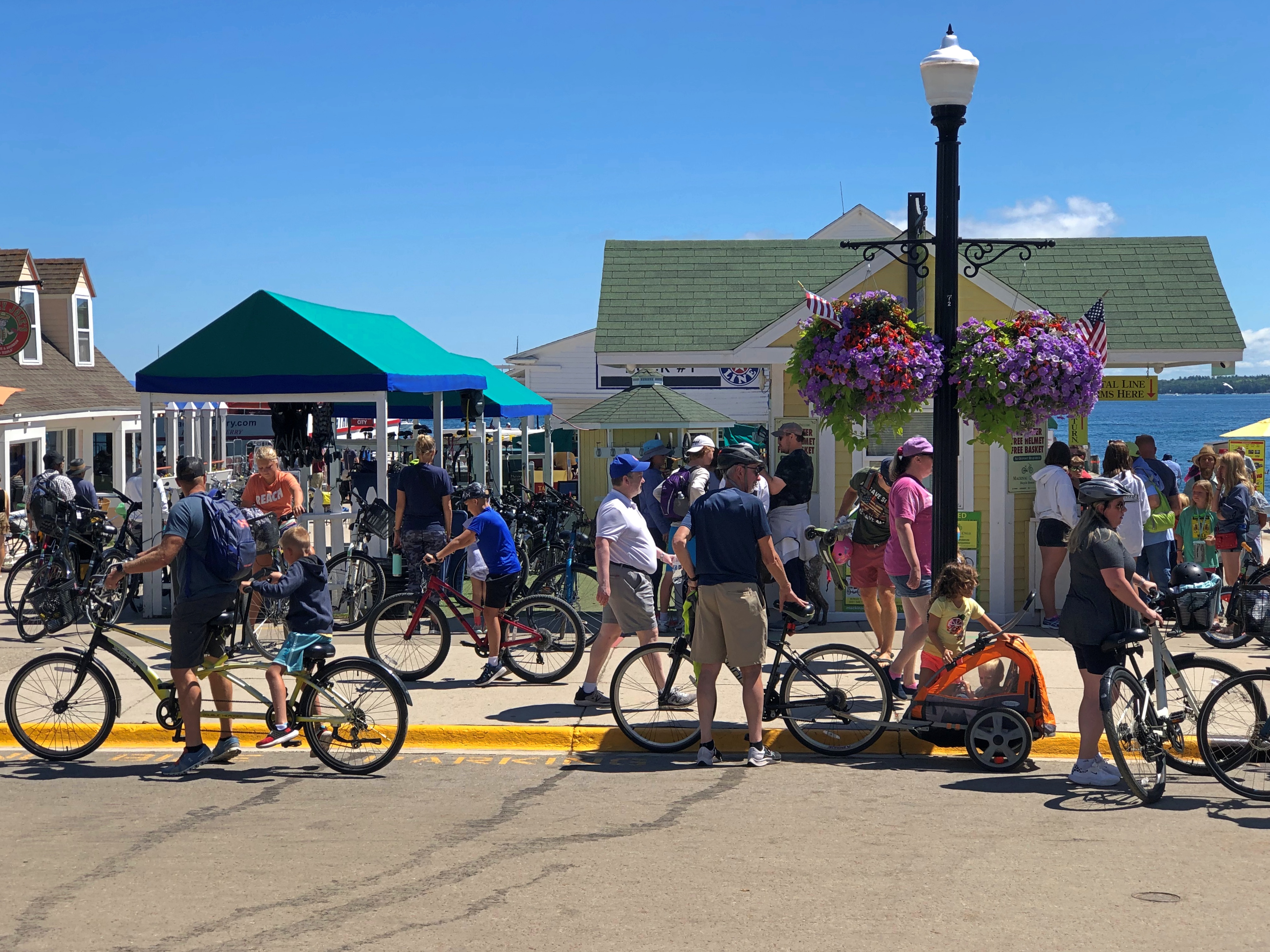
Restaurants, retailers and hotels line Main Street, packing ’em in. No cars, but plenty of bicycles and some horse-drawn wagons ply the street, so best to walk on the sometimes shaded sidewalk.

Mackinac Island is a major tourist draw in our time, but that’s hardly new. People have been visiting for pleasure since the late 19th century. Just another thing Victorians started, among many.

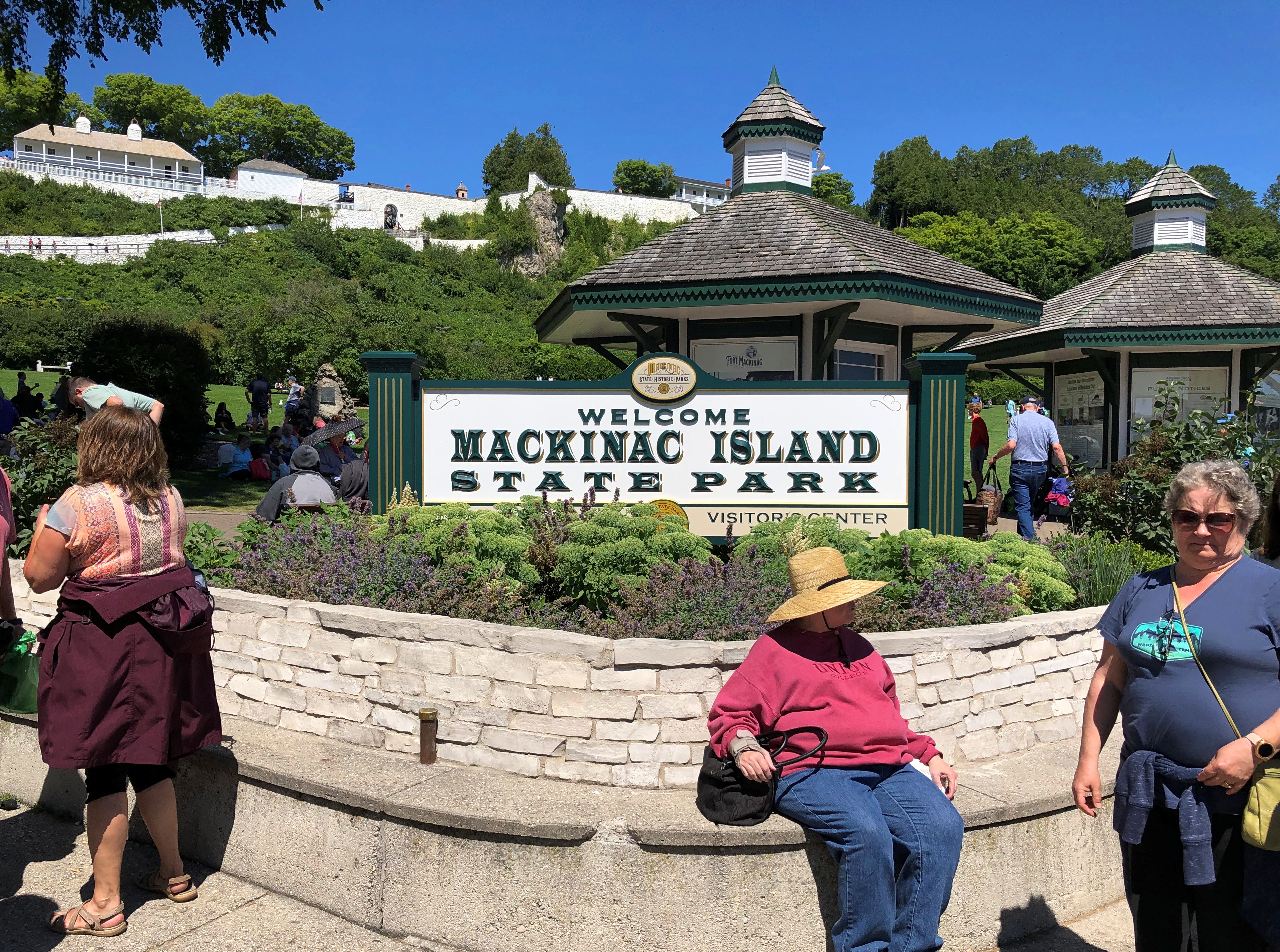
At one end of the commercial strip is an entrance to Mackinac Island State Park. Atop the hill at that point is Fort Mackinac, relic of the moment in the late 18th century when sovereignty over the island wasn’t a settled matter.Mackinac Island State Park

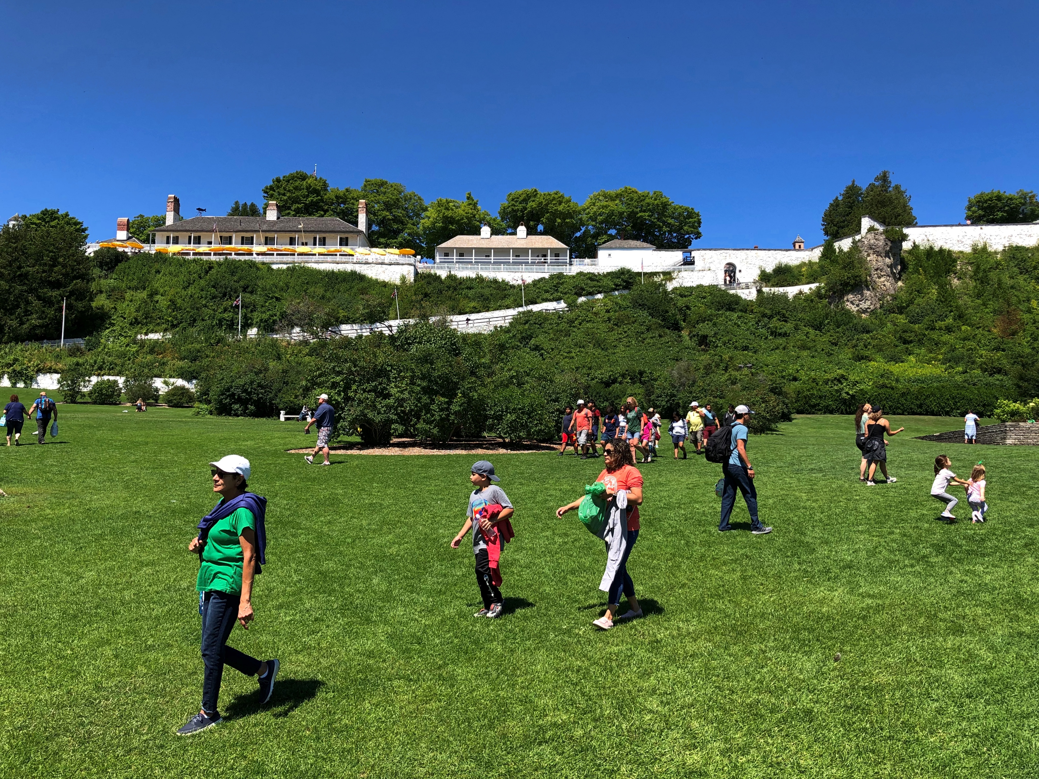
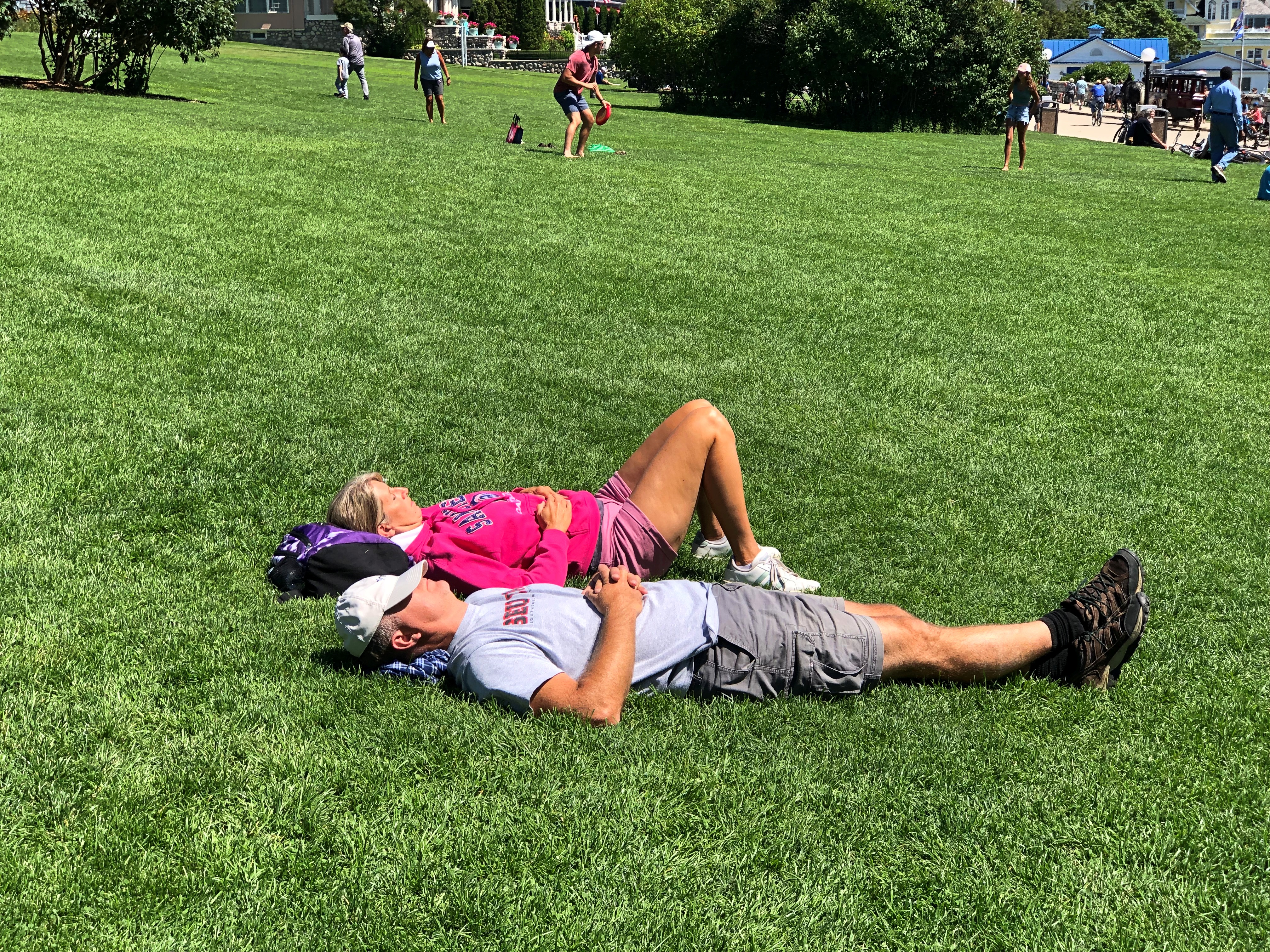
Immediately under the fort is a grassy slope.Mackinac Island State Park Mackinac Island State Park

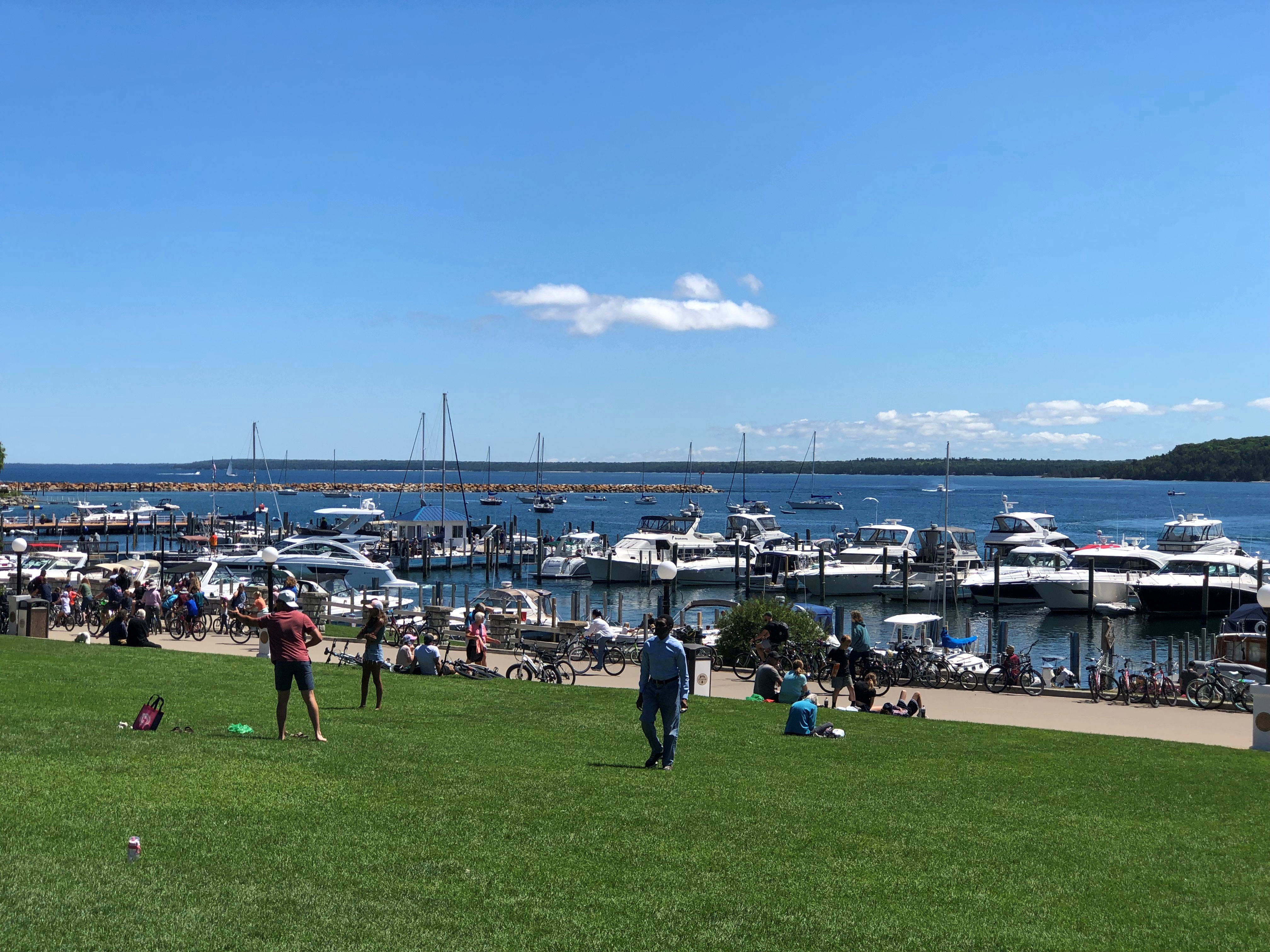
Popular, but not as crowded as Main Street. The view toward the water.Mackinac Island State Park

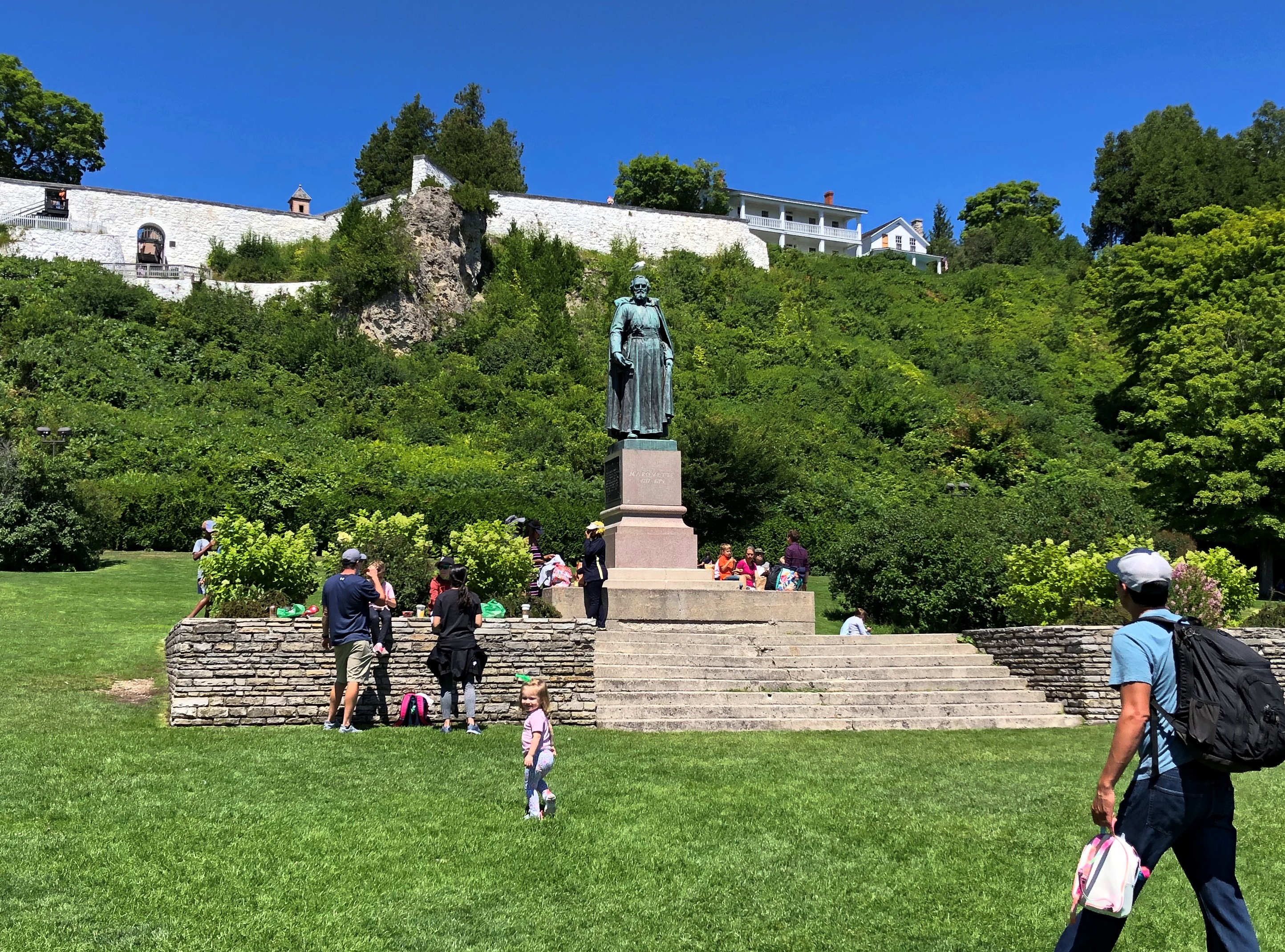
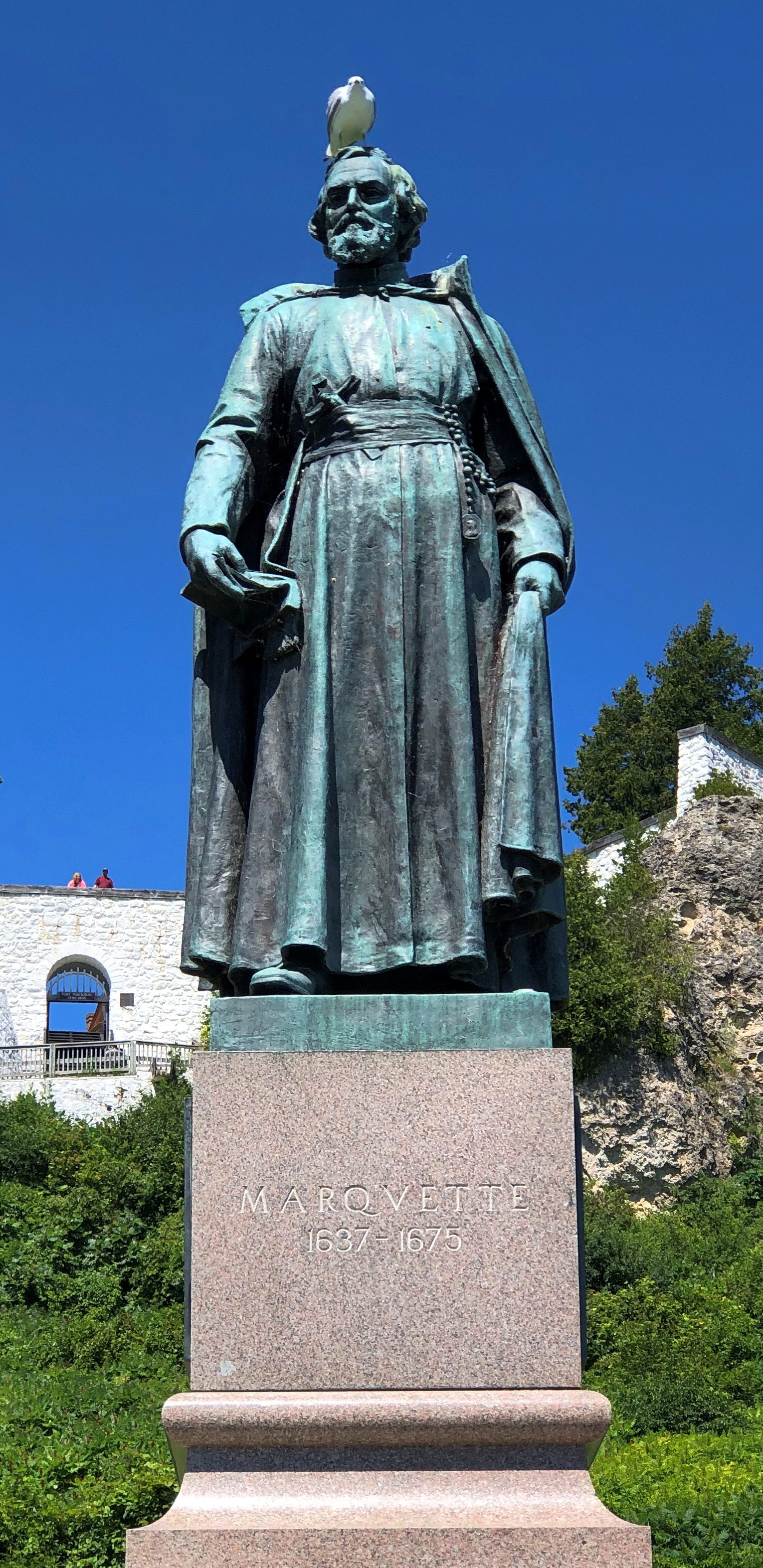
A bronze Marquette overlooks the slope.Mackinac Island State Park Mackinac Island State Park

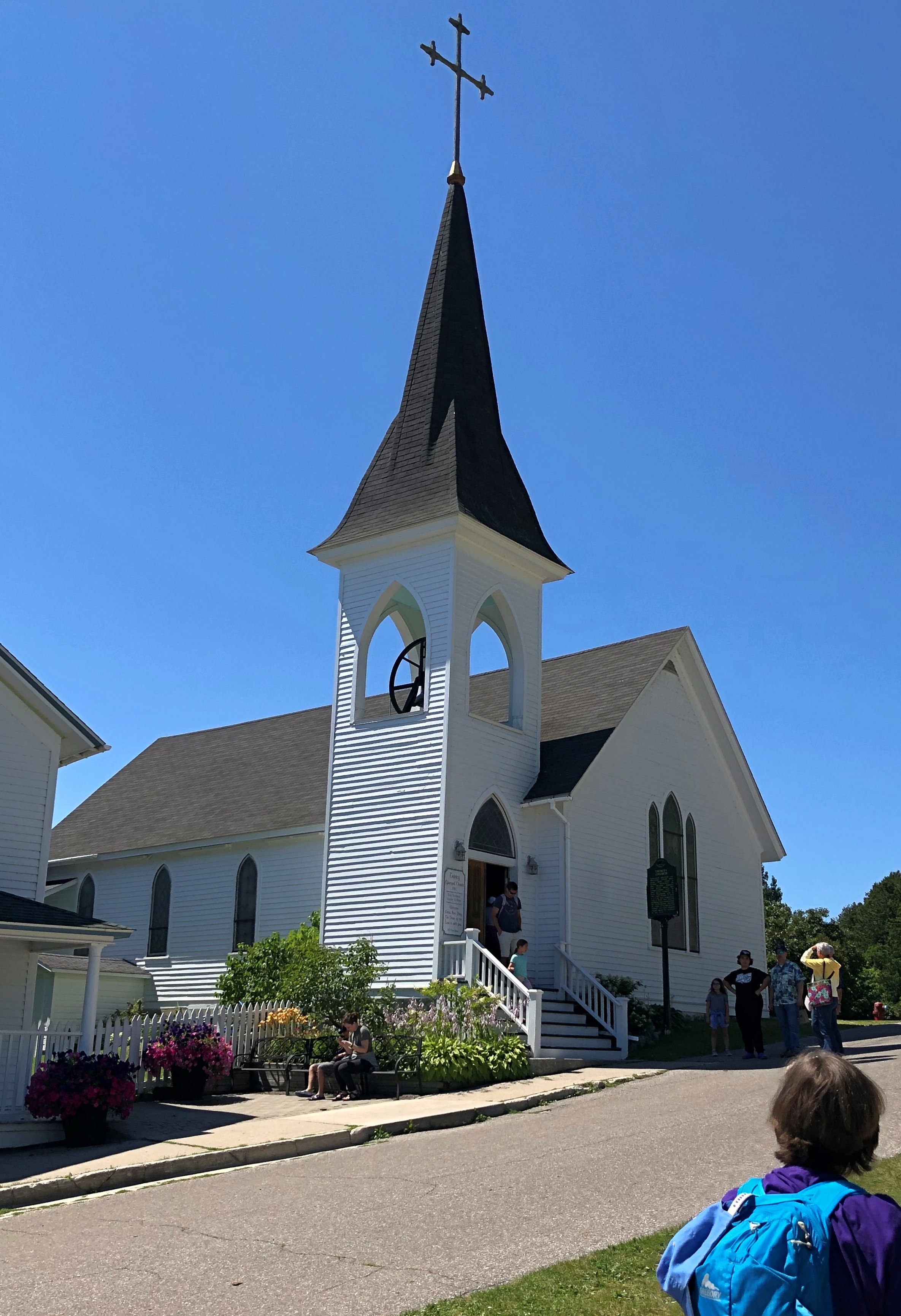
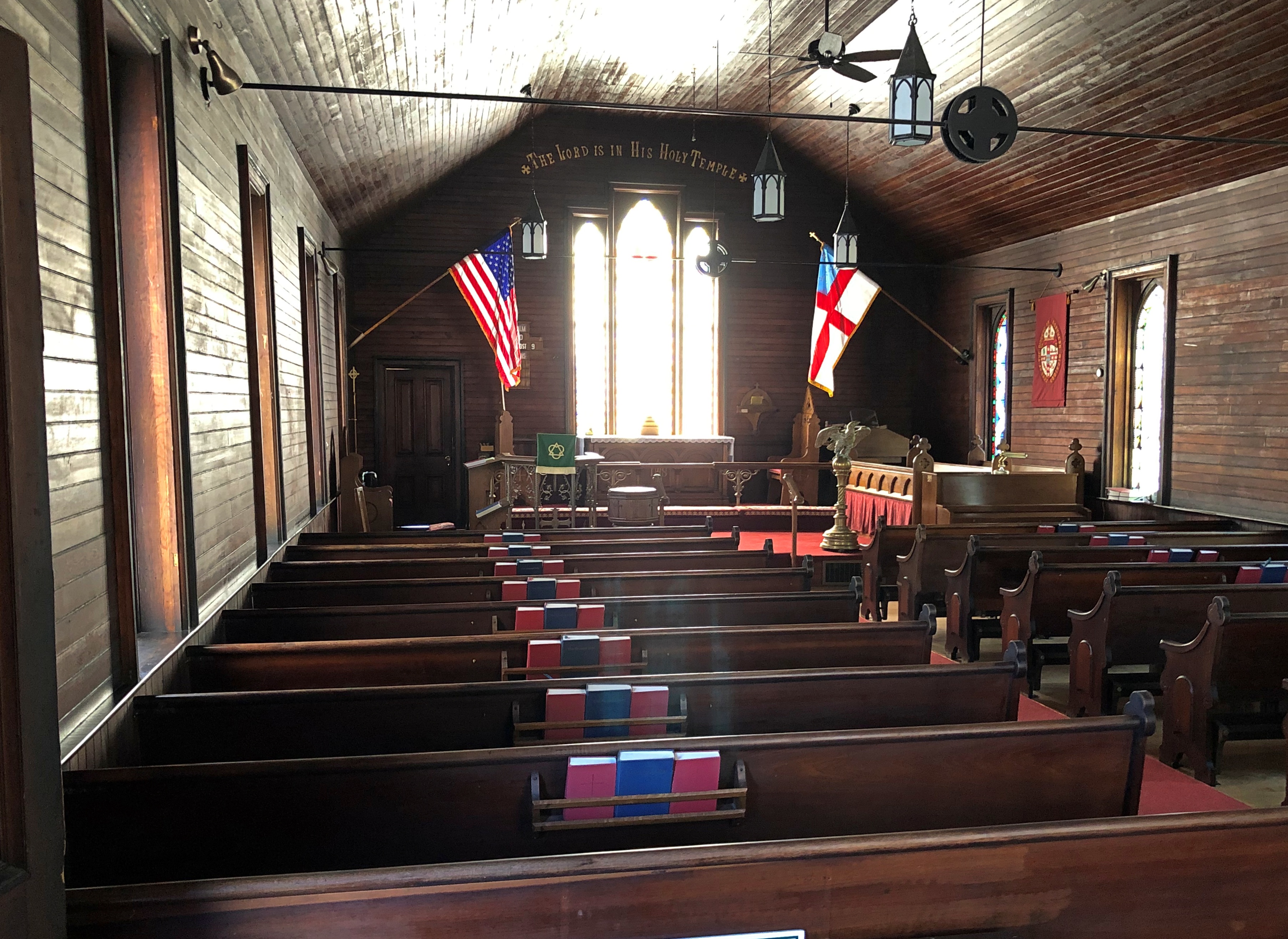
So does Trinity Episcopal Church, built in 1882.Trinity Episcopal Church Mackinac Island Trinity Episcopal Church Mackinac Island

We’d toyed with the idea of renting bicycles to get around the island, but the climb up the hill toward the fort, a fairly steep bit of hoofing, put that idea to rest.

Much later in the day, we came to realize that the thing to do with a bicycle is to ride the eight miles or so of Michigan 185, the only road in the state system without motorized transport, and which runs around the edge of the island. Something to do if I ever come back, and am healthy enough for it.

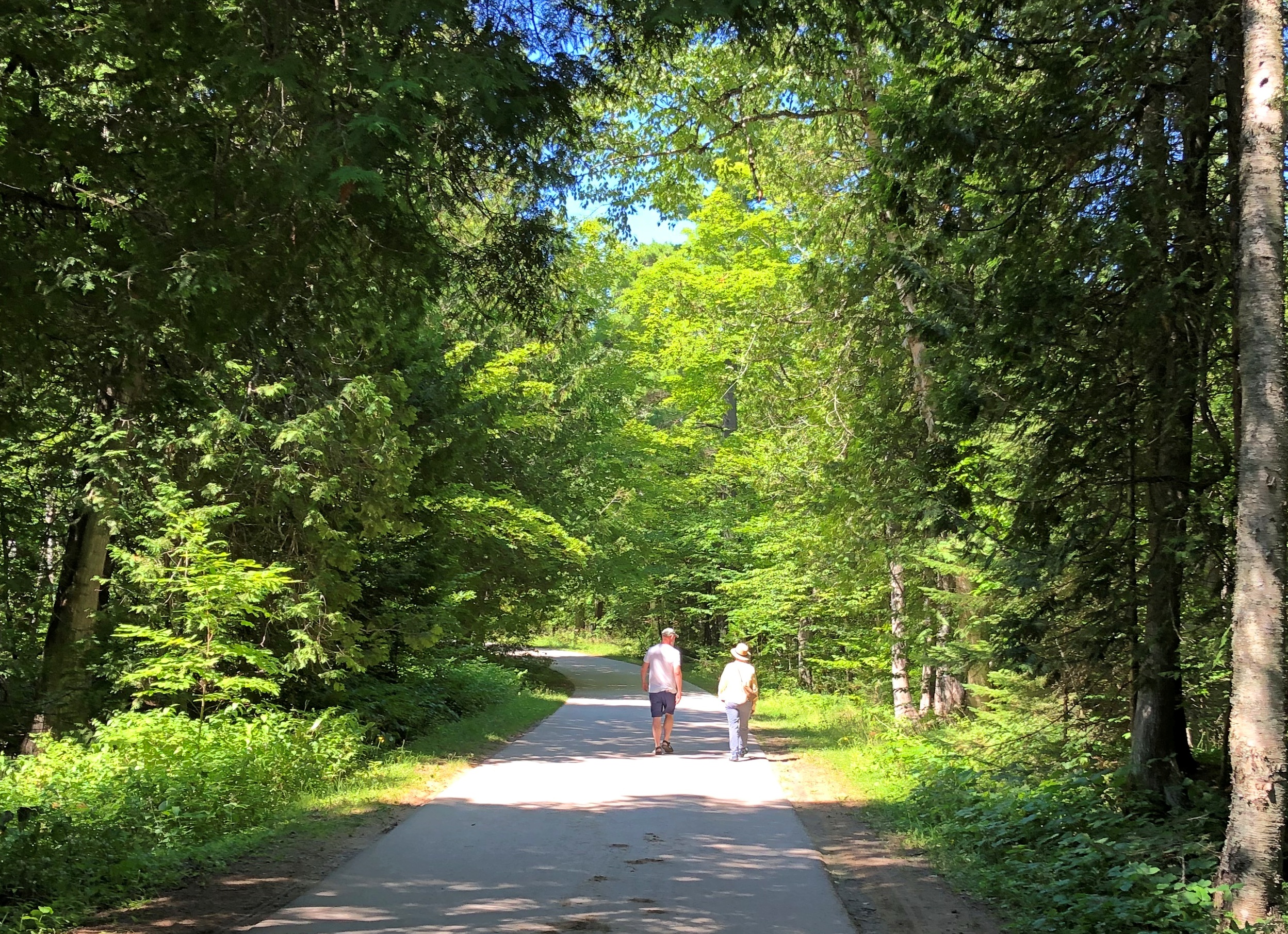
Or you could walk your bike up to the top of the hill, and ride around up there on some flat paths. By the time you get to this part of Mackinac — not really that far from Main Street — the crowds have thinned out.Mackinac Island State Park

We walked a few of the paths, including one that our map said would take us to “historic cemeteries.” Right up my alley. We passed through one of them, St. Ann’s Cemetery. Burials have taken place there since the mid-19th century, as a Catholic cemetery that replaced one closer to the shore.Mackinac Island State Park - St Ann's Cemetery Mackinac Island State Park - St Ann's Cemetery Mackinac Island State Park - St Ann's Cemetery Mackinac Island State Park - St Ann's Cemetery

By this time, we were the only (living) people around. Cemeteries seem to have that effect, even near popular tourist destinations.

Around Lake Michigan ’22

A little more than a week ago, I took a pretty good picture of three dear friends, two of whom I’ve known for over 45 years. From left to right, Tom, Catherine and Jae.
We were on the second day of our drive around Lake Michigan, counterclockwise, which took us from metro Chicago through northern Indiana, Grand Rapids and parts of western Michigan, Petoskey and environs, Mackinac Island, both Sault Ste. Maries, parts of the eastern Upper Peninsula, greater Green Bay and other parts of eastern Wisconsin, and back to metro Chicago.

Leaving on July 30 from our starting point at my house, we drove my car on crowded and less crowded Interstates, state and county highways, and a host of smaller roads, including National Forest roads cutting through lush boreal territory. Returning yesterday to my house, my friends flew back to Austin today; they had arrived from Austin two days ahead of the trip.

We’d planned the trip via email and Zoom, beginning back in early spring. I was the informal guide, making suggestions and offering bits of information I knew from previous visits to Michigan, upper and lower. But my friends were hardly passive in the course of our travels, digging up information via cell and making their own suggestions based on their own familiarity with some of the territory. Catherine had overseen arranging our accommodations, and everybody drove at one time or another.

We stayed in five different peer-to-peer rental accommodations along way, all entire houses that could provide us enough bedrooms, bathrooms, food prep and dining areas, and, in most cases, space to sit outdoors, once with a view of the waters of Green Bay.

Enjoying the outdoors was one of the main goals of the trip. For me, certainly, but especially for them, escaping the high heat of central Texas. They often remarked on the cool air and reveled in it, checking periodically to learn the temps at home. Three digits in Austin wasn’t usual. I don’t think got higher than 85 F. where we were. Standard night temps in both Michigans generally came in the 60s F.
Two meals a day was the norm: a mid- to late-morning breakfast and a late afternoon dinner, or a very late breakfast and a late dinner, at least as these things are reckoned in North America. So on many days, our meal schedule was more like that of Mexico City.

Food variety has trickled down to the lakeside and inland burgs of the upper Upper Midwest, though perhaps not quite as much as in large metros. Whitefish, the star of a lot of UP menus, had top billing in some of our meals, but we also enjoyed hamburgers and other meat — including one tasty UP pasty — pizza, pasta, breakfast fare, bar food, Italian and Asian, plus chocolates and fruit, such as Michigan cherries and UP jam. We prepared our own meals sometimes, did takeout a few times.
Coffee by morning, wine by night, though I only participated in the latter. Familiar wines were available in every grocery store we visited, and my friends sought out coffee ground as locally as possible: one bag from Sault Ste. Marie, for instance.

Meals and wine drinking were a source of convivial times, but hardly the only one. We talked and conversed and bantered at the table, as we headed along roads and as we walked trails. Shared personal histories were revisited, stories of our long periods apart were relayed, and opinions shared. Odd facts were floated. There was punnery, especially on the part of Tom, a born punster.

We visited one city of any size, Grand Rapids, and many smaller places, a few museums, a sculpture garden, some riverfronts, shopping streets and resort areas, a grand hotel, an historic fort, churches, a Hindu temple, a wooded cemetery, two lighthouses, forests, clearings and beaches, a massive sand dune, waterfalls, rapids and the clearest pond I’ve ever seen. The three Great Lakes we saw stretched to empty horizons — except when Canada or the opposite shore of Green Bay were visible. We crossed the Mackinac Bridge once and the international bridge between the Sault Ste Maries twice.

We walked near the shores of Lakes Superior, Huron and Michigan. The northern woods and the beach ecosystems were fully flush here in late summer. Jae, who knows a good deal about flora, shared some knowledge about the flowers, trees and fungi we saw in profusion.

Though we caught a few showers in daytime, and the last day was mostly rainy, most of the storms rumbled through at night, adding to the restfulness of whatever sleep we each had. None of the storms were lightning-and-thunder dramas, but some were impressive in their downpour. My friends expressed their satisfaction with the cool light winds that often blow in corners of the UP.

There were a number of travel firsts, mostly for my friends. This was the first time any of them had been to the UP, and the first time they had seen Lake Superior, whose aspect I’m so fond of, and their first visit to the northern part of the Lower Peninsula. The trip included Tom’s first known visit to a national park, though later we determined that it was probably his second park. Also, it was the first time two of them had ever been to Canada, since we popped across the border for one night in Sault Ste. Marie, Ontario.

For me, a mix of new and places I saw long enough ago that they were almost like new.

When I dropped off my friends at O’Hare earlier today, we agreed that they trip had met expectations. And more.