Red Gate Woods, The Dawn of the Atomic Age & Ray Cats

At about 15,000 acres, the Palos Preserves form the largest concentration of land in the Forest Preserve District of Cook County. Names pour out from the map, if you bother to look: Willow Springs Woods, Paw Paw Woods Nature Preserve, Wolf Road Woods, Saganashkee Slough Woods, McMahon Woods, Spears Woods, White Oak Woods, Crooked Creek Woods, Cap Sauers Holding Nature Preserve, and Swallow Cliff Woods North.

The preserves include Camp Bullfrog Lake, Tomahawk Slough, Maple Lake, Longjohn Slough, Crawdad Slough, Joe’s Pond, Horsetail Lake, Laughing Squaw Sloughs, Camp Kiwanis Equestrian Staging Area, and the Little Red Schoolhouse Nature Center. About 50 miles of trails cross this arboreal kingdom in southwest Cook County.

Red Gate Woods is much like the other sections, but with a singular distinction. It includes the burial site of the world’s first nuclear reactor, the famed CP-1, which was originally at the University of Chicago but soon rebuilt at Red Gate as CP-2 since, you know, nuclear research in a densely populated urban area was understood to be a risky proposition even in the early 1940s.

I’d known about Red Gate for a while, but never gotten around to visiting the site. Pleasantly warm Saturday was the time to do so, I decided.

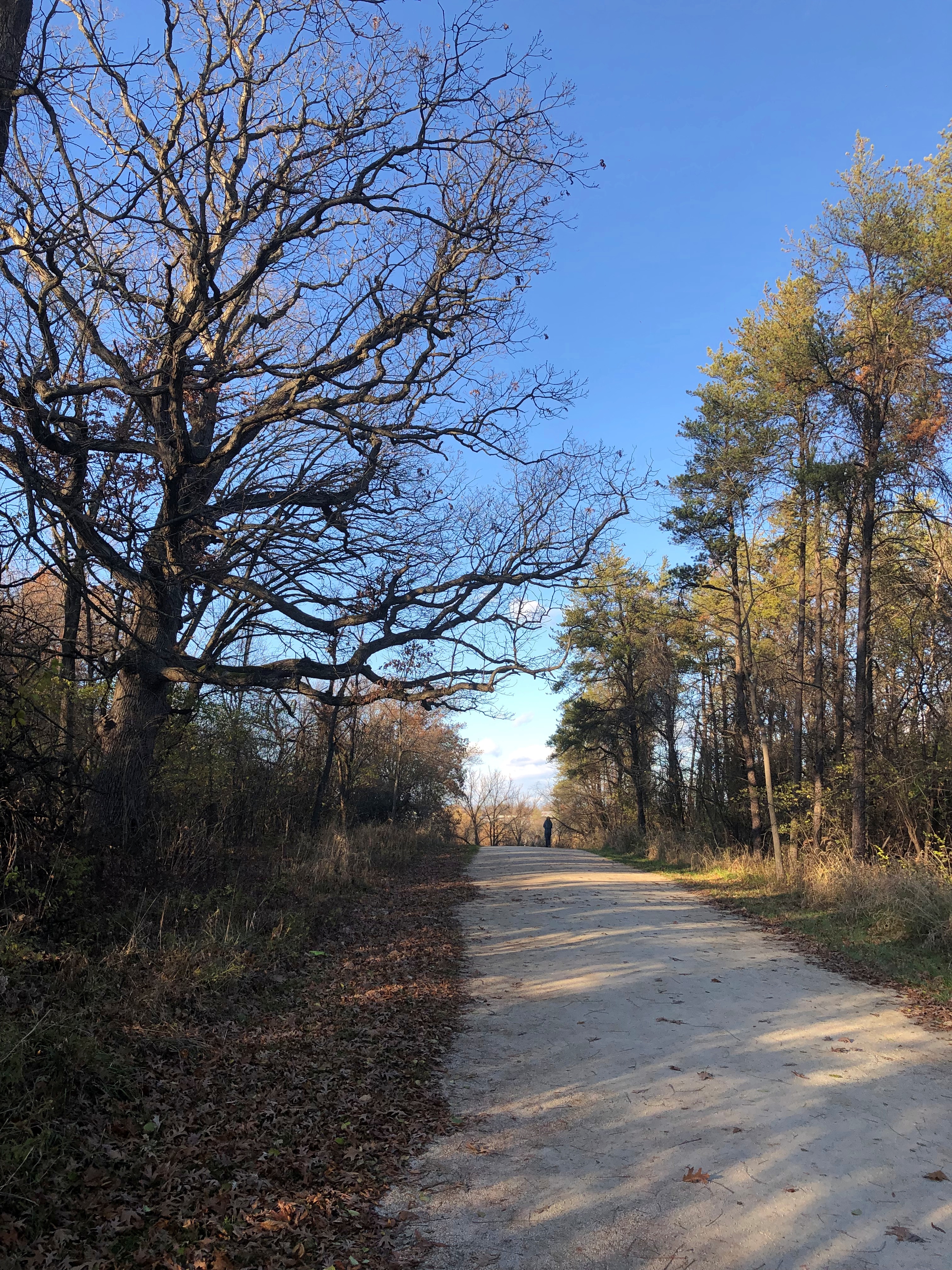
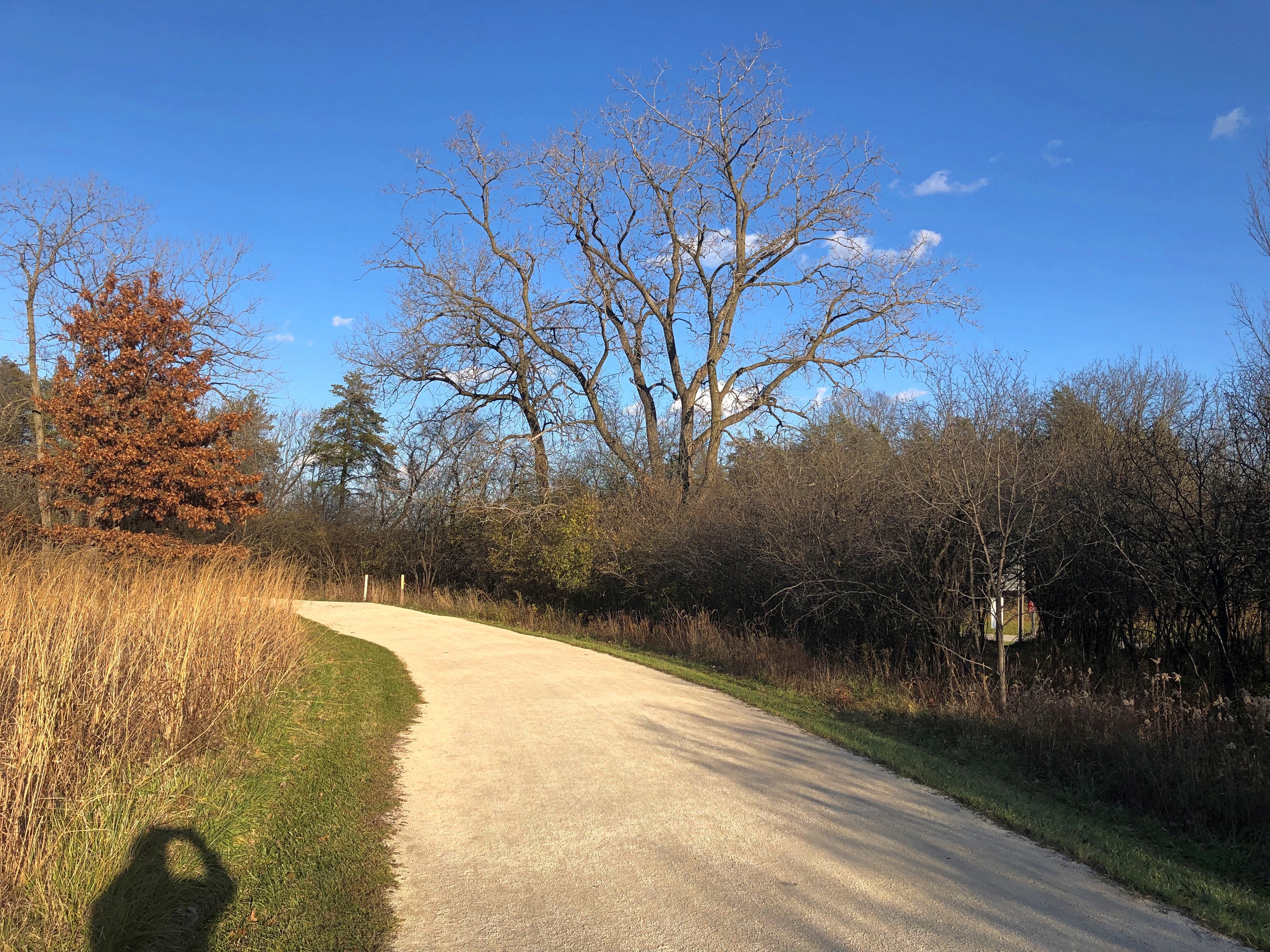
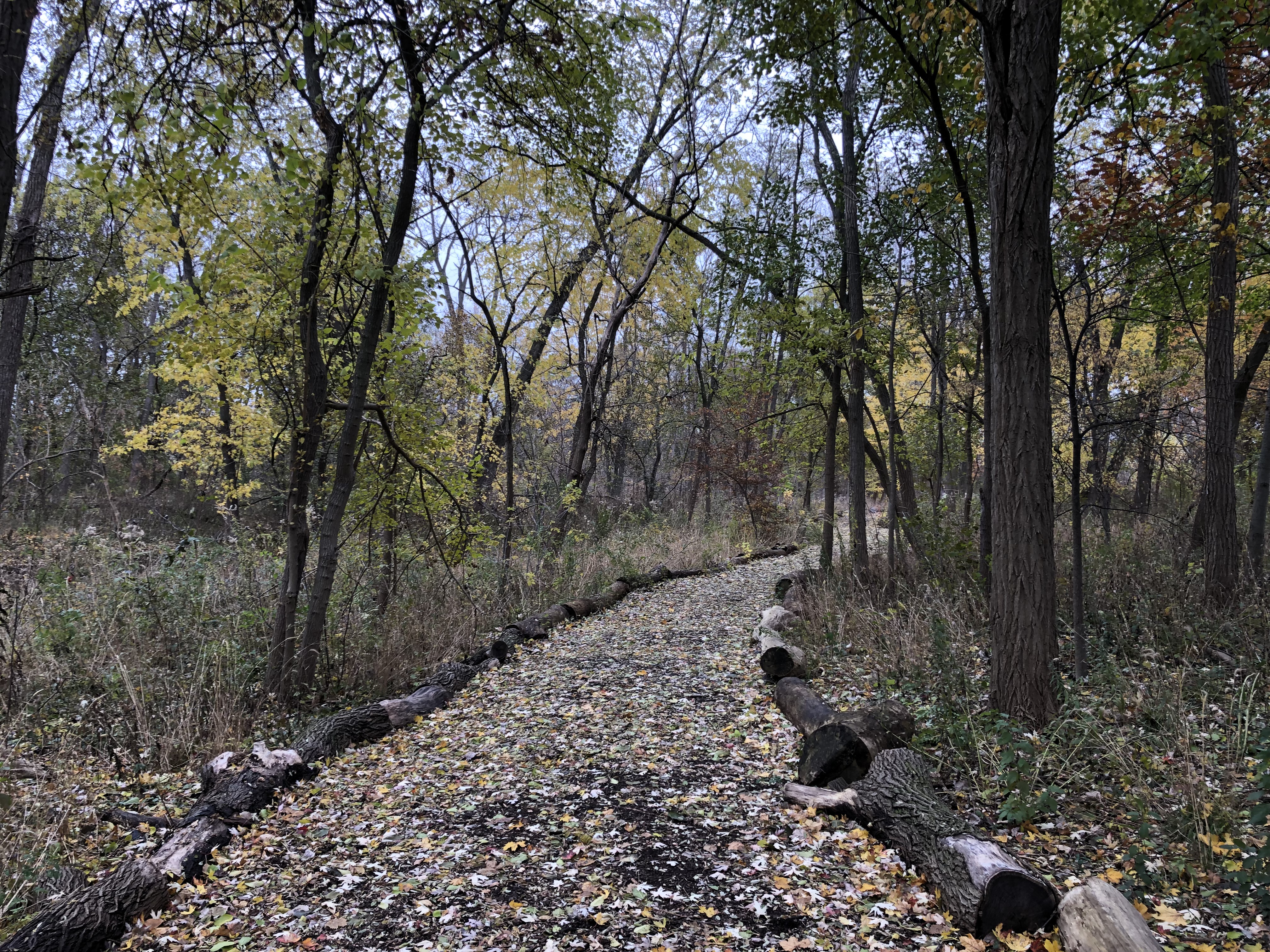
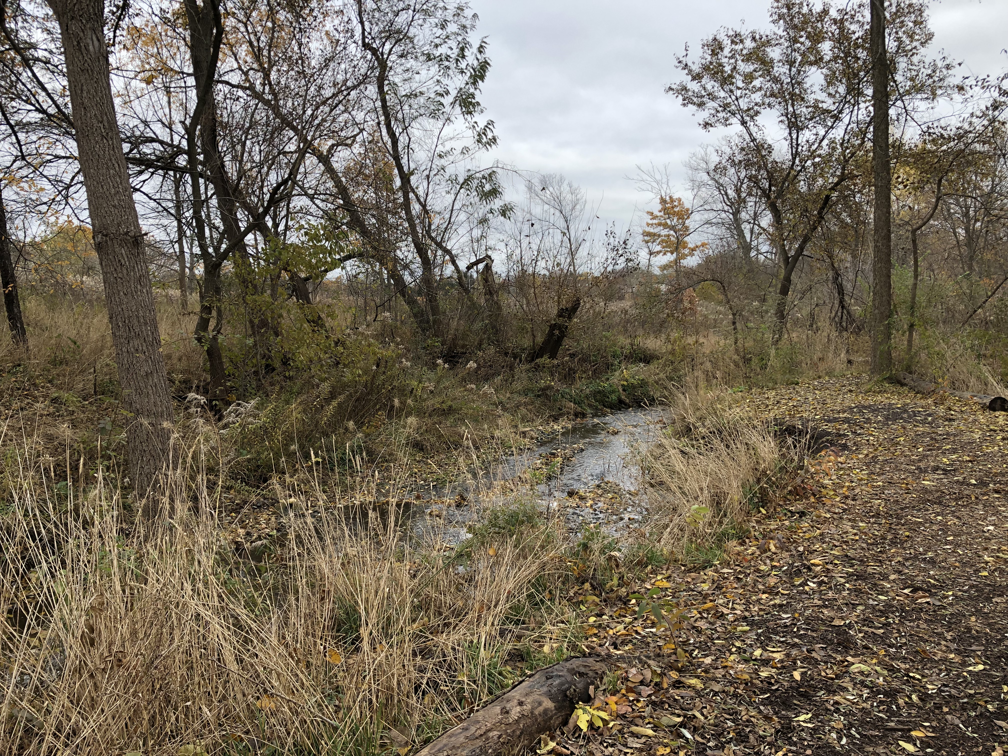
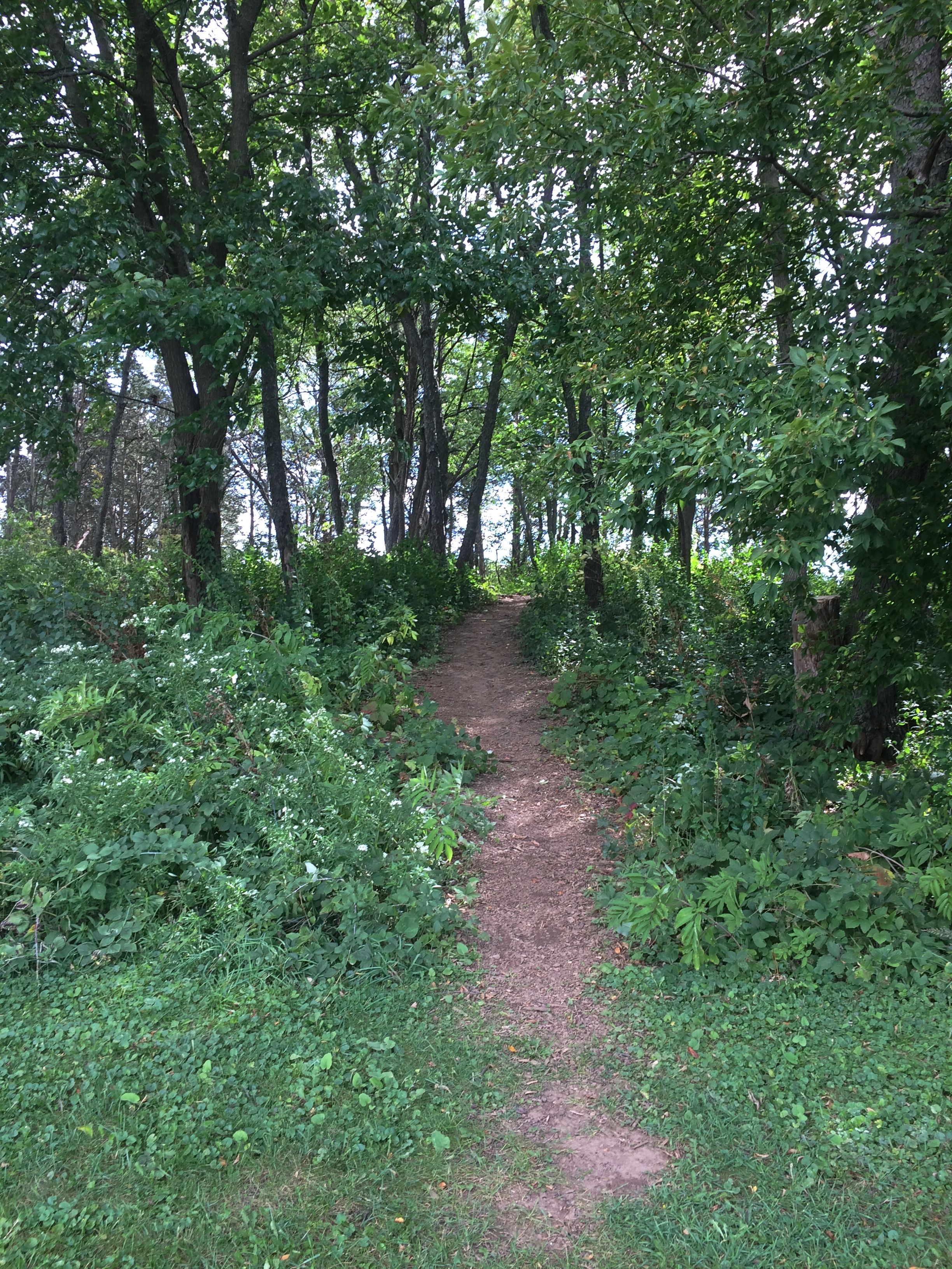
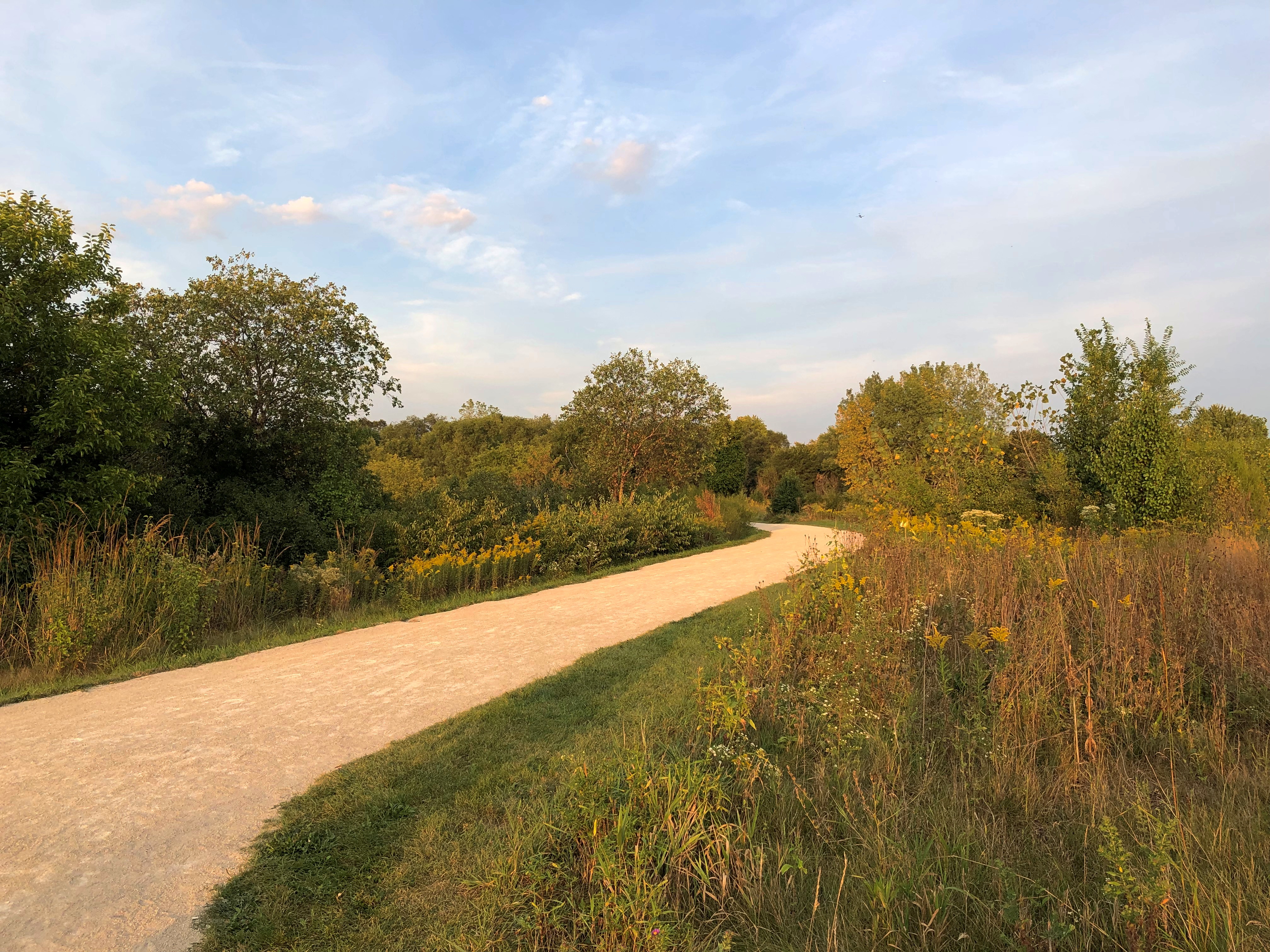
The entrance to Red Gate is on Archer Avenue very near St. James at Sag Bridge. A sign at the edge of the Red Gate parking lot describes how to get to the burial site, so off I went along an unpaved and still somewhat muddy trail. Red Gate WoodsSoon that connects with a paved trail, which made the going easier.
Red Gate Woods
The hills weren’t that steep, but there were slopes along the way.
Red Gate Woods
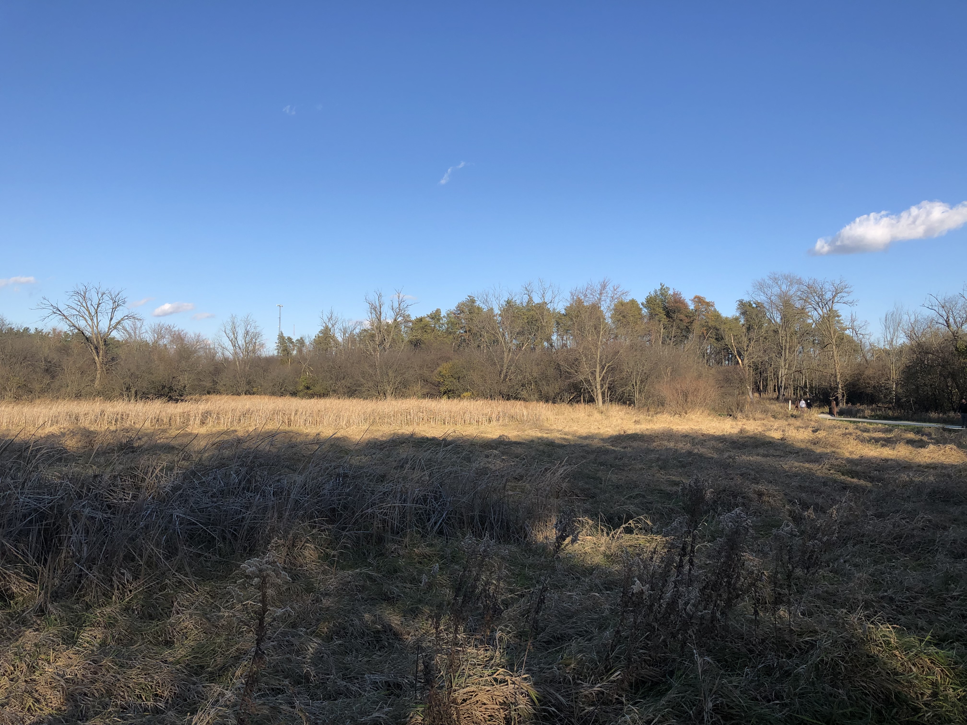
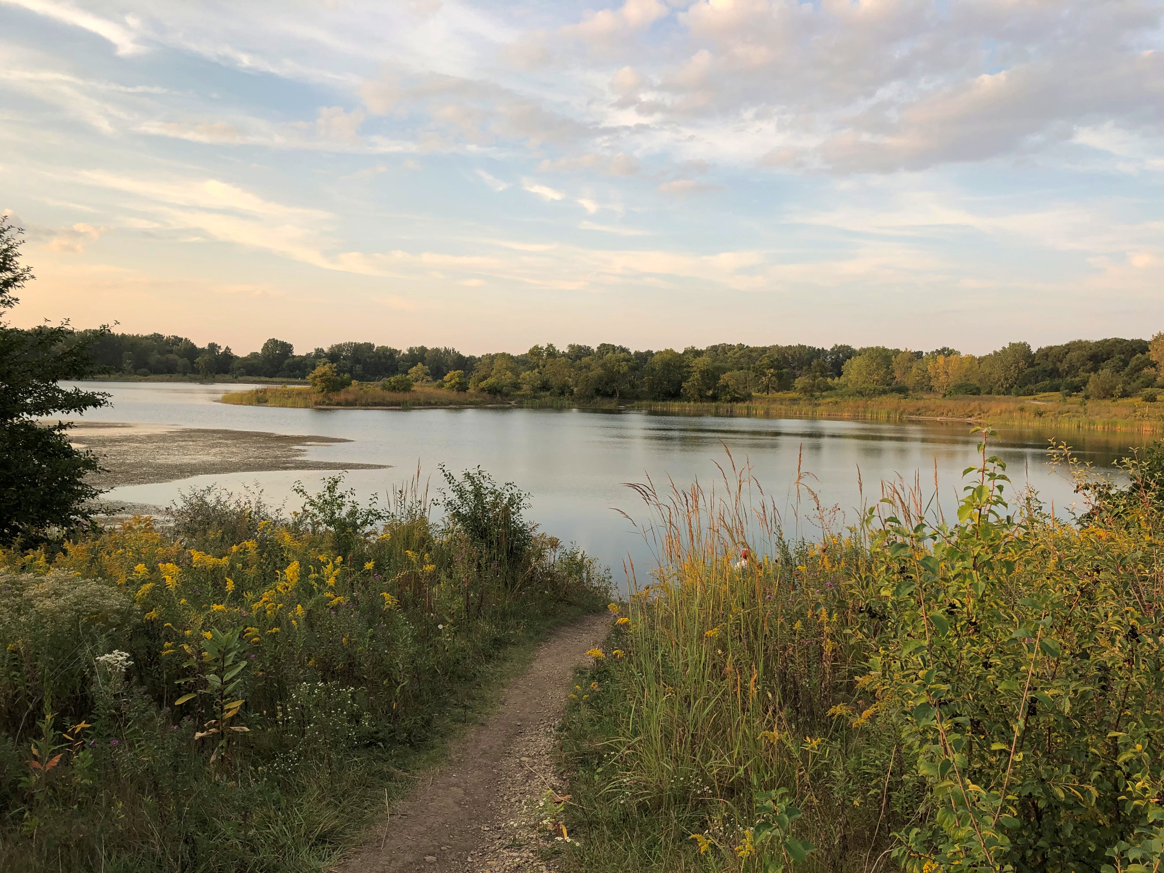
I almost missed the site. It’s actually on a spur off the main trail, out in an open field. It is the open field.
Red Gate Woods
The stone includes some informal editing. Do I believe the area is dangerous? No, I do not. Not to someone who spends five minutes there.
Red Gate Woods
The burial area, the stone says, is marked by six corner markers 100 feet from the stone (presumably, in six directions). So I went looking for one of the markers. It wasn’t hard to find. I spotted most of the rest of them as well.
Red Gate Woods
Saw this as well. A well.
Red Gate Woods
Maybe it is dangerous to dig there, but I couldn’t say for how long. Another century? A thousand years? More? Does Red Gate need a long-time nuclear waste warning? I’m not smart enough to know, but it would be interesting if the forest preserve district installed one.

And turn a few special cats loose in the area. Eh? Mental Floss mentions a plan — who knows how serious — to warn distant posterity of radioactive hazards using specially bred cats.

“But the strangest suggestion by far came from two German linguists. They argued that governments around the world should breed cats that turn colors when exposed to radiation. These so-called ‘ray cats’ could then be immortalized in song and legend, so that even after the scientific knowledge of radiation had been lost to the sands of time, folklore would tell of their supernatural power to change their fur in the presence of extreme danger.”

In song and legend. Someone has already written the song.

St. James at Sag Bridge Catholic Church and Cemetery

Saturday was warm and pleasant, Sunday raw and unpleasant, and today — Ides of March Snow. If Rome had had a few inches that day, Caesar might have stayed home, since the rarity of snow would surely have been a warning not to do any official business. Oh, well.

Except for scattered dirty piles in parking lots, all of the massive February snows had melted by March 14. The March 15 snow will last a few days at most, due to a warming trend predicted for later in the week.

Illinois has a few hills, typically relics of ancient glacial movements. Built on top of one of them, in the village of Lemont, is St. James at Sag Bridge Catholic Church, which got its start in historic times — but still quite a while ago, in the 1830s.

On the slope of the hill is the church cemetery.St. James at Sag Bridge Catholic Church St. James at Sag Bridge Catholic Church St. James at Sag Bridge Catholic Church St. James at Sag Bridge Catholic ChurchOne side of the hill — maybe better to call it a ridge — is quite steep, yet still sports stones.St. James at Sag Bridge Catholic Church St. James at Sag Bridge Catholic Church

The rest of the family had other things to do during the day on Saturday, which as mentioned turned out to be clear and warm, so I headed south for a look around the suburban stretch of Archer Avenue (Illinois 171) between Lemont and the village of Justice.

The urban section of Archer Avenue, “Archey Road,” was the haunt of Mr. Dooley once upon a time, but that’s a matter best left for others to describe (if you feel like paying for access).

In our time, suburban Archer Avenue is a thoroughfare featuring independent and chain restaurants, small office buildings, auto repair shops, liquor stores, churches, schools, municipal facilities, and vast cemeteries. The surrounding forest preserve lands are even larger, the further out you go.

St. James at Sag Bridge is near the junction of Archer Avenue and the north-south Illinois 83, which (to the north) is one of the main transit spines of DuPage County. St. James’ hill also rises near the triple waterways of the Des Plaines River, the manmade Chicago Sanitary and Ship Canal, and an older manmade leftover of the 19th-century canal-building boom, the tiny-by-comparison Illinois & Michigan Canal.

To the south of the church and cemetery is yet another artificial waterway, the early 20th century Calumet Sag Channel, which gives the area its name, Sag Bridge, for a predecessor bridge of the one that now carries 171/83 across the channel. The Calumet Sag connects the Calumet River system with the Sanitary and Ship Canal, which it joins just to the west of the church. It’s a complicated bit of geography that I was only vaguely aware of before I decided to examine this part of Archer Avenue.

Sag? I wondered about that as well. The full name of the canal is the Calumet-Saganashkee Channel. I didn’t know that either, but learning it generated another question, as is often the case. Saganashkee?

Named after a local feature with a modified Indian name, it seems: Saganashkee Slough, which is a lake on forest preserve land in the area.

“A case in point is Saganashkee Slough,” the Chicago Tribune reported in 1994. “It was formerly a huge swamp that extended from west of 104th Avenue to the limits of Blue Island, and its original name, Ausaganashkee, is a Potawatomi Indian word that means ‘slush of the earth,’ wrote former Forest Preserve District general superintendent Cap Sauer in a historical account written in the late 1940s.

“During the construction of the I&M Canal in the 1830s, a feeder ditch was dug in the swamp that helped supply additional water to the canal. The slough was almost destroyed in the 1920s by blasting during the construction of the Cal-Sag Channel. Saganashkee was reconstructed by the forest preserve district, although in much smaller form, Berg said. At 325 acres, it is still, however, one of the largest bodies of water in the district.”
As for St. James, the church was founded to serve workers, mostly Irishmen, who were building the Illinois and Michigan Canal, with the current structure completed in the 1850s. A place to go Sunday morning after Saturday night revels, and sometimes donnybrooks, at least according to Irish stereotypes. I suspect the congregation is a good deal more diverse these days.St. James at Sag Bridge Catholic Church

St. James at Sag Bridge Catholic ChurchIt’s a handsome limestone building, built from material from nearby Lemont-Sag quarries, which provided stone for Holy Name Cathedral in Chicago and the Chicago Water Tower besides. I understand the St. James interior is quite beautiful, but it was locked when I visited.
The Our Lady of the Forest grotto on the grounds was, of course, open for a look.
St. James at Sag Bridge Catholic Church - Our Lady of the Forest
Compared with the church building, the grotto is new, built in 1998 for the for the 165th anniversary of the parish. See grottos when you can.

St. Joseph, Joliet

The iron works in Joliet might be ruins these days, but St. Joseph Catholic Church, one of the city’s major church buildings, still stands on Chicago St. downtown. It’s the second church on the site, built in 1905 to serve Slovenian immigrants, many of whom worked in the local iron and steel mills.
St Joseph Catholic Church, Joliet

By the time we got there on Sunday, masses were over, and it might have been closed in the afternoon even under normal circumstances. Still, we got a good look at the exterior.

“The St. Joseph community includes Slovenian attire and music in its Masses, offers one Mass in Slovenian each month, refers to the Virgin Mary by her Slovenian name of Marija Pomagaj and holds a celebration for St. Nicholas Day, which is a tradition in Slovenia,” Shaw Media reported on the occasion of the parish’s 125th anniversary, including some interior shots.

Charles Wallace, an Irish-born Chicago architect (1871-1949), designed St. Joseph. He apparently did a fair number of churches in the Chicago area during the golden age of church building for large immigrant communities.

Across the street from the church is this building, headquarters of the Slovenian Union of America as well as the Slovenian Women’s Union of America Heritage Museum. The building dates from 1910.Slovenian Union of America / Slovenian Women's Union of America Heritage Museum

Closed, of course. My kind of little museum, though, so we might visit some other time. Might visit Slovenia some other time, too, with any luck. I hear it’s a pleasant place to visit.

Hadley Valley Preserve

On Sunday after leaving the Joliet Iron Works Historic Site, we planned to get takeout at a place in Joliet found via Google Maps, but after driving a few blocks, an old-fashioned technique for finding something to eat kicked in. That is, we saw it ourselves, and stopped on impulse.

Chicken-N-Spice. The place looked good, and it was: crispy fried chicken, warm mashed potatoes and gravy and tender biscuits. It was still a little cool to eat outside, so we found a spot to park and ate in the car.

After lunch we drove to the Kansas-shaped Hadley Valley Preserve, a unit of the Forest Preserve District of Will County.

Not really much of a valley, but the 685-acre preserve is a savanna, according to the FPD: a grassland with scattered tree growth and a mix of shrubs and wildflowers (in season).

Looks that way.Hadley Valley Preserve

Hadley Valley PreserveThe trail makes an oval all the way around. We walked the whole thing counterclockwise, about 2.5 miles, with temps in the mid-50s and sunshine that wasn’t oppressive. Most of the mud had dried up by the time we walked it, unlike last week’s trail.
Hadley Valley Preserve
There were other walkers but also horses and their riders, about a dozen all together at one point or another on the trail.
Hadley Valley Preserve
Rolls of hay. Not as picturesque as possible, but the scattered rolls have some charm.Hadley Valley PreserveSpring Creek runs from east to west through the length of the preserve.
Hadley Valley Preserve
The creek eventually connects with Hickory Creek in Joliet, and from there flows to the Des Plaines River and, of course, the far-off Gulf of Mexico eventually.

Joliet Iron Works Historic Site

For early March, and especially considering the snows and bitter days of February, Sunday felt gloriously warm. Temps were in the mid-50s by the early afternoon, and we needed no further encouragement to go find a place to walk, though it took some driving to get there.

We went south. There are lots of places to see in southern metro Chicago, including the Joliet Iron Works Historic Site.
Joliet Iron Works Historic Site
Industrial ruins, that is. Unfortunately not the towering metal husks you might see in Pittsburgh or Birmingham, Alabama, but worth a look all the same.

A path runs through the ruins about a half mile, roughly parallel to RR tracks to the east, and the Illinois & Michigan Canal to the west, though those aren’t always visible.
Joliet Iron Works Historic Site
Toward the southern end of the site, it’s mostly rubble, and not always much at that.Joliet Iron Works Historic Site Joliet Iron Works Historic Site Joliet Iron Works Historic SiteFurther north, there are the stubs of the sizable structures that used to be there.Joliet Iron Works Historic Site Joliet Iron Works Historic Site Joliet Iron Works Historic Site

Including some dark holes.
Joliet Iron Works Historic Site
This pit is the foundation of a once mighty, and mighty dangerous, blast furnace.
Joliet Iron Works Historic Site
Once I was reminded of some of the images of Knossos that I’ve seen. Like this one.Joliet Iron Works Historic Site
“The factory opened in 1869 and was a massive facility for the time….” notes Atlas Obscura. “Employing four huge blast furnaces and a few thousand employees, the metal works produced around 2,000 tons of raw pig iron each day.”

Not sure where that figure came from. On site, one of the signs said that soon after the plant opened, the total was 50 tons of pig iron a day. By 1910, production was 400 tons a day.

“The plant kept putting out metals until 1936 when it closed for a short time before being reopened [for the war effort]. However, its new life was not to last that long either, as the works became unprofitable and were abandoned in the 1980s.”

Surprisingly little graffiti marks the ruins, though there are places where it’s clear it has been painted over. Such as here.
Joliet Iron Works Historic Site
But new graffiti is probably added regularly.
Joliet Iron Works Historic Site
The Forest Preserve District of Will County acquired the site in the 1990s, and stabilization efforts have been enough to allow it to be open to the public. Parts of the site, anyway.
Joliet Iron Works Historic Site
You can’t say you haven’t been warned.

Arlington Cemetery & Elm Lawn Memorial Park

Due south of Mount Emblem Cemetery are twin burial grounds, Arlington Cemetery and Elm Lawn Memorial Park, also in Elmhurst, Illinois. On Saturday I headed south from Mount Emblem along County Line Road, fully intending to find an entrance to I-290 and proceed home, but I noticed the two cemeteries before I got that far.

I’ve been driving by those cemeteries for years, seeing them from the highway, not realizing they were distinct and never getting around to seeing them any closer. Though the afternoon was getting chillier and patches of snow still covered the ground, I figured I’d take a look.

These images are of Arlington Cemetery, which is to the east.
Arlington Cemetery Elmhurst Illinois
These are of Elm Lawn, to the west.
Elm Lawn Cemetery Elmhurst Illinois
A better aesthetic than Mount Emblem, which is say more standing stones, and the cemeteries ought to be nice in the spring and summer. It’s hard to tell in the winter whether these concerns, of some years ago, have been addressed.

As a casual visitor, there was no difference between the two. No fence or other demarcation. I noticed that the Arlington office building was permanently closed, with a sign referring visitors to go to the Elm Lawn office a few hundred feet away. Indeed, according to the cemetery’s web site, the two have been combined under single ownership for more than 25 years.

The permanent residents probably don’t care about any of that. If they do, they’re keeping quiet.
Elm Lawn Cemetery Elmhurst Illinois
A small section of Elm Lawn (I think) that I drove by is designated the Valley of Peace Shia Cemetery, which must be fairly new. Considering the demographics of the northwest suburbs, that’s thinking ahead on the part of cemetery ownership.

Mount Emblem Cemetery

A cemetery with most of its memorials flush to the ground — a mid-century notion that hopefully has faded — looks like a snow-covered field in winter. That can be nice, but it doesn’t say cemetery, and the added beauty of stones in the snow, rather than under it, is missing.

There were stones in the snow at the Elk Grove Cemetery in January 2010.
Elk Grove Cemetery 2010
Mount Emblem Cemetery in Elmhurst, Illinois, has all the ingredients to be a striking cemetery except standing stones. So on Saturday, I saw mainly this kind of scene.
Mount Emblem Cemetery
With a few reminders that loved ones are memorized somewhere under there.
Mount Emblem Cemetery
There are a few structures that won’t be denied their place in the pale winter sun.
Mount Emblem Cemetery
Mount Emblem has, however, one thing unique in any cemetery I’ve been to, or know about: a Dutch-style windmill.
Mount Emblem Cemetery
It’s the Fischer Windmill, built in the mid-19th century, long before the cemetery was established.

“The windmill was built sometime between 1849 and 1865 by Henry Fischer, after he inherited part of the family farm from his father, Frederick L. Fischer, one of the original settlers in the county,” the Chicago Tribune reported in 1995. “It took two hired millwrights about three years to build it, including six months to fashion the main cogwheel.

“The main framework of the windmill is cypress, and it rests on a stone foundation. It features hand-hewn shafts and gearing of white oak and hickory… The mill ground wheat and corn for local farmers until the demand declined after the turn of the century.”

The cemetery association bought it in 1925 and, according to the Trib, installed chimes. I didn’t hear any chimes, but I did notice two loudspeakers mounted on the structure.

Cricket Creek Forest Preserve

Saturday wasn’t exactly warm, but it was above freezing, sunny and mostly windless, which had been true for some days before that. So we figured forest preserve paths might be clear of ice at least. We were mostly right, but not completely.
Cricket Creek Forest Preserve
That’s at the north entrance of Cricket Creek Forest Preserve in Addison, which generally follows Salt Creek as it meanders through DuPage County. The Salt Creek Trail runs through the 208-acre forest preserve.

The map depicts only the northern section of Cricket Creek. Further south are two more ponds, including one reserved for model boat sailing.

“The land was prairie until the late 1930s, when it started to transform into agricultural fields dotted with homes,” the DuPage County FPD says. “The Forest Preserve District acquired the first 40 acres in 1974 and made subsequent purchases through 2016, eventually transforming a flood-prone housing development into a beautiful forest preserve.”

The trails are crushed limestone.
Cricket Creek Forest Preserve
The photos don’t really show it, but underfoot on the path was a crushed limestone slush, making for occasionally sicky mud. Better than ice, I’d say.
Cricket Creek Forest Preserve
We made it most of the way around the pond, until we came to patches of unmelted snow and ice.
Cricket Creek Forest Preserve
So we turned around and went to the other side of the pond, essentially doing a U-shape partly around the pond. Not the most idyllic walk, but walking ought to be an all-season activity, including winter — mild winter days, that is.

(Very) Local Snow Scenes

After shoveling snow yesterday, I went around outside the house and took pictures. It looks like you’d expect.

Out the back, looking southwest and then south.A lot of damned snow


Nothing we haven’t seen before, but still impressive.

Our driveway.

The plume of snow over our neighbor’s fence is the result of him using his snow blower on his backyard patio. I partially dug out my car, in case I had to go somewhere during the day. I didn’t, so it remains mostly covered.

The view down the driveway to the street, looking north.

Like ours, almost all of the other driveways on the block are still covered a half-inch or so of snow. But yesterday afternoon I spotted one near neighbor using a leaf blower to try to clear that last coat of snow. Whatever, buddy.

Front yard, looking west. Life goes on. It isn’t fully visible in the picture, but the person in blue down the street was walking her dog.

The ridge of snow is next to the driveway. Considerable effort has gone into building it, including our shoveling and then snowfall. It comes up to about my mid-chest.

Now what we need is a string of sunny days just above freezing to slowly wear down the piles. A long string. Not a few really warm days in March marked by rain.

Torches Light the Western Sky

Gorgeous sunset today, this early February day in northern Illinois. Much more so for my eyes than a mere photograph indicates. More brilliant pink was mixed in than in this unadjusted shot, for instance.
But I can play with the photographic image, something I can’t do with my eyes. This strikes me as a bit closer to what I saw.
I didn’t see this, but monochrome does bring out some textures.
Luckily I didn’t see it this way, as if a nuclear device has gone off in the distance.
So eyes are the thing. That’s (one) reason to continue to send people into space. No matter how good the mechanical images are — and some are astonishing — that isn’t the same as human eyes beholding a sight.