As a kid, that is as a kid in the late ’60s and early ’70s, I took an unusual interest in WWI. My grandfather, my mother’s father, had been with U.S. Army Corps of Engineers in France, but it was more than that, since he was gone by the time I could remember, and I only heard bits and pieces about his service from family members who knew him. Some of his gear was still around, such as a bent-up canteen and some binoculars, and a panoramic photo of his regiment, but that was about it.
My interest was more likely sparked by The American Heritage History of World War I, a book we had around the house, along with the Civil War and WWII titles by the same publisher. The WWI volume, a weighty tome lavishly illustrated, had such chapter headings as When the Lights Went Out, Appointment at the Marne, Deadlock, Ordeal of Nations, Crisis in the Allied Camp, Enter the Yanks and Eleventh Hour. I spent quality time with that book.
Just as important, there was a companion record to go with the book: World War I, Historic Music and Voices. I listened to it many times, fascinated by the music and voices from an age that seemed to have nothing to do with the time and place I found myself. That was an illusion of youth. Growing up in the 20th century meant you were in the shadow of that war, know it or not. I’d argue that’s still true. Anyway, I ended up knowing such songs as “Over There,” “It’s a Long Way to Tipperary,” “Keep the Home Fires Burning,” and even “K-K-K-Katy.” all of which were mostly unknown to my contemporaries.
I’m glad to report that the record is available on line. The narrator, Charles Collingwood, had just the right earnest, commanding voice for the record. It was years before I knew anything else about him – his time covering WWII for radio, especially, but also as a TV journalist for CBS.
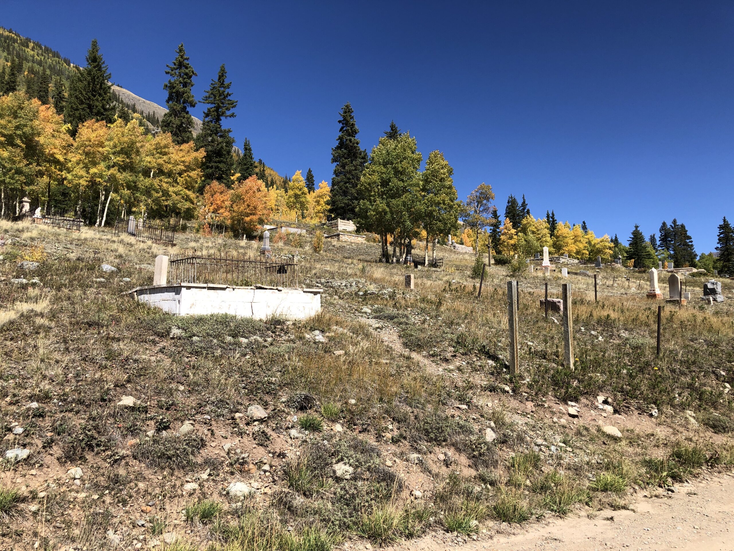
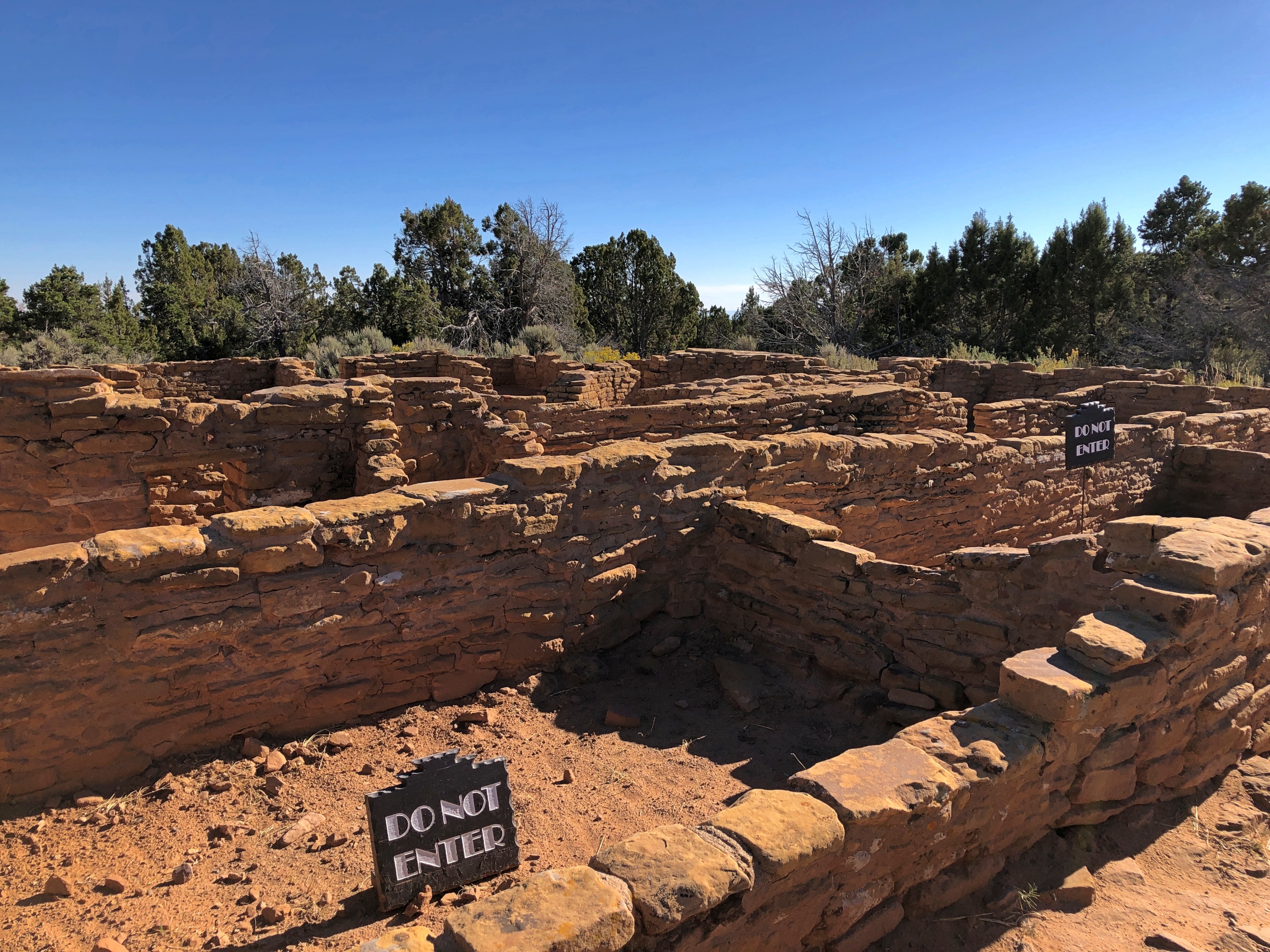
Like many boyhood interests, WWI carried over into adulthood, faded but never quite gone. I knew, for instance, of the shameful neglect when it came to memorializing the war in the U.S., especially in Washington, DC. The first time I ever visited the National Mall, in 1982, I noticed a (relatively) small memorial, the District of Columbia War Memorial, off to the side at some distance, forlorn and badly aged, though I understand it was finally renovated in the 2010s. The memorial honors the “residents and citizens” of DC who performed military service in the Great War.
There was nothing else in the nation’s capital to honor anyone else in that war, not until National World War I Memorial was completed last year, and even it isn’t on the National Mall.
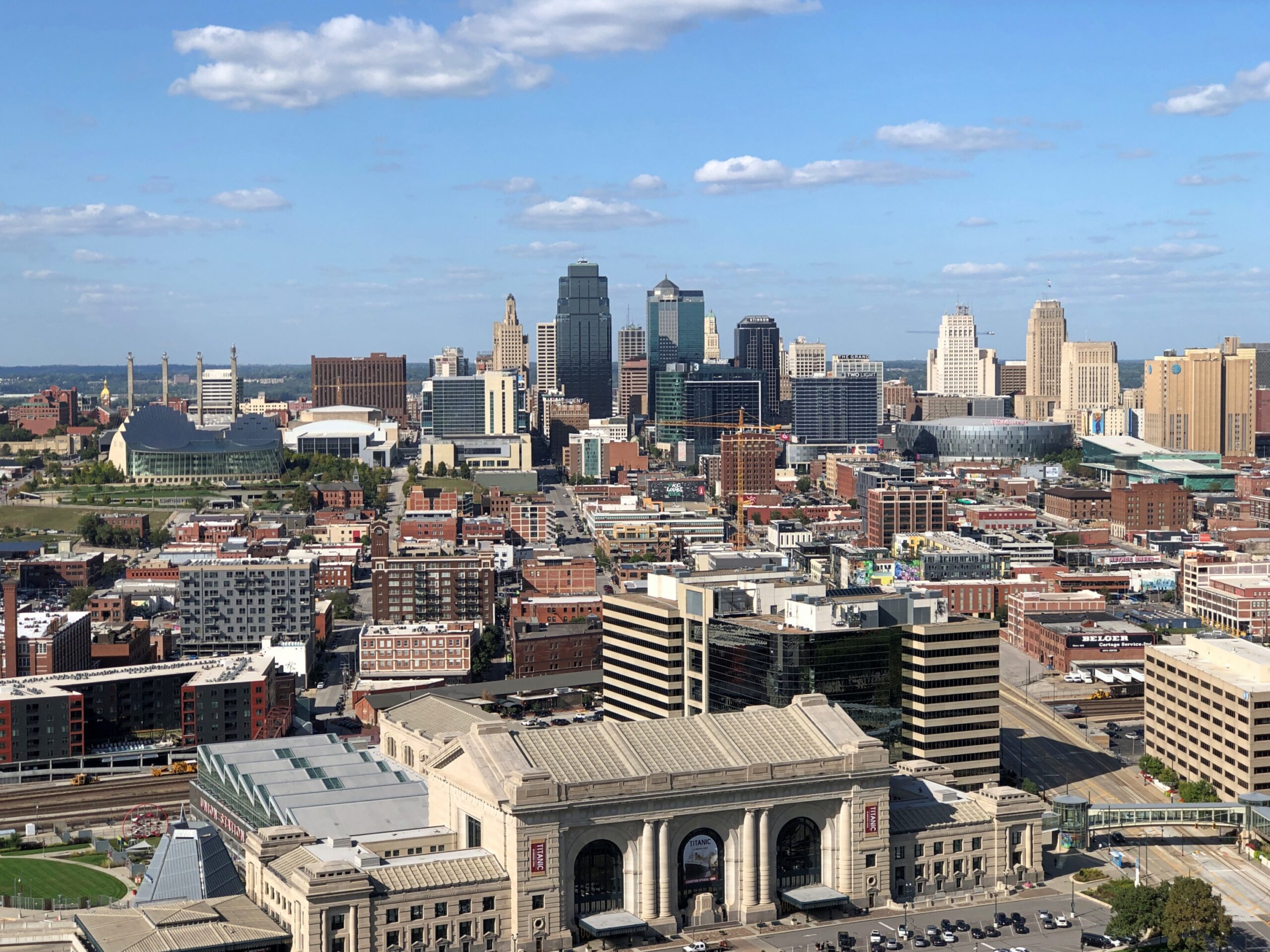
I haven’t seen the new DC memorial, though I’m sure it’s a worthwhile effort. Still, for a memorial really worthy of the event, go to Kansas City, Missouri.

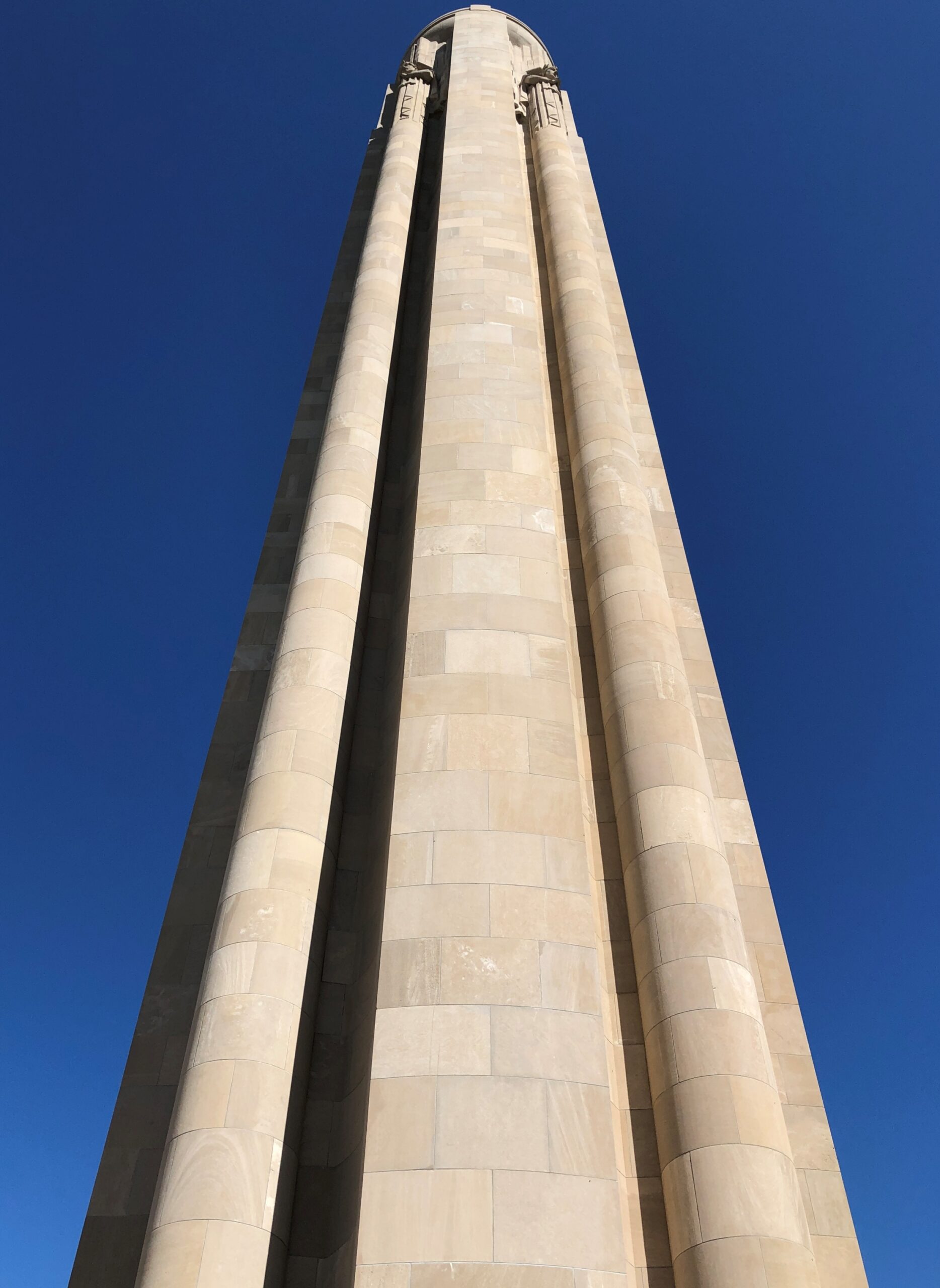
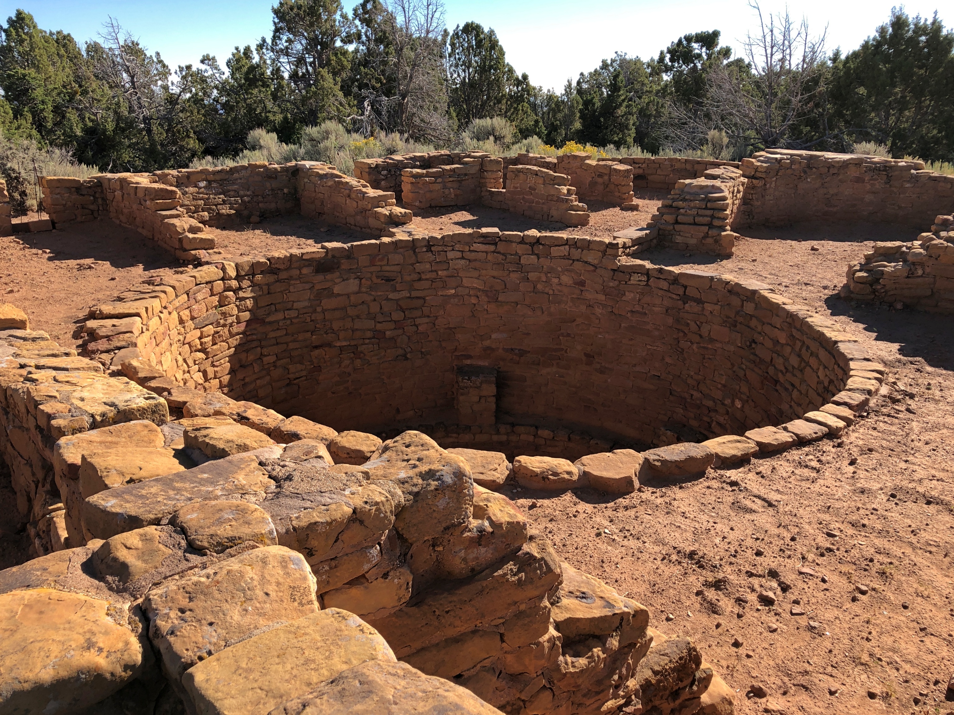
The National World War I Museum and Memorial started as a local memorial soon after the war ended. Long enough ago that Vice President Coolidge was at the groundbreaking, as was Gen. Pershing and a number of other Allied military luminaries. Local, perhaps, but with the heft of a national memorial, designed by Harold Van Buren Magonigle, who was known for his memorial work.
Magonigle’s limestone tower soars.
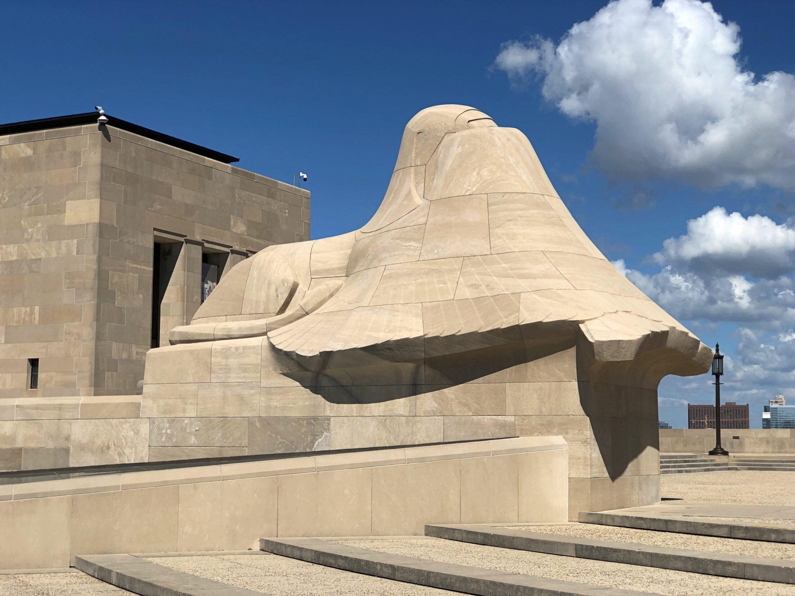
Sphinxes crouch near the shaft, supposedly covering their eyes from the horrors of war.
Naturally the memorial went through a period of neglect, and the museum came later, as the site evolved from a local to a national memorial, finally acknowledged as such by Congress in 2004. I’m glad to report that now the memorial stands renewed, and the museum, built under the memorial, is first rate. Beginning at the entrance: One enters the museum over a glass bridge that crosses a field of 9,000 red poppies, each representing 1,000 combatant deaths during the war.
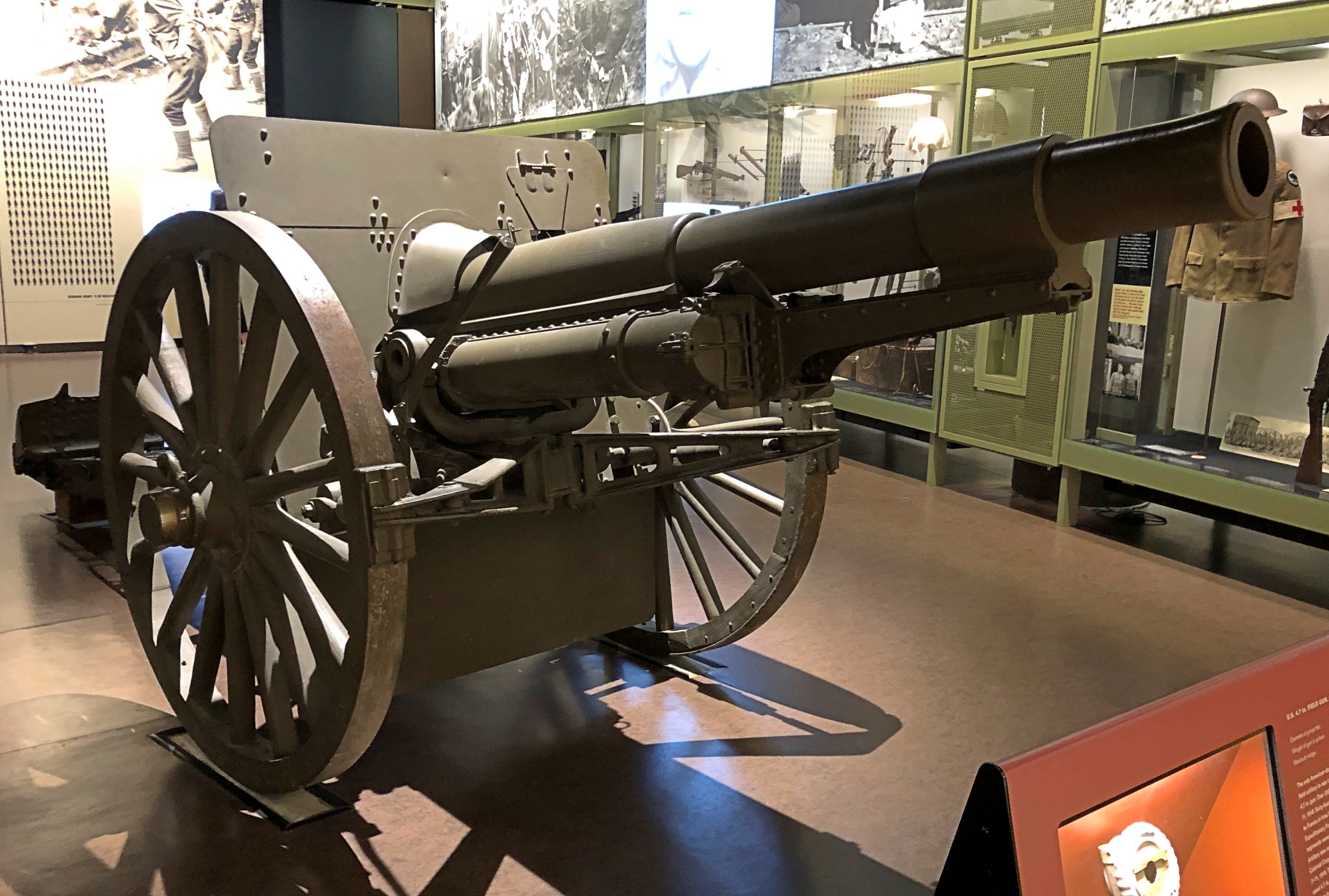
As usual with any good museum, there is more than you can absorb in one go, organized in two wings: the war before U.S. entry, and after. All together, it holds more than 350,000 items, a collection comparable with the likes of the Imperial War Museum or the Musée de la Grande Guerre du pays de Meaux.
The museum’s scope is wide ranging as well, including not just the U.S. part, but perspectives and memories from people from all of the major participating nations, and some smaller ones. There was even a small display, including a map that explained things well, about the Japanese participation in the war. Japan joined the Allied side early in the game, taking the opportunity to kick the Germans out of China and seize Germany’s scattered possessions in the Pacific. A low cost, high-gain exercise for Japan, unlike the next war in the Pacific.
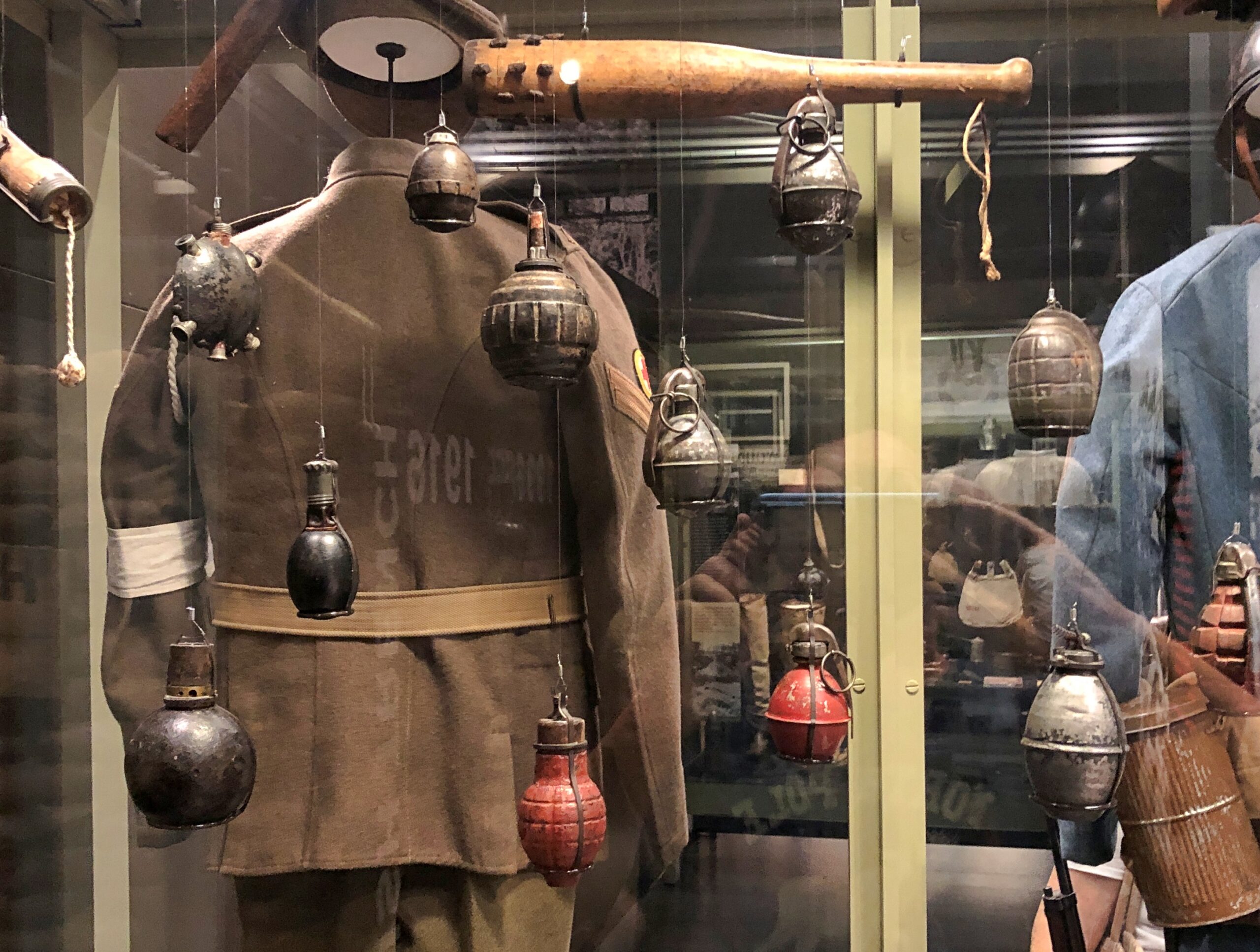
Artifacts were large and small.
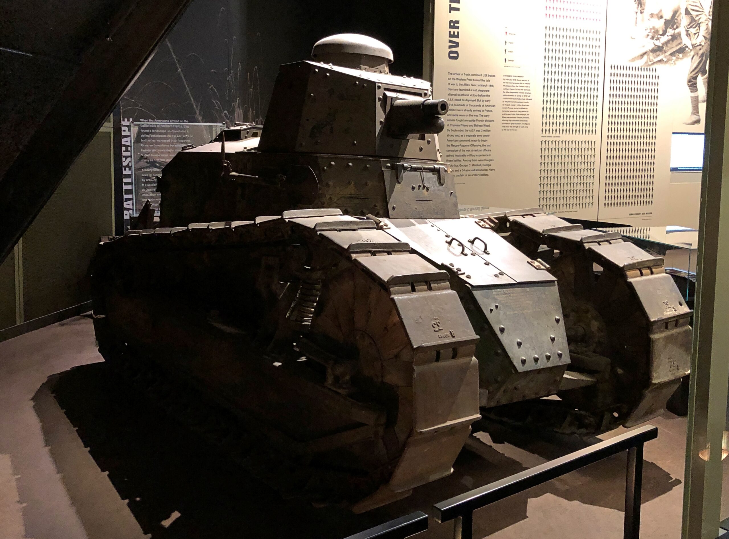
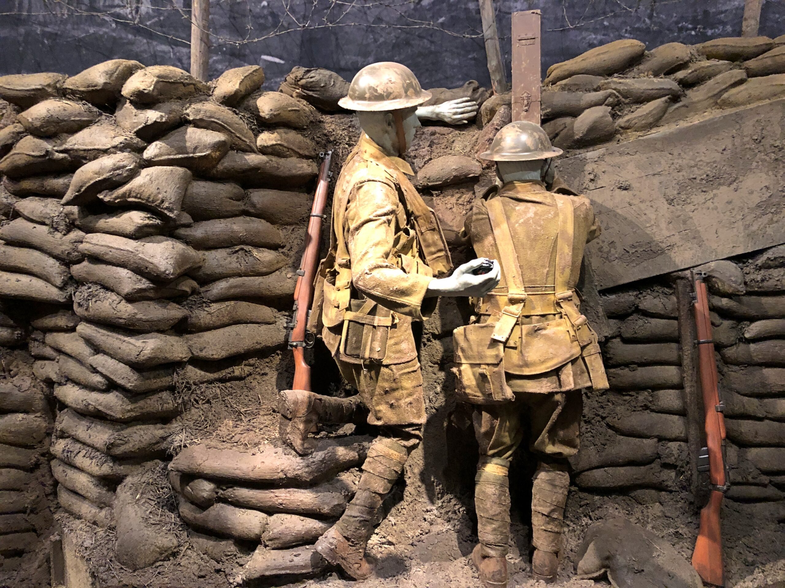
There are only a few life-sized dioramas – there are more to be found at the National WWII Museum in New Orleans – but the WWI museum did a good job of it.
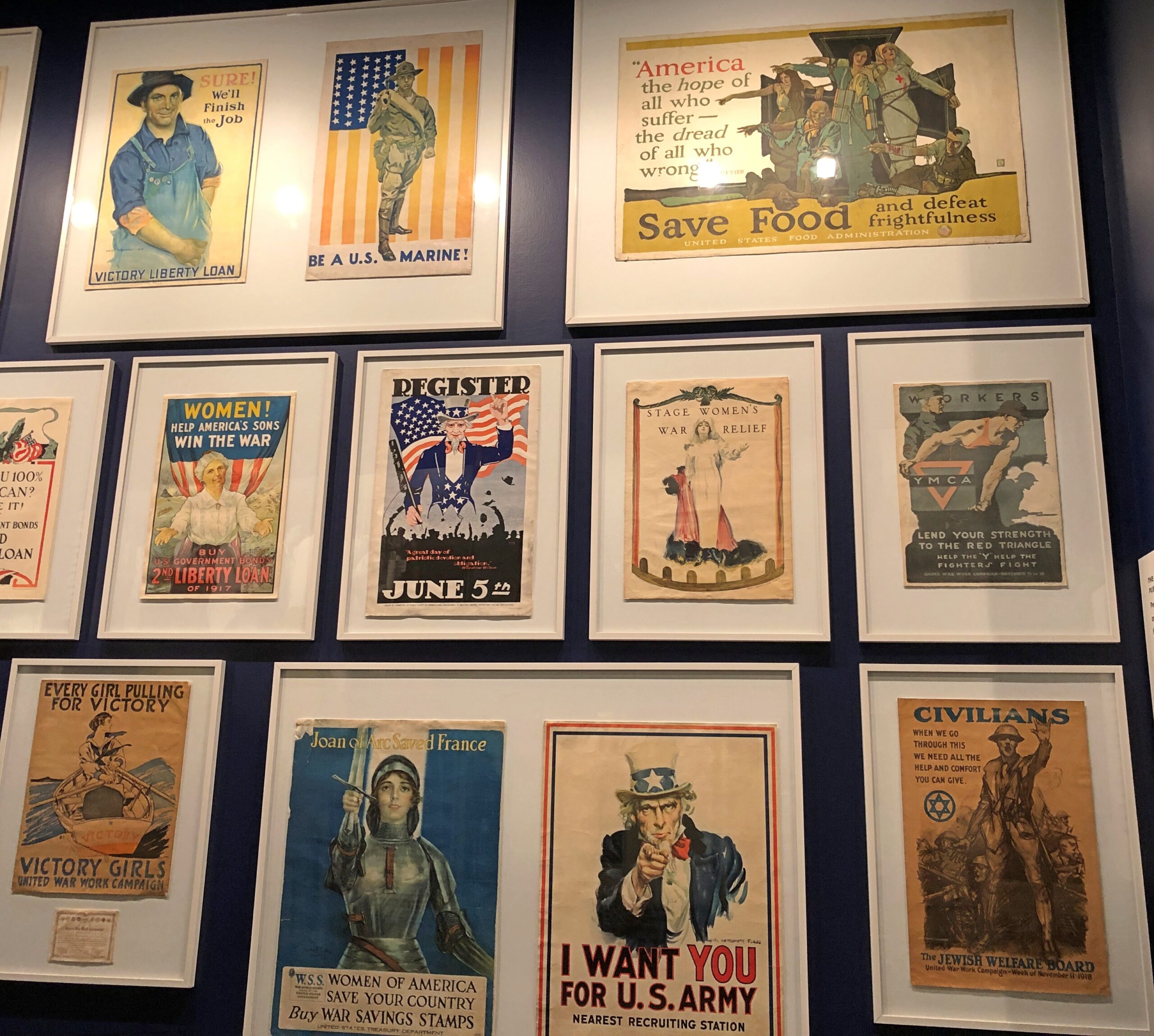
I was particularly taken with the posters. I’d never seen most of them.
The 10 Whiz Bangs, even though there are only nine names listed. Then I realized that, at least symbolically and maybe literally, the 10th man hadn’t made it home, like so many.
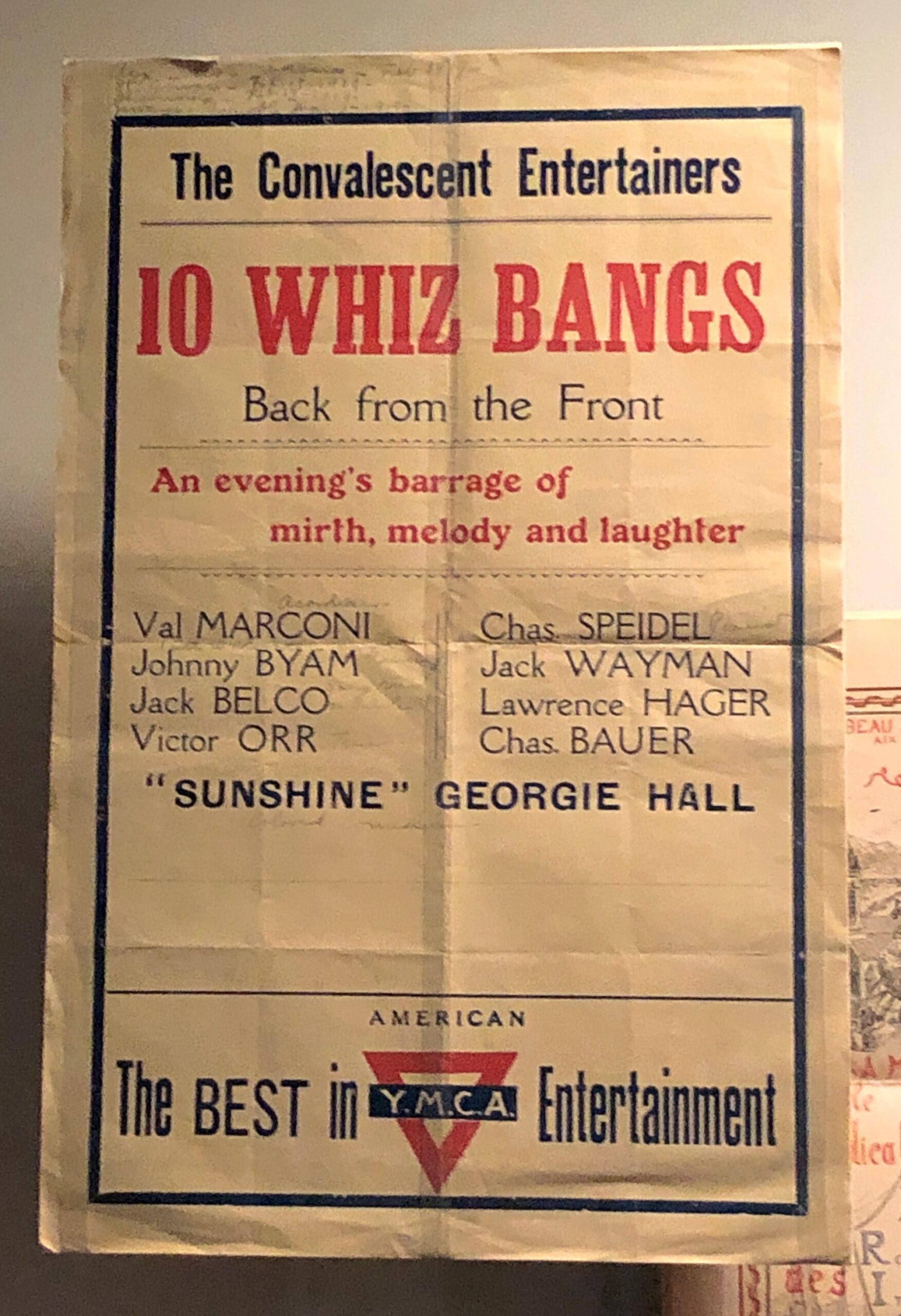
Remarkably, you can listen to an article about the Whiz Bangs (in the Whiz Bangs Articles).
After visiting the museum, the thing to do is take the elevator to the top of the memorial, for a modest extra fee. Elevator, then iron circular stairs, actually, for an excellent view of downtown Kansas City.


