Ottawa Sights (Not the One in Canada)

We arrived in Ottawa, Illinois, on Saturday in time for lunch. We decided on carry-out from Thai Cafe on Columbus St., which seems to be the only Thai joint in town. At a population of 18,000 or so, maybe that’s all Ottawa can support.

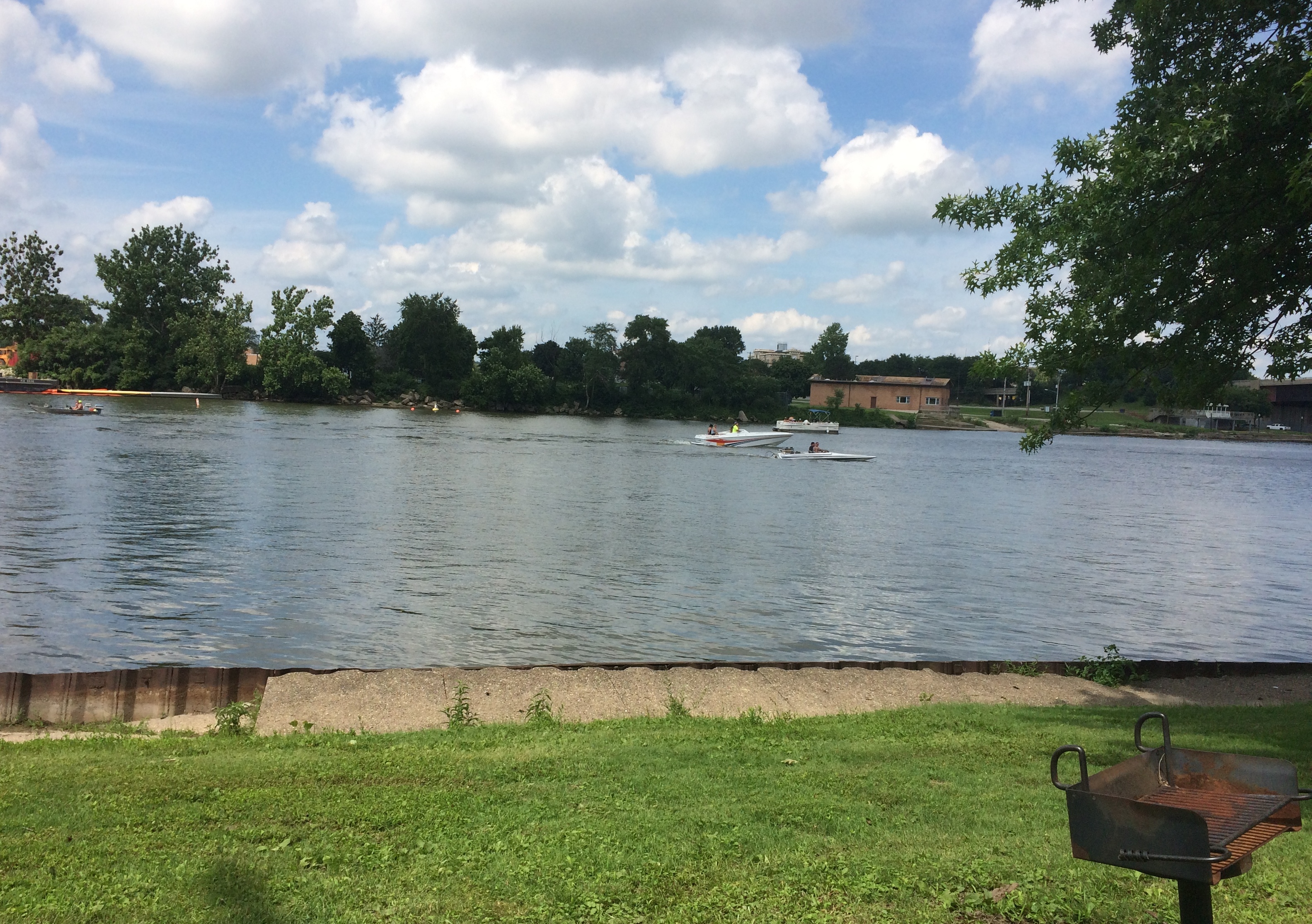
We took our food to Allen Park, a municipal park on the south bank of the Illinois, and found a picnic shelter. The river’s large and on a weekend in July, home to a lot of pleasure craft.
Ottawa Illinois 2020Sometimes, the river must be angry, such as on April 19, 2013. Got a lot of rain in northern Illinois about then, so I believe it.

Ottawa Illinois High Water MarkDownstream a bit is the Ottawa Rail Bridge, which rates a page in Wikipedia. The current bridge dates from 1898, though it was modified in 1932.
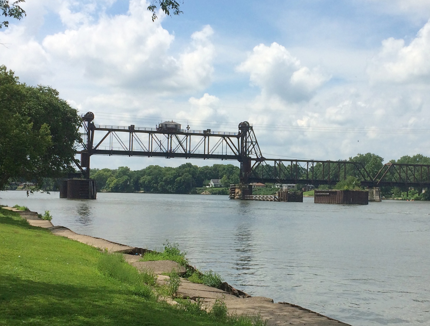
Ottawa Illinois Rail Bridge

Two large metal sculptures rise in the park, both by Mary Meinz Fanning. The red one is “Bending.”
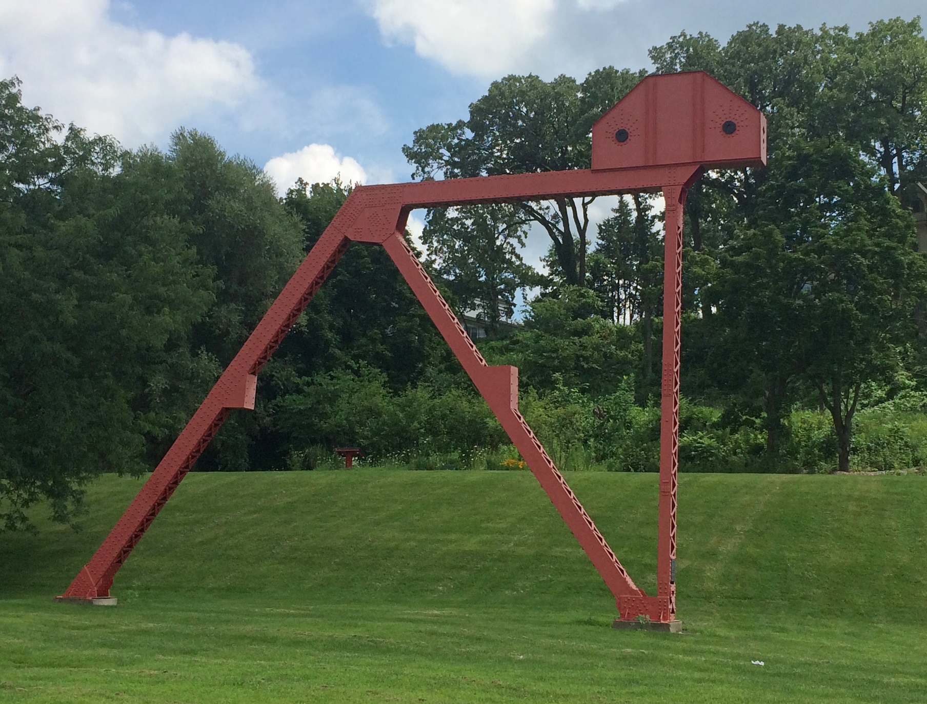
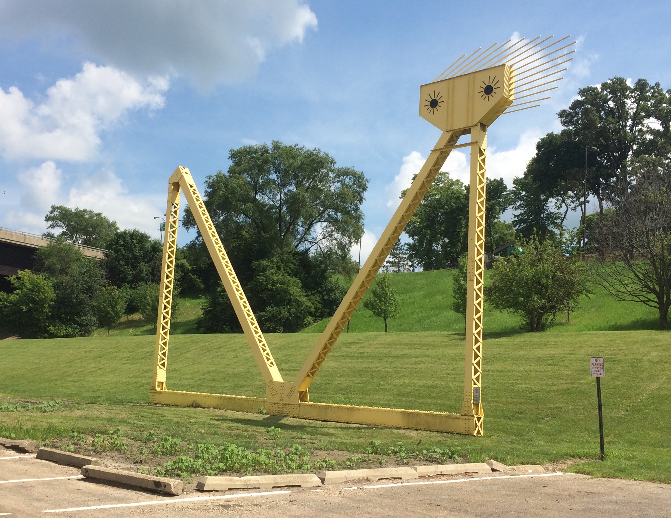
Ottawa Illinois BendingThe yellow one is “Reclining.”
Ottawa Illinois Reclining“Fanning was the driving force behind the creation of the red and yellow steel sculptures at Allen Park by the Illinois River in Ottawa,” says a 2010 article in The Times, which seems to be a local paper.

“The 40-foot-tall sculptures, which weigh 17 tons each, were erected in 1982 and 1983 from parts of the 1933-built steel girder Hilliard Bridge that was demolished in 1982 to make way for the present-day Veterans Memorial Bridge. Fanning died of illness Nov. 4, 1995, in Ottawa at age 48.”

Just as you enter the park, you also see a wooden sculpture: one of artist Peter Toth’s “Whispering Giants,” which I’d forgotten I’d heard of till I looked him up again. The one in Allen Park is Ho-Ma-Sjah-Nah-Zhee-Ga or, more ordinarily, No. 61.

Looked familiar. I realized I’ve seen one before —
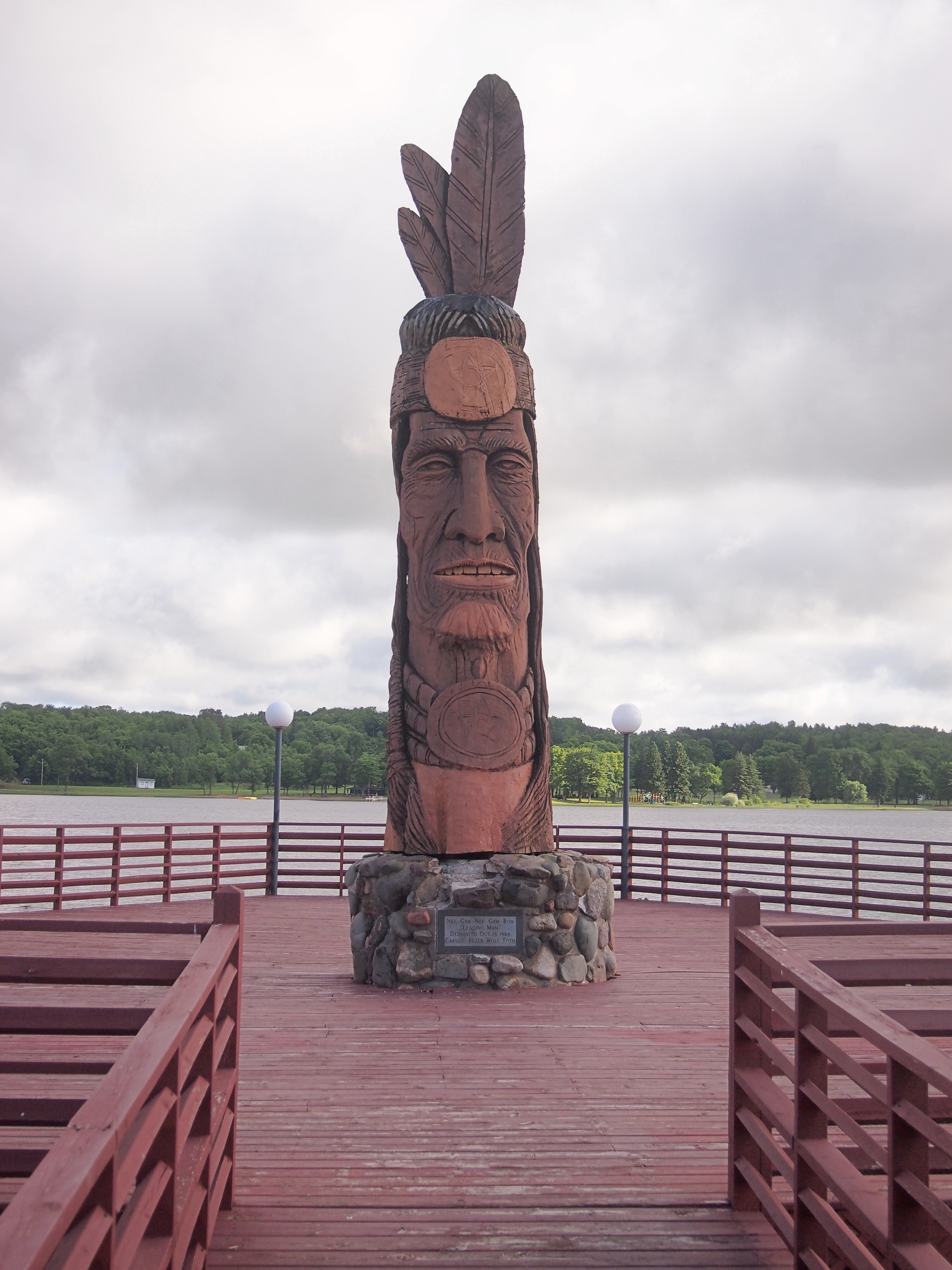
Nee-Gaw-Nee-Gaw-Bow That one is Nee-Gaw-Nee-Gaw-Bow or No. 59, and we saw it by chance in Wakefield, Mich. about three years ago. Apparently the artist has put up at least one in each state.

Ottawa has a place in U.S. history mainly for two things. One that the town is happy to celebrate: the first Lincoln-Douglas debate in 1858. The other is the awful story of the Radium Girls, poisoned by luminous paint at a clock factory in Ottawa in the early 20th century. For a long time, there was no public acknowledgment of that incident. Now there is. But I didn’t know the Radium Girls have a statue in town (since 2011), so we missed that.

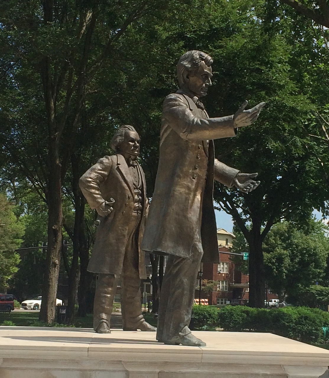
We didn’t miss the site of the Lincoln-Douglas debate, which is in the shady, square-block Washington Park.
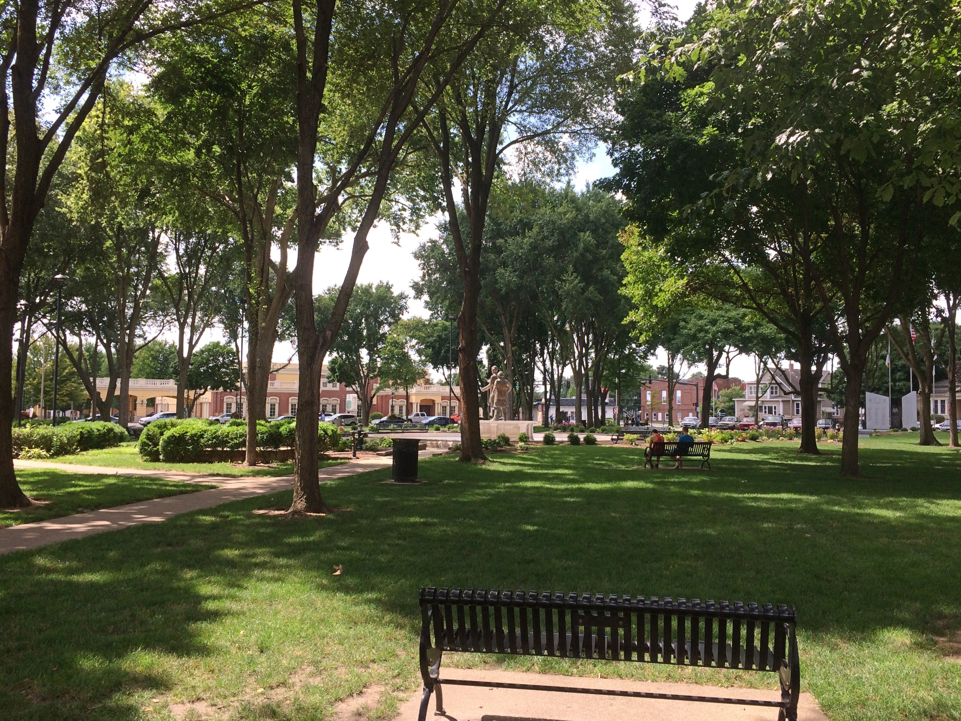
Ottawa Illinois Washington ParkLincoln and Douglas are there as part of a fountain to memorialize the event. They were cast in bronze in 2002 by Rebecca Childers Caleel.
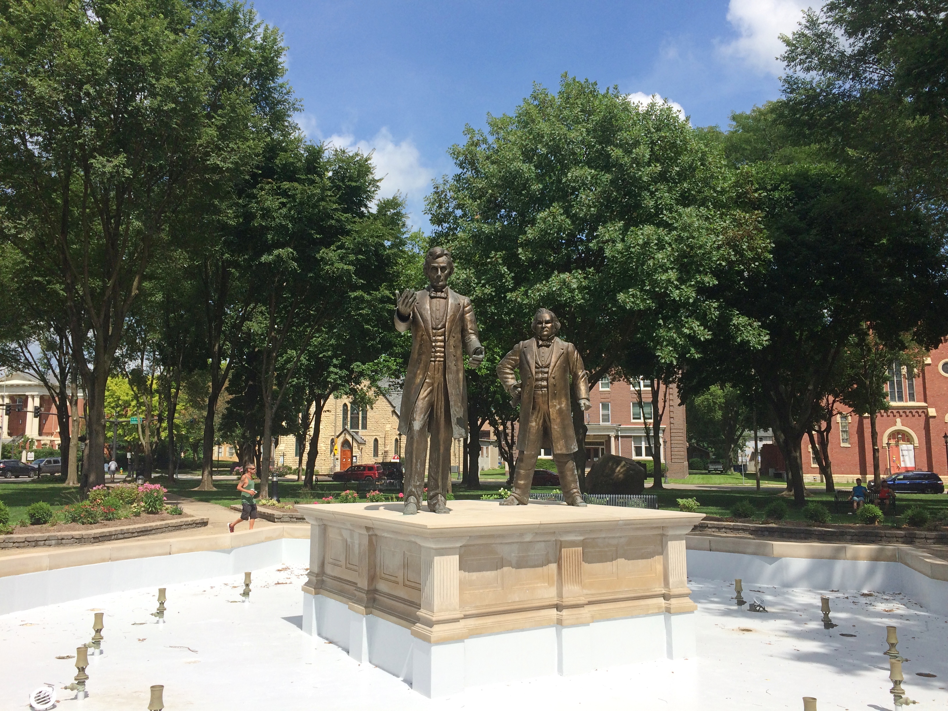
Ottawa Illinois Washington ParkOttawa Illinois Washington ParkIt would have been more pleasant if the fountain were on, but maybe it was dry for public health reasons in our time. The noontime heat was oppressive, so we didn’t have a leisurely look-around the area as much as we might have otherwise. There are other memorials in the park, and plenty of historic structures nearby, forming the Washington Park Historic District.

Those buildings include the Third District Appellate Court Building (1850s), the Reddick Mansion (1850s), the Ottawa First Congregational Church (1870), Christ Episcopal Church (1871), and a Masonic Temple (1910). A few blocks away, the LaSalle County Courthouse looked interesting, too, but we only drove by.

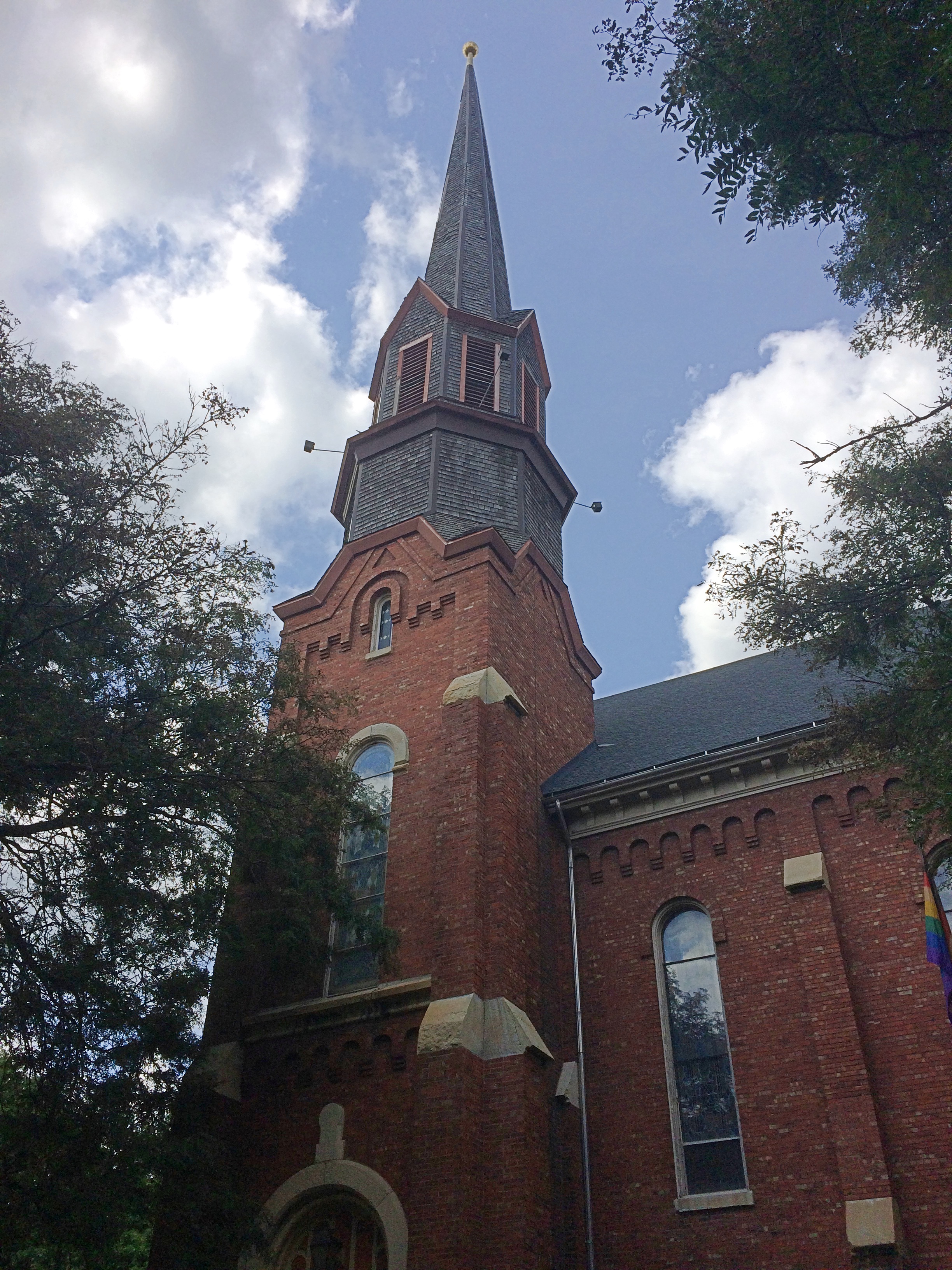
I managed to take a close look only at the former Congregational Church building.
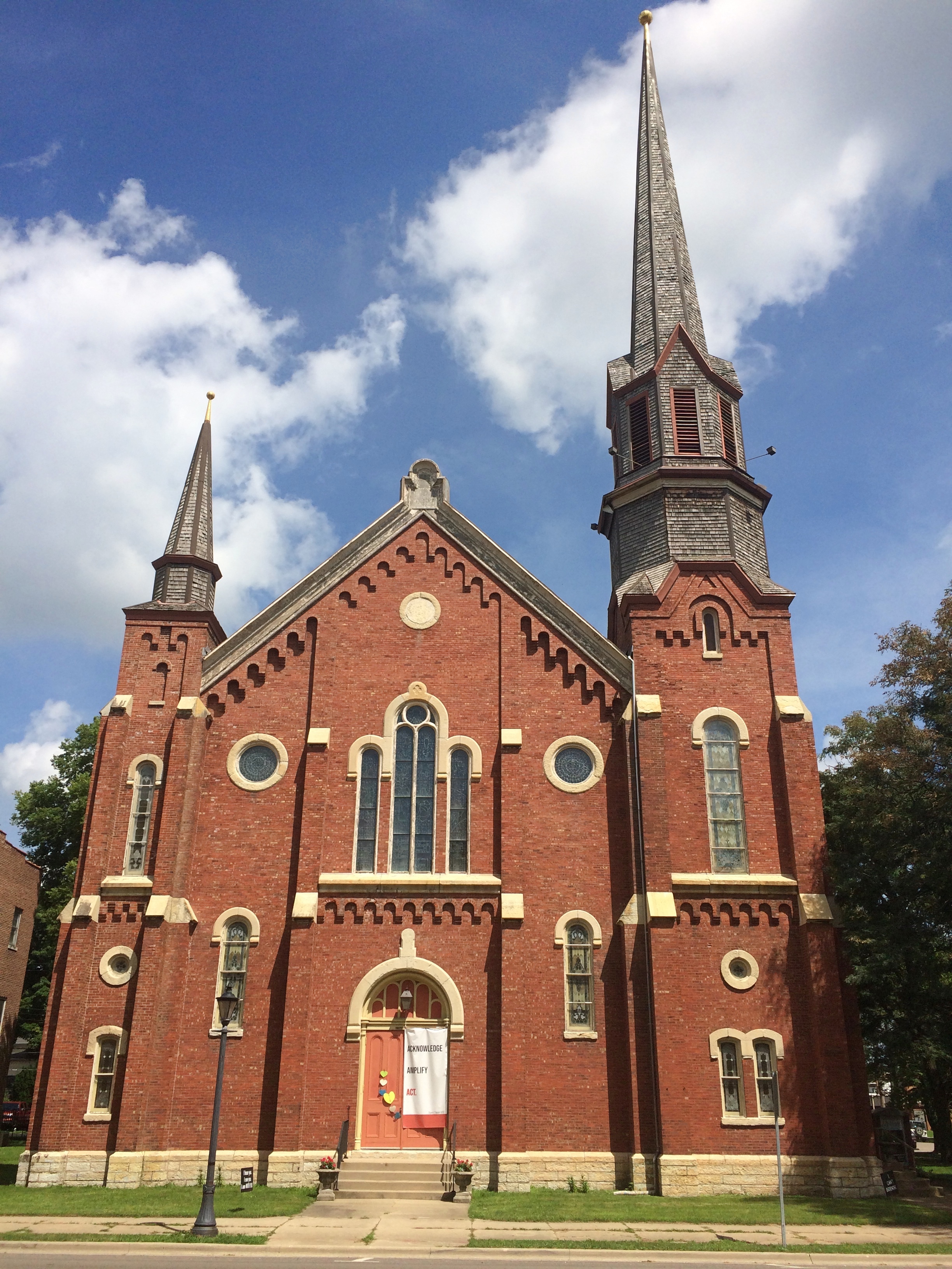
Ottawa Illinois Washington Park Open Table Church

Ottawa Illinois Open Table Church of Christ

Gothic Revival in brick. These days, the church is part of the Open Table United Church of Christ.
Starved Rock State Park ’20

Hot-and-sweaty weekend until a steady warm wind came on Sunday afternoon, a baby sirocco you might call it, and blew away the humidity. That left the golden glow of dusk warm but dry.

All of us, dog included, took an in-state overnight (30-hour) trip over the weekend, with Starved Rock State Park as the prime destination. Been a while since we’d all been there together, but each of the girls had visited with friends in more recent years.

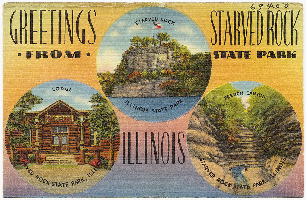
That isn’t a postcard of mine, though if the state sold it at the park, I’d buy one.

The 2,630-acre Starved Rock SP hews close to the south banks of the Illinois River in LaSalle County, its distinctive topography a creation of long-ago floods and glacial movement. The state acquired the land in 1911 and (of course) the CCC did park infrastructure work during that agency’s short existence. It’s a popular place, more so now than ever. Guess that’s because driving destinations are the thing at our moment in history.

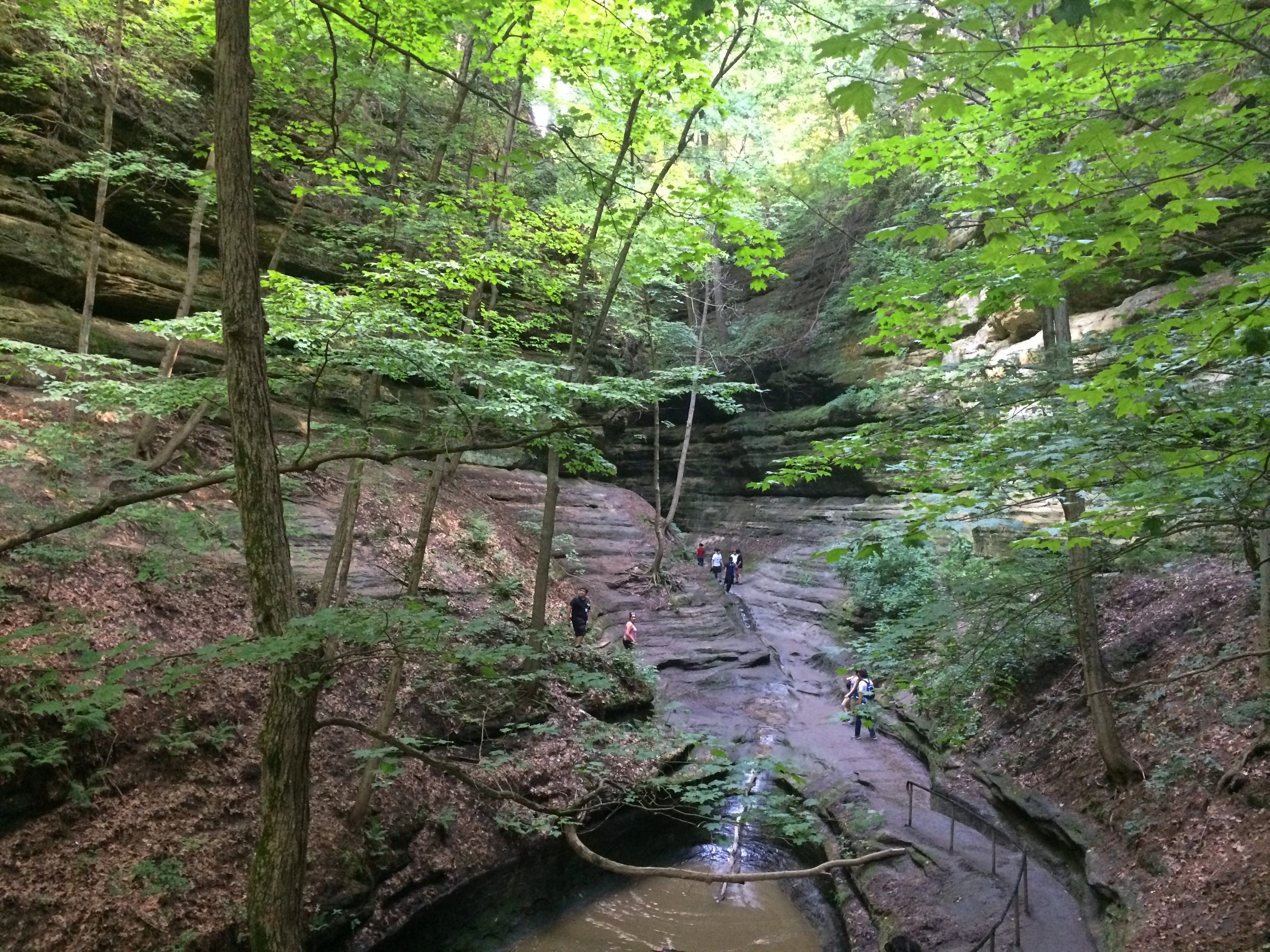
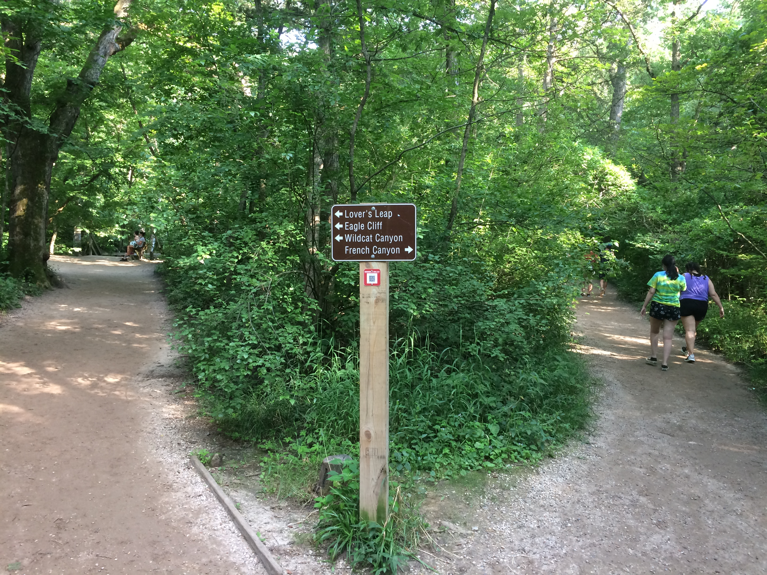
We waited until after the highest early afternoon heat had passed on Saturday to take our hikes. Late afternoon was still steamy, but tolerable, especially under trees. When we came to this fork, we took the path to French Canyon.
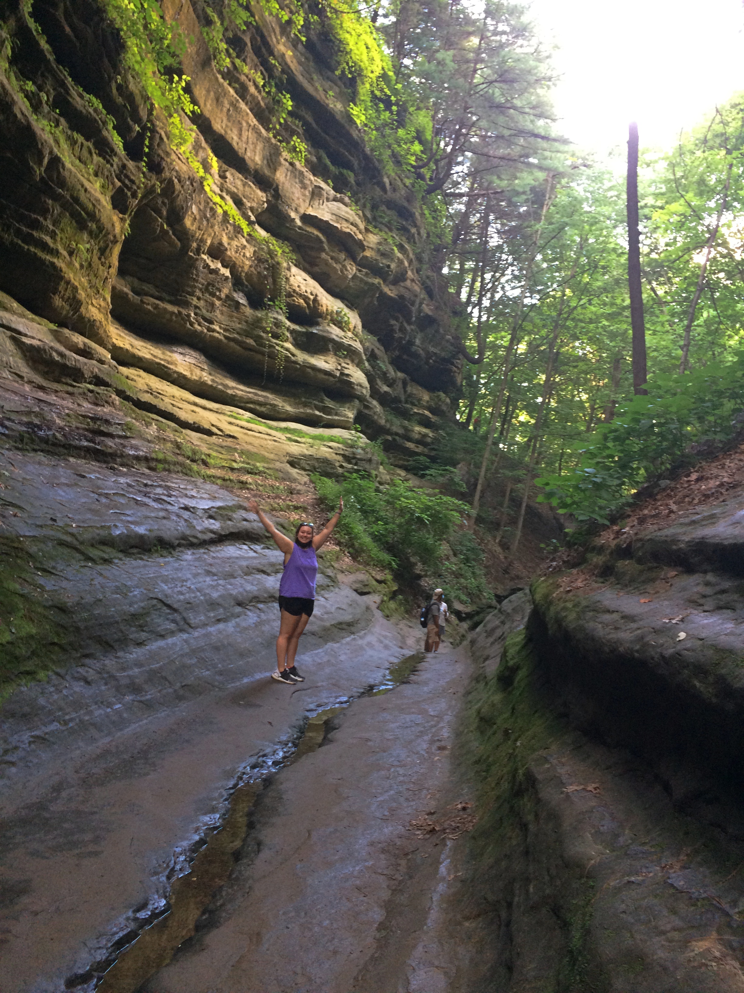
Starved Rock State ParkIt isn’t long before the French Canyon walls rise around you.
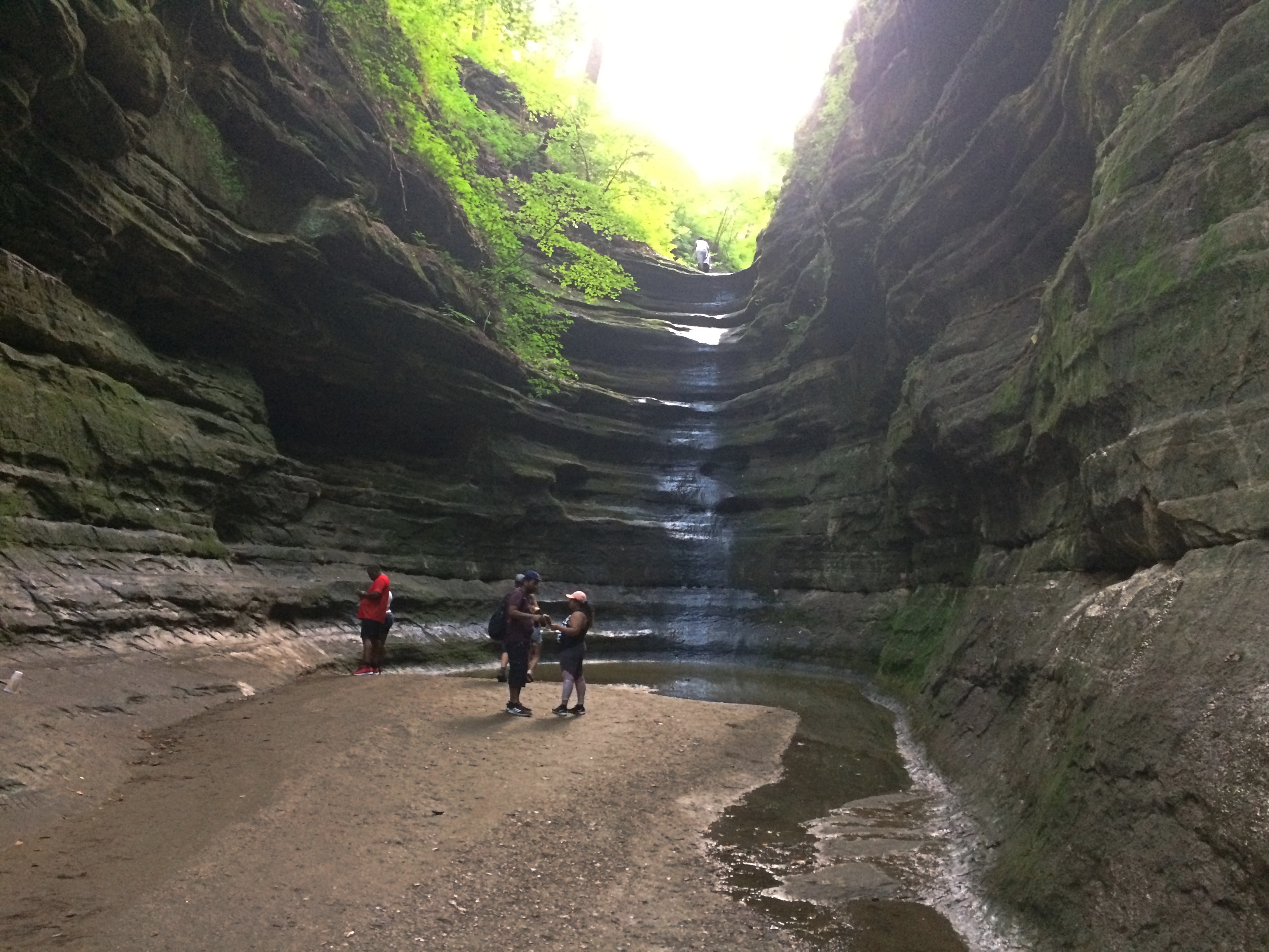
Starved Rock State ParkStarved Rock State ParkBefore long, you reach a waterfall. Just a trickle in late July.
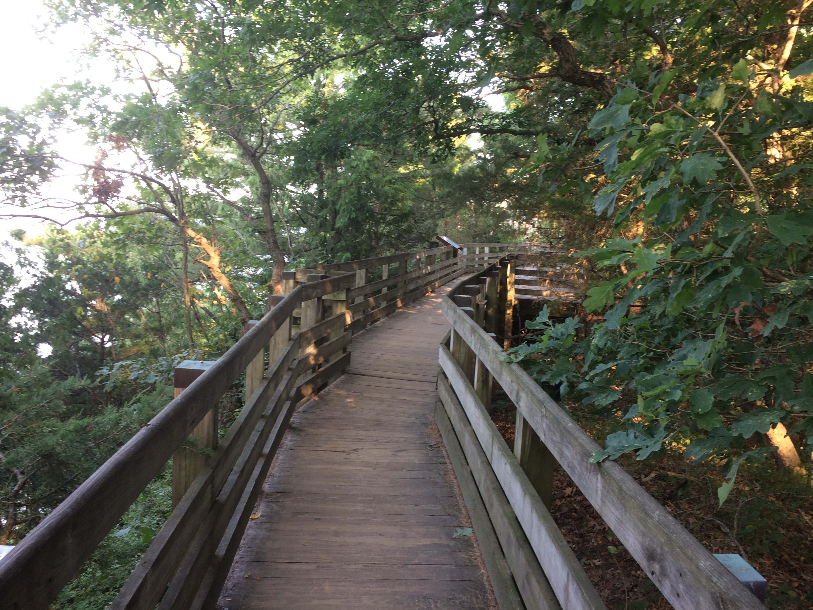
Starved Rock State ParkDoubling back to the fork, we then followed a trail that’s mostly boardwalk, plus a lot of stairs that I didn’t document.
Starved Rock State ParkTo the view from Lover’s Leap.
Starved Rock State Park Lovers LeapThe nearby Eagles Cliff vista, looking upriver.
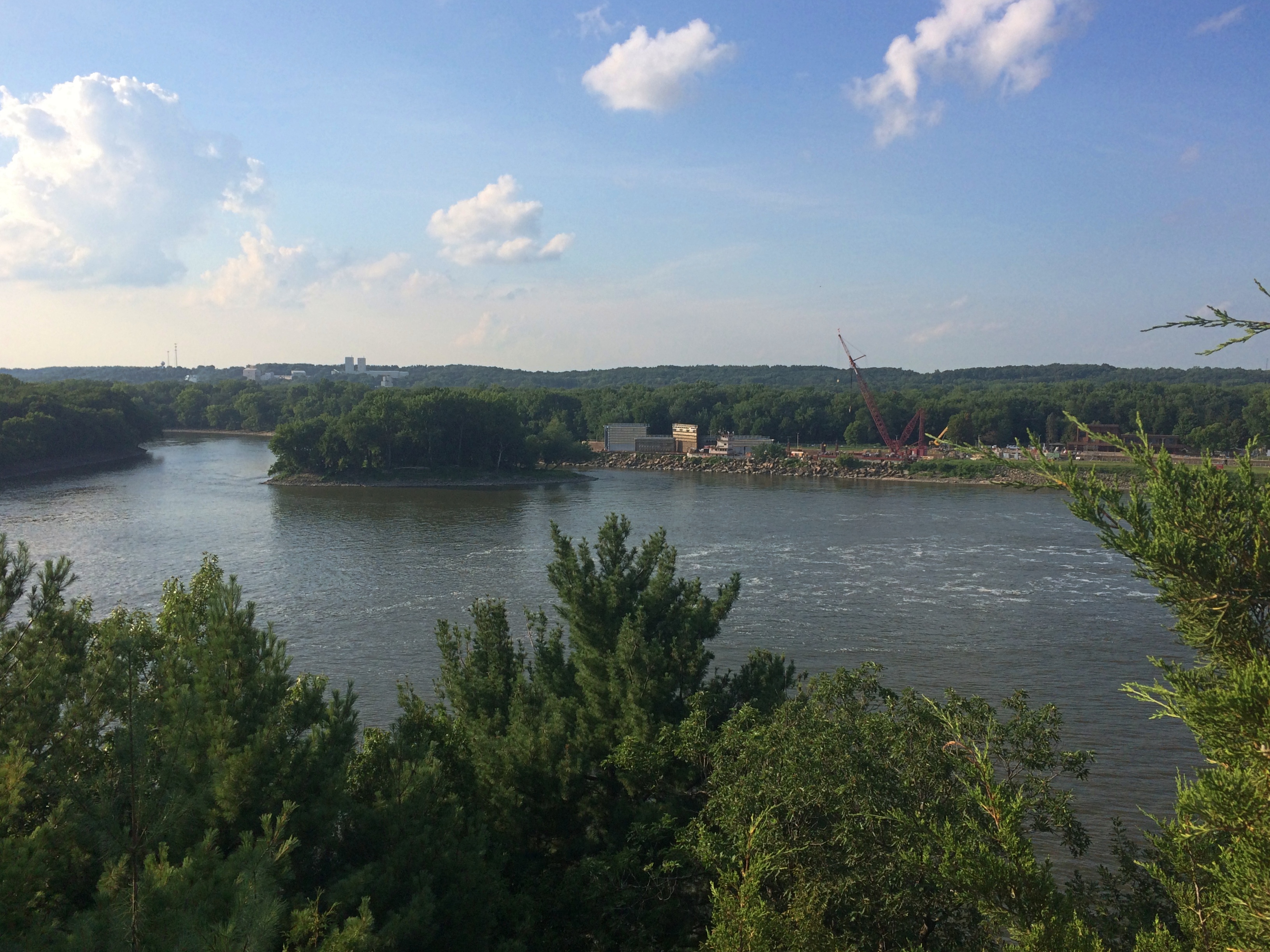
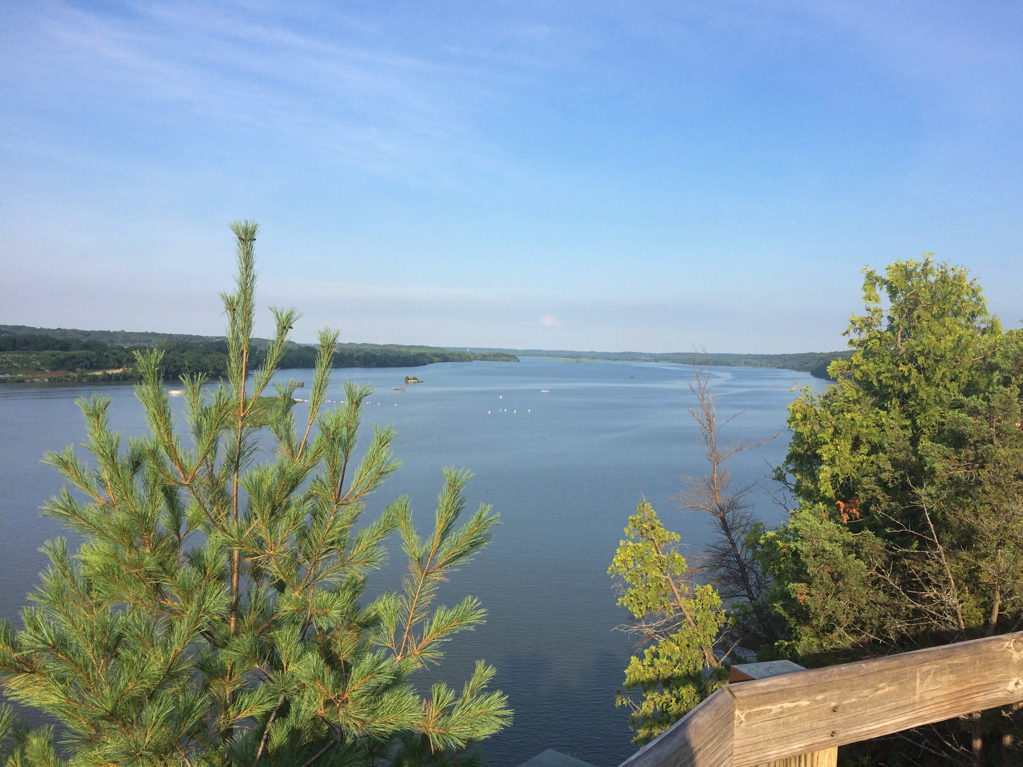
Starved Rock State Park Eagle CliffLook a little downriver and you see why the Illinois is so wide just below Eagle Cliff.
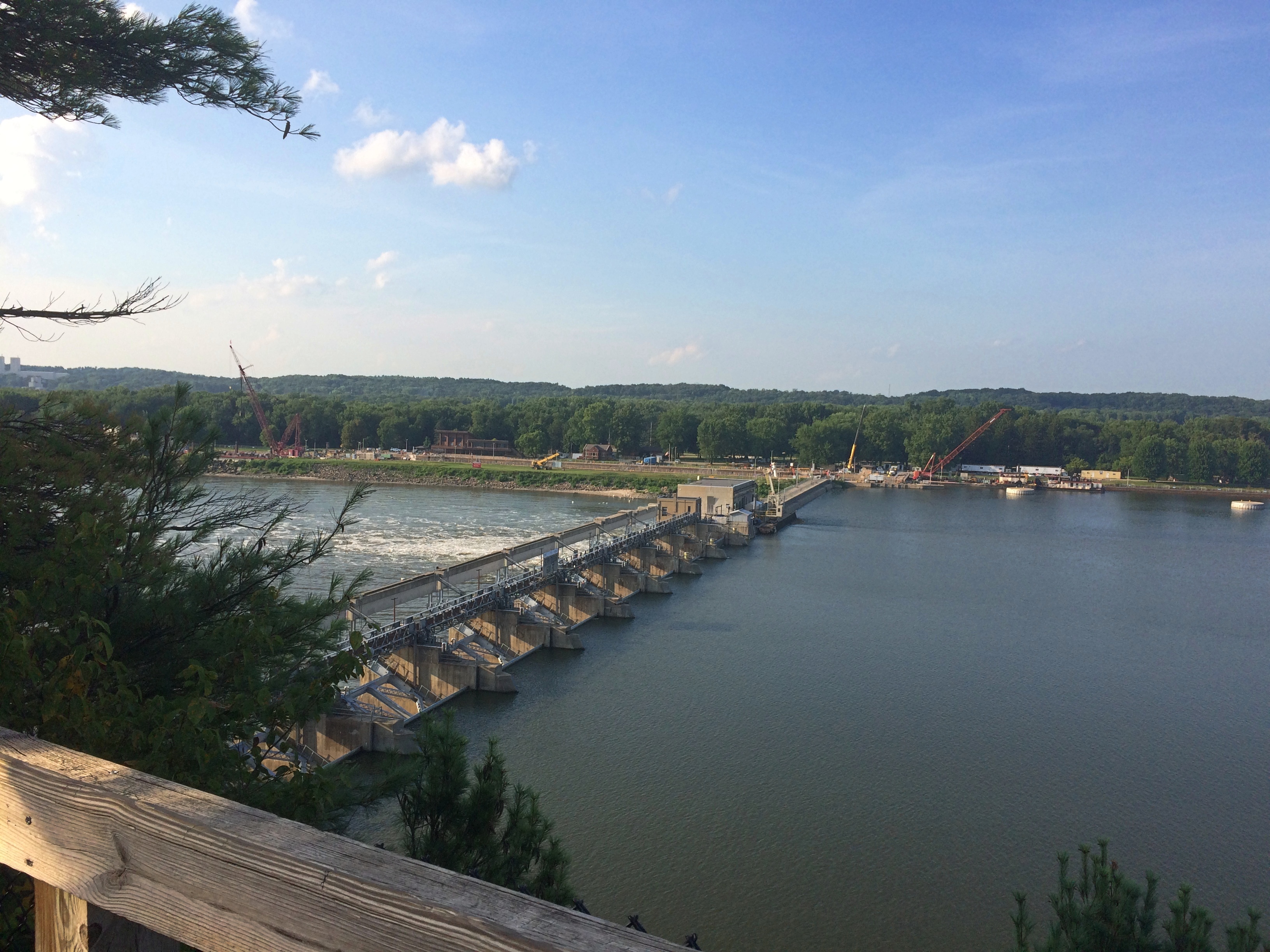
Starved Rock State Park Eagle CliffThe Starved Rock Lock and Dam, also known as Lock and Dam No. 6, completed in 1933 and operated by the Army Corps of Engineers.

We might have walked further into other canyons after that, or up to the Starved Rock feature, but the heat and stair climbing spent our energy. Mine, anyway. We ought to go back some cooler day in the fall. I’ve been visiting the place since the late ’80s and still haven’t seen some of the other canyons.

Landhaus Elfriede

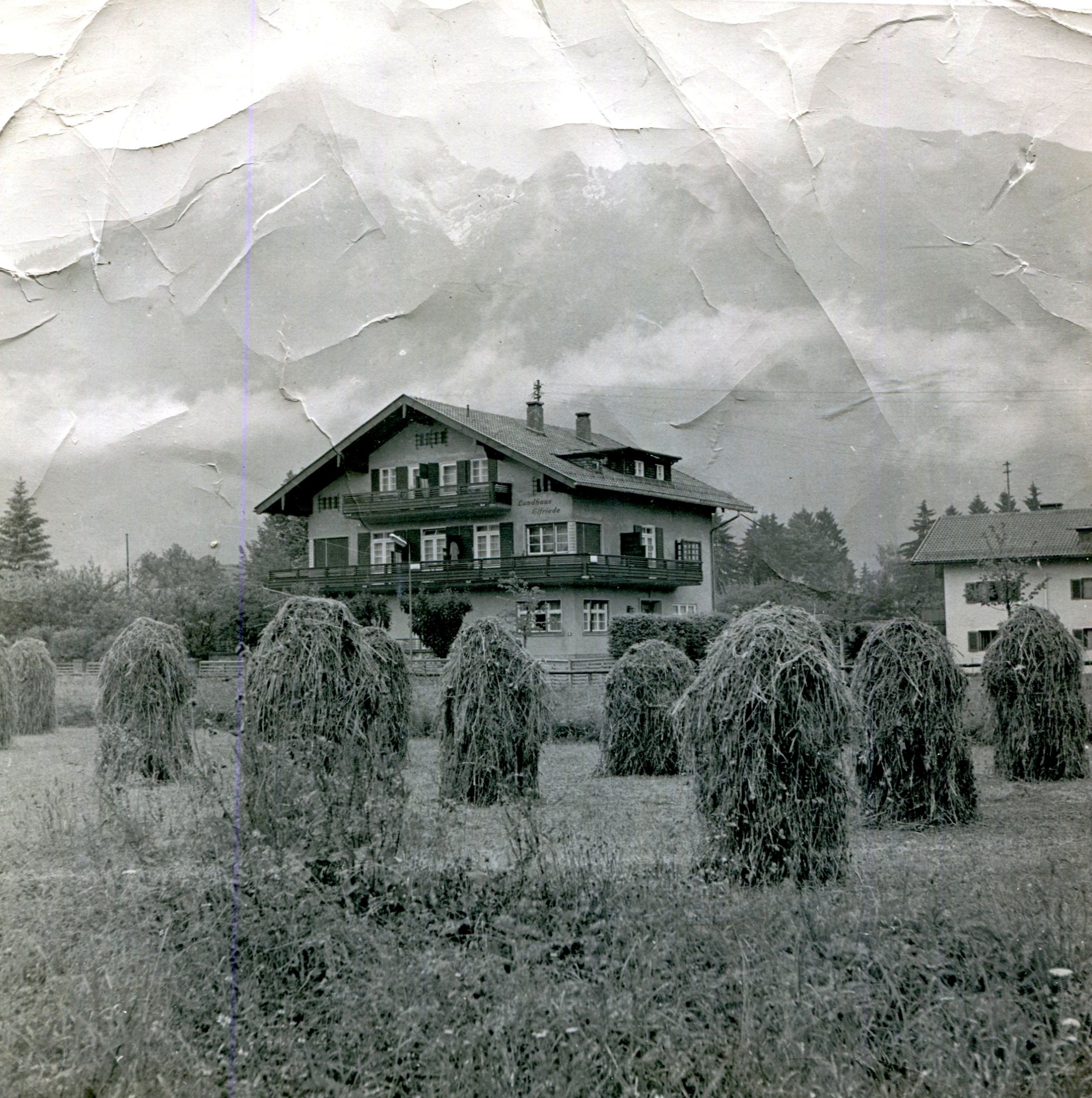
This is a beaten-up 8 x 8-inch print, very old itself, of an image I’m pretty sure my father took when he was in Europe with the U.S. Army in the mid-50s. I haven’t found the source image, probably a b&w negative, though I haven’t been looking very hard.

Landhaus Elfriede, Austria 1955

I brought the print home from a recent visit to San Antonio, especially taken with the composition. Moves right up from solidity and the Earth to misty mountains in the Sky. And — those haystacks. What a shot. Dad must have liked the image, too, or he wouldn’t have enlarged it (I’m assuming he did).

No note of time or place is on the back, but it was enough to for me to think, Somewhere in Germany, ca. 1955.

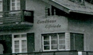
The other day I looked at it closer, and noticed the words written on the building: Landhaus Elfriede.

Landhaus ElfriedeGerman all right. Something to put into a search engine. I was mildly surprised to find an existing establishment of that name near Fitzmoos, Austria. Or as its web site says, “ein paar Autominuten vom Zentrum Filzmoos.”

The building pictured on the web site is some different from my father’s image, though their roofs are compellingly similar. You could argue — and I am going to argue — that the similarity is close enough, with any differences between the two attributable to rehab, renovation or fix-up-the-damn-thing efforts over the last 65 years. Now it rents apartments on a short-term basis.

It’s also reasonable to think my parents stayed there while on leave, because of course they did — it’s in the Alps, for crying out loud (and near Salzburg, besides). I like to think the mountains behind the Landhaus Elfriede, which are only faintly pictured in Dad’s photo, mightily impressed my parents, who grew up among hills and flats but not mountains.

Thursday Mishmash

Warm and dry lately. Very warm sometimes. Luckily, our deck has an umbrella for shade.

Spring on Jupiter or Mars? Never mind, here’s summer on Saturn. At least in its northern hemisphere. Seasons are long there are probably don’t involve relaxing moments on back yard decks. Anyway, a thing of great beauty.“This image is taken as part of the Outer Planets Atmospheres Legacy (OPAL) project,” the NASA text says. “OPAL is helping scientists understand the atmospheric dynamics and evolution of our solar system’s gas giant planets. In Saturn’s case, astronomers continue tracking shifting weather patterns and storms.”

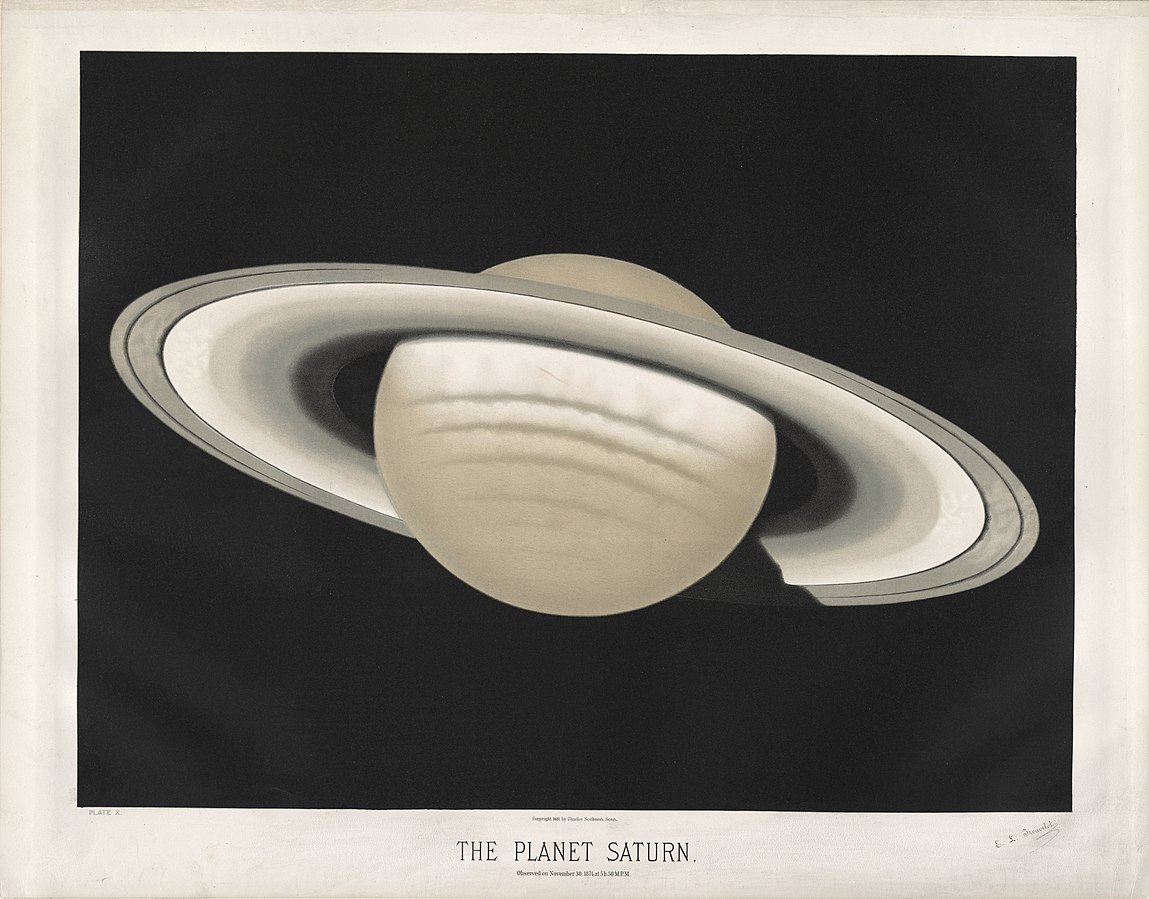
For contrast, an older observation of Saturn. Another thing of beauty.
Plate X from The Trouvelot Astronomical Drawings 1881-1882, these days posted at Wikimedia.

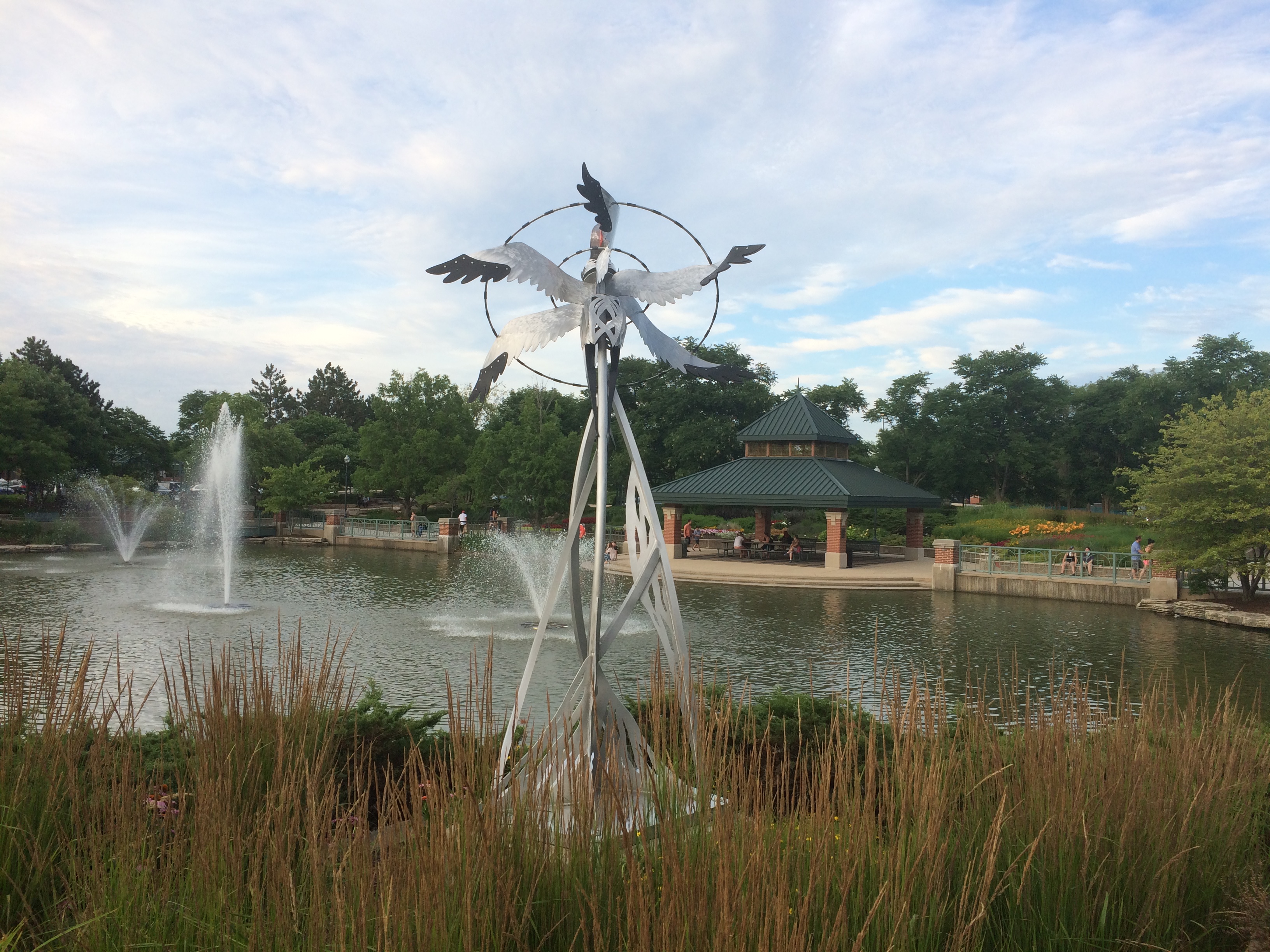
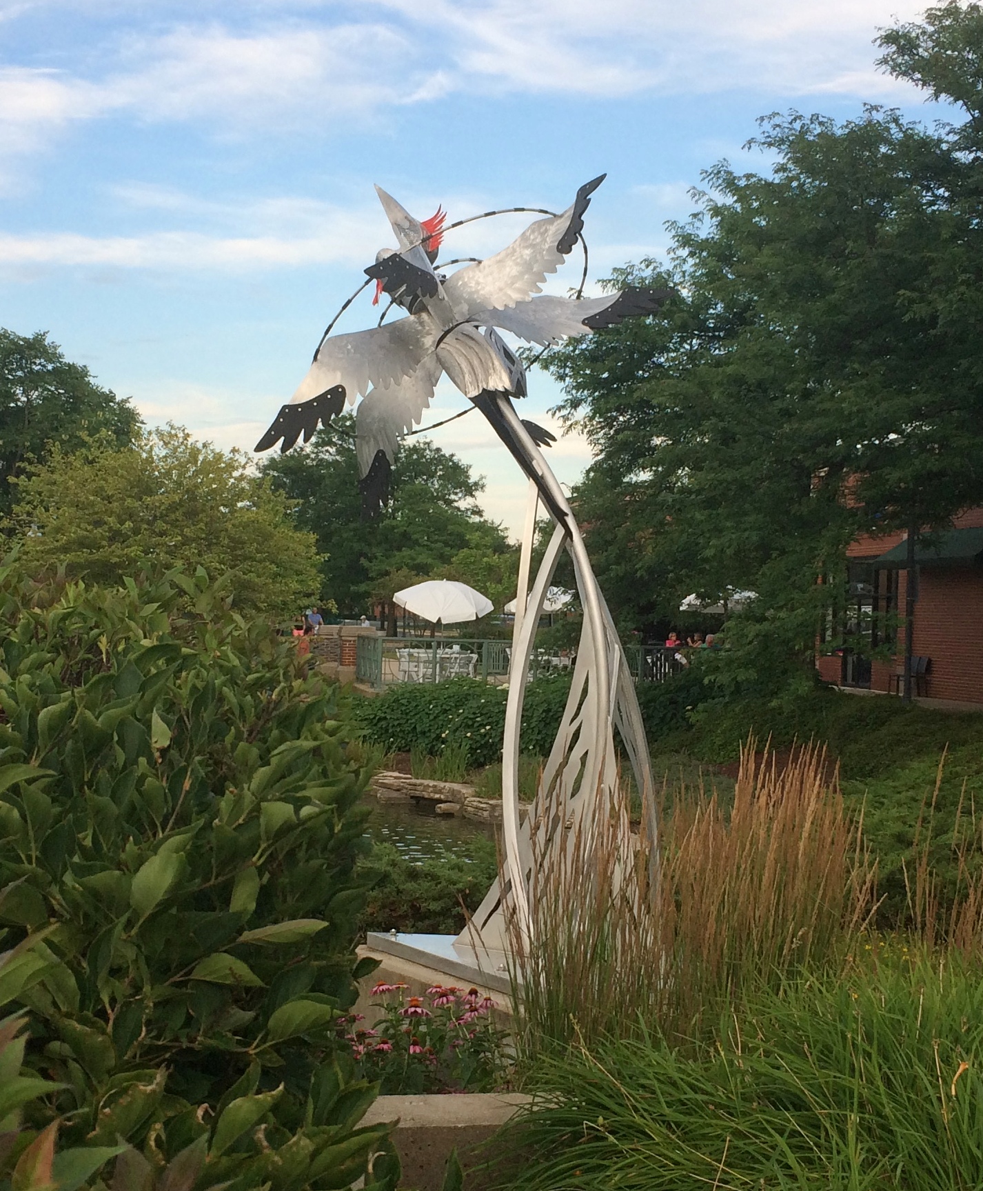
Closer to home, at Schaumburg Town Square.
Schaumburg Town SquareRubber-Tipped CraneThe sculpture is “Rubber Tipped Crane,” by Christine Rojek. Installed in 2012. Lilly said she hadn’t remembered seeing it before, but I did. Rojek also did “Ecce Hora” not far away.

Our latest Star Trek episode — we’re still watching about one a week — was “Squire of Gothos,” an early example of kidnap Kirk (and maybe Spock and others) and make him (them) outfight or outwit some adversary. This was a particularly good example of that kind of plot, including a deus ex machina ending that actually worked pretty well.

Our latest movie: The Shining. I hadn’t seen it since it was new. I remember it drew in some crowds in the summer of ’80, because when we got to the theater, only front-row seats were available. So I got to experience the Overlook Hotel in all its surreal, horror-infused glory as an enormous wall of light towering over me.

Always good to watch Jack Nicholson do what he does, in this case descend into homicidal madness. I also thought Shelley Duvall’s parallel track — her increasing freaked-out-ness, you might say — was on target. Her character has been mocked as whiny and weak, but she and her son survived.

So the movie holds up fairly well (and I don’t care at all what Stephen King thought of it). Still, not Kubrick’s best. What could possibly top Dr. Strangelove or 2001? But worth watching again after 40 years.

Springfield Park

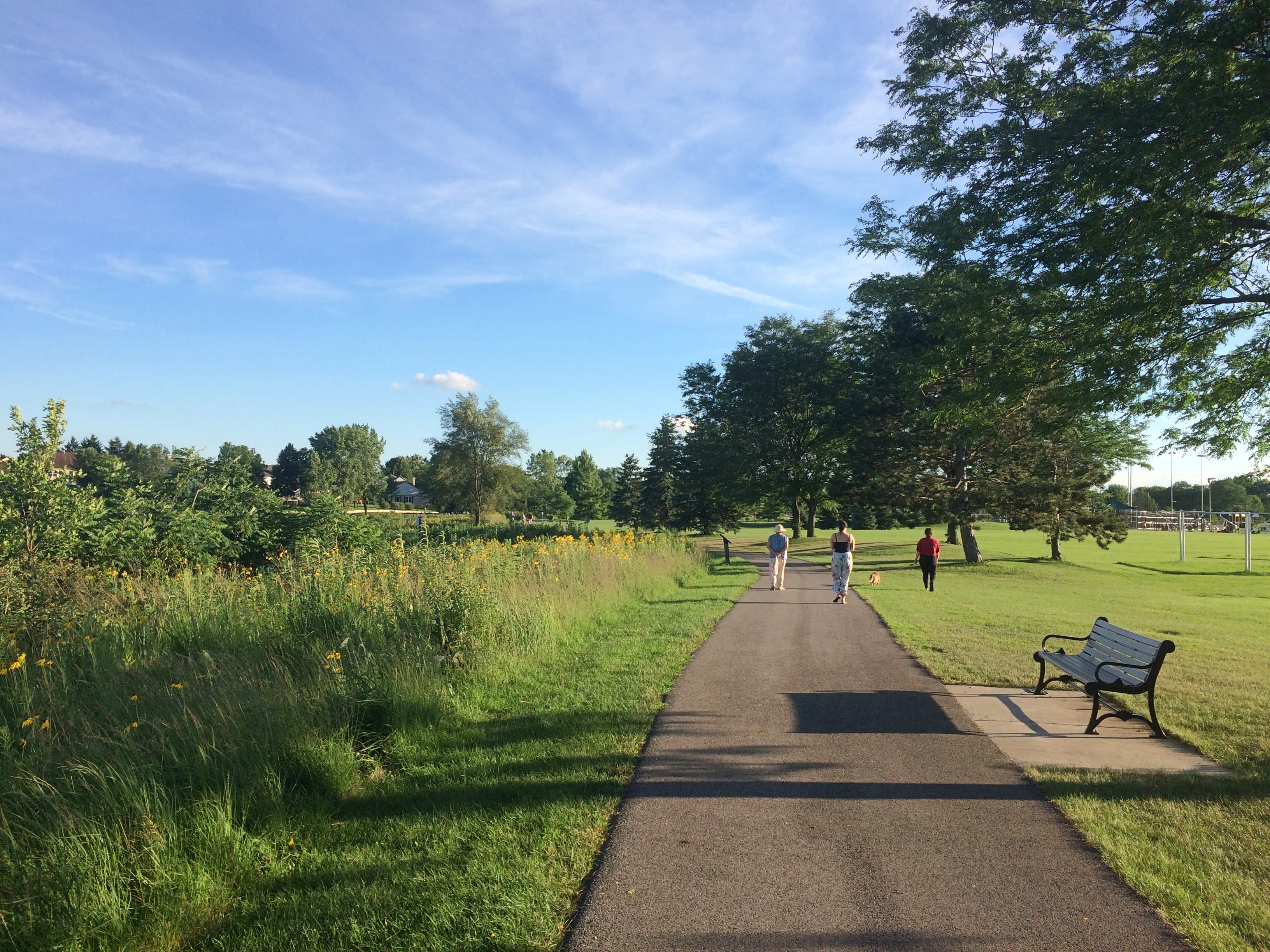
Another few days, another late afternoon walk around a suburban pond. The strolls might be merging into one warm green blur already. They certainly will after the passage of time.

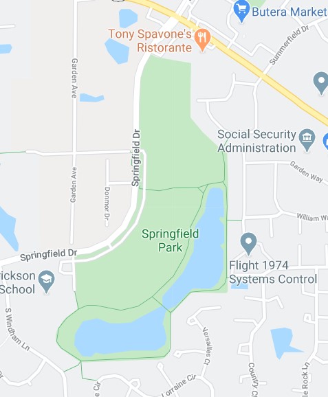
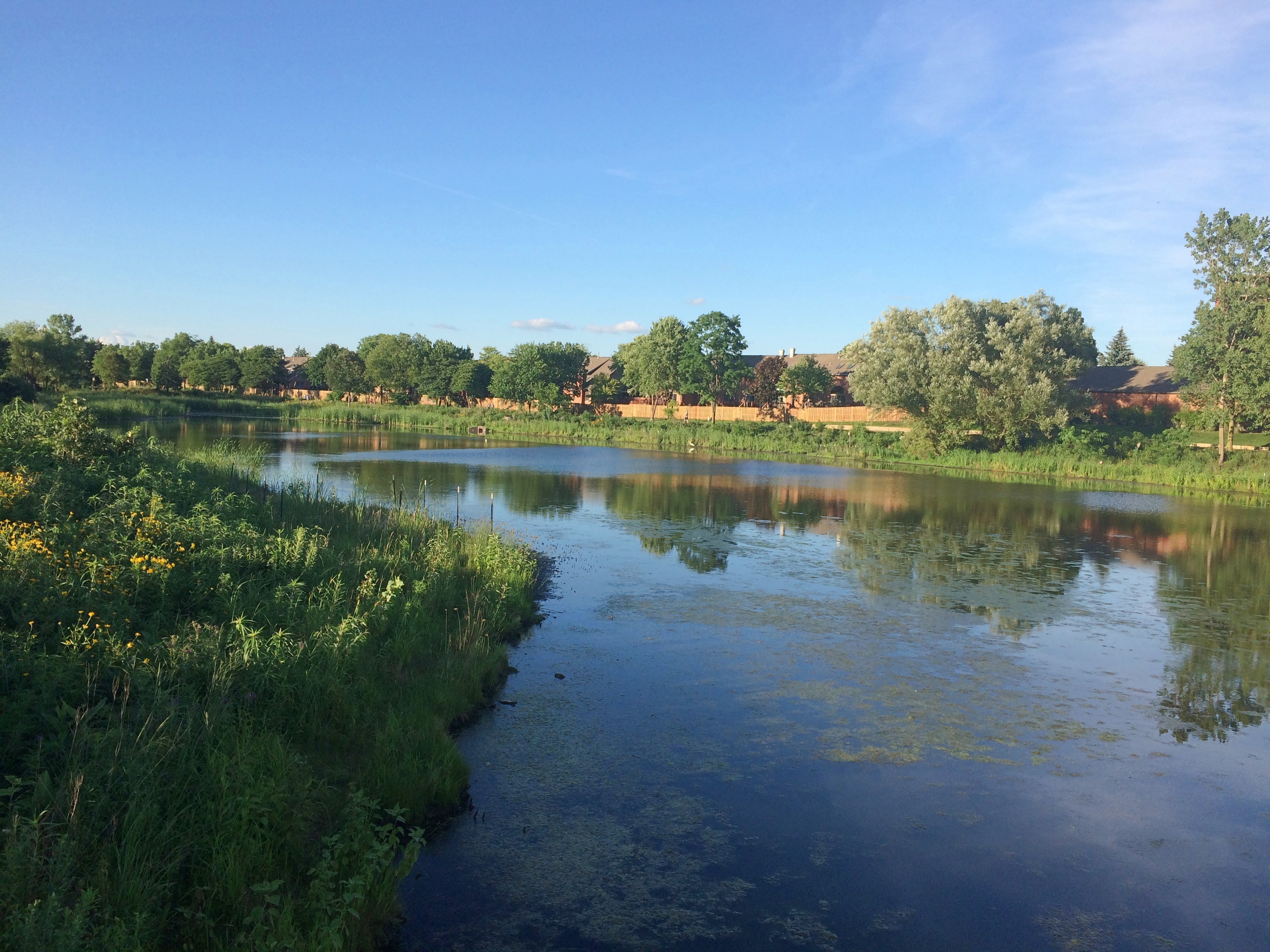
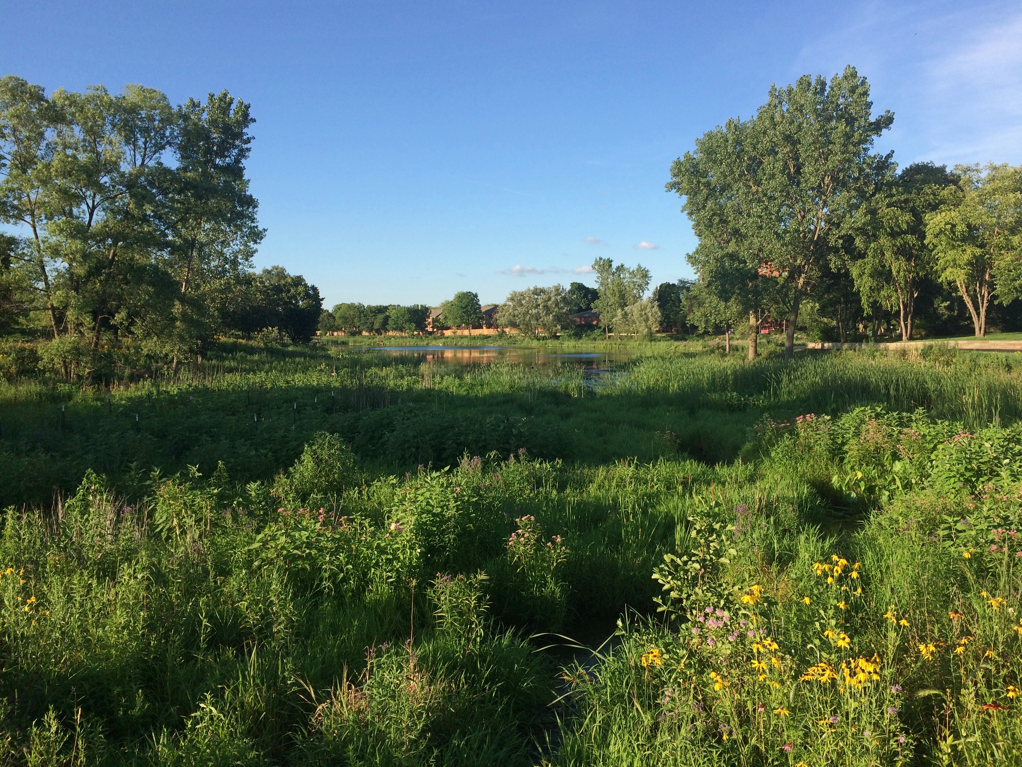
The walk this time was at Springfield Park, which isn’t in the capital city of that name, or any other Springfield, but instead in Bloomingdale, Illinois. It’s a village park with sports facilities, a community garden and a large pond with an irregular figure-8 trail around it. We walked about a mile and a half all together, at least according to my phone. Somehow that’s often the length.
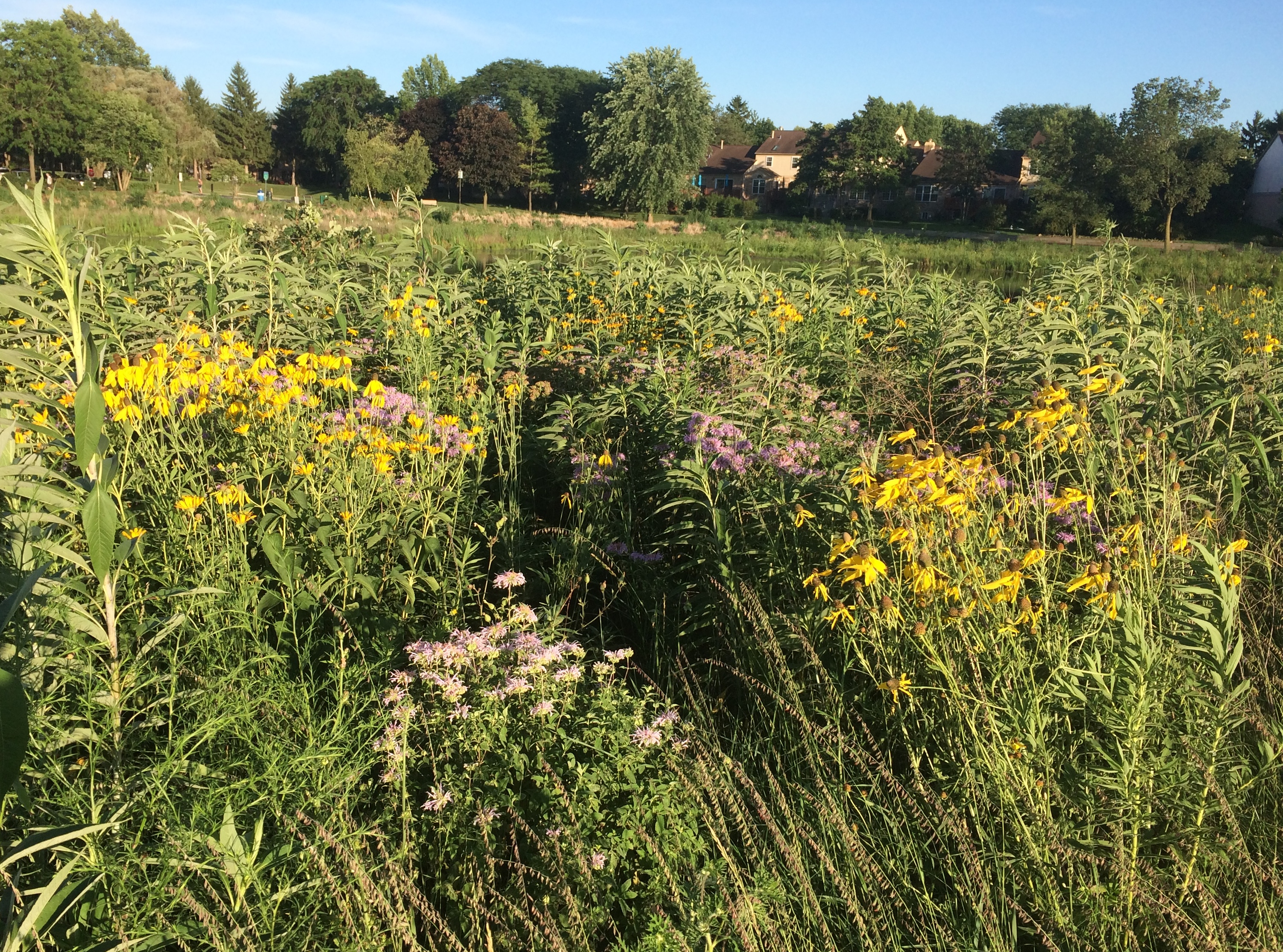
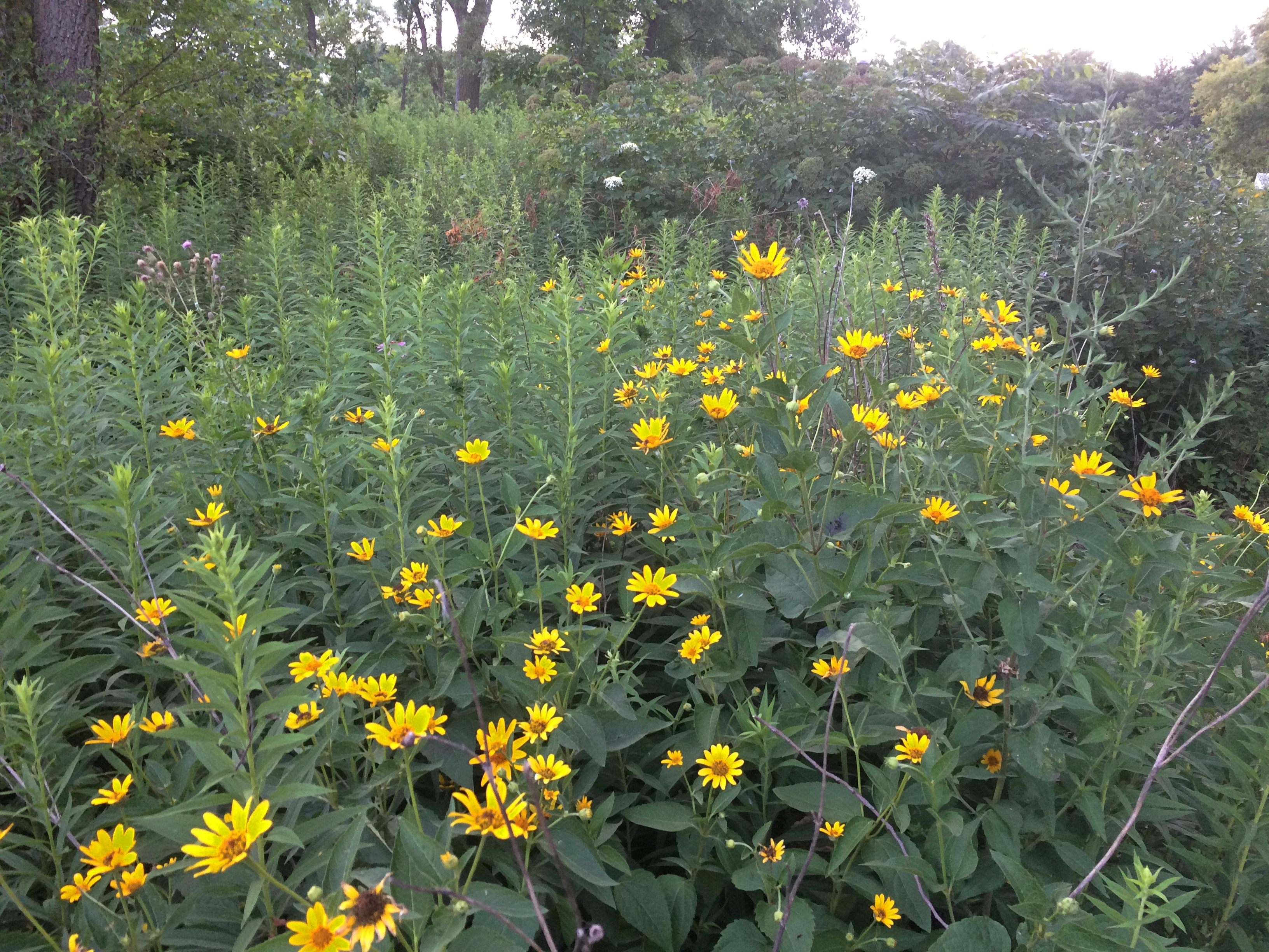
In fact, it’s pretty much sports park on one side, open-water marsh on the other. With an adequate number of benches. You can’t always count on finding those.Springfield Park, BloomingdaleLots of July wildflowers, of course.
Springfield Park, BloomingdaleSpringfield Park, BloomingdaleViews from the south end of the pond.
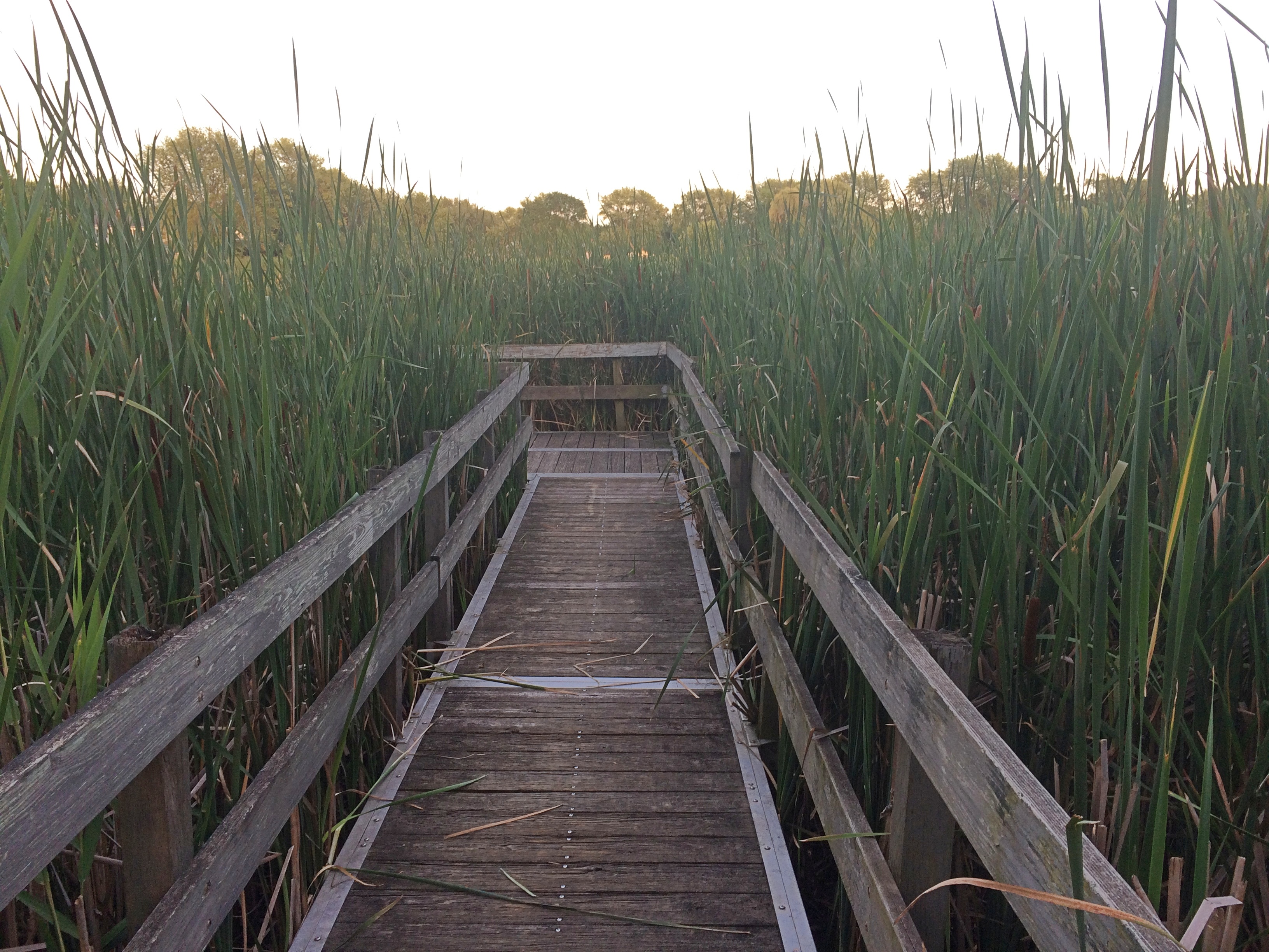
Springfield Park, BloomingdaleSpringfield Park, BloomingdaleA boardwalk.
Springfield Park, BloomingdaleWouldn’t be much of a suburban marsh without a boardwalk over the flora somewhere.

Gray Farm Park & Conservation Area

On Saturday, we had high heat and wall-of-water thick humidity. I woke to a bit of thunder on Sunday morning, followed mostly by drizzle. By Sunday afternoon, sunny conditions were back, but not so much heat. Or humidity. Chamber of commerce weather, as an old colleague of mine used to call it.

Today was a little hot for ideal c-of-c weather, but I like it. Cicadas have returned in the late afternoons, followed by just a hint of crickets after dark. We still have fireflies.

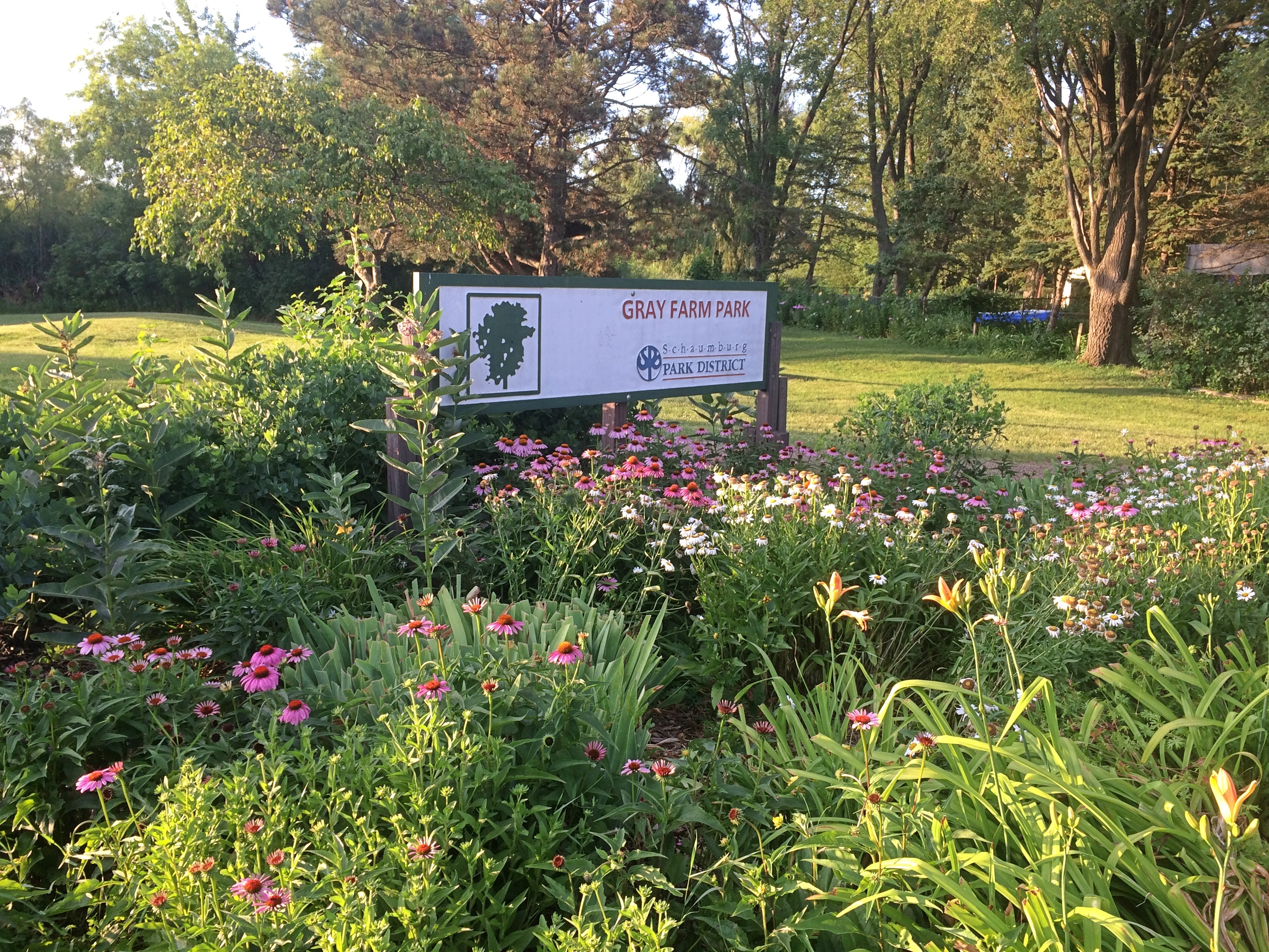
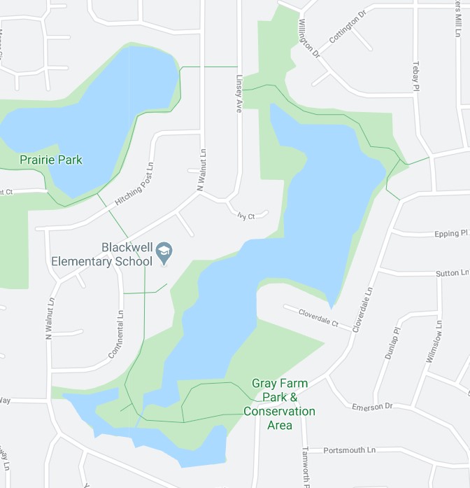
One late afternoon last week we went to Gray Farm Park & Conservation Area, which is 47 acres tucked away off any main street here in the northwest suburbs. Even though it has a large water feature, I expect it’s mostly unknown except to nearby residents.
Gray Farm Park & Conservation I know about it because I troll maps. The only kind of trolling I do. We entered the park from Cloverdale Lane, and then walked as far as the elementary school.
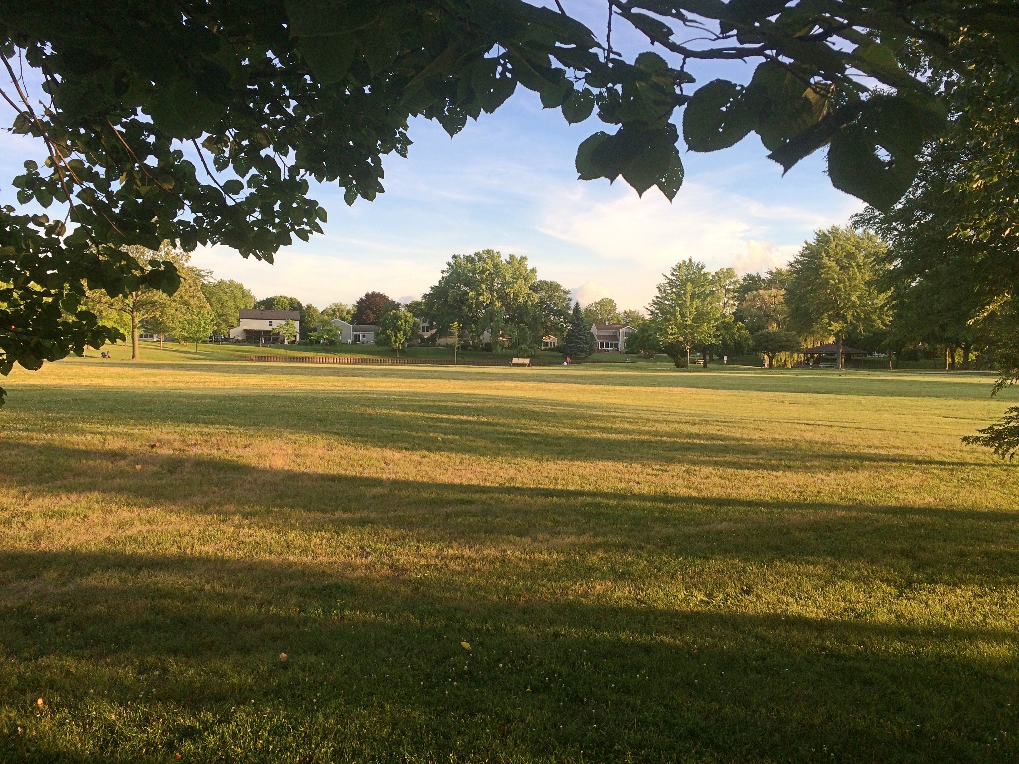
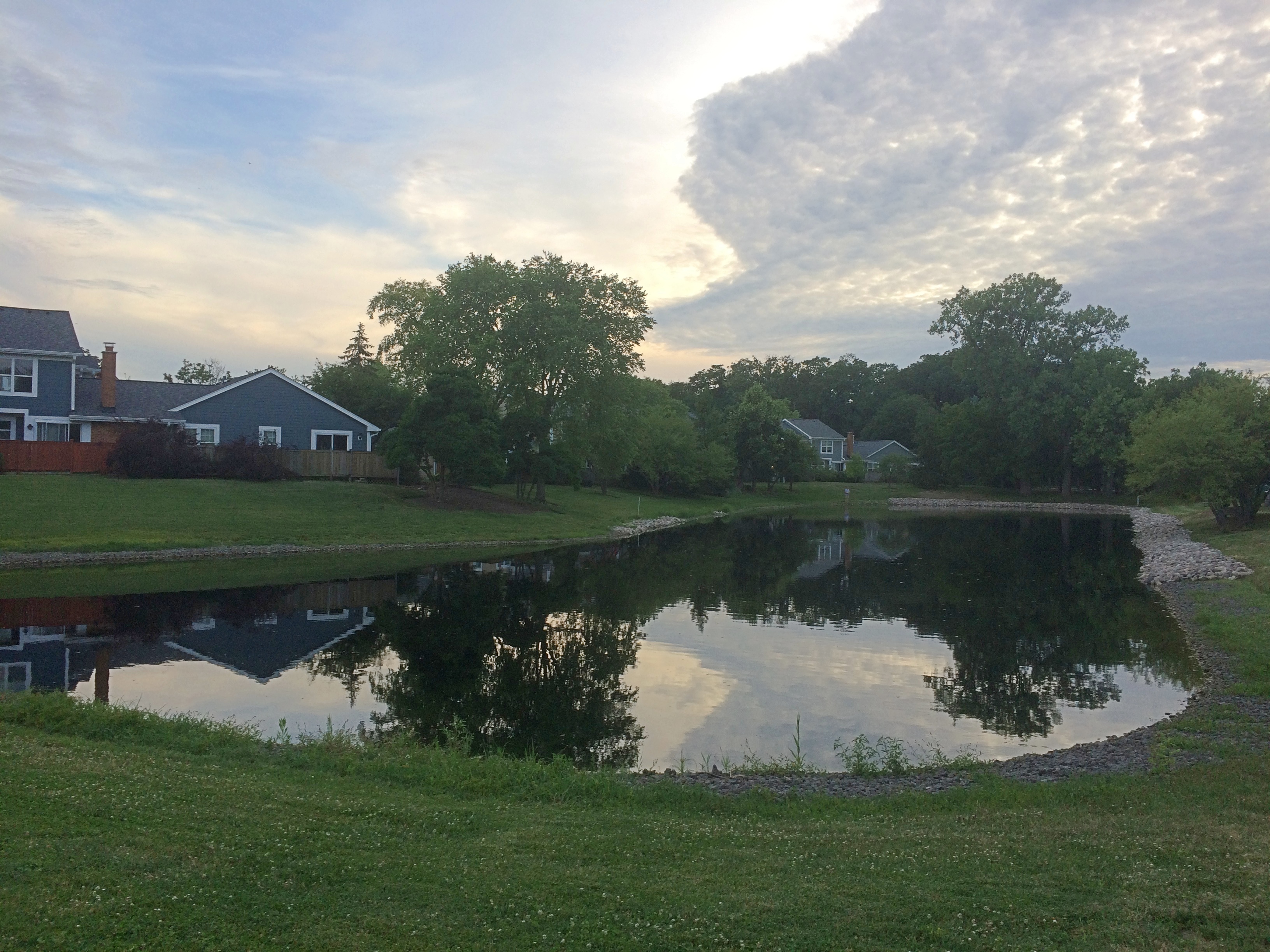
Gray Farm Park & Conservation AreaMuch of the park is an open field, though some is a long pond edged by metal bracing.
Gray Farm Park & Conservation Gray Farm Park & Conservation The conservation area — which is mostly large open-water cattail marsh — is behind tall grass this time of year.
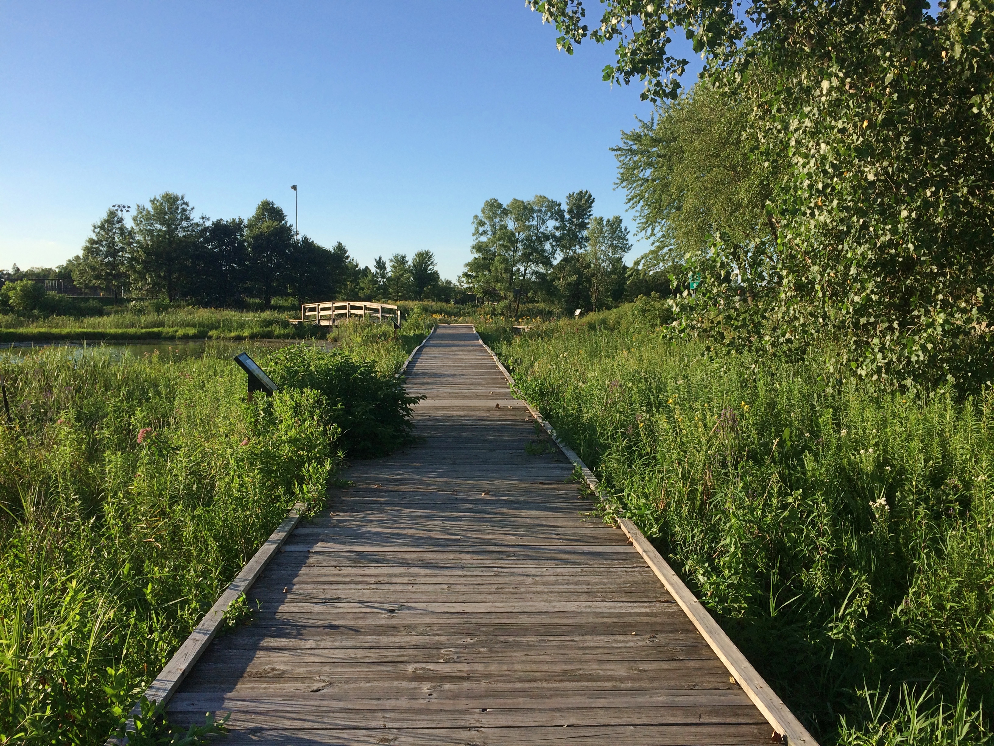
Gray Farm Park & Conservation Though if you look carefully enough, you can find a path through the tall grass just behind the nearby elementary school. The path leads to a boardwalk.
Gray Farm Park & Conservation The boardwalk dead ends before long, but it does offer a view of the much larger pond — the cattail marsh. A grassy view, but a view all the same.
Gray Farm Park & Conservation AreaI’ve read that Gray Farm is a good place for bird watching. But my impulse to watch birds doesn’t go much beyond, hey, that’s an interesting-looking bird. What’s it called? I don’t know either. Never mind.

Keith Jarrett, Piazza del Campidoglio

July 16, 1983, was quite a day for me. In the morning my friend Steve and I visited the Castel Sant’Angelo (the Mausoleum of Hadrian), followed by an afternoon at the Vatican. As in, the Vatican Museums, the Sistine Chapel and finally St. Peter’s itself, including a climb to the dome.

That should have been enough for any day, but at some point, Steve spotted a poster advertising an outdoor concert by Keith Jarrett that very evening at the Piazza del Campidoglio. I would have blown it off, having only a faint notion of who he was, but Steve knew more and insisted we go. It was standing room only.

Remarkably, I found a recording of that concert on YouTube.

The recording is about 25 minutes long. Not because whoever recorded it didn’t capture it all, but because right in the middle of things, the known-to-be-prickly Jarrett — maybe bothered by the persistent ambient noise of the setting — stormed off, never to return.

Beavers Attack! Olde Schaumburg Centre Park

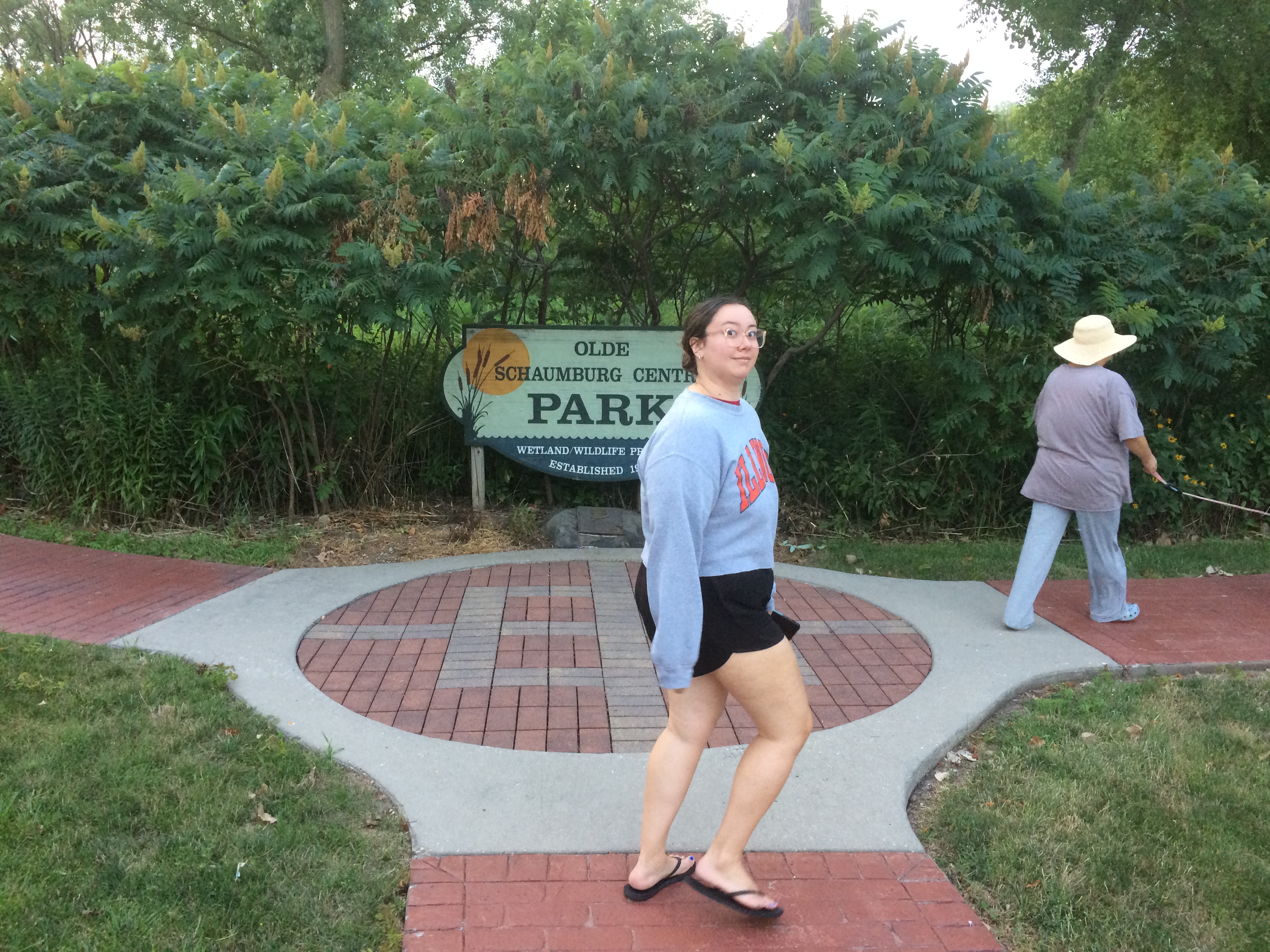
Tucked off a busy northwest suburban street is Olde Schaumburg Centre Park. We were there not long ago just before sunset. Here in July, days are noticeably shorter, though not that much shorter yet.
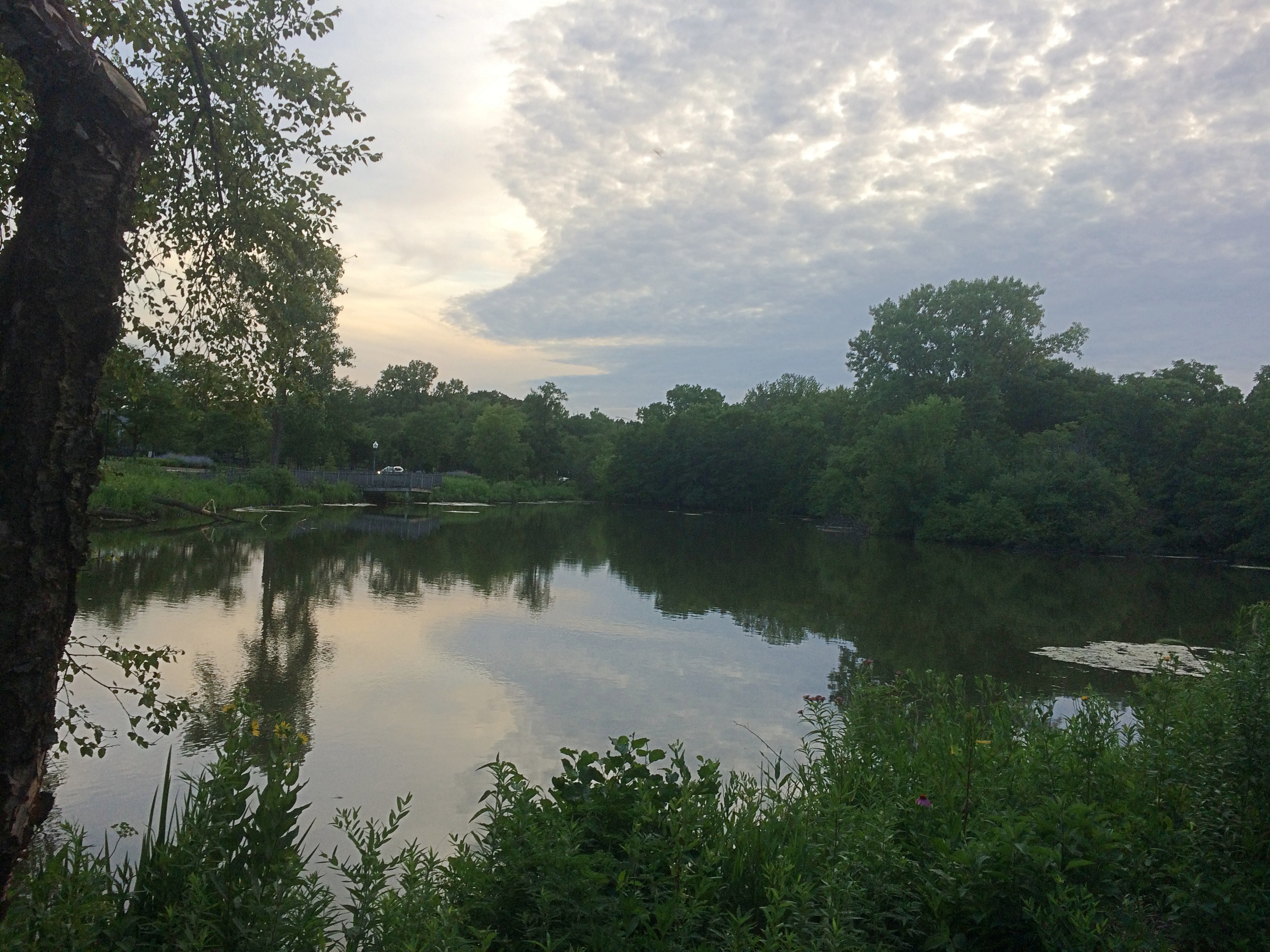
Beavers Attack! Olde Schaumburg Centre ParkThough modest in scope, Olde Schaumburg Centre Park is a pleasant green space in the summer, and a lush wetland and wildlife preserve besides. The focus is a pond. That’s the wetland part of the equation.
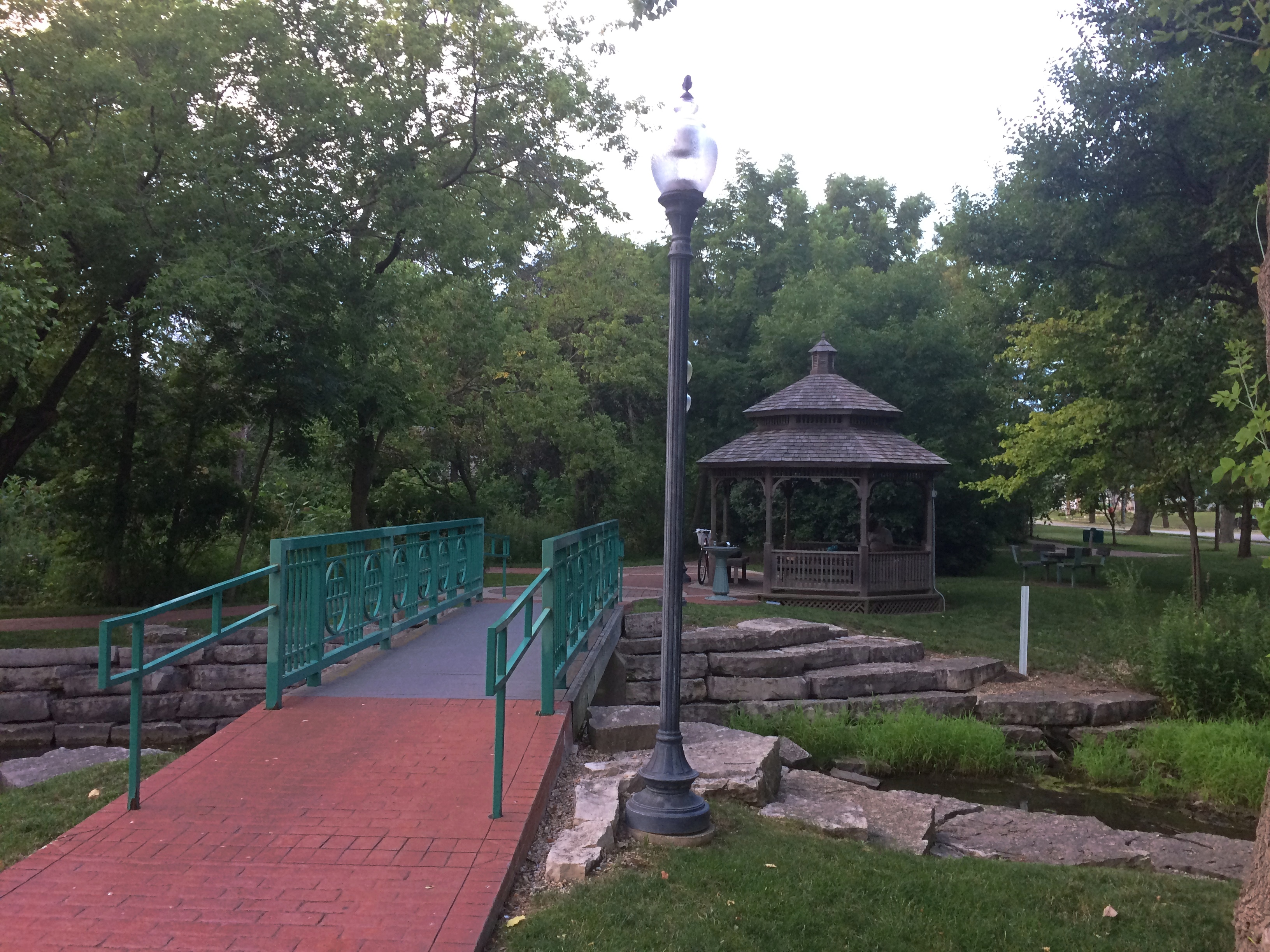
Olde Schaumburg Centre ParkThere are trails and a gazebo. Schaumburg wouldn’t be a proper suburb without a public gazebo.
Olde Schaumburg Centre ParkPlus flourishes of flowers.
Olde Schaumburg Centre ParkAs for being a wildlife preserve, we saw clear evidence of beavers in the area.
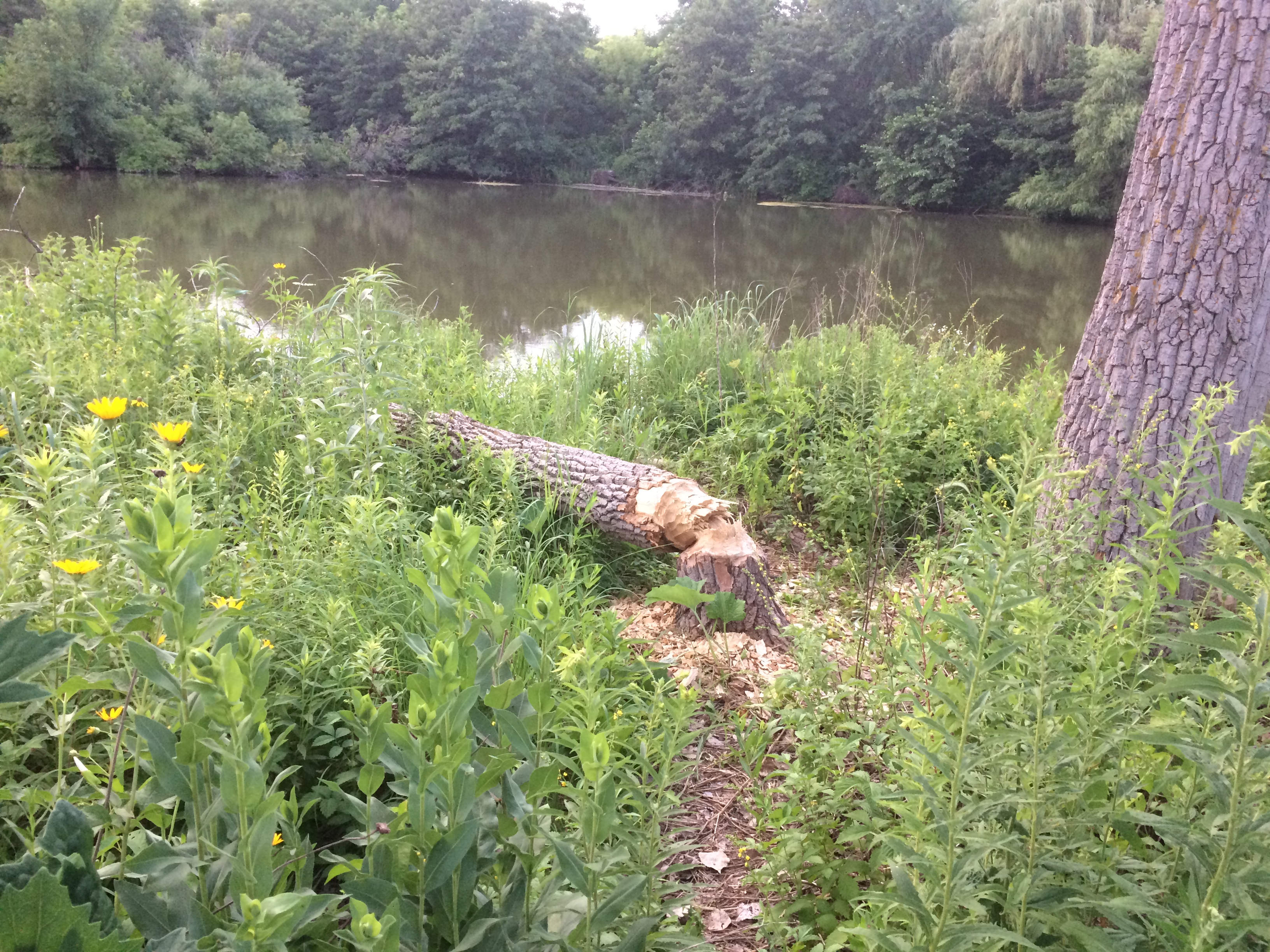
Olde Schaumburg Centre ParkDoing what beavers do. Gnaw marks appeared on other trees, though no others were toppled. Does the village consider beavers a nuisance? They do seem to be attacking park trees, which take a long time to grow, but then again they might be a protected species in these parts.

The animals are a village concern, because the park is village property, not part of the Schaumburg Park District — something I didn’t realize until recently, despite all the years I’ve driven past the park.

The park is also part of a formally designated area called Olde Schaumburg Centre, which is an historic district: the OSC Overlay District, established in 1978. Much information about that and early Schaumburg has been published by the village community development department.

In the mid-19th century, the small farm village that would become a major Chicago suburb was known as Sarah’s Grove. Later, German farmers came in numbers, and Schaumburg schall et heiten!

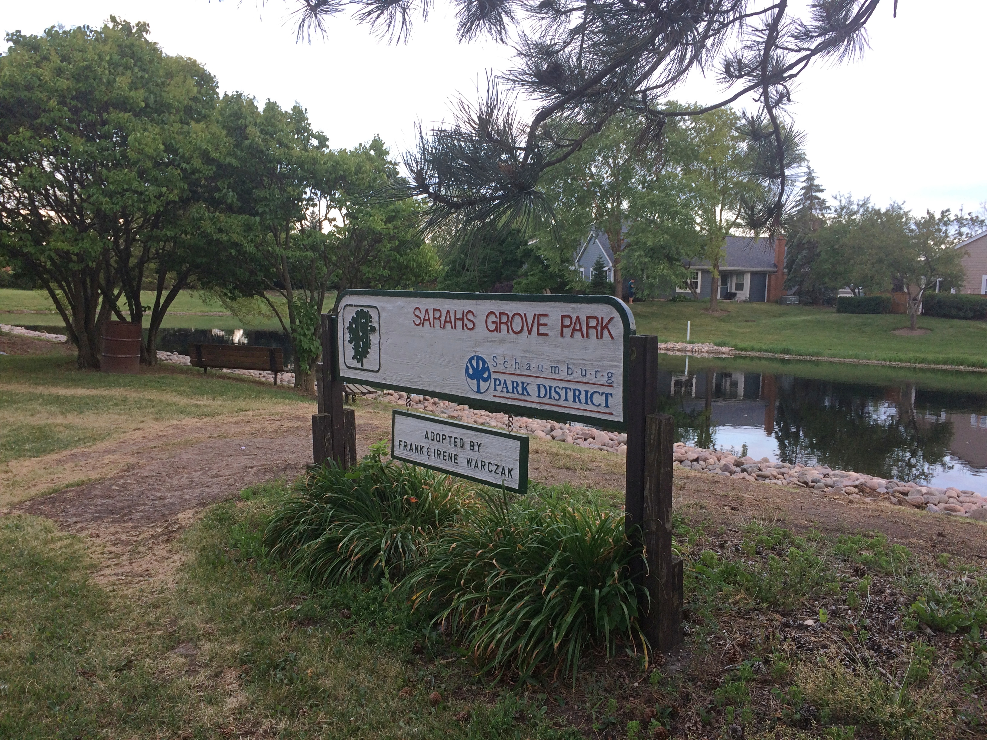
The name Sarah’s Grove lingers. The subdivision across the street from in Olde Schaumburg Centre Park is called Sarah’s Grove, and so is a park district park near the subdivision.
Sarah's Grove ParkIt too focuses on a water feature, but without many trees or thickets.
Sarah's Grove ParkThough no one was there at that moment, I see people fishing at the pond pretty often.
Nike Park, Addison

What do I get for reading the likes of Atlas Obscura? Ideas about obscure places to go. Or to stop if I’m already nearby, because naturally some places are worth seeing, but not worth going to see, to paraphrase Dr. Johnson.

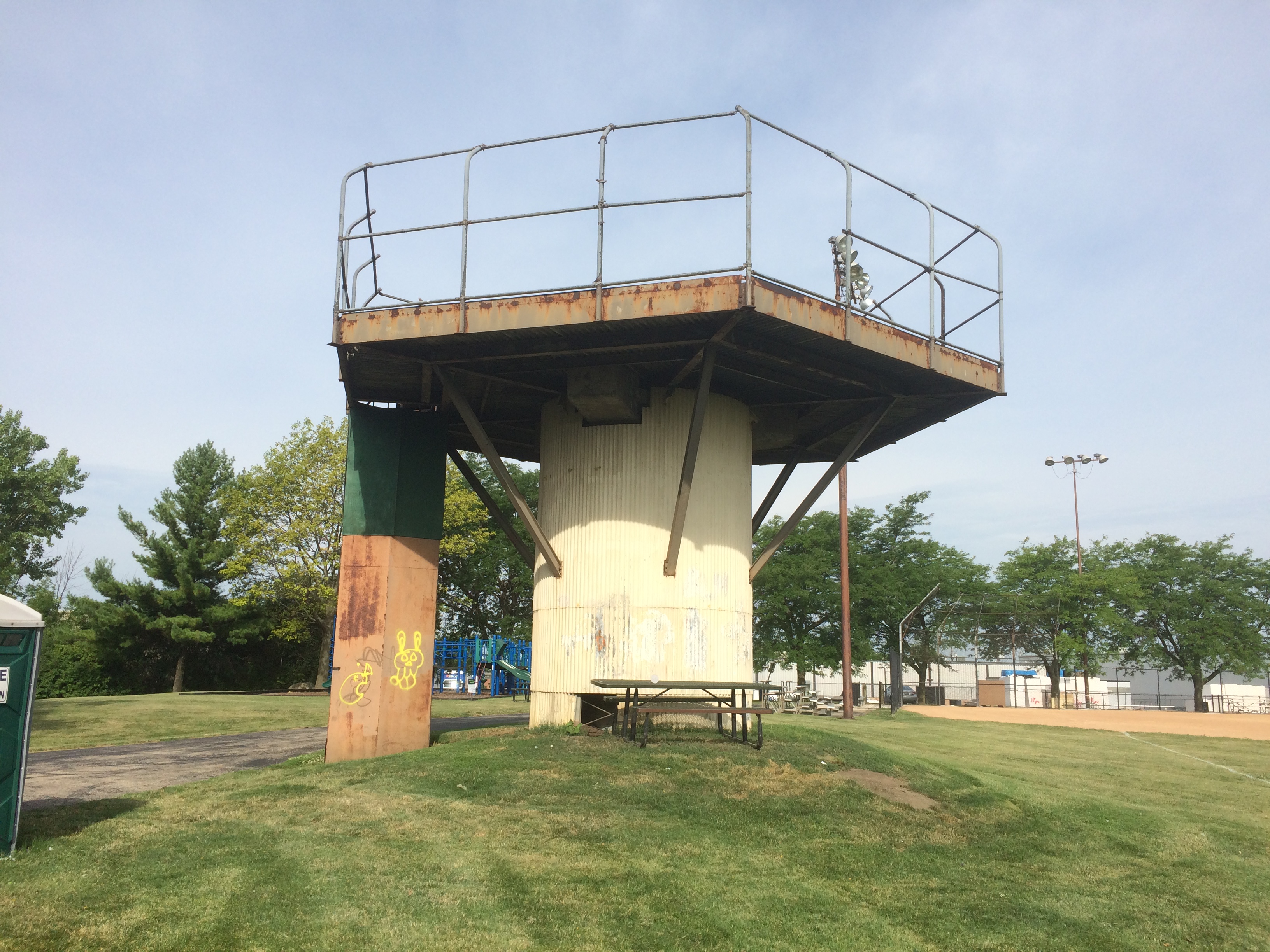
Not long ago I was near Nike Park in west suburban Addison, so I dropped by. It’s accessible via a short street tucked between two light industrial properties and lined with trucks, and as a park, it isn’t much to write about. At about seven acres, the park has a small baseball field, playground, picnic table and a portable toilet.

There’s also this.
Nike Park Addison
To quote Atlas Obscura: “Once part of a larger Nike Missile complex (Nike C-72), the Nike Park land was given over to the Addison Park District after the missiles, launchers, and most of the equipment was removed, and the site decommissioned.

“Unfortunately, no evidence of the launch site exists any longer, as it now part of the Fullerton County Forest Preserve. The radar installation and control tower located on the northwest end of the base, however, still stand in what is now Nike Park…”

As a Cold War relic, worth seeing, but not going to see, I’d say.