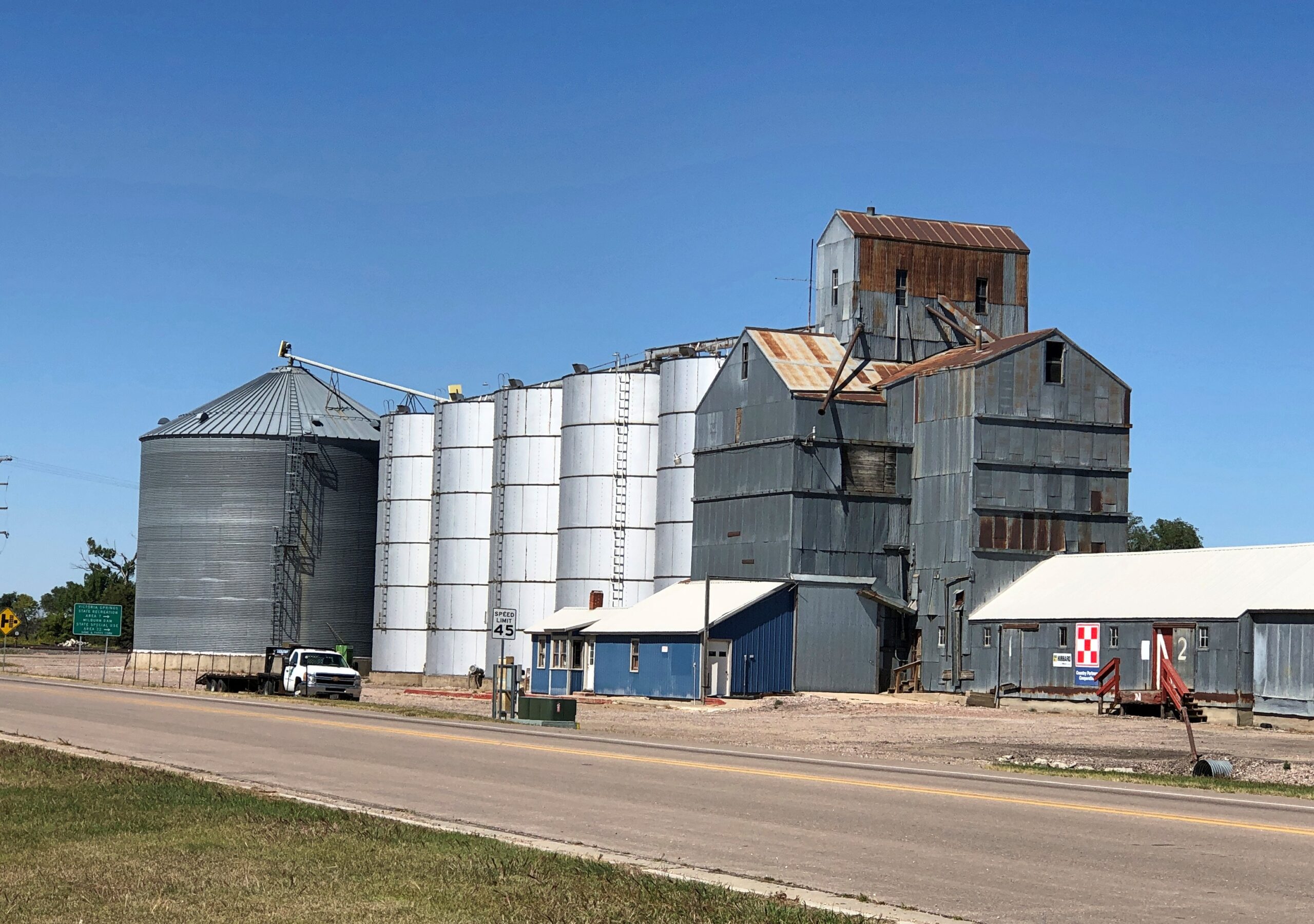
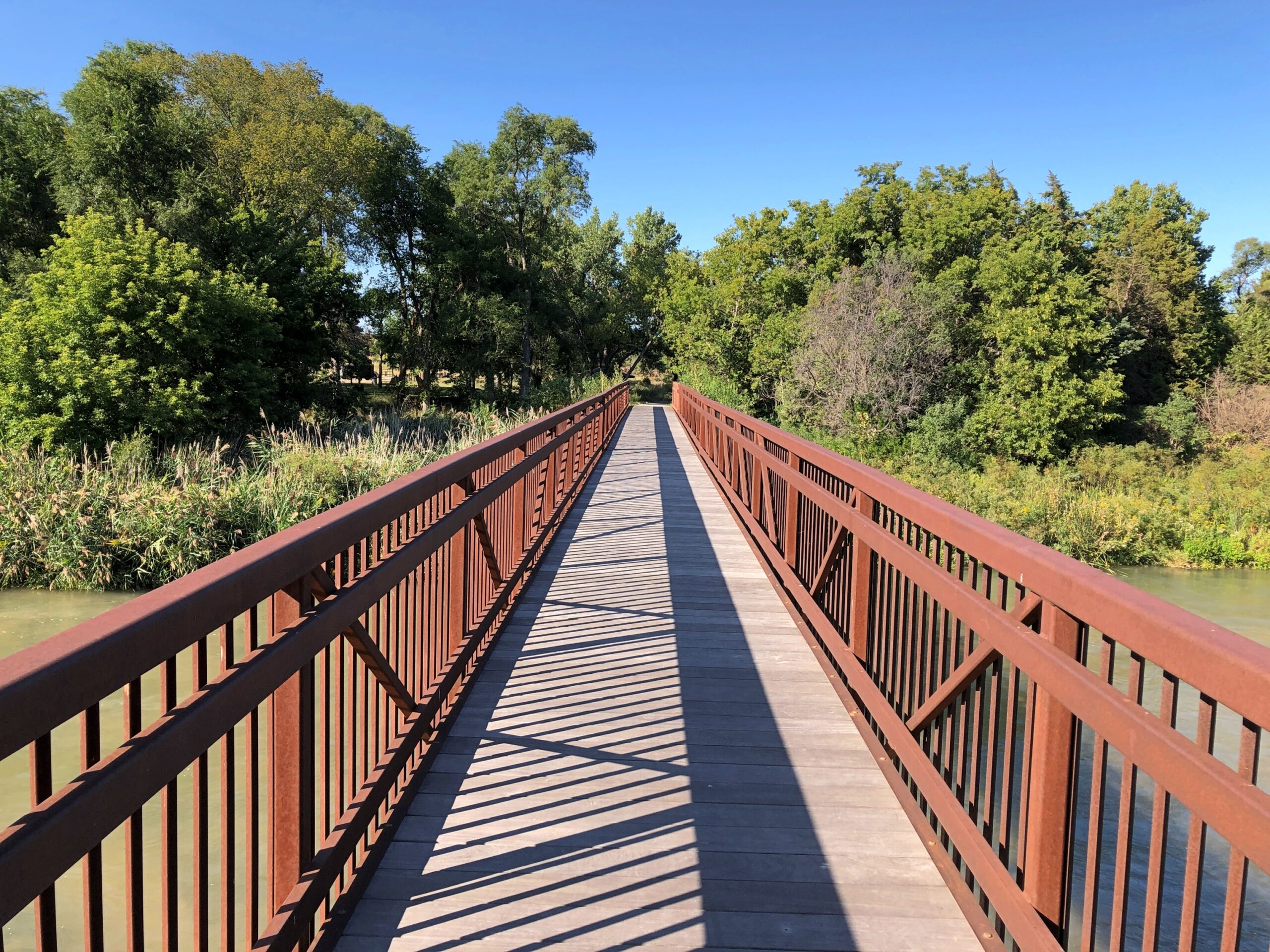
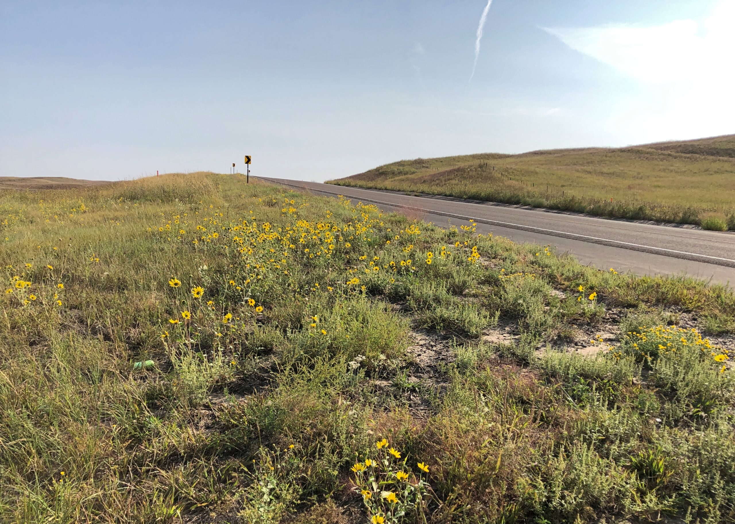
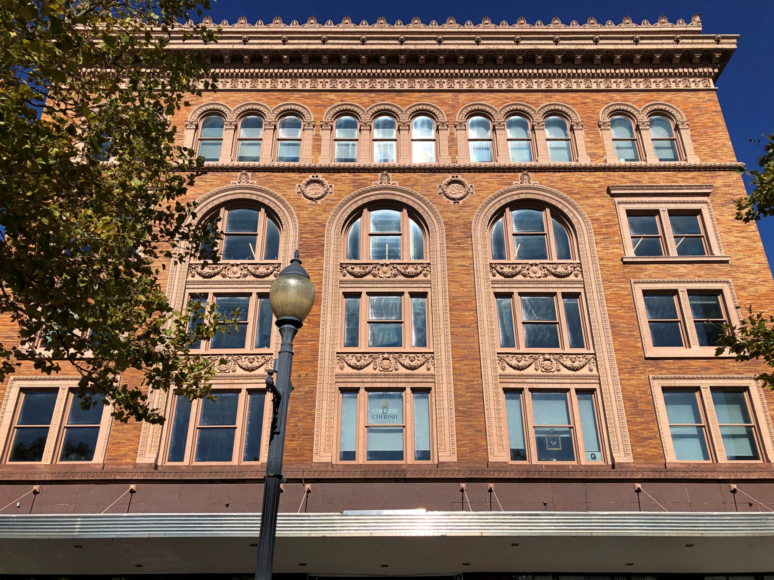
Metro Denver is enormous, much larger than I remembered, even as recently as 2017. Or so it seemed. To the south, Colorado Springs is fairly large, but some orders of magnitude less than the monster metro to its north. Further south, Pueblo doesn’t seem that big, but even so it has 111,000 residents, give or take.
Then you come to Walsenburg. Who has heard of Walsenburg, Colorado (pop. 3,035), even though it too is on I-25 and on the irregular line where prairie and mountains meet? Colorado’s brisk growth over the last few decades seem to have passed it by. Its peak population was in 1940, when more than 5,800 people lived there.
I wish I could say I’d formed an impression of Walsenburg, but we stopped only for gas, and to get off the Interstate.
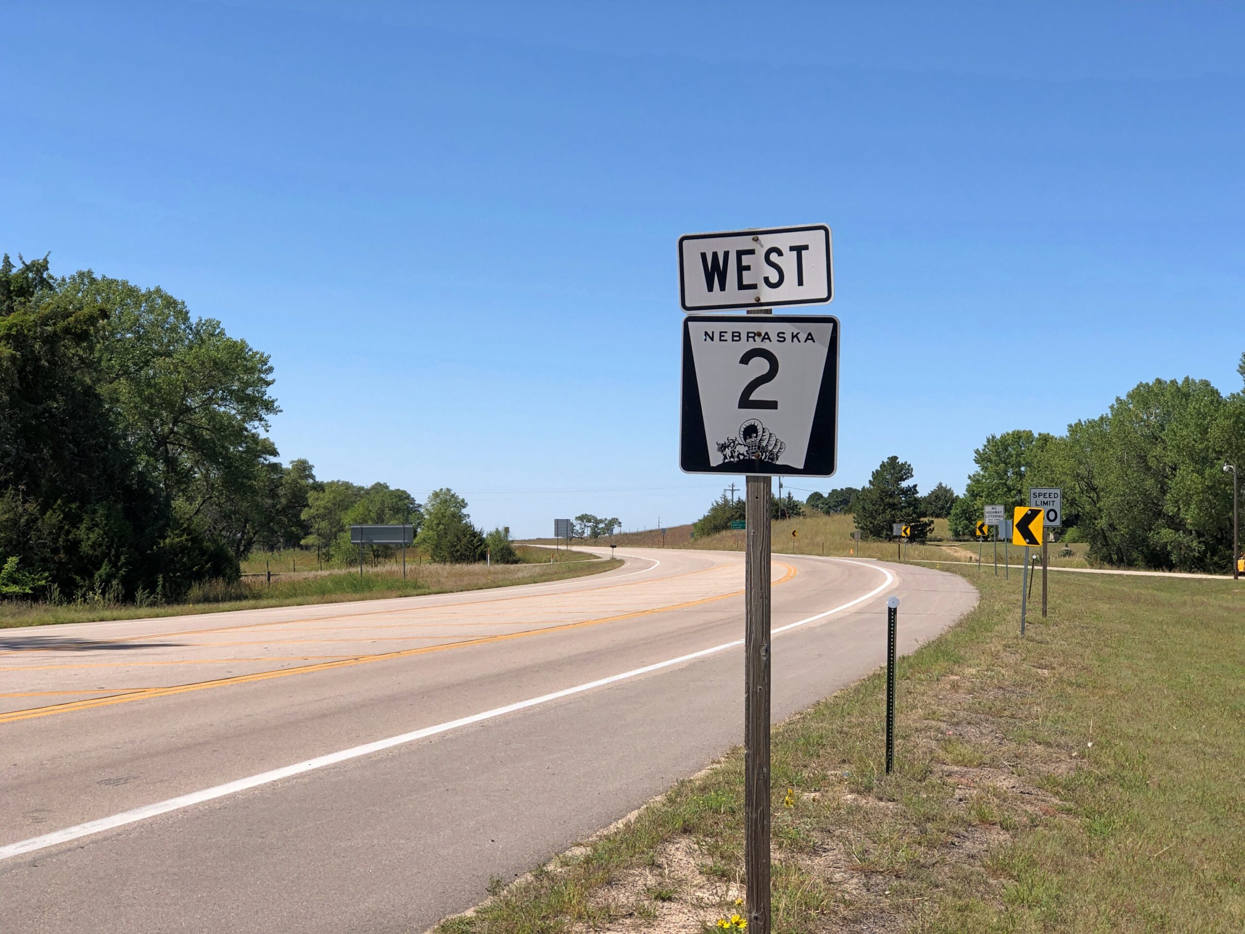
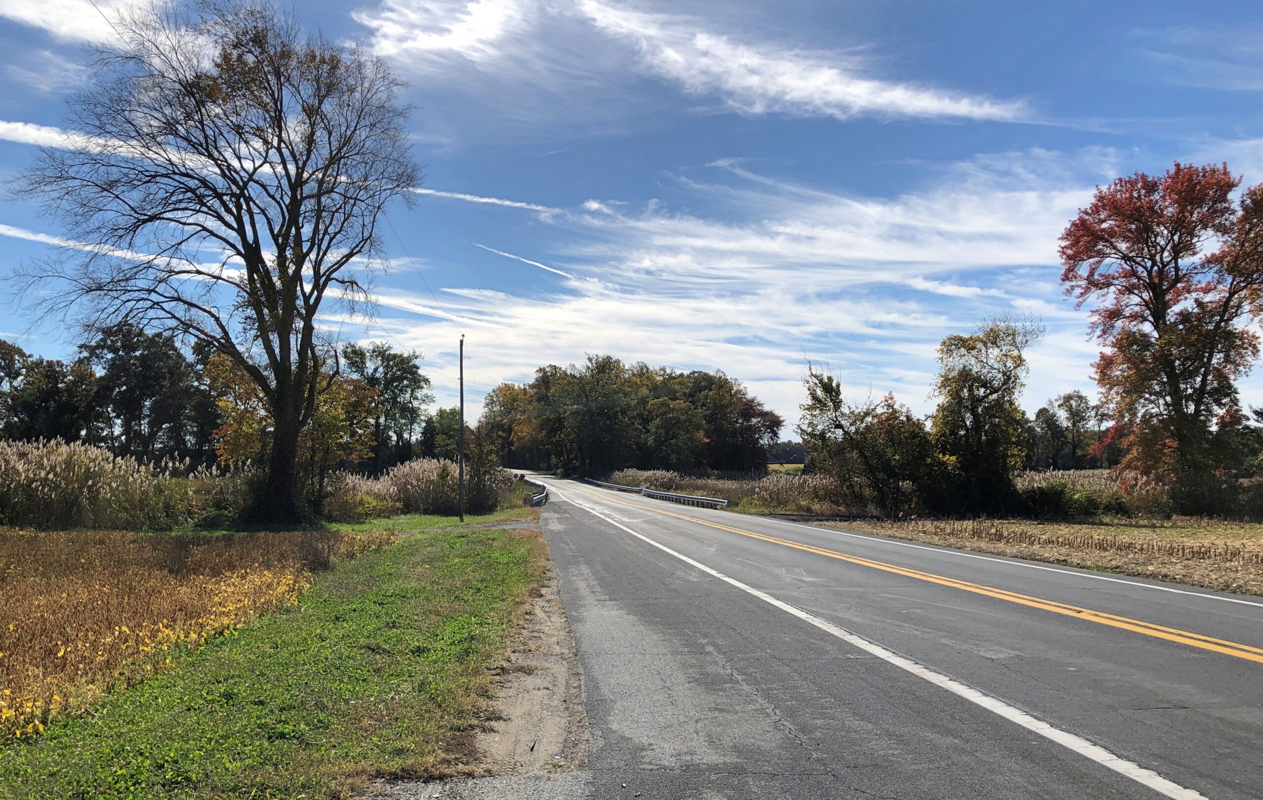
US 160, Walsenburg to Alamosa
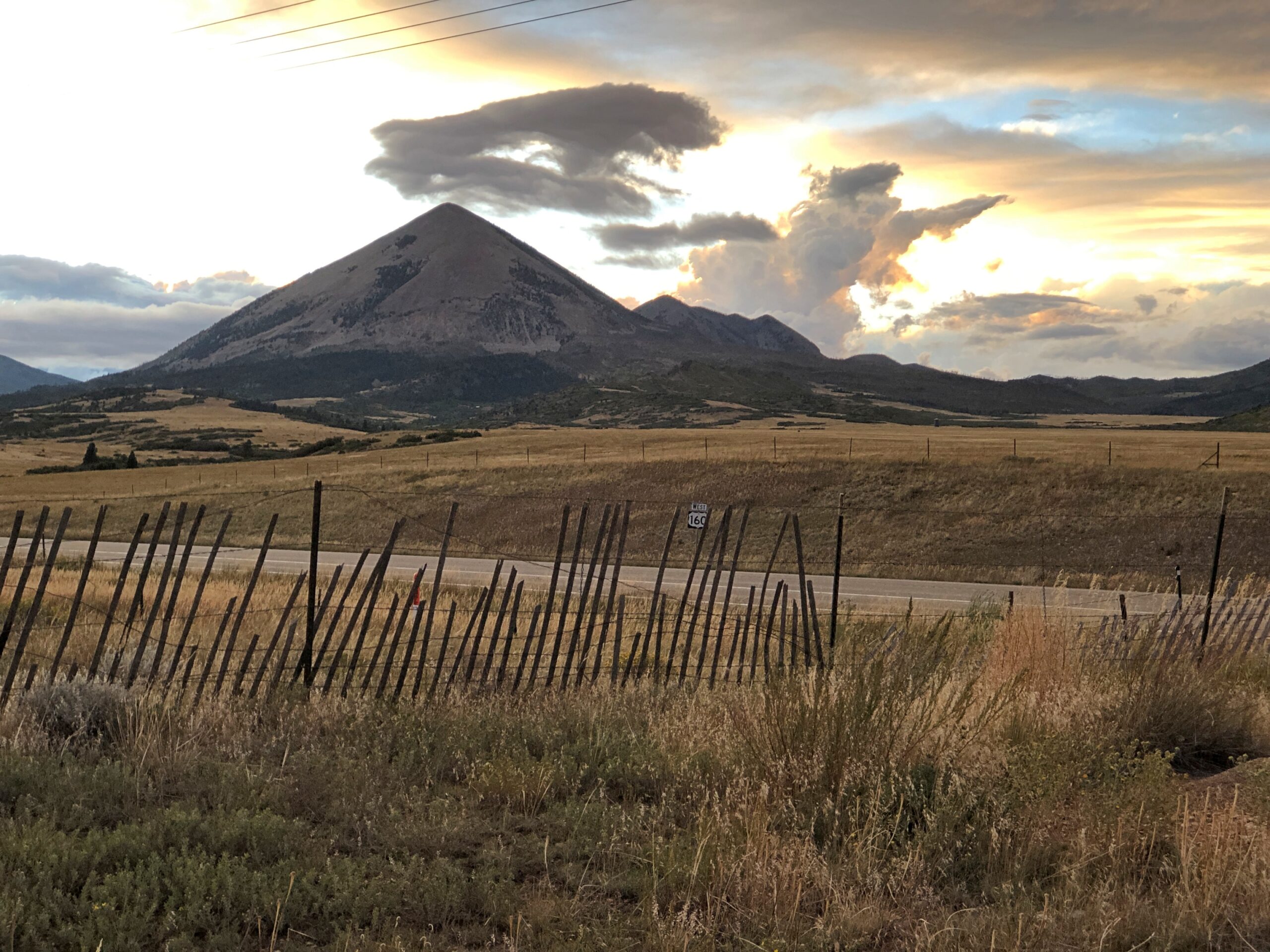
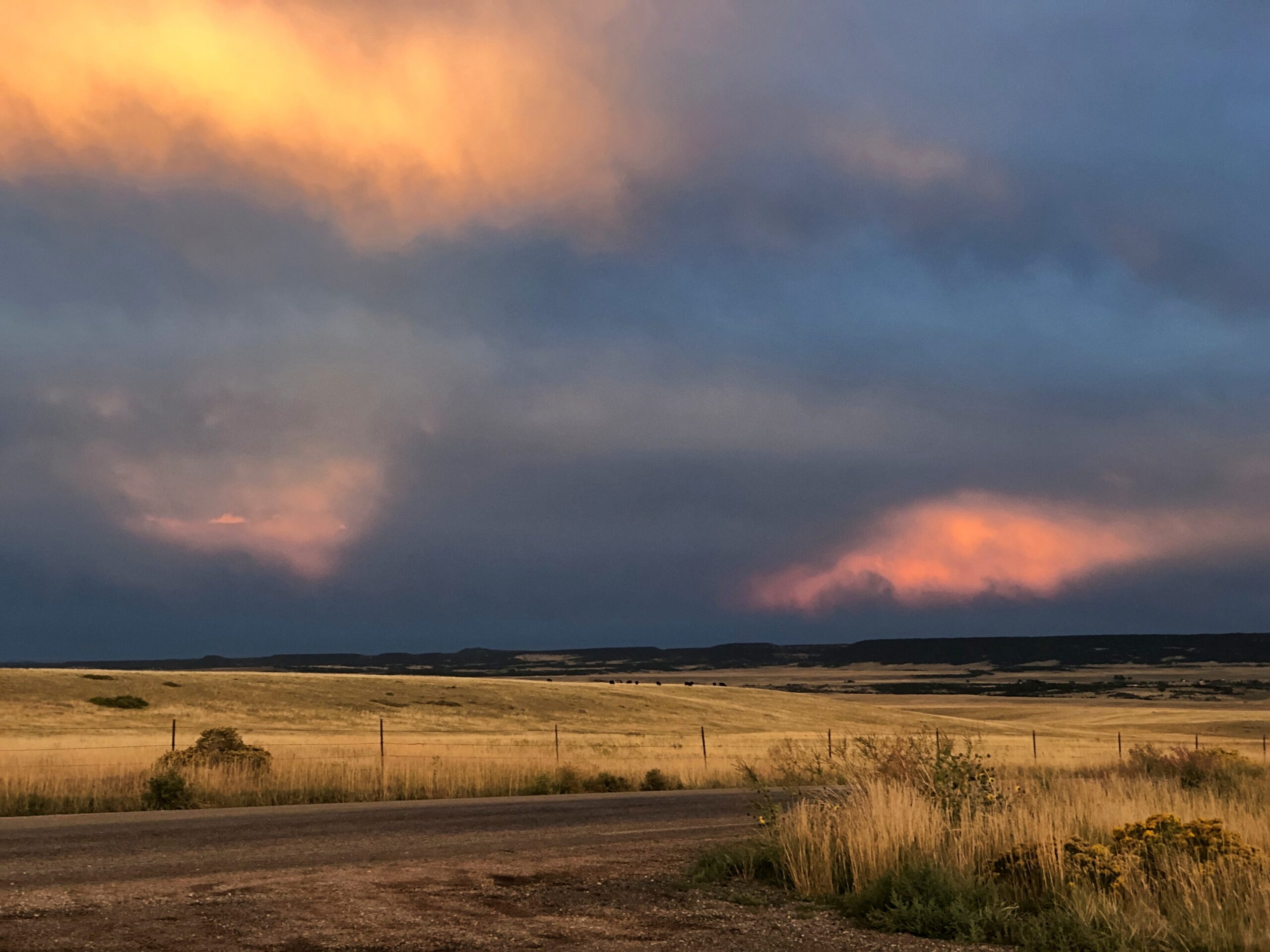
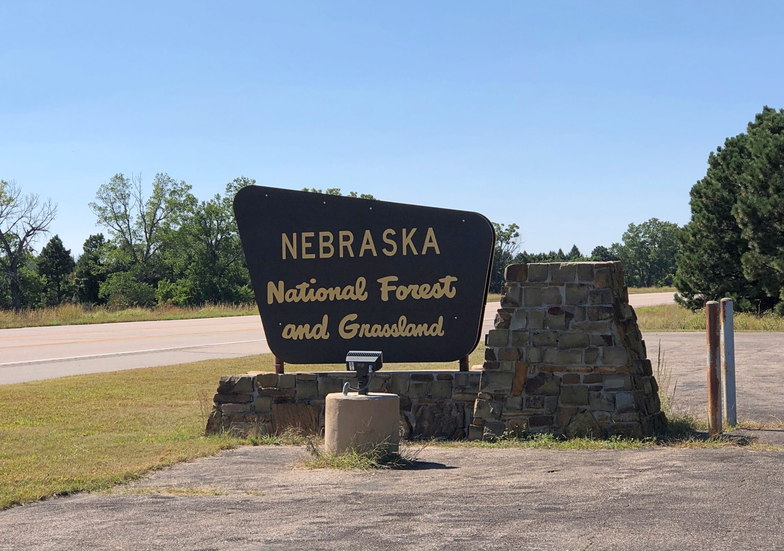
Walsenburg has few people, and when you go west on US 160, that dwindles to practically none. The road crosses the Culebra Range of the Sangre de Cristo Mountains at North La Veta Pass, elevation 9,413 feet, into the San Luis Valley. I enjoyed writing that sentence almost a much as I enjoyed the drive itself.
Enjoyable at least until dark. Wish we’d gotten to see more of it. We’d futzed around in Colorado Springs much of that day, September 13, including a fine lunch at Edelweiss German Restaurant. So the sun went down before we got to our destination, Alamosa. But we did stop for a few minutes on US 160 before we lost the light. A chilly wind blew clouds along at quite a speed, and for their part the clouds were catching the sunset in luminous patches. Until I can see the aurora, that will more than do.
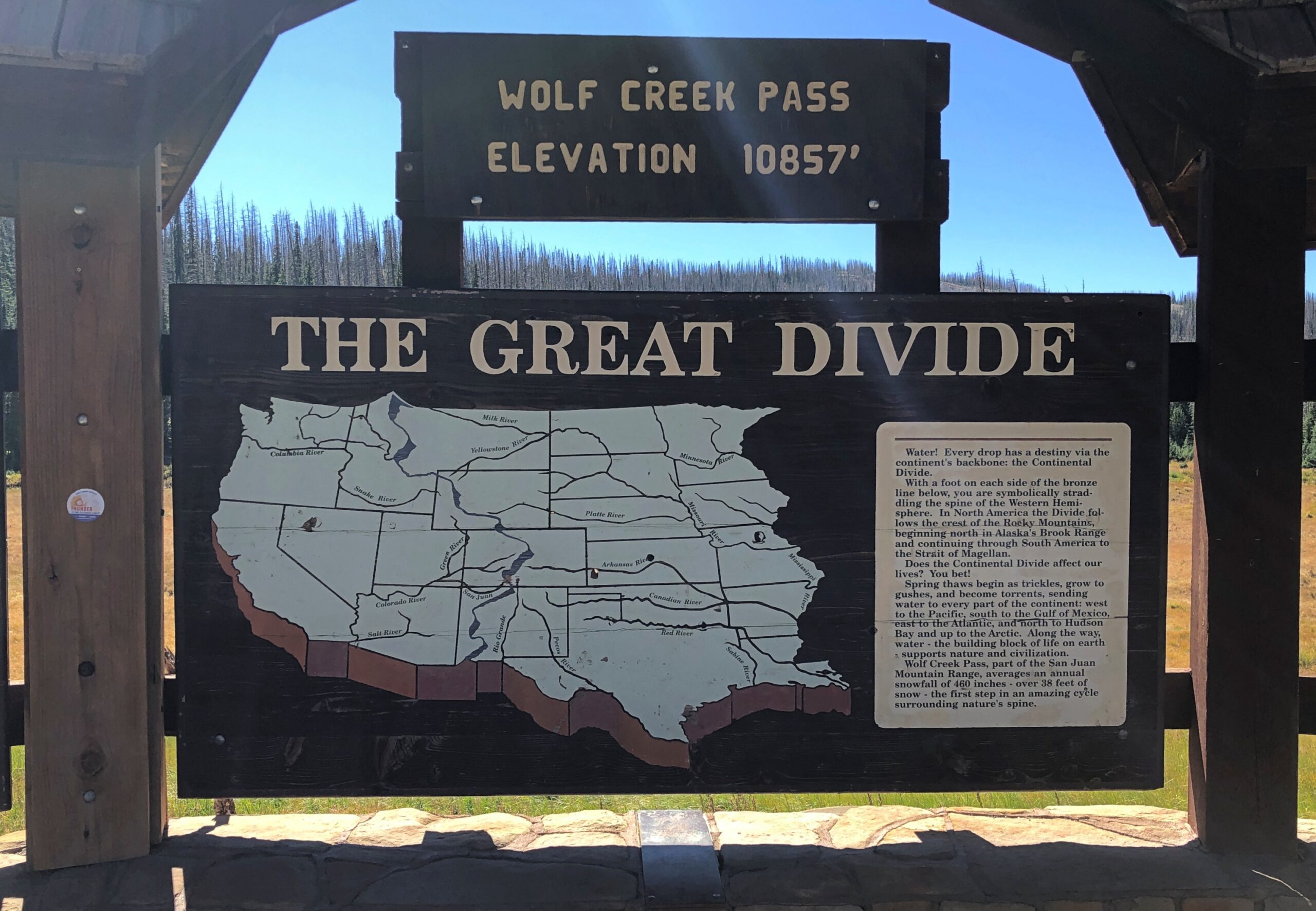
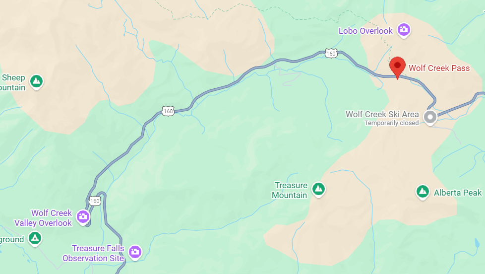
Wolf Creek Pass, Way Up on the Great Divide
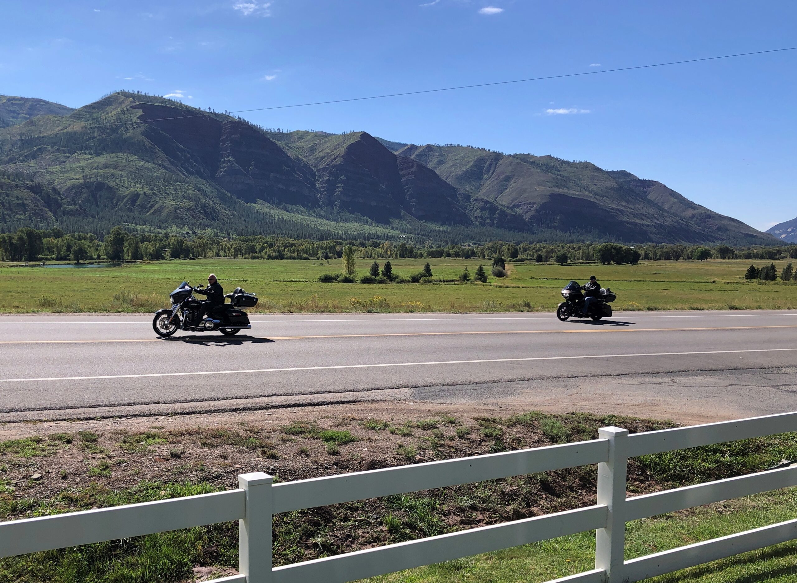
Follow US 160 west from Alamosa and eventually you’ll get to Four Corners. We didn’t go that far on the 15th, just to Durango. The road passes through much of the San Luis Valley, which is wide – the largest alpine valley in the world, they say – so the way is flat until you reach South Fork, Colorado. Then you climb into the San Juan Mountains, until you reach Wolf Creek Pass. Way up on the Great Divide.
Yuriko had been driving on the ascent to Wolf Creek Pass. Usually she doesn’t care for mountain roads, but she focused on a wide-load vehicle ahead of us, and we followed it up, though not at too close a distance. She thought better of driving down the other side, even though she’s never heard it immortalized by C.W. McCall.
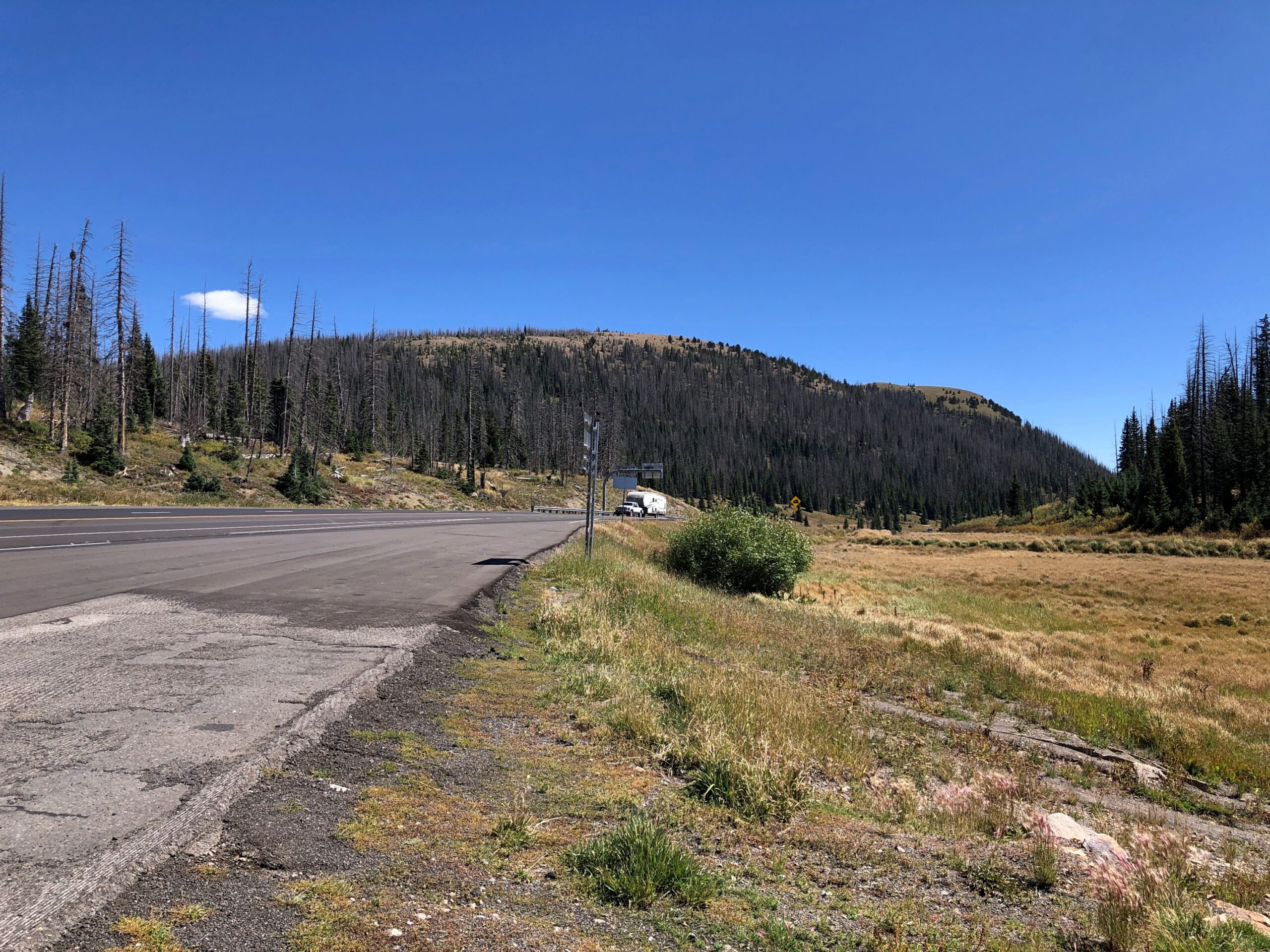
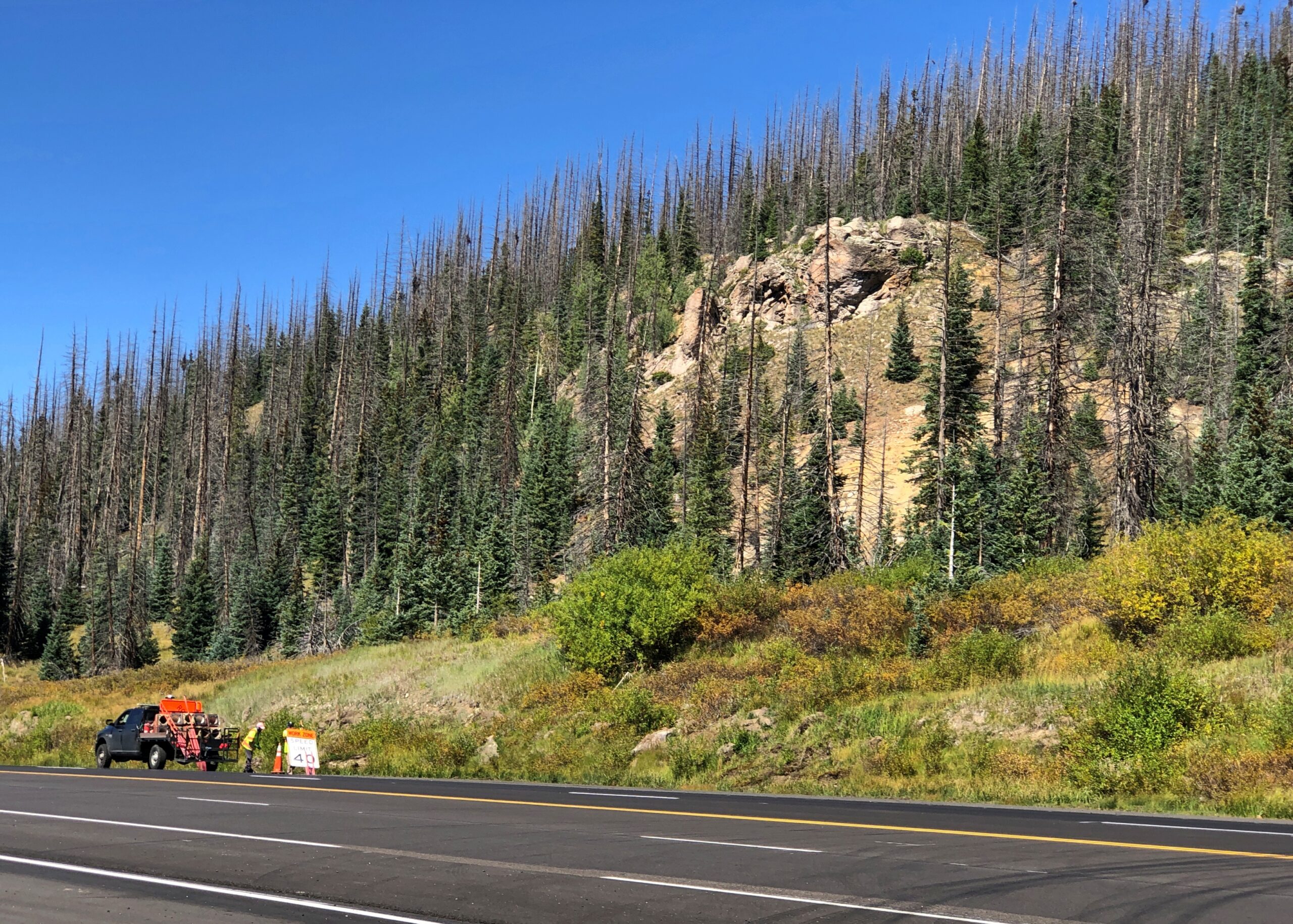
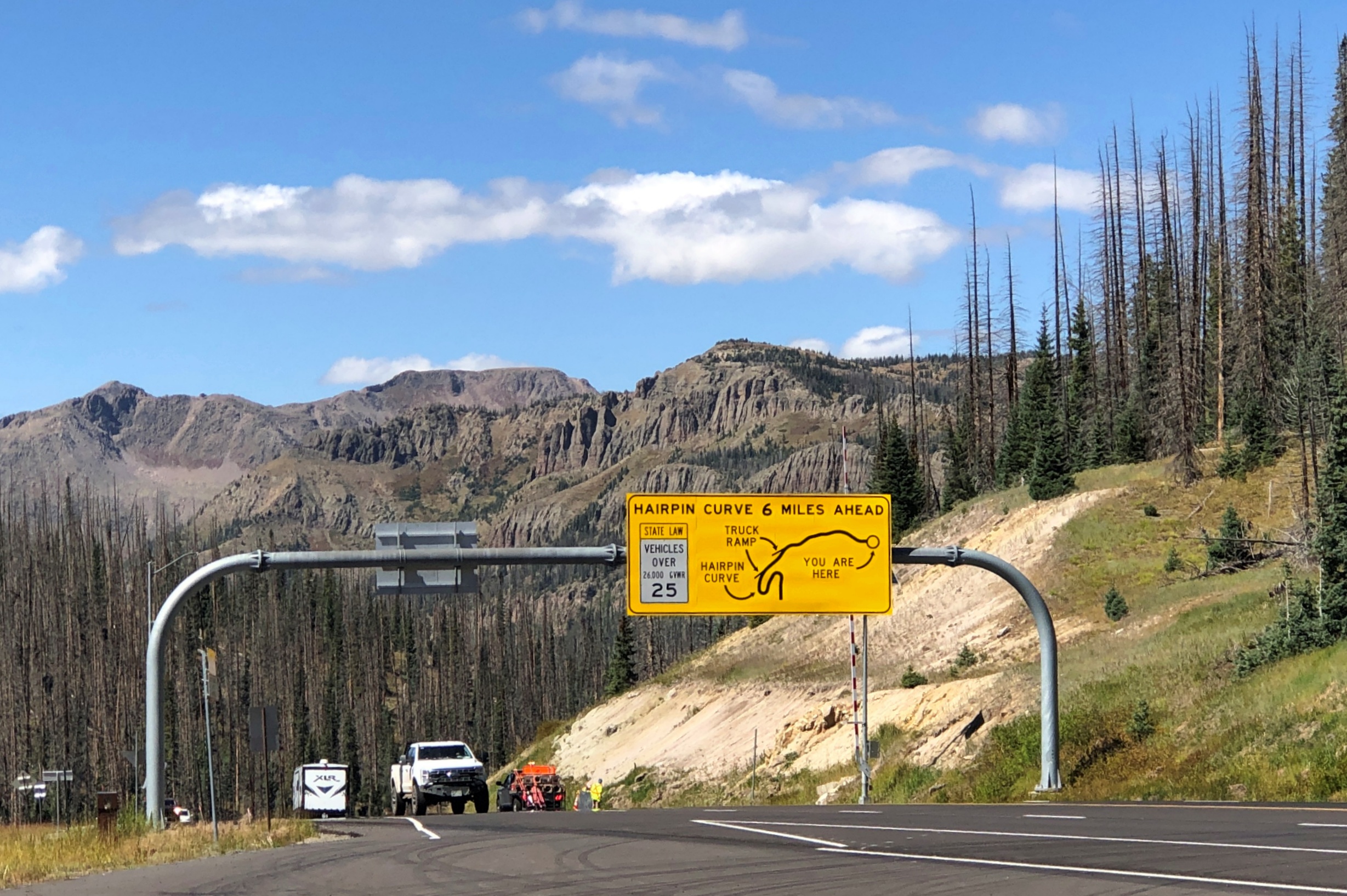
So I drove down. Truth be told, it’s not that bad on a clear day. In our time, US 160 down from Wolf Creek Pass is four lanes, and while curvy, only the hairpin turn – which you are well warned about – is a little tricky. Not that bad in a car, anyway. I couldn’t say about taking a truck down. I’ll bet 50 years ago the route was probably still two lanes and maybe even more winding, so C.W. was only exaggerating for comic effect, not making everything up.
At the end of the drop is Pagosa Springs, whose main street was completely torn up with construction. We found lunch off the main drag at PS FroYo, which is one of those restaurants that makes money for a local charity, in this case Aspen House. We didn’t know that before we ate our sandwiches, just that it was near where we parked and not fast food. A nice bonus to find out.
Lewis Street wasn’t under construction, so that made for a pleasant stroll after lunch, including time at a resale shop. No post cards. Bought some nearly new jeans, which proved their $5 worth (and much more) when I was later deposited briefly in the Kansas mud. They were standing by at that moment, sitting in a bag on top of everything else in the back seat — blankets, sleeping bag, small bags with some winter wear. I didn’t have to dig around looking for them. That never happens, or so it seems, so I thought I’d remember when it did by noting it here.
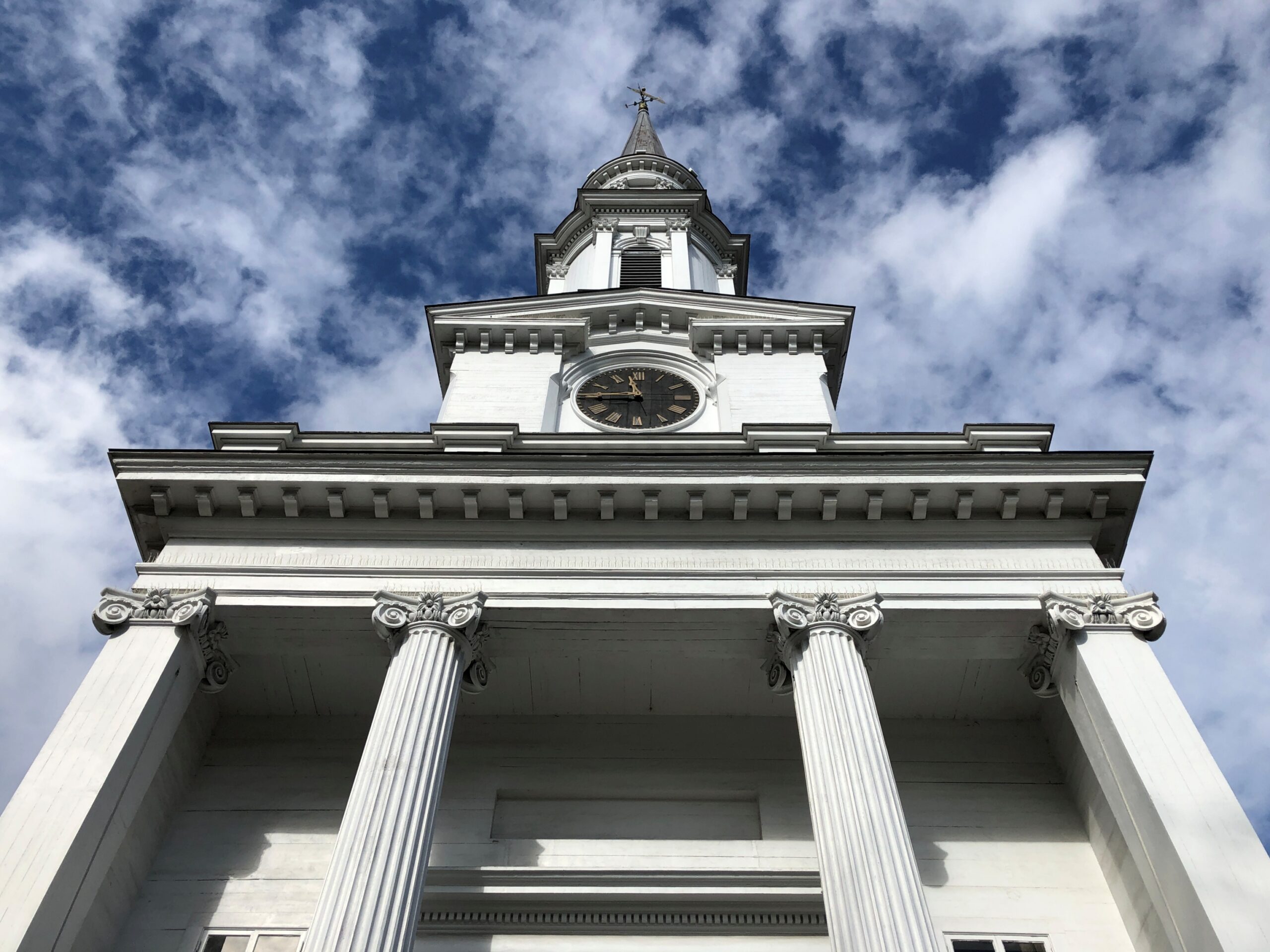
Lewis Street.
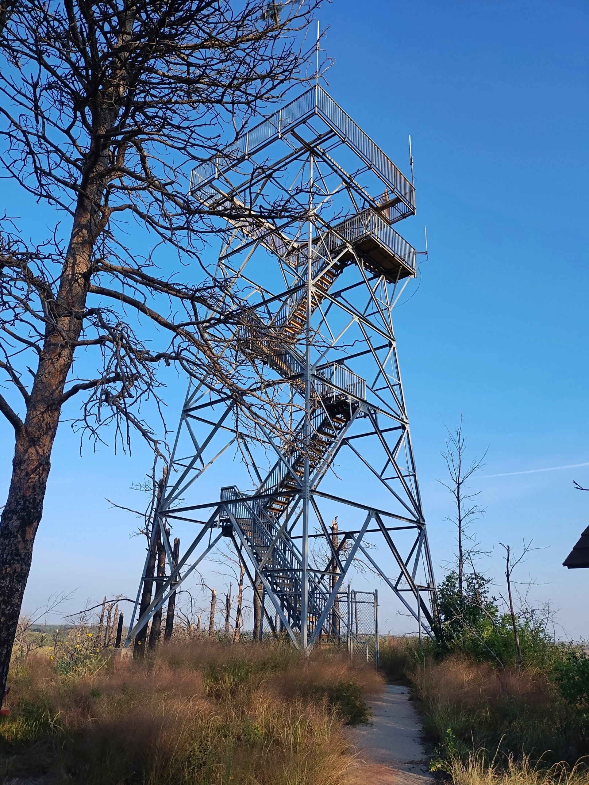
West of Pagosa Springs, but before Durango, is Chimney Rock National Monument. Not to be confused with Chimney Rock National Historic Site in Nebraska.
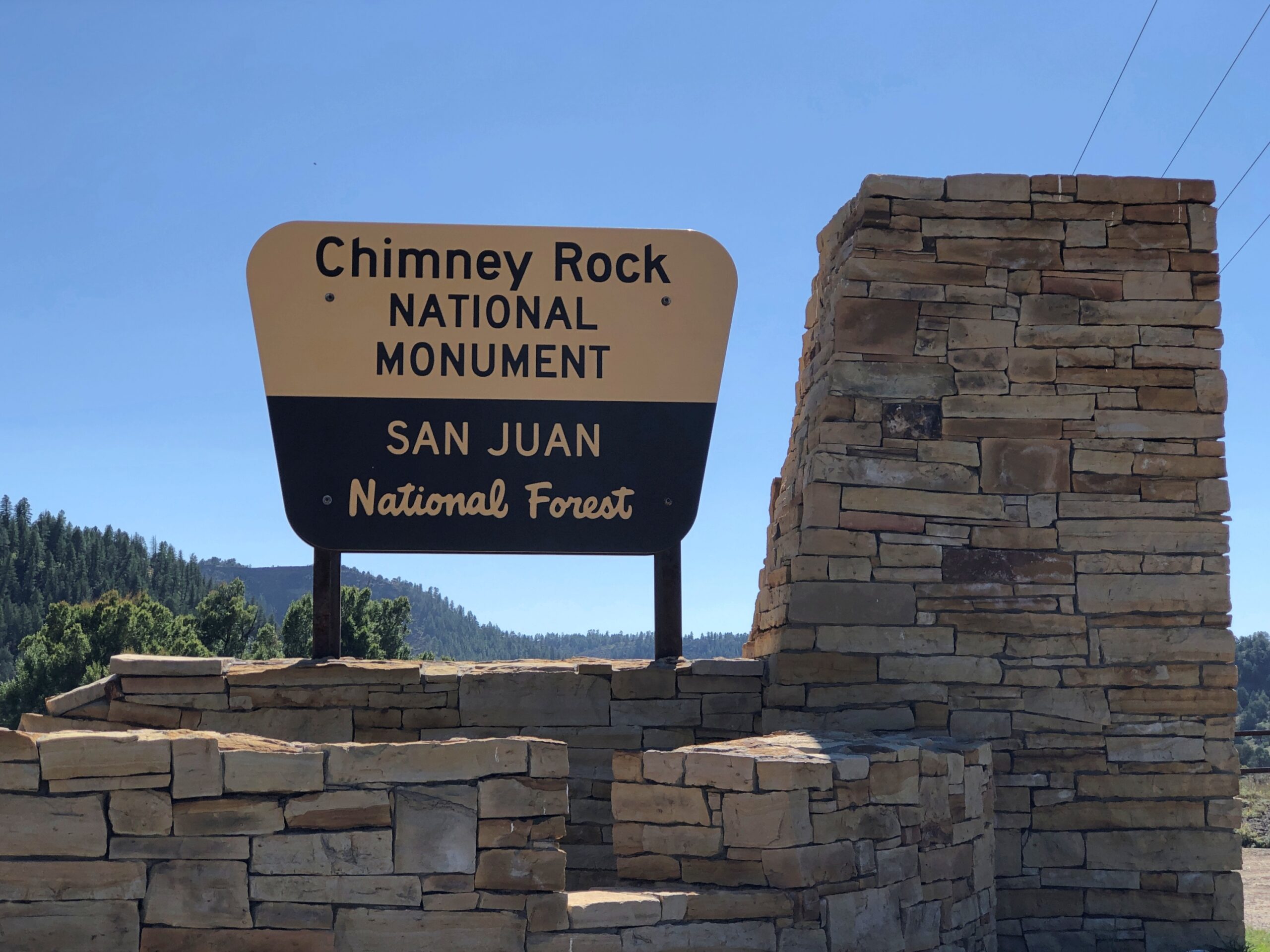
There is a road up to Colorado’s Chimney Rock, a ridge-top archaeological site that is the nucleus of the national monument, but it was closed. The small museum at the base of the rock was still open, so along with our view, we took in a little about the Ancestral Puebloans who used to live there.
Chimney Rock and Companion Rock, foci of the national monument.
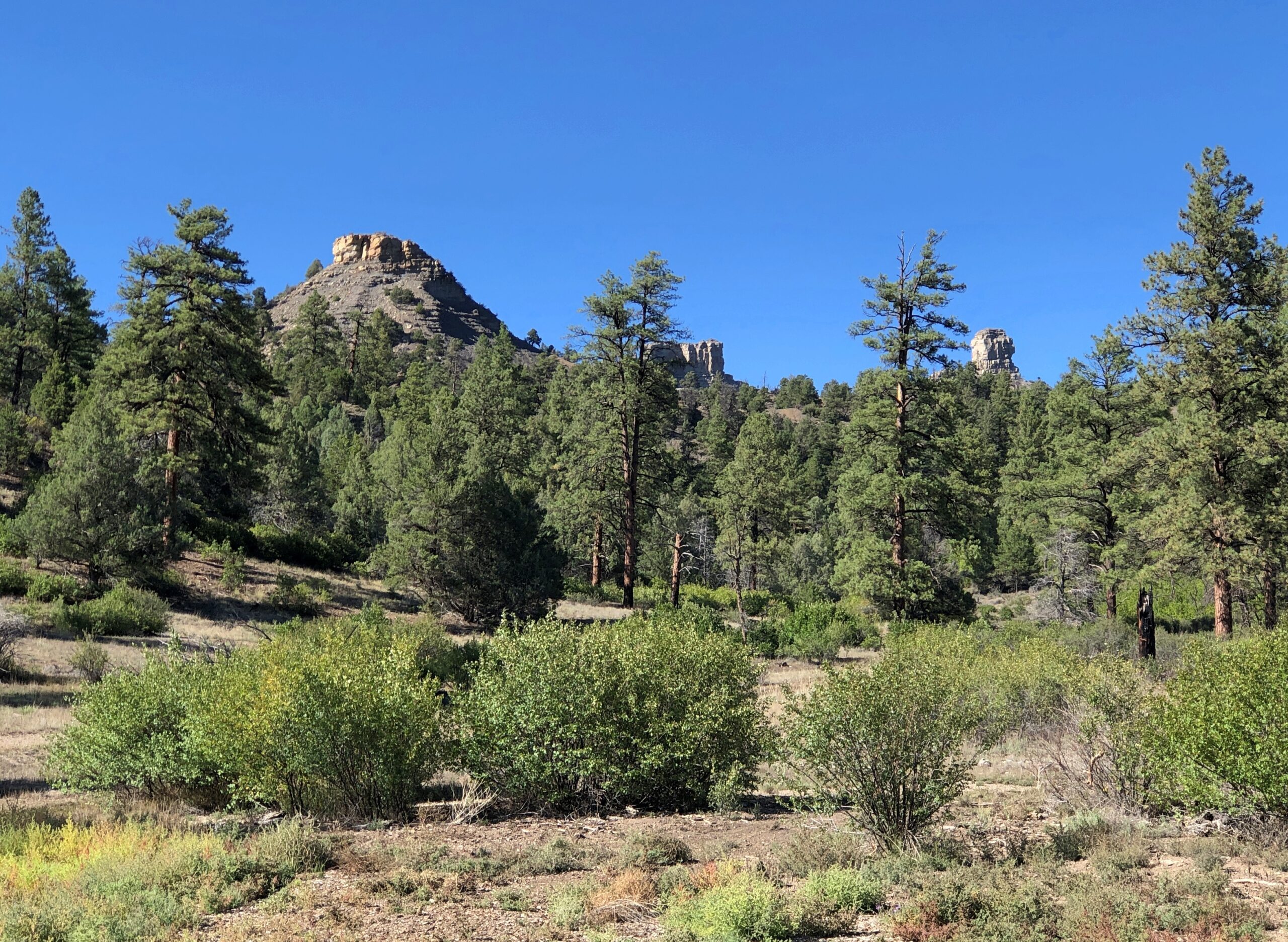
“Chimney Rock covers seven square miles and preserves 200 ancient homes and ceremonial buildings, some of which have been excavated for viewing and exploration: a Great Kiva, a Pit House, a Multi-Family Dwelling, and a Chacoan-style Great House Pueblo,” says the Chimney Rock Interpretive Association. “Chimney Rock is the highest in elevation of all the Chacoan sites, at about 7,000 feet above sea level.”
US 550 North from Durango
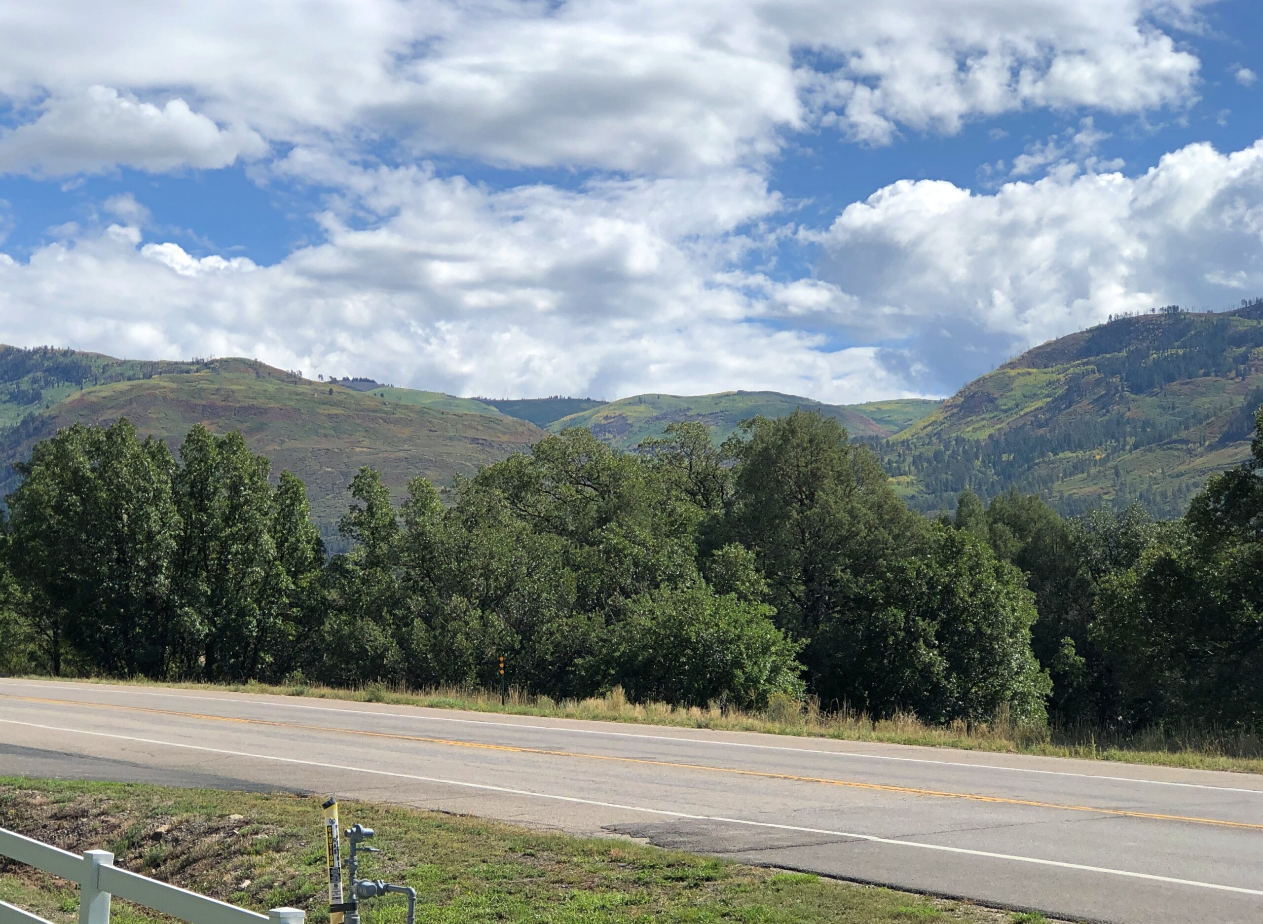
North from Durango on US 550, the scenery starts pretty soon.
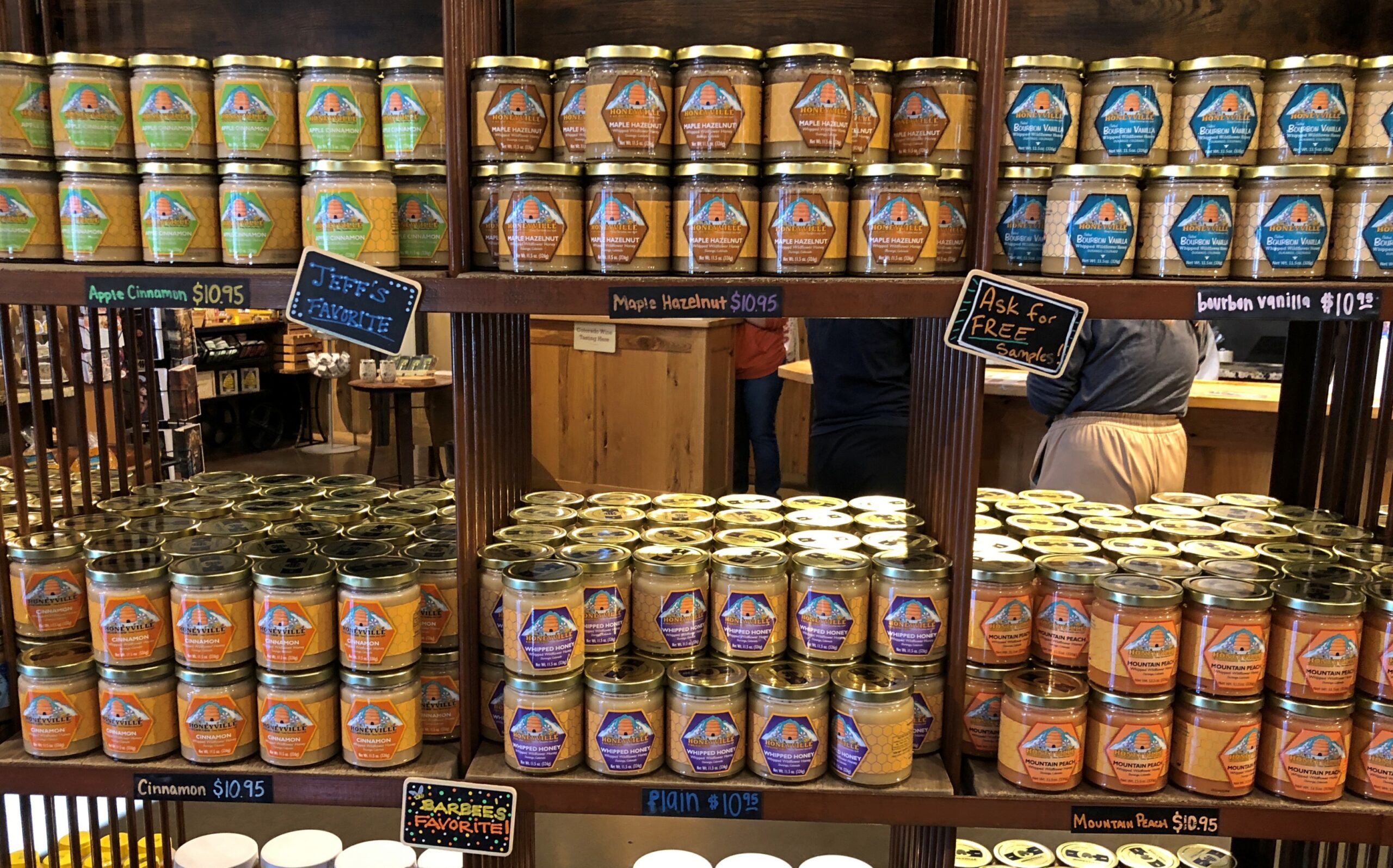
A few miles out of town, Honeyville. It looked like a good place for souvenirs.
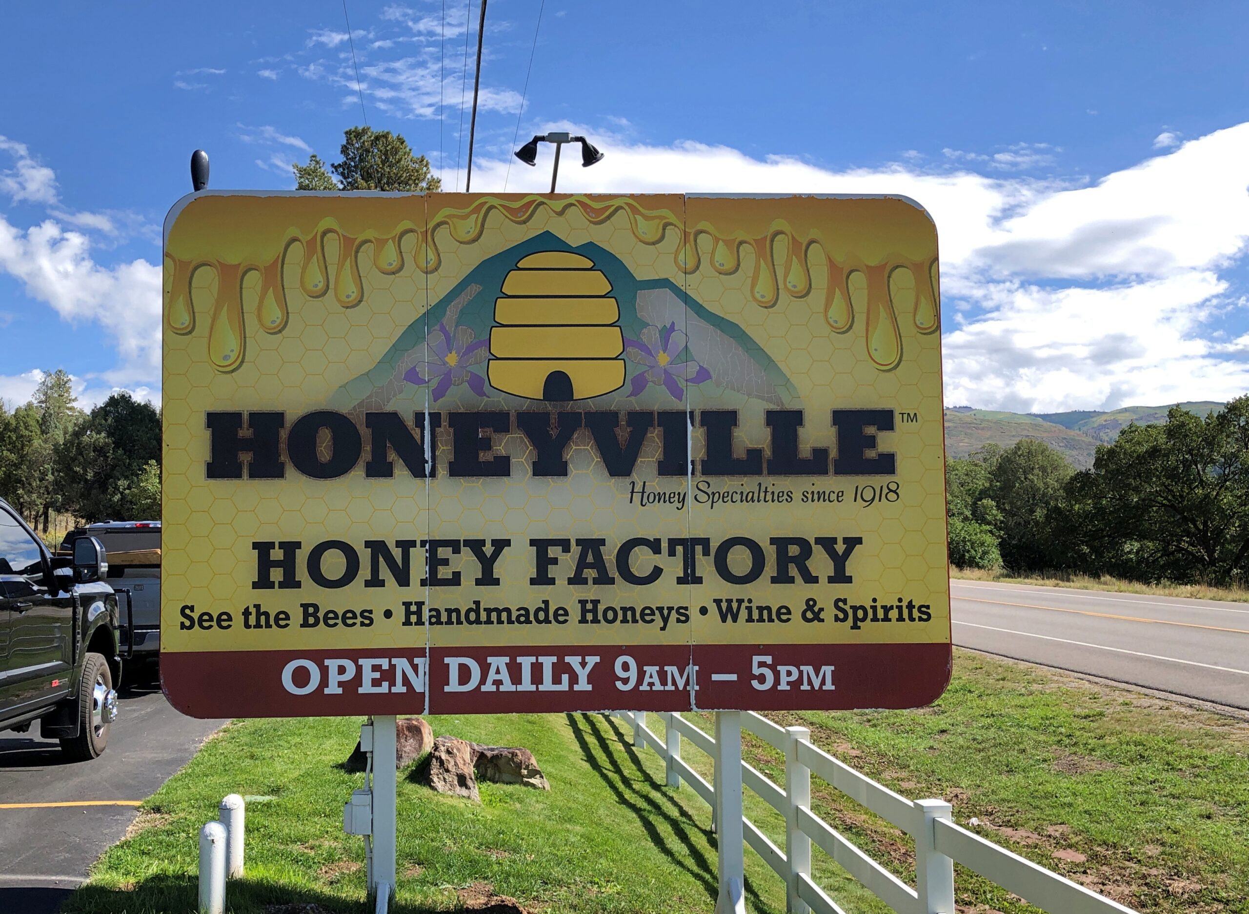
It was. I’m still working on a Honeyville jar of whipped cinnamon honey, which makes a warm biscuit sing.
All sorts of honey products are available.
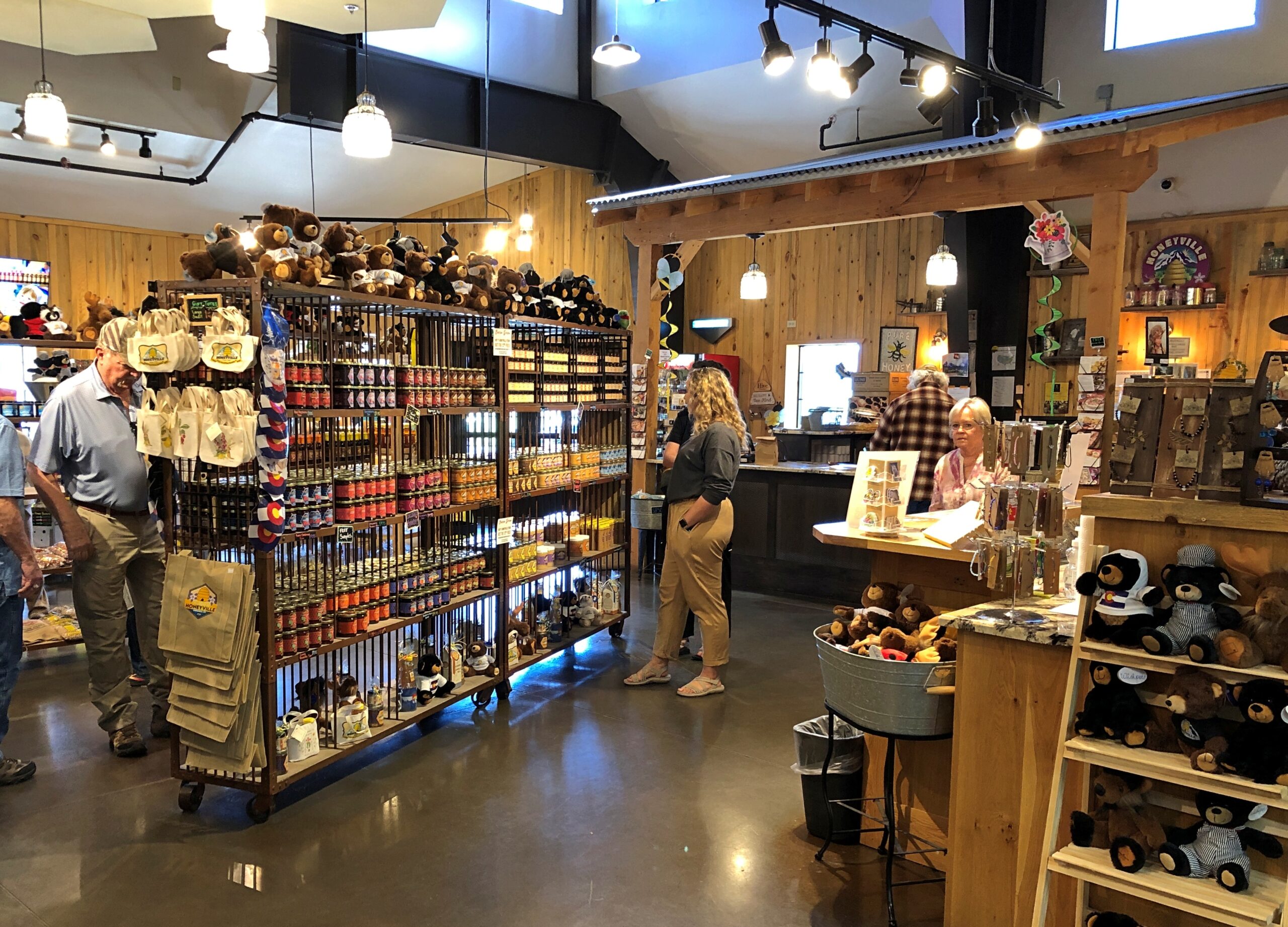
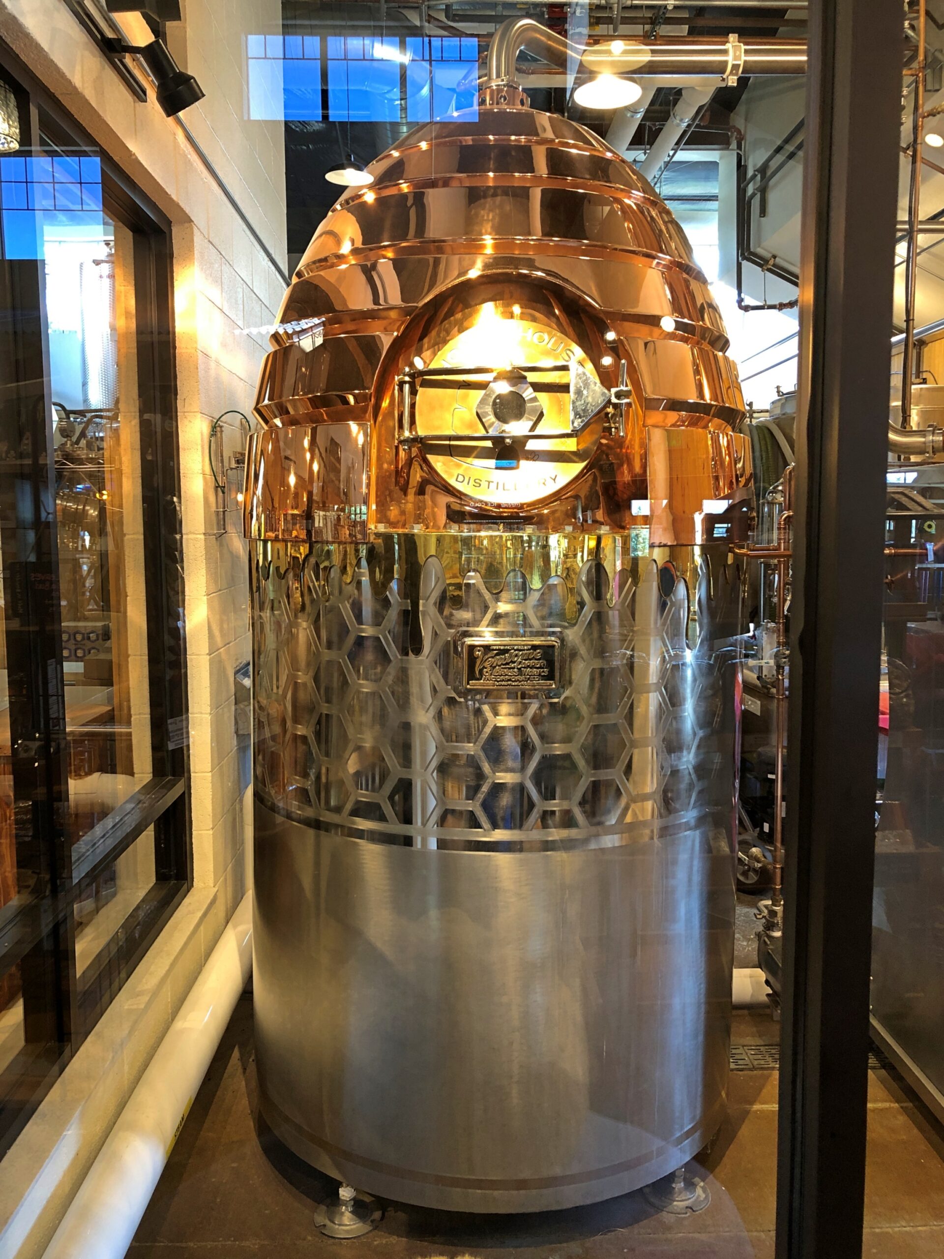
You can watch part of the process.

A warp drive engine fueled by honey? Could be that Zefram Cochrane kept (will keep) bees.
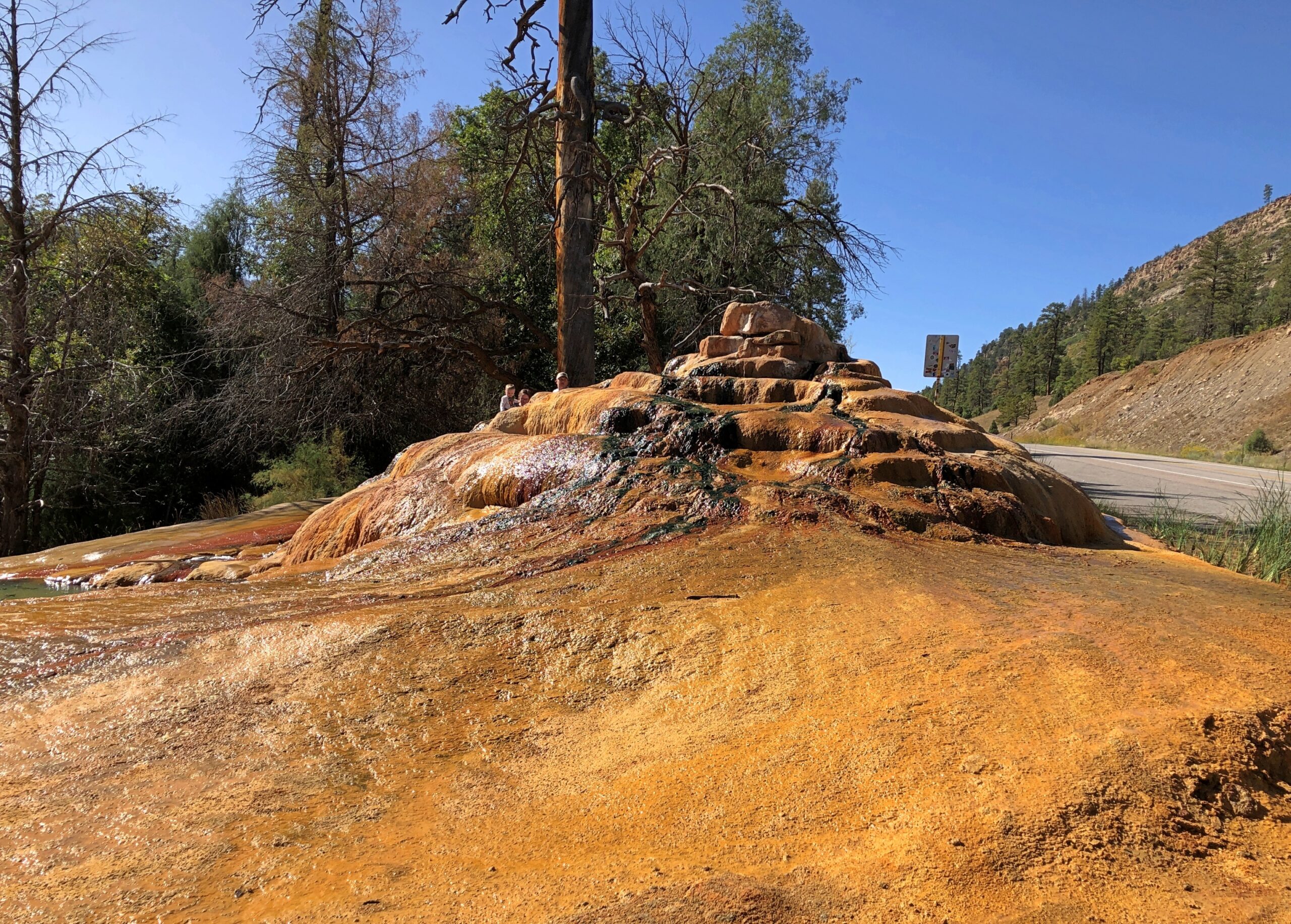
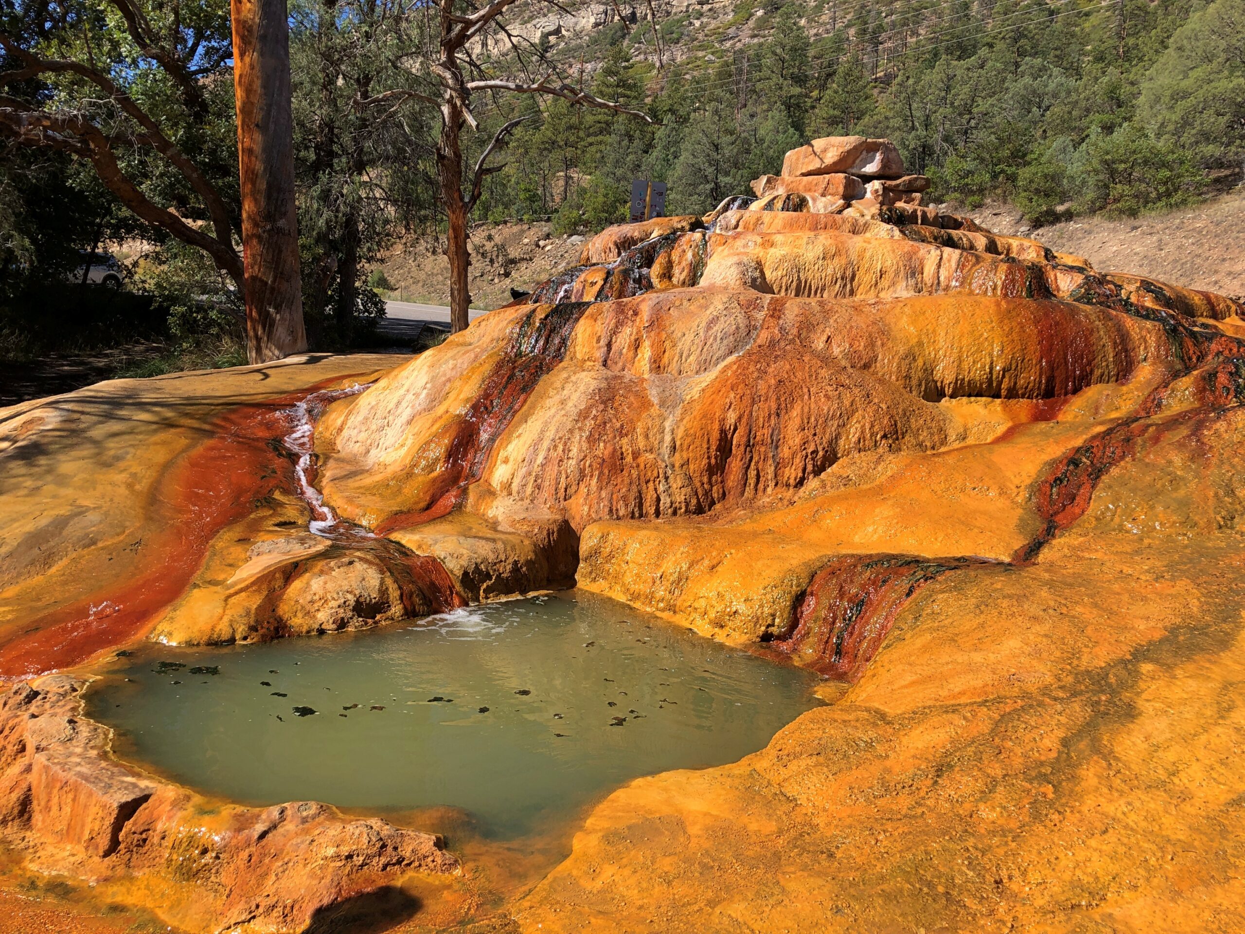
Only a few miles north, just off US 550, is Pinkerton Hot Springs, which is the kind of place that winds up on Atlas Obscura lists (actually, so does Honeyville). We took a look, but not a dip.
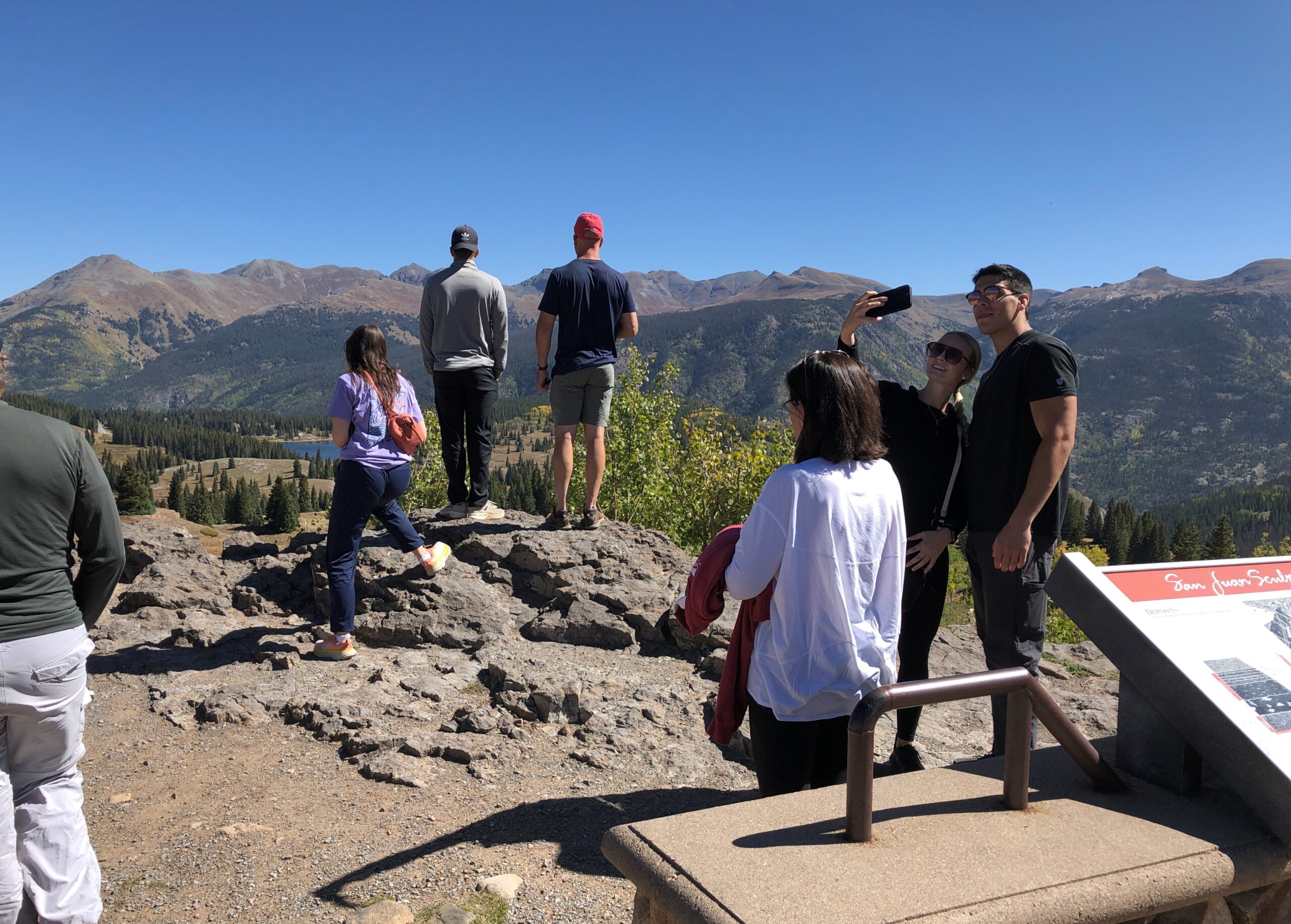
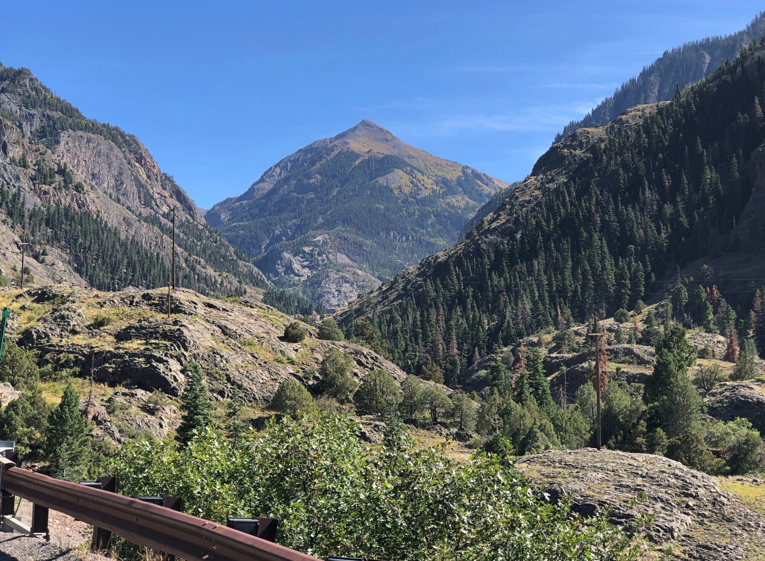
Before you get to Silverton on US 550, you cross Molas Pass, which has some terrific views of the edge of the Weminuche Wilderness. The day, by this time September 18, was clear and not exactly warm, but not that cold yet. Good day for a mountain drive.
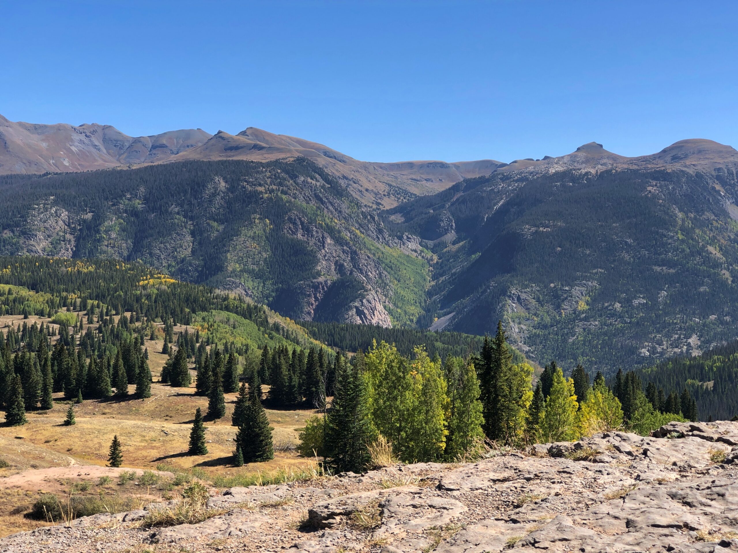
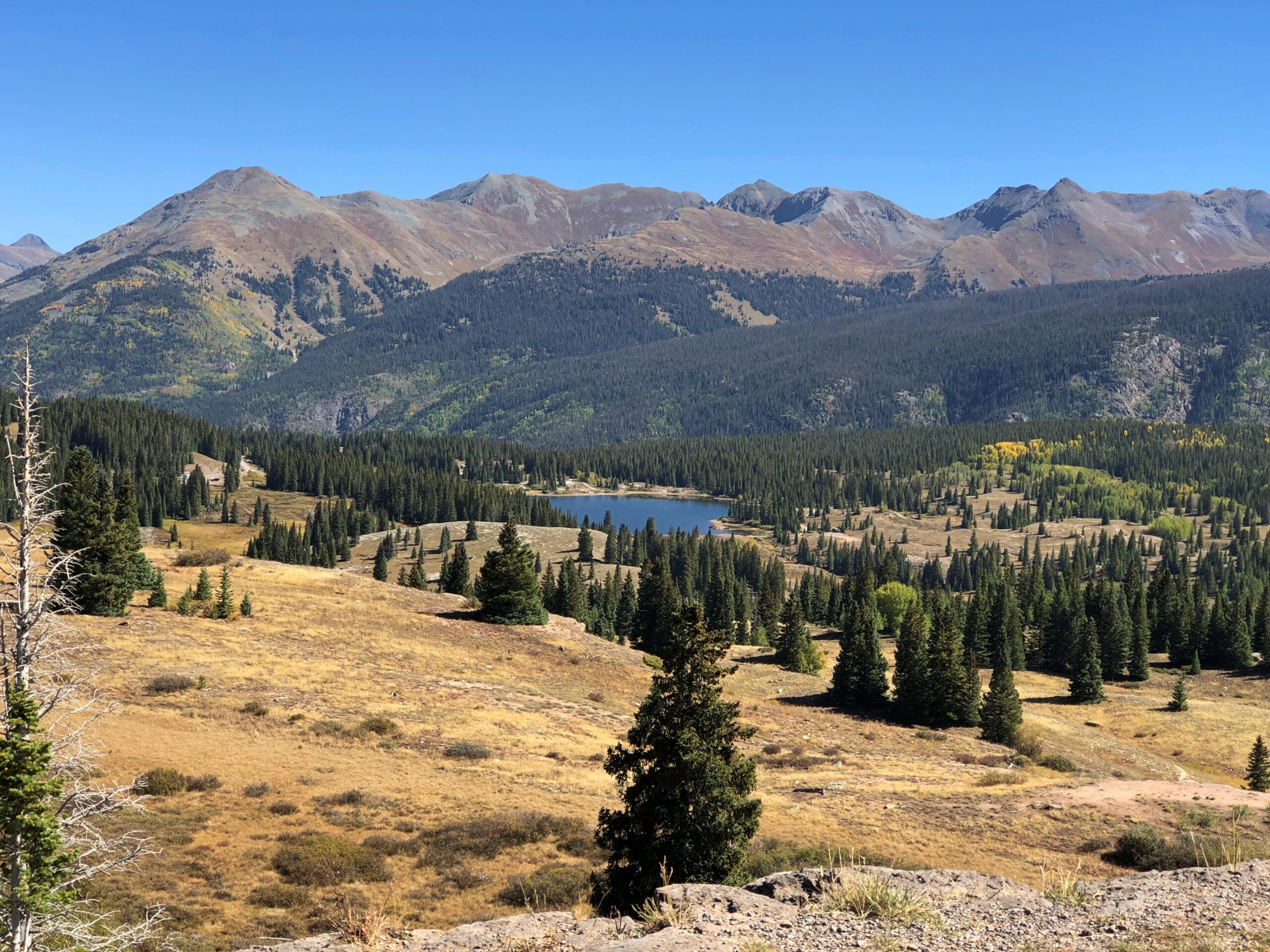
Like the highway, the Molas Pass viewpoint was busy, but not overcrowded.
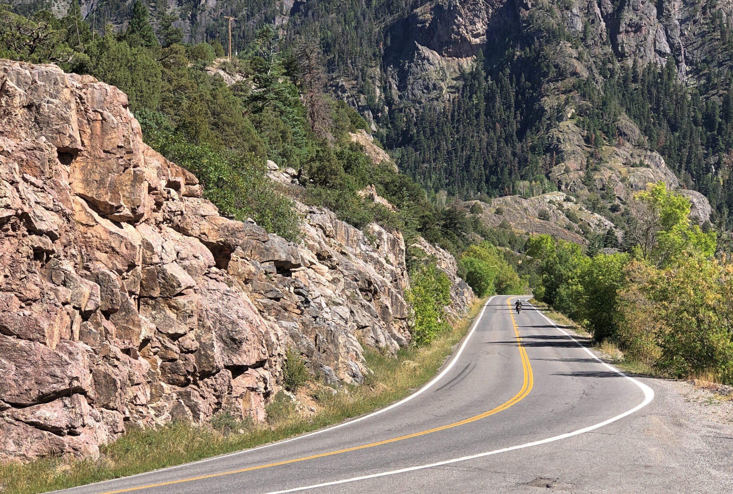
The route from Silverton to Ouray is known as the Million Dollar Highway. There isn’t a consensus about why that might be.
“There are a variety of explanations regarding the source of the name for the ‘Million Dollar Highway,’ says Roadtrip America. “One version claims it is based on the value of the ore-bearing fill that was used to construct the road, and another says it refers to the high cost of building a road over Red Mountain Pass (11,008 feet) and the Uncompahgre Gorge. One thing no one will dispute is the million-dollar views around every turn. This marvel of engineering, designed by Russian immigrant Otto Mears, slices through rugged mountains as it follows old stagecoach routes and former pack trails.”
If you want some twisty mountain road action, Million Dollar’s got it. Also, stretches without guard rails.
“About 40 accidents take place on the Million Dollar Highway each year, with an average of seven deaths per year,” the Durango Herald reported in 2023. “Most of the accidents are caused by careless or fast driving in bad road conditions. Other factors are mudslides, inclement weather and wildlife appearing on the road when there is nowhere to swerve.
“While avalanches used to be a factor, the last reported death on the road because of an avalanche came in 1992.”

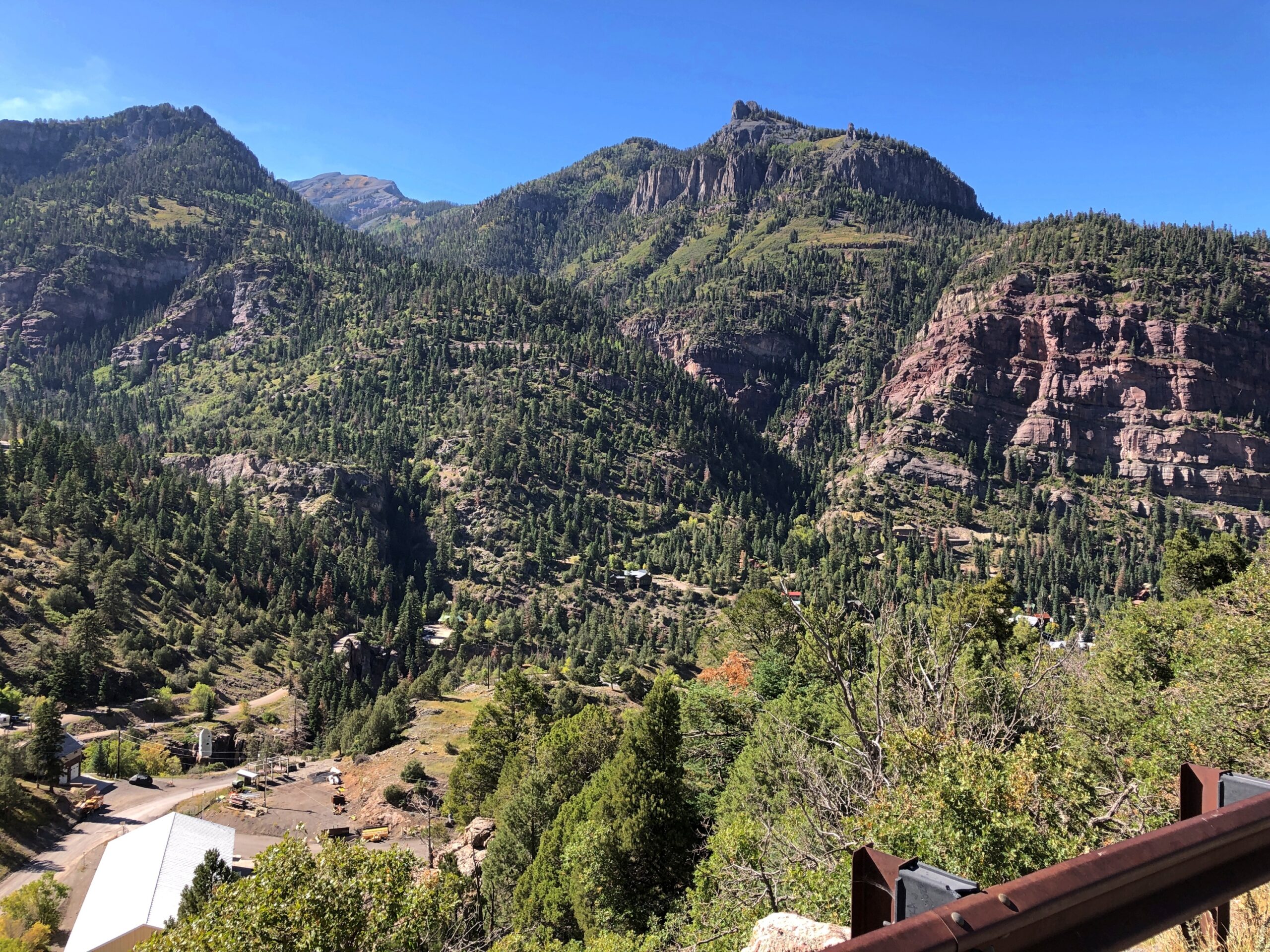
The views are exceptional, both as you move and when you stop. The road near Ouray.
Views near Ouray.
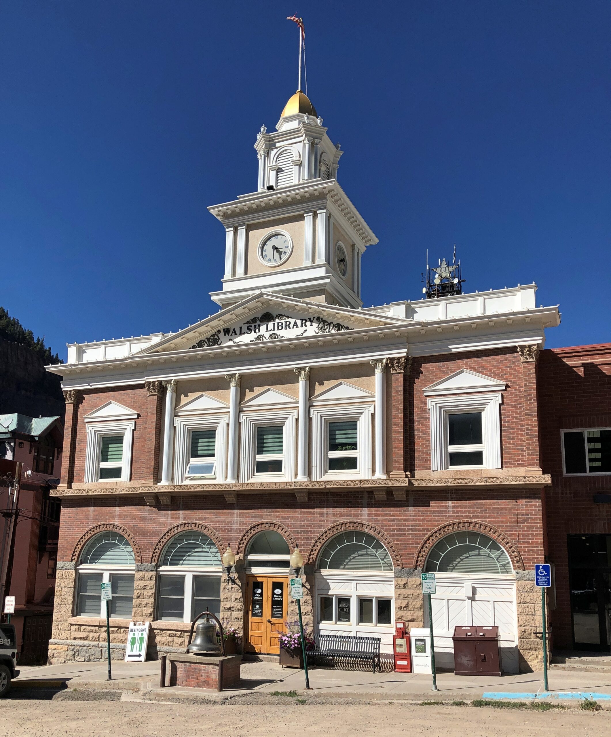
Ouray’s got some handsome buildings.
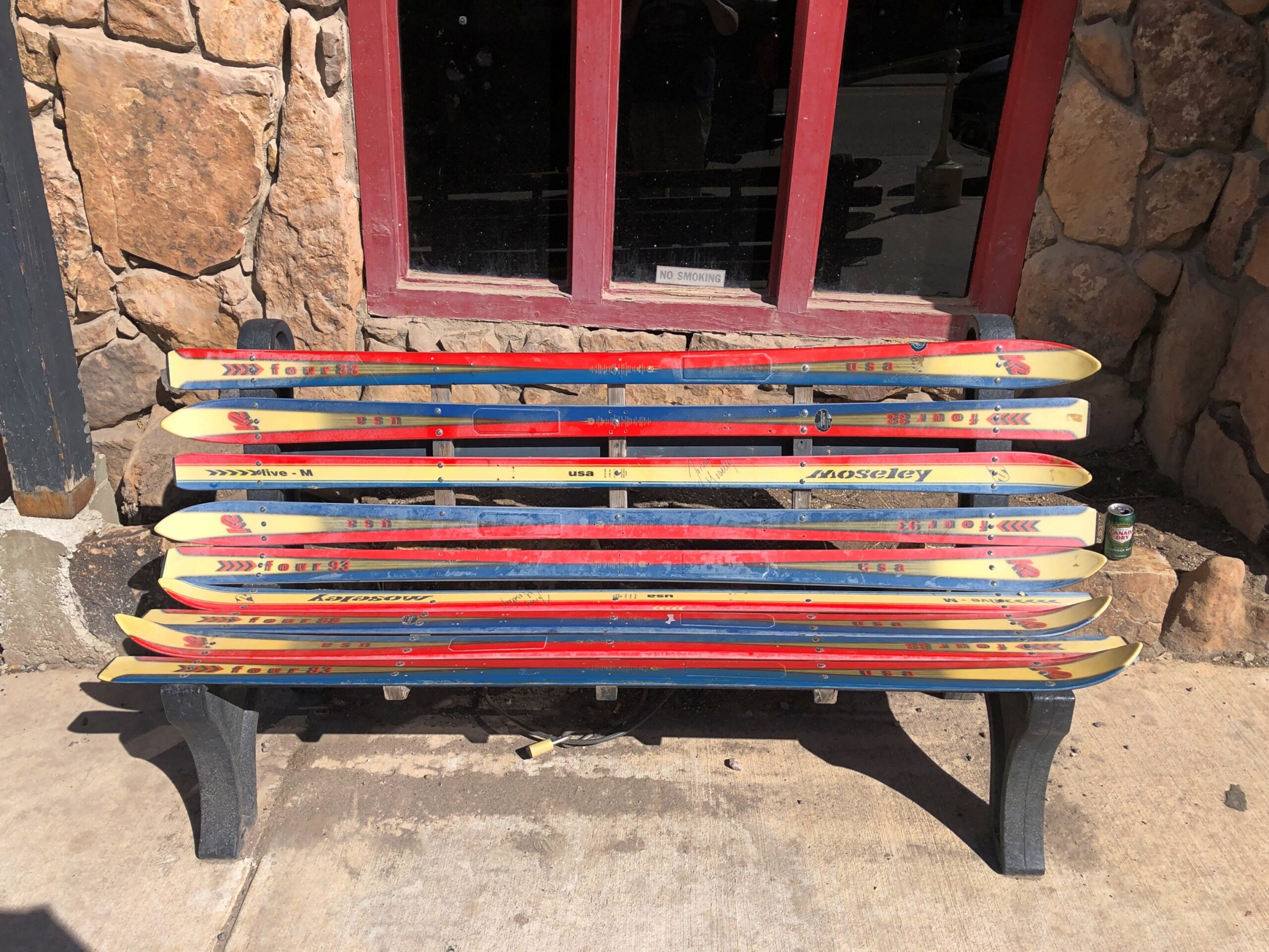
The main street in Ouray is the kind of place that has benches made from skis. Not the only time I saw that in Colorado.
Also, some boutique retail. Good to see that Grateful Goo is available.
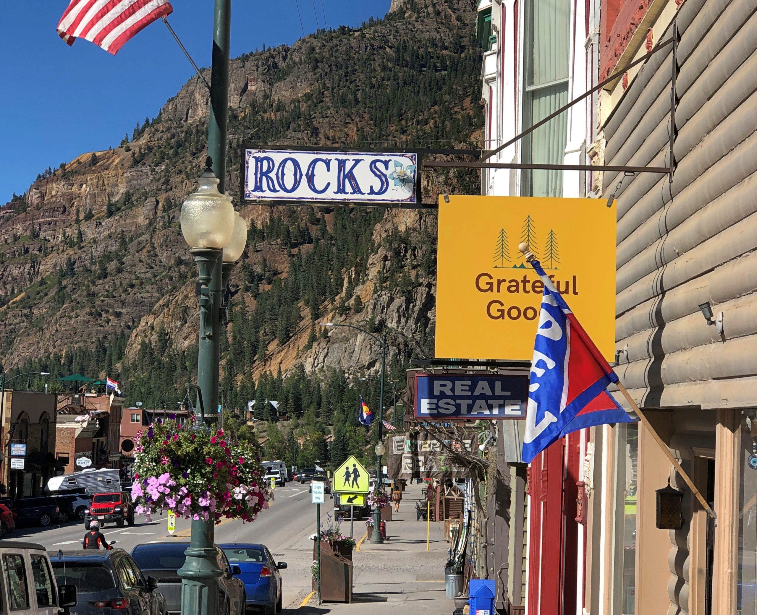
Who sells that again? Gwyneth Paltrow? Anyway, hipsters, or more likely plastic surgeons and orthodontists and tech millionaires, seem to have long ago discovered Ouray, close as it is to Telluride. I saw a bumper sticker-like posting on a light pole in town that said: What do you mean there’s an employee housing crisis in Ouray? My 2nd home is always empty.
Monarch Pass
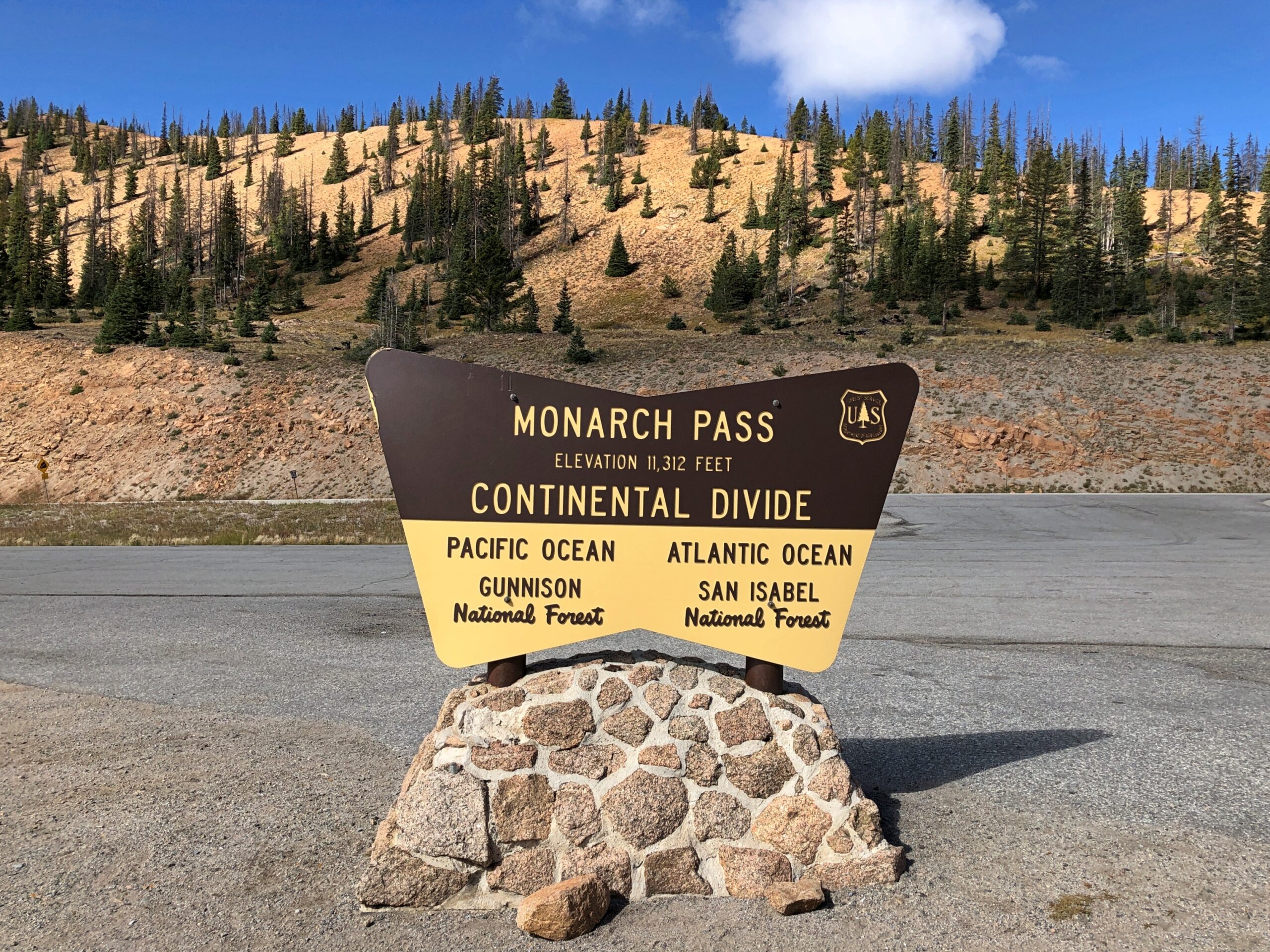
On our return to Denver, we headed out of Montrose east on US 50, a route that edges the gorgeous Blue Mesa Reservoir, and on to Gunnison and Salida. Just west of Salida, we took US 285 north, which goes to greater Denver. That highway crosses the Great Divide at Monarch Pass, elevation 11,312 feet.
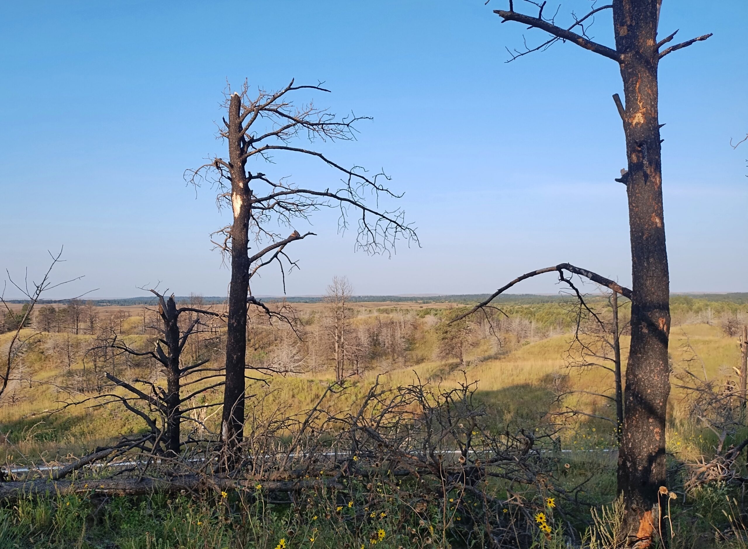
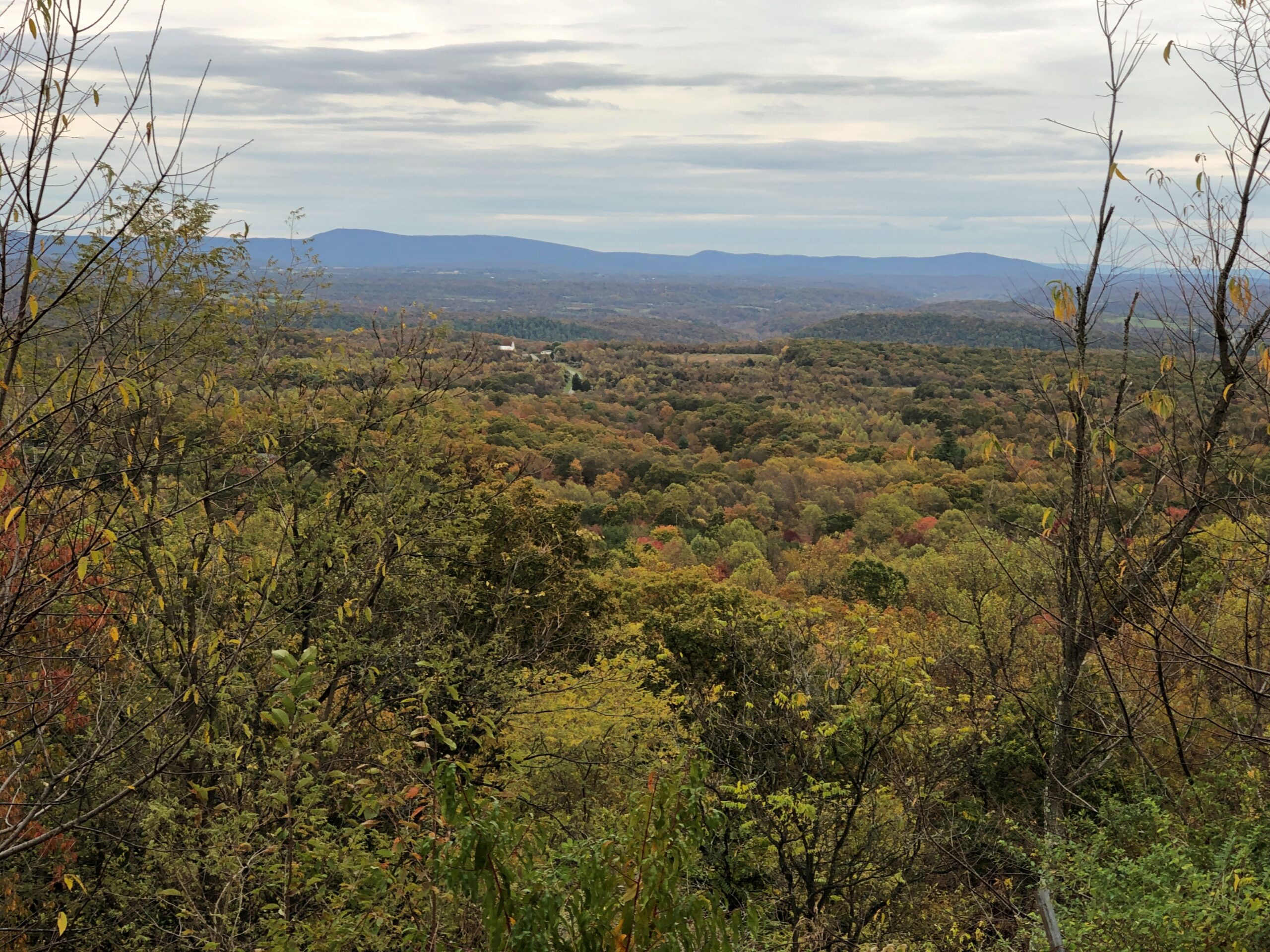
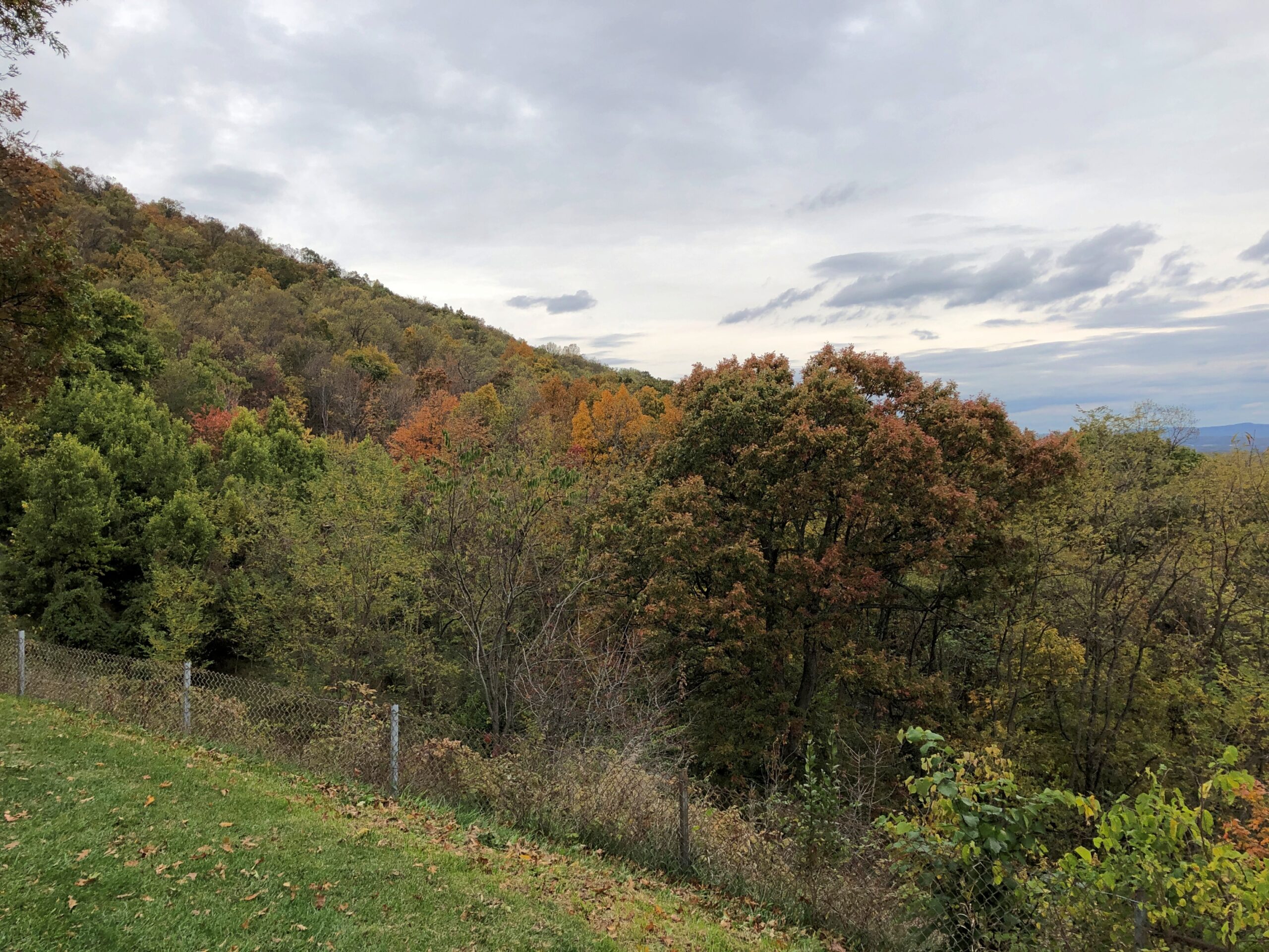
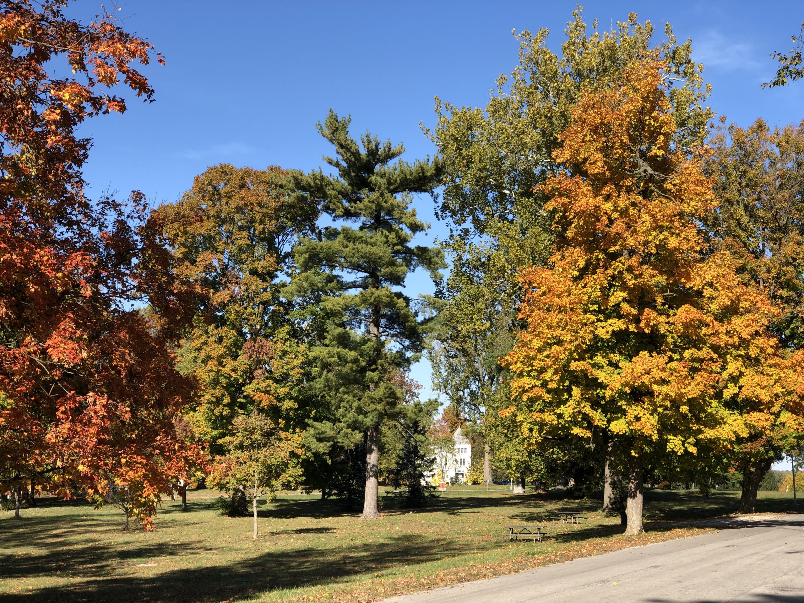
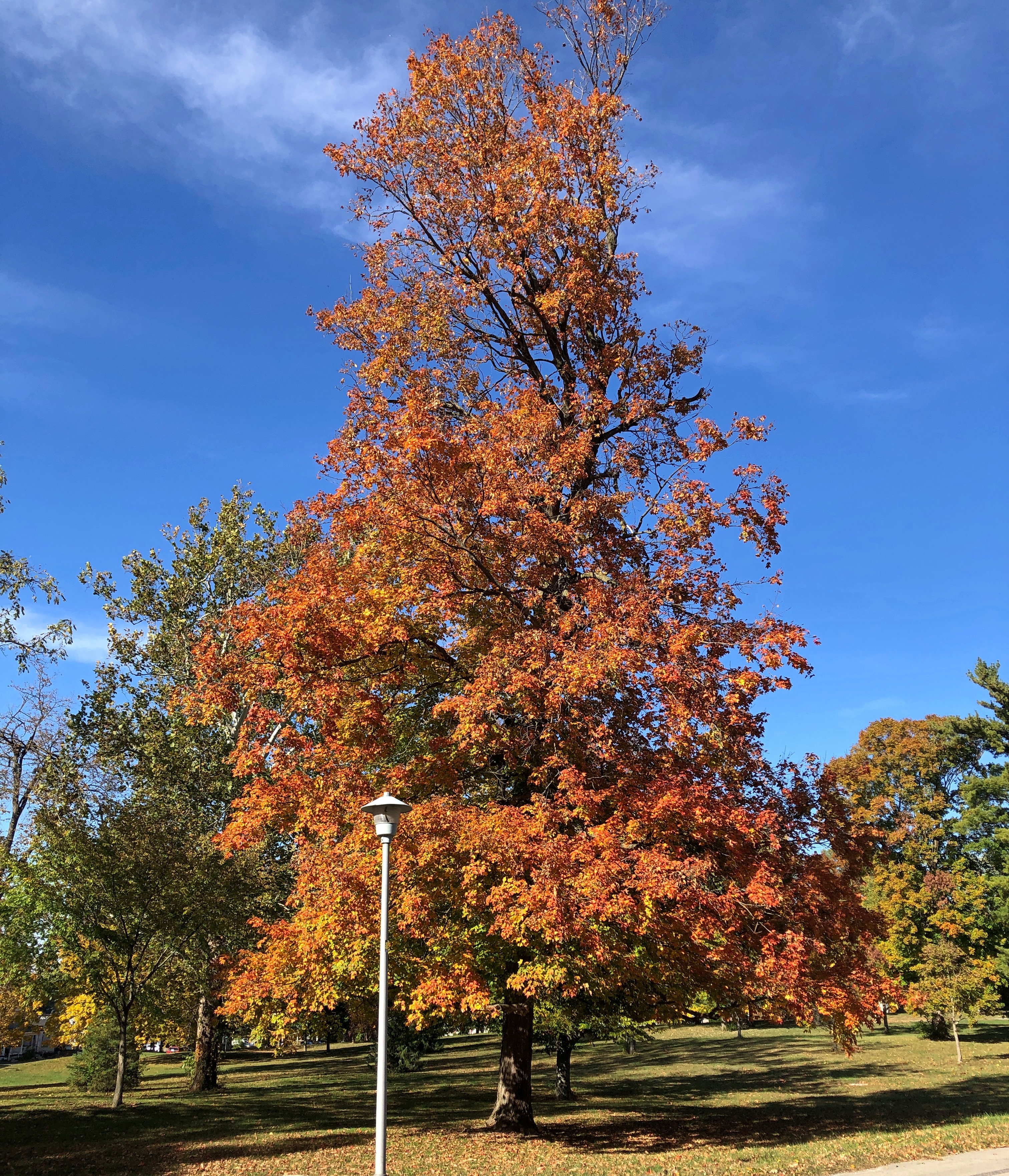
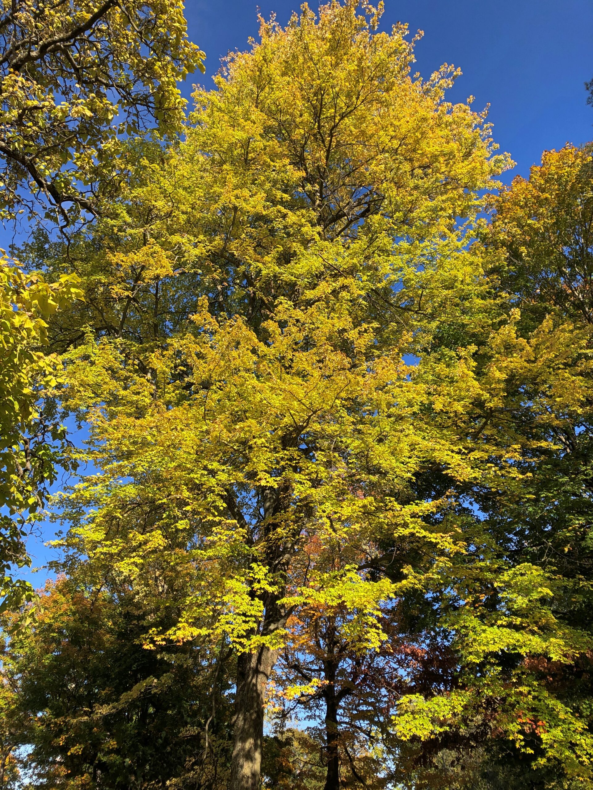
Even as early as September 20, the trees were ablaze.
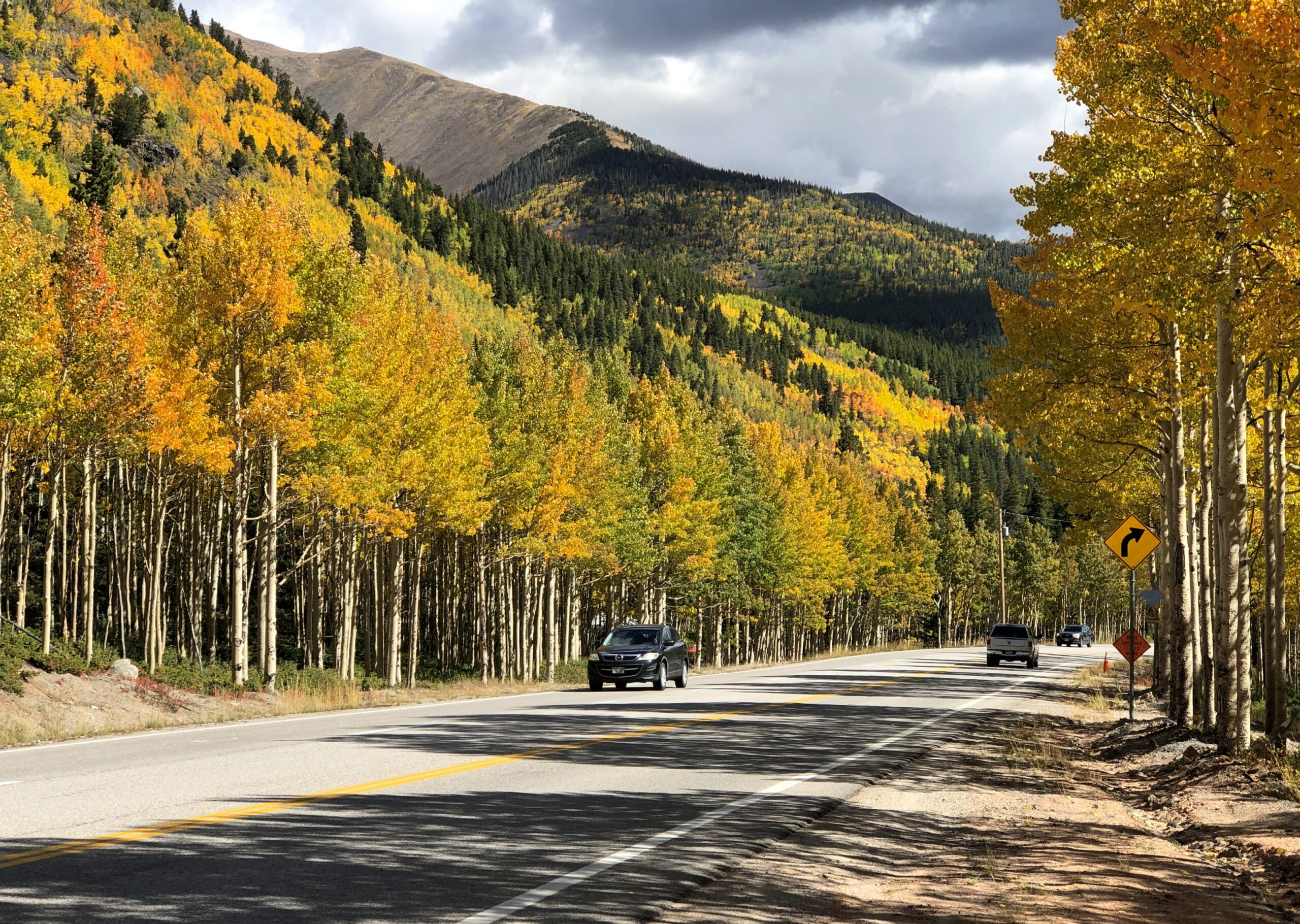
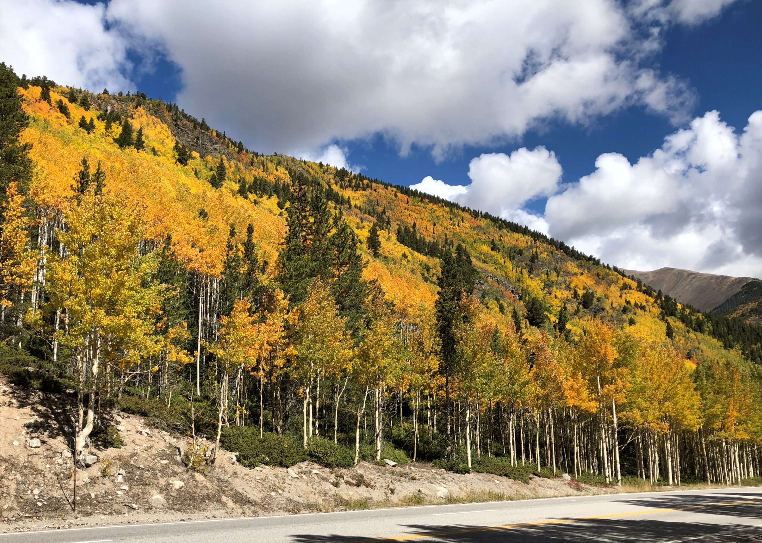
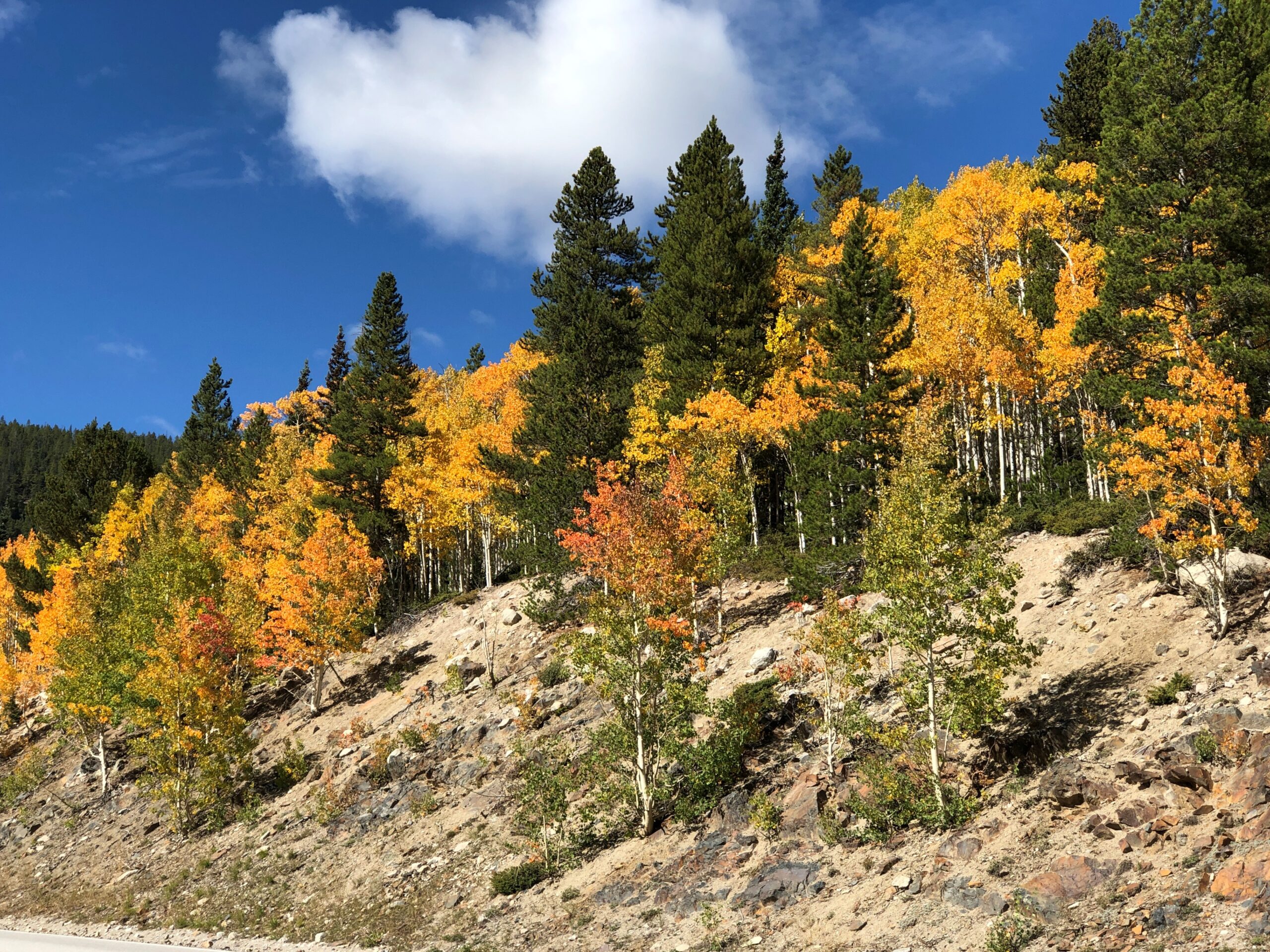
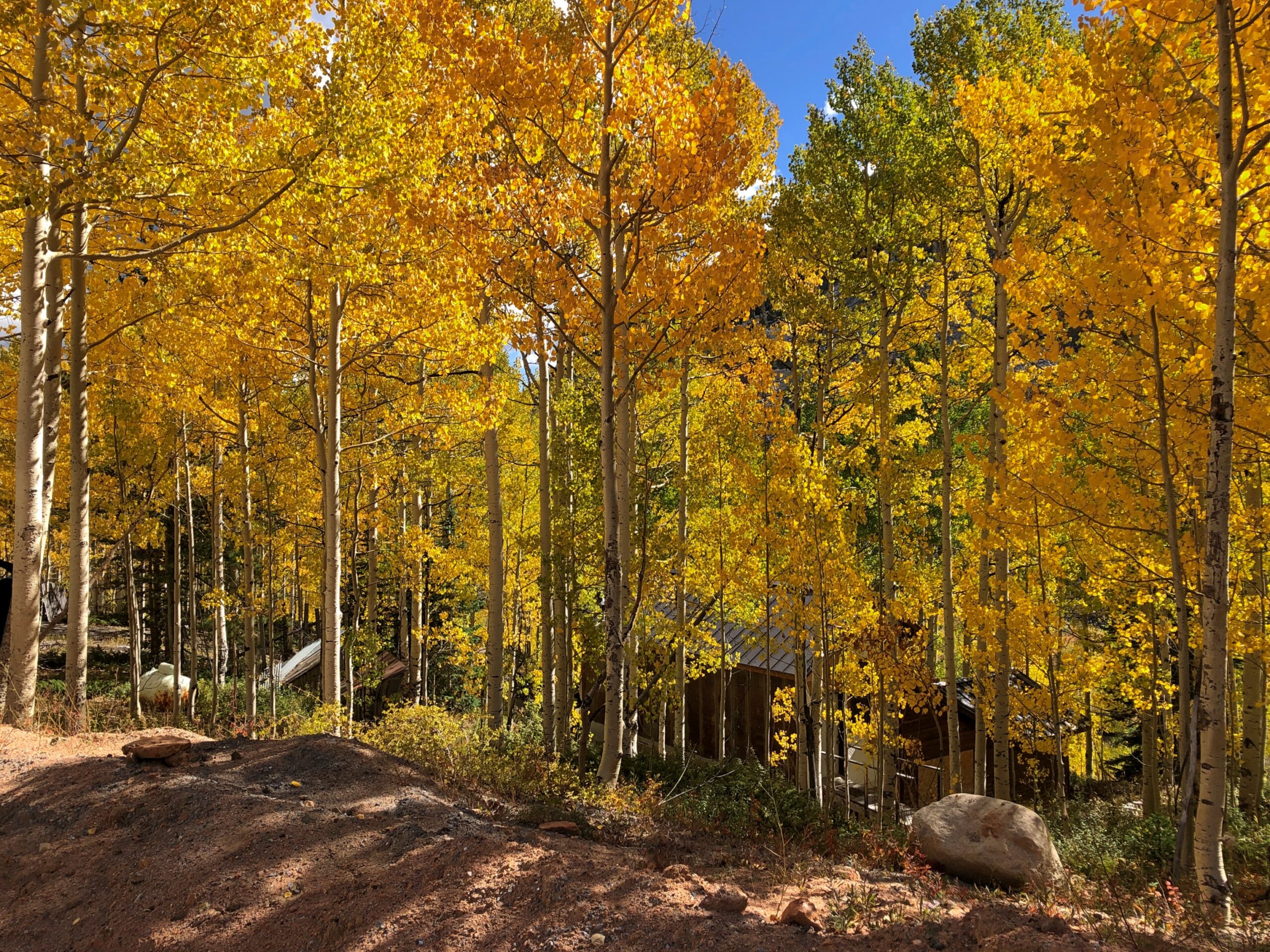
I suppose that isn’t early for that elevation. We saw trees turning a week earlier, further north at Rocky Mountain NP. I didn’t know it at that time, but we were just beginning a fall season during which we’d see more colors (probably) than any other year. It’s not quite over even yet, with some reds and yellows here in the neighborhood. That isn’t so unusual. Lots of people seek out fall foliage. The odd thing was that it was completely unplanned.

