The Basilica of St. Francis Xavier, Vincennes

Ah, woe is Houston. It could have easily been my hometown. Even though it isn’t, I hate to see it underwater.

Vincennes, Indiana, has a handsome downtown, or at least a well-appointed main street. We drove on that street on August 20, but didn’t stop because the 90-plus temps that day discouraged walking around. Elsewhere in the town, I noticed the grass as it should be in August: brown, indicating sustained heat and not a lot of rain recently.

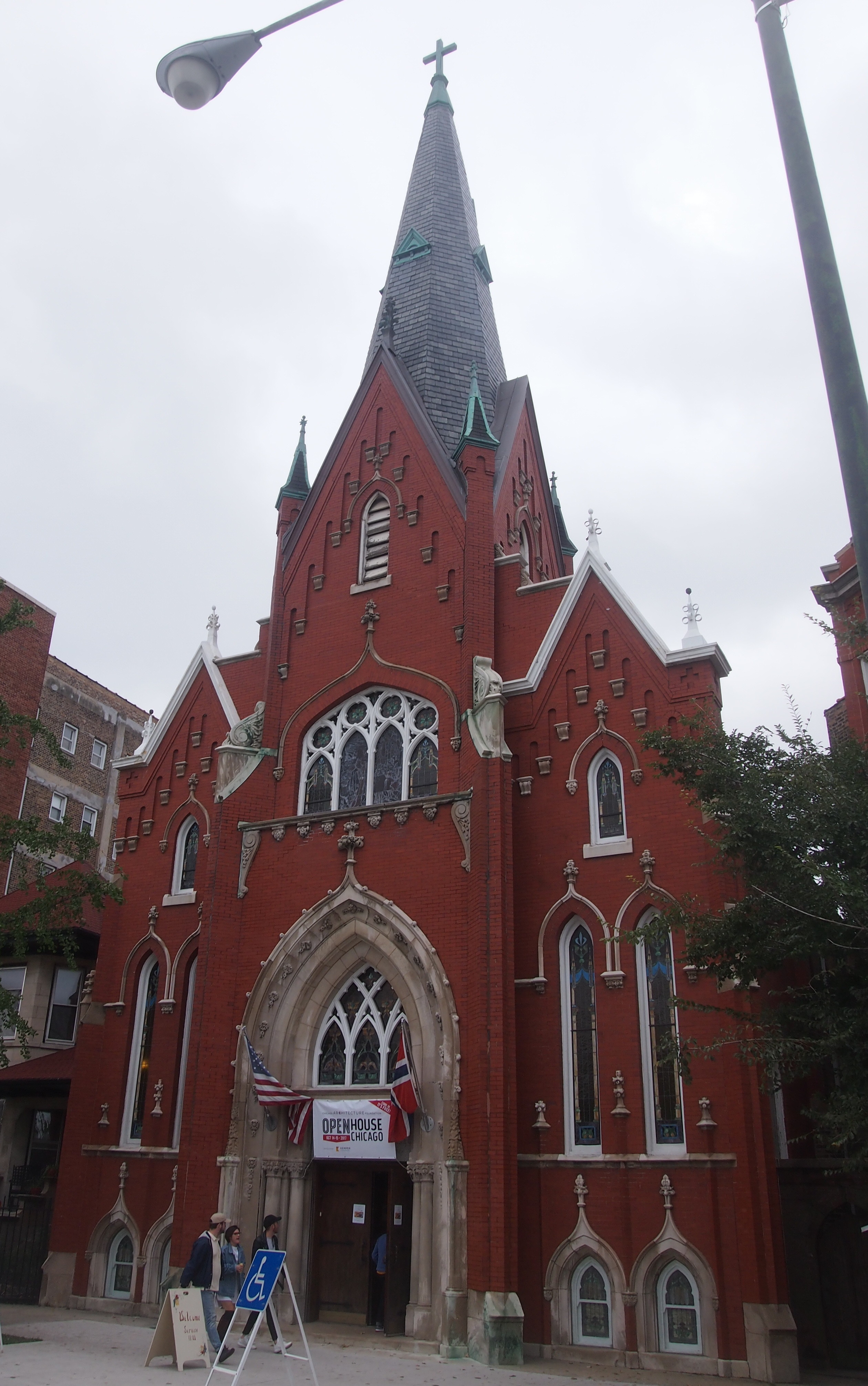
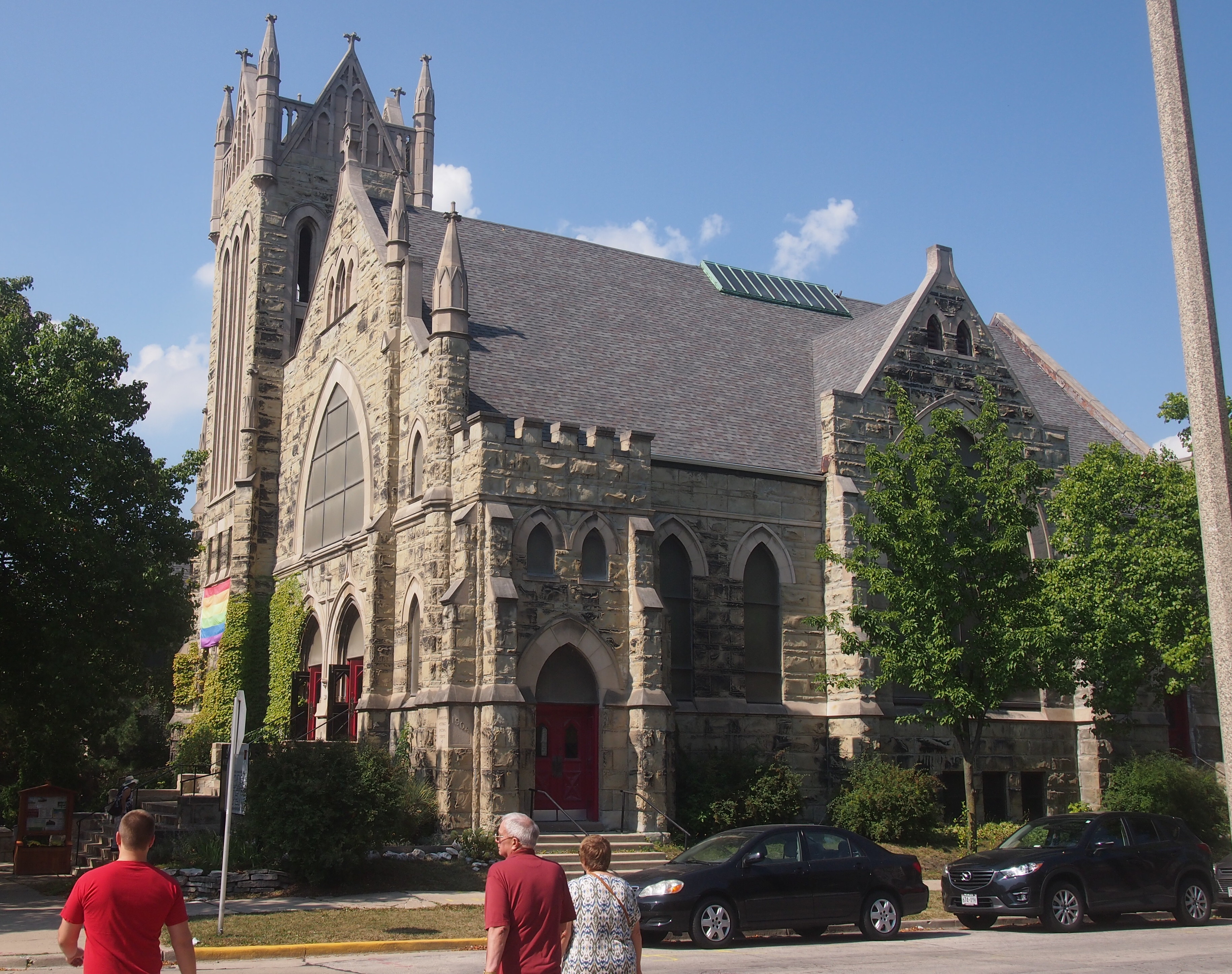
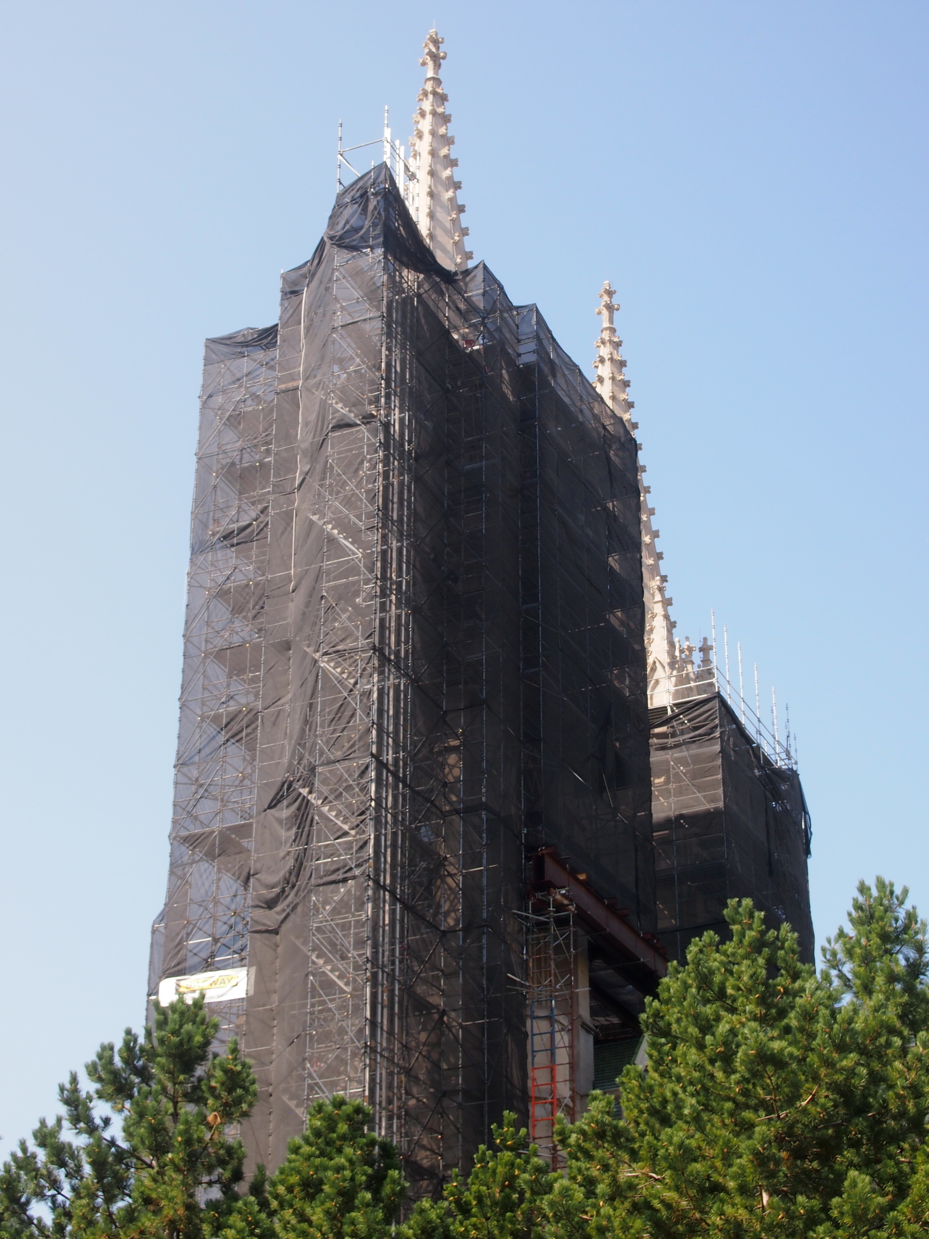
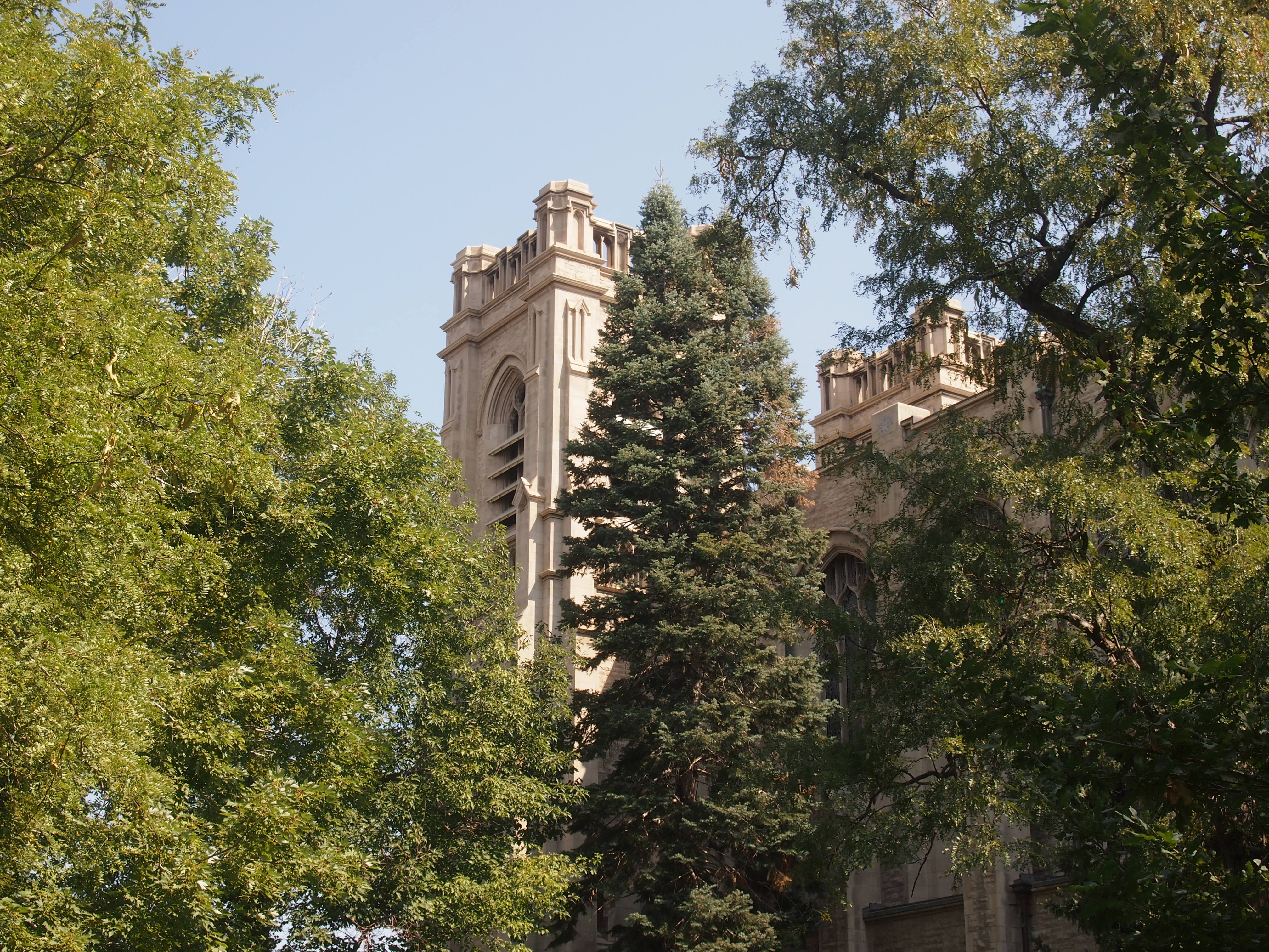
A few blocks away from downtown Vincennes is the Greek Revival-style Basilica of St. Francis Xavier, dating from 1826 and built on the site of two previous churches, the first going back to Frenchmen building a log structure ca. 1732. A plaque near the entrance calls it The Old Cathedral.

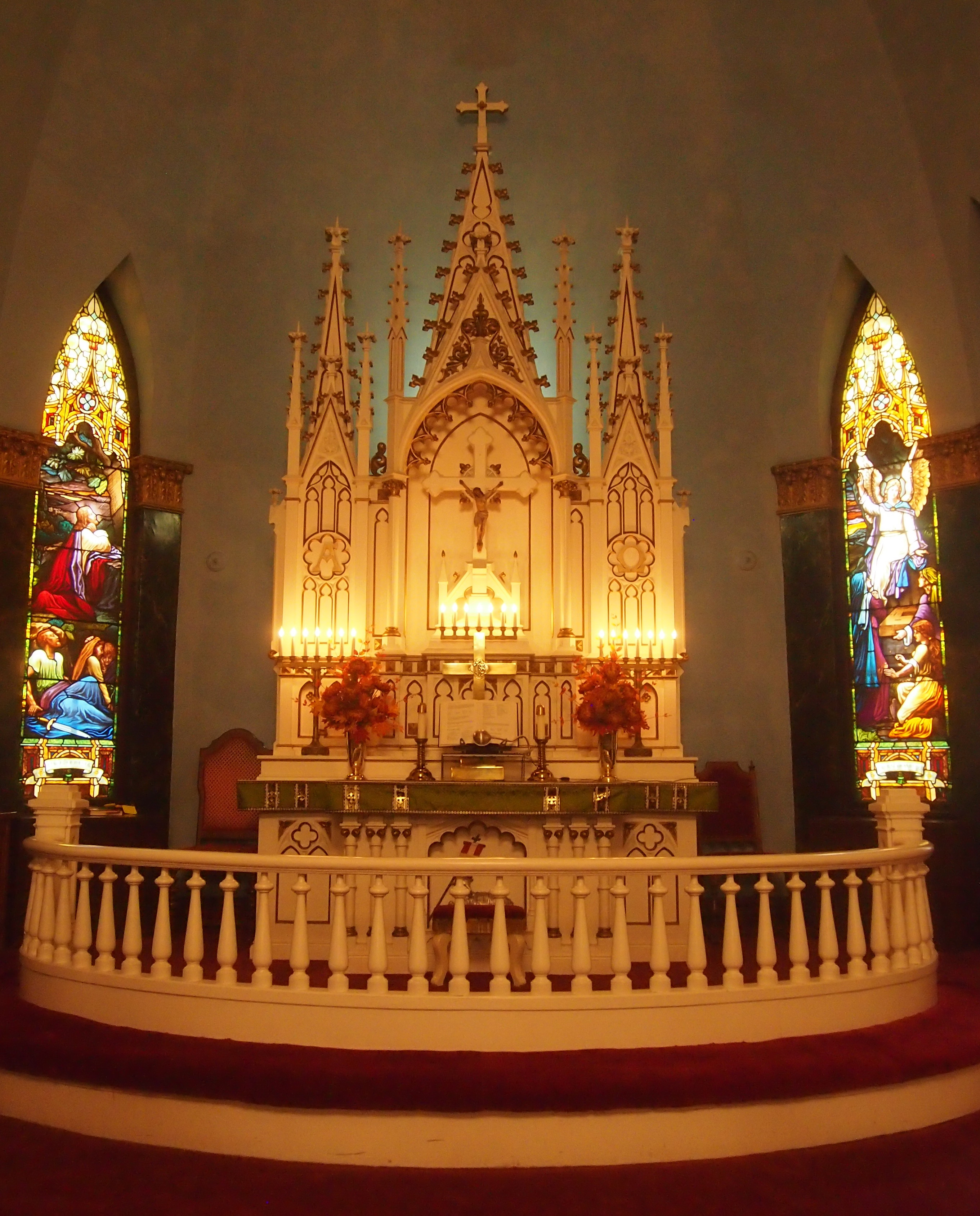
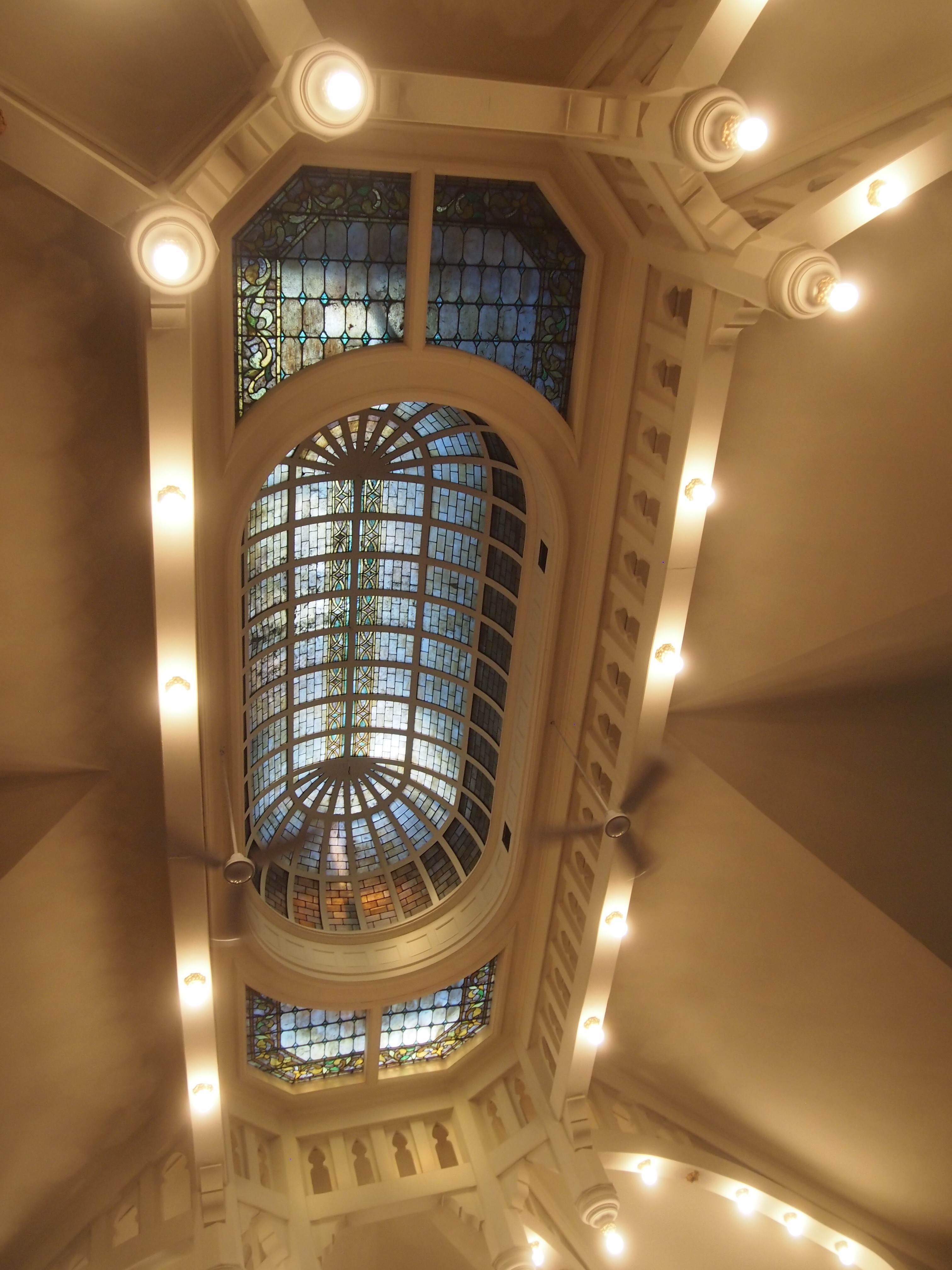
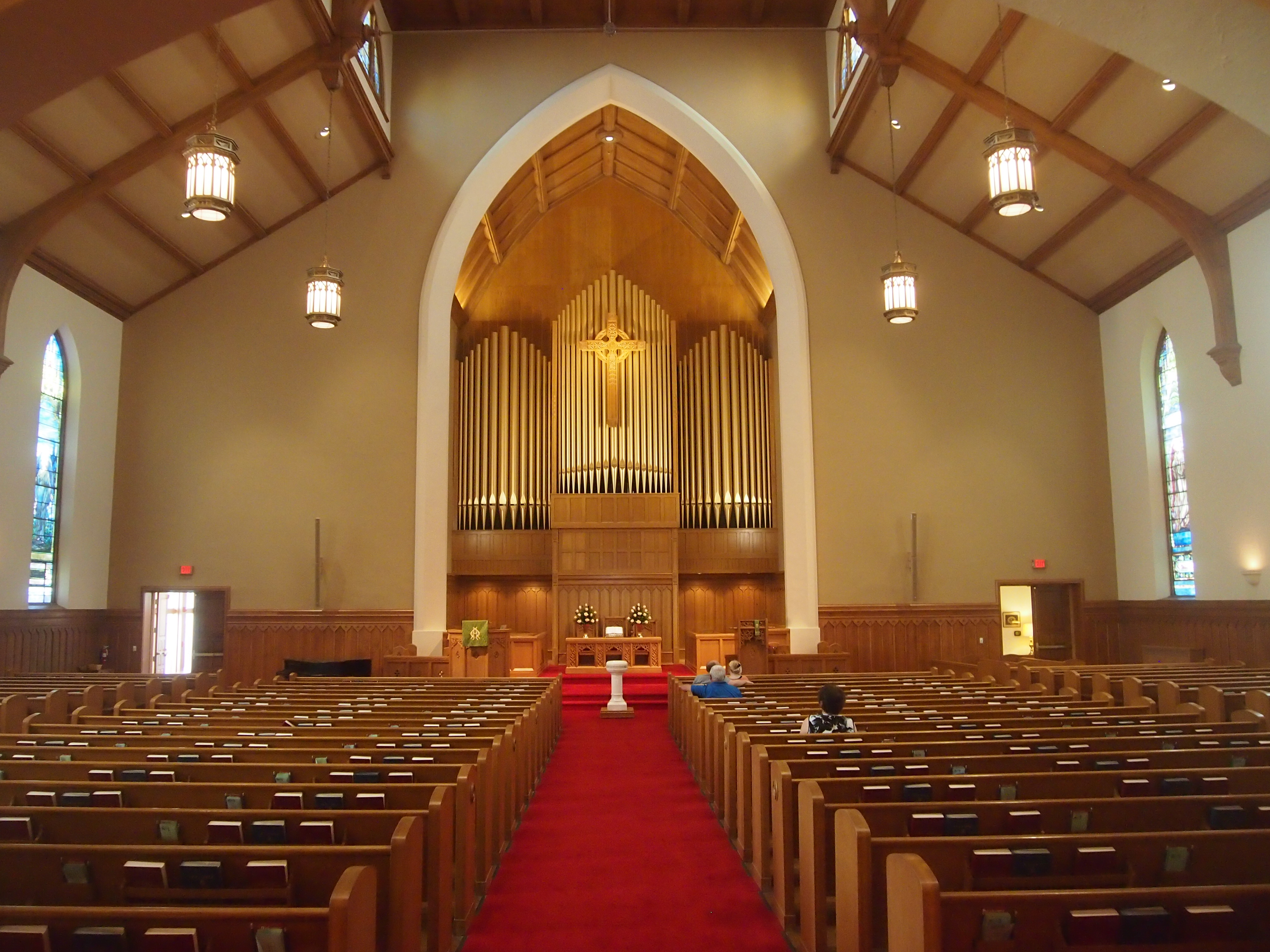
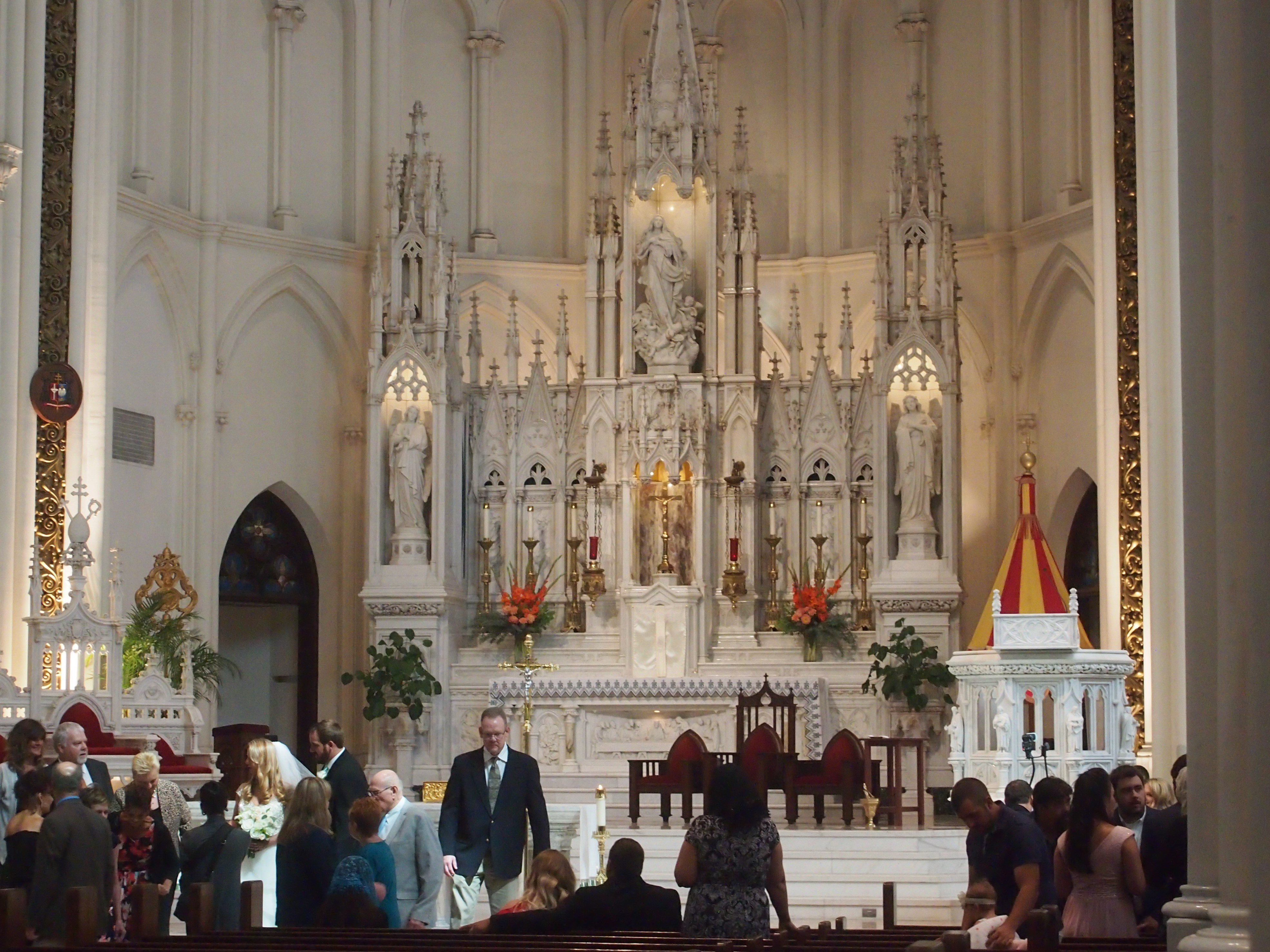
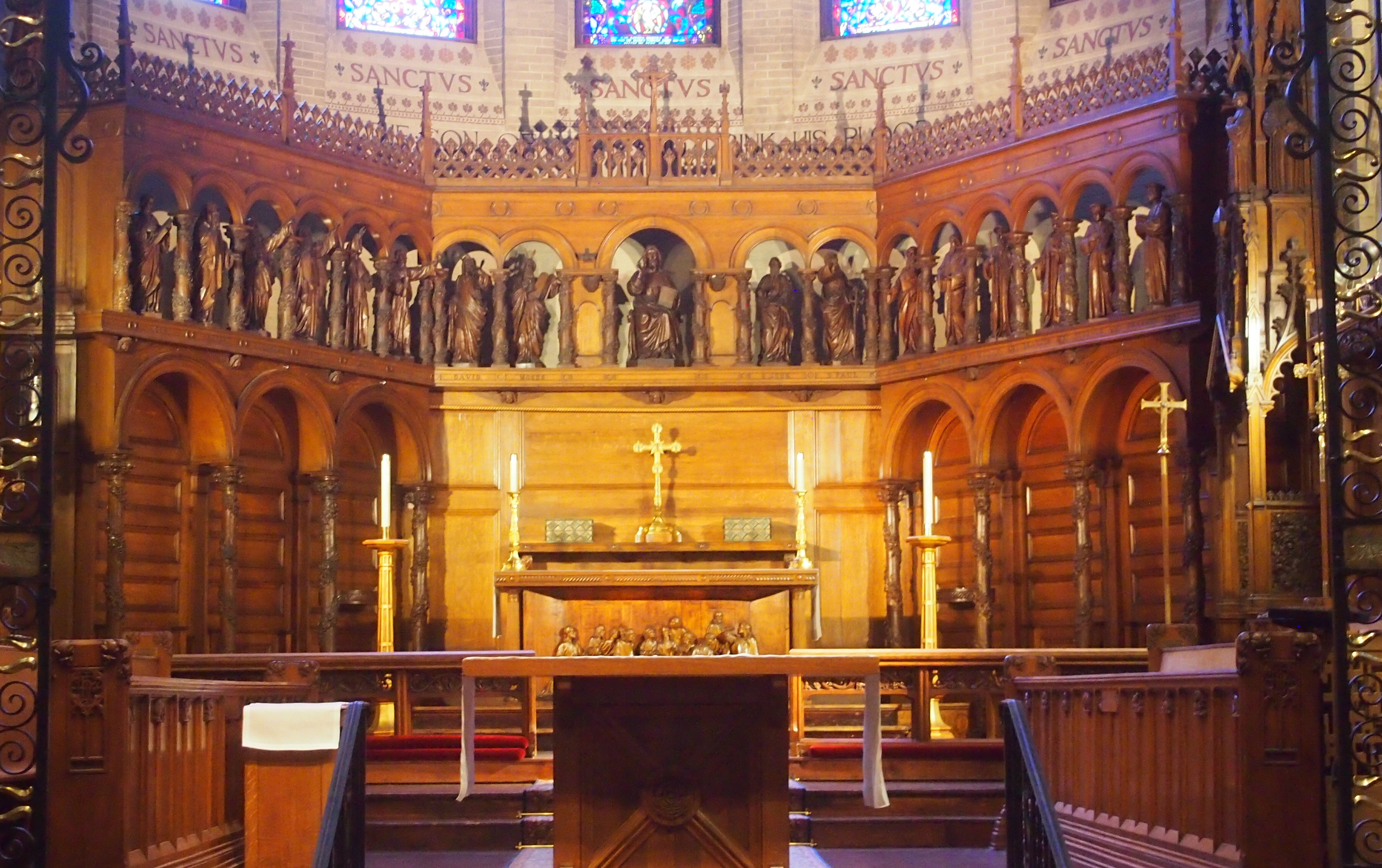
Center of the Catholic faith and scene of the great events of early American history in the old Northwest Territory. This historic and stately cathedral was raised to the rank of a basilica by His Holiness, Pope Paul VI, March 14, 1970.The Basilica of St. Francis Xavier, VincennesThe Basilica of St. Francis Xavier, VincennesThe interior sports large wooden Doric columns dividing the nave from aisles, a painted ceiling, murals and some fine stained glass. Stately indeed.
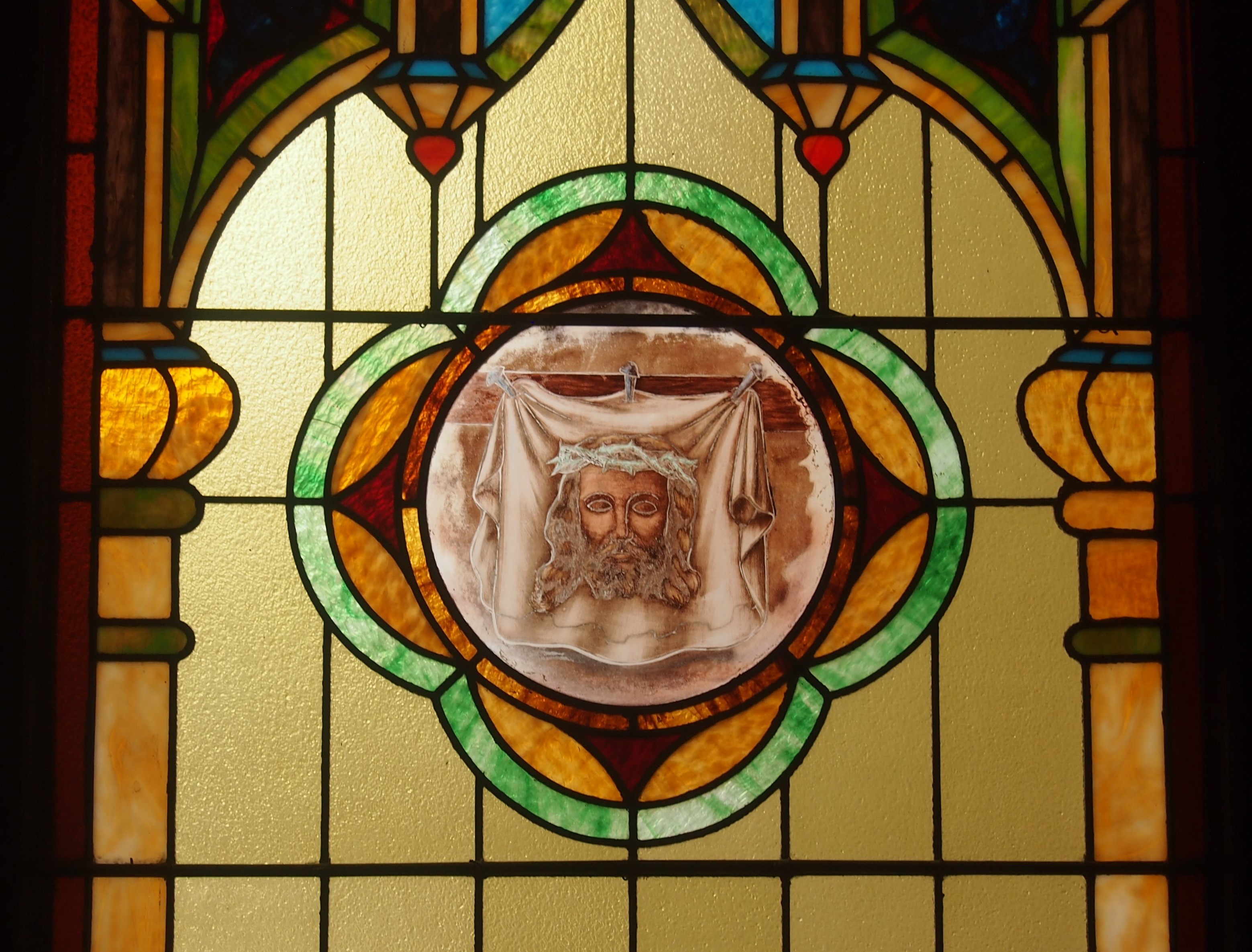
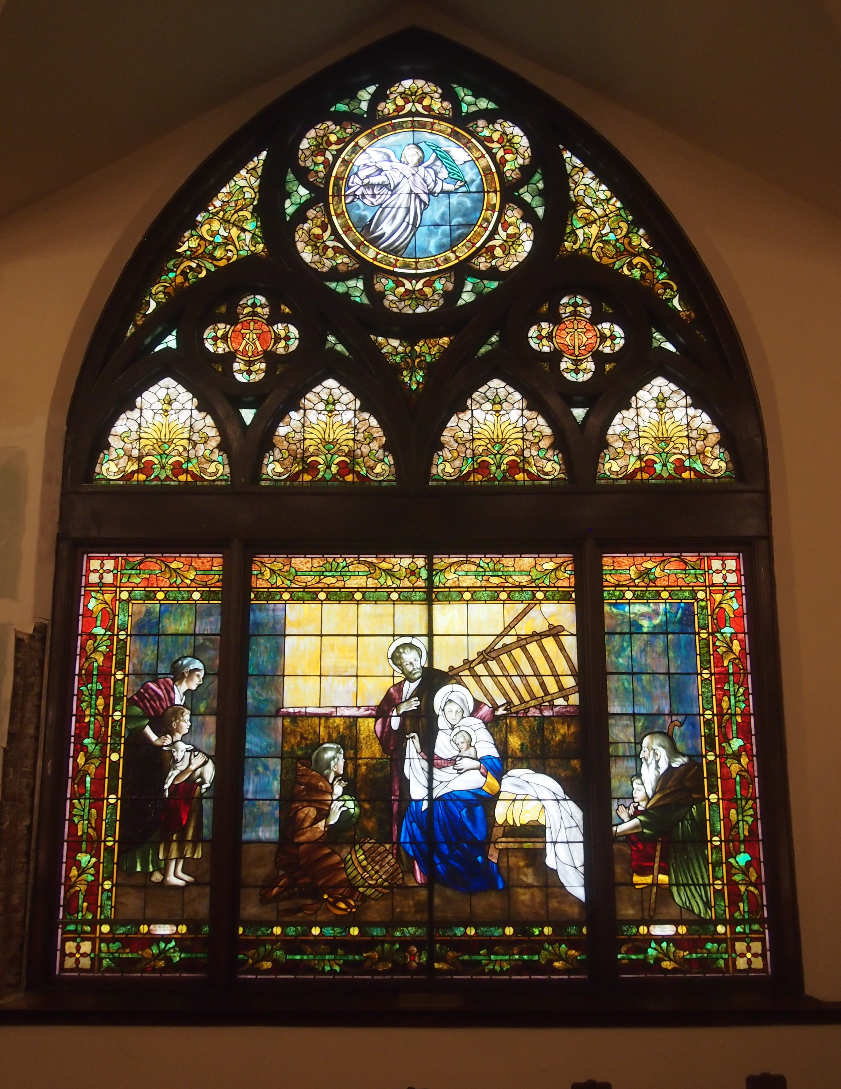
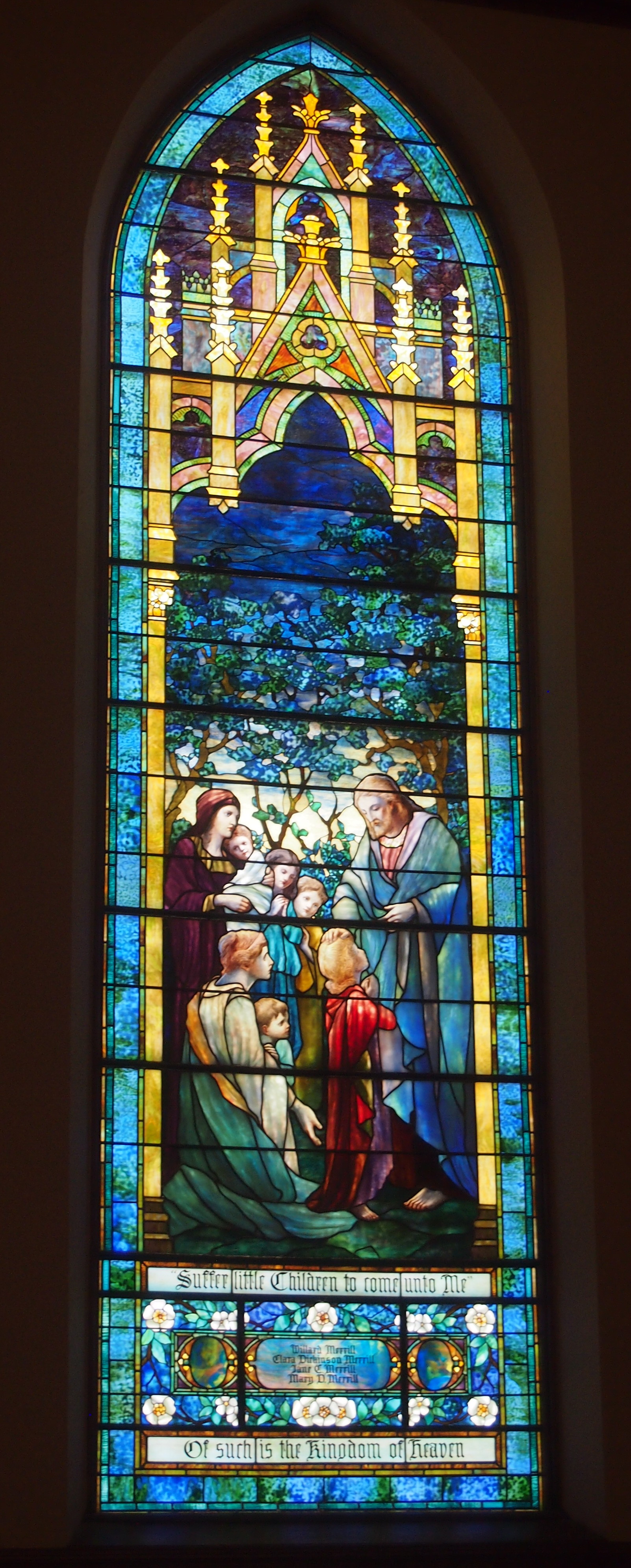
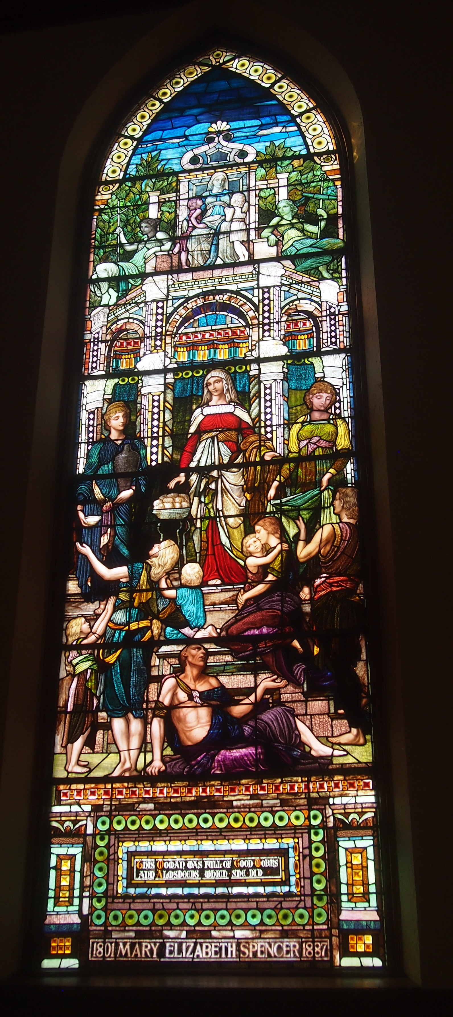
The Basilica of St. Francis Xavier, VincennesI told Ann how stained glass was used to tell Biblical stories to people back when most were illiterate, and that the tradition continued after that. Or sometimes they illustrate general principals, such as Jesus being Jesus.
The Basilica of St. Francis Xavier, VincennesOne you don’t see too often, or at least I don’t think so: the Lord as a 12-year-old at the Temple.
The Basilica of St. Francis Xavier, VincennesI’m just guessing, but the mural to the left of the altar (its own left) seems to be St. Francis Xavier in the Spice Islands (Malikus). Here’s a detail.

St. Francis Xavier Basilica, Vincennes

Toward the back is a fine-looking organ. I can’t say a thing about it, except I wouldn’t have minded hearing its pipes blow.
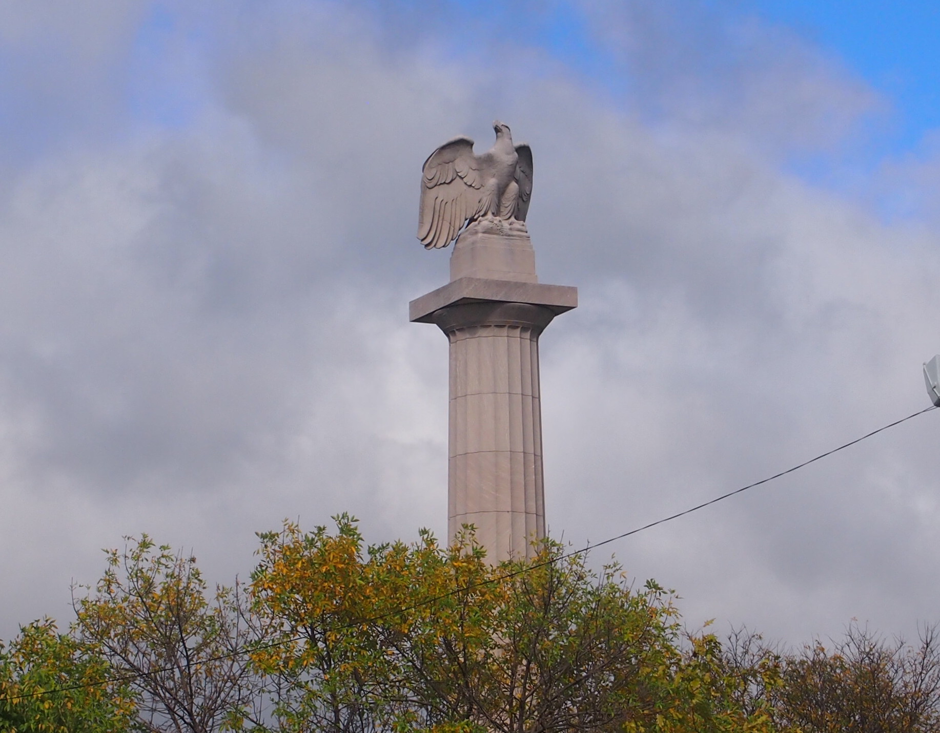
St. Francis Xavier Basilica, VincennesOut in front of the basilica, there’s a statue that’s unlikely to rise the ire of any would-be memorial revisionists: Father Pierre Gibault (1737-1802). Sculpted by Albin Polasek, much of whose work is visible in Florida.
St. Francis Xavier Basilica, VincennesI had to look him up. He was a Jesuit missionary and priest in the Northwest Territory, and when war came, he provided vital help to George Rogers Clark in his effort to capture Vincennes from the British in February 1779. Perhaps that was his way of paying back the British, whom he witnessed conquer New France in the Seven Years’ War.

Grouseland

Grouseland is the inelegant name of a more elegant-that-expected house, supposedly named after the plentiful birds in the area, and thought to be the first brick building in Indiana — the Indiana Territory in those days. It was the home of territorial Gov. William Henry Harrison and his family in the early years of the 19th century. Long before Tippecanoe and Tyler too.

Even longer before “We Are the Mediocre Presidents,” though I’d argue that Wm. Henry Harrison was one of the great U.S. presidents. And one of the worst. He didn’t have time to be anything else.

Last Sunday we arrived in Vincennes, Indiana, hard by the Wabash River, and Grouseland was our first stop. Guess I need to add it to my vanity list of presidential sites, which I haven’t updated in more than three years. Maybe next Presidents Day.

Grouseland, Vincennes, Indiana

Patterned after the Harrison manse in Virginia, Grouseland probably would have been no great shakes in the early 19th-century Old Dominion, but out in the wilderness of Indiana, it must have been impressive. It’s still impressive in small-town Vincennes. The exterior walls were built sturdy enough to endure for more than two centuries, but most of the interior is a faithful re-creation, considering that after the Harrisons left, the property was given over the other uses, including a period as a barn.

Grouseland, Vincennes, Indiana“As governor, Harrison saw his principal task as opening lands belonging to the local Indian tribes to white settlement,” the NPS says of Grouseland’s heyday. “He negotiated a series of treaties that provided for the cession of millions of acres of land, but his success generated strong resistance.

“Tecumseh, the famous Shawnee leader, who was trying to recruit other tribes to join him in armed resistance, met with Harrison at Grouseland in 1810 and warned that his people would fight to prevent further white encroachment. Located to the left of the center hall, the ‘Council Chamber,’ is where Harrison held many meetings with Indian leaders and conducted much of his business as governor.”

We got to the house just in time for a guided tour, given by a fetching Vincennes University history major undergrad volunteering for the gig. The campus extends off in the distance from Grouseland. Until I looked it up, I knew nothing about the school except as a spot on the map. (Pretty much the same could be said for Vincennes.)

From its web site: “VU is Indiana’s first college. William Henry Harrison, the ninth U.S. President, founded VU in 1801 while serving as governor of the Indiana Territory. VU was incorporated as Vincennes University on November 29, 1806.”

So that’s another Harrison legacy. Attaboy, William Henry.

The Great American Solar Eclipse Road Trip

How long did I know about this week’s solar eclipse? I don’t know. It wasn’t because of the recent media buzz. The better part of a decade ago, probably. Sometime back then, I filed away the notion: I am going to see the solar eclipse of August 21, 2017. In the path of totality.

So I did yesterday, along with my immediate family. And some unspecified millions of other people. It was an event among events. During totality, we were in Paducah, Kentucky, which occurred there for a bit more than two minutes beginning at 1:22:15 pm CDT. All my remaining days, I will remember where I was at that moment, and what I saw, and I hope so will the other members of my family.

I’d like to report that I overcame various trials and adversity to arrive at that place at that time, like an intrepid 19th-century scientist off to see eclipses over remote parts of the globe, but all it really took was a modest amount of planning, plus a bit of time and money. Back in October, for instance, I booked a room at a limited-service motel in Paducah for the night of August 20. I mentioned this to the clerk.

“That’s why you paid the regular rate,” she said. “People who booked this month had to pay twice as much.” Surge pricing among motels. She also claimed that nearby motels, only a bit better than the one we were staying in, charged $400 a night for some rooms. “And they’re getting it.”

We left on Saturday and drove from the northwest suburbs via Champaign-Urbana to Terre Haute, Indiana, where we spent the night of the 19th. On the way, we stopped at Shades State Park in Montgomery County, Ind.

The next day we went from Terre Haute to Paducah, spending a few hours in between in Vincennes, Indiana, on the Wabash River. We saw three things there: Grouseland, home of William Henry Harrison as governor of the Indiana Territory; the splendid Basilica of St. Francis Xavier, and the monumental yet obscure George Rogers Clark National Historical Park.

The thinking behind these stopovers was that seeing the eclipse at totality was no certain thing. Clouds don’t care about your peak-life-affirming-you-are-a-child-of-the-Universe experience, or even if you’re a scientist (or citizen scientist) looking to add to mankind’s body of total knowledge. It’s just another day to the atmosphere. So in case that happened — and the prospect kept me antsy for days — the trip wouldn’t be a total bust.

All together, the trip from our house to Paducah, using the most direct roads, is nearly 400 miles. St Louis is closer, about 300 miles, but I wanted to stay away from a large city for the event, which would mean adding crowds to crowds. Also, I’d acquainted myself with much smaller Paducah in 2009 at the same time as Metropolis, Ill. (misspelling Paducah in my posting), and found it pleasant enough.

Why see the eclipse at all? Because of the astronomy books I had as a kid that explained and illustrated the phenomenon, especially with maps of where total eclipses would be in far-off future years like 1979. Because of the eclipse of March 7, 1970, which was partial in Texas. My eight-year-old self made a pinhole box but, finding that unsatisfying — and this was before widespread eclipse glasses — I stole an instant’s look at it the thing itself in partly cloudy skies, very clearly seeing the black disk on the bright one. Because the subject came up at the planetarium I visited almost monthly in elementary school. Because men were going to the Moon at the same time. Because of the lyric in “You’re So Vain” that seems to reference the ’70 eclipse. The idea of winging off to Nova Scotia just to see an eclipse seemed (seems) impossibly intoxicating. Because of A Connecticut Yankee in King Arthur’s Court and “Nightfall” and other stories and movies using an eclipse as a plot point. Because I read Isaac Asimov writing about the Eclipse of Thales, and later read Herodotus on that event, which probably was on May 28, 585 BC, and if so history’s first exact date. Because I read about the eclipse of May 29, 1919, which helped confirm general relativity. Because of the annular eclipse I experienced in Nashville (as a partial) on May 30, 1984, which dimmed the sky in a strange way. Because it’s a cool thing to see not before I die, but while I’m still alive, just like the Transit of Venus. Because, to paraphrase George Mallory, it’s up there.
Mighty Stonehenge

Notes from a day’s drive in southern England. My friend Rich and I were young and doing what people — tourists — do in that part of the world, seeing very old places.
Wish we’d known about Glastonbury Tor (about 50 miles to the west of Stonehenge; nothing is really very far away in England, not to a Texan). Even so, I’m not sure we could have seen Stonehenge and Bath and Glastonbury Tor in the same day, but we could have given it the old post-college try.

August 11, 1983

Mrs. Dow drove us to Gatwick Airport, and we paid our pounds [wish I’d recorded how much] and rented a blue Ford Fiesta. The plan is to drive various places until we need to return the car at the airport on the 14th, to catch our flight home.
Driving on the left side, with the steering wheel on the right, took some getting used to. Soon we were lost on the small roads south of Gatwick, very narrow ones with a surprising amount of traffic, and confusing roundabouts (traffic circles) appearing suddenly and often.

So we were edgy for a while. Fortunately, you get used to the roads. We even got unlost. Rich drove and I navigated, and we each took to those roles before long. We listened to BBC1 as miles of English countryside rolled by. Entertaining, no commercials.
At about 1, we arrived at Stonehenge. [Ah, mighty Stonehenge.] We saw it from some distance at first, driving along the A303. Looked almost luminous from a distance. The road runs remarkably close to the ruins. Maybe an ancient road did likewise.

We parked (no charge!) and visited the ruins. You can’t get too close to the stones. Close enough, though. Impressive, and puzzling, that ancient people dragged these some distance across England, long before it was ever called that, for the purpose of building a stone circle. I won’t speculate on their motives. The center uprights and lintels were especially impressive: big and white and somber. [Not quite this crowded that day, I’m glad to remember.]

Drove on to Bath. No problems until we got snarled in traffic in Bath, a town not built for cars. We eventually parked in a garage that featured the following emphatic signs: Thieves are active in this car park. Remove your valuables or they will be stolen.

We went to the tourist-i, booked a room, and drove there: a place called Toad Hall. Very nice, £7 each. We walked into the center of town from there, visited a number of bookstores there, then the Roman baths. [No detail about that, but I remember such scenes such as this.] Ate. Wandered back to Toad Hall. Just after sunset, a beautiful scene just outside our window: a church steeple with a nearby crescent moon.

I used to have a business card I picked up at Toad Hall, but I can’t find it. I remember it featured a gentleman Toad, whom I guess would be Toad of Toad Hall. Though a children’s book, I never got around to reading The Wind in the Willows as a child, so the name didn’t resonate with me when I stayed there. Only later I appreciated the whimsy of naming a B&B that.

I checked, and it’s still there. I also checked the rates: a double in August is (gasp) £95. (We paid the current equivalent of £42 between the two of us.)

Covenant Presbyterian Church, Bucktown

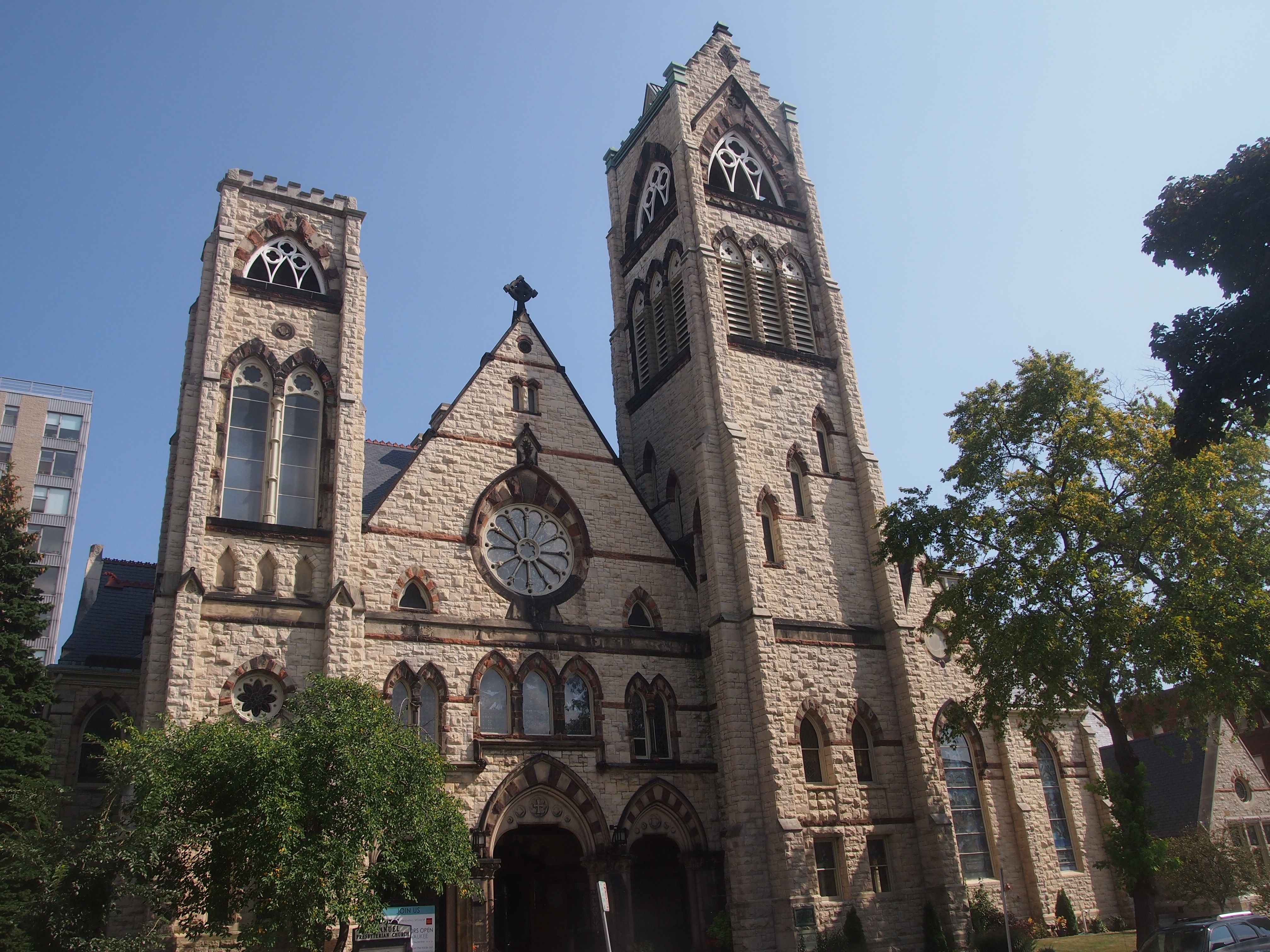
In Bucktown on Sunday I visited two churches during my late-morning walk. The first was Covenant Presbyterian Church.

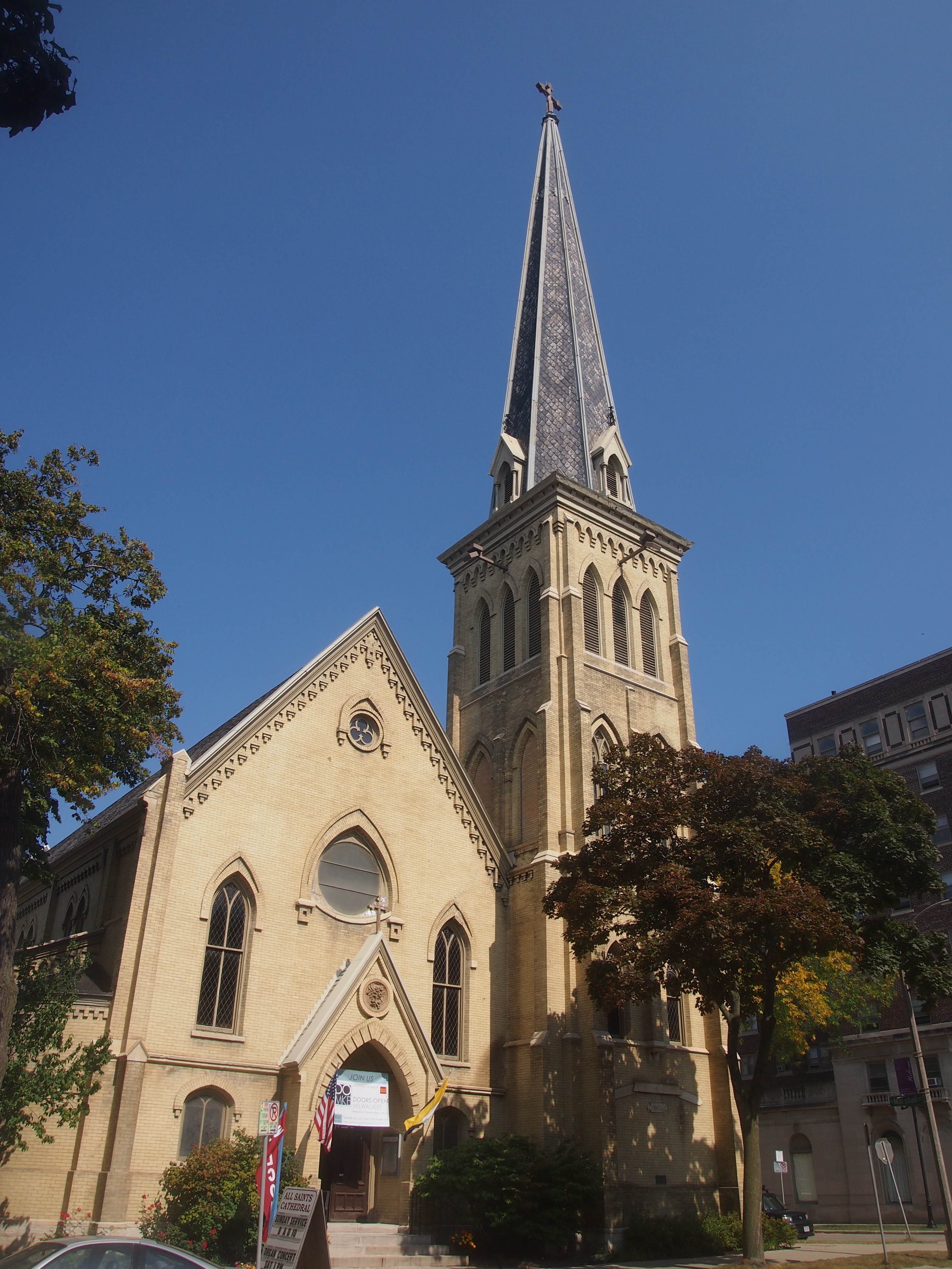
Covenant Presbyterian Church, ChicagoThis is no ordinary large church. It has quite a back story, because the church building used to be the Cathedral of All Saints of the Polish National Catholic Church in Chicago. I’ve visited that organization’s cemetery, out near O’Hare.

So not precisely Catholic, but pretty close. I am informed that the Polish National Catholic Church is not in full communion with Rome, and hasn’t been since it was formed in the late 19th century. Neither is the separate but similar-sounding Polish Catholic Church, but that church is a member of the Old Catholic Union of Utrecht. The Polish National Catholic Church used to be communion with Utrecht, but isn’t any more — that happened only in the last 10 years or so. Rather, it’s with the Union of Scranton, which also counts the Nordic Catholic Church as a member. Need a scorecard to keep up with the schisms.

Now that that’s cleared up, the following is about what’s now Covenant Presbyterian Church, located at 2012 W. Dickens Ave. The text  is from an interesting blog, which I’ll take as solid enough information. The story starts in 1890s Polish Chicago.

“Overwhelmed by the numbers of new immigrants pouring into Bucktown, the Polish-American pastor of St. Hedwig’s brought in Fr. Anthony Kozlowski, a fiery, European-educated young Polish priest to help minister to the parishioners, few of whom spoke English. St. Hedwig’s was under the administration of the Resurrectionists, an order of priests of mostly Polish extraction. …

“Many of the younger immigrants were suspicious of the order, thinking that it was being pressured by the Irish hierarchy that otherwise ran the American church, and the Chicago church in particular.

“Details are thin, but in early 1895, Kozlowski led a revolt against the Resurrectionist pastor, Thaddeus Barzynski, and his brother Joseph Barzynski, that eventually resulted in two-thirds of the St. Hedwig’s congregation quitting the church and following Kozlowski away from governance by the Pope. [They objected to much of Vatican I, it seems.]

“The revolt went critical on February 7, 1895. Kozlowski’s hotheads broke into the St. Hedwig’s rectory, where the Barzynskis had barricaded themselves, and assaulted the priests. The police were called, and found a crowd of 3,000 immigrants milling around the church. When the officers attempted to disperse the crowd, several protesters threw powdered red pepper in their faces. Dozens were injured in the ensuing brawl, and Chicago’s (Irish) Roman Catholic archbishop shut down St. Hedwig’s for several months.

“By that time, the 1,000 or so immigrants who objected to Papal rule had bought land a few blocks away and began built their own church, All Saints Cathedral.”

It took quite a while. Eventually, the congregation tapped John G. Steinbach to design the church. Its cornerstone was laid in 1931, and the church served the breakaway parish for the next 62 years, until the building became too expensive to maintain and was sold to Covenant Presbyterian Church.

“Covenant Presbyterian’s white imitation cement stone and neo-Gothic features distinguish it from other Polish Cathedral-style churches designed by Steinbach and his partner, Henry Worthmann,” writes Amy Korte in Chicago Architecture.

“A carving above the main entrance depicts a book, the sun, a cross, and a palm. Together, these images comprise the emblem of the Polish National Catholic Church, the denomination with which All Saints had affiliated itself. Below these symbols lies the Polish inscription ‘Prawda, Praca, Walka,’ an abbreviation of the denomination’s motto, ‘With truth, work and struggle, we will succeed.’ ”

I noticed that feature, but eager to get out of the sun, I didn’t take any pictures. The inscriptions are here.

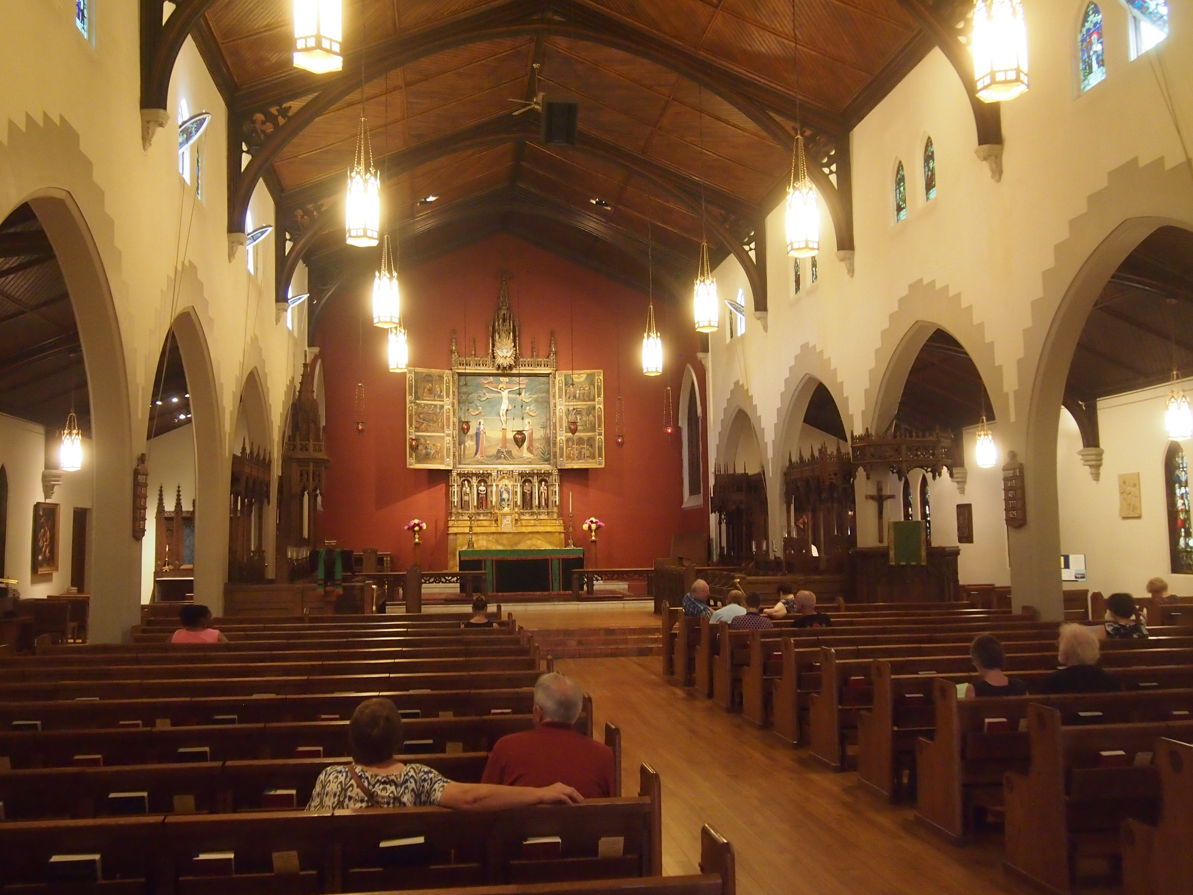
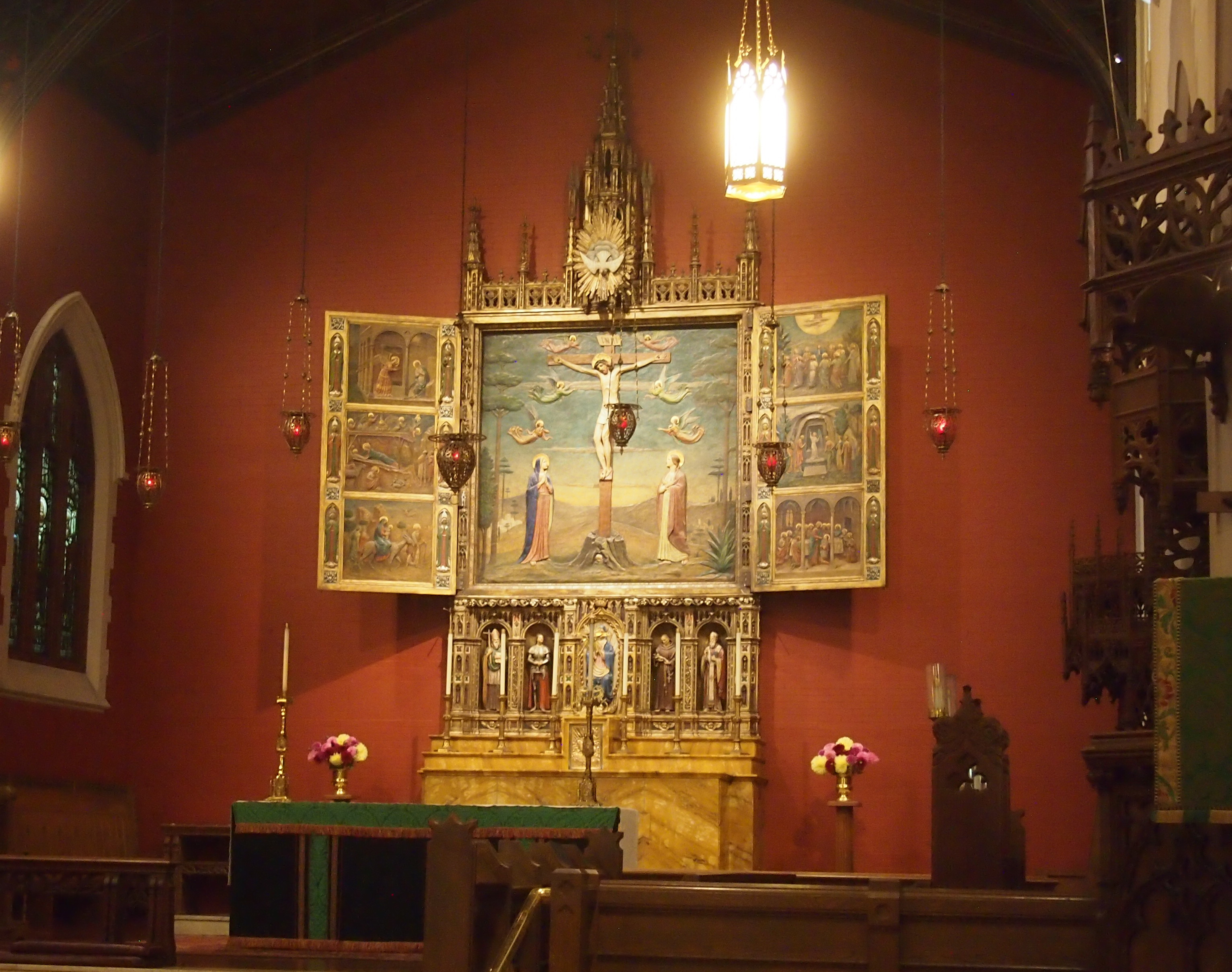
Covenant Presbyterian Church, Bucktown

I sat at the back of the church for a short spell, taking my seat just as a pair of baptisms were taking place — two baby girls. A delightful thing to chance across, even if you don’t know the families.

Roadside Wisconsin, Part 1: “The World’s Largest Penny”

Roadside America and I go back a ways, even before it was a web site. I bought an edition of it when it was a book, sometime in the 1990s at some remainder table. Now of course it’s a sprawling web site whose wisdom I occasionally consult.

I’m pretty sure that’s where I first heard about the “World’s Largest Penny.” That object can be found in Woodruff, Wisconsin. Traveling via US 51, we passed through Woodruff, a town in Oneida County, on the way to the UP and on the way home. On the way home, I watched for a sign pointing to the “World’s Largest Penny.” I wasn’t disappointed.

A block off US 51, at 3rd Ave. and Hemlock St., is the “penny.”
World's Largest Penny, Woodruff, WisconsinA sidewalk from the edge of the intersection leads up to the object, and behind it is senior housing. I’ll be nitpicky and insist that it’s a depiction of a penny, of which it might well be the largest anywhere. It’s made of painted concrete, for one thing. And even as a depiction, it’s only half there: expecting a wheat penny reserve, I went to the other side and found it blank. All you get is the Lincoln observe.

Still, the town’s heart is in the right place with its penny-depicting concrete object. The sign next to it (all sic) says:

THE MILLION PENNY PARADE

Dr. Kate NewComb had a dream — a hospital for the Lakeland area. Through contributions and volunteer help, the hospital was started. Because of the lack of funds the building was discontinued. Pennies would now help the compete the hospital.

The pupils of the geometry class of Arbor Vitae – Woodruff School wanted to see a million of something. Their teacher, Otto Burich, suggested that they collect pennies for the new hospital. The Million Penny Parade was launched.

In March of 1954, Dr. Kate went to a Doctors convention in California. She was a surprise guest on the T.V. program, “The is Your Life.” Because of her appearance people all over the country sent money for the hospital. With this money, amounting to $106,000 the hospital was completed and equipped.

As a result of this Penny Parade, the residents of this area had the beginning of the present Lakeland Memorial Hospital. This Penny is dedicated to the work of Dr. Kate and the people of the community who helped make the hospital a realty.

Donated by eighth grade class of 1969.

On a small plaque below the “penny” itself is a mention of the Woodruff-Arbor Vitae High School, as well as a Lions Club emblem. Perhaps the club had something to do with erecting “The World’s Largest Penny.”

A more detailed and somewhat different history of the fundraising efforts to build the hospital is at the web site of the Dr. Kate Museum, which isn’t far from the “penny.” Dr. Kate Newcomb (1886-1956) was apparently beloved in her time as a roving North Woods doctor. Remarkably, a clip of her on This is Your Life is posted on YouTube.

On Hemlock St. leading up to the “World’s Largest Penny,” Dr. Kate is also honored by painted images of snowshoe prints. Her nickname was “Angel on Snowshoes.”

Kate Newcomb Painted Snowshoe Prints, Woodruff, WisconsinThe small museum honoring Dr. Kate is off in that direction, but we didn’t spend any time at it. One more nit to pick: whoever painted the prints made it look like Dr. Kate hopped through the North Woods to see her patients.

Ironwood Public Art, Except For the World’s Tallest Indian

Yesterday, the Space Weather Prediction Center, a branch of NOAA, had this to say: “A watch has been issued for likely G2 (Moderate) geomagnetic storm conditions on 16 Jul and early on 17 Jul.” Thus the Aurora Borealis might thus just be visible at my latitude, according to the map. So at about 11:45 pm on July 16, I went outside and looked north. No dice.

But I’m glad the Space Weather Prediction Center is a real thing. It’s something we (humankind) should have in the 21st century.

Ironwood, pop. somewhat less than 6,000, is Michigan’s westernmost town, on the east bank of the Montreal River, which flows into Lake Superior not far away and is the border with Wisconsin. On the morning of Sunday, July 2, we stopped there to look for coffee for Yuriko.

We were unsuccessful in that, but we had a few moments to look around. Unfortunately, we didn’t see the World’s Tallest Indian. That’s what I get for not looking up what’s to see in a town before I go.

I did see the Ironwood Area Historical Society and the Historic Depot Museum. Being Sunday morning, it was closed, but it looked like a fine old depot, dating from the 1890s.
Ironwood, Michigan DepotThe Ironwood Area Historical Society says, “Its architecture is true to its Richardson Romaneque origins. The exterior is baked-red brick above and a heavy base of Lake Superior sandstone from the brownstone quarries located on the mainland and Apostle Islands near Bayfield in Northern Wisconsin. The Ironwood depot is a stunning structure with three tapering roof lines, including an unusual hipped, cross dormer and a signature finial cupola reflecting flanged rail wheels crowning the pinnacle.”

On the grounds is a statue — a carving, really, made from a tree trunk — of what appear to be three workingmen from the Ironwood past, one a miner, another a lumberman. Not sure about the third, but certainly some kind of hard 19th-century job.

Ironwood Depot Park tree carving

Ironwood Depot Park tree carvingI didn’t see any information about who carved the thing, or whether it has a title. It wasn’t created from an old tree that grew on the site, even though it looks like that. I know because if you check Google StreetView for that short stretch of S. Suffolk St., there’s no tree at all there, nor a carving. Google came by in September 2008. Guess even information behemoths can’t be everywhere on a regular basis.

At the intersection of S. Suffolk and E. McLeod Ave., a few blocks from the depot and the wooden workers, there’s a small building. According to Google’s nine-year-old information, its wall facing McLeod is long and painted white.

Not any more.
Miners Mural, Ironwood, MichiganA remarkable mural. I was thoughtless not to take a longer look at it. A mural of Ironwood miners, back when Ironwood miners dug into the earth looking for iron. A detail:
Miners Mural, Ironwood, MichiganRoadside America says: “Artists Kelly Meredith and Sue Martinsen spent over four years researching and painting the mural, which depicts over 100 real miners. It was unveiled on June 16, 2012, and proved so popular as a photo-op that in 2013 the city created a car-free zone in front of the mural. A booklet available in Ironwood provides biographies of each of the miners.”

Sixth St., Calumet, Michigan

From Houghton-Hancock and the Quincy Mine, the town of Calumet isn’t far north on the Keweenaw Peninsula. I was half-expecting something like Houghton, mainly because I didn’t do much research beforehand. None, really. But I’ve owned a postcard depicting the Calumet Theater for a long time, and I knew I wanted to see that.

So we did. It’s a fine old building. Wish it had been open for a look-see inside.

Calumet Theater, Michigan

Copper fortunes built the Calumet. A local architect named Charles K. Shand designed it. The historical marker next to it says, in part: “One of the first municipal theaters in America, the Calumet opened on March 20, 1900, ‘the greatest social event ever known in copperdom’s metropolis.’ The theater contained a magnificent stage and elegant interior decorations, including an electrified copper chandelier.”

The theater’s web site says: “The Theatre opened… with a touring Broadway production of Reginald DeKoven’s The Highwaymen. In the ensuing years, the Theatre’s marquee read like a Who’s Who of American Theatre: Madame Helena Modjeska, Lillian Russell, John Phillip Sousa, Sarah Bernhardt, Douglas Fairbanks, Sr., Lon Chaney, Sr., Jason Robards, Sr., James O’Neill, William S. Hart, Frank Morgan, Wallace and Noah Beery.

“With the decline of copper mining and the local economy, and the advent of motion pictures, stage productions became less common in the late 1920s. From the depression through the late 1950s, it was almost exclusively a movie theatre…

“The auditorium was renovated for the village’s centennial in 1975, and the exterior was restored in 1988-89. The technical and code improvements and backstage reconstruction have just been completed.” These days, the theater holds 50 to 60 events a year, including plays, movies and concerts.

The theater is on Sixth St. in Calumet. The street hasn’t evolved into a day-trippers shopping district, but it does have some other interesting buildings, dating from copper times, from the looks of them.

Calumet, MichiganCalumet, Michigan Sixth StreetCalumet, Michigan Sixth Street

The buildings of Sixth St. also sport a few ghost signs.Ghost Sign, Calumet MichiganVertin’s Department Store (since 1885, headquarters for Lee overalls, union made). The store turns out to have been located in the building pictured above, between the Sixth St. streetscape and the Michigan House Cafe & Red Jacket Brewing Co. This is an example of the kind of thing I learn from a trip after I’ve gotten home. I didn’t know what I was looking at when I stood across the street from the former Vertin’s on the afternoon of July 1. Now I do.

The Vertins were Slovenian immigrants to copper country in the 1870s, and rather than mine themselves, they enterprisingly sold goods to miners and their families. Remarkably, the store endured until the 1980s. More about them is in this article in Copper Country Explorer.

This ghost sign has advertised, through many UP summers and hard winters, for a widely available product: Pillsbury Best flour.

Calumet, Michigan Ghost Sign Pillsbury

Slute’s Saloon has been a saloon, though not under that name, and as the sign says, since 1890. Curiously enough, a descendant of the Vertins is one of the partners in the business, at least according to this 2010 article. A look inside is here.

After I got home, I learned that George Gipp was from nearby Larium, Mich. — where you can find the George Gipp Recreation Area & Ice Arena — and is buried in Calumet. Dang. That would have been something to know beforehand, but you can never really prepare for going somewhere new. Still, I’d have looked for the Gipper’s grave had I known. It isn’t everyone who can inspire motivational speeches down the decades.

Millennium Carillon, Naperville

Near Riverwalk Park in Naperville is the Millennium Carillon, which is in a 160-foot structure called Moser Tower. Though the tower wasn’t completed until 2007, work began in 1999 and it must have been partially finished soon after, because I’m pretty sure we listened to its bells as part of the city’s Independence Day celebration in 2001, or maybe 2002.
Millennium Carillon, NapervilleIt’s possible to pay $3 and take a tour of the tower, but I didn’t have time for it on Friday. It’s 253 steps up to its observation deck, so we better visit before we get much older. Also, before the tower gets much older. It’s possible the tower will be gone in a few years.

“Cracks and deterioration of its concrete walls could cause pieces to fall ‘without notice,’ and corrosion of structural steel connections could decrease the building’s stability, a consultant found in a two-year, $50,000 study of the tower’s condition,” Marie Wilson writes in the Daily Herald.

“Options include fixing the structure and maintaining it as-is, fixing it and improving the base to help prevent future corrosion, or maintaining it for a while and then tearing it down.”

Such problems after only 10 years. Luckily, nothing fell without notice when I visited (though shouldn’t that be “without warning”?). I’m not a structural engineer, but it sounds like corners were cut during the original building. Of course, it was a money problem.

“The most expensive options would involve upgrading the bottom of the tower to match original designs by Charles Vincent George Architects, which called for the lower 72 feet and 9 inches to be enclosed in glass and temperature-controlled, Novack said.

“Enclosure plans were scrapped when the Millennium Carillon Foundation, which conducted the first phase of work in 1999 to 2001, ran of out of money.”

According to the Naperville Park District, the Millennium Carillon is the fourth largest in North America and one of the “grand” carillons of the world, featuring 72 bells spanning six octaves. Didn’t hear the bells during this visit. Concerts are inconveniently on weekday evenings. Inconvenient for non-residents, that is.

Near the tower is a bronze of Harold and Margaret Moser, who ponied up $1 million for the tower’s construction.
Harold & Margaret Moser statueBeginning after WWII — and that was the time to subdivide in earnest out in the suburbs — Harold Moser was a major residential developer in Naperville, credited with building at least 10,000 houses in the area. His nickname was Mr. Naperville, and a plaque on the back of the statue calls them Mr. and Mrs. Naperville.

They both died in 2001. The statue, by Barton Gunderson, dates from 2009.

Mr. & Mrs. Naperville

It’s fitting to honor the Mosers in bronze, but their smiles are a little unnerving.

Bremen, West Germany, 1983

Around this time of the year 34 years ago, I spent a couple of days in the north German city of Bremen. City-state, actually: Freie Hansestadt Bremen, the Free Hanseatic City of Bremen. Once a state in the German Confederation, then a component state of the German Empire, it was merely a city according to the Nazis. Since 1947, it’s been a state again, the smallest in area of the Federal Republic.

Odd, Bremen and Hamburg got to be states again, but not poor old Lübeck. Such are the vagaries of history.

I had a fine time. How could I not? I was a young man with exactly nothing else to do at that moment but see a new city in an interesting old country. I was a free man in Bremen/I felt unfettered and alive… Well, that lyric wouldn’t have quite the same vibe, but that’s not too far off. Anyway, my tourist impulse was in full flower.

This is David and me. He was the brother of a New Yorker friend of mine in Germany, Debbie. Mostly I was by myself in Bremen, but I met up with them toward the end of my visit. The background is the Schnoor, more about which later.
BremenJuly2.83The following is an edited version of what I wrote at the time.

“At Bremen I exited the station, got a map, and experienced the first-time rush of a new place. You aren’t tired, you feel open to the world, you want to look at everything you pass by. I crossed downtown Bremen’s large fussgangerplatz, walked by shops and goods and people, and enjoyed the sights and sounds. That kind of rush doesn’t last long, but it’s great while it does.

“I found the Jugendherberge, an ugly squarish building between downtown and the industrial Weser riverside. Check-in wasn’t until 1:30, so I sat under a bridge near St. Stephen’s and ate the bread and wurst I brought. The brot was a little dry and the wurst something like raw hamburger, but I needed the sustenance.

“Then I checked in and began wandering. I found the Rathaus first, then the famous 1404 statue of Roland. I spent a good while in Bremen Cathedral (St. Petri Dom zu Bremen), marveling at its intricate, aesthetic wonders, such as the painted pillars and the statues illustrating the Parable of the Ten Virgins. Went to the crypt, thought to be the oldest room in Bremen, dedicated in 1066.

“Sometimes I mulled a bit gloomily that time will sooner or later reduce the cathedral to dust — via nuclear attack in August or 10,000 years of erosion or something. But it’s here, now, and so am I. Before I left, I bought a little book about the cathedral.
Bremen Cathedral“Not long after I left, I spotted a series of white dots painted on the sidewalk, with the words Zum Schnoor –> every 30 or 40 feet to go with them. I followed them to the Schnoor. I’d heard that the Schnoor was the oldest surviving section of the city, and so it seems. The Schnoor is focused on a narrow street of that name, lined with aged shops and other buildings. Some of the side streets are even narrower, barely wide enough for two people to pass.

“En route to a church I never got into because it was always locked, I came across Böttcherstraße. Every ten feet or so is another work by one Bernhard Hoetger, some interesting stuff dating from pre-you-know-who Weimar years. Apparently the Nazis didn’t much like the works, but they survived them and the war. [Brick Expressionism, I’ve read, is the term, at least for some of the buildings.] There was also a small cinema tucked away in the area. Showing that evening: Death in Venice. An Italian movie with German subtitles, probably, or dubbed in German. I decided not to go.

“I walked further afield, near some small city lakes, and then to the Übersee Museum Bremen, near the main train station. It’s an ethnographic museum, complete with huts from New Guinea, a Japanese shrine with a manicured garden and a pond with goldfish, and a elegant Burmese temple. All of the labels were in German, but that didn’t matter much [I experienced something similar some years later at the National Museum of Ethnology in Osaka.]

“There was a special exhibit of schoolchildren’s paintings: ‘Japanese kids see us and German kids see Japan.’ A funny mix of cultural and political images, mostly, tending toward the stereotypical. My favorite was a Japanese drawing of a German with a grinning Volkswagen for a head, eating sausage and drinking beer. Hitler’s face and swastikas were common, as was Beethoven’s face, and some drawings showed Germany torn between the Stars & Stripes and the Hammer & Sickle.

“After the museum I had dinner at the Restaurant Belgrade. For DM 16, I had an excellent Hungarian goulash, potatoes, salad, bread and beer. Returned to the hostel at about 10, very tired, and went to sleep almost at once.

“At breakfast at the hostel I talked with a Japanese girl who’d been to the Bremen Geothe Institut and who was about to go home. She was pleasant, and showed me postcards of Japan. After checking out, I wandered the streets on the other side of the Weser a while, then at 10 took a harbor cruise.

“It was a busy place, with ships from all over, and vast industrial areas along the banks, including a huge drydock belonging to Krupp, and a Kellogg’s factory with enormous murals of Tony the Tiger and Snap, Crackle & Pop on its side. I couldn’t catch a lot of the narration, but it seemed mostly about ship sizes and carrying capacities, so I didn’t mind.

“Back on land, I visited the church opposite the Dom, Unser Lieben Frauen Kirche, the second-oldest church in the city, and not as ornate as the cathedral. I took a tour of the Rathaus, and as Steve promised, the place has remarkable woodwork. For example, the puti-like faces on some of the chairs managed to have lustful and leering expressions. The Rathaus also has a fine collection of model ships, mostly the 17th-century Bremen fleet, and an assortment of portraits of Holy Roman Emperors.

“As if that wasn’t enough, I then went to the Ludwig Roselius Museum, which houses paintings & furniture & gold & maps from the 17th and 18th centuries. Saw the original black painting of Martin Luther that I’ve seen reproduced a number of other places [Lucas Cranach].

“My energy was low by this time, but I walked some more, returning to the Böttcherstraße at 3 and hearing the chimes of the Glockenspiel House and seeing the rotating woodcarvings of explorers and airmen. Met Debbie and David soon after, and we repaired to a nearby cafe for beer. They’d been there the day. Returned to Lüneburg soon after on a faster direct train, and had dinner together at another Yugoslav restaurant. For DM 14, got Serbian combo of meat, rice and beans, along with beer.”

One more thing. In Bremen, near the Schnoor, I found a memorial I didn’t expect. I made notes about it in my Bremen Cathedral book, which is what I had at hand.
Bremen CathedralUnsere Jüdischen mitbürger

Martha Goldberg
Dr. Adolf Goldberg
Heinrich Rosenblum
Leopold Sinasohn
Selma Swinitzki

Wurden in dieser Stadt in der Nacht vom 9. zum 10.11.1938 ermordet.

Murdered during Kristallnacht, in other words. This is what the plaque looks like. Remarkably, Adolf Goldberg has a Wiki page, which also tells me that the memorial was erected in 1982, only a short time before I saw it.