I’d never had any Moon Cheeze. Or even heard of it.
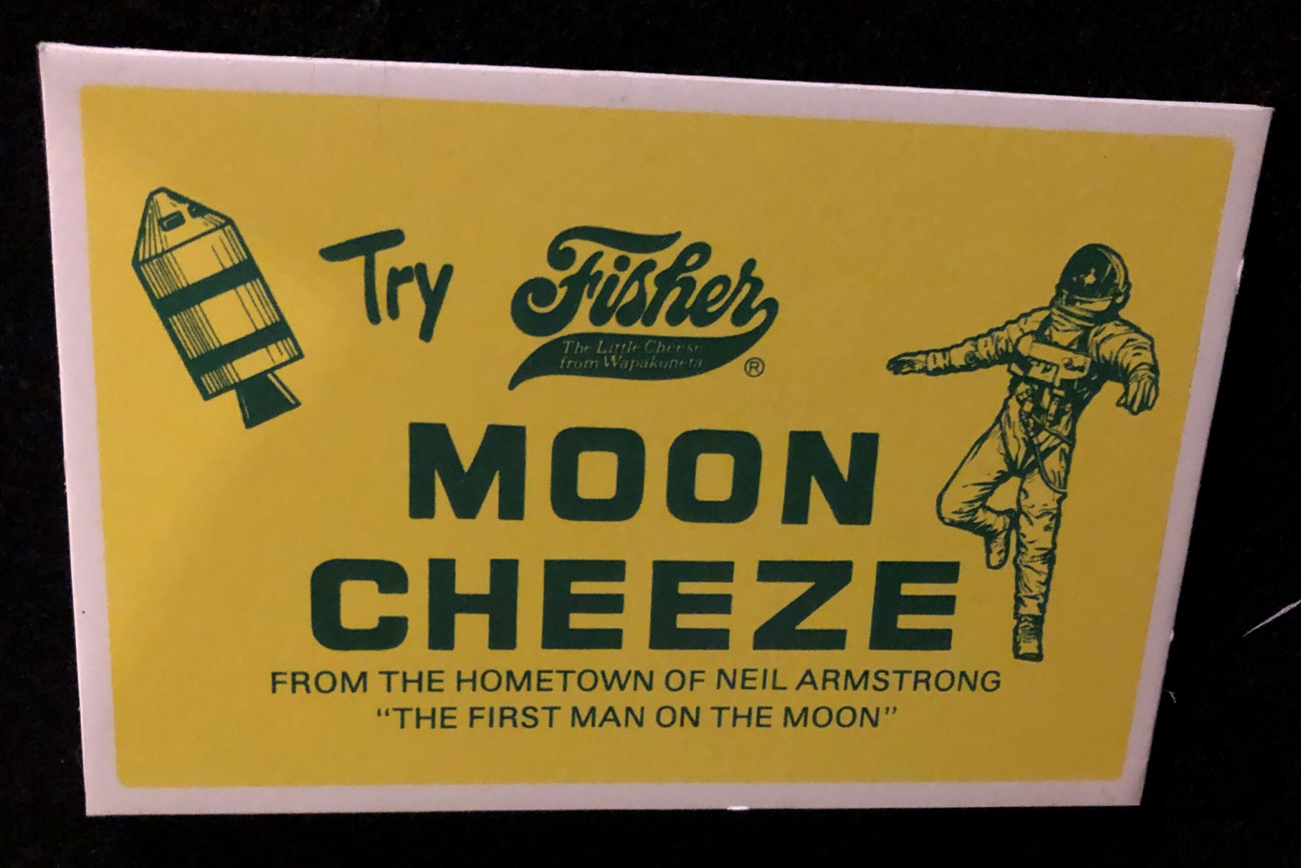
But I did eat Space Food Sticks from time to time in the days of Apollo and maybe a little after. As the ad says, Moon Cheeze was made in Wapakoneta, Ohio, hometown of Neil Armstrong.
“It seems to have been just regular American cheddar cheese,” Weird Universe says. “Only the packaging was special. It came in a container shaped like the state of Ohio.” In the ad above, it looks like an astronaut is drifting away from the safety of the Command and Service modules, like the (dead) astronaut did in 2001.
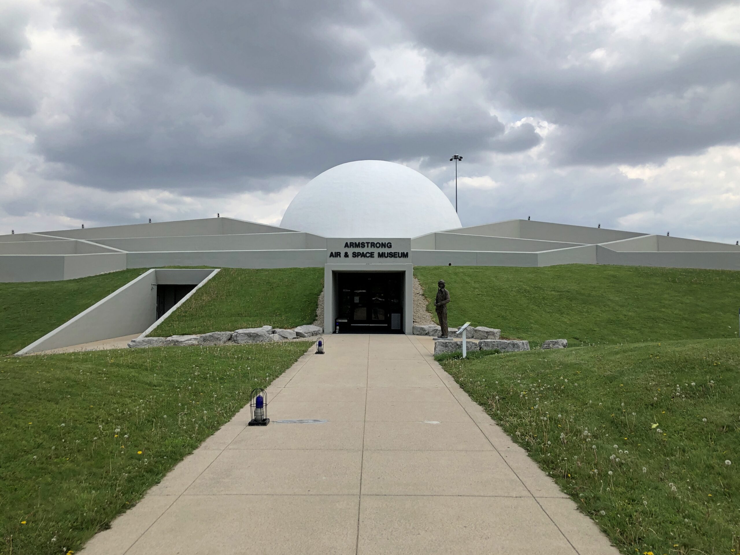
On the last day of my recent trip, I diverted a bit to Wapakoneta to visit the Armstrong Air & Space Museum, which I’d bypassed a decade earlier, and was rewarded for my effort when I saw the Moon Cheeze ad and a lot more.
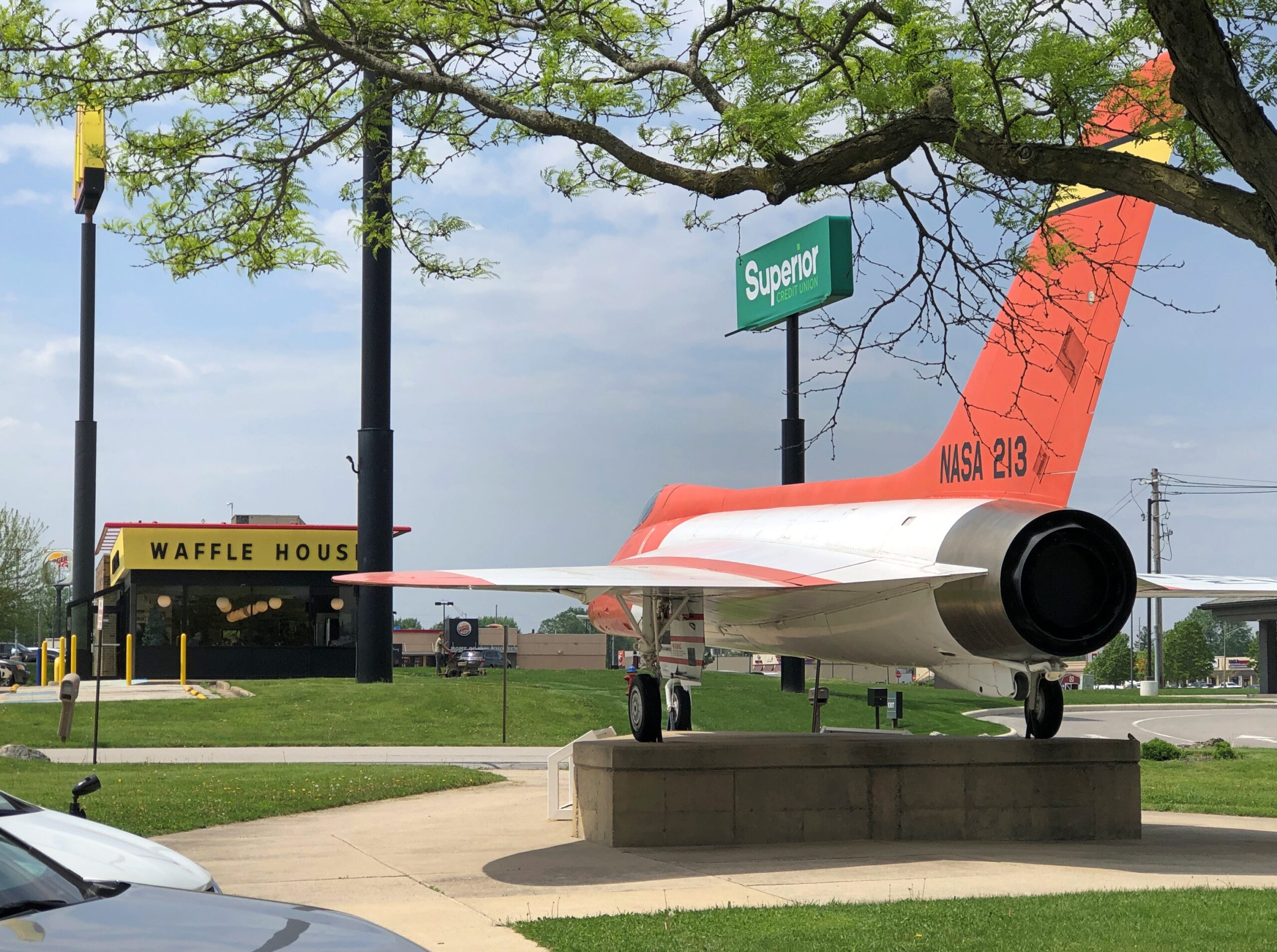
It’s conveniently located near a Waffle House.
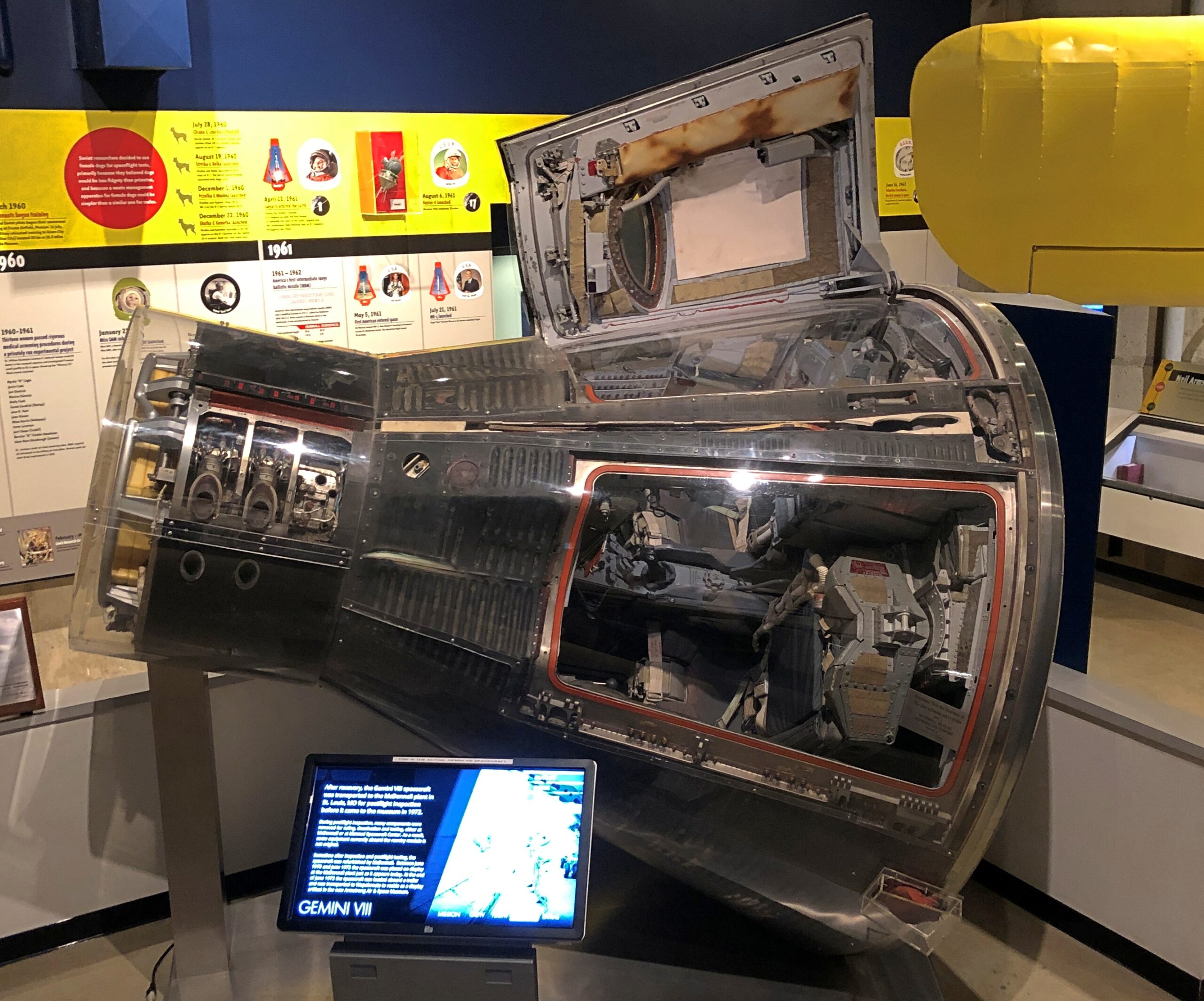
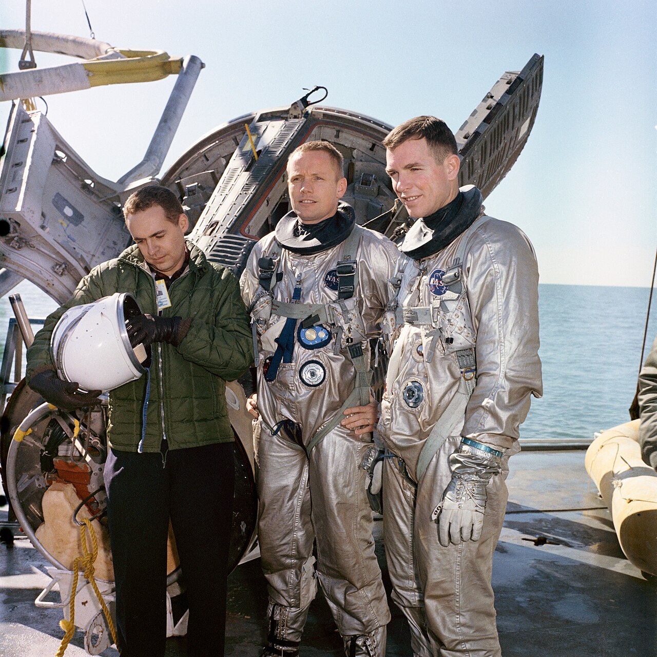
Worth the price of admission by itself: the Gemini 8 capsule, in which Neil Armstrong and David Scott nearly bought the space farm due to a malfunctioning thruster.
They survived, of course, and in fact Scott is still alive at 94. Besides Gemini 8, he flew on Apollo 9 and Apollo 15. Being seventh man to walk on the Moon doesn’t get you a museum, however; that’s reserved for being first. Fame is funny that way.
Neil Armstrong and David Scott. NASA public domain photo.
The museum isn’t large, but it does feature a number of good artifacts. The Smithsonian and the Kansas Cosmosphere shouldn’t have everything.
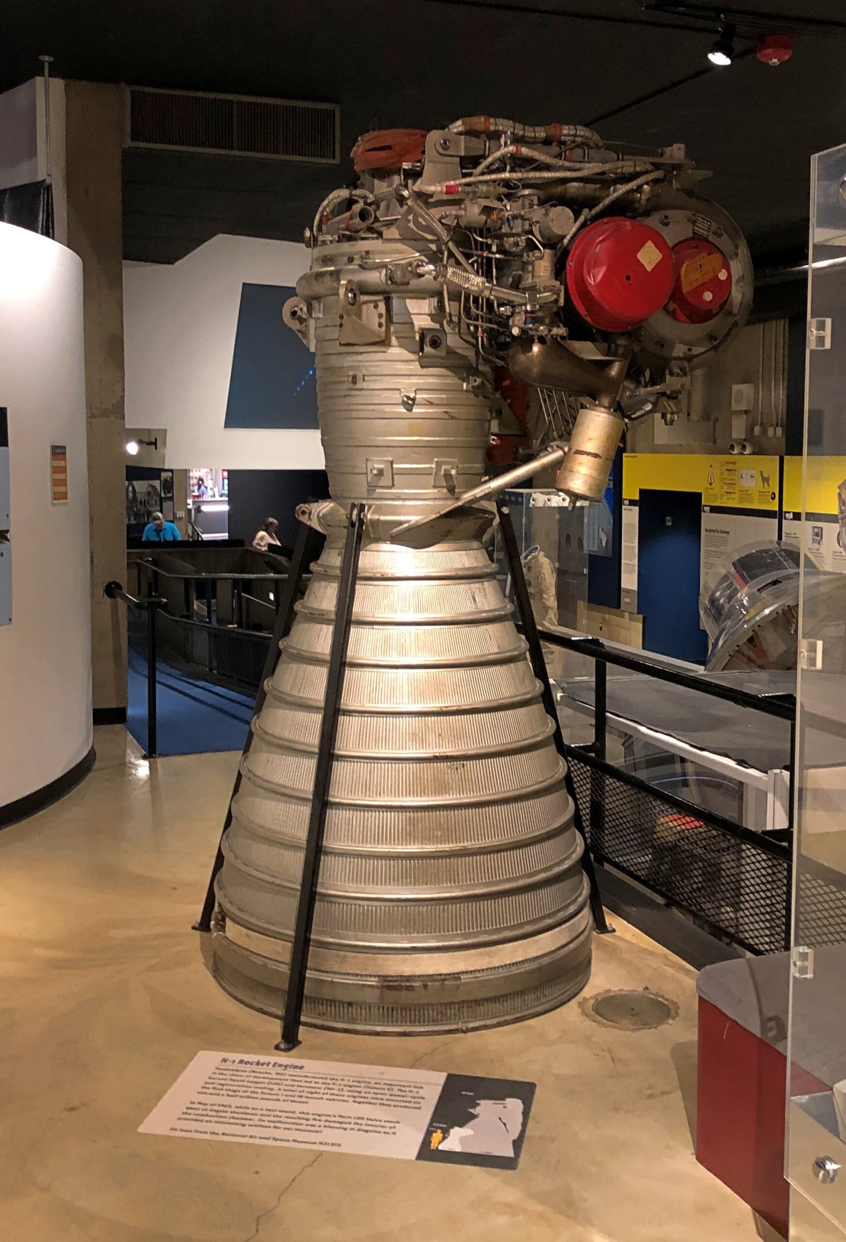
An H1 engine, which were used on Saturn 1 and Saturn 1B rockets.
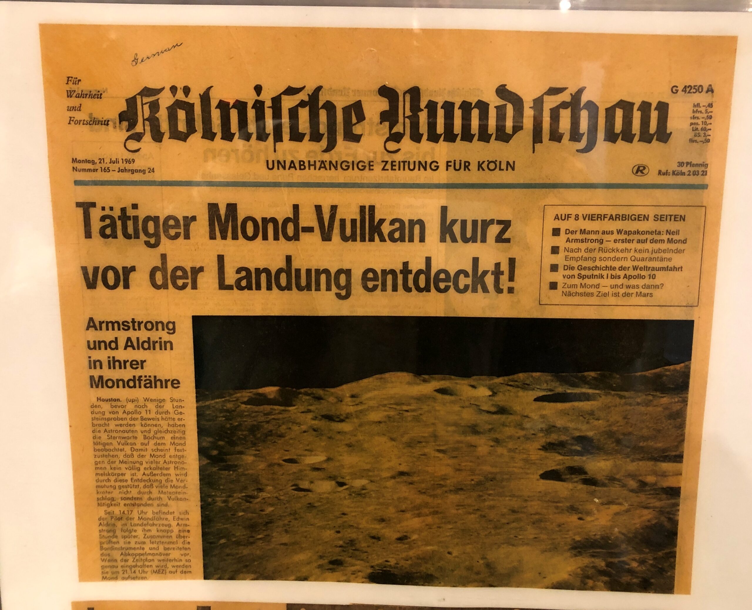
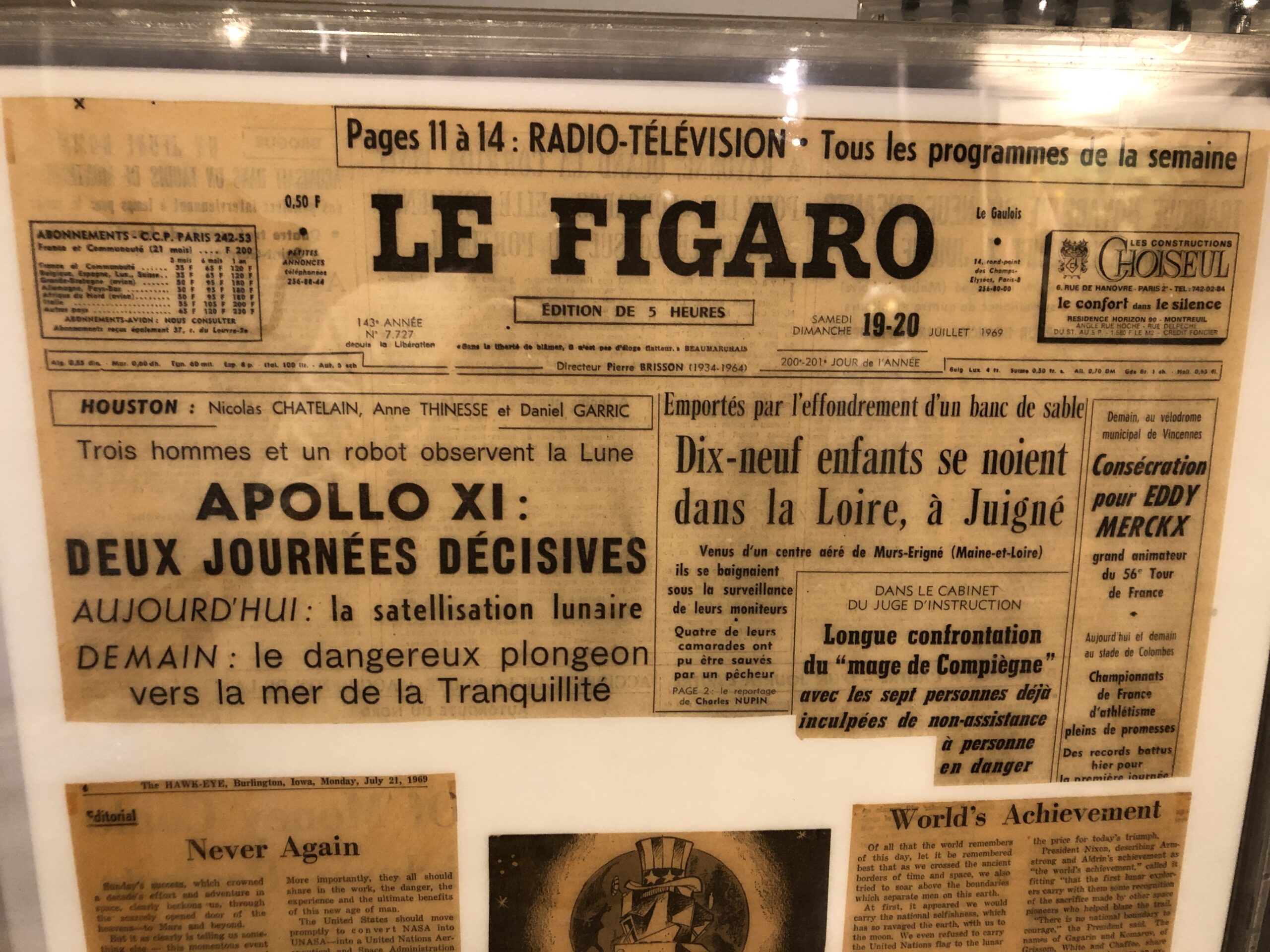
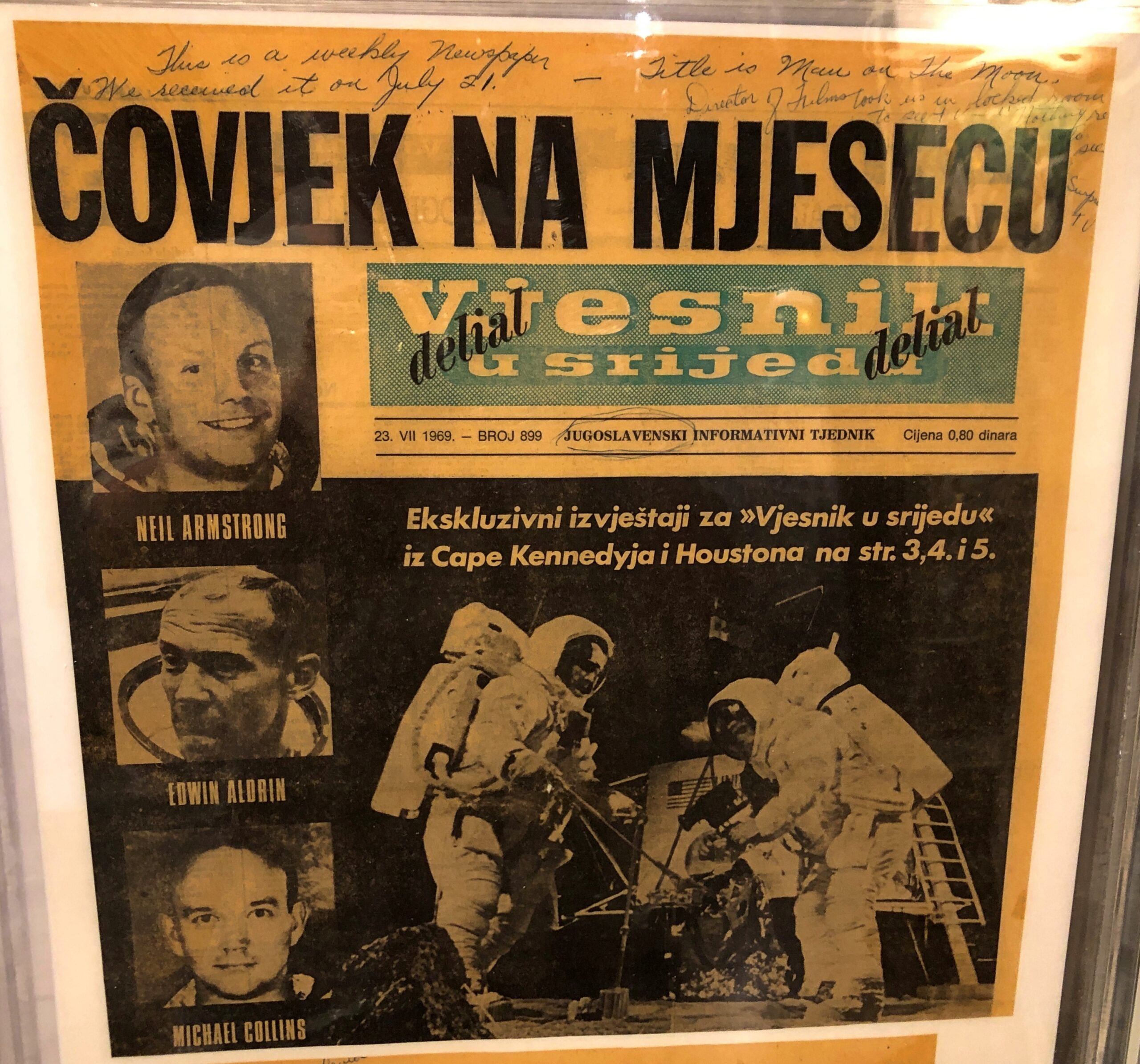
Newspapers from around the world covering the Apollo 11 landing.
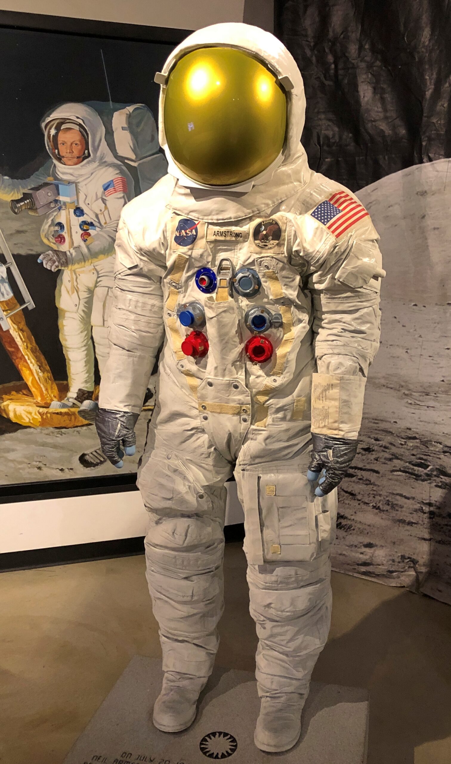
Some artwork. Looks like a spacesuit, but it’s a statue depicting Armstrong’s suit.
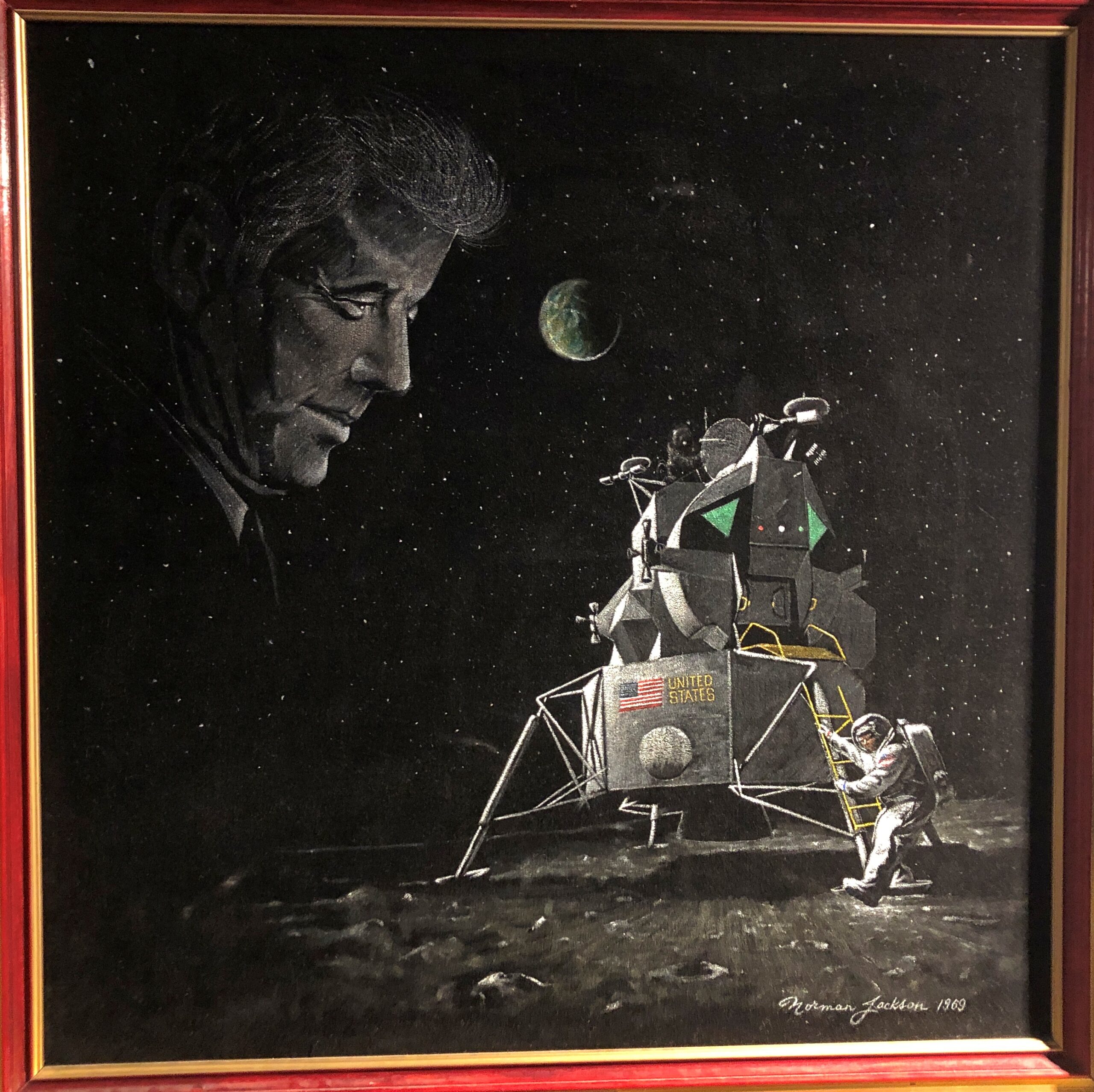
A painting from 1969.
It seems that the Armstrong and Aldrin didn’t report the alarming apparition of President Kennedy hovering over the lunar surface. Conspiracy theorists, take note.
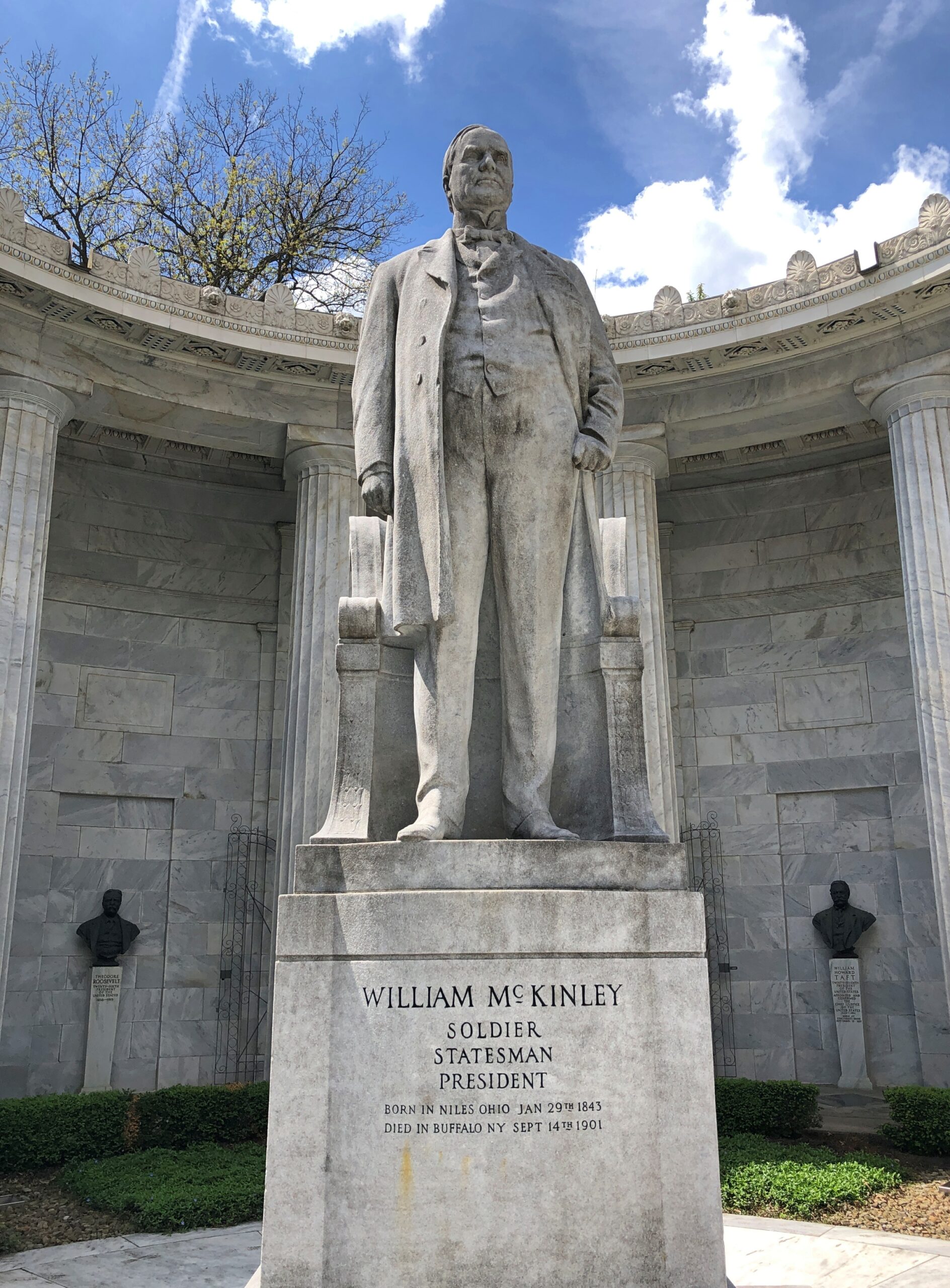
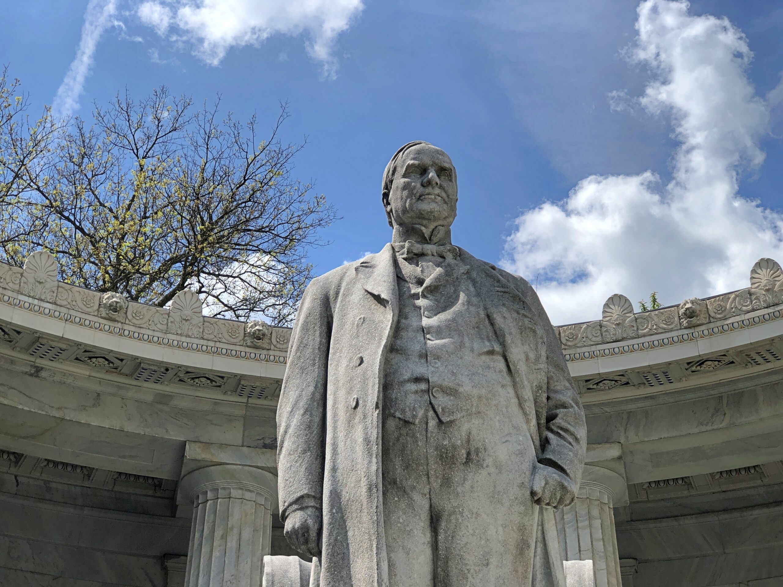
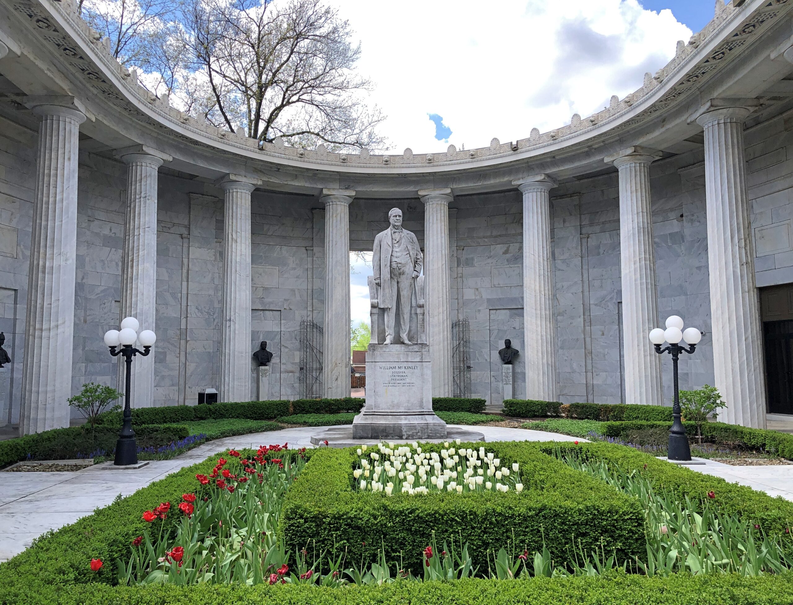
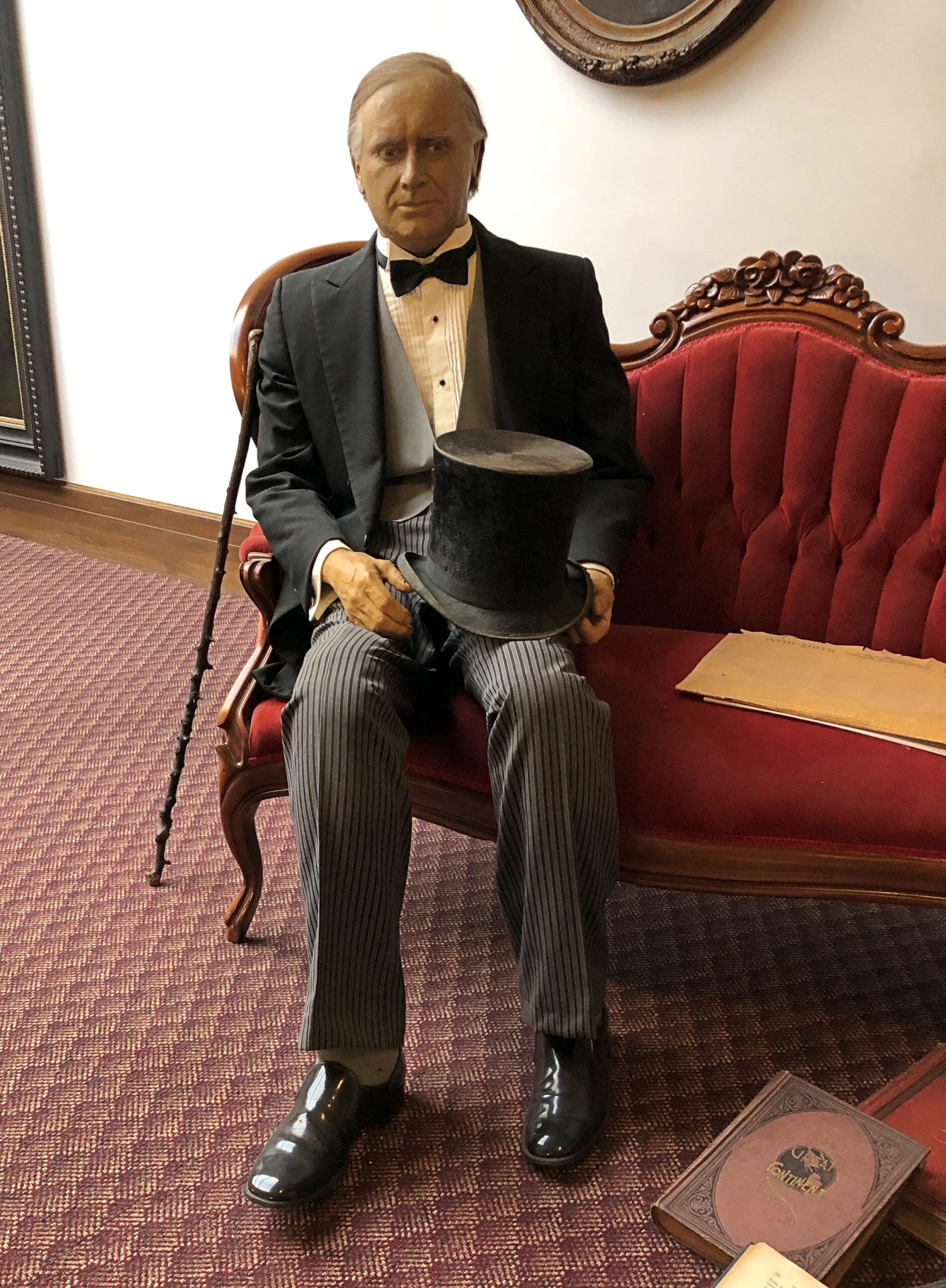
Recently in Niles, Ohio, I had an encounter with one of the four assassinated presidents. If you go to the right place in that town (pop. 18,400), you can’t miss him.
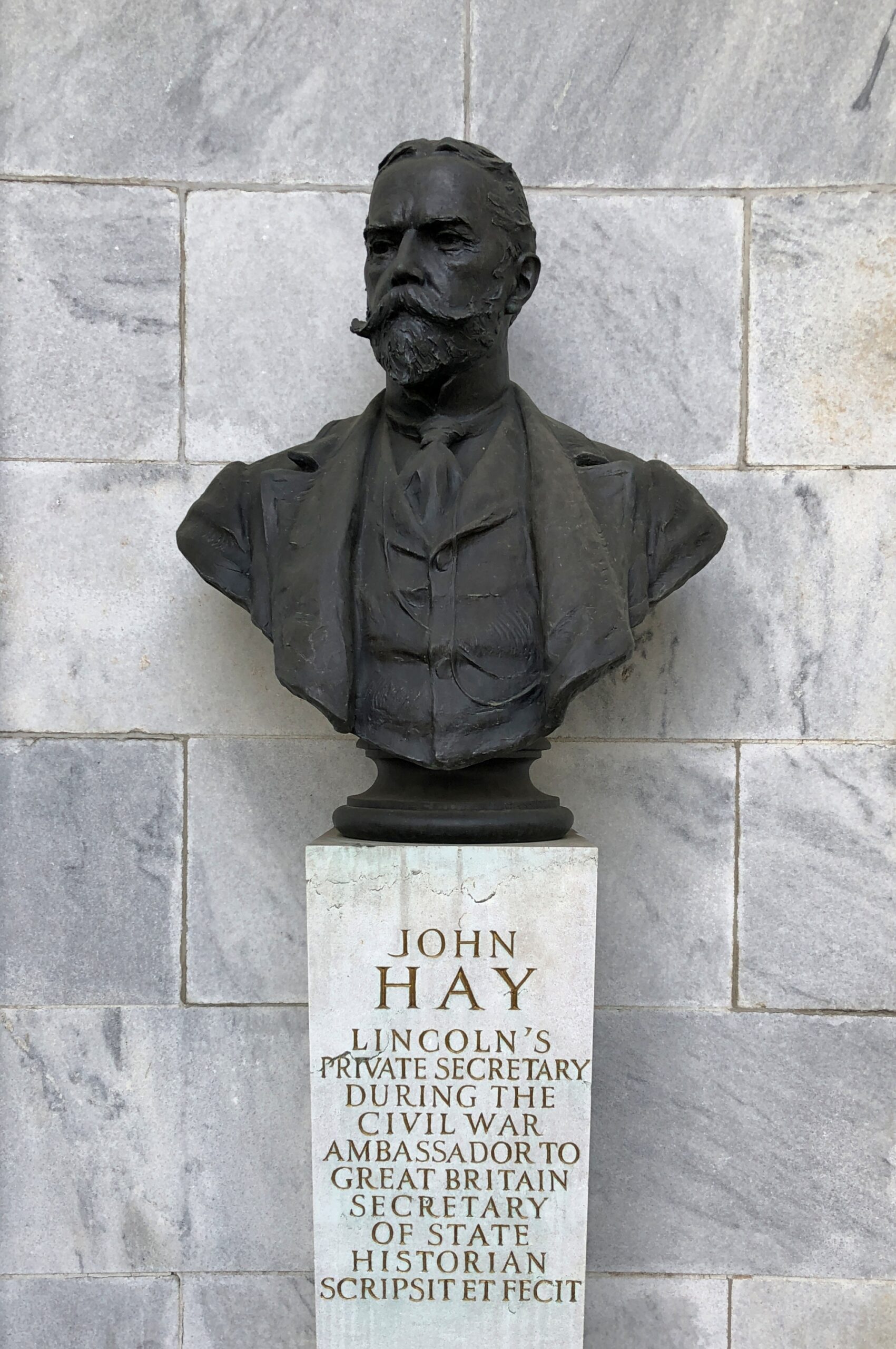
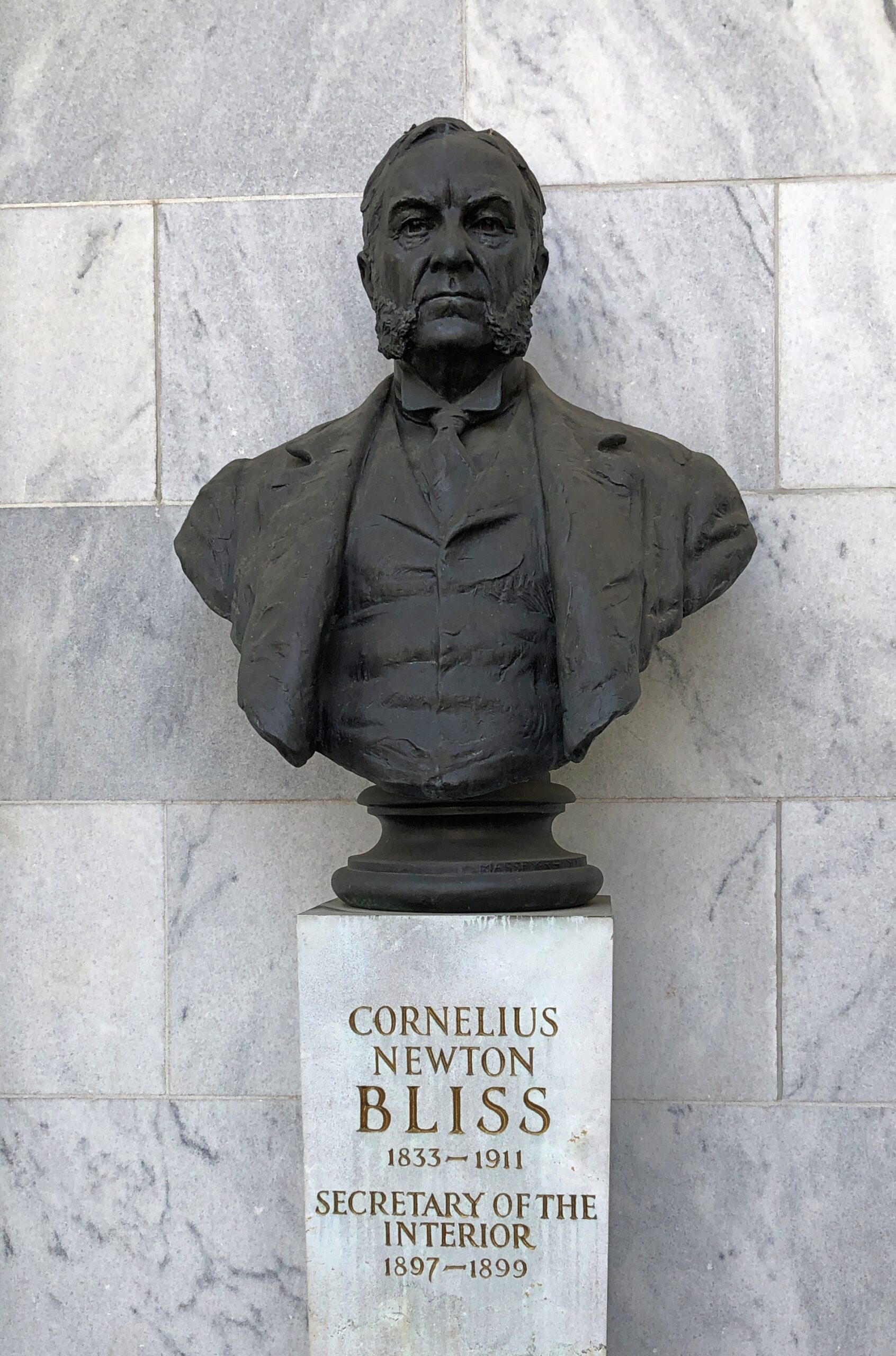
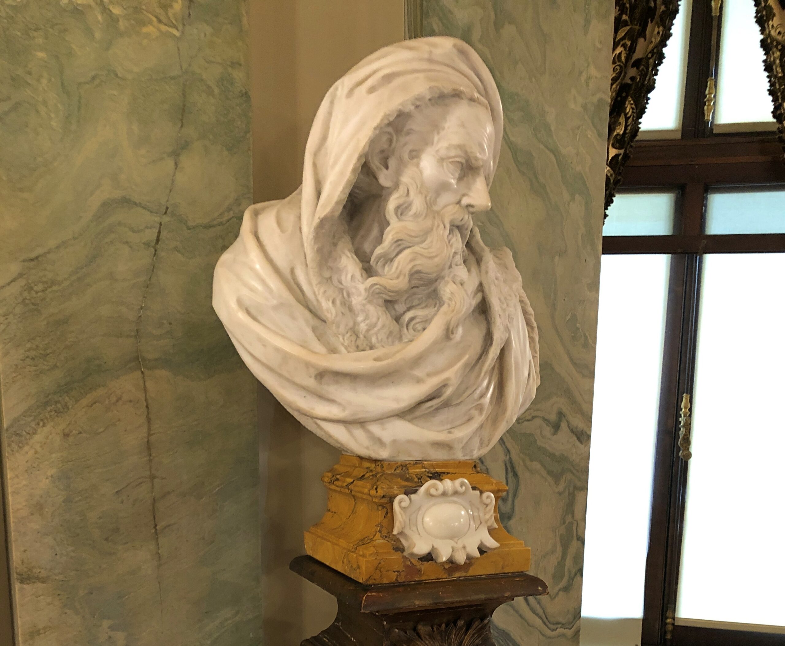
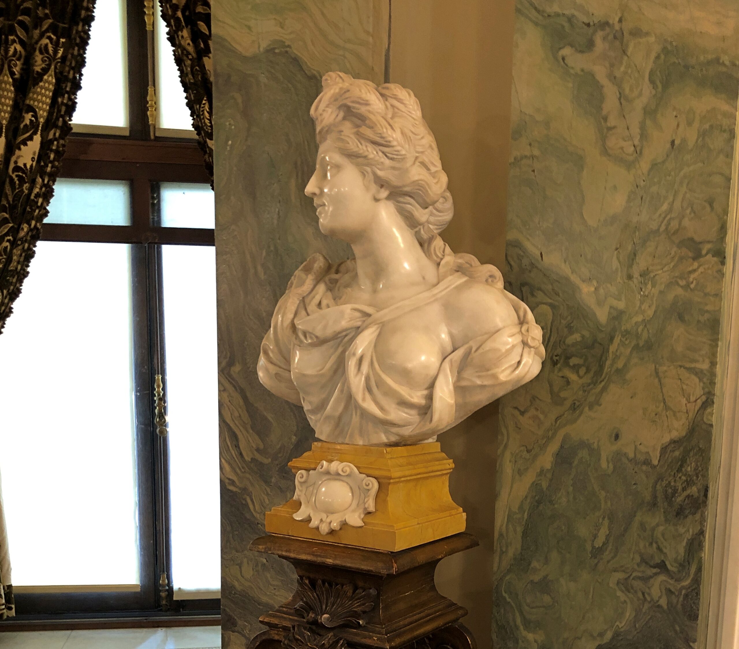
Not just him either. Note the busts surrounding President McKinley, who are men associated with him in one way or another. Hay I knew; Bliss I had to look up.
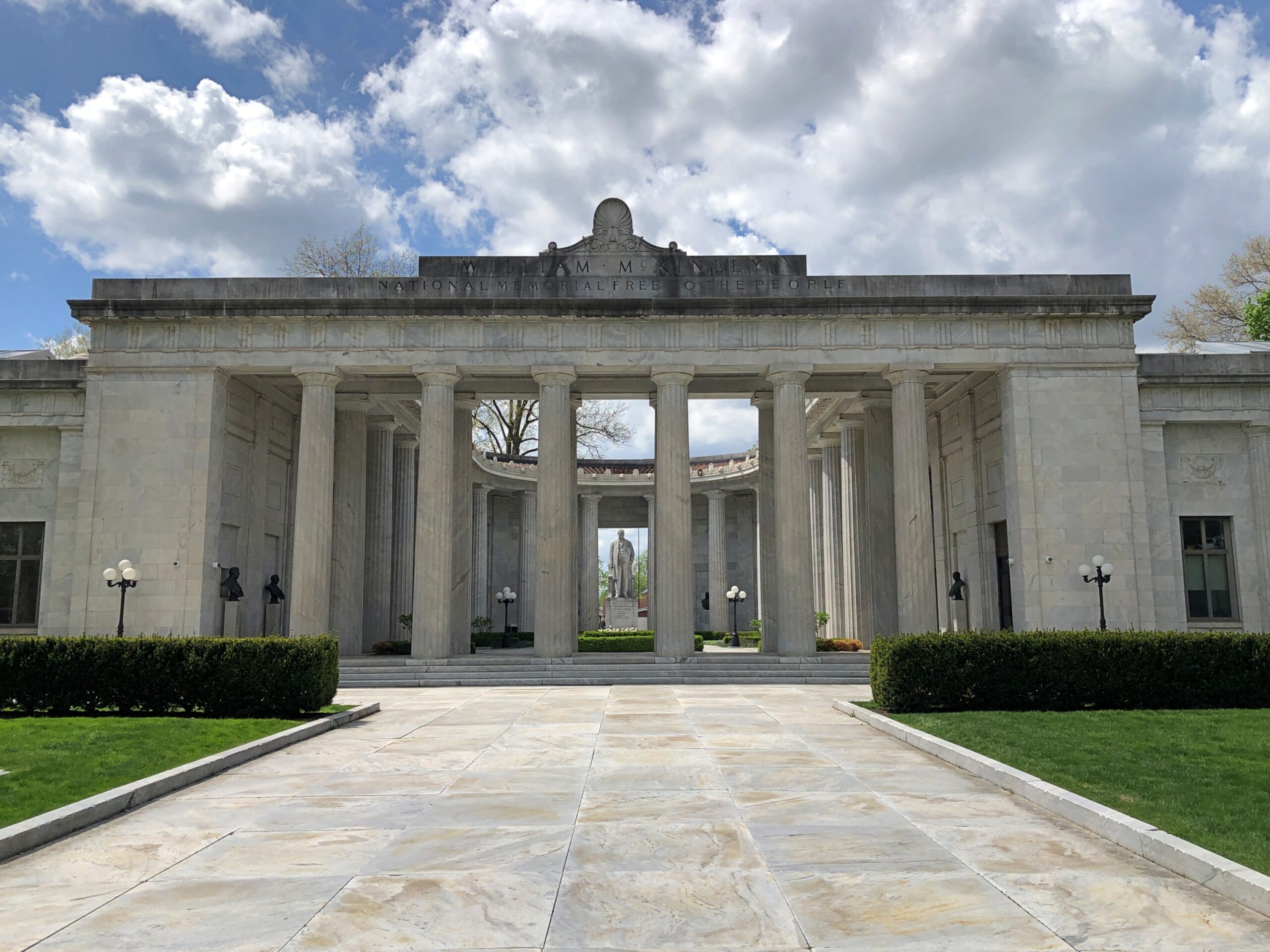
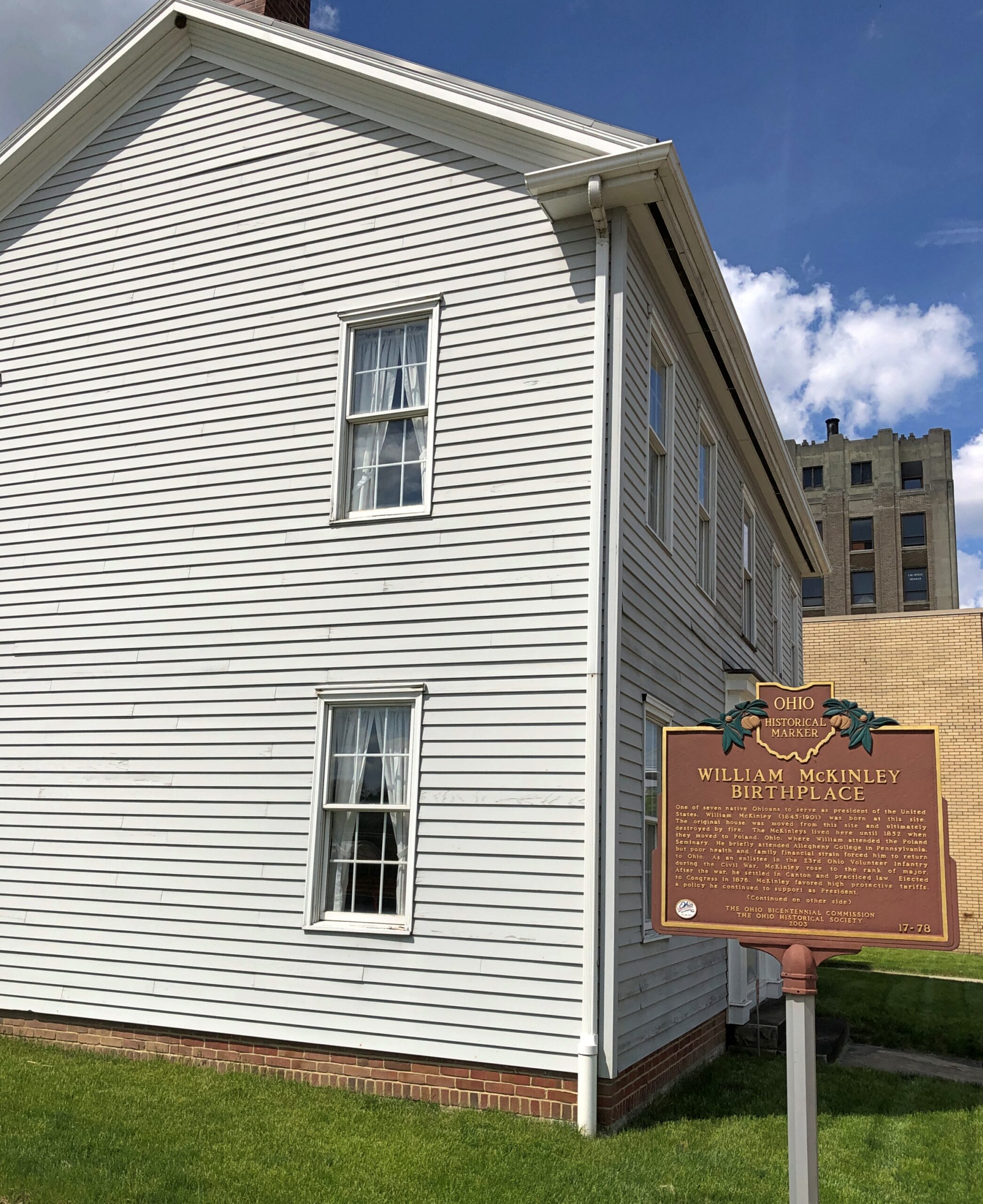
The most direct route between Punxsutawney, Pa. and Lima, Ohio, passes pretty close to Niles. I had a little extra time, by design, on the second-to-last day of my recent trip. Niles happens to be the birthplace of William McKinley, and in our time, home of the National McKinley Birthplace Memorial and the McKinley Birthplace Home and Research Center – that’s two entities, a block apart.
The Birthplace Memorial is imposing and grand, another edifice designed by McKim, Mead & White.
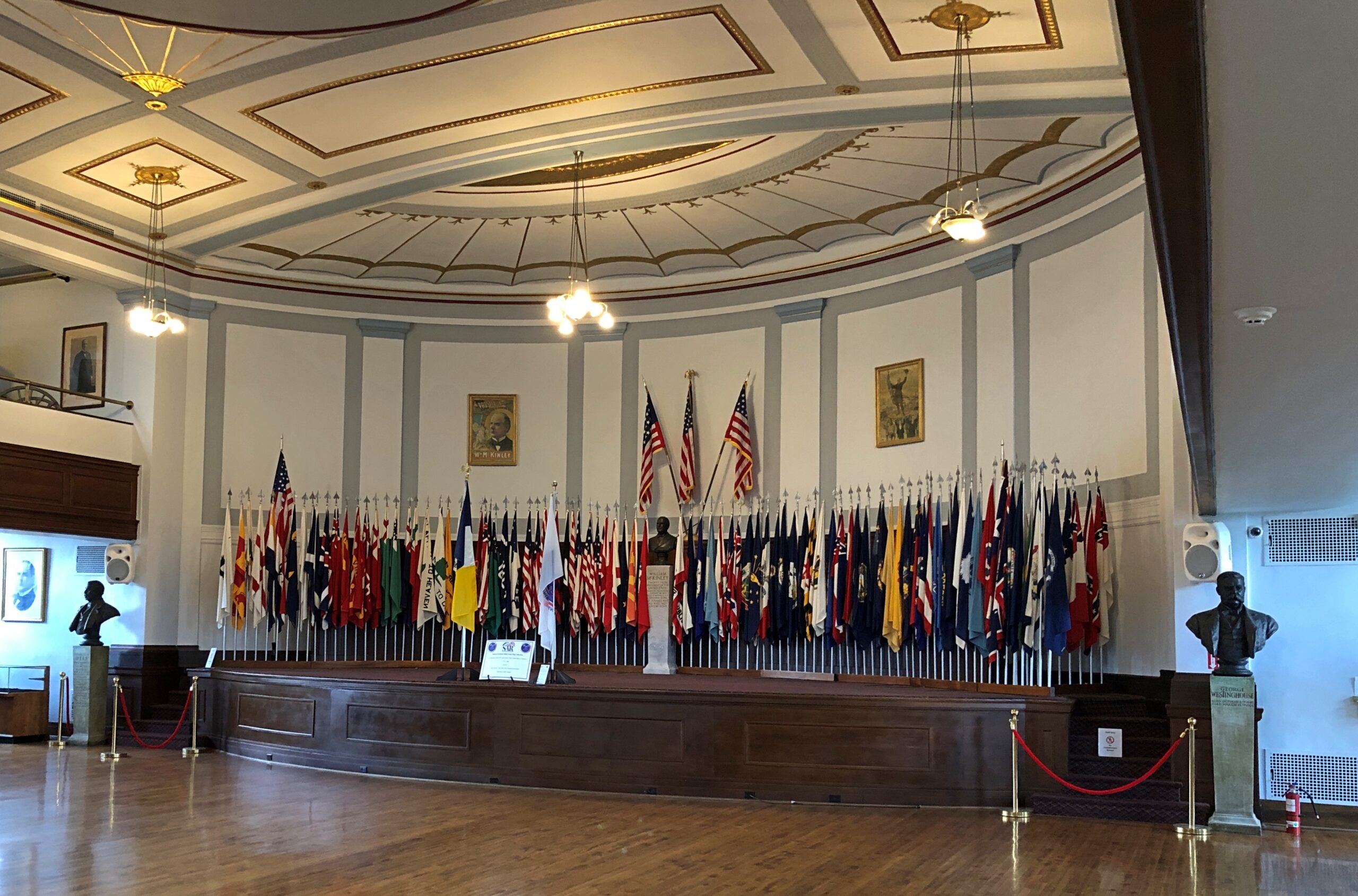
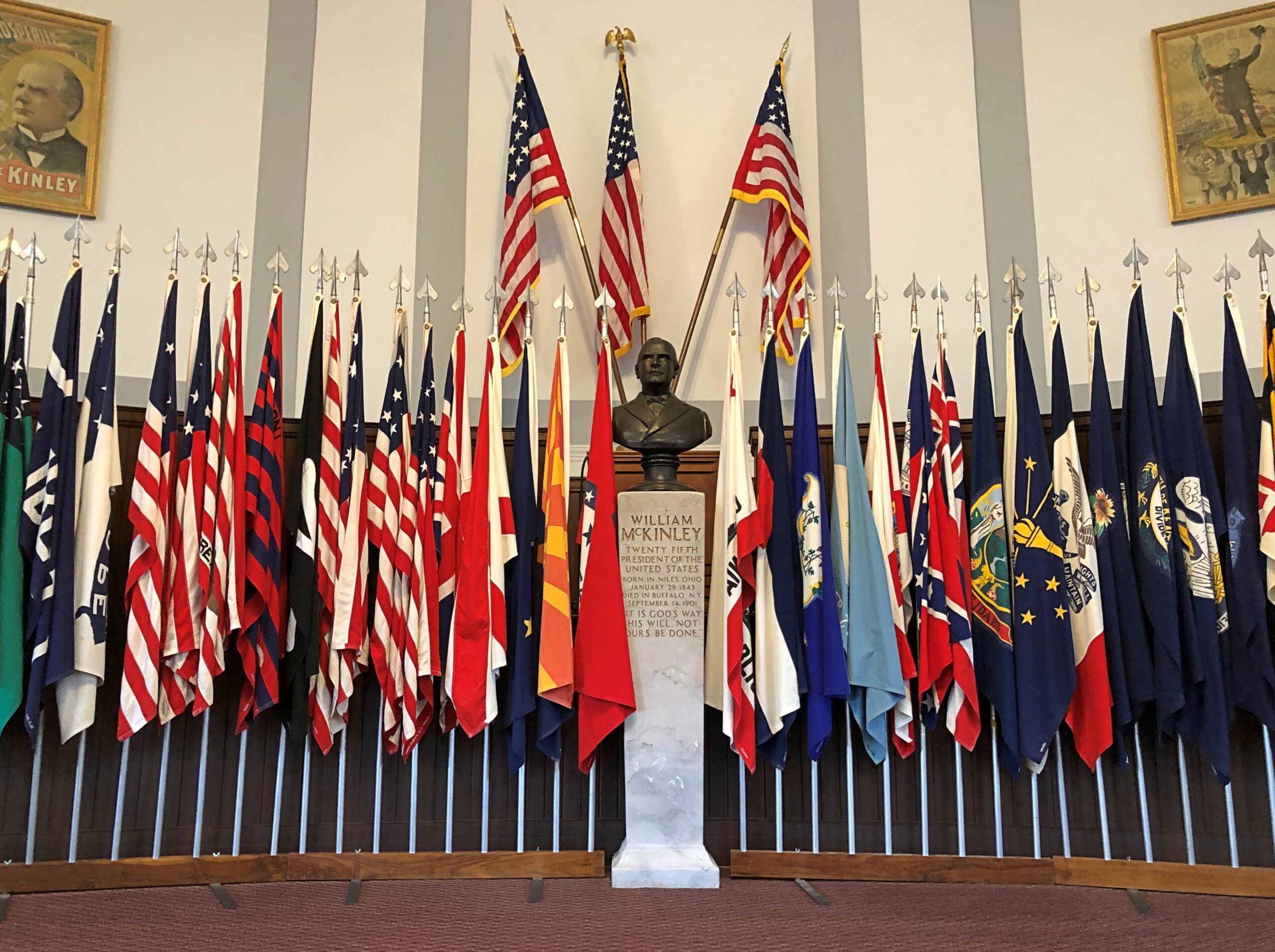
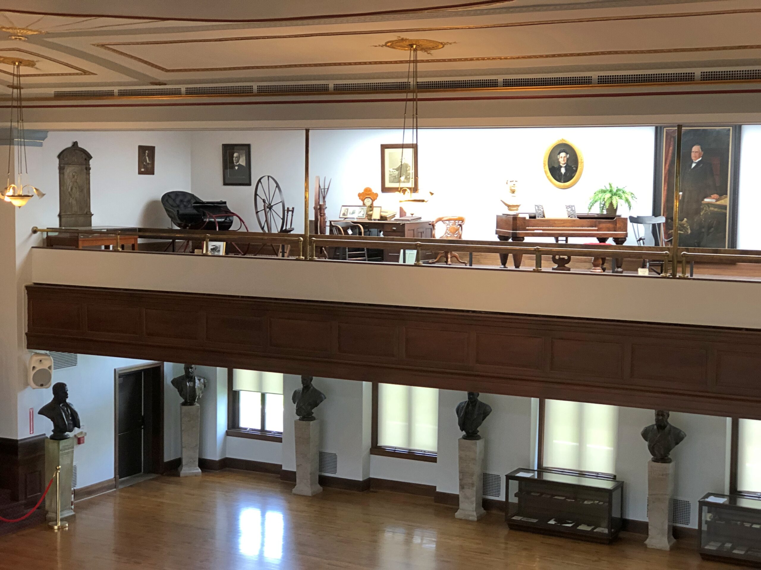
The memorial has two wings, one a public library, the other an auditorium sporting McKinley artifacts, and a collection of flags.
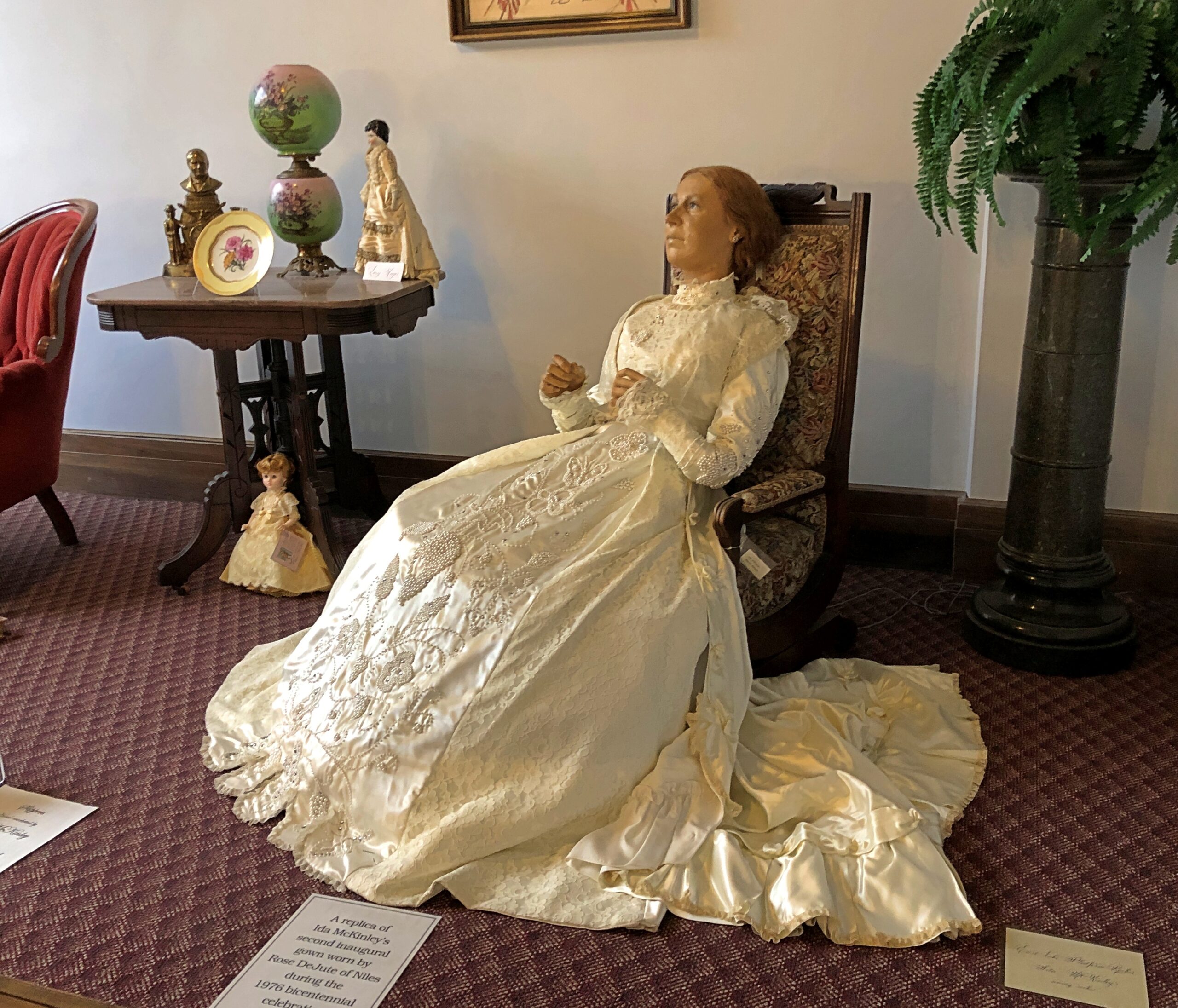
William and Ida dressed, I believe, for his second inauguration in 1901.
As mentioned, the McKinley Birthplace Home and Research Center is a block from the memorial. It’s considerably more modest.
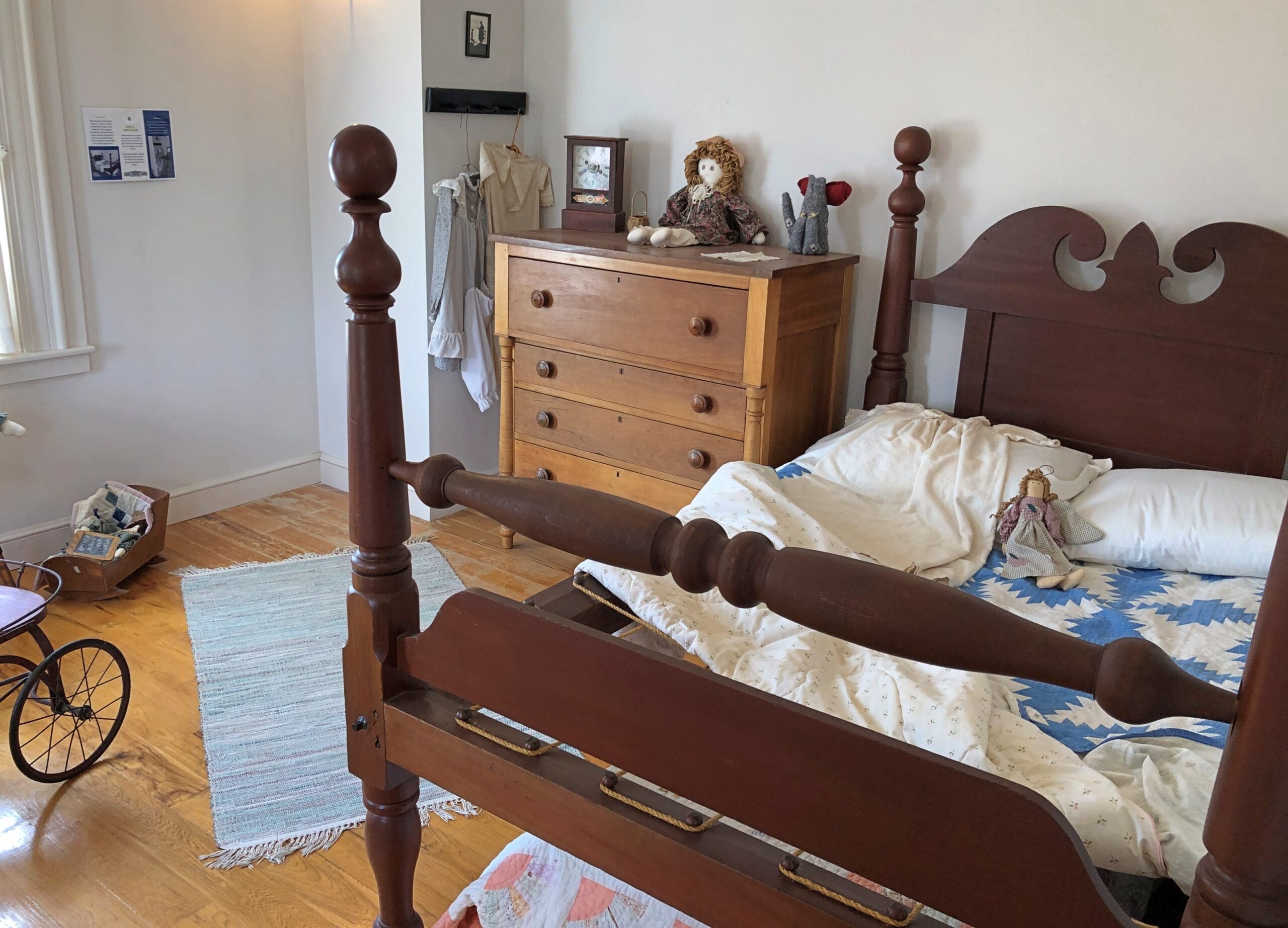
It’s also a replica, and apparently not a very close one, the original house having burned down almost 90 years ago. Still, looks are free (like at the memorial), so I had a look.
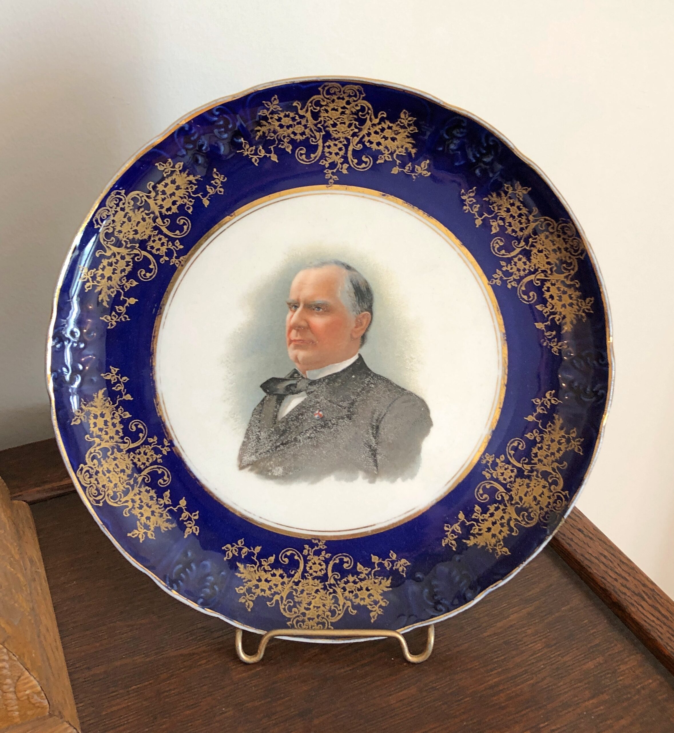
On display are a number of McKinley-adjacent artifacts. I liked the plates especially. One features the president himself.
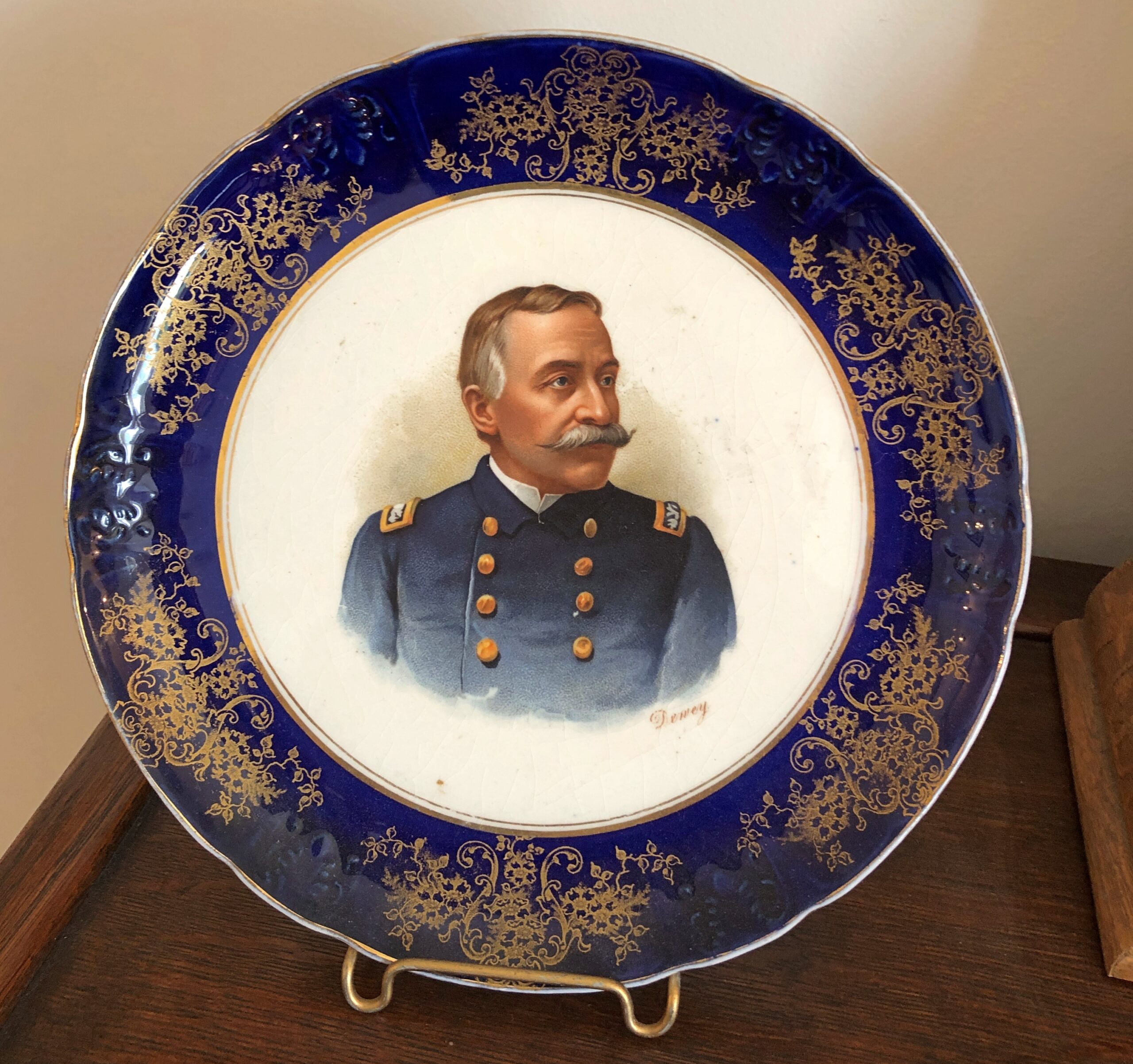
Another features Admiral Dewey. How often do you hear about him any more? Even less than McKinley.
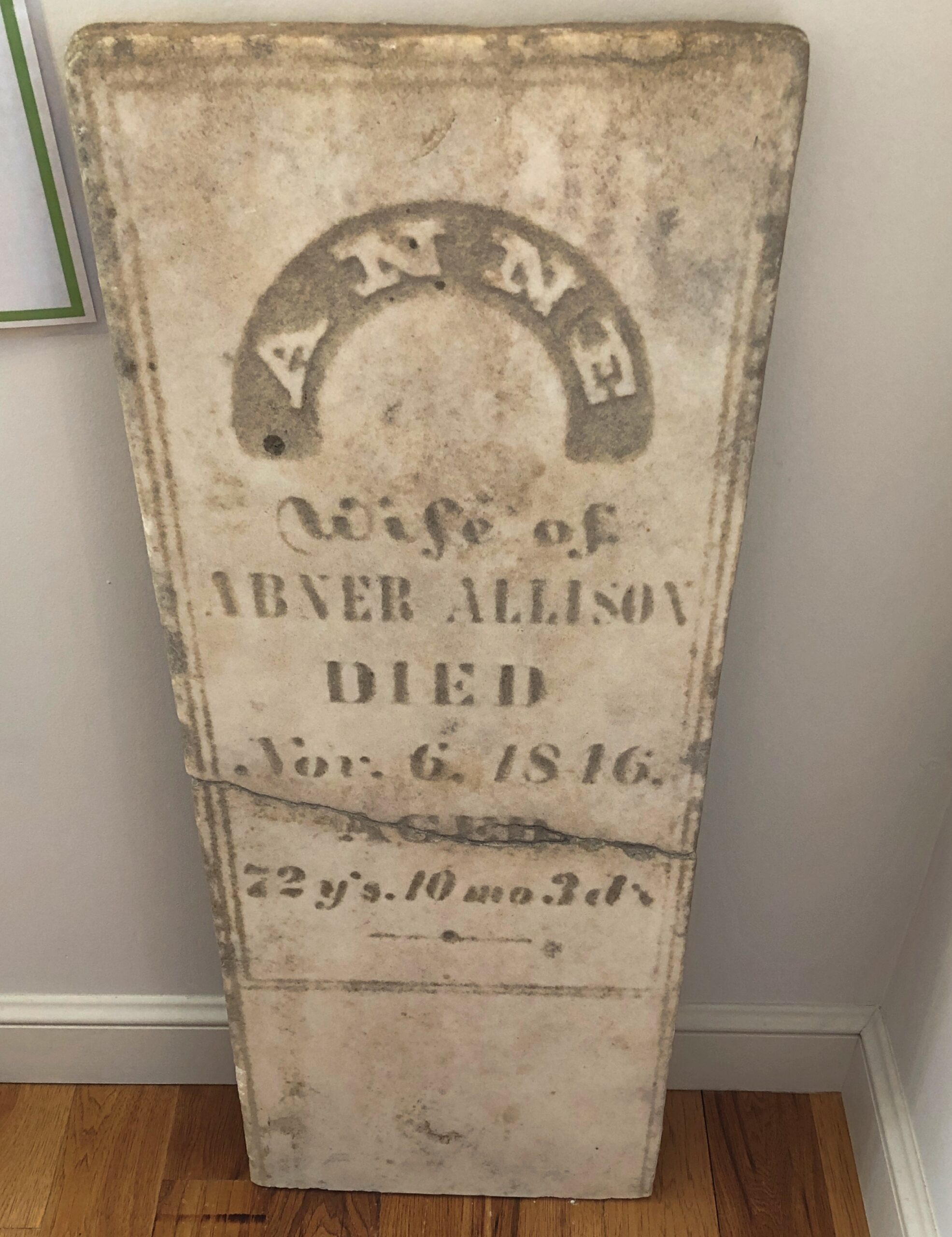
The president’s maternal grandmother’s gravestone is propped up against a wall. I suppose it was at risk of completely falling apart wherever it was, and (I hope) it was replaced in situ.
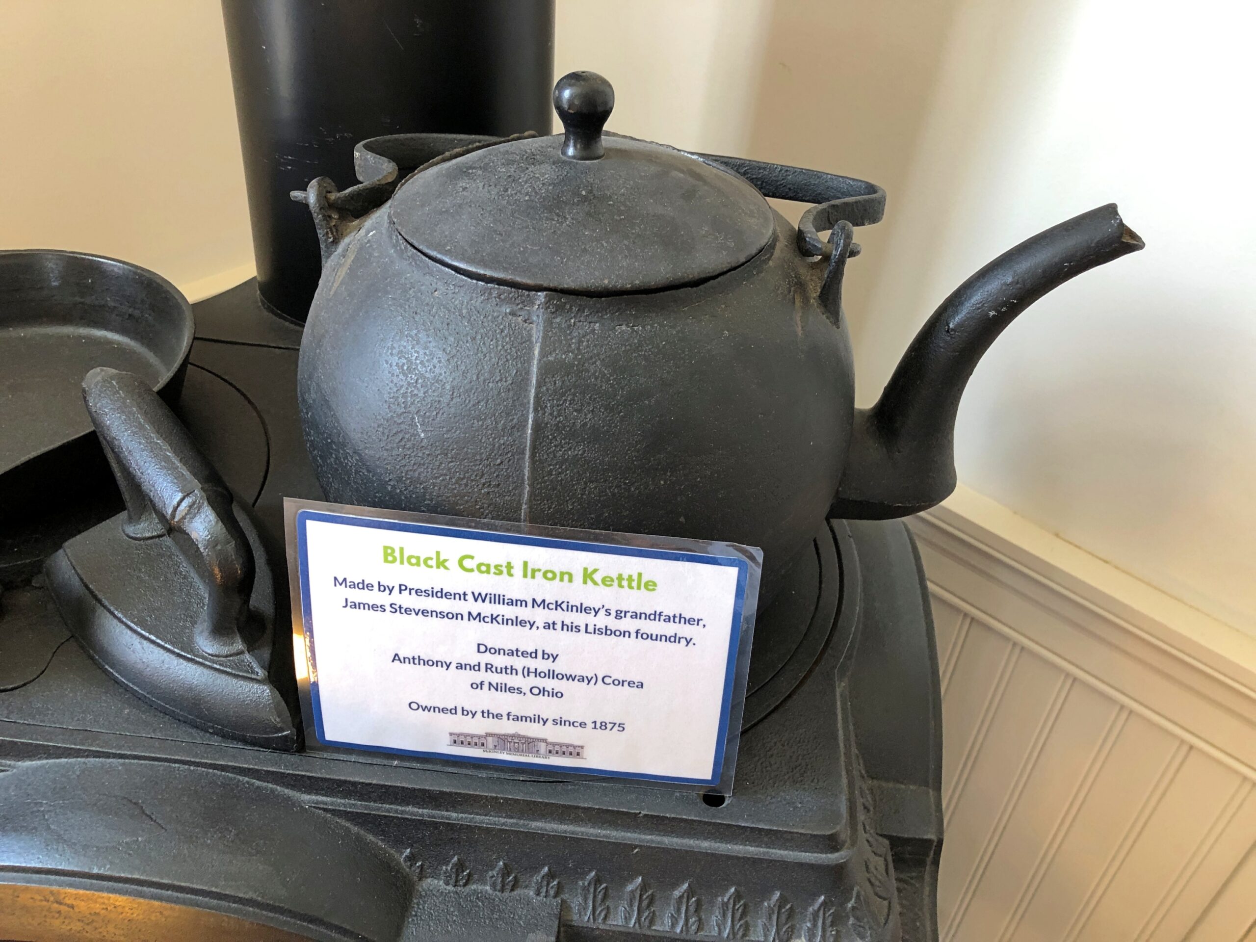
I liked this as well.
I looked up James Stevenson McKinley (d. 1847) on Find a Grave and that inspired me to look a little further into the McKinley ancestry. James’ father was David “The Patriot” McKinley (d. 1840). David’s father was John “The Wagonmaster” McKinley (d. 1779). John’s father was David “The Weaver” McKinley (d. 1760). That David’s father was James “The Trooper” MacKinlay (d. 1760), back in Ireland, at which point the nicknames peter out.
Up the road a piece from FDR’s home in Hyde Park, one of the Vanderbilts had a mansion built in the late 19th century on a gentle bluff above the Hudson. The river valley wasn’t an obscure choice by him or the elder Roosevelt or any of the other wealthy mansion-builders of the period. Pleasure travelers had started coming to the Hudson River Valley in the early 19th century, representing the first U.S. tourist boom.
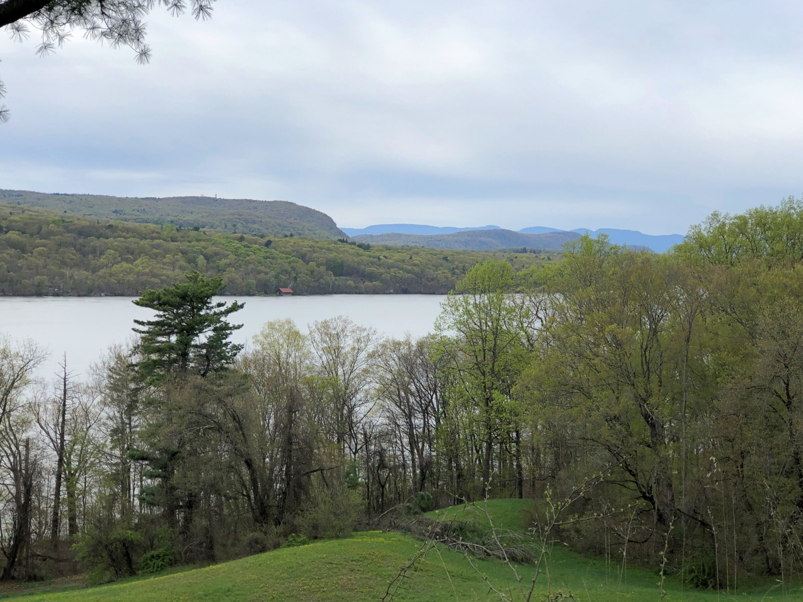
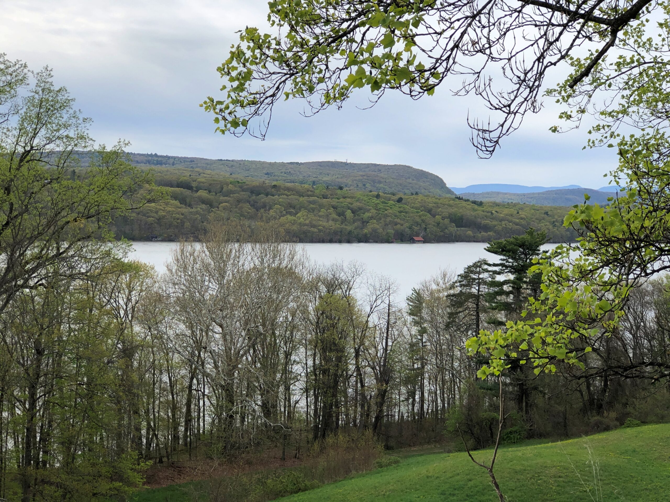
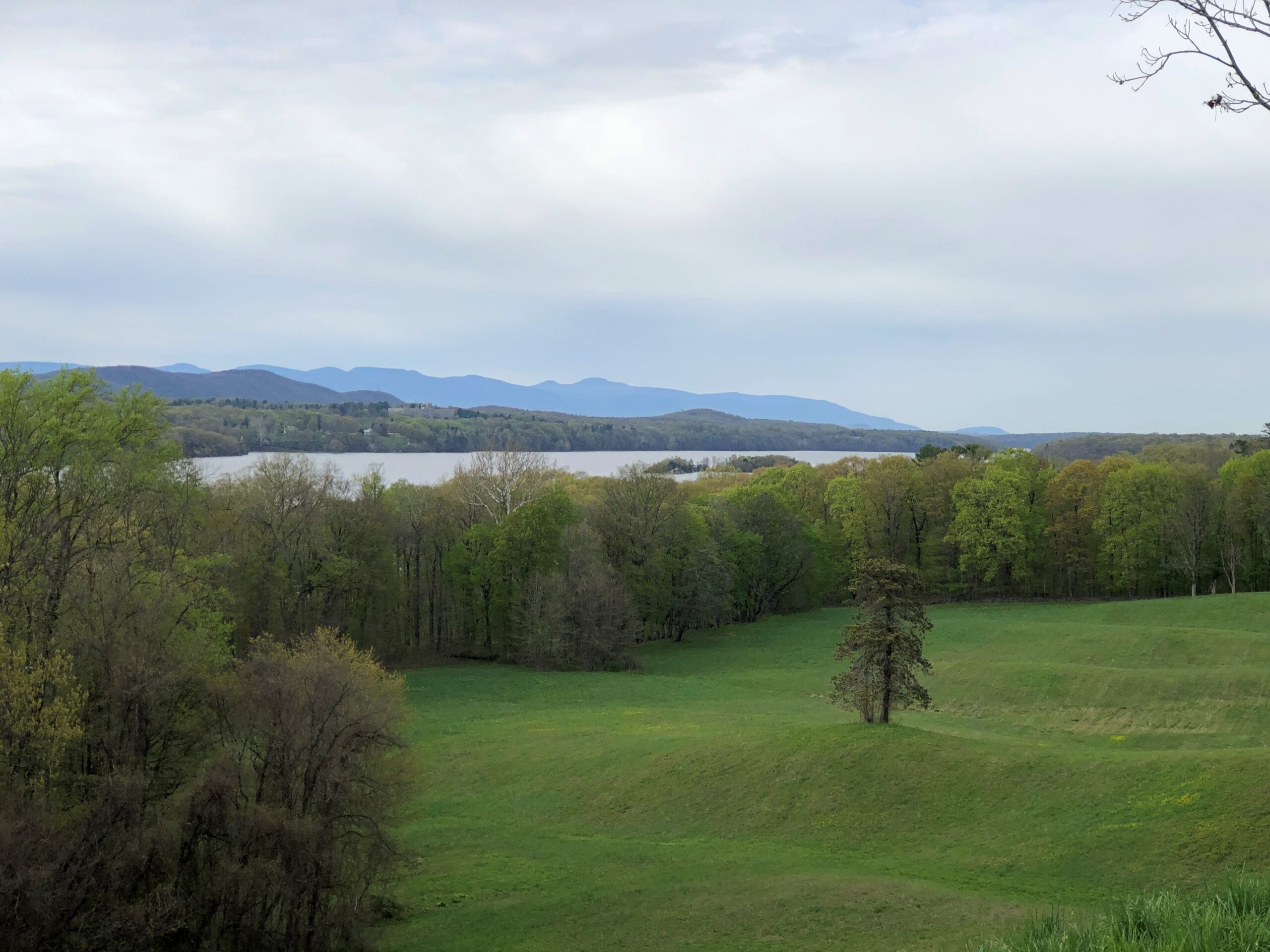
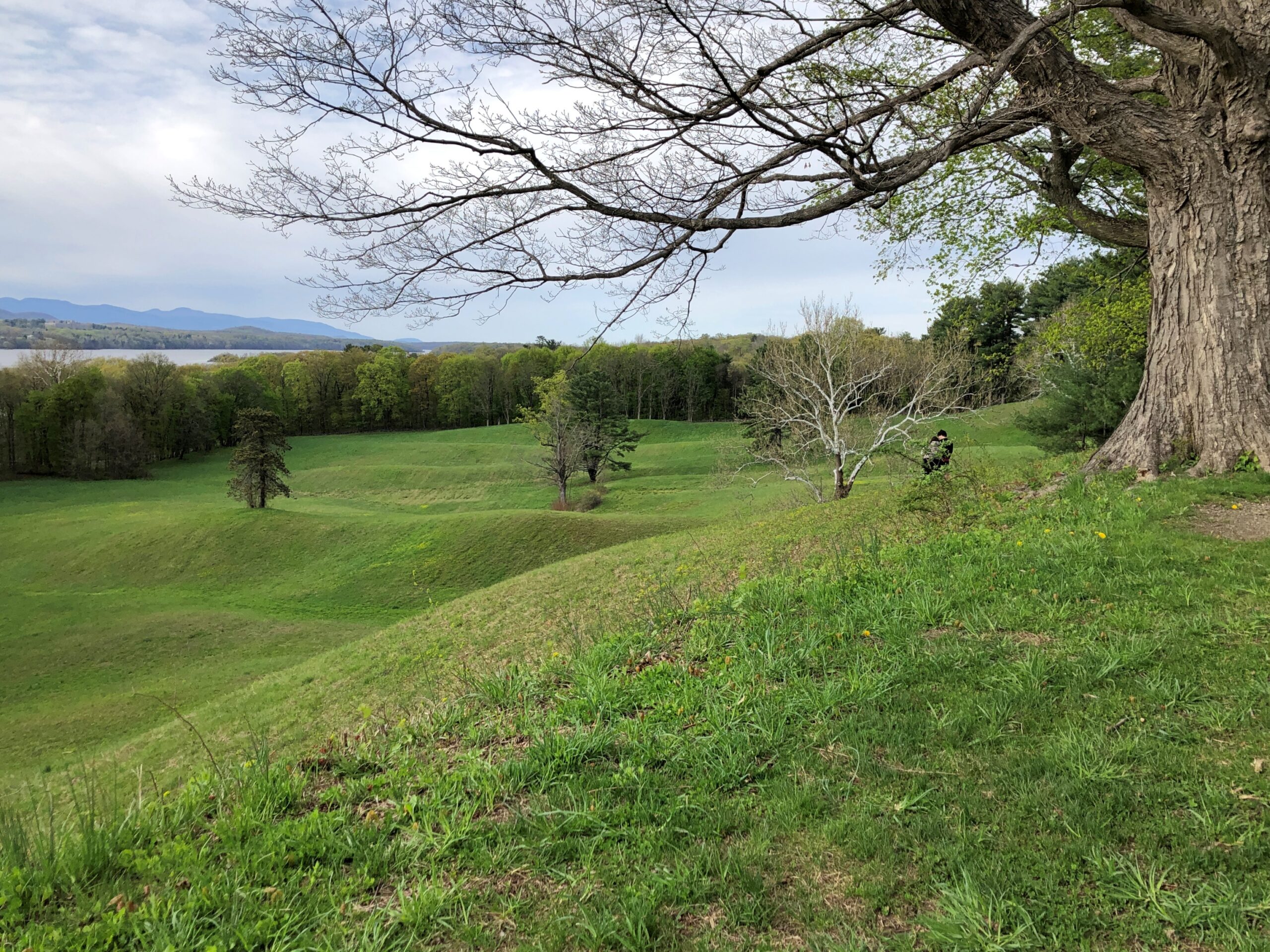
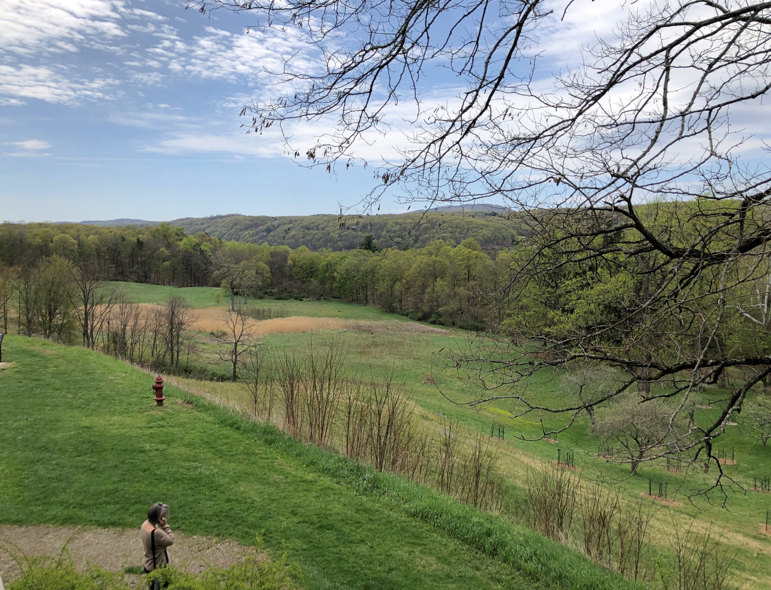
They came for good vistas, for one thing. So did I.
“In the works of Washington Irving and James Fenimore Cooper and the paintings of Thomas Cole and others of the Hudson River School, travelers in the region encountered the nation’s first literary and artistic movements,” says a summary of The Birth of American Tourism: New York, the Hudson Valley, and American Culture, 1790-1835 by Richard H. Gassan (2008).
In effect, those writers and painters were the influencers of their day, though not quite at the frenetic pace of, say, Instagram. I’ve decided not to worry about the influence of, say, Instagram on modern tourism. Overtourism is a real problem in a narrow range of places, and best dealt with locally, but most criticism of mass tourism is snobbery anyway: why, those people are going to all the wrong places for the wrong reasons and thinking and doing the wrong things when they get there! Bah.
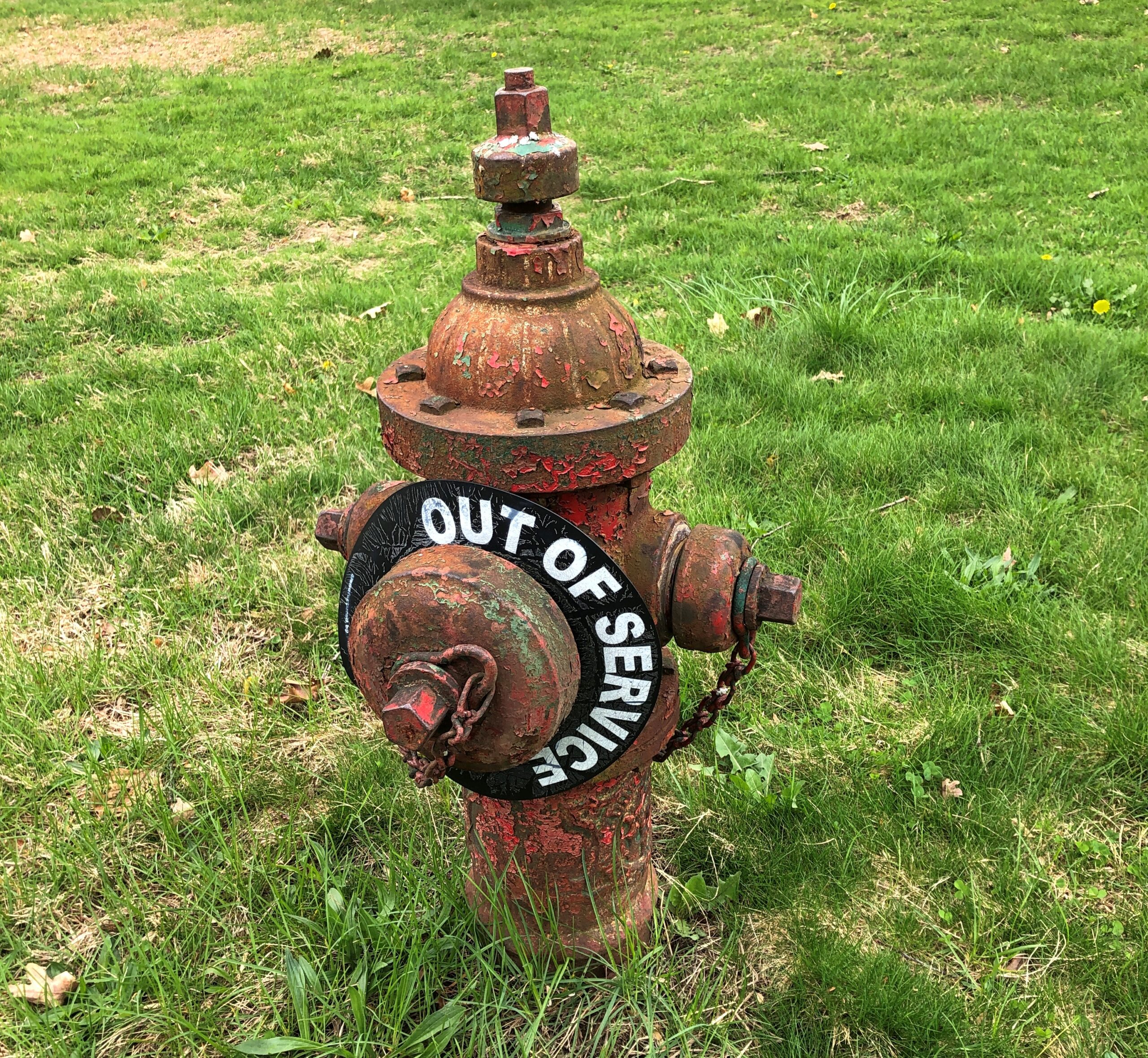
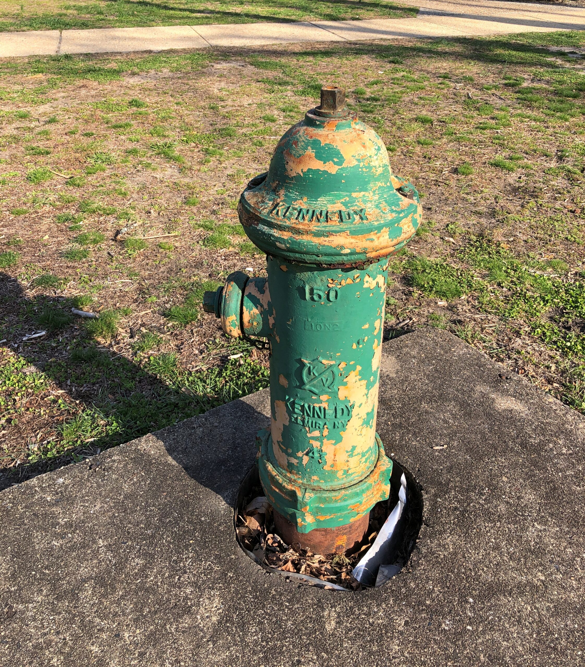
The latest in my series on NPS fire hydrants. This one, a little worse for wear, is on the Vanderbilt site.
The Vanderbilts were known for commissioning mansions, of course, so many that I suggest they be known as the mansion-building Vanderbilts, like the Lighthouse-building Stevensons. Though not, curiously, the Commodore himself. He had other things to do, like amassing a vast fortune in the first place, and founding one of the nation’s great (ahem) universities.
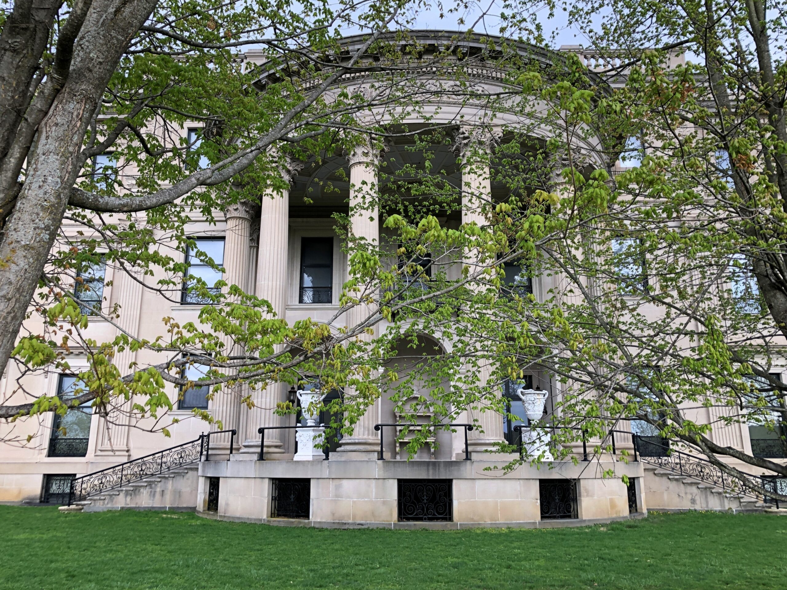
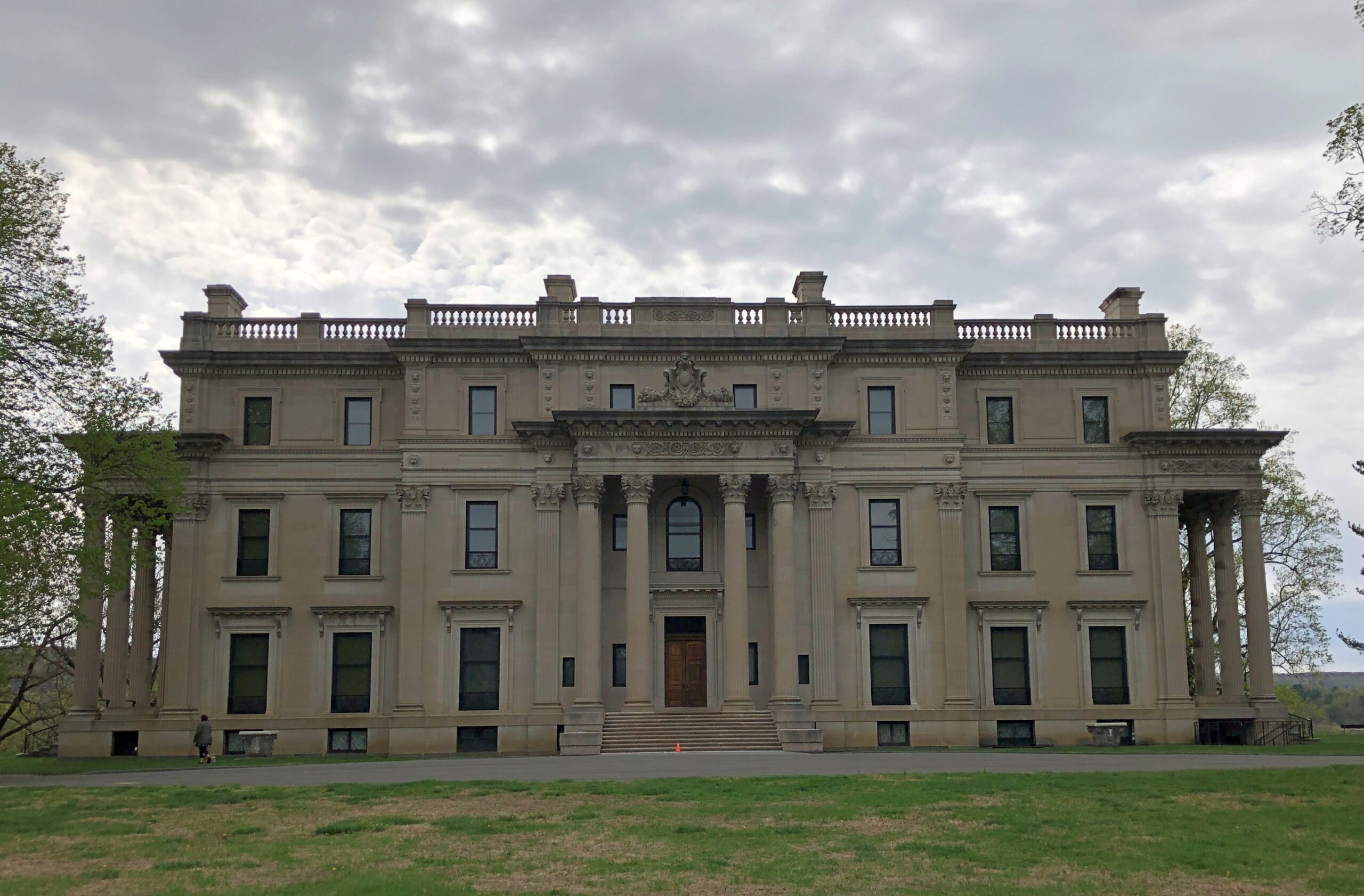
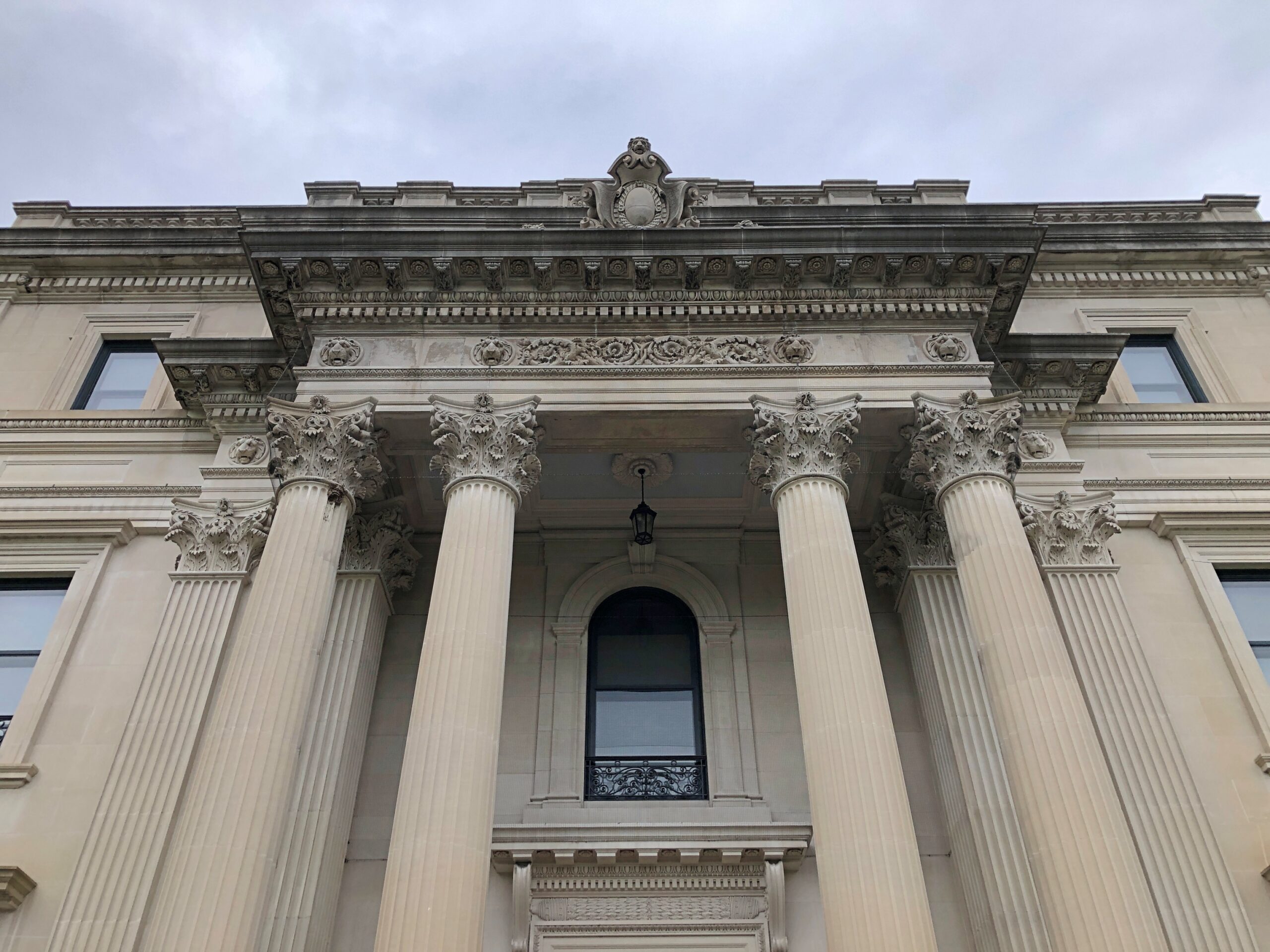
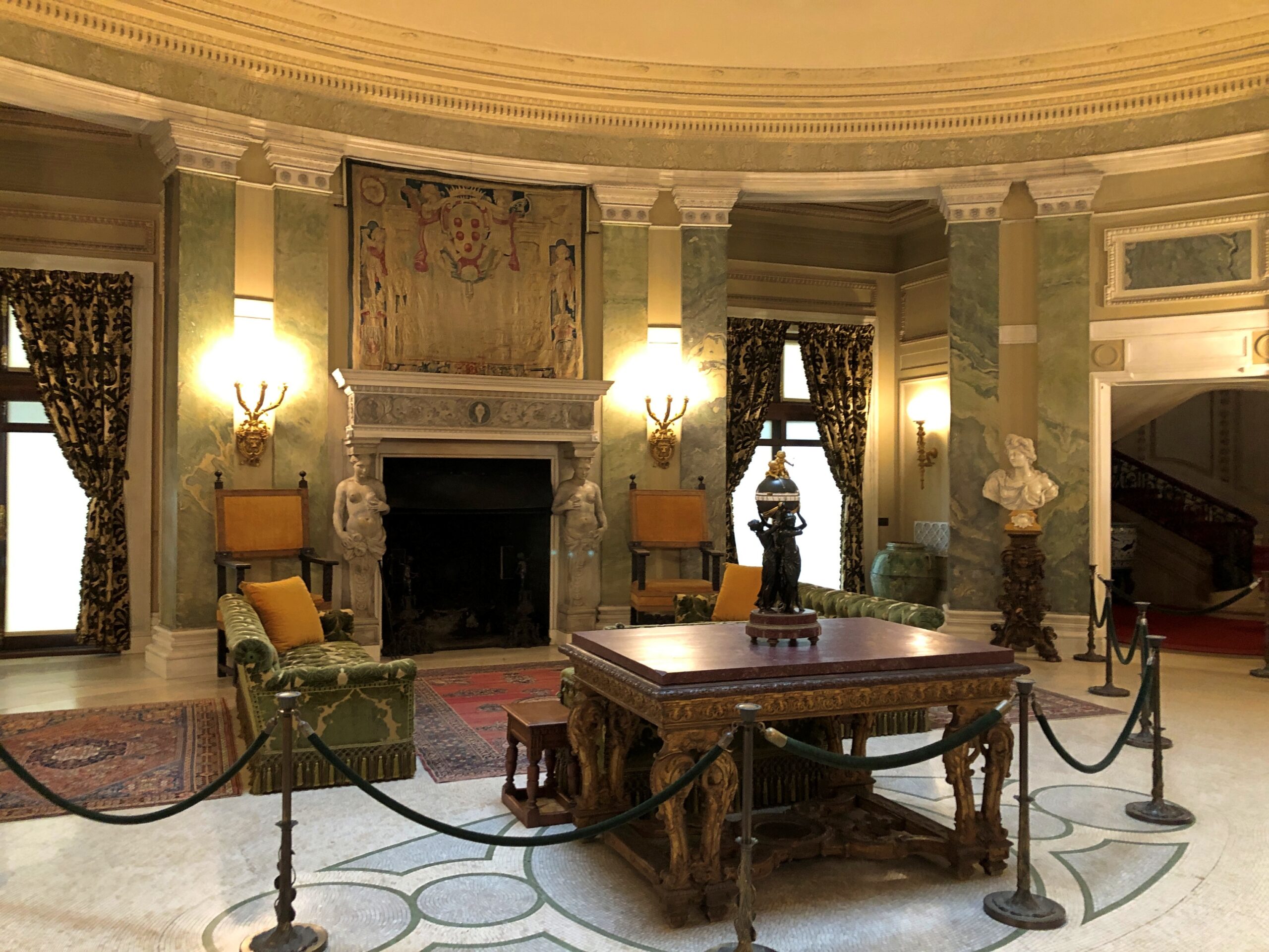
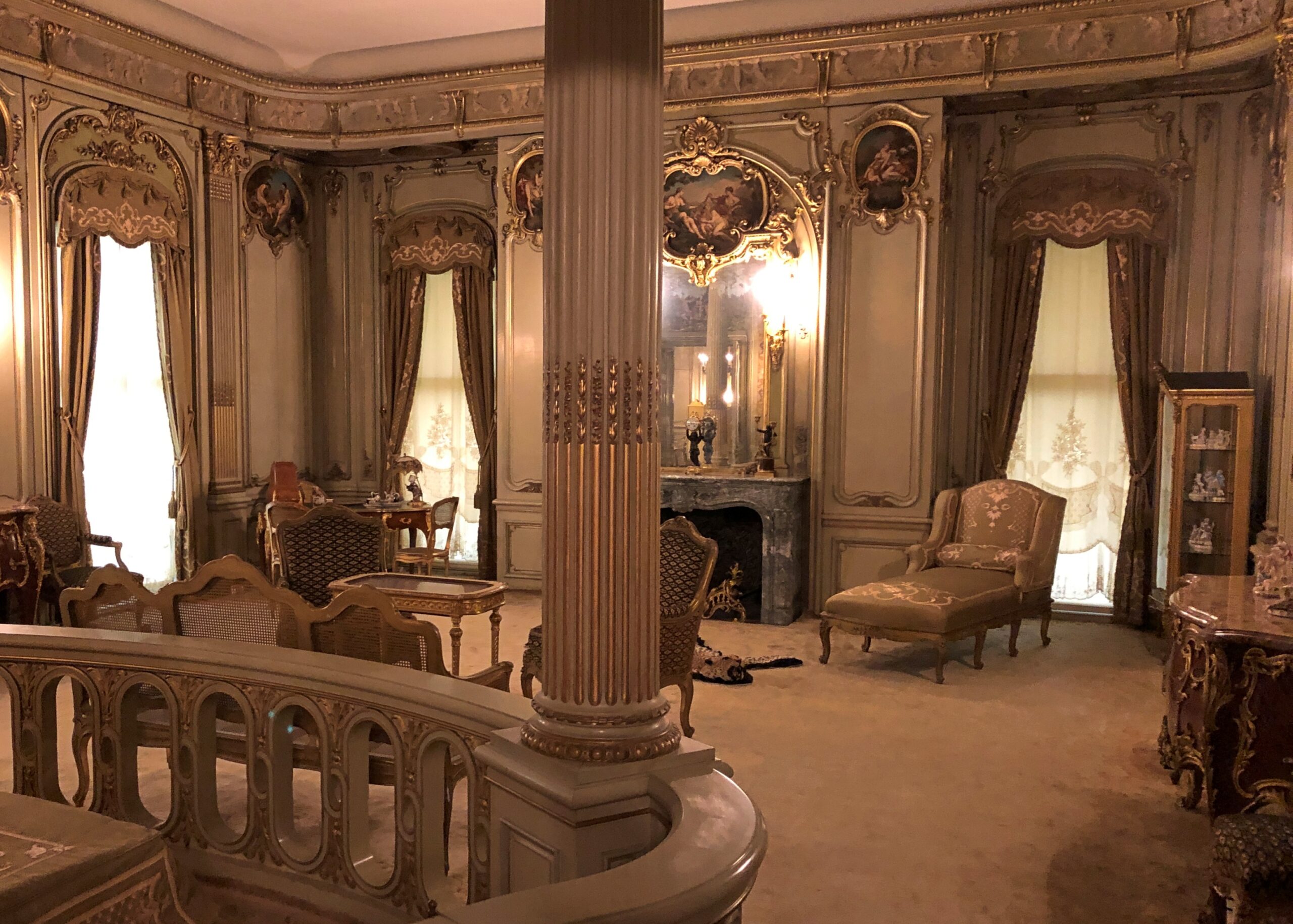
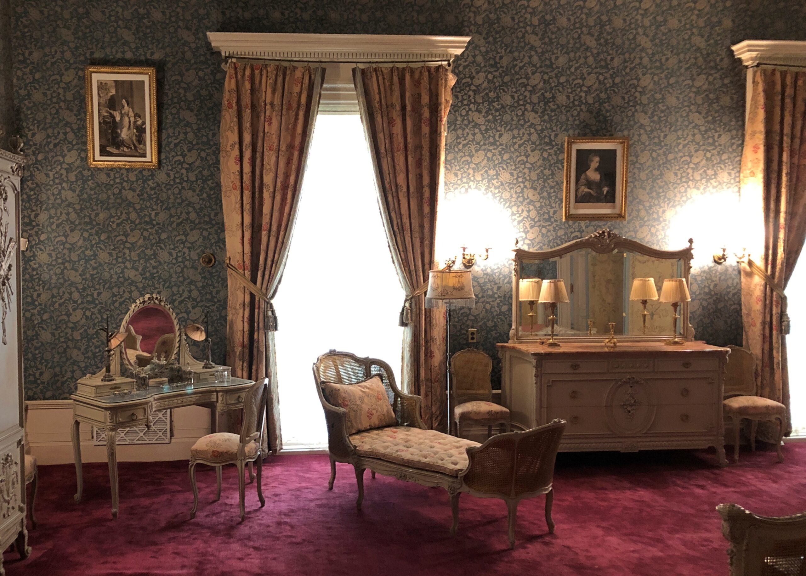
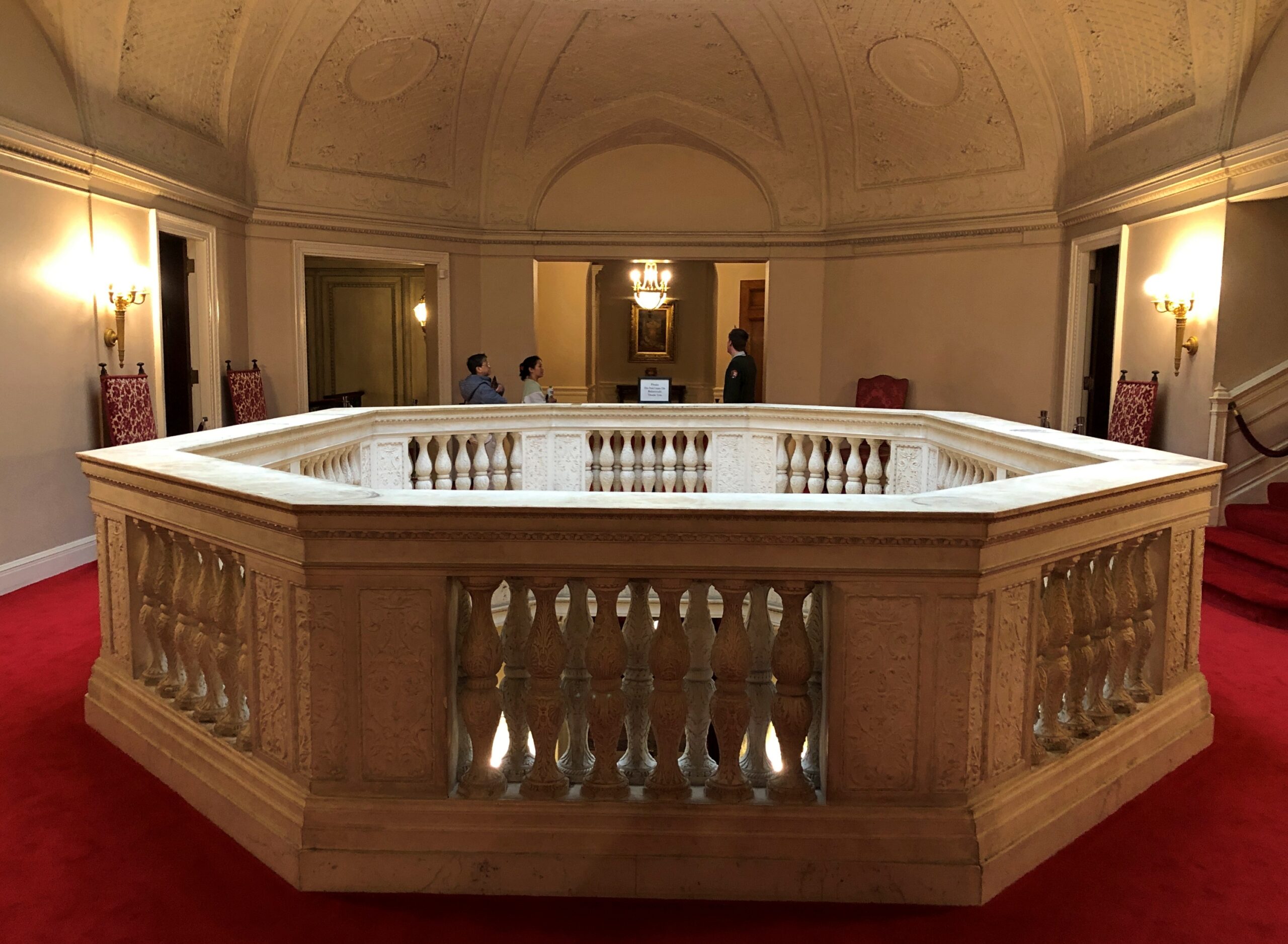
Anyway, grandson Frederick William Vanderbilt (d. 1938) thought that the Hudson River Valley was just the place for a country estate, which it is, so he tasked McKim, Mead & White, architects to robber barons and other deep-pocketed clients, to design it. Frederick and his wife Louise clearly wanted a Euro-style palace on the Hudson, and that’s what they got.
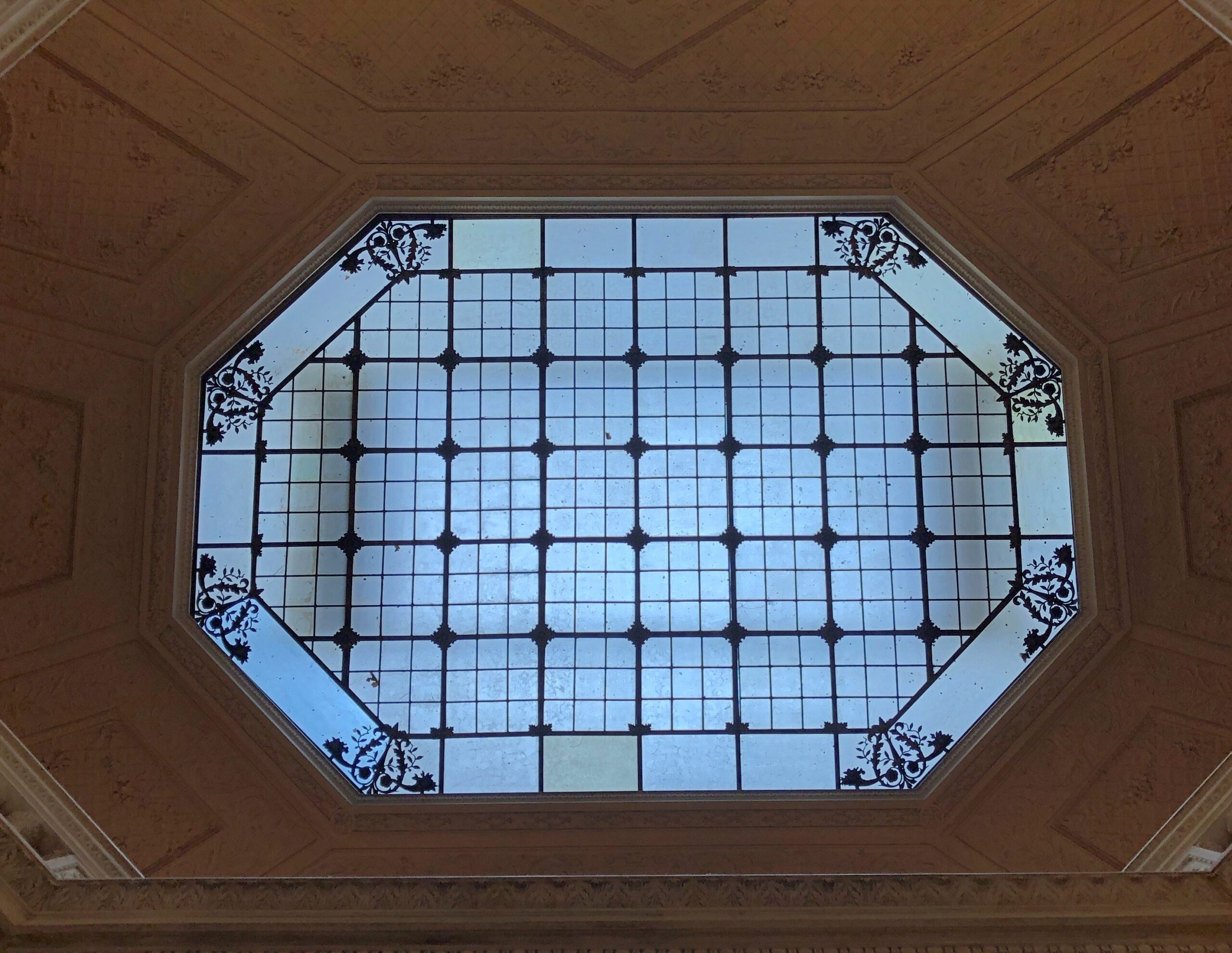
The skylight was pretty cool, bringing in light all the way to the lowest floor through this aperture.
The effort to build and decorate the place must have been considerable, and I hope it provided wages for a lot of workers for a long time, both in the development and maintenance. But it’s a little sterile, for all its architectural pedigree.
Our guide — you need a guide to visit the interior, though the grounds are essentially a public park (and what a park) — said that the Park Service didn’t mind having the mansion, but the Vanderbilt site was more about preserving a long stretch of the right bank of the Hudson River and its views. As I took in some of those views, I had to agree.
A lot of museum artifacts are behind glass. Some really old, brittle and famous items are encased in an atmosphere of nitrogen, the better to extend their existence, I understand (and nitrogen anoxia sounds like an unfortunate accidental way to die). That might have been the case with the underwhelming display of the overwhelmingly historic Book of Kells. But in any case, glass interferes with our right as iPhone-carrying tourists to take really good pictures with almost no effort.
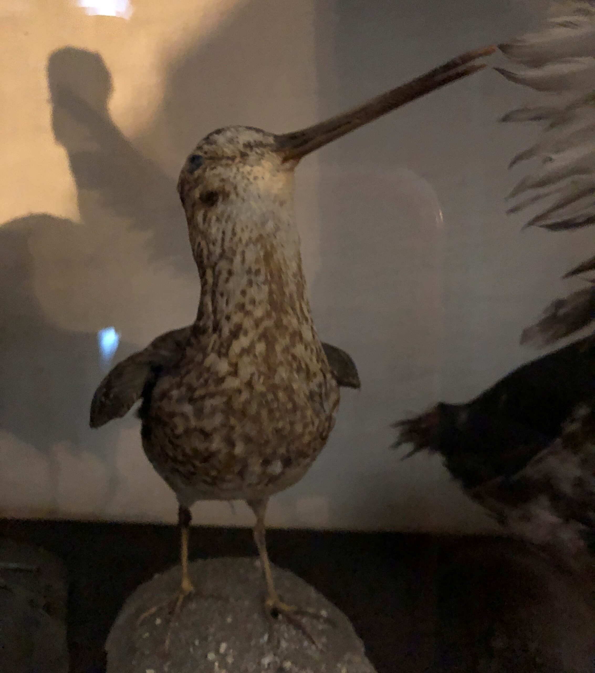
An example: a stuffed bird I saw in April.
The picture might be lousy due to the glass, but the artifact – and some other stuffed birds in the same case – did something a history museum ought to do: teach. I learned, looking there at a bird dead more than a century, that as a boy in the early 1890s Franklin Delano Roosevelt pursued a taxidermy hobby.
I’d come to Home of Franklin D. Roosevelt National Historic Site in Hyde Park, New York, the flush of spring, on my way home from the Northeast. I made time for the site because a visit had been impossible in October.
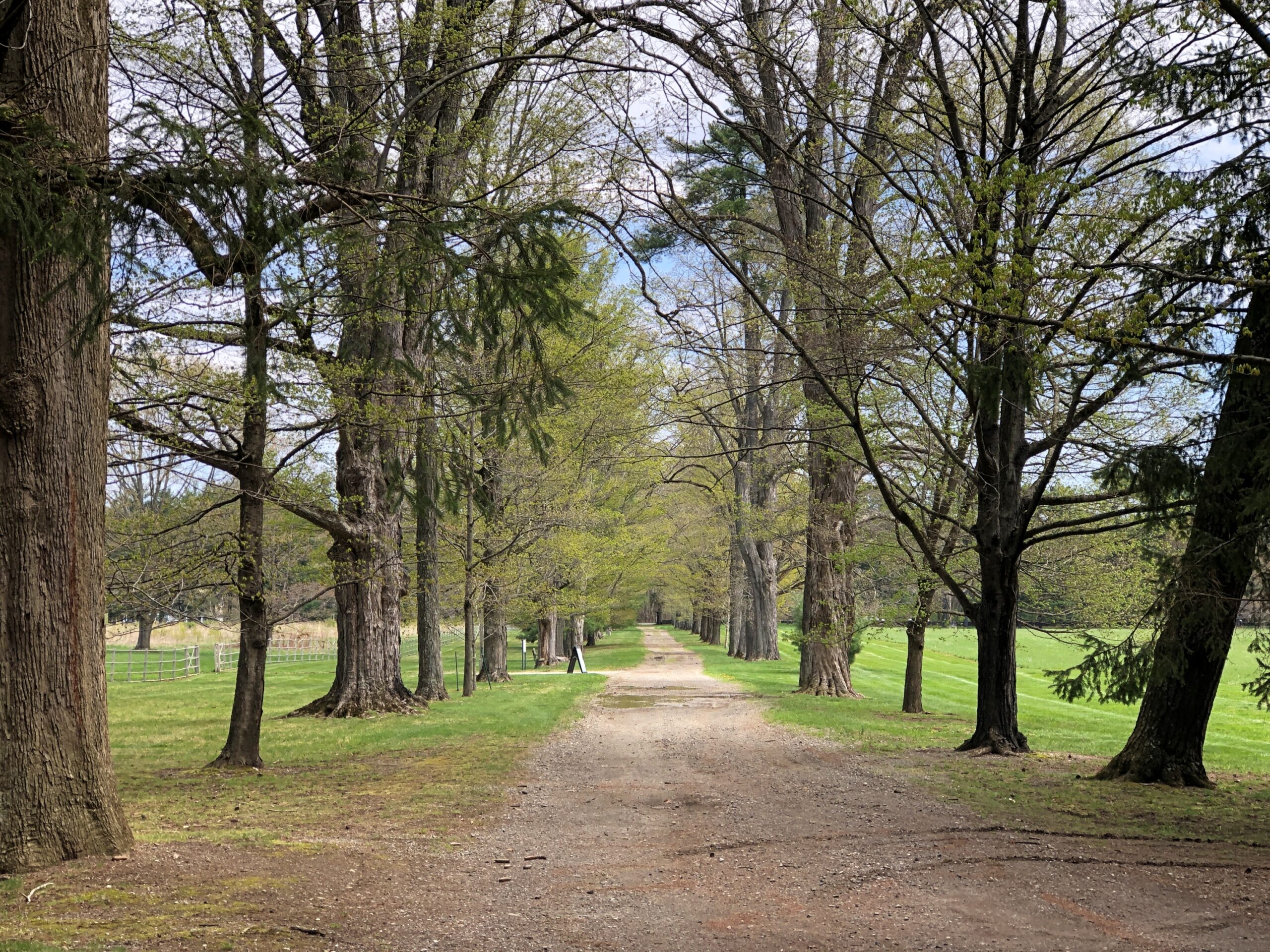
I understand that during FDR’s boyhood, the place wasn’t quite as wooded, but even so the trees (and thus birds) must have been plentiful. One of the paths on the grounds.
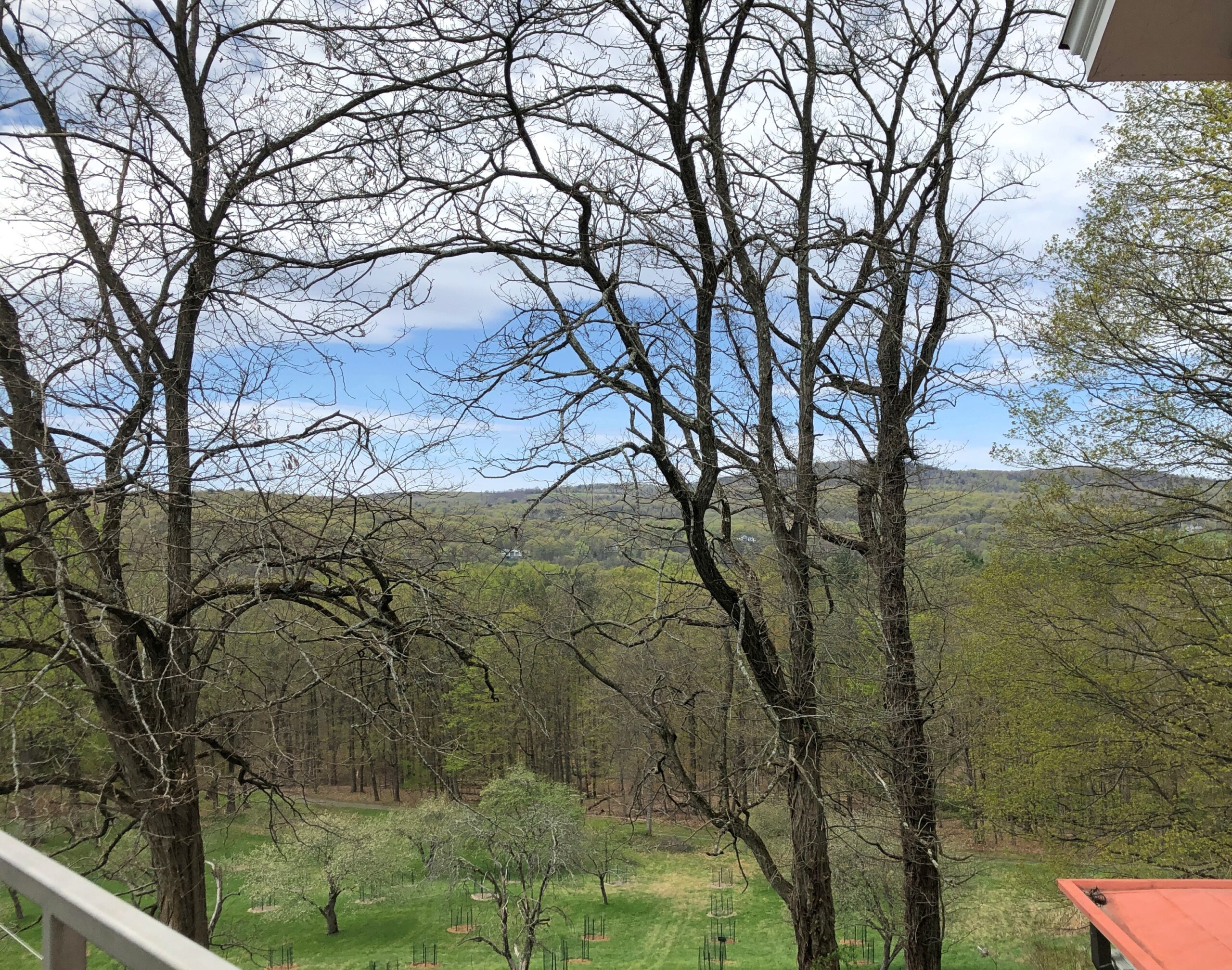
Views from the second story of the mansion.
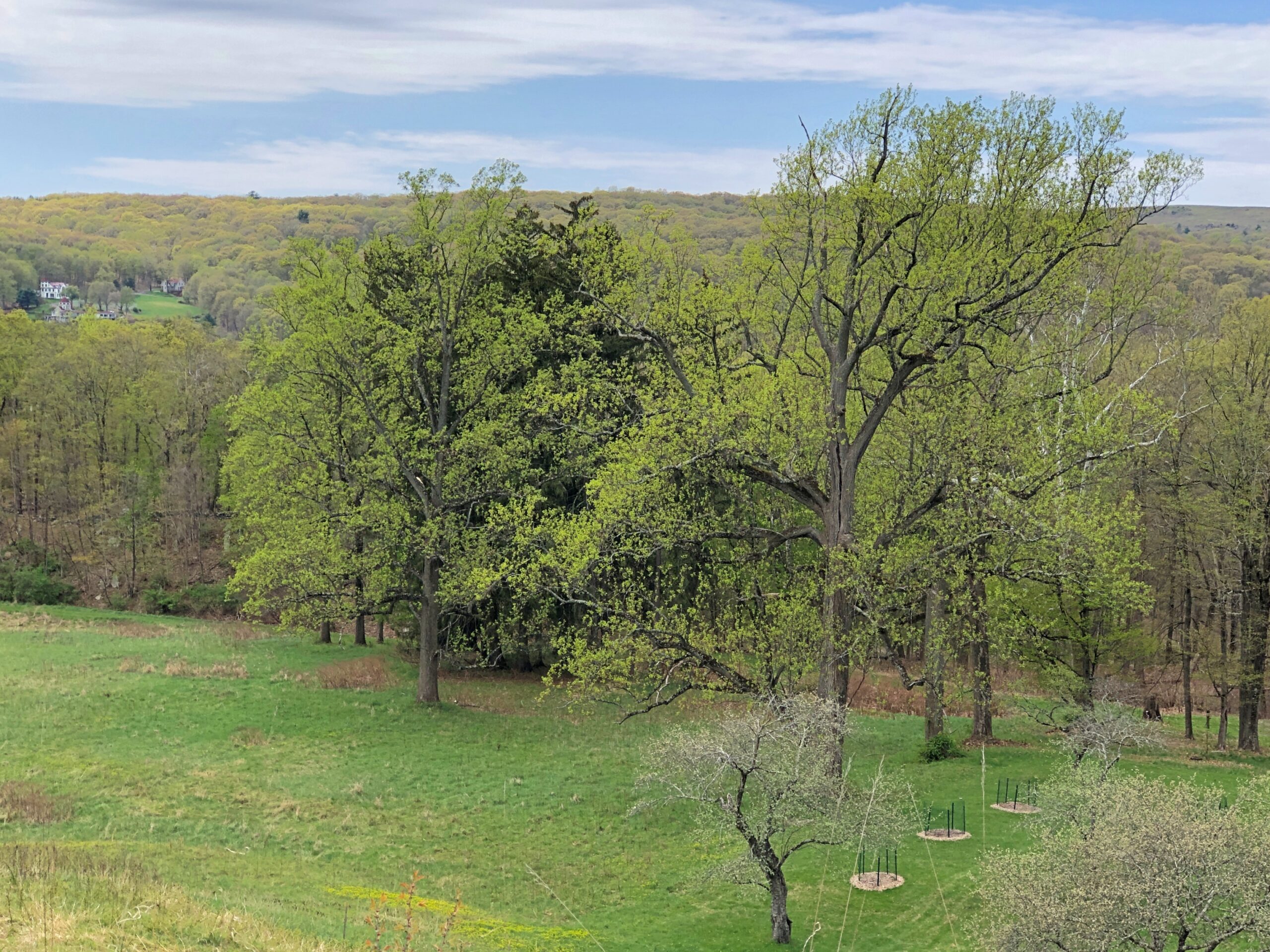
Though the greenery obscures the splendid Hudson River, even a short look around gives you some idea why James and Sara Roosevelt thought building a residence here was a good idea, and why Franklin was deeply attached to the place all his life.
Is it important to know that boy FDR shot and stuffed birds (though he later had them stuffed professionally)? In and of itself, maybe not. I’ve heard about him all my life, read books about him and seen documentary films, and visited the FDR D.C. memorial, and somehow that detail never came up. Knowing about his short-lived taxidermy hobby doesn’t help me understand the New Deal or World War II any better, in as much as I know about those big-picture events.
Still, it’s a humanizing detail, and I believe that’s good to know about figures as famed and studied and lionized as FDR. It also allows for a bit of informed speculation about Franklin, a rich only child with an overbearing mother. By the time he was old enough to tote a gun, he probably needed to get away periodically from the mansion and its familial confines. Shooting birds out on the sprawling grounds of Hyde Park on the Hudson was just the ticket.
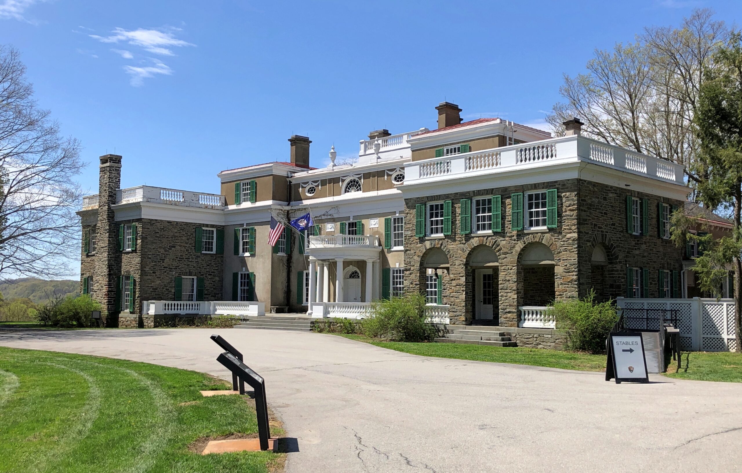
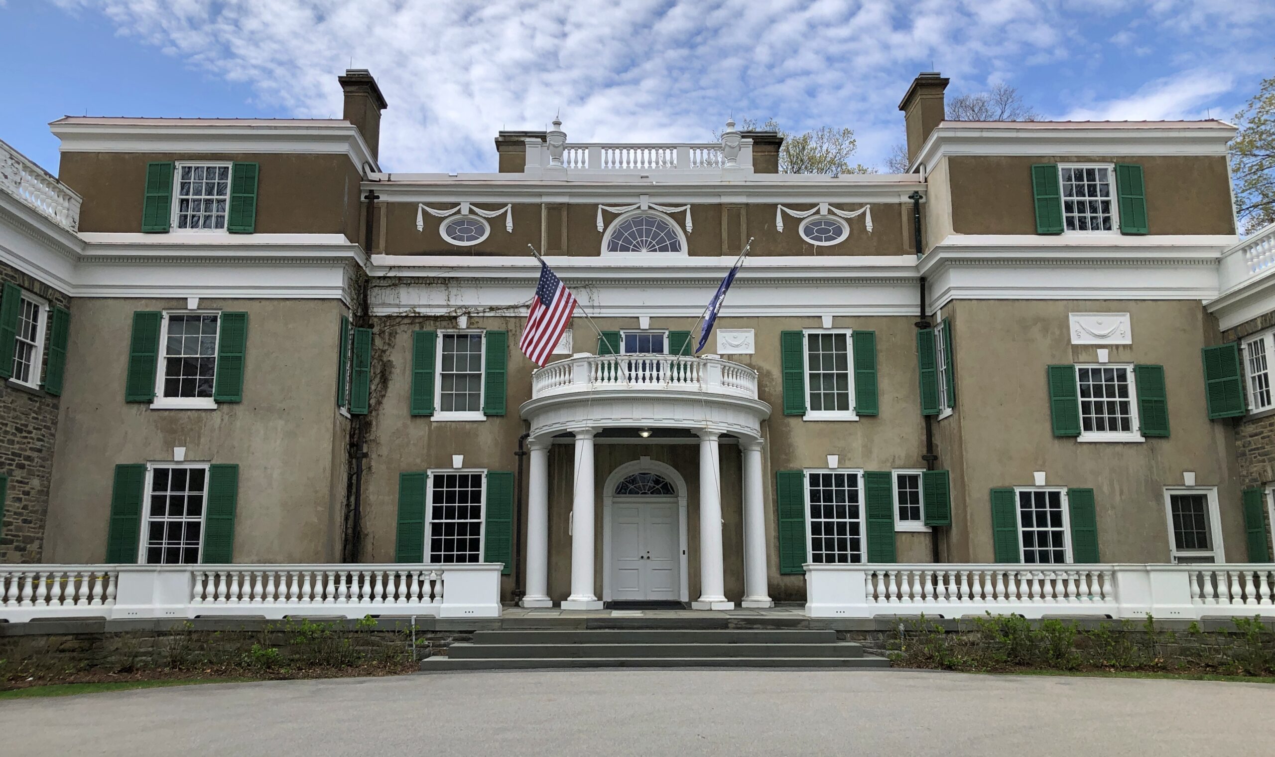
The Home of Franklin D. Roosevelt National Historic Site, which is the official National Park Service designation for the place, includes the mansion (Springwood, by name) and grounds, but also a presidential museum and library. The mansion is a mansion without being a Gilded Age exercise in ostentation.
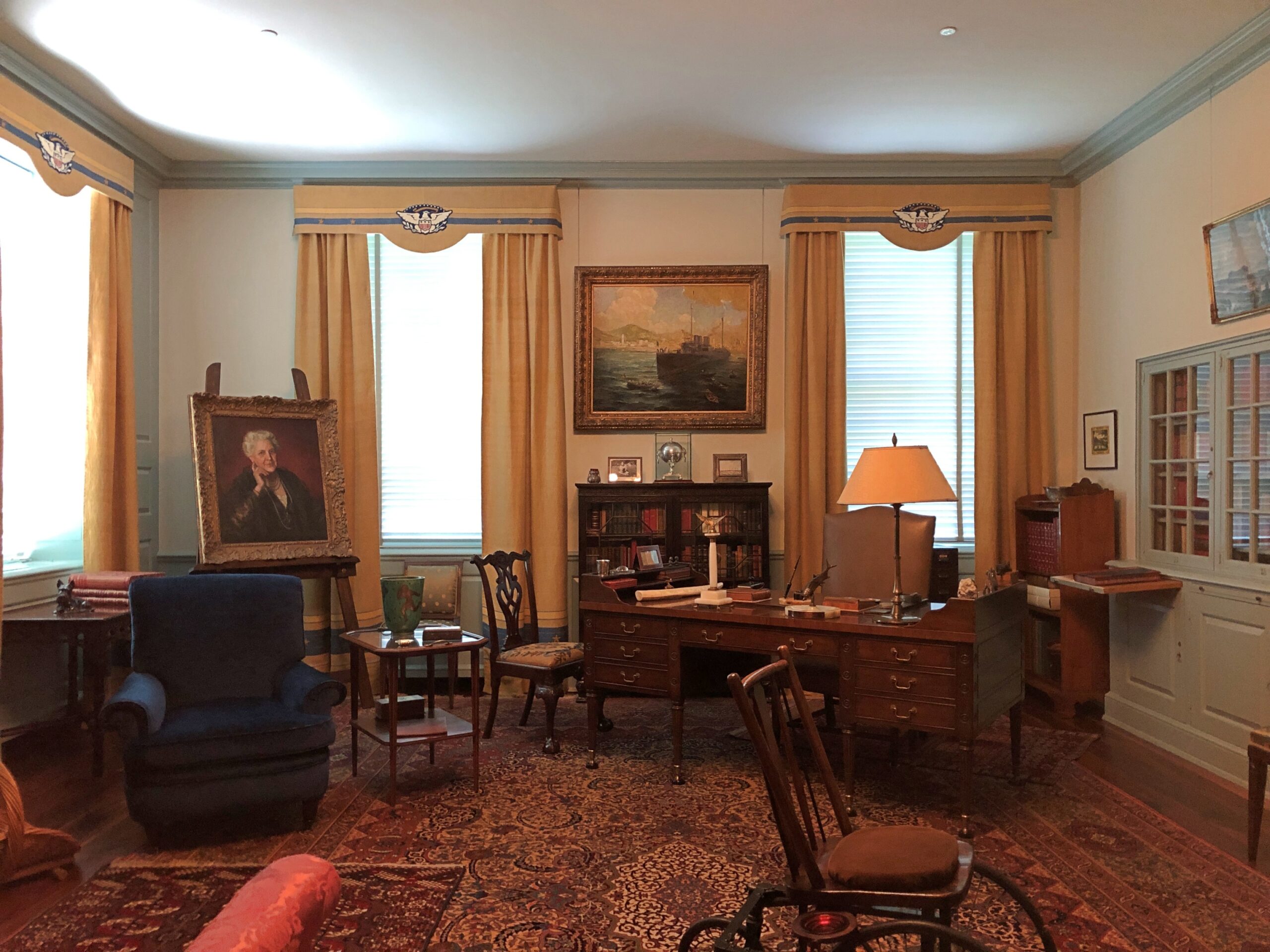
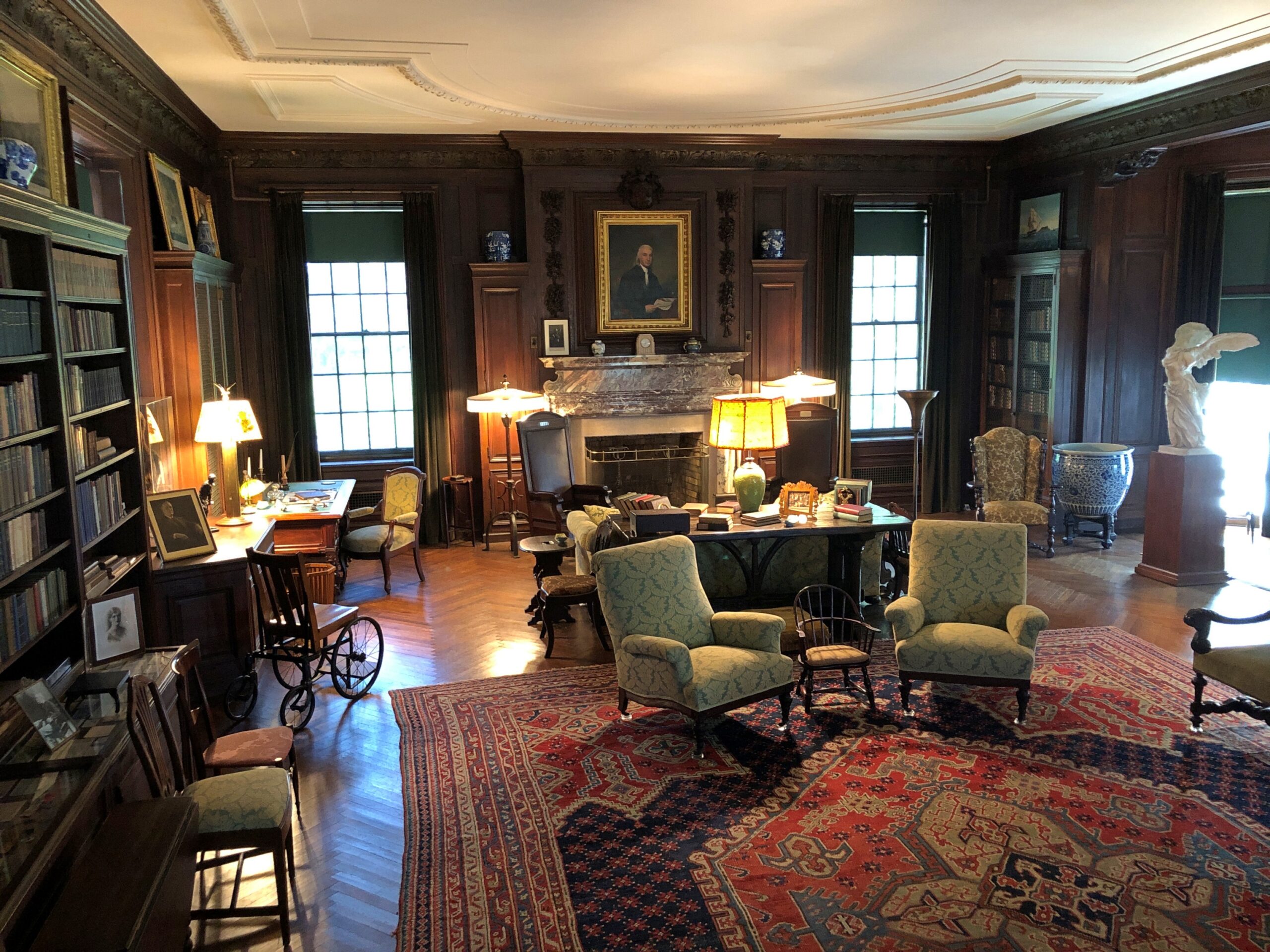
It’s a big place, lots of rooms and some elegant décor (and stuffed birds), all original artifacts, so there’s no doubt it was a wealthy household. Still, even though it’s literally a museum in our time, in FDR’s time I doubt it felt like a museum at all, unlike some Gilded Age exercises in ostentation – and I’m thinking of the Vanderbilt mansion nearby, more about which later.
Best not to jump to too many conclusions based on the vibe of the mansion, but it does dovetail with the generally understood notion that FDR was self-assured and at ease in the upper class. No need for him to show off, any more than James and Sara did.
Speaking of James and Sara.
Note: the tour guide – you need to be on a tour to see the inside of Springwood – was perfectly forthcoming about the well-known fact (to historians) that the Delano fortune was built on opium.
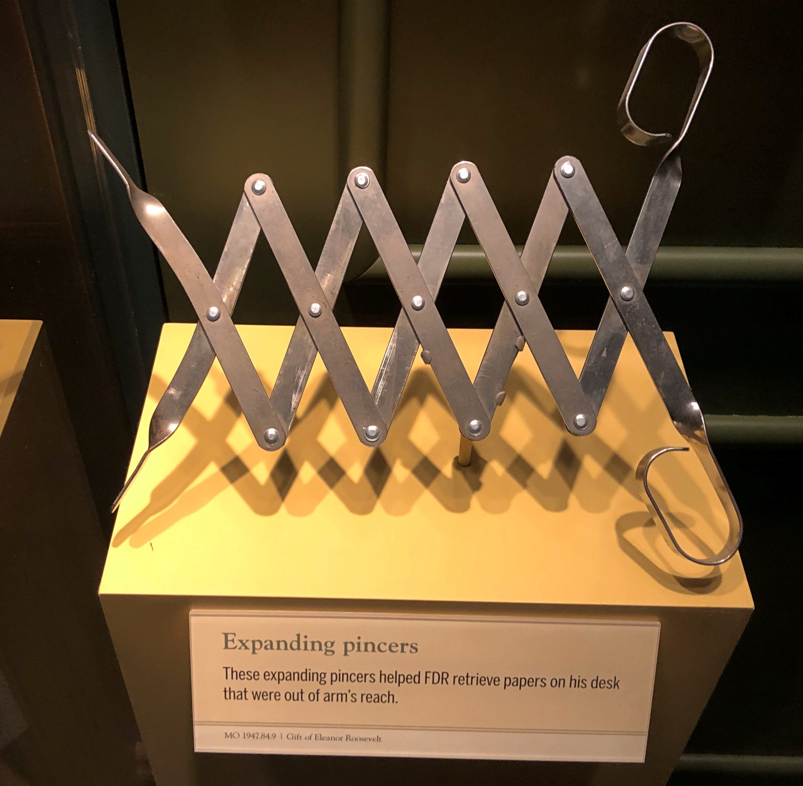
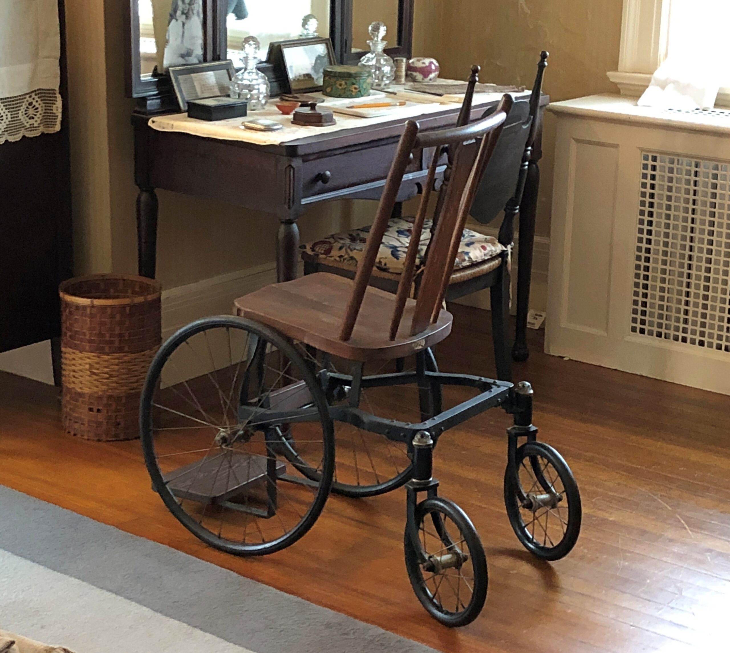
Other artifacts of note included some of the president’s coping mechanisms — literal mechanisms — for his handicap.
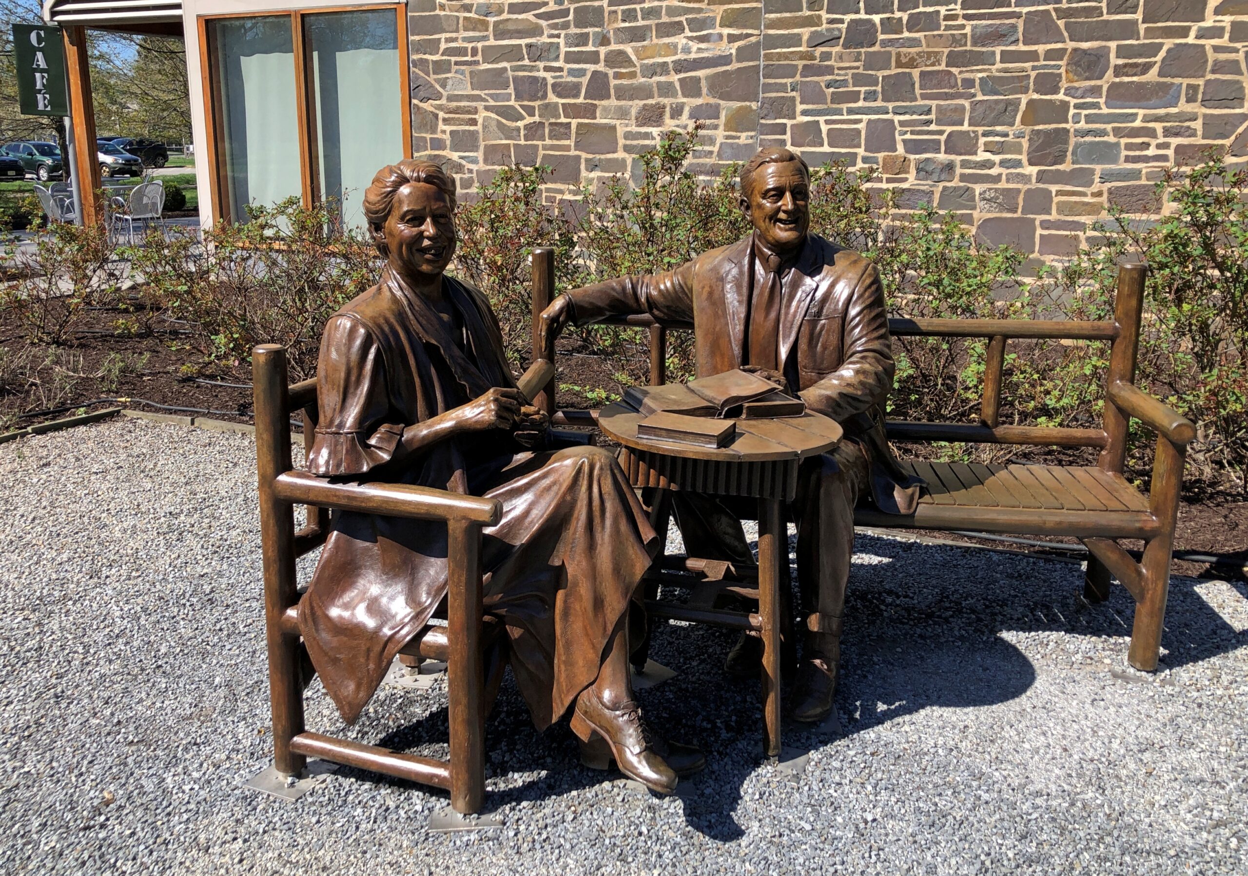
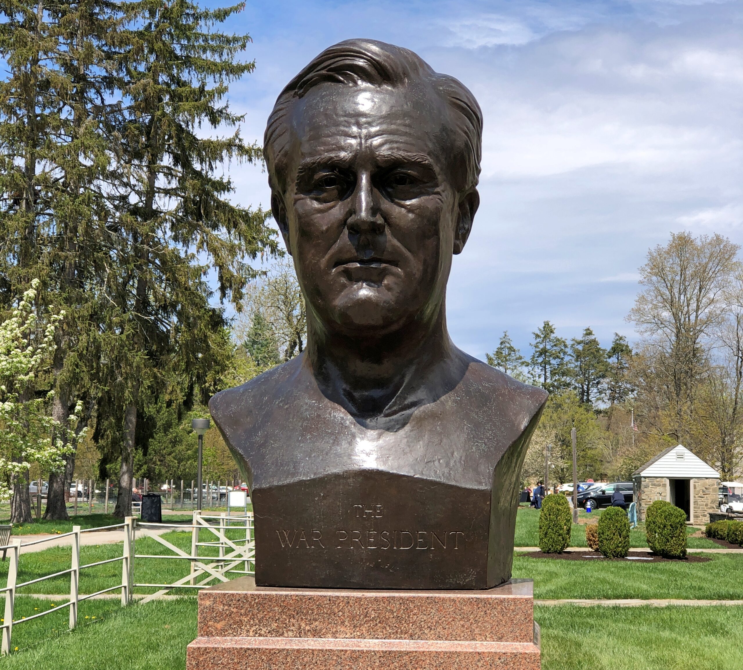
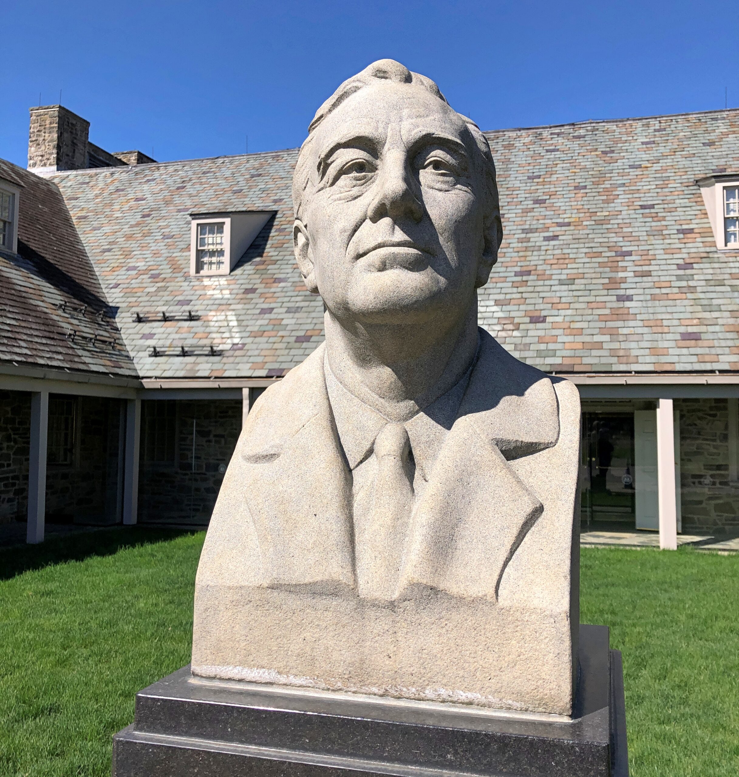
The historic site also includes many, many depictions of FDR, as one would expect. Such as Franklin and Eleanor in bronze. Or just Franklin in bronze, or other materials.
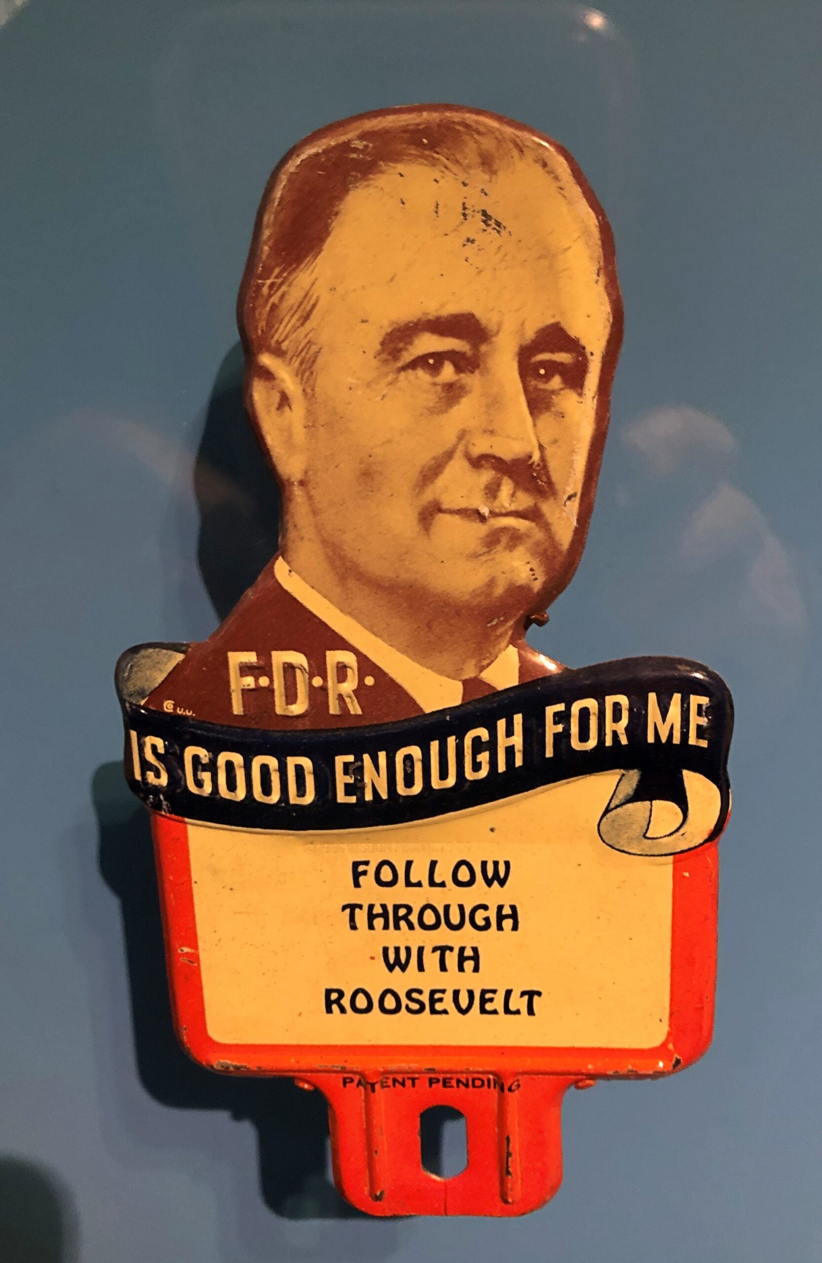
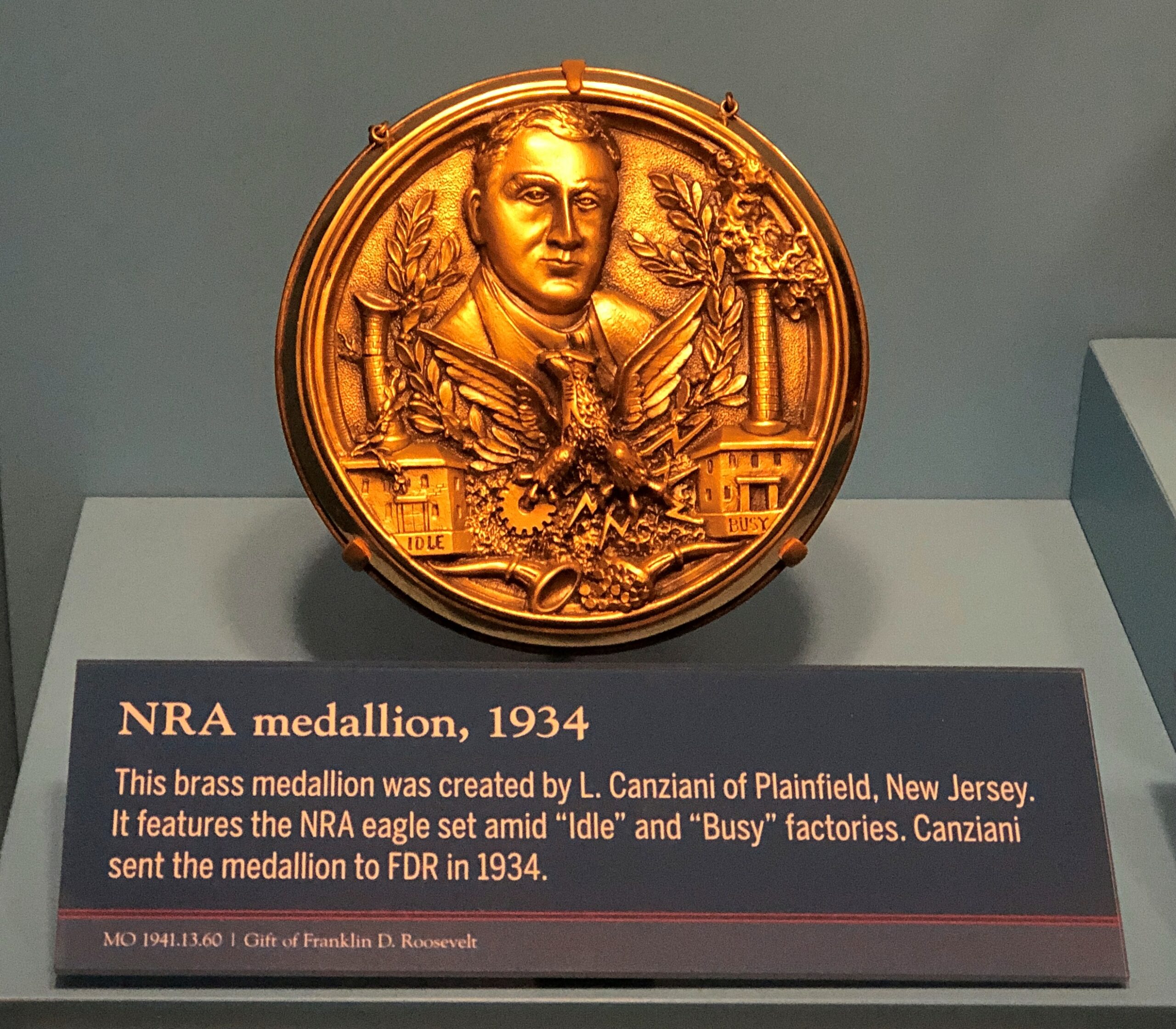
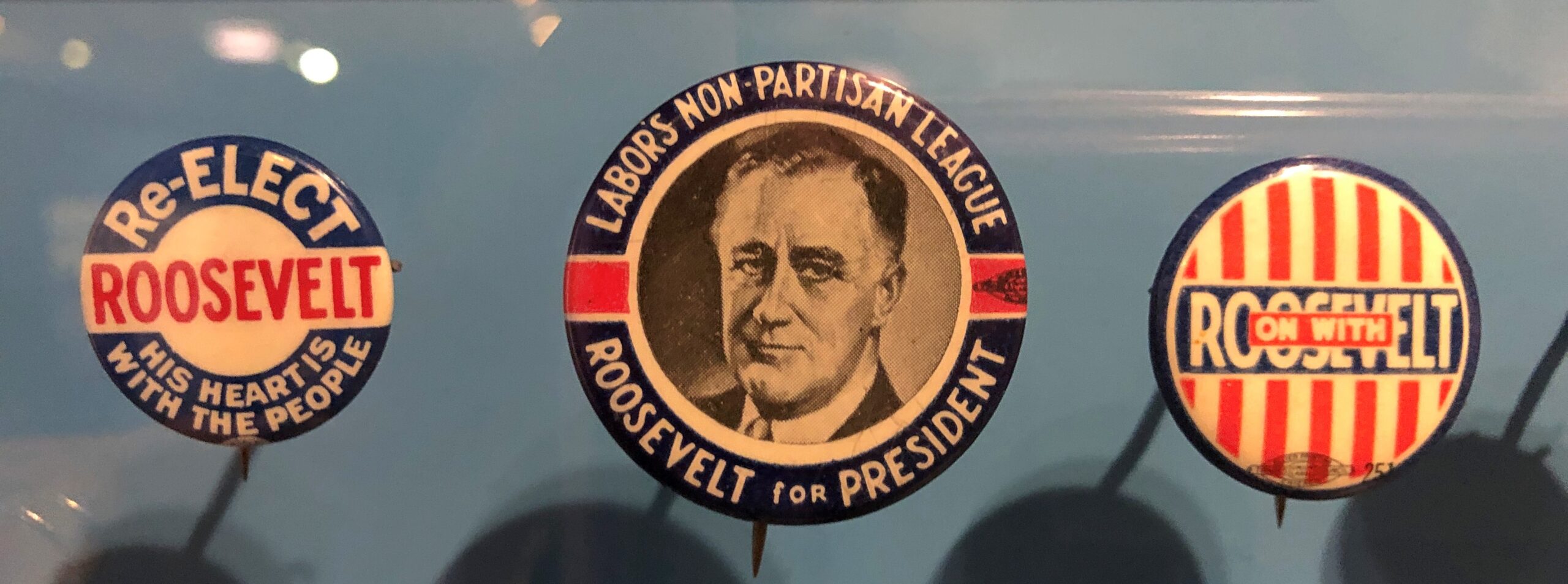
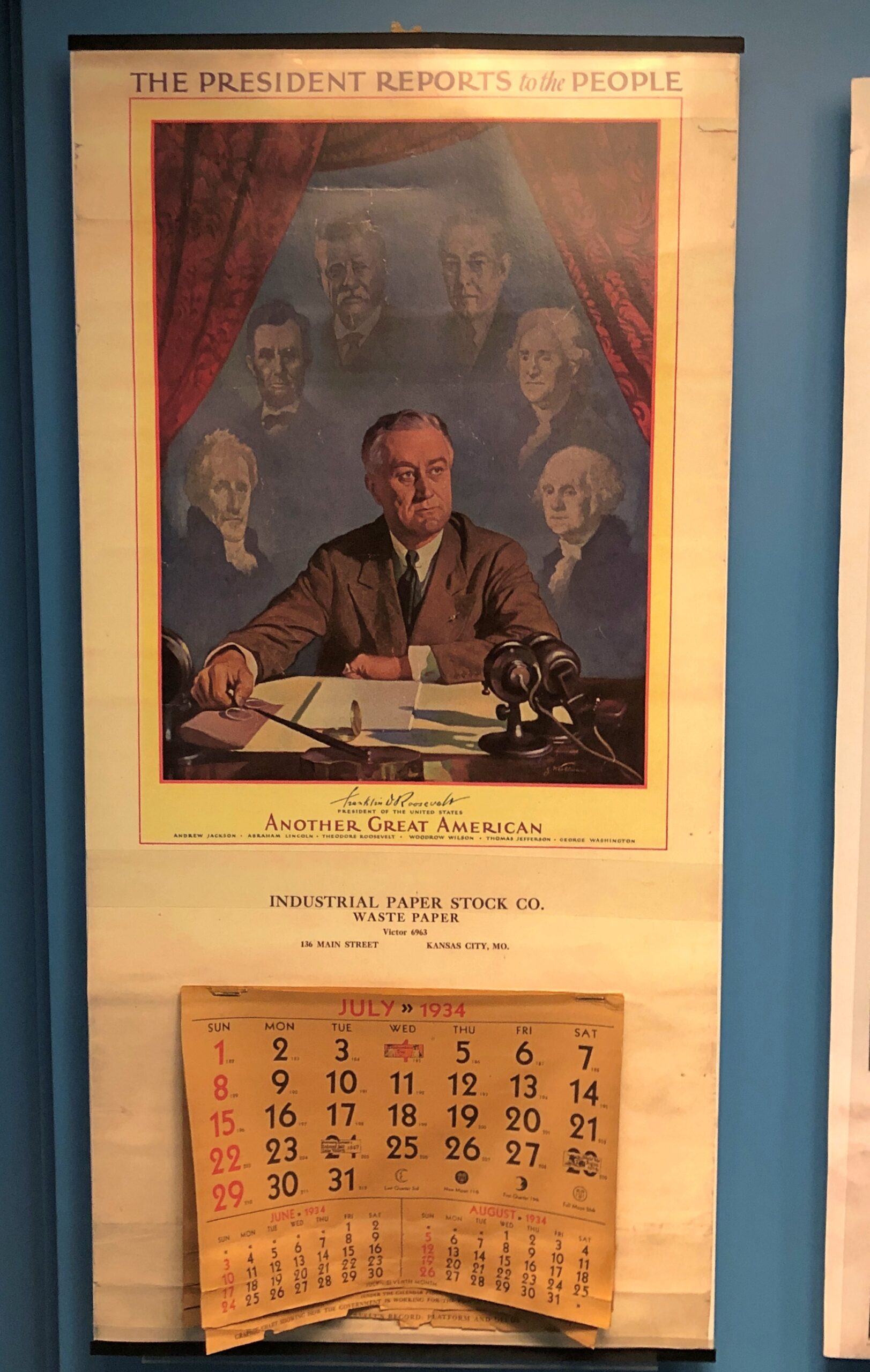
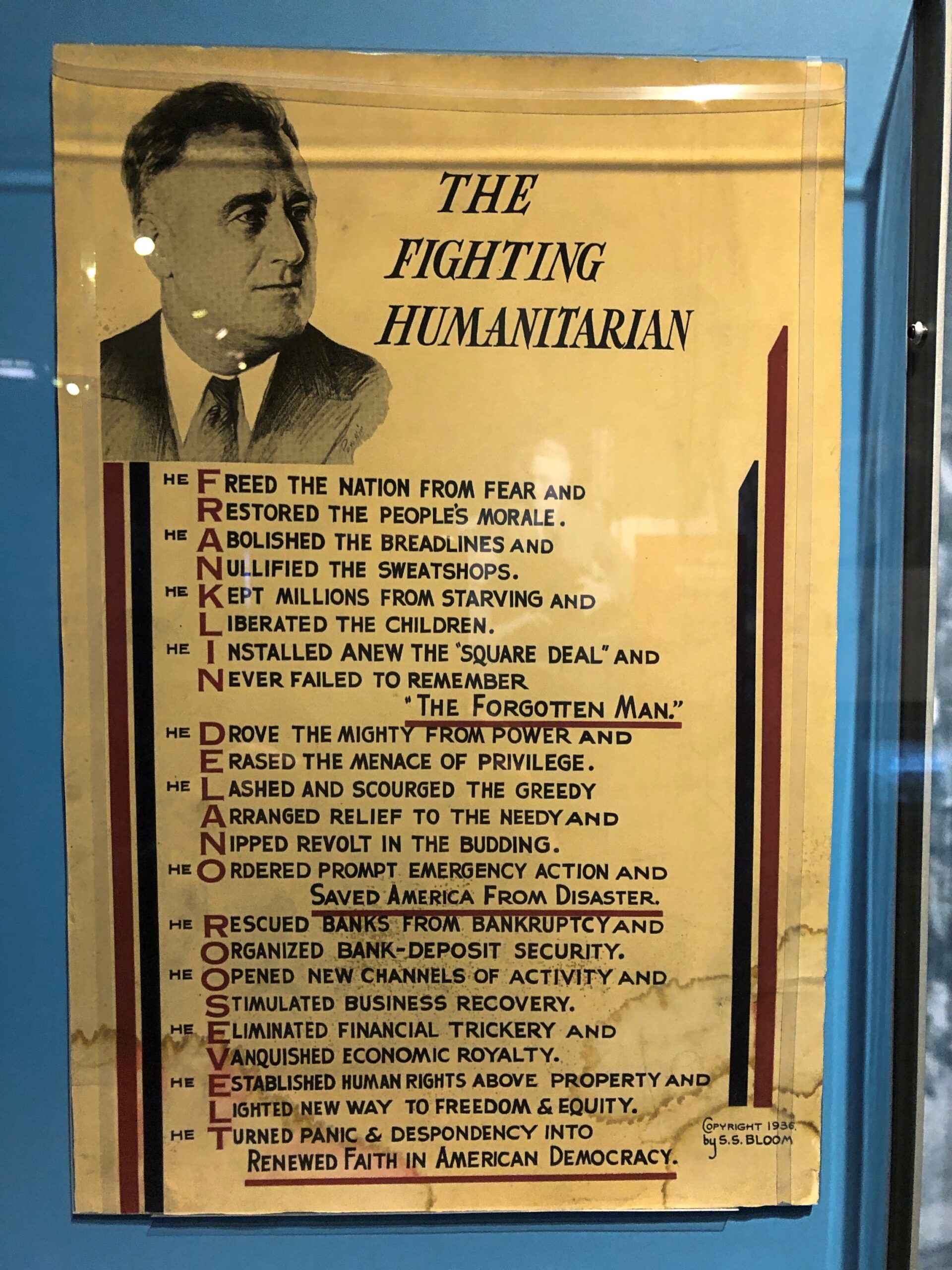
Campaign material and other laudatory items are well represented in the museum.
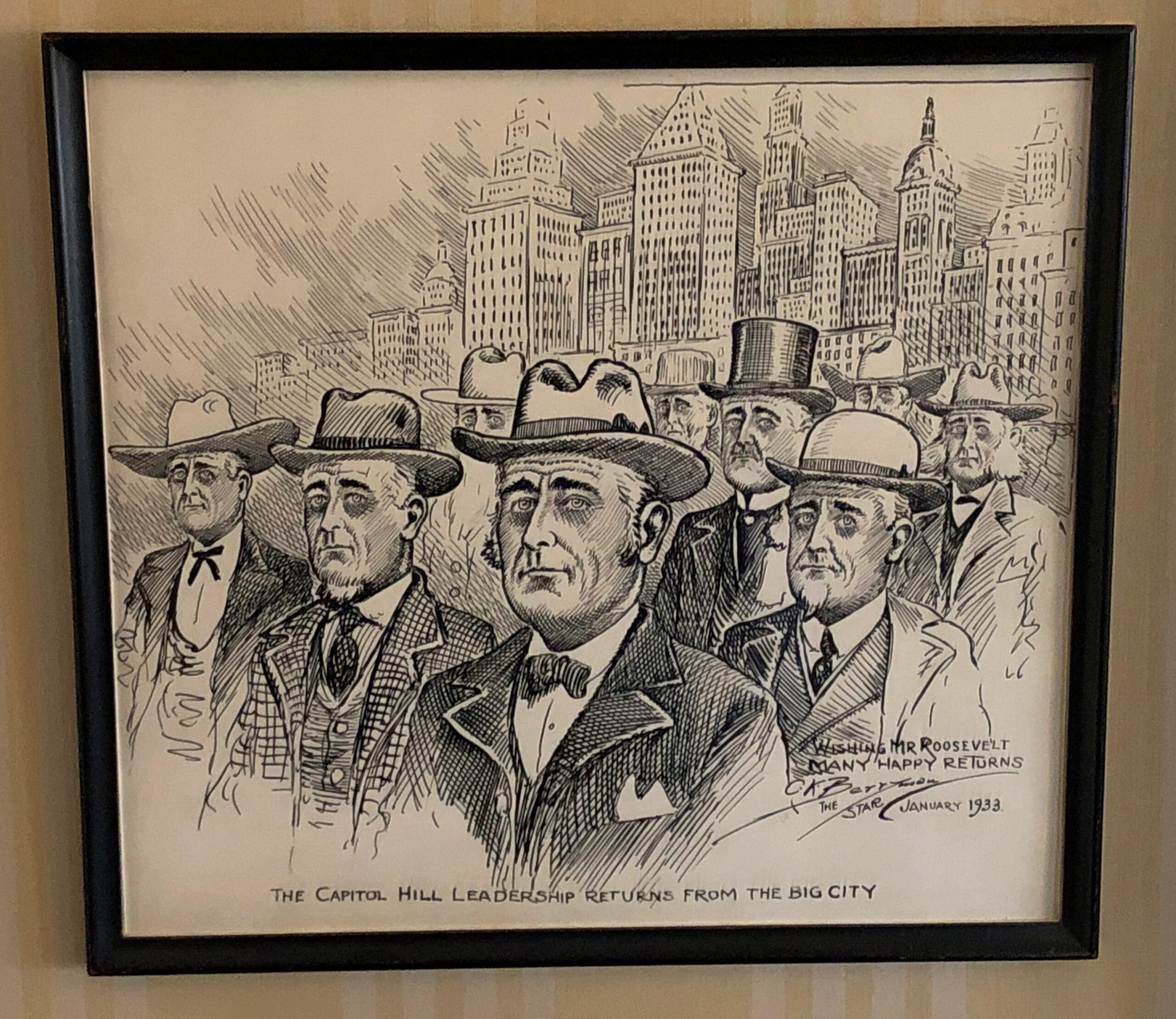
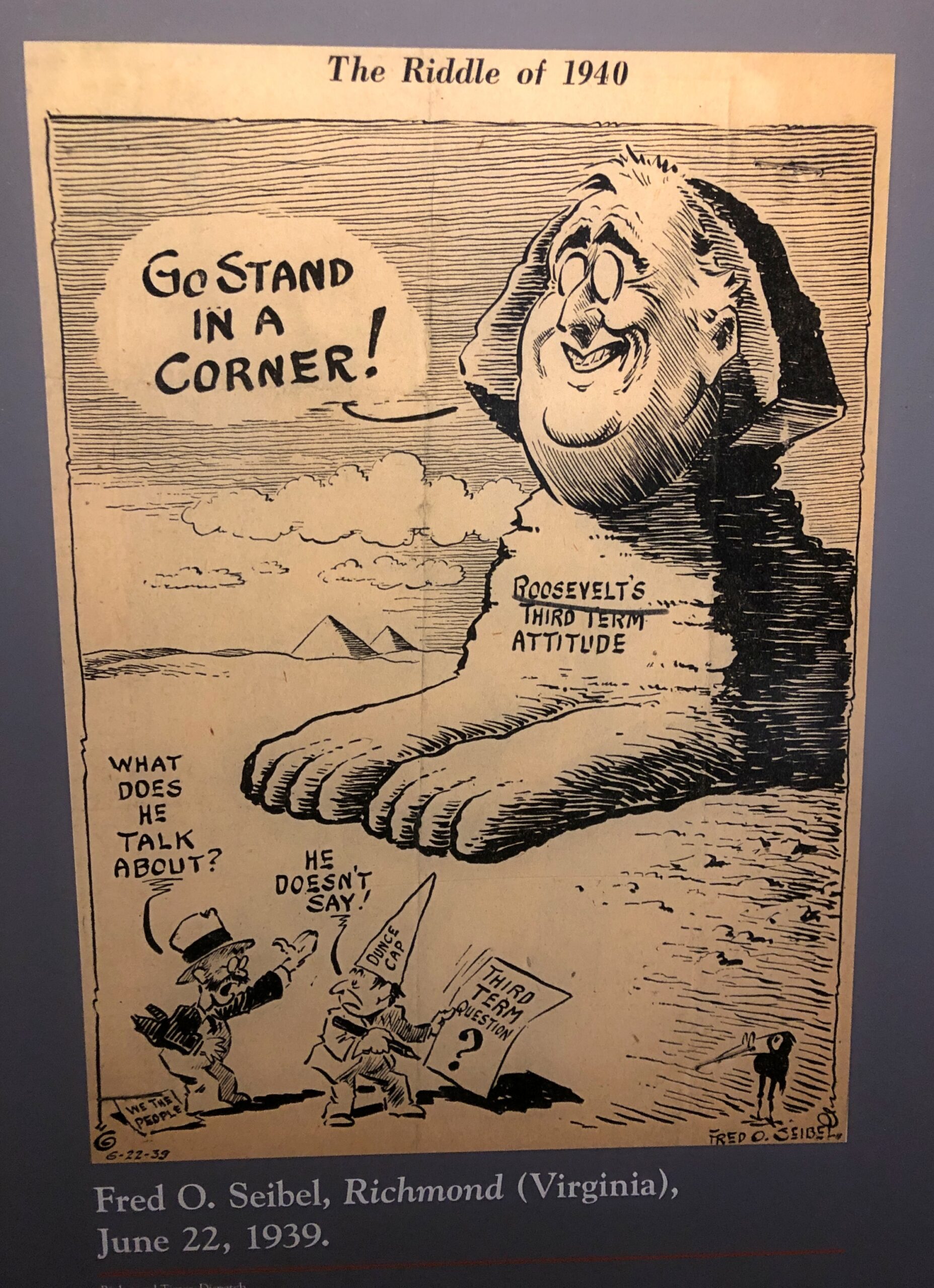
Editorial cartoons. The president as a sphinx was especially amusing.
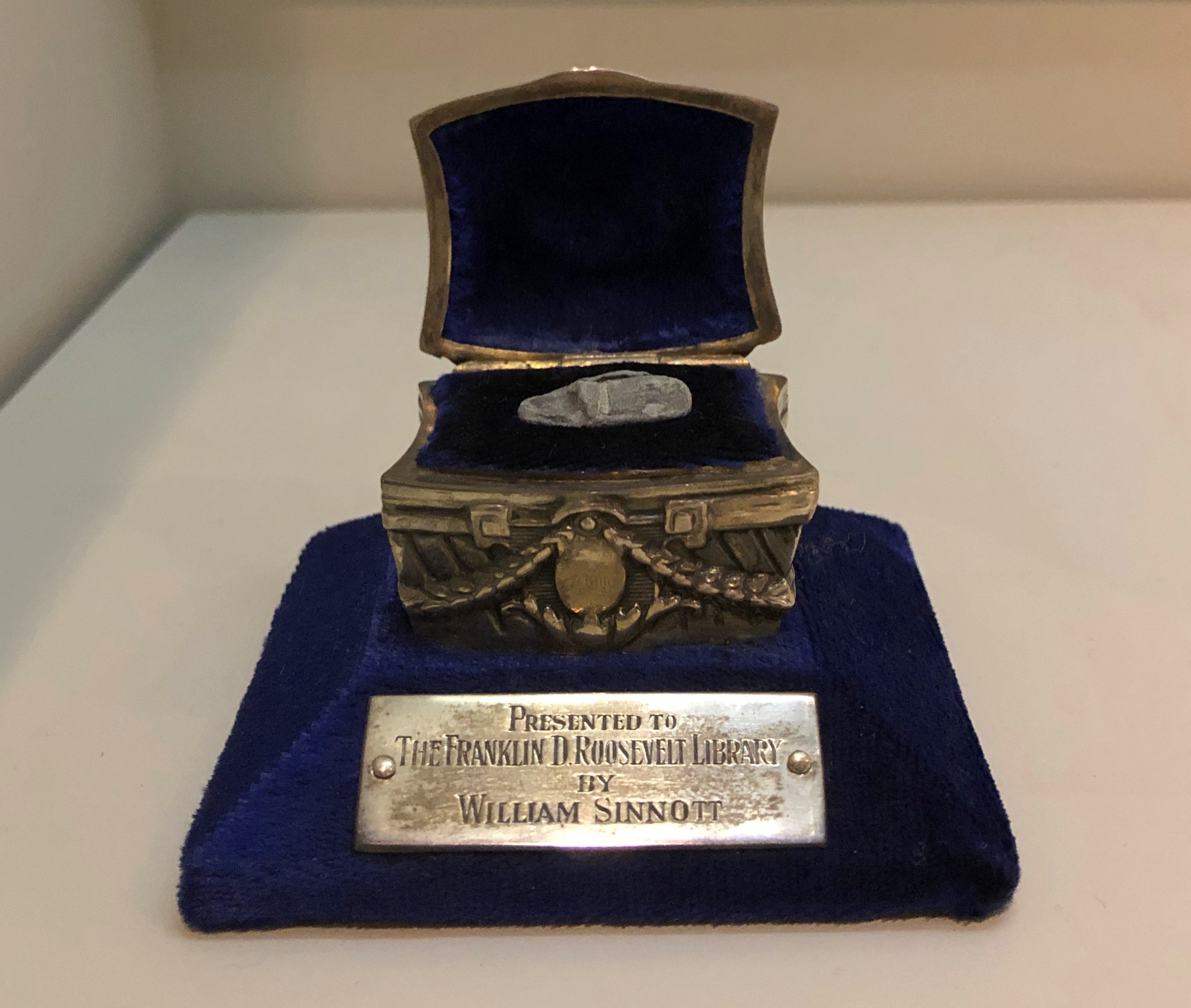
A chilling artifact: a fragment of a slug meant for FDR, fired at him on February 15, 1933 by Guiseppe Zangara.
“One of the wounded was William Sinnott, a detective who had frequently acted as Roosevelt’s bodyguard in New York City,” says In Roosevelt History. “Sinnott had just moved to Miami earlier that week when he was called to assist FDR’s security staff.
“The bullet fragment pictured above was removed from Mr. Sinnott’s wounded head. Ten other fragments from the bullet that struck him remained in his body. When visiting Sinnott in the hospital, FDR said, ‘You couldn’t hurt him, bullets just bounced off his skull.’ Mr. Sinnott was awarded the Congressional Gold Medal in 1940 in recognition of his service that day. In 1946, Mr. and Mrs. Sinnott donated the bullet fragment in this specially designed presentation case made by Lambert Brothers Jewelers to the FDR Library.”
Historians don’t generally adhere to the Great Man school of history any more, but it’s nevertheless a fertile source of speculation to imagine how different things might be for the nation and the world had it been Roosevelt and not Anton Cermak who died in 1933.
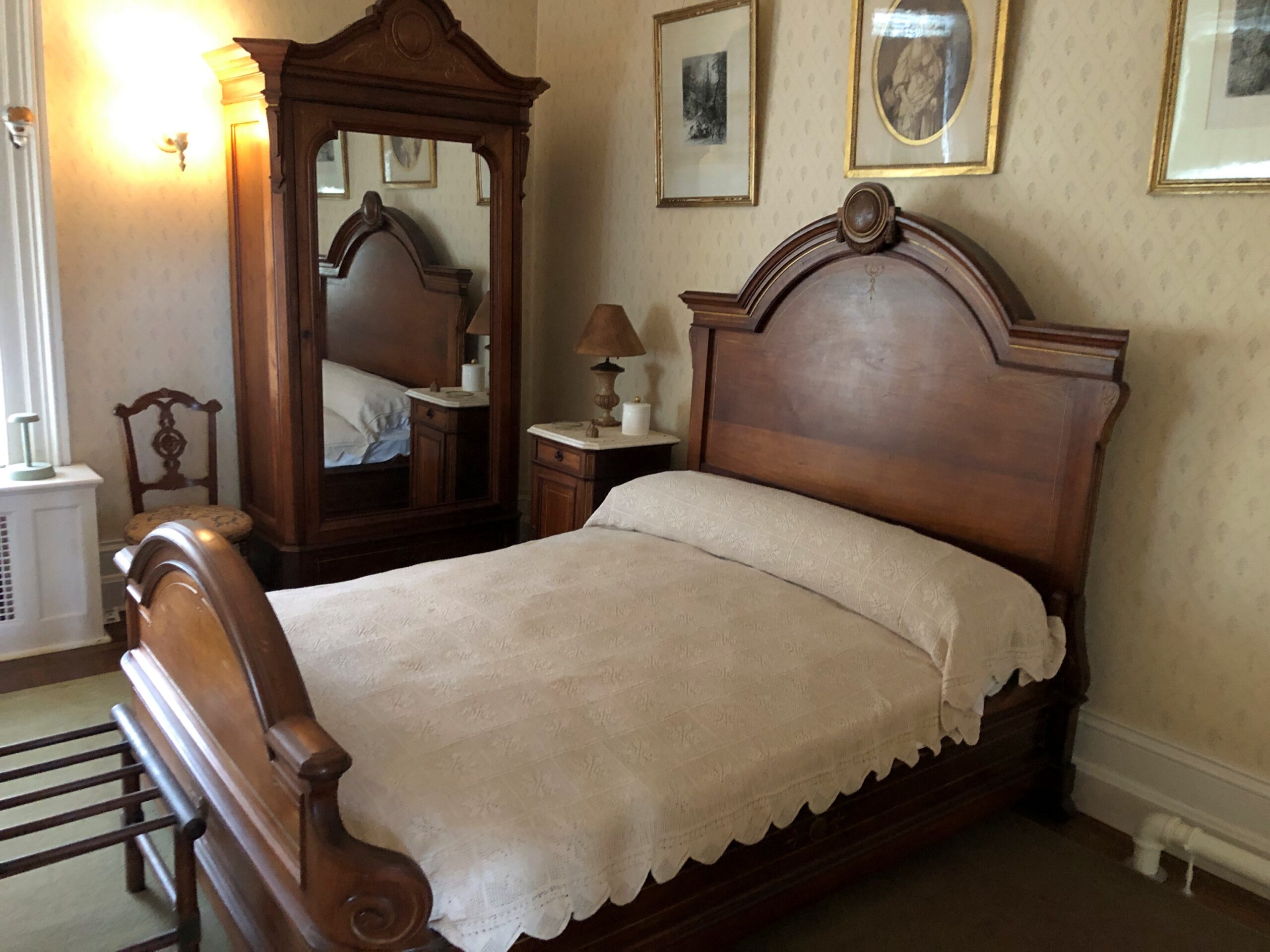
Though he eventually died away from home, in Georgia — ah, another presidential site I must see — FDR came full circle to Hyde Park. First, the bed in which he was born.
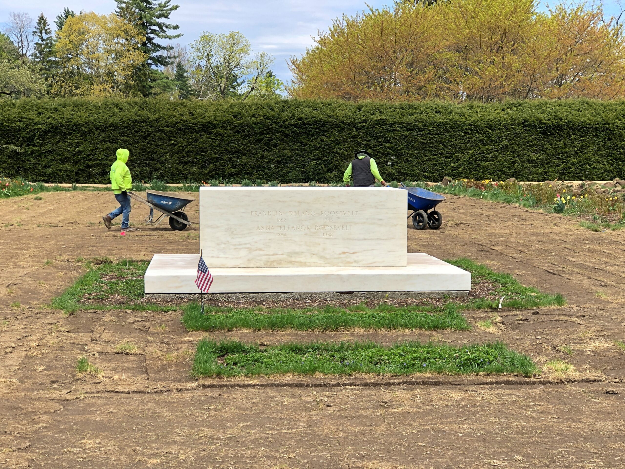
Ultimately, his final resting place is on the grounds, along with Eleanor. Gardening had just begun when I paid my respects.
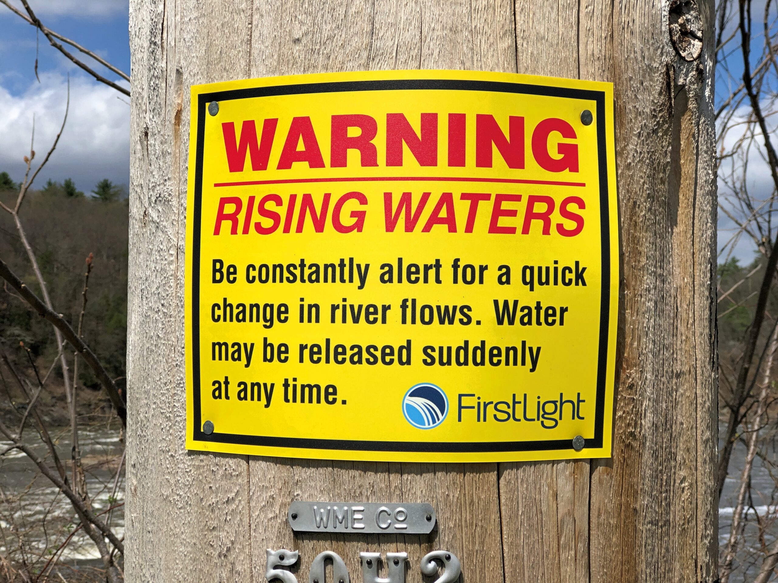
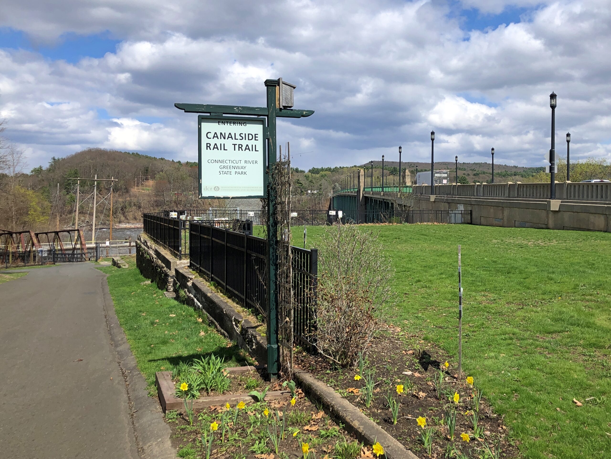
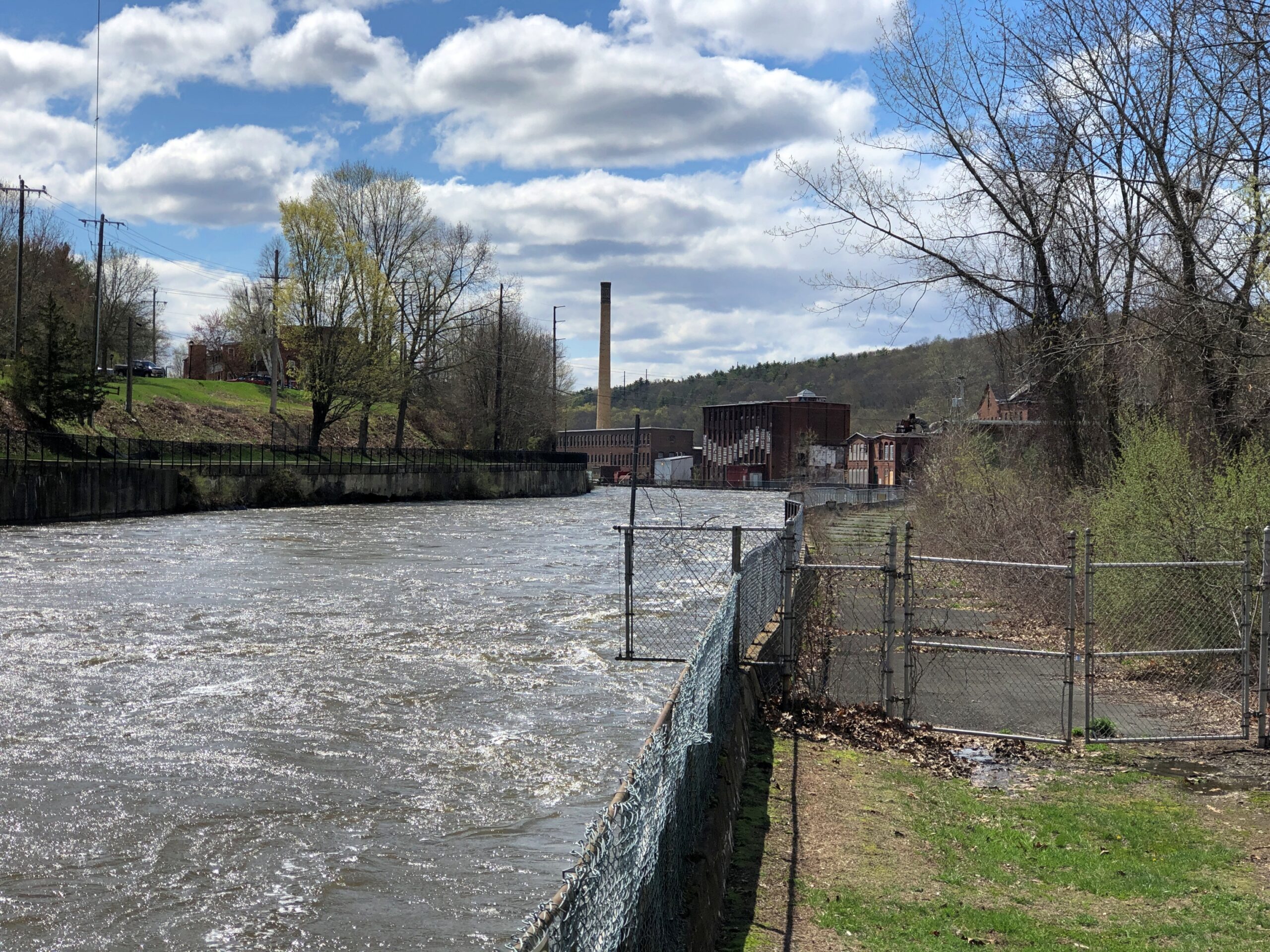
Luckily, the nearby waters didn’t make any sudden moves in the vicinity of my person that afternoon. I was near the Connecticut River at a place called Turners Falls (no apostrophe), Massachusetts. The sign is posted on a man-made island, in fact, created by a canal paralleling the river – Turners Falls Canal.
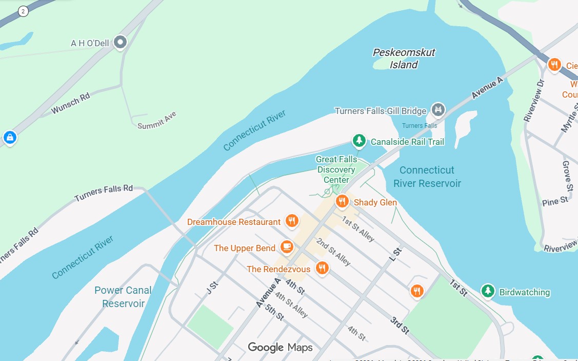
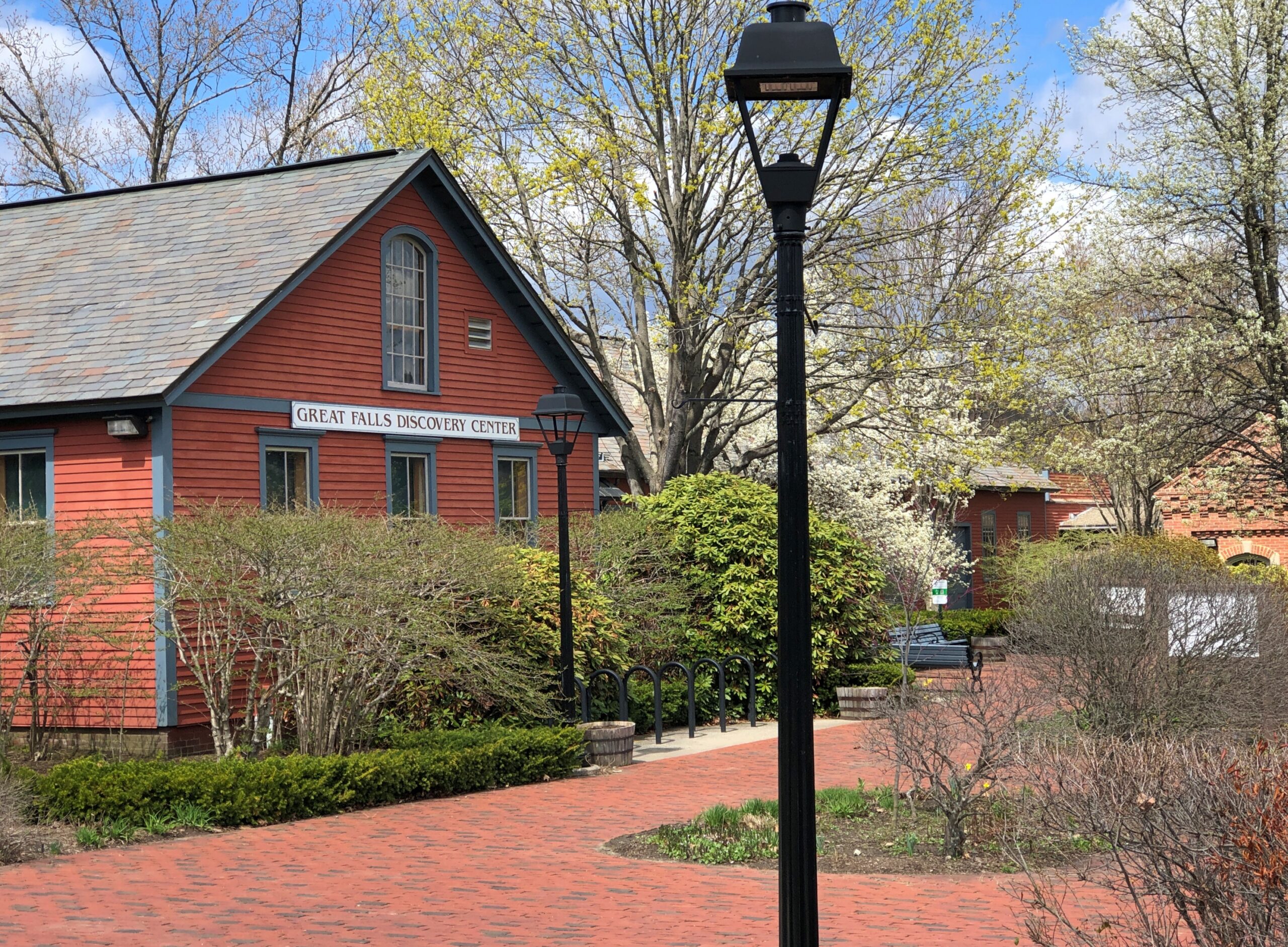
I’d crossed the Connecticut via a bridge, and the canal too, and parked on Avenue A in Turners Falls near the Great Falls Discovery Center, which is housed in restored mill buildings on the south edge of the canal.
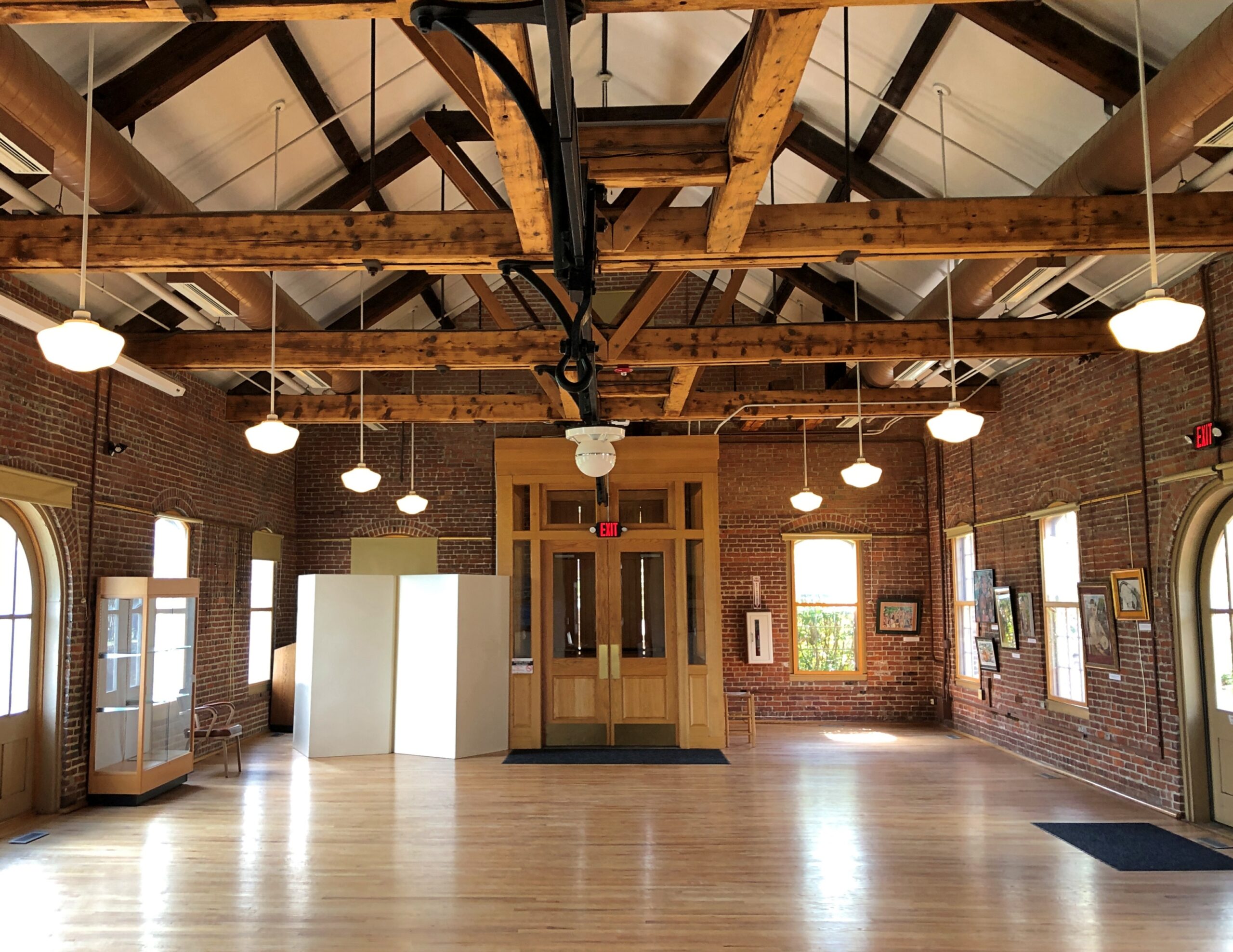
Great Falls Discovery Center, owned by the Massachusetts Department of Conservation and Recreation, includes open habitat exhibits, fish tanks, and dinosaur fossils, and is generally geared to small fry. It does have a nice, if underutilized, exhibit space in one of the restored buildings.
I understand that “Great Falls” is an earlier name of the falls, now the site of a dam, and that a fellow named Turner led an attack on a native settlement on the river 350 years ago, leading to the renaming of the falls – more about all that later. A path from the center leads to the canal.
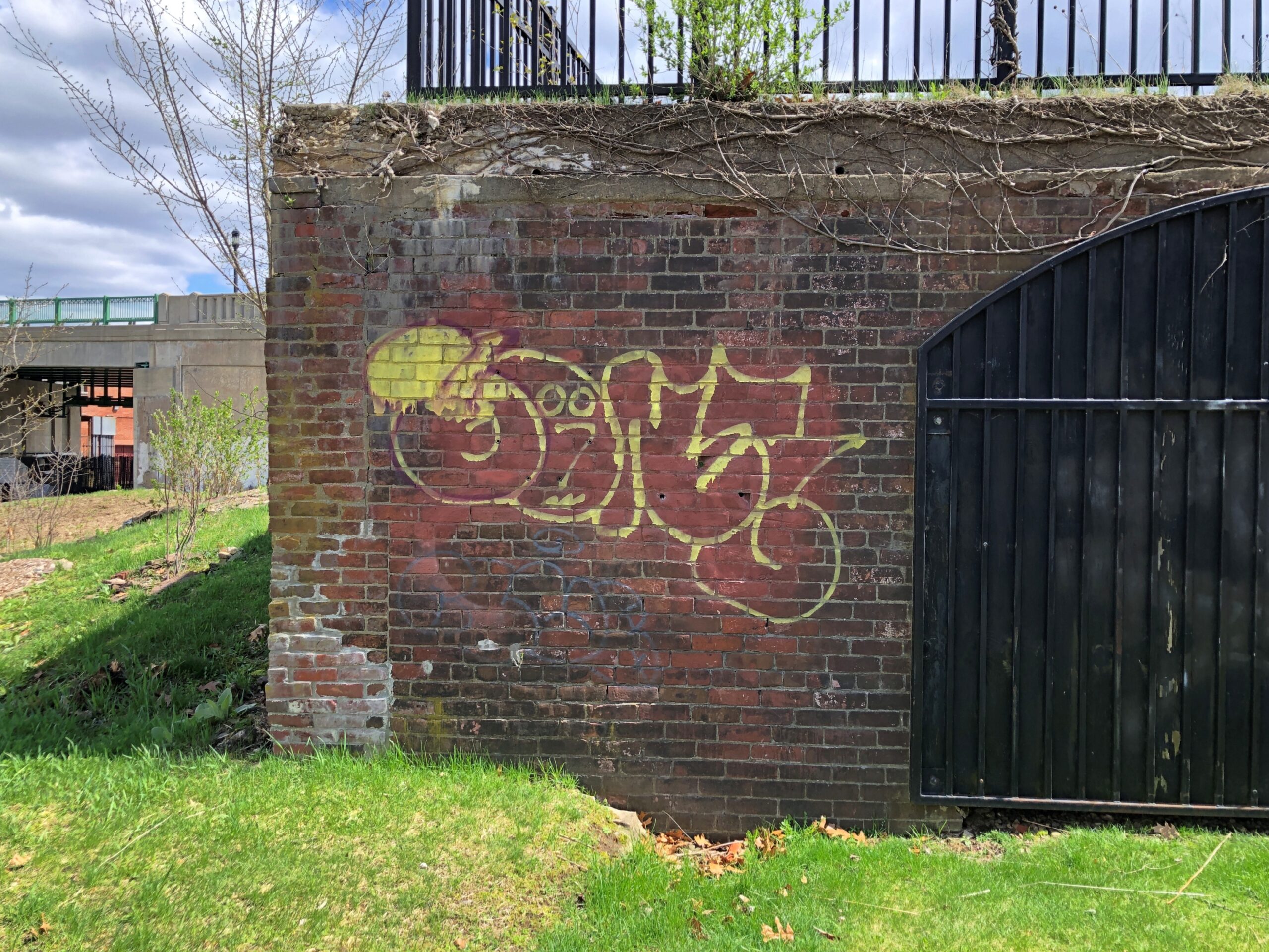
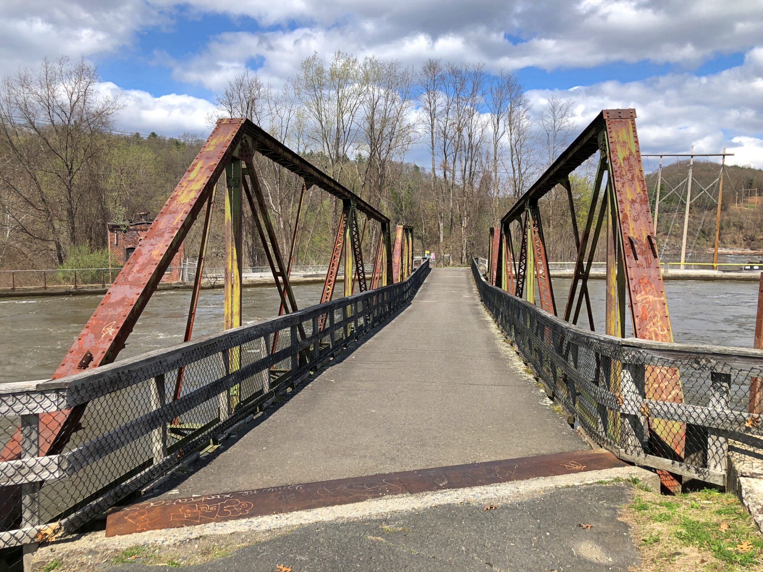
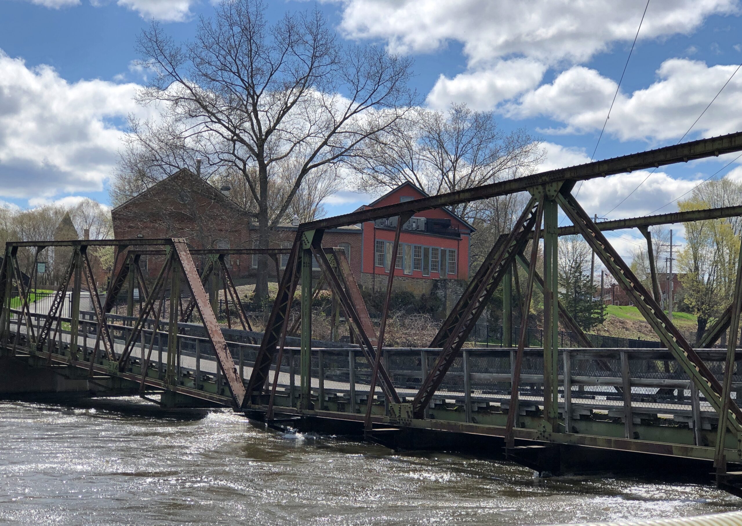
A rusty foot bridge across the canal.
Looks a little dodgy, especially when the flow is strong, as it was that day in the wake of heavy spring rain the day before.
But not dodgy enough to keep me from crossing to take in the views of the canal from the footbridge.
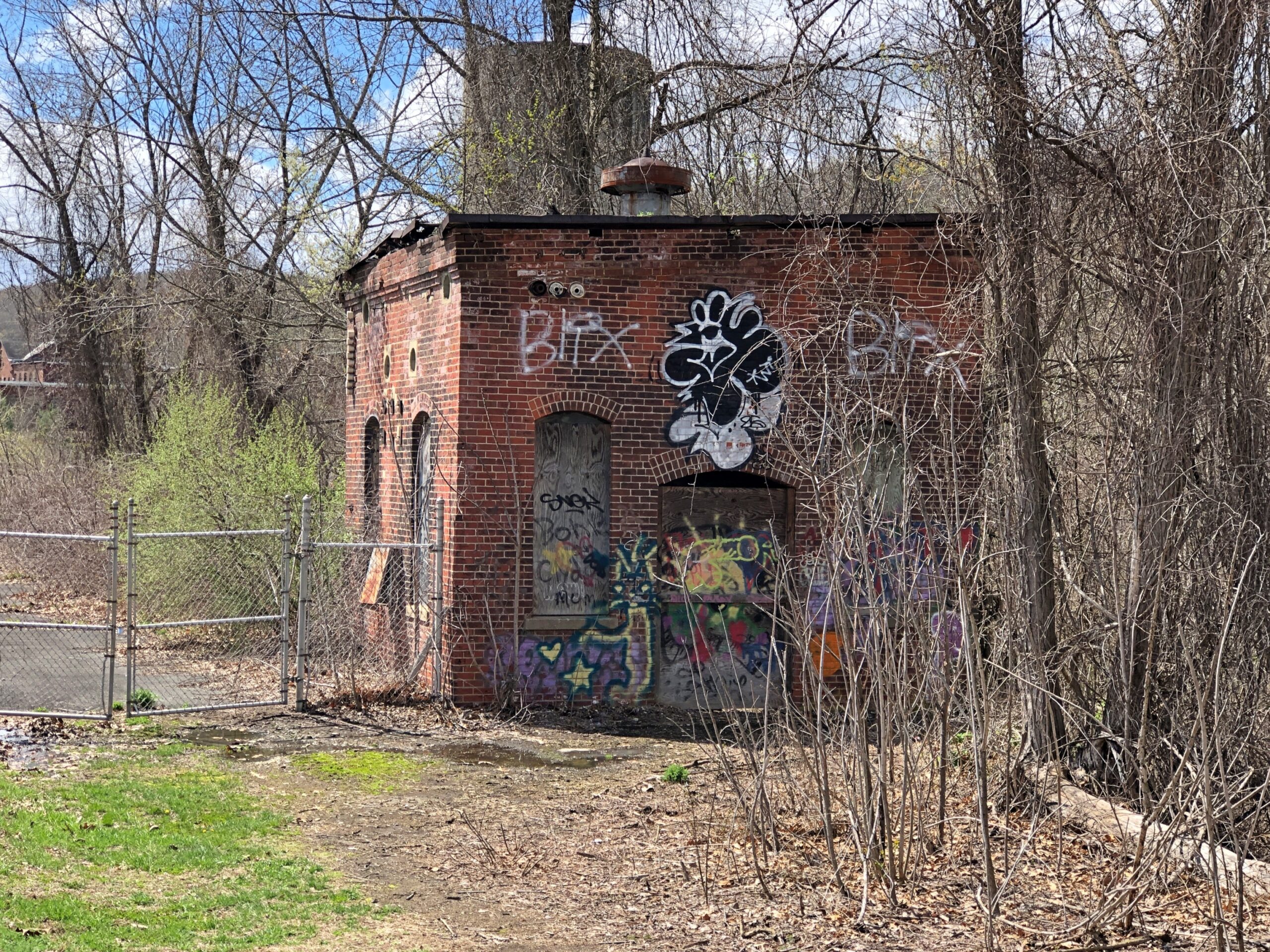
The tip of the island, while accessible at that point, is desolate. The rest of the island seemed to be fenced off.
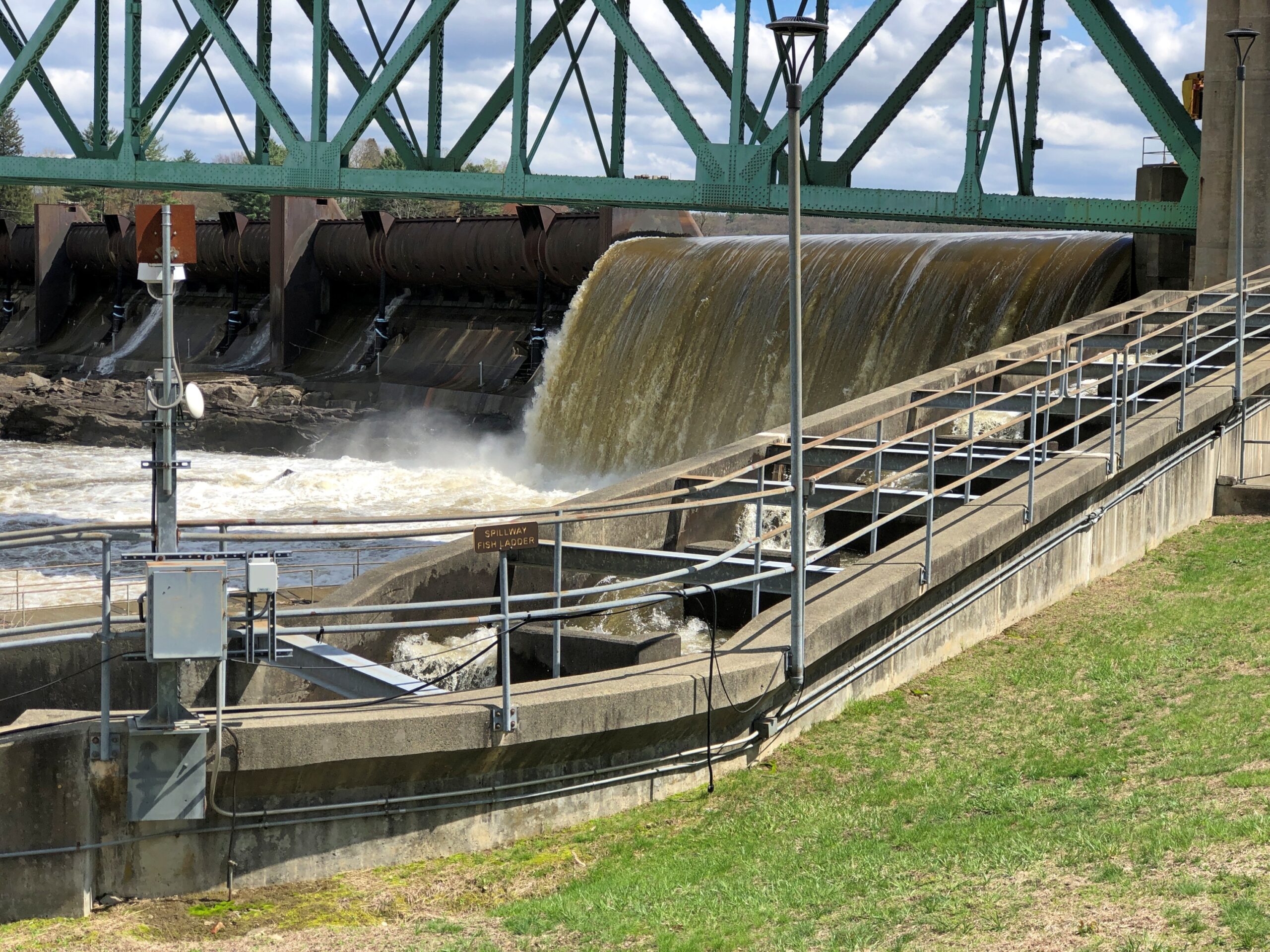
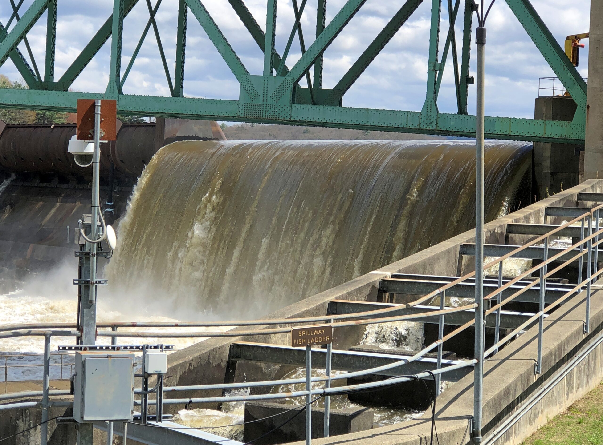
But it does offer a view of the dam and its associated fish ladder. A powerful flow that day.
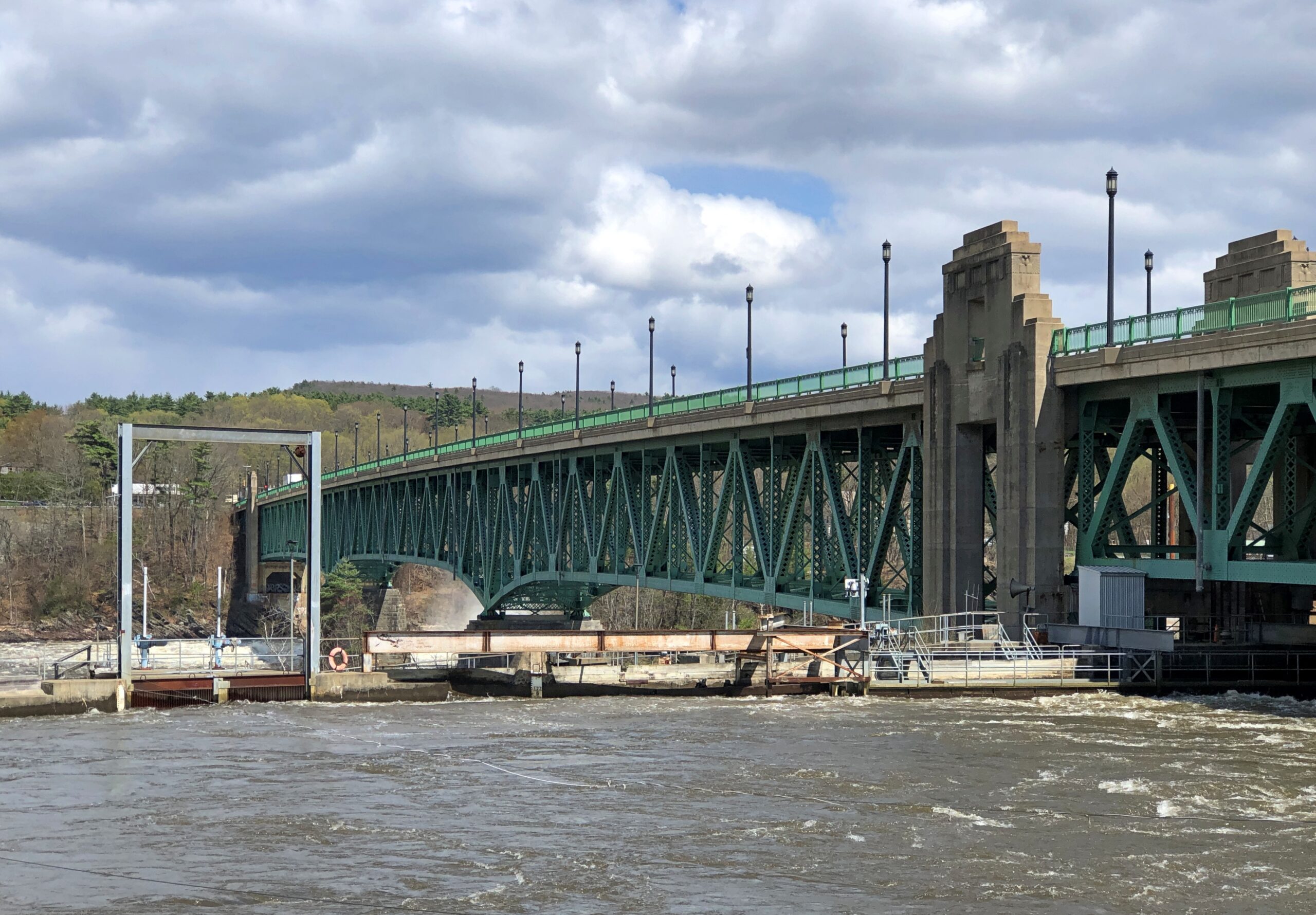
Also visible: the bridge across the Connecticut that I’d driven a little while before, the Turners Falls-Gill Bridge, completed in 1938 and renovated in the 2010s. Gill is the town on the other side.
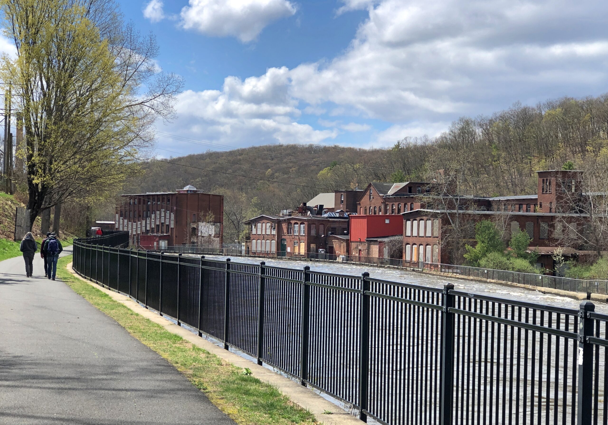
I crossed back and took a stroll down the footpath along the canal: the Canalside Rail Trail.
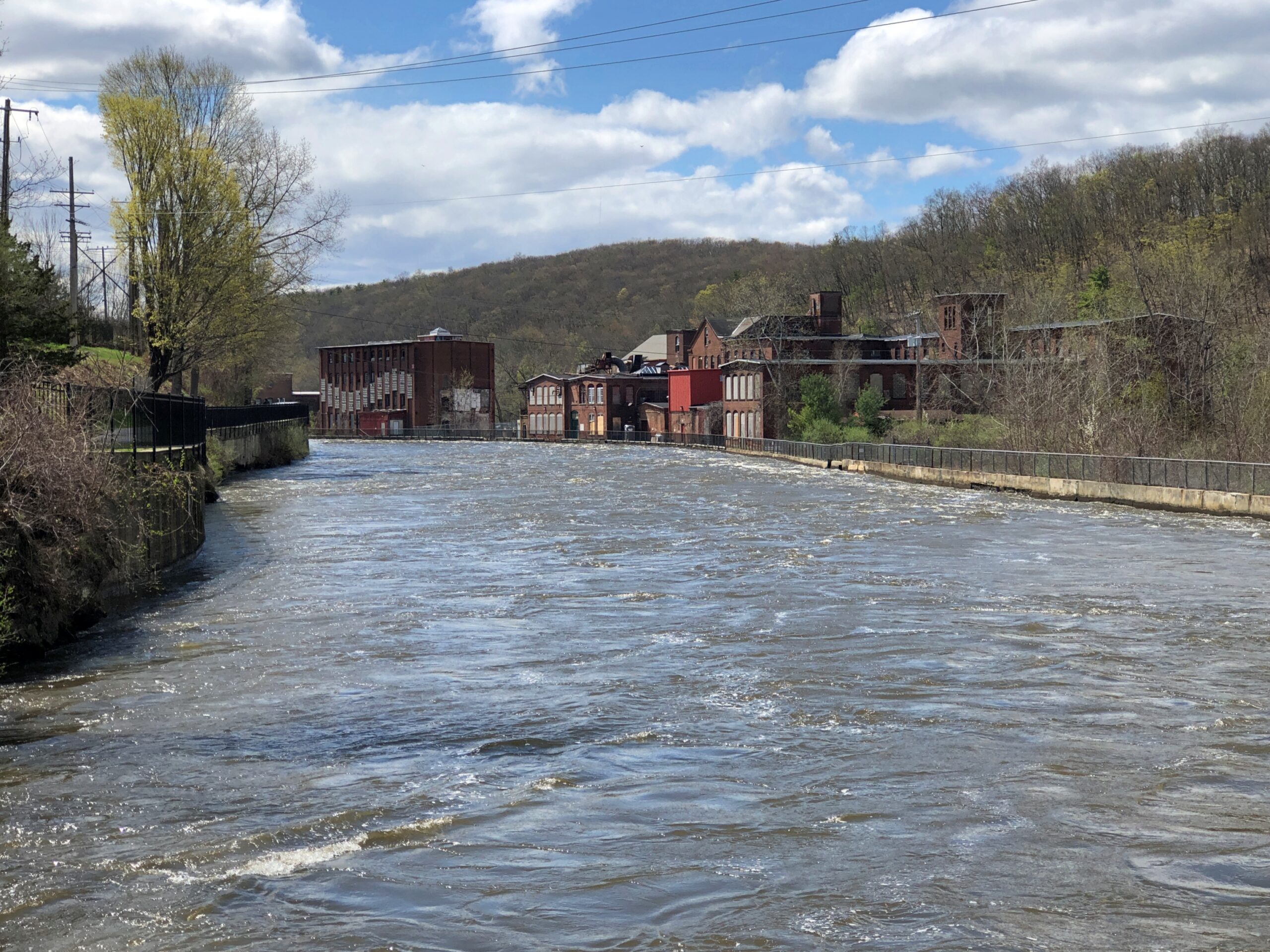
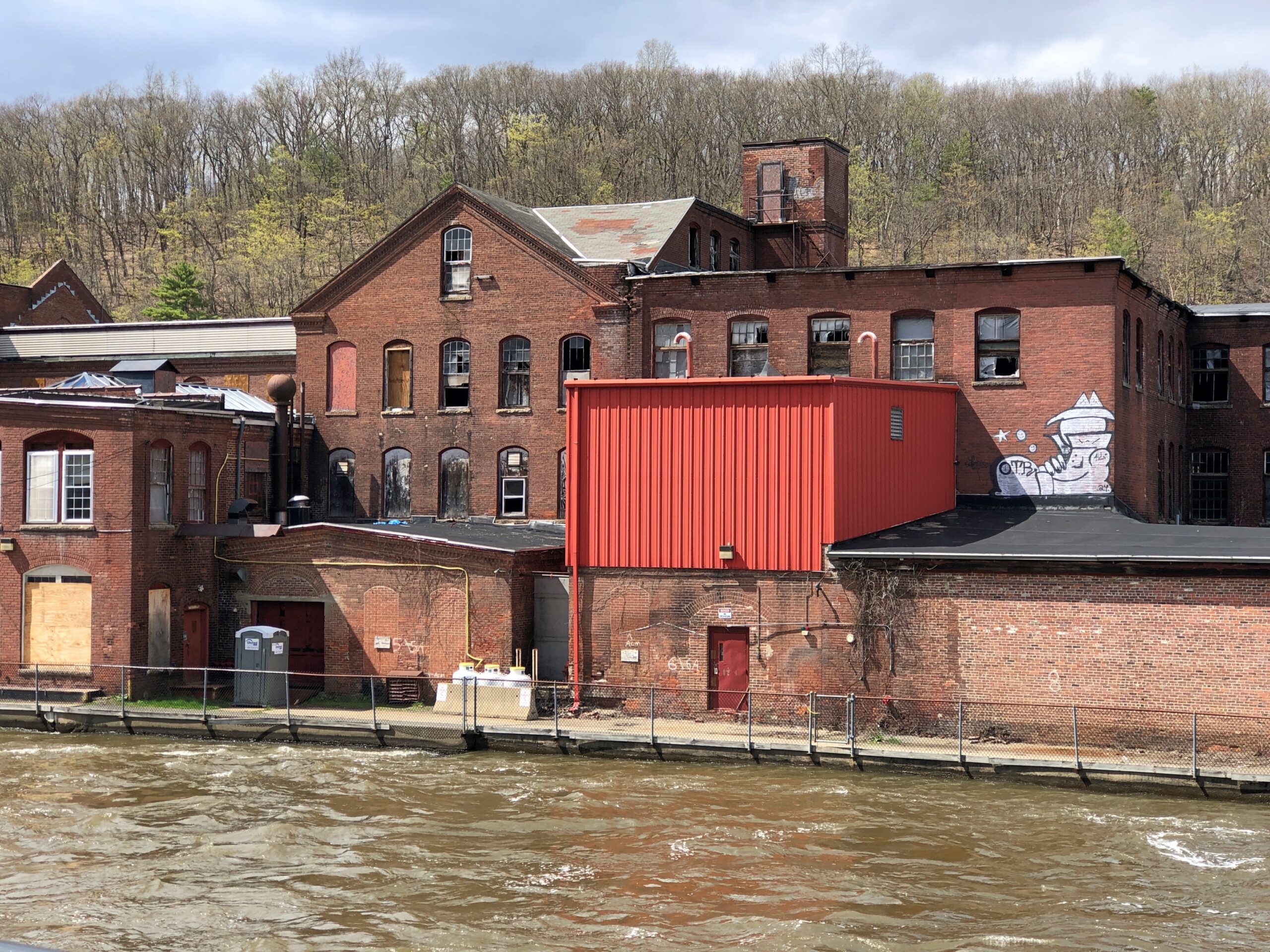
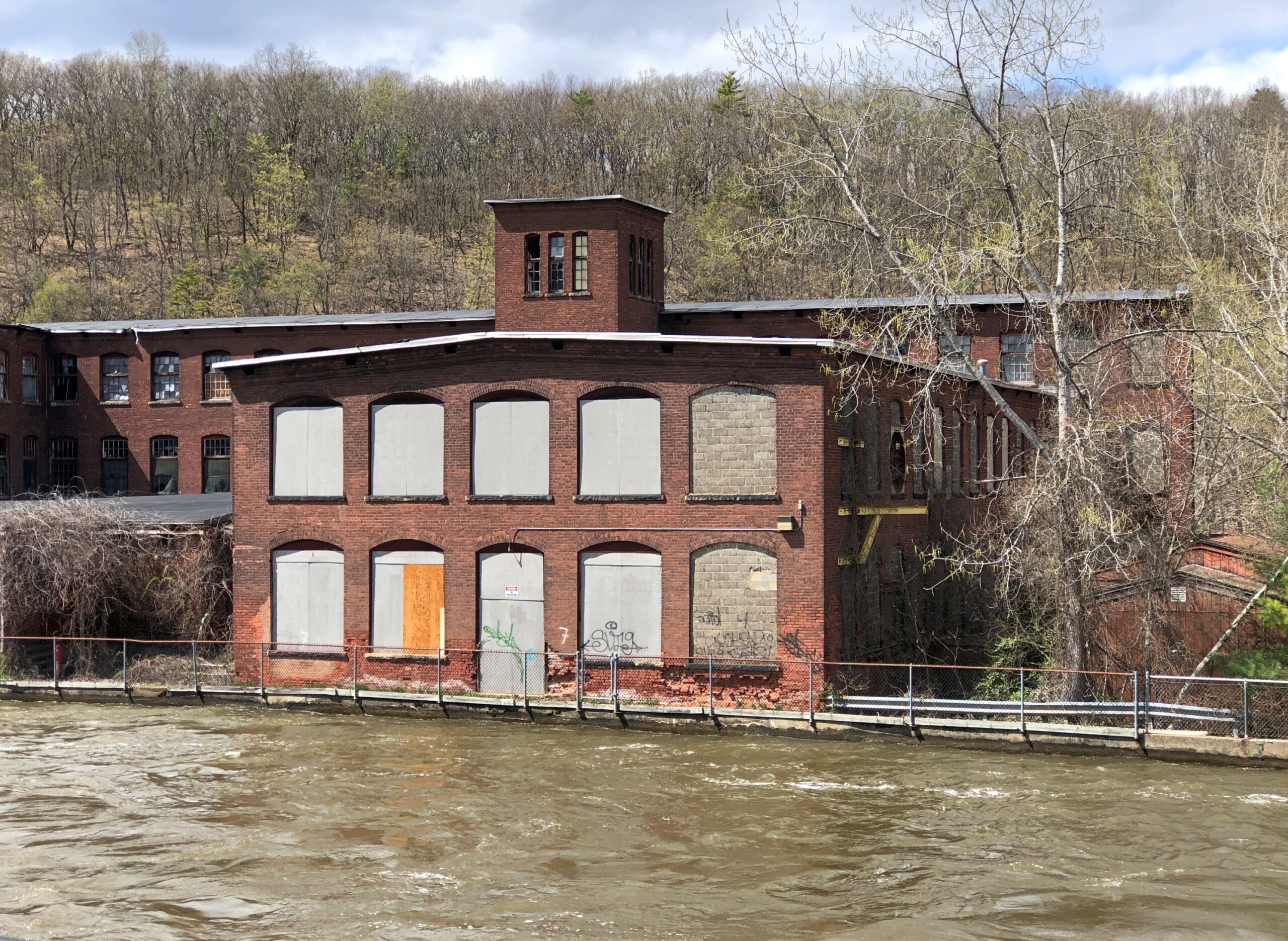
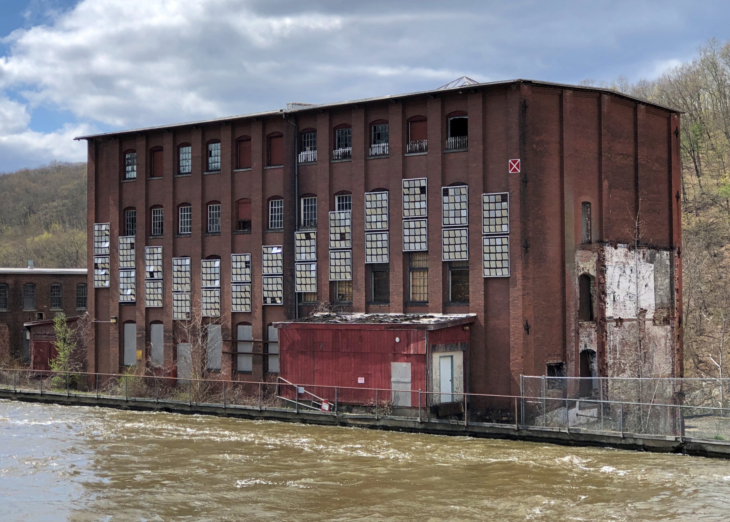
An earlier canal – dug early in the 19th century, just as the U.S. canal boom was getting underway – provided passage via locks around Turners Falls, and a boon to trade in the area. Railroads made that canal obsolete by the mid-19th century, so when the river was dammed, a different canal, a “power canal,” was created to provide water power for factories (the first canal, I believe, was submerged, but I’m not quite sure). Anyway, those factories are closed in our time, but their husks linger.
Waiting for the time when the area’s population is growing again — perhaps during a reverse migration from the too sunny South in the next mid-century — and these sturdy structures can be remade into residential properties.
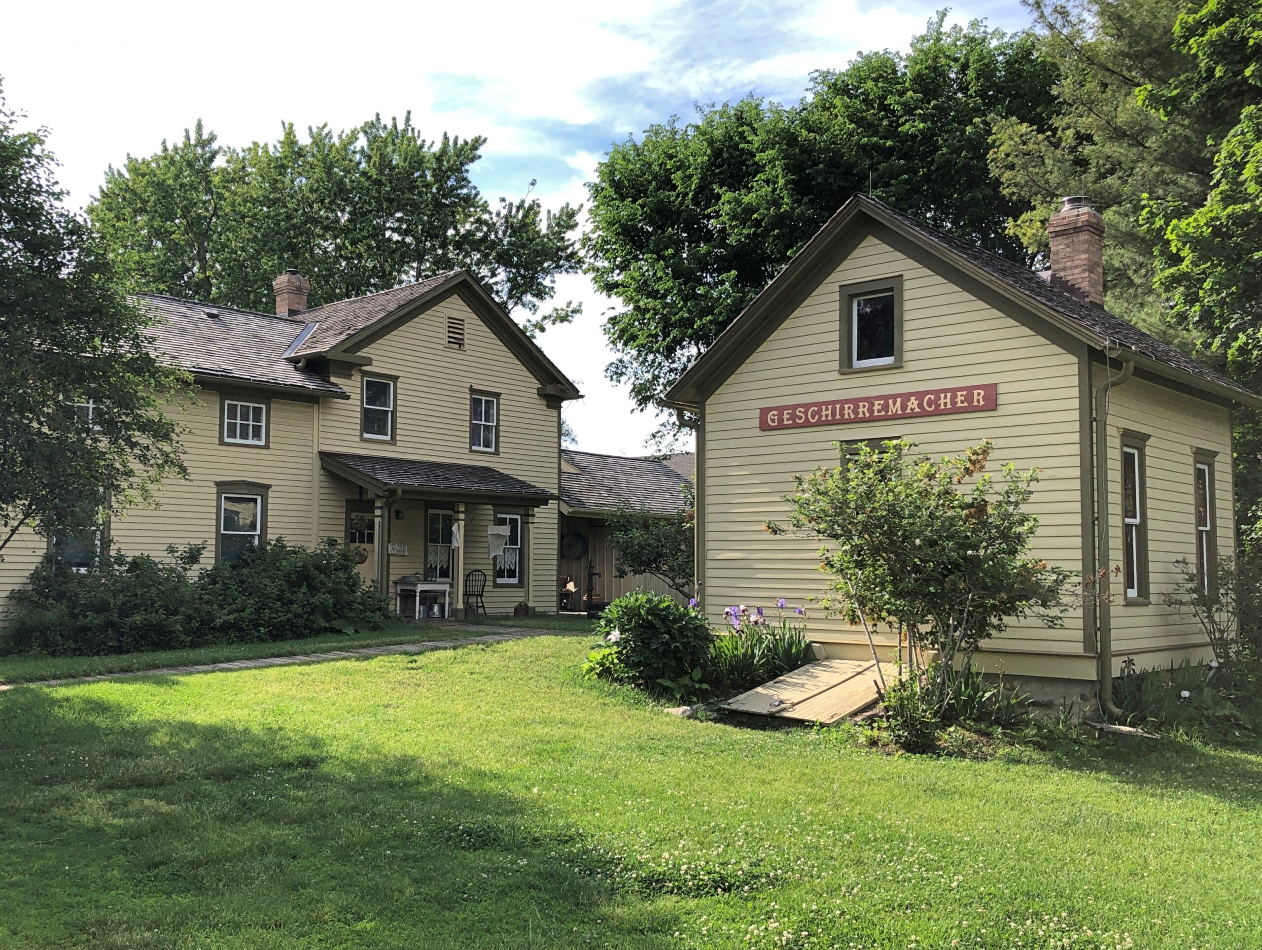
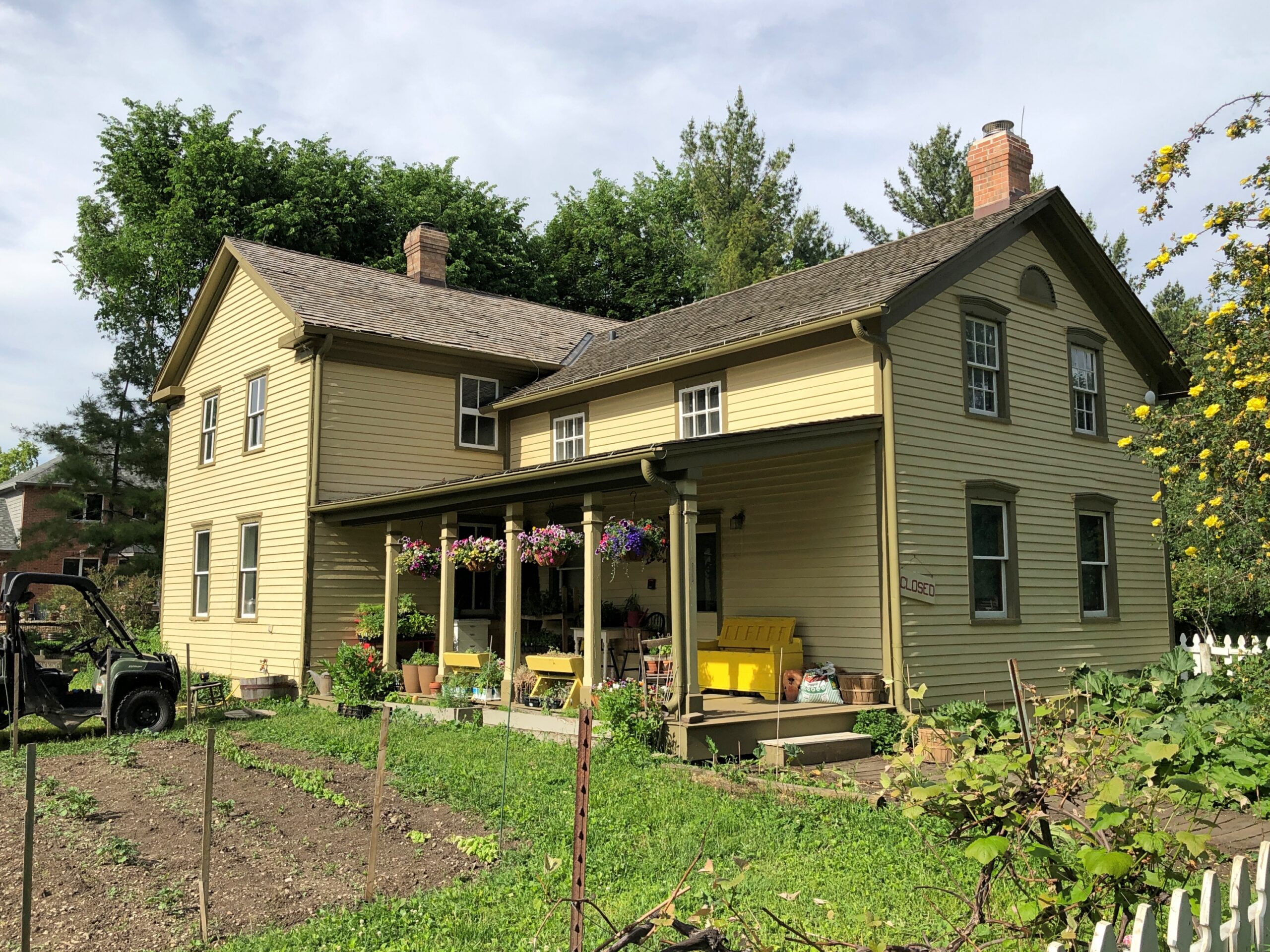
Consistent spring-like weather has arrived at last here in northern Illinois. So we took the opportunity late this afternoon to visit Volkening Heritage Farm, an open-air museum with structures dating from the 1880s. It’s part of the larger (135-acre) Spring Valley.
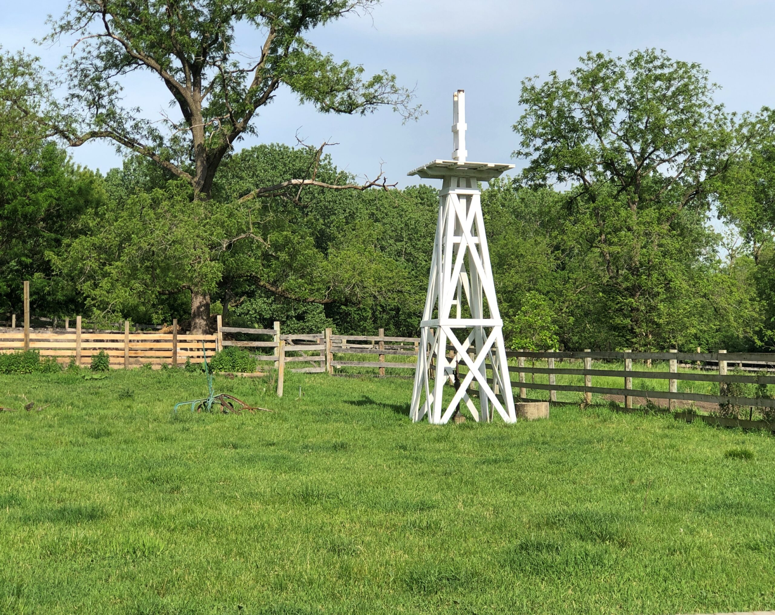
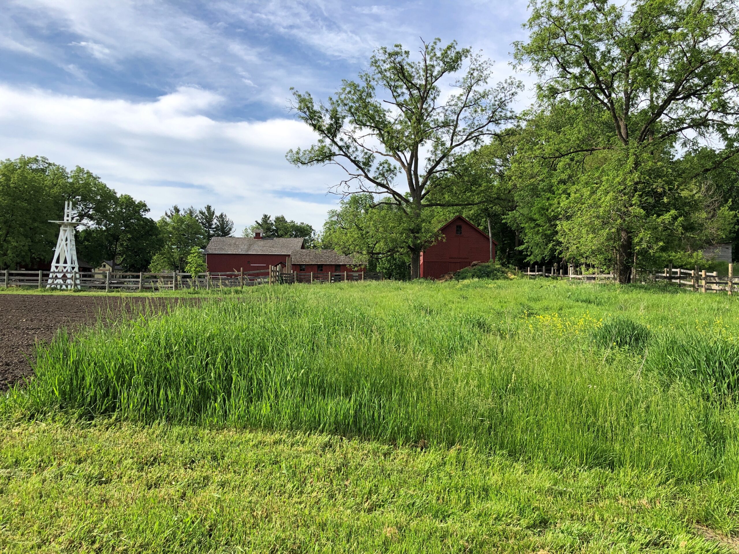
Spin the wheel of time back – not that long, really – and German immigrant farmers put this part of Illinois, the future northwestern suburbs, to prosperous use. The open-air museum of our time echoes that previous time. Not in each detail, but the facsimile is pretty good. There’s a vegetable and flower garden —
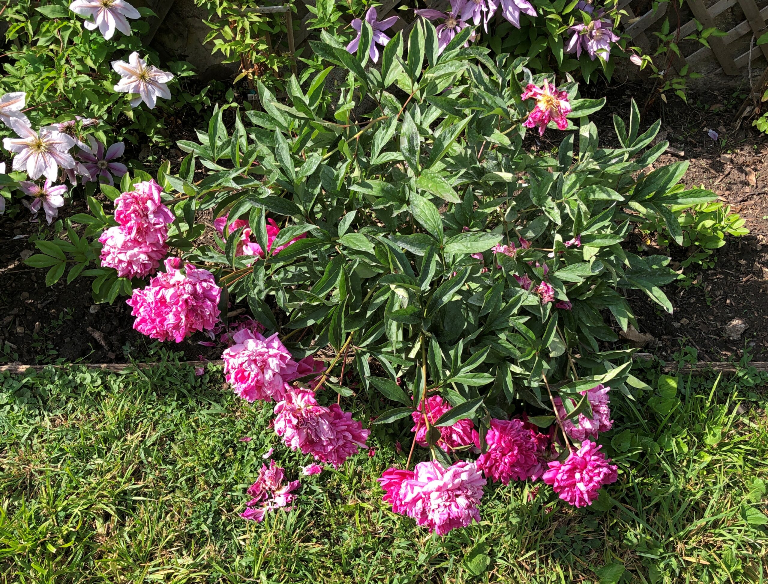
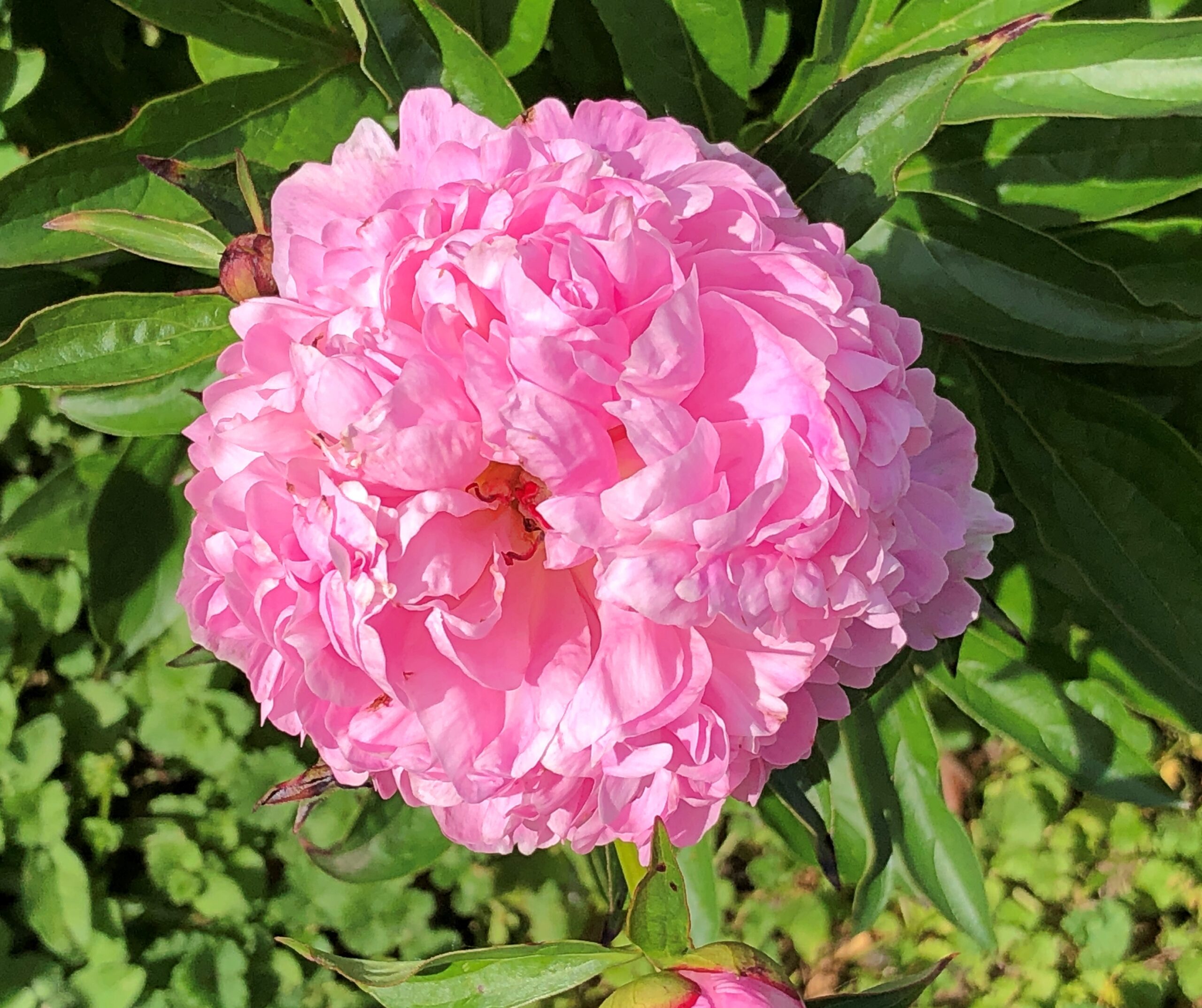
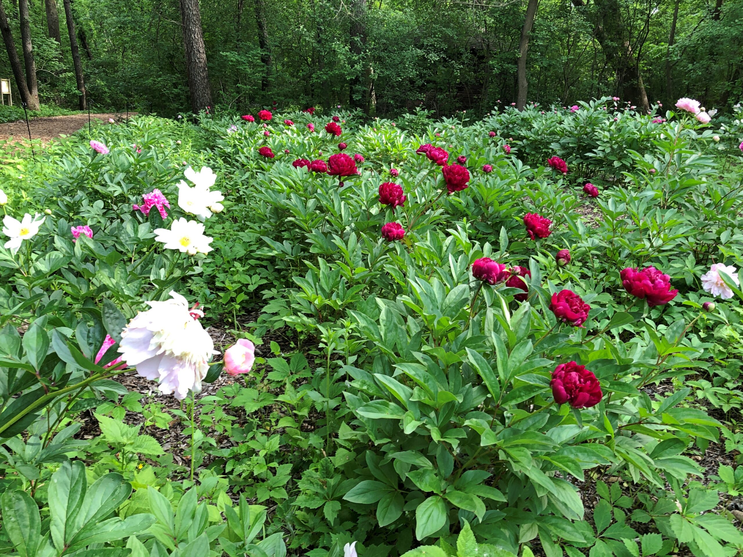
That meant that Spring Valley’s former peony farm, about a 10-minute walk from the former German farm, was abloom with peonies. Like cherry blossoms in other places and other contexts, they don’t last long. Some years we miss them all together, partly because the blooming isn’t quite fixed. One year, for instance, I visited on my early June birthday once and found an embarrassment of peonies. Other years, they are earlier. This is an early year.
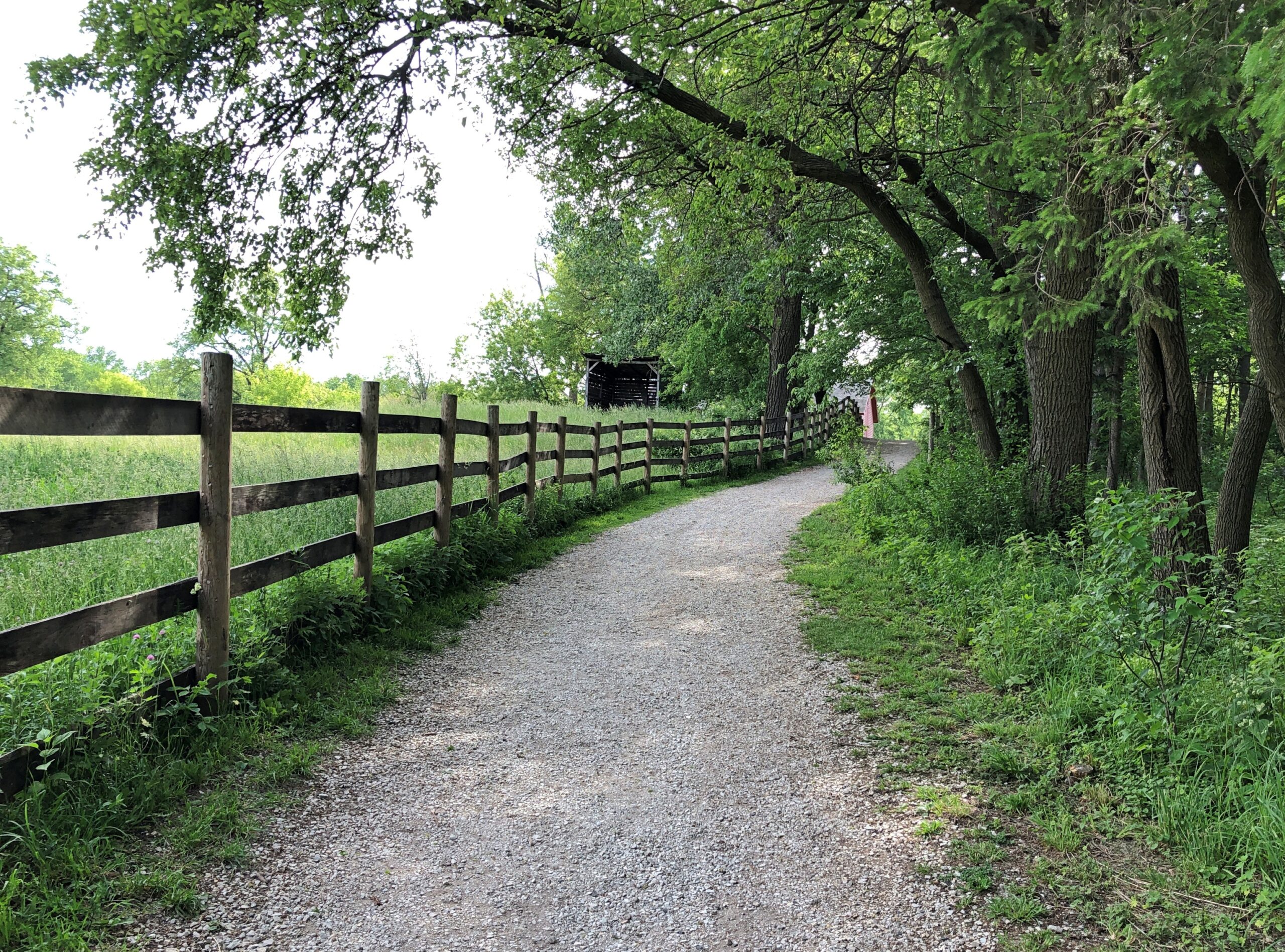
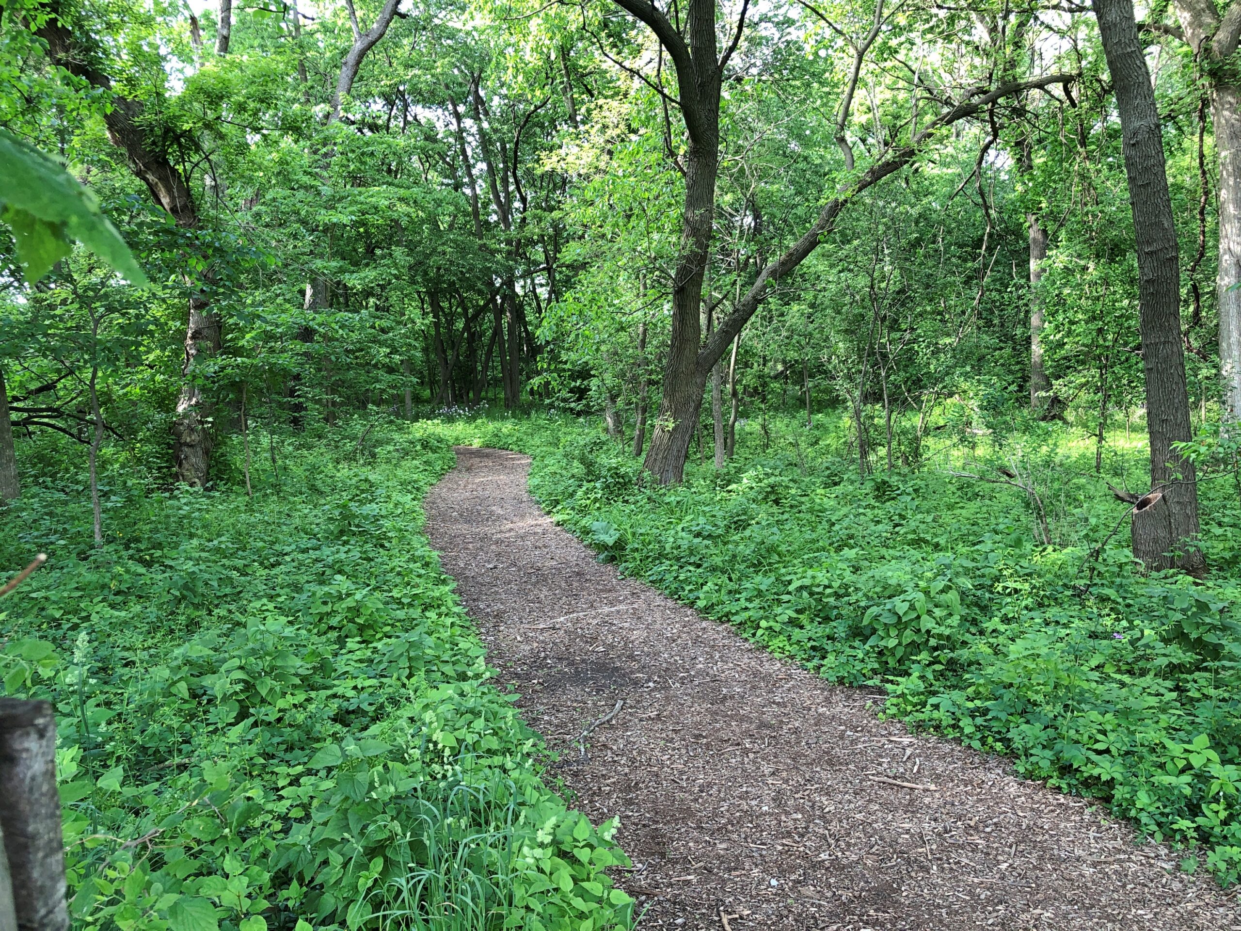
So we walked some of Spring Valley’s various trails, themselves flush with spring green, toward the peony field.
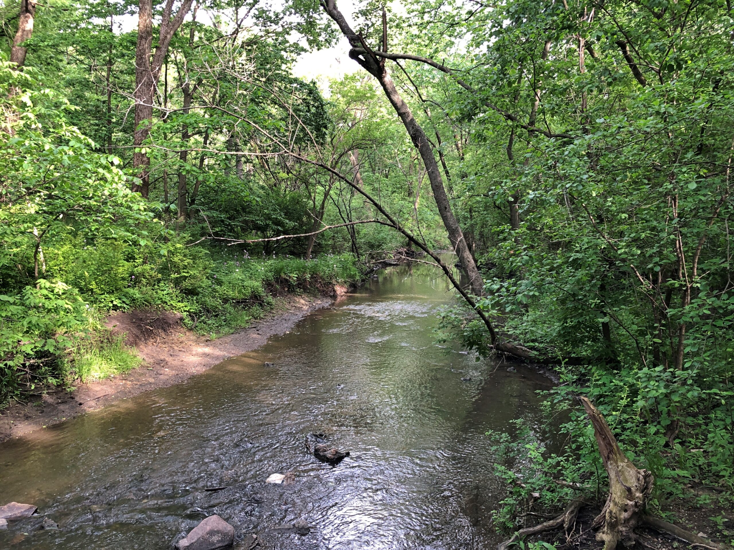
Across one of Spring Valley’s creeks, still vigorous from the heavy late-night rain a few days ago.
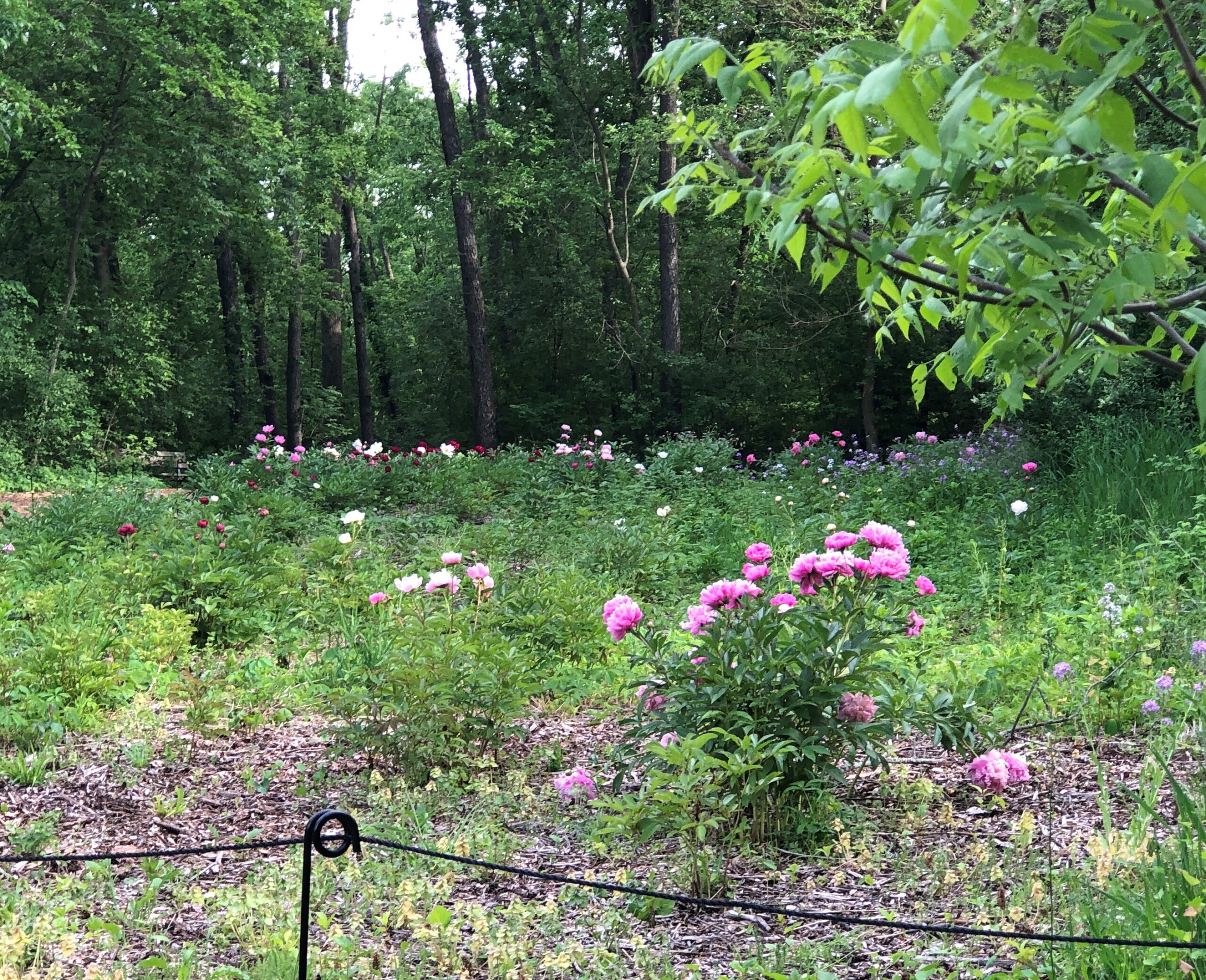
The peony field.
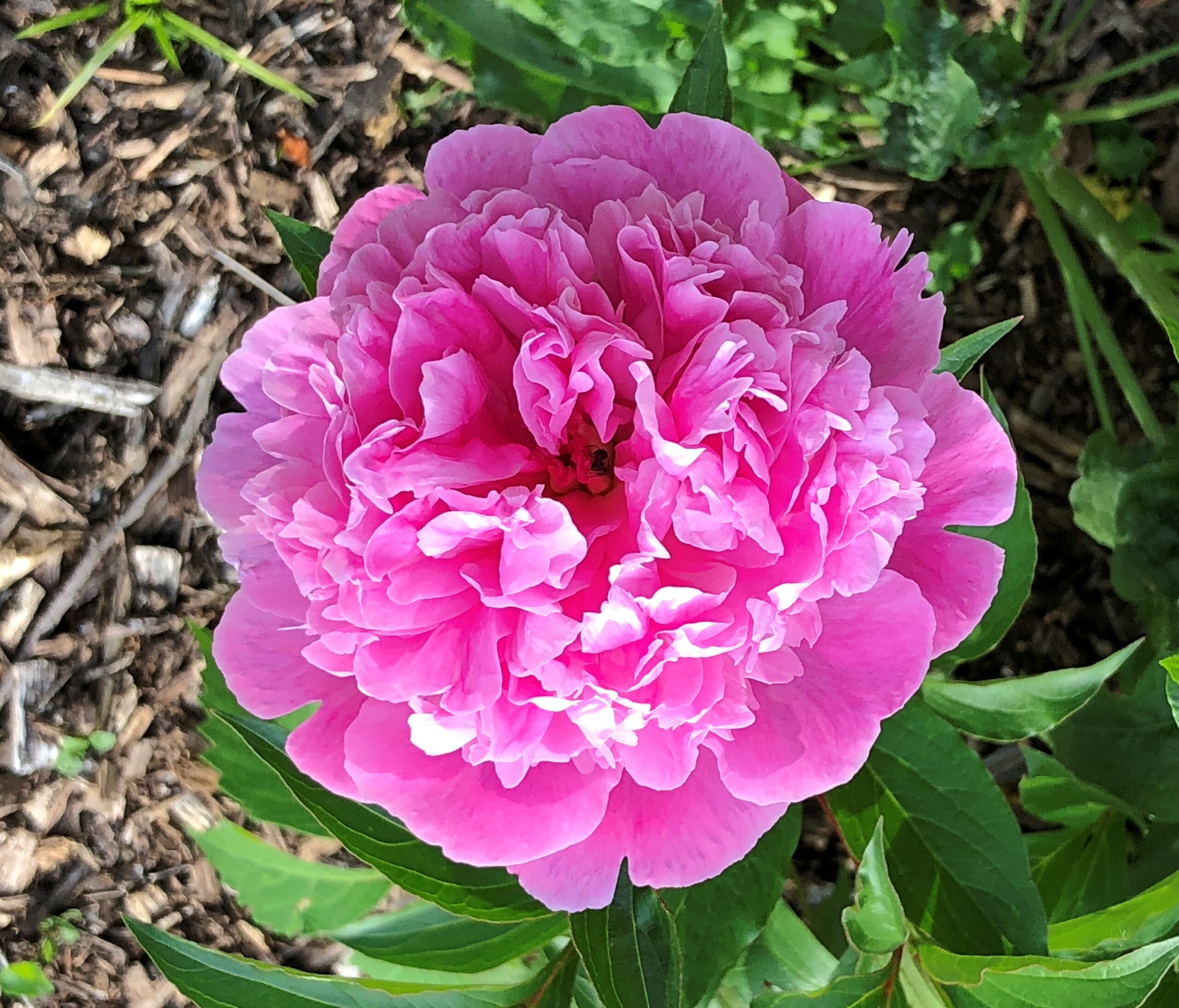
The blooms.
Digital cameras make astonishing images sometimes, but still pale compared to an eye view.
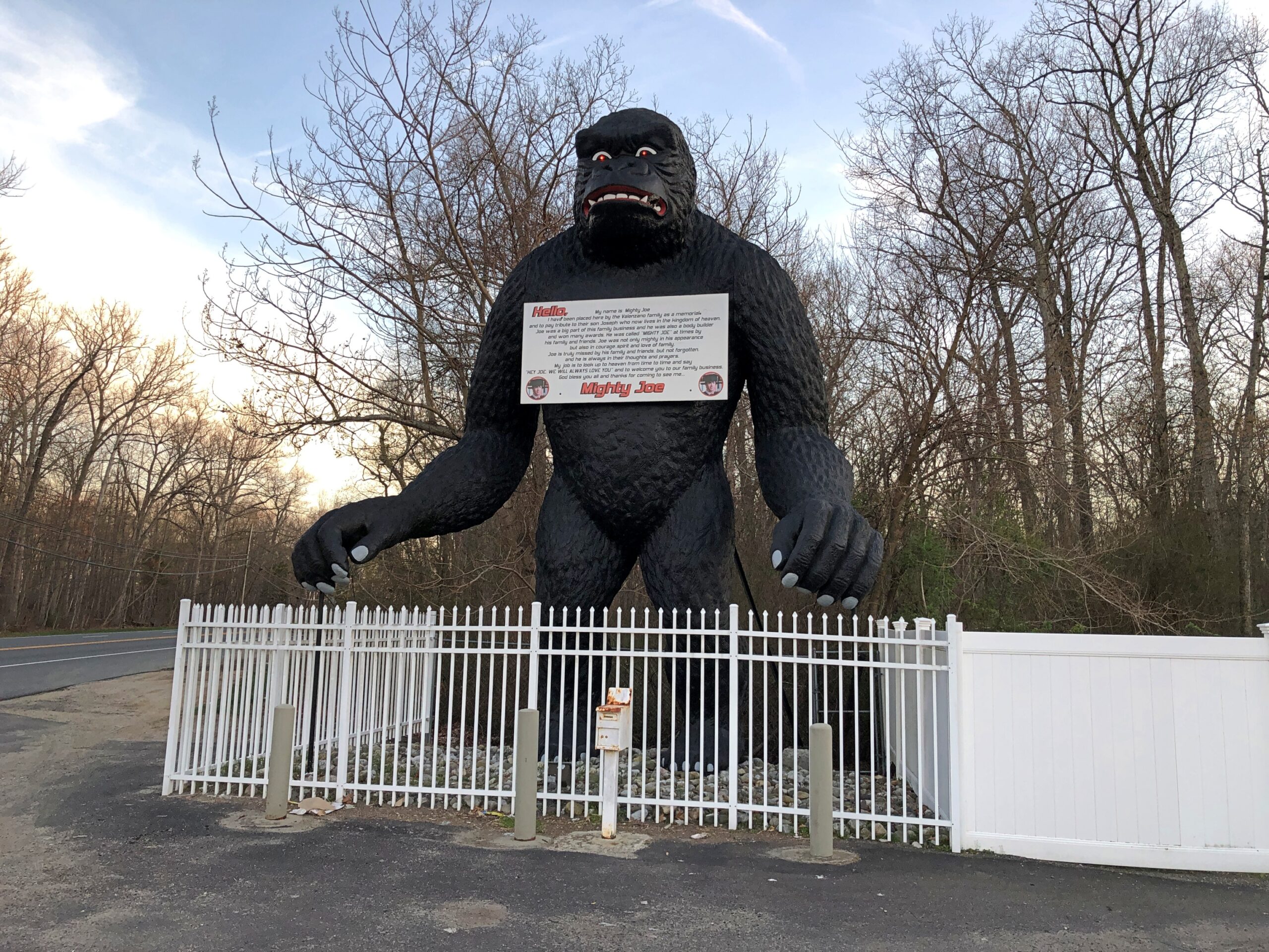
Down in South Jersey earlier this month, I didn’t see the Jersey Devil. I did see Mighty Joe.
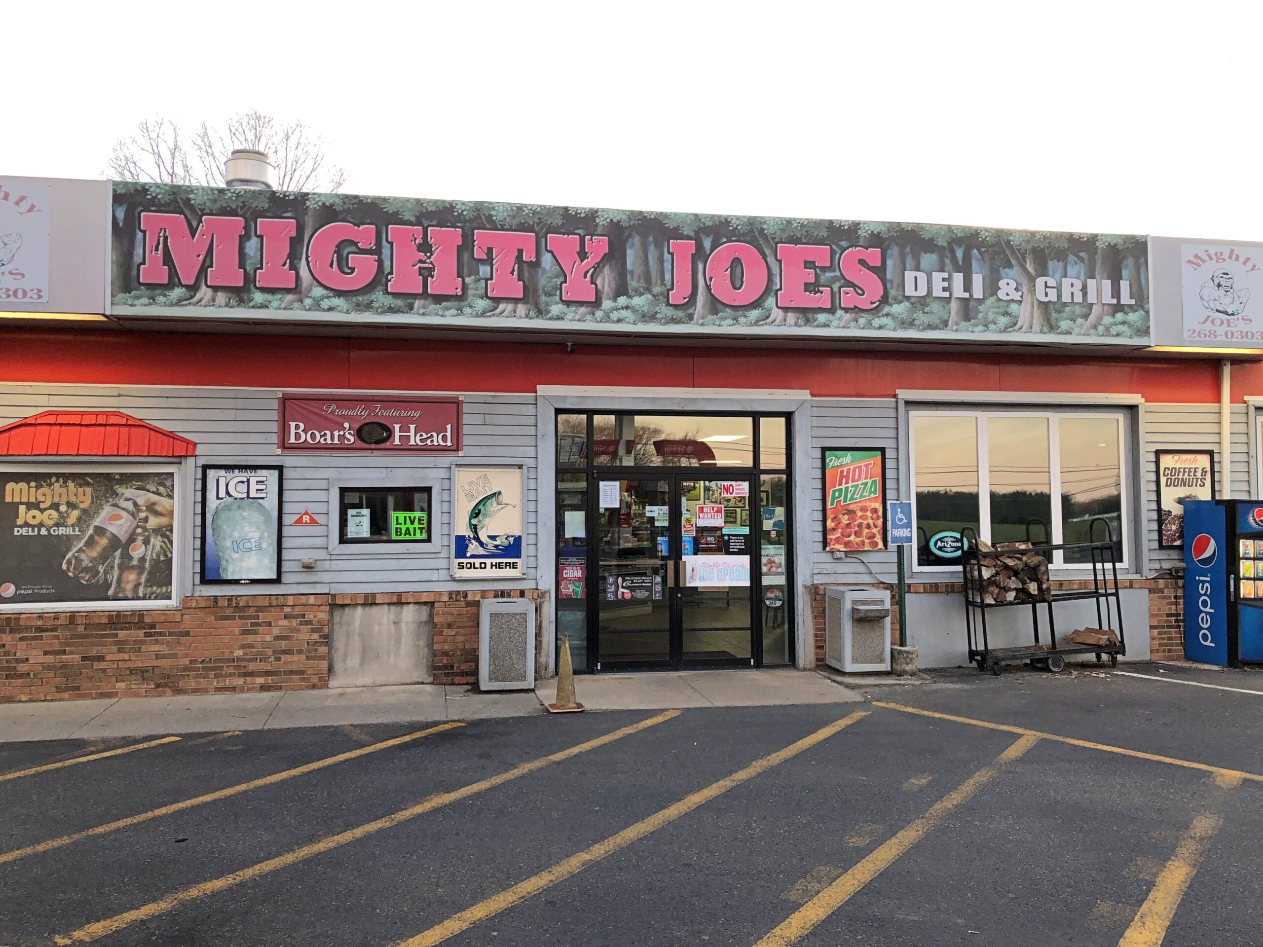
He counted as my introduction to the Pine Barrens, standing at a convenience store on US 206 in Indian Mills, Shamong Township, New Jersey. His story, which Roadside America tells well, began in Spain – really? – though immigrant Mighty Joe apparently has spent most of his existence in New Jersey as a commercial mascot of one kind or another. He’s still that, but also a memorial to the son of the store’s owner, Larry Valenzano, according to the sign on the gorilla’s chest. The younger Valenzano, a body builder nicknamed Mighty Joe, died of cancer in 1999.
I didn’t stop for Joe heading south on US 206. Can’t stop for everything. I figured I wouldn’t see him on my return to Trenton either, since I was planning to return on smaller roads through the heart of the Pine Barrens, after visiting Atlantic City. All went according to plan, until I actually got into the heart of the Pine Barrens fairly late in the afternoon of April 9.
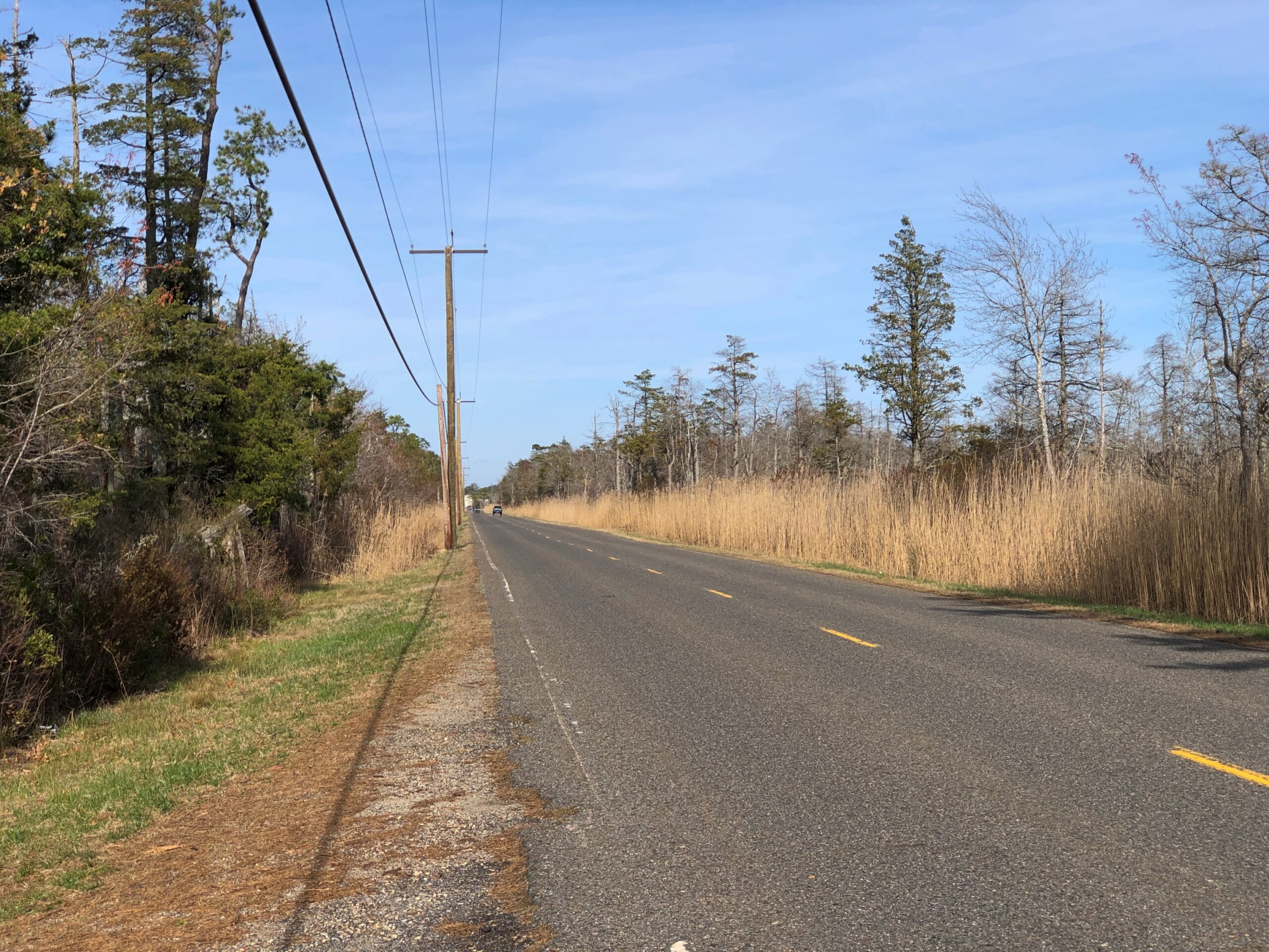
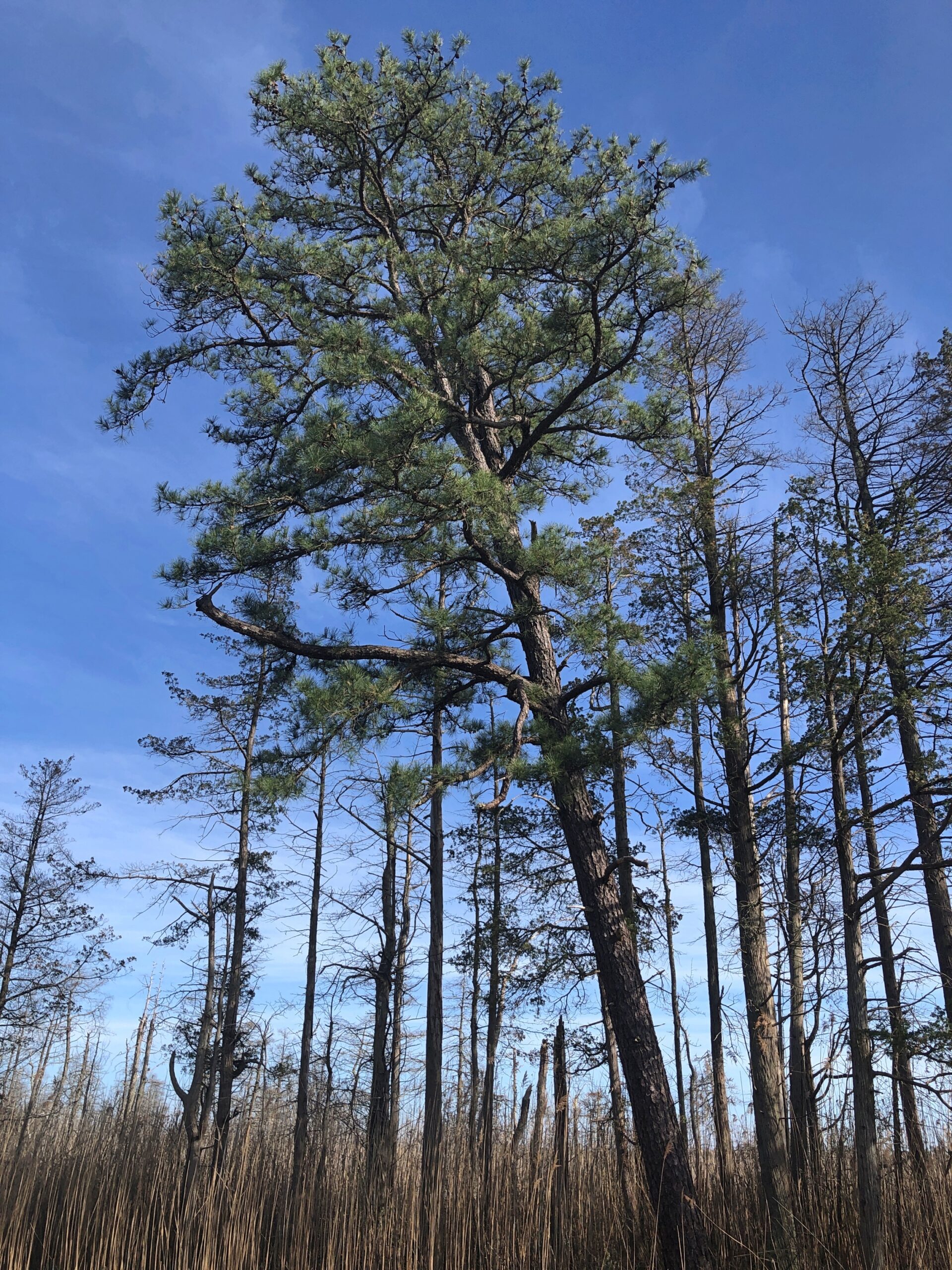
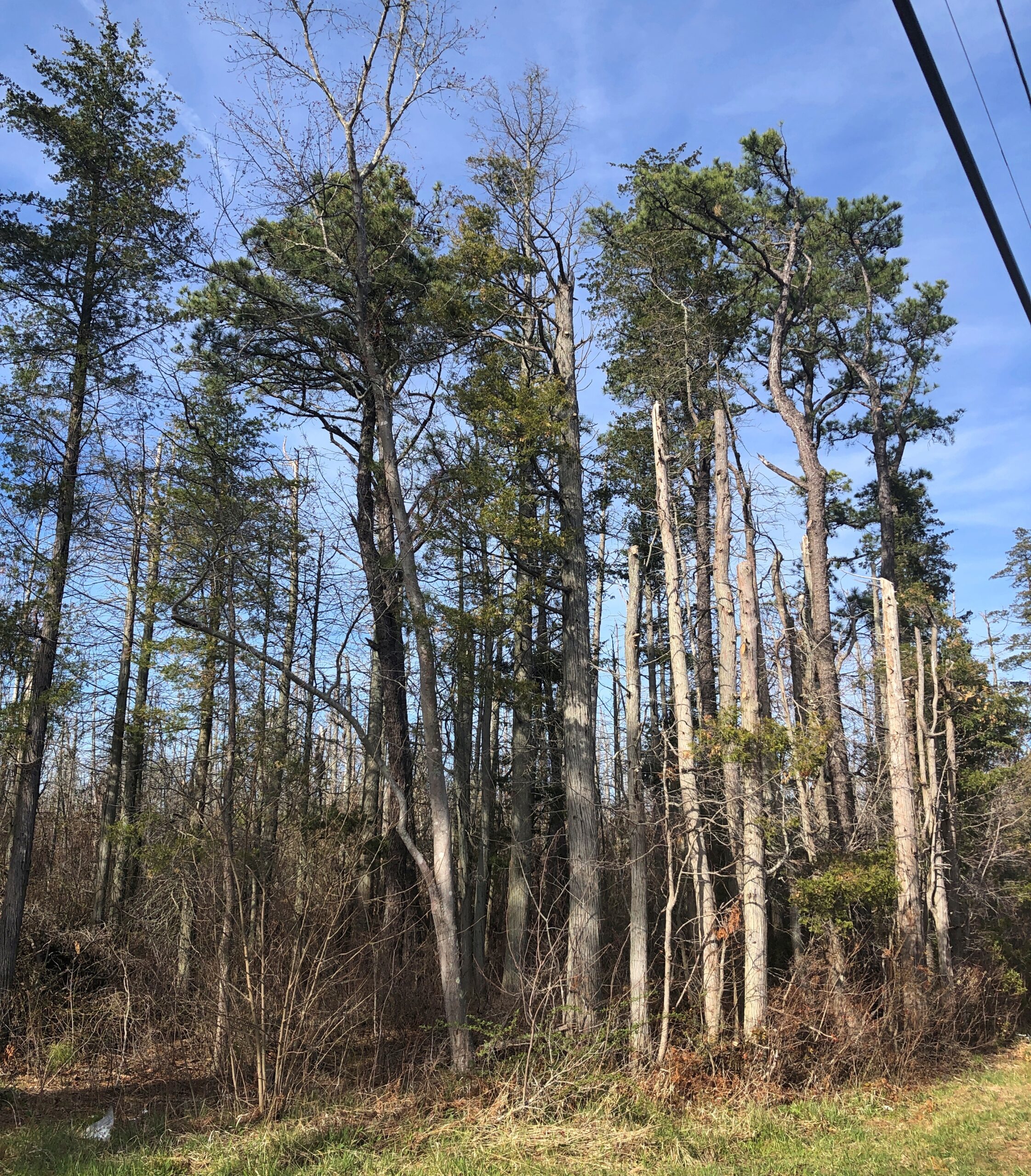
Considering how close you are to Philadelphia and New York, it’s remarkable how remote the Pine Barrens feel. The region, I understand, is the largest surviving forest on the Eastern Seaboard south of Maine’s North Woods, totaling over 800,000 acres.
The region is also called the Pinelands. It certainly fits.
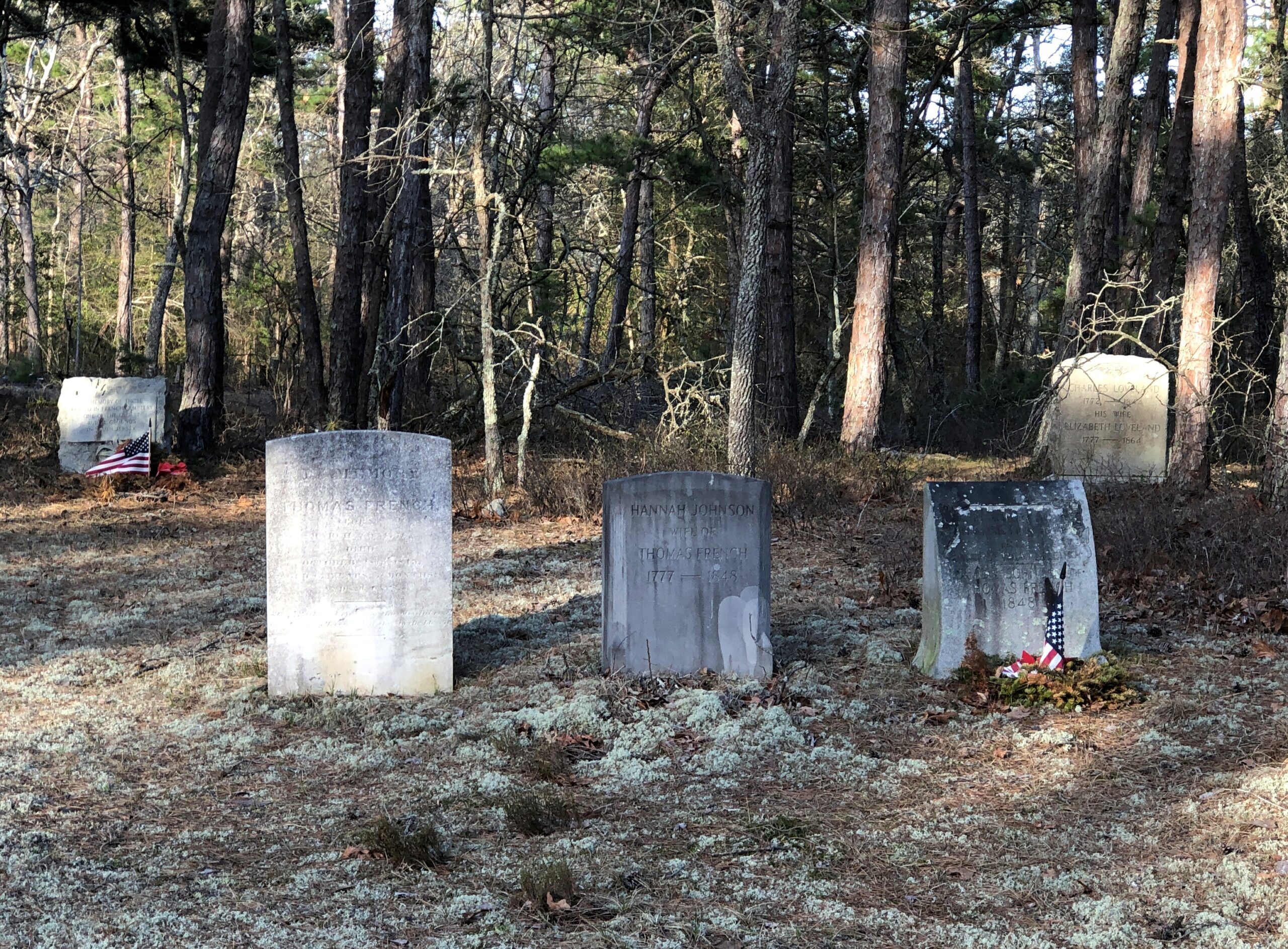
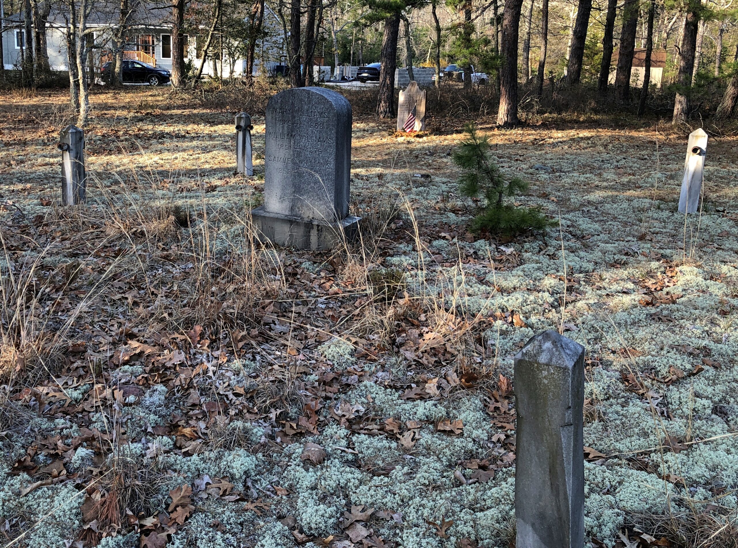
Remote, maybe, but still plenty of signs of human habitation, past and present. I stopped to take my bearings at a wide place in the road, and noticed gravestones.
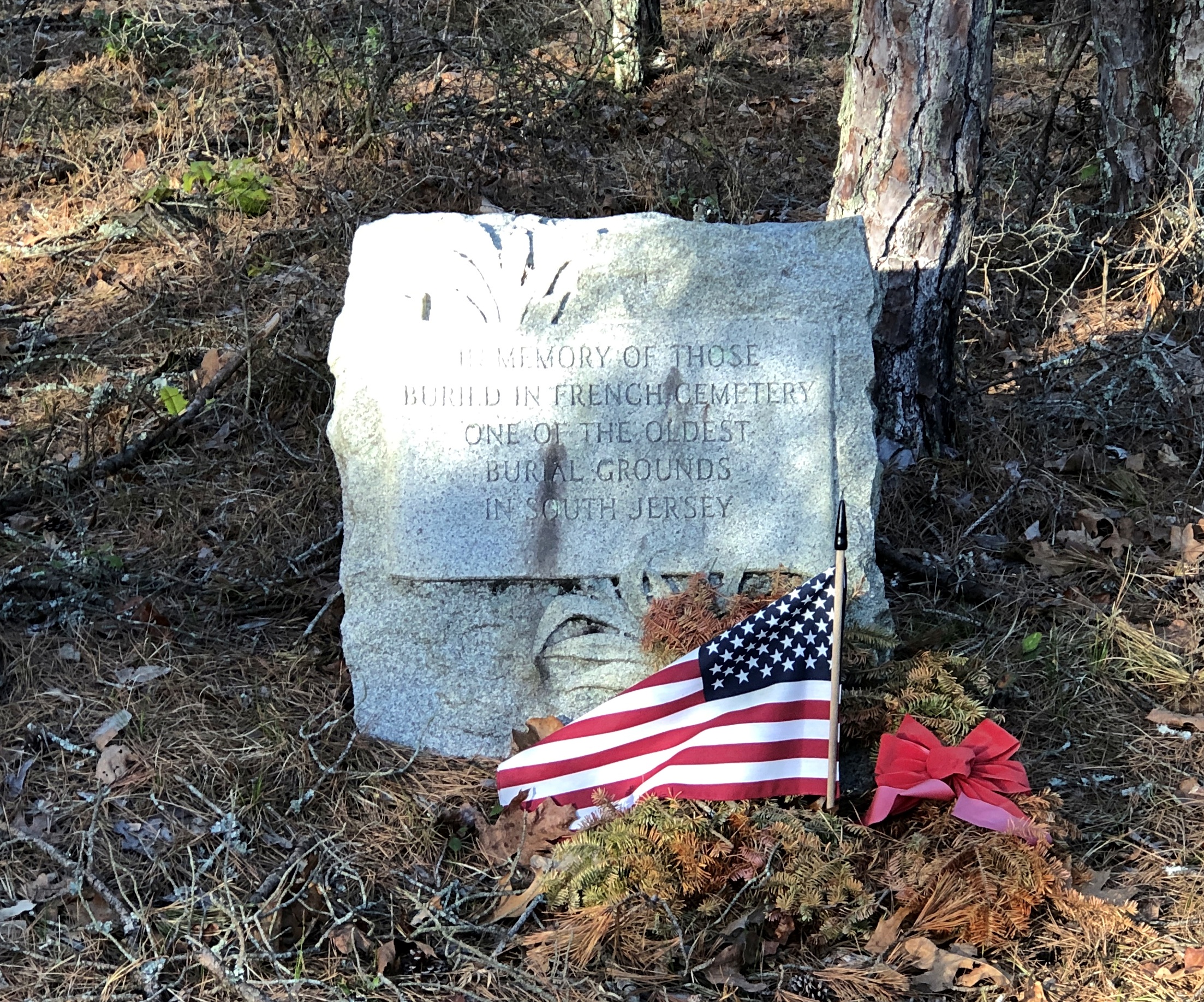
French Cemetery, named for a number of people buried named French, not for their nationality. “One of the oldest burial grounds in South Jersey,” the stone asserts. Could be, but I have no way to check that.
Interesting little spot anyway, northeast from Egg Harbor City and past the Mullica River and near the Wading River. Or was that the actual location? I was traveling on marked county roads, but pretty soon I started seeing county road signs covered with black plastic bags, next to newer signs. I can only guess, but I think that meant a recent change in the numbering of the county roads.
That further meant that both my paper and electronic maps were wrong – in as much detail as they had anyway, which wasn’t a lot. “Lost” is too strong a word, but I’d say I was disoriented in a web of meandering, ill-marked roads. I stopped more than once among the pines of the Pinelands to try to figure out a better course.
Then it occurred to me: I remembered seeing some of the exit numbers on highways near Trenton had been changed, too. I’m speculating, but I think that had something to do with my GPS going just a little funny in the head the night before. Damn it, New Jersey.
Eventually I worked my way back toward Egg Harbor City, a sizable town on US 30, which connects with US 280, which goes straight back to Trenton; the way I’d come. That’s how I was able to stop to see Mighty Joe.
Even so, I happened across a few places in the Pinelands to stop, especially Batsto Village, site of the former Batsto Iron Works.
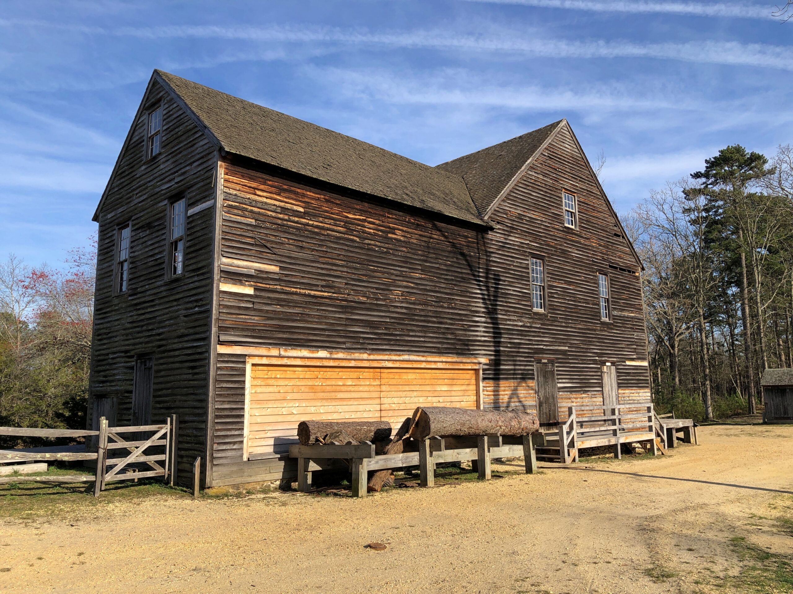
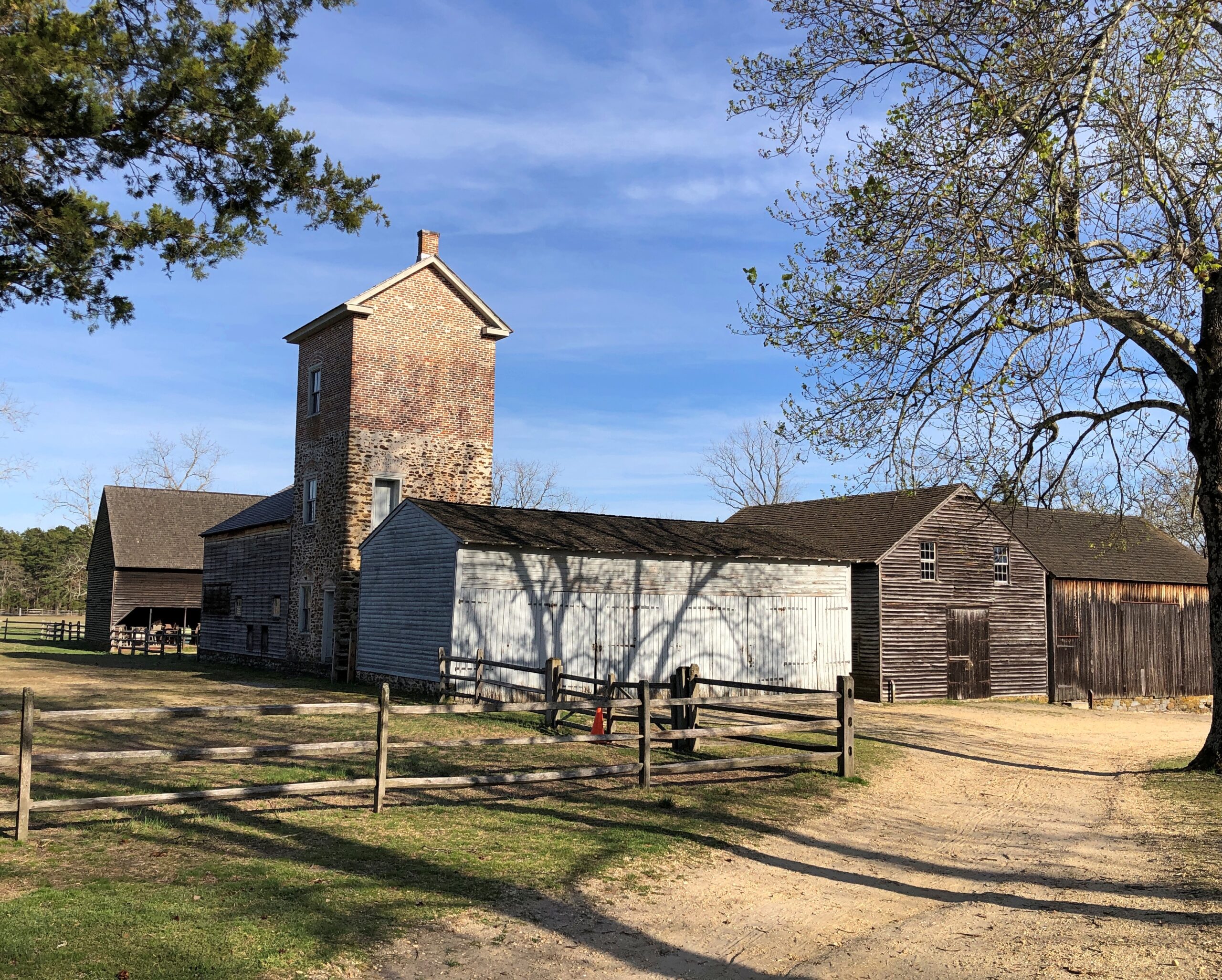
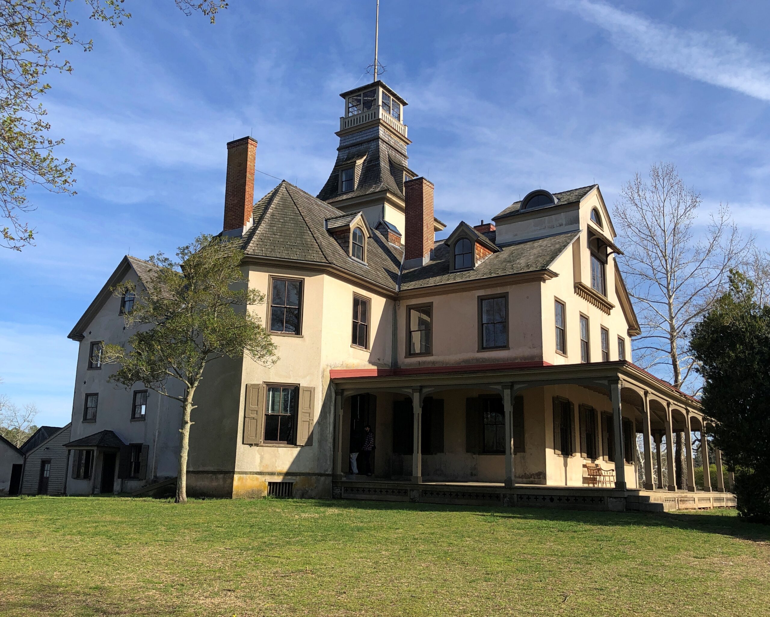
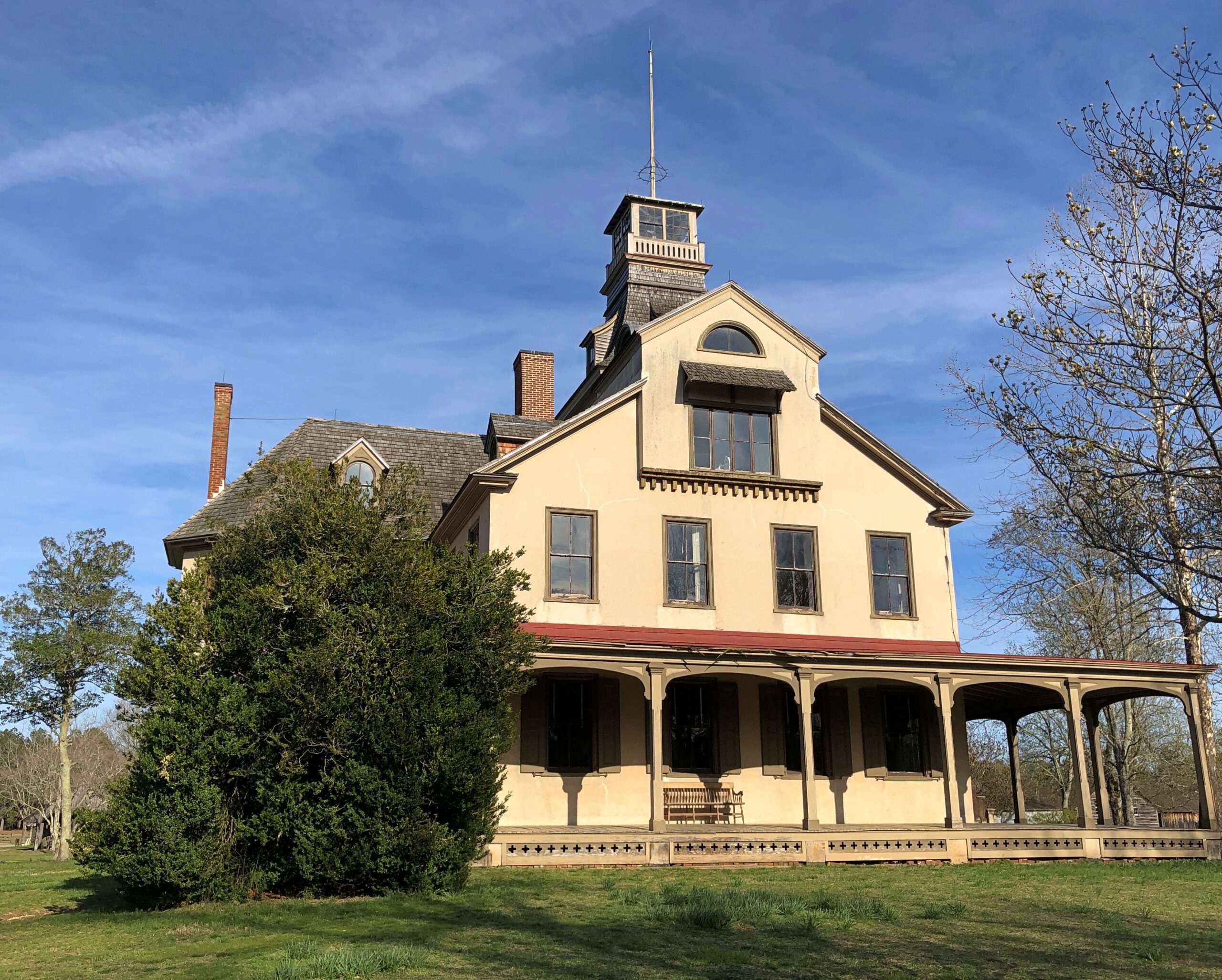
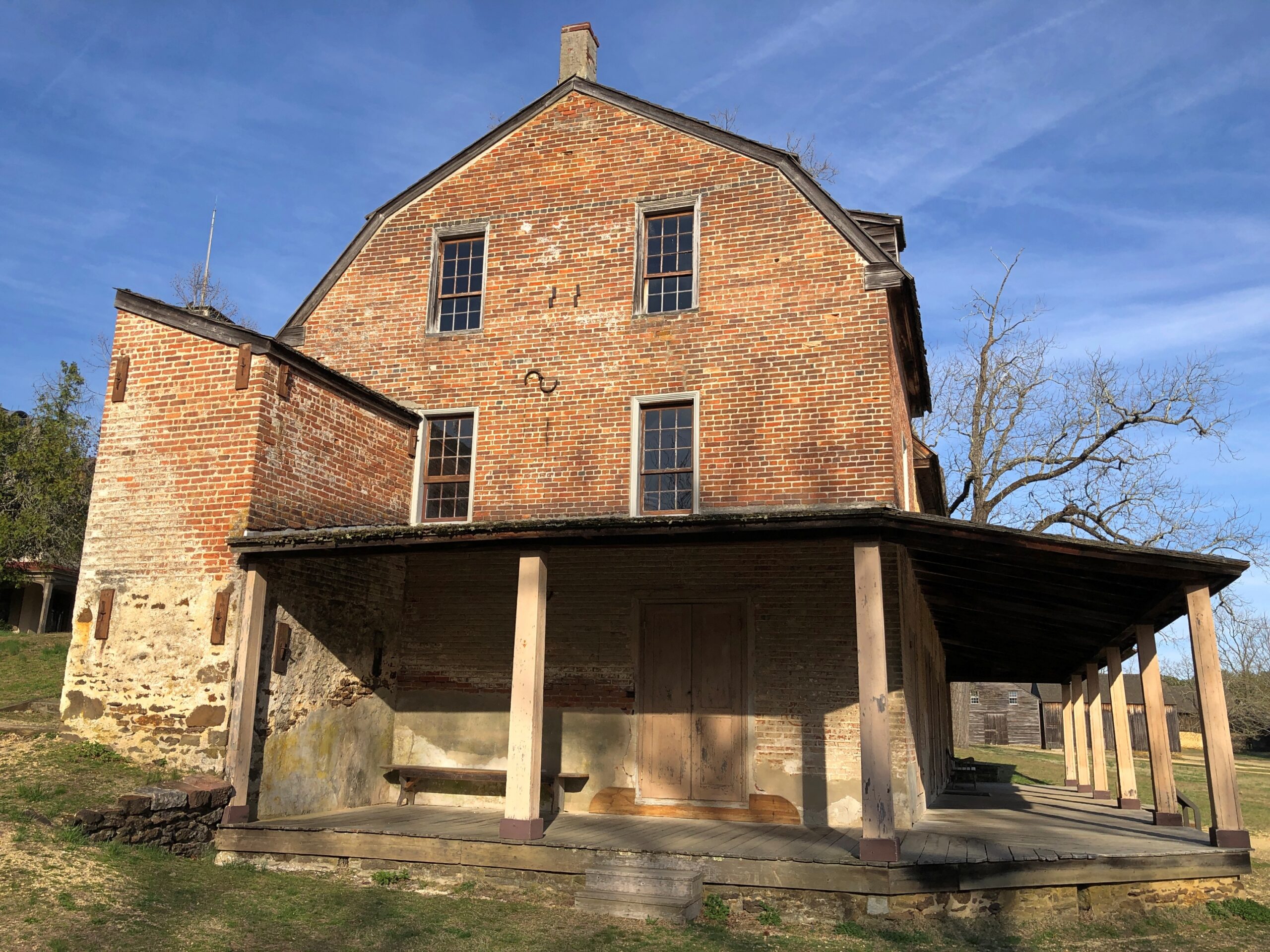
Most of the open-air museum buildings are 19th century, but the Batsto Iron Works had roots that went back to Colonial times. Some enterprising early NJ settlers found bog iron in the area. By the 19th century, the iron smelting was doing well enough to support a company town, including of course the boss’s house.
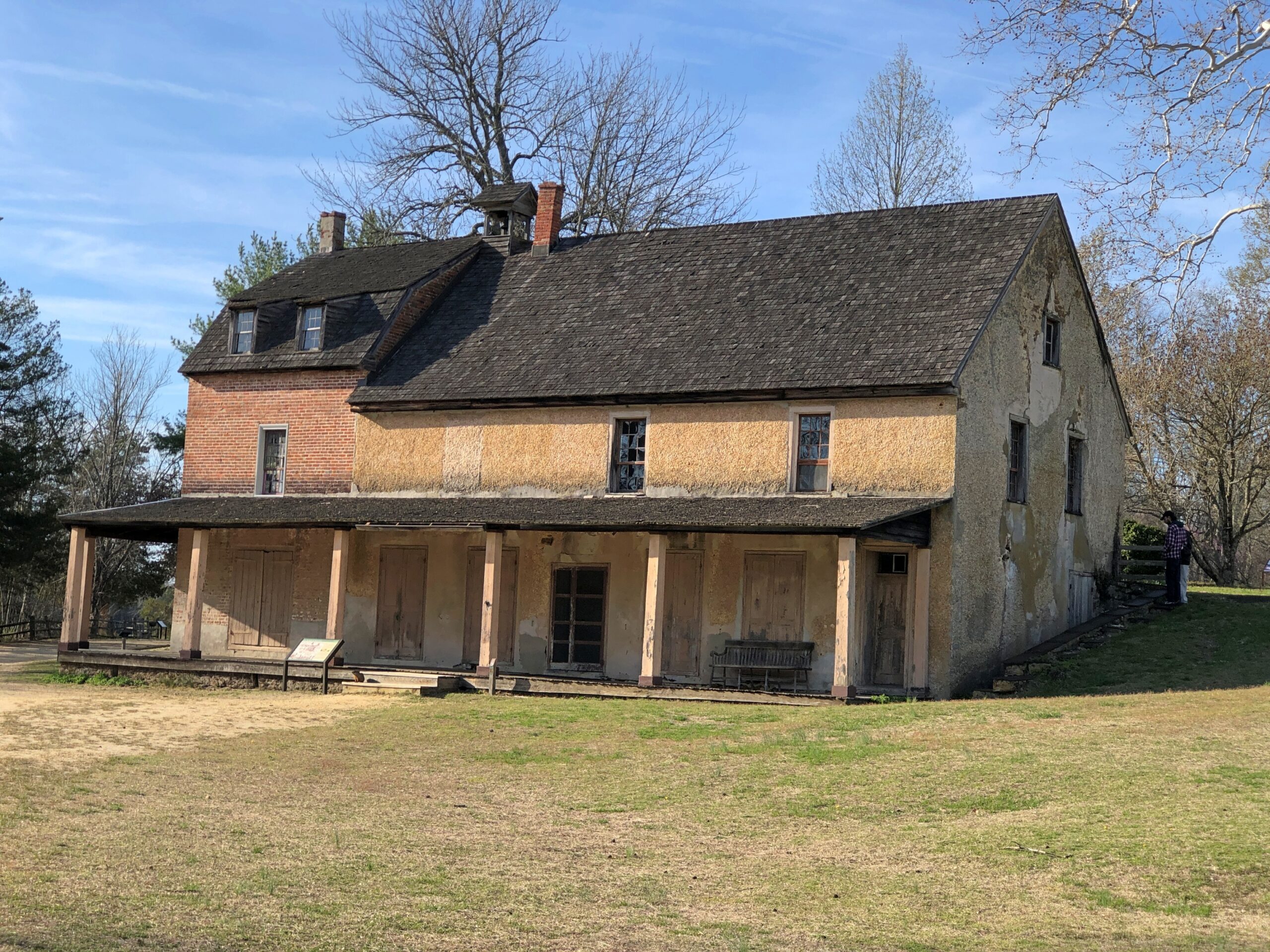
The company store.
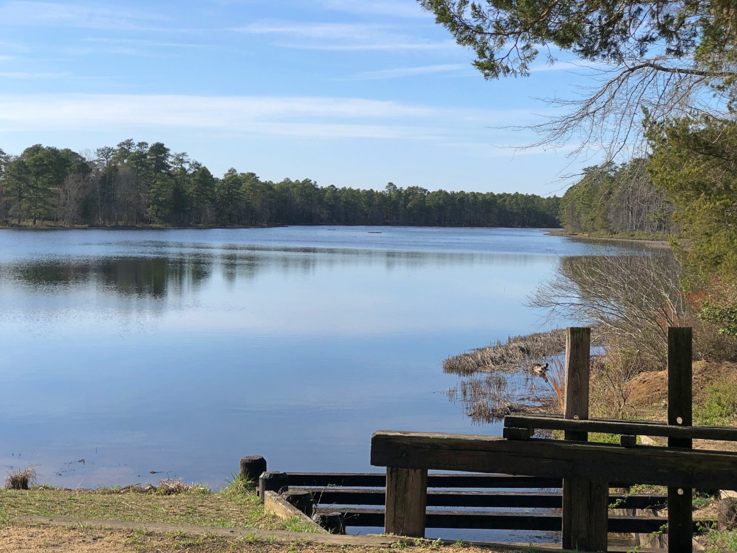
The company paid in script until the workers were organized enough to demand legal tender for their labor. Unlike at Fayette Historic State Park in Michigan, the actual industrial facility, the 19th-century blast furnace, is long gone. The place has a good-looking lake, however. Created by a small dam on Batsto River to harness the water for the sawmill.
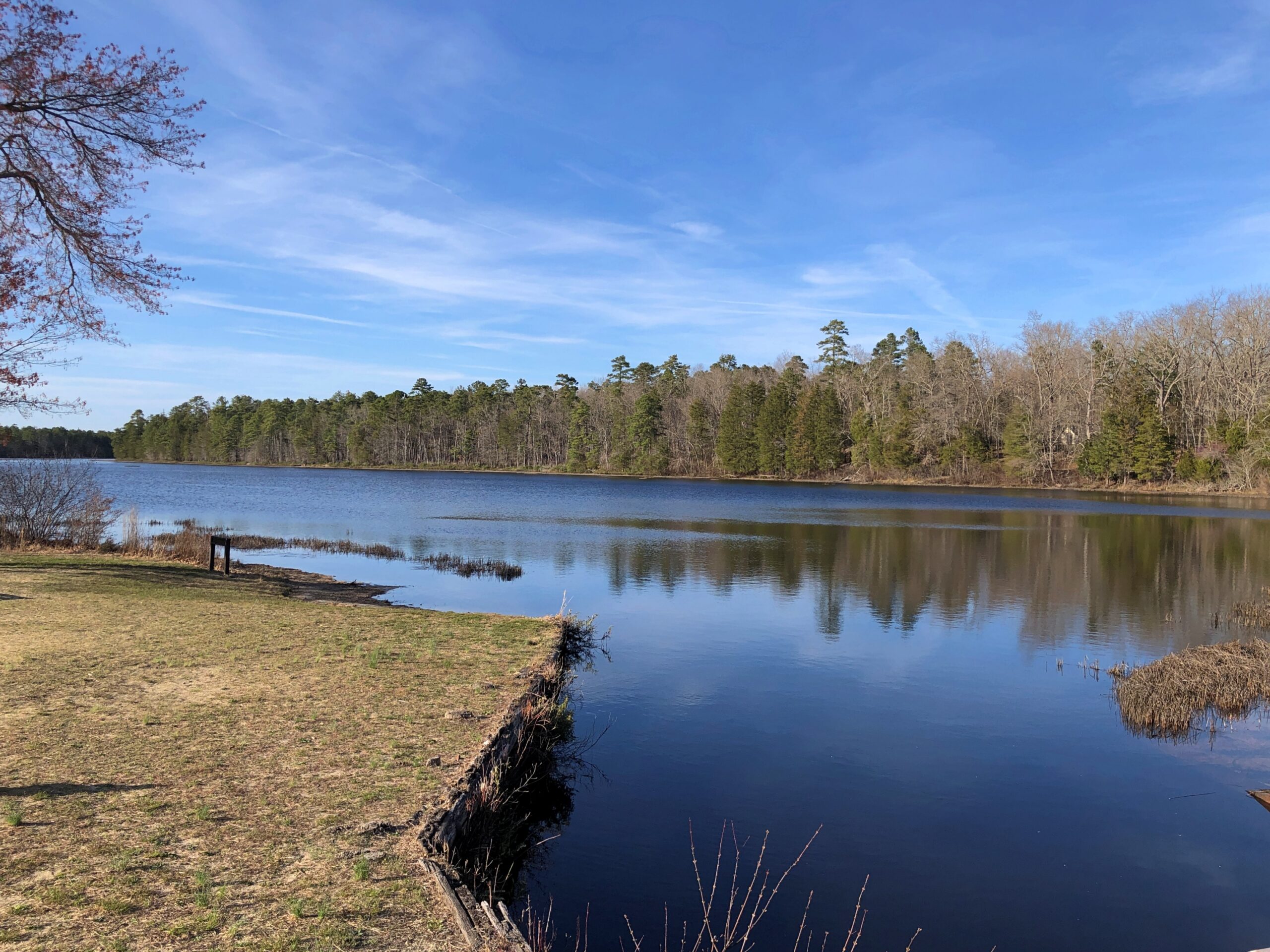
A vista that says New Jersey? Yes, but not the New Jersey of song and story.
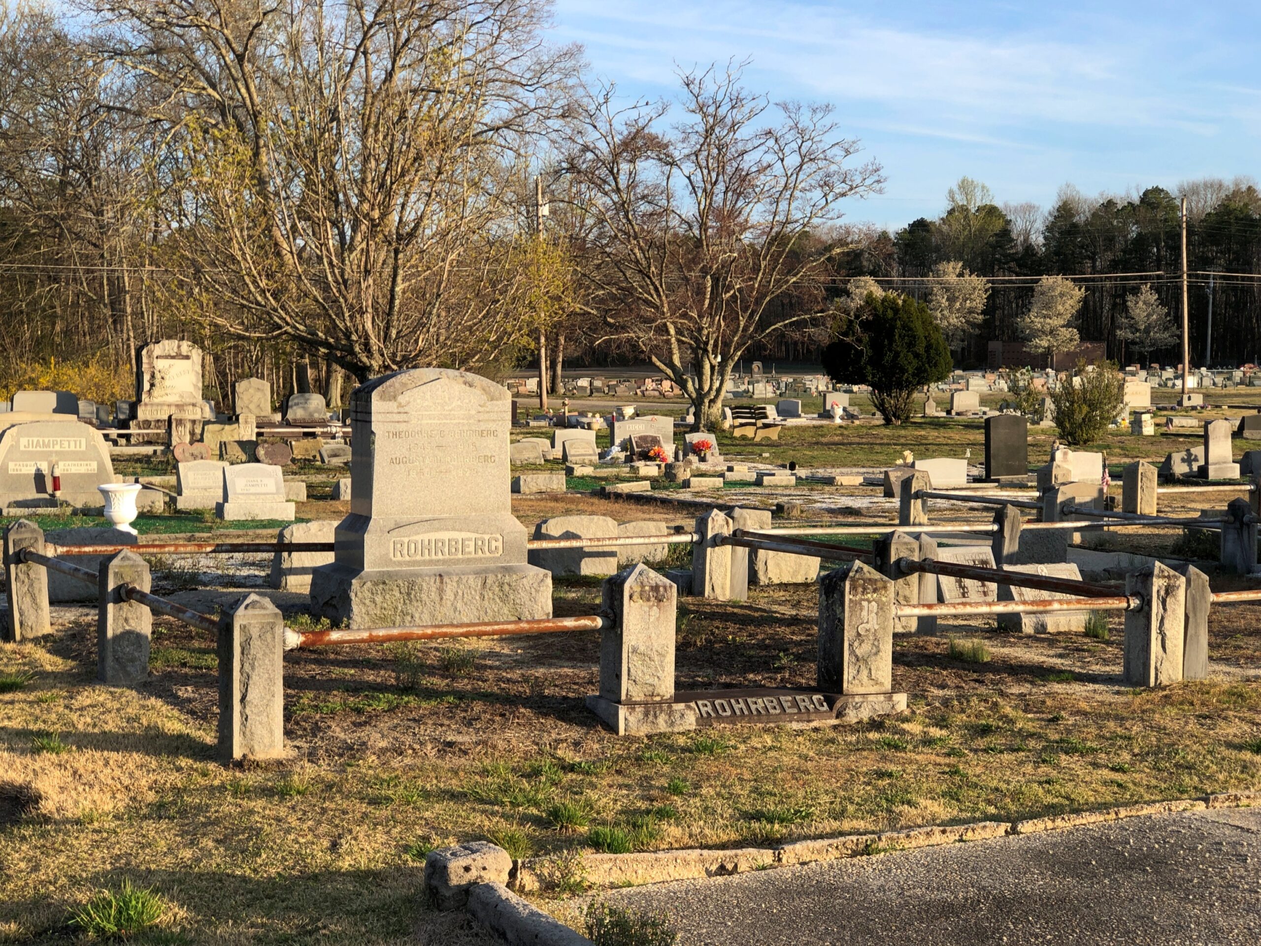
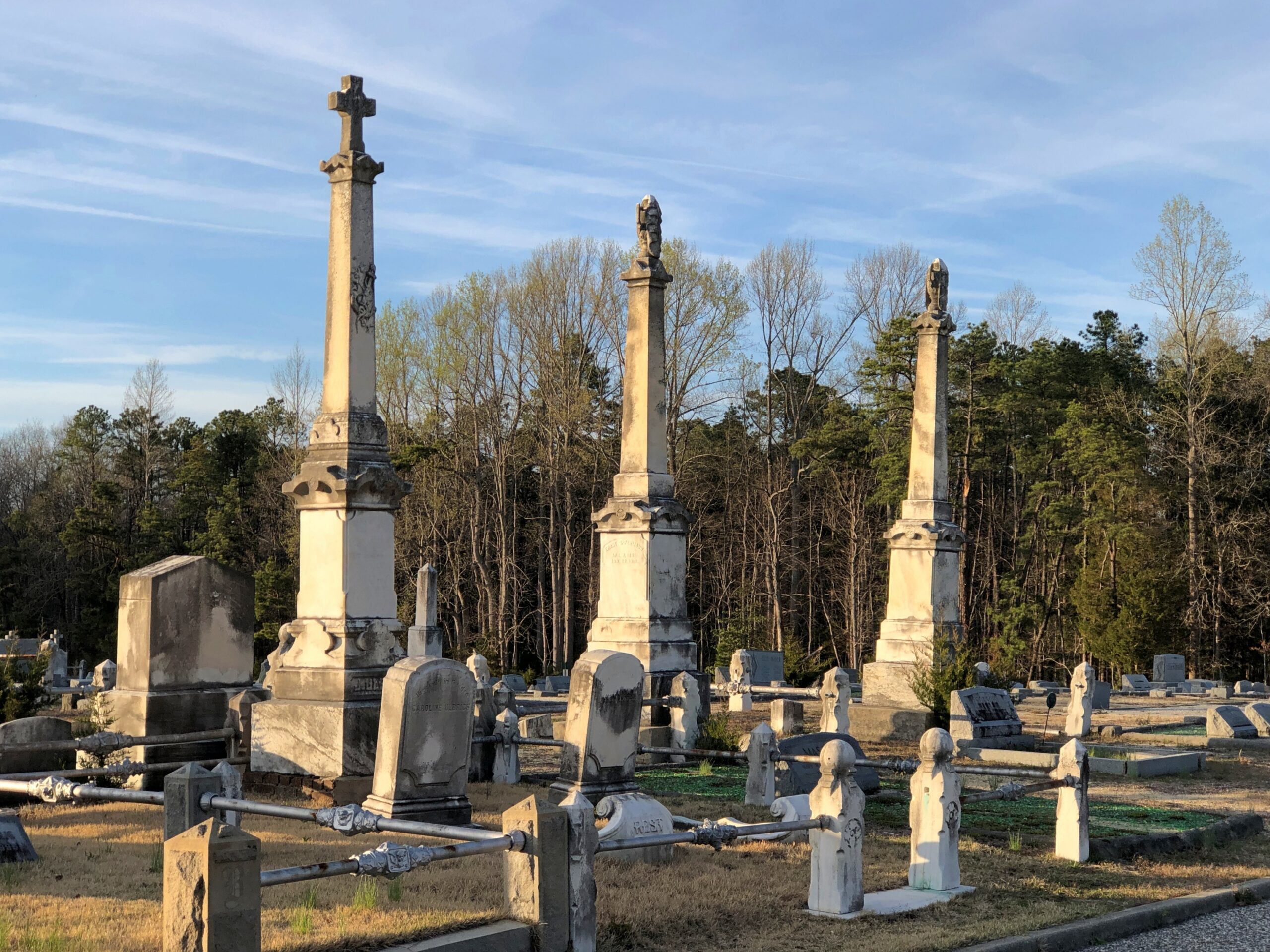
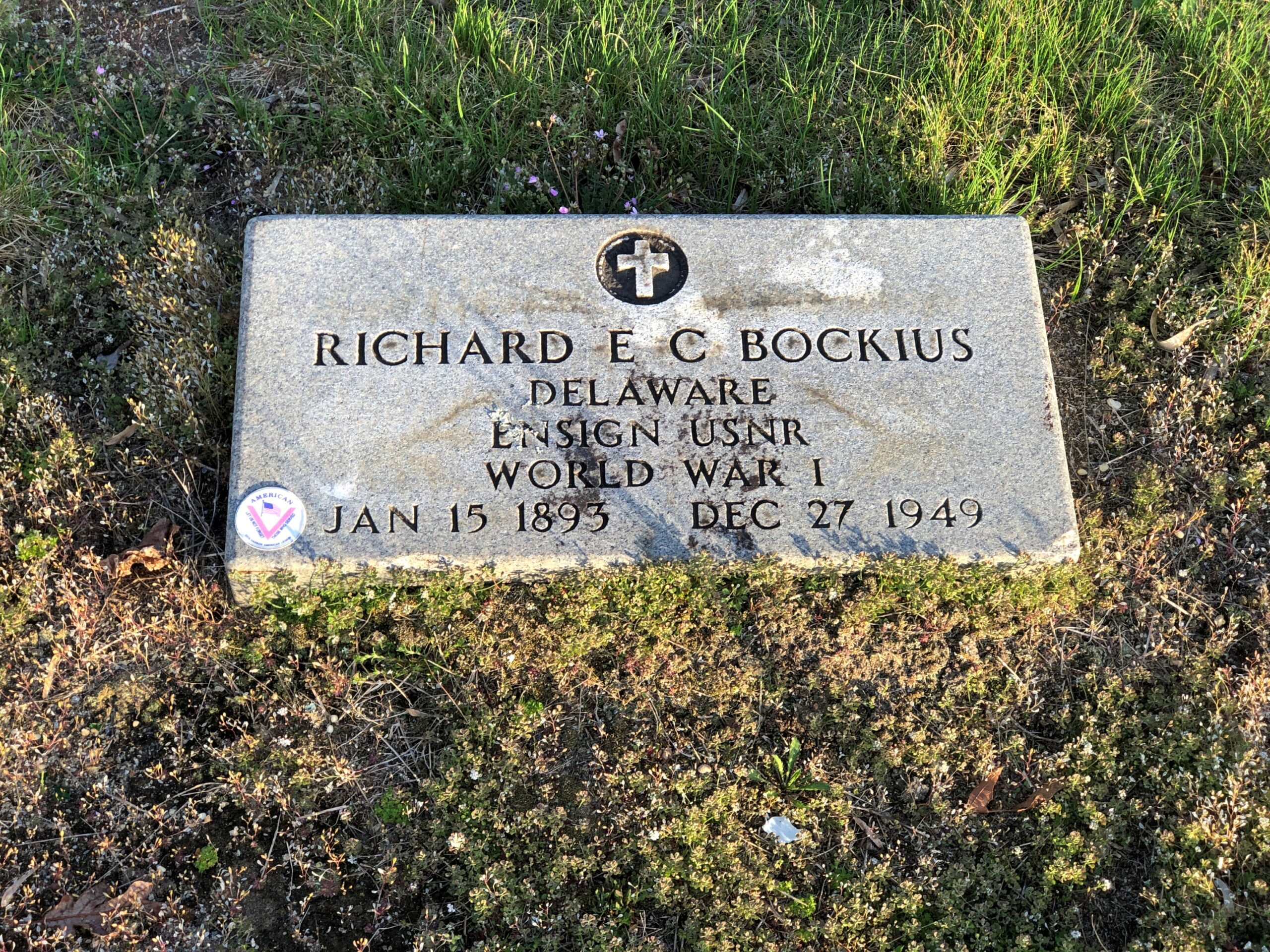
Back in Egg Harbor City (pop. 4,442), I chanced across the Egg Harbor City Cemetery – another reason to leave the GPS inactive most of the time. If the box tells you where to go, you’ll miss minor misdirections that take you to unexpected places.
I’ve come up with my next approach to traversing the Pine Barrens. There will be a next time, provided my health holds out. That’s always a contingency these days, but anyway the approach can’t be as rational as trying to plot oneself on a map, or even follow the directions from a machine.
The region isn’t that large. That is, provided your car is gassed and in good running condition, since walking out of the Pine Barrels, even following surfaced roads, seems like a bad idea unless you’ve prepared yourself to do so. Assuming you drive, pick a direction – say east, toward the morning sun – and head that way, hewing to the direction as much as possible. It won’t be too long before you come to a reliably numbered state or US highway. Or in that case, the Garden State Parkway.
Sounds doable. Unless you encounter the Jersey Devil.
Time for spring break. Back to posting around April 26, when it might actually be spring in northern Illinois. There have been a few days recently when I’ve been able to sit out on my deck comfortably, which is my idea of spring, but not that many.
The recent trip to Texas seems like a while ago now. As usual, though, there were many details. A lot more than I can convey, but here are a few more.
Faces
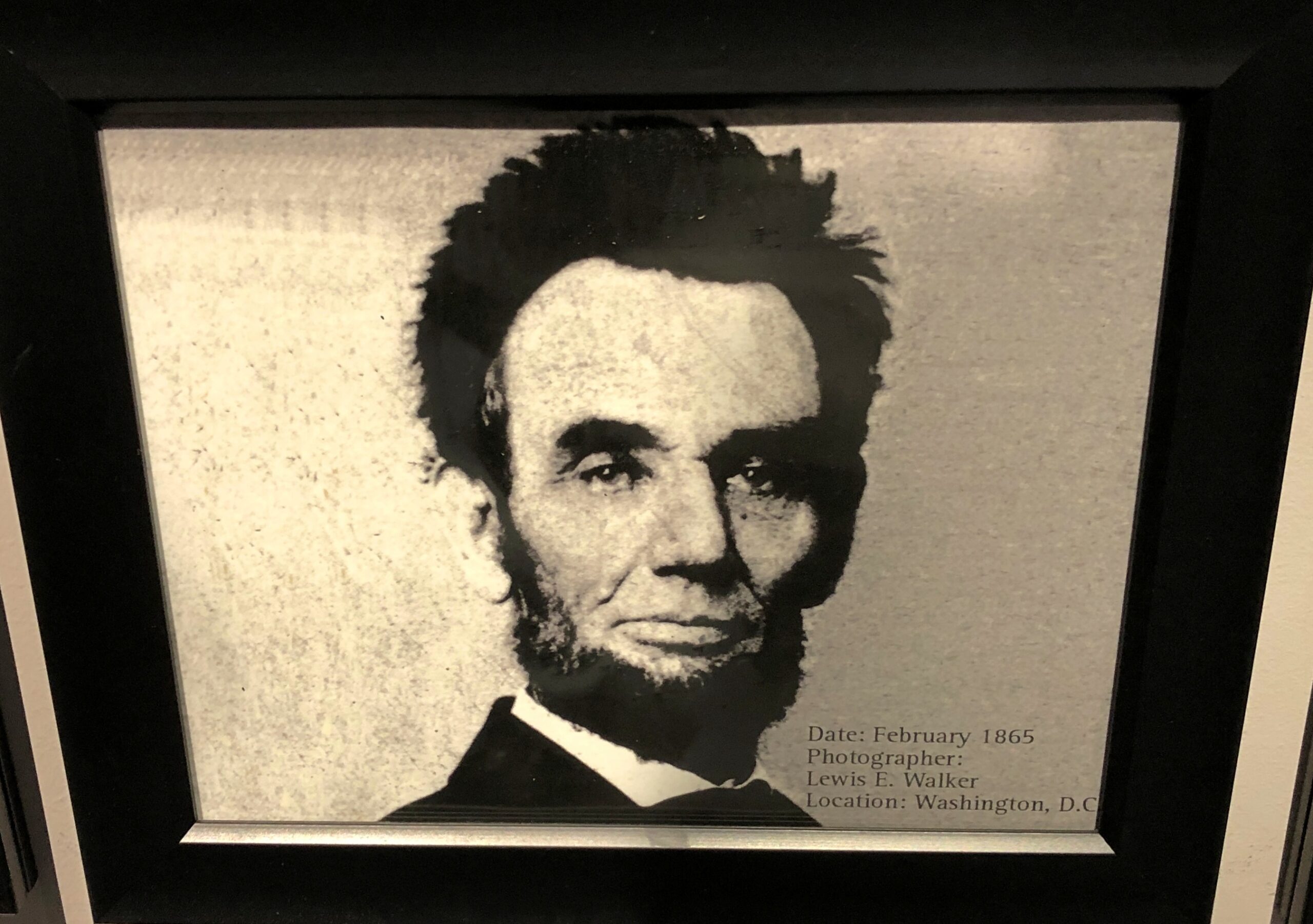
At the National Funeral Museum in Houston, one display featured, chronologically, 20 photographs of Abraham Lincoln. The third to last one, from February 1865, is one you don’t see much.
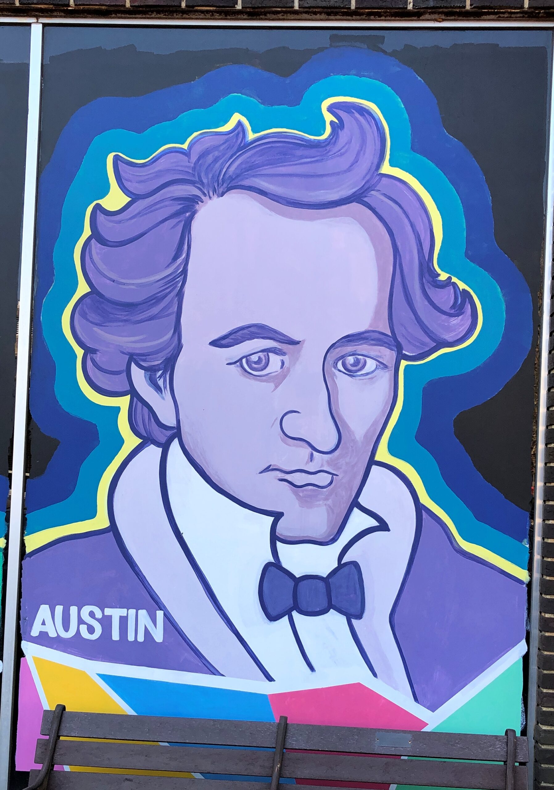
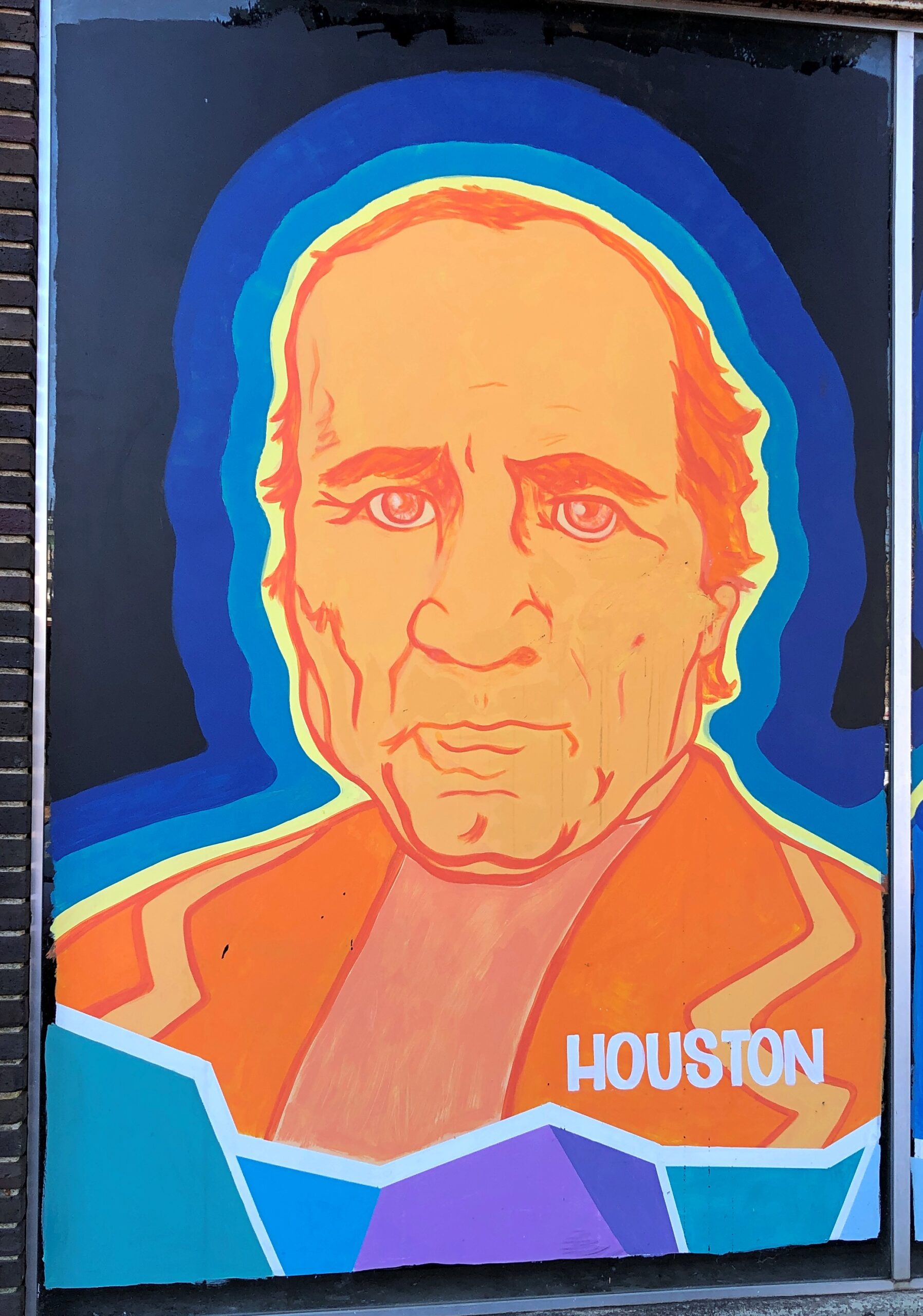
On a wall in downtown Nacogdoches, familiar figures from Texas.
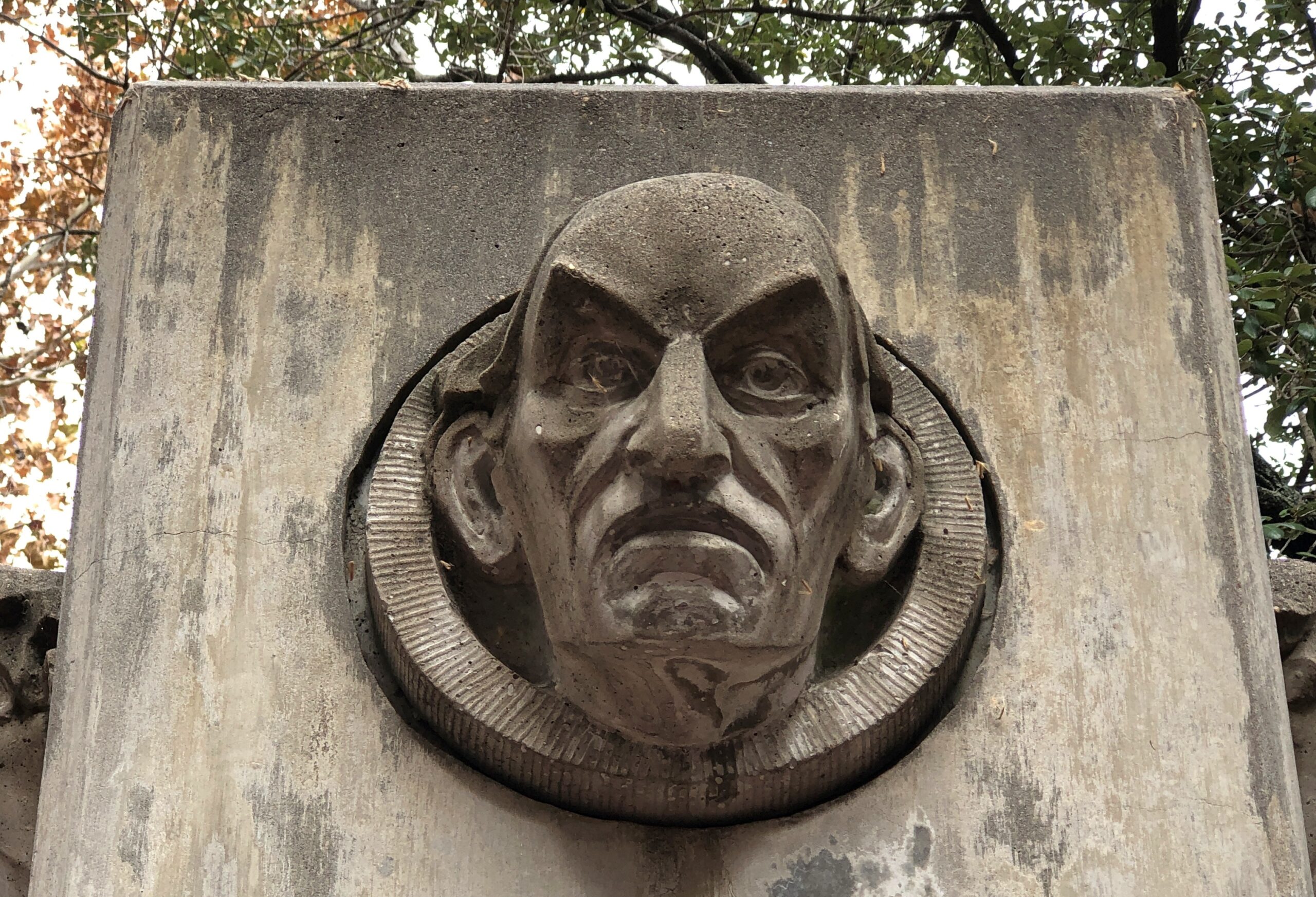
I didn’t work out who this was supposed to be, in downtown Houston. Better that way, I think.
Signs
This place in Austin, well known to Tom, serves most delicious tacos.
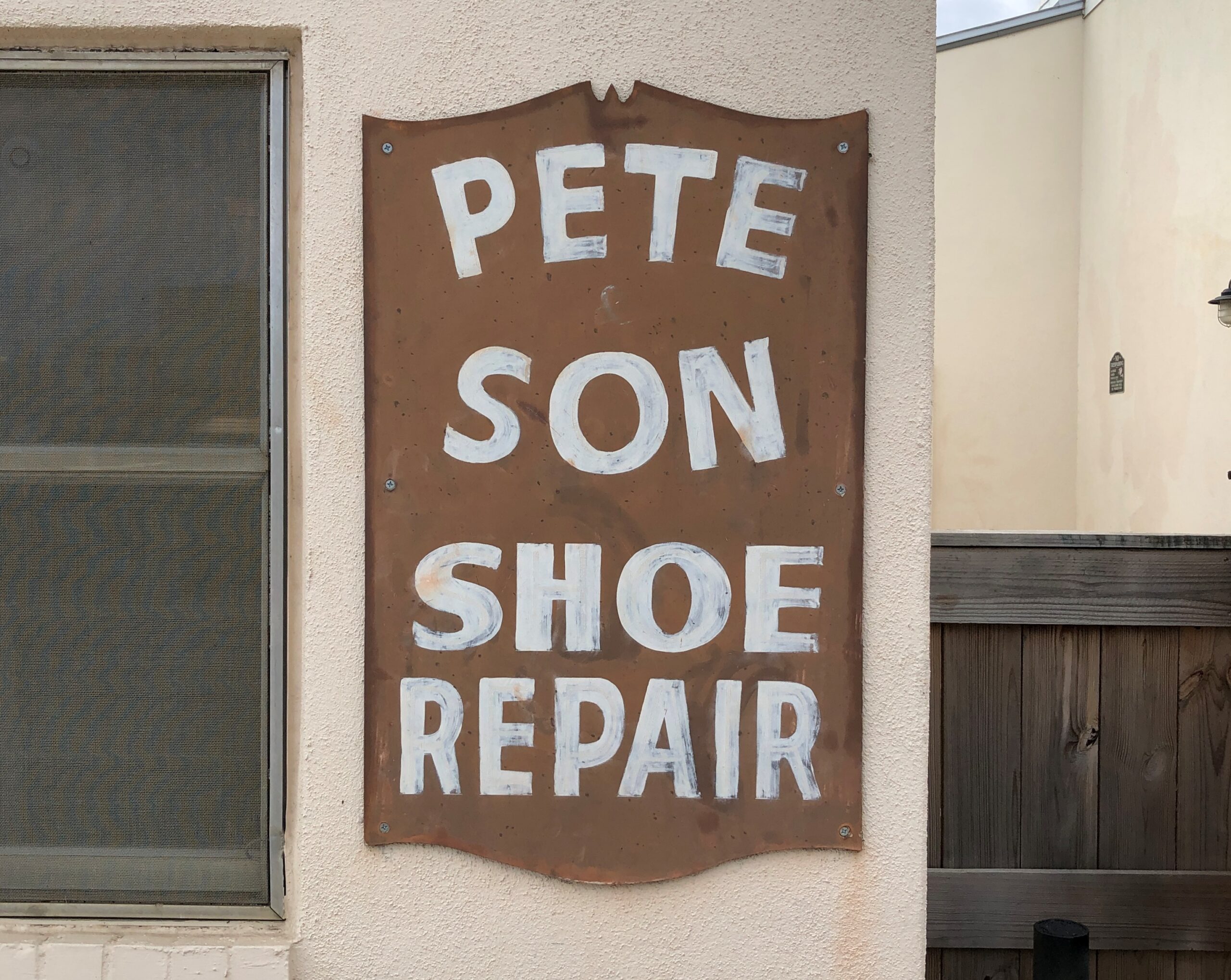
Bastrop: Cobbling runs in the family.
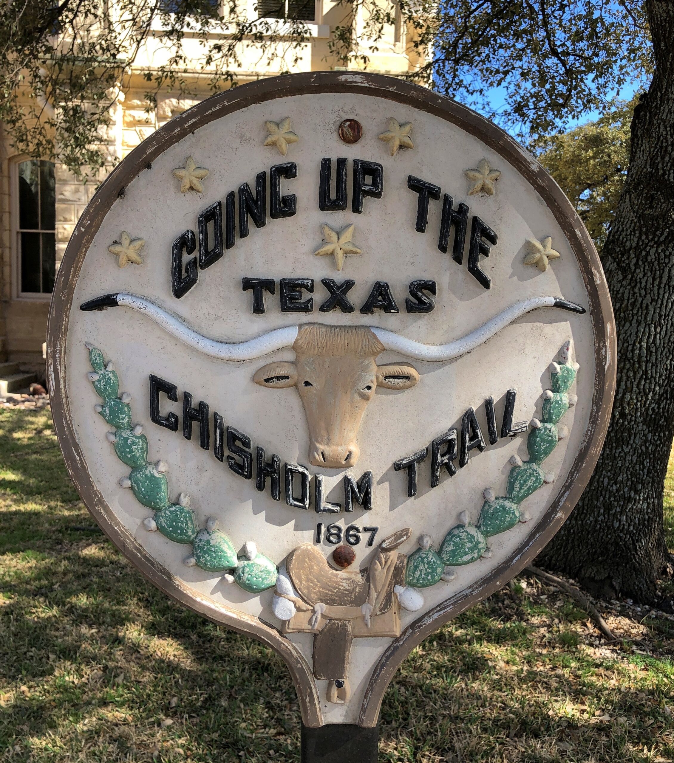
Belton.
Structures
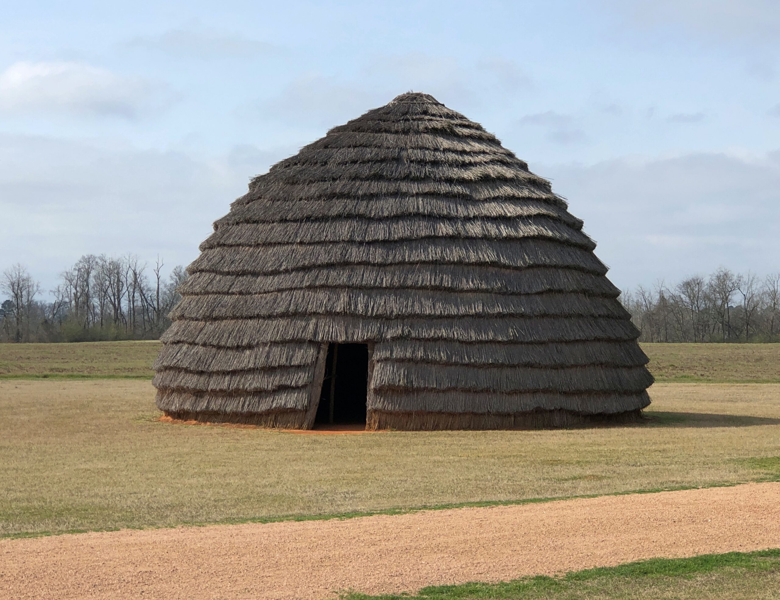
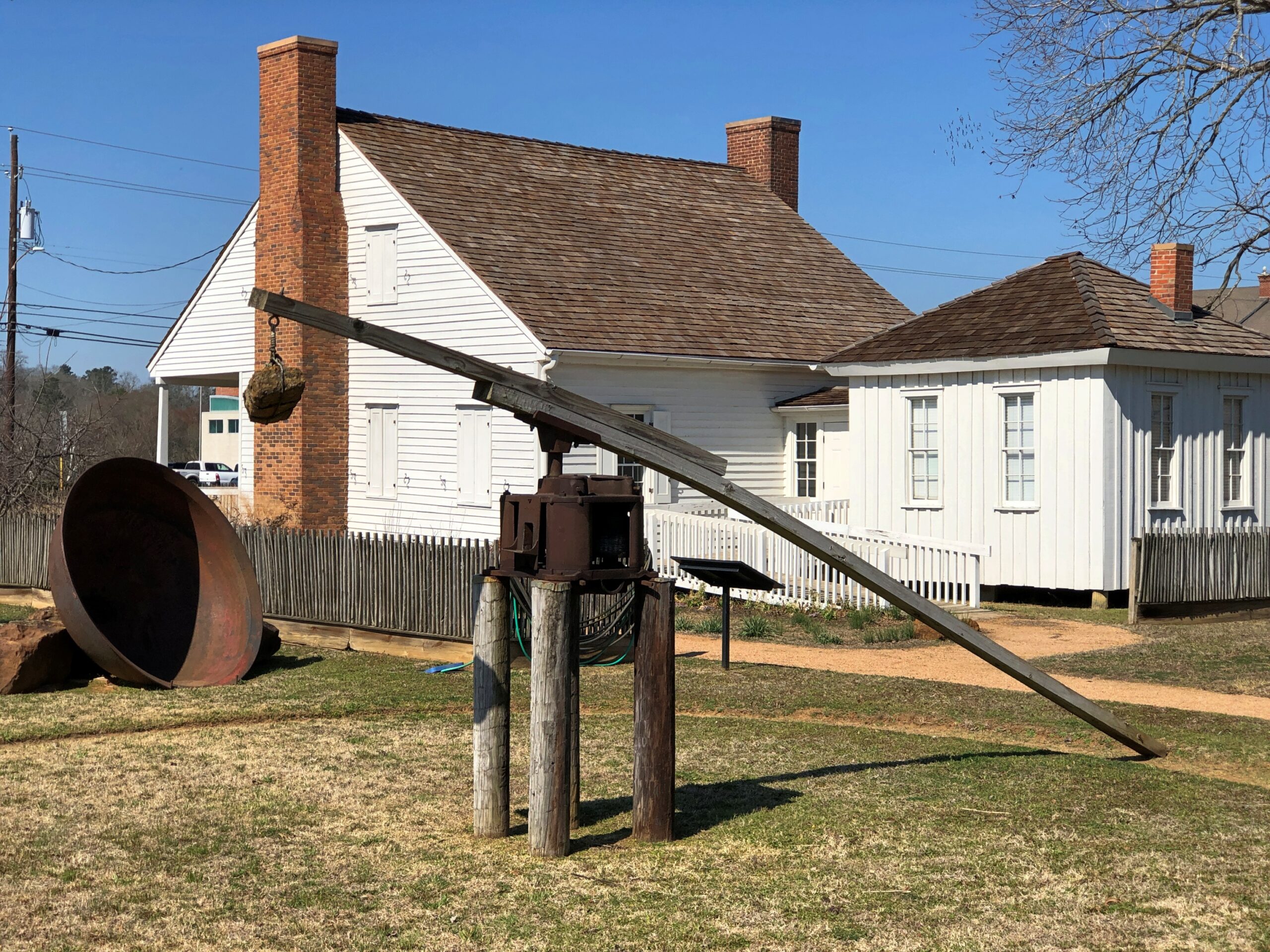
A re-creation of an ancient Caddo home.
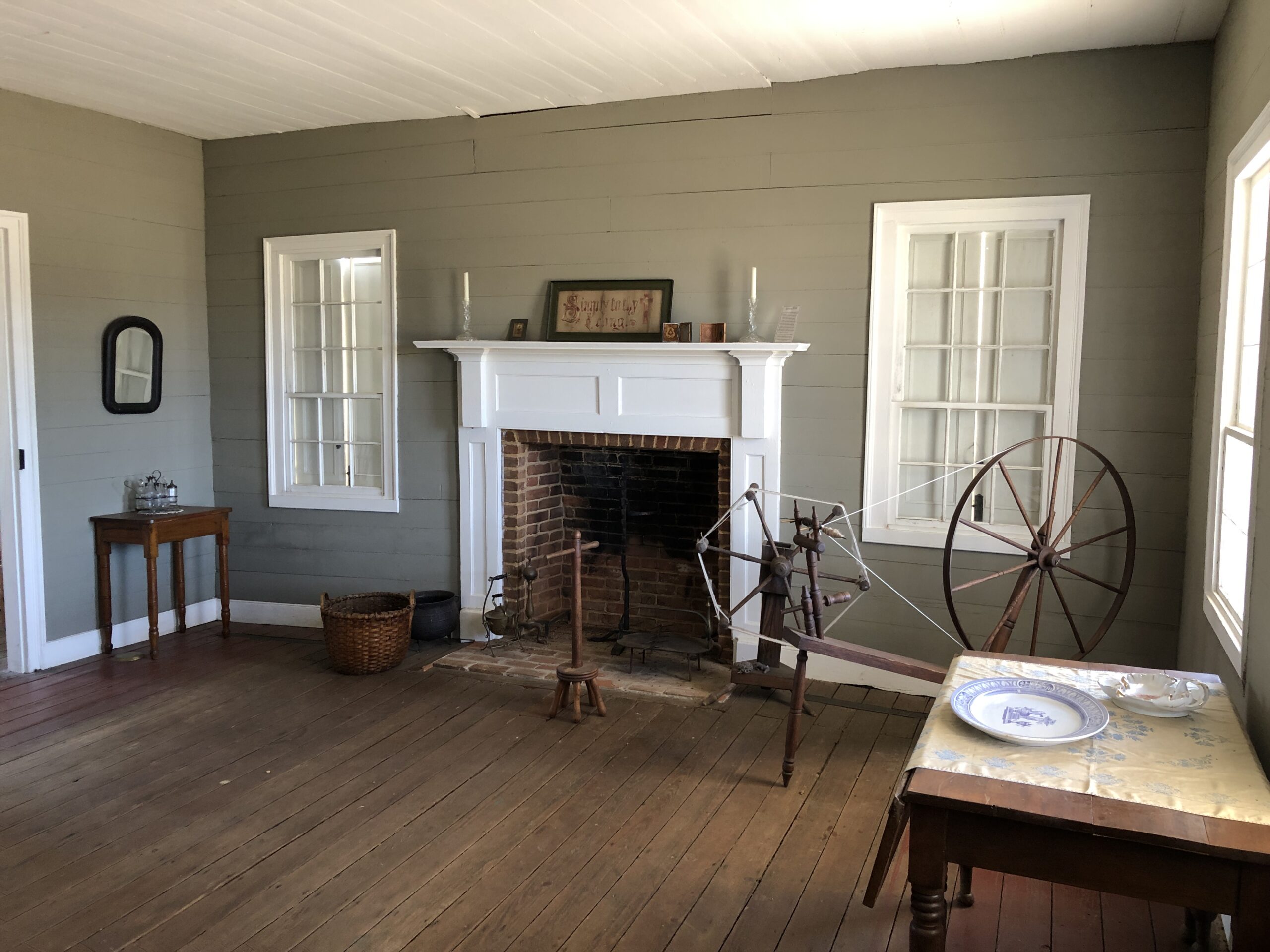
Durst-Taylor Historic House & Garden in Nacogdoches.
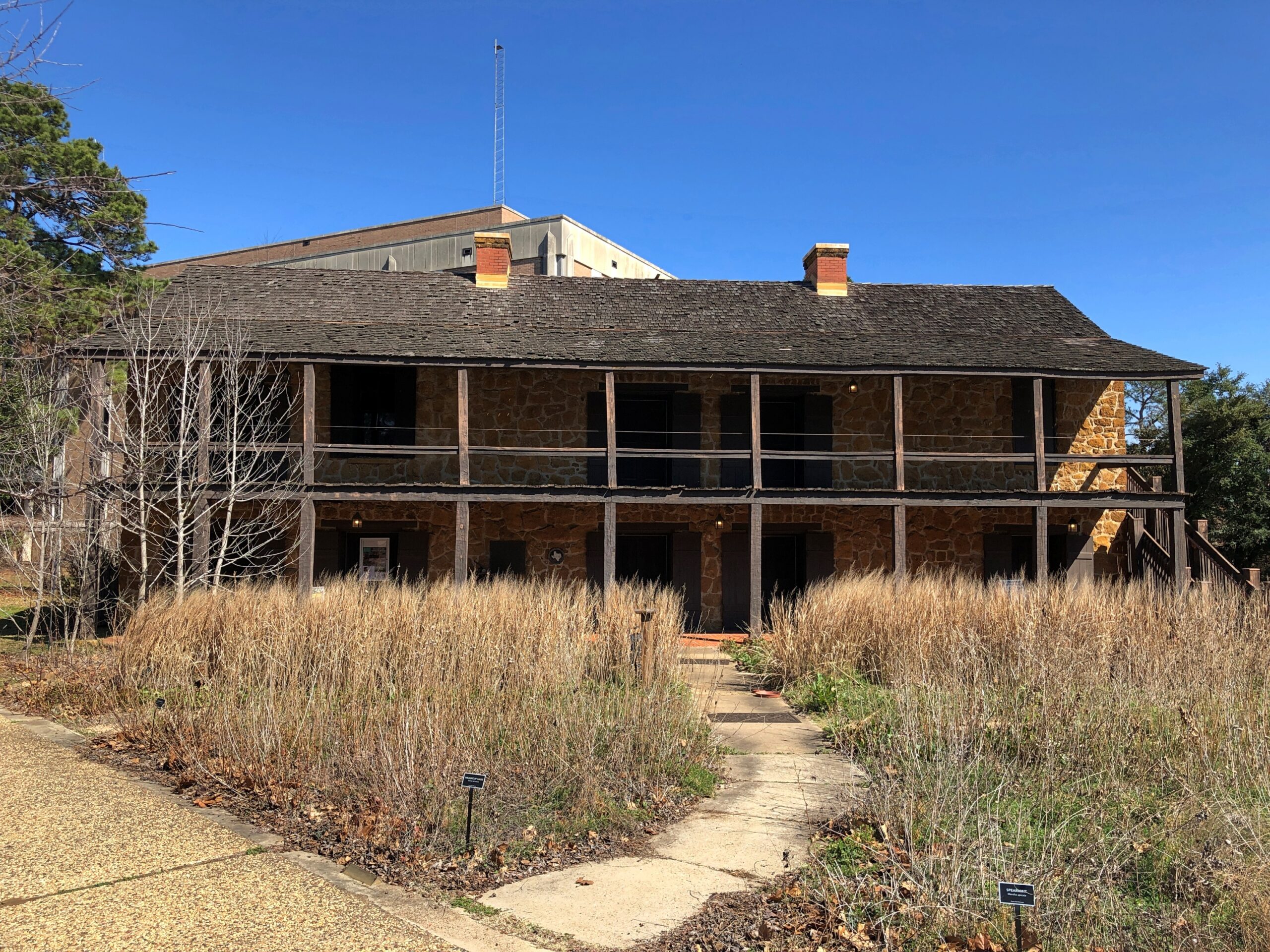
The Old Stone Fort Museum in the same town, which is made of stone, but was never a fort. On the campus of Stephen F. Austin State University. Recommendation to the university: if you want people to visit the place, provide just a little unrestricted parking. A little visitor parking anywhere on campus would be good.
Then again, the university seems determined to move the structure anyway — which might mean taking it apart, and then not putting it anywhere where because such a move would cost too much.
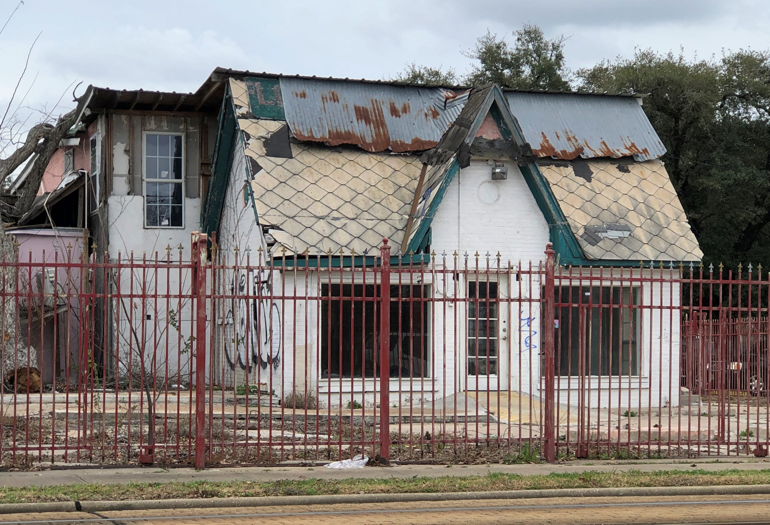
A place that has seen better days in Houston.
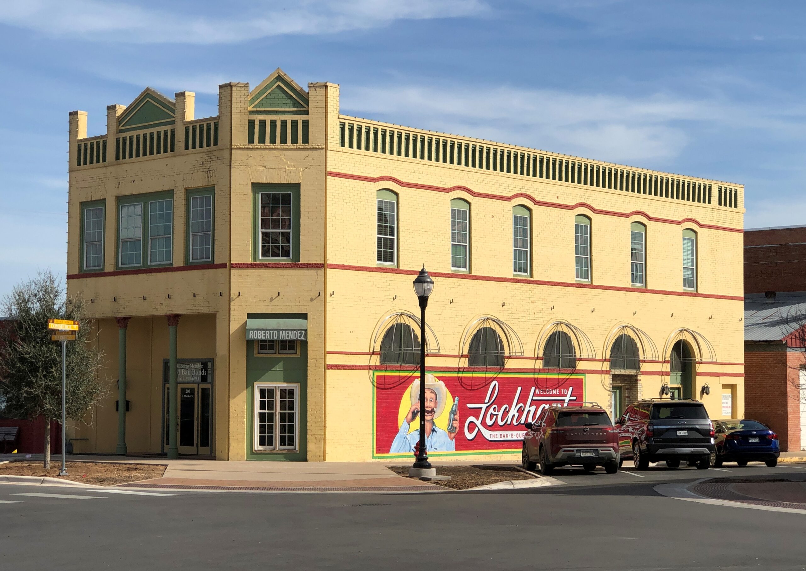
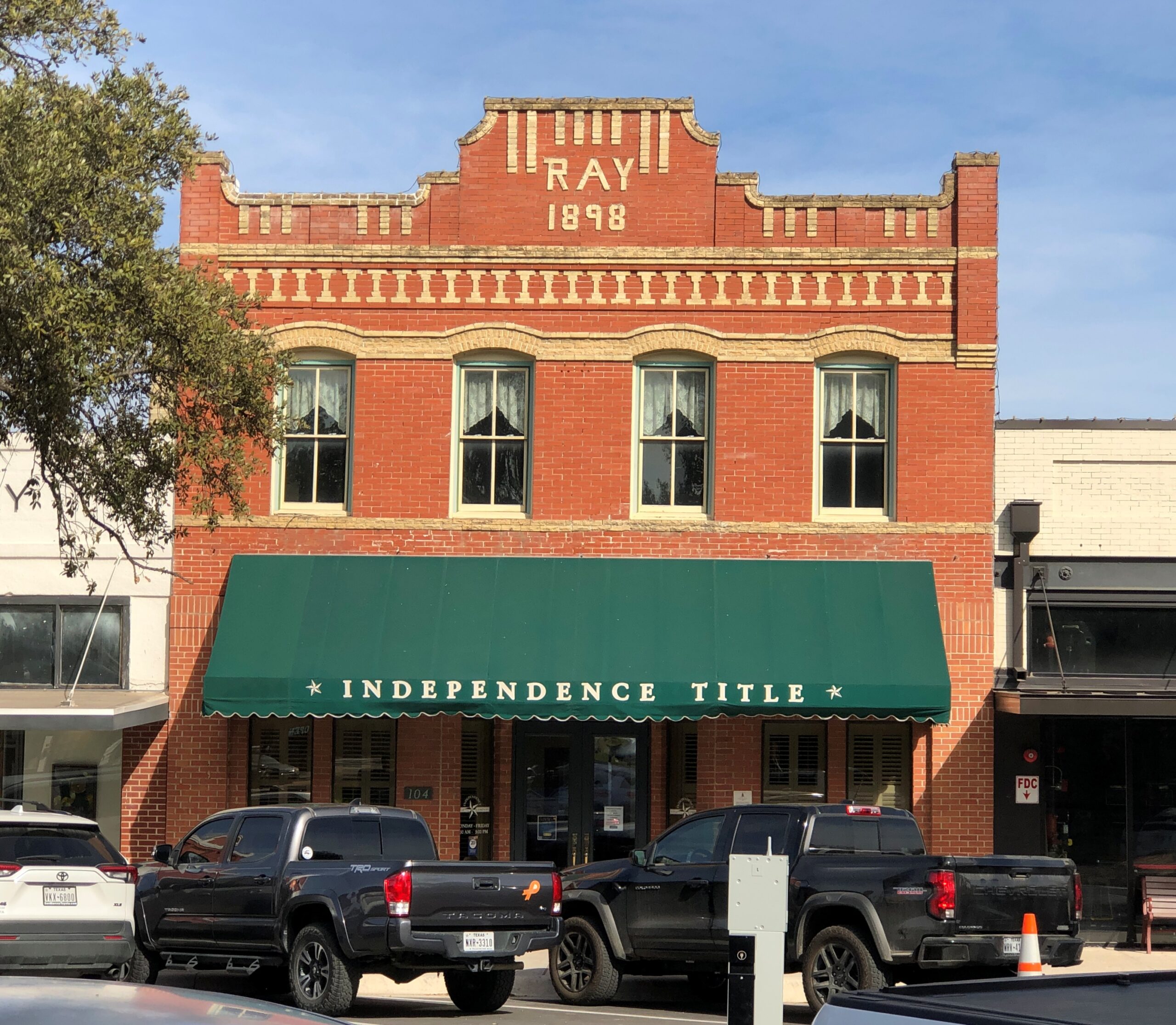
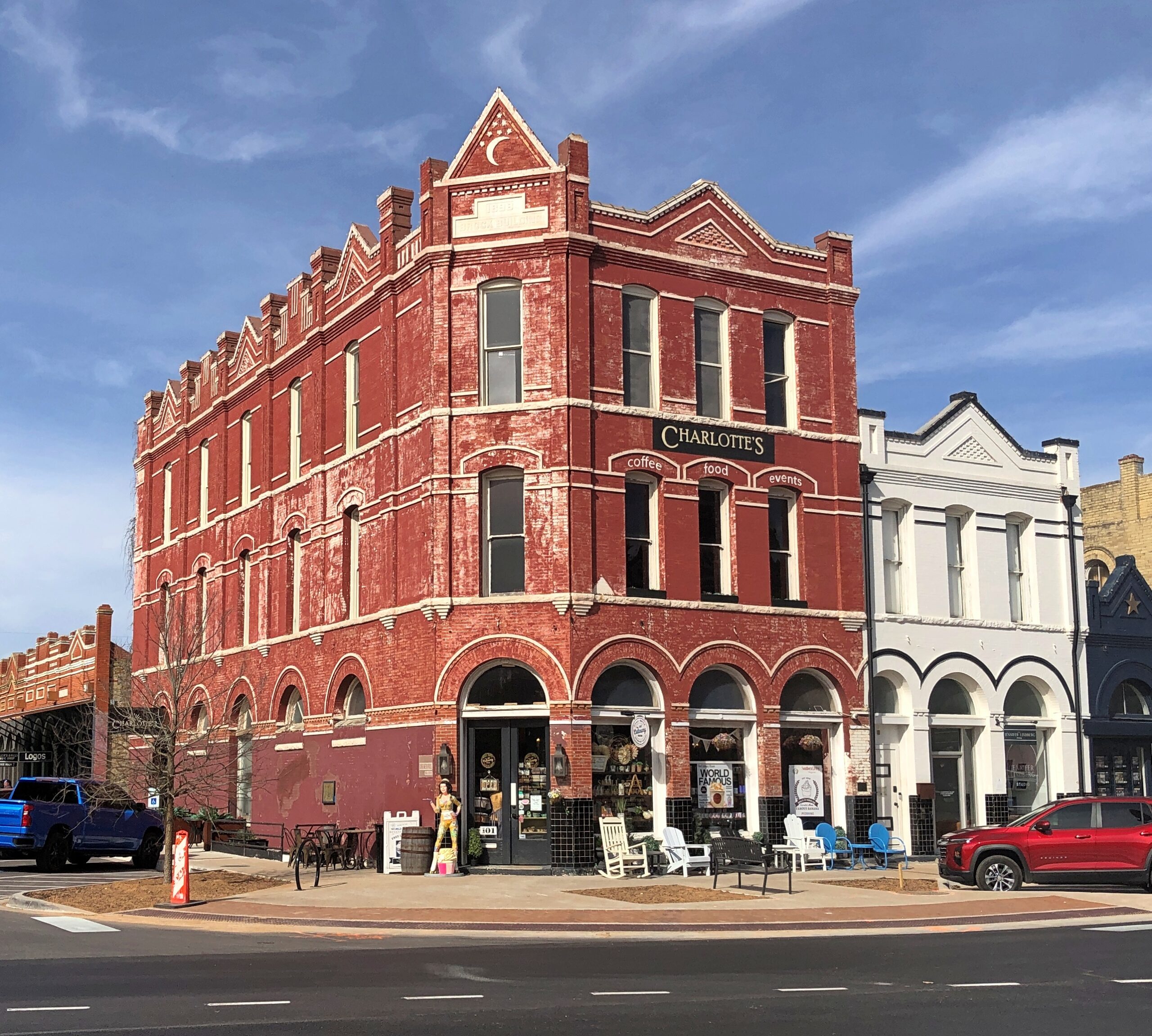
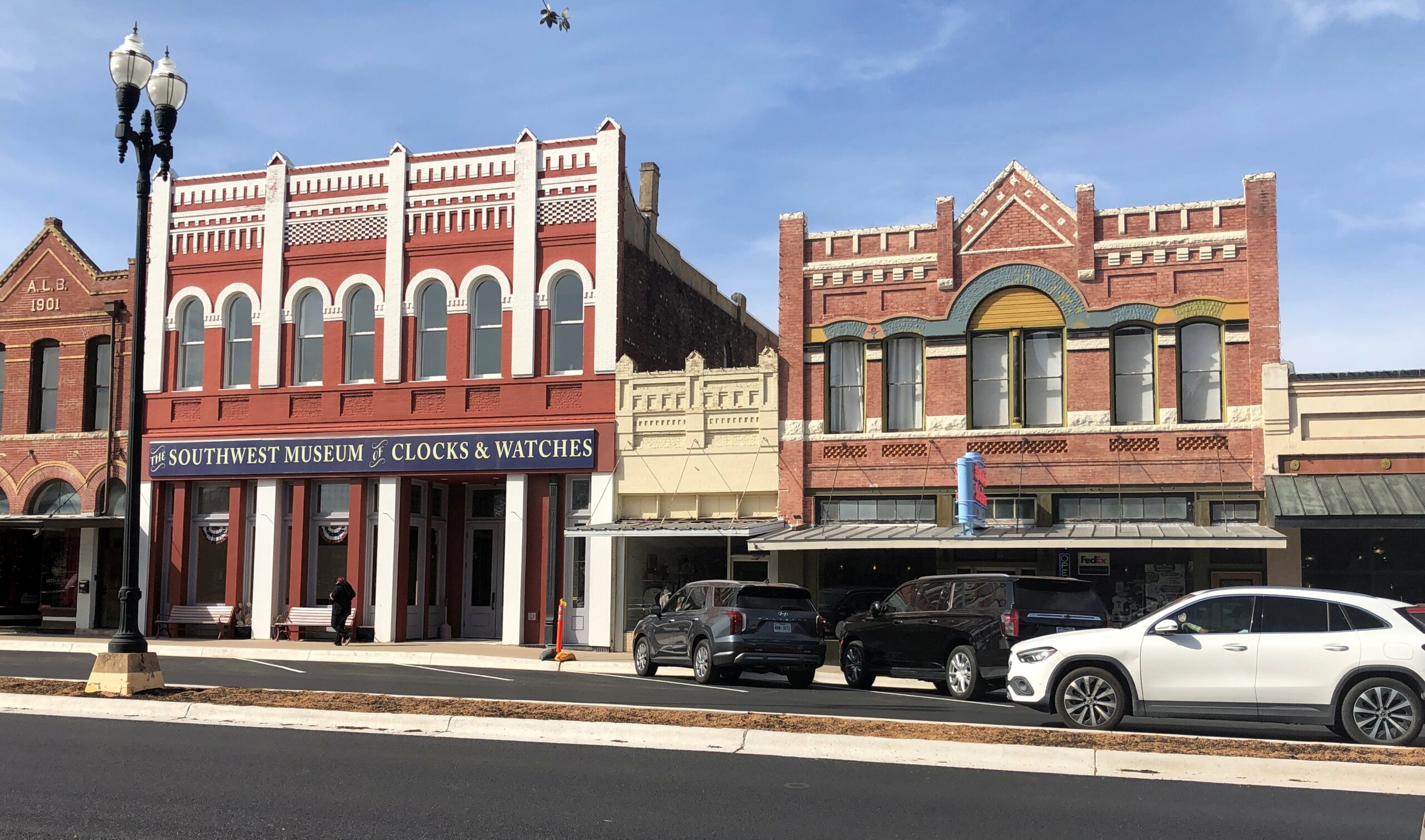
Downtown Lockhart.
The Southwest Museum of Clocks & Watches is permanently closed, alas.
Items
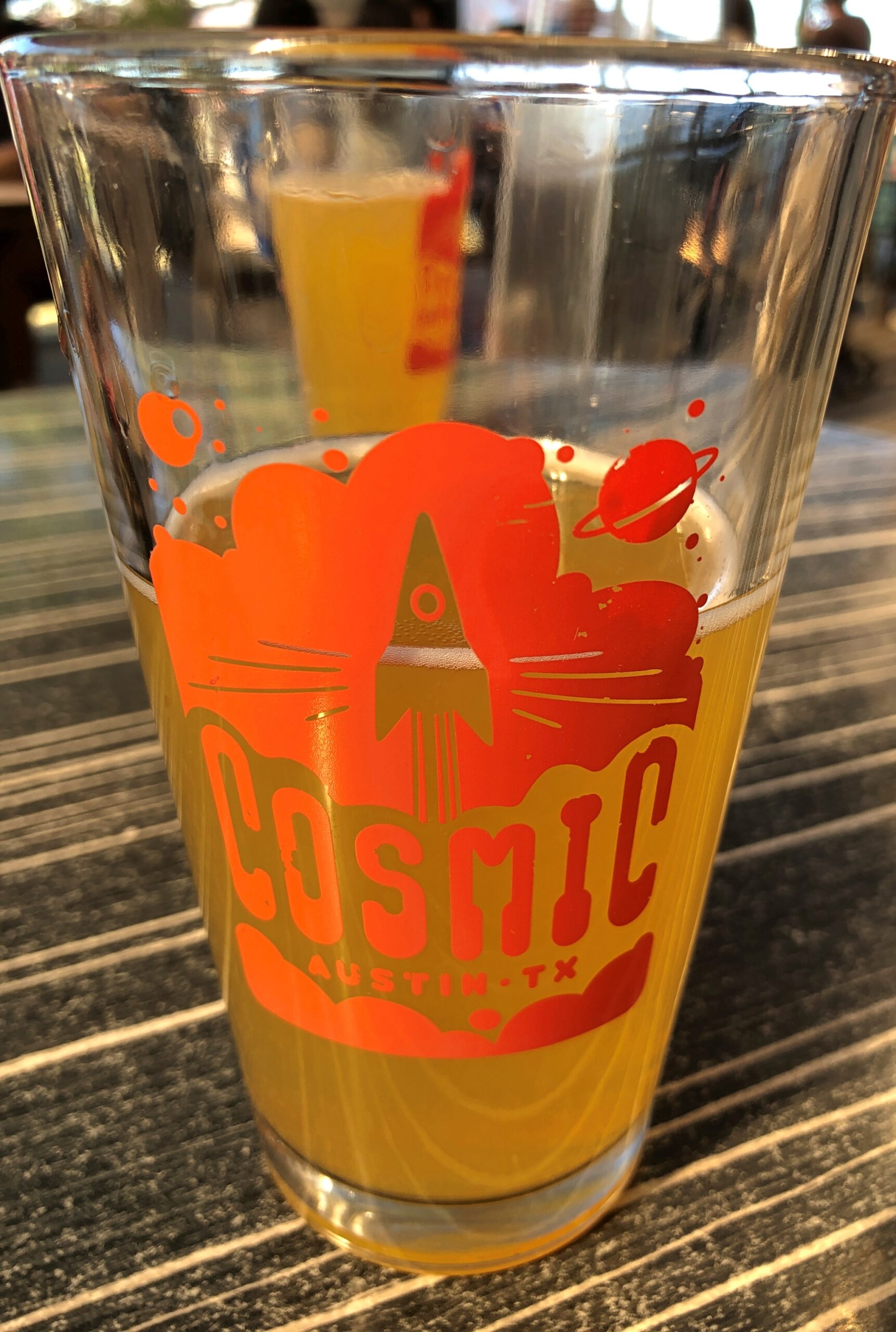
Cosmic in Austin is a bar and a collection of food trucks that surround an informal plaza with a lot of tables and chairs and shade. It’s a very pleasant place, and within walking distance of Tom’s home.
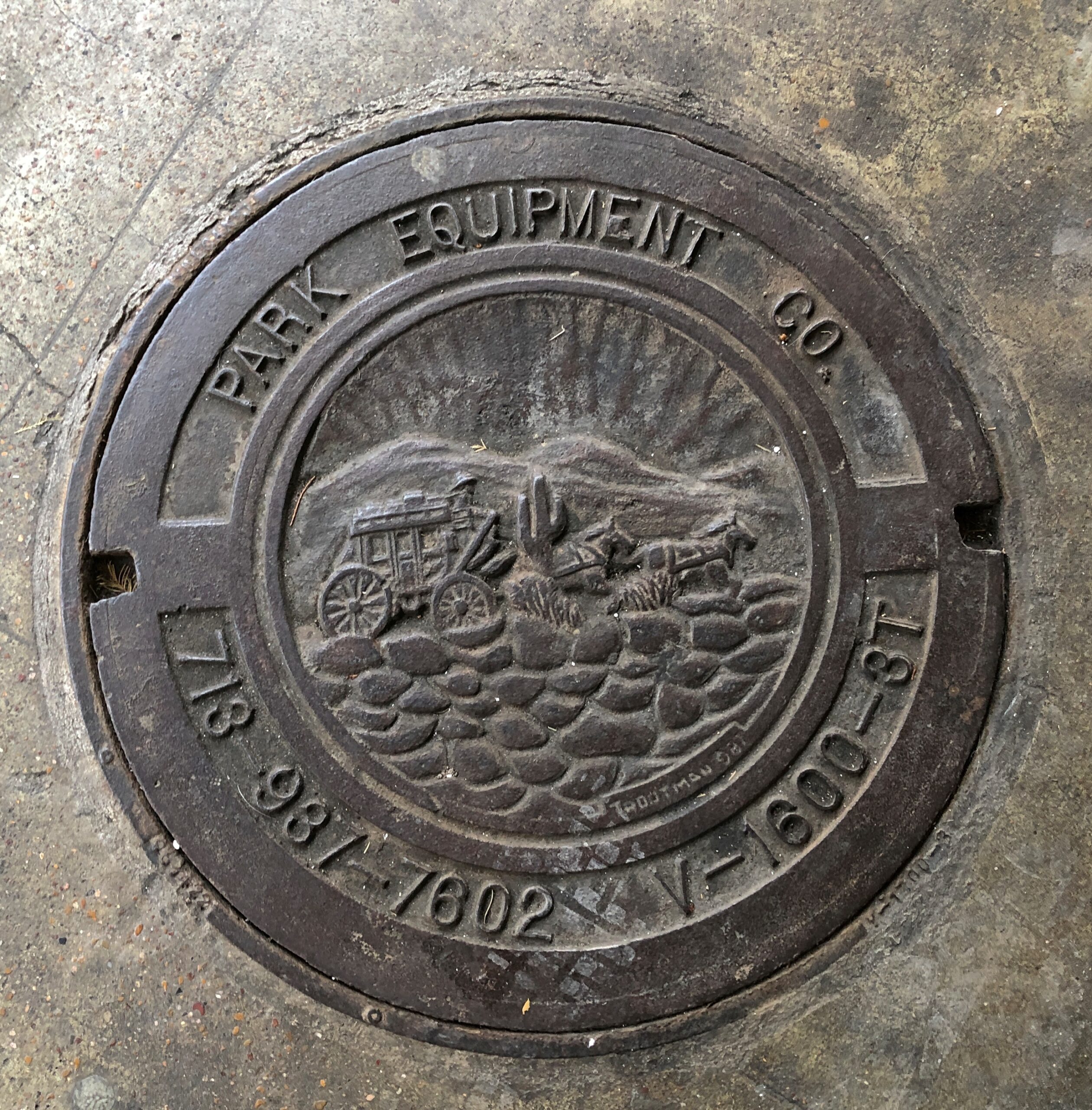
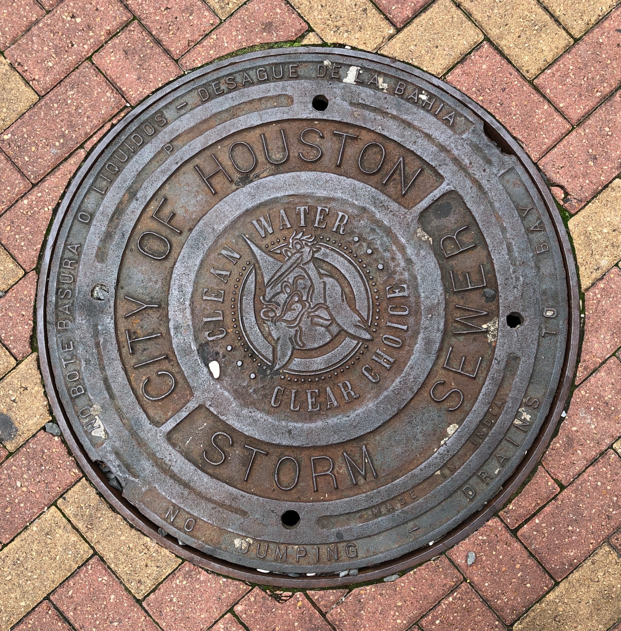
Houston manhole covers.
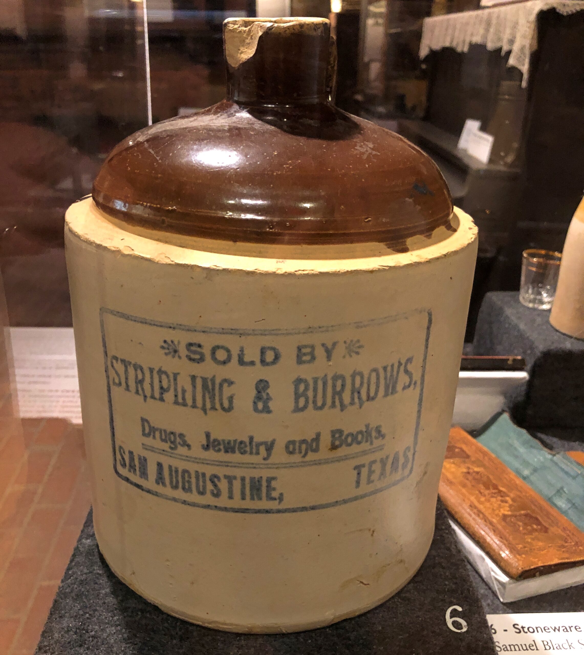
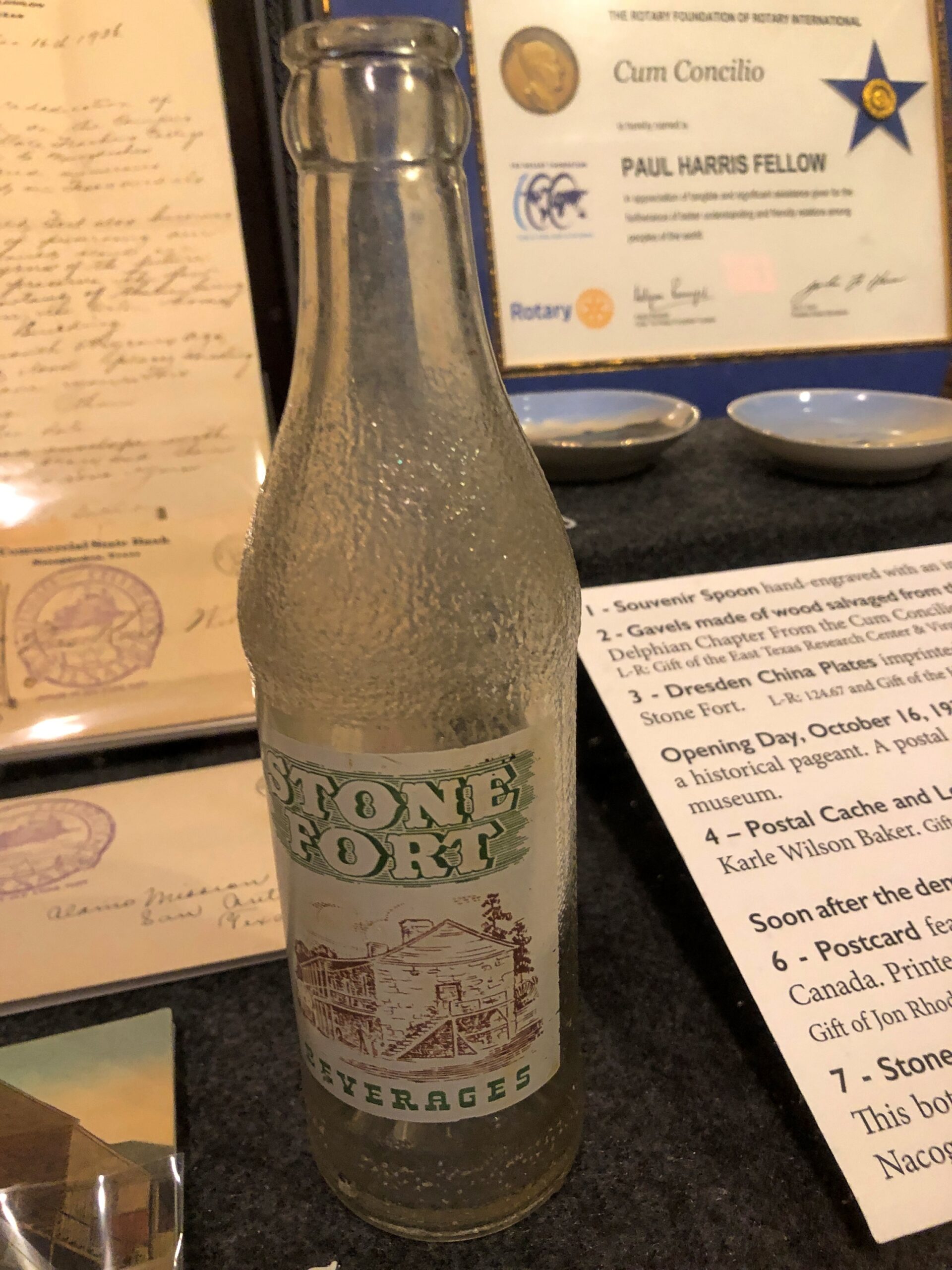
An artifact at the Old Stone Fort, but from San Augustine, and a hyperlocal soda bottle.
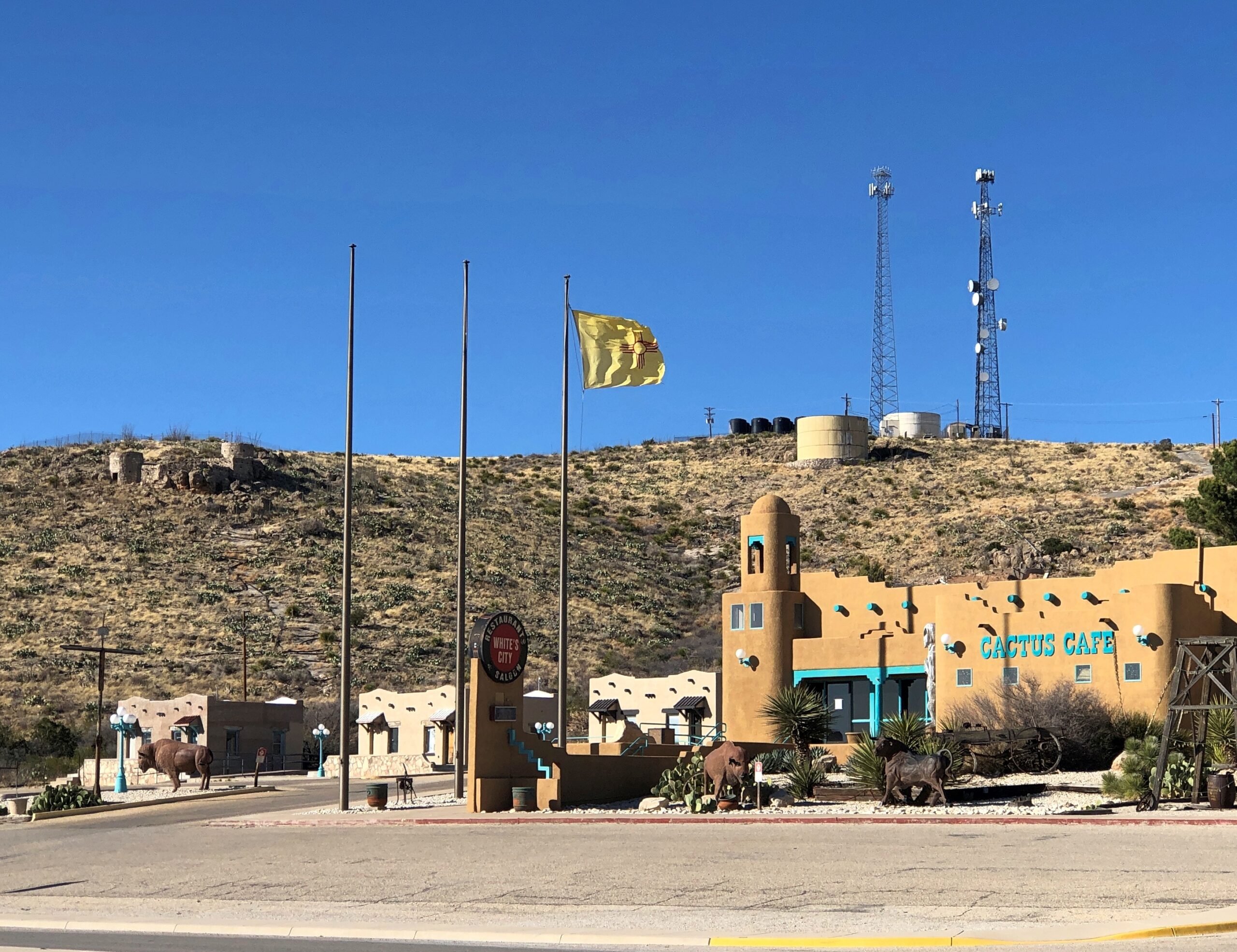
The New Mexico flag near Carlsbad NP.
Landscapes
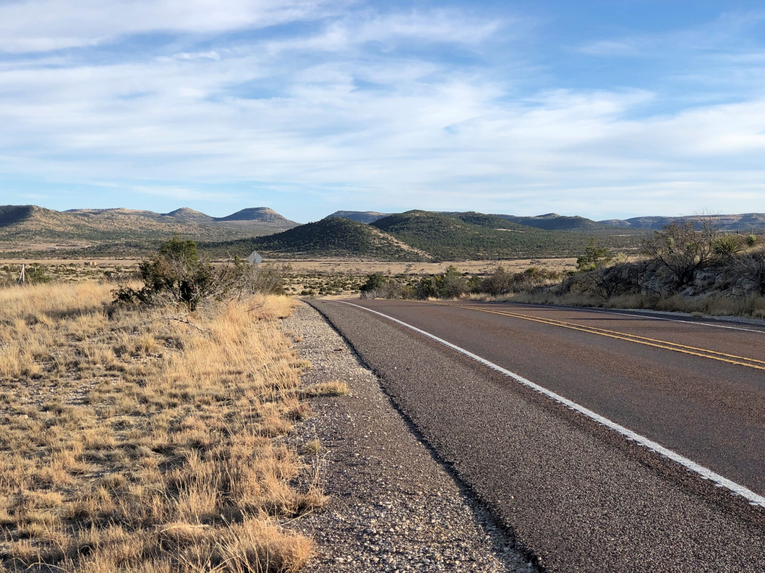
Not just any landscapes, but within the Sierra Madera Astrobleme in West Texas. US 385 cuts right through the ancient crater for about eight miles, on the way to Marathon. You’d never know but for signs telling you that you’re entering the astrobleme, and one telling you that you are leaving it.
Memorials
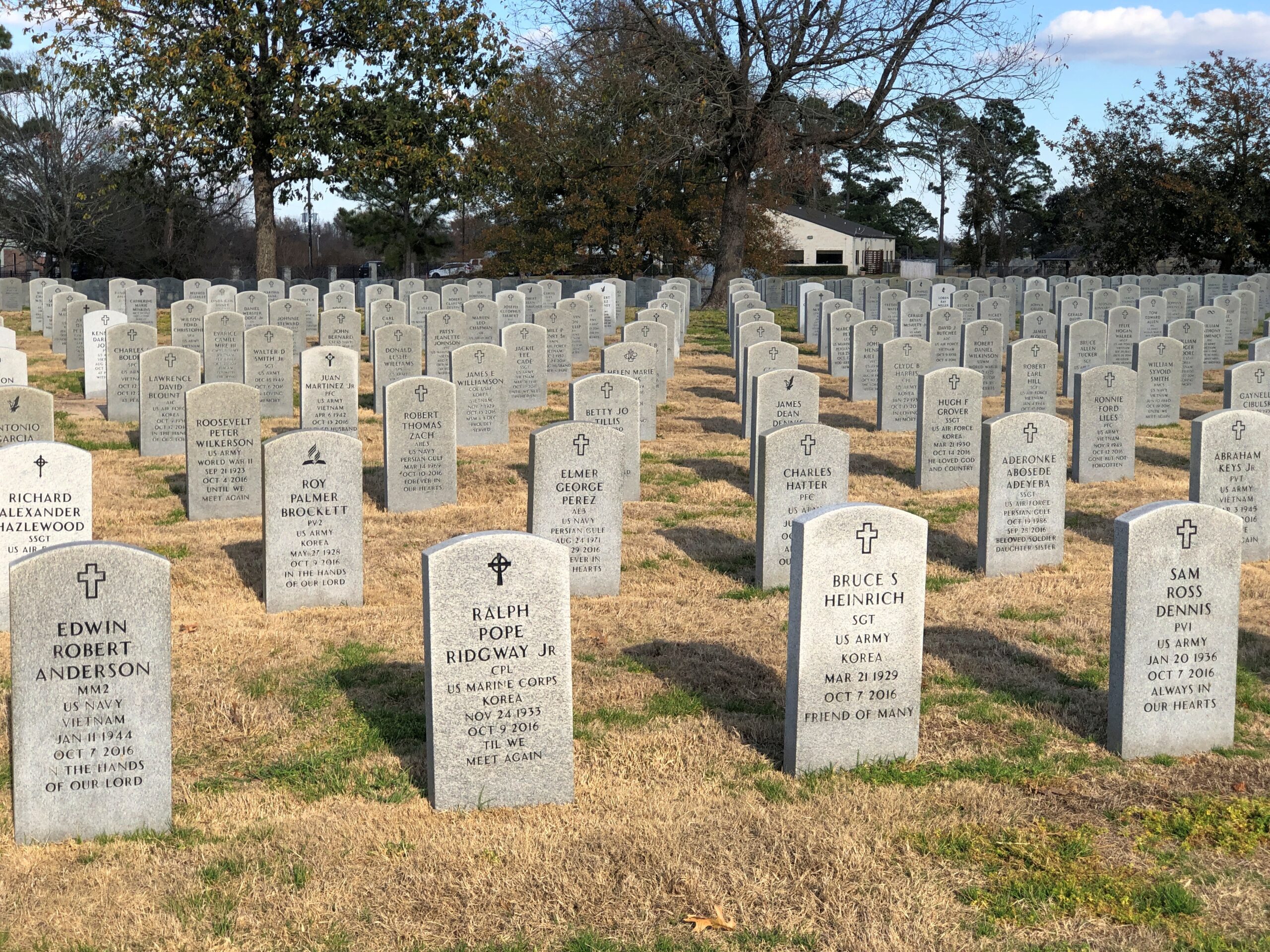
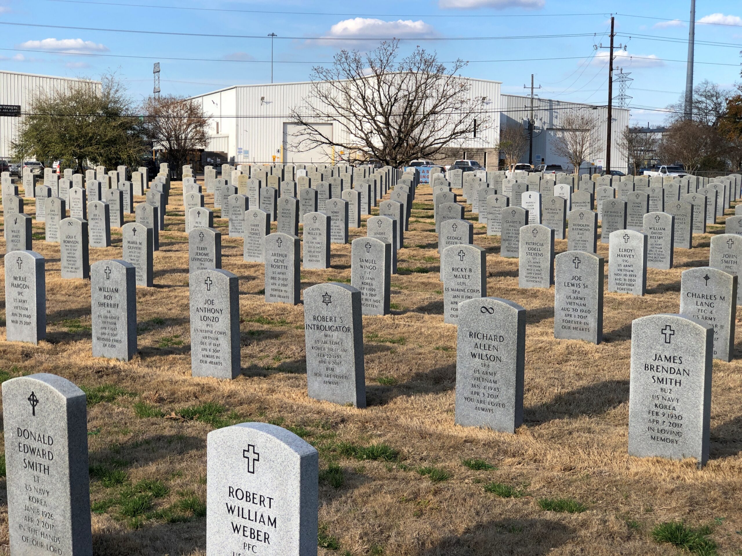
The Houston National Cemetery.
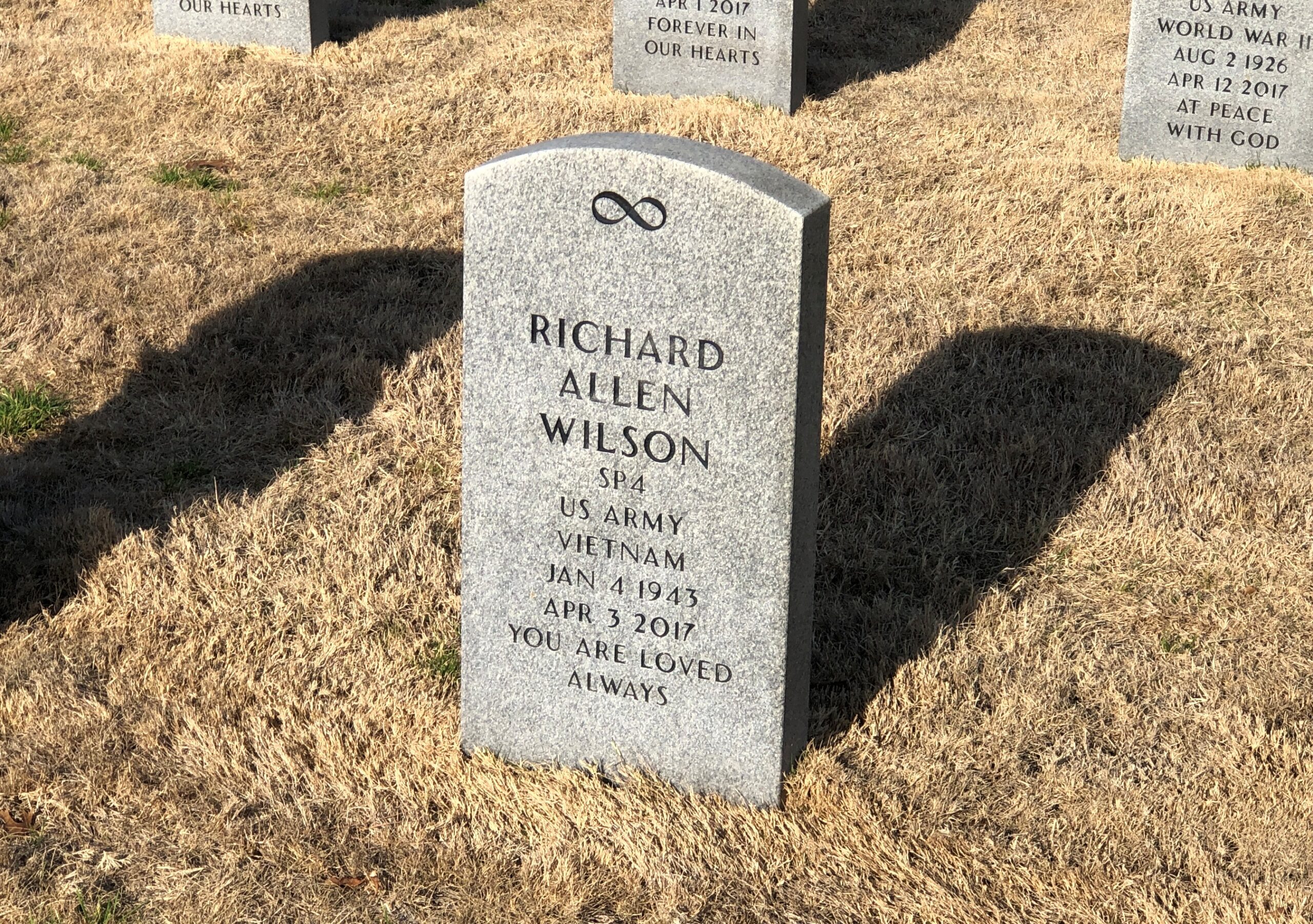
RIP, Richard Allen Wilson. I don’t think that I’d ever seen an infinity symbol on a national cemetery stone. That, of course, made me curious, and I checked: it is one of the 98 various symbols that the National Cemetery Administration allows. The list is here.
I’m familiar with most of them, but not quite all of them, such as the Church of World Messianity, which is a Japanese new religion – it’s hard to keep track of all of those – and the Aaronic Order Church, which may or may not be part of the LDS movement, but in any case is an American sect. Hard to keep track of all those, too.
The NCA says: “No graphics (logos, symbols, etc.) are permitted on Government-furnished headstones or markers other than the available emblems of belief, the Civil War Union Shield, the Civil War Confederate Southern Cross of Honor, and the Medal of Honor insignias… Emblems of belief for inscription on Government headstones and markers do not include social, cultural, ethnic, civic, fraternal, trade, commercial, political, professional or military emblems.”
So (for example) symbols for the Loyal Order of Moose or some odd emoji or maybe a grawlix will not be considered, though as a comment about the Army, the latter would be funny.
Finally, a less formal memorial, but I’m sure just as heartfelt.
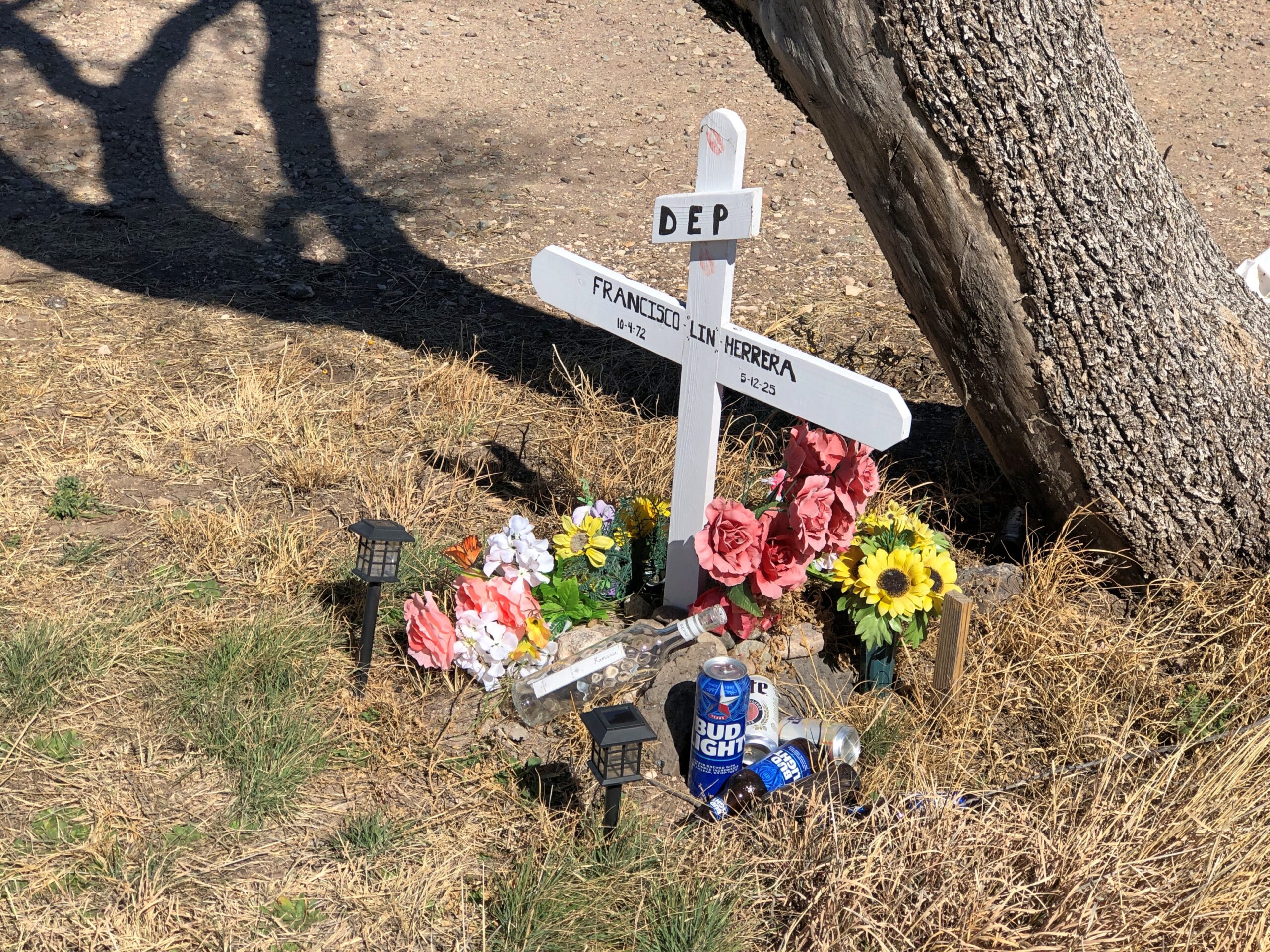
A memorial for Francisco Lin Herrera happens to be near the Giant paintings outside of Marfa. He died in an accident along that stretch of US 90. RIP, Francisco.
The Republic of Texas started out with 23 counties, with more carved out of those in the years afterward, until the most recent establishment, Kenedy County, in 1921. In our time, there are 254 counties, including (slightly) infamously, Loving County, pop. 64 last time I checked. If you go looking for a county with fewer people anywhere in the entire United States, you’ll be out of luck. Loving is it.
Strictly as a tourist proposition, county courthouses have a lot to recommend them. In all but the largest cities, they’re usually easy to find, on a square ringed by smaller buildings, and pretty much in the middle of their towns. They’re free, but not always open. Some have small museums; a few former courthouses are themselves more sizable museums. A good many date from the golden age of U.S. courthouse building, which I’d put from the end of the Civil War to the beginning of World War I.
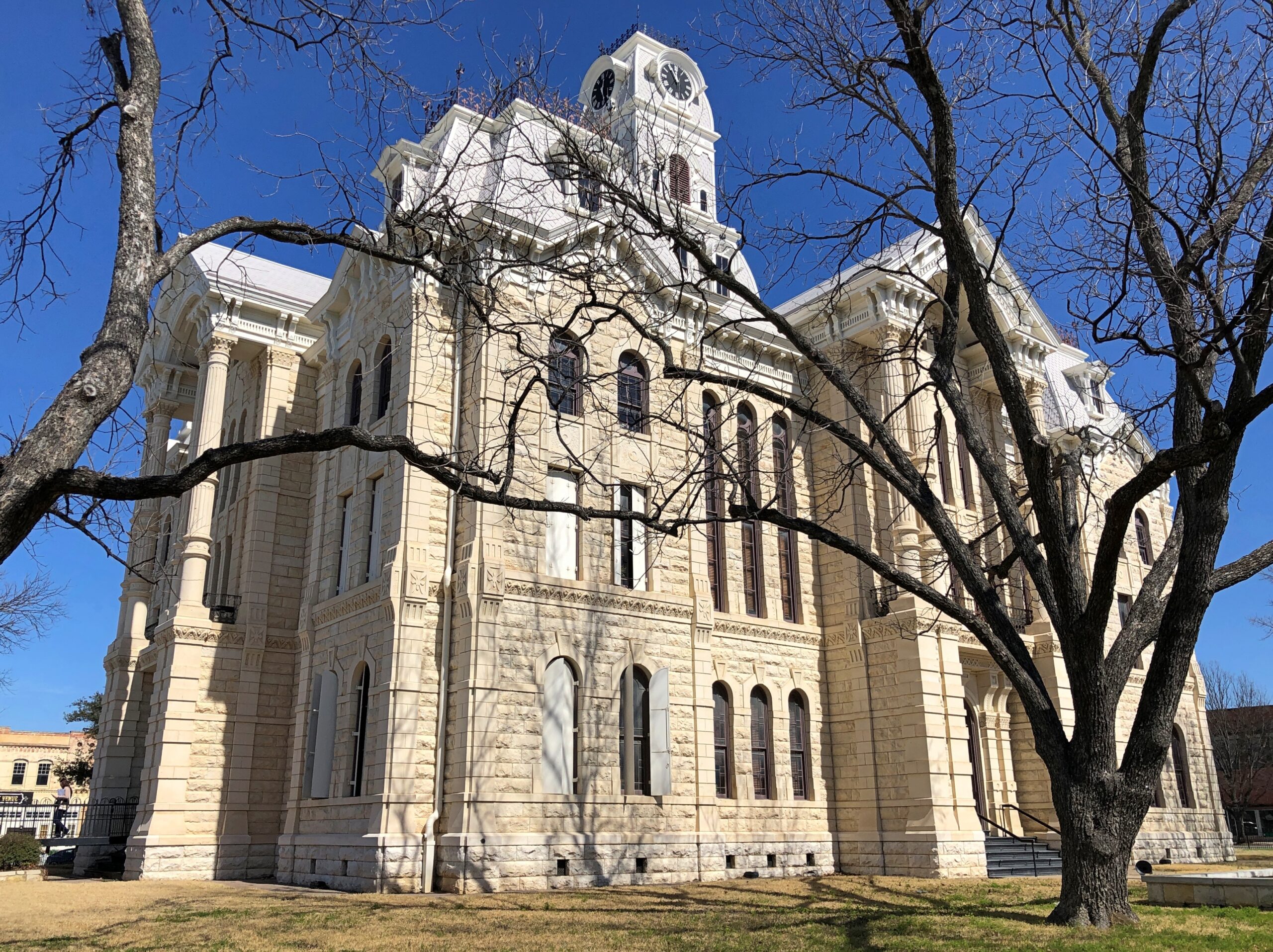
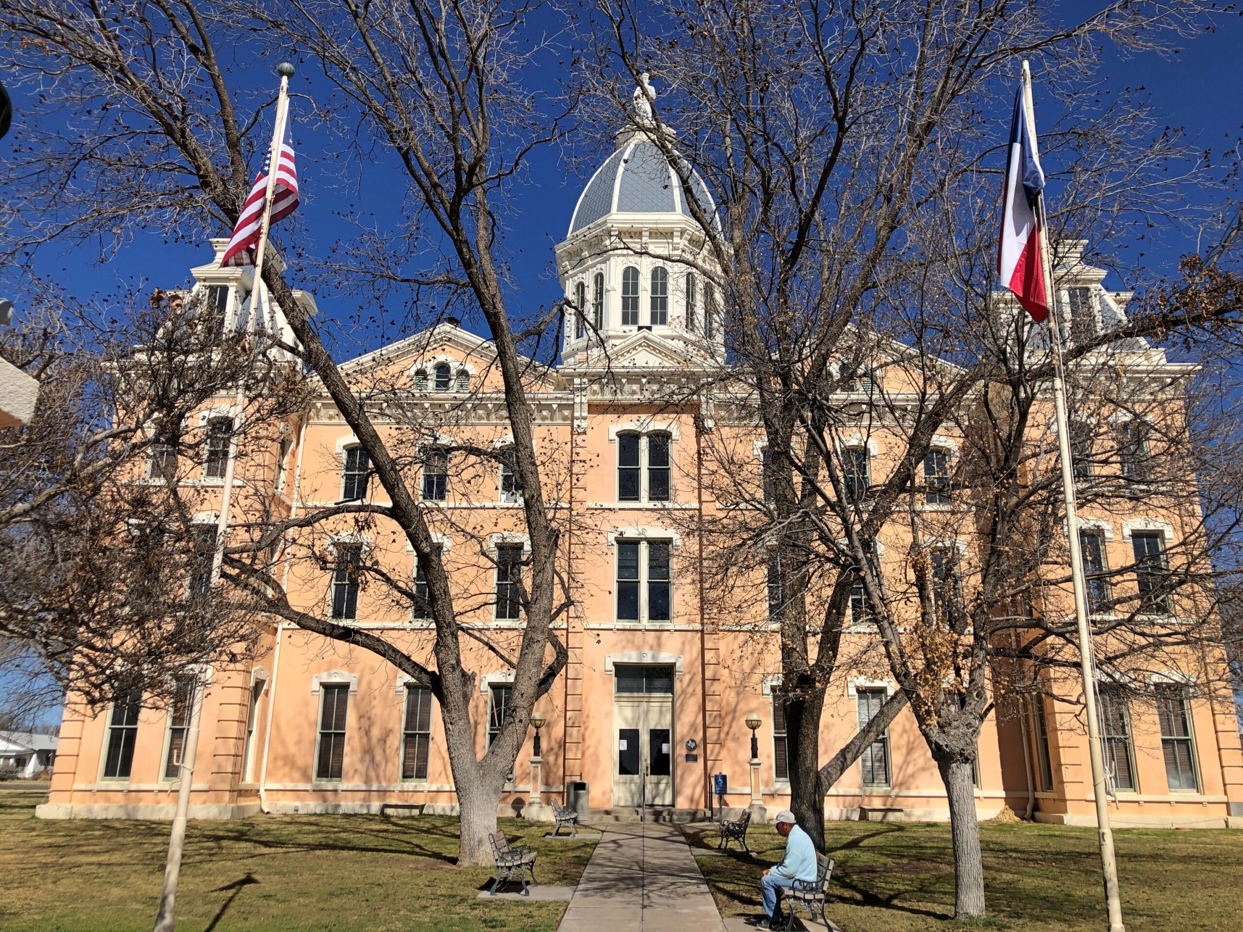
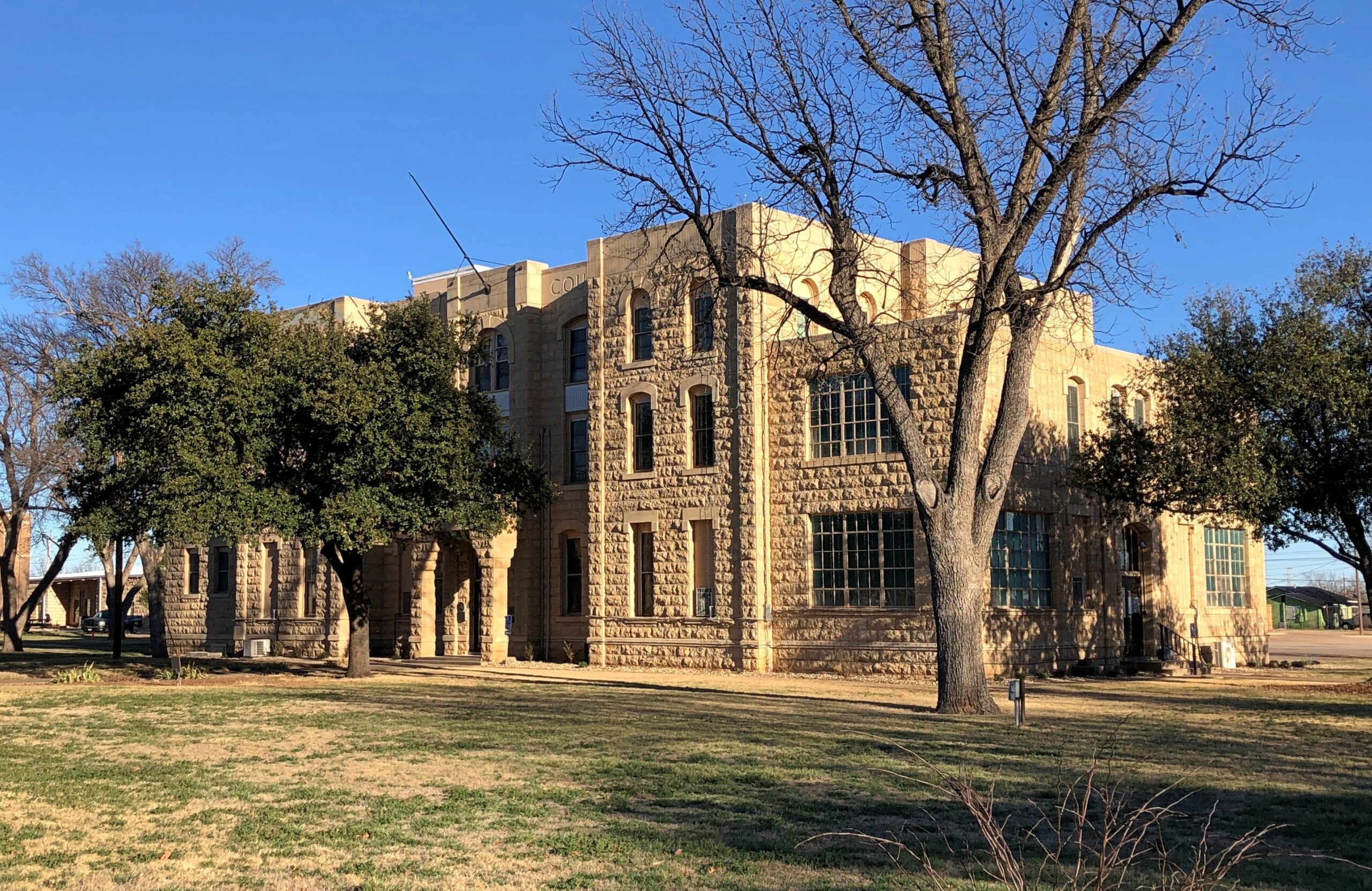
With all that in mind, the following are five more Texas county courthouses I saw this time around.
Hill County, Hillsboro, Texas.
Presidio County, Marfa, Texas.
Runnels County, Ballinger, Texas
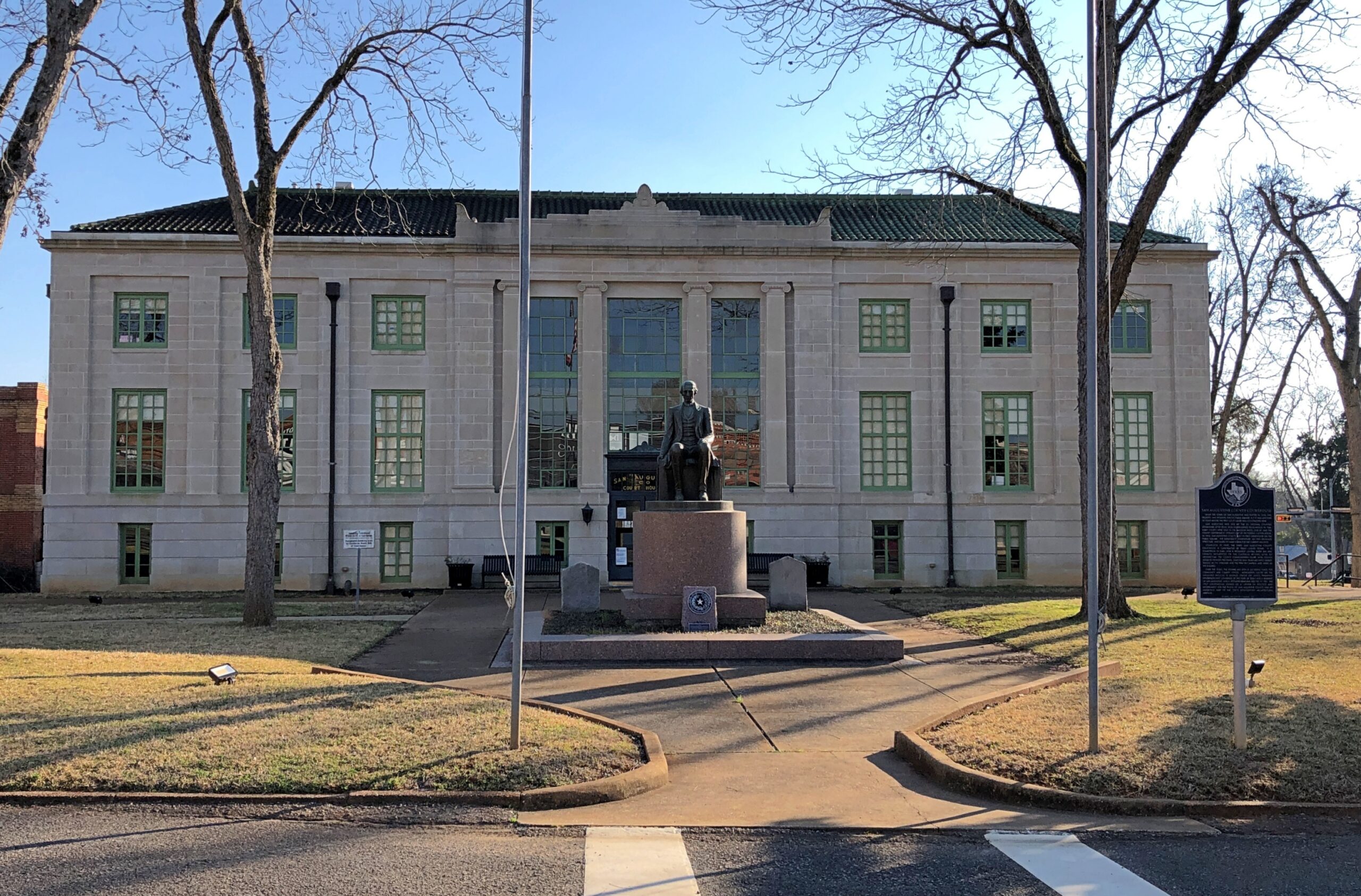
San Augustine County, San Augustine, Texas.
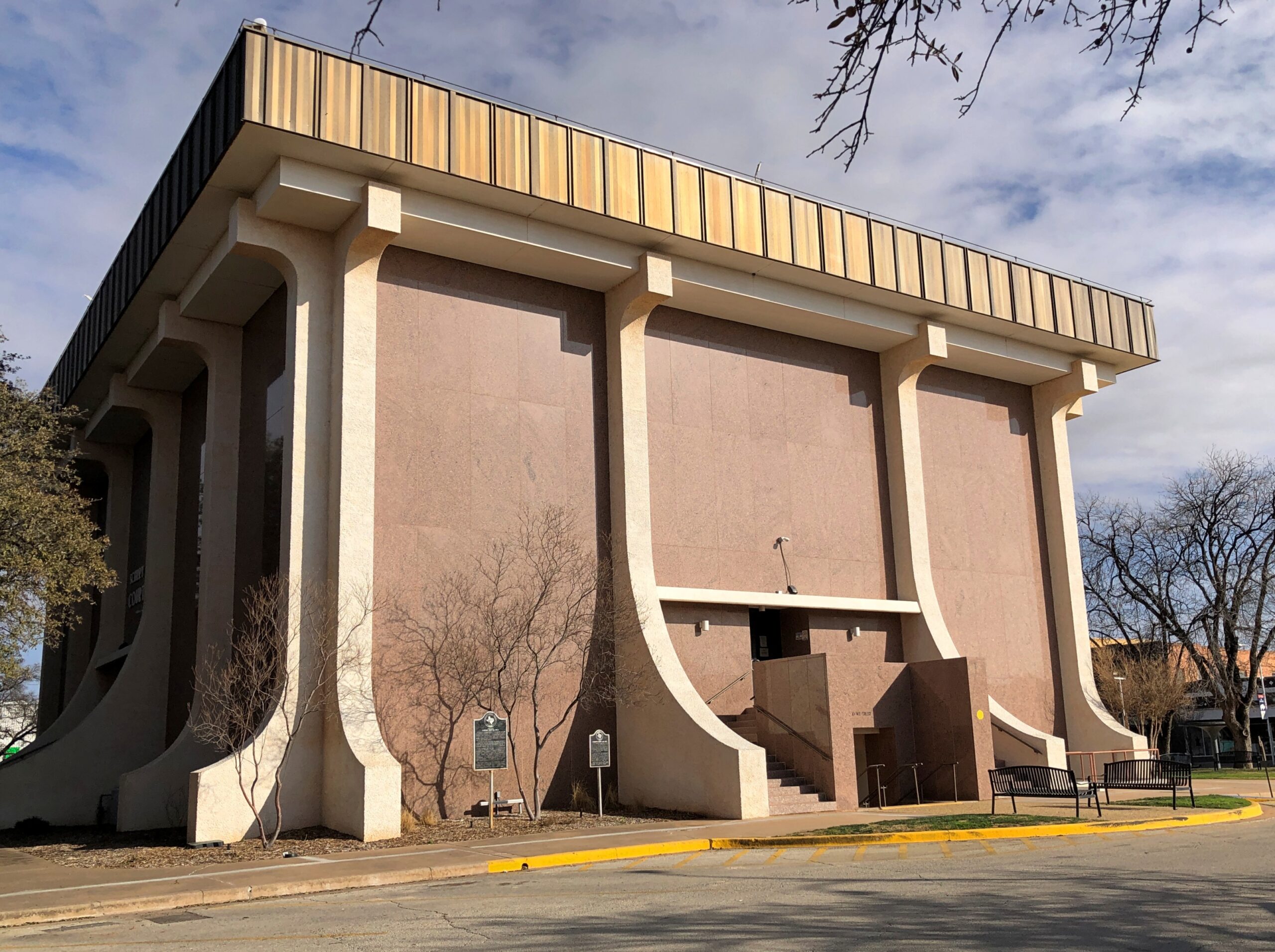
Scurry County, Snyder, Texas.
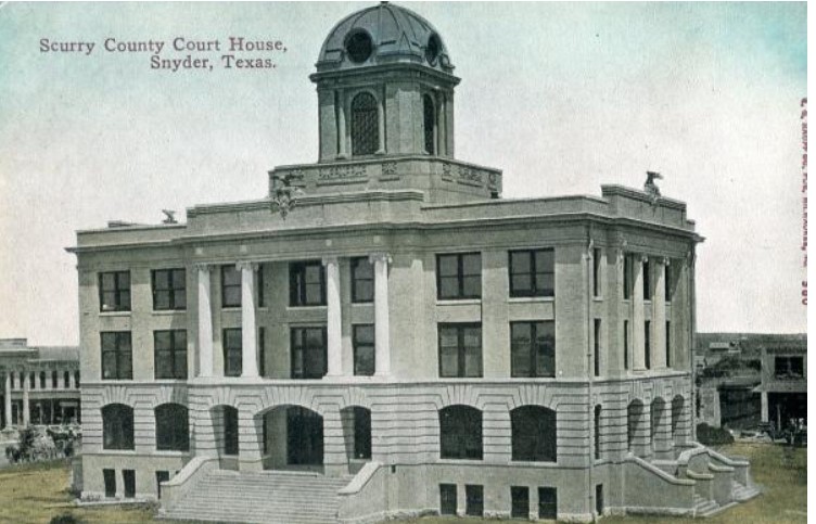
My maternal grandparents grew up in Scurry County. The courthouse I saw wasn’t the one grandpa would have seen as a young blade. That would be this.
My idle musing about visiting every 254 Texas courthouses was no mere musing for an architect who did exactly that, and blogged about it. About the modern Scurry County courthouse, he said, “Without a doubt, the 1972 alteration of the historic Scurry County courthouse is the most offensive desecration of a Texas courthouse to date. It’s truly sad.”
“These redesign plans are — interesting. Where are the windows?”
“Window are passé.”
Another resource for courthouse (and postcard) enthusiasts: Courthouse History, a collection of postcards depicting every county and parish in the United States. Now that’s an epic project.
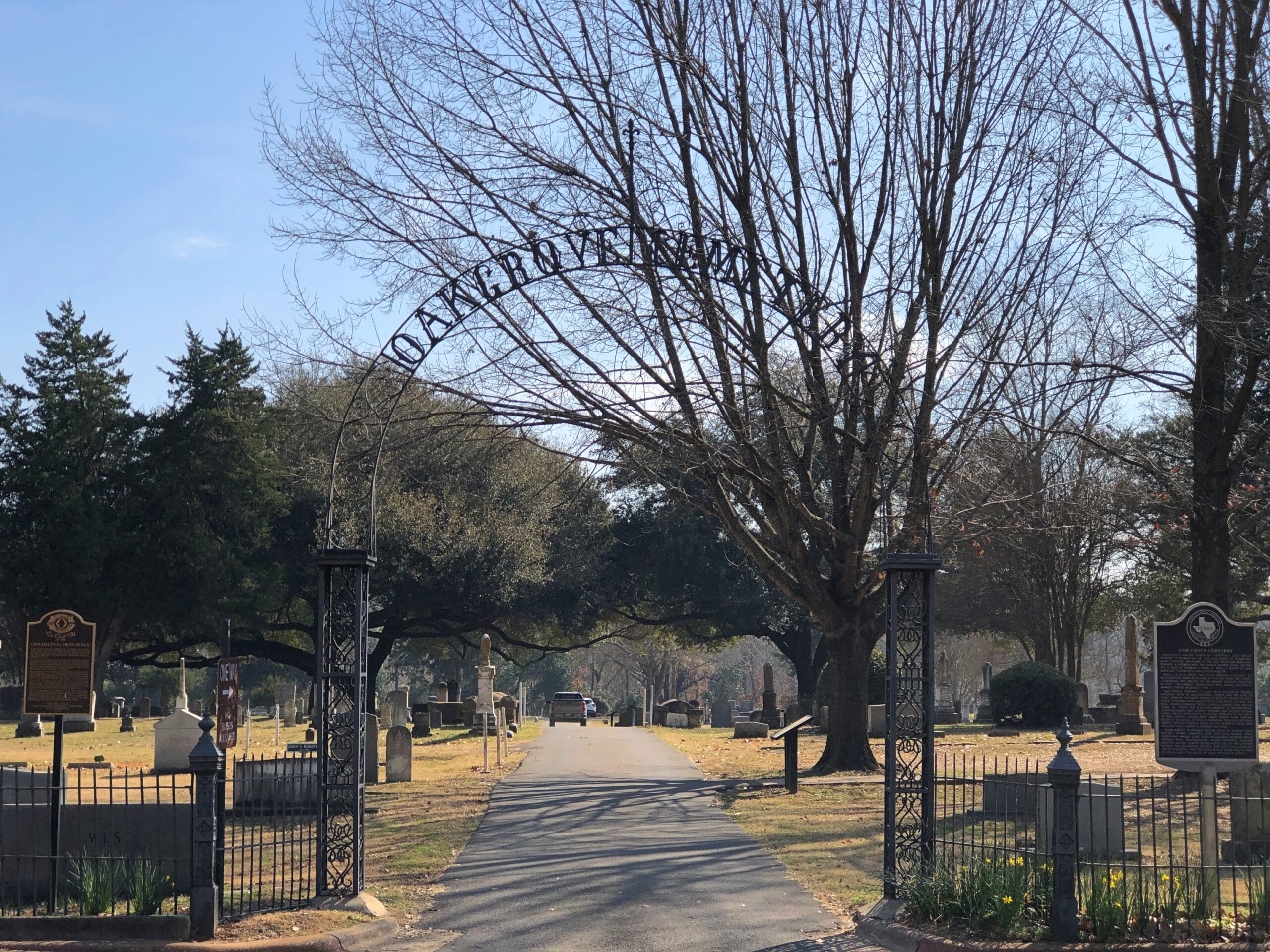
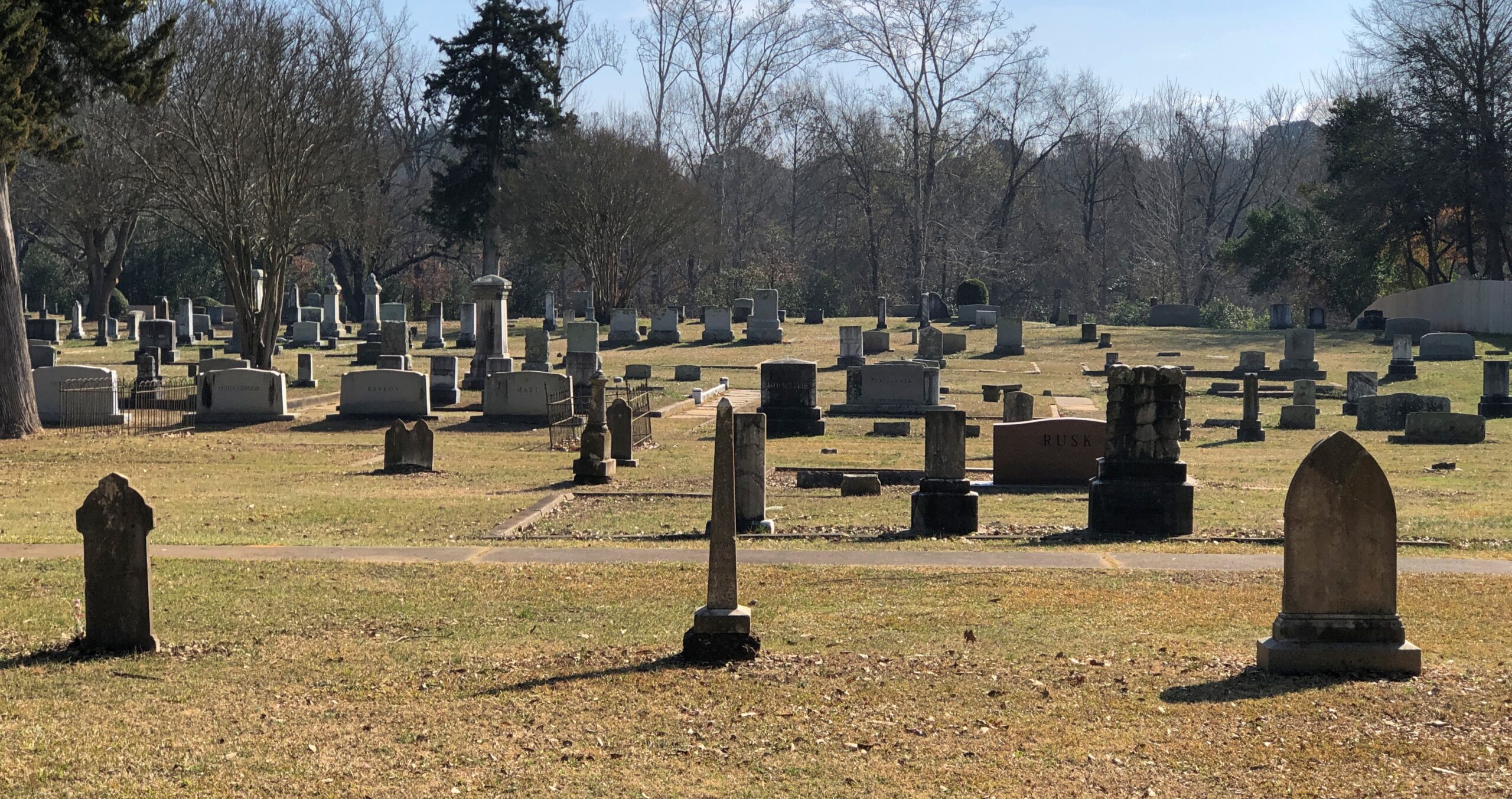
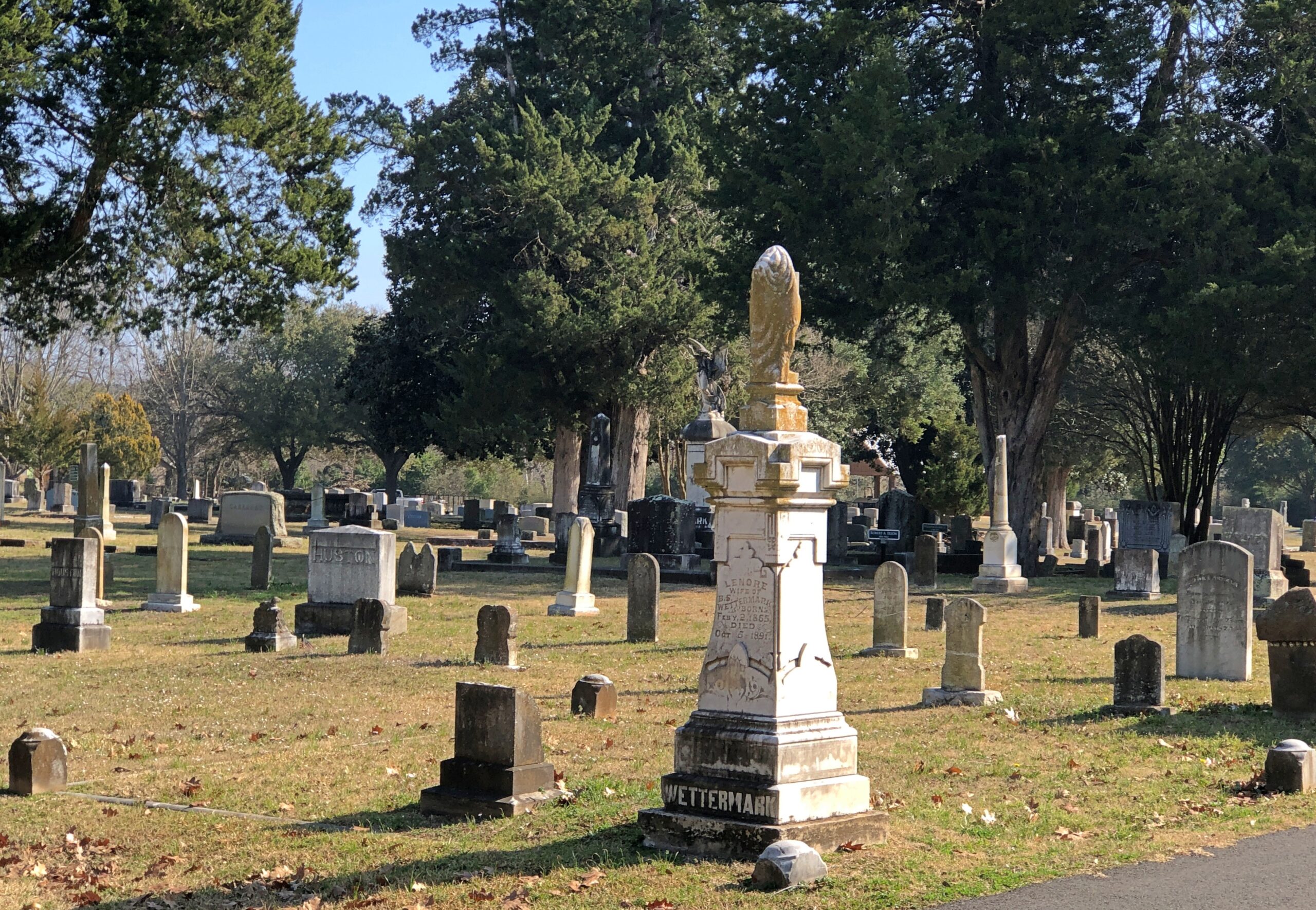
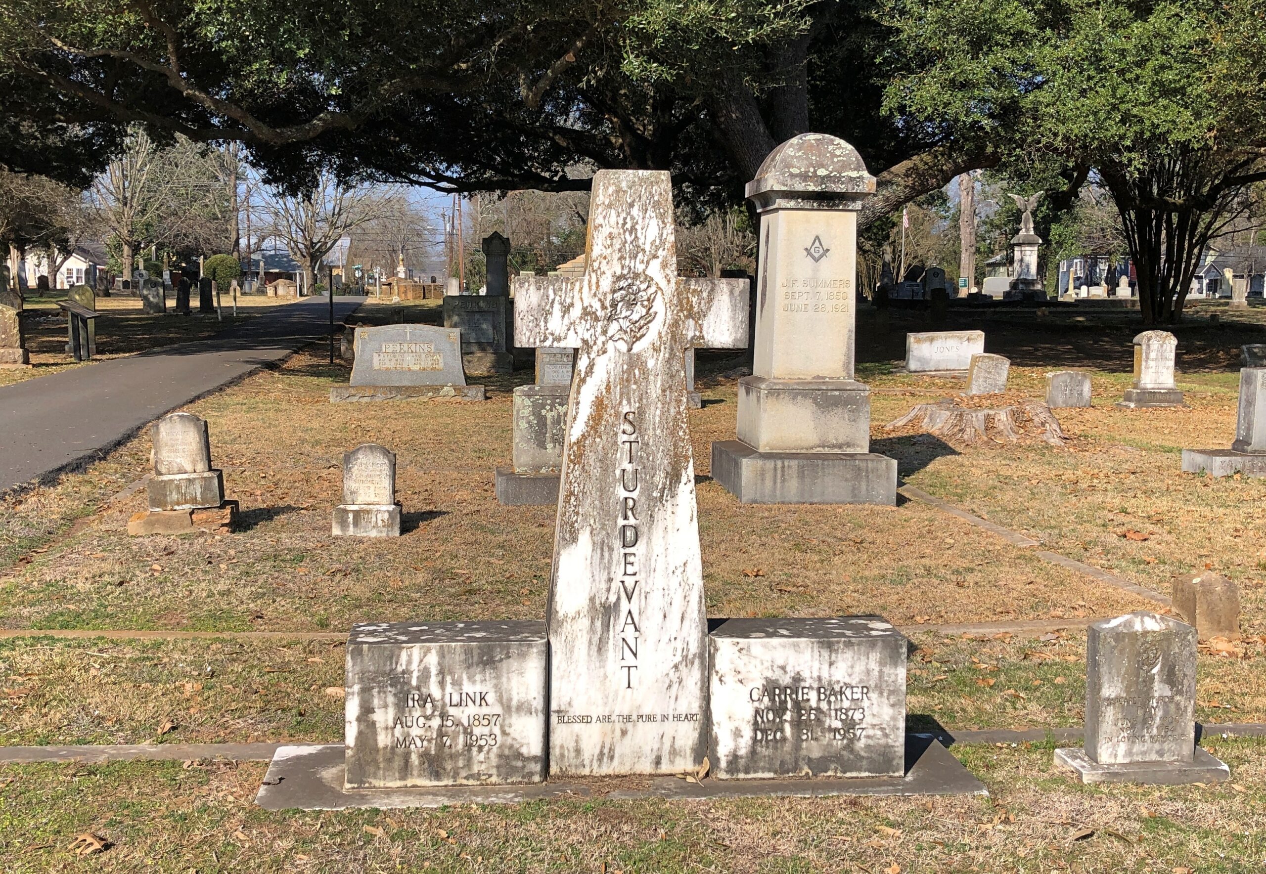
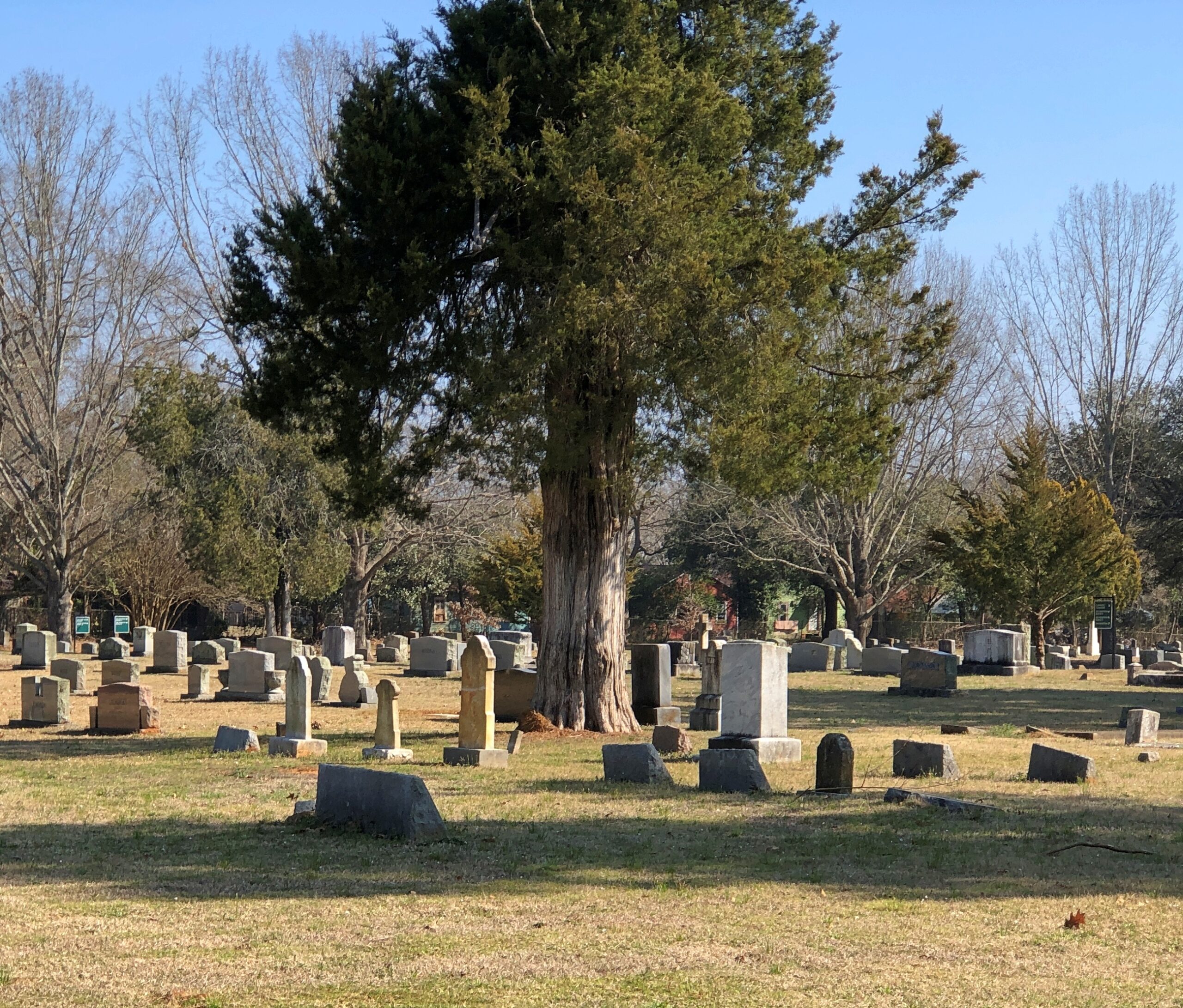
Houston’s Glenwood Cemetery sprawls out near downtown, adjacent to much of the parkland along Buffalo Bayou. In Nacogdoches, Oak Grove Cemetery is a more modest burial ground. Nacogdoches is a more modest city. The entrance to Oak Grove is about a half block from the Main St., but the grounds are still tucked away in a residential neighborhood along Lanana St.
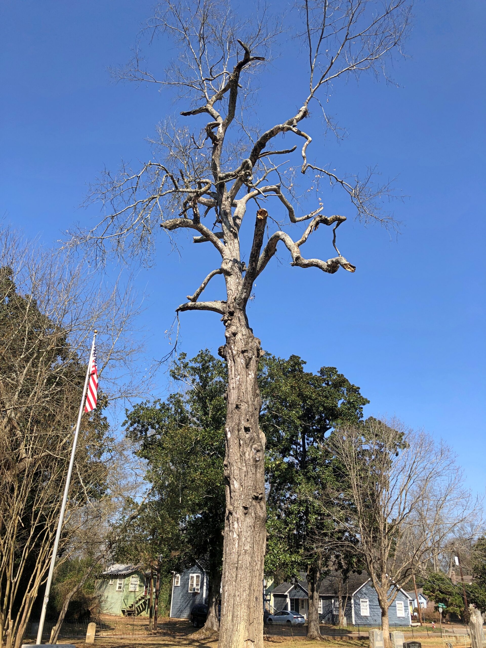
Decent flora, but not a garden cemetery.
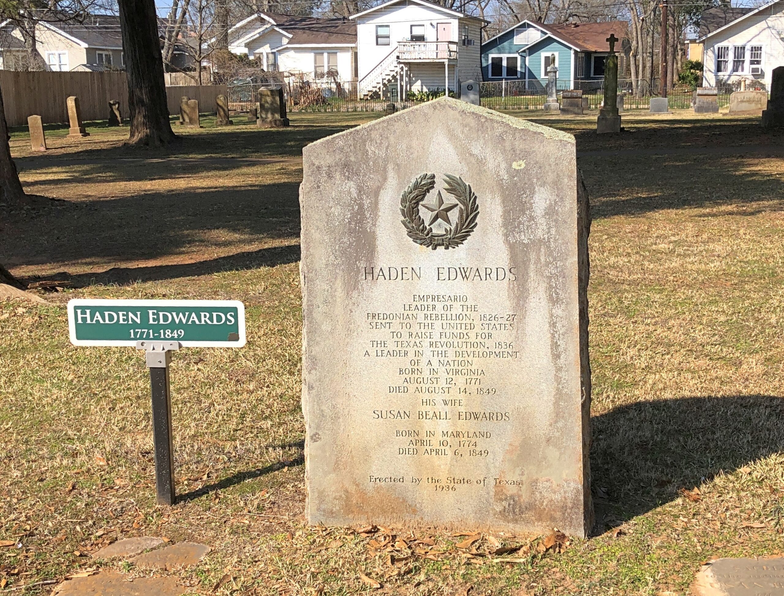
It’s an old cemetery by modern Texas standards – the first burial was the year after independence – so the cemetery punches above its weight in one way: noted early Texans. Such as Harden Edwards.
The state saw fit, during the 1936 Centennial, to put up a new stone for Edwards, an empresario and “Leader of the Freedonian Rebellion,” who must have penned the rousing tune, “Hail, Hail Freedonia,” for future generations to enjoy.
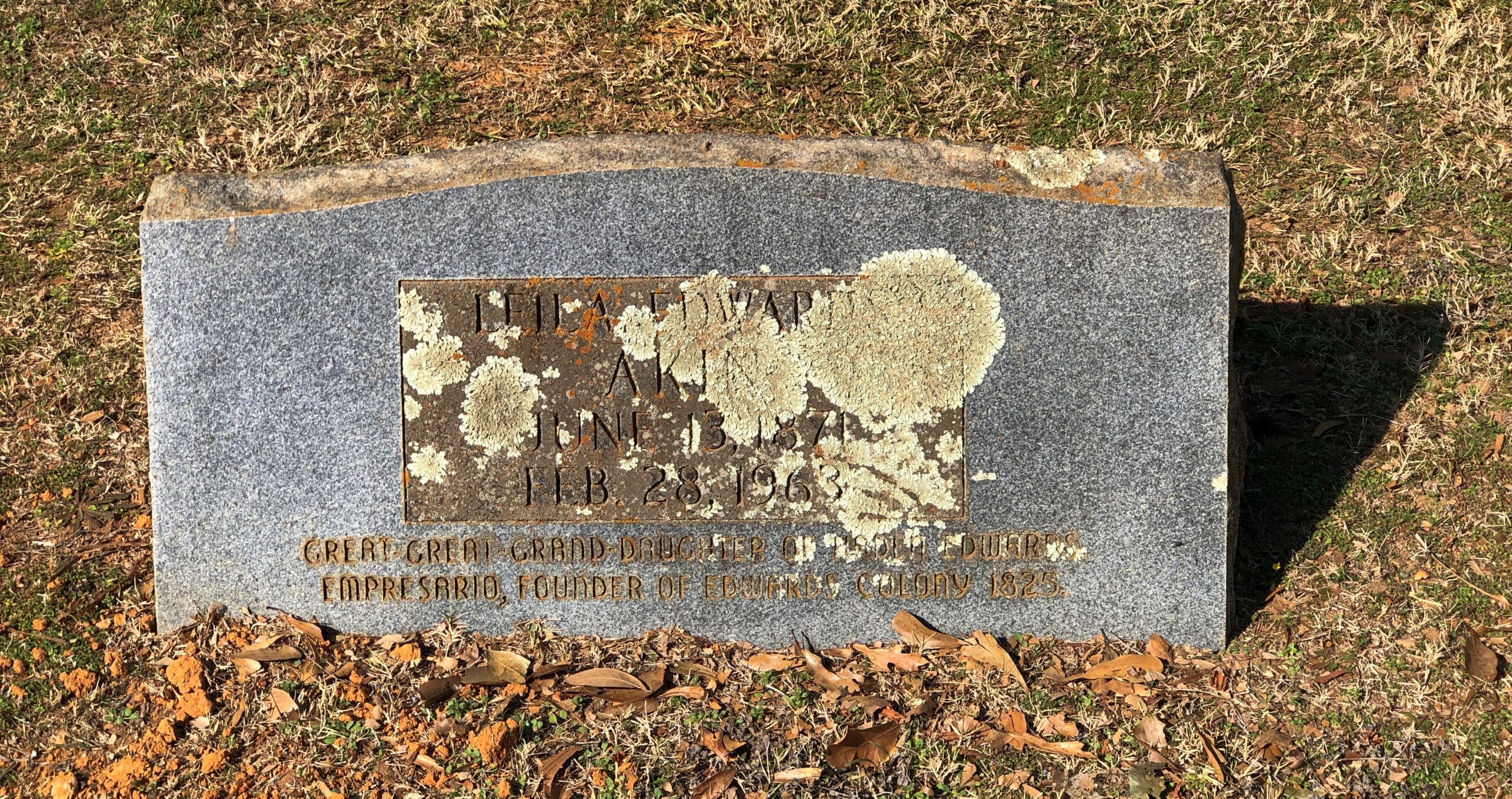
The stone of a great-great granddaughter of Edwards who died in 1963 seems eager to bask in his remote glory. Why not?
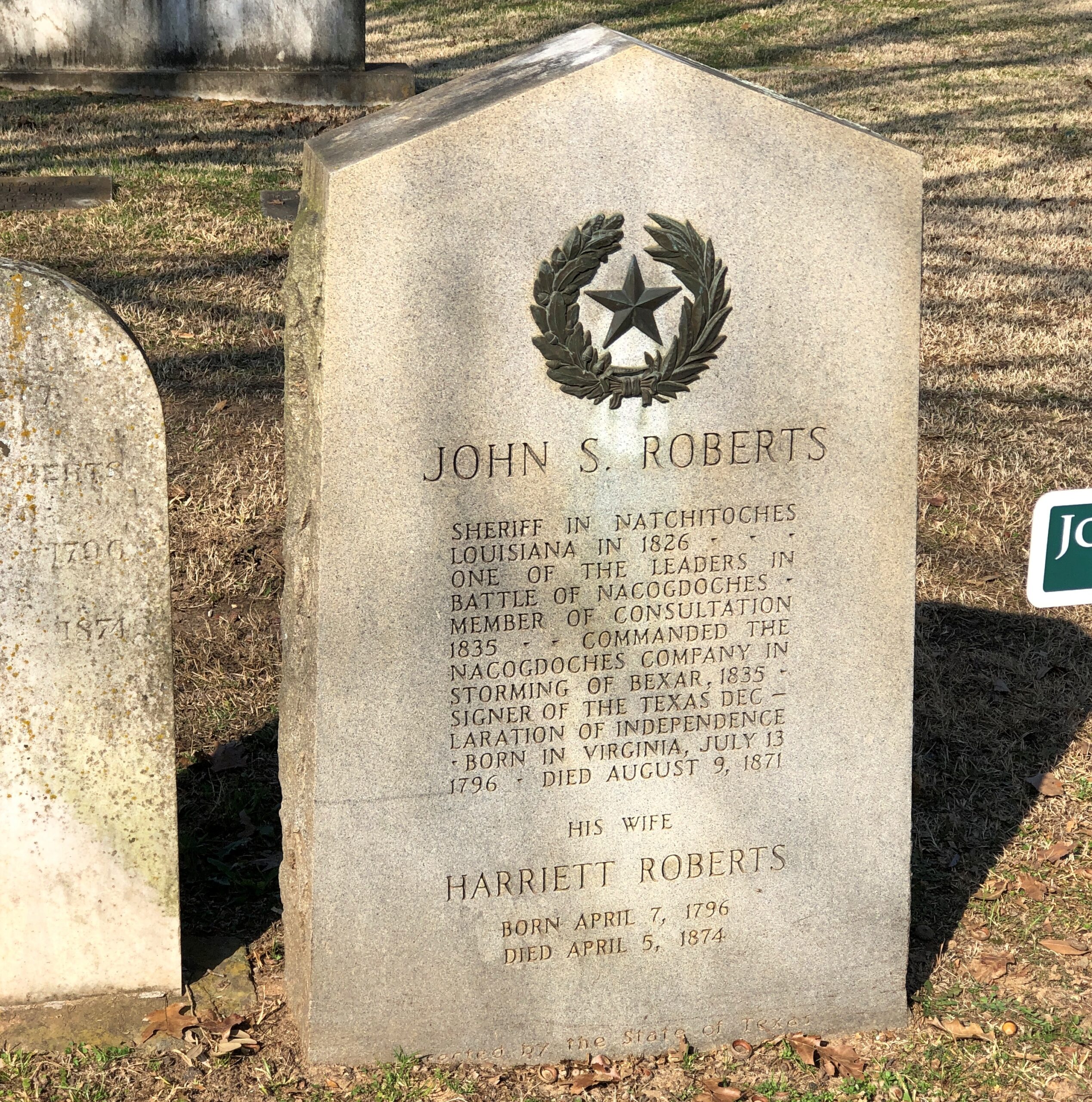
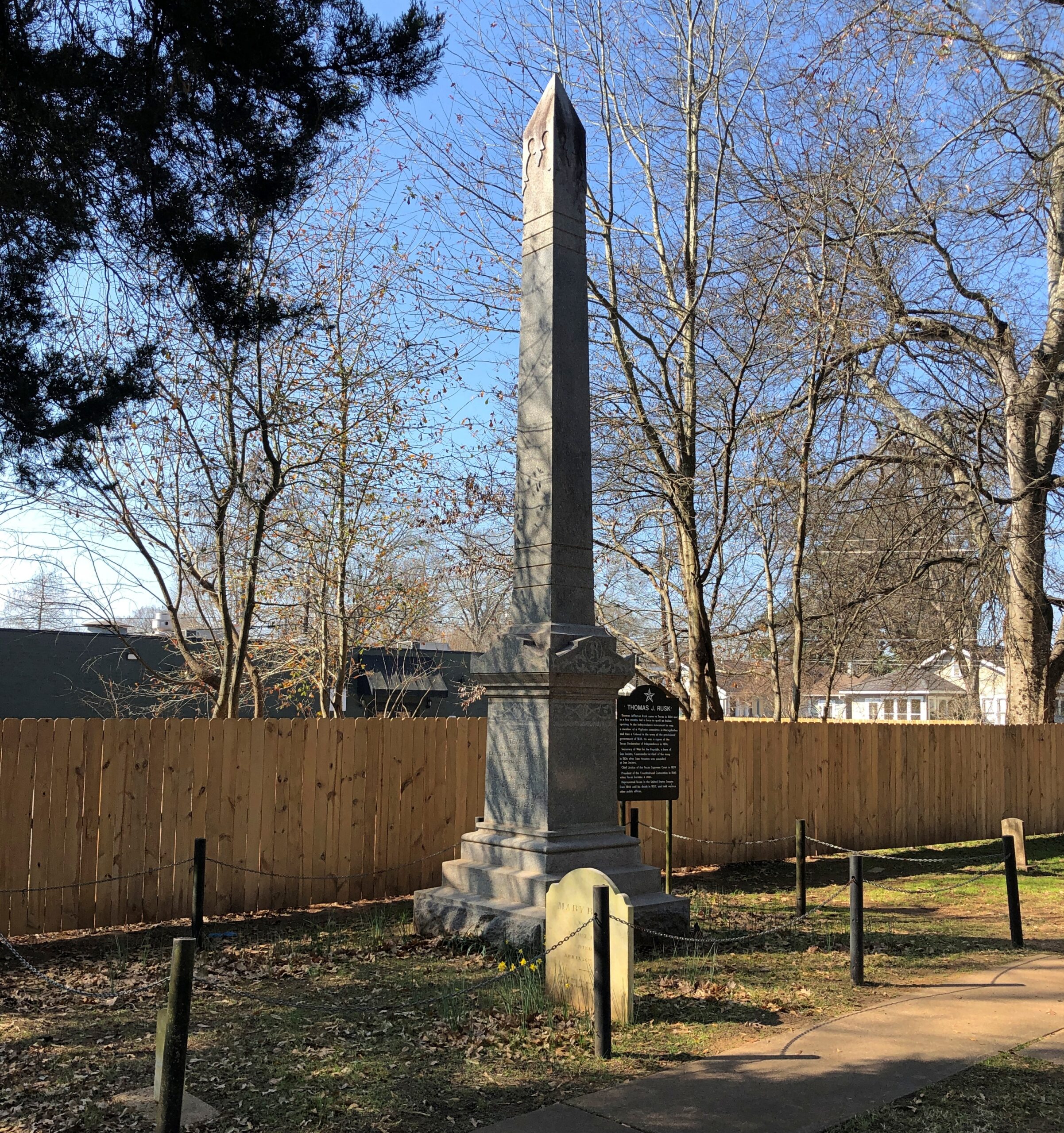
He was a signer, fought at San Jacinto, and had a notable career in antebellum Texas and U.S. politics. There’s is a town a county over from Nacogdoches named Rusk, seat of Cherokee County. Also, strangely, a font based on his handwriting was created in our time, “Texas Hero.”
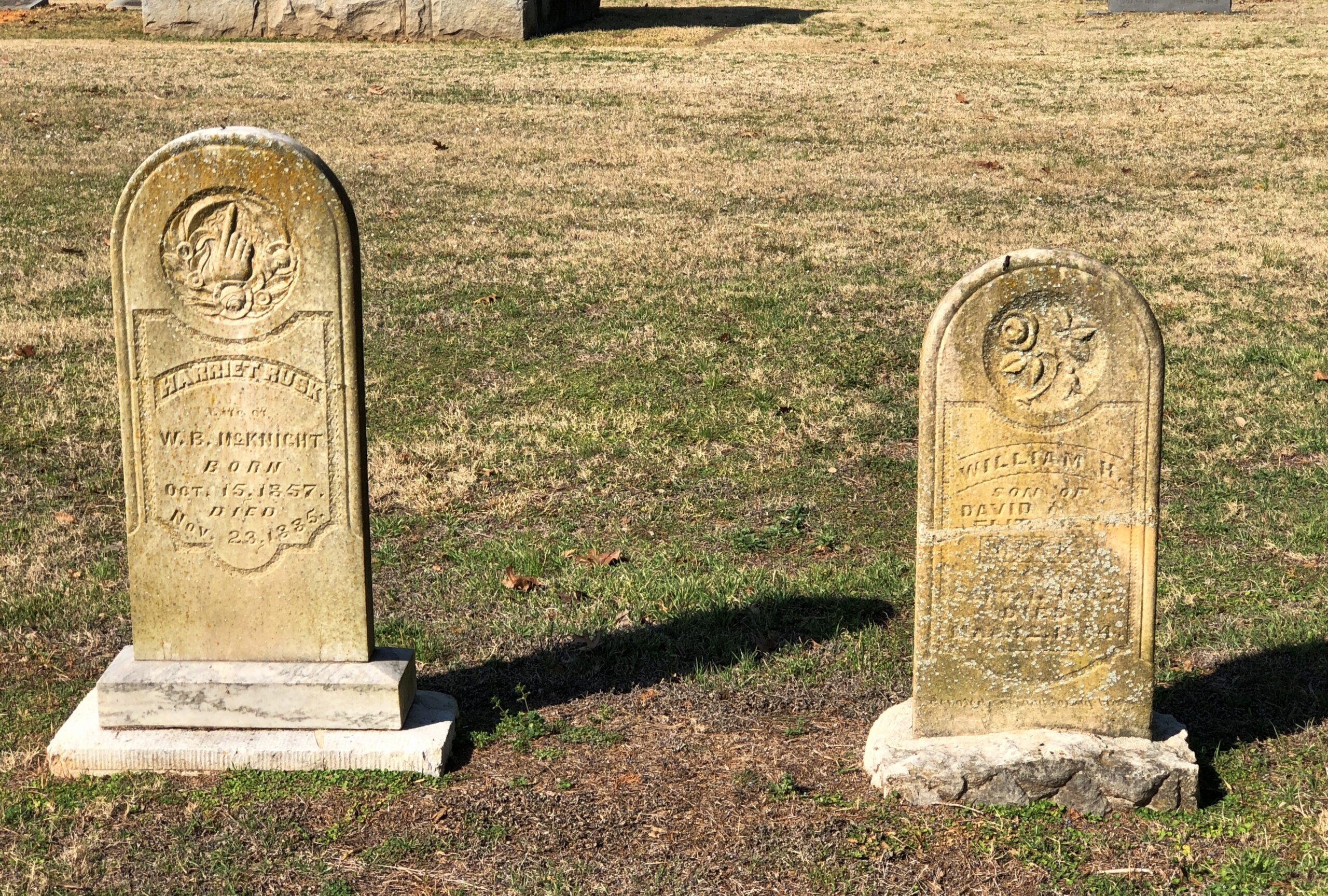
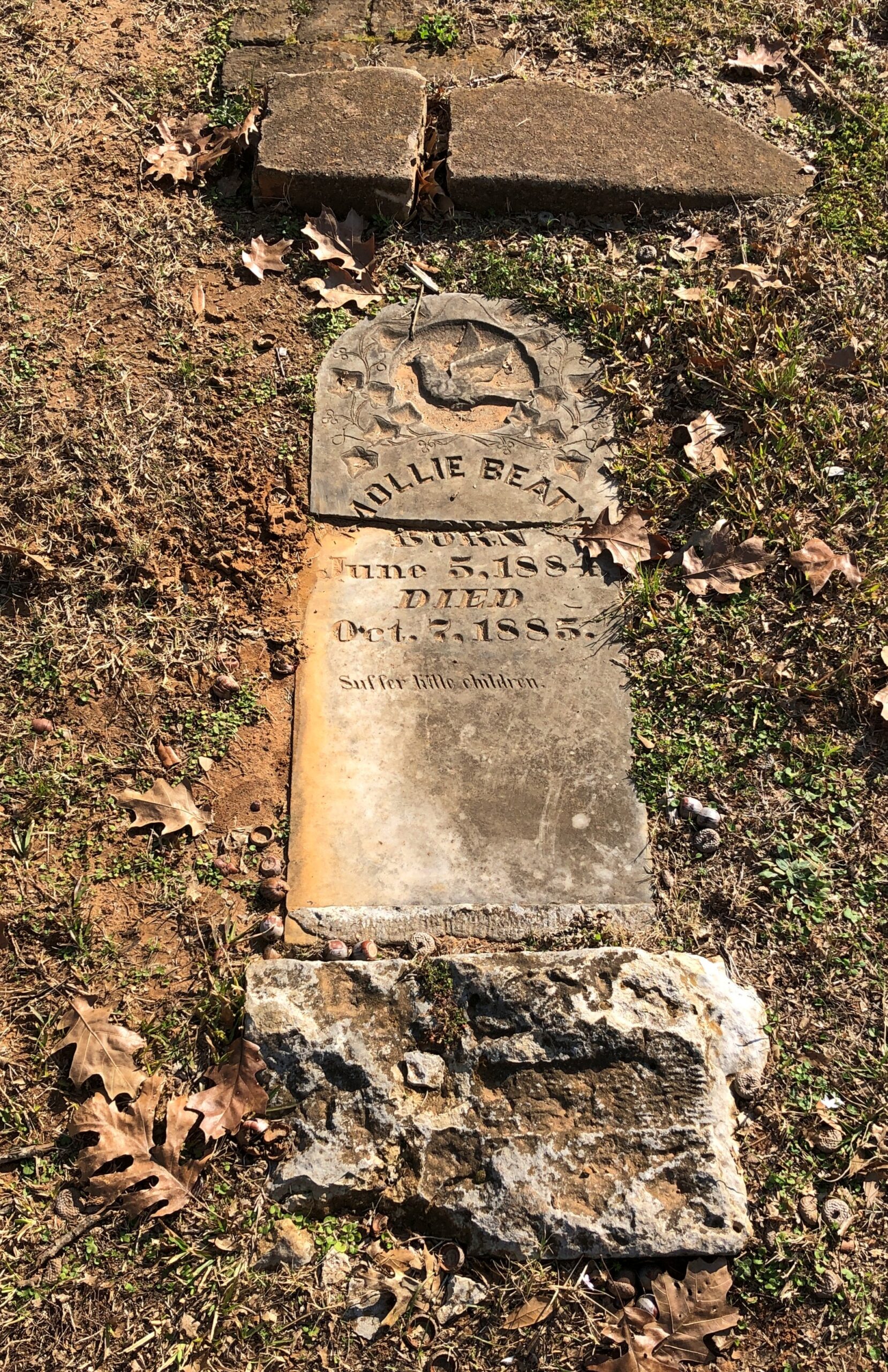
Some regular folks.
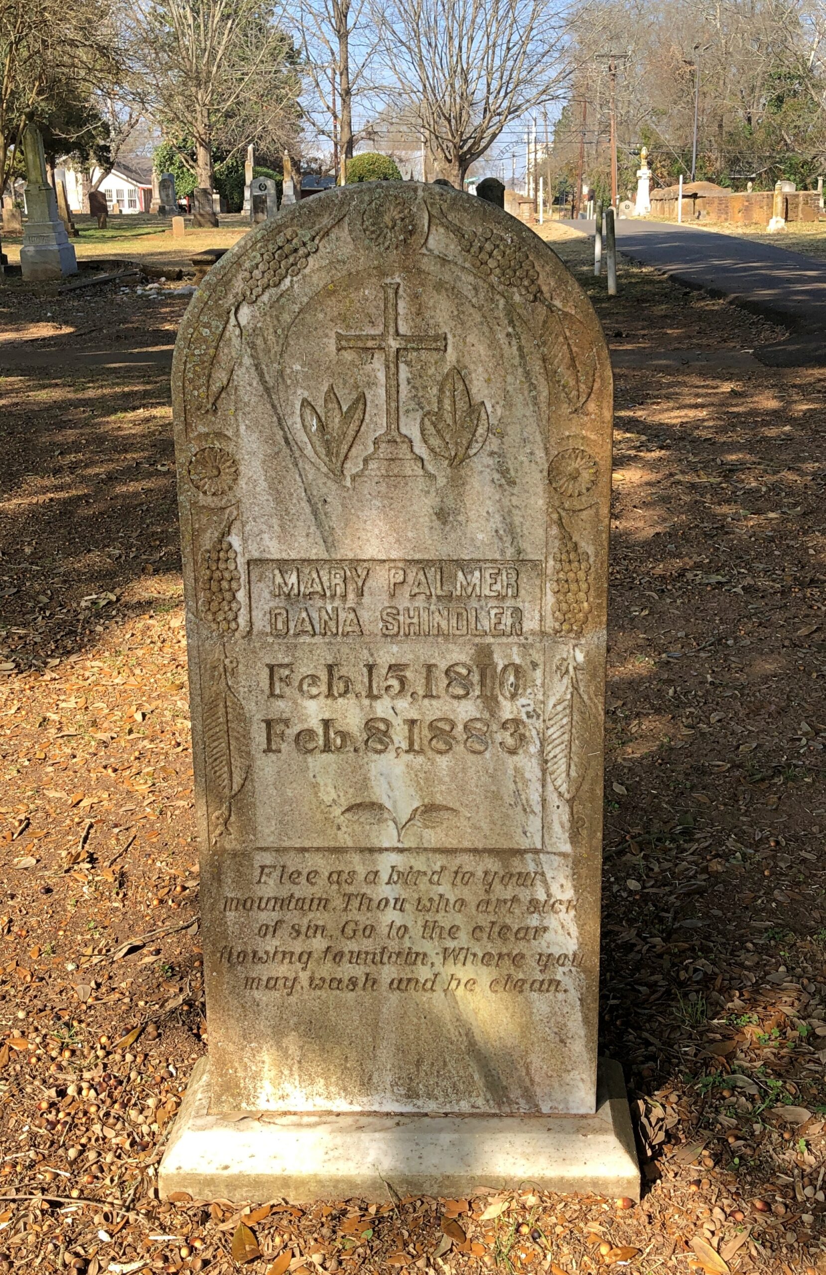
I don’t know how ordinary this person was, but perhaps he was gifted with Victorian prolixity. Or maybe his family was.
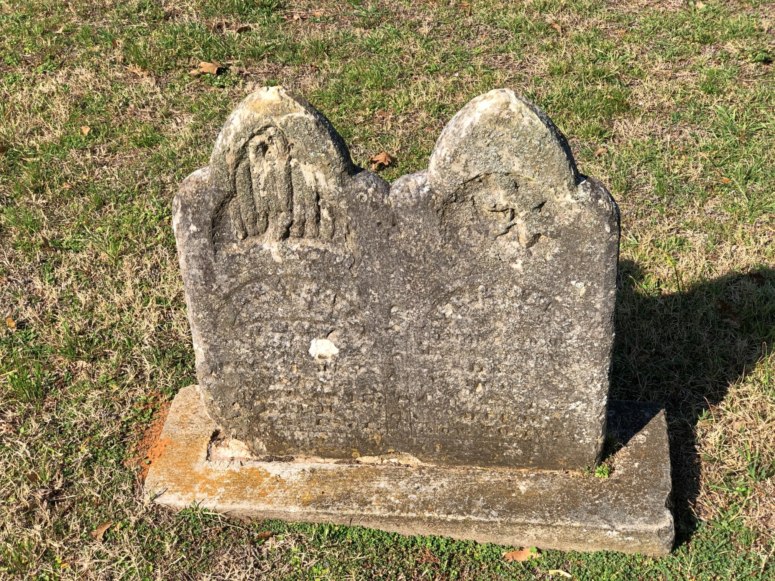
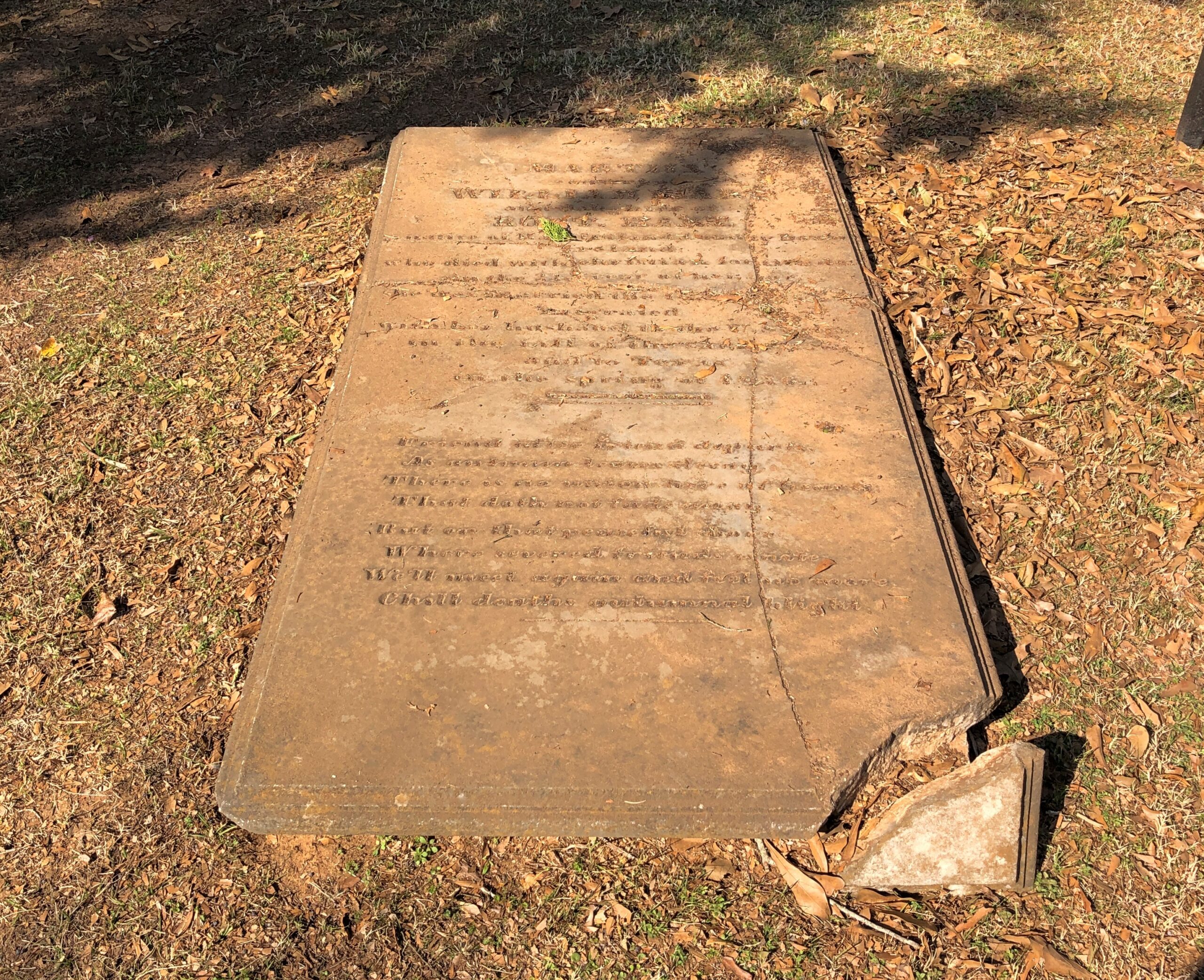
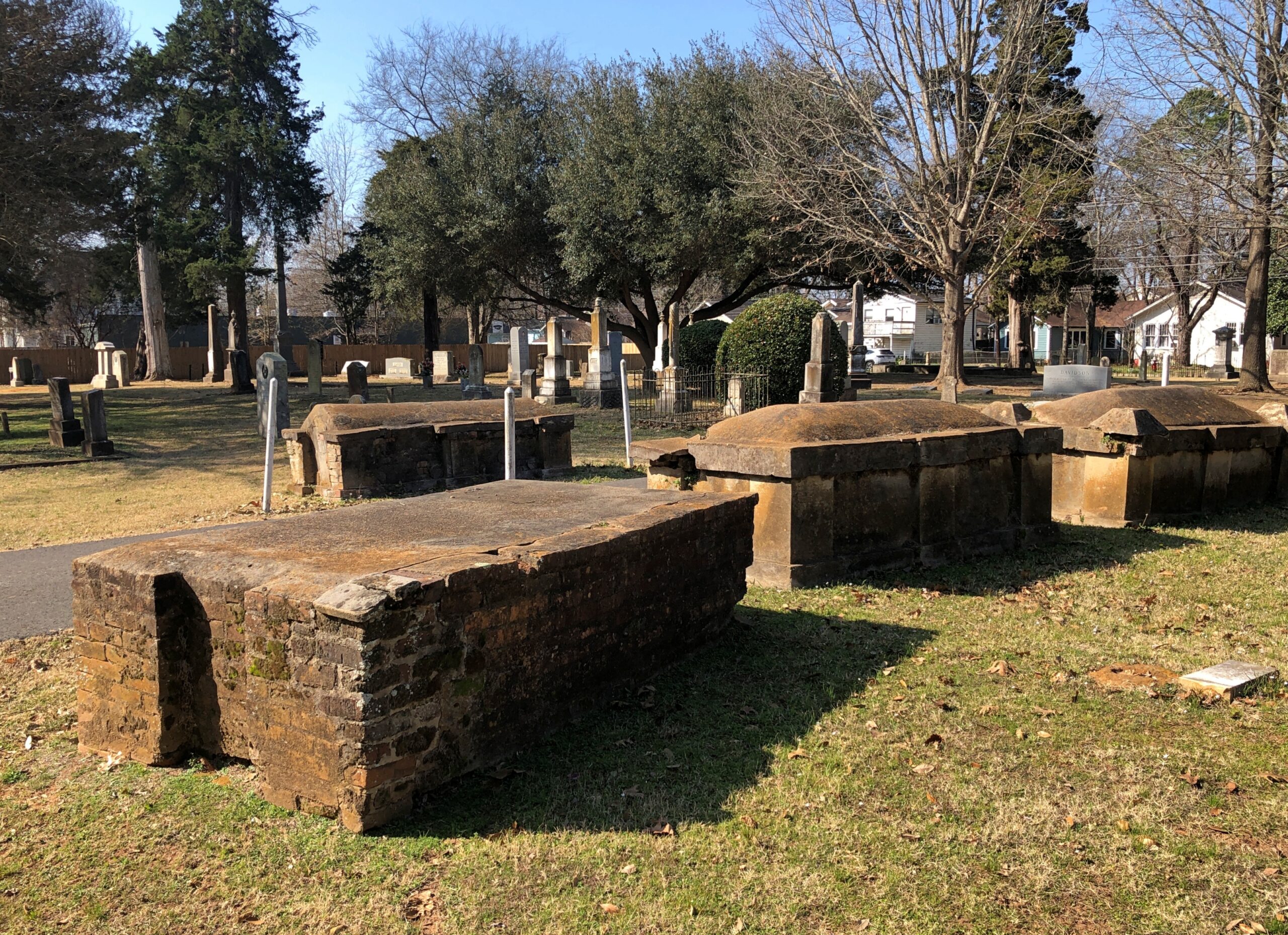
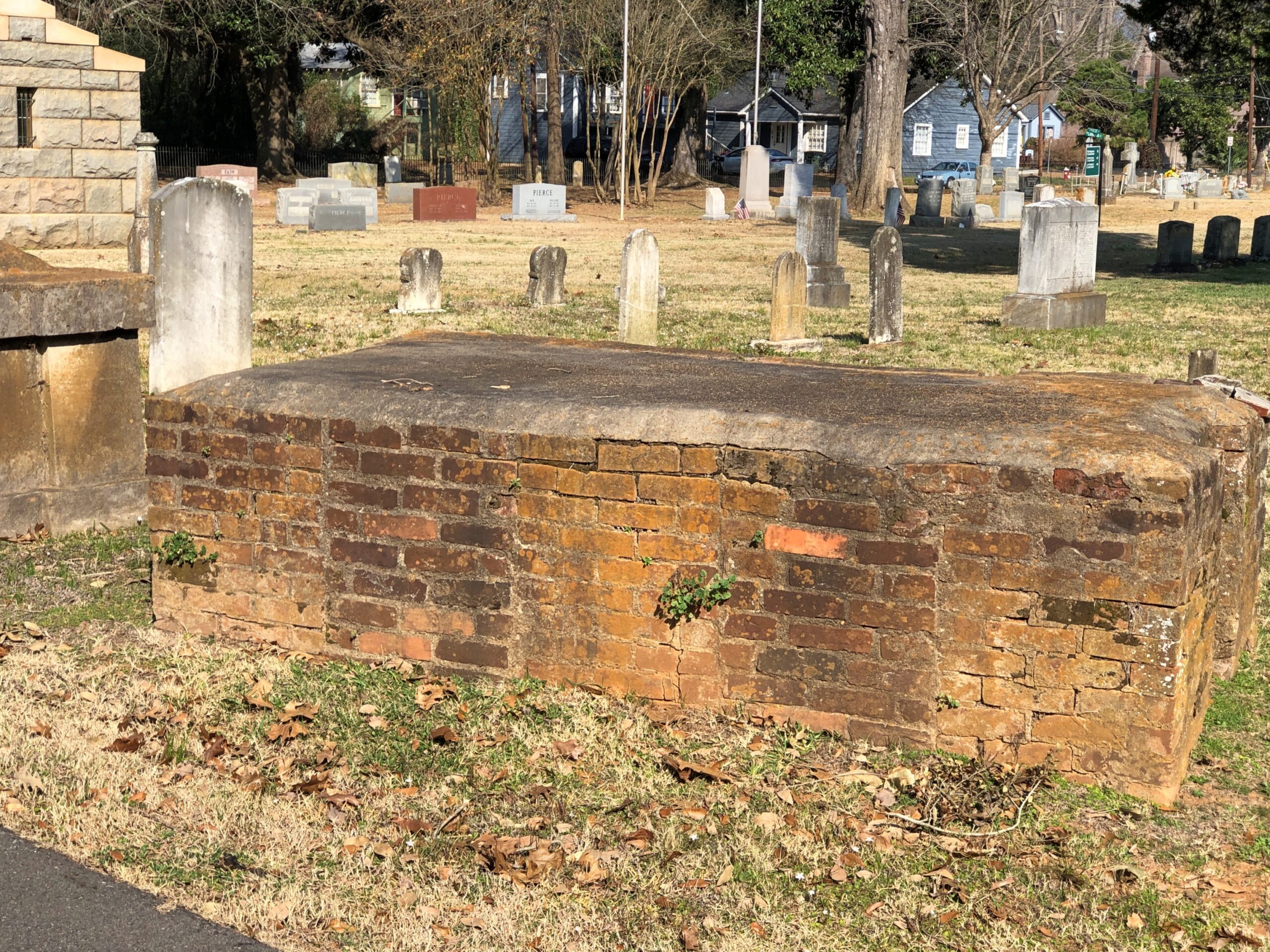
Brick tombs of the kind I’ve seen elsewhere in the South from roughly the same period, that is, sometime in the 19th century.
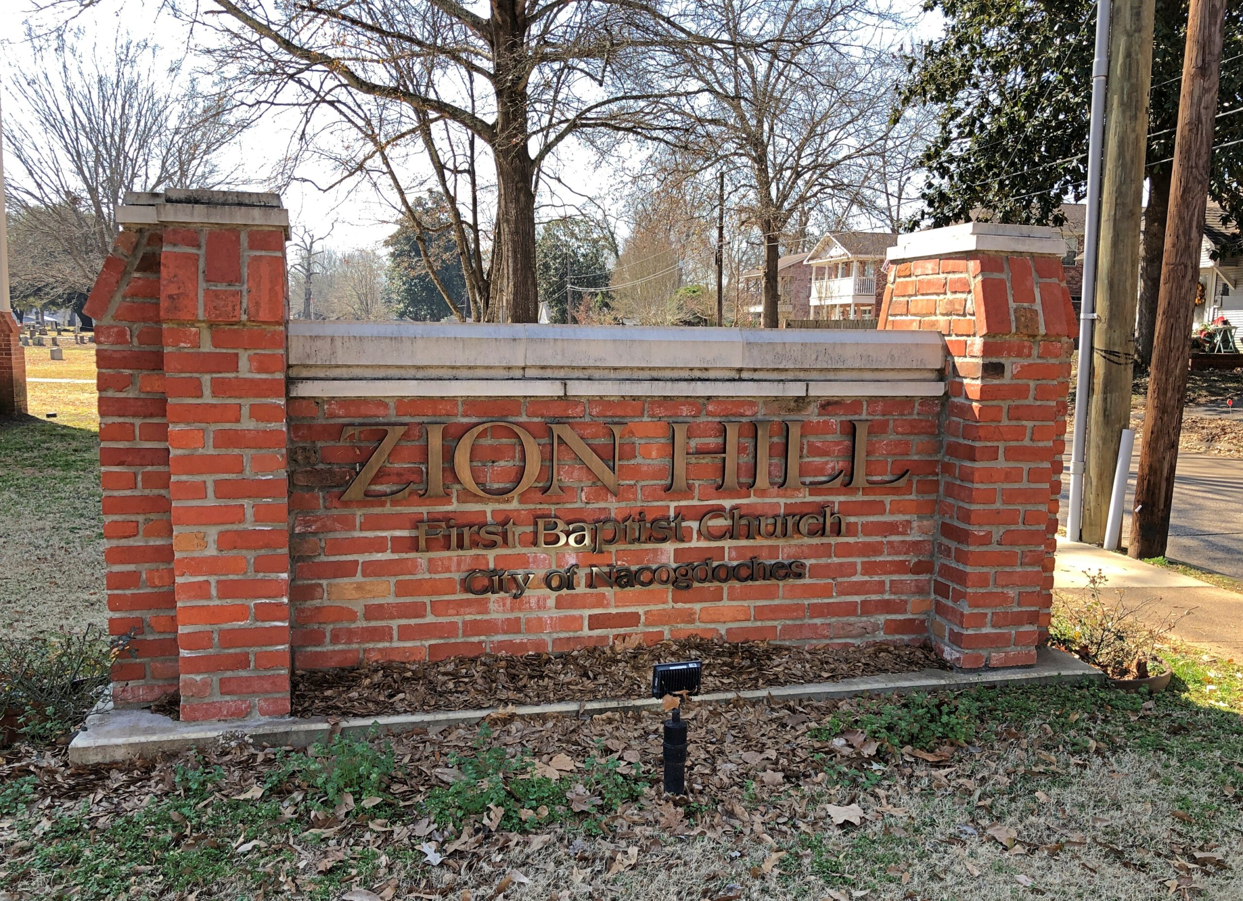
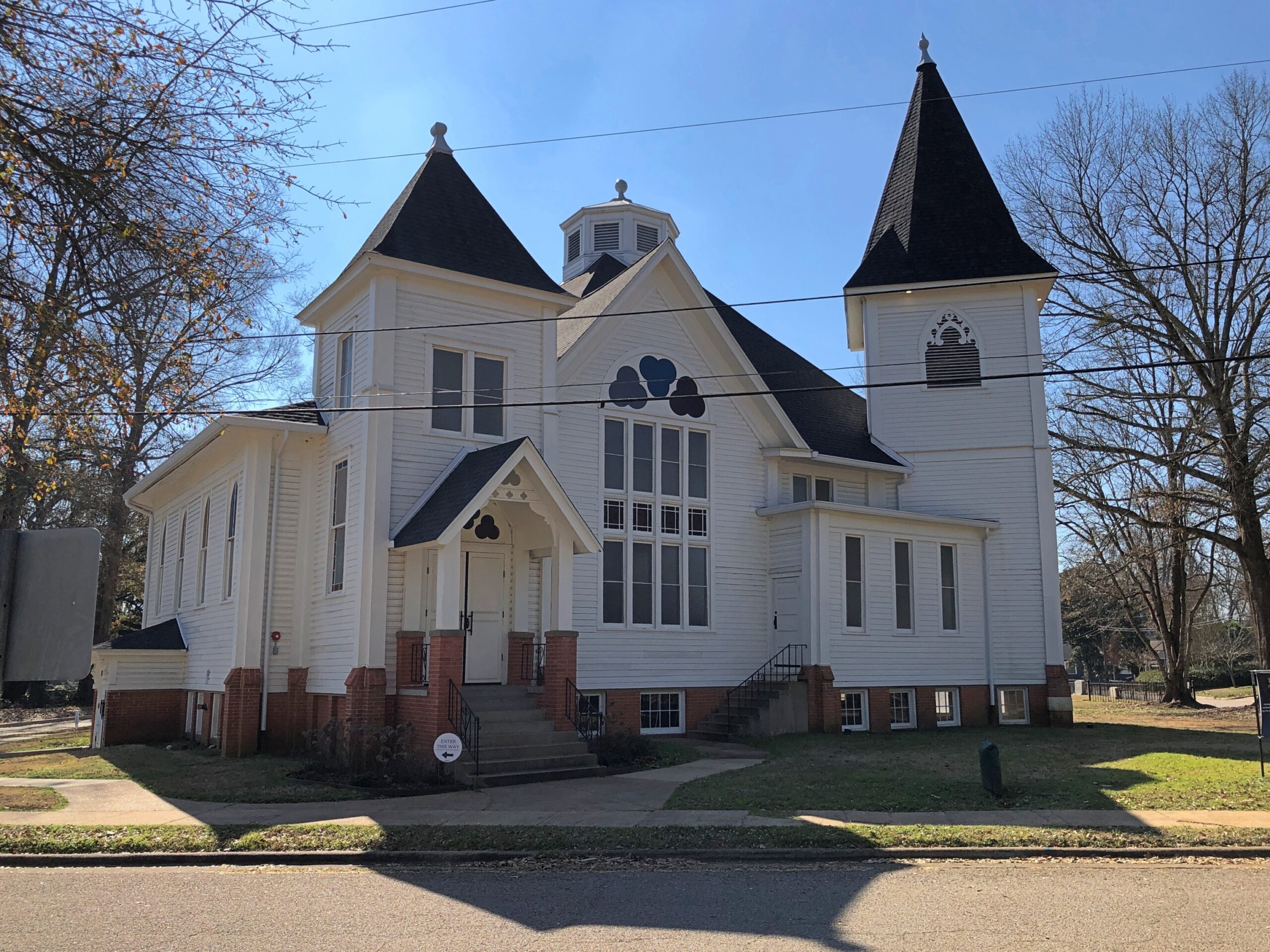
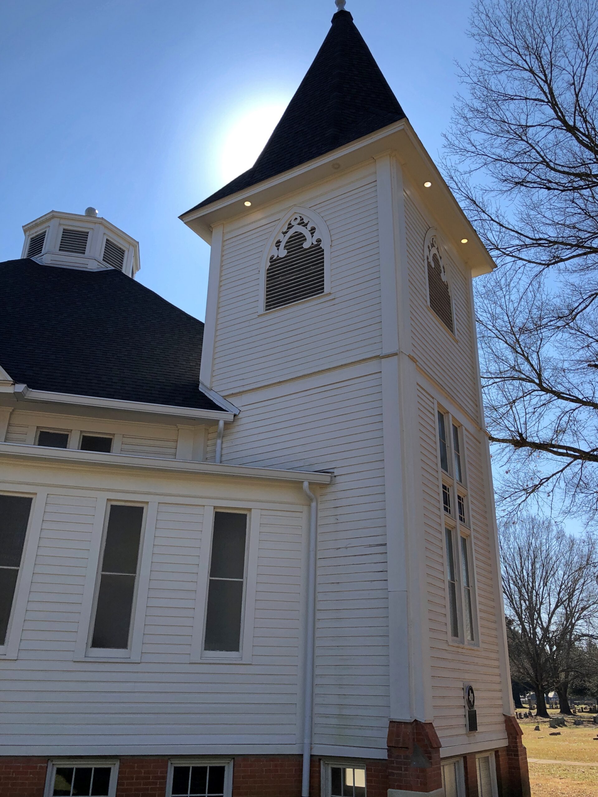
Adjacent to the cemetery but not associated with it is the former home of Zion Hill Baptist Church, one of the oldest African-American Baptist congregations in Texas, founded in 1878. The church is on the corner of Lanana and the delightfully named Bois d’arc St., as in lumpy “apples.”
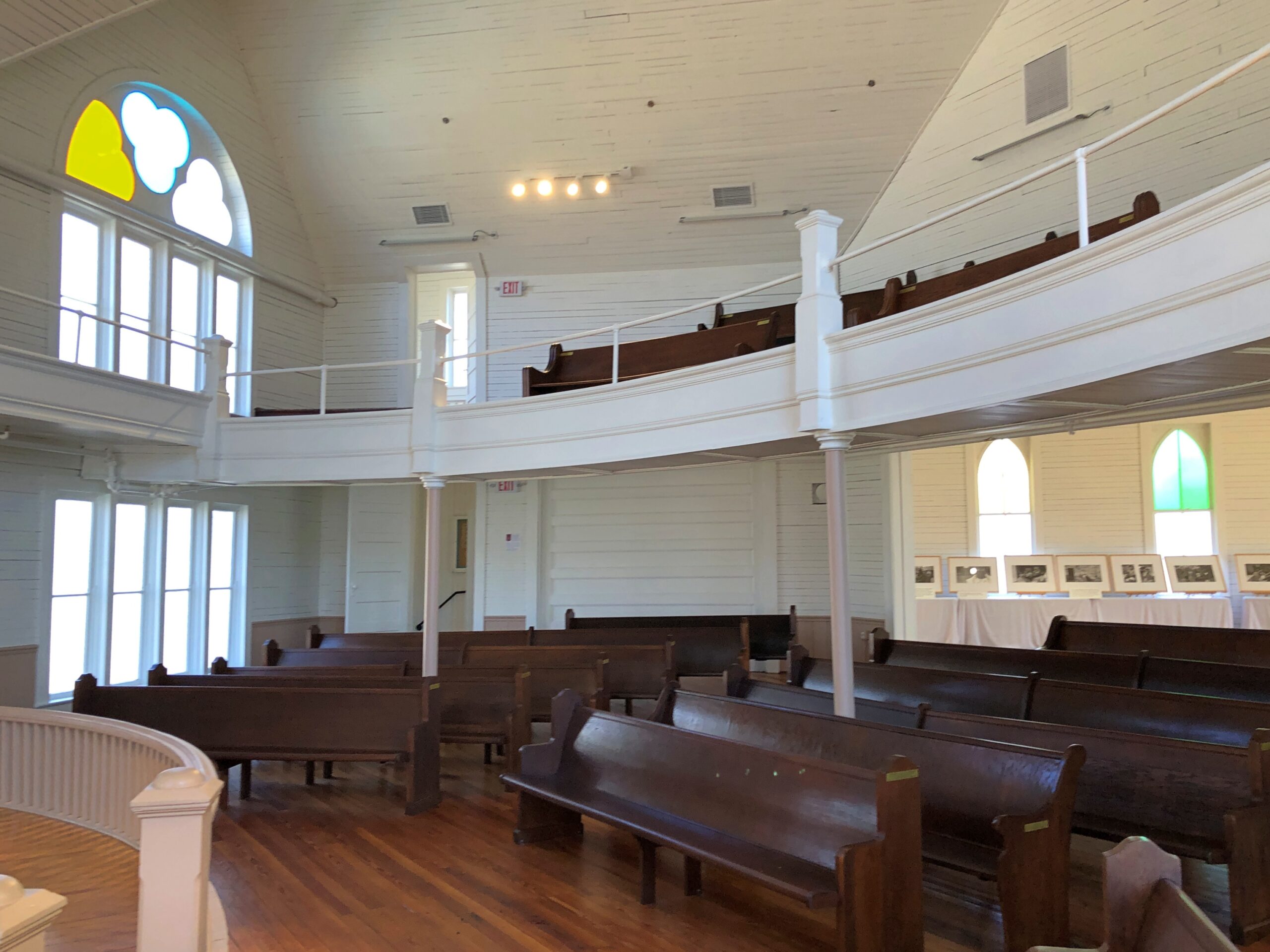
The congregation hasn’t used the structure, designed in 1914 by architect Diedrich Rulfs, for nearly 40 years. It’s a fine little museum these days, restored to its early 20th century glory.
Rulfs was a German who made good in Texas, as so many have, within a very special niche: most of the buildings worth seeing in Nacogdoches are his work.