Tyler Rose Garden

The cliché is to stop and smell the roses, lest you pass your life in drab unappreciation of the delights easily available to you during your short lifespan. It expresses a worthwhile sentiment, almost always meant metaphorically.

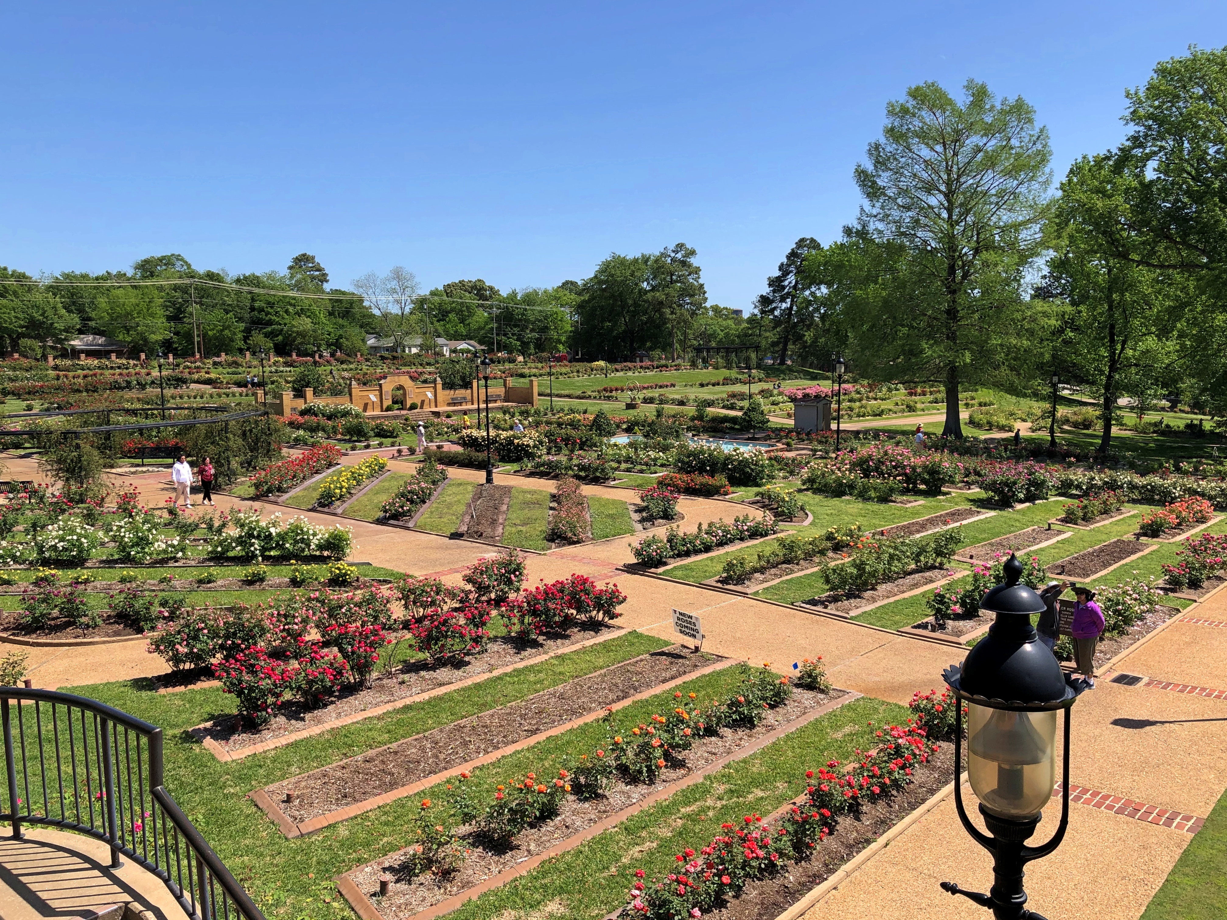
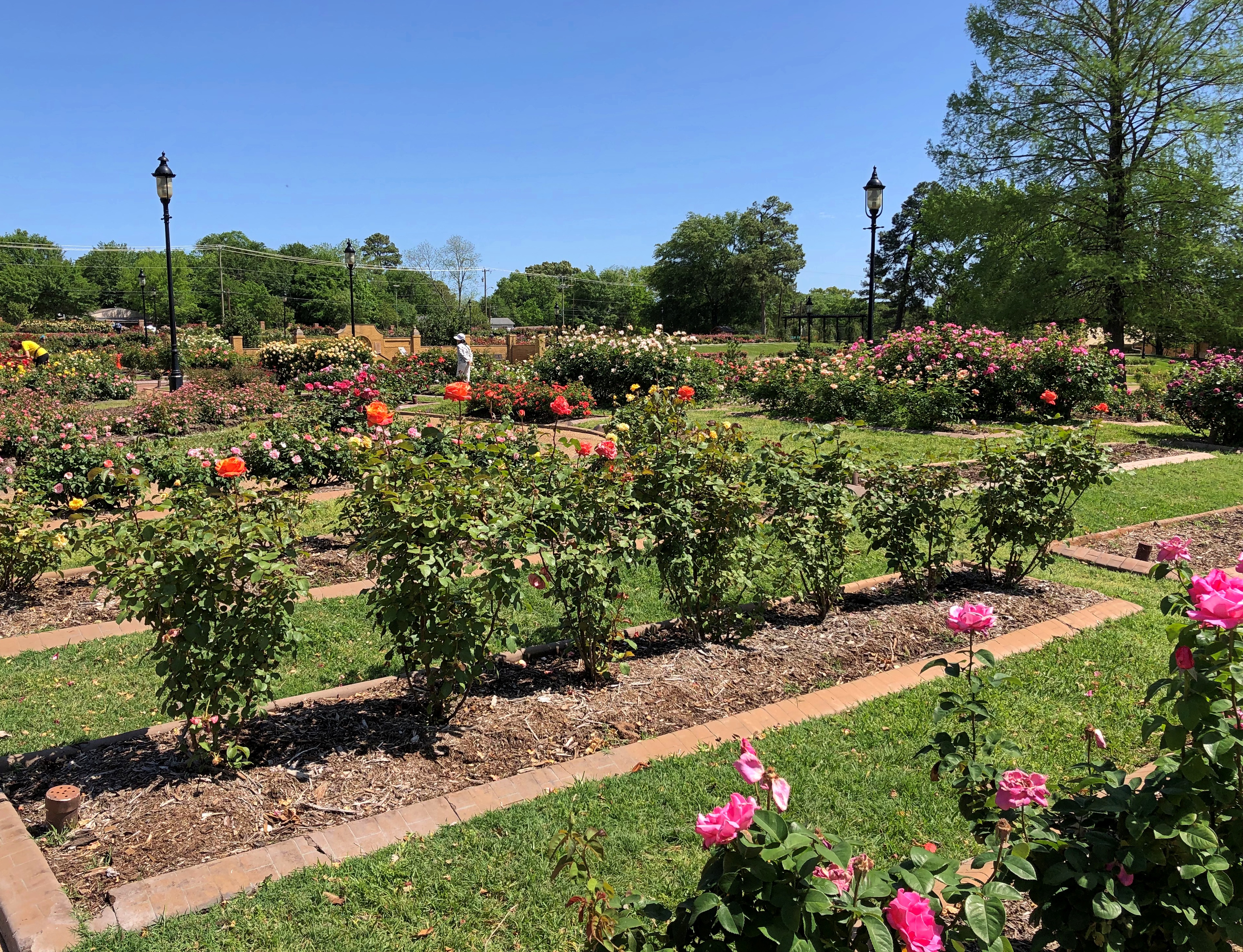
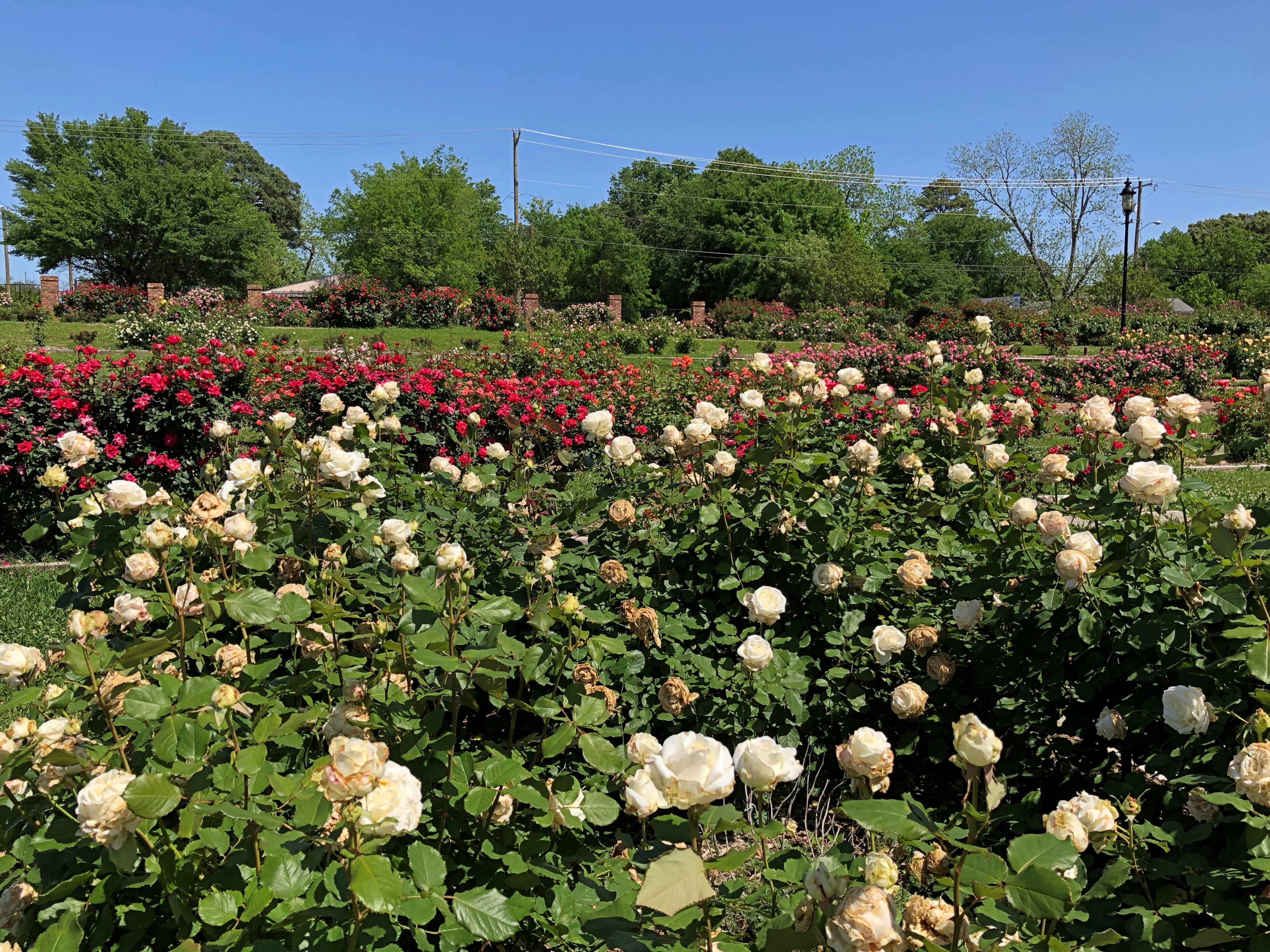
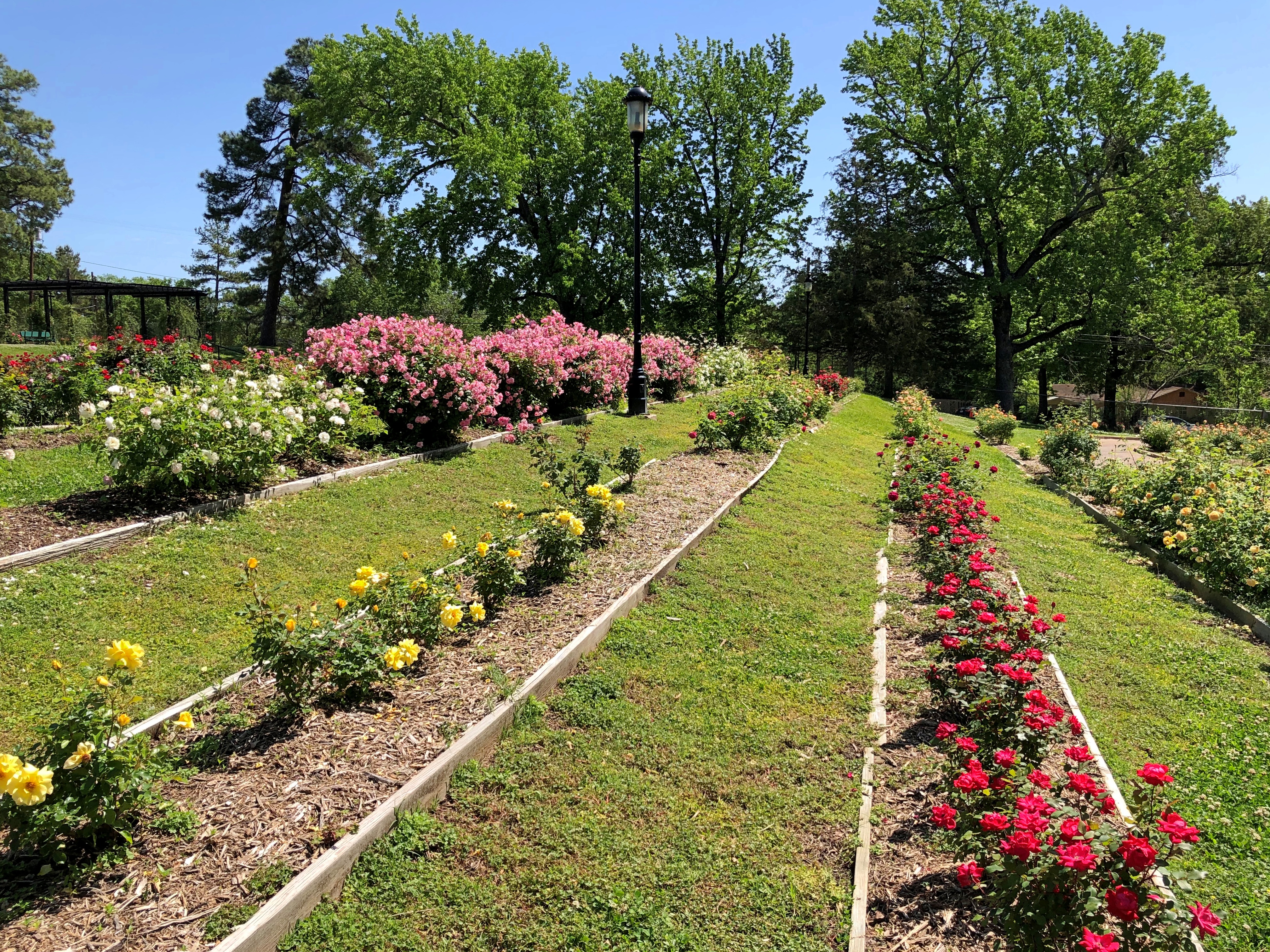
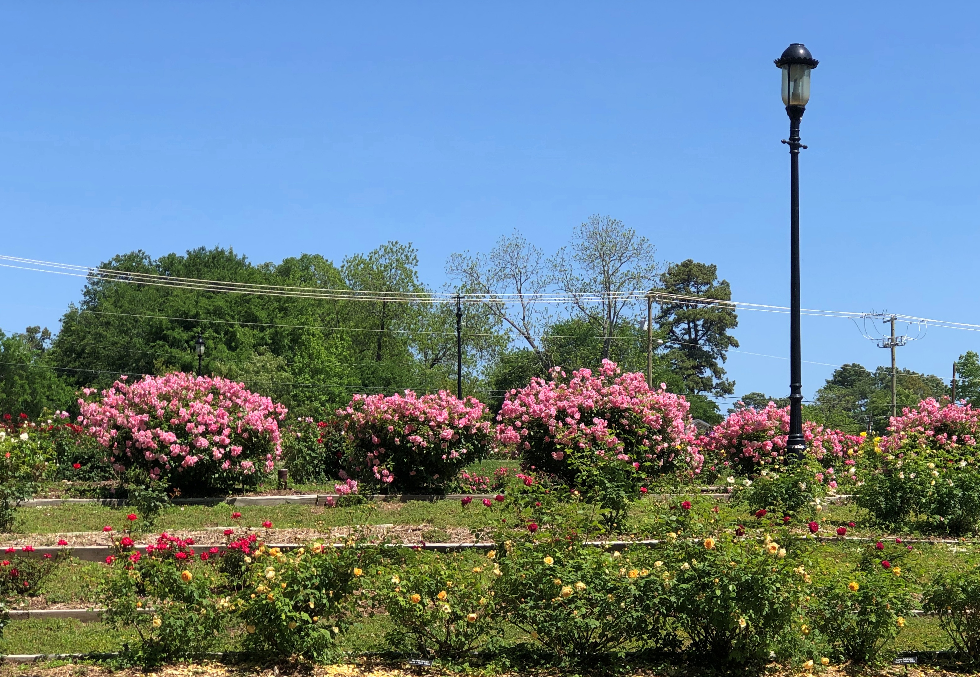
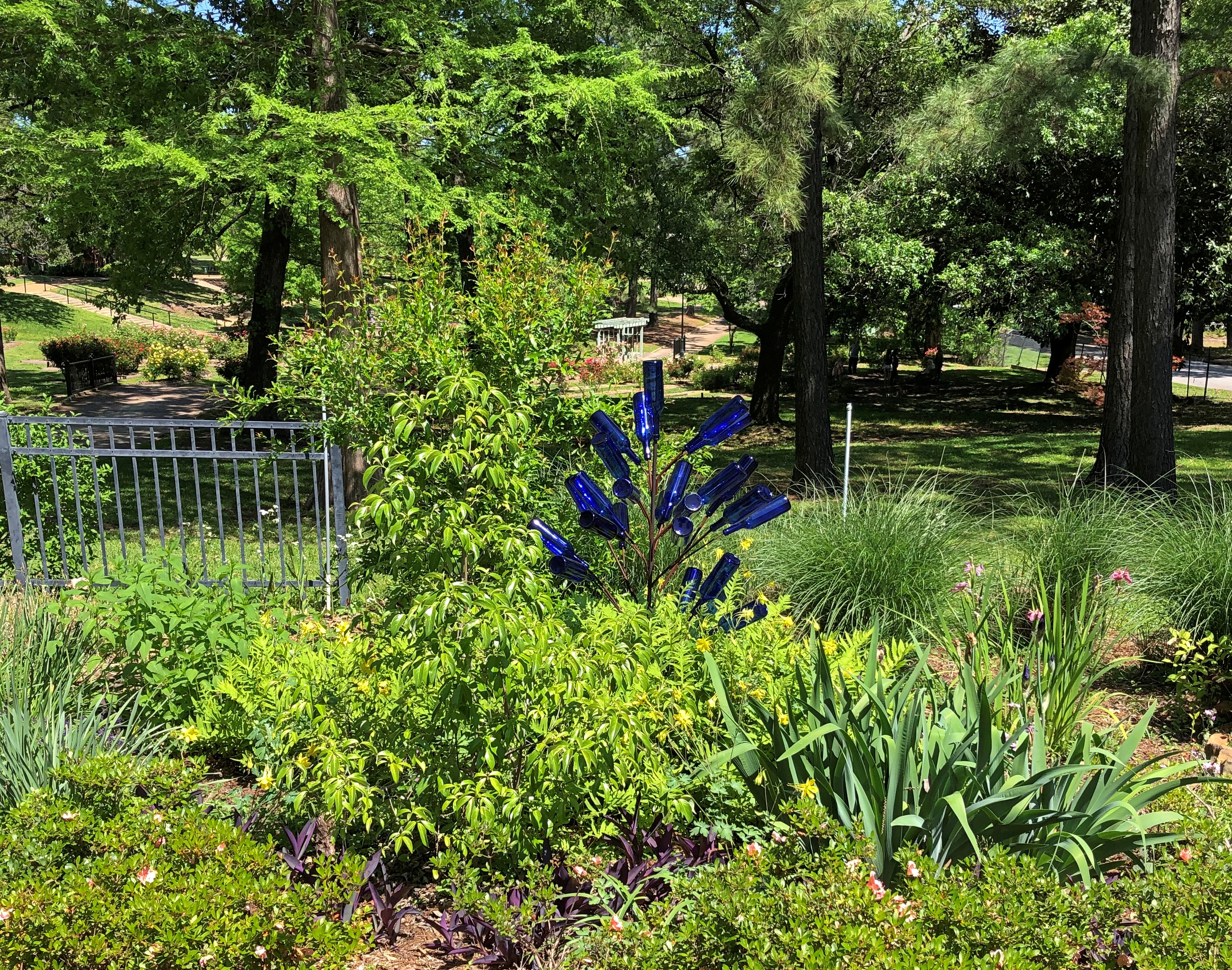
At Tyler Rose Garden in Tyler, Texas, smelling the roses is literal. It’s the largest rose garden I’ve ever seen — and according to some sources, the largest such garden in the United States — with some 38,000 bushes representing 600 cultivars on 14 acres.Tyler Rose Garden
Tyler Rose Garden

We arrived late in the warm morning of April 13, the day we left Dallas, on our way to visit an old friend of mine in Nacogdoches, Texas, as well as to (partly) rectify how little time I’ve spent in East Texas, a serious lacuna in my travels. Tyler is just south of I-20 east of Dallas, but not quite on that highway. We headed south on U.S. 69 from I-20 to get there.
Why a rose garden? Turns out Smith County, of which Tyler is the seat, was once the hub of U.S. rose production.
“Large-scale commercial production started in the early 1900s, and in 1917 the first train carload was shipped,” the always informative Texas State Historical Association says. “Droughts, freezes, and disease had destroyed the area’s peach orchards, so the nurserymen were forced to turn to something else. The climate and sandy loams of Smith, Van Zandt, Gregg, Cherokee, Harrison, and Upshur counties proved excellent for this type of horticulture, and large-scale commercial rose growing centered there.”
By the end of the 20th century, domestic and foreign competition had eaten into Texas’ market share for roses, but they are still grown in the area.
The day we came to Tyler was warm and clear, just right for a stroll among the roses of a free municipal garden.Tyler Rose Garden Tyler Rose Garden Tyler Rose Garden

And take time to look closely at – and of course – smell the roses. Watch out for bees, though.Tyler Rose Garden Tyler Rose Garden Tyler Rose Garden

It isn’t all roses.Tyler Rose Garden Tyler Rose Garden Tyler Rose Garden

“Let’s spell out Tyler in big metal letters, but leave out the Y.”

“Why?”

“Right, Y.”

But why?”

“Yes, Y.”

“Huh?”

And so on. A clever idea, whoever thought it.

Potosi, Missouri

Sometime in late 18th century, Frenchmen came to a spot in the wilds of North America, which in later years would be southeastern Missouri, and began digging for lead in a place they called Mine Au Breton – Mine of the Breton, for Brittany native Francis Azor, who pioneered the effort in the area to extract the element. The name didn’t last, however. Since early U.S. sovereignty, it’s been Potosi, Missouri.

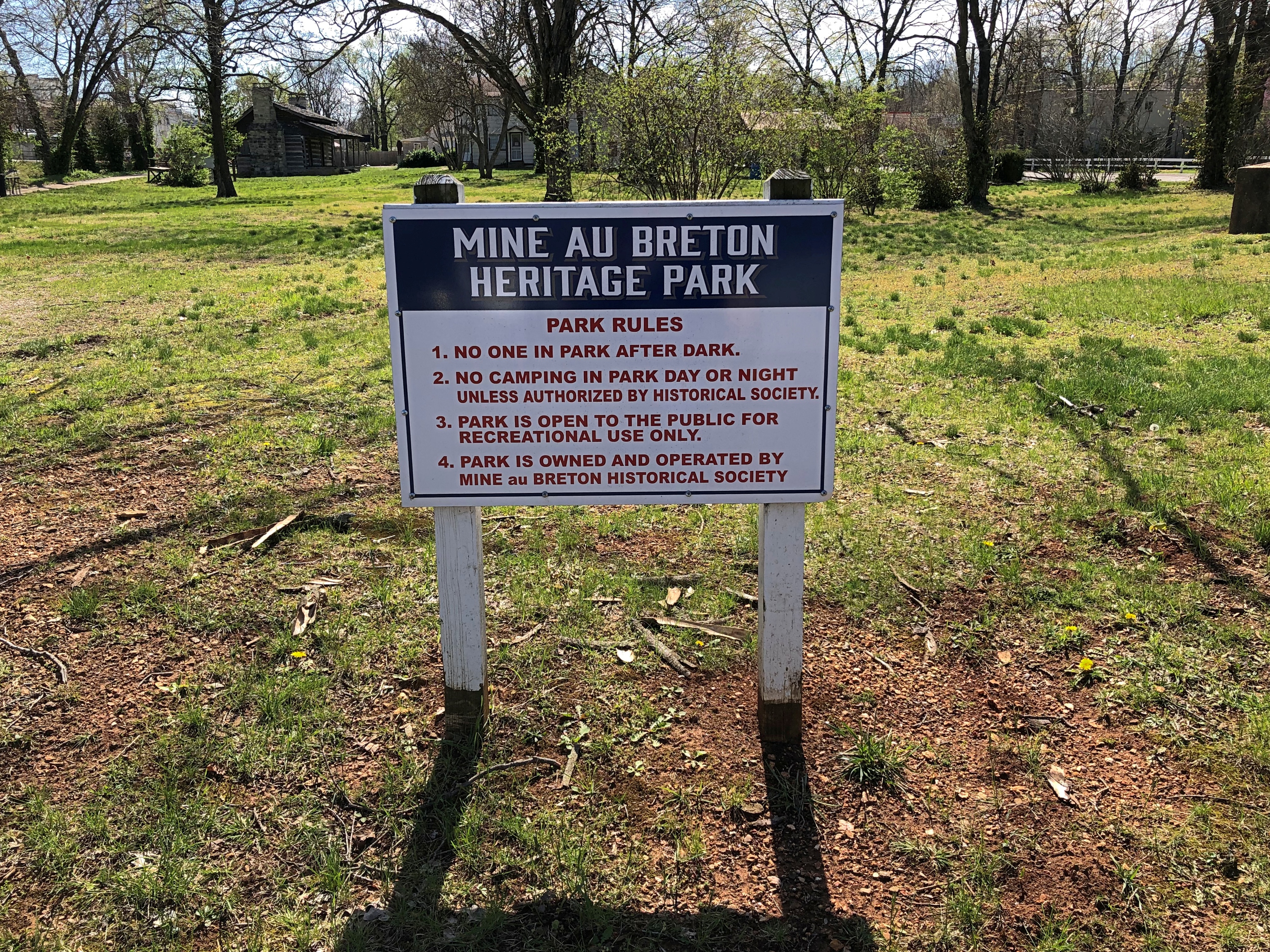
Still, the earlier name lingers in a small park in Potosi, which we visited on the morning of April 6 after leaving where we’d spent the night, Farmington.Mine Au Breton Heritage Park, Potosi, Mo.

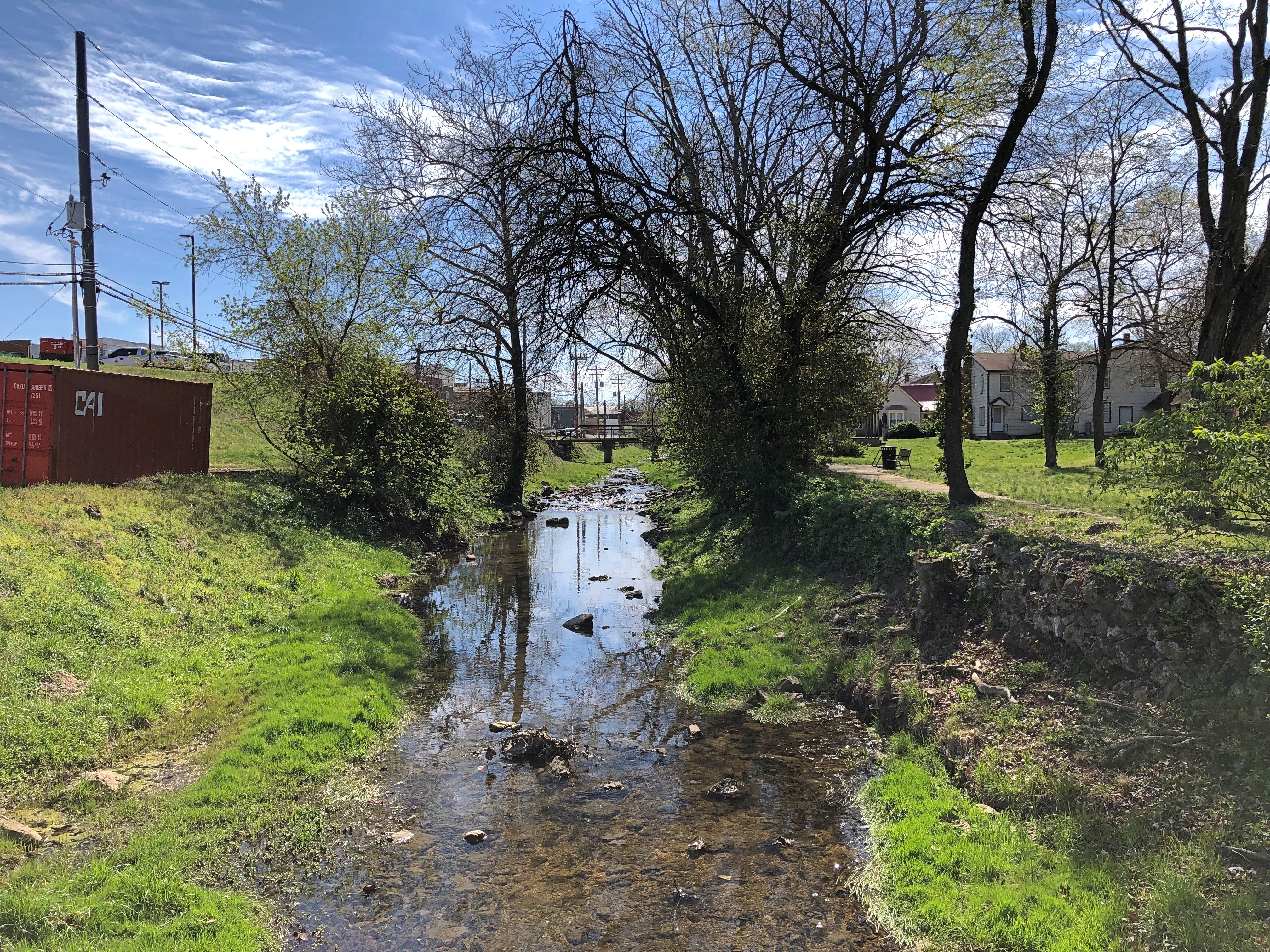
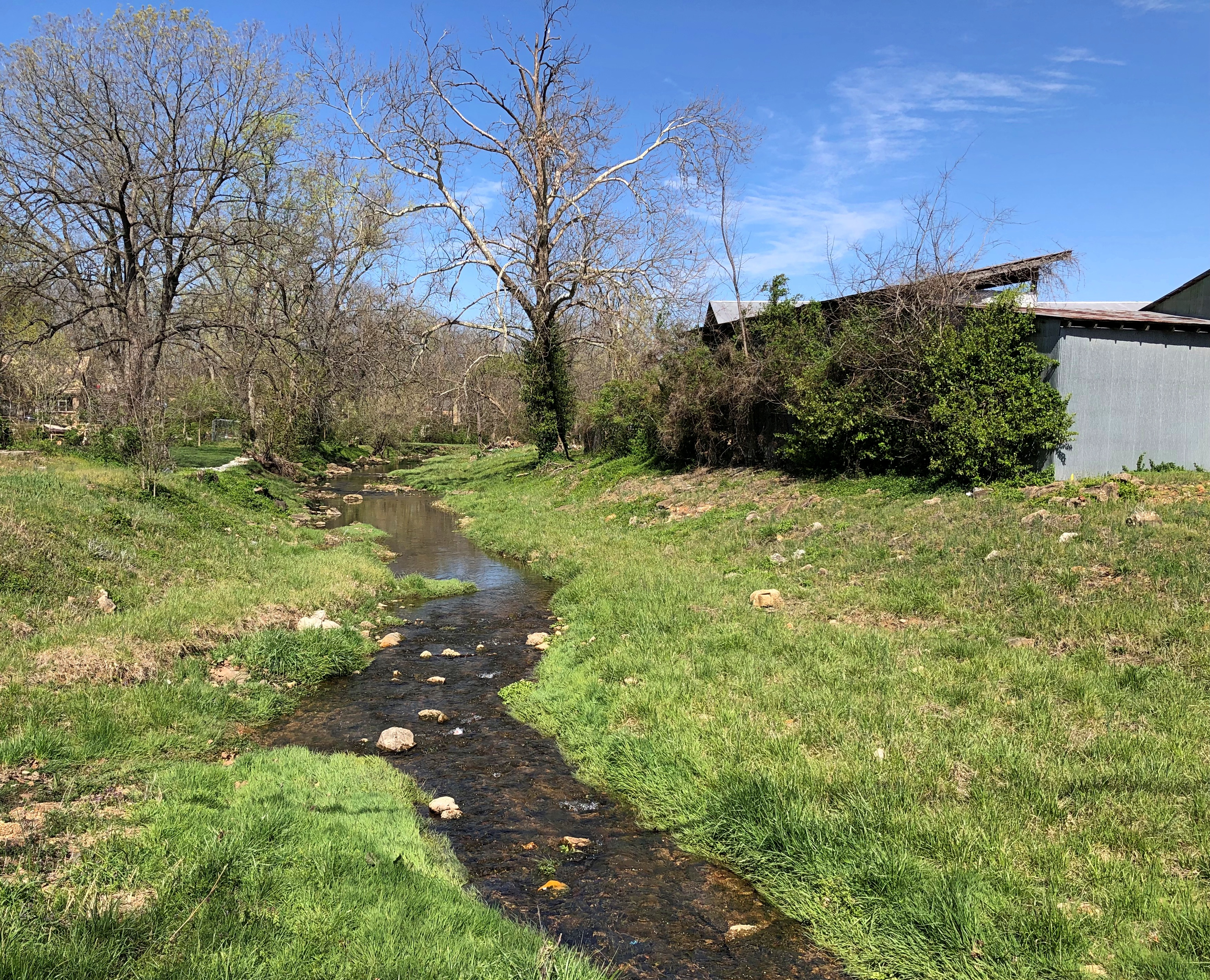
A nice little park, a block from the town’s main thoroughfare, High Street. Mine a Breton Creek runs through it.Mine Au Breton Heritage Park, Potosi, Mo. Mine Au Breton Heritage Park, Potosi, Mo.

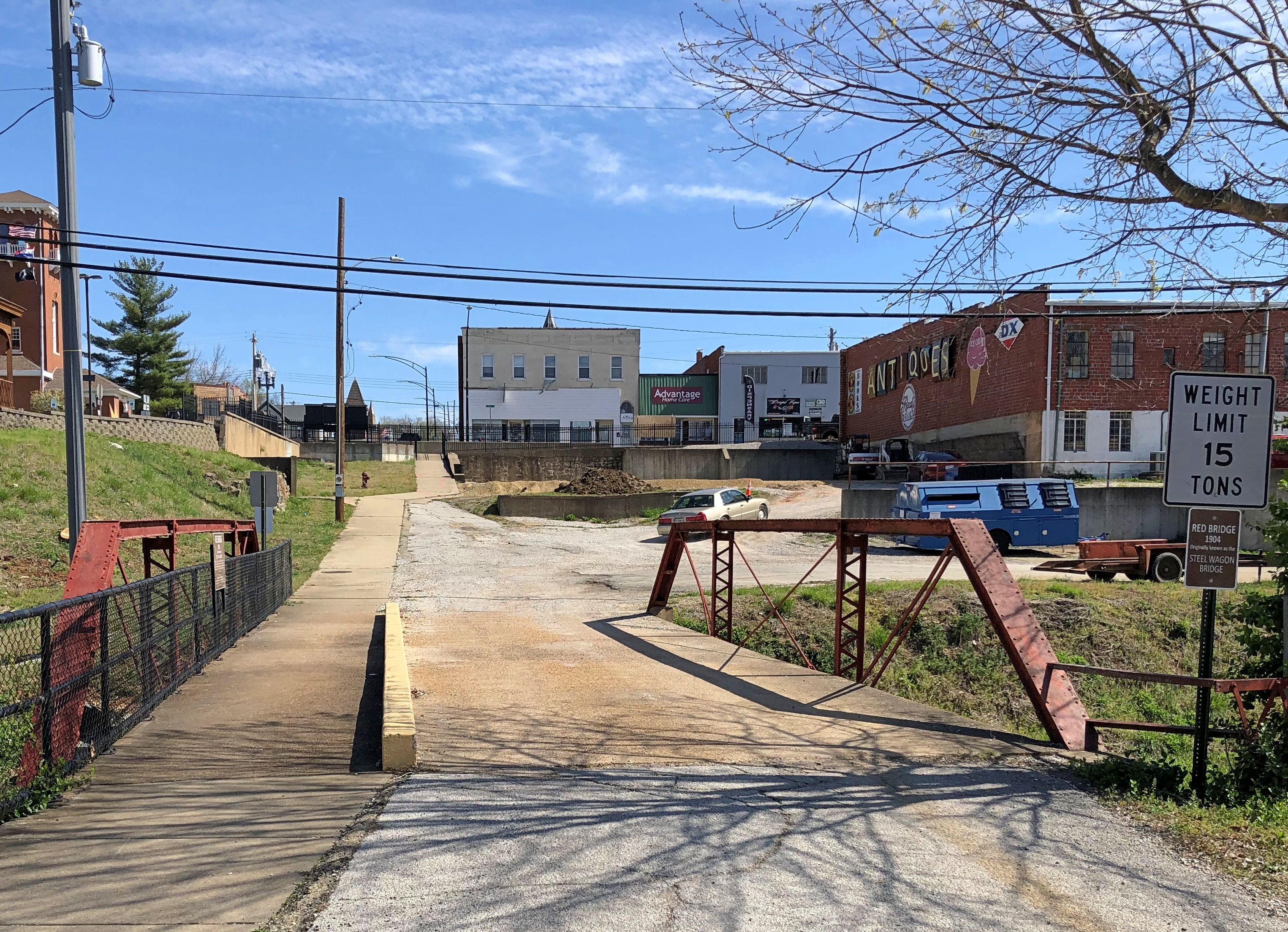
A small bridge crosses the creek at one point. You wouldn’t think such a bridge would merit a name, but the people of Potosi (pop. 2,500) clearly disagree.Mine Au Breton Heritage Park, Potosi, Mo.

Red Bridge. It even has a former name: Steel Wagon Bridge. Maybe more minor bridges should have names. Adds a little character to localities. Of course, if that caught on, most of them would be named after minor local politicos.Mine Au Breton Heritage Park, Potosi, Mo.

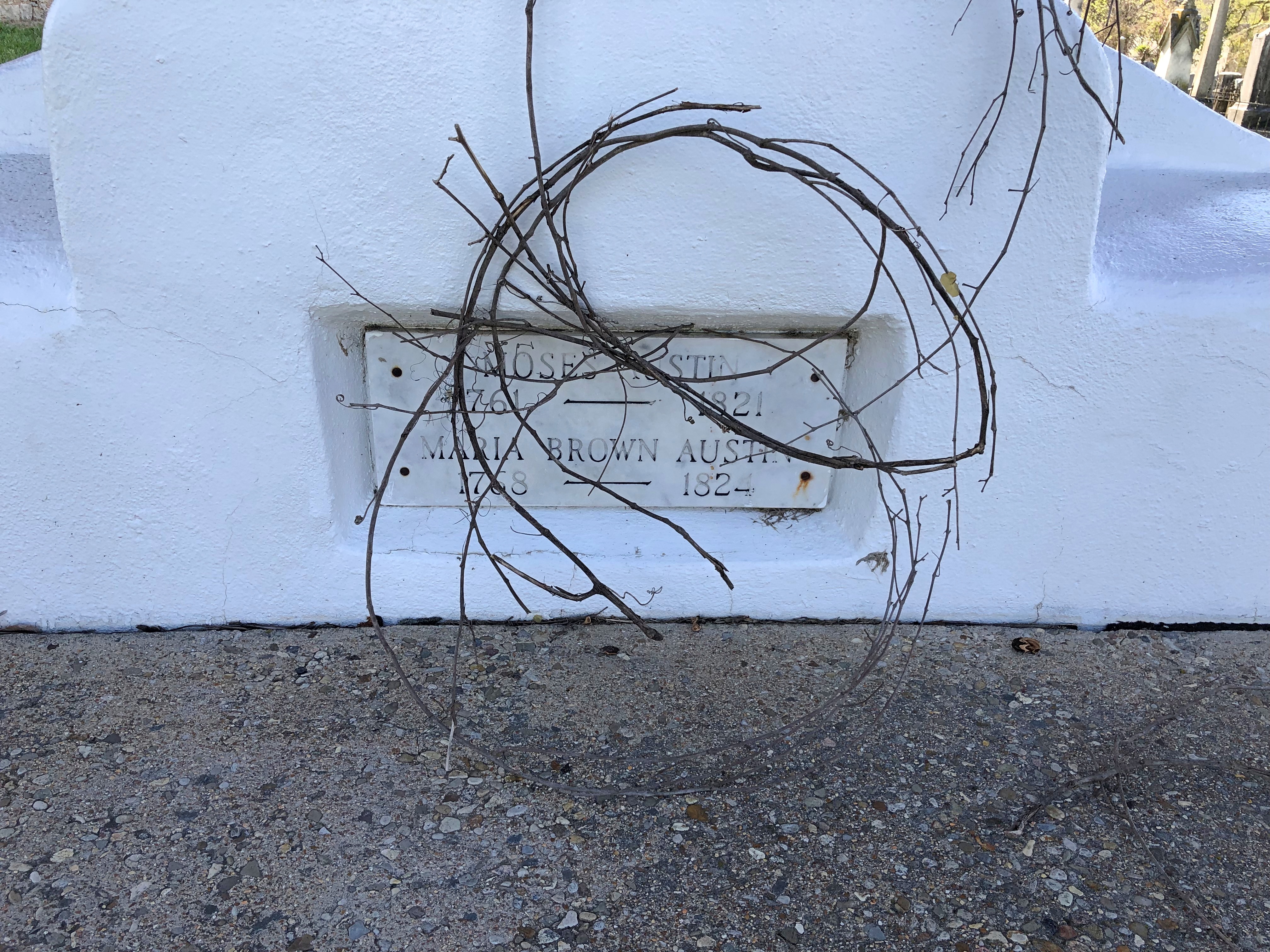
After the Louisiana Purchase was a done deal, Americans came to the area, but Moses Austin was already there, having cut a deal with the Spanish to mine there. Texas schoolchildren learn who he was, or at least they did 50+ years ago, when I was such a schoolchild. He’s the father of Stephen F. Austin, who was the Father of Texas. So maybe Moses is the Grandpa of Texas. My brother Jay suggested that we visit Potosi to see his grave, and since it was only a few miles out of the way, we did.

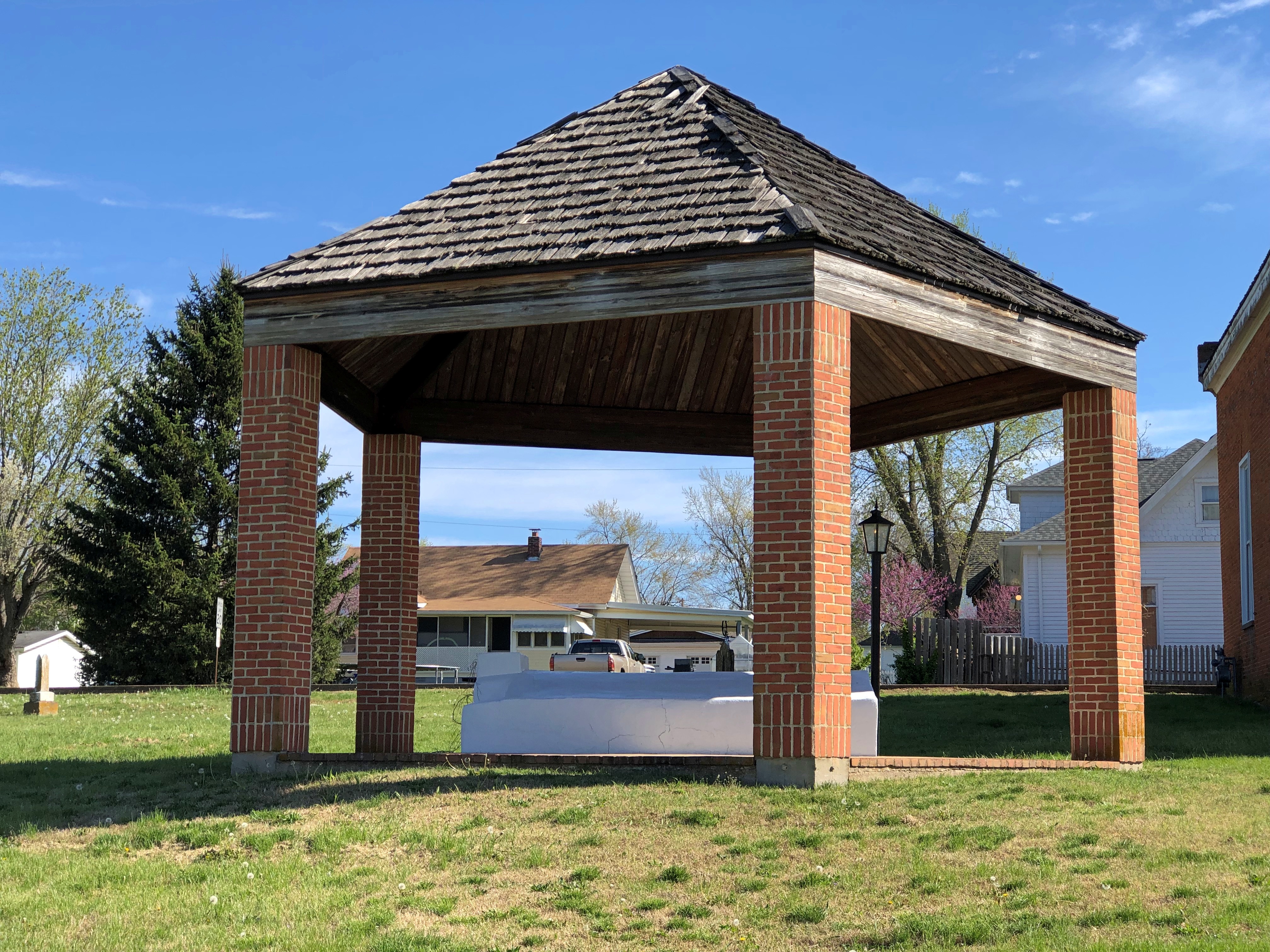
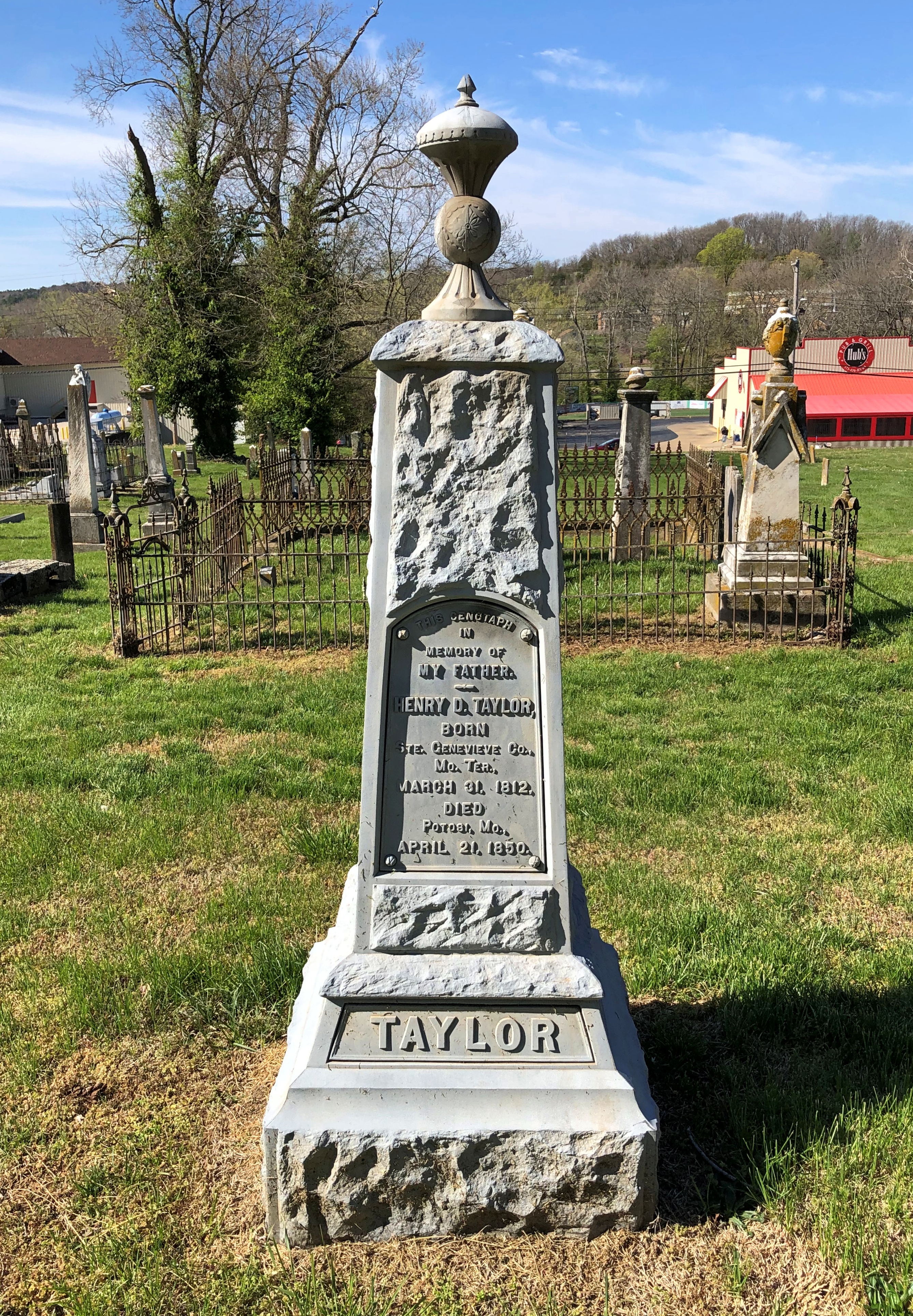
The grave itself isn’t one of the better-looking ones I’ve ever seen: a white, virtually unadorned slab under an uninspired protective shelter.Grave of Moses Austin, Presbyterian Cemetery, Potosi, Mo. Grave of Moses Austin, Presbyterian Cemetery, Potosi, Mo.

His wife Mary Brown Austin, daughter of an iron mine owner and mother of Stephen F., is there as well. We didn’t hear that much about her in school.

Moses Austin came to the area to mine lead – and escape debt back in Virginia — and apparently had a good go of it in the 1810s, though I suspect life wasn’t as good for the slaves that did the actual digging. Austin is credited with renaming the town Potosi, after the place in Bolivia, a silver mining center known as the location Spanish colonial mint, producer of countless Spanish dollars. Educated miners like Austin would have known it, anyway, and maybe he was thinking big. As in, dreams of silver. But lead would have to do.

Quite the go-getter, Moses Austin. “He & his 40 to 50 slaves & employees built bridges, roads, a store, a blacksmith shop, a flour mill, a saw mill, a shot tower, and turned out the first sheet lead & cannonballs made in Missouri,” the informative Carroll’s Corner posted.

Austin suffered reversals and ultimately lost his fortune in the Panic of 1819, and so schemed to take settlers to the underpopulated wilds of Texas, then part of New Spain — to escape his debts, among other things. He received a land grant from the Spanish Crown (that’s quite a story), and was set to go when death came calling, leaving the task to his son – who had to deal with newly independent Mexico for his grant. That’s another story, one far from modern Potosi.

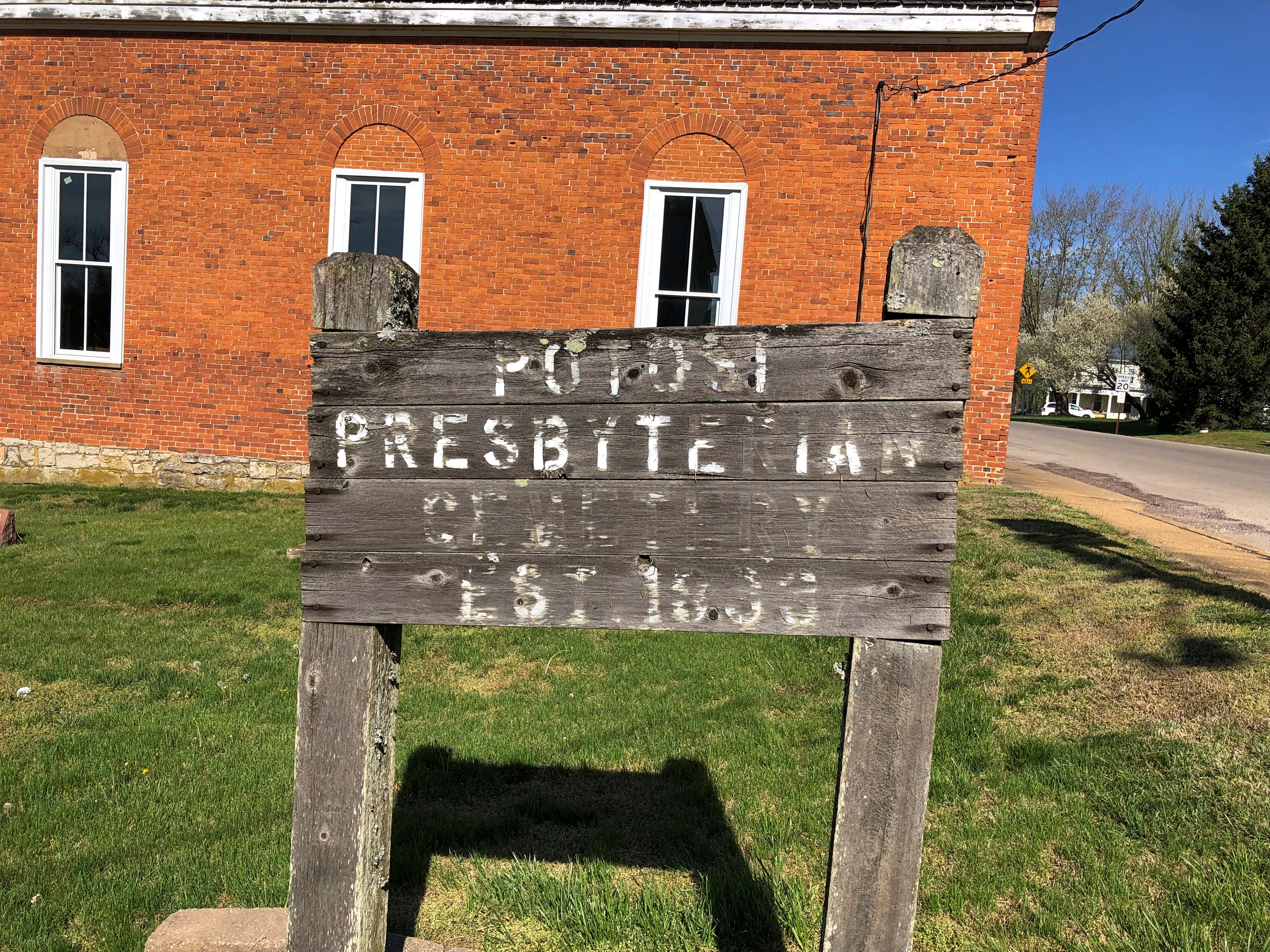
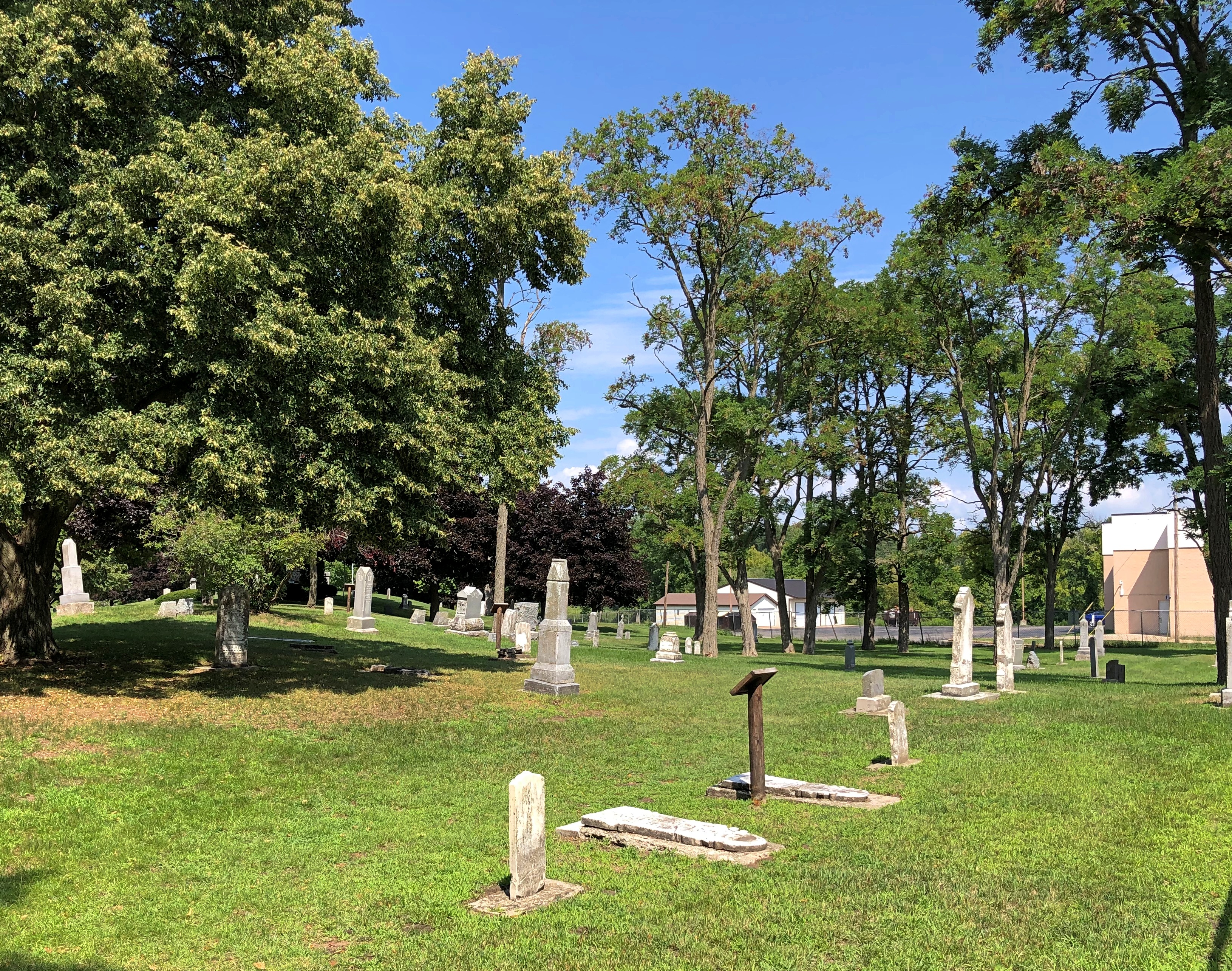
Google Maps calls the cemetery along High Street, with the Austins’ grave, City Cemetery. A sign at the site says: Potosi Presbyterian Cemetery, Est. 1833.Presbyterian Cemetery, Potosi, Mo.

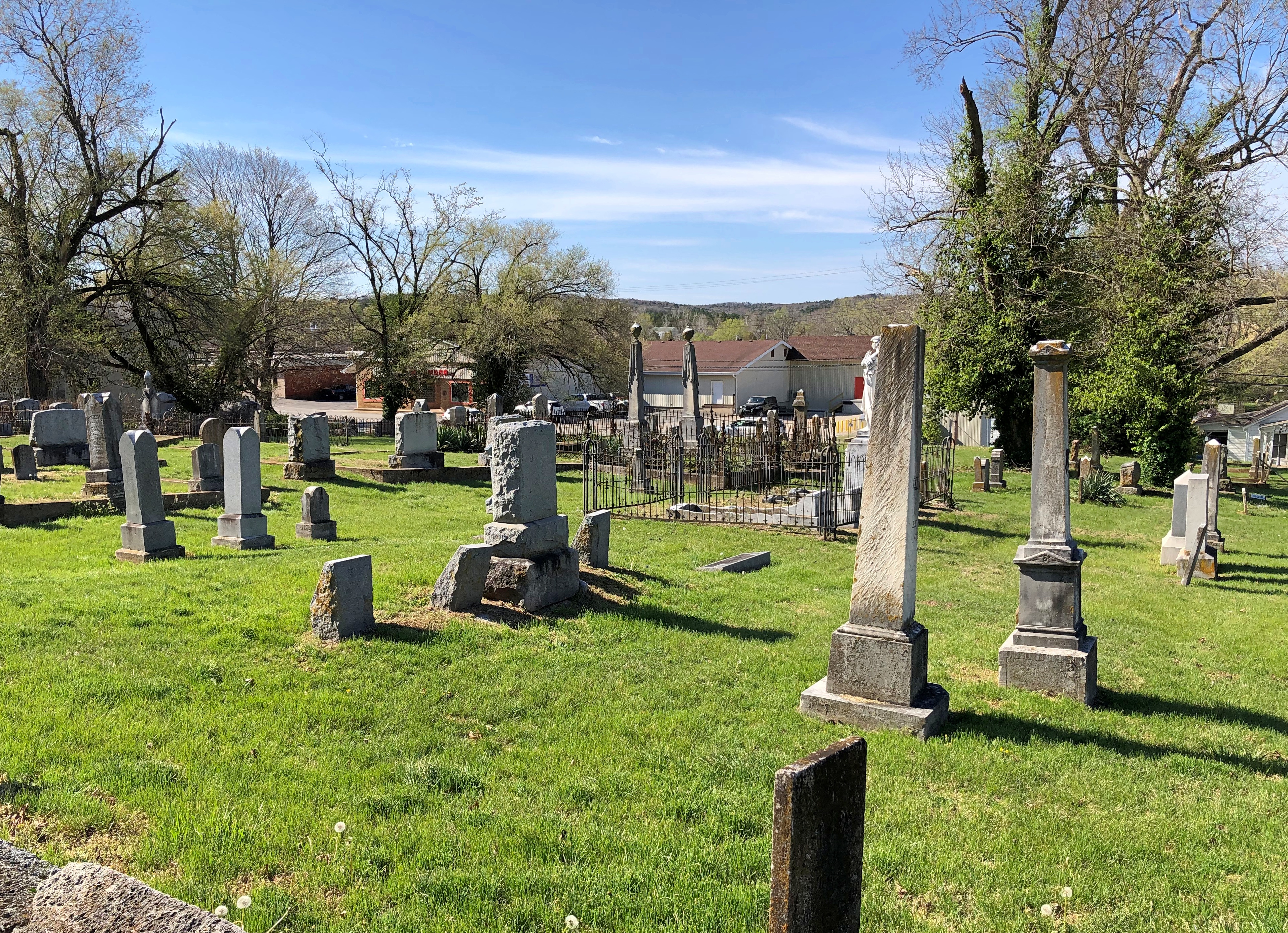
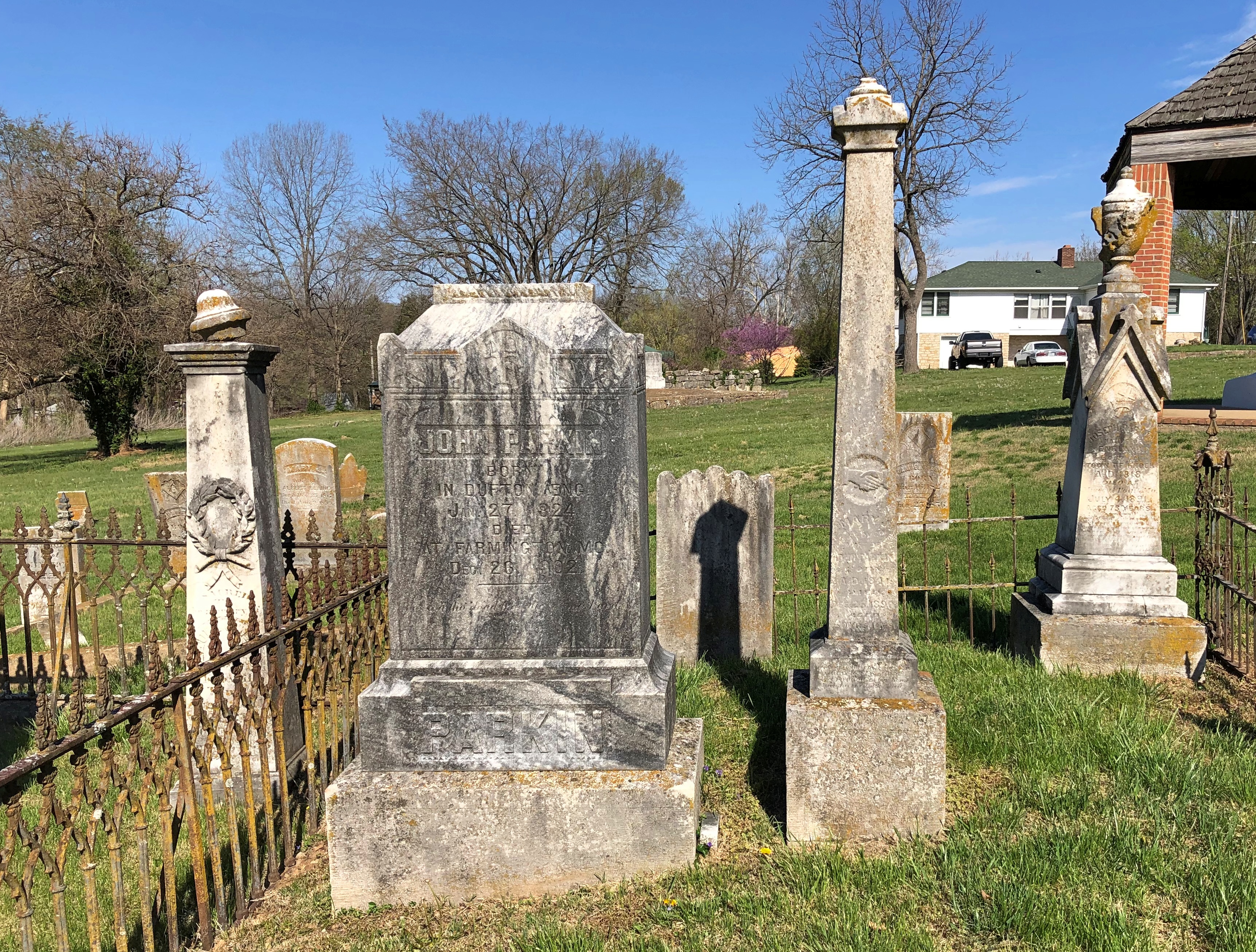
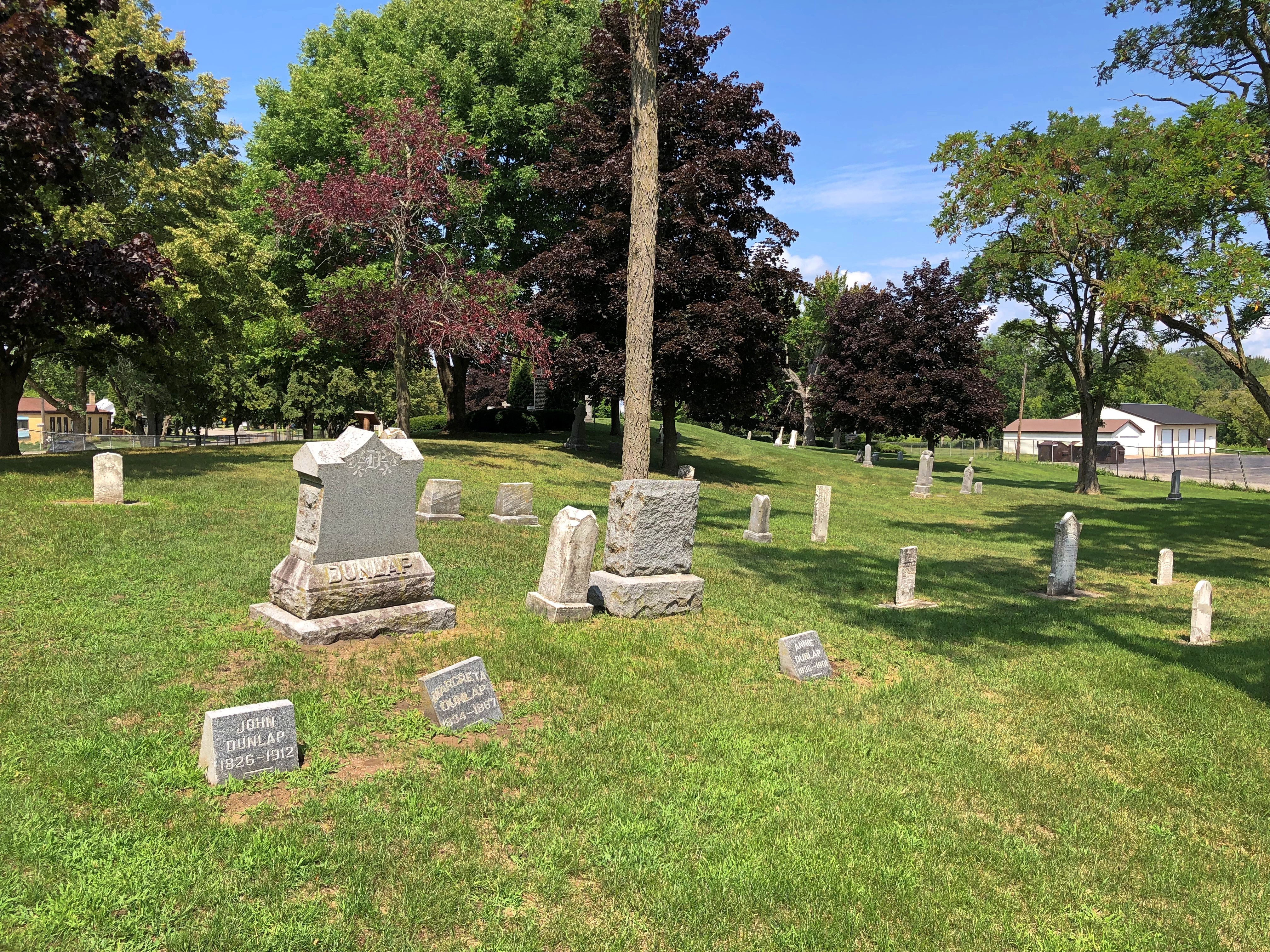
It’s a mid-sized, old-style cemetery with some charm.Presbyterian Cemetery, Potosi, Mo. Presbyterian Cemetery, Potosi, Mo.
Presbyterian Cemetery, Potosi, Mo.

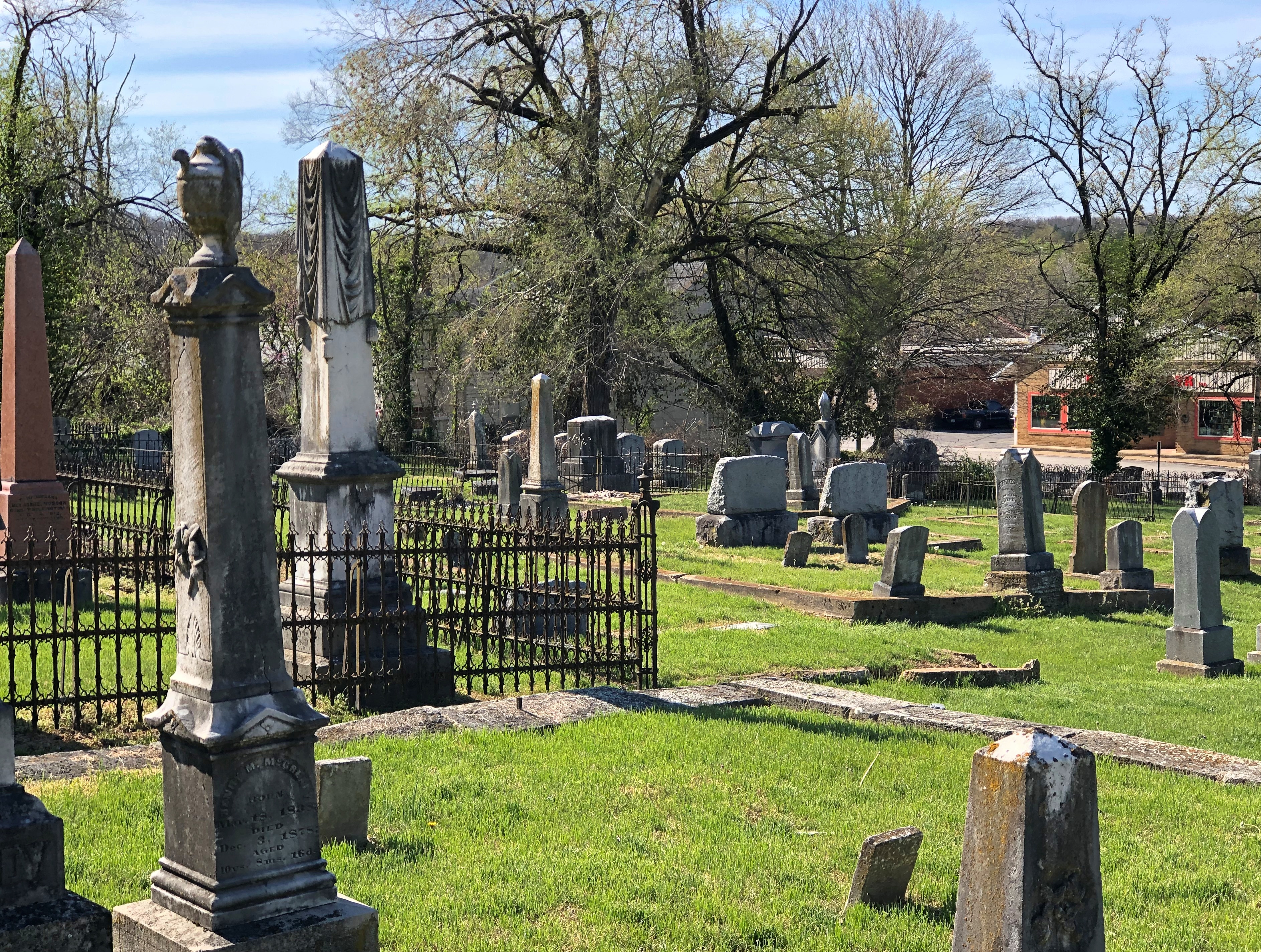
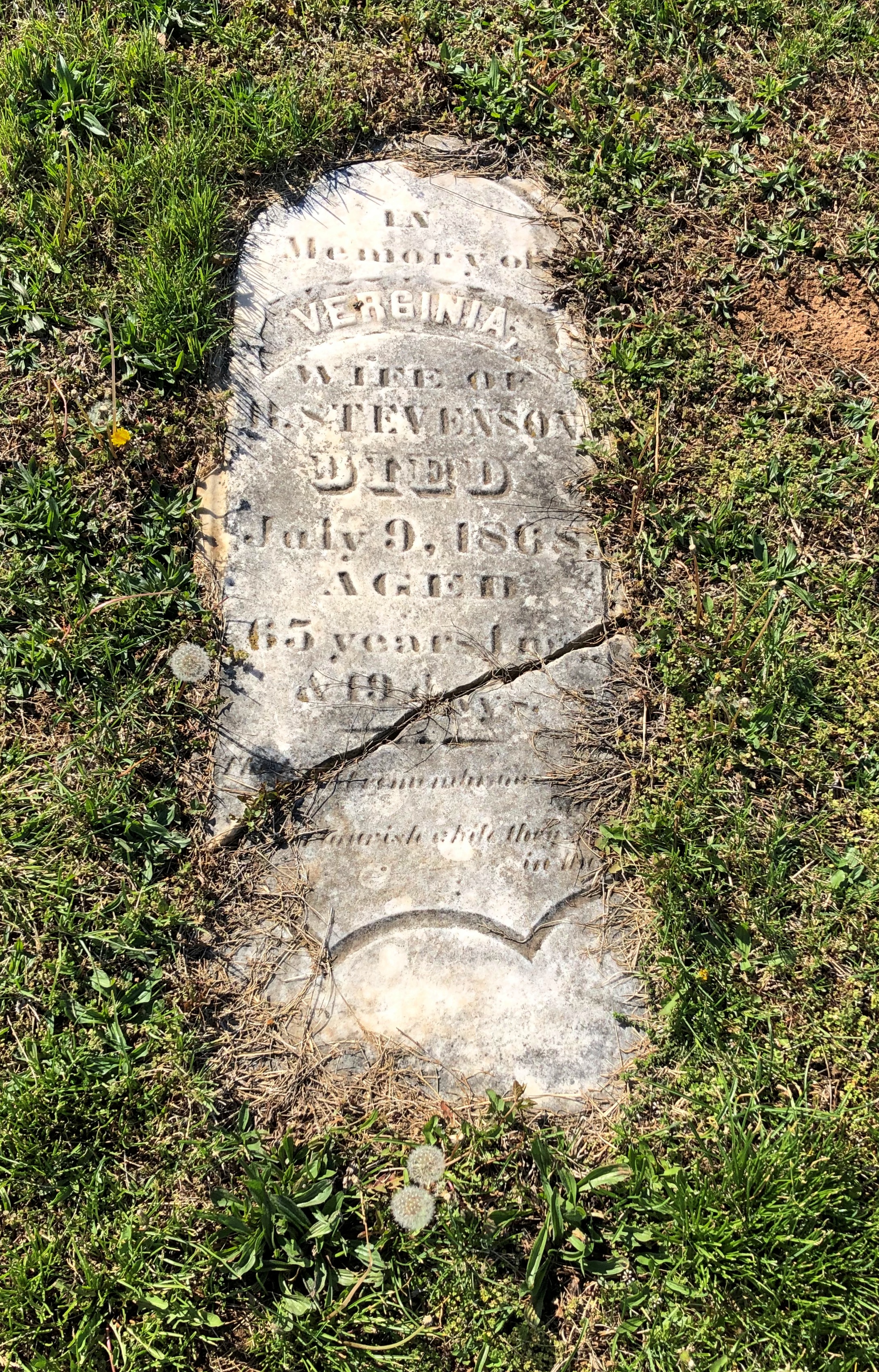
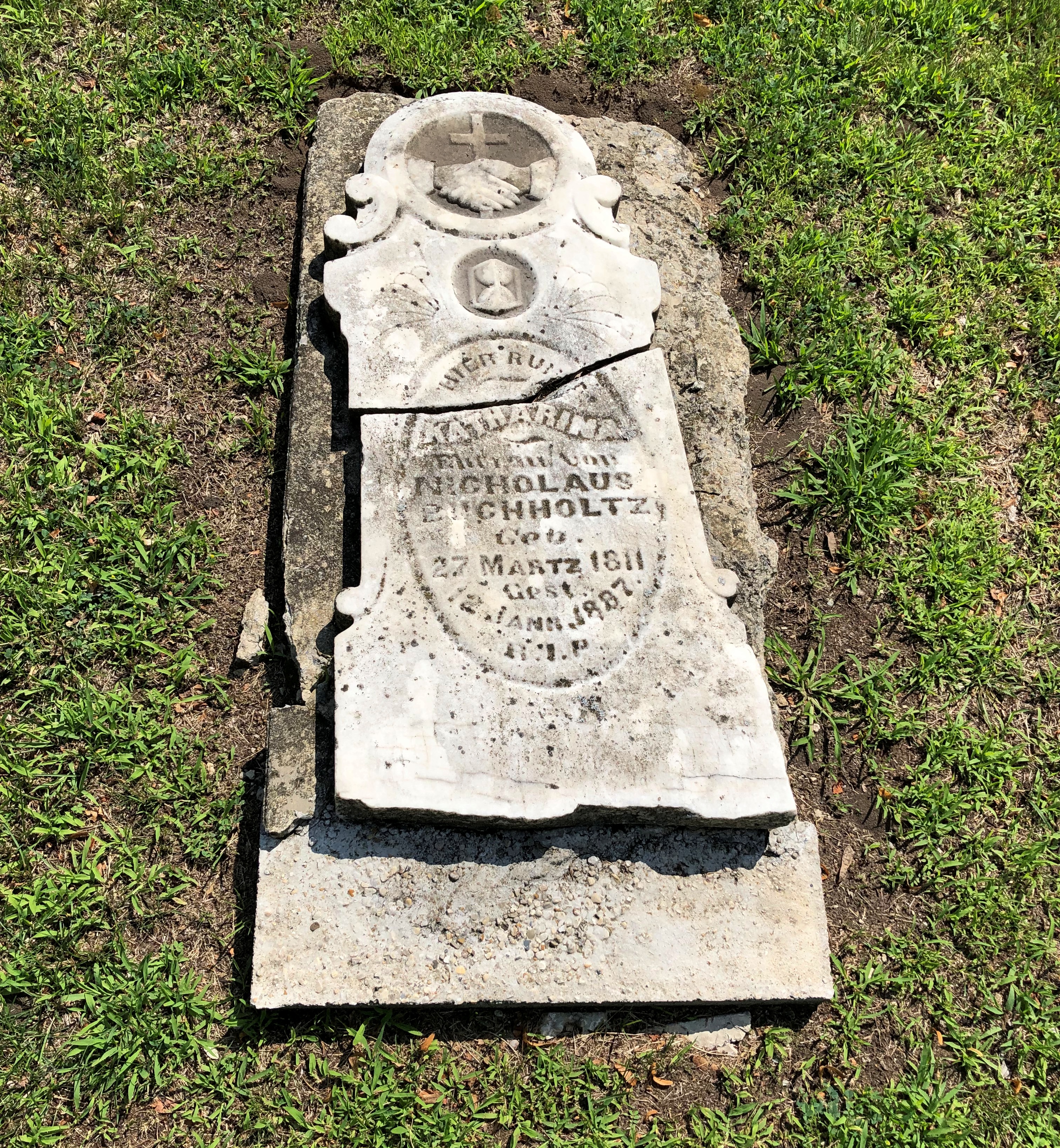
With memorials broken and worn.Presbyterian Cemetery, Potosi, Mo.

And others still waiting for that wear to happen. It will.Presbyterian Cemetery, Potosi, Mo.

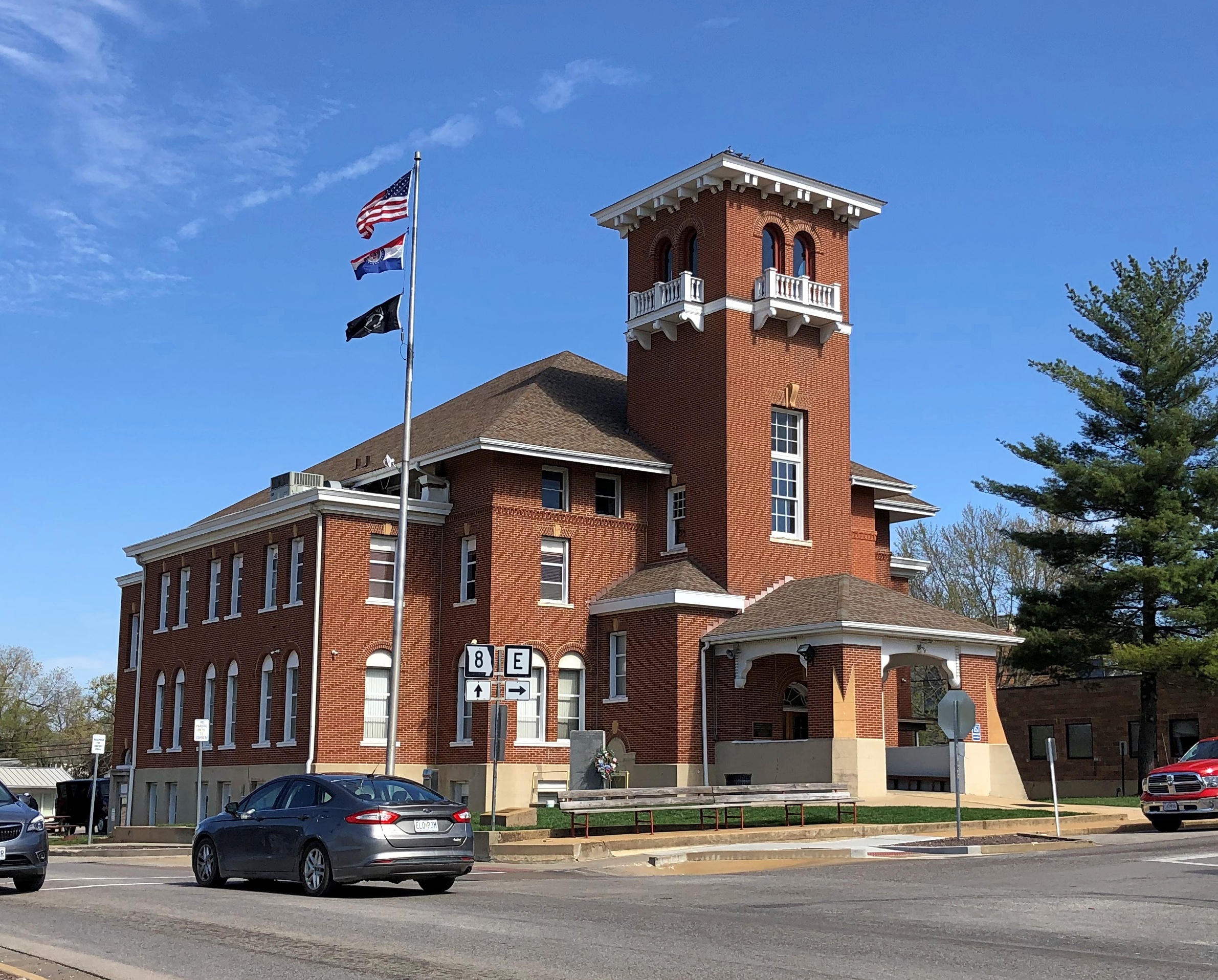
High Street is the location of a handsome county courthouse (Washington County), the third on the site and a 1908 design by one Henry Hohenschild, a Missouri architect who did a number of public buildings. Remarkably, the same document tells us that Moses Austin (probably) designed the county’s first courthouse. Moses was one busy guy.Washington County Courthouse, Potosi, Mo.

There are a number of antique stores on High Street, and while Yuriko was off exploring them, I was buttonholed by two Jehovah’s Witnesses sitting with their material across the road from the courthouse. Or rather, I allowed myself to be buttonholed, so I could talk a little religion. Just like I did in Salt Lake City. Or religion-adjacent. I think the ladies, Mary and Kay I believe it was, were surprised that I knew about the sale of the JW HQ property in Brooklyn some years ago.

Robot on Aisle 7

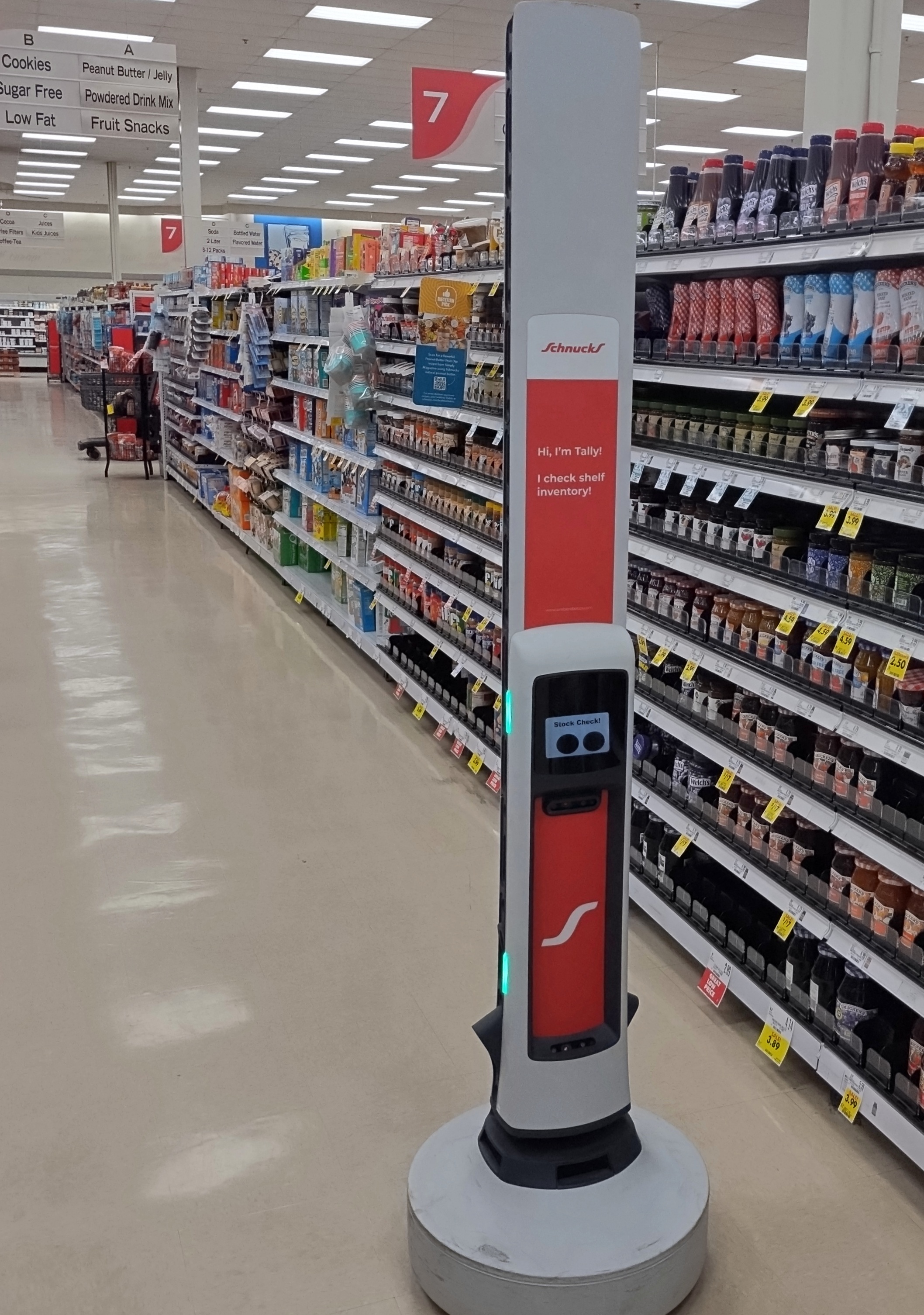
When I took Ann back to Normal yesterday, I didn’t stop anywhere else in that town. But the last time I was there, we went to a grocery store just off I-55. And who should we meet in one of the aisles? I’d say it was strolling around, but I don’t think inventory robots stroll. Wheel along, maybe. It was puttering along.

That’s Tally, which isn’t precisely new tech, considering that you can easily find an article about the machine from 2016. Then again, maybe the one we saw is a more advanced version or, for all I know, it’s an older one still perfectly fine for its job. Never mind what the tech industry says, tech still has value as long as you find it useful.

“[Tally] can traverse a shop’s aisles for eight to 12 hours on a single charge, counting and checking up to 20,000 individual stock keeping units (SKUs) with greater than 96 percent accuracy,” the PC magazine article reported then.

A robot replacing a human. A human going up and down the aisles for hours holding a electronic wand of some kind. That sounds like the kind of really boring job that robots were going to take in the future, as it was once more optimistically imagined. Were supposed to take.

On the other hand, I asked the check-out clerk about the robot. How long had the store had the robot? She didn’t know, a while. We hate it anyway, she said, but didn’t elaborate.

Pontiac-Oakland Museum and Resource Center

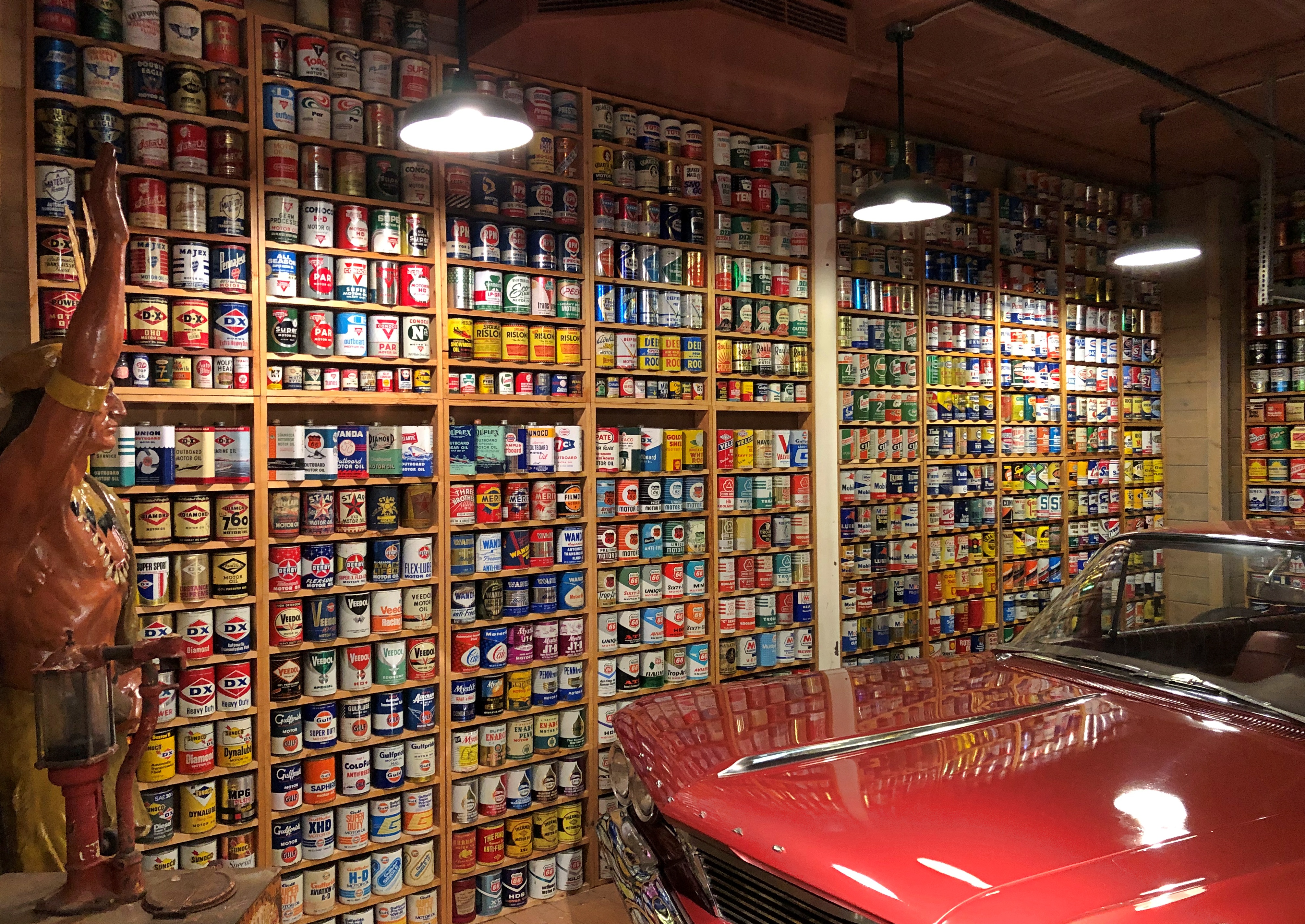
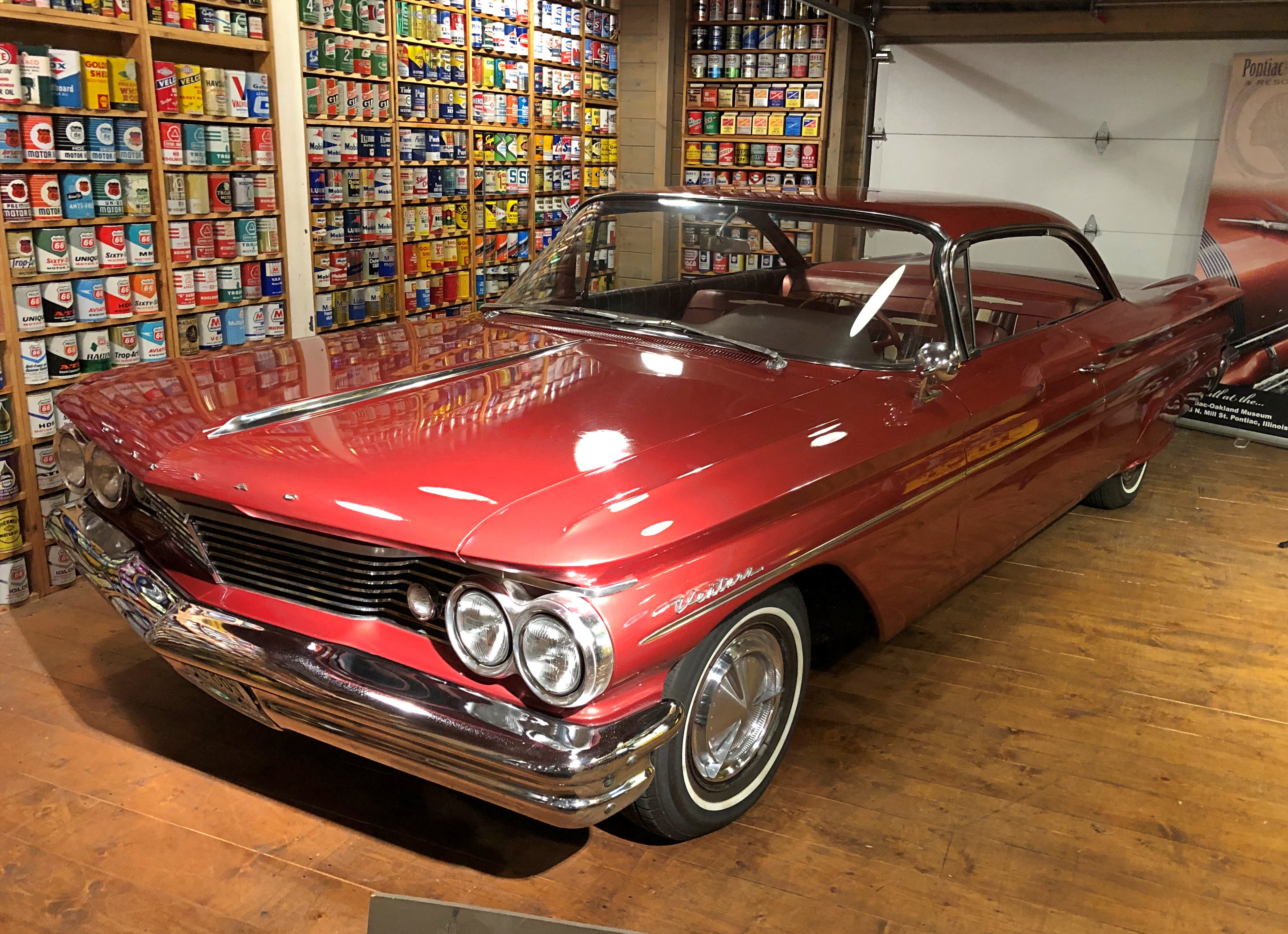
Not something you see very often: a wall of motor oil.Pontiac-Oakland Museum

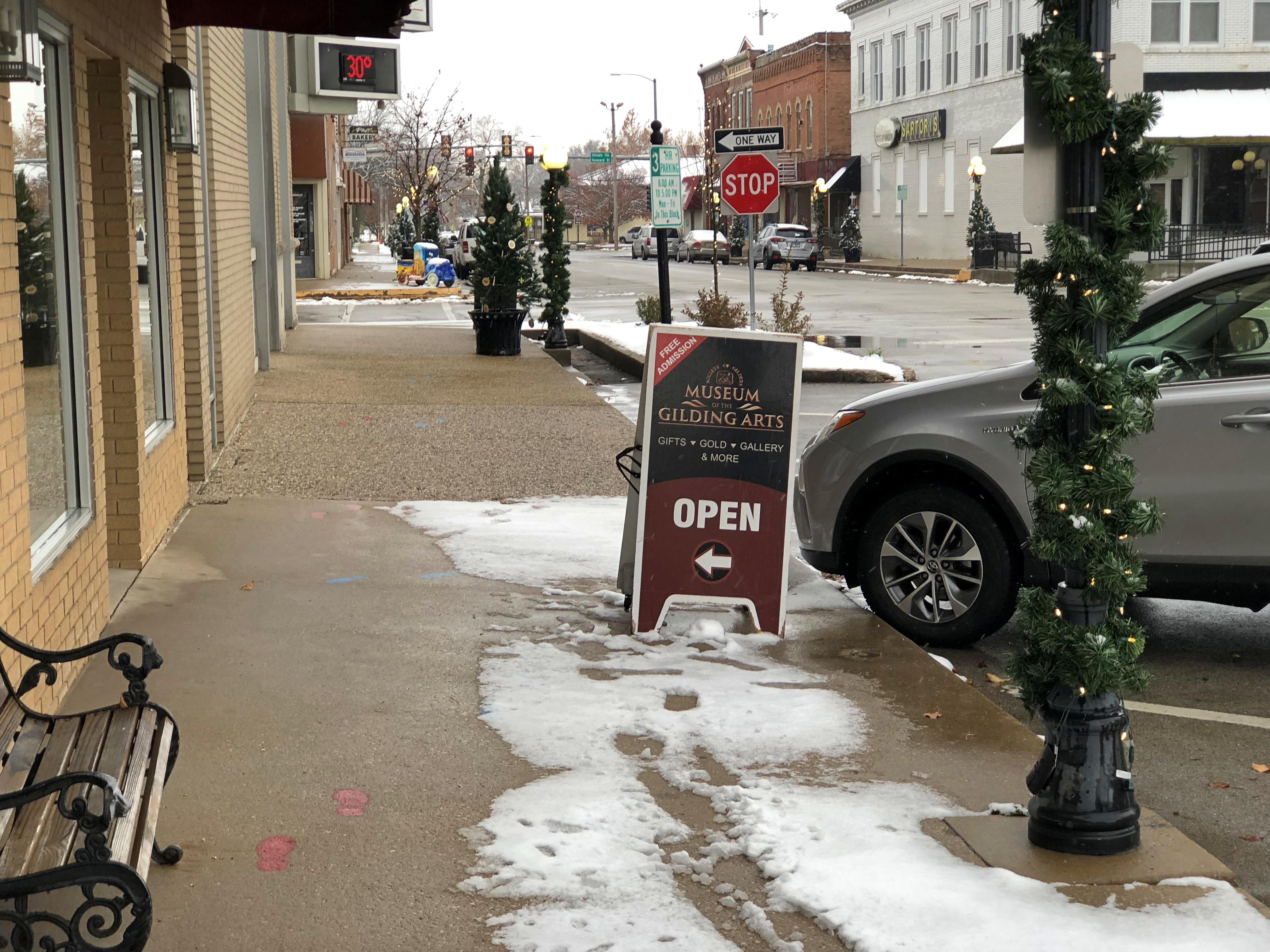
I’d never seen such a thing until I came across it just a few doors down from the Museum of the Gilding Arts, in the Pontiac-Oakland Museum and Resource Center, which also faces the elegant Livingston County courthouse in Pontiac, Illinois. In the case of the museum, Pontiac refers to the car brand of that name, and Oakland does as well, as the predecessor of Pontiacs. Both brands are defunct now, but not in the hearts of enthusiasts.

The many cans of motor oil happen to be a backdrop for one of the cars on display: a 1960 Pontiac Venture.Pontiac-Oakland Museum

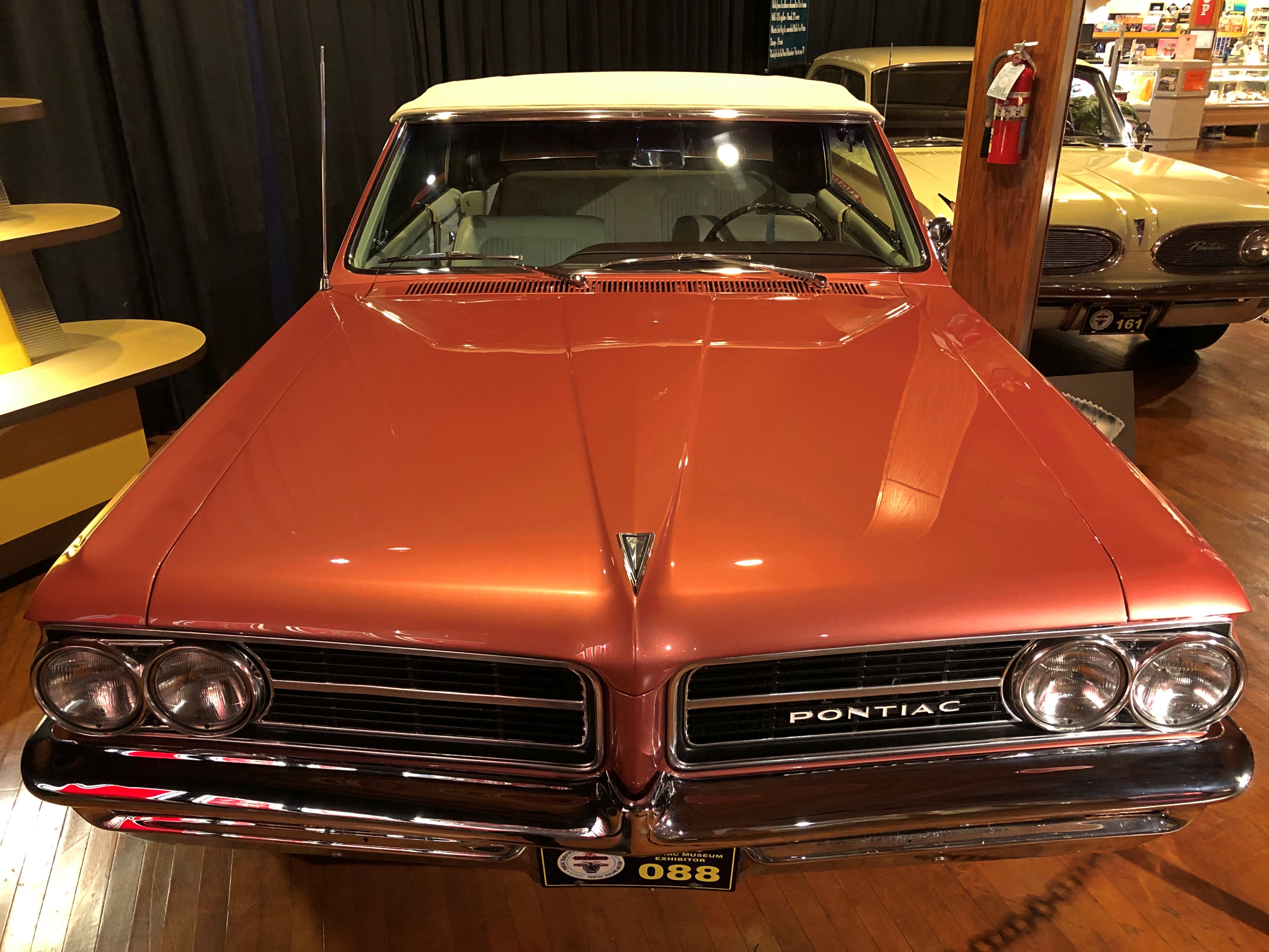
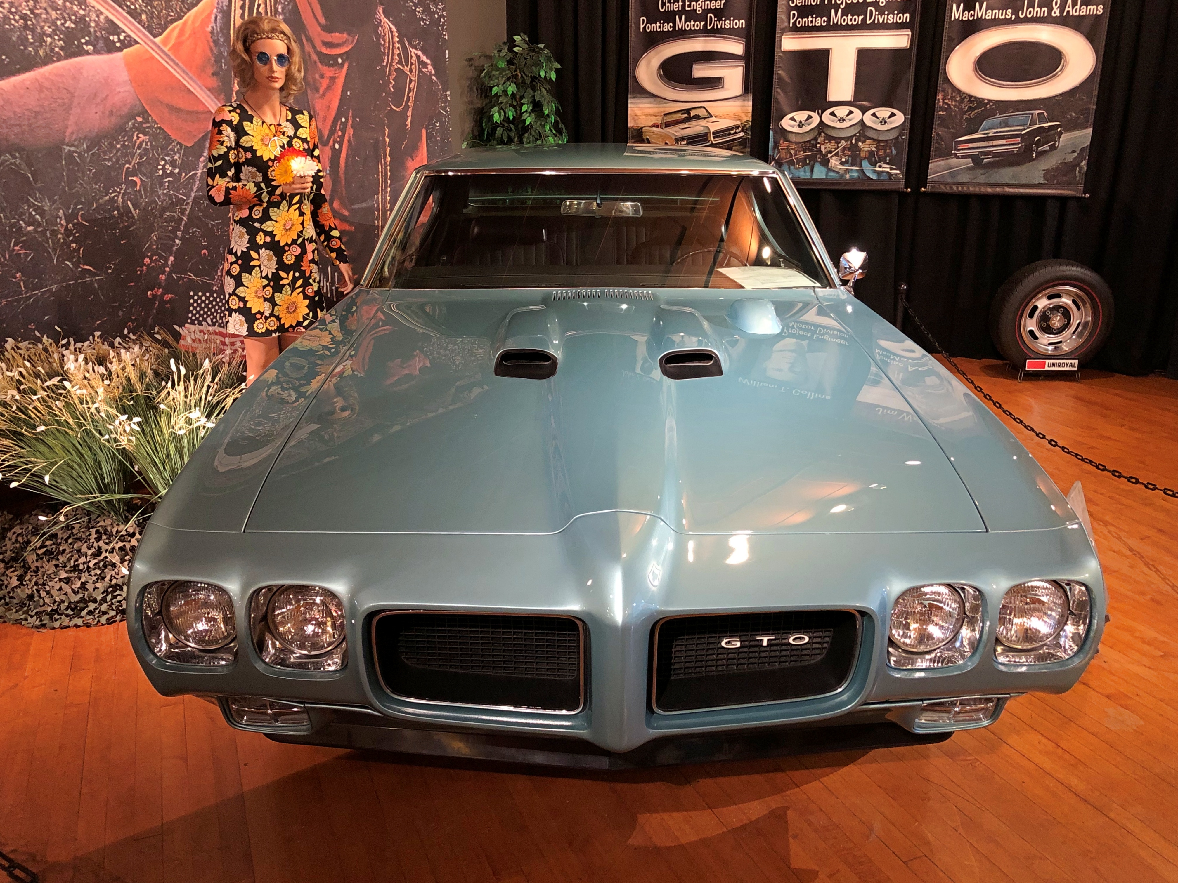
Nearby are other cars of roughly the same era.Pontiac-Oakland Museum Pontiac-Oakland Museum

A 1964 LeMans Convertible and a 1970 Pontiac GTO Judge, respectively. Not sure if that counts as a Little GTO.

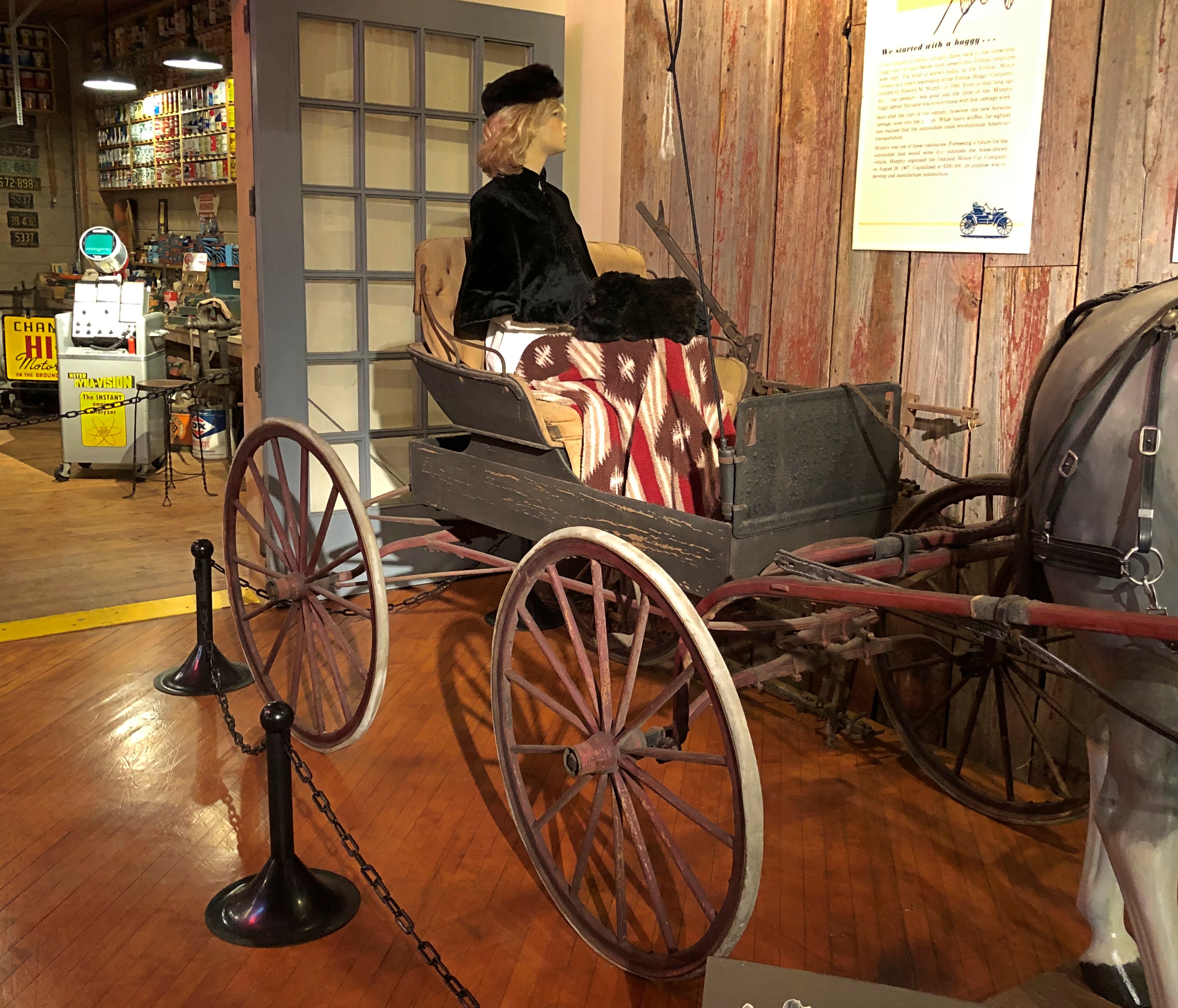
The collection on display isn’t that large – not compared to Fairbanks or Reno, say – but it was well worth a look. Before its absorption into GM, and in fact before horseless carriages, Pontiac got its start as a carriage maker.Pontiac-Oakland Museum

An 1890s product of the Pontiac Buggy Co. “One of a handful known to exist,” its sign said.

Soon enough, Pontiac Buggy founder Edward Murphy began building 2-cylinder runabouts called Oaklands, and later built more successful 4-cylindar models, as products of the Oakland Motor Car Co. GM bought Murphy out in 1909, and focused on Oaklands for some decades. The GM Pontiac model didn’t exist until 1926, and then the Depression killed off the higher-priced Oaklands.

A 1929 Oakland.Pontiac-Oakland Museum

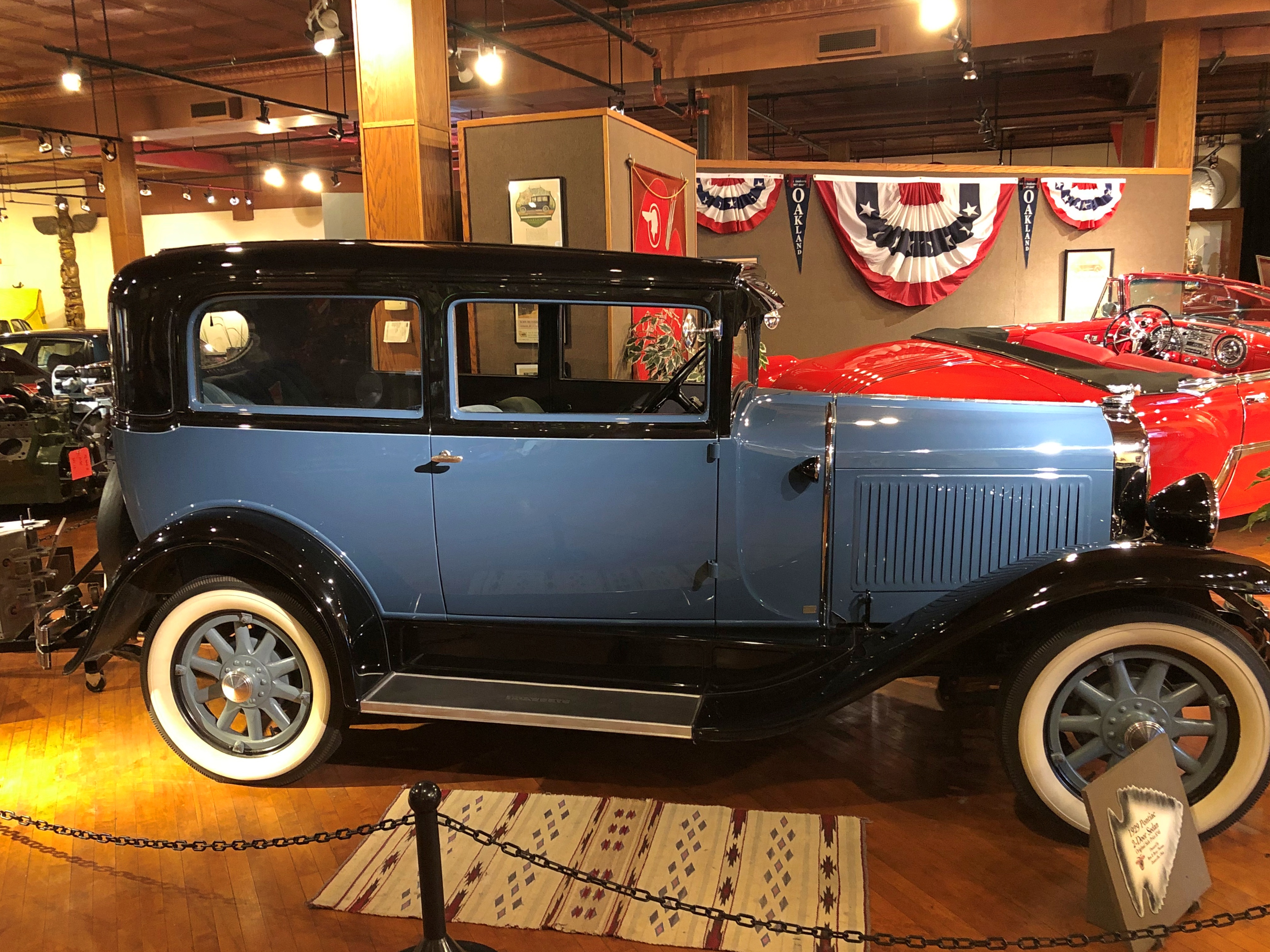
A Pontiac sedan of the same model year.Pontiac-Oakland Museum

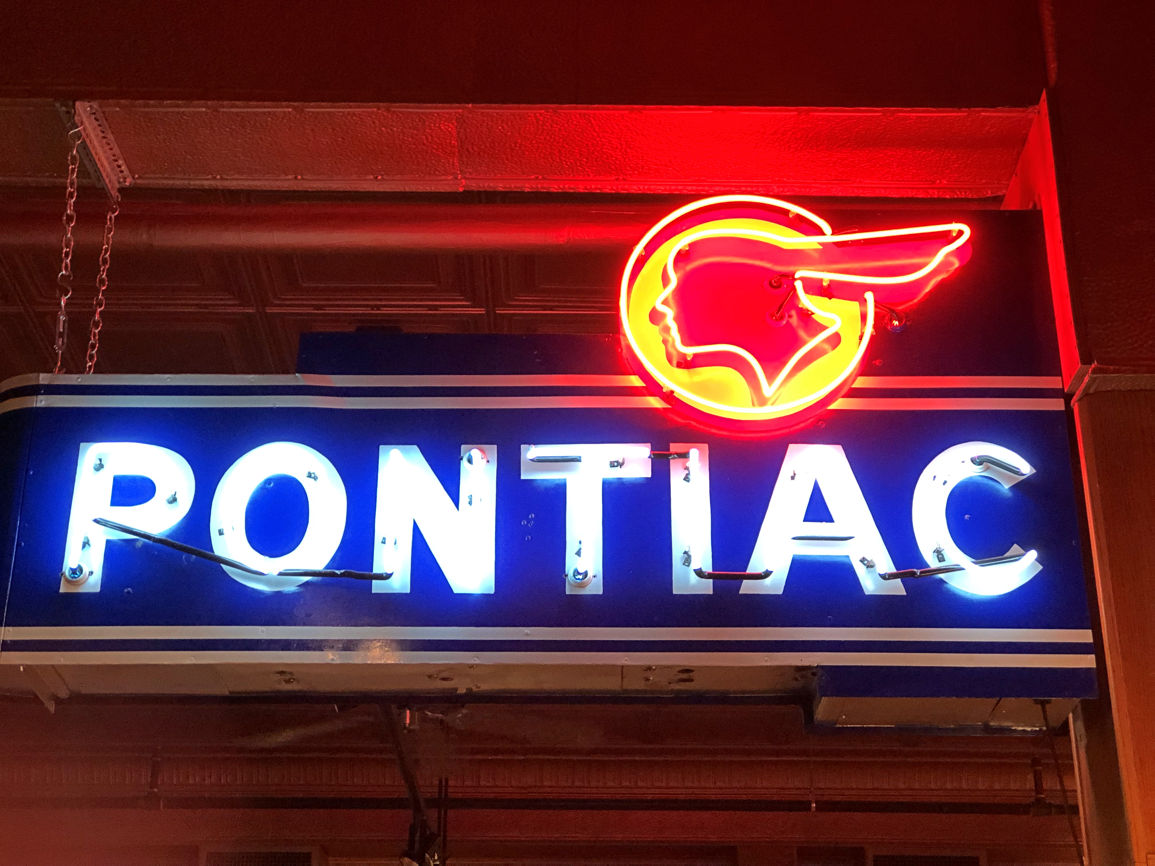
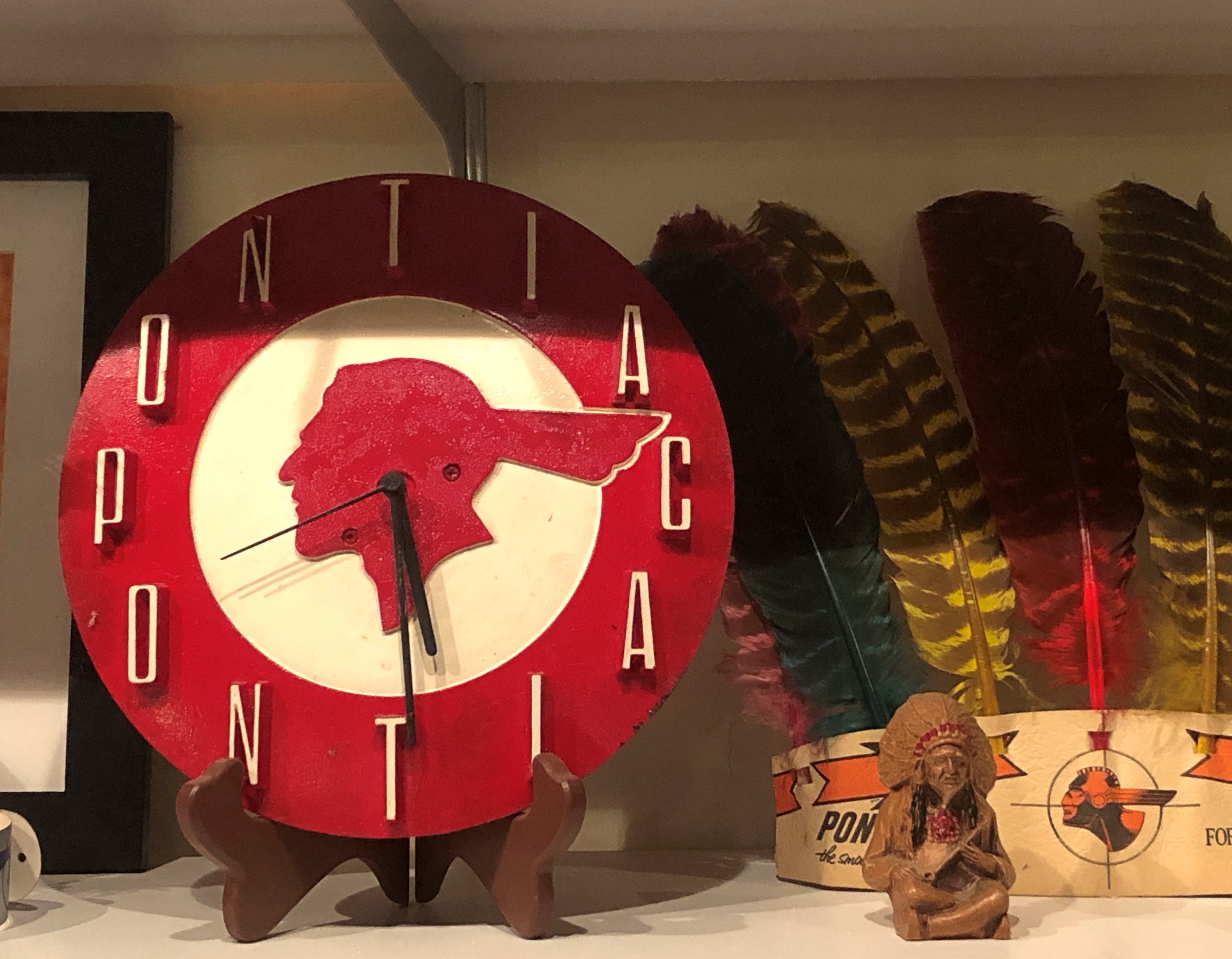
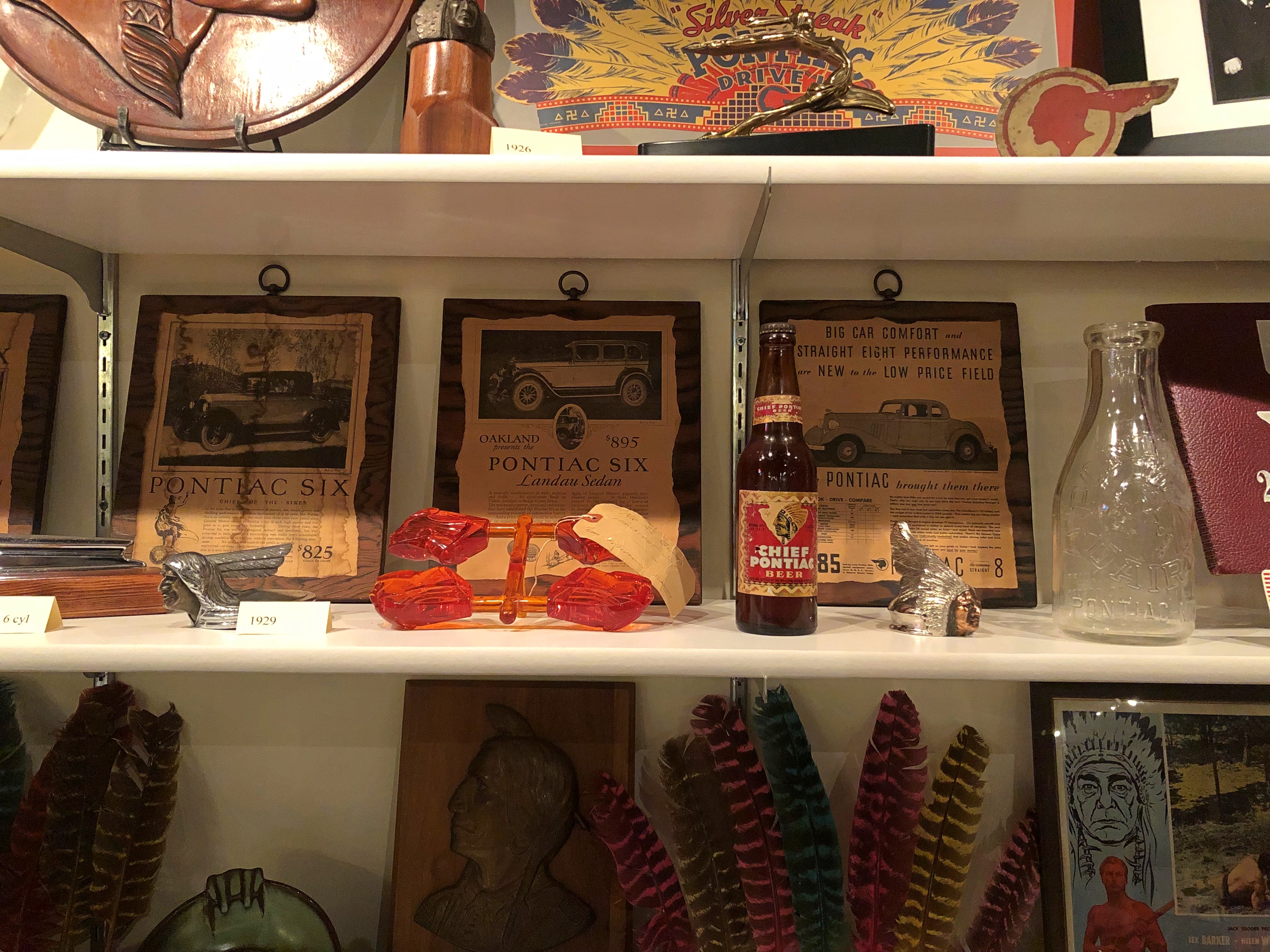
Also on display: marketing odds and ends that emphasize the Native roots of the name.Pontiac-Oakland Museum Pontiac-Oakland Museum Pontiac-Oakland Museum

Some might object these days, but I can’t help suspect that Pontiac – Obwandiyag – able 18th-century leader of the Odawa – might have liked being associated, however tenuously, with such a solid object of commerce.

Wiki, citing a 2002 academic work, notes: “Their neighbors applied the ‘Trader’ name to the Odawa because in early traditional times, and also during the early European contact period, they were noted as intertribal traders and barterers.”

Museum of the Gilding Arts

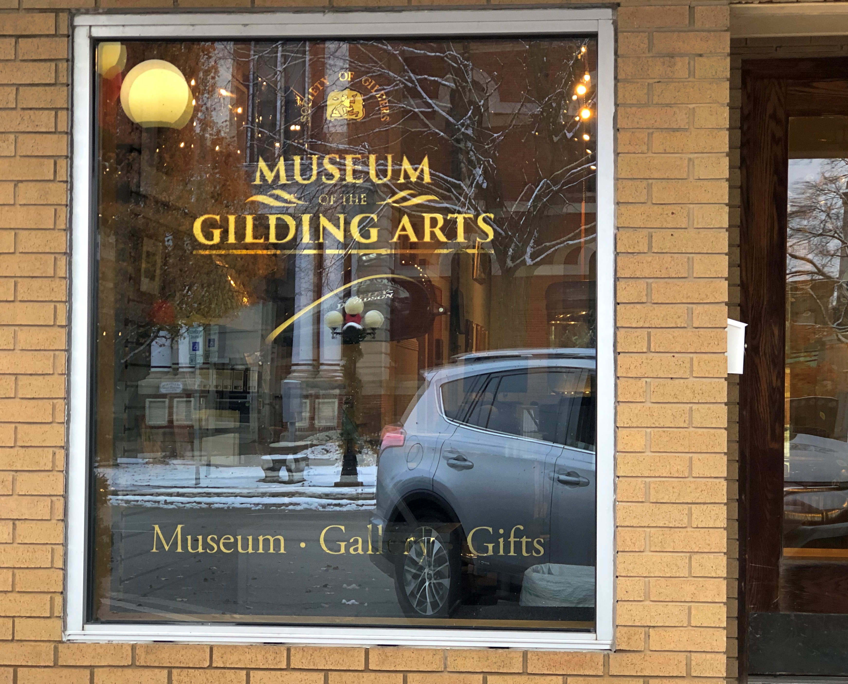
The docent at the Museum of the Gilding Arts, a neatly dressed woman about 10 years my senior, wasn’t sure why the museum is in Pontiac – Pontiac, Illinois, that is, where I stopped on Sunday specifically to visit the diminutive two-room museum.The Museum of the Gilding Arts The Museum of the Gilding Arts

“I’m going to ask about that, because I’ve wondered as well,” she said. “I’ve only been here three weeks.”

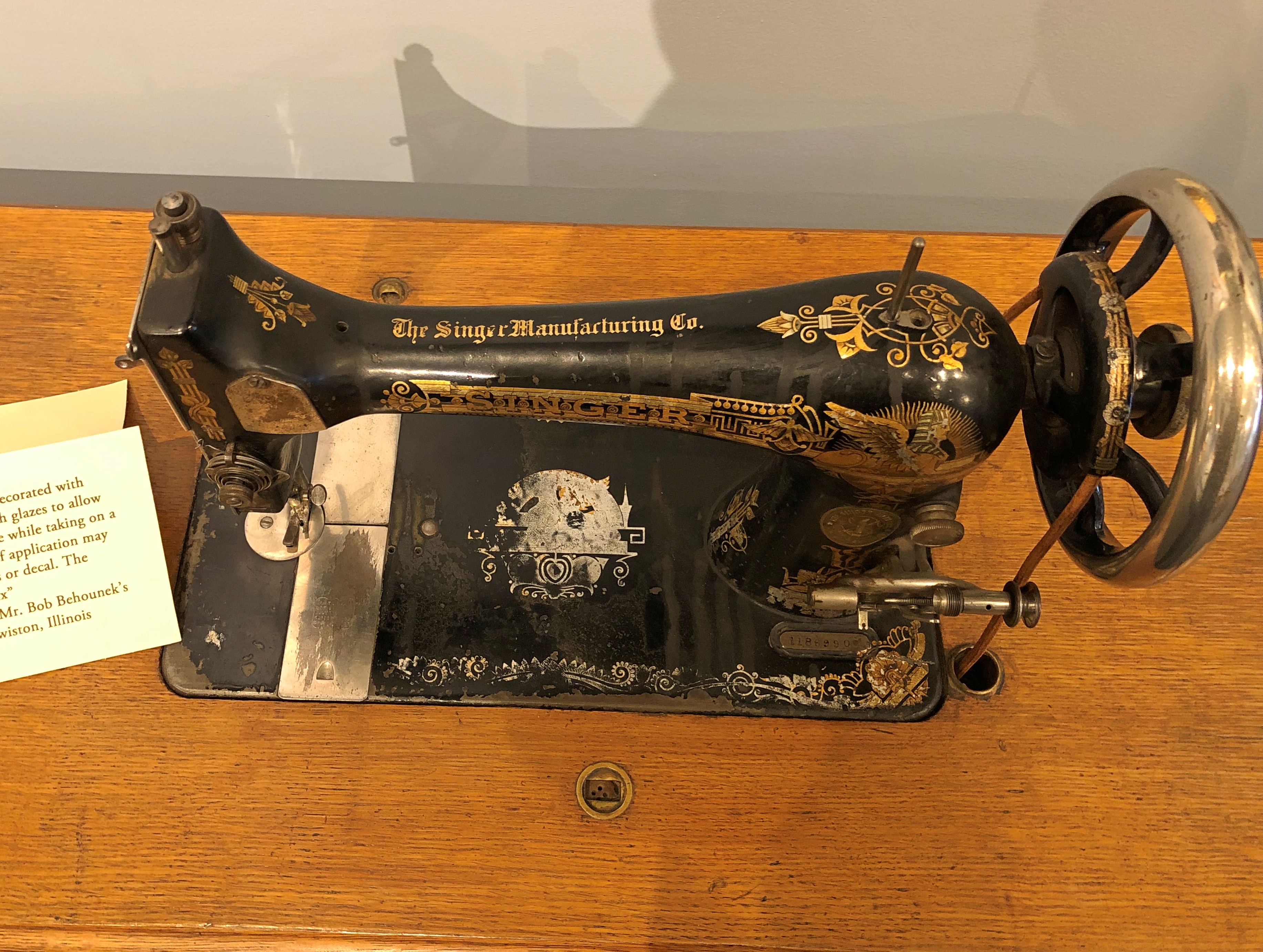
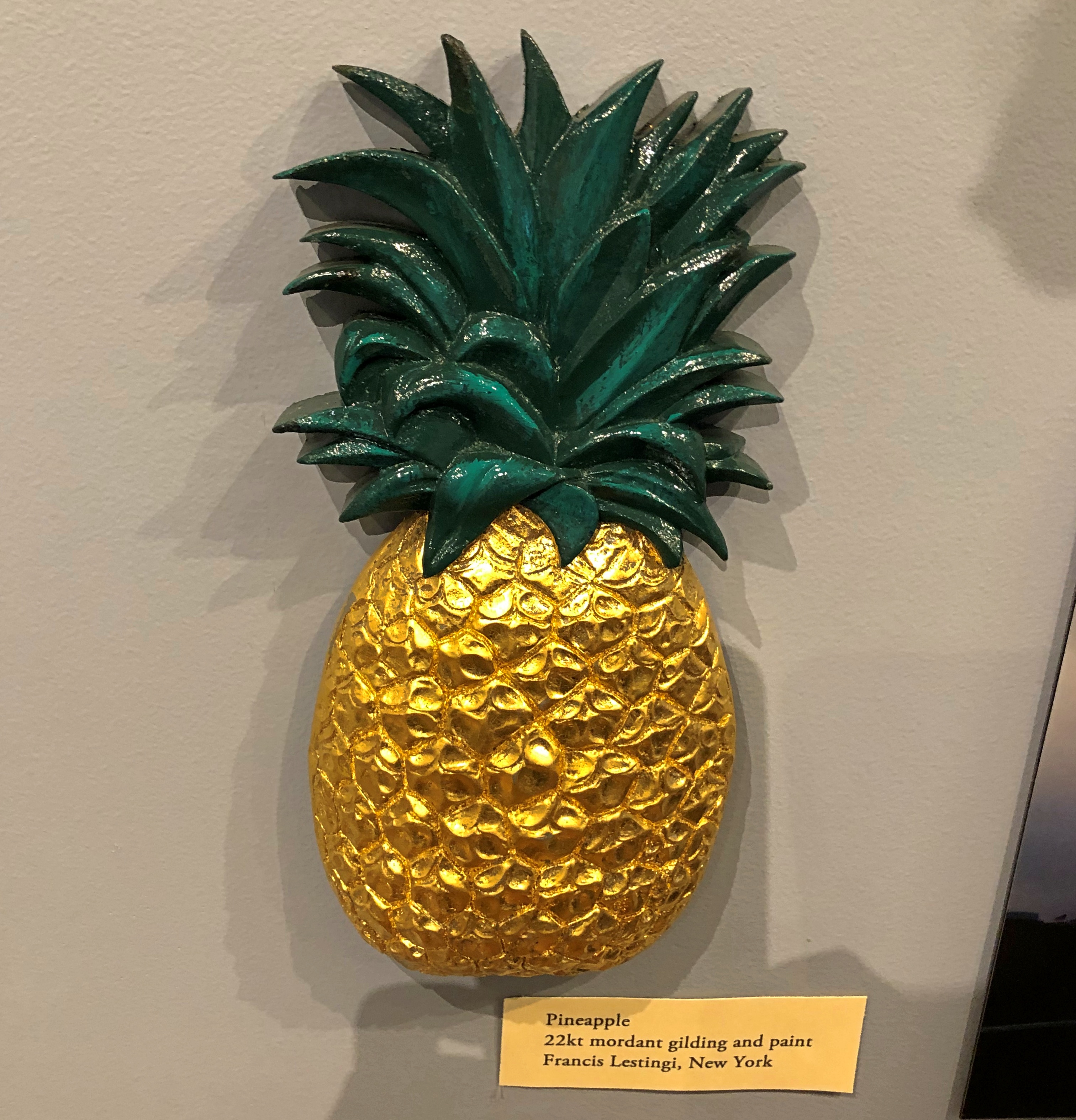
Before that, she said, she hadn’t known much about gilding, but had been reading about it and spending time with the exhibits. For a while, I had a personal tour of the place, as she suggested things to look at, such as the various items that had been gilded, including decorative pieces but also machines.The Museum of the Gilding Arts The Museum of the Gilding Arts

Visit Pontiac is succinct about the place: “The focus of the Museum of the Gilding Arts is the history, craft, and use of gold and silver leaf in architecture and in decoration throughout a history that dates back to the days of ancient Egypt.

“There are examples of gold and silver leaf, artifacts used in the application of the precious metal leaf, and displays showing how leaf was manufactured.

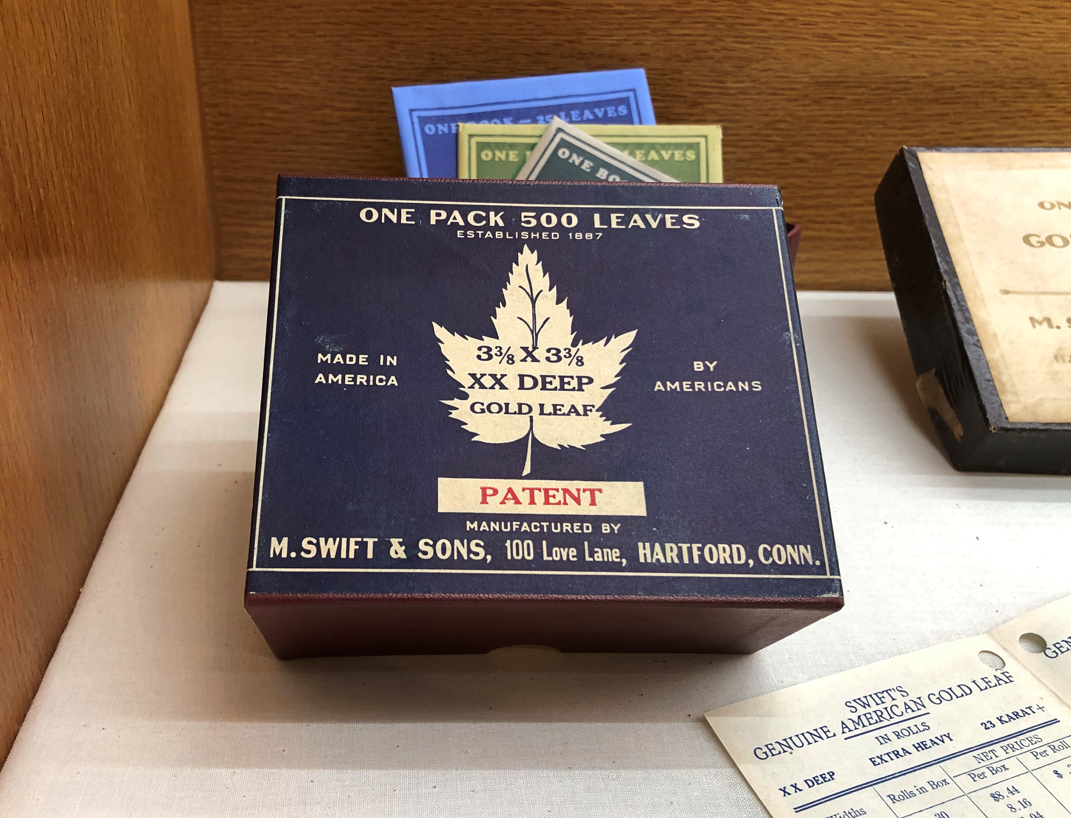
“The exhibit features items from the Society of Gilders’ Swift Collection. The M. Swift and Sons company manufactured gold leaf in Hartford, Connecticut, and began its operations in 1887.”

The docent seemed most impressed by the story of M. Allen Swift, the last owner of M. Swift & Sons, who died at a very advanced age in 2005. The business died with him, having been founded by his grandfather, Matthew Swift, who emigrated as a youth from the UK in 1864. Before he died, Allen Swift had the foresight to preserve old-time elements of his family’s gold leaf factory, including an array of wooden work benches – which are now on display in the back room of the two-room museum.

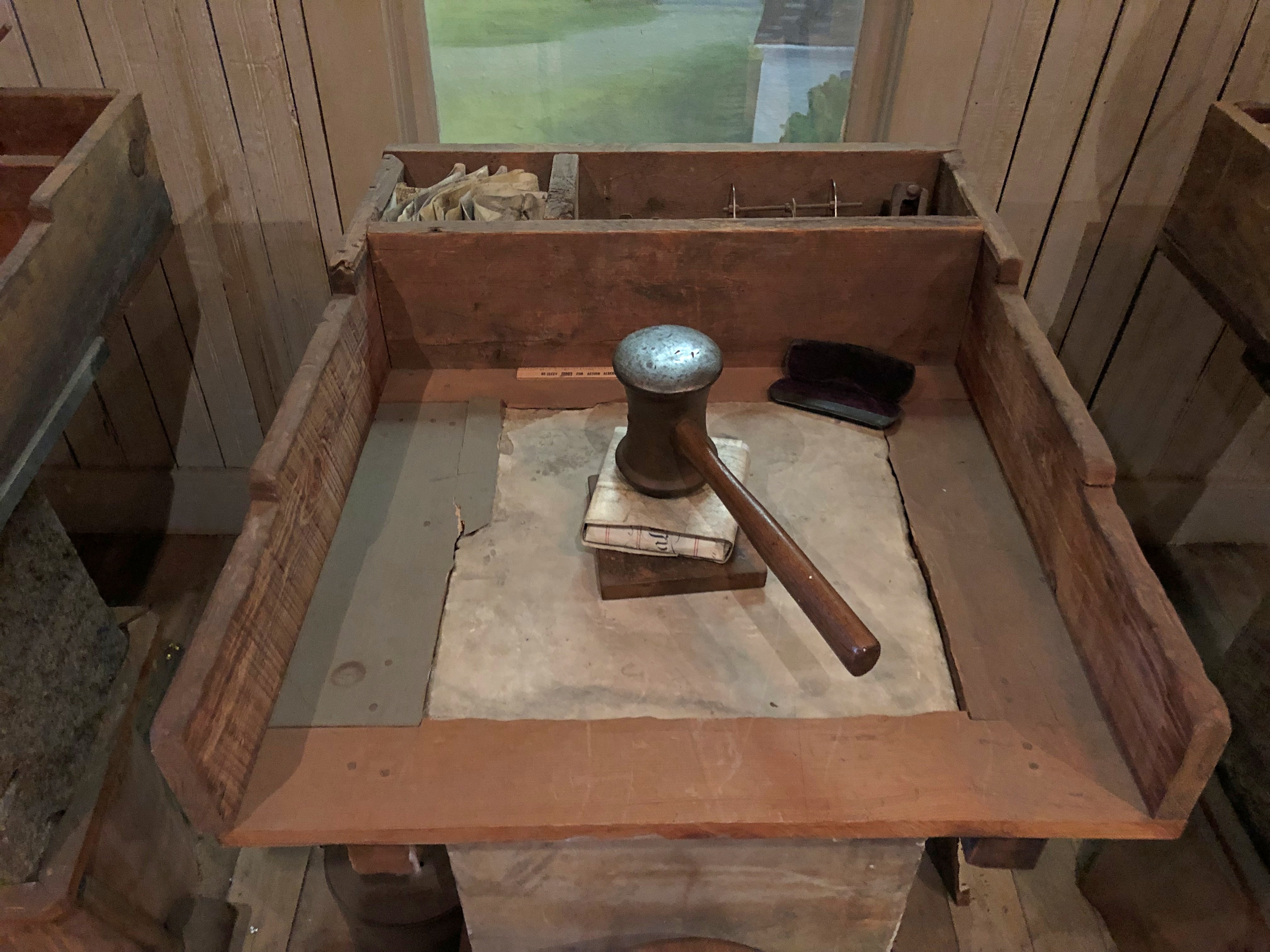
Each bench sports one of the heavy hammers that late 19th-century workmen used to beat gold.The Museum of the Gilding Arts

The 19th century was full of jobs that required great upper-body strength, and gold beater was surely one of them.

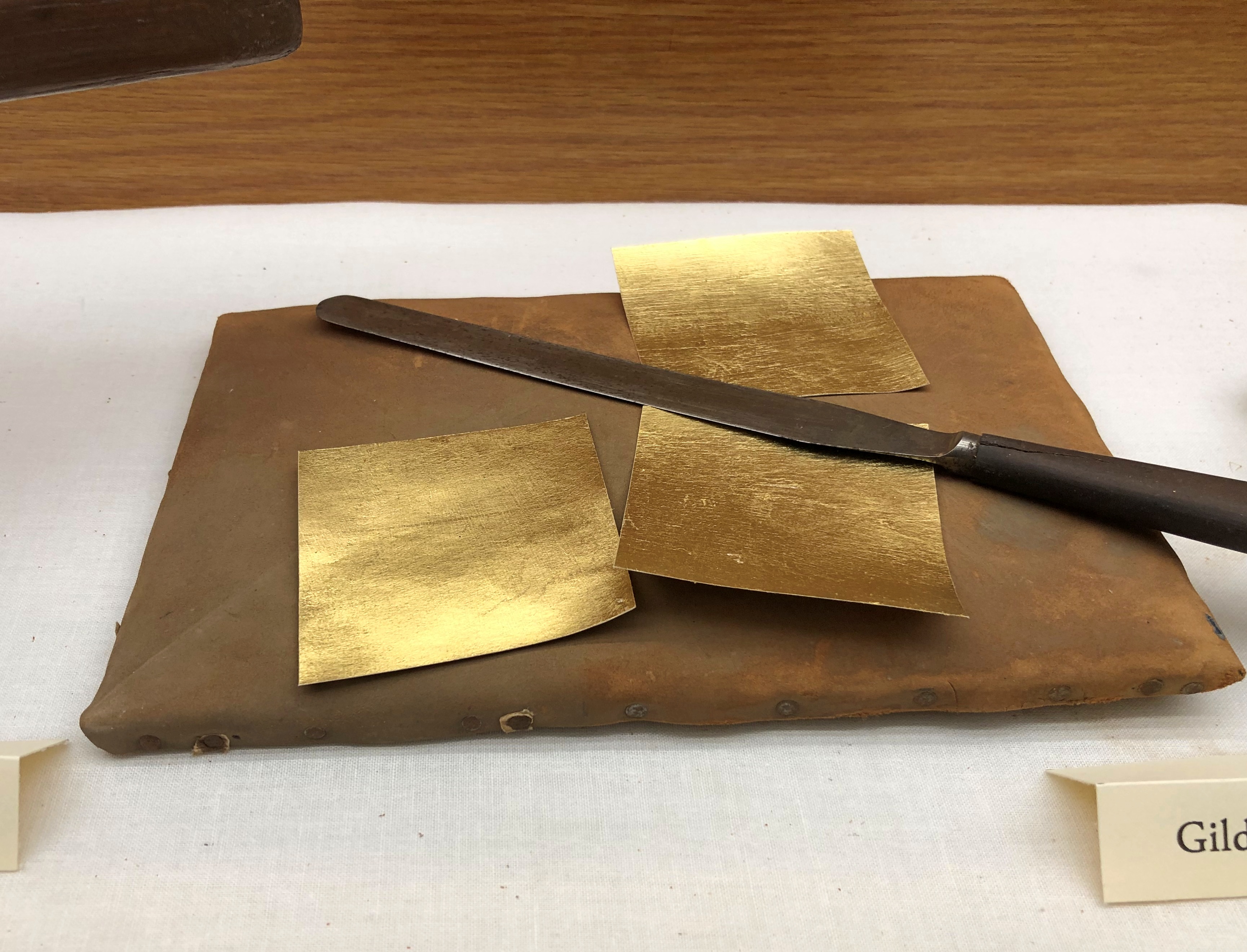
“The process of making gold leaf began with quarter-inch-thick gold bars, 12 inches long by 1.5 inches wide,” notes an article in Connecticut Explored about the redevelopment of the Smith factory in our time. “The bars were rolled to a thickness of 1/1000 of an inch and cut into squares. The squares were then dusted with calcium carbonate applied with a brush — often a hare’s foot — and placed between a thin membrane made of the outer layer of an ox intestine.

“These were then stacked, in as many as 300 layers, and repeatedly struck with a 16-pound hammer. The squares were cut again into smaller squares and the process repeated with a 10-pound hammer; the squares were then placed in a mold and struck with a 6-pound hammer. When finished, a layer of 280,000 leaves stood just an inch high.”The Museum of the Gilding Arts The Museum of the Gilding Arts

What happened to the residue of the ox intestine? Maybe I don’t want to know. Not only a tough job, then, but probably a dirty one as well, and ill-paying unless you were a Swift. Machines took over most of the heavy beating in the 20th century, but I expect it still was a tedious job. More about the museum, which opened in 2015, is at the Society of Gilders web site.

Before I left, the docent told me that I had been the only visitor that day. I was glad to hear it. I hadn’t gone too far out of my way, stopping after I’d dropped Ann off in Normal, and it was worth the small effort to get a glimpse of an entire industry I knew nothing about.

South Texas ’23: Kerrville & Bandera

Last Tuesday, my brother Jay and I drove from San Antonio to Kerrville, Texas (pop. 24,200) to visit an old friend of his, who has a separate small building in his back yard to house an extensive model train that he’s building. We got a detailed tour. Cool.

That was part of a larger trip that took me to Austin and San Antonio to visit friends and family. I flew to Austin on October 18 and returned from San Antonio today.

Rather than take I-10 west from San Antonio to Kerrville (though we returned that way), we drove Texas 16, which is mostly a two-lane highway that winds from exurban San Antonio and then into the Hill Country. Always good to drive the Hill Country, even on a rainy day. It was a rainy week in South Texas on the whole, but still quite warm for October. Had a few sweaty walks in San Antonio last week as well, more about which later.

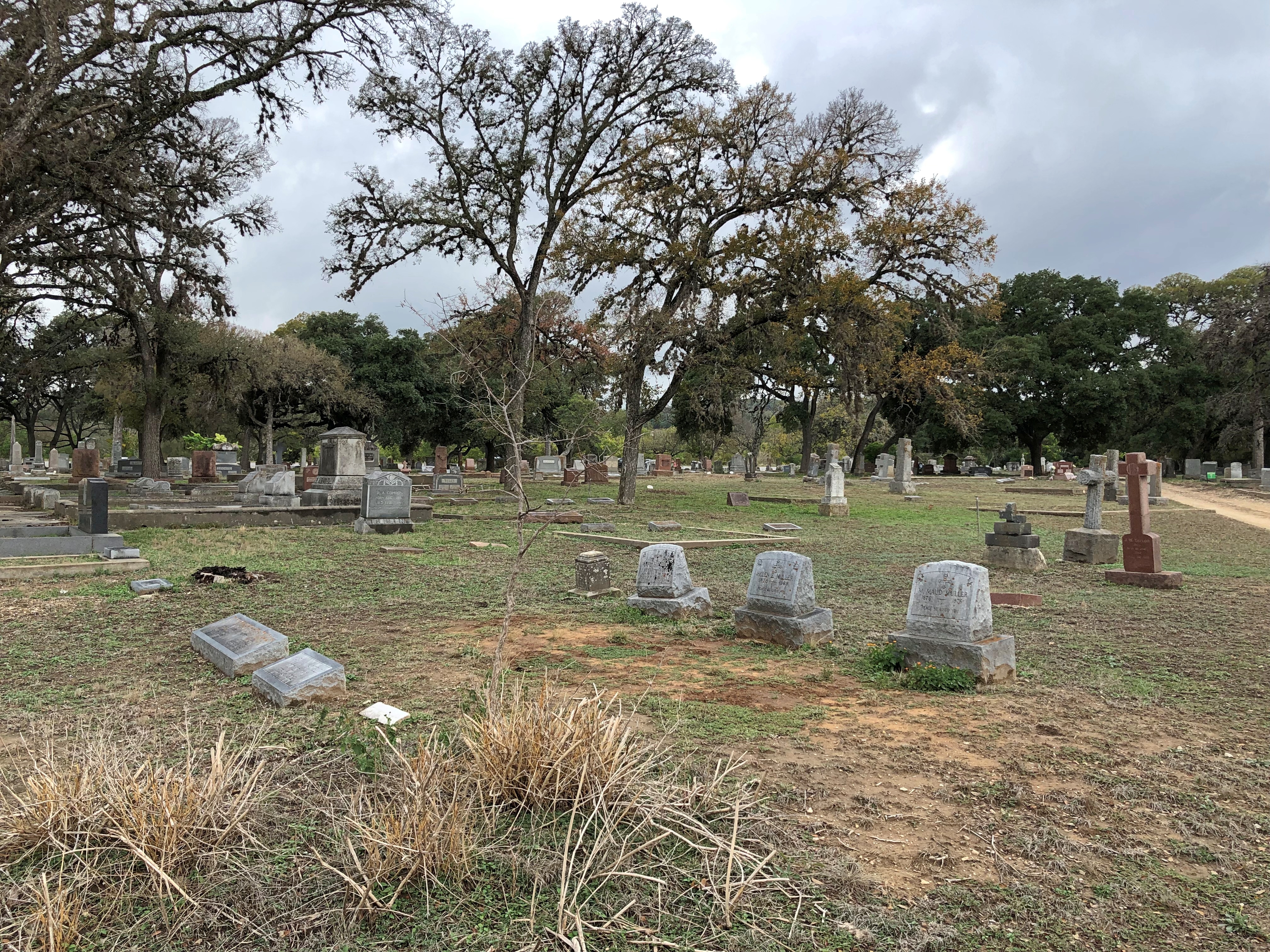
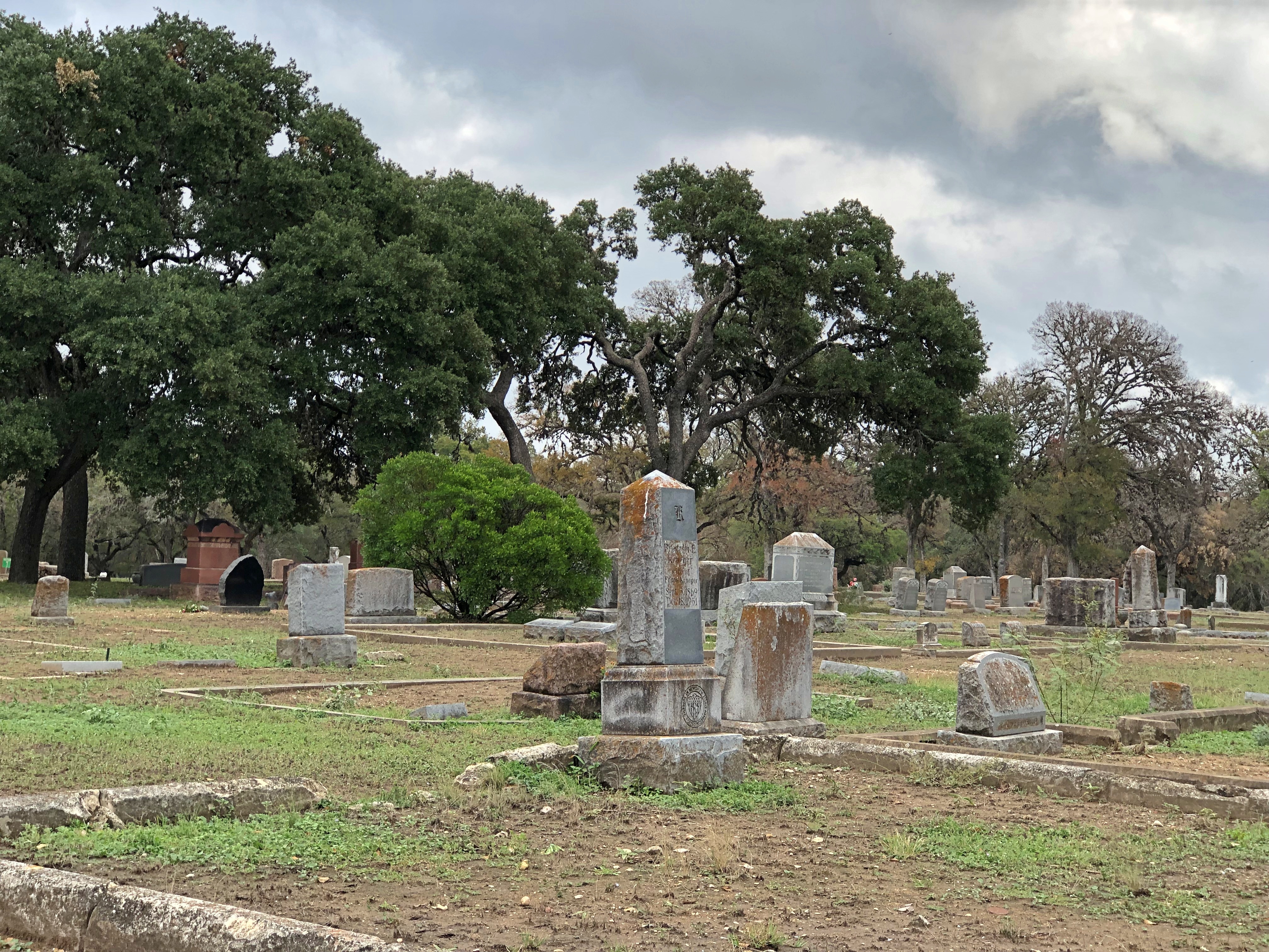
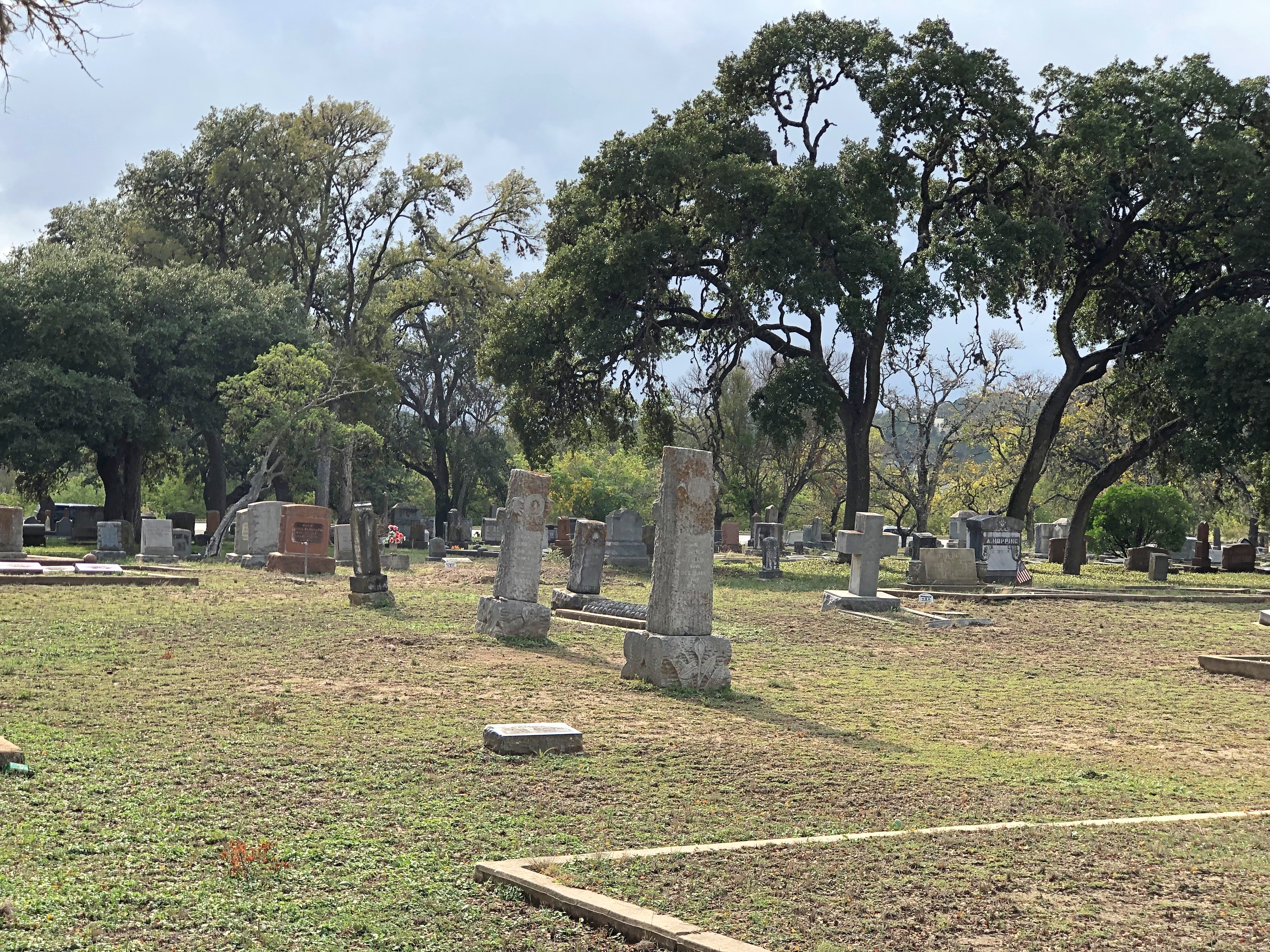
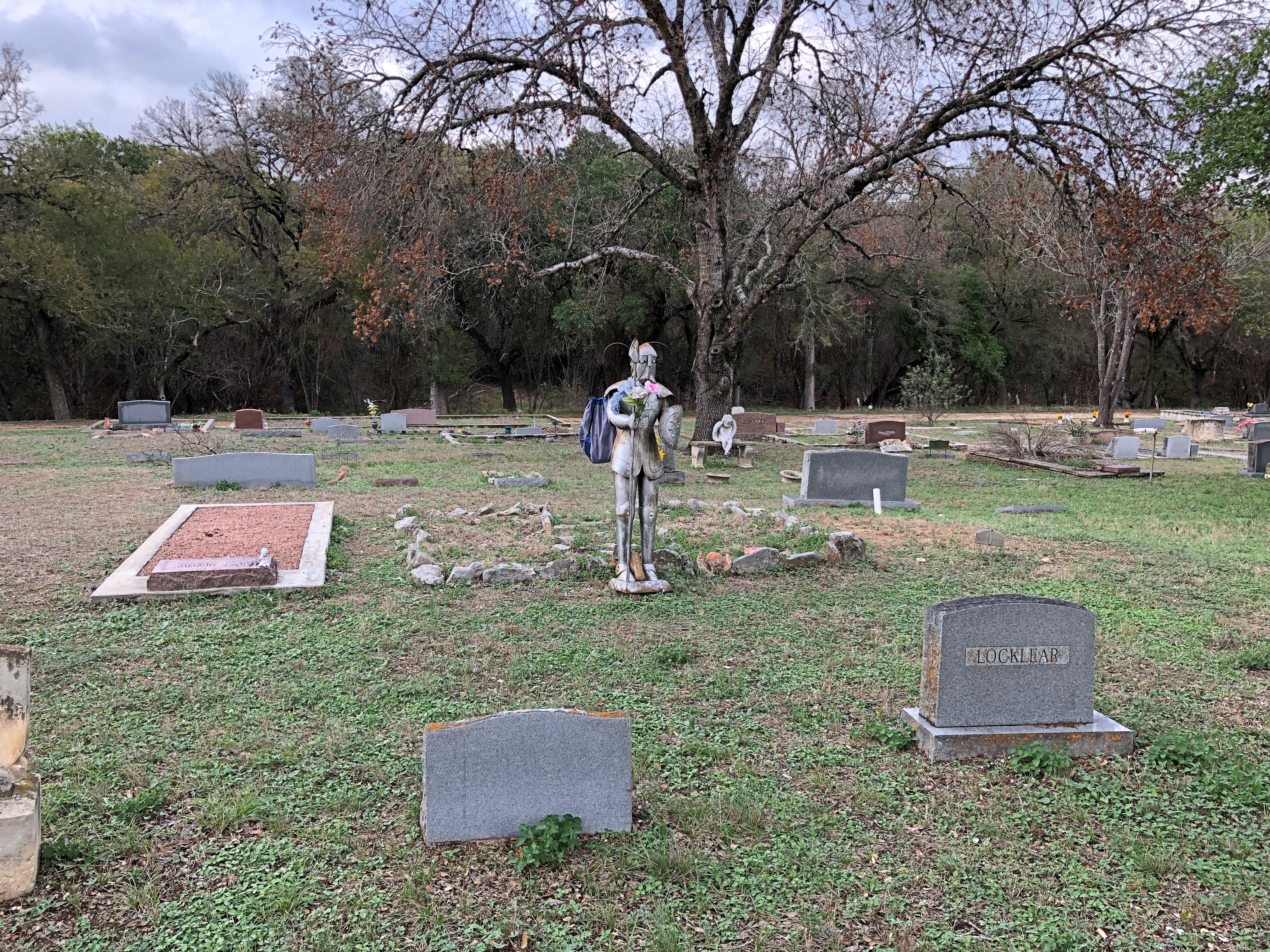
Besides visiting Bob and his wife Nancy and his HO model train construction, we also stopped by the Glen Rest Cemetery in Kerrville (my idea). The recent rains had made it a muddy cemetery. Ashes to ashes and dust to dust, but also mud to muddy?Kerrville, Texas Kerrville, Texas Kerrville, Texas

A curious figure. At least for a cemetery.Kerrville, Texas Kerrville, Texas

Glen Rest – which is incorrectly noted as Glen Rose on Google Maps – dates from 1892, according to the Texas Historical Commission plaque on site. “Glen Rest Cemetery is the final resting place for many pioneer and historic families of Kerrville and the surrounding Hill Country,” it says.

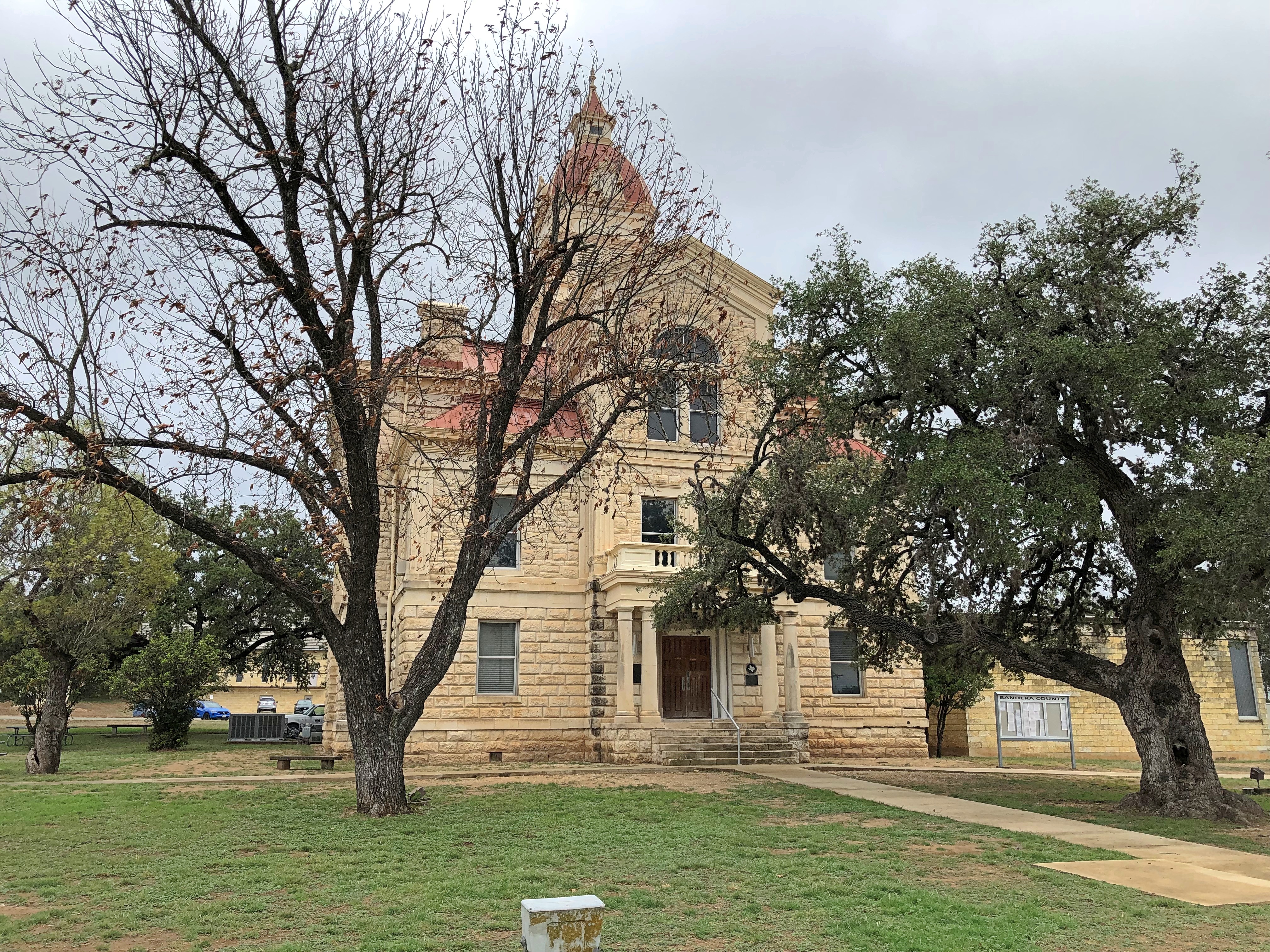
En route to Kerrville on highway Texas 16 is the much smaller burg of Bandera, pop. 829 and seat of Bandera County. That means a courthouse, and we stopped to take a look.Bandera, Texas

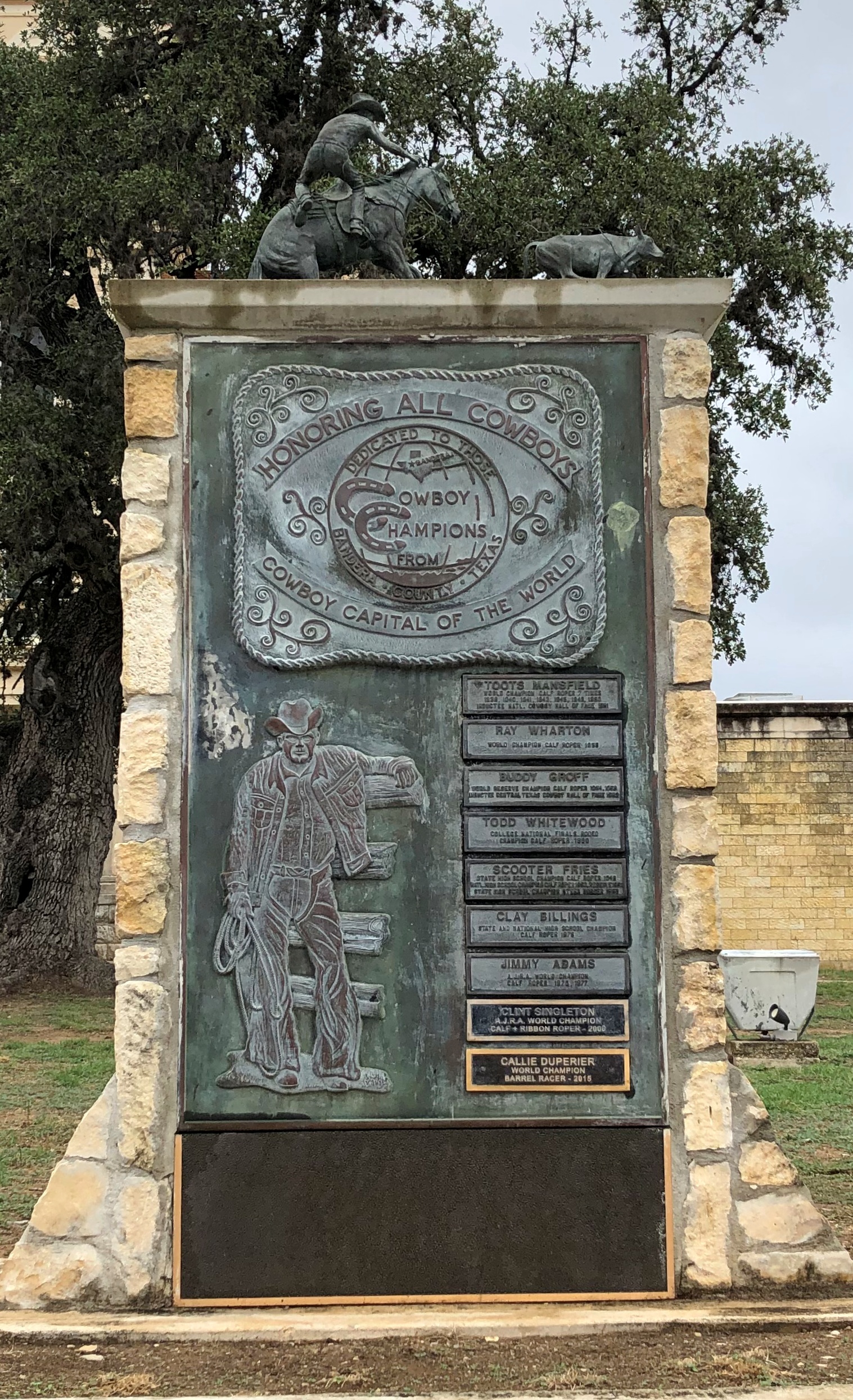
The courthouse itself isn’t unusual, but it is positioned unusually. Instead of being the focus of a square, it’s simply facing the highway. So are a handful of memorials. This one honors “All Cowboys” because Bandera is “Cowboy Capital of the World.”Bandera, Texas

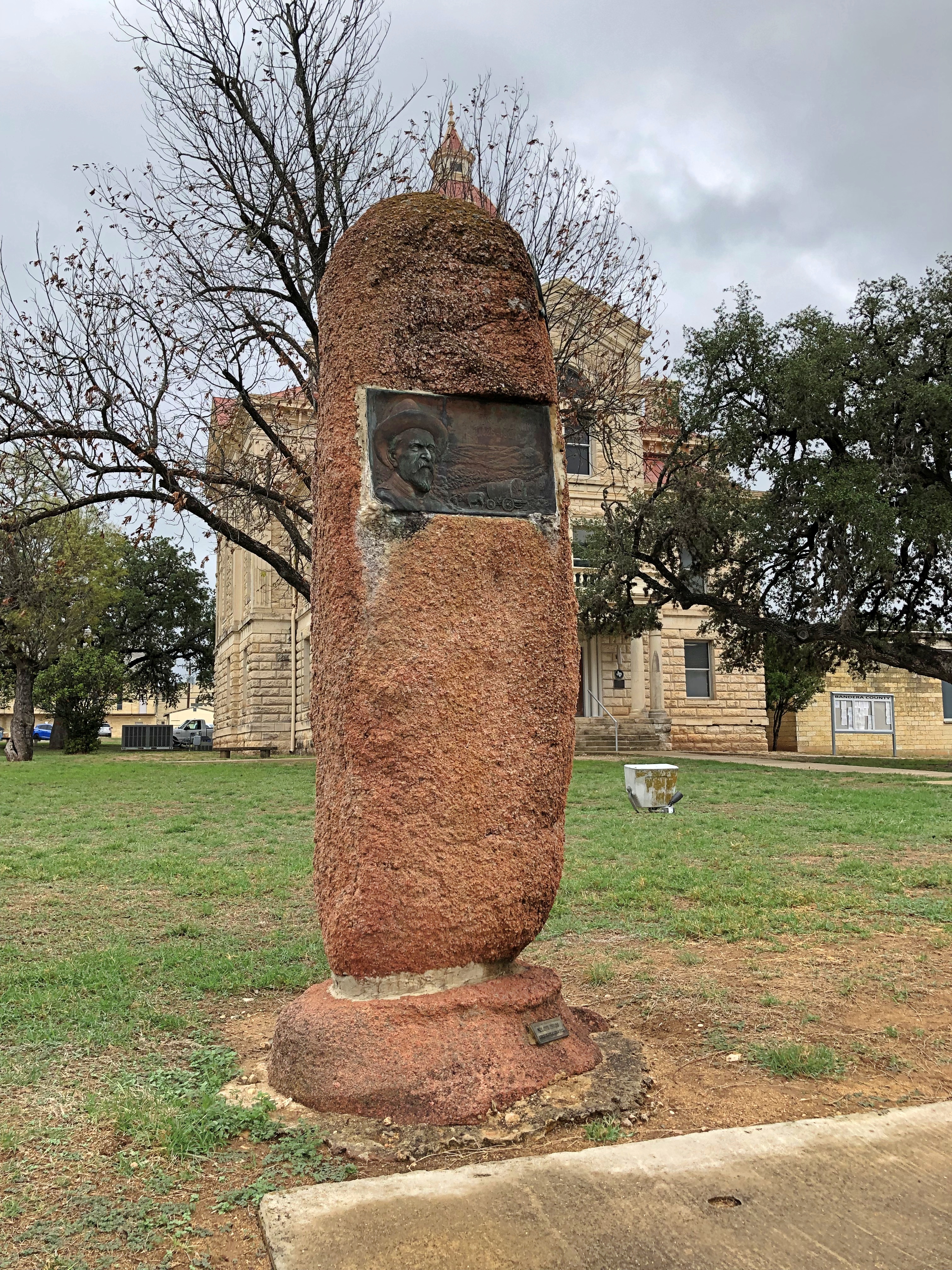
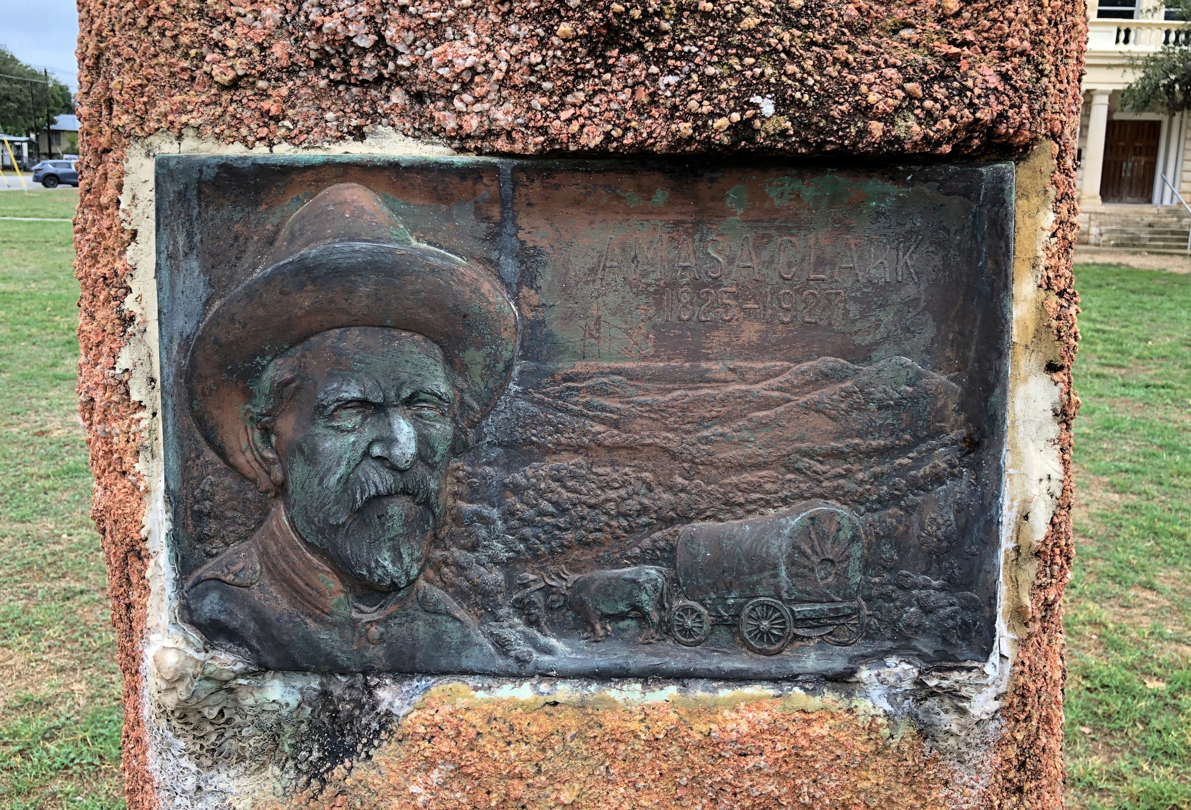
This stone oddity honors a Bandera pioneer named Amasa Clark, giving his birth and death dates as 1825-1927.Bandera, Texas Bandera, Texas

More about him is at Frontier Times magazine, which annoyingly doesn’t say when the text was written, who wrote it or where it was published. Internal evidence, along with the style of writing, puts it in the early 1920s, probably in a local newspaper. Clark came to the site of Bandera in 1852, not long after serving in the war with Mexico, and stayed until his death in 1927 as a very old man.

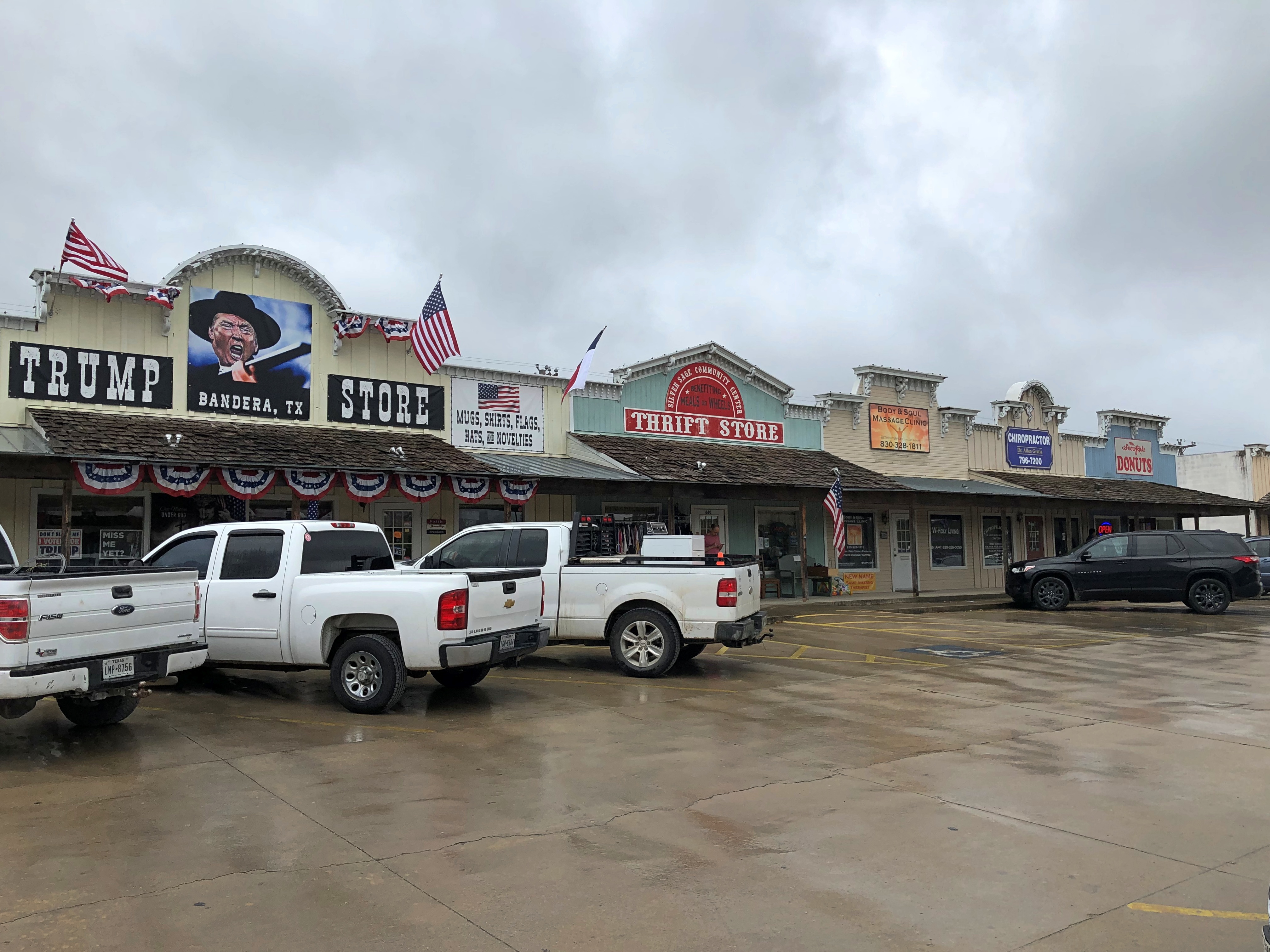
Also along the highway in Bandera is a strip center including a store the likes of which I’d never seen before. Neither had Jay.Bandera, Texas Bandera, Texas

We had to take a look inside.Bandera, Texas Bandera, Texas

I should have asked to woman behind the counter how long the store has been in business, or whether the man himself gets a cut, or some other questions, but I was in vacation mode, not interview mode. So all I know is what I saw, which was enough. For the record, and this is no surprise, Trump overwhelmingly carried Bandera County — 79.1% to 19.7% for Biden — in the 2020 election.

The Peshtigo Fire Museum & Fire Cemetery

You can drive from Sault Ste. Marie to metro Chicago in a day. It would be a long day, maybe eight or nine hours depending on traffic, construction, etc., but you can do it. I decided against such a long day, breaking the trip roughly in half by spending the last night of the drive around Lake Superior – which I was leaving far behind by this point – in Marinette, Wisconsin.

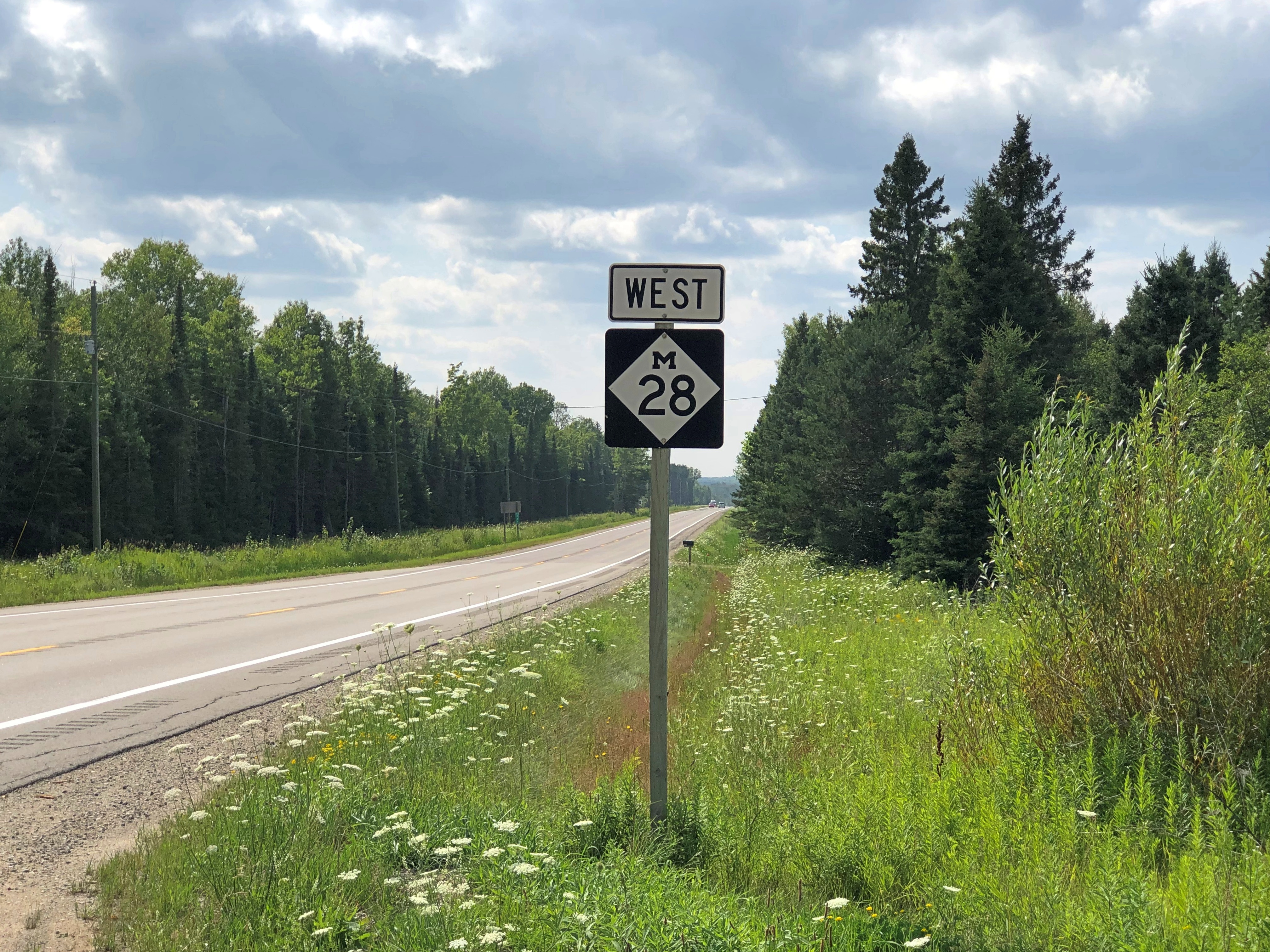
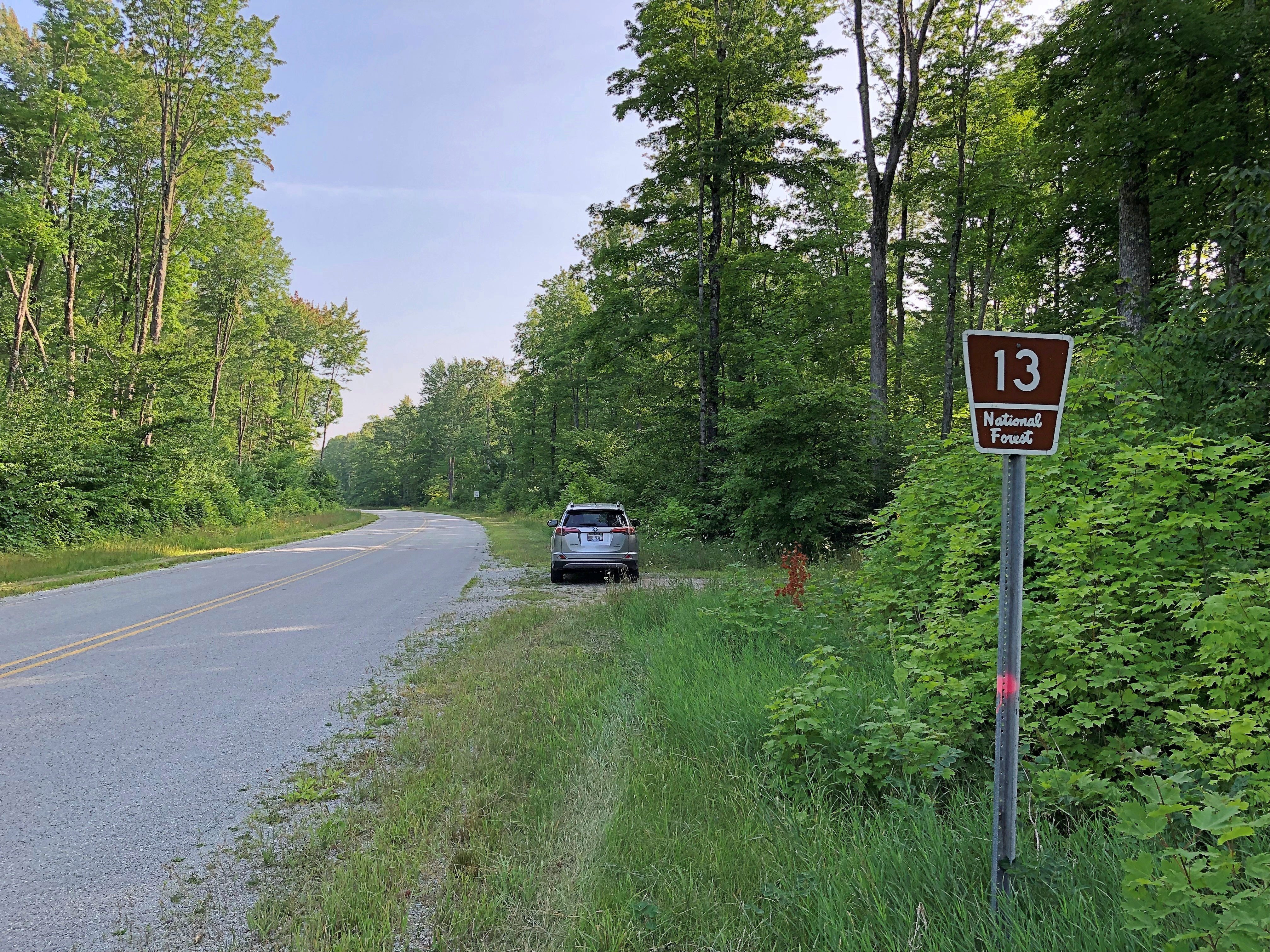
One reason: so I could enjoy a leisurely drive through the UP, including westward on Michigan 28 and then south on National Forest 13 through Hiawatha National Forest.

These are roads unlikely to make it on conventional best-drive lists, except for one that I might compile myself according to idiosyncratic lights, which might also include the Icefields Parkway, Lake Shore Drive, Alamo Heights Blvd., North Carolina 12 on Hatteras and Ocracoke islands, among others that come to mind. That the UP has two such favorite roads says something about the car-commercial driving to be had in the mostly forested UP.

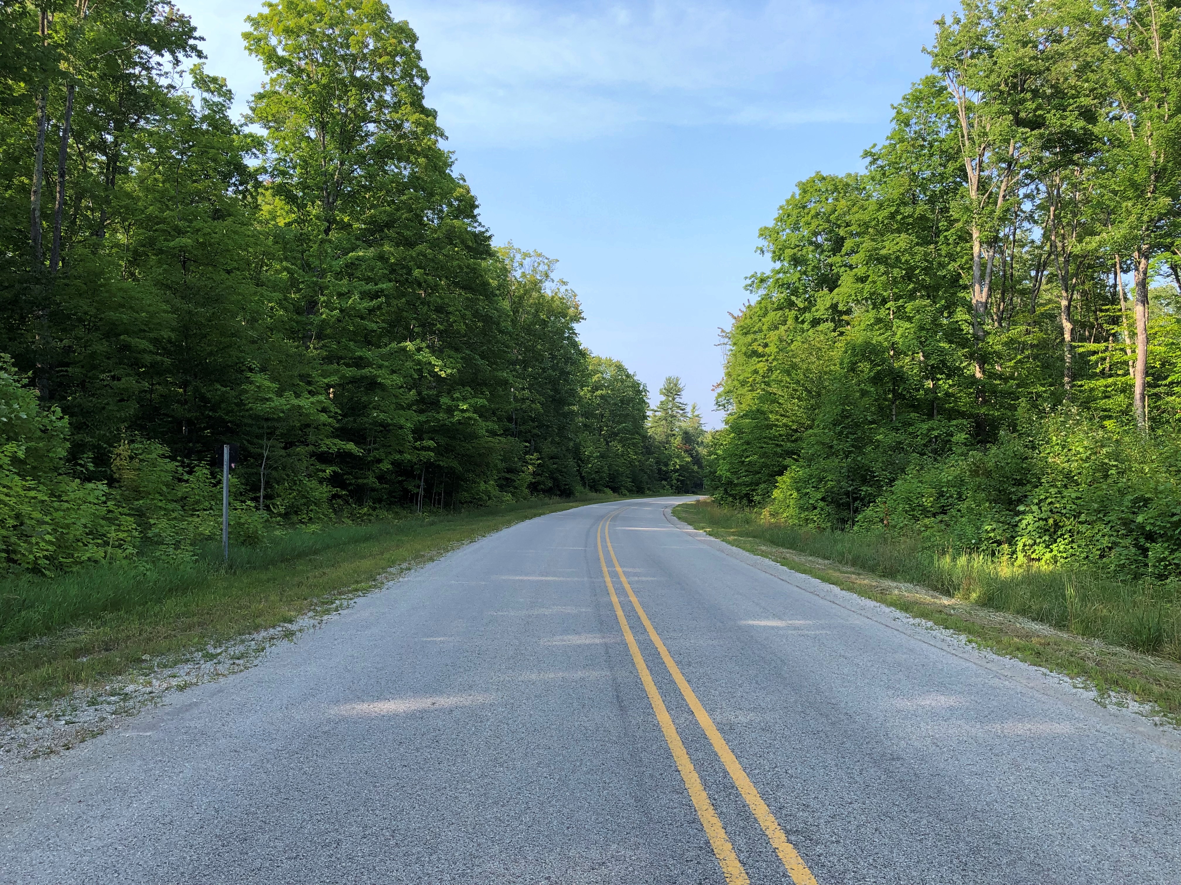
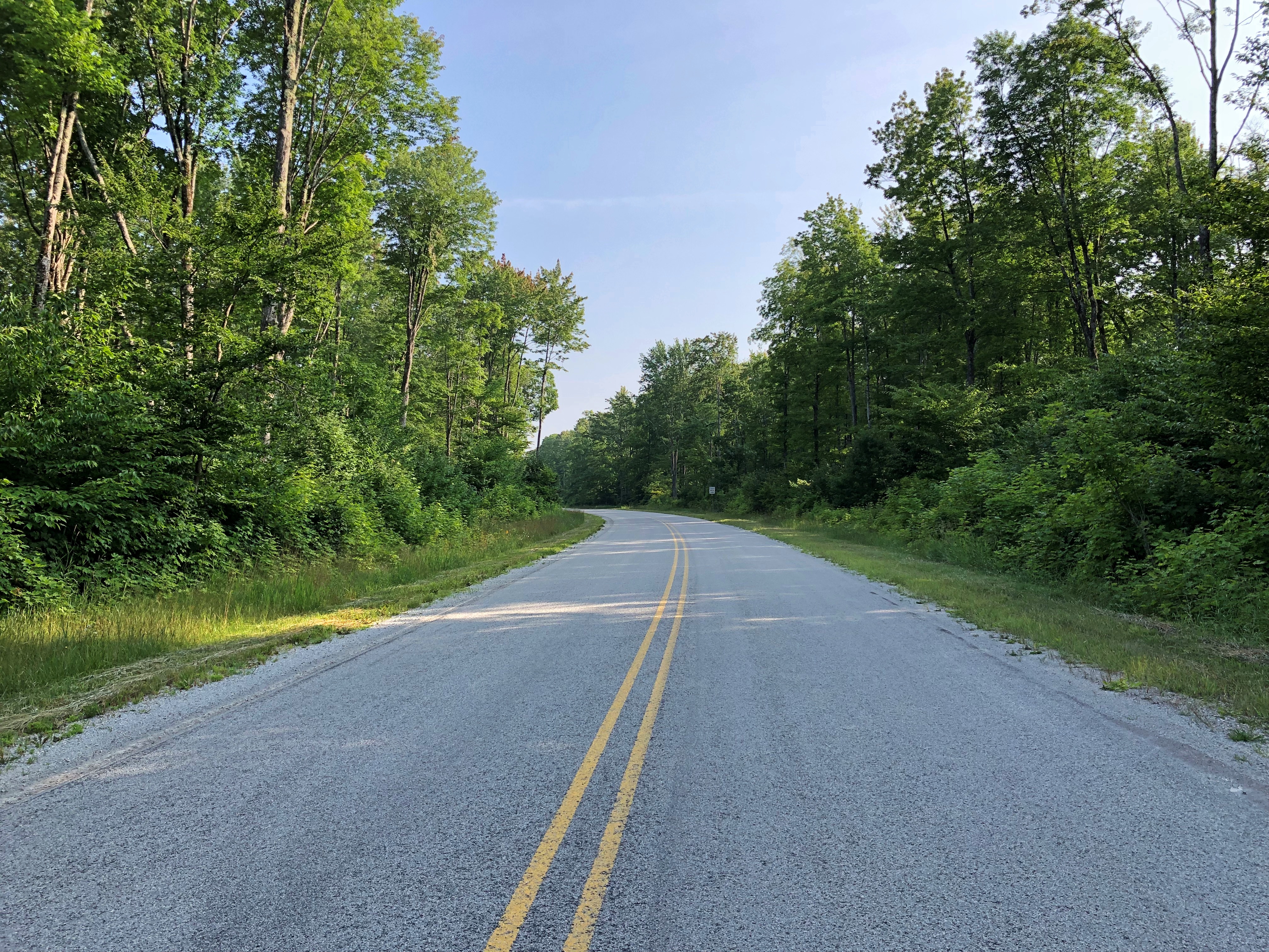
Light enough traffic, at least on National Forest 13, that you can stand on the center line and take pictures at your leisure.

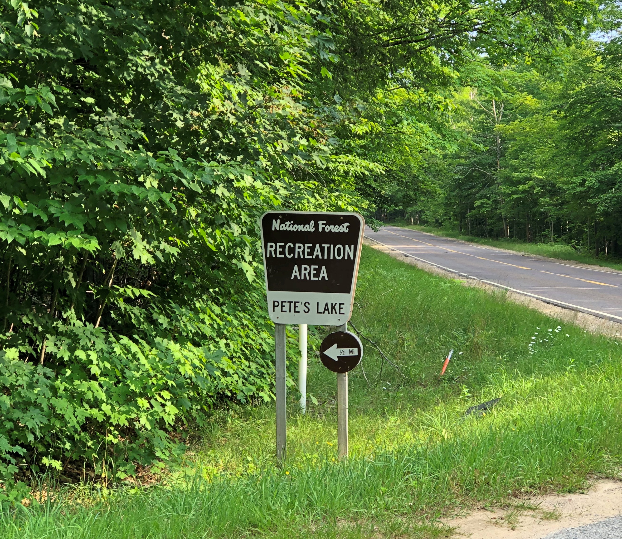
Another thing about NF 13: It took me to Pete’s Lake once upon a few times, and again on August 5, though I didn’t camp this time or experience a thunderstorm or yahoos yelling in the distance. It remains a sentimental favorite spot.National Forest 13

On the morning of August 6, I finally headed home, with one more stop in mind: Peshtigo, Wisconsin, a place that demonstrates, if nothing else, that the human mind is a creature of habit.

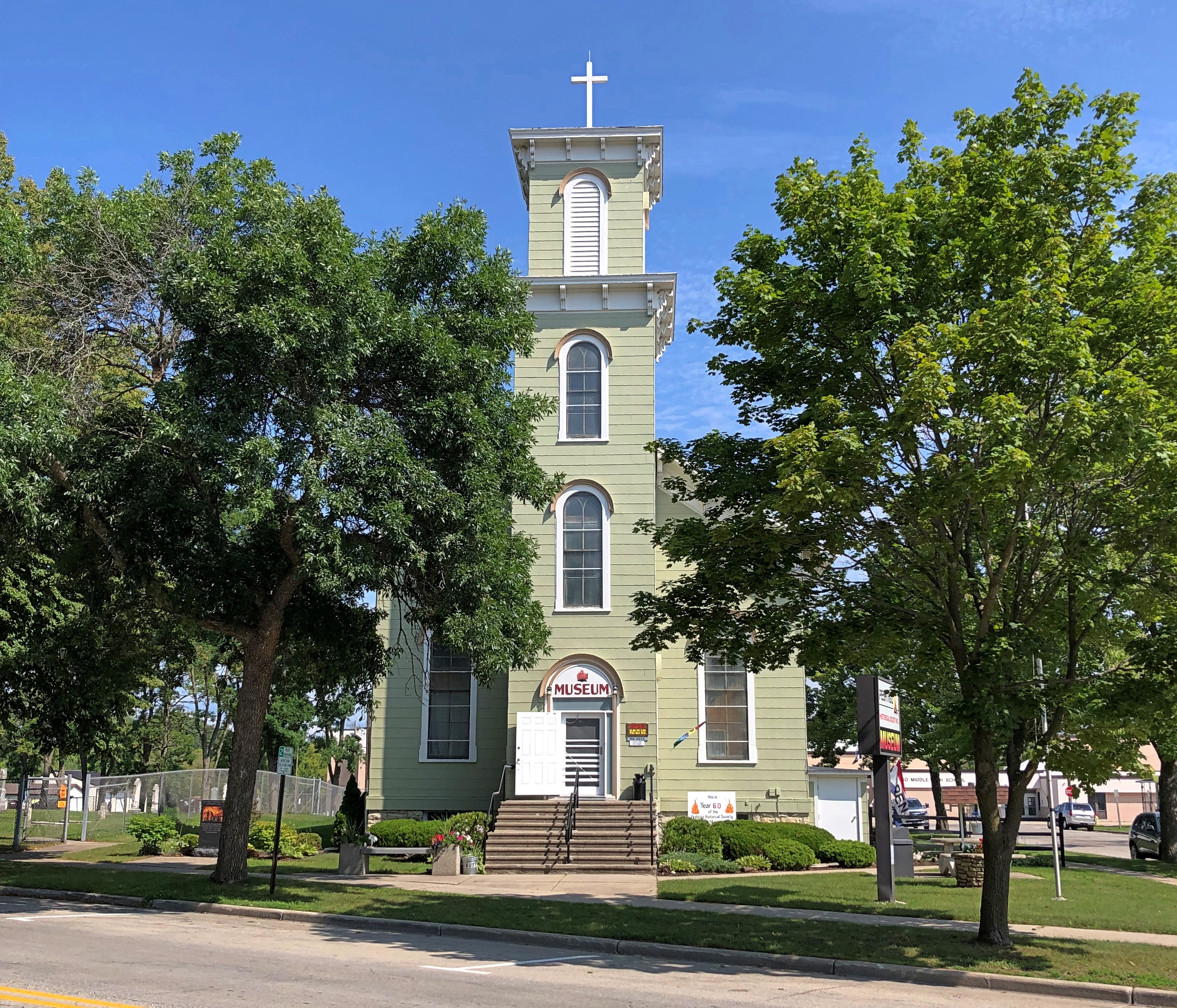
That includes me. I only mentioned the town in passing in 2006, when we stopped at the Peshtigo Fire Museum.Peshtigo Fire Museum Peshtigo Fire Museum

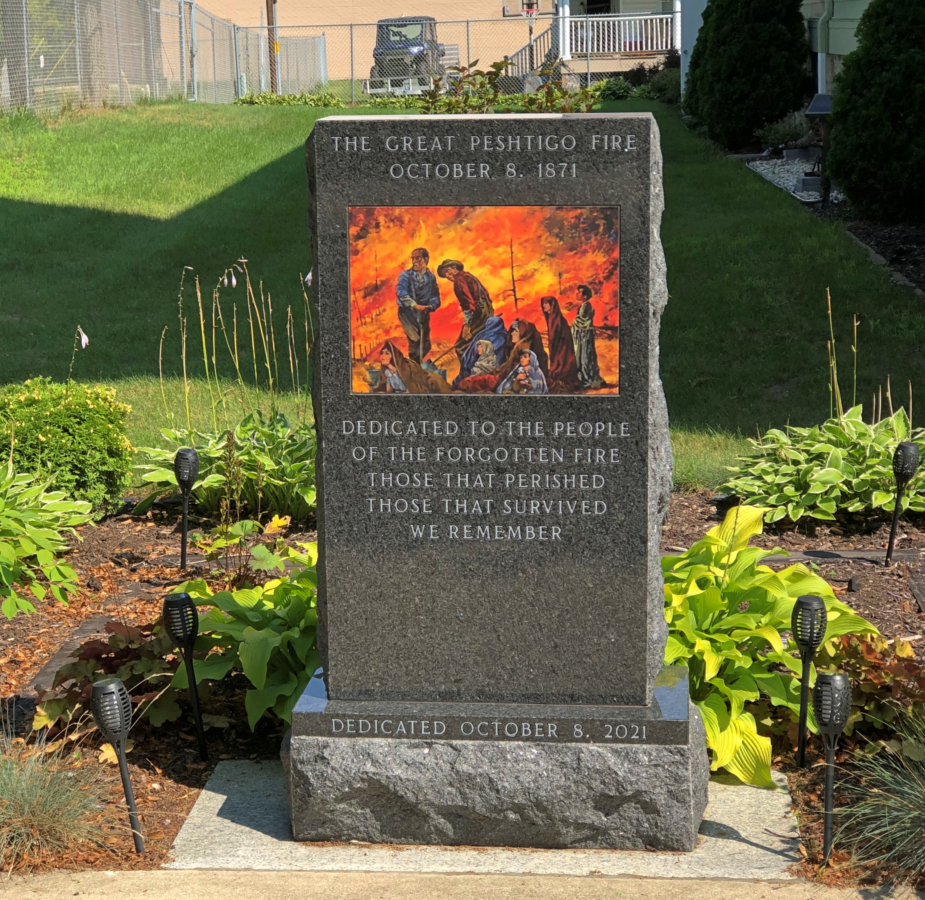
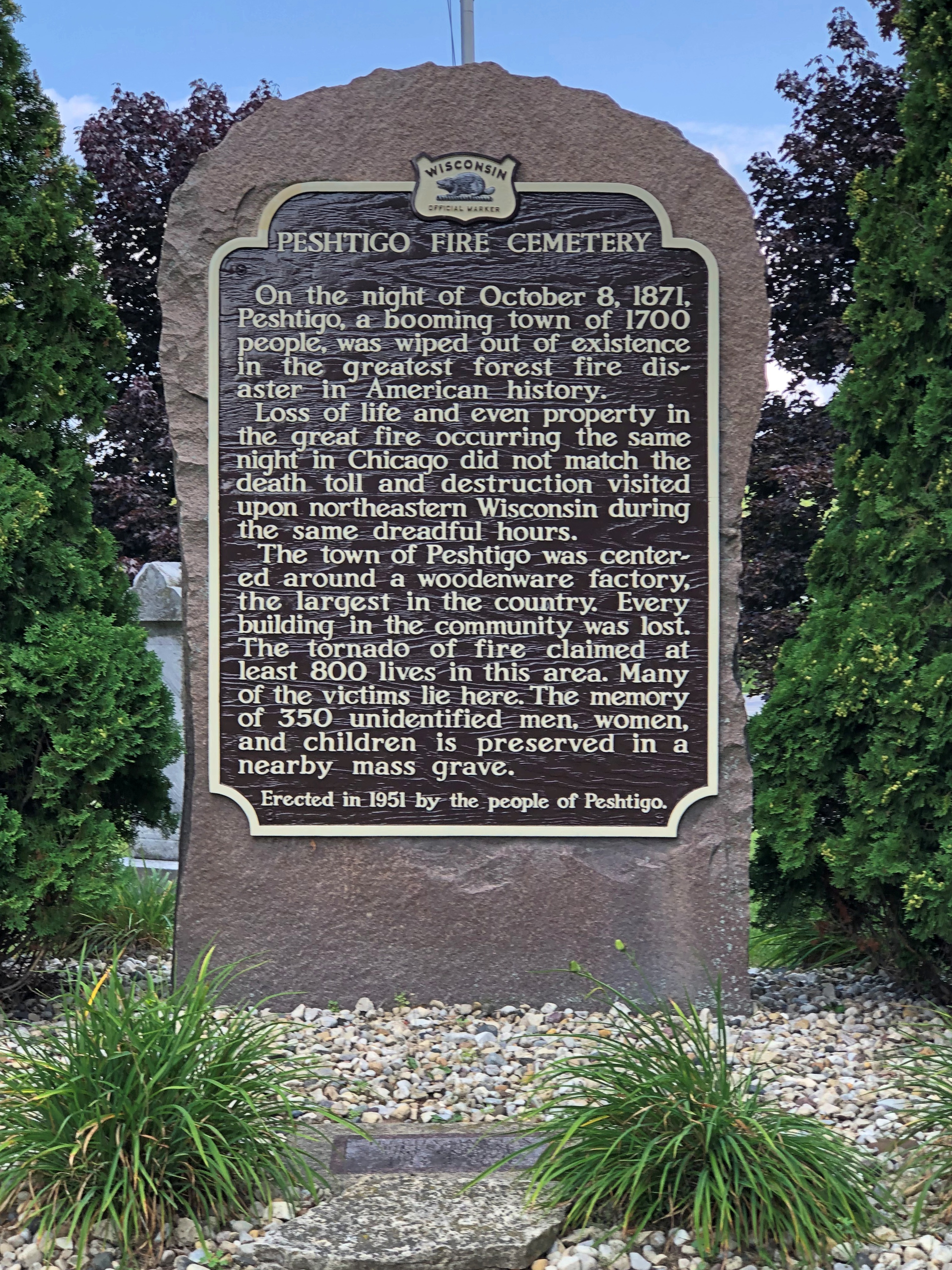
The building is a former Congregational church, on the site of a Catholic church that burned down in the firestorm of 1871 – which remains the deadliest wildfire in U.S. history, according to the National Fire Protection Association. Remarkably, the Maui wildfire is, for now, placed at fifth; modernity can’t protect us from everything.

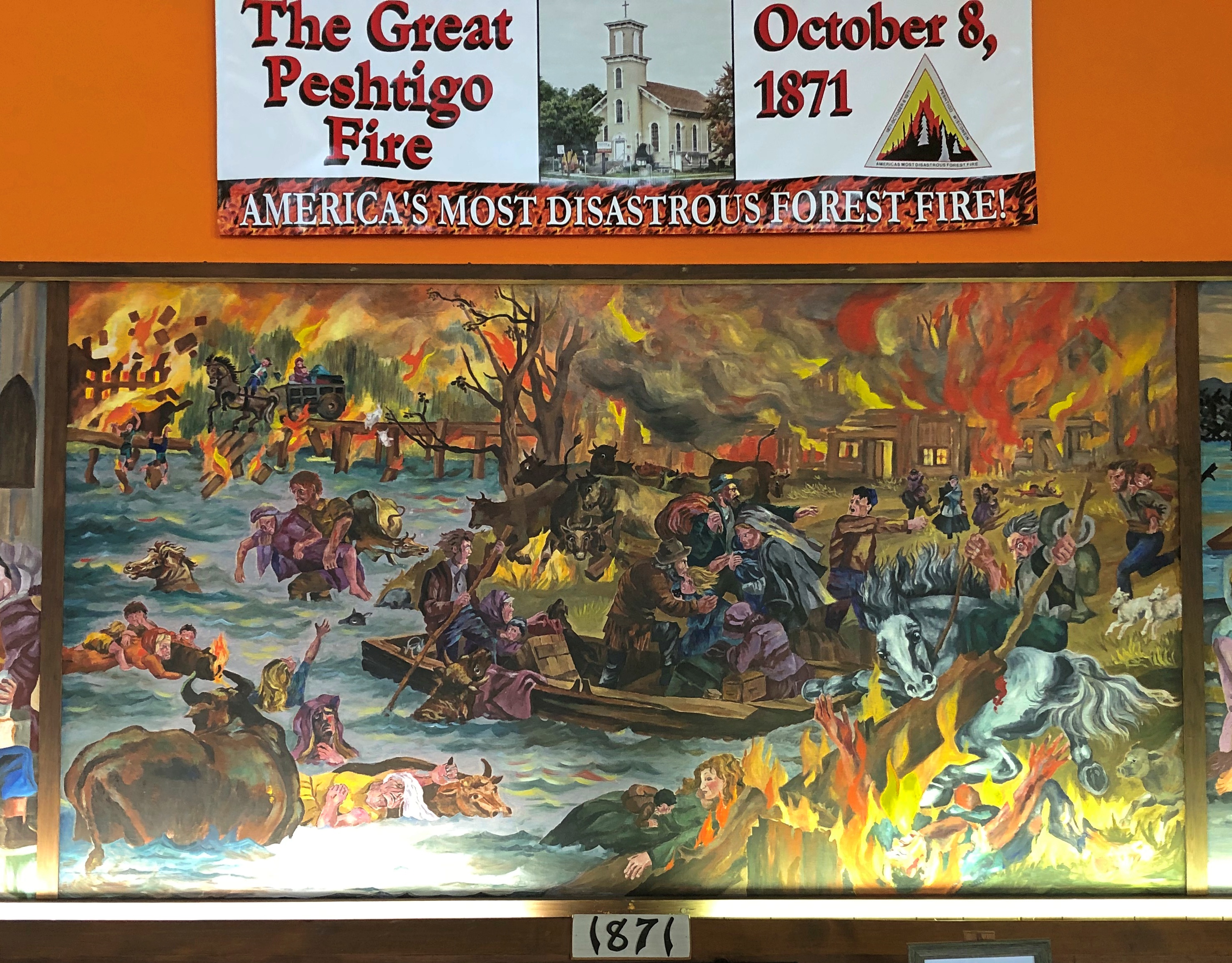
“On the night of October 8, 1871, in Peshtigo, a lumber town about seven miles southwest of the Michigan-Wisconsin border, hundreds of people died: burned by fire, suffocating from smoke, or drowning or succumbing to hypothermia while trying to shelter in the Peshtigo River,” notes USA Today.

“But the fire also raged across Oconto and Marinette counties into Michigan’s Upper Peninsula, while another blaze burned across the bay of Green Bay in Brown, Door, and Kewaunee counties.”

No one knows exactly how many people perished in the Peshtigo fire — I’ve seen varying estimates, all in the low thousands — but it was certainly more than in the Great Chicago Fire, which happened the same day. Which one is mostly remembered? Chicago, of course, thus illustrating a habit of mind. Once a thing enters the tapestry of the popular imagination, it can crowd out similar events.

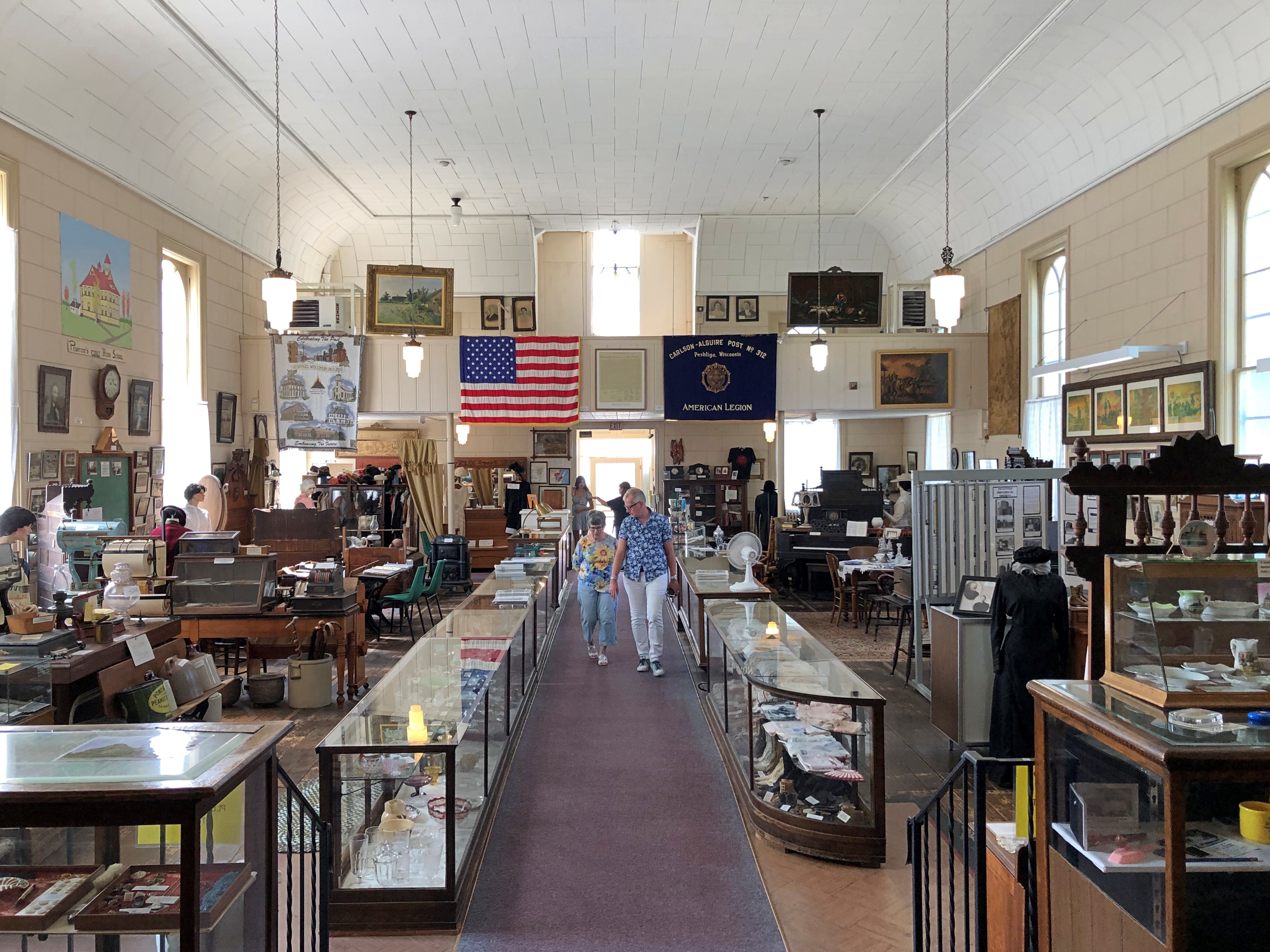
Peshtigo isn’t a large museum, but it is full of stuff.Peshtigo Fire Museum

The museum includes much information and a few artifacts from the fire, though naturally not much survived. The fire itself is illustrated not by photography, but artwork.Peshtigo Fire Museum

Two volunteer docents were on hand to spread the word about the fire. It’s the only distinction for modern Peshtigo, pop. 3,400 or so. One was a woman about my age, the other a woman about Ann’s age. Again, good to see young’ins up on their local history.

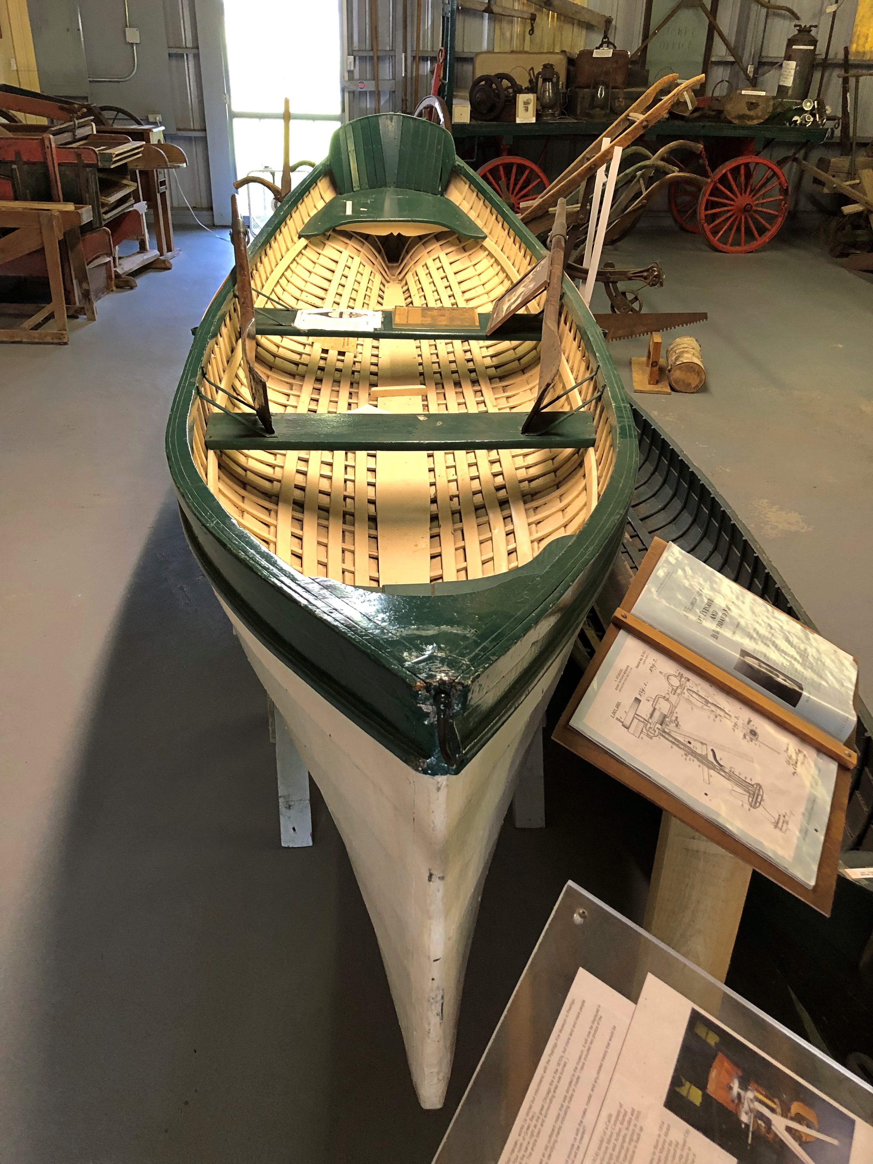
Speaking of that, the museum is actually more local history than the single incident of the fire, as important as that is. As such, there are many artifacts from the entire spectrum of the town’s history (including in the basement).Peshtigo Fire Museum Peshtigo Fire Museum Peshtigo Fire Museum Peshtigo Fire Museum

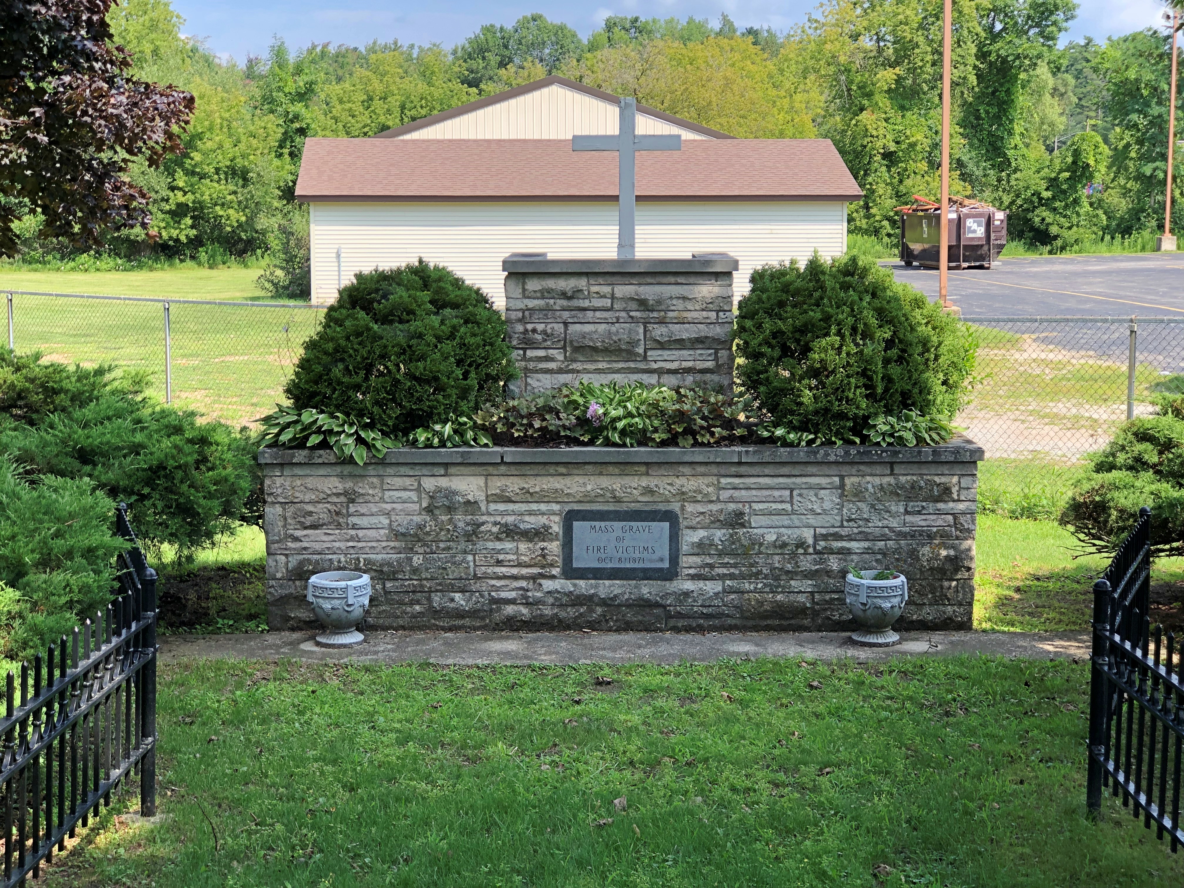
Next to the museum is the Peshtigo Fire Cemetery.Peshtigo Fire Cemetery Peshtigo Fire Cemetery Peshtigo Fire Cemetery

Including survivors of the fire.Peshtigo Fire Cemetery

Along with many who did not.Peshtigo Fire Cemetery Peshtigo Fire Cemetery

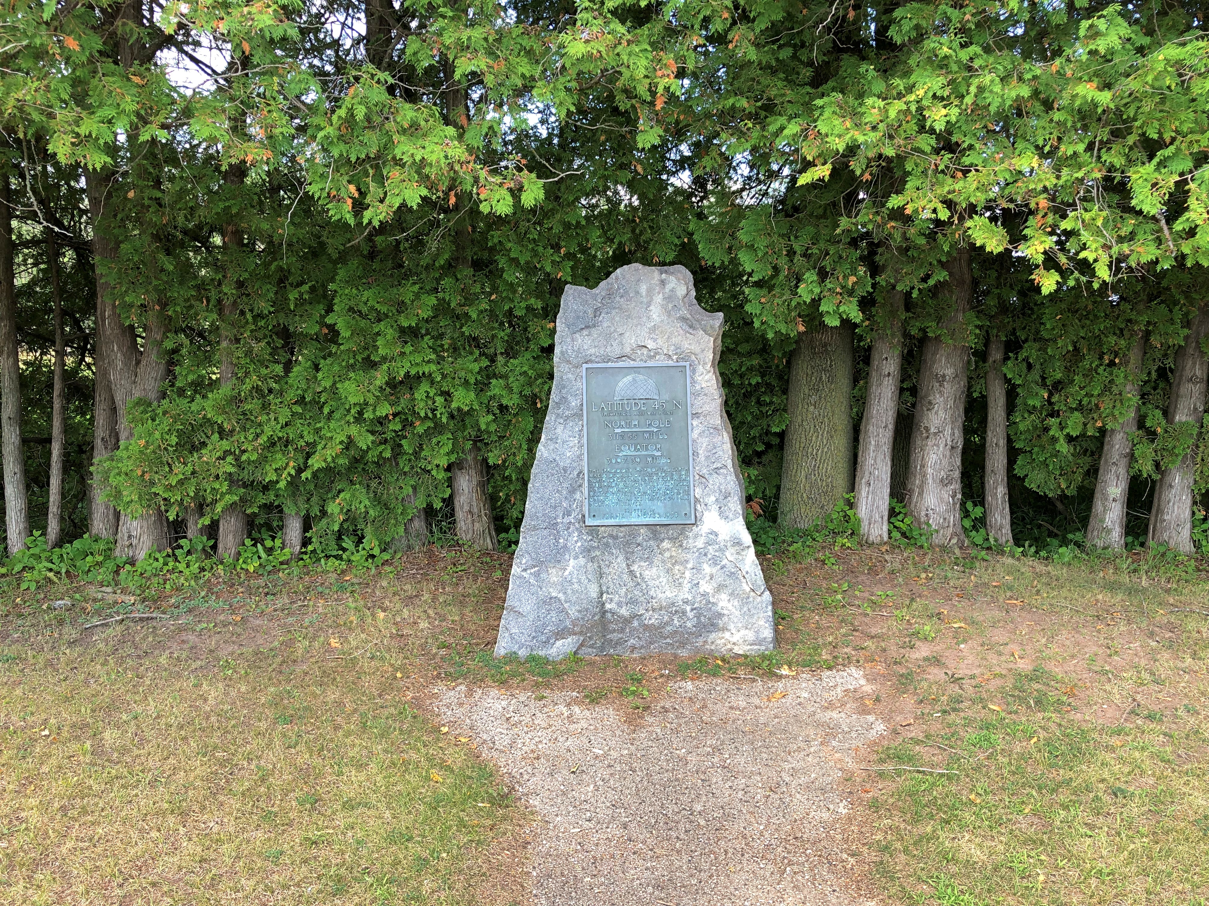
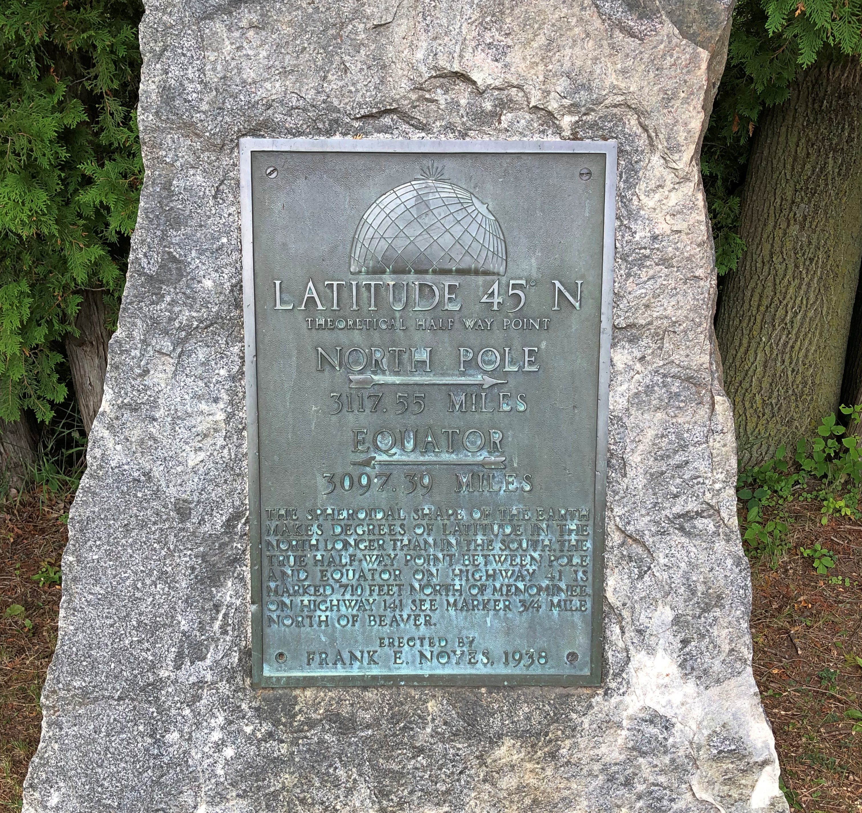
Too grim a note to end on. Not far south of Peshtigo is a roadside plaque I’d seen before, but not photographed.45th parallel Wisconsin 45th parallel Wisconsin

“The most obsessive of all of 45th Parallel markers are the plaque-on-rocks sponsored by Frank E. Noyes,” says Roadside America. “We know that he sponsored them because he put his name on every one.

“Frank was 82 years old, a faithful Episcopalian and 32nd degree Mason, and president, general manager, and editor of The Daily Eagle, a Wisconsin newspaper founded by his dad. For reasons lost to time, he became fixated on the intangible world of latitude in 1938 and put up plaques around his home town of Marinette to mark the halfway line.”

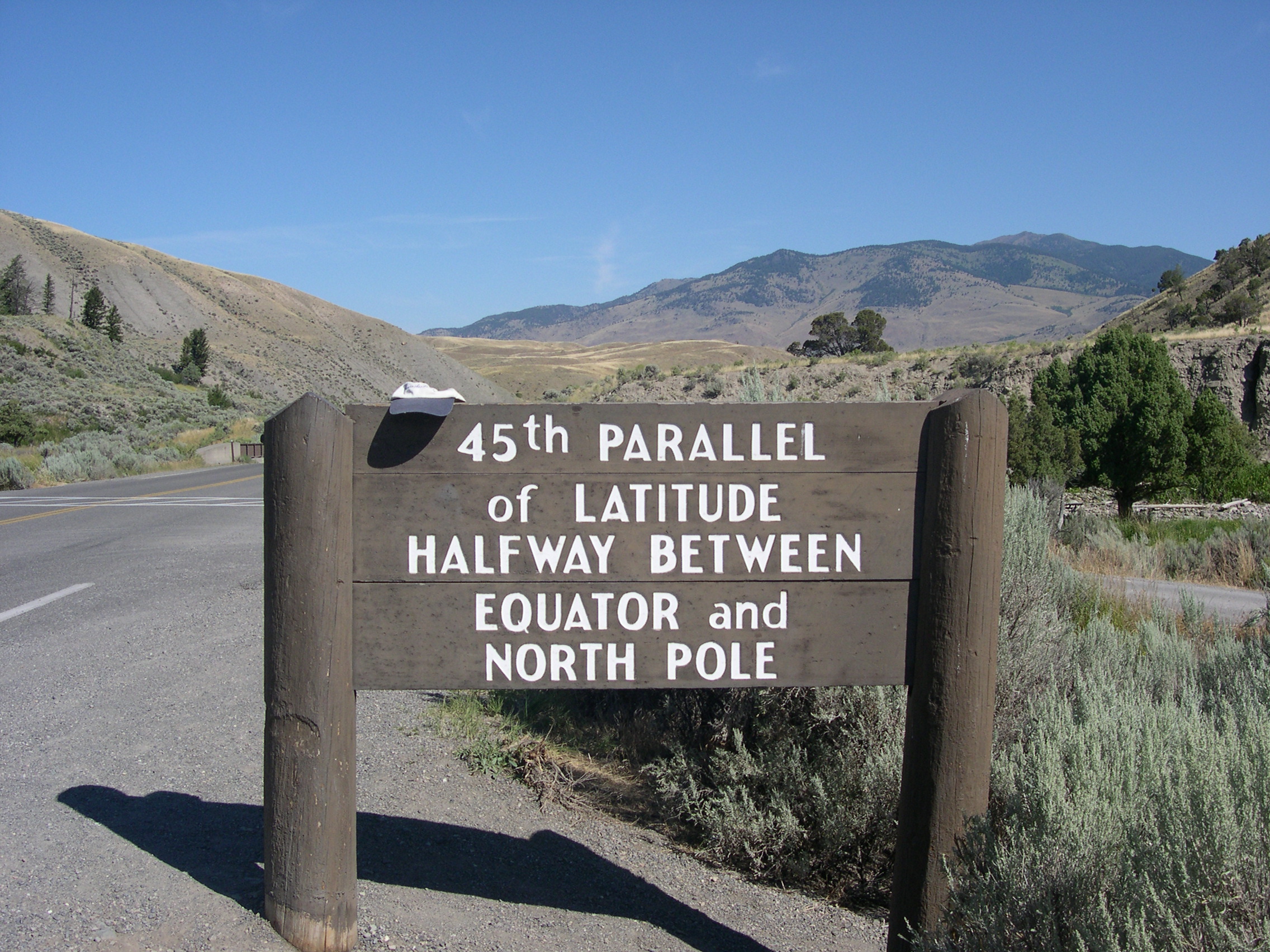
There are other such signs, of course, not of Frank Noyes origin, such as at the Montana-Wyoming border, as seen in 2005.

Except for bathroom and gas breaks, the Wisconsin 45th parallel proved to be the last stop of the nearly 2,000 miles around the lake.

SS Valley Camp

Temps hit 100 degrees F. today at O’Hare, reportedly for the first time in more than 12 years. I’d have thought it would have been more recently than that, but no. Still, such heat is transient here in the North: Tomorrow’s forecast calls for only 83 for a high, and Saturday a mere 74.

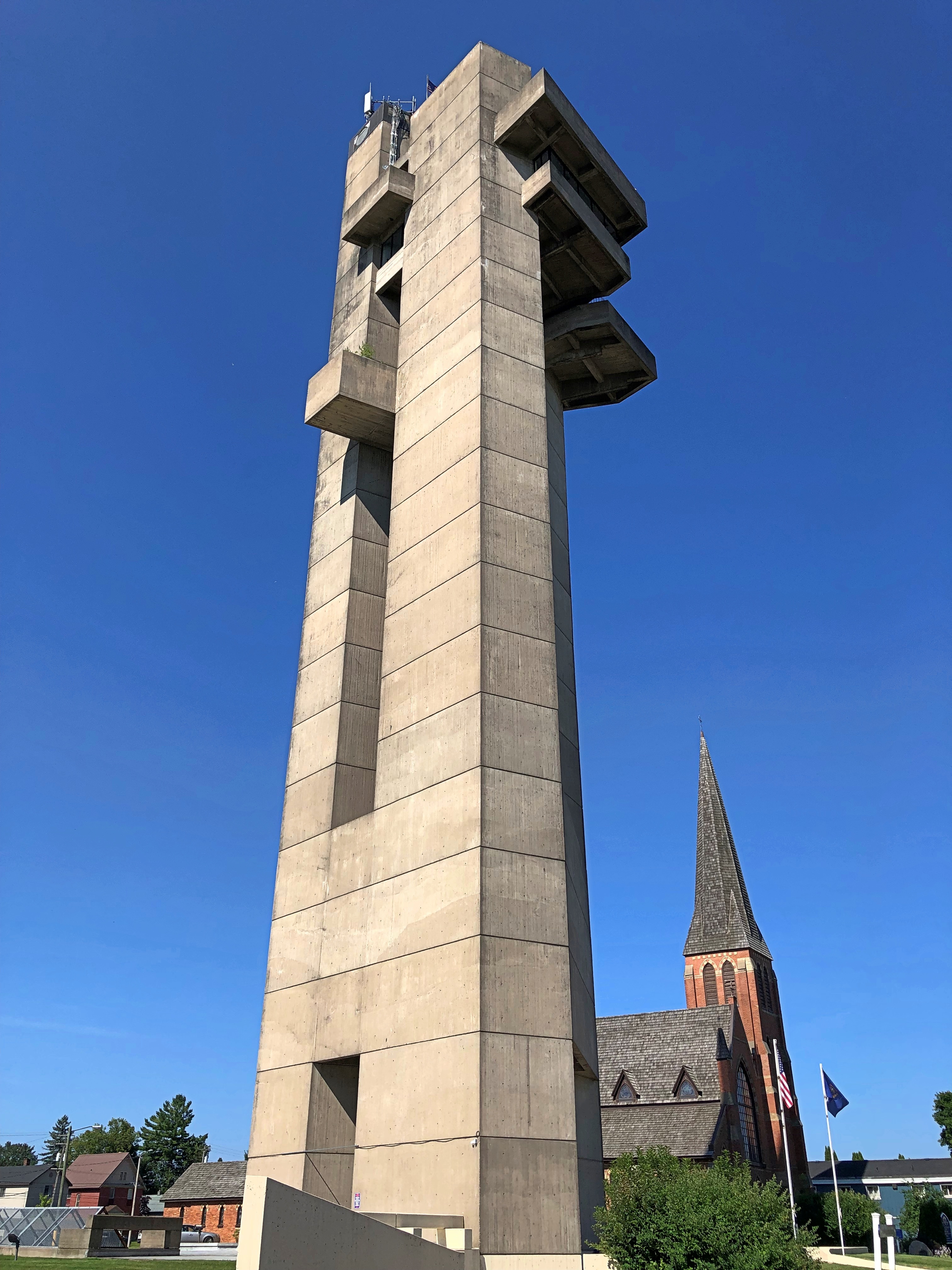
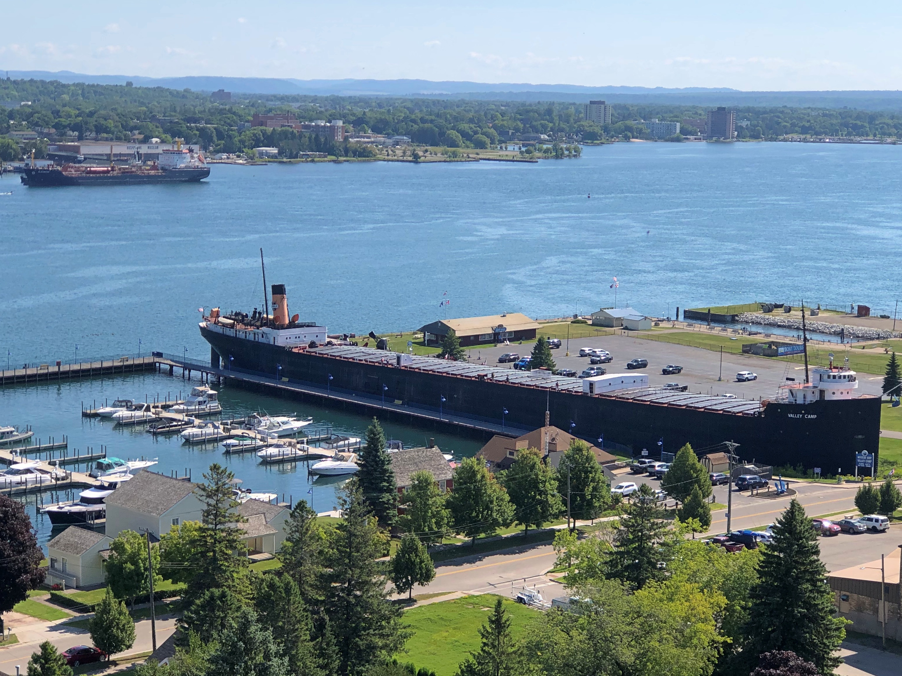
While atop the 21-story Tower of History, whose only purpose is provide a way to gaze at the scenery below, I spied an ore carrier on the Michigan Sault Ste. Marie riverfront. One of the signs on the tower’s observation deck told me it was SS Valley Camp – a museum ship. The kind of information that raises my eyebrows to an “Oh, really?” posture.

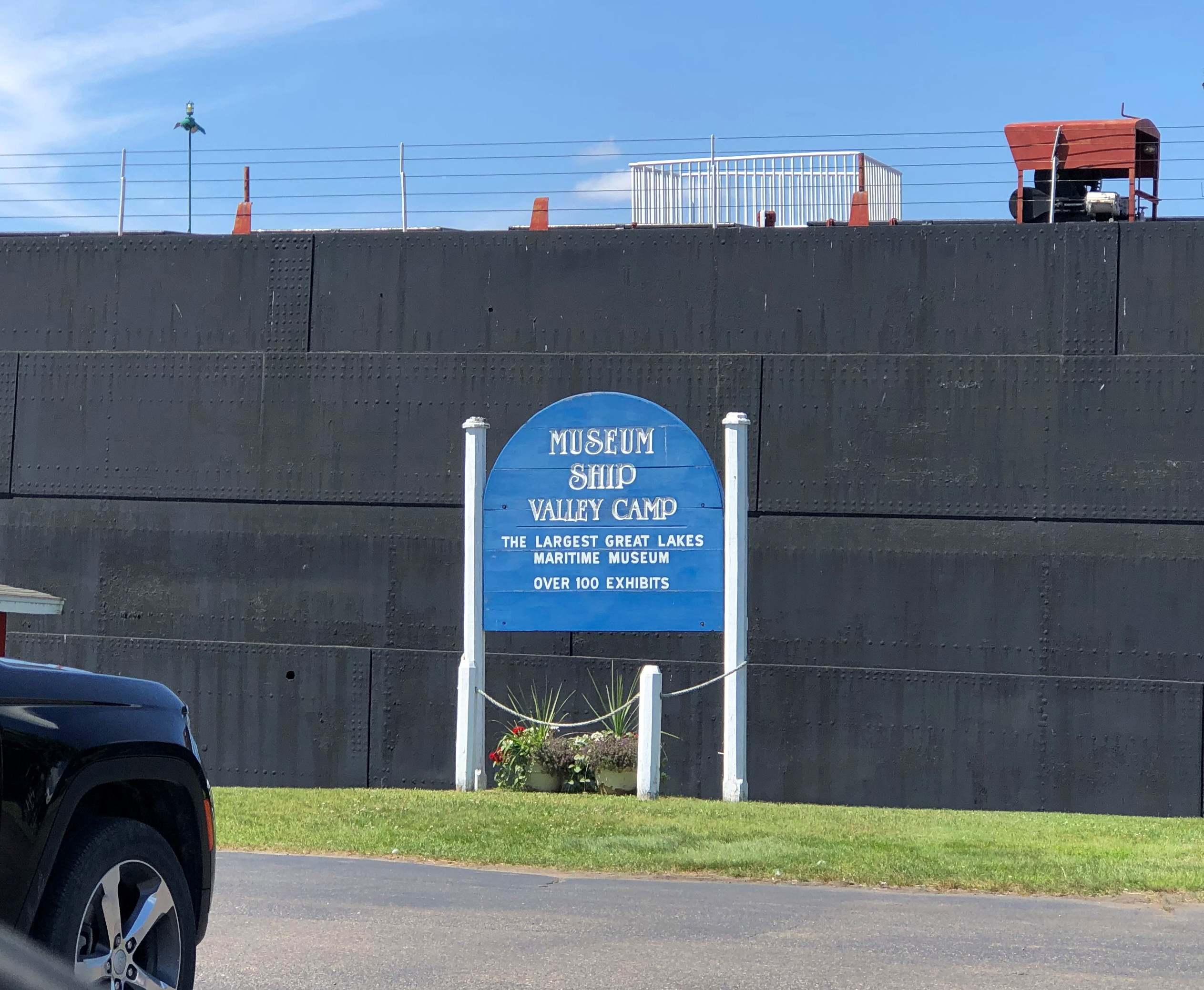
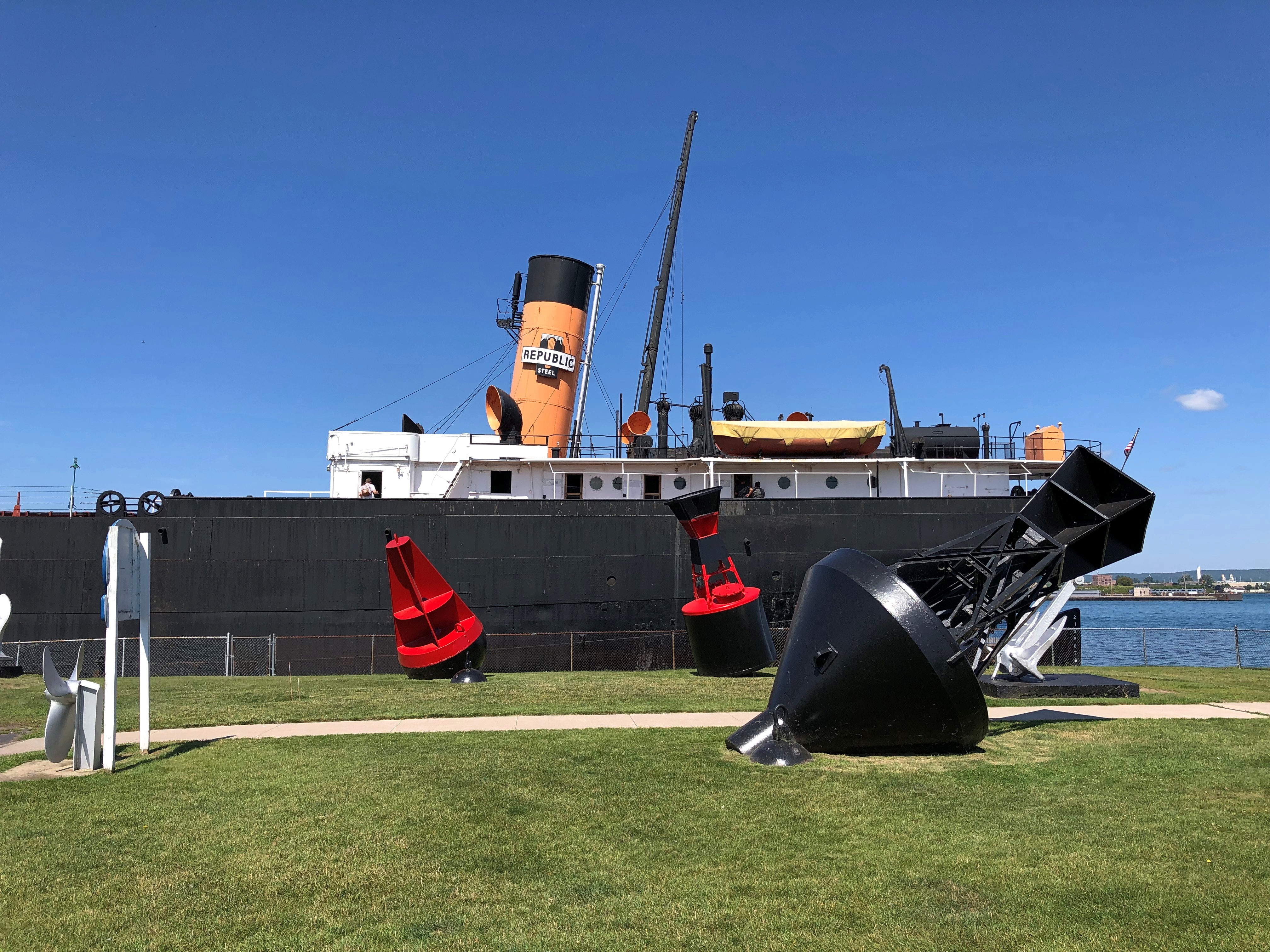
So I paid a visit late on the morning of August 5. Glad I did.SS Valley Camp, Sault Ste. Marie SS Valley Camp, Sault Ste. Marie

The best views of the ship aren’t from the outside, but on top.

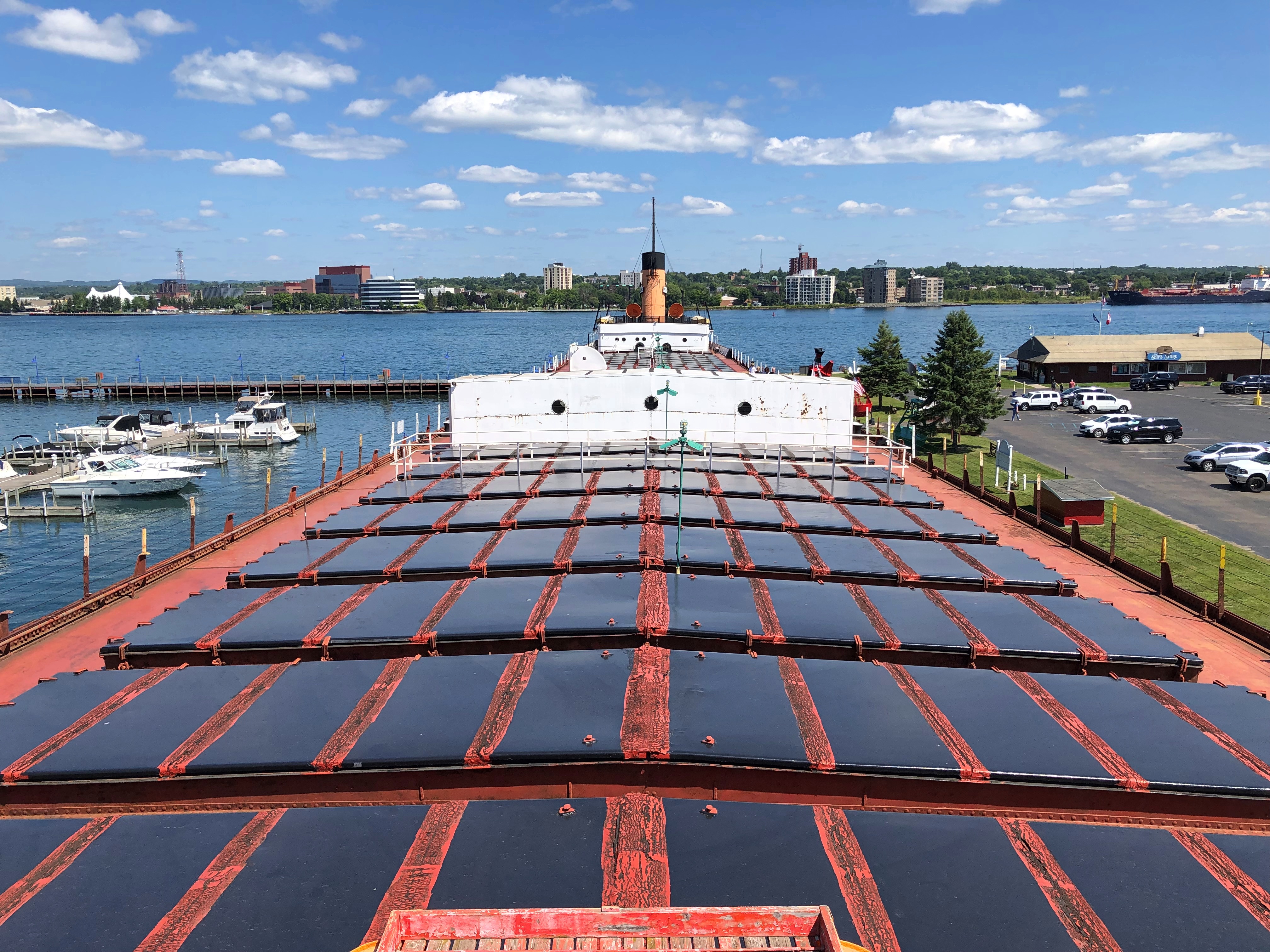
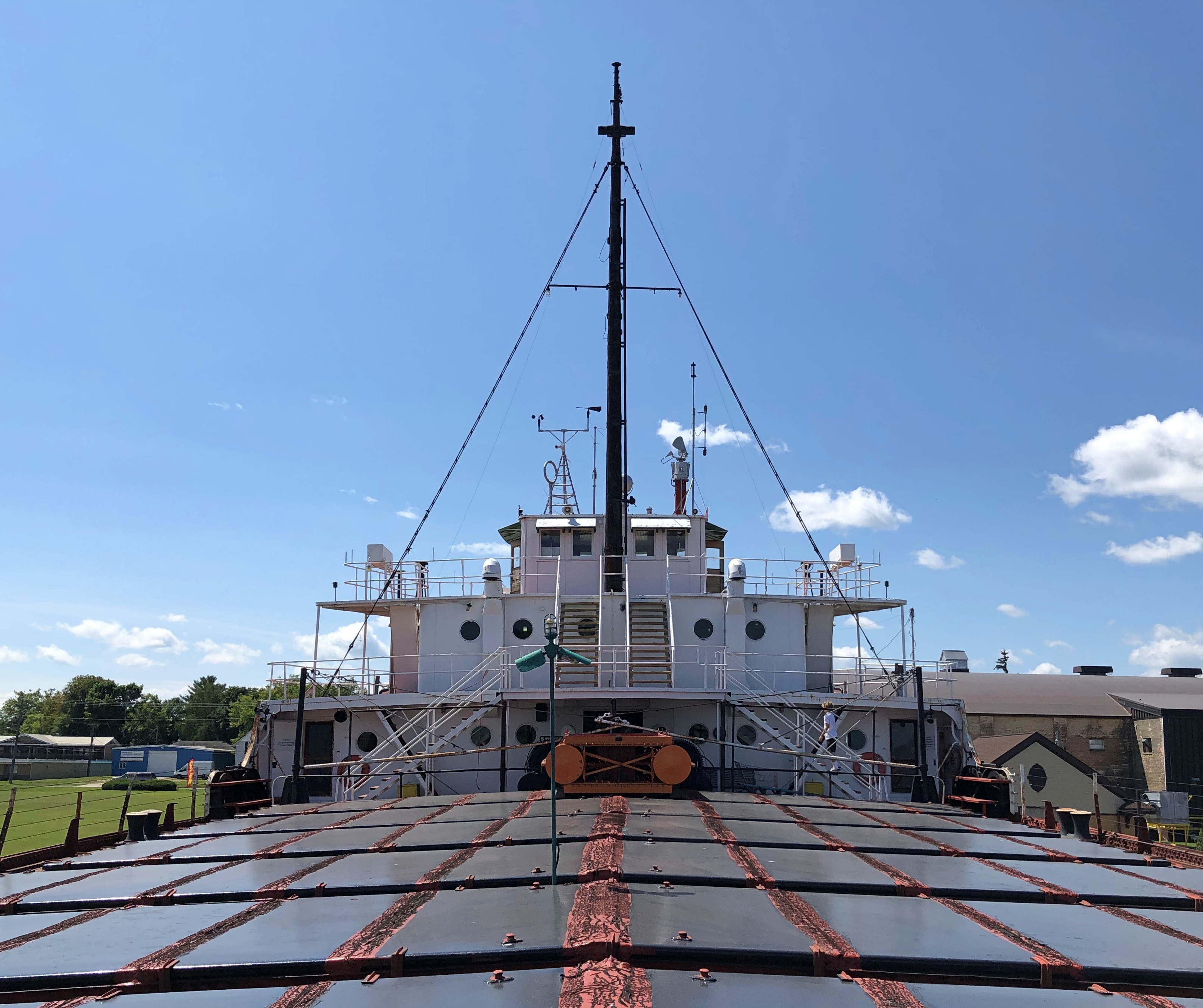
The view from near the bridge, looking back toward the stern, which permanently points toward the St. Mary’s River and Canadian Sault Ste. Marie.SS Valley Camp, Sault Ste. Marie

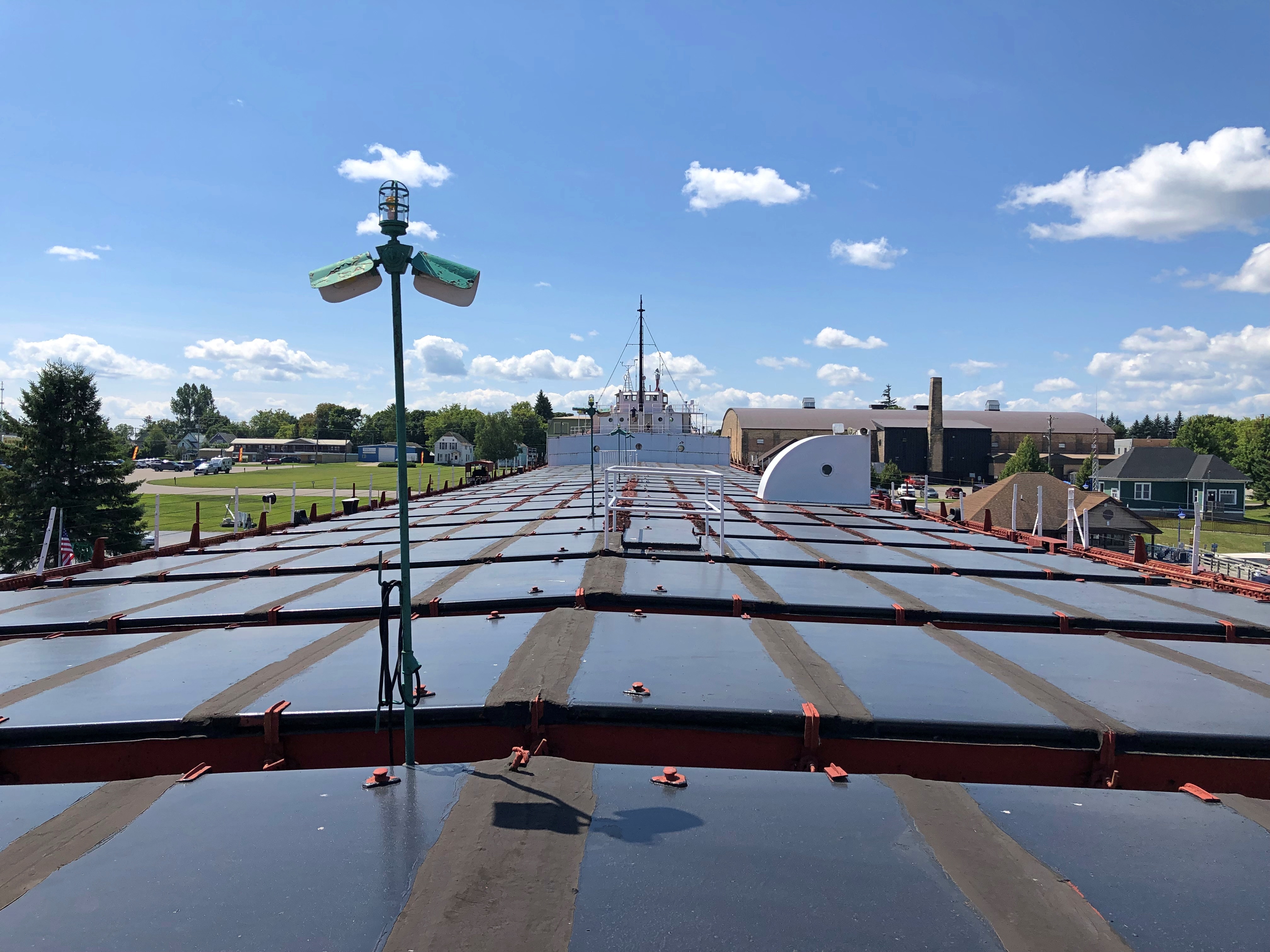
The view toward the bow, pointing toward the Michigan Sault Ste. Marie.SS Valley Camp, Sault Ste. Marie

The metal plates – which look like solar panels under the bright sun – are in fact cargo hatches, for the Valley Camp in its nearly 50 years as a working ship carried ore and coal and other bulk goods. Visitors are advised not to go roaming around on the hatches, and I could see why, as they would be first-rate trip ‘n’ fall hazards that would land you on some hard, irregular surfaces.

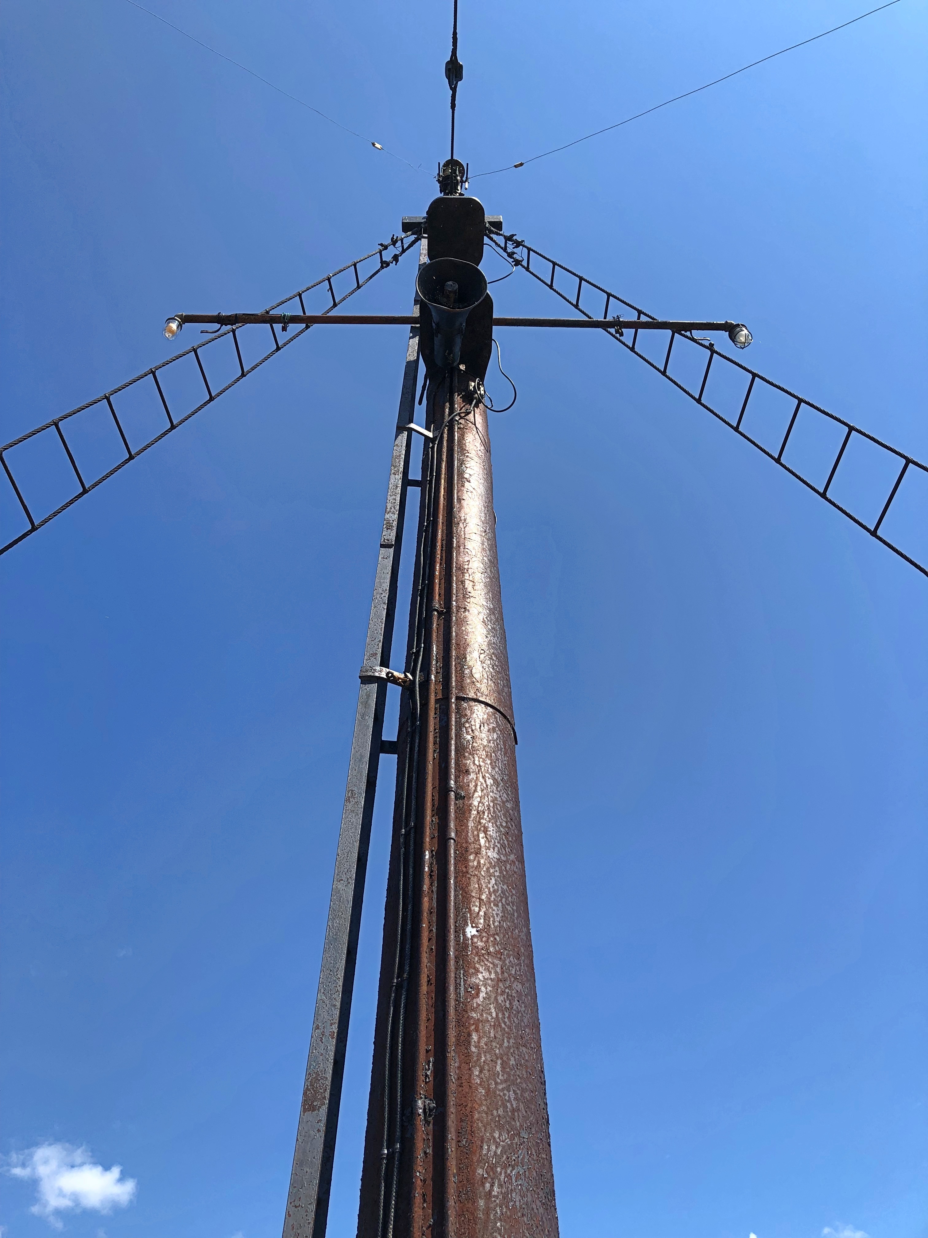
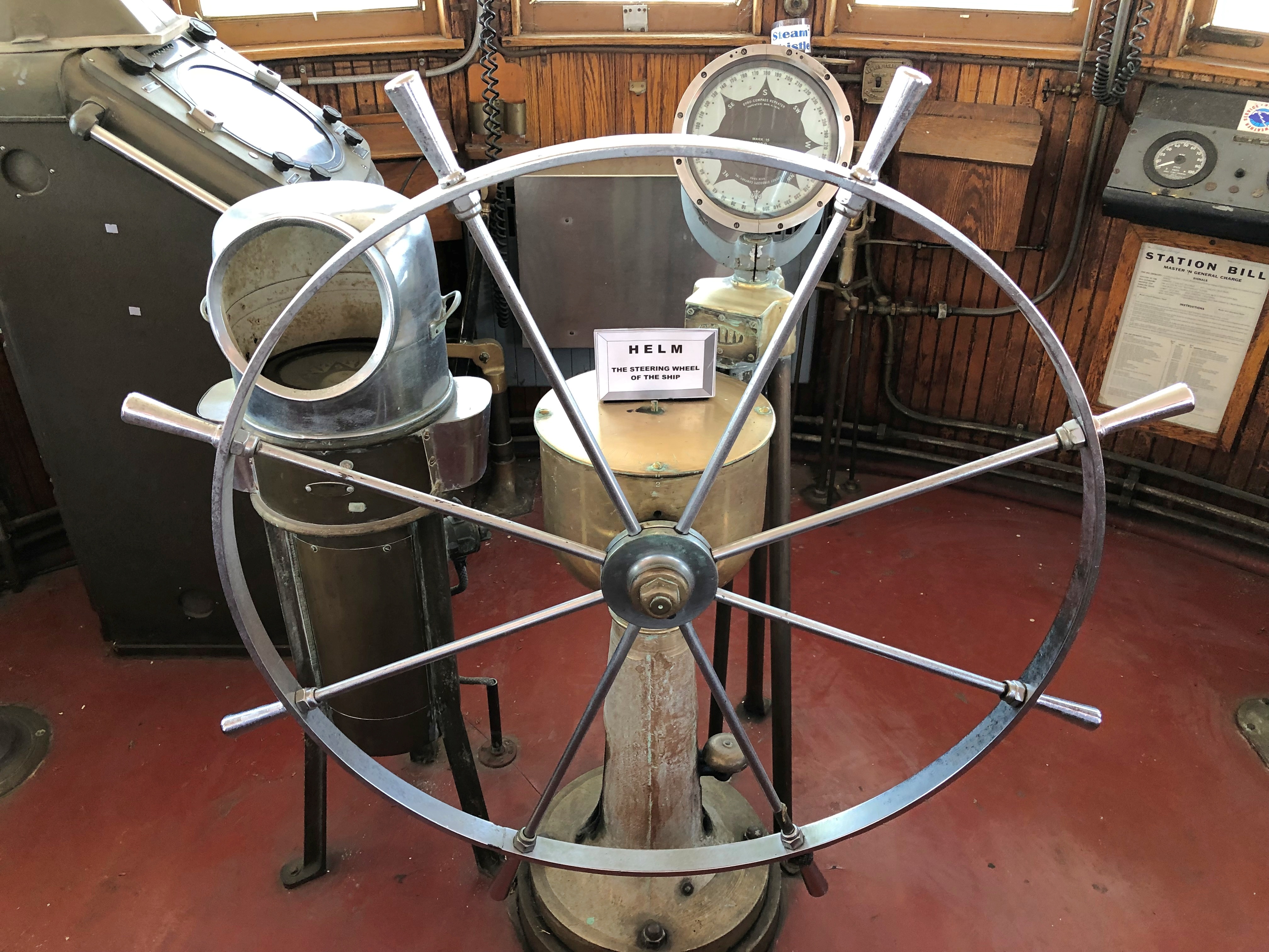
The bridge complex.SS Valley Camp, Sault Ste. Marie SS Valley Camp, Sault Ste. Marie SS Valley Camp, Sault Ste. Marie

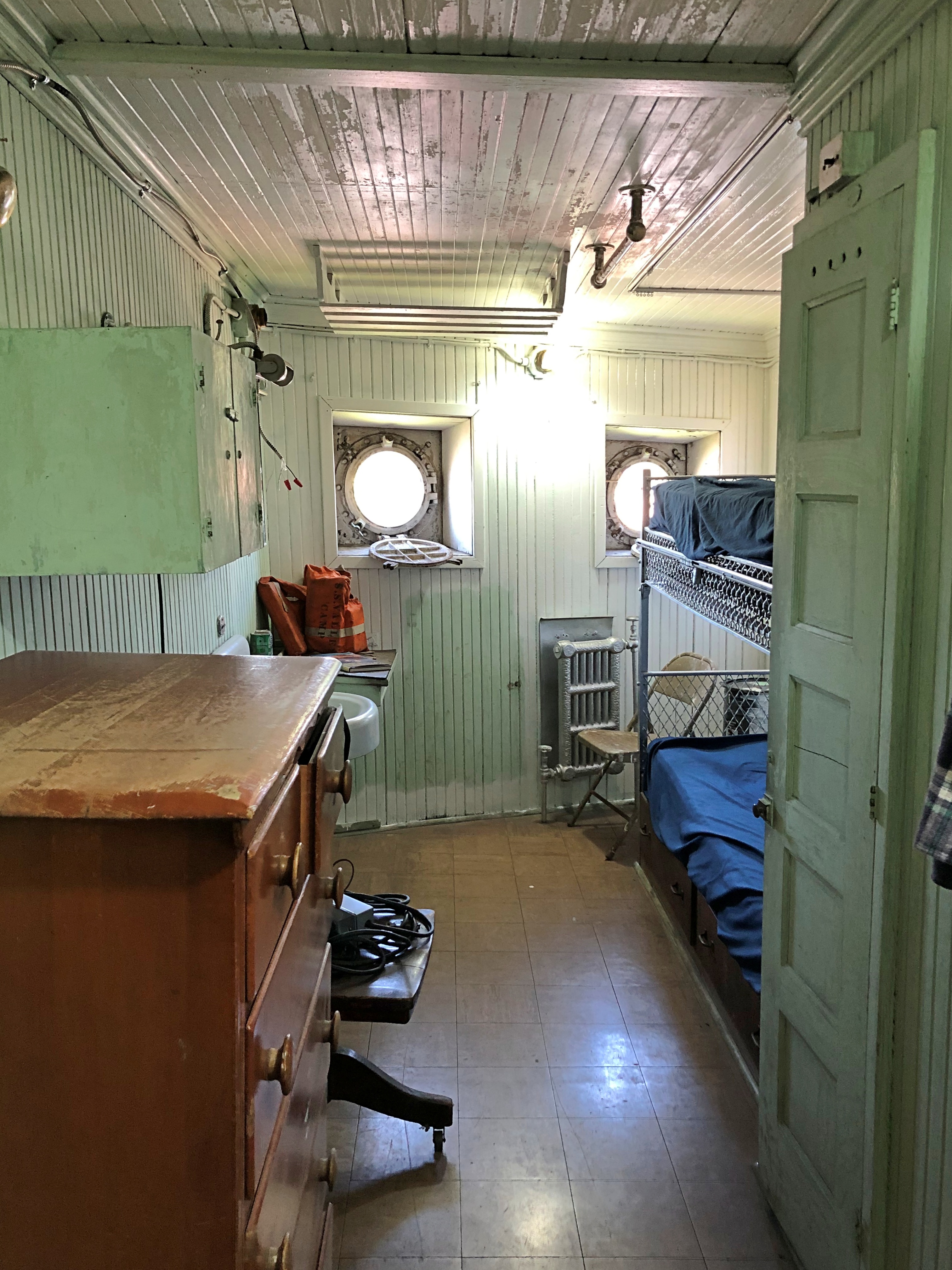
Displays of various quarters.SS Valley Camp, Sault Ste. Marie SS Valley Camp, Sault Ste. Marie

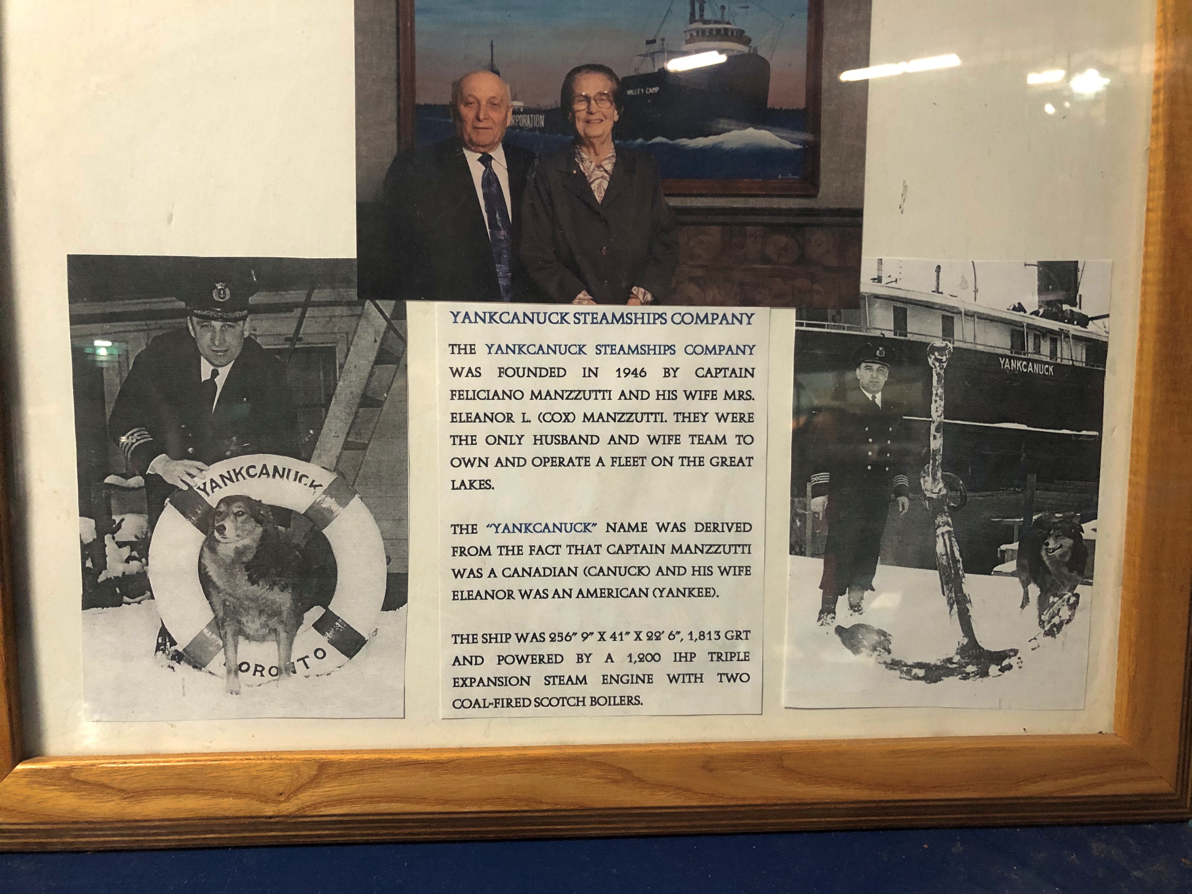
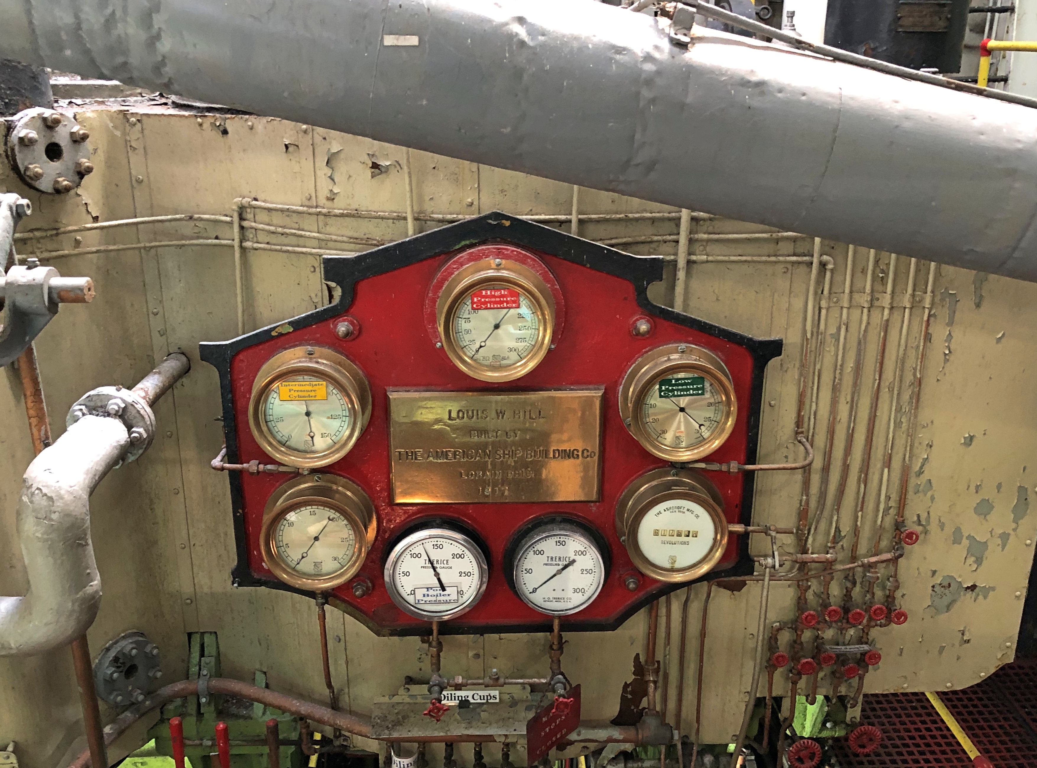
These days the ship is owned by Sault Historic Sites, the same nonprofit that owns the Tower of History. The ship dates from 1917, built for the Producers Steamship Co. as the Louis W. Hill by the American Ship Building Co. in Lorain, Ohio, on Lake Erie. (And I have to say, in those days, company names were nothing if not descriptive.)

State-of-the-art for 1917, at least according to Lorain newspapermen: “As modern as the genius of man can make her,” the Lorain Times-Herald said at the time. A later owner renamed the ship Valley Camp, in honor of the Valley Camp Coal Co. of West Virginia.

“From 1917 until it’s last voyage in 1966, the 11,500-ton ship logged some 3 million miles and carried in excess of 16 million tons of cargo,” says the museum’s web site. “A length of 550 feet, beam of 58 feet, and depth of 31 feet, the Valley Camp [had] a crew of 32 men. Purchased by Le Sault de Sainte Marie Historical Sites Inc. [now Sault Historic Sites], the ship arrived at Sault Ste. Marie on July 6, 1968, during [the city’s] tri-centennial celebration.”

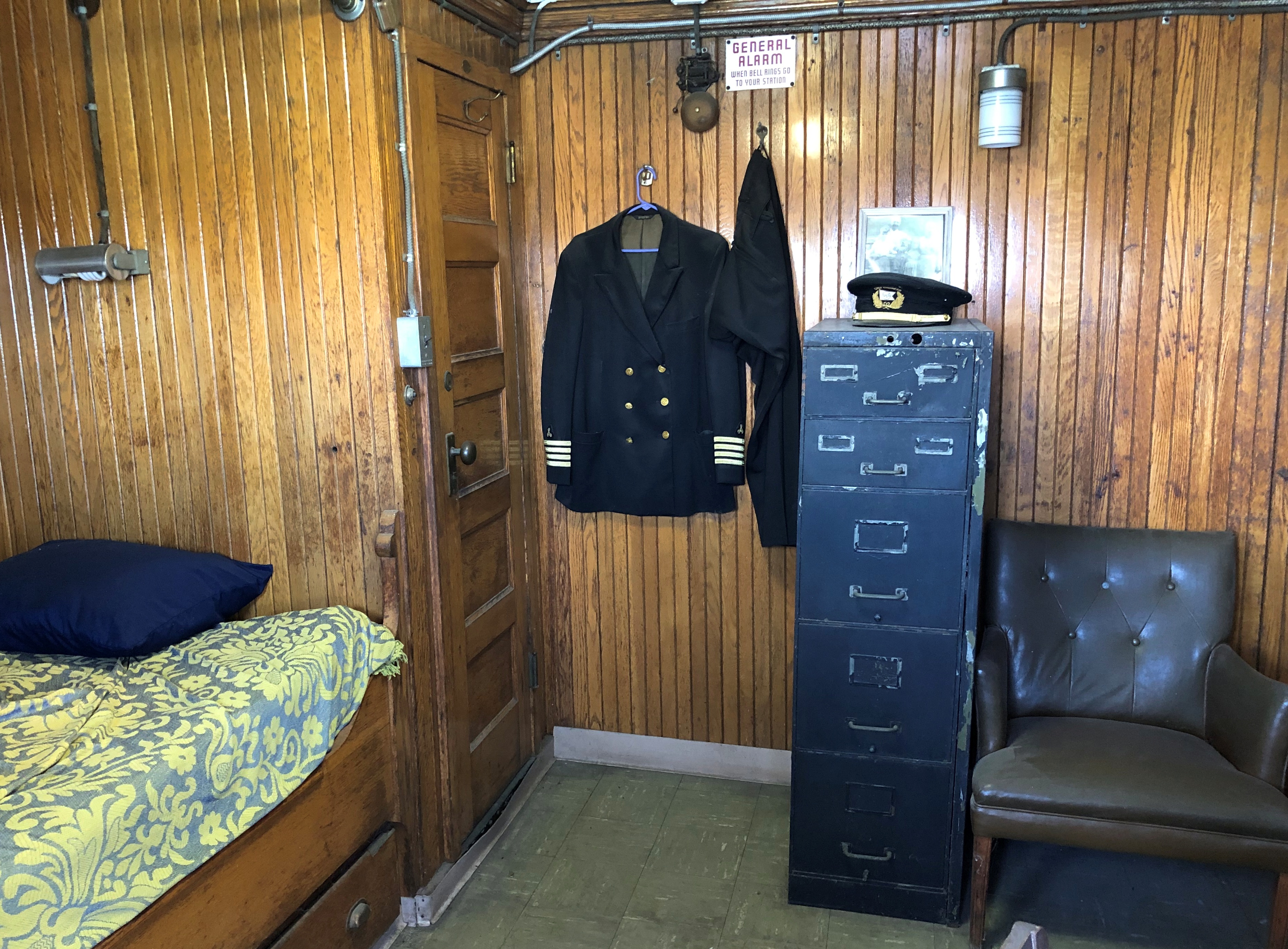
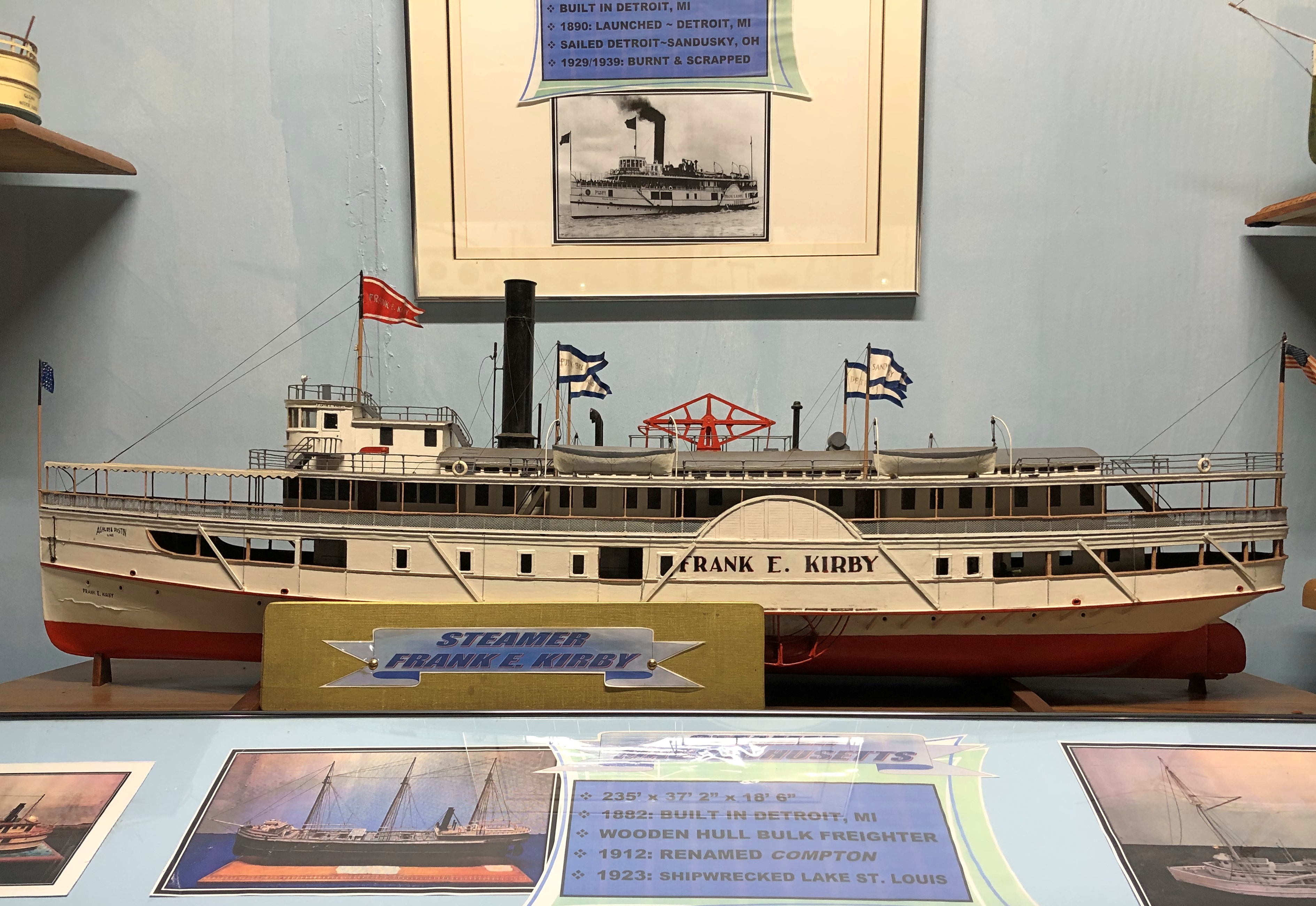
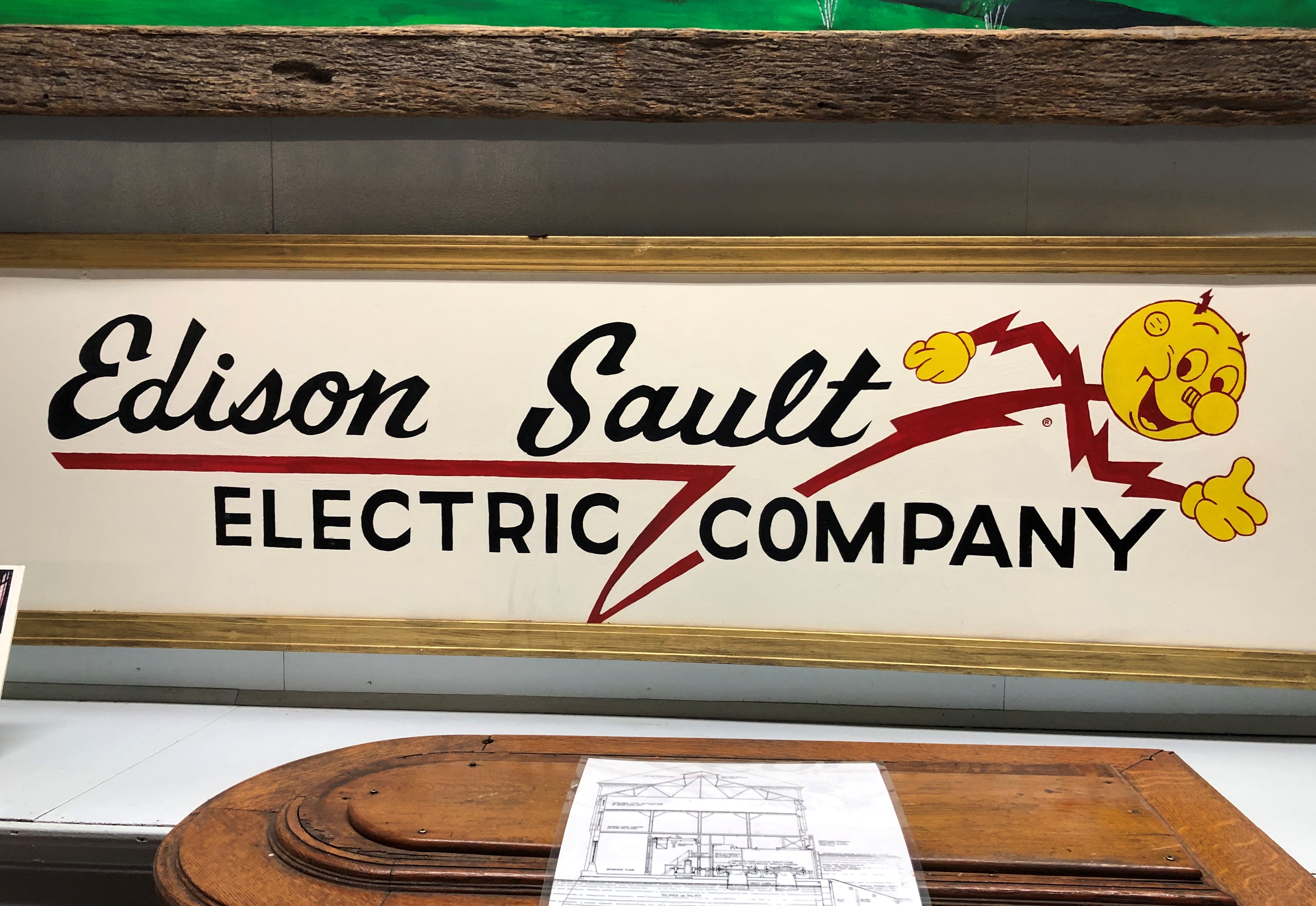
Topside is pretty cool, but the real museum action is below decks. Much of the interior is given over the displays about the history of the ship, other Great Lakes ships, and the industries they served and continue to serve: photos, models, artifacts and more.SS Valley Camp, Sault Ste. Marie SS Valley Camp, Sault Ste. Marie SS Valley Camp, Sault Ste. Marie

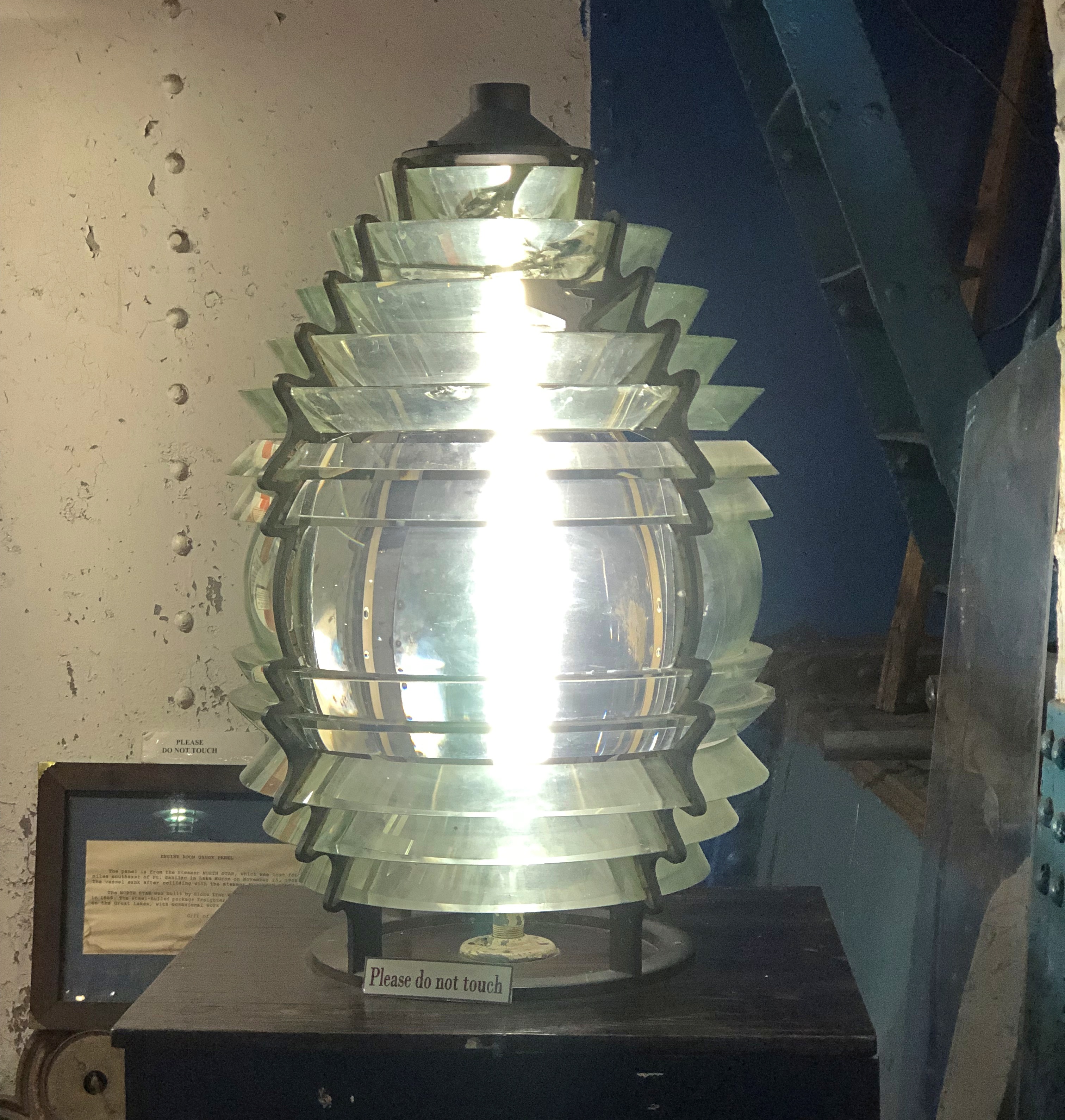
Including a fourth-order, working Fresnel lens.SS Valley Camp, Sault Ste. Marie

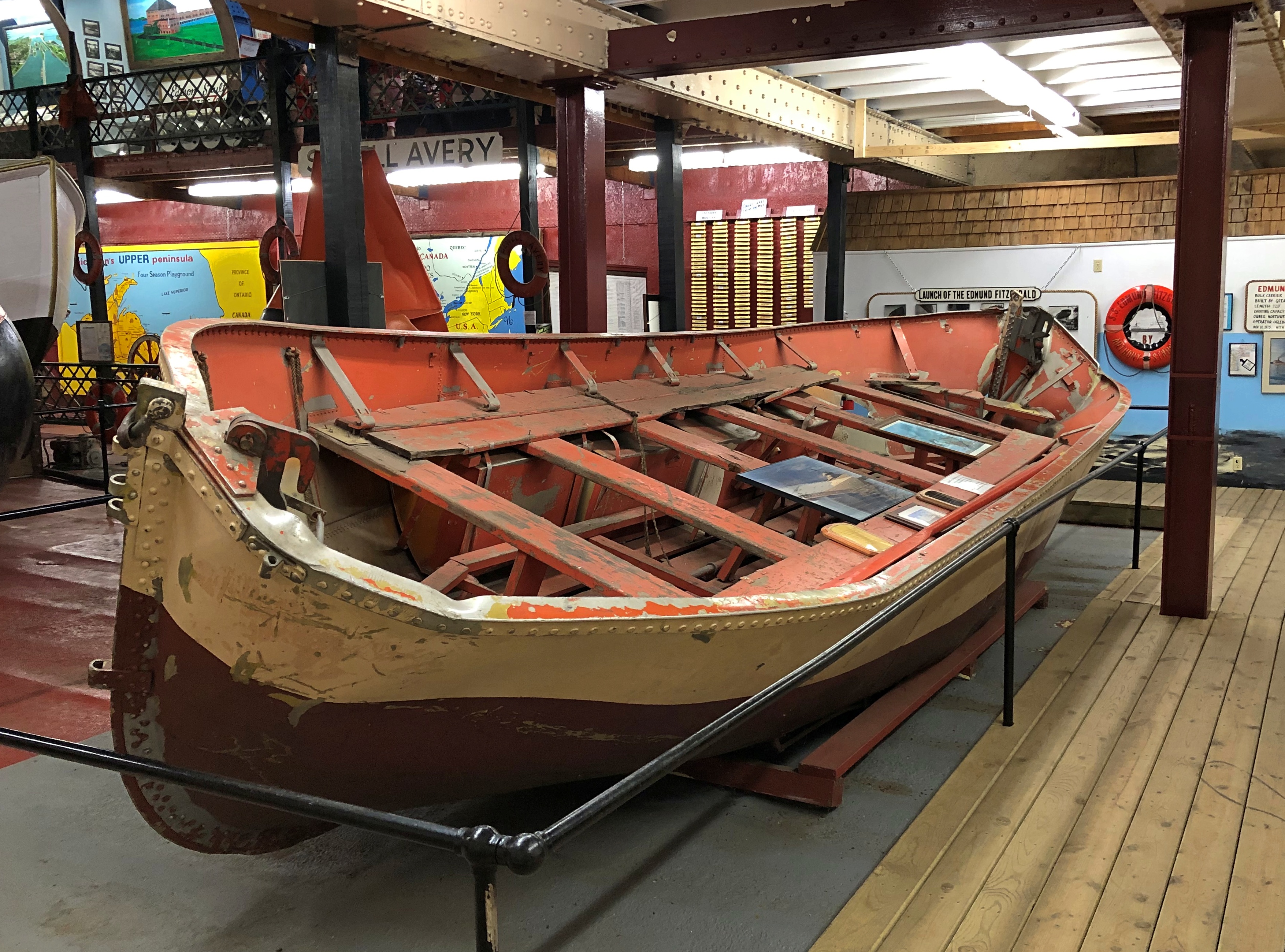
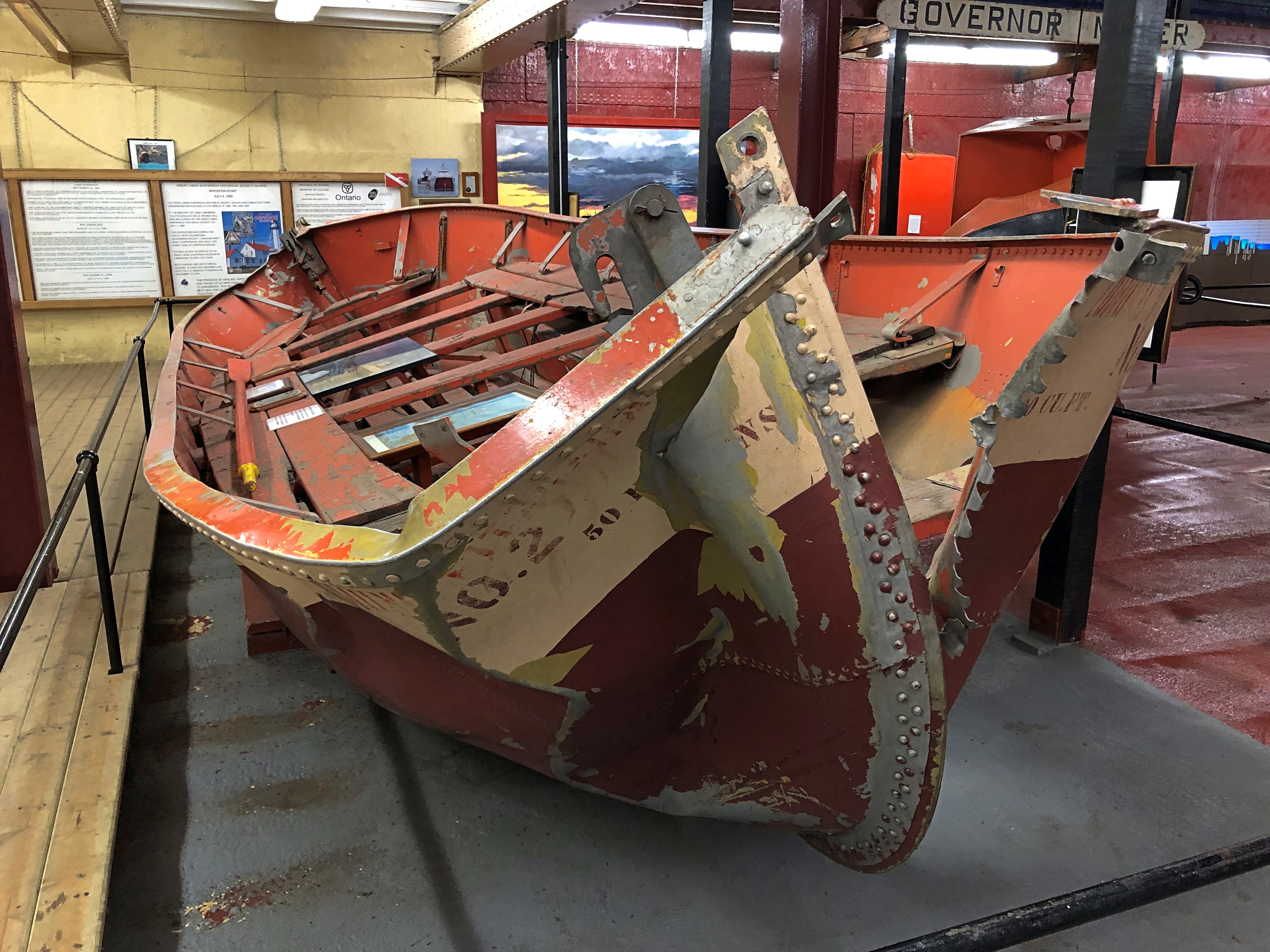
It wouldn’t be a Great Lakes nautical museum worth its salt — its freshwater — without something from the SS Edmund Fitzgerald. In this case, one of the doomed ship’s battered lifeboats.SS Valley Camp, Sault Ste. Marie SS Valley Camp, Sault Ste. Marie

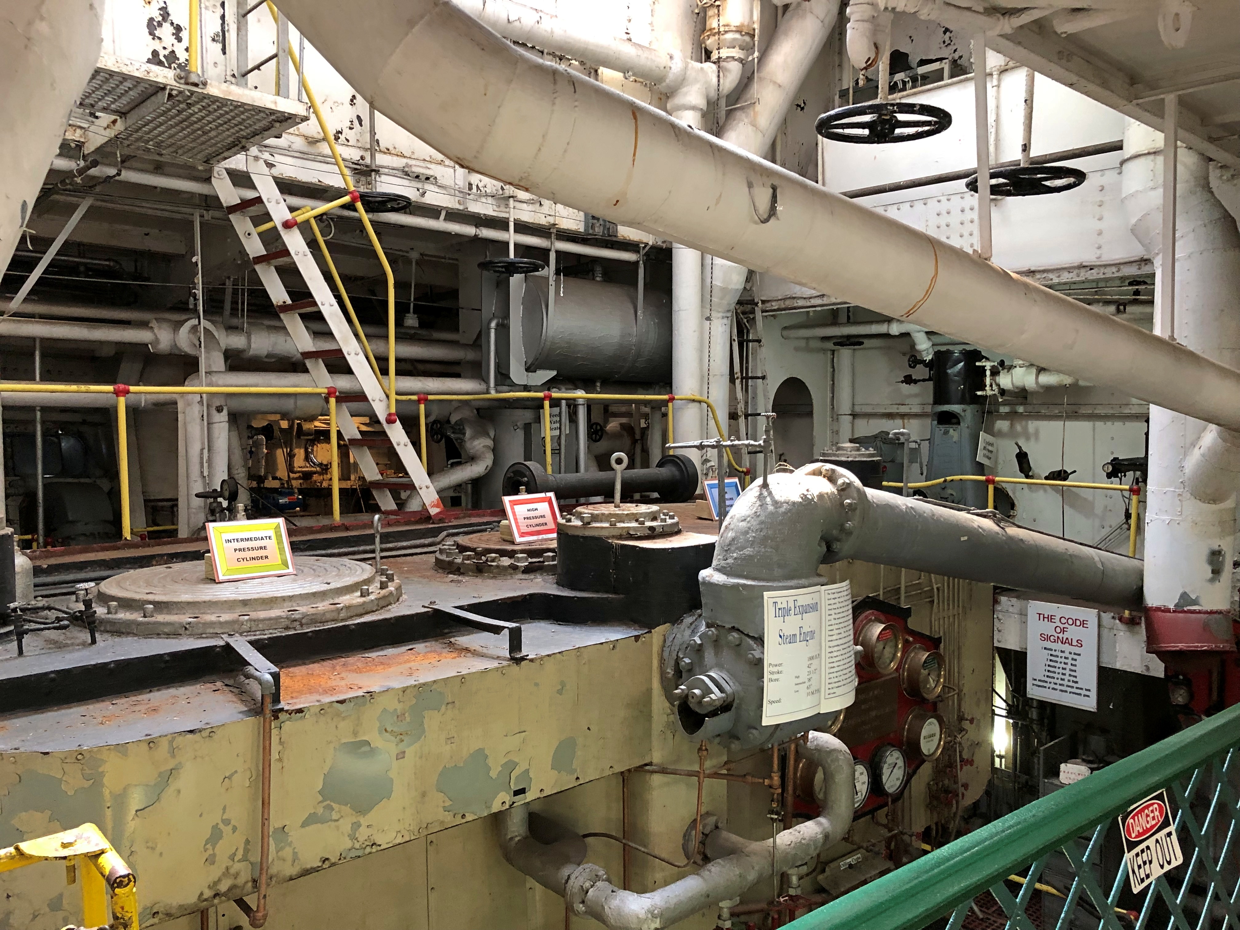
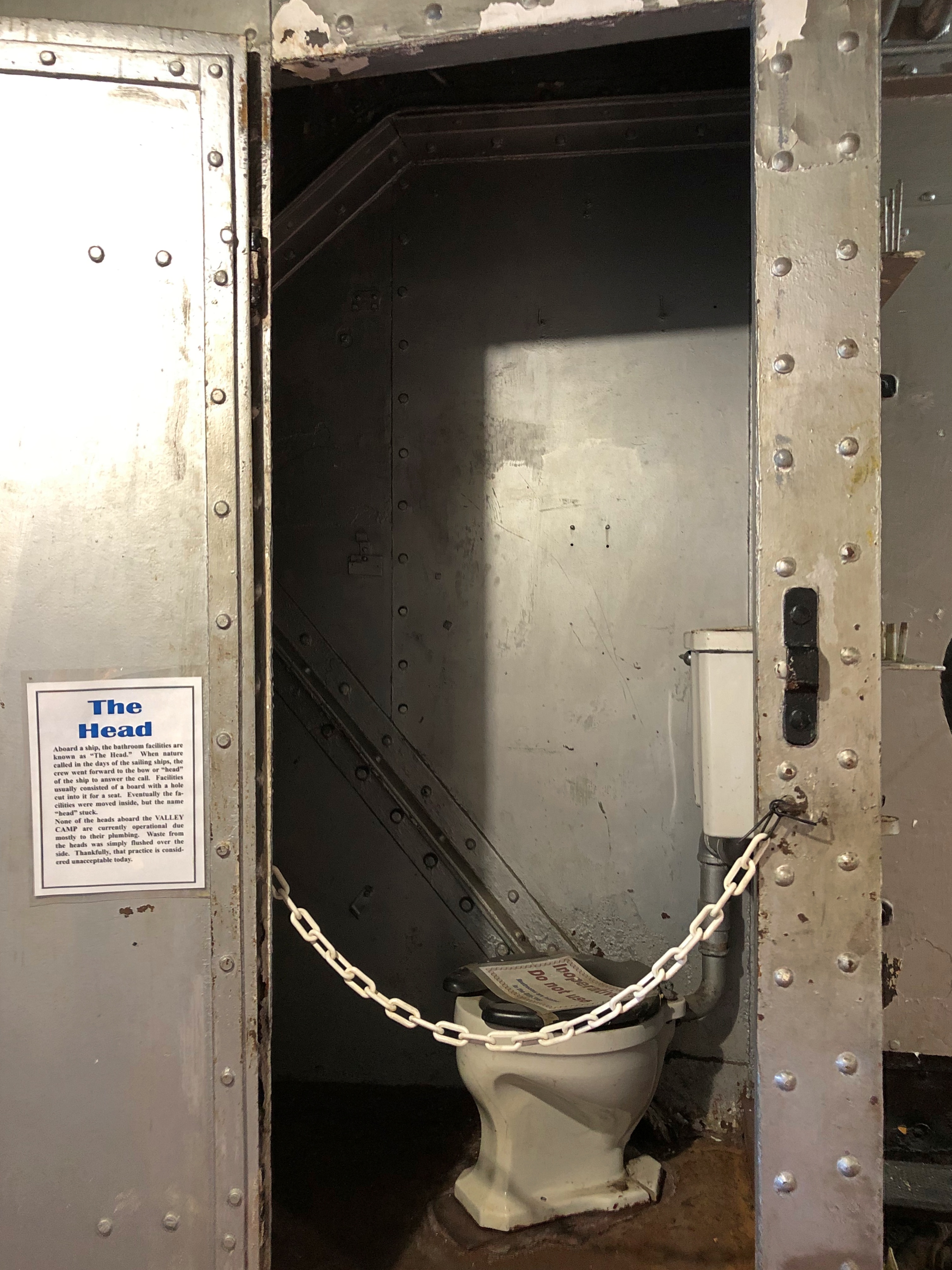
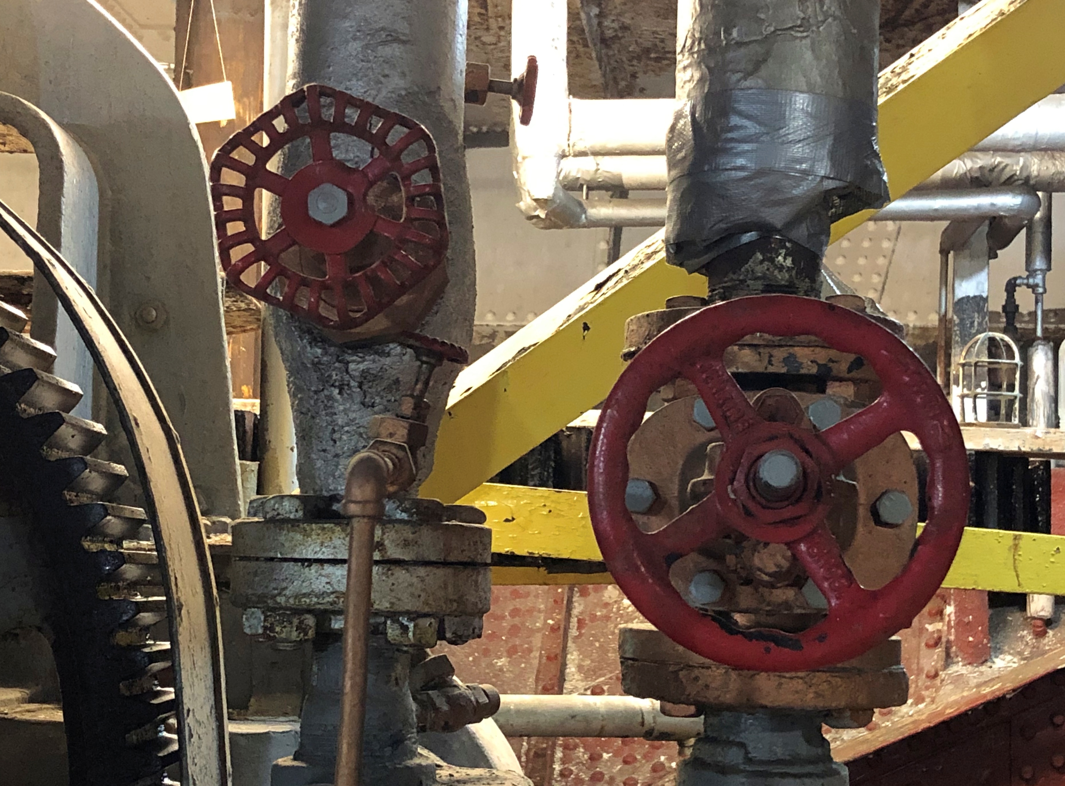
You can wander around and see much of the original metal and glass guts of the Valley Camp, too.SS Valley Camp, Sault Ste. Marie SS Valley Camp, Sault Ste. Marie SS Valley Camp, Sault Ste. Marie SS Valley Camp, Sault Ste. Marie

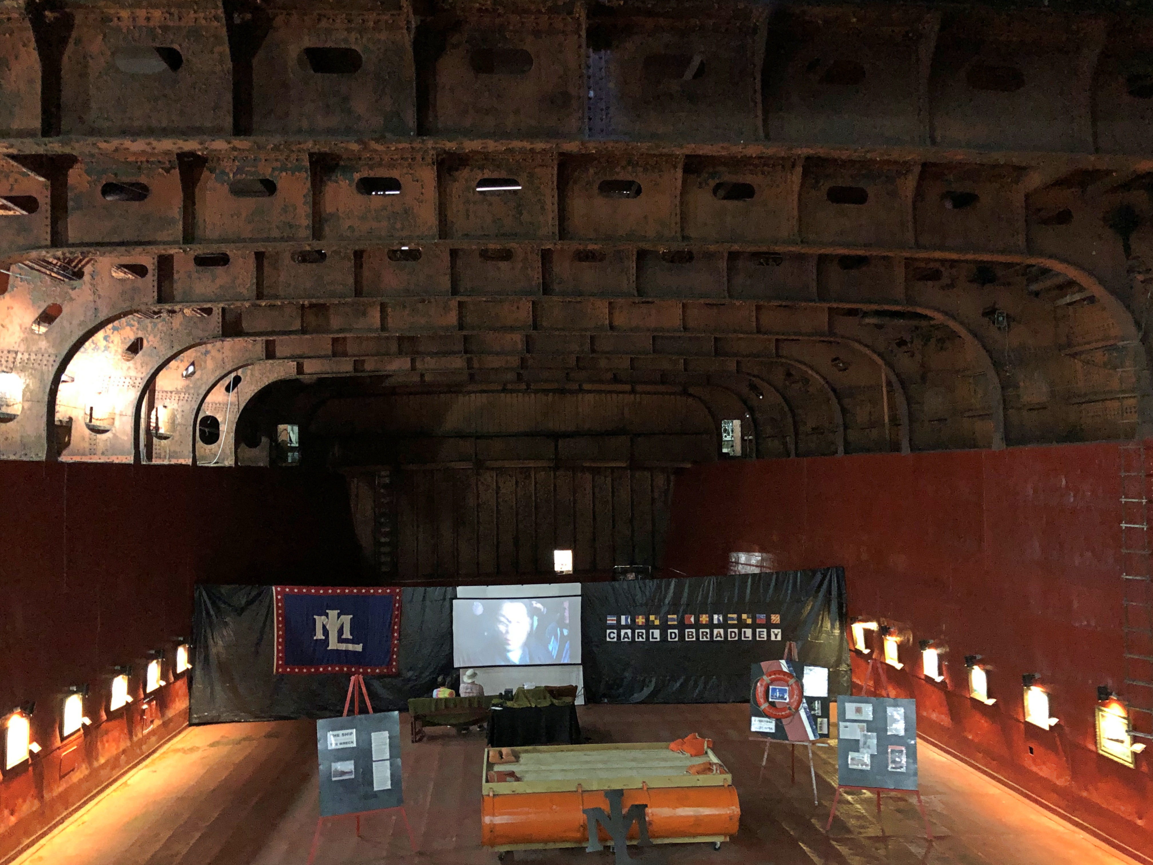
Cargo Hold #1, a sign told me, hasn’t been converted into museum space. I didn’t need to be told. The yawning space shows just how large the ship is.SS Valley Camp, Sault Ste. Marie SS Valley Camp, Sault Ste. Marie

The hold did have an exhibit, which looked temporary, about the sad fate of the SS Carl D. Bradley, which went down in a Lake Michigan storm in 1958, taking 33 of its 35 crewmen with it.

A load of grain or coal typically filled that space on the Valley Camp; denser iron ore or taconite filled it only about a third of the way to the top, the sign said. Impressive.

The Tower of History & Holy Name of Mary Catholic Church

It did me good today to learn that admission to the Tower of History, in real terms, costs only a little more than it did nearly 50 years ago. Sault Historic Sites, the nonprofit that owns the structure, obviously isn’t trying to gouge visitors. Or maybe that, as interesting as it is, the tower is in out-of-the-way place, and the market won’t bear a higher price.

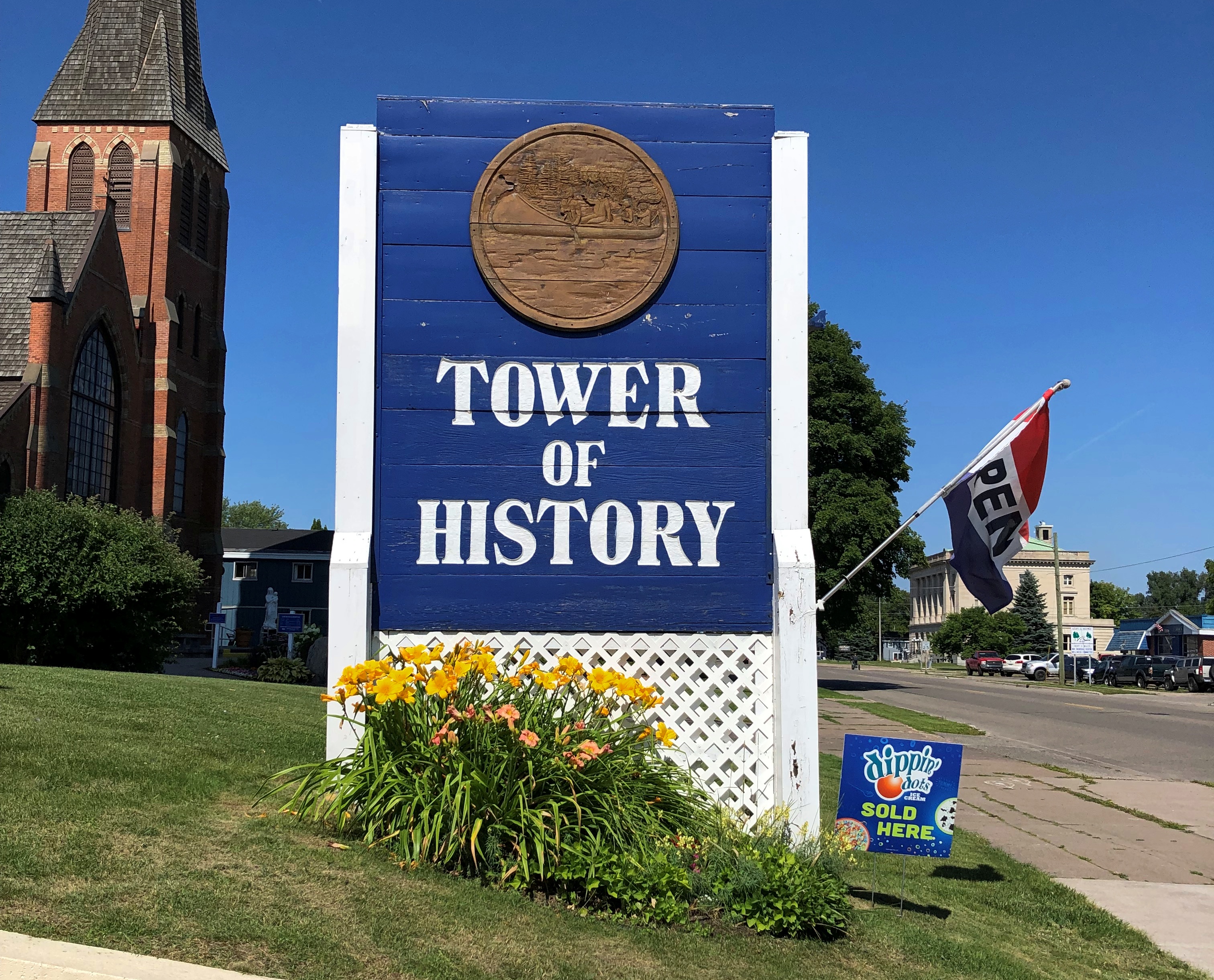
In any case, a newspaper article from 1975 tells me that admission for an adult was $1.25 that year. When I visited on August 5 of this year, I paid $8. An inflation calculator tells me that $1.25 that year has the current purchasing power of $7.10.The Tower of History

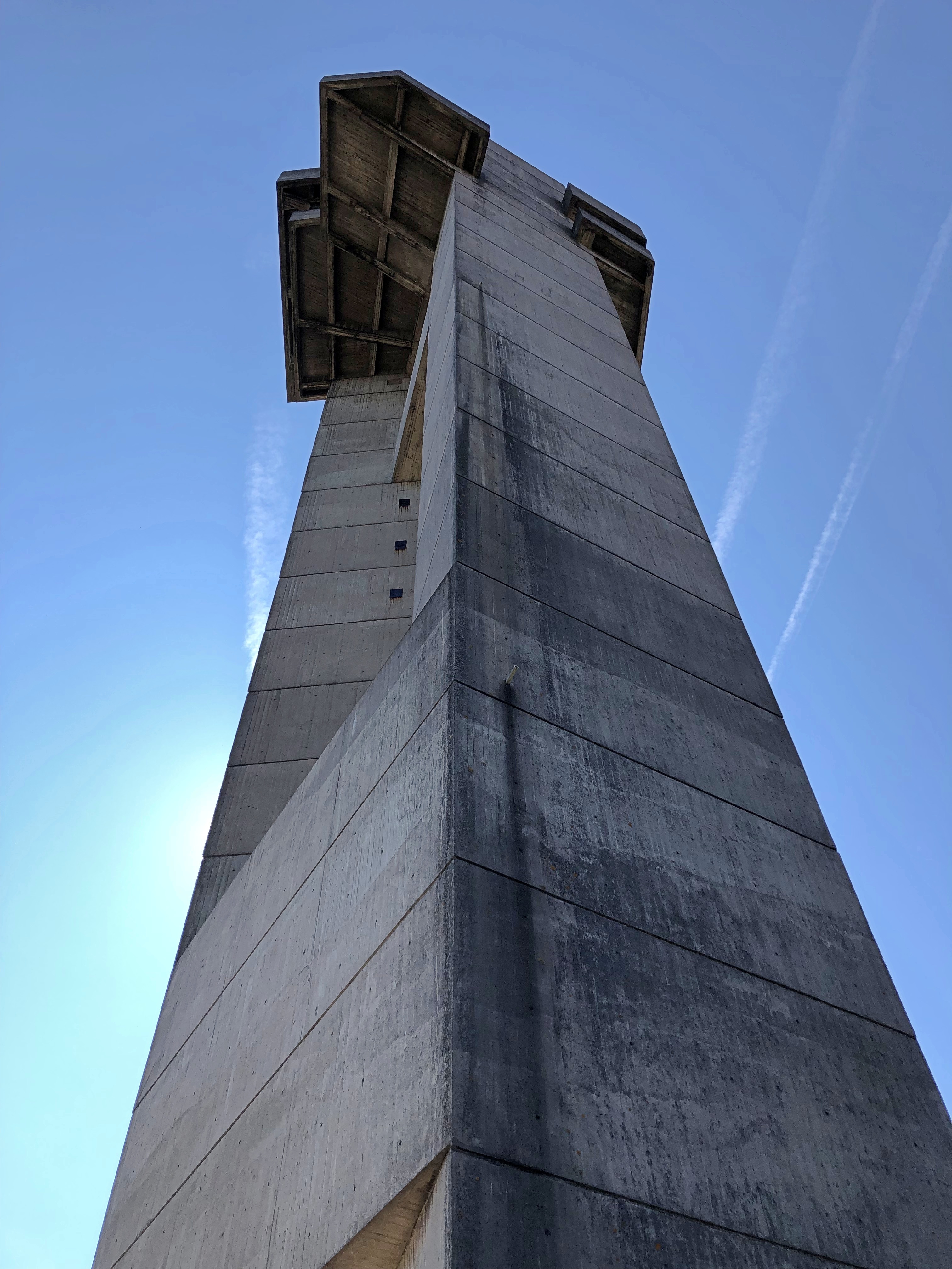
Thus I paid a little over the rate of inflation for all those years, but not much; we can round up the sum to pay for more maintenance, since the tower dates from 1968. Looks like it, too. Concrete all the way up and down.The Tower of History The Tower of History

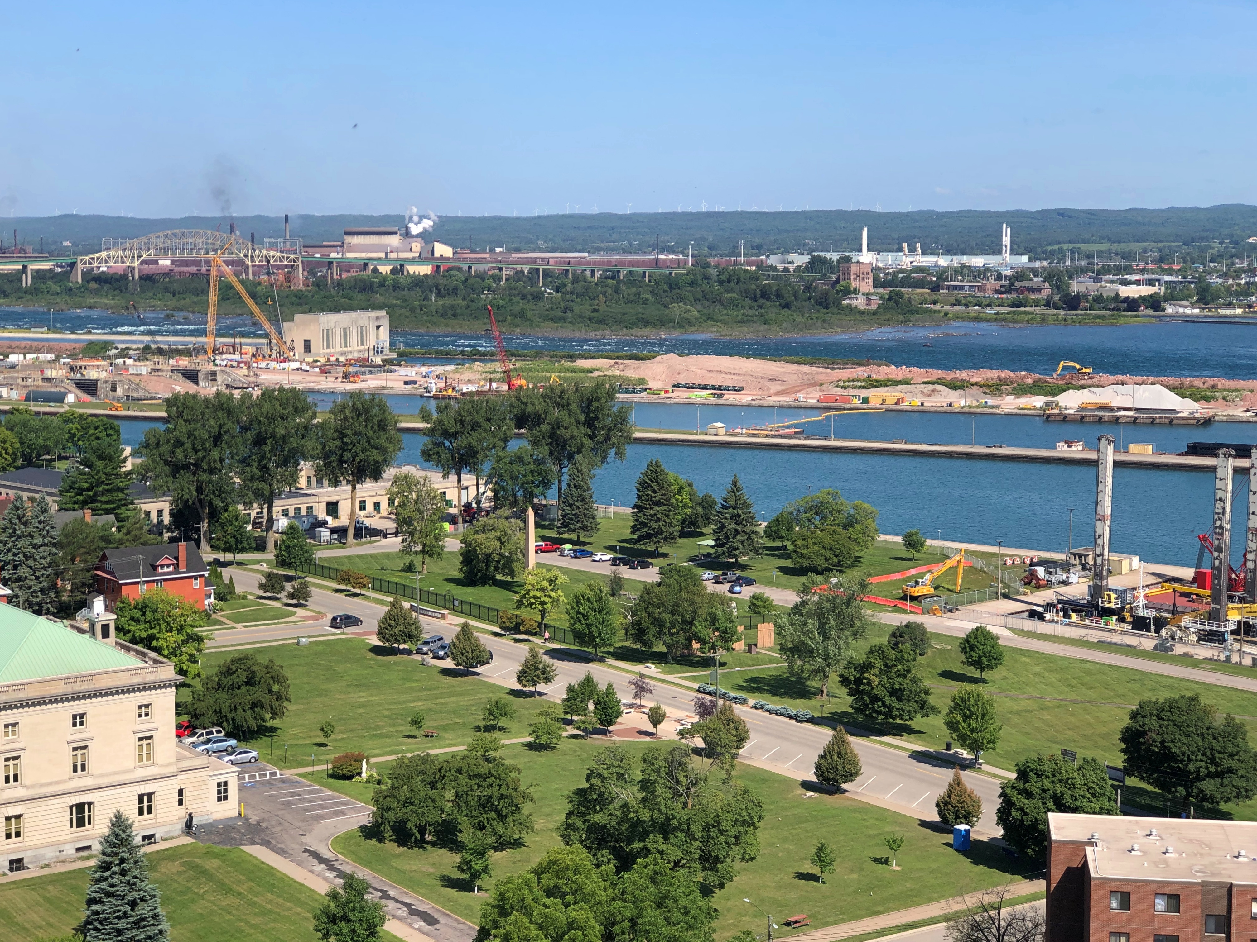
The tower was the first place I went after returning to the United States that morning. It stands 210 feet over the mostly low-rise city of Sault Ste. Marie, Michigan. As concrete towers go, it isn’t bad, but I didn’t come just to admire it from the ground. It’s an observation tower, and I’m a sucker for those. You’re paying for the views.

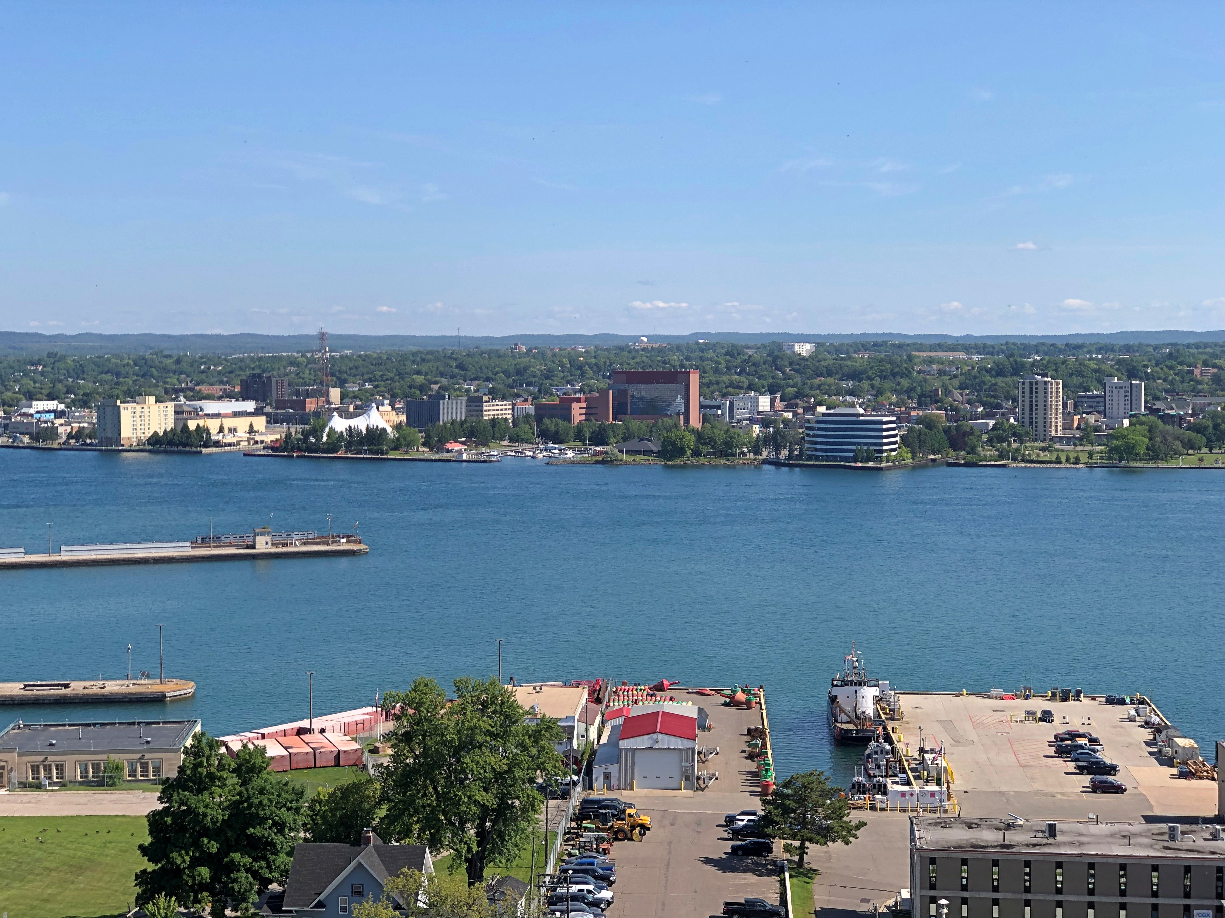
Such as of the Canadian Sault Ste. Marie to the north, across St. Mary’s River, the connector between Lakes Superior and Huron.Sault Ste. Marie, Ontario

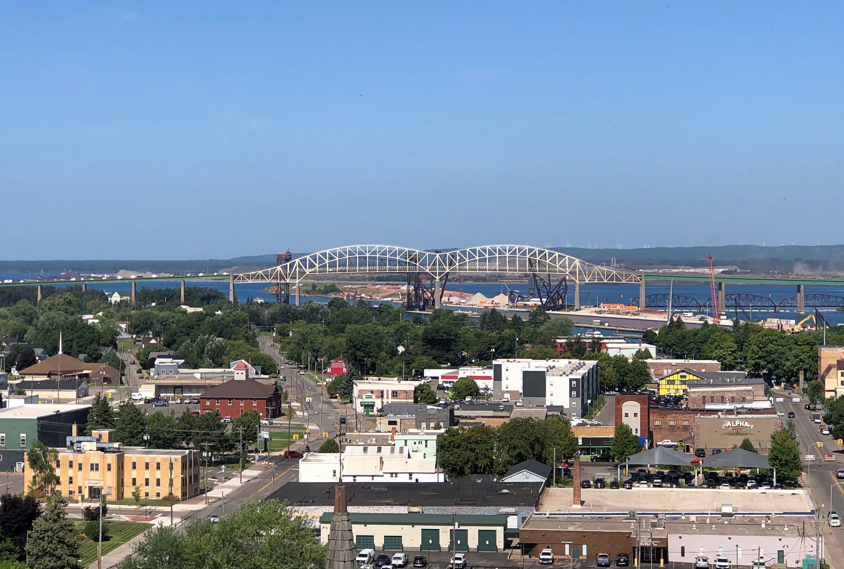
The international bridge, to the west.Sault Ste. Marie, Michigan

Part of the U.S. locks. Superior and Huron aren’t at the same elevation, with a difference of 23 feet, so the river has long been site of a canal, and indeed work is still under way enlarging the locks.Sault Ste. Marie, Michigan Sault Ste. Marie, Michigan

A docked ore carrier. More about that later.Sault Ste. Marie, Michigan

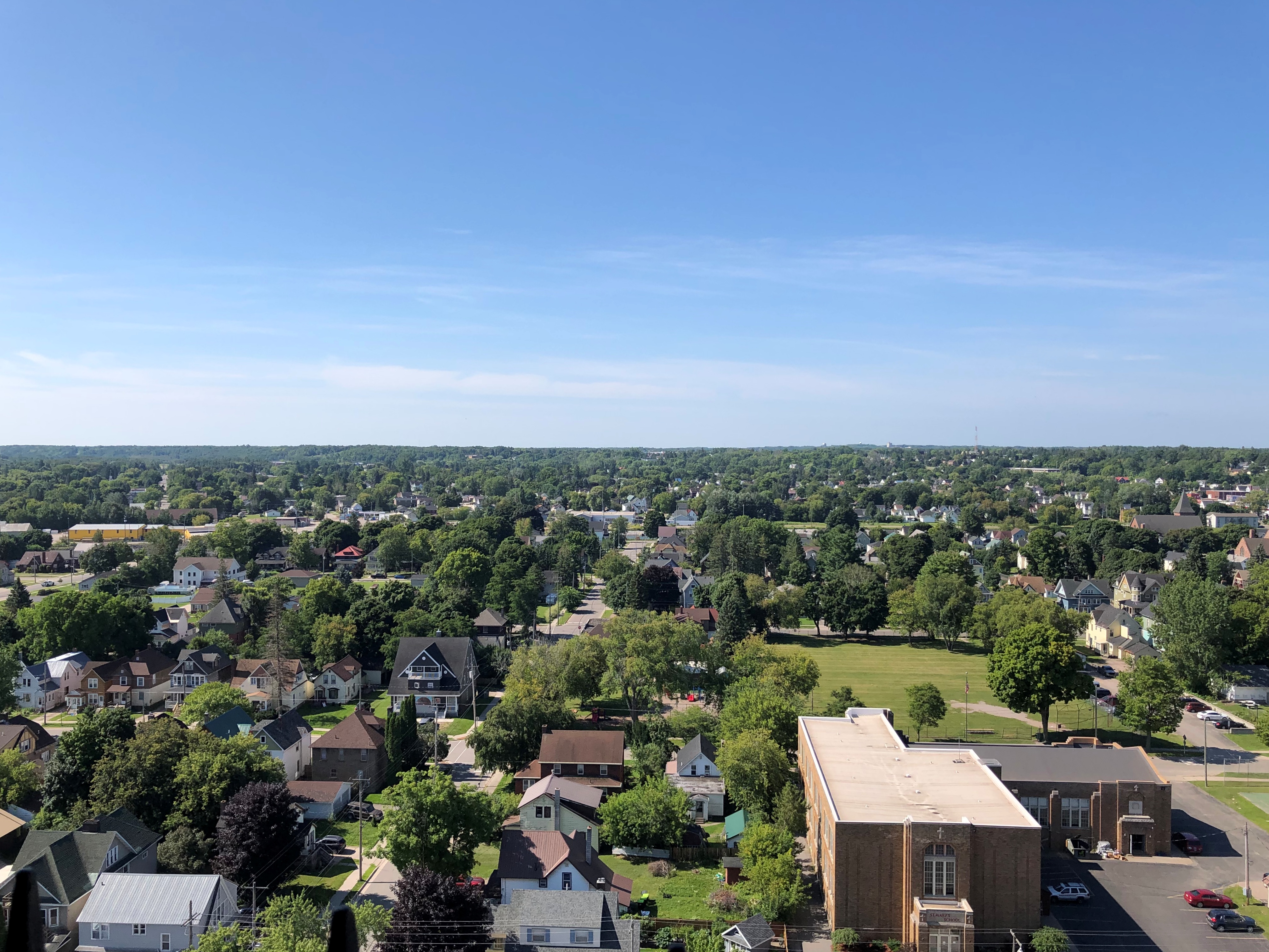
The Michigan city, to the south.Sault Ste. Marie, Michigan

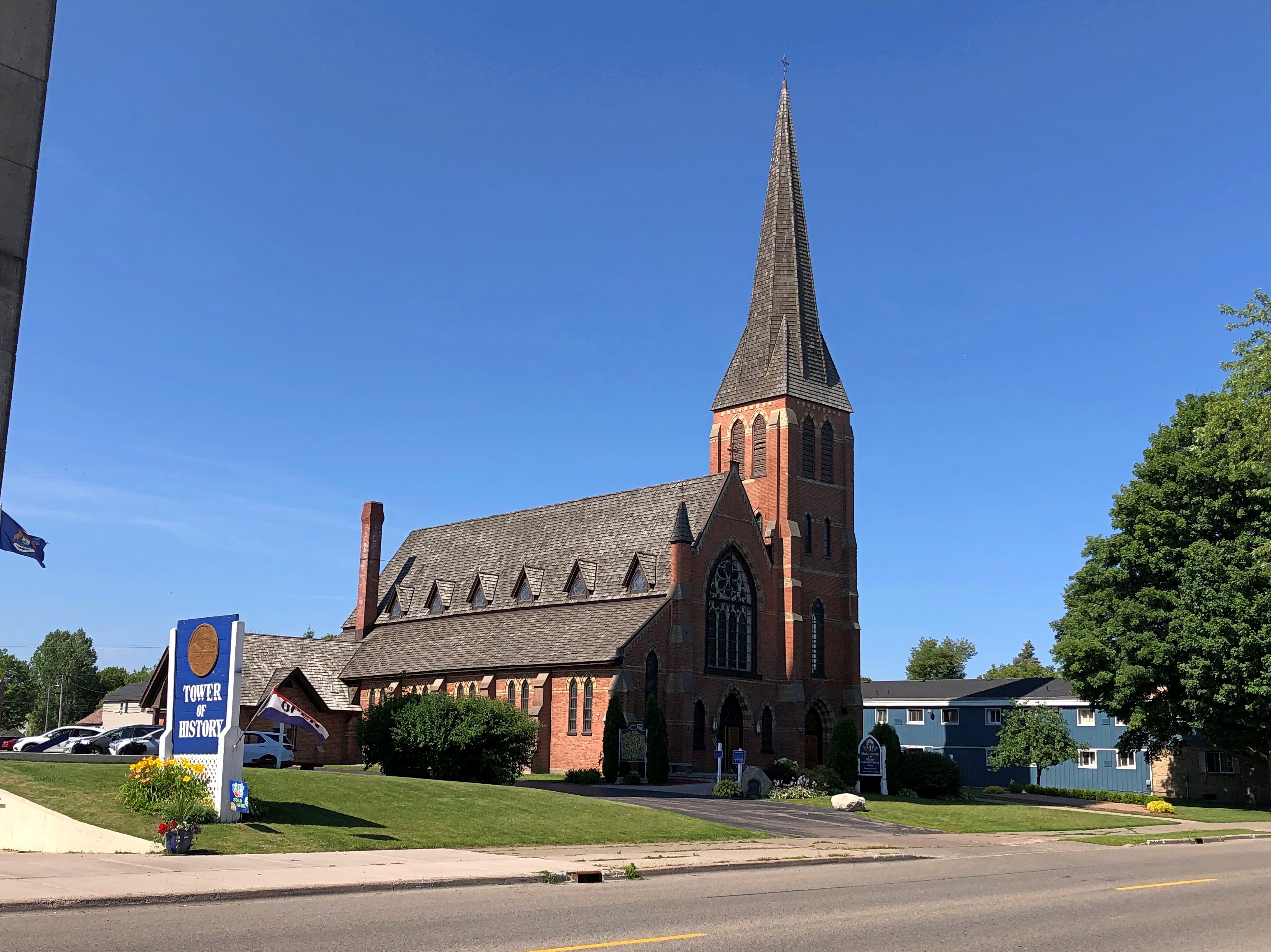
In the 1960s, the Holy Name of Mary Catholic Church in Sault Ste. Marie, Michigan, decided to build a tower to honor the missionaries who came to the Great Lakes once upon a time, and picked the site of a log cabin and chapel built by Fr. Jacques Marquette, S.J.

Shrine of the Missionaries, it was to be, as part of a larger complex that would have also included a community center and a new church building. The ballooning expense of the tower torpedoed the other plans, however, and the Diocese of Marquette acquired the tower, which it eventually donated to the nonprofit that runs it even now. Tower of History, I assume, was a secularization of the name.

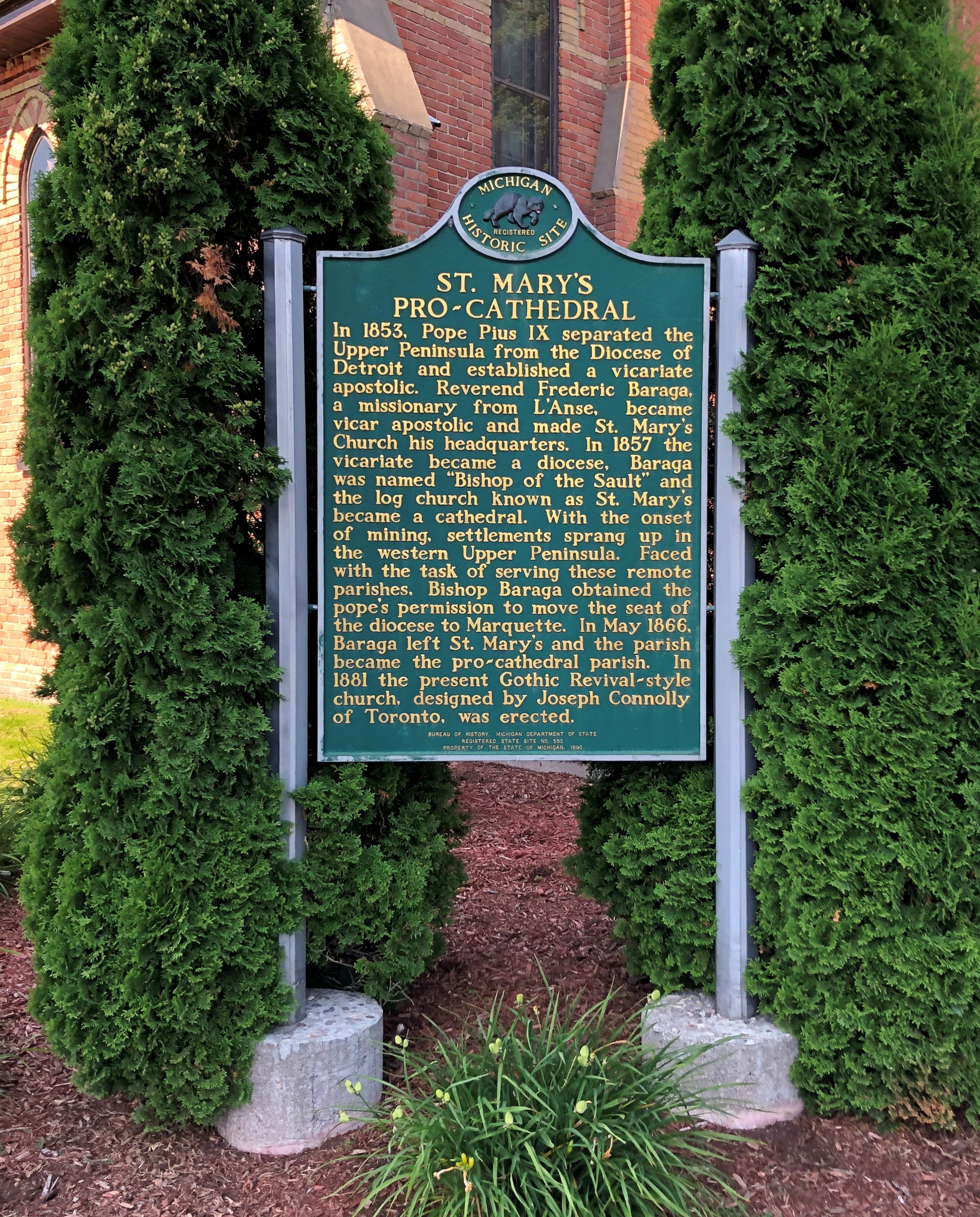
St. Mary’s still stands a stone’s throw from the tower. I’m glad the handsome 1880s Gothic Revival church wasn’t replaced by an oddity from the 1960s.Holy Name of Mary Catholic Church

The church is also a pro-cathedral.Holy Name of Mary Catholic Church

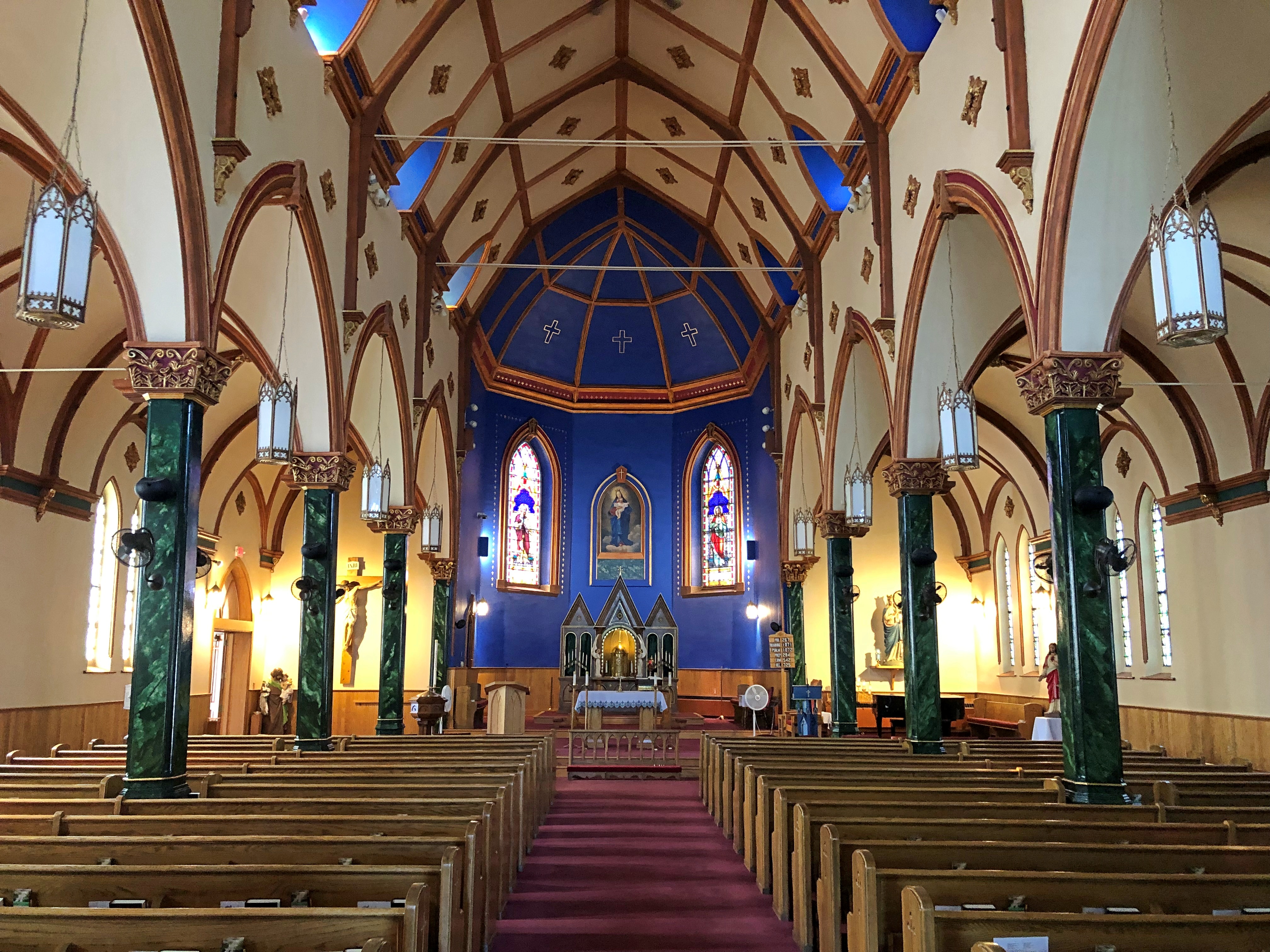
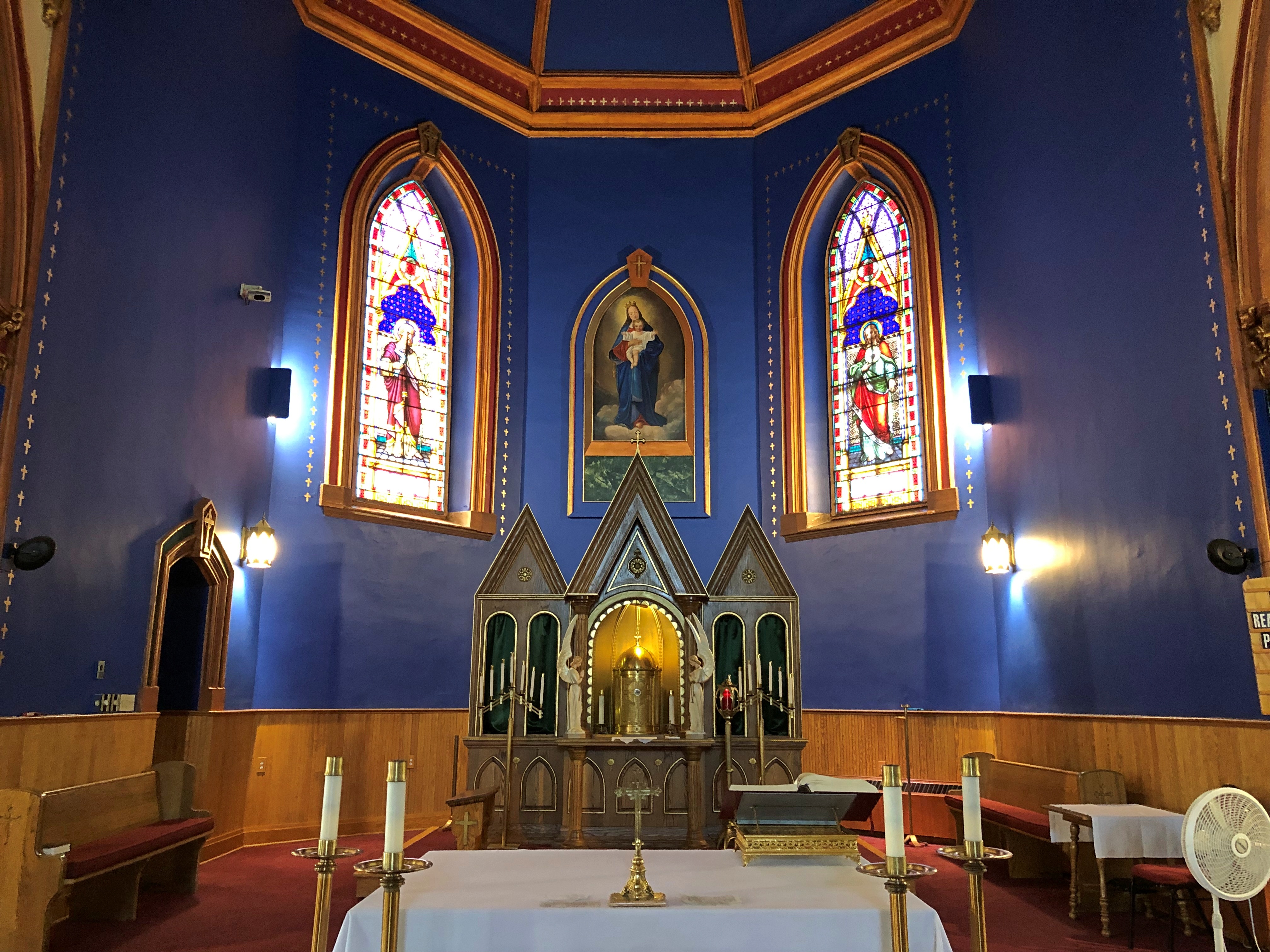
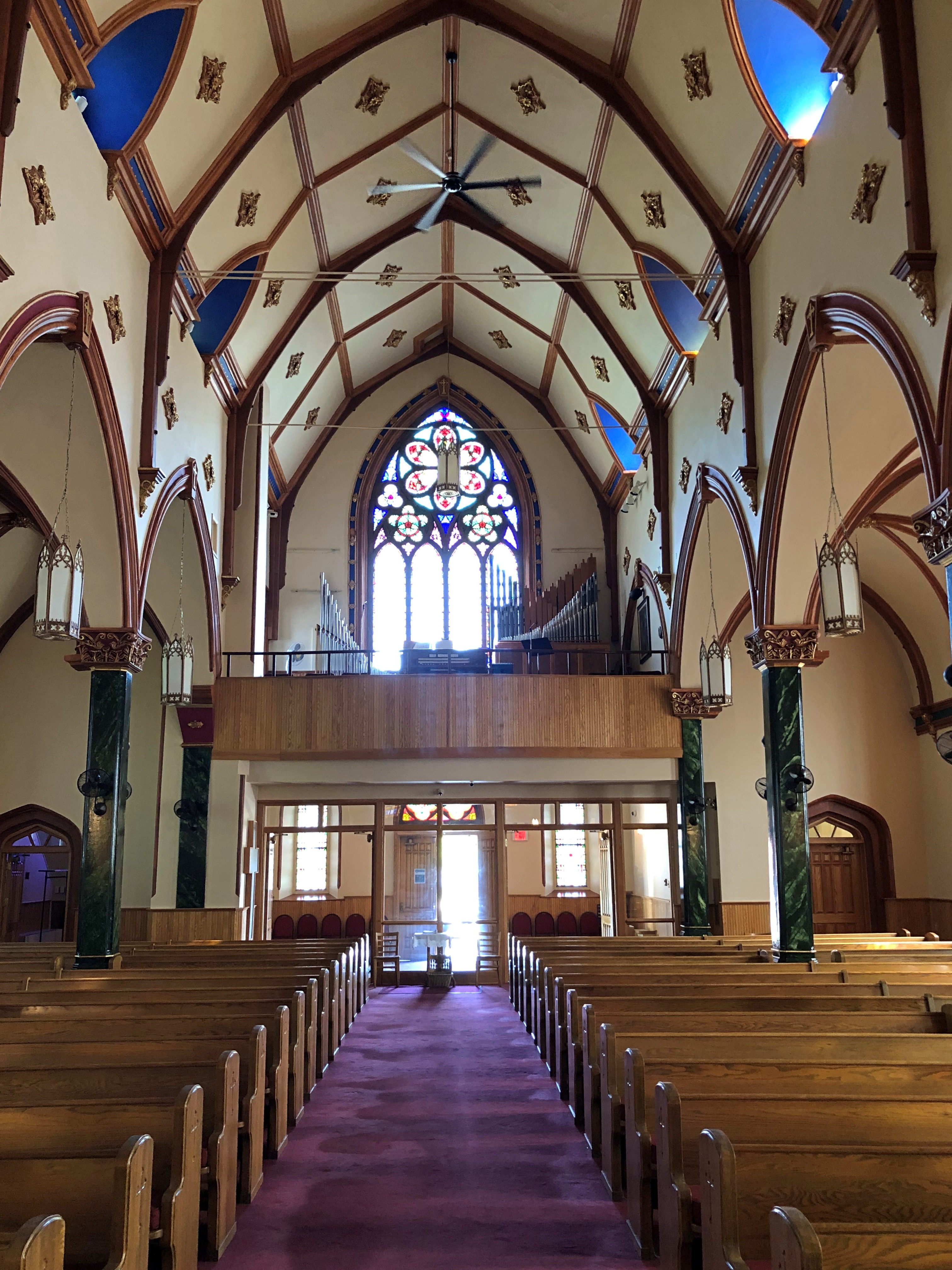
We stepped inside. Nice. I was reminded a bit of the smaller, but equally colorful Painted Churches in Texas.Holy Name of Mary Catholic Church Holy Name of Mary Catholic Church Holy Name of Mary Catholic Church

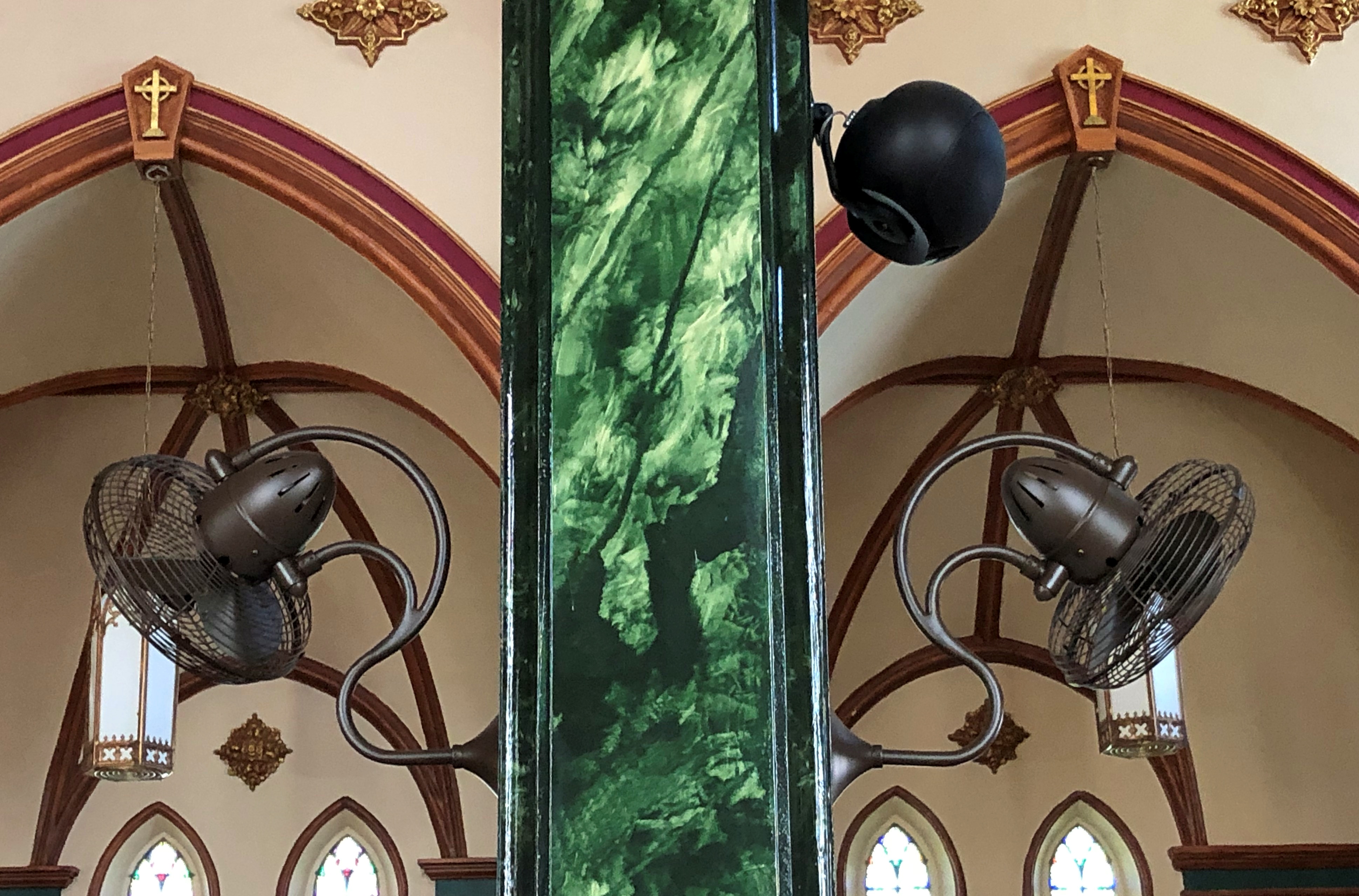
Perhaps there is no air conditioning — I can’t say I checked — but if so, that makes for an interesting array of fans.Holy Name of Mary Catholic Church

It was good to be back in the UP.

Around Lake Superior

Long stretches of the Trans-Canada Highway along or not far from Lake Superior are lightly traveled, even in summer. Driving the road isn’t exactly solitary, but traffic-free enough to allow your mind to wander. And by your mind, I mean mine, a few days ago.

Dear Mr. Prime Minister, I thought.

There must be a correct way to address the prime minister of Canada in a formal letter. Who writes formal letters to politicians any more? Still, the formal must exist, and I could look it up. Never mind, on with the letter.

Your Excellency,

I’m about mid-way through an enjoyable six days in your country, traveling from the port of entry at Grand Portage to an exit at the grand international bridge connecting the two Sault Ste. Maries.

I have noticed that very few places in Canada sell postcards, even tourist shops, and especially Parks Canada units. I had to struggle to find cards to send to my friends back in the United States, which is a minor hobby of mine.

Market forces, you might say. An erosion of Canadian heritage is what I’d call it, and I am writing to urge that your government do something to reverse the loss, against the day when – fully dismayed by electronic media — people return to physical media.

I leave the details to you and your Minister of Canadian Heritage (cc’d on this letter). Certainly Parks Canada can be persuaded to stock them again. For private shops, perhaps tax incentives to produce Canadian-content postcards and to stock them, and a public service campaign to encourage their purchase and use.

It might not be Canada’s most pressing challenge, but it is certain worth a little of your government’s time.

Despite the minor postcard annoyance, it was nice to be back in Canada.

Every bit as scenic as the U.S., but a lot cheaper. The current judgment of the currency markets is that the U.S. dollar is strong against its Canadian counterpart (unlike in 2006).

Canada wasn’t the entire trip. Leaving on July 28, I drove from northern Illinois northwestward through Wisconsin, then to the shore of Lake Superior in Minnesota, reaching the border on the afternoon of the 30th. I left Canada yesterday, August 5, proceeding home through the UP and then southwestward back through Wisconsin, arriving home today.

In effect, I went clockwise around Lake Superior: 1,937 miles all together, though some fraction of that was measured in kilometers.

This particular drive has been in the back of my mind for years. Years and years. In September 1989, I drove to the UP and went camping. One day I headed north from my campsite to Munising for breakfast, and then on to Marquette. Somewhere along the way, around the time I first saw Lake Superior, I also saw a sign like this (except not Ontario).

I’d seen Lake Michigan Circle Tour signs in Illinois and Wisconsin. Those were brand new in those days, created to encourage tourism in the Great Lakes region, and if you asked me a brilliant bit of design. Drive around the lake, the sign says. You will be well rewarded.

I agreed: The ’89 trip itself was around Lake Michigan, though I’m sure I would have done it without the signs.

I’d never seen a Lake Superior Circle Tour sign before, but I liked the idea immediately.

The prospect intoxicated: around Superior would be mean driving to Minnesota, through that remote part of Ontario, and the back through the UP. Or vice versa. What was up that way? Exotic boreal territory; small towns; few services; moose? At the time, my experience with Canada was limited to a rewarding but short stay on Vancouver Island.

The actual Circle Tour follows a specific set of roads around, and during this trip I followed them on the whole, mostly because that was often the only option, but in some places I took other roads, usually since they were more convenient. So I can’t claim to be Circle Tour purist.

Even so, now that I’m done, driving around Lake Huron seems like a good idea too – either by way of the Bruce Peninsula and Manitouline Island, or the long way around Georgian Bay. I don’t expect to have another 34 years to get around to that, so it will be have to be sooner, if at all.