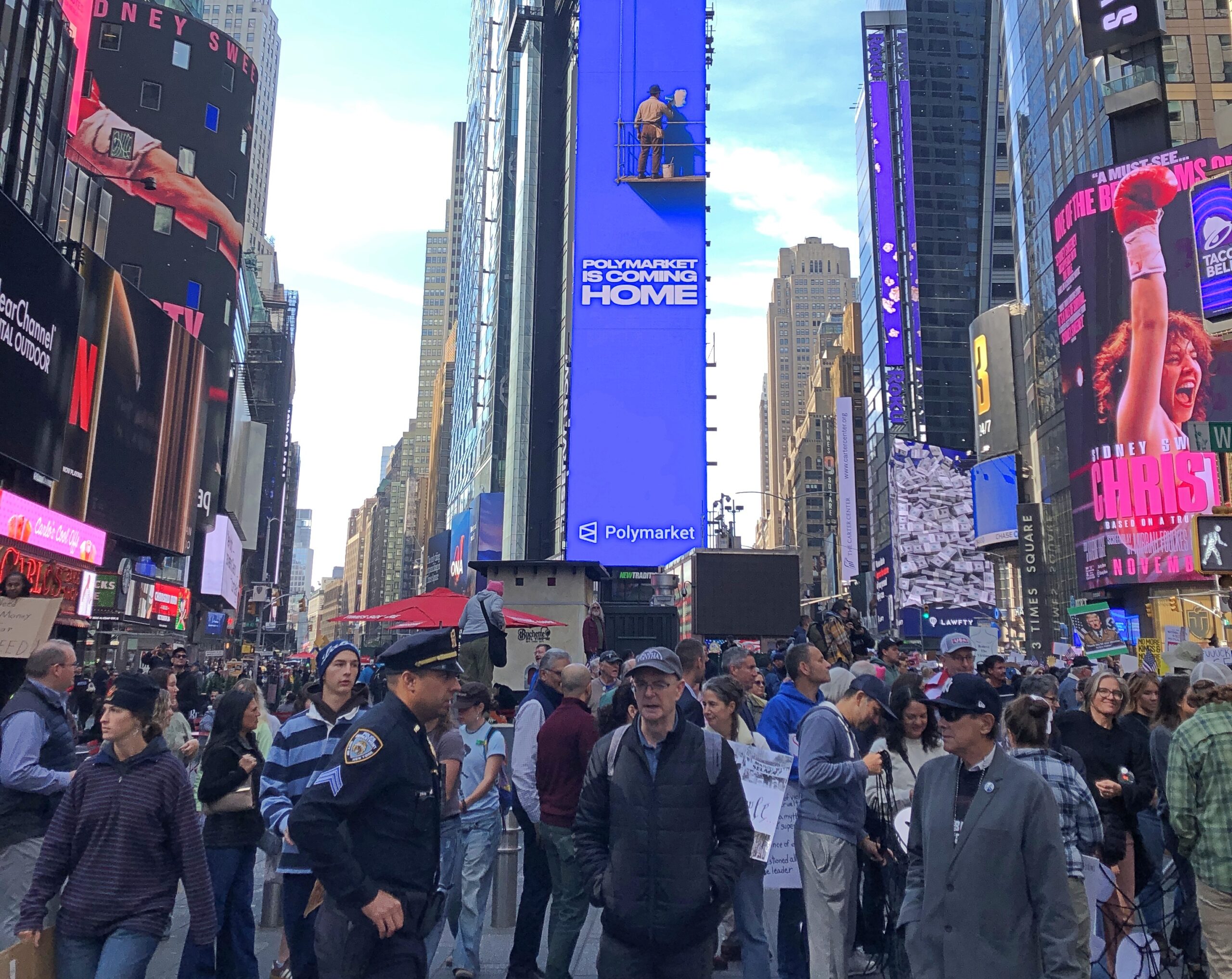
Our first winterish weather blew through early this week, but we’re back to cool days. For now. Some leaves seem to be clinging a little longer than usual, but most are accumulating on the ground, as expected for November. A scattering of Christmas decorations are already up, and I don’t mean in stores, where they’ve been for weeks. Let November be November, I say.
Much of my return from the East Coast generally followed the westward course set by the National Road, though I didn’t use much of US 40, which has that nickname. If you want to make decent time, you take I-68 through Maryland and then I-70 across Ohio and into Indiana, which pretty much parallels the National Road.
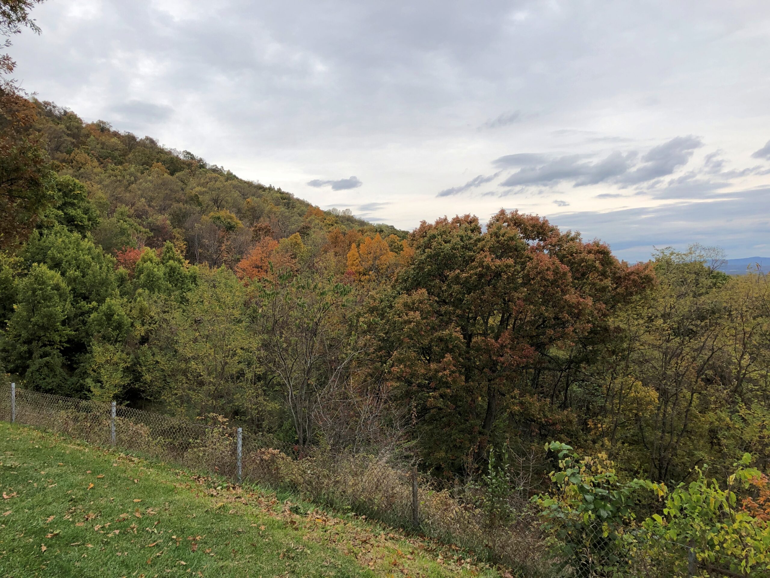
The Interstate is designed for just that kind of efficient travel. On the whole, it delivers. The four-lane highways also deliver boring drives, to hear some tell it. That’s an erroneous assumption, to hear me tell it. The Interstate has its fine stretches, such as I-68 in October, a gloriously colorful drive. Winding and hilly, too, through Maryland’s peculiar panhandle.
A rest stop near Hancock, Maryland, offers views to the north, so most of what you see is Pennsylvania.
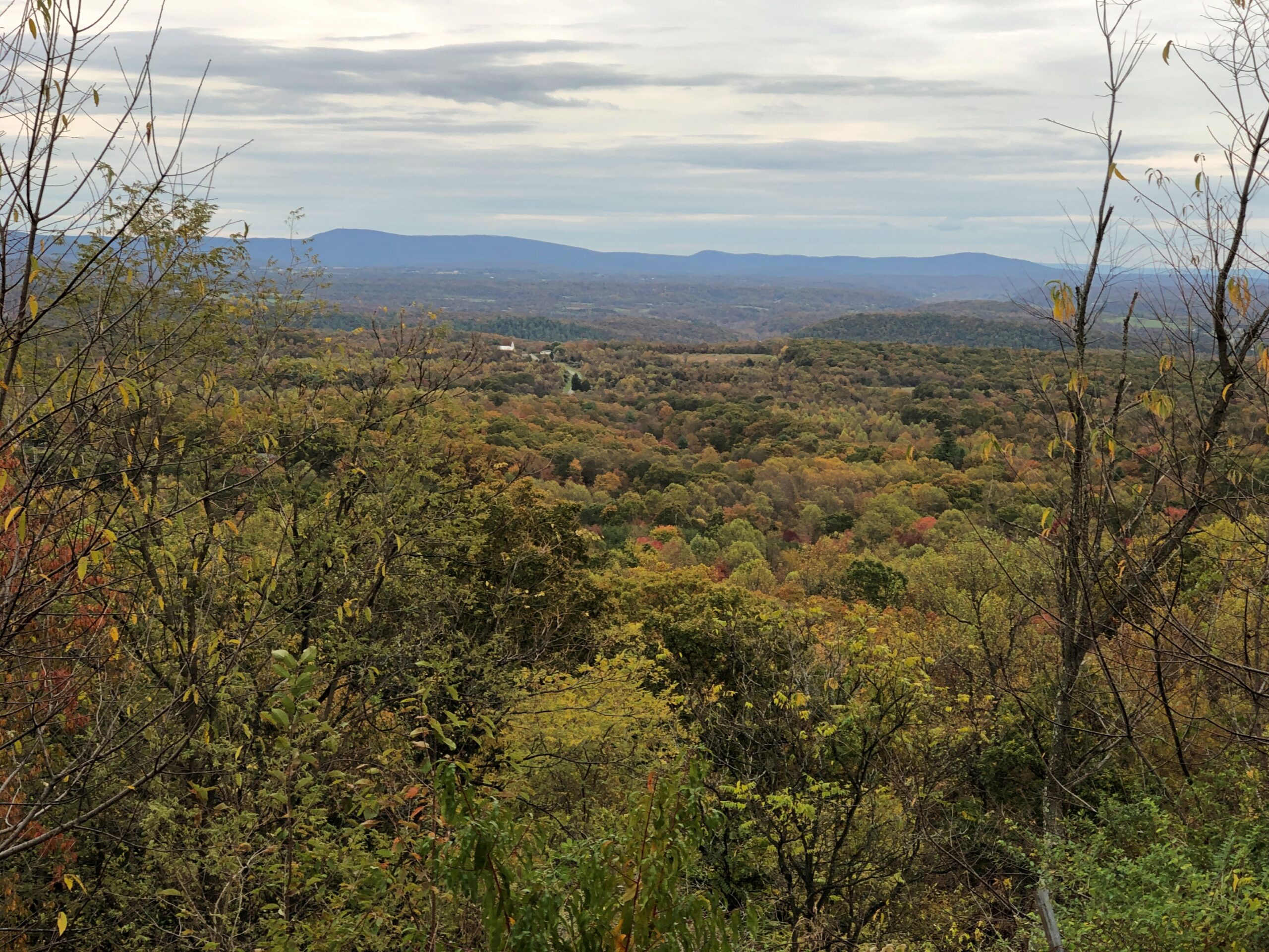
The rest stop is at Sideling Hill, an enormous rise gouged by an enormous cut for I-68 to go through. An impressive feat of engineering, completed only in the 1980s. Then again, blowing up mountains is a thing that happens in this part of the country.
The narrowest part of the Maryland isn’t far away. At its narrowest, there is less than two miles are between the Potomac and the Mason-Dixon Line. So if you picked up Maryland by the panhandle, it would surely break at that narrowest point.
I filled my gas tank off the highway in the last town in Maryland, Friendsville (pop. 438), at a station whose enclosed retail space (between a few pumps) seemed little bigger than a walk-in closet, and yet there was a clerk manning the place on Saturday just before dark. Rotund and massively bearded, he was playing a video game when I opened the door to pre-pay. He might have been a little surprised to encounter a customer, at least one who didn’t pay at the pump.
From there, I continued into West Virginia, then took I-79 north into Pennsylvania, then headed west on I-70, which crosses West Virginia’s odd panhandle – more like a periscope – before reaching Ohio. After overnighting in Cambridge, Ohio, I bypassed Columbus but stopped in Springfield, near Dayton but with a distinct geographic identity. Alcor to Dayton’s Mizar, you might say.
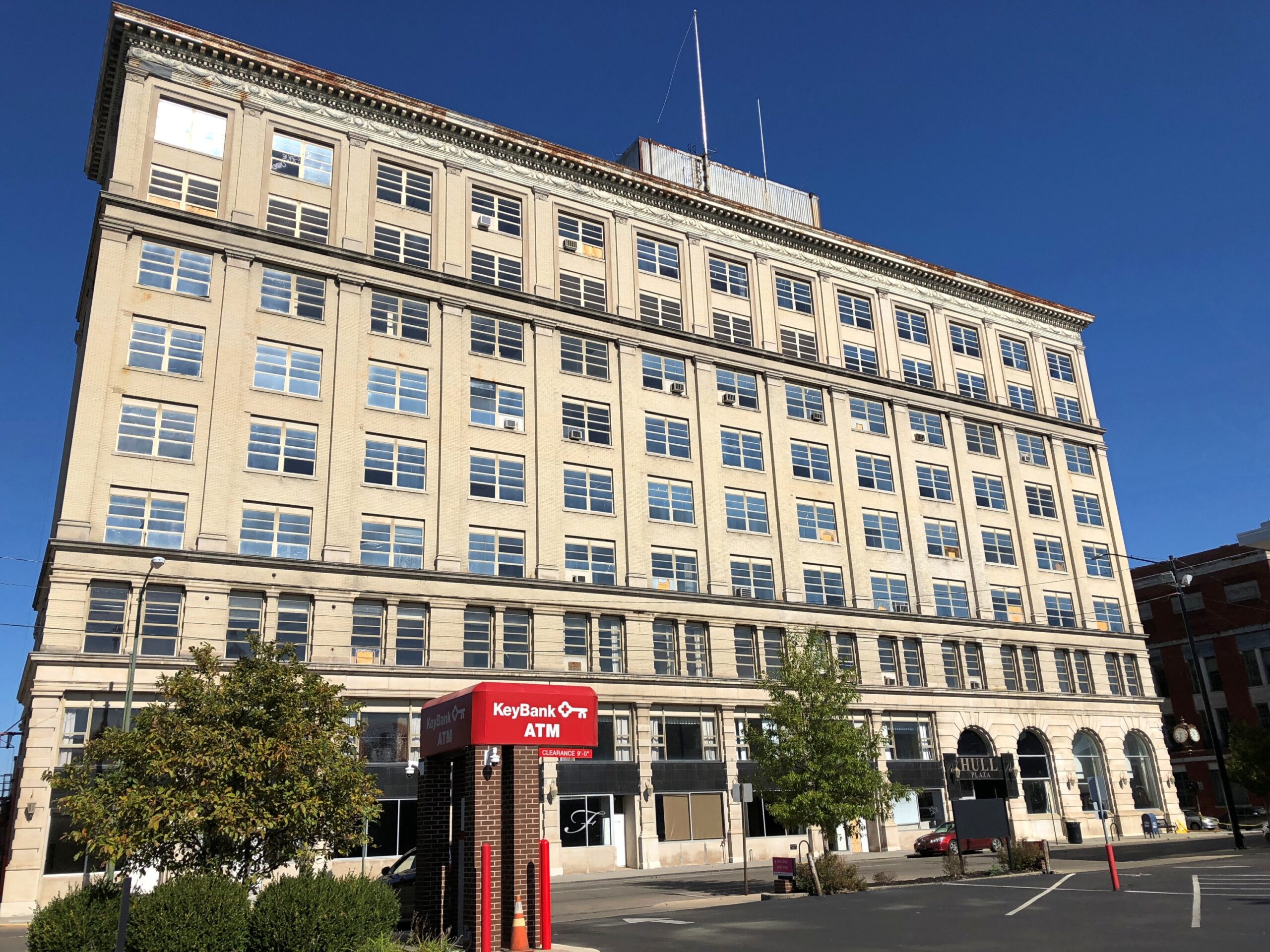
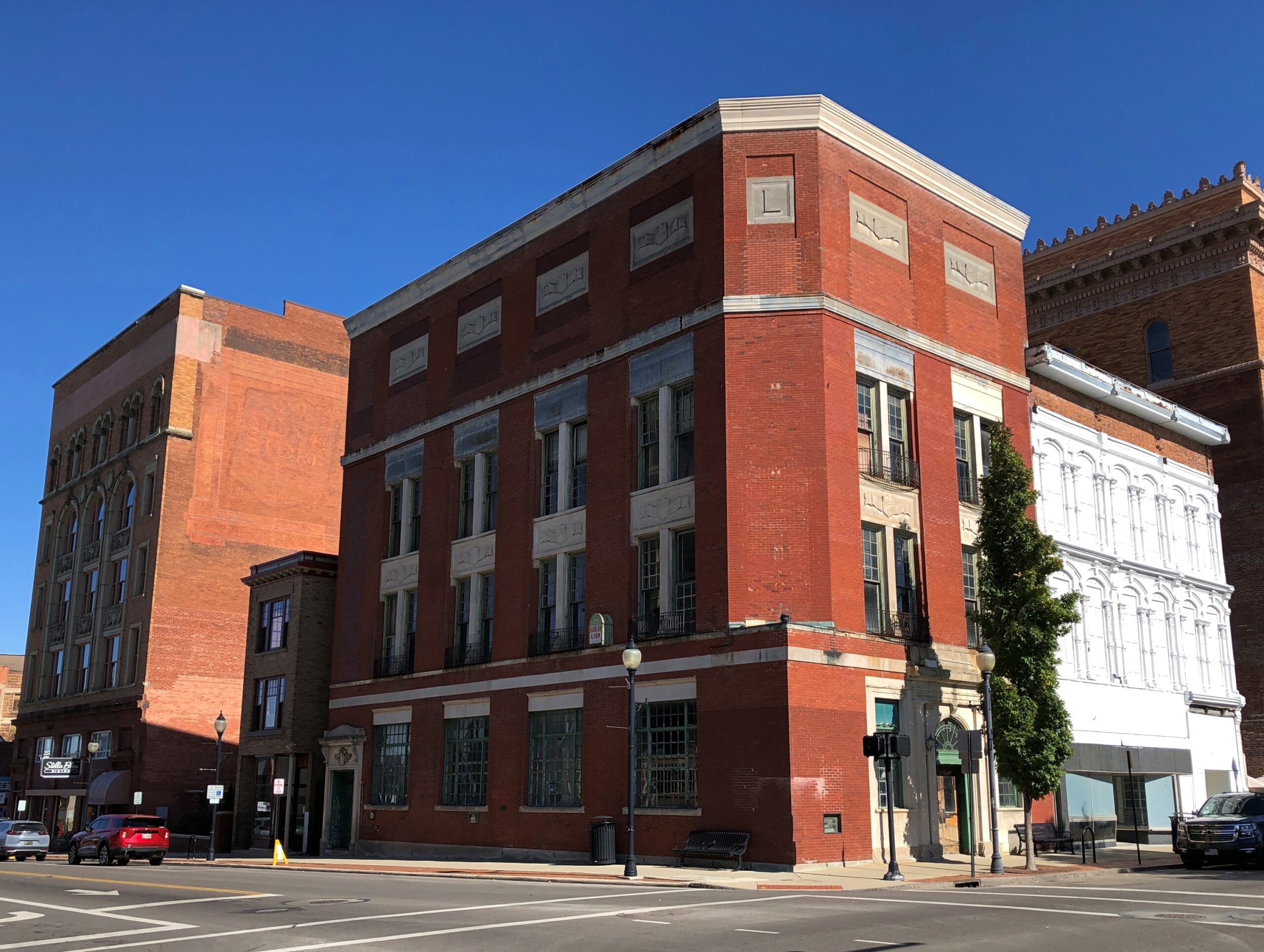
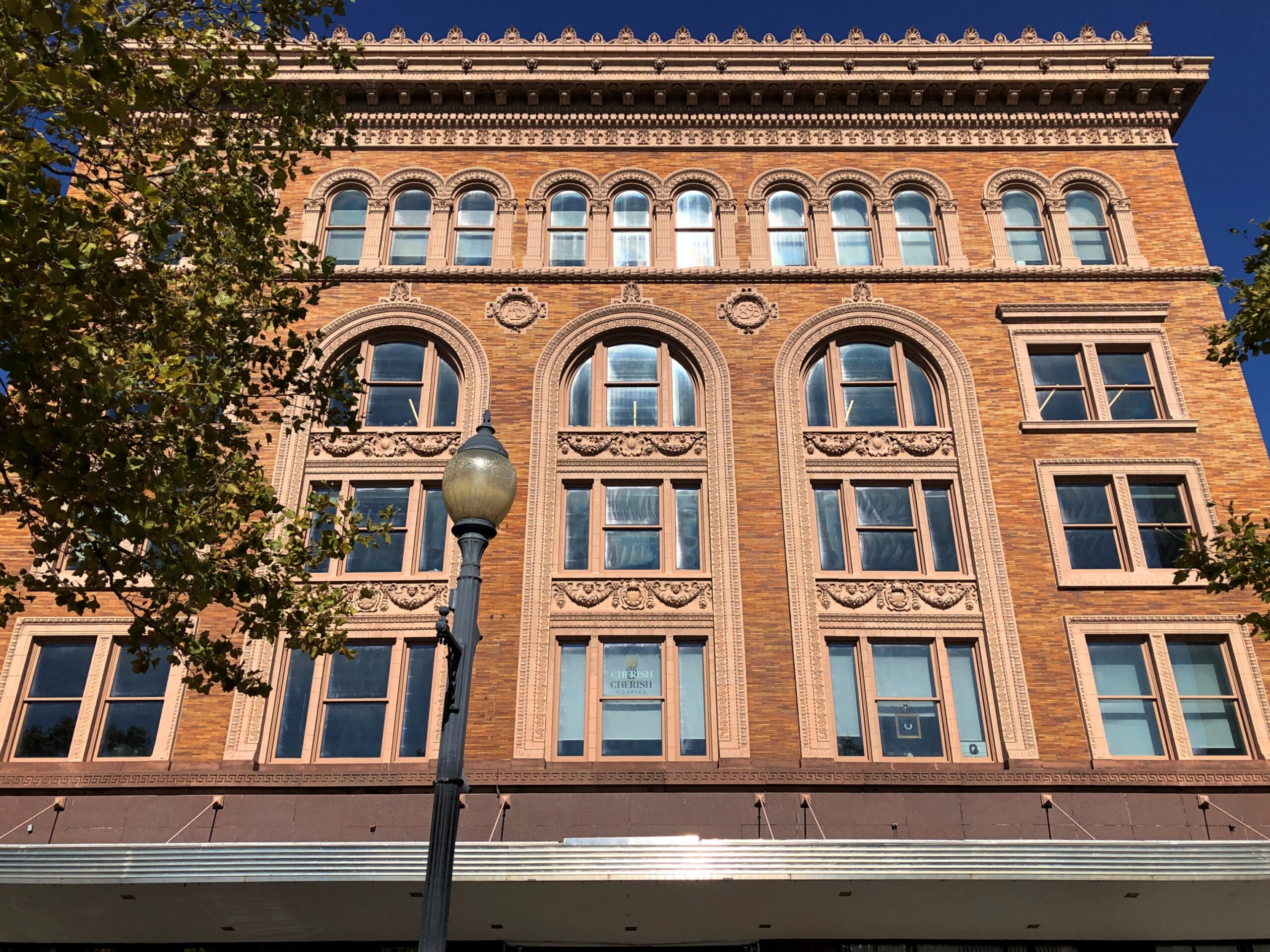
Downtown Springfield was practically devoid of pedestrians that Sunday, and not that many cars drove through either. A few buildings rise high enough to suggest a more prosperous past, but look too closely and some of them seem to be as empty as the streets, or at least underutilized.
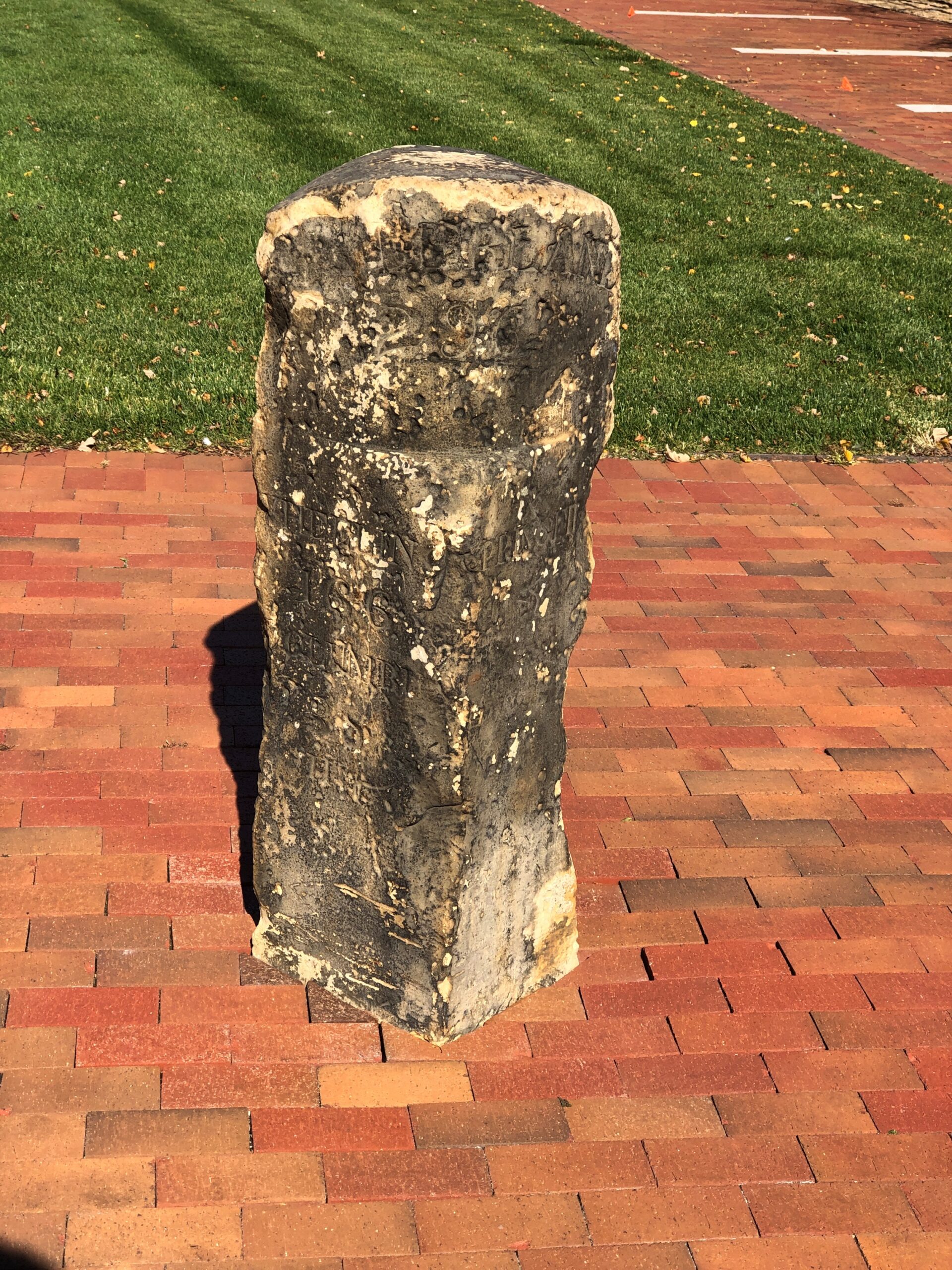
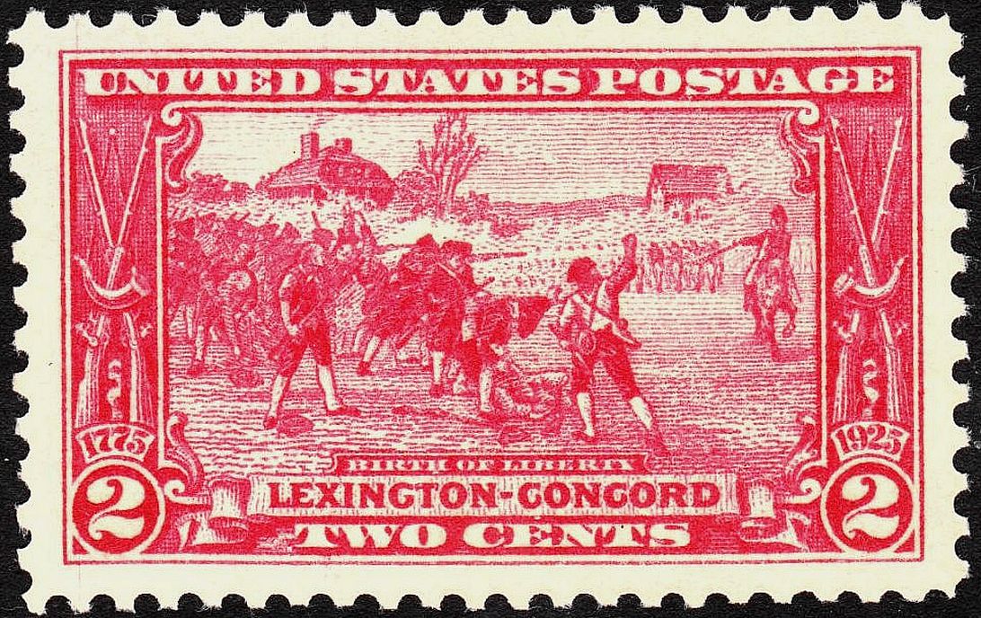
The National Road went, and still goes through Springfield, in the form of US 40. A milestone in Springfield marks the point at which the federal government quit paying for further westward expansion of the road. Anything else would be on the states, namely Ohio, Indiana and Illinois.
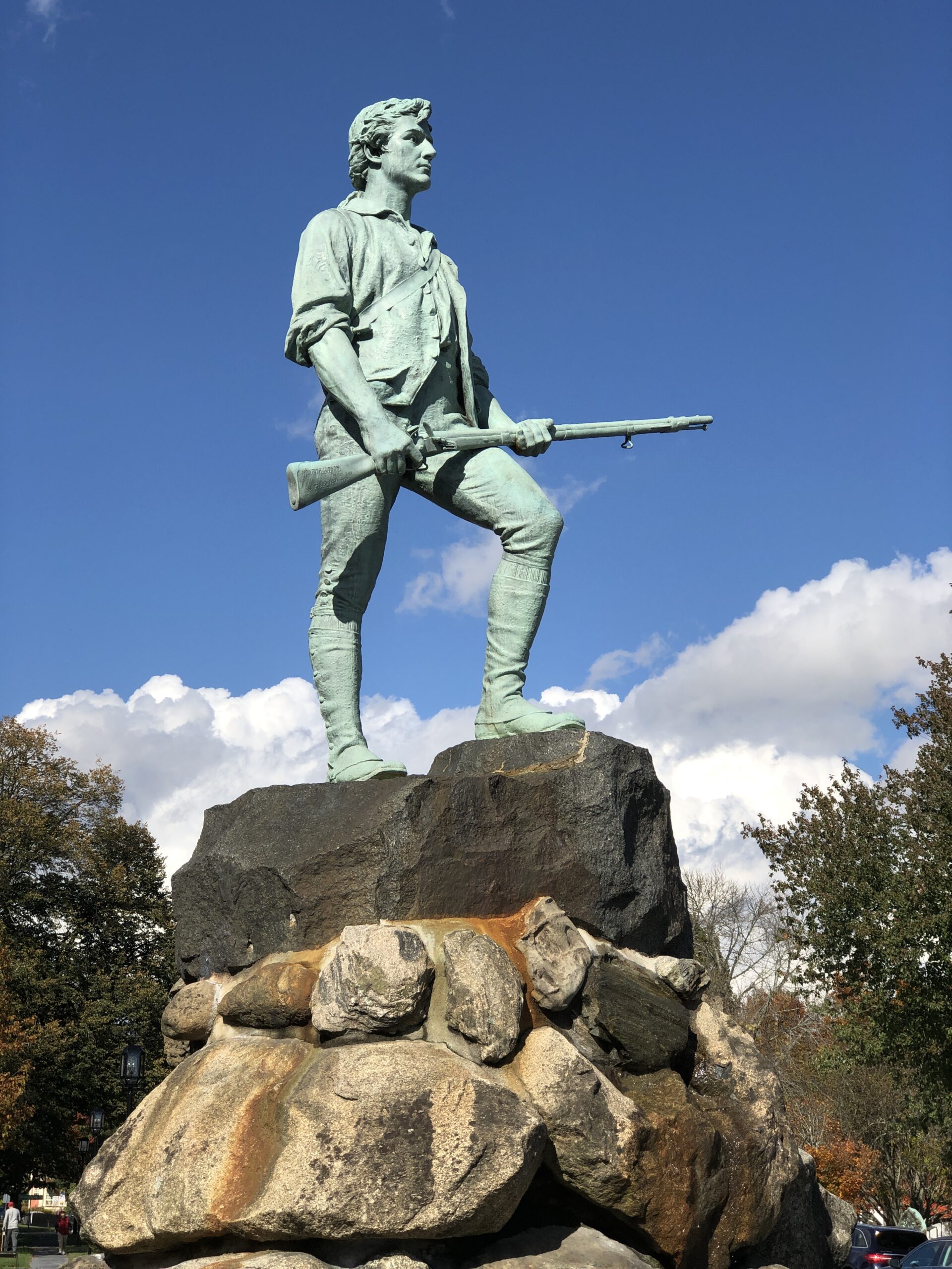
Later, after the National Road had become History, the Daughters of the American Revolution erected a series of statues along the route, and others to the west: “Madonna of the Trail.”
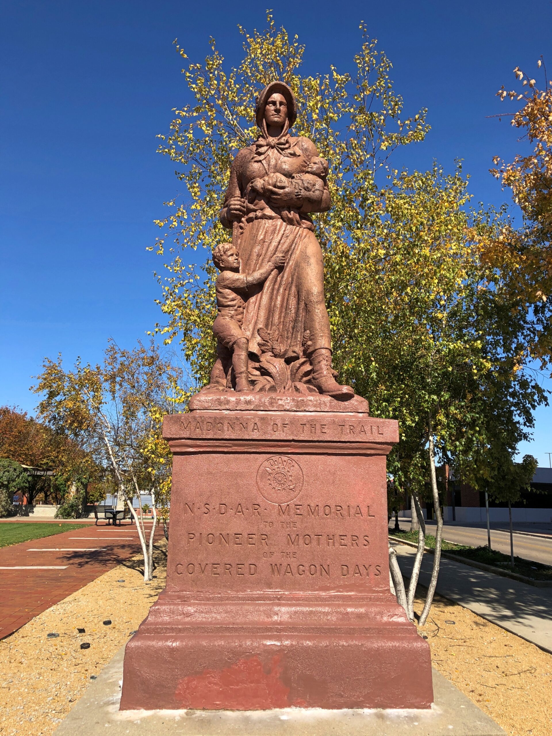
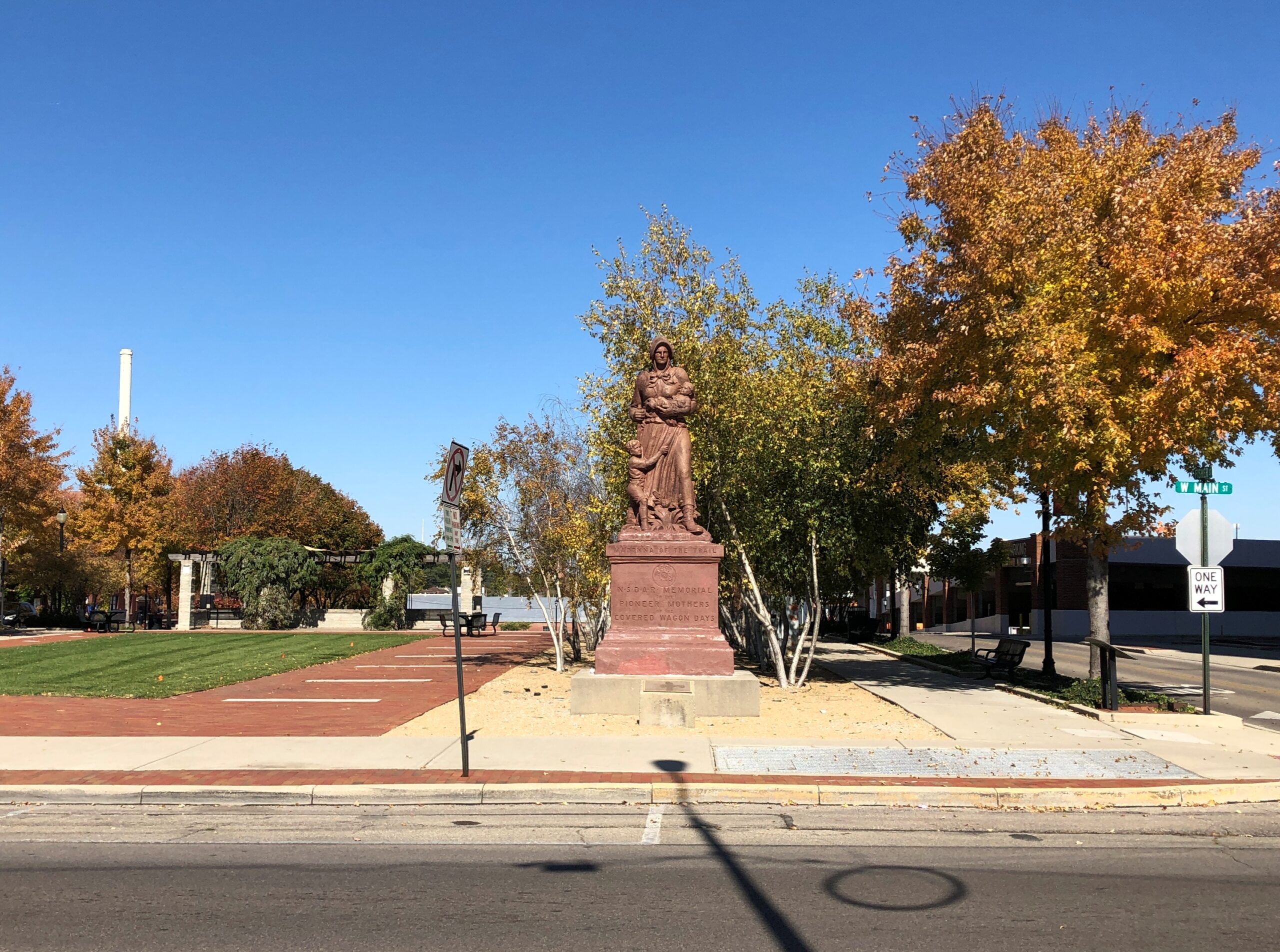
There are 12, with the easternmost of them along the National Road. Erected in the late 1920s, the Springfield one was renovated about 20 years ago.
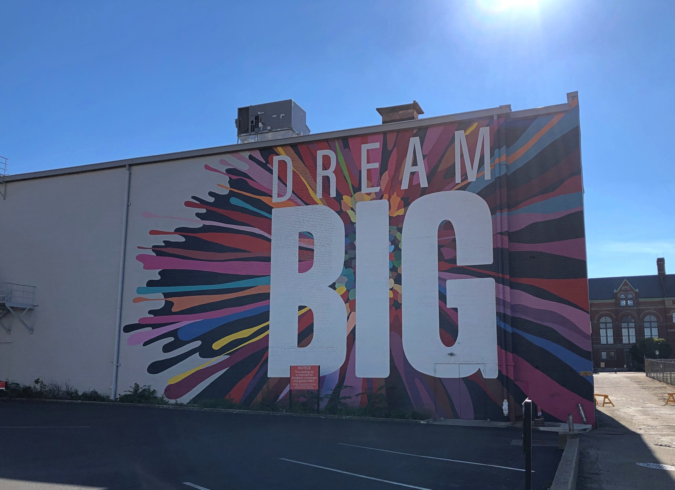
Nearby, passersby are urged to Dream Big.
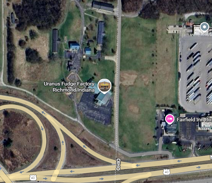
About an hour west of Springfield, at the border of Ohio and Indiana on I-70 – just barely inside Indiana – is the Uranus Fudge Factory. I had to stop for that.
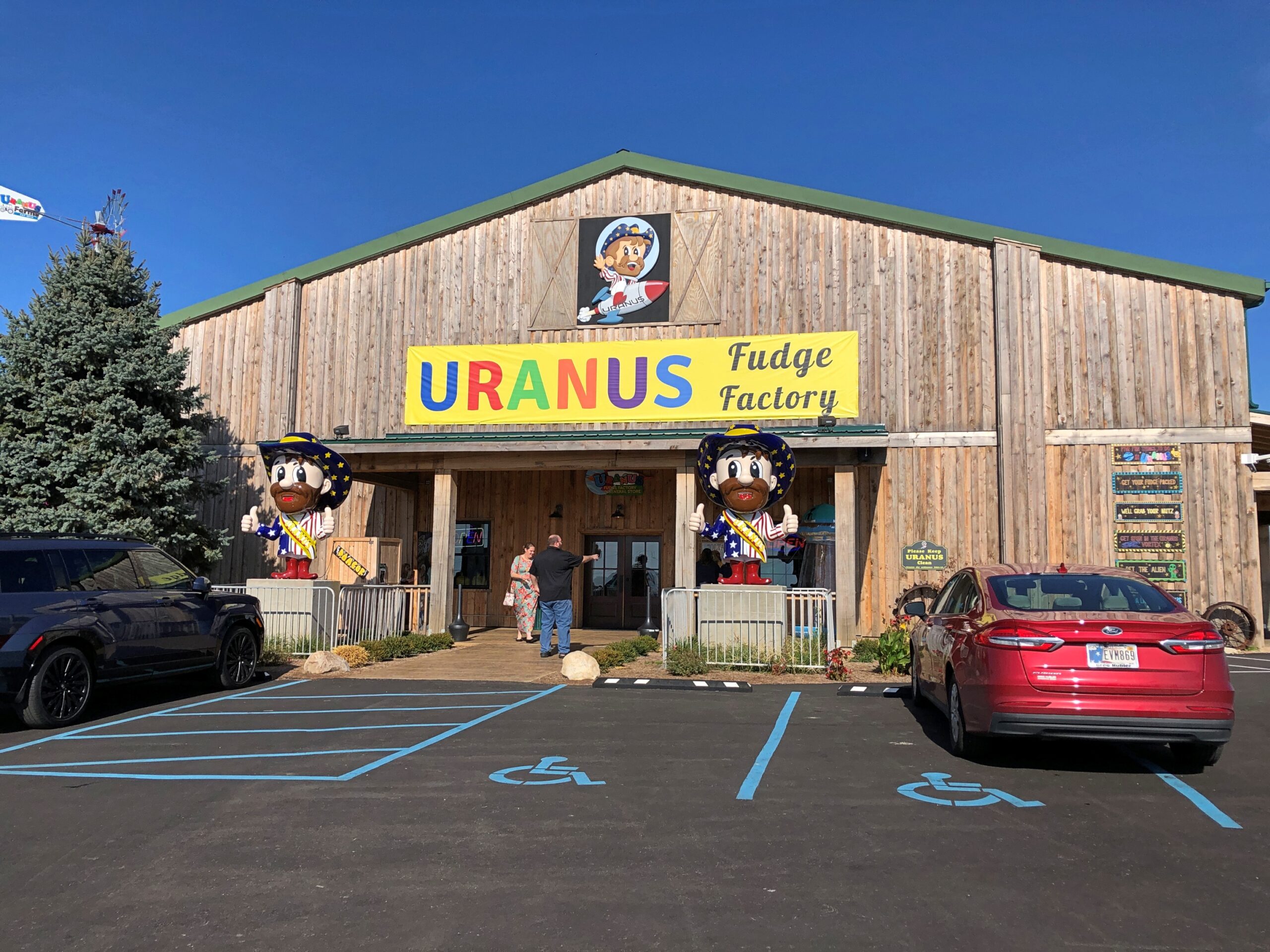
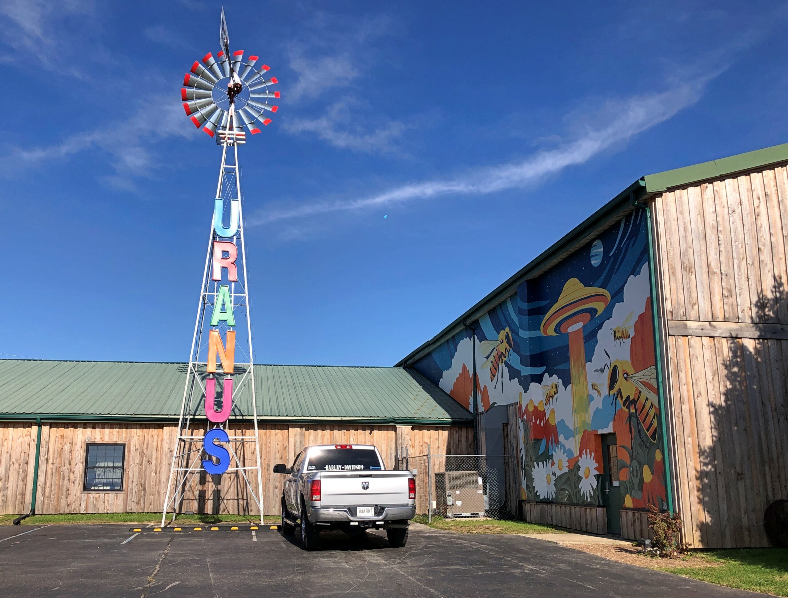
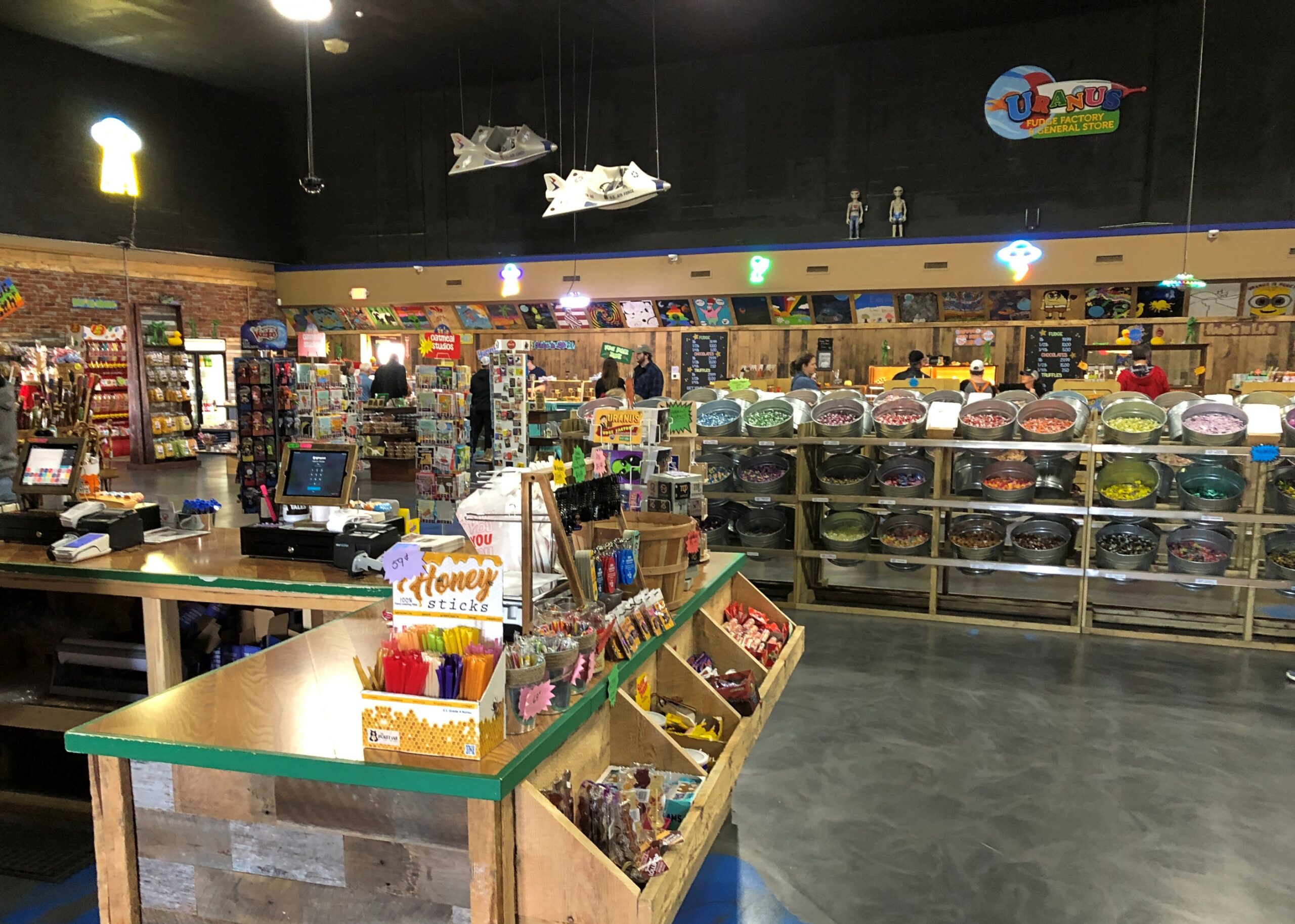
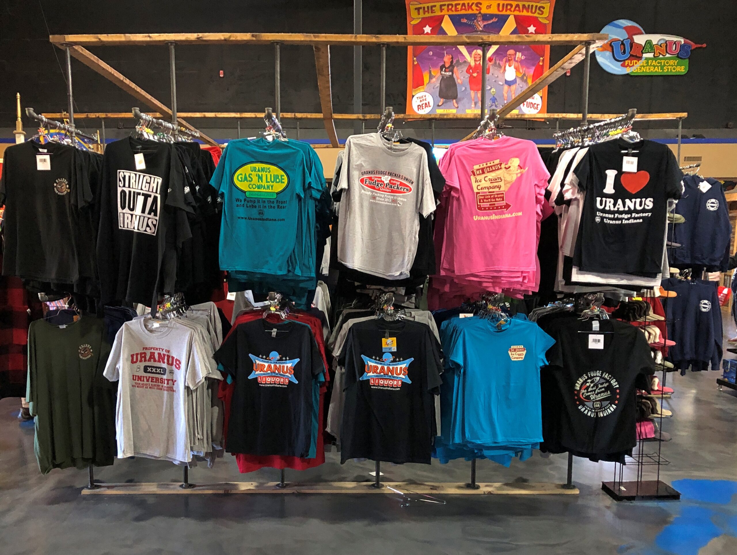
Sure, there’s fudge in there somewhere, but also a lot of gags involving the word Uranus (Your-anus). Examples can be found in the newspaper — an honest-to-God paper newspaper — that the store produces, The Uranus Examiner, and gives away. I have a copy. My kind of souvenir.
Sample front-page headlines from the Summer 2025 edition:
Breaking News: You Can Explore Uranus In Three Locations
Eating Their Way Through Uranus
Get A Lick Of Uranus
Sink Your Balls In Our Putt Holes
The second of those stories was about the 2nd Annual Eating Uranus Fudge Galactic Championship held at the Anderson, Indiana location in March. Apparently it was a Major League Eating-sanctioned event, and apparently MLE is a real thing. One Patrick Bertoletti won the 2nd championship at Uranus, putting away a bit more than nine pounds of fudge in about as many minutes.
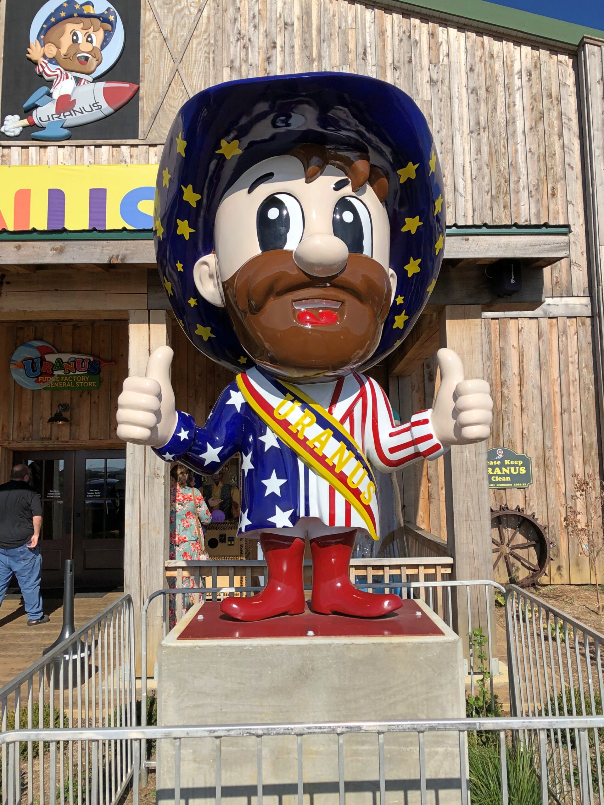
Fudge is one thing, but mostly Uranus sells stuff. A lot of stuff.
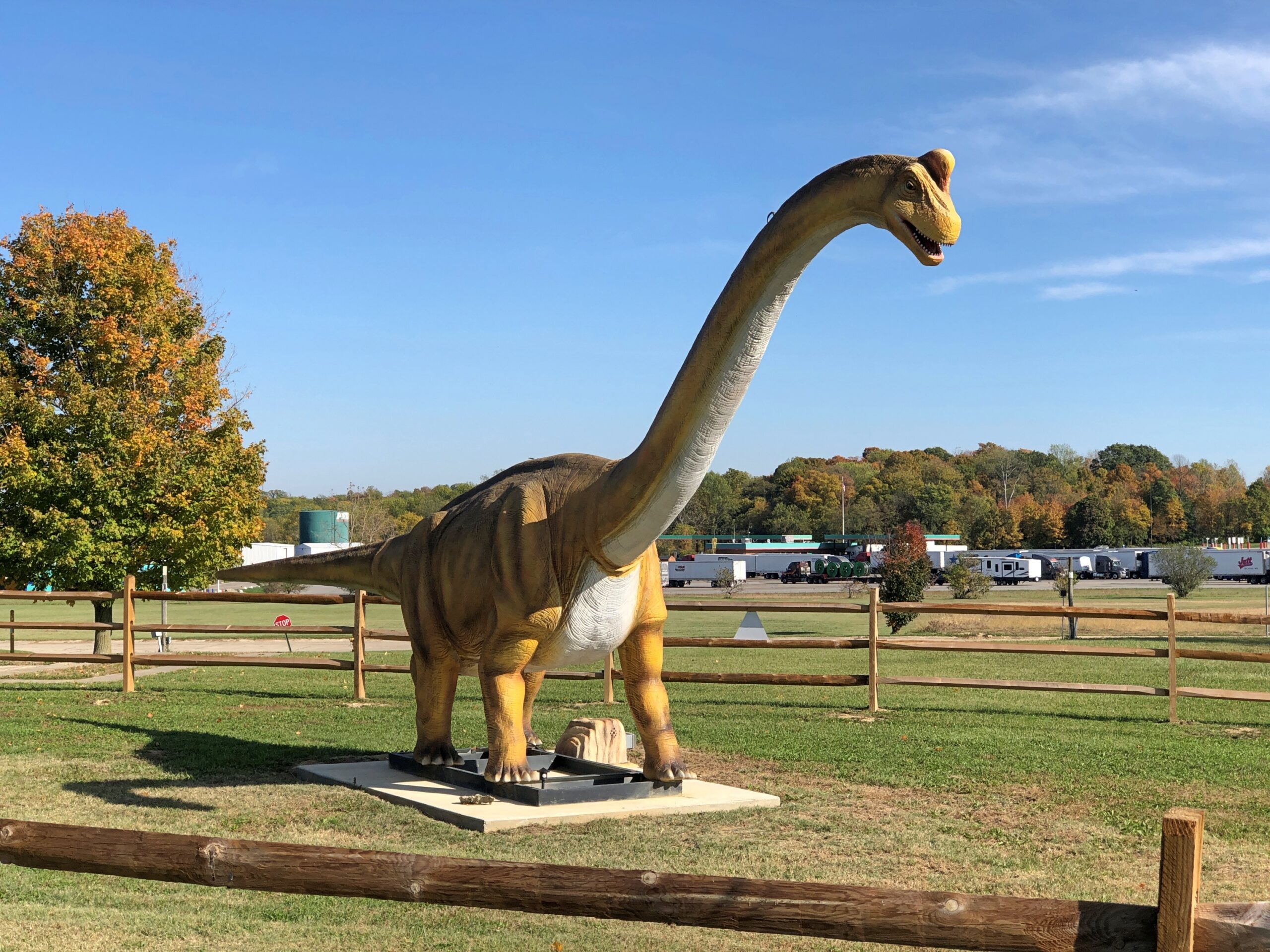
The Richmond, Indiana location is the third of three for Uranus, and I think the only one with dinosaurs —
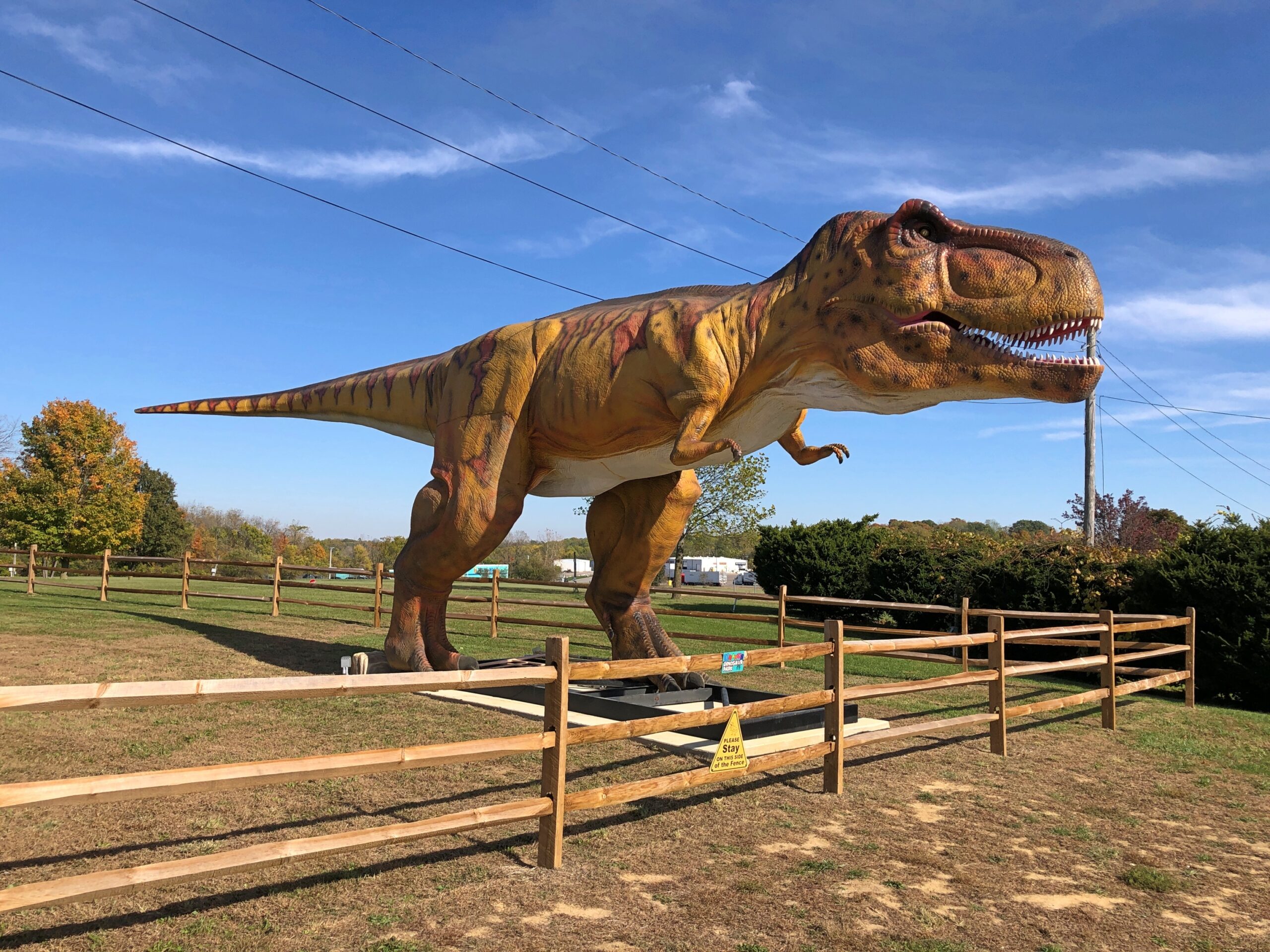
— and a 100-foot cross of corrugated steel over a metal frame.
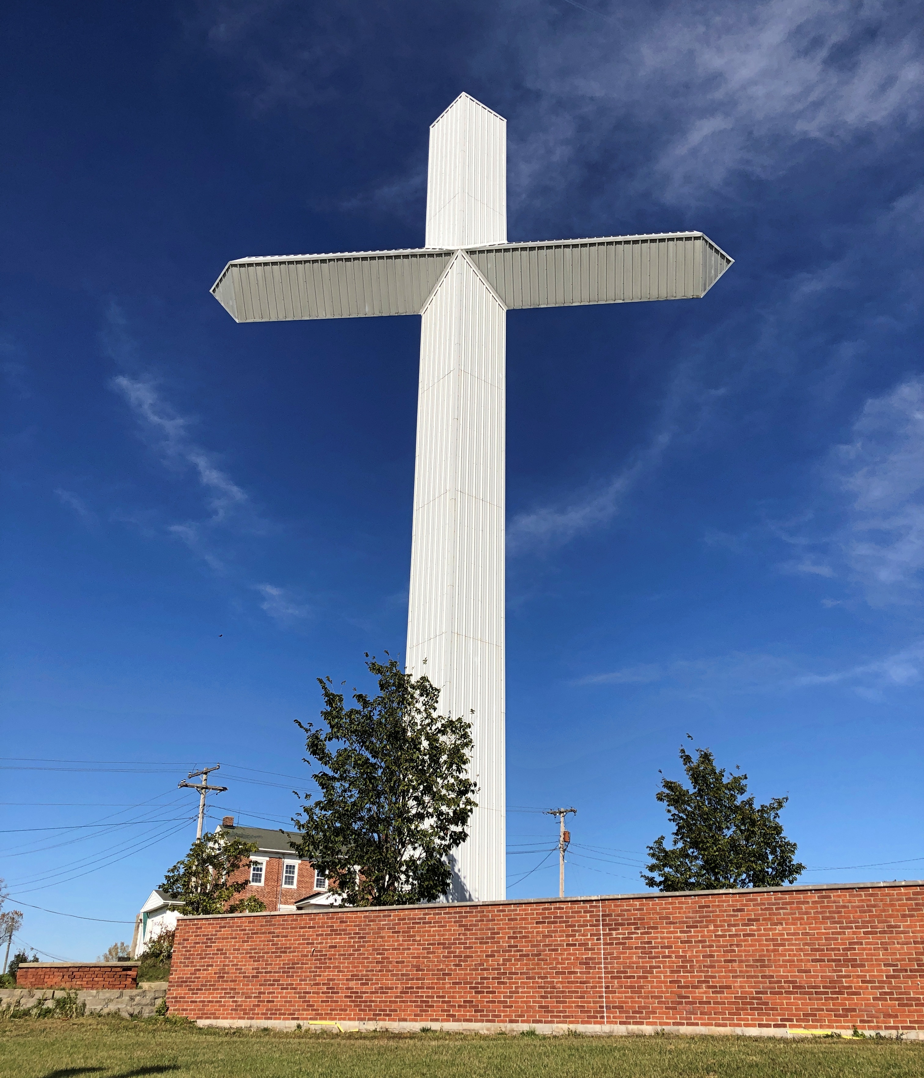
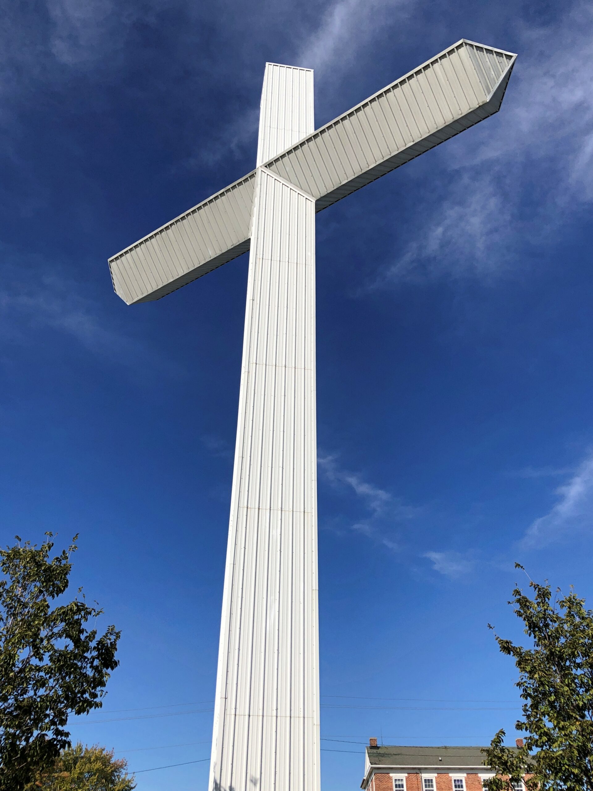
Until about 10 years ago, the property belonged to New Creations Chapel, which also included a church building, boarding school for troubled teens and a Bible college. The ministry, for reasons its web site explains in some detail, sold the property to Uranus, including the cross.
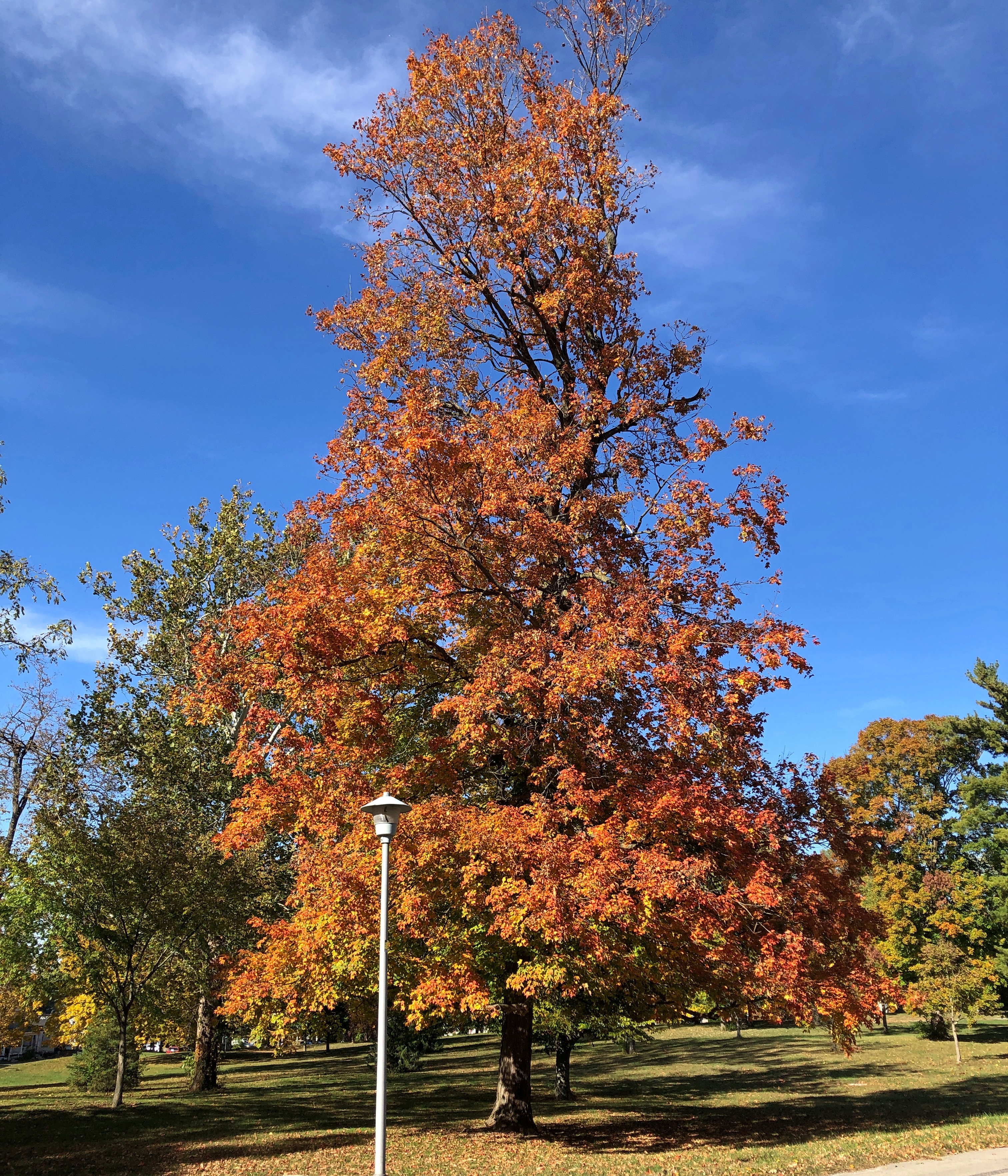
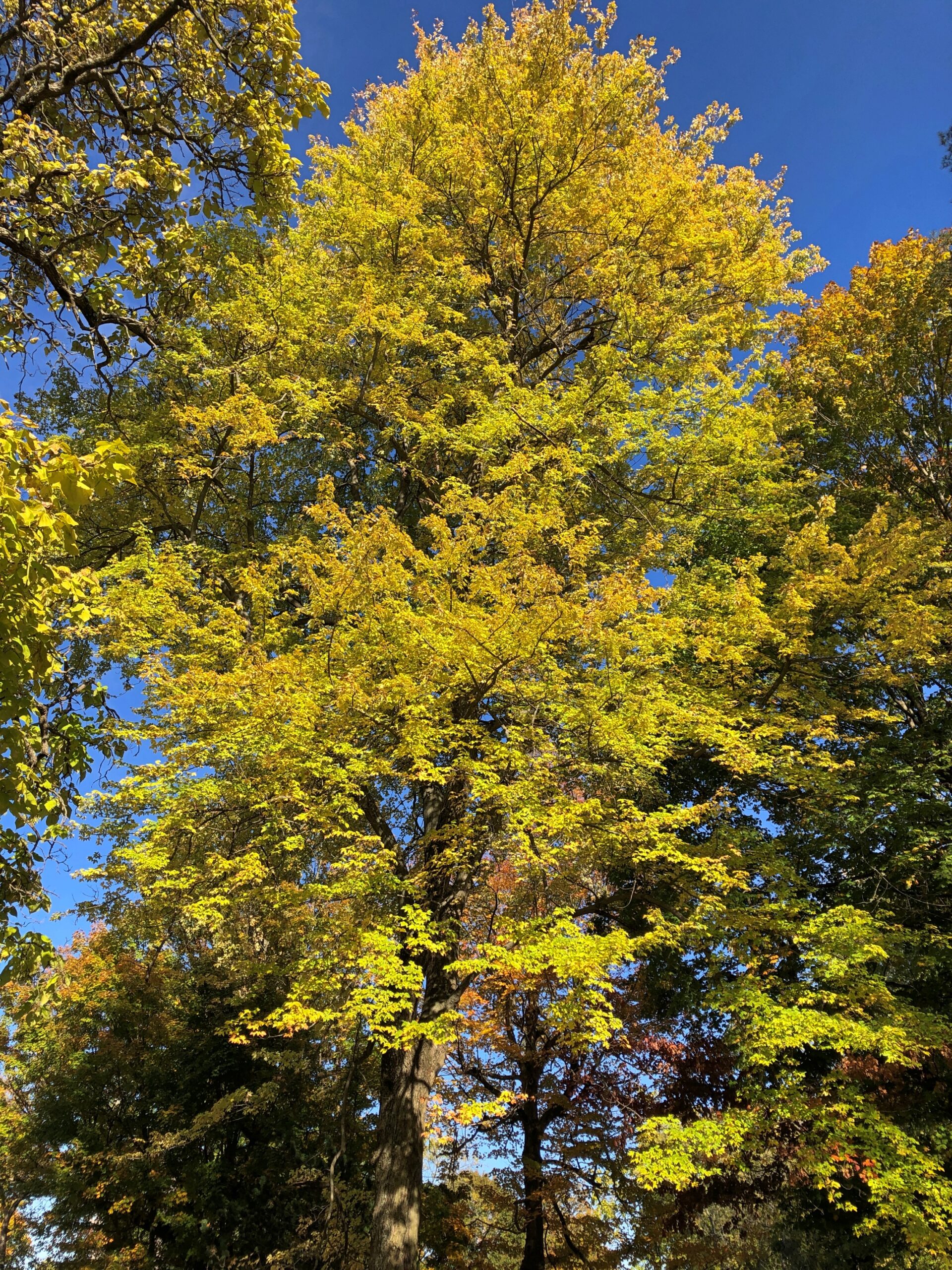
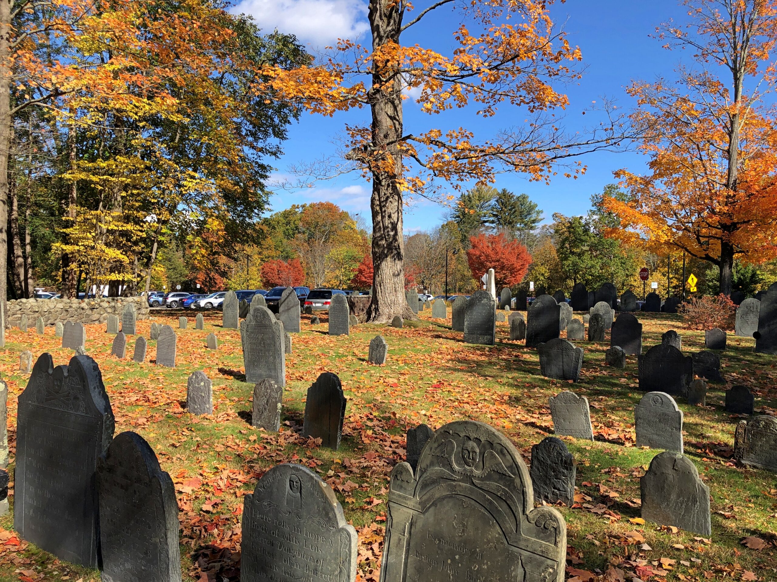
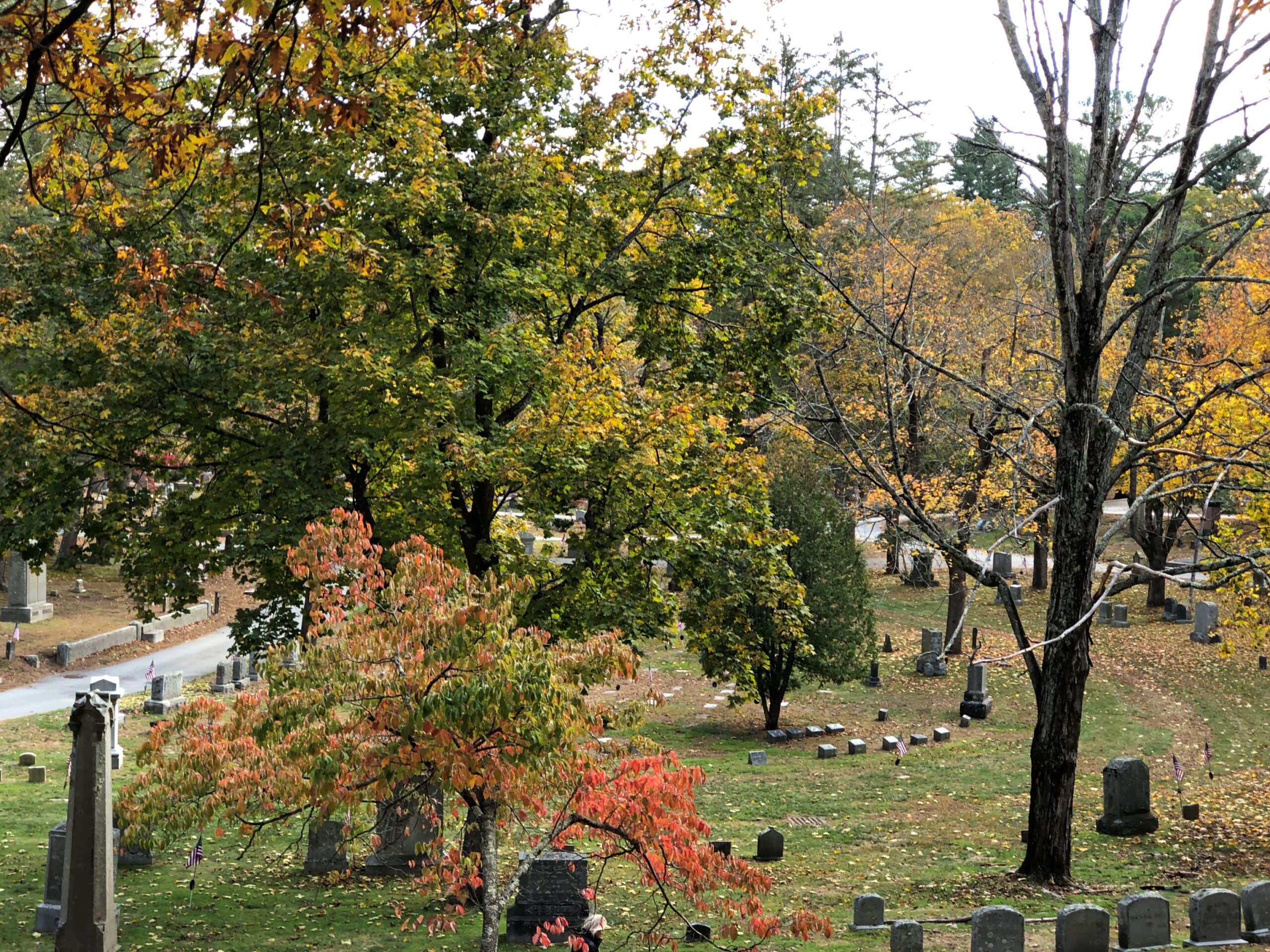
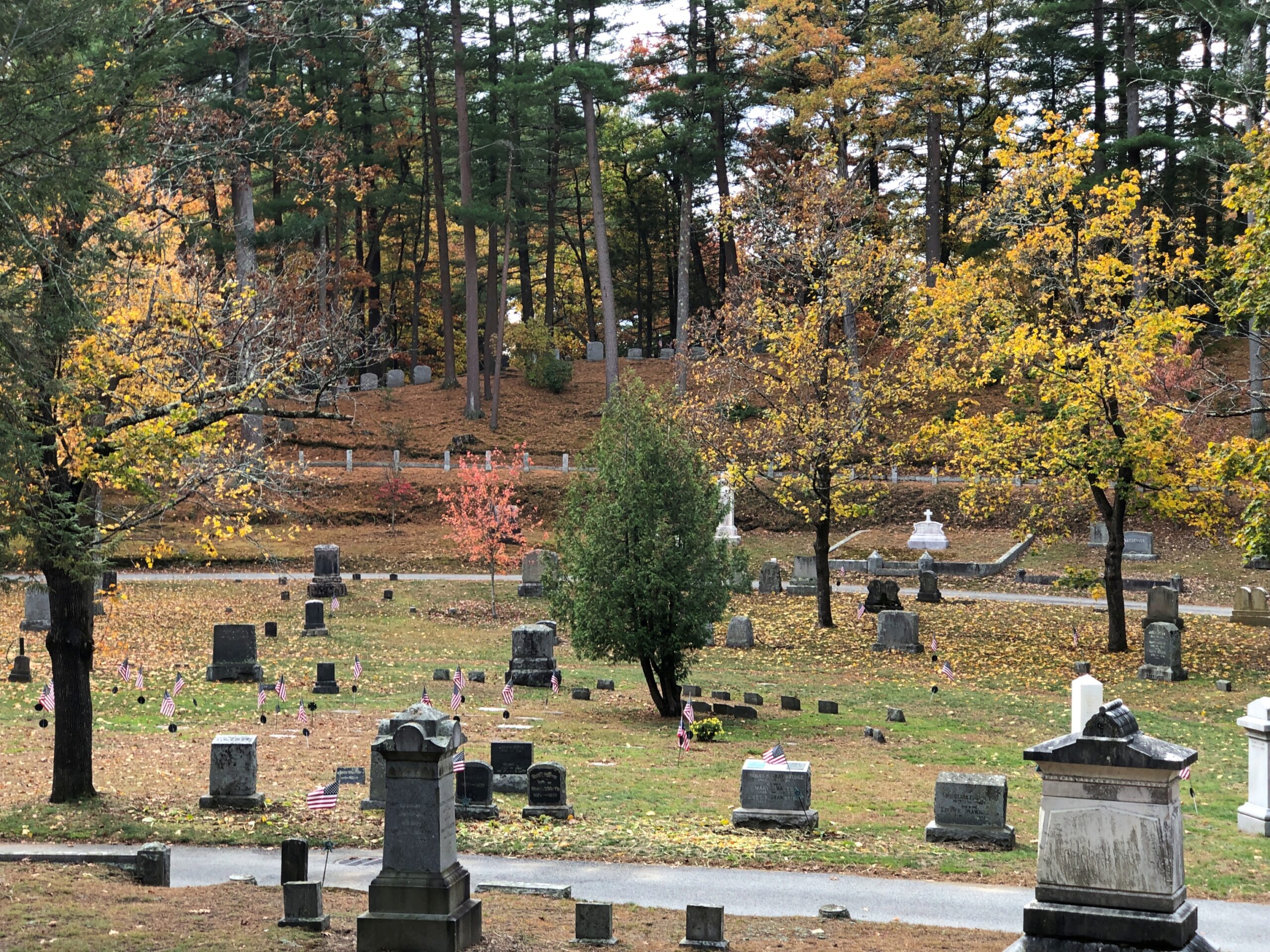
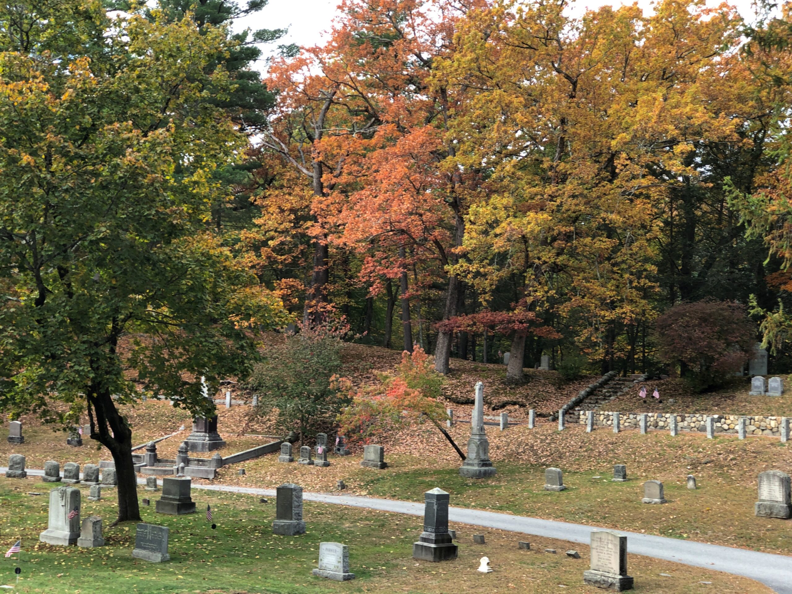
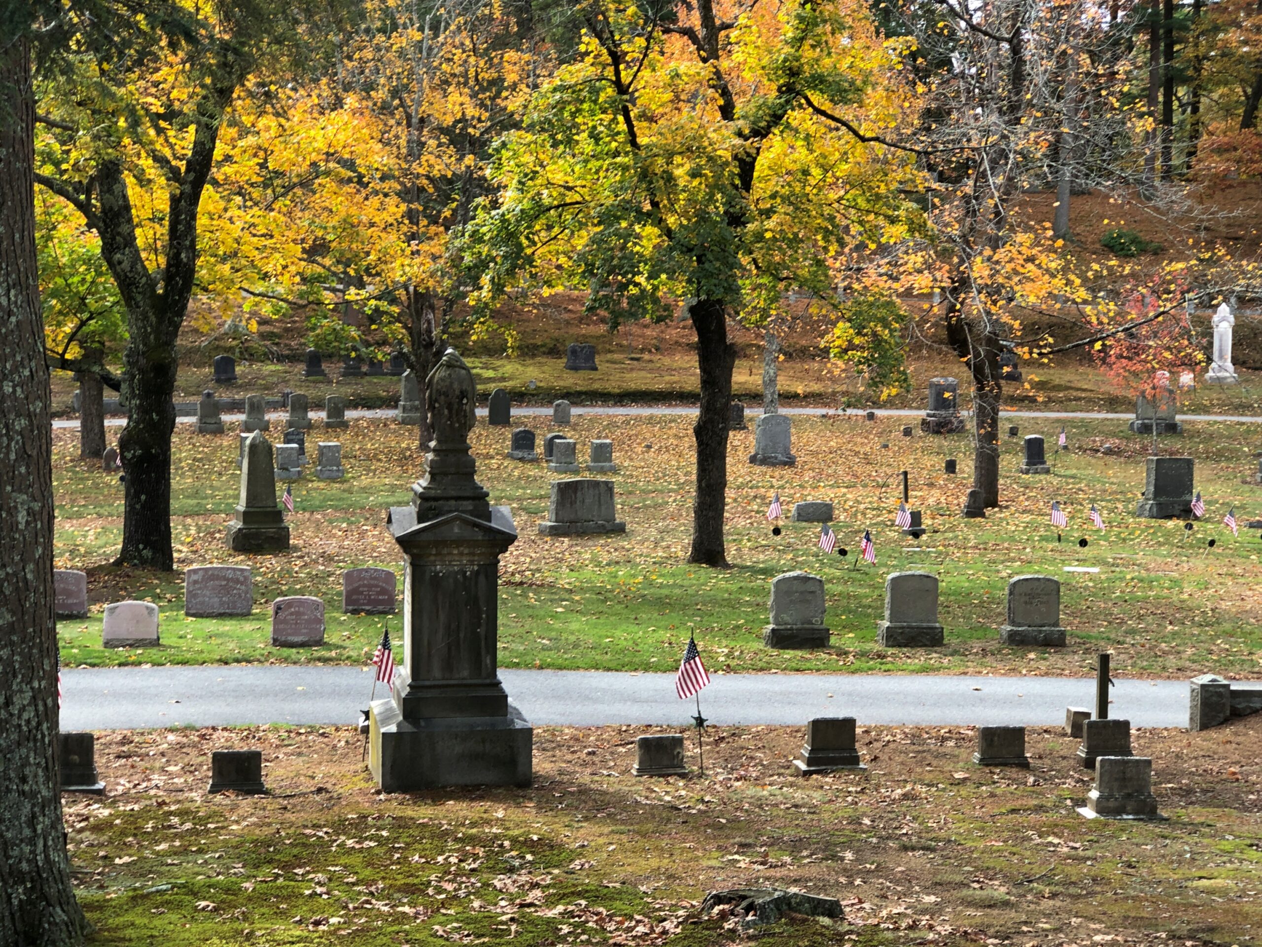
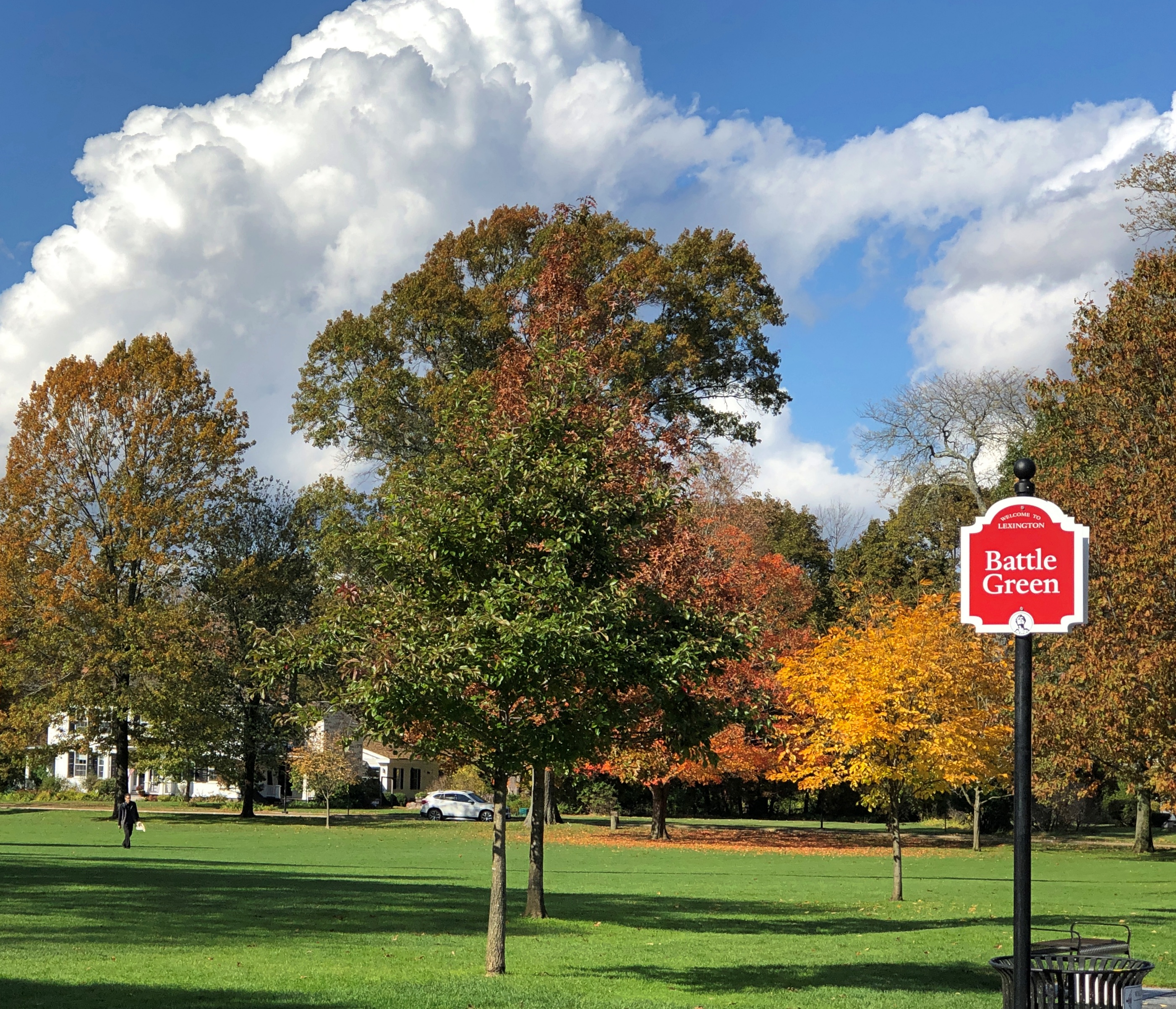
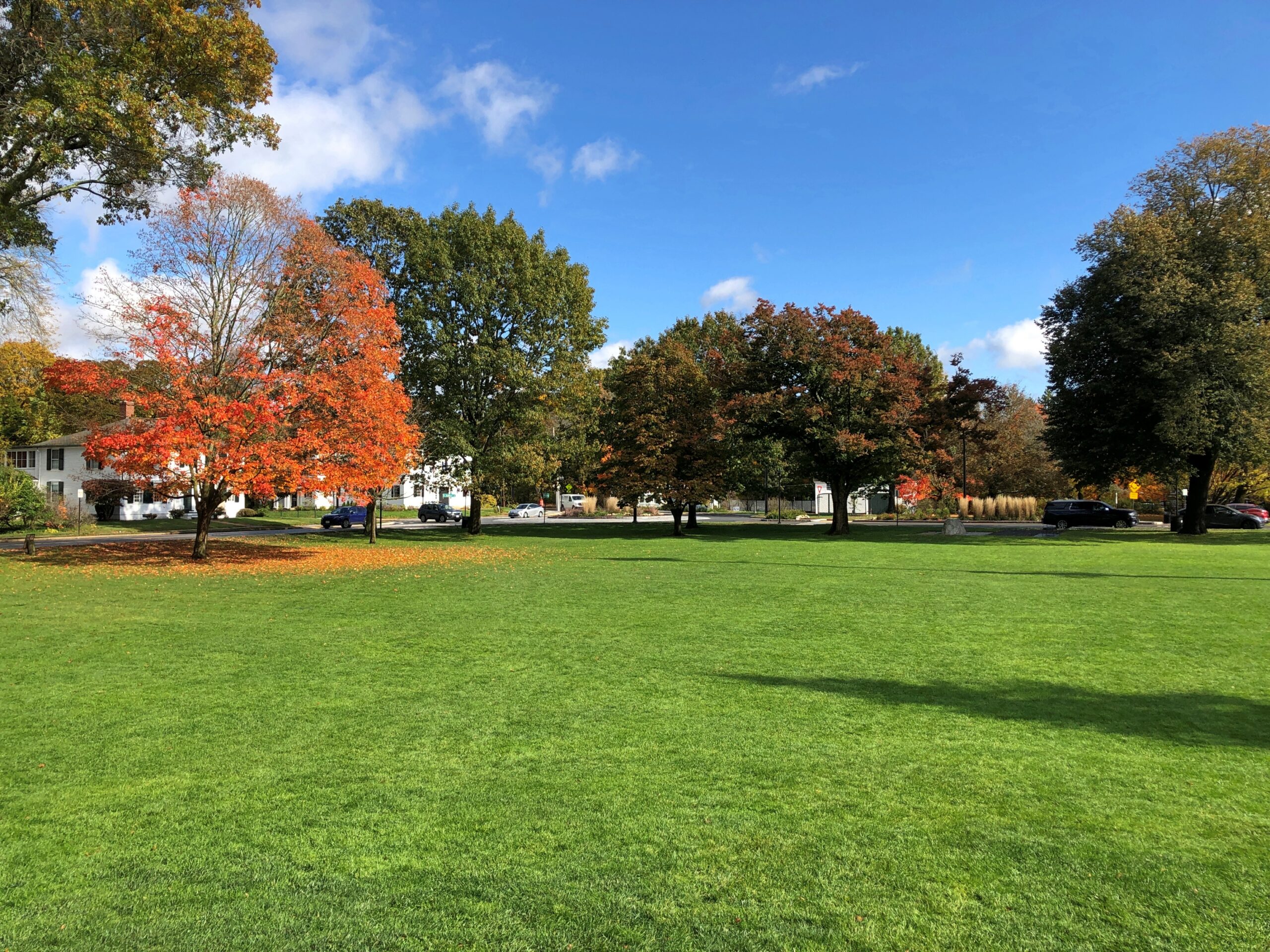
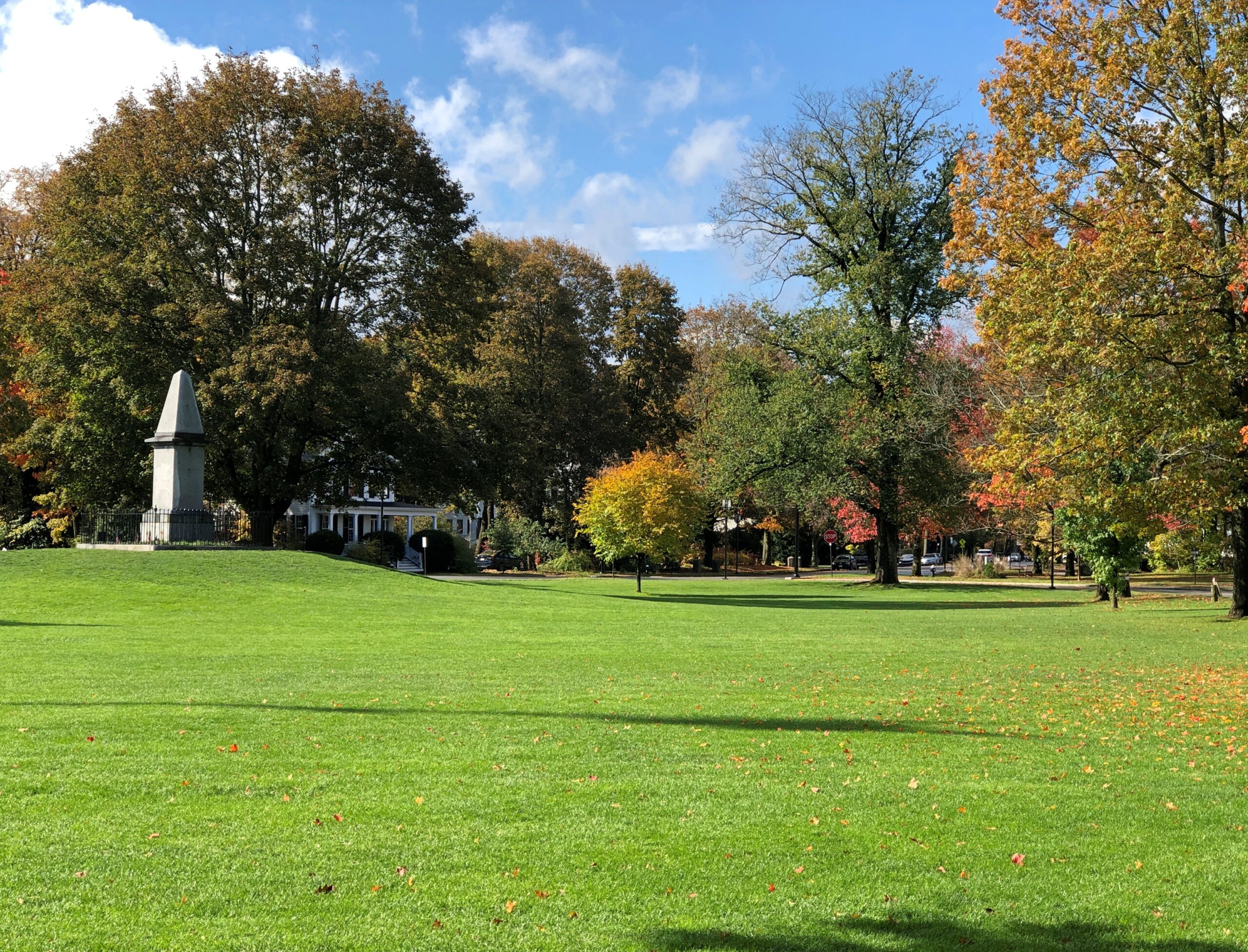
Heading through Richmond, Indiana, I stopped at an entrance to a large park to check my map. Glen Miller Park. A colorful spot in October.
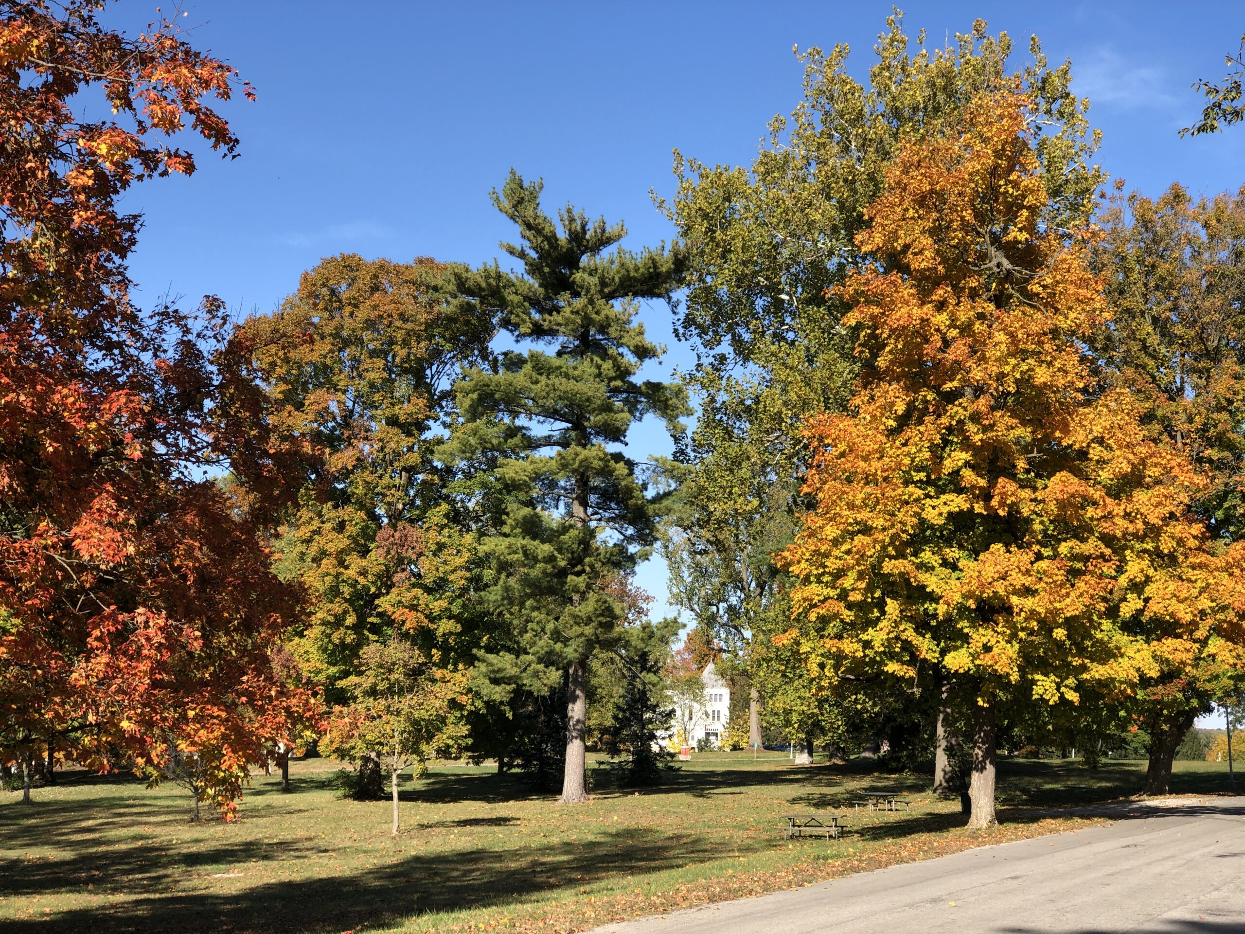
Not named after the bandleader, which would be Glenn Miller Park. “Glen Miller Park was established in 1885 and was named for Colonel John Ford Miller, who was a railroad executive during the late 1860s,” the city of Richmond says. “Colonel Miller bought the land from Nathaniel Hawkins in 1880, with the intention of transforming the land into a park.”
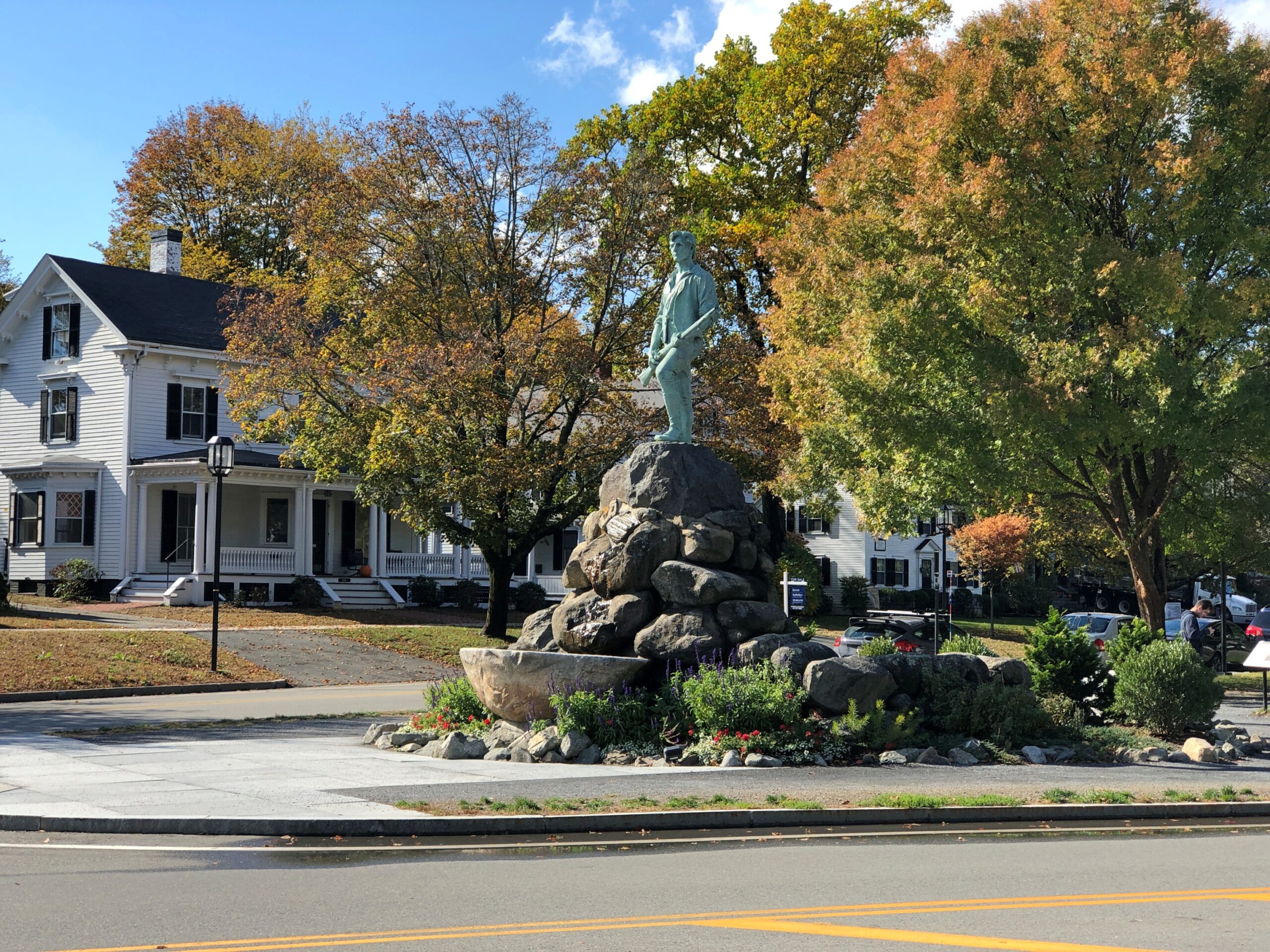
So Glen Miller as in glen, a term that evokes pleasant Scottish valleys. I was just about to be on my way when I noticed a statue.
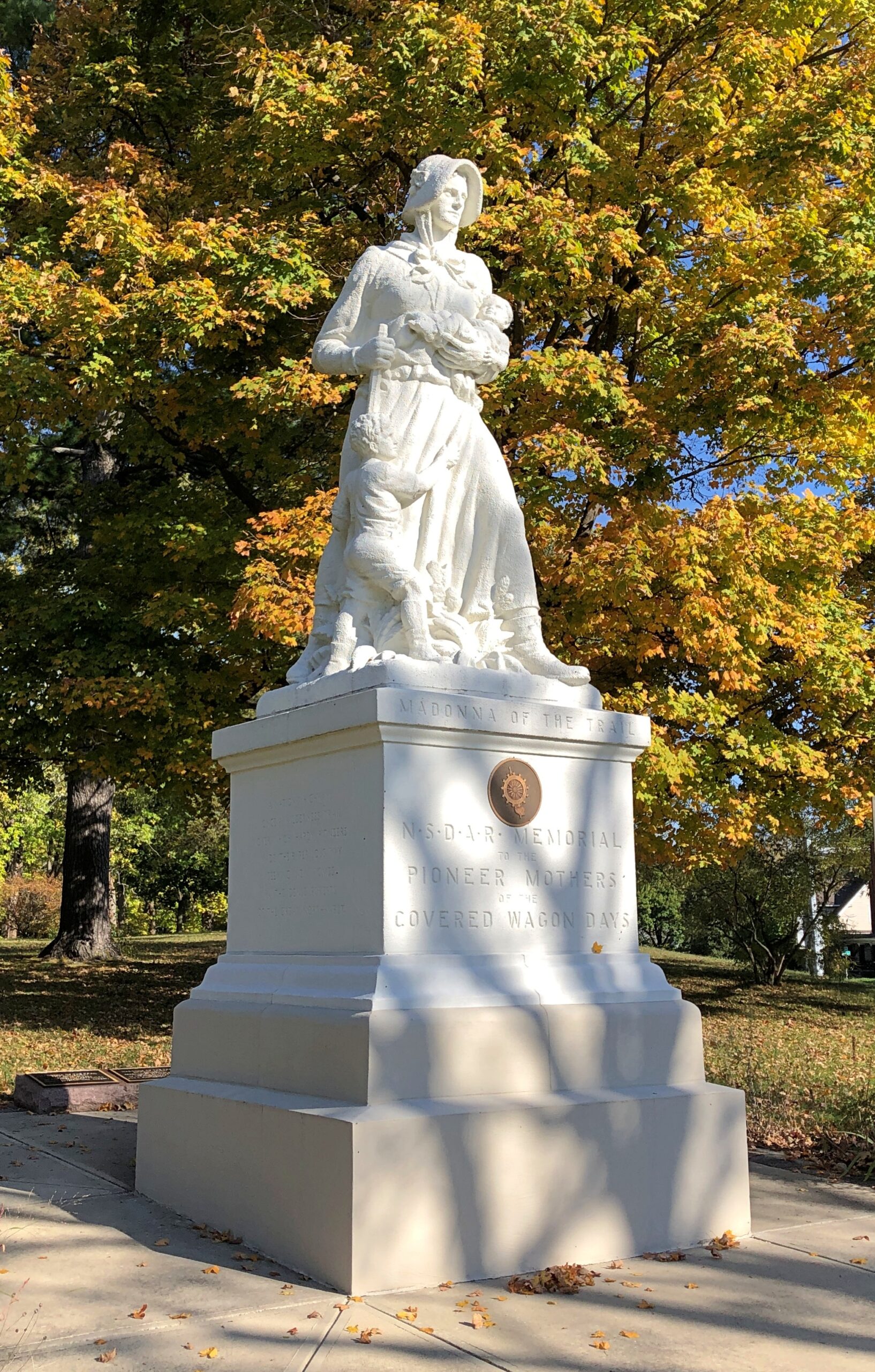
It was another of the 12 Madonna of the Trail statues, located at the edge of the park, where it meets US 40. Unlike the earlier one in Springfield, I hadn’t sought it out. It was just there. One’s travels, like life, can be strange sometimes.


.jpg)