Parc Güell

It has happened to me in a lot of places over the years, and I can’t quite account for it. In various parts of the United States, but also in Europe and Australia – anywhere I might blend in with a crowd, including places where I don’t speak the language. What happens: a stranger asks me directions. It happened in Barcelona, too, during our return from Parc Güell (Güell Park), down a fairly steep slope in the Gràcia district.

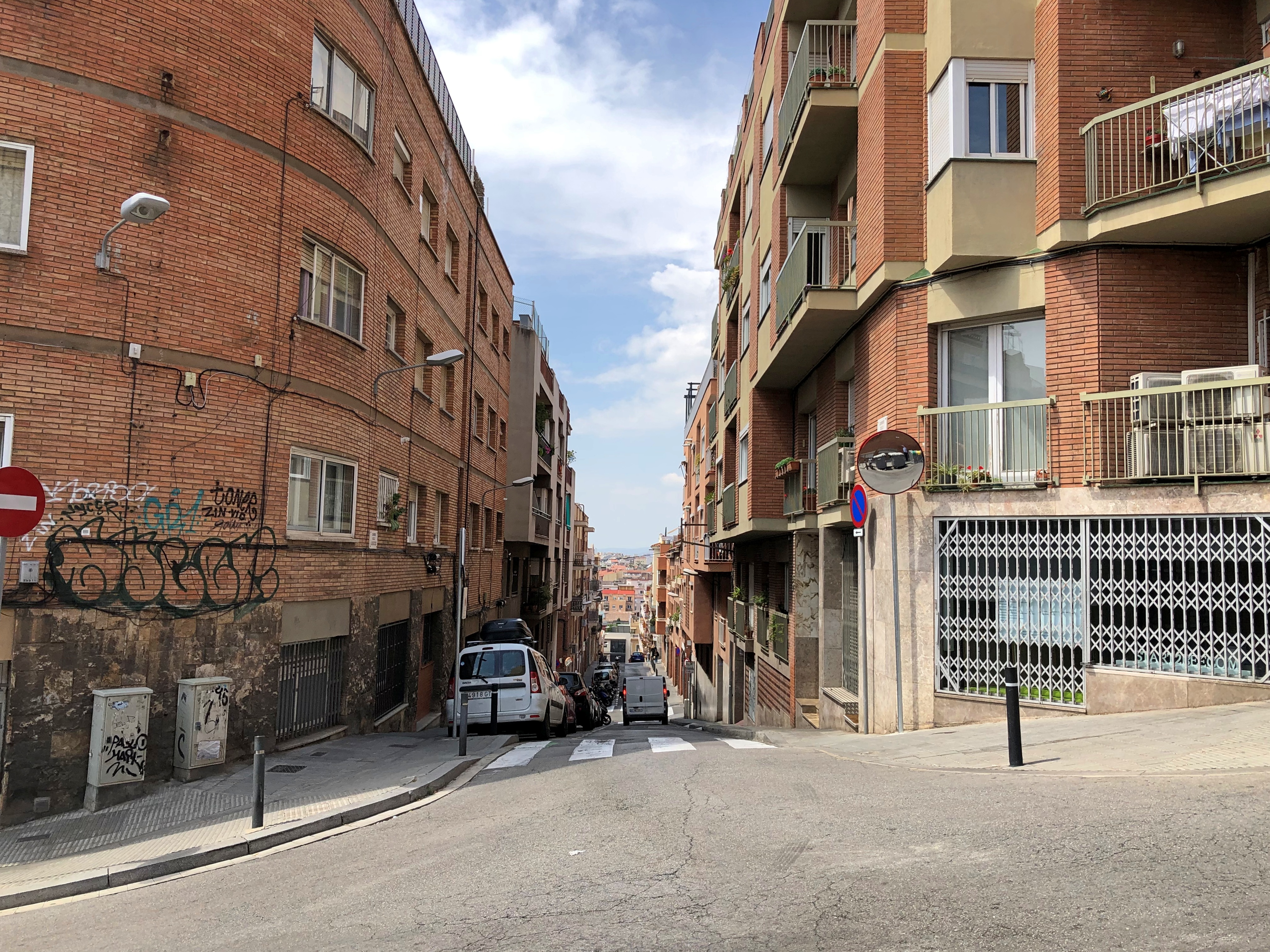
This street wasn’t our actual path, but branches off from it and gives some idea of the hill you need to climb – partly assisted by an outdoor escalator at one point – to reach the park.Barcelona 2023

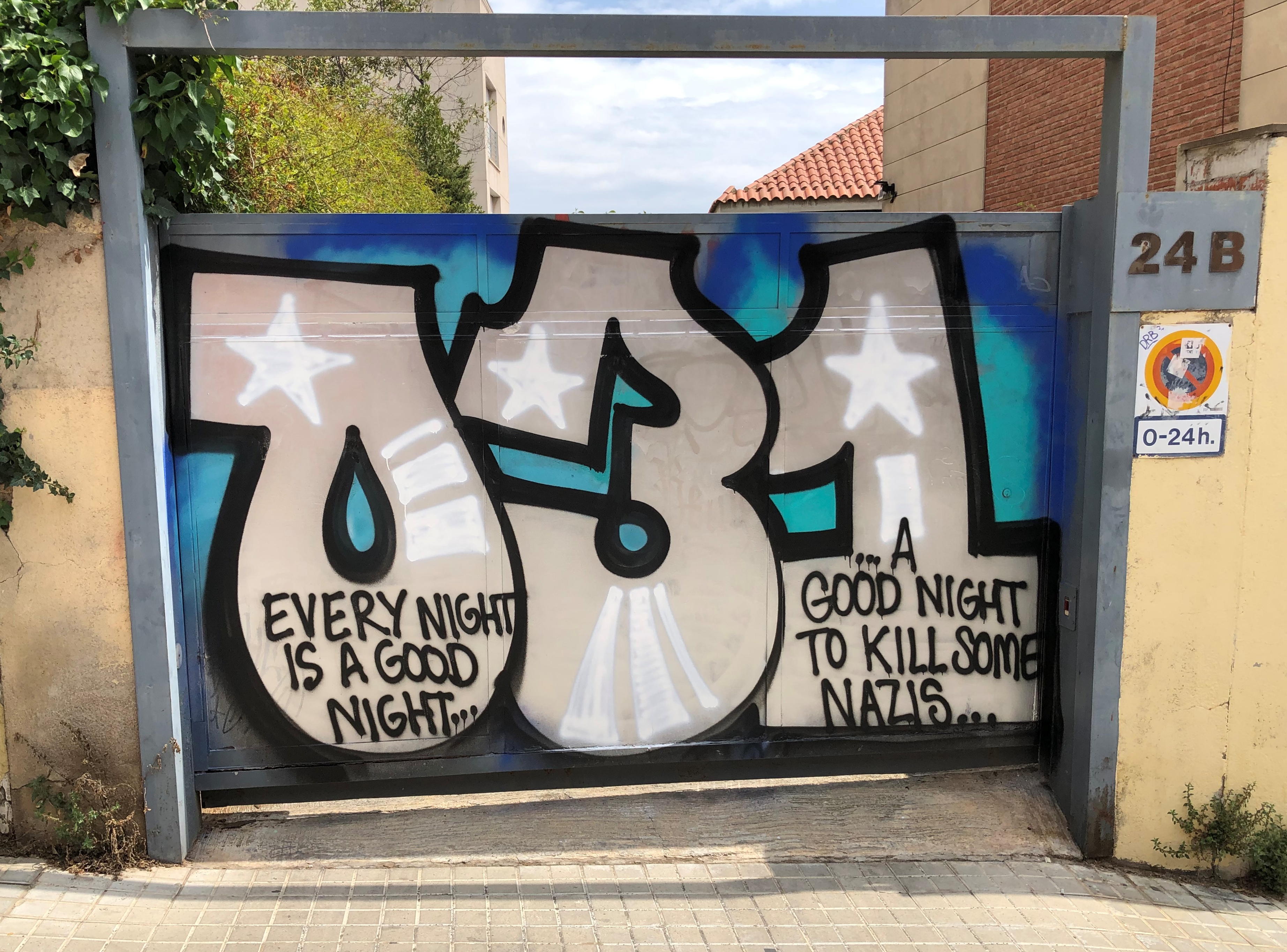
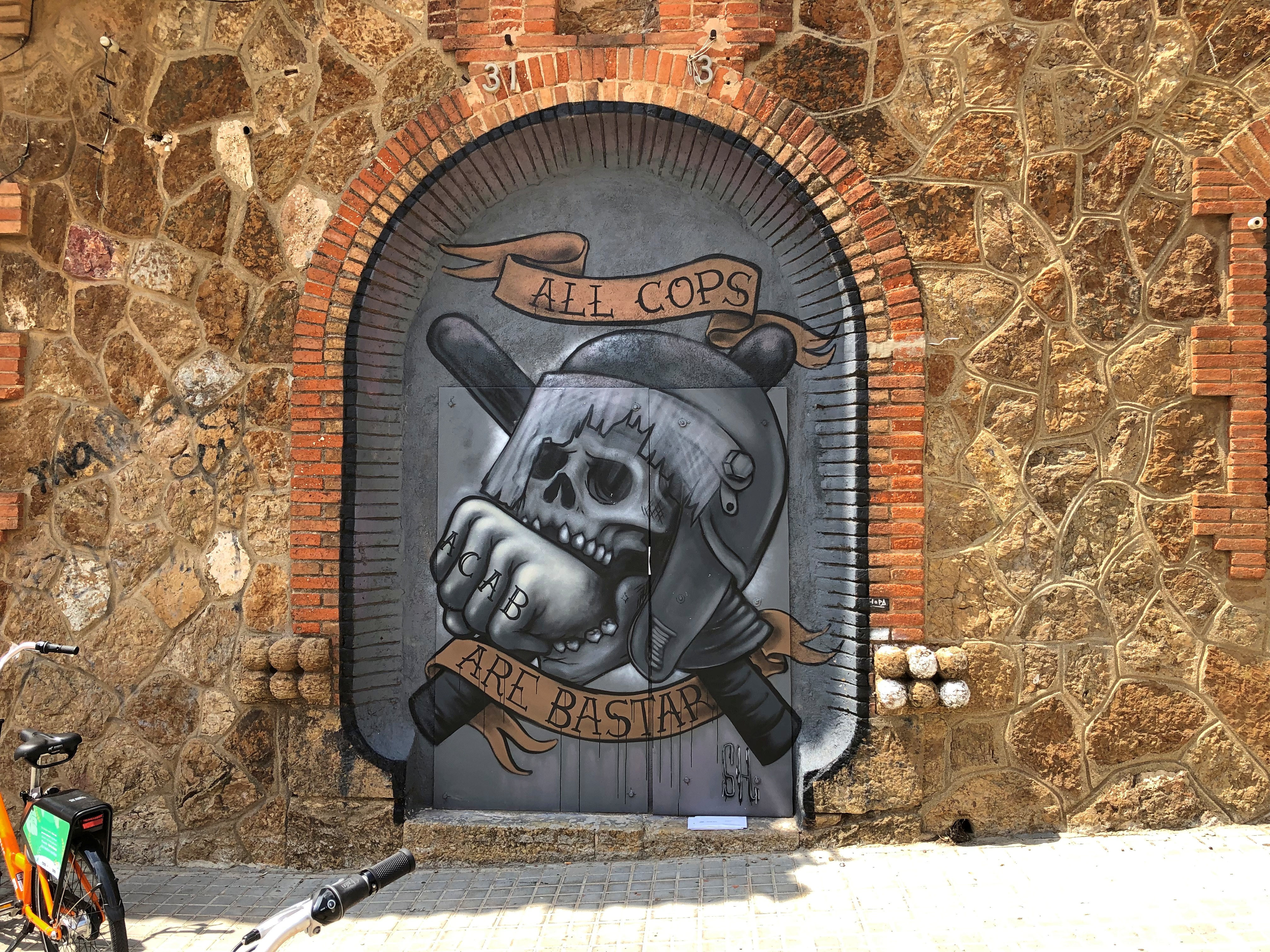
It was a neighborhood of political graffiti as well. A whiff of old Barcelona, I guess. Much of it in English for some reason.Barcelona 2023 Barcelona 2023

While coming down the slope, Yuriko had gotten somewhat ahead of me, so I was walking alone for a few moments. A woman with some small children in tow asked me directions to the park in Catalan (or Spanish). I was able to point in the direction I’d come and say “park,” which conveniently is the same in all the relevant languages. She seemed happy to hear it, and I was certain I’d given her some correct information.

Parc Güell is a large place, though only a section of it includes architectural elements by Antoni Gaudí. The city has charged admission to that section for the last 10 years or so.

“[Industrialist and Gaudí friend] Eusebi Güell entrusted Gaudí with the project of making an urbanization [sic, neighborhood] for wealthy families on a large estate he had acquired in the area popularly known as Muntanya Pelada,” the park’s web site (machine translated) says. “Its situation was unbeatable, in a healthy environment and with splendid views over the sea and the Plan de Barcelona.

“In October 1900, the land began to be leveled and the works went at a good pace. On January 4, 1903, a description published in the Yearbook of the Association of Architects stated that the two pavilions at the entrance, the main staircase, the shelter or waiting area, the external fence, the viaducts and part of the large esplanade, as well as the water evacuation system [sic, were complete? Under way?]”

In any case, only two houses were ever sold, so as a new neighborhood, the place was a failure. Eventually Güell’s heirs sold the would-be development to the city. The common-area work that Gaudí did remained, to great acclaim in future years.

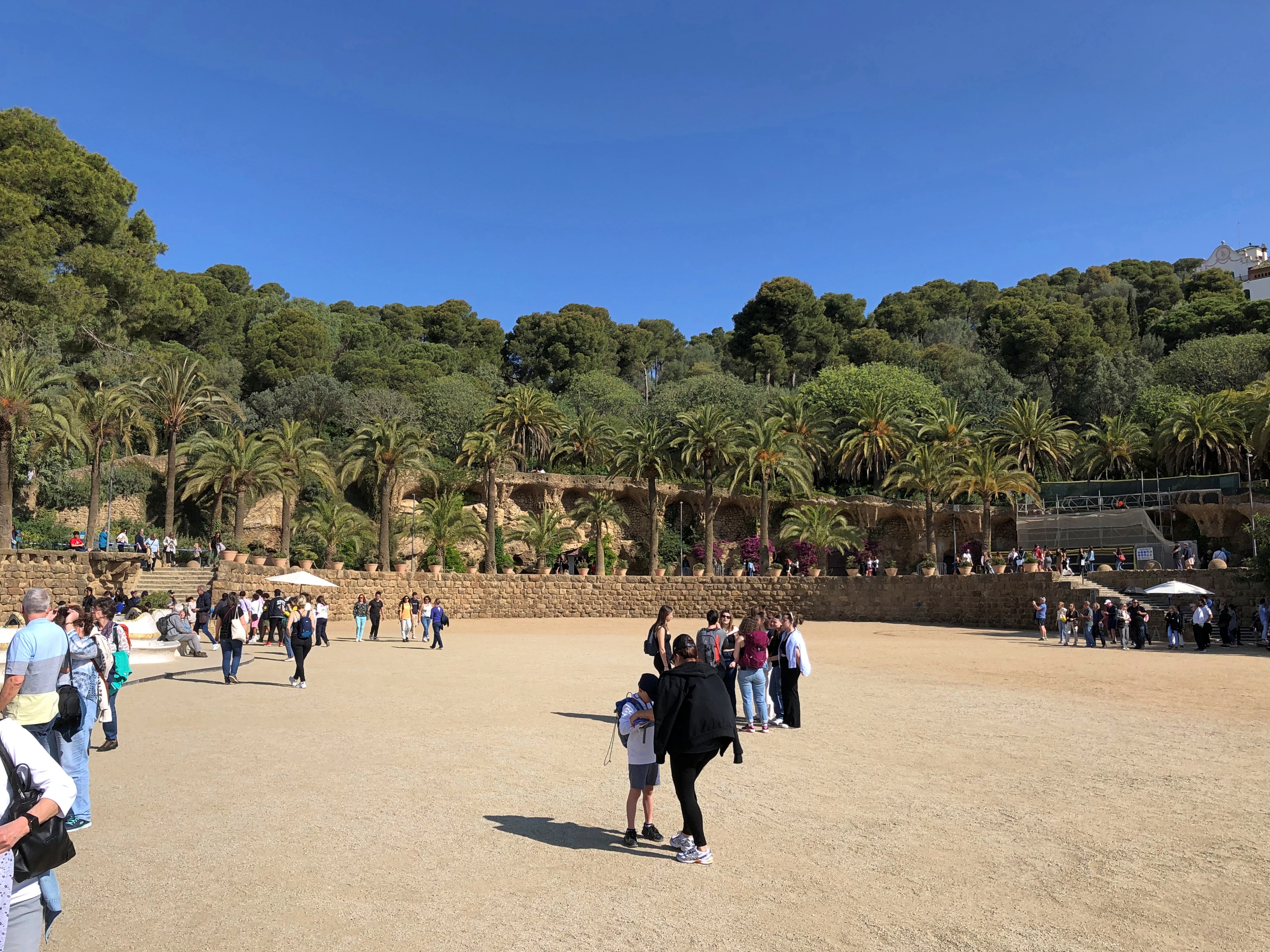
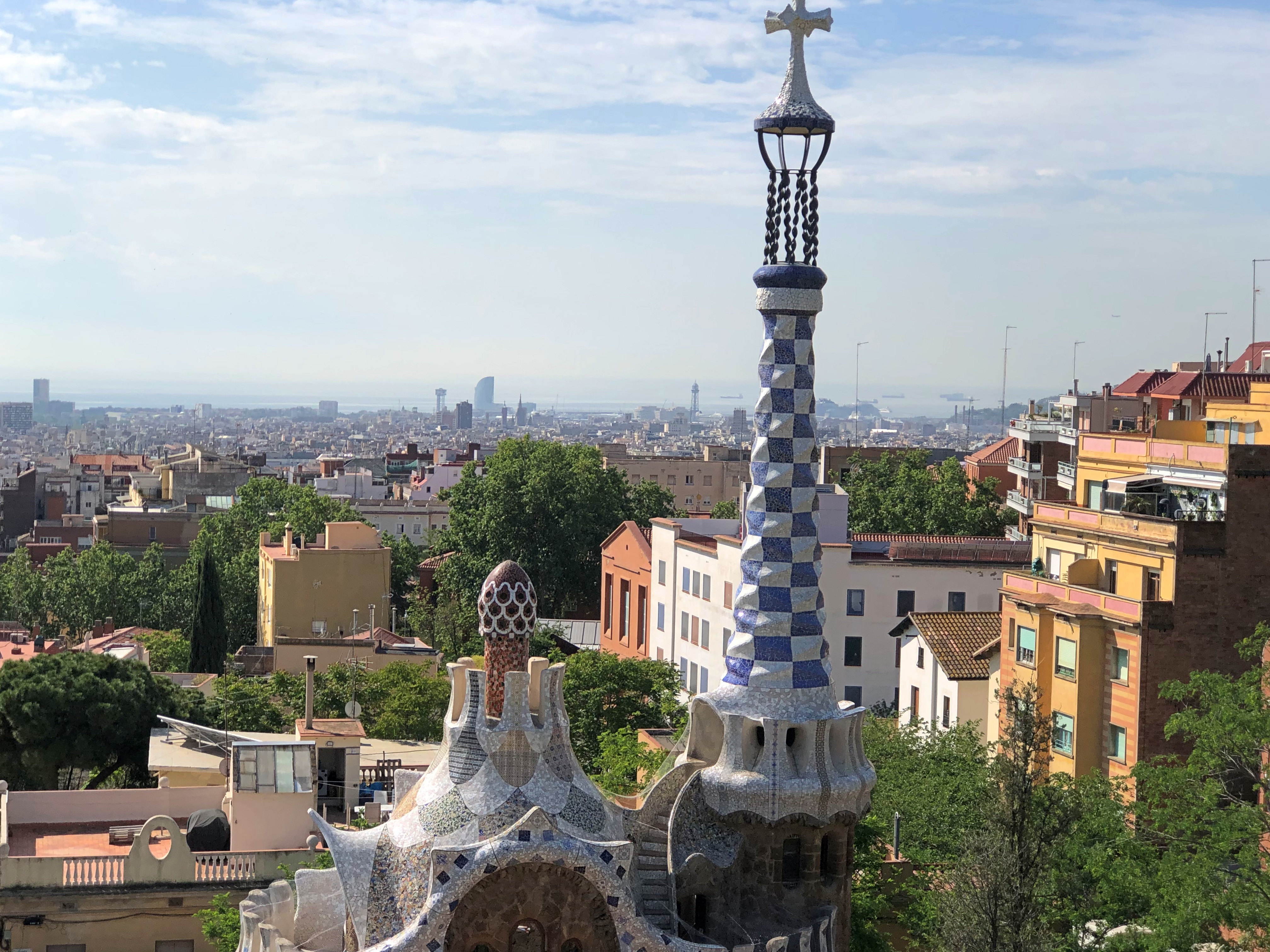
A path from the entrance leads to a large esplanade, or perhaps best called a terrace, originally planned as a place for outdoor shows.Parc Güell

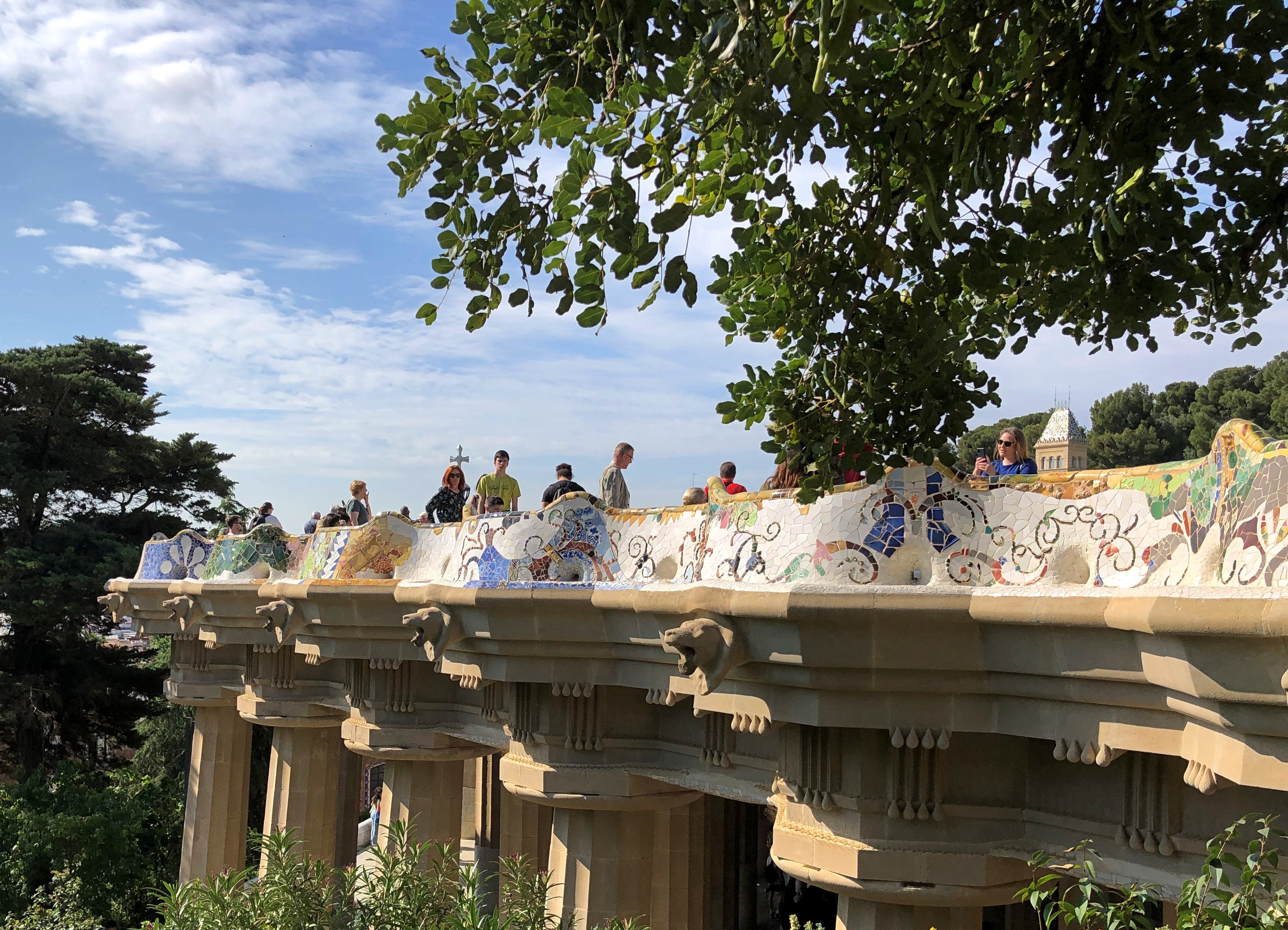
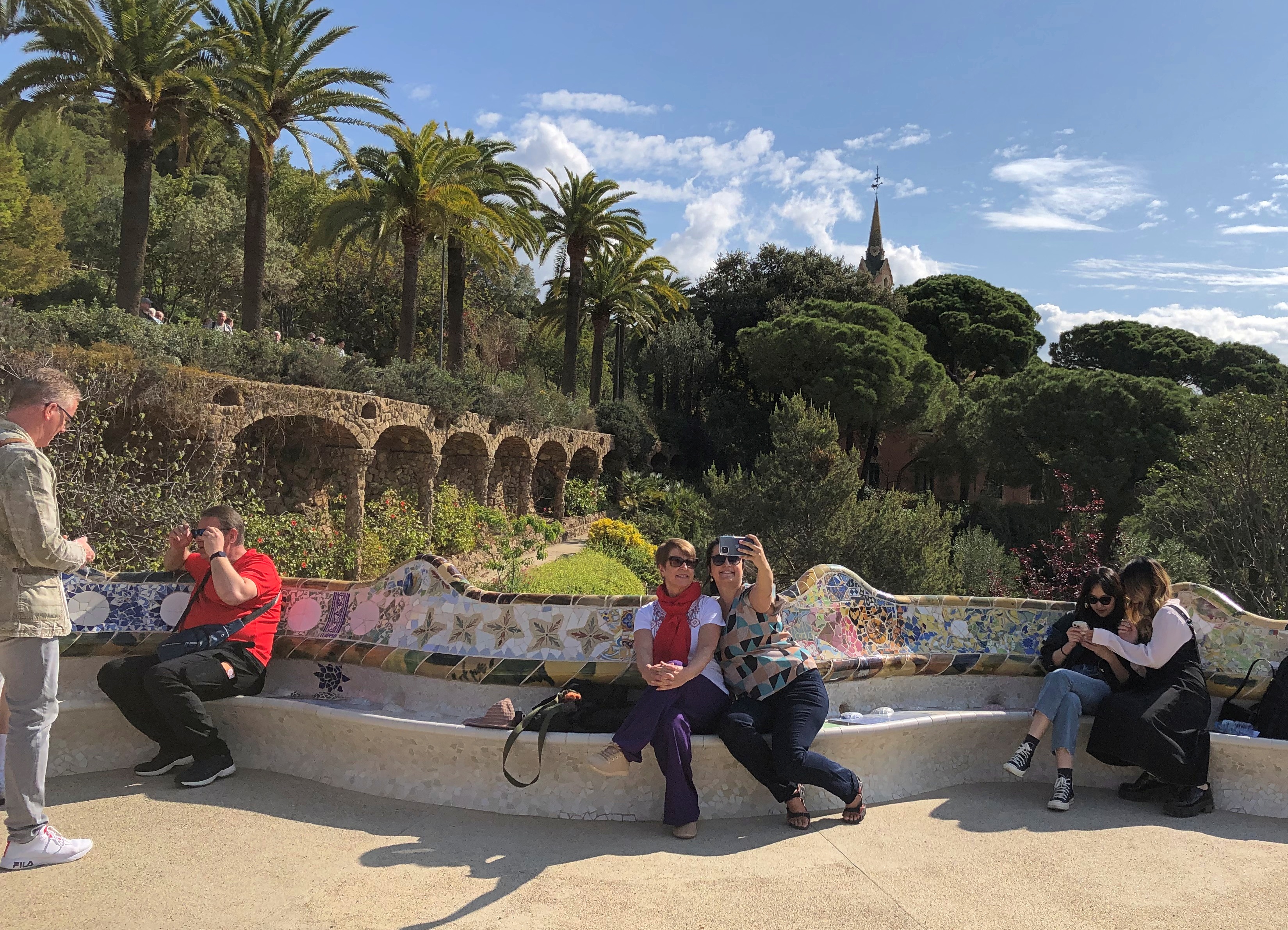
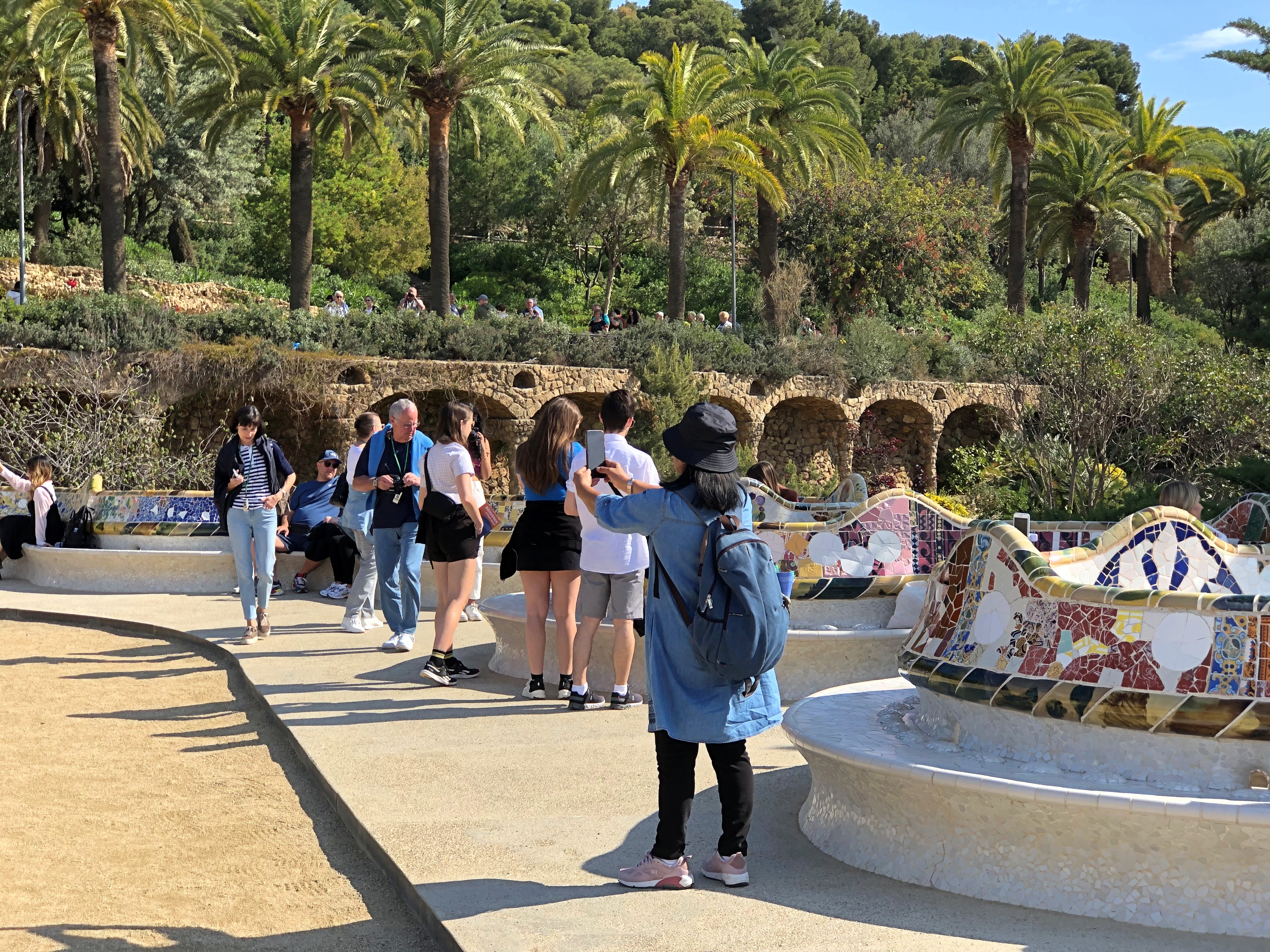
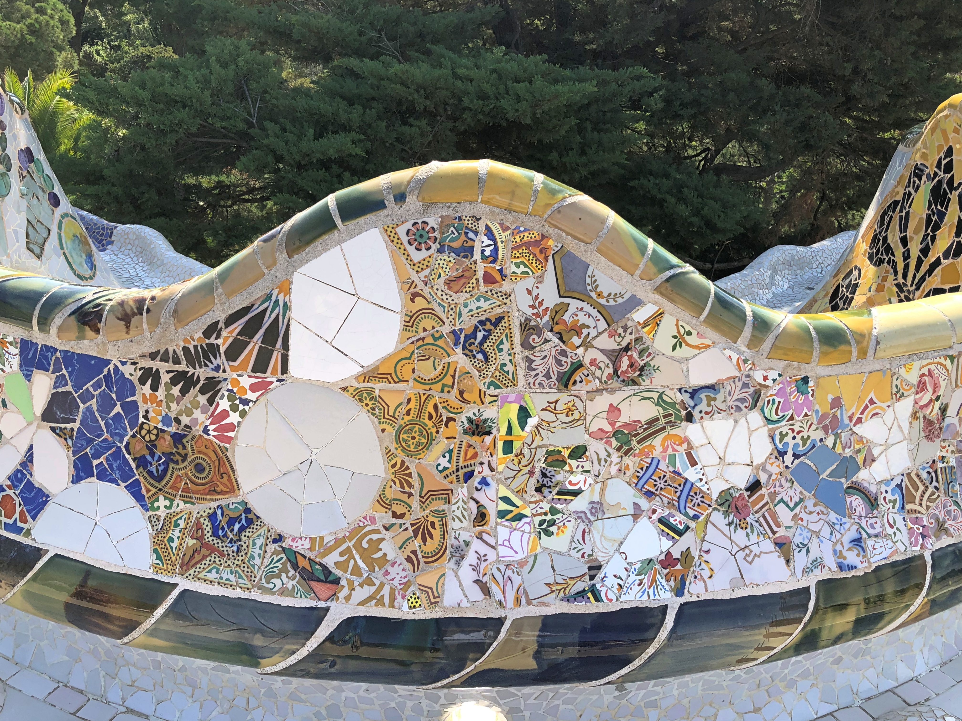
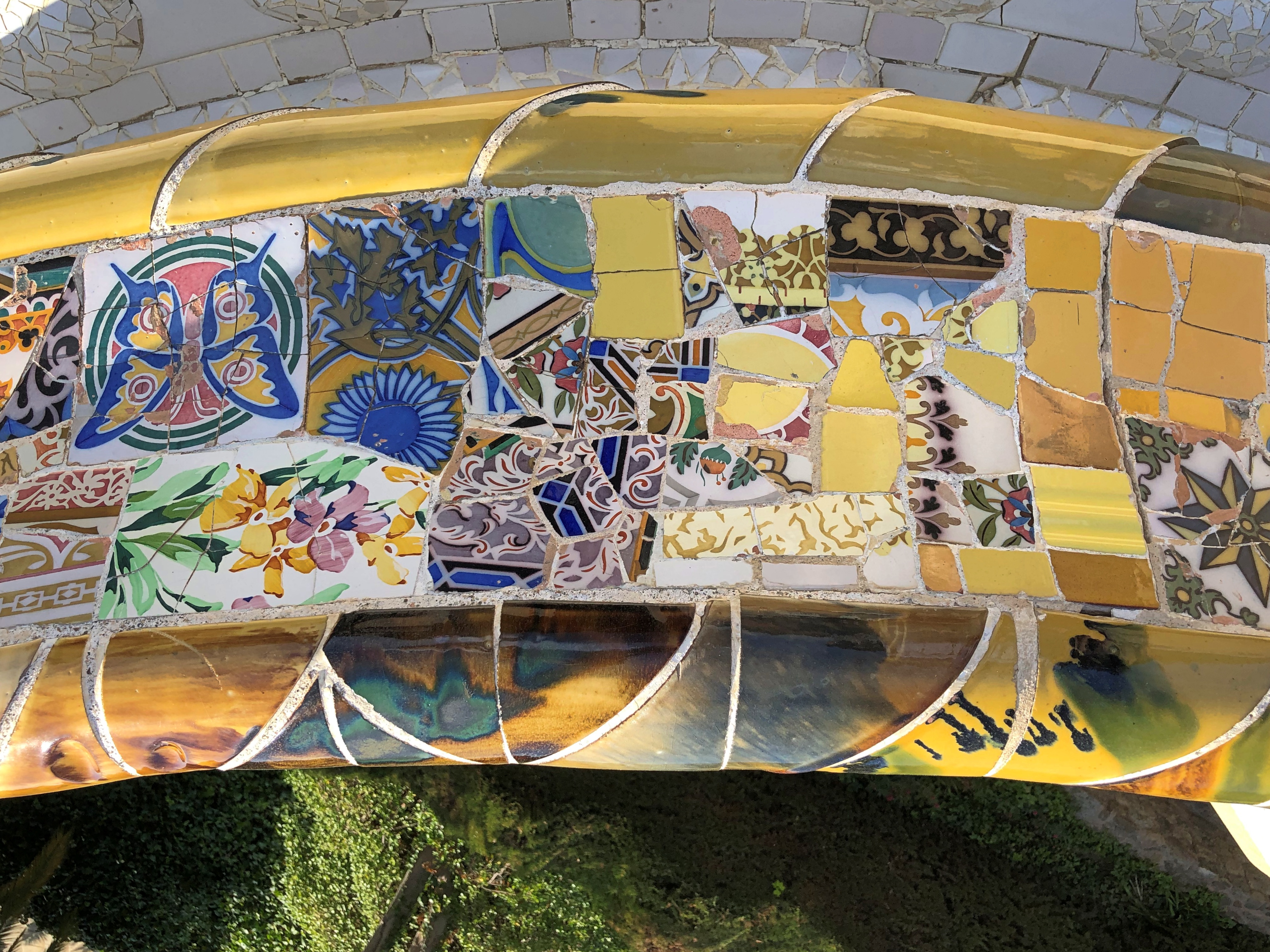
An undulating bench marks the edge of the esplanade.Parc Güell Parc Güell

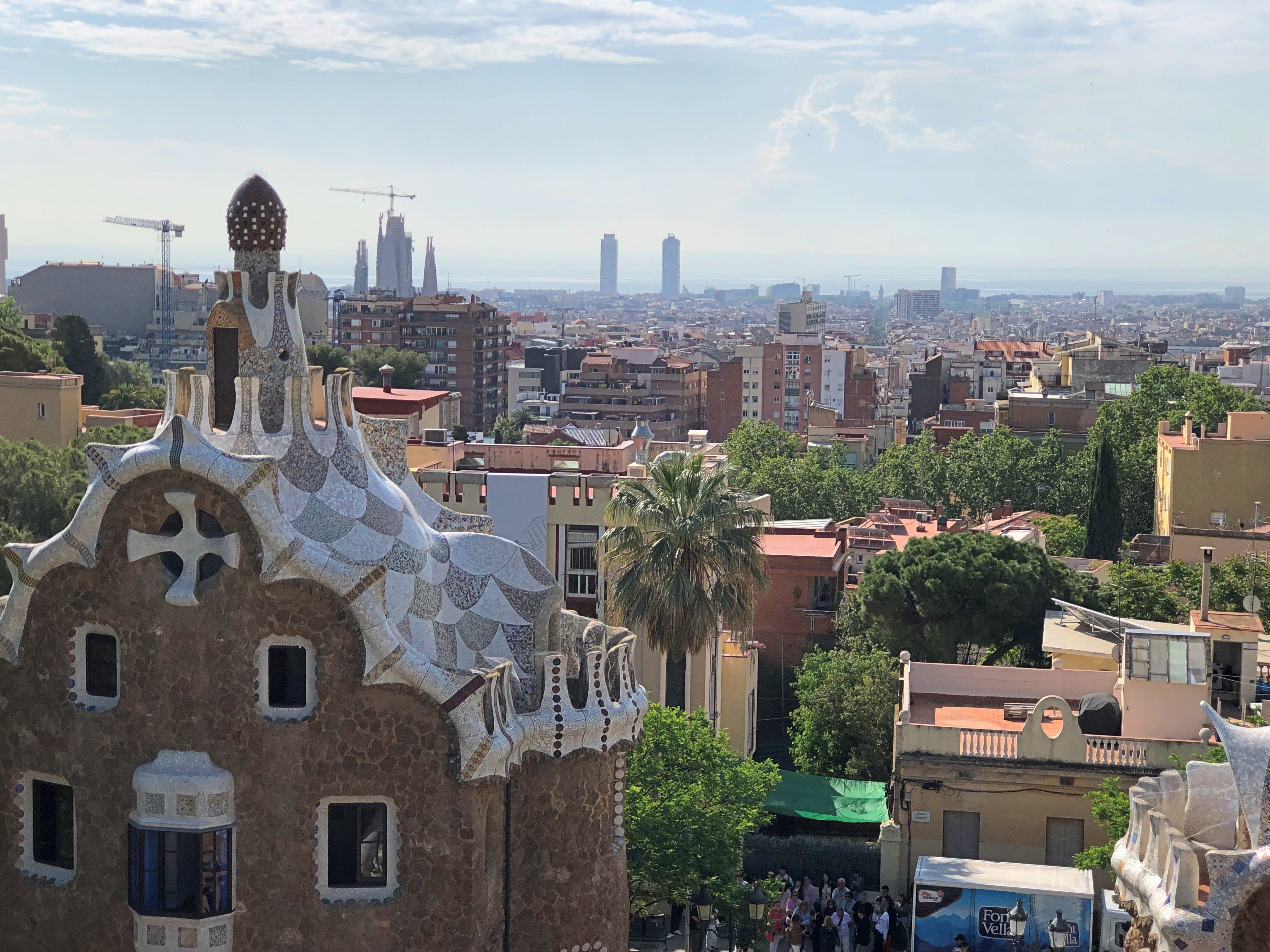
It offers a sweeping view of Barcelona, plus other Gaudí structures in the park.Parc Güell Parc Güell

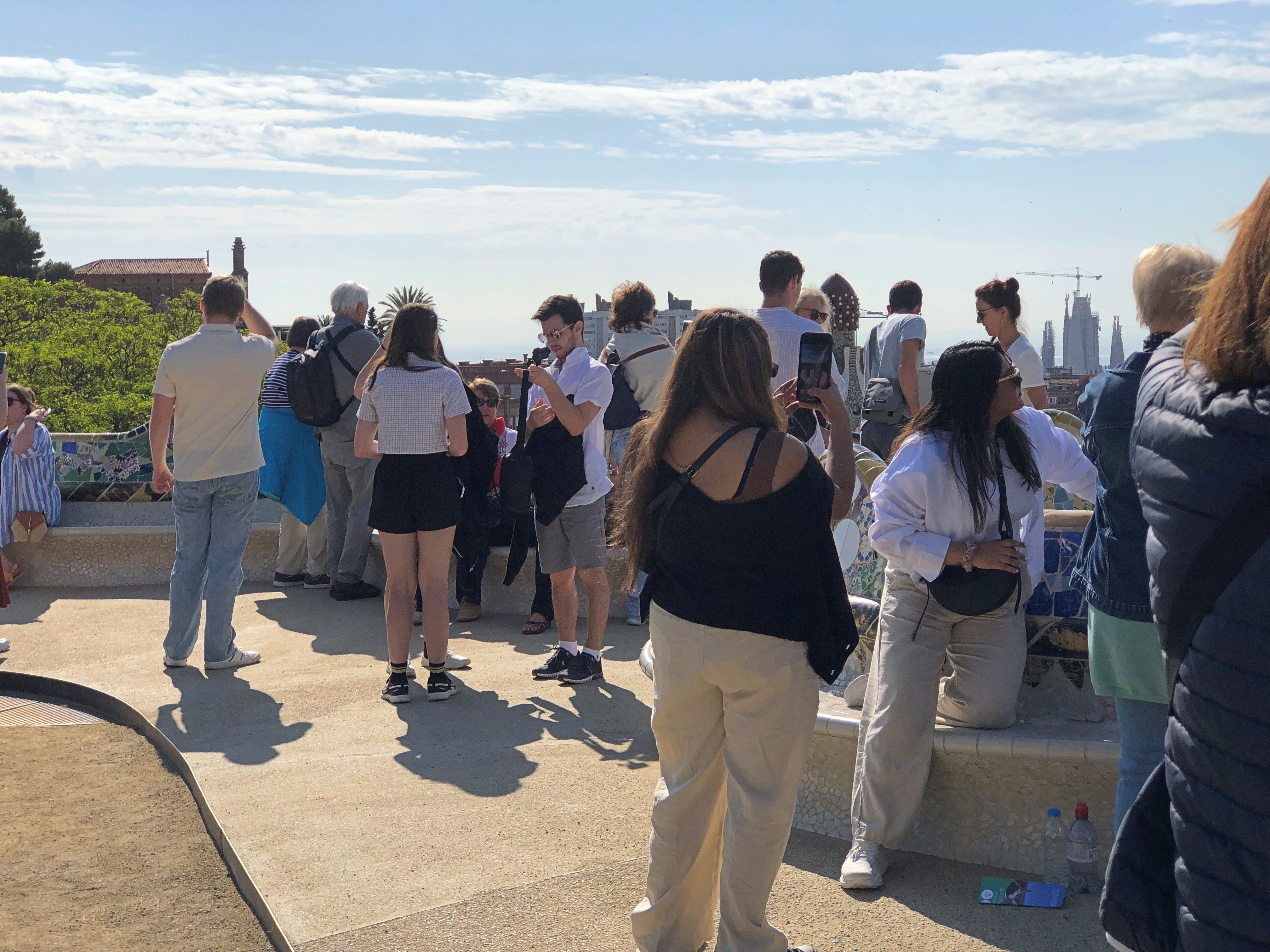
It’s a popular place.Parc Güell Parc Güell Parc Güell

Gaudí collaborator Josep M. Jujol did the bench mosaics.Parc Güell Parc Güell

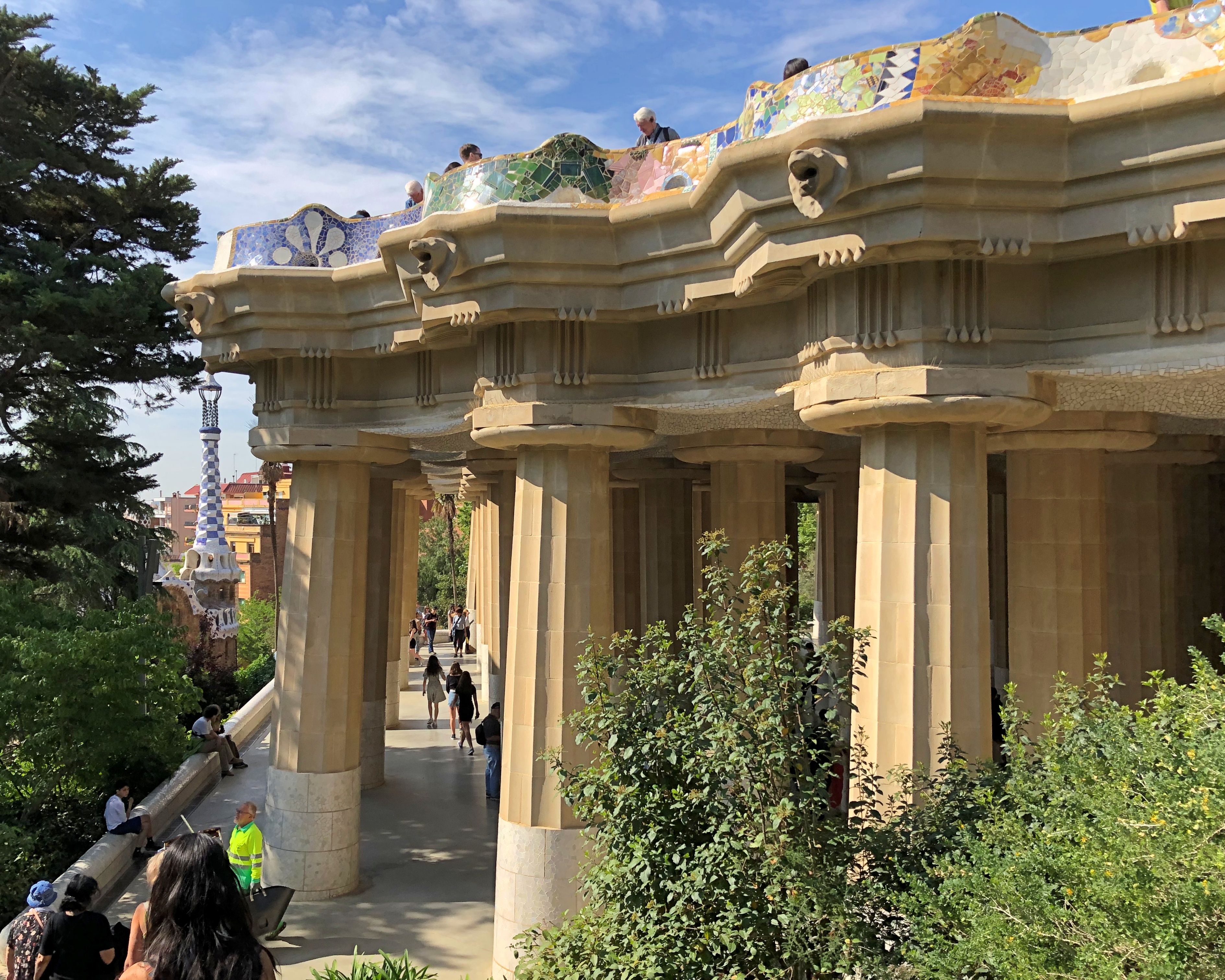
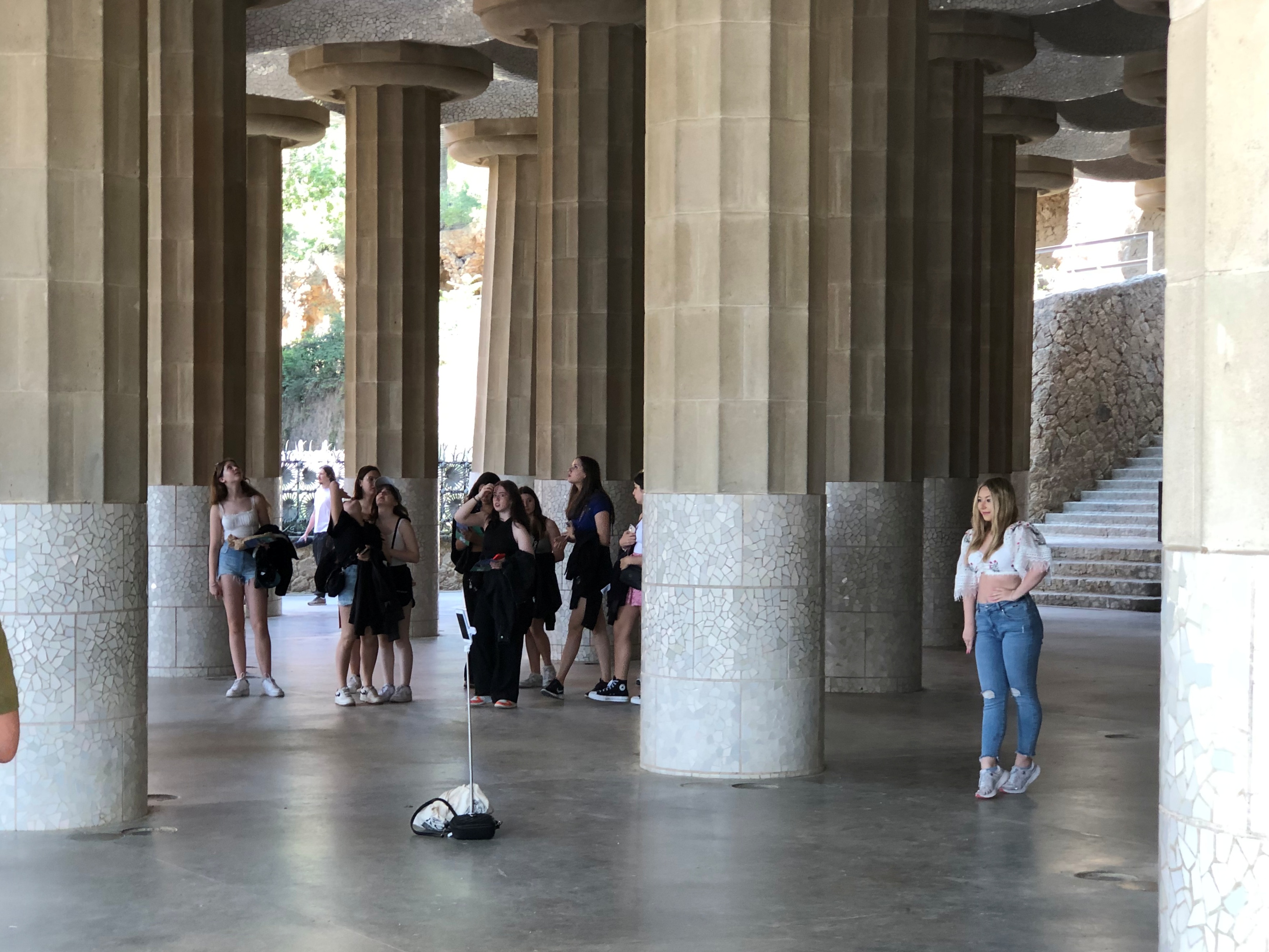
Stairs lead down from the esplanade, which is supported by 86 columns that form the Hypostyle Hall. It was supposed to have been a sheltered marketplace.Parc Güell Parc Güell

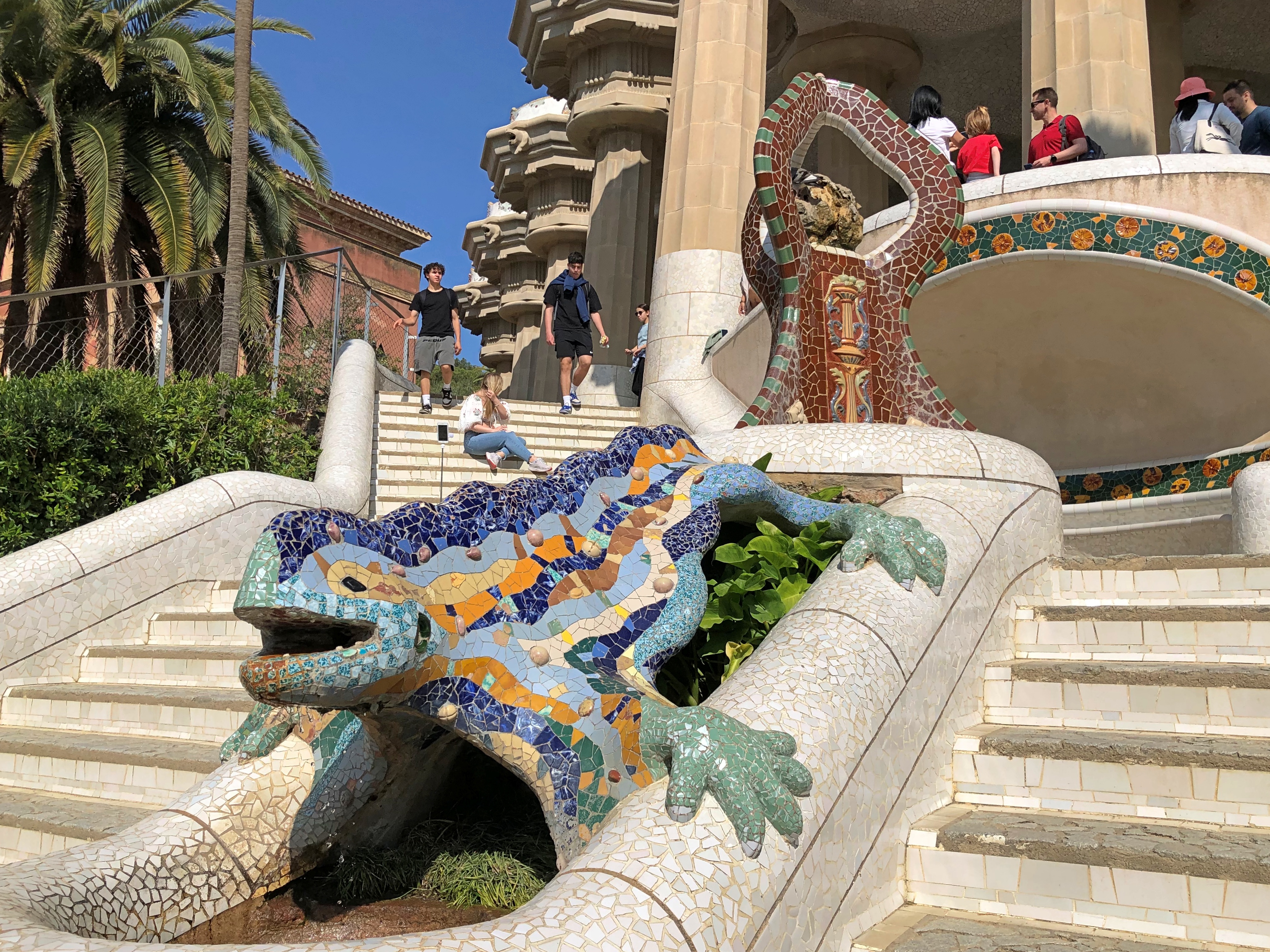
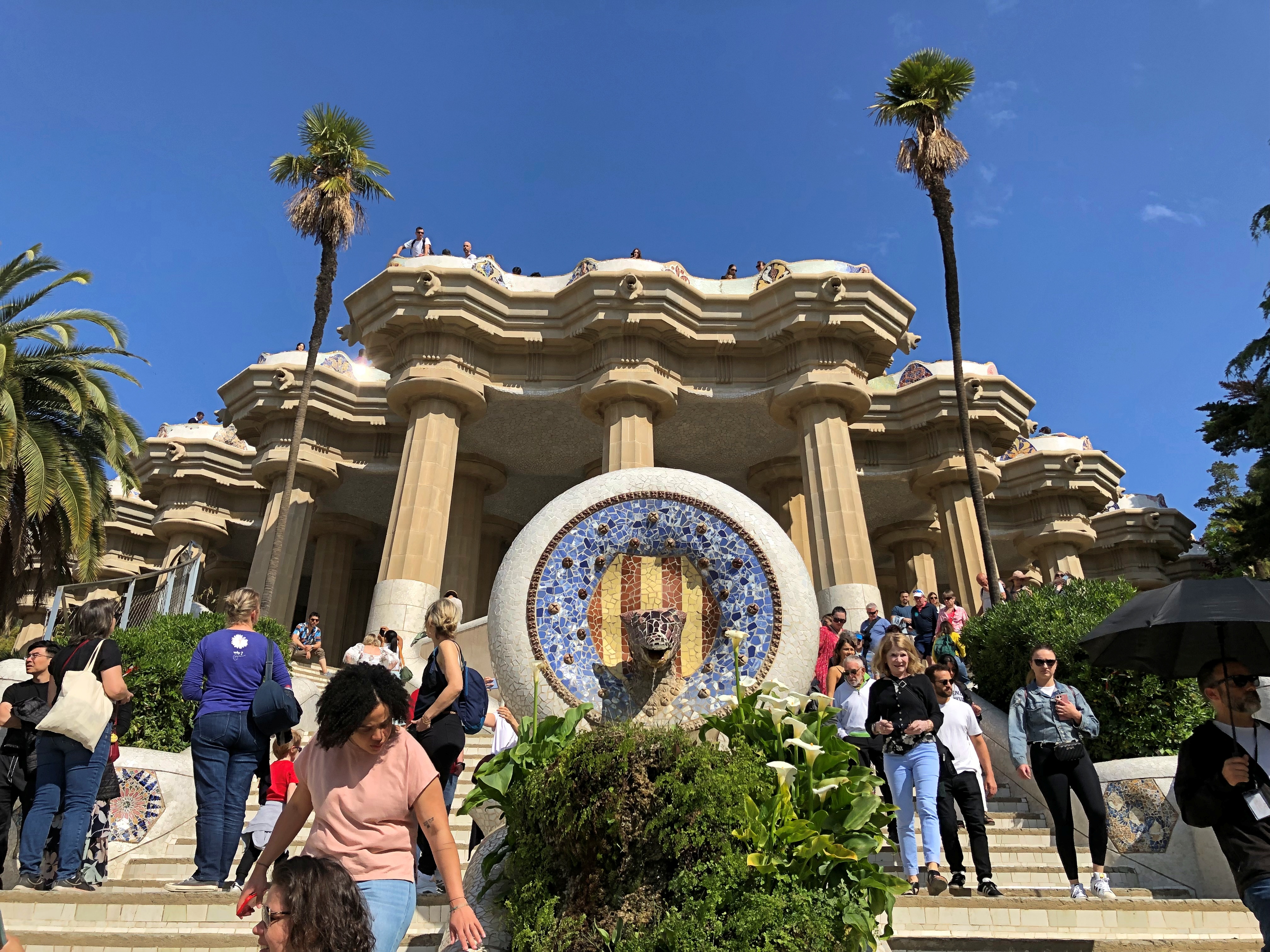
From there, the Dragon Stairs. The figure is actually a salamander, I’ve read.Parc Güell Parc Güell

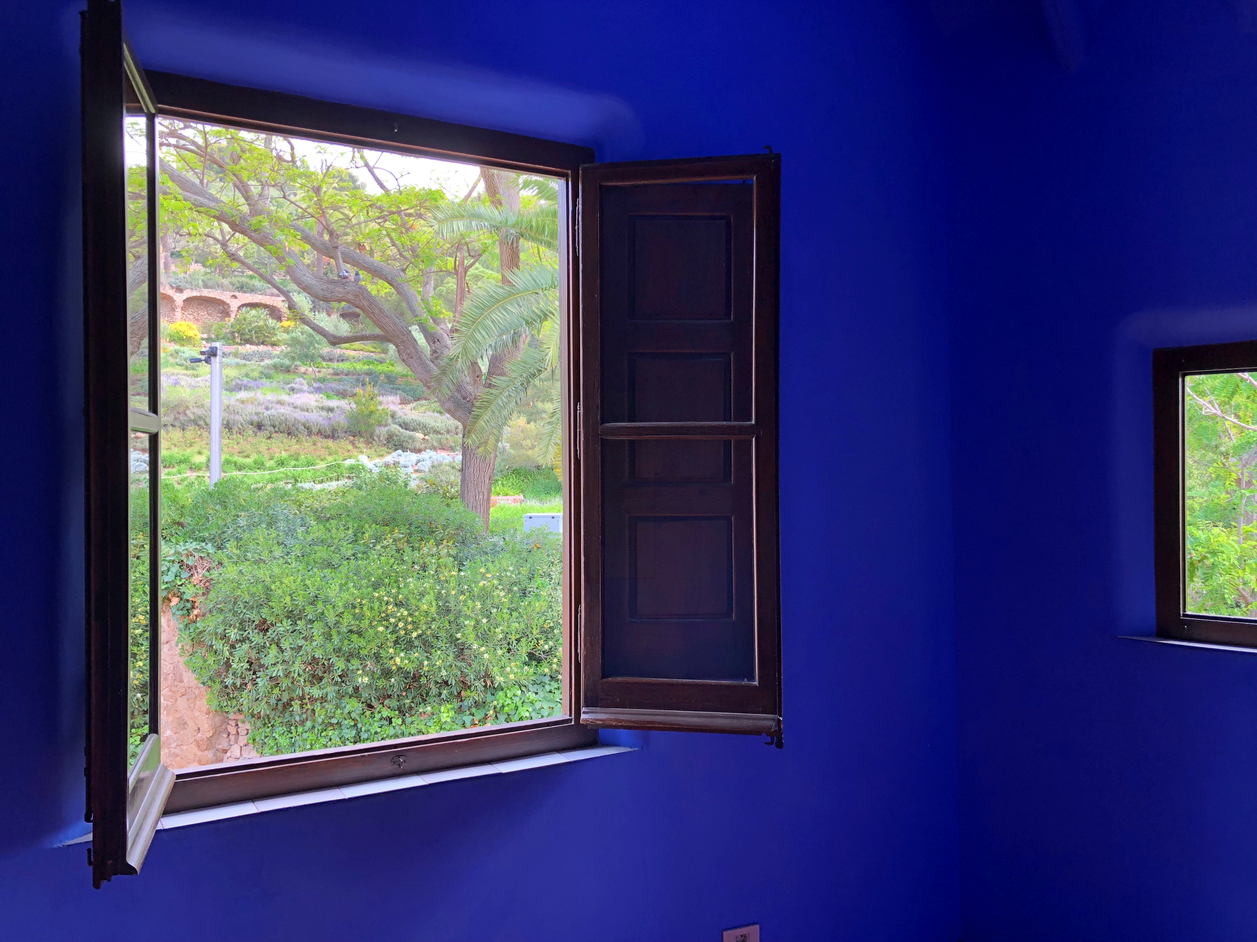
At the base of the stairs is the Porter’s Lodge, which houses exhibits about the 19th- and 20th-century history of Barcelona. Its interior walls are bright colors.Parc Güell

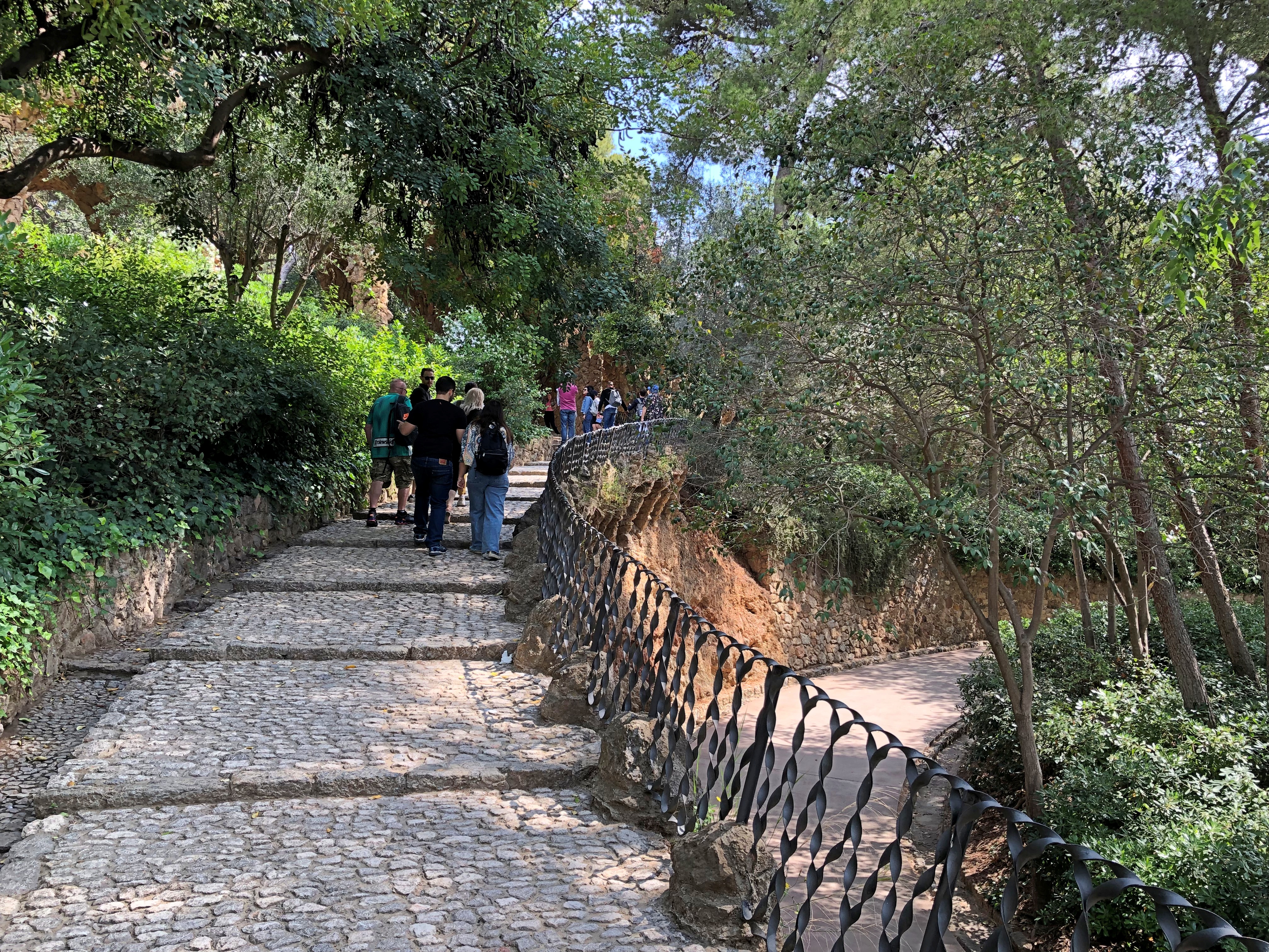
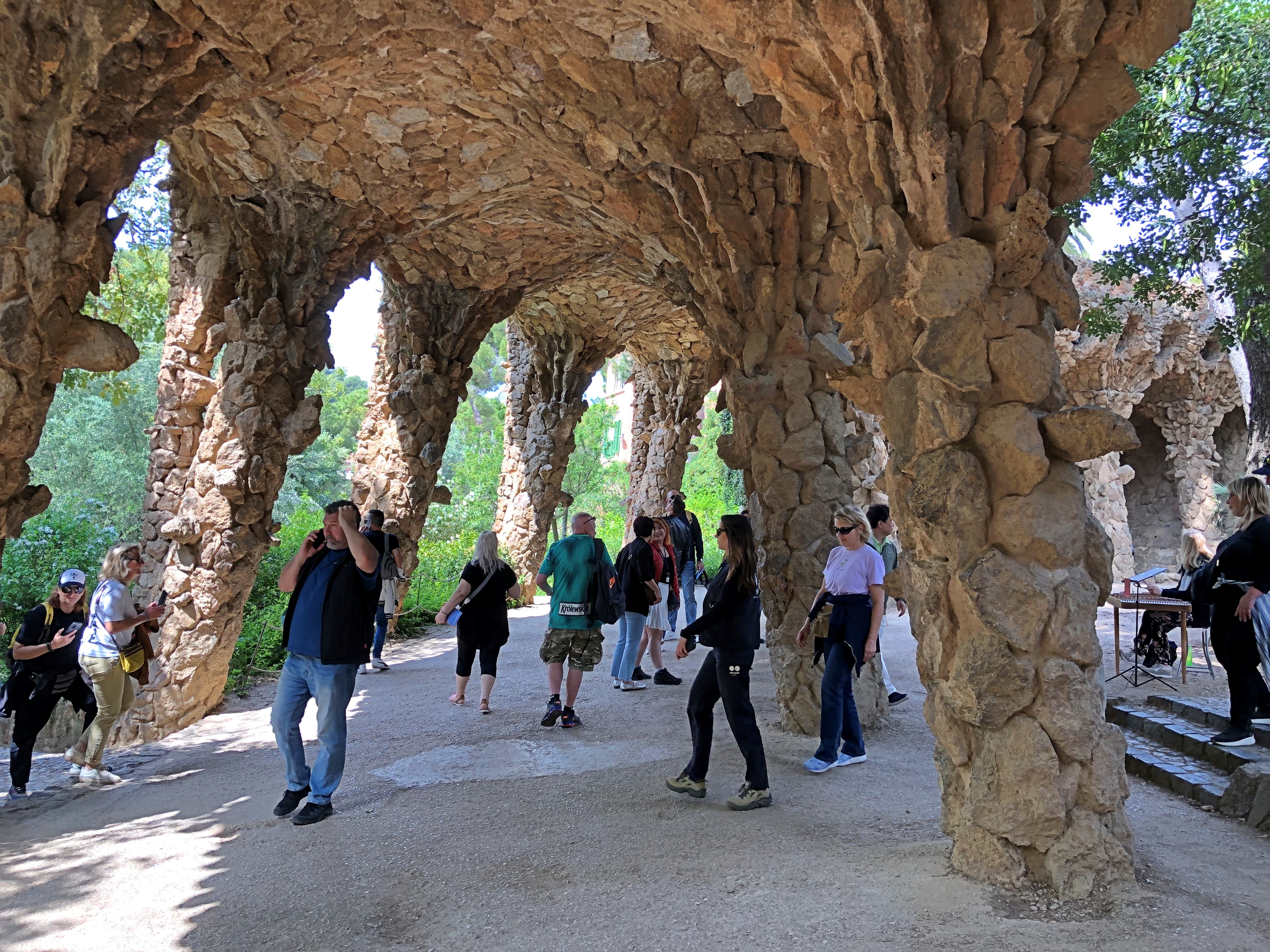
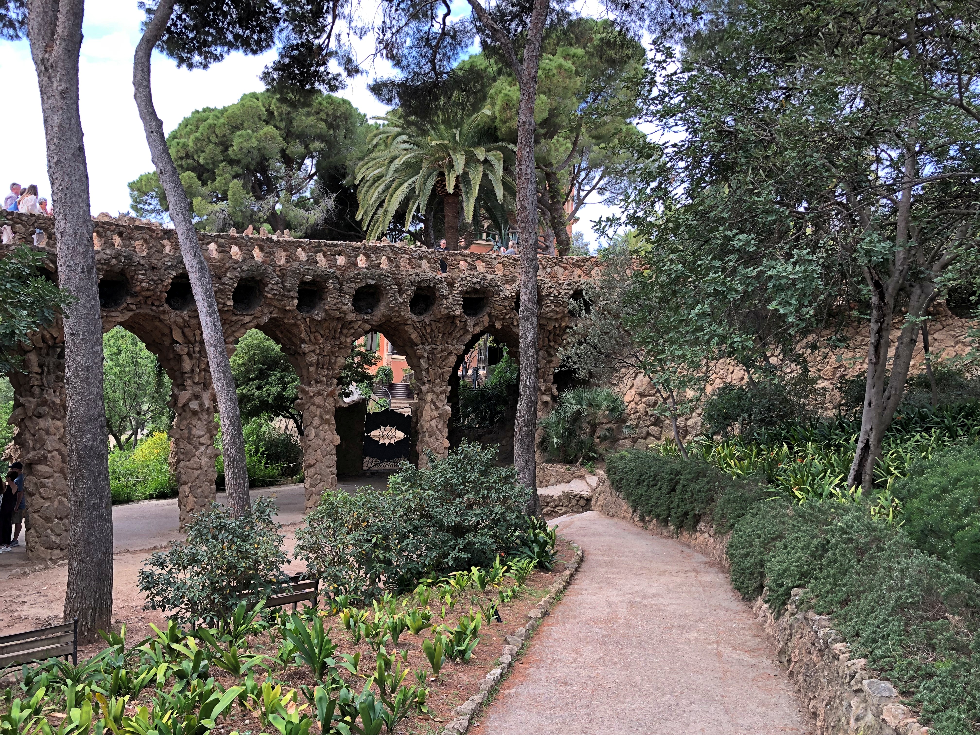
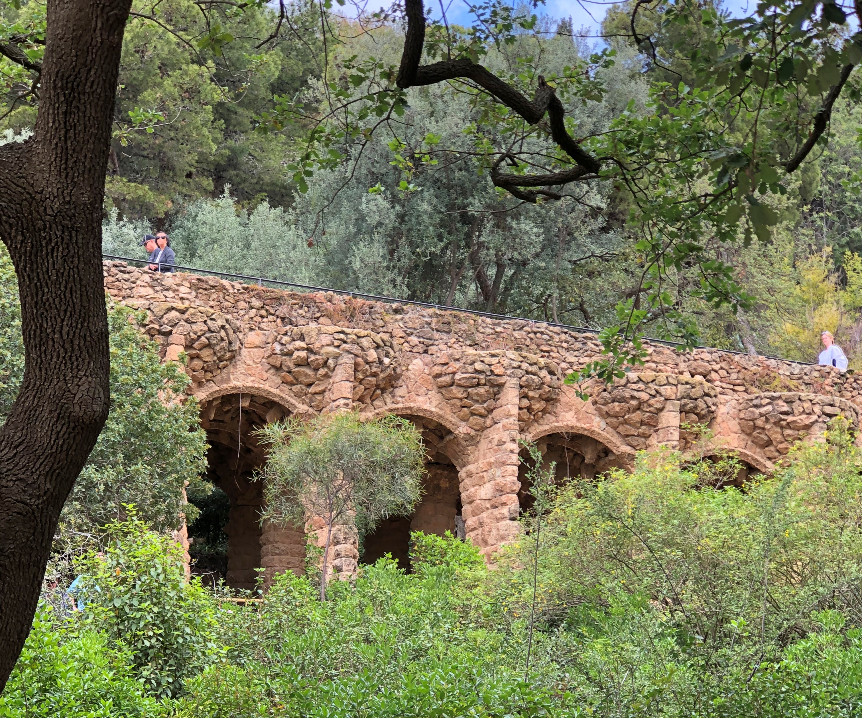
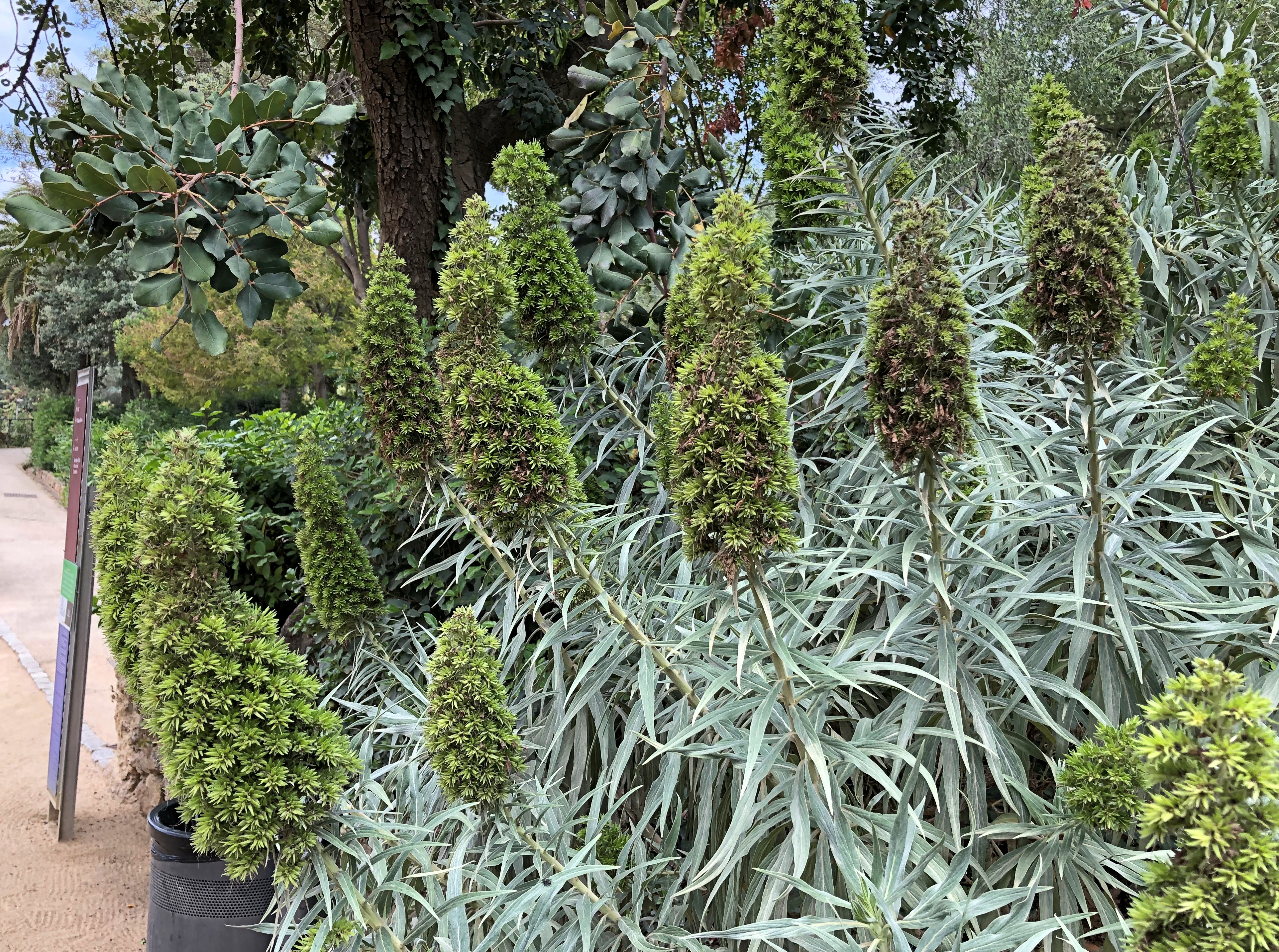
Other parts of the park include the paths and viaducts that Gaudí designed. We did some wandering.Parc Güell Parc Güell

I was reminded a bit of Brackenridge Park in San Antonio, but the similarities aren’t really that deep.Parc Güell Parc Güell

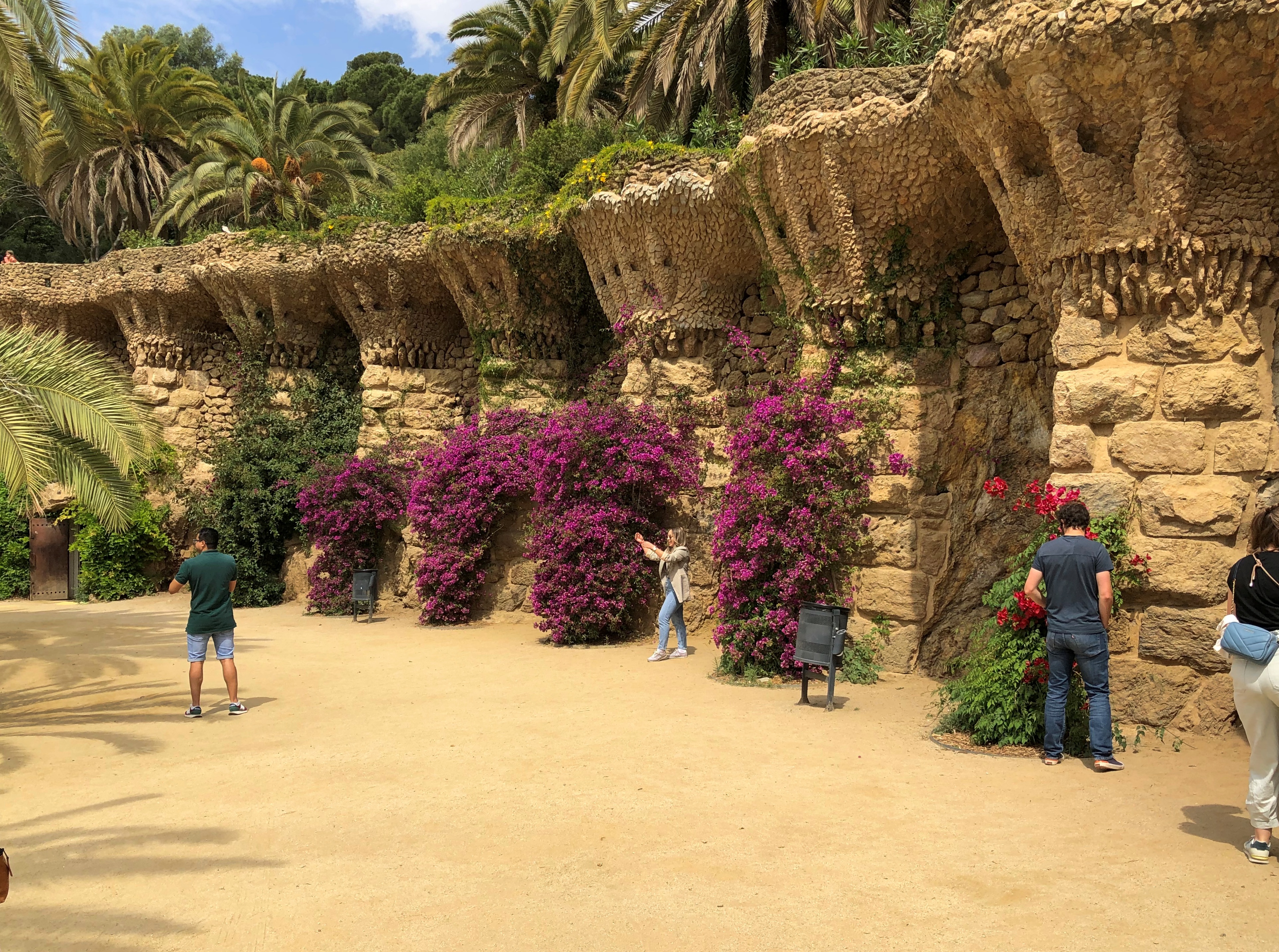
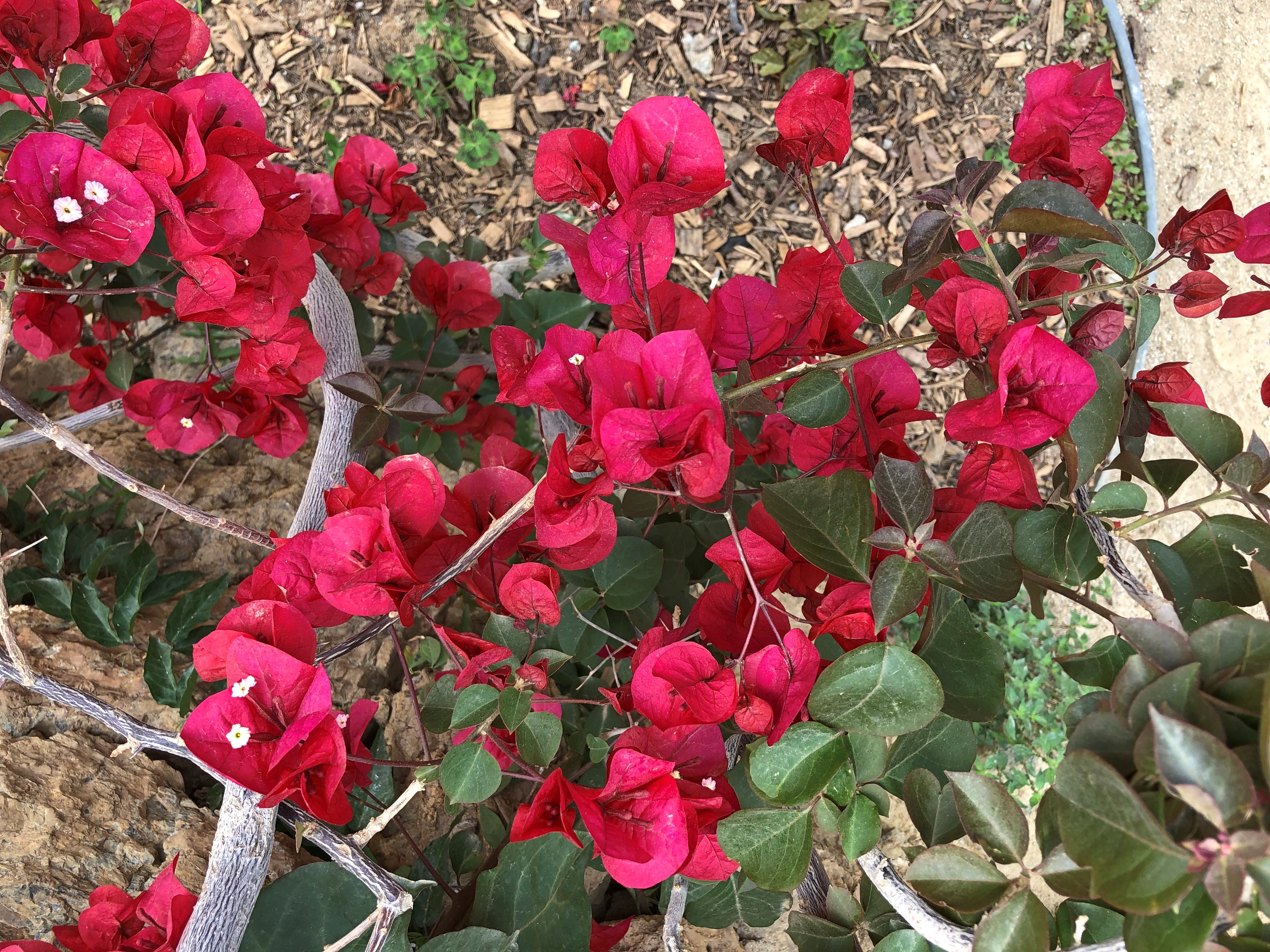
Lush bursts of flowers adorn parts of the park.Parc Güell Parc Güell Parc Güell

Springtime in Barcelona. There’s a romcom in there somewhere. Probably not a very good one, but how many are?

Barcelona Cathedral

We were up and out early on our last day in Dublin, which was capped by downing Guinnesses, and we flew out that evening for a somewhat late arrival around midnight at El Prat Airport, Barcelona. Our energy reserves were low, riding one of the yellow-and-black cabs – the only legal colors – along the highway, looking out to indistinct nighttime streetscapes.

Some blocks from our hotel, we left the highway and crossed into the district known as Eixample, literally Expansion. That’s what it was, for late 19th-century Barcelona. The neighborhood features a regular street grid with buildings on all four sides of every block, a mix of residential and retail, with some offices as well.

We perked right up. At taxi speed, and at the midnight hour, details are fuzzy. The big signs and the bright lights and scattering of pedestrians on the sidewalks stood out. We passed a small grocery, brightly lit. A cafe. A small restaurant. A number of closed businesses, either for the night or for good. Another small grocery, just as bright. A closed bakery. A closed boutique with small lights illuminating mannikins. A bar with a few patrons out on tables on the sidewalk. A restaurant with a takeout business. Another grocery store.

What do you know, Catalonians were working on that whole walkability thing all the way back in the 19th century, especially one Ildefons Cerdà, the pioneering urban planner who designed neighborhood.

The next morning, May 18, we were fairly eager to take to the streets of Eixample, and wider Barcelona, and walk, and figure out the subways. By mid-morning found ourselves in the Barri Gòtic, the city’s oldest neighborhood. Put another way, the original location of the city, with many streets owing their origins to Roman thoroughfares, and many buildings owing their origins to a 14th- and 15th-century flowering of prosperity in the up-and-down history of Barcelona.

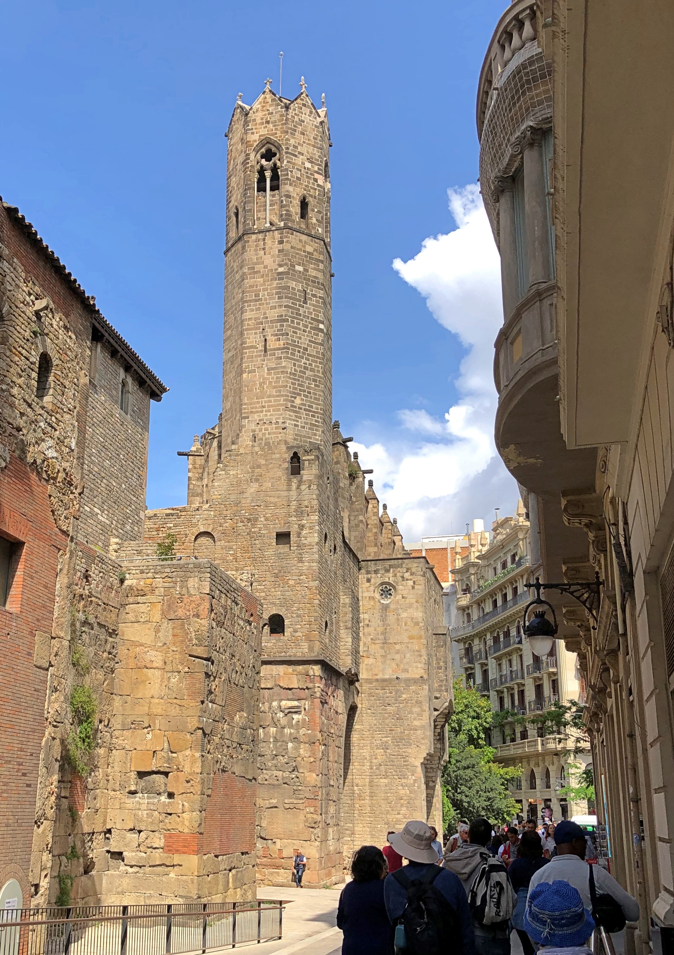
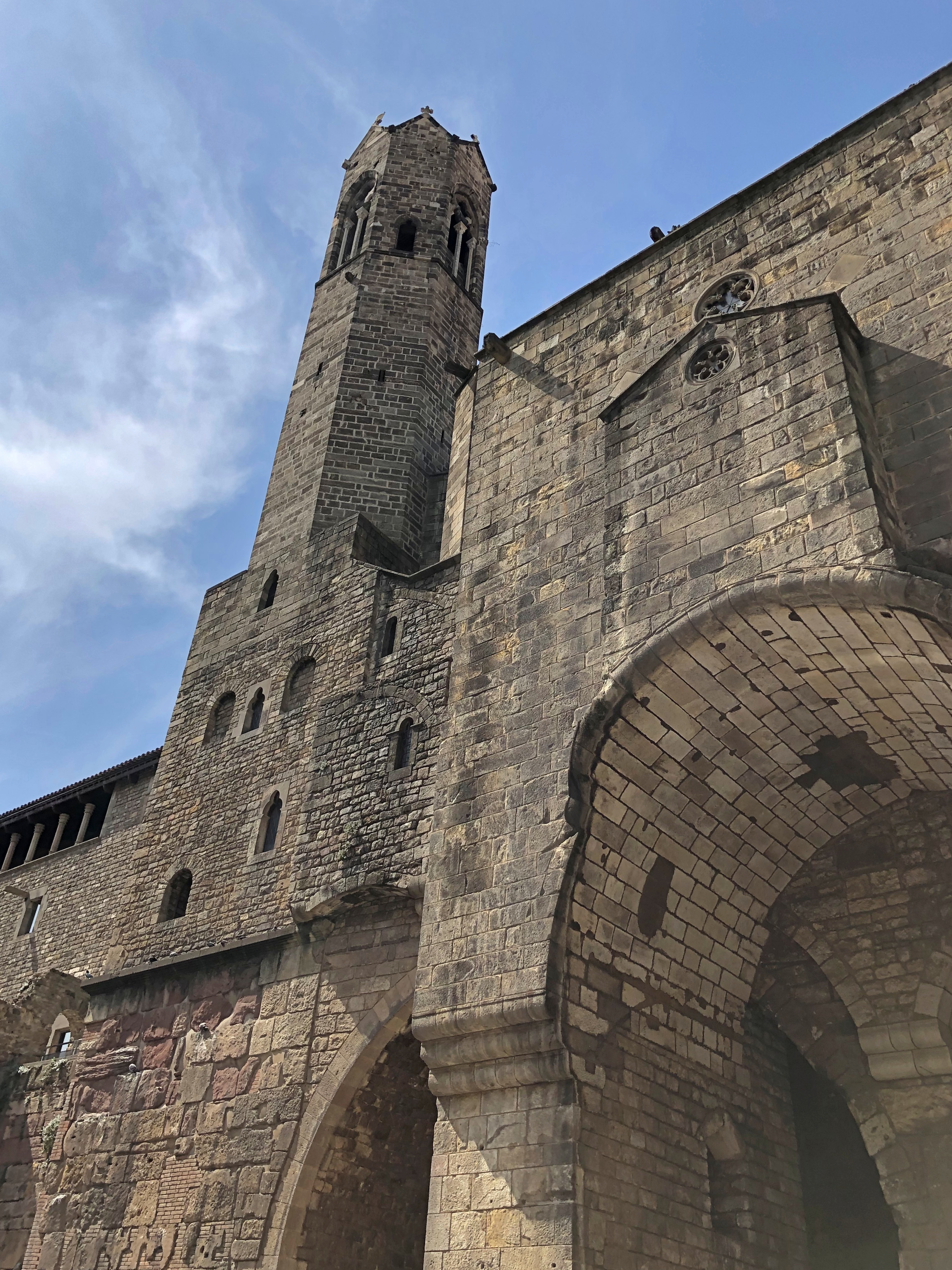
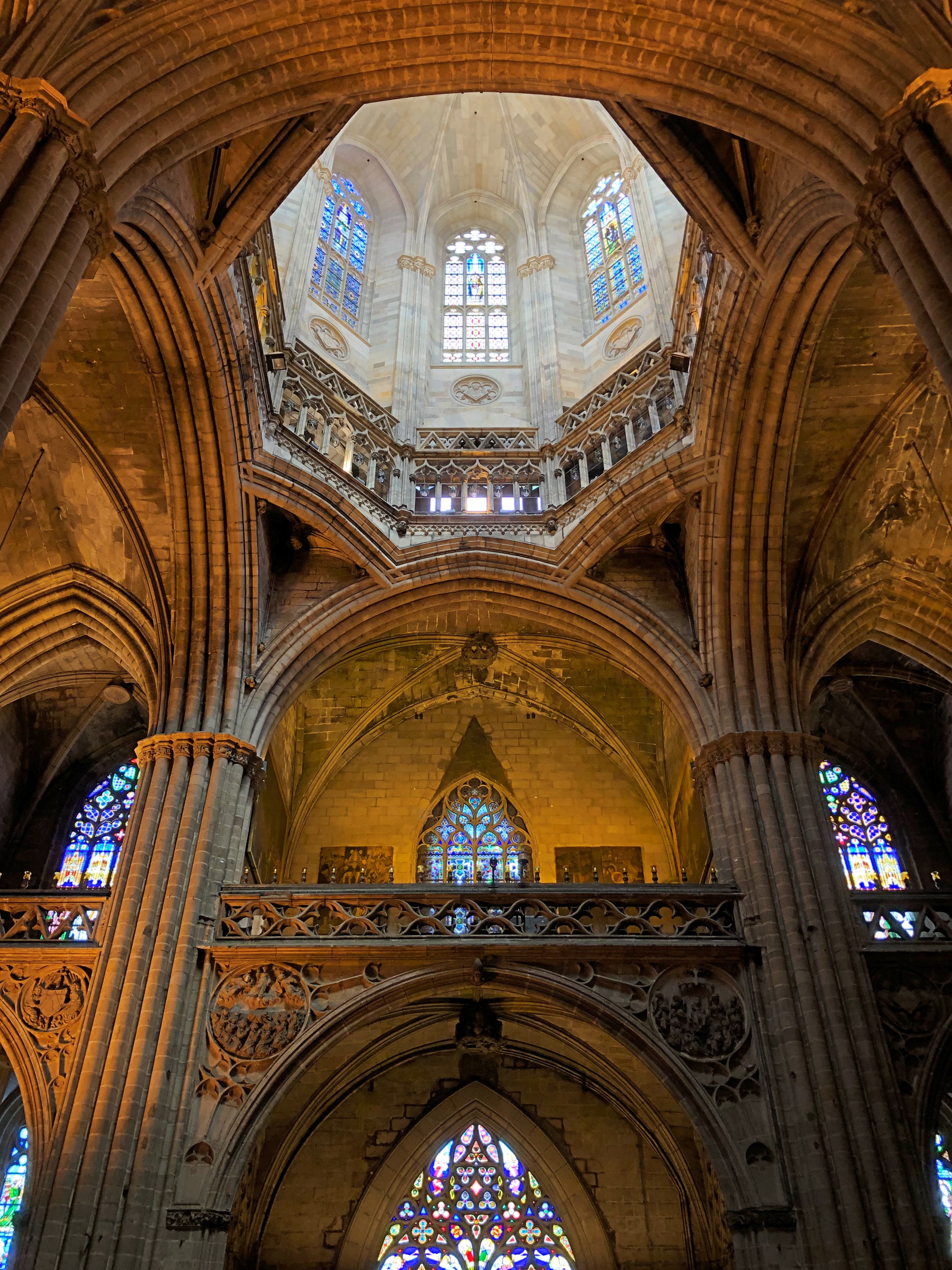
You can’t wander through the Barri Gòtic without encountering Barcelona Cathedral from one direction or another. We approached from the back.Barcelona Cathedral Barcelona Cathedral

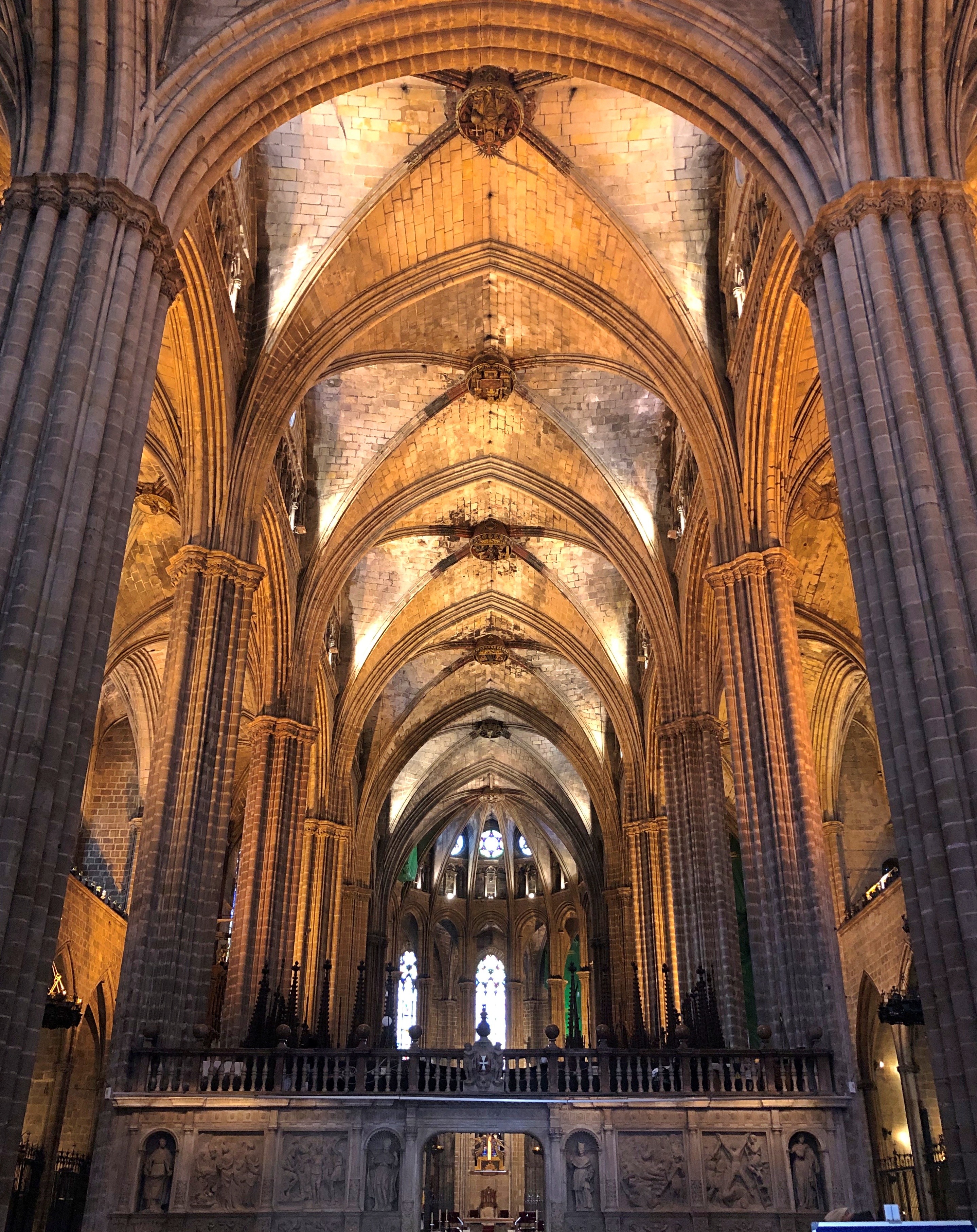
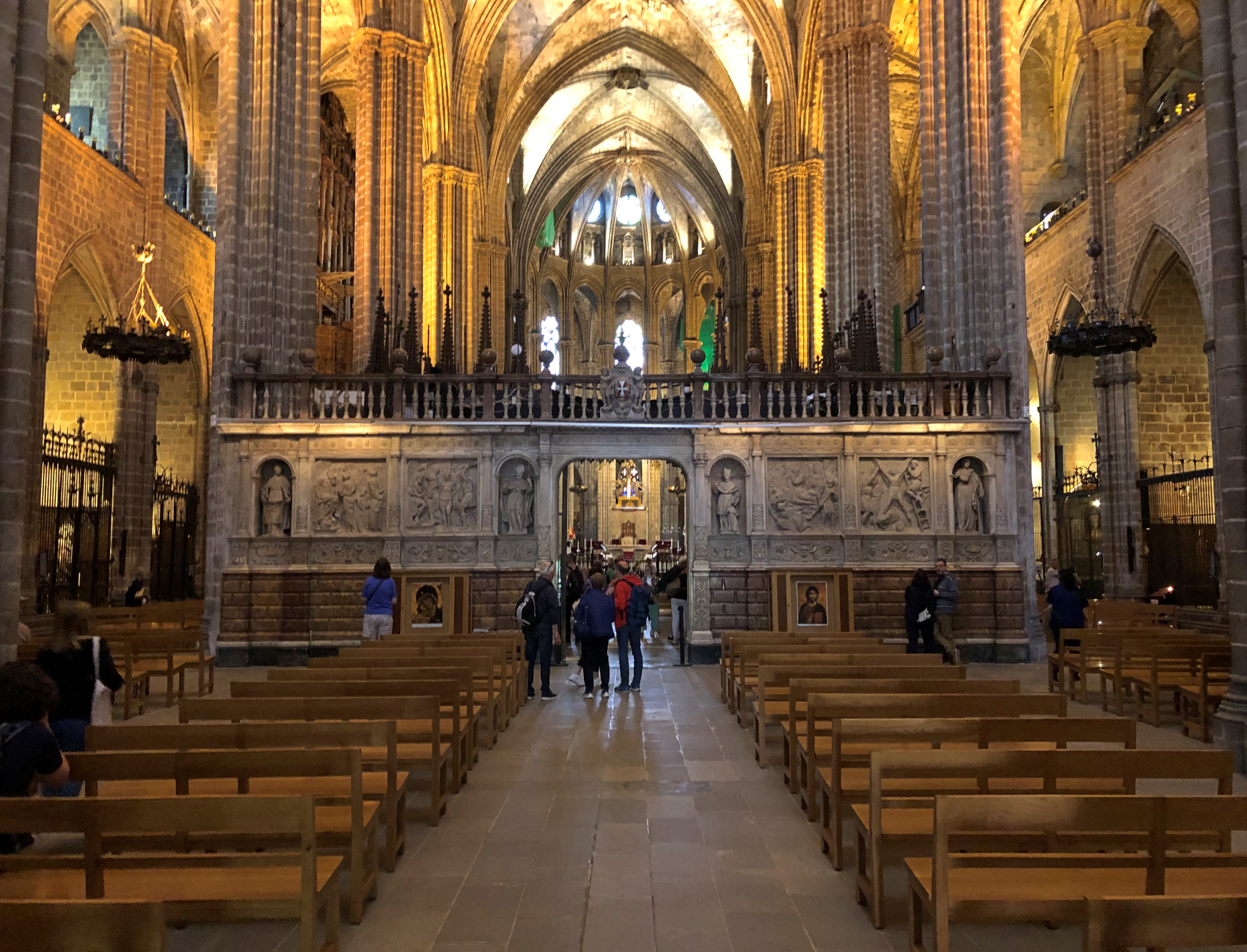
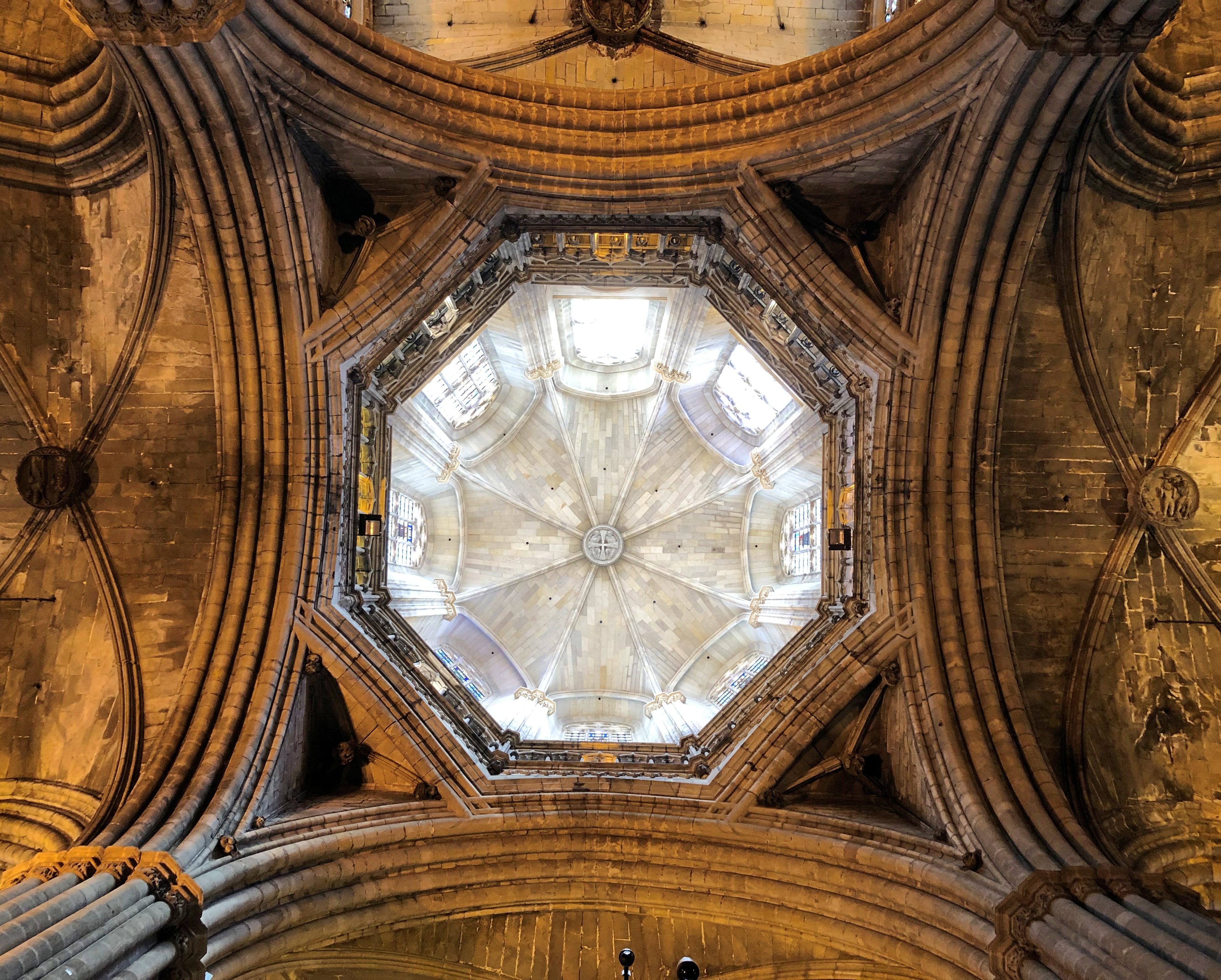
Formally, the Cathedral of the Holy Cross and Saint Eulalia. A Christian site since the 4th century at least, and site of a Roman temple before that. Completed in 1420 after more than a century under construction.Barcelona Cathedral Barcelona Cathedral Barcelona Cathedral Barcelona Cathedral

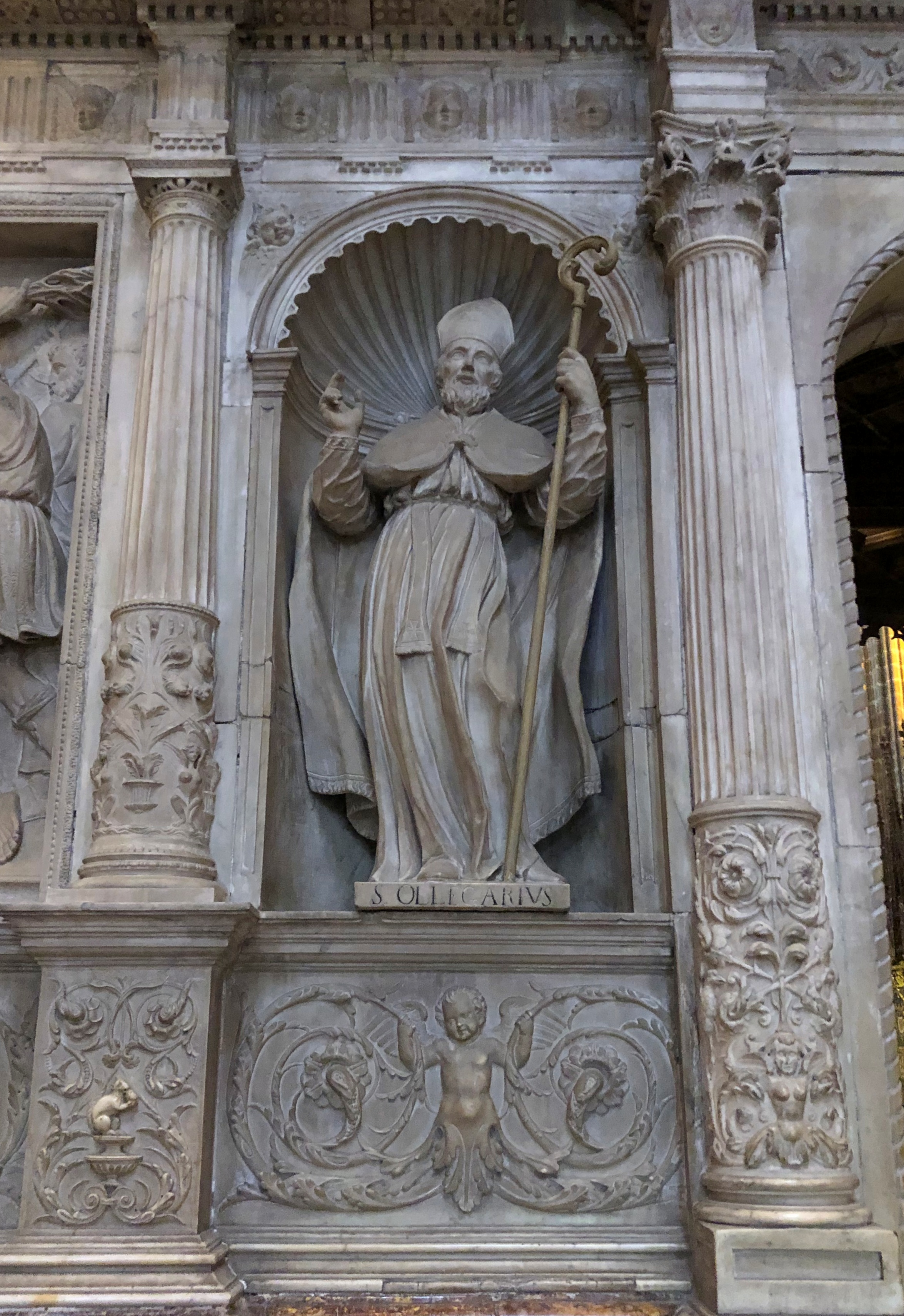
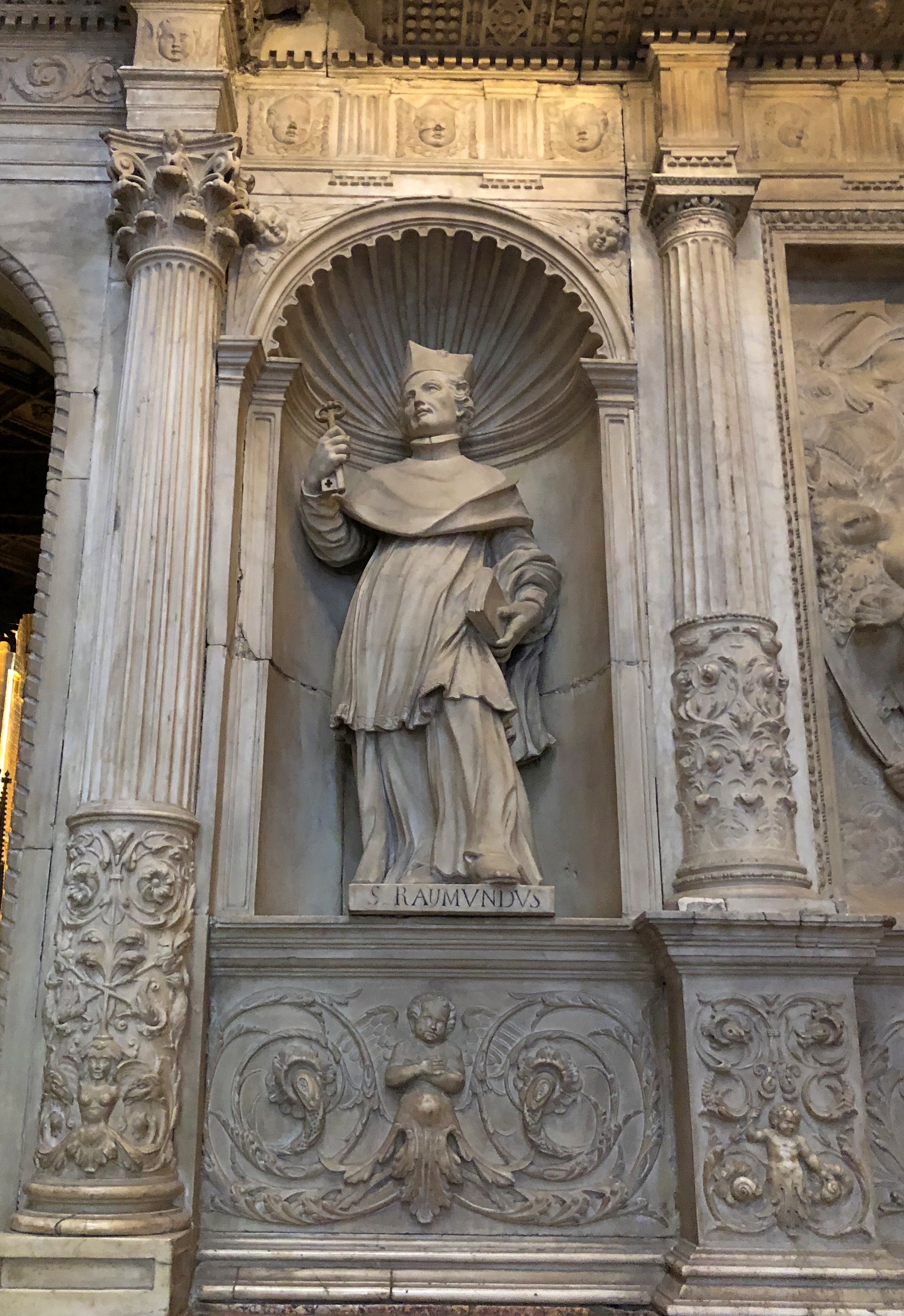
Niches.Barcelona Cathedral Barcelona Cathedral

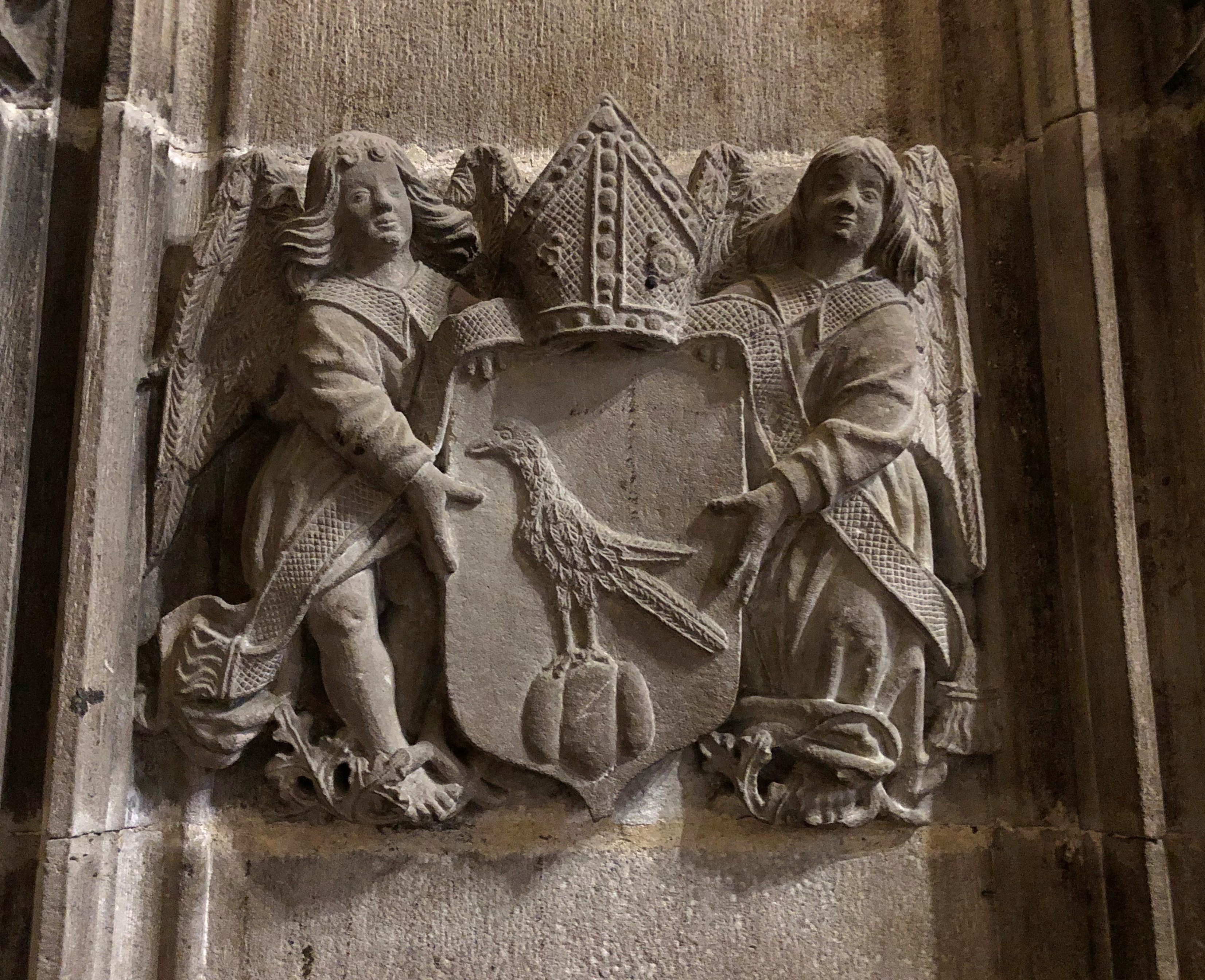
Details.Barcelona Cathedral Barcelona Cathedral
Barcelona Cathedral

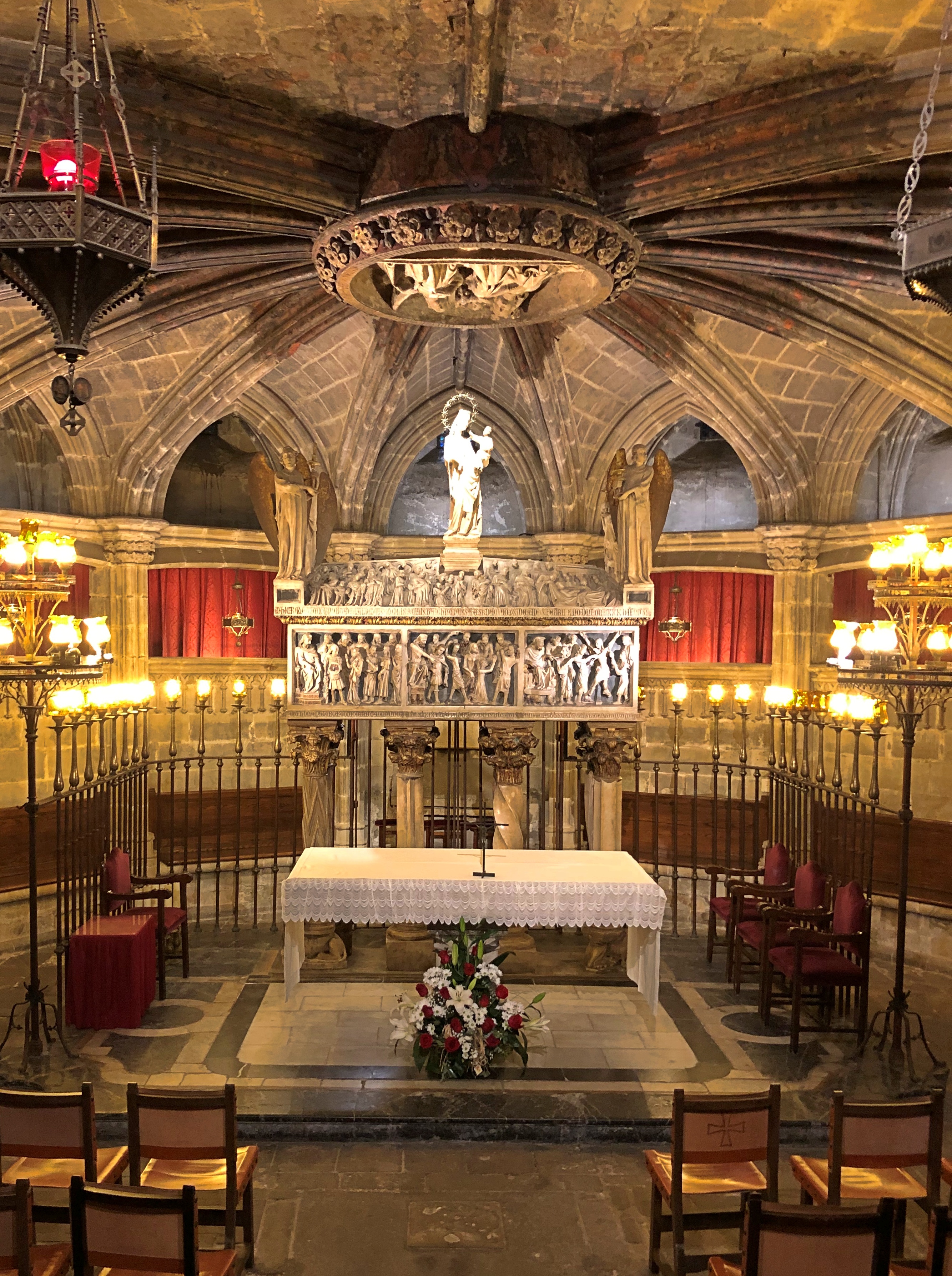
In the crypt beneath the high altar is alabaster sarcophagus of St. Eulalia, patroness of the cathedral and co-patroness of Barcelona. Martyred in the early 4th century, according to tradition.Barcelona Cathedral

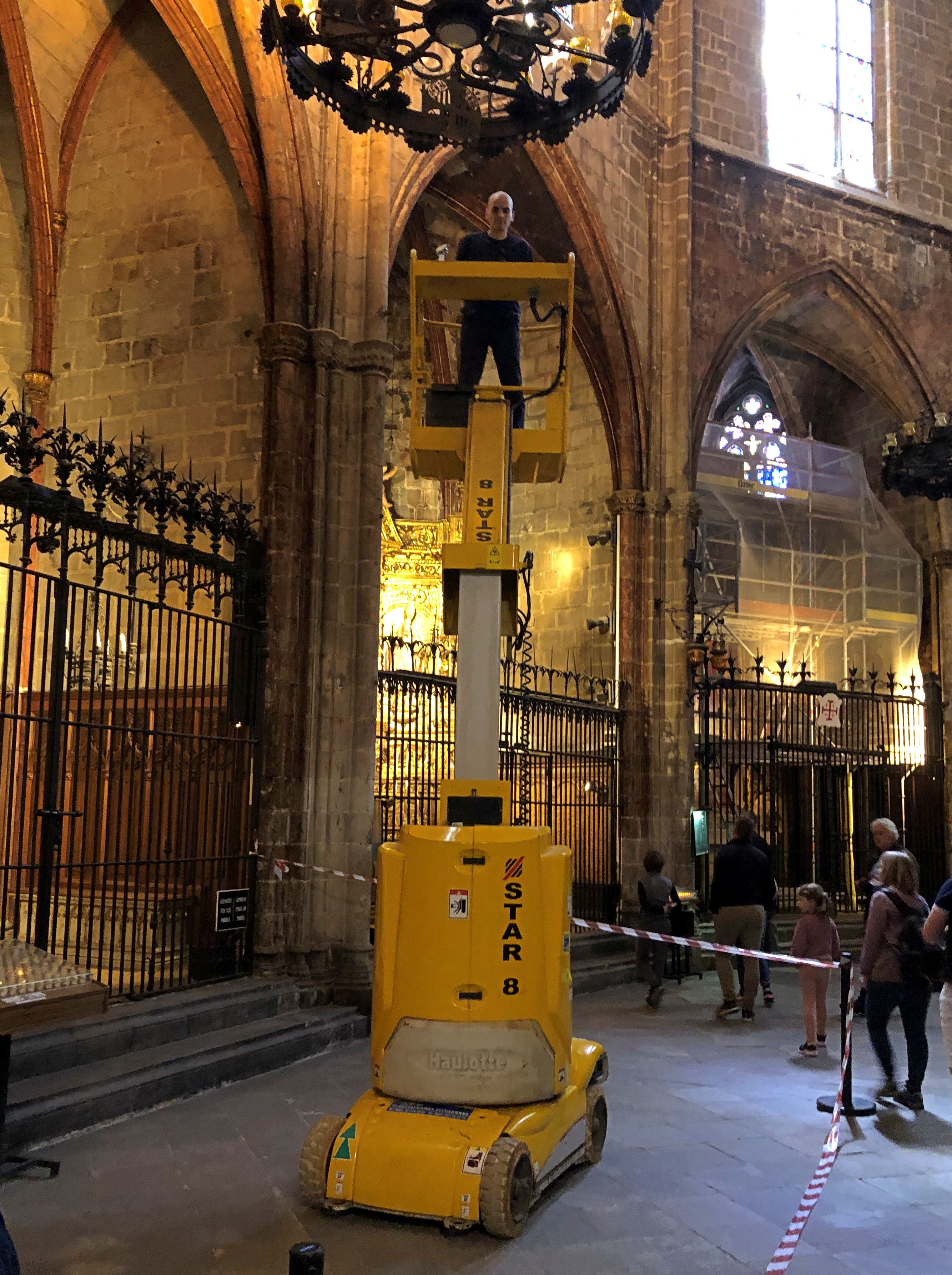
Maintenance never ends.Barcelona Cathedral

The cathedral naturally counts as Gothic, but Gothic Revival as well. The Gothic-style exterior was a 19th- and early 20th-century addition, replacing a spare exterior that was the style for Catalan churches when the cathedral was originally built.

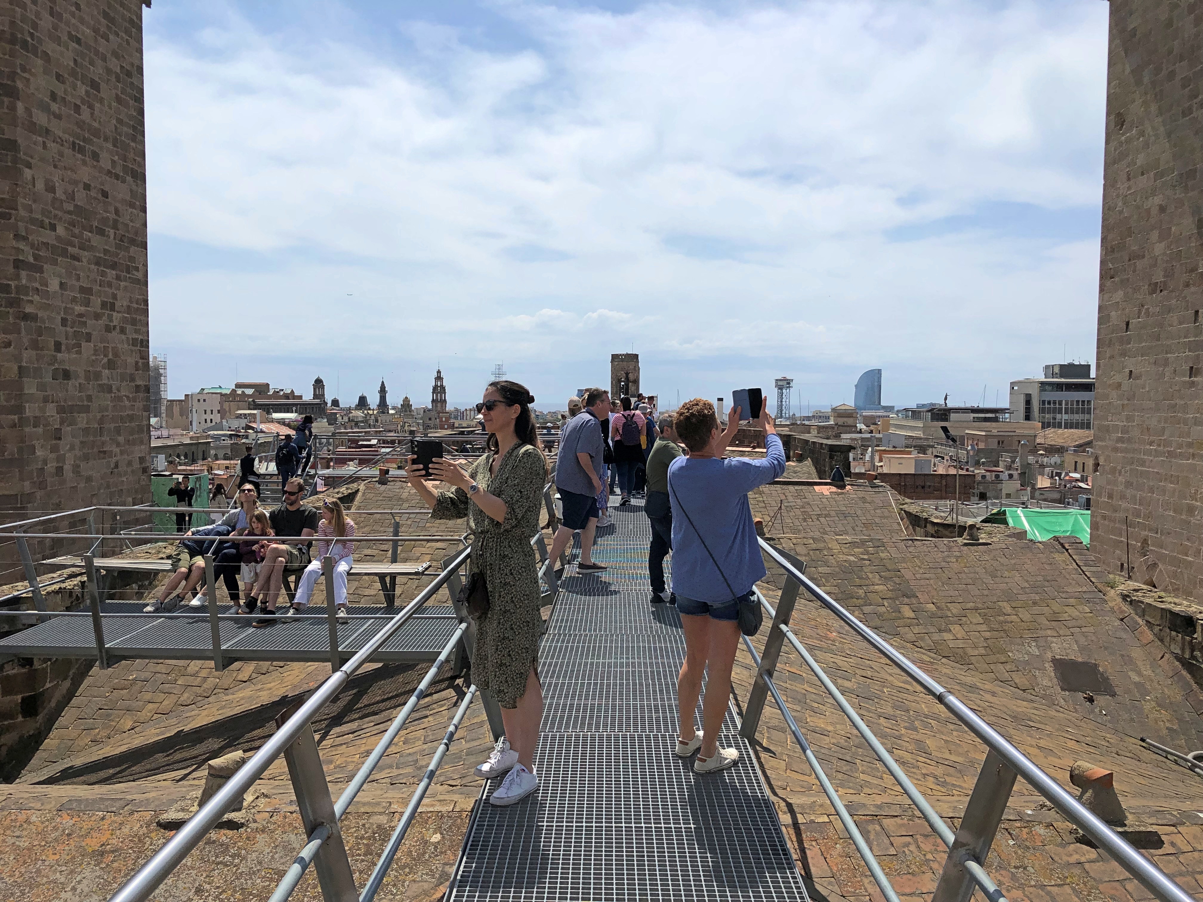
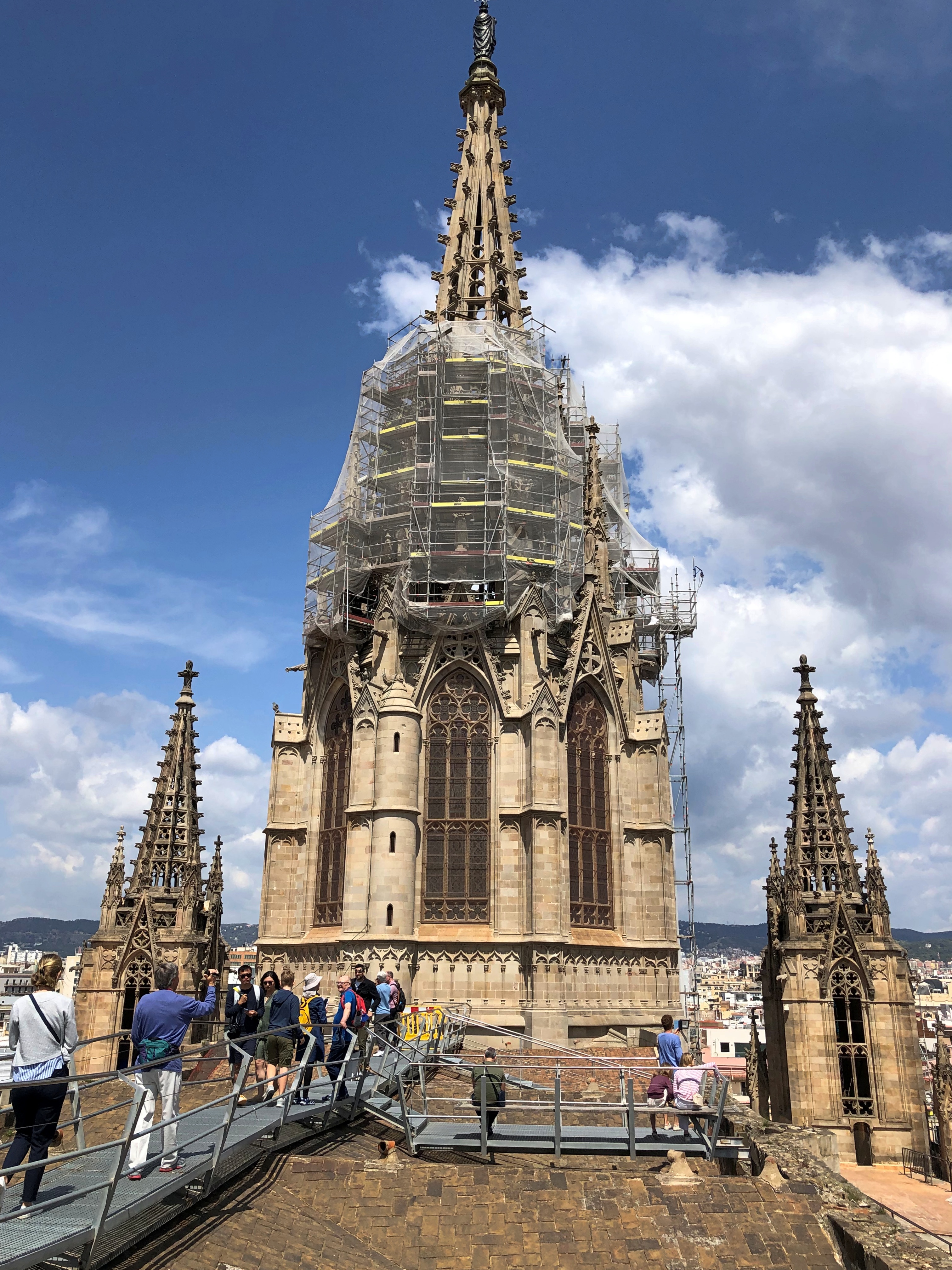
Part of the admission (€9) included a ride in a small elevator to a landing and a small metal staircase leading to a short series of walkways on the roof of the cathedral.Barcelona Cathedral Barcelona Cathedral

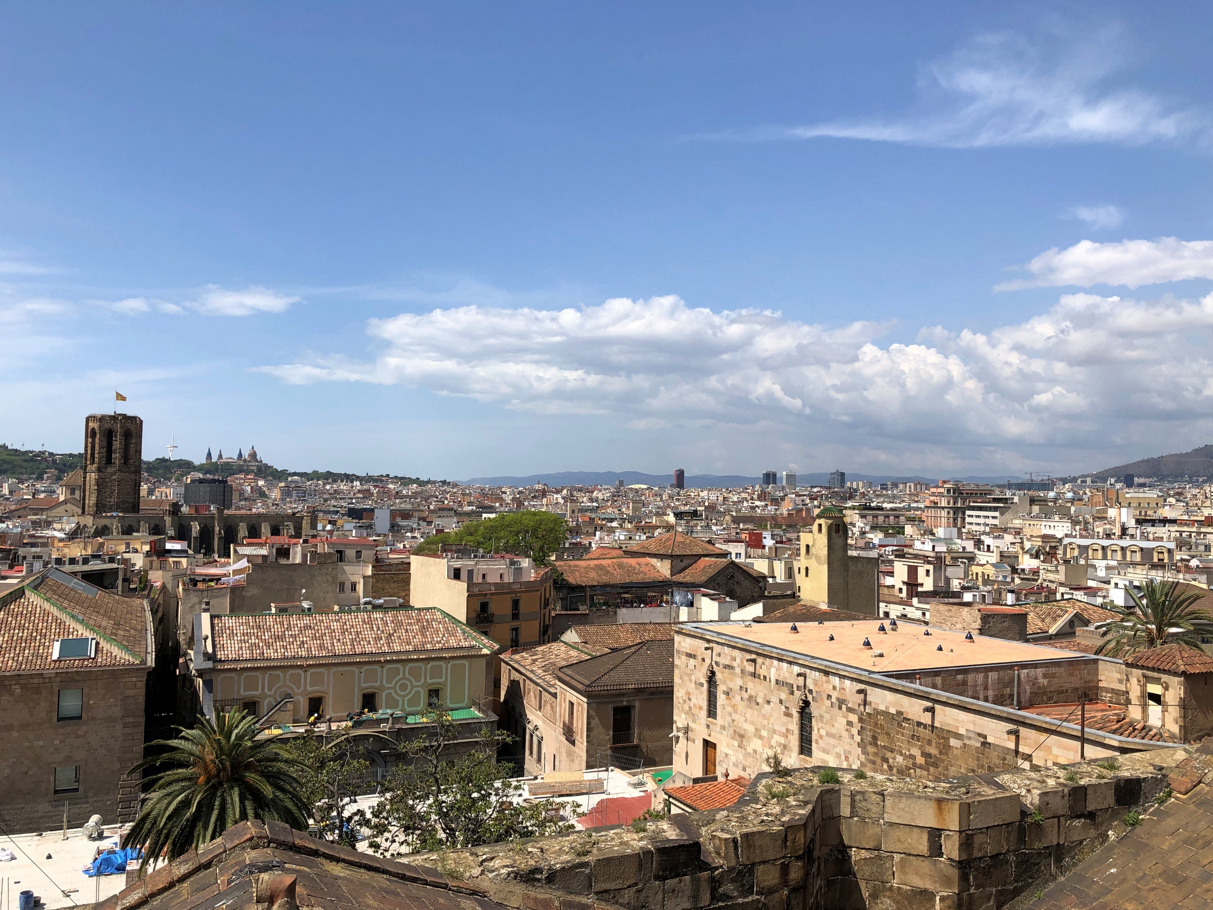
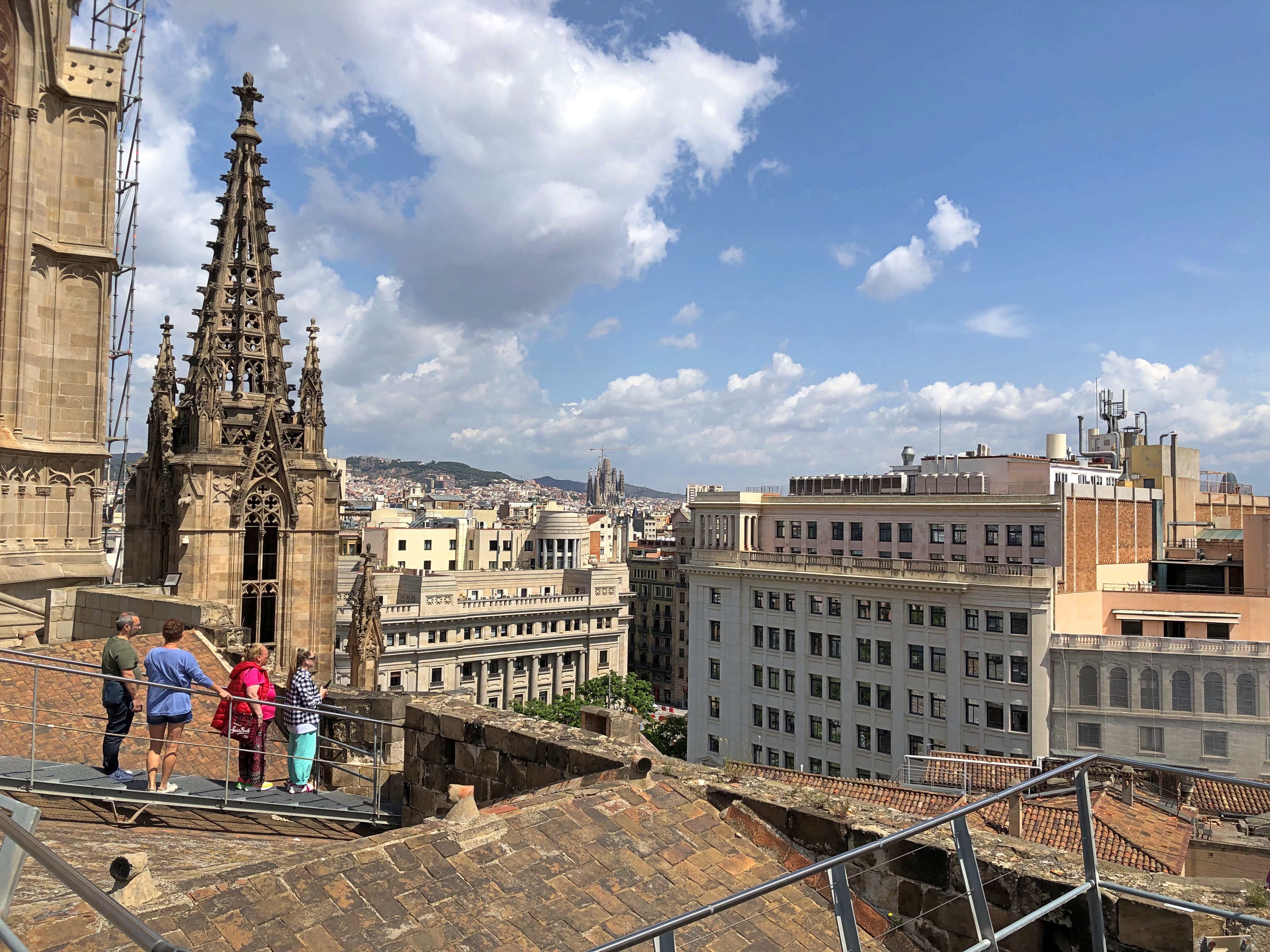
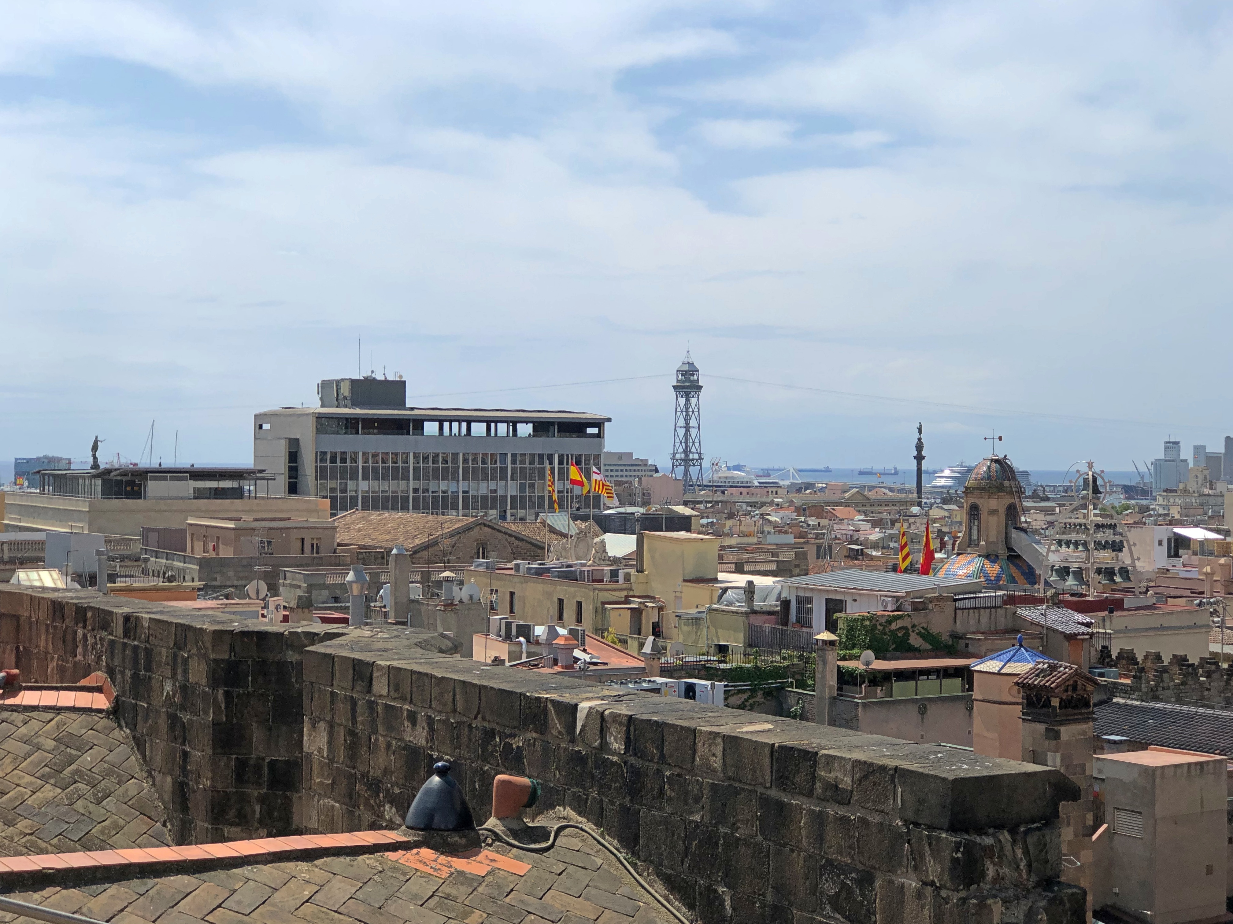
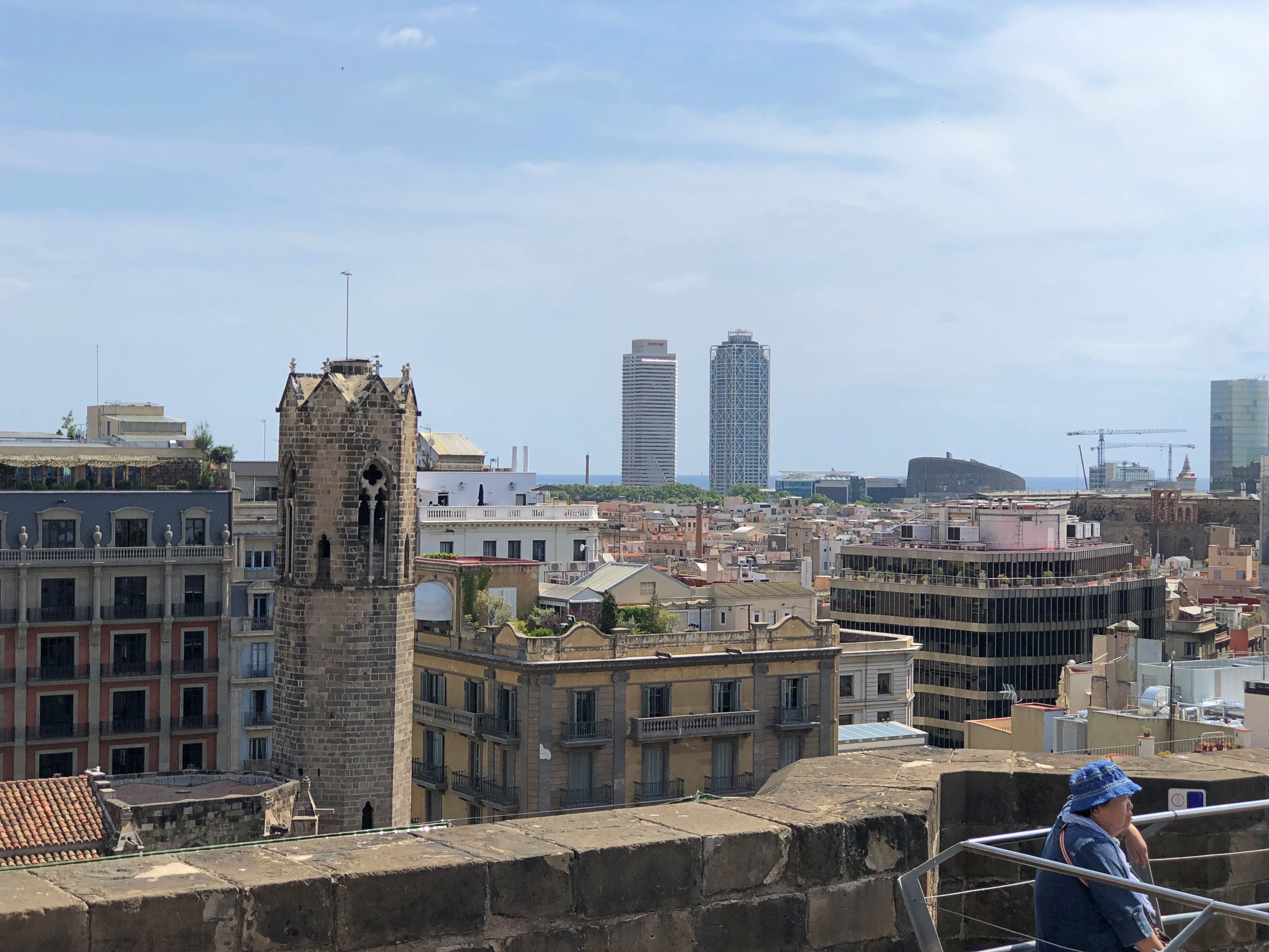
Thus included in the admission are expansive views of Barcelona.Barcelona Cathedral Barcelona Cathedral Barcelona Cathedral Barcelona Cathedral

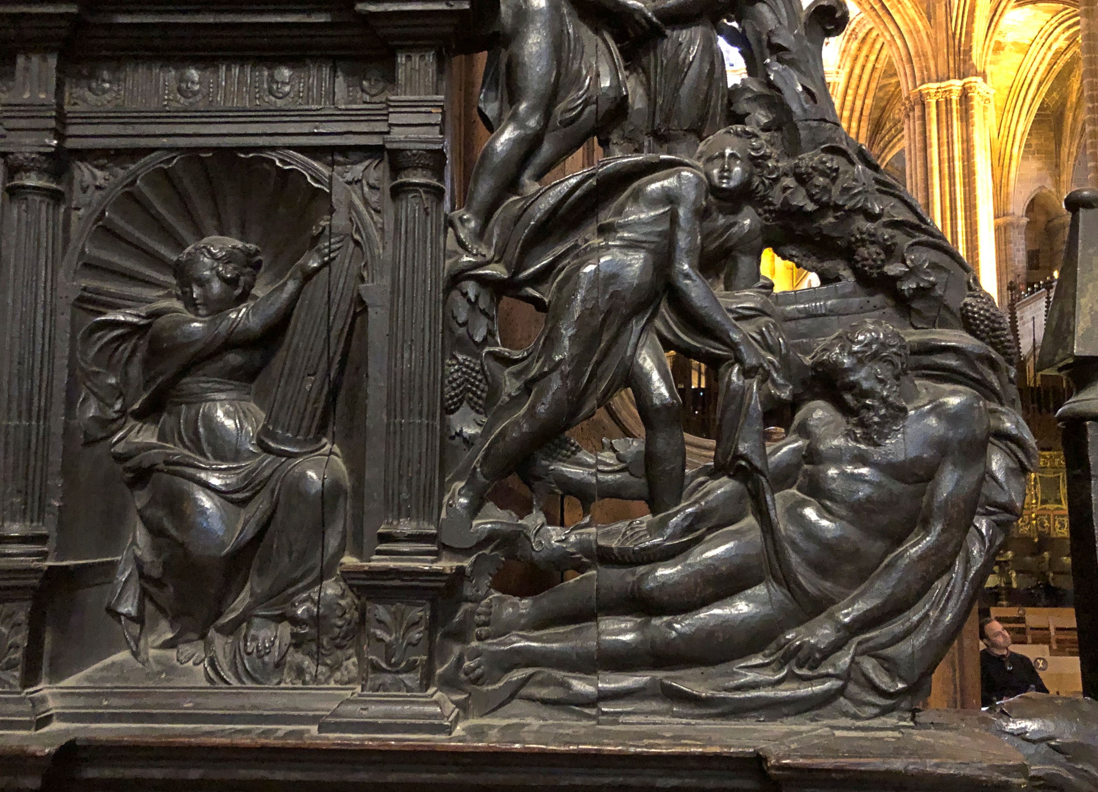
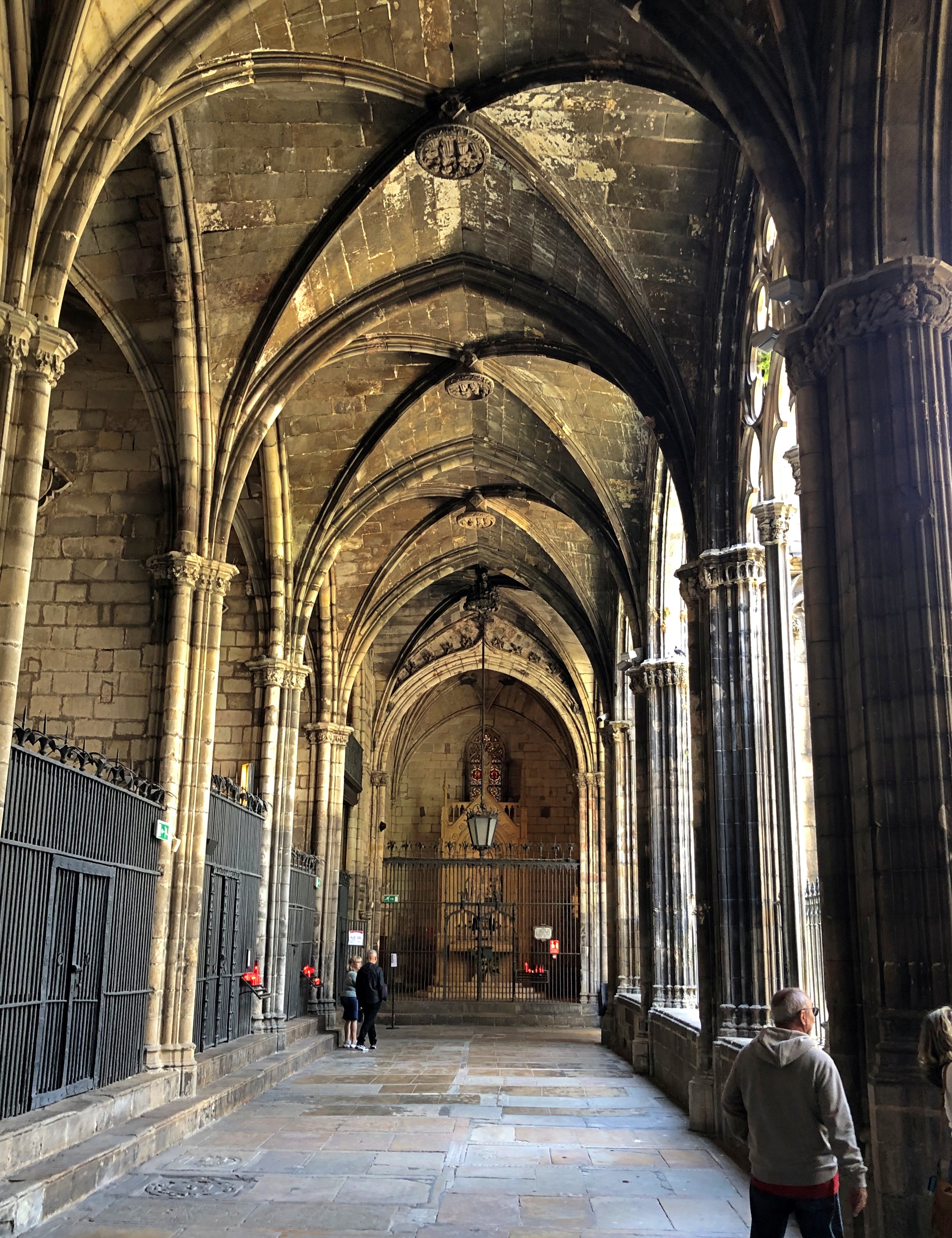
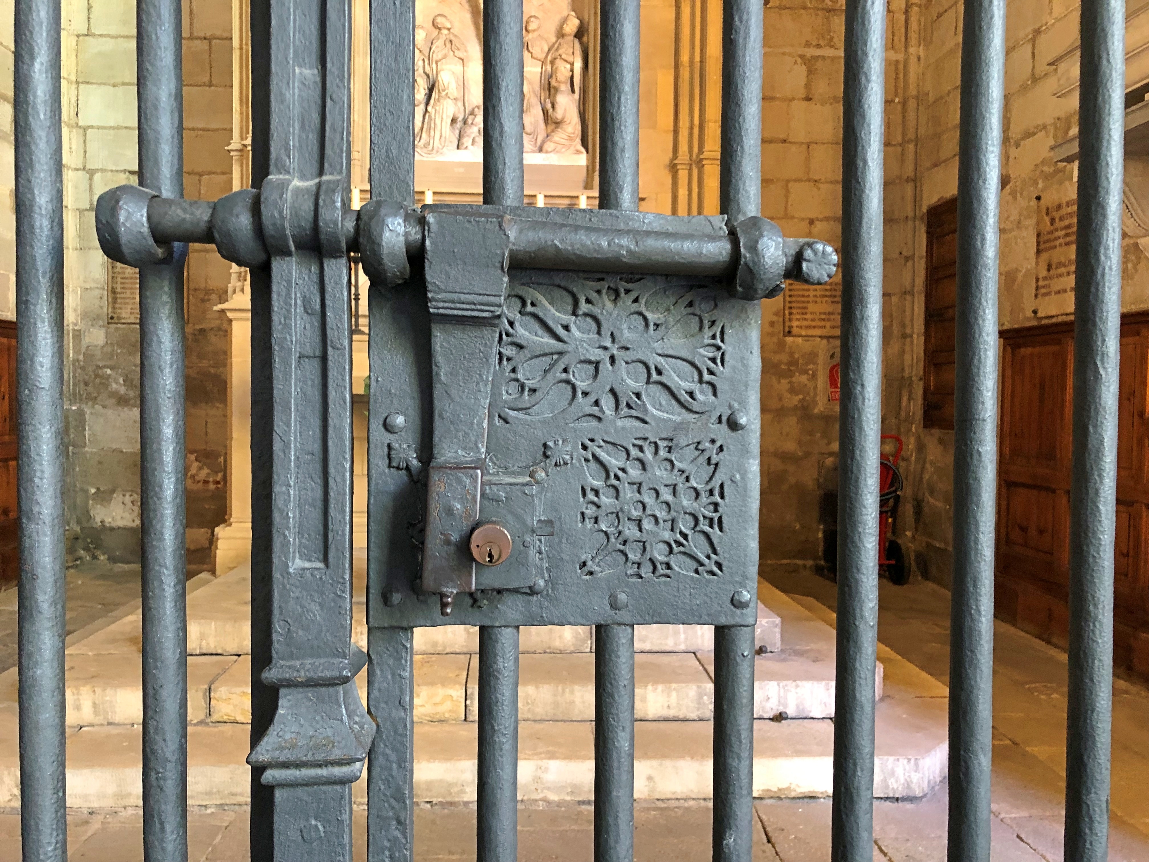
Ordinary visitors don’t exit by at the place they came in, but rather through a door that leads to a cloister ringed with chapels that are behind iron bars, as they are in the cathedral itself.Barcelona Cathedral Barcelona Cathedral

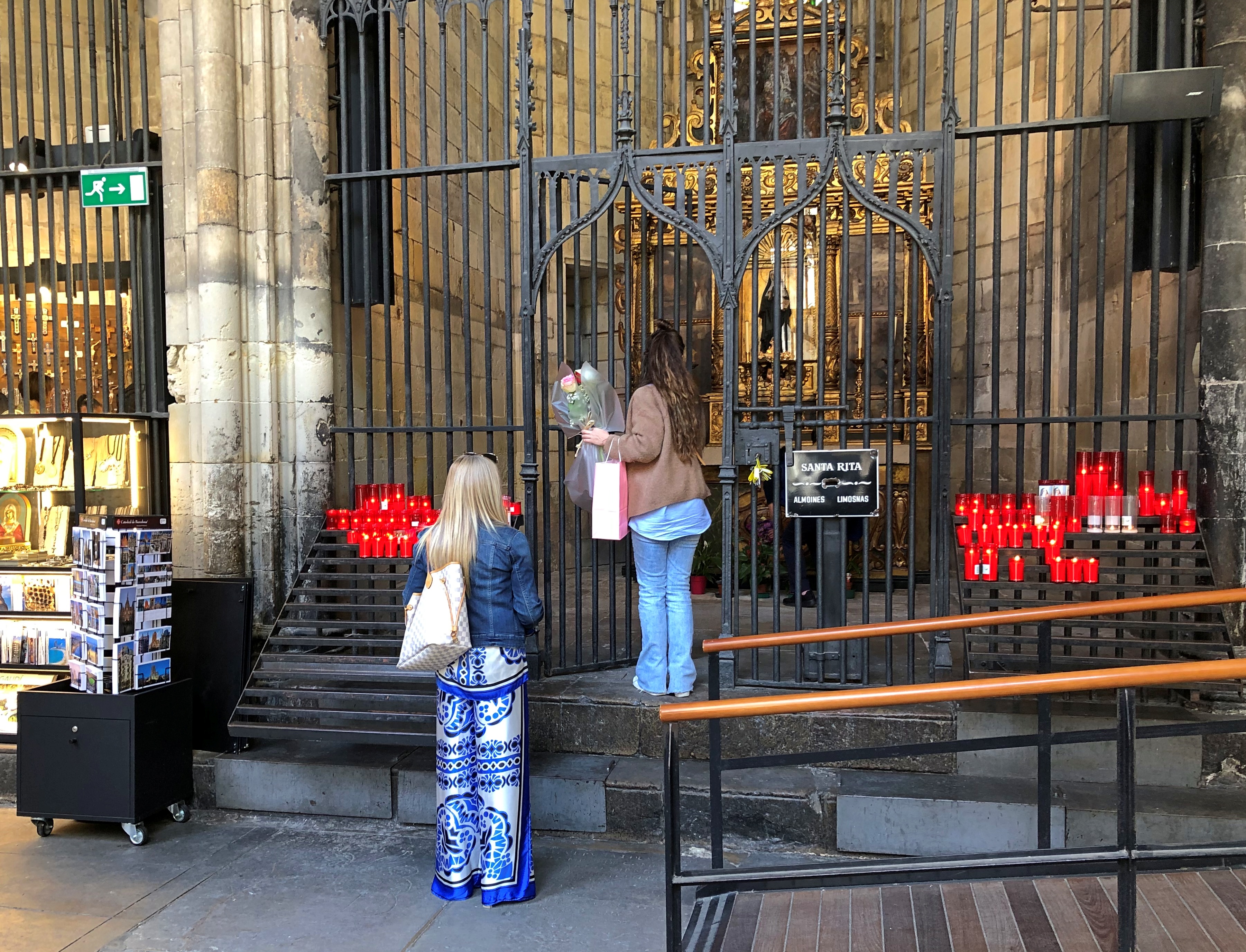
The chapel next to the gift shop. They were on their way to visit St. Rita, patroness of abused and battered women.Barcelona Cathedral

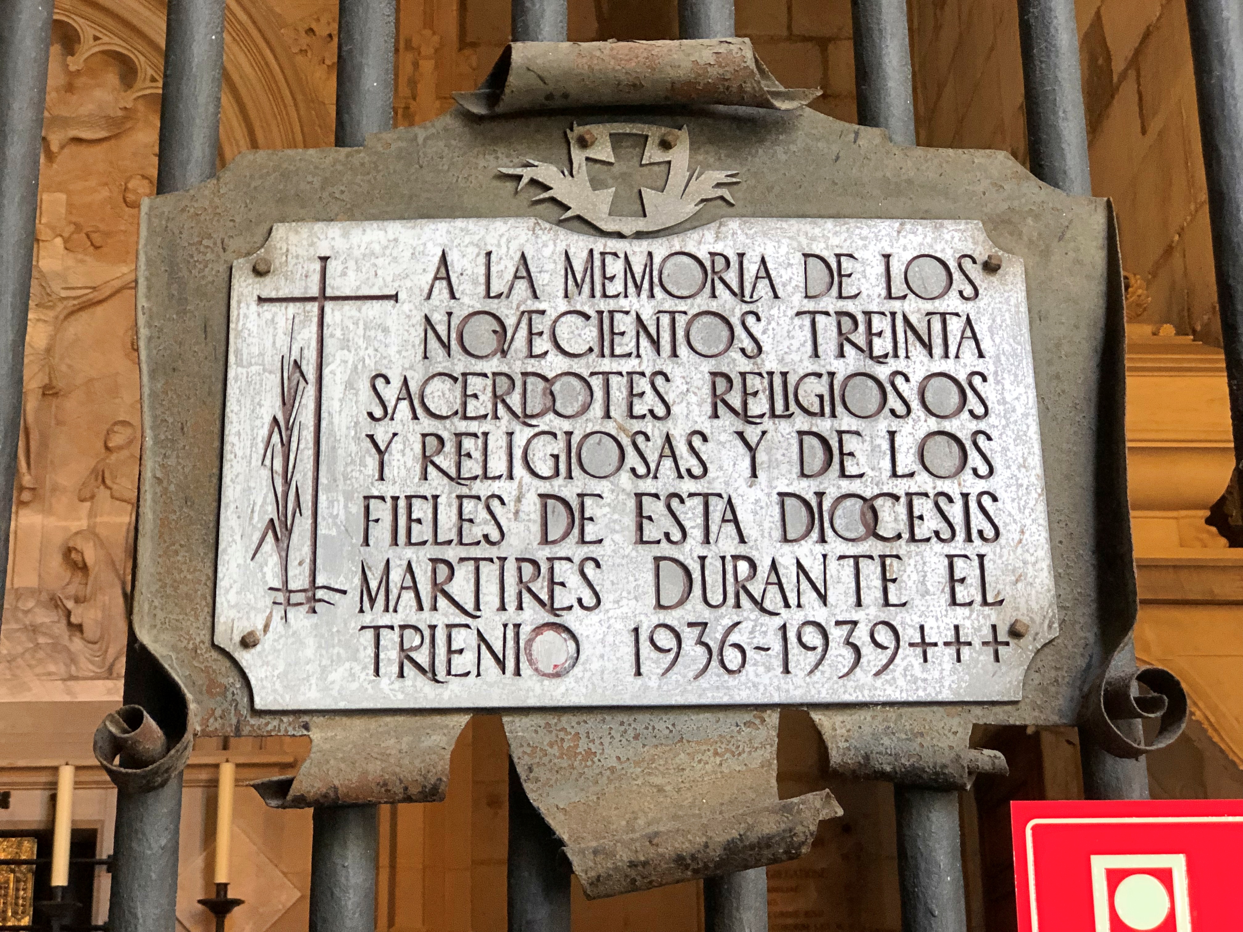
I don’t remember which chapel this plaque fronted. It was the only memorial I saw in Barcelona to civil war dead, though I didn’t go out of my way looking for them. In this case clerics.Barcelona Cathedral

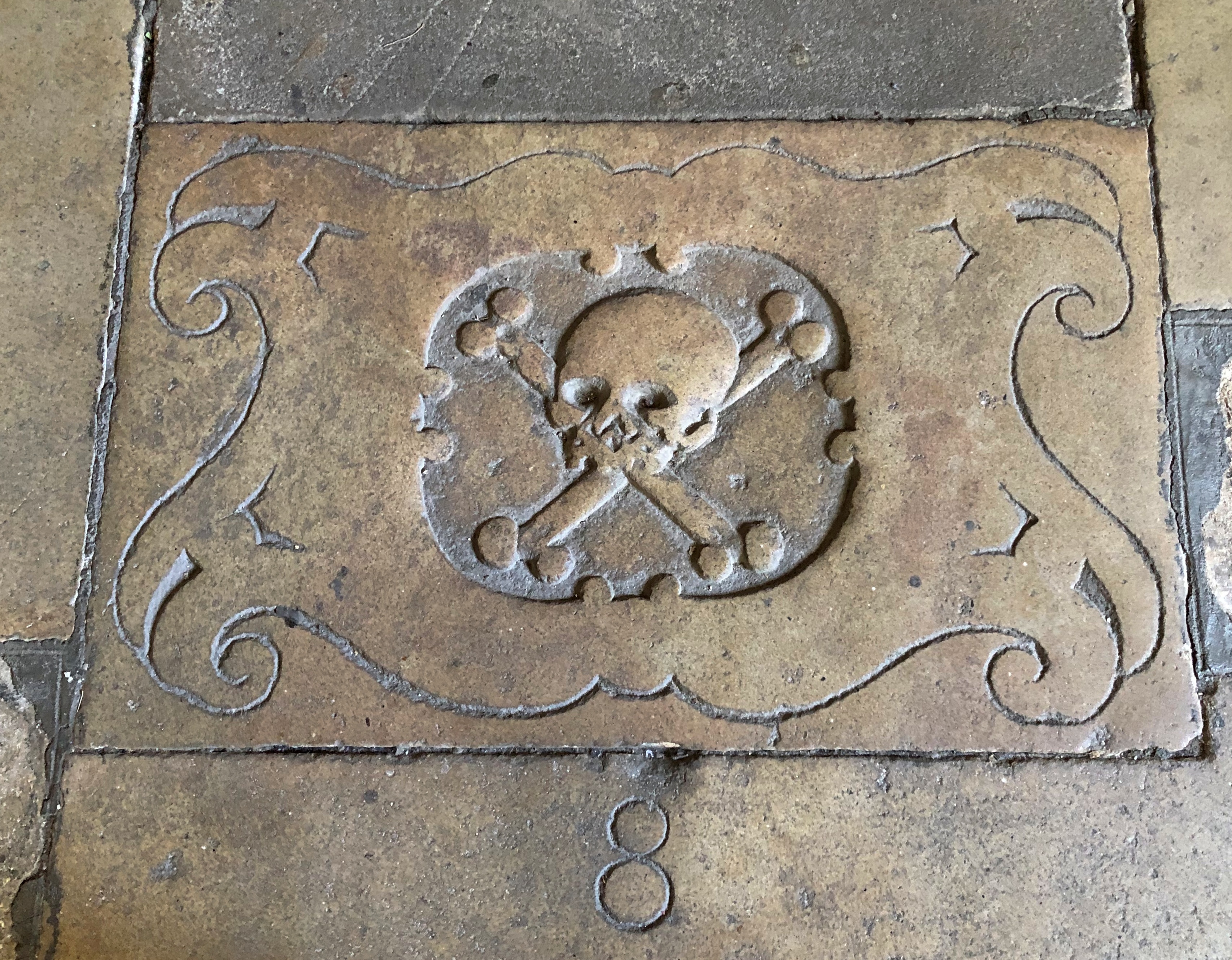
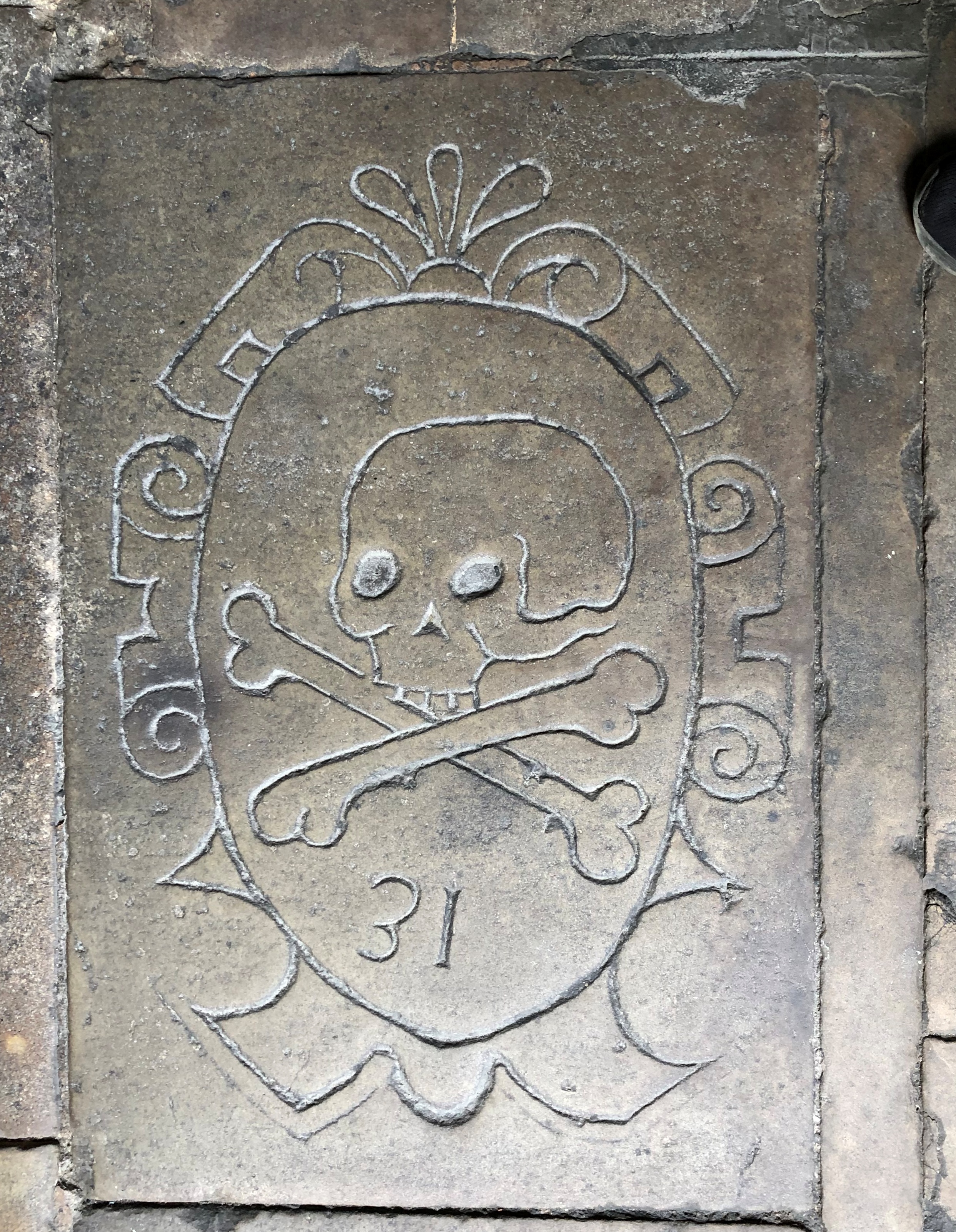
Not the only momento mori around. Burials in the floor. Barcelona Cathedral Barcelona Cathedral

A reminder of mortality before you step out of the cathedral grounds into the city streets. In case you needed one.

New River Gorge National Park and Preserve: The Vistas

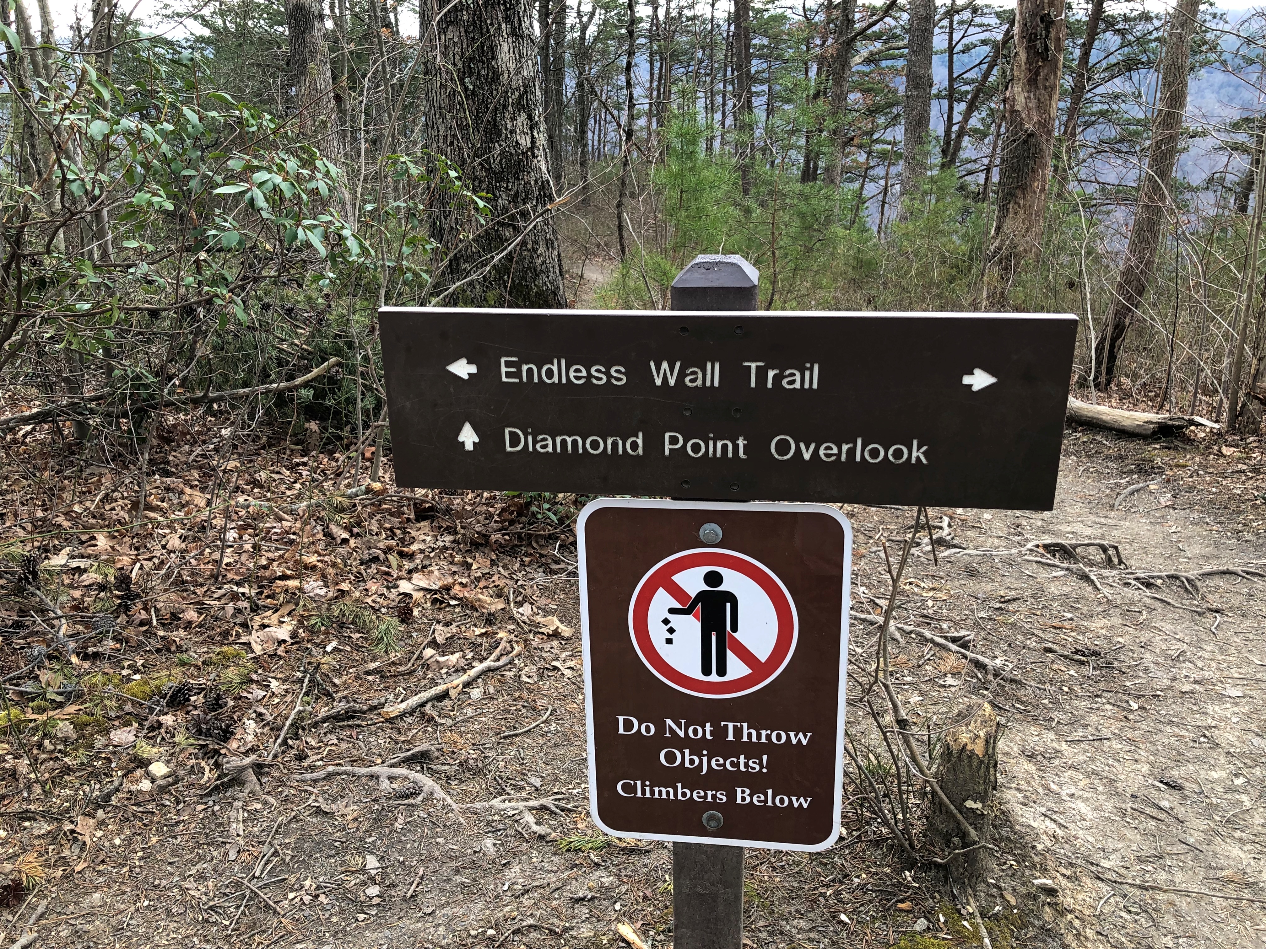
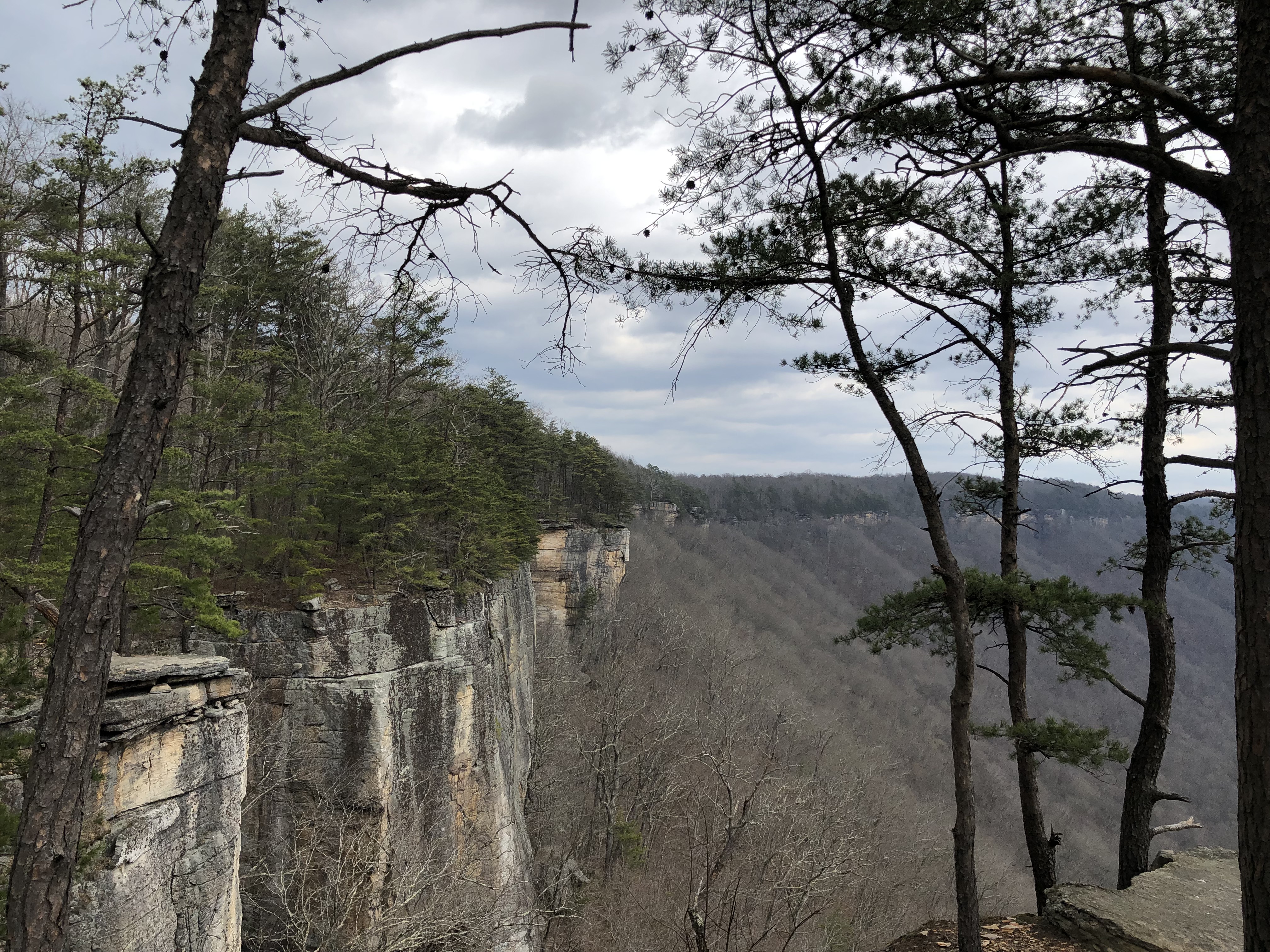
Late morning on our first full day in West Virginia, we found ourselves at the Endless Wall Trail. It’s not only a place for horizontal walking motion across the landscape, but the vertical motion of rock climbing too, as the park sign points out.New River Gorge NP

How we got there (that is, besides driving in our car to the trail head) is best characterized as a misreading or misunderstanding of a map on my part. So the trail wasn’t the one we’d been looking for, but it seemed like a good trail, so we headed in, with a place called Diamond Point as the goal.

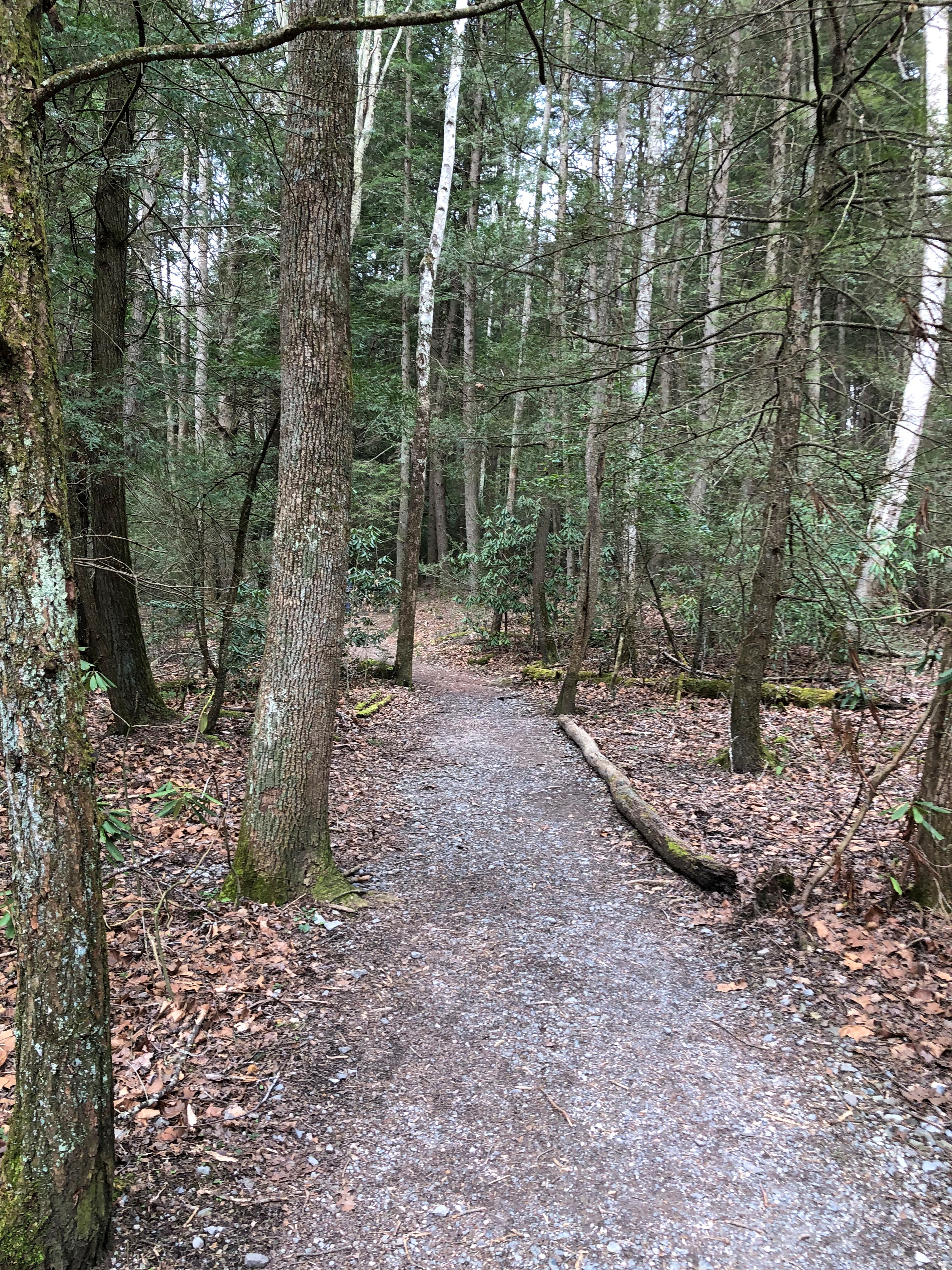
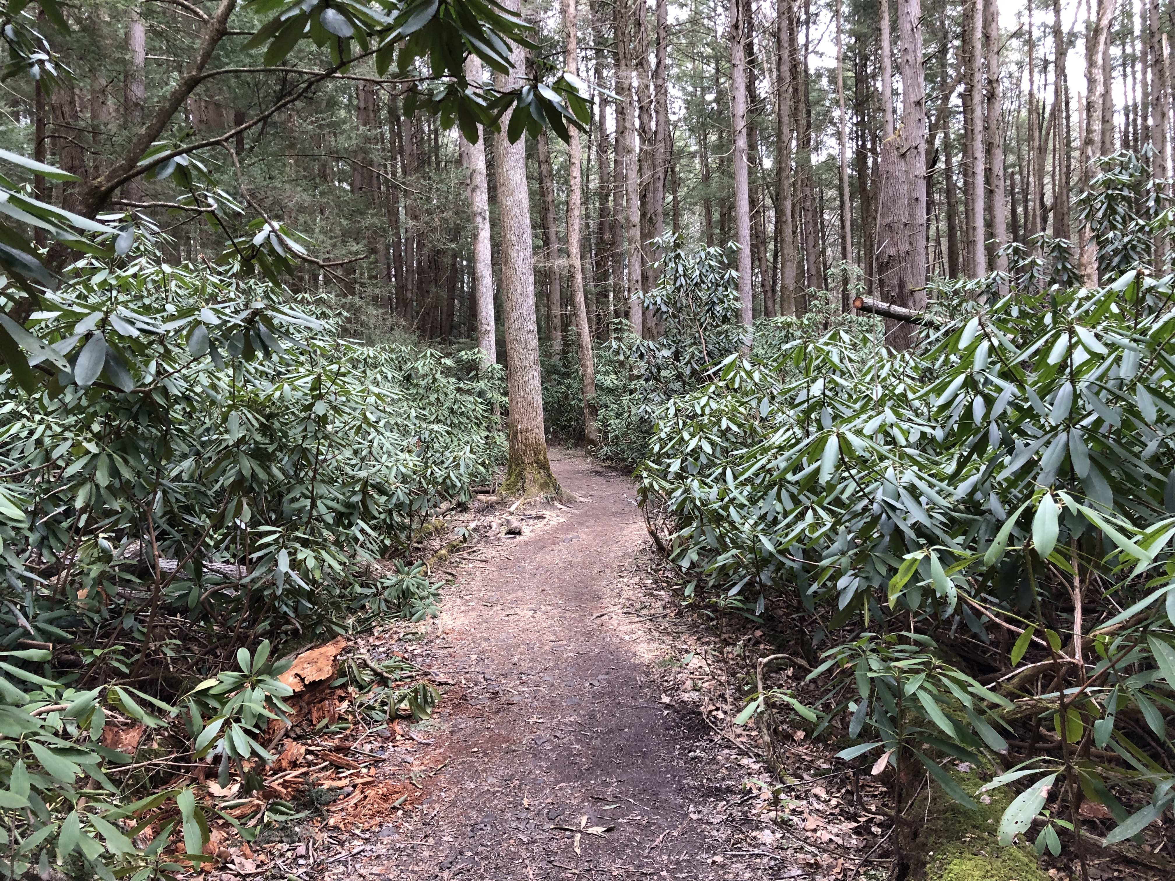
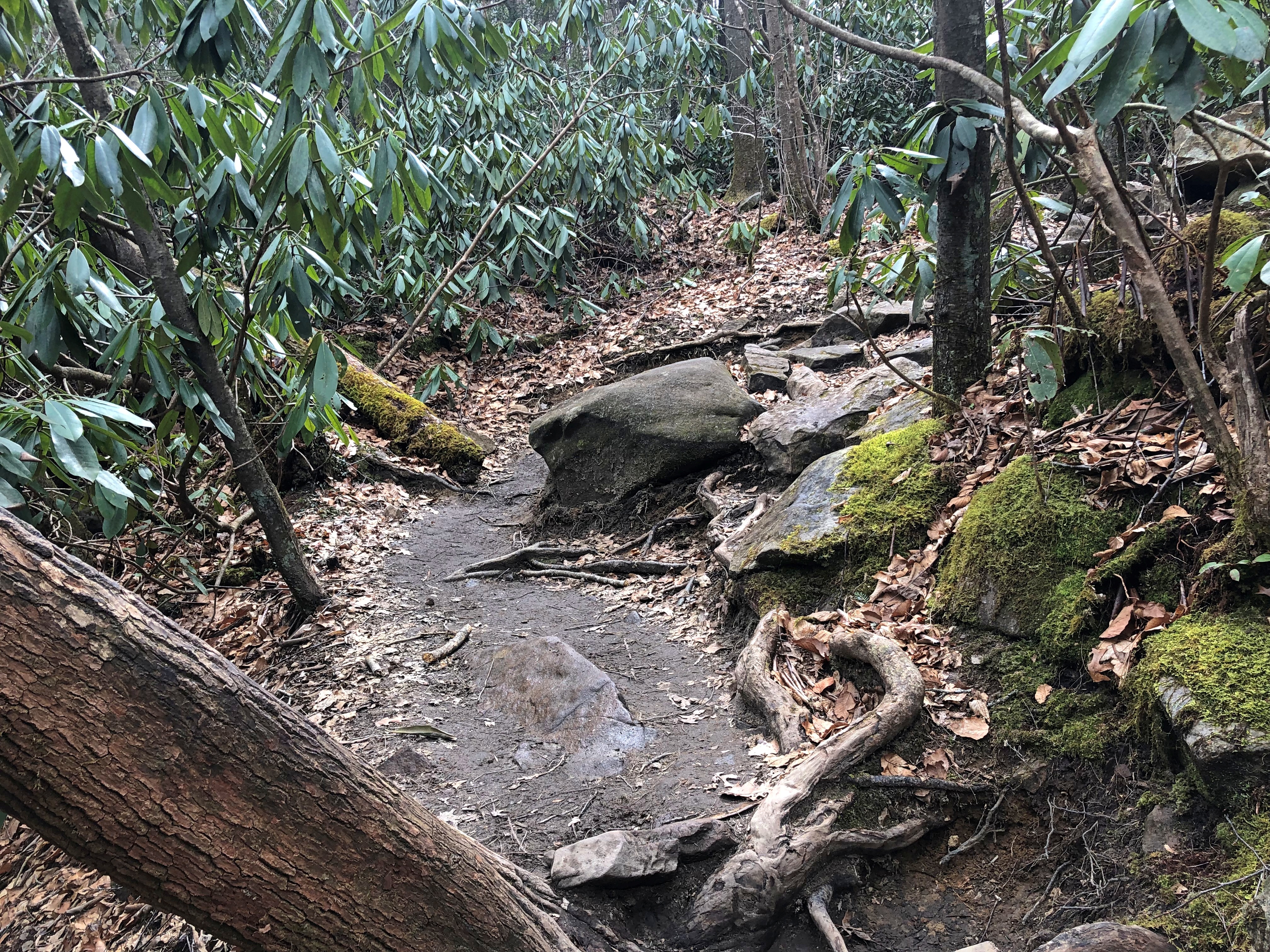
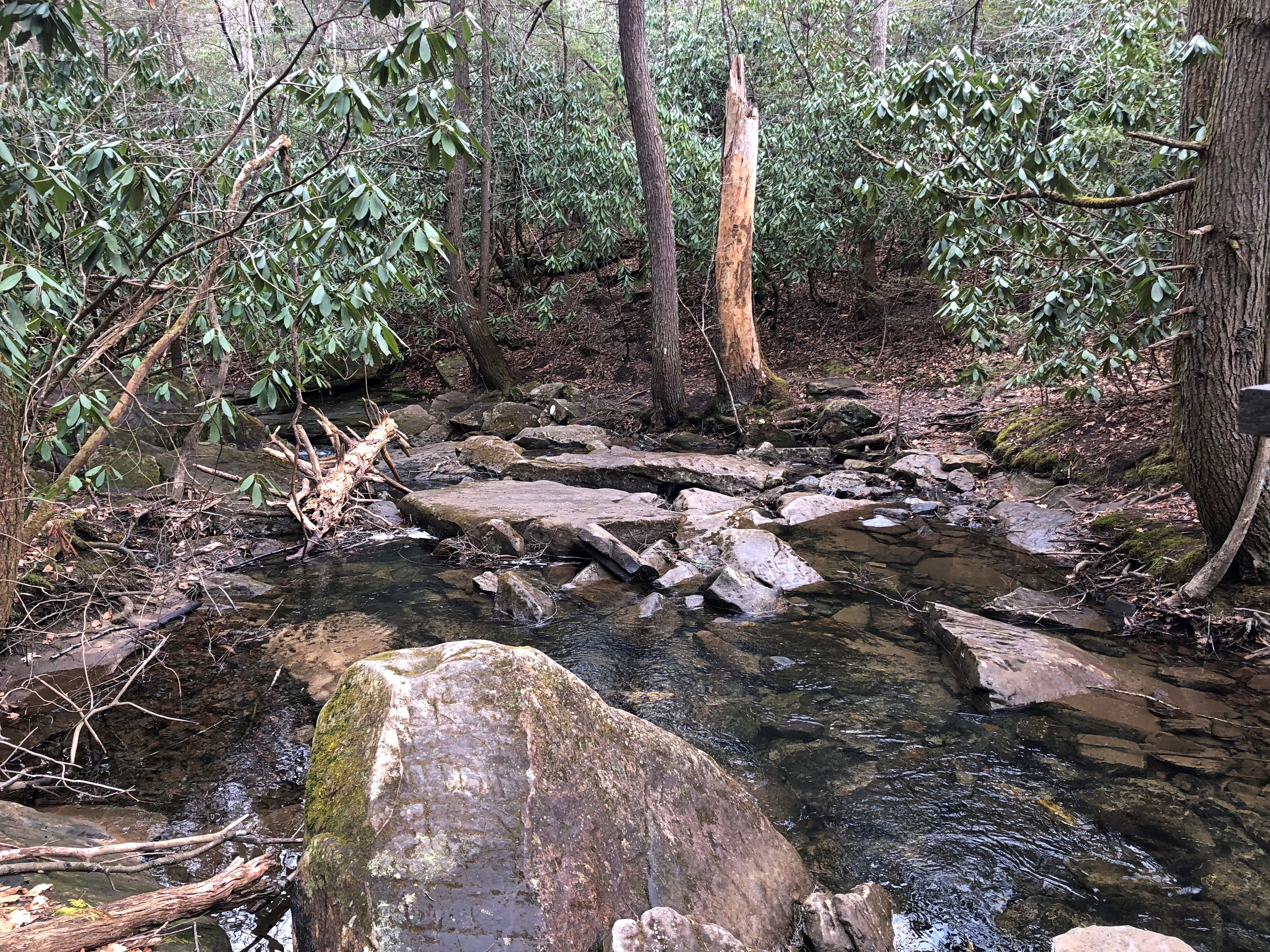
Not a particularly difficult trail, for the most part, though there were roots and rocks and mud patches, but they never rose past the level of sometime annoyance. Nowhere was it steep, but the trail rose slowly in elevation much of the time.New River Gorge NP New River Gorge NP New River Gorge NP

It takes a fairly healthy old man about 30 minutes to get to Diamond Head. I mean, Diamond Point. Odd the things you think about sometimes, such as a land form in the tropics while tramping through some temperate zone mud, just because of a coincidental name.New River Gorge NP New River Gorge NP

Close to the destination.New River Gorge NP

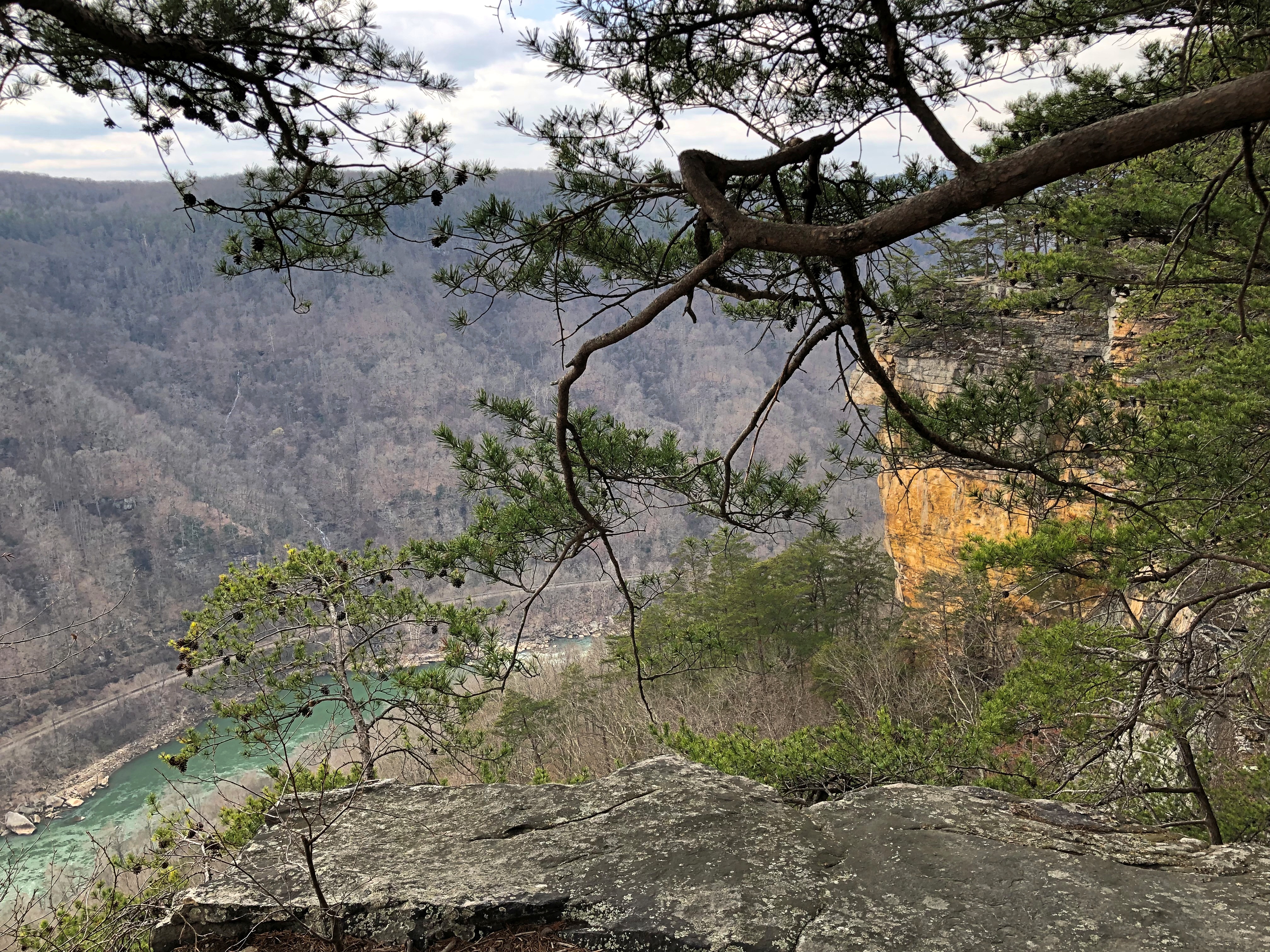
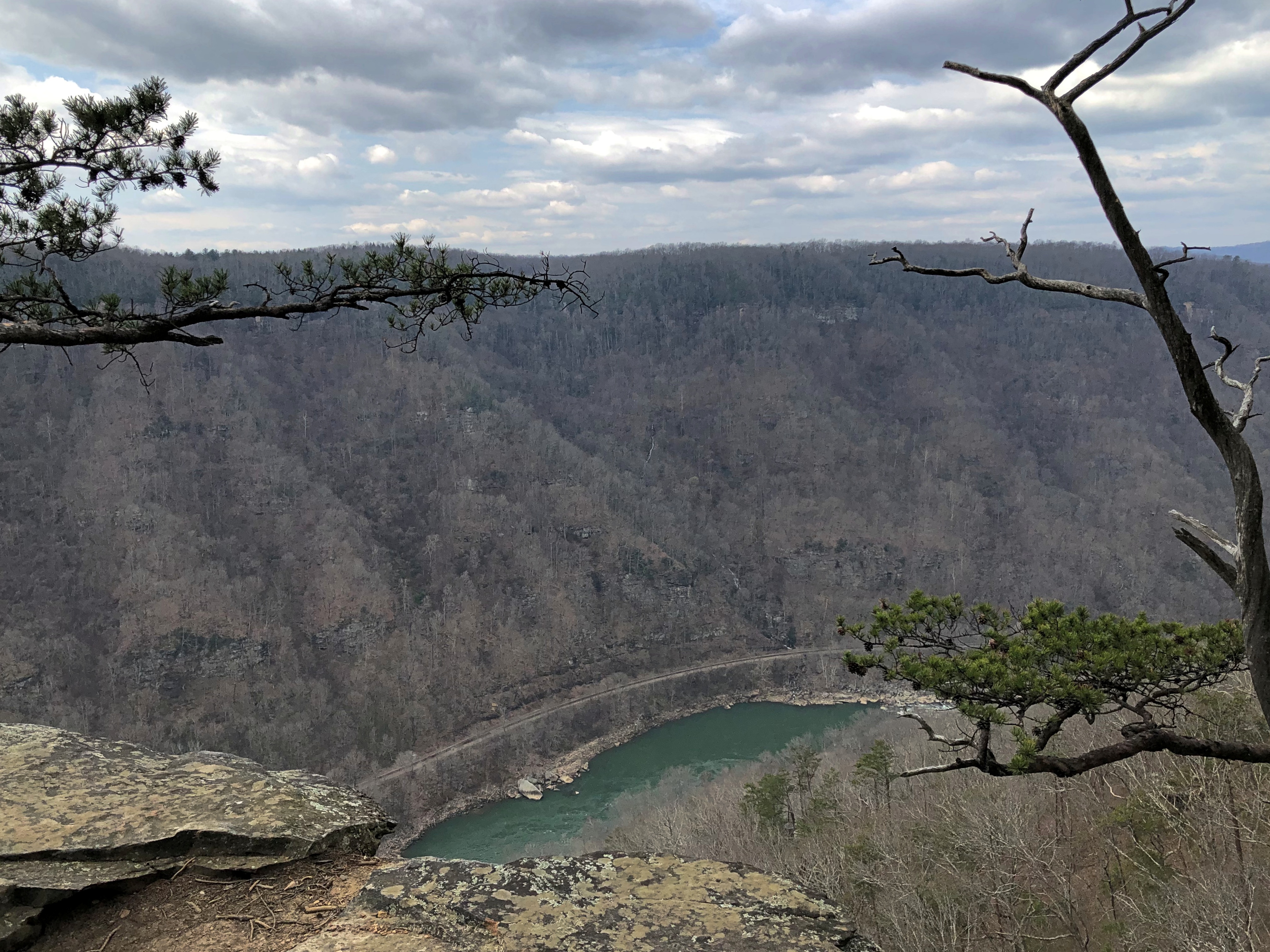
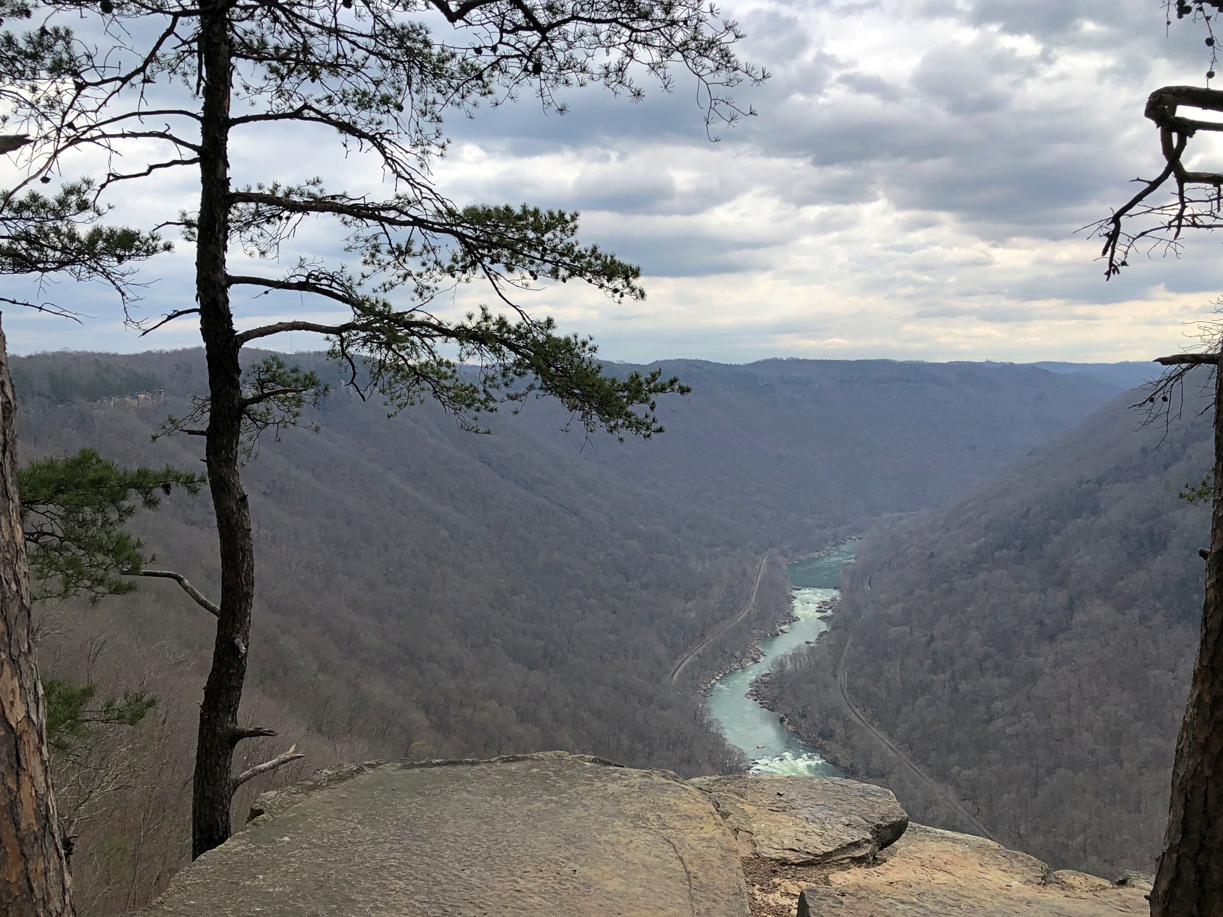
Some of the glories that were Diamond Point.New River Gorge NP New River Gorge NP
New River Gorge NP

There isn’t agreement on the exact age of New River among scientists, but it is measured in the hundreds of millions of years. Guess it was worth climbing a slope to take a look into deep time.

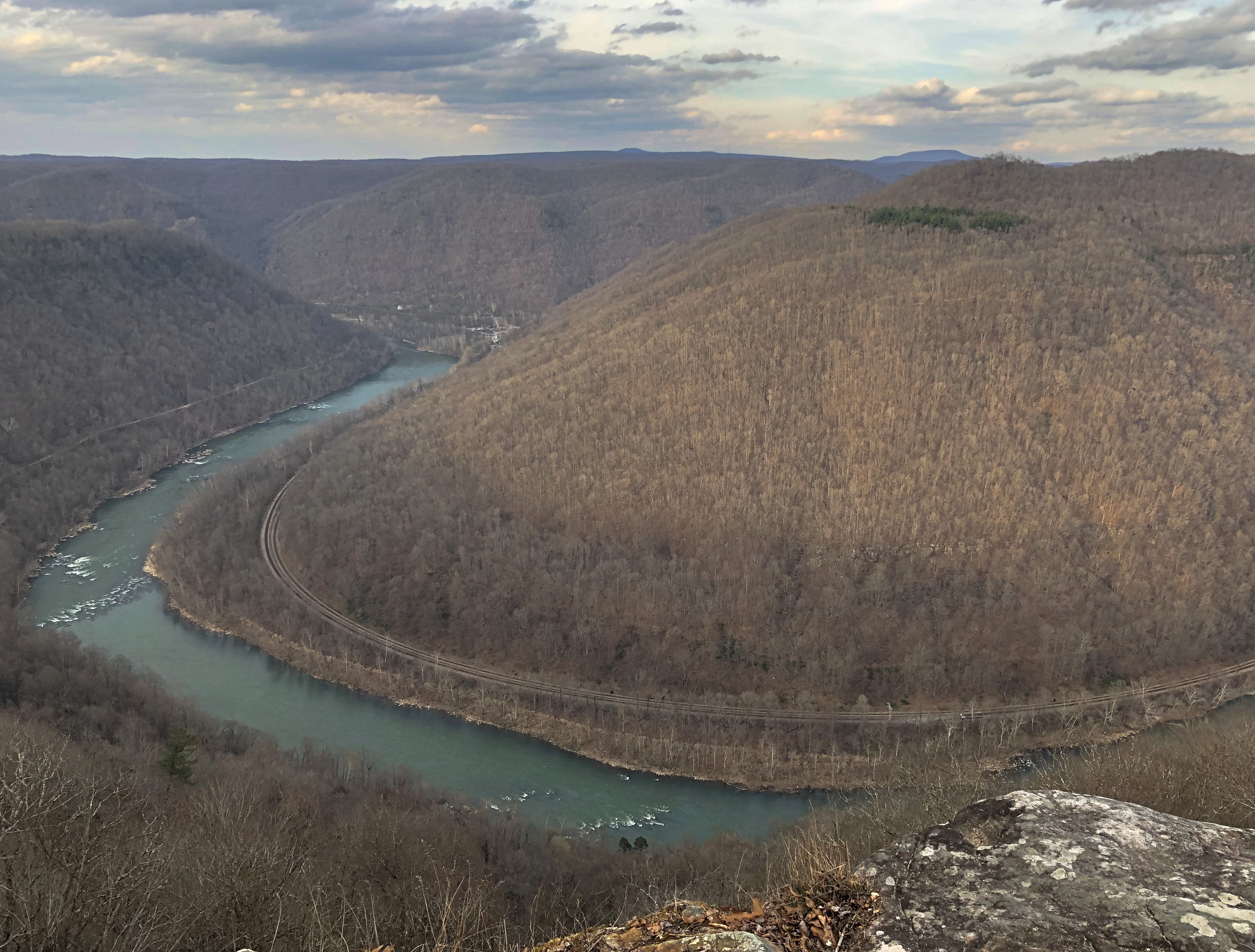
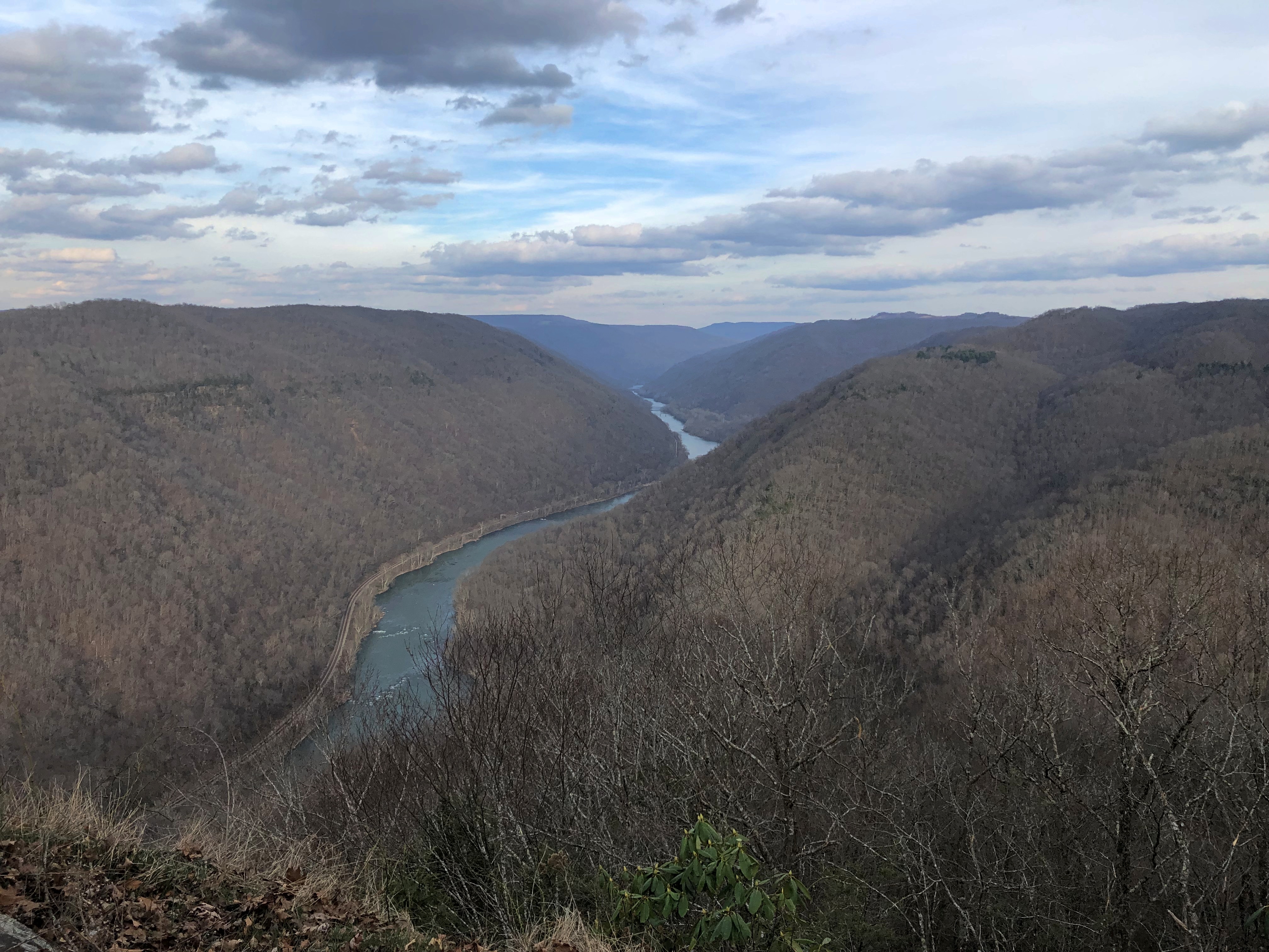
But you don’t need to walk that far to see a sweeping vista at Grandview, in a part of the park that’s some miles south-southeast of Diamond Point. We went there toward the end of the same pleasantly warm day, driving on local roads through Beckley, as well as short stretches of I-64 and West Virginia 9, to get to a large NPS parking lot, playground and ball field, occupied that day by small groups of parents and kids.

A walk of five minutes or so led from the play area to Grandview overlook. It is.New River Gorge NP New River Gorge NP

Nothing like a horseshoe bend, large or small.

New River Gorge National Park and Preserve: The Bridges

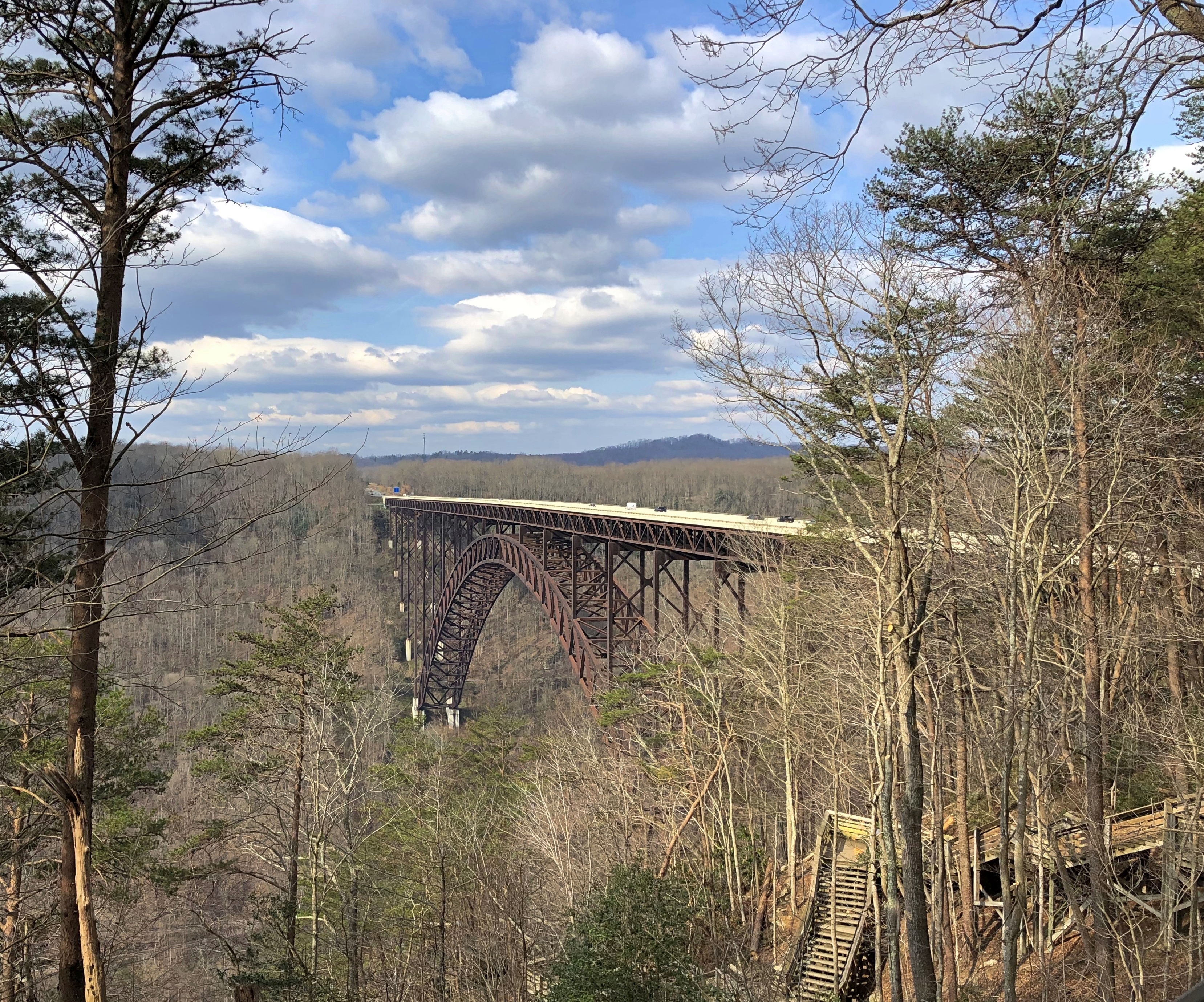
I didn’t appreciate the New River Gorge Bridge in West Virginia until I’d driven across it more than once, and more importantly, seen it from a distance.

A handsome design for a magnificent setting. Elegant. Sturdy. Spanning the gorge spider-web like. Imagine a species of large, intelligent arachnids that can extrude metal and spin webs of steel across the many gorges on their forested planet. Artful shapes like the New Gorge River Bridge, maybe.

Even better, such an artful shape was made by us clever apes here on Earth. Within my lifetime, completed in October 1977. If I’d been in that part of West Virginia then, I could have driven across the newly minted bridge carrying my newly minted drivers license, obtained in some haste that summer to take a girl I’d recently met on dates. But I wasn’t anywhere near the bridge in my South Texas adolescent driving days, and never heard of it till much later.

“The bridge reduced a 40-minute drive down narrow mountain roads and across one of North America’s oldest rivers to less than a minute,” the park service says. “When it comes to road construction, mountains do pose a challenge. In the case of the New River Gorge Bridge, challenge was transformed into a work of structural art — the longest steel span in the Western Hemisphere and the third-highest in the United States.

“The West Virginia Division of Highways chose the Michael Baker Co. as the designer, and the construction contract was awarded to the American Bridge Division of U.S. Steel. In June 1974, the first steel was positioned over the gorge by trolleys running on three-inch diameter cables. The cables were strung 3,500 feet between two matching towers. Cor-ten steel, with a rust-like appearance that never needs painting, was used in construction.”

Good to know, but if anything, the experience of driving across the bridge is too detached from the sense that you’re passing over an 800-foot void. The opaque fences along the edges of the bridge obscure the drop, though you do get a glimpse of the far-away cliffs of the gorge.

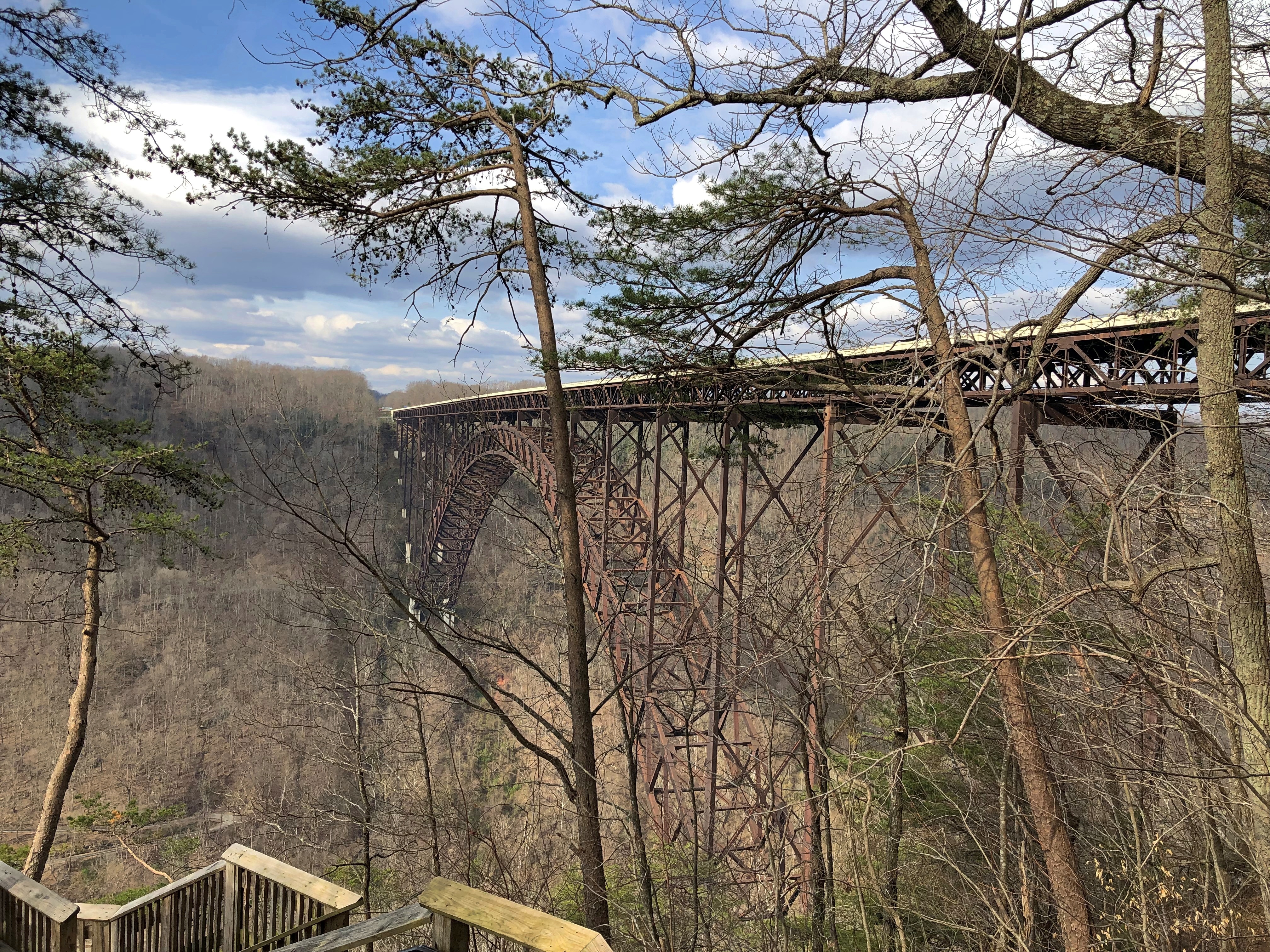
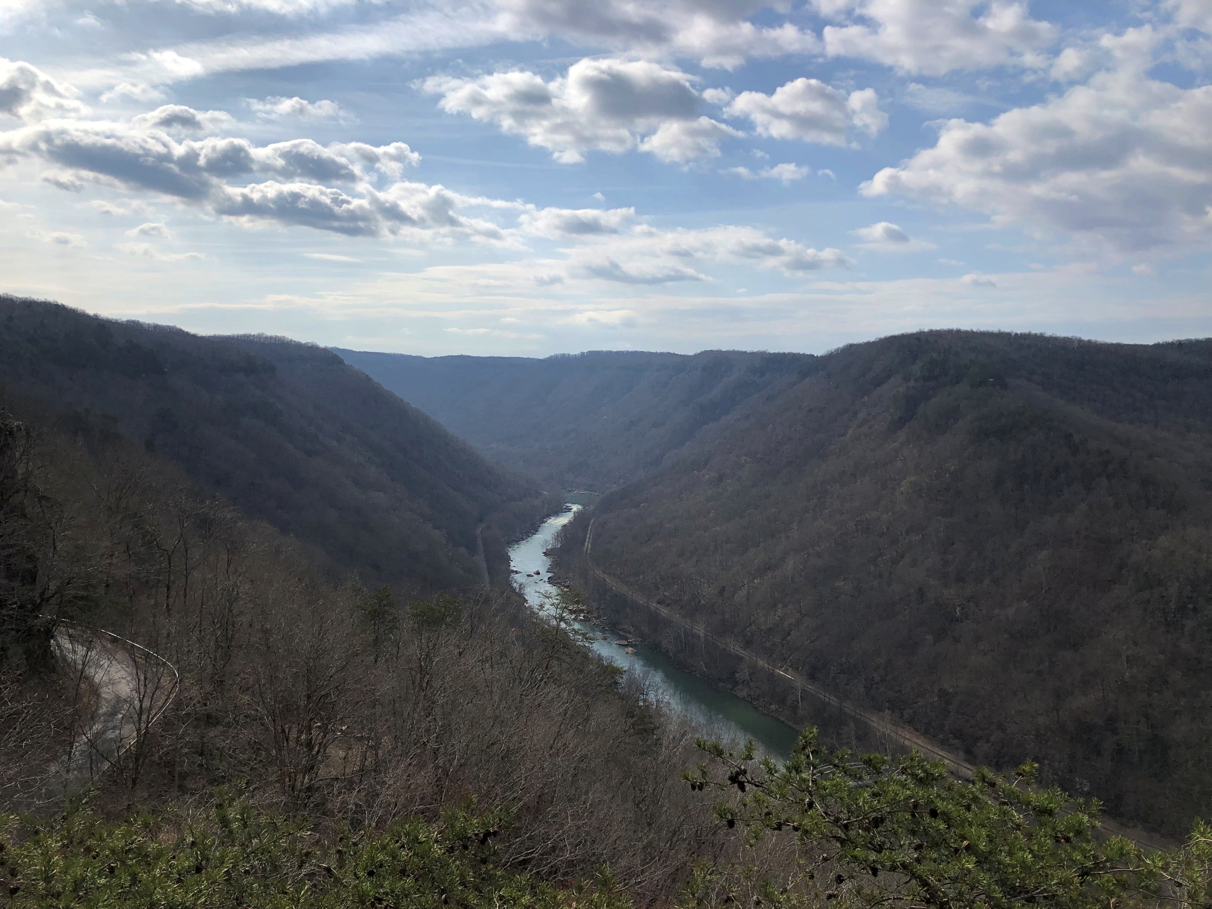
The bridge transits New River Gorge National Park and Preserve land on either side. A few minutes walk from the park’s visitor center takes you to a view of the bridge, which we saw on the morning of March 23, the brightest, warmest day of the trip.New River Gorge NP New River Gorge NP

The gorge, looking away from the bridge.New River Gorge NP

The old way to cross the gorge by vehicle involved spending 40 minutes or more on small roads that switchbacked their way down into the gorge, to just a few feet above the river, where there’s a much shorter bridge.

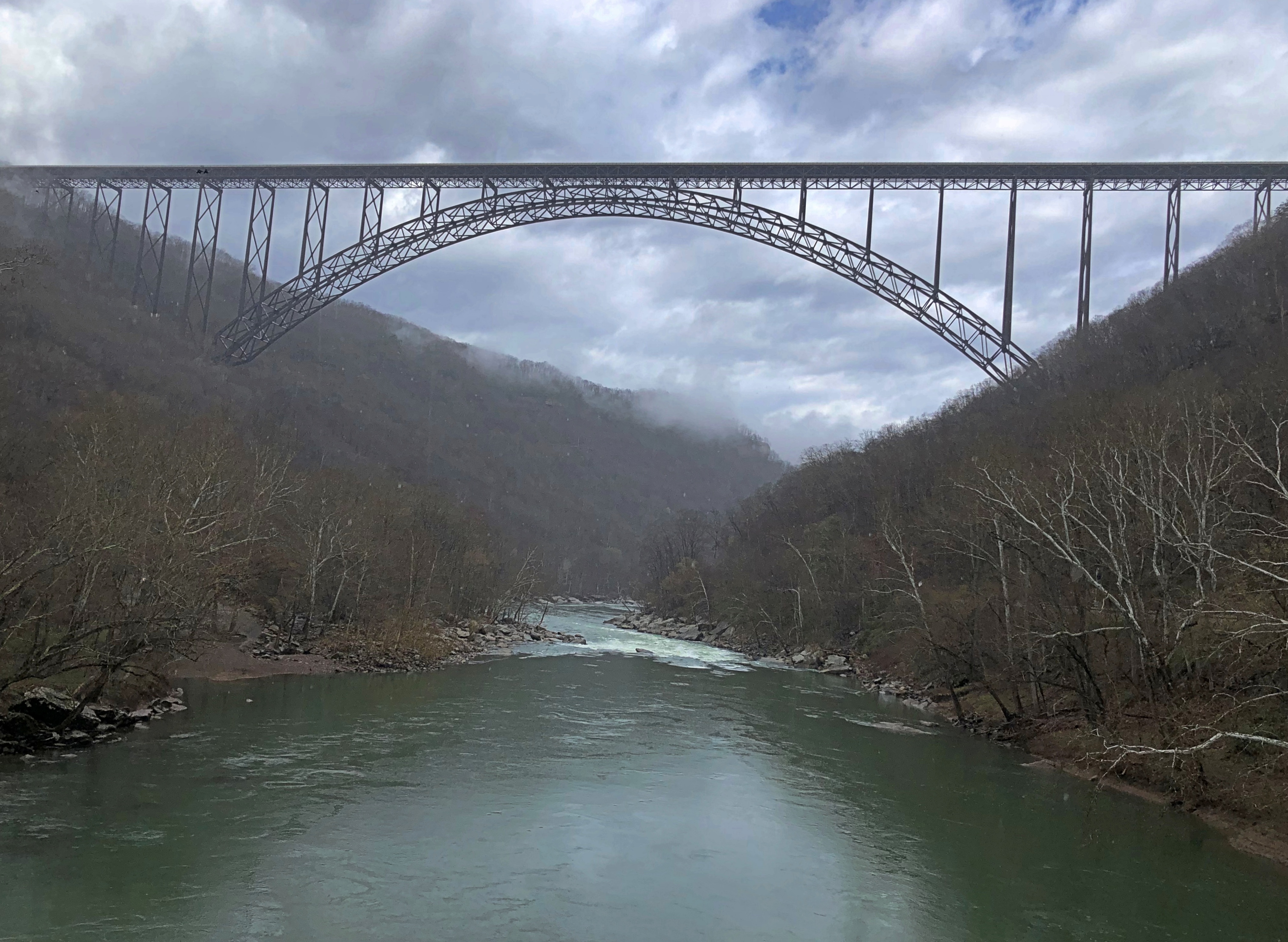
Stop there and you see the postcard-Instagram view of the New River Gorge Bridge in all its glory.New River Gorge NP

We drove down to the river the morning of March 24, the day after we’d seen the bridge from near the visitors center. Cold rain fell periodically and clouds clung to the side of the gorge.

A small aside. I saw that a number of things are named after Sen. Byrd in West Virginia, and I’m sure if I’d stayed longer, I’d have seen more. Why not this grandest of Mountaineer State bridges? Than again, maybe the thought of it being the “Byrd Bridge” has given policymakers second thoughts on a renaming.

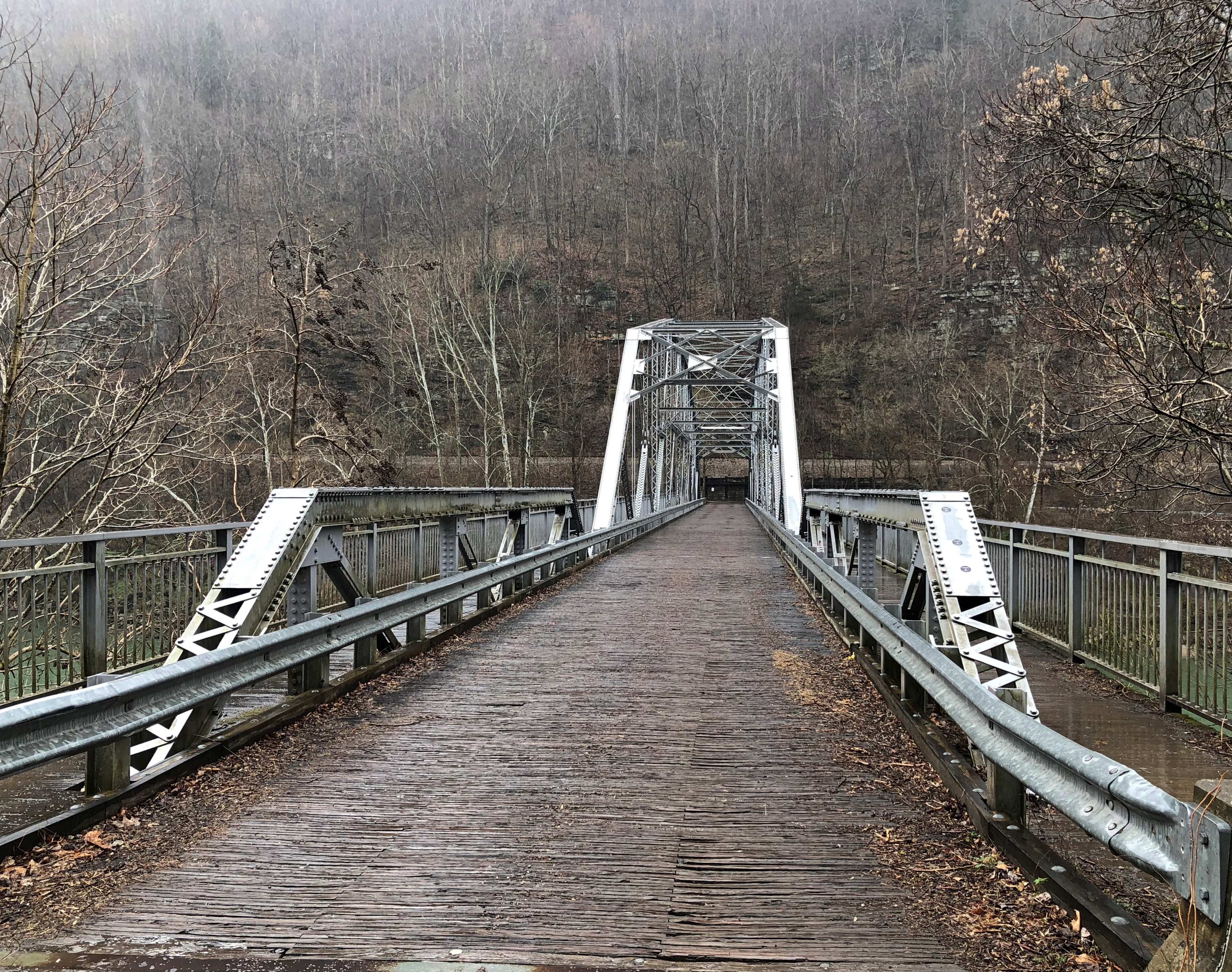
The bridge down near the banks, where a few generations of West Virginians before 1977 made the crossing, does have a name: Tunny Hunsaker Bridge.New River Gorge NP

I had to look him up. I thought, local politico? A local man who didn’t return from a war? No, he was a prizefighter who later was police chief of nearby Fayetteville, West Virginia (d. 2005). I’m not up on the history of boxing. Now I’ve read that Muhammad Ali’s first professional win, in 1960, was against Hunsaker.

The current bridge dates from 1997, built to replace an earlier iteration. You can’t walk across the New River Gorge Bridge (except on Bridge Day), but you can walk across Tunny Hunsaker any time. So we did in turn. When you can cross an interesting bridge in an epic setting, you should.

Tri-State Appalachian Equinox Road Trip

Old Chinese proverb, I’ve heard: even a journey of 1,000 leagues begins by backing out of the driveway. That we did on Friday, March 17. We pulled back into the driveway on Saturday, March 25. In between we traveled 2,219 miles, using the ragged marvel that is the system of roads in the United States.

My fanciful name for the trip refers to three states that were the focus: Ohio, Pennsylvania and West Virginia. We actually passed through seven states, also including Illinois, Indiana, Michigan, and very briefly, Maryland.

We saw a lot of places, but two in particular motivated the trip as a whole. One was Fallingwater, the Frank Lloyd Wright sculpture – I mean, house – perched over an irregular drop on Bear Run, a creek in rural Pennsylvania. Visiting Fallingwater had long been an ambition of Yuriko’s, maybe since before she lived in this country, since FLW is known far and wide; but I needed no persuasion to go myself.

The other was New River Gorge National Park and Preserve in eastern-ish West Virginia. This was my suggestion, since I keep up on national parks. But I’ve wanted to go there a good while, long before Congress promoted it to national park, which only happened in 2020. Besides, it was high time I spent a little more than a few minutes in West Virginia which, for whatever else it has, is known for its surpassing scenery. This reputation, I can confirm, is deserved.

Weather-wise, spring travel is a crap shoot. The day we left a cold, unpleasant wind blew in Illinois, Indiana and Michigan, and it followed us under the same gray skies and at temps barely above freezing the next day, into central Ohio.

By last Monday, in southwest Pennsylvania, temps had moderated with the appearance of the sun, and each day was more pleasant than the last as we headed south into West Virginia, where the grass had greened and some bushes had too, though most trees were at the barely budding stage. Thursday, March 23 proved best of all, with sunny skies and temps in the 70s, allowing us to enjoy the best meal of our trip — ricebowl meals — at a picnic table in Fayetteville, W.Va.

A cold rain came calling on Friday as we headed from West Virginia back to Ohio. On Saturday, again in central Ohio, it wasn’t bitterly cold, but the wind was so strong at times that it jostled my car as I drove and my body as I walked. Rain squalls came and went, with a spell of sleet I actually enjoyed, sitting in our parked car listening, knowing that the ice was too small to do any damage. Returning home yesterday, Illinois was pretty much as we’d left it, chilly and not-quite-spring.

The upshot of it all is to pack for the weather variety you’re going to encounter, and I was more than glad – as I returned to the car in a stiff wind, crossing a green field in small-town Ohio, feeling wind chill that must have been around zero (and I mean Fahrenheit) – that I’d brought the coat I use most of the winter.

We brought the dog. We don’t want to leave her at a kennel any more, and no one was at home to mind her. Having your dog along is something like traveling with a small child you can’t take into restaurants or a lot of other places, but we don’t regret a bit of it. Long drives in the car don’t faze her at all, since after the first few minutes, that’s like lying around the house and, as the comedian said, a dog’s job is lying around the house.

She had her energetic moments too, more than you’d think for an ancient dog, such as walking the trail to Diamond Point overlooking the New River Gorge, with its smooth straightaways through forests giving way to patches of mud, large rocks or tightly packed tree roots underfoot, sometimes all of those in a single stretch. Our reward for the sometime-slog was a vista of rare beauty. Her reward? I don’t think it was anything so visual. Maybe following the pack is its own reward for her.

Companion dogs also mean you acquaint yourself with the look and feel of the front office and main entrance of limited-service hotels during the empty early a.m. hours, well lit as a Broadway stage but without any players. Except maybe for the night clerk, just outside the door, who is peering into his phone, cigarette in other hand. Probably our dog, as any dog, could be trained to pee on a disposable rug in the room during the small hours, but somehow we’ve never wanted to do that. There’s something appealing somehow about the ritual of dressing as simply as possible a few minutes after waking at 2:30 or 3, or 25 or 6 to 4, hitching a leash to the dog’s collar and repairing to the first patch of green, or pebbles ringed by a curb, outside the hotel door

Take me home, country roads. I’ll say this for West Virginia, it’s got some crazy-ass serpentine roads through its ancient and forested mountains. The Laurel Highlands in southwest Pennsylvania was no piker in that regard, either. You need to keep an intense focus on the road as it winds this way and that, rises and falls, and passes ever so close to boulder walls, massive trees and wicked ditches. If you don’t mind thinking about your mortality every now and then, that’s some good driving.

Mostly good driving. There are moments when a red sedan, or a black pickup truck, decides that tailgating you at roughly the speed limit as you wind around and navigate switchbacks, is a good idea, and blasts around you at the first marginal opportunity, double solid stripes be damned.

Yet I only got the smallest sampling of the twisty roads. No roads without pavement this trip, though plenty enough didn’t bother with details such as guardrails. Another, entirely unpaved and mostly unregulated network of roads and tracks, many perhaps pre-New Deal, must exist in West Virginia. Out away from the nearest town, while we were parked a national park site on a small paved road, three ATVs buzzed past, each with two people. They were headed toward town after emerging from the woods, their vehicles streaked with mud. I was just close enough to see in their faces they’d had a fine time out in the unpaved network.

Also, if you really wanted to get home to West Virginia, wouldn’t you take the Interstate?

We made stops in Ohio going and coming.
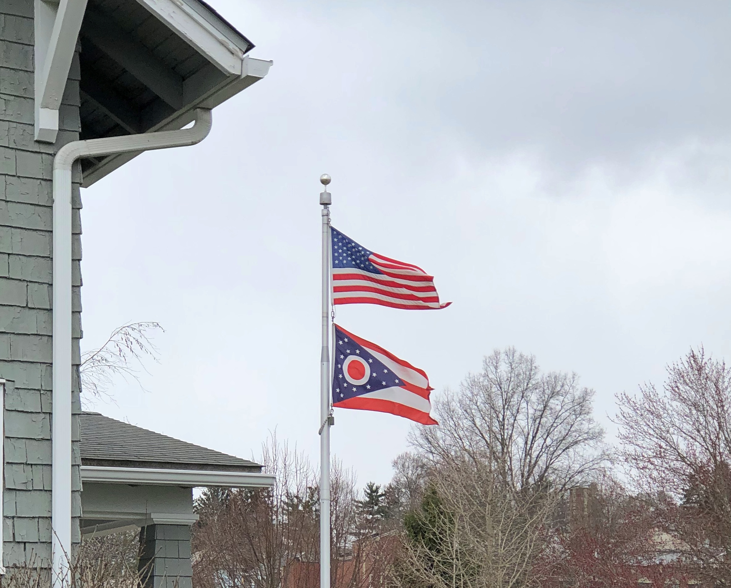
On Saturday, March 18 we made our way south from Ann Arbor, where we’d spent the first night, to Columbus, Ohio, to spend the second. On the way is the Basilica and National Shrine of Our Lady of Consolation, a Byzantine edifice rising in a small town, which we visited, but also sites associated with Warren G. Harding: his memorial and burial site, and also his home, in the large town of Marion, Ohio.

Our return home, beginning on Friday, March 24, took us back through Ohio, to Columbus for the last night of the trip. Saturday morning, after takeout breakfast at Tim Horton’s – for that part of Ohio is in the Tim Horton’s orb, we were glad to learn – we visited downtown Columbus and the Ohio Statehouse in a howling cool wind. Ate lunch, Korean-style chicken and salad, sitting in the car in a clearly gentrified neighborhood, the bricked-streeted German Village. We spent the rest of Saturday driving back, via Indianapolis.

On the morning of Sunday, March 19, we left Columbus and made our way east through the remarkable town of Newark, Ohio, then Wheeling and Moundsville, West Virginia  and from there to Uniontown, Pennsylvania, a mid-sized far outer suburb of Pittsburgh. Or at least it will be in a few years.
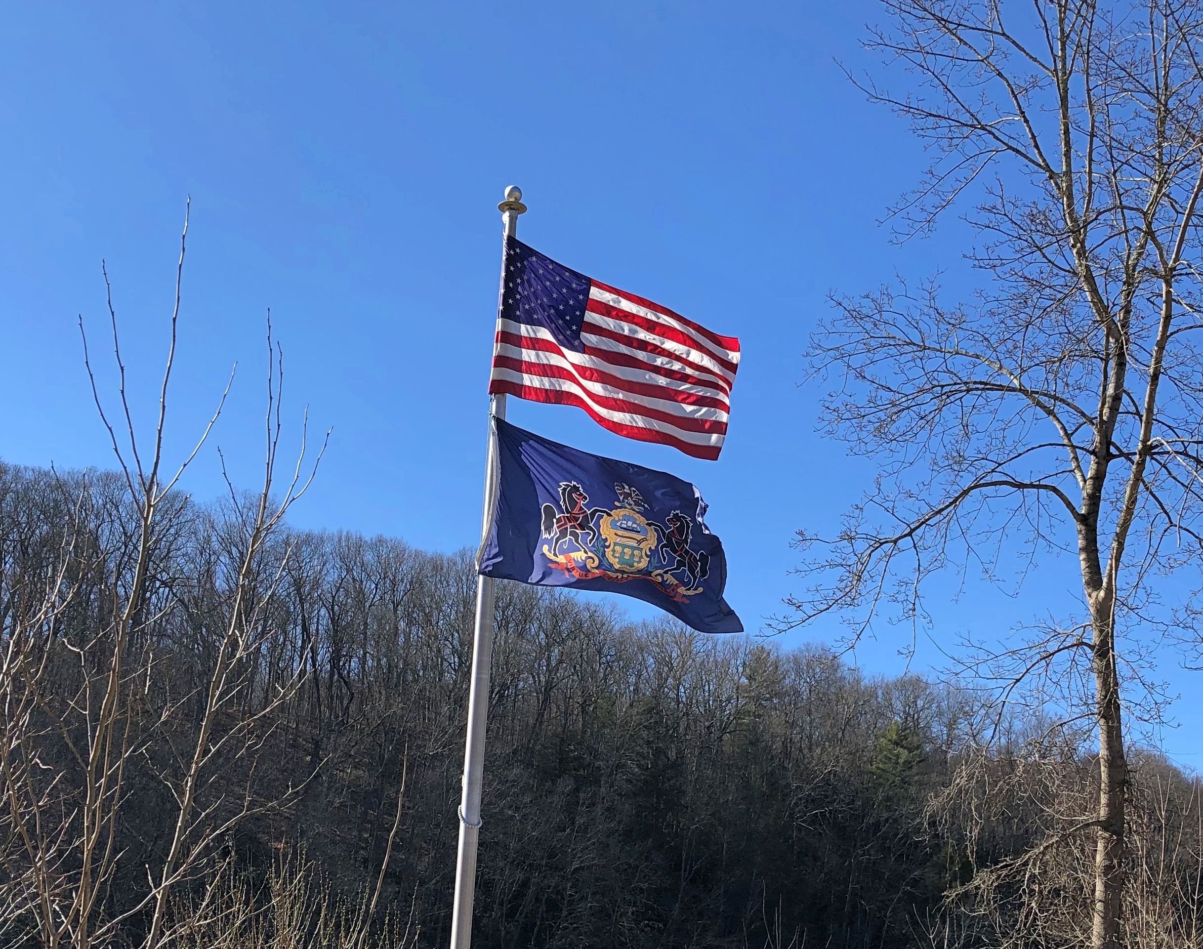
On Monday, we paid our visit to Fallingwater, taking turns on tours, after which we had lunch in a low-season tourist town and took an impediment-rich hike in Ohiopyle State Park, along the rocky shore of the Youghiogheny River, at that point boasting a highly picturesque waterfall. That was enough for one day for Yuriko, who napped in the car (along with the dog) as I walked the much shorter and smoother path to Fort Necessity National Battlefield late that afternoon.

On Tuesday, we made our way back west a short distance, to visit the Palace of Gold in rural West Virginia, in the peculiar north panhandle of the state (which I’ve long thought of as a conning tower). We returned that day to Uniontown by way of Moundsville, W. Va., home of an ancient mound of remarkable height, a former penitentiary of remarkable solidity, and a bridge across the Ohio River of remarkable elegance. Those things, and some tasty if not remarkable barbecue.

The next day, we left for West Virginia, but not by the most direct route, because I wanted to see the Flight 93 National Memorial in deep rural Pennsylvania. Progressively smaller roads lead there, including – as we traveled it, which I figured would be the quickest route – a short stretch of I-68 through the oddity that is the Maryland panhandle. Late that day, Wednesday, we arrived in Beckley, W. Va. 
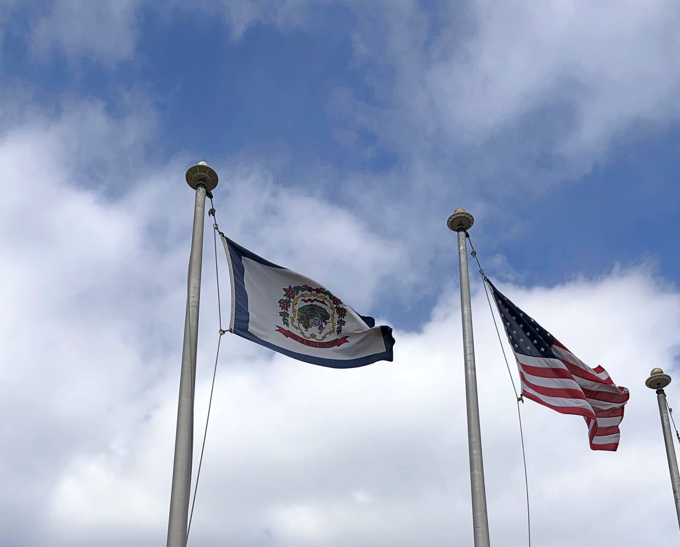
We spent almost all of Thursday at the national park, at one sight or another, driving and hiking and pondering historic and sometimes crumbled structures. But that wasn’t quite enough. On Friday morning, before we left for Ohio, we went back to the park. Around noon, we headed west, passing through Charleston long enough to visit the West Virginia State Capitol and eat Chinese takeout, though not at the same time. A little north of Charleston, we crossed back into Ohio after gassing up near the small town of Ripley, West Virginia. Believe it or not.

One other thing: this was a vacation from the news, which following is part of my job. Except for the briefest snippets on the radio, when sometimes I didn’t change stations out of habit for some seconds, I ignored the news of the world, or even smaller parts of it. I think that’s a good thing to do.

But of course, a few things got through. I heard the opening bars of The Dick Van Dyke Show theme on a news program one day, and I jumped to the conclusion that he had died. That isn’t a big jump, since he’s 97. But no, merely a one-car accident.

Image being that well regarded, that your minor auto accident as a nonagenarian is national news. Anyway, glad not to say, RIP, Dick Van Dyke.
Buckhead From on High

Two days after I returned from the West last month, I went to Atlanta for a work conference for most of week. Atlanta and I go back a ways; I first went there by bus in ’82, but also later. Still, my most recent visit was in 1999, so it’s been a while.

This time, there was work to do, of course, and events to attend, and I got to spend time with colleagues I hadn’t seen in a number of years, or ever, except for Zoom. That was good.

I also had a few excellent meals not at my expense, especially one at The Consulate, a restaurant in Midtown that rates its own Atlas Obscura page.

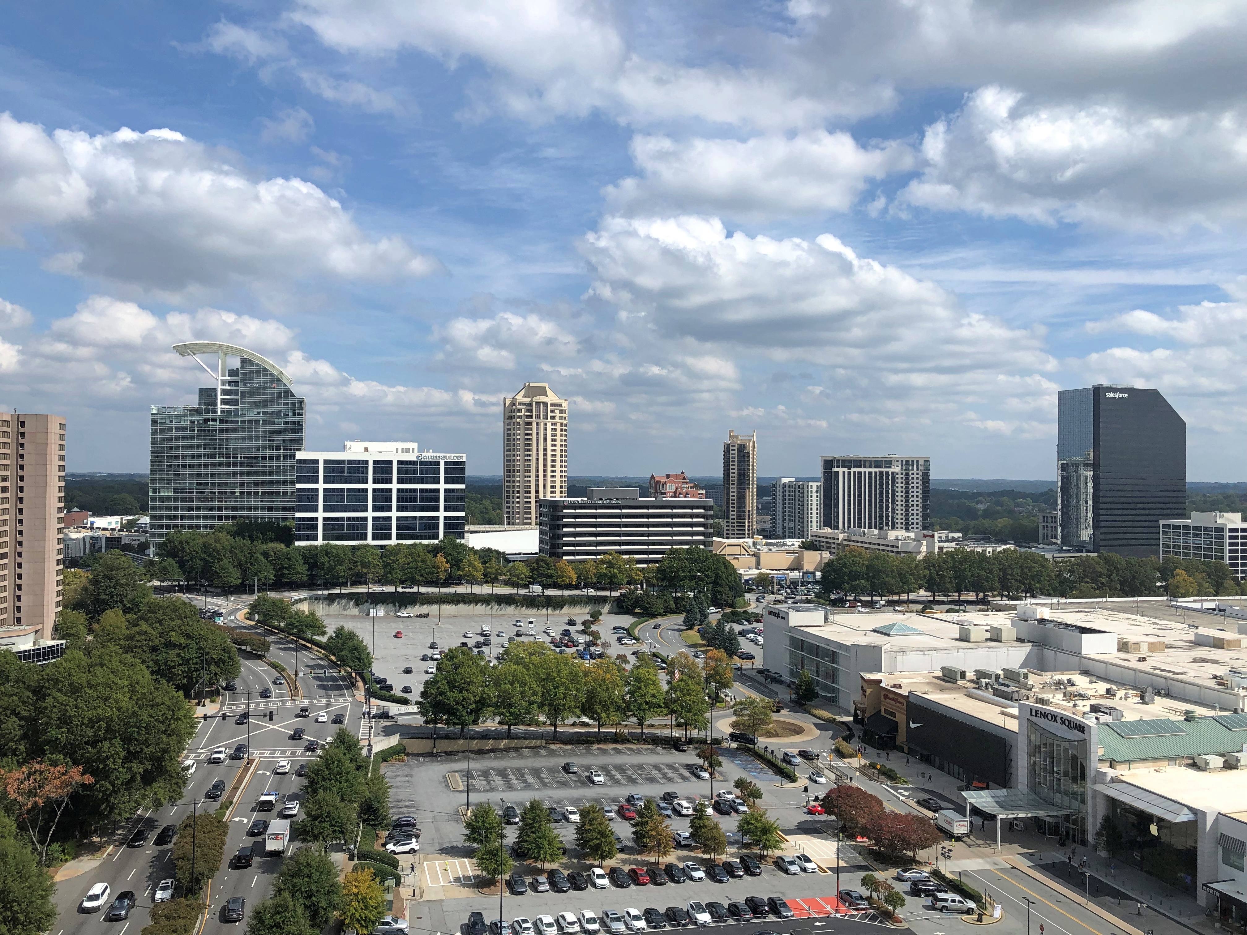
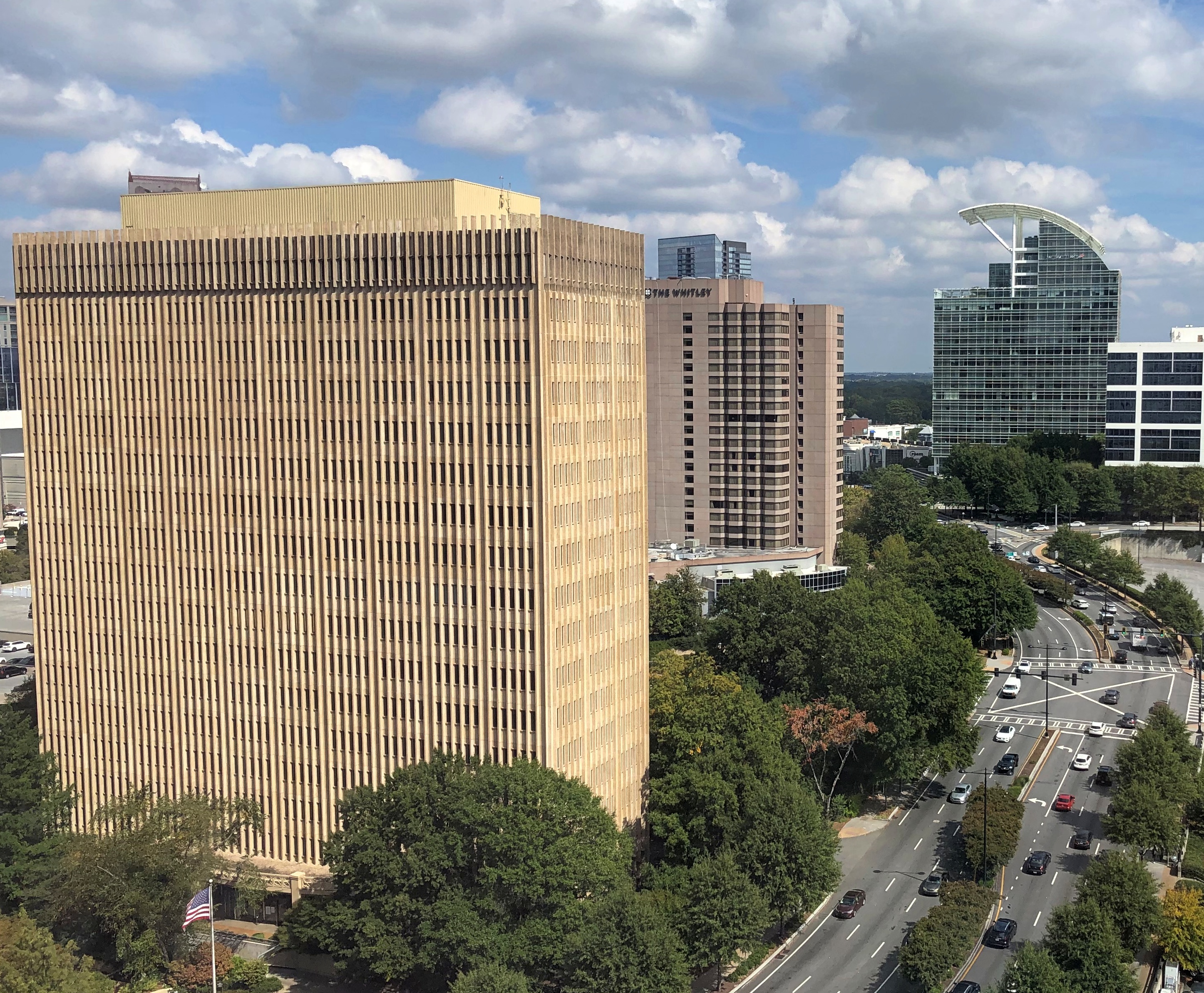
I stayed in an upper floor of the conference hotel in Buckhead, which is like a second downtown for Atlanta, something like the Galleria district in Houston. I enjoyed some good views from the room.Buckhead view 2022
Buckhead view 2022

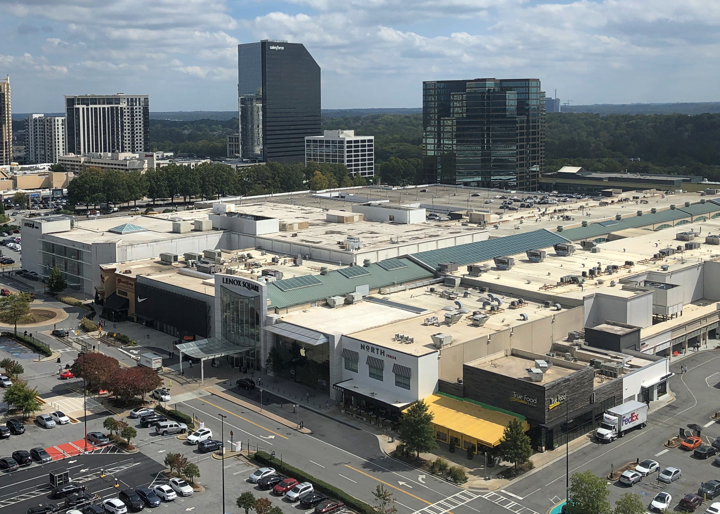
Including much of the rooftop of a major regional mall. Not something you see every day.
Buckhead view 2022

Sure, the property’s mechanicals need to be up there. But isn’t there also the opportunity to use at least part of the roof for games that might attract hipsters and their always at-hand cameras — to promote the mall on social media — such as ax throwing, bocce and shuffleboard?

Lake Tahoe

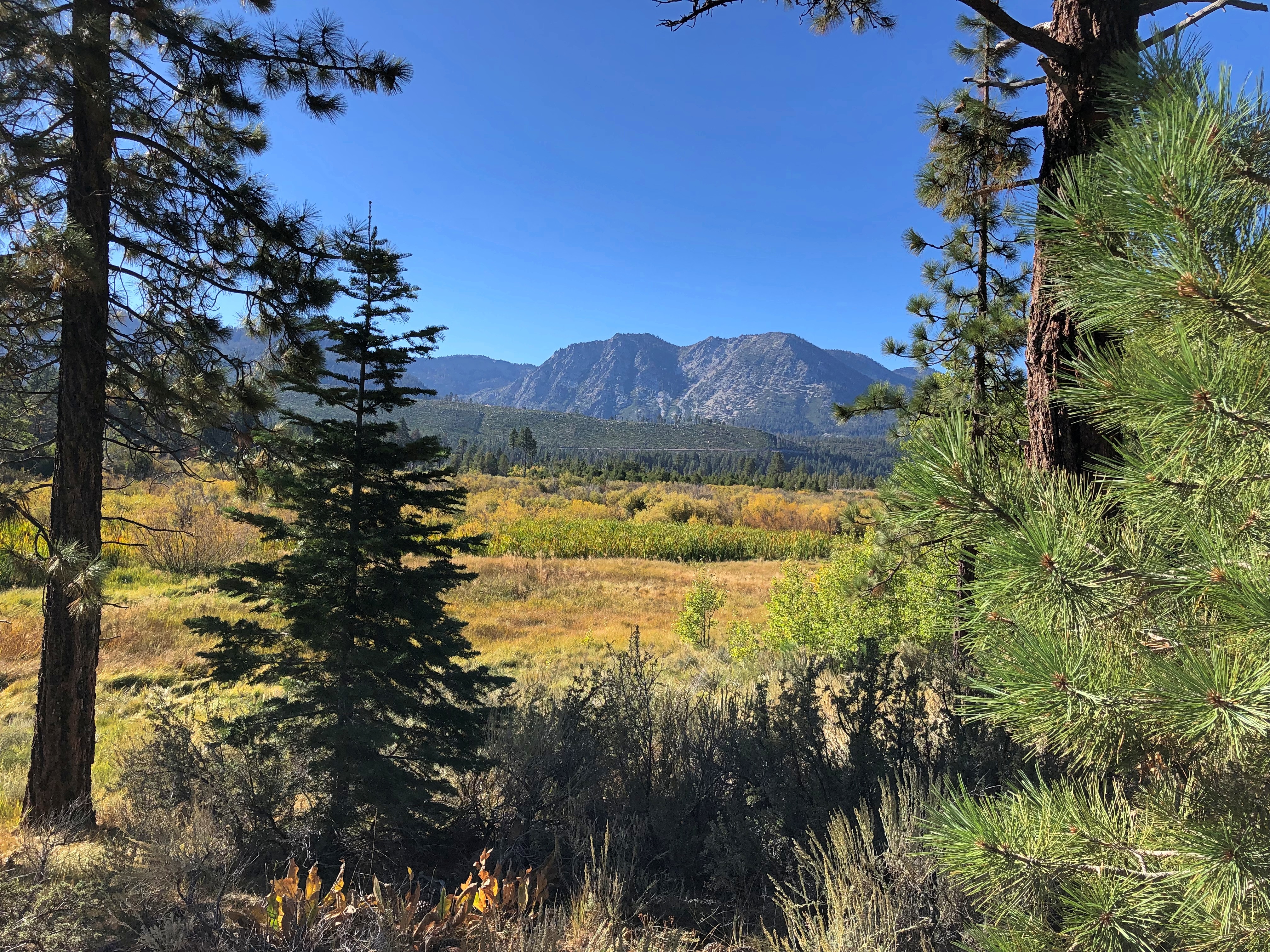
Lake Tahoe has long fascinated. Not necessarily for being a large alpine lake in the Sierra Nevada, elevation more than 6,200 feet above sea level, or as a relic of the last Ice Age, or for having the largest volume of any North American lake except for the five Great Lakes, though those interesting facts are surely of geographic importance. Or even for its reputation for scenic vistas which, I discovered myself in early October, is well deserved.

Rather, what fascinated me at a young age was the fact that the California-Nevada border cuts right across it (that border, incidentally, has a convoluted history otherwise). Even better, the bend in the line that contributes to both states’ distinctive shapes happens at a point in the middle of the lake. Do boats ever go out on Tahoe with their GPS, looking to float right on that imaginary geographical point? I like to think they do.
I took U.S. 50 west up into the mountains that day. Sacramento, where I started, is 30 feet above sea level. Eventually I reached Echo Summit, elevation 7,382 feet, where you can catch just the briefest glimpse of Lake Tahoe ahead and down more than a 1,000 feet – a perfect alpine blue like lakes in the Canadian Rockies.

But only glimpses, because if you’re driving U.S. 50 at that point, you’re snaking along a fairly busy two-lane highway with curves and drop-offs that demand your attention. Not a road for the easily spooked, but I liked it. There would be other mountain-meandering roads on this trip, cutting through thick forests or arid scrub and letting you dwell on your mortality if you’re so inclined.

First stop: Taylor Creek, and some nearby places, such as Tallac Point and Keva Beach.

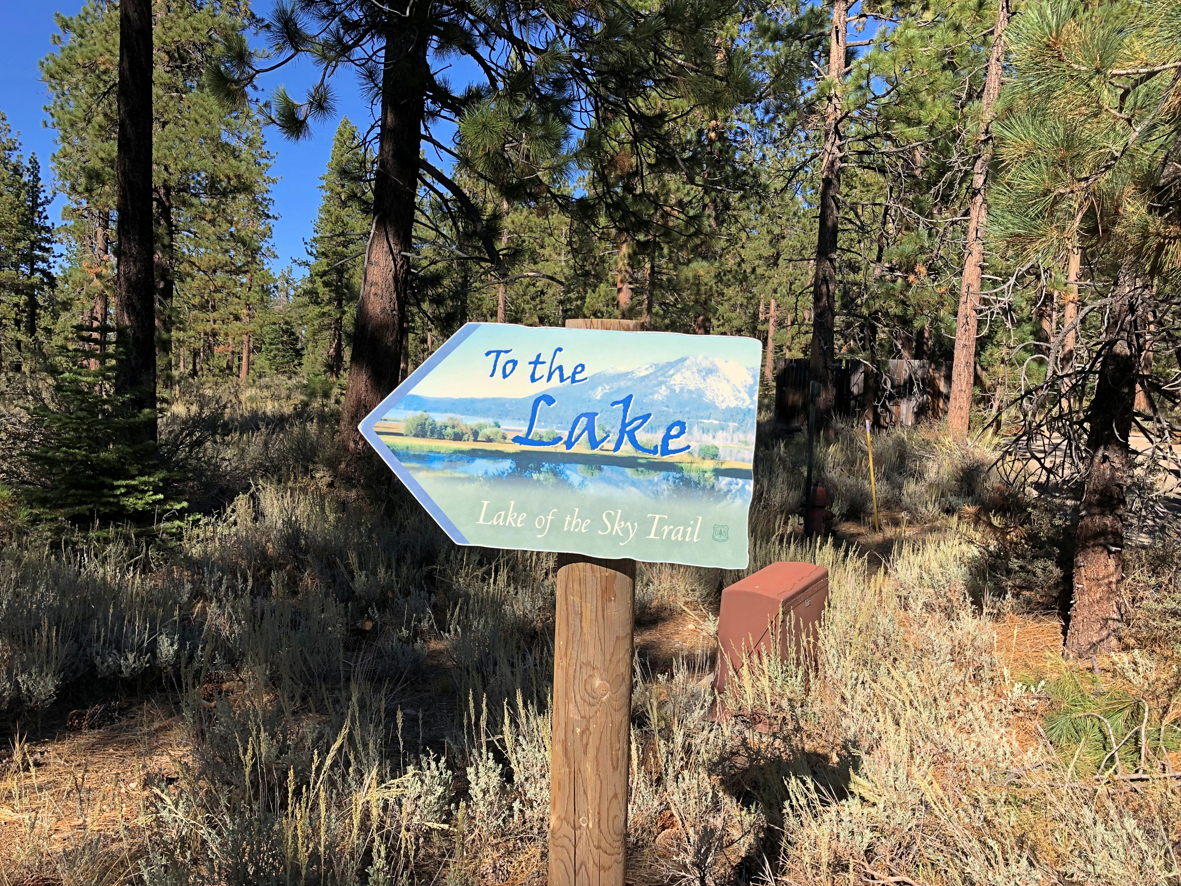
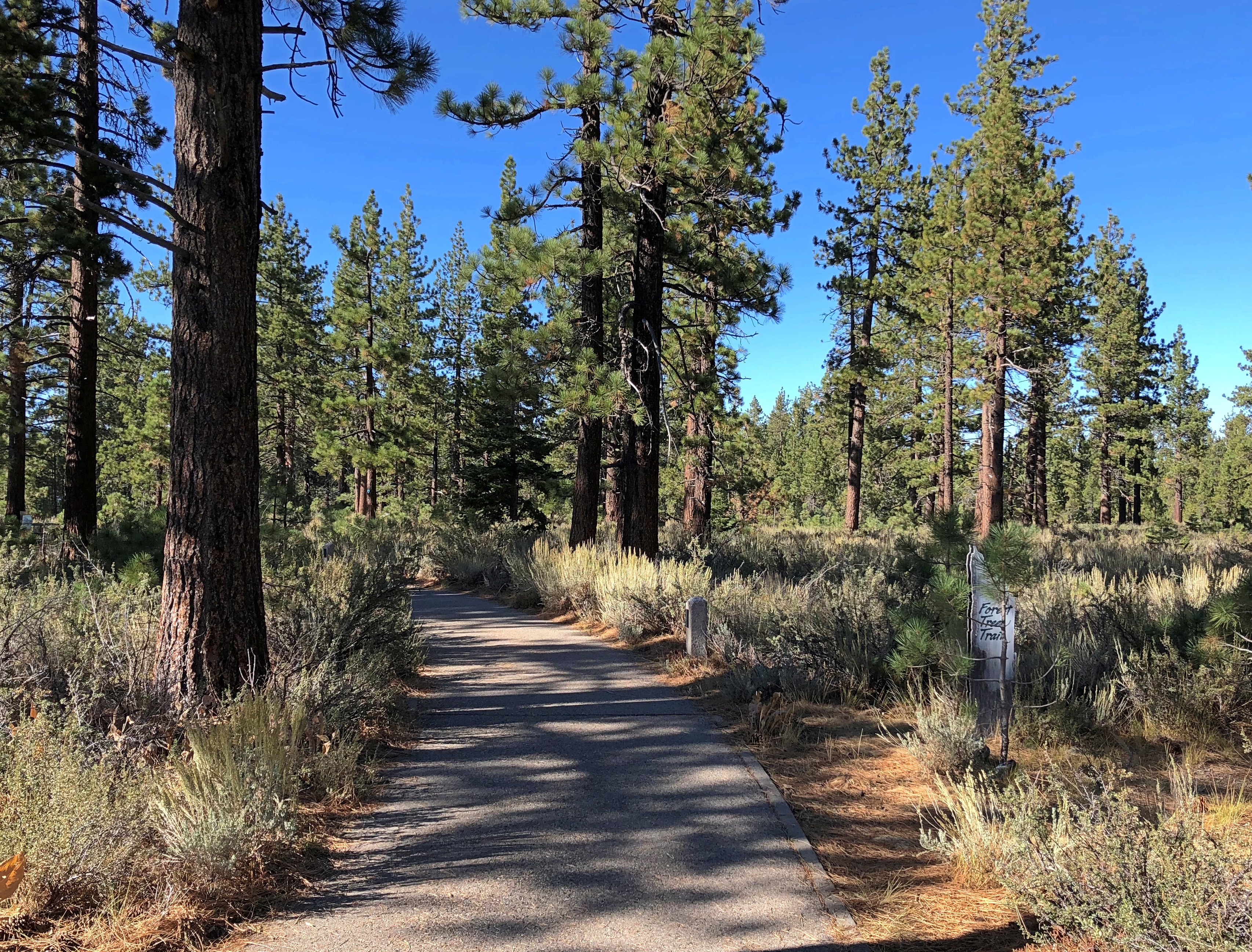
The wayfinding could not be more straightforward.Lake Tahoe Lake Tahoe Lake Tahoe

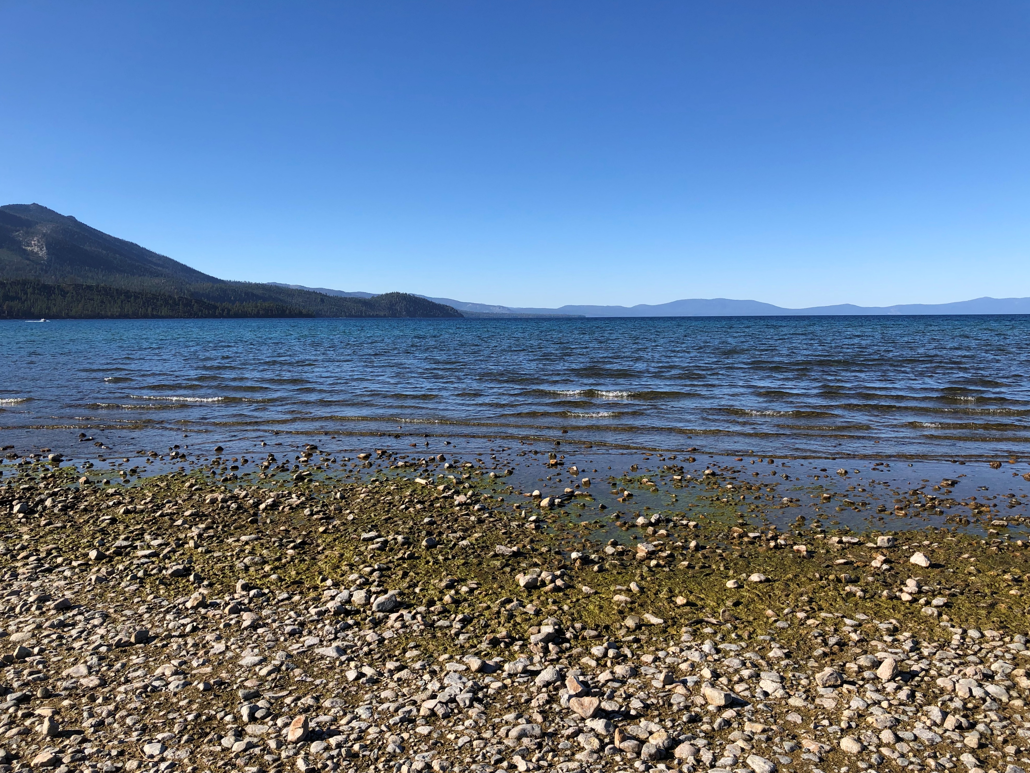
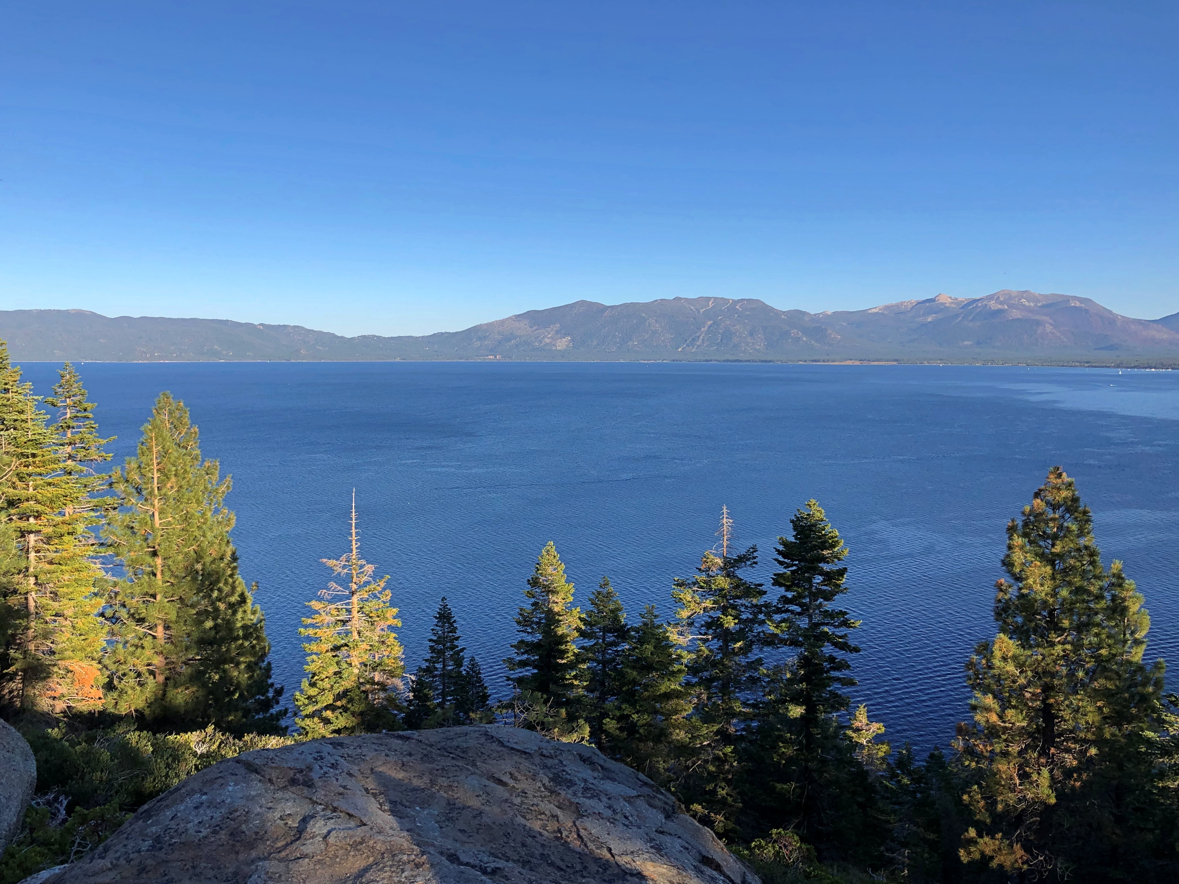
The wide expanse of Tahoe. I’ll call it an honorary Great Lake. Crater Lake is deeper, so maybe it is, too. But I’ll have to see it first.Lake Tahoe Lake Tahoe
I’d have put my feet in the lake, except at that point — not really visible in my images — were some algae blooms: green, blobby and insalubrious looking. I wasn’t wrong to keep my distance.
“Nearshore algae blooms are a growing ecological threat to the lake – they seriously degrade water quality, make large areas of beach unpleasant with mats of decomposing algae, and for particular types of algae, can pose toxicity issues,” says the Tahoe Environmental Research Center of UC Davis.
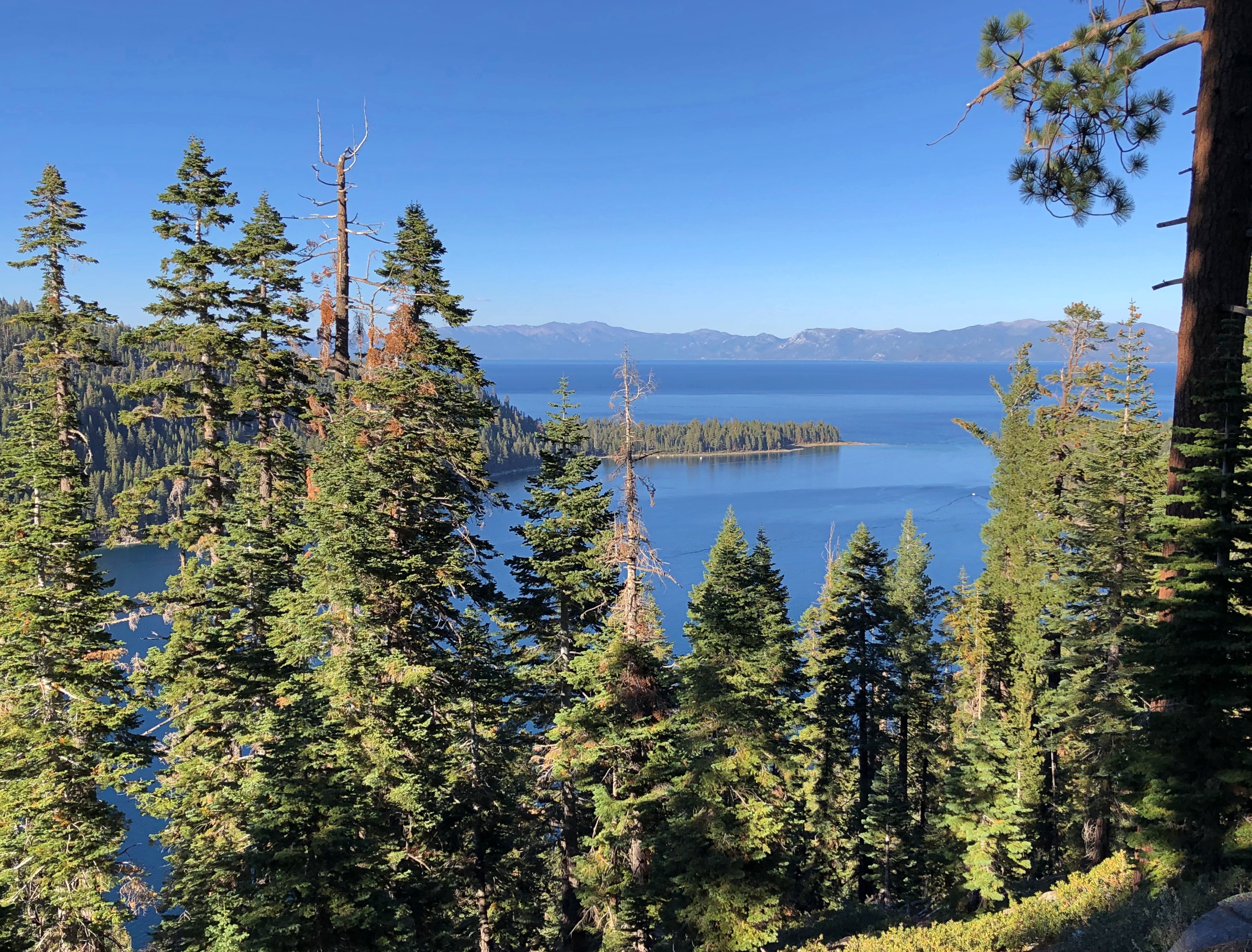
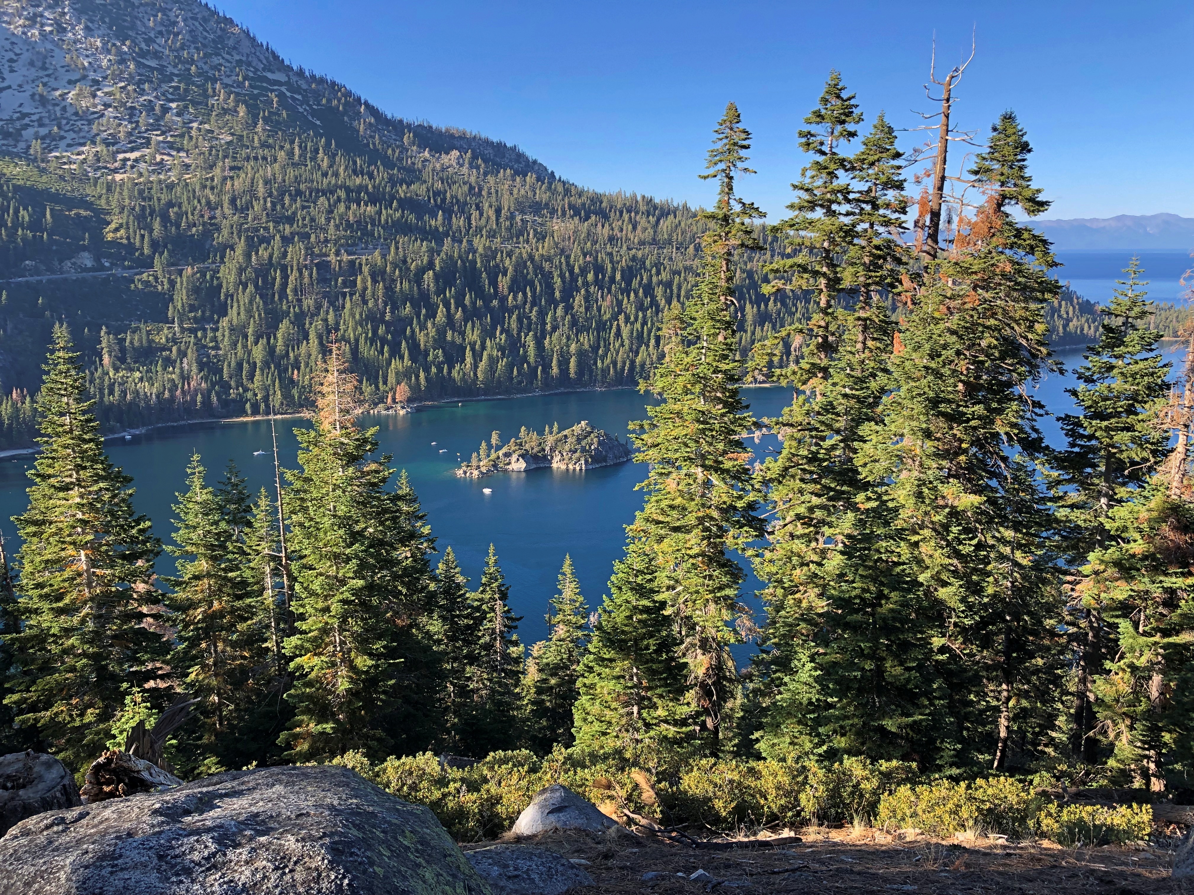
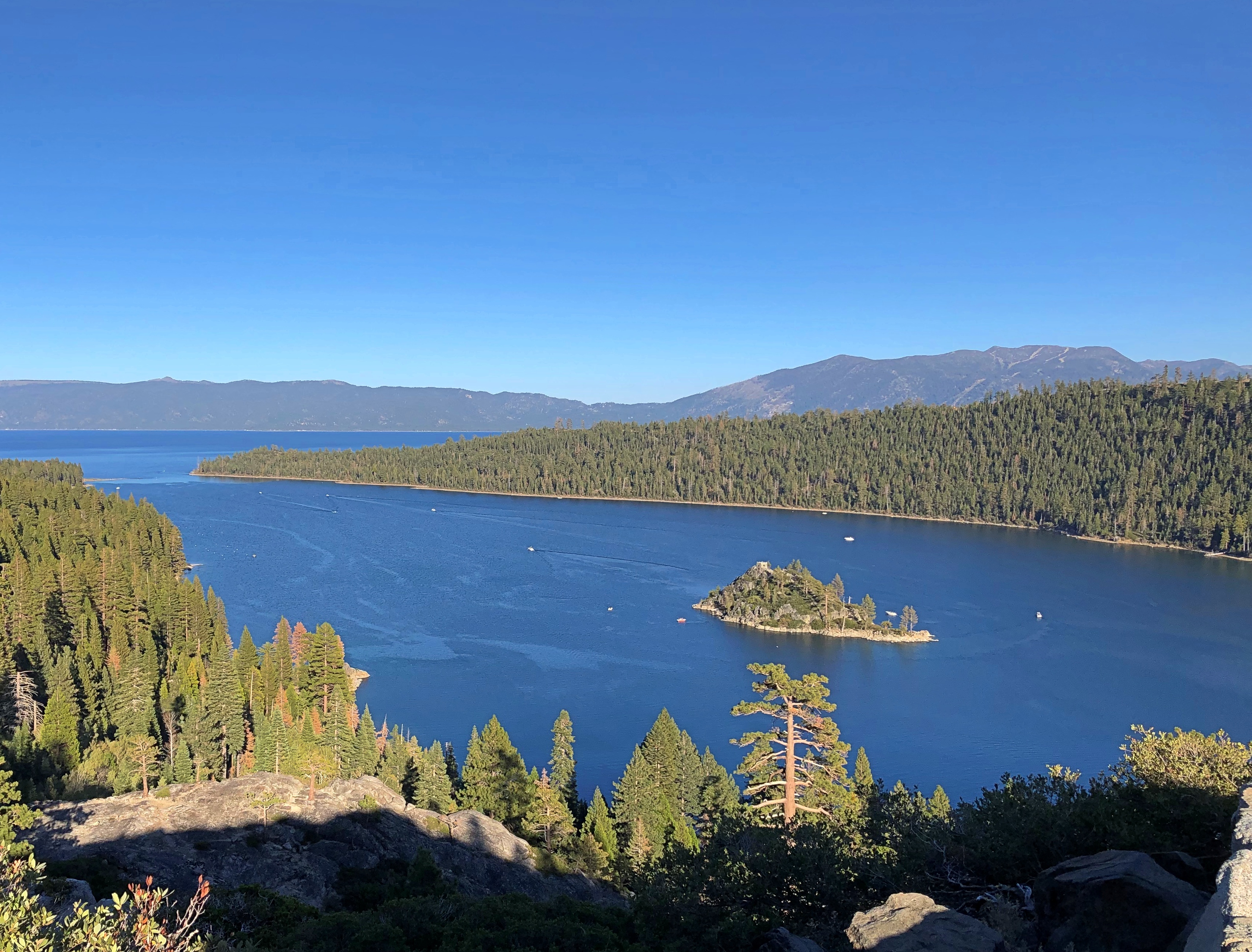
A bit further north, at Inspiration Point on Emerald Bay, and up some feet from the shoreline.Lake Tahoe

The island in Emerald Bay: Fannett Island, apparently the only island in the entire 191 square miles of lake.Lake Tahoe, Emerald Bay Lake Tahoe, Emerald Bay Lake Tahoe, Emerald Bay

” A sparsely timbered, brush covered upthrust of granite that rises 150 feet above the water, Fannette Island was not always known by that name. During the past 100 years it has been known as Coquette, Fannette, Baranoff, Dead Man’s, Hermit’s, and Emerald Isle,” notes the California Dept. of Parks & Recreation.

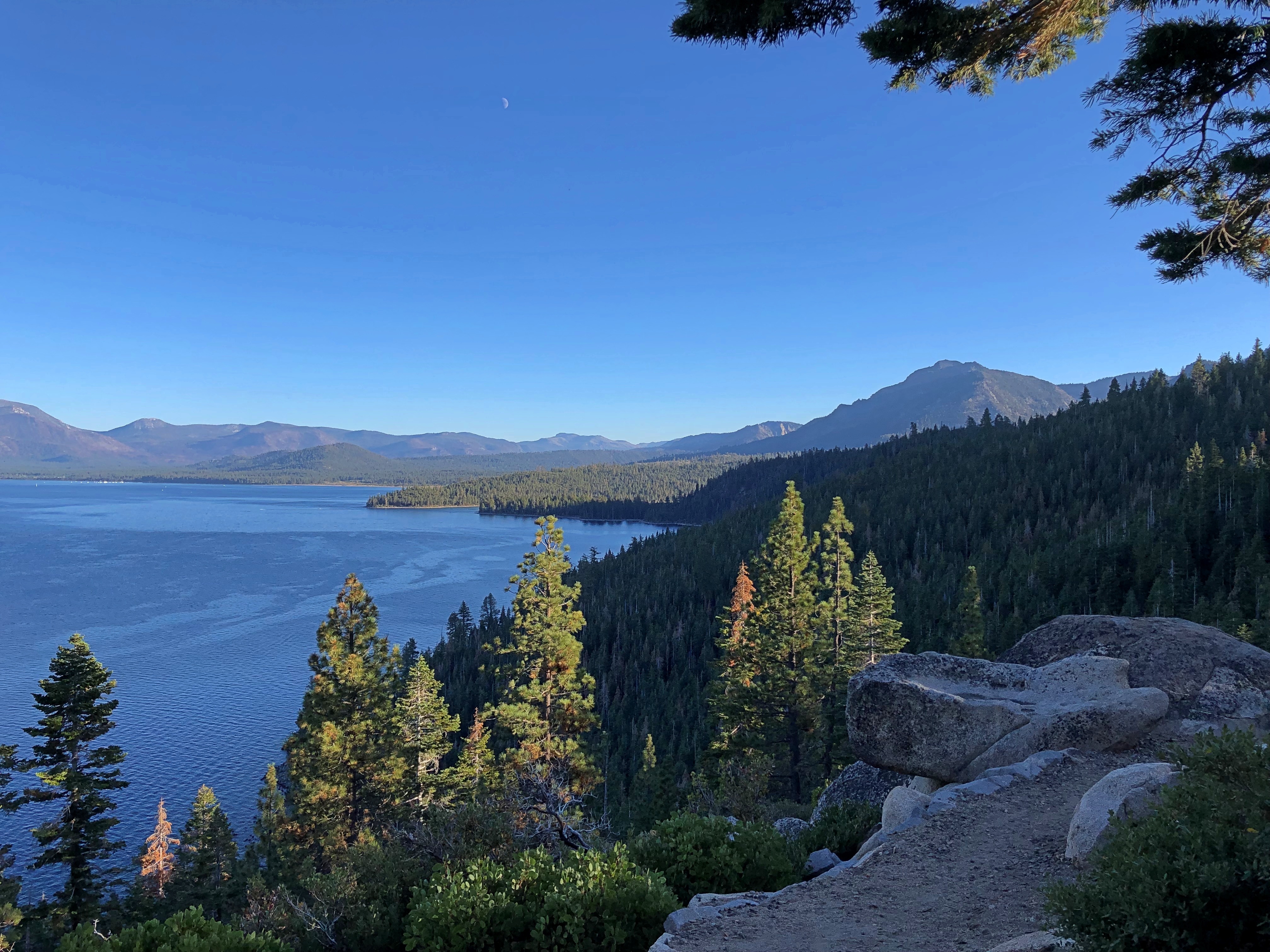
The day’s best vista required a short climb. Really very short, and entirely worth the effort. Near Rubicon Point in D.L. Bliss State Park.Lake Tahoe Lake Tahoe

California 89 runs along the western shore of the lake, and I followed its winding, often scenic route to Tahoe City, then north to Truckee. Sometimes so scenic that the state neglected to include guardrails along some particularly steep stretches. Keep in your lane, or meet your maker. Obviously I kept to my lane.

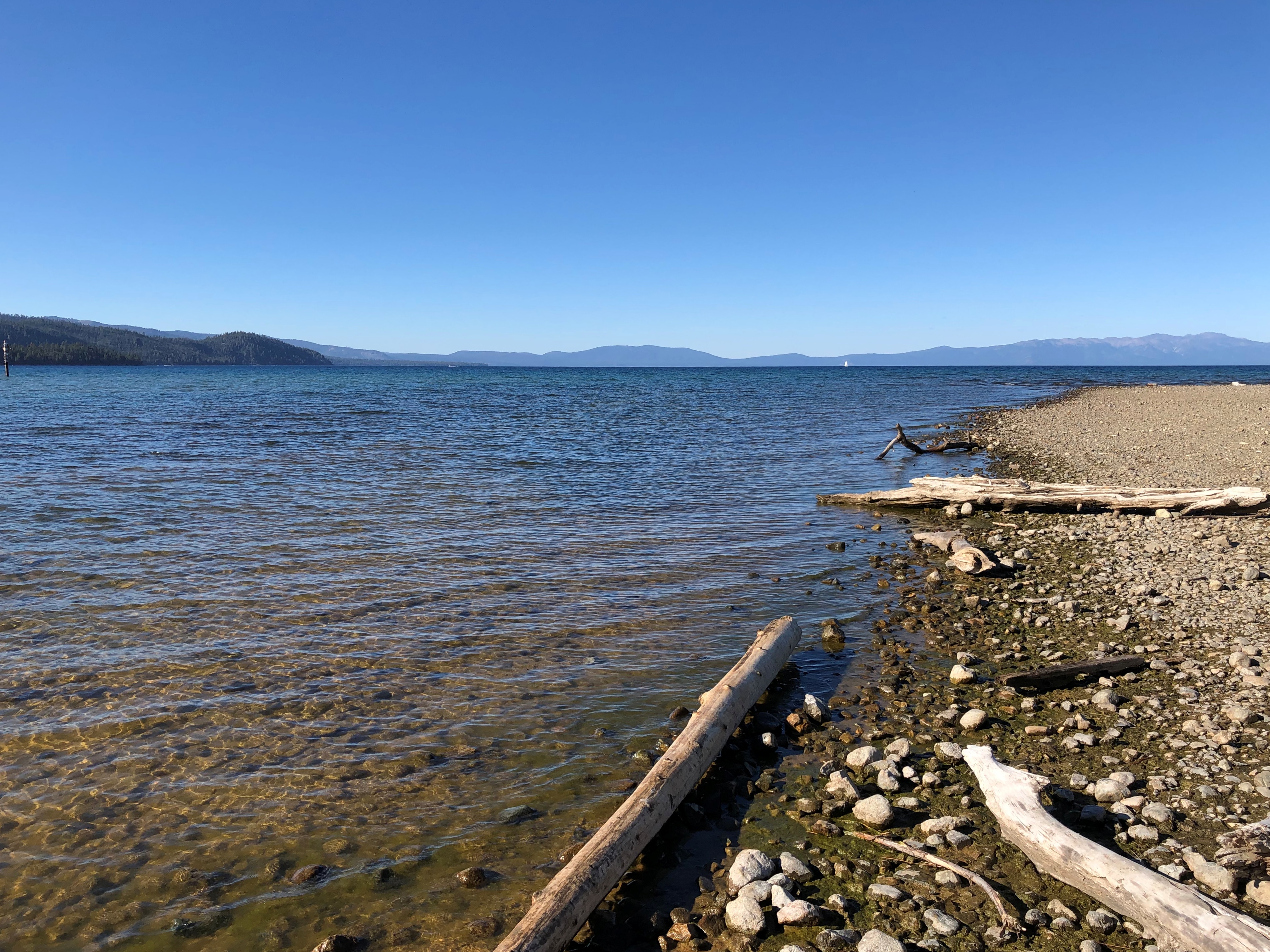
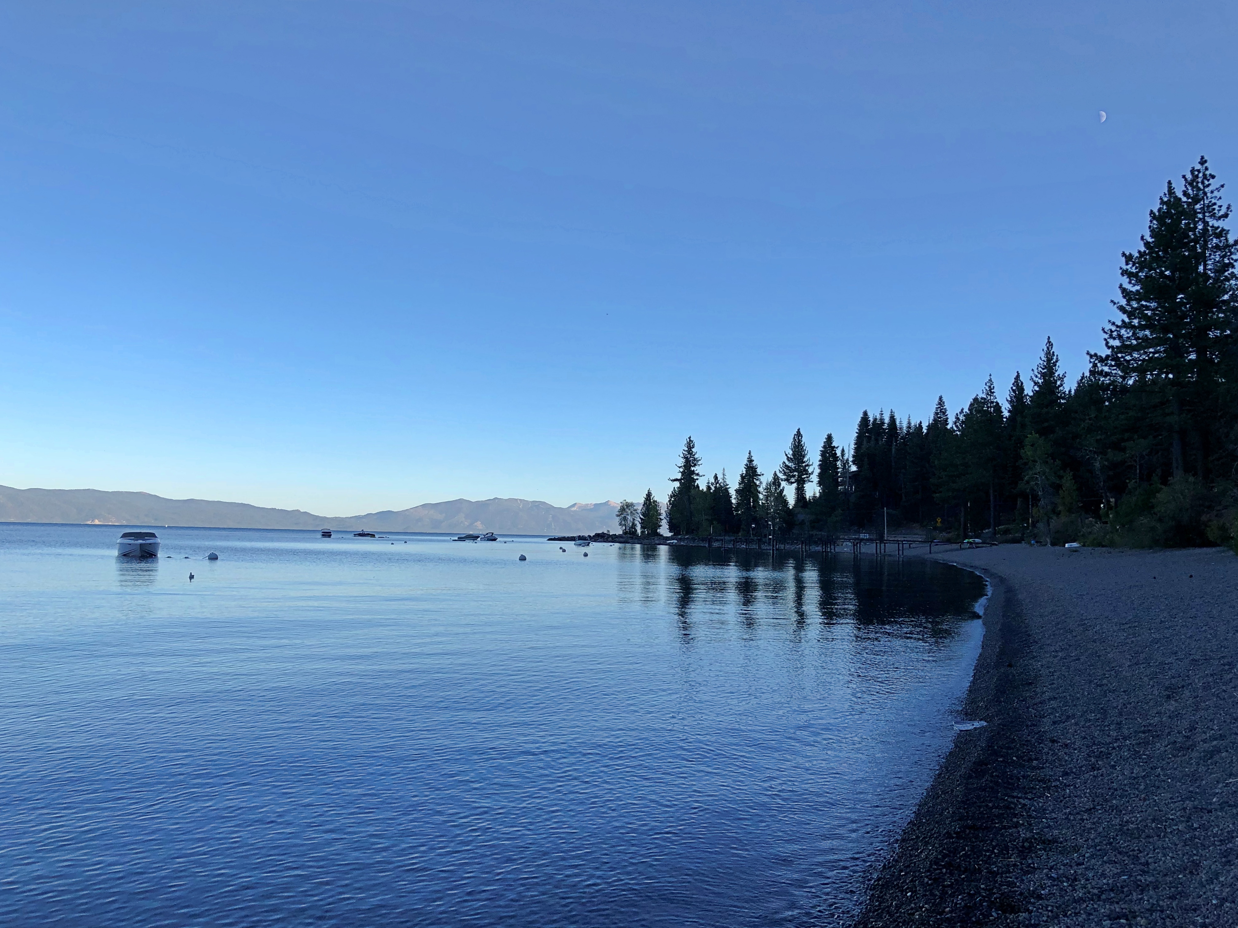
At my last stop at the lake this time, I decided to put my feet in the clearer-looking water, at a pebble beach toward the northwestern shore.Lake Tahoe Lake Tahoe

Pebble and pine cones, that is.

In Indiana, You Take Vistas Where You Can Get Them

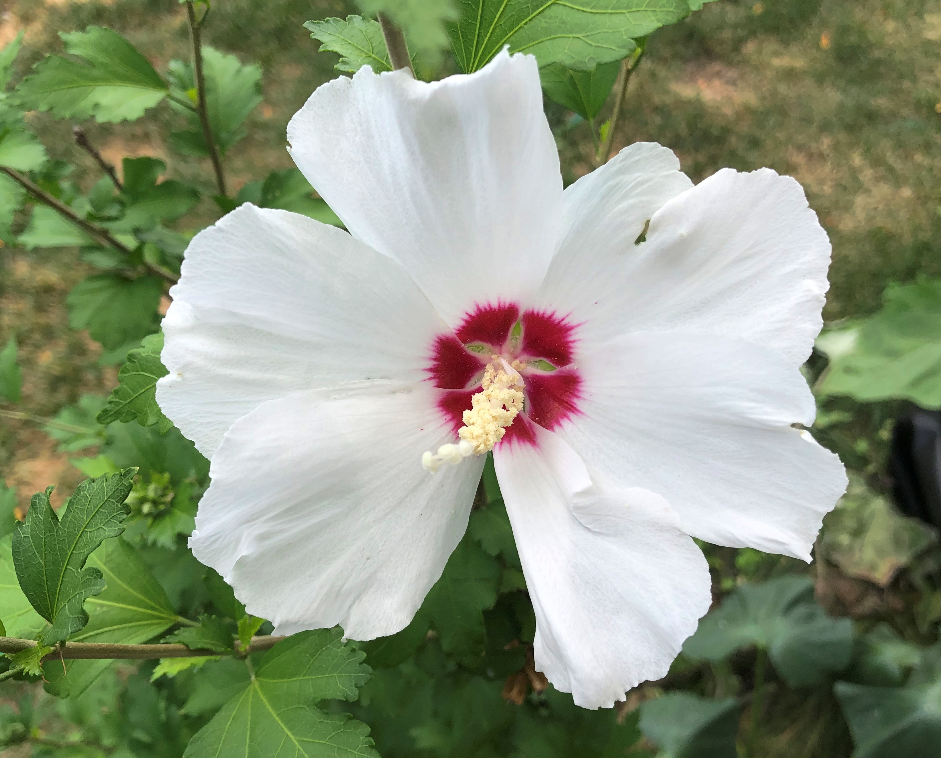
Our first back yard hibiscus of the summer. There will be many more for weeks to come, since the plants thrive with scarcely any effort on our part.

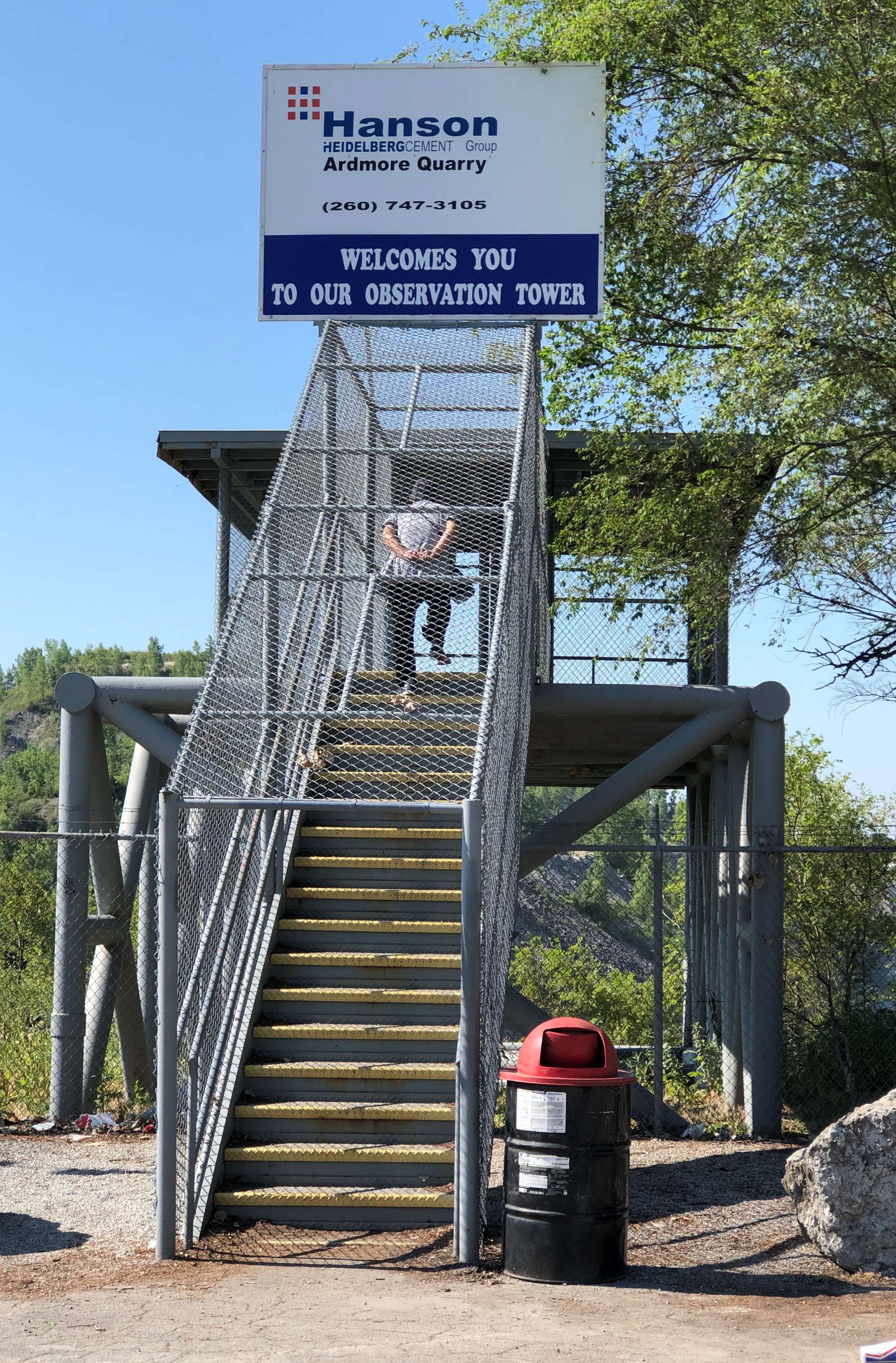
Before we went to Indiana this month, I got wind of the Hanson Ardmore Quarry Observation Tower in Fort Wayne. Turned out it wasn’t far from where we stayed, so after my jaunt to Lindenwood Cemetery, we took a look.

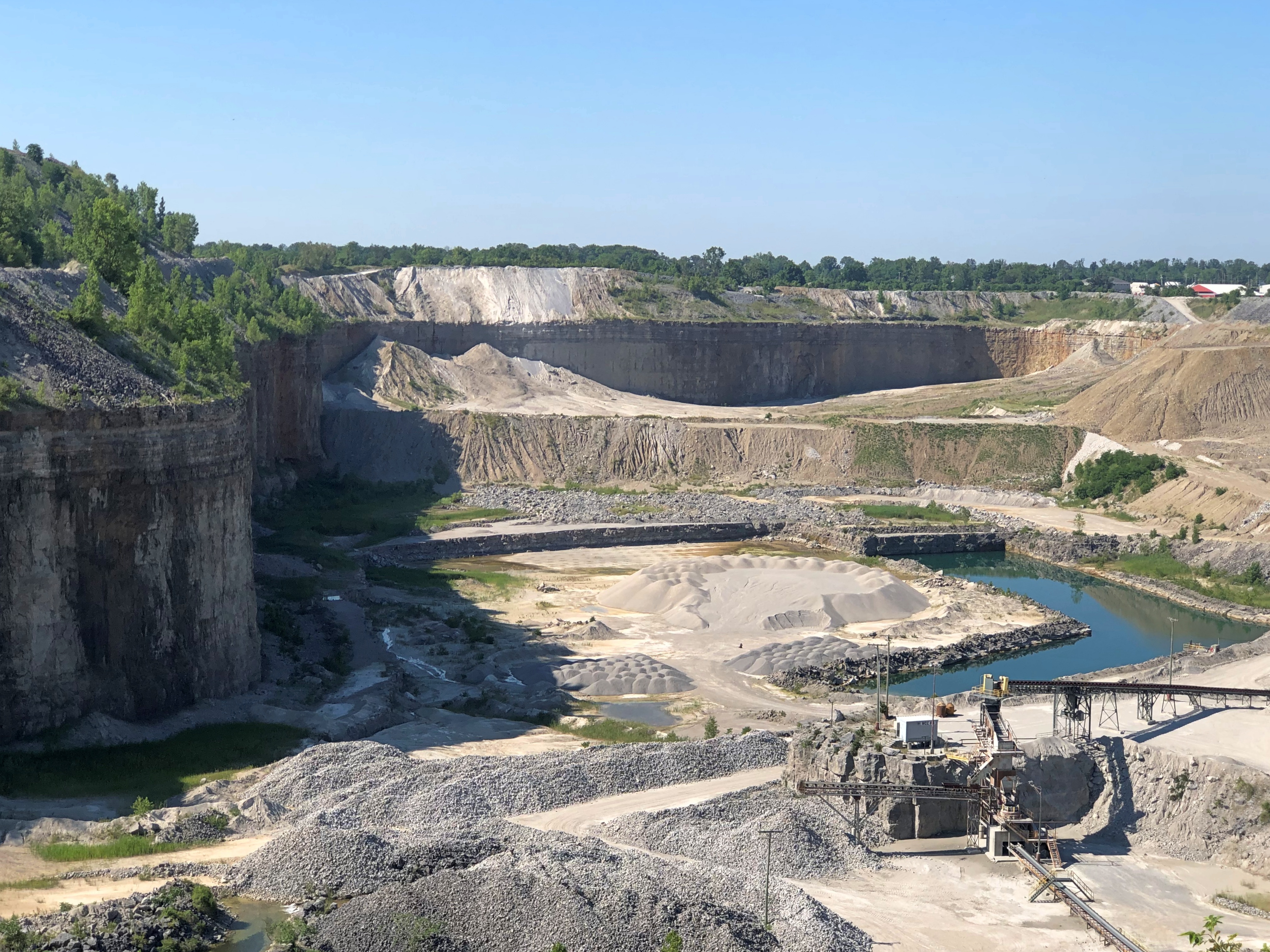
Tower might not quite be the word. It’s more of a fenced-in observation deck. But Hanson — a part of HeidelbergCement, a German building materials conglomerate no doubt controlled by shadowy billionaires — calls it a tower on the sign. The structure is at the end of a small parking lot that’s open to the public.Hanson Ardmore Quarry Observation Tower

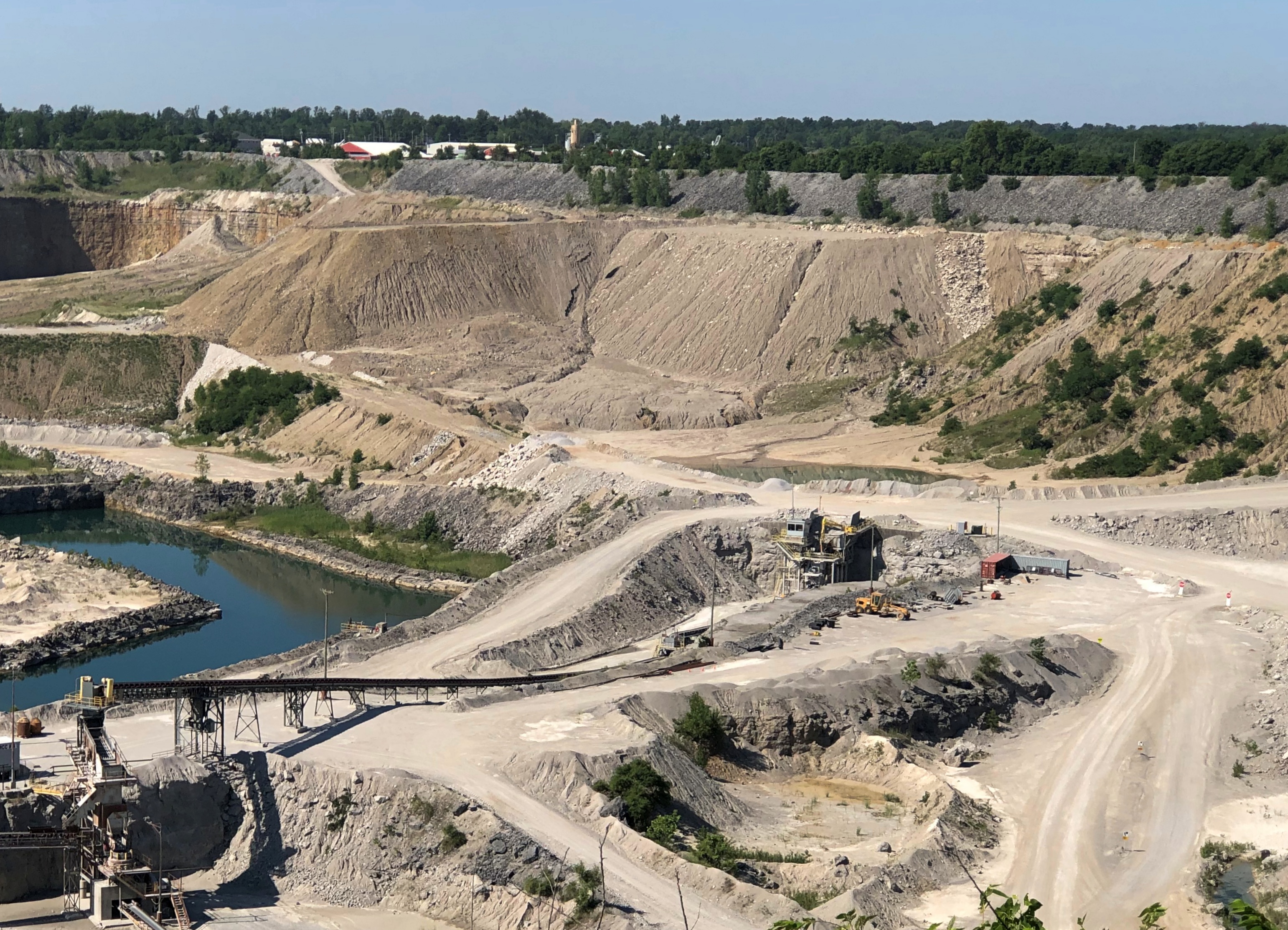
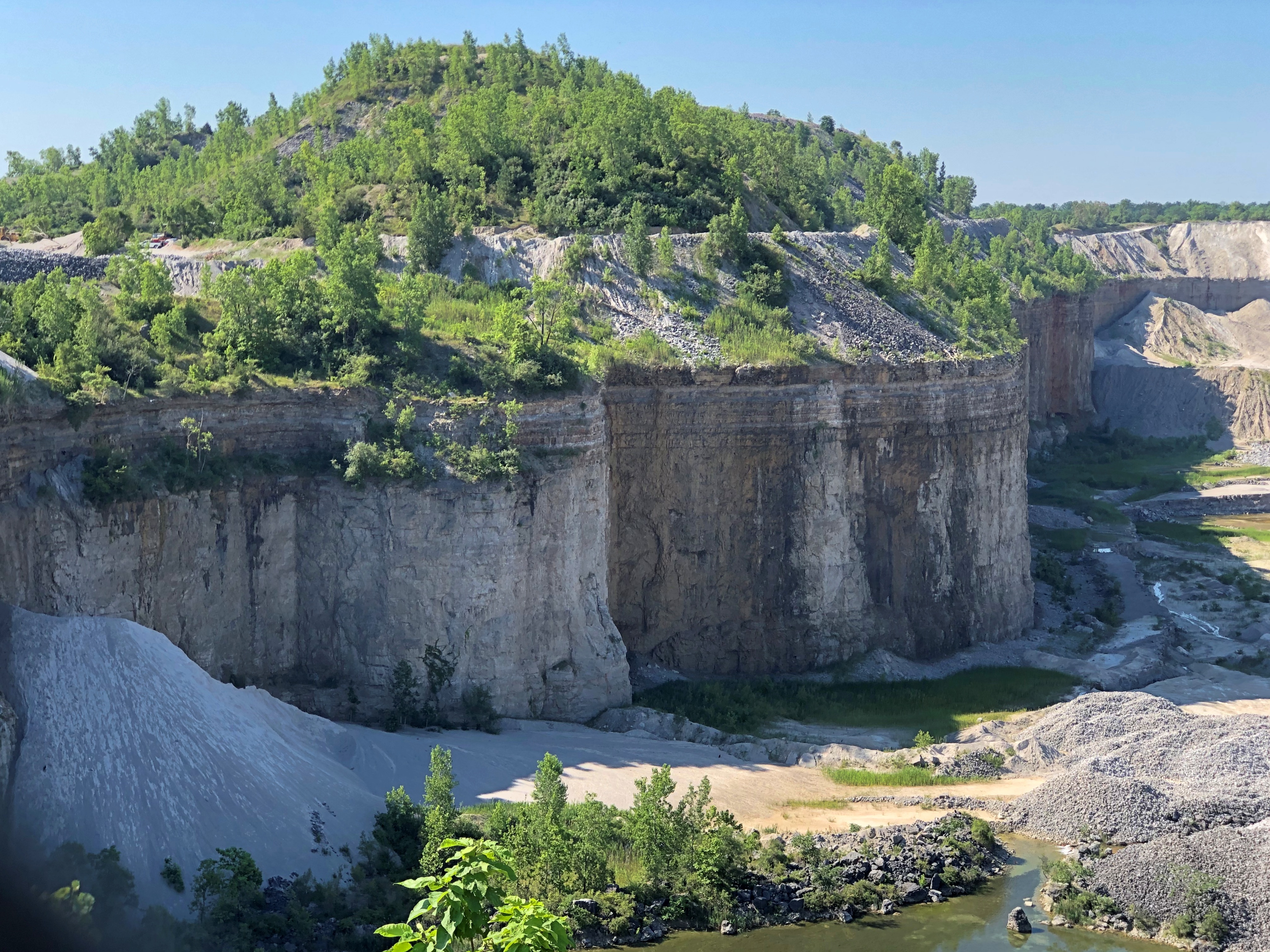
Regardless of the nomenclature, quite a view. Hanson Ardmore Quarry Hanson Ardmore Quarry

It was a Sunday, so the place was quiet. Still, Hanson has been digging limestone at this site for 80 years, and it is a big hole in the ground. Various sources, such as Roadside America, claim the quarry is 1,000 feet deep, but I don’t think so.Hanson Ardmore Quarry

I’d say maybe 300 or 400 feet. Horseshoe Bend is 1,000 feet deep, and this is no Horseshoe Bend. Still, it isn’t something you see very often, a vista into a working quarry.

Colorado Plateau ’22 Leftovers

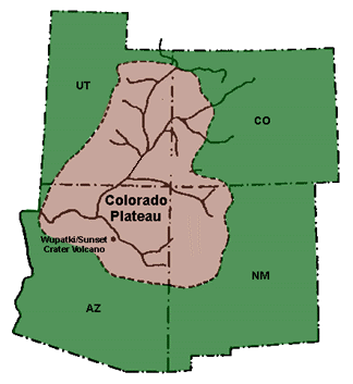
I’ve changed the name of this trip. What, doesn’t everyone name their trips? No? Anyway, Colorado Plateau ’22 is better than the ridiculous NV-AZ-UT 22, which looks like a part number in a tool-and-die factory.

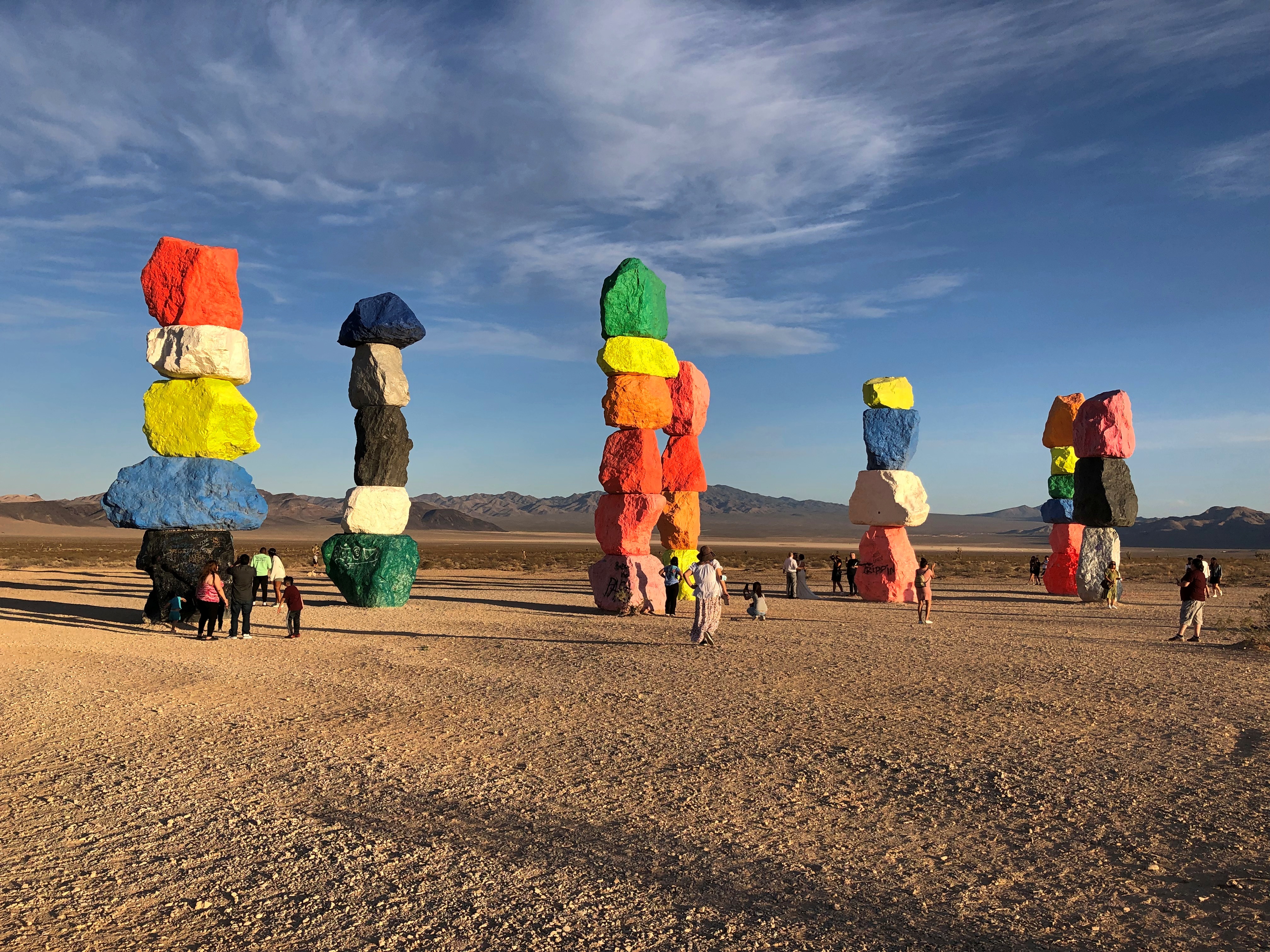
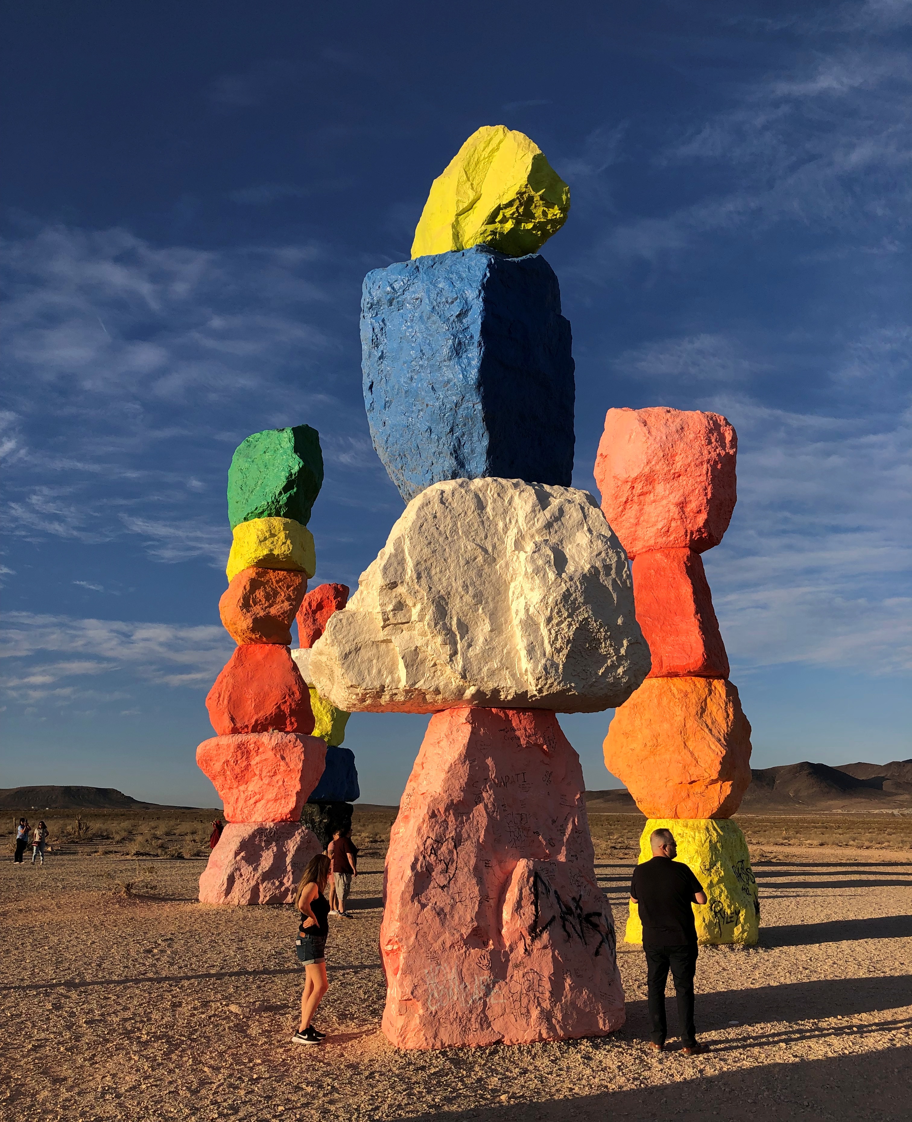
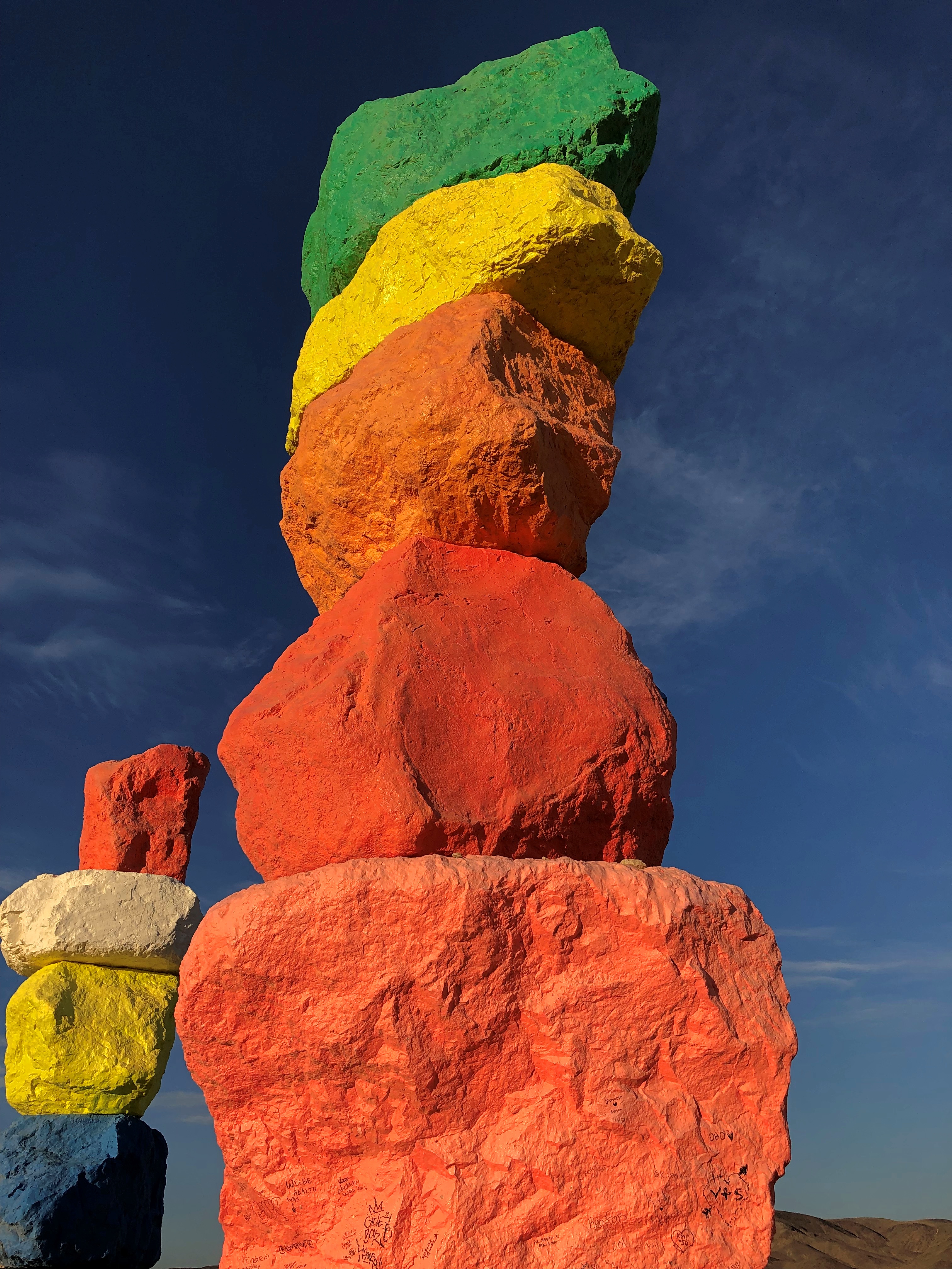
But not quite all on the Colorado Plateau. Just outside Las Vegas, maybe five or so miles from where  that city finally peters out on I-15 toward Los Angeles, is Seven Magic Mountains.Seven Magic Mountains Seven Magic Mountains Seven Magic Mountains

Magic, maybe, mountains no, at least not in any literal sense. An art installation by Ugo Rondinone, a Swiss artist.

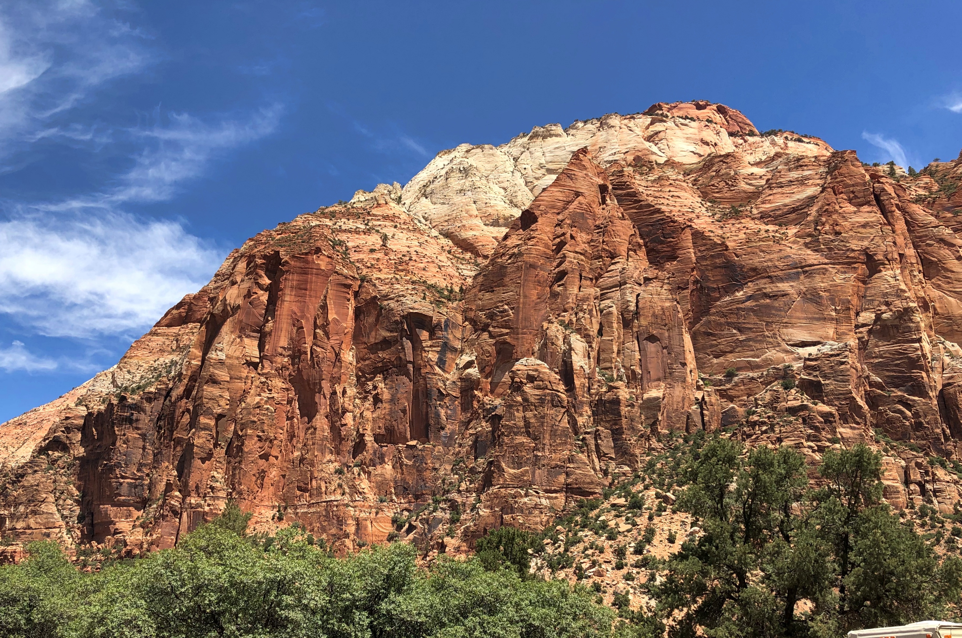
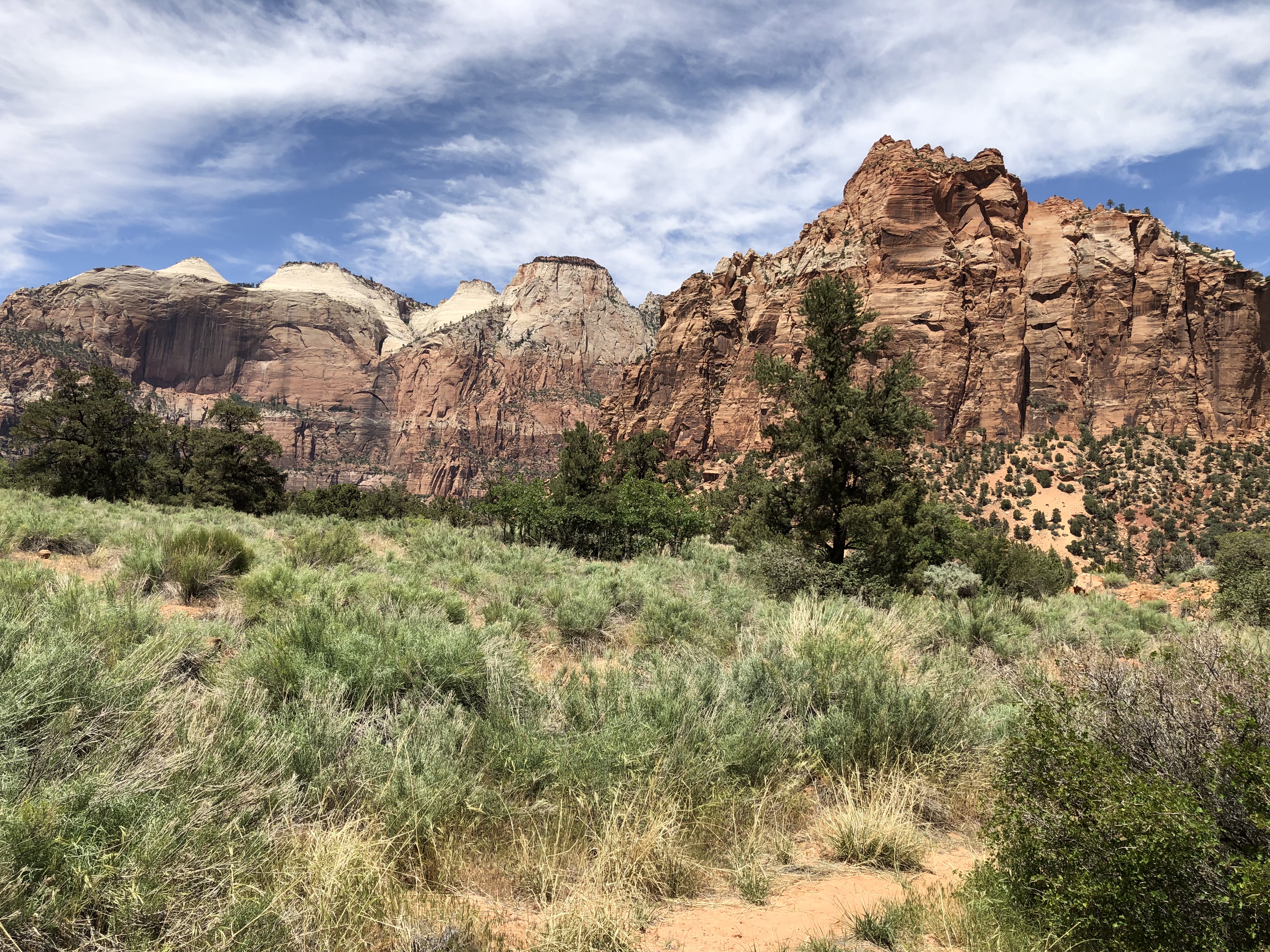
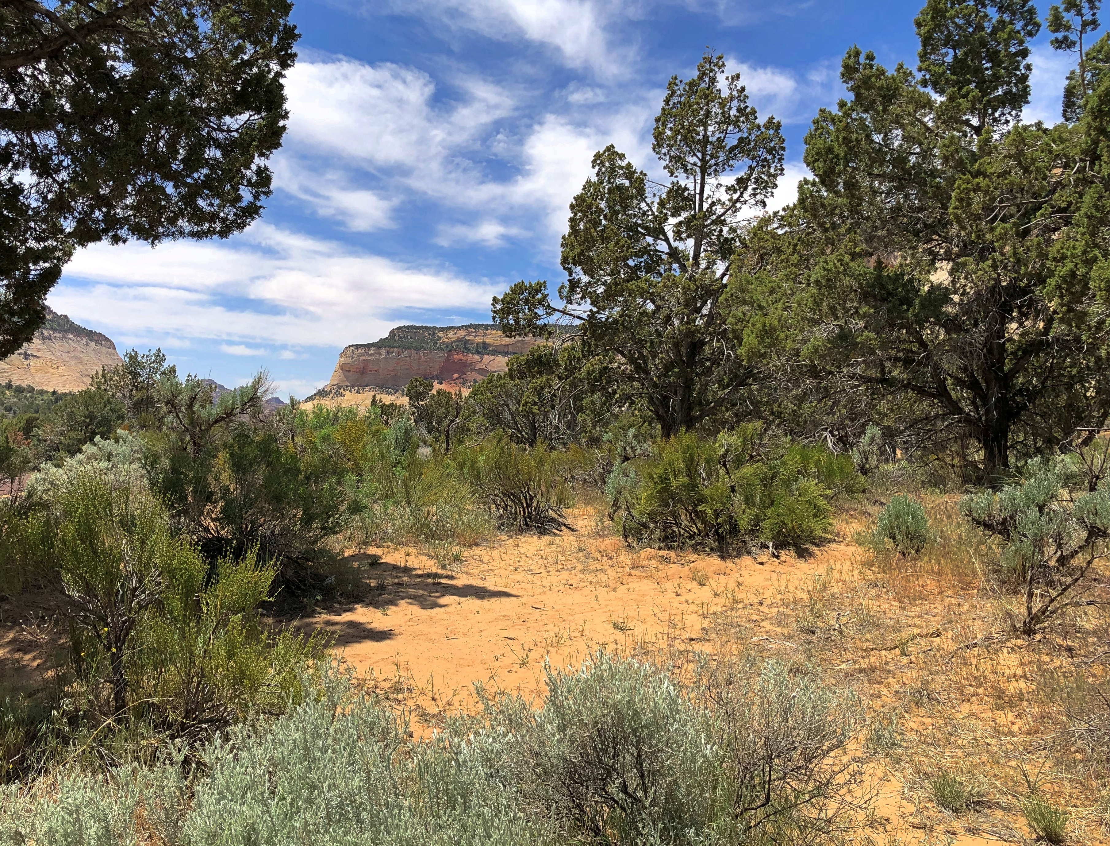
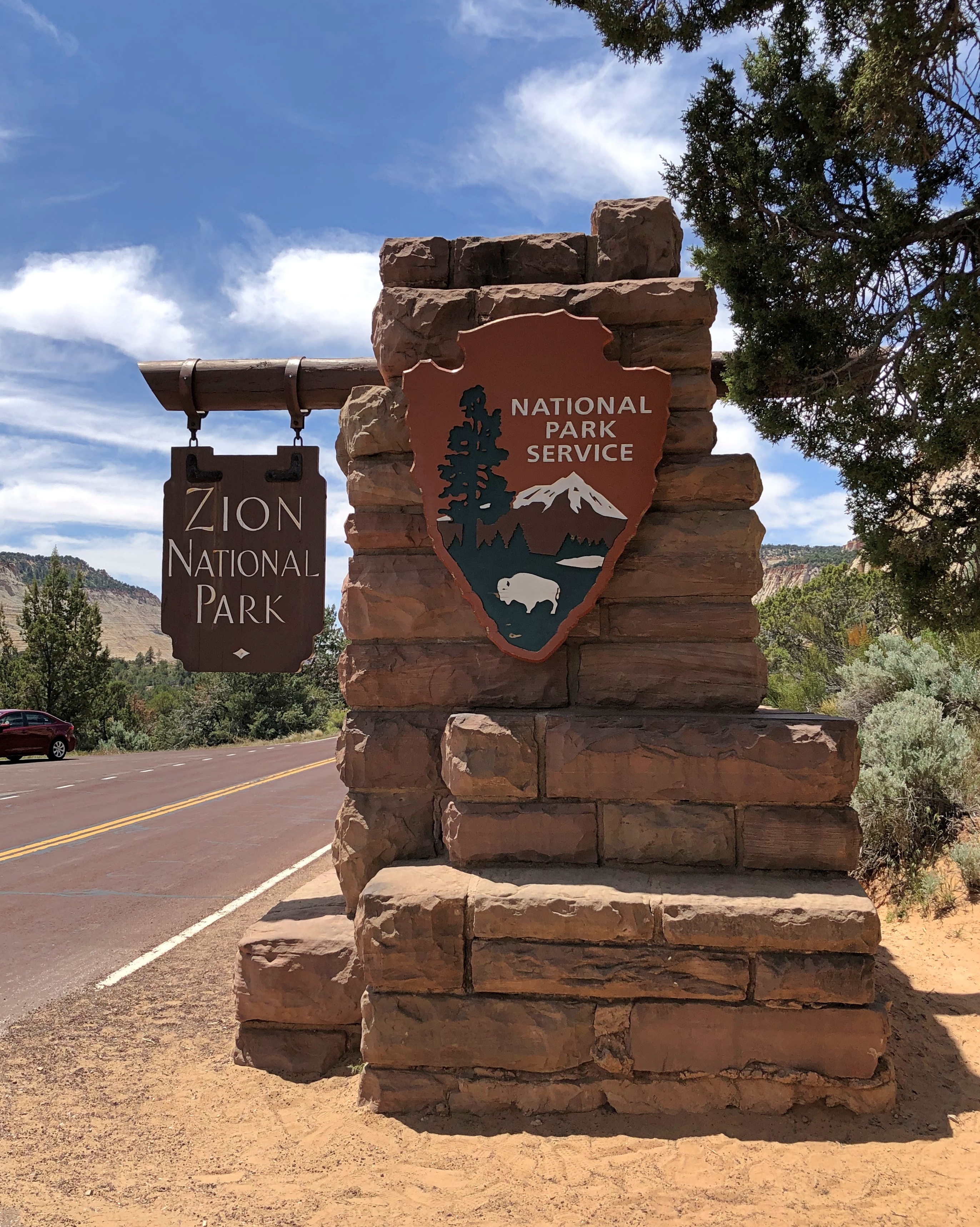
We only passed through Zion NP, stopping only for a few minutes on the side of the road.Zion NP Zion NP Zion NP

Near the entrance.Zion NP

At the entrance.Zion NP

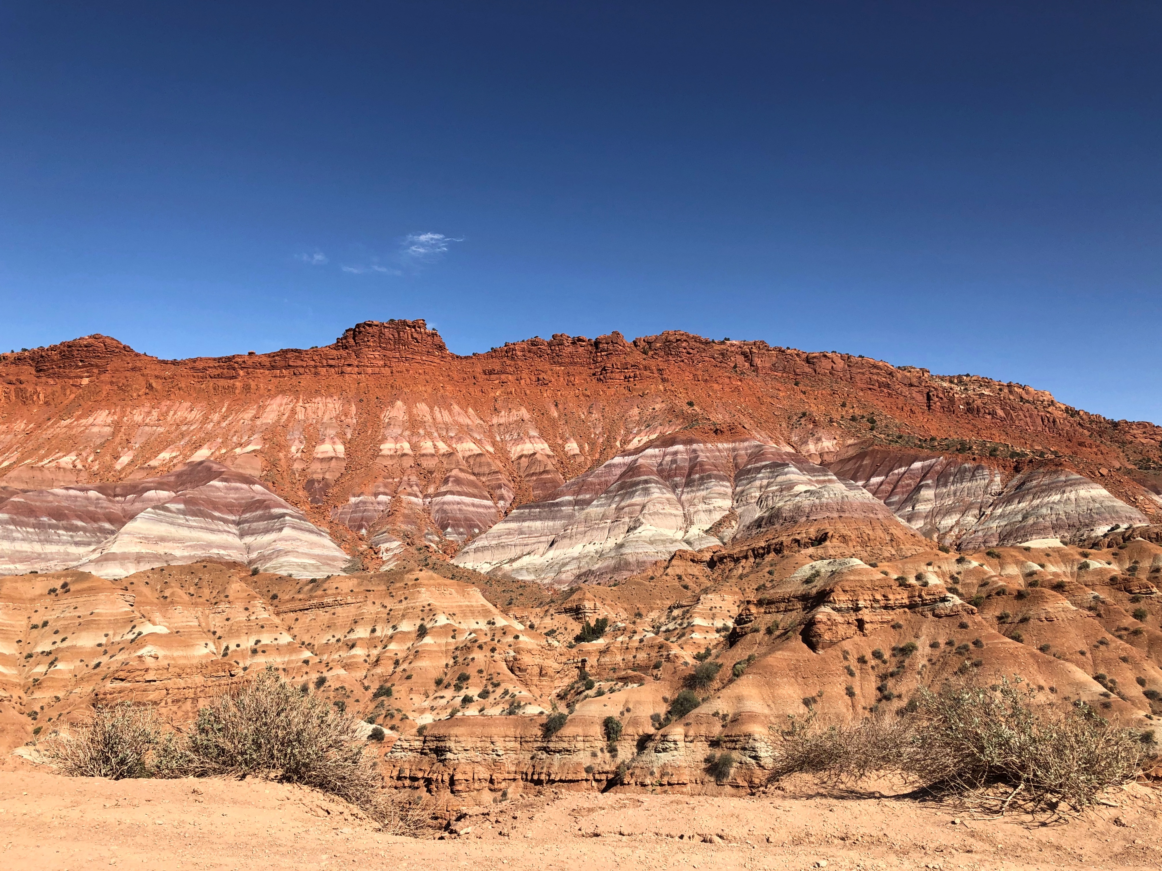
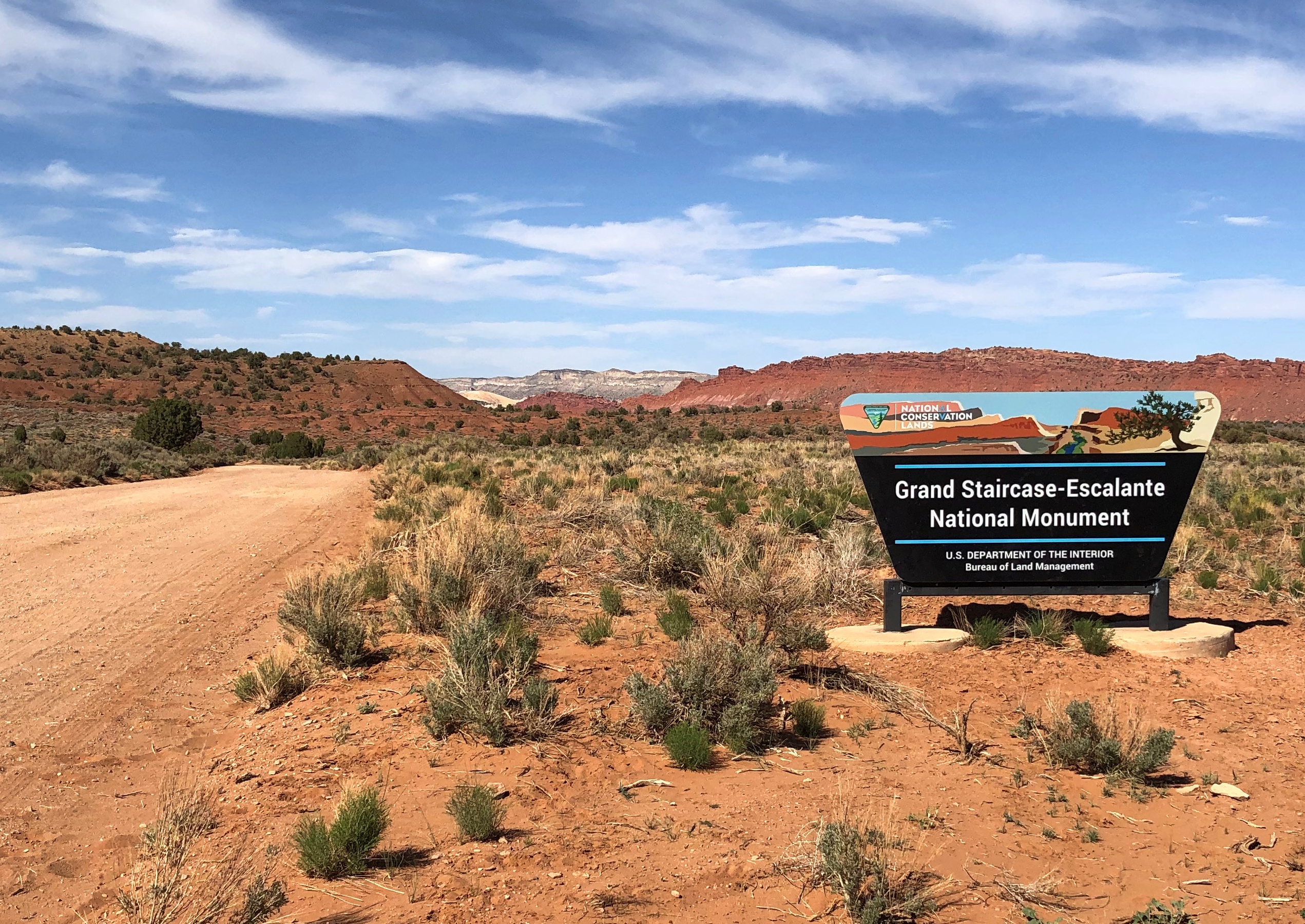
A different entrance: Grand Staircase-Escalante National Monument. A small bit of the vastness of the place, more than 1.8 million acres.
Grand Staircase-Escalante NM

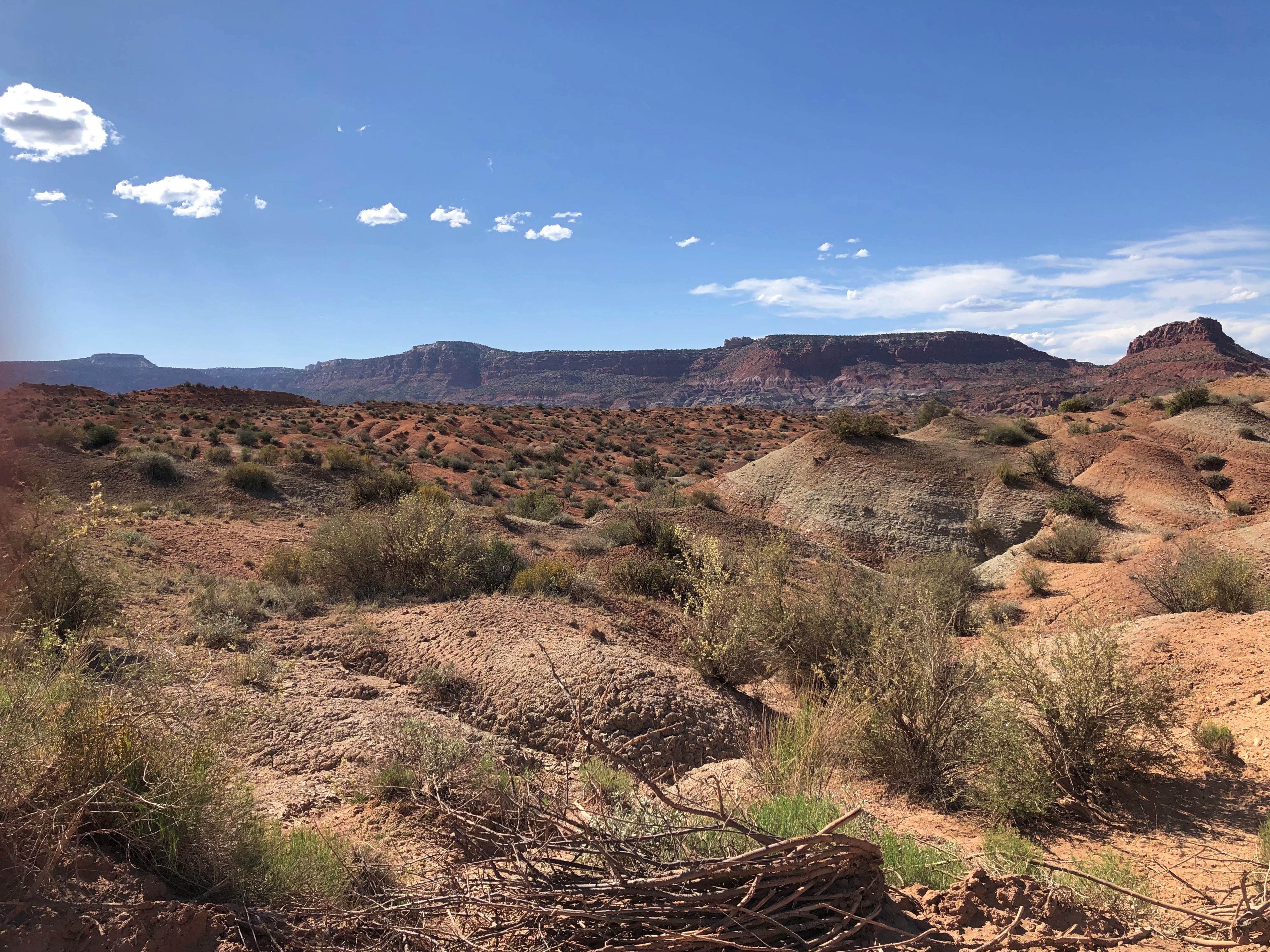
I knew that was a road I wanted to drive a little ways at least, to check out the views. My instincts were right.Grand Staircase-Escalante National Monument Grand Staircase-Escalante National Monument Grand Staircase-Escalante National Monument Grand Staircase-Escalante National Monument

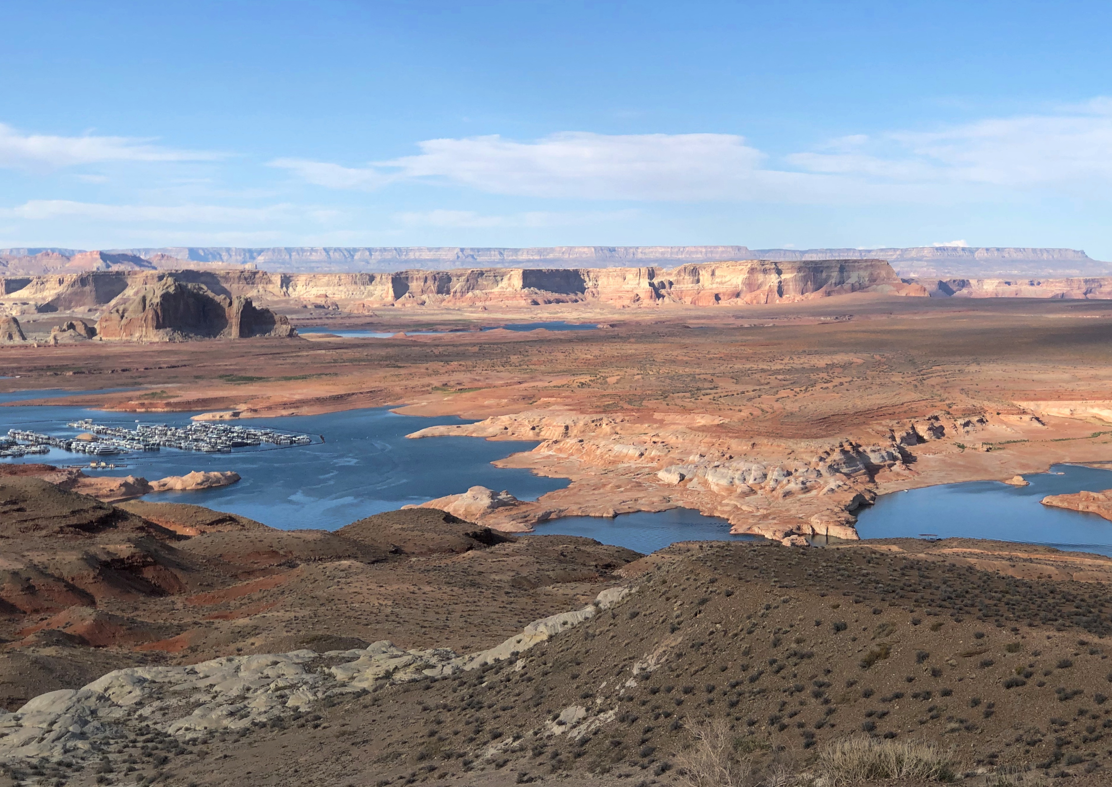
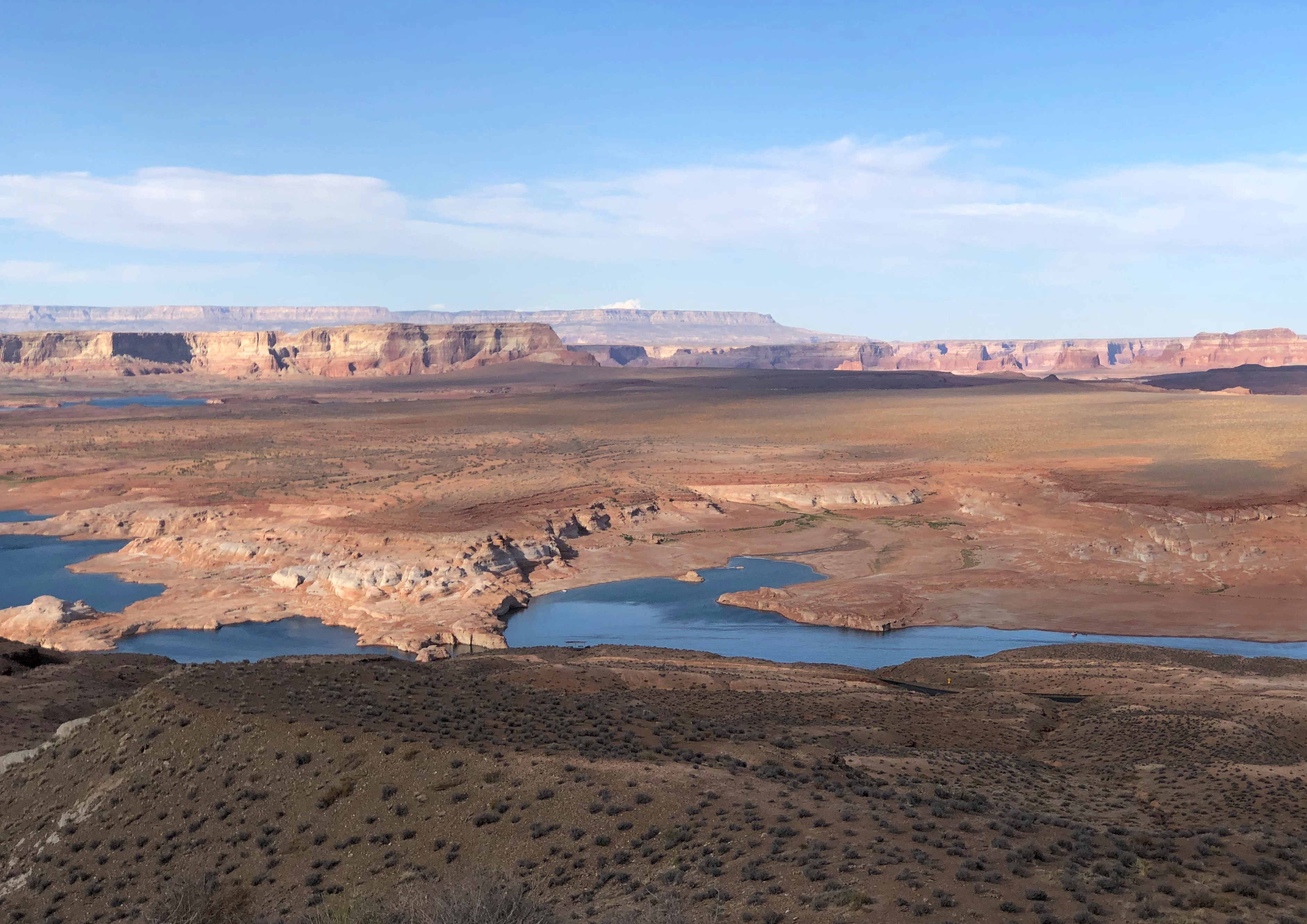
When we were nearly in Page, Arizona, we stopped for a few minutes at a viewpoint over Lake Powell. I was flabbergasted by how low the lake looks.Lake Powell 2022 Lake Powell 2022

And so it is. The lowest level since the lake was built. Lake Mead is low as well, so much so that (possible) mob hit victims have been discovered. Apparently the idea of draining Lake Powell to fill Lake Mead is being entertained by officialdom, I read, though it’s hard to know how seriously.

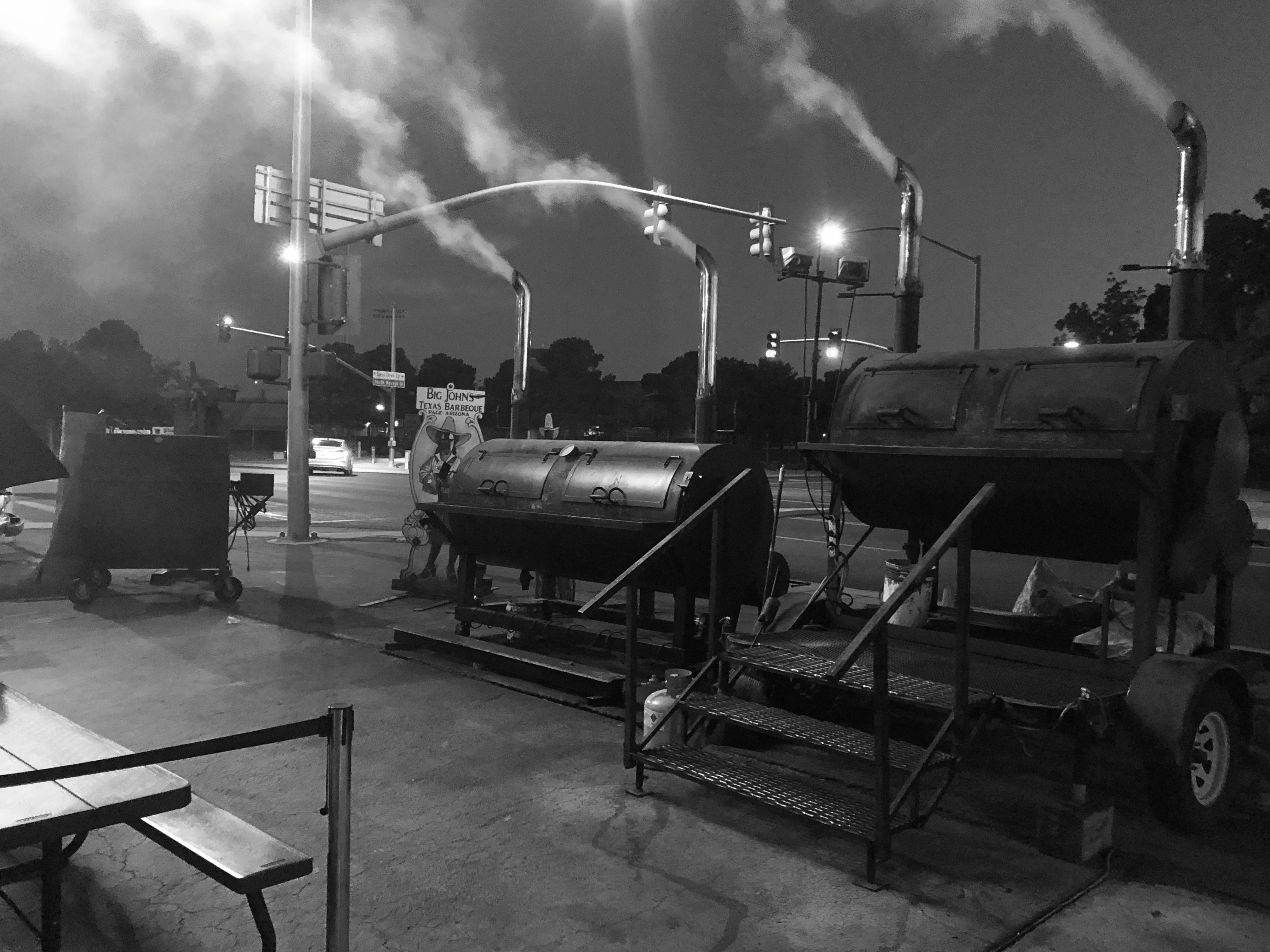
The cookers at Big John’s Texas Barbecue in Page.Big Johns Texas Barbecue Page Arizona Big Johns Texas Barbecue Page Arizona

Man, Big John made some mean ‘cue in those cookers.

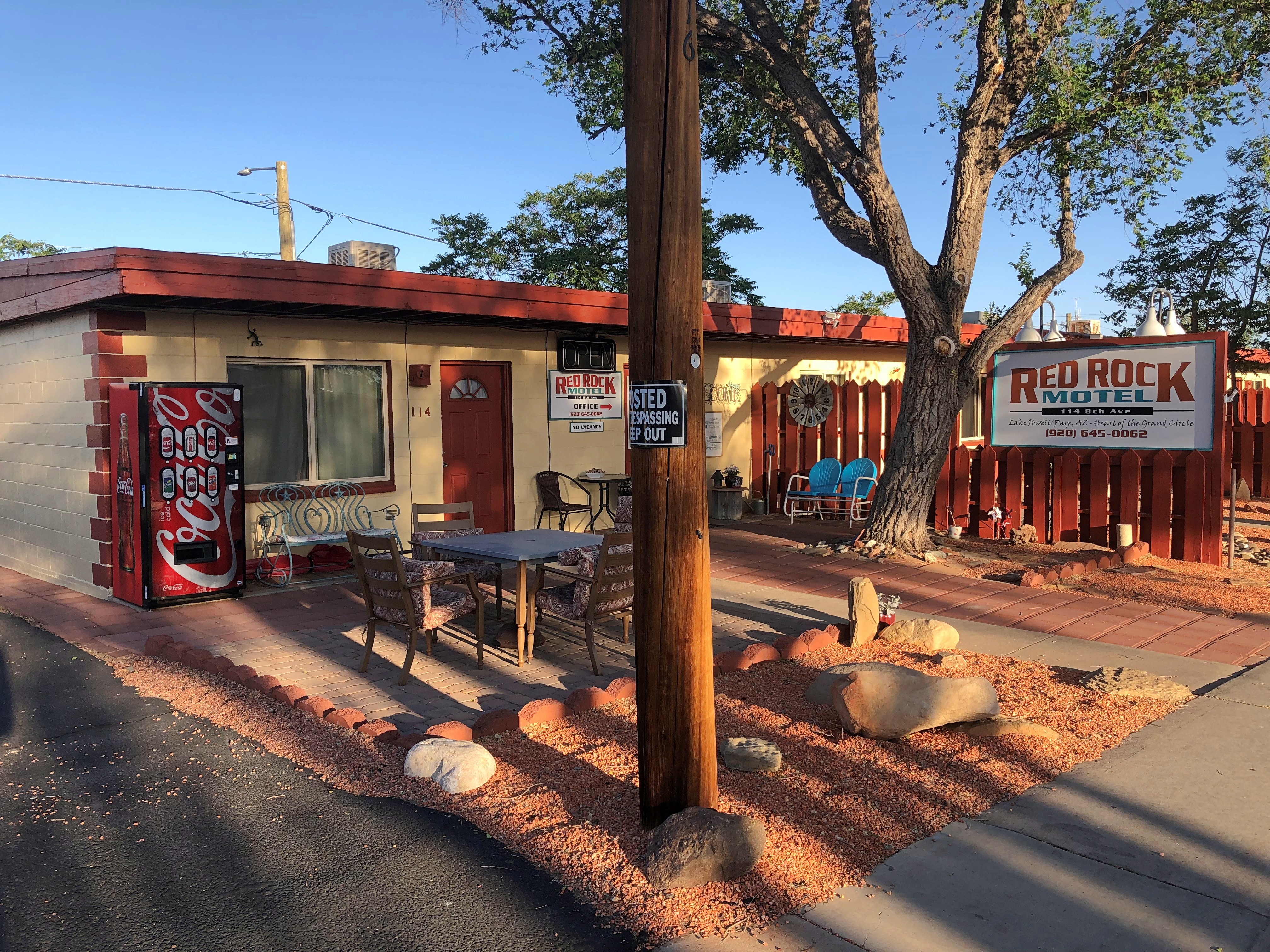
The Lake Powell Motel, also in Page, where we stayed. For the second time. We were there in 1997. A one-minute walk to Big John’s.Lake Powell Motel

When we stayed there 25 years ago, the property was called Bashful Bob’s Motel. Sometime in the 2010s, new ownership changed the name and spent a fair amount renovating the interiors so that they are pretty nice two-bedroom apartments. Back in the late ’90s, the rooms were old, but pleasant. I wonder if I have the ’97 bill somewhere to compare rates. Maybe.

Also, it’s clear that the owners had to renovate to compete with the numerous chain hotels in the town. Bashful Bob didn’t a lot of that kind of competition in the old days, just  smaller properties, a few of which linger still in Page.
Red Rock Motel Page Arizona

The Red Rock started as housing for workers building Glen Canyon Dam, built in 1958 by the Bureau of Reclamation. Actually, I suspect Bashful Bob’s started out that way as well.

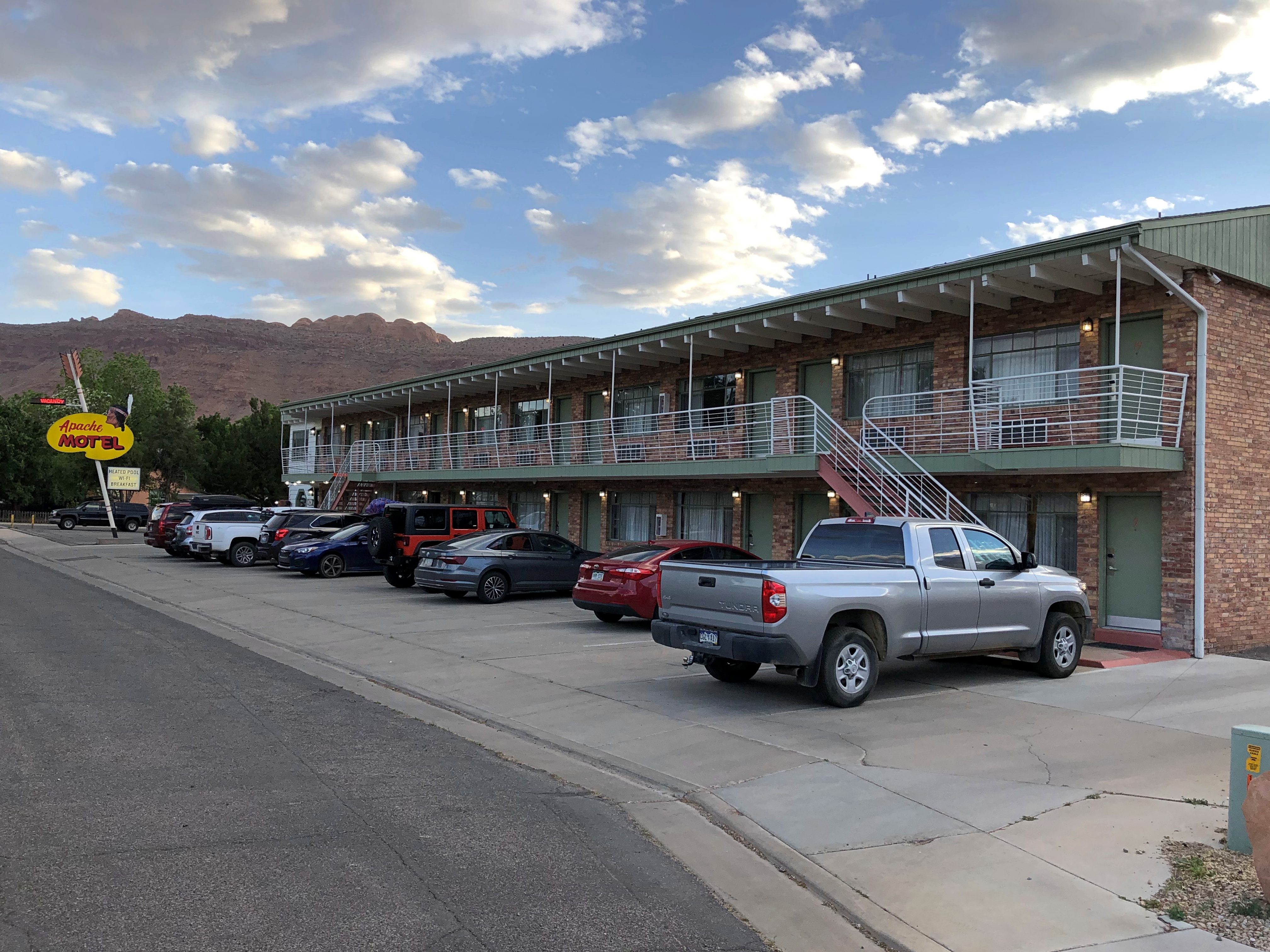
In Moab, Utah, we stayed at the Apache Motel. We found it a most pleasant place to stay, and with a touch of movie history to it.Apache Motel Moab Utah Apache Motel Moab Utah

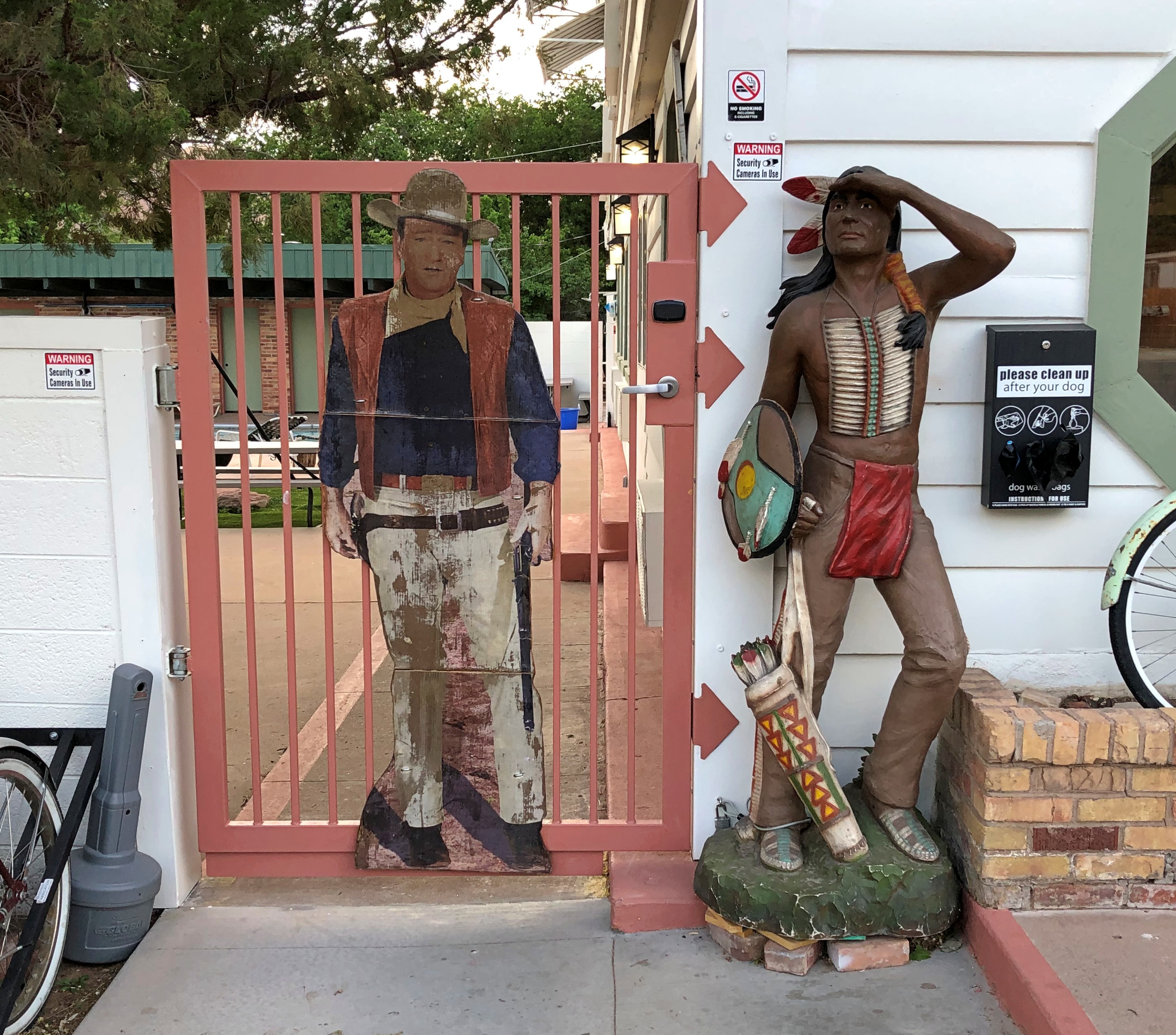
Clean, comfortable, not particularly cheap or expensive, feeling very much like a ’50s motel, though with a few modifications. The motel doesn’t let you forget that the Duke stayed there when filming movies nearby. Other stars did too.Apache Motel Moab Utah

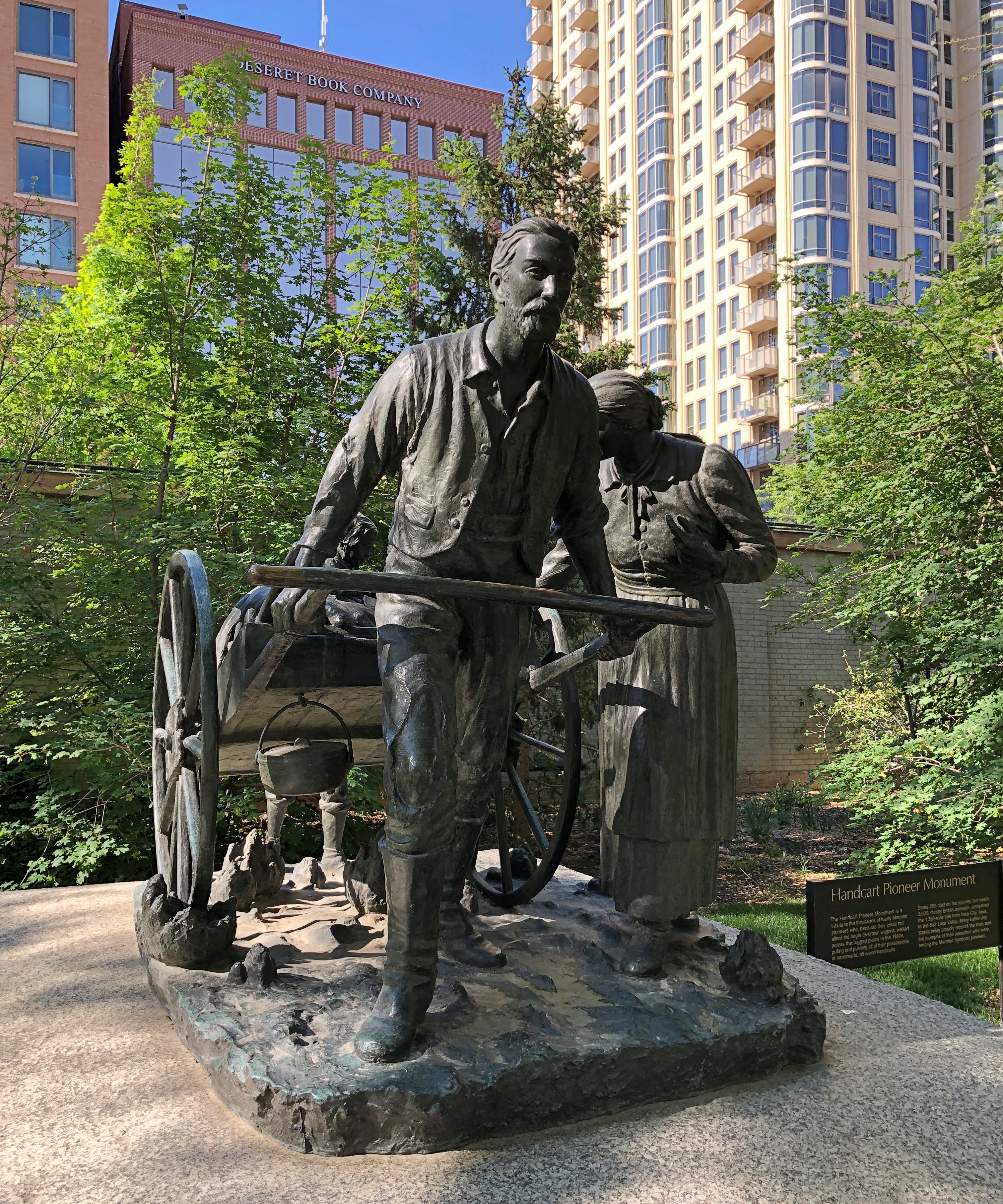
One more feature at Temple Square in Salt Lake City: the Handcart Pioneer Monument.
Handcart Memorial

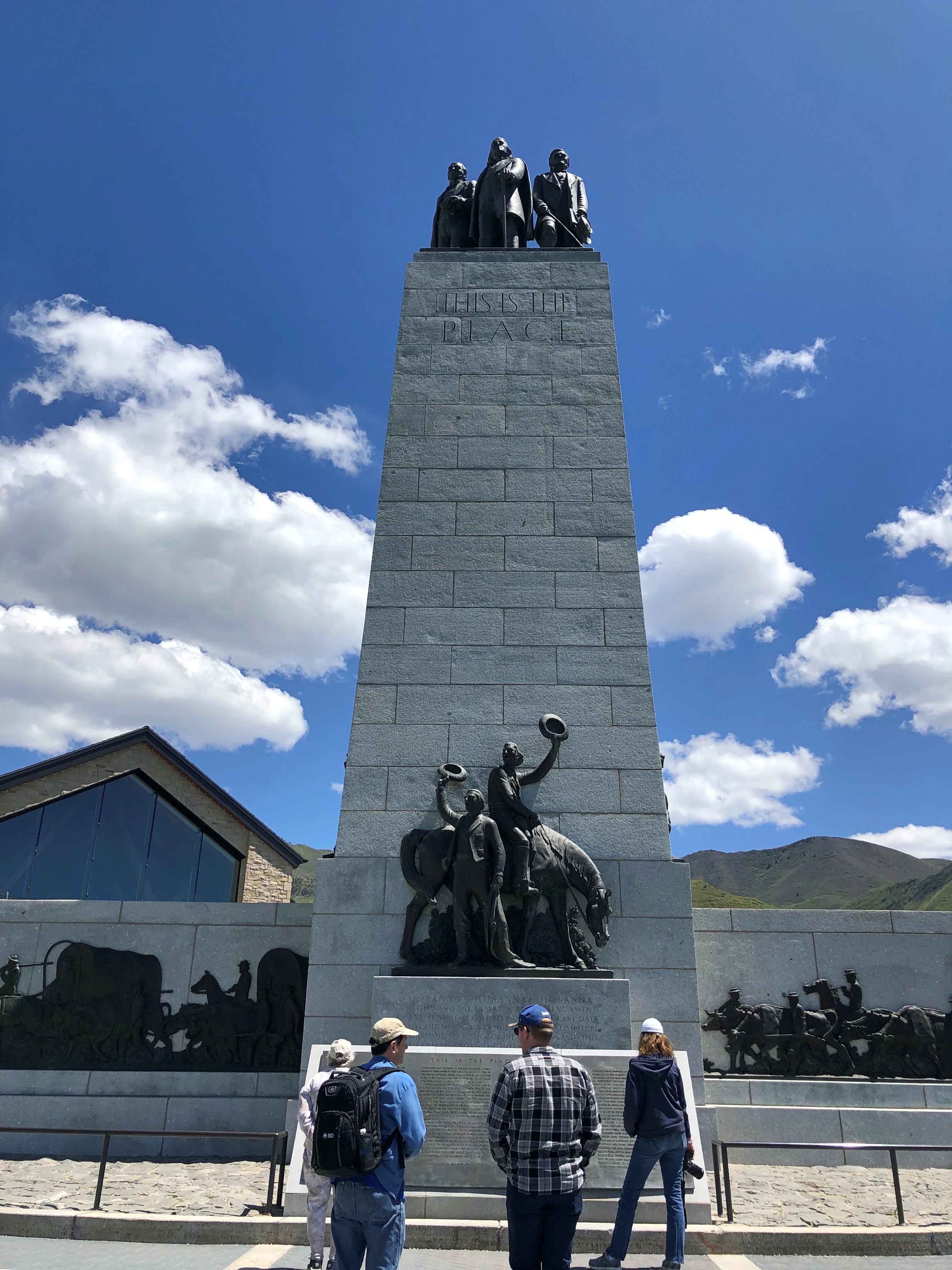
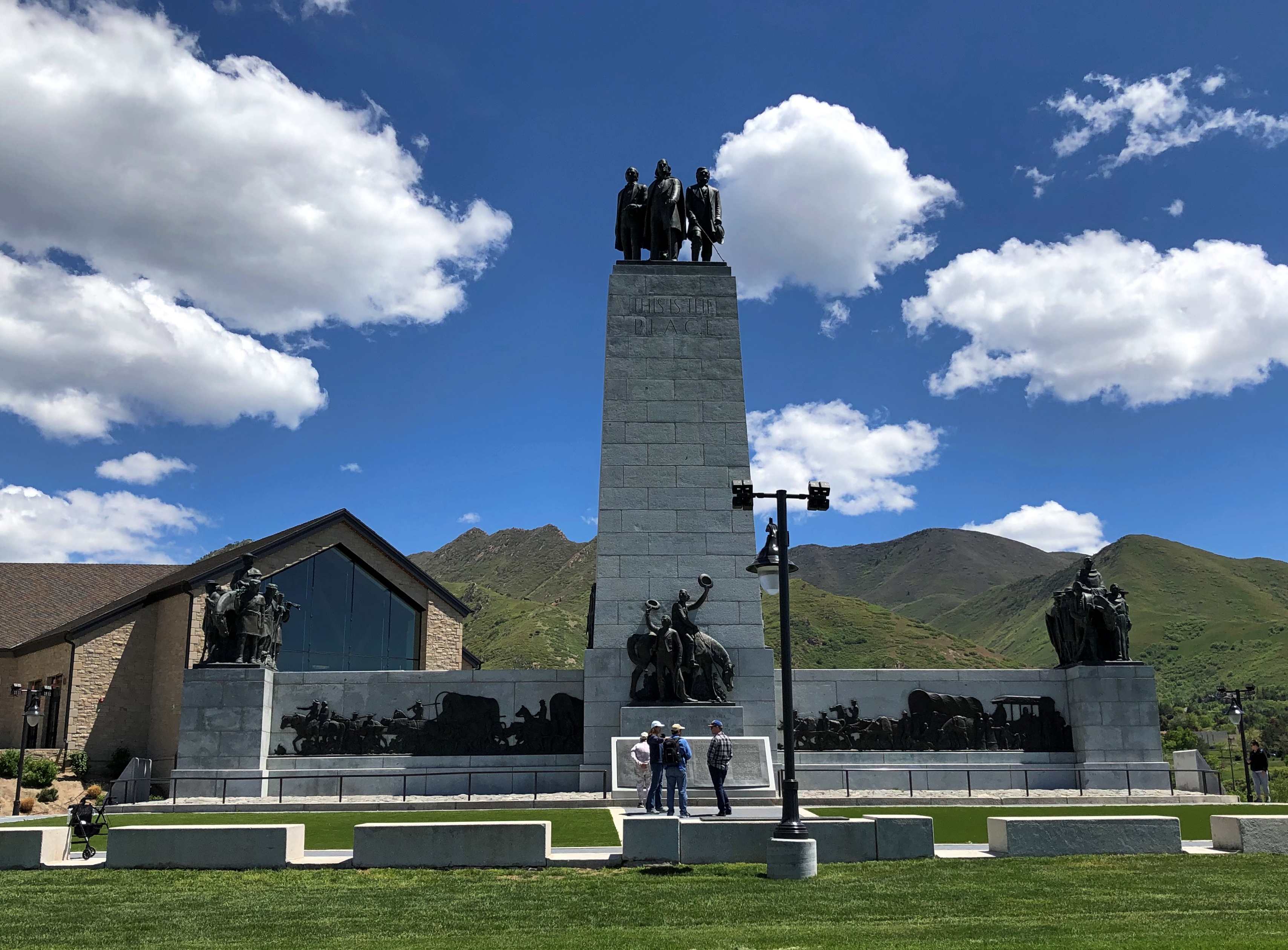
More Mormons in metal: The centerpiece of the This is the Place Heritage Park, which is on a hill at the edge of the city, where B. Young reportedly told his followers This is the Place, as in, to settle. We dropped by for a short look.This is the Place This is the Place

At the base of the memorial are six figures depicting important in the history of this part of Utah who weren’t Mormons, such as a couple of fur trappers, a chief of the Shoshone, plus adventurers and explorers.

Including this fellow, John C. Fremont.
This is the Place, John Fremont

That’s my presidential site for the trip. Ran for president in ’56, after all.

Canyonlands National Park

In 2021, Arches NP had more than 1.8 million visitors, making it the 16th-most popular U.S. national park among the 63, while Canyonlands National Park had about half as many, 911,000, or the 28th-most popular park. It’s an interesting example of the beaten-path phenomenon.

That’s because it’s a five-minute drive to Arches from Moab, the sizable town where people stay to visit the park, and indeed where we stayed. The closest entrance to Canyonlands, on the other hand, is about 40 minutes away from Moab. Not a long drive, but not nearly as close as Arches, so that’s where people go.

So many, in fact, that this year the NPS is trying out a timed-entry system to Arches, to avoid huge lines at the park’s single vehicle entrance early in the morning. To space visitors out, that is. I reserved a time months ago, 9 a.m., so it was no problem getting in, and the park didn’t seem too crowded as the day went on, though certainly a fair number of people were around. Maybe the system is working.

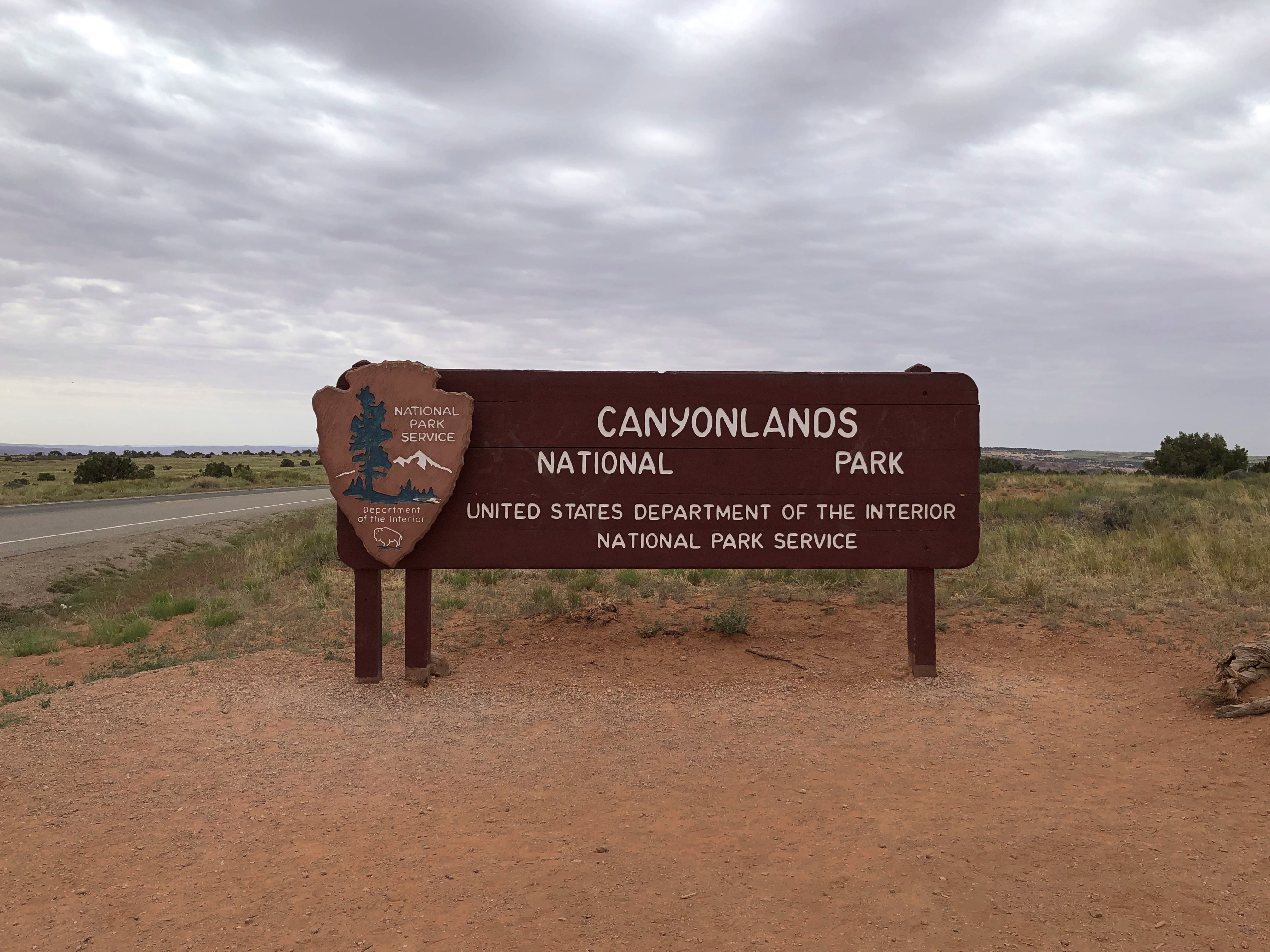
In any case, I wasn’t about to miss Canyonlands, at least part of it. Two weeks ago, we left Moab for Salt Lake City, spending the morning of May 20 at Canyonlands. Or rather, at the Island in the Sky District of the park, a poetic naming choice that sums up the region nicely.

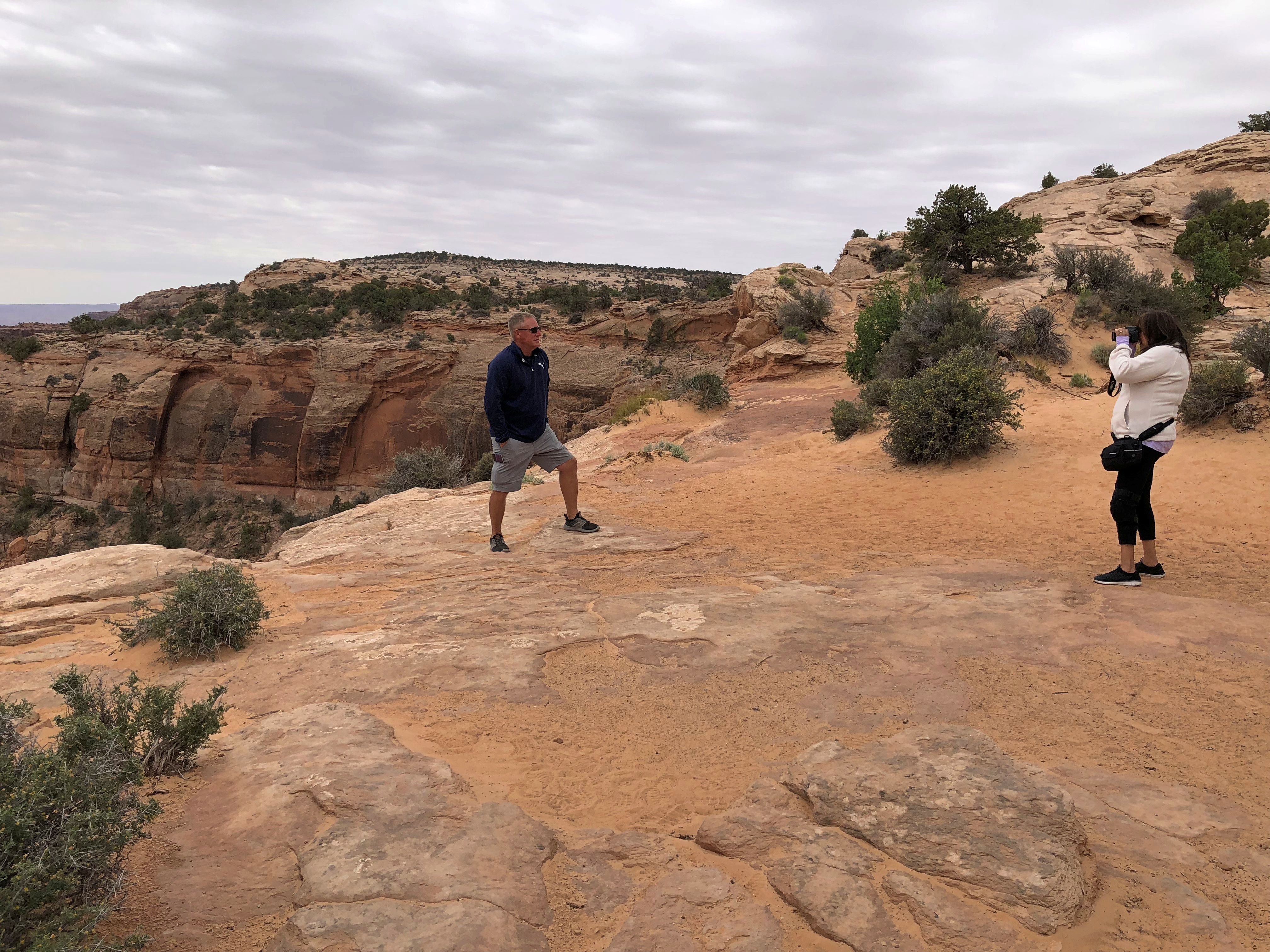
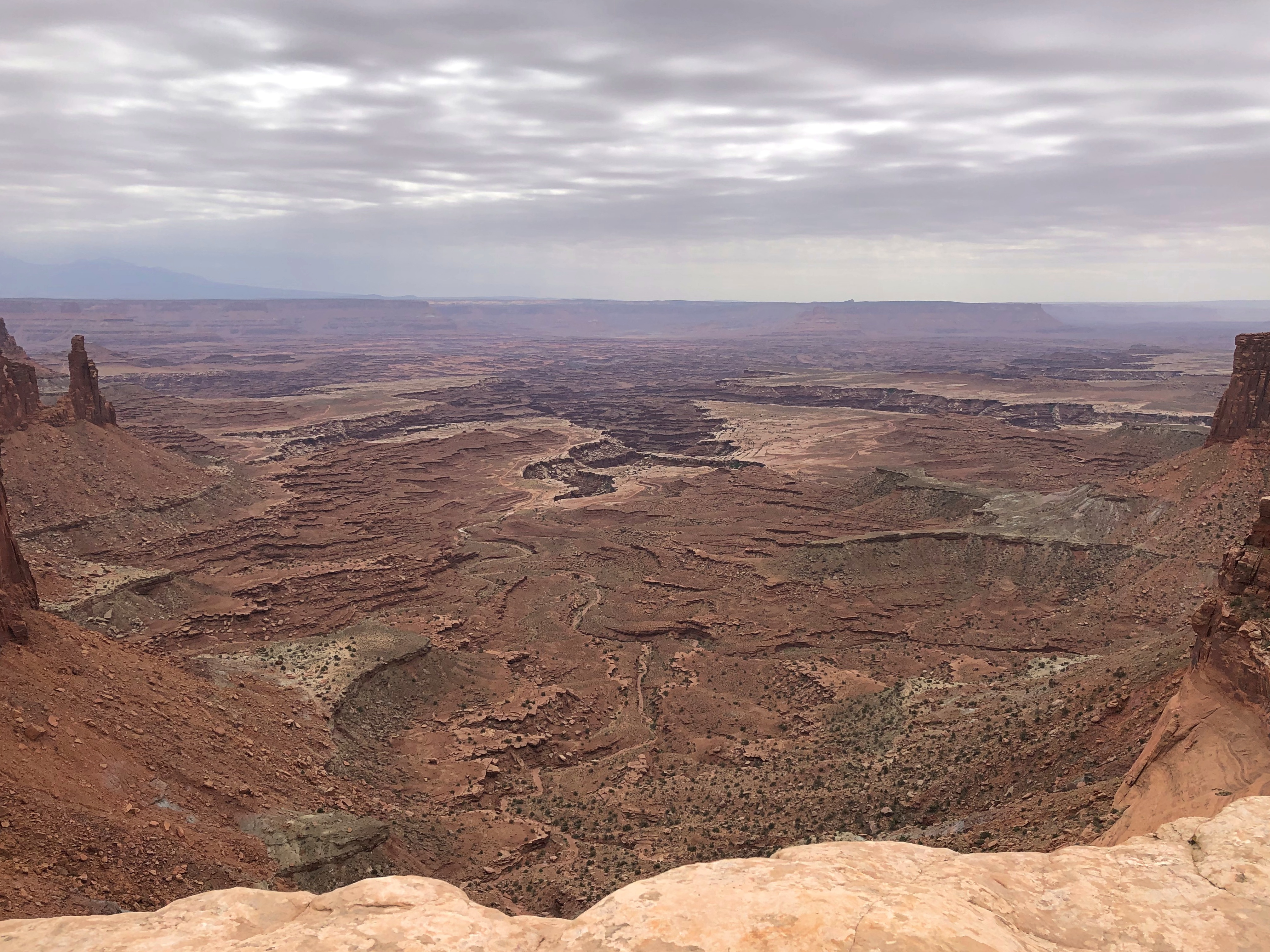
The day was overcast, and about 20 degrees cooler — the 60s F. rather than the 80s — than the day before in Arches. A front had blown through the night before.Canyonlands National Park

Unlike Arches NP, Canyonlands is fairly large (more than 337,000 acres), and like Gaul, divided into three parts. Island in the Sky, but also The Maze and The Needles, separated mostly by the courses of the mighty Colorado and its almost as mighty tributary, the Green River.

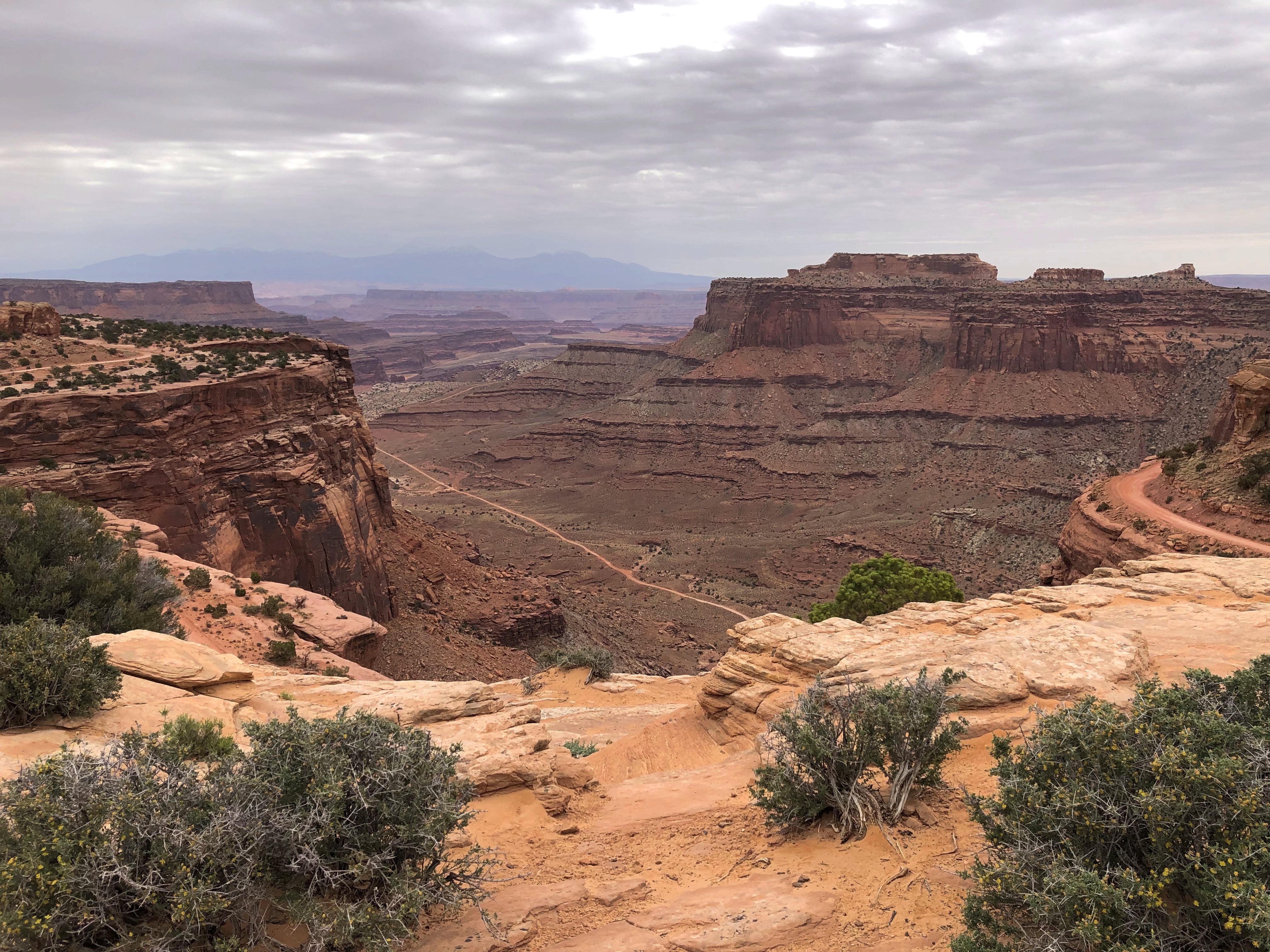
Soon after entering Island in the Sky, you’re at the Shafer Canyon overlook.Canyonlands National Park Canyonlands National Park

Way down in the canyon is the unpaved Shafer Trail Road, which leads to the equally unpaved White Rim Road, a wide loop around Island in the Sky. We’d see that road later, from a different vantage. We’d also see, looking rice-grain small, a handful of vehicles on White Rim, including motorcycles kicking up pinpricks of colored dust and no doubt fulfilling a desert riding dream or two of their riders.

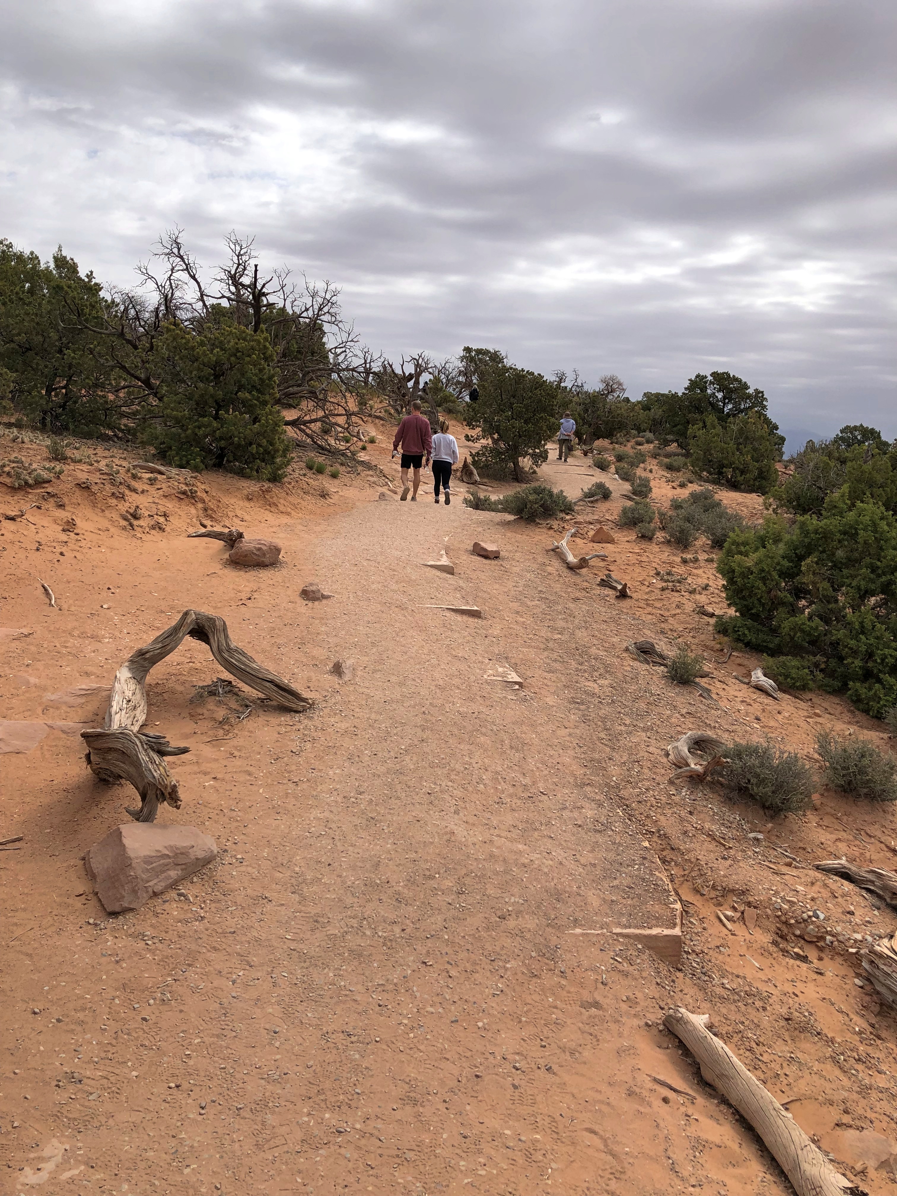
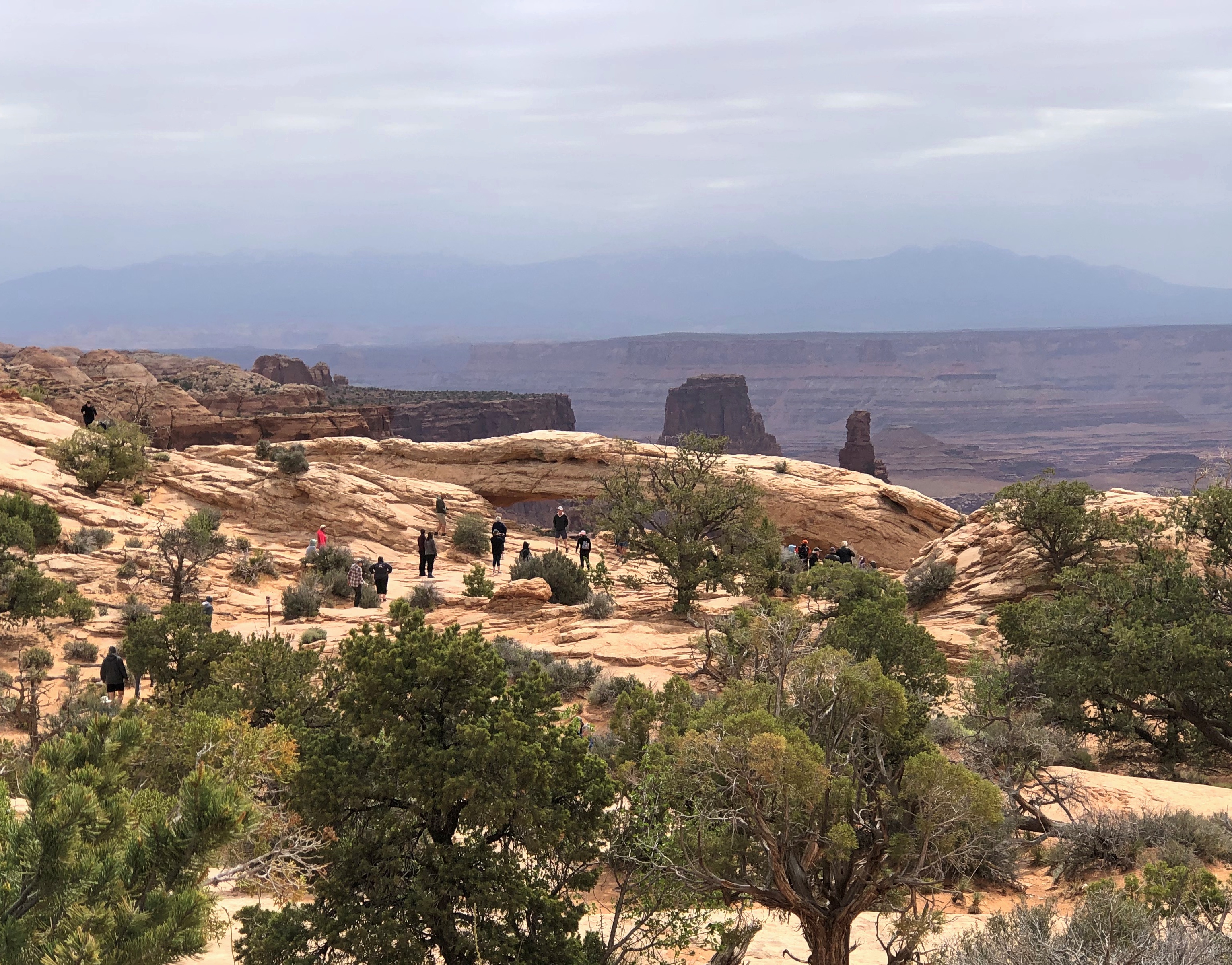
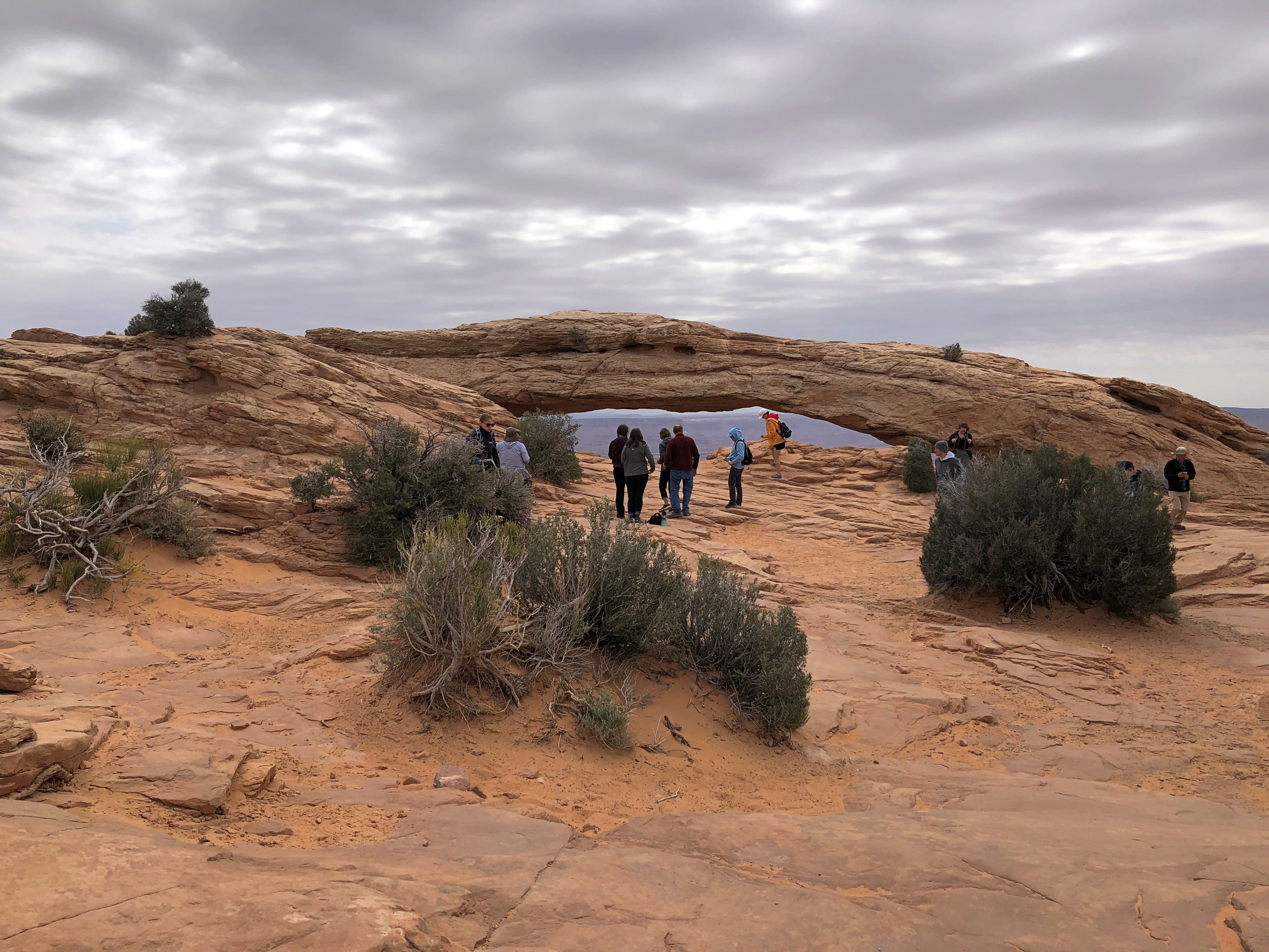
Further down the paved road is the short trail to Mesa Arch.Canyonlands National Park Canyonlands National Park Canyonlands National Park

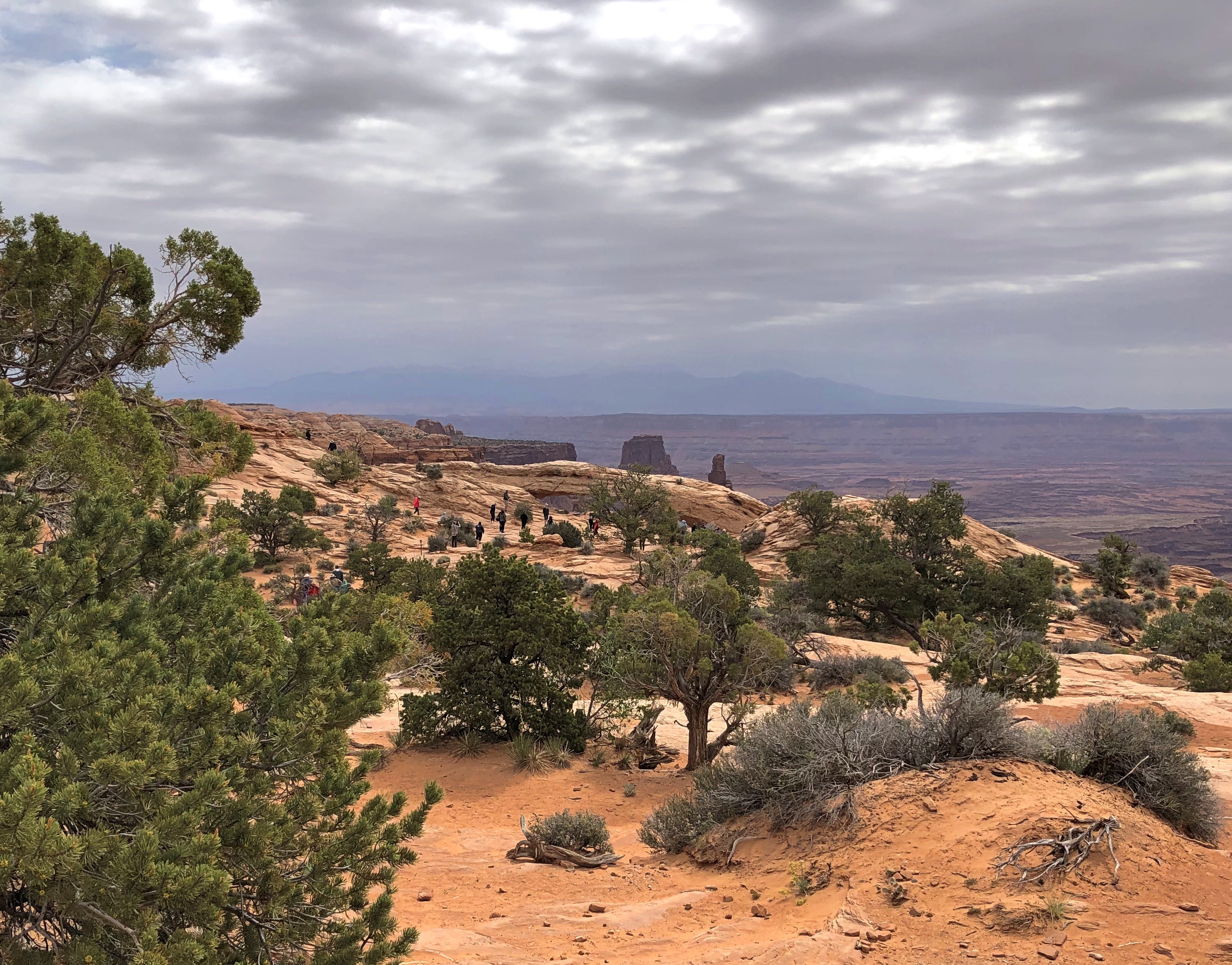
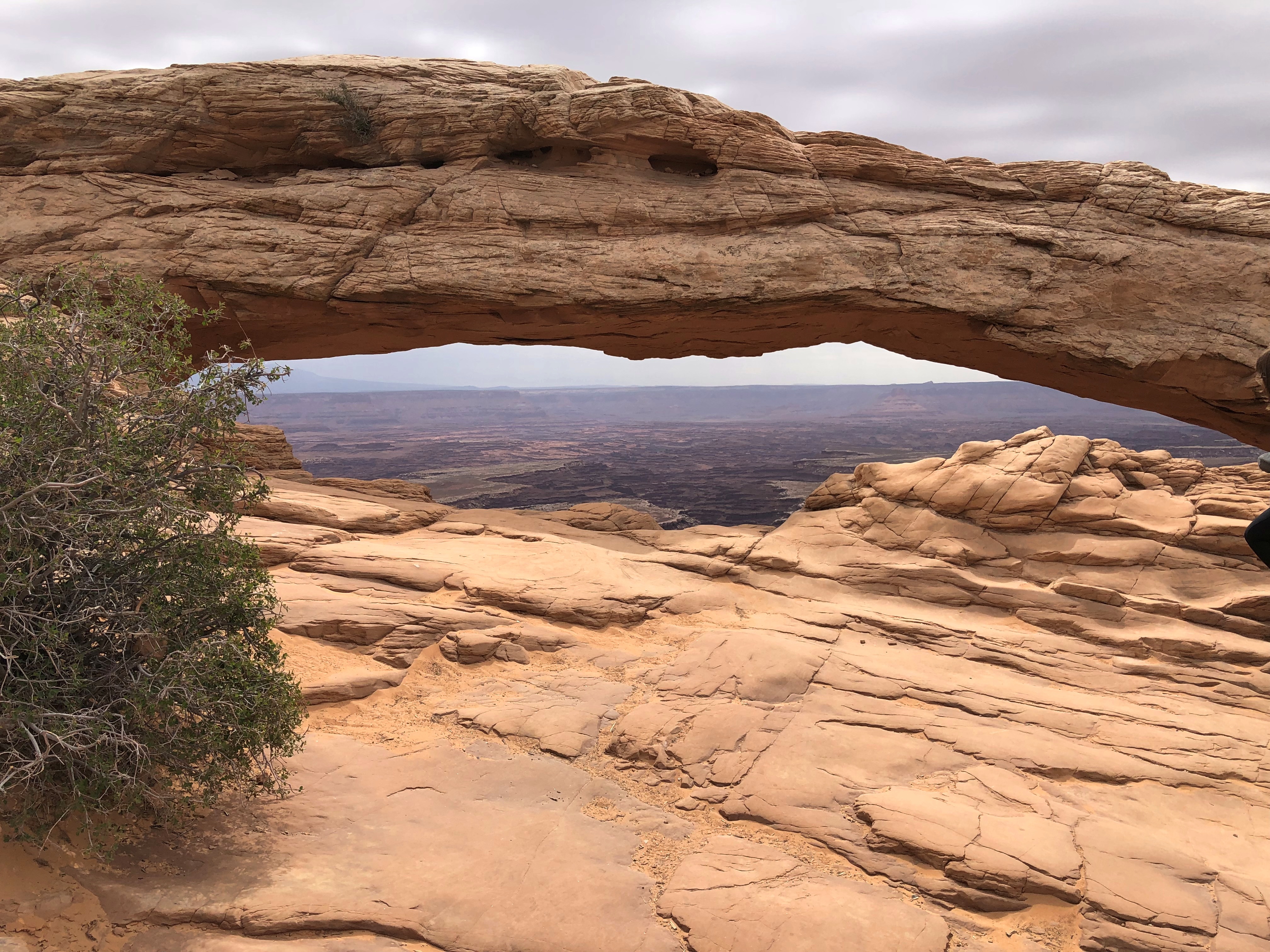
Eventually, the arch is easy to spot.Canyonlands National Park Canyonlands National Park Canyonlands National Park

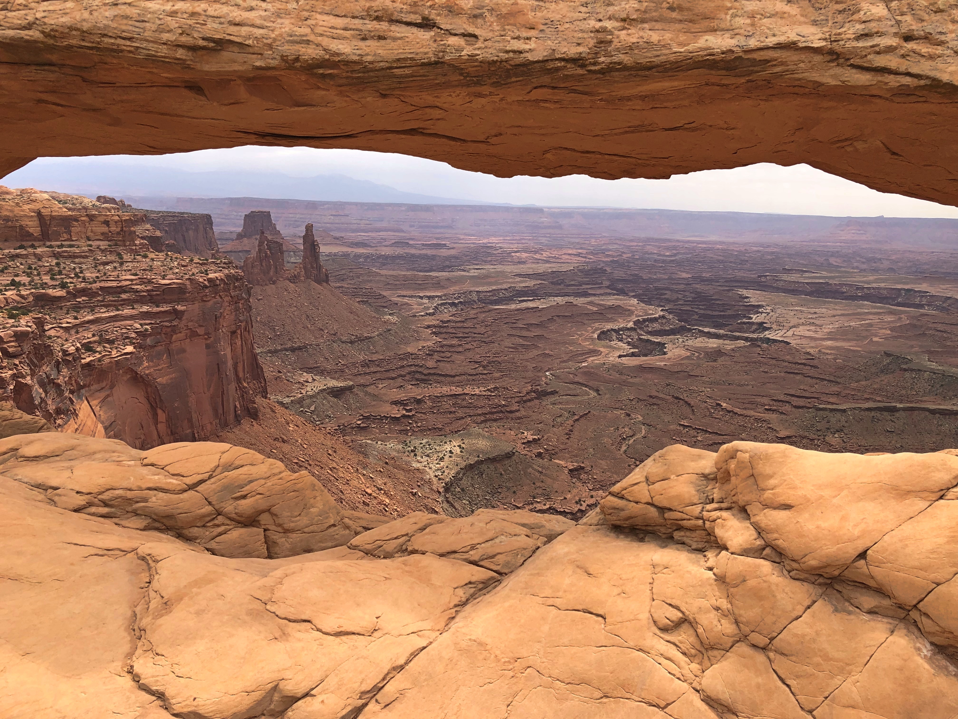
Quite a view under the arch.
Canyonlands National Park

It was here that the awesomeness of Canyonlands began to dawn on me. I was looking into a canyon — marked by its own, deeper complex of canyons.
Canyonlands National Park

Awesomeness was really hammered home when we got to a spot called Grand View Point Overlook. With a name like that, it’d better be good.

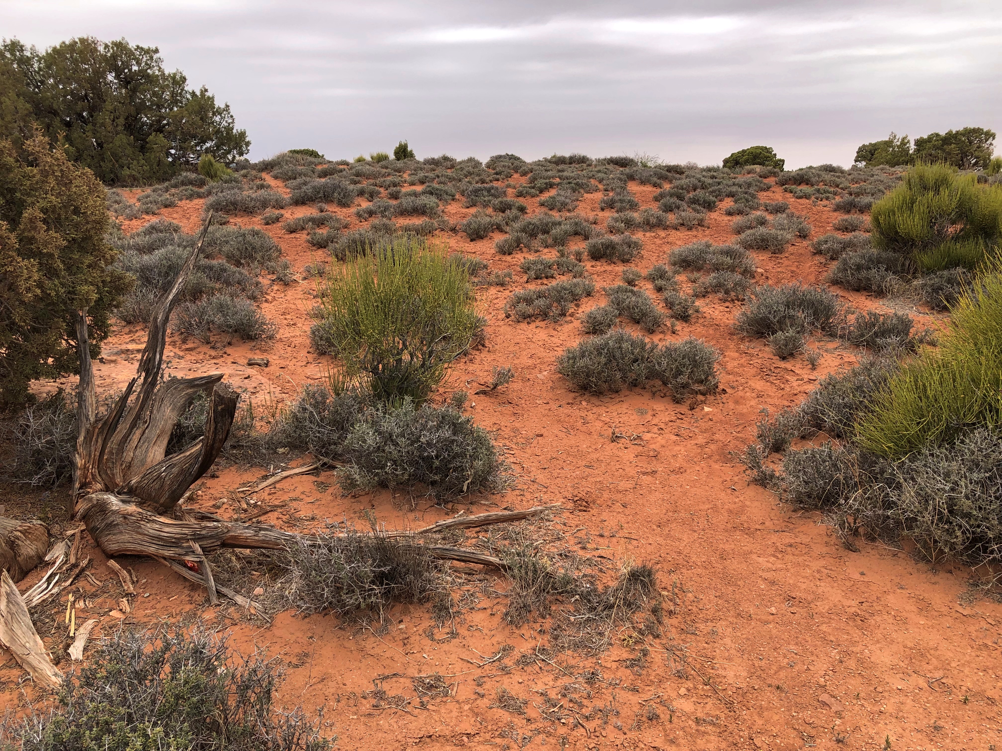
The territory near the Grand View. Nice, and a bit more reddish here, but little hint of things to come.Canyonlands National Park

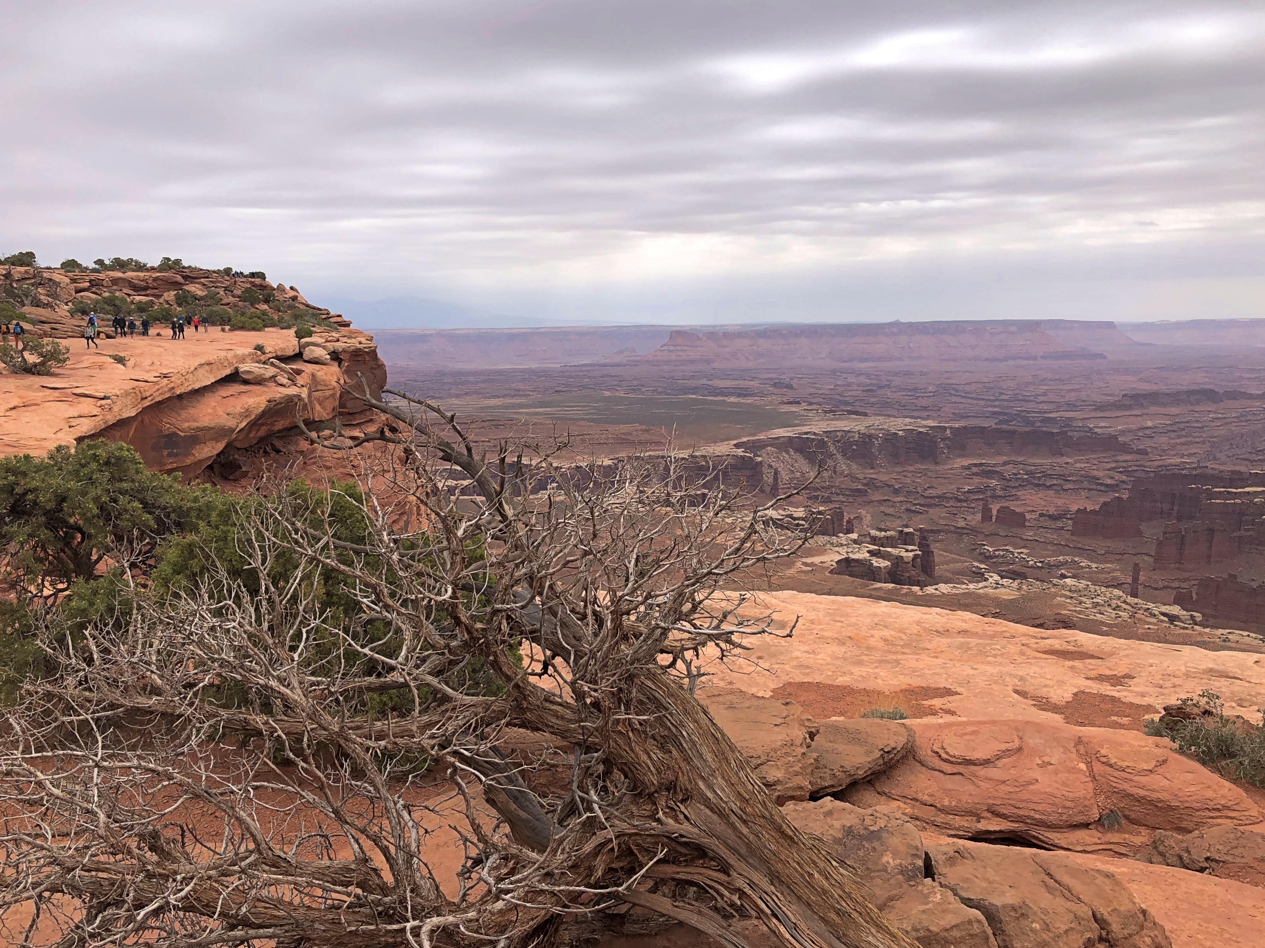
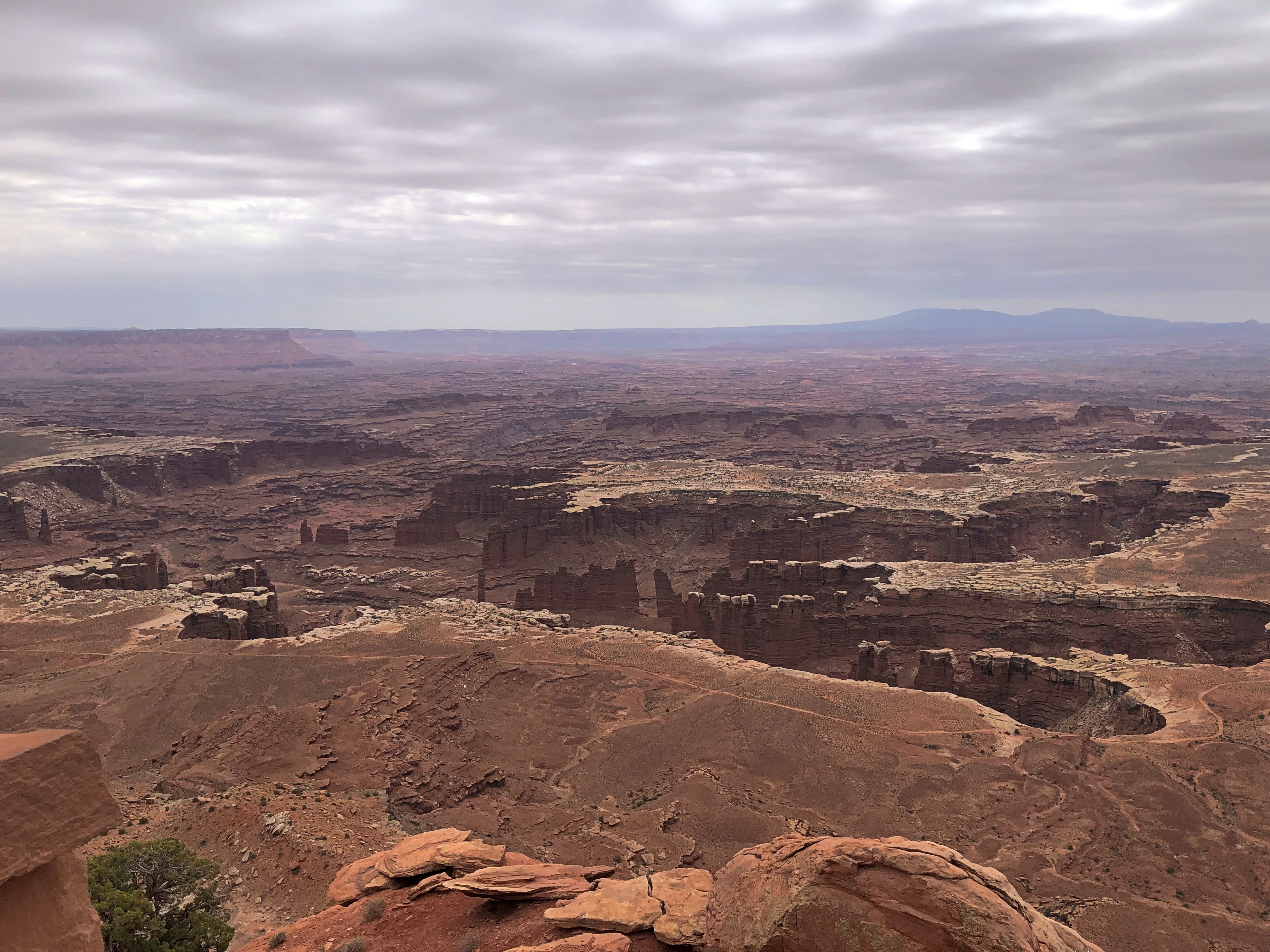
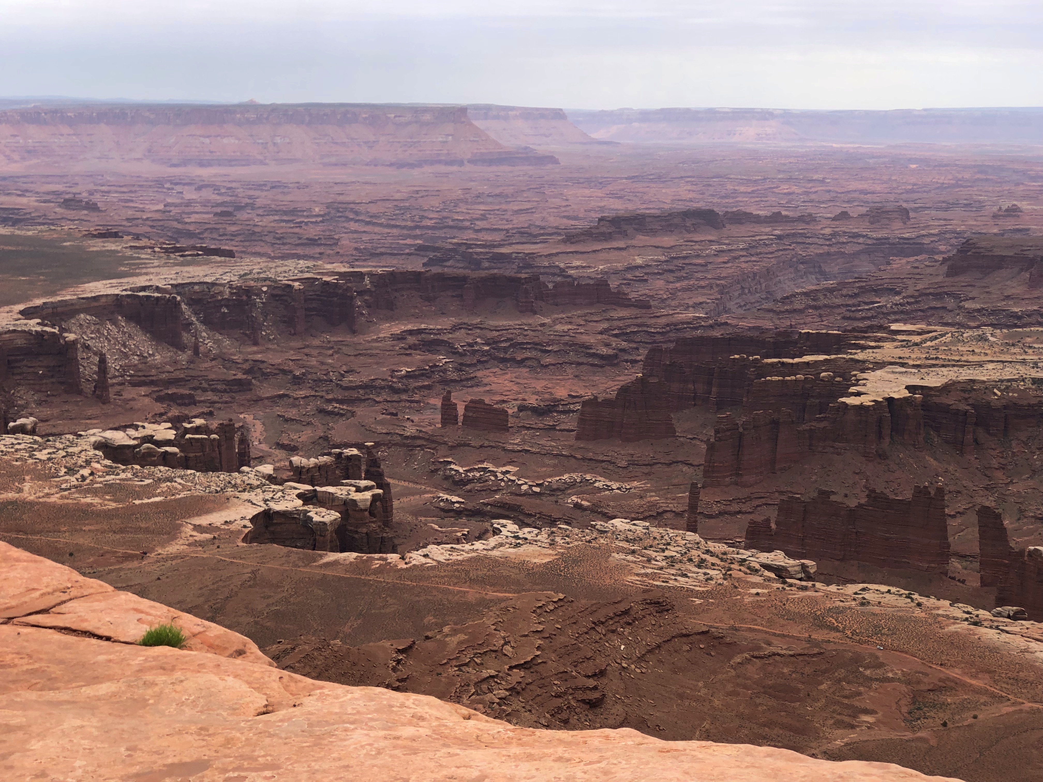
The overlook itself. We walked a quarter-mile or more along the edge of the canyon — the wide canyon complex, reaching miles into the distance, created by the Colorado and the Green.Canyonlands National ParkCanyonlands National Park Canyonlands National Park

Wow. The atmosphere was a little hazy that day, but that hardly mattered. My images really don’t do the place justice, but that was a persistent theme on all of this trip.