Arches National Park

When you visit a place like southern Utah, you run through all the superlatives. In the moment, the wordless feeling as you stand in awe is enough. Later, you turn the bucket over, hoping that one extra-special word that fits what you’ve just seen will tumble out. But even the jewel cave that is English — to shift the metaphor — sometimes comes up short.

What would a Spanish speaker, whose linguistic predecessors have come here for centuries, say? Magnífico, espléndido, maravilloso? What do Germans, so many of whom seek out the desert Southwest in our time, use in such a situation? Großartig, herrlich, prachtig? What of the native tongues of the region? I’m mostly ignorant of those European languages, but vastly ignorant of those spoken on the Colorado Plateau for millennia, so I do not know.

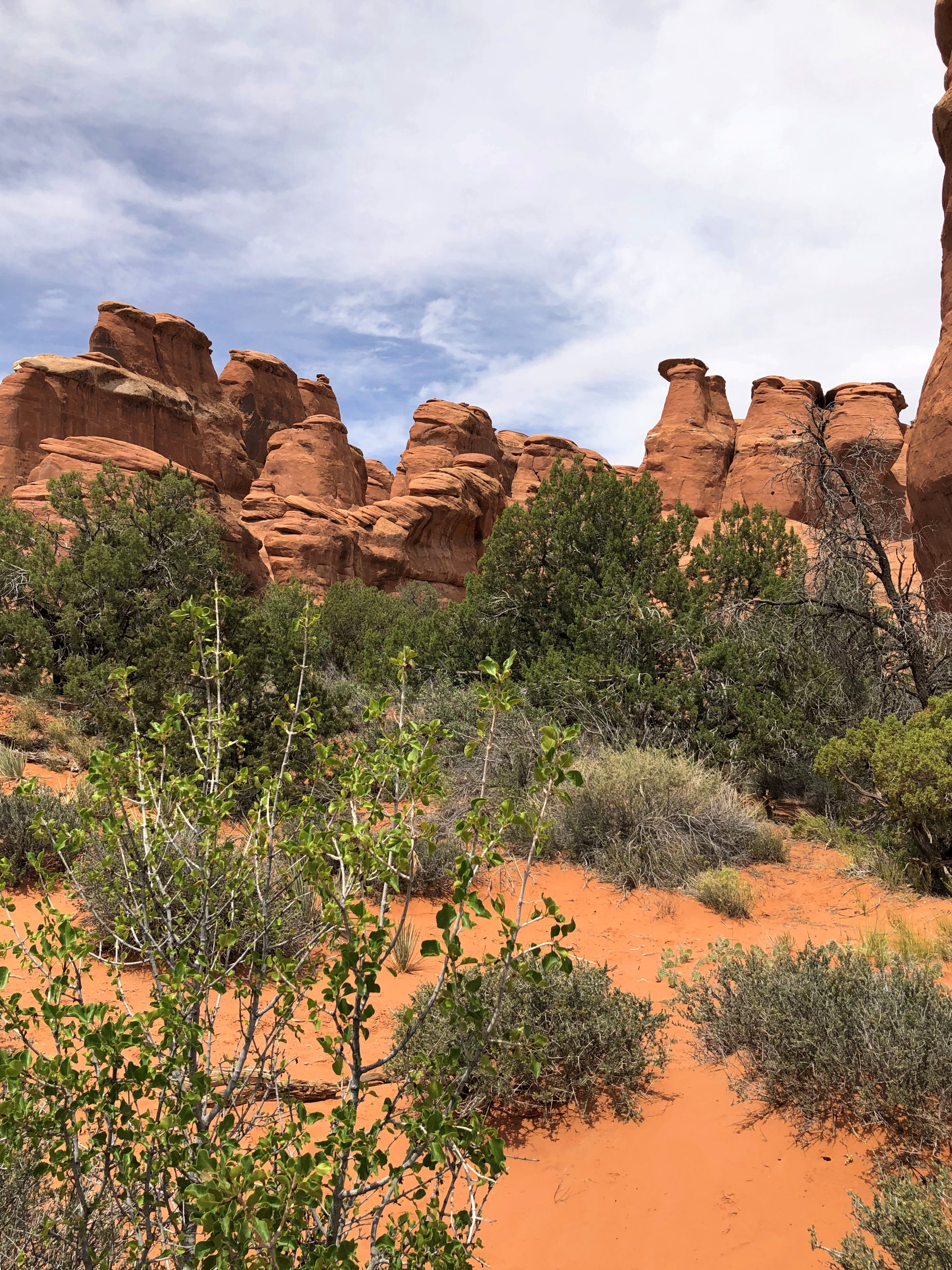
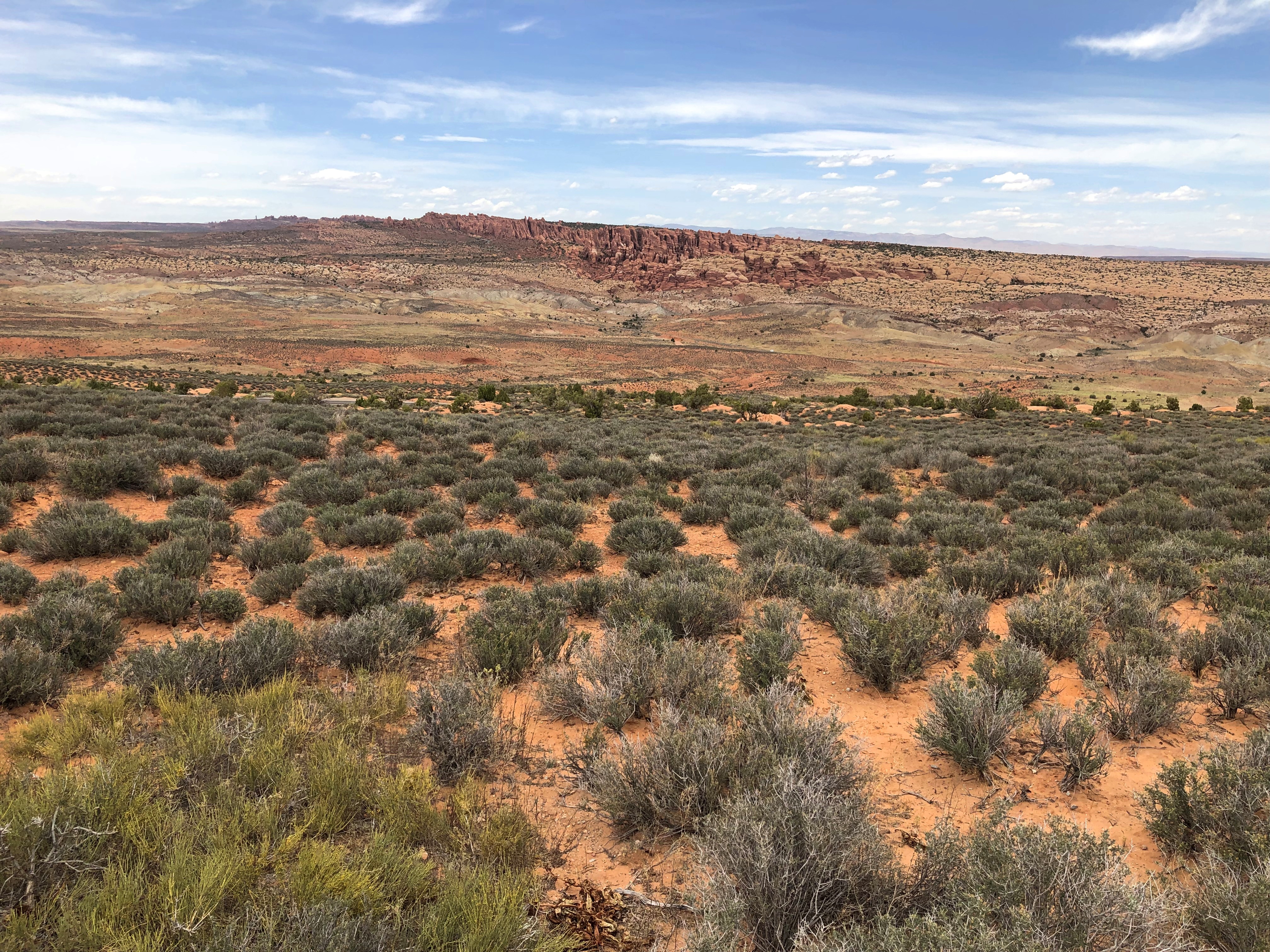
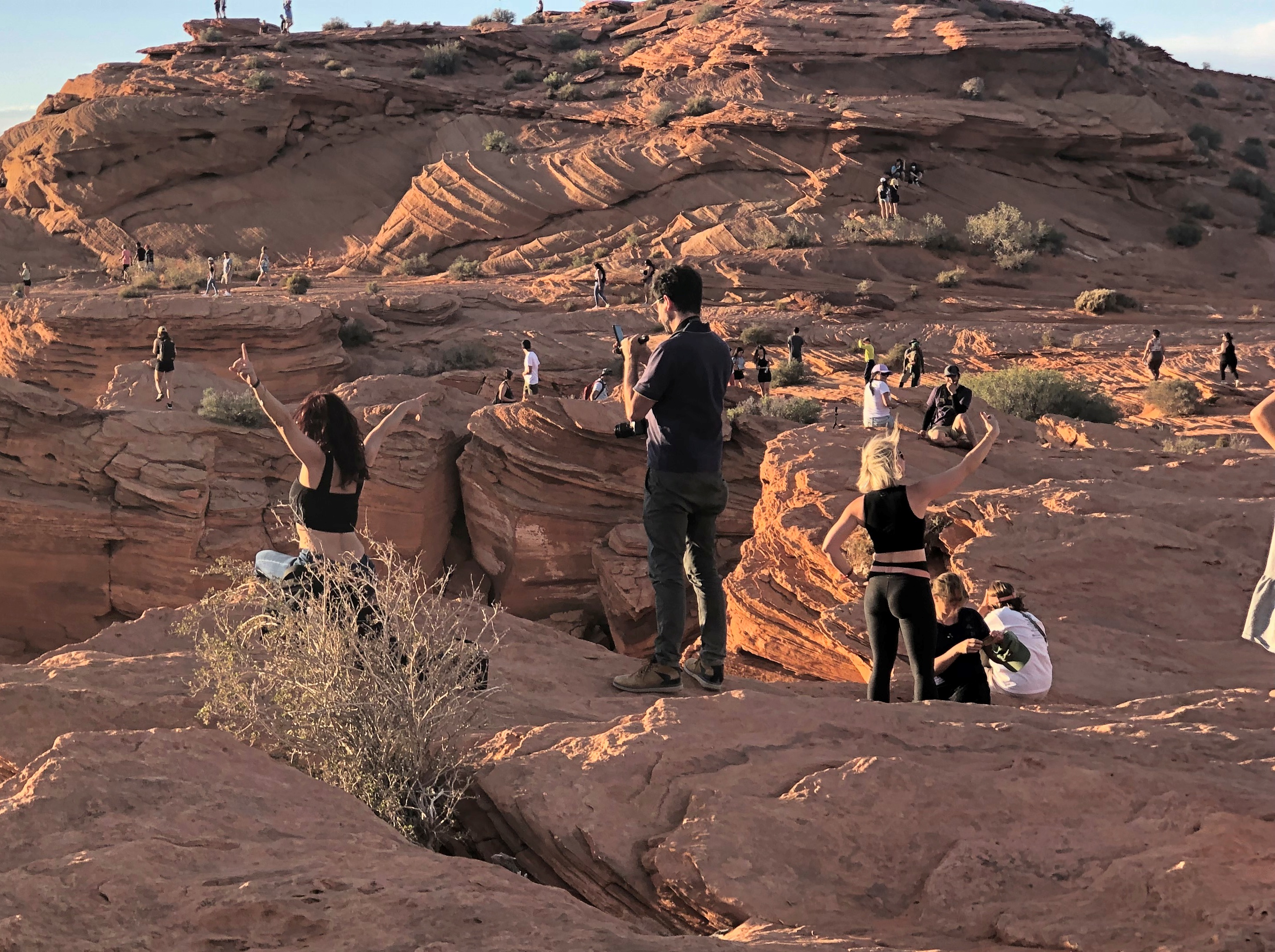
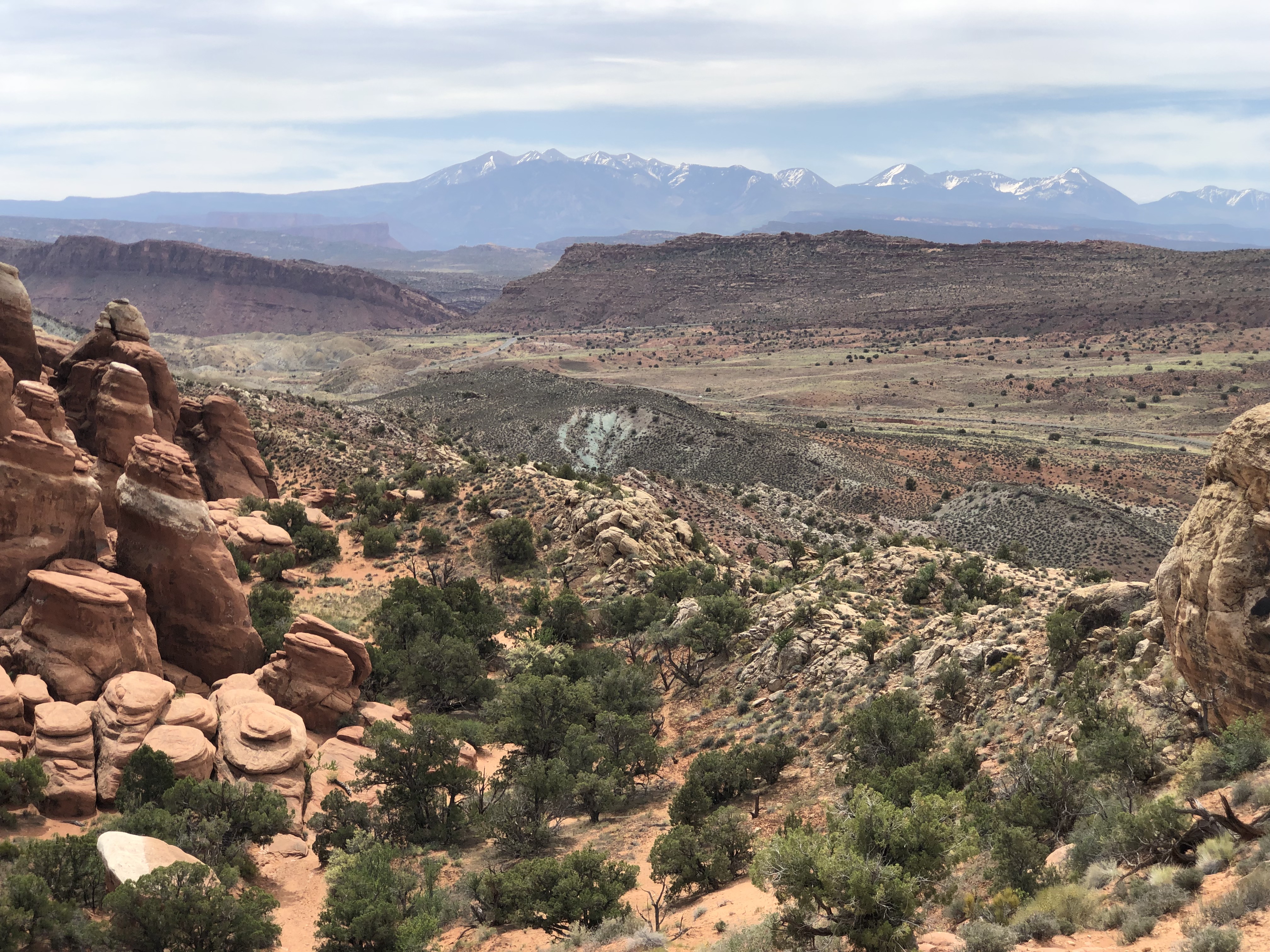
All that is a long-winded intro to the vista we saw at Fiery Furnace in Arches National Park, where we spent most of the day on May 19.

“The Fiery Furnace is a natural labyrinth of narrow passages between towering sandstone walls called fins,” says a postcard I bought in the park. “The La Sal Mountains rise in the distance to nearly 13,000 feet…” Fiery Furnace Arches National Park

That isn’t a bad image, but it barely conveys the sweeping grandeur of the vista. Though different in most details — color, formation shape, vegetation — I instantly thought of Polychrome Pass in Alaska.

“The view toward the Alaska Range at Polychrome Pass is, I believe, the grandest vista I’ve ever seen,” I wrote last year.

At Fiery Furnace, I found its equal. Just like that. All the time, money and effort to reach this point seemed, all at once, entirely worth it, just to see what we saw. Of course, I had no doubt of that before, and not a vast amount of resources actually went into the trip, since travel is easy in our time, but still.

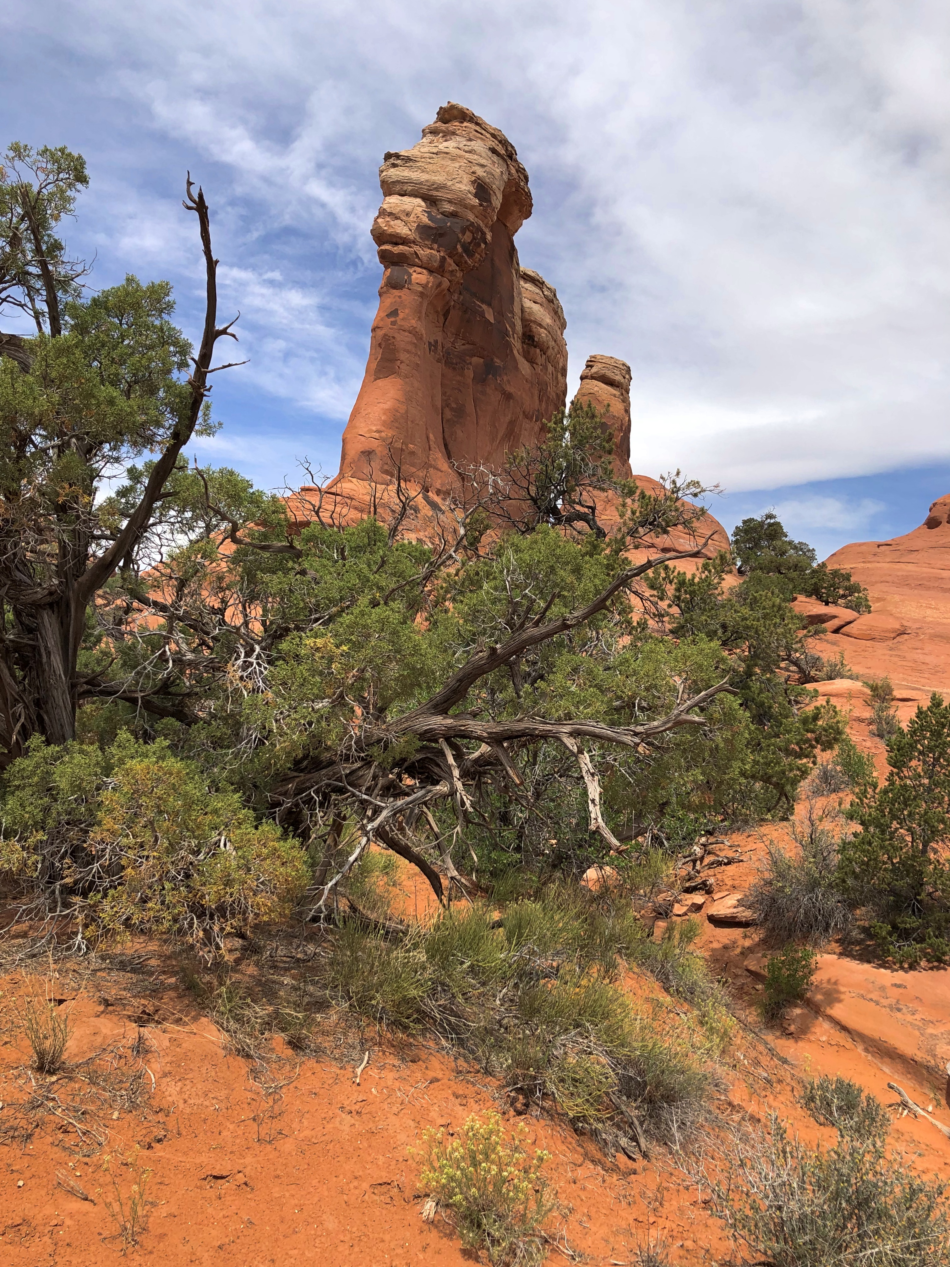
The marvels of Arches are many. By U.S. national park standards, it isn’t a large one, at about 76,600 acres (44th largest out of 63), but somehow more than 2,000 natural sandstone arches are packed into park. We saw a tiny but impressive fraction of these, and a lot else besides.Arches National Park

Perhaps the best known feature in the park is Delicate Arch, which is depicted on Utah license plates and a postage stamp commemorating the centennial of Utah statehood.

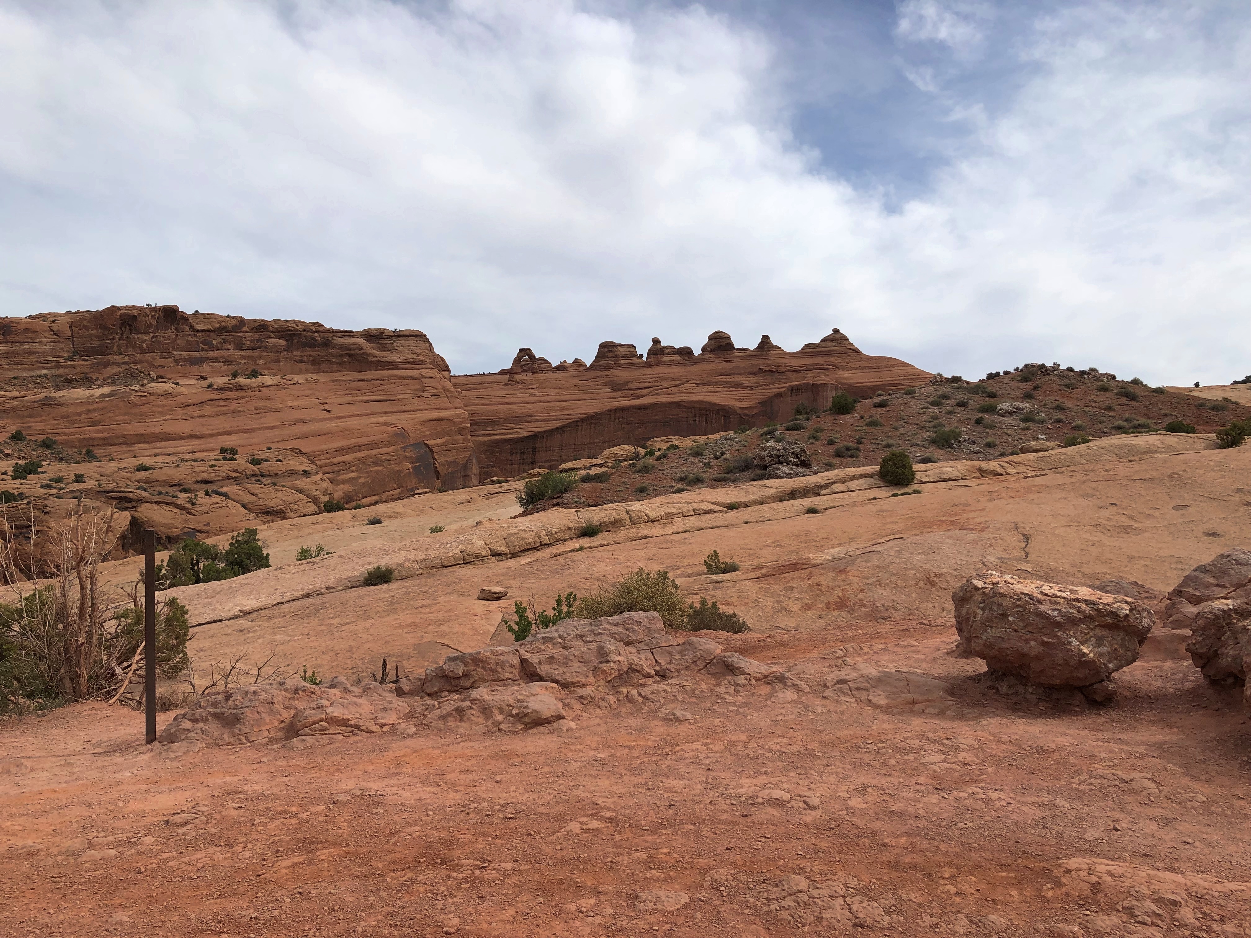
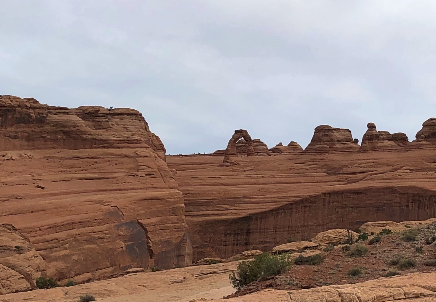
We didn’t get that close. We didn’t care to spend the energy to get there (increasingly with age, I’m learning to ration my energy). An easier trail takes you to a good if long-distance view of the arch, however.Arches National Park Arches National Park

I’ve centered the arch in this picture. If you look carefully, you’ll see people who did make the hike up to it.Arches National Park
Arches National Park

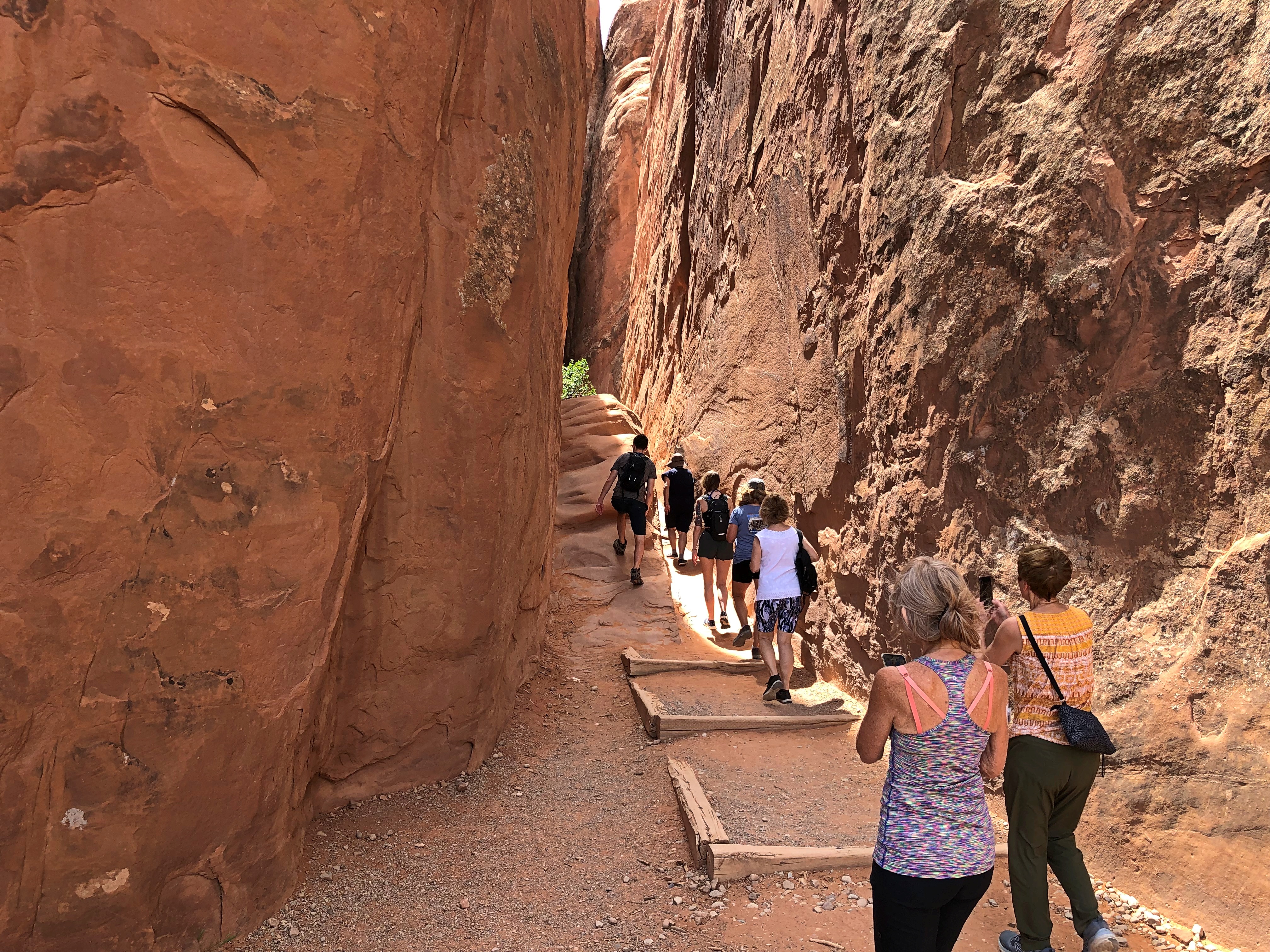
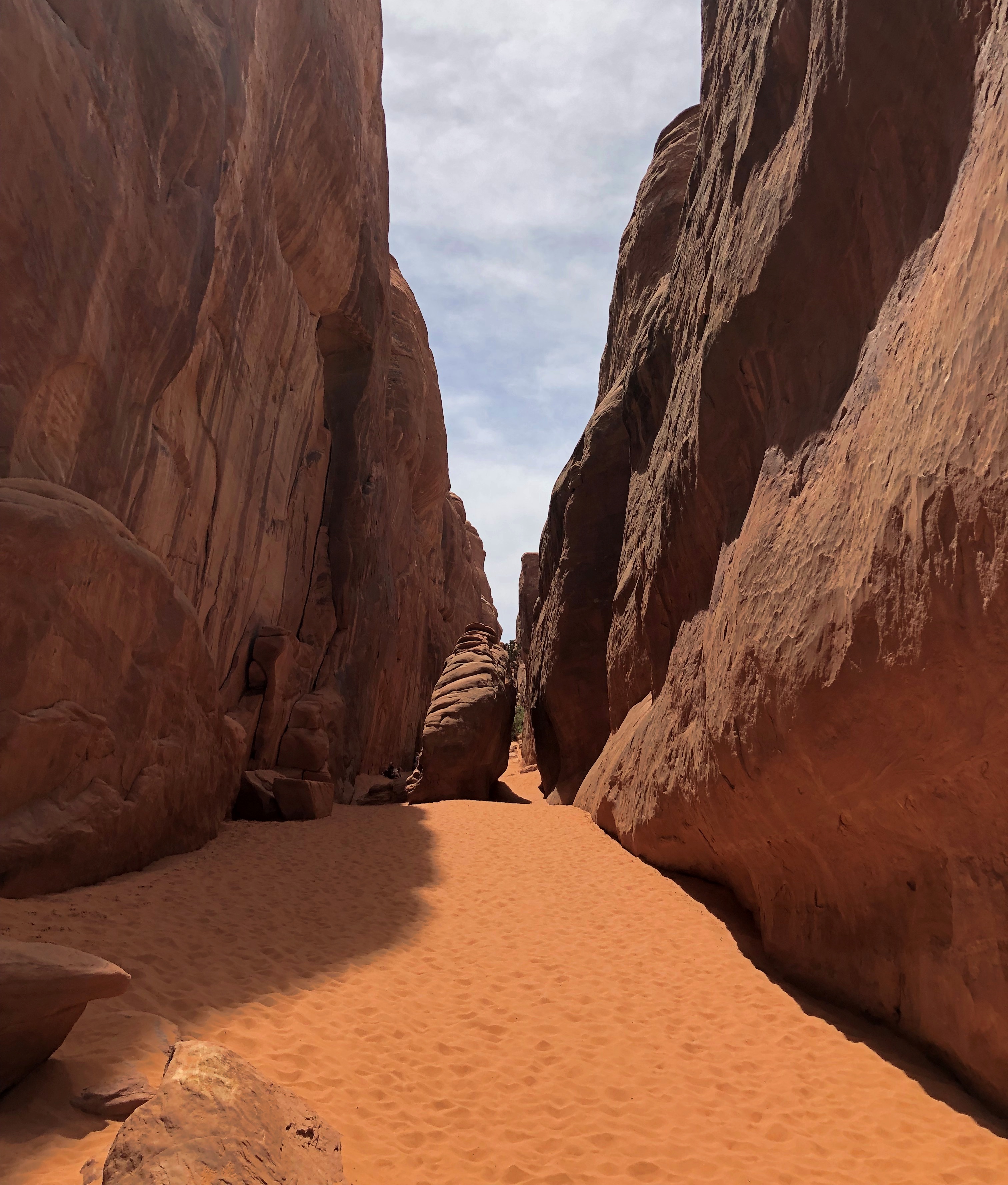
Broken Arch, on the other hand, we were willing to make the mile or so round trip on foot to see. But first, we popped in for a look at Sand Dune Arch. It’s in a slot canyon just off the way to Broken Arch.Arches National Park
Arches National Park

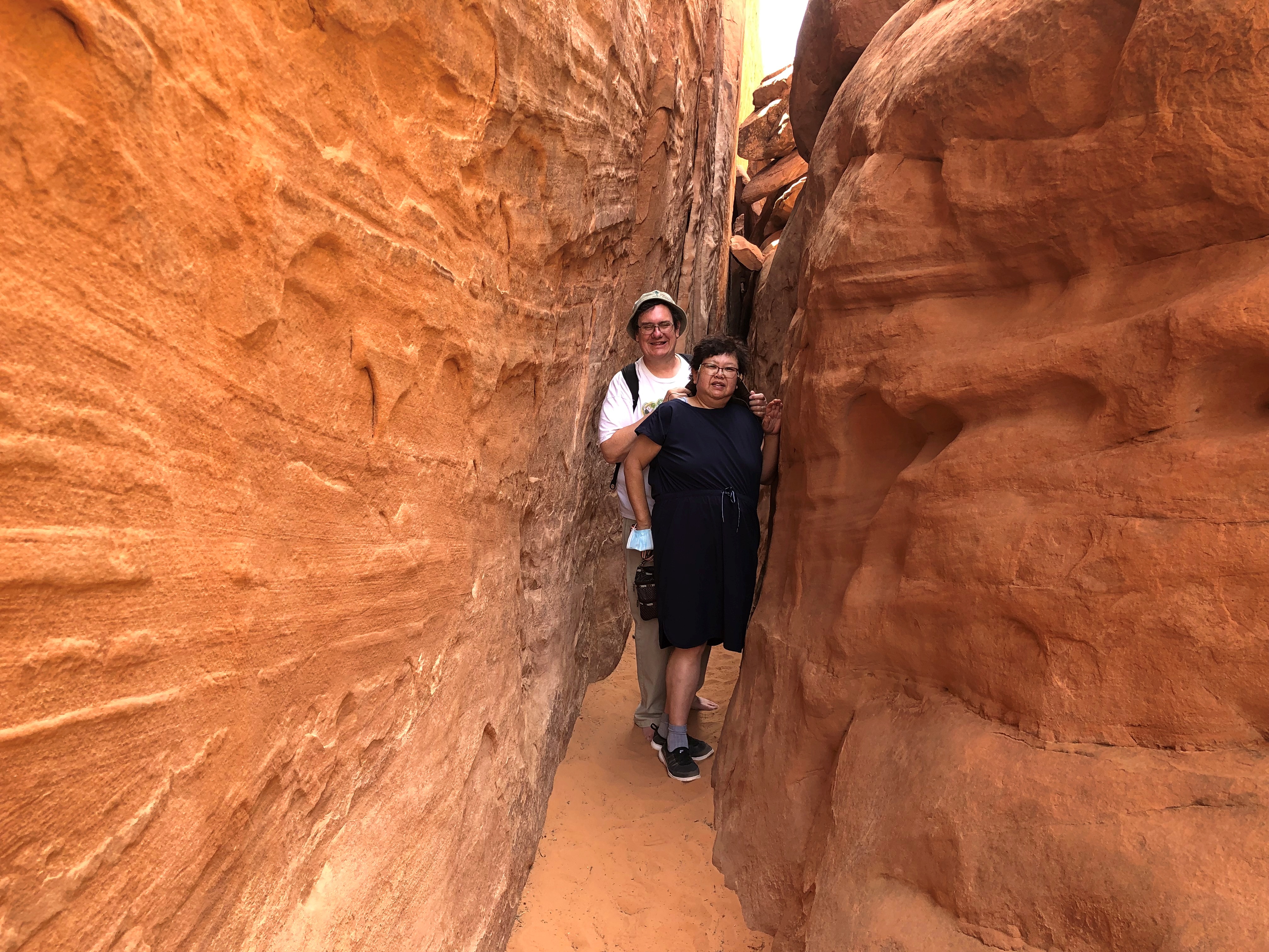
Which eventually tightens up considerably.Arches National Park

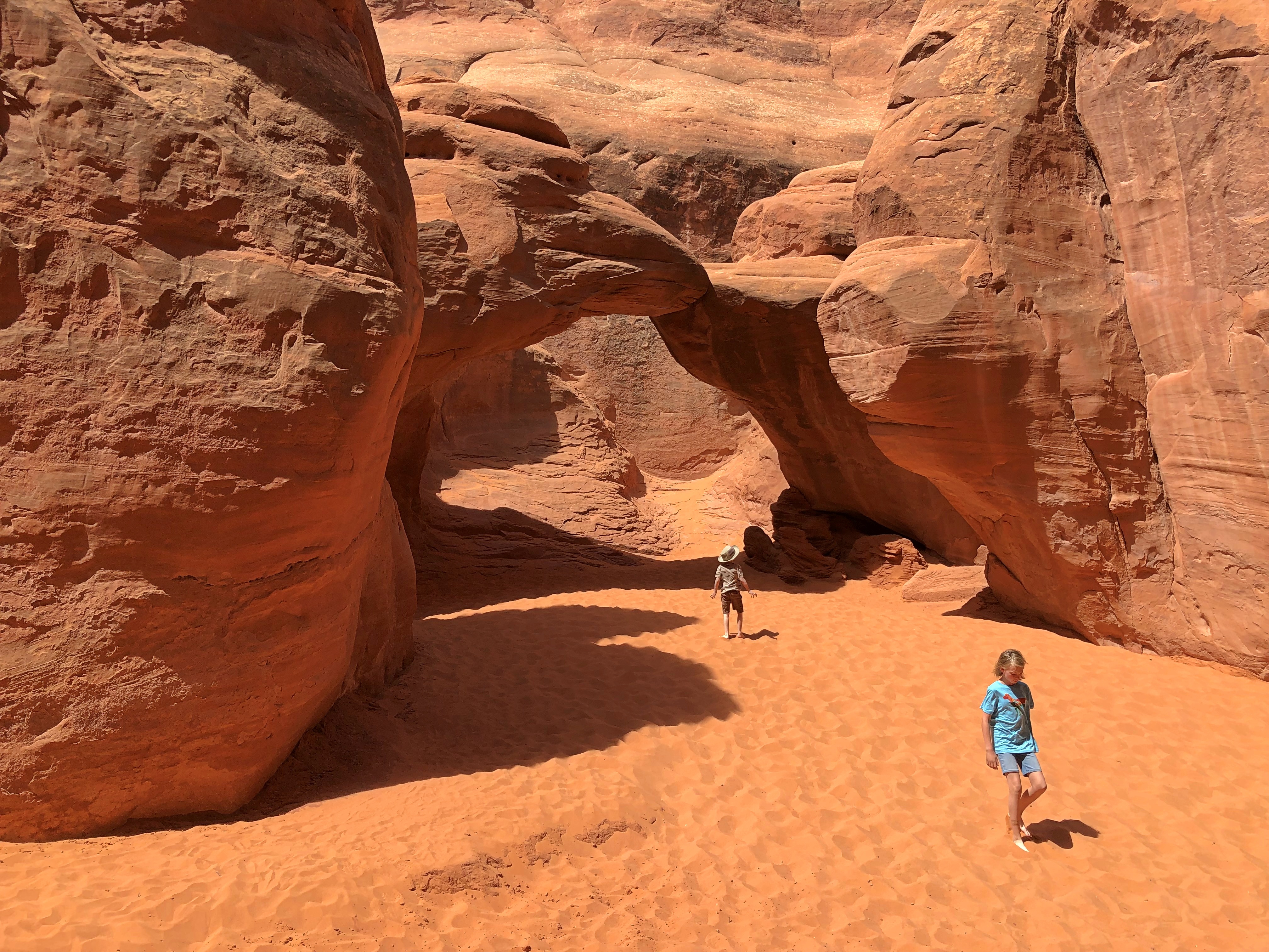
The arch itself is off in a wider place in the canyon.
Arches National Park

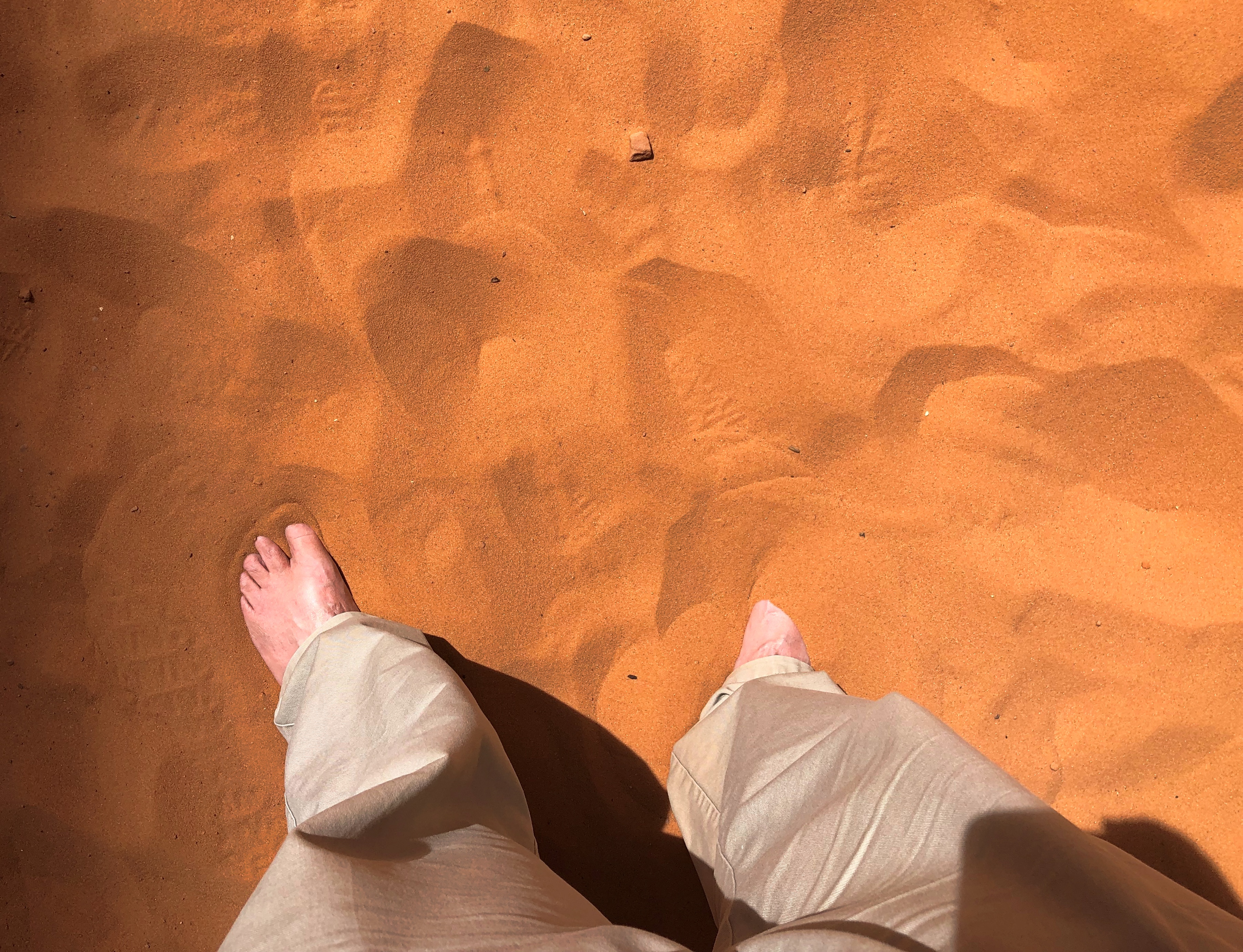
Note the sand. The color of Mars, but the exact texture of warm beach sand on Earth. My shoes had to come off for a while.
Arches National Park

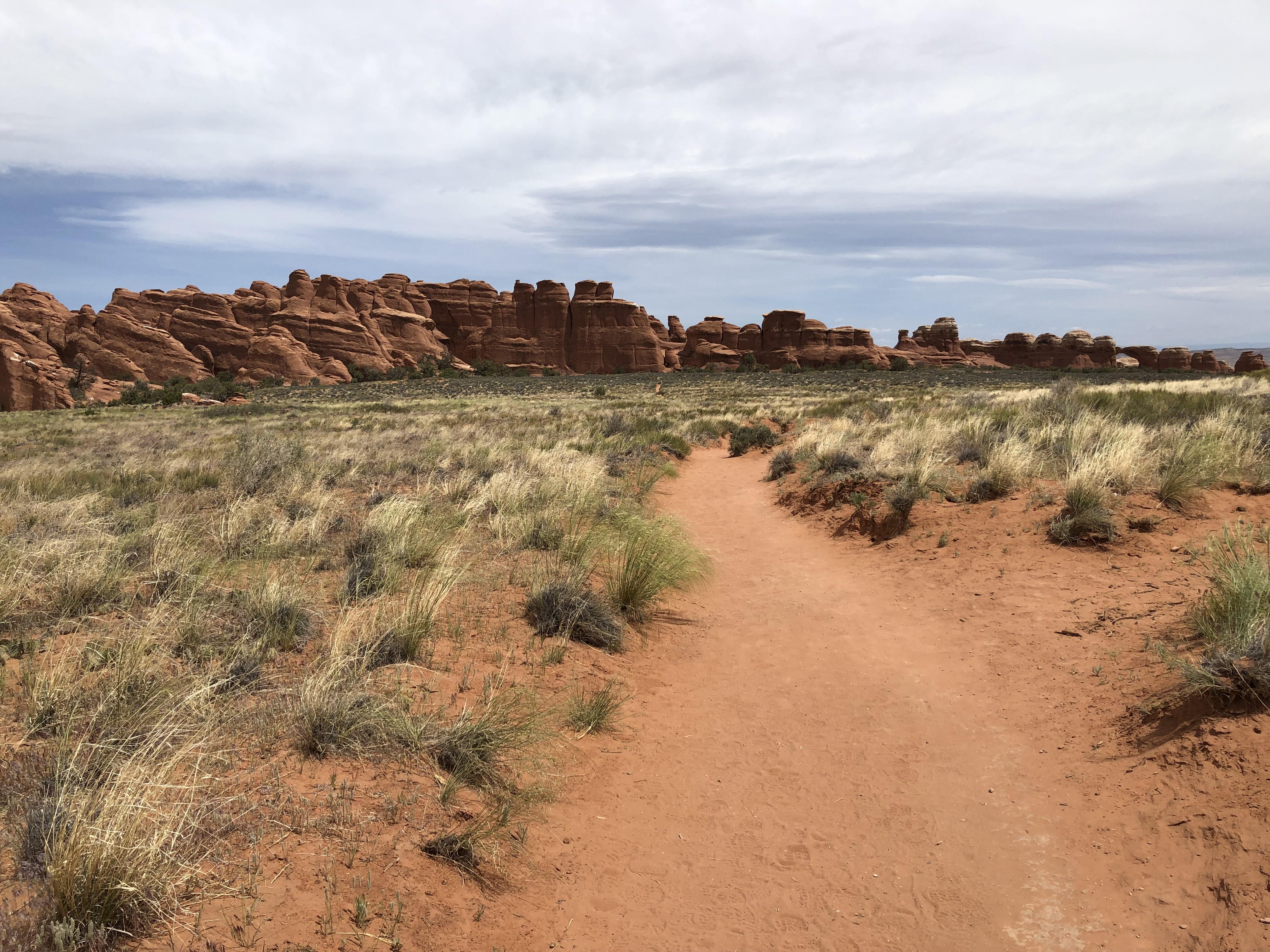
But they were back on for the hike to Broken Arch, along this path.Arches National Park Arches National Park Arches National Park Arches National Park

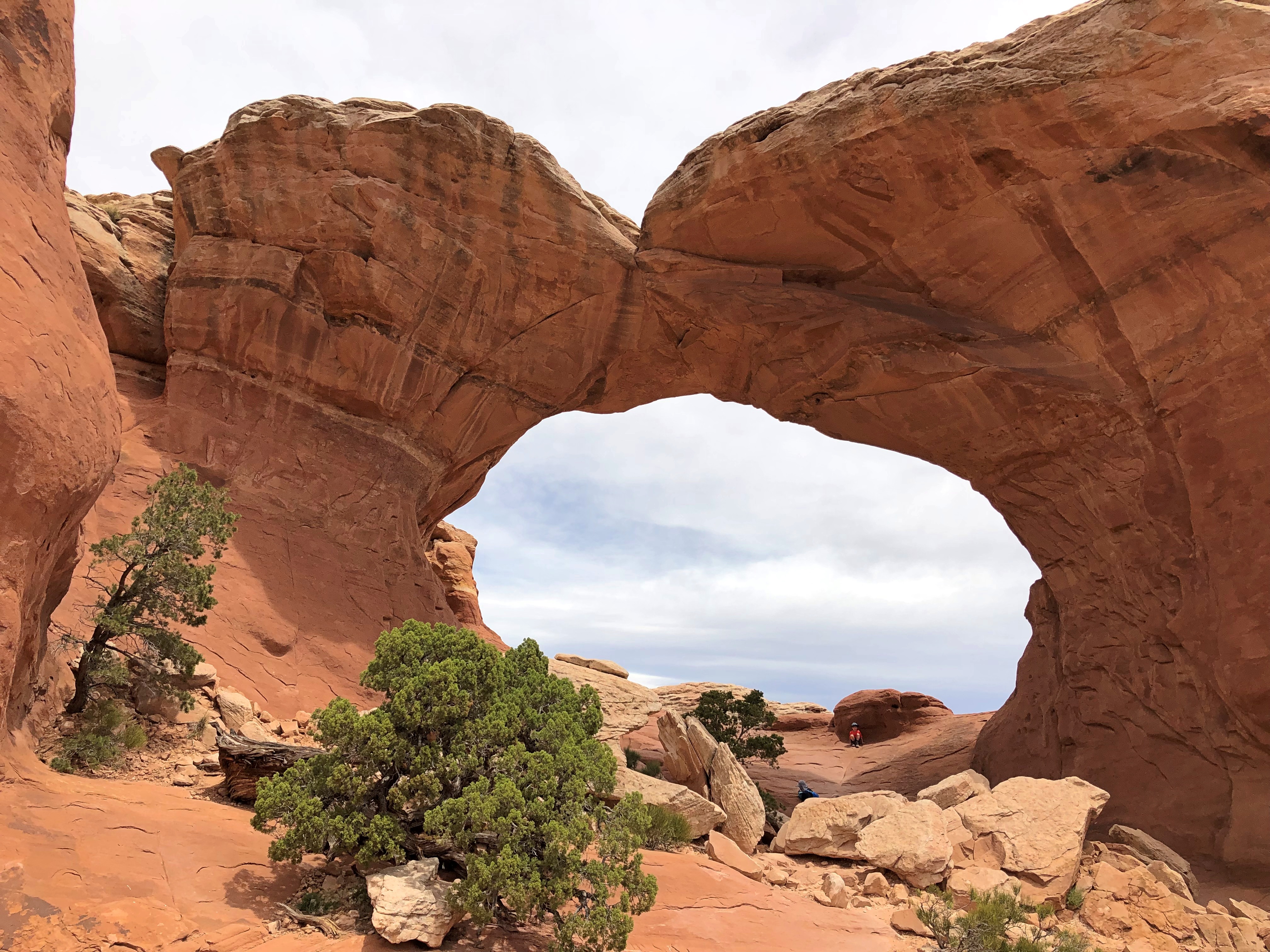
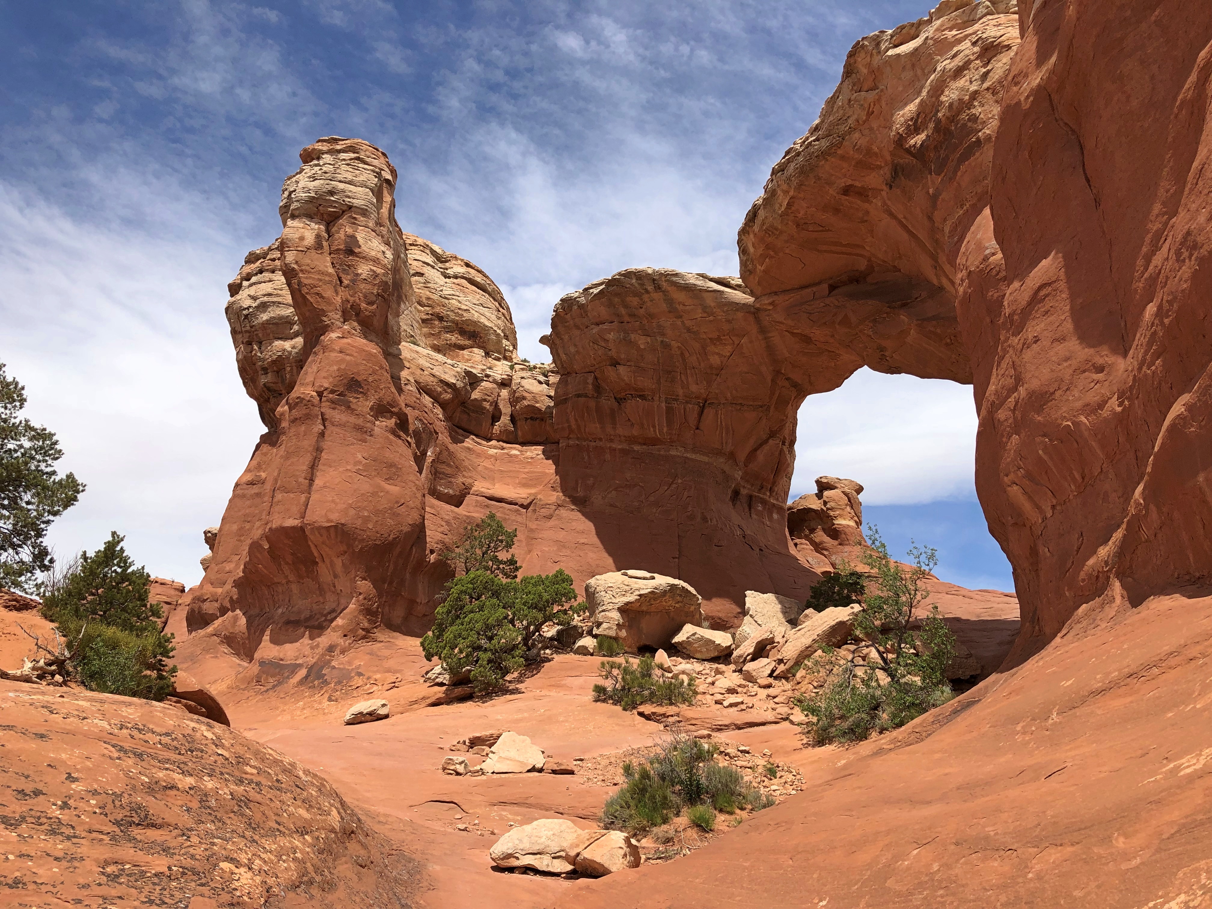
Eventually, you arrive at the arch, which is cracked if not broken.
Arches National Park Broken Arch

I looked at that view of the arch, and I couldn’t help thinking that it was going to say: A question. Since before your sun burned hot in space and before your race was born, I have awaited a question. That only goes to show the absurd conditioning I’ve submitted myself to in the form of entertainment, but never mind.

Another view.Arches National Park Broken Arch

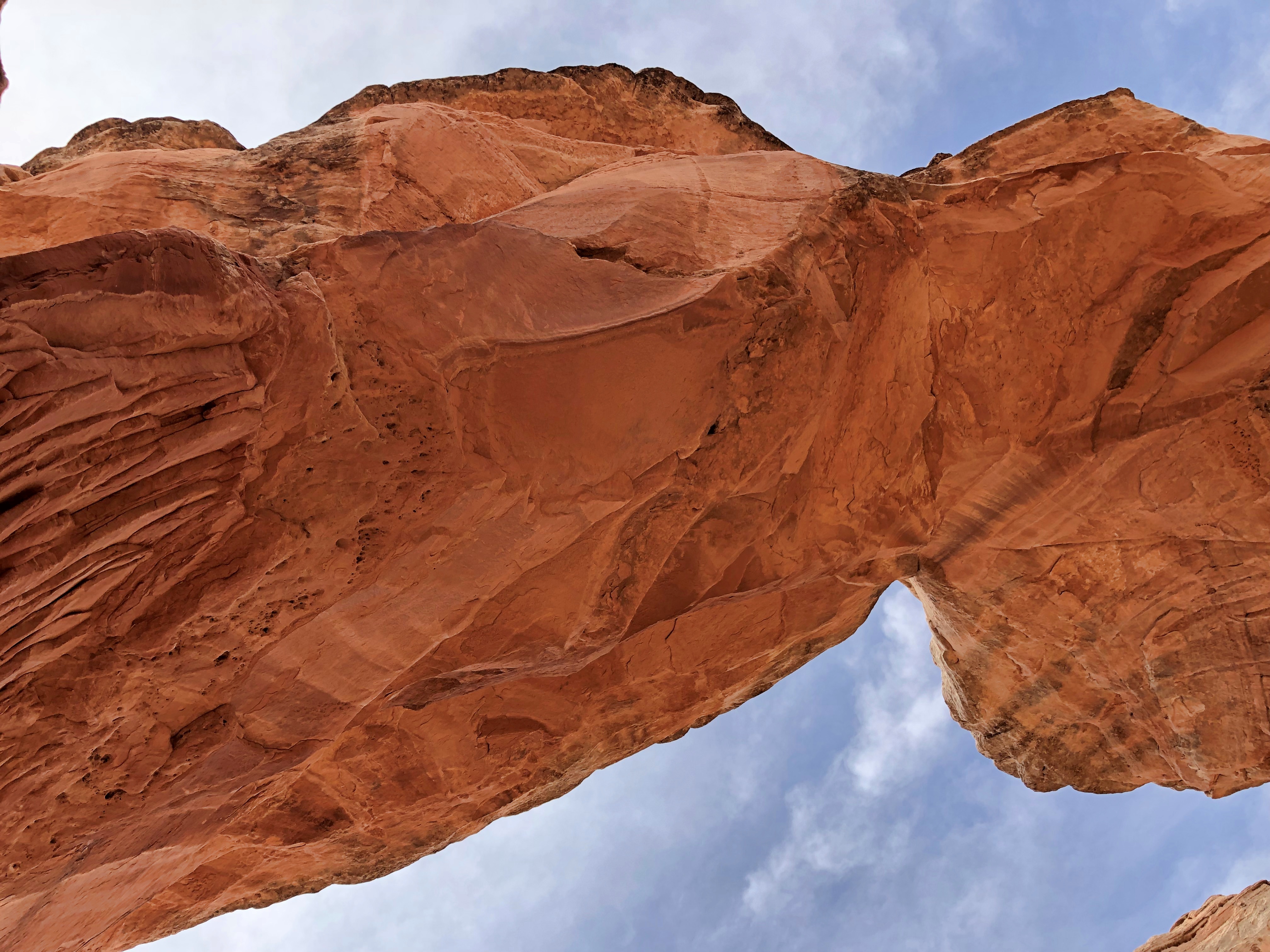
Under the arch. Erosion didn’t take its ultimate toll while we were there, fortunately.
Arches National Park Broken Arch

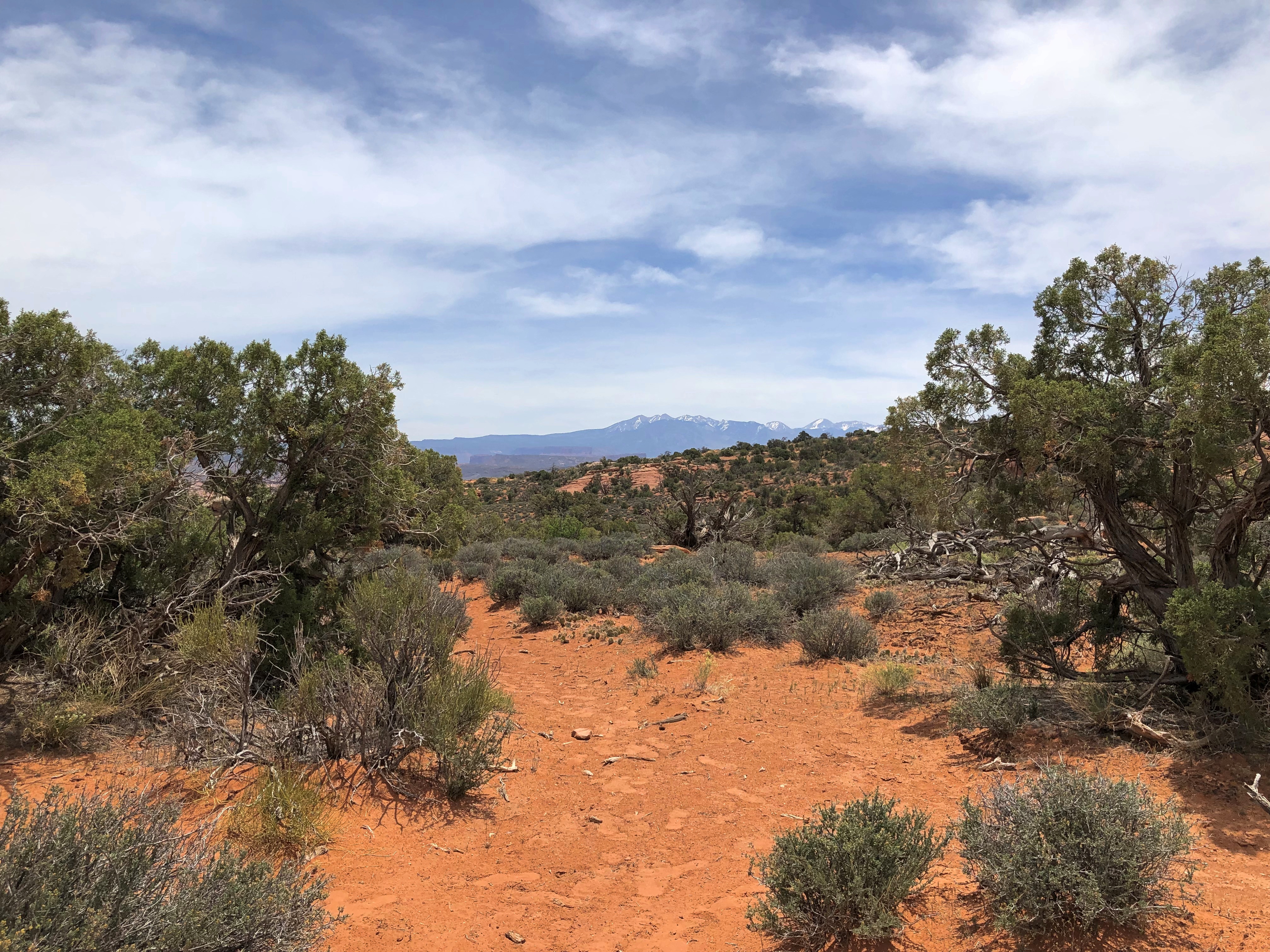
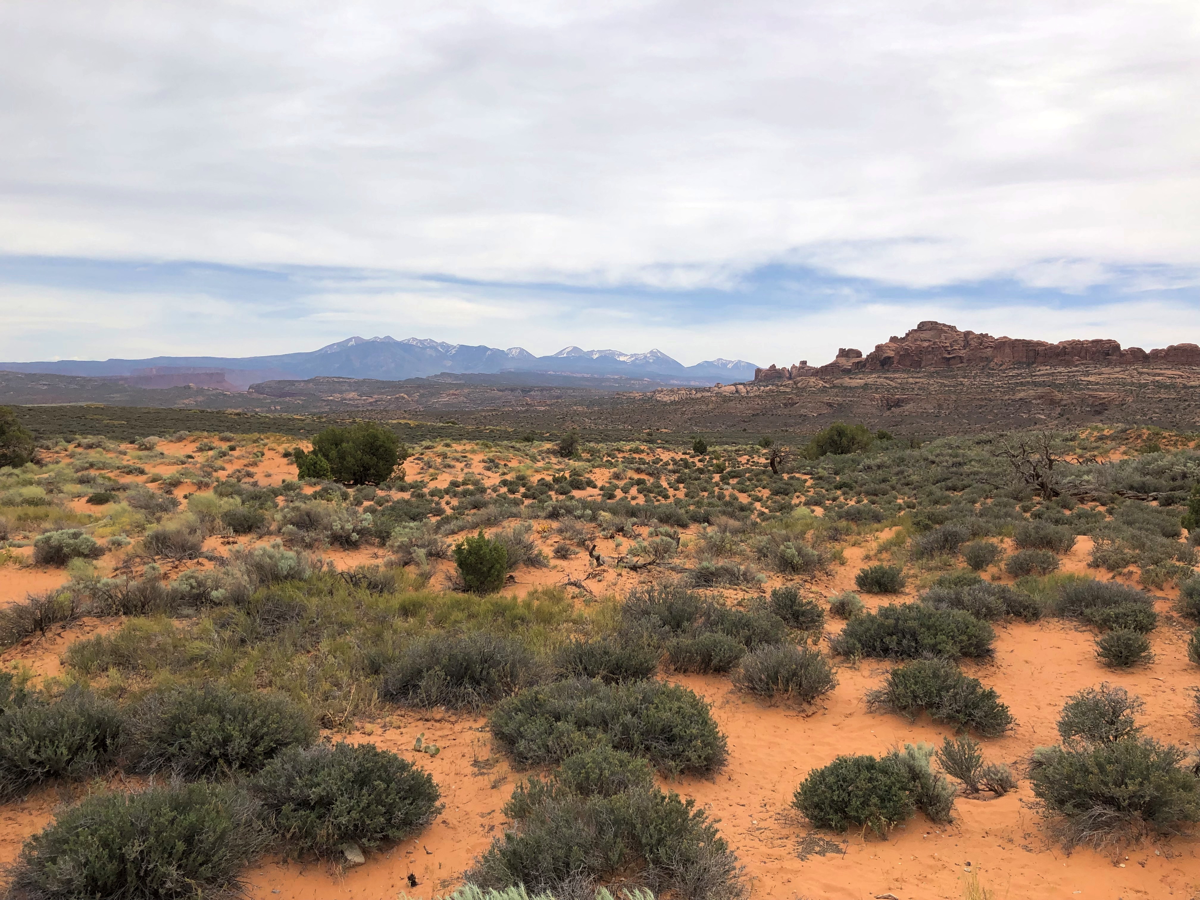
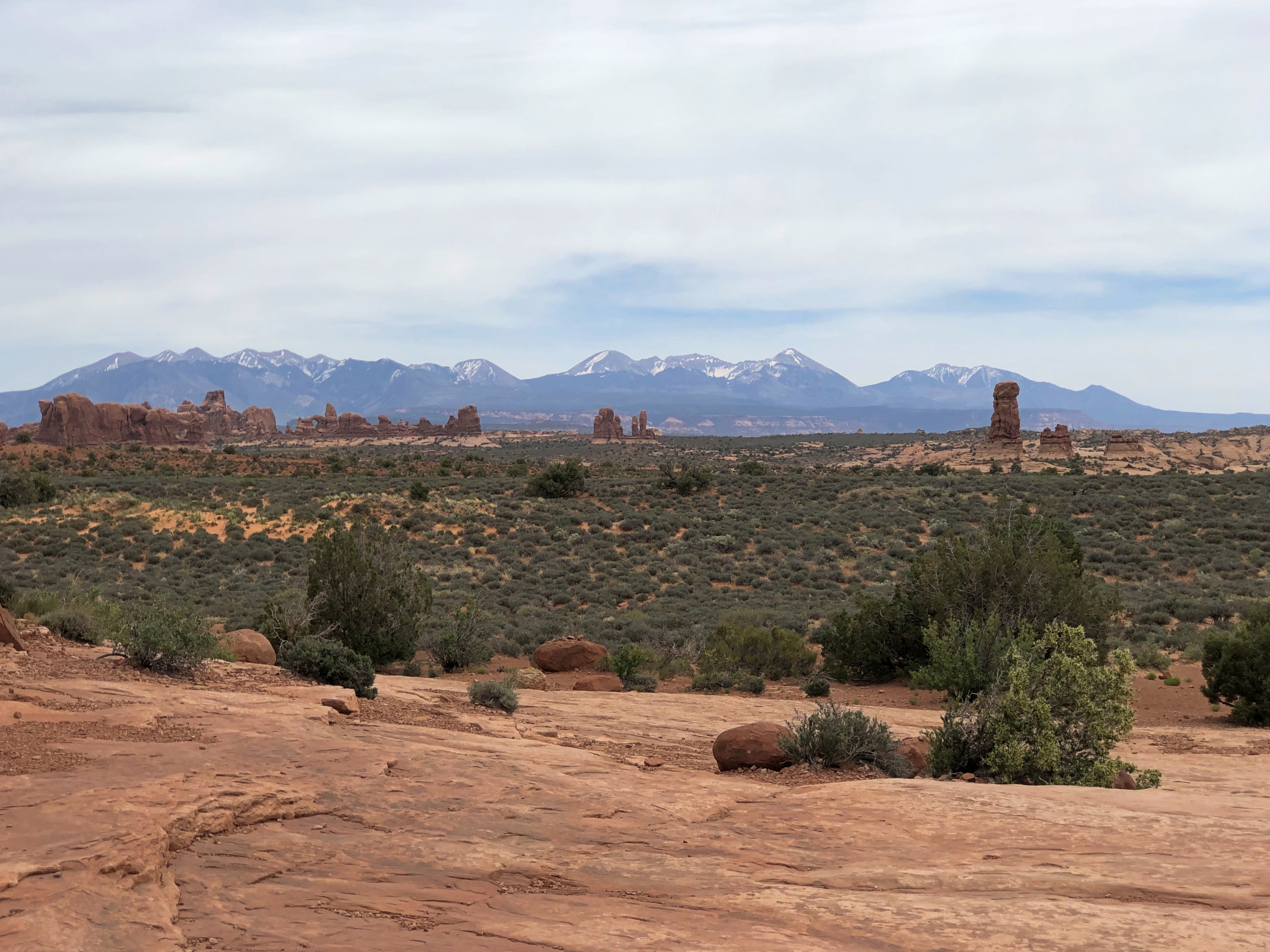
Elsewhere in the park: long views of the La Sal Mountains and other vistas.Arches National Park La Sal Mountains Arches National Park La Sal Mountains Arches National Park La Sal Mountains
Arches National Park La Sal Mountains

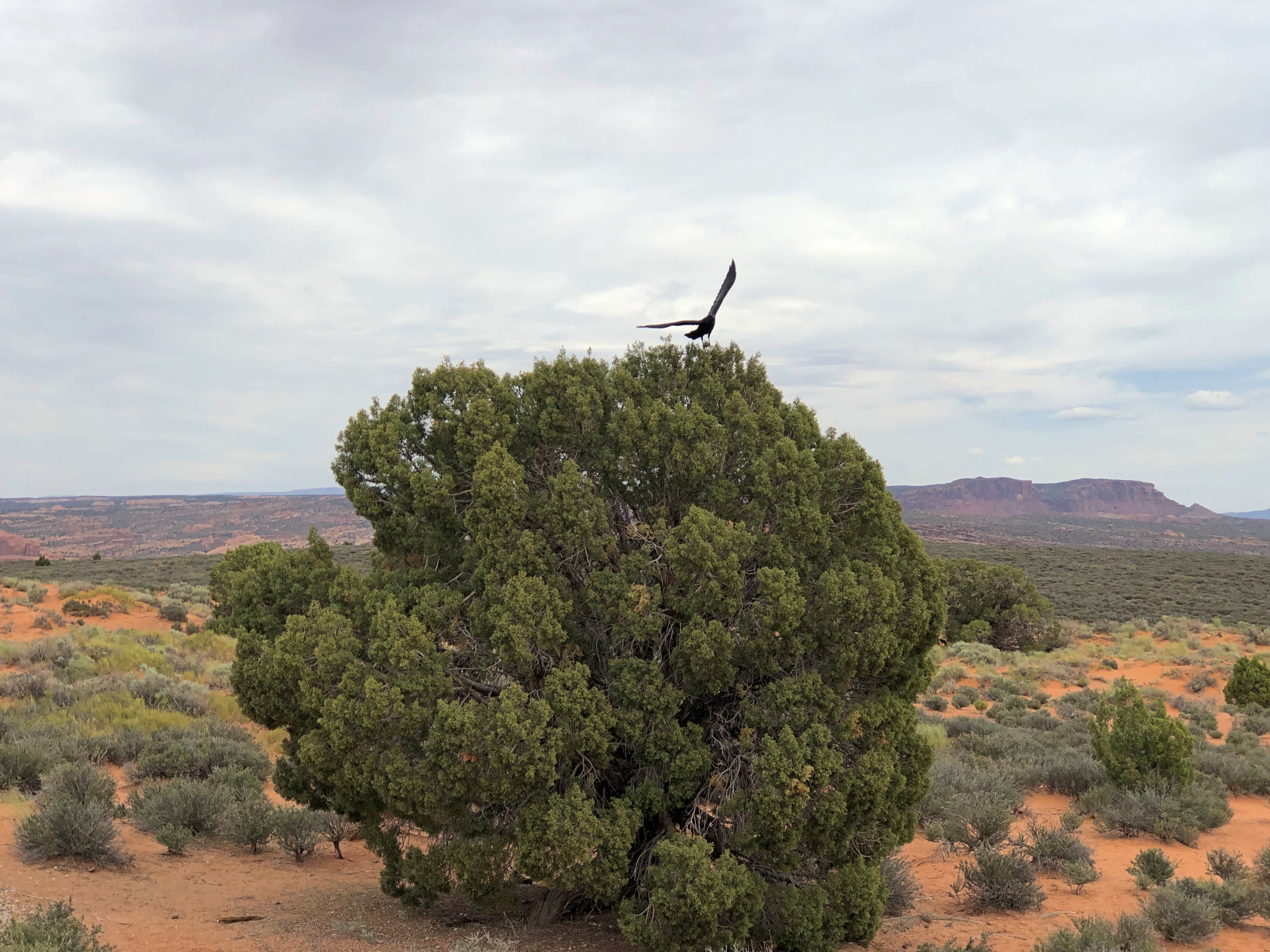
Except for lizards, wildlife was a little hard to spot, but not impossible.
Arches National Park

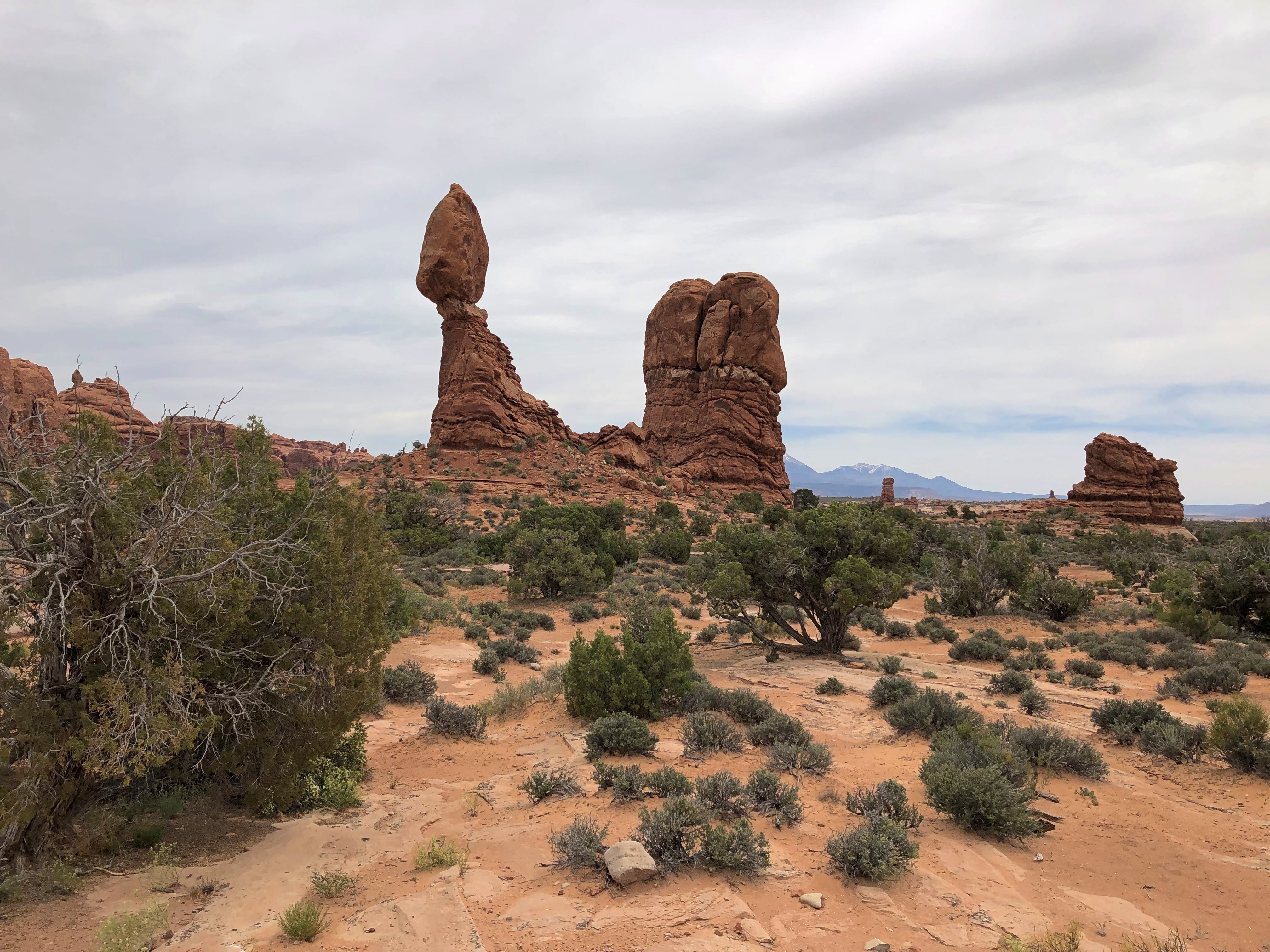
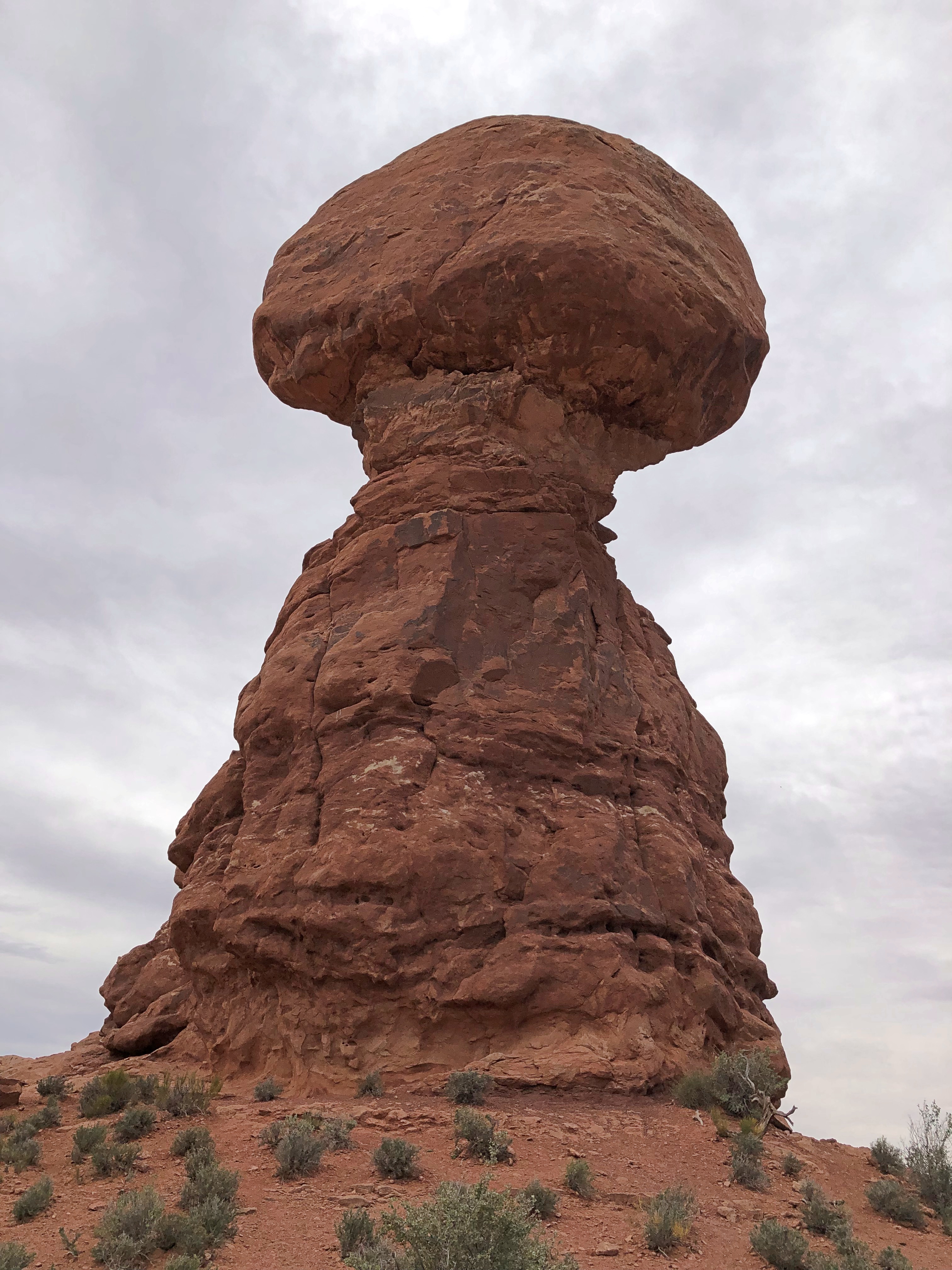
Balanced Rock. Apt name, I’d say.Arches National Park Balanced Rock Arches National Park Balanced Rock Arches National Park Balanced Rock

Mushroom cloud rock, I’d say about that view. The rock stayed balanced while we were there. One of these days, though — tomorrow, 100 years from now — down it will come. Our still images and even our eyes deceive us: the landscape is always in motion.

Monument Valley Navajo Tribal Park

Back to posting on the last day of May. Memorial Day and Decoration Day coincide this year, which won’t happen again until 2033.

“Throughout the 19th century, white settlers considered the Monument Valley region — like the desert terrain of the Southwest in general — to be hostile and ugly,” notes Smithsonian magazine. “The first U.S. soldiers to explore the area called ‘as desolate and repulsive looking a country as can be imagined,’ as Capt. John G. Walker put it in 1849, the year after the area was annexed from Mexico in the Mexican-American War. ‘As far as the eye can reach… is a mass of sand stone hills without any covering or vegetation except a scanty growth of cedar.’ ”

Tastes change. I imagine Capt. Walker’s reaction was entirely reasonable for his time, considering he and his men came by horse and mule, carrying everything they needed, living meagerly and fully aware that their surroundings could kill them all too easily, or at least make for days of uncomfortable misery, whatever season it was. Monument Valley was a vivid ordeal for them, not a notion fostered by cinematic entertainment.

We have it a good deal easier here in the 21st century, and am I glad. All it took for us to reach Monument Valley Navajo Tribal Park on May 18 was a roughly two-hour drive from Page, Arizona, by Toyota horseless carriage along paved two-lane roads through the Navajo Nation.

My main concern that morning — and we got up fairly early — was that I didn’t know for sure we’d get in. The park’s policy for visitors is, first come, first served, and there’s a limit to the number of people who can enter each day. Even on a weekday, I imagined joining a long line of cars waiting, only to be turned away.

Nothing of the kind happened. We got to the entrance booth with no one ahead, paid $8 a head, and got in to the place known as Tse’Bii’Ndzisgaii in Navajo. First stop, a fully modern visitor center.Monument Valley Navajo Tribal Park

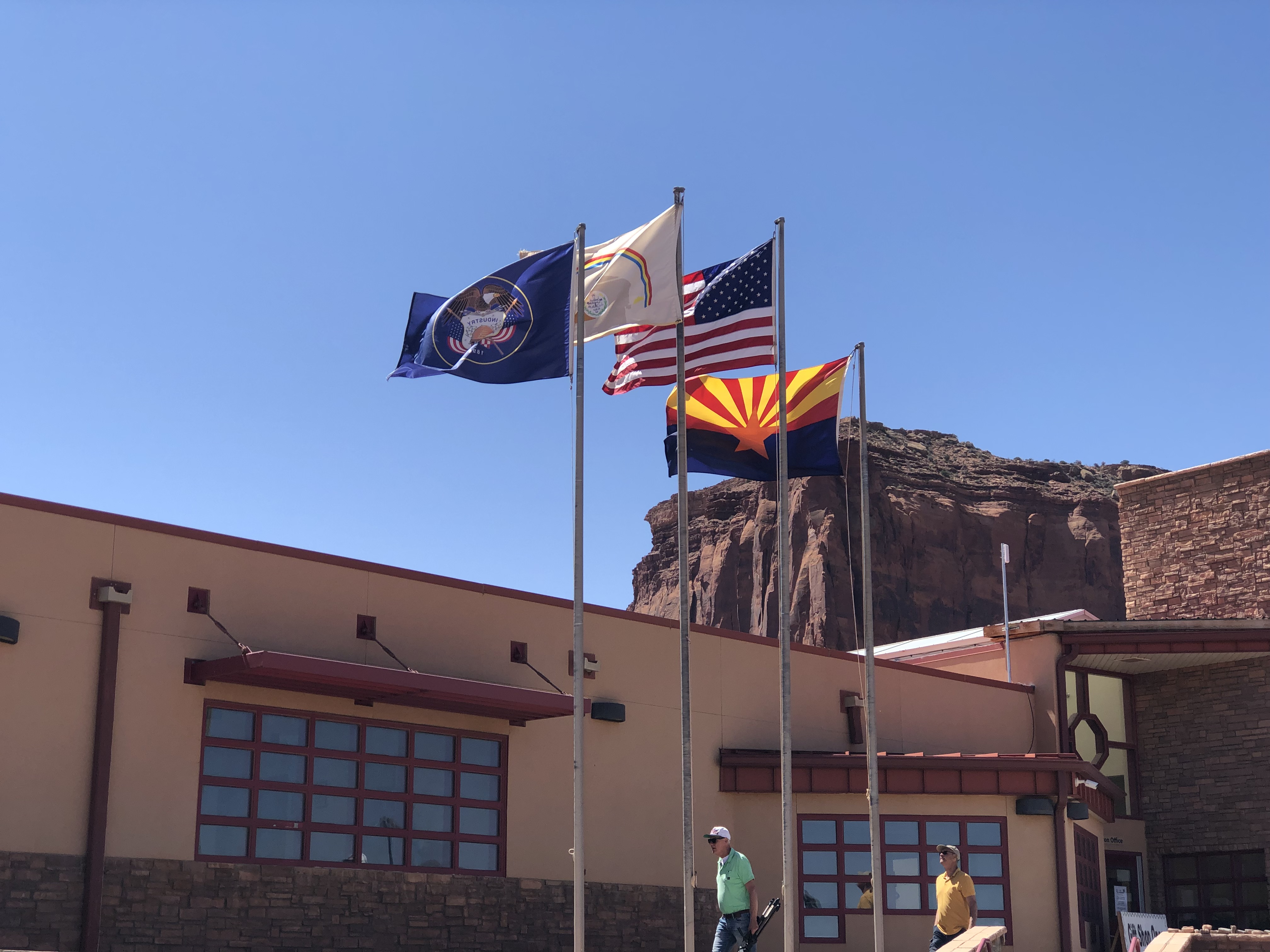
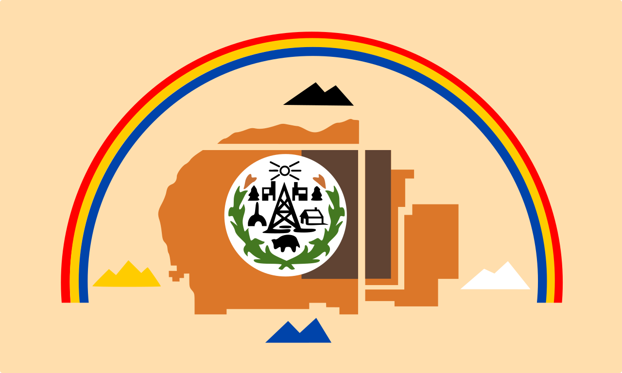
The wind whipped the four flags in full motion: Utah, the Navajo Nation, the United States and Arizona. I wasn’t familiar with the Navajo flag, but I am now.

Something I didn’t know until we entered the park and saw a number of private roads leading off to residences in the distance: people live in Monument Valley, unlike in a national park or monument. I expect ranching and running tours are their main occupations, along with selling the products of Navajo craftsmanship to visitors.

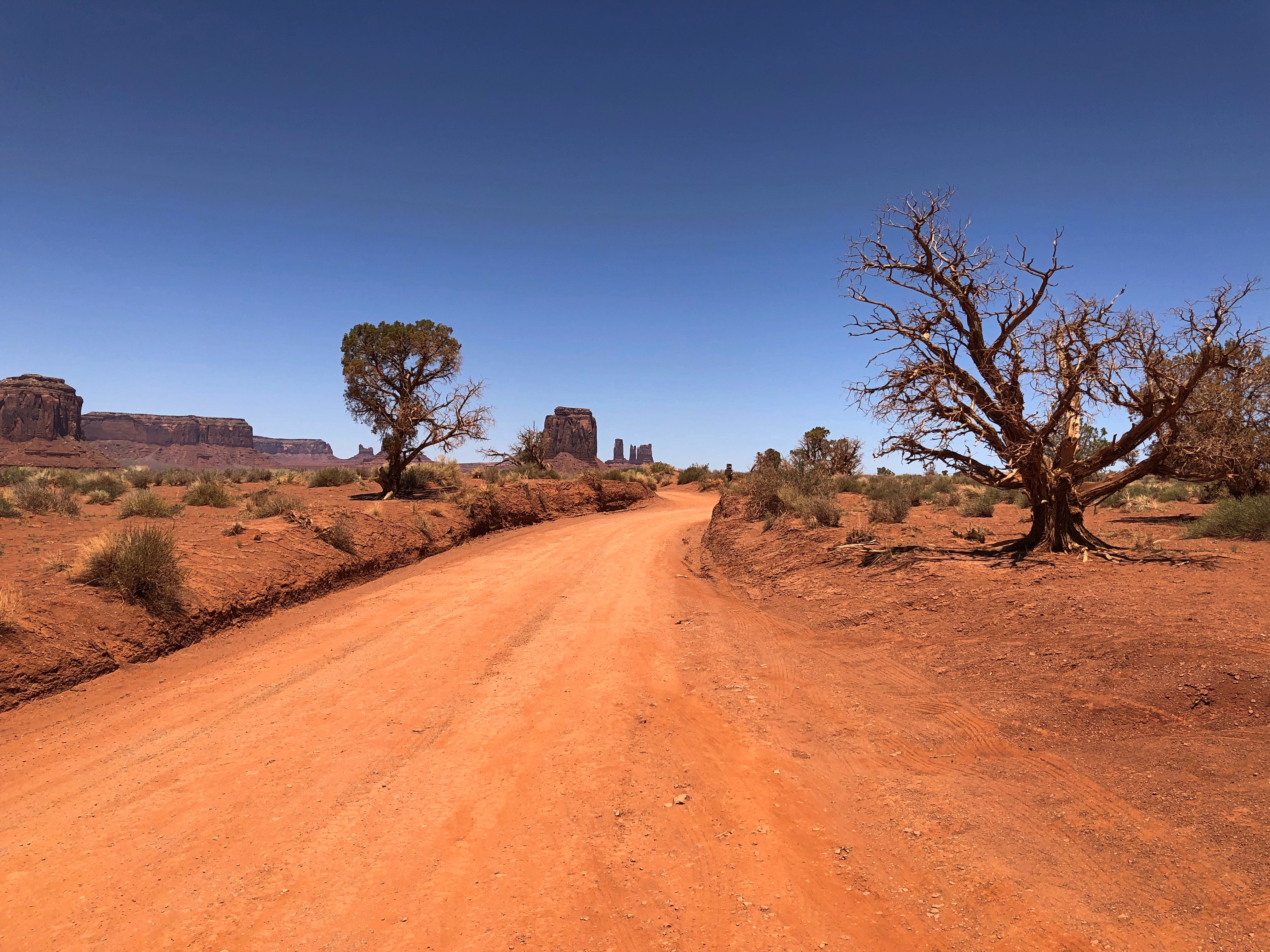
For $8 a head — an absolute bargain, if you asked me — you get to drive around a 17-mile unpaved loop road in the park, dusty and red as Mars, but only occasionally bumpy. The road doesn’t venture that deep into the park, which measures nearly 91,700 acres. Longer treks by foot or horse or jeep are possible, available only with Navajo guides, and no doubt offer rich rewards to those undertake them.

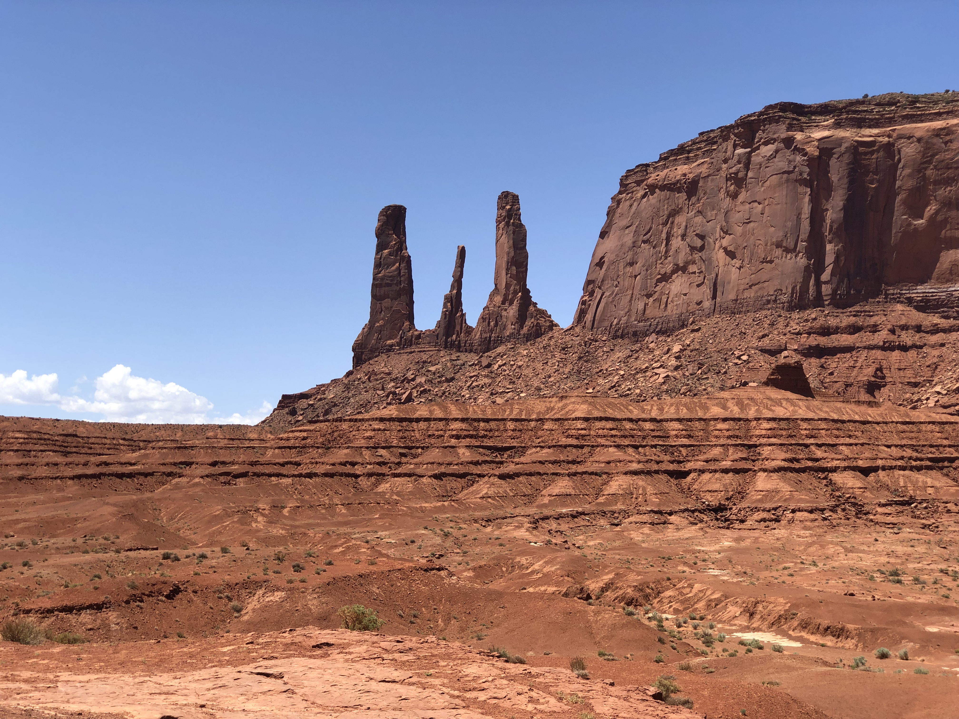
Even so, the drive is incredible, passing formations of astounding size and shape and contour and color. It’s easy to see what enamored John Ford about the place.
Speaking of the director, the park honors him with a spot called John Ford Point.

As well it should, since he put Monument Valley on the map, as far as the more receptive imagination of the 20th century was concerned, though naturally he wasn’t the first outsider of that period to visit — the likes of Zane Grey and (of course) Theodore Roosevelt came earlier. Harsh terrain, still, but the material progress of later years allowed later visitors the leisure to appreciate the place in a way that Capt. Walker could not.

Ford must have known he had a cinematic treasure in view when he had the cameras first deployed here for Stagecoach. The world clearly agreed.

Of Ford’s many forays into the valley, Smithsonian has this to say: “The shoots were usually festive, with hundreds of Navajo gathering in tents… singing, watching stuntmen perform tricks and playing cards late into the night. Ford, often called ‘One Eye’ because of his patch, was accepted by the Navajo, and he returned the favor: after heavy snows cut off many families in the valley in 1949, he arranged for food and supplies to be parachuted to them.”

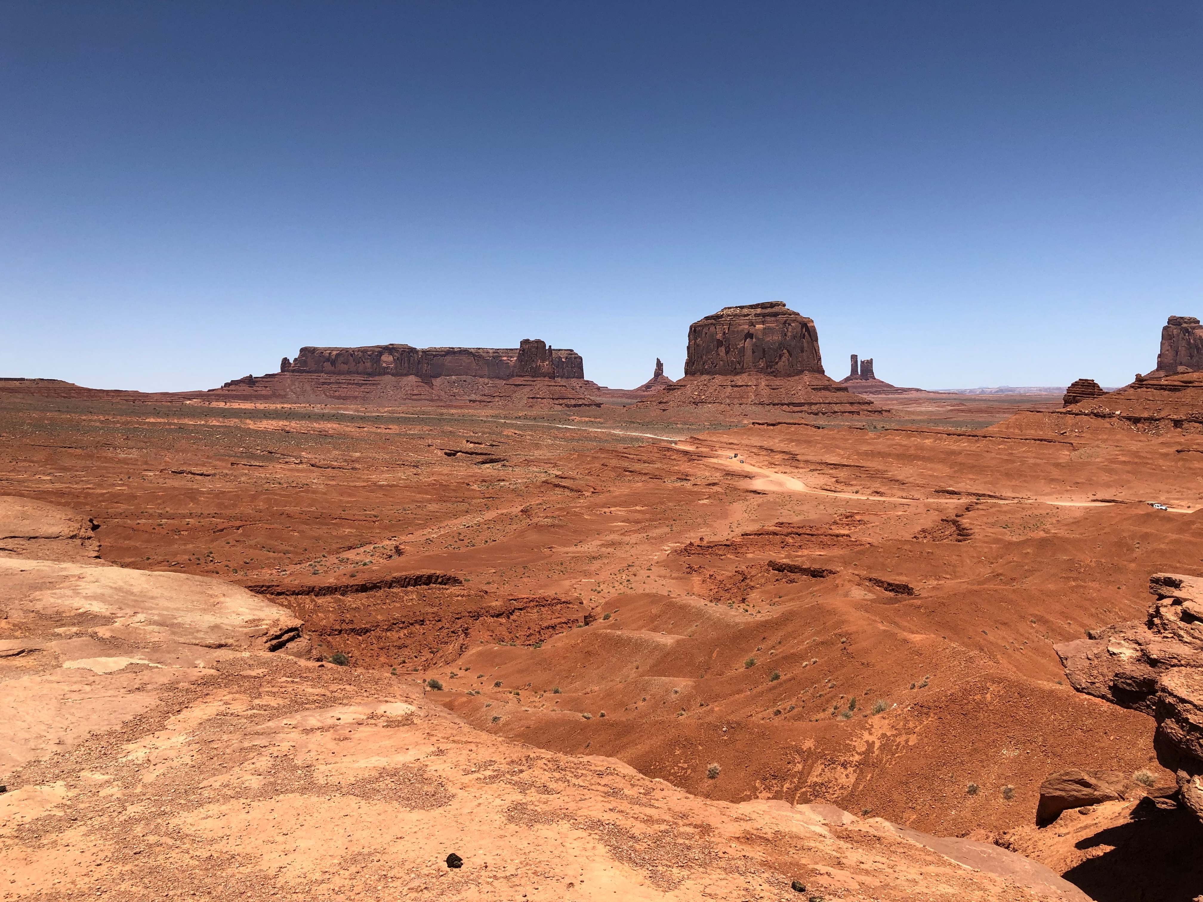
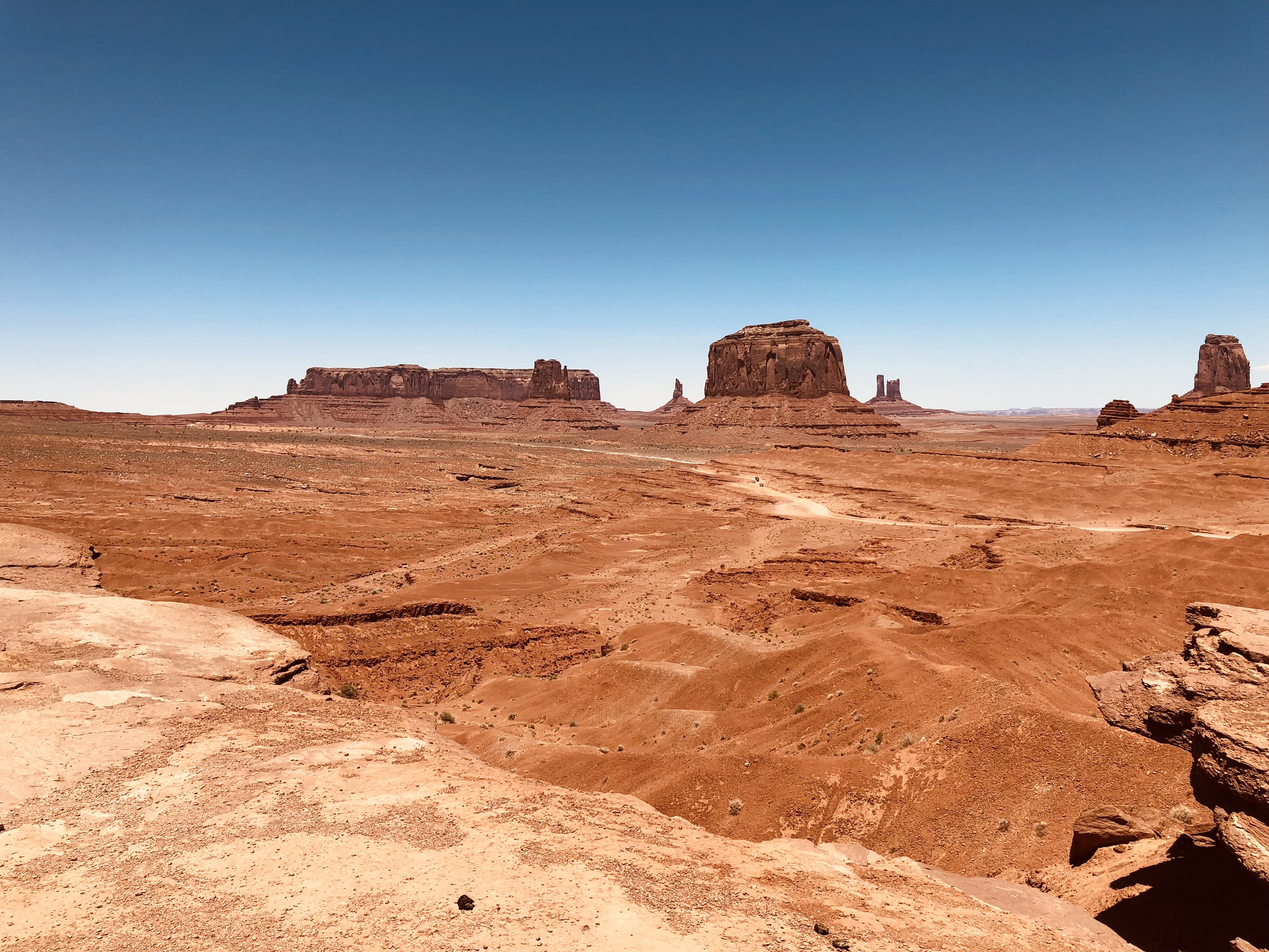
Though it wasn’t the first place we visited on the drive — in fact, it was nearly the last — the instantly recognizable view from John Ford Point is going to go first here.Monument Valley Navajo Tribal Park Monument Valley Navajo Tribal Park Monument Valley Navajo Tribal Park

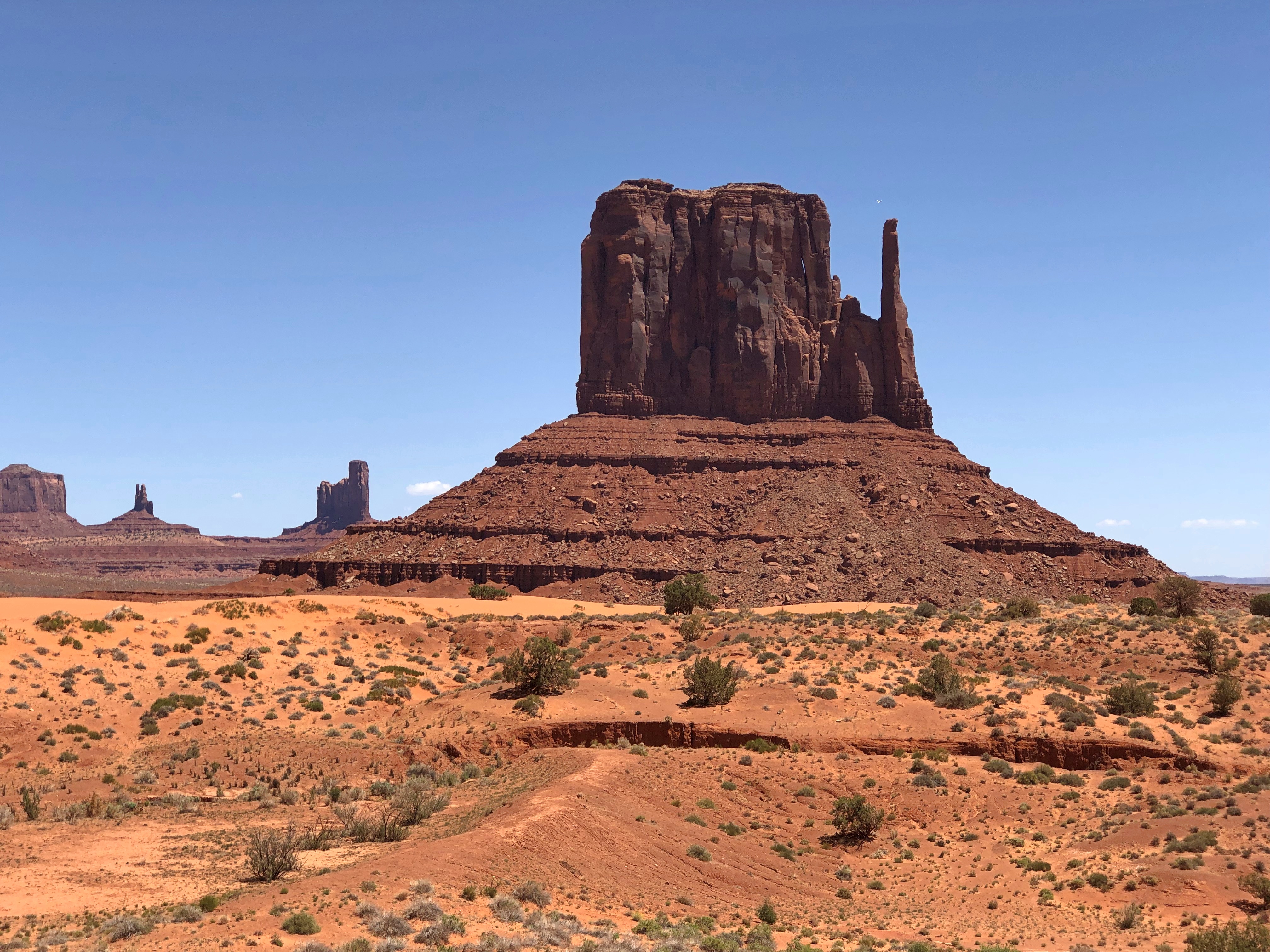
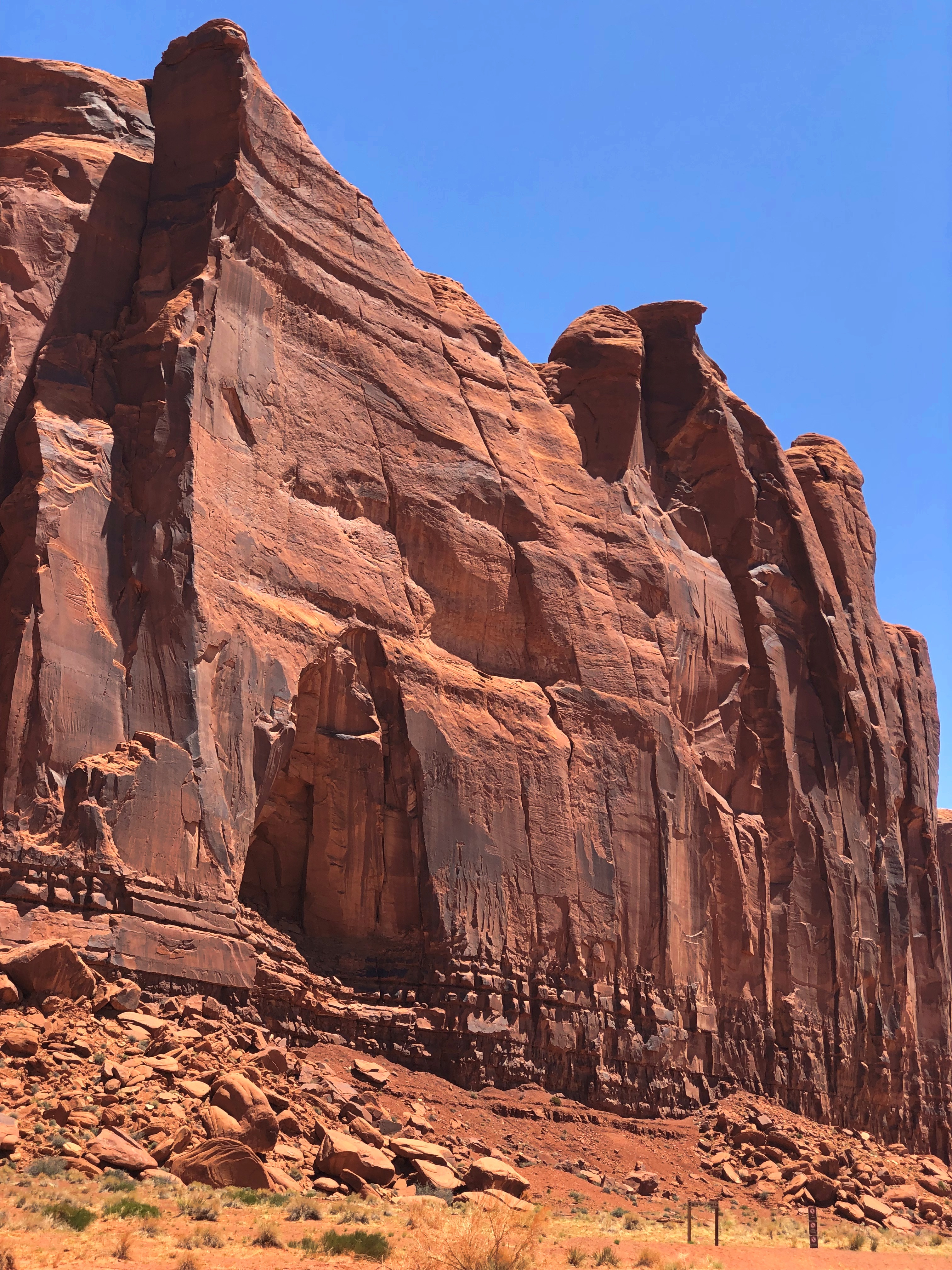
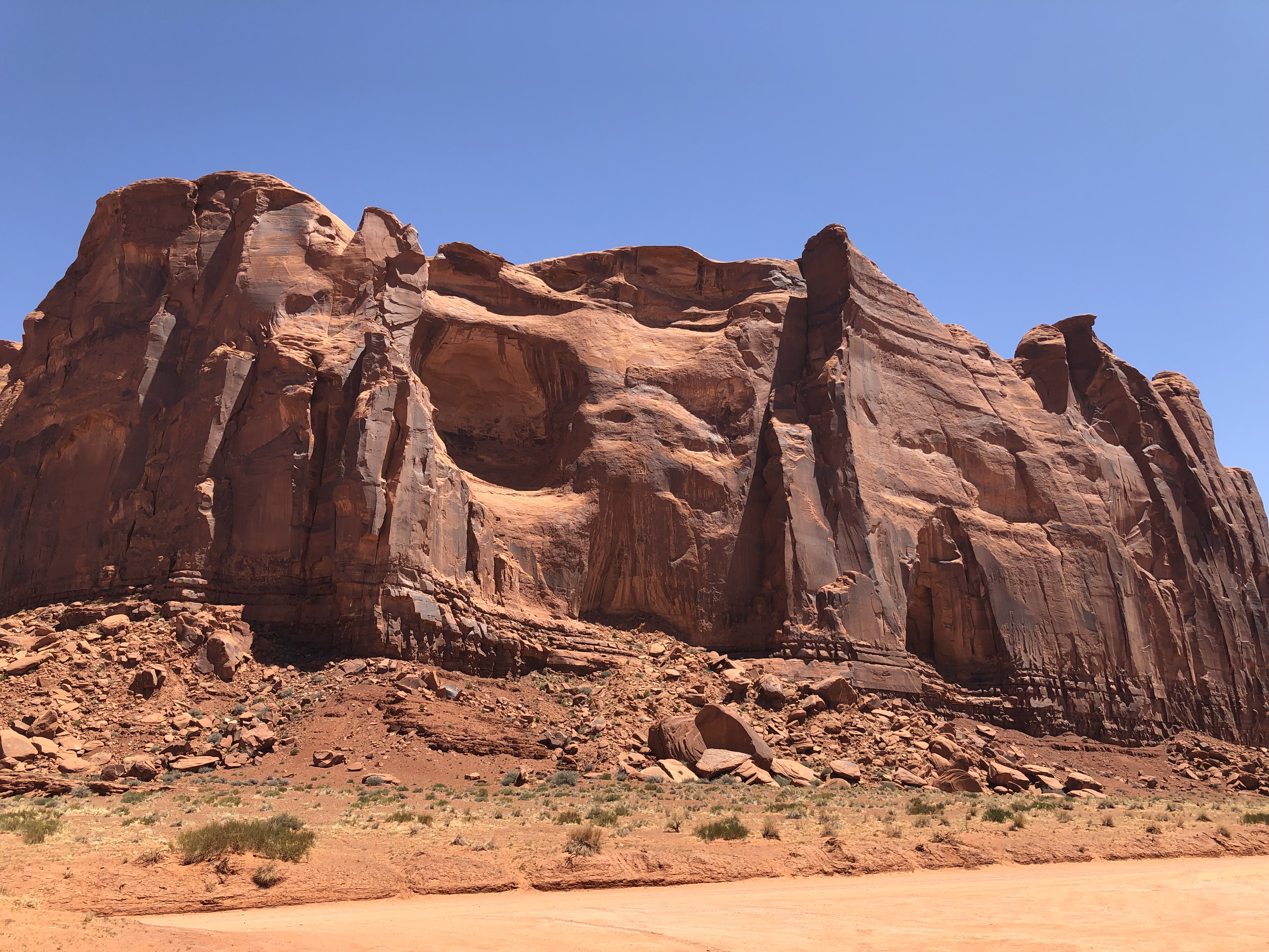
Because later movies and commercials returned to this particular view so often, the other marvels on the road aren’t as famed or recognizable. But they’re equally worth a good look. Just a sampling below; there was something remarkable just about everywhere you look.Monument Valley Navajo Tribal Park
Monument Valley Navajo Tribal Park Monument Valley Navajo Tribal Park Monument Valley Navajo Tribal Park

Aside from the rock giants, the terrain itself fascinates, its colors so unusual to those of us from greener places.Monument Valley Navajo Tribal Park Monument Valley Navajo Tribal Park

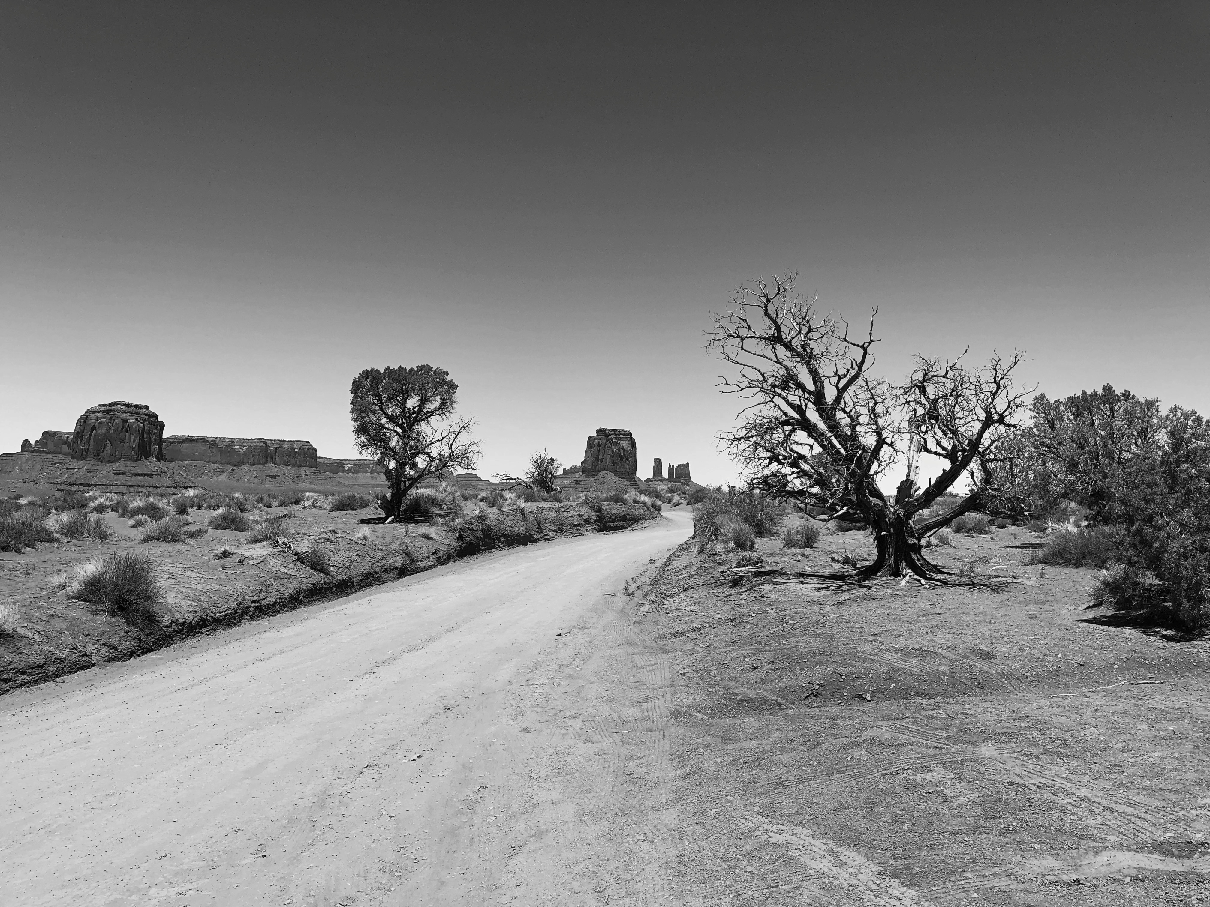
Color that the road itself shares.Monument Valley Navajo Tribal Park

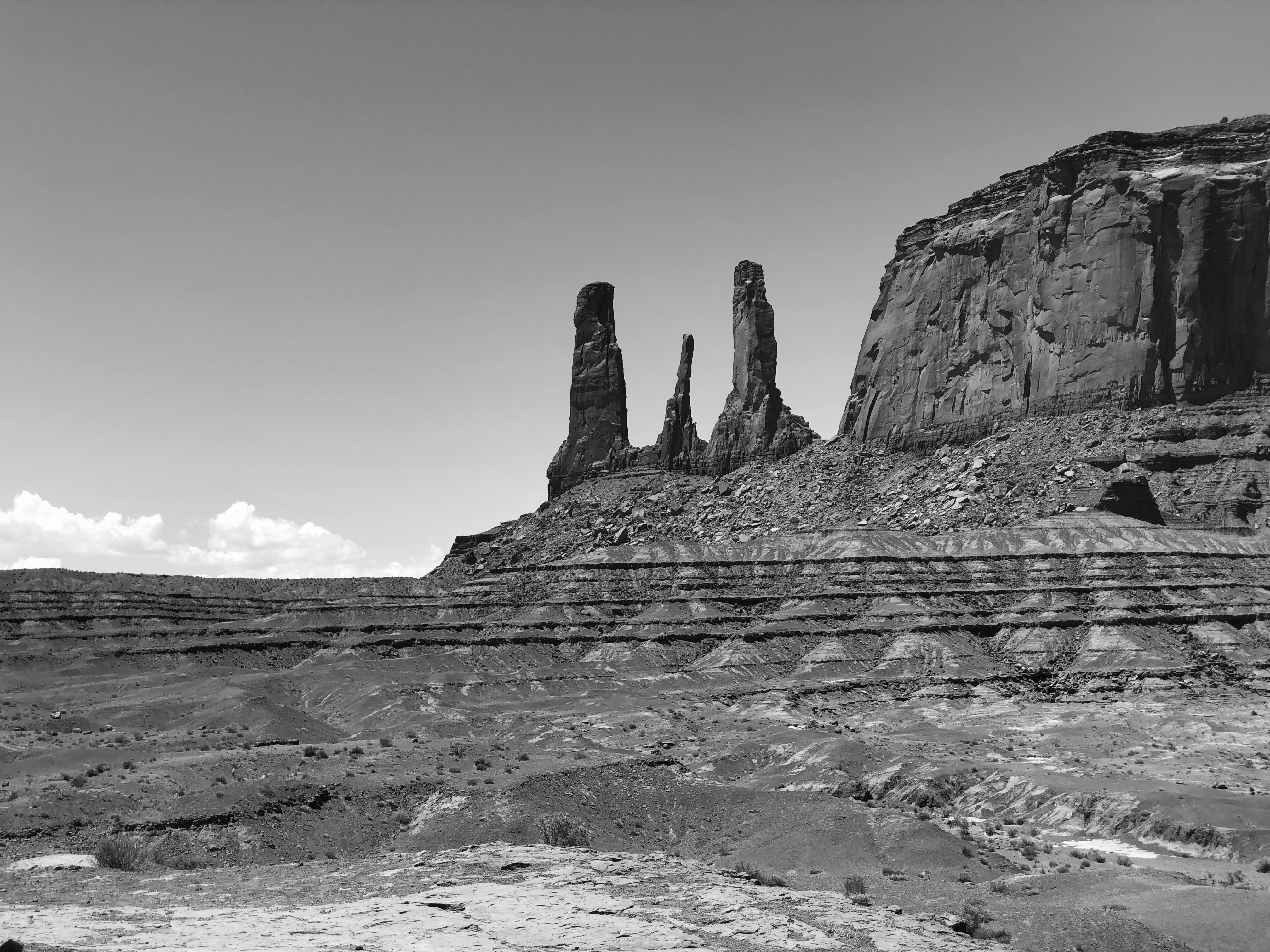
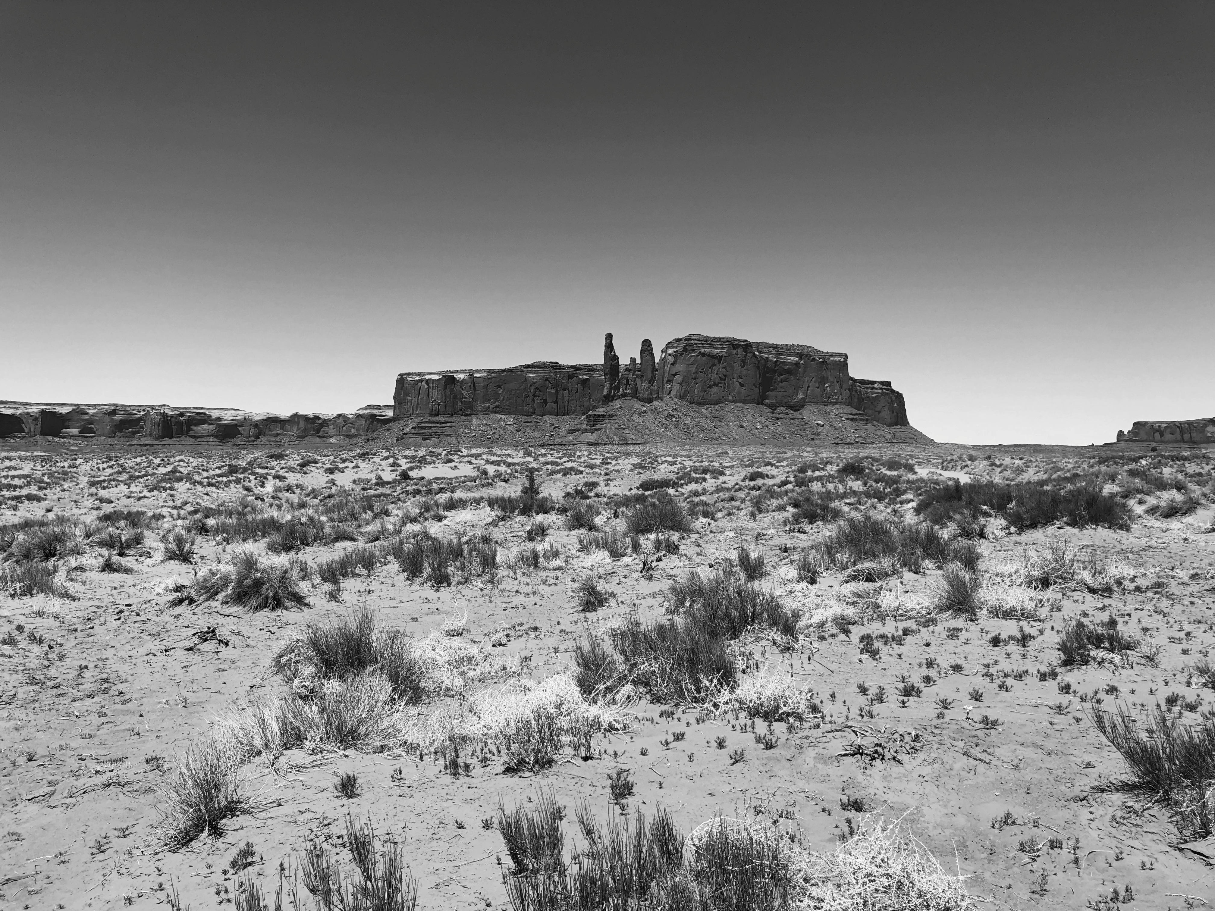
Without color, the contours emerge vividly; Ford must have appreciated that, too.Monument Valley Navajo Tribal Park
Monument Valley Navajo Tribal Park

We left the park that afternoon, but even as you drive north from Monument Valley on U.S. 163, it has one more gift to give, if you’re paying attention. I almost wasn’t. As we drove along, we noticed people ahead, standing in the road, taking pictures. They got out of the way before we reached them, but I wondered, what are they doing there?

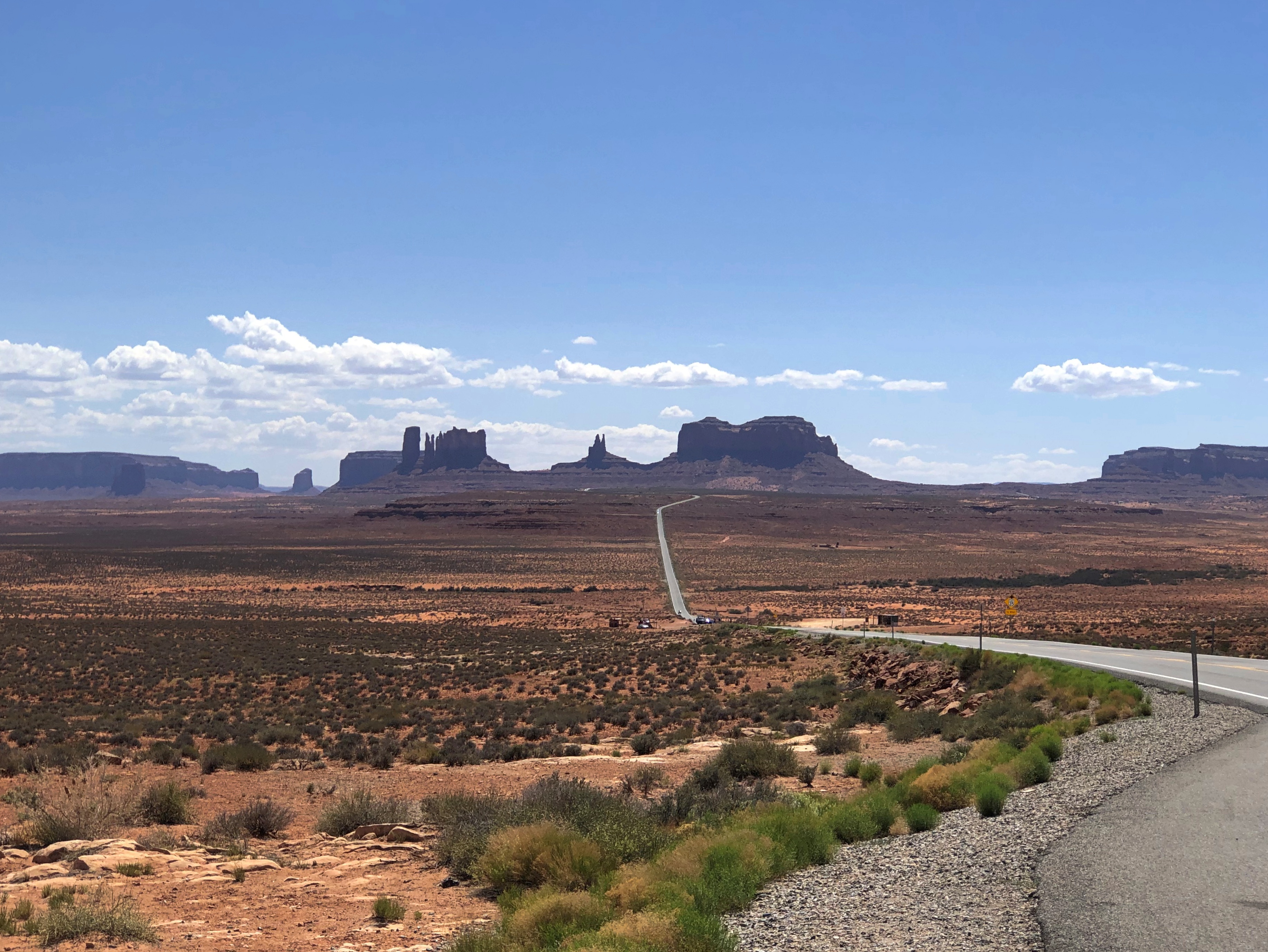
Then it hit me, and we stopped at the next pullout in the road, maybe a fifth of a mile away, and looked back. A view almost as famed as that at John Ford Point, and certainly as arresting.Monument Valley Navajo Tribal Park

That isn’t quite the “Forrest Gump Stopped Here” place, but I wasn’t about to go back where those yahoos had been standing in the road just for that (unlike Stagecoach, it isn’t a movie I like very much). In fact, I wouldn’t have remembered the view was made famous in that movie, either, but some other people had stopped where we were, and I overheard them talking in German about Forrest Gump.

U.S. 89A

Much excitement yesterday afternoon around here, when the village alarm sirens went off around 3:30. Moments before, my phone told me of a tornado warning, both in English and Spanish. I was advised to seek shelter.

Instead, I took a look out of both the front and back doors. We had rain at that moment, but very little wind, and the clouds weren’t particularly dark. The sirens quit, but started again a few minutes later. I listened and watched a while.

Another warning came and went, but the wind stayed low. It might have been a reckless impulse, but nothing I saw made me want to seek shelter, which in my case would be the lower level near the bathroom, but with the bathroom door closed, because there’s a window in there. Still, I watched the skies more closely for a while. I understand that while a funnel cloud had been spotted over the northwestern suburbs, for whatever reason it never came to the ground and stir things up.

Our most recent trip was a driving one, despite the cost of fuel. I have the receipts in front of me for buying gas five times. They helpfully list the price per gallon, regular each time.

St. George, Utah (May 15): $4.599. Page, Arizona (May 17): $4.789. Blanding, Utah (May 18): $4.659. Moab, Utah (May 20): $4.689. Salt Lake City (May 21): $4.569. According to AAA, the national average for gas a week ago (May 19) was $4.589, so we were paying slightly more than average (which today is $4.600), but less than at home. A year ago, the average was $3.035, for an increase of about 51% since then.

All together, we paid $147.63 for gas on this trip, which would have (roughly) been about $100 had we taken the same trip a year ago. So that’s about $50 that Mr. Putin owes me. I suspect he’s going to stiff me on that charge.

I didn’t like paying a premium for fuel, but it was completely worth it. Some of the drives were extraordinary.

Such as the one from Page to the Grand Canyon and back, especially back, because getting to the park was the main focus in the morning, and we didn’t stop. On our return, which was in the late afternoon of May 17, we took a more leisurely attitude, and took a look at things along the way.

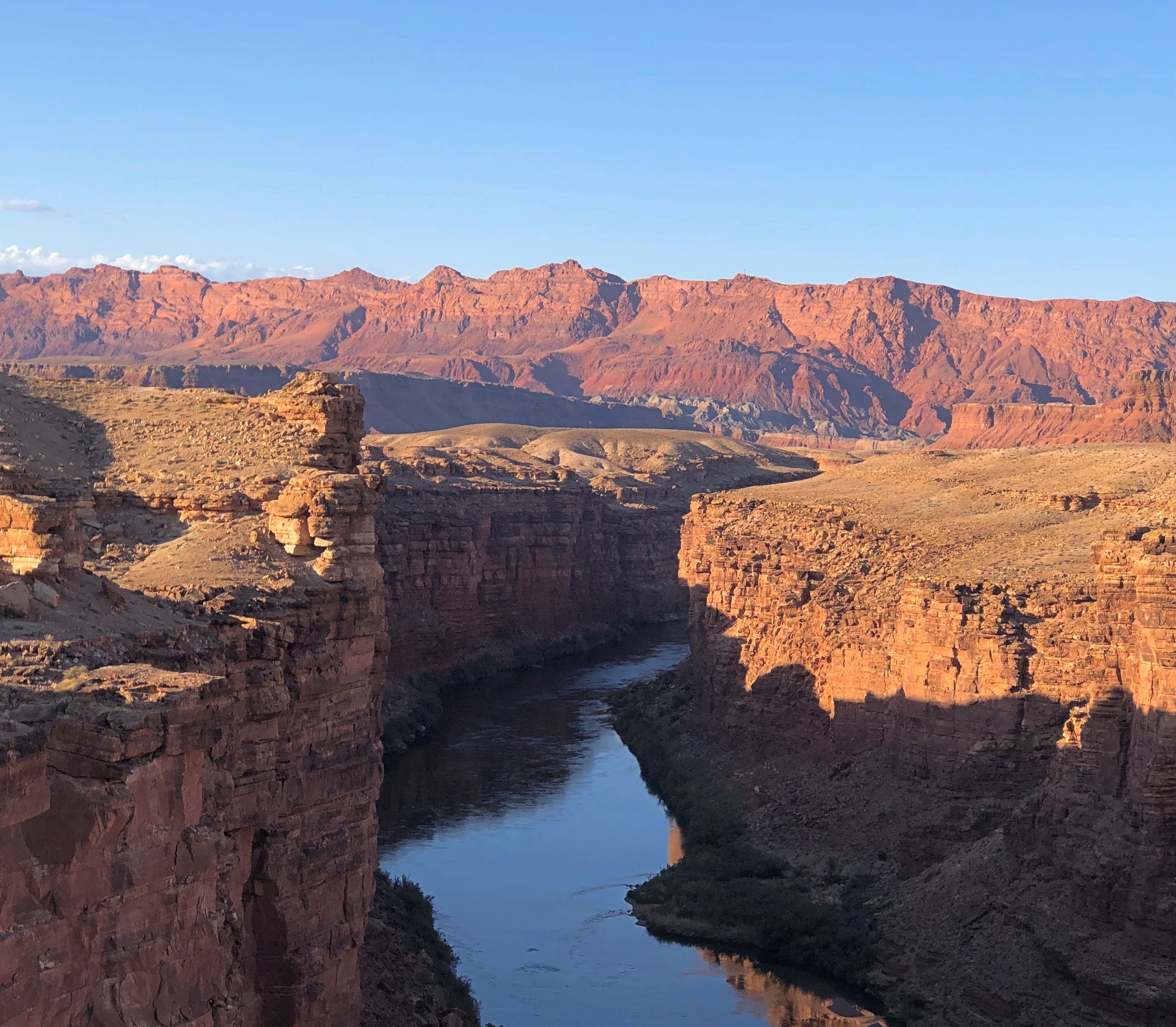
U.S. 89 out of Page is a good drive through a red desert landscape, generally following the Colorado River, which is mostly invisible, far below in Marble Canyon. The drive south from Jacob Lake, Arizona, on Arizona 67 through the wonderfully alpine Kaibab National Forest to the park entrance, is also good.

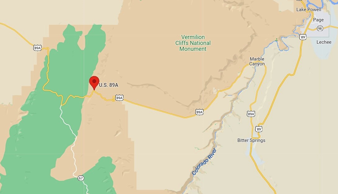
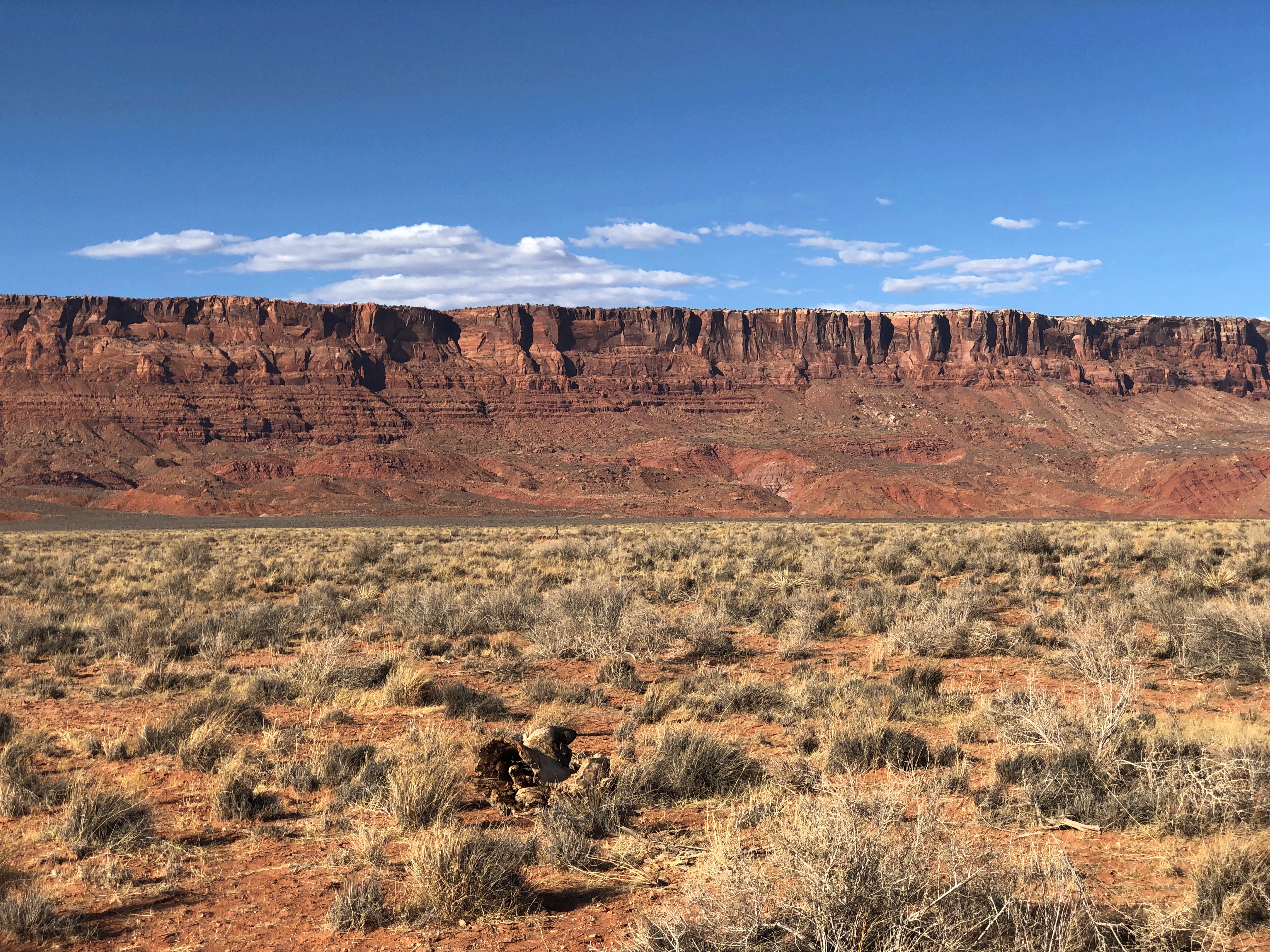
But the best road that day by far was the two-lane U.S. 89A, which connects the other two, U.S. 89 and Arizona 67. As visible in the map, it skirts Vermilion Cliffs National Monument.

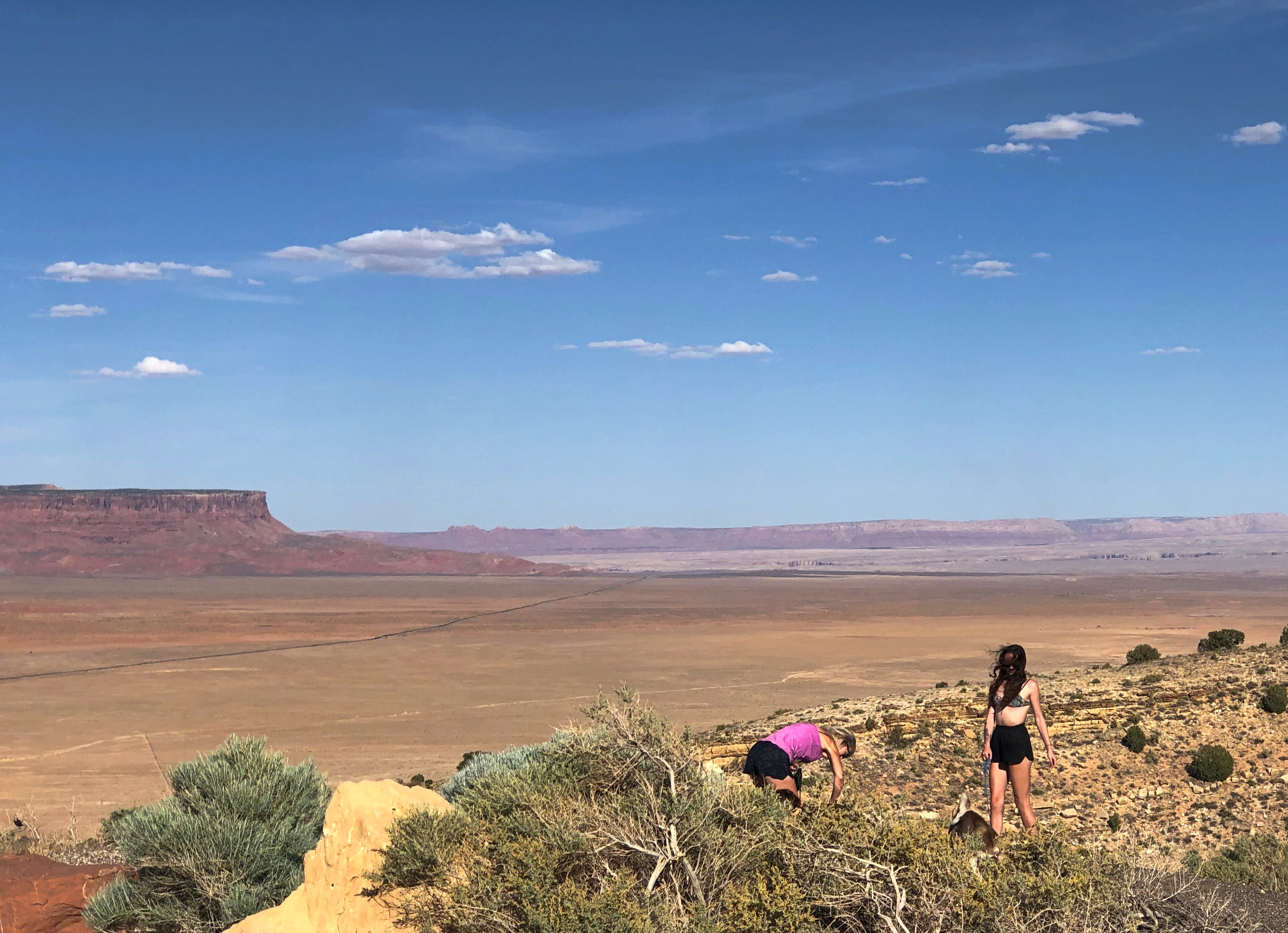
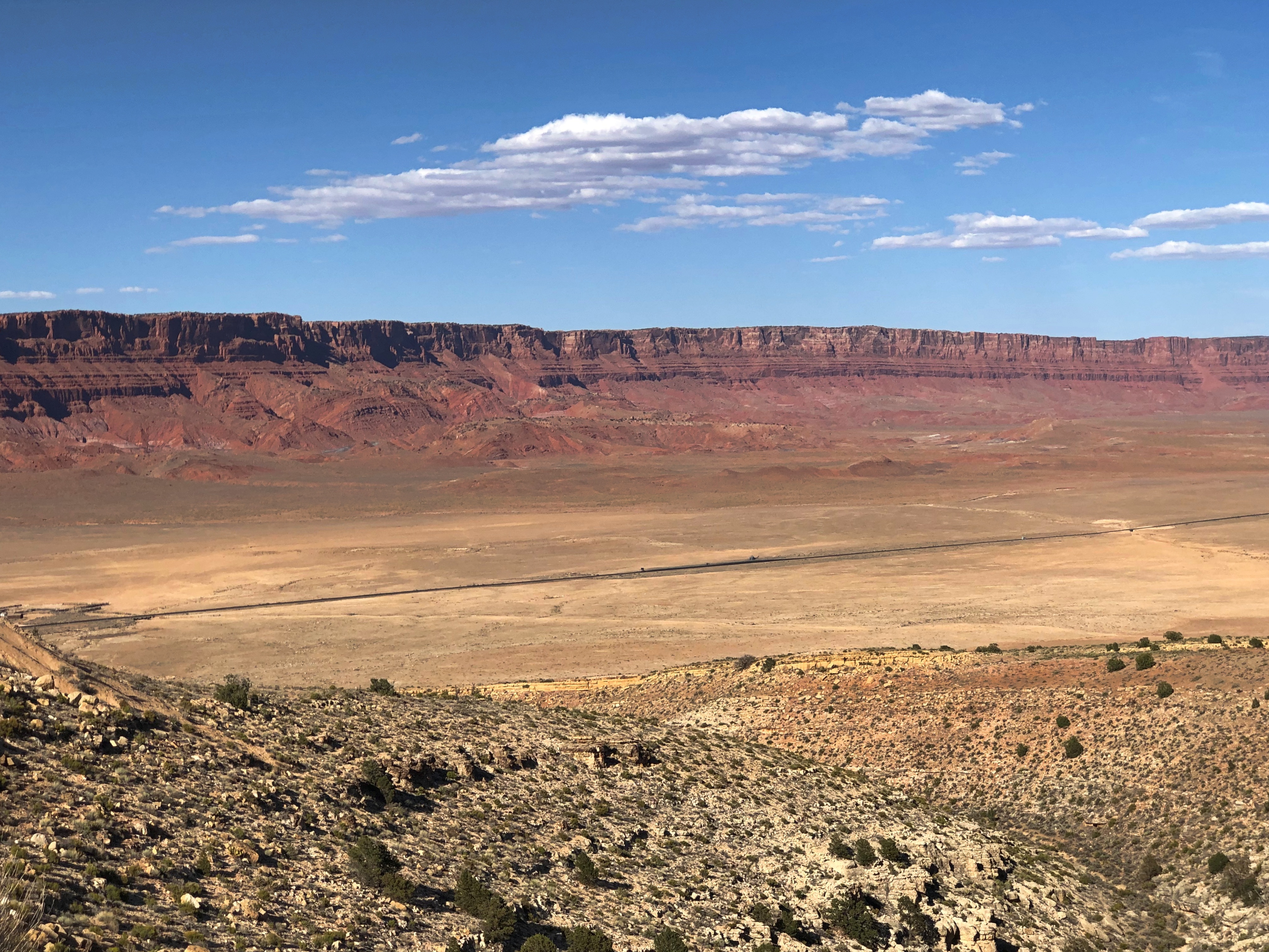
On our return, we headed east on 89A from Jacob Lake (where 89A meets Arizona 67), which is in the forest at that point: through a fine aspen, spruce-fir, ponderosa pine and pinyon-juniper woodland. Nice, but the road is even better is when you reach the edge of the Kaibab Plateau. There’s a place to stop and see the Vermilion Cliffs and the desert flatlands below.Vermilion Cliffs National Monument Vermilion Cliffs National Monument

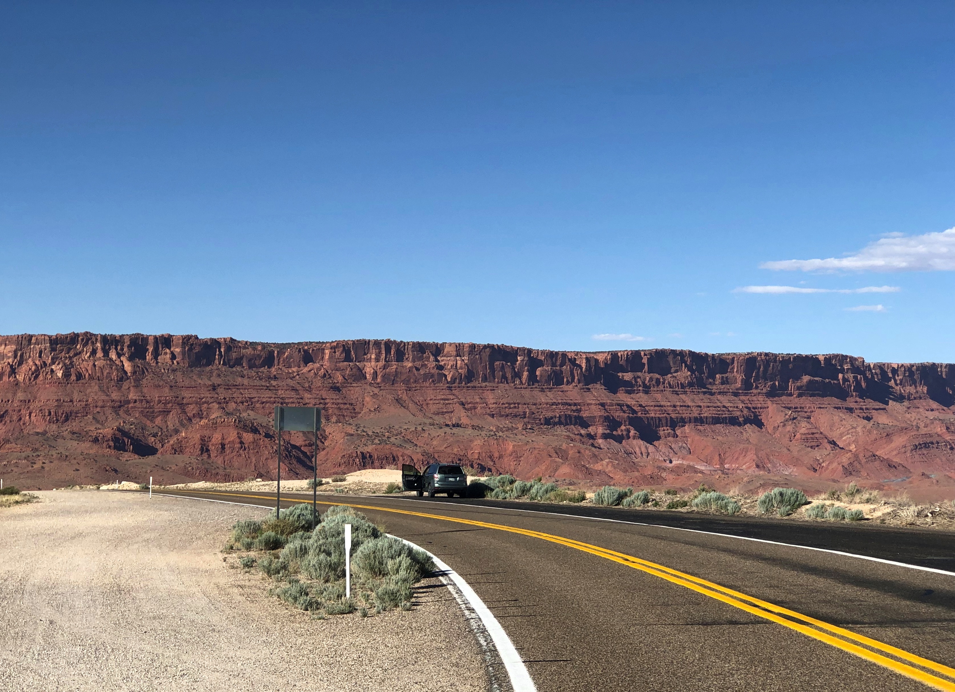
The thin black line is 89A. From the viewpoint, the road heads down toward the flatlands, leaving the Kaibab Plateau. As far as I can tell from the maps, the highway is the border of the monument, or very close to it. In any case, you see the cliffs looming not far away. They follow you for miles down the road.Vermilion Cliffs National Monument Vermilion Cliffs National Monument Vermilion Cliffs National Monument

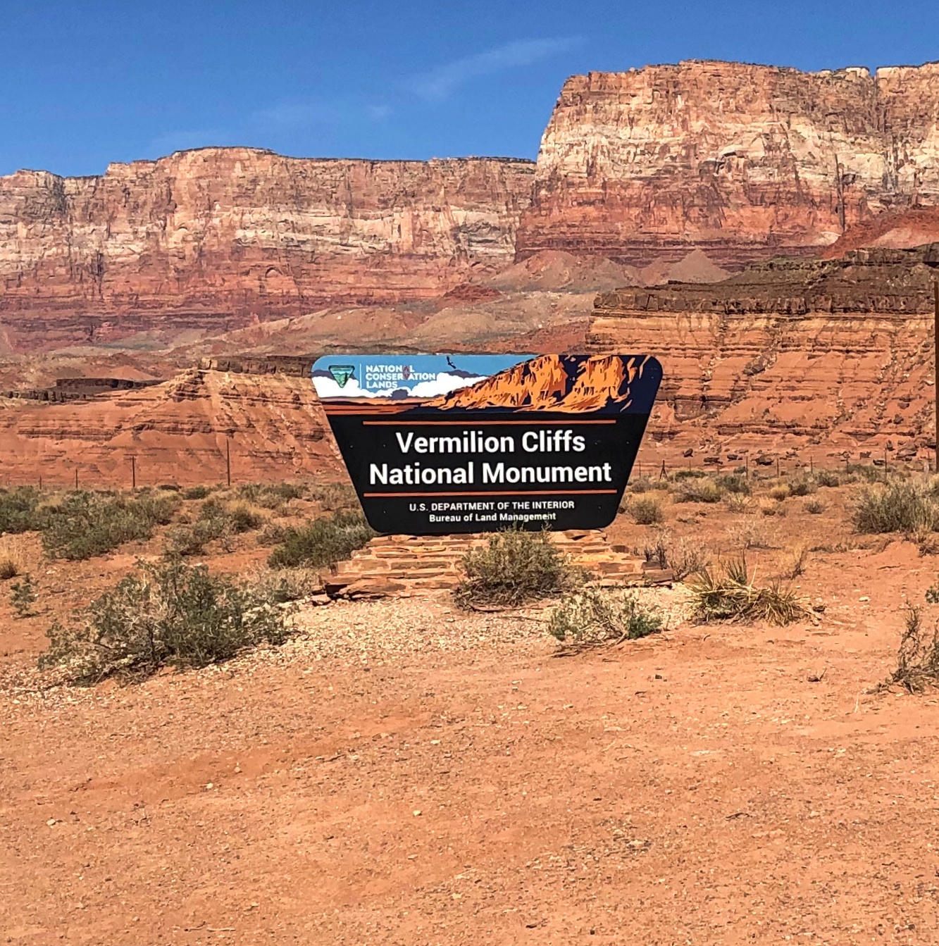
“Vermilion Cliffs National Monument is a geologic treasure,” says NPS signage along the road. “Its centerpiece is the majestic Paria Plateau, a grand terrace lying between two great geologic structures, the East Kaibab and the Echo Cliffs monoclines.

“The Vermilion Cliffs, which lie along the southern edge of the Paria Plateau, rise 1,500 feet in a spectacular array of multicolored layers of shale and sandstone… these dramatic cliffs were named by John Wesley Powell in 1869, as he embarked upon his expedition of the Grand Canyon down the Colorado River.”

Earlier explorers were here, too. In 1776, Fathers Francisco Atanasio Dominguez and Silvestre Velez de Escalante came this way, though they had to turn back to Santa Fe eventually, so harsh was the terrain.

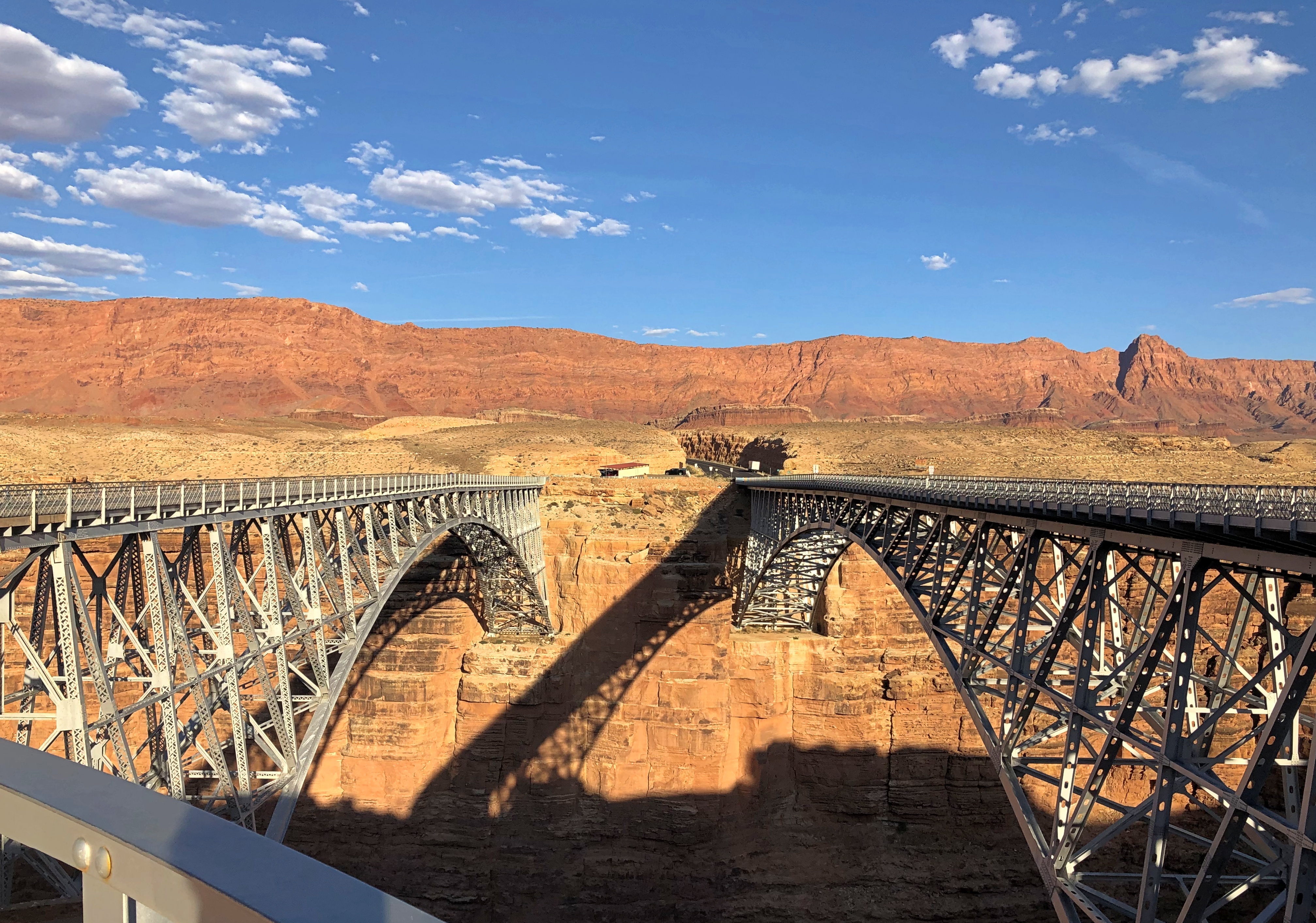
In our time, there are a handful of lodges on 89A in the shadow of the Vermilion Cliffs, but little else in the way of human artifacts, at least until you come to Navajo Bridge, which takes the road across the Colorado River at Marble Canyon.Navajo Bridge

Rather, two Navajo Bridges: in my picture, the original bridge on the left, and the modern bridge on the right, both steel spandrel arch bridges. The historic bridge was dedicated in 1929 and represented the only crossing of the Colorado for many miles, effectively joining the Arizona Strip with the rest of the state. The wider bridge opened in 1995, and the older one was repurposed as a pedestrian and equestrian bridge.

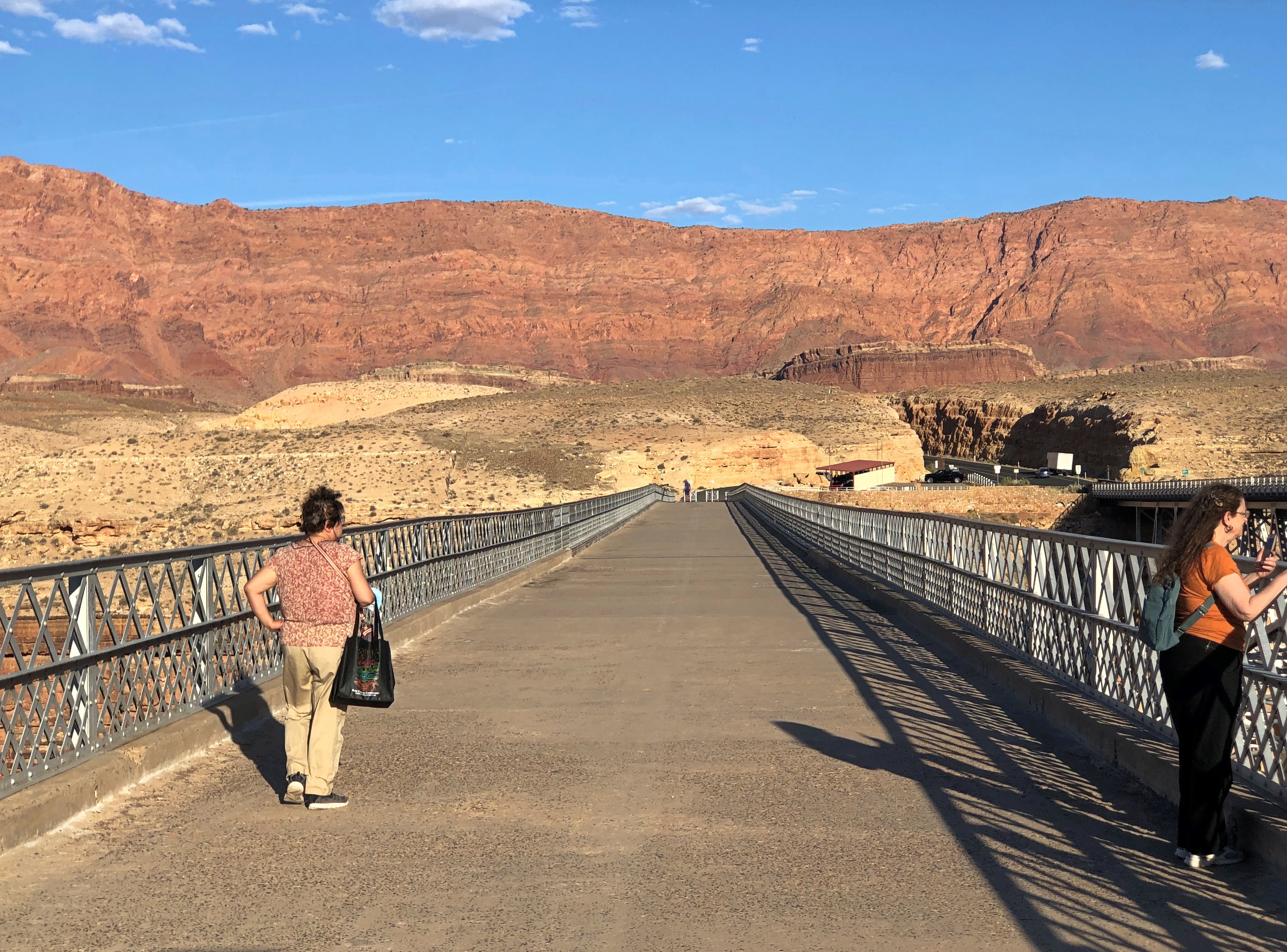
Naturally, we went across it.
Navajo Bridge

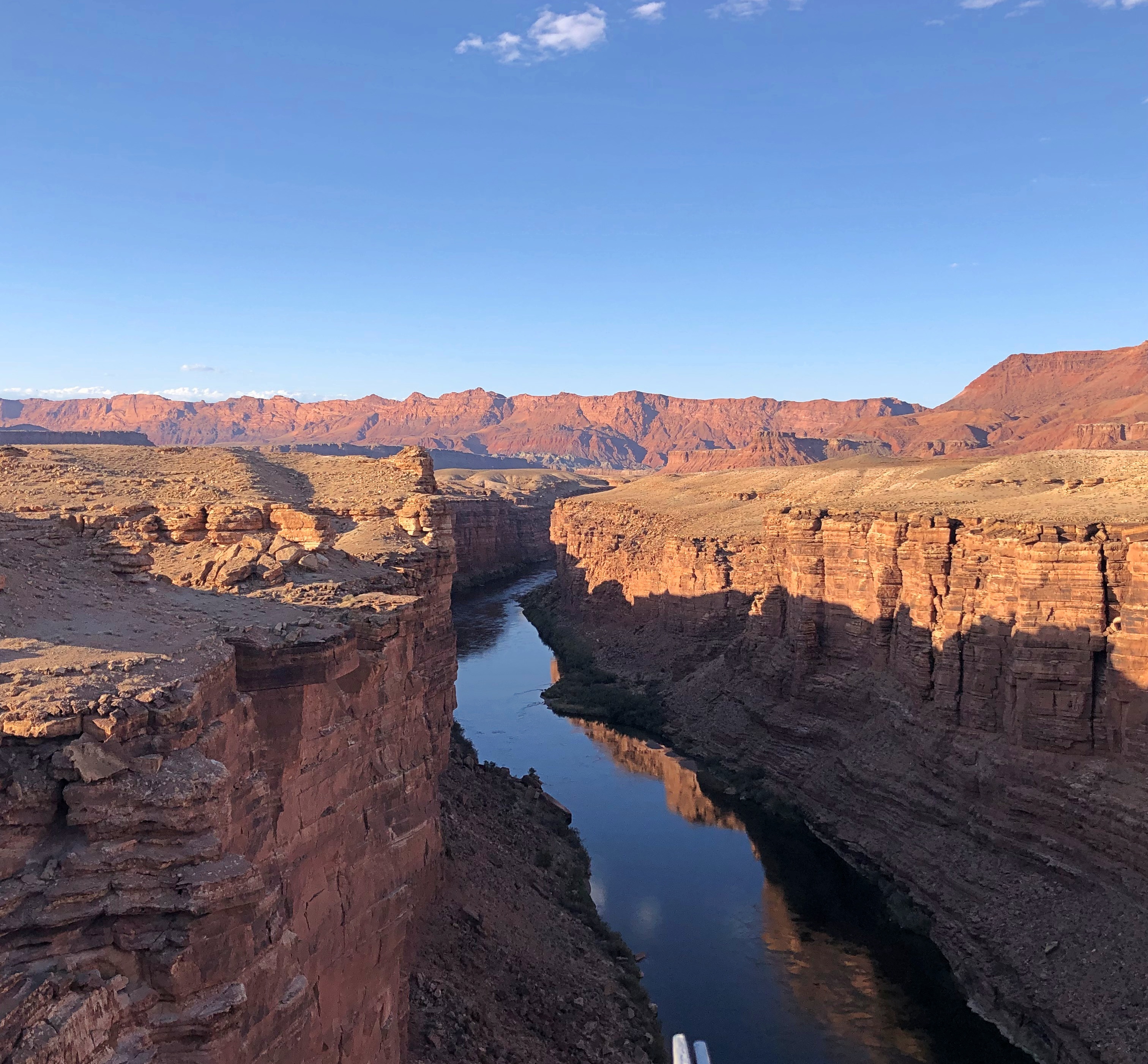
The view of the Colorado from the pedestrian bridge.Navajo Bridge Navajo Bridge

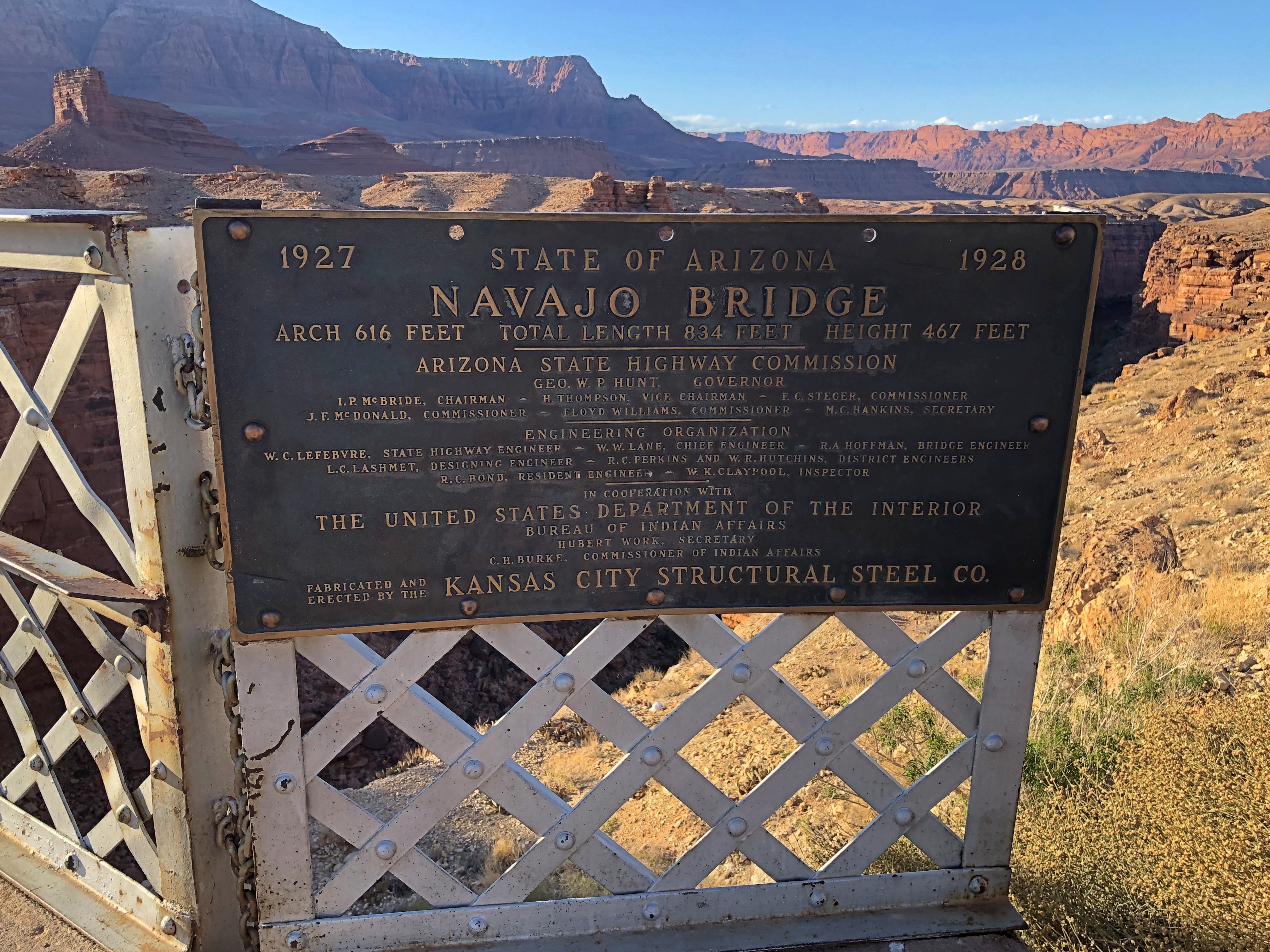
The historic plaque.
Navajo Bridge

I looked up the Kansas City Structural Steel Co. There’s a newish company of that name, founded in the 1990s, but the one referred to on the plaque seems to be this one, whose work was in the early 20th century.

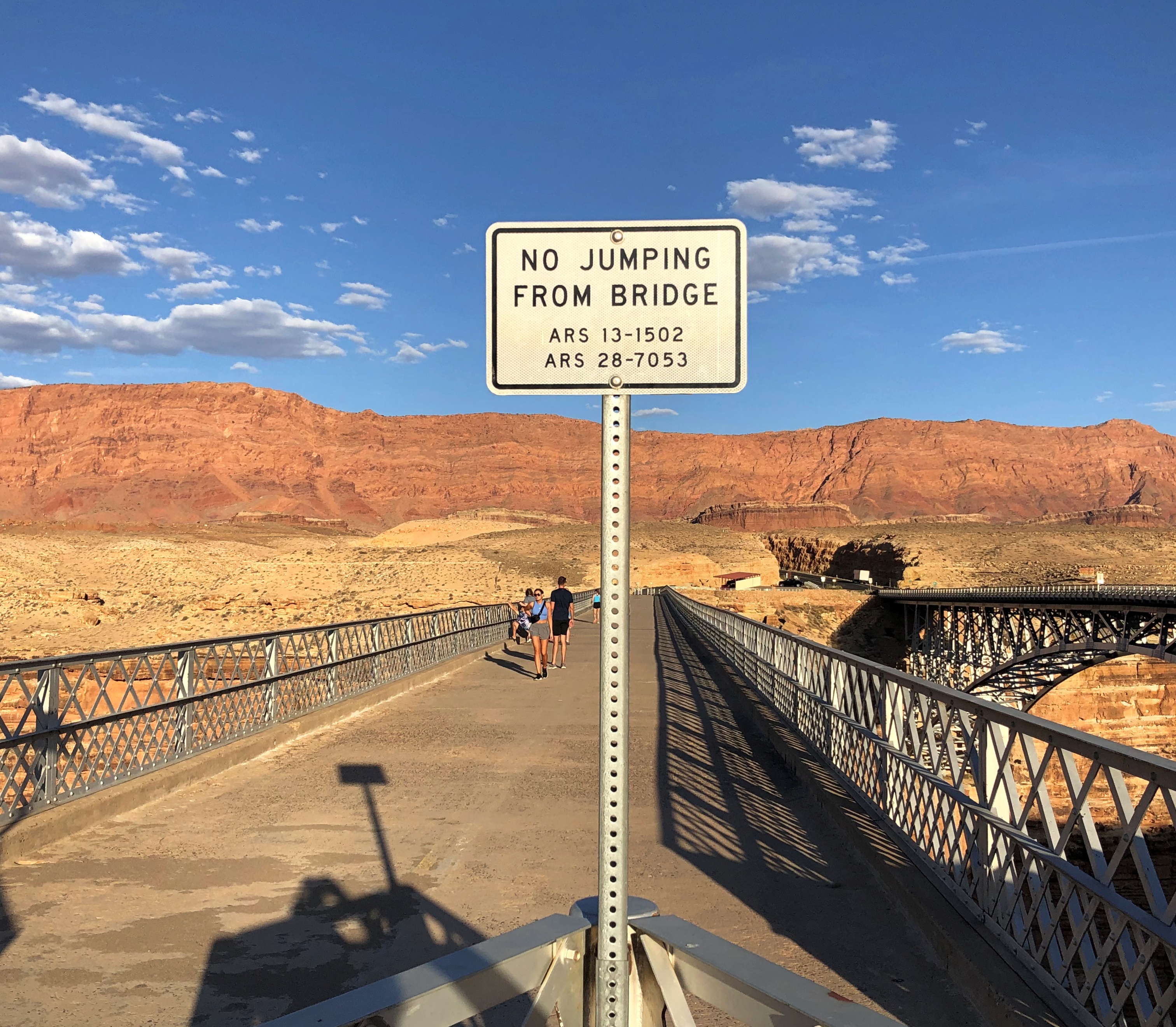
There are warning signs as well.Navajo Bridge

I supposed it means a survivable sort of jump, as with a bungee cord, which no doubt lunatics do sometimes, or at least used to.

Grand Canyon National Park, North Rim

There is one way to drive on paved roads from Page, Arizona, to the North Rim of Grand Canyon National Park, at least without going way out of your way. Go south from Page on U.S. 89, then north on U.S. 89A, then south on Arizona 67. If that sounds a little roundabout, it is, but the drive is worth every minute you spend. It takes two to two-and-a-half hours if you don’t stop much.

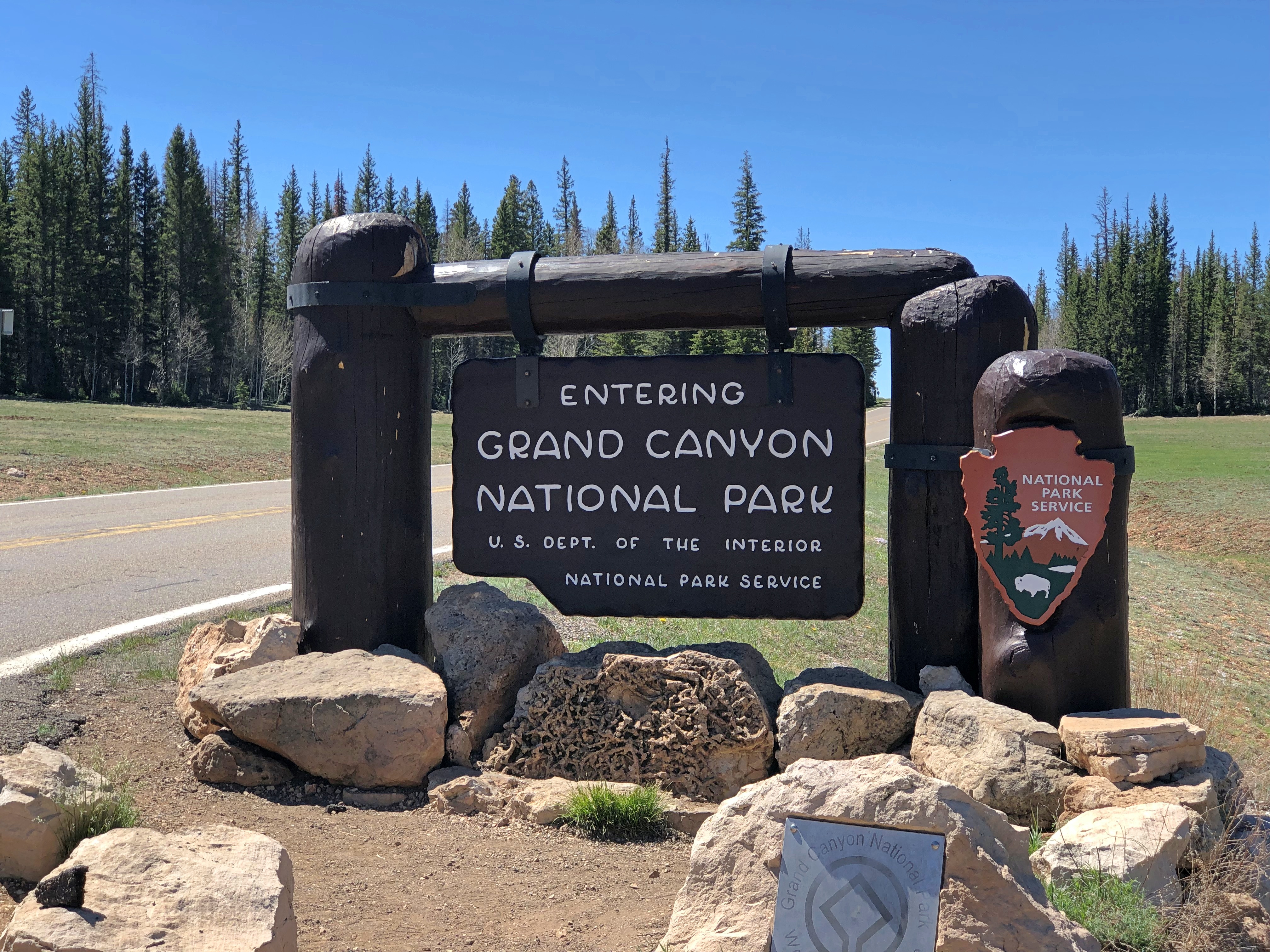
Eventually, you end up at the park, famed the world over.Grand Canyon National Park

As the raven flies, and we saw a fair number of them soaring on the air currents around the canyon, it is about 10 miles from the North Rim to the South Rim. Driving from the North Rim to the South involves more than 200 roundabout miles.

The South Rim has fairly close access to a large metro area — Phoenix — and the sizable town of Flagstaff as a closer jumping off point. That’s what we did in 1997. It occurs to me that we visited the canyon this time two days short of exactly 25 years after the first time.

The nearest town to the North Rim is Page, reached as I’ve described. Not exactly remote, but certainly out of the way. In 2021, about 221,000 visitors came through the North Rim entrance when it was open May through mid-October, according to NPS stats. (The road is snowed in much of the year.) So for every one visitor to the north last year, there were 10 to the south, with about 2.2 million visitors coming to the South Rim during 2021.

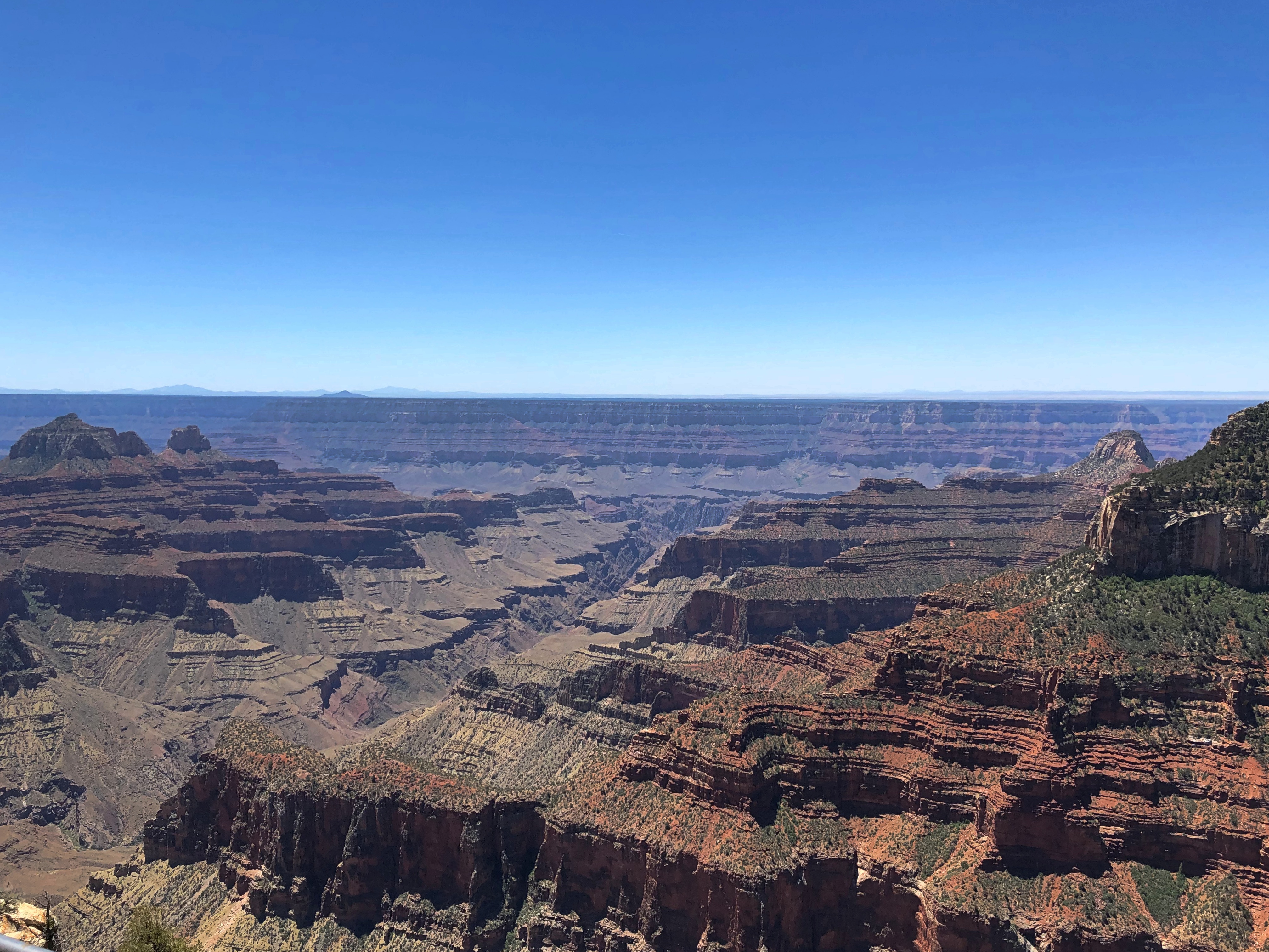
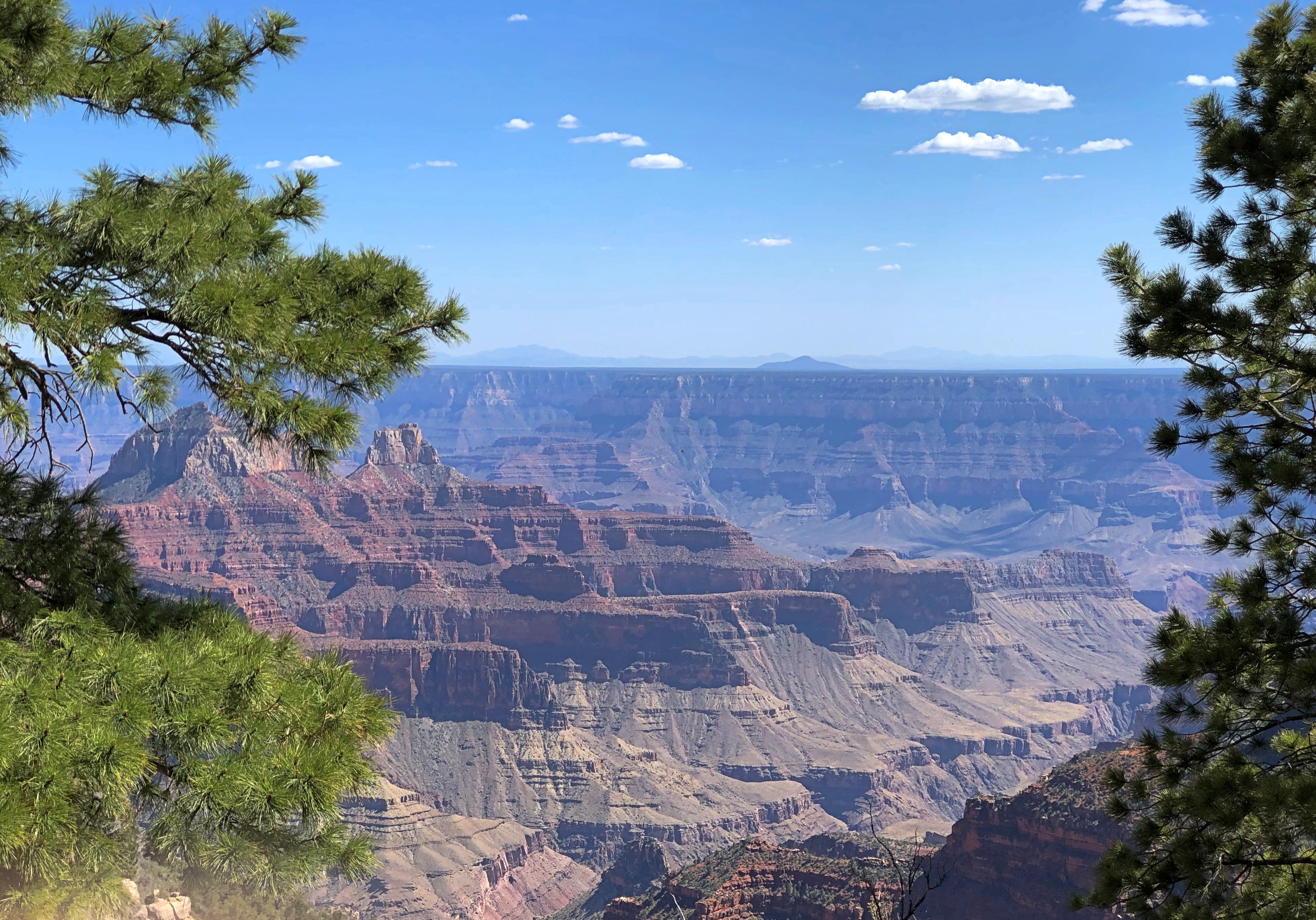
When we got to the North Rim last Tuesday morning, the place was popular enough, but not overrun. Even mere feet away from the Grand Canyon Lodge North Rim parking lot, which is where the road into the park ends, the view doesn’t disappoint.Grand Canyon National Park

The lodge itself, just opened for the season two days earlier, is perched on the rim, and built from native stone and timber, especially Kaibab limestone from the nearby cliff at Bright Angel Point.Grand Canyon National Park

People were perched on the lodge viewpoints.
Grand Canyon National Park

Through a subsidiary, the Union Pacific Railroad originally developed the lodge in the 1920s, though the first structure burned down after only a few years, and was rebuilt  somewhat differently in the ’30s. Design by Gilbert Stanley Underwood, who specialized in lodges and railroad stations. He also designed 140 cabins surrounding the main lodge by 1928.

“Erected in 1927-28, this is the most intact rustic hotel development remaining in the National Parks from the era when railroads, in this case the Union Pacific, fostered construction of ‘destination resorts,’ ” says the National Historic Landmarks listing for the building.

“The main lodge building was rebuilt in 1936 following a devastating fire, but its most important interior spaces retained their scale, materials and flavor, and the deluxe cabins and standard cabins of log and stone construction also kept their fabric, layout and ambiance.”

From the lodge, Bright Angel Point is a 10-minute walk along a trail created by — no need to guess very hard — CCC workers. Those lads need to be honored with a bronze on the grounds somewhere, though I might have missed it.Grand Canyon National Park Grand Canyon National Park Bright Angel Point Grand Canyon National Park Bright Angel Point

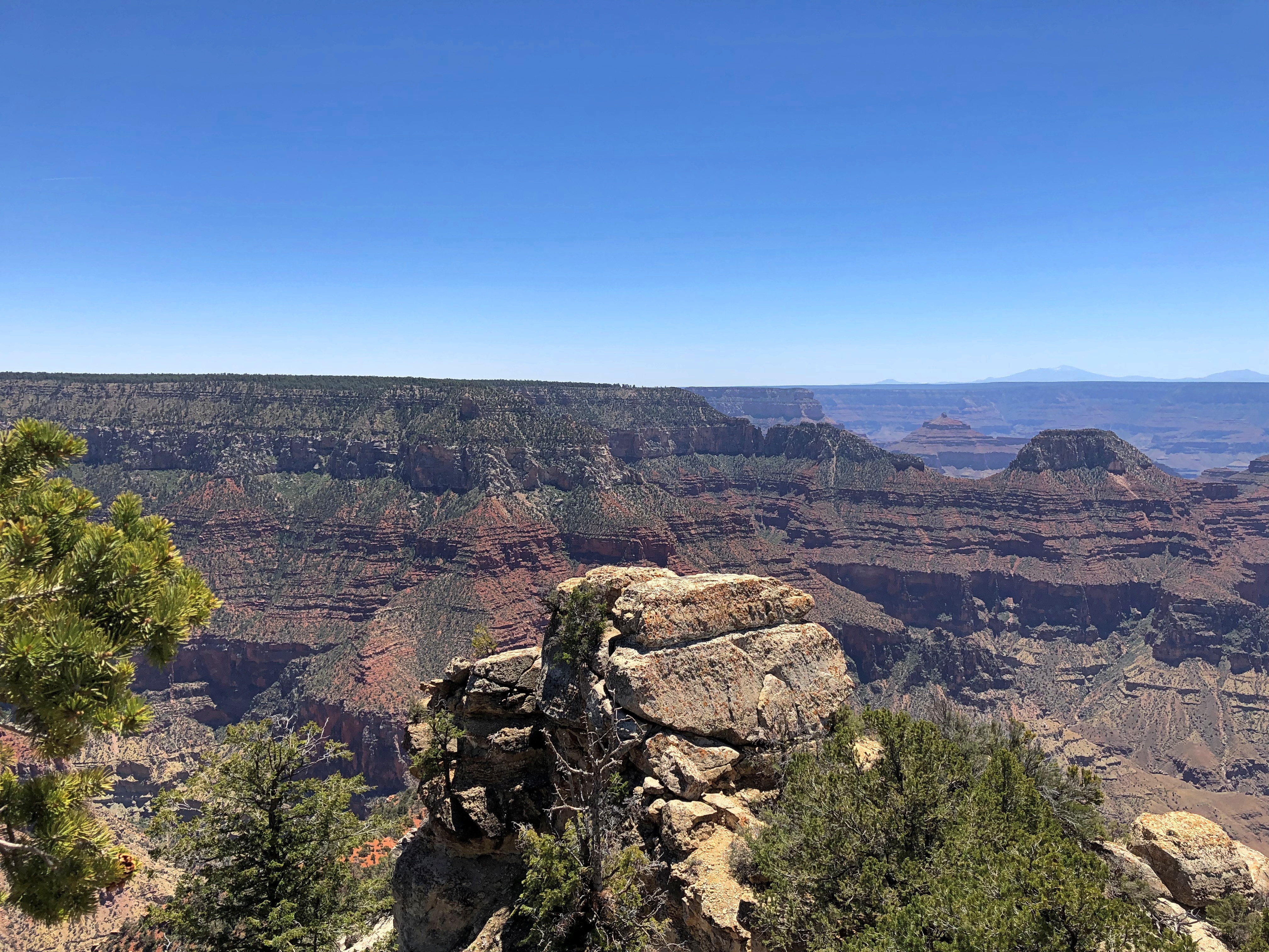
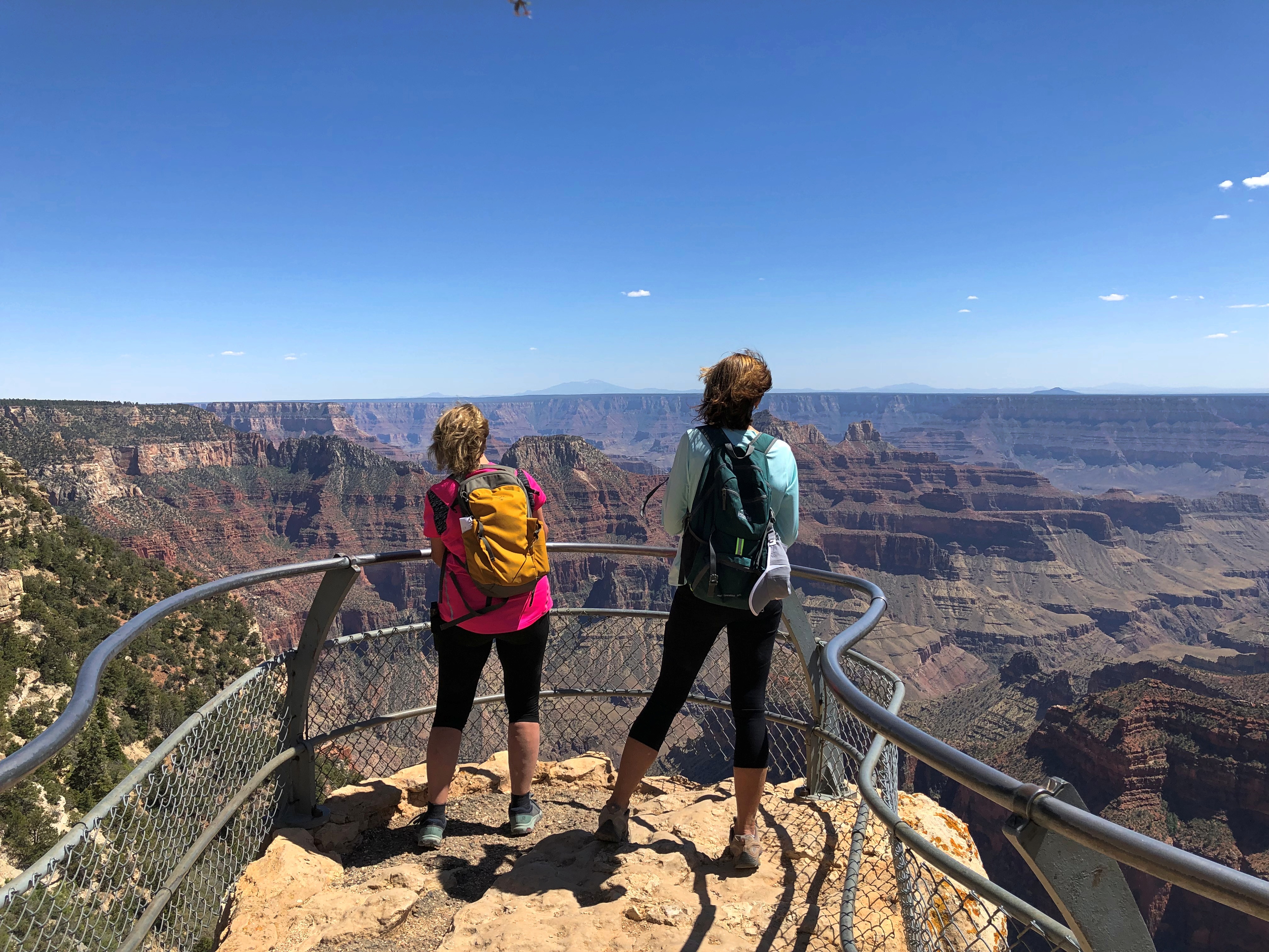
Out at Bright Angel Point. Let’s just say there were impressive views. And an impressive wind whipping by.Grand Canyon National Park Bright Angel Point Grand Canyon National Park Bright Angel Point Grand Canyon National Park Bright Angel Point

We didn’t have the place to ourselves, but sometimes, almost.
Grand Canyon National Park Bright Angel Point

We had lunch in the lodge restaurant, an enormous space with high ceilings, dark woods and towering windows to bring the view of the canyon into room. The food: decent. The view: magnificent.

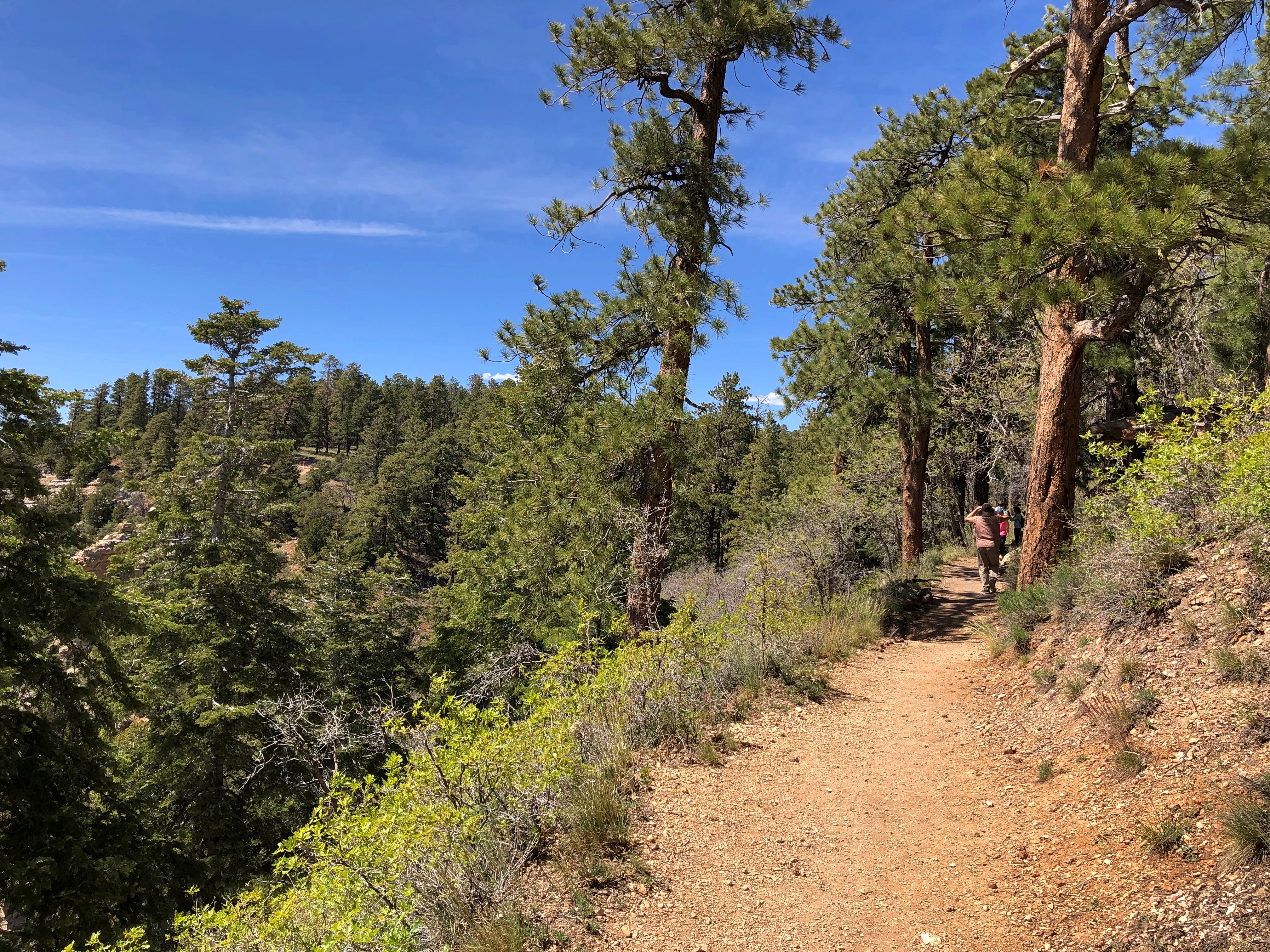
A separate trail leads away from the lodge and heads toward the campgrounds, a few miles away. We walked part of that trail, which generally follows the rim.Grand Canyon National Park North Rim

Offering its own views.Grand Canyon National Park North Rim

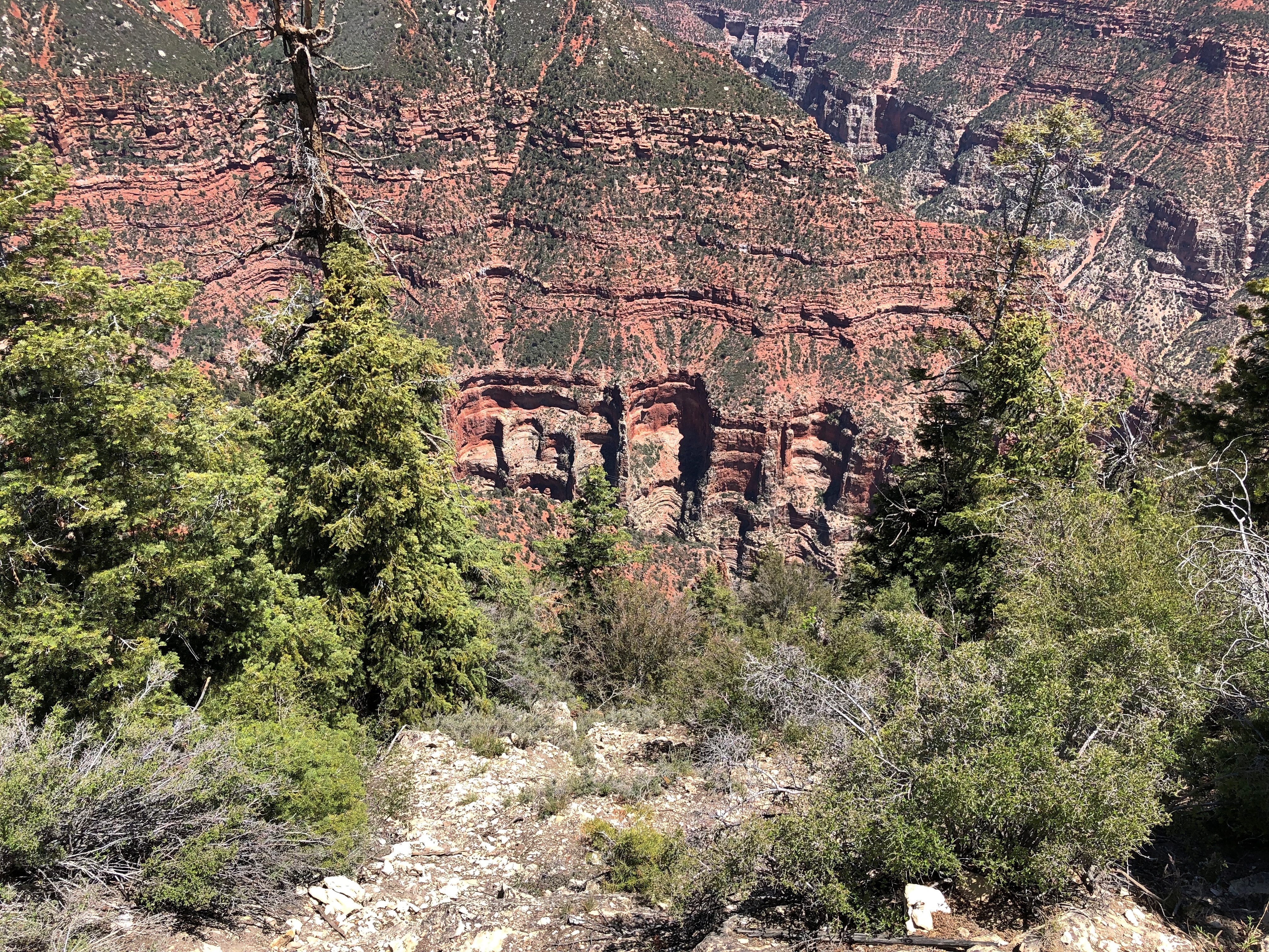
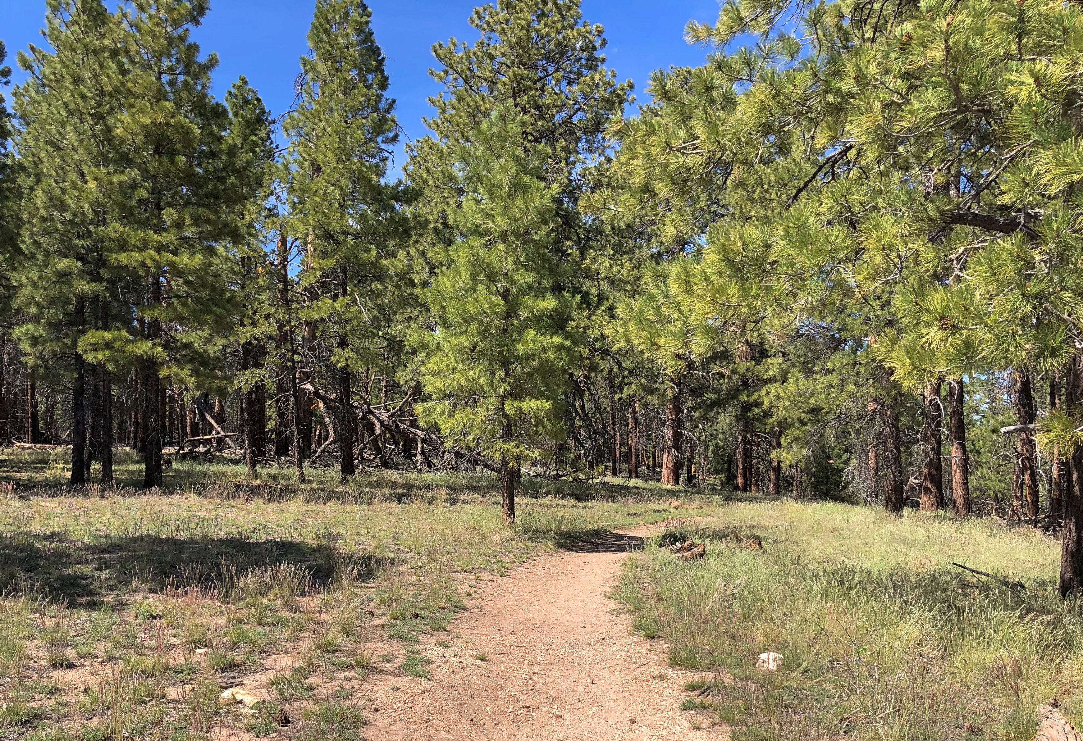
A return trail cuts through a pine forest, with no notion of the yawning canyon a short distance away.Grand Canyon National Park North Rim Grand Canyon National Park North Rim

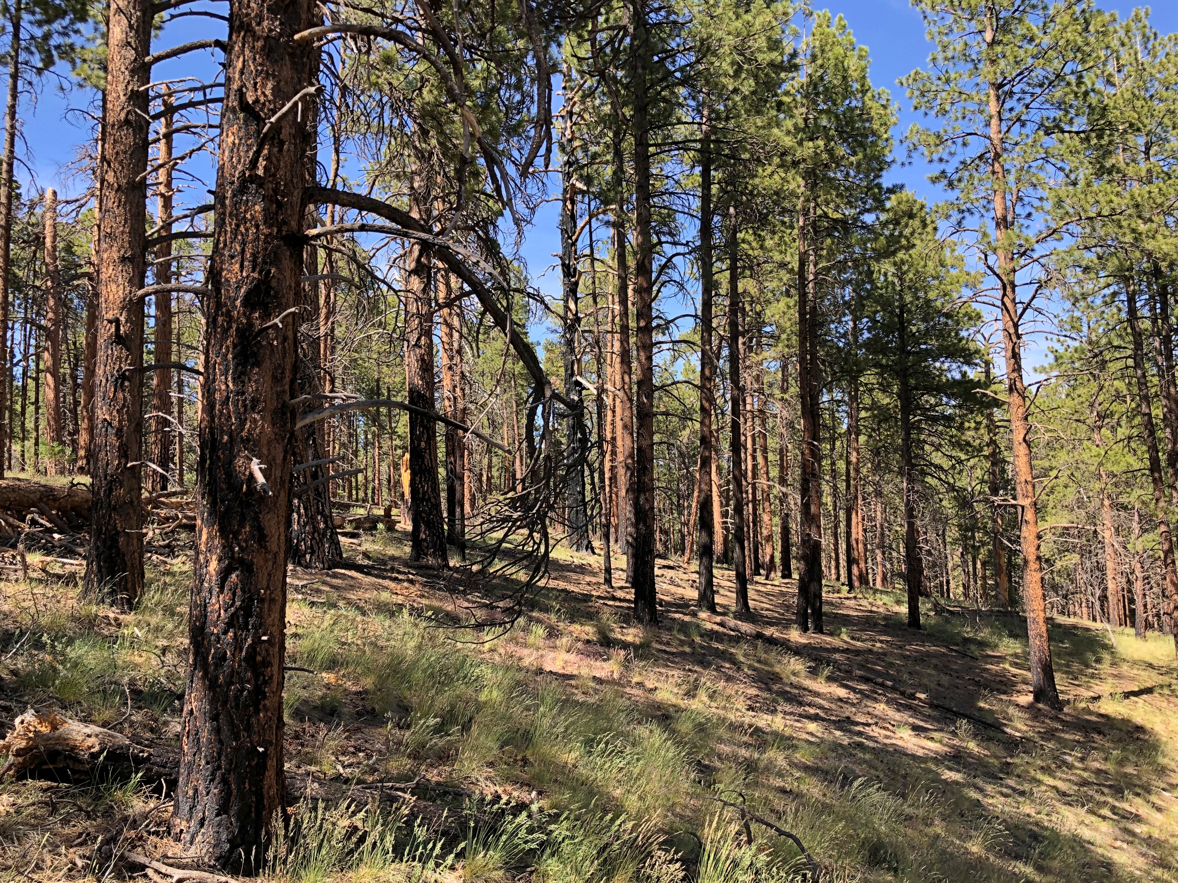
Sometimes, we had to go around the trees lying across the trail.Grand Canyon National Park North Rim

There’s a life metaphor in that somewhere, but on the other hand, a walk in the woods is sometimes just a good ramble.

Antelope Canyon and Horseshoe Bend

Antelope Canyon and Horseshoe Bend, both in easy driving proximity to Page, Arizona, are both new stars in the tourist imagination, created by the rise of easily sharable digital images. Do a Google image search and the selection for either is essentially limitless. Naturally, people crab about this state of affairs.

“Whether you actually enjoy your time here, and whether what you’re doing is even morally sound is, as with most tourist attractions in the Instagram age, secondary,” sniffed Vox in 2019, referring to Antelope Canyon, though in the very same paragraph says the place has an “extraordinary beauty [that] is almost transcendent.”

It certainly does. The reason to go, in my opinion, is to see that extraordinary beauty with your own eyes. This is primary. Secondary, for me, is sharing pictures.

As for enjoying my time there, I did immensely, and as for the morality of tourism, if you believe it’s suspect, stay home. I will be out seeing the world while you aren’t. Any human activity can cause damage, yet any damage can be mitigated — as I believe it has been at Antelope Canyon and Horseshoe Bend.

Actually, we visited Upper Antelope Canyon. There is a Lower Antelope Canyon nearby whose attractiveness is surely on par with the upper one, but we decided to pick only one for this trip. Both are among the many slot canyons in Antelope Canyon Navajo Tribal Park. The place, obviously known to the Diné people since time immemorial, has been the haunt of photographers since the 1970s at least.

According to our guide, an affable young Navajo named Nate, guided tours weren’t done much in those days. Permits weren’t necessary, and so off you went, since the canyons weren’t really that far off in the bush, and only a trickle of people visited anyway. Things changed in 1997, when the area became a tribal park, and when, in August that year, 11 visitors were washed away in a flash flood, which is a risk in a lot of seemingly dry Arizona. After that, you needed a permit to visit; later, you needed to be on a tour.

These days, Nate said, the tour operators also keep an eye on the day’s regional weather forecast. Rain a few miles away can push water unexpectedly, and violently, through the canyons, an event that has been essential in sculpting canyon shapes over the millennia, but which you don’t want to experience up close.

The tours control the flow of people. At the upper canyon, we entered after a wait of a few minutes, and likewise had to linger at various points along the way inside the canyon until the people ahead of us moved along, which they always did after a few minutes. That directed flow of people didn’t take away from the experience; rather, it added to it, since the canyon actually isn’t that long. You need to linger a bit to appreciate its many marvels.

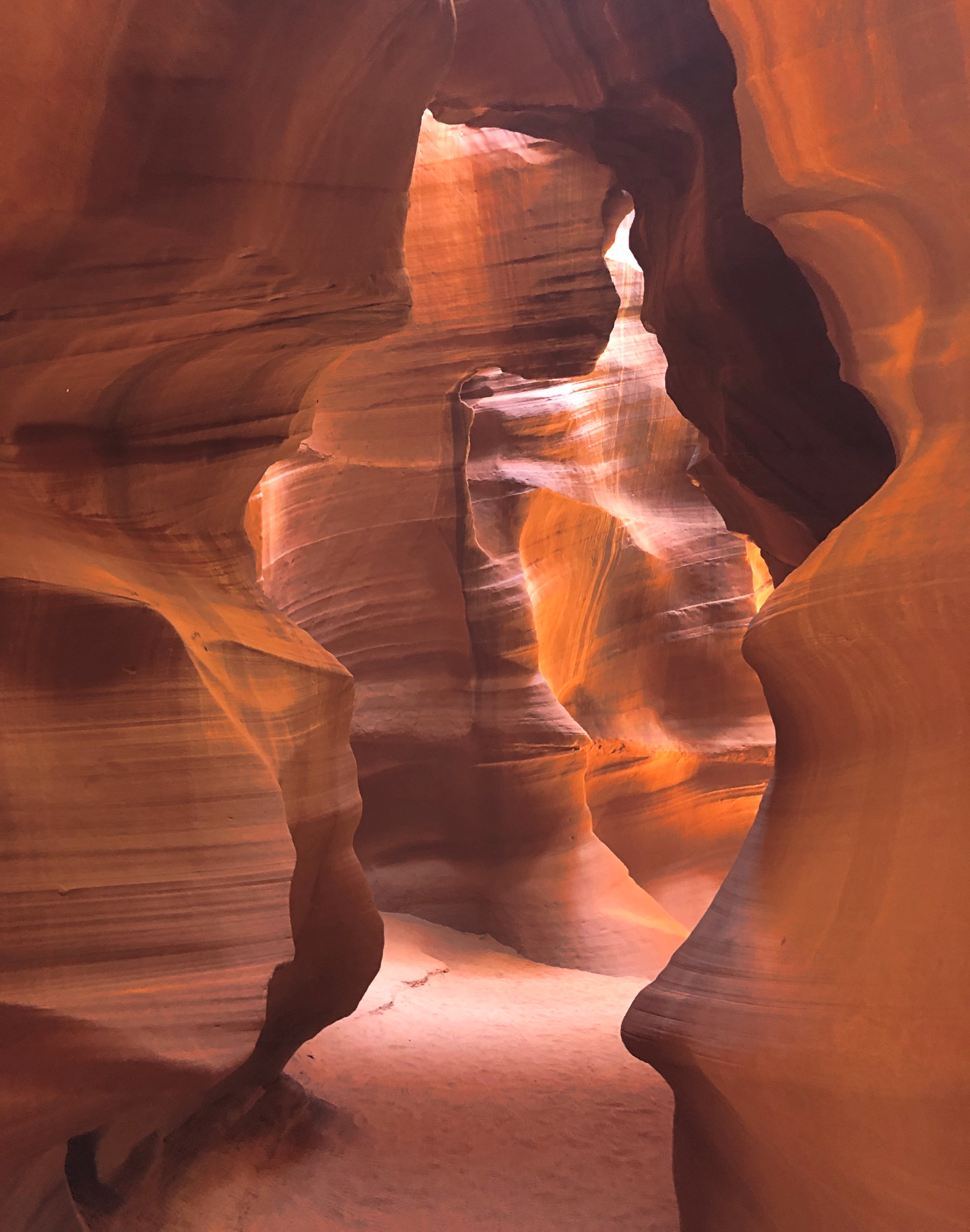
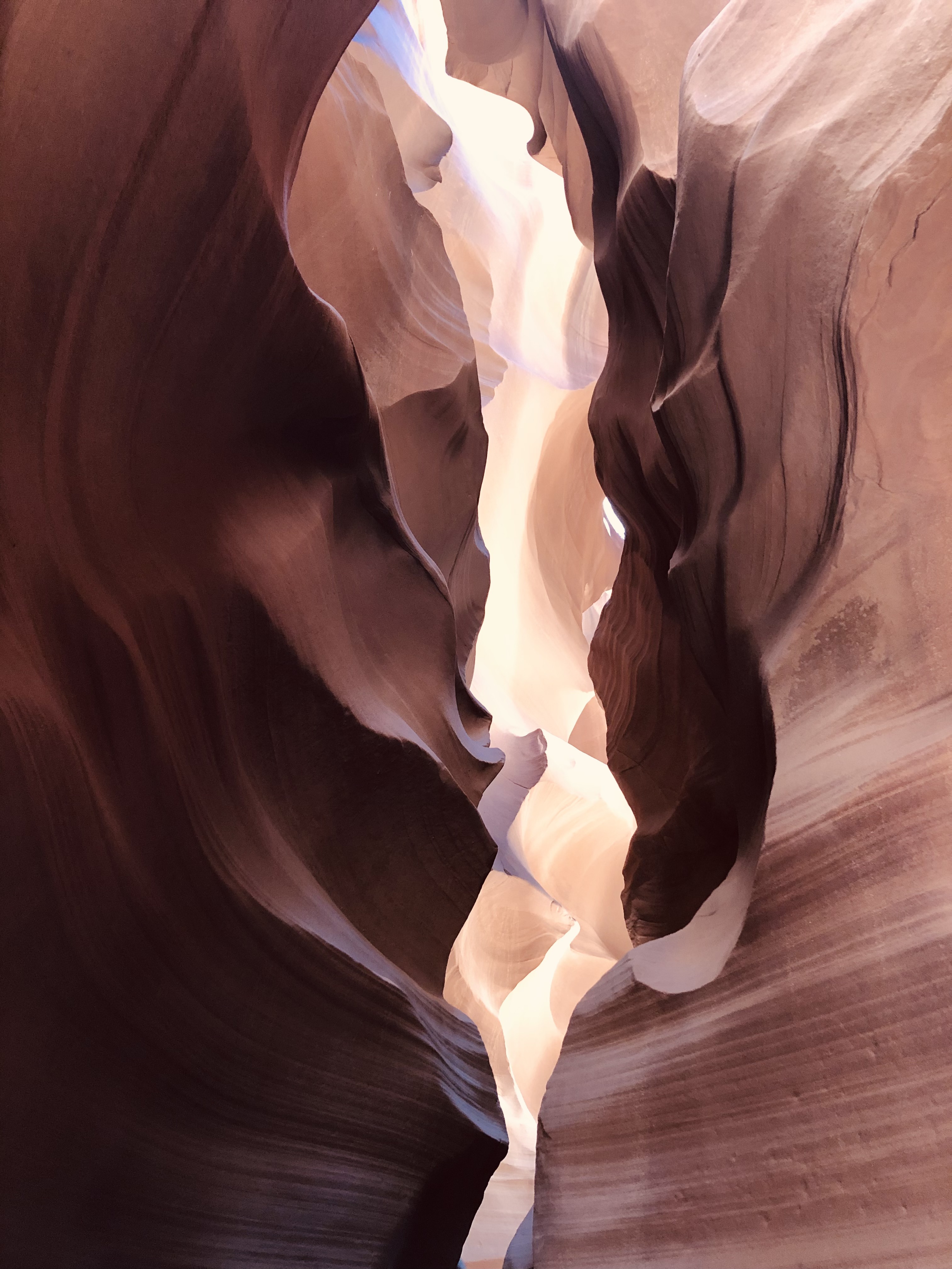
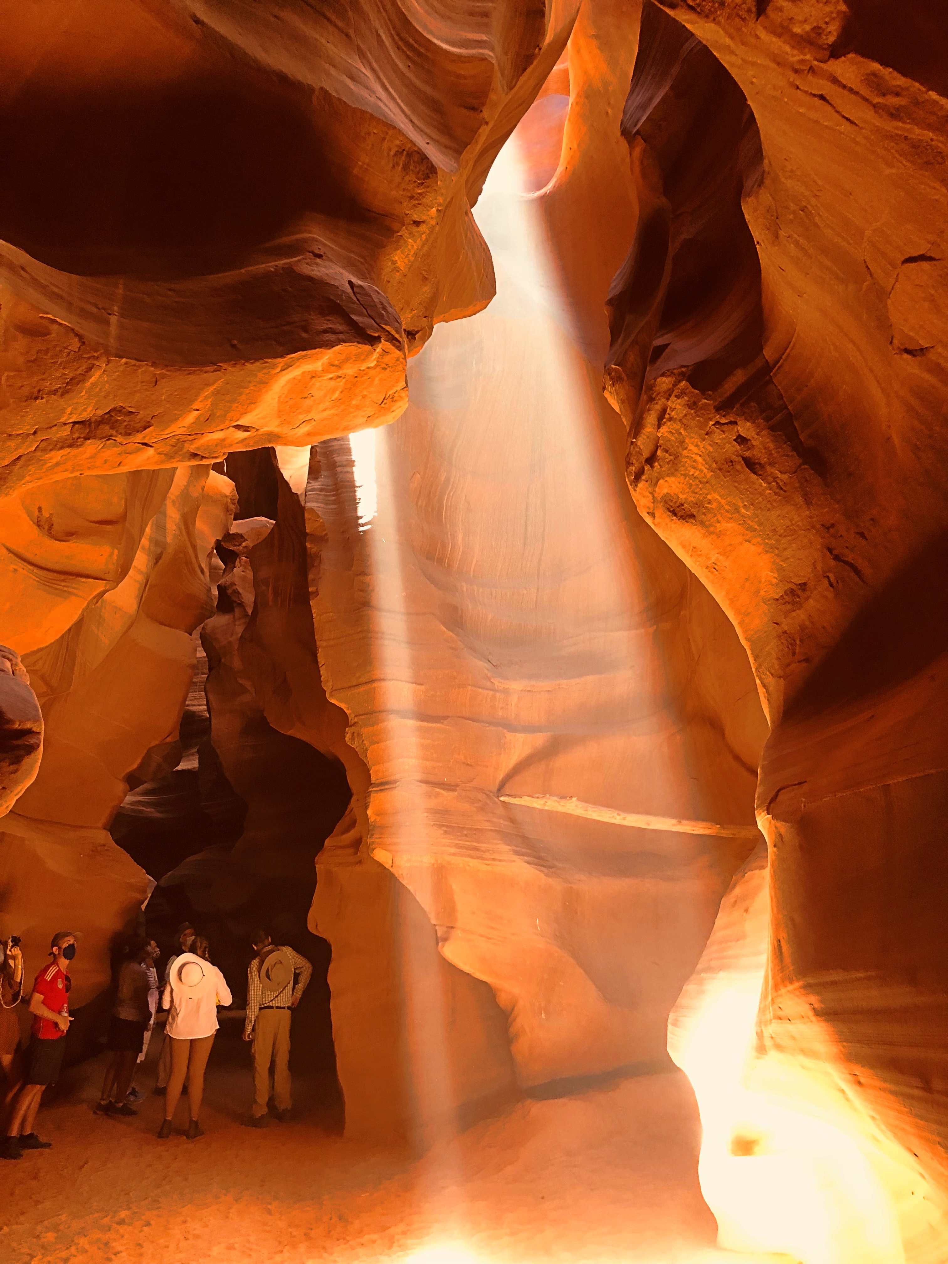
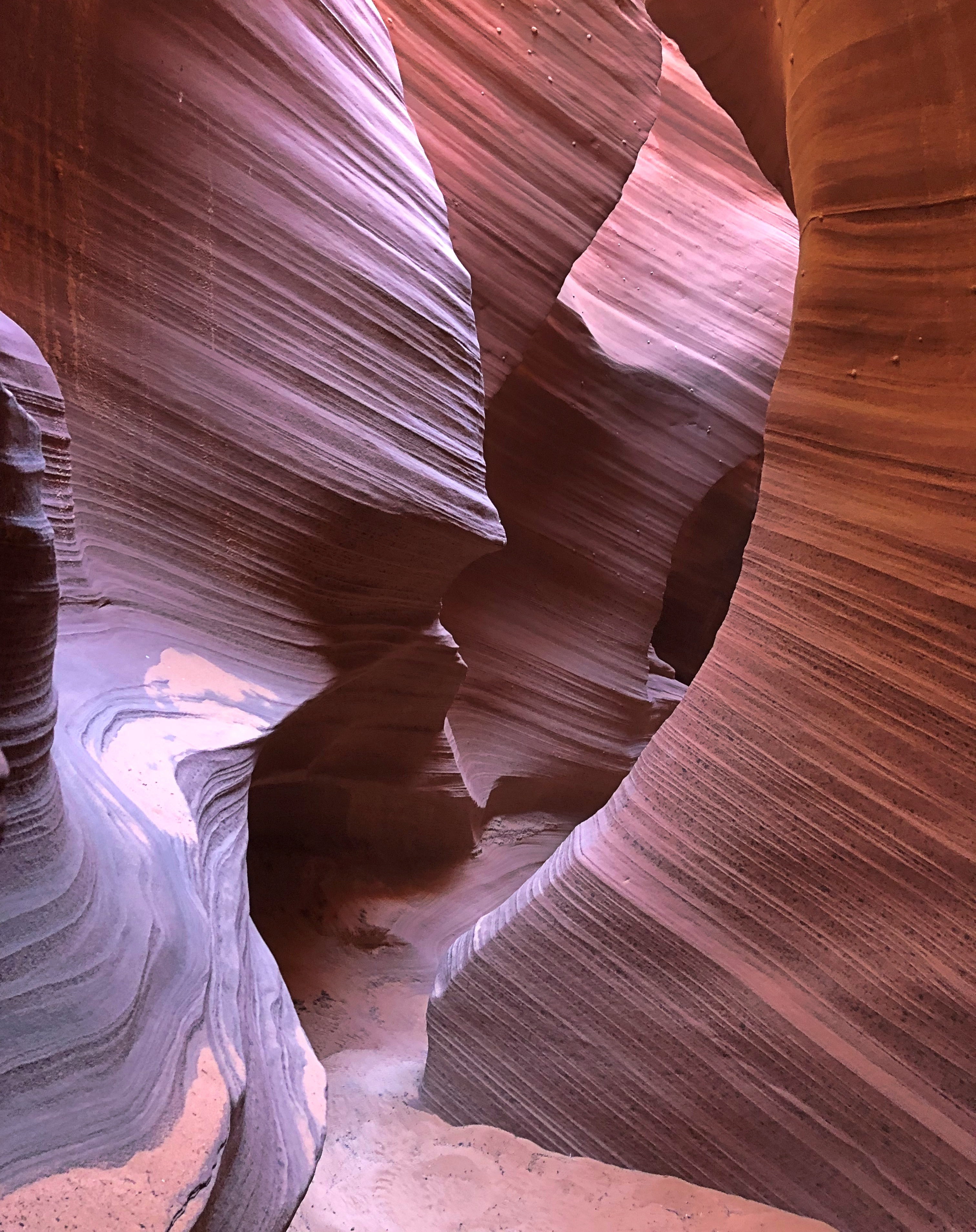
I took more than a few pictures myself last week at Antelope Canyon, a few of which might hint at the extraordinary place I saw with my own eyes.Antelope Canyon
Antelope Canyon

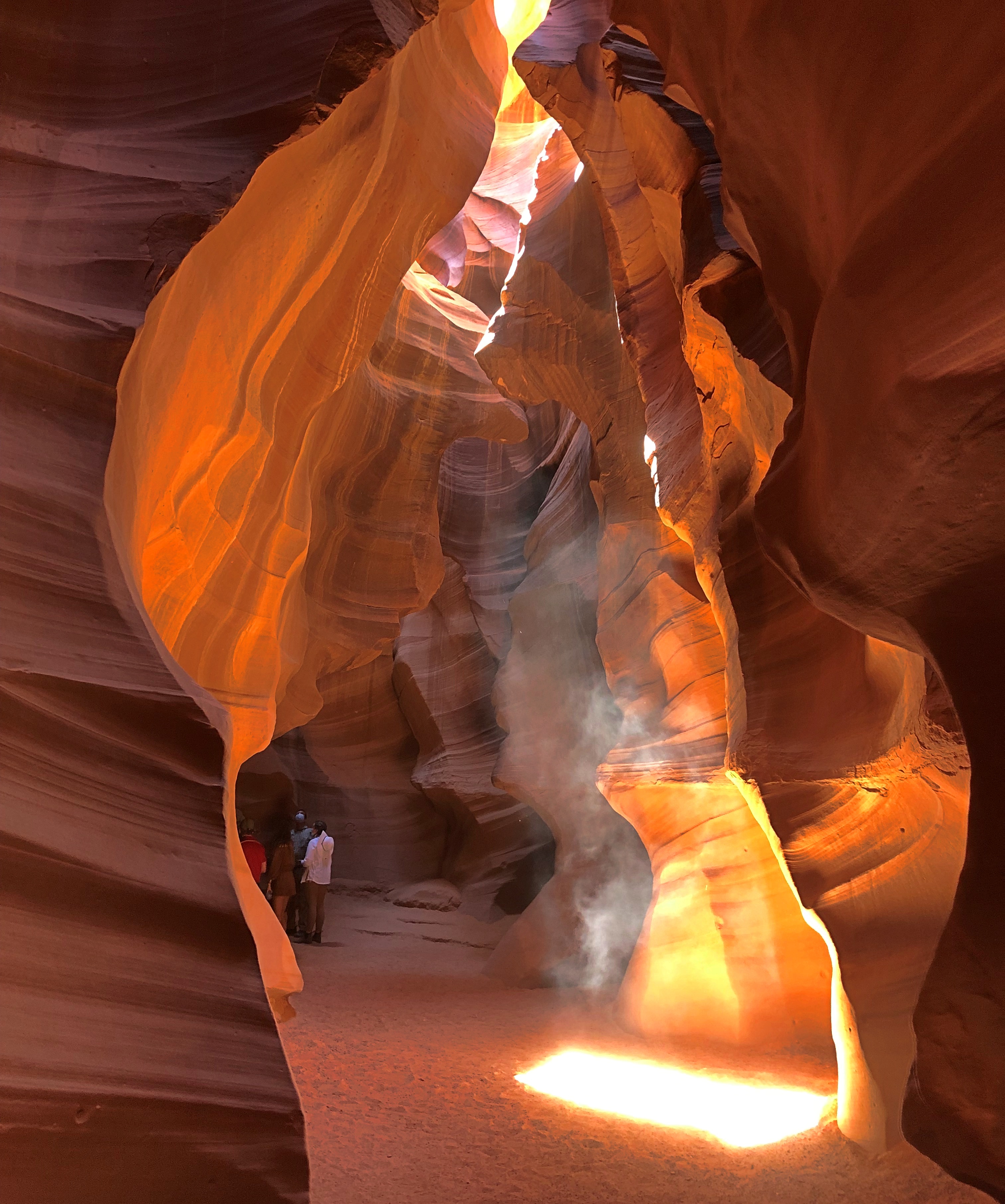
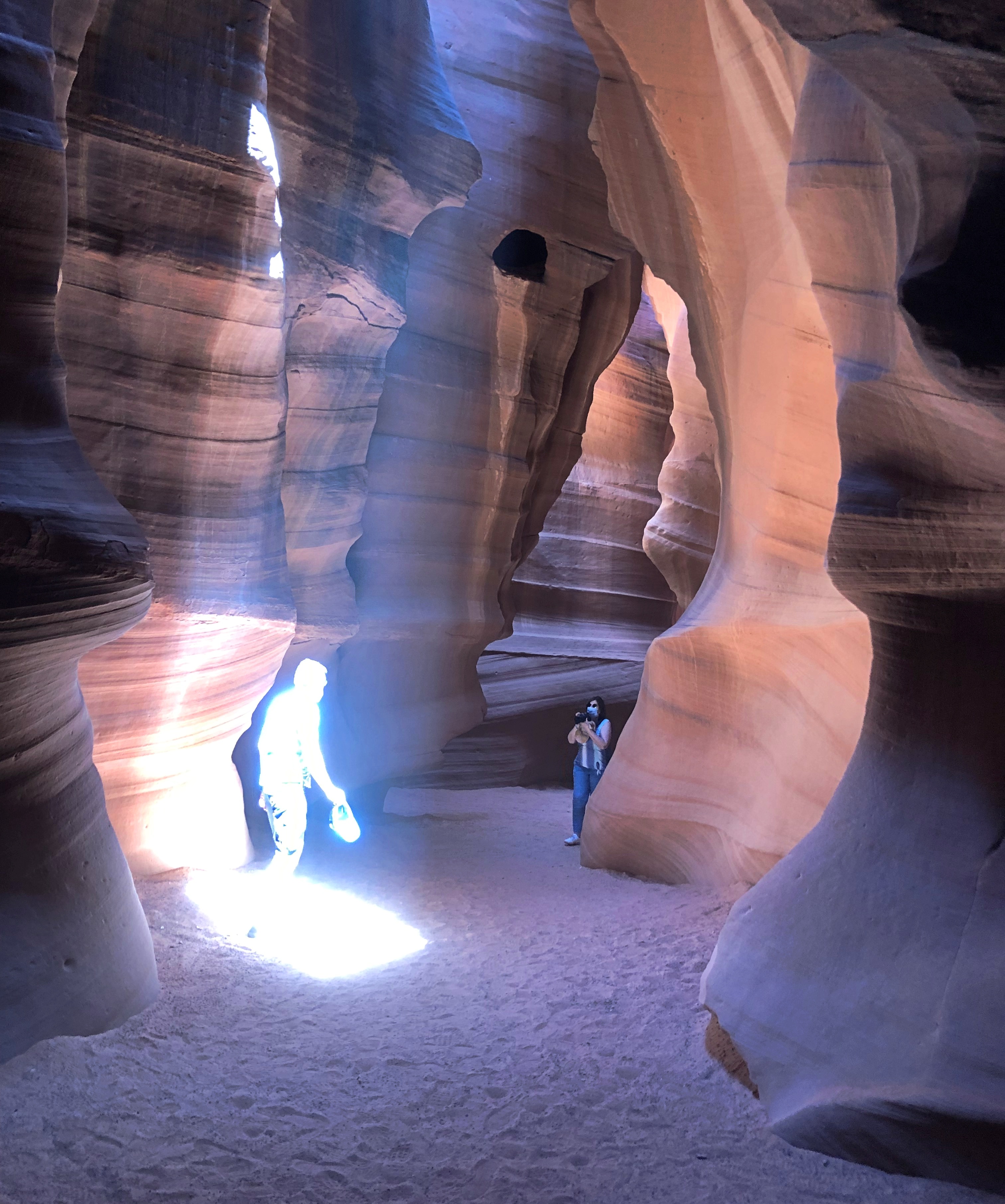
One of the things photographers are known to do at Antelope is try to capture beams of light coming through the openings to the sky, since the canyon is like a cavern, but without a roof. Quite a sight, these irregular beams. But I didn’t try very hard to caputure them digitally. Leave that to the pros.

Still, I did take a few beam images I like.Antelope Canyon
Antelope Canyon

Especially this one.
Antelope Canyon

I’m amused to put two SF interpretations on that image, one benevolent, the other sinister: a figure being beamed up to (or down from) the mother ship; or a hapless human who couldn’t escape the invaders’ destructo-ray, even hiding in a slot canyon.

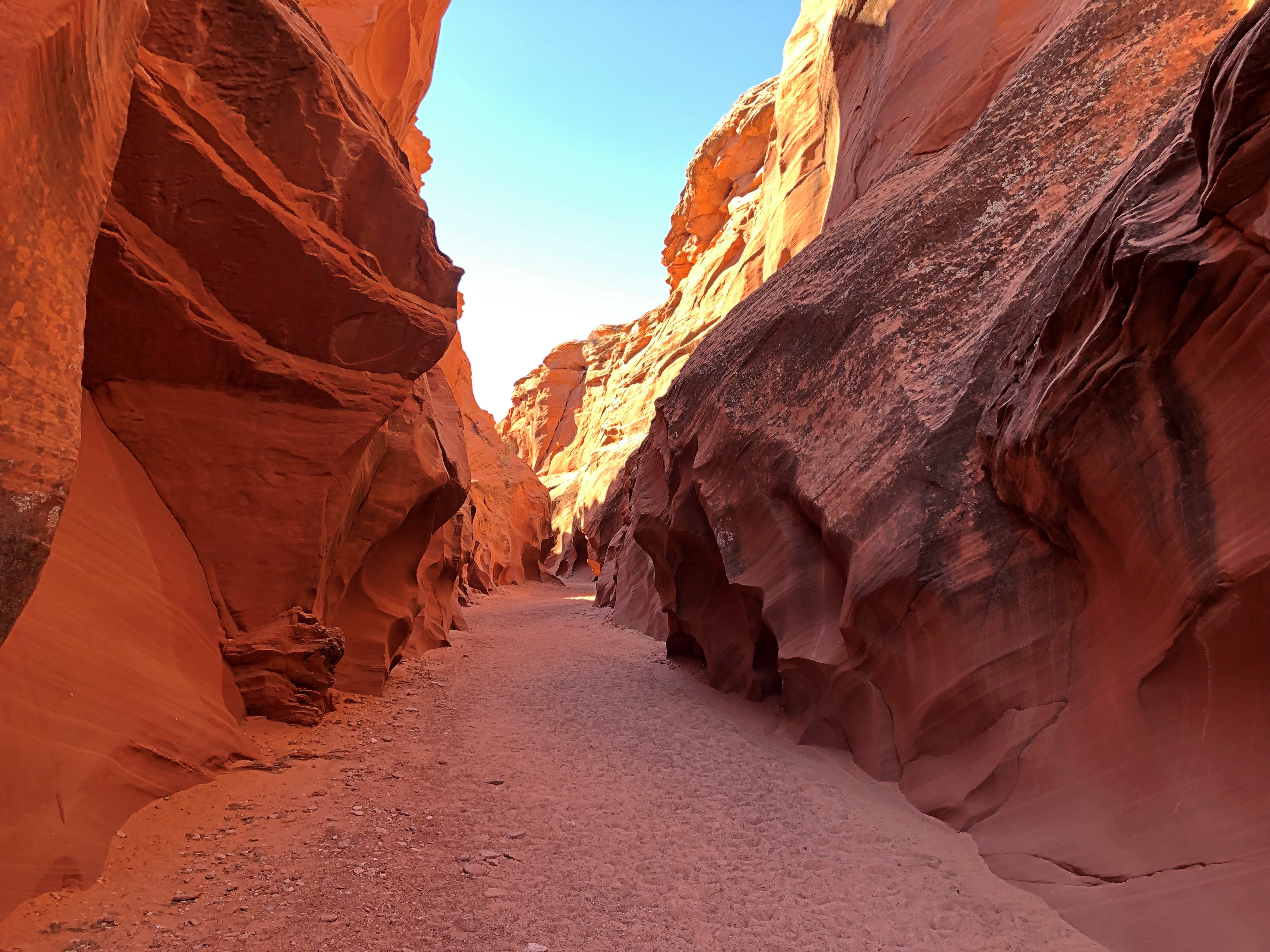
Antelope wasn’t the only canyon we visited. We booked a tour for it and two others in the vicinity, which we visited before Antelope, also led by Nate. The first one we passed through was the much more open Owl Canyon.Owl Canyon
Owl Canyon

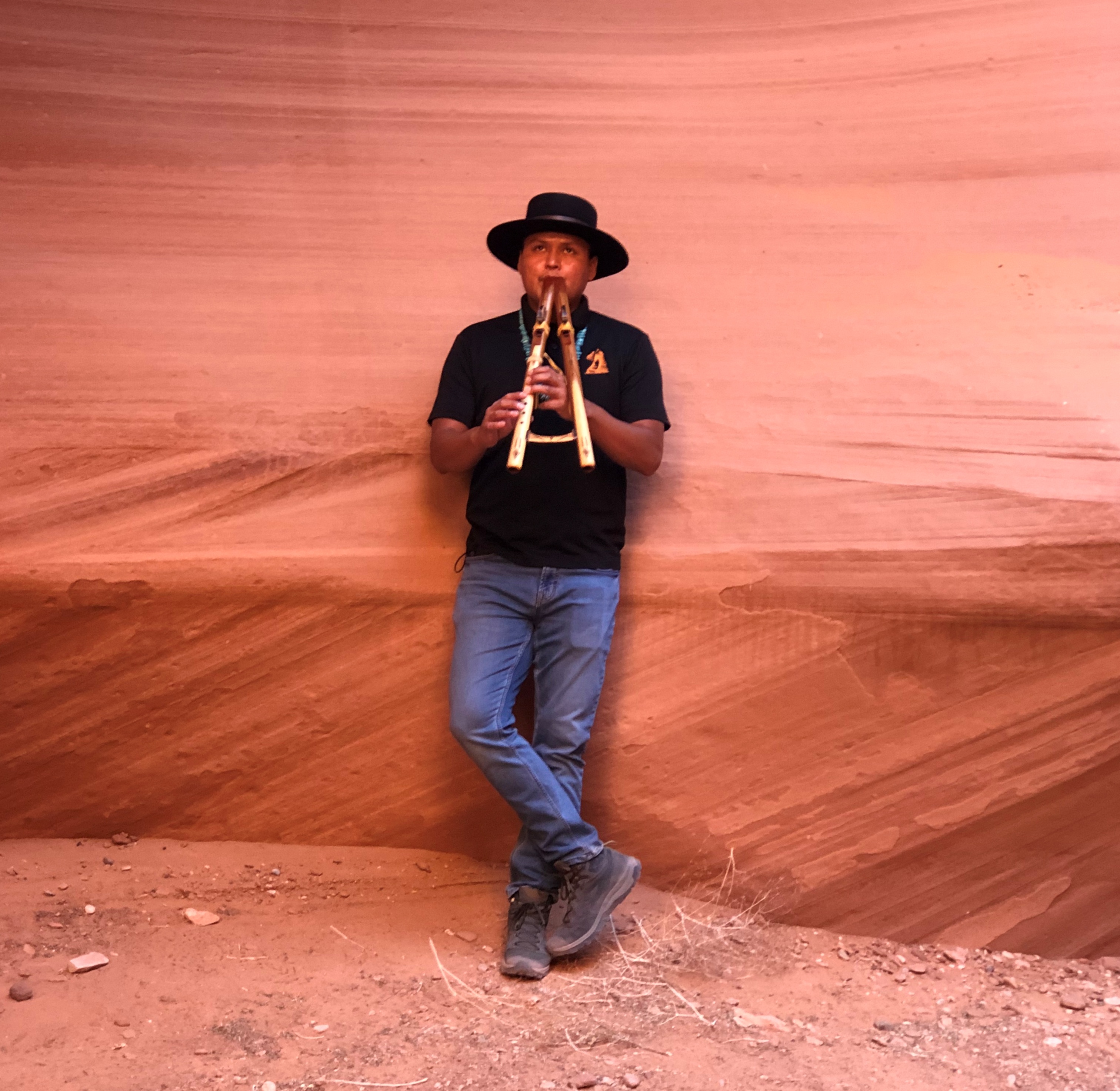
There was only one other group in Owl at the time, a guide and a visitor (our party had four visitors, us and a German couple). The other guide had a Navajo double-flute with him, and he skillfully treated us all to a tune. The acoustics were excellent.
Owl Canyon

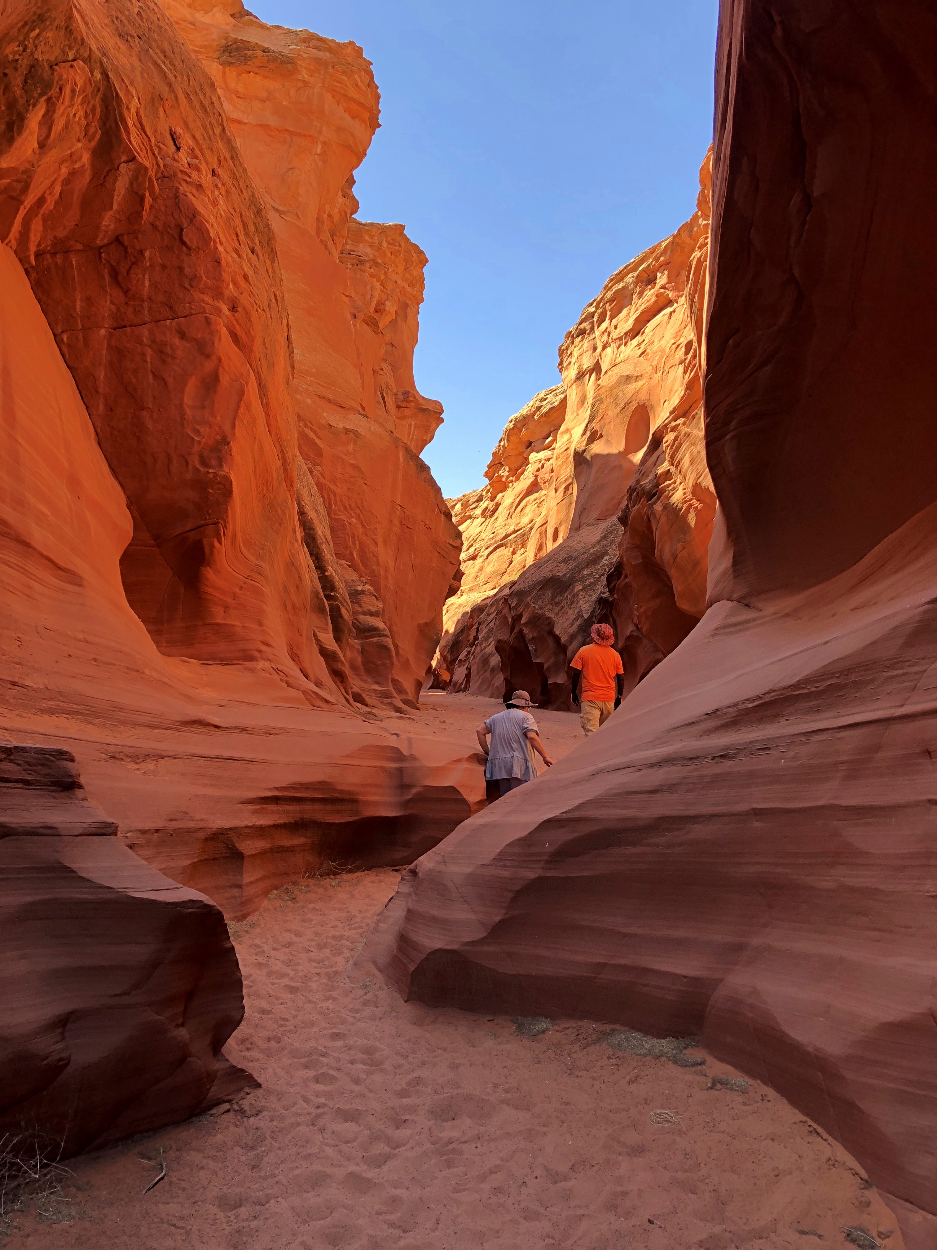
Rattlesnake Canyon, which was next, apparently isn’t called that because of a reptile population. Rather, it has a snakelike course.Rattlesnake Canyon
Rattlesnake Canyon

Unnervingly tight in places.
Rattlesnake Canyon

have bad dreams occasionally about confined spaces, as a lot of people probably do. Luckily, I haven’t had any since visiting Rattlesnake, so I guess it wasn’t that unnerving.

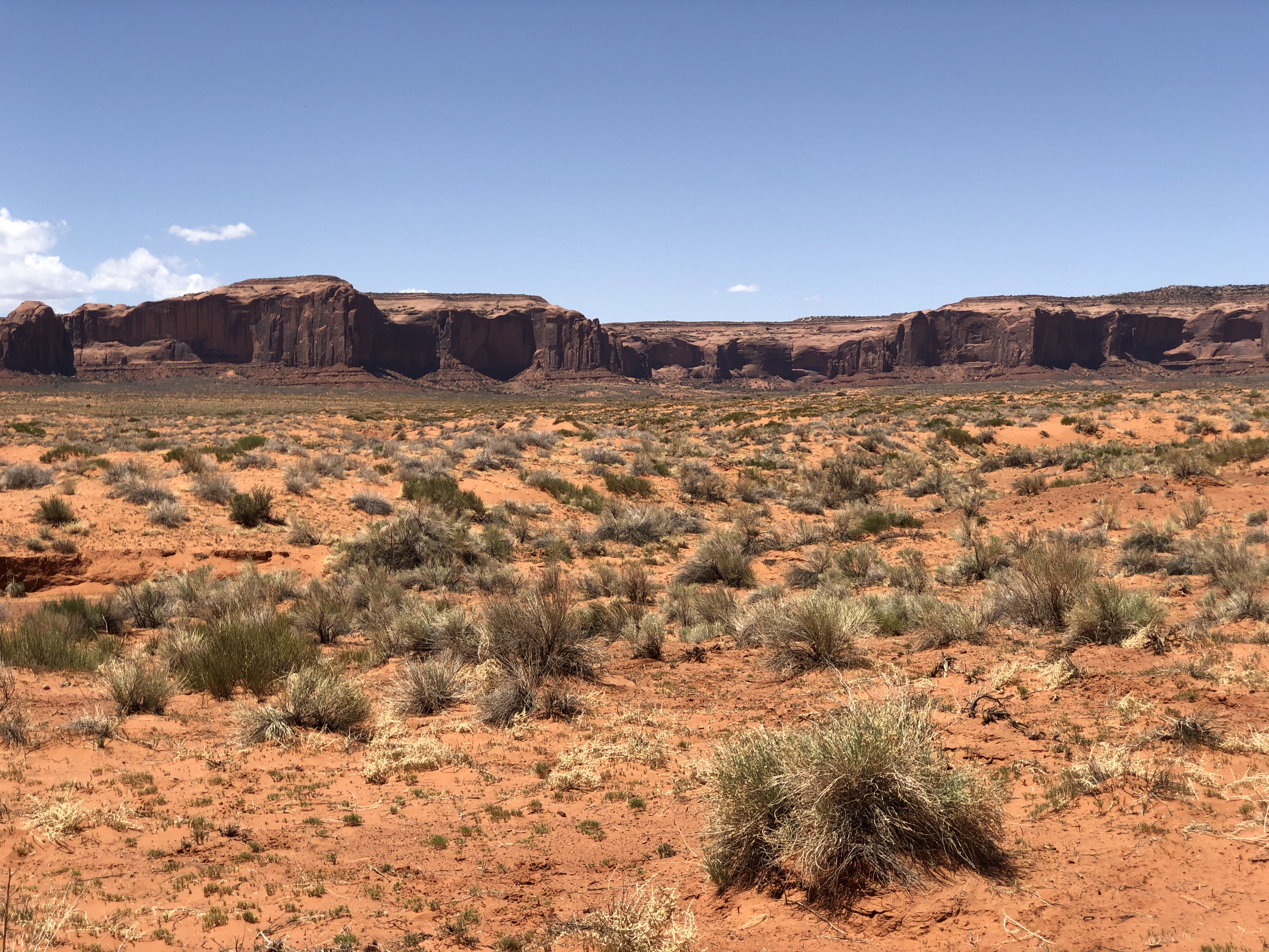
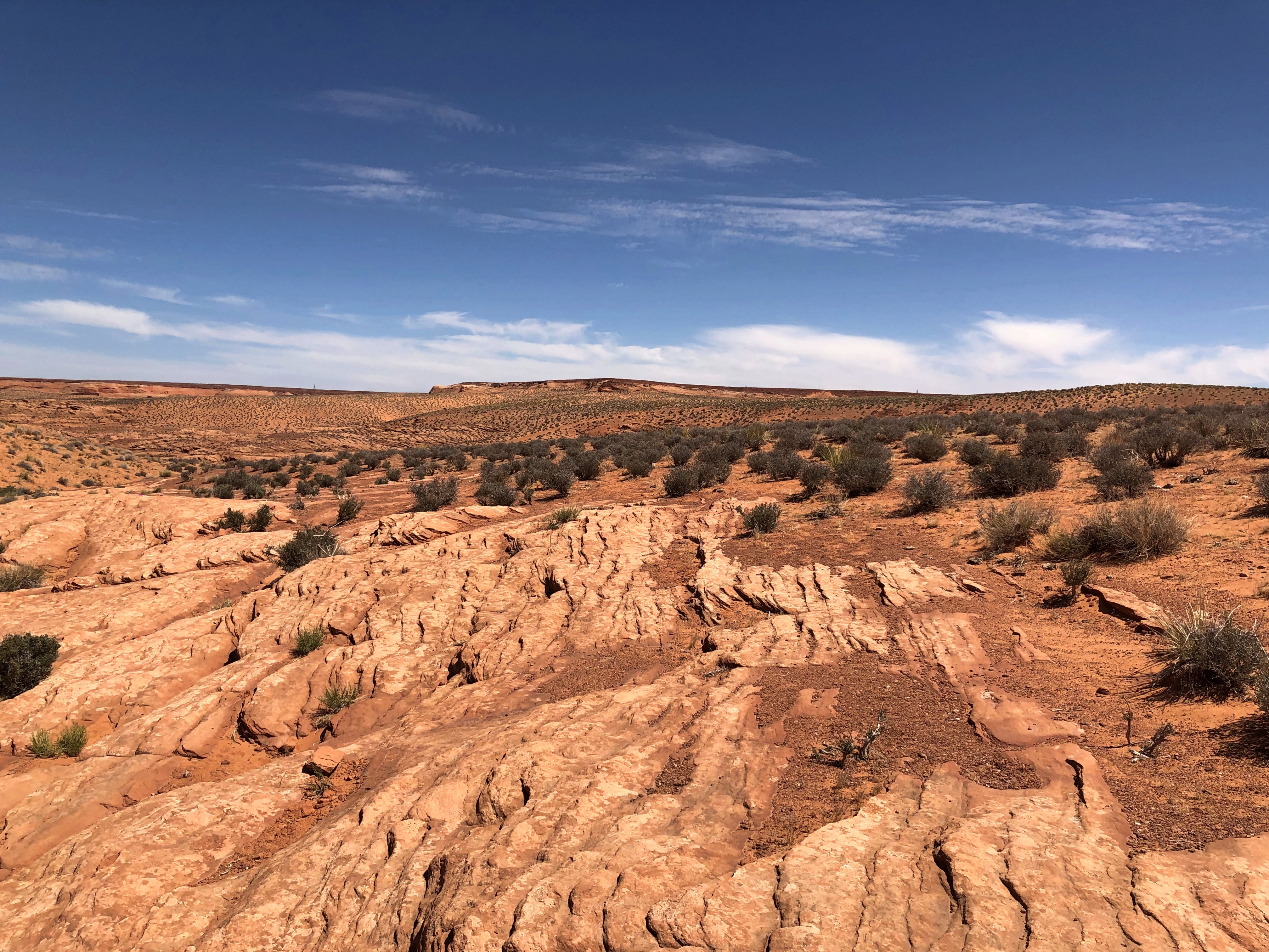
Besides taking pics inside the canyons, I took a few outside. You know, for context. It’s a harsh-looking land.Navaho Nation Navaho Nation Navaho Nation

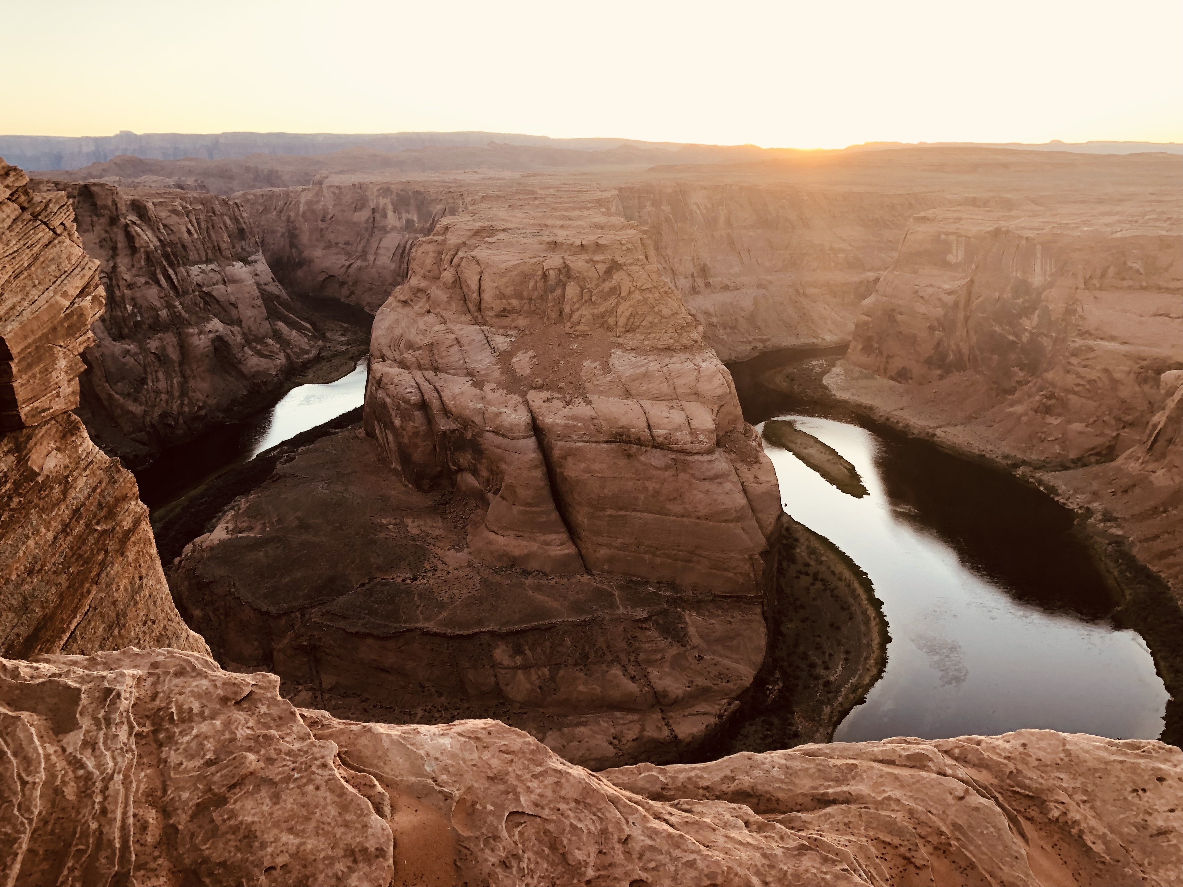
Horseshoe Bend is even closer to Page, and part of Glen Canyon National Recreation Area. The feature is a deep canyon — about 1,000 feet — carved by the Colorado River, which takes a major bend at that point. The view from cliffside is arresting. It shouldn’t be that deep, or that curvy, or that massive, but it’s all those and, in certain lights, insanely photogenic. I understand its fame.

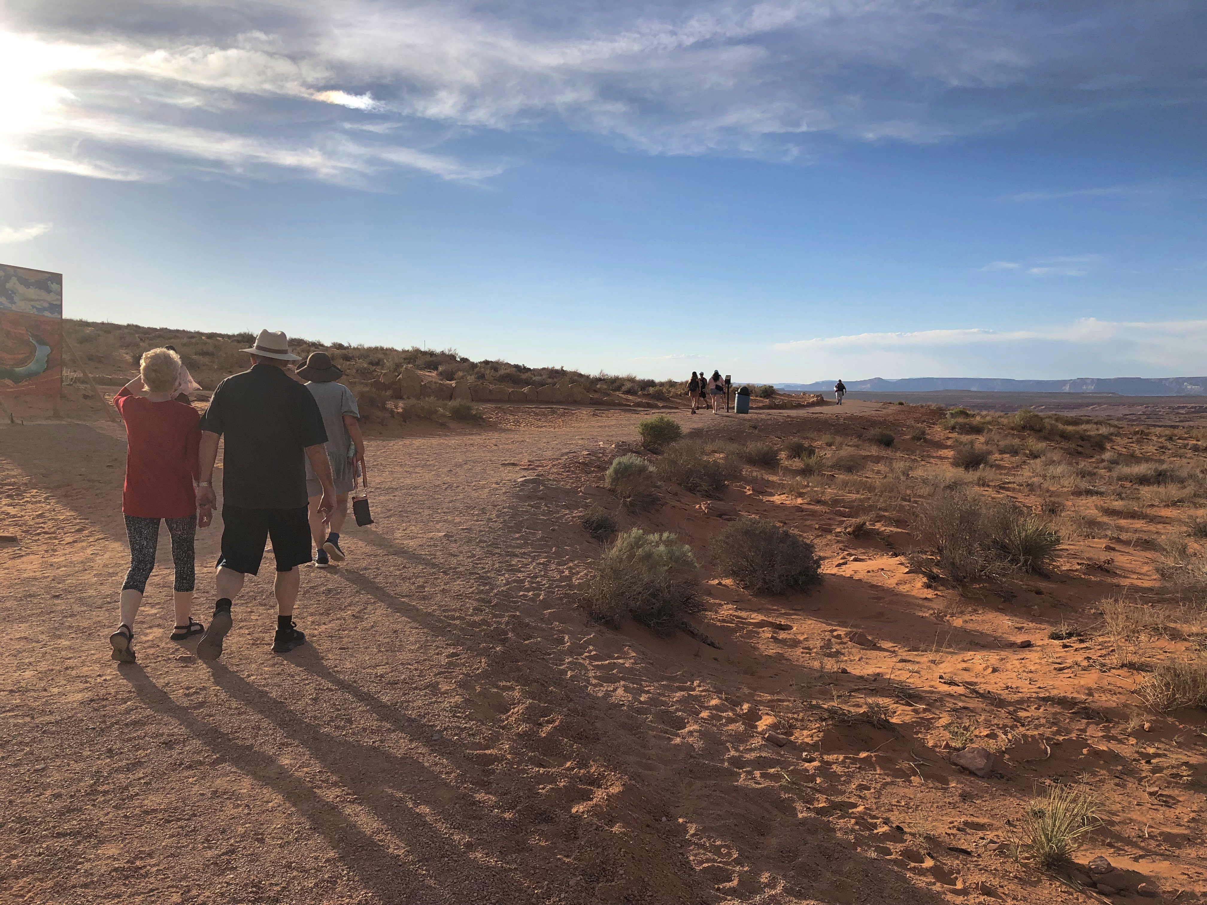
You park at a spanking-new (2018) parking lot, run by the city of Page, pay your $10, and walk about a half mile along a well-defined path. At one point along the way, marked by a small sign, you enter the recreation area’s land and presumably leave Page’s, as if that matters a whit.

Only a few years ago, people parked beside the highway and traversed the mildly hilly desert territory to the view. As numbers increased, so did calls for help from people who hadn’t prepared themselves for the walk. Even a half mile on this terrain requires some preparation (good shoes, water, that sort of thing).Horseshoe Bend Trail Horseshoe Bend Trail

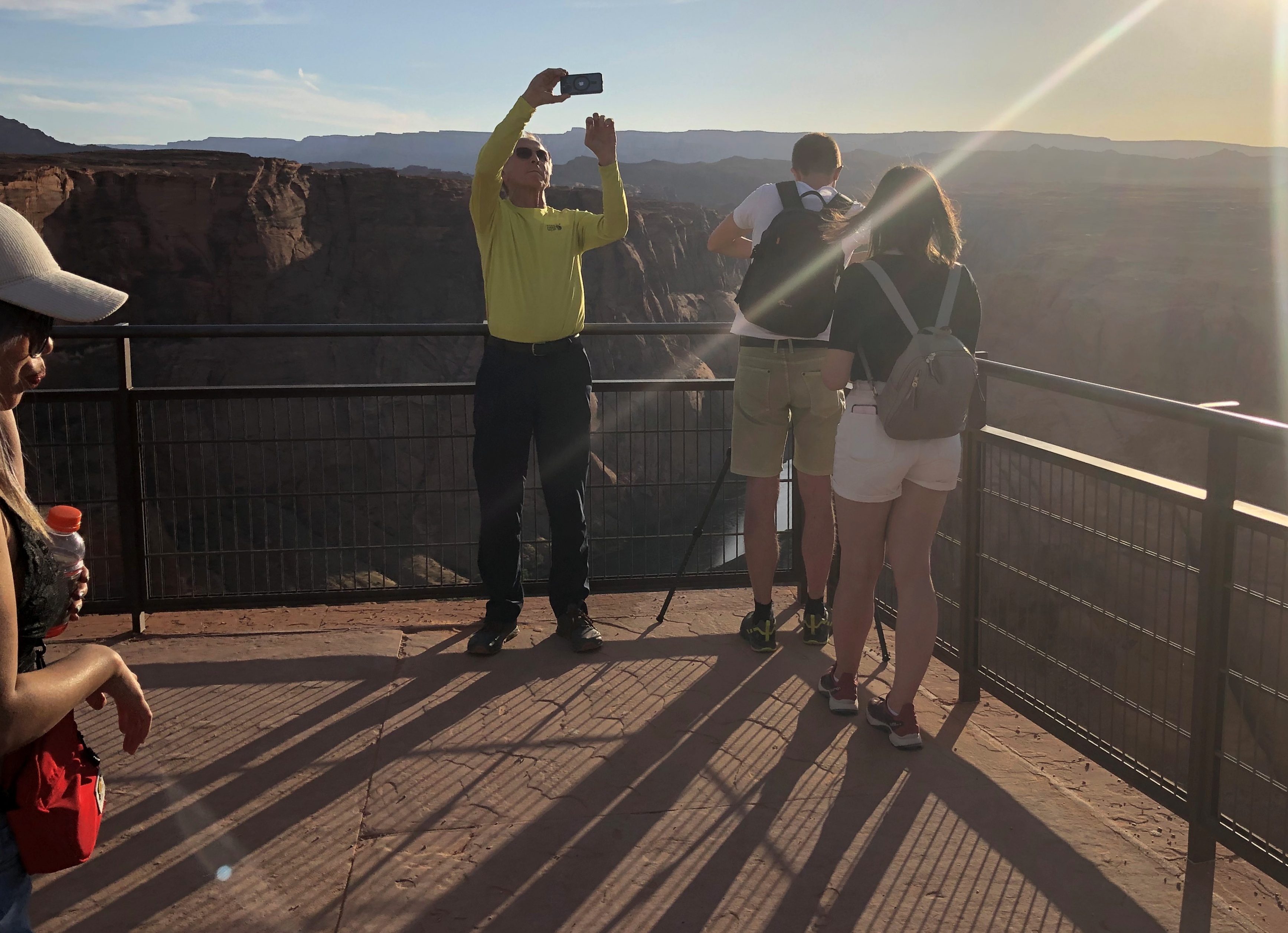
A bit of the cliff-edge has rails, but most of it does not.
Horseshoe Bend Trail

Most of the time we were there, the sun was in our eyes, since the viewpoint faces more-or-less west and it was about an hour till sunset. That didn’t diminish the in-person grandeur of the bend. It did diminish the quality of my images. Oh, well.
Horseshoe Bend

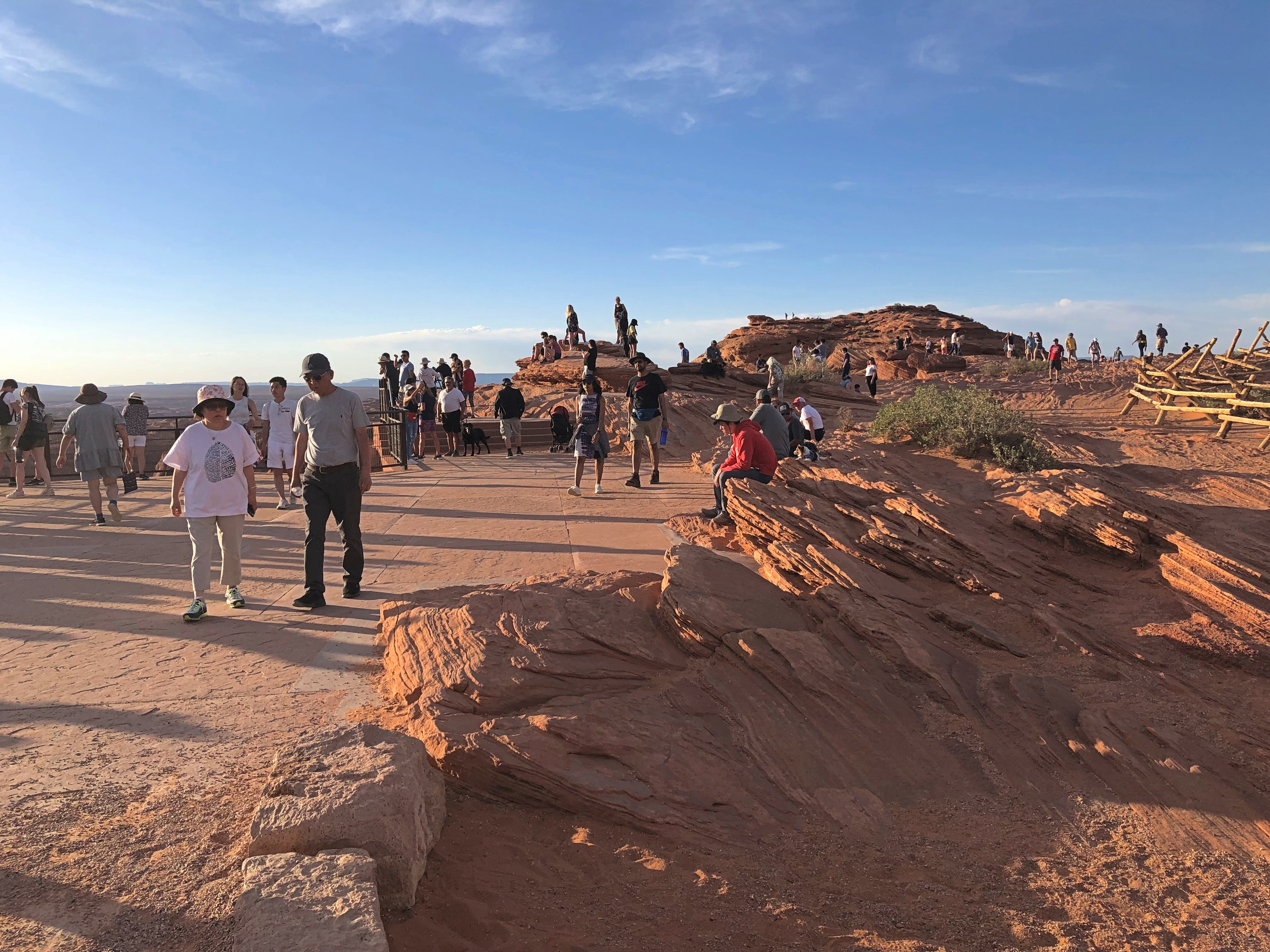
The direct sun didn’t deter others from their picture-taking either.Horseshoe Bend
Horseshoe Bend

The sinking sun didn’t actually represent sunset, since it only meant the sun dropped (appeared to drop) behind the mountainous territory to the west. Still, it was a relief, and while the canyon at that moment isn’t in optimal light either, it’s still a wonder.

NV-AZ-UT ’22 (Or, How to Overdose on Western Scenery in a Week)

Years ago, I got to talking scenic destinations with a professional photographer who contributed to the Chicago-based magazine I edited at the time. He asked me if I’d ever been to Utah. I told him I had: northern Utah, including Cache Valley and Salt Lake City, which I’d visited in the early ’80s. Pretty places, I said.

“Northern Utah is pretty,” he said. “But southern Utah is ethereal.”

Later, after I visited Zion and Bryce National Parks, I was inclined to agree. But of course I wanted to see more. This year, I did. Yes, photographer whose name I wish I could remember. Ethereal. Absolutely.

Saturday before last, Yuriko and I flew to Las Vegas, returning late this Sunday from Salt Lake City. Two days in transit, seven on the road. In that time, we visited four national parks, three national monuments and two tribal parks, all in either Arizona or Utah. We spent a little time in the aforementioned major metros, plus more time in two tourist towns — one in Arizona, the other in Utah — staying there in two non-chain motels, one of which is arguably historic. We passed through an array of other tiny towns and wide places in the road, stopping when the mood struck.

I’m glad to report we ate no fast food. Besides grocery store food in our rooms or at picnic tables, and motel-supplied breakfasts, we ate at local eateries: Vietnamese, a family restaurant, Southern fried chicken, doughnuts, Mexican, barbecue (Texas-style beef), a retro diner, Thai, pizza, Korean fried chicken and Chinese hot pot. A few of those restaurants were in the cities — Vegas and Salt Lake — but I can also report that here in the early 21st century, the American appetite for food variety has spread far and wide into a galaxy of smaller places.

We drove briefly on Interstates, but mainly followed state, park and tribal roads, most paved, but not all. We walked a variety of trails, across sandy ground and over flat rocks, through woods but more often desert scrub. We crawled through slot canyons. All that under hot and copper skies, sunny or partly cloudy. Very warm, rather; in the 80s F. most of the time, except for a cooler spell on the last two days. Often as not, on the hot days, the wind kicked up and cooled us off, besides blowing sand at our faces and threatening to whisk our hats off high cliffs.

Mosquitoes were rarely a presence, fortunately, but gnats and flies made themselves known. If you looked carefully (actually not that carefully), you’d notice lizard trails in the red sands, and holes borrowed into the same sands by larger creatures who don’t care to come out during the daytime. Lizards, on the other hand, are more than happy to sit around in the sun, or scurry across the trail ahead of you or on the queer rock formations to your side.

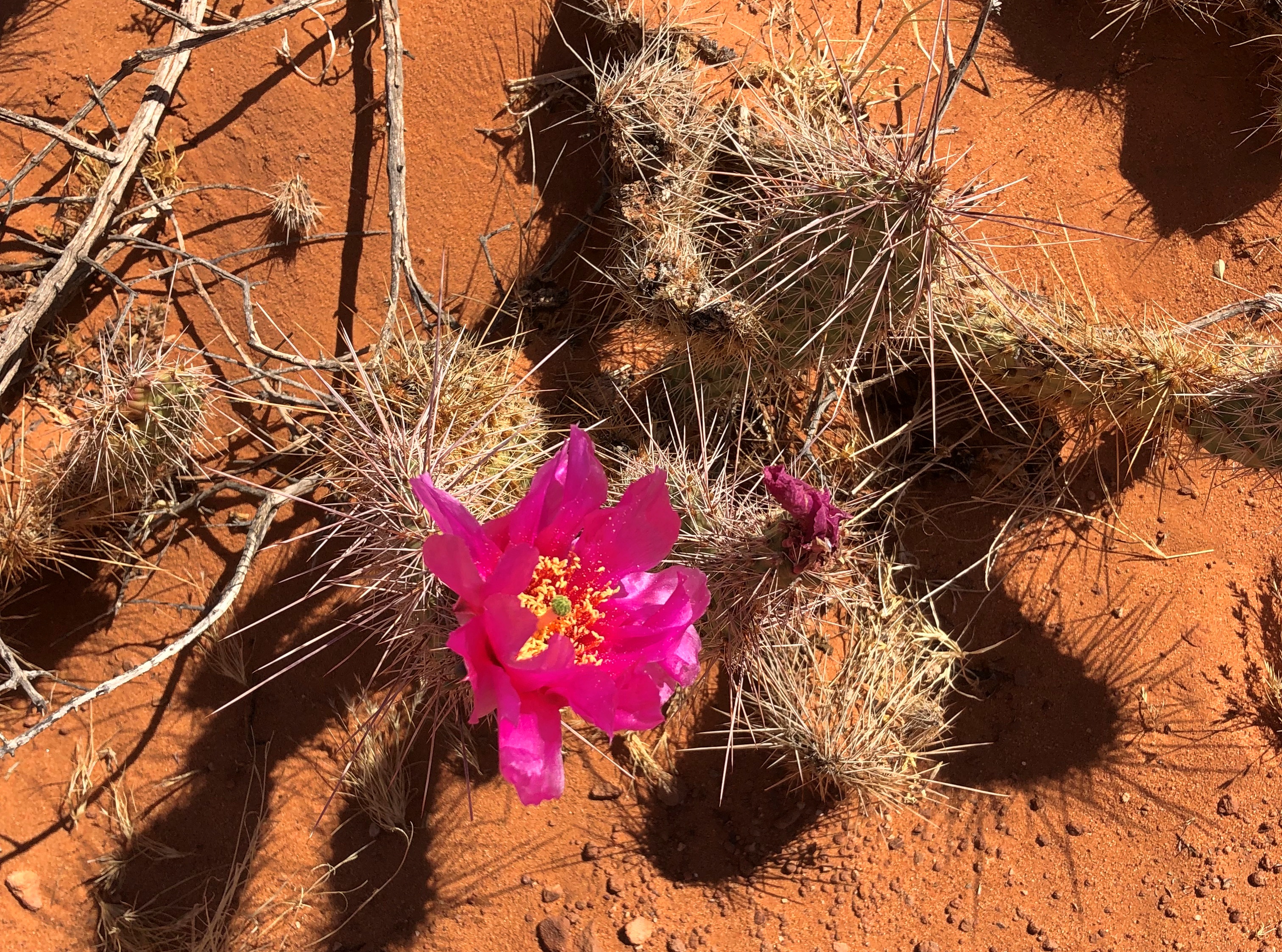
I’m not the first to notice that deserts can be surprisingly green, though not the greens you see in less arid places. Notice it I did. I’m not a farmer or horticulturist or botanist or  florist, but I tried to notice the desert flora. Wildflowers bloom in great profusion this time of the year, along the roads and trials and off into the distance, even in the harshest environments.

People are back in the national and other parks. Middle-class American tourists, that is, of whom I’m obviously one, plus visitors from a spectrum of European and Asian nations. Perhaps a strict majority of the tourists we encountered were older, but younger age groups, including young families and groups of young friends, were out in force. The tourists passed through an inhabited land, of course, one with as diverse a population as most any city in the nation.

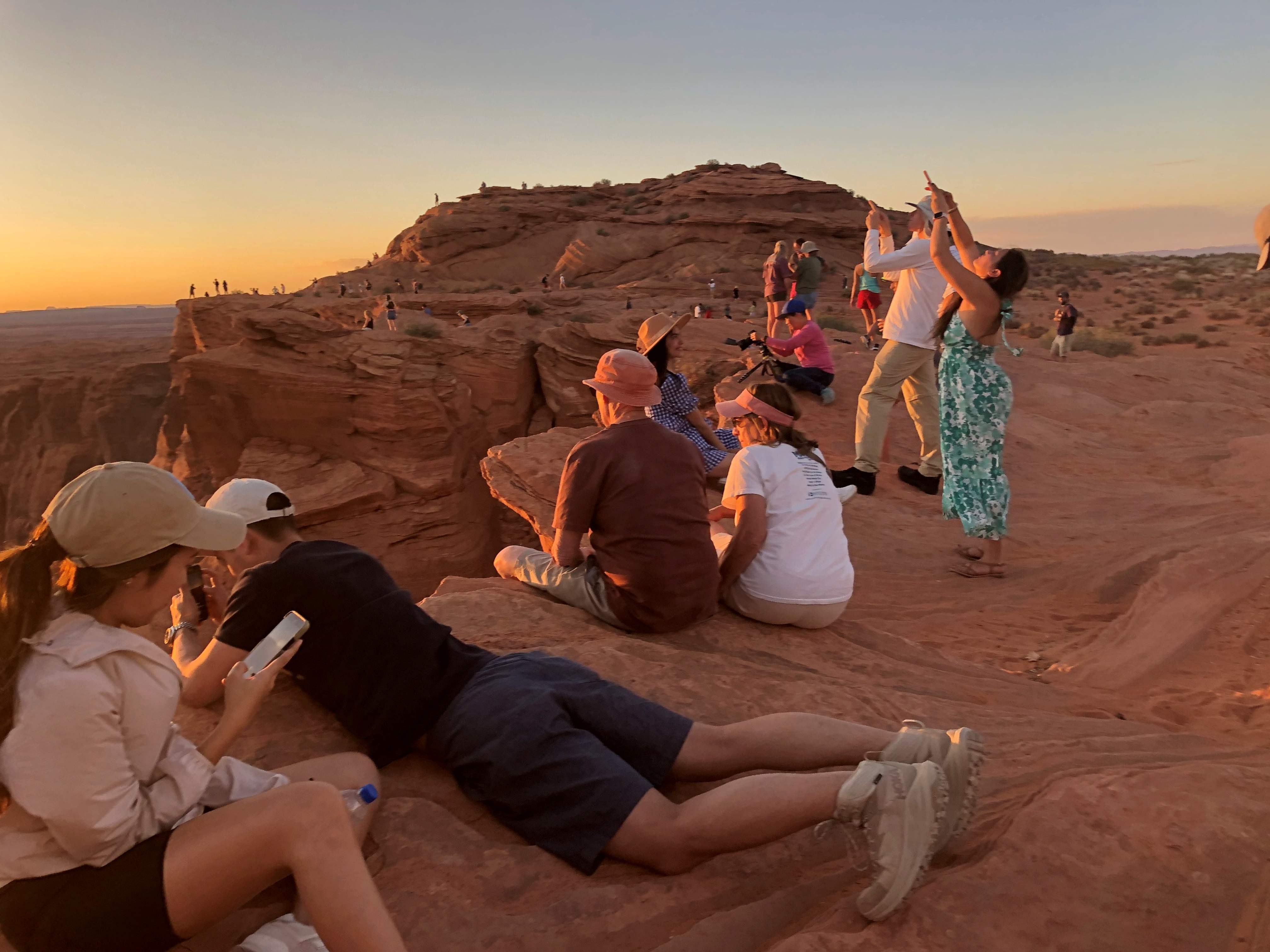
No destination was exactly crowded, but a number of places were very popular, enough to erase any notion of desert solitude. Even so, there’s a mild camaraderie among the tourists, greeting each other much more frequently than they would in an urban or suburban setting, asking and offering to take pictures of strangers, pausing for each other to pass on narrow paths, sharing information about trail conditions ahead, making jokes or other observations for everyone to hear.

At one particularly windy vista, I put my hand on top of Yuriko’s head to hold her hat down, at her request, while she took pictures.

“That’s why she keeps you around, huh?” one passing fellow with about 10 years on me said.

“That and to open jars,” I answered.

The kernel of this trip was Yuriko’s longstanding wish to see Antelope Canyon (and she knows how to pick destinations). Back in bleak January, I planned the thing, expanding the list of destinations a lot. I’ve wanted visit that part of the country again for years.

We went looking for scenic vistas formed by rocks of unimaginably various shapes, and boy did we find them — views of reds and oranges and ochers and browns and whites, seeing formations deep in canyons, vaulting high into the sky, or appearing wholly at eye level or underfoot. It boggles the mind: how did these rocks get to be so incredible to human perception? I know: wind and water and time. A lot of time. But damn. I also know — or at least have an inkling of — the fact that these rocks are temporary. Geologically speaking, only a little less the blink of an eye than my own lifetime.

We drove out of Vegas last Sunday morning, bound for the tourist town of Page, Arizona, where we’d last stayed 25 years ago this month, when we visited Lake Powell. En route, we passed through Zion National Park (a destination in 2000 but not this time) and later ventured briefly into the vast and contentious Grand Staircase-Escalante National Monument.

Our first major destination, a week ago on Monday morning, was the slot canyons of Lake Powell Navajo Tribal Park, an embarrassment of sandstone riches near Page. Also near Page — actually in Page, but also part of the Glen Canyon National Recreation Area — is Horseshoe Bend on the Colorado River, now famous because of Instagram. Be that as it may, we weren’t about to miss that. We watched the sun drop below the mountains in the distance at Horseshoe Bend.

Another thing we weren’t about to miss was the less-visited North Rim of Grand Canyon National Park, which is every bit as grand as the South Rim, though it took some circuitous driving  last Tuesday to get there from Page, by way of remote roads, One of those roads, the only paved one anywhere nearby, edges the bottom of the dramatic cliffs of Vermillion Cliffs National Monument, a sprawling uplift of wilderness. Of it, the Bureau of Land Management says, “expect rugged and unmarked roads, venomous reptiles and invertebrates, extreme heat or cold, deep sand, and flash floods.”

Returning from the Grand Canyon to Page, we stopped at Navajo Bridge, which spans the Colorado River. It’s two structures: the historic bridge from the 1920s and the modern bridge from late in the 20th century, which was designed to complement the older bridge, and it does, masterfully. The old bridge is now a foot bridge, and we walked across it.

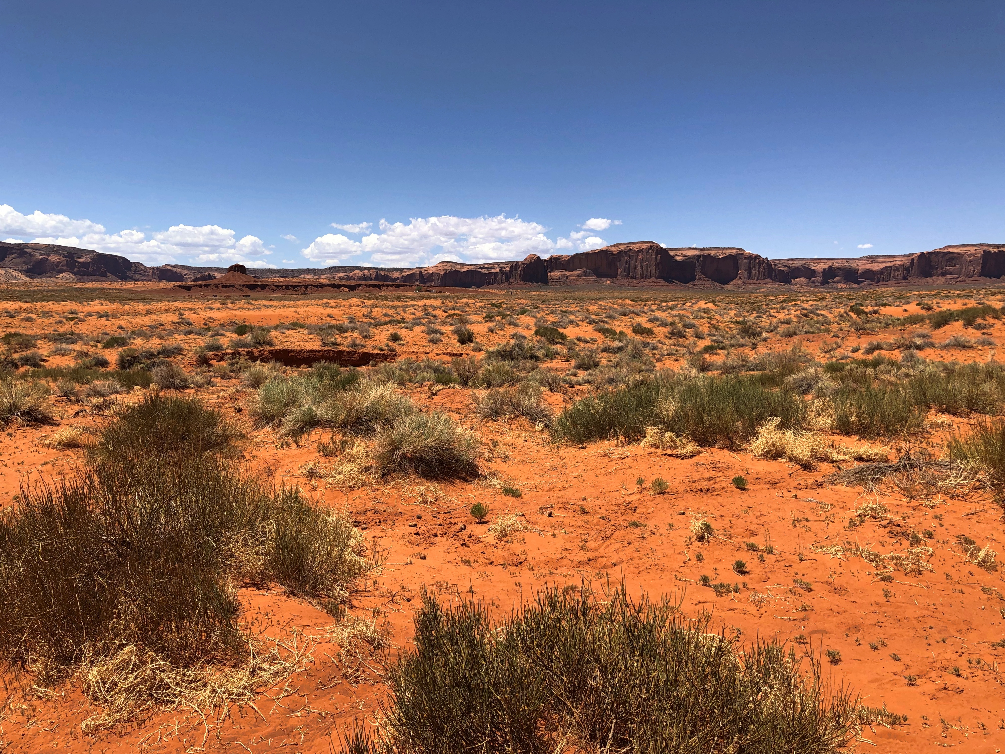
Leaving Page on Wednesday, we made our way to another tourist town, namely Moab, Utah, at first on roads passing through the Navaho Nation, until we reached Monument Valley Navajo Tribal Park, home of famed sandstone buttes. We did the drive on the park’s circular road, unpaved and dusty and rocky and as red-orange as Mars, flabbergasted by the stone masses, most of which don’t actually make it into the movies. If you think you’ve seen Monument Valley because it’s been captured on celluloid so often, let me assure you that seeing it in person is an experience a level higher.

Later that same day, before arriving in Moab, we stopped at the much more obscure Natural Bridges National Monument, whose name clearly states its prime attraction. Among the wonders of southern Utah, it is a modest one. But a modest wonder in this part of the country is still a wonder.

On Thursday, we drove the short distance from Moab to Arches National Park, an astounding place populated by lofty arches, but also an endless array of stone pinnacles and balancing rocks and other rock formations. We spent most of the day there. The crowds are such that timed entry is now being tested at the park, and the crowds are right. Arches is one of the places the photographer must have been talking about.

Less crowded but no less spectacular than Arches is Canyonlands National Park, a little further out of Moab. We spent Friday morning at the evocatively named Island in the Sky District of Canyonlands, whose vistas overlook canyons, mesas and buttes. Another ethereal place. On Friday afternoon, we drove to Salt Lake City on roads through pale badlands and along more cliffs, and then through the forested mountains of Carbon and Wasatch counties.

We spent Saturday in Salt Lake, a city greatly expanded since the last time I visited, in 1980. That’s so long ago it was like I’d never been there. We focused most of our attention downtown in the morning and took in urban sights, Mormon-oriented and otherwise, including Temple Square and Utah’s magnificent State Capitol. In the afternoon, we visited the This is the Place Monument on a hill overlooking Salt Lake, and finally the Natural History Museum of Utah.

On a stretch of Utah 261, we encountered the Moki Dugway, a mountain road and one intense drive — more about which later. When we got to the top, I stopped to take pictures, including one of a road sign just ahead of the road’s first serious curve.Moki Dugway Buc-ee's
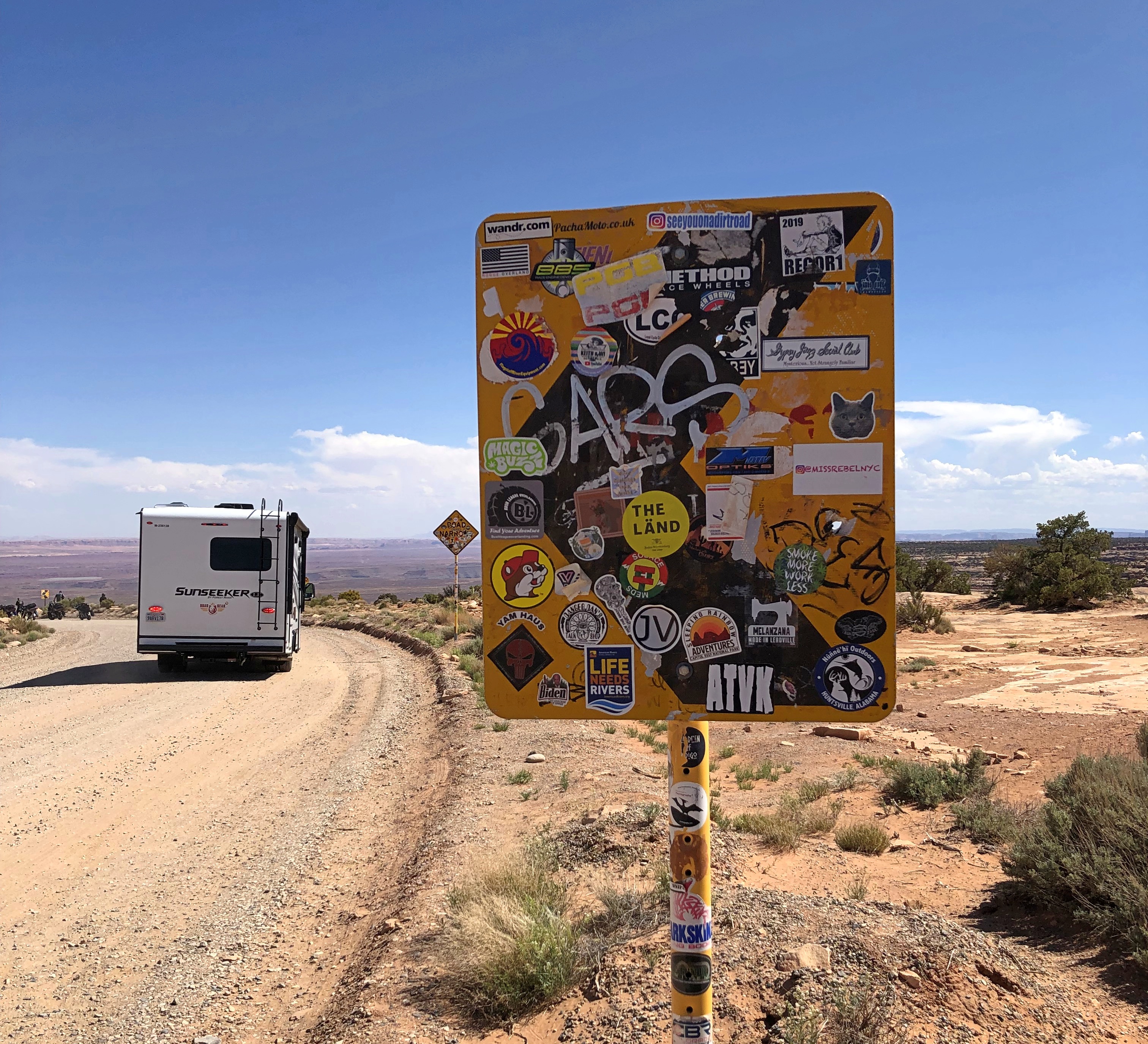
That little bastard of an amphibious rodent is everywhere.
New York City ’21

Until a few weeks ago, I assumed that I’d take no more trips for the rest of the year. I’ve had an exceptional year in that way, so another one would be an unexpected cherry on top of the sundae.

Early this month, my company invited me to some meetings and other events at headquarters in downtown Manhattan, so on Wednesday I flew from O’Hare to LaGuardia, returning today. The first thing I noticed in NY is that the redevelopment of LaGuardia is coming along. LGA is on its way to being a real 21st-century airport, rather than the dingy embarrassment it has long been.

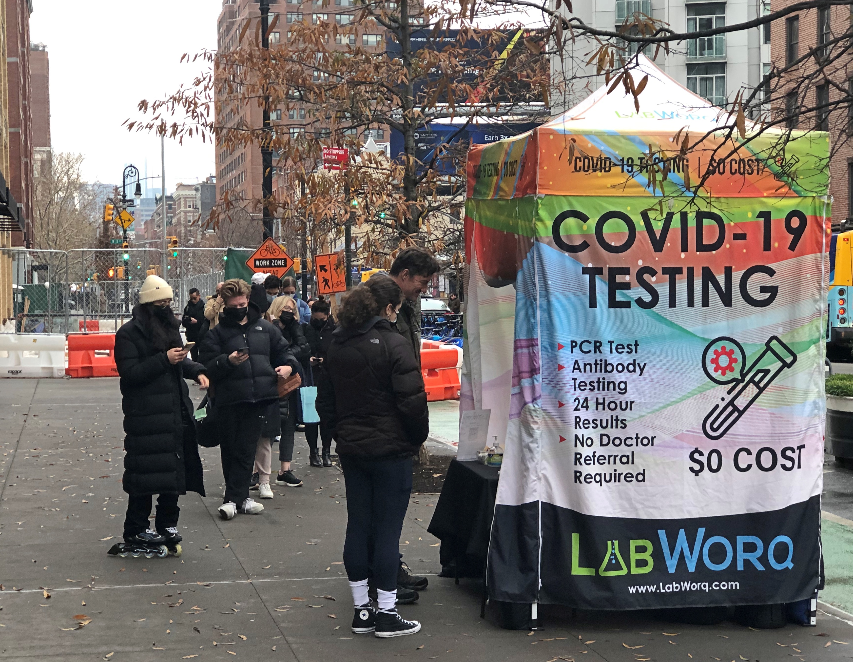
On the whole, the weather was cooperative for a visit, clear and cool until Saturday, when it was cool and alternated between drizzle and mist. The pandemic was not cooperative. Some of the events scheduled for my visit were canceled or otherwise disrupted. New Yorkers were eager to be tested at popup facilities.NYC 2021

I had some time to walk the streets and other pathways of the city, especially on Saturday – a low-risk activity, even in the days before the vaccines – and had a few good dine-in meals, in spite of everything. Such as at a storefront on Water Street, Caravan Uyghur Cuisine, where I had a wonderful lamb dish, besides the experience of visiting a Uyghur restaurant for the first time.Uyghur food

From Wednesday evening to Friday morning, I stayed at a hotel at the non-financial end of Wall Street, and spent the whole time in Lower Manhattan, below Barclay St. From Friday evening to this morning, I stayed at a hotel in Midtown East (or Turtle Bay, on 51st) and spent some time around there, though my travels took me back downtown sometimes.

Lower Manhattan is a fairly small district, with its streets roughly hewing to those of New Amsterdam, meaning a grid that’s been dropped and stepped on, unlike most of the rest of the island. That makes for more interesting exploring, but it’s also possible to get disoriented, though never for very long.

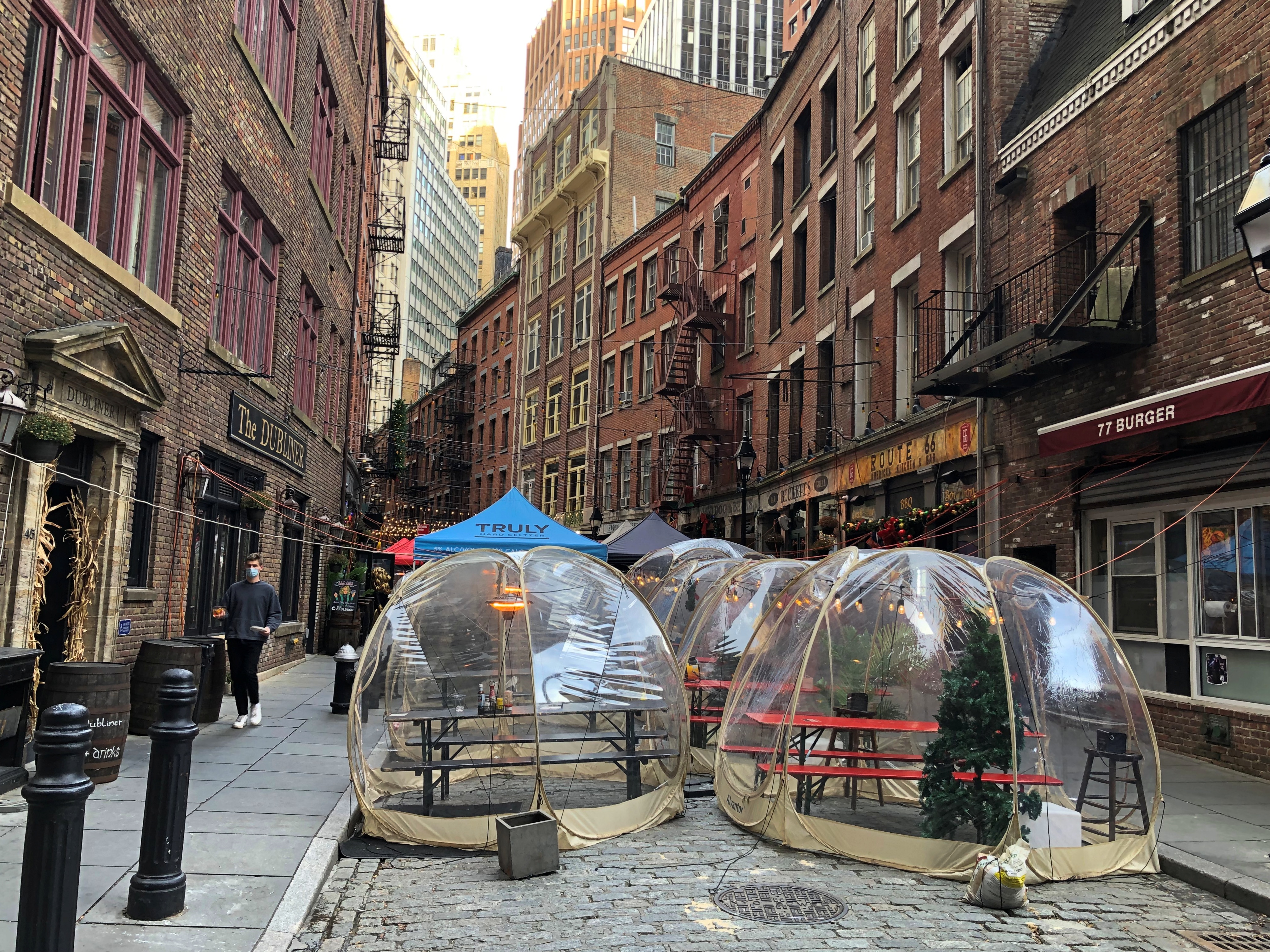
During this visit, I had time to look over two streets in detail, Wall and William, though I poked around some others, such as the charming and close-in Stone Street, where a residue of 19th-century buildings overlook 21st-century outdoor bubbles that serve as restaurant annexes.Stone Street NY

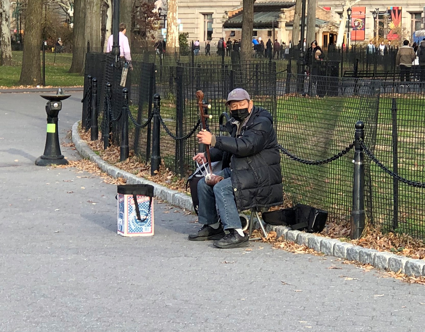
Spent some time in Battery Park (officially The Battery, but does anyone call it that?), which was alive with tourists and a few buskers late on Friday afternoon. Including this fellow, who was playing Christmas songs on his erhu. He was good, but not drawing much of a crowd, so I gave him a dollar.Battery Park, NY

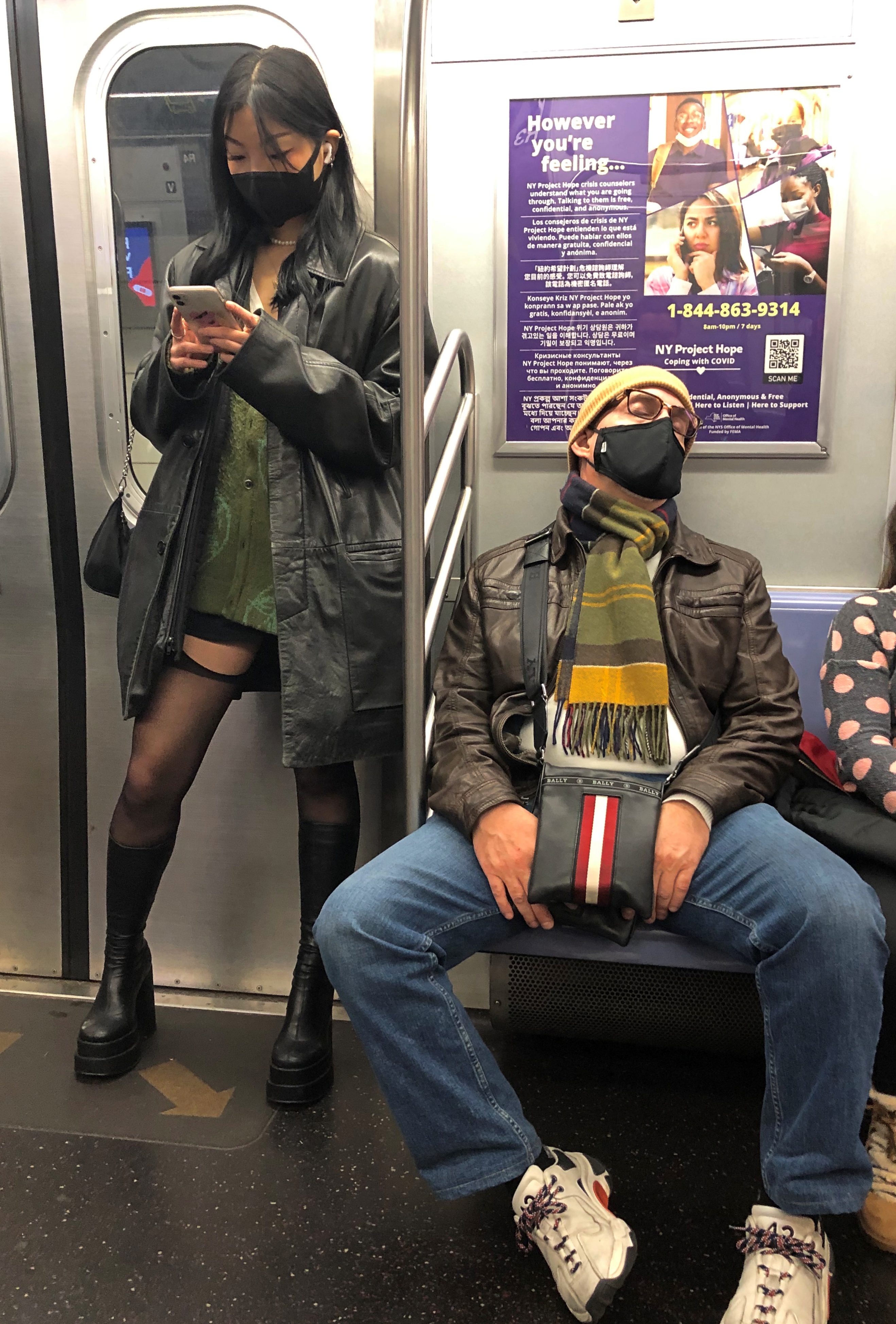
I did a lot of walking, but also rode the subway. It was about the same as ever, except for near-universal masks.NYC subway 2021

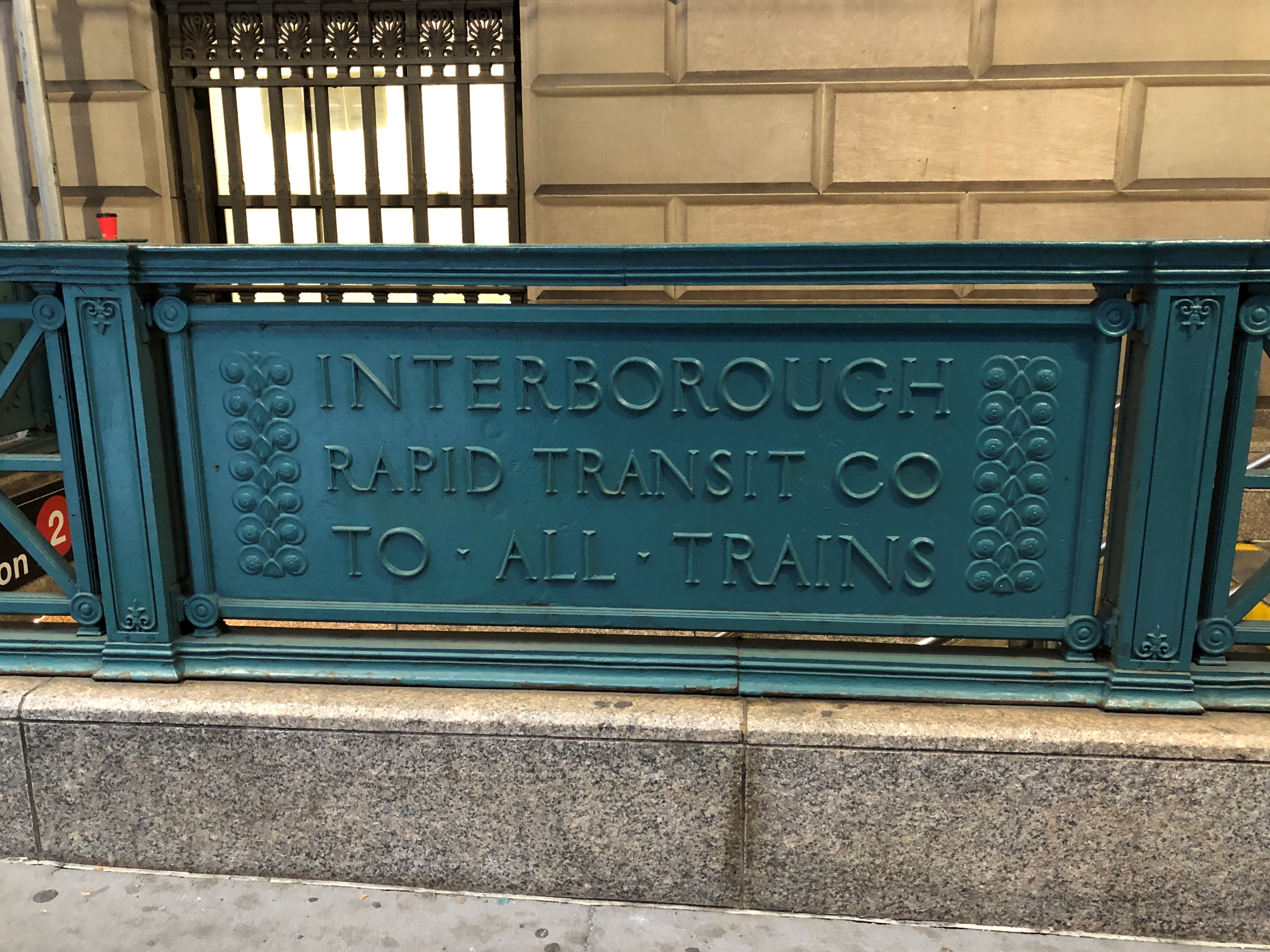
Also, no matter how many times I visit New York, and I’ve lost count, and how many times I ride the subway, I still get on the wrong line, get off at the wrong station, and mistake an express for a local. I did all of those things this time, once each. My wayfaring skills are pretty good, but without more practice, are no match for the irregularities of the system, which was welded together more than a century ago from two different competing systems, the IRT and the BRT, which were themselves consolidations of disparate lines.IRT sign NYC 2021

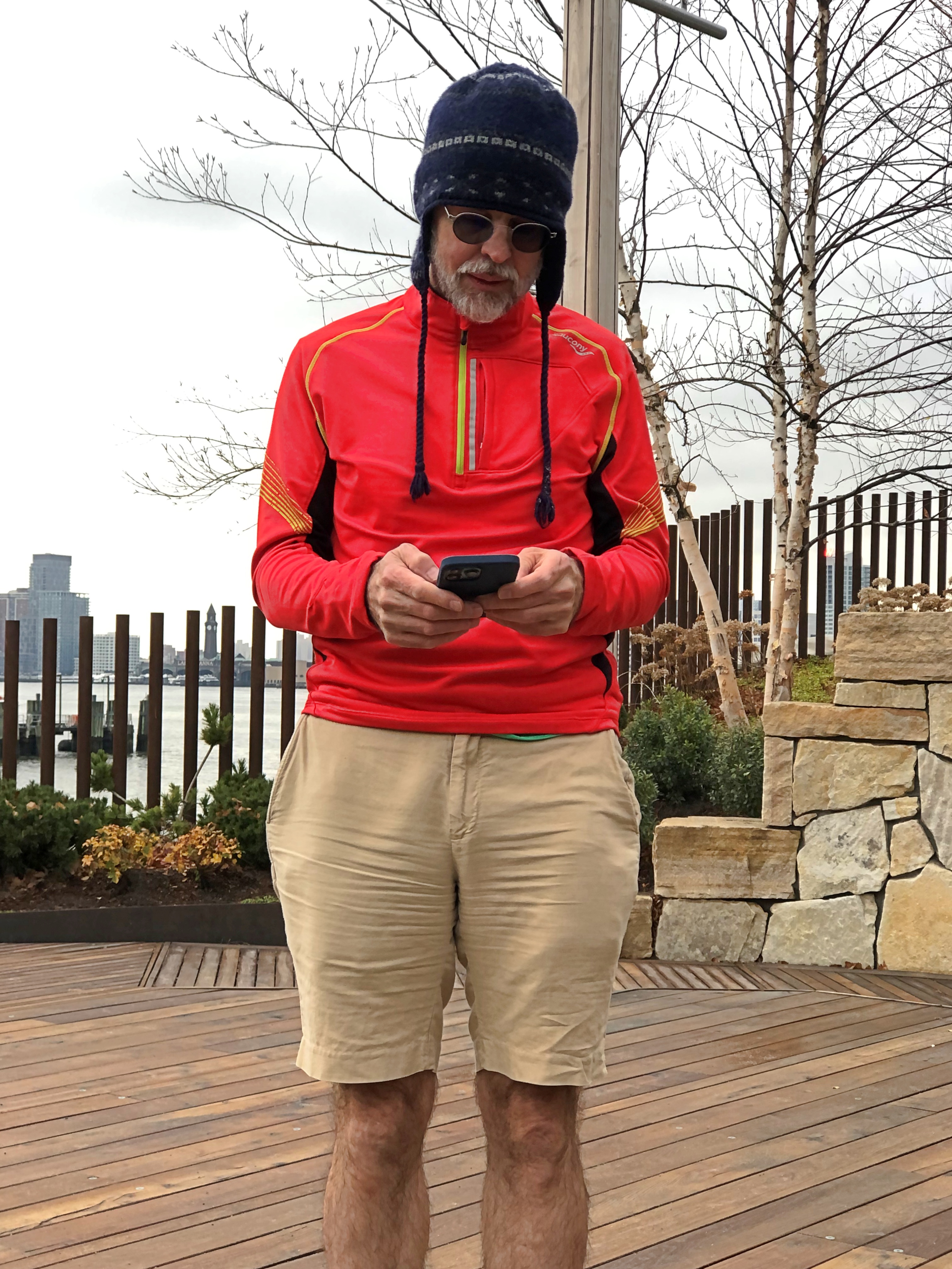
On Saturday, my only nonworking day in town, I was up early and walked with my old friend Geof Huth from Battery Park, near where he lives, up the greenway along the Hudson River to the city’s newest park, Little Island, a course of nearly three miles. Here’s Geof on Little Island.Geof Huth

We had a grand walk that morning, passing small parks, gardens, memorials, sculptures, recreational facilities, many Hudson River piers, and urban oddities, such as one of the most brutal structures I’ve ever seen, the Spring Street Salt Shed.

One thing I did not do, which I had fully planned to do on Saturday afternoon, was head up to the other tip of Manhattan to see the Cloisters. By now it’s a running joke with myself. Every time I go to New York, I want to see it. I have since a New Yorker friend of mine first recommended it to me in 1983, and a lot of other people have since then. Somehow or other on each trip, something happens to prevent my visit.

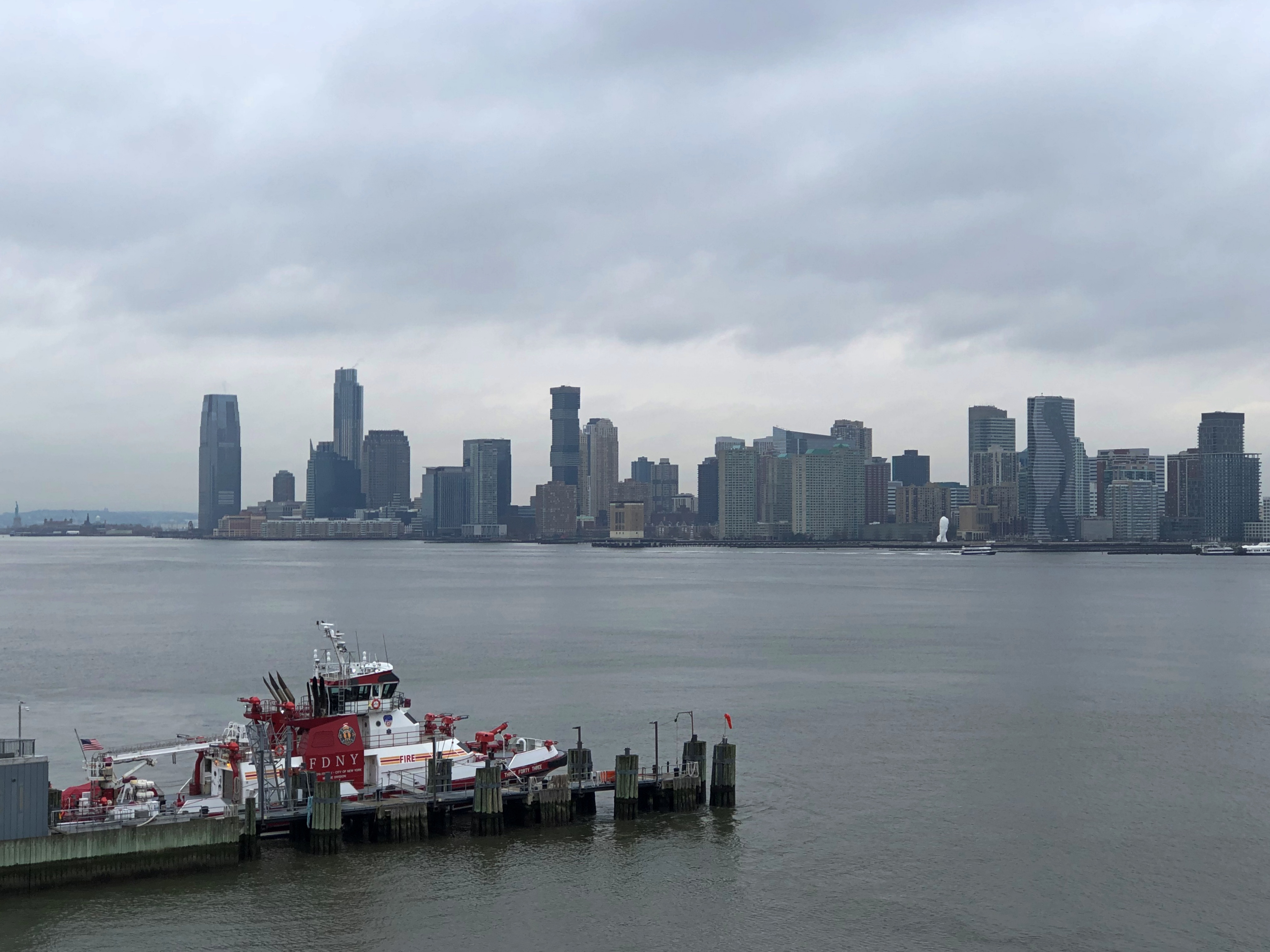
This time I was too tired after the grand walk, though I don’t regret the miles along the Hudson. Not only did we see a lot on the land side of the path, we had some excellent views of Jersey City and eventually Hoboken, across the river. Is it odd that I want to go to those places as well someday? Maybe not as odd as it once would have been.Jersey City 2021

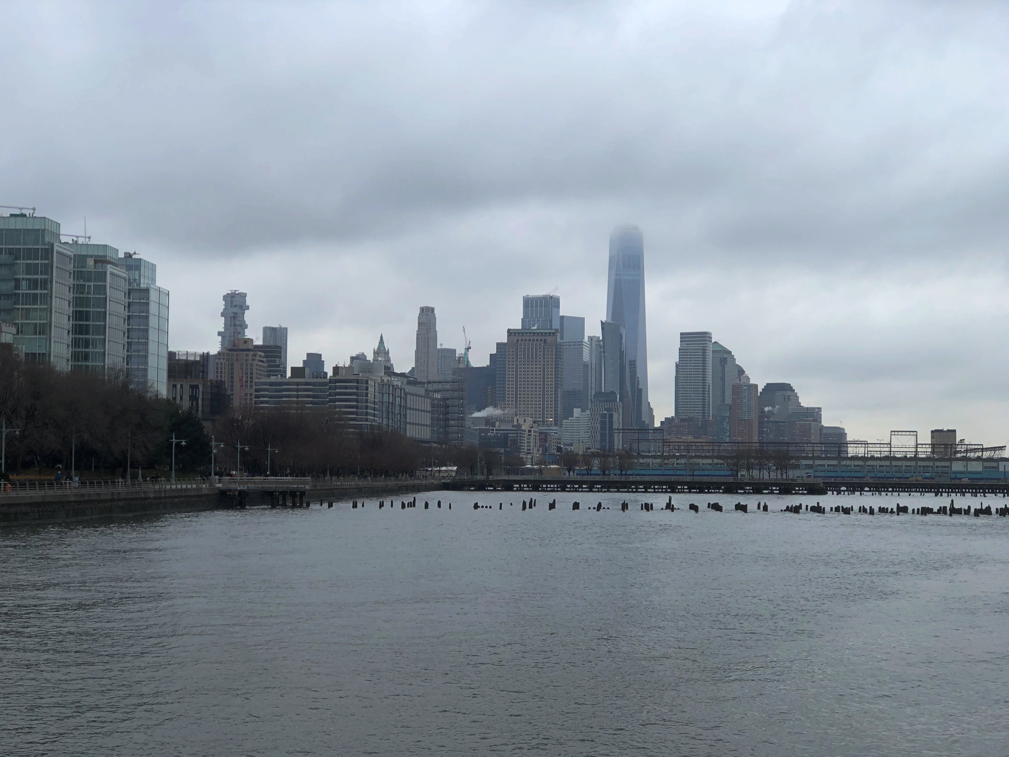
Had some fine views of Lower Manhattan too, such as with One WTC poking into the clouds. I’m going to consider this a vista, since we were raised a bit above sea level.Lower Manhattan 2021

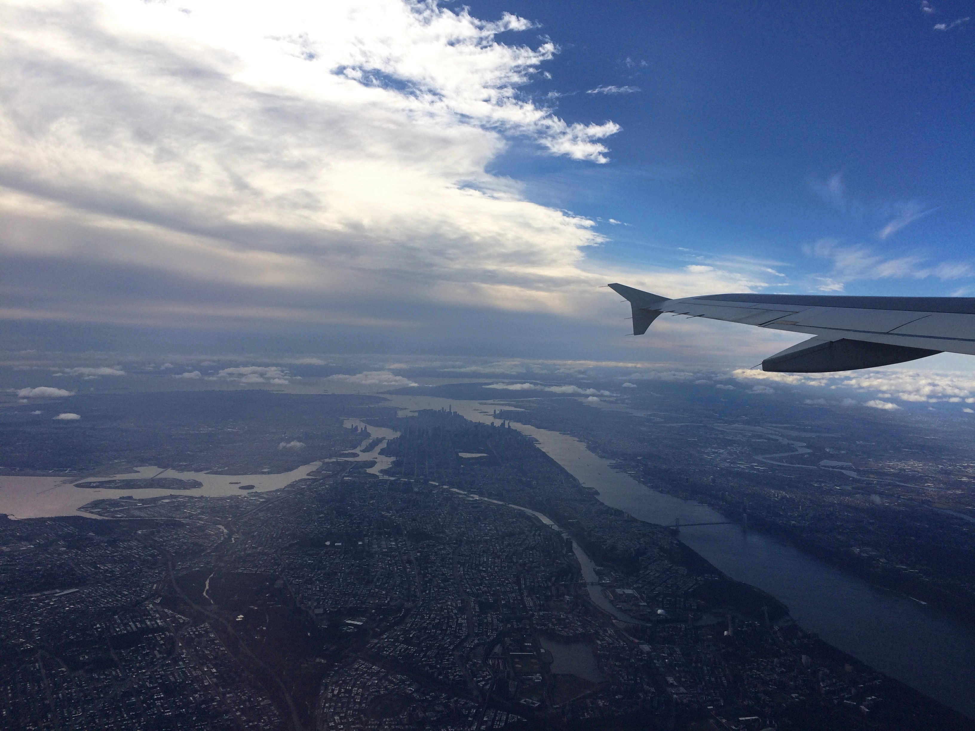
Though not technically a vista, I did manage to see the length of Manhattan as we left today.Manhattan &c

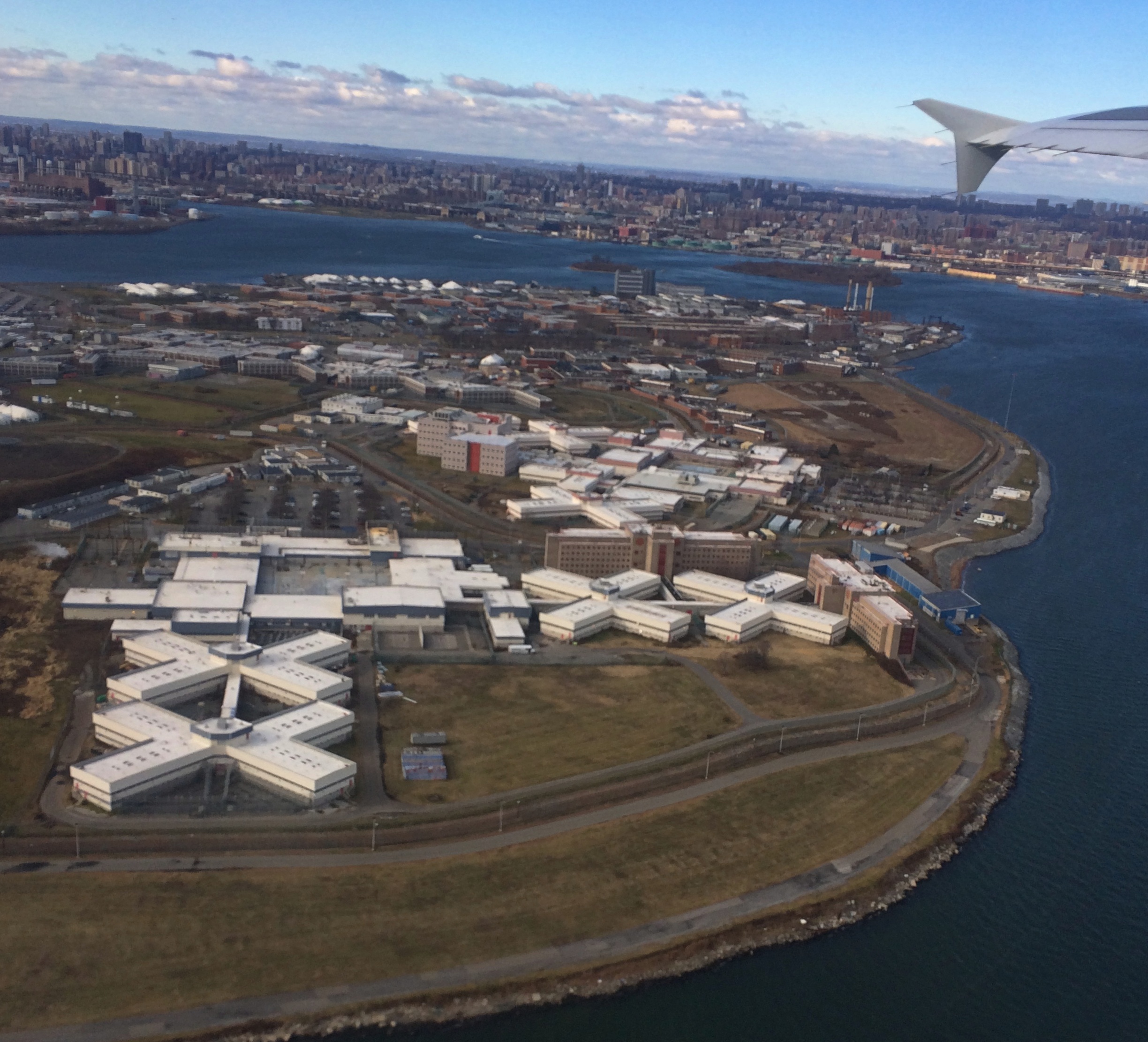
And a good deal else, such as the infamous Rikers Island.Rikers Island

I thought the year of vistas had come to a conclusion after Russian Hill, but no. I squeezed a few more more in.

Up Russian Hill & Back Down Again

What to do on a warm afternoon in San Francisco? On October 29, after leaving the Ferry Building, I spent some time wandering around downtown, which isn’t famed in song and story. It is, on the other hand, much larger than I remembered. Then again, the nine-county Bay Area metro population is about 7.75 million these days, and downtown SF is the main one for the region. Add metro San Jose and it’s even more.
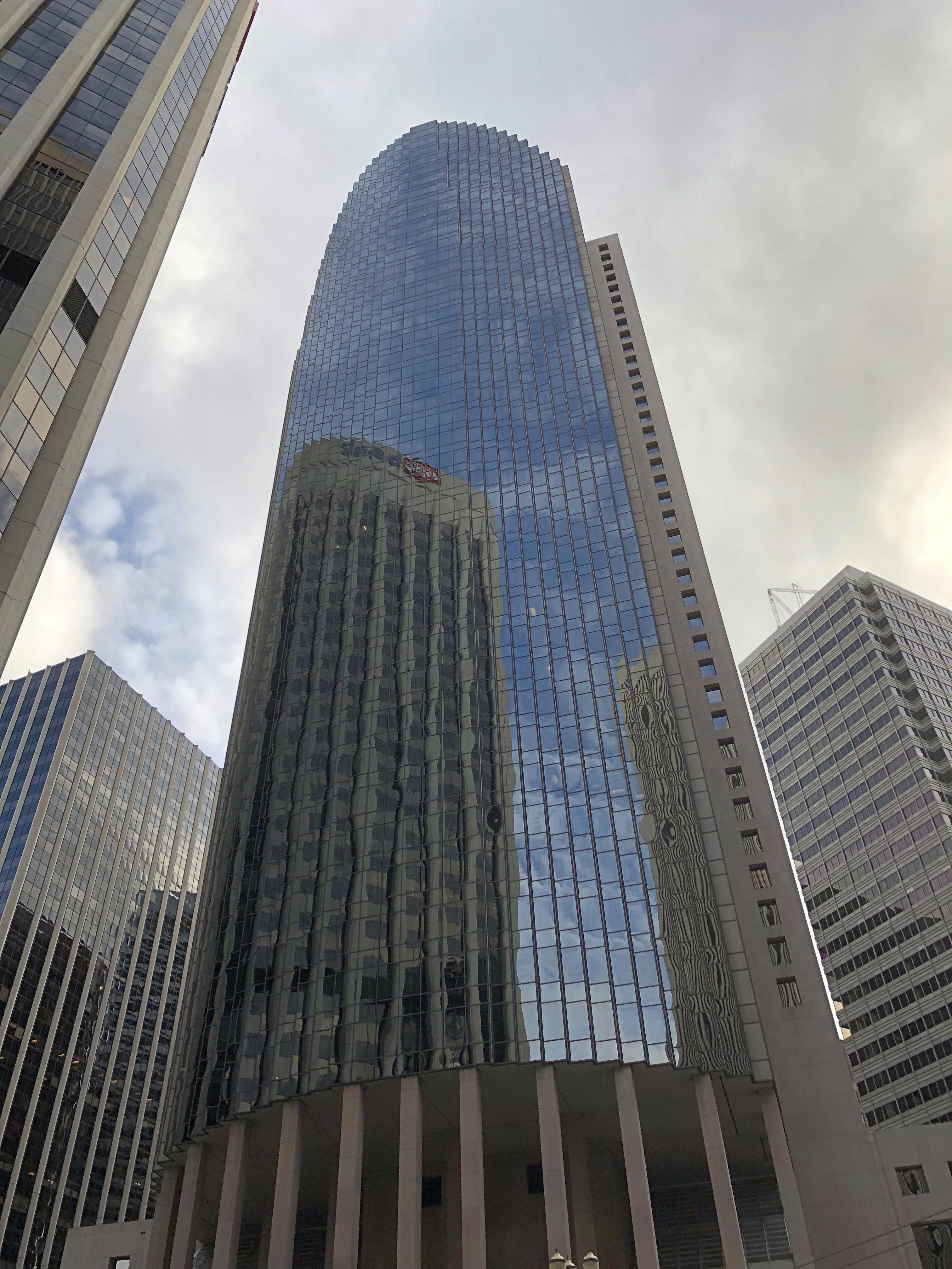
I wasn’t particularly systematic in my downtown walkabout, or I might have sought out Salesforce Tower, for instance. Here’s 101 California St. instead. A Philip Johnson and John Burgee design from 1982.101 California St
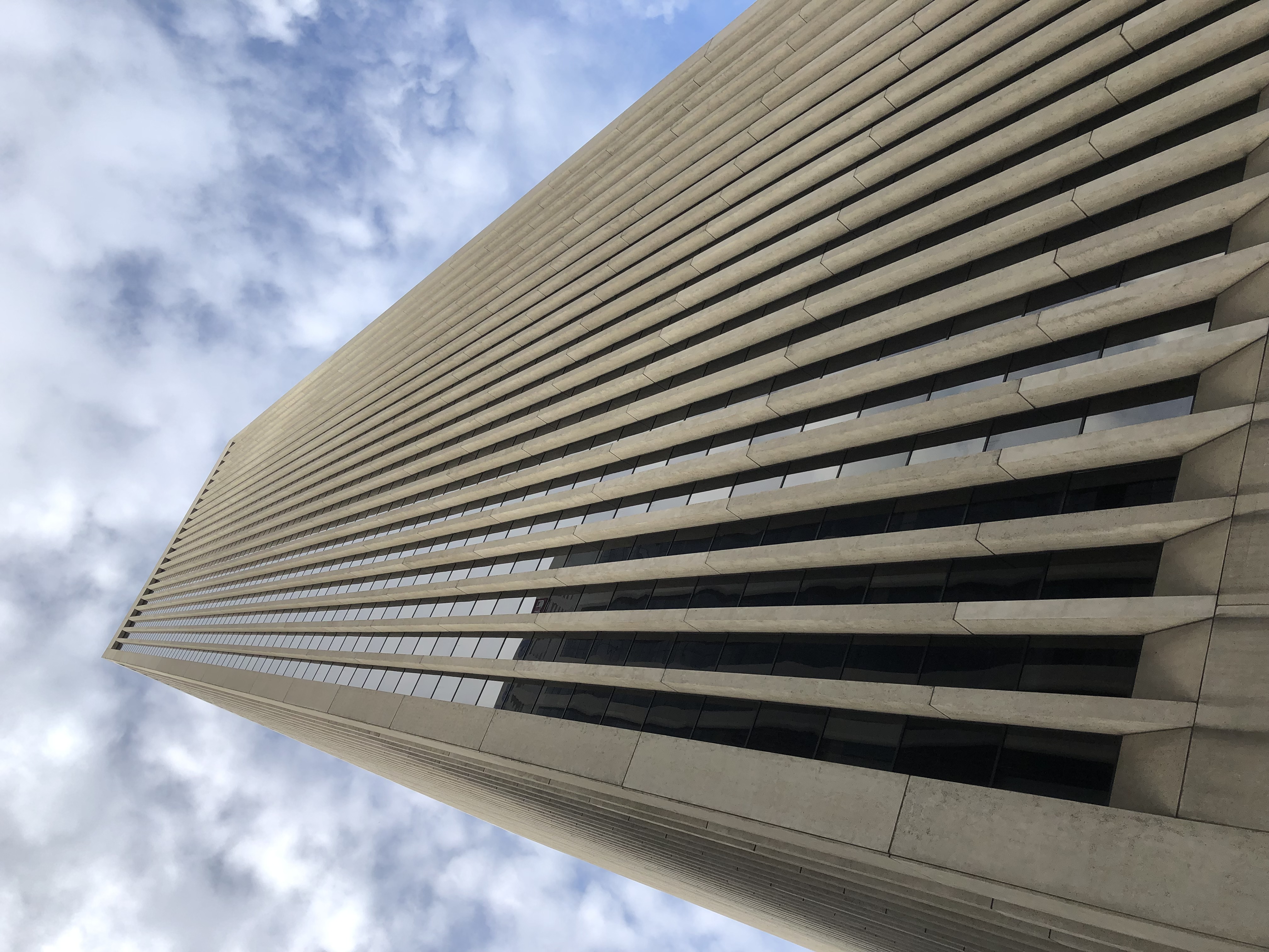
Bank of America Center (555 California), completed in 1969.
BoA SF

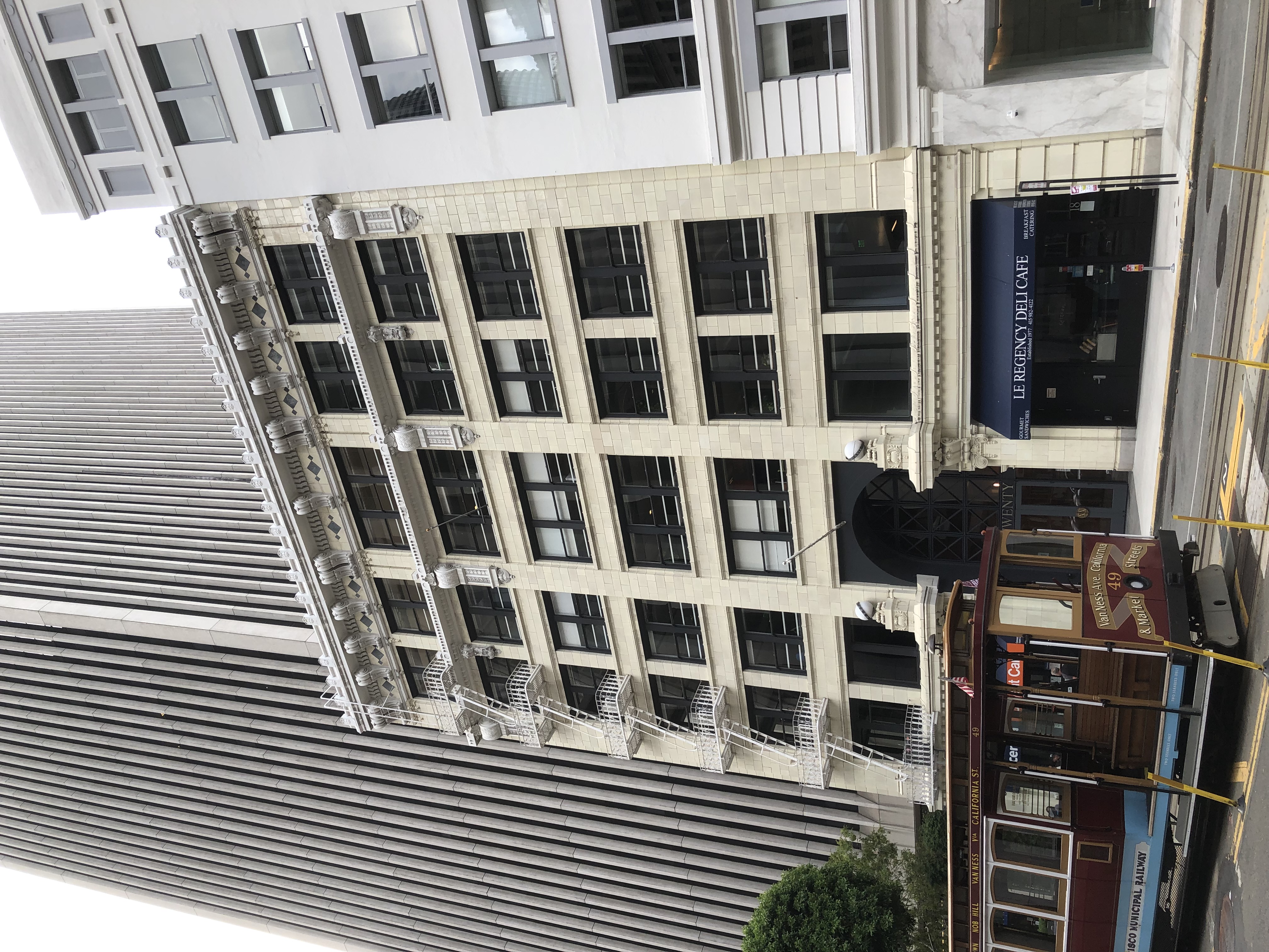
An older structure in the shadow of BoA, nicely restored.
Downtown SF

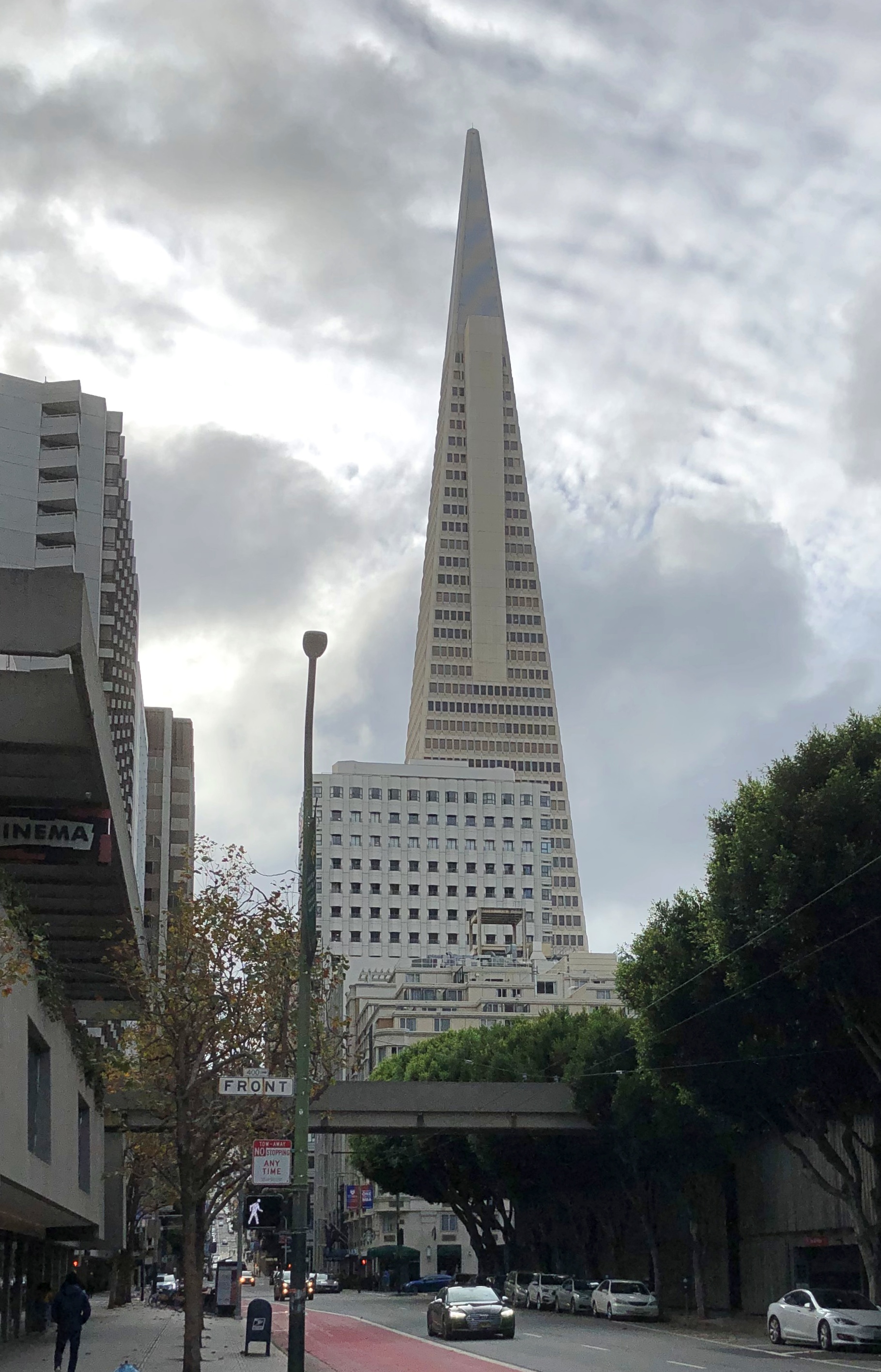
I couldn’t very well miss a shot of the Transamerica Pyramid, albeit at some distance.
Downtown SF

Designed by the unapologetic modernist architect William Pereira, the building was spanking new when my family and I visited San Francisco in 1973, and I regarded it with some fascination at the time. Still do.
I later took the streetcar along the Embarcadero to Fisherman’s Wharf, another place of fond recollections. As tourists, we went there in 1973 and ate at one of the restaurants — Jay had the squid — and in 1990, I stayed a few days at the Fisherman’s Wharf Holiday Inn.

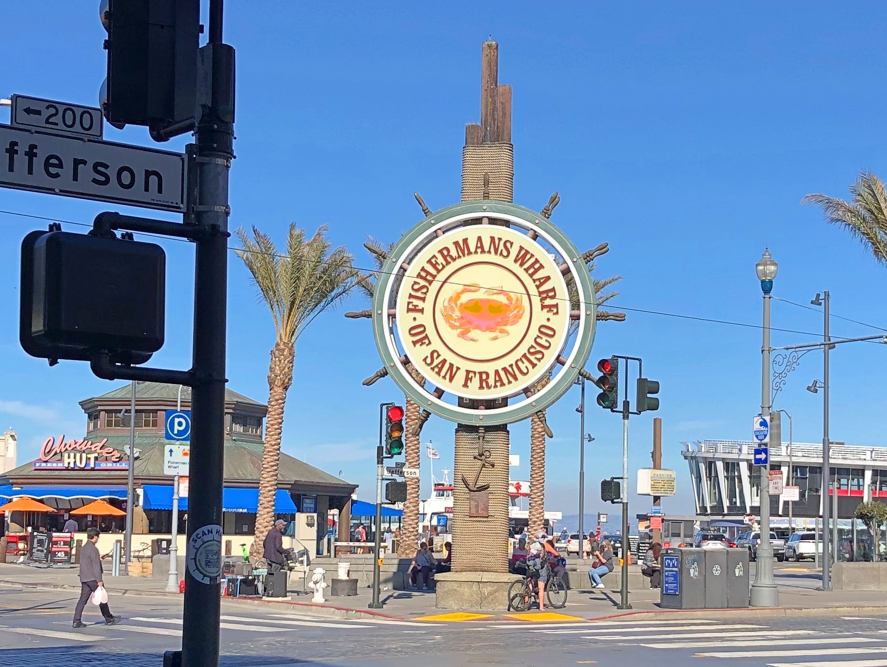
Good to see that the place still attracts people. The sign at Jefferson and Taylor Sts. would have also been fairly new the first time I saw it, since it dates from 1968. It was featured during the jazz montage intro to The Streets of San Francisco, as I recall.
Fishermans Wharf

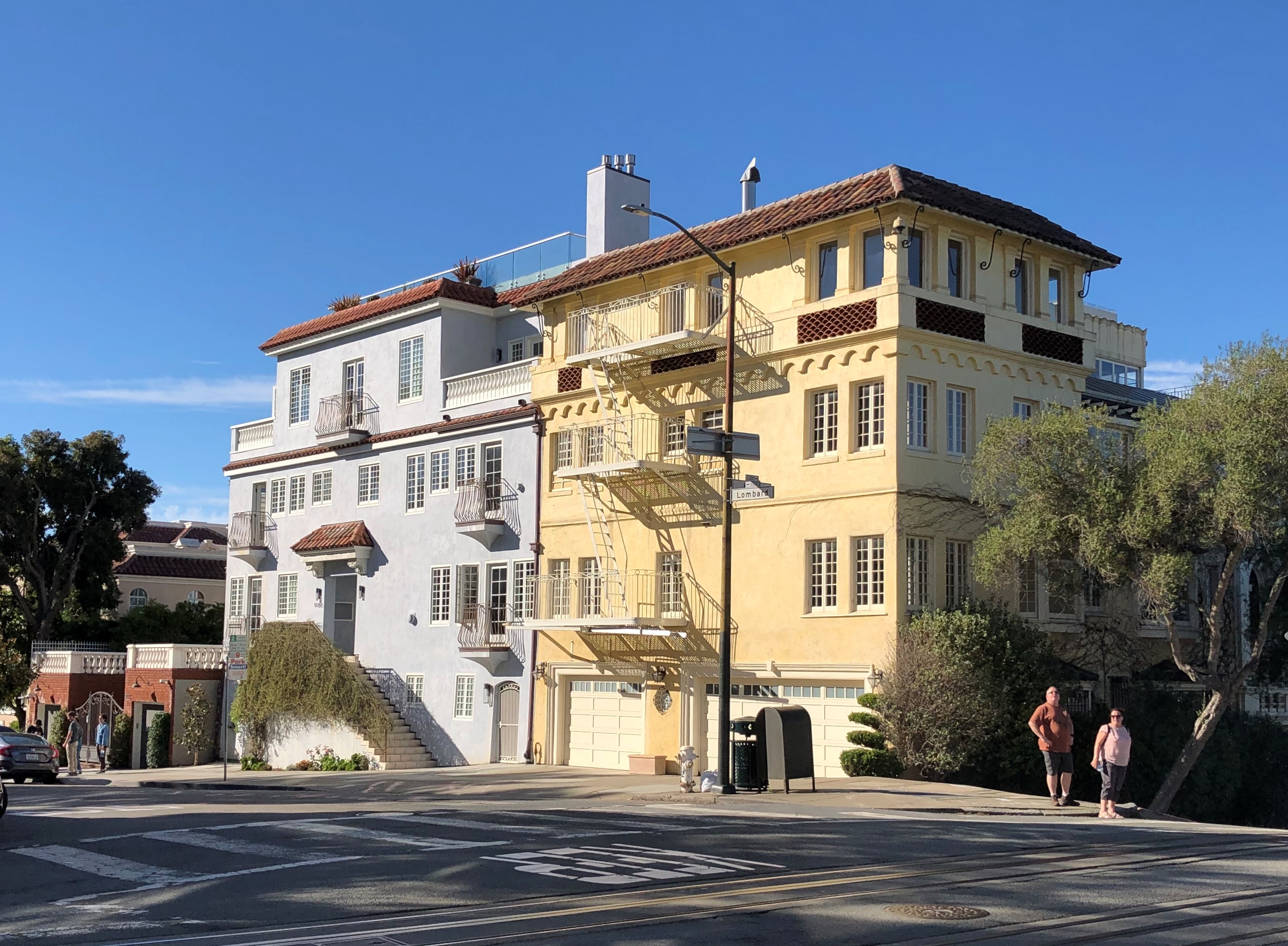
But I didn’t want to spend much time there in 2021, so I decided to climb Russian Hill. Specifically to reach the famed crooked stretch of Lombard St.

That I did. At my age, it wasn’t a steady walk, but walks followed by rests along the way.
Lombard St

Lombard St. attracts tourists too. I understand it’s even busier in the summer.

The scene at the bottom of the famed section, on Leavenworth St., which crosses Lombard at that point.
Lombard St

“The switchbacks design, first suggested by property owner Carl Henry and built in 1922, was intended to reduce the hill’s natural 27 percent grade, which was too steep for most vehicles to climb,” Wiki says.

“As it is one of the most visited tourist attractions in the city, this section of the neighborhood is frequently crowded with tourists. Tourists also frequent the cable car line along Hyde Street, which is lined with many restaurants and shops.”

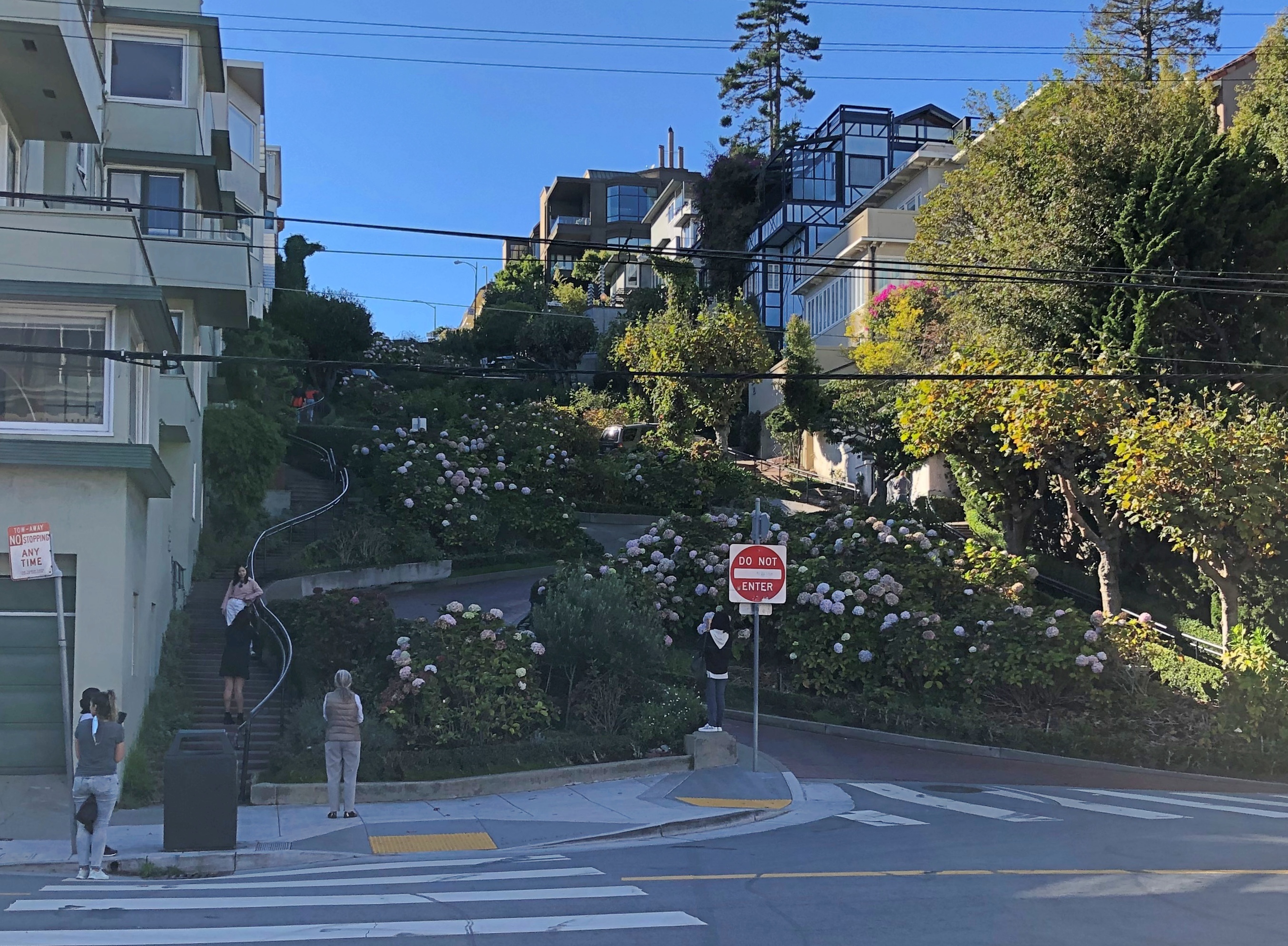
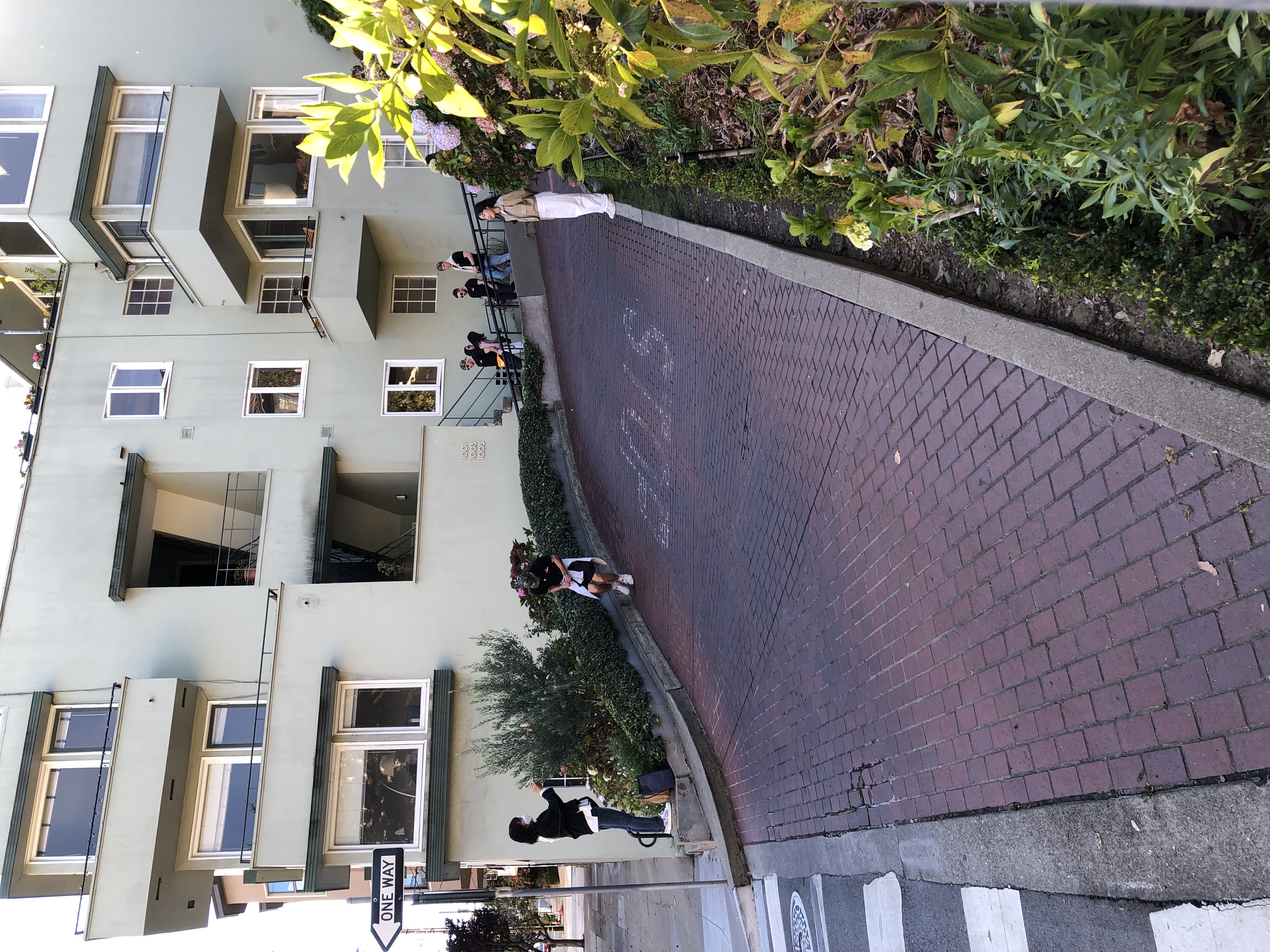
The switchback street itself is paved in brick.Lombard St

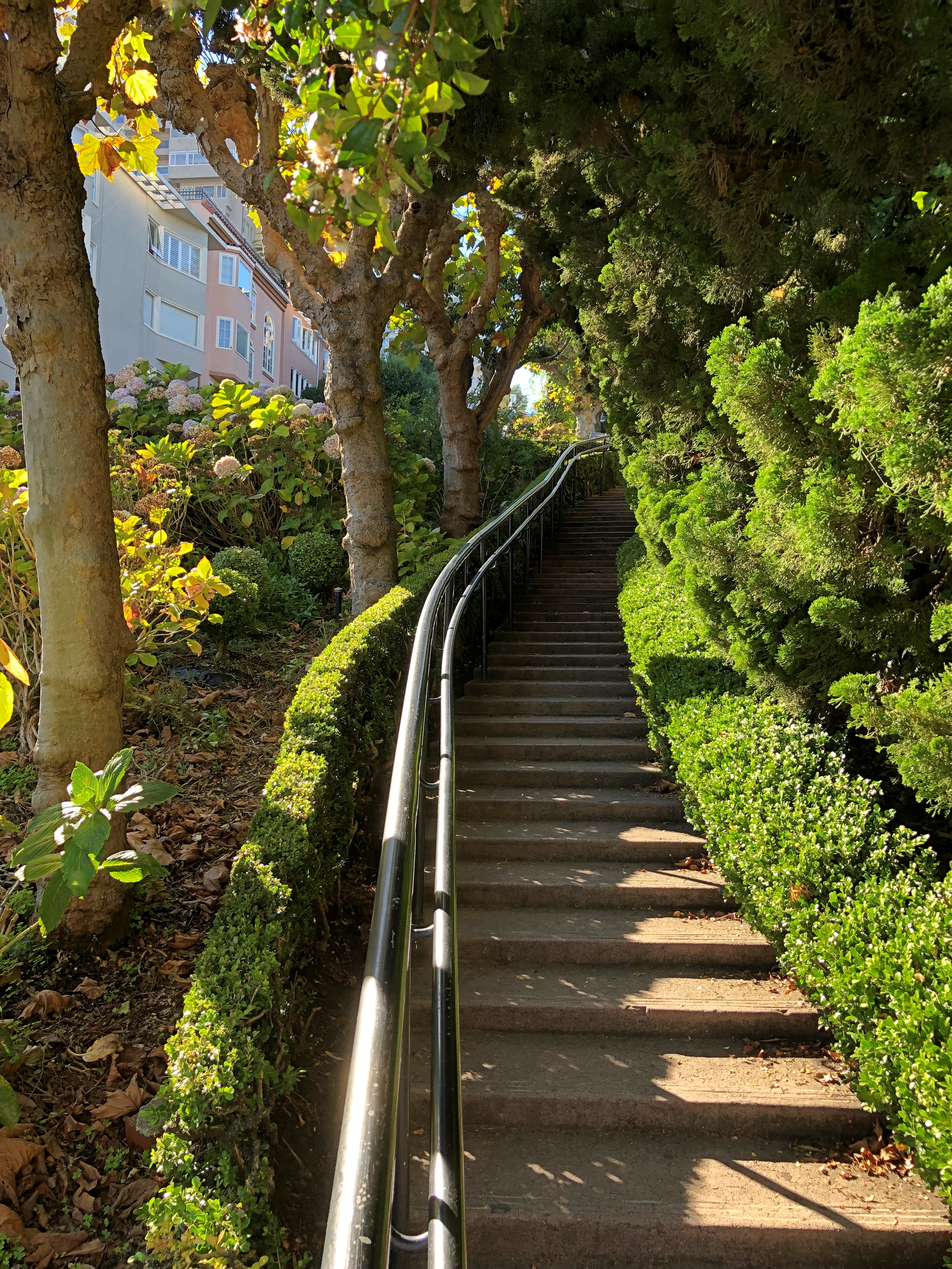
The rest of the slope is heavily landscaped, with stairs on either side of the switchback.
Lombard St

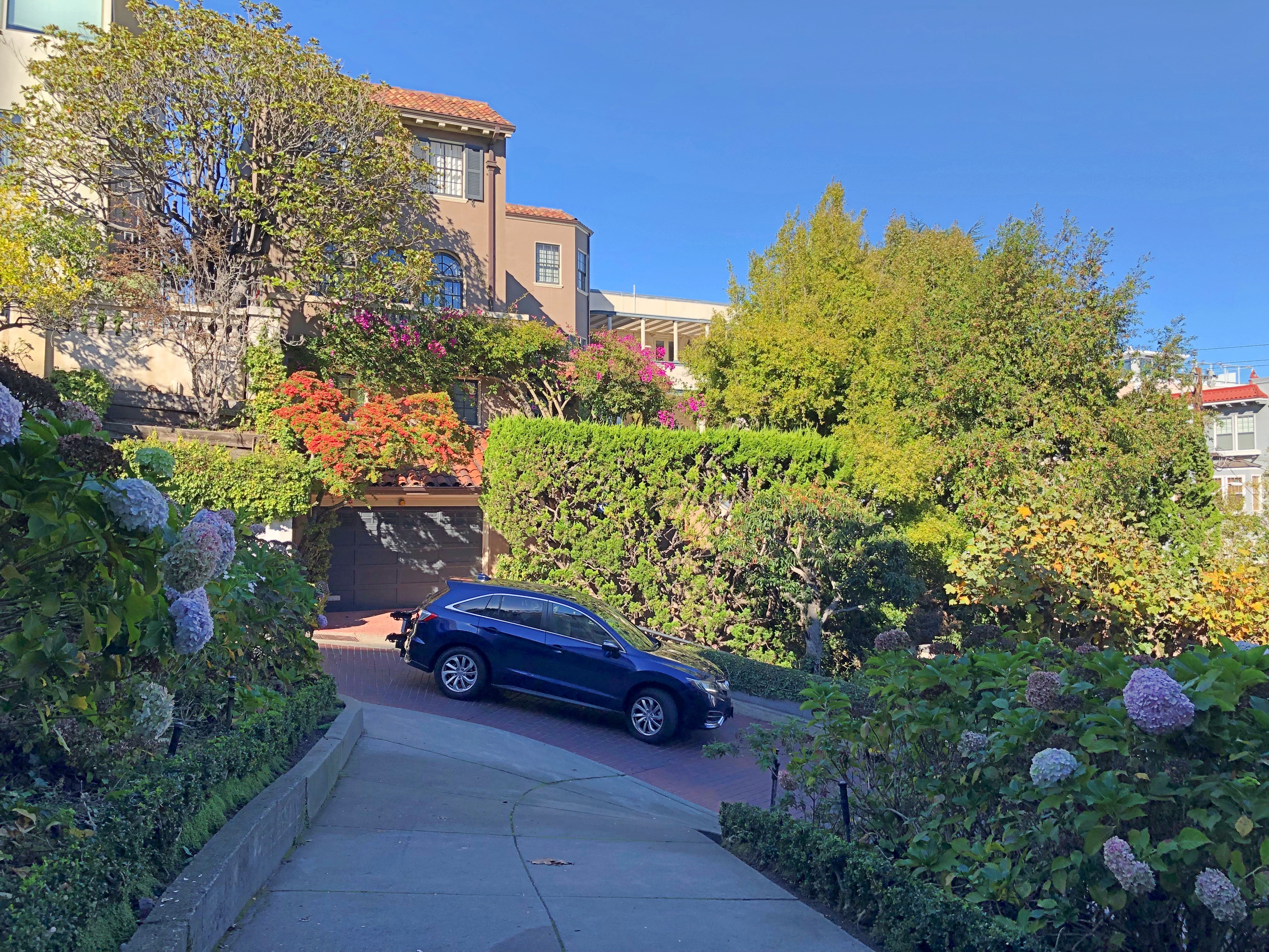
The road might have been created to help vehicles climb the grade, but in our time Lombard is one way on this block — going down.
Lombard St

I stood watching for a while, and noticed that every other car or so that went down Lombard had someone in the passenger seat taking a video with their phone. So if you are a tourist with a car in SF, this is clearly a thing to do. The city wanted to make tourists pay for the experience, but Gov. Newson said no.

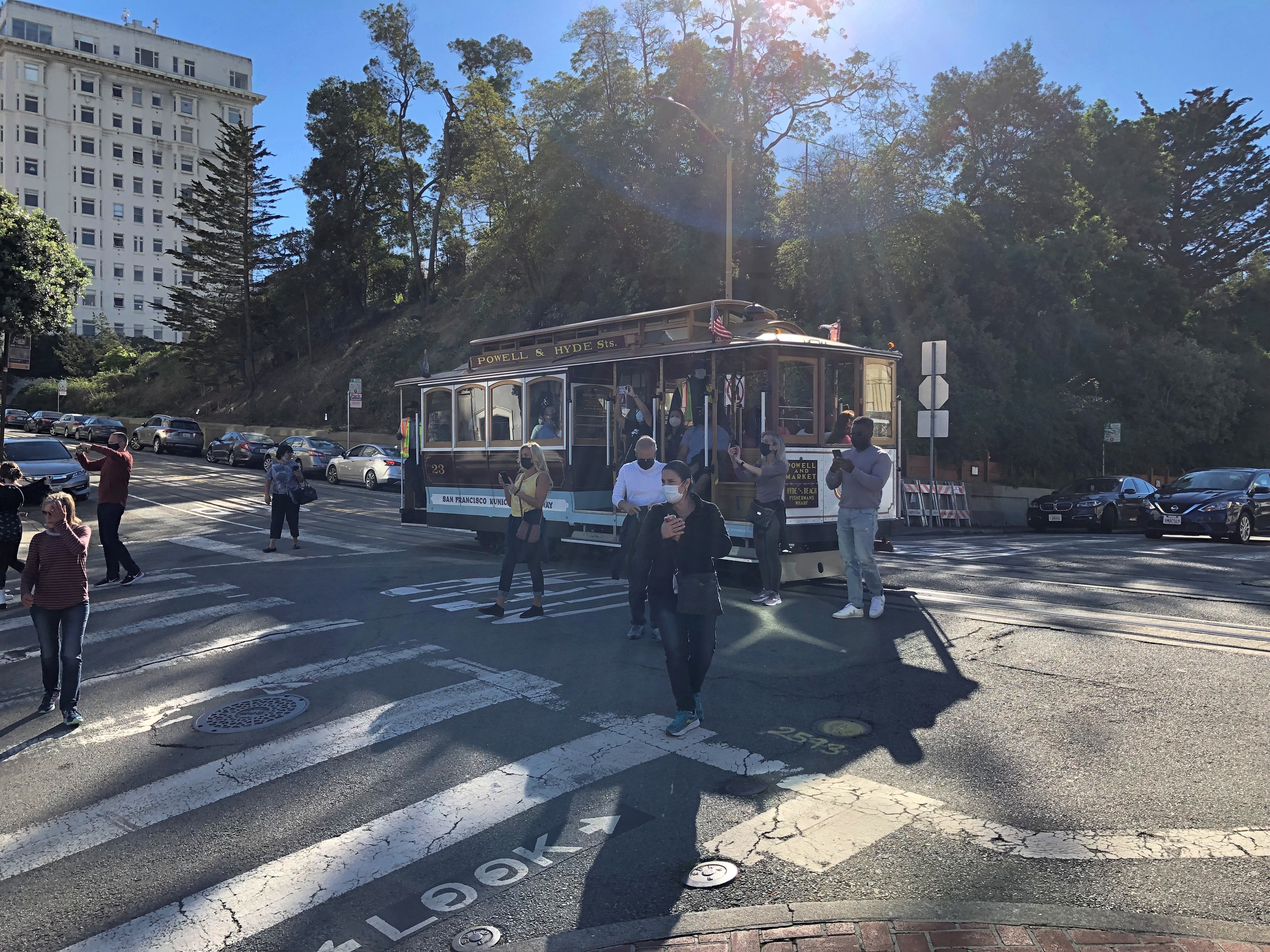
At the top of the block is Hyde St.Lombard St and Hyde St.

A cable car line runs along the street. It stopped at the intersection and people got out.
Lombard St and Hyde St.

I didn’t ride any cable cars this time. I did so in ’73 and ’90, but more importantly, it now costs $8. Sure, it’s an expensive system to maintain, but all transit is subsidized — including the roads themselves. Just another example of gouging tourists.

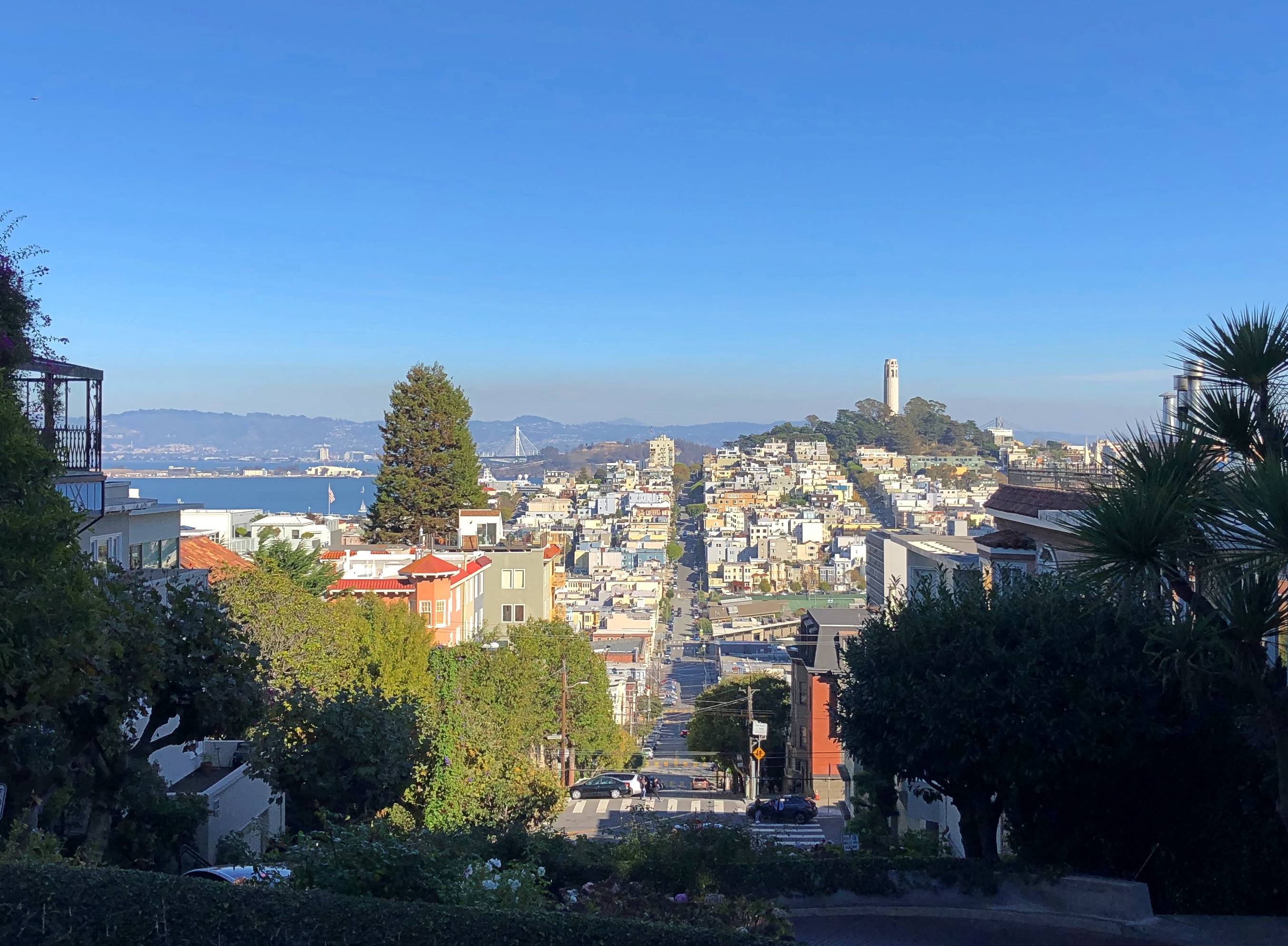
One thing San Francisco cannot charge tourists for are the views, though perhaps some mid-level functionary is working on figuring out how to. The view from Lombard and Hyde, looking over at Telegraph Hill, is wonderful. And free.Russian Hill vista

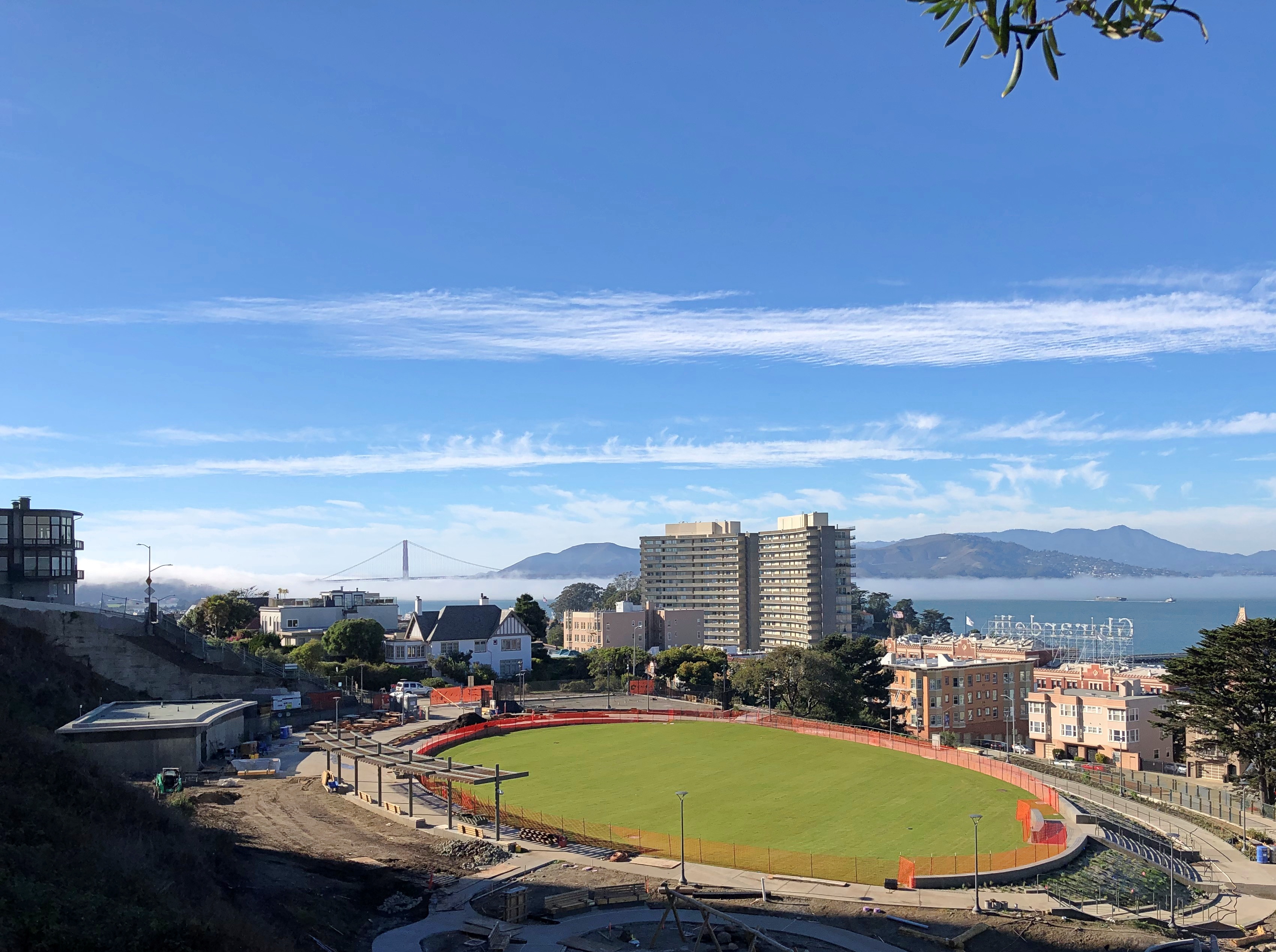
I walked down Hyde St. toward the Embarcadero. The view from just over Russian Hill Park is pretty good as well. Been a good year for vistas, I’d say.Russian Hill vista Russian Hill vista

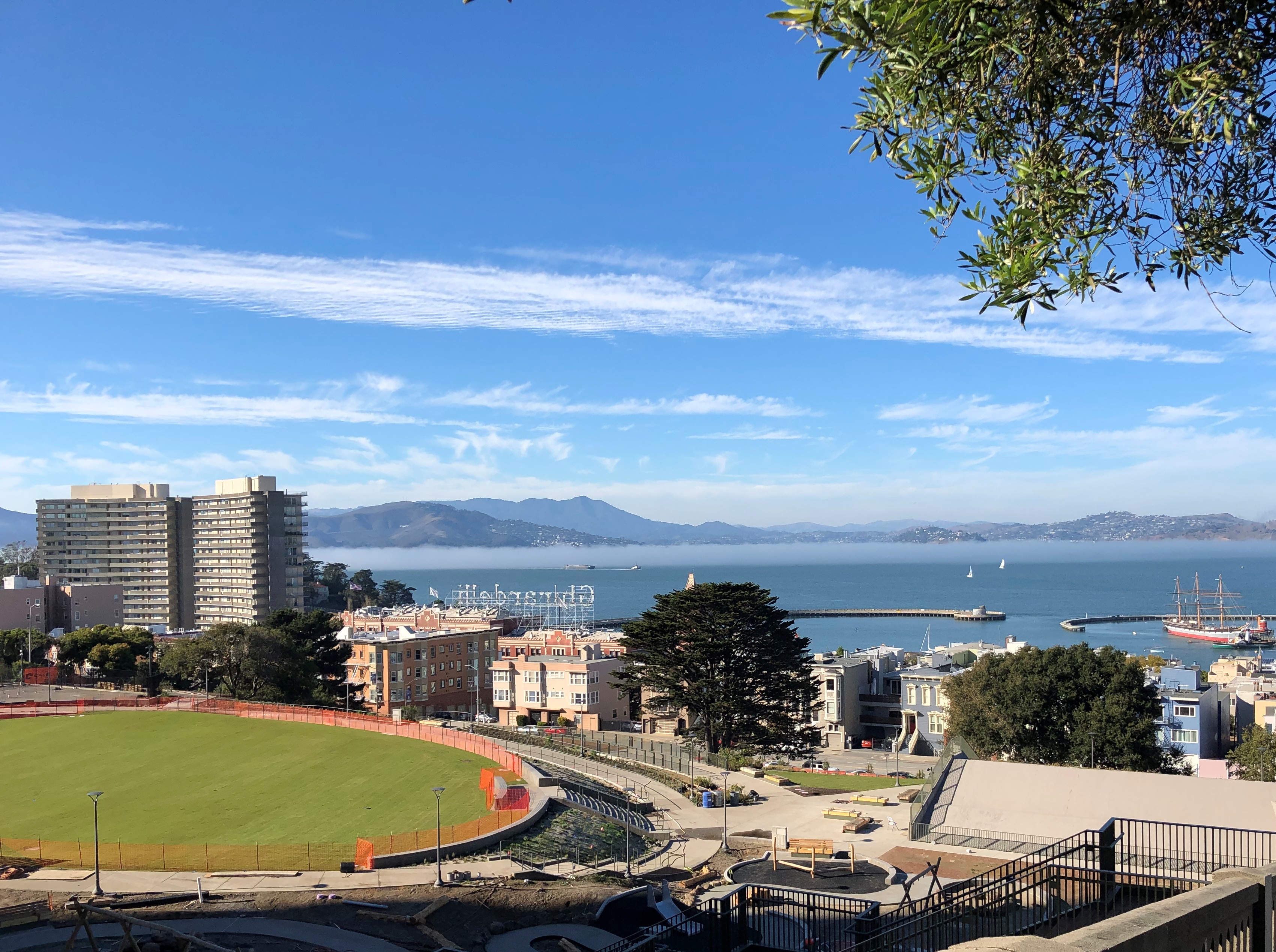
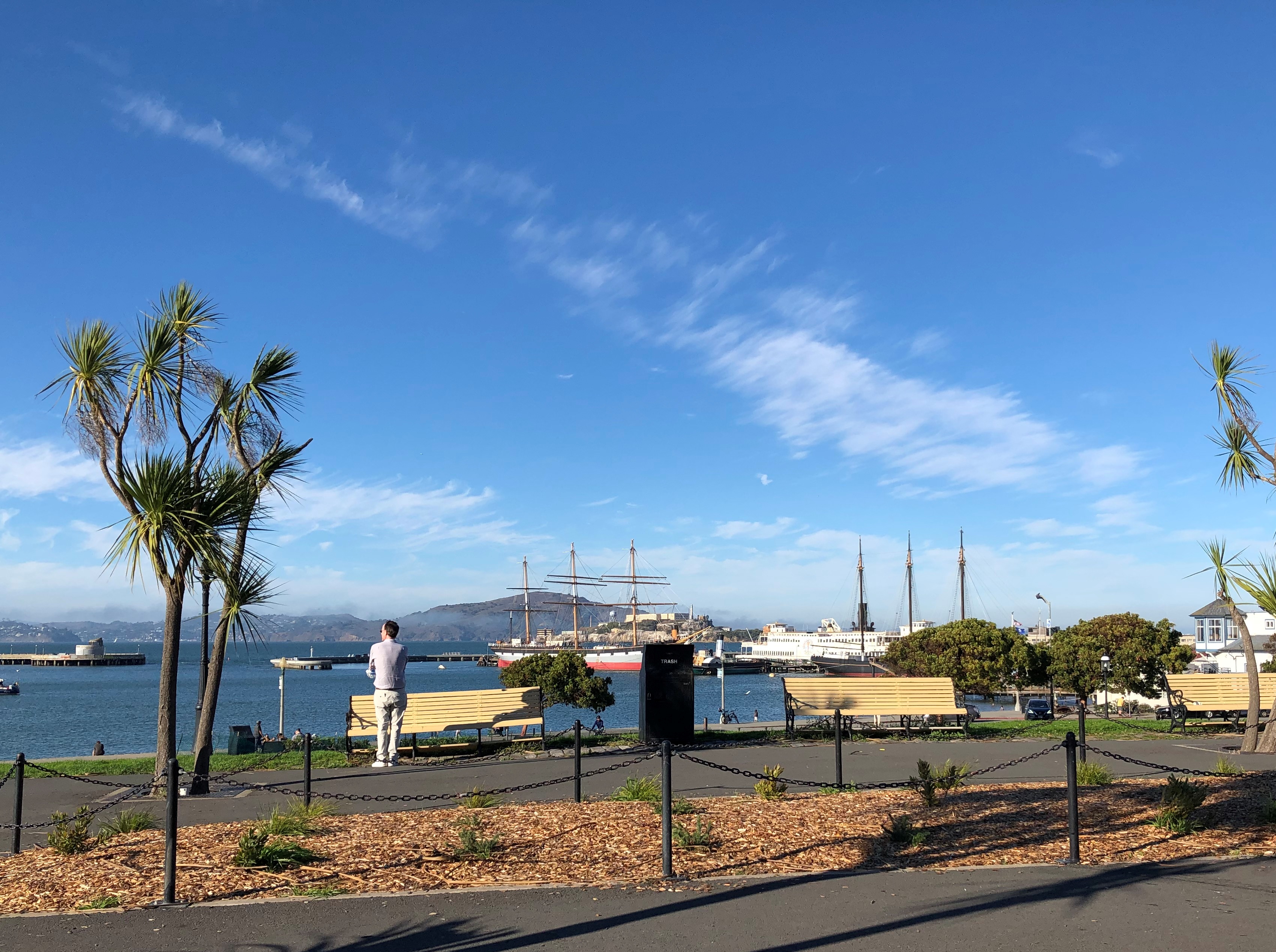
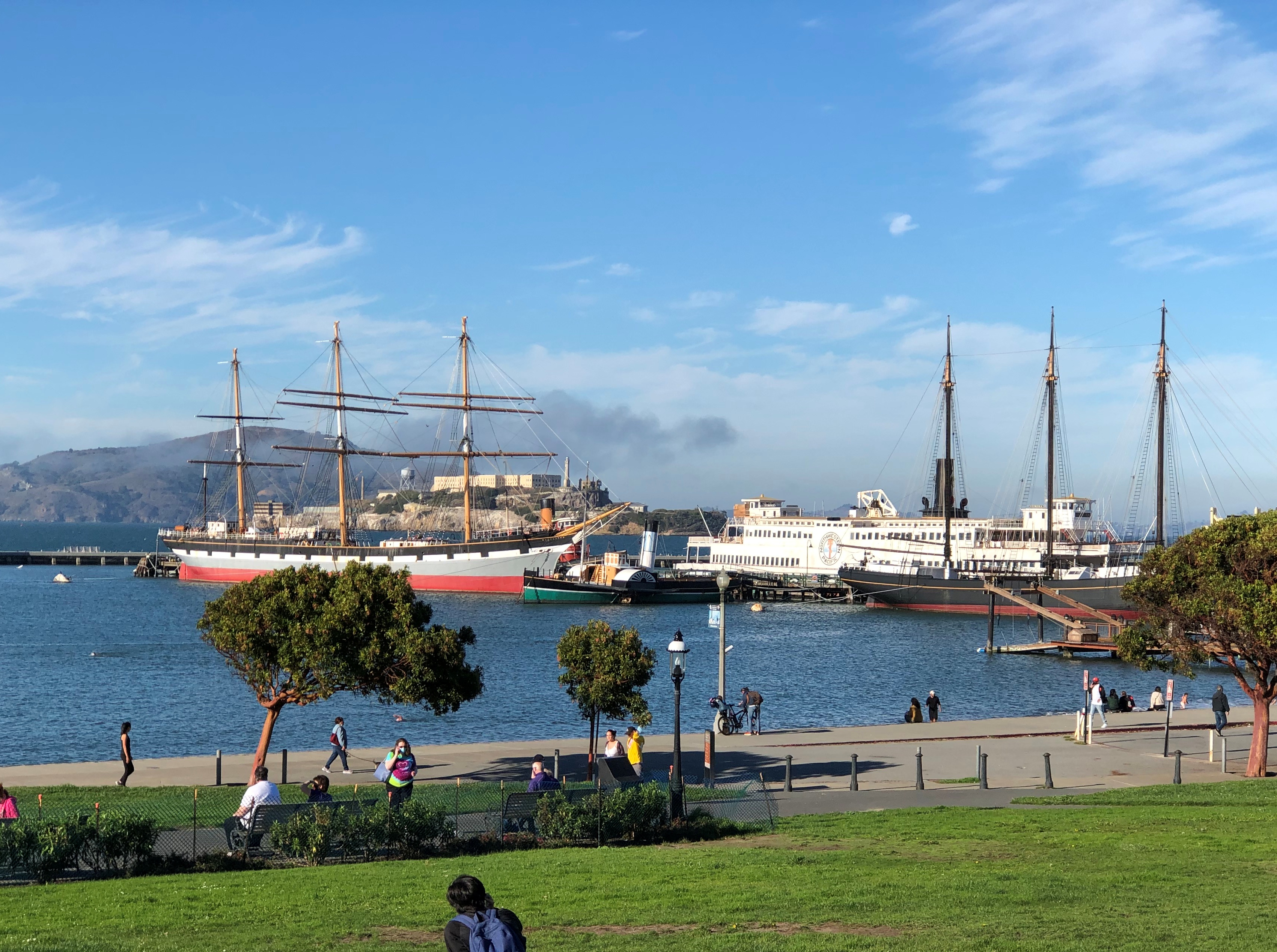
More good views closer to the shore, at Aquatic Park.Aquatic Park, SF Aquatic Park, SF

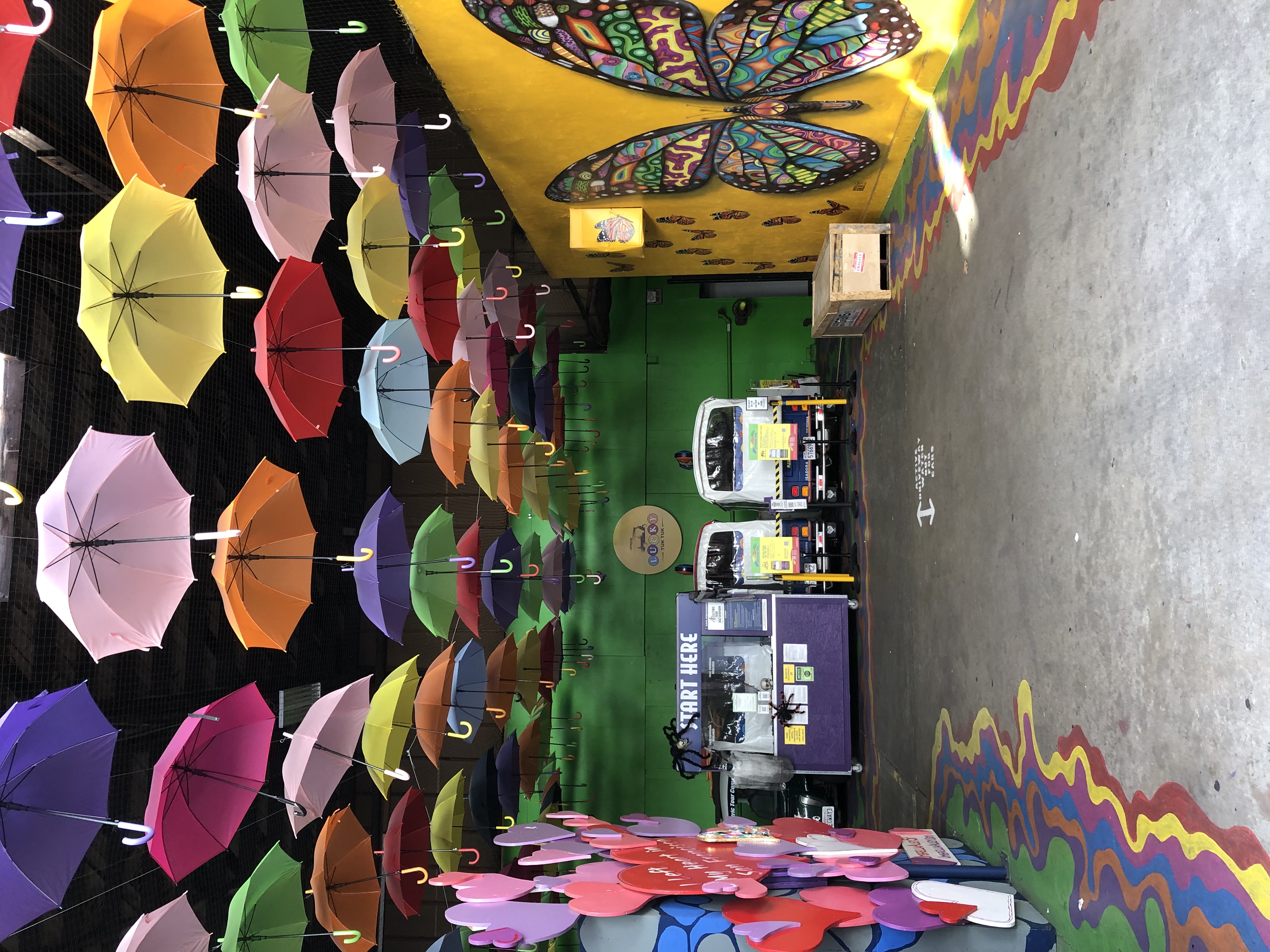
Down on Beach St., I chanced into this space.Umbrella Space
Umbrella Space

Umbrella Alley. Besides featuring the umbrella installation and murals, the place is the starting point for such sightseeing as guided Segway tours, Jeep tours, electric scooter tours, and Lucky Tuk Tuk Private Group Tours. All very well, but after making a small donation for the art project, I continued on foot.

Open House Chicago 2021

Distinctly cool nights now, but on Saturday and today we enjoyed pleasantly warm and clear days. Just right for walking around the city and looking at things.

After an absence last year, Open House Chicago returned this year, though seemingly with fewer sites. But I’m not really sure, since I didn’t compared this year’s list with previous years, and it doesn’t matter anyway. There were plenty of places on the 2021 list that we hadn’t been.

In fact, we attended the event both on Saturday and Sunday — a first for us. On Saturday, we spent our time in Hyde Park and adjoining neighborhoods, mostly seeing religious sites. On Sunday, Yuriko had cake class in Humboldt Park, so while she did that, I made my way through the thick of the city to see a museum and a church in two different neighborhoods. On the way home, we both visited a synagogue in River Forest.

The first place we saw wasn’t a church, however. Just after 10 on Saturday, we paid a visit to the Penthouse Hyde Park, which is currently a high-rise of high-end apartments. The building was developed in the 1920s as the Piccadilly Hotel & Theatre, a hotel with a theater included inside the building, as was more commonly found in New York once upon a time, but not so much in Chicago.

The theater was demolished about 50 years ago. Recent renovations began under new ownership beginning in 2015, with the apartments finally leasing this year. The image above, from 2019, is a little dated, since the entrance has been renovated since then.

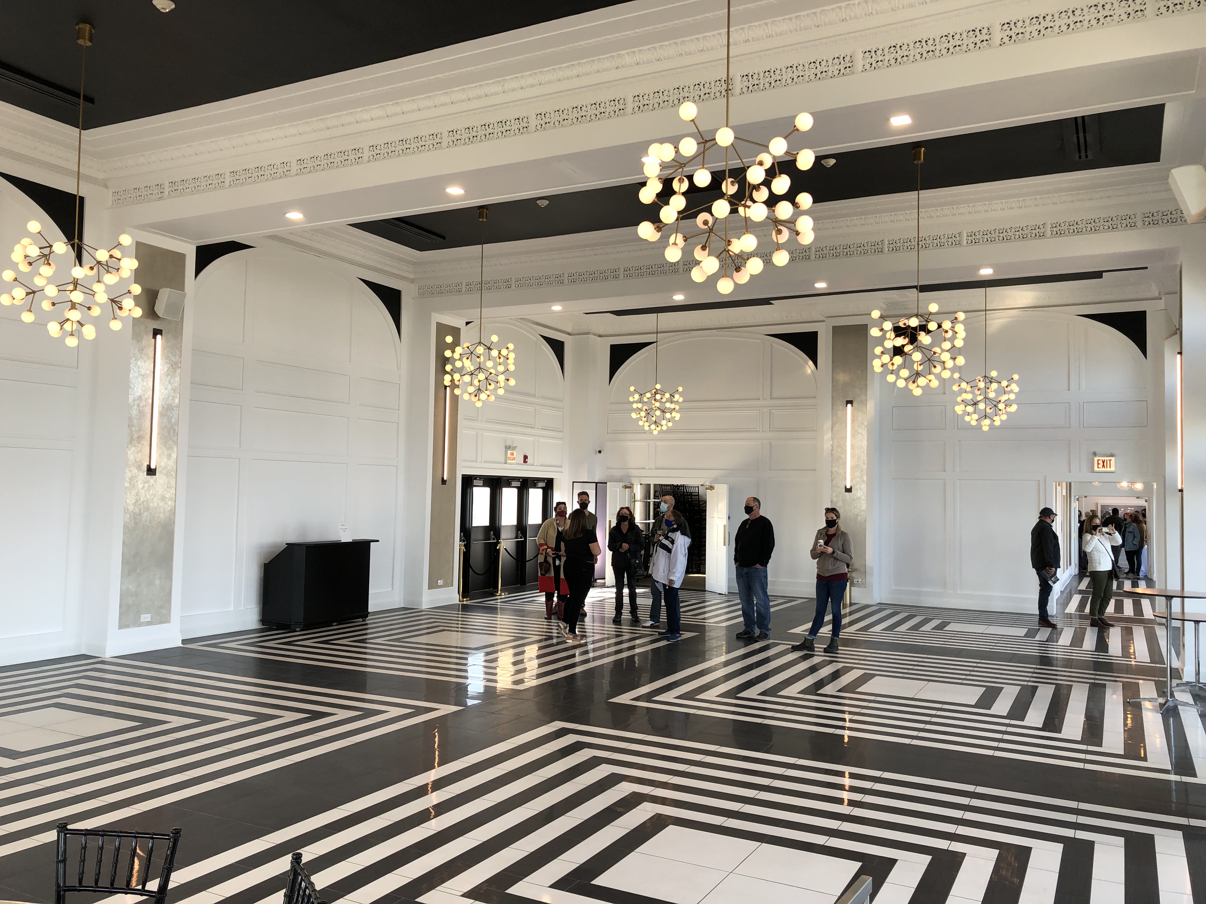
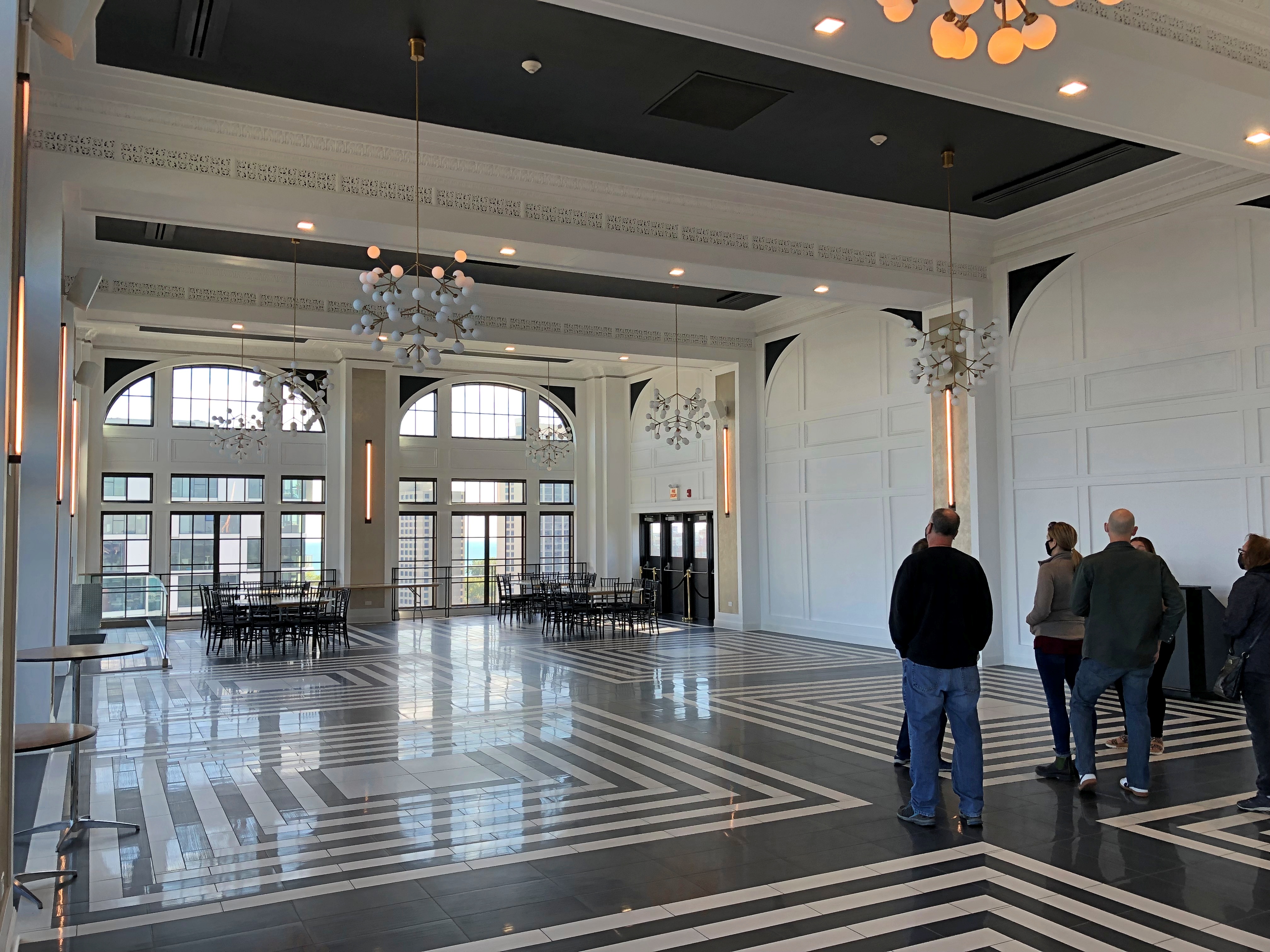
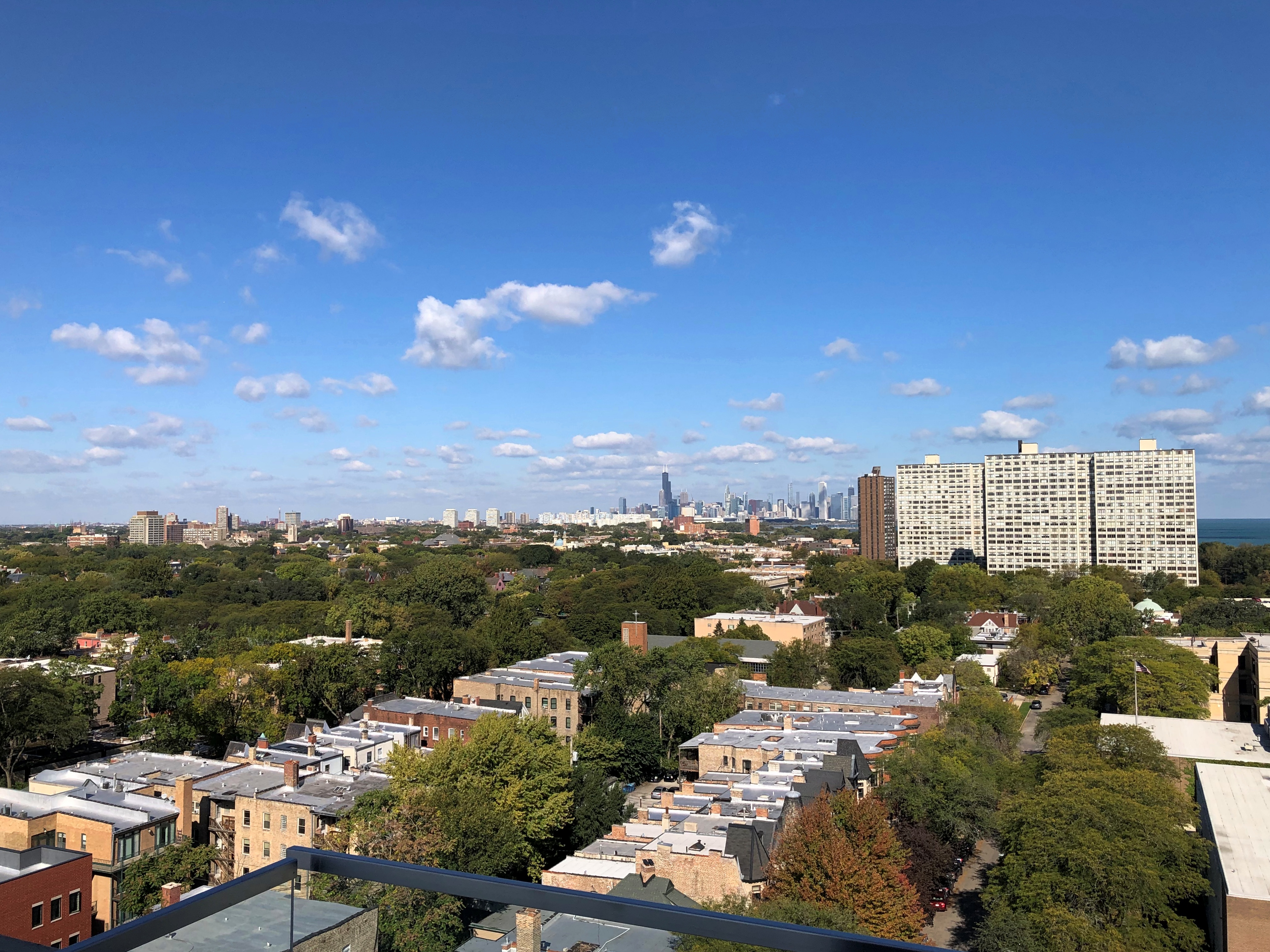
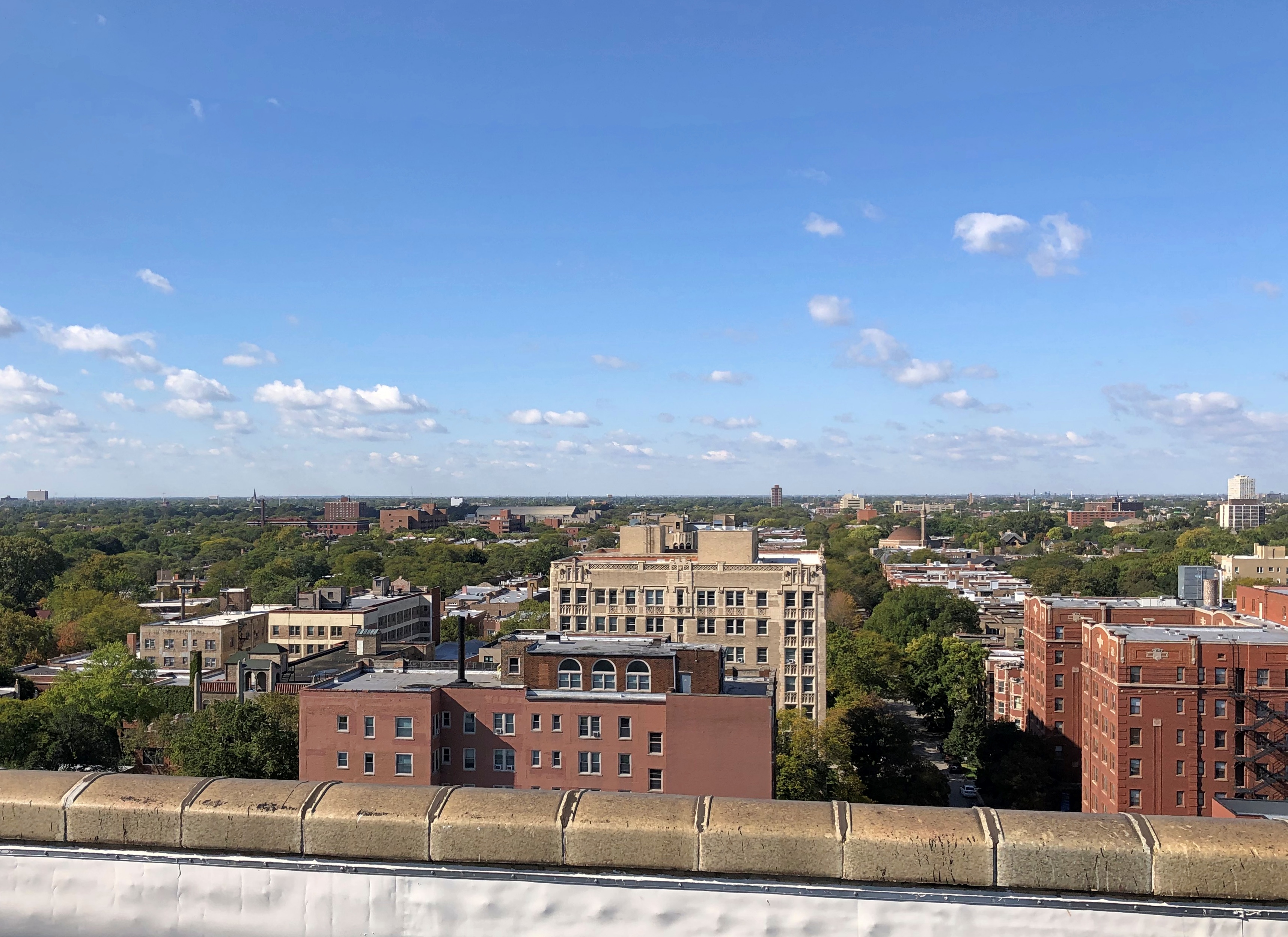
The main attraction at Penthouse Hyde Park for Open House visitors were the ballroom on the top floor, and the views from that floor.

The ballroom.The Penthouse Hyde Park
The Penthouse Hyde Park

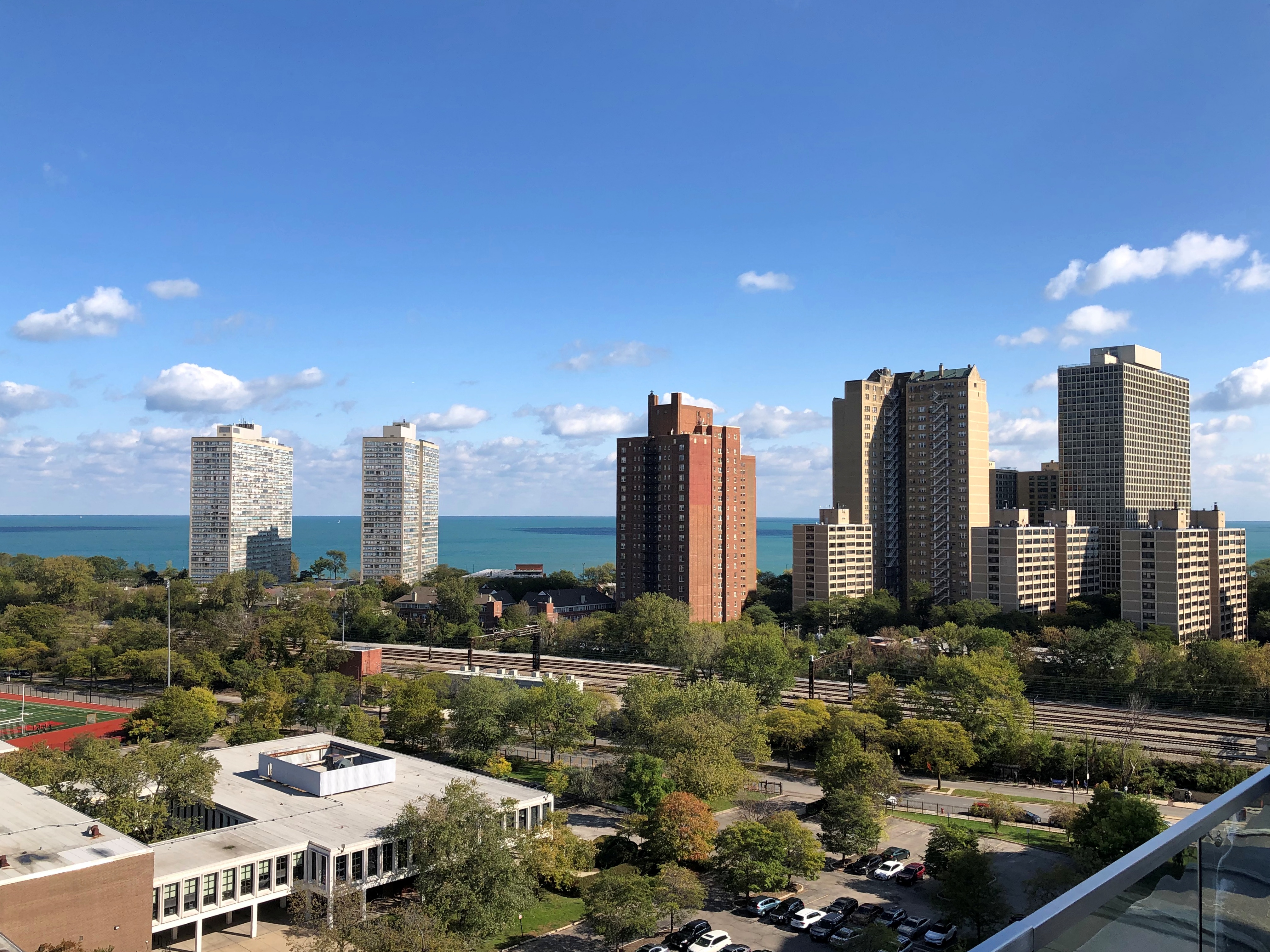
Adjoining the ballroom is an outdoor terrace, 14 floors up. The views are sweeping. These are other apartment towers in Hyde Park, though closer to Lake Michigan.
The Penthouse Hyde Park

The view toward downtown.
The Penthouse Hyde Park

The view west.
The Penthouse Hyde Park

A good way to start the event. A number of other fine sites were to follow, as usual with Open Houses.

Door County Vistas

I’ve read that Peninsula State Park in Door County, one of four state parks on the peninsula, is a good one. And as the name says, it’s a peninsula on the peninsula. I have to like that.

“Deeded to the state in 1909, Peninsula is the second-oldest park in the state system, and with no statistical manipulation, the park is numero uno in usage in Wisconsin — with good reason,” Moon Handbooks Wisconsin says. “The peninsula, rising 180 feet above the lake at Eagle Bluff, is a manifestation of the western edge of the Niagara Escarpment, here a steep and variegated series of headlands and reentrants.”

A pretty and popular place, in other words. On the Sunday afternoon of Labor Day weekend, so popular that when we got to one of the entrances, we — and ever other car — were turned away. “The park is full,” a ranger told us. That must have meant the parking lots, but in any case we had to move on.

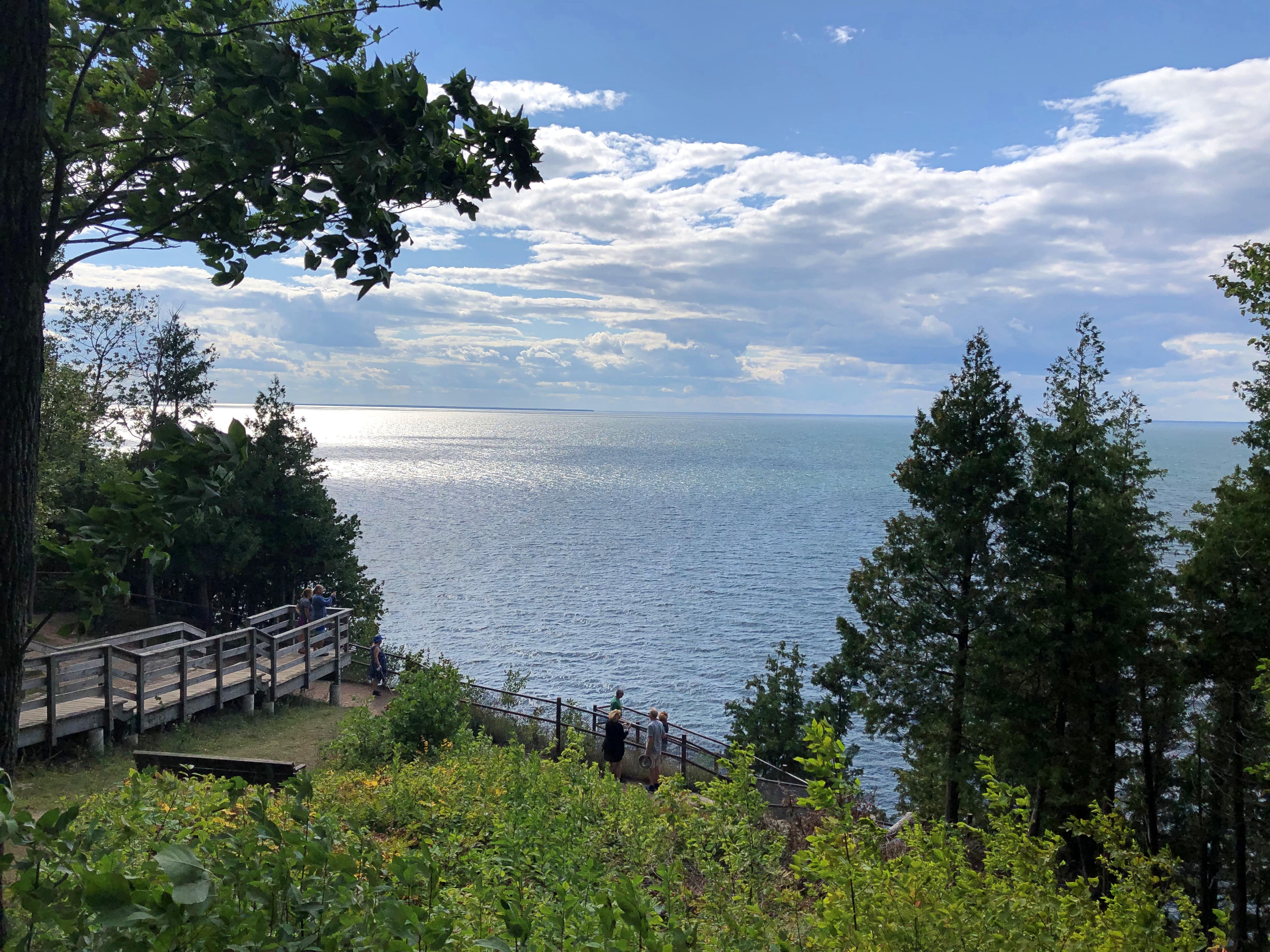
On to Plan B: a few miles up the coast on Green Bay is Ellison Bluff County Park, hugging a smaller peninsula not far from the town of Ellison Bay. As a mere county park, it has a couple of advantages: no crowds, no fee to get in. But it had the walk and the vista that we were looking for.

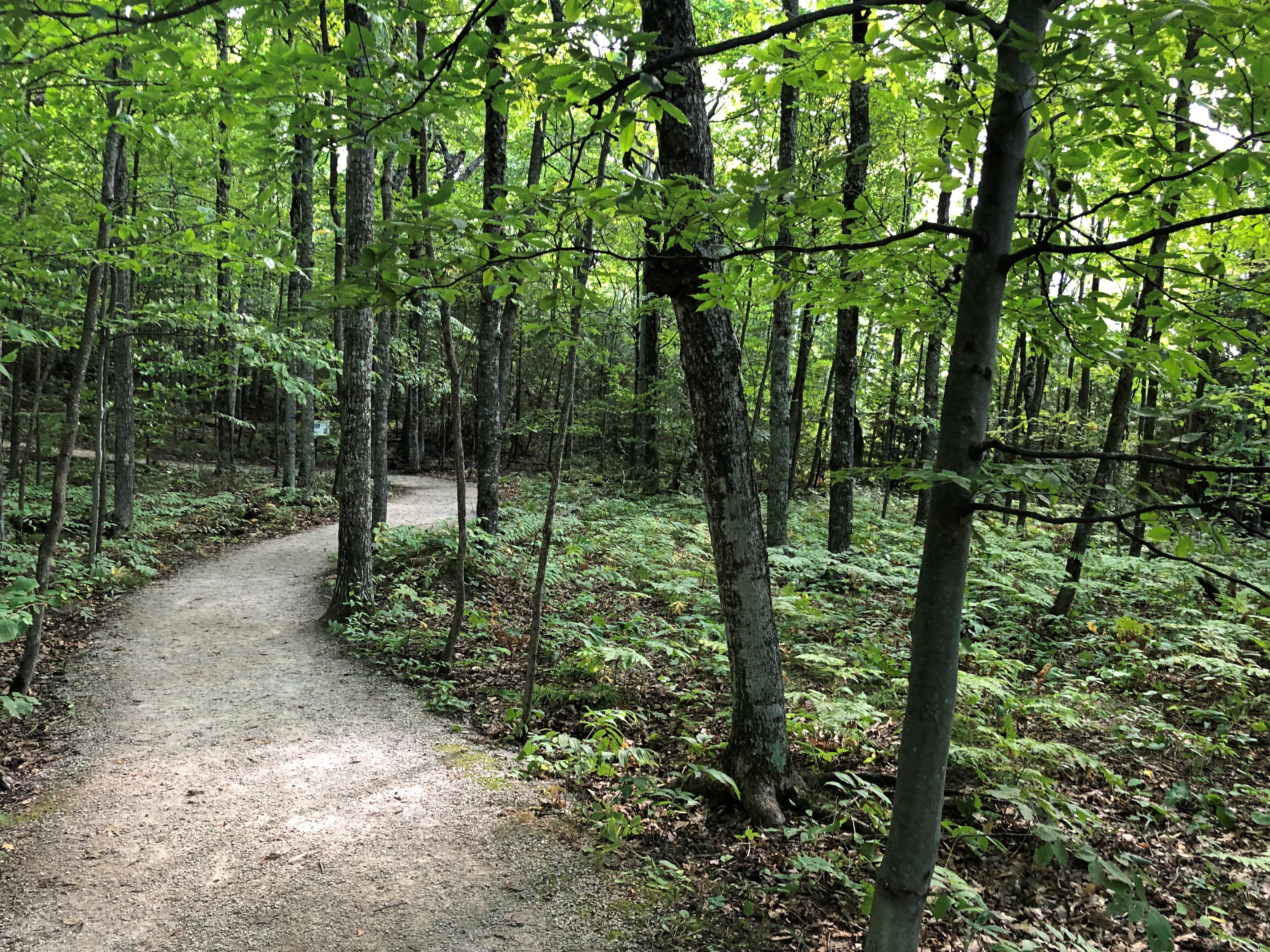
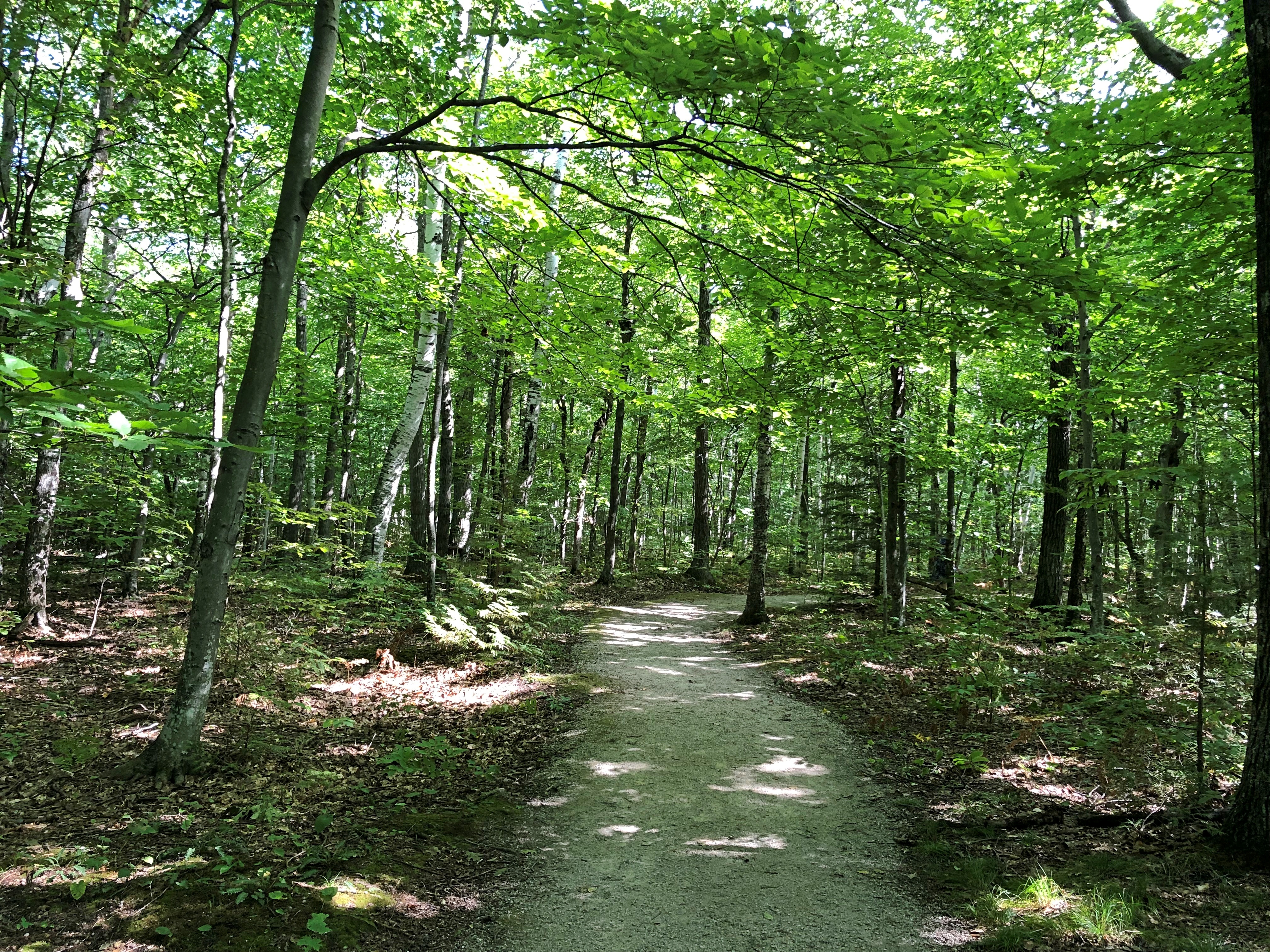
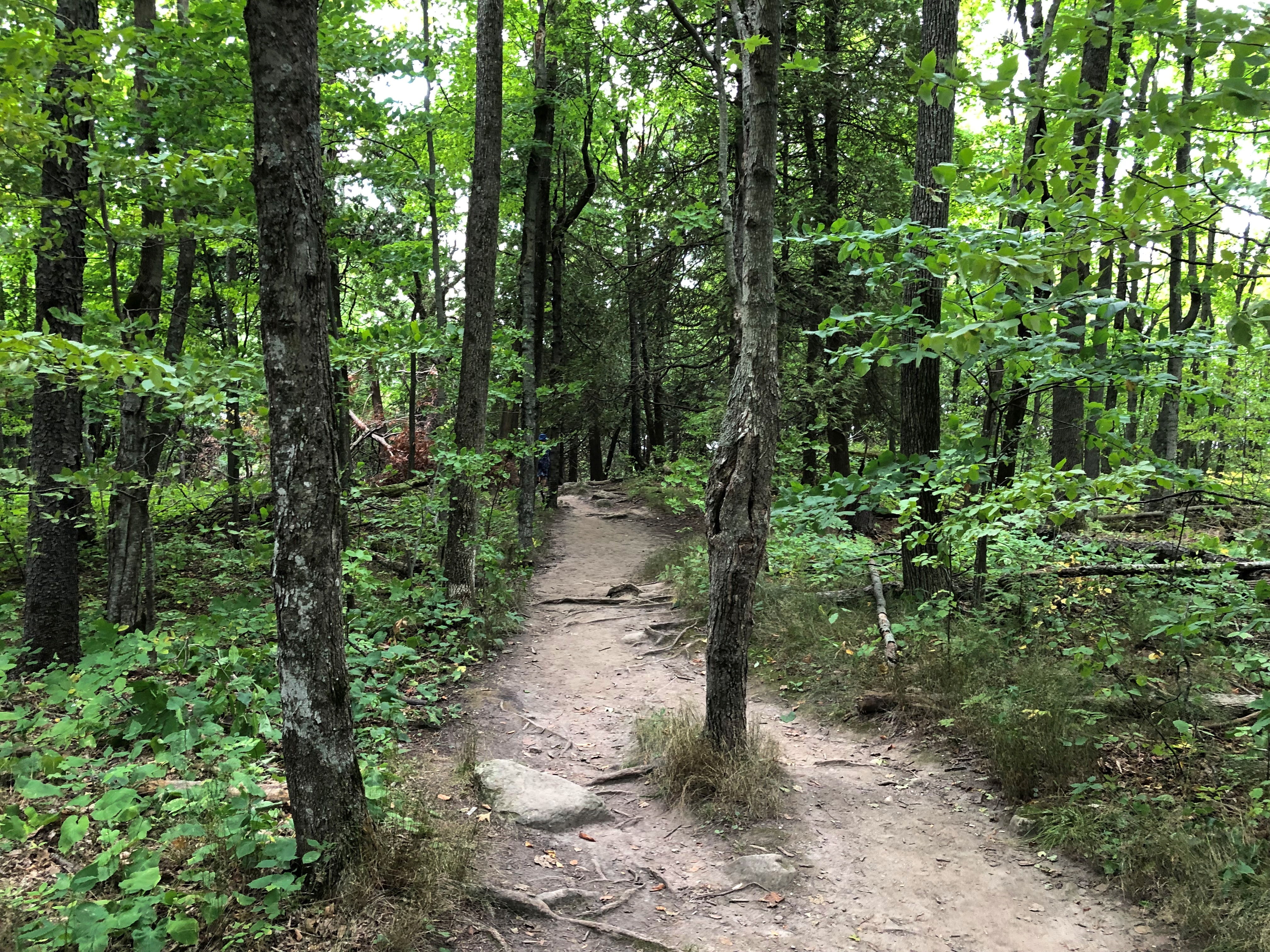
First, the walk, an easy path through shady woods on a warm summer day.Ellison Bluff County Park

Ellison Bluff County Park

The path loops through the property. A separate short boardwalk off the parking lot goes to an overlook, about 100 feet over the water.Ellison Bluff County Park

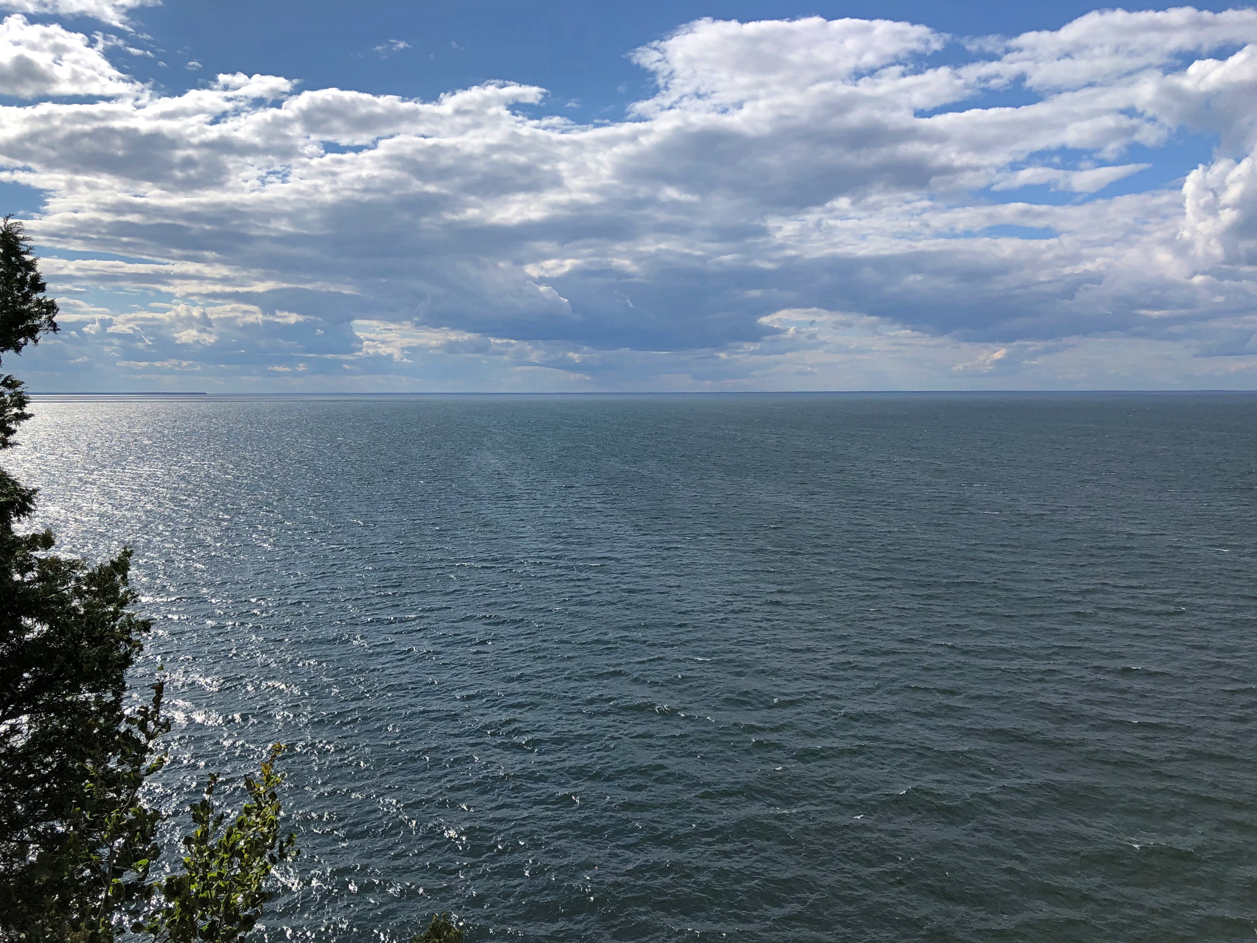
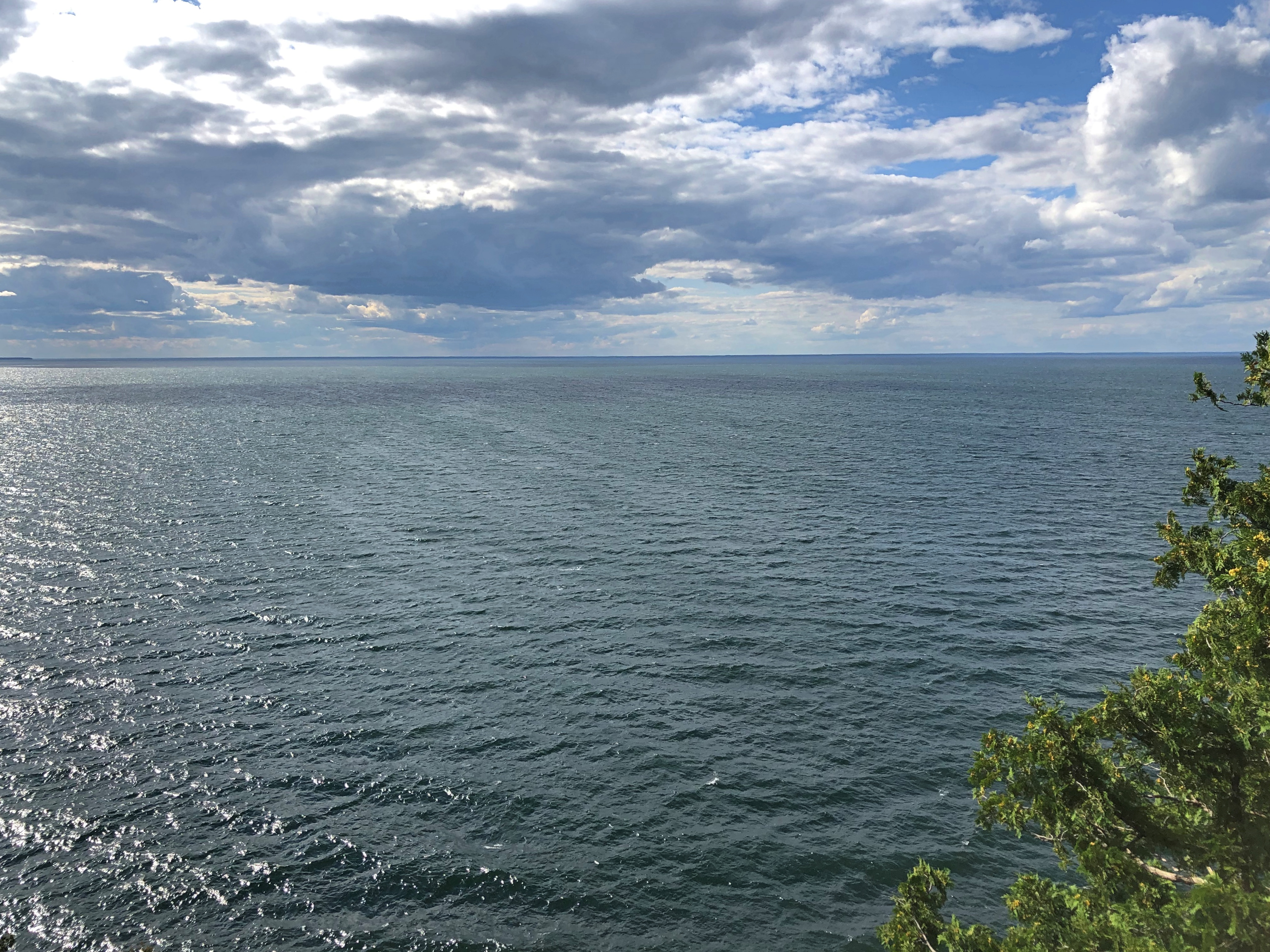
A vista straight across Green Bay to the Upper Peninsula on the horizon, about 20 miles distant, with the wind off the water whipping the trees around.Ellison Bluff County Park

Ellison Bluff County Park

I couldn’t help thinking of the vista from Polychrome Pass in Denali NP only a little more than a month earlier. Different, yet its enormous sweep is compellingly similar, as if a vast valley were flooded to form Green Bay. Which is, of course, exactly what it is. To encounter two such vistas in the same year — well, that makes for a good year.

Not far north of Ellison is Bluff Headlands County Park. For no good reason, I was expected a similar set up, a trail and a short walk to a view. But no: the park includes a longish trail to the view.

Actually, it wasn’t that long. Half a mile, if that. It started easy enough. Bluff Headlands County Park

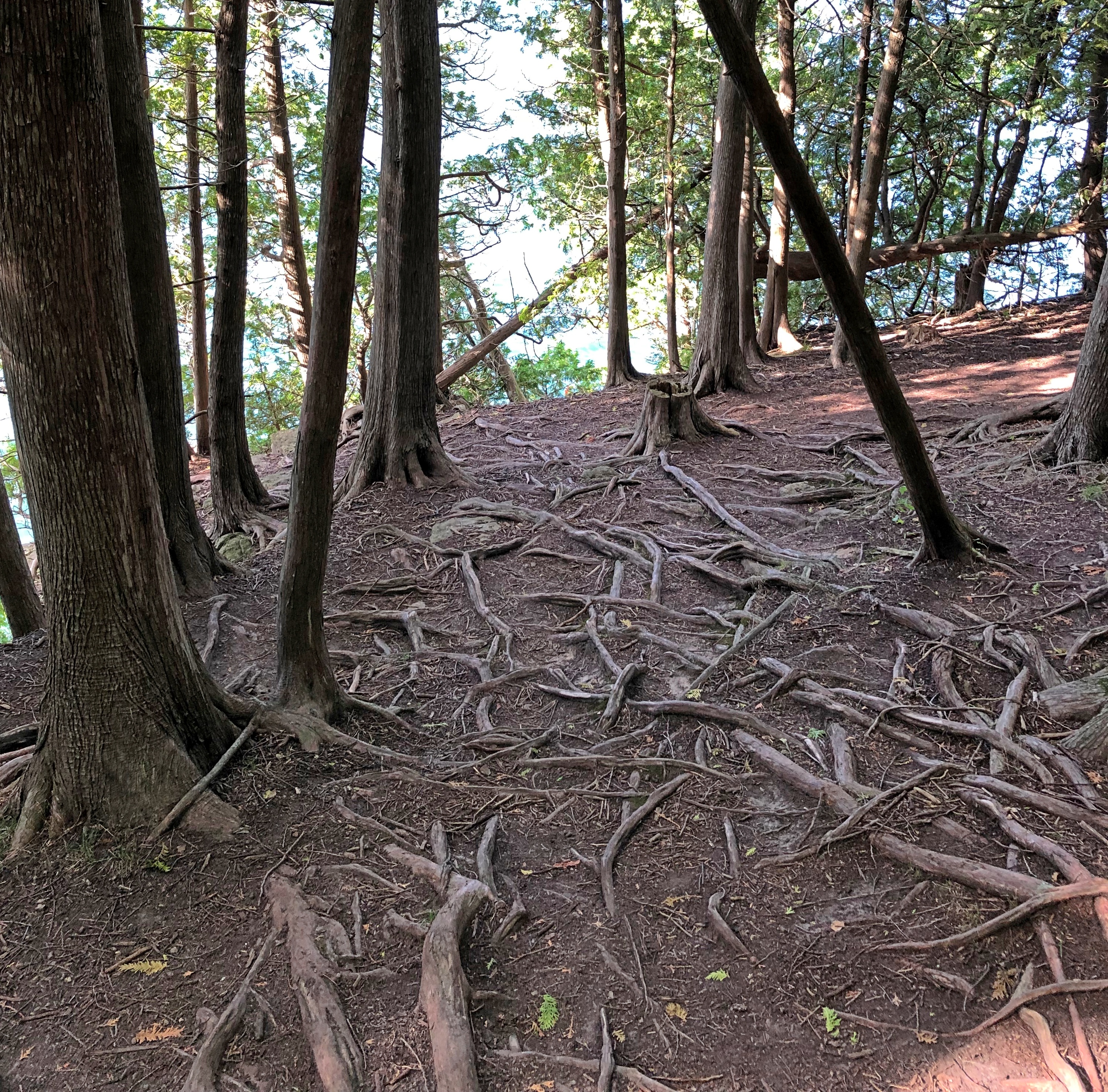
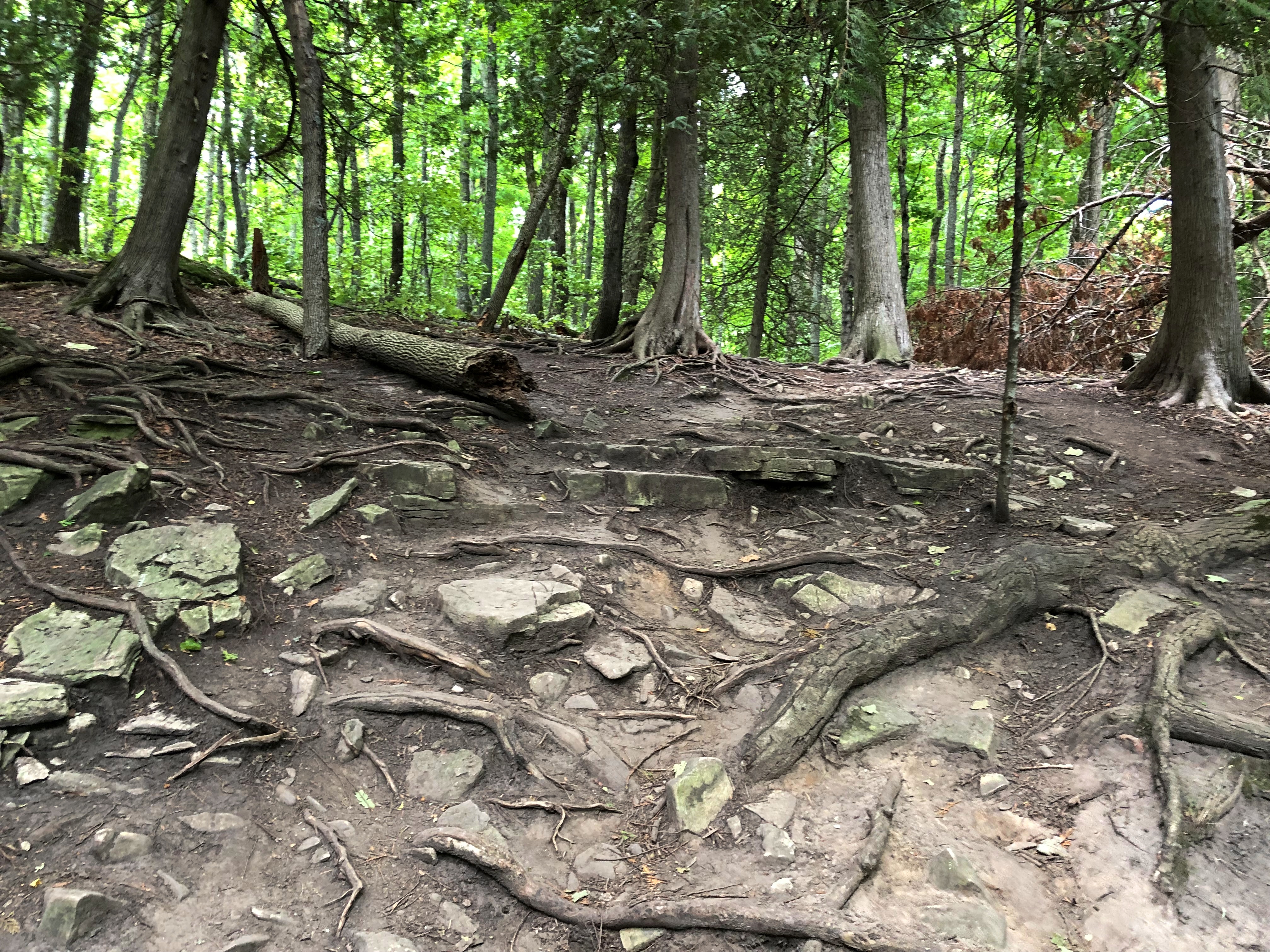
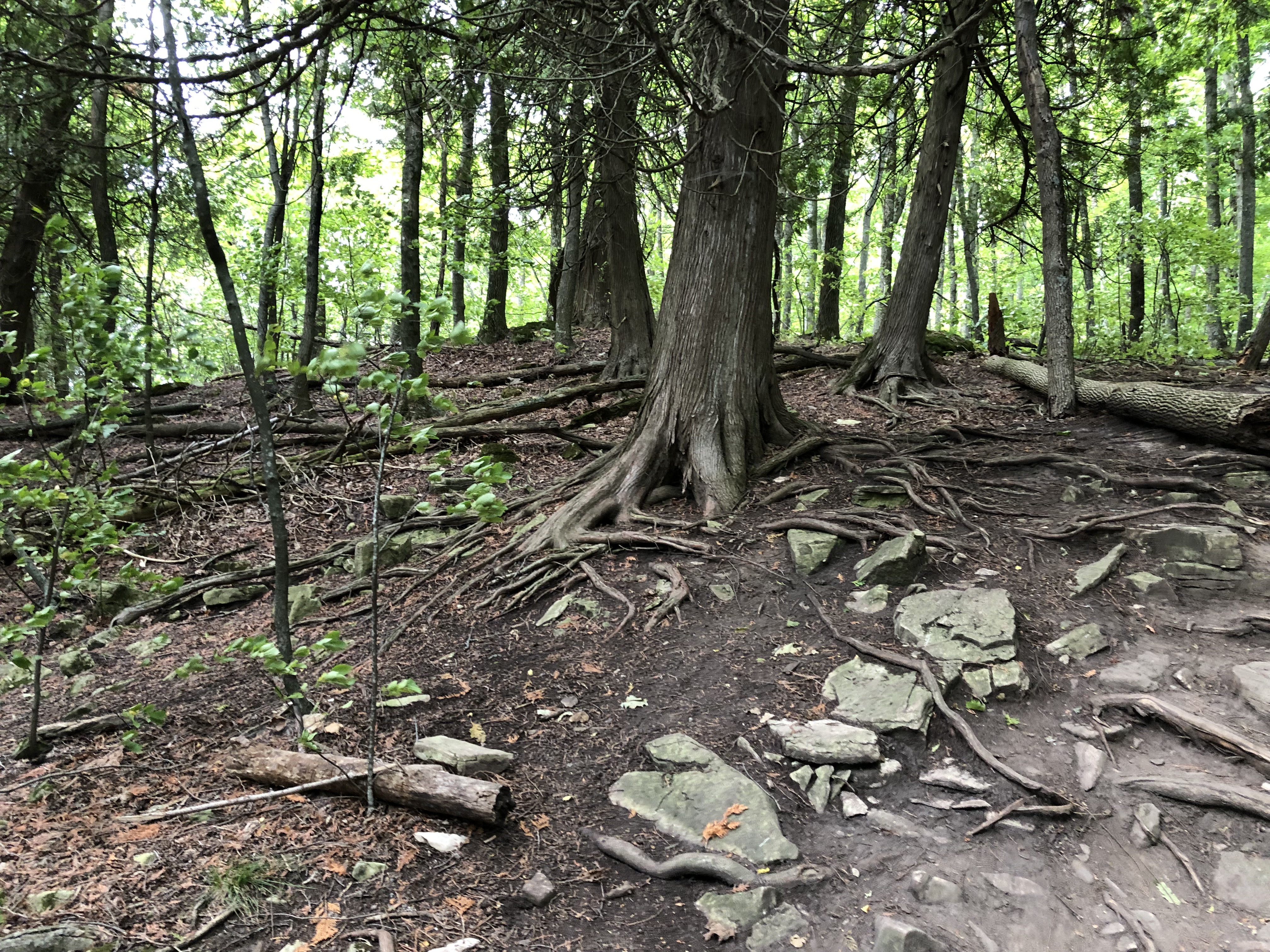
The trail followed a heavily forested cliff edge. Soon the trees didn’t just lord over the ground, their roots were everywhere underfoot, with plenty of rocky patches too. The pictures below weren’t along the trail; the trail went through them.

Ellison Bluff County Park Ellison Bluff County Park Ellison Bluff County Park

Every step, an opportunity to take an injurious tumble. That was me, thinking more than ever like an old man. The dog didn’t mind the path — she’s near the ground, after all — and so pulled me along, with more energy than you’d expect from an old dog. Still, I believe her pull helped me keep my balance.

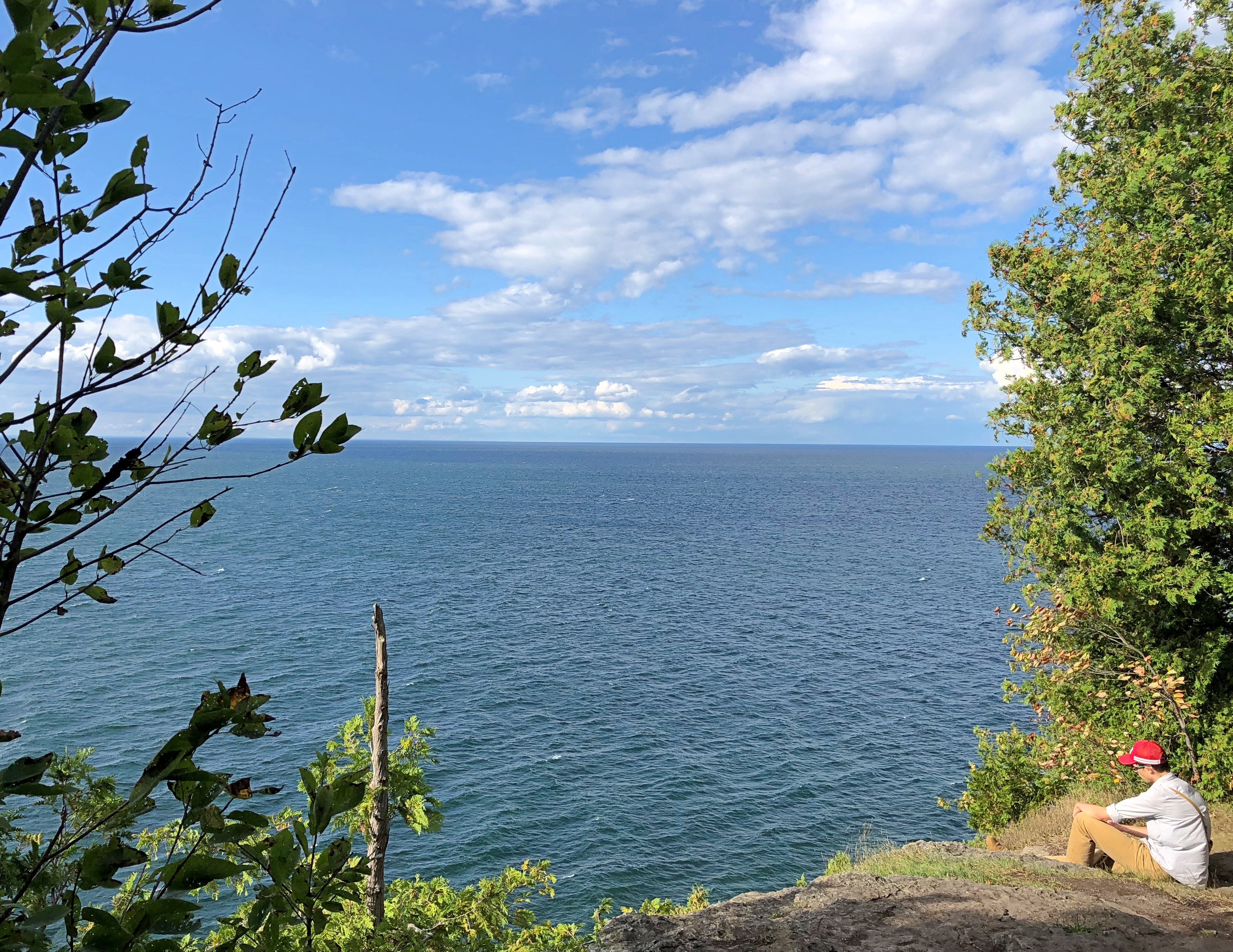
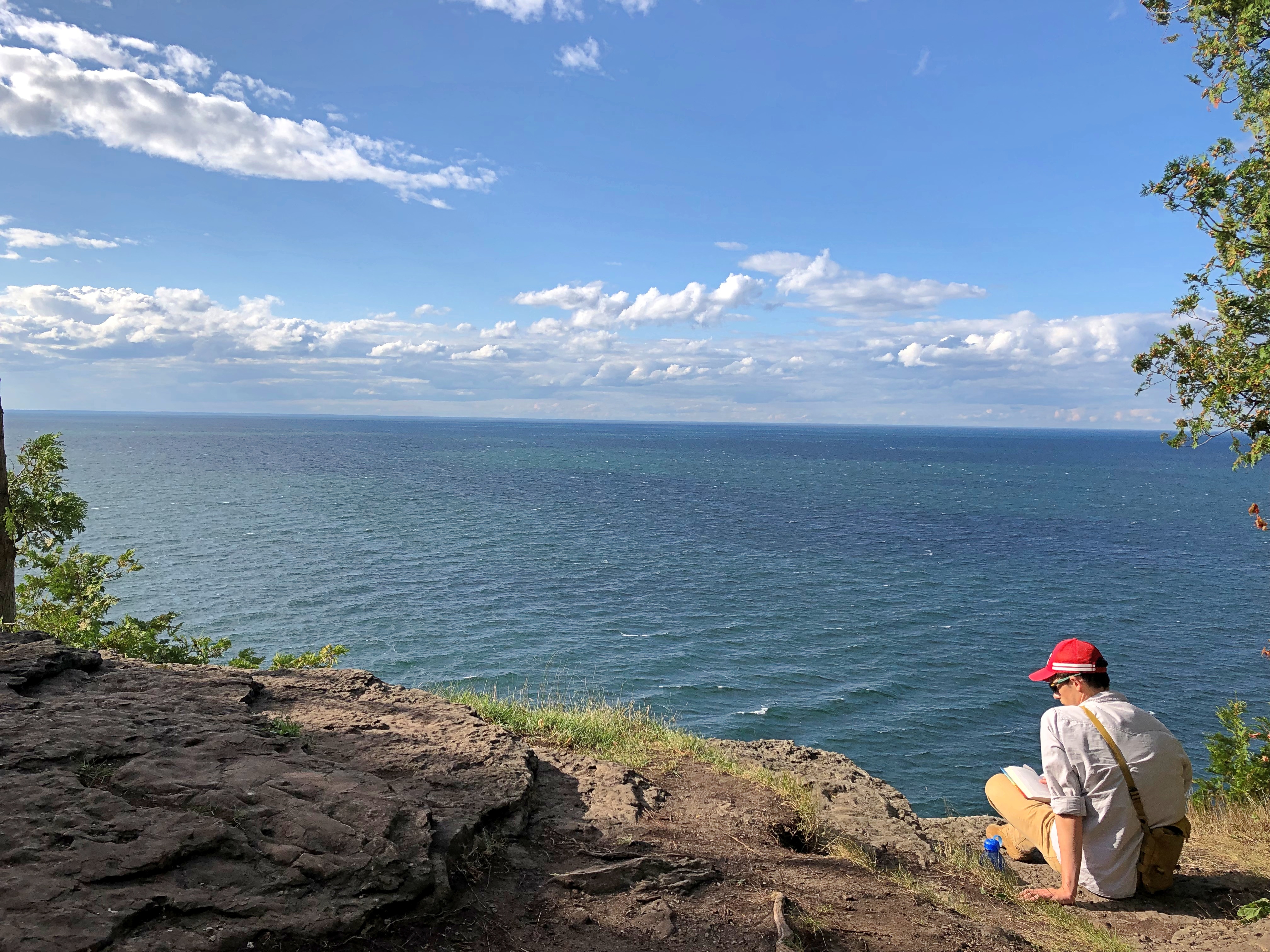
Eventually, we got to an opening in the trees, with a view from the cliff. It was about as spectacular as the one from Ellison, just harder to get to.Ellison Bluff County Park

Ellison Bluff County ParkThe fellow sitting at cliffside was reading a book. I didn’t ask what, since I didn’t want to bother him — or risk startling him.