Denali National Park and Preserve

Up in Coldfoot, we were within Alaskan spitting distance of Gates of the Arctic National Park and Preserve, maybe ten miles on foot to the park’s invisible demarcation line. Gates of the Arctic, which is about the size of Maryland or Belgium, has no human infrastructure or services of any kind.

That’s an evocative national park name if there ever was one, summoning dreams of primeval remoteness. Only about 10,500 people ventured there in 2019, making it the least-visited U.S. national park even in an ordinary year, since the logistics of a visit are quite involved. I was no more prepared to visit Gates of the Arctic last week than to go to the Moon, so it was close but no cigar.

Denali National Park and Preserve is another story. It’s easily accessible to everyday folk, at least those willing to spend the time and money to go to Alaska, and willing to forgo private-car travel into the park. I was all in.

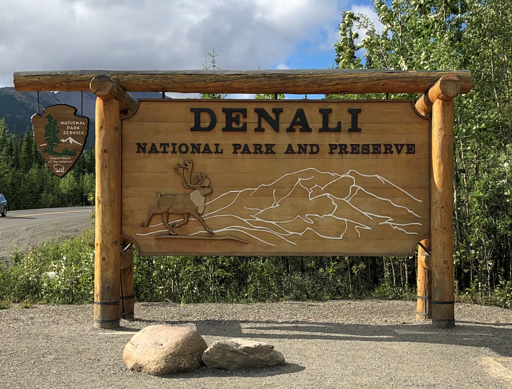
Chronologically, the sign was the last picture I took at Denali, but never mind. It marks the entrance off the highway Alaska 3.Denali NP
This image is also out of order, strictly speaking, since it was taken mid-tour. Our bus was the one on the left.
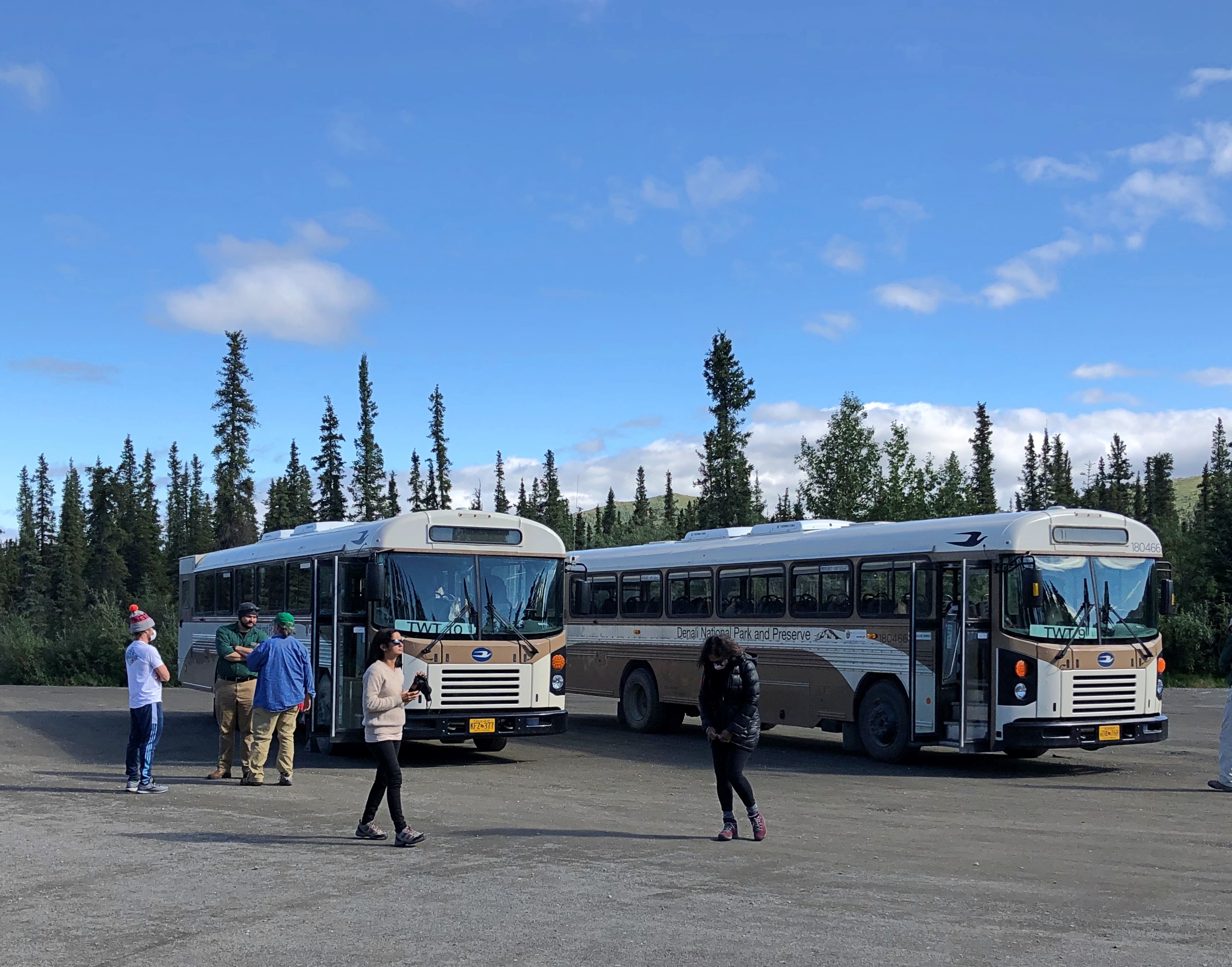
Denali NP buses

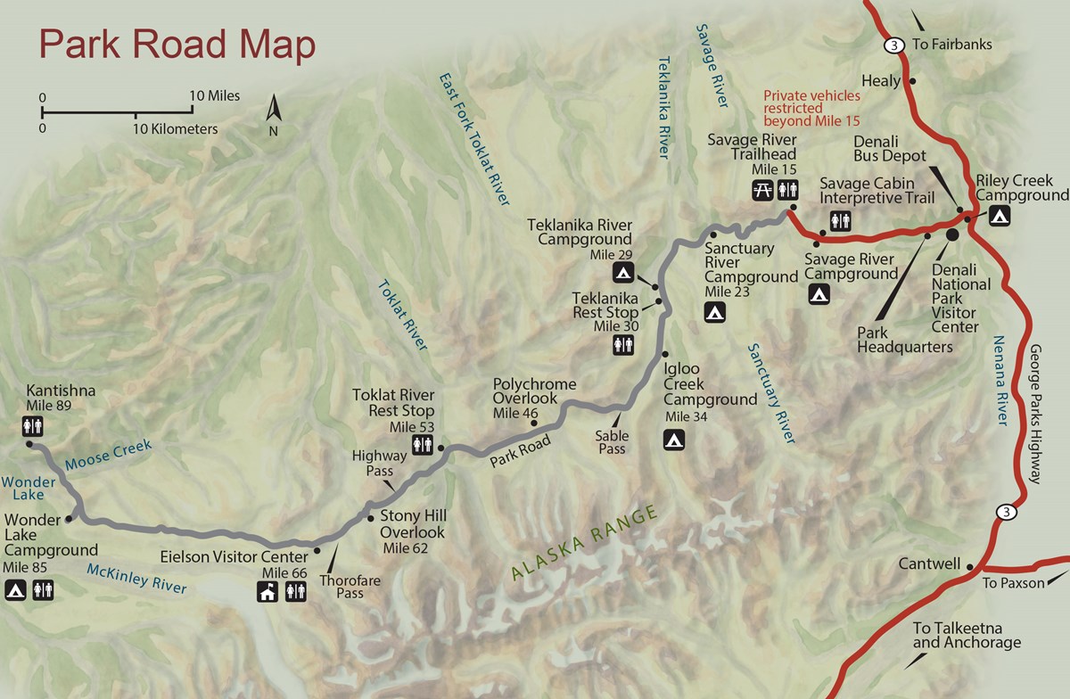
The bus traversed part of the 92-mile Denali Park Road, which roughly parallels the Alaska Range. The tour took us to Mile 53, a spot called the Toklat River Rest Stop.
Denali Park-Road-Map_5

“During summer, roughly late May through early September, private vehicles may drive the first fifteen miles of this road, to a place called Savage River,” the National Park Service says. “The road to Savage River is paved, and features numerous pull-outs for folks to stop and snap some scenic photos. ‘The Mountain’ can be seen as early as Mile 9, if the day isn’t too overcast, and animals of all sorts can sometimes be seen on this stretch of road — although chances to see wildlife increase greatly with a bus trip farther down the Park Road.”

Lest anyone think that mandated bus transportation is some new innovation by the feds to restrict freedom of movement, the NPS points out that banning private cars on most of the road goes back almost 50 years.

“Prior to the 1972 completion of the George Parks Highway (Alaska Route 3), which is the main travel artery into interior Alaska, visitation to Denali National Park and Preserve was fairly low. Anticipation of major increases in traffic resulting from a direct route to the park prompted park officials to implement a mass transit system beyond Mile 15 on the Denali Park Road.”

Good thing, I believe. It’s a narrow, mostly gravel road after that point. Even a few dozen cars at a time could easily jam the thing up, and fools would sometimes (often?) get stuck. Occasional unlucky souls would be in cars that pitch over the edge of some pretty steep slopes without guardrails.

So at about 9:30 on the morning of July 29, I boarded a Bus #10 outside the park and spent the day in my 24th or 25th U.S. national park (I’m never sure whether to count Guadalupe Mountains NP). One of the most magnificent so far, too.

The magnificence started early in the drive. Even before Mile 15, we could see a mostly cloudless Mount Denali, the peak I probably learned as McKinley poring over maps in elementary school, the tallest in North America. Actually there are twin summits.Mt Denali
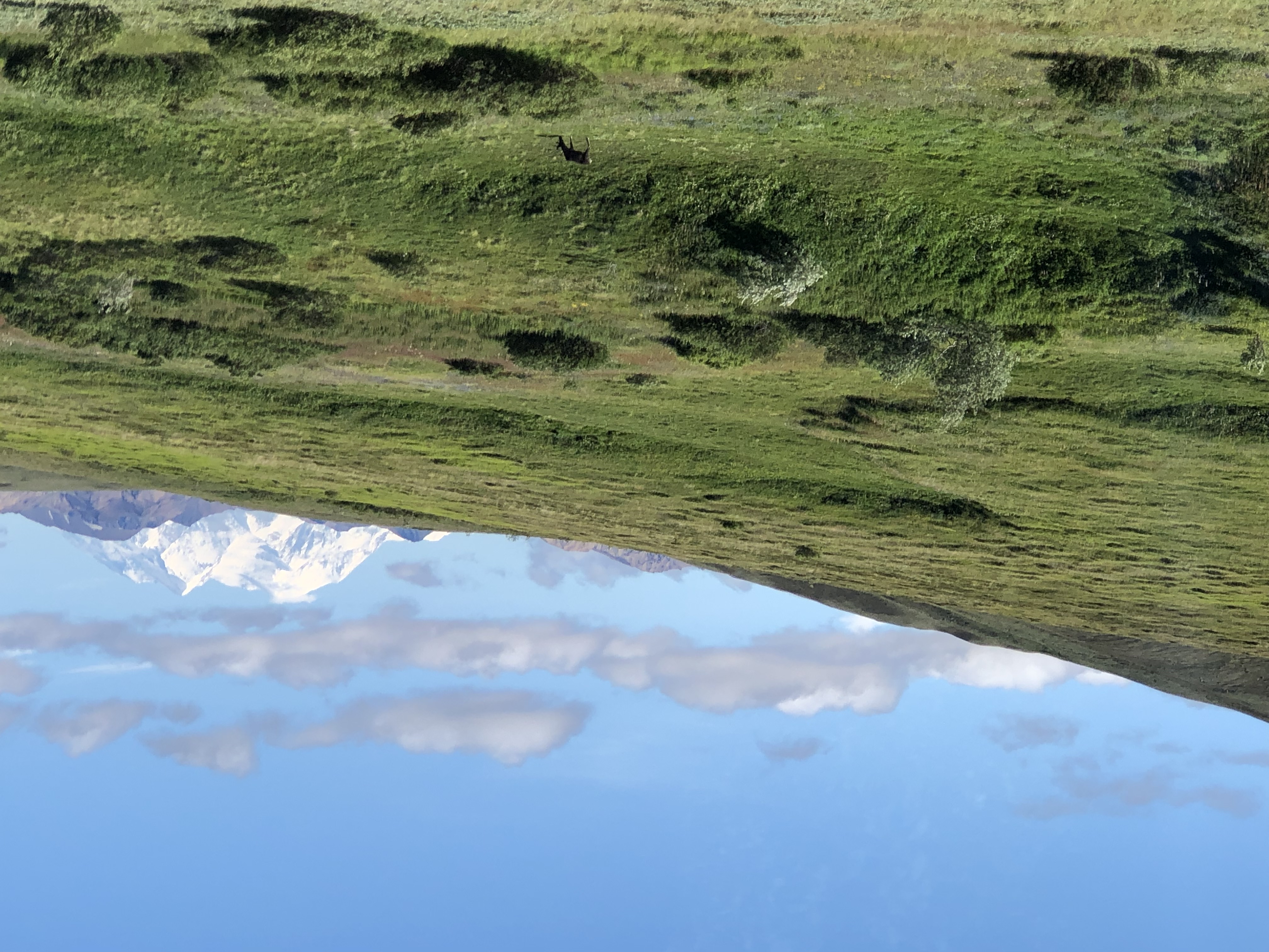
Tour guide, bus driver and all-around effusive fellow Brian told us that maybe three out of 10 visitors to the park actually get to see Mount Denali. Like Fuji and some other mountains of renown, clouds often cloak it. Later in the tour, when we were closer to the mountain, it was invisible. Throughout the day, in fact, clouds came and went with rapidity over our entire field of view.

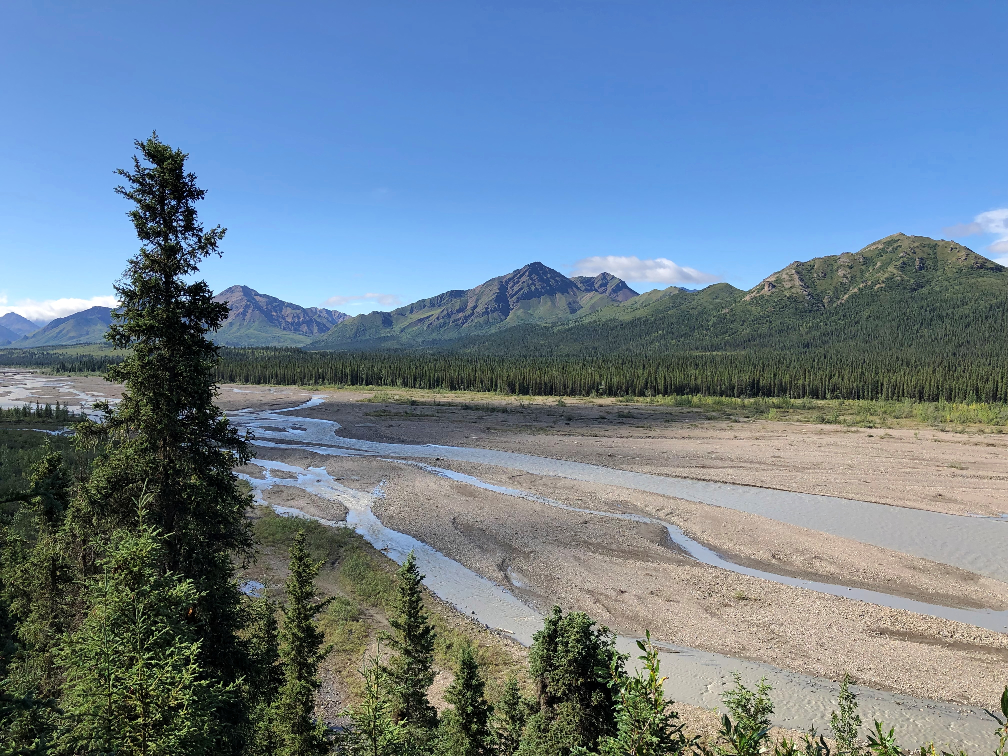
At Mile 15 is the wide view of the Savage River.Teklanika River
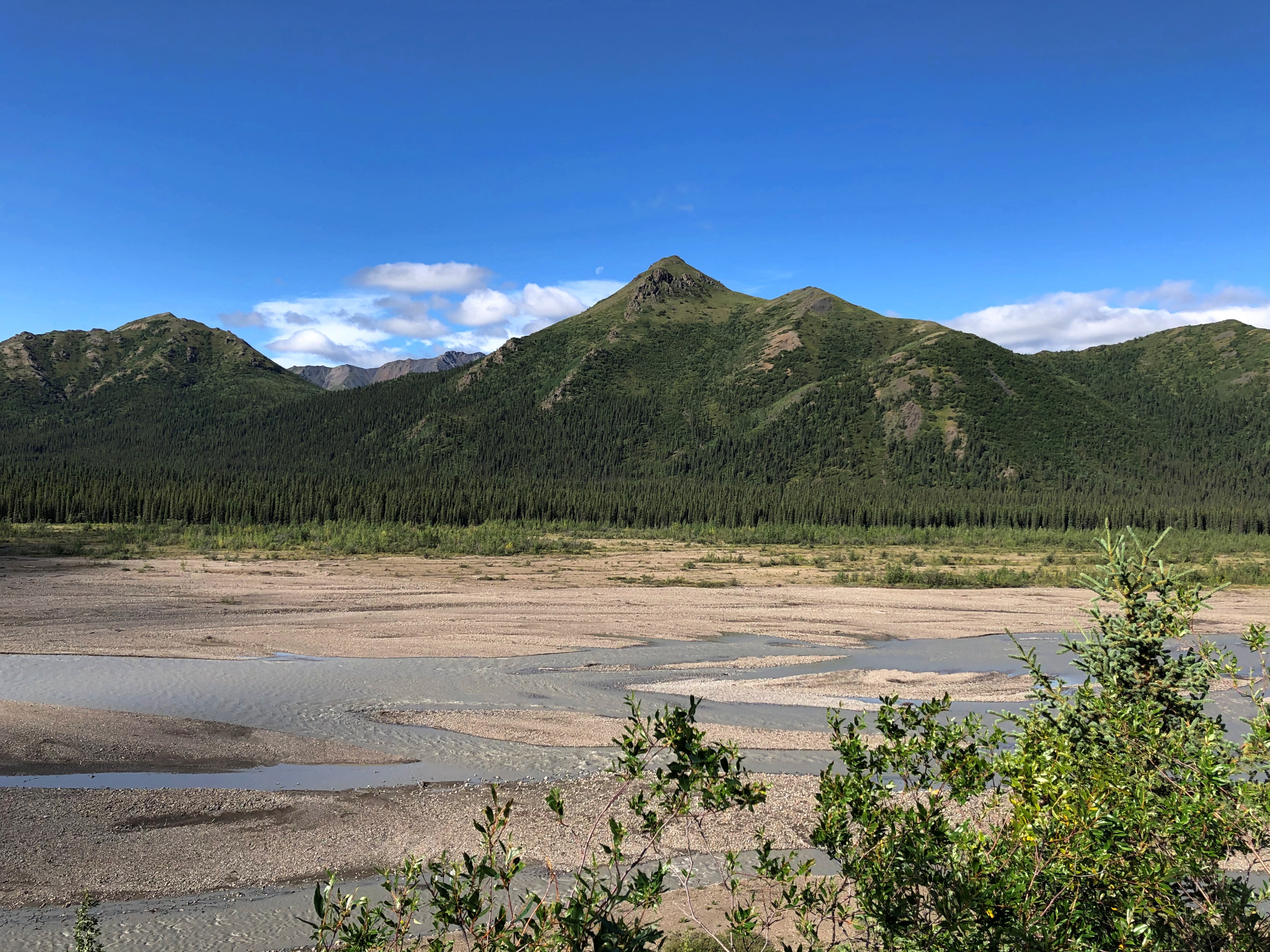
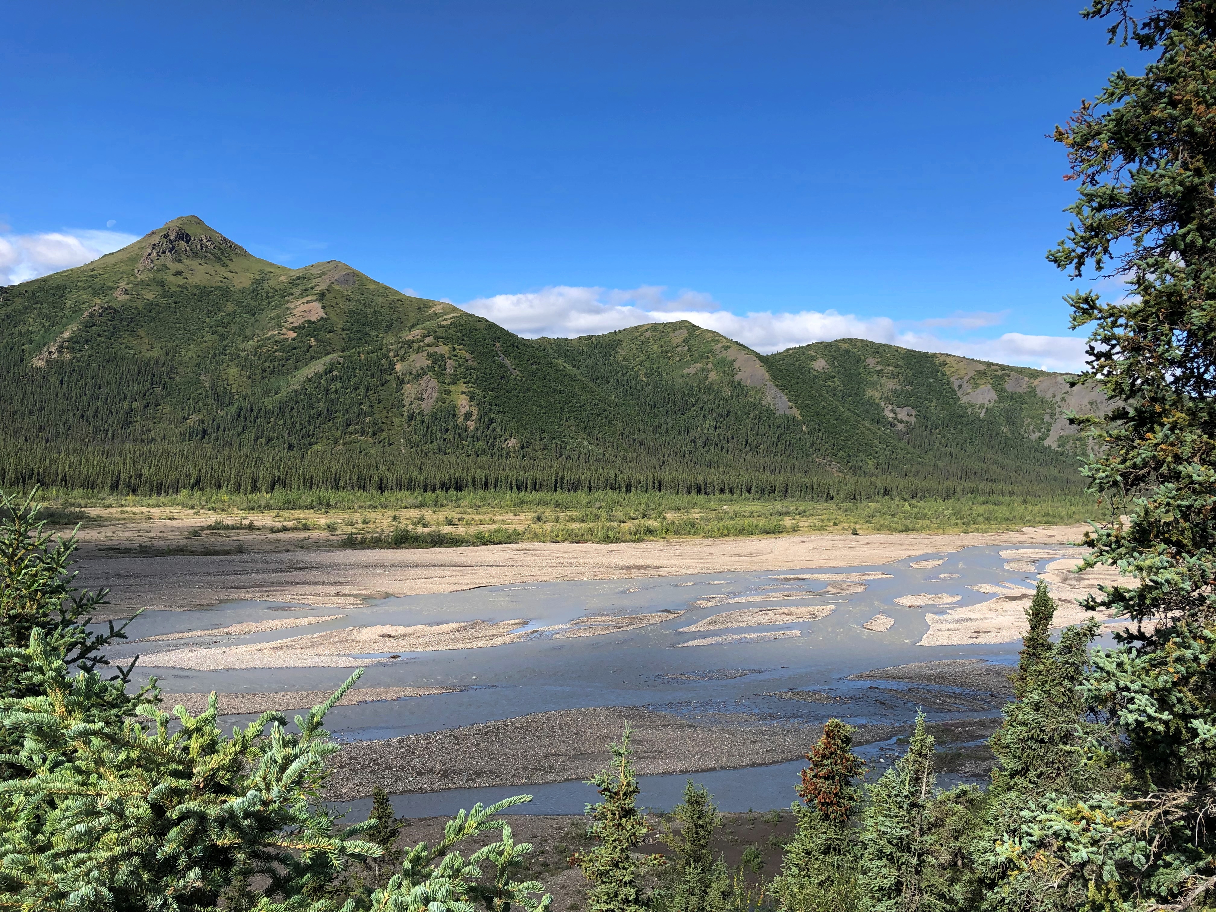
Teklanika River
Teklanika River

Further along the road, an illustration of how far greenery can reach up mountainsides.
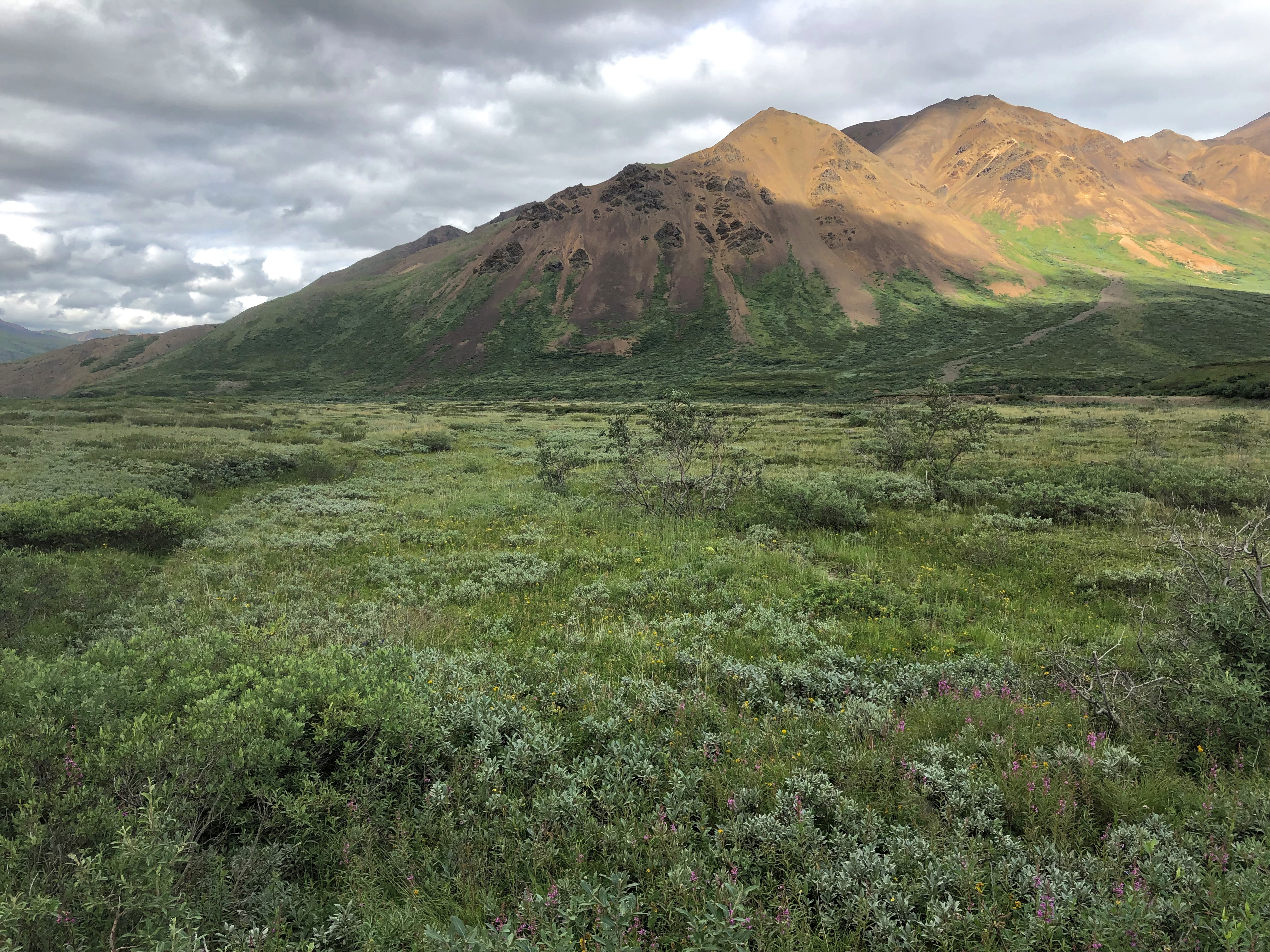
Denali NP

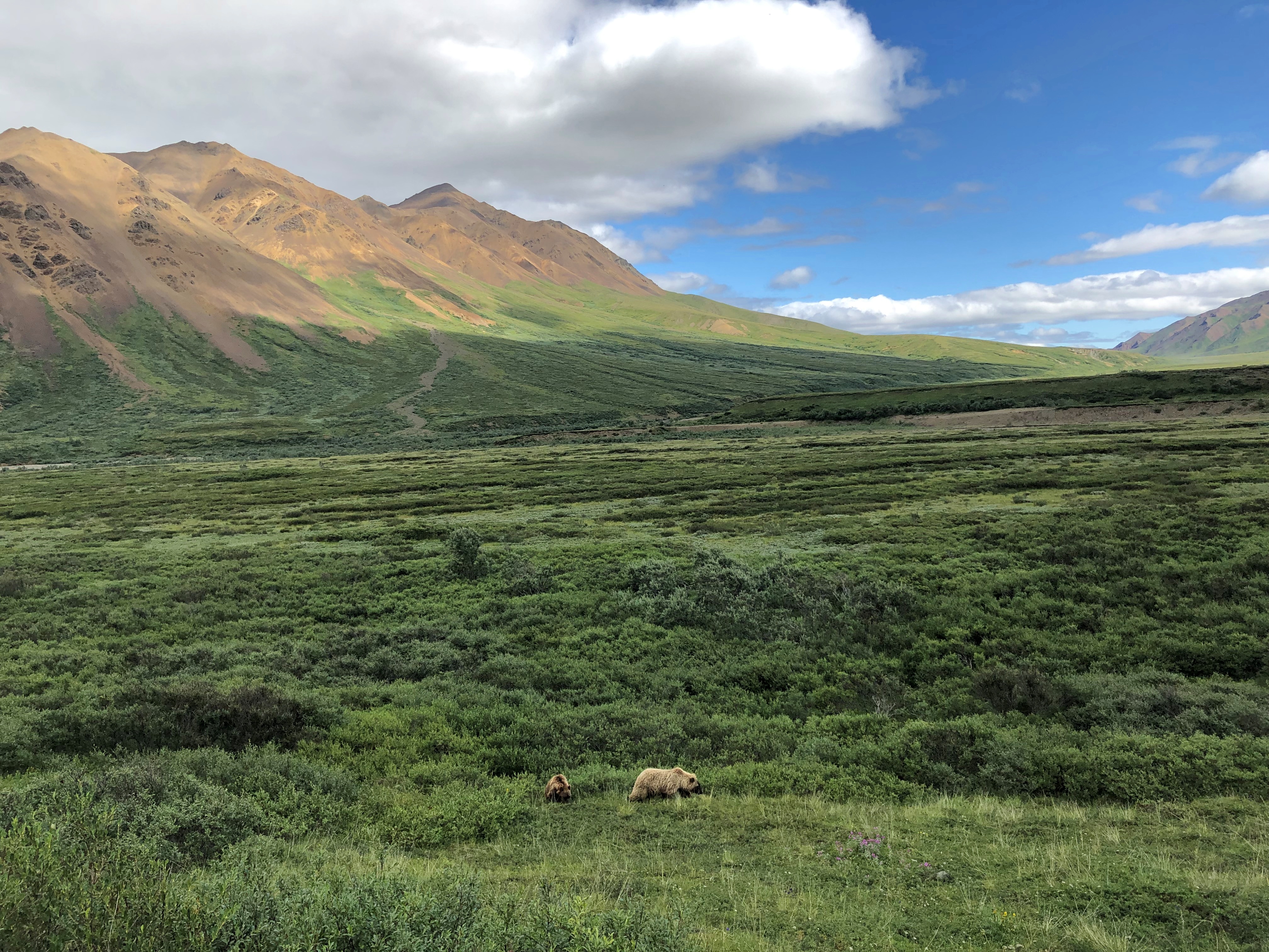
Around there, we spotted a bear. Brian stopped the bus for a few minutes for us to watch. It wouldn’t be the last time he did so.
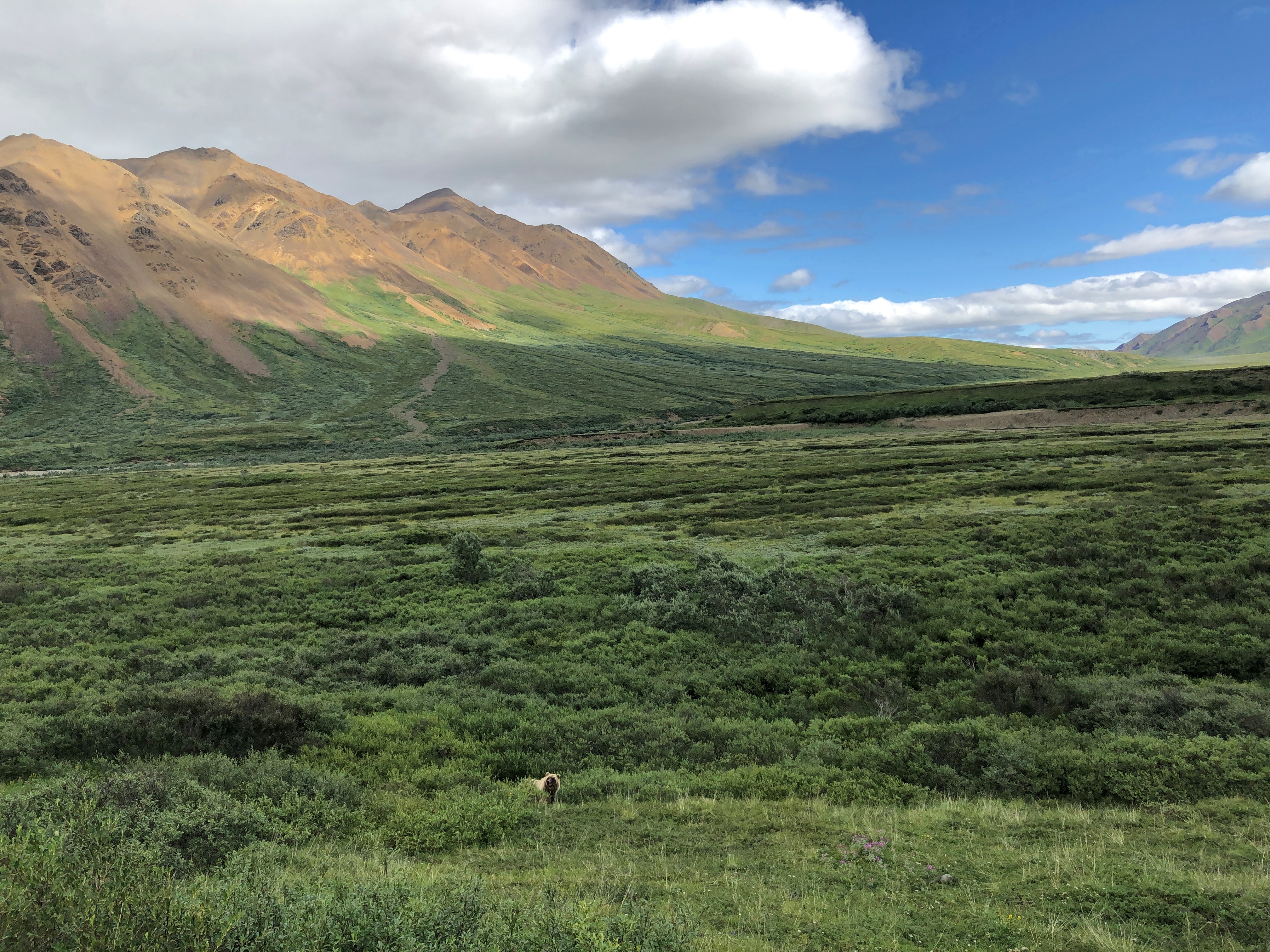
Denali NP bears

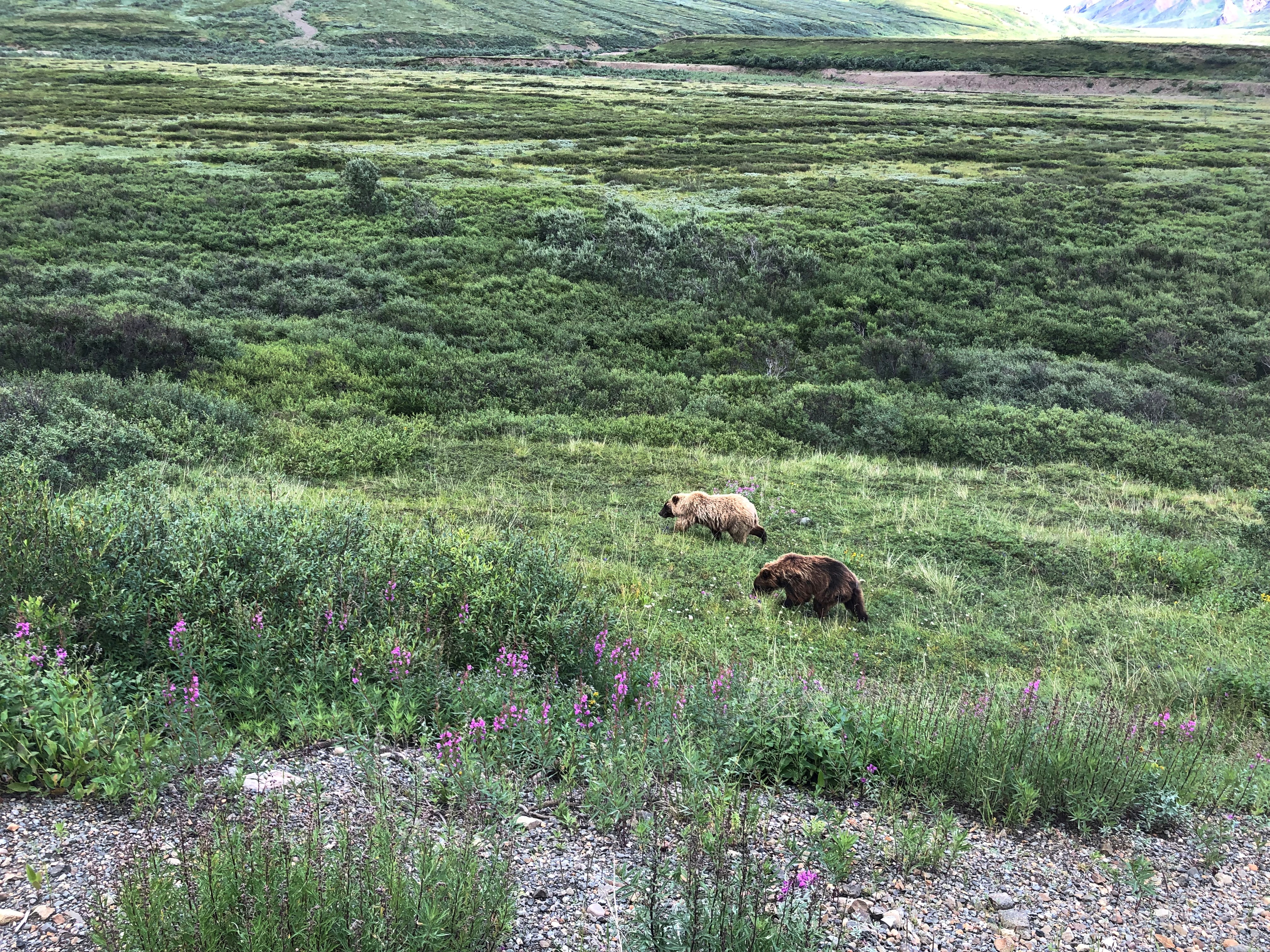
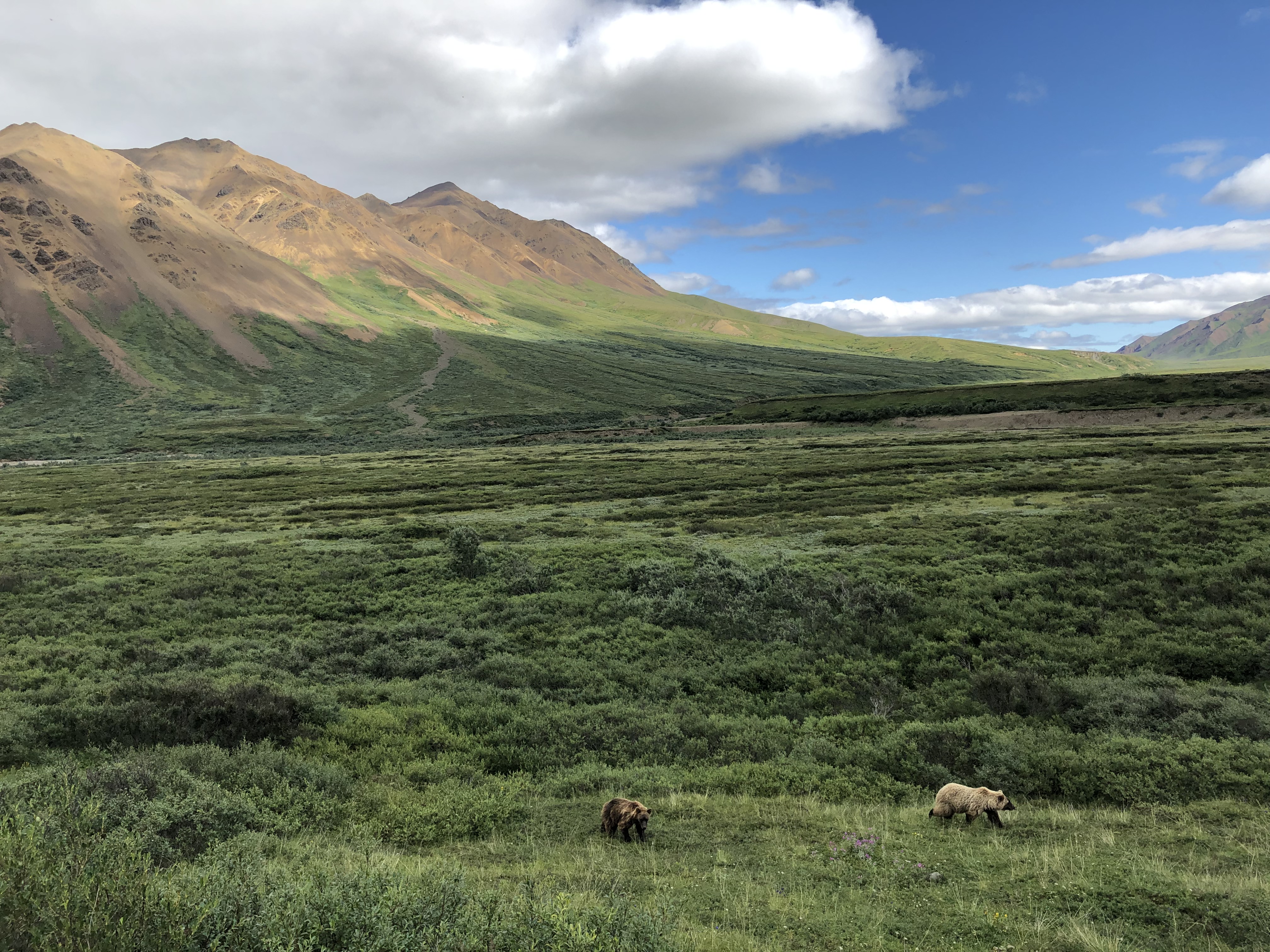
Make that two bears.
Denali NP bears

In the fullness of the day, we spotted a total of five brown bears, some of whose coats were actually blondish. Brian noted that an estimated 300 bears live in the park, and if so, we saw nearly 2 percent of them. He further said that often enough tours buses see no bears at all, the creatures being as elusive as Mount Denali. So we were a charmed bus almost from the get-go.Denali NP bears
Denali NP bears

One of the bears took a stroll on the road. Why not? For all we know, the bear considered the bus just a big lumbering animal that posed no harm, and could not be eaten, and so deserved no further consideration.
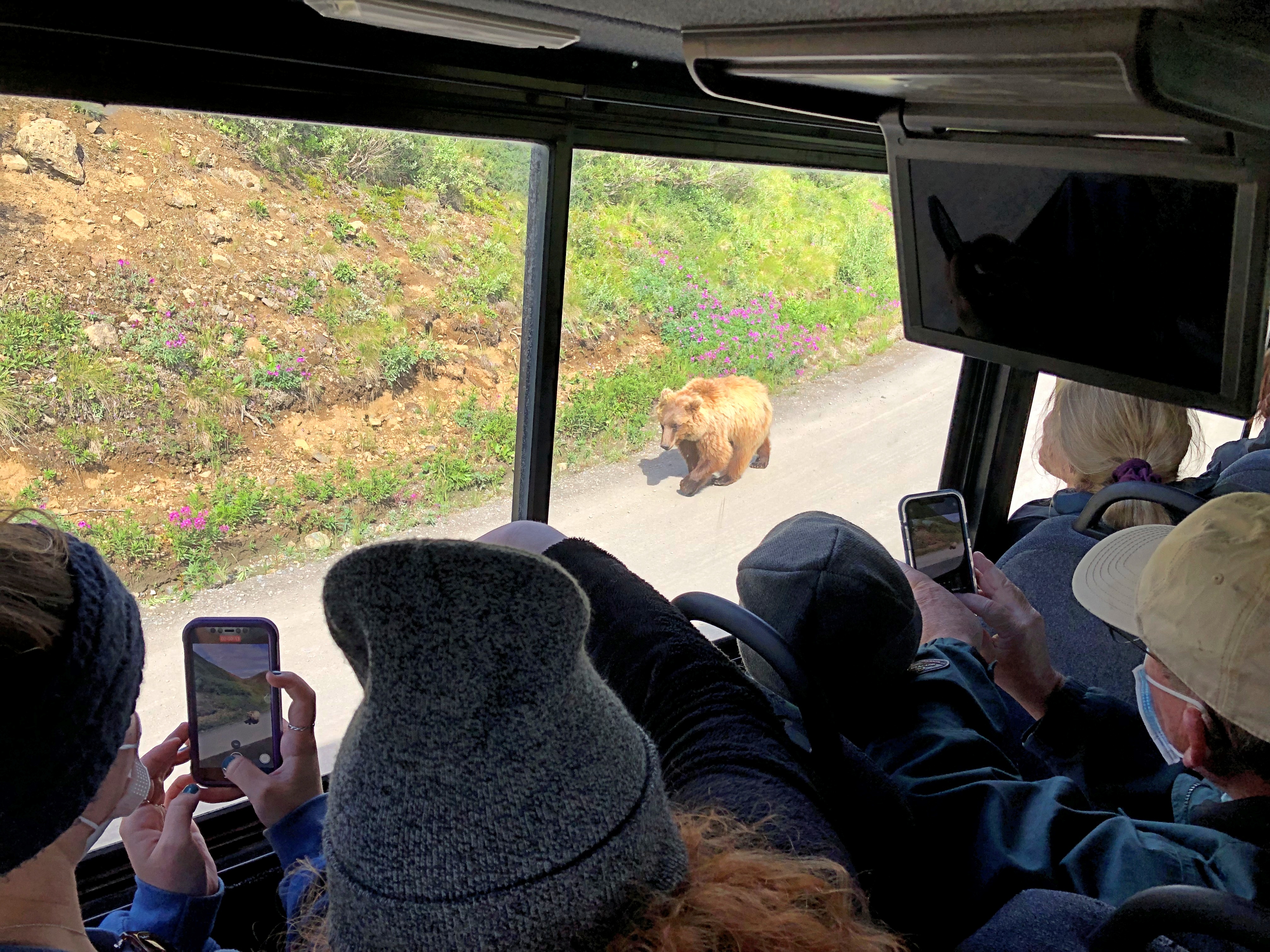
Denali NP bear

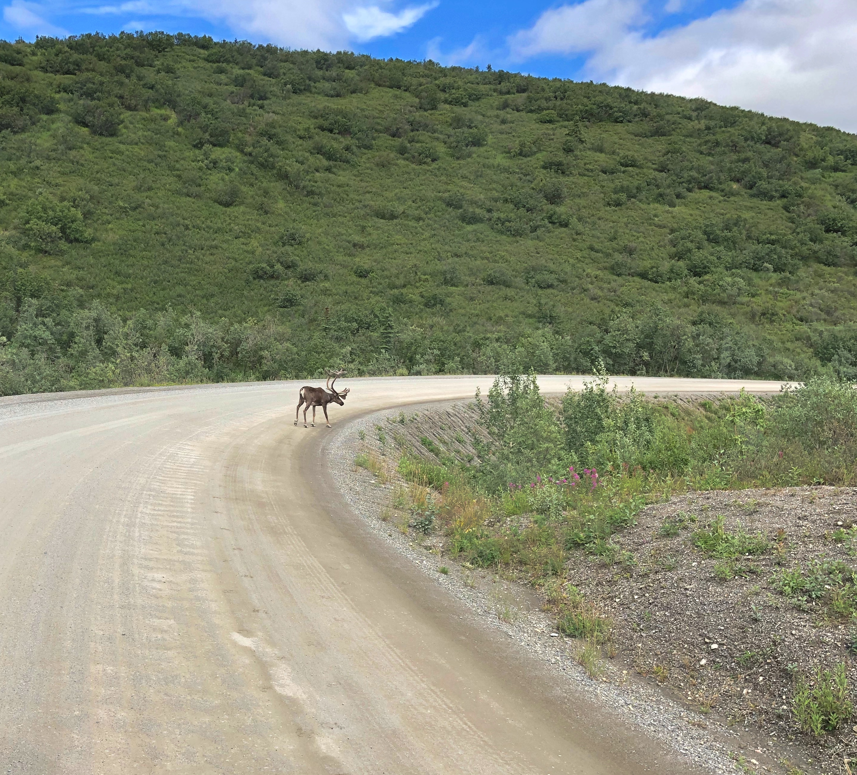
Caribou probably felt the same way.
Denali NP caribou

We also managed to see, as the day went on, Dall sheep, moose, and a lynx — another animal the guide said was rarely seen on a tour. As for the Dall sheep, they were white spots way up a mountainside, walking where I thought no animal ought to be able to walk. That only reflected my ignorance of all things Dall.

The conservation of Dall sheep was the original motive for creating Mount McKinley NP, as it was known when established in 1917. One Charles Sheldon, who made a fortune in mining and retired young to the life of a naturalist, successfully advocated for the creation of the park in the early 20th century to keep Dall from being wiped out by hunting.

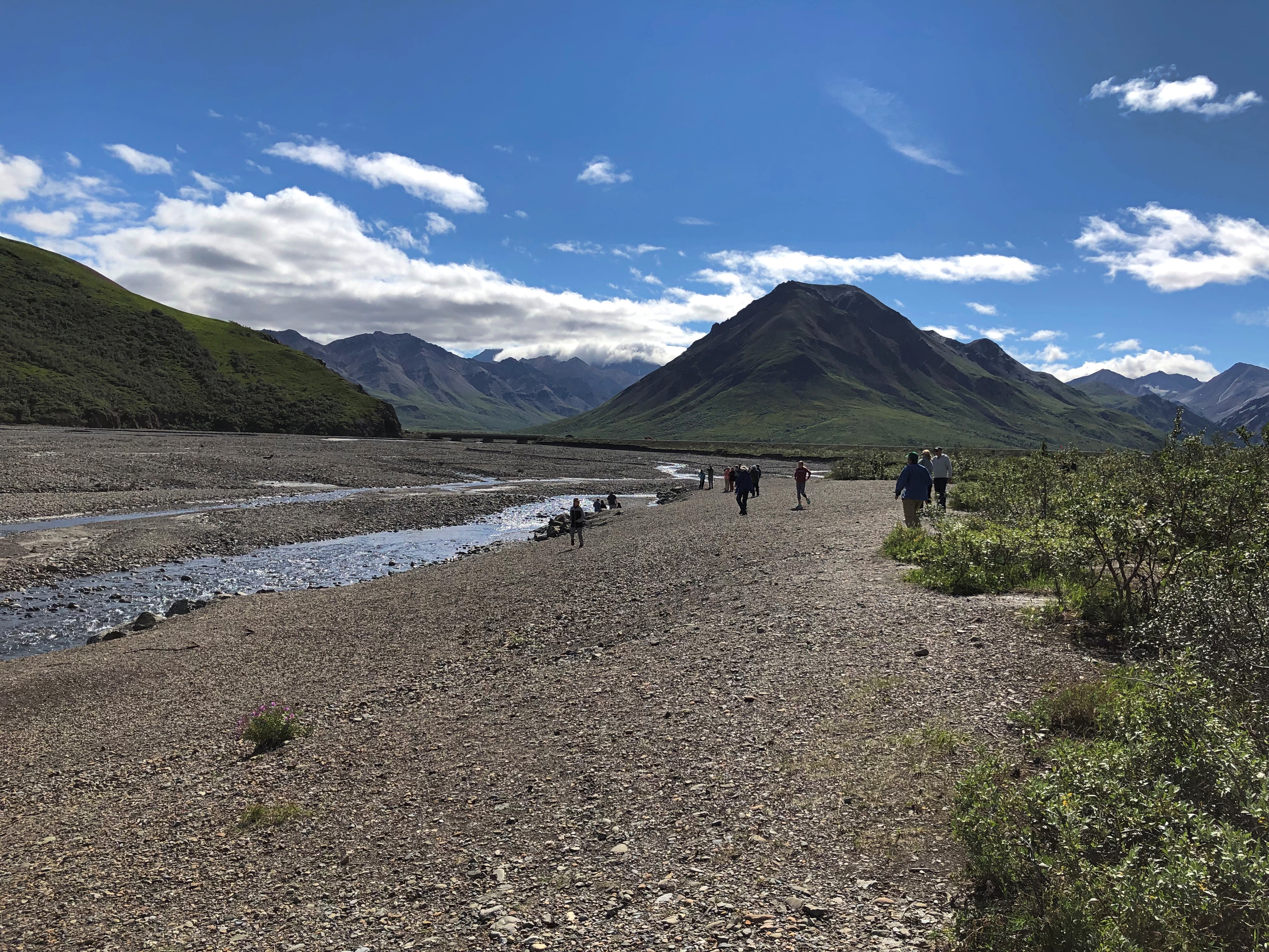
At Mile 30, the rocky Teklanika River.Denali NP
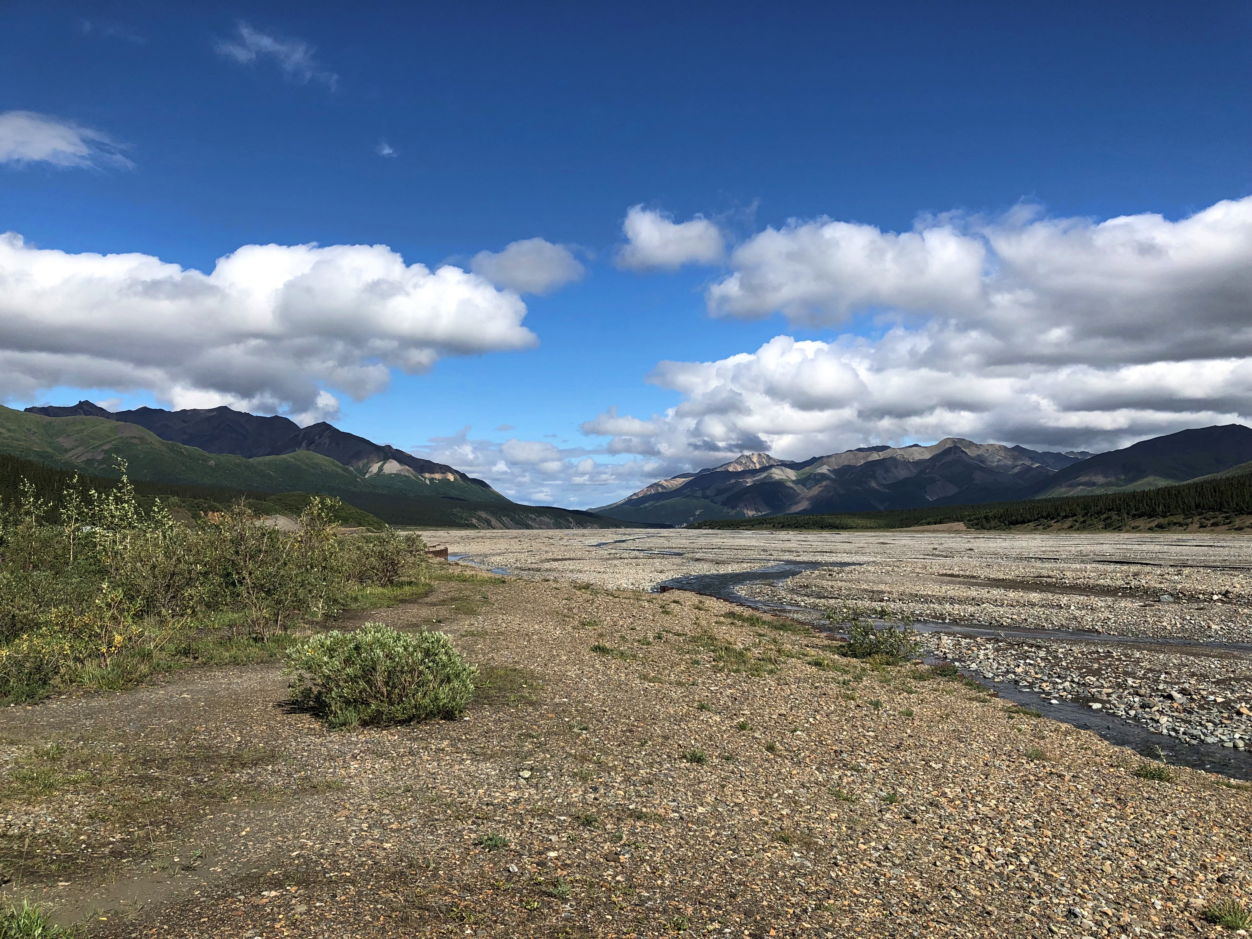
Denali NP

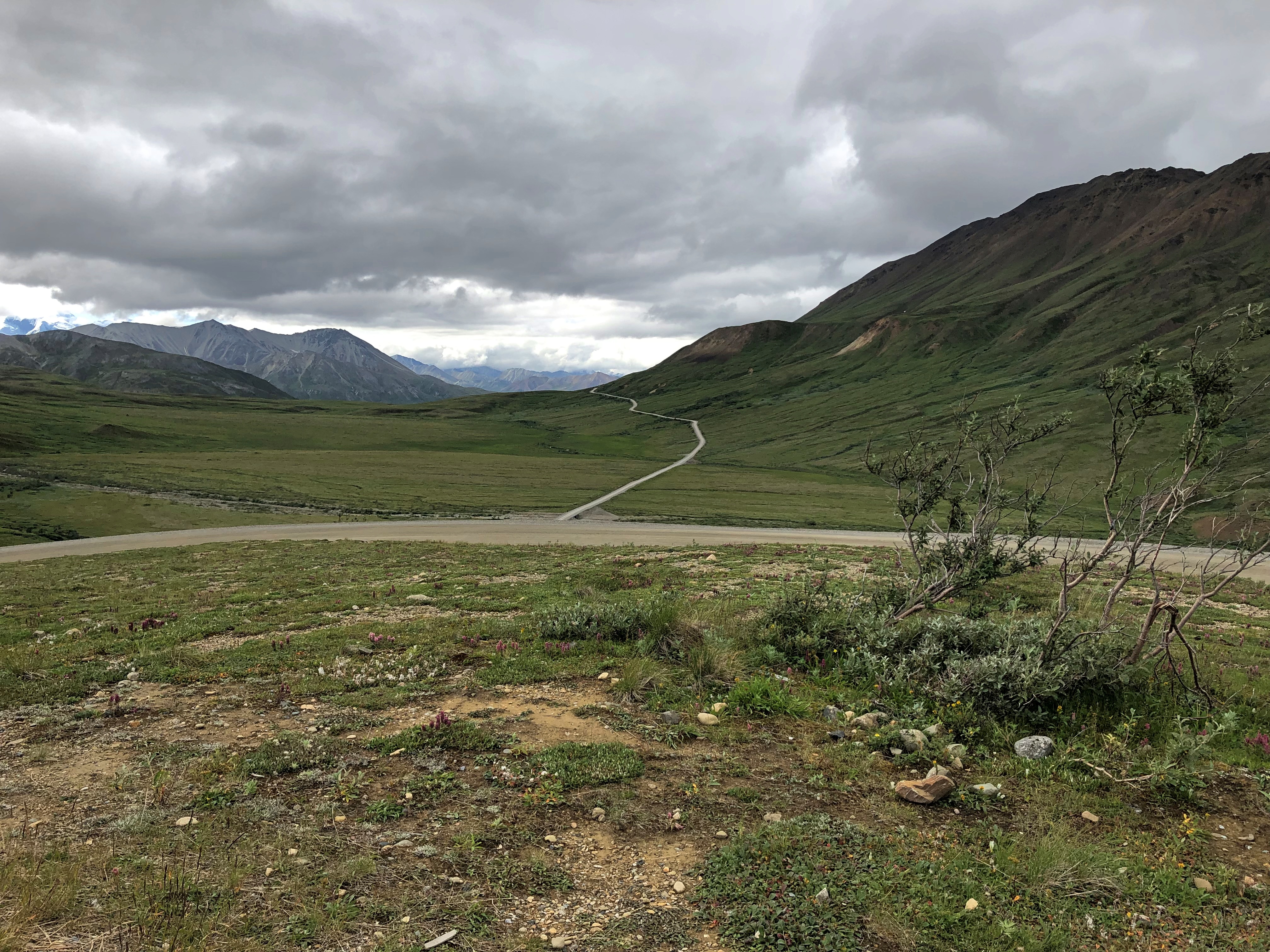
Further in: more views of the road, which winds around. The second image looks like another road branches off, but there’s only one road in all of Denali NP.Denali NP road
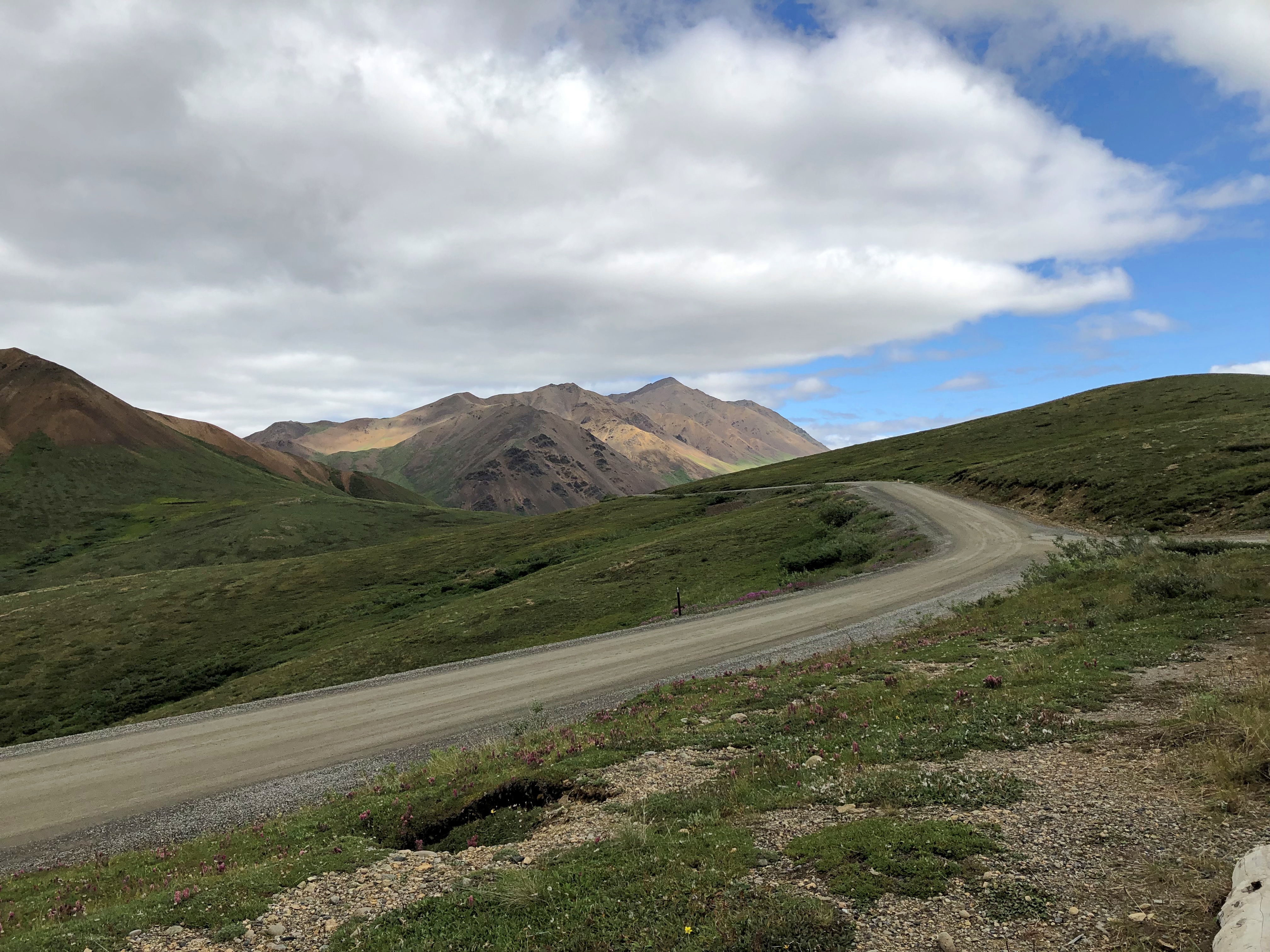
Denali NP road

The purest of the purists might object to this work of man in the park, but it’s the thinnest of ribbons in a vast wilderness, built from 1923 to 1938. Since Alaska 3 didn’t exist until 1972, visitors who wanted to travel the park road before then came up by railroad to the entrance of the park.

The road went on, but our tour made its turnaround at the Toklat River Rest Stop, Mile 53.
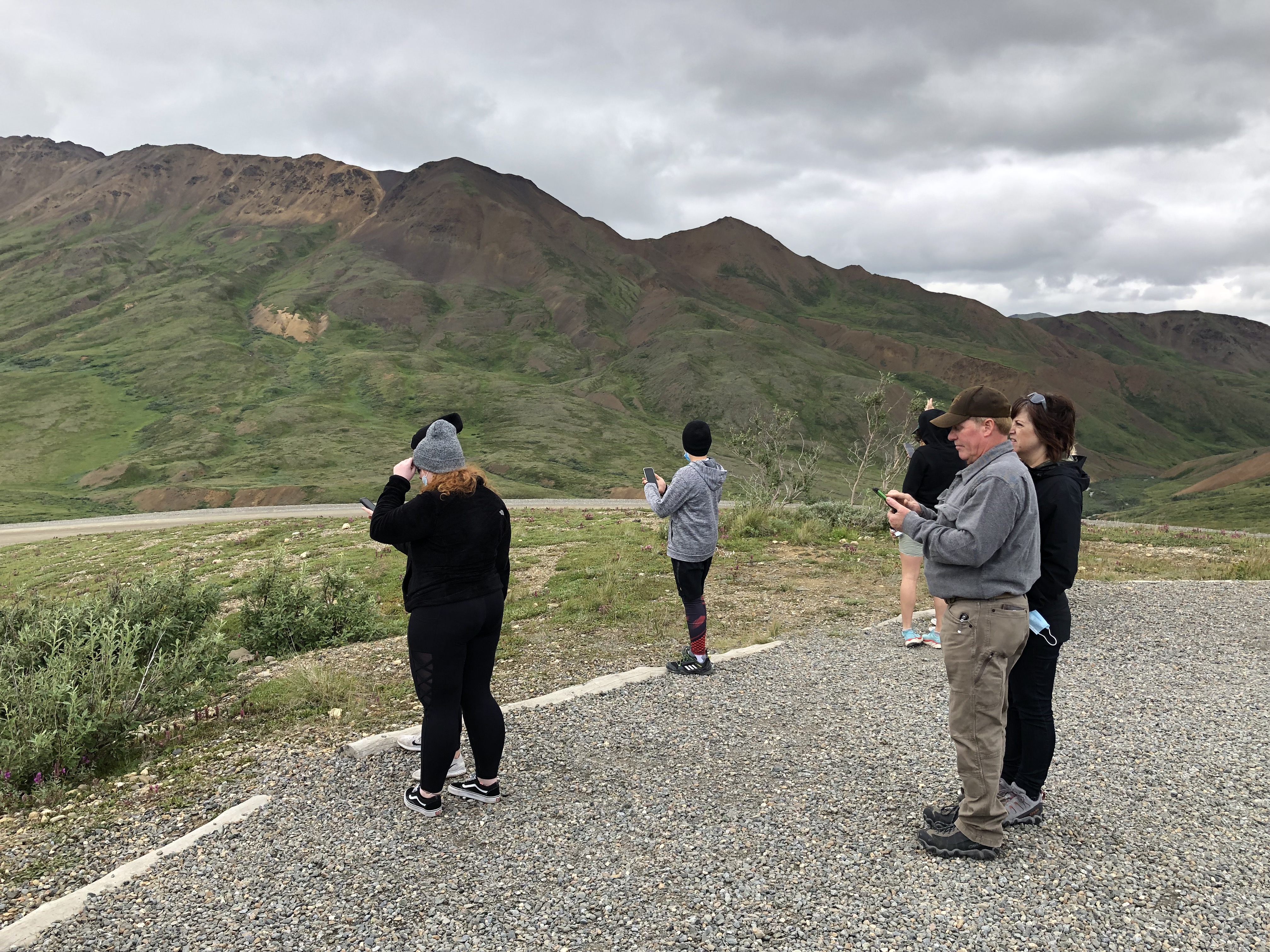
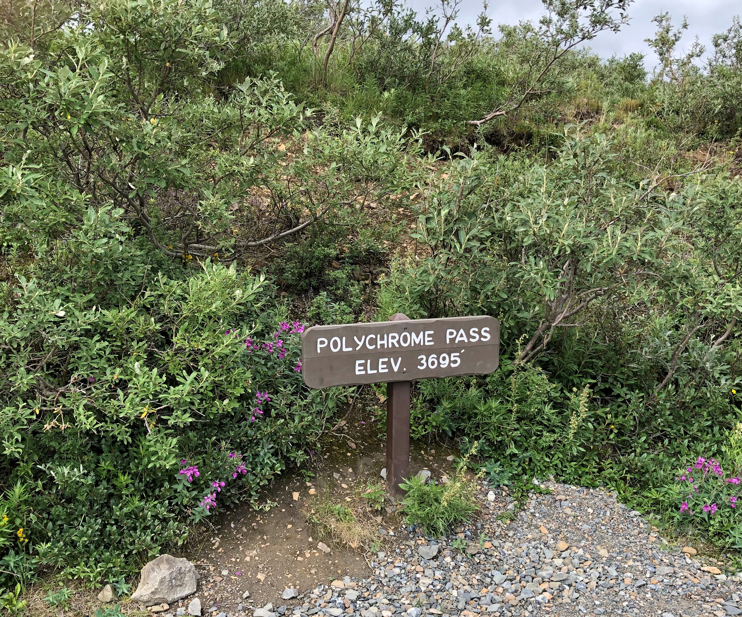
On our return, we stopped at a place that we had bypassed earlier, Polychrome Pass, at Mile 46.Denali NP Polychrome Pass
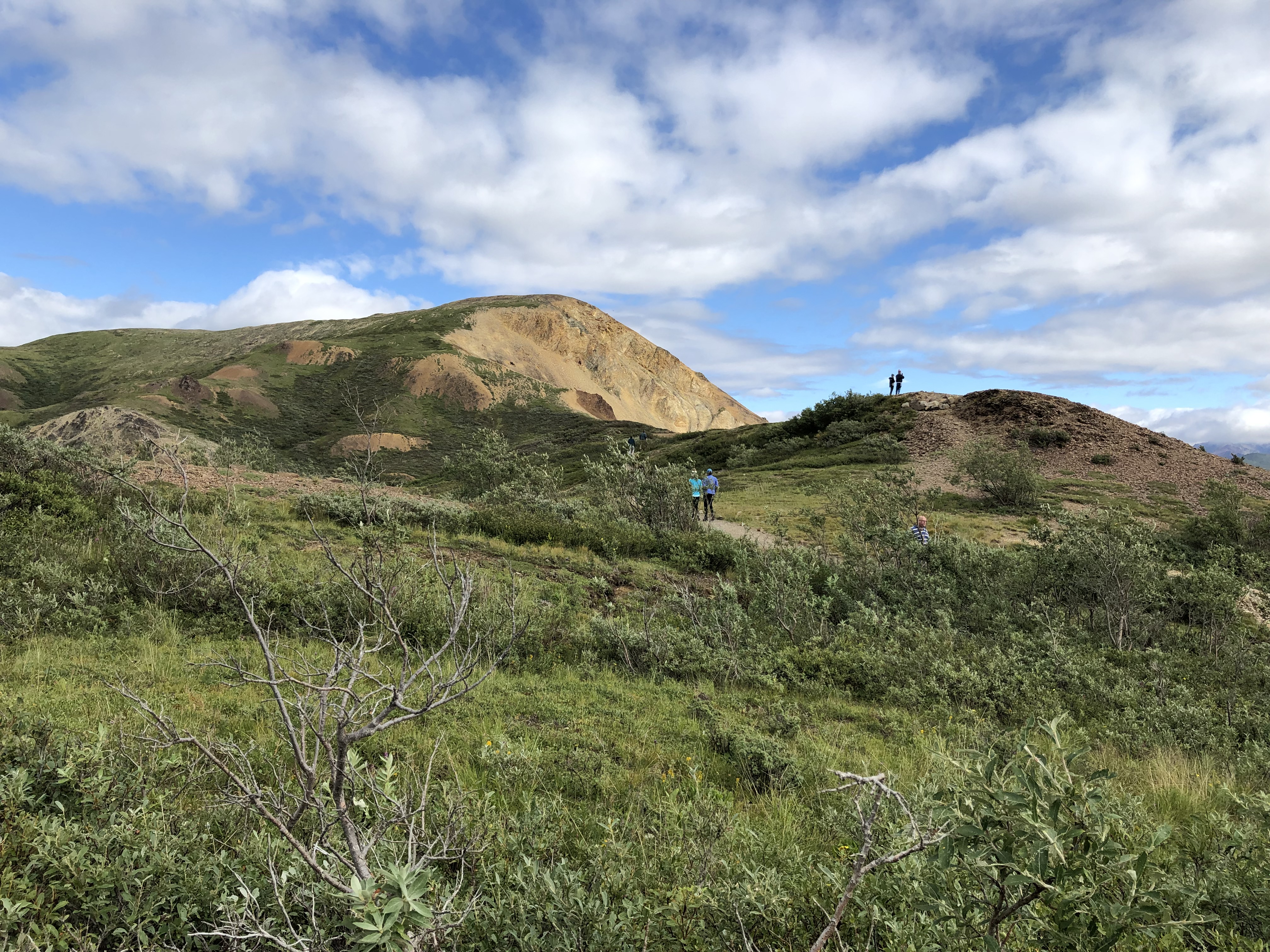
Most of us climbed the hill next to the road.
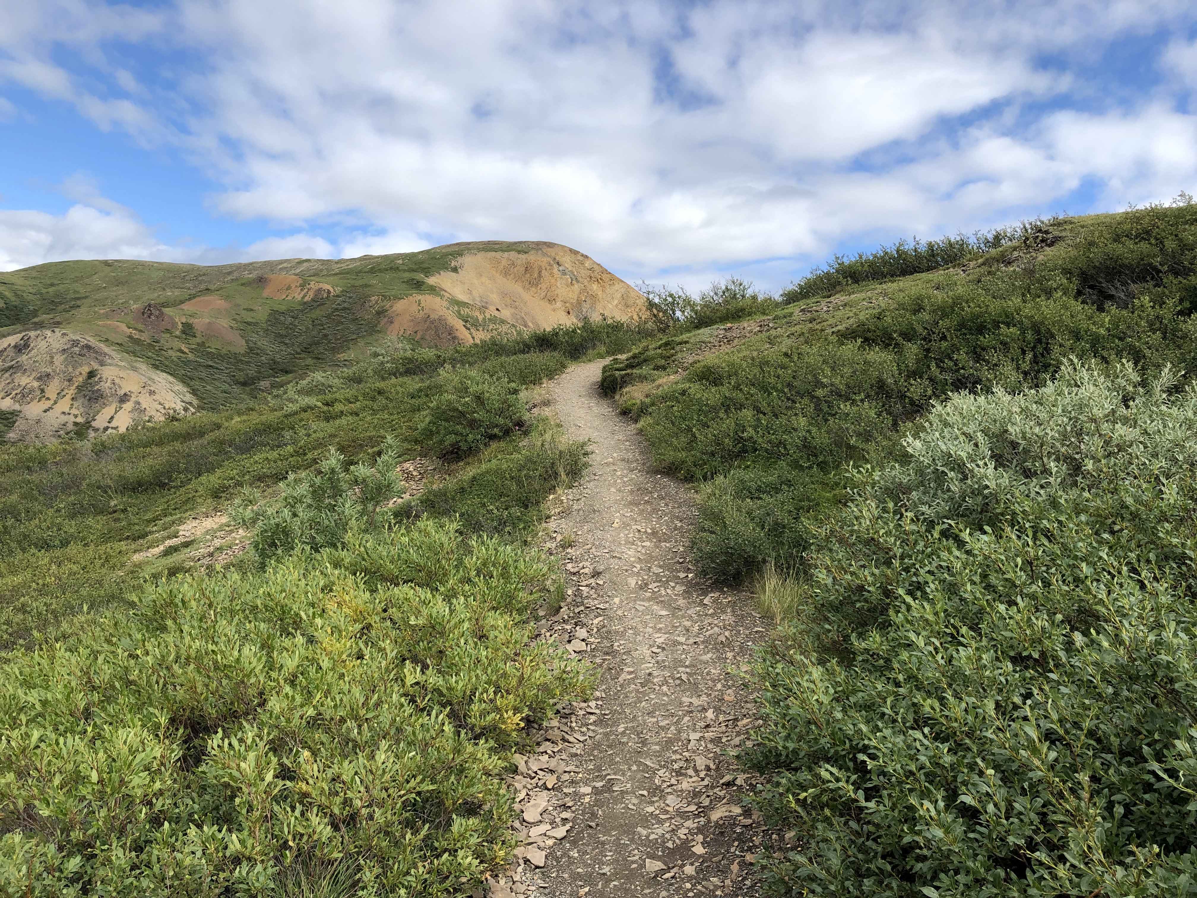
Denali NP Polychrome Pass

The view more-or-less north, into what are known as the Wyoming Hills, was nice.
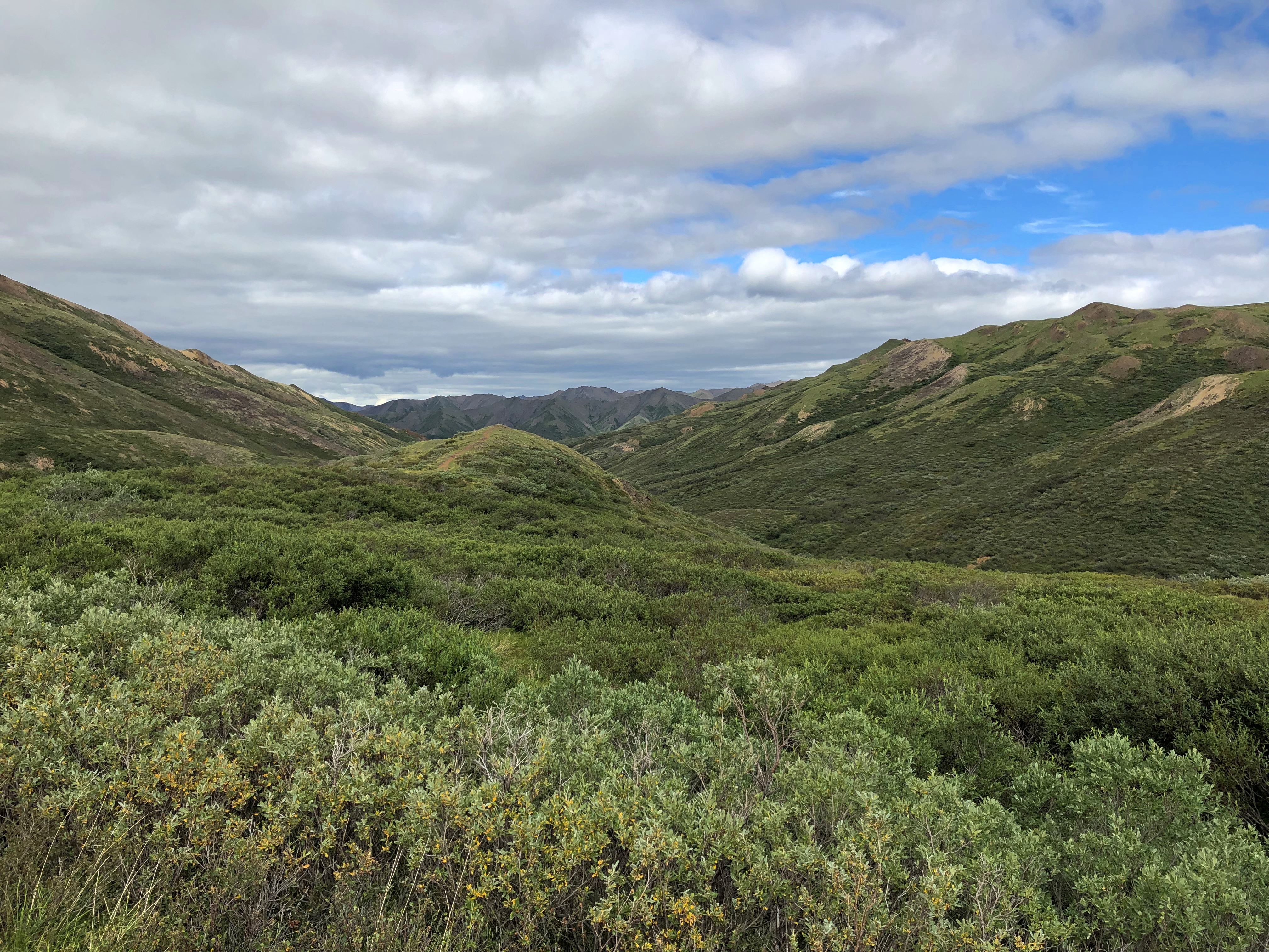
Denali NP Polychrome Pass

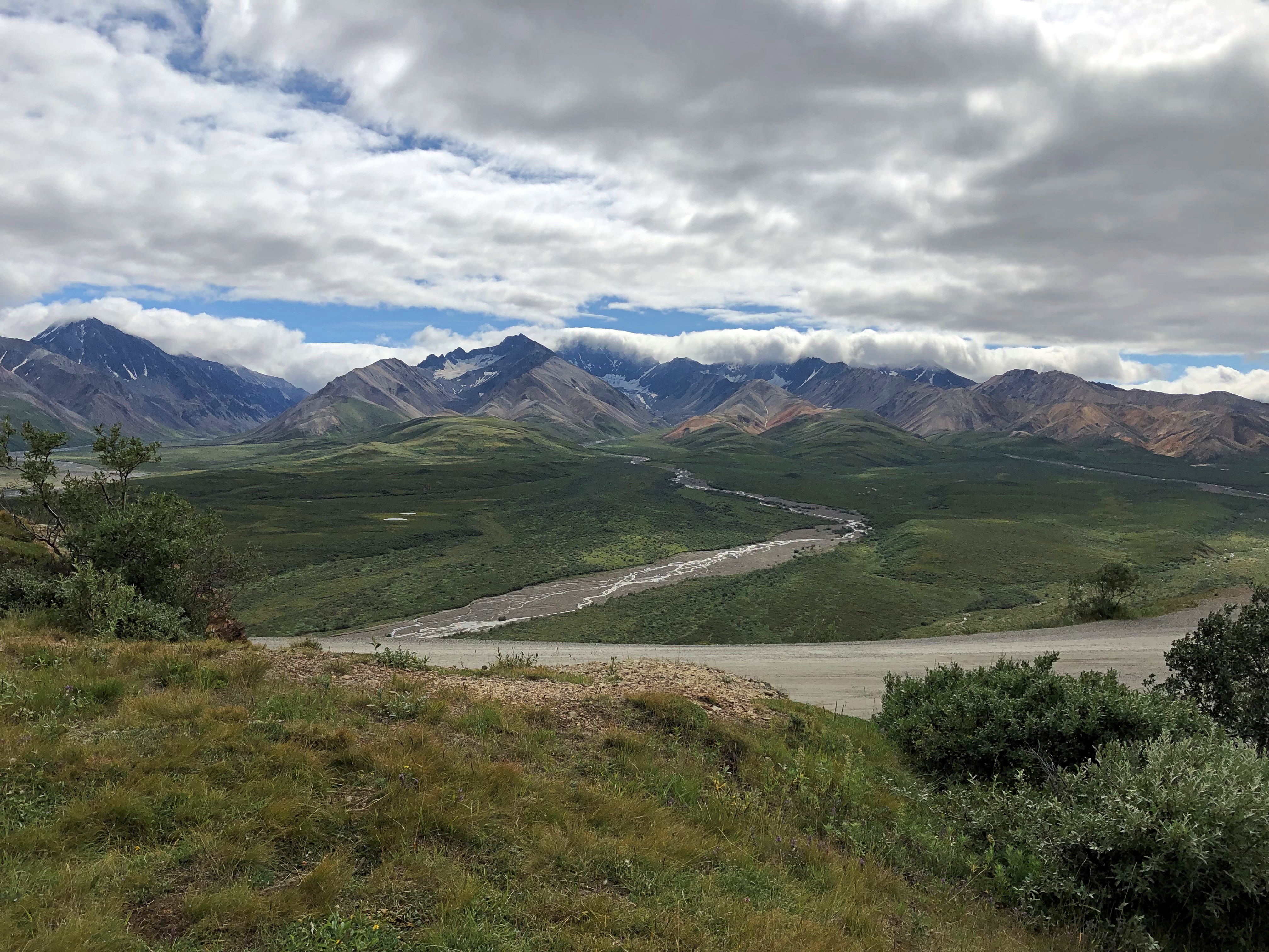
The view to the south proved to be my favorite in Denali NP, and in fact my favorite of the small slice of Alaska I got to see last week. Colorful, as the name implies, but much more than that. The cool brisk wind in otherwise absolute quiet added to the impression, but it was more than that too.

I will publish pictures here, but even more than all the others, they’re poor substitutes for the way the sweeping vista impressed my eyes. The view toward the Alaska Range at Polychrome Pass is, I believe, the grandest vista I’ve ever seen.Denali NP Polychrome Pass
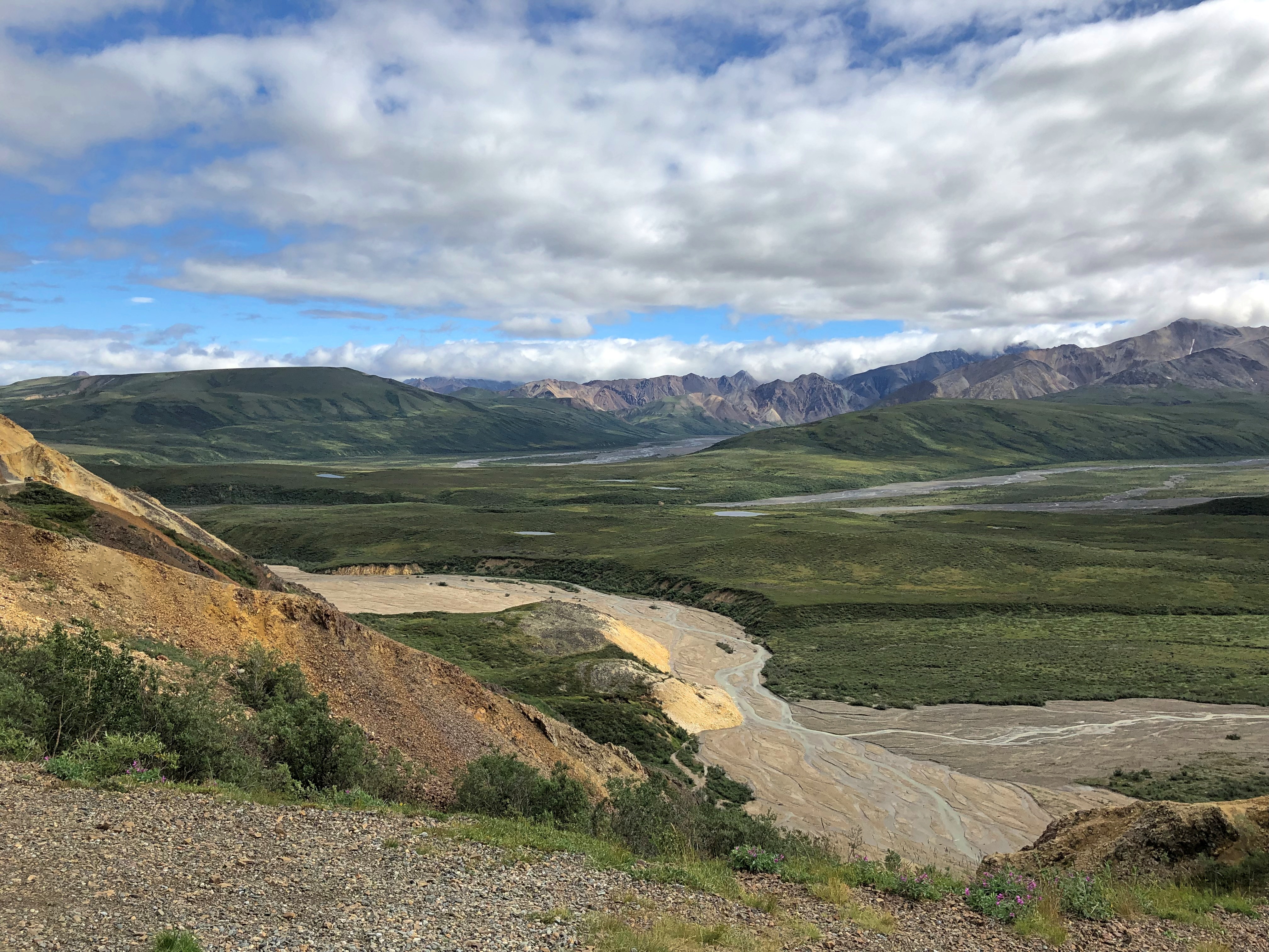
Denali NP Polychrome Pass

How so? Even now, a week later, the enormity of the scene staggers me. It isn’t obvious from the image, but the mountains are at least 10 miles away, leaving me the impression of the largest valley, the longest sweep of vision over a wild plain, that I’d ever encountered.

Maybe that’s the conditioning of Romantic ideas about nature, echoing down the last few centuries and taking the form of TV specials, coffee table books and a tourist industry that takes people to such vistas for a fee. Maybe God speaks through the grandeur of a place like Denali NP. Maybe I have wholly idiosyncratic ideas of worthwhile vistas, because to me the view from Victoria Peak over the nighttime illuminated urban canyons of Hong Kong was almost as grand. Maybe I don’t really care about any of those ruminations. All I know is I was exceptionally glad to be there in Denali NP and see that.
Alberta 2006

It’s been a year of getting near Canada — Buffalo and Detroit so far — without crossing the line, since the border remains stubbornly closed even now.

That wasn’t the case 15 years ago this month, when we drove from Illinois to Alberta by way of the Dakotas and other places. At the time I wrote: “So, to sum up: very long drives, a lousy exchange rate, high fuel costs. Was it worth it? Was it ever.”

What is it about mountains? Pre-modern generations considered them obstacles to their forward motion. Now that we have mountain roads and tunnels, we admire the view. Do people who live close to mountains take trips to see flatlands? That makes me think of busloads of Swiss out admiring Kansas, but I don’t think it works that way.

Anyway, it was a trip of wide horizons, long roads, lofty mountains, mighty waters (liquid and frozen), endless forests, vivid wildflowers, sweeping Canadian farms, campsites, elk and bears and bison, clouds of mosquitos, national parks, vistas and towns of the tourist and non-tourist variety.

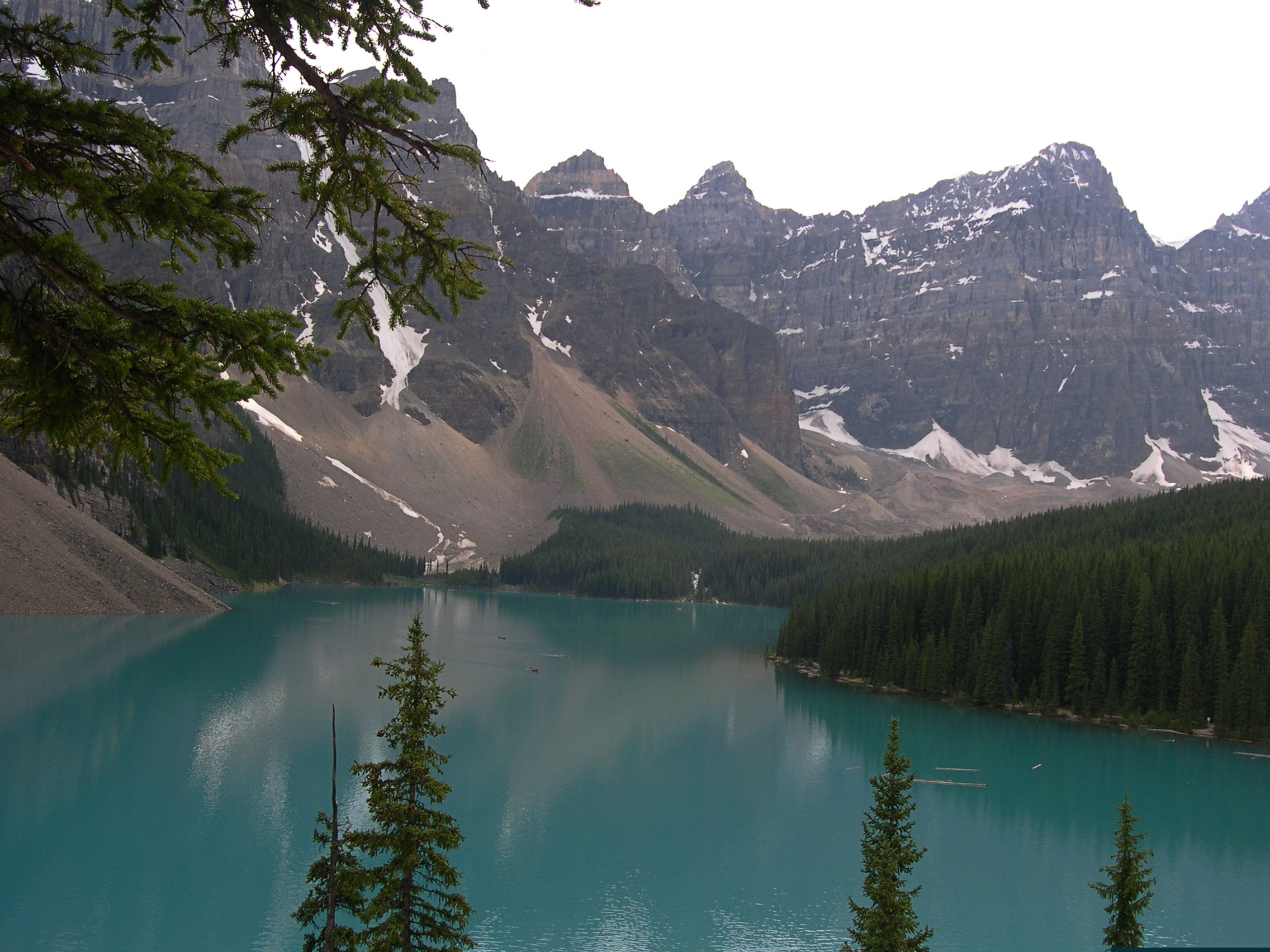
Moraine Lake and the Valley of the Ten Peaks. Too good a vista not to post again.

Moraine Lake and the Valley of the Ten Peaks

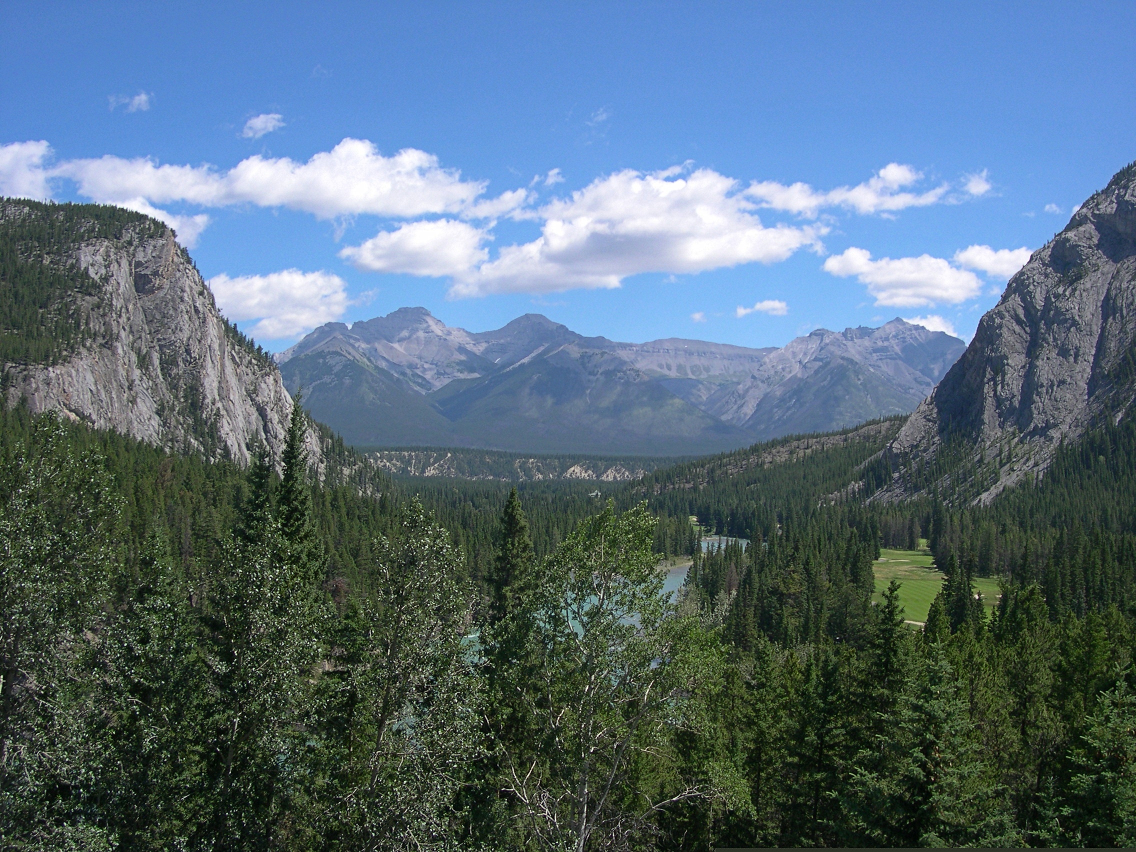
This looks like a view from some remote spot, but actually I was standing in back of the Banff Springs Hotel in Banff, which was a sight all its own.

Banff Springs Hotel back view

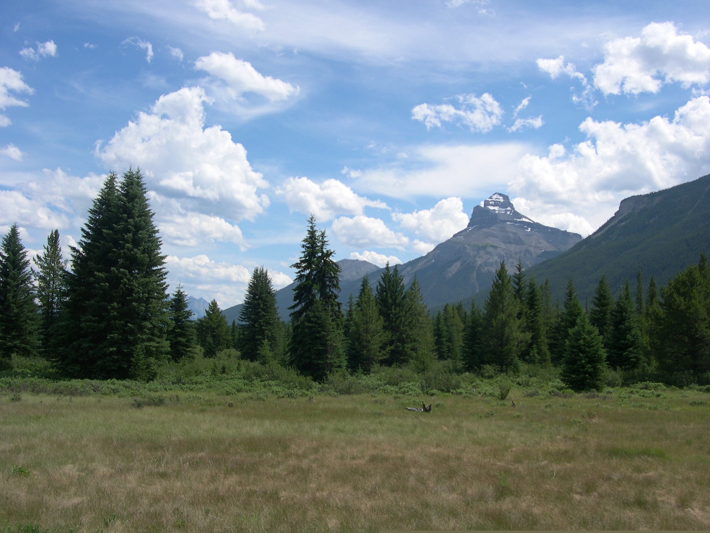
This view, on the other hand, is roadside on the Icefields Parkway, which remains one of the great drives of my life. A place called Moose Meadows.

Moose Meadows, Alberta

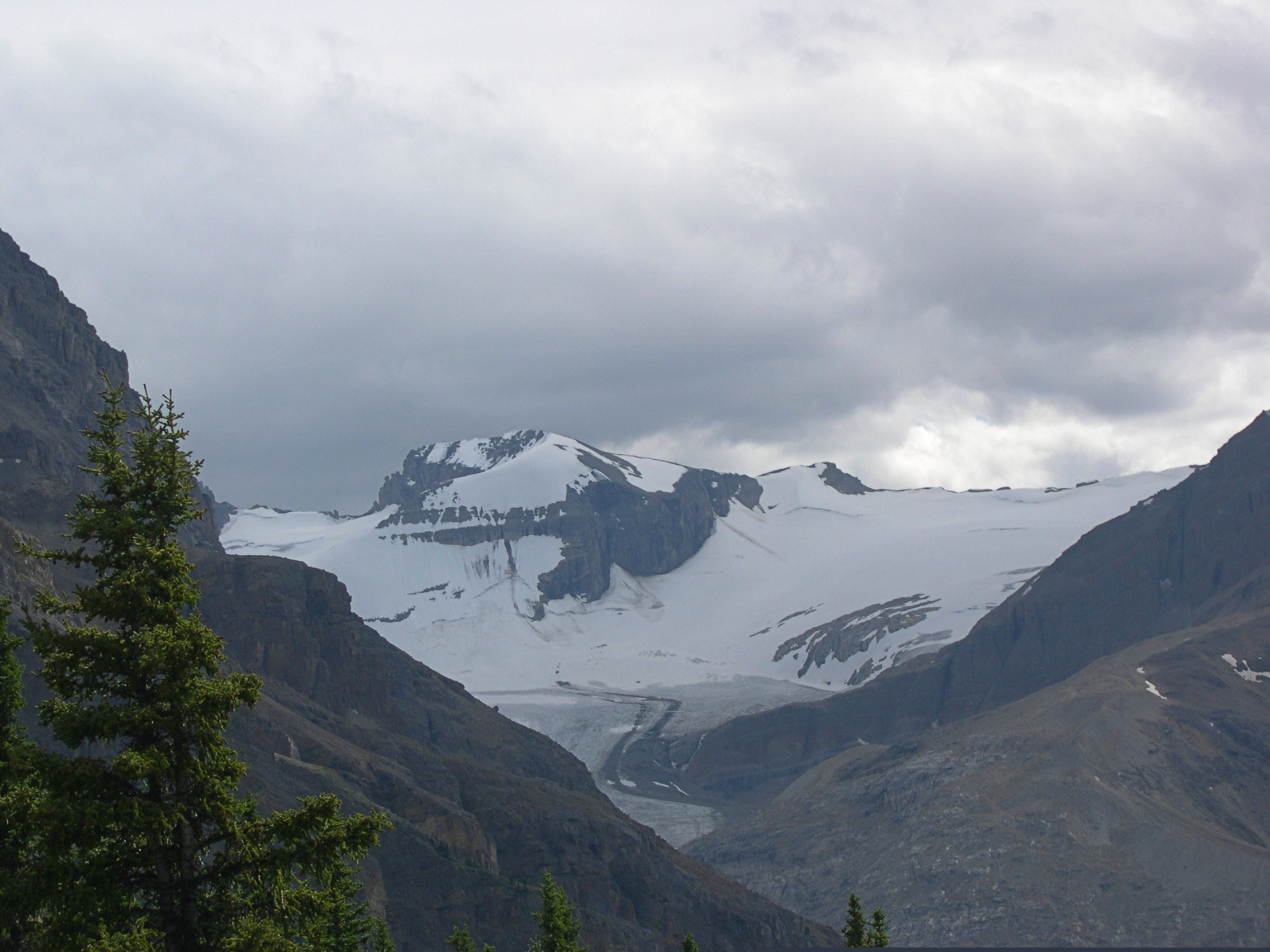
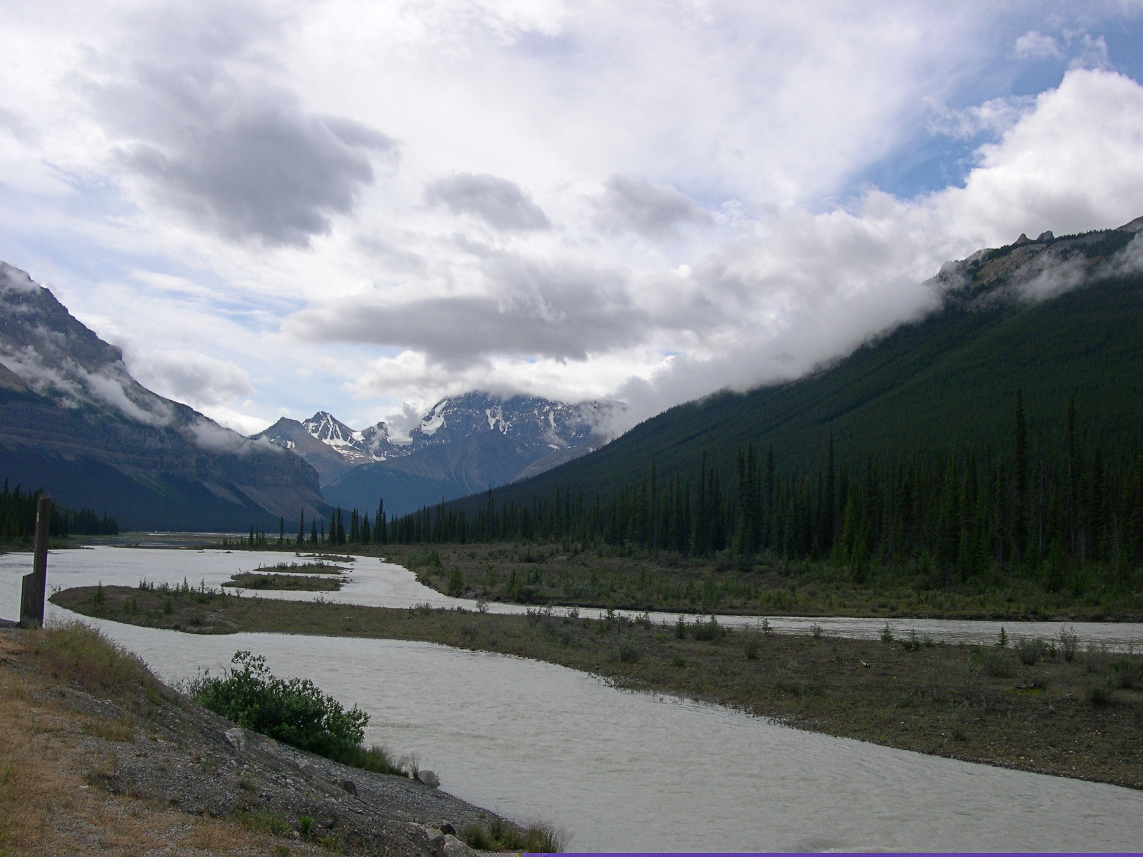
More Alberta views.Alberta

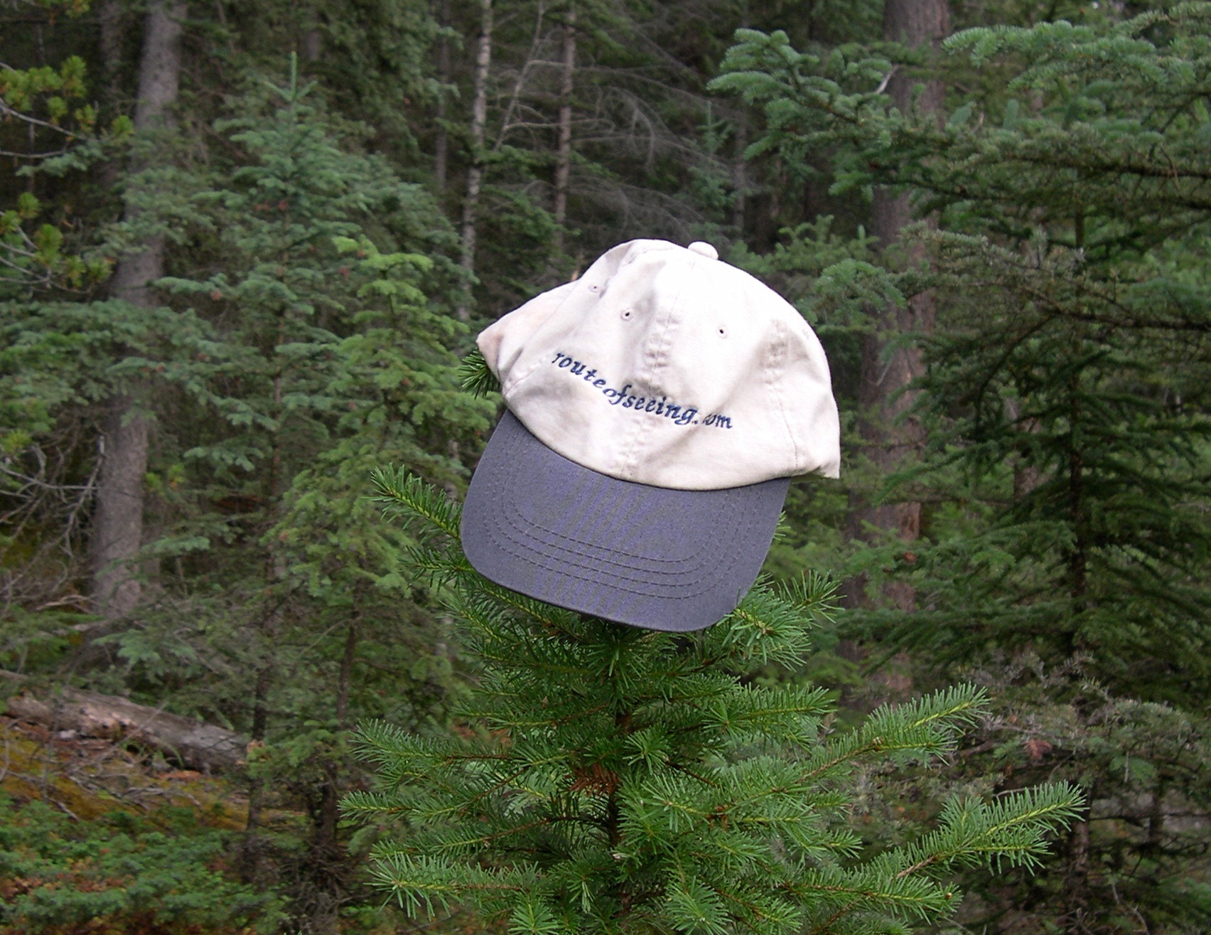
I told Ed Henderson (d. 2016) I’d take the cap he sent me various places. I haven’t lately, but I did for a while.

The girls had a good trip.

Even if they don’t remember much, in the case of Lilly, or anything at all, in the case of Ann.

Along the Niagara Gorge

What’s within walking distance of Niagara Falls State Park if you want a (relatively) inexpensive lunch? There’s a food court in an ugly building, but also Zaika Indian Cuisine, Taste of Nepal and Punjabi Hut on streets near the park, all of which speak to fairly recent immigration in this corner of western NY. When honeymooners visited Niagara in the early 20th century, or even most of the rest of the century, those were surely not options. We had the buffet on Saturday at Punjabi Hut, which was pretty good.

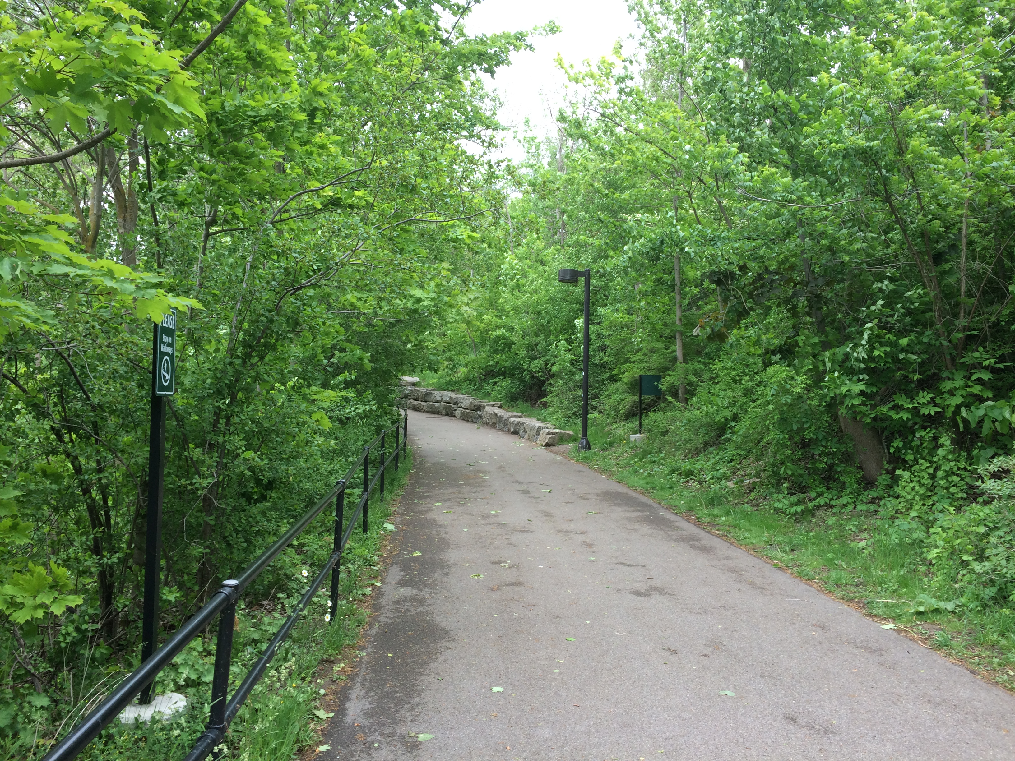
Afterwards, we spent a little more time at the park riding the Niagara Scenic Trolley, whose route was shortened during the pandemic, and then headed north by car on the Niagara Scenic Parkway. The road is fairly short — 18 miles or so — and goes from the town of Niagara Falls to Lake Ontario, but it is definitely scenic, except for the section that passes by the New York Power Authority plant on the river. Just north of the falls the parkway follows the river fairly closely.

The road was known as the Robert Moses Scenic Parkway until about five years ago. Looks like Confederate memorials aren’t the only ones getting the boot these days. So are those honoring urban planners with a taste for neighborhood-impinging expressways. (And what’s to become of this state park on Long Island? Time will tell.)

North of the town of Lewiston, the parkway still follows the river, but at a remove of a mile or so. It’s pretty enough, but I understand that the Niagara Parkway on the Canadian side, which follows the river quite closely, is the prettier drive. But one goes where one can go.

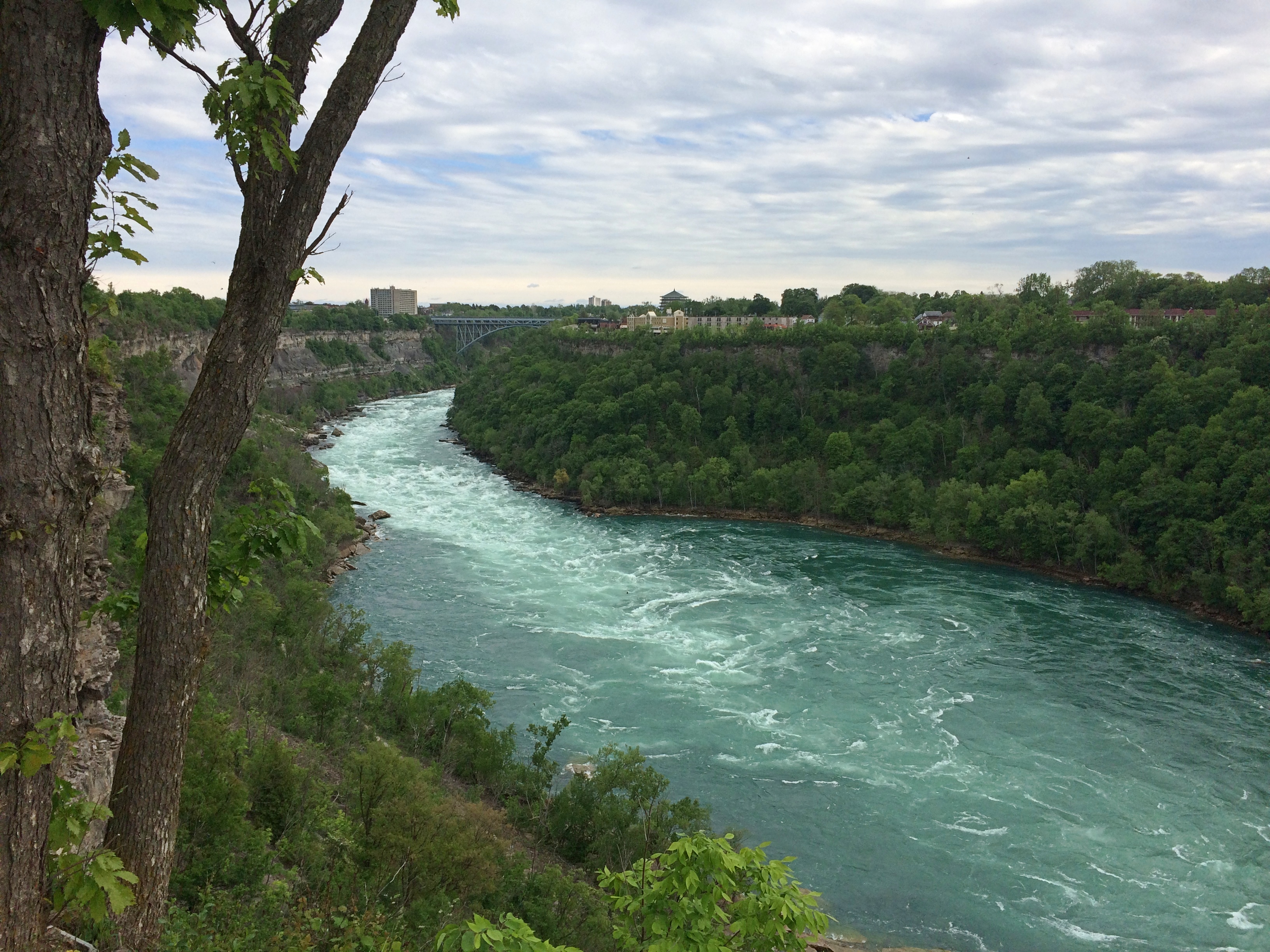
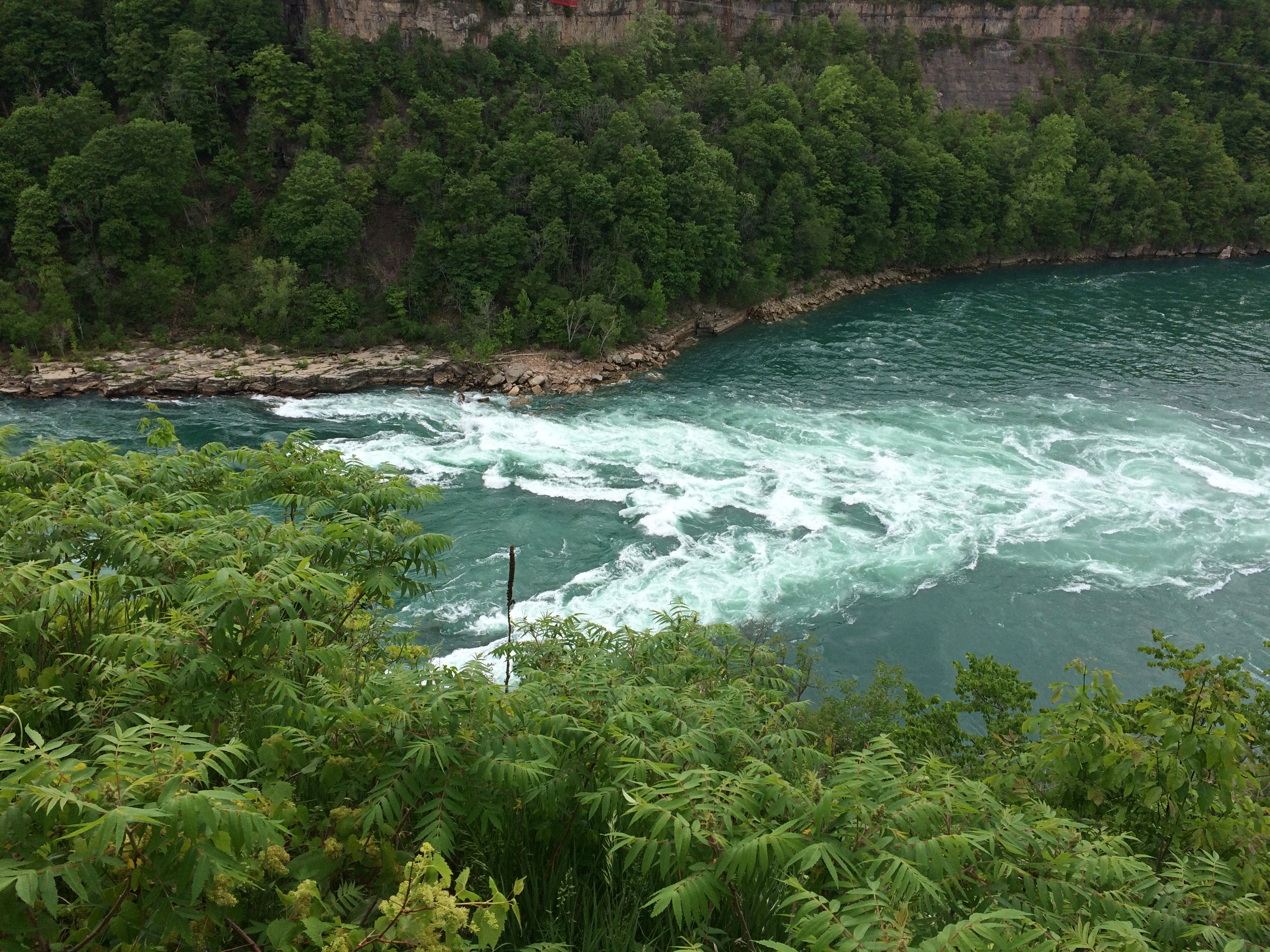
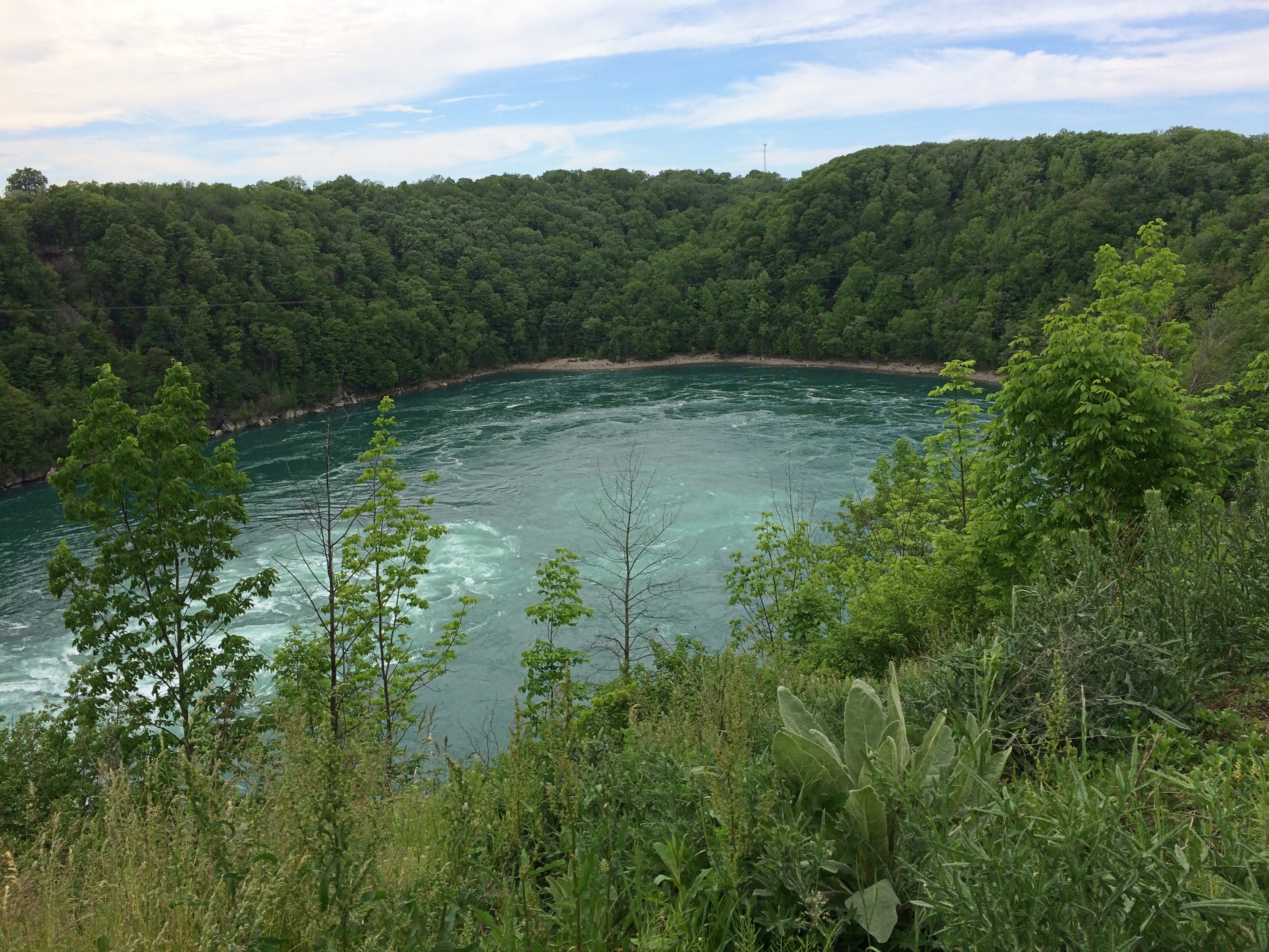
First stop: Whirlpool State Park. The intense current of the Niagara River rushes to this point and forms a enormous whirlpool at a bend. Been quite a while since I’ve had a good look at a natural whirlpool which, despite the name, looks like a choppy patch of water rather than the thing you see in a drain.

The view upriver. In the distance is the Rainbow Bridge. As I’ve said, nothing is very far from anything else in this part of New York state.Niagara Gorge

The flow into the whirlpool.
Niagara Gorge

The whirlpool.
Niagara Gorge Whirlpool

It doesn’t look like a particularly safe place for boats, but that doesn’t keep tourists from venturing there under the command of “highly skilled captains.” I’d hope so. I don’t know whether the jetboats are running now. We didn’t see any. The cable car that dangles over the whirlpool, the Whirlpool Aero Car, and which launches from the Canadian side, looked immobile, still shut for the pandemic.

Then there’s the story of Capt. Joel Robinson, skipper of the Maid of the Mist in 1861, who shot the Niagara rapids and whirlpool. Niagara Falls Info tells the story:

“In 1861, due to a financial crisis and the American Civil War, the Maid of the Mist was sold at public auction to a Canadian company. The deal would go through if the boat could be delivered to Lake Ontario. To get to Lake Ontario, the Maid of the Mist had to be navigated through the Great Gorge Rapids, the Whirlpool, and the Lower Rapids.

“On June 6th 1861, 53-year-old Captain Joel Robinson undertook this risky mission along with two deck hands…[McIntyre and Jones]. With both shores lined with onlookers, Captain Robinson and crew rode the Maid of the Mist into one of the world’s most wild and dangerous whitewater rapids.

“The first giant wave that struck the boat threw Robinson and McIntyre to the floor of the wheel house. It also tore the smoke stack from the boat and Jones was thrown to the floor of the engine room. The tiny boat was now at the mercy of the massive waves crashing against it. The boat was carried at approximately 63 km/h through the rock strewn rapids. Soon the Maid of the Mist was propelled into the Whirlpool where Captain Robinson was able to regain control of the boat.

“Captain Robinson had great difficulty maneuvering the Maid of the Mist from the grip of the Whirlpool… The 5 kilometre journey through the rapids and the Whirlpool was well executed, although they lost the smoke stack. Captain Robinson was the first person to accomplish the impossible [obviously not, just difficult] task of taking a boat through the dangerous waters.

“The frightening experience of this journey caused Captain Robinson to give up a career that he loved. He retired into near seclusion and died two years later at the age of 55.”

In modern terms, sounds like he suffered from PTSD. In 19th-century terms, I figure people said he was spooked by the ordeal. No mention of the aftermath for the deck hands.

Not long after visiting Whirlpool State Park, we spend a while in the pleasant town of Lewiston, New York, whose equally pleasant riverfront isn’t at the top of a gorge, but at river level. Not far from the river is the Freedom Crossing Monument, an ensemble of bronzes by Susan Geissler commemorating those escaped slaves who crossed into Canada.Lewiston, NY
Elsewhere in Lewiston is the variously named Earl W. Brydges Artpark State Park, or Earl W. Brydges State Artpark, or simply the Artpark, a venue for summertime musical entertainment. It also includes some other standard features of a park, such as playground equipment and picnic tables, as well as an Indian mound. I expect there haven’t been any events there in more than a year, but maybe that will pick up soon.

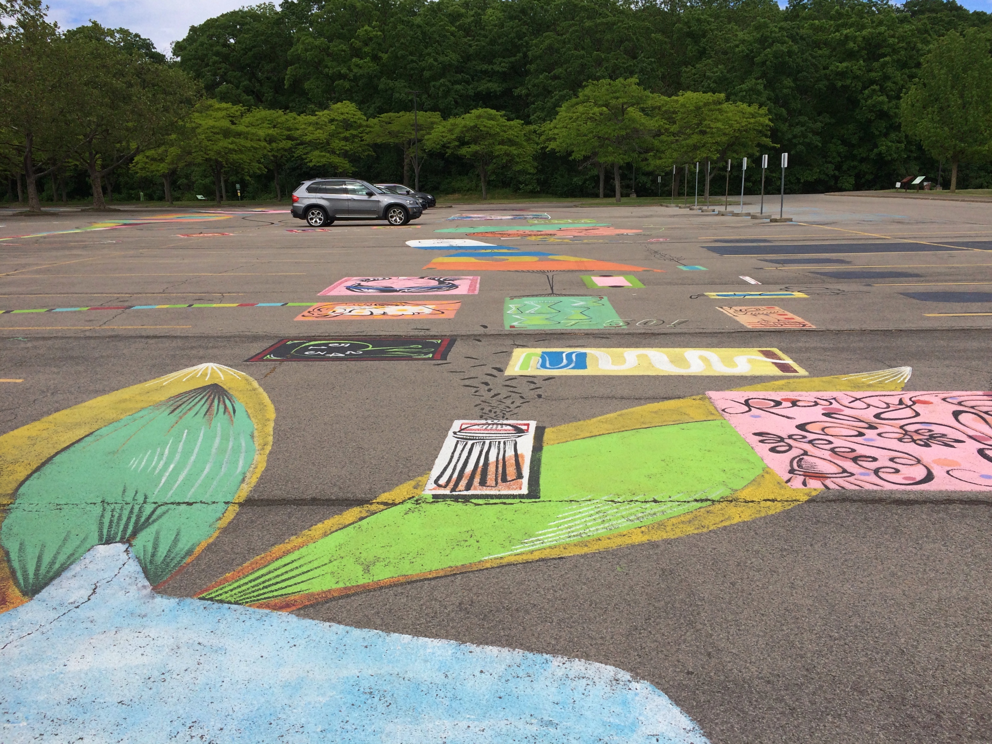
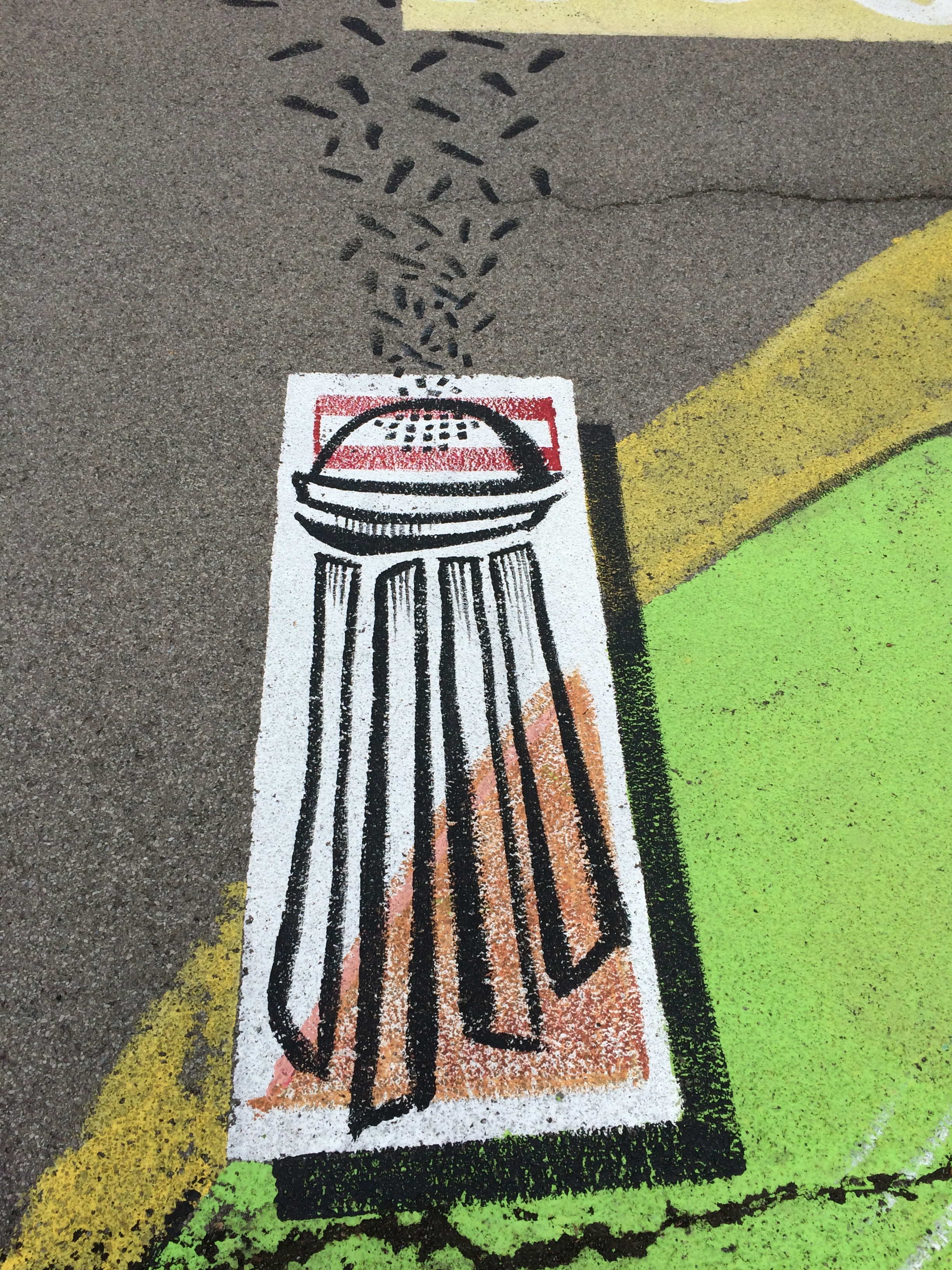
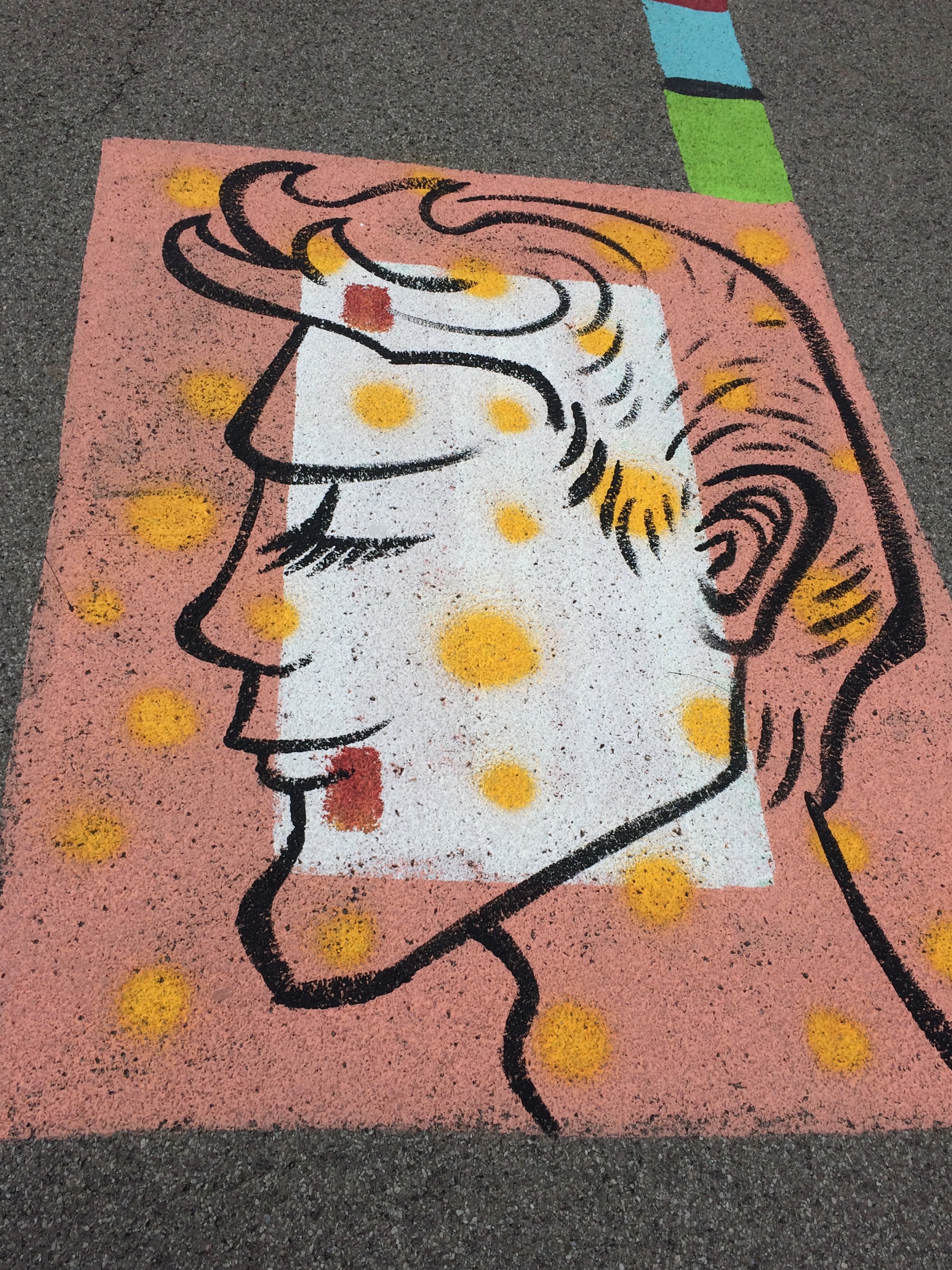
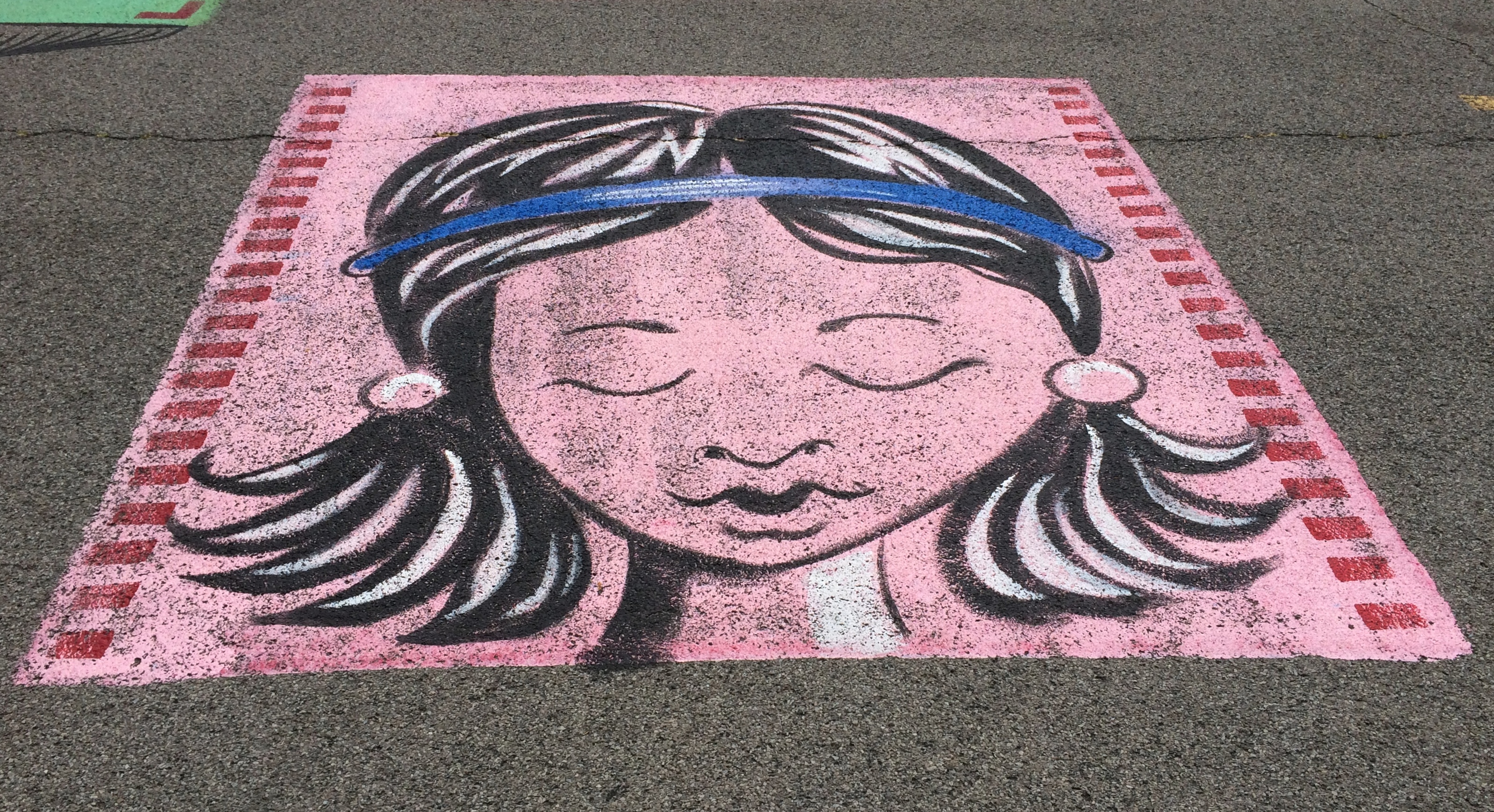
All very interesting, but what struck me was the parking lot. It’s large and undistinguished except for the paintings on its surface. When I pulled into the lot, I took them for children’s chalk drawings, maybe left over from a kids’ event, but soon I noticed they were paintings, and extensive in scope across the lot.Lewiston, NY Artpark parking lot art

More parking lots such be decorated like this.Lewiston, NY Artpark parking lot art Lewiston, NY Artpark parking lot art Lewiston, NY Artpark parking lot artThe end of the line for the Niagara Scenic Parkway is near Old Fort Niagara State Historic Site, which overlooks the mouth of the river on Lake Ontario. The fort itself, which is ringed by an iron fence, was closed by the time we got there. But the rest of the grounds were open. While Yuriko napped in the car, I looked around.

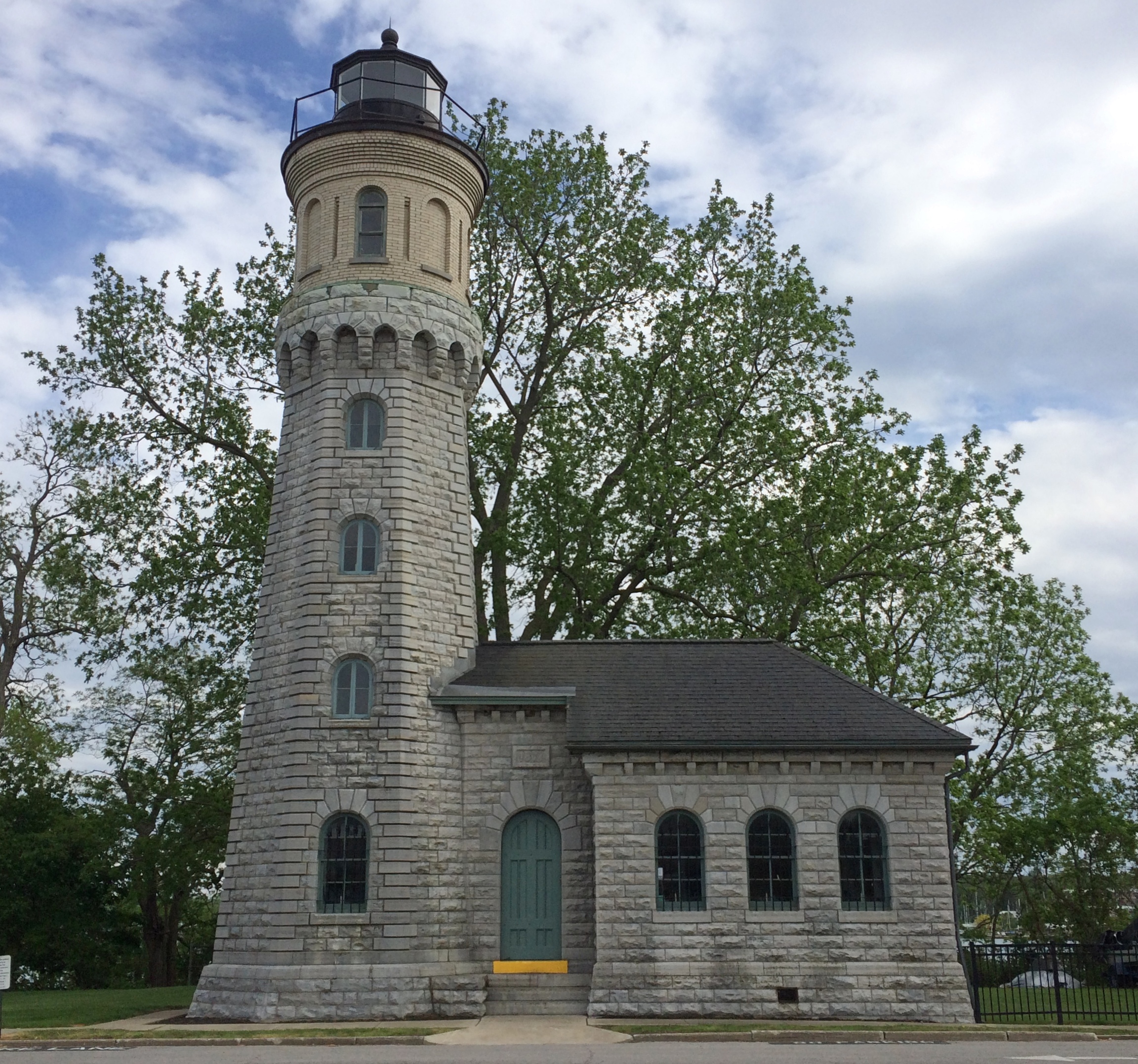
The Old Fort Niagara lighthouse.
Old Fort Niagara lighthouseThis particular light dates from 1871, but the fort had more primitive lights much earlier than that, ca. 1781, which count as the first lights on the Great Lakes.

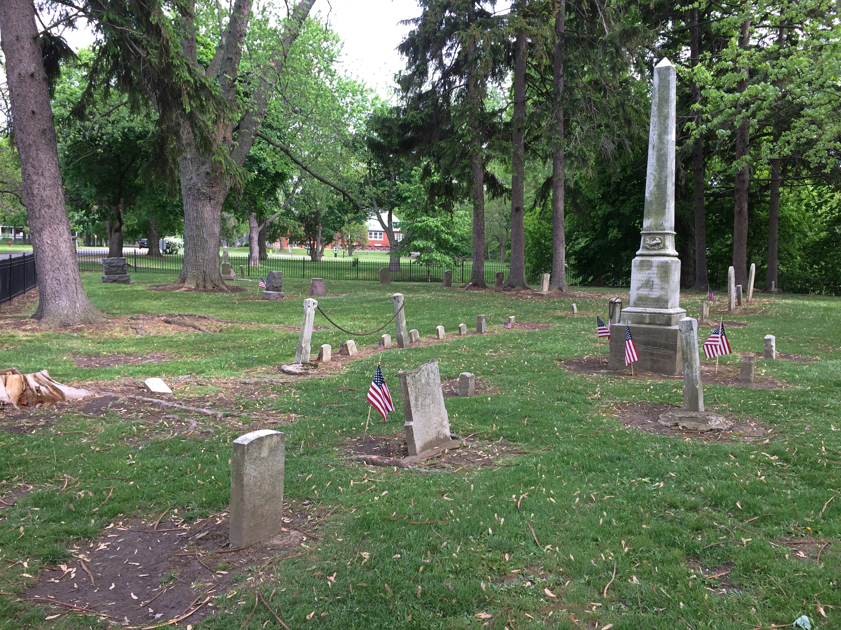
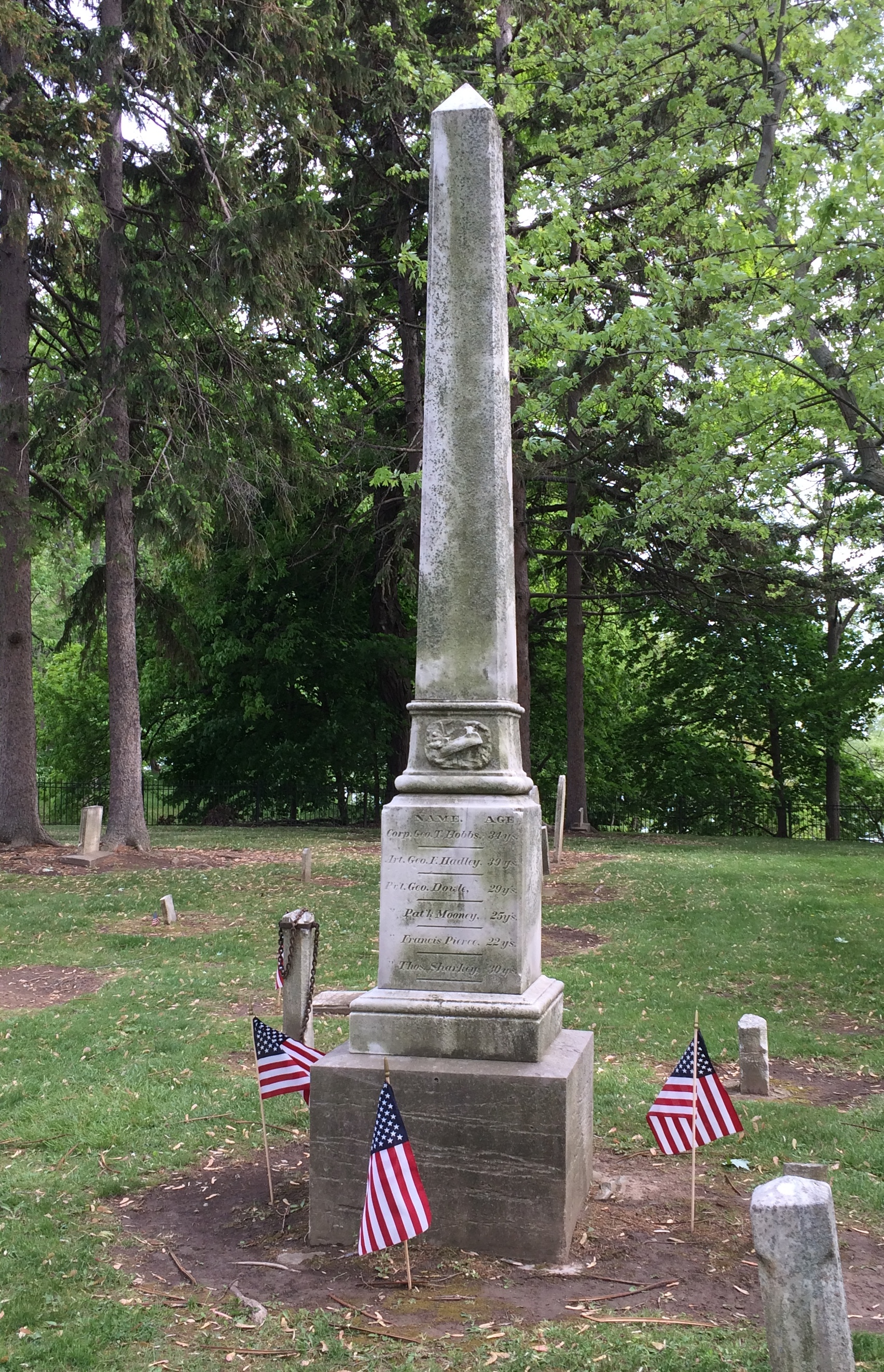
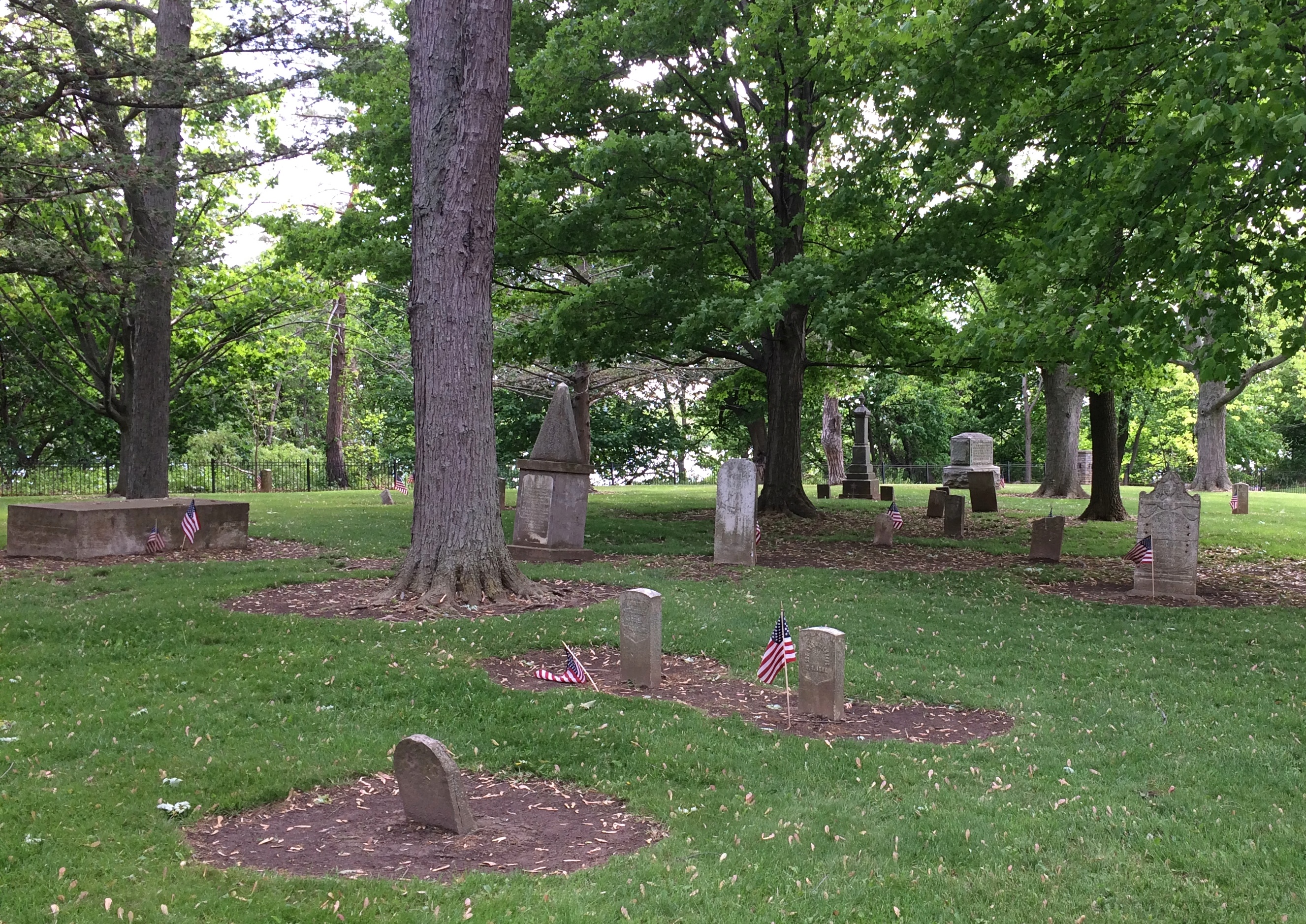
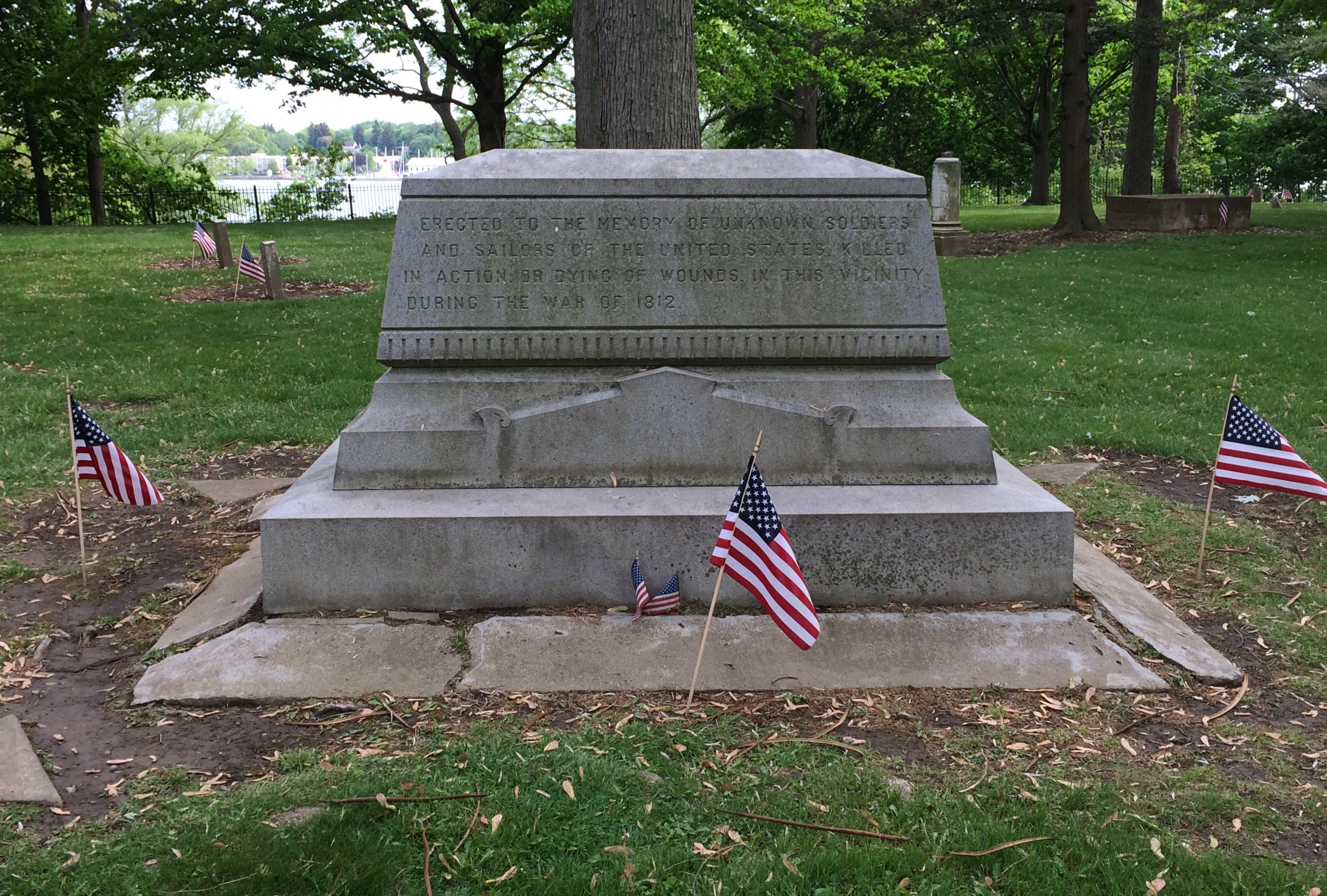
The old fort also has an old cemetery.Old Fort Niagara cemetery Old Fort Niagara cemetery Old Fort Niagara cemeterySmall, but a dignified spot for those who died here during the War of 1812. The fort was scene of a bloody bit of business during that dimly remembered war. Good to see that the stones were ready for Decoration Day.Old Fort Niagara cemeteryErected to the memory of unknown soldiers and sailors of the United States killed in action or dying of wounds in this vicinity during the War of 1812.

Niagara Falls State Park

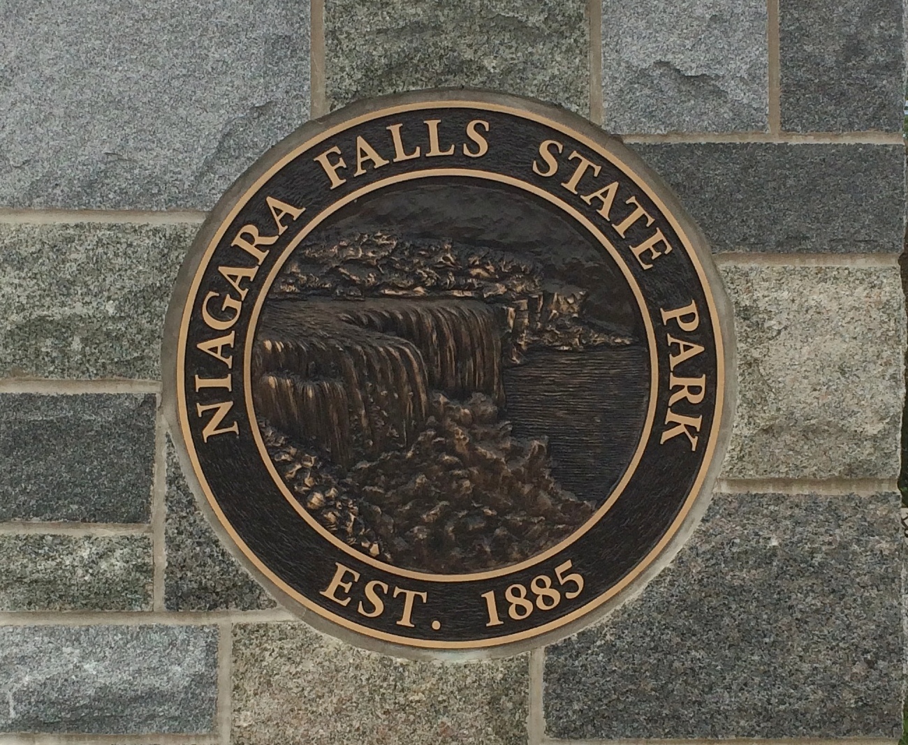
Something I didn’t know until I visited there on Saturday: Niagara Falls State Park in New York is considered the oldest state park in the nation, established in 1885 as the Niagara Reservation. Creation of the park was an early success for Progressivism, spearheaded by Frederick Law Olmsted. Him again. The wonder is that he isn’t more widely known for his terrific landscape artistry, which anyone can see.Niagara Falls State Park

A victory for the Progressive movement because, as I’ve read, before that private landowners around the falls monopolized access. You’d think that wouldn’t be much of an issue in the 19th century, but the falls have been a tourist attraction for a long time. In the park we saw a sign that noted that on his grand tour of the U.S. in 1825, Lafayette came to see the falls. But the real tourism boom began after the falls became a public place with easy access.

We arrived on Saturday around 9 a.m. and found a place to park right away in lot no. 1. Good thing, too, since later in the day we noticed a long line of cars waiting to park. Even that early there were a fair number of people in the park, but by early afternoon the place was mobbed.

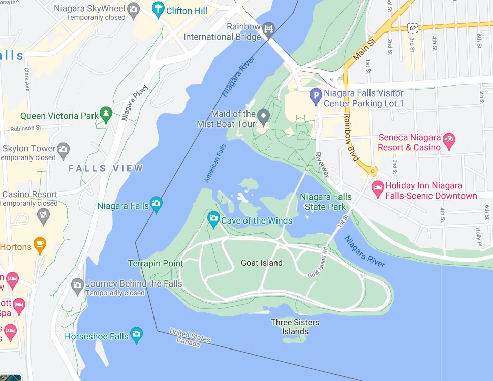
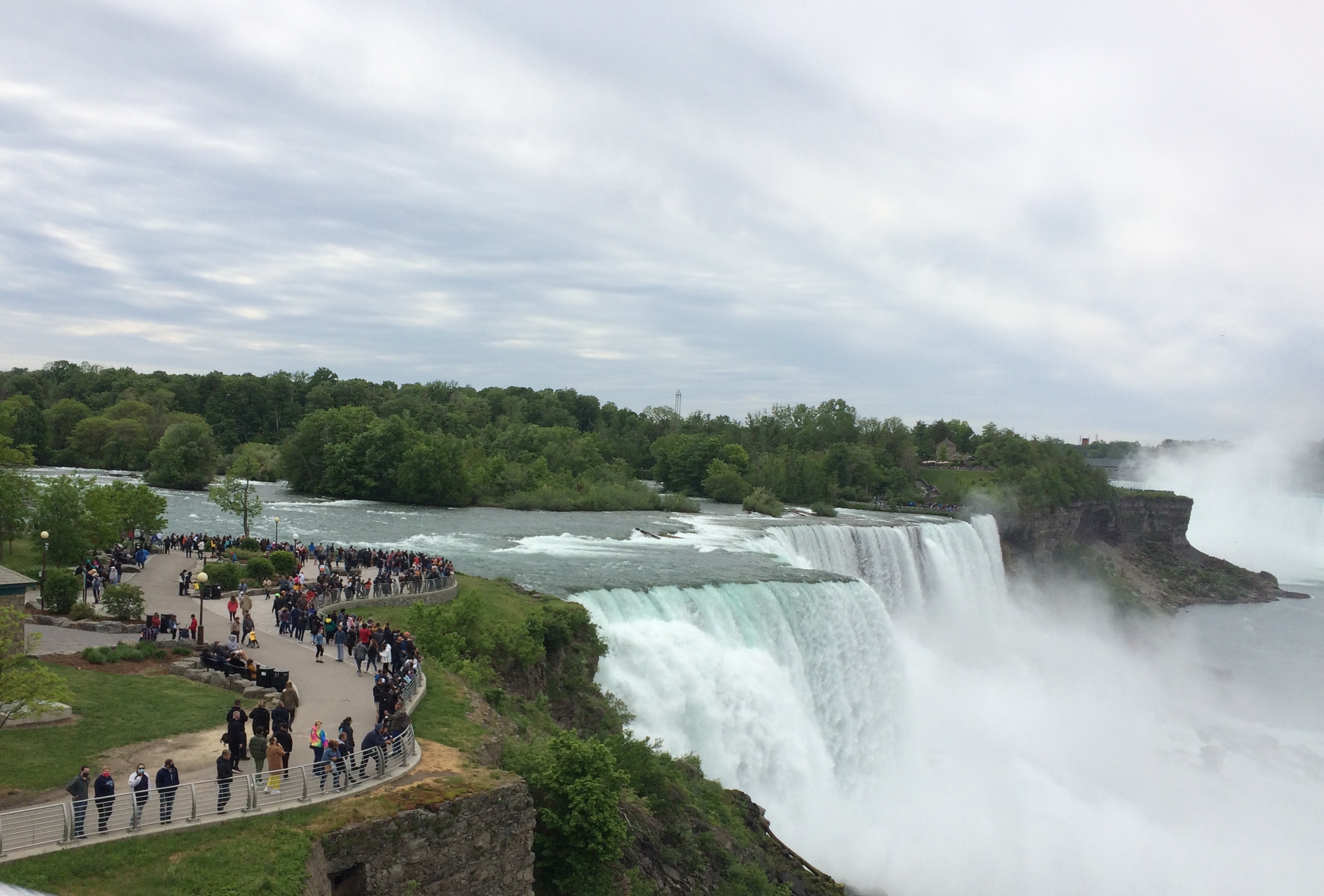
It didn’t matter once you’d ditched your car. The park holds crowds well because it’s large, encompassing a long stretch of shore along the Niagara River upriver and downriver from the falls, and the islands that divide the falls into three: the relatively small Bridal Falls, the mid-sized American Falls, and the mighty Horseshoe Falls, most of which is Canadian.Niagara Falls

Created at the end of the last ice age 12,000 years ago or so, the falls have an estimated existence span of another 50,000 years. So we’re witnessing a geological blip. How many countless mighty cataracts of this kind have come into being only to erode away over the billions of years of liquid water on Earth? And what about crashing falls on other worlds?

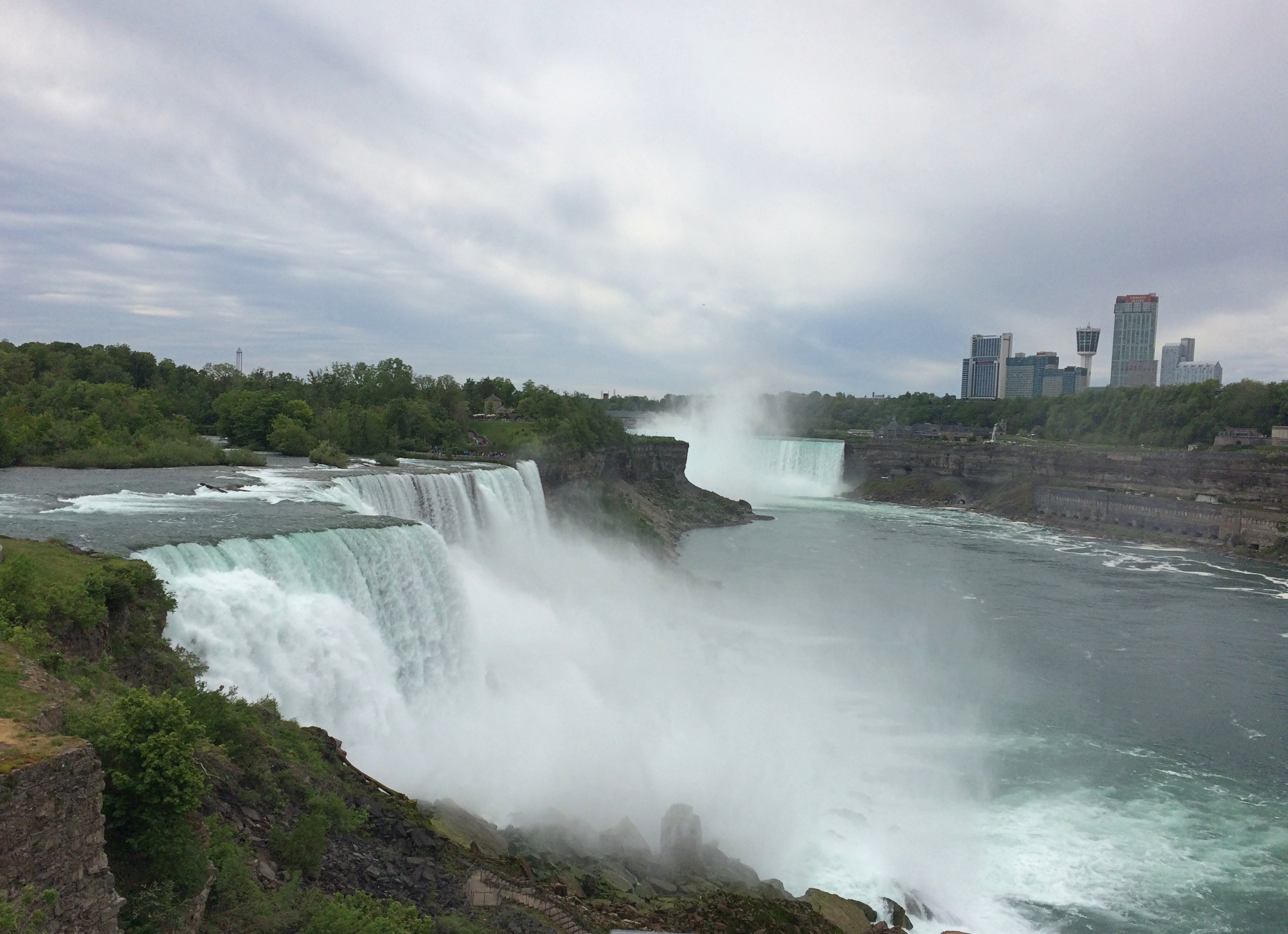
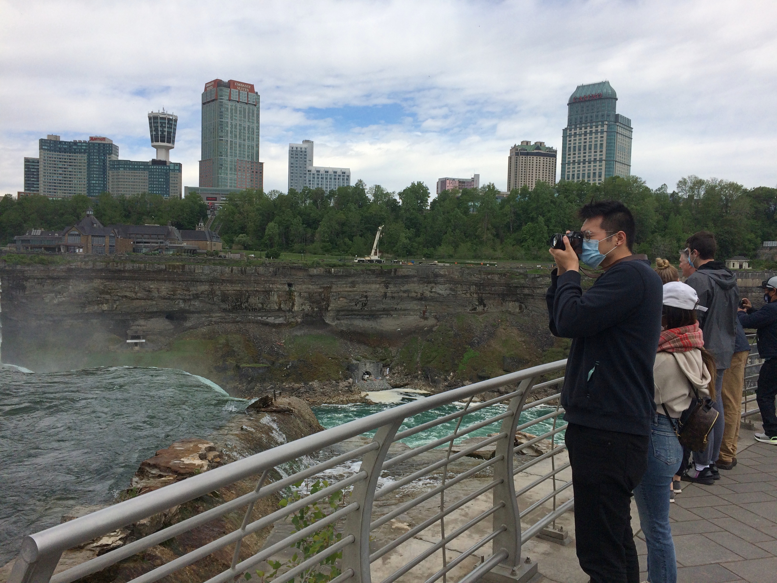
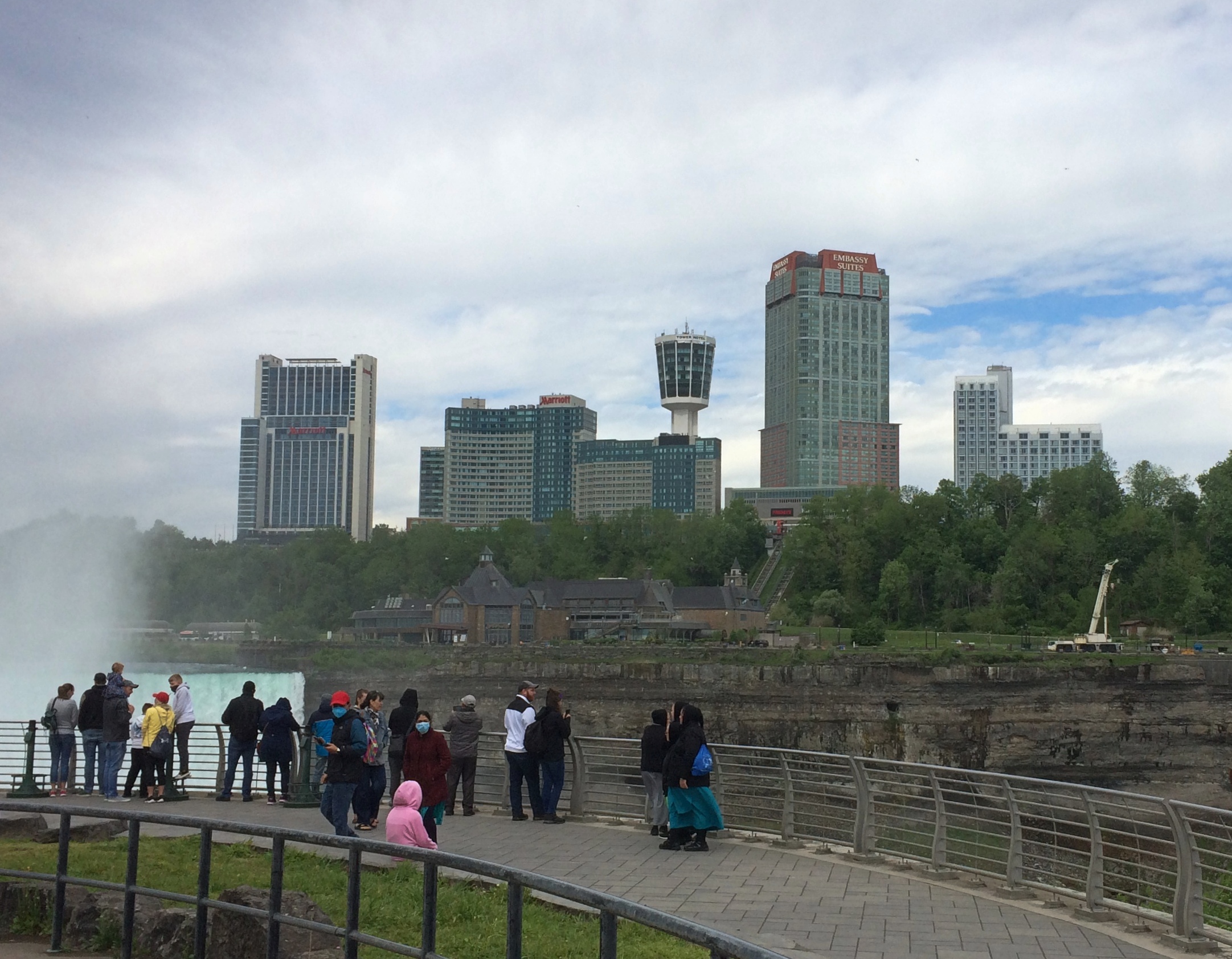
From the U.S. side, your first view is of the American falls, looking to the south. The buildings in the background are part of the town of Niagara Falls, Ontario. This is a shot with the tourist infrastructure edited out.Niagara Falls State Park

Left in.
Niagara Falls State Park

Bridges cross from the shore upriver a bit to Goat Island, the main island in the channel. For a few moments, you can forget you’re surrounded by the intensity of the Niagara River.
Niagara Falls State Park Goat Island

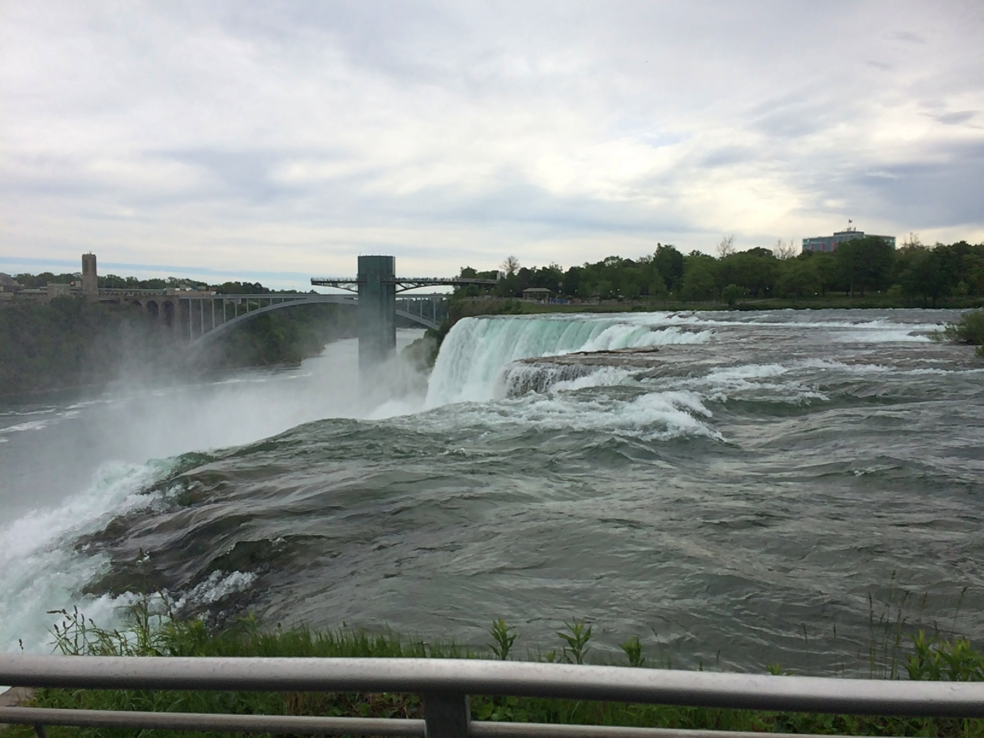
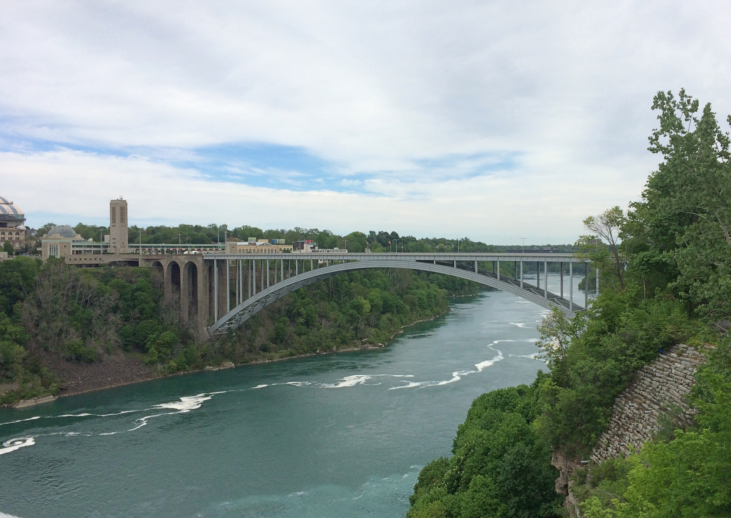
But not for long. More views of the American Falls are easily found. Looking north over the drop, with the Rainbow International Bridge in the background, seeming not nearly as high as it is.Niagara Falls State Park Goat Island

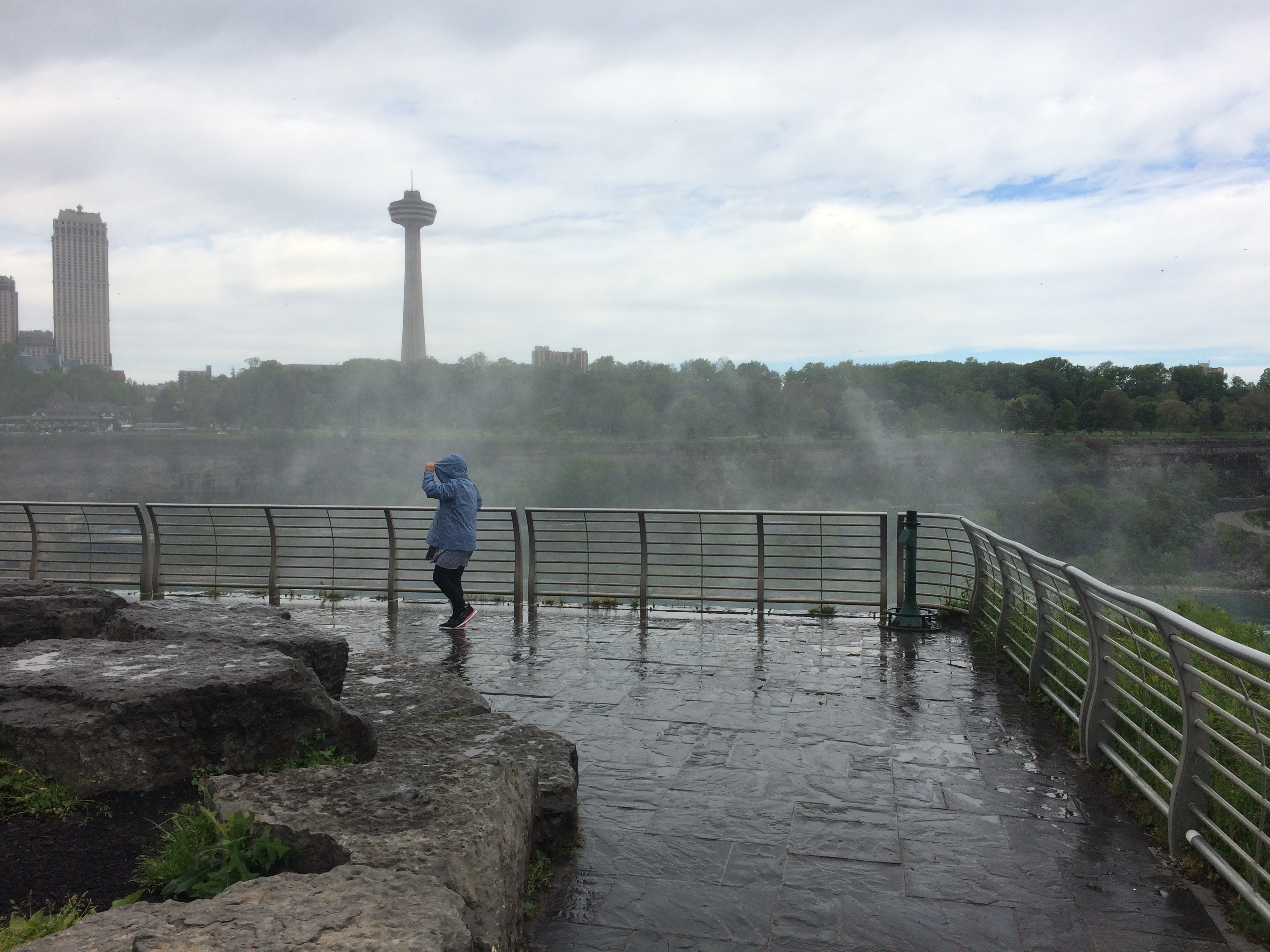
Spray. It wouldn’t be the last time.
Niagara Falls State Park Goat Island

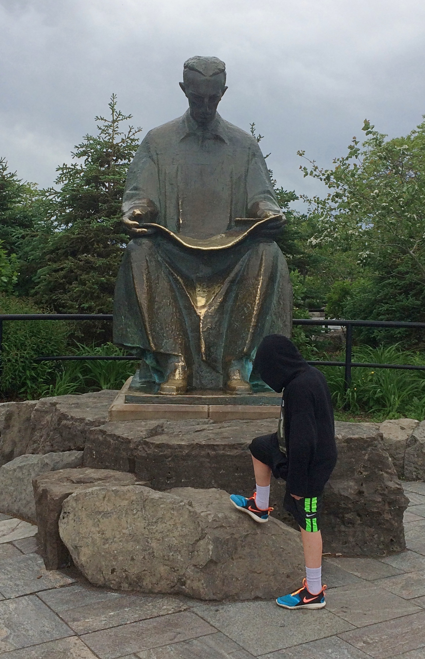
A curiosity on Goat Island: a statue of Tesla.
Niagara Falls State Park Goat Island

“Gift of Yugoslavia to the United States, 1976,” the Tesla Memorial Society of New York says. “Nikola Tesla designed the first hydroelectric power plant in Niagara Falls. This was the final victory of Tesla’s Alternating Current over Edison’s Direct Current. The monument was the work of Croatian sculptor Frane Krsinic.”

A standing Tesla was installed on the Canadian side more recently, in 2006, according to the society. More about Tesla and Niagara is here.

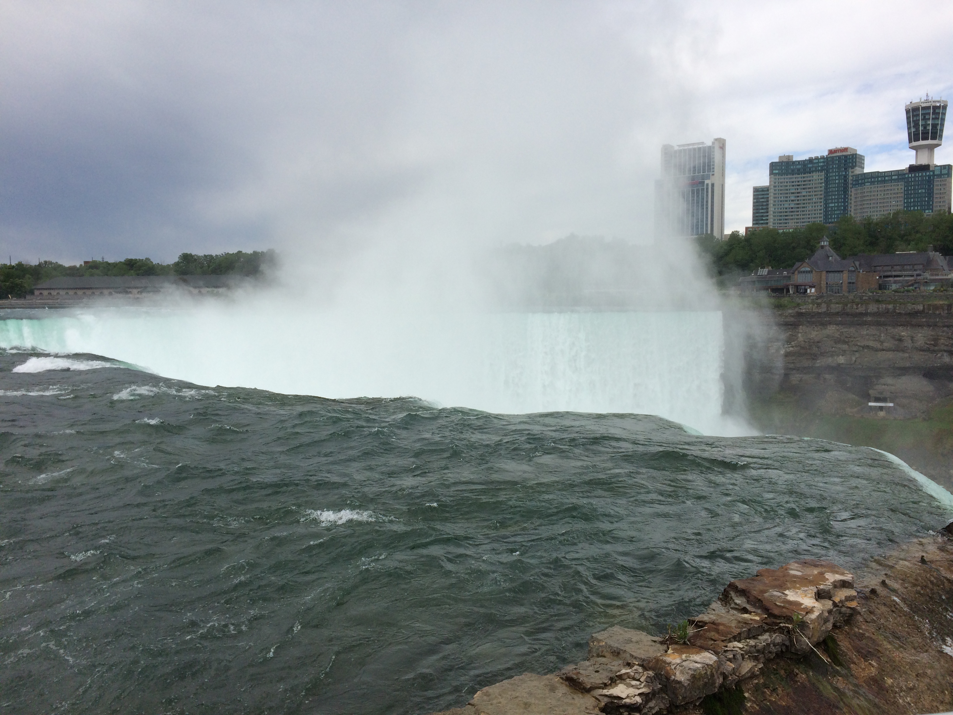
Go far enough on Goat Island and you’ll reach Terrapin Point, which offers a view of Horseshoe Falls, which is what most people think of when they think of Niagara Falls. It’s wider than the other falls combined, and drops more water, as much as 90% of the 100,000 or so cubic feet of water per second that flows over the three falls during the summer. The rate is controlled by engineering, and is lessened at night and during the spring and fall, when fewer tourists are around, so that more of the flow can be used to generate electricity at those times.

Niagara Falls State Park Goat Island

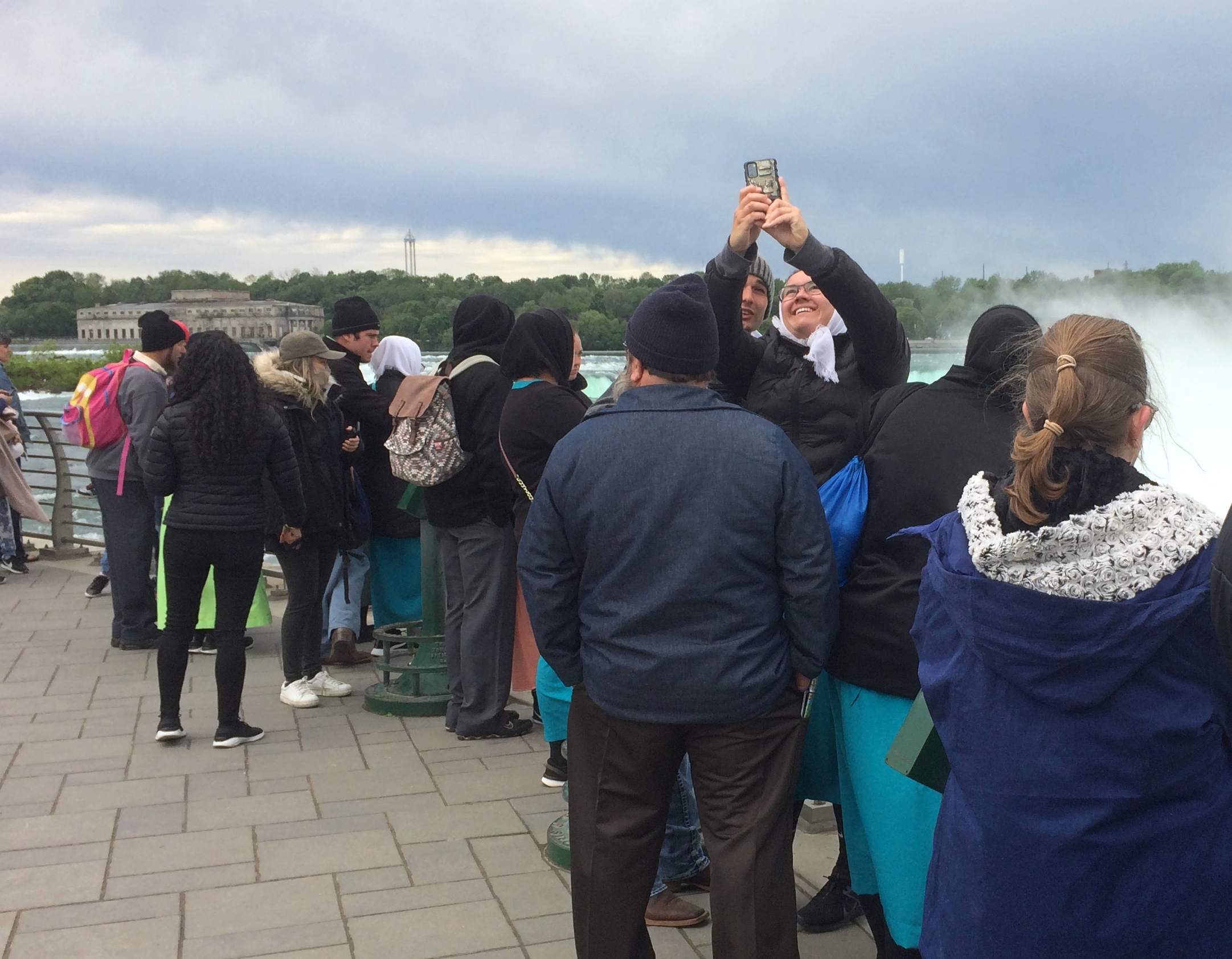
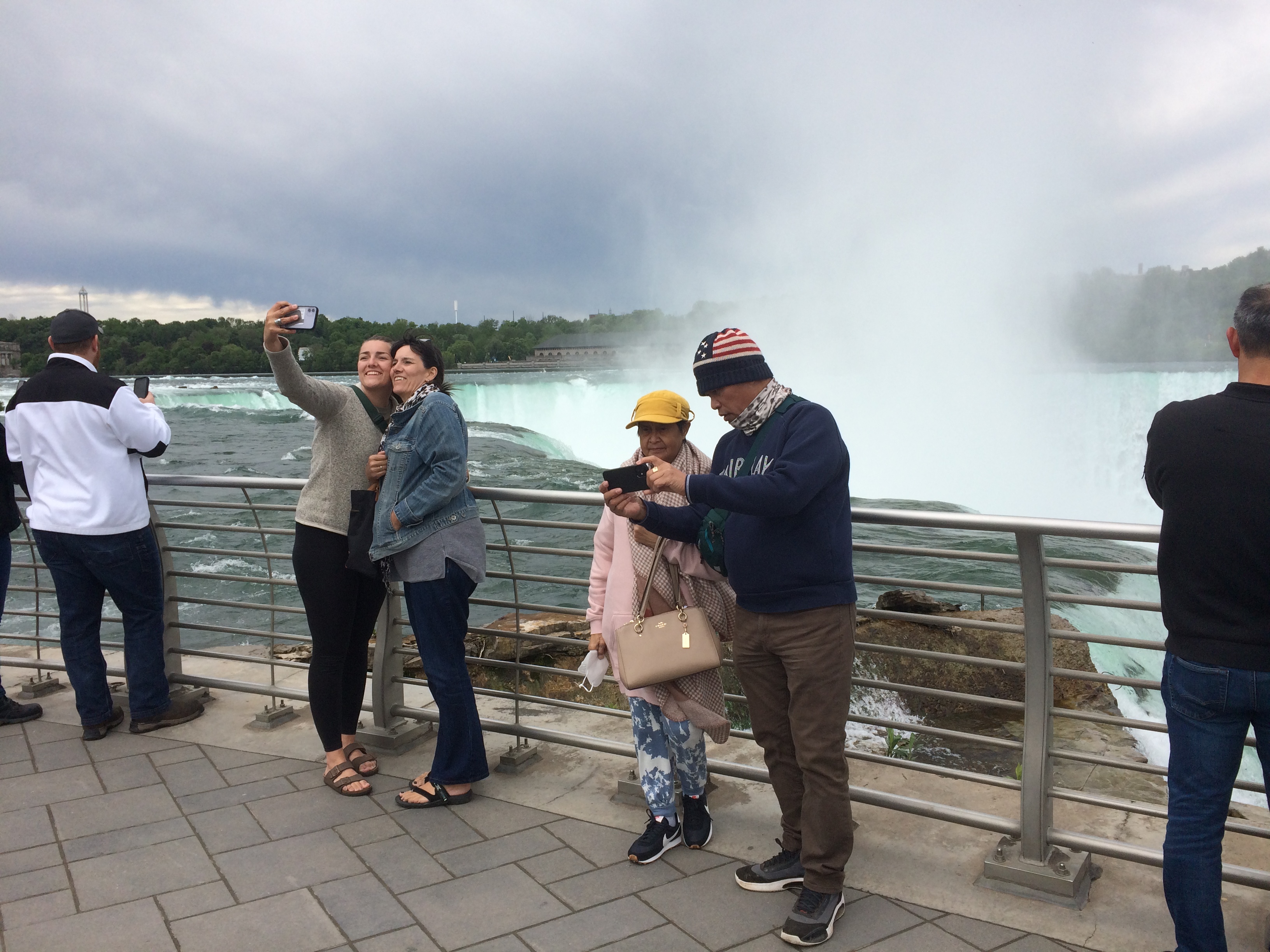
Naturally, lots of people were gathered to take a look. And pictures.Niagara Falls State Park Goat Island Niagara Falls State Park Goat Island Niagara Falls State Park Goat Island

There’s a good view of the Canadian side from there as well, when the mist doesn’t obscure it. Looks like there’s reconstruction going on over there, near the edge. I remember standing next to the Horseshoe Falls at that point 30 years ago, and it looks like that observation deck is missing for now.

The Canadian town looks more prosperous than the U.S. town from that vantage, and indeed it is for various reasons. Sad to say, beyond the tourist enclave, Niagara Falls, New York is another one of the small cities of the industrial North that has seen better times.
Niagara Falls State Park Goat Island

Canada, as it happens, was still mostly closed to visitors over Memorial Day weekend, which would be an ordinary weekend there. Later in the day, we saw the entrance to the Rainbow Bridge on the U.S. side, and only one lane for traffic was open, and no one was in it.

The bridge is visible from Terrapin Point, since it isn’t far downriver from the falls. A striking bit of work across a gorge.
Rainbow Bridge

After our Goat Island wander, we wanted to do the Maid of the Mist boat ride. That was something I skipped in ’91, and wasn’t expecting much more than a ride along the river with a nice view of the bottom of the falls, to complement the views of the tops. We waited in line about half an hour to get on one of the two boats, which made me think of waiting around for a ride at Disneyland. A thing that you do as a tourist. I grumbled a little about the price. I didn’t realize what was ahead.

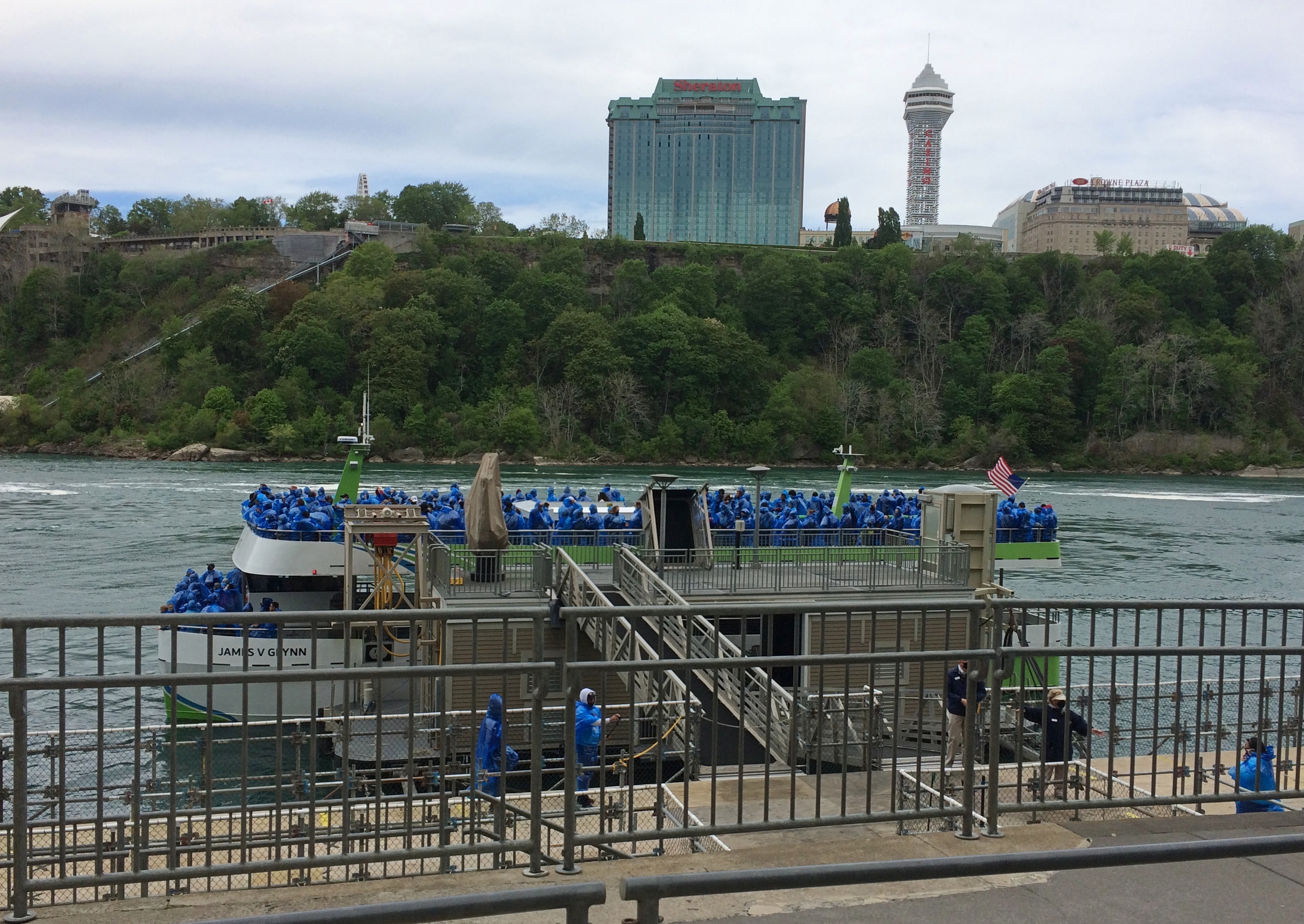
This is one of the boats, the James V. Glynn. We rode on the other one, the Nikola Tesla. Him again. Mr. Glynn is a long-time Maid of the Mist chairman.Maid of the Mist 2021

Tourists have been riding Maid of the Mist boats since 1845, another indication of how long tourists have been coming to Niagara Falls, though intermittently until 1885 and every year since then. The boats were steam and then diesel powered and now, as the company is eager to point out, all-electric with no emissions, launched into service only last year. As people get on and off, the boats are recharged at the dock.

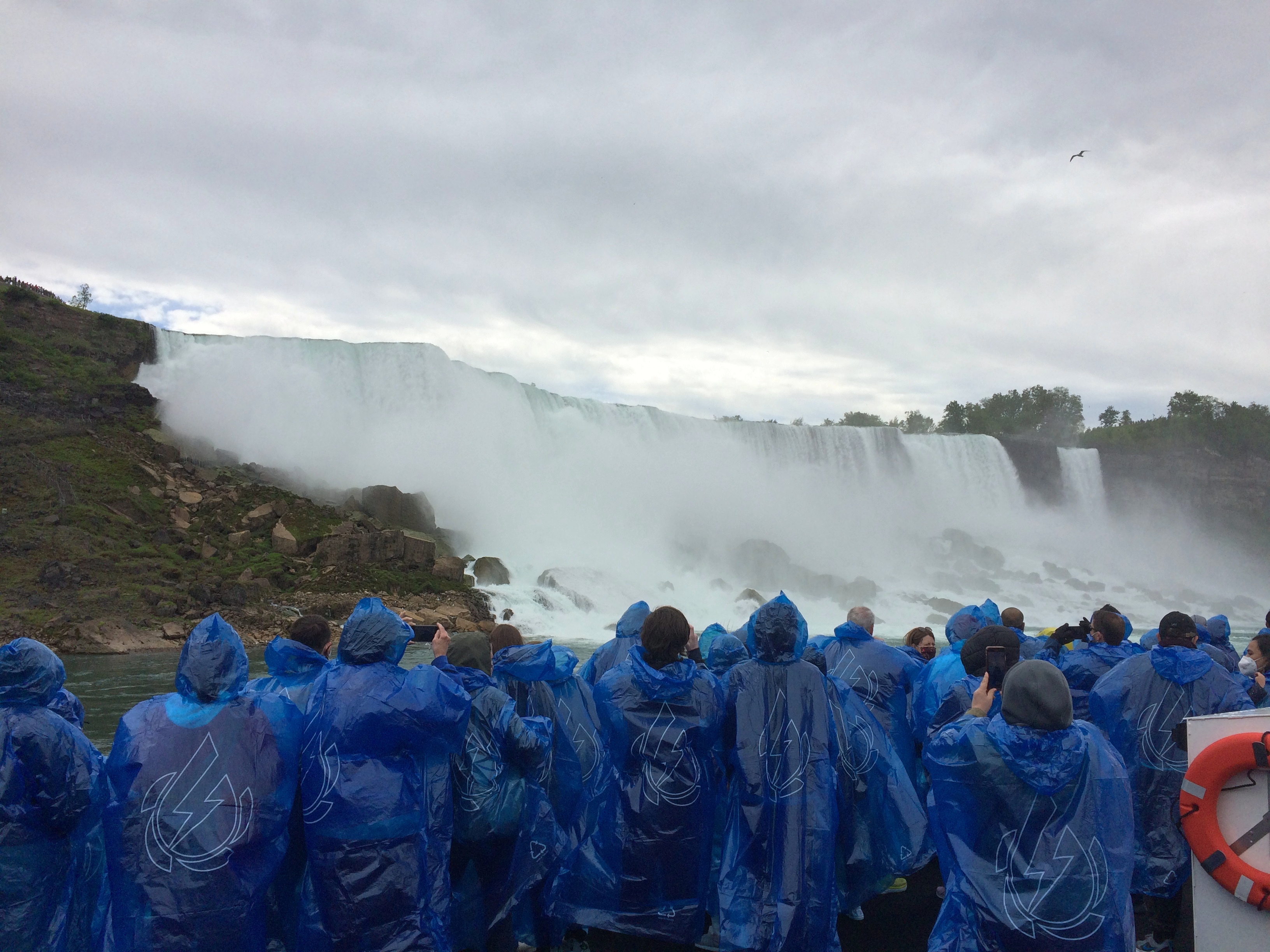
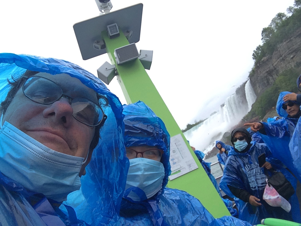
The company gives you bright blue thin plastic ponchos and off you go, for a 20 minute or so trip. It isn’t the quantity of the time aboard that counts, but the quality. First you pass by the American and Bridal Falls, which are impressive in their flow and in the huge boulders piled at the bottom.Maid of the Mist 2021
The ship then passes into the curve under Horseshoe Falls. I didn’t think it would get as close at it did. The roar is enormous. The spray is continuous. The curving walls of water, taller than walls of water should be, fill your senses. The place is enthralling. I haven’t been as captivated by a natural phenomenon (well, partly engineered) since I saw the total eclipse a few years ago.

No wonder people have been paying for over a century and a half for this little boat ride. It was worth the effort to get to Niagara Falls, all by itself, and all of the $25.25 each to be escorted under the spectacular cataract.

I wasn’t in the mood to take pictures during most intense moments, like during the eclipse. Except one.
Maid of the Mist 2021One of three or four selfies I’ve taken since that concept was popularized. Hit the nail on the head with that one.

Swallow Cliff Woods

The parking lot and the road next to the Waterfall Glen Forest Preserve trailhead were packed with cars and people on Saturday afternoon. As the name mentions, there’s a waterfall along that trail and, from the looks of some of the people headed for the trail, someplace to swim.

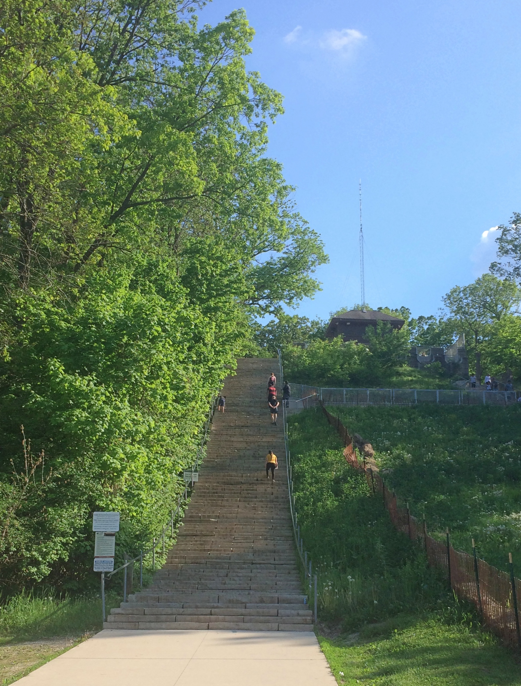
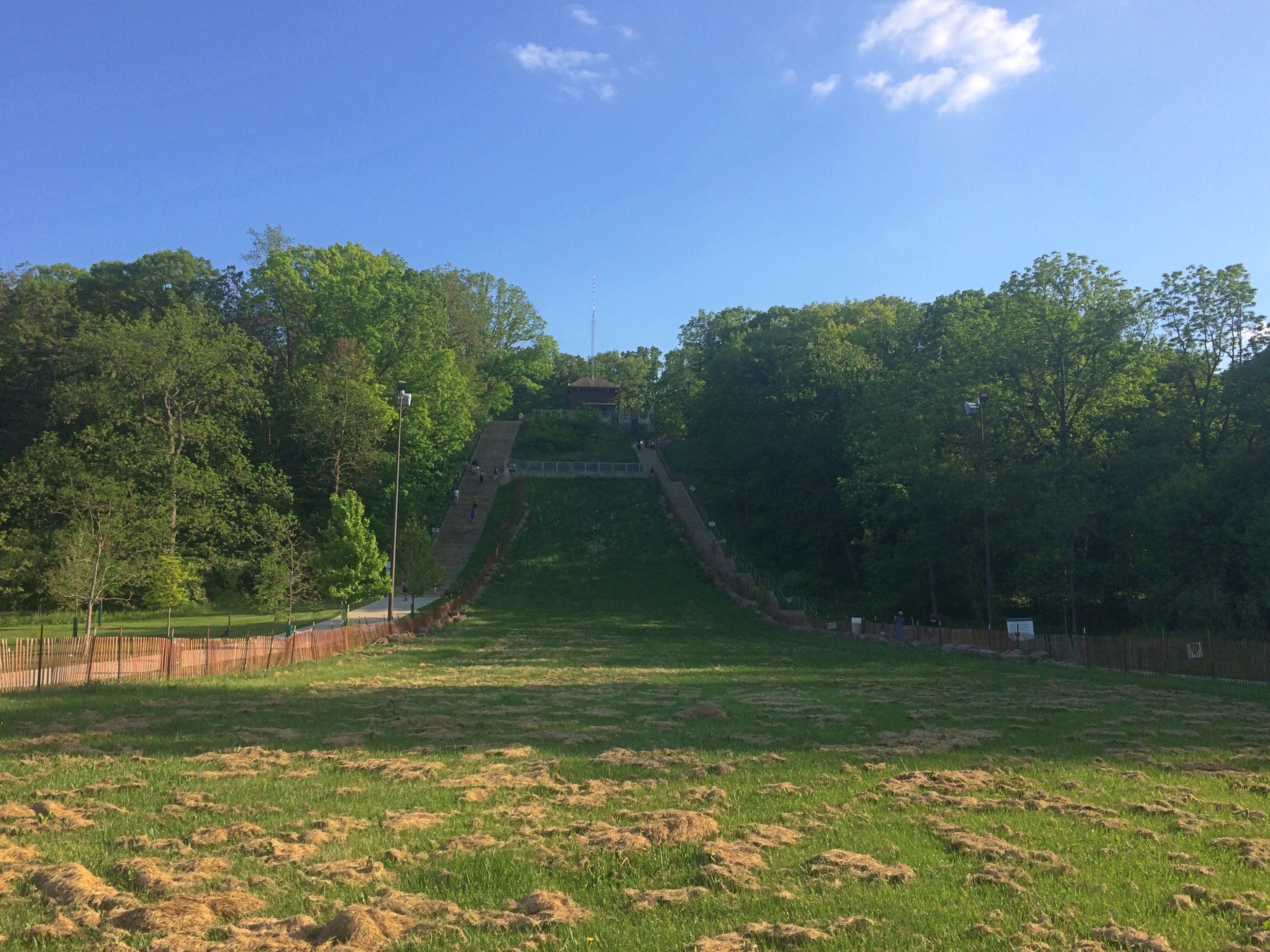
The thing to do was go somewhere else. Before long we drove to Swallow Cliff Woods, which is one of the many wooded areas encompassed by Palos Preserves in southern Cook County (so is Waterfall Glen). To reach the trails, you climb the stairs next to a former toboggan run. It was late afternoon by the time we got there, though it was still in the 80s.Swallow Cliff Stairs

Swallow Cliff Stairs

“Constructed in 1930 [sic] by the Civilian Conservation Corps, 125 limestone stairs lead to the top of a former toboggan run on Swallow Cliff’s 100-foot bluff,” the Cook County Forest Preserve District web site says. Of course, the 1933-founded CCC built nothing in 1930, but whatever the correct year, it’s good to happen across more of the Corps’ handiwork.

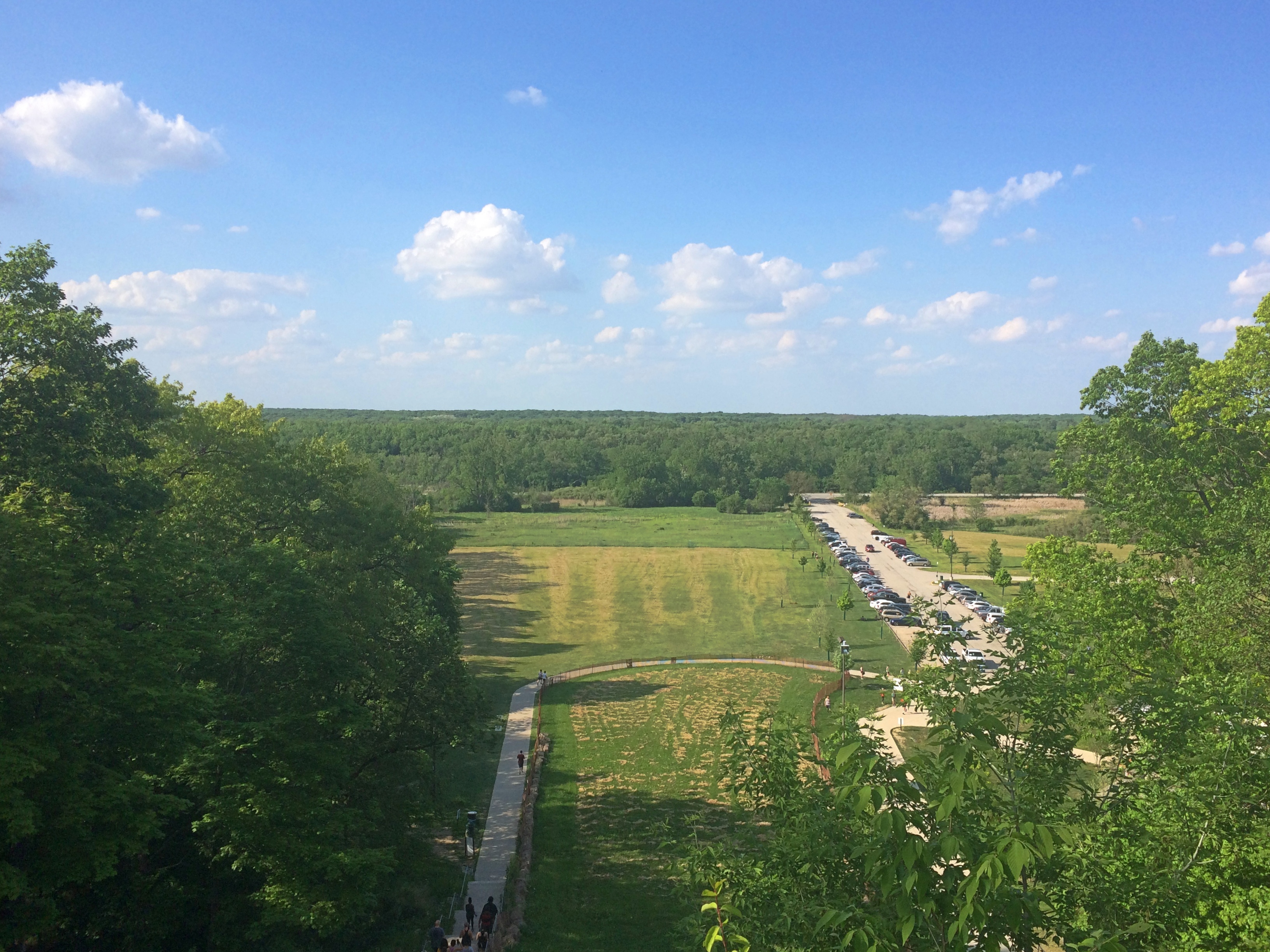
The view from the top isn’t bad, though you do have to look at the parking lot.
Swallow Cliff Stairs

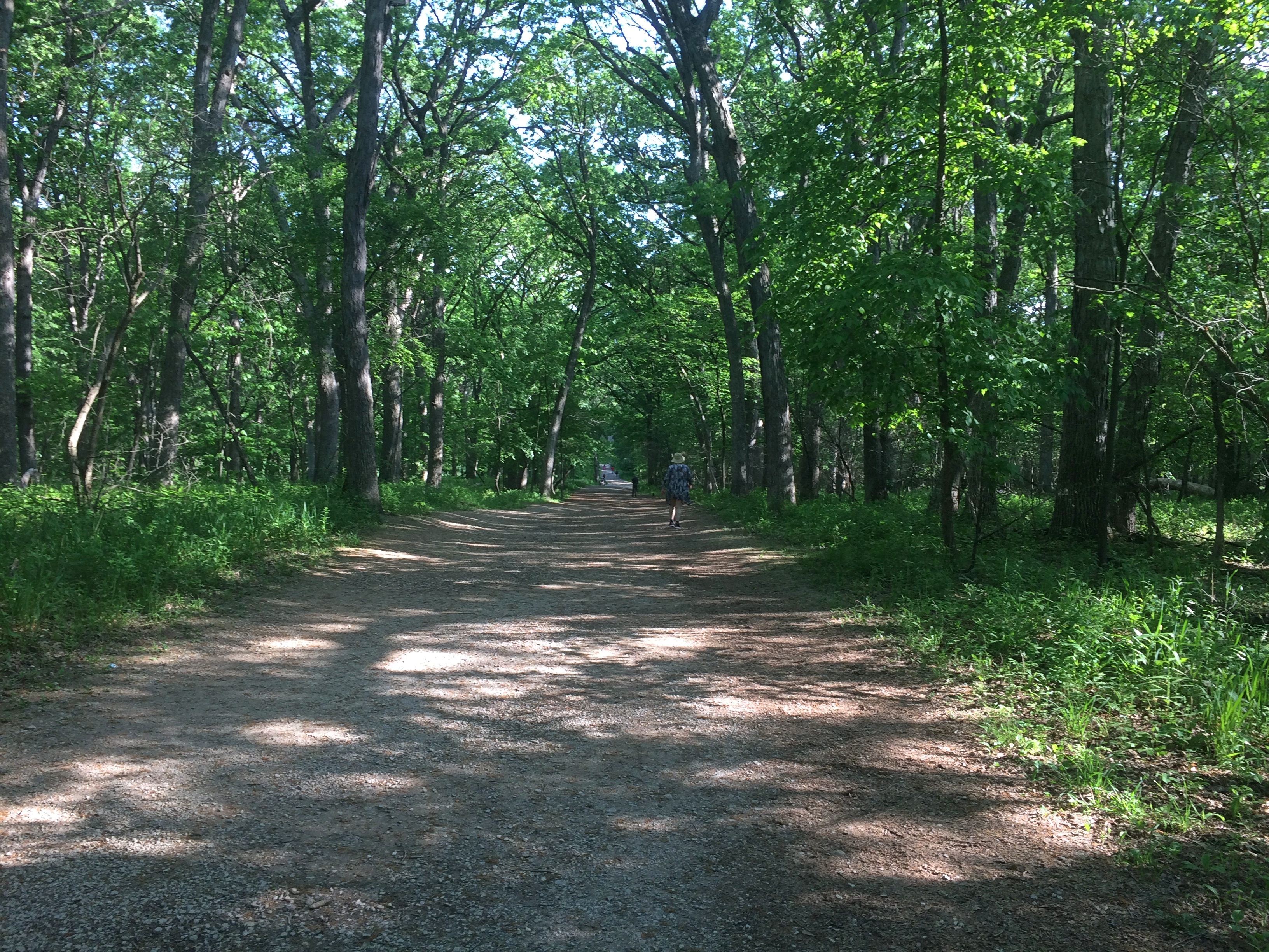
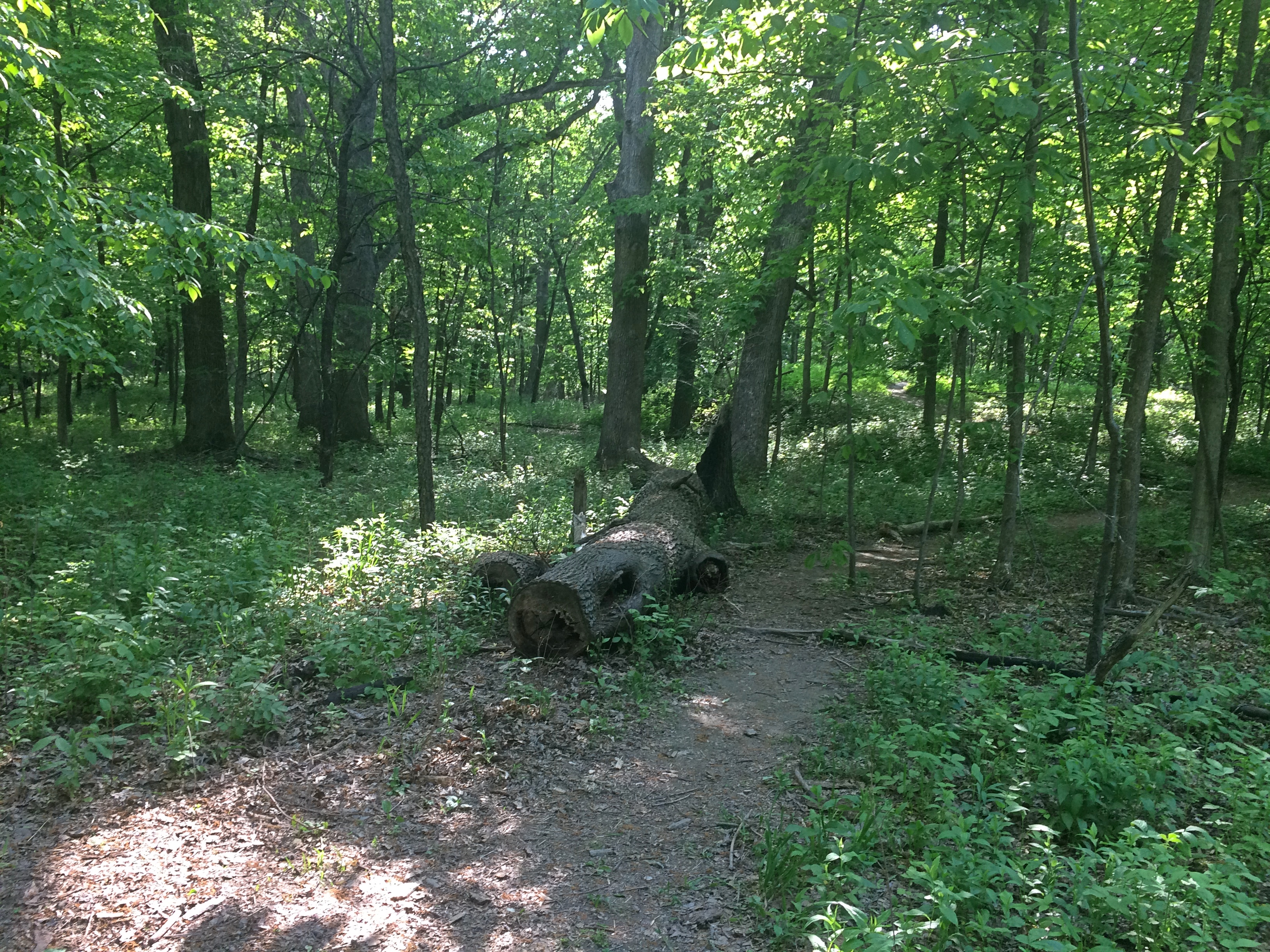
From the top, a trail leads to other trails, and eventually we made a loop through the woods. One of the spying apps on my phone says we took more than 8,100 steps for the day, mostly in these woods.

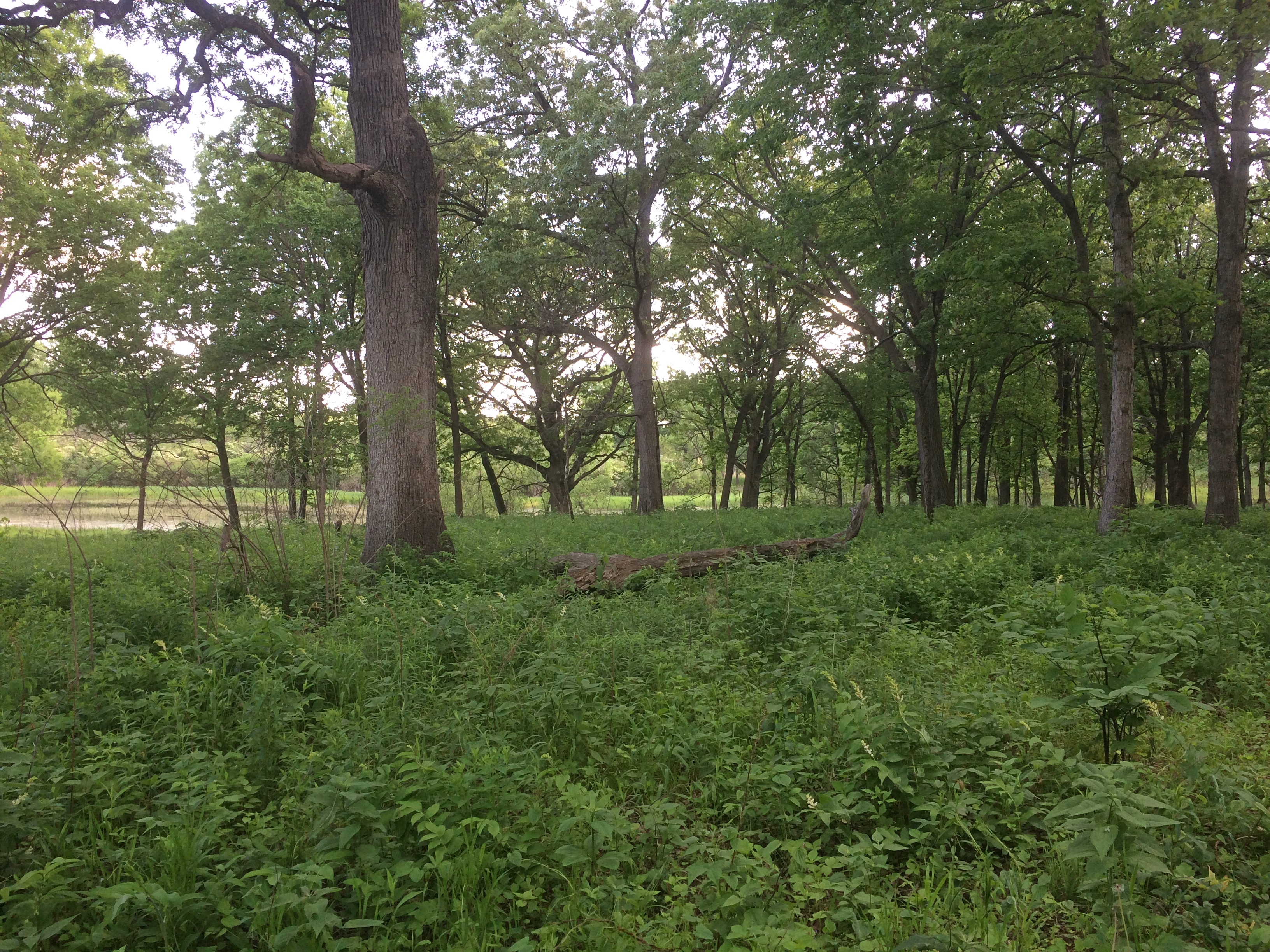
Illinois has reached flush spring green.Swallow Cliff Woods

Swallow Cliff Woods Swallow Cliff Woods

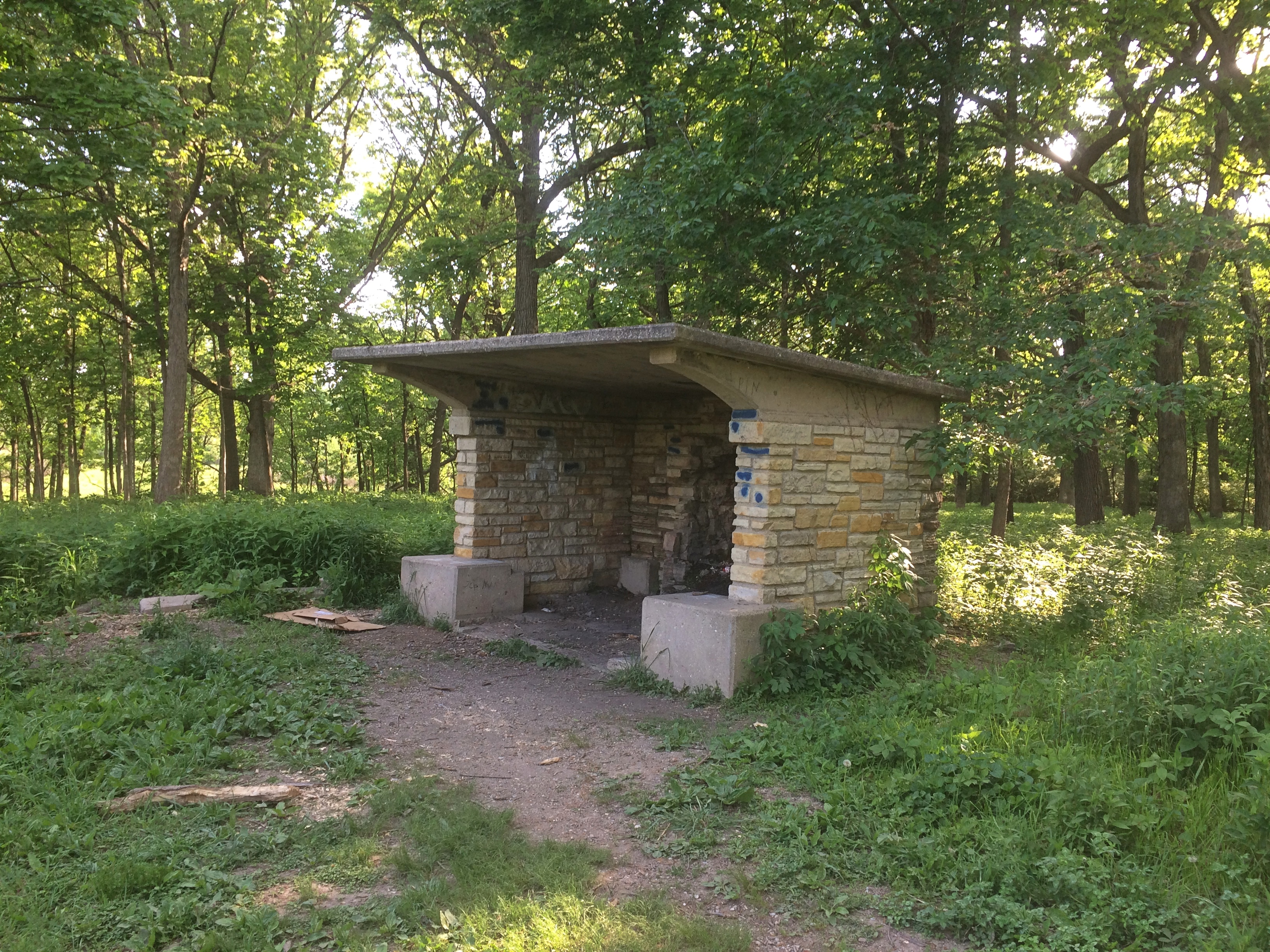
One structure along the way: a time-worn shelter with evidence that fires are built there sometimes, and partying occurs.Swallow Cliff Woods

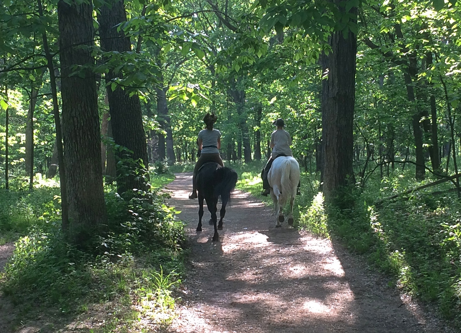
It’s also a horse trail. They were moving reasonably fast at a trot or canter, maybe. I don’t know horse gaits intuitively.Swallow Cliff Woods
Swallow Cliff wasn’t bad for a second choice, and not nearly as crowded, at least in the woods. A lot of people were climbing the stairs — they’re now billed as “exercise stairs,” as if there were any other kind — but most apparently didn’t continue onto the trails.

Verschiedene Artikel (Donnerstag)

Still above freezing most of the time, and no snow or ice. My kind of winter. But rain is slated for the weekend, devolving into snow. Maybe. That might interfere with getting a Christmas tree.

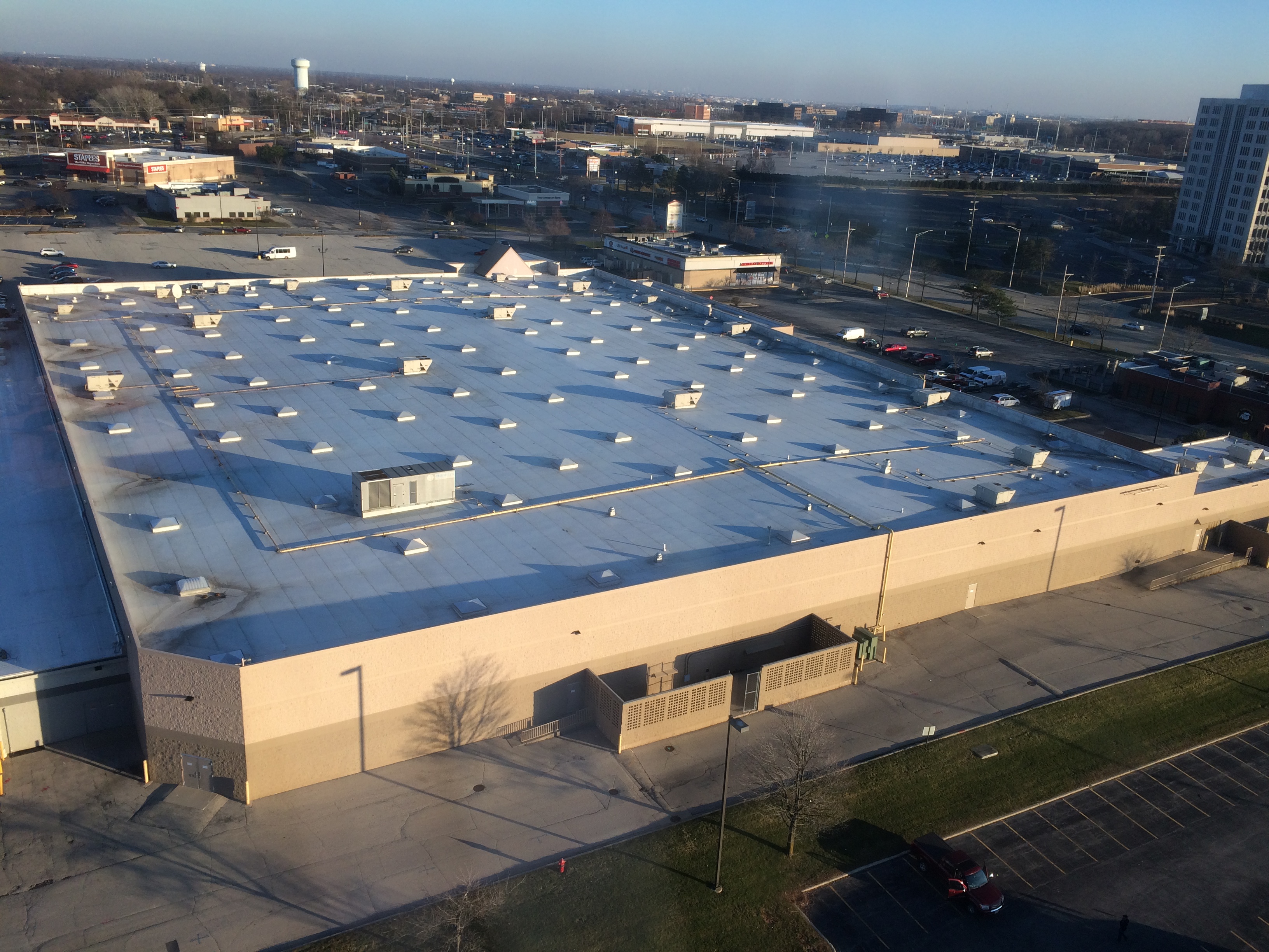
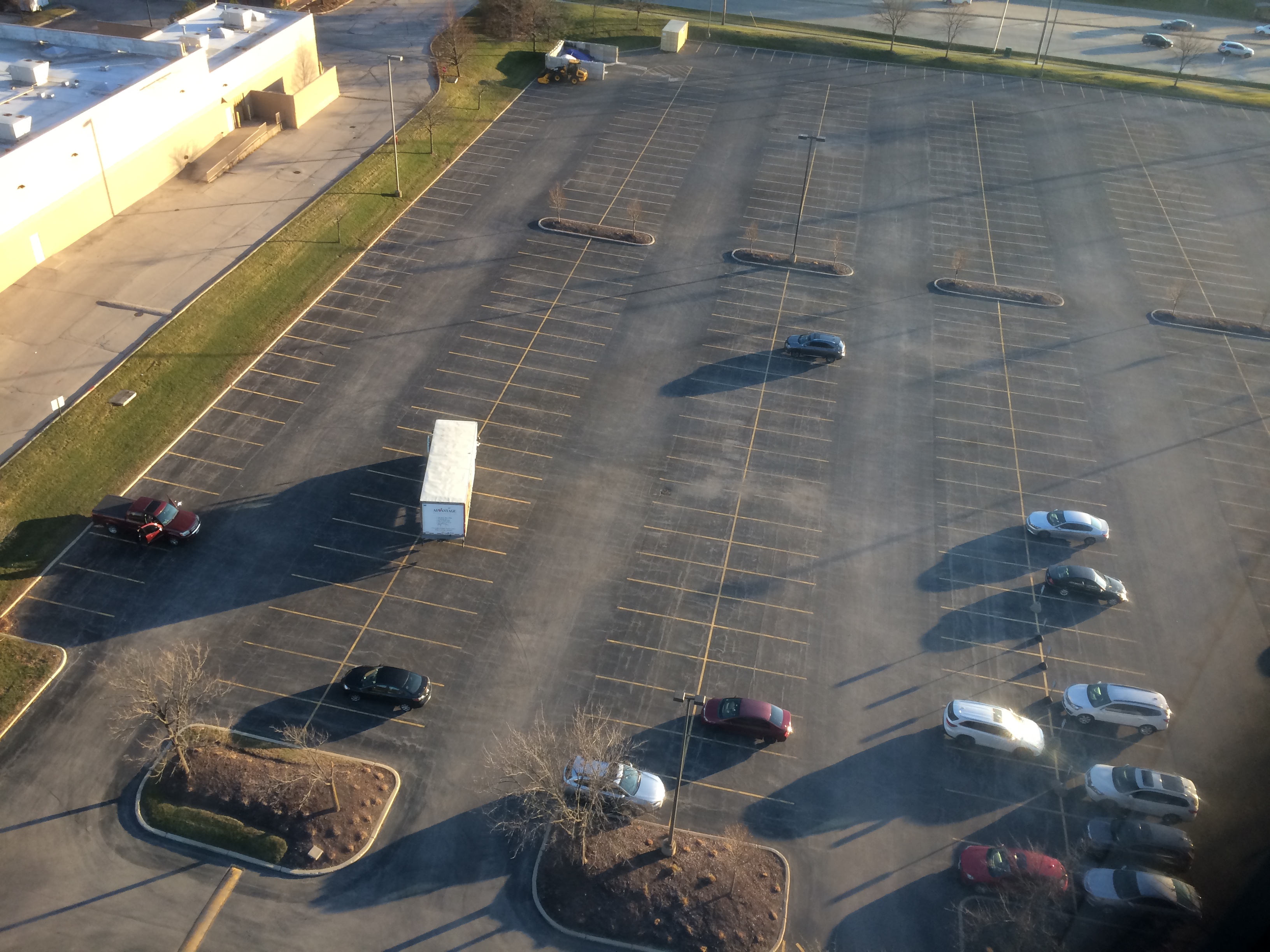
Not long ago I visited a high floor of an office building here in the northwest suburbs, something I don’t do to much these days. The view included the roof of a major retail location.Not very green, that roof. Besides whatever sustainability might be achieved, a roof that includes plants is more interesting to look at. Such as can be seen here and here. I don’t get to visit green roofs that often — ones such as the Chicago City Hall are inaccessible — but I did see one in suburban Toronto during my green press tour in that metro area. Didn’t take any pics.

Just behind the retailer is the office building’s nigh-empty parking lot.

Parking takes up a lot of space, no doubt about it. This study only focuses on a few cities, however, not the endless suburbs.

I set the background of my laptop to change every minute, and to keep things interesting, and I change the collection of images the computer uses every few days, if I remember to. Yesterday I directed the computer to use the images in the file July 5, 2019, which was our first day in Pittsburgh last year.

This popped up as part of the cycle. I’d forgotten I’d taken it.
That was in the Andy Warhol Museum.

Ann and I are still watching Star Trek roughly once a week. I’d say she’s seen about half of the original series. The most recent ones were the “Immunity Syndrome” and “A Private Little War,” both of which hold up reasonably well, though in strict storytelling terms, “Immunity” is better, since the concept is simple and the execution fairly taut. It’s the crew of the Enterprise vs. a whopping big space amoeba.

Best of all, it doesn’t turn out that the whopping big space amoeba is actually a sophisticated intelligence that the heroes eventually learn to communicate with and peacefully coexist with, a la Roddenberry.

That can be an OK track for a story — such as in “Devil in the Dark” — but for sheer space pulp drama, what you want is a mindless menace that needs to be destroyed by the last act. Star Trek did an even better job of that in “The Doomsday Machine,” in which the Enterprise fights a massive bugle corn snack that shoots death rays.

At first I thought “A Private Little War” was the (stupid) episode with the Yangs and the Cohms, in which Capt. Kirk recites the Pledge of Allegiance, among other looniness. No, that’s “The Omega Glory,” which we haven’t gotten to.

“War” is a jerry-built metaphor for the Vietnam War, involving as it does war among alien rustics, a Klingon plot to arm the natives, Kirk’s “balance of power” response, etc. Also, there was a raven-haired femme fatale with a bare midriff that got the attention of the 13-year-old I once was, and a creature that looked like a man in an albino gorilla suit, because that’s what it surely was. Spock bled green from a gunshot wound and Nurse Chappell got to slap him around. Why didn’t we ever see more of Dr. M’Benga? (Seems he was in another episode briefly.) Here’s why: actors cost money, as much as showrunners might wish otherwise.

One more item for today. Not long ago we got takeout at Asian Noodle House, a wonderful storefront that seems to be surviving on the takeout trade. We go there every other month or so. Fortune cookies come with each order, one per entre. Each wrapped in its own little plastic bag.

Today we got three little bags. One of them had two cookies tightly packed within. Is that like getting a double yolk? Does it mean extra good fortune or extra bad chi? Maybe one cookie is ying, the other yang.

Grassy Lake Forest Preserve

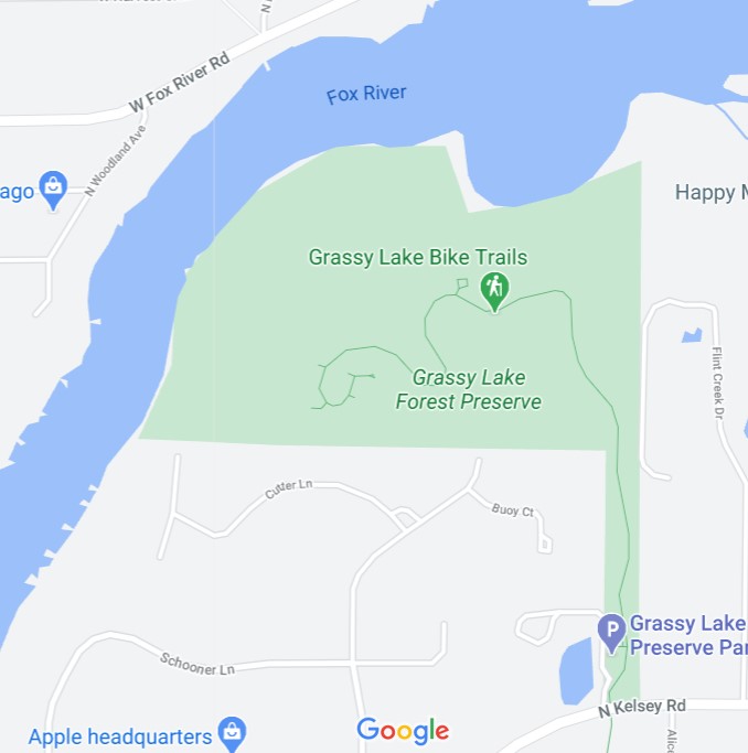
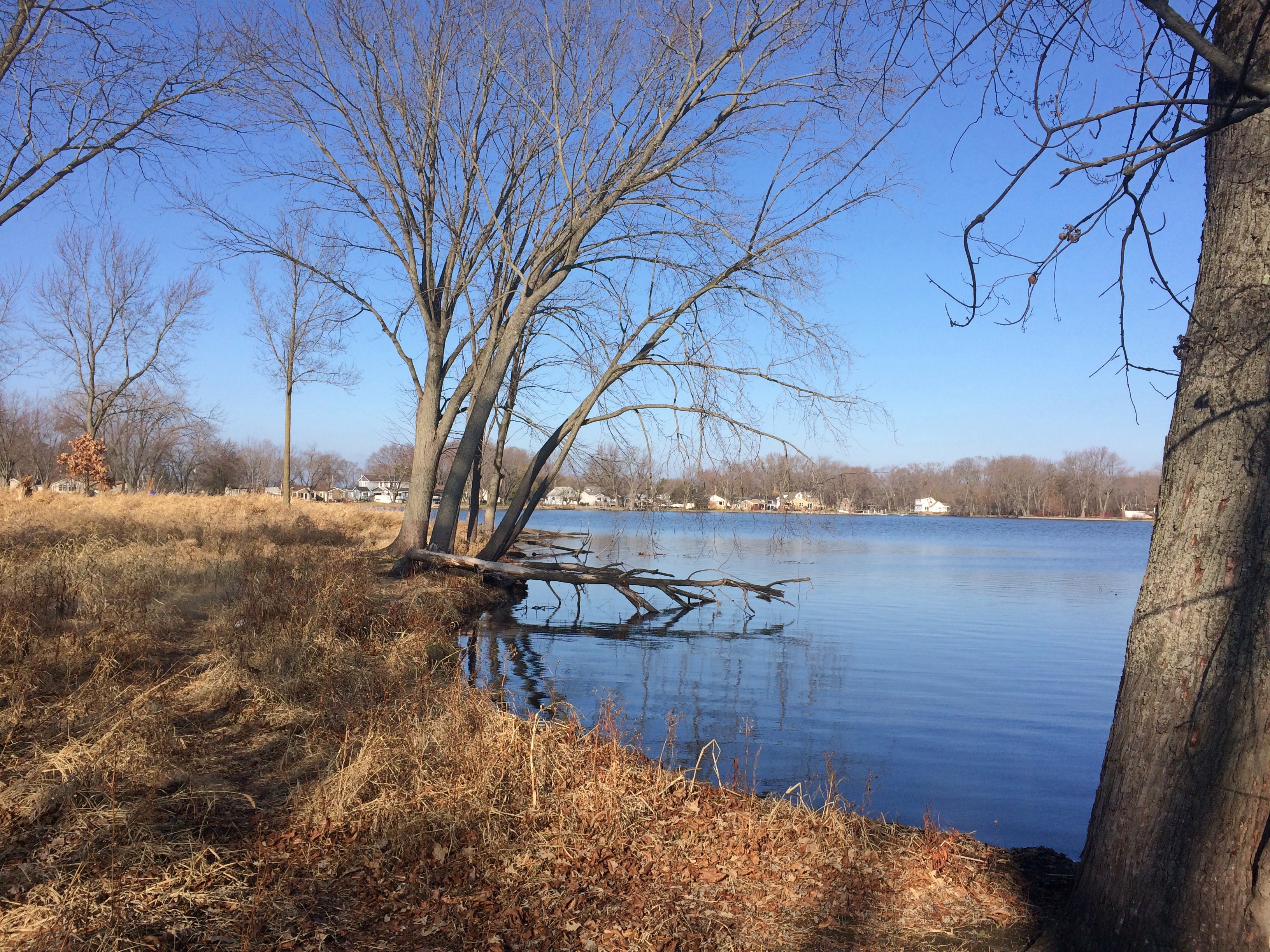
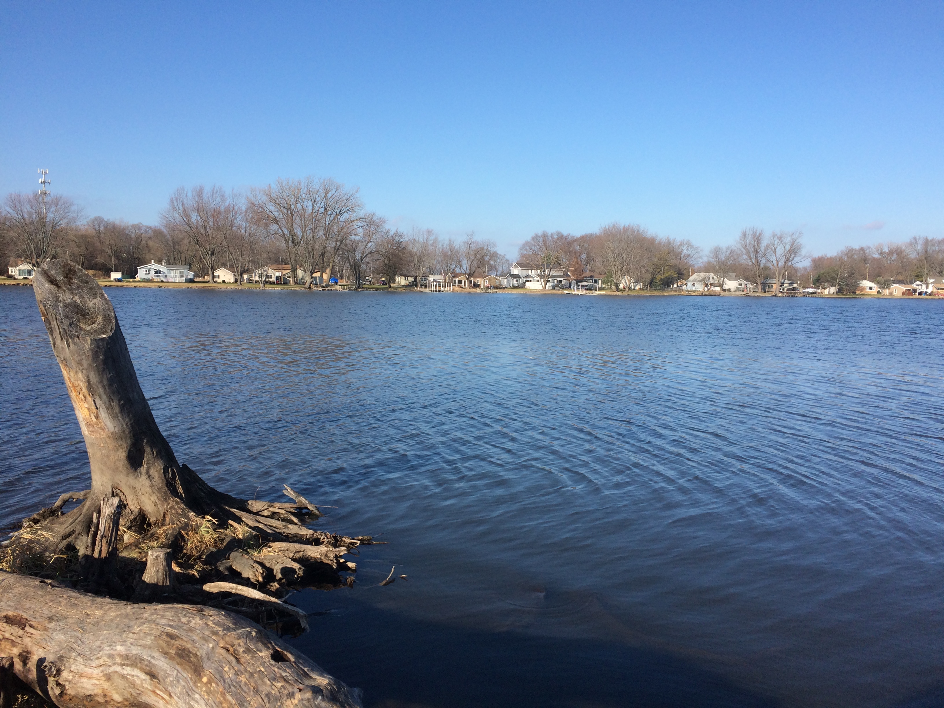
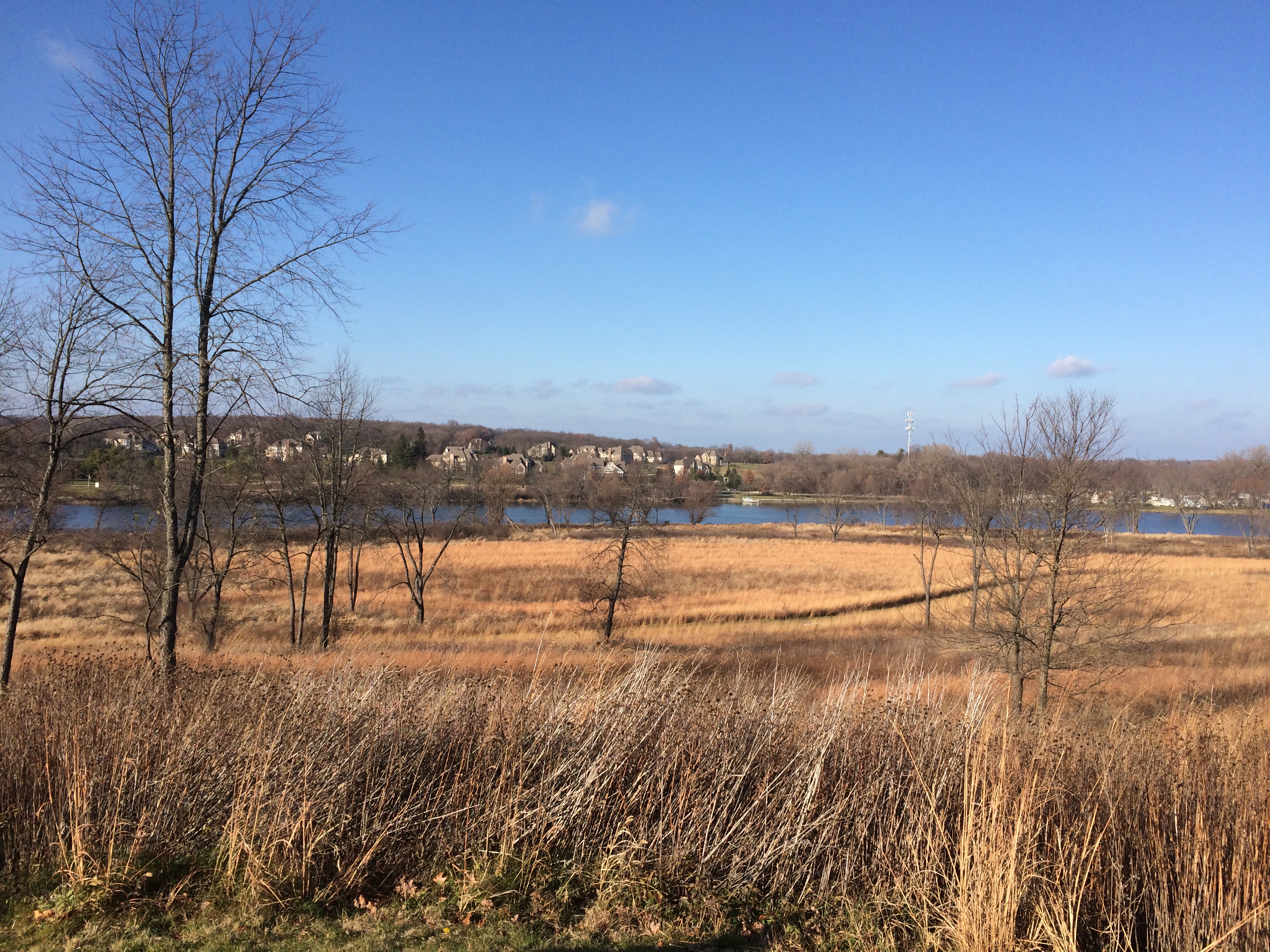
Up among the various Barrington-named towns in northern Illinois — Barrington itself, but also North Barrington, South Barrington, Barrington Hills, Lake Barrington — is the Grassy Lake Forest Preserve, a unit of the Lake County Forest Preserve District. Its 689 acres are tucked away along the banks of the Fox River, a tributary of the Illinois River.
Grassy Lake FP
“Silver maples, cottonwoods and willows line the banks of the Fox River and its floodwater-storing floodplain,” says the Lake County FP web site. “Burly old-growth oaks occupy slightly higher ground above the river, and former agriculture fields now being restored to prairie can be viewed.

“Prominent geological landforms such as kettles and kames tell of Lake County’s not too distant glacial shaping, while providing sweeping views of the river valley and the surrounding area. Centuries-old landscape plantings of catalpa trees, Douglas firs, and a hedgerow of osage orange remind of us those who lived here before us.

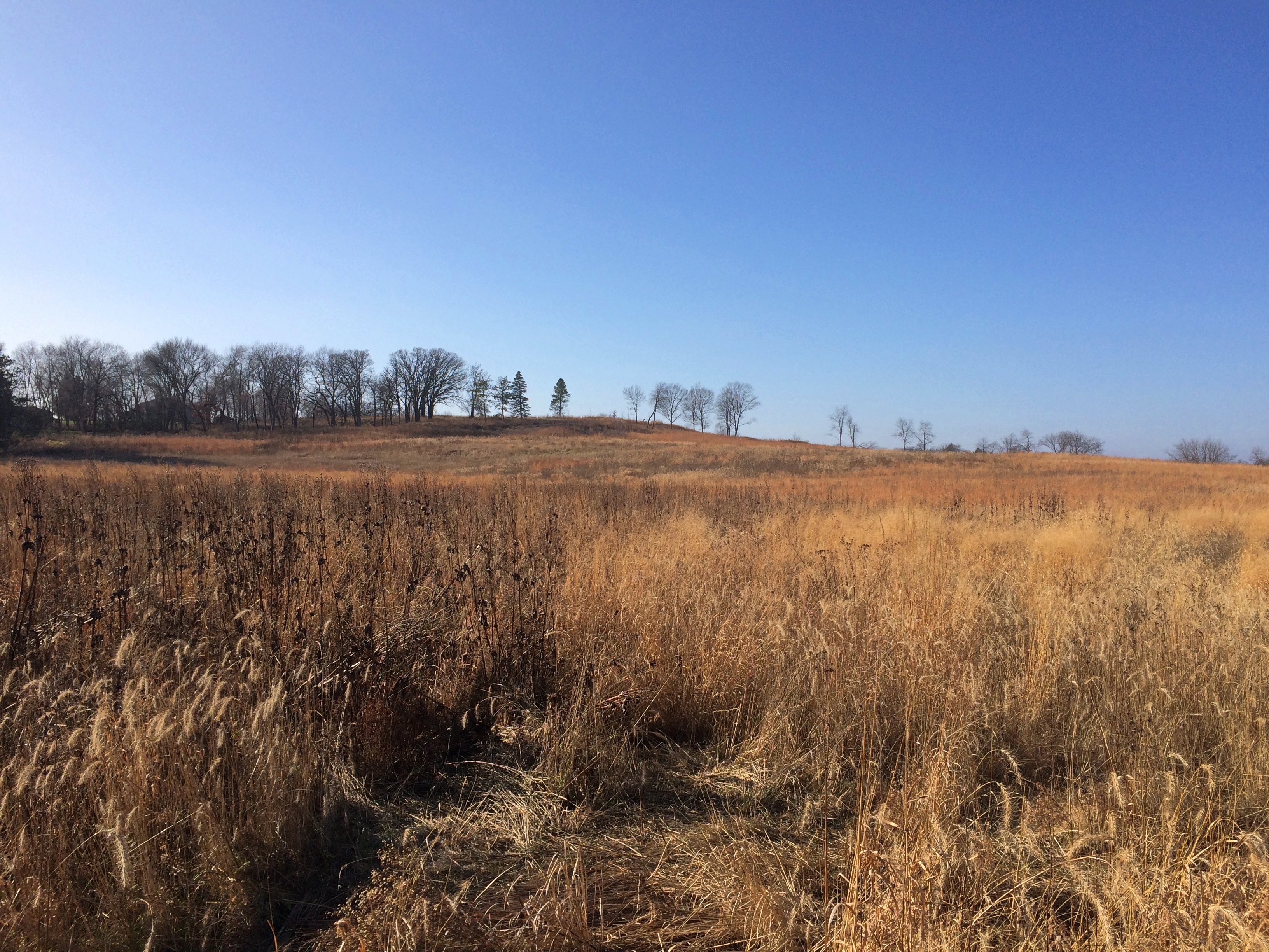
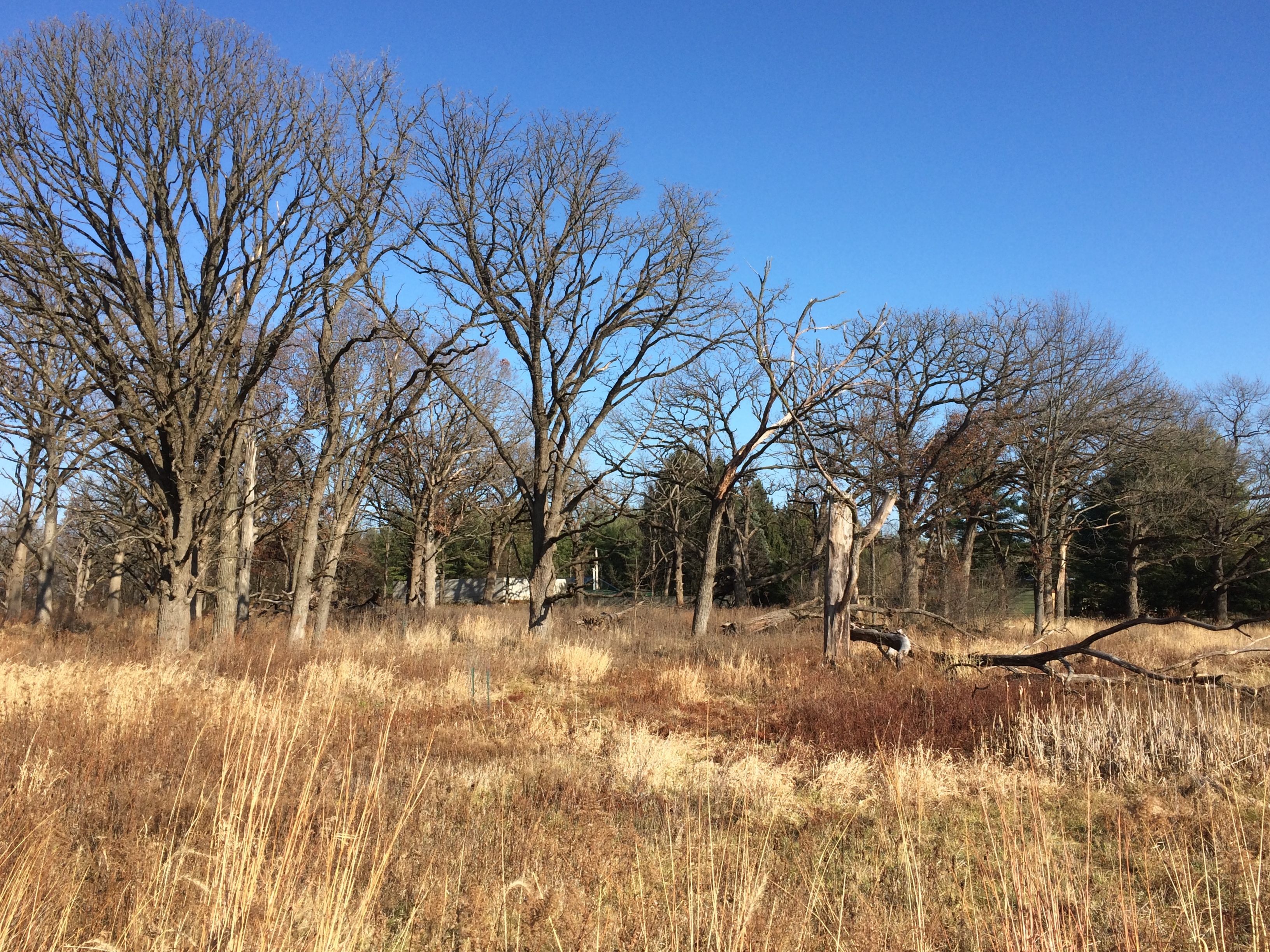
I’m not sure exactly what a kettle or kames might look like, but I assume they’re some of the undulations we saw in the landscape. We arrived soon after noon on the day after Thanksgiving. This year, we participated in Buy Nothing Day by taking a hike.Grassy Lake FP
Grassy Lake FP
Grassy Lake FP
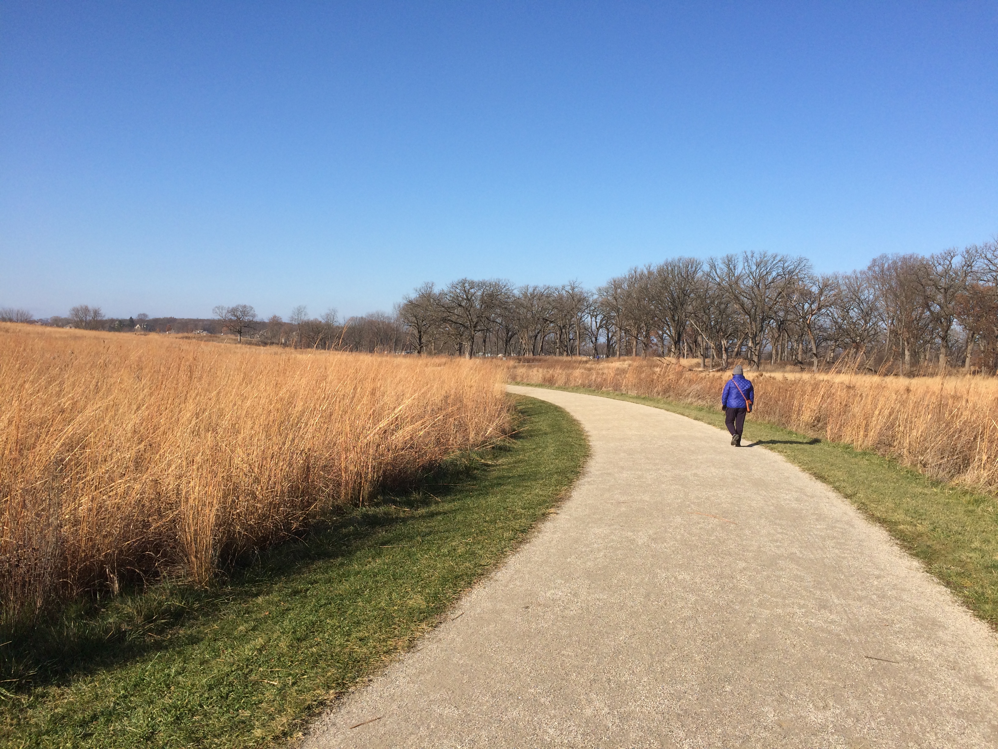
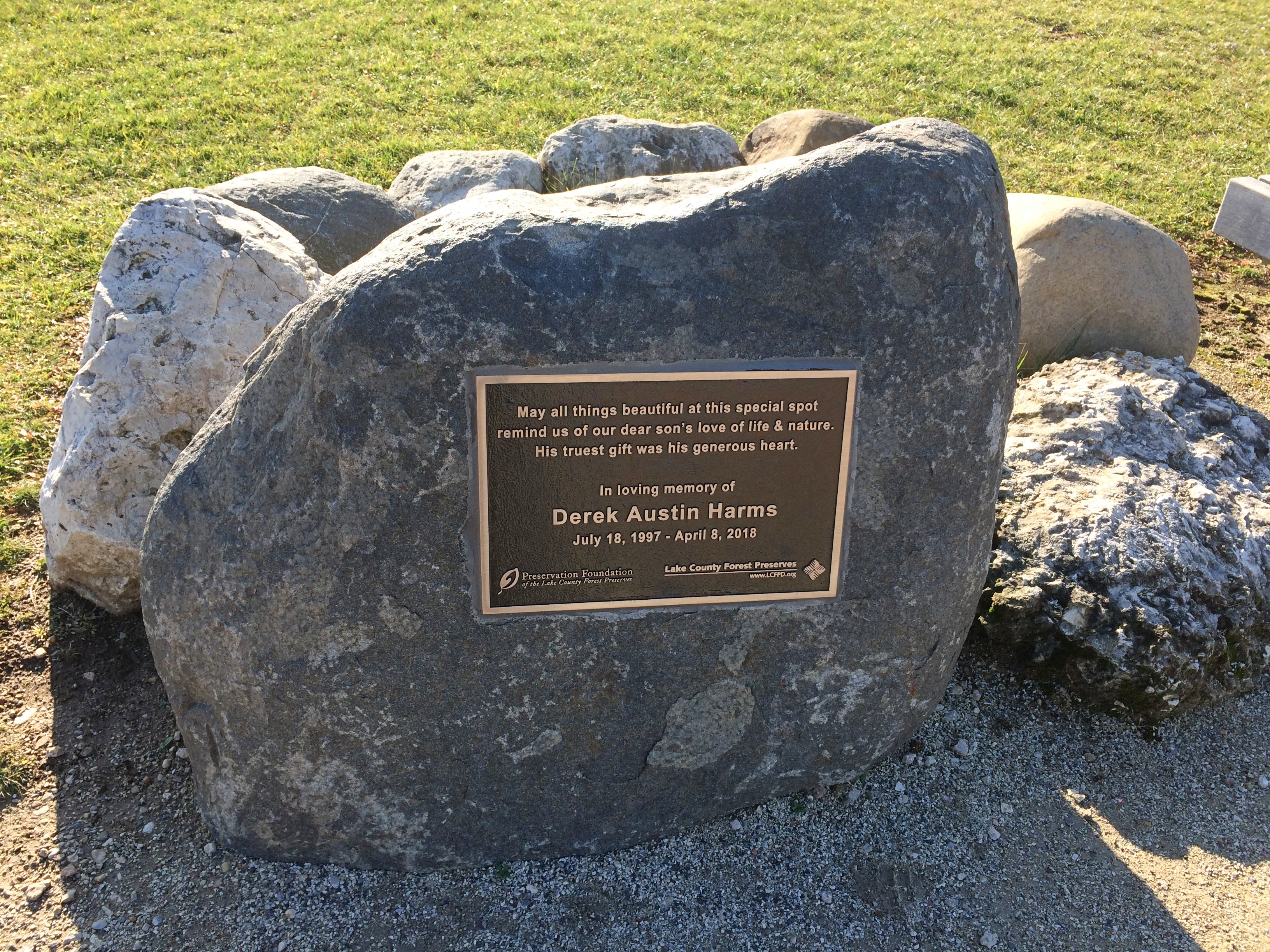
The trail winds into the forest preserve. Soon you come to a memorial to an unfortunate lad named Derek Austin Harms that includes trees and benches and a boulder with a plaque.
Grassy Lake FP
It isn’t hard to find out more about the young Mr. Harms, 1997-2018.

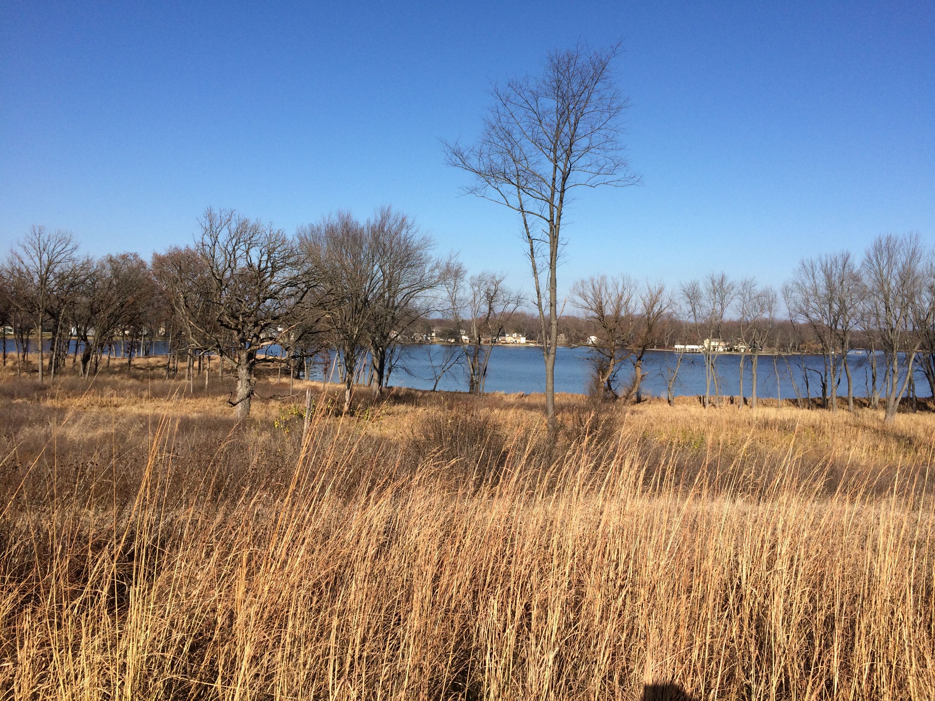
Side trails wander down to the edge of the Fox. The river widens quite a lot at this point, perhaps forming the feature called Grassy Lake, though I haven’t found anything to confirm that.
Grassy Lake FP
Grassy Lake FP
Grassy Lake FP
Follow the main path far enough and it rises to the highest point in the forest preserve, where it dead ends.
Grassy Lake FP
Not the highest view I’ve seen recently, but on a clear warm-for-November day, a good one.

Cave-in-Rock State Park

Snow this morning. It didn’t stick, but it did remind us all of the cold months to come.

At the beginning of 2020, works published in 1924 finally entered public domain in the U.S. The Center for the Study of the Public Domain noted some of the better known works now available to all.

“These works include George Gershwin’s ‘Rhapsody in Blue,’ silent films by Buster Keaton and Harold Lloyd, and books such as Thomas Mann’s The Magic Mountain, E. M. Forster’s A Passage to India, and A. A. Milne’s When We Were Very Young.”

Plenty of obscure works are now available as well. One I have in mind is The Outlaws of Cave-in-Rock by Otto A. Rothert, published in 1924. Rothert (1871-1954) was secretary of the Filson Historical Society in Louisville, and apparently took a strong interest in regional history

The Outlaws of Cave-in-Rock can now be found in Google Books. I haven’t read it all, but I have sampled some of it. Such as the first few paragraphs.
“This book is intended to give the authentic story of the famous Cave-in-Rock of the lower Ohio River… and to present verified accounts of the most notorious of those highwaymen and river pirates who in the early days of the middle West and South filled the Mississippi basin with alarm and terror of their crimes and exploits.

“All the criminals herein treated made their headquarters at one time or another in this famous cavern. It became a natural, safe hiding-place for the pirates who preyed on the flatboat traffic before the days of steamboats….

“A century ago and more, its rock-ribbed walls echoed the drunken hilarity of villains and witnessed the death struggles of many a vanished man. Today this former haunt of criminals is as quiet as a tomb. Nothing is left in the Cave to indicate the outrages that were committed there in the olden days.”

The book also tells the tale, in four chapters, of the exceptionally murderous Harpe brothers (or cousins), a bloody story deftly summarized by the late Jim Ridley in the Nashville Scene some years ago. Enough to note here that the Harpes and their women roamed western Tennessee and Kentucky around the beginning of 19th century, murdering and robbing as they went, but especially murdering.

They spent some time among the blackguards at Cave-in-Rock, but were forced to leave after they threw a man bound to a horse to his (and the horse’s) death off the cliff’s edge above the cave for fun. Even river pirates have their standards.

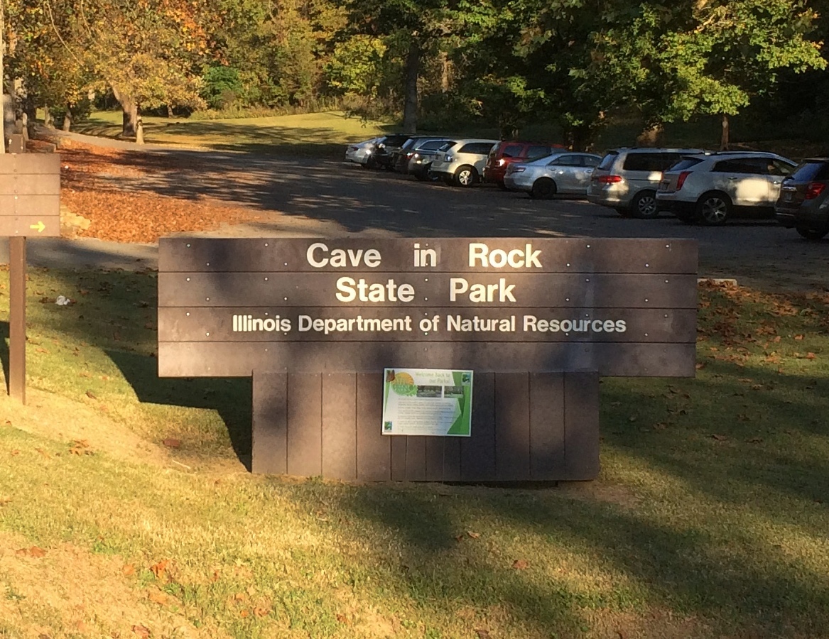
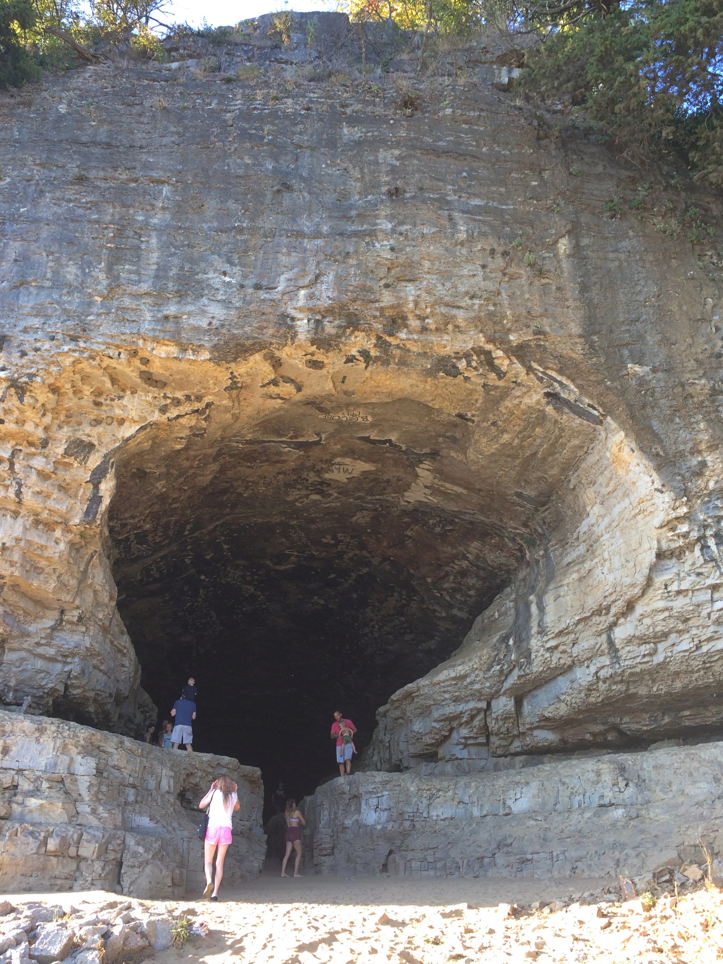
In our time, and in fact since 1929, the cave has been the central feature of Cave-in-Rock State Park. Not quiet as a tomb, quiet as a minor tourist attraction. It isn’t part of Shawnee National Forest, but some of the national forest lands are nearby. Note the sign isn’t a stickler for hyphens.Cave-in-Rock State Park

The park is near the small town of Cave-in-Rock, Illinois, which is walkable distance to the south from the park. We arrived at the park on the afternoon of October 11.

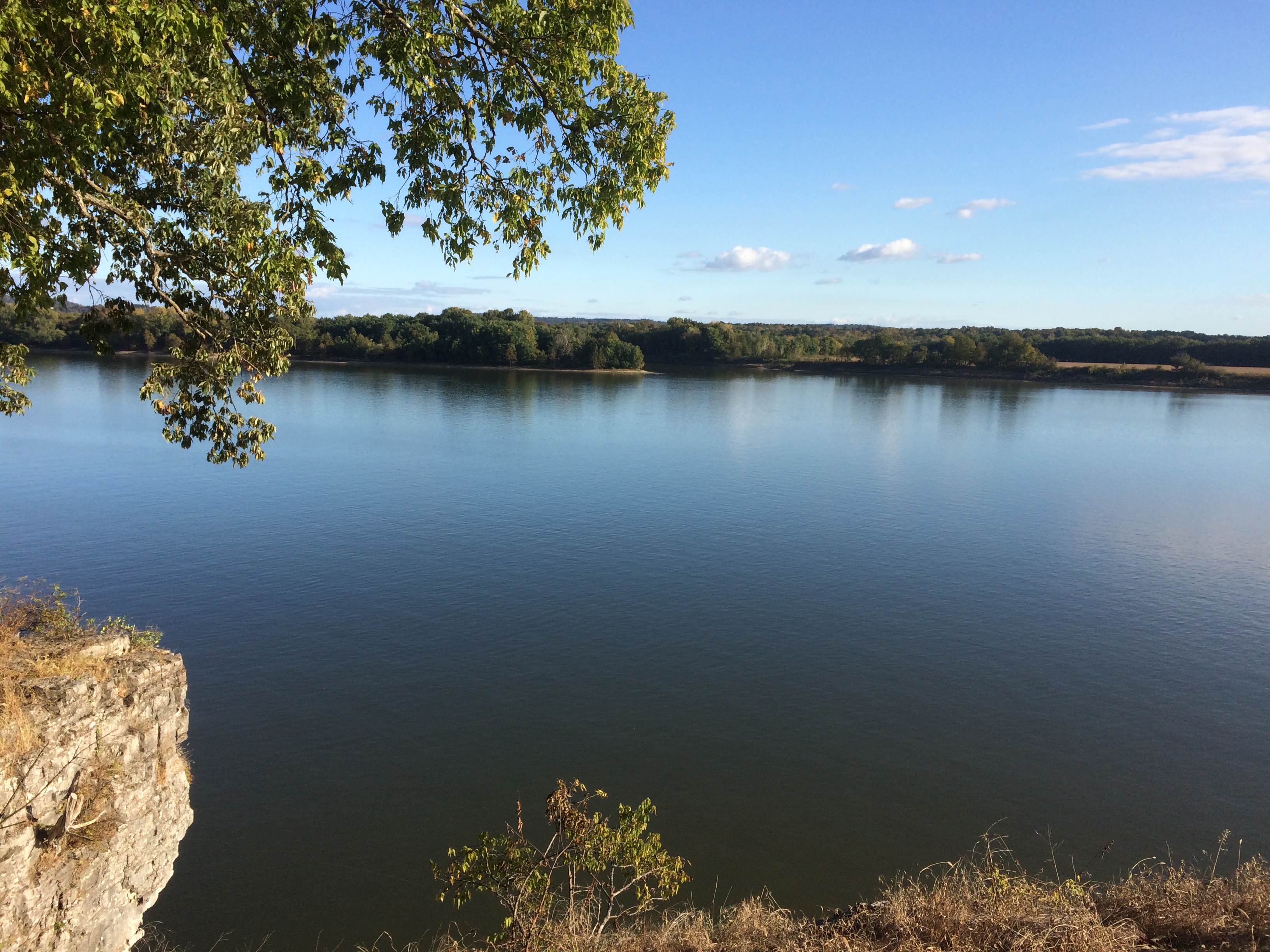
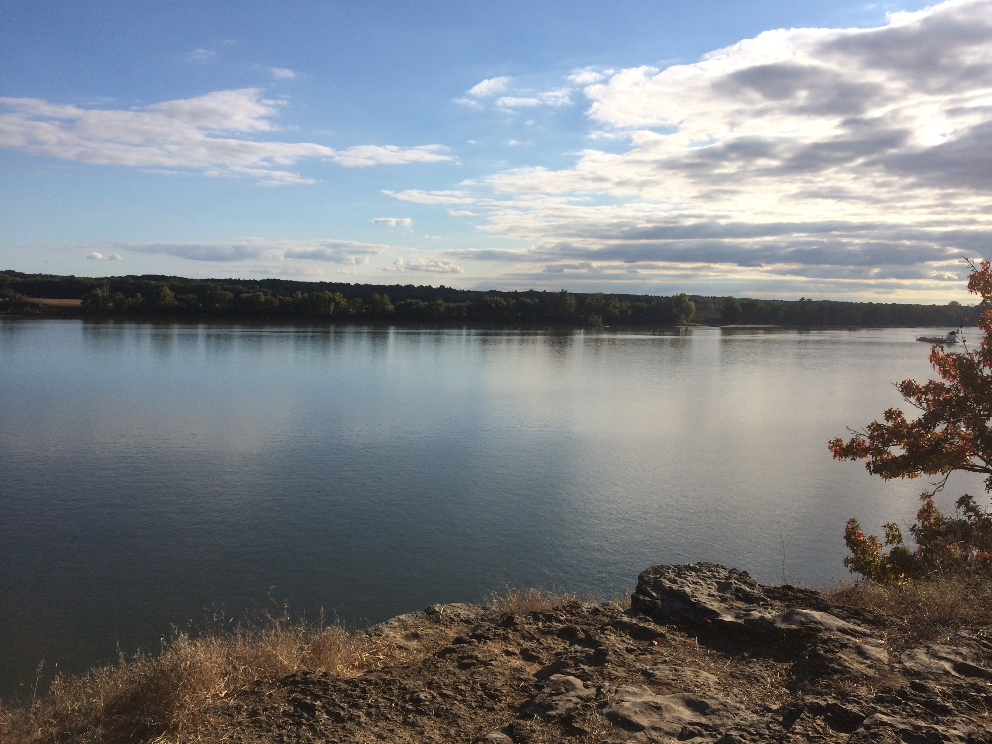
You park in a small lot and climb 50 or so steps uphill, to a crest overlooking the Ohio River, sporting picnic shelters and tall trees. Views from the crest, looking across to Kentucky.Cave-in-Rock State Park Cave-in-Rock State Park

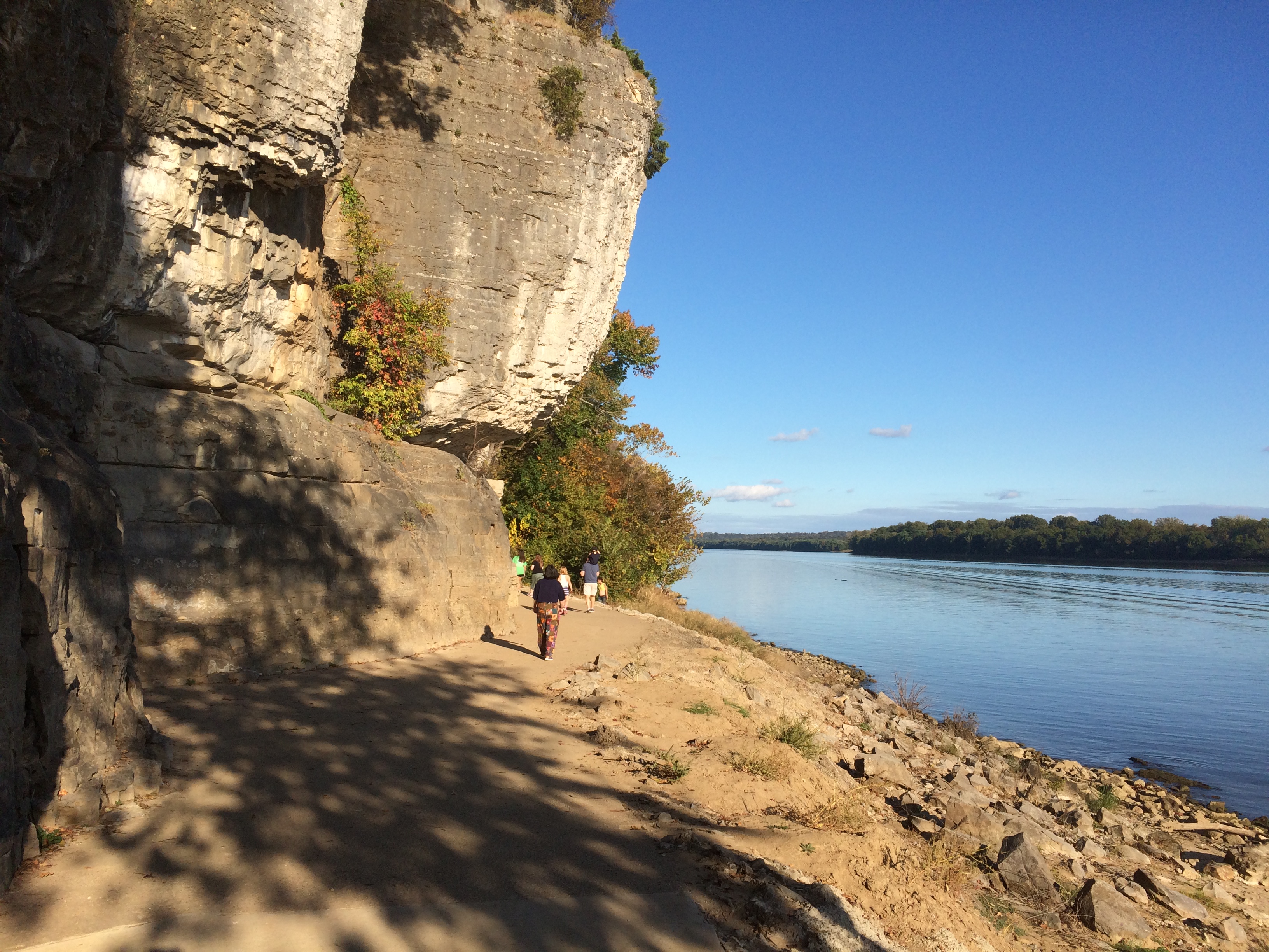
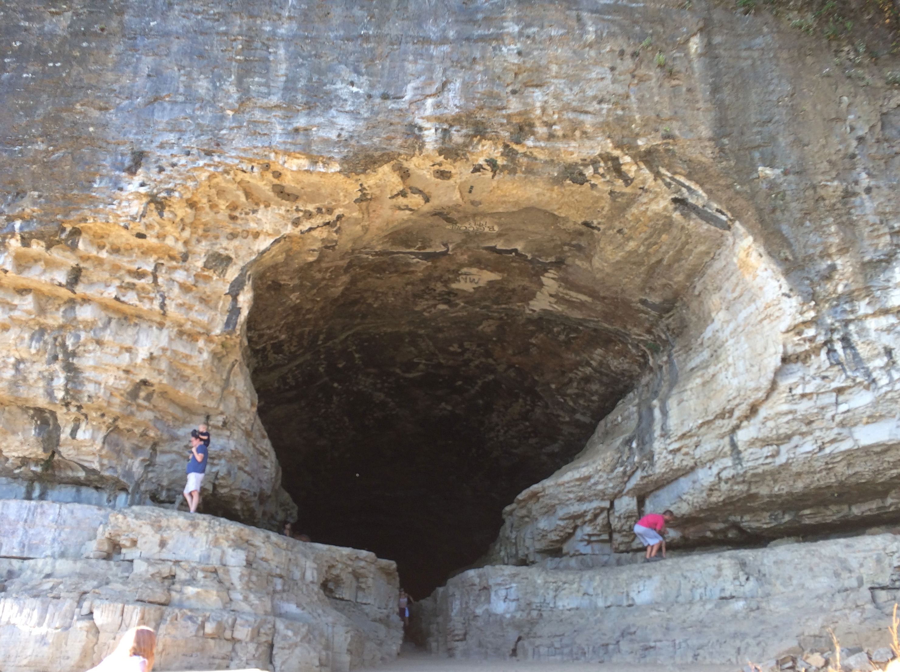
From the crest, you go down more stairs most of the way to the river’s edge. The cave entrance is under a high cliff and a few feet higher than a small beach on the river.
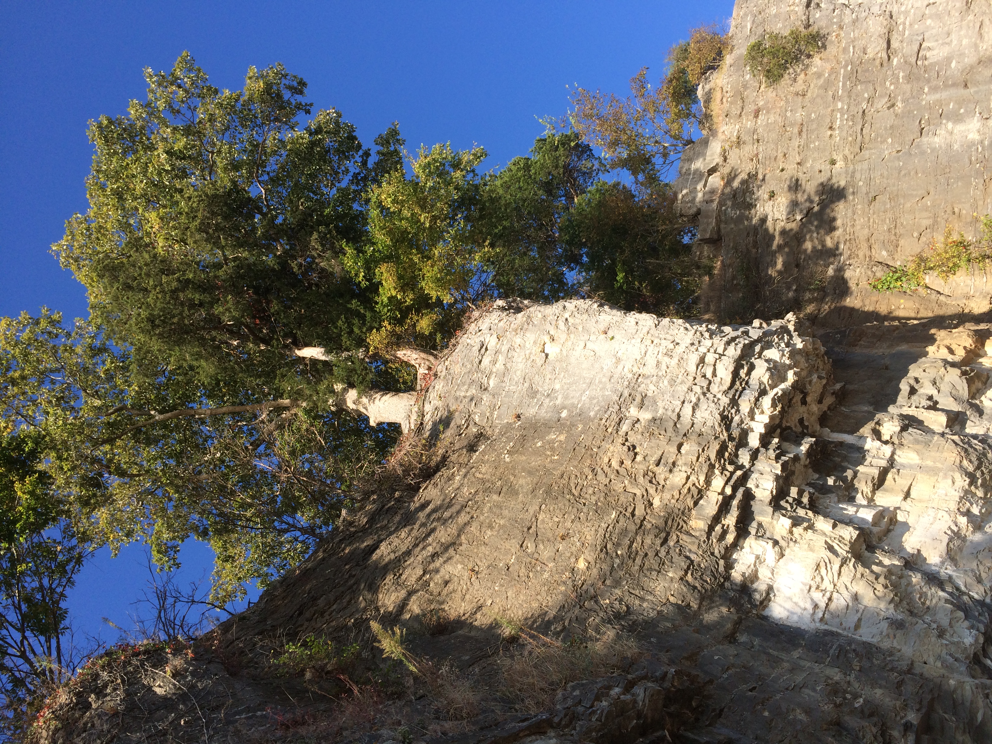
Cave-in-Rock State ParkLooking back up at some trees lording over the edge of the cliff.
Cave-in-Rock State Park

A few more steps and you’re in front of Cave-in-Rock. It’s an apt name.

Cave-in-Rock State Park Cave-in-Rock State Park

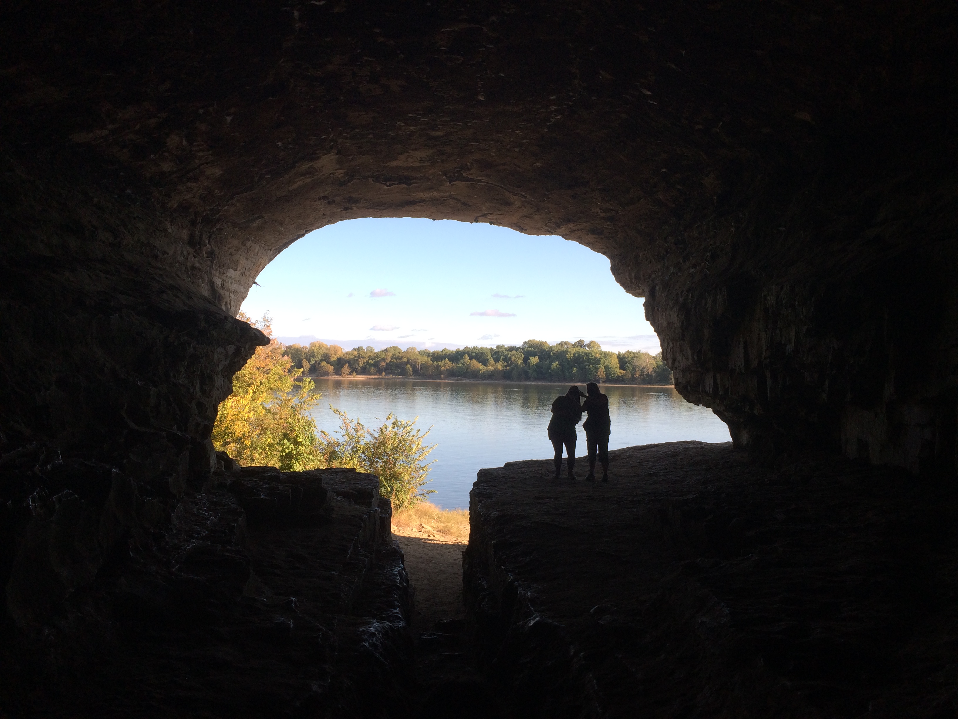
Soon you’re inside, looking out.
Cave-in-Rock State Park

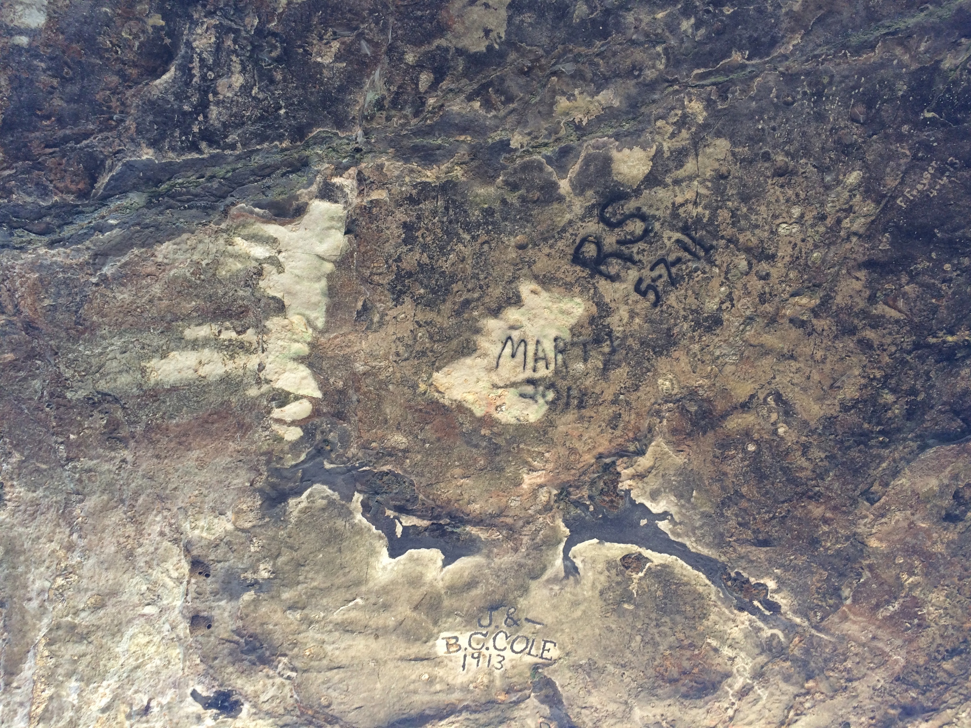
It doesn’t go too far back, at least not that I know of. Graffiti, mostly painted signatures, is prominent on the roof of the cave.
Cave-in-Rock State Park

J. & B.C. Cole were here in 1913, pre-park and probably dangling from a rope over the cliff edge. The more recent Marty and R.S. were here in 2011, and probably had rappelling gear.

Pounds Hollow Recreation Area

The vista at Garden of the Gods in Shawnee National Forest was fairly crowded. A few miles away, the lake and the hiking trails and the bluff at Pounds Hollow Recreation Area were much less busy, though still in the national forest. After taking in the Garden of the Gods, Ann and I spent a few pleasant hours there early on the afternoon of October 11.

Near the parking lot is a small beach on the small Pounds Lake.
Pounds Hollow Recreation Area
From there, a trail leads more-or-less southwest.
Pounds Hollow Recreation Area
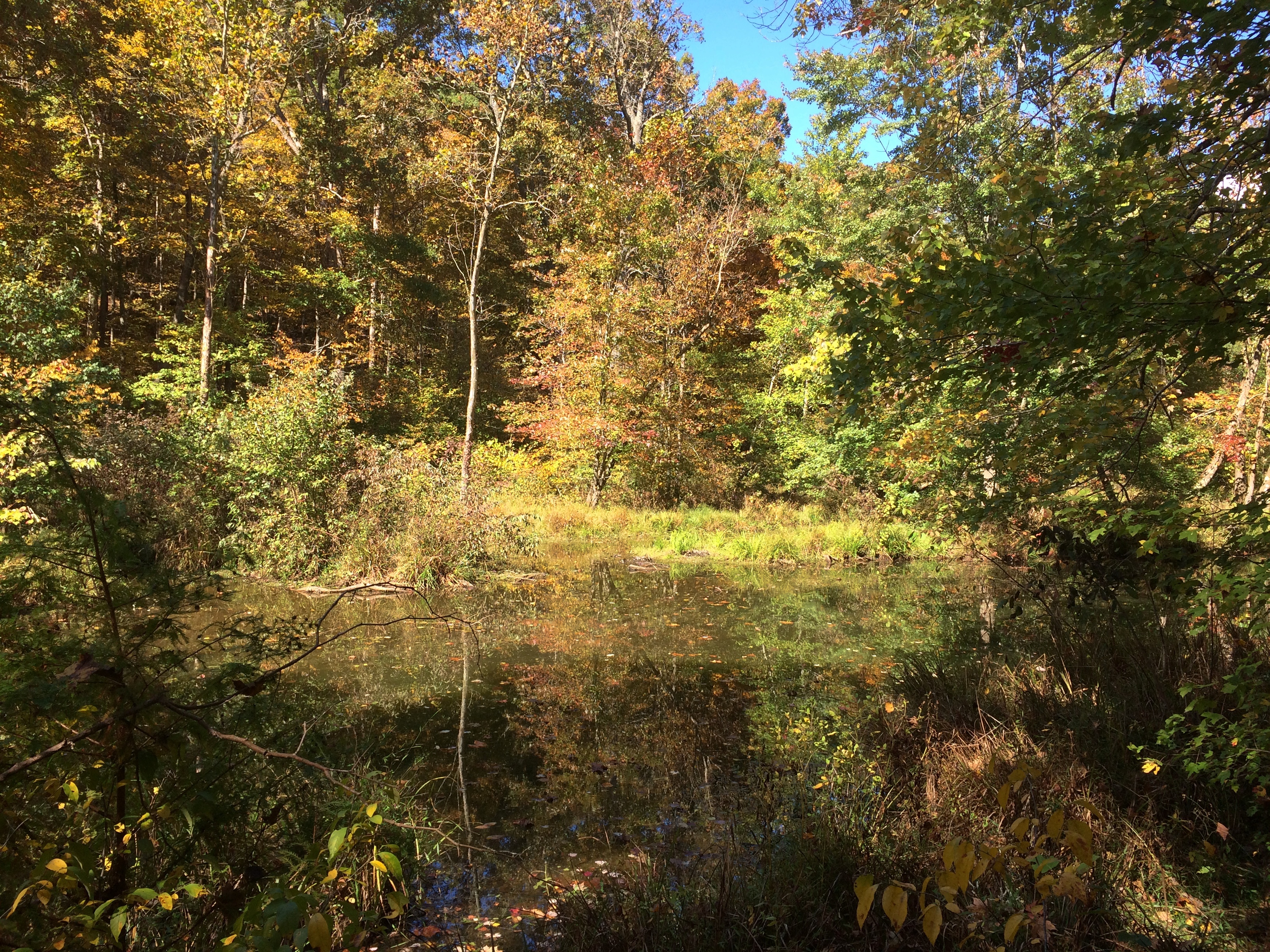
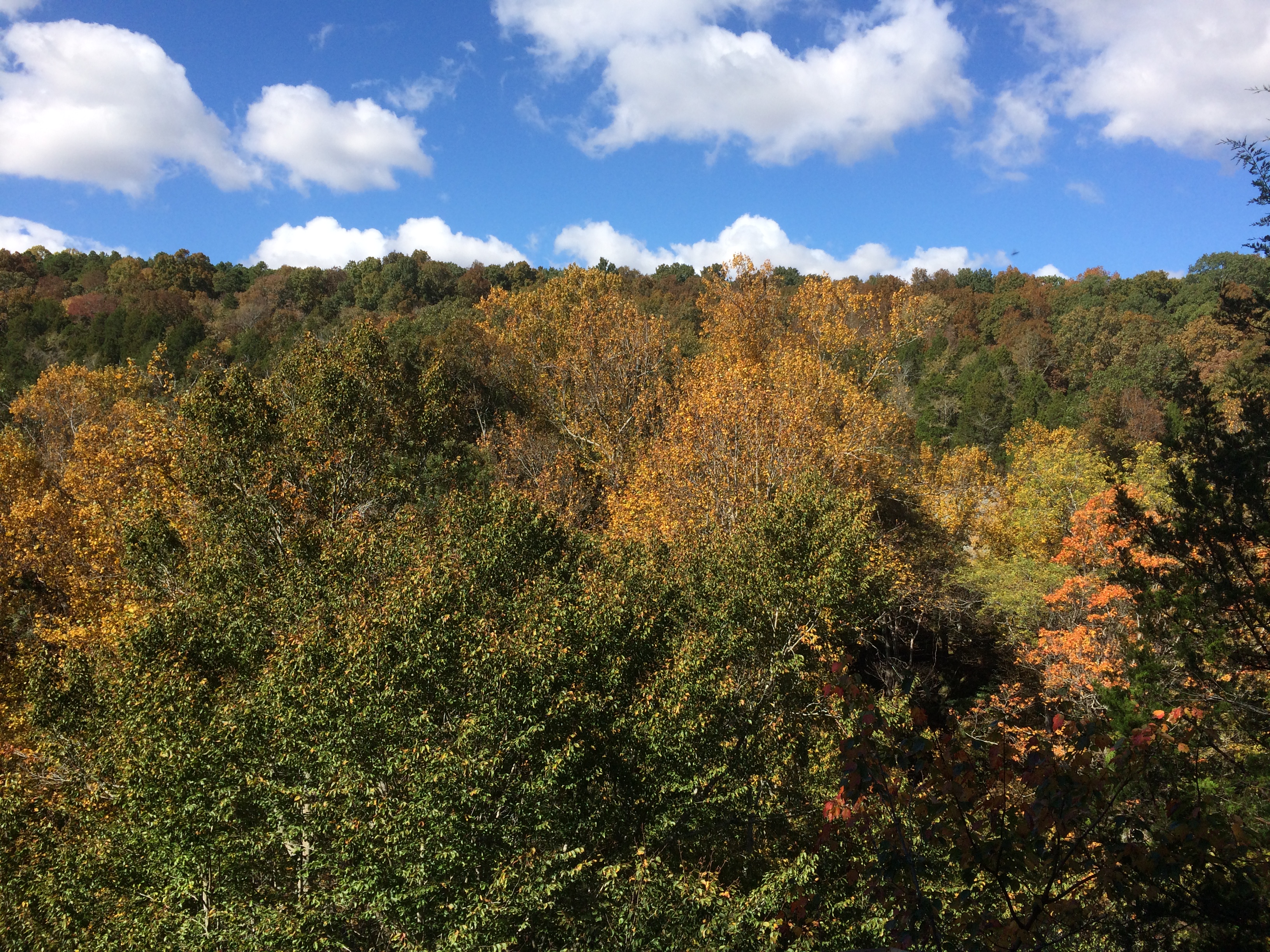
The lake’s still in view much of the way, and what a sight in mid-October.Pounds Hollow Recreation AreaTall trees mark the path as well.
Pounds Hollow Recreation Area
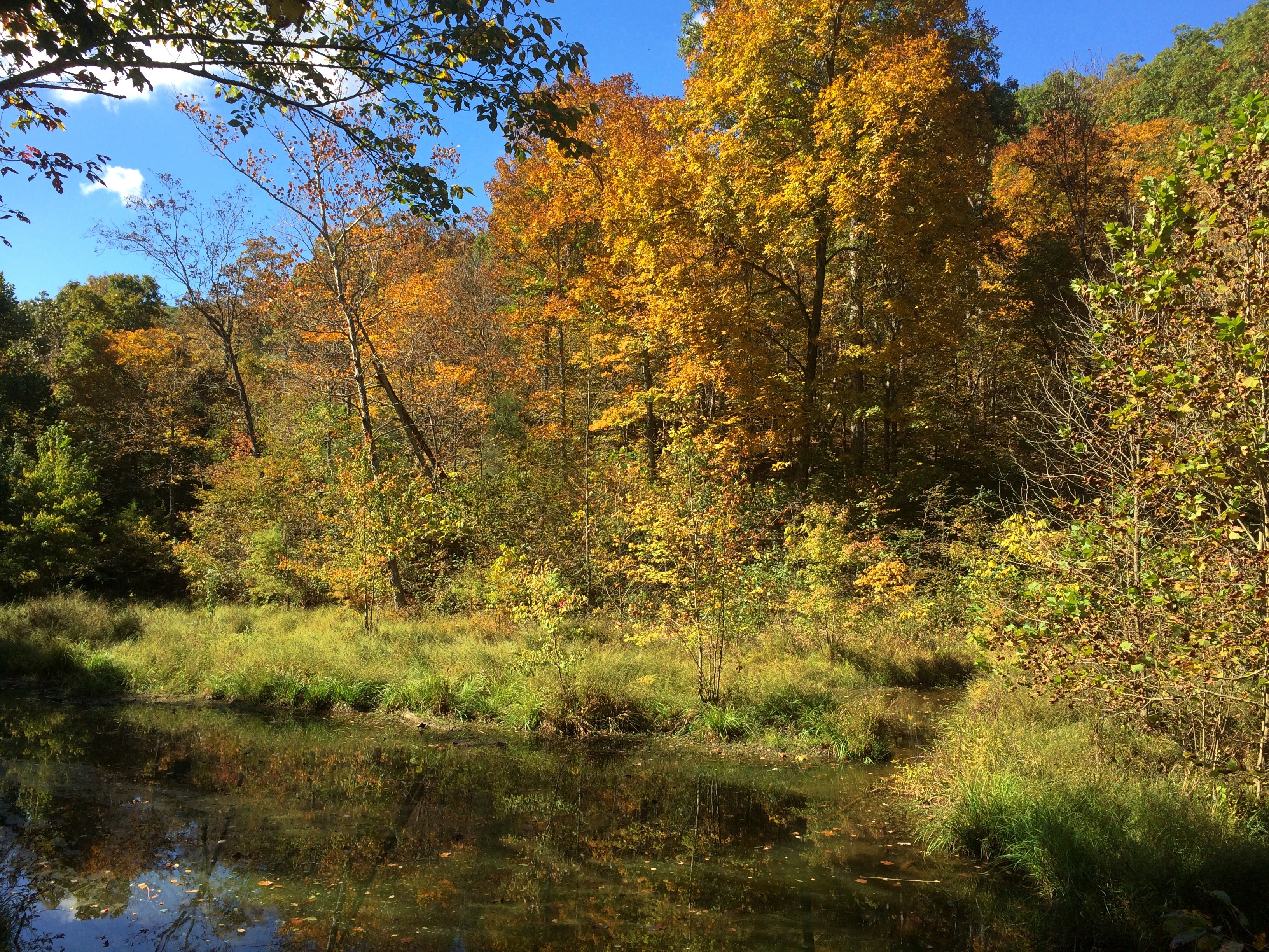
Eventually the lake peters out into more of a wetland.Pounds Hollow Recreation Area Pounds Hollow Recreation Area
Leaving that behind, the land is covered with leaves this time of the year.
Pounds Hollow Recreation Area
When the wind blew, more leaves cascaded to the ground.

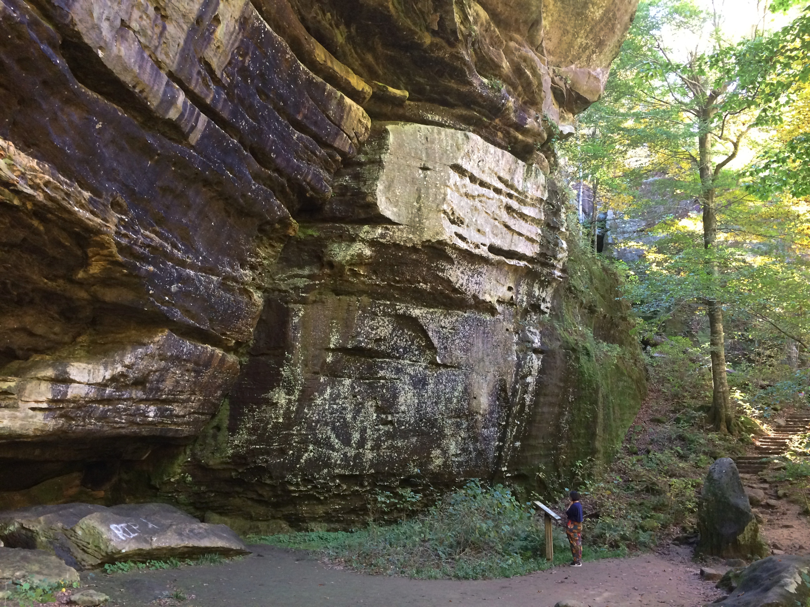
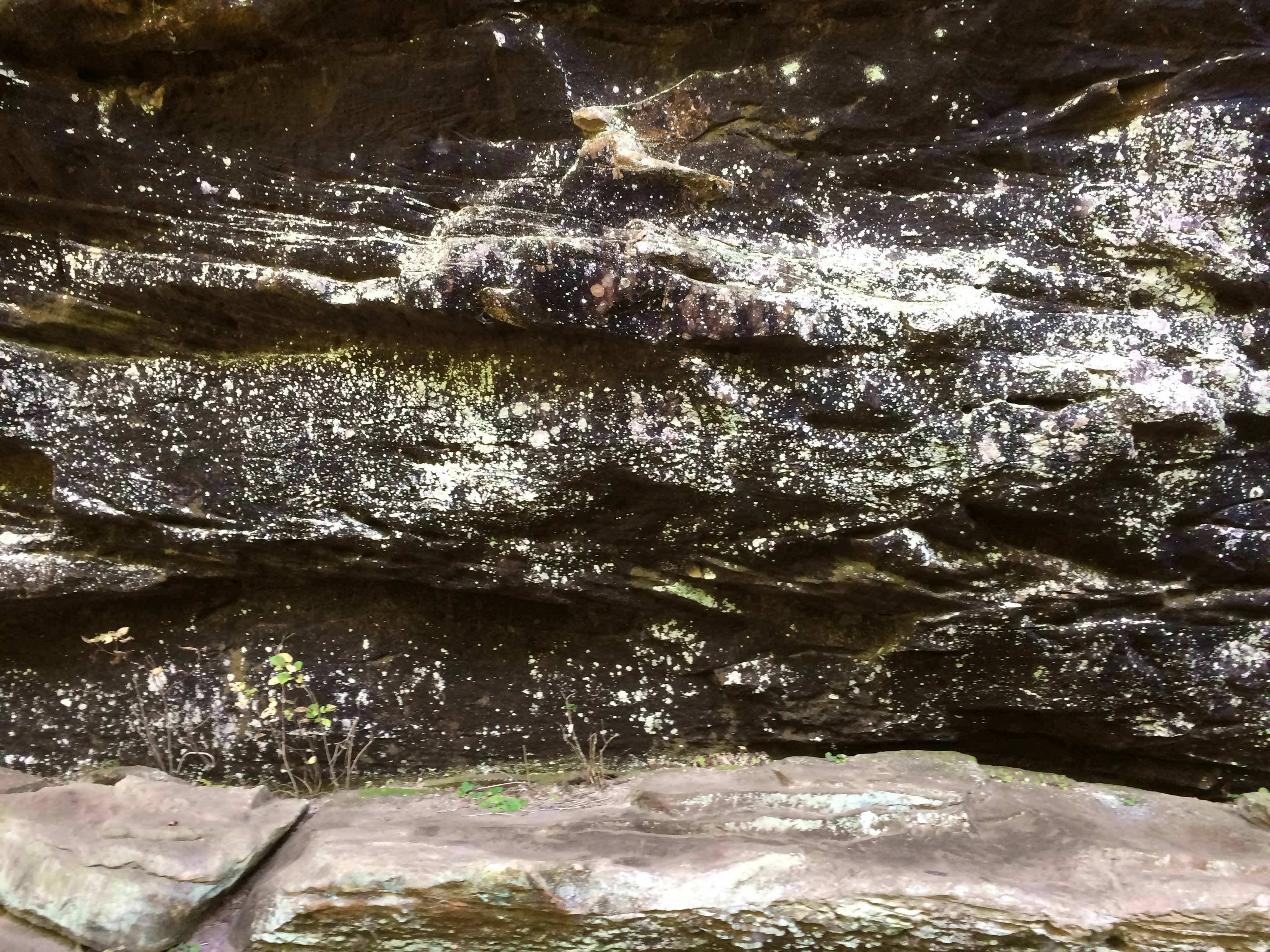
Pounds Escarpment rises from the forest floor along the trail, with parts of it curiously mottled in black and white.Pounds Hollow Recreation Area


Pounds Hollow Recreation Area

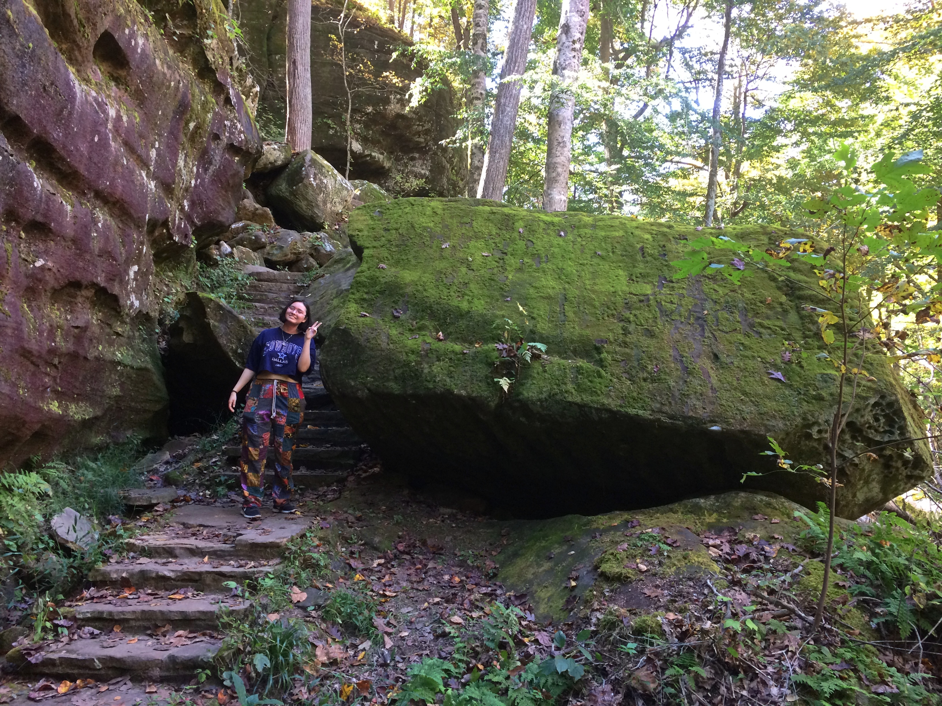
The CCC crafted some stairs to climb to the top. We climbed them.
Pounds Hollow Recreation Area
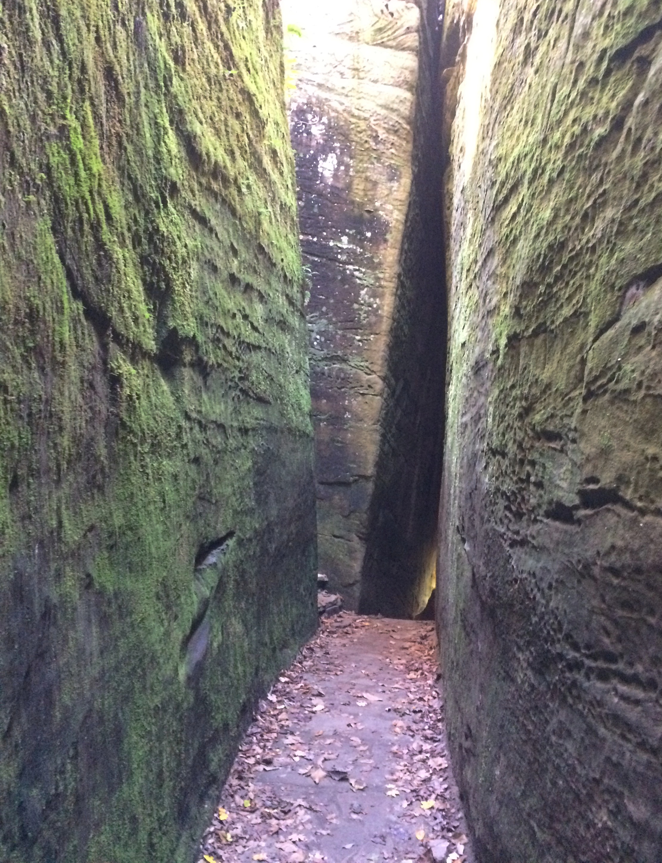
It wasn’t all stairs. Along the path there were a few fat man’s misery passages, which I suspect were natural cracks enlarged and smoothed by CCC muscle power.
Pounds Hollow Recreation Area
At the top of the escarpment is a viewing platform, not nearly as crowded as the Garden of the Gods.
Pounds Hollow Recreation Area
In fact, we were the only ones there for a few minutes, taking in the wooded vista.

Garden of the Gods

Heavy rain last night, and instead of a winter-like blast today, the afternoon proved to be sunny and warm. More rain is expected this evening, however, and afterwards cold air will blow in. I couldn’t spend much time outside today because of work, but on whole I’m not sorry to be back after taking a week off. That means, among other things, I’m not ready to retire.

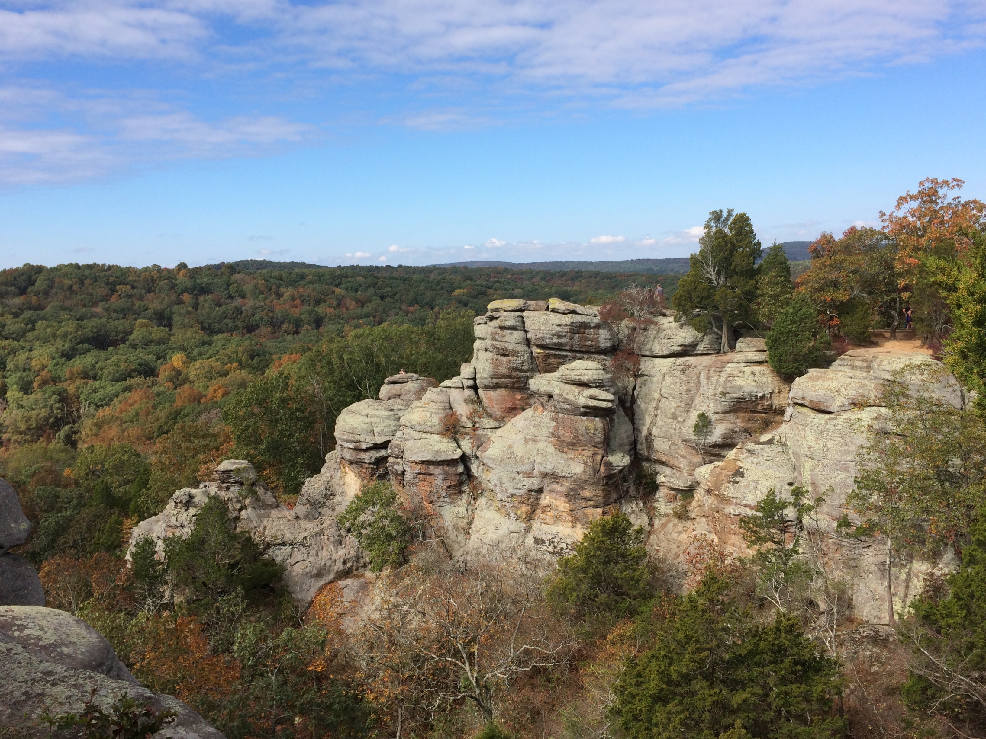
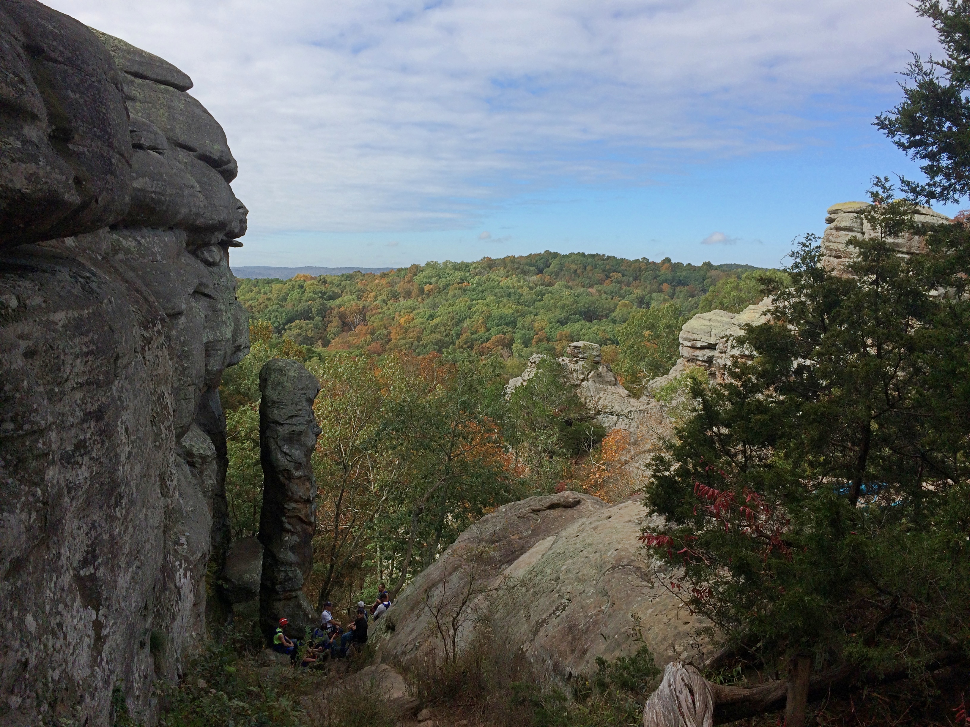
Below is the postcard view at Garden of the Gods in Shawnee National Forest, not far south of Harrisburg, Illinois. I think I’ll get that out of the way. Except that’s an obsolete reference. The Instagram view, for people unfamiliar with postcards.
Garden of the Gods
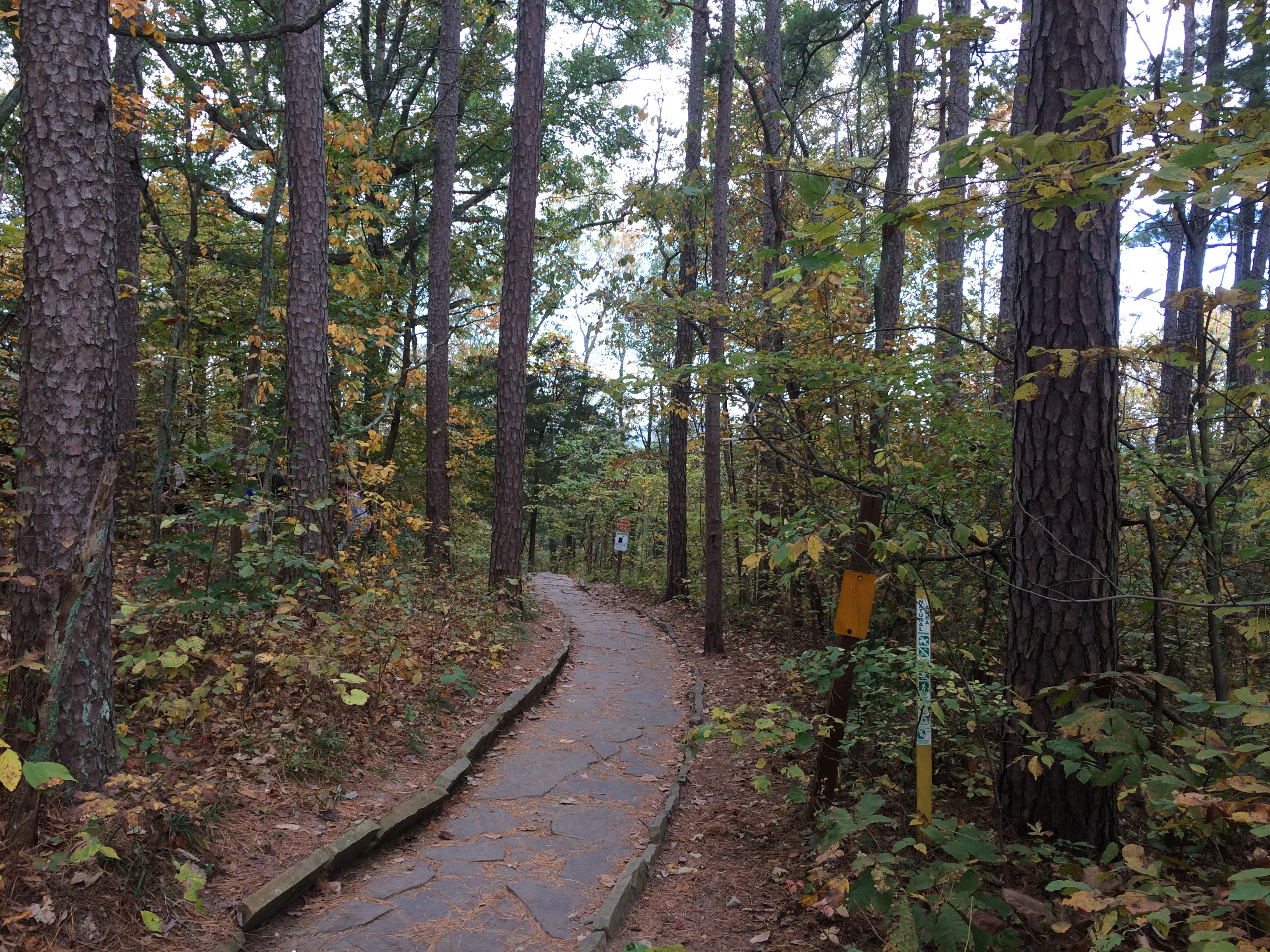
Late in the morning of Sunday, October 11, we arrived at Garden of the Gods, driving the short distance from Harrisburg. Unlike some views that involve hiking and hill climbing, Garden of the Gods is mostly accessible by road. You park at the edge of a path called the Observation Trail and walk it for about five minutes, up a mild slope, to reach the view.

Flagstones pave the trail. That’s got to be CCC work, once again.
Garden of the Gods
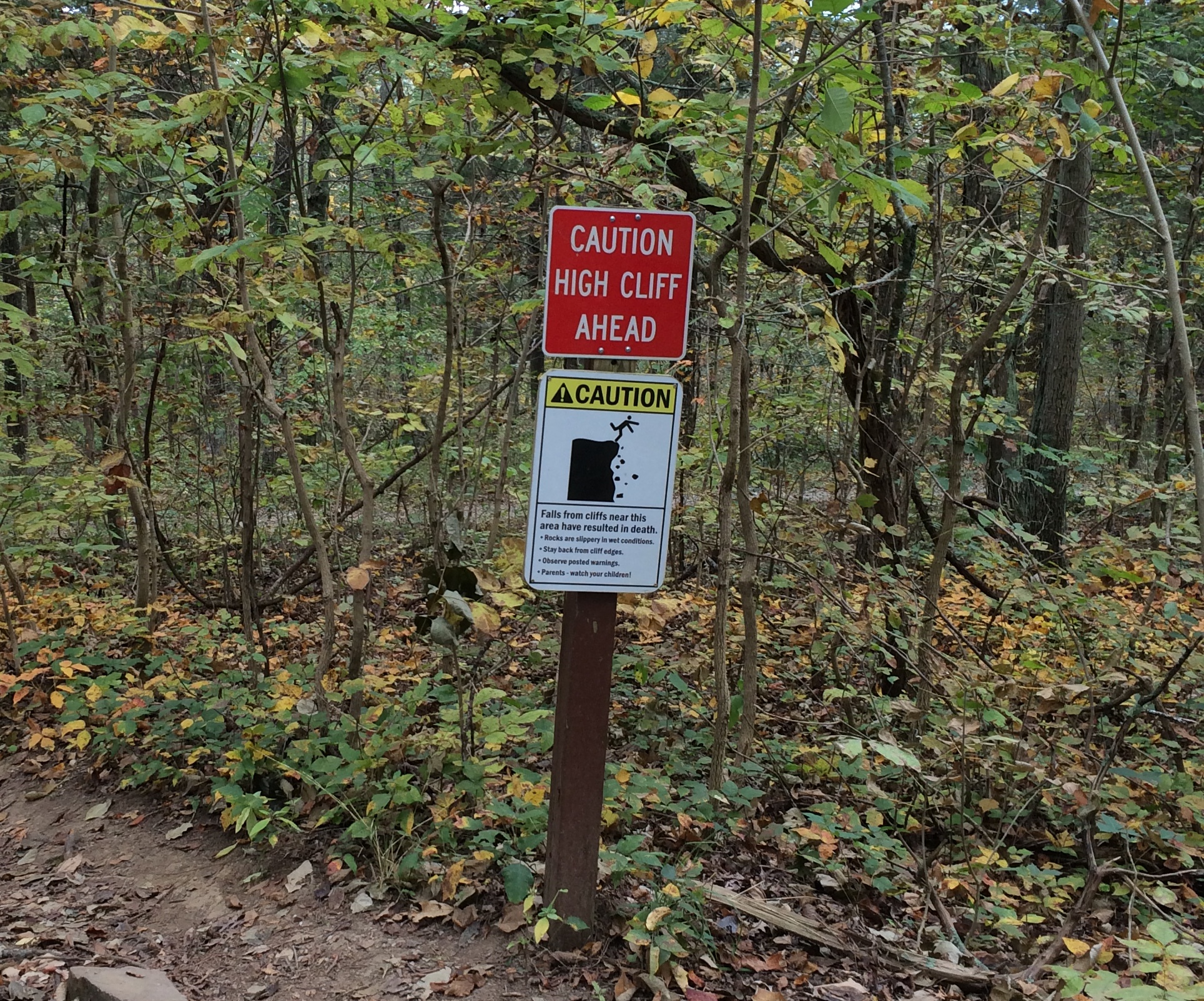
You can’t say you haven’t been warned. People meet their end at Garden of the Gods sometimes.Garden of the GodsNear the lookout.Garden of the Gods

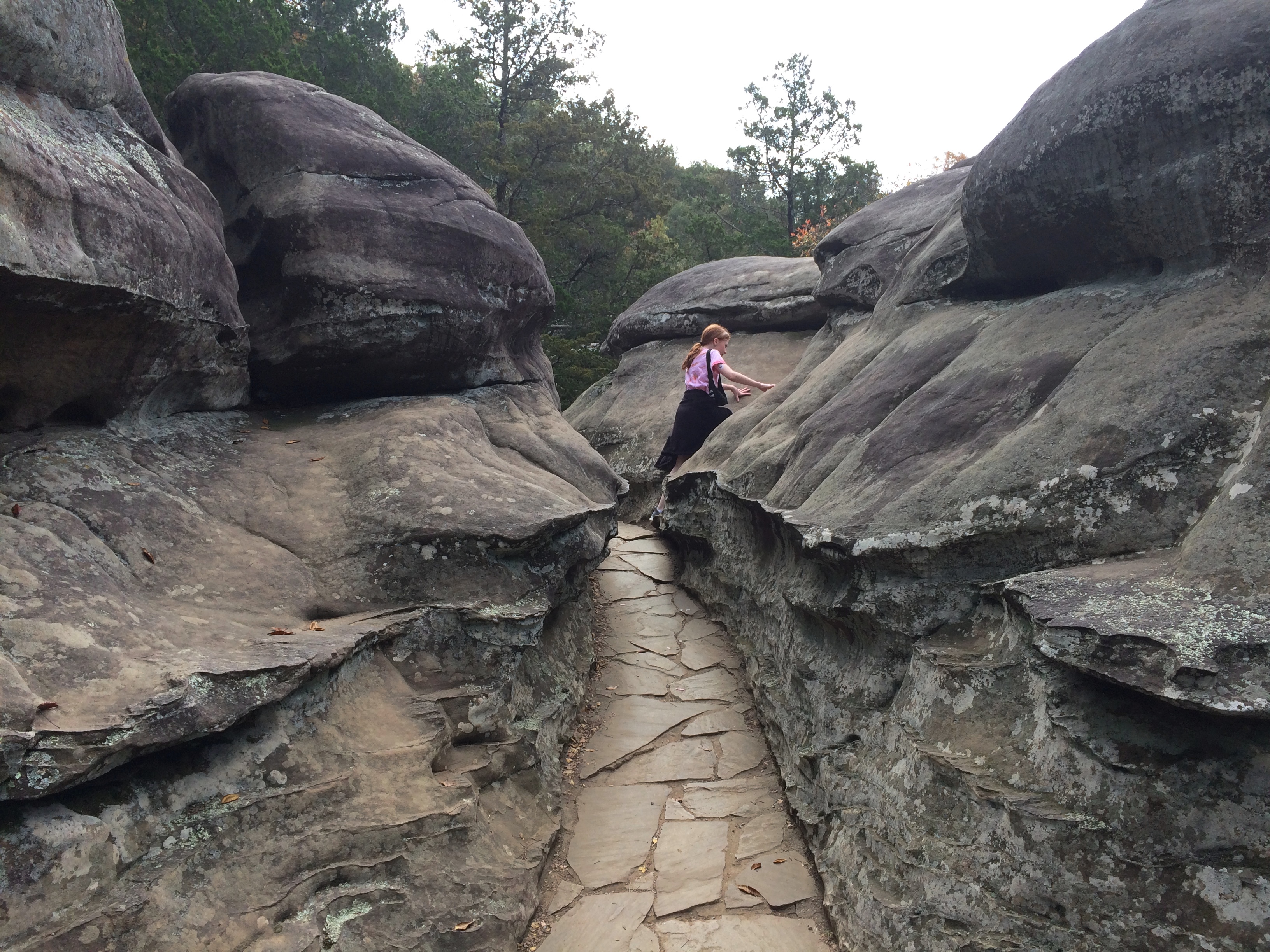
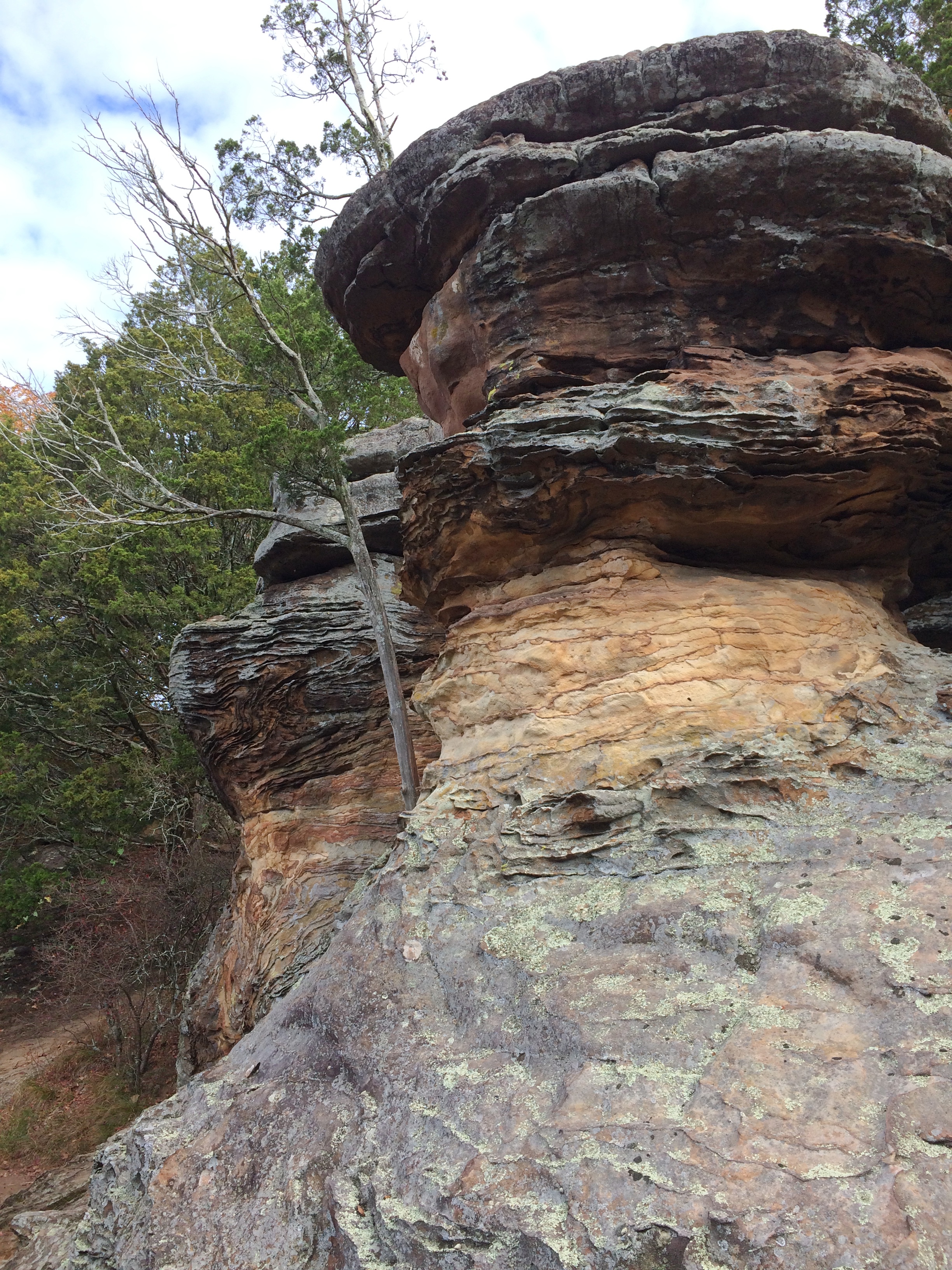
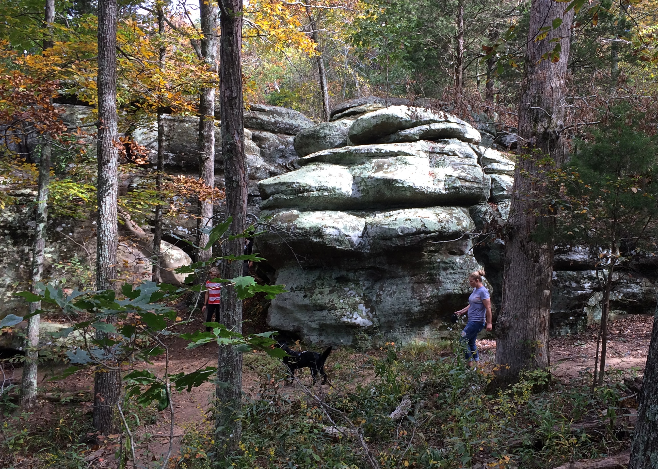
Sometimes you don’t need to look to a vista to see interesting rock formations.Garden of the Gods

Sometimes you don't need to look to a vista to see interesting rock formations.
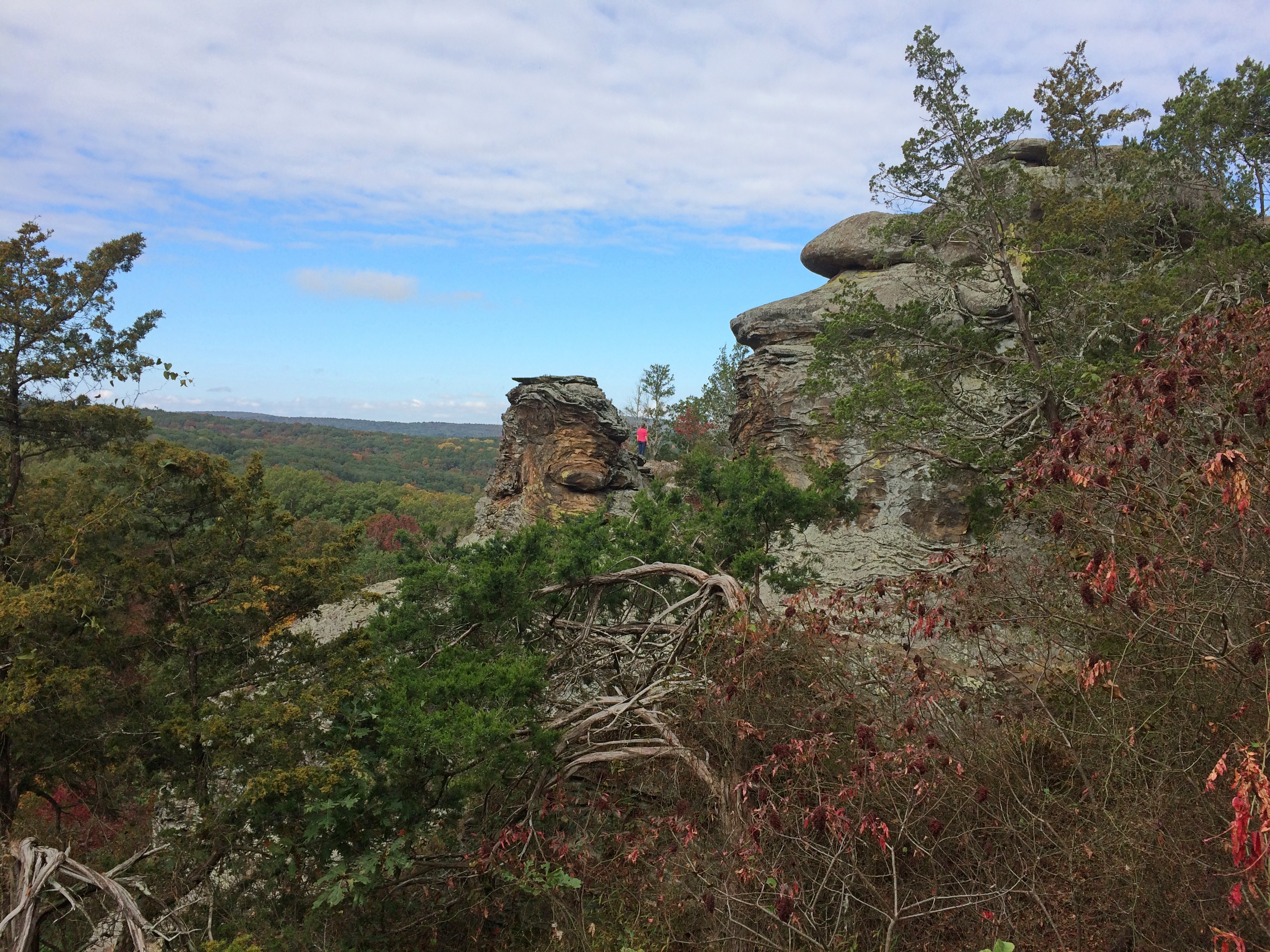
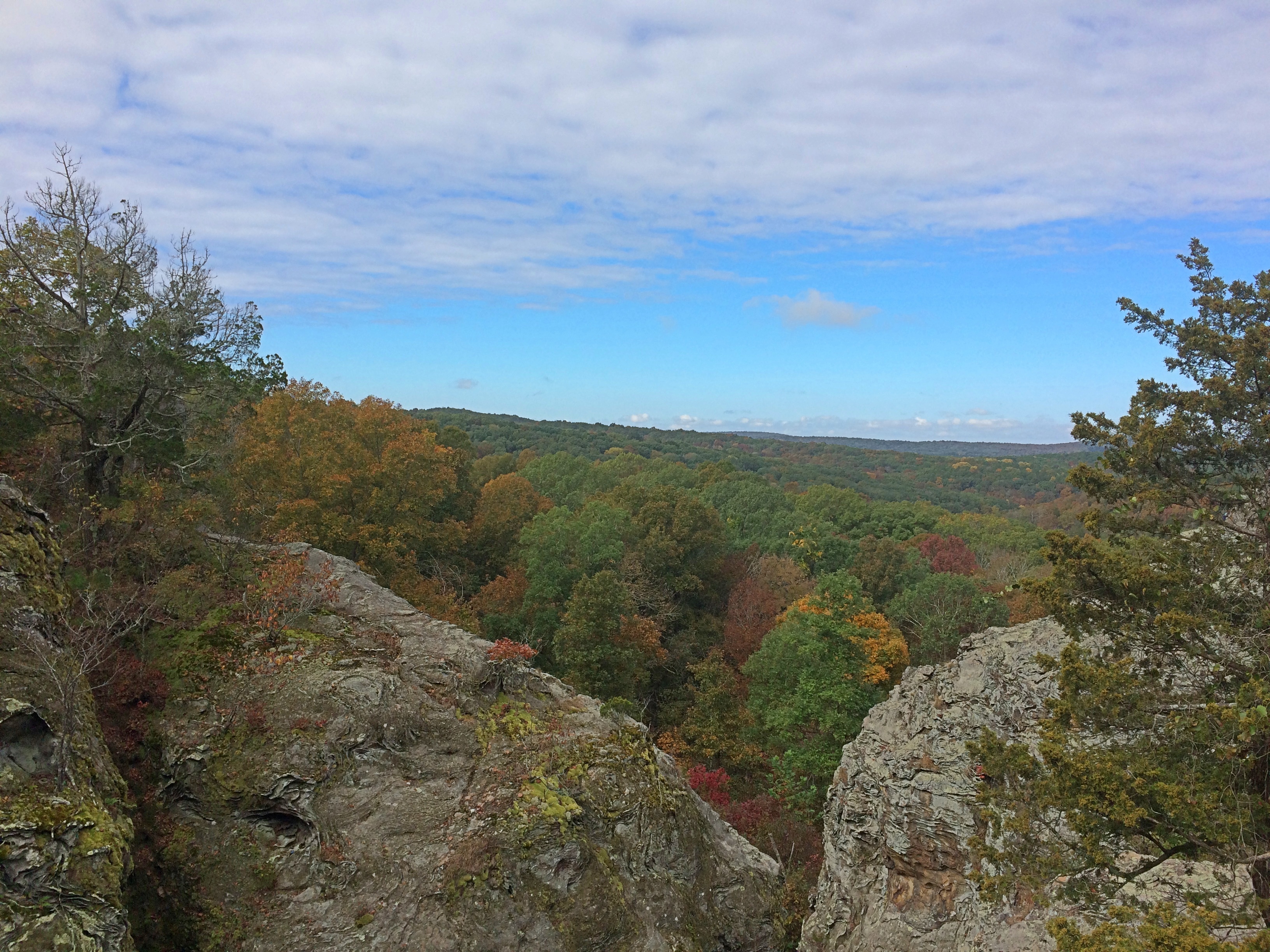
Still, you come for the views.Garden of the Gods

Garden of the Gods

Garden of the Gods

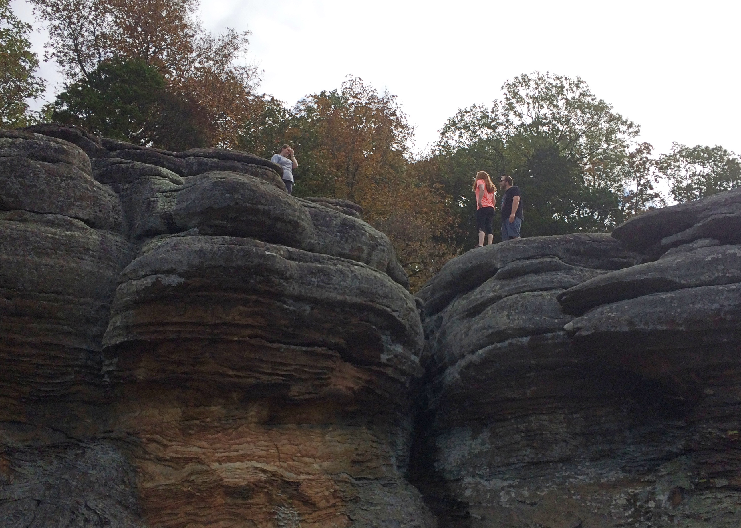
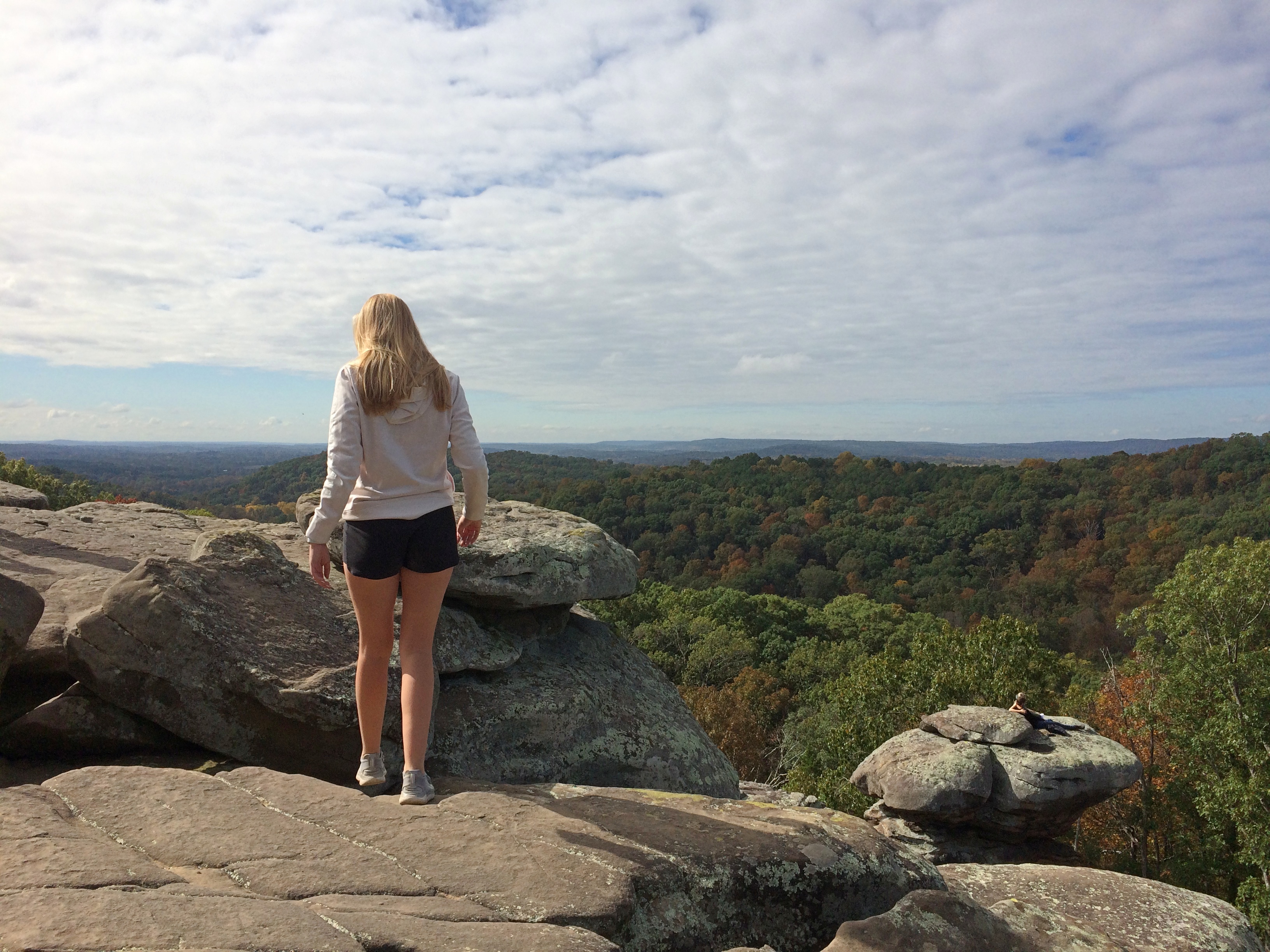
People do take their chances.Garden of the Gods

Garden of the Gods
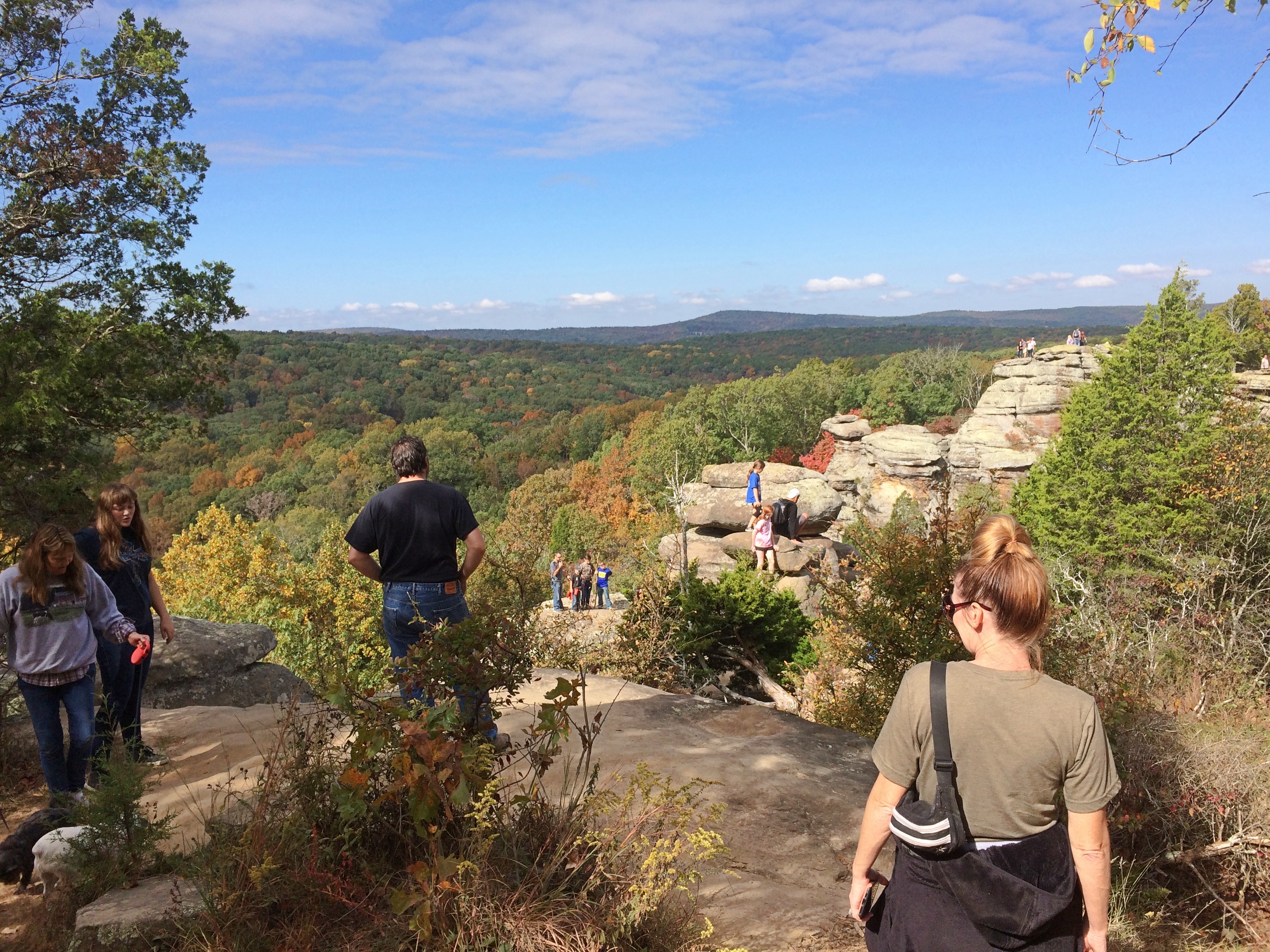
Most of my pictures don’t show it, but on a pleasant autumn Sunday, a lot of people come to Garden of the Gods. So many that you had to wait behind them sometimes to see an overlook, such as at the postcard view.
Garden of the Gods
It was worth dealing with the crowds to see the rocks, weatherworn relics of an ancient seabed uplifted, rising over a sweeping forest. It’s hard to look at such rocks and think they’re anything but permanent, but they’re as ephemeral as the trees below, just on a much longer scale.

As a tourist mecca, I suspect the rocks are fairly new. One local shop owner I talked to — a small shop, no one else was there — said that Garden of the Gods has been particularly popular since the 2017 eclipse, when Shawnee NF was a good location to see it. No doubt people visited before that, but then again not for so long. The WPA Guide to Illinois (1939) doesn’t have the Garden of the Gods in its index, nor Shawnee NF for that matter, and for good reason when it comes to the latter. The national forest was established the same year the book came out, probably missing the publication deadline by a bit. The book amusingly refers to this part of the state as the “Illinois Ozarks,” a term that seems to have faded away. Well, not quite.

Another thing strange to imagine: Shawnee NF is in Illinois. Same state as the endless corn fields along the highway, the towers of the Chicago megalopolis and my ordinary grassy back yard. This was a thought that came up more than once during our visit to extreme southern Illinois.