Old Shawneetown

If you drive east from Carbondale along Illinois 13, you’ll pass through a number of towns connected by that four-lane highway: Cartersville, Marion and finally Harrisburg, after which the road narrows to two lanes. That was our route on the afternoon of October 10.

There’s a branch of 17th Street Barbecue in Marion, with the original in Murphysboro, Illinois. It’s a barbecue joint of some local renown. I can’t remember when I first heard about it. Some Internet list, probably, but anyway I knew about it and decided to get lunch there in Marion.

Meals on the road in 2020 have involved takeout in all cases, either to eat in the car, or our room, or when possible at an outdoor public picnic table. We found a table in a small park in Marion to eat our 17th Street ‘cue.

We both got barbecue pork sandwiches. The meat was fine, but whoever made the sandwiches shorted us on the sauce, so the meal was a little dry. I’d be willing to try the place again if ever I’m down that way, but I’m going to insist on sauce.

The eastern terminus of Illinois 13 is Old Shawneetown on the banks of the Ohio River. Too close to the river, and thus prone to flooding. The Great Ohio River Flood of 1937 finally drove most of the residents away to found a new Shawneetown a few miles to the west. But Old Shawneetown isn’t a ghost town in our time, since 160 or so people live there, just the residuum of a larger place.

The town’s main intersection.
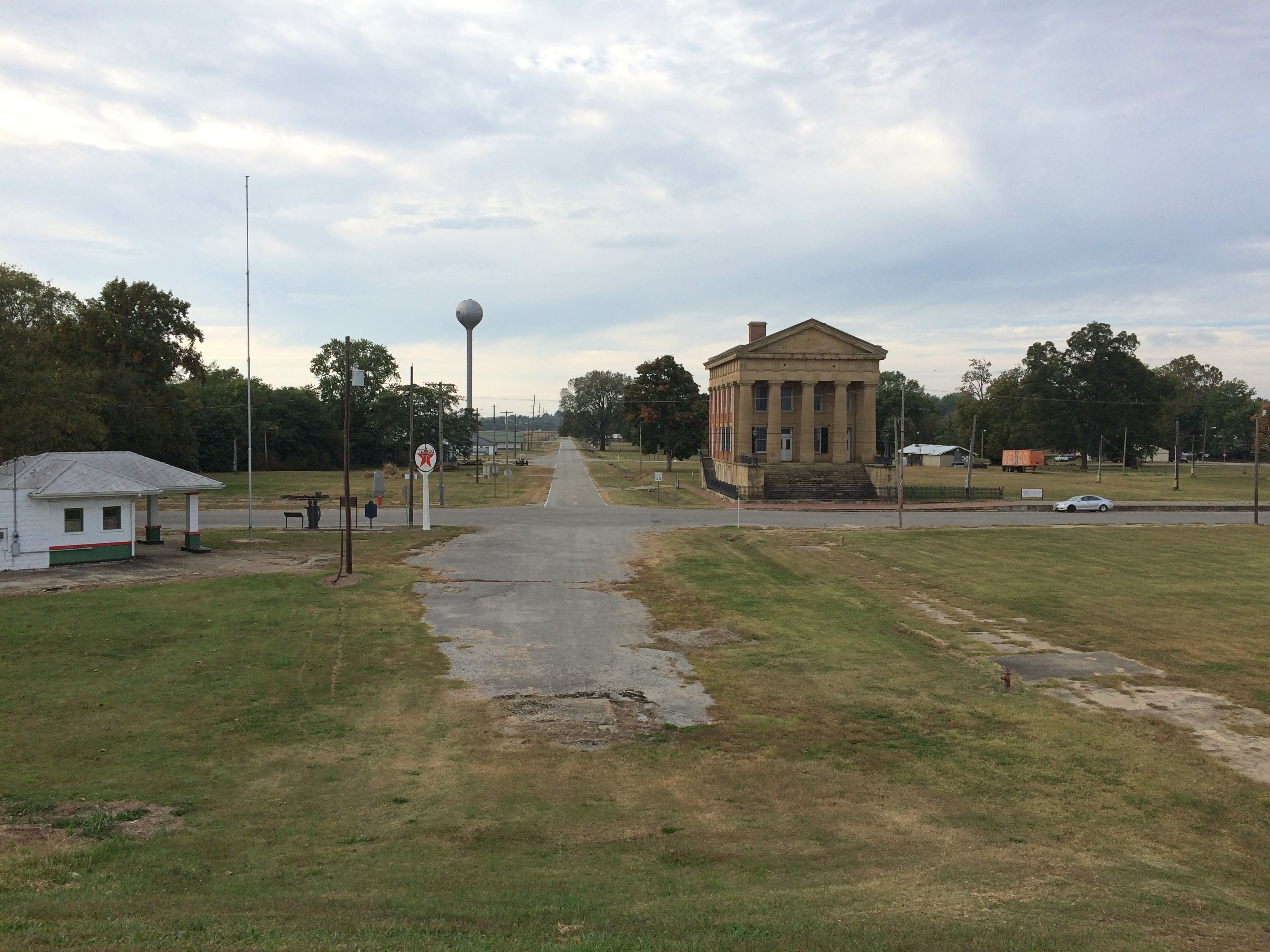
Old ShawneetownThe original Shawneetown had its moment, a little more than 200 years ago, when it was home to a federal government land office for the Illinois Territory, and as a transshipment point for salt extracted nearby. During the famed 1825 tour of the U.S. by Gen. Lafayette, Shawneetown was on his itinerary, surely marking the town’s peak of fame if not population.

Peaked too soon, looks like. No railroad passed through Shawneetown in the following decades, at least by the time this map was published in 1855. That tells me that Shawneetown never really prospered after the land office and salt mine closed.

I’ve known about the place for a long time. I knew girl in college from around Shawneetown, a coaxing elf of full Irish ancestry who grew up on a nearby popcorn farm. Gallatin County even now is a nexus of popcorn agriculture. Last I heard, she lived in Ankara with her French husband. People get around.

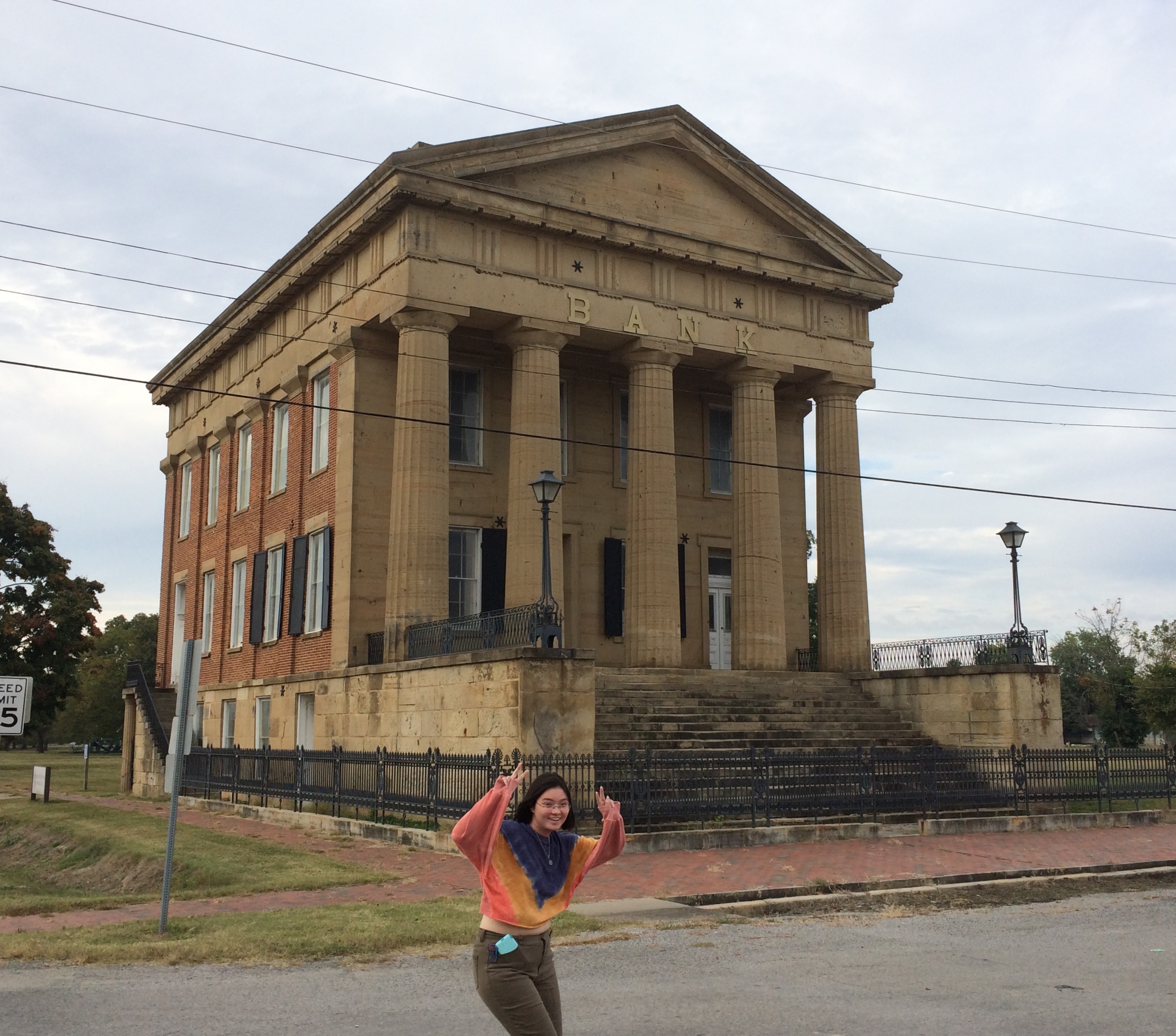
The main surviving building from the town’s storied past is the Shawneetown Bank State Historic Site, dating from 1840. Home to banks for about 100 years — they seem to have come and gone with various financial panics — it stands neglected these days.Shawneetown Bank State Historic Site
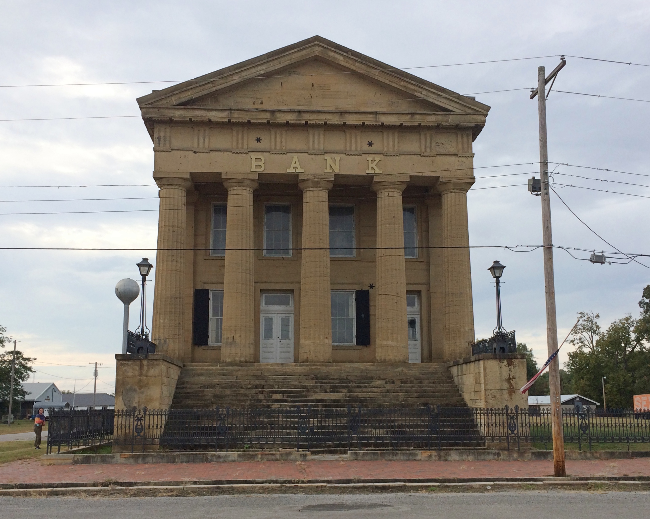
Shawneetown Bank State Historic Site
It’s not the only abandoned structure in the neighborhood. A white Texaco station is catercorner across from the bank. If it were on U.S. 66, it might be a little museum. Maybe someone has that in mind. Though abandoned, the structure looks in fairly good shape, especially the sign.
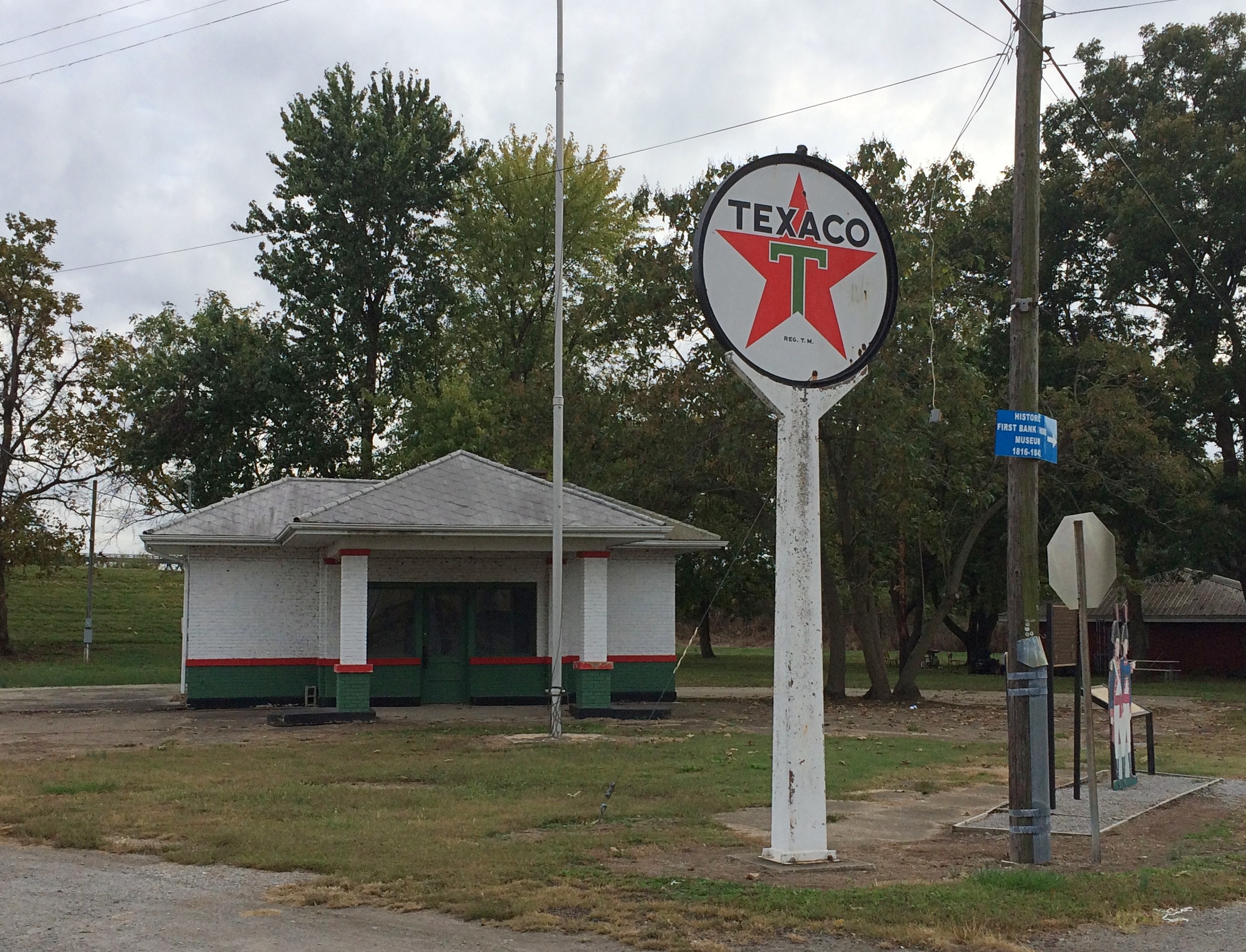
Old Shawneetown Texaco
There are a few plaques and other acknowledgments of the town’s history. Such as cutouts of Lewis & Clark, who passed this way just before there was a town.
Shawneetown Texaco
I like to think that the Corps of Discovery made a stop here at the only gas station along their route.

As Lewis wrote in his journal, Nov. 6, 1803: Arrived at Swanee Txco Station. Pay’d owner 2 dollards for provisions, — Cheetos, other divers chips, Coke & Pepsi, choco bars etc. Men also bought provis. for own use Mr Wm. Jones store mger, reports recent visit by Indian band from furth. north. — buying his entr. stock of funyuns.

Down the street from the abandoned bank and the abandoned gas station is Hogdaddy’s Saloon, an abandoned entertainment venue, though not so long ago, from the looks of it.
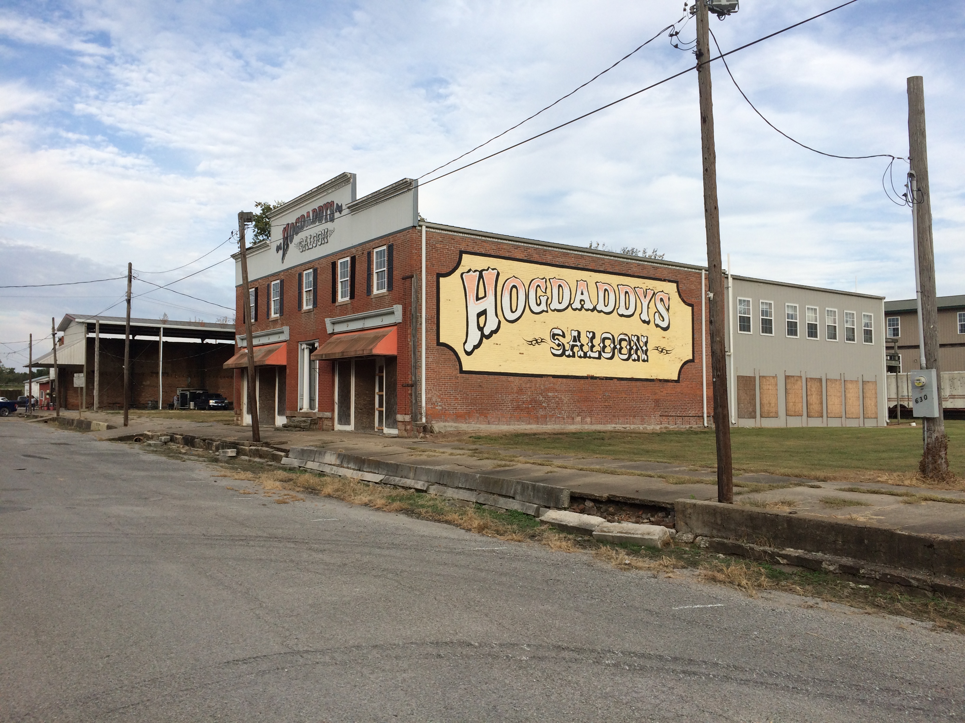
Hogdaddy's Old ShawneetownWhat Old Shawneetown needs (in more normal times) is a music festival right there on the main street. If Bonnaroo can, so can Shawneetown. Something for the hipsters to discover, to put the town on the hipster map and attract hipster dollars. As long as they believe the place is authentic somehow, they will come. That way a place like Hogdaddy’s could make a go of it.

An embankment separates the town from the river, part of a levee system built long ago to keep out flood waters — in vain. The always interesting WPA Guide to Illinois (1939) tells the story better than any online source I’ve found (p. 436). For that book, the ’37 flood was a recent event.

“The town bore the yearly invasions of the Ohio unprotected until the unusually severe flood of 1884, after which it constructed a comprehensive levee system,” the Guide notes. “But in 1898, and again in 1913, Shawneetown was under water. In 1932, the levee was raised five feet above the 1913 high-water mark….

“But Shawneetown had not envisioned anything like the 1937 flood. By January 24 of that year, menacing yellow waters were slipping silently past the town, only inches from the levee top… Small groups of people huddled on street corners, terrified, waiting; the telephone service ceased; hemmed in by the ever-swelling Ohio, Shawneewtown flashed a desperate cry for help over an amateur’s short-wave radio.

“Responding to the call, a river packet and several motorboats evacuated the townspeople just as the waters began to trickle over the levee. A roaring crashing avalanche soon inundated the cuplike townsite…

“The 1937 flood marked the end of Shawneetown’s ‘pertinacious adhesion’ to the riverbank. Gone were the packets and keelboats which induced her to hazard annual submersion. Gone was the steady traffic of settlers, goods and singing rivermen. With the aid of the State, the RFC, and the WPA, a project is under way for transplanting the town to the hills 4 miles back from the river… The State plans to establish a State park at the present site of Shawneetown.”

Guess the state never quite got around to that, maybe because not everyone wanted to leave.

A stairway leads to the embankment’s top, which offers a view of the Ohio. Looking upriver.
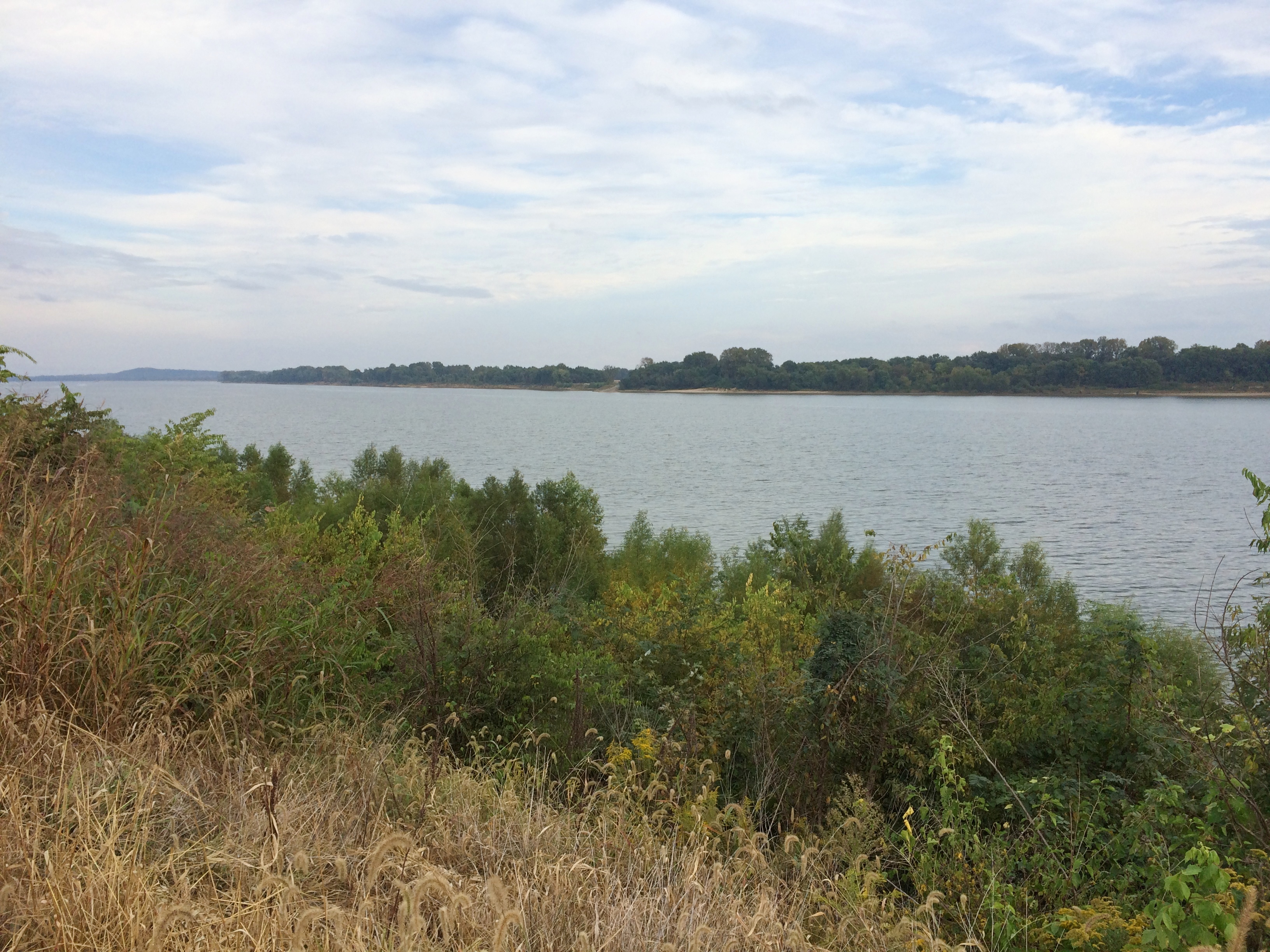
Ohio River Old Shawneetown
And downriver, looking at the bridge that crosses over to Kentucky.
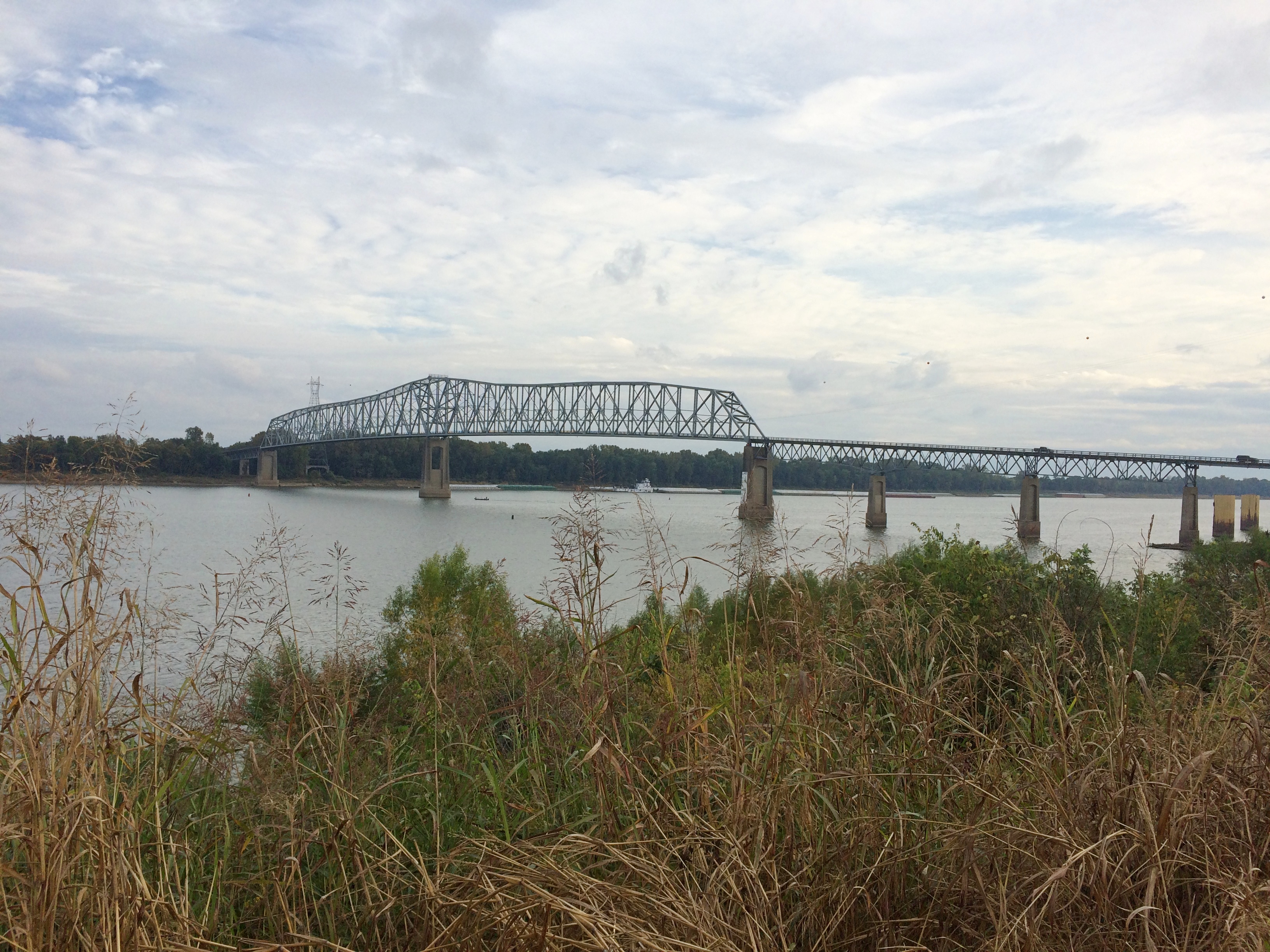
Ohio River Old Shawneetown
On the side of the embankment is a graffito. Any graffiti would be a little odd in such a town, but this would be odd anywhere.
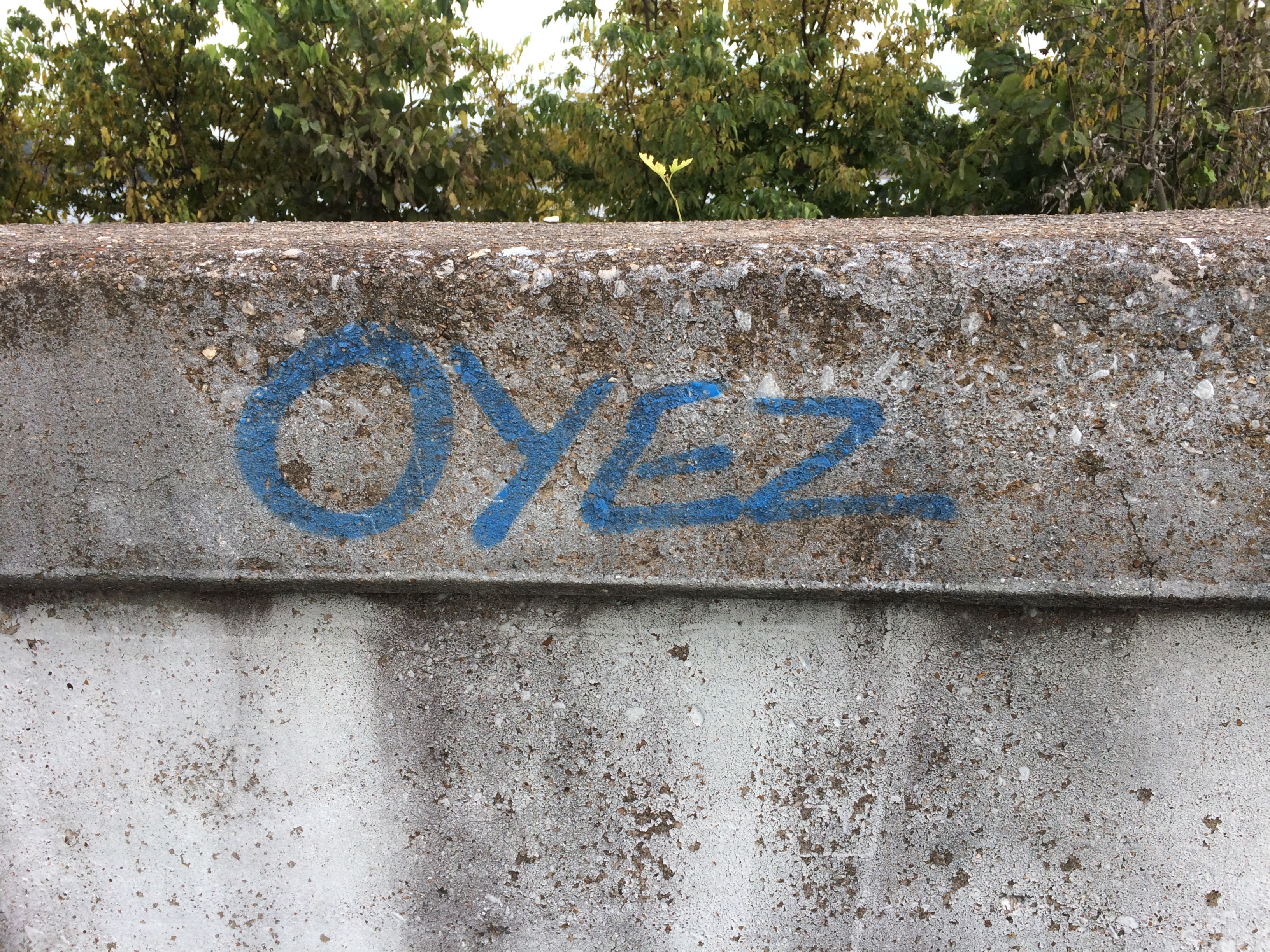
Ohio River Old Shawneetown
Left by a passing bailiff with a can of spray paint?
Indiana Dunes National Park

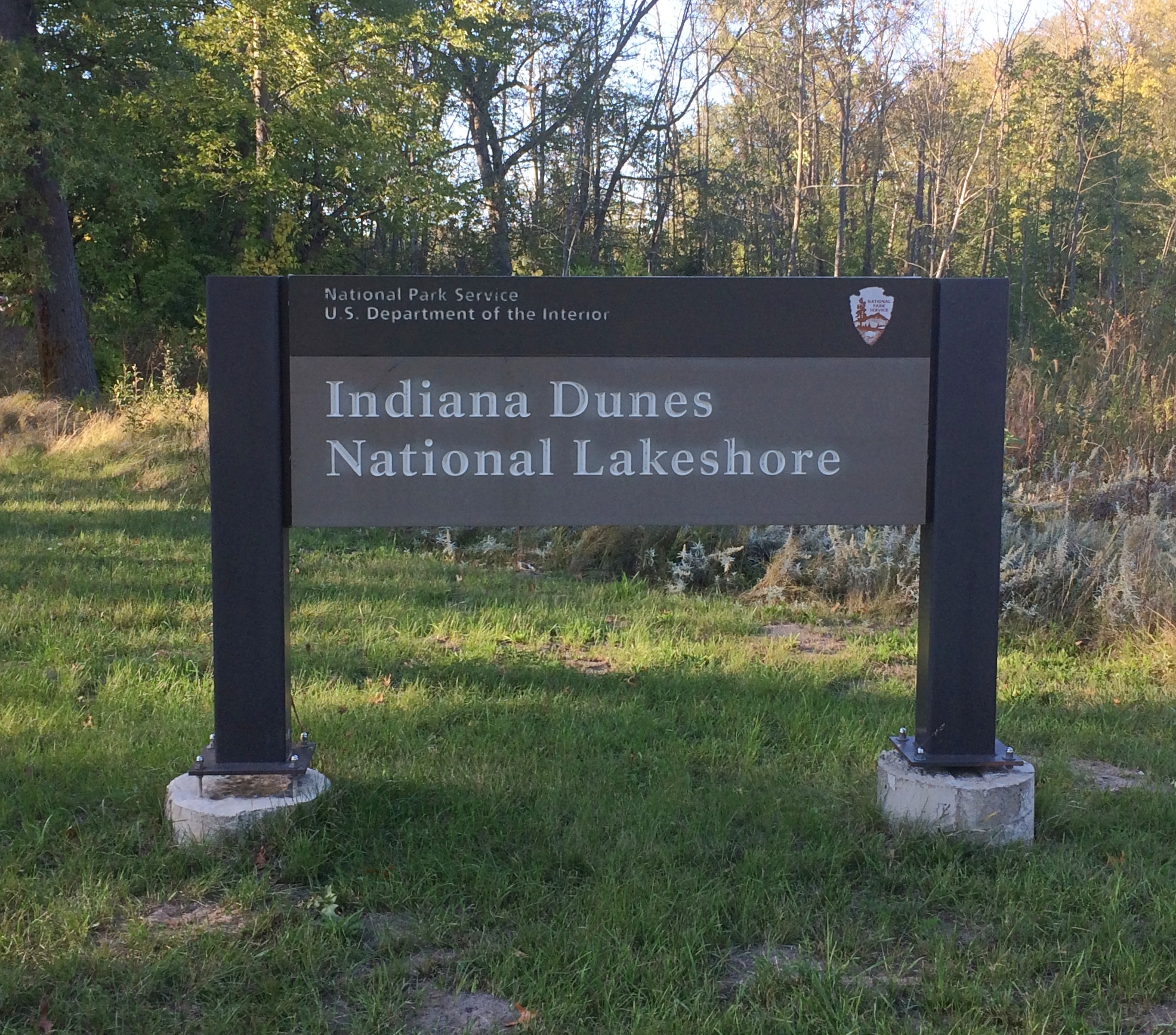
Officially the park service entity occupying part of the Lake Michigan shore of Indiana, along with some adjacent lands, is Indiana Dunes National Park. Has been for about a year and a half now, for the usual reason: a Congressman from the region had the pull to promote it from its previous sub-park designation, national lakeshore, to national park.

Not much has changed besides the name. Even the signs have the old name. Signs cost money.Indiana Dunes National Park

We’ve visited two or three times over the years, including one memorable time when Lilly’s stroller was difficult to push on sandy trails. That’s how long ago it was. Stroller issues have long been a non-issue for us, but even so the national lakeshore seldom suggested itself as a place to visit, maybe because the main way to get there — the highways running south of Lake Michigan — are often congested chokepoints.

We decided to go on September 18 for the day. The weather was flawless for walking around: clear and in the mid-60s. Got a later start than planned, so it was more of a visit for the afternoon. But a good one, focused on some short trails.

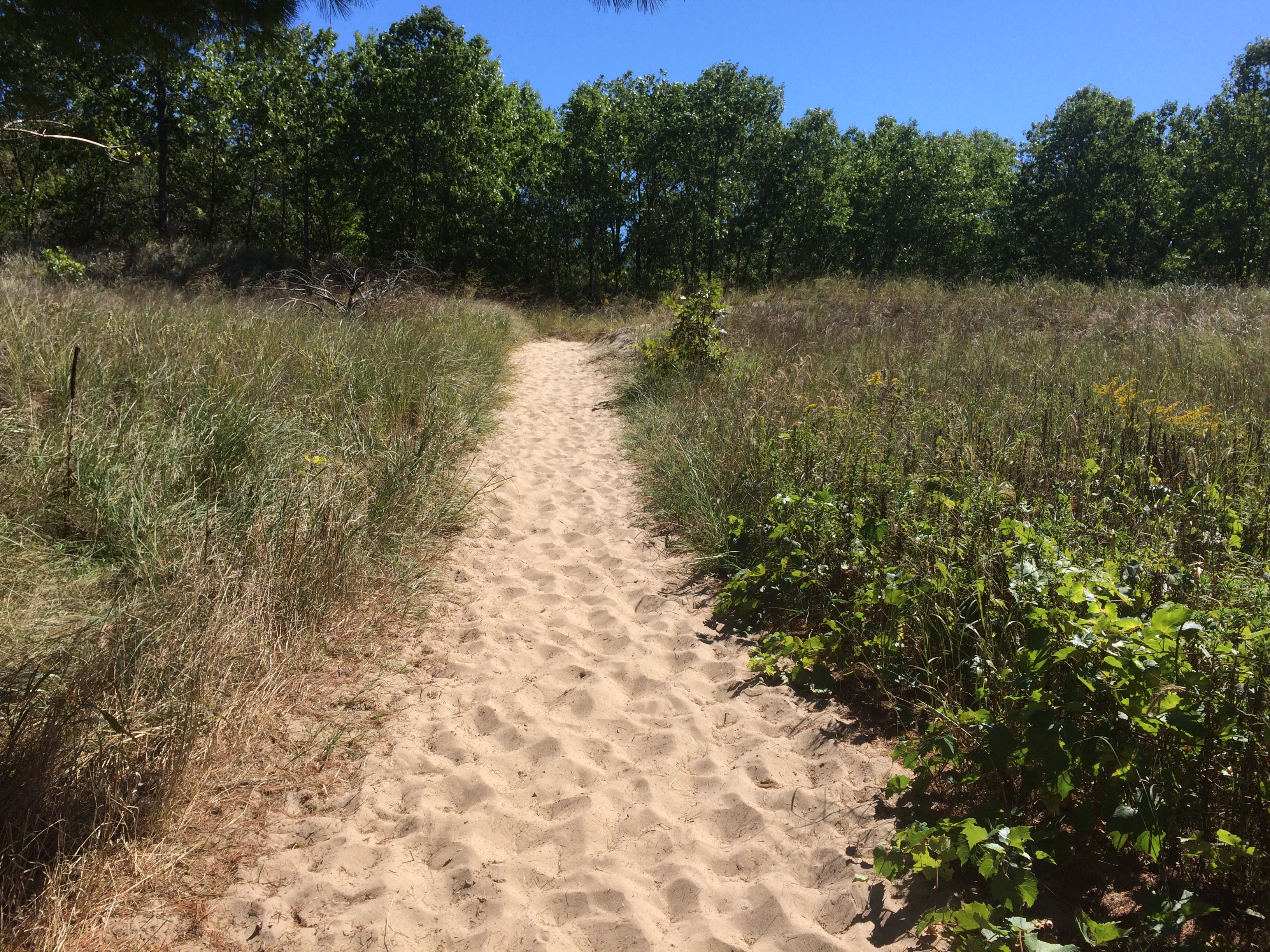
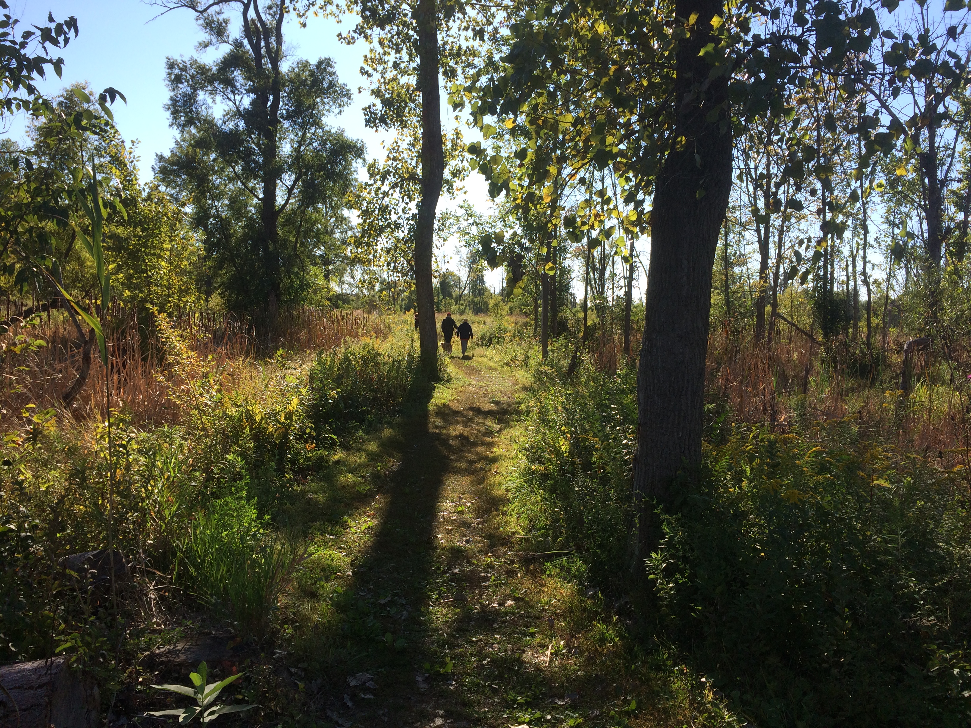
The trailhead of a small loop called Dune Ridge Trail.Indiana Dunes National ParkMostly the trail wasn’t sand-dune sand, but even the more packed underfoot soil forming the trail was sandy.
Indiana Dunes National ParkThere was a climb, but not too bad.
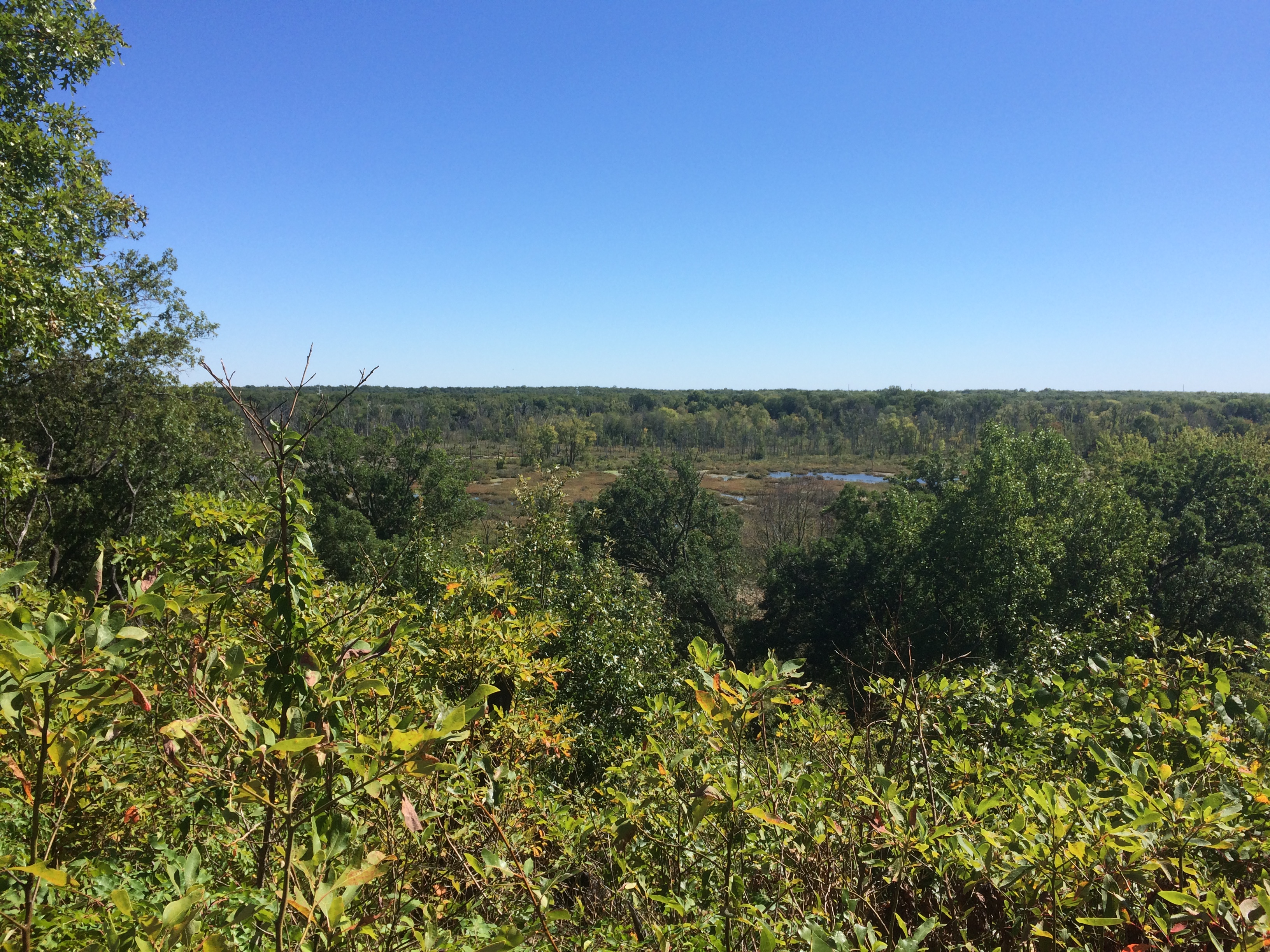
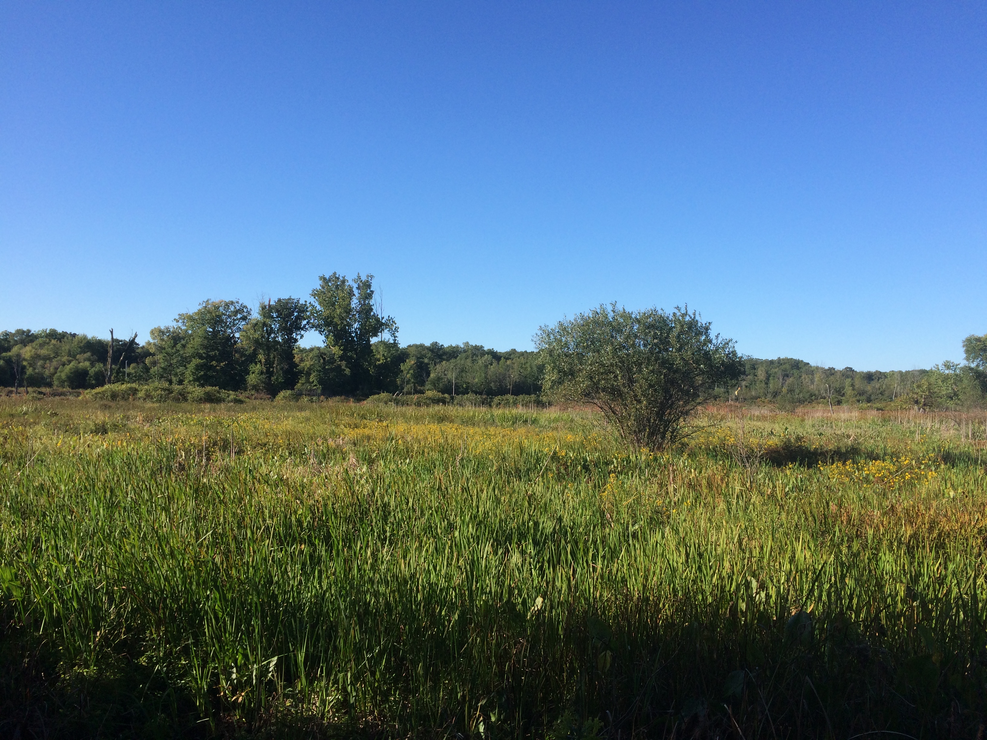
Indiana Dunes National ParkLeading to views of an expansive marsh.Indiana Dunes National ParkLater in the afternoon, we walked along the Great Marsh Trail.
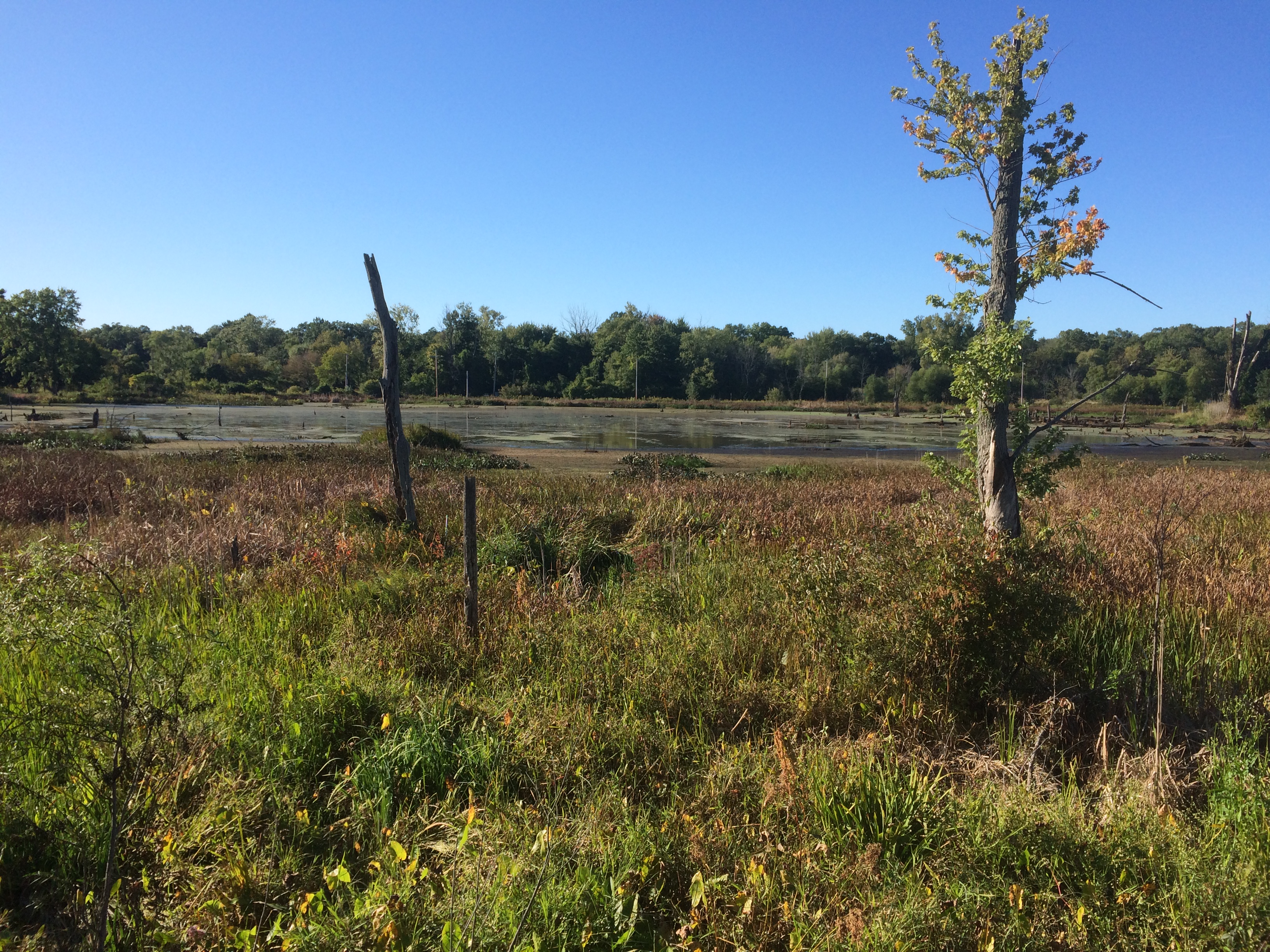
Indiana Dunes National ParkA great marsh all right.
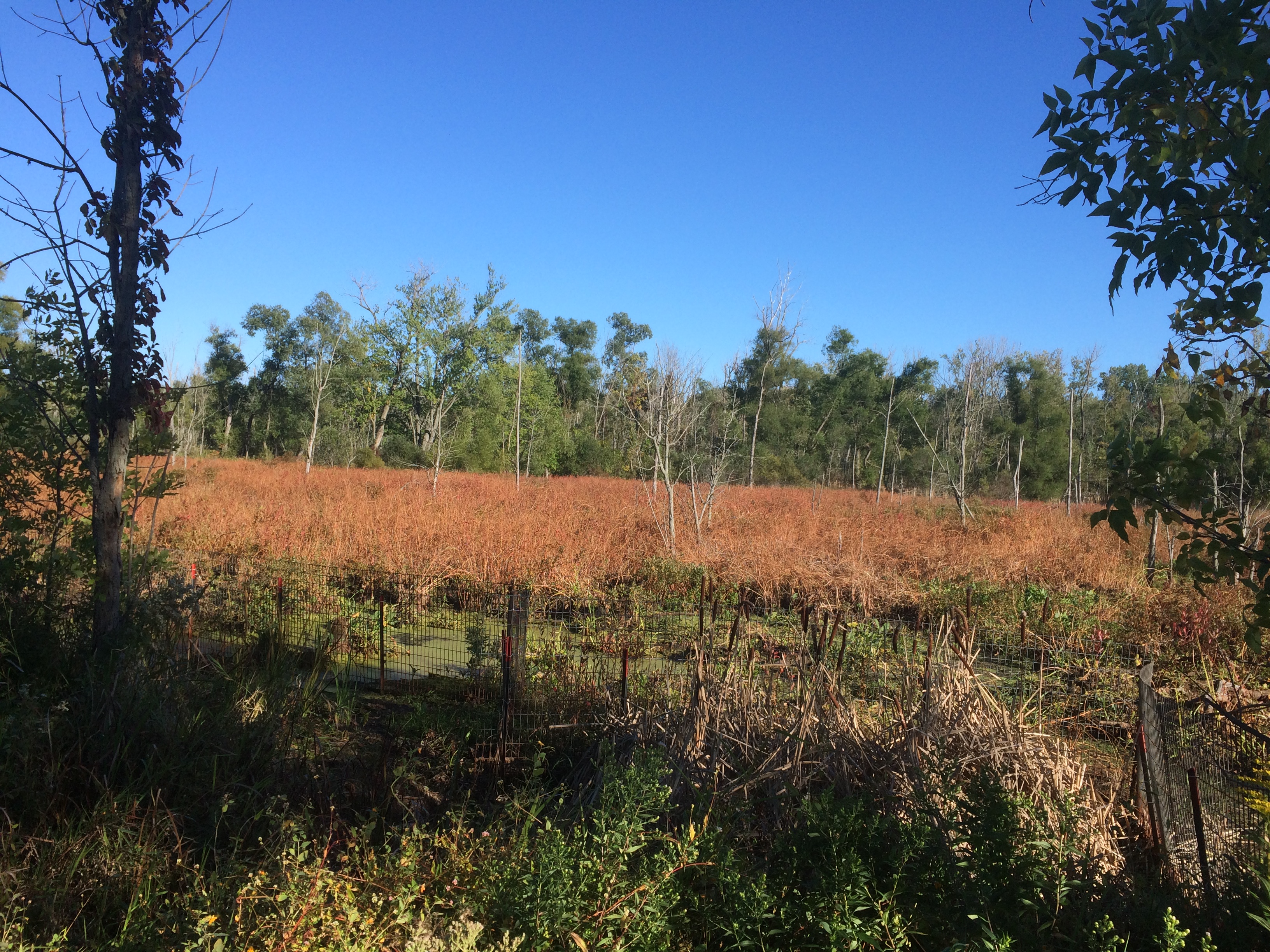
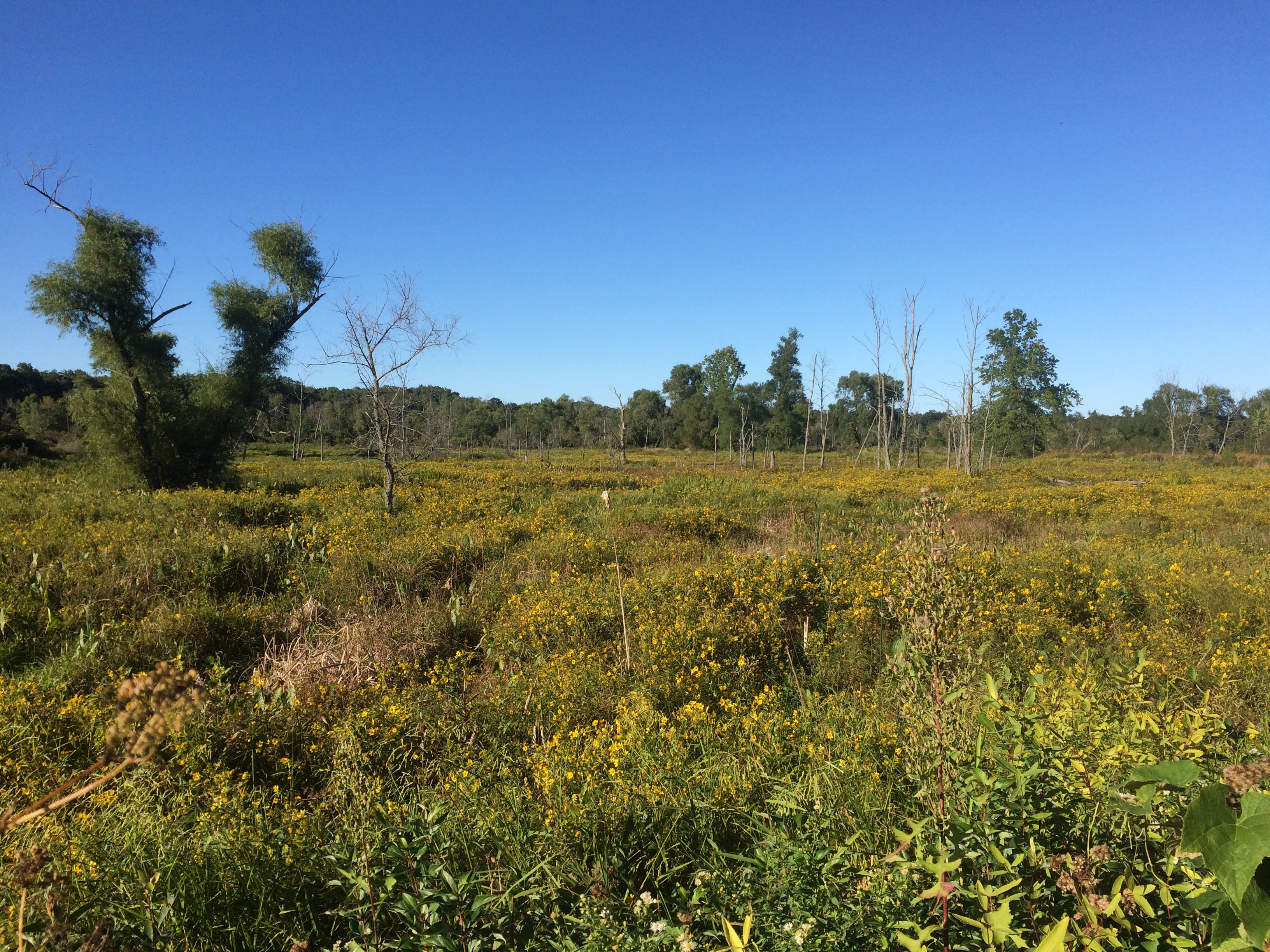
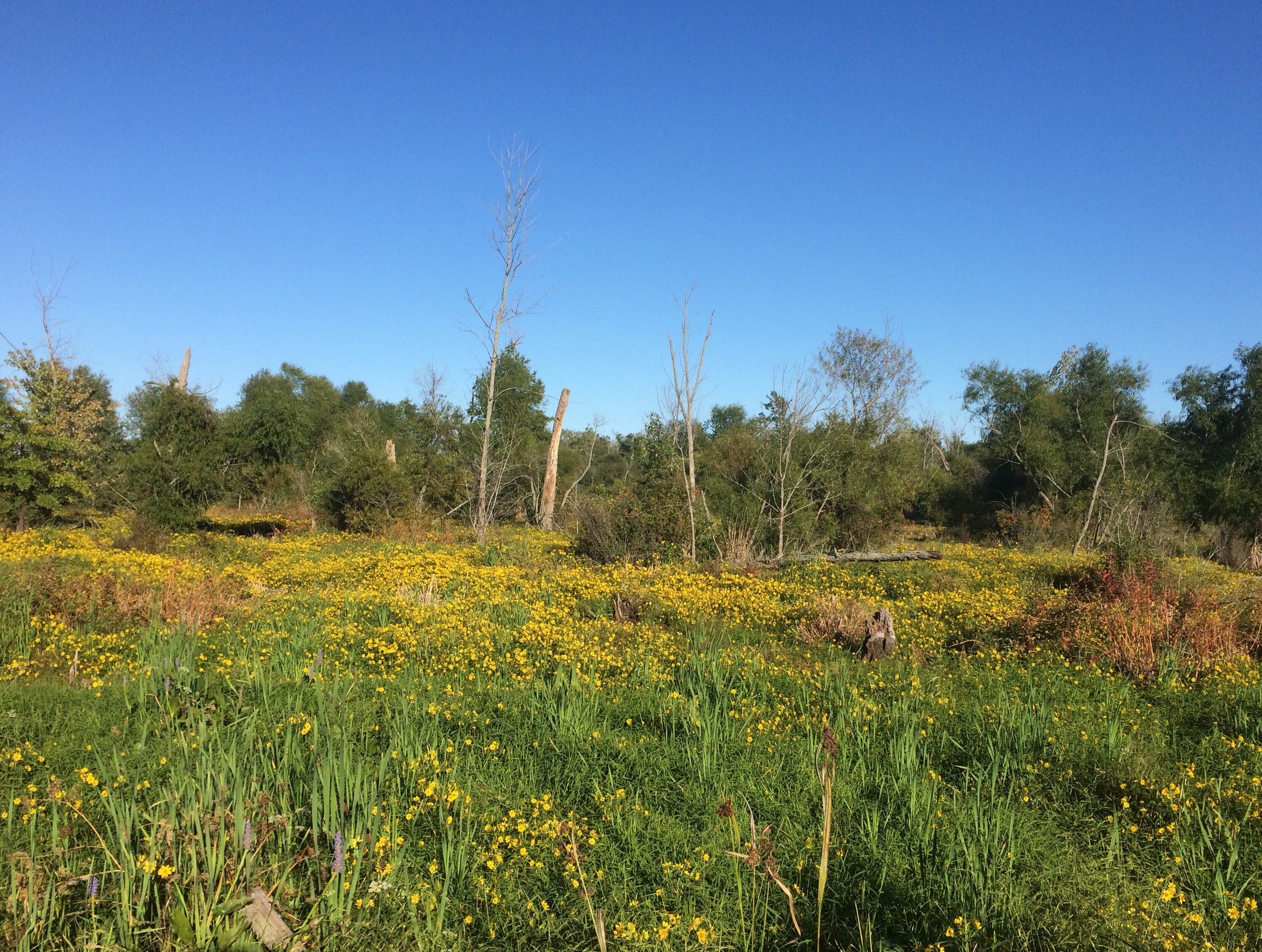
Indiana Dunes National ParkIndiana Dunes National ParkStill wildflower season in northern Indiana.
Indiana Dunes National ParkIndiana Dunes National ParkLeisure to stroll among the short-time green?
Indiana Dunes National ParkWe’re fortunate to have it.

Two Wisconsin Vistas: Granddad Bluff Park & Tower Hill SP

On Tuesday night late, a storm blew threw, bringing rain and fall-like temps, and leaving Wednesday wet and cool and gray. Today wasn’t quite so cool, but still not summer-like. It will be warm again, but this is our first taste of fall.

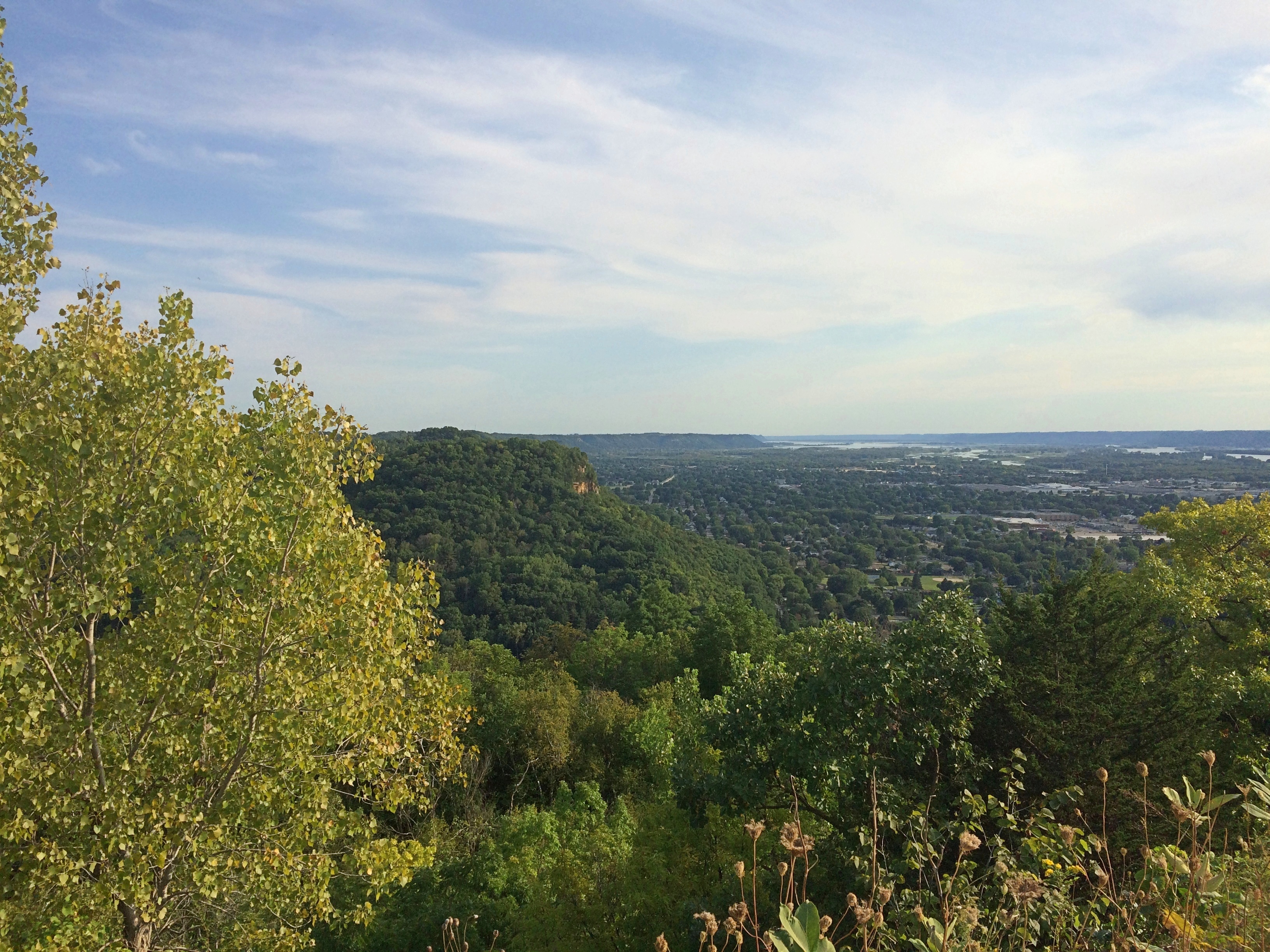
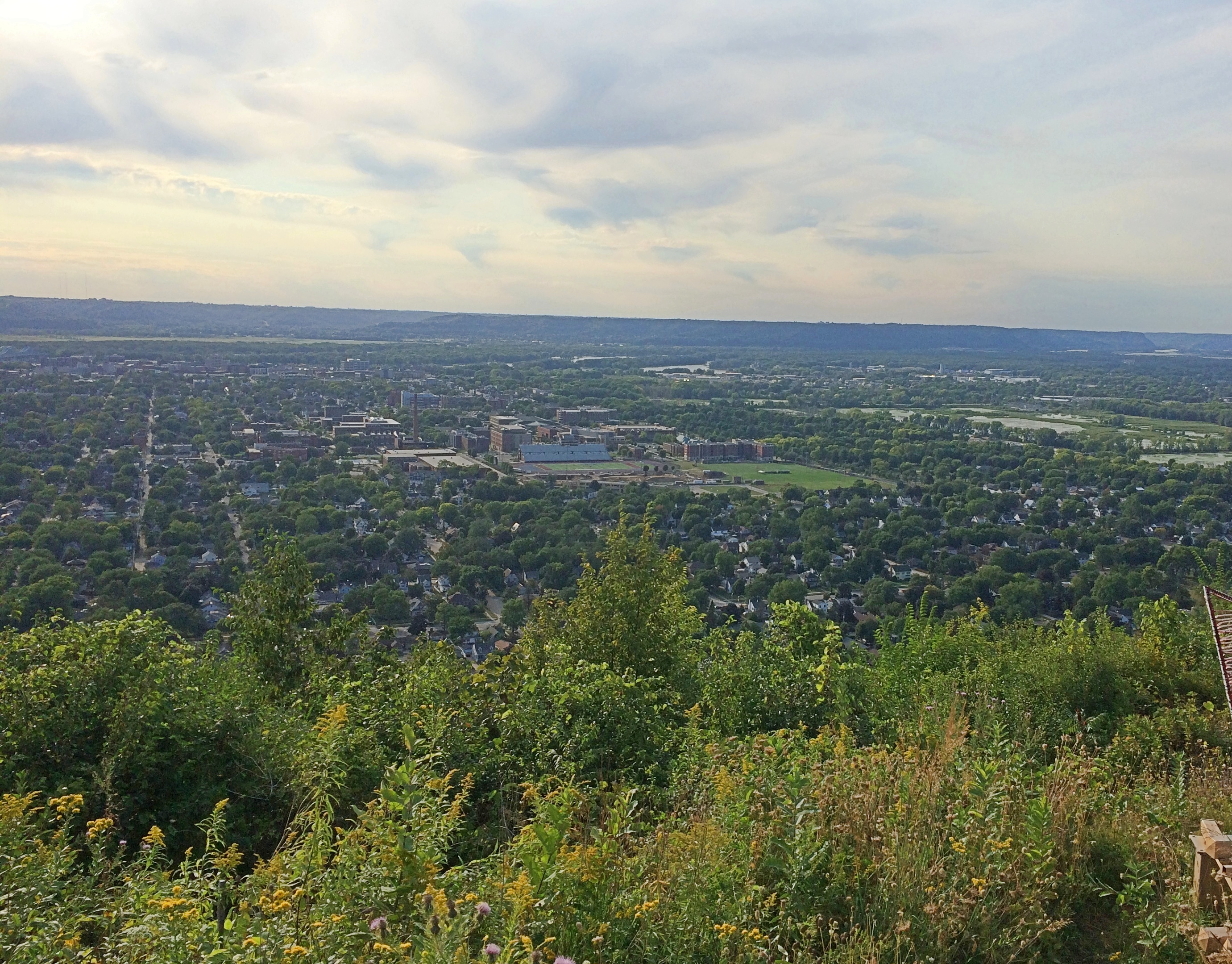
Late Saturday afternoon, we made our way to Granddad Bluff Park in La Crosse. Unlike some of the other vistas we’ve taken in recently, you can drive most of the way to the overlook at Granddad Bluff. From the parking lot, it’s a short walk to the edge of the bluff.

Granddad's Bluff

Granddad's Bluff

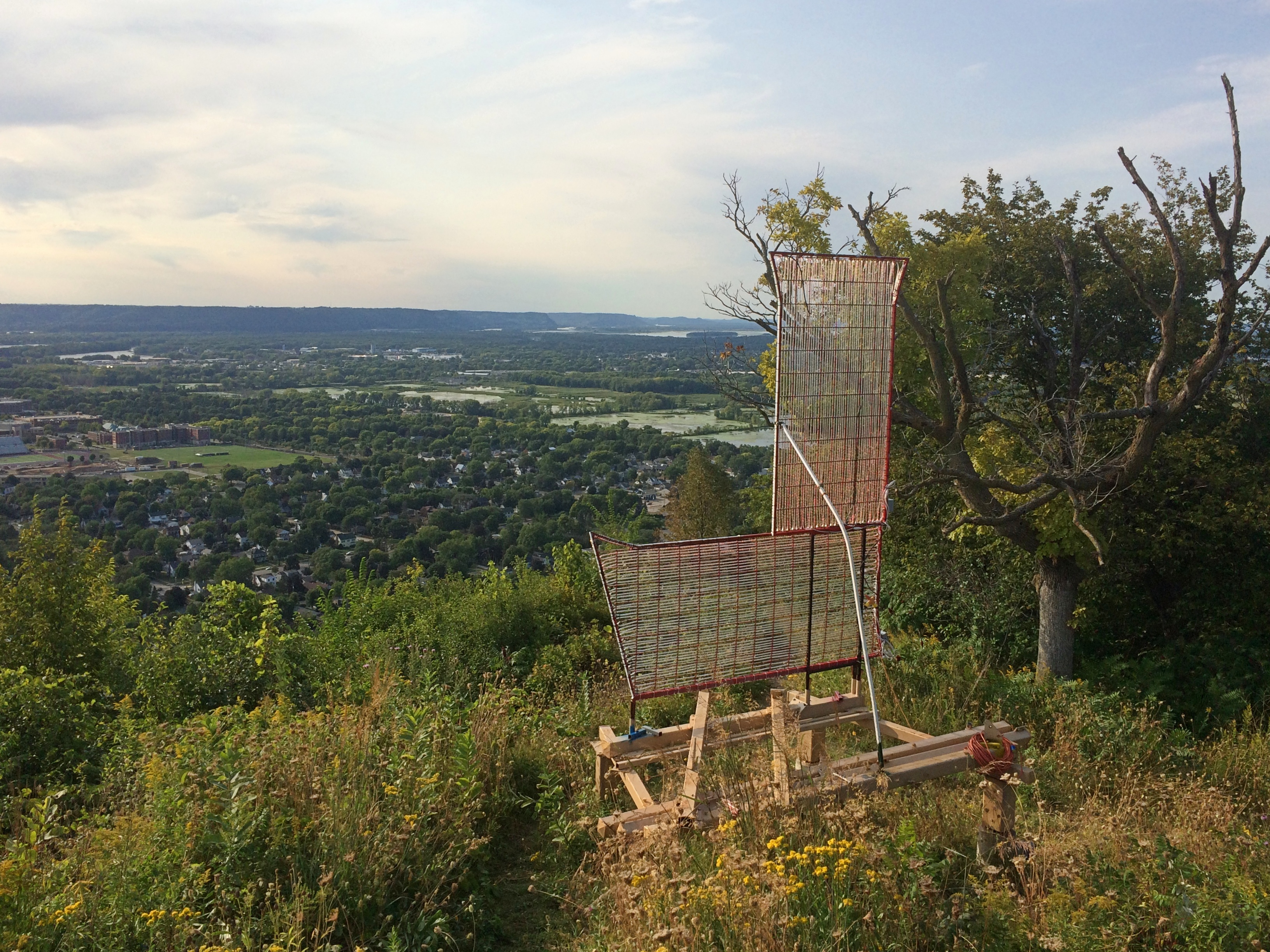
Not sure about that L. I suppose it stands for La Crosse. I didn’t see any other letters to spell out the name, Hollywood Sign-style.Granddad's BluffGranddad's BluffGranddad's BluffNice views. La Crosse spreads out to the west of the bluff. The city, pop. 51,000 or so, mostly hugs the Mississippi just south of where the Black River joins it.

I’d have guessed that roving Frenchmen founded the place, but apparently not. Lt. Zebulon Pike passed this way in 1805 and called the area Prairie La Crosse, but the town wasn’t founded until 1841 when a New Yorker named Nathan Myrick showed up.

“Myrick found a partner [and] in Nov. 1841, borrowed an army keelboat and a stock of trader’s goods, and poled up the Mississippi River to Prairie la Crosse (now La Crosse, Wis.),” explains the Clark County History Buffs. “There they built a cabin, the first in La Crosse, and became successful in the Indian trade…”

I have my own tenuous connection to La Crosse, even though last weekend was the first time I’d more than passed through the town. La Crosse is the first place I ever saw in Wisconsin, back in 1978 as our bus rolled through, probably on I-90 at the northern edge of town. I remember being impressed by the rolling hills after traveling through so much Midwestern flatland.

We buzzed through in 2005 on the way to Yellowstone, and I thought then it would be good to visit La Crosse someday. The day happened to be September 5, 2020, first with a look from Granddad Bluff.

The bluff was a source of quarried rock in the 19th century, but as a lookout and prominent local feature, La Crosse residents have reportedly always been fond of the place. So much so that more than 100 years ago, when they believed a new owner was doing to destroy it for stone, a wealthy local resident arranged for the city to acquire it for a park.

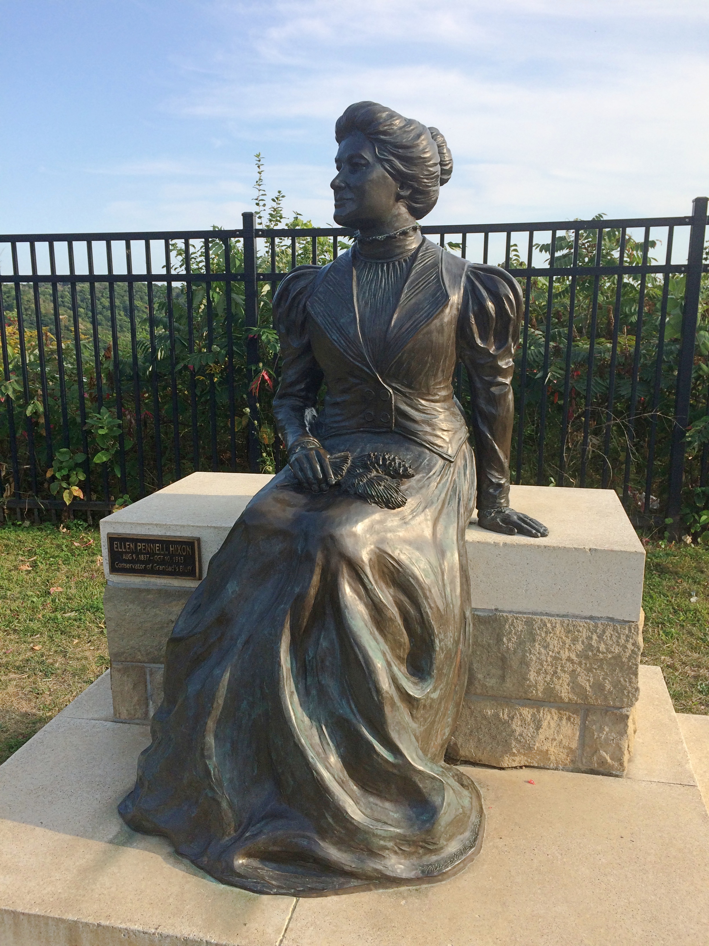
Here she is in the park: Ellen Hixon, depicted in a bronze by Wisconsin artist Mike Martino.Granddad's Bluff Ellen Hixon statue“A subscription was organized and Ellen P. Hixon, encouraged by two of her sons, Frank and Joseph, donated $12,000 to start the fund,” a sign near the bronze says. In current money, that’s more than $310,000. She was the widow of a local lumber baron, Gideon Hixon. Their house is now a museum, which is only open in a limited way now.

“About twenty other local benefactors and companies then contributed another $3,000 to purchase adjacent lands and to fund roads and other improvements. By 1912 the Hixon family was able to transfer title for the property to the city for use as a public park, and the bluff was saved.”

Good for her. As legacies go, Granddad Bluff’s a pretty good one.

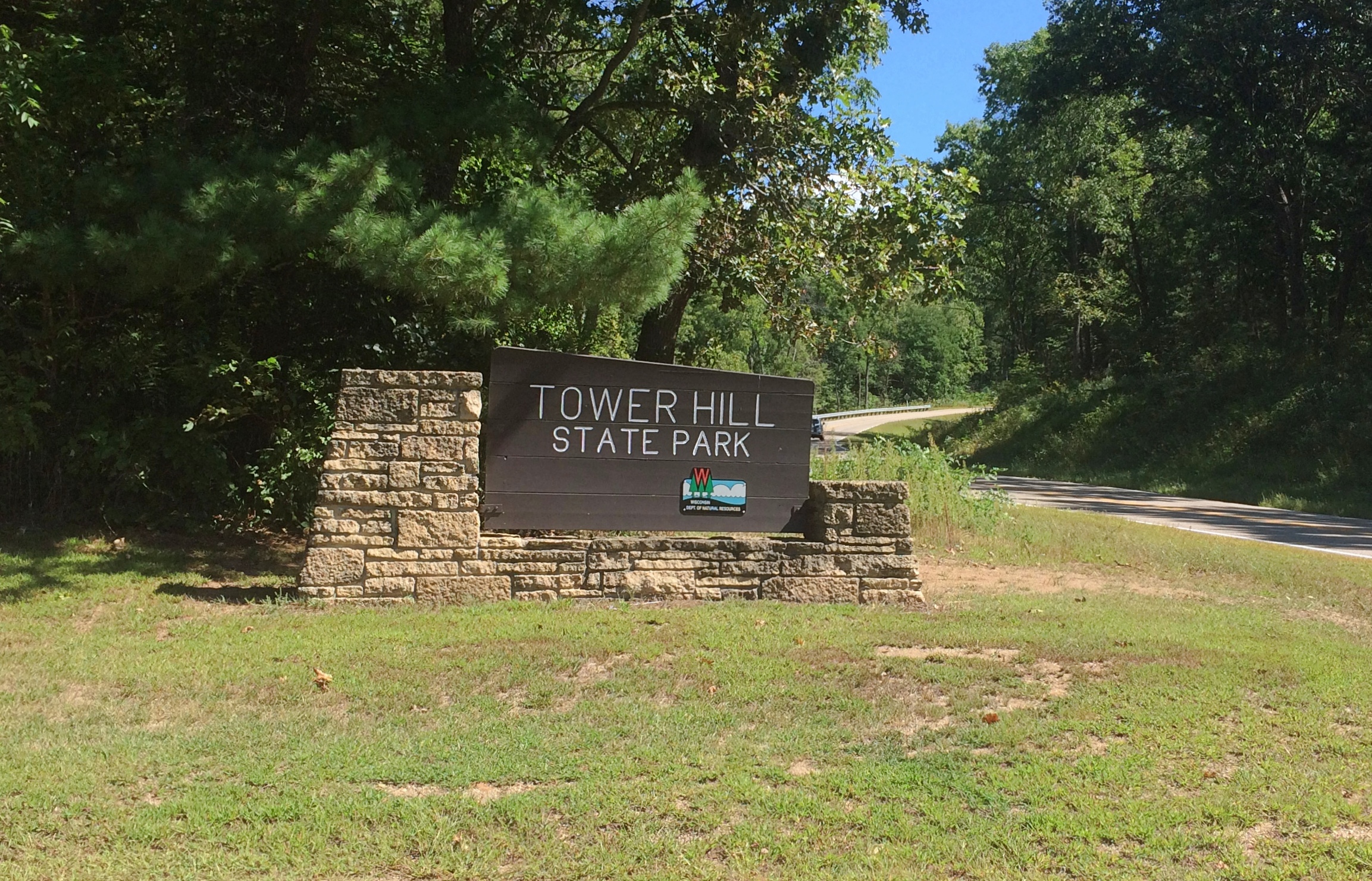
Earlier in the day, we stopped briefly at Tower Hill State Park near Spring Green, Wisconsin, which is better known for Taliesin.Tower Hill State Park

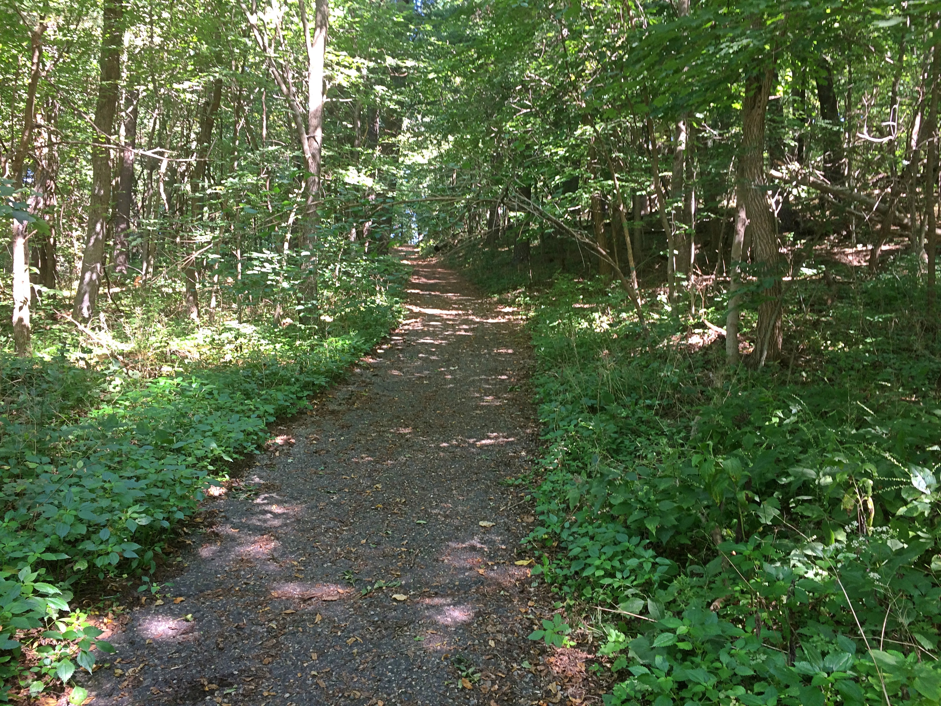
It too offers a good vista, but you have to climb a hill to see it.
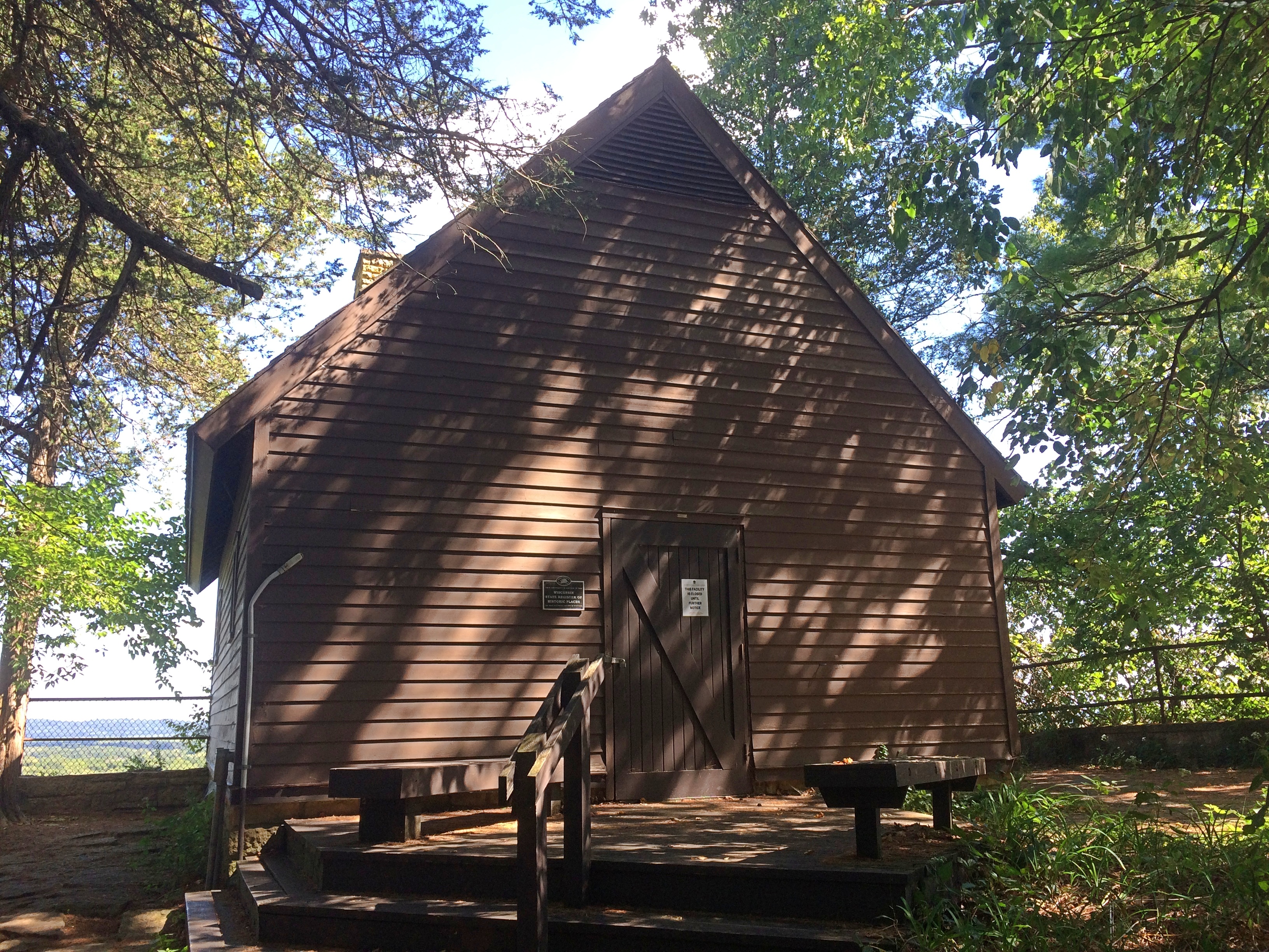
Tower Hill State ParkAt the top of the bluff is a reconstruction of the Helena Shot Tower. It’s closed for now.
Tower Hill State ParkTower Hill State ParkIn the early 1830s, a Green Bay businessman named Daniel Whitney had the shot tower built for the manufacture of lead shot. Molten lead dropped from a height forms into globes on the way down, which harden when hitting a pool of water below.

You’d think such an operation would do serious business during the Civil War, but it was closed by then. Later Jenkin Lloyd Jones, who was Frank Lloyd Wright’s uncle, developed a retreat on the site. His widow gave it to the state of Wisconsin, which created the park in the 20th century and had the shot tower rebuilt.

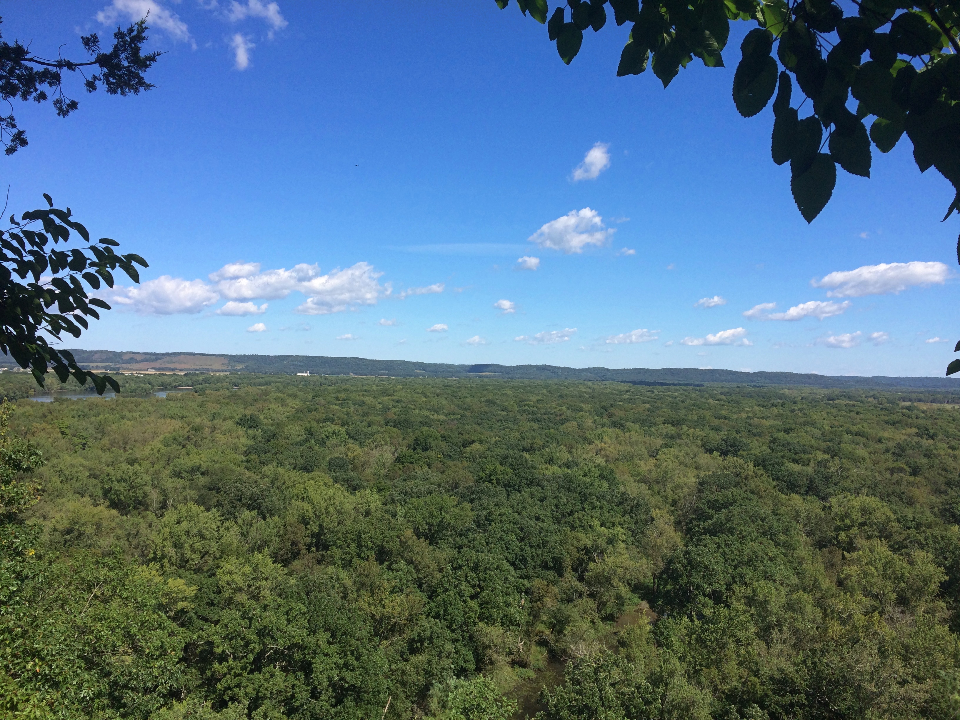
The view from near the shot tower is toward the Wisconsin River.
Tower Hill State ParkWorth the climb, which wasn’t nearly as exhausting as Devil’s Lake SP or Starved Rock SP or Wyalusing SP or Effigy Mounds NM. Been quite a summer for climbing hills, now that I think about it.

Starved Rock State Park ’20

Hot-and-sweaty weekend until a steady warm wind came on Sunday afternoon, a baby sirocco you might call it, and blew away the humidity. That left the golden glow of dusk warm but dry.

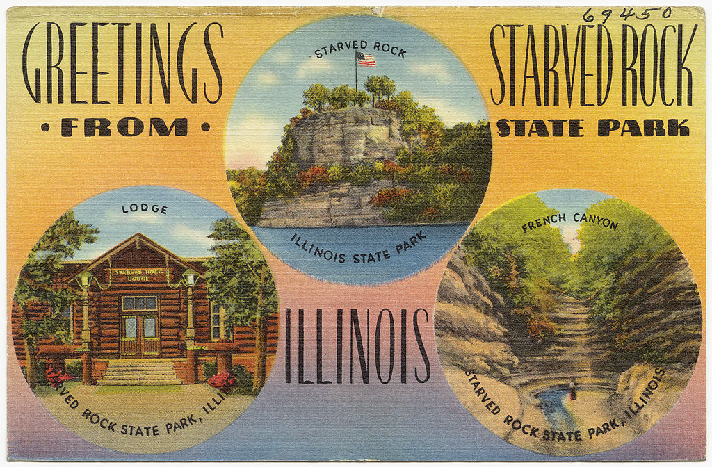
All of us, dog included, took an in-state overnight (30-hour) trip over the weekend, with Starved Rock State Park as the prime destination. Been a while since we’d all been there together, but each of the girls had visited with friends in more recent years.

That isn’t a postcard of mine, though if the state sold it at the park, I’d buy one.

The 2,630-acre Starved Rock SP hews close to the south banks of the Illinois River in LaSalle County, its distinctive topography a creation of long-ago floods and glacial movement. The state acquired the land in 1911 and (of course) the CCC did park infrastructure work during that agency’s short existence. It’s a popular place, more so now than ever. Guess that’s because driving destinations are the thing at our moment in history.

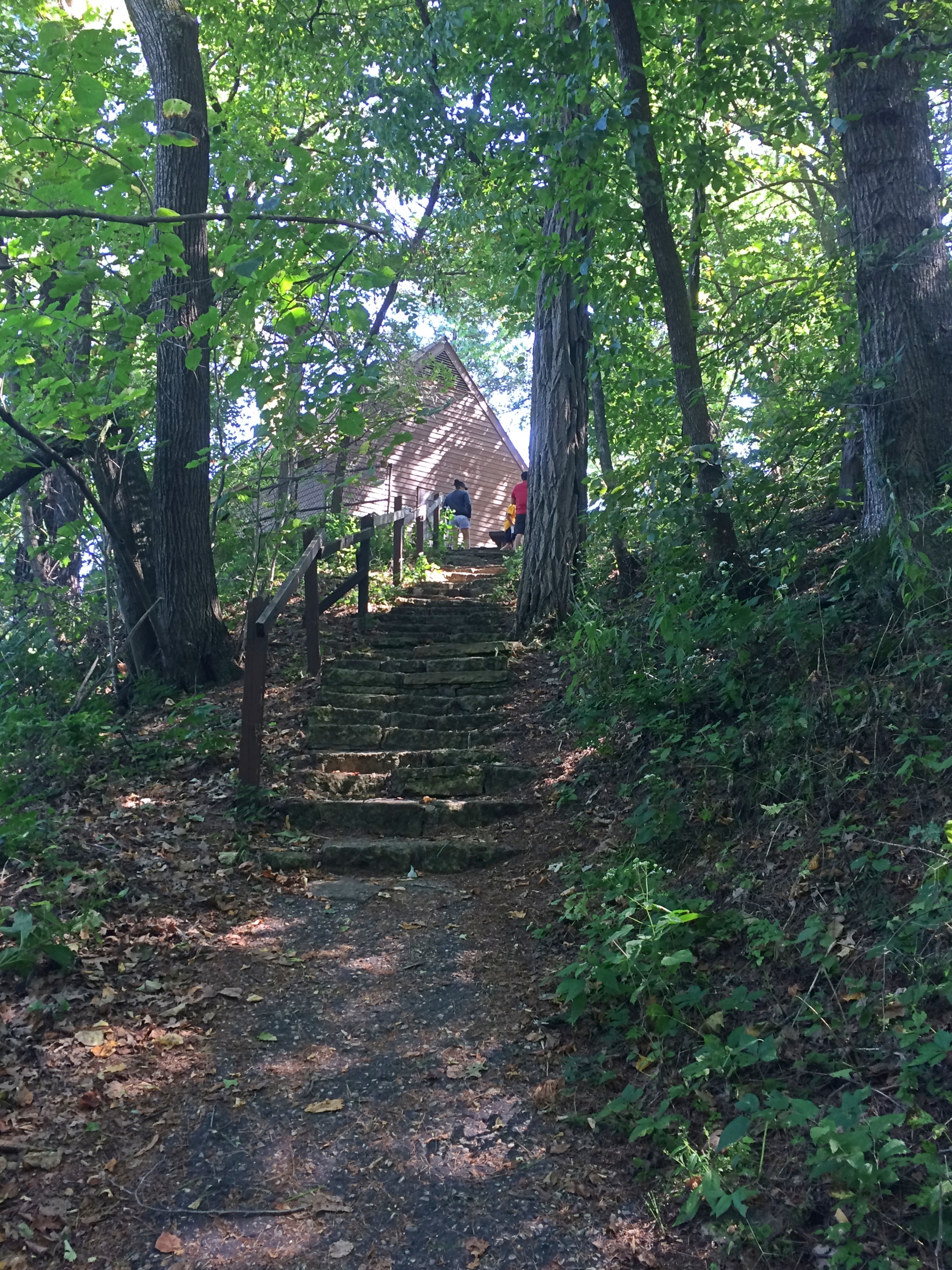
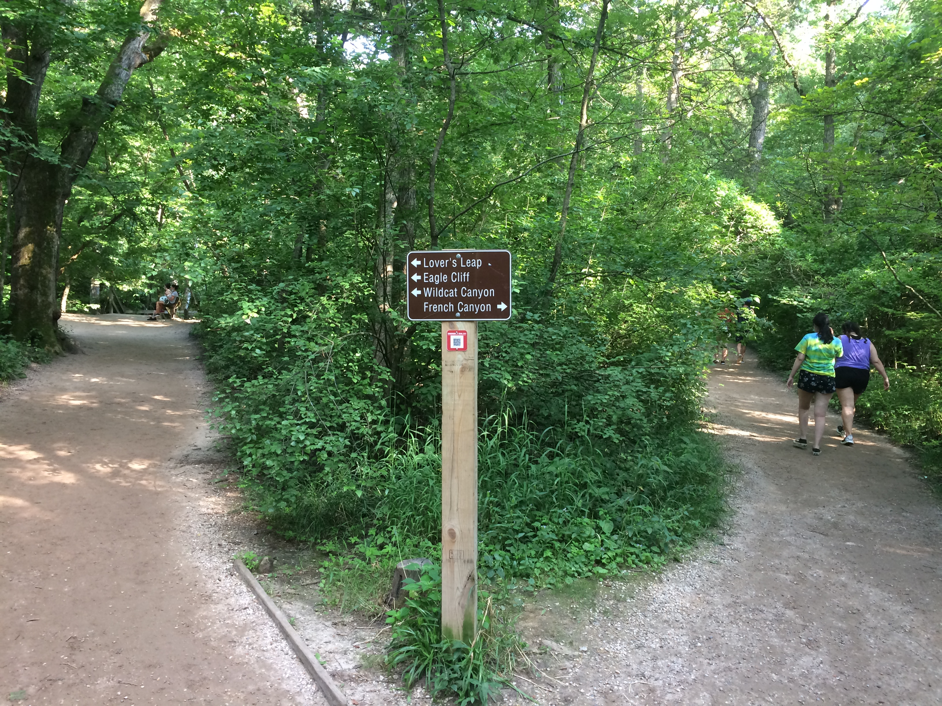
We waited until after the highest early afternoon heat had passed on Saturday to take our hikes. Late afternoon was still steamy, but tolerable, especially under trees. When we came to this fork, we took the path to French Canyon.
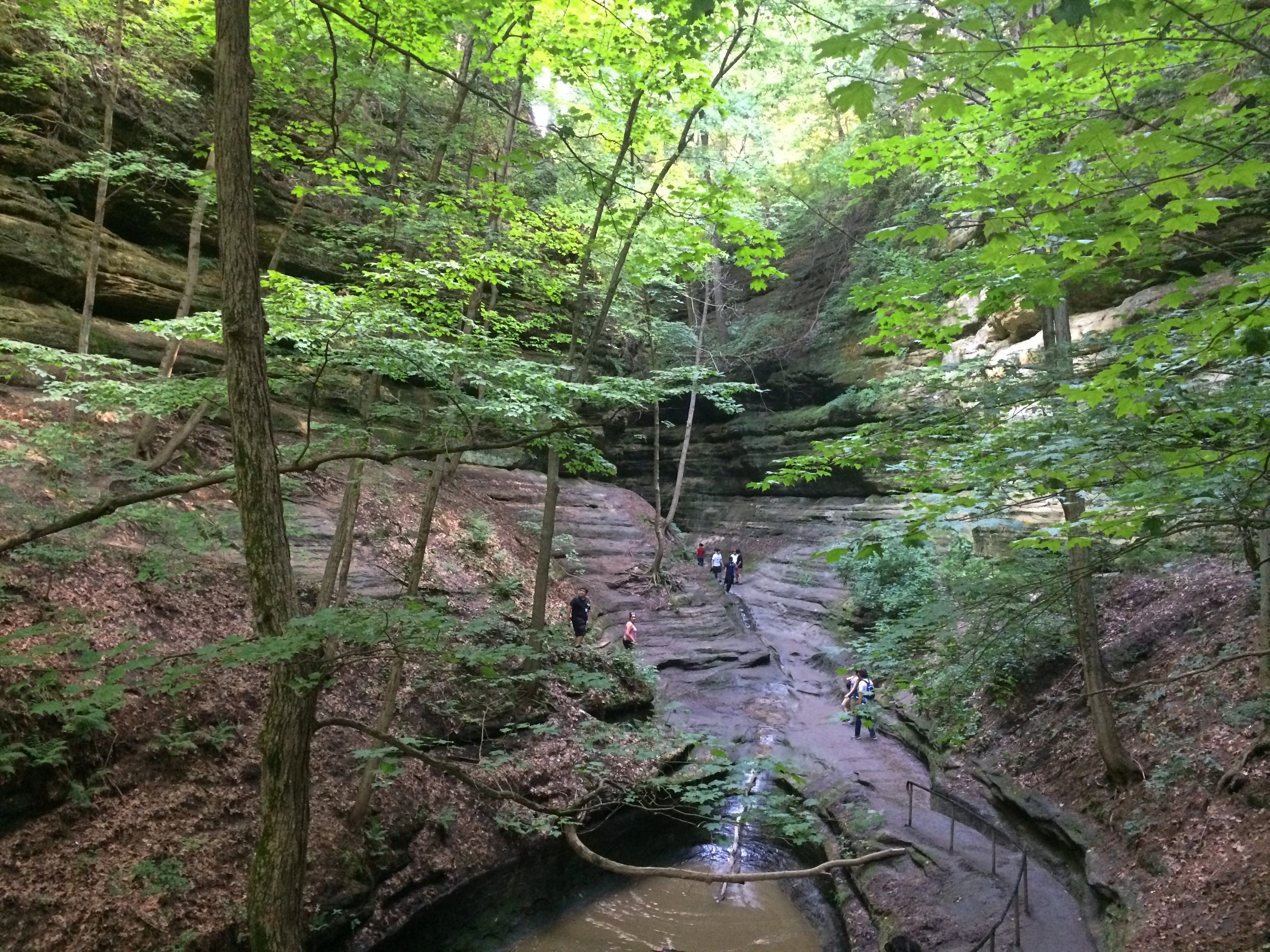
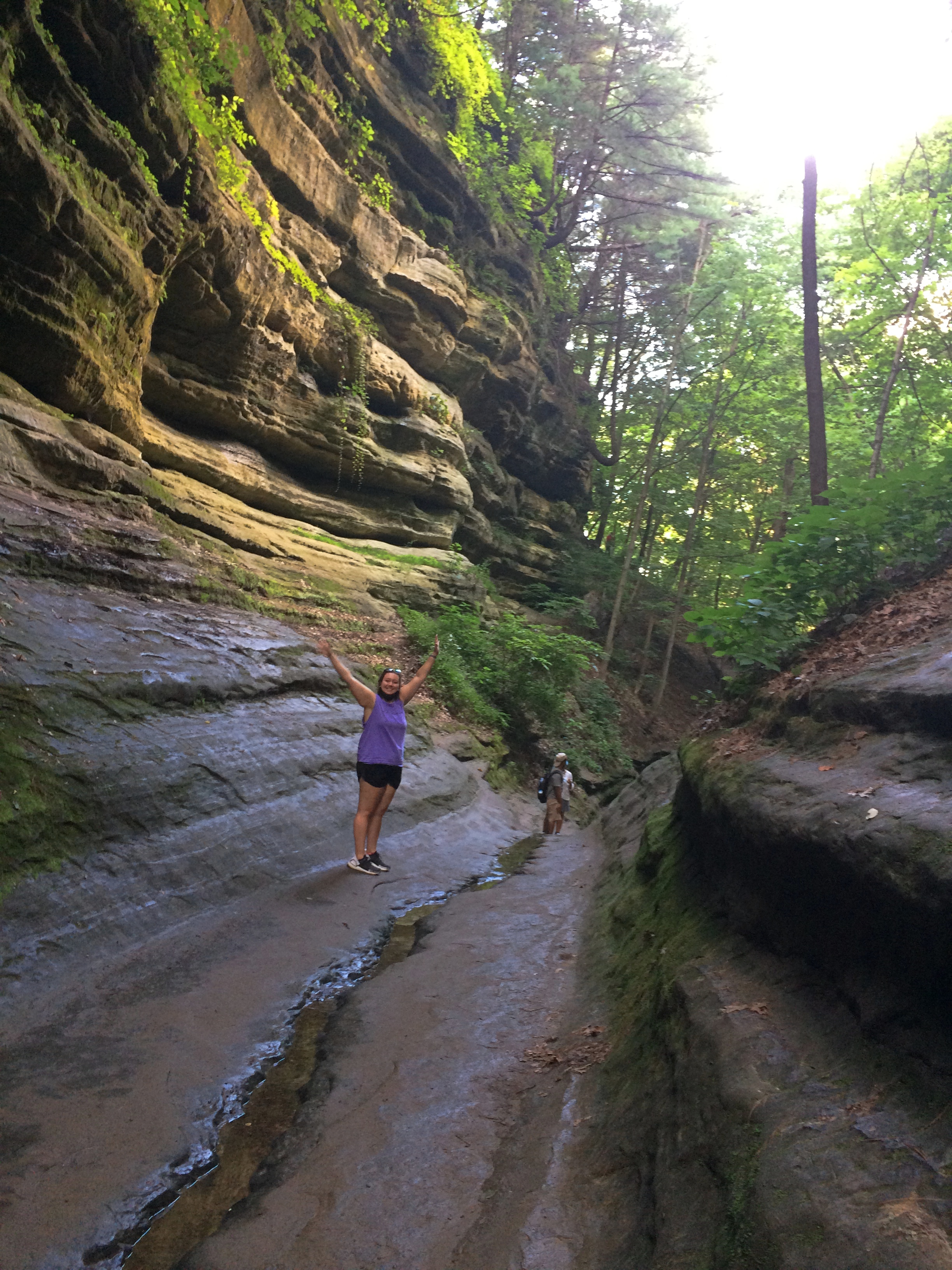
Starved Rock State ParkIt isn’t long before the French Canyon walls rise around you.
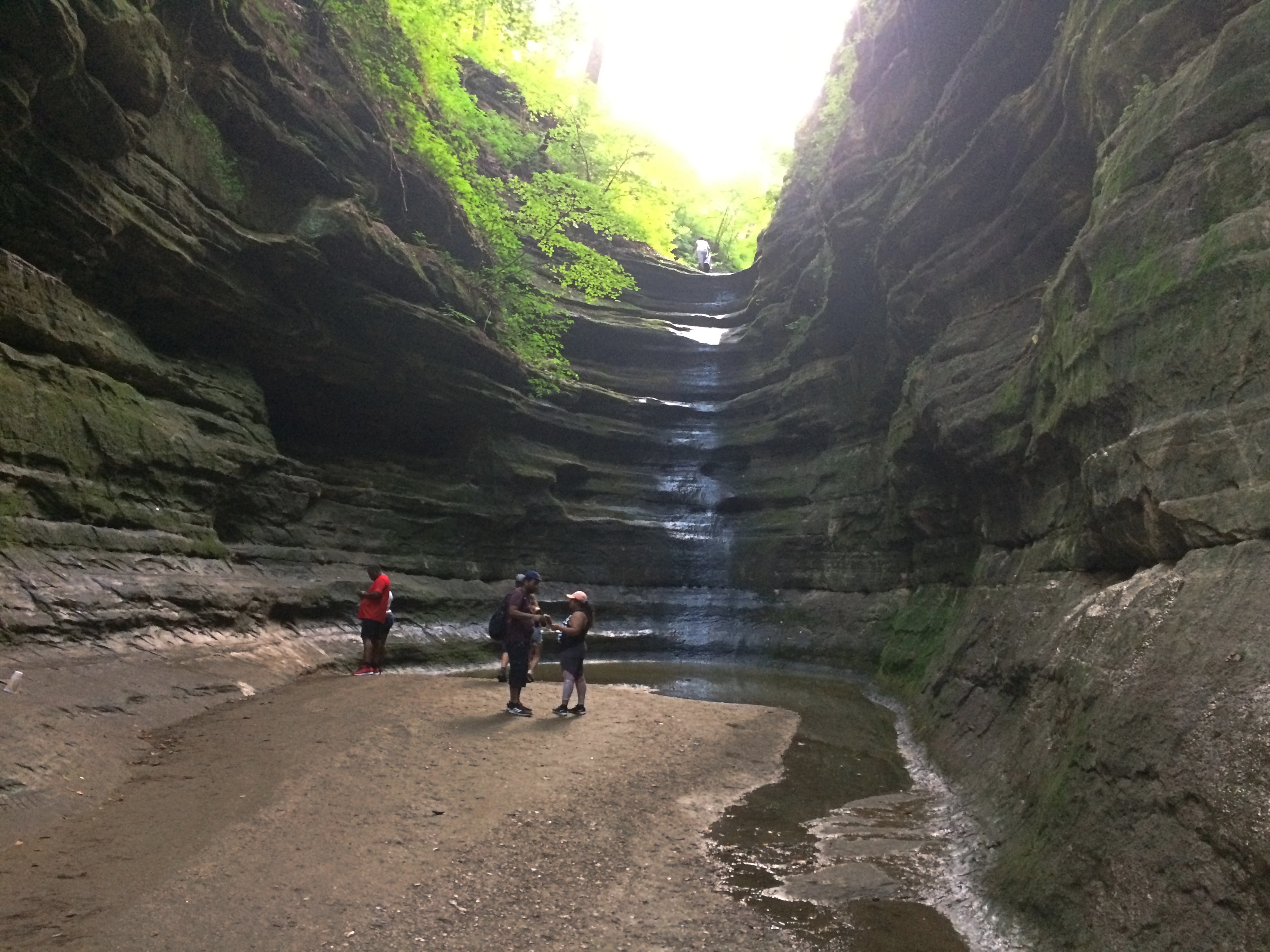
Starved Rock State ParkStarved Rock State ParkBefore long, you reach a waterfall. Just a trickle in late July.
Starved Rock State ParkDoubling back to the fork, we then followed a trail that’s mostly boardwalk, plus a lot of stairs that I didn’t document.
Starved Rock State ParkTo the view from Lover’s Leap.
Starved Rock State Park Lovers LeapThe nearby Eagles Cliff vista, looking upriver.
Starved Rock State Park Eagle CliffLook a little downriver and you see why the Illinois is so wide just below Eagle Cliff.
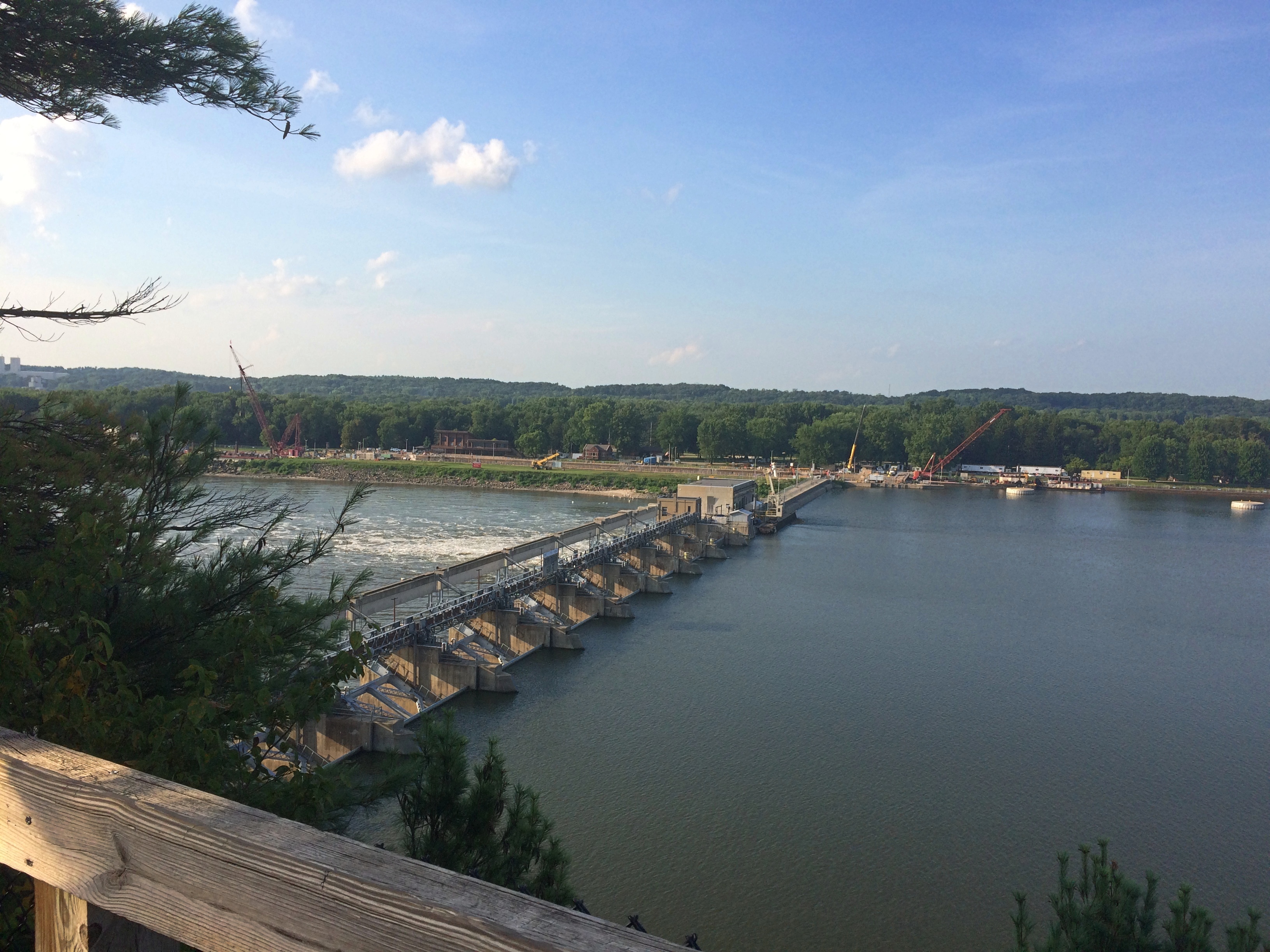
Starved Rock State Park Eagle CliffThe Starved Rock Lock and Dam, also known as Lock and Dam No. 6, completed in 1933 and operated by the Army Corps of Engineers.

We might have walked further into other canyons after that, or up to the Starved Rock feature, but the heat and stair climbing spent our energy. Mine, anyway. We ought to go back some cooler day in the fall. I’ve been visiting the place since the late ’80s and still haven’t seen some of the other canyons.

Kek Lok Si Temple, Penang

In July 1994 we spent a pleasant, and sweaty, few days in Panang. In George Town, that is. To avoid confusion: Panang is one of the 13 states of the federation of Malaysia, consisting of Penang Island in the Straits of Malacca, and a mainland component called Seberang Perai. George Town is capital of the state, located on Penang Island. UNESCO tapped its historic core — long after we visited — as a World Heritage Site, along with Malacca. I just thought it was a charming old dump.

“Georgetown turned out to be a low-rise, whitewashed, somewhat seedy town, good for walking after the heat of the day died down, and early in the morning,” I wrote about the visit. “I took a couple of good walks before Yuriko woke. Over the next few days [we] took in Ft. Cornwallis (nice clock tower), wandered around the Komtar Mall, saw the Kek Lok Sri [sic] temple, climbing its pagoda, swam at Batu Ferringhi beach, and rode the cable railway up Penang Hill.”

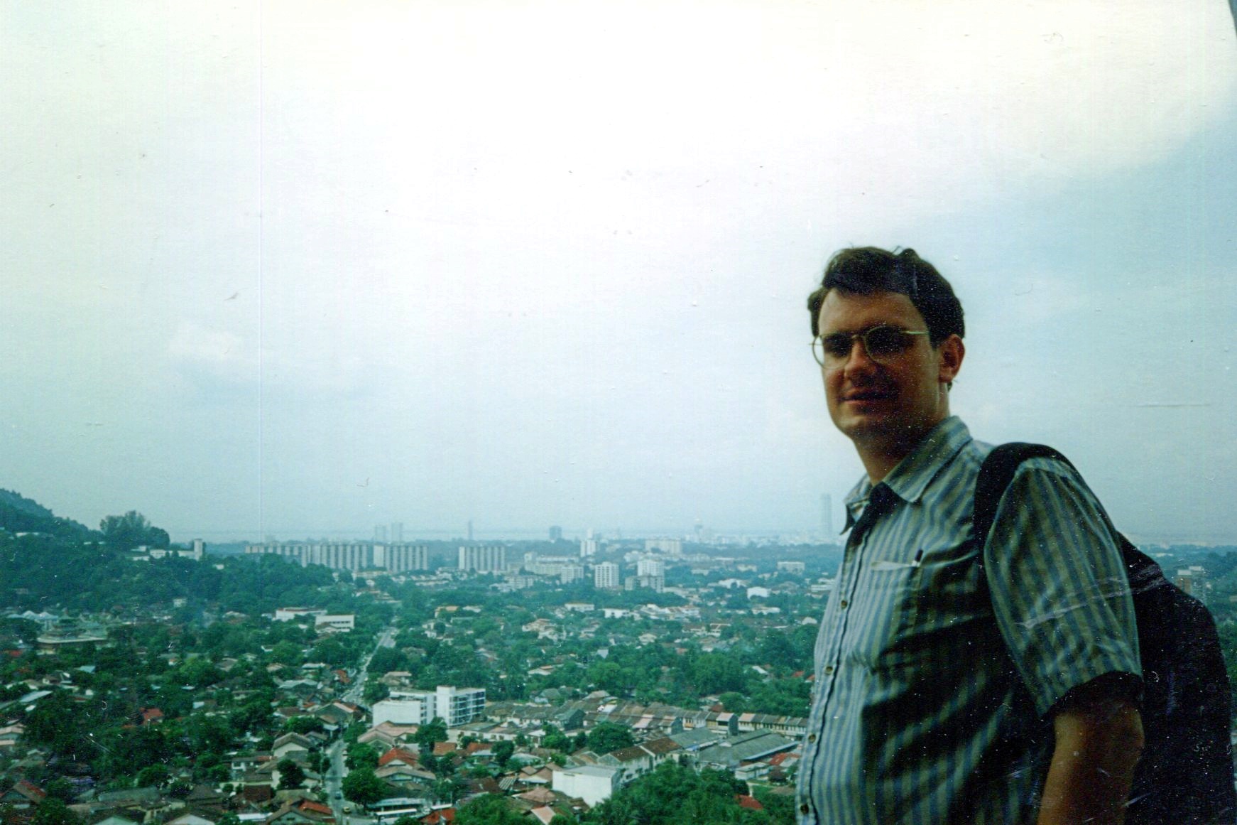
Here’s the view of George Town from Kek Lok Si, which is on a high hill in the suburb of Air Itam.
Penang
I’m surprised I didn’t take a picture from below, but that’s the way things were in those days — limited film, as opposed to the practical infinity of digital images.

“Ayer Itam’s most recognizable landmark is the Kek Lok Si temple. Also known as the Temple of Supreme Bliss, it is the largest Buddhist temple in Malaysia,” says Penang 500 Early Postcards. “The founder of KLS was Abbot Beow Lean (1844-1907), from the Kushan Abbey in Fujian, China… The KLS, sited at the foot of the Penang hills, consists of many prayer halls, pavilions, carved pillars, tortoise and fish ponds, and flower gardens linked by winding and ascending pathways.”

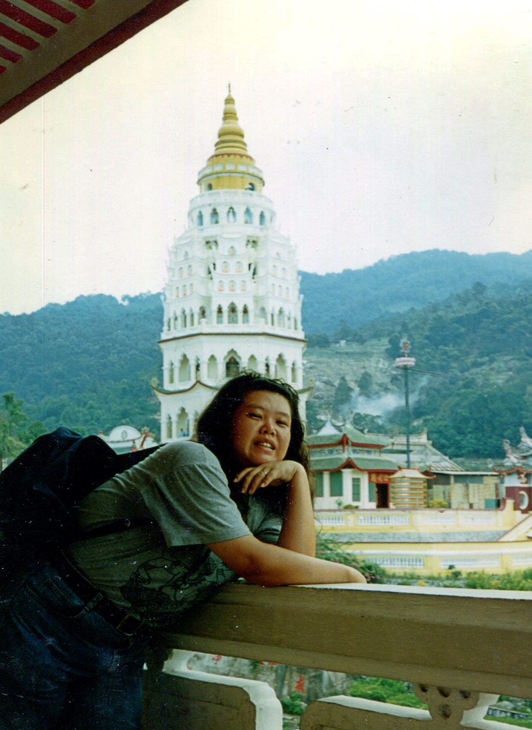
Along with a pagoda in a mix of styles: Chinese, Thai and Burmese. It’s behind Yuriko here.Penang

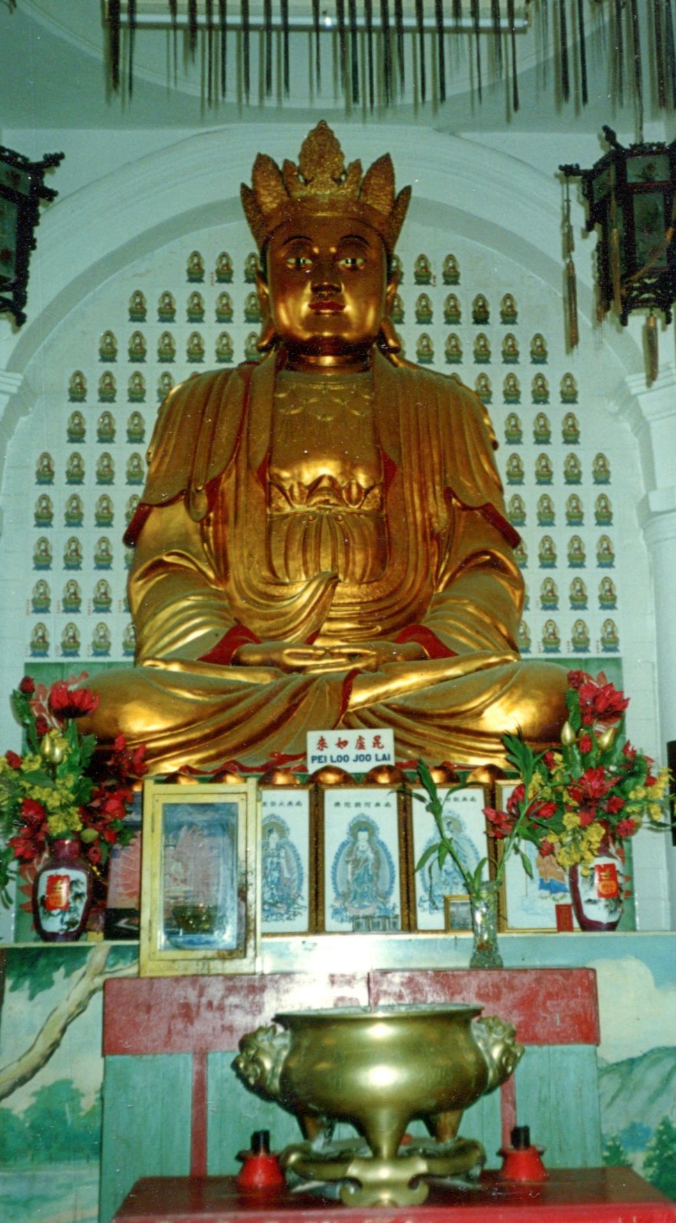
And what’s a Buddhist temple without some Buddharūpa?Penang

This monumental statue, depicting Guanyin, didn’t exist — or at least wasn’t in its present physical form — when we visited. As I understand it, Guanyin is a bodhisattva associated with compassion. Sounds like a good fellow to have around.

Prairie du Chien ’20: Effigy Mounds National Monument

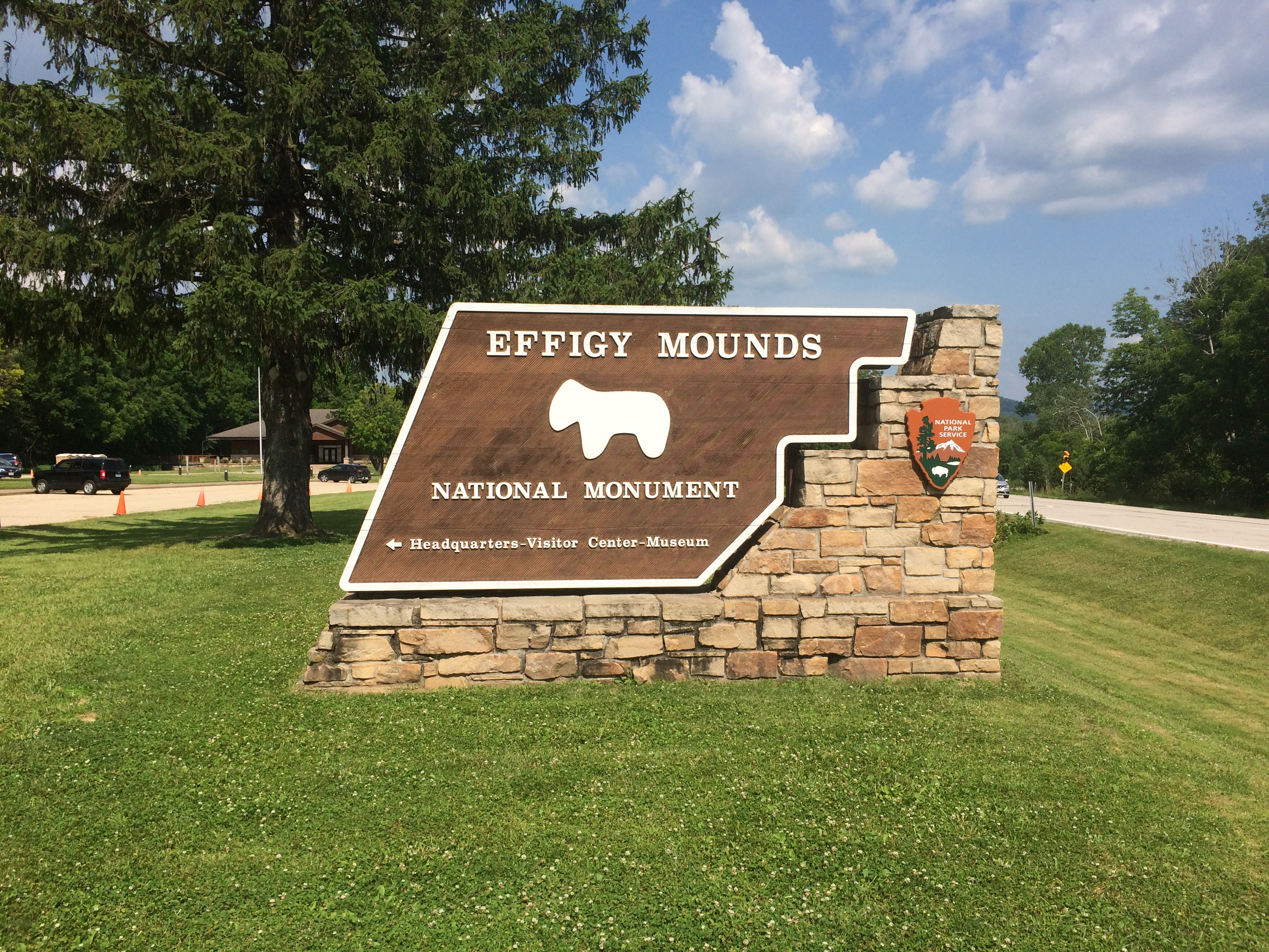
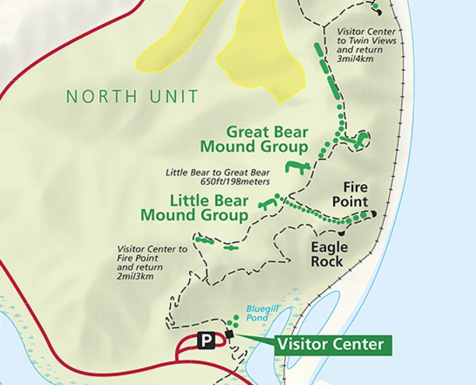
Another holiday weekend, another pop up to Wisconsin for a short spell. Actually, Wisconsin and a small slice of Iowa — that being the main goal of the trip: Effigy Mounds National Monument, which is mostly in Allamakee County, Iowa’s northeastern-most county.
Effigy Mounds National MonumentThe 50-hour trip took us to Madison on Thursday evening to spend the first night, and from there to Prairie du Chien, Wisconsin and environs, where we stayed from late morning Friday to early afternoon Saturday. We returned home late Saturday afternoon, in time for Vietnamese takeout dinner at home — and to hear a July 4 neighborhood blasting of fireworks like none I’ve heard before.

Why Effigy Mounds and Prairie du Chien? Because I’ve seen those places on maps for years. I’ve read about them as well, of course, but spots on a map can be alluring in a way no mere textual description is. Come here, the spots say; come see what’s here.
Also, the rolling, verdant Driftless Area is a special place. I’ve only come to appreciate it in recent years.

A road trip at this moment in history is necessarily different than before. Gone for now are casual meals at restaurants picked on a whim, visits to intriguing local museums or wandering down busy small-town shopping/tourist streets and spending time in their specialty stores.

Now the trip means takeout — from the only Chinese restaurant in Prairie du Chien, for example — finding places where few people go (such as cemeteries) and generally spending your time outdoors, as we did on the trails of the national monument and a Wisconsin state park.

Or staying in your room. It so happened that on Friday night, some high school-vintage friends (two in this picture) invited me to a social Zoom, and I managed to figure out how I could attend using my phone. We had a good time.

We arrived at Effigy Mounds NM early Friday afternoon. Temps were high, about 90, and we were warned on a sign that the trail from the (closed) visitors center to the first fork involved a rise of about 350 feet.

I can’t say I wasn’t warned. Up we went.
Effigy Mounds National Monument
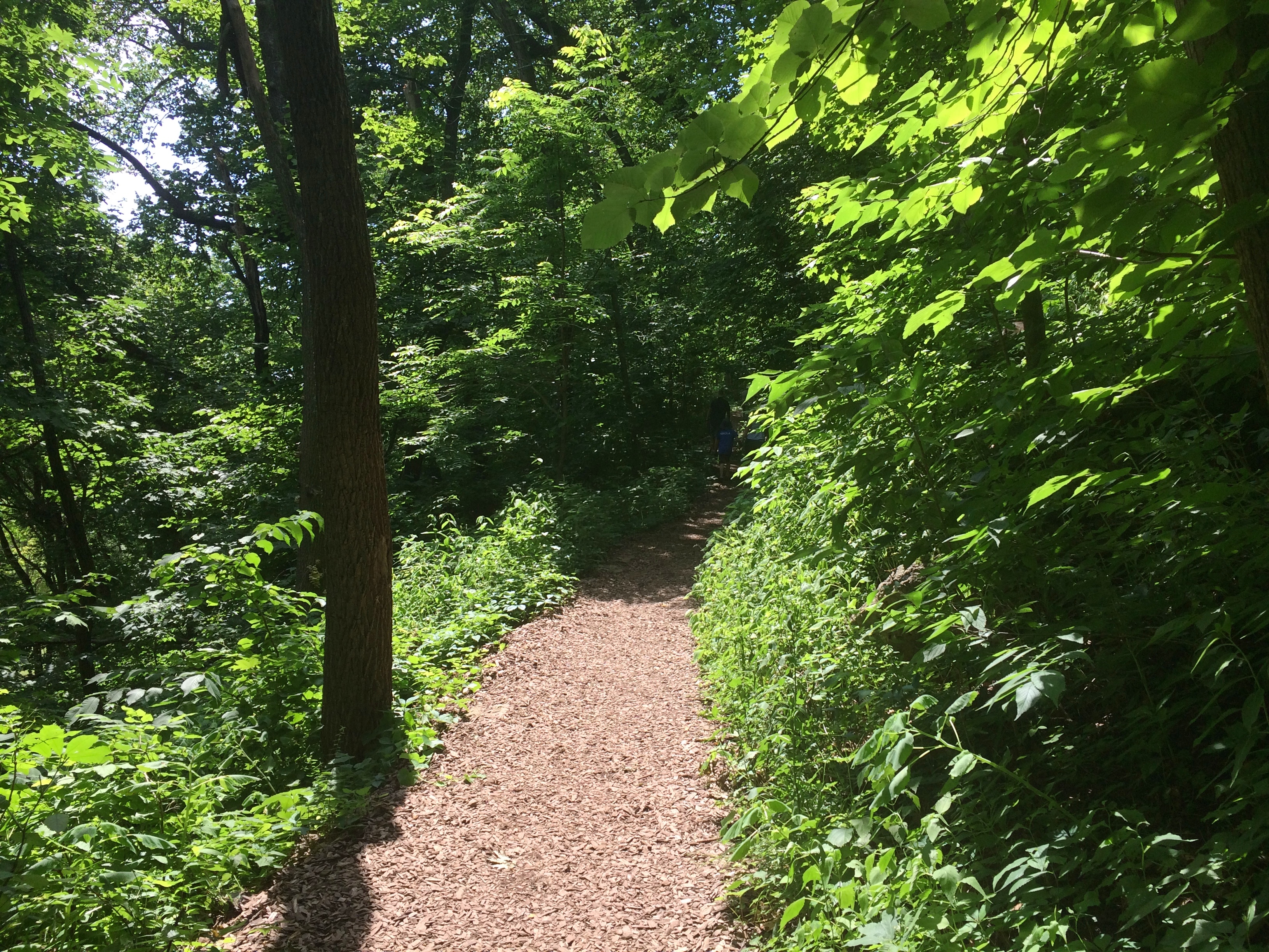
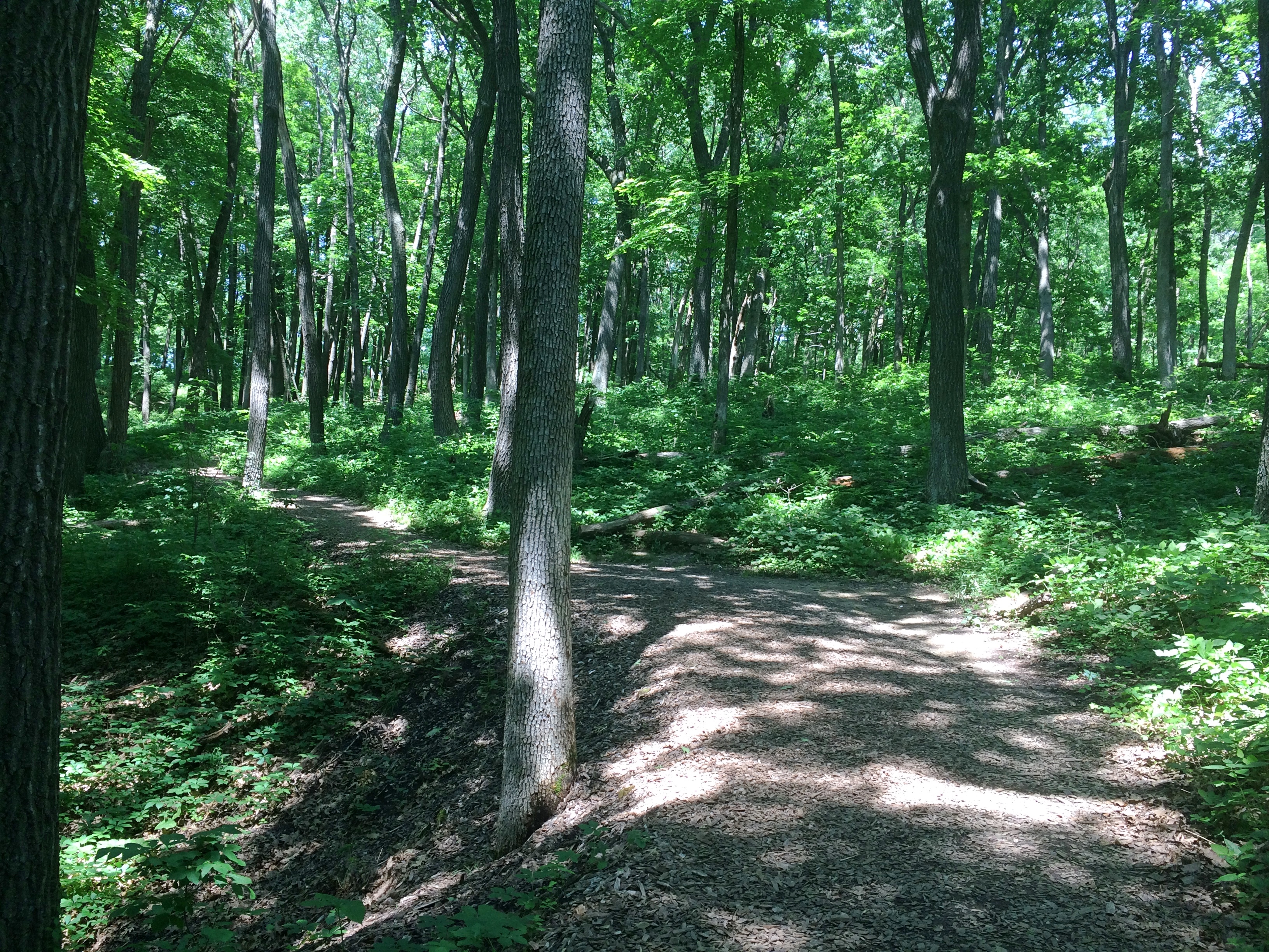
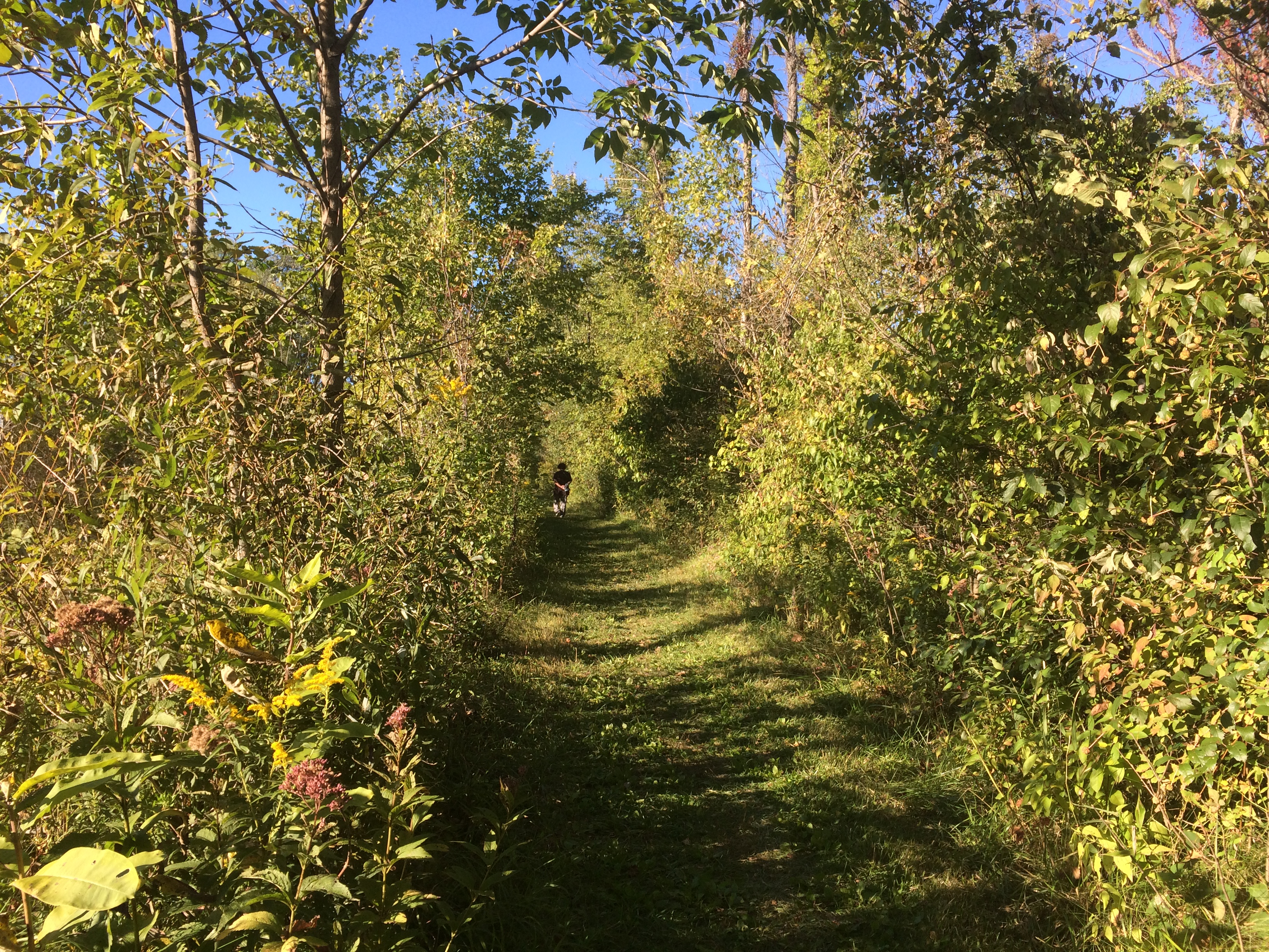
The shade moderated the heat some. I wore a hat — one I’d bought at Joshua Tree NP in February, where it was just as sunny but not as hot. I had water. I made progress through the winding green tunnels, resting often. Yuriko was soon far ahead.
Effigy Mounds National Monument
Eventually I could tell I was near the crest of the hill.
Effigy Mounds National Monument
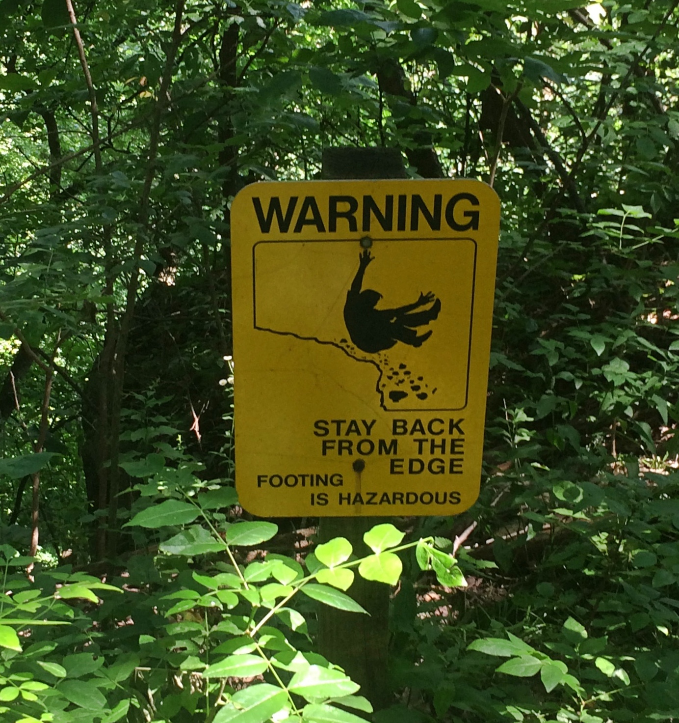
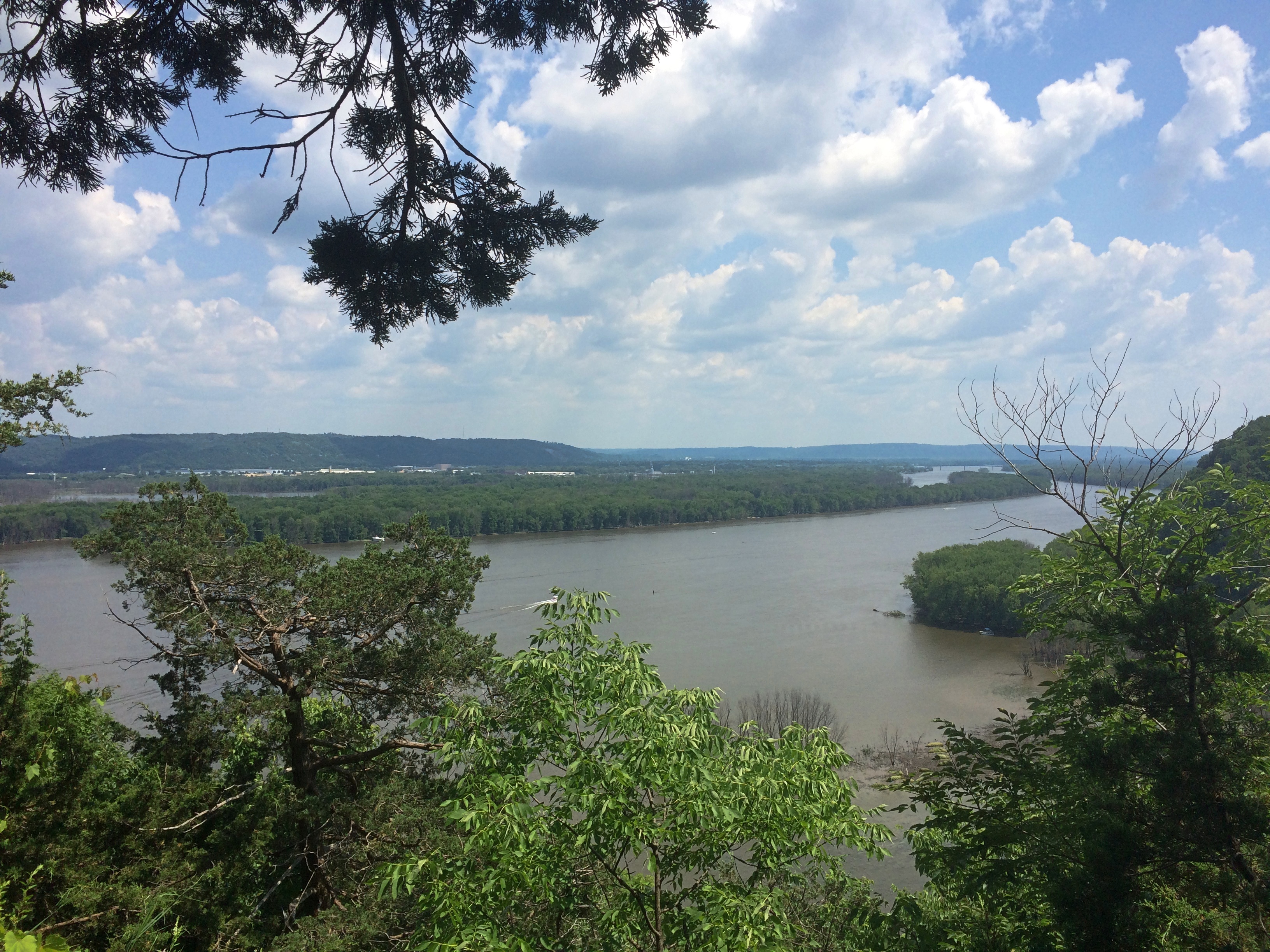
I don’t need a sign to tell me that. By that point, I was well tired. Just another thing I should have done 20 (30) years ago. Still, the vista was worth the effort: a view of the Mississippi, looking southeast, from a spot called Fire Point. Prairie du Chien is in the distance.
Effigy Mounds National Monument
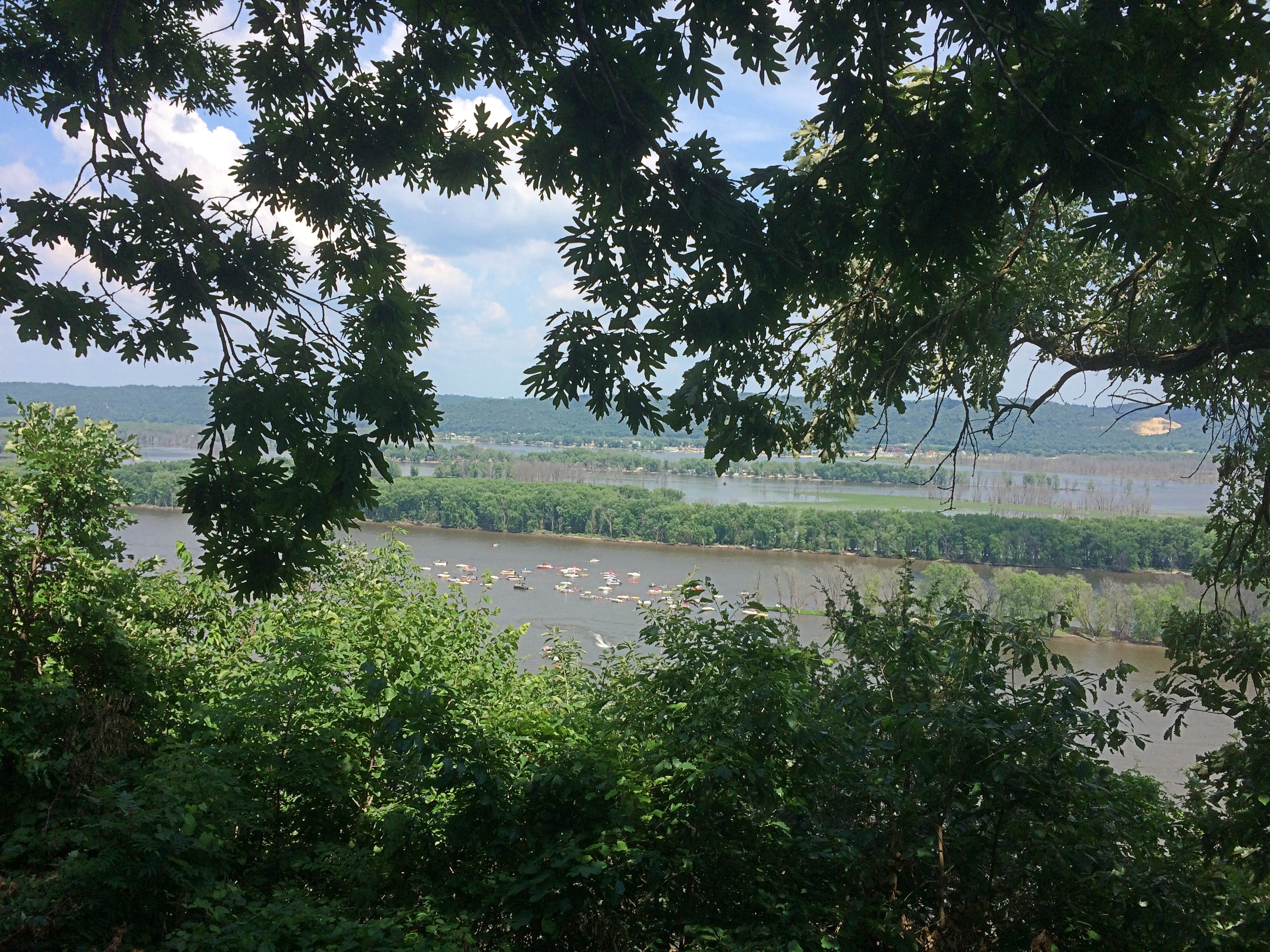
Due east: party boats gathered on the river for July 3.
Effigy Mounds National Monument
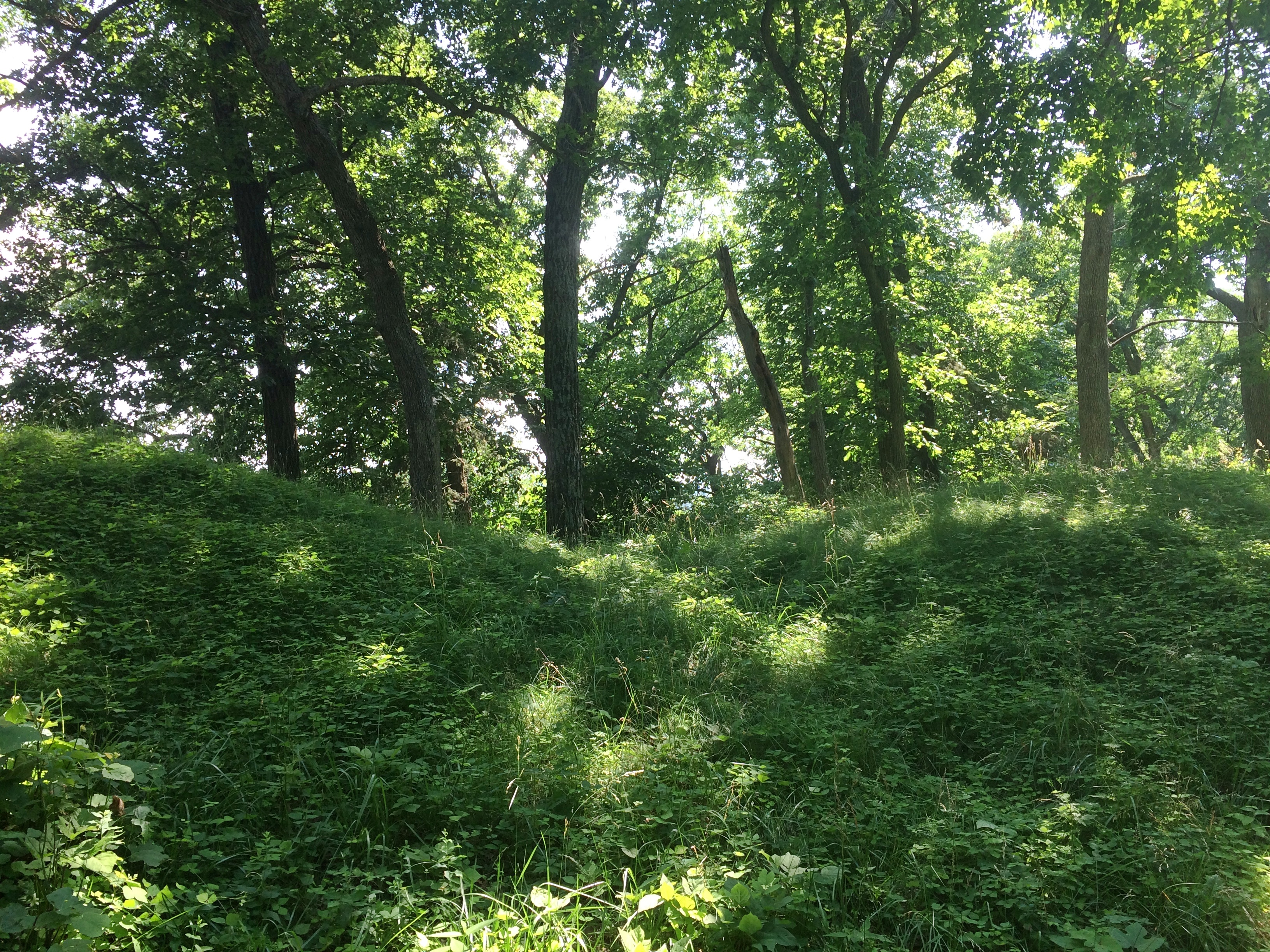
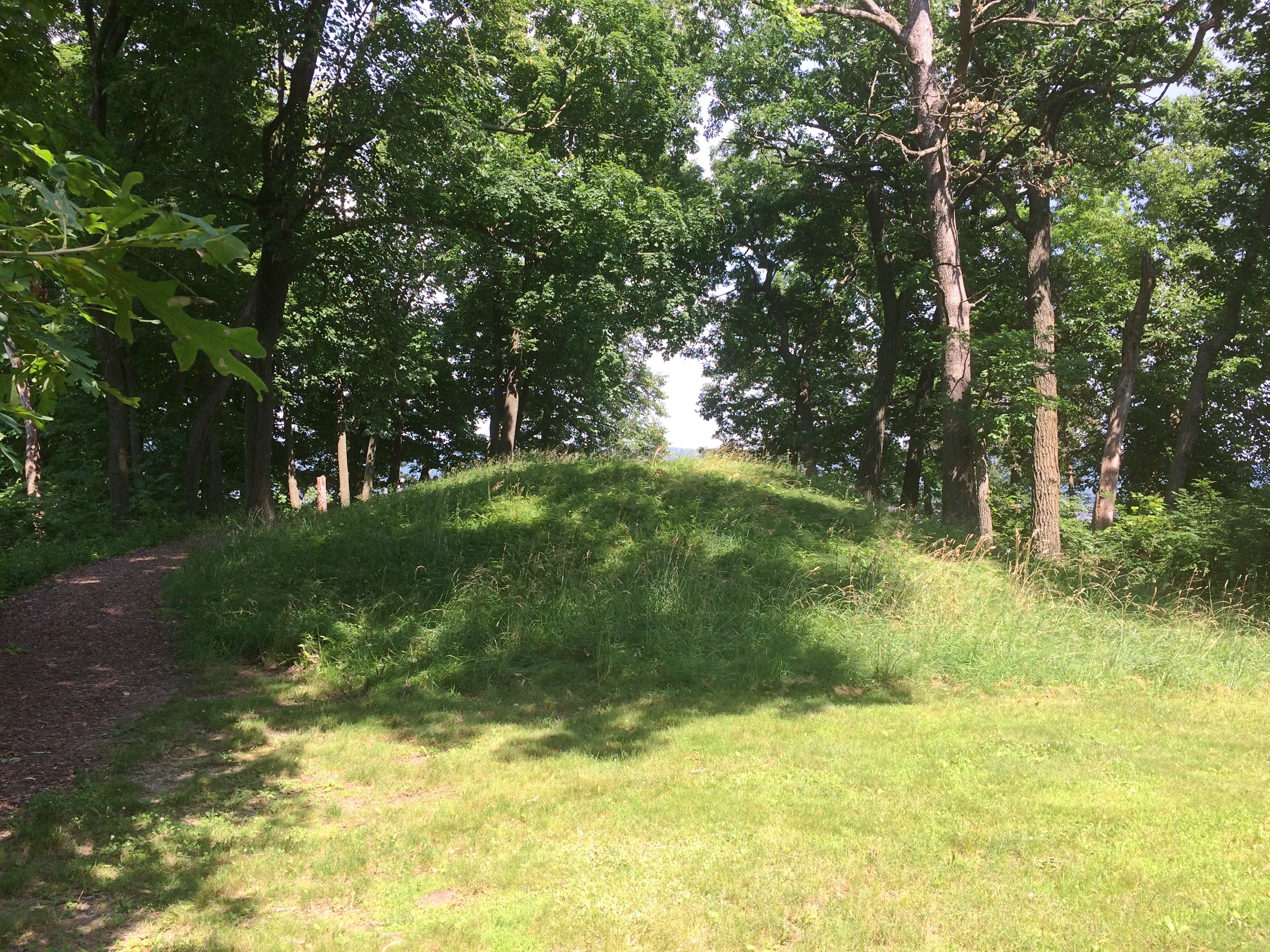
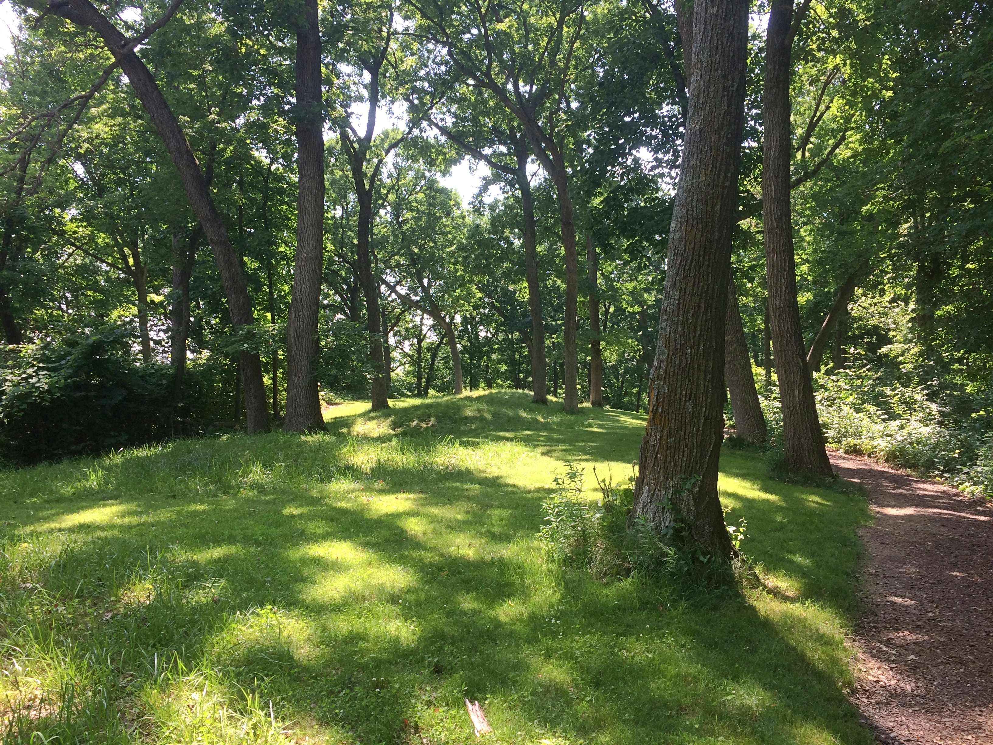
Besides a nice vista, Fire Point featured a collection of mounds. Larger —
Effigy Mounds National Monument
— and a row of smaller ones.
Effigy Mounds National Monument

Something inspired the peoples who lived here to reshape the ground into recognizable forms. Recognizable, but you need to squint a little. Not nearly as recognizable in simple photos, unfortunately.

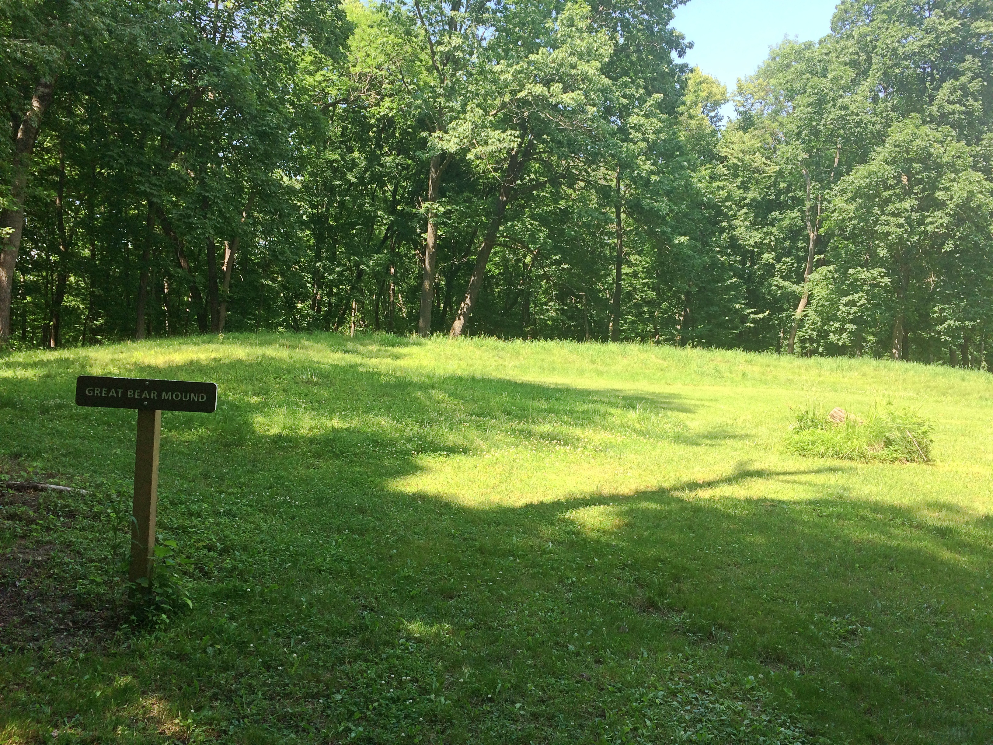
Not far from Fire Point is Great Bear Mound. Probably best visible from above, though park management helpfully trimmed the grass to make the shape a little easier to see from ground level, and you do see it — but it’s also good to bring a little historical imagination to the task. (As it is even in highly visible places.)Effigy Mounds National Monument - Big BearI expect these mounds survived farming and other depredations of the 19th century because the land was too steep to farm or even harvest timber. President Truman created the monument, which protects 206 mounds, in 1949.

“The Late Woodland Period (1400-750 B.P.) along the Upper Mississippi River and extending east to Lake Michigan is associated with the culture known today as the Effigy Moundbuilders,” notes the NPS. “The construction of effigy mounds was a regional cultural phenomenon. Mounds of earth in the shapes of birds, bear, deer, bison, lynx, turtle, panther or water spirit are the most common images…

“The Effigy Moundbuilders also built linear or long rectangular mounds that were used for ceremonial purposes that remain a mystery. Some archeologists believe they were built to mark celestial events or seasonal observances. Others speculate they were constructed as territorial markers or as boundaries between groups.”

Why did Moundbuilders build mounts? The answer is dunno even among modern experts. They had their reasons. The mists of time are pretty thick in the hills of the Driftless Area.

Devil’s Lake State Park

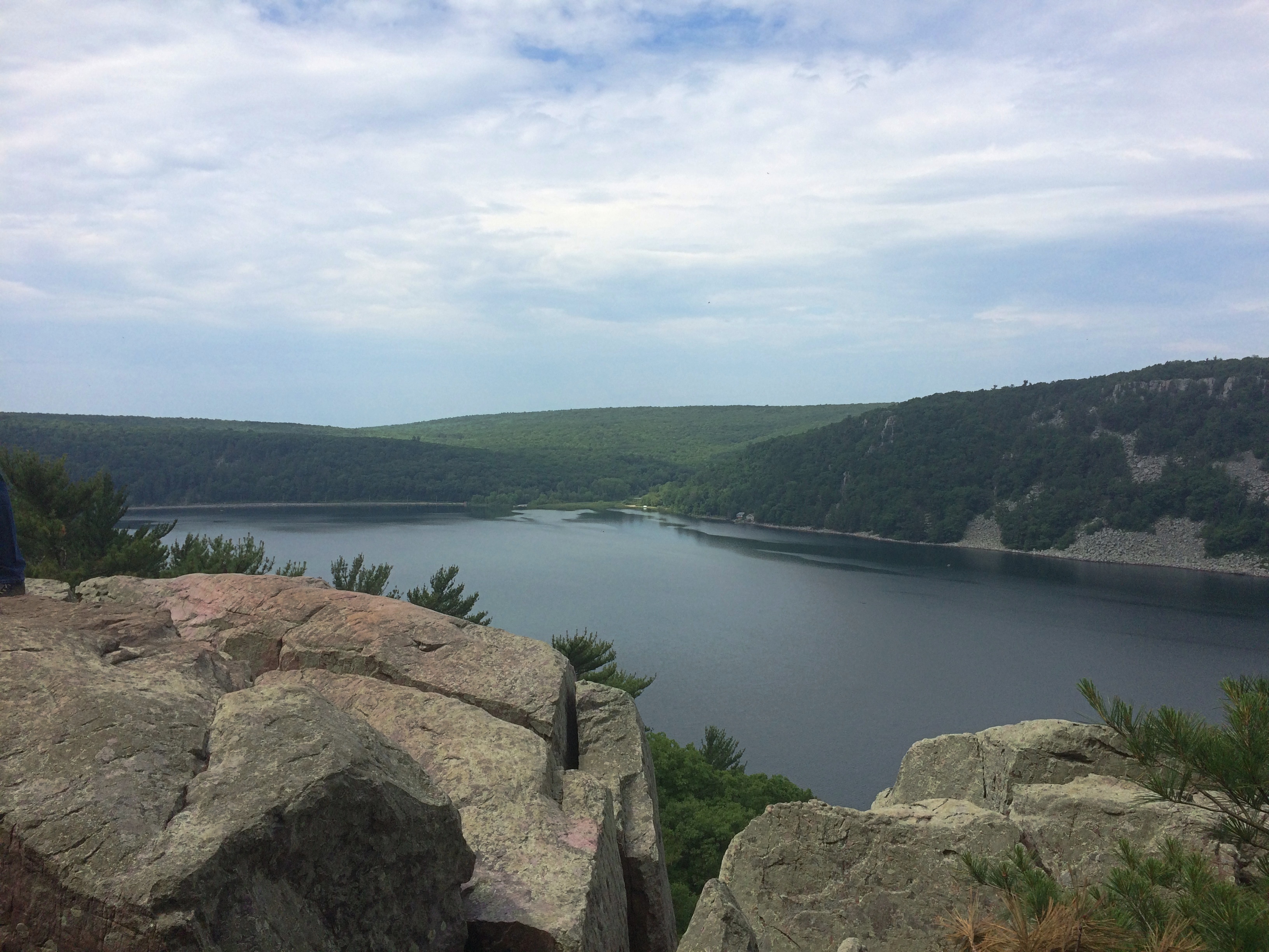
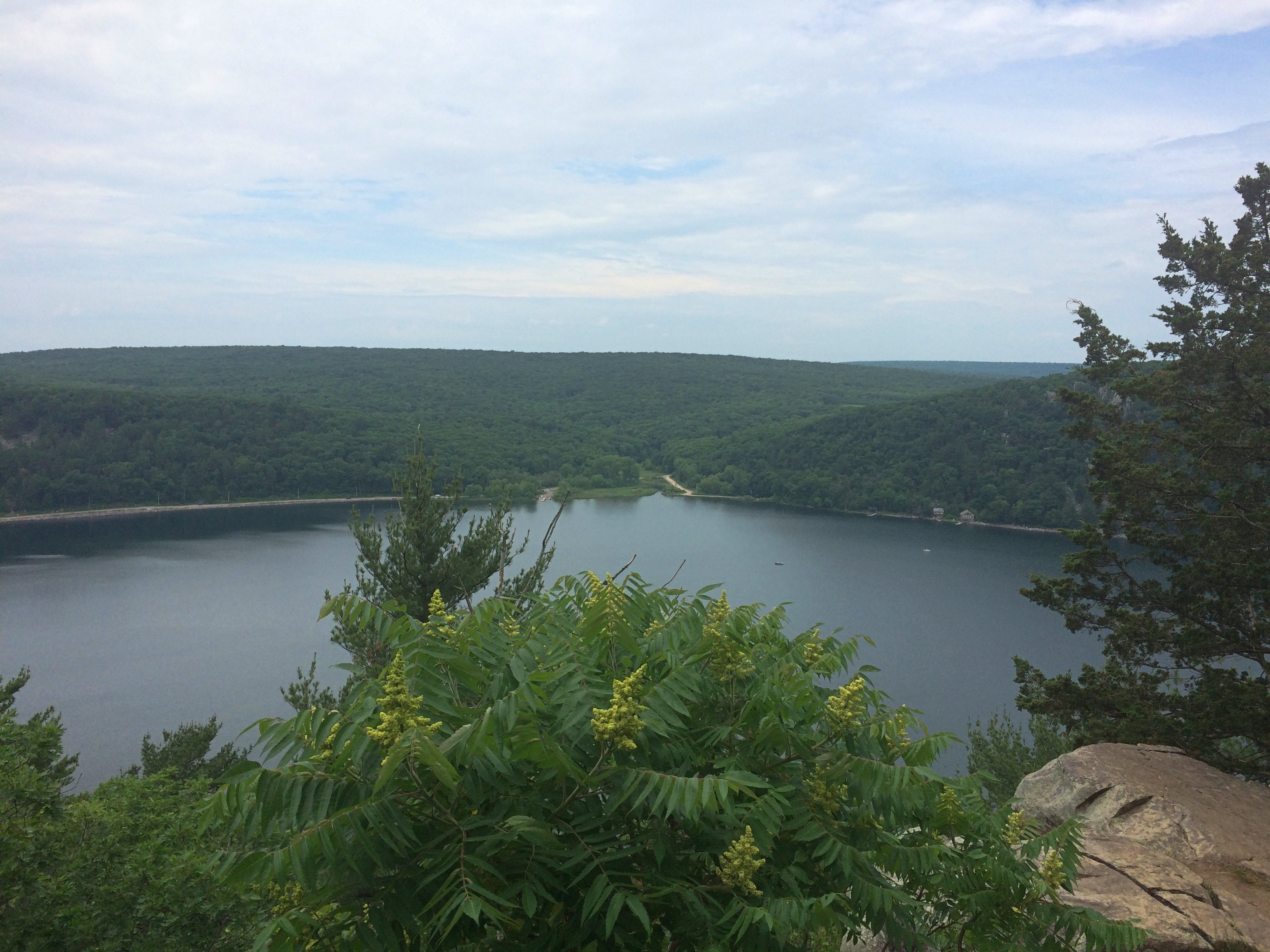
Over the weekend we visited Devil’s Lake State Park in Sauk County, Wisconsin. We drove up one evening, spent the night at a motel in Madison, and then the next morning continued on to the park, which is about 45 minutes to the northwest of the capital. After spending most of the day in the park, we drove home from there.

The closest town is Baraboo, which we last saw in 2007 — home of the delightful Circus World Museum. This time we drove by the museum. Even if we’d wanted to go again, which we didn’t, that wouldn’t have been possible. At least it’s still there. I hope Circus World manages to reopen sometime.

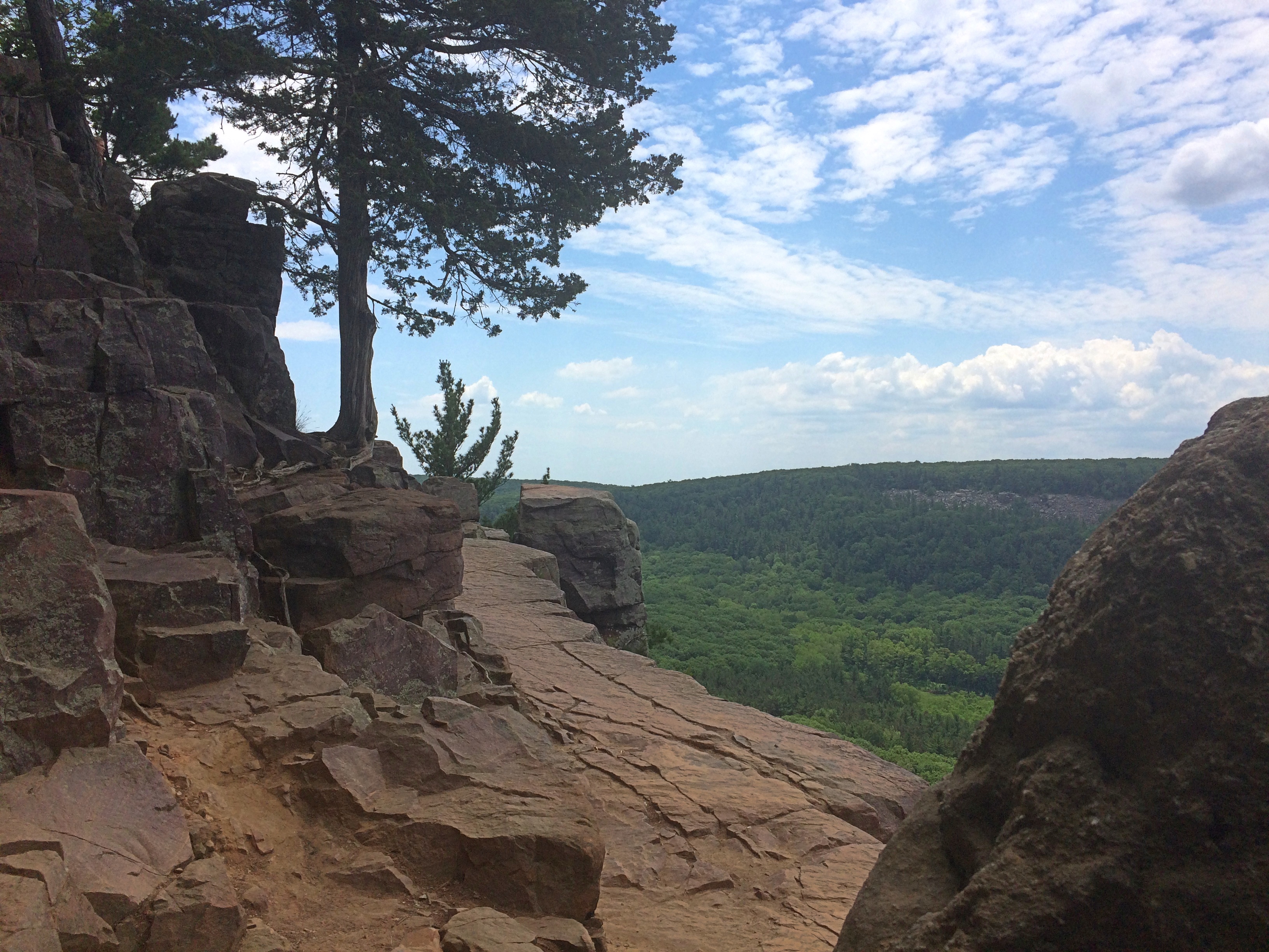
Devil’s Lake is a pleasant-looking, 360-acre lake with a couple of beaches and other lakeshore amenities, but those aren’t the main draw. What makes it the most popular Wisconsin state park are the Quartzite bluffs on two sides of the lake, east and west, relics of the most recent ice age. Rising to as high as 500 feet, they offer quite a view.

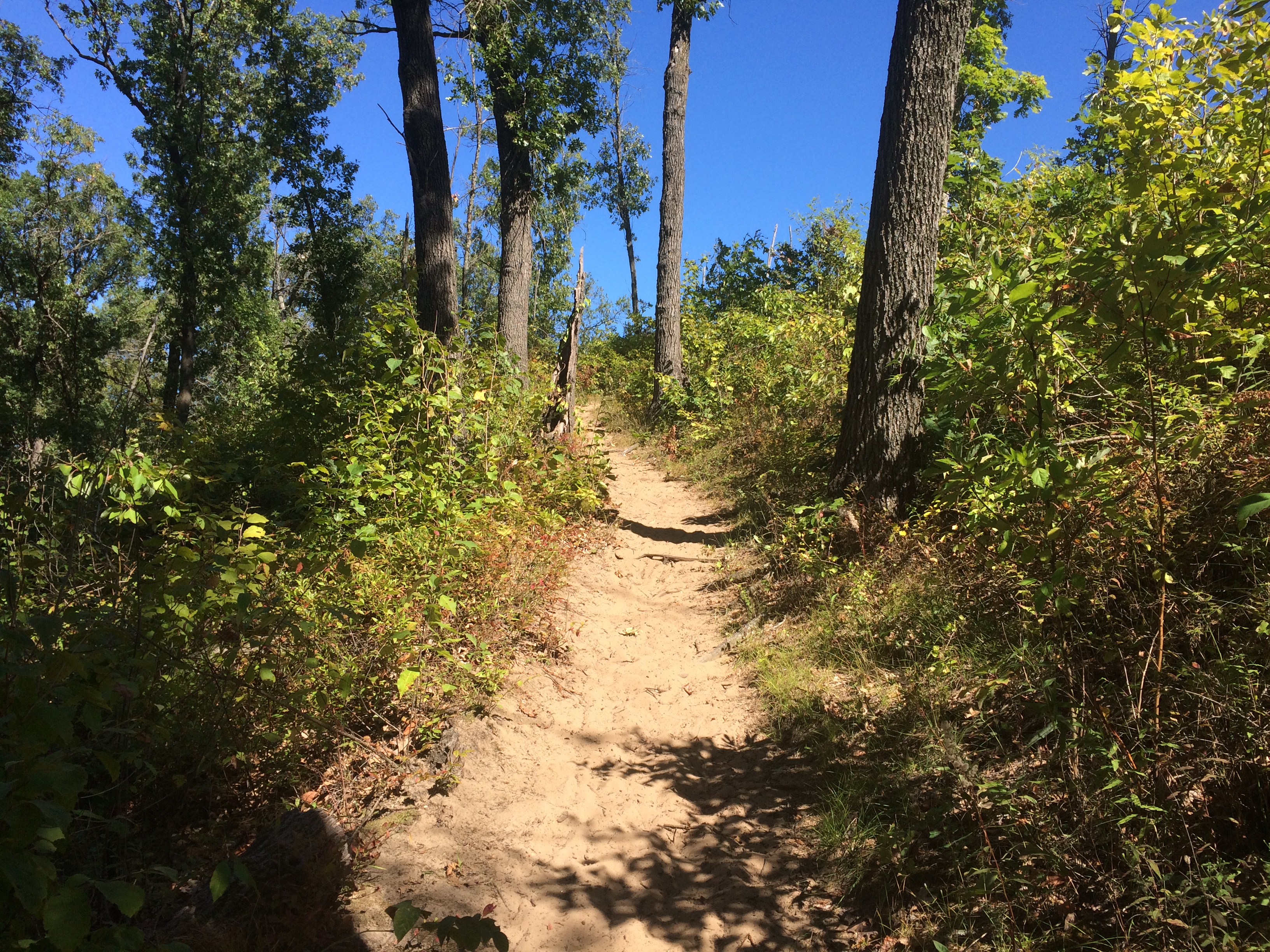
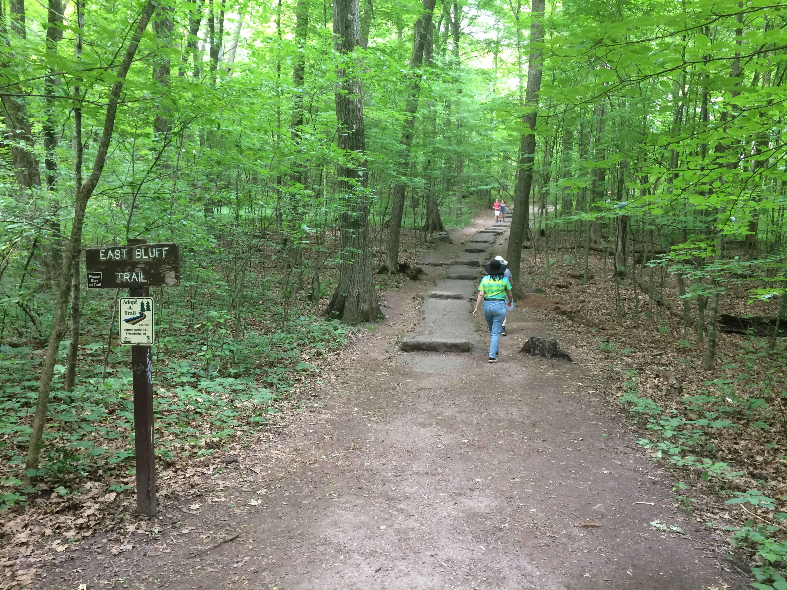
First, of course, you have to follow a trail that takes you up to those views. We picked the one on the east side of the lake, the fittingly named East Bluff Trail.
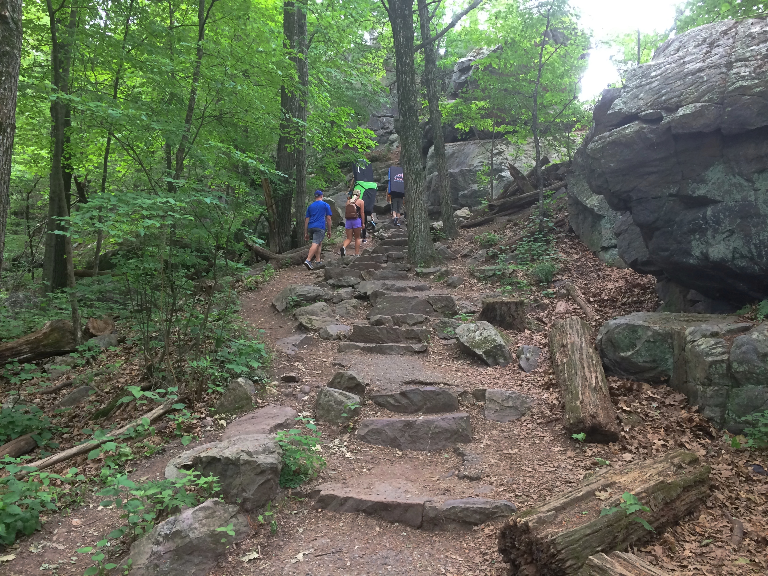
Devil's Lake State ParkUp it goes.
Devil's Lake State ParkI wondered what the people ahead of us were carrying on their backs — note the black and green rectangular packs. They turned out to be crash pads. For the sport, or activity, of bouldering. That is, climbing boulders. I knew people climb rock faces, but that was a variation I’d never heard of. Guess the people ahead of us were out for a day of bouldering. Takes all kinds.

I’ll bet Devil’s Lake SP is a good place for that. There are many, many boulders.Devil's Lake State ParkDevil's Lake State Park

Devil's Lake State Park

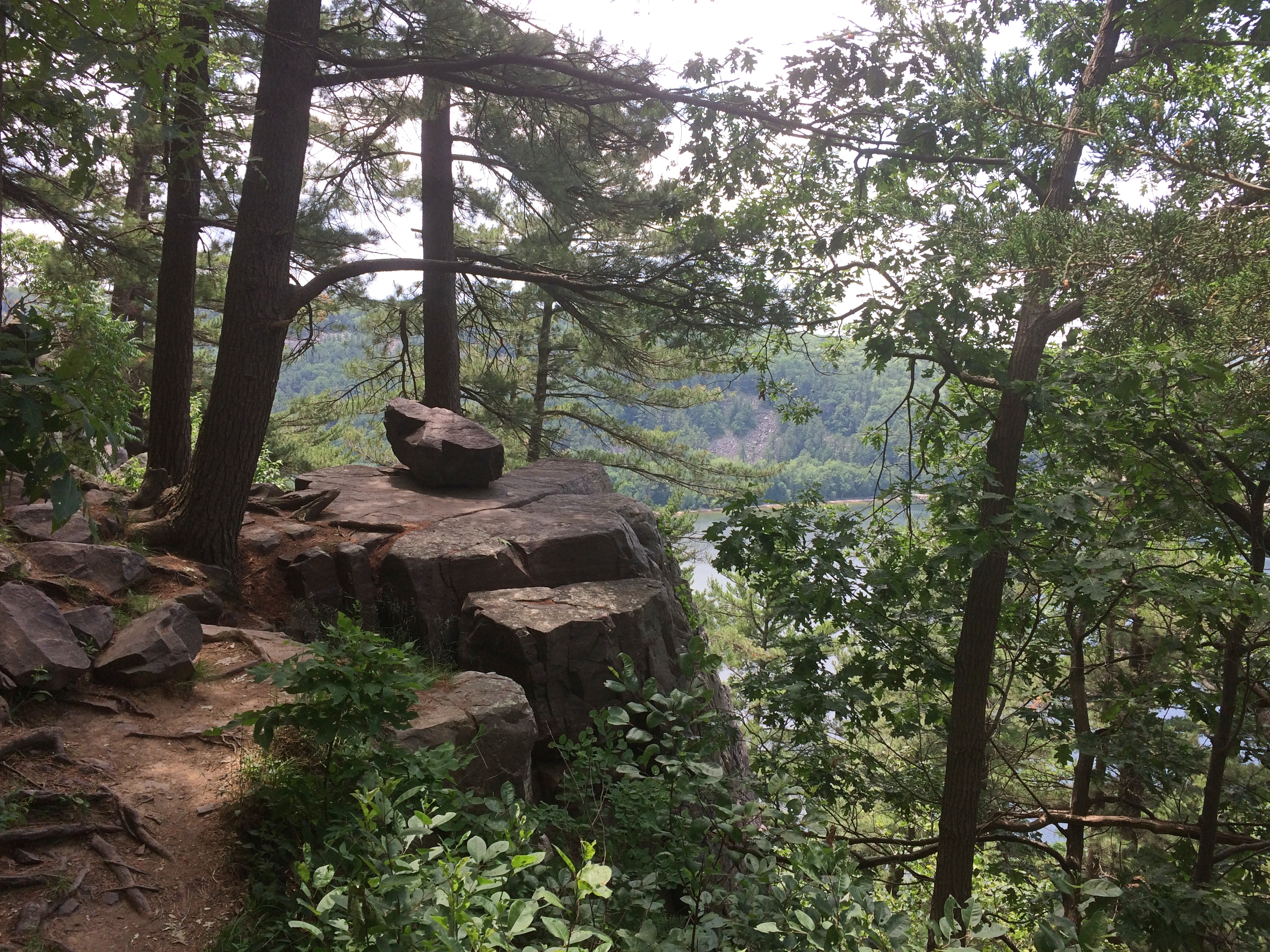
Like some other recent uphill hikes, it took me longer than the rest of the family. Rests were necessary. But I made it to various vistas.Devil's Lake State Park

Devil's Lake State Park

Devil's Lake State Park
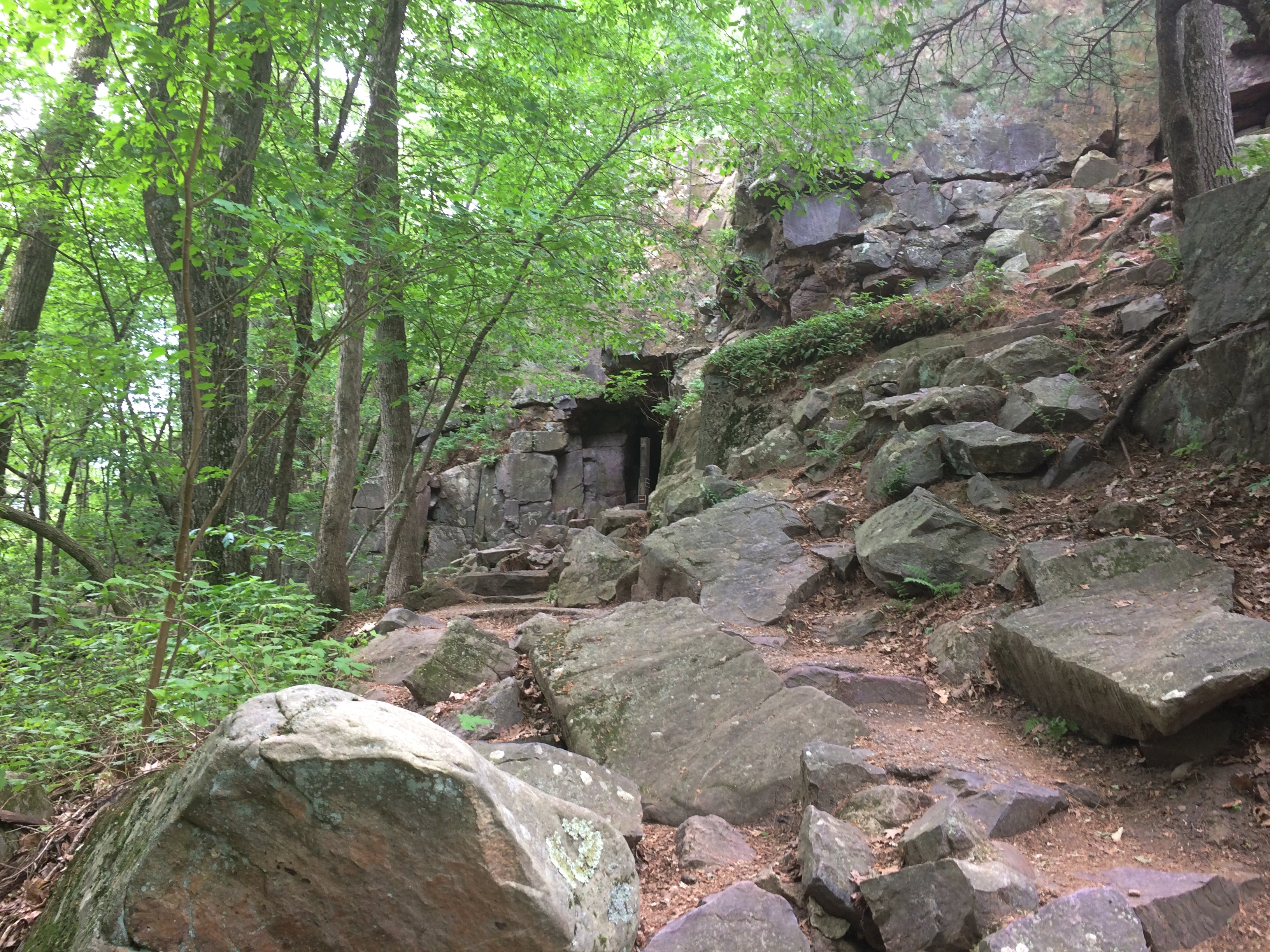
There are a couple of named rock formations near the East Bluff Trail. One is the impressive Devil’s Doorway.
Devil's Lake State Park - Devil's Door
Looks solid, but surely the formation doesn’t have long to exist in geologic terms. Fleeting as a firefly on that scale. So is the whole bluff, come to think of it.

To provide a sense of scale.Devil's Lake State Park - Devil's Door

Near Devil’s Door, the East Bluff Trail meets the East Bluff Woods Trail, which has a much gentler slope. We returned via that trail.
Devil's Lake State Park
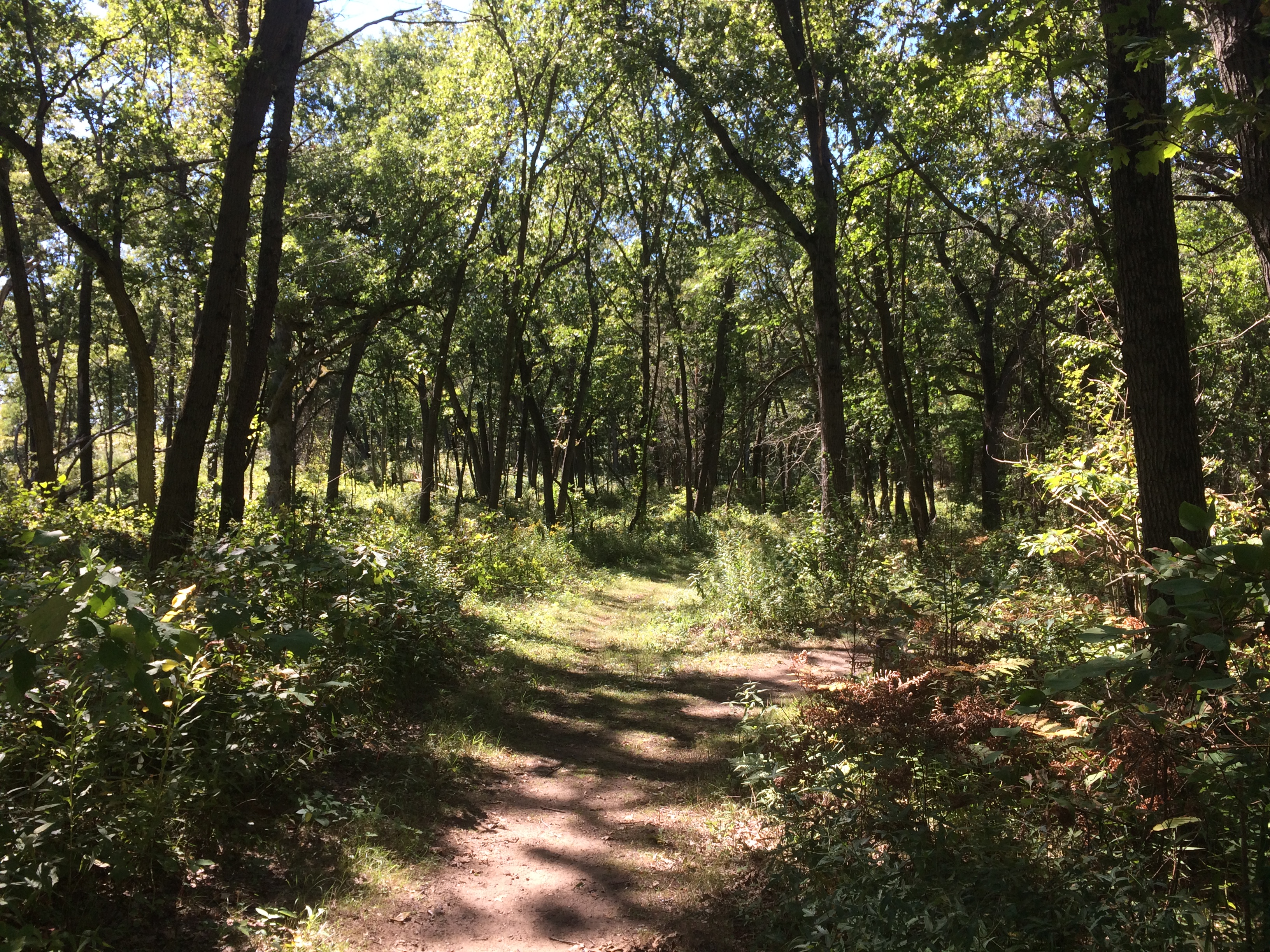
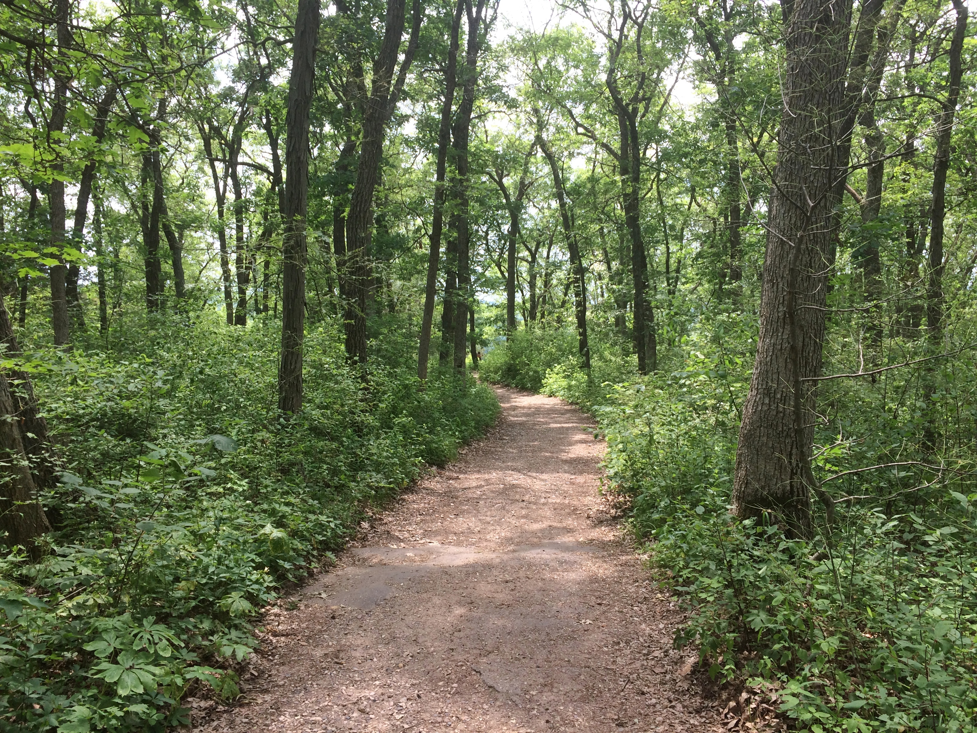
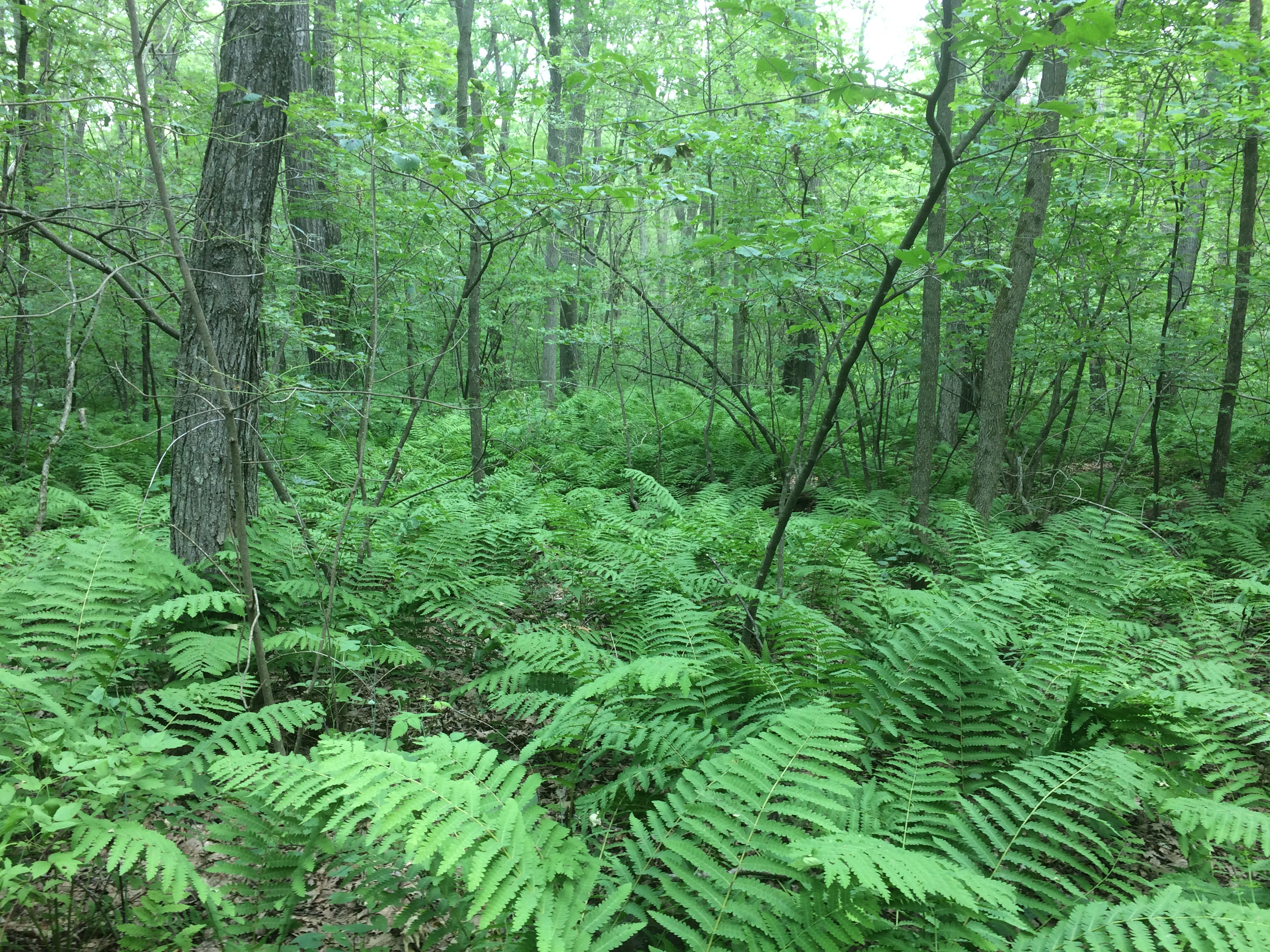
In June, the trail passes through a lush forest in the first flush of a septentrional summer. Past occasional fern fields.
Devil's Lake State Park
Do ferns consider flowering plants a pack of johnny-come-latelies? That’s the kind of deep-time thing I wonder about when wandering through a forest, dog-tired from climbing a Holocene-vintage bluff.

Joshua Tree National Park

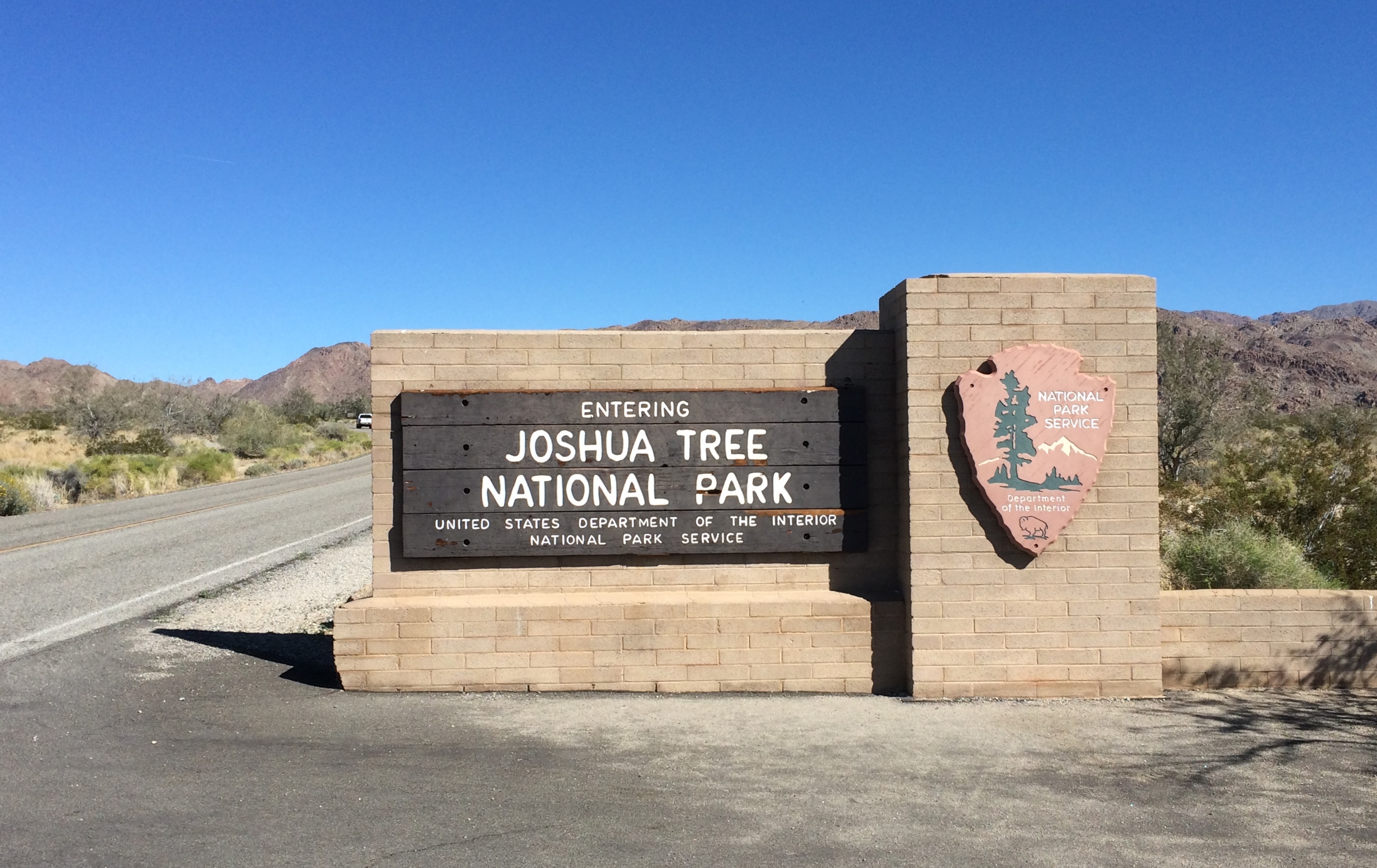
On the morning of February 26, 2020, I arrived at the south entrance of Joshua Tree National Park. Near the end of the day, I would leave via the west entrance.
Joshua Tree National Park signThe park includes sections of two different deserts, the Colorado and the Mojave. The territory around the south entrance is Colorado Desert, and not much populated by Joshua trees. It would be a while before I saw any Joshua trees, which are actually yucca plants (Yucca brevifolia), in the national park named for them.

Though folk etymologies involving Mormons exist when it comes to why Joshua trees are called that, the origin of the term is uncertain. The plant has also been called, in English, the tree yucca and the yucca palm.

One more thing: the Joshua tree depicted by U2’s The Joshua Tree album was near Darwin, California — which is close to (but not in) Death Valley NP, not Joshua Tree National Monument, as it was then. Come to think of it, Death Valley was a national monument in 1987 as well.

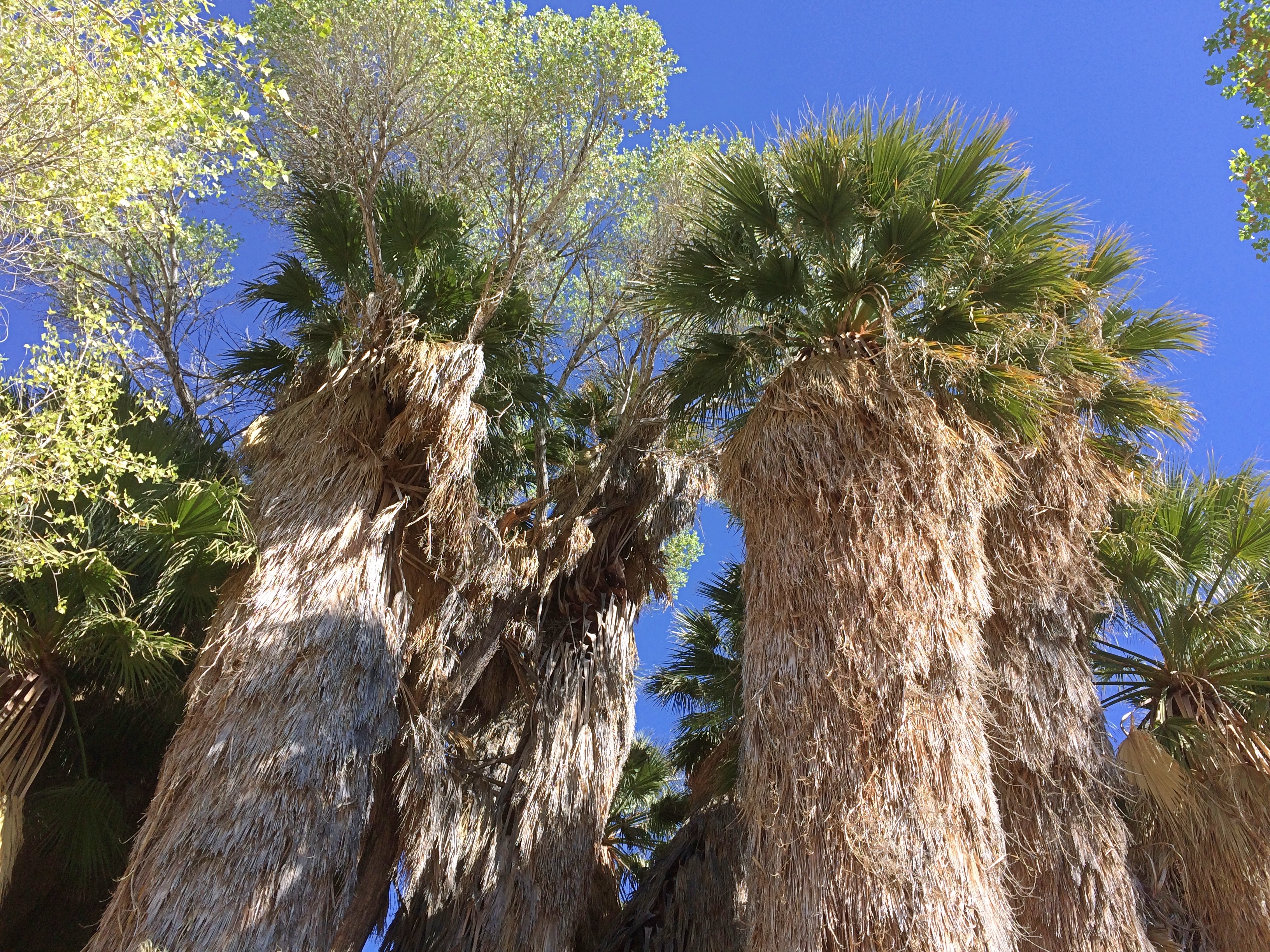
My first walk of the day was along the trail leading out of Cottonwood Spring. Where there’s water, there are large trees.
Joshua Tree National Park Cottonwood SpringsThen it’s off to more arid hills.
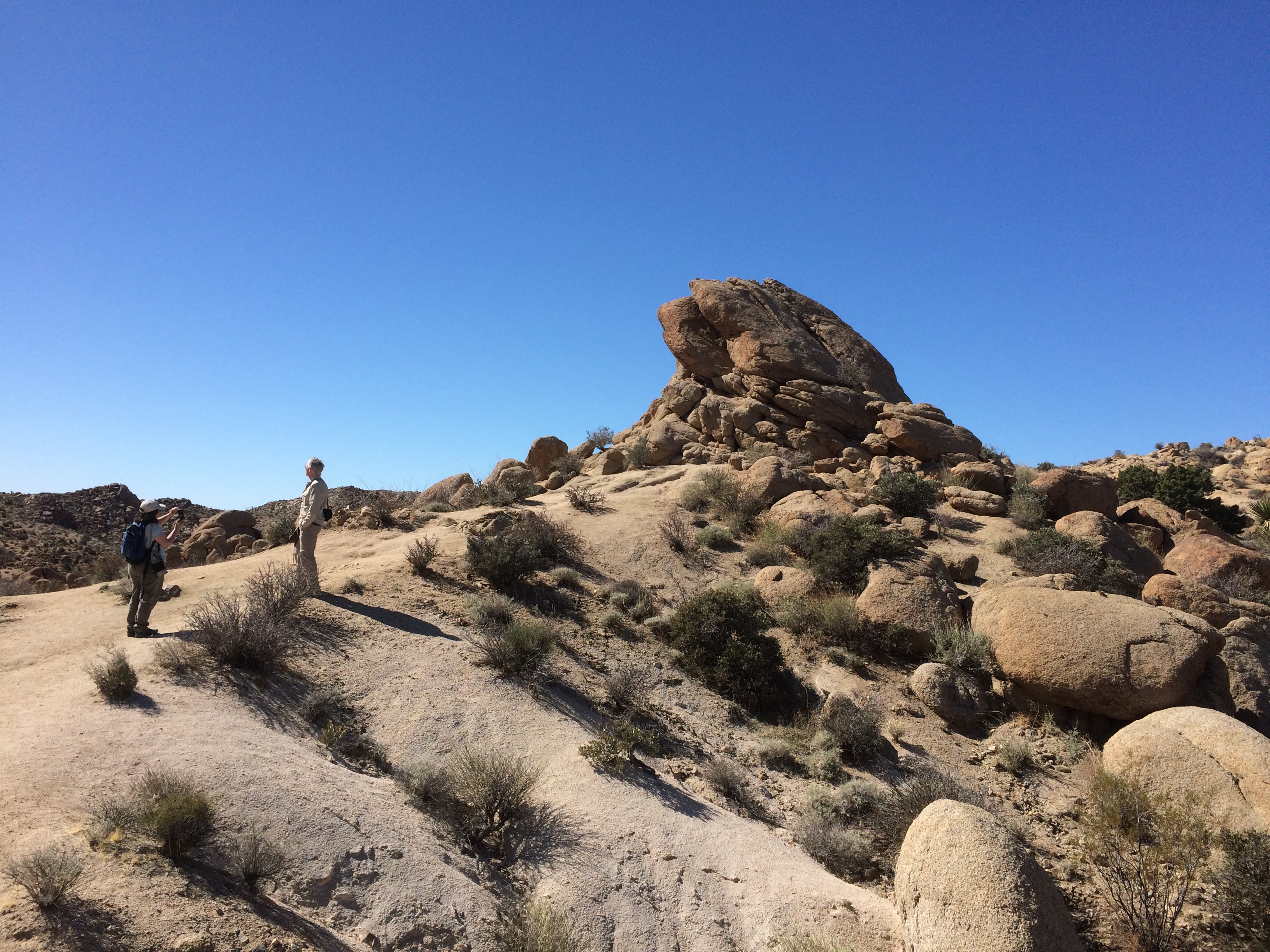
Joshua Tree National Park Cottonwood Springs trailWith rock formations. This one’s actually pretty small compared to some others I would see later in the day.
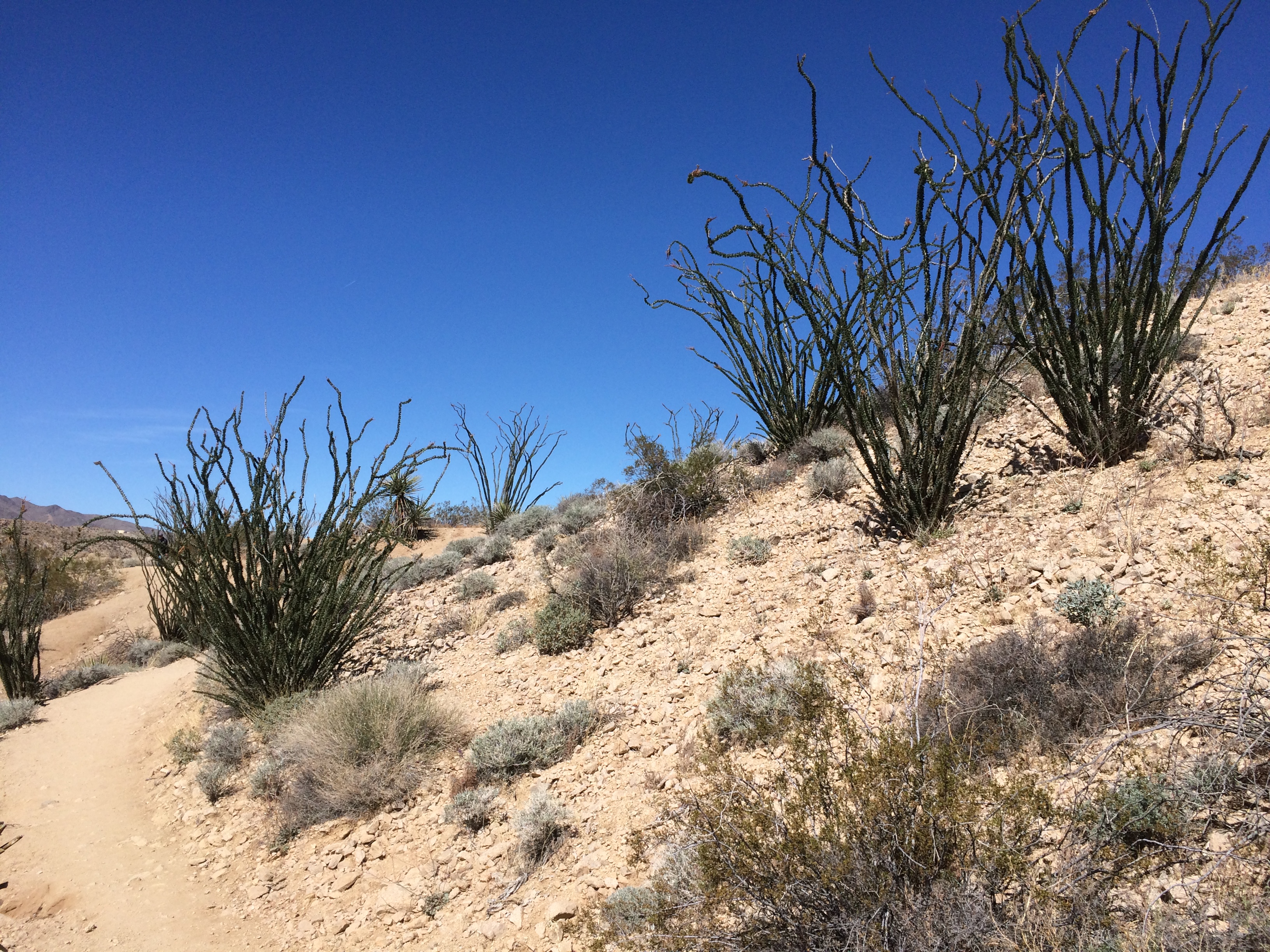
Joshua Tree National Park Cottonwood Springs trailSmall plants compared to others I’d see later. But I liked them.
Joshua Tree National Park Cottonwood Springs trailNorth from Cottonwood Springs, the road takes you through washes: Smoke Tree Wash, Porcupine Wash and the amusingly named Fried Liver Wash. Then on to the Cholla Cactus Garden.
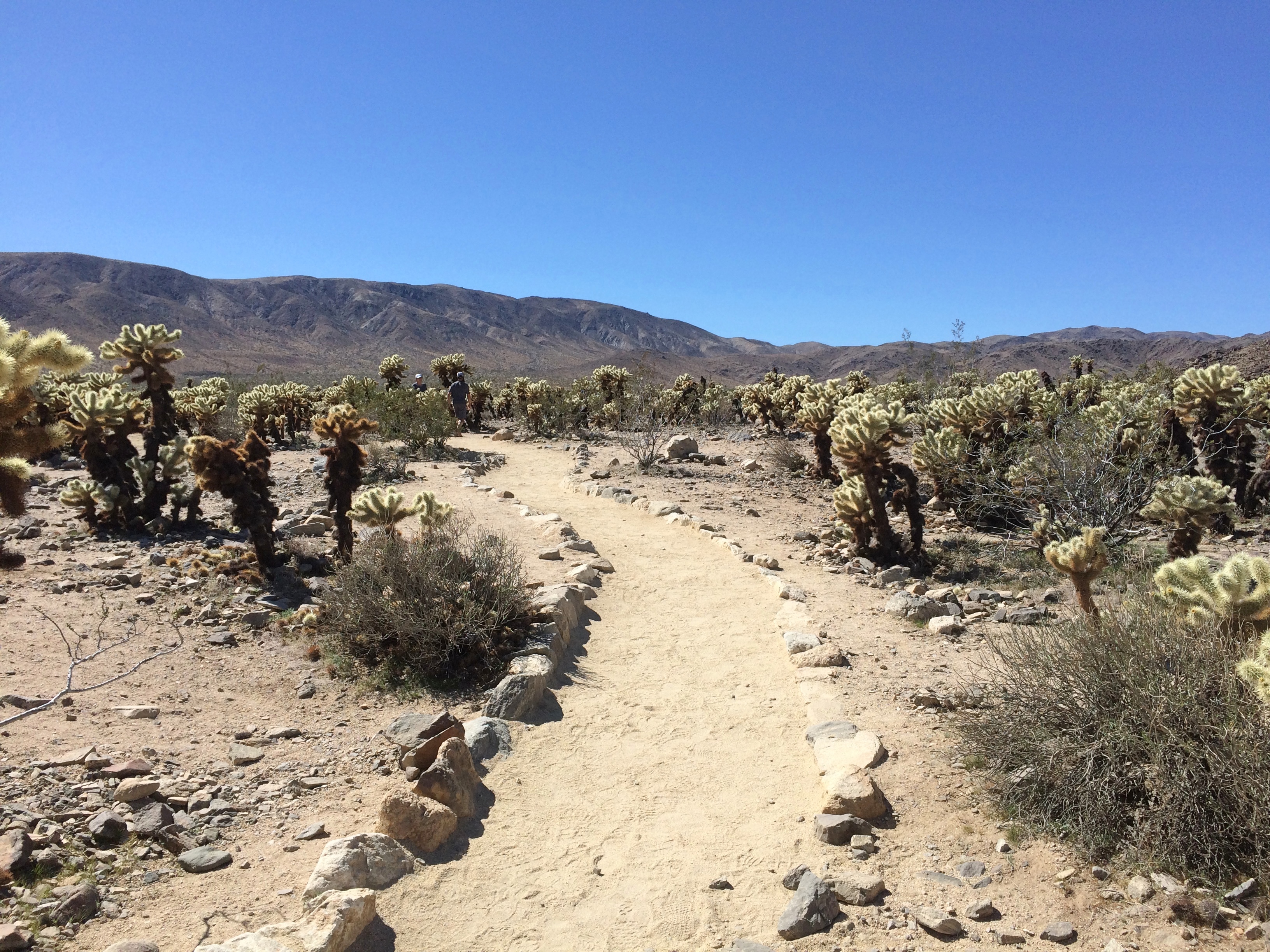
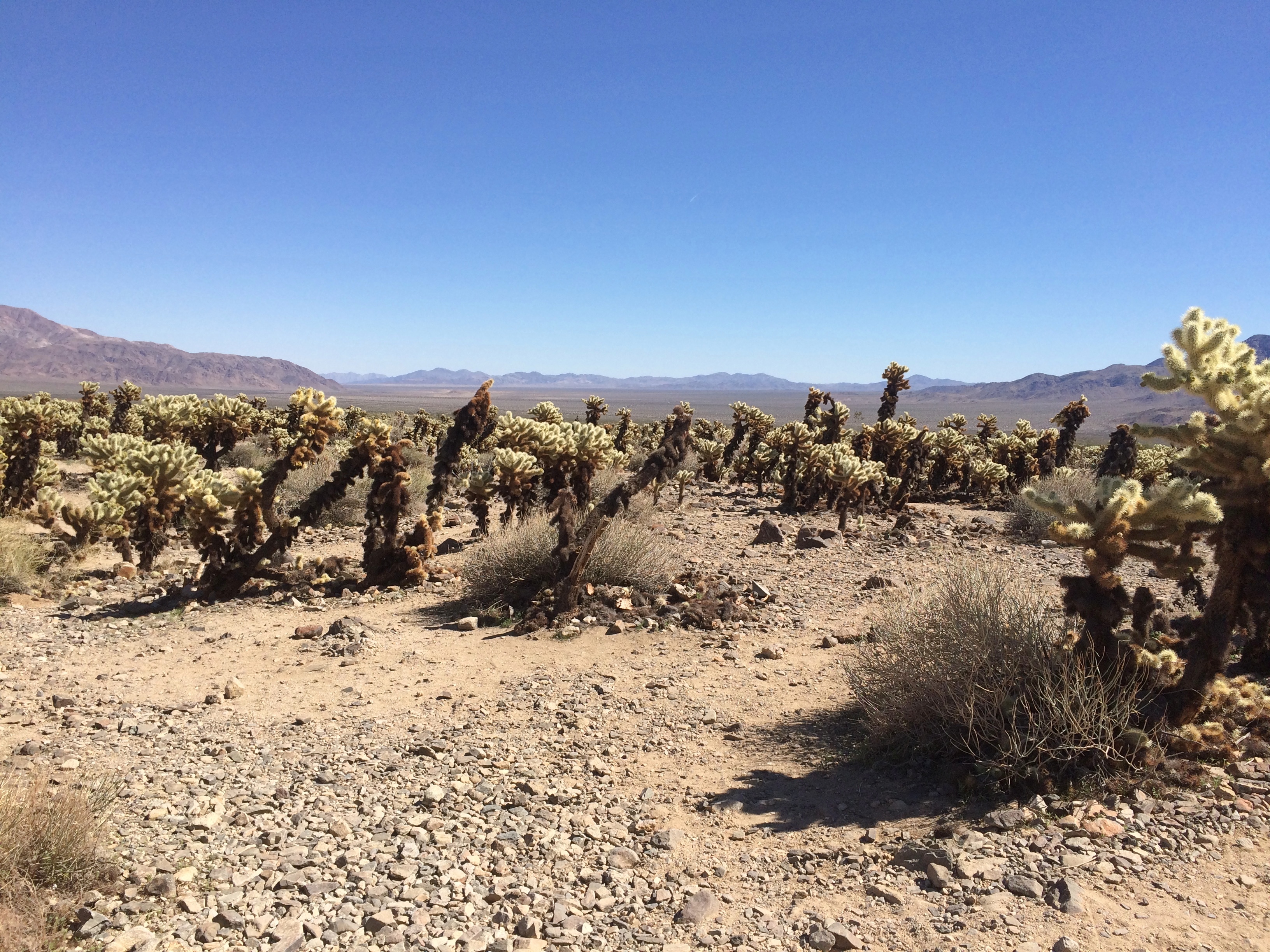
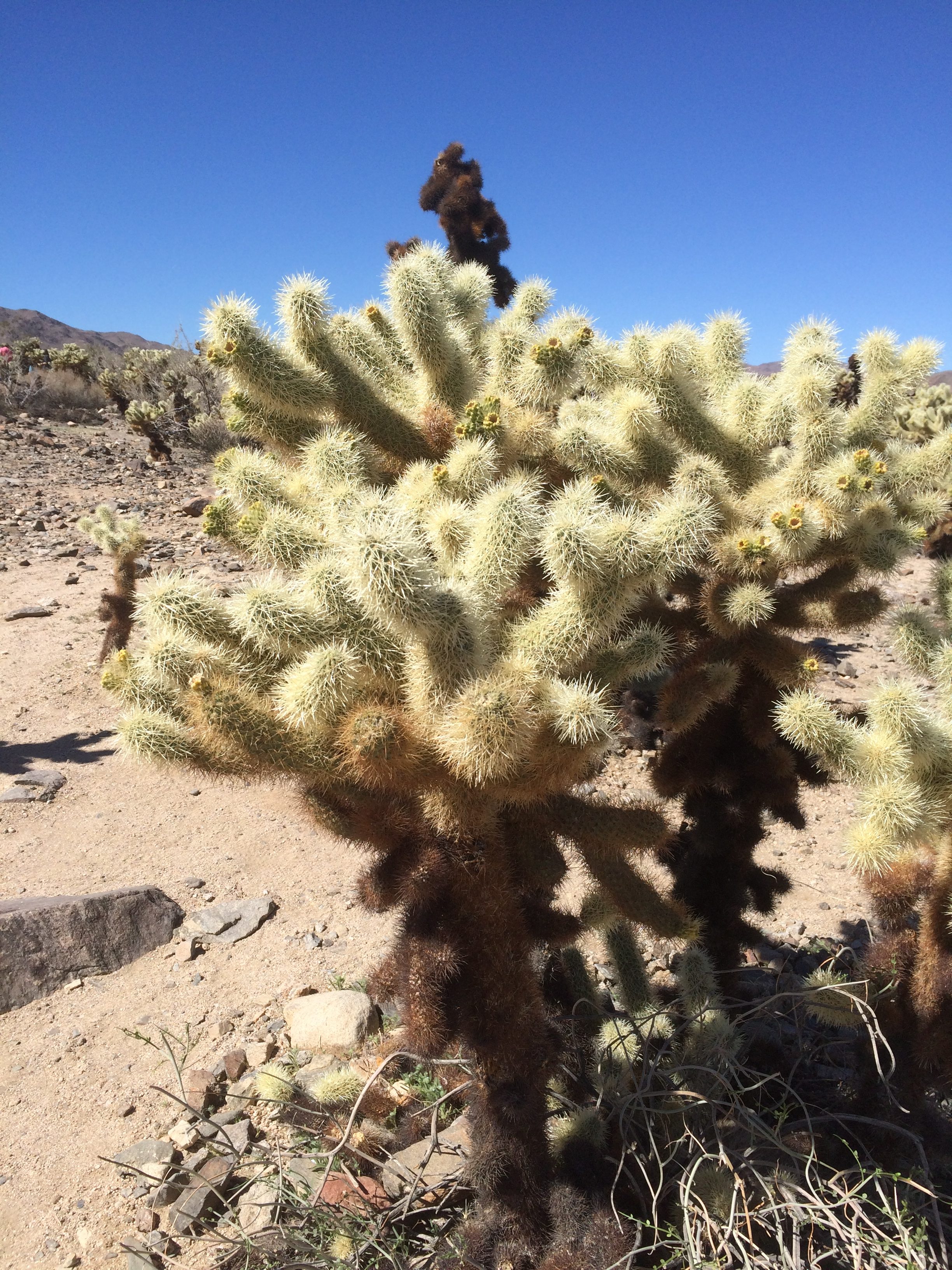
Cholla Cactus Garden, Joshua Tree National ParkCholla Cactus Garden, Joshua Tree National ParkLooks soft and fuzzy in a picture, but in person the cholla’s got wicked spines. Wiki says that the plant (Cylindropuntia bigelovii) has the “sardonic nickname of ‘teddy bear.’ ”

Joshua Tree NP Really Wicked Cactus

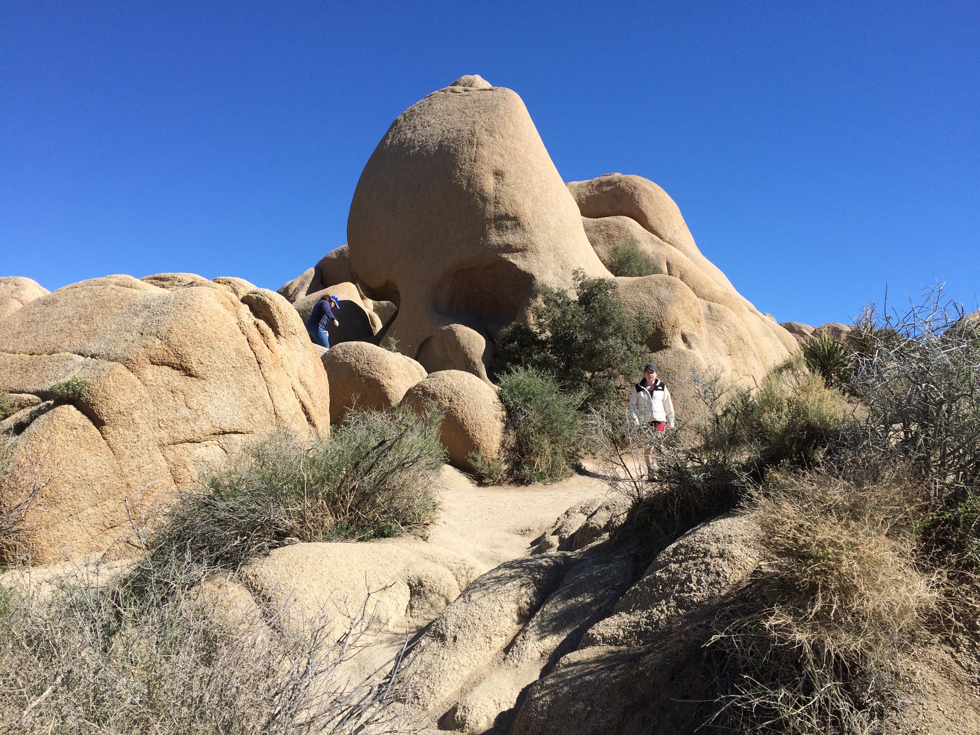
Next stop, Jumbo Rocks. Including the one called Skull Rock. Looking at it this way, I thought Nostril Rock would be a better name.
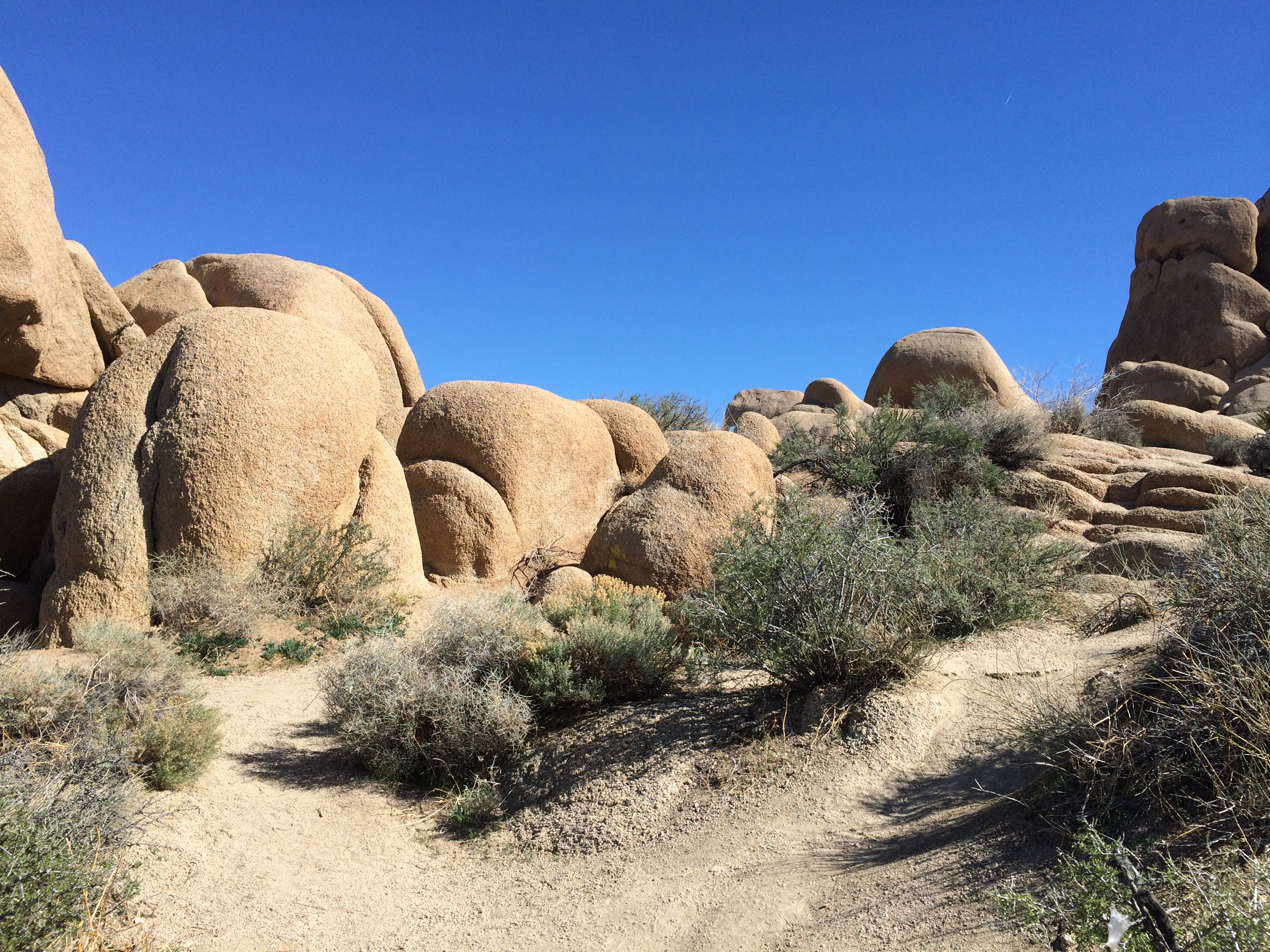
Joshua Tree National Park Skull RockPlenty of big rocks all around. The result of magma, monzogranite, rising to the surface eons ago. That or an act of creation in 4004 BC.
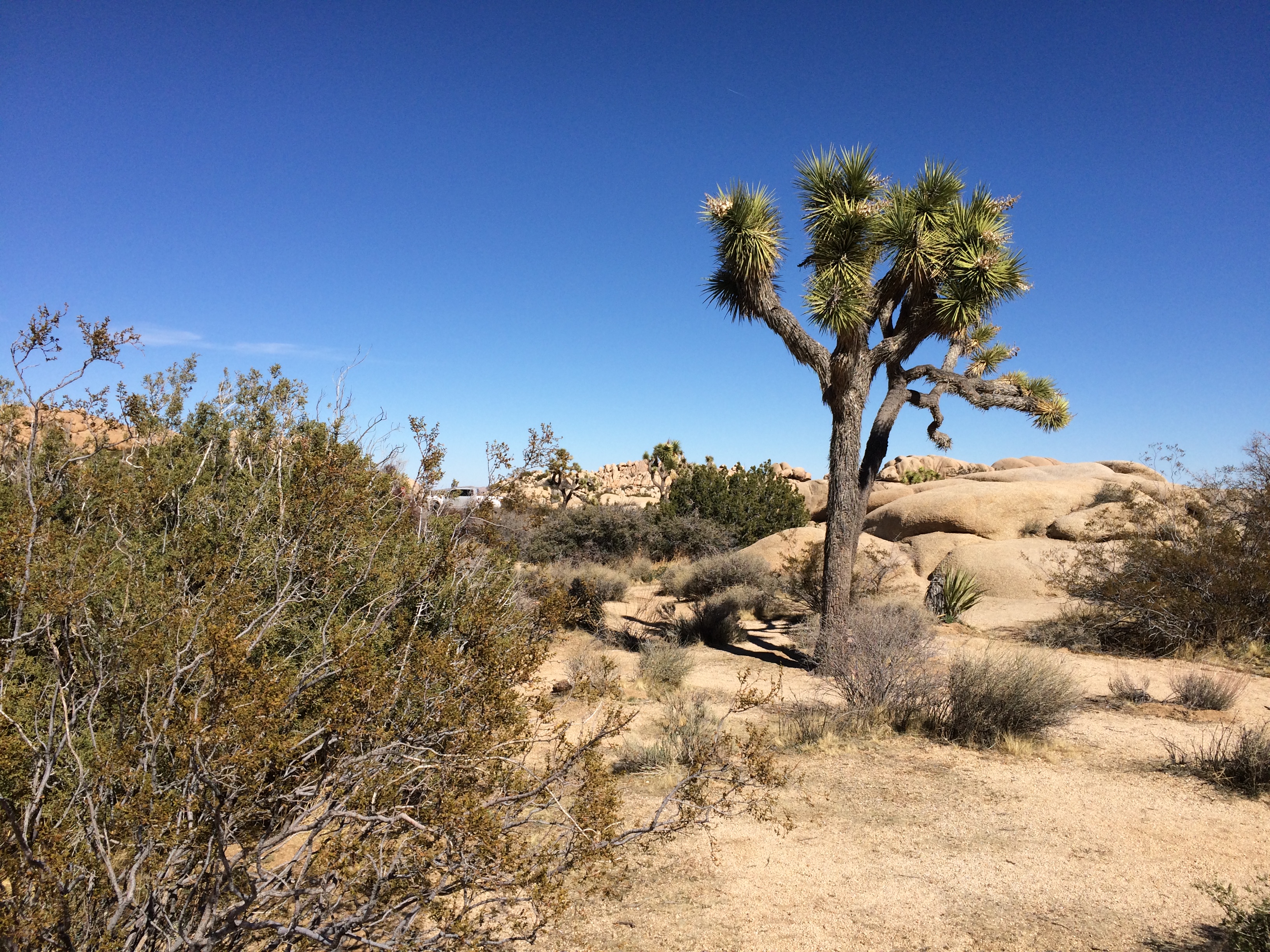
Joshua Tree National Jumbo RocksJoshua Tree National Jumbo Rocks Not far away I started spotting Joshua trees.
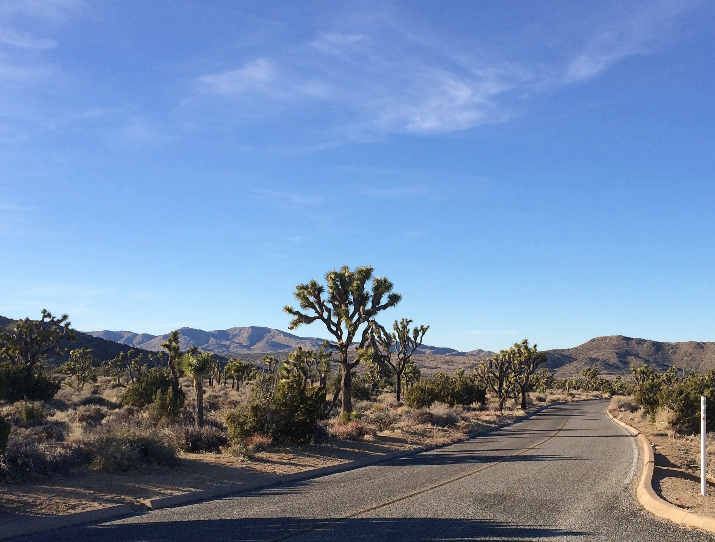
Joshua Tree National ParkDriving on the paved roads of JTNP was pleasant enough. There was some traffic, since winter is high season, and millions visit the park every year — about 2.9 million in 2018, making it the 11th most-popular U.S. national park. Not enough traffic to be a nuisance, though.

Unpaved roads were even better. At least the two I took: Desert Queen Mine Road and Queen Valley Road. Guess most of the other visitors were skittish about driving them, but they were mostly smooth with only a few large rocks to watch out for.
Joshua Tree National Park dirt roadAdmittedly they aren’t very long roads, but even so I only saw one other vehicle the whole way, which was pulled off the road a bit.

The Desert Queen Mine Road leads to a small parking area and a trail head for the Desert Queen Mine Trail. No one else was there. I took a walk. The kind of place where middle-aged men walking alone clutch their chests, keel over and aren’t found for weeks? Maybe. But you have to go down the trail if you’re going to see anything.

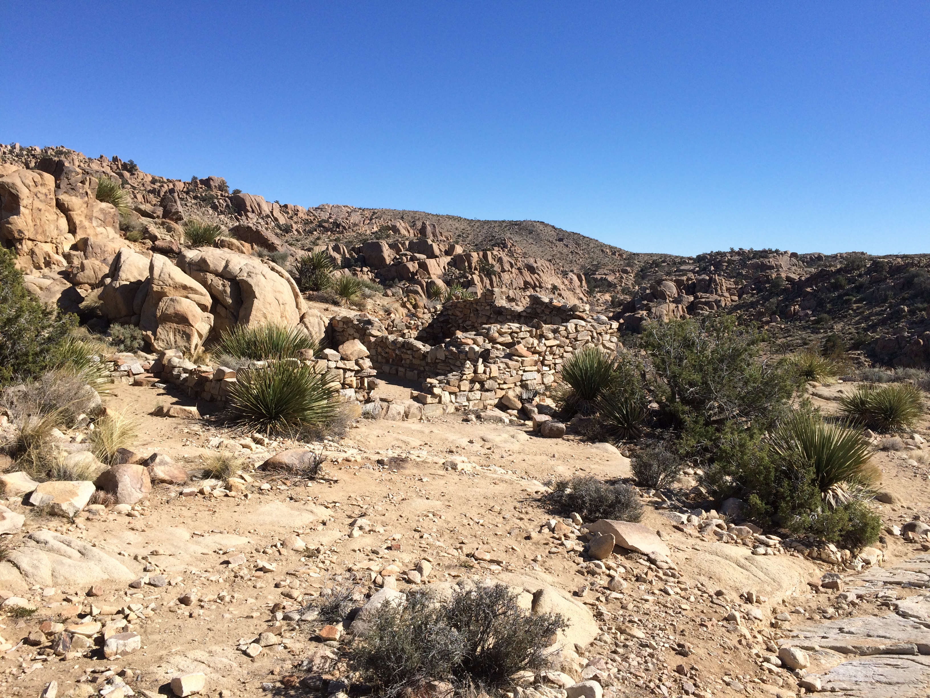
After about 10 minutes — it isn’t a very long trail — I came to a structure.
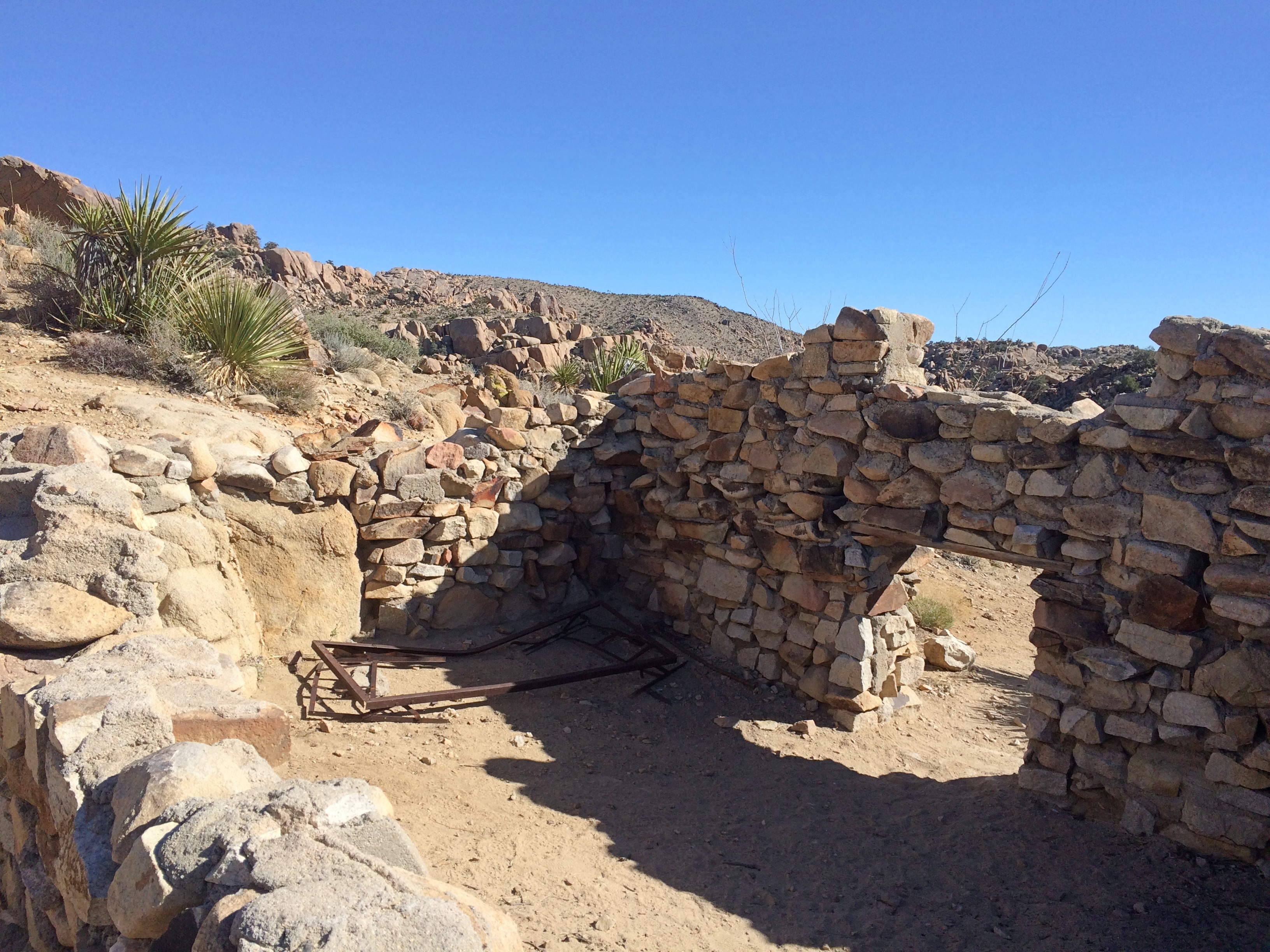
Someone had lived in this waste. Why? Gold. I sat among the stones for a while. The only sound was the wind, and not much of that. Then I could hear the faint, distinct whoosh of a jet. That faded, but there was another a few minutes later.

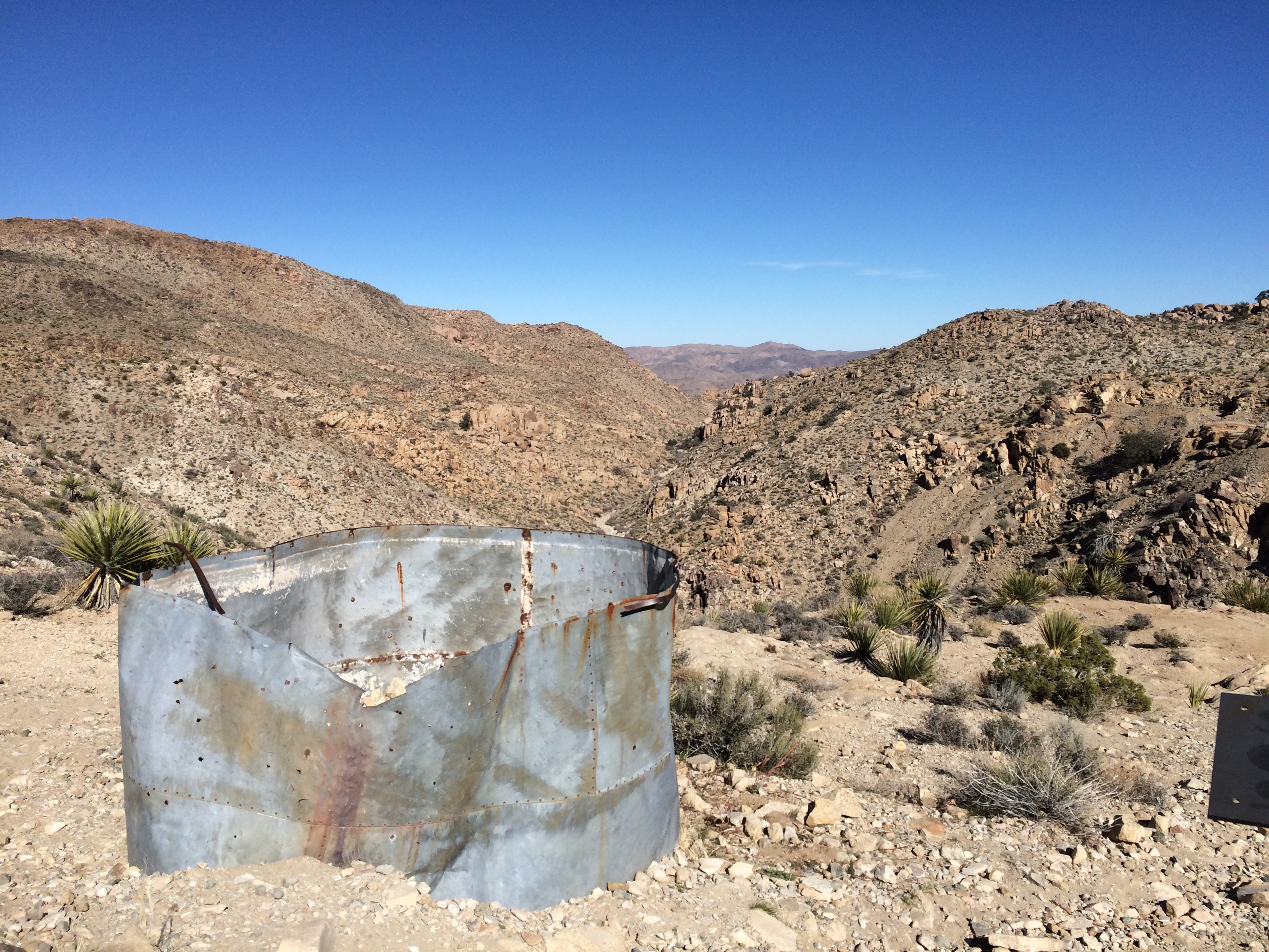
A little further on is a cliff with leftover mining equipment.
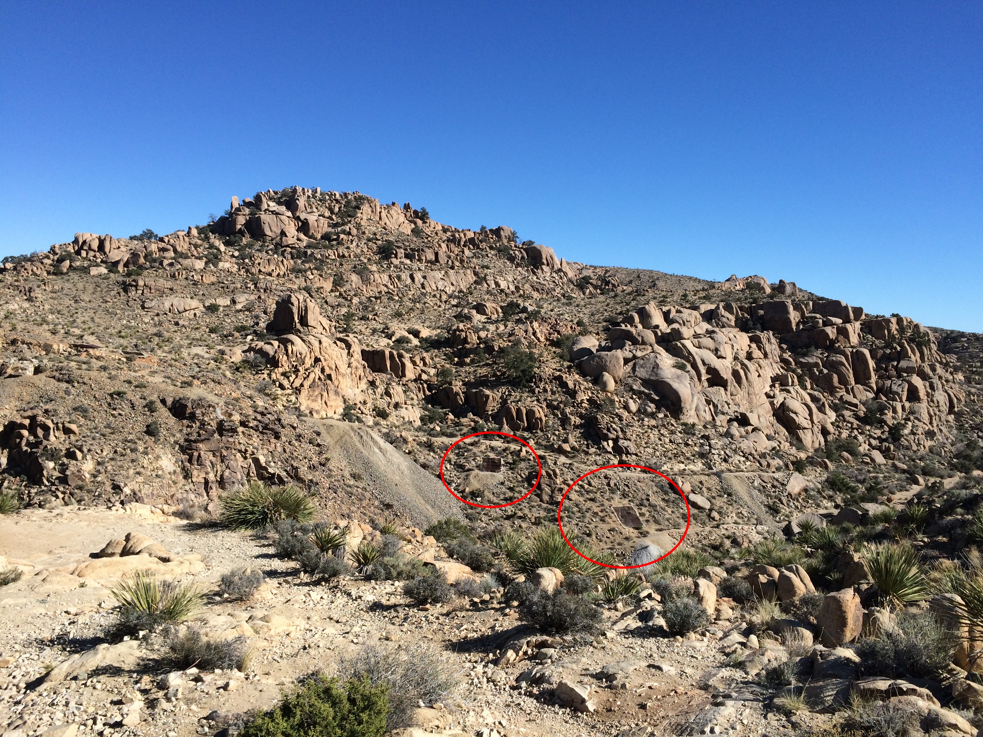
Joshua Tree National Park gold mineIf you look carefully, you can see metal doors down in the valley. Must be closed mine shafts.

Joshua Tree National Park gold mine

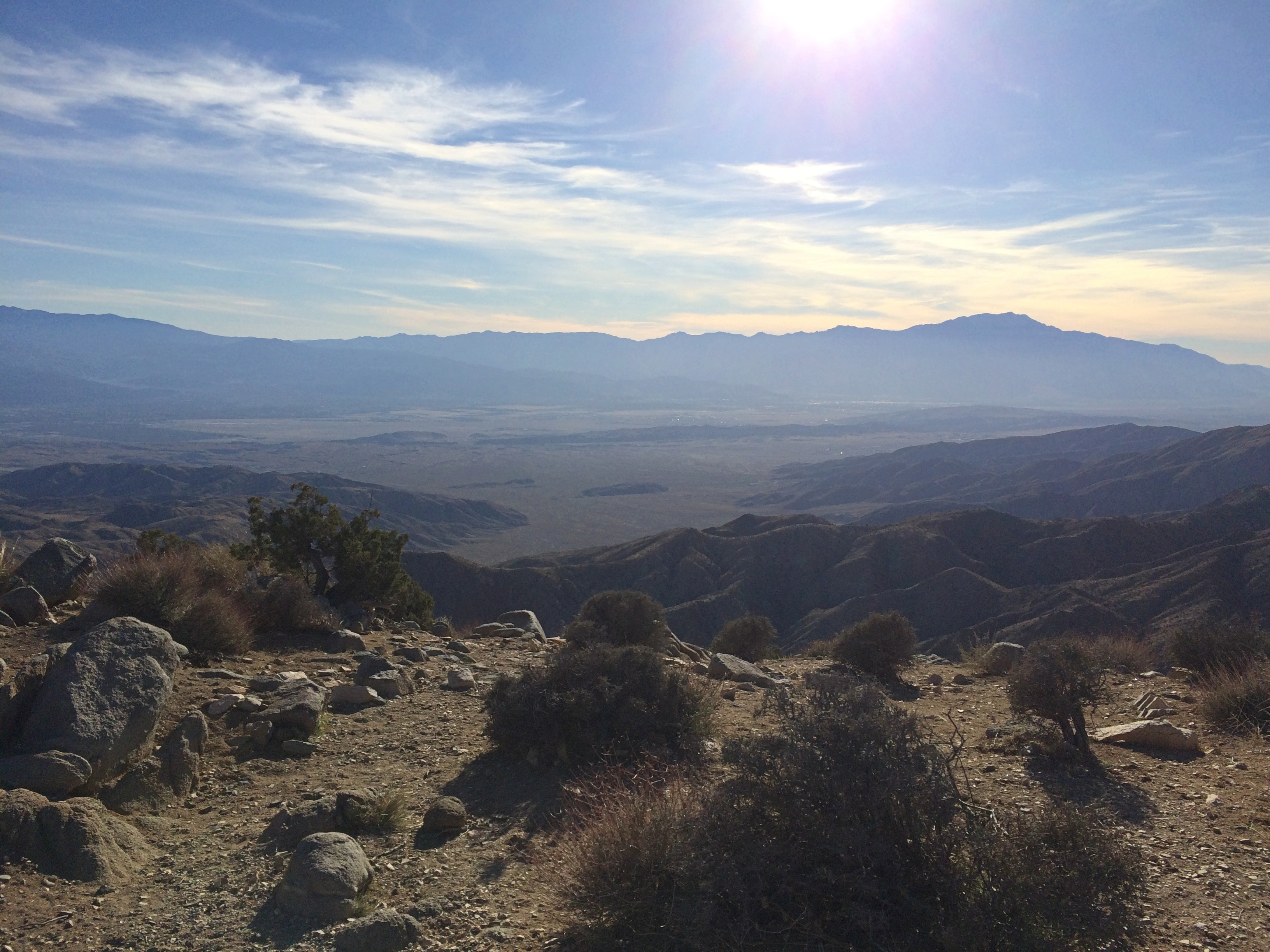
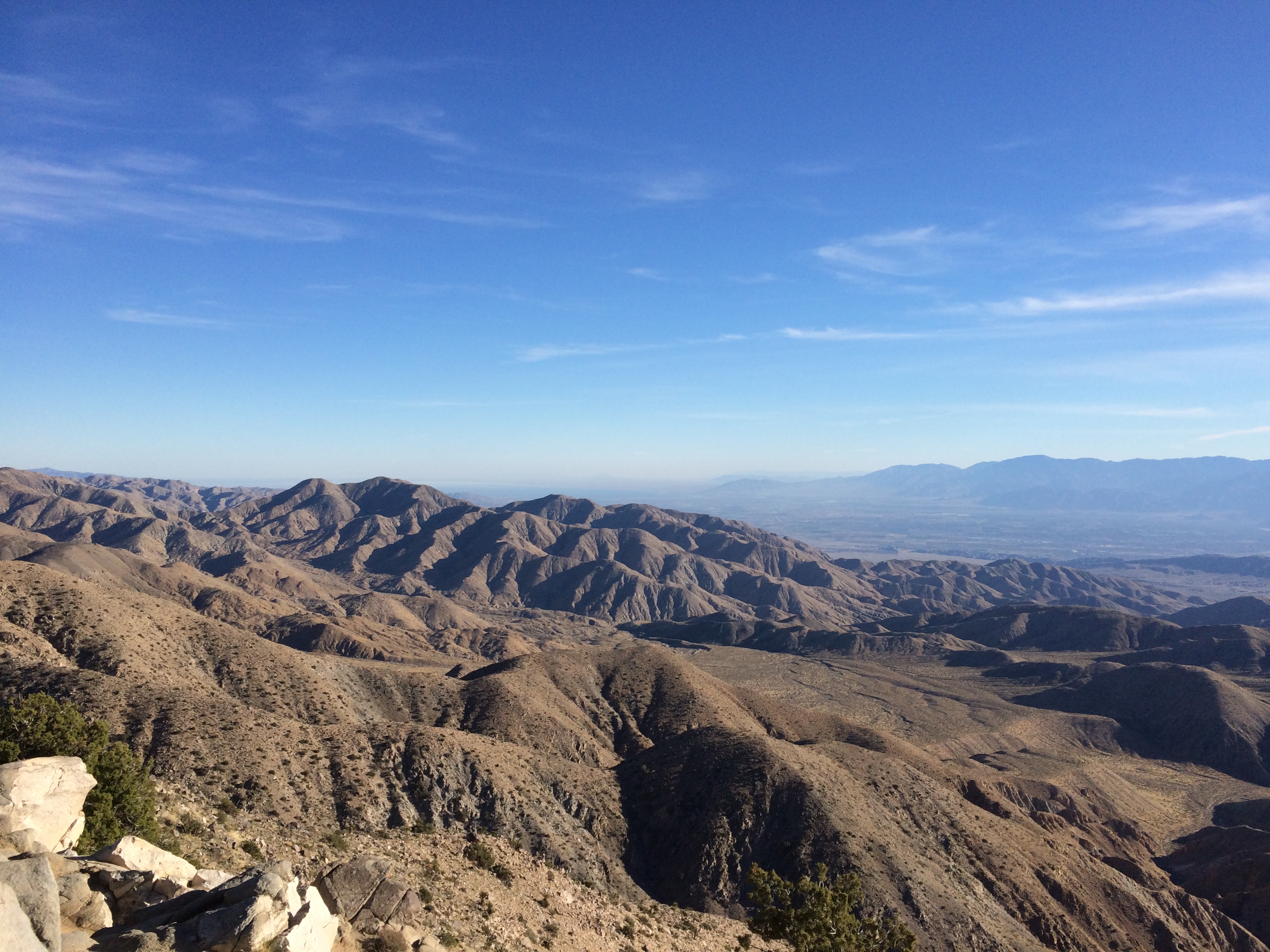
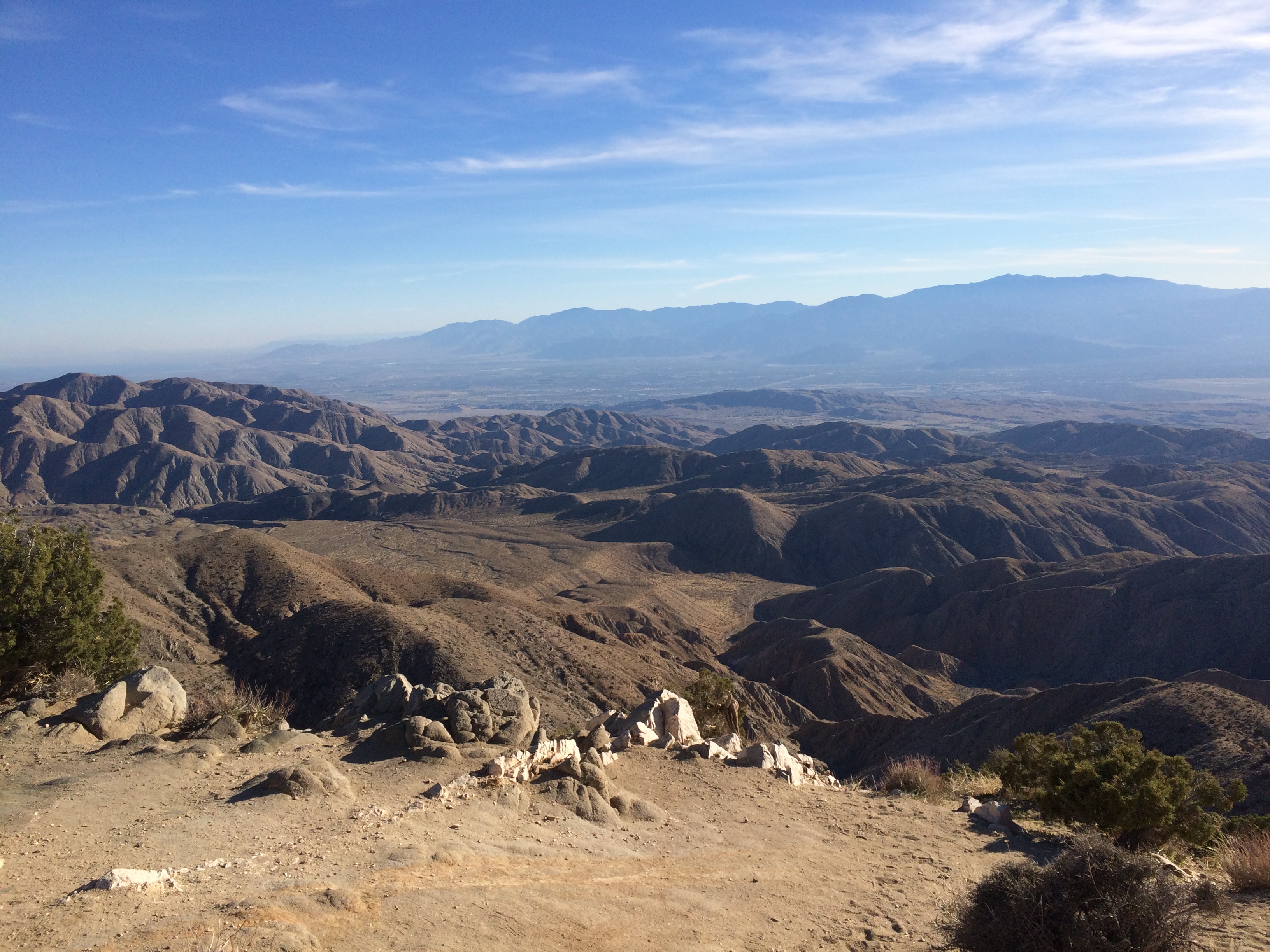
My second-to-last stop in the park: Keys View, up in the Little San Bernadino Mountains. Took a little driving to get here, but the view was worth it. Most of the Coachella Valley is stretched out before you.

Joshua Tree National Park Keys View

At nearly 5,200 feet above sea level, it was also distinctly chilly up there. And windy. Yet I spent a while gazing.

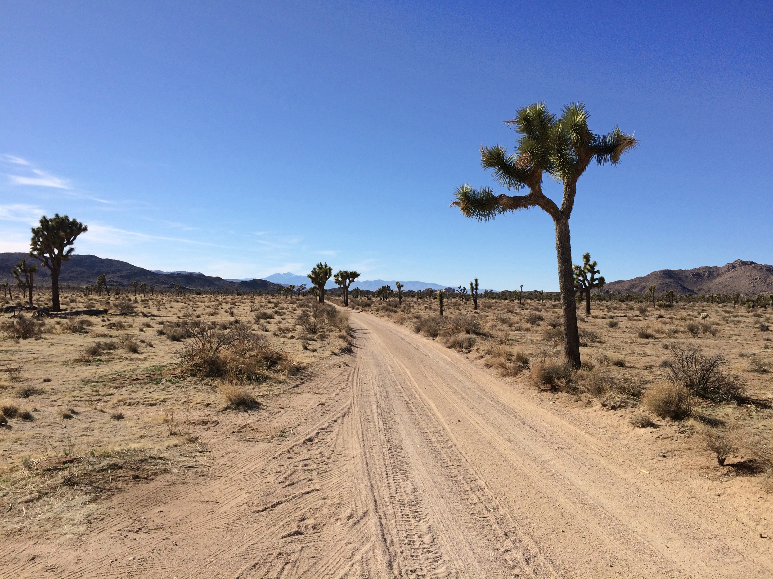
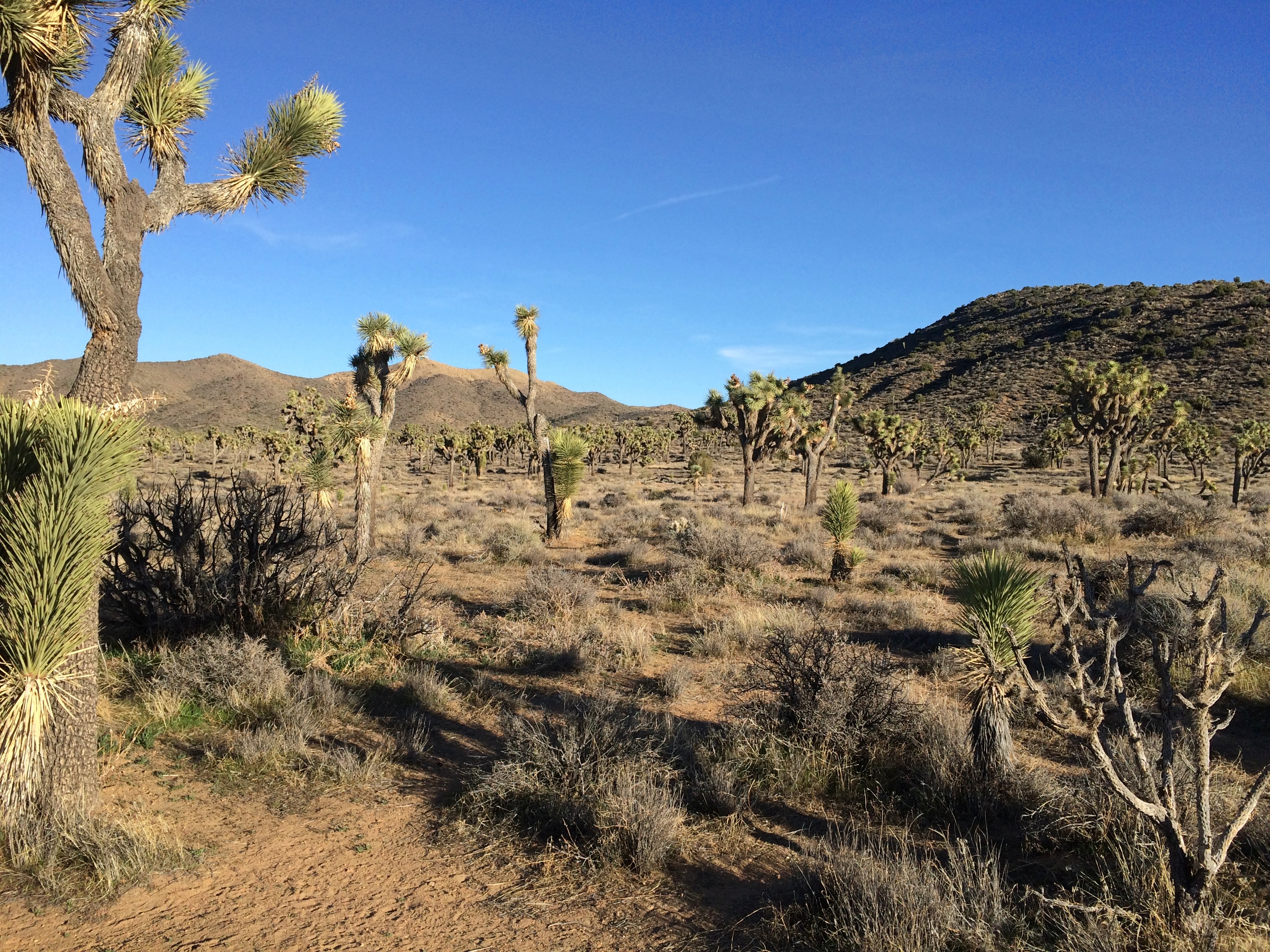
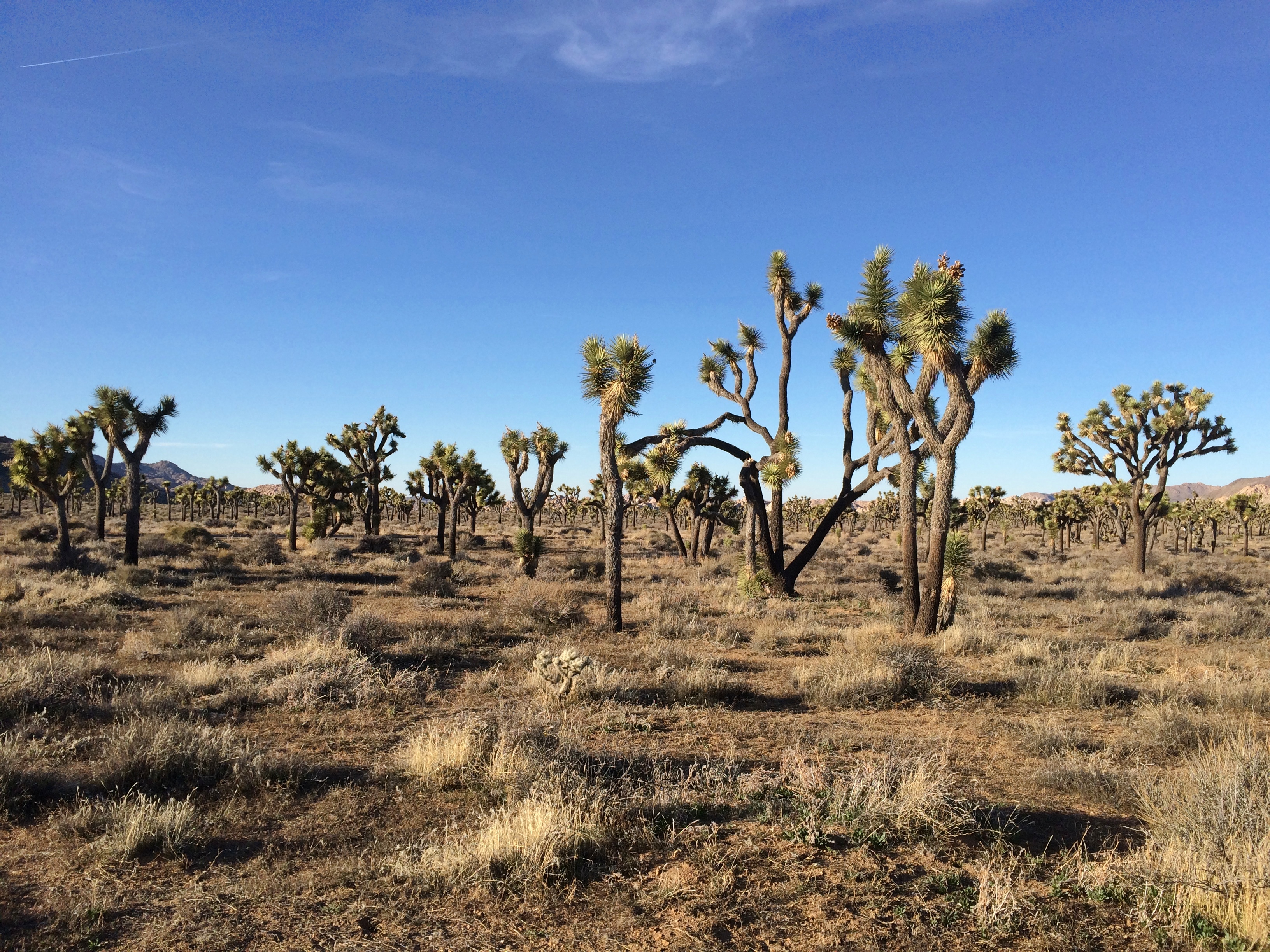
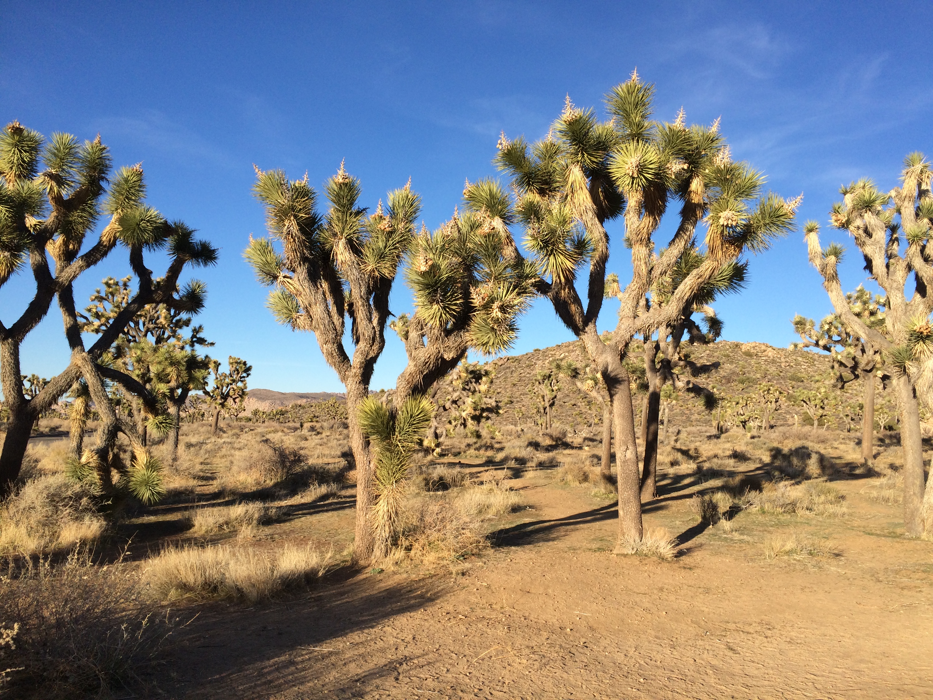
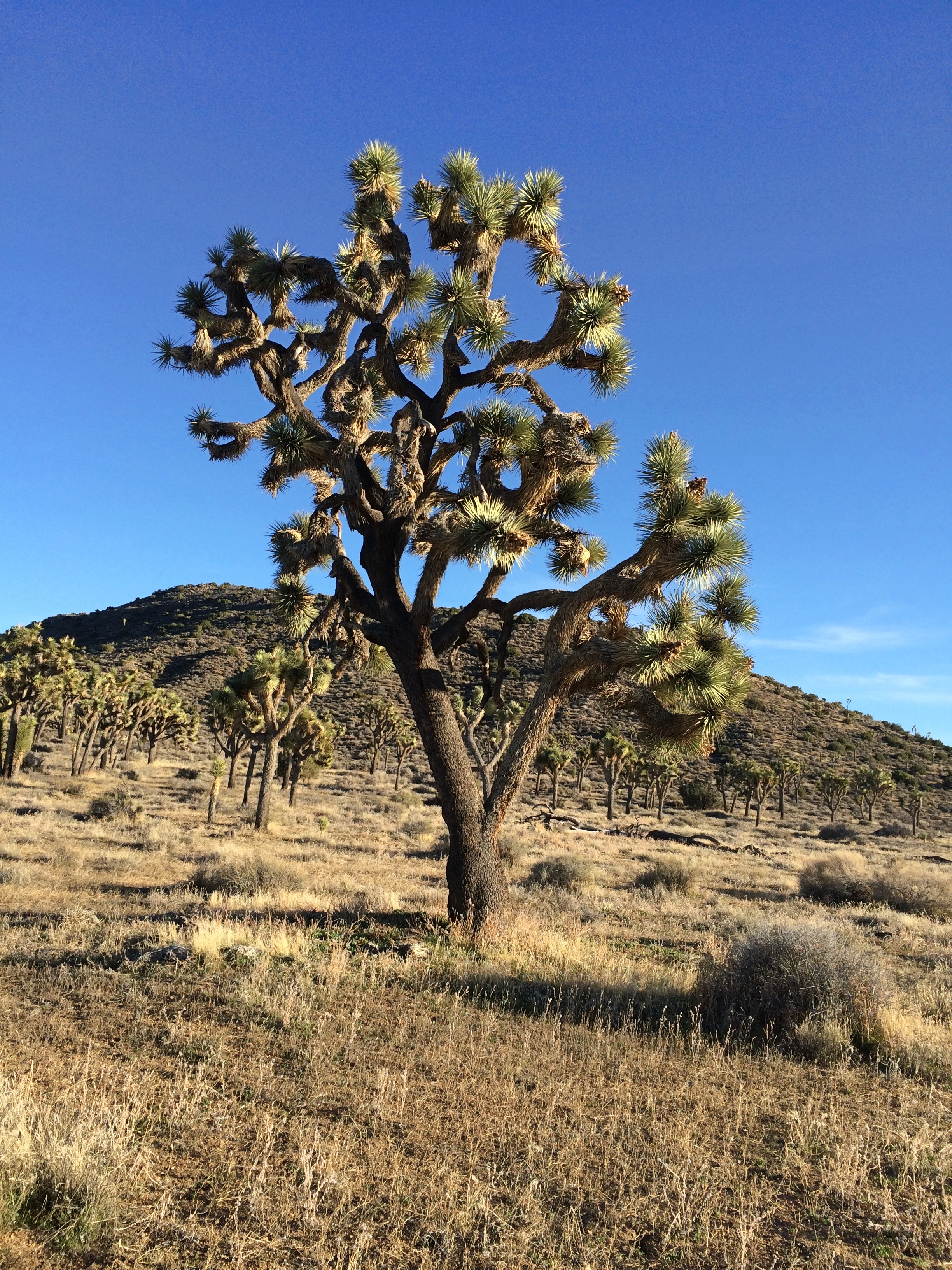
On the road back down from Keys View, I decided to take a closer look at the Joshua tree forest I was driving through.
Joshua Tree National ParkTo do that, you get out of the car and walk into the forest.Joshua Tree National Park

Remarkable plants, these yuccas. If Dr. Seuss had been asked to design a plant, it would look like a Joshua tree.

SoCal Driving

Remarkable how quickly last week’s political mail becomes obsolete.

Then again, if he follows through with his promises, we’ll continue to get mail from his organization until election day. The message will just be a little different. Namely, Kick the SOB Out, or words to that effect.

Before I visited Southern California last month, I was slightly apprehensive about driving there, which was in no way rational. I’ve driven in most major U.S. metro areas, including Los Angeles, without major incident. I’ve been jammed up in traffic and had near accidents and gotten lost, but those things can happen anywhere.

Driving around SoCal wasn’t bad at all. As mentioned before, I opted out of GPS. Don’t need a box telling me where to go, especially when its advice tends to be: find the nearest freeway. I used maps — electronic maps, in this case. That’s about the best thing my phone does for me, as I discovered walking around in New York a couple of years ago.

(One strange thing that first happened during that trip was people asking me for directions, with a phone in their hands. They pointed to the Google Maps display and asked, how can I get to x from here? Dunno, man, read the map, maybe.)

You can’t — at least certainly shouldn’t — call up Google Maps while driving, and I didn’t do that, but usually it was easy enough to find a place to stop to consult a map. Also, here’s a tip for getting a light to change: start fiddling with your phone to look up a map, and it is sure to change.

Often enough I didn’t need to consult a map. Los Angeles street theory isn’t perfectly grid-like, but it has strong elements of a grid. Up one major street for miles, over another for more miles.

Not that I wanted to drive everywhere. The first morning in town, a Saturday, I drove only as far as a station on the relatively new Expo Line, which goes from Santa Monica to downtown LA, or vice verse.

I rode it downtown from the Expo/La Cienega station, through miles of the city I’d never seen before, including the edge of the University of Southern California. Good old USC — how persistent that school was in sending me mail in the late ’70s and early ’80s, inviting me to apply, even after I was attending VU.

On my second day in town, a Sunday, I got up early, strategy in mind. I was staying fairly near I-405, the 405 as it’s called locally, so I took that freeway north to I-10, the 10, and headed east from there to Western Ave. I’d read that the 405 was one of LA’s worst freeways in terms of congestion, and maybe it is.

But just before 8 on Sunday morning, I encountered smooth driving on the 405, as well as the 10, where traffic was also light. Getting off the highway, I headed north and soon found myself in Koreatown. Easy to know you’re there, because of the Hangul signs. Soon I began to wonder, just how large is Los Angeles’ Koreatown? I passed block after block after block after block of Hangul-marked buildings. How big? Really big.
Eventually, I turned west on Santa Monica Blvd. to reach the Hollywood Forever Cemetery, but also to begin the longest drive of the day, west from there to Santa Monica itself, through (among other places) West Hollywood and Beverly Hills.

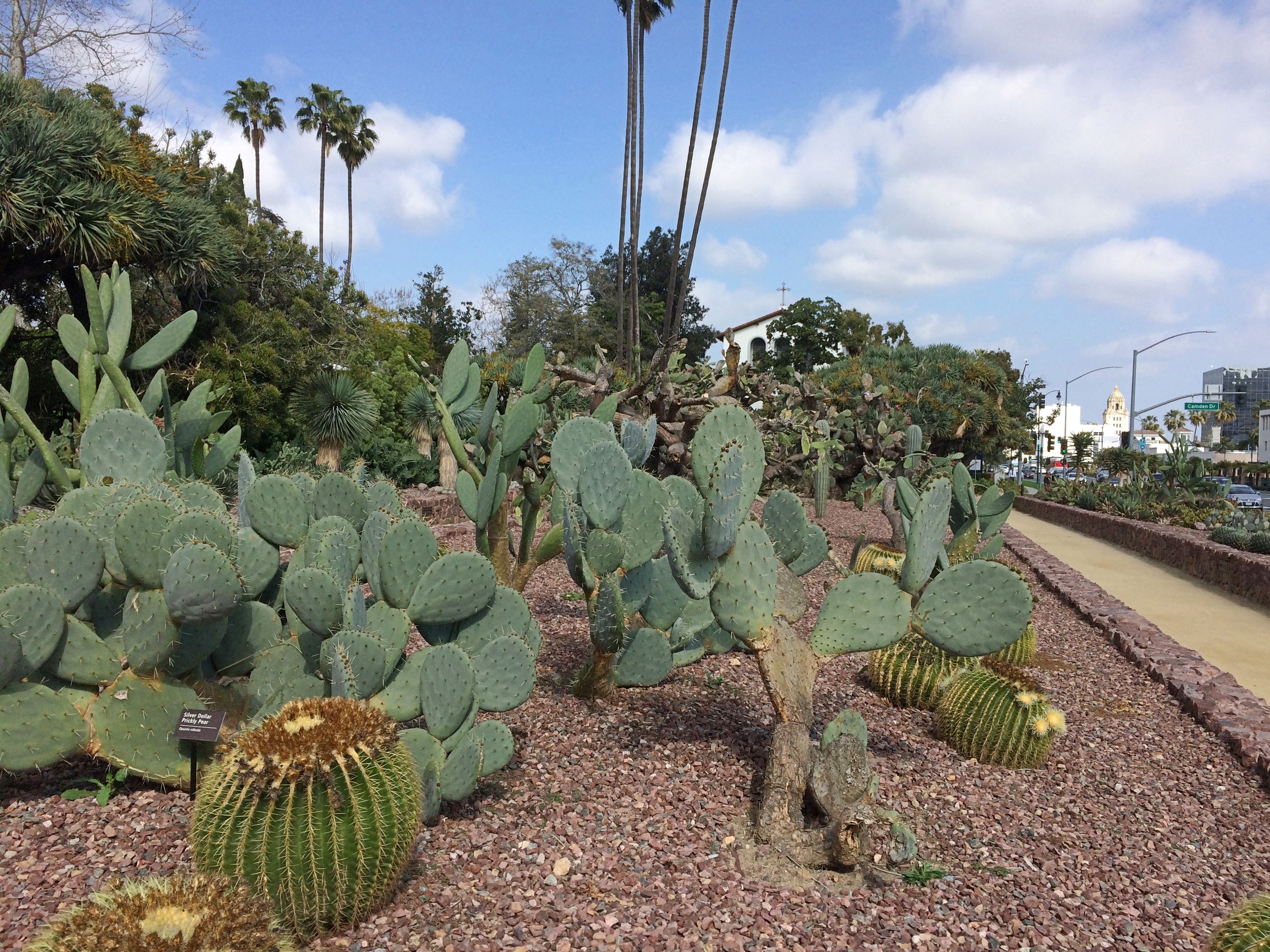
A virtual stage, it seemed to me — a carnival of sights to see, a spectacle of wealth and poverty, even at driving speed. Urban texture that you experience in any North American city, and yet with its own flavor. You see only glimpses, but even so you pass distinct cars and trucks, but not as many trucks as some places (because LA tends to have alleys for delivery), more pedestrians than you’d think but fewer bicyclists, chain shops and independents in strip centers, apartments, houses, office buildings, churches, schools, bars, restaurants, vacant lots, buildings under construction, parking lots, car washes — a lot of them — tall palms and short bushes, cannabis dispensaries, gas stations, graffiti’d walls, mural’d walls, billboards, parking meters, neon signs, showrooms, construction zones (but not as many as I expected), lamp posts and telephone poles, self-storage and payday loan offices, parks, playgrounds and even a cactus patch.

The Cactus Garden in Beverly Gardens Park, recently renovated. I stopped for a look at the cacti and the churches next to the park.

Santa Monica’s traffic is pretty thick, so driving was less pleasant there. To get to the Getty Villa in Pacific Palisades, you head north on the Pacific Coast Highway. That too was crowded. The road is probably more scenic and less crowded further north, but Pacific Palisades isn’t that far, so I didn’t see much of the highway (we saw part of it up that way in 2001, driving to Santa Barbara, though mostly we took U.S. 101).

On Monday, the plan was to reach Palm Springs by way of freeways and then San Gabriel Canyon Road (California 39) through San Gabriel Mountains National Monument to California 2 and 138. Looked good on the map.

First, though, I had to get out of Los Angeles via freeway. I knew I didn’t want to drive anywhere near downtown, because February 24 was the day of Kobe Bryant’s memorial service at the Staples Center. So I went around downtown, and avoided the 405 too.

First, Sepulveda Blvd. south, which passes through a tunnel under LAX. I didn’t know that till I looked at the map. Then I drove it. I don’t think I’ve ever driven under an airport. I’m not sure any other airport has a tunnel under it.

From south of the airport, I took the 105 east to the 605 north to the 210, the Foothill Freeway. There were some minor snarls along the way, but nothing too bad.

Radio coverage of the memorial followed me all the way along the route. Reminded me of when Princess Diana died. It was a horrible accident, but still. Radio jocks can be counted on for maudlin twaddle at times like that.

When I got to the entrance of the monument, near Azusa, a sign said that California 2 was closed in x and y places. What did that mean? I stopped to look them up. That meant that I’d have to double back if I went as far as where 2 and 39 met, way up in the mountains. Still blocked by snow, I figured.

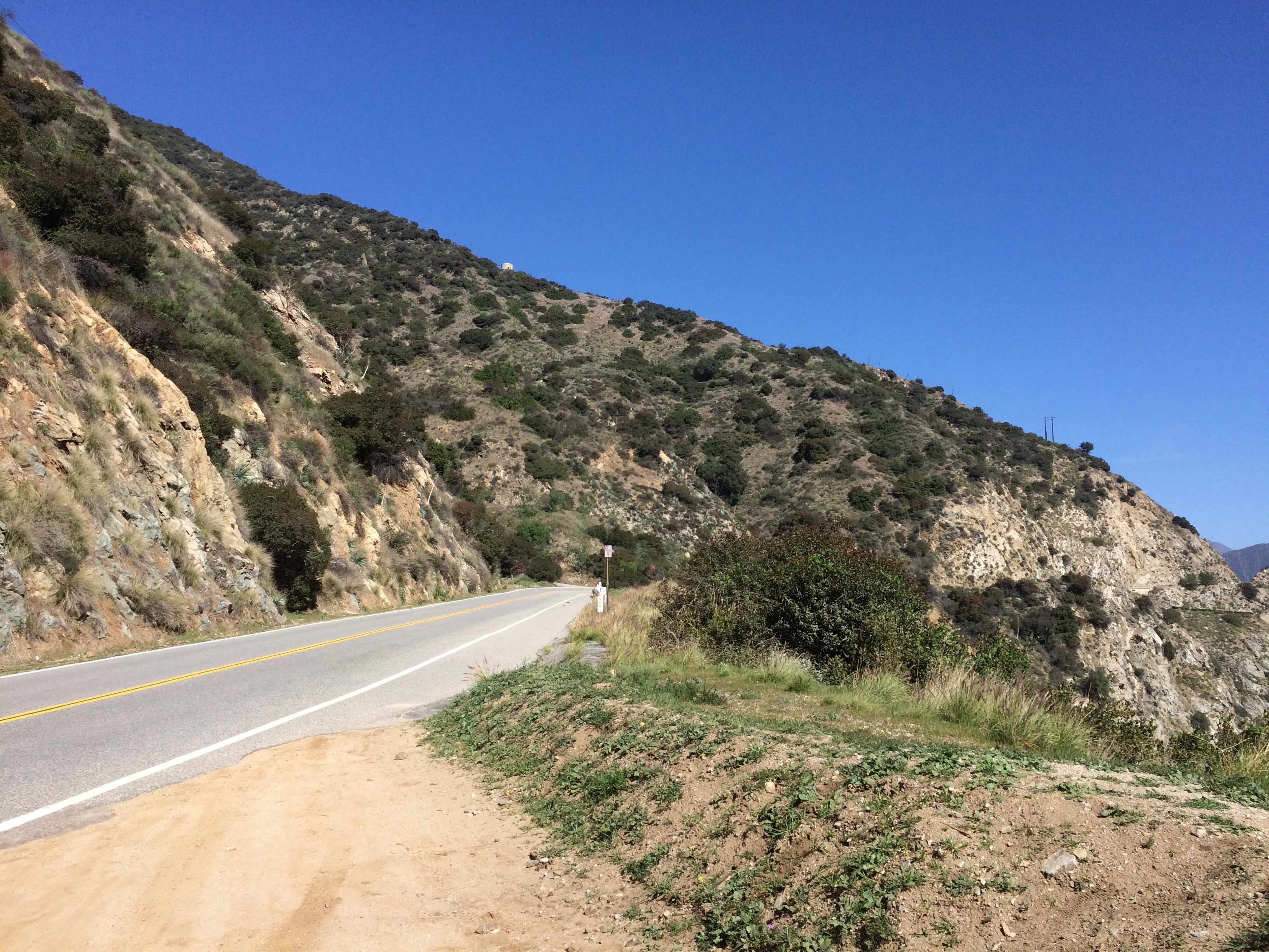
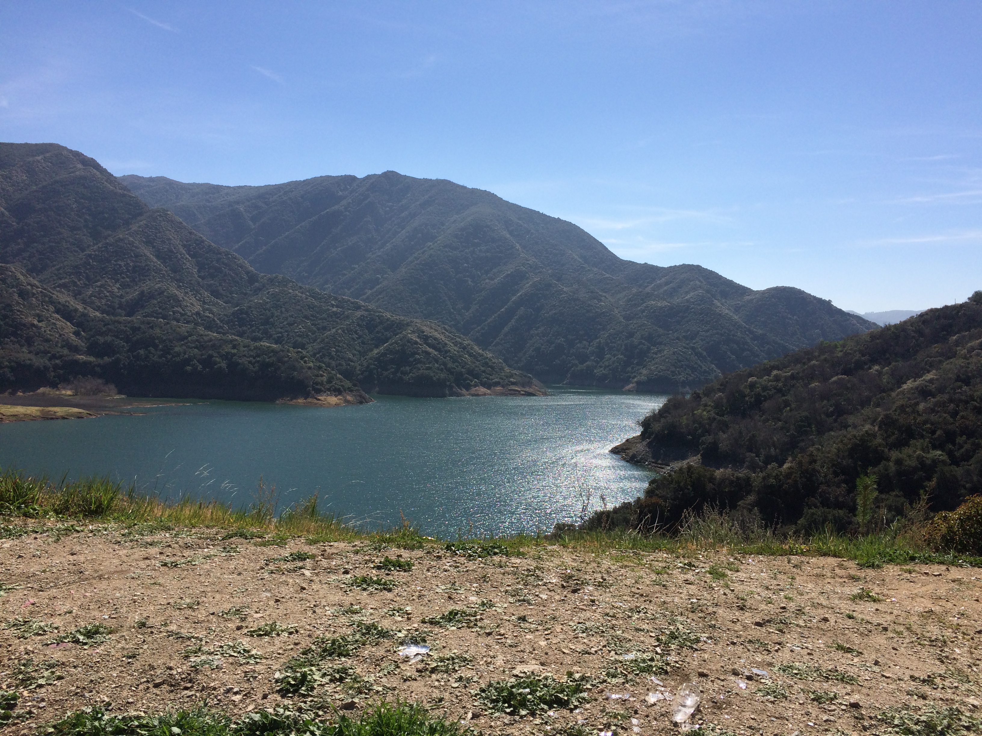
So I drove about 10 miles into the mountains and then drove back. Scenic territory, and not much traffic in February.
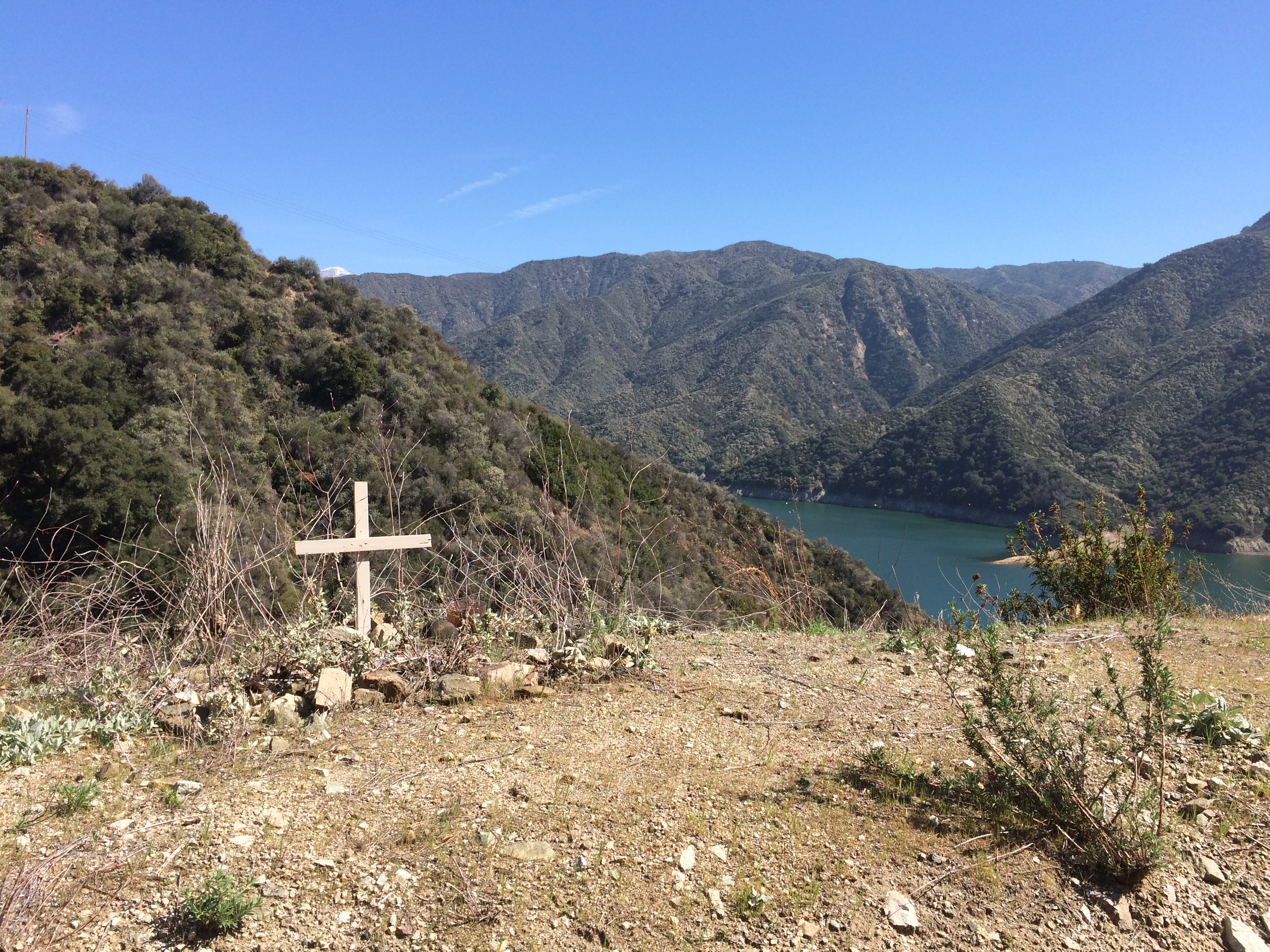
Evidence of an unfortunate accident.
No name or date, though. No maudlin twaddle on the airwaves, either. The world is quiet when most people die.

I spent the next hour or so driving east through the Foothill communities, including Rancho Cucamonga, along the former US 66. Of course I wanted to drive through Rancho Cucamonga.

The Foothills are naturally more suburban in character than Santa Monica Blvd. Except for the mountains looming off to the left, in fact, and the palm trees, not so different than my usual suburban haunts. I even stopped for gas at a Costco before getting back on the freeway to Palm Springs.

Didn’t drive in Palm Springs on Tuesday; Steve took me around. On Wednesday, I left town and drove to Joshua Tree National Park, whose roads are either small and paved, or small and unpaved. I drove on both kinds. On the unpaved version, through a Joshua tree forest, traffic was extremely light. I was it. Just like driving in a car commercial. Happens occasionally.

The Branson Scenic Railway

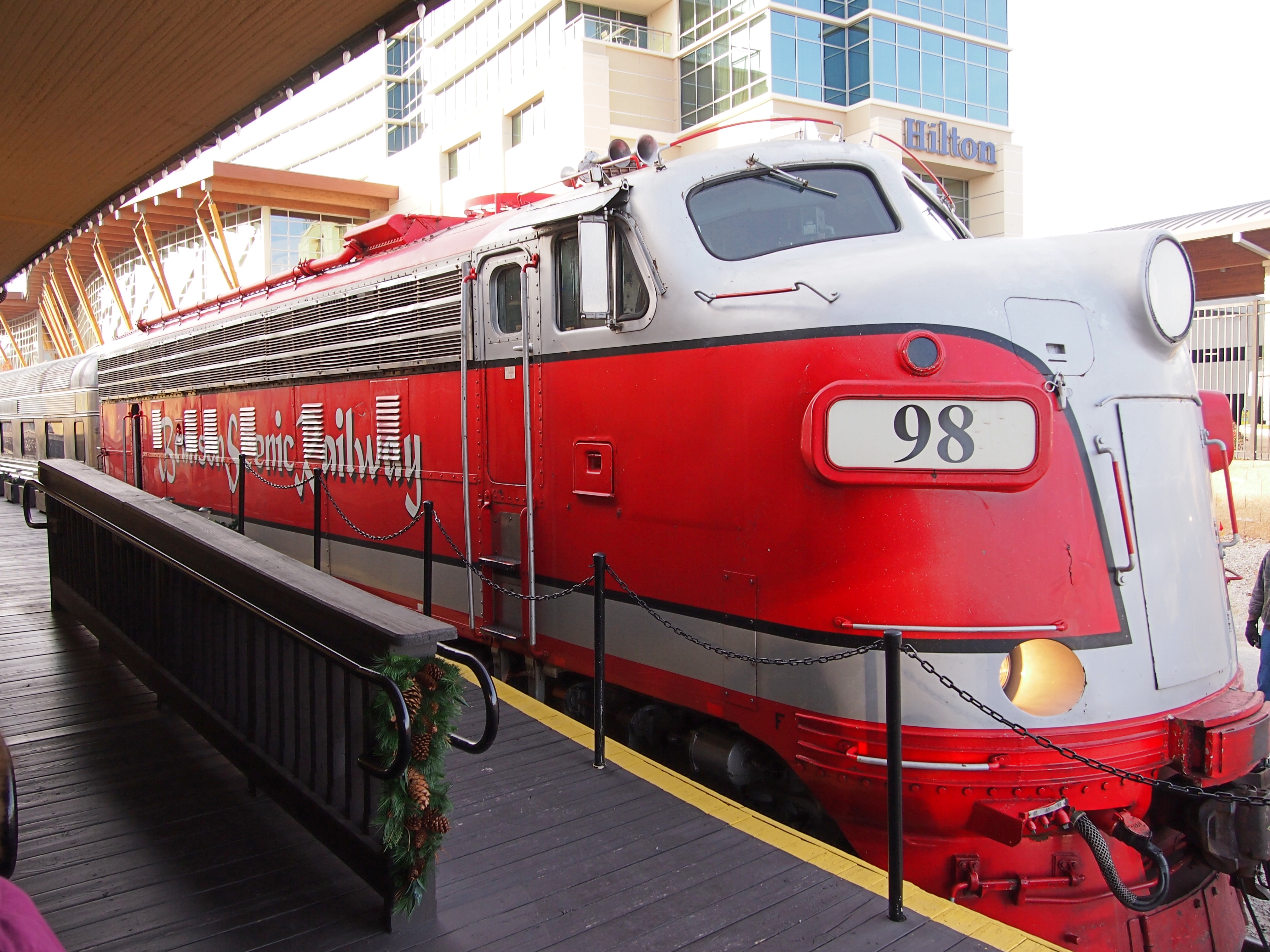
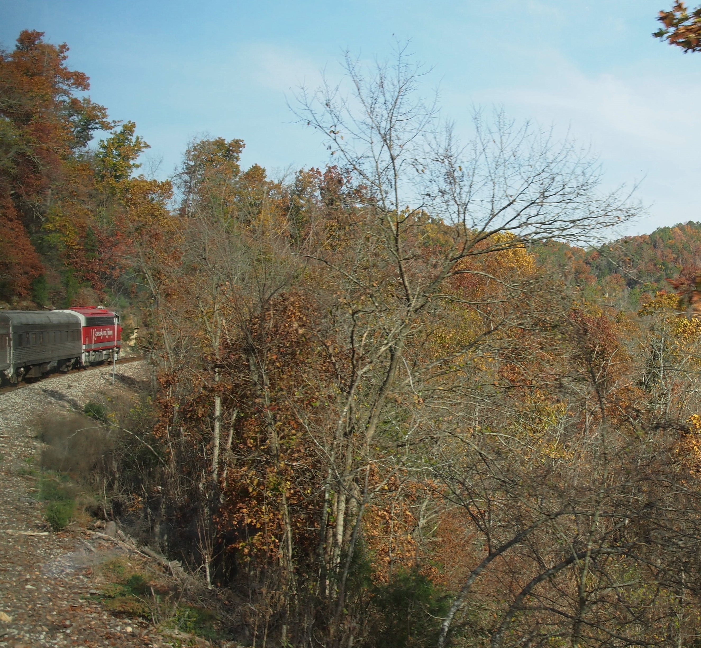
During my visit to Branson in November 2012, I took an excursion on the Branson Scenic Railway. Nothing like hopping aboard a pleasure train pulled by mid-century locomotives.
Branson Scenic RailwaySpecifically, according to the railroad’s web site, “BSRX 98, Locomotive, 1951 EMD F9PH, rebuilt 1981, has HEP (Formerly B&O, then MARC #83).” I looked up HEP, at least: head-end power. Nice to know that the locomotive has hep.

The web site further explains: “Traveling on a working commercial railroad line, the train’s direction of travel… is determined by the Missouri and Northern Arkansas Railroad just prior to departure. At that time, the train will go either north or south. The northern route goes as far as Galena, Missouri, to the James River Valley; and the southern route extends into Arkansas to the Barren Fork Trestle.”

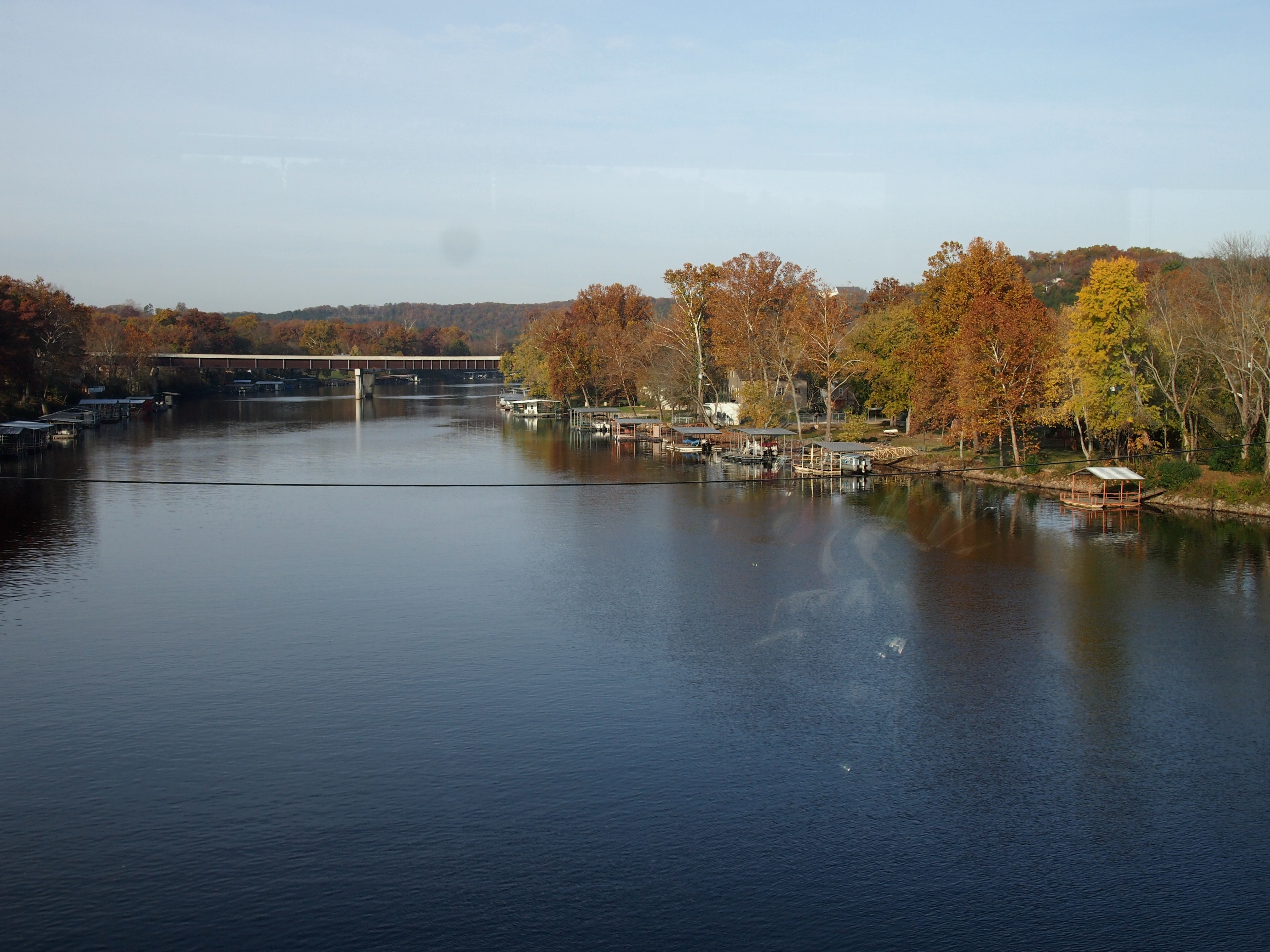
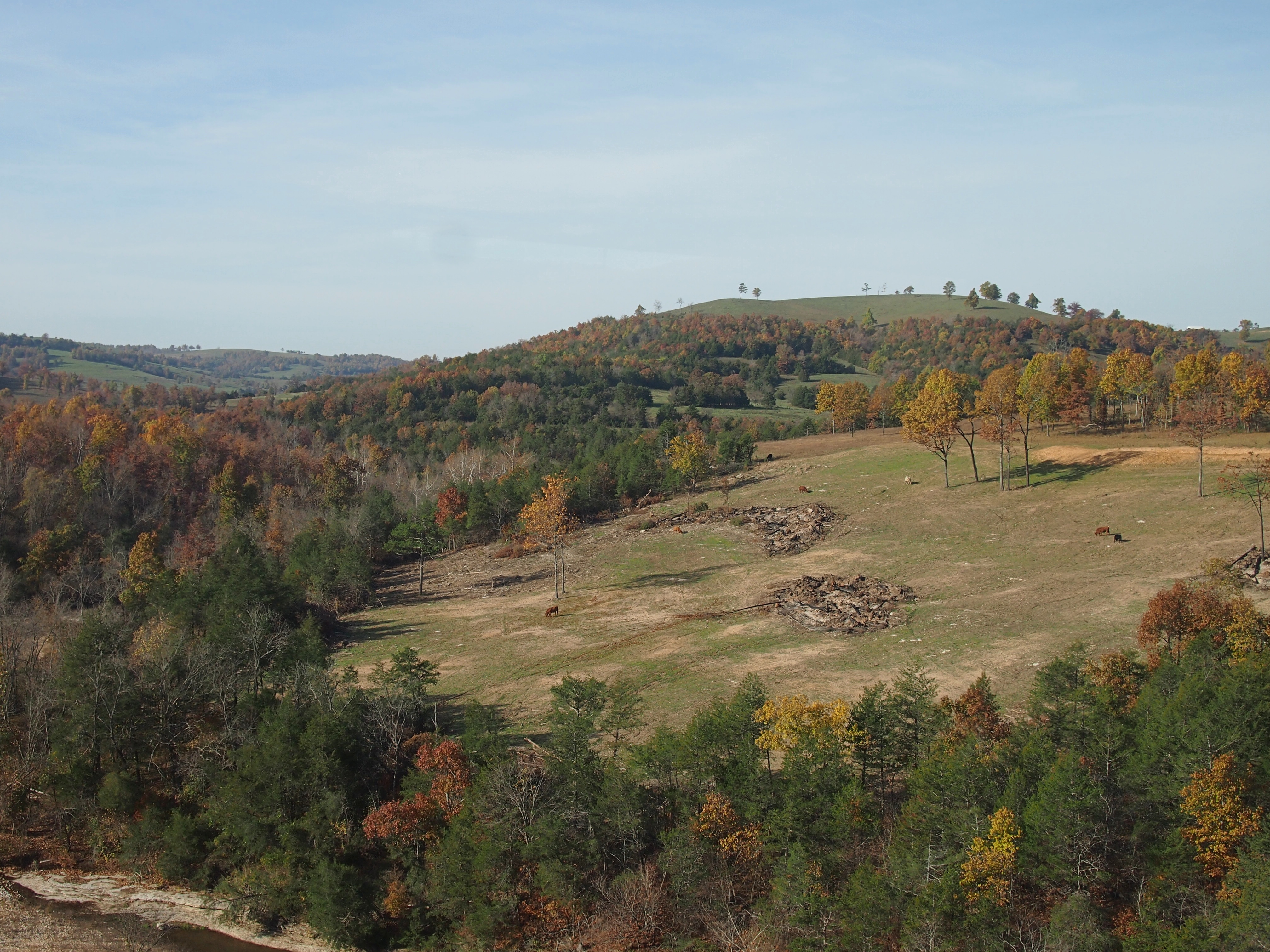
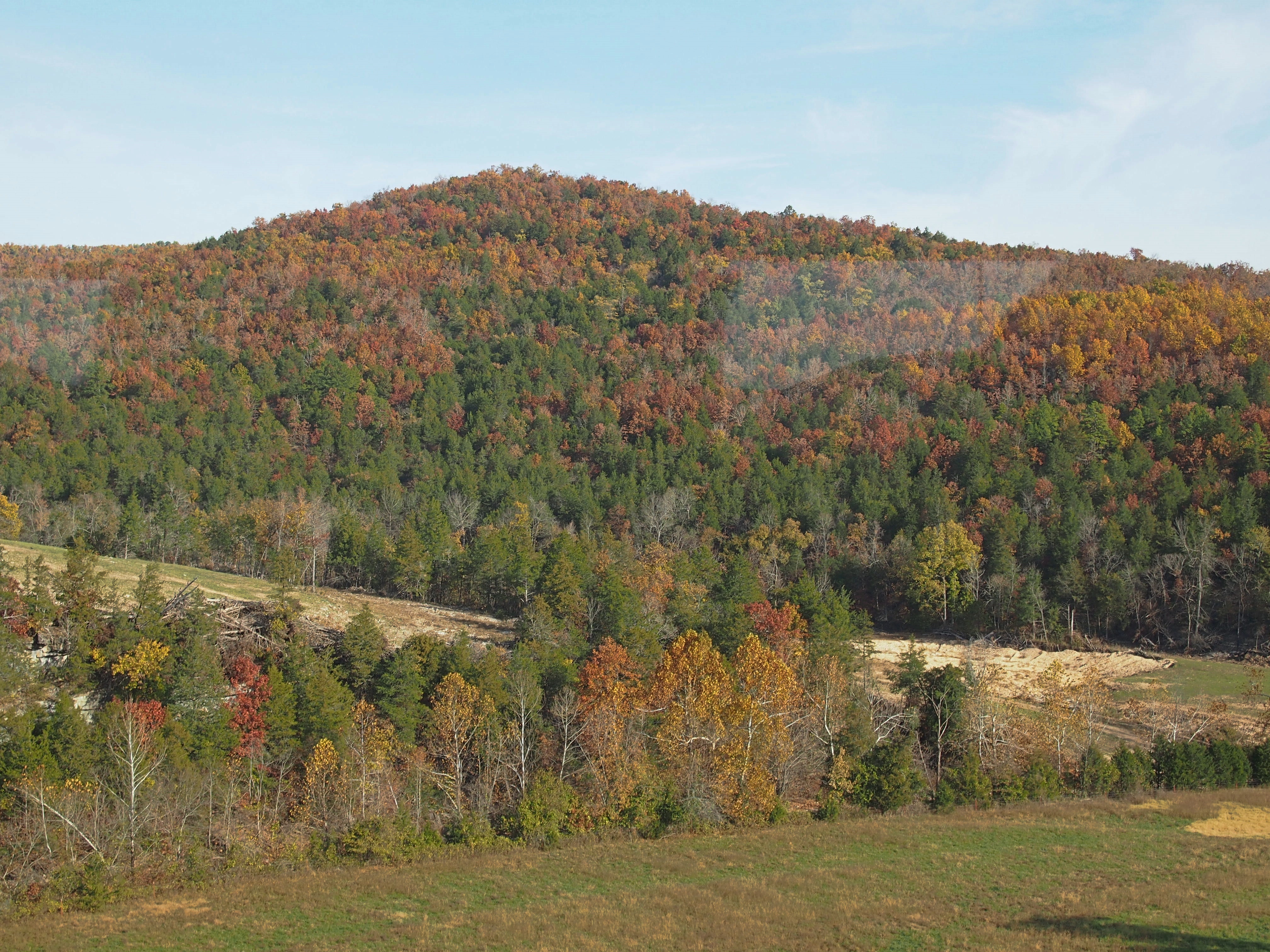
We went south into Arkansas, which isn’t actually that far from Branson, across water and through hills and woods and tunnels, just as the leaves were turning nicely.Near Branson Mo

Near Branson MoNear Branson MoNear Branson Mo“The construction of the White River Railway in the early 1900s made the area accessible for tourists and is largely responsible for the development of Branson and the Ozarks as a tourism destination… The route crosses the White River in Branson, now Lake Taneycomo, and then runs along side of it after taking a fifty-mile short cut over the Ozark Mountains.

“This was part of the Missouri Pacific Railroad between Kansas City, Missouri, and Little Rock, Arkansas. It became a part of the Union Pacific after the UP bought the MOPAC. The Missouri and Northern Arkansas Railroad now operates the line.

“In 1993, the Branson Scenic Railway was formed, and through a lease arrangement with the MNA, runs excursions through this historic route March through December.”

A train through the Alps it isn’t, but it’s scenic all the same.