Our Lady of Victory Basilica and National Shrine, Lackawanna

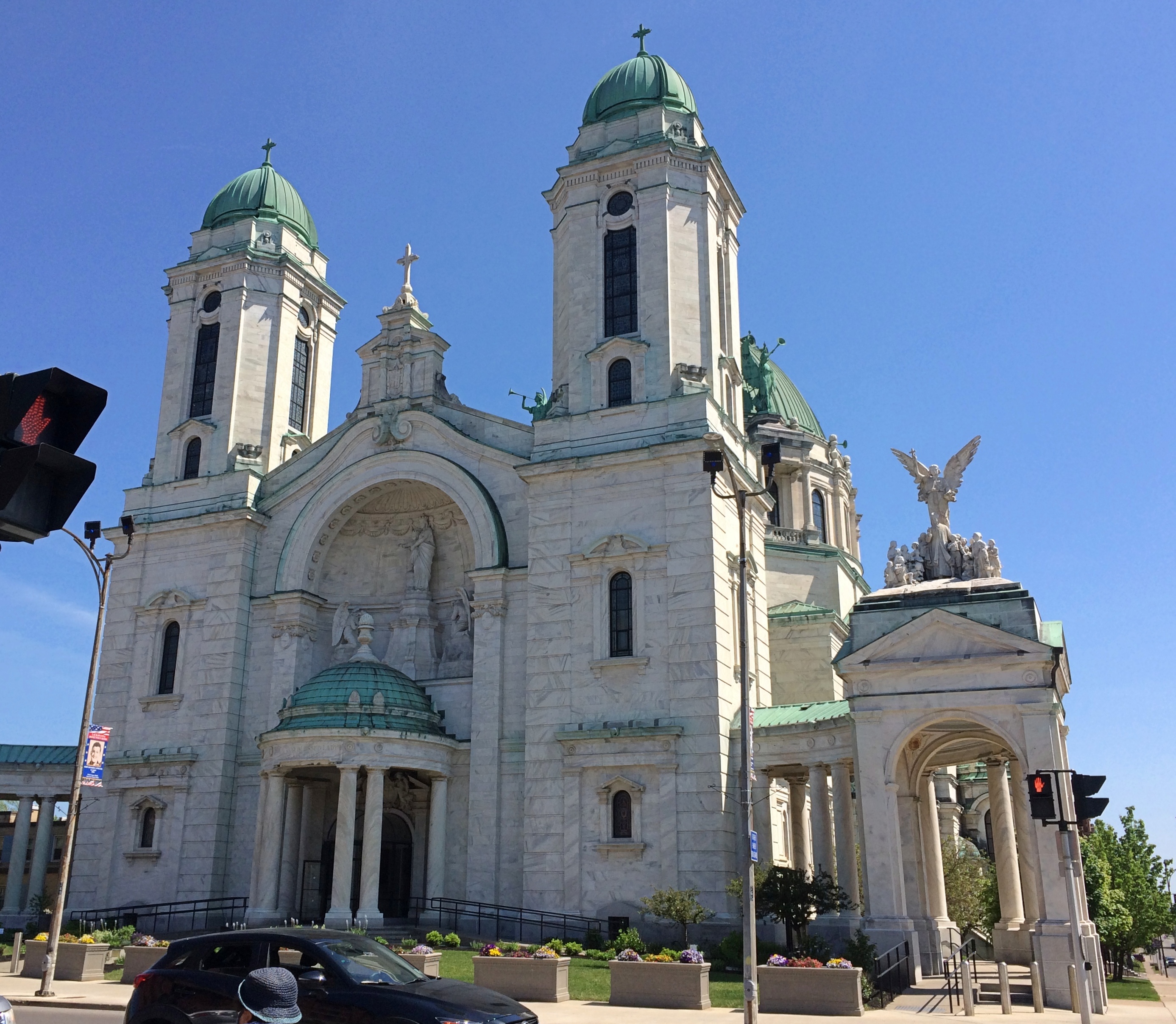
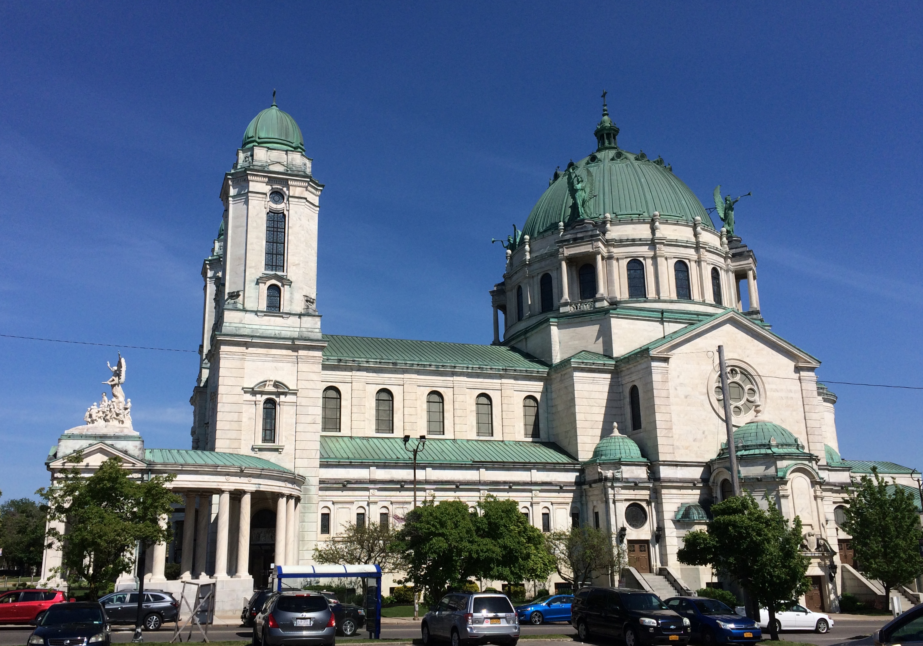
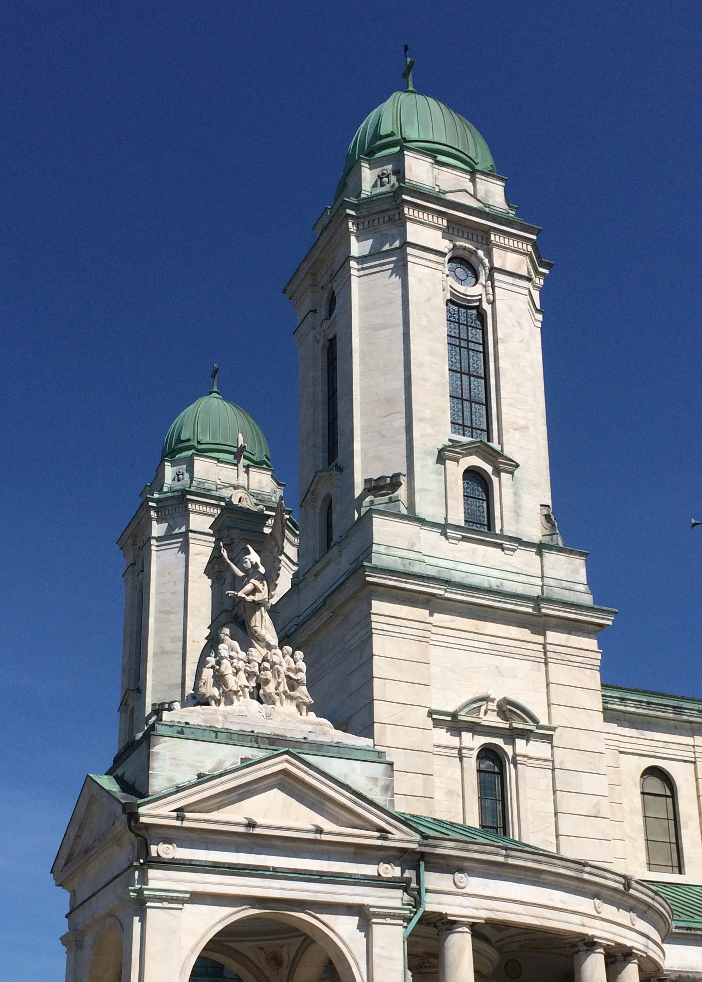
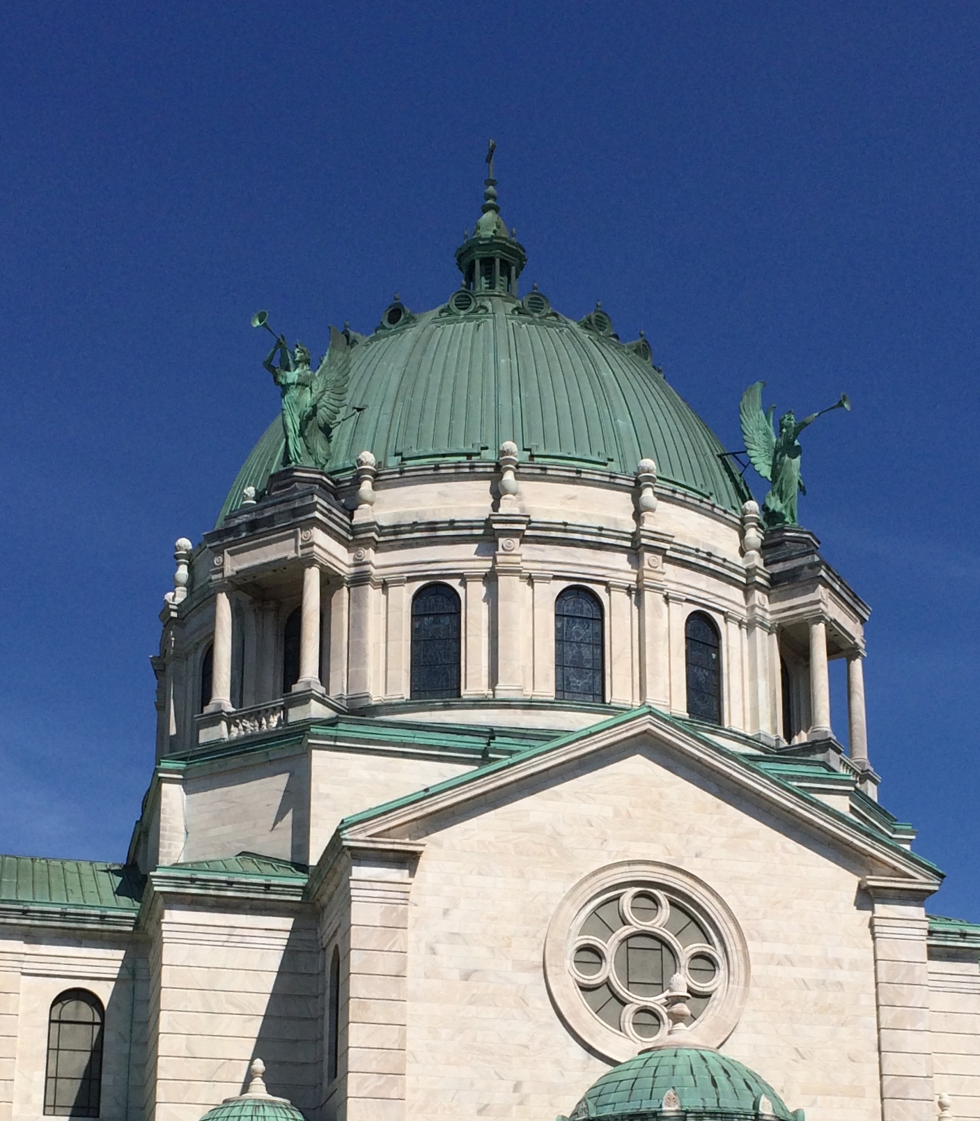
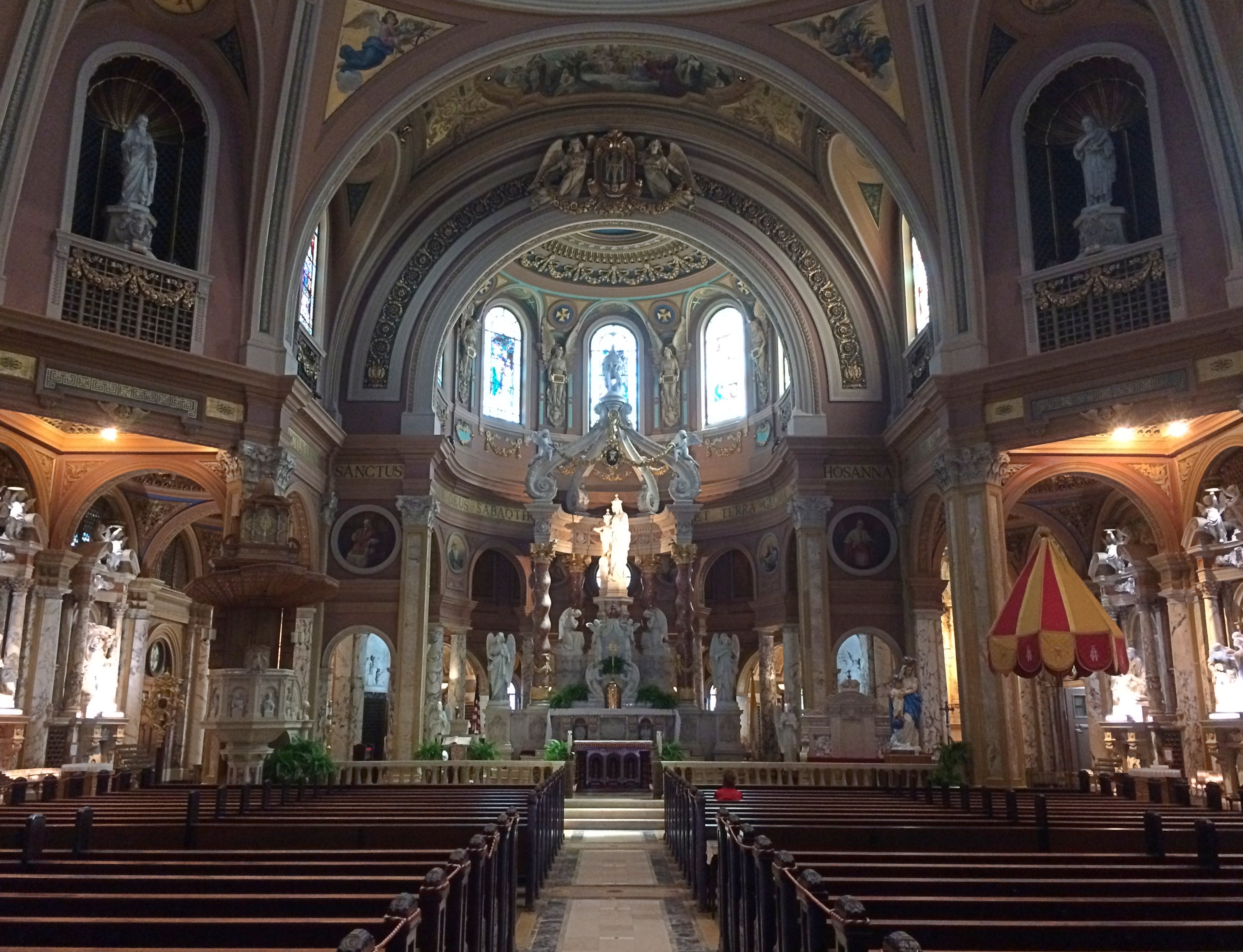
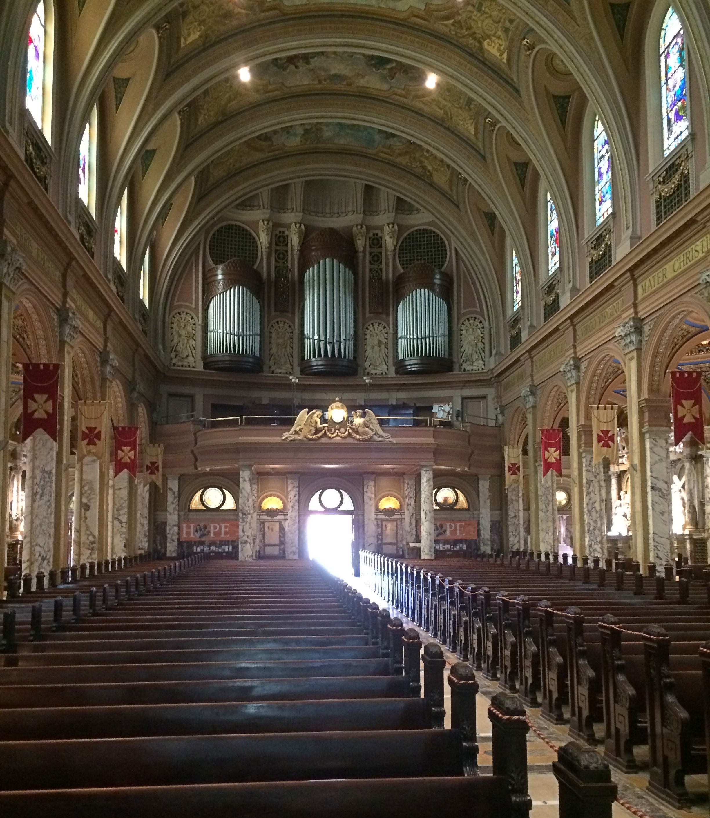
The last place we visited over Memorial Day weekend in greater Buffalo was Our Lady of Victory Basilica and National Shrine, which is in south suburban Lackawanna, New York. We drove south from Lockport just after noon, had lunch in Buffalo at the Lake Effect Diner, and continued south on surface streets to Lackawanna, mainly U.S. 62, which is Bailey Ave. and then South Park Ave.

That course takes you through areas well-to-do and ragged, residential and industrial. Greater Buffalo might be like a smaller version of greater Chicago, but on our drive through the heart of the MSA, we found an essential difference: it’s much easier to get around Buffalo.

Maybe the holiday weekend had something to do with that, but I suspect the difference between 1.1 million people living on the edge of a Great Lake and 9.4 million people living on the edge of another Great Lake was the determining factor. Driving through metro Chicago is often like driving through glue. Buffalo proved much more pleasant as a driving experience.

The basilica stands at South Park Ave. and Ridge Road in Lackawanna. Our Lady of Victory Basilica

 Our Lady of Victory Basilica

Our Lady of Victory Basilica

Our Lady of Victory Basilica

The church was open. I believe only two other people were there when we visited.Our Lady of Victory Basilica

Our Lady of Victory Basilica

Our Lady of Victory Basilica
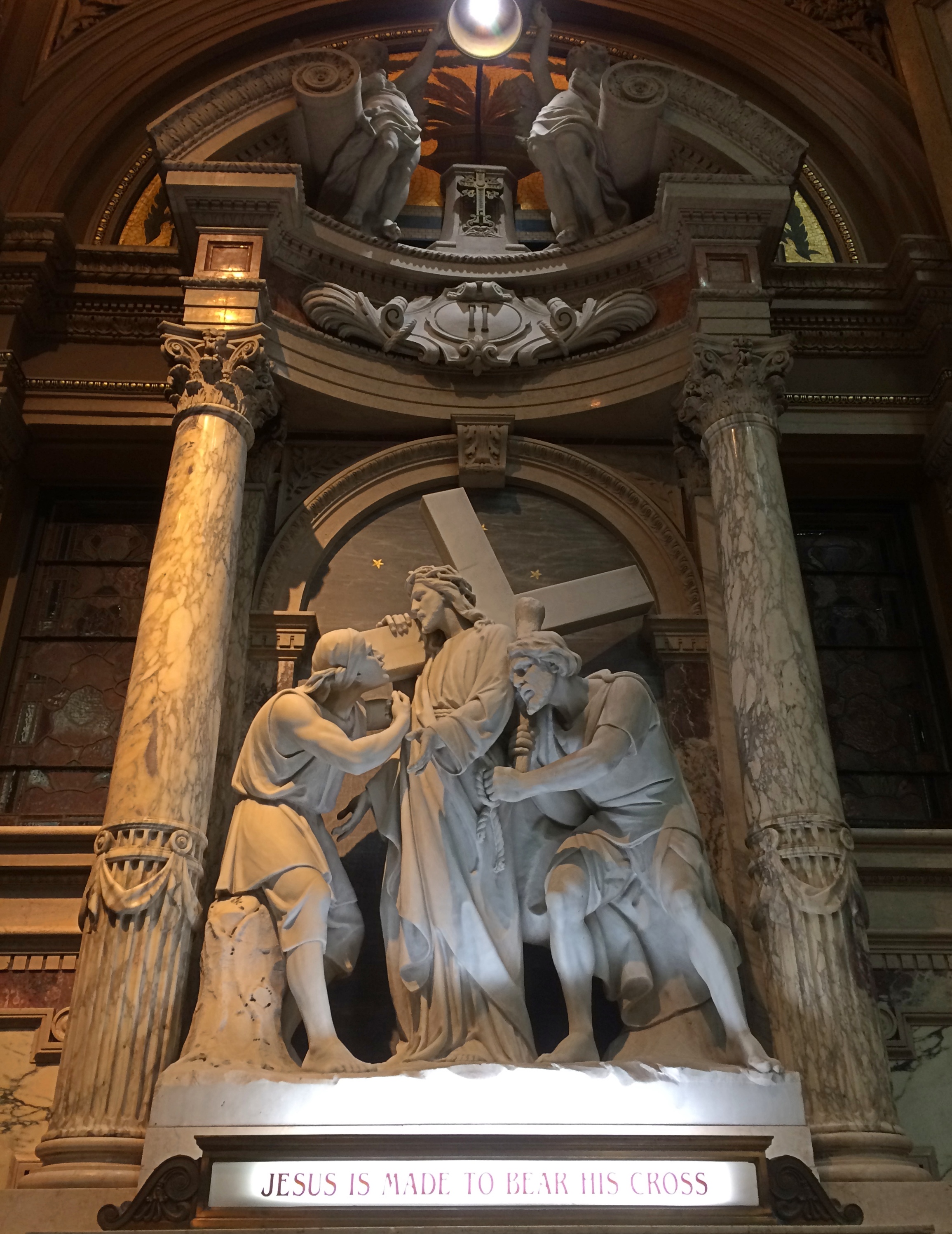
“The artists who painted the murals, sculpted the statues and painstakingly produced the basilica’s 134 stained-glass windows were also members of an international team,” the Buffalo News reported, as reposted here.

“– Architect Emile Ulrich, a graduate of the Academy of Paris, was in Cleveland when the call came from Baker.
— Italian born Gonippo Raggi masterminded the artwork. His oil paintings can be seen throughout the shrine. When he died at age 84 in 1959, Raggi was the subject of a New York Times obituary that credited his work in more than 100 churches on three continents.
— Buffalonian Marion Rzeznik of Poland assisted Raggi. Rzeznik studied sculpture in Krakow, Vienna and New York City.
— Otto Andrle, a Buffalo-native, crafted the stained-glass windows.”

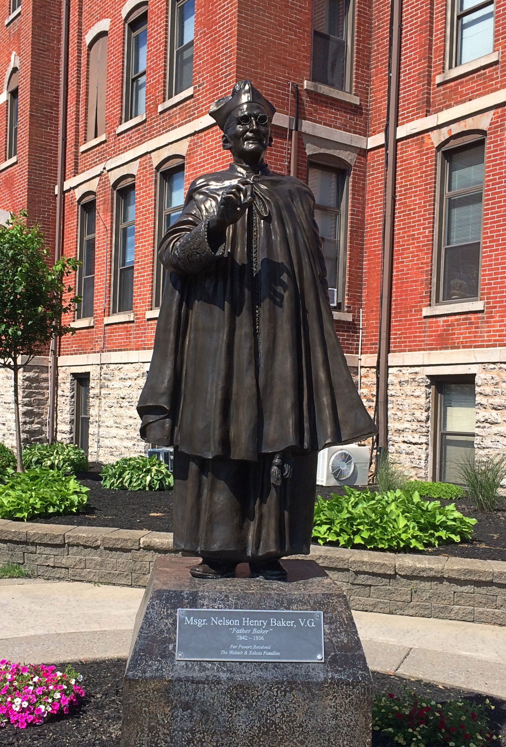
All that talent was brought together in the 1920s to build the basilica by the Venerable Nelson Henry Baker (1842-1936), an exceptionally talented and energetic priest. One of his talents, useful almost anywhere with a money economy, was fundraising. Besides the basilica, which started construction when Baker was 79, over the course of his vocation he founded a hospital, high school, elementary school, an infant home, a home for unwed mothers and a boys’ orphanage.

A bronze Baker is across the street from the basilica.
Our Lady of Victory Basilica Father Baker

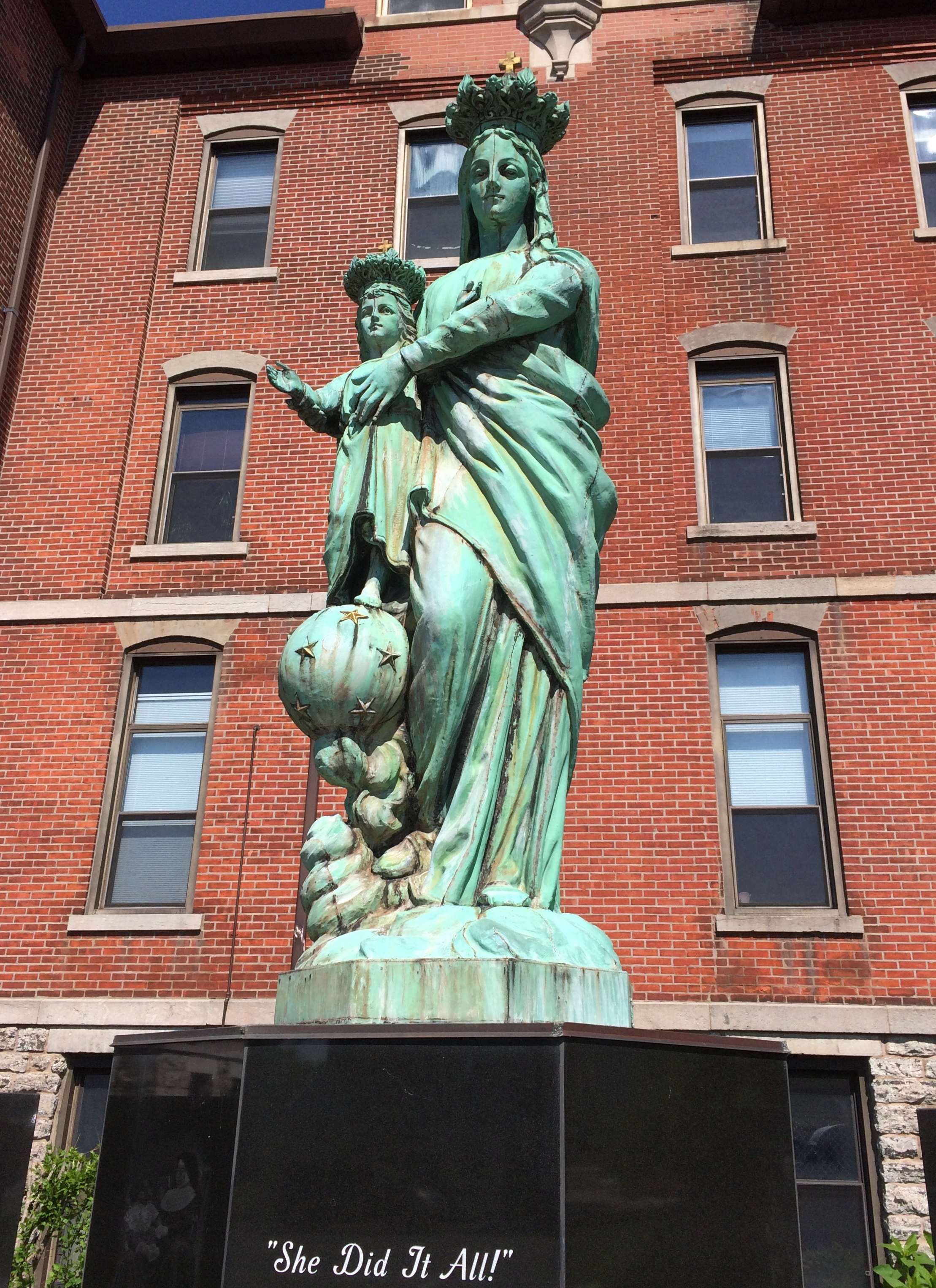
Not far away is Mary.
Our Lady of Victory Basilica Virgin MaryBaker declined credit for his many legacies, it seems, with his quote on the matter on the pedestal.

Talimena National Scenic Byway & The Former Heavener Runestone State Park

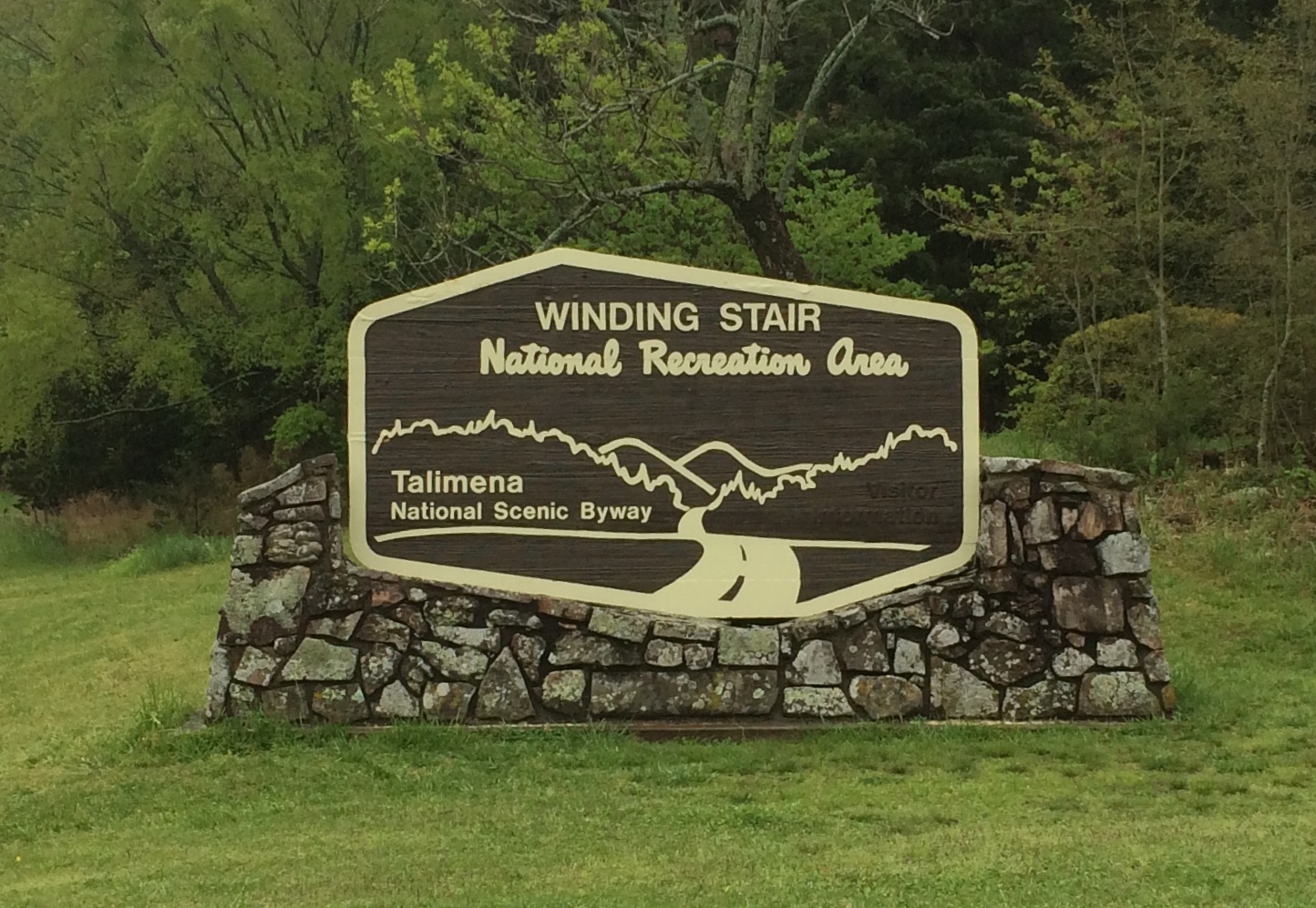
Oklahoma isn’t known as much of a nanny state. So in retrospect it’s no surprise that the U.S. 271 entrance to Talimena National Scenic Byway, which is a two-lane road through the Winding Stair National Recreation Area, was wide open on April 16, a gloomy, drizzly day with the mountains shrouded in clouds.

Talimena National Scenic Byway

Some other jurisdiction might have put up barricades to protect drivers from their own foolish impulse to drive the road no matter what, but Oklahoma doesn’t roll that way.
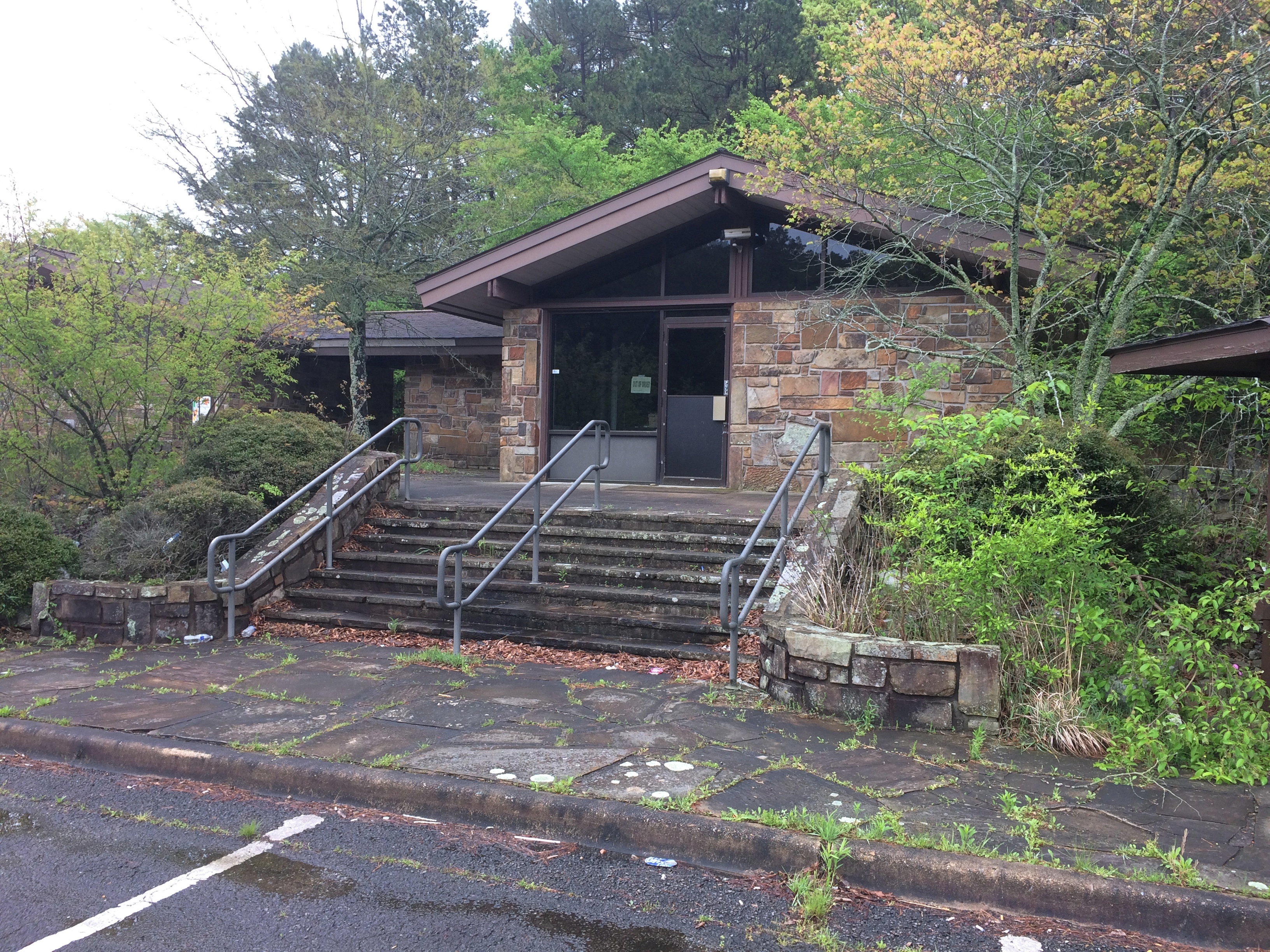
Besides, the facility at the entrance was abandoned. I did see signs for a recreation area headquarters in the nearest town, Talihina, so I supposed the rangers or rangers-equivalent moved there.
Talimena National Scenic Byway

I was eager to drive the byway for two reasons. One, it’s a national scenic byway. In my experience, that generally means some good driving on the offing. Some car-commercial driving.

Also, the poetry of that name: Winding Stair Mountains. Even if they really are fairly small mountains, that’s a name and a place on the map that has intrigued me for a long time.

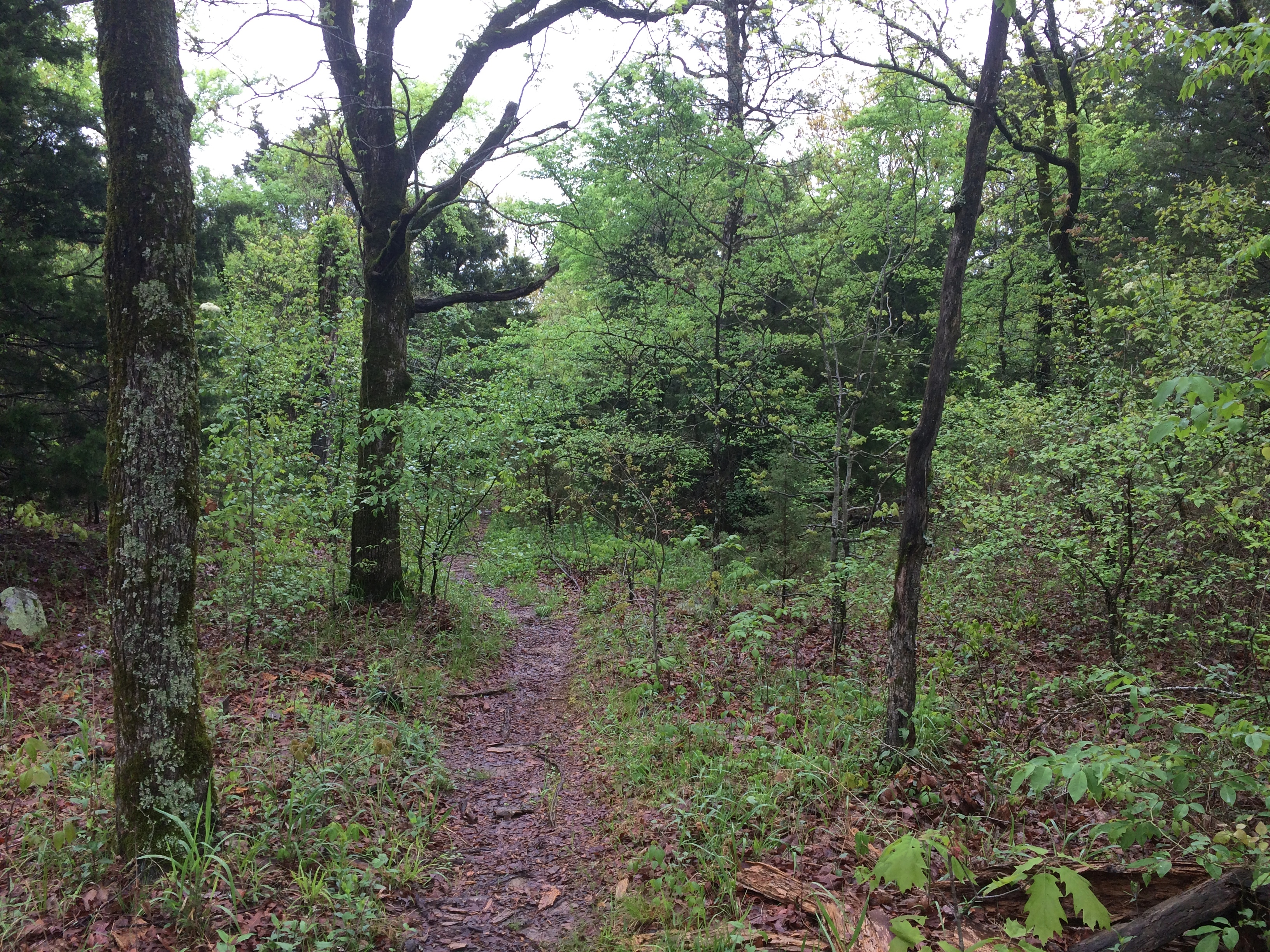
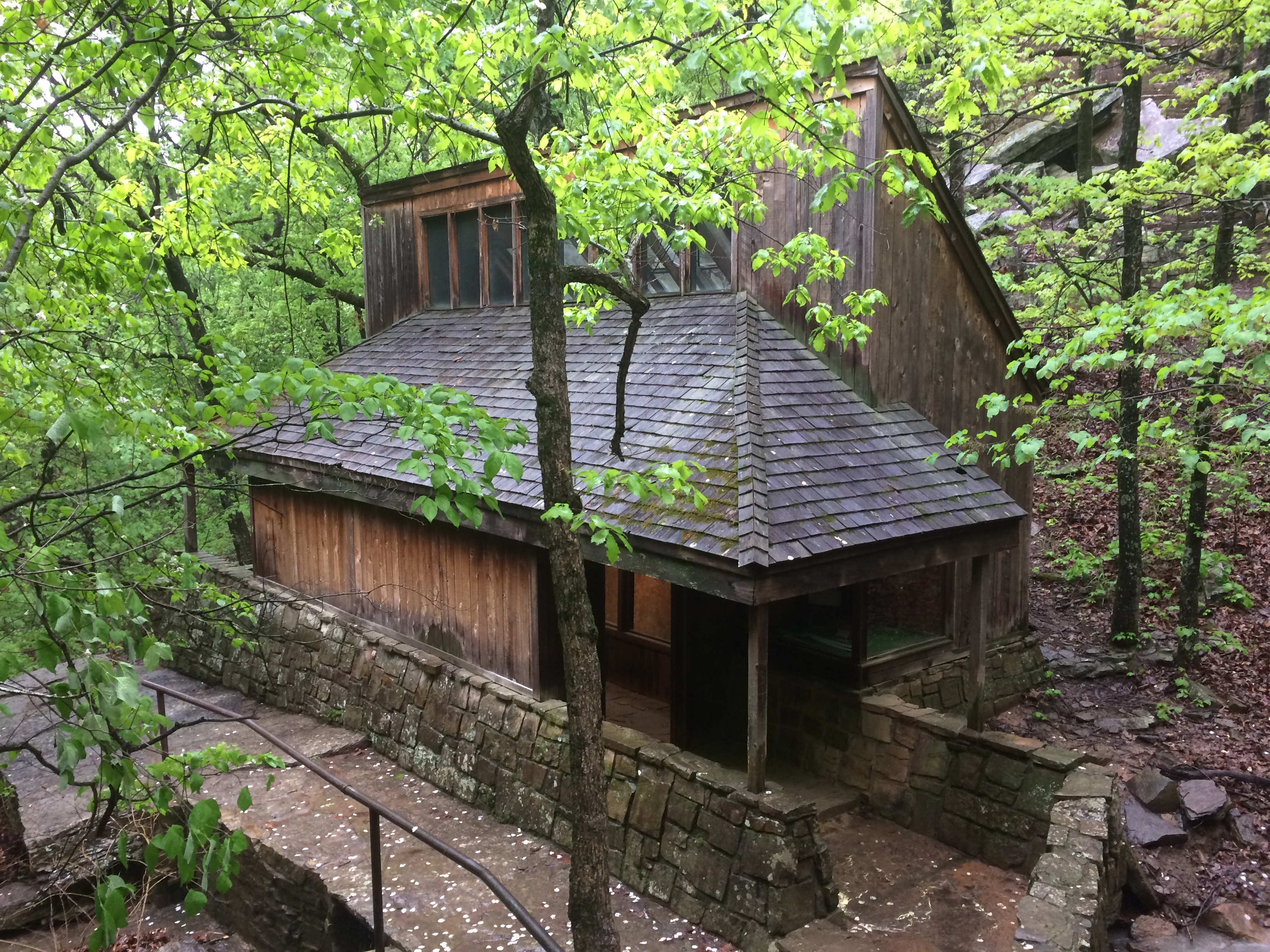
I stopped at an historic marker a short ways from the entrance that told me that the Ft. Smith-Ft. Towson Military Road once crossed the Winding Stair Mountains at that point, but it wasn’t the basis of the modern road, part of Oklahoma State Highway 1, which was completed only in 1969. I took a short walk in the nearby forest. The road also traverses a western section of Ouachita National Forest.
Talimena National Scenic Byway

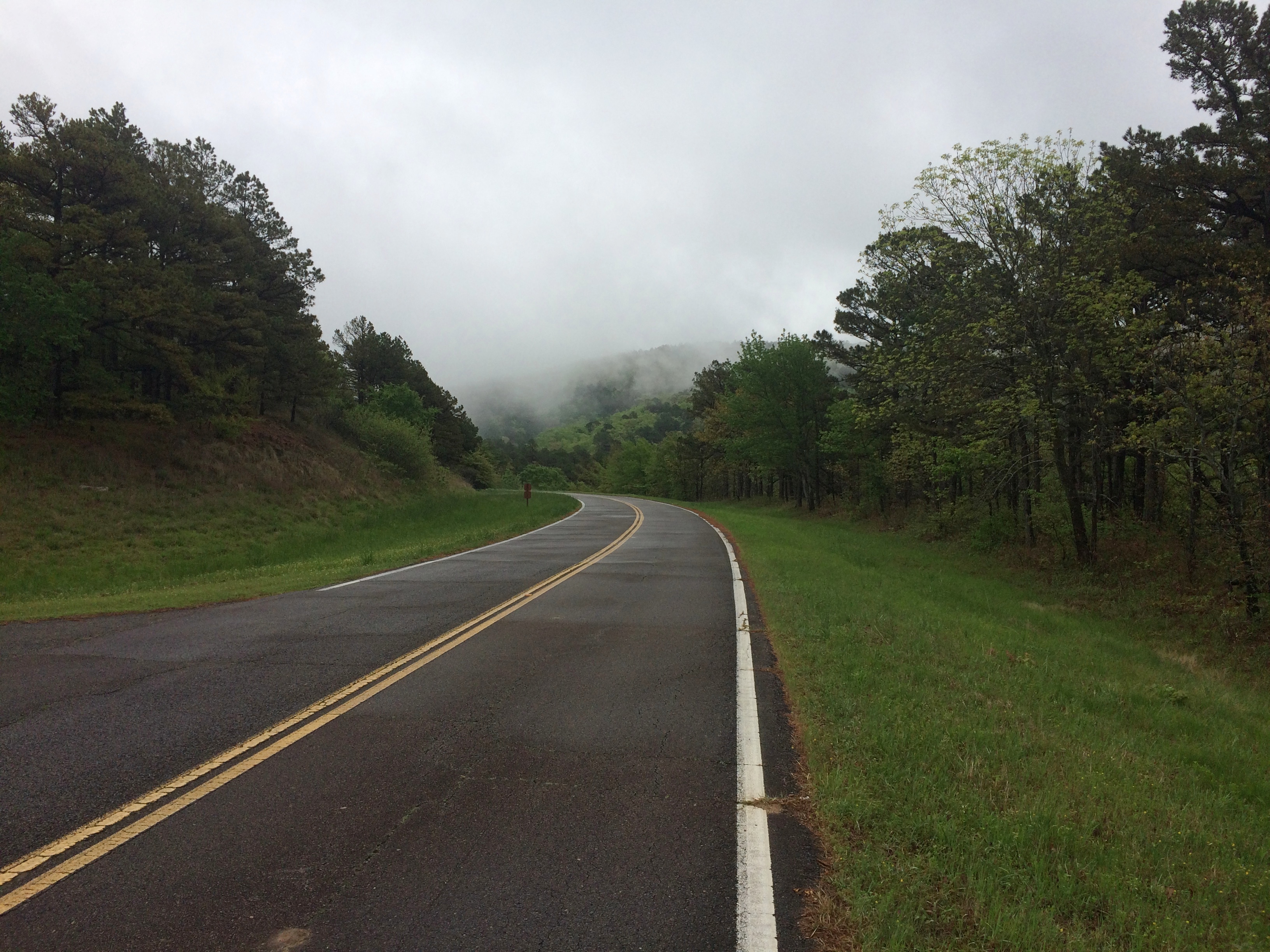
Then I took a look at the road ahead.
Talimena National Scenic Byway
I wasn’t discouraged. I figured there might be patches of fog to drive through. Also, I’d seen two cars enter the road ahead of me.

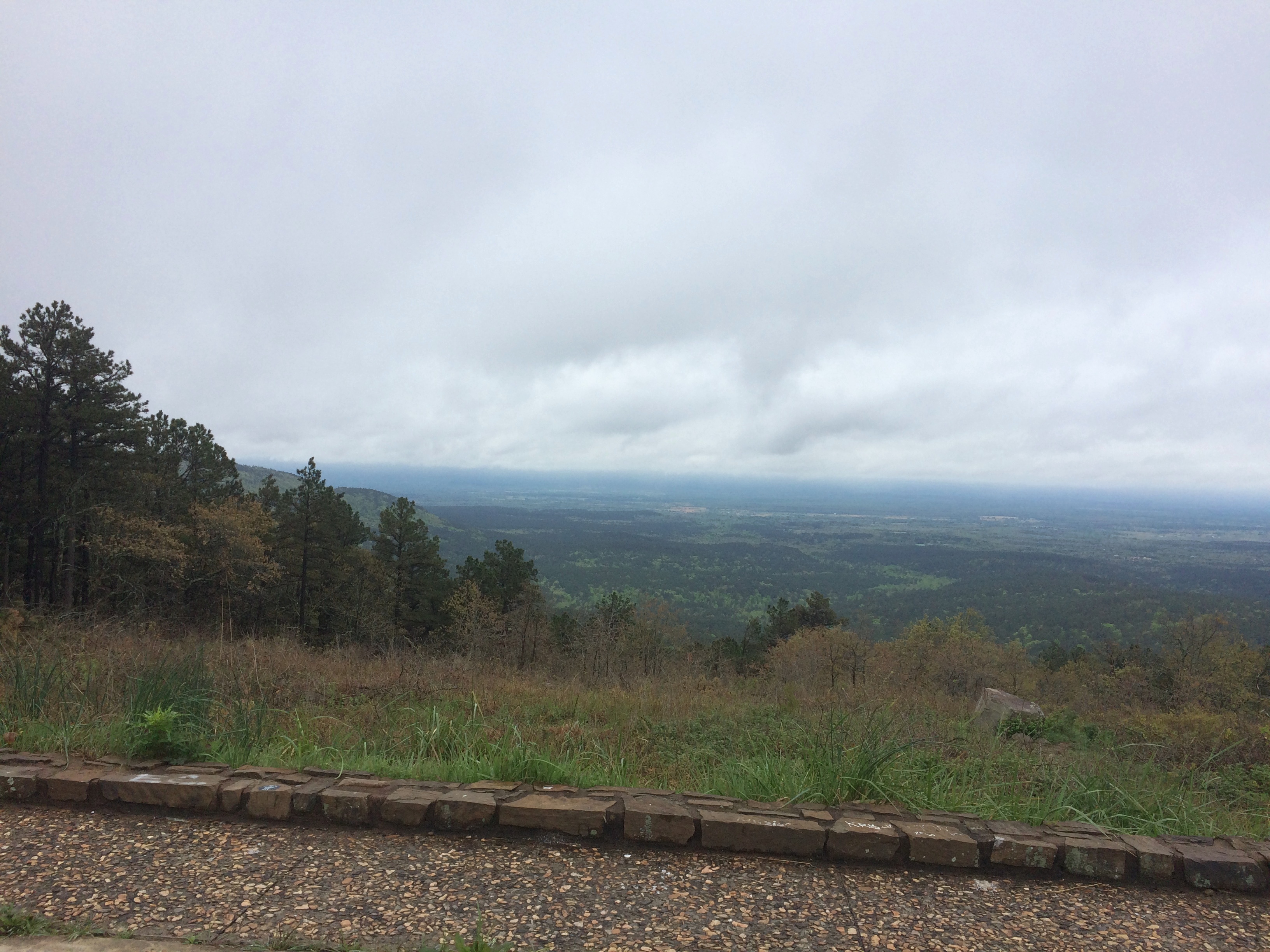
The first few miles were gorgeous indeed, with places to stop that looked like this.
Talimena National Scenic Byway

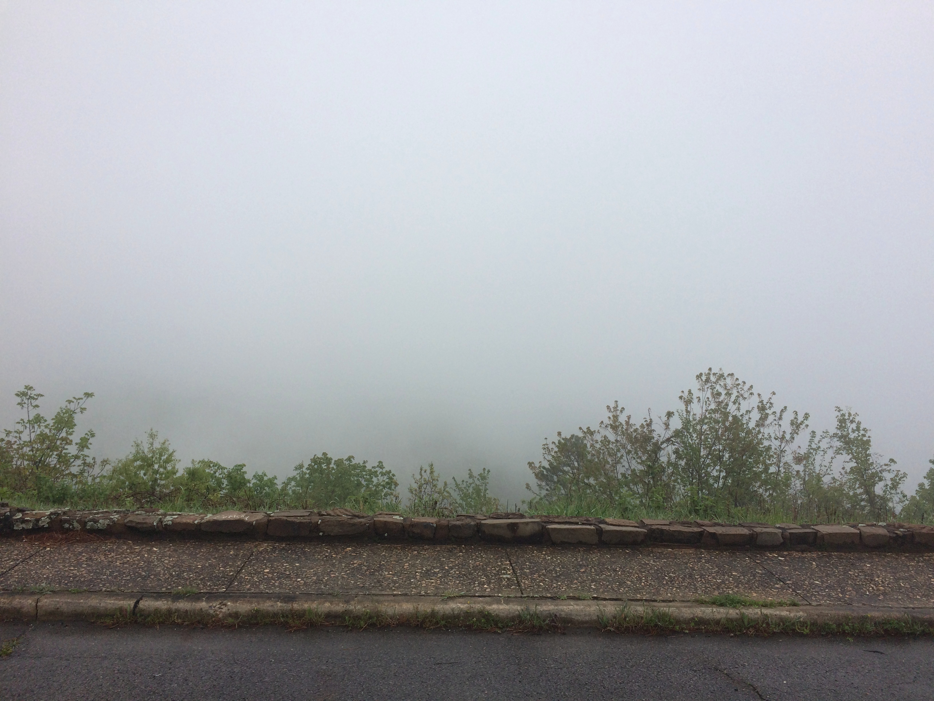
Pretty soon, though, the fog turned thick. I took it slow, about 30 mph, but even so the hazard of the drive was top of mind. I could see maybe 10 feet ahead, on a road that wound around and climbed and dropped — with steep drops into ditches sometimes off one or the other shoulder.

Mostly, I knew that if something appeared in the road ahead of me, such as an animal or worse, a stopped car, I might easily hit it. I don’t think I was risking death or even injury myself that much, just highly inconvenient damage to my car and maybe legal problems.

Now the views off to the side of the pullouts in the road looked more like this.
Talimena National Scenic Byway

Yet the way — only about 12 miles on the section I wanted to drive — wasn’t entirely foggy. Sometimes I’d see the fog thin out ahead of me, suddenly, and even more suddenly, clear away completely. The beauty of the surroundings was suddenly clear as well, passing through a contoured forest of wet pine, oak, flowering dogwood and more.

As it happened, I encountered no one else on the road during my drive, neither cars nor motorcycles nor deer, and then headed north on U.S. 59. Take that route and before long you pass through Heavener, Oklahoma, where you see signs for Heavener Runestone Park. Or, and I think not all of the signs have been changed, Heavener Runestone State Park. Even the likes of Atlas Obscura still calls it a state park.

The place hasn’t been a state park for 10 years. Supposedly recession-era budget cuts are to blame, but I suspect that the park had embarrassed the state long enough, maybe since its founding in 1970.

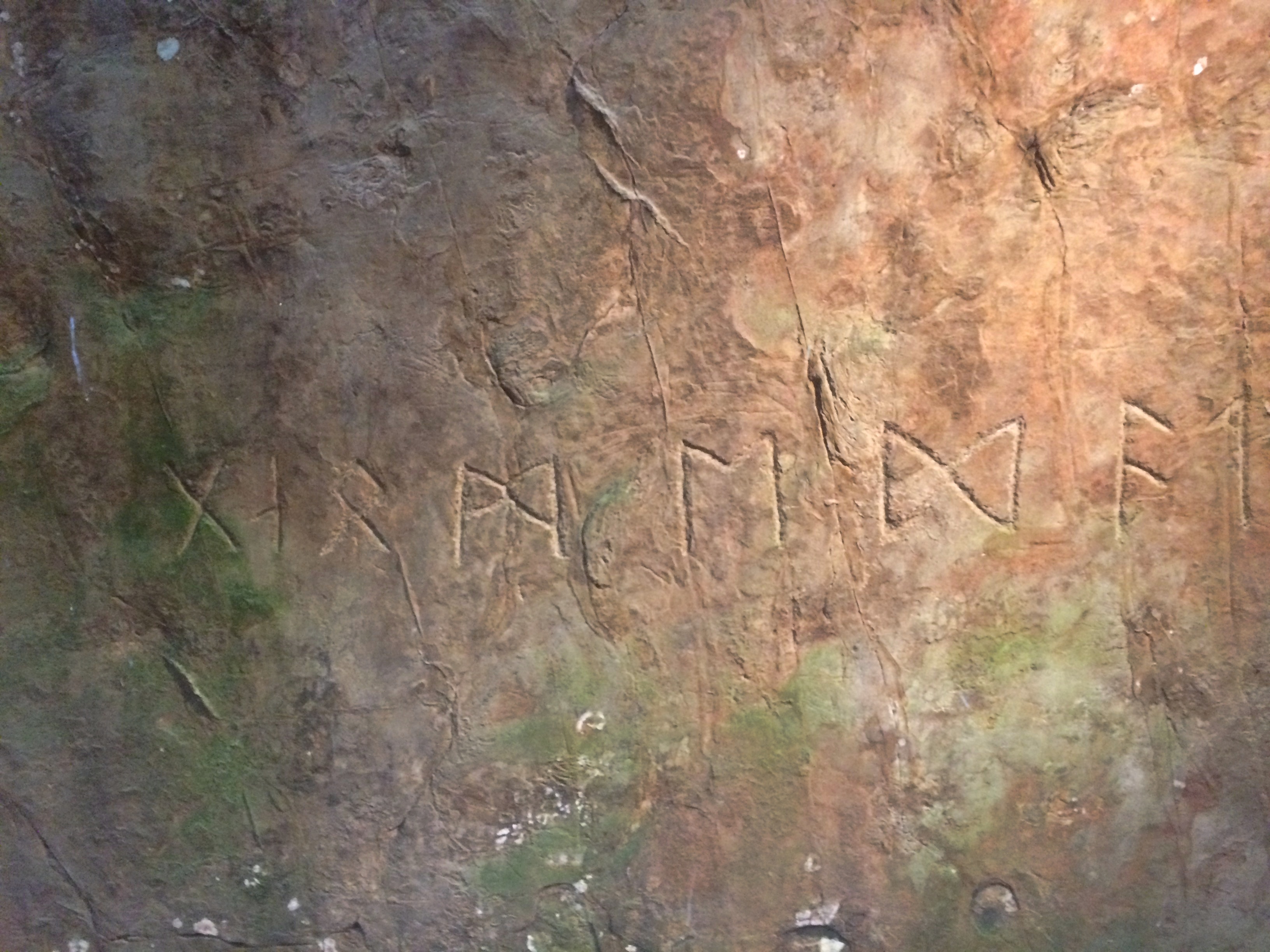
At some point in the past, someone carved runes into a sandstone boulder near Heavener. A local woman, one Gloria Farley, did her own research in the 1950s and determined that Norsemen had shown up in the future Oklahoma during the golden age of Vikings getting around (ca. 1,000 years ago), carved the runes, and then went on their way. Without leaving any other trace.

Apparently Gloria had friends in state government, and so 55 acres were made into a state park, its centerpiece being the rock, with a shelter built to protect it from the elements and vandals.Heavener Runestone Park

The boulder and its runes are behind glass inside.
Heavener Runestone Park
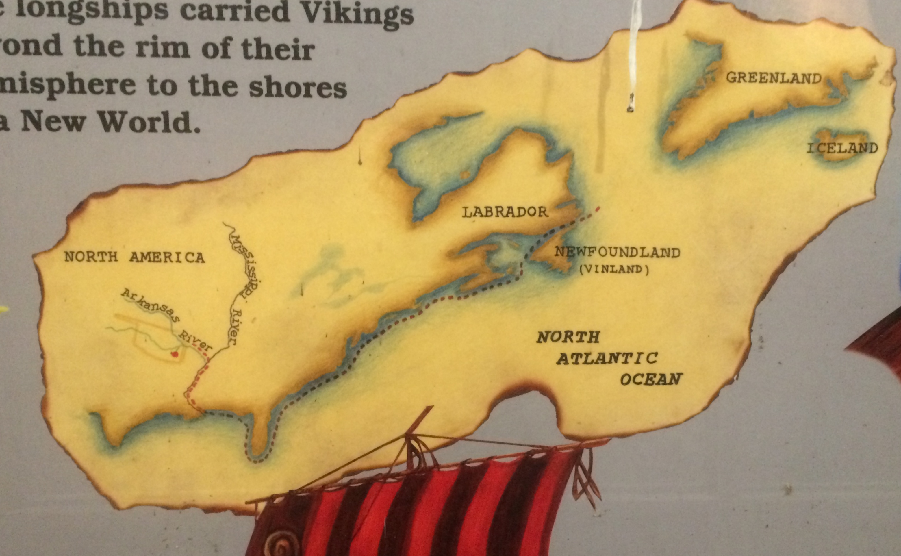
Signs near the glass case carry on the fantasy that Vikings visited Oklahoma.
Heavener Runestone Park

These days the park belongs to the town of Heavener and is overseen by a nonprofit. I did my little bit to support it, since there is no admission, by buying some postcards in the shop. (Also to support the manufacture of postcards in general.)

I don’t care that the place was founded on a fairly obvious hoax, maybe done by an Scandinavian immigrant in the 19th century with a peculiar sense of humor. In fact, that makes it more interesting, just as the faux Lincoln family log cabin does the Lincoln Birthplace National Historical Park.

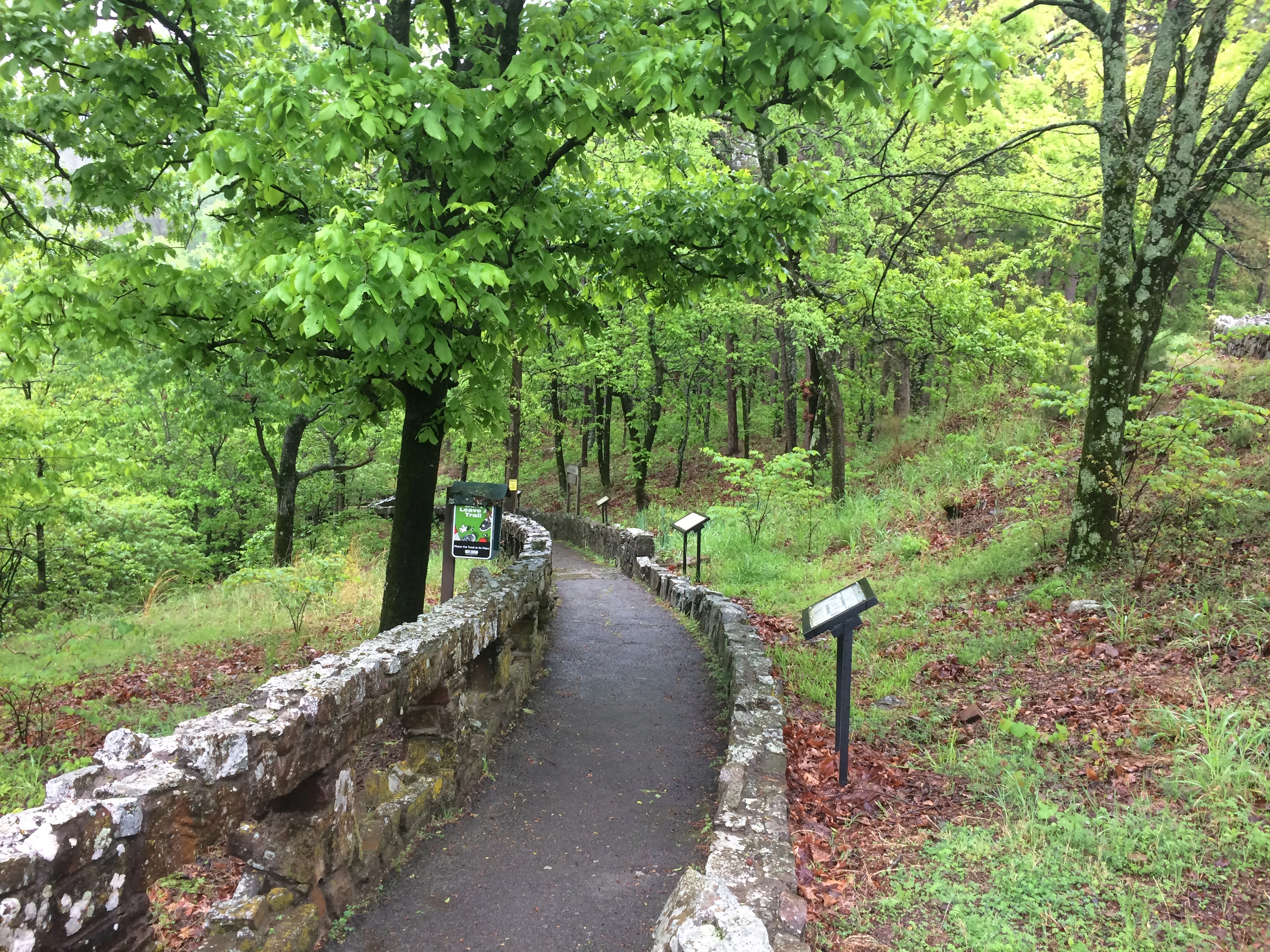
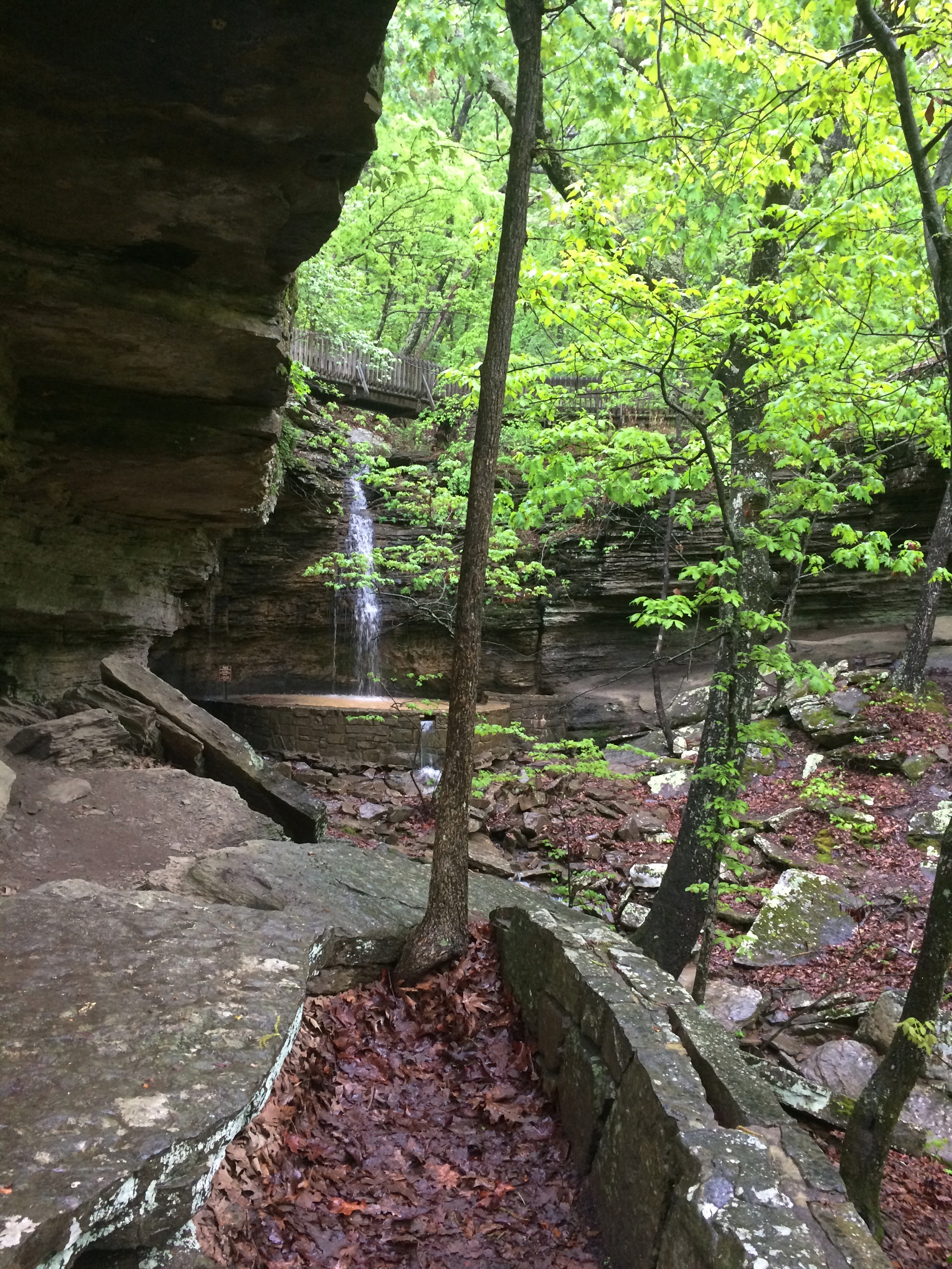
Besides, the loop to and from the Heavener Runestone, a path along the side of Poteau Mountain, is a good walk, even if wet with recent rain when I was there.Heavener Runestone Park Heavener Runestone Park Heavener Runestone Park Heavener Runestone Park

It’ll never be a World Heritage Site, unless some wickedly serious paradigm shift happens, but even so the non-state park preserves, in a pleasant green spot, an eccentric vision.

Southern Loop ’21

Just returned today from a series of long drives totaling 2,610 miles that took me down the length of Illinois and through parts of Missouri, Tennessee, Mississippi, Arkansas, Louisiana and Texas. Dallas was the prime destination, where I visited Jay for the first time in well over a year.

I drove on crowded Interstates, nearly empty Interstates, U.S. highways, state and county roads, and urban streets, and logged a lot of miles on roads through farmland, forests and small towns. I crossed the Mississippi more than once, including on a bridge that felt so narrow that moving the slightest bit out of your lane would crash you into the side of the bridge or oncoming traffic. Rain poured sometimes, drizzle was common and there was plenty of evidence of a wet spring in the ubiquitous puddles and the lush greenery of the South.

On I-20 east of Shreveport, I spotted a small truck carrying mattresses that had stopped on the right shoulder ahead of me. Then I spotted the mattress he’d dropped in the middle of the road, a few seconds ahead of me. The truck was 50 feet or so further than the mattress; he’d probably stopped to pick it up, but fortunately hadn’t got out of his truck yet. To my left another car was just behind me, so I threaded the needle to the right of the mattress and left of the truck, missing both.

I left metro Chicago mid-morning on April 9, making my way to Carbondale in southern Illinois, and took a short afternoon hike to the Pomona Natural Bridge in Shawnee National Forest. Overnight an enormous thunderstorm passed over that part of the state, and intermittent rain continued the next day as I drove through the southernmost tip of Illinois, a slice of Missouri, the length of West Tennessee and into Mississippi, arriving in Clarksdale after dark.

En route I’d stopped for a couple of hours at Fort Pillow State Park and about half that long in downtown Memphis. Dinner that night was Chinese food from a Clarksdale takeout joint called Rice Bowl.

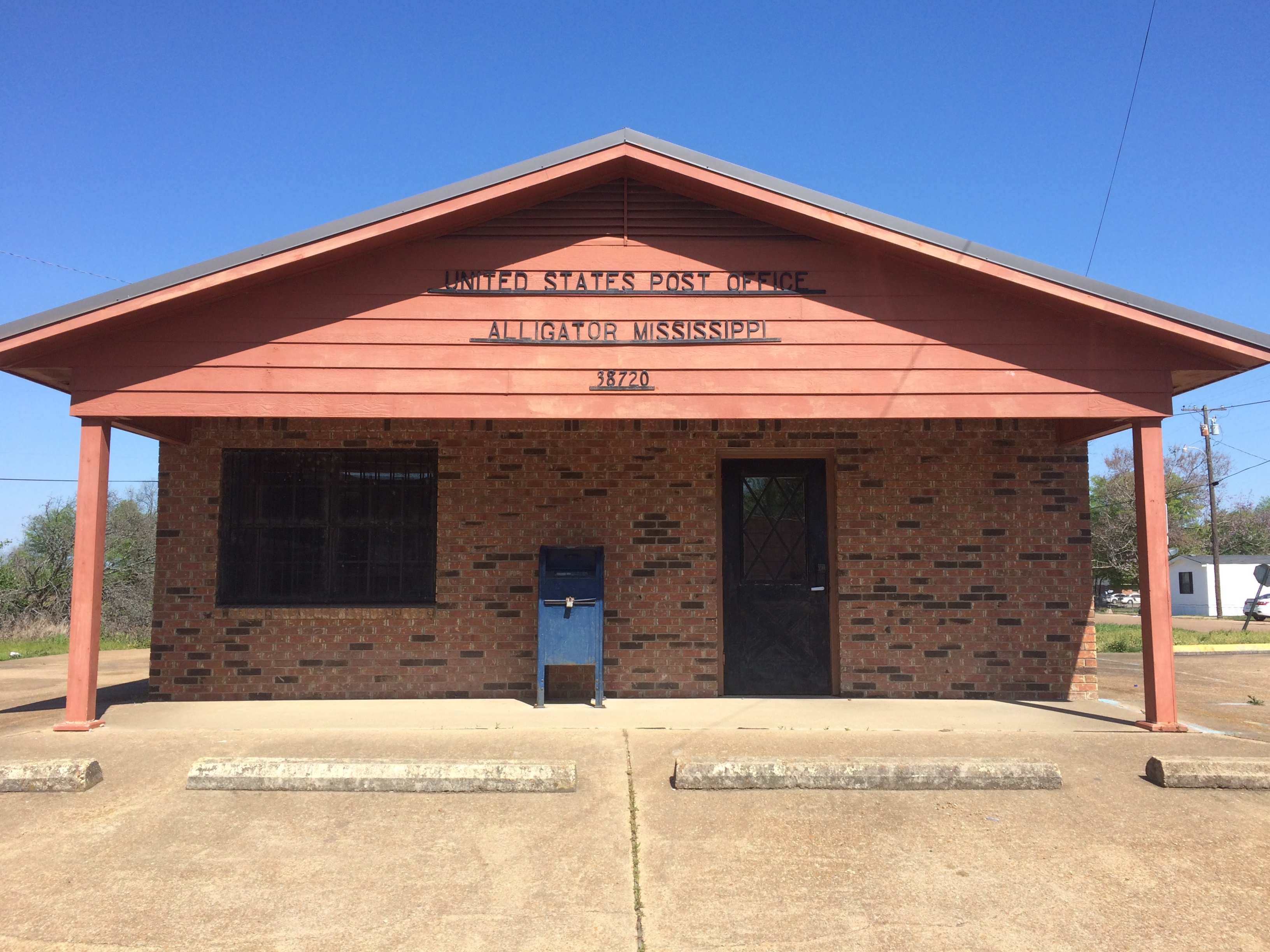
On the morning of April 11, I took a walk in downtown Clarksdale, then drove south — stopping to mail postcards in Alligator, Mississippi — and spent most of the afternoon at Vicksburg National Military Park.
Alligator, Mississippi

As the afternoon grew late, I walked around downtown Vicksburg and one of its historic cemeteries. The next day I headed west across the Mississippi River into Louisiana, where I stopped at Poverty Point World Heritage Site, locale of an ancient Indian settlement much older than Cahokia, or the pyramids outside Mexico City for that matter.

I stayed in Dallas from the evening of April 12 to the morning of the 16th, mostly at Jay’s house, though I did visit my nephew Sam and his family, meeting their delightful two-year-old daughter, my grandniece, for the first time.

On the 16th I drove north from Dallas, spending a little time in Paris, Texas. In Oklahoma I headed on small roads to the Talimena Scenic Drive through Winding Stair Mountain National Recreation Area, where I followed its winding (as the name says), up and down two-lane path through near-mountainous terrain. In a thick fog. That was excitement enough for one day, but that didn’t stop me from visiting Heavener Runestone Park toward the end of the afternoon. I spent the night just outside Fort Smith, Arkansas.

The next morning I headed toward Fort Smith and chanced across the picturesque Main Street of Van Buren, a large suburb of Fort Smith, or maybe its mate in a small twin cities. I also looked around the Crawford County Courthouse before crossing the Arkansas River to Fort Smith proper, spending an hour or so at Fort Smith National Historic Site. From there a long and tiring drive took me to Belleville, Illinois for the last night of the trip, stopping only for gas, food and a quick look at the Mildred B. Cooper Memorial Chapel.

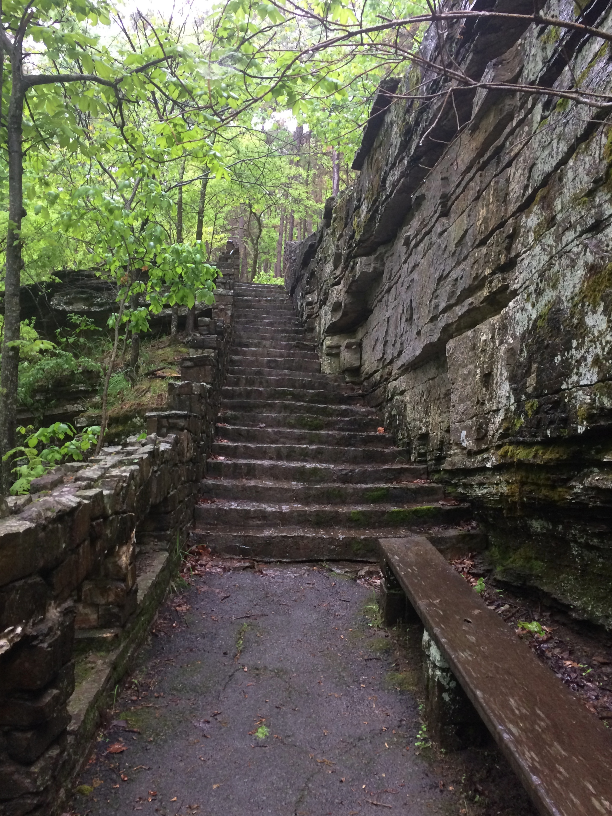
The place I stayed in Belleville last night was an inexpensive motel at the end of the town’s downtown shopping and restaurant street. Up earlier than usual this morning, around 7, I took a walk in area’s handsome, near-empty streets and sidewalks. Before leaving town I stopped at the Cathedral of Saint Peter, and a few miles away, Our Lady of the Snows shrine.

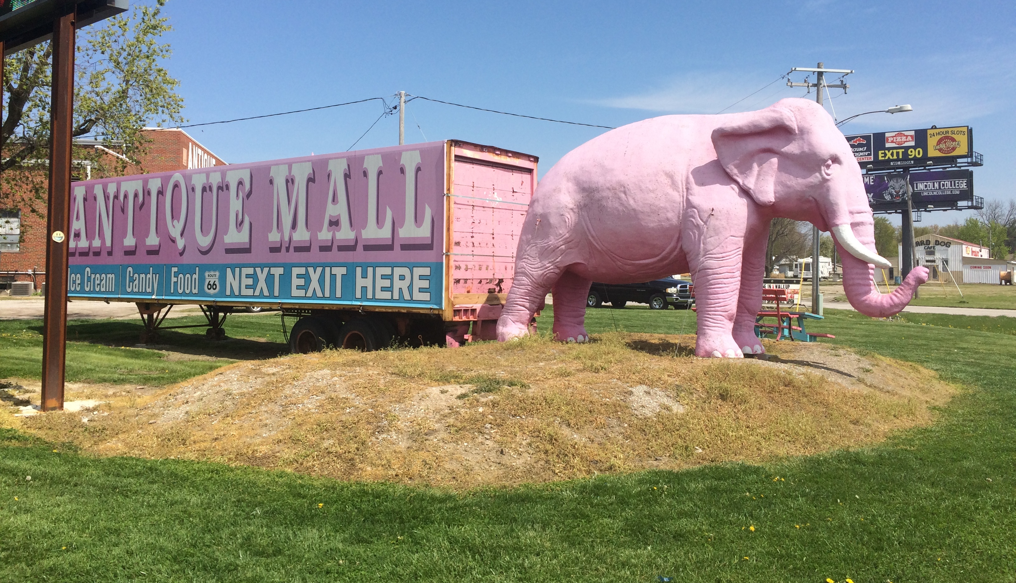
That ought to be enough for any trip, I thought, till I saw that the world’s largest catsup bottle in nearby Collinsville as a point of interest on my paper map (I now use both paper and electronic, which complement each other). So I went to see that. Later heading north on I-55, I thought, that ought to be enough for any trip, till I saw the pink elephant. Pink Elephant

That is, the Pink Elephant Antique Mall northeast of St. Louis, which I’ve driven by many times over the years, but never stopped at. This time I did and it became the cherry on the sundae of the trip.

South Suburban Vax Thursday

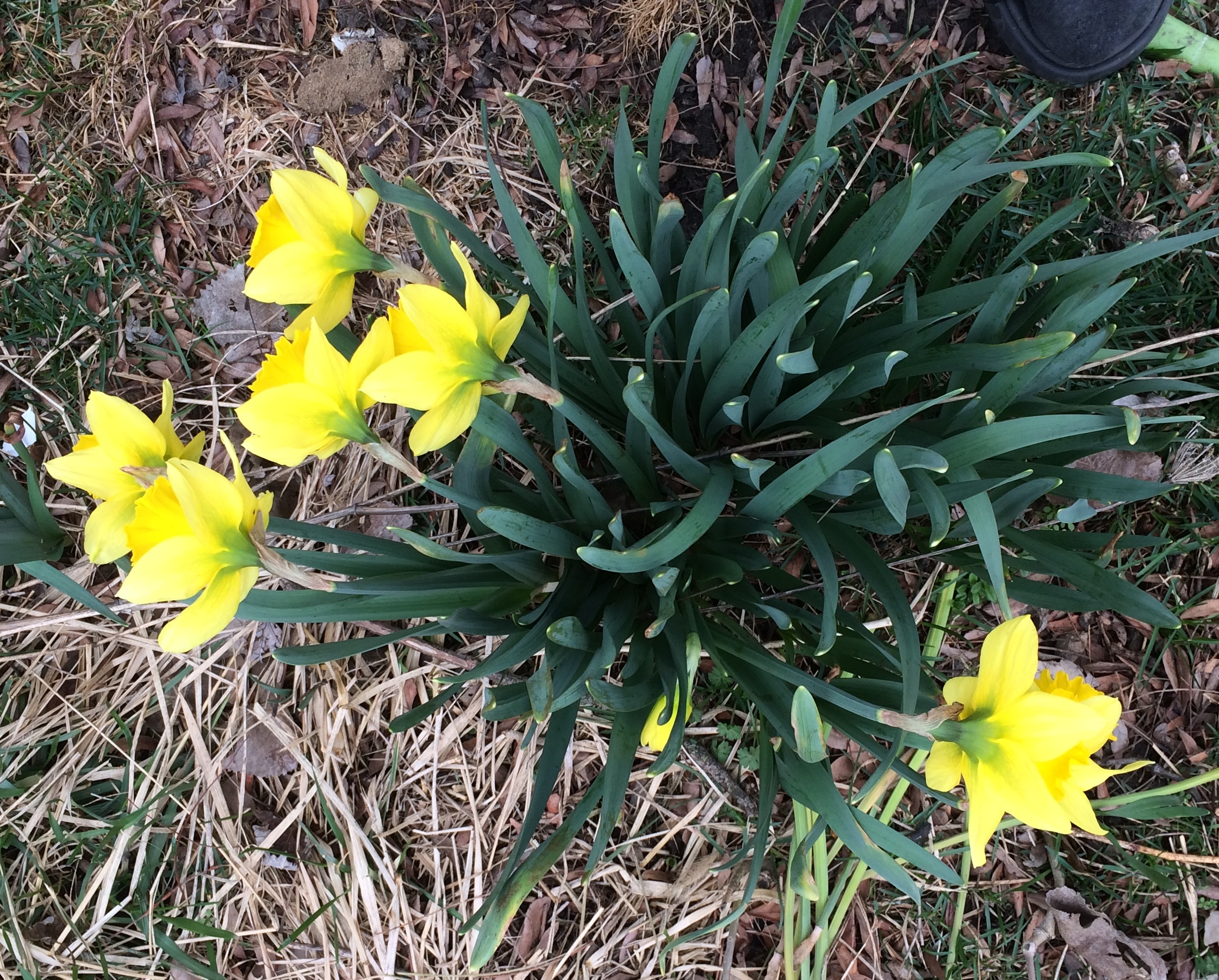
Today was fairly chilly, and wind and rain is forecast for the evening. But I’m glad to see croci in the back yard.

The main event today, after filing a couple of stories, was a drive to the south suburbs for my first Covid-19 vaccination (until a few weeks ago, my publication’s style was COVID-19, which was too much like screaming). The site was an ordinary chain drug store. I found the appointment via a non-official web site that tracks drug store-based vaccinations that was set up, as far as I can tell, by Some Guy.

That’s the American way, I suppose. Government action for a big thing, ad hoc initiative to fill in the details. Sometimes that works well enough, sometimes less so.

The process wasn’t quite as efficient as that run by the 101st Airborne, but I didn’t have to wait too long after my appointment time. The injection itself took only a moment, of course, and I was rewarded with my own CDC card, which is sure to be a vaguely remembered relic someday, like ration books.

One jab down, five to go for this household. Three of those are scheduled.

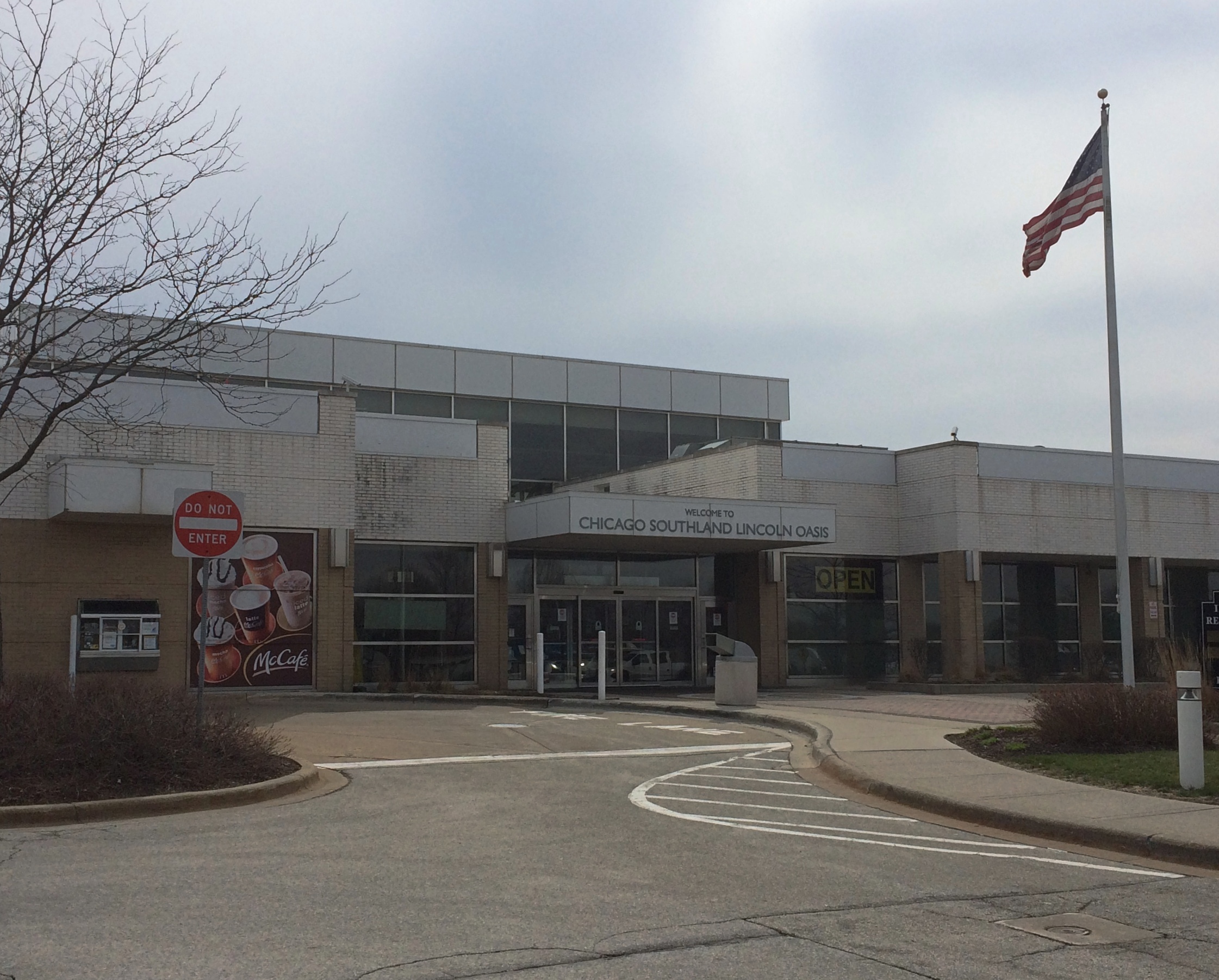
I was far enough south to stop here, at the Chicago Southland Lincoln Oasis on I-80, not far from the Indiana line. On that most congested of metro Chicago highways, especially with trucks.
Lincoln Oasis I-80
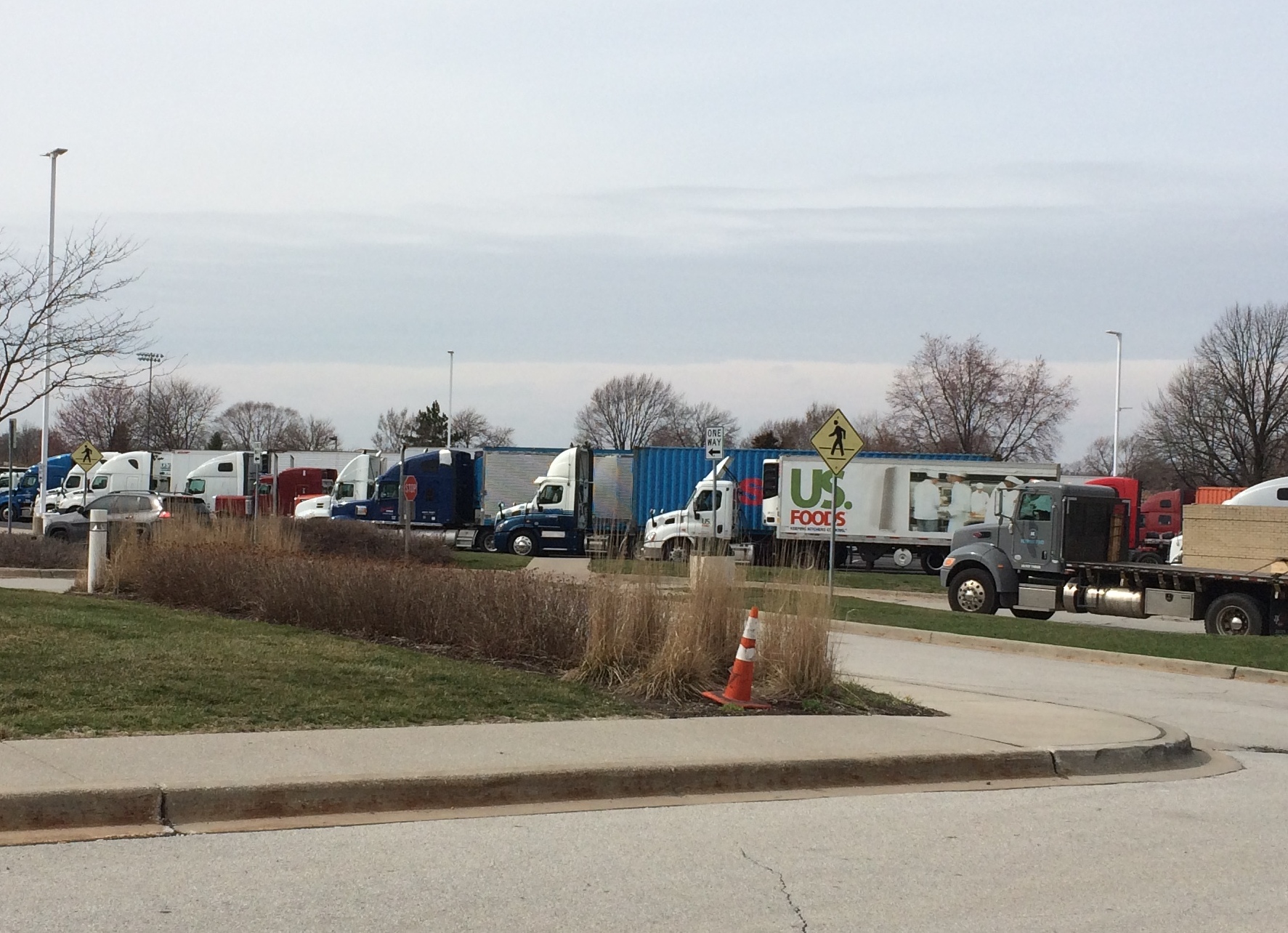
Here are some of the trucks, resting temporarily from the role as part of the congestion.
Lincoln Oasis I-80
The other day I spotted an abandoned booklet in a public park. Even at some distance I could tell the content was religious, so I picked it up, hoping for the strange fascination of a Jack Chick work. I assume that his work has continued, even though the man himself might have died and gone to —

Anyway, it wasn’t a Jack Chick, but another brand by an organization I’d never heard of based in… it doesn’t say, and mostly it offers text, with a only scattering of pictures to illustrate the thing. The booklet is, however, trilingual: English, Spanish and Korean, so I’ve picked up some interesting phrases in Spanish.

Life is short! ¡La vida es corta!

Man is a sinner. El humano es pacador.

The wages of sin is death. Las paga del pecado es la muerte.

One more thing. A web site devoted to an incredibly obscure aspect of popular entertainment.

Look Right (Or Else)

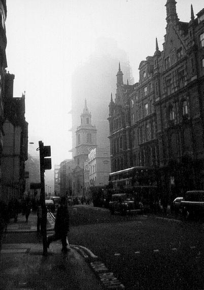
Some years ago, I scanned one of the pictures I took in London in December 1994, a streetscape. I forget where exactly. Something inspired me to scan it in black and white, which captures the December gloom all the better.

Noir London

Not that London’s a particularly gloomy place, in December or any other time. But old movies on long-ago Saturday afternoons conditioned me to think of old London in foggy black and white, and I caught something of that in the image. Maybe not London in 1994, but 1934.

Looking at the image again, I noticed LOOK RIGHT painted on the edge of the road. Sound advice, I’m sure. When did that message start being painted to warn visitors whose first instinct is to look the wrong way?

A 1991 NYT article mentions the paintings in the context of pedestrian deaths in London, but it only says, “this city has always been tough on foreign pedestrians, who can often be observed at street corners wearing the slightly startled look of deer edging alongside a freeway. It was for them, mostly, that London officials years ago began painting reminders along curbs suggesting that pedestrians ‘look left’ or ‘look right’ before venturing into the street.”

Perhaps for the influx of U.S. soldiers during WWII. That would be my guess. Of course, the hazard is present for Britons visiting our side of the Atlantic as well. After all, Winston Churchill almost bought the farm in New York in 1931 because he failed to look the right (correct) way crossing a street.

A Sunday Drive + Phishin’

The last day of August? Even this pandemic summer has sped by like an ordinary summer. I’ll post again on September 8.

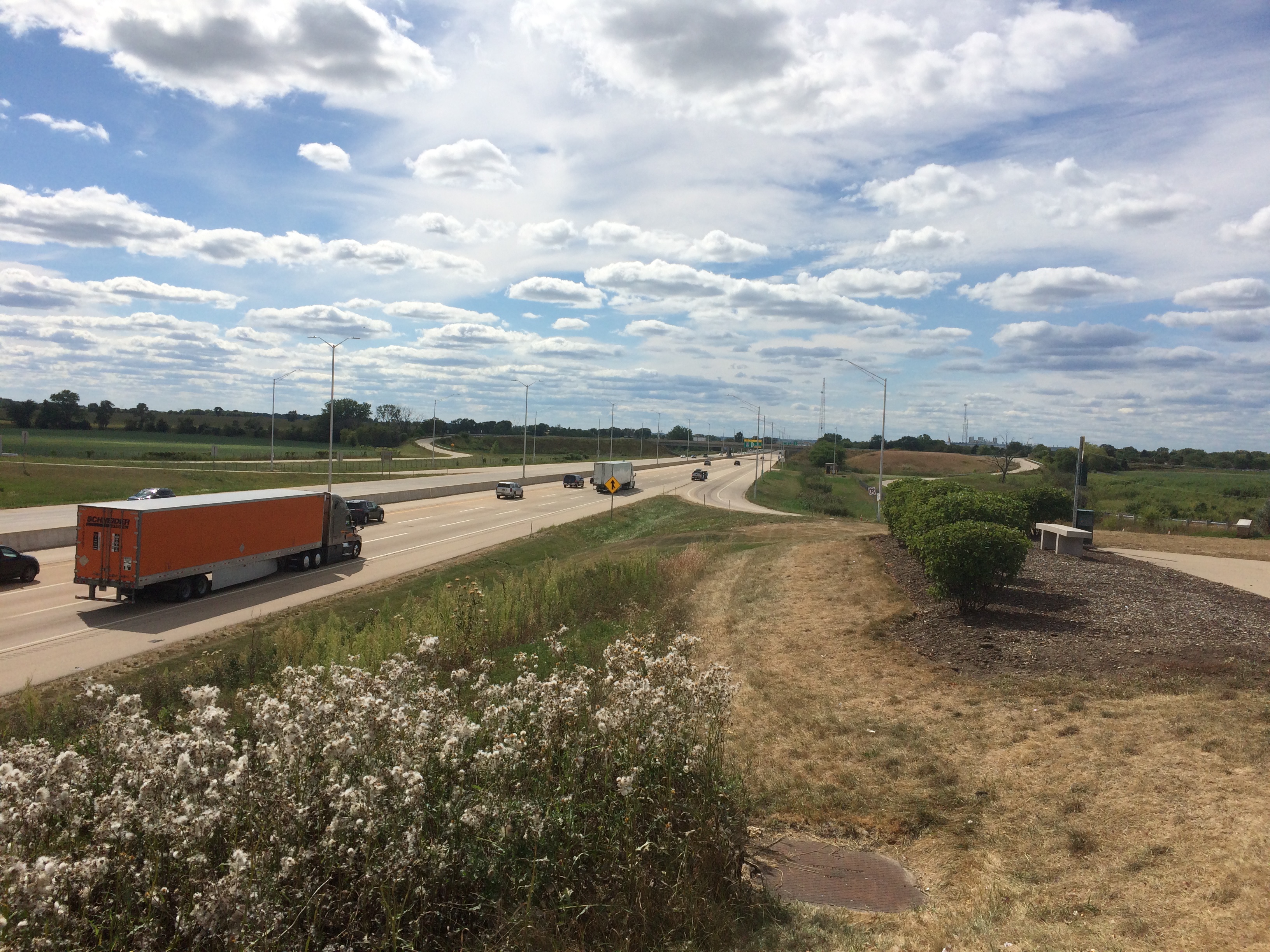
We were out and about on Sunday, including a drive on I-90 between metro Chicago and Rockford. Here’s the highway as seen from the Belvidere Oasis, looking west.
tollway oasis BelvedereThat is, at a large rest stop on the toll road. They seem to be unique to Illinois.

On the whole, we did a classic Sunday drive — a trip just for the sake of driving, except that it was also driving practice for Ann, who has a learner’s permit these days, and not much experience on highways. We made it as far as Rock Cut State Park near Rockford, then headed back.

As part of our return, we stopped at Gabuttø Burger. Formerly located in Rolling Meadows, the Japanese-style hamburgerie is now in Elgin, near the Randall Road exit on I-90. Not very convenient for us most of the time, but we were in the area.

Eating in was an option, but instead we found a small nearby park with a picnic shelter. Good eating. We are fortunate indeed.
Gabutto BurgerFor some reason while we were out on Sunday, a number of phishers came calling. Our voice mail captured 13 messages. Actually all from the same source saying the same thing: Your X account has been breached…

How thoughtful of them. They provided a phone number to call, and I’m sure for a small fee — what’s that credit card number again? — they’ll be happy to fix a problem with something I don’t even use.

Also, an email (all sic) pretending to be from a major financial services company came on Sunday:

Your account security is our priority.
To validate your account, click here or the validation button below.
The link will expire in 24 hours, so be sure to use it right away.
failure to confirm your record will result in account disabled. Please confirm your records.

Such is life among the digital wonders of the 21st century.

Hummer ’96

Long ago I posted about my experience test driving a Hummer. So long ago that I also mentioned giving Ann 2 oz. of formula in the same text. Some excerpts:

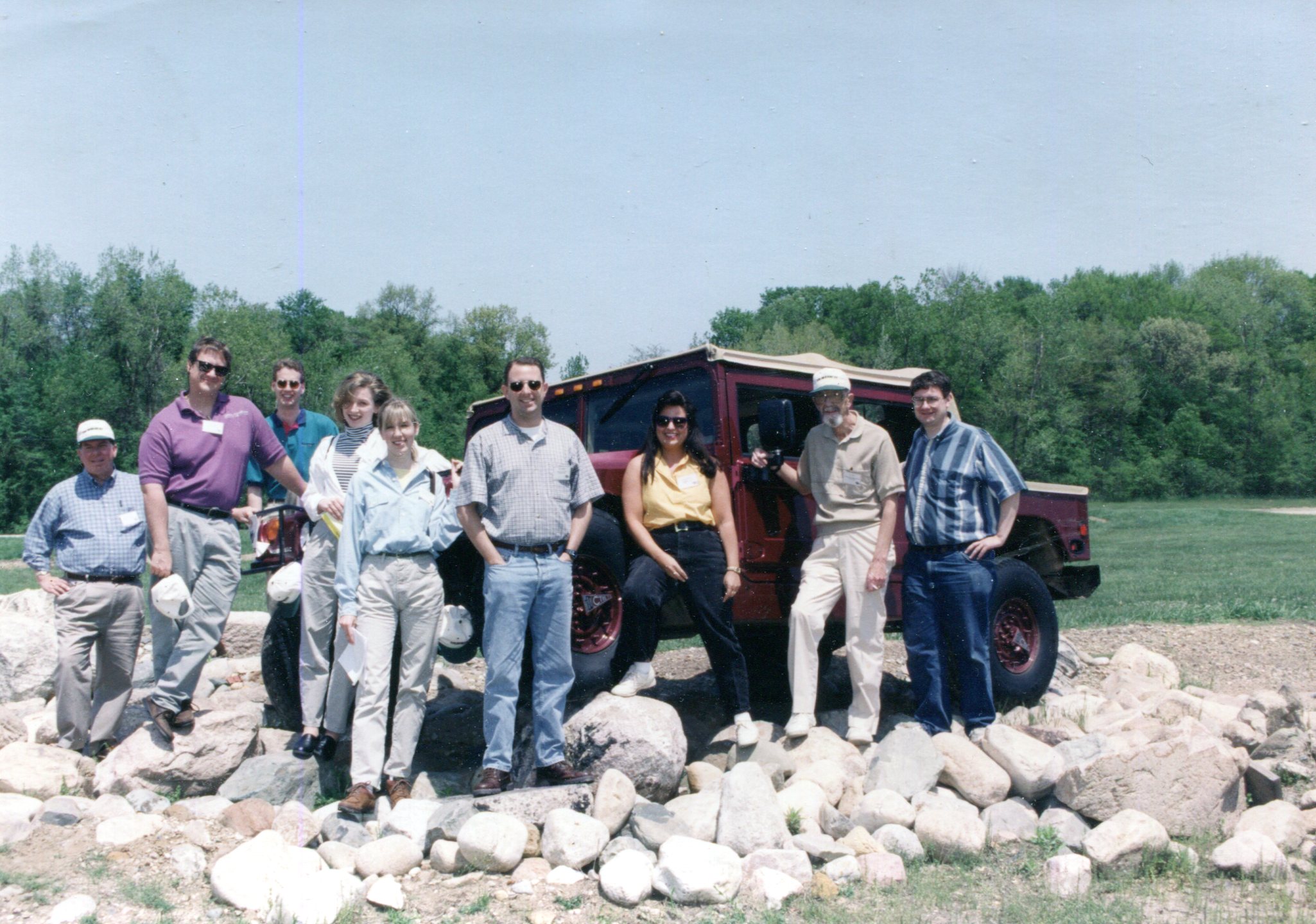
Back in the spring of 1996, soon after I’d joined the editorial staff of Fire Chief magazine, the editor, Scott, came into my office and asked, “Would you like to drive a Hummer?” Not a question you hear every morning….

Did I want to drive a Hummer? Yes. Absolutely. It was something all former boys could aspire to. But I have to report that a fair number of former girls came to the test track to drive the things, too….

[We] took turns driving over bumpy trails, logs, rock piles, and steep grades, and through muck, ditches, and a scummy pond deep enough to come half-way up the side of the door…

Here are all the editors that came out to test drive a Hummer that pleasant May day near South Bend, Indiana, in 1996.

I don’t remember anyone’s name or anything else about them. But we did have good temporary camaraderie for the day.

Gas

The grass is high and persistent rain over the last 24 hours will make it higher, except for the dandelions, which are temporarily beaten down. Once the lawn dries out, and I manage to buy some gas for the mower, I’ll cut it. Assuming the mower wakes from its hibernation.

I bought gas for my car on April 17 at a warehouse retailer. Almost no one was in line, which is rare. Around $1.75/gallon, I think, so just over $22 was enough to fill the tank completely. I couldn’t remember the last time I’d done that. I also couldn’t remember the time I bought any gas before April 17, so I checked.

My handy bank records tell me it was March 16. That purchase took it up to 3/4 of a tank, roughly — which is more in line with my gas-buying habits — so in a month, I used only 1/2 a tank, and a fair portion of that was to drive some distance to attend to some business in Des Plaines shortly after the March 16 purchase.

As predicted, not much driving these days, mostly just forays to nearby parks. Guess the air’s a little cleaner for it and the roads a little safer. Still, if this goes on too long, I’ll start missing long drives. Not something I would have predicted before the crisis.

Joshua Tree National Park

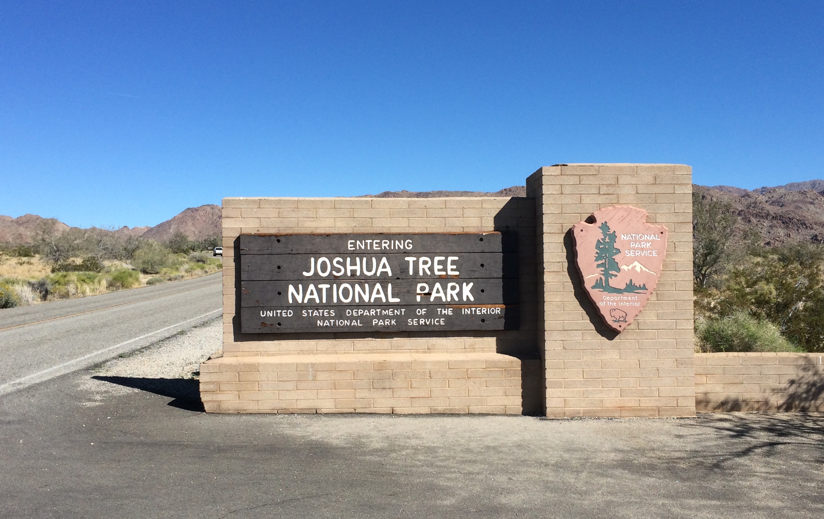
On the morning of February 26, 2020, I arrived at the south entrance of Joshua Tree National Park. Near the end of the day, I would leave via the west entrance.
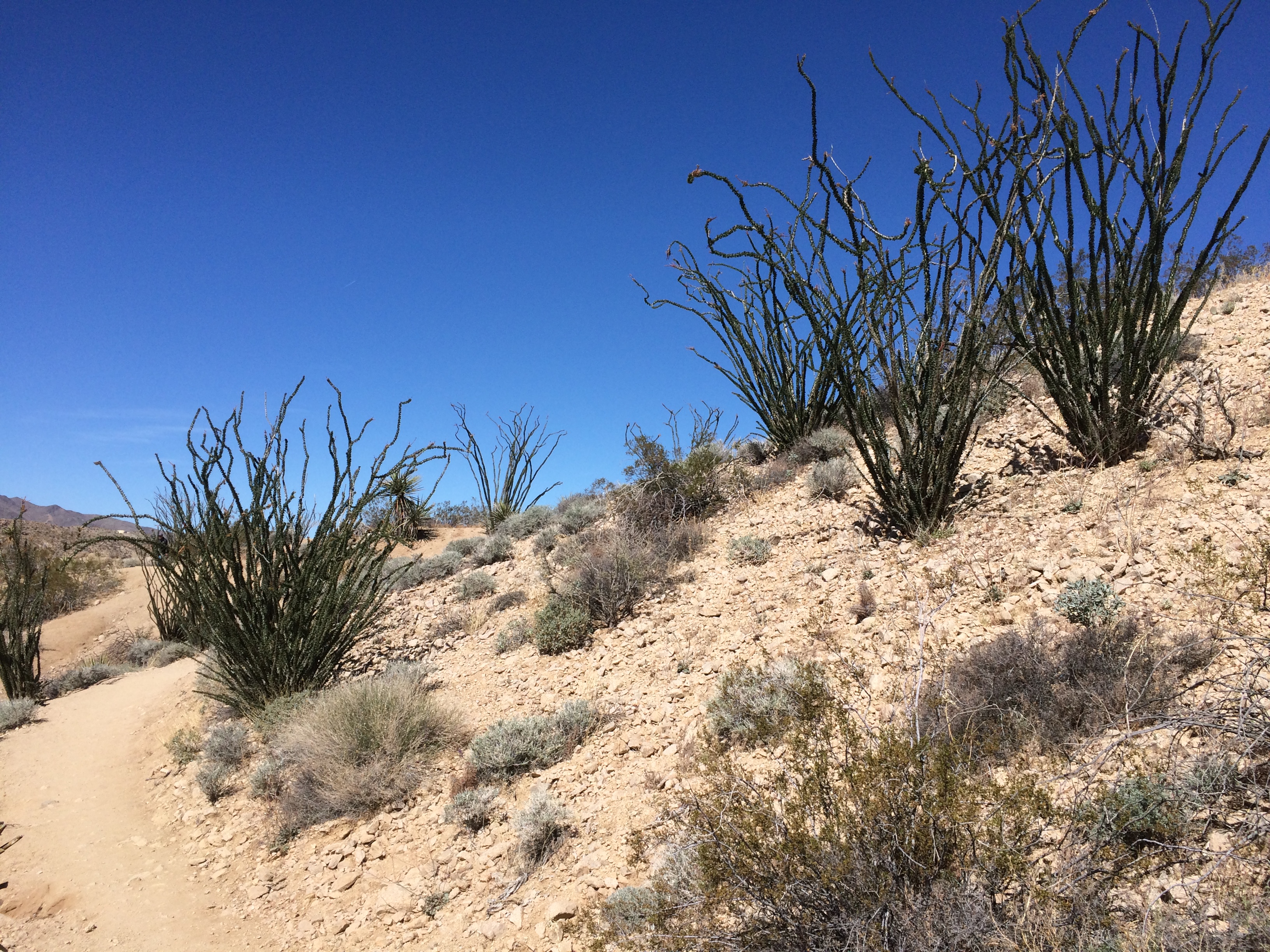
Joshua Tree National Park signThe park includes sections of two different deserts, the Colorado and the Mojave. The territory around the south entrance is Colorado Desert, and not much populated by Joshua trees. It would be a while before I saw any Joshua trees, which are actually yucca plants (Yucca brevifolia), in the national park named for them.

Though folk etymologies involving Mormons exist when it comes to why Joshua trees are called that, the origin of the term is uncertain. The plant has also been called, in English, the tree yucca and the yucca palm.

One more thing: the Joshua tree depicted by U2’s The Joshua Tree album was near Darwin, California — which is close to (but not in) Death Valley NP, not Joshua Tree National Monument, as it was then. Come to think of it, Death Valley was a national monument in 1987 as well.

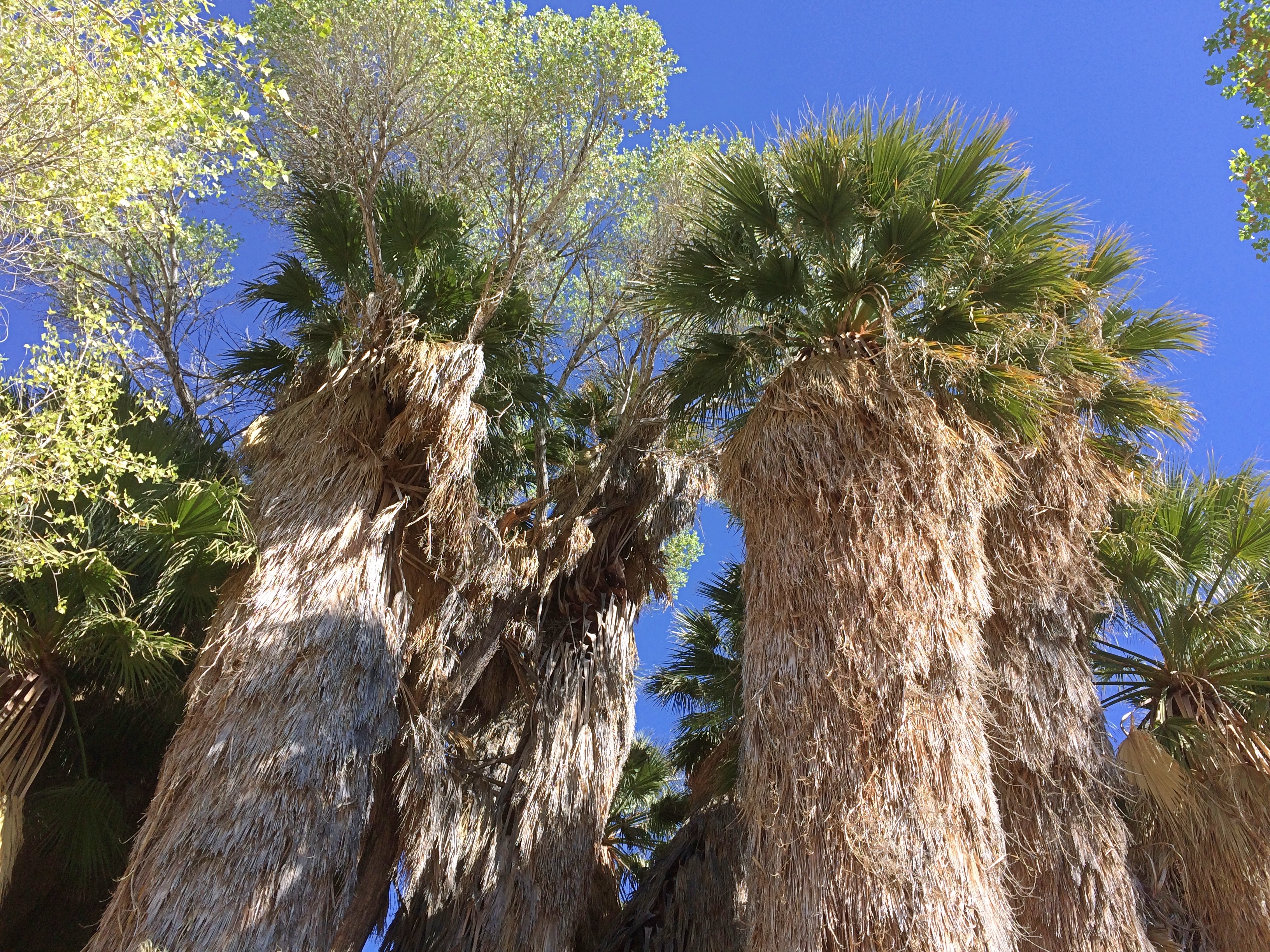
My first walk of the day was along the trail leading out of Cottonwood Spring. Where there’s water, there are large trees.
Joshua Tree National Park Cottonwood SpringsThen it’s off to more arid hills.
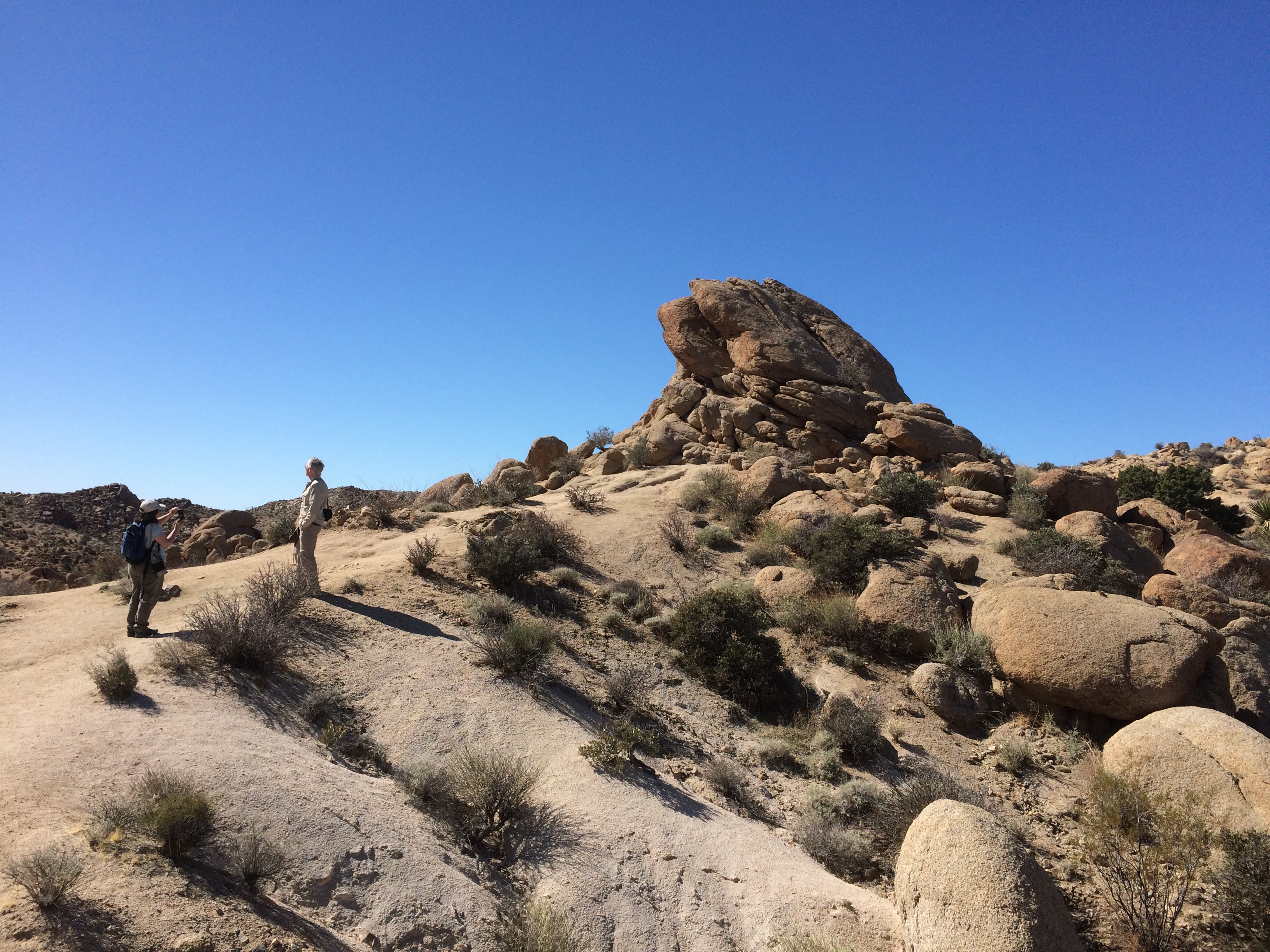
Joshua Tree National Park Cottonwood Springs trailWith rock formations. This one’s actually pretty small compared to some others I would see later in the day.
Joshua Tree National Park Cottonwood Springs trailSmall plants compared to others I’d see later. But I liked them.
Joshua Tree National Park Cottonwood Springs trailNorth from Cottonwood Springs, the road takes you through washes: Smoke Tree Wash, Porcupine Wash and the amusingly named Fried Liver Wash. Then on to the Cholla Cactus Garden.
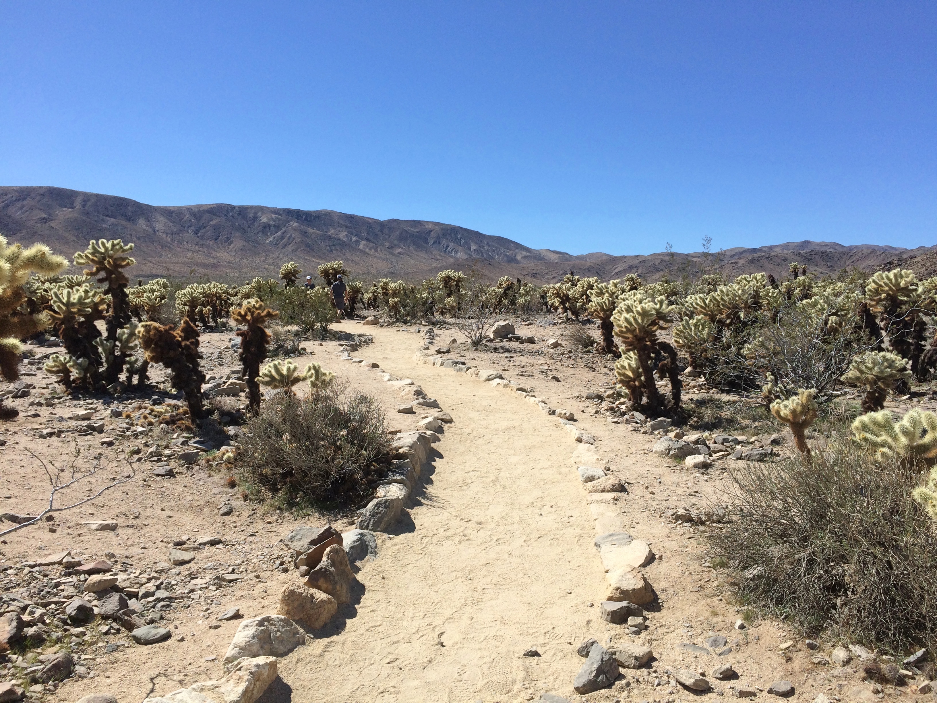
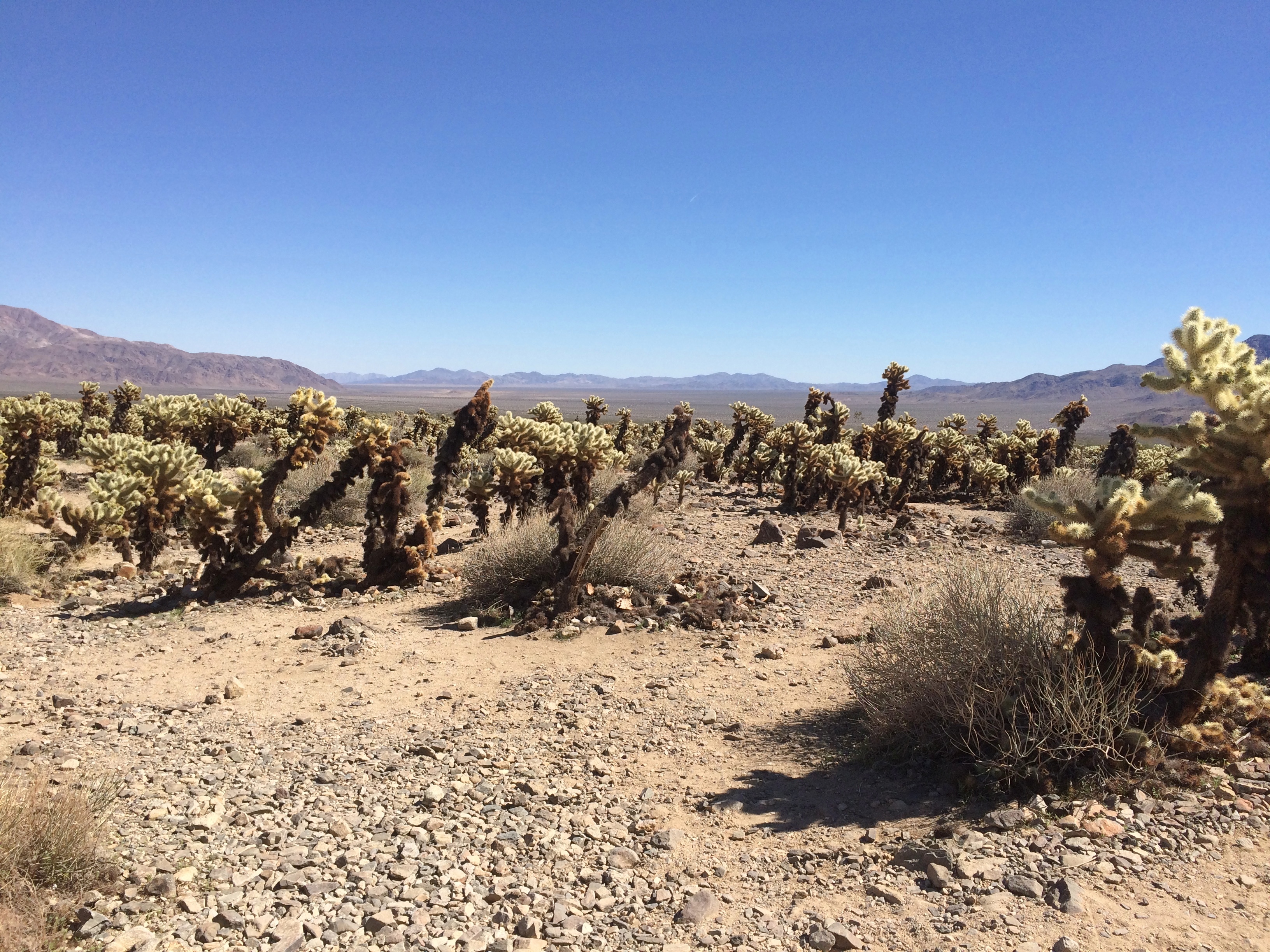
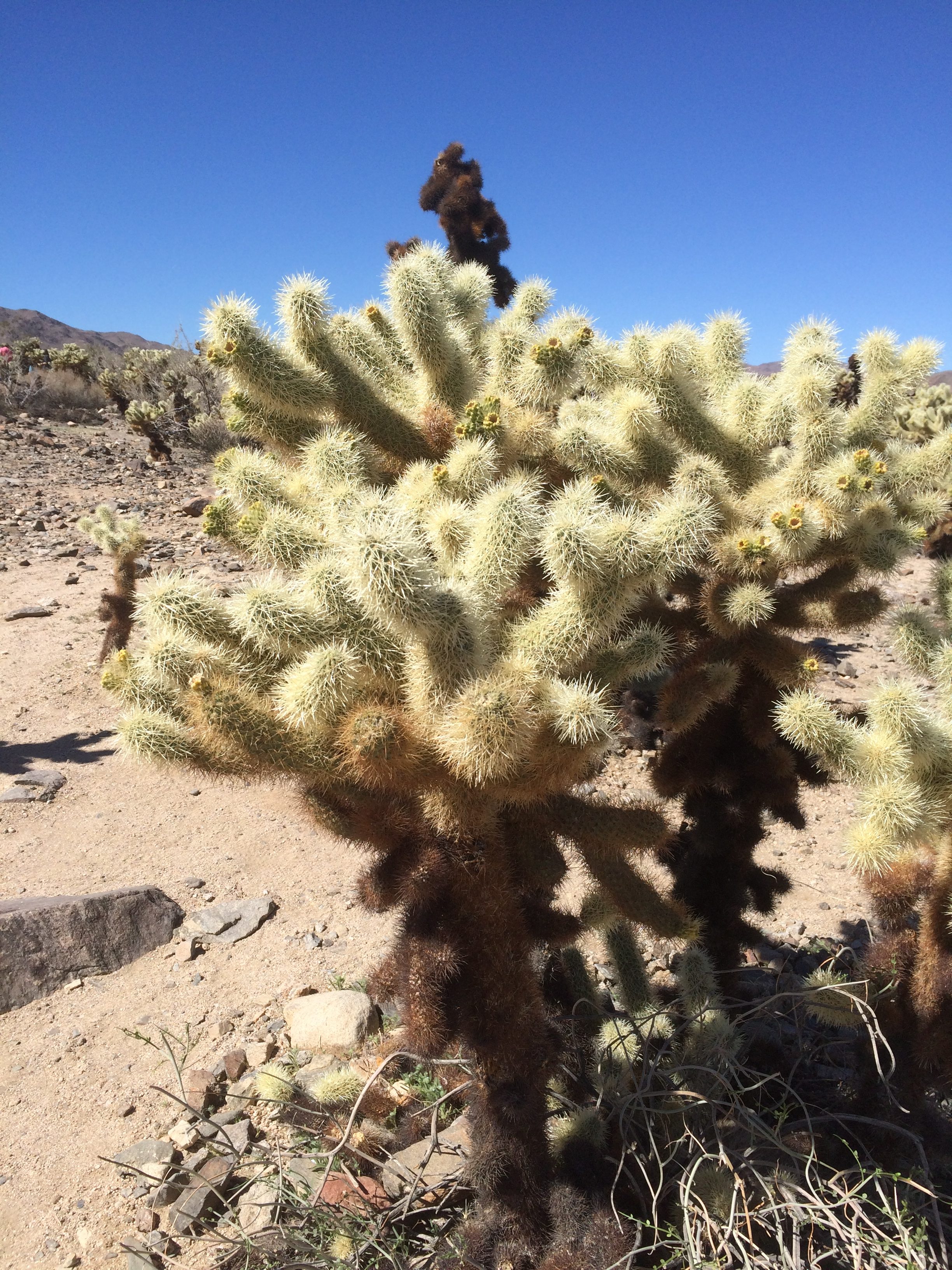
Cholla Cactus Garden, Joshua Tree National ParkCholla Cactus Garden, Joshua Tree National ParkLooks soft and fuzzy in a picture, but in person the cholla’s got wicked spines. Wiki says that the plant (Cylindropuntia bigelovii) has the “sardonic nickname of ‘teddy bear.’ ”

Joshua Tree NP Really Wicked Cactus

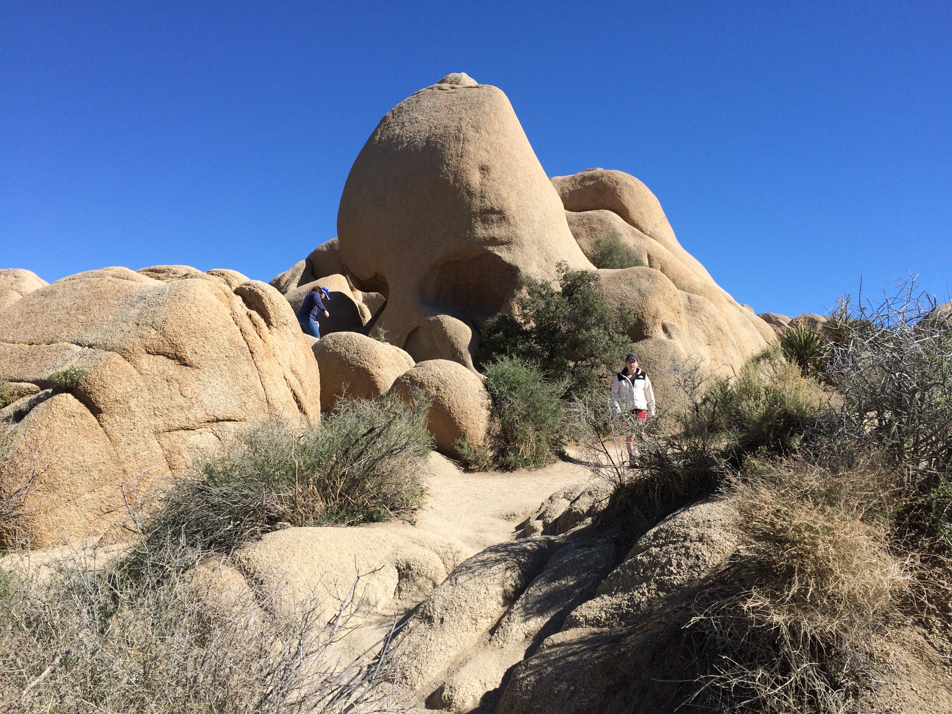
Next stop, Jumbo Rocks. Including the one called Skull Rock. Looking at it this way, I thought Nostril Rock would be a better name.
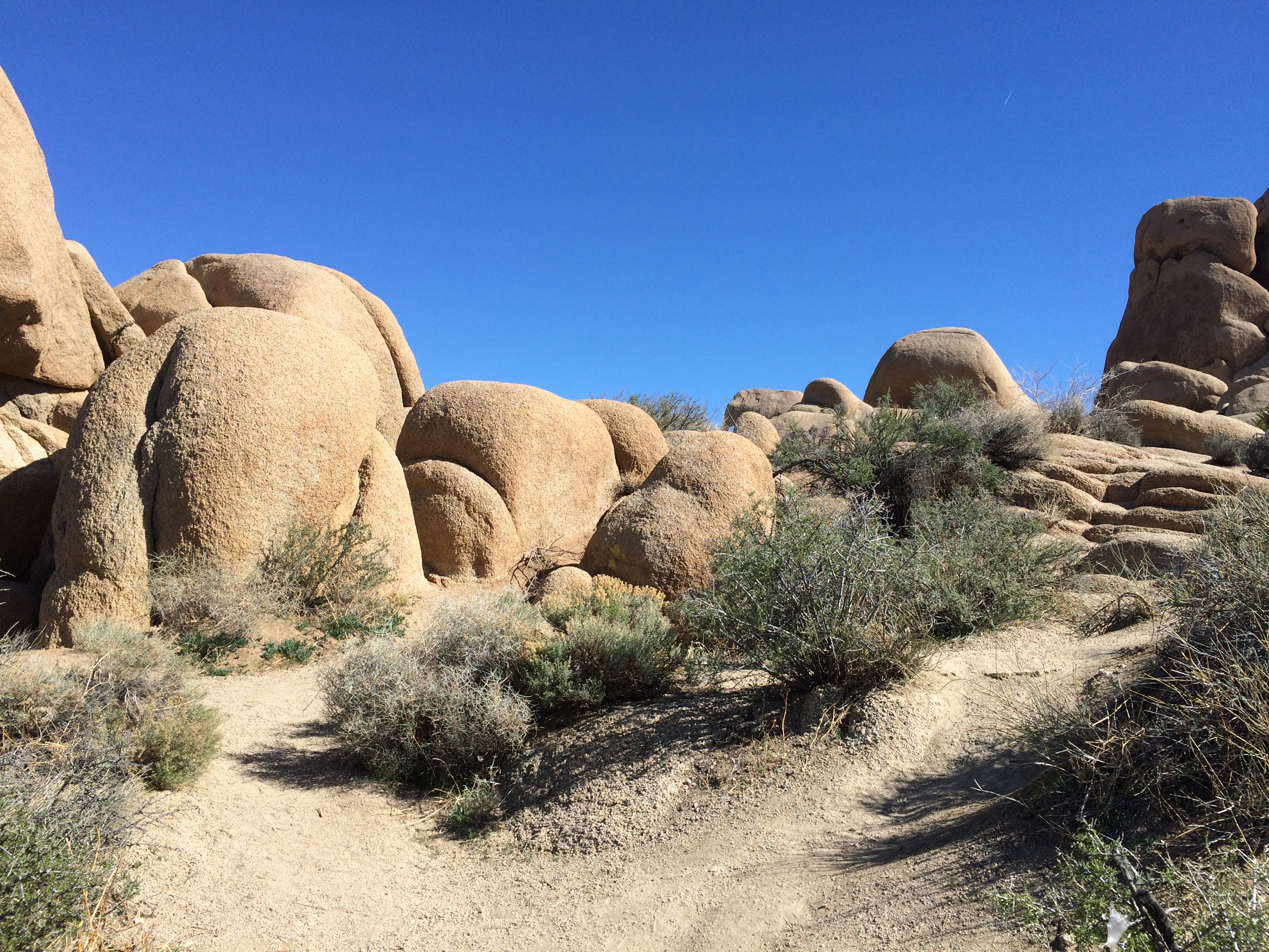
Joshua Tree National Park Skull RockPlenty of big rocks all around. The result of magma, monzogranite, rising to the surface eons ago. That or an act of creation in 4004 BC.
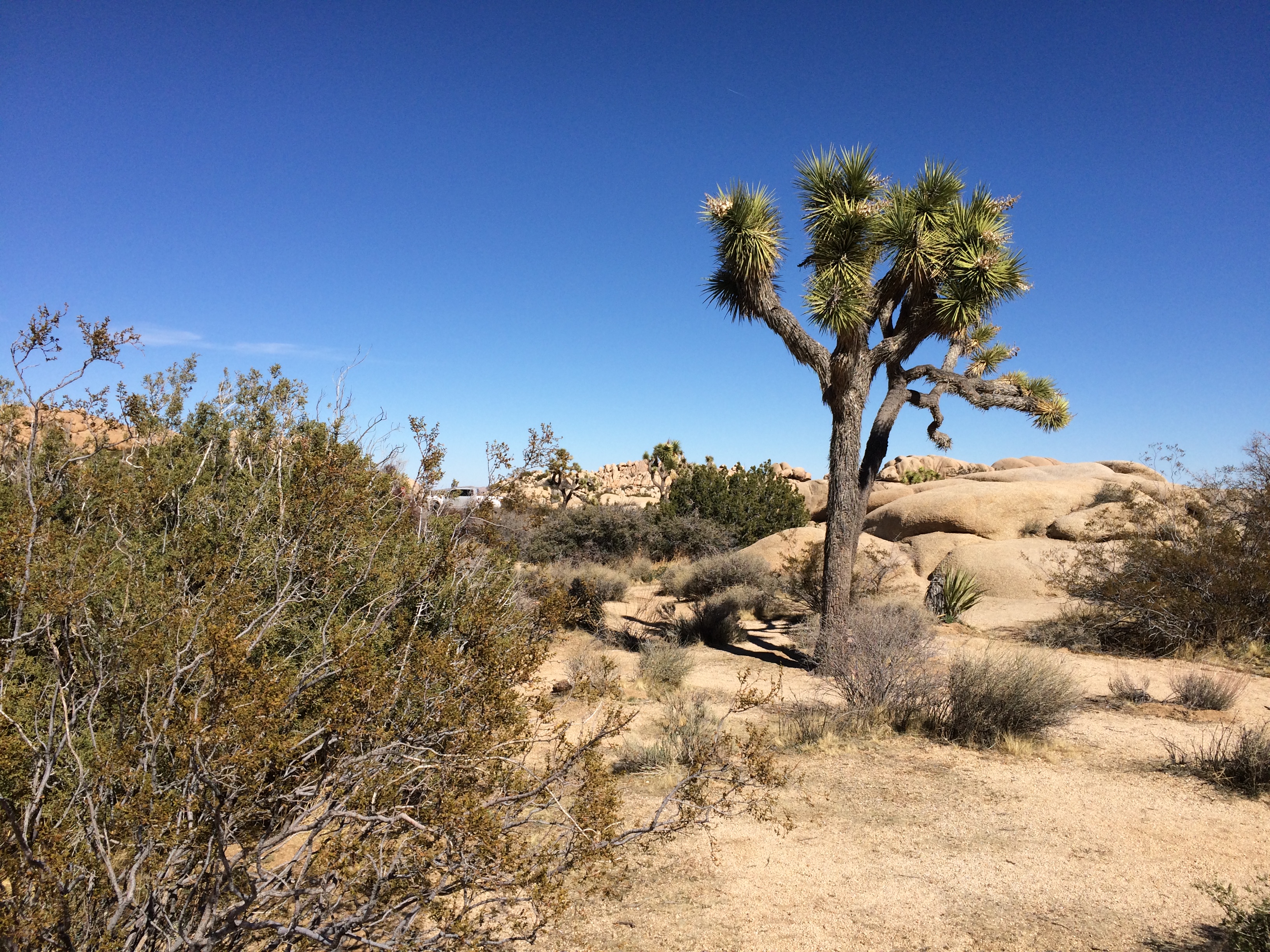
Joshua Tree National Jumbo RocksJoshua Tree National Jumbo Rocks Not far away I started spotting Joshua trees.
Joshua Tree National ParkDriving on the paved roads of JTNP was pleasant enough. There was some traffic, since winter is high season, and millions visit the park every year — about 2.9 million in 2018, making it the 11th most-popular U.S. national park. Not enough traffic to be a nuisance, though.

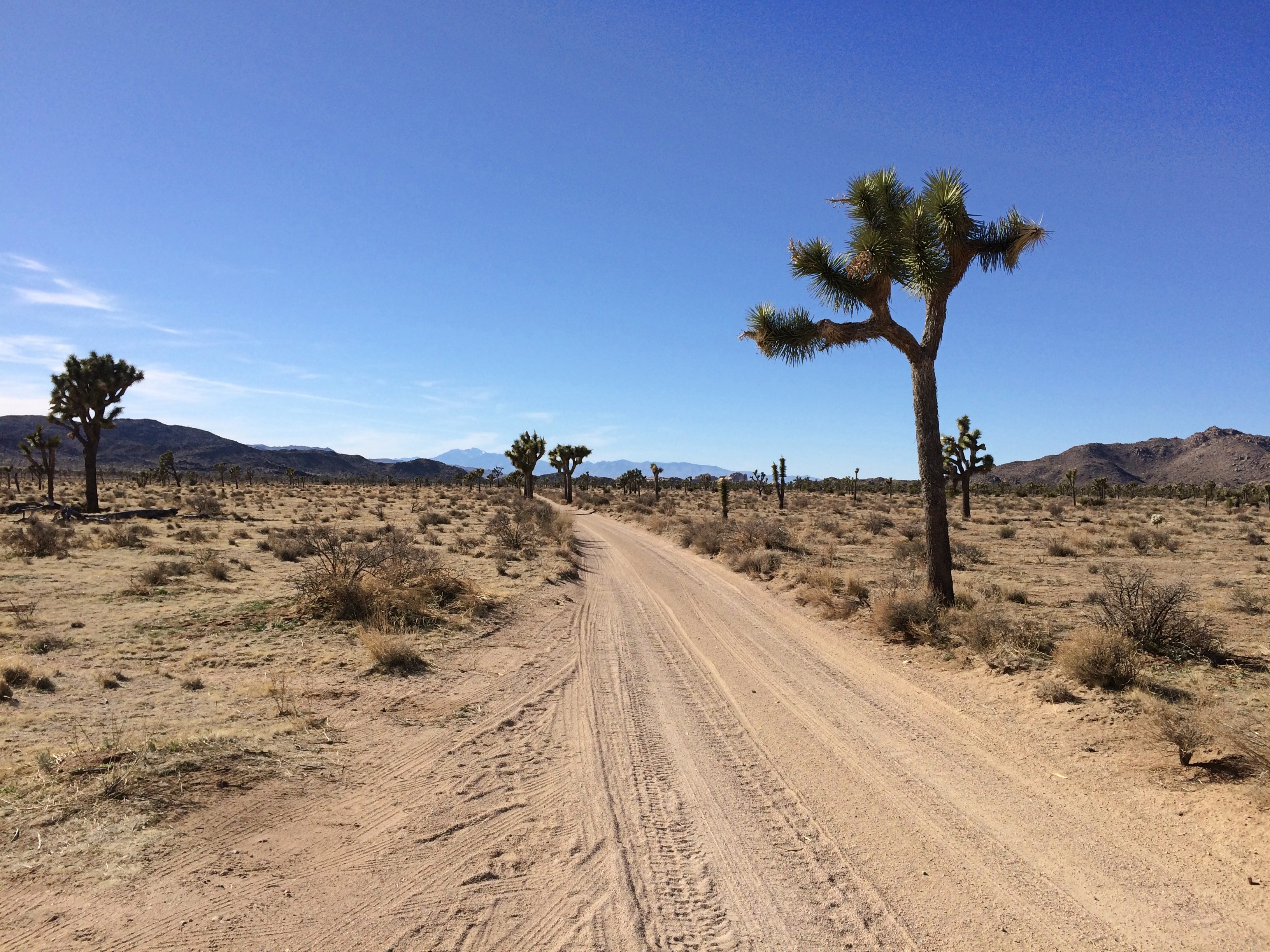
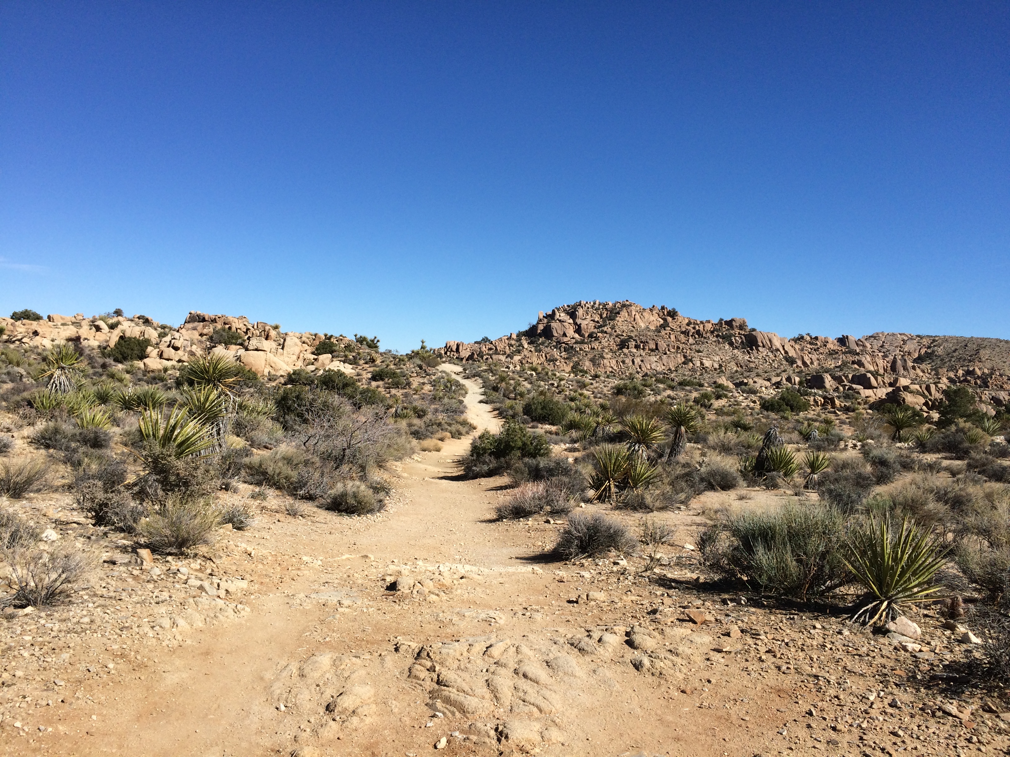
Unpaved roads were even better. At least the two I took: Desert Queen Mine Road and Queen Valley Road. Guess most of the other visitors were skittish about driving them, but they were mostly smooth with only a few large rocks to watch out for.
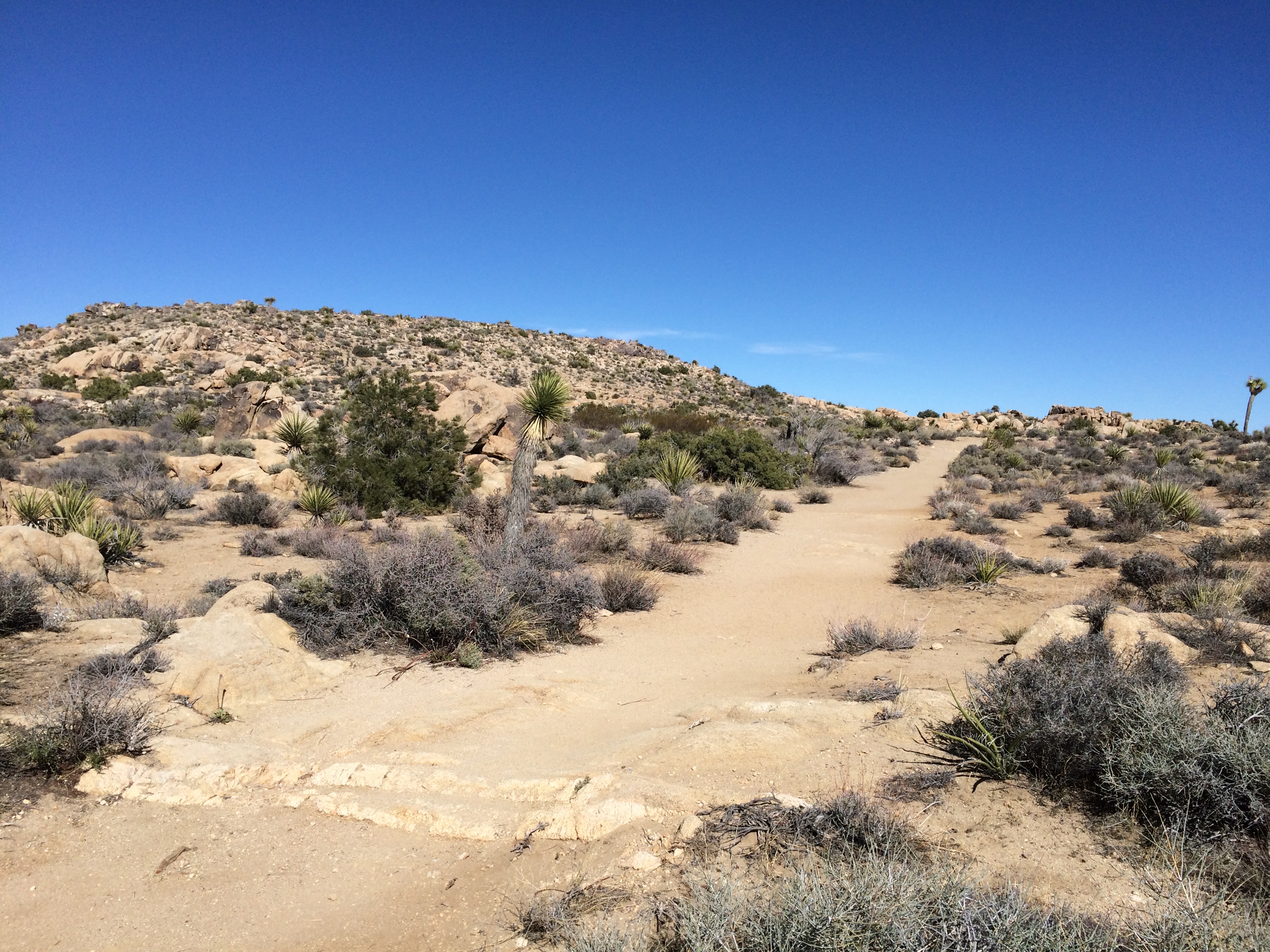
Joshua Tree National Park dirt roadAdmittedly they aren’t very long roads, but even so I only saw one other vehicle the whole way, which was pulled off the road a bit.

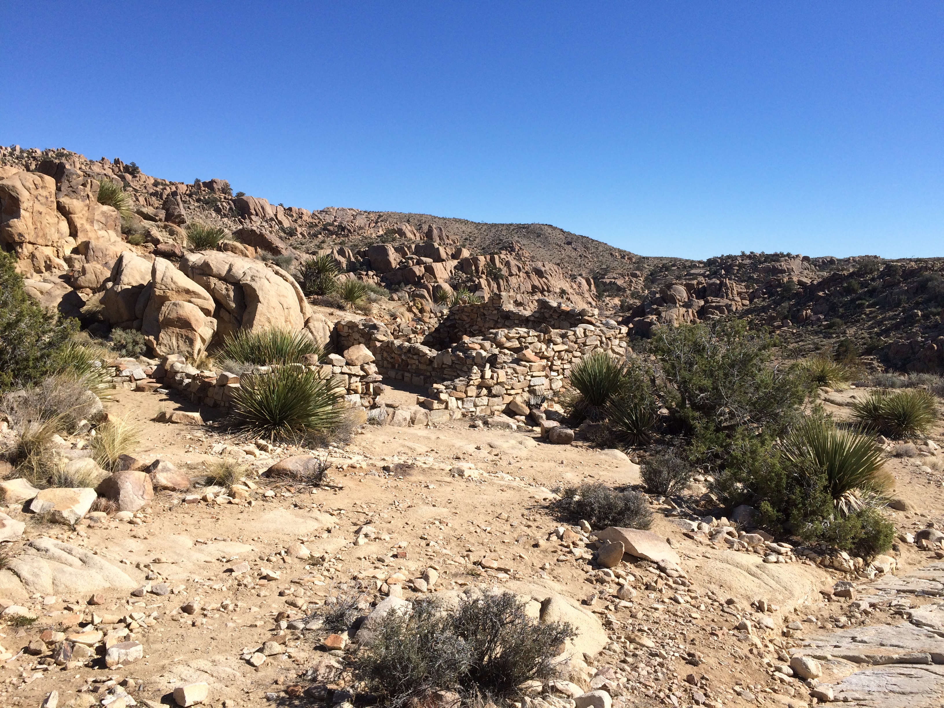
The Desert Queen Mine Road leads to a small parking area and a trail head for the Desert Queen Mine Trail. No one else was there. I took a walk. The kind of place where middle-aged men walking alone clutch their chests, keel over and aren’t found for weeks? Maybe. But you have to go down the trail if you’re going to see anything.

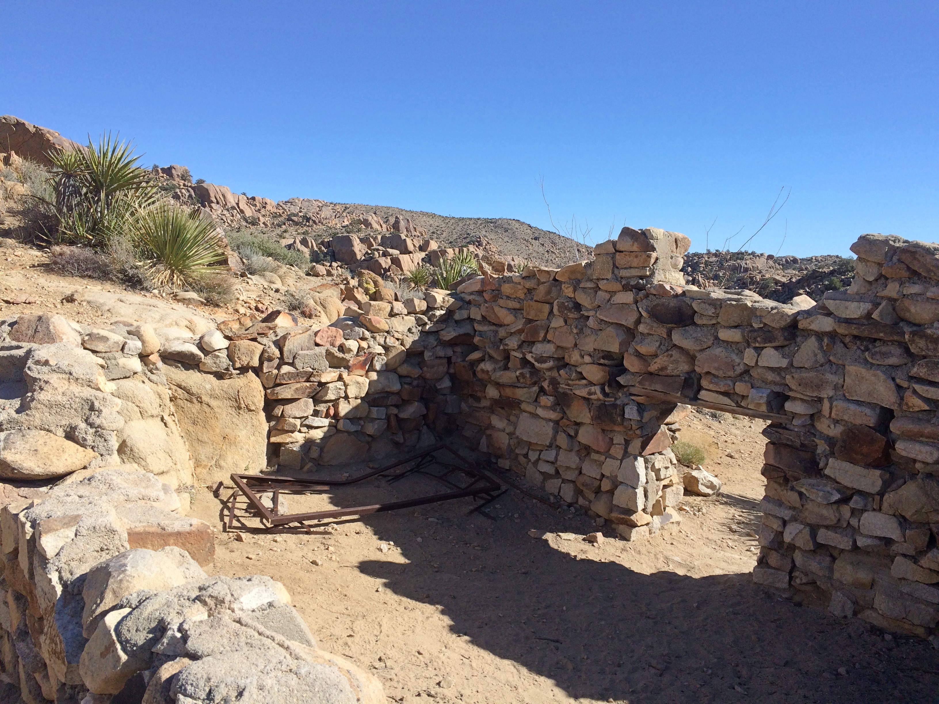
After about 10 minutes — it isn’t a very long trail — I came to a structure.
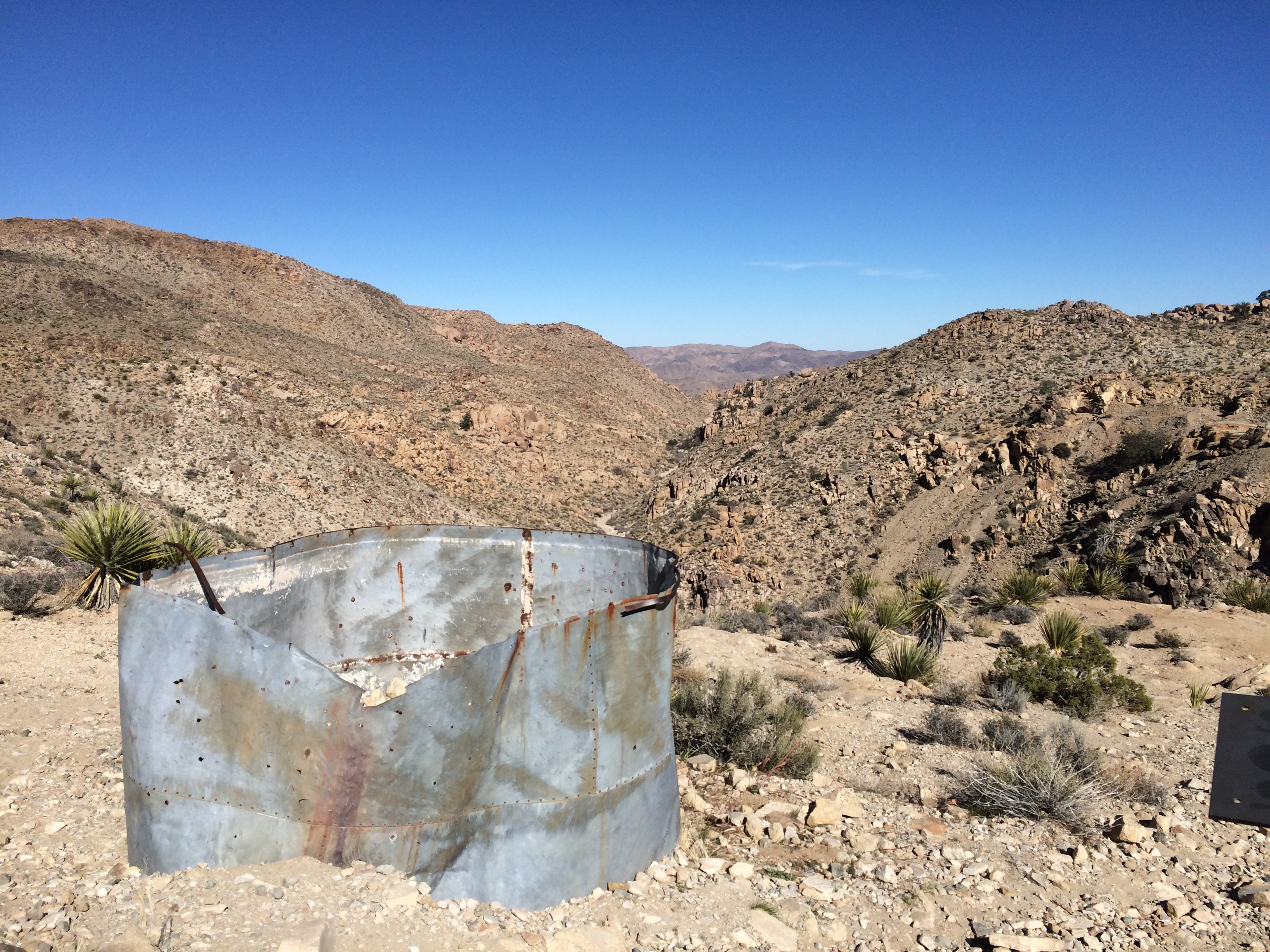
Someone had lived in this waste. Why? Gold. I sat among the stones for a while. The only sound was the wind, and not much of that. Then I could hear the faint, distinct whoosh of a jet. That faded, but there was another a few minutes later.

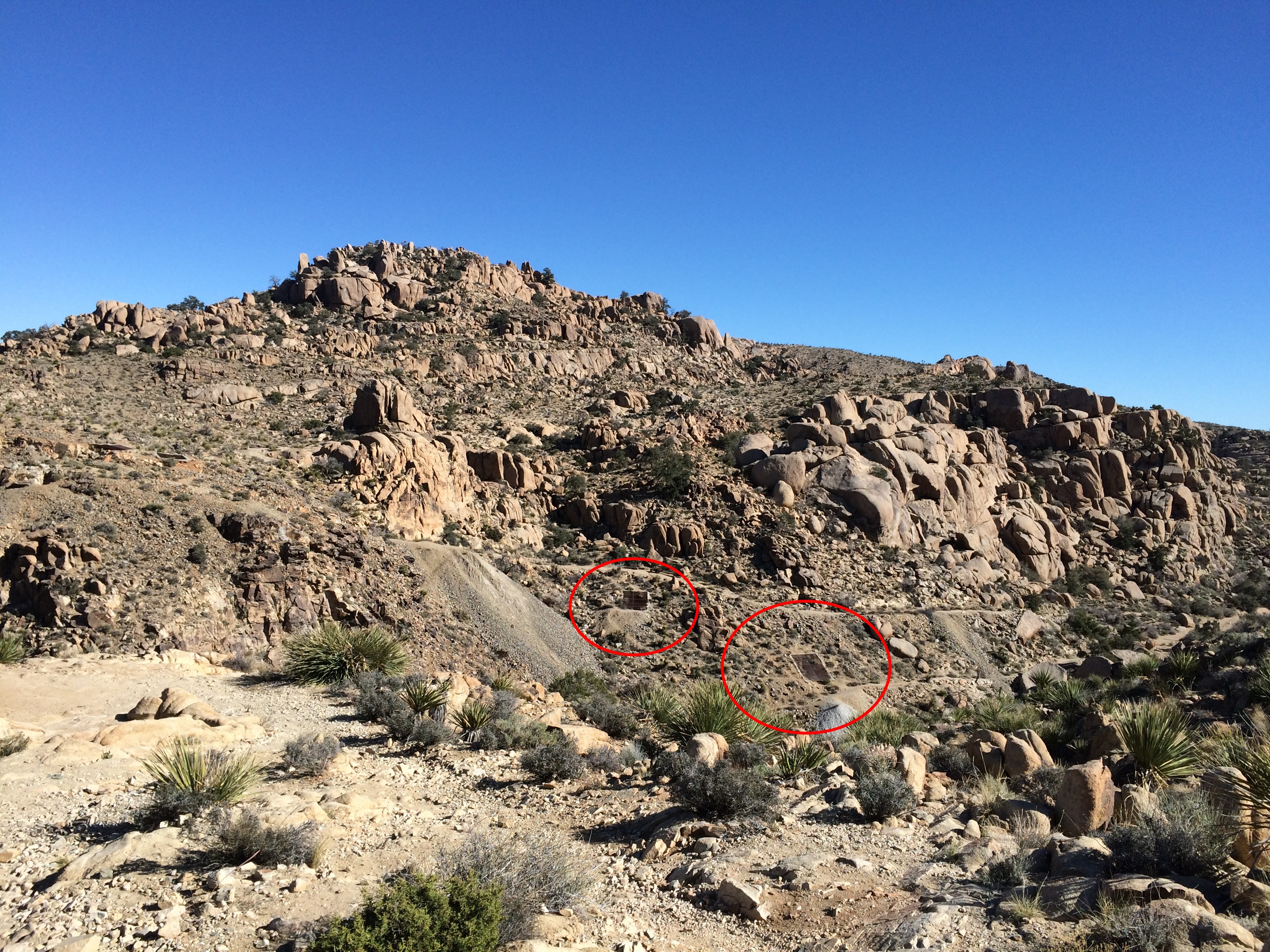
A little further on is a cliff with leftover mining equipment.
Joshua Tree National Park gold mineIf you look carefully, you can see metal doors down in the valley. Must be closed mine shafts.

Joshua Tree National Park gold mine

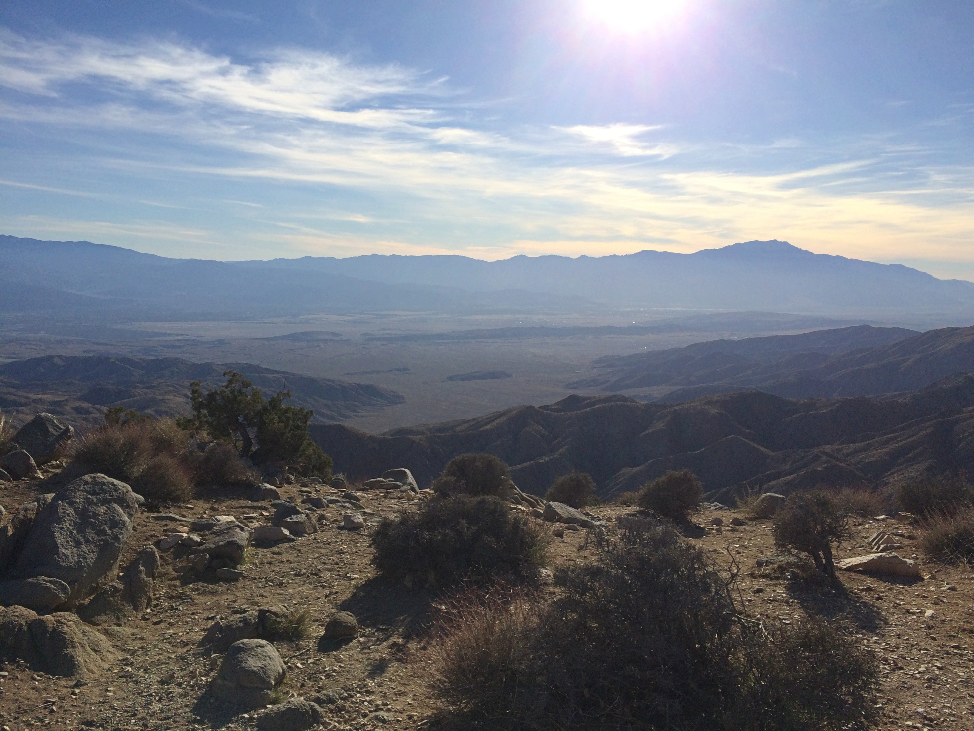
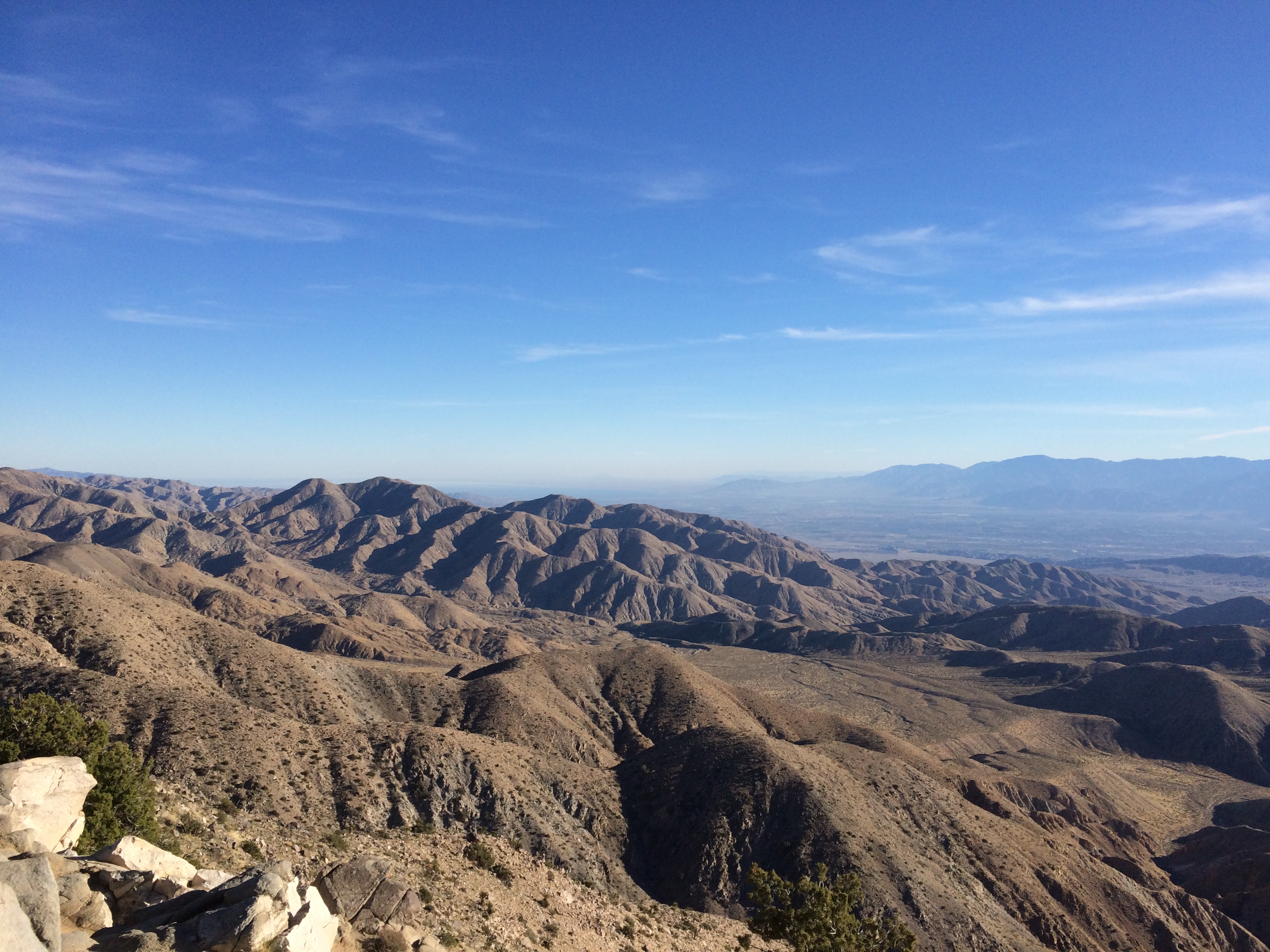
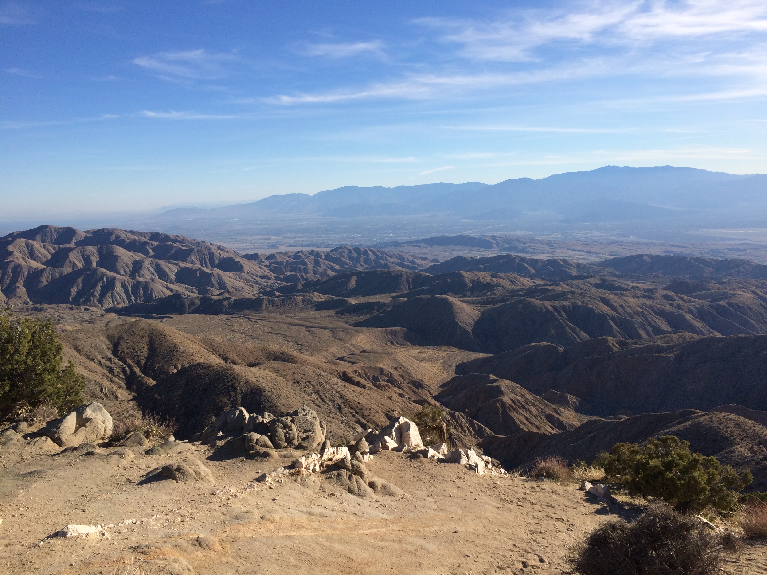
My second-to-last stop in the park: Keys View, up in the Little San Bernadino Mountains. Took a little driving to get here, but the view was worth it. Most of the Coachella Valley is stretched out before you.
Joshua Tree National Park Keys View

At nearly 5,200 feet above sea level, it was also distinctly chilly up there. And windy. Yet I spent a while gazing.

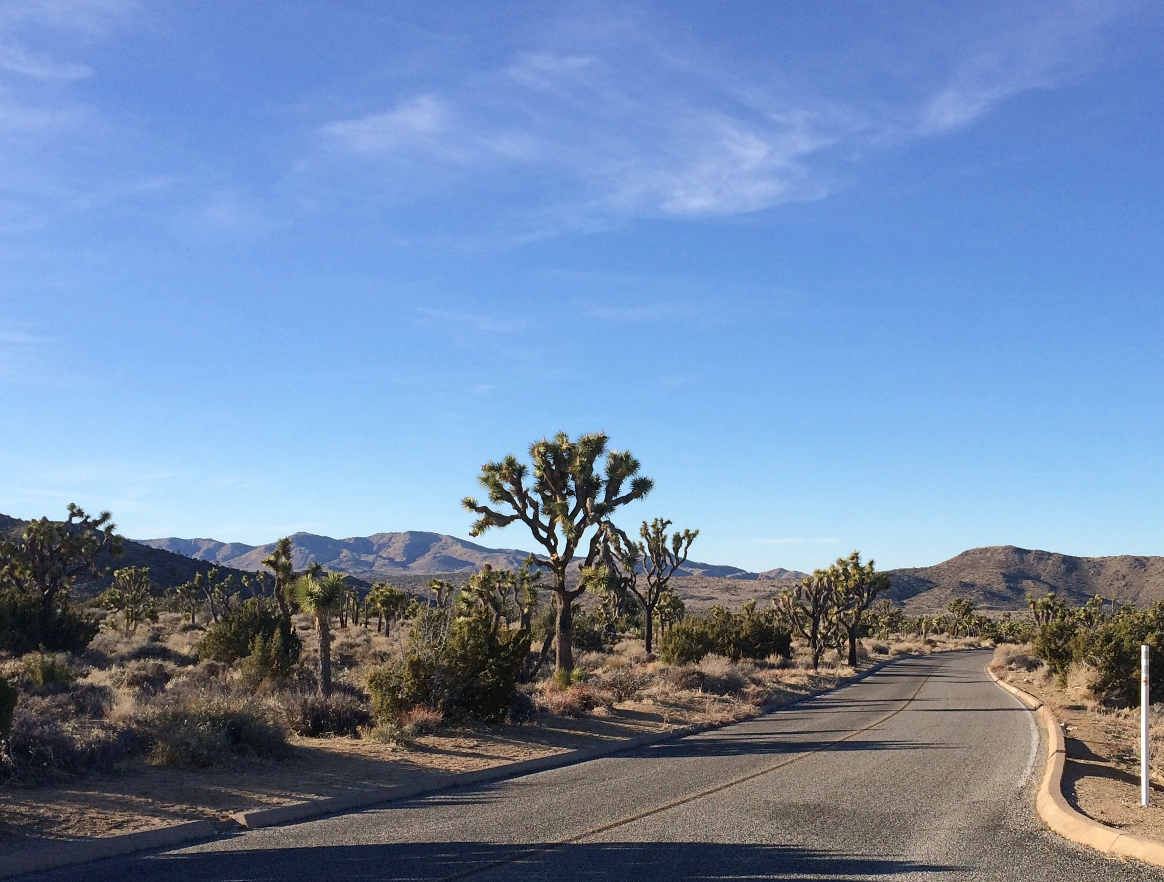
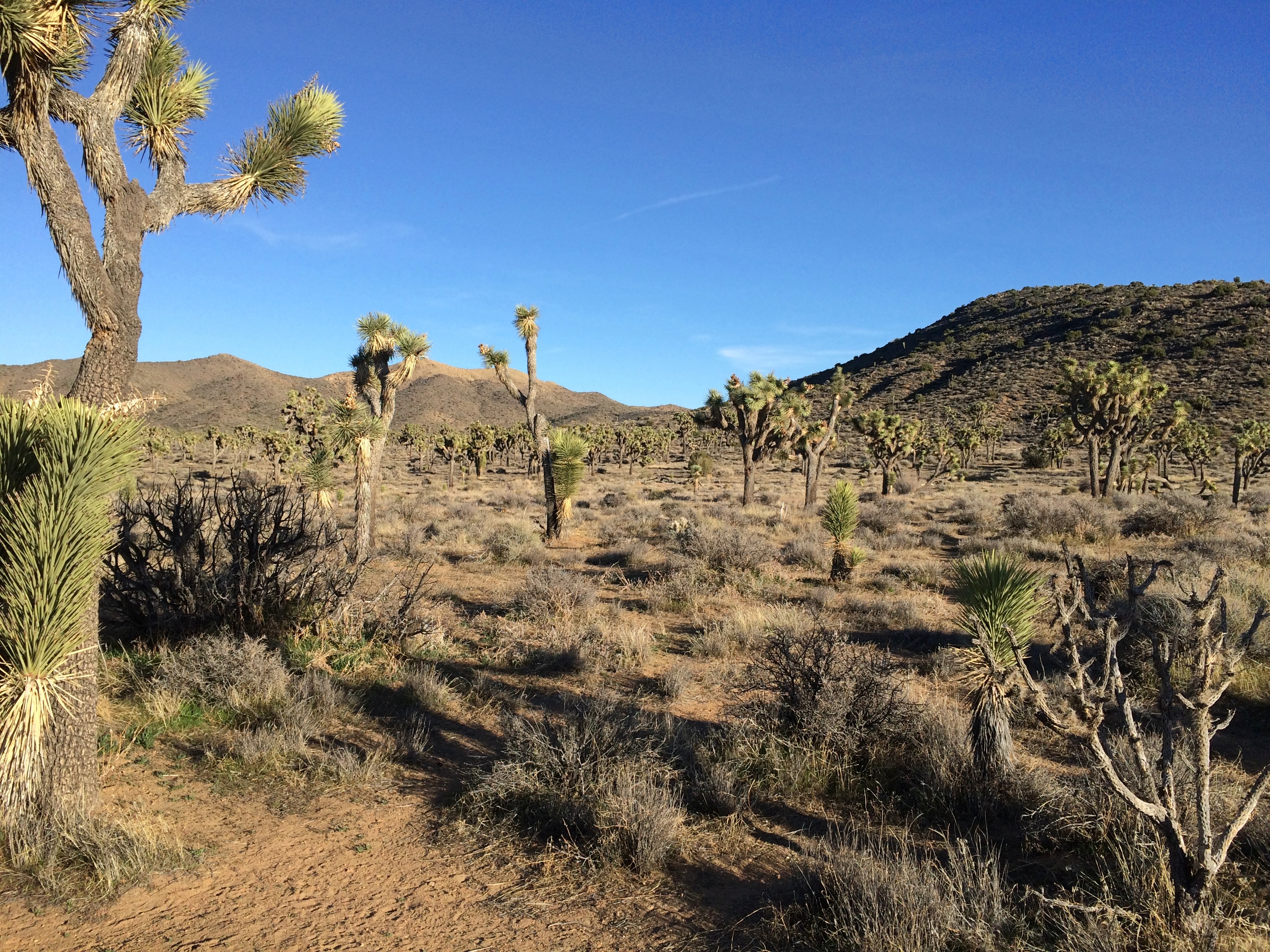
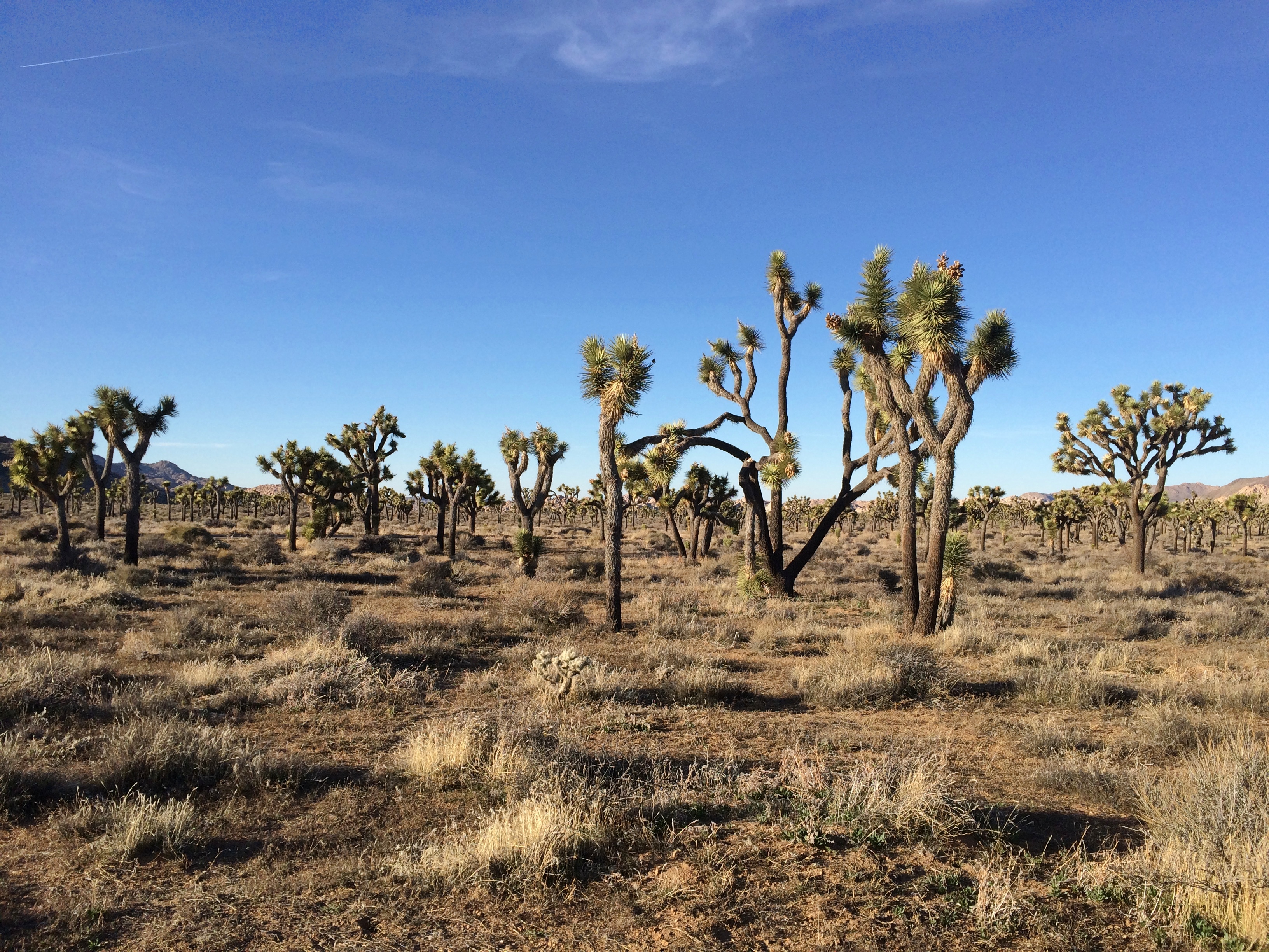
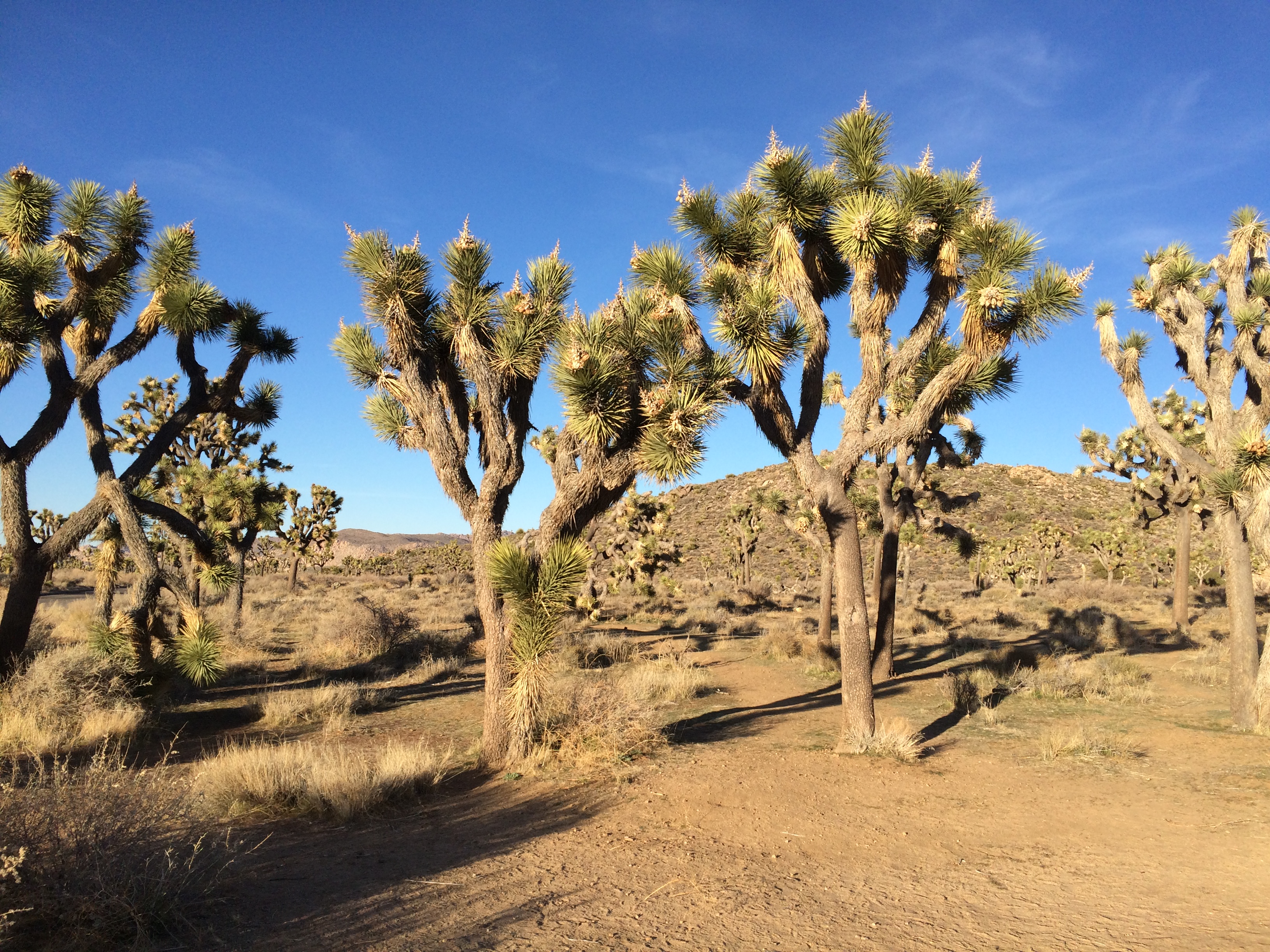
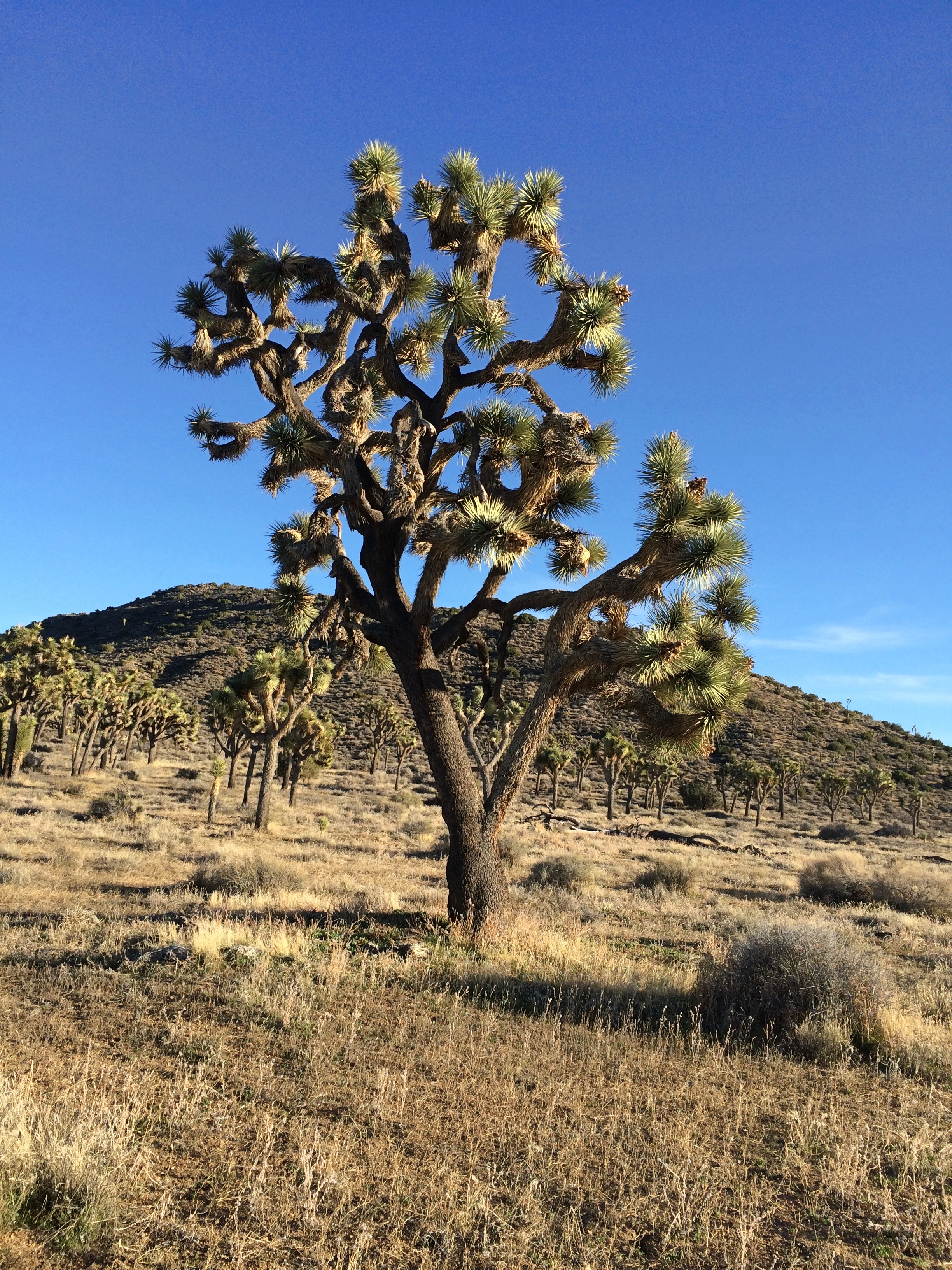
On the road back down from Keys View, I decided to take a closer look at the Joshua tree forest I was driving through.
Joshua Tree National ParkTo do that, you get out of the car and walk into the forest.Joshua Tree National Park

Remarkable plants, these yuccas. If Dr. Seuss had been asked to design a plant, it would look like a Joshua tree.

SoCal Driving

Remarkable how quickly last week’s political mail becomes obsolete.

Then again, if he follows through with his promises, we’ll continue to get mail from his organization until election day. The message will just be a little different. Namely, Kick the SOB Out, or words to that effect.

Before I visited Southern California last month, I was slightly apprehensive about driving there, which was in no way rational. I’ve driven in most major U.S. metro areas, including Los Angeles, without major incident. I’ve been jammed up in traffic and had near accidents and gotten lost, but those things can happen anywhere.

Driving around SoCal wasn’t bad at all. As mentioned before, I opted out of GPS. Don’t need a box telling me where to go, especially when its advice tends to be: find the nearest freeway. I used maps — electronic maps, in this case. That’s about the best thing my phone does for me, as I discovered walking around in New York a couple of years ago.

(One strange thing that first happened during that trip was people asking me for directions, with a phone in their hands. They pointed to the Google Maps display and asked, how can I get to x from here? Dunno, man, read the map, maybe.)

You can’t — at least certainly shouldn’t — call up Google Maps while driving, and I didn’t do that, but usually it was easy enough to find a place to stop to consult a map. Also, here’s a tip for getting a light to change: start fiddling with your phone to look up a map, and it is sure to change.

Often enough I didn’t need to consult a map. Los Angeles street theory isn’t perfectly grid-like, but it has strong elements of a grid. Up one major street for miles, over another for more miles.

Not that I wanted to drive everywhere. The first morning in town, a Saturday, I drove only as far as a station on the relatively new Expo Line, which goes from Santa Monica to downtown LA, or vice verse.

I rode it downtown from the Expo/La Cienega station, through miles of the city I’d never seen before, including the edge of the University of Southern California. Good old USC — how persistent that school was in sending me mail in the late ’70s and early ’80s, inviting me to apply, even after I was attending VU.

On my second day in town, a Sunday, I got up early, strategy in mind. I was staying fairly near I-405, the 405 as it’s called locally, so I took that freeway north to I-10, the 10, and headed east from there to Western Ave. I’d read that the 405 was one of LA’s worst freeways in terms of congestion, and maybe it is.

But just before 8 on Sunday morning, I encountered smooth driving on the 405, as well as the 10, where traffic was also light. Getting off the highway, I headed north and soon found myself in Koreatown. Easy to know you’re there, because of the Hangul signs. Soon I began to wonder, just how large is Los Angeles’ Koreatown? I passed block after block after block after block of Hangul-marked buildings. How big? Really big.

Eventually, I turned west on Santa Monica Blvd. to reach the Hollywood Forever Cemetery, but also to begin the longest drive of the day, west from there to Santa Monica itself, through (among other places) West Hollywood and Beverly Hills.

A virtual stage, it seemed to me — a carnival of sights to see, a spectacle of wealth and poverty, even at driving speed. Urban texture that you experience in any North American city, and yet with its own flavor. You see only glimpses, but even so you pass distinct cars and trucks, but not as many trucks as some places (because LA tends to have alleys for delivery), more pedestrians than you’d think but fewer bicyclists, chain shops and independents in strip centers, apartments, houses, office buildings, churches, schools, bars, restaurants, vacant lots, buildings under construction, parking lots, car washes — a lot of them — tall palms and short bushes, cannabis dispensaries, gas stations, graffiti’d walls, mural’d walls, billboards, parking meters, neon signs, showrooms, construction zones (but not as many as I expected), lamp posts and telephone poles, self-storage and payday loan offices, parks, playgrounds and even a cactus patch.

The Cactus Garden in Beverly Gardens Park, recently renovated. I stopped for a look at the cacti and the churches next to the park.

Santa Monica’s traffic is pretty thick, so driving was less pleasant there. To get to the Getty Villa in Pacific Palisades, you head north on the Pacific Coast Highway. That too was crowded. The road is probably more scenic and less crowded further north, but Pacific Palisades isn’t that far, so I didn’t see much of the highway (we saw part of it up that way in 2001, driving to Santa Barbara, though mostly we took U.S. 101).

On Monday, the plan was to reach Palm Springs by way of freeways and then San Gabriel Canyon Road (California 39) through San Gabriel Mountains National Monument to California 2 and 138. Looked good on the map.

First, though, I had to get out of Los Angeles via freeway. I knew I didn’t want to drive anywhere near downtown, because February 24 was the day of Kobe Bryant’s memorial service at the Staples Center. So I went around downtown, and avoided the 405 too.

First, Sepulveda Blvd. south, which passes through a tunnel under LAX. I didn’t know that till I looked at the map. Then I drove it. I don’t think I’ve ever driven under an airport. I’m not sure any other airport has a tunnel under it.
From south of the airport, I took the 105 east to the 605 north to the 210, the Foothill Freeway. There were some minor snarls along the way, but nothing too bad.

Radio coverage of the memorial followed me all the way along the route. Reminded me of when Princess Diana died. It was a horrible accident, but still. Radio jocks can be counted on for maudlin twaddle at times like that.
When I got to the entrance of the monument, near Azusa, a sign said that California 2 was closed in x and y places. What did that mean? I stopped to look them up. That meant that I’d have to double back if I went as far as where 2 and 39 met, way up in the mountains. Still blocked by snow, I figured.
So I drove about 10 miles into the mountains and then drove back. Scenic territory, and not much traffic in February.
Evidence of an unfortunate accident.
No name or date, though. No maudlin twaddle on the airwaves, either. The world is quiet when most people die.

I spent the next hour or so driving east through the Foothill communities, including Rancho Cucamonga, along the former US 66. Of course I wanted to drive through Rancho Cucamonga.

The Foothills are naturally more suburban in character than Santa Monica Blvd. Except for the mountains looming off to the left, in fact, and the palm trees, not so different than my usual suburban haunts. I even stopped for gas at a Costco before getting back on the freeway to Palm Springs.

Didn’t drive in Palm Springs on Tuesday; Steve took me around. On Wednesday, I left town and drove to Joshua Tree National Park, whose roads are either small and paved, or small and unpaved. I drove on both kinds. On the unpaved version, through a Joshua tree forest, traffic was extremely light. I was it. Just like driving in a car commercial. Happens occasionally.