Incident in the Suburbs

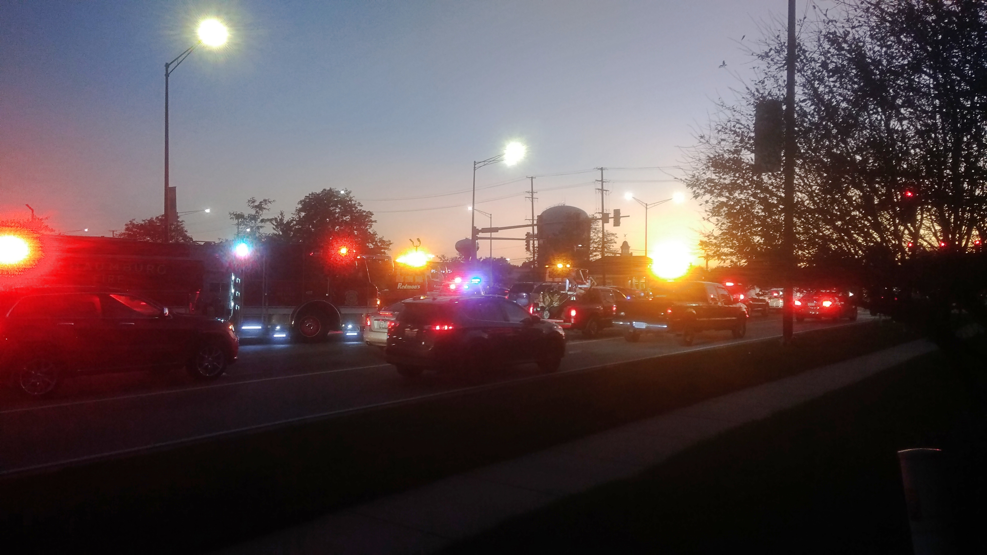
My primitive camera really wasn’t up to the task, but I took pictures anyway. The thing to do here in the 21st century. This image was taken at about 7 pm this evening, September 23, in the twilight not long after the equinox sun had set.

A chaos of lights. Tail lights, street lights, fire truck lights, police car lights and ambulance lights. There had been a traffic accident at a major intersection here in the northwest suburbs. One we travel through often. Fortunately for us, we had no part in the incident — weren’t even inconvenienced by it, since we turned into a strip-center parking lot adjacent to the intersection, without having to pass through the intersection.

We’d come to have dinner at a fast-casual restaurant near the strip center that we rarely go to, but which we were inspired to visit this evening. I left the restaurant for a moment and walked to the sidewalk on one of the major streets near the intersection, to see what all the hubbub was about.

A rare chance to rubberneck (figuratively, anyway) without being in a car or annoying the drivers behind you. Not that I could really tell what the hubbub was about, other than one metal device on wheels had hit another one in the recent past, and first responders were responding.

To Lake Huron and Back

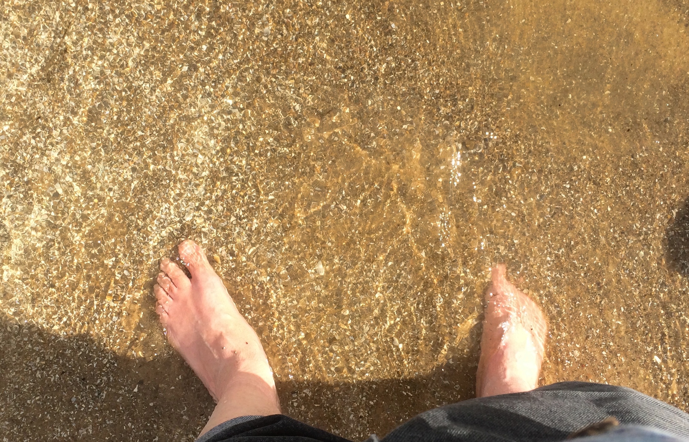
On Saturday we left town remarkably early (for us) and drove across the Lower Peninsula of Michigan so that on Sunday morning, I could stick my feet in Lake Huron.Lake HuronSaginaw Bay in particular. Of course that wasn’t the entirety of the trip. But it was the inspiration. Sometime years ago, I realized that I’d never really gotten a look at Lake Huron. I’ve crossed the Mackinac Bridge a number of times, which offers a view of the lake to the east, but somehow that doesn’t count. I wanted to see Lake Huron from outside a car, moving at zero miles an hour, and hear the waves and smell the water and feel the sand and pebbles.

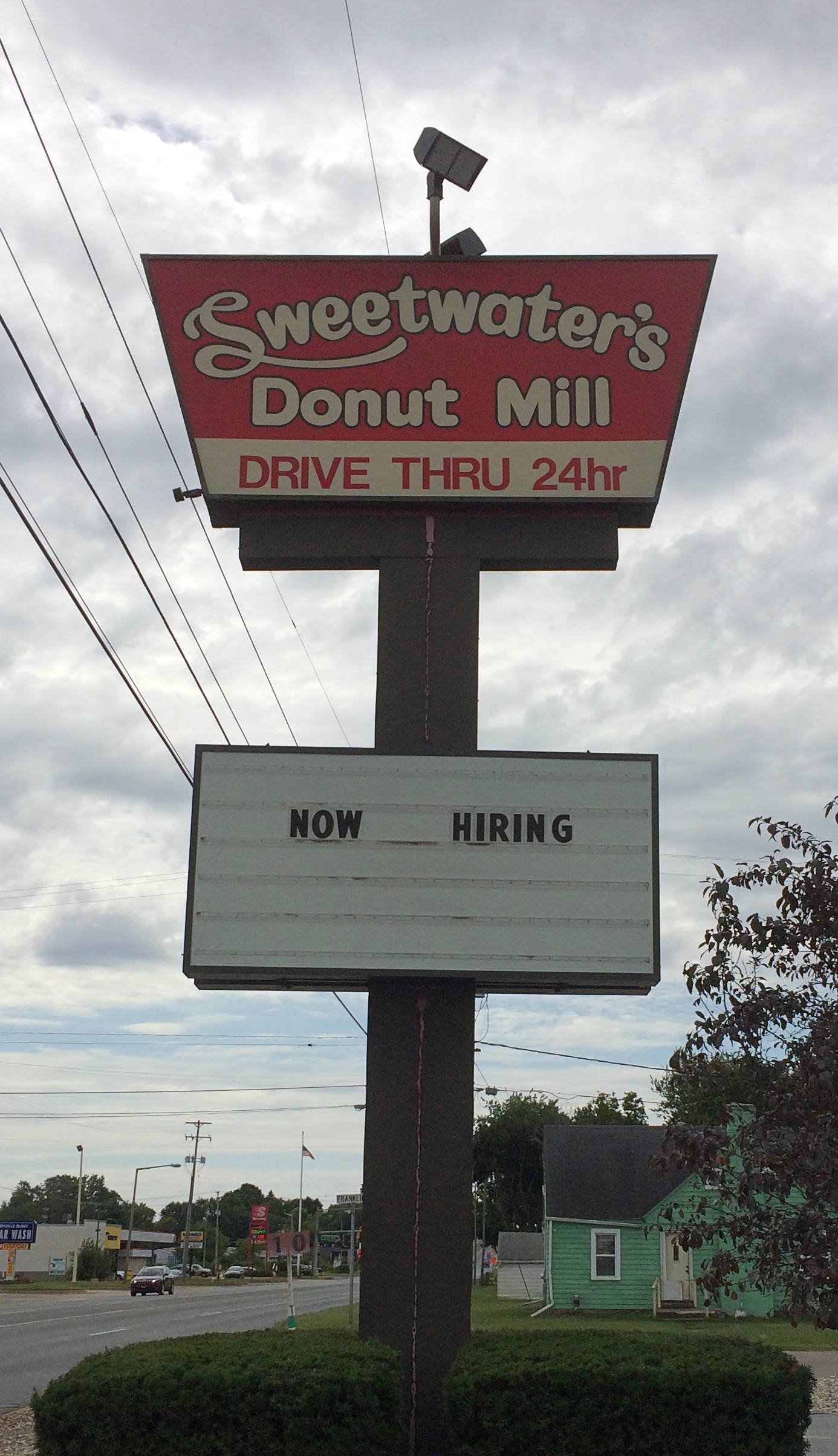
So Labor Day weekend was the time. We all went, including the dog. First stop on Saturday morning was at one of the Sweetwater’s Donut Mills in Kalamazoo because I hadn’t forgotten them.
Sweetwater's Donut MillNear Battle Creek, we stopped at a novel local spot: Historic Bridge Park. I’ve seen open-air museums devoted to houses and other buildings, but this is the only place I know that functions as an open-air museum featuring bridges.

Heading northeast, we arrived in Lansing in time to visit the Michigan State Capitol. Or so I thought. There are usually Saturday hours, but not on Labor Day weekend. Still, we had a good walk around the grounds and Washington Square to the east, along with an al fresco lunch of Cuban sandwiches.

Michigan State University is in East Lansing. After some wandering around the sprawling campus, we found the W.J. Beal Botanical Garden, the first of three gardens we visited.

We made it to Midland, Michigan, before dark and spent the next two nights there. On Sunday morning, we visited Bay City State Park on the lakeshore, walking on the beach and a path around a large lagoon. By lunchtime, we were back in Midland, eating al fresco again — the thing to do with a dog in tow.

Midland has a lot of large parks accessible from its small downtown, but that’s not the distinctive feature. That would be the Tridge, a three-way bridge across the confluence of the Chippewa and Tittabawassee rivers. Naturally we had to cross that.

Next we visited Midland’s Dahlia Hill, which is planted with thousands of dahlias and open to wander around. After that, Yuriko and Ann visited the much larger Dow Gardens, while I took a drive with the dog to Bay City. No dogs allowed at Dow Gardens.

During my driving look-see in Bay City, I noticed a Huron Circle Tour sign. Like Superior, that would be a drive.
Lake Huron Circle Tour signWant. To. Do. It. But not now. While everyone else rested in the room early in the evening, I visited the expansive and exhausting Dow Gardens, along with the adjacent Whiting Forest. Open till 8:30 in the evening until Labor Day, fortunately.
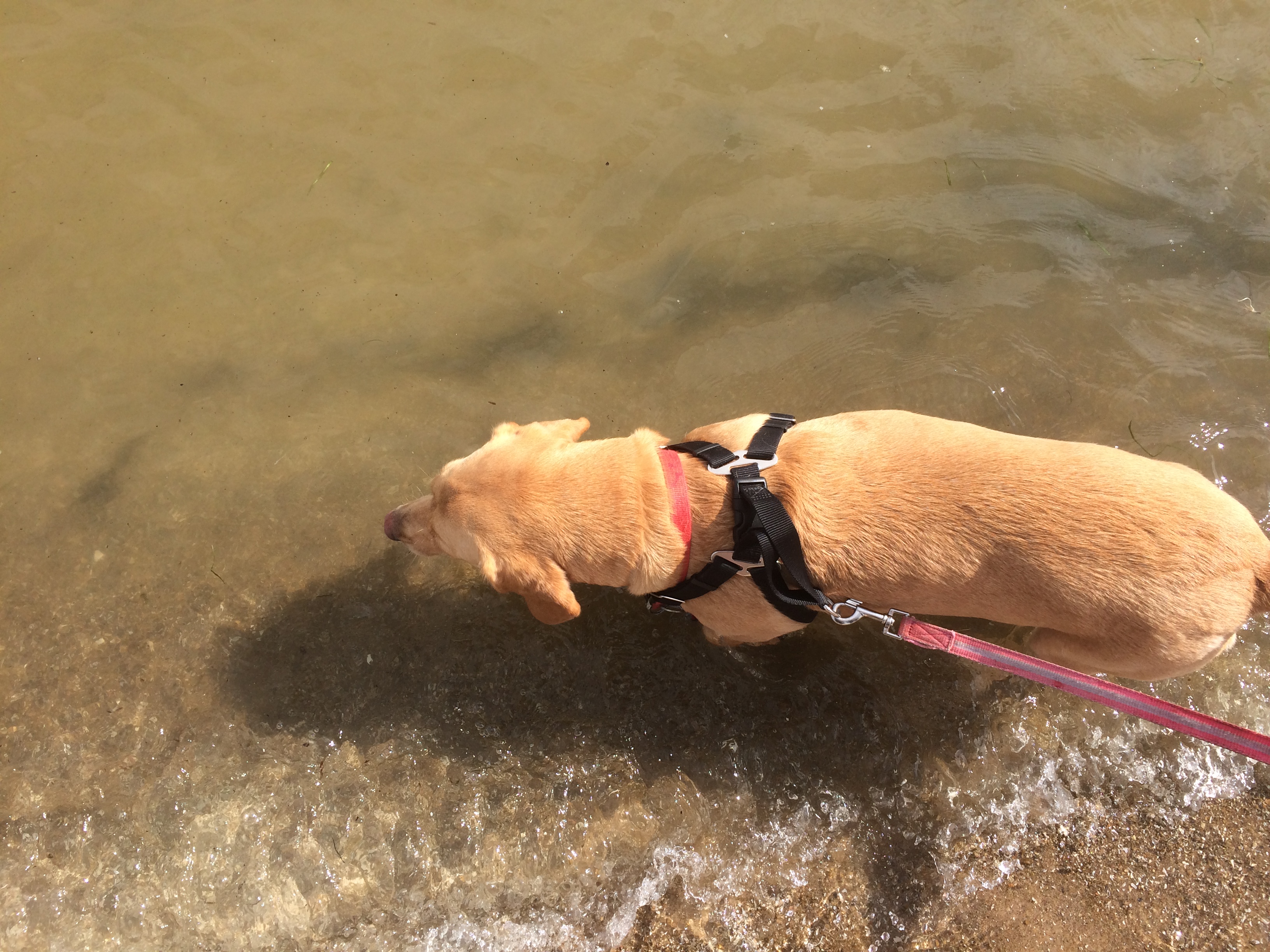
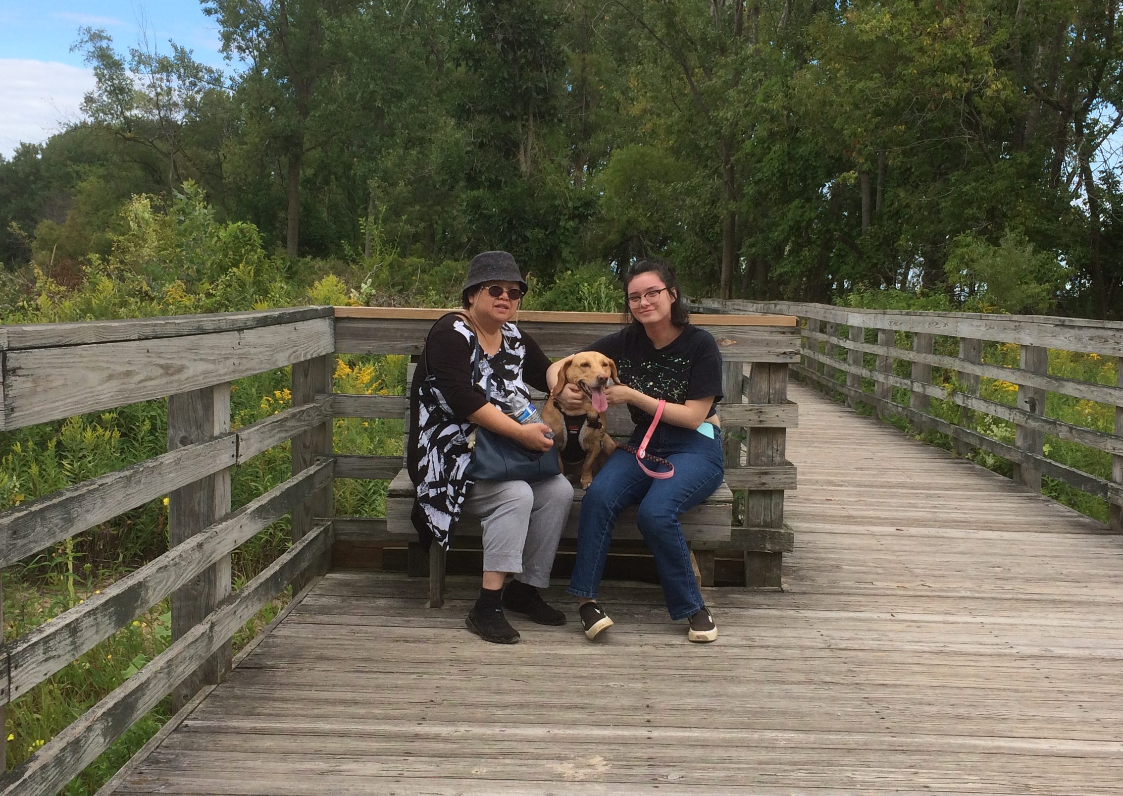
On Labor Day we drove home, but not the most direct way. We passed through parts of Saginaw — parts beaten down by the contraction of U.S. manufacturing, it looked like — and then on to Michigan’s faux Bavarian tourist town, Frankenmuth.

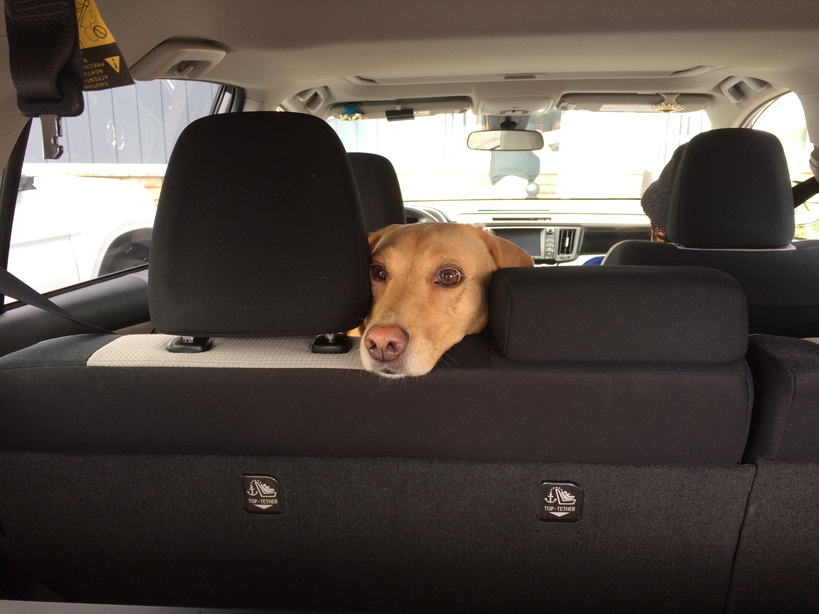
Had a good time and a chicken lunch there, but the overstimulation of it all made the dog as nervous as I’ve ever seen her, so we headed home. Riding in the back seat seems to be as calming for her as parking herself on the couch at home.

As far as I can tell, she enjoyed the trip and the many new smells.

That last one almost instantly became a favorite picture of her.

More Bits of Pittsburgh & West Virginia Too

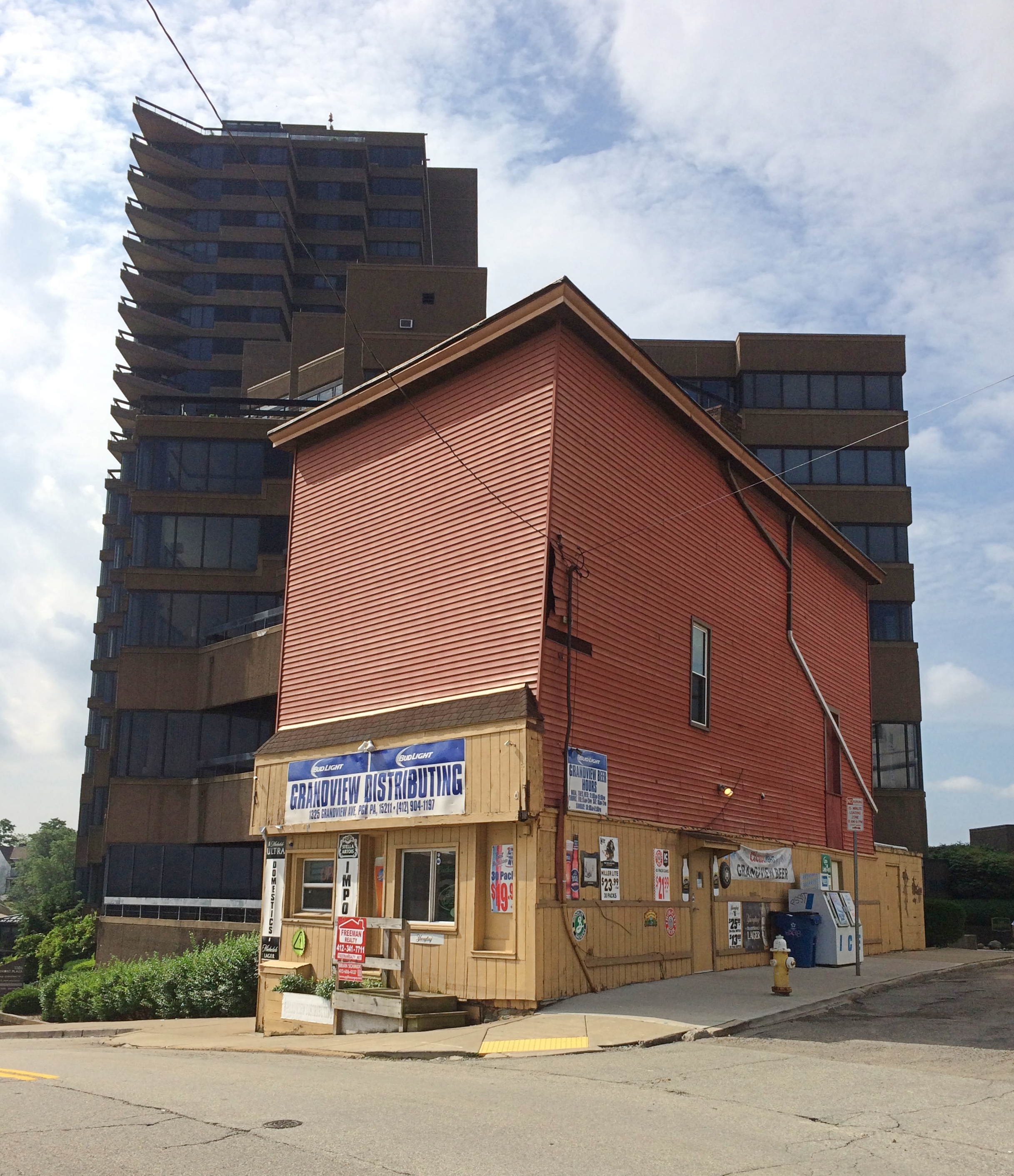
The street that follows the edge of Mt. Washington in Pittsburgh is the aptly named Grandview Ave., featuring some truly grand views overlooking downtown and the three rivers. There are some multifamily properties and office buildings on the road that take advantage of the vista. But not that many. Am I missing something about the Pittsburgh market? Why, for instance, is this building in such a prime spot?

Maybe the lot’s too narrow for an apartment tower — like the one behind it — but what about a large house? I’d imagine that would command a handsome price.

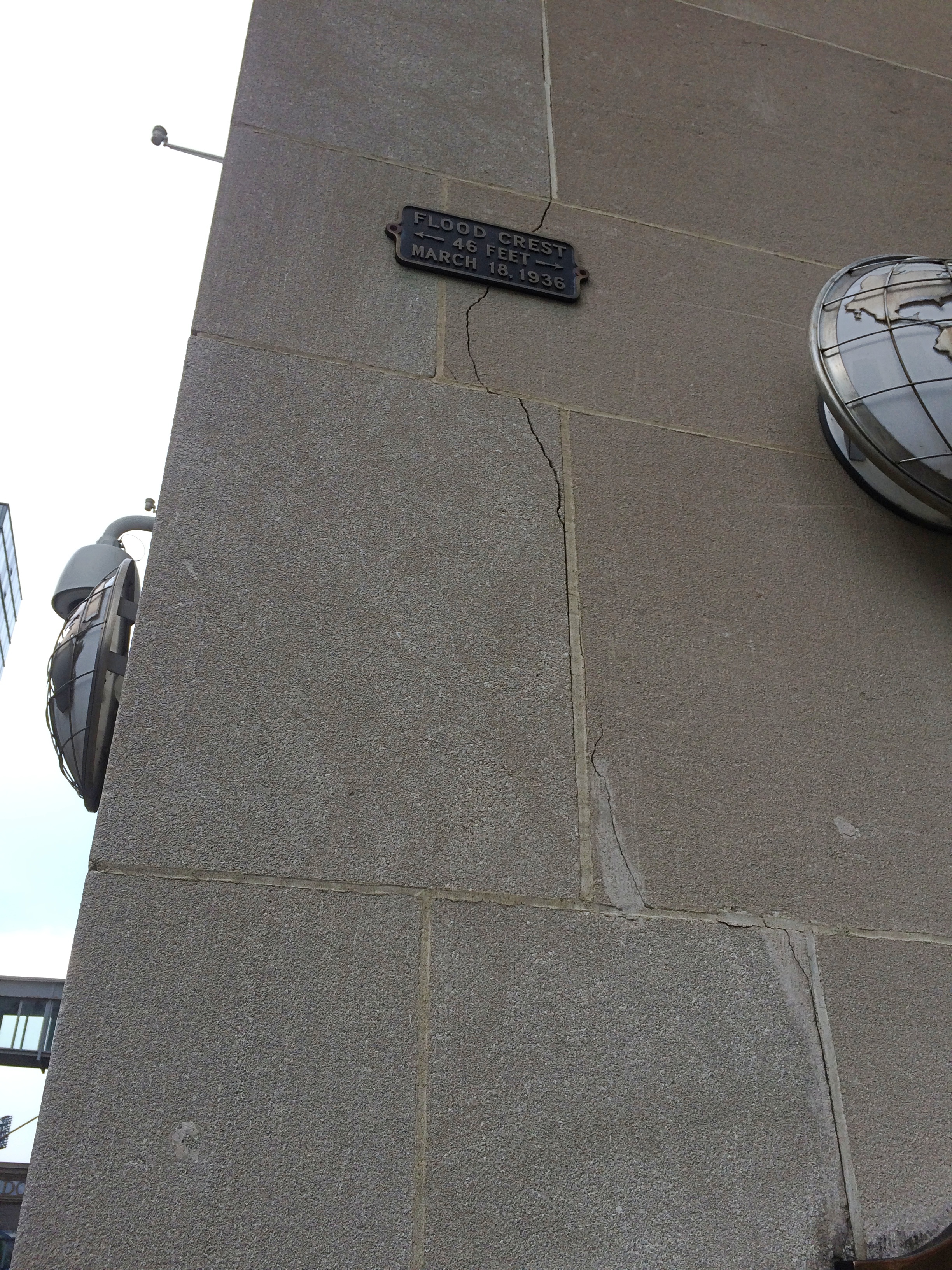
The March 1936 flood in Pittsburgh was a bad one. How do I know this, beyond it being in the historical record? In downtown Pittsburgh, I encountered this wall. Note the plaque way up there.

“Nearly two inches of rain fell on March 16, which added to the 63 inches of snow that came throughout the winter,” the Heinz History Center says. “Warm temperatures melted the snow, swelling creek beds along the upper Allegheny and Monongahela Rivers.

“On St. Patrick’s Day, the rising rivers reached the North Side and washed into the streets of Downtown, wiping out historic businesses within hours. River levels reached a peak of 46 feet at the Point, more than 20 feet over flood stage, leaving more than half of Downtown businesses under water.”

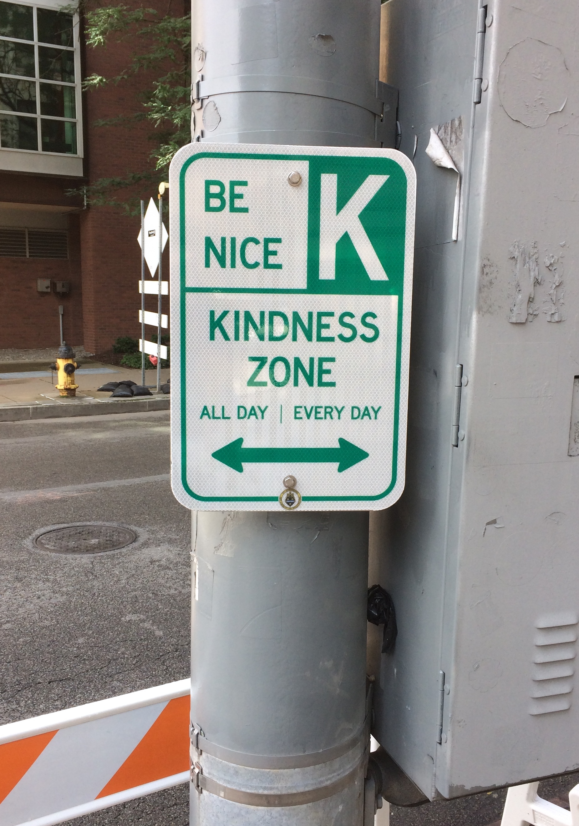
In front of the Andy Warhol Museum is this street sign.
Not sure whether the museum had anything to do with that, but it’s a nice sentiment anyway.

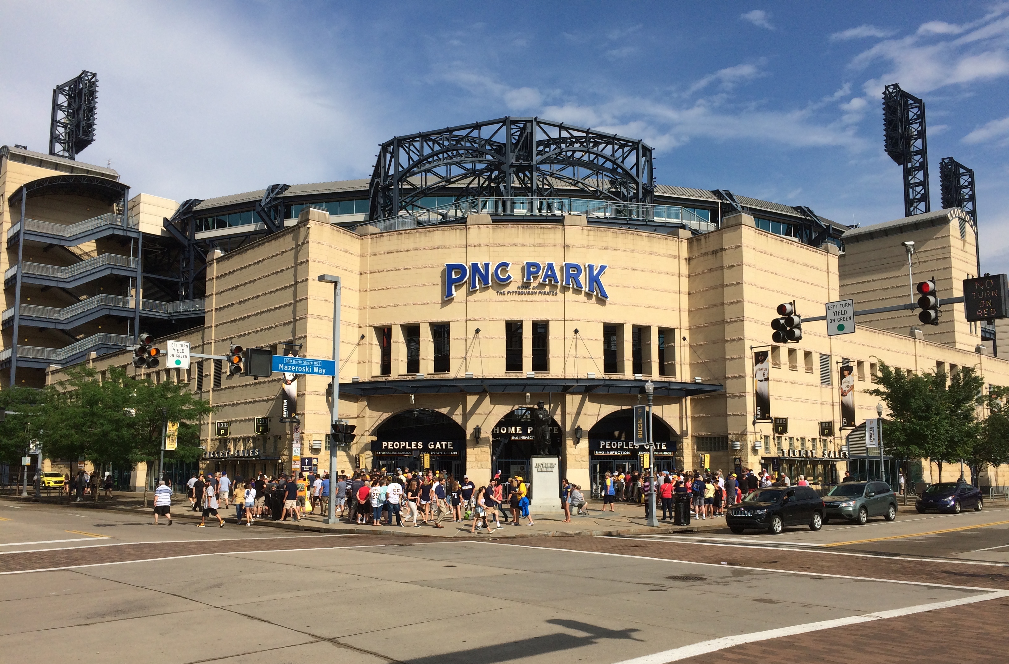
PNC Park was on the way to the Warhol. July 5 was a game day.
The Pirates played the Brewers that day, losing 7-6 in 10 innings. But that was still in the future when we wandered by. If you look closely, you can see a statue of J.P. “Honus” Wagner, beloved Pirate of yore, just in front of the main entrance.

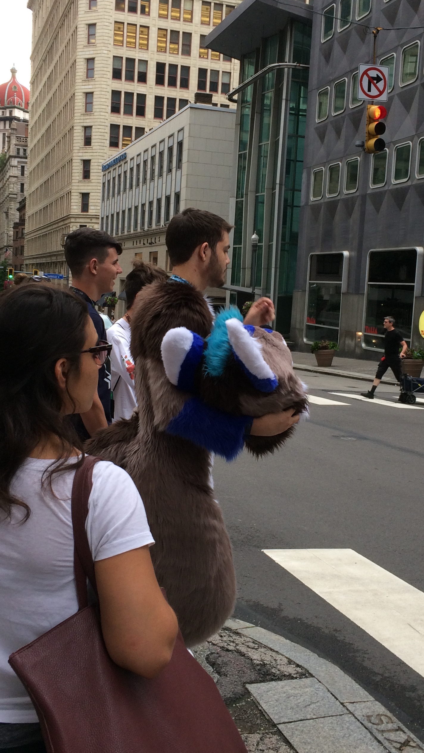
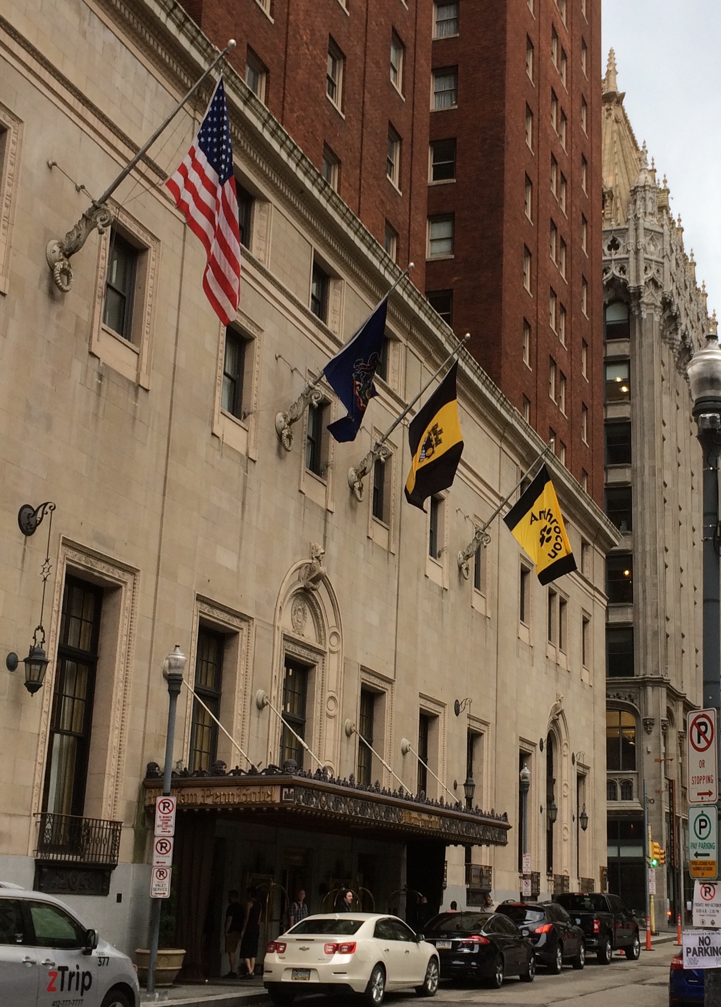
On Independence Day weekend, Pittsburgh is always host to Anthrocon, a national convention I’d never heard of before we took our Pittsburgh walking tour. Anthrocon attendees were out and about that day, and they were easy to pick out.

Here’s an attendee waiting to cross the street.
He had his headpiece off at that moment, but others walked by in full costume, defying the heat. Just what is Anthrocon?

The organization’s web site says: “Anthrocon began as Albany Anthrocon in 1997, and since then has grown into one of the largest anthropomorphics conventions in the world with a membership in 2018 of over 8,400 attendees… All of the finer aspects of anthropomorphic, or more commonly, ‘Furry’ fandom, are celebrated here.”

For local hotels, including the storied Omni William Penn Hotel, a convention’s a convention.
That other black-and-gold flag, by the way, is the Pittsburgh city flag.

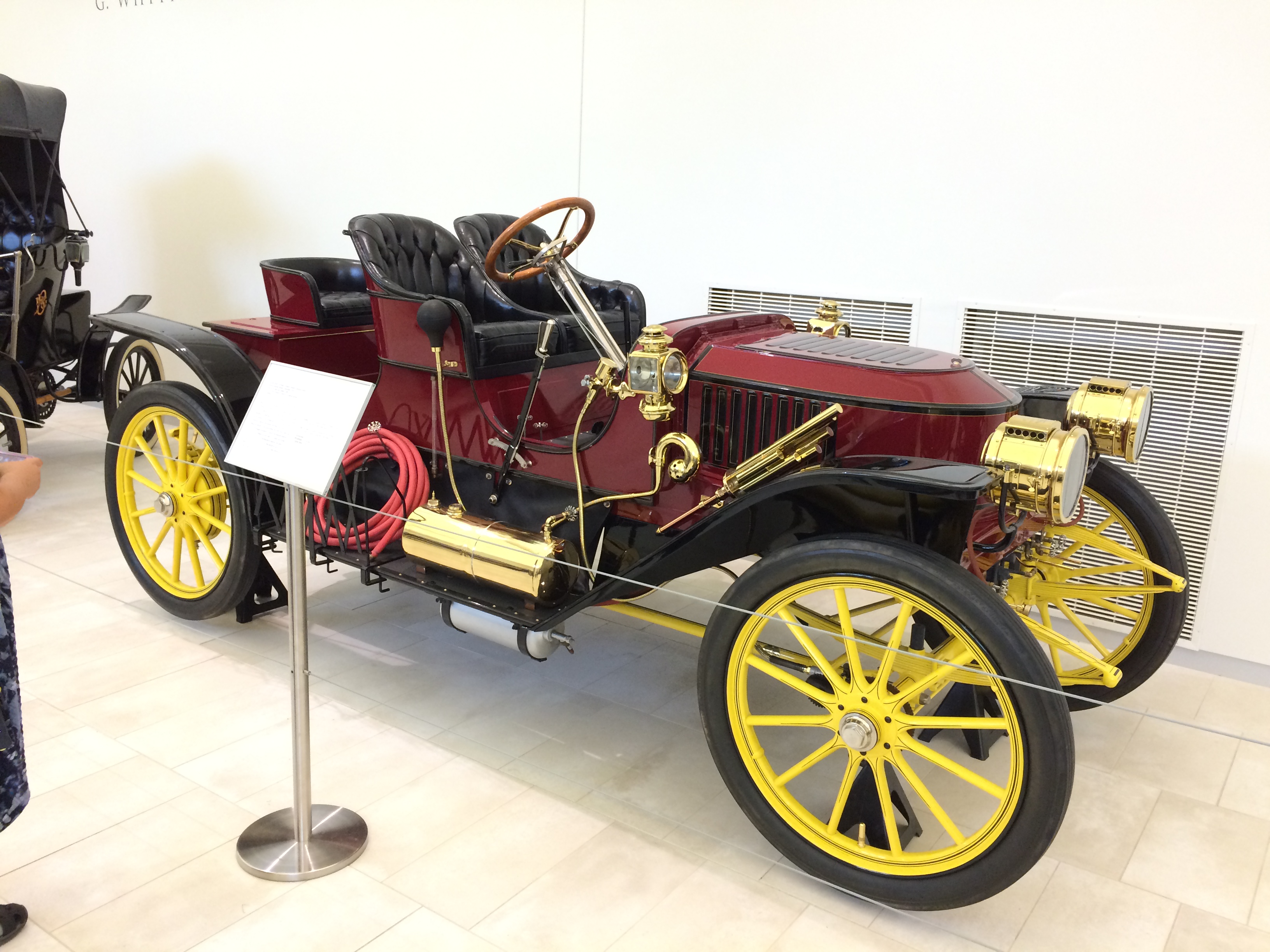
The Frick Pittsburgh includes an exhibit of antique carriages and auto-mobiles. Cool little collection. Including the likes of a 1909 Stanley Steamer Model R Roadster.
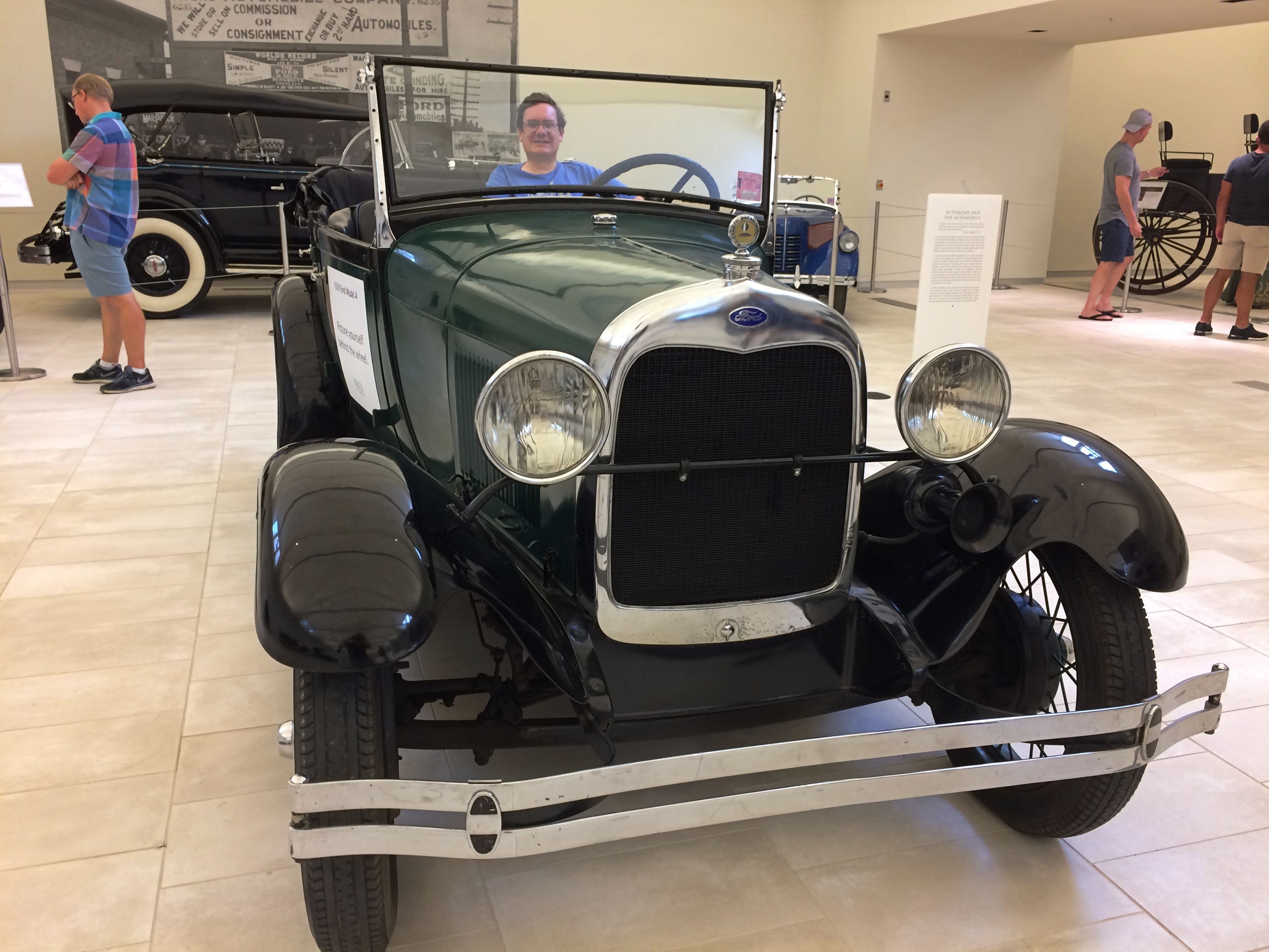
And a 1929 Ford Model A, open to sit in. At some point, my mother’s father had a Model A. She told me about riding short distances — in their driveway — on its running board. I told that to Ann, not just to tell her about her grandmother, but also so she might know what a running board is. Seems like a good detail to know about the world.
I’m sitting in the back of the Model A because I’m too fat for the driver’s seat. Americans generally were more svelte 90 years ago.

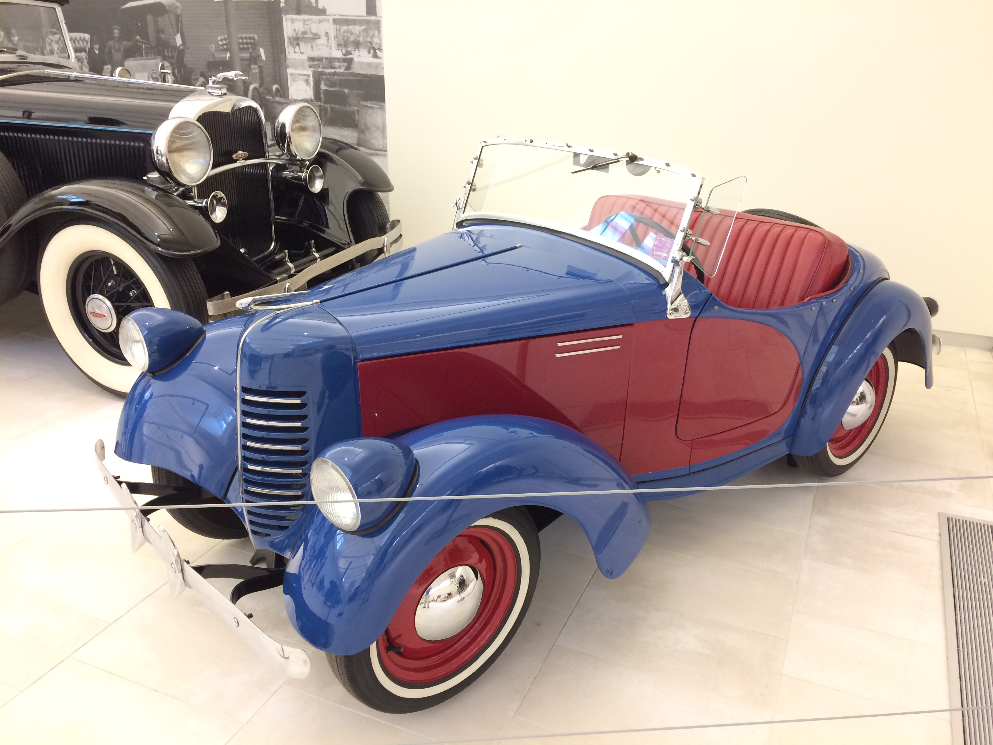
A 1940 Bantam Roadster. I doubt that I’d fit in there either.
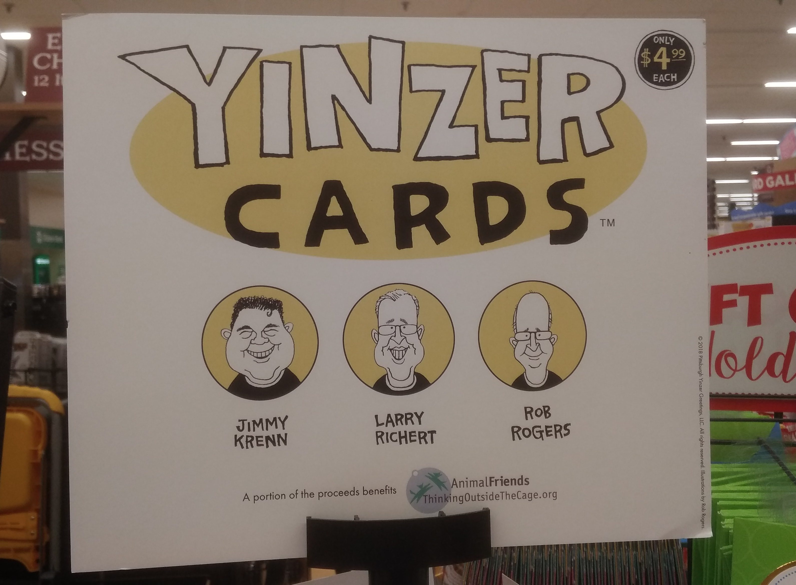
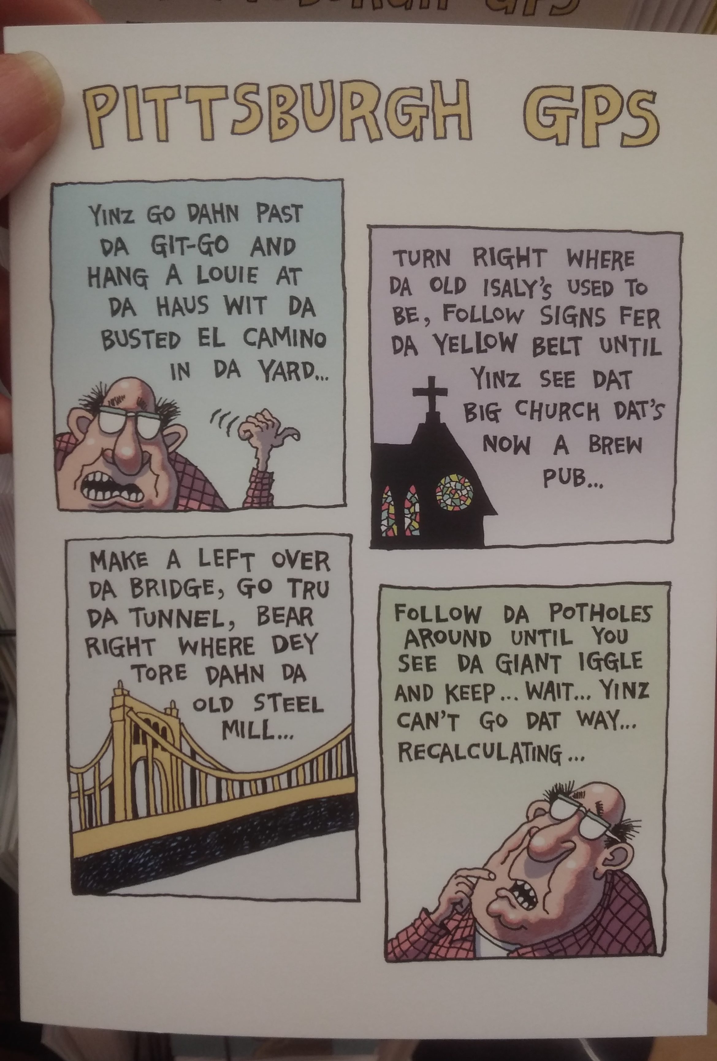
In a suburban Pittsburgh grocery store — the local brand, Giant Eagle, because you should visit grocery stores wherever you go — I saw local greeting cards.

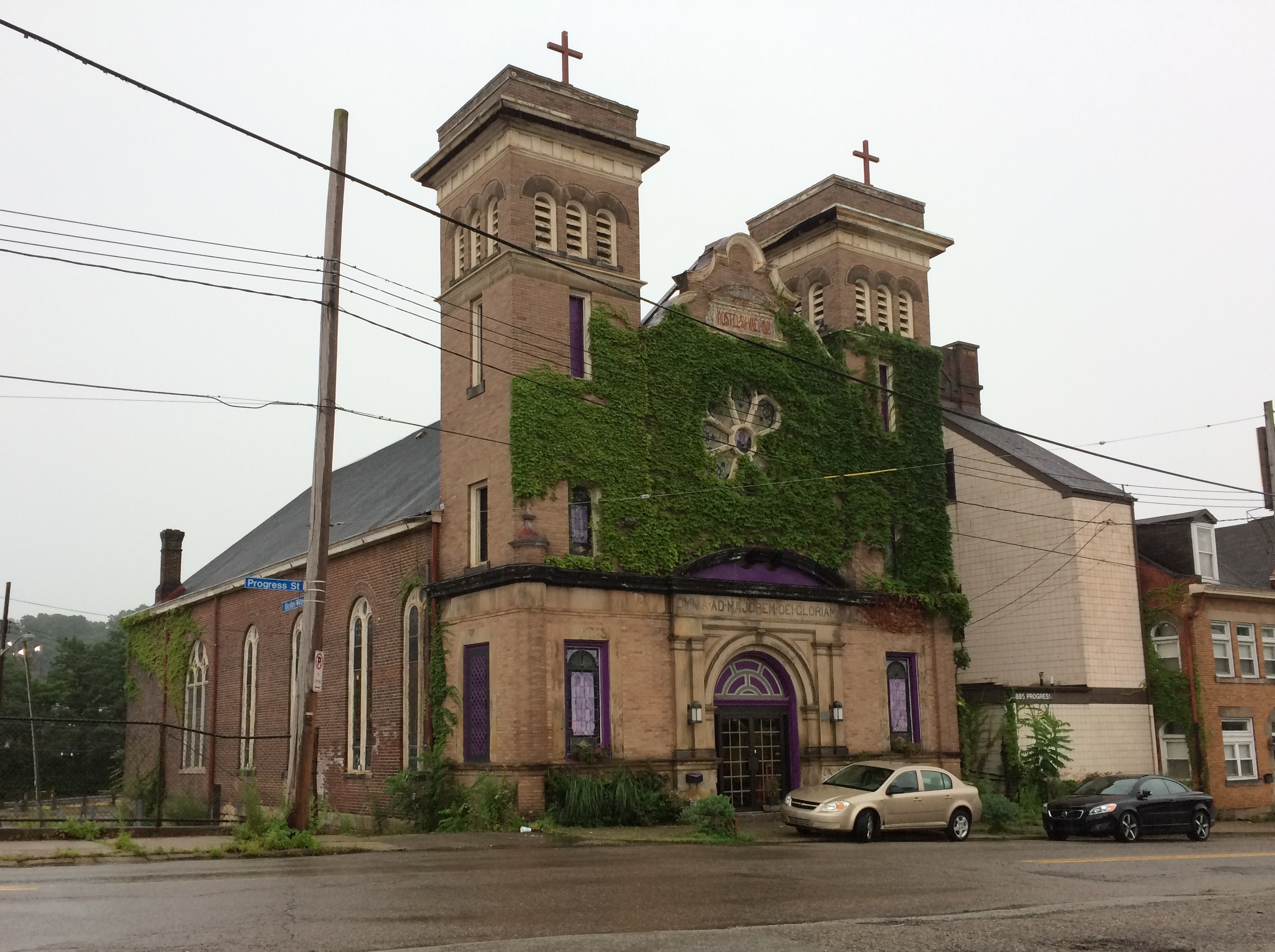
On the way to Randyland, I stopped at a parking lot on the North Side to consult my map, and noticed an intriguing former church.
Until 2015, it housed the New Bohemian, an arts venue. The last time it housed a religious organization was 30 years ago. From the looks of it, nothing is going on there now.

At the Cathedral of Learning of the University of Pittsburgh, the International Rooms weren’t the only interesting features. At one point we entered a classic early 20th-century academic auditorium.
The kind of place where Indiana Jones might teach Archaeology & Derring-Do 101. Even he had to teach freshmen sometimes.

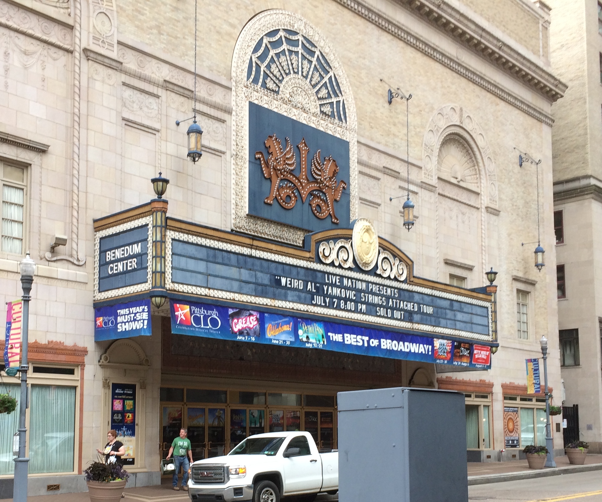
Missed Weird Al, who played Pittsburgh’s Benedum Center the evening we left town. Sold out anyway.
I think I’d pay money to see him, once anyway. But probably not as much as the tickets are priced now, in these gouging days for top acts. The time to see Weird Al would have been ca. 1981. I’m pretty sure “Another One Rides the Bus” was the first song of his I ever heard.

We returned home on July 7 via Columbus, Ohio, and Indianapolis — only a little longer than the all-tollway route we used to get to Pittsburgh from metro Chicago. The main consideration: I was especially annoyed by the Pennsylvania Turnpike, which charged $7.90 to go 11 miles. To compare, the entire Indiana Toll Road, about 136 miles, cost $8.70. Is the Pennsylvania Turnpike paved with gold? If only. I’ll never drive that road again.

I-70 west from Washington, Pa., takes you across the northern panhandle of West Virginia, a route of about 15 miles. We stopped and I put my feet on W. Va. soil for only the second time.

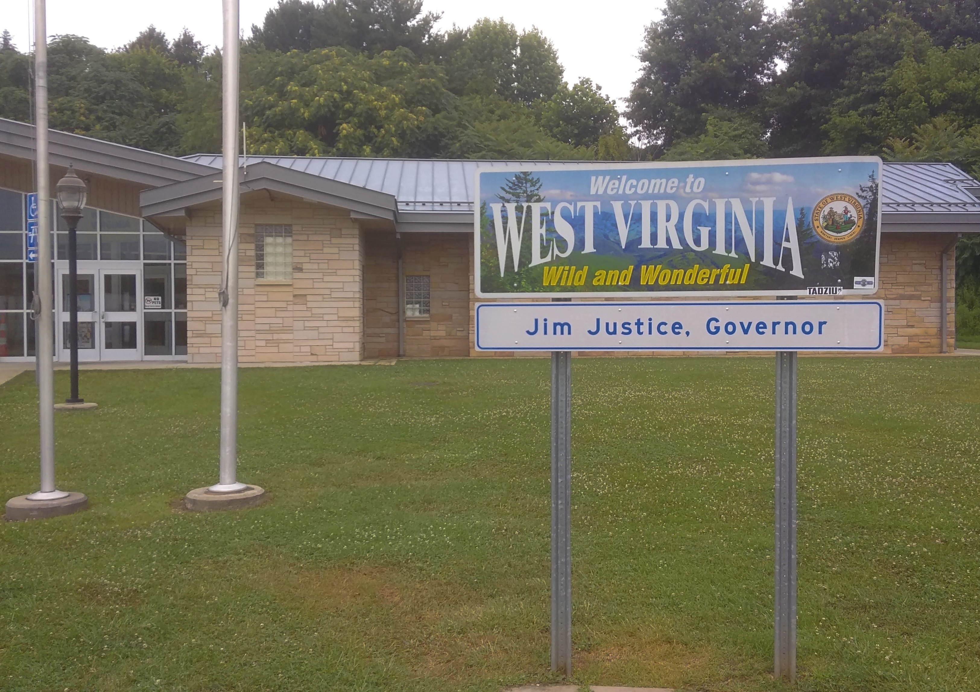
In 1988, I spent Labor Day weekend tooling around parts of Virginia — Shenandoah NP, Staunton, Monticello, etc. A meandering drive along back roads back to greater D.C. took me briefly into West Virginia. No one else was on the road, so I stopped and relieved myself. That was my total experience in W. Va. until 2019. What did we do at the West Virginia Welcome Center near Wheeling? Relieve ourselves.

Two East-Central Illinois Memorials As Different As Can Be

Our recent short trip to east-central Illinois and west-central Indiana found us spending two nights in Champaign, last Friday and Saturday. During the day on Saturday, we drove east on U.S. 150 and a short way on I-74 into Indiana. Then we headed south on Indiana 36 to Terra Haute, stopping in Dana.

Returning from Terra Haute, we took U.S. 150 westward — that road jogs oddly to the south from Danville, Illinois — and caught Illinois 133 in Paris, Illinois, a town that sorely needs a replica Eiffel Tower or Arc de Triomphe or some such to distinguish it. That road takes you to Arcola, a town we’re familiar with. From Arcola it’s a straight and not too interesting shot back to Champaign on I-57.

So it was a rectangular driving course (roughly east-south-west-north), good for a day trip, despite the heavy rain at times. It’s been a rainy spring and early summer, which we noticed must be damaging crops, since a lot of corn and soybean fields were covered by large puddles (an item from Ohio about the problem).

The sites associated with Ernie Pyle and Eugene V. Debs, honoring Hoosiers of somewhat different cast, were our main destinations. But I had a couple of minor destinations in mind as well. One was an obscure memorial in the obscure town of Oakland, Illinois, which is Coles County. I had passed that way 12 years earlier. Here’s what I said then about the Oakland town square:

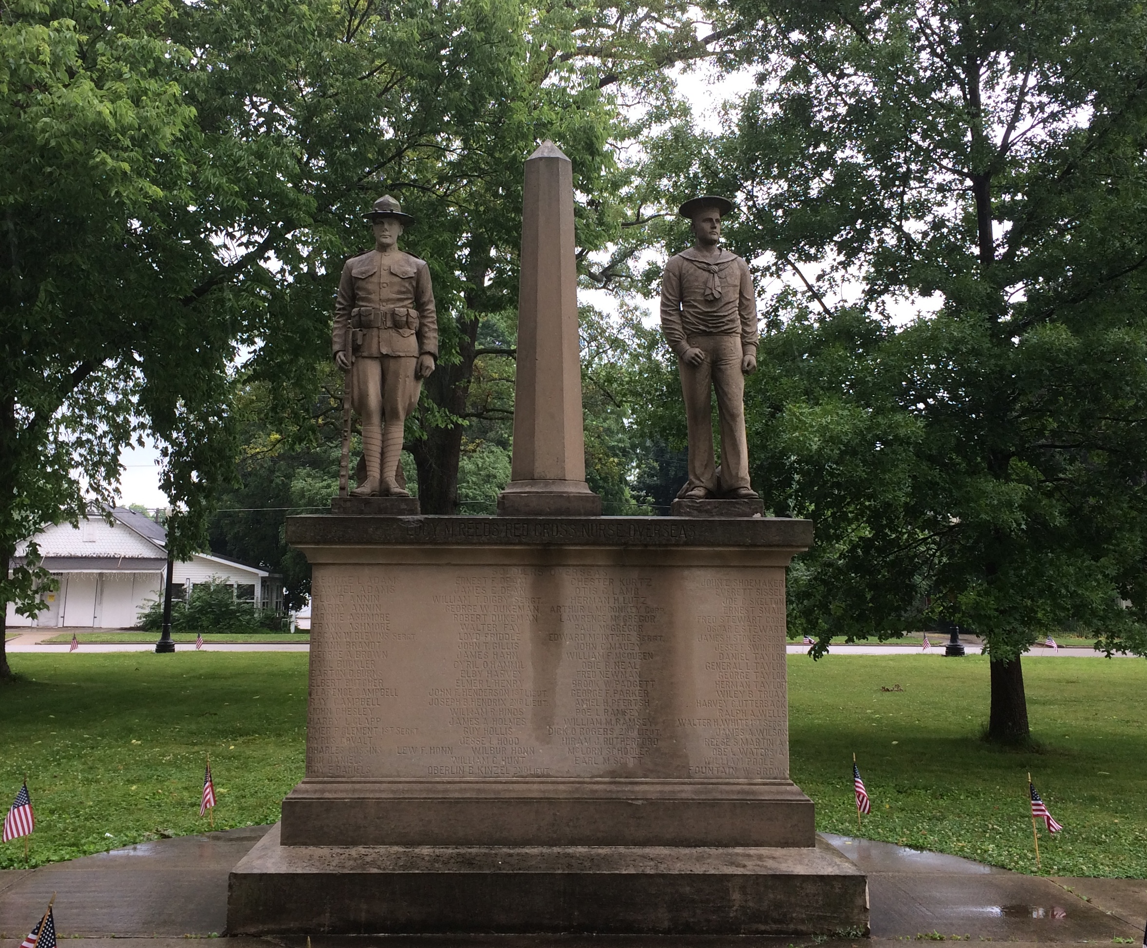
“The place was gloomy. Maybe it was just the overcast skies… Still, I wanted to see the monument in the middle of the square. It was Memorial Day, after all. Someone had decorated the edges of sidewalk leading to the monument with small flags, forming a spot of color in the square, so that was something. The monument consisted of two statues sharing one plinth, one of a soldier and the other sailor, clearly World War I vintage, with the names of locals who had participated in that war carved in the plinth. All of it was weathered and dark.”

I wanted another look. In 2019, the square’s a little better looking (officially it’s the Oakland Centennial Park). The monument, a lot better looking. The darkness this time was from the recent rain.
Oakland Illinois World War I memorialMaybe it was refurbished for the centennial of the war or its own centennial, since carved in stone is the memorial’s dedication date: May 30, 1919 — the first Decoration Day after the Armistice.

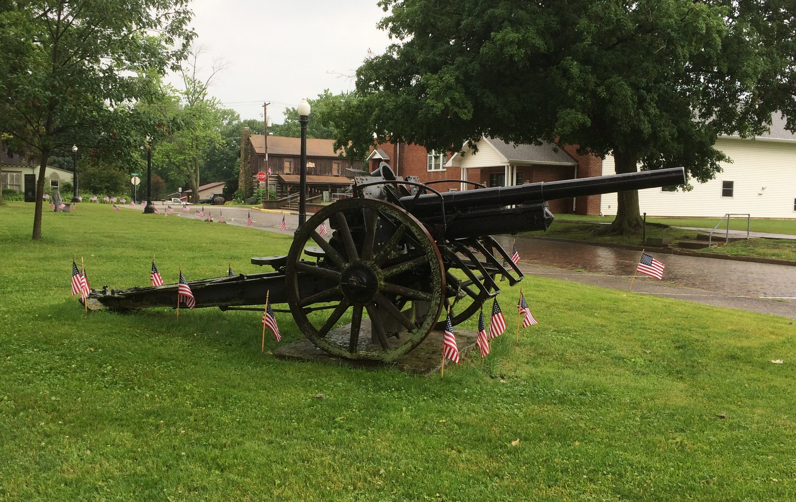
I’d forgotten about this item in the town square, a 77mm Feldkanone 16 German artillary piece. A local prize of war, I guess.

Oakland Illinois World War I memorial

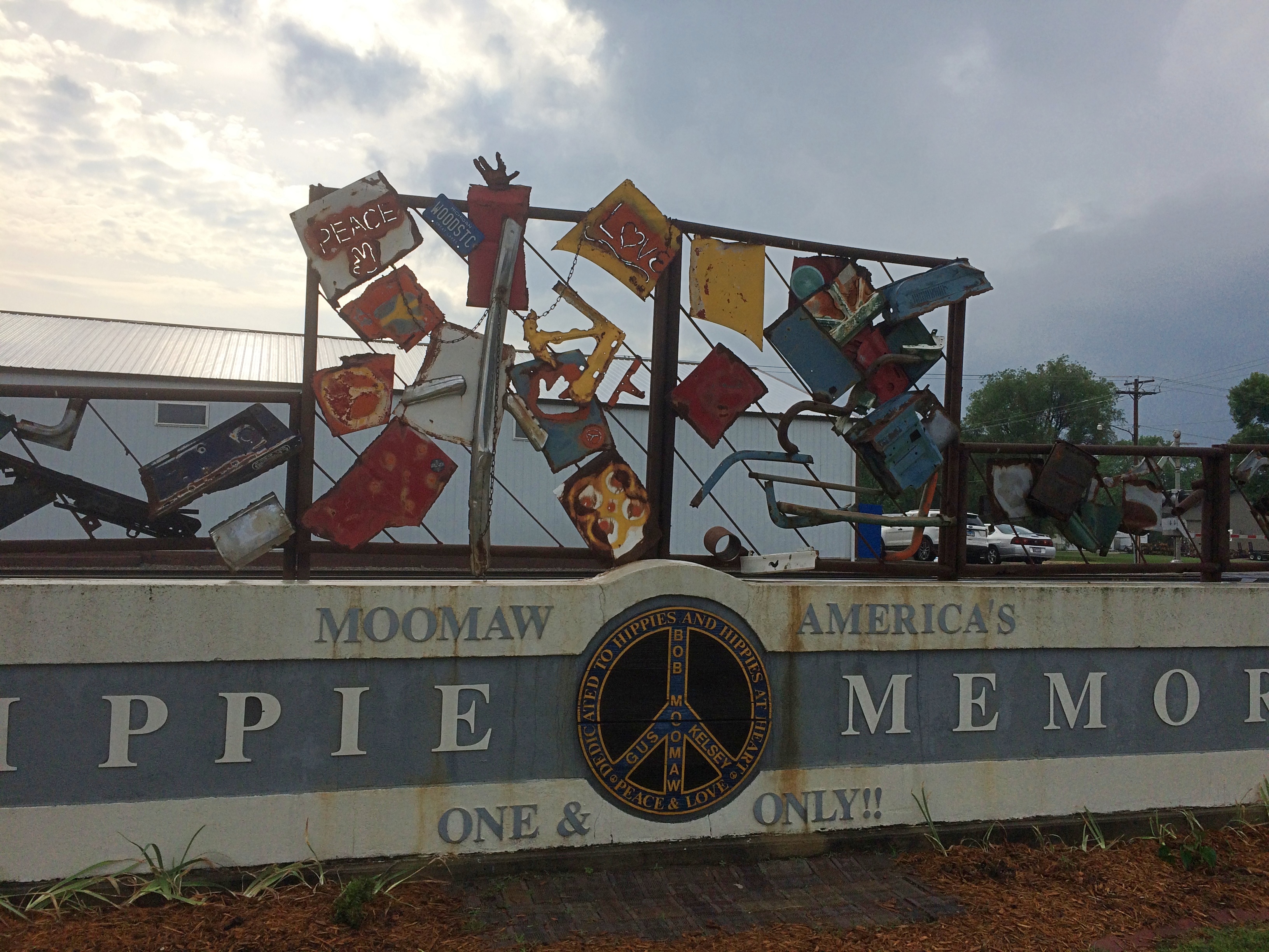
In Arcola, I wanted to see something we’d overlooked last year: the Hippie Memorial. How we missed that, I don’t know, since it’s less than a block away from that town’s Raggedy Ann and Andy sculptures, which we saw.

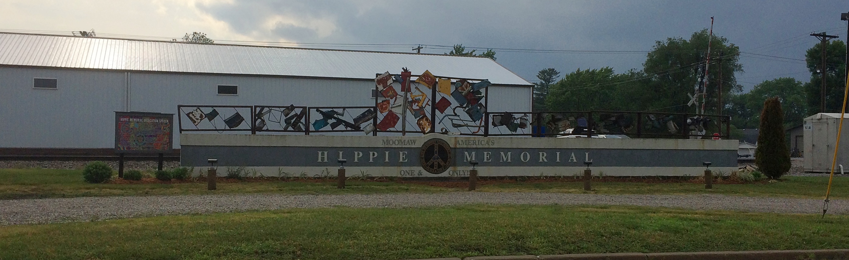
The Hippie Memorial is a very horizontal structure and an example of vernacular art. Better still, a vernacular memorial, which isn’t that common.

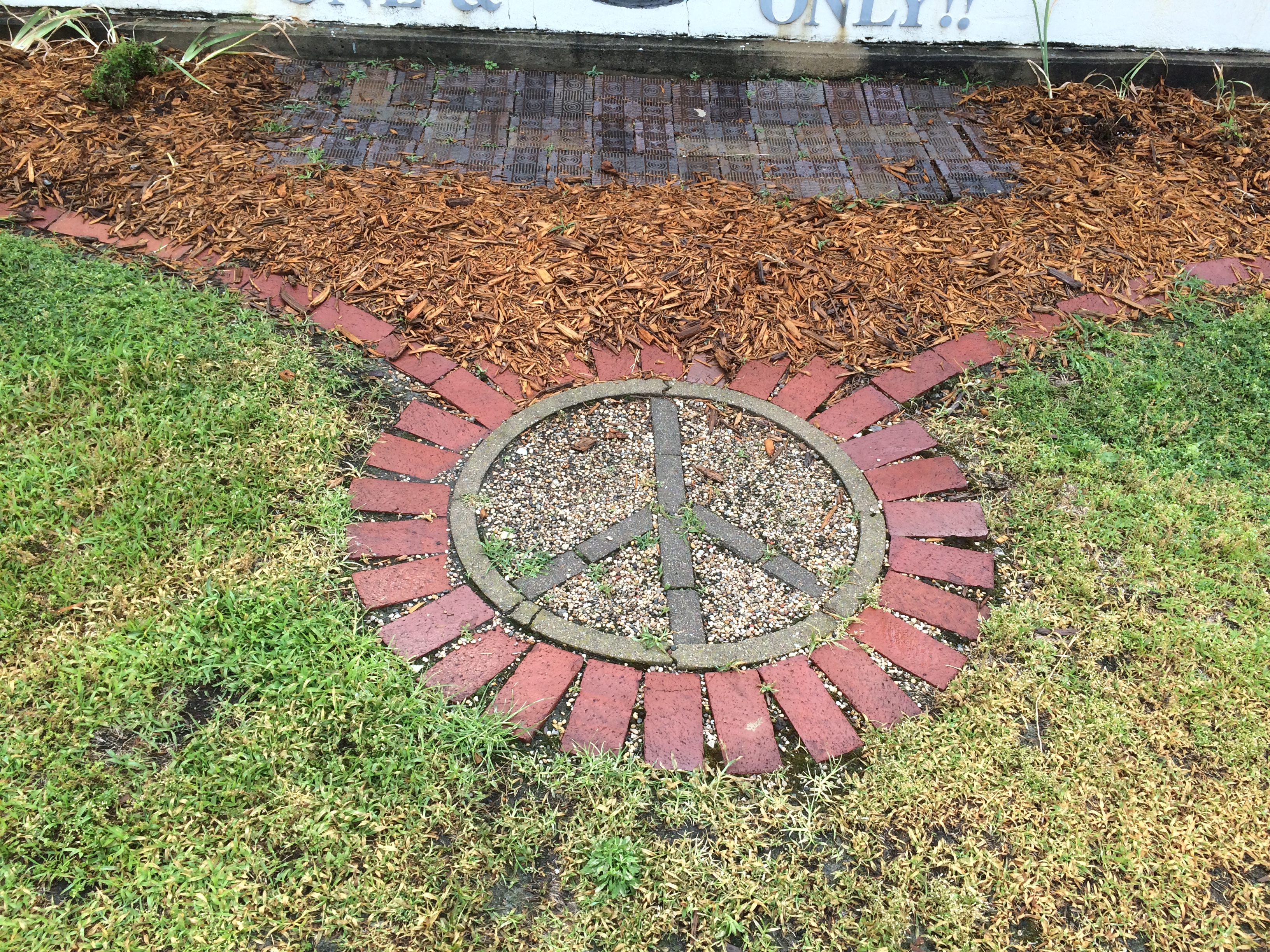
Hippie Memorial Arcola IllinoisHippie Memorial Arcola Illinois

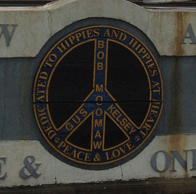
Just how much recognition does ☮ get these days? I wonder.

☮ Hippie MemorialHippie Memorial Arcola IllinoisNearby, a sign offers the dedication speech, made by the widow of the creator, local eccentric Bob Moomaw, almost exactly 20 years ago. The text seems the same, but the background is a lot more psychedelic than it used to be.
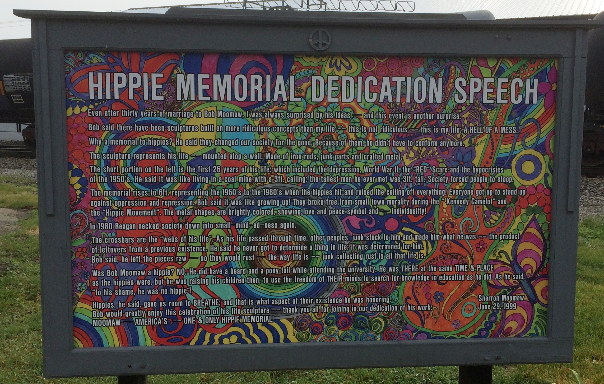
Hippie Memorial Arcola IllinoisSure, why not honor the hippie movement? It’s been subject to retroactive derision all out of proportion to its risibility. You can argue that hippies were yet another flowering of bohemianism, a periodic occurrence that’s helped keep things interesting since the Romantic movement at least.
Natchez &c.

When we left New Orleans to drive to Natchez, Mississippi, on May 15, the uninspired route would be have been I-10 to Baton Rouge and then north on US 61. Instead I wanted to drive across Lake Pontchartrain, because I’ve seen that crossing on maps for years. Better yet, it’s no extra charge, since the Lake Pontchartrain Causeway collects no toll northbound.

The morning was bright and traffic light on the causeway. It’s actually two bridges, one each way, so you don’t face miles and miles of unavoidable oncoming traffic mere feet away. An enjoyable stretch of road under those conditions. Uneventful enough driving to ponder the engineering marvel that’s the causeway while still on it.

Before going, I wondered if there would be a few minutes on the causeway when we would be out of sight of land. I’d read claims to that effect. But the answer is no, not that I saw. I spotted the north shore of the lake in the distance before the south shore had completely vanished from my rear-view mirror. Once you get to the other side of the lake, you’re in Mandeville, Louisiana. I-12 from there connects with US 61 in Baton Rouge.

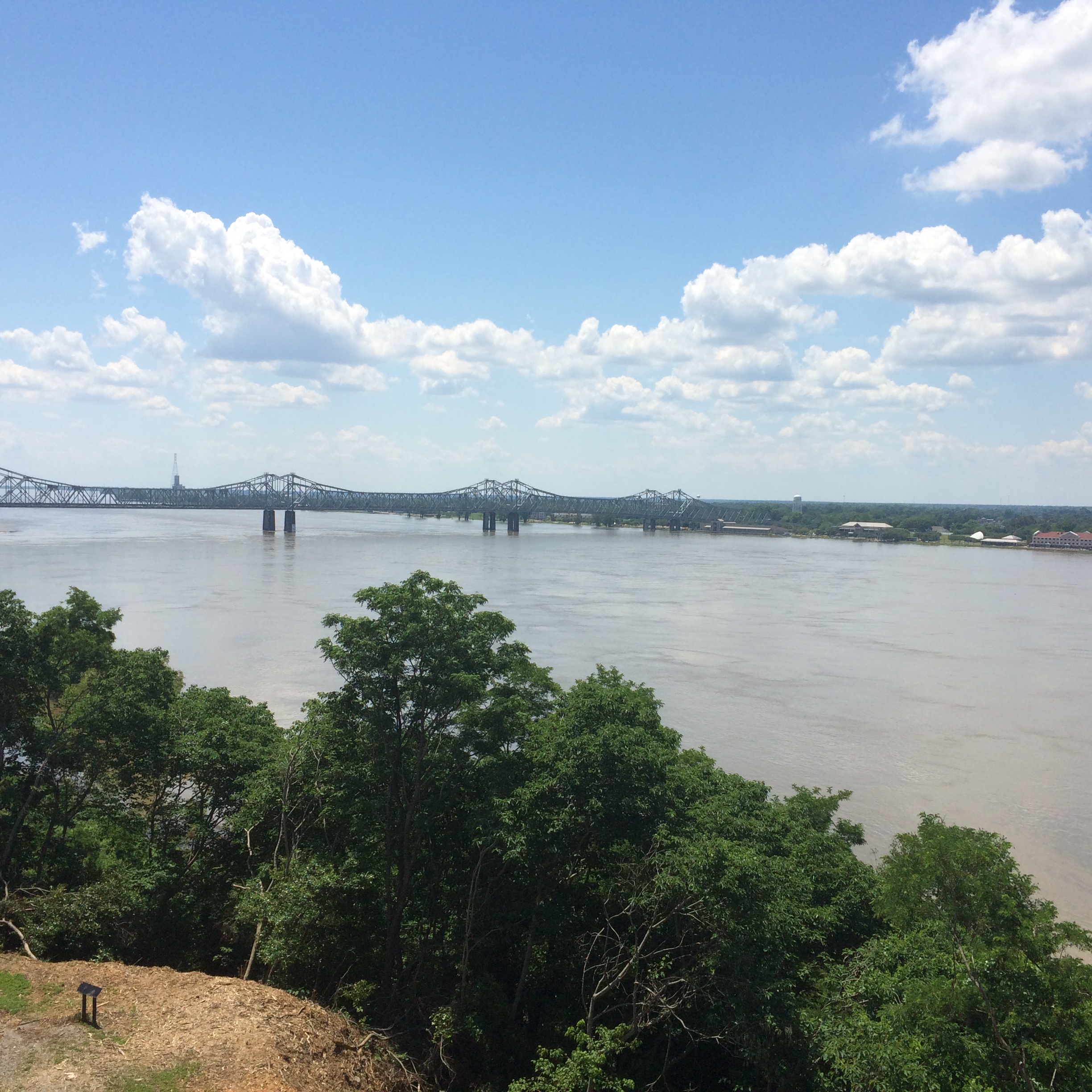
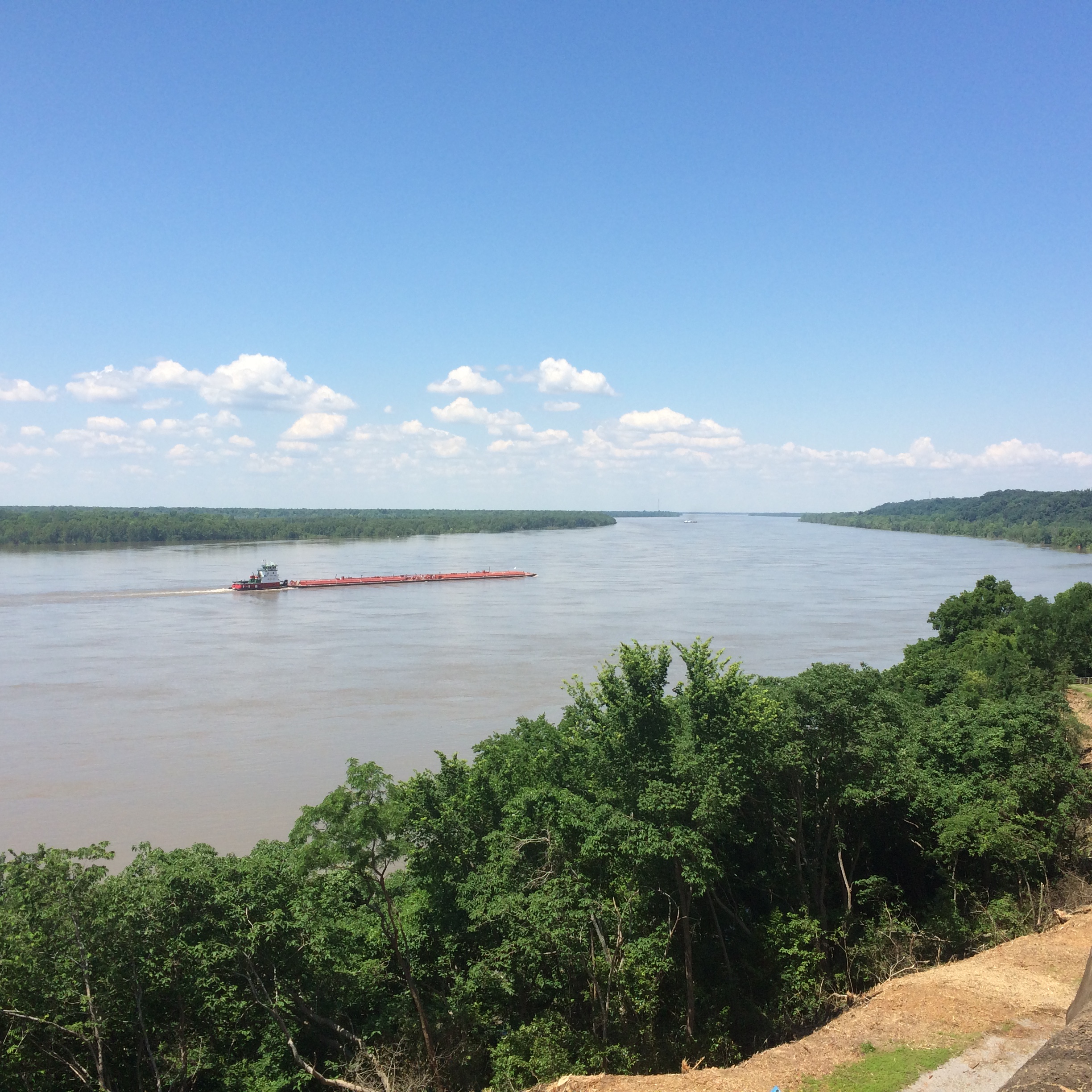
By early afternoon, we were in Natchez, Mississippi. The town has some good views of the Mississippi River from a park on the bluff.
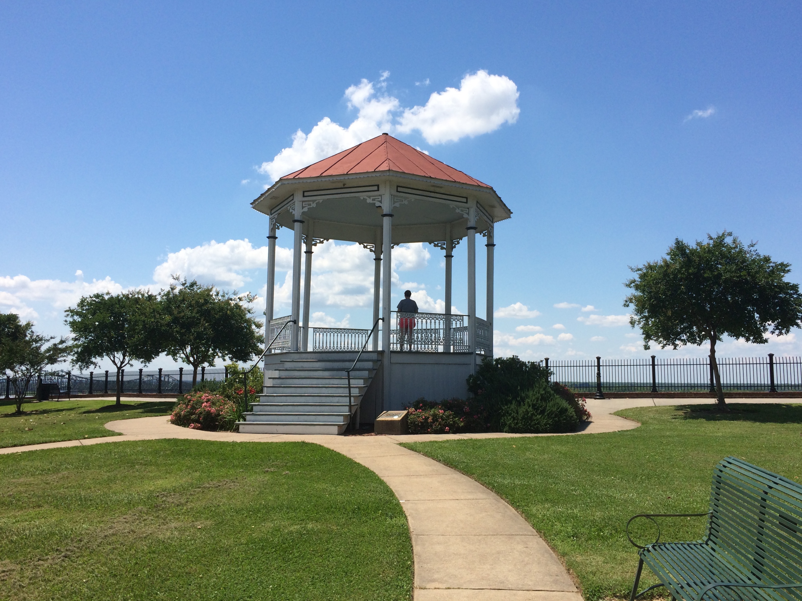
The local gazebo.
It was too hot to wander around in the noonday sun for long. We decided not to tour one of the local antebellum homes, but rather spend the afternoon heading further north on the Natchez Trace Parkway to seek out antebellum ruins instead.

Lilly drove part of the way on the Trace and I played with my camera.

Others might find the driving dull, but I like driving the Trace for its lush greenery, and also its sparse traffic. No trucks at all.

We took a diversion off the Trace before going to Port Gibson and on to Jackson, along a winding country lane called Rodney Road. Go far enough on that road, and you’ll come to the Windsor Ruins.
I can’t remember where I read about the ruins, but the place has been filed under my Possible Minor Destinations for a good while. That’s such a sprawling, unorganized mental catalog of places that it’s a wonder that I ever remember to take the right detours at the right time.

We were the only ones there once another car left a minute or two after we arrived. Considering that the ruins used to be the heart of an enormous plantation, it’s remarkable how lonely the spot now feels. History has passed it by.

The view from the ruins.
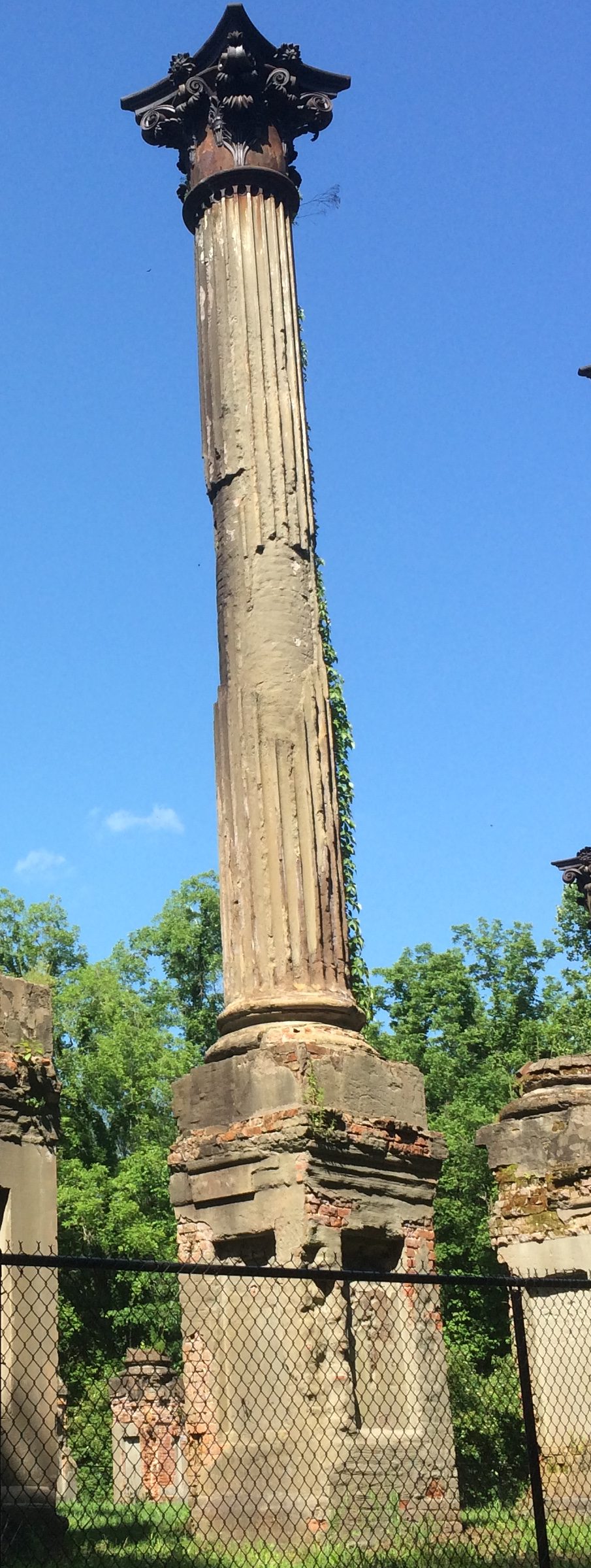
“Windsor, built between 1859 and 1861, was the home of Smith Coffee Daniell II, a wealthy planter who had extensive properties in the Delta and in Arkansas,” the NPS says. “Completed in 1861, the home was the largest house built at that time [in Mississippi], the plantation once covering over 2,600 acres.

Curiously, Daniell died on April 12, 1861. The mansion survived the war, probably because the Union army used it as soon as the area had been captured, but it burned down by accident in 1890.

The fence is fairly new, added by the state, which now owns the site. Guess the state of Mississippi doesn’t want any of the 23 massive Corinthian columns coming down on any hapless visitors. They’re looking a little dodgy.

Southern Loop ’19

Just back from a driving trip whose mileage I didn’t bother to keep track of, but it was in the thousands. Actually, only part driving. Lilly and I flew separately from Chicago to Dallas earlier this month so she could take possession of her new car — an ’05 Mazda 3 that her uncle Jay gave her, provided we could drive it from north Texas to northern Illinois. The car rattled and occasionally made other odd noises, but soldiered on all the way.

The uninspired thing to do that would have been to drive straight through, which normally would take two days by breaking the trip in Missouri, such as at the Munger Moss.

Despite being a driving trip, that would be a pedestrian way to do it. Instead I took a week off so we could take a more interesting route. We left Dallas on May 11, heading south to the vicinity of Schulenburg, Texas, to visit some of the Painted Churches, which were built by late 19th-century German and Czech congregations who gave them richly artistic interiors — all the more interesting because much of it is vernacular art.

Rain came day most of that first day on the road, but we didn’t encounter any more until yesterday in Nashville. In between the days were sunny and often hot. Everyone we talked to about the weather reported a wet spring, however, and the Southern landscape looked lush, from Texas into the Deep South and up through Tennessee.

We spent the first night in Houston. I didn’t plan it this way, but our time in Houston focused on water features: the Waterwall near the Galleria Mall that first evening (the rain was over) and Buffalo Bayou and the Buffalo Bayou Park Cistern during the next morning.

The next day we drove to New Orleans, a city I haven’t visited in 30 years, and one new to Lilly, and spent two days and three nights.

We ate very well. We saw excellent live music. We rode streetcars and walked the streets of the French Quarter, Treme and the Garden District. We toured one cemetery formally and one informally, and we visited the National WW II Museum.

On May 15, we drove to suburban Jackson, Mississippi, by way of the city of Natchez and the Natchez Trace to visit our cousin Jay and his wife Kelly, who hospitably put us up for the night.

The next day we passed through Philadelphia, Mississippi, my father’s home town, stopping for a short visit — Lilly had never been there — and then went to Montgomery, Alabama, where we spent the night.

On the morning of May 17, we saw the Legacy Museum and the National Memorial for Peace and Justice, both only open since last year, and the very different Alabama State Capitol, because I visit capitols when I can.

Leaving Montgomery in the early afternoon, we had enough time to visit the Ave Marie Grotto, not far north of Birmingham, and then spent the night of May 17 in Decatur, Alabama. The next morning I took a short walkabout near the Tennessee River and along Bank St., named for a handsome bank building there dating from the 1830s.

By that afternoon, we were in Nashville to visit some of my dear old friends, including one I hadn’t seen or enjoyed the fine company of since 1990. Today we did the long drive from Nashville to greater Chicago — I used to do it fairly often — arriving this evening.

Mostly, things went smoothly. Even traffic wasn’t that bad most of the time in the cities we passed through.

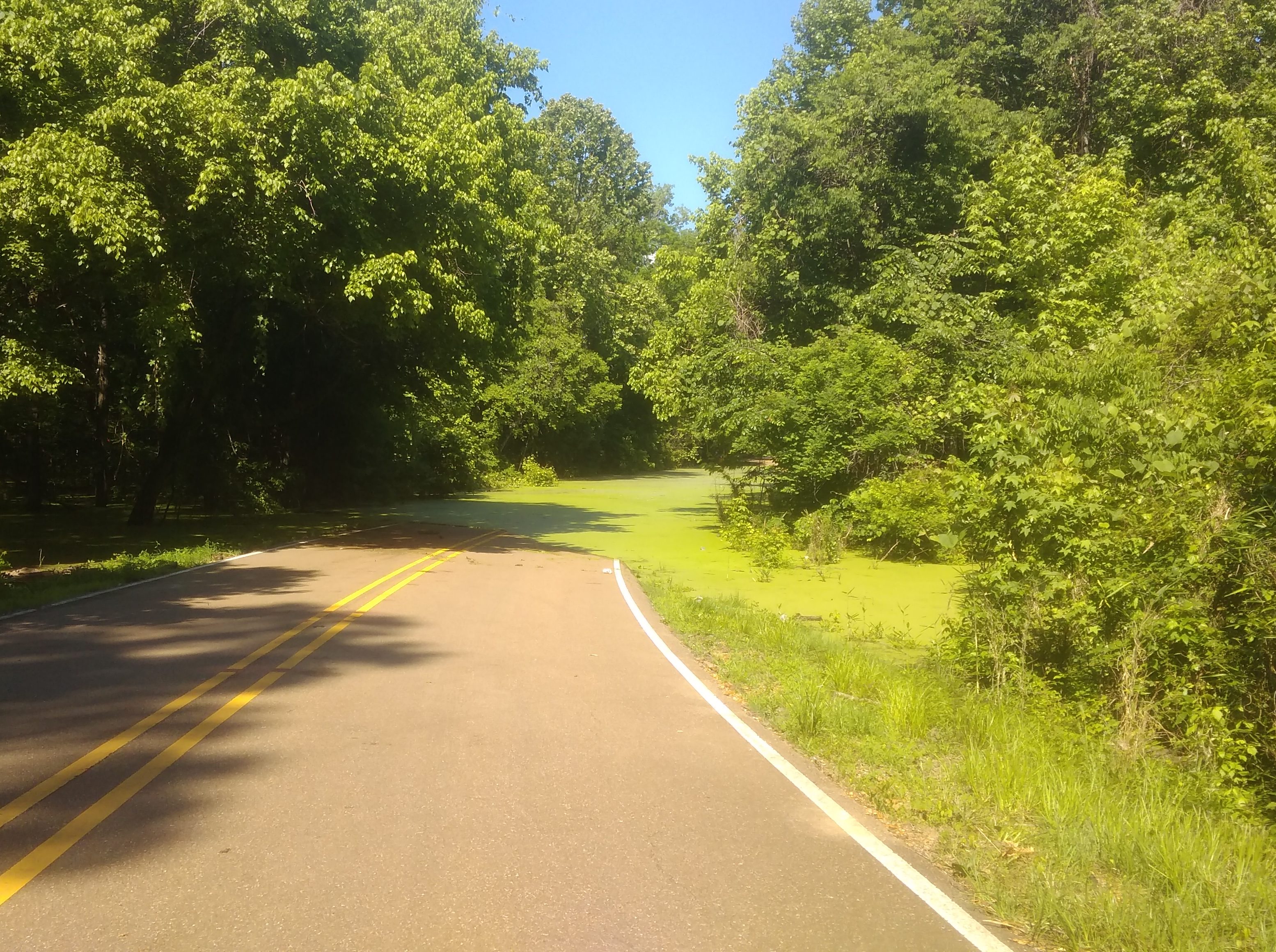
But while driving along Rodney Road in rural Mississippi outside Port Gibson and not far from the mighty river of that name, we suddenly came to this.
That’s stagnant algae-filled water, completely covering the road. For as far as we could see into the distance. Who knows how deep it is. So we backtracked on Rodney to the main road at that point, which happened to be the Natchez Trace.

The San Marcos City Cemetery

San Antonio to Dallas is roughly a five-hour drive straight through, provided traffic isn’t gummed up somewhere along I-35, which it will be in Austin, so best to take Texas 130 around that city, even though it costs extra.

Also best to break the trip into smaller segments and take a look around an in-between place or two. My nephew Dees told me that Aquarena Springs, formerly a postwar tourist attraction — trap — of some renown in San Marcos, is a good thing to see. In recent years, Texas State University-San Marcos remade the place as the Meadows Center for Water and the Environment. Glass-bottom boat tours are star attraction now, rather than the “aquamaids” of yore.

Sounded like a diversion of more hours than we were willing to spare, so we skipped it this time. But we did stop in San Marcos.

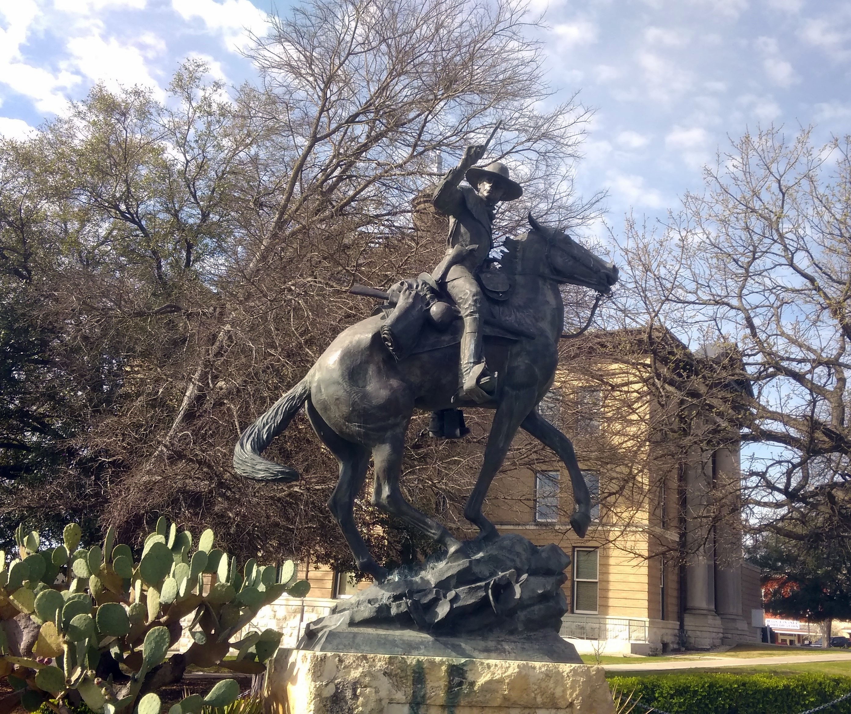
First for a look at the Hays County Courthouse, which is a fine old building with a statue of John Coffee Hays outside, whom the Handbook of Texas Online calls a “Texas Ranger extraordinary.” South Texas sculptor Jason Scull did the bronze.
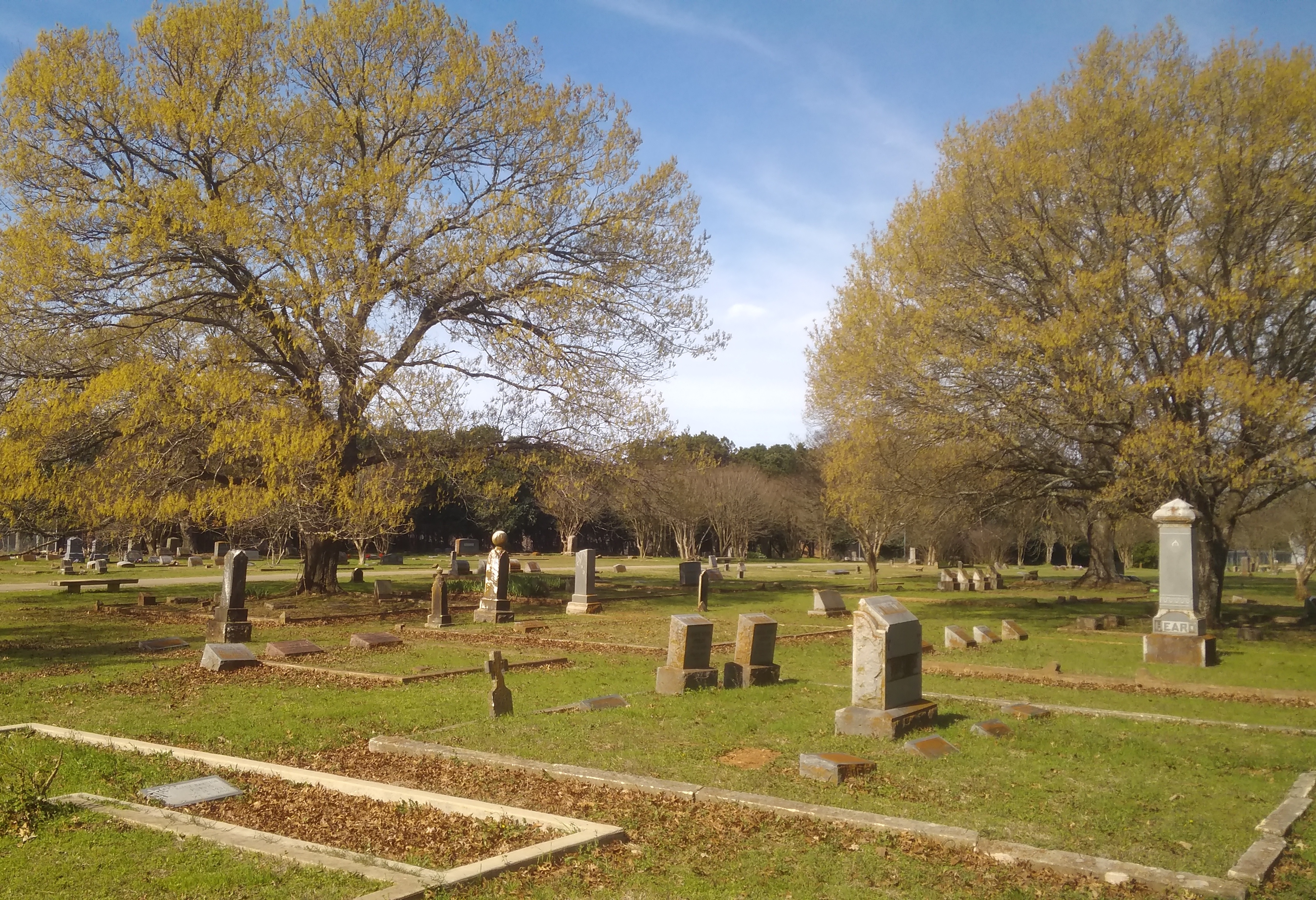
Hays Statue, Hays County CourthouseNot far away is the San Marcos City Cemetery. According to the Heritage Association of San Marcos, the cemetery replaced a smaller boneyard, with burials beginning in 1876. The city took ownership in the 20th century, as it retains today.

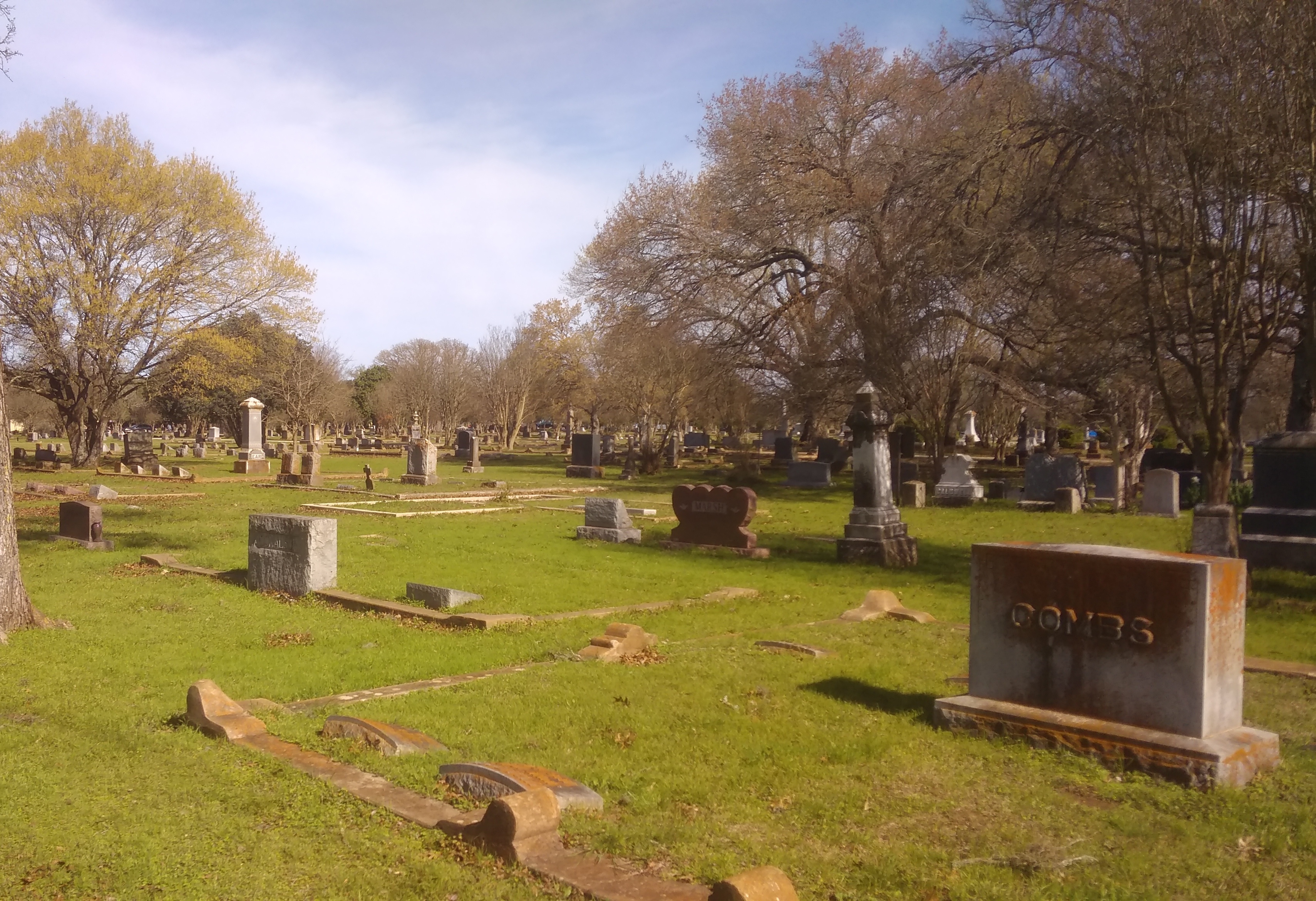
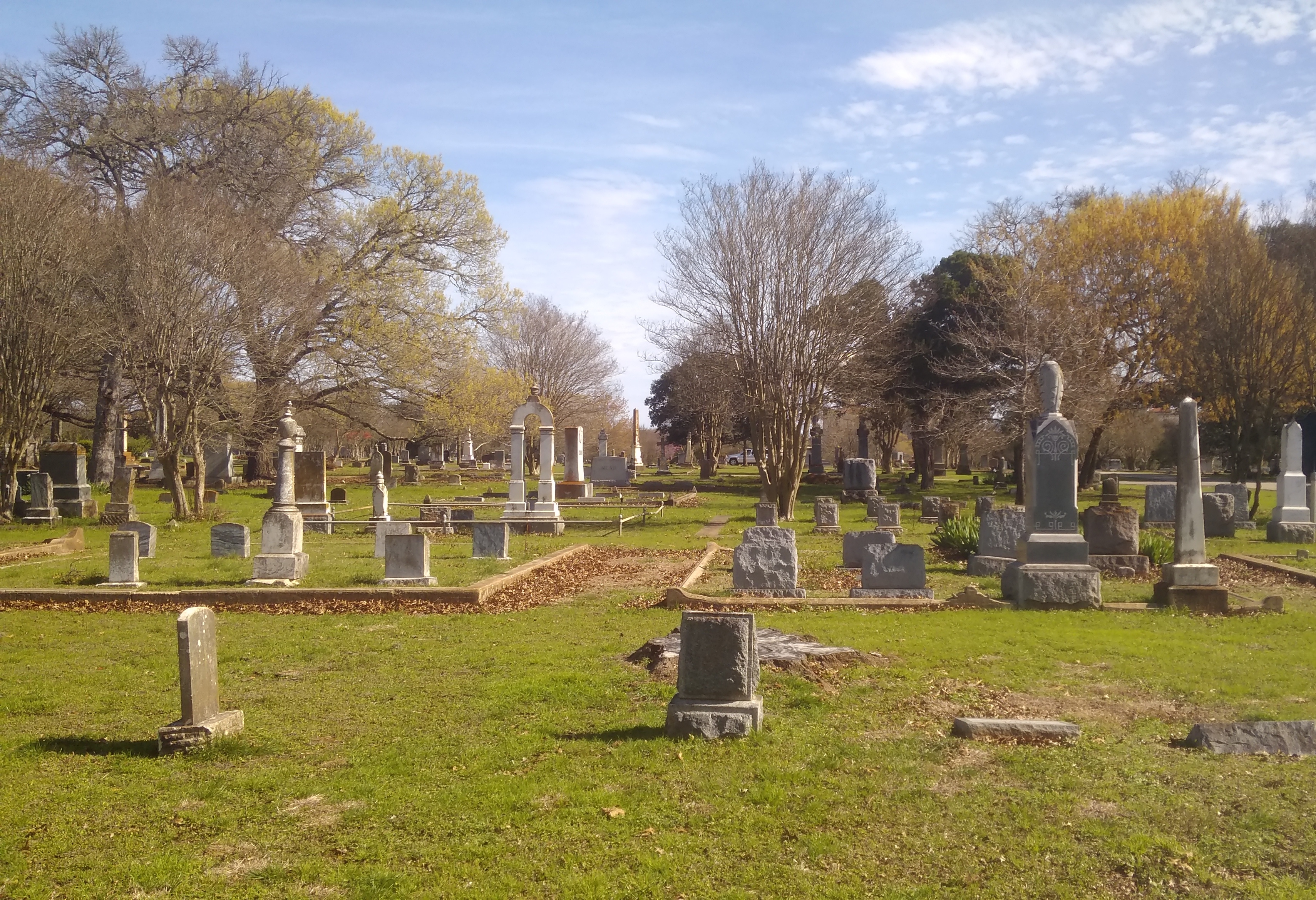
Though you climb a small hill at the entrance, most of the cemetery is level. Though not heavily wooded, the cemetery has trees to remind us that late February in central Texas is early spring.

San Marcos City CemeterySan Marcos City CemeterySan Marcos City CemeteryThere are some larger stones and some funerary art, but not a lot.
San Marcos City CemeteryAs Jay pointed out, ready money in 19th-century San Marcos — when such art was more likely to be erected — was in short supply, at least compared with a place like New York, home of Green-Wood and Woodlawn, or even old Charleston.

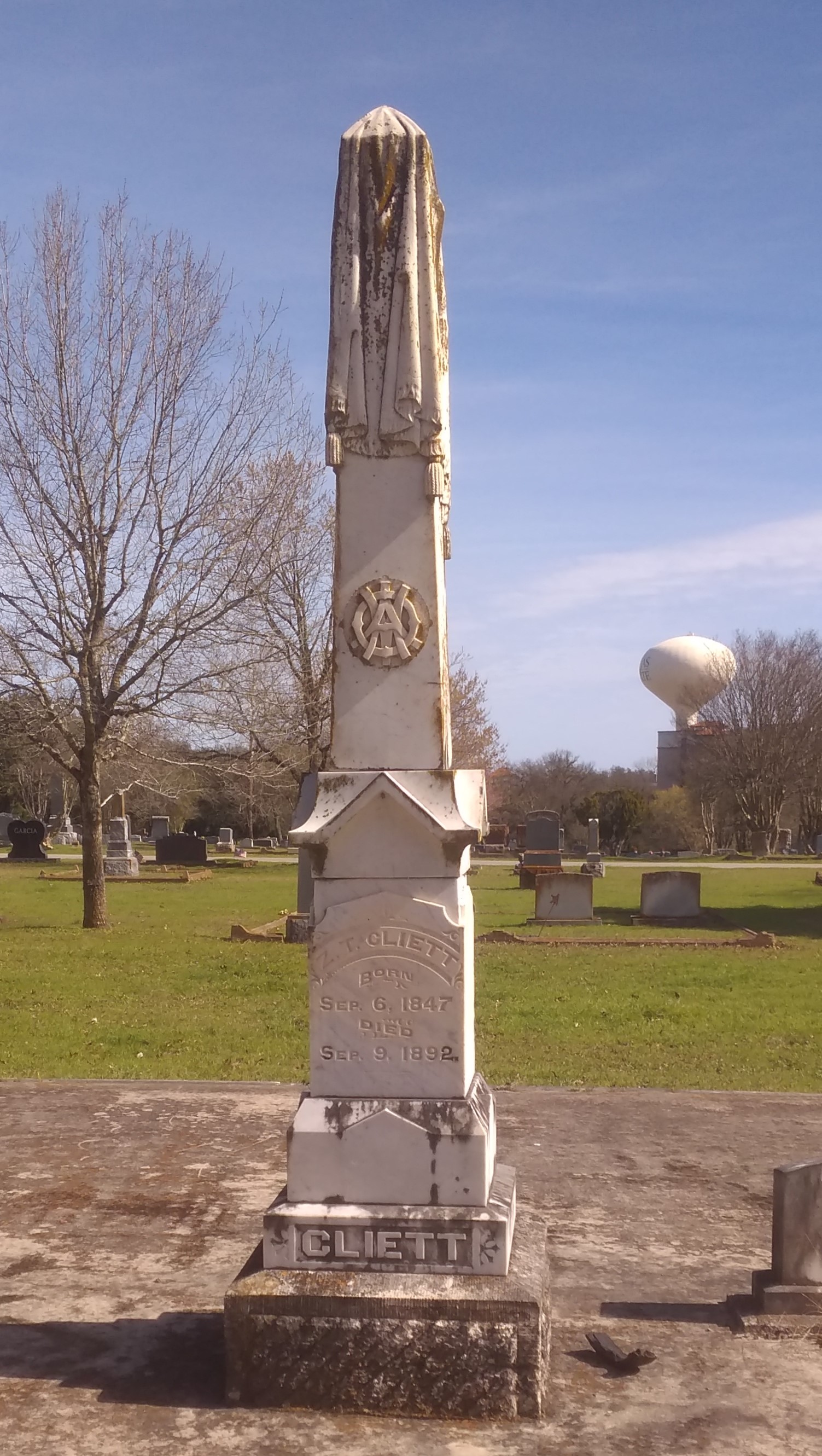
Still, there are some more ornate markers, such as the draped obelisk of Z. T. Cliett (1847-1892).
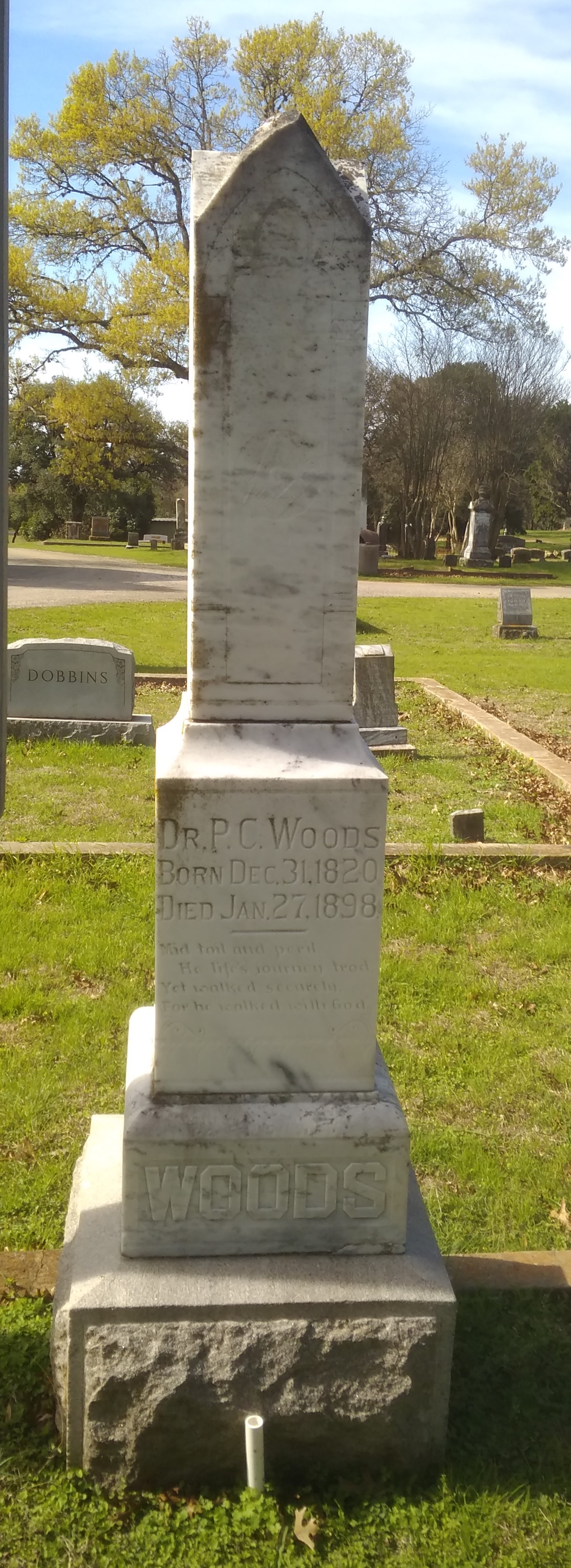
San Marcos City CemeteryOr the stone of Dr. P. C. Woods (1820-1898).
San Marcos City CemeteryA nearby Texas Historical Commission marker says that Dr. Woods came to Texas from Tennessee, as so many did (T for Texas, T for Tennessee). Commanding the 32nd Texas Cavalry Regiment during the war, he patrolled the border with Mexico and the Gulf coast against possible Union attack, and fought in Louisiana, where he “received an arm injury which impaired him for the rest of his life.” That didn’t keep him from being a farmer and doctor in postbellum Texas, however.

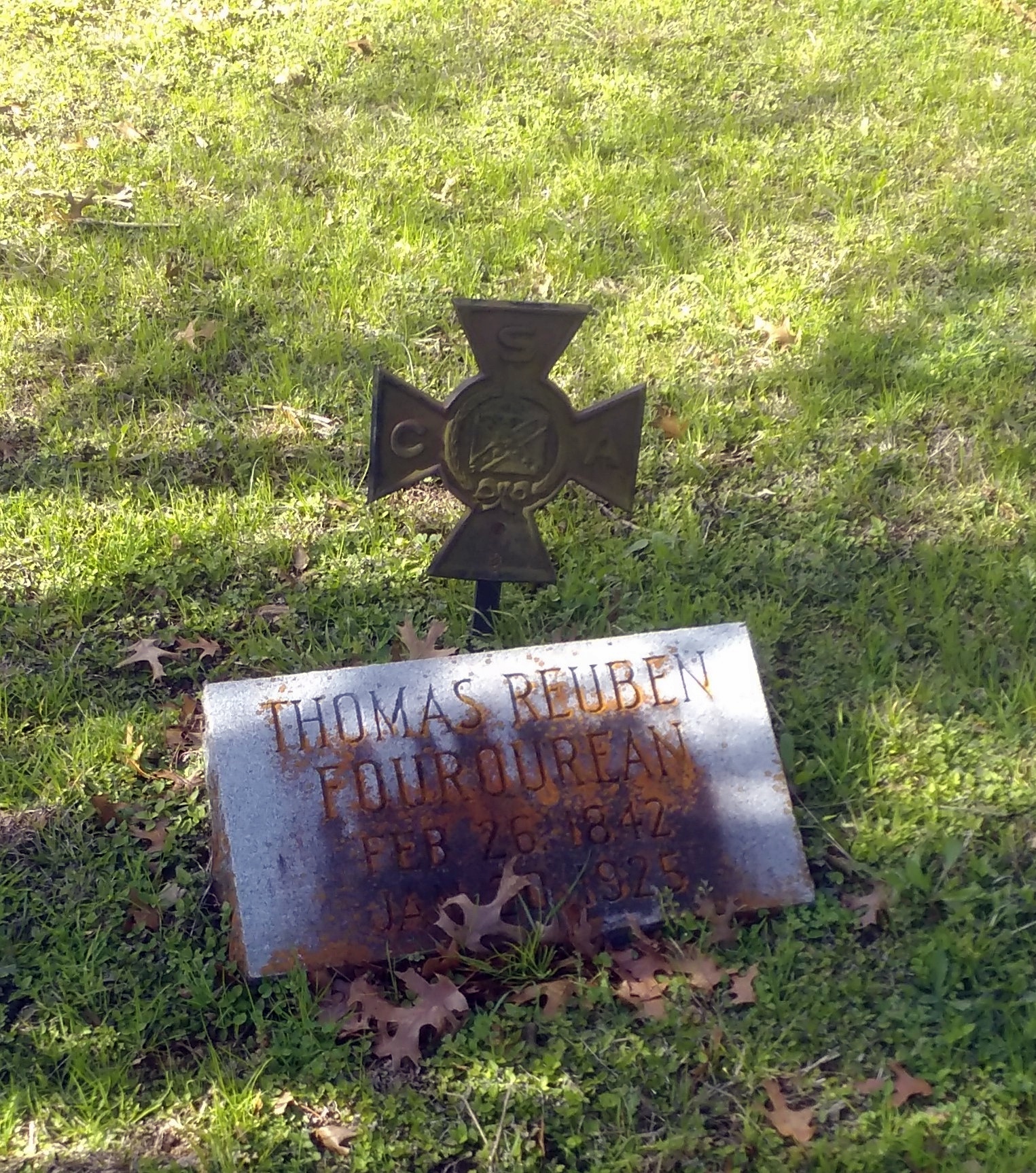
Thomas Reuben Fourqurean (1842-1925) (interesting name) had a metal marker to denote his service to the CSA, of the kind that’s easy to find in older Southern cemeteries.

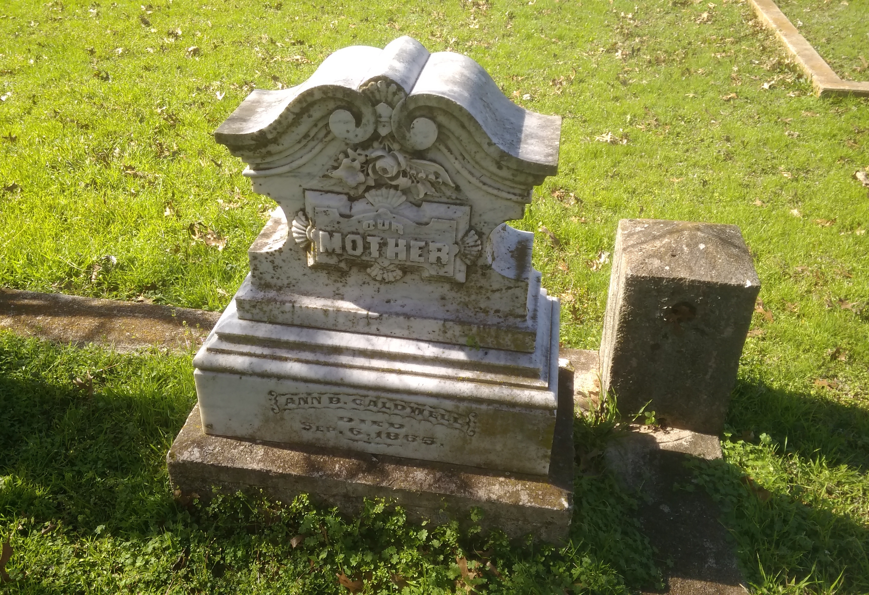
San Marcos City CemeteryAnother marker — local, not state — tells the story of Ann B. Caldwell (1800-65), who was reinterred here in the 1870s from an earlier San Marcos cemetery.
San Marcos City CemeteryIn life, she had been among Stephen F. Austin’s colonists and then an early settler in Hays County.

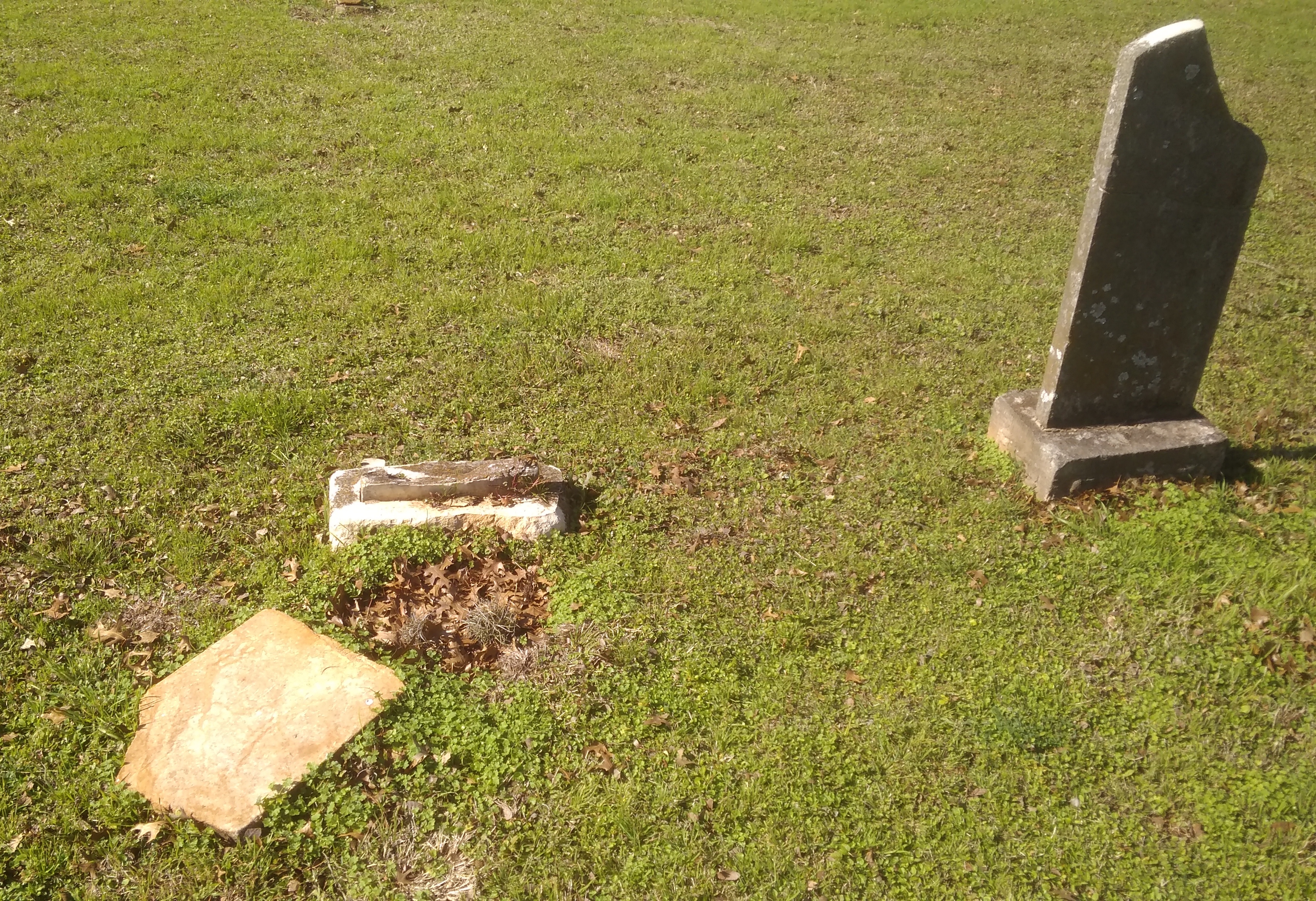
The cemetery’s old enough to include weather-worn stones whose names have been lost to time.
San Marcos City CemeteryEveryone’s stones will eventually disappear in the fullness of deep time, of course. These stones simply have a head start on the others.

Yellowstone 2005: Yellowstone, Badlands, Albert Lea, Etc.

Part of a letter I wrote to Ed about 13 years ago, with a few relevant pictures and hindsight notes in brackets.

Aug 22, 2005

Time to start another letter, which I might as well subhead “Things About My Recent Travels That Didn’t Make It Into the Blog.” If letters had subheads, that is.

In some ways, I hope this is a pattern for future travels [mostly it wasn’t]. Of the nine nights we spent on the road, six were in a tent, three in a motel. Better still, of the six nights in a tent, four cost nothing. Call me a cheapskate, but it did me good to return every night to Yankee Jim Canyon about 15 miles north of Yellowstone, in Gallatin Nat’l Forest land, and crawl into the tent knowing that I paid nothing. Well, no extra charge, no insidious “user’s fee,” because some small bit of my taxes must go to support the Gallatin Nat’l Forest.

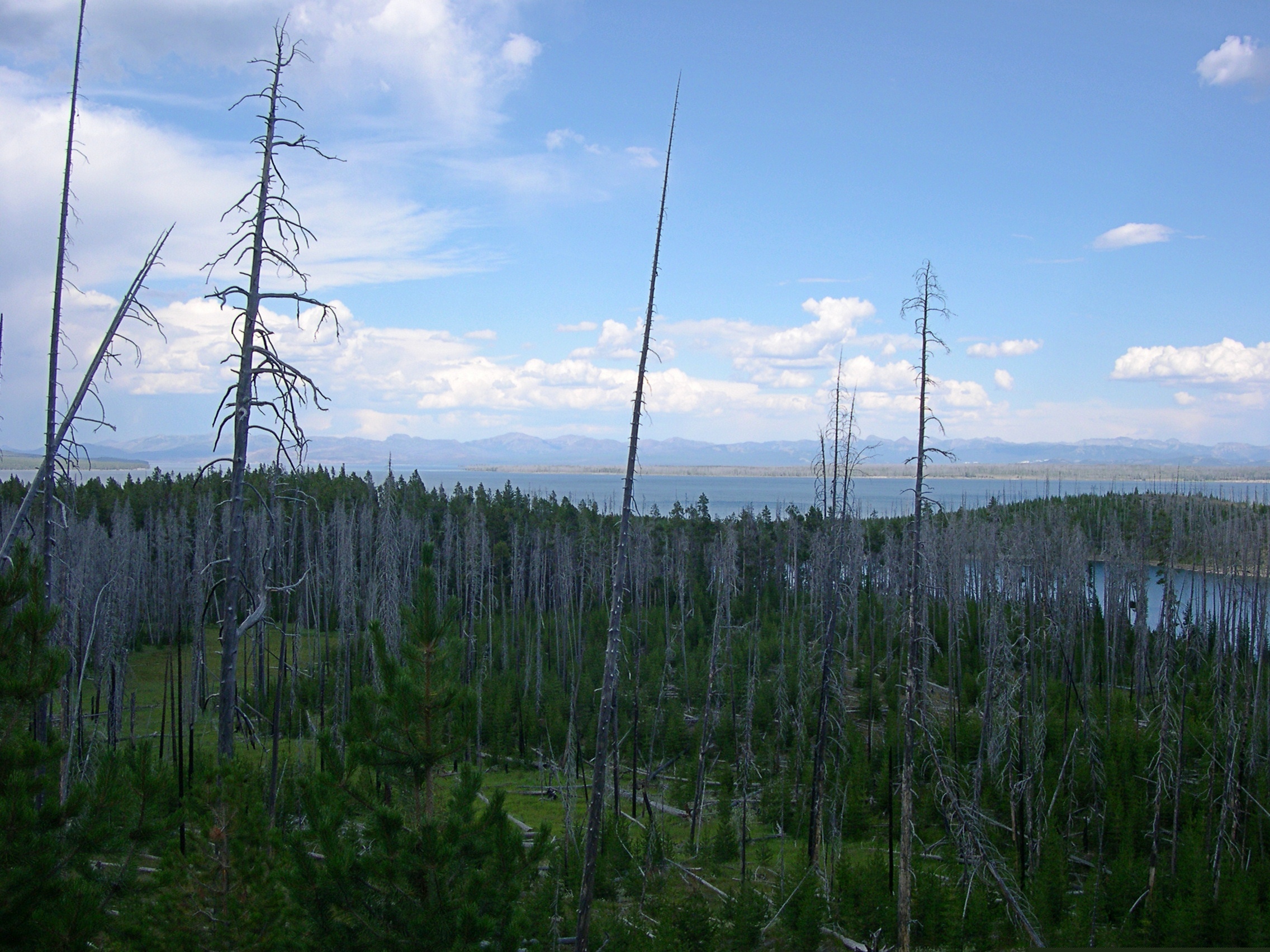
Some of the most striking things about the many striking things in Yellowstone were the places — whole mountainsides, in some cases — that had clearly burned down in 1988. Hundreds of grey-dead trunks, stripped of anything remotely alive, still stand, lording — if such be possible among trees — over forests of mid-sized pines, very much alive, the spawn of the great fire. In other places, hundreds of tree corpses have tumbled into random piles, also interlarded with young living trees. You can drive for miles and miles and see scene after scene like these. They say it was a hell of a fire, a complex of hell-fires, really, and I believe it.

[A post-fire landscape in Yellowstone in 2005, 17 years later.]Yellowstone 2005

I saw something in South Dakota that the rest of the nation can emulate: two kinds of X signs, marking traffic deaths I think. One says: “WHY DIE? Drive carefully.” And the other: “THINK: X marks the spot. Drive carefully.” For such a sparse population, South Dakotans seem to kill themselves often enough on the roads. Long winters, cheap booze, almost empty roads.

I recommend the drive along the Missouri River from I-90 to Pierre, SD — along state roads 50, 10, and mostly 1806, all of which also form a National Scenic Byway. Hilly, bleak territory largely given over to Indian reservations, though not quite as bleak-looking as Badlands NP.

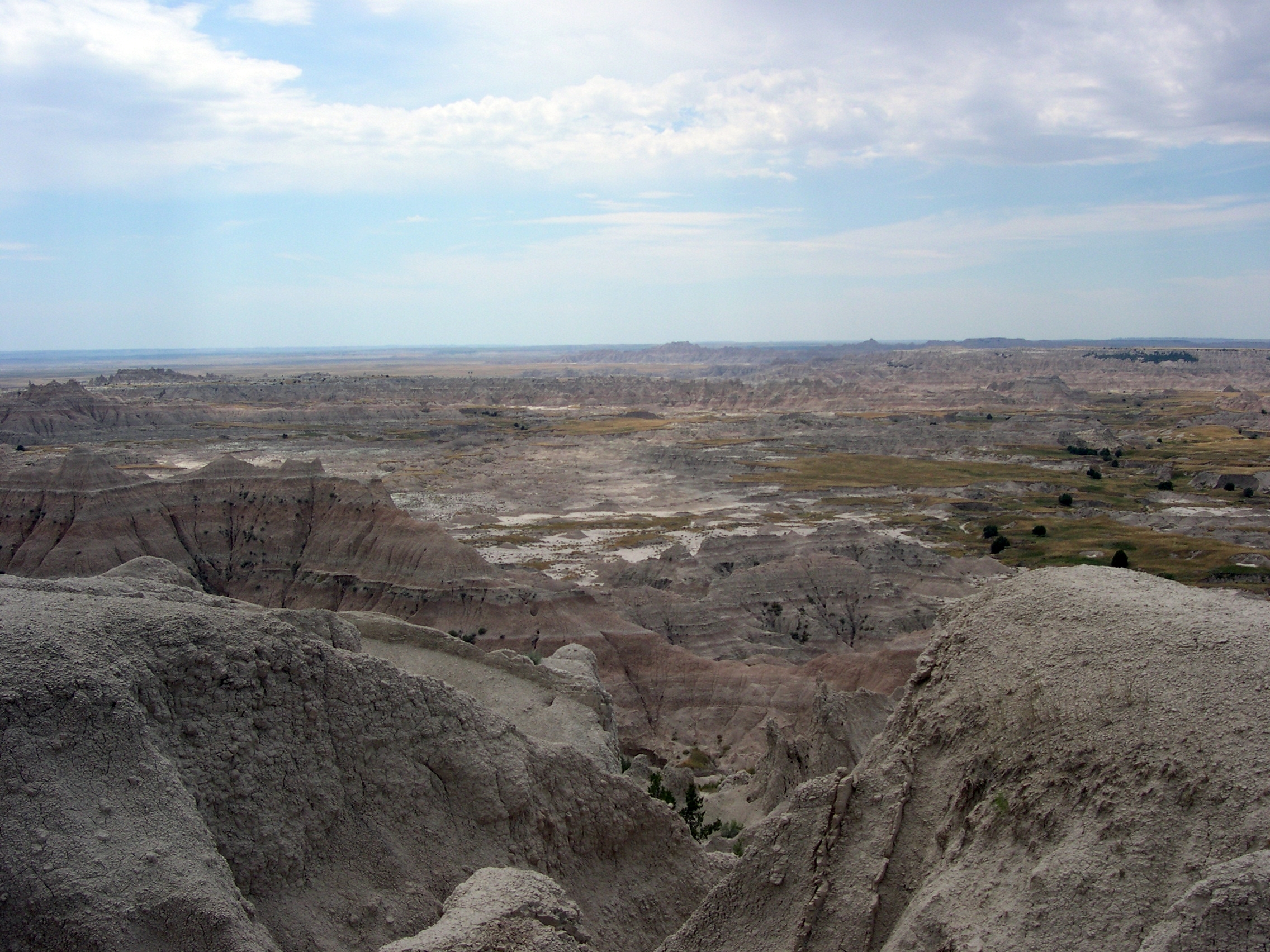
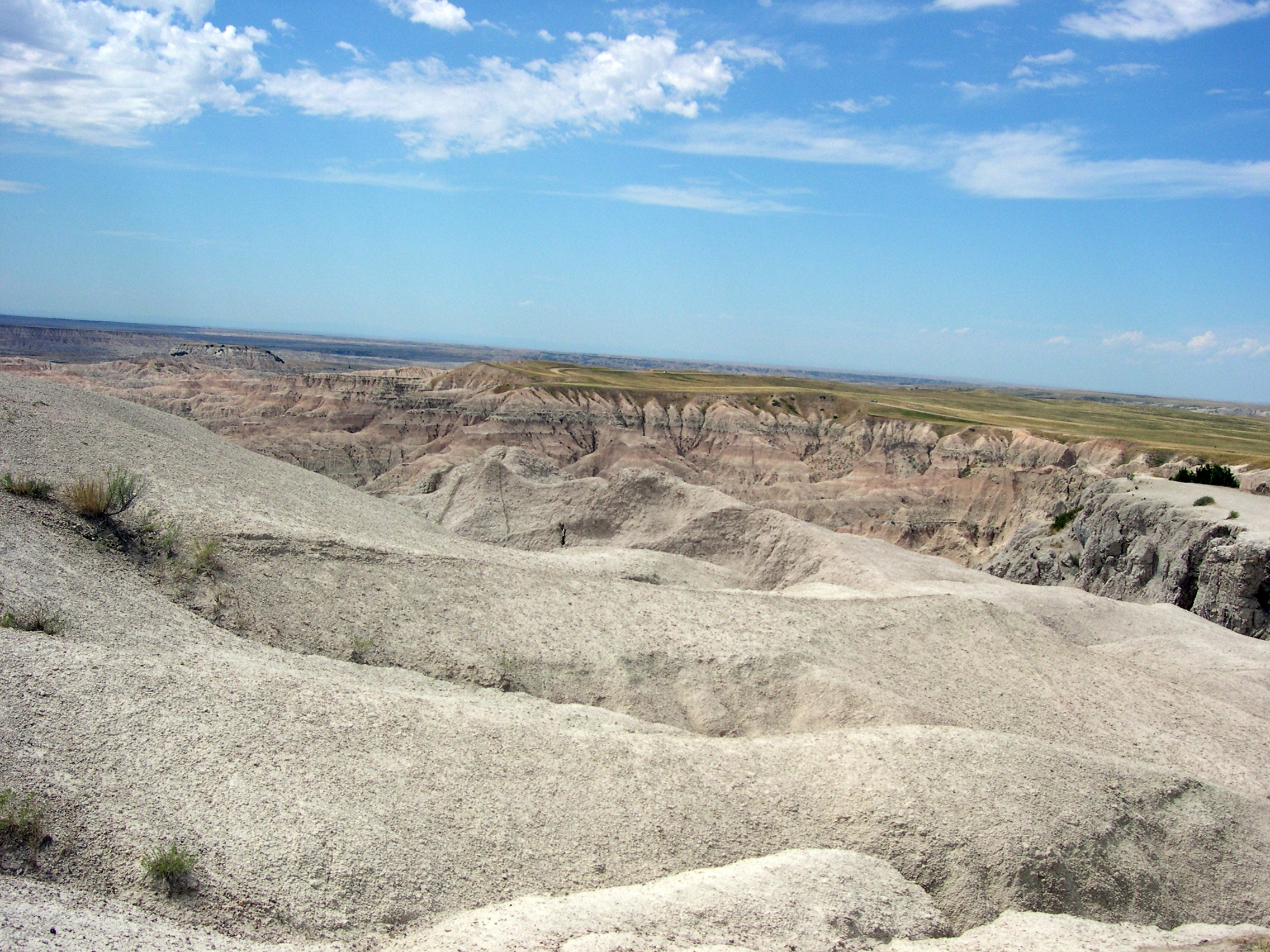
[Badlands NP, 2005]

In places, except for the road, it couldn’t have been that much different than what Lewis and Clark saw. I never can remember, without looking it up, which one probably blew his brains out a few years after co-leading the Corps of Discovery. [Lewis] Clinically depressed, before there were clinics worth visiting, and before melancholia became depression. Anyway, if I remember right, there’s a monument to him near where he died, on the Natchez Trace. I saw it years ago. A lonely place to die.

We spent the first night out at a campground near Albert Lea, Minnesota. According to me (and only me), Albert Lea is important for two things. One I just noticed: it’s the closest town to the junction of I-35, the U.S. branch of the Pan-American Highway, and I-90, the Boston-Seattle transcontinental epic of a highway. [I’ve since learned that no U.S. road is officially called the Pan-American; it’s just custom that attaches the name to I-35.]

The other thing is that I was visiting Albert Lea for the second time, after a span of 27 years. What was I, a south Texas lad of 17, doing in south Minnesota en route to Wisconsin one August day in 1978? Am I repeating myself here? Maybe I mentioned that epic bus trip before. It was an important one for me. No family, distant states — Wisconsin seemed wildly exotic. Christmas trees grew in people’s yards.

Anyway, in 1978 we stopped for lunch in Albert Lea. I went with the bus driver and some other kids to Godfather’s Pizza, a place I’d never heard of. After that, I walked around a little, relishing the remoteness of the place.

In 2005, we encountered wildlife at the campground near Albert Lea, namely mosquitoes in great numbers. The place was fairly green and lush, so I guess southern Minnesota hasn’t had the drought that Illinois has had this year. When we were leaving the next morning, we drove down the town’s main drag and there it was: Godfather’s Pizza, looking like not much maintenance had been done since the late 1970s, though of course I had no memory of how it looked then, just that I was there. [In Eau Claire this year, we ordered a pizza from a Godfather’s and ate it in our room. I ordered from there because of my experience 40 years earlier. And it was close.]

One other note, for now: Hot Springs, SD, is a lovely town. Near much of the main street flows a river, and alongside most of the main street across from the river are picturesque sandstone buildings, vintage pre-WWI. Evidently, it was locally inexpensive building material.

I left the family at a spring-fed swimming complex while I looked for a pay phone, since my cell phone refused to transcend the hilly surroundings. Argh, what an odyssey that was – “Yeah, we used to have a phone…” I’d foolishly agreed to do an interview that day, figuring I could use my cell. Anyway, after much to-do, I found a phone, did the interview, and then relaxed by the riverside, which has a sidewalk and a hot spring (Kidney Spring) under a gazebo. Free for all to drink, with a metal plaque describing its properties. Not bad. A little salty, but not bad, even on a hot day in South Dakota.

RIP, Amando Chavez

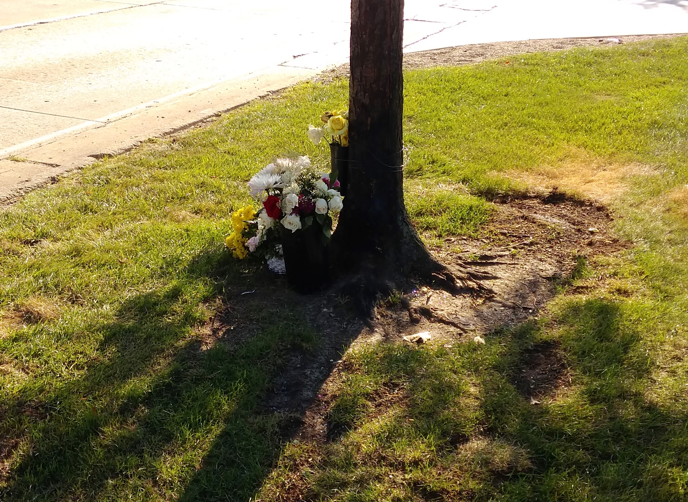
I didn’t know Amando Chavez. I only heard about him after he died a week ago Wednesday in a traffic accident on a road near where I live. A road I drive on frequently.

A small, informal memorial is at the site. I stopped by there this afternoon.

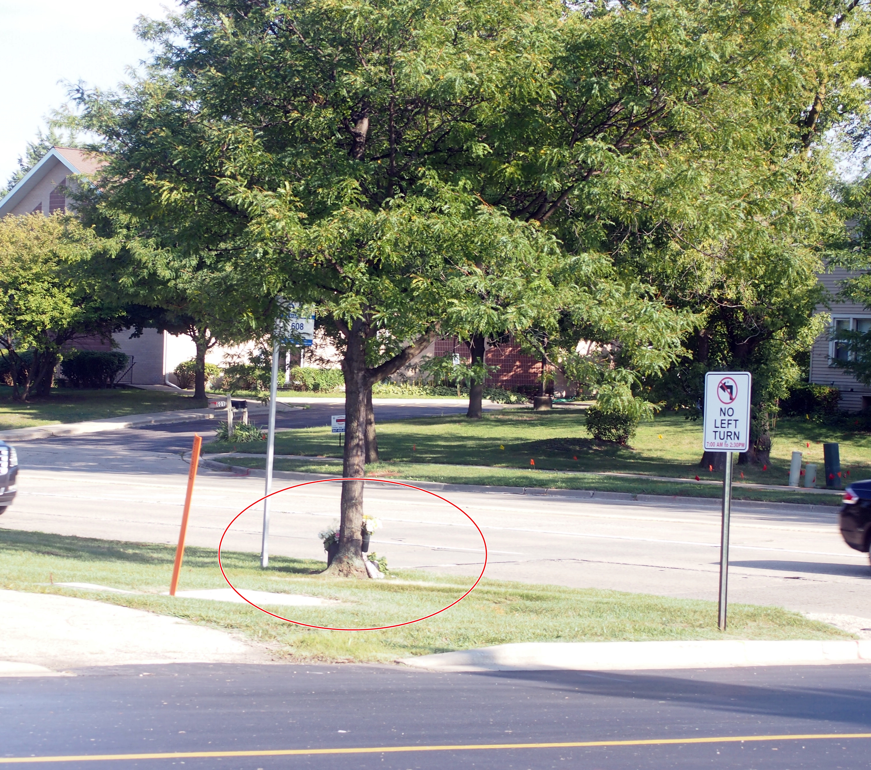
To give a little more context to that image, here’s a wider shot.
An ordinary suburban road. “Accident” isn’t quite the word, though, since by all appearances, a DUI driver was completely at fault. That road isn’t particularly busy at that time of the evening, so there’s even less excuse for what happened.

Looks like the driver at fault was one of those young fools who darts around other cars as fast as his engine will take him. Everyone’s seen that kind of ass, in a hurry to get to the next red light, as he weaves around you or around the cars ahead, with scant room for error — and error’s all too likely when DUI.

It’s the kind of accident that sets my teeth on edge. It didn’t have to be Mr. Chavez. It could have been me or anyone in my family. All the same, I’m not going to avoid that road.

Two Harbors and Gooseberry Falls State Park

It occurs to me that it’s been 40 years this week since I visited Wisconsin for the first time — and Minnesota for that matter, though I only passed through that state. I was on a bus full of other San Antonio high school kids on the way to the 1978 Mu Alpha Theta national meeting in Stevens Point, Wis.

So our recent trip up that way was a 40th anniversary tour for me. More or less. More less than more, since I didn’t go near Duluth in ’78, but never mind.

Northeast from Duluth, Minnesota 61 hugs the coast of Lake Superior, offering a number of sites to see. More than we had energy for, unfortunately, since a drive up 61 all the way to the Canadian border — all the way to Thunder Bay, though it’s Ontario 61 up that way — would make for an excellent few days, not an afternoon.

Still, on the afternoon of July 29, we made our way to the town of Two Harbors and Gooseberry Falls State Park. At Two Harbors, we spent time at the rocky shore.
3M was founded in Two Harbors. Unsurprisingly, the company has no presence there any more, though the corporate “birthplace” is a small museum that we didn’t visit.

Rather, we spent a few minutes at the Two Harbors Light Station. Or Light House, depending on the source.
Up the road from Two Harbors is Gooseberry Falls State Park, reportedly the most-visited state park in Minnesota, and I can see why. The place is drop-dead gorgeous even before you get to the falls.
As promised, the park sports plenty of falls as the Gooseberry River cascades toward Lake Superior. Here are the Upper Falls.
The Middle Falls.
The Lower Falls.
I understand that the flow of the falls depends entirely on runoff, since the relatively small Gooseberry has no headwaters. So I guess it’s been a rainy summer in this part of Minnesota.

Who developed much of the park infrastructure? Here’s a clue.
The lads of the CCC, of course.

Near the Upper Falls is an unusual, and sad, plaque. It’s both a warning and a memorial.
I looked up Richard Paul Luetmer, who has missed out on being alive these last 40 years. He went diving in the river and hit a submerged log. RIP, Richard, but I have an editor’s nit to pick with the plaque editor: In Memoriam, not In Memorium.