Spoon River Valley ’20

The weekend after Ann and I went to southern Illinois, Yuriko and I went to Fulton County, also in Illinois, but closer to home. It’s southwest of Peoria, along the Illinois River. The Spoon River also runs through the county, until it meets the Illinois.

Why Fulton County? Marketing. At least that’s part of the reason. Every year, on the first two weekends in October, an organization called the Spoon River Valley Scenic Drive Association puts on an event called the Spoon River Valley Scenic Drive Fall Festival. I heard about it some years ago.

Visitors are encouraged to drive around the county, look at the fall colors, and drop a few bucks. The association produces useful online and (probably) paper maps of the county toward those ends. So over the years, tucked back in that big mental file of mine, Minor Destinations, I had the vague idea that Fulton County had especially fine foliage. No doubt the Spoon River Valley Scenic Drive Association would appreciate the fact that that idea had been planted in my awareness of the place.

This year, the association cancelled the event. We would have missed it anyway, since we went on the third weekend of October.

We got a late start on Friday, not arriving at Lewistown, Illinois, until after dark, which is where we stayed that night, returning home Saturday night after spending the day in the area looking around. As my wont, I was up early Saturday morning (October 17) to have a look around Lewistown, seat of Fulton County.

It isn’t long before you’re at the Fulton County Courthouse.
Fulton County Illinois courthouse
I have to say, this is a well-written plaque there in front of the courthouse.
Fulton County Illinois courthouse
A brief on a now-obscure part of Illinois history, told concisely and clearly. Mentioned in passing is the 19th-century Gelena (Illinois) lead rush, and the text makes a connection to Lincoln, as historic markers in Illinois like to do.

Bits of war surplus. Now memorial bits.Fulton County Illinois courthouse

Fulton County Illinois courthouse

Always good to look at these kinds of plaques — this one was near the cannon — even if only a half a minute or so.
Fulton County Illinois courthouse
Across the street from the courthouse is First Presbyterian Church.
First Presbyterian Church Lewistown Illinois
The town gazebo.
gazebo lewistown illinois
Or maybe it’s on church property. That would technically put it that very special class of gazebos, the ecclesiastical gazebo, early ruins of which can be found in Vatican Necropolis in the Vatican City, and in Constantinople…. There I go again, writing bogus  gazebo history.

Nearby is the Prairie State Bank & Trust, looking like a going concern (it is), in a basic brick bank building. Make that a basic brown brick bank building.
lewistown illinois
It’s good when alliterations work.

Shawnee National Forest ’20

During my break from posting, Arlo Stribling was born to my nephew Dees and his wife Eden in Austin. Congratulations to the new parents, here’s hoping the boy is a joy. Best regards to little Arlo, an emissary to a future my generation will not see.

On the afternoon of Friday, October 9, Ann and I went southward for a visit in and around Shawnee National Forest, which stretches in large patches — in typical national forest style — from the Ohio River to the Mississippi, or vice versa, occupying a lot of extreme southern Illinois. We looked around the east part of the forest. The weather turned out to be flawless for such a little trip, warm and partly cloudy.

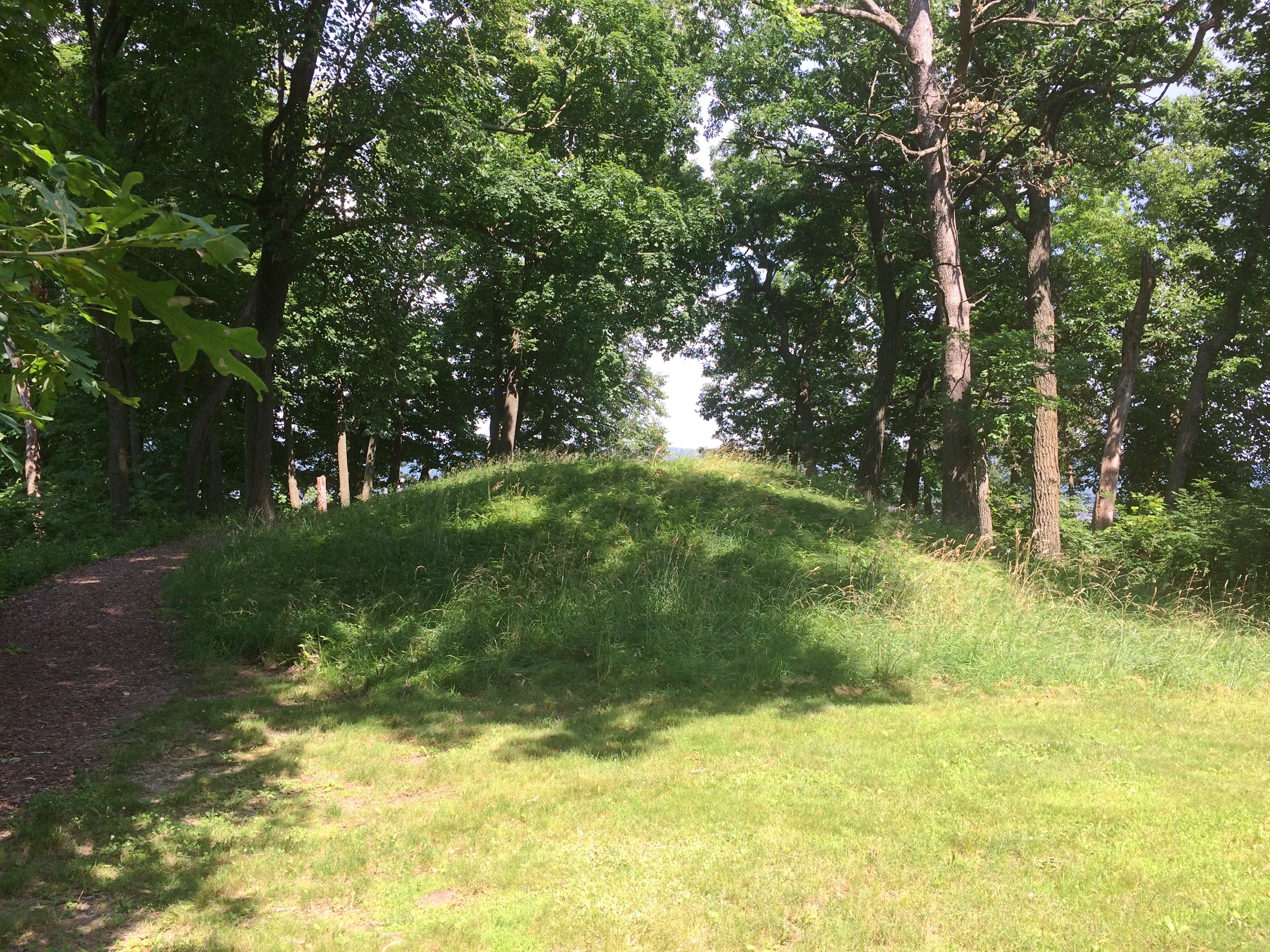
We spent the first night in Mattoon, Illinois, continuing southward the next morning. The first place we went on Saturday morning wasn’t in southeast Illinois, but further west: Carbondale, visiting Castle Park, or more formally Jeremy Rochman Memorial Park, on the outskirts of town. Afterwards, we looked around Southern Illinois State University, and saw the nearby Buckminster Fuller House. A domed house, of course.

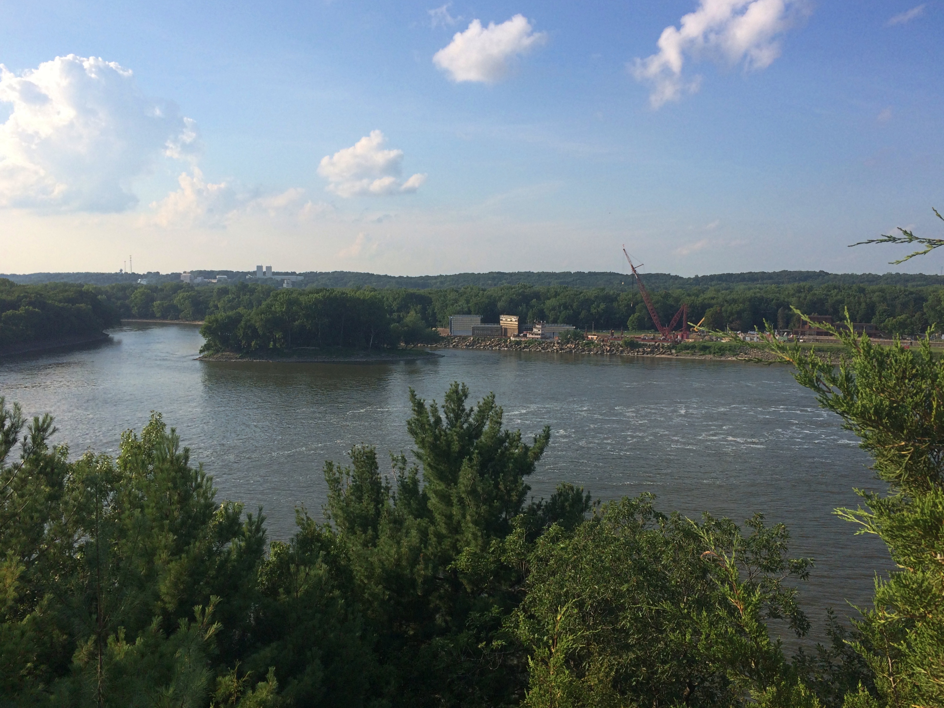
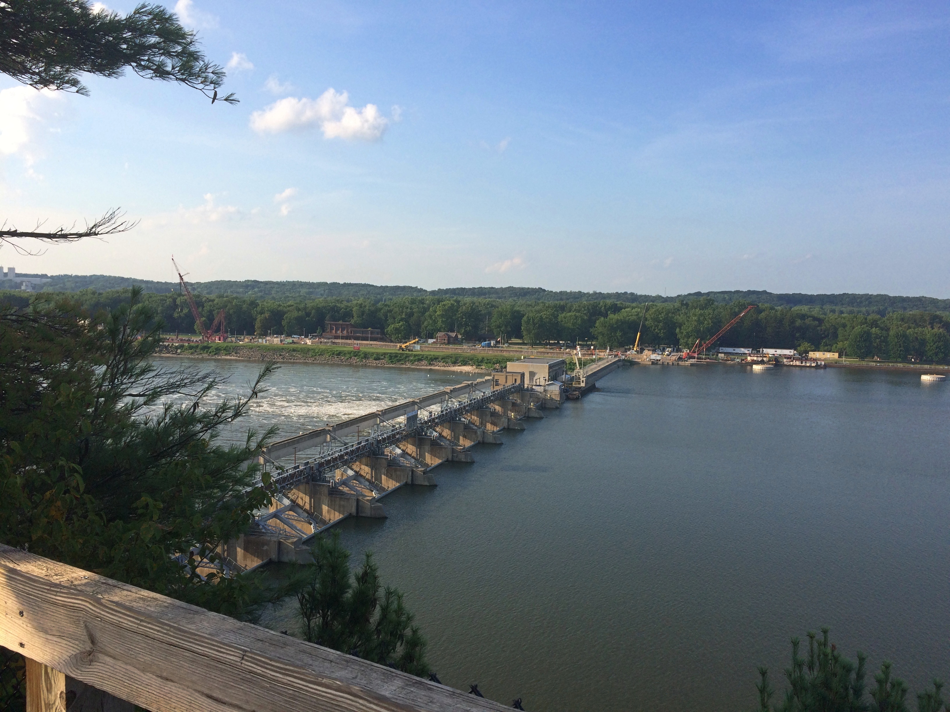
Heading east on Illinois 13, we eventually made our way as far east as that road goes, Old Shawneetown, a husk of a formerly much more populous place on the banks of the Ohio, and home to the Shawneetown State Bank Historic Site. We spent the next two nights in Harrisburg, Illinois, which bills itself as the Gateway to the Shawnee National Forest.

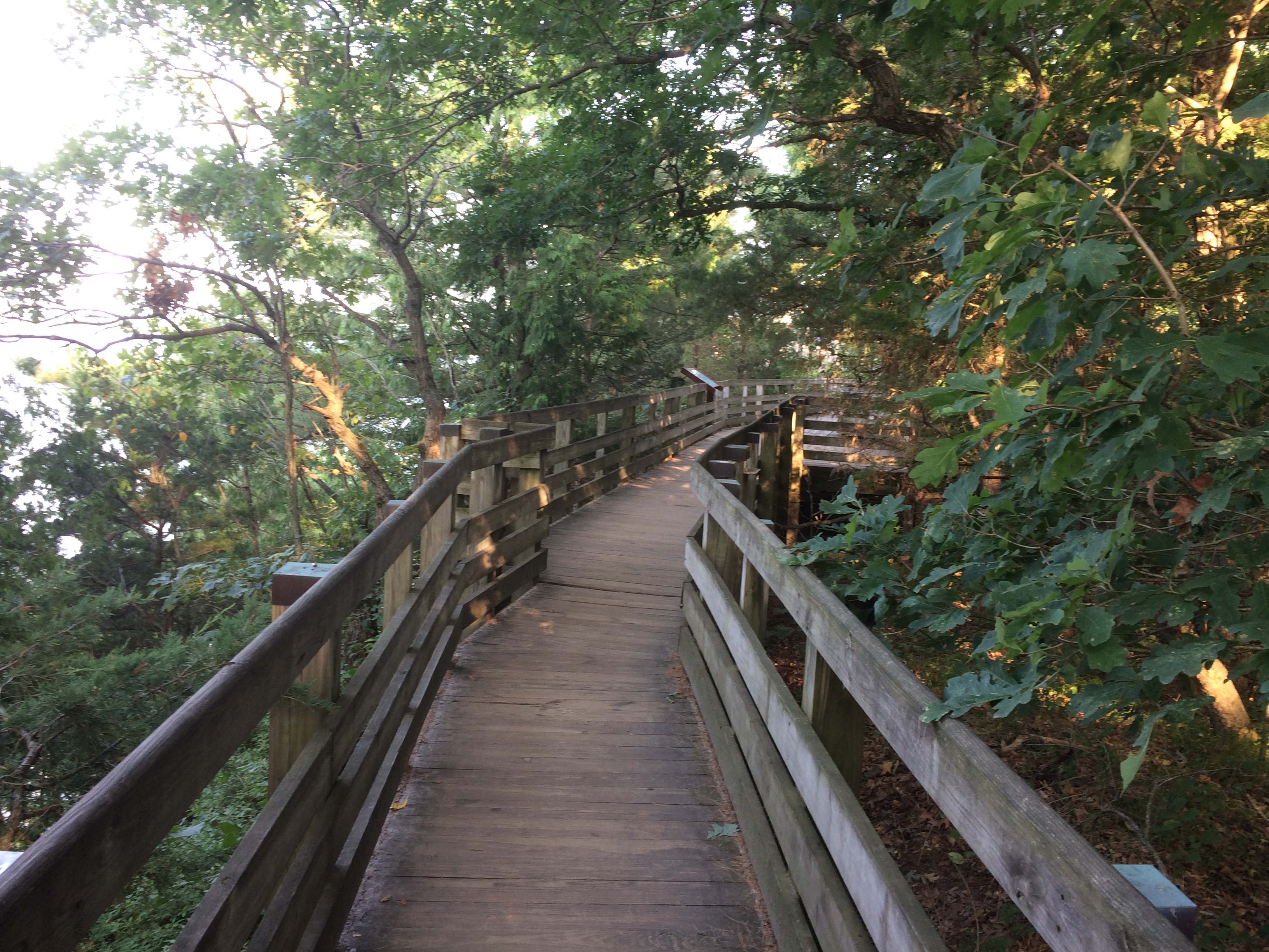
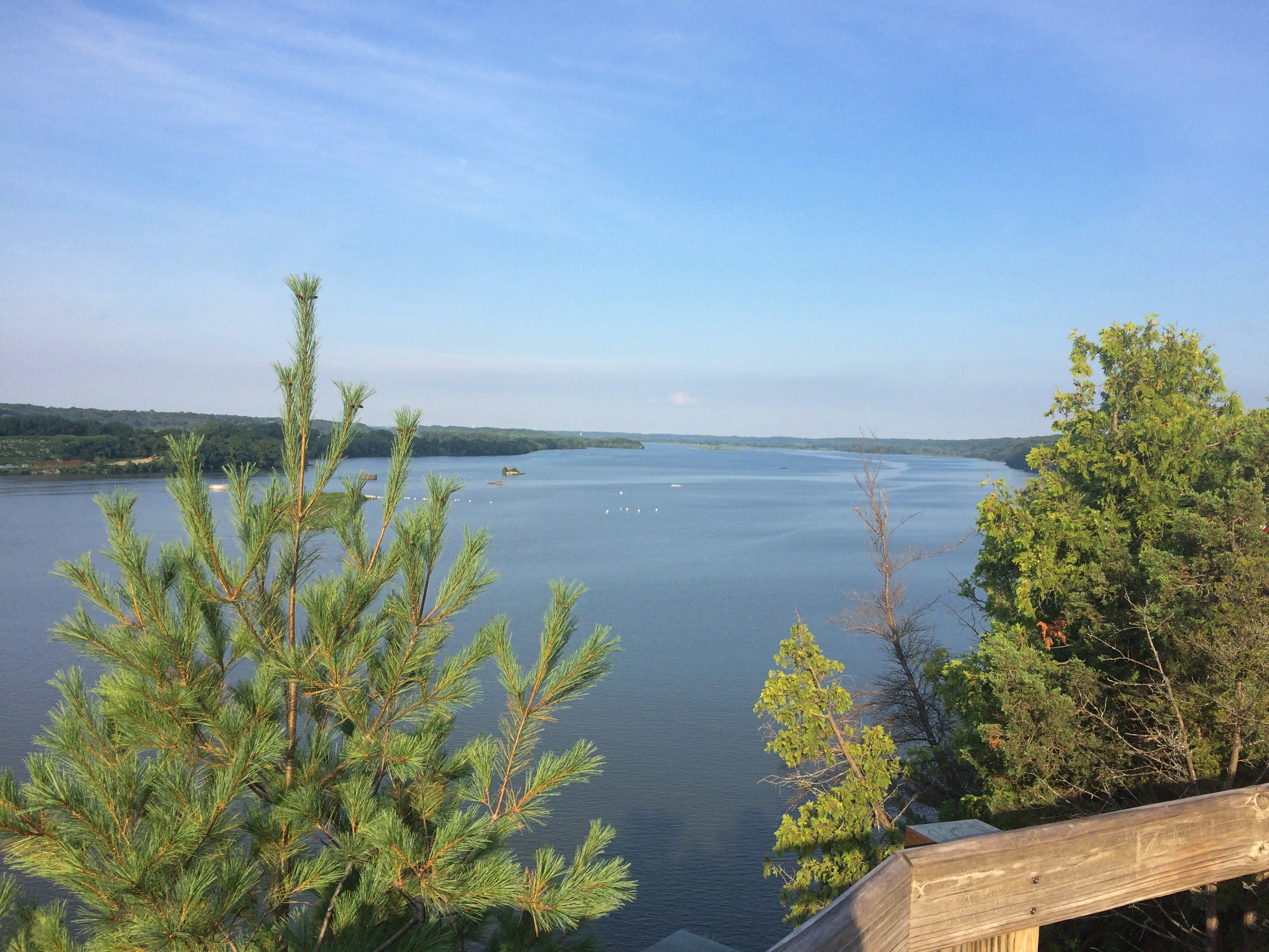
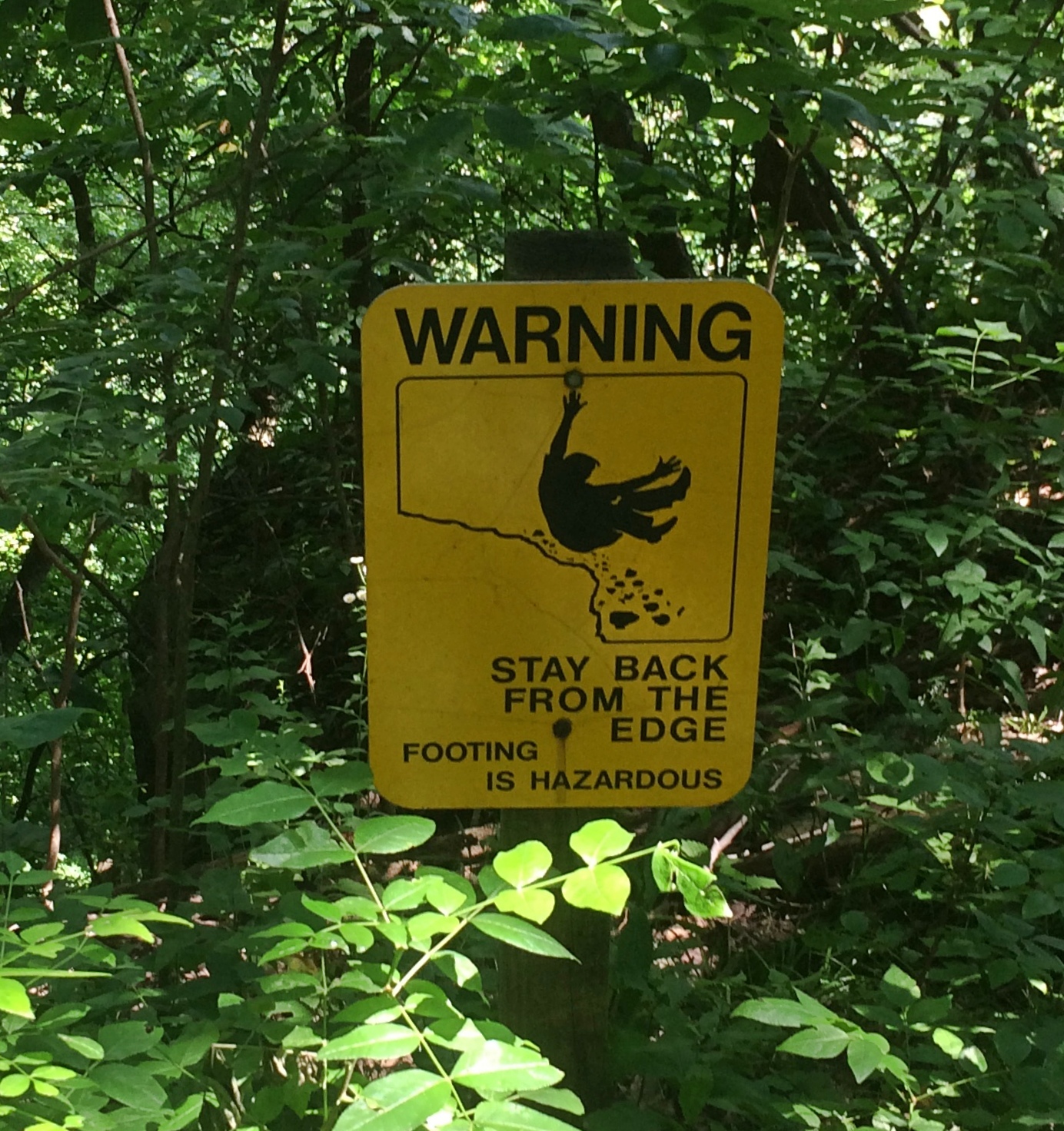
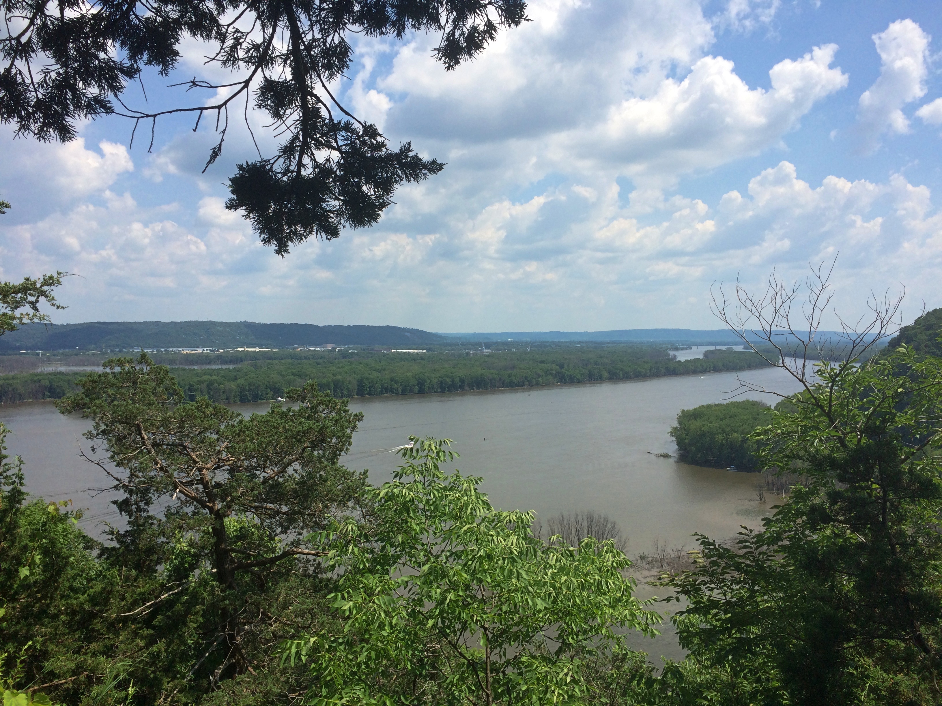
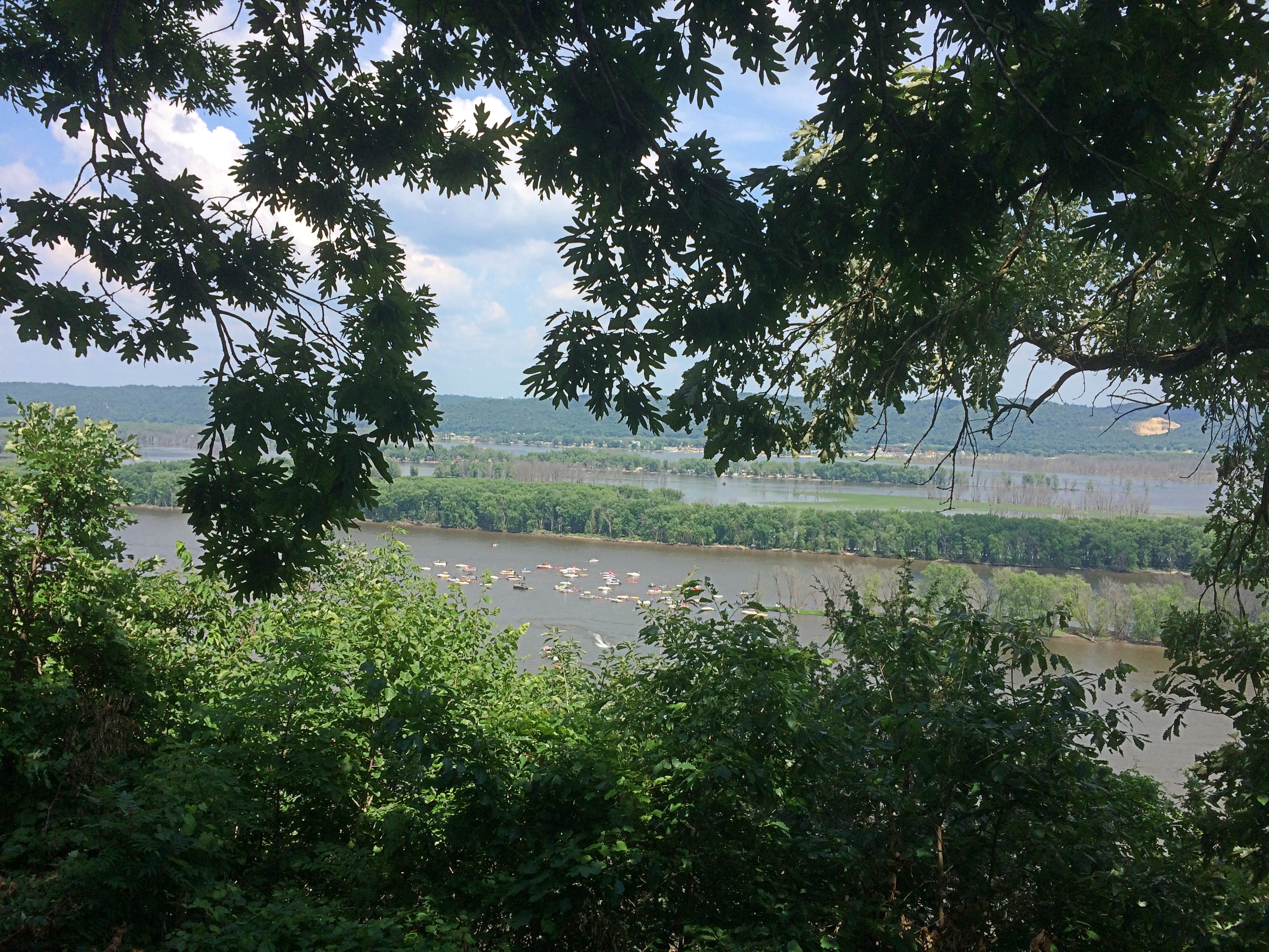
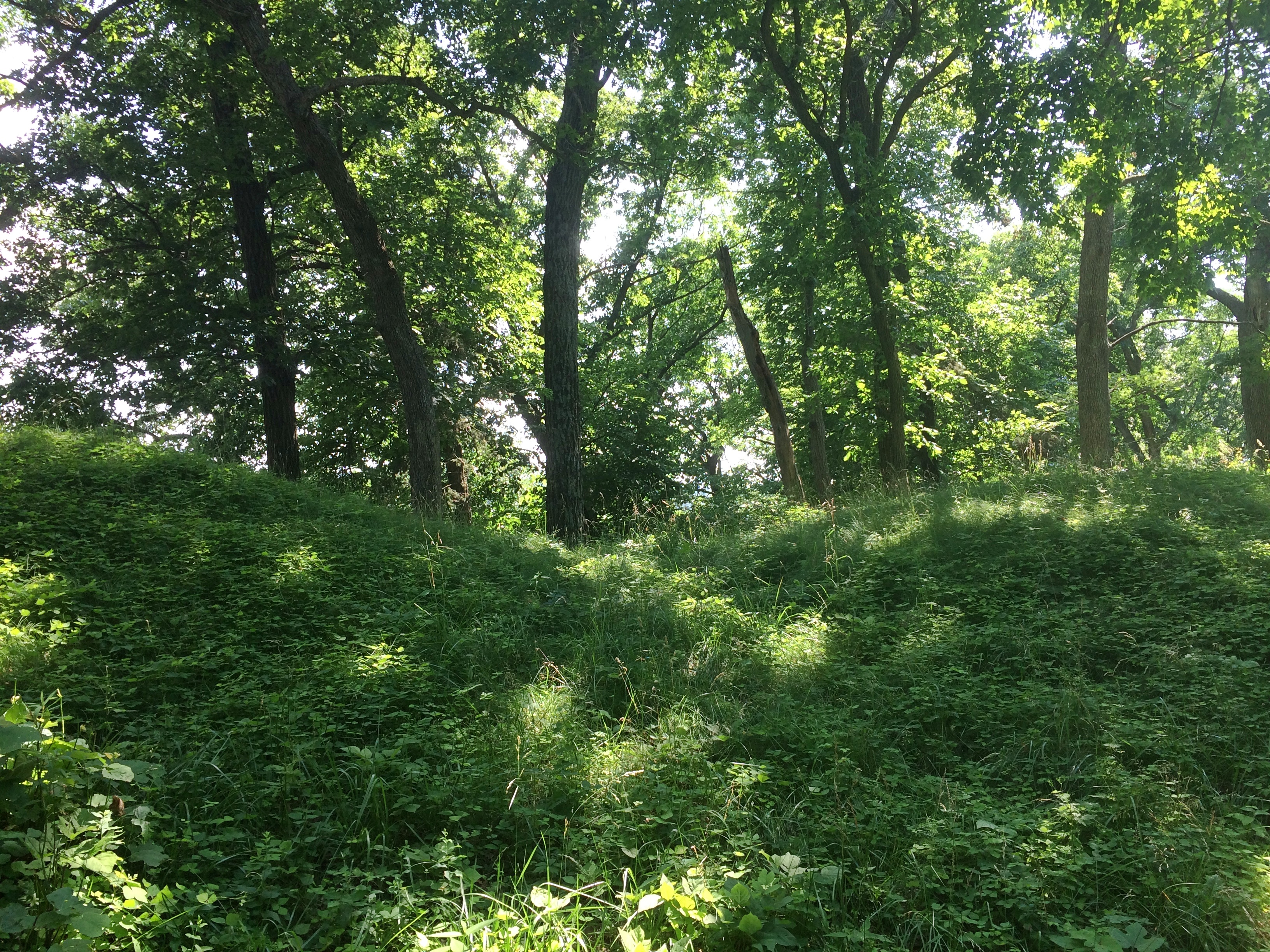
On Sunday, we drove the roads of the southeast part of the forest, climbed a modest flagstone path to a grand vista — the Garden of the Gods — hiked along a small lake surrounded by trees approaching their peak coloration, climbed a bluff via a CCC staircase, and visited a large cave entrance facing the Ohio River at Cave-in-Rock State Park.

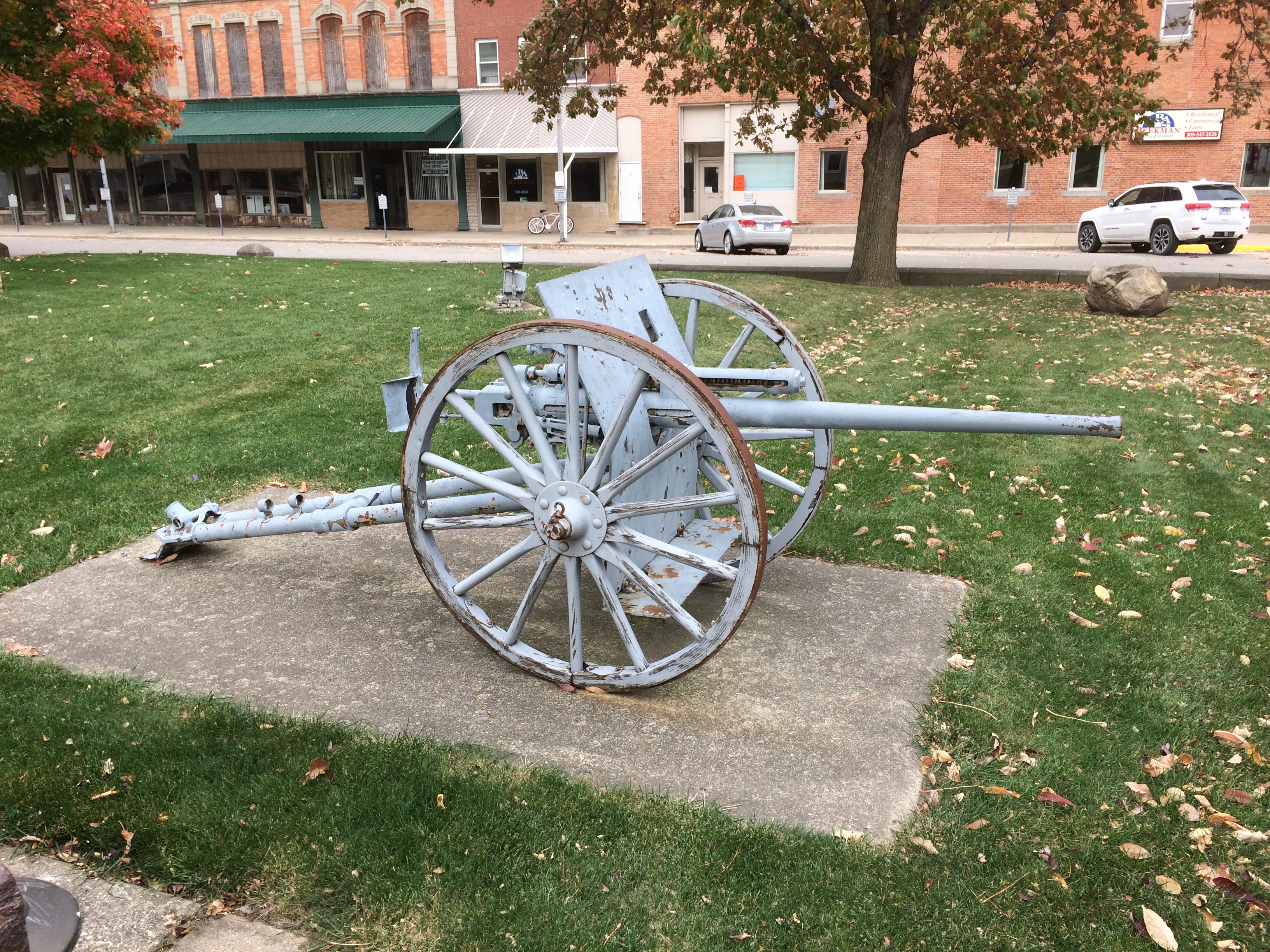
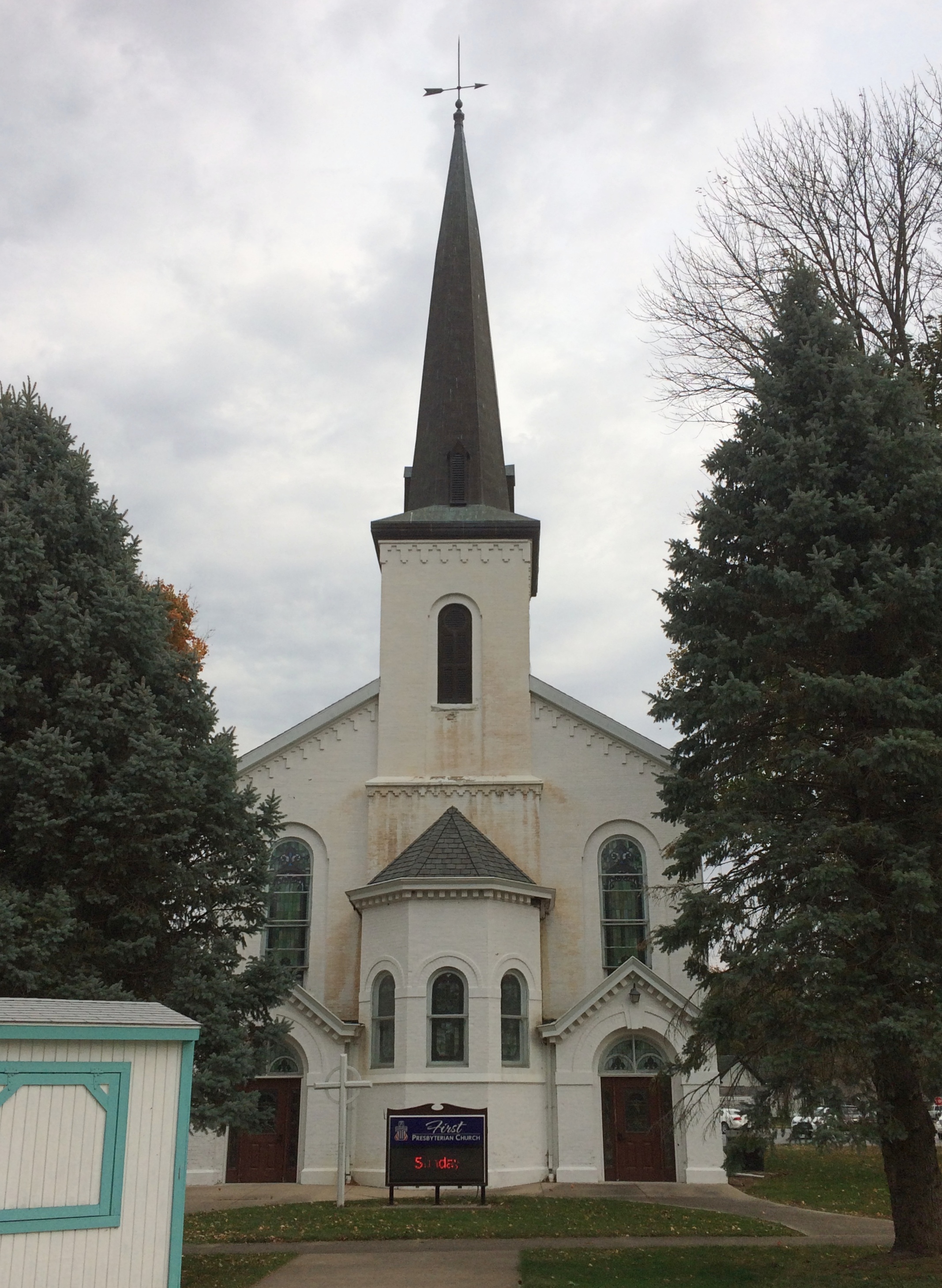
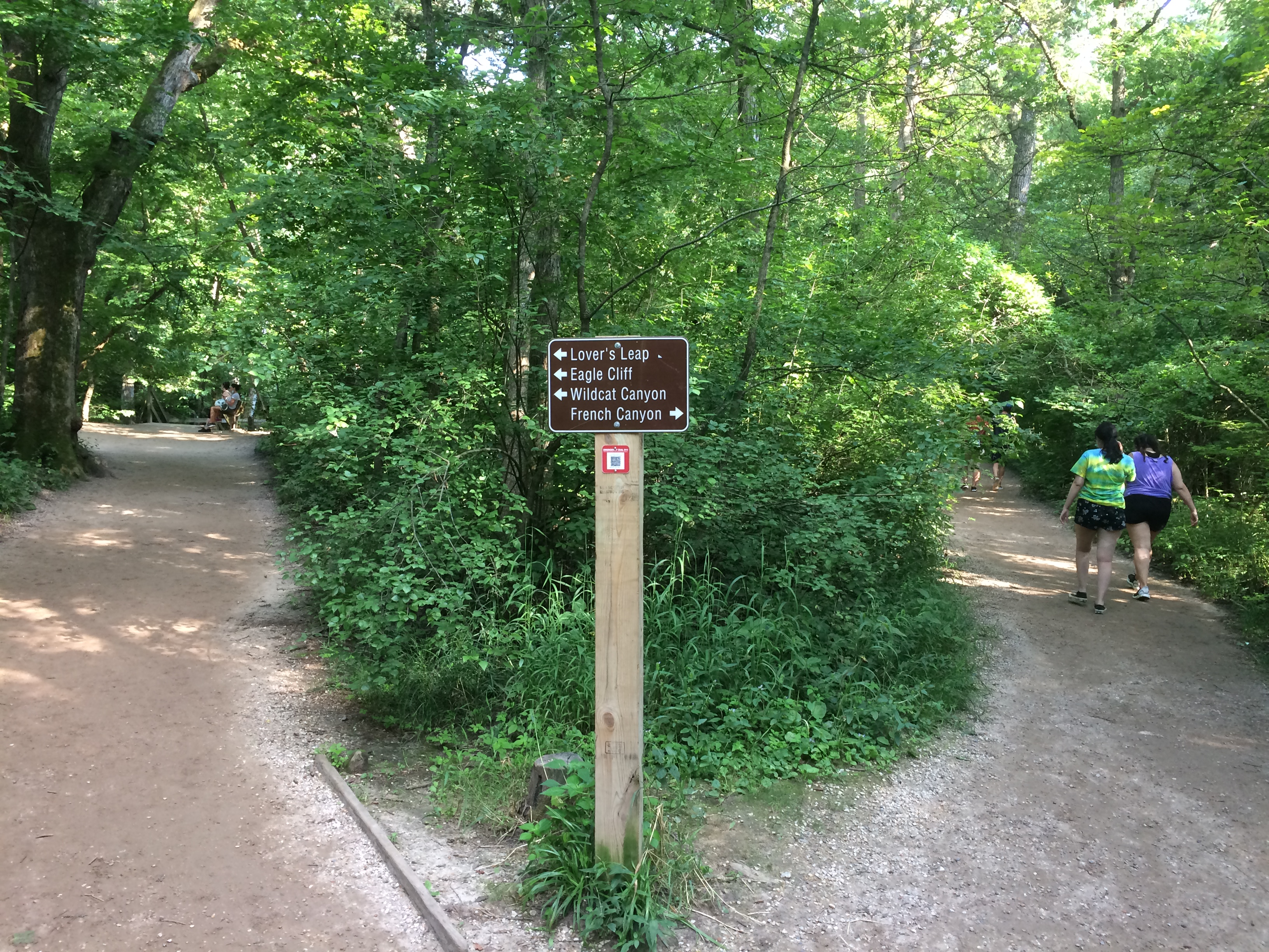
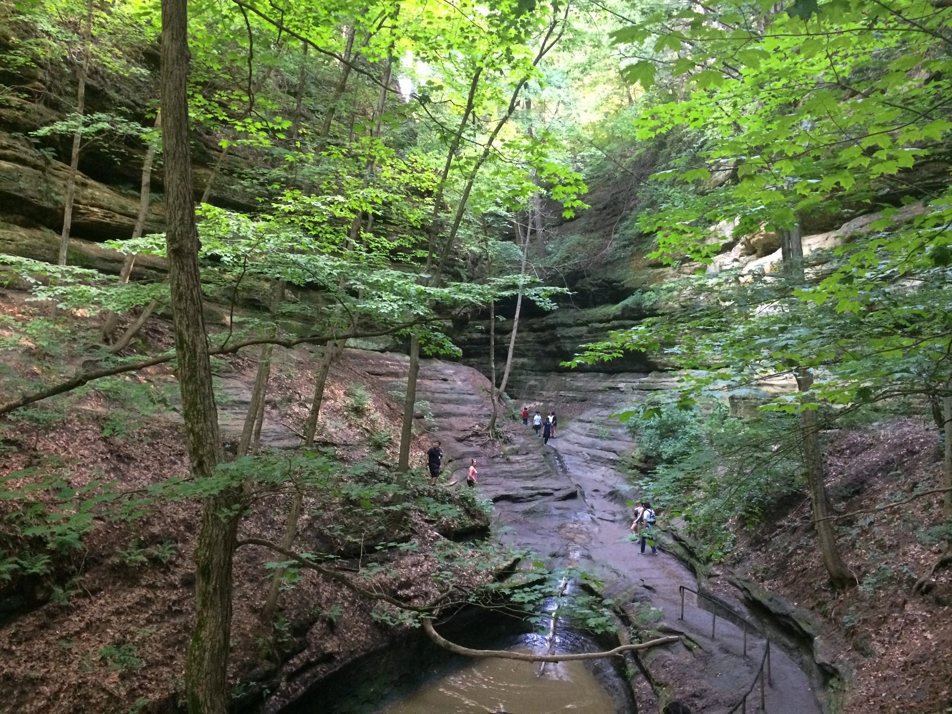
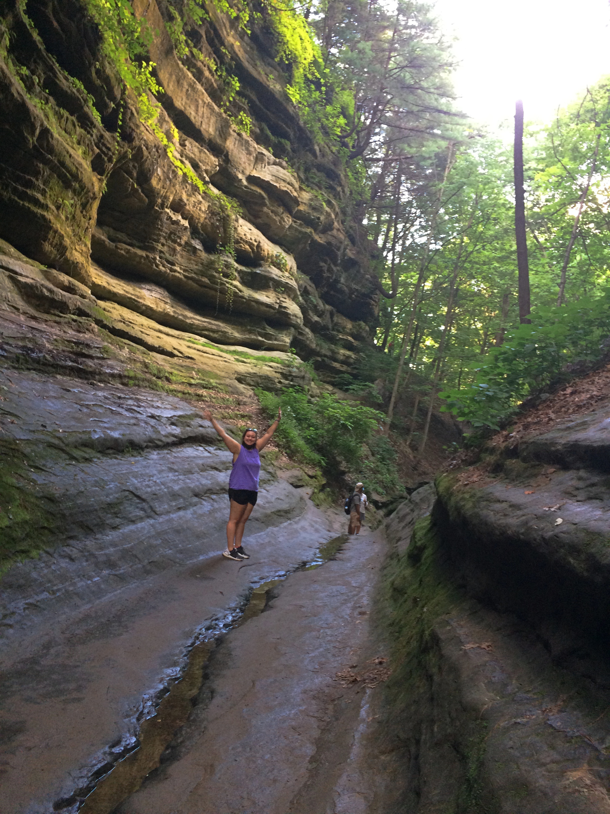
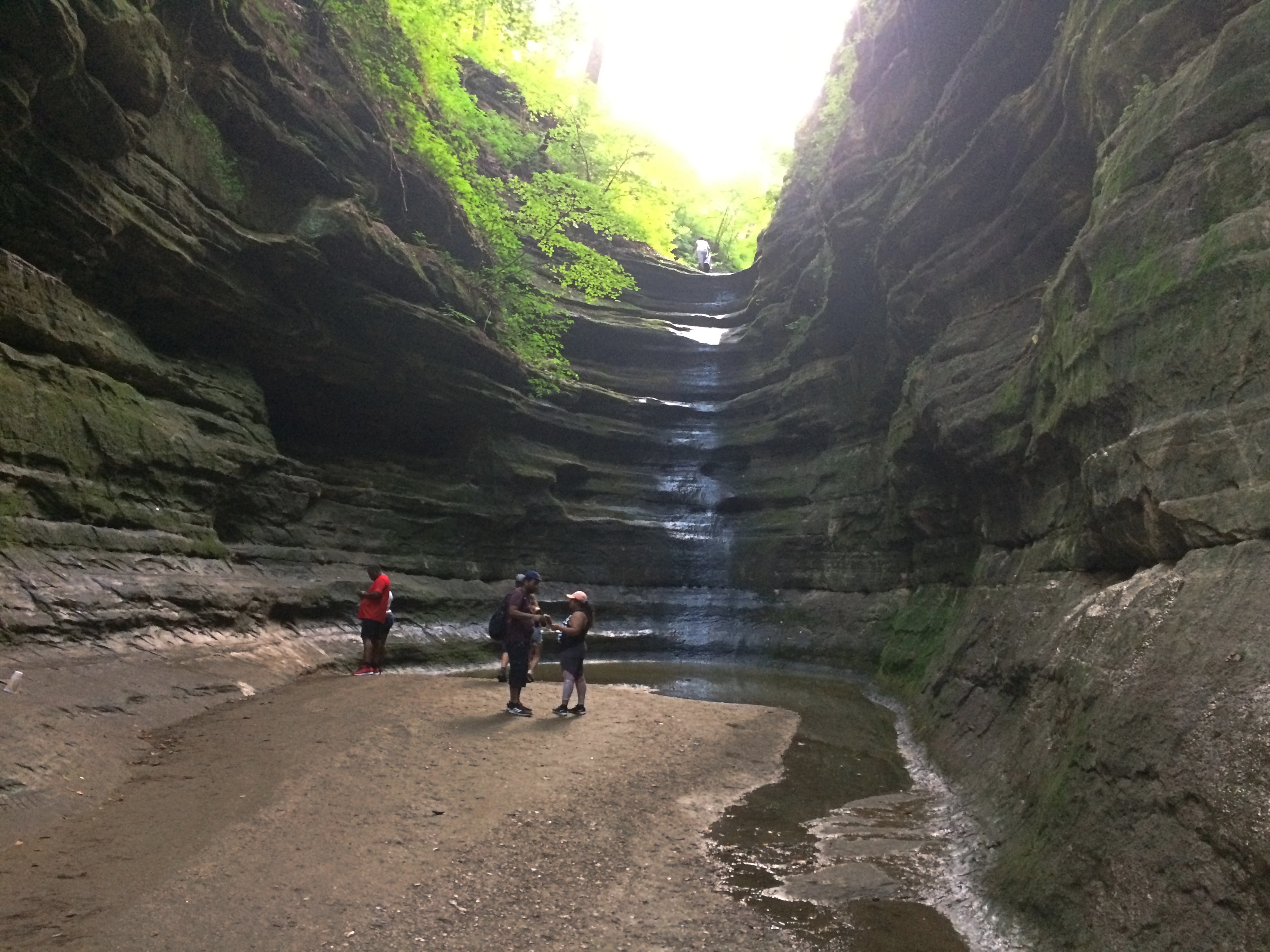
Small, winding roads pass through the national forest, rising and falling, flanked  alternately by walls of trees and expanses of flat farmland, post-harvest but before a winter freeze. Towns come in the sizes small, smaller and hamlet. In that part of Illinois, sometimes known as Little Egypt, small white churches are a common sight, more Baptist than any other denomination. Not quite as common, but enough in evidence were abandoned structures: farmhouses, gas stations, motels, restaurants and shops. If it were up to the people who put up political signs in that part of the country, the president would be re-elected by a wide margin. A smattering of Confederate battle flags were flying here and there.

Traffic is at a trickle on those roads most of the time. That made for easy, and sometimes picturesque, driving. Car commercial driving, I told Ann.

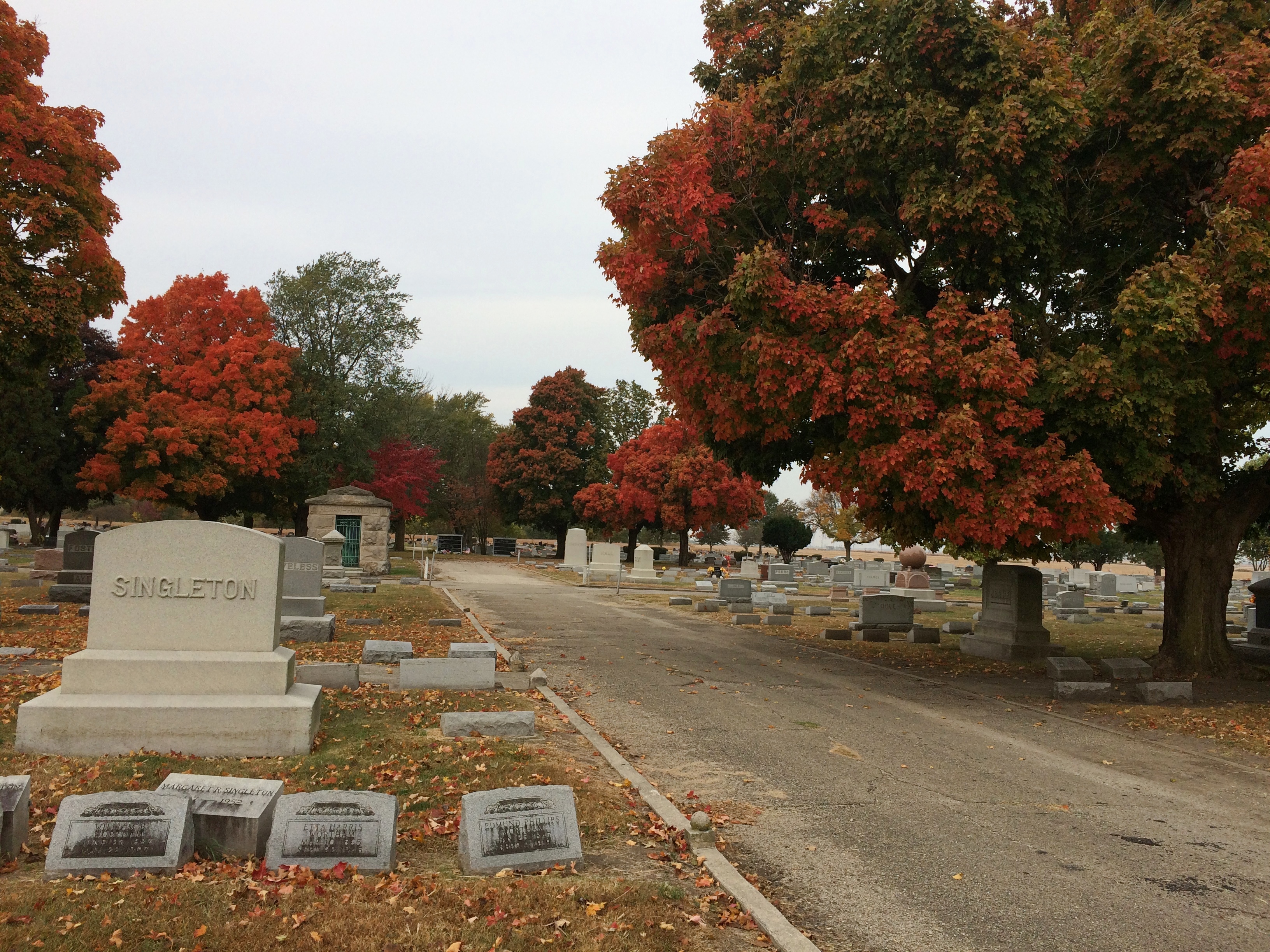
On Monday, Columbus Day Observed, that lightest, most gossamer of all national holidays, we headed home, with one major short detour into Indiana, to visit the town of New Harmony. The 19th-century utopian colonies there might have failed (two! count ’em, two utopian experiments), but the town has succeeded in being highly pleasant and intriguing everywhere you look in our time. Also, a famed theologian is buried there, in as much as theologians get fame.

As mentioned above, we didn’t spend much time in Mattoon. But early on Saturday I got up and looked around for a few minutes. The town looks frayed, buffeted by the contraction of U.S. manufacturing and the vagaries of the farming industry and the rural economy as a whole.

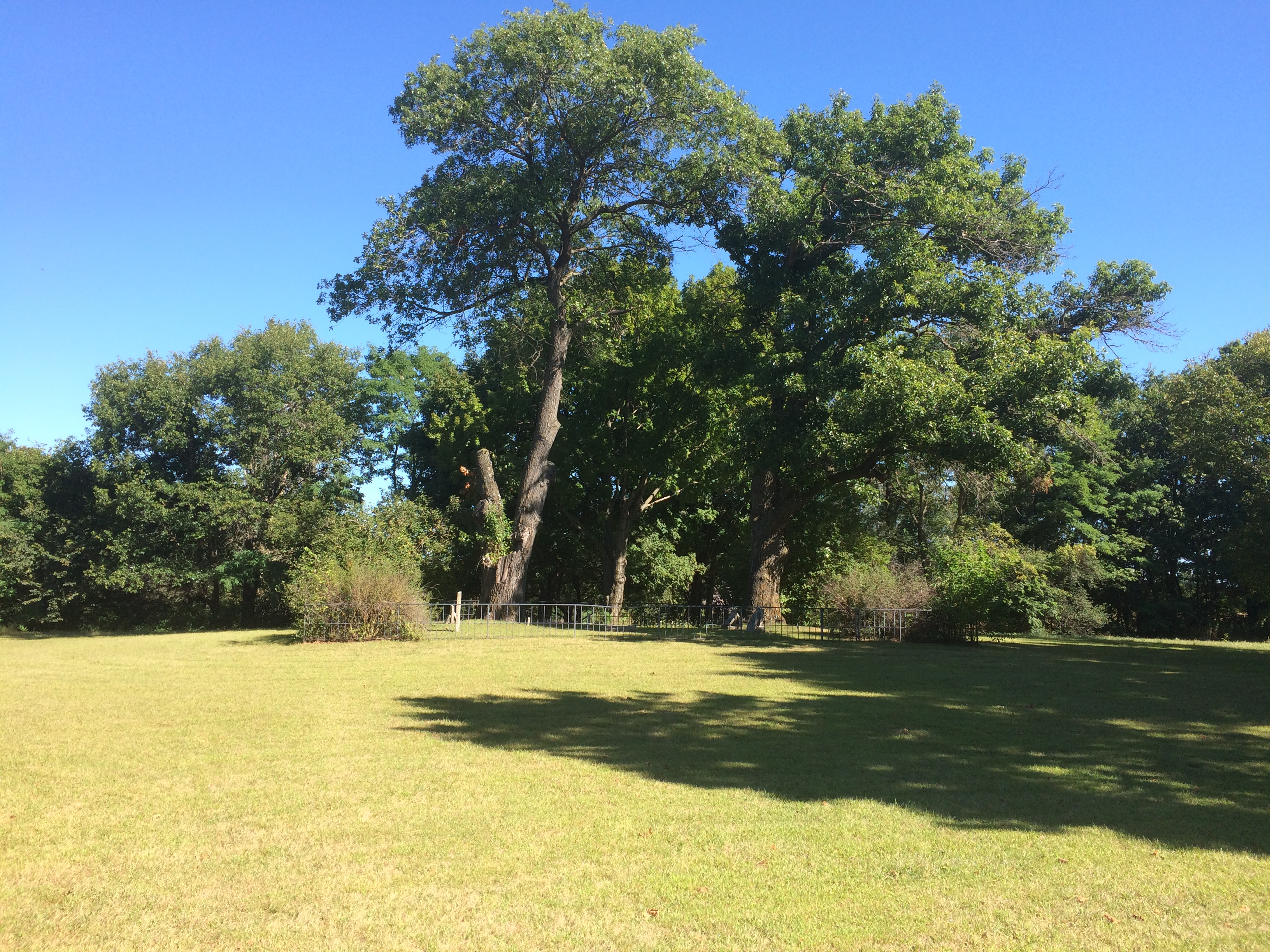
The town’s relatively greater prosperity in the early 20th century is reflected in its cemetery. A sizable place, the Dodge Grove Cemetery measures about 60 acres and has 20,000 permanent residents, including three Civil War generals and 260 soldiers from that war, one of whom is an unknown Confederate. There’s a story in that last detail, probably lost to time.Dodge Grove CemeteryDodge Grove Cemetery

Dodge Grove Cemetery

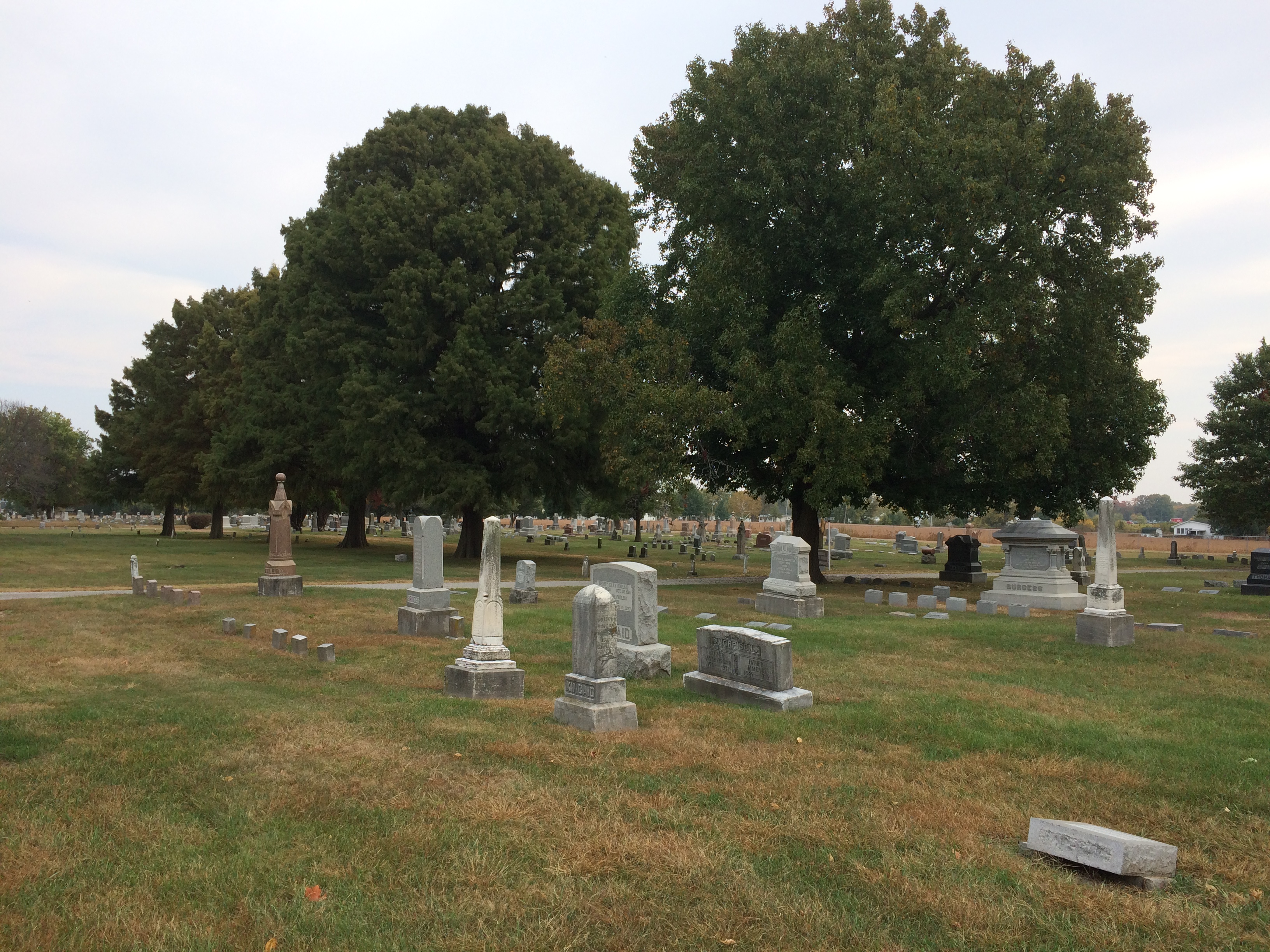
Blazes of fall color rise in places.
Dodge Grove Cemetery
According to Find a Grave, only one of those Civil War generals counts as a notable burial in Dodge Grove, James Milton True, commander of the 62nd Illinois Volunteer Infantry. I like the other major item on his CV: U.S. consul in Kingston, Ontario in the 1870s.

That hints at some pull with the postwar federal government, probably based on connections he made during the war, or because he became a local politico who could deliver votes. Or both. Seems like a plumb diplomatic assignment in the 19th century: no language skills necessary, close enough to home that you can visit periodically, and no danger of catching malaria or some other dreaded tropical disease.

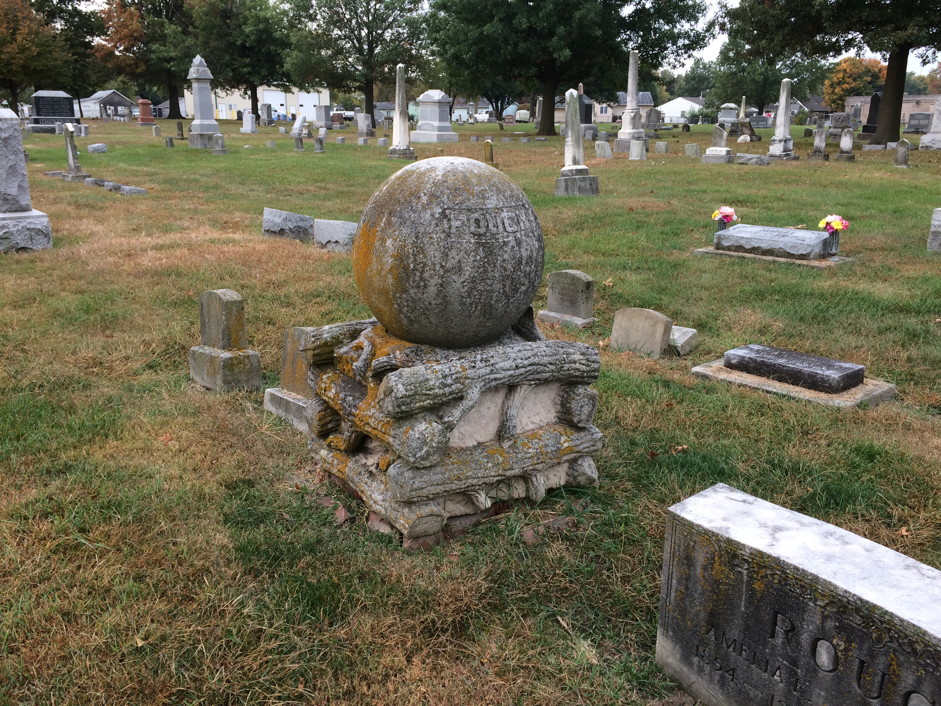
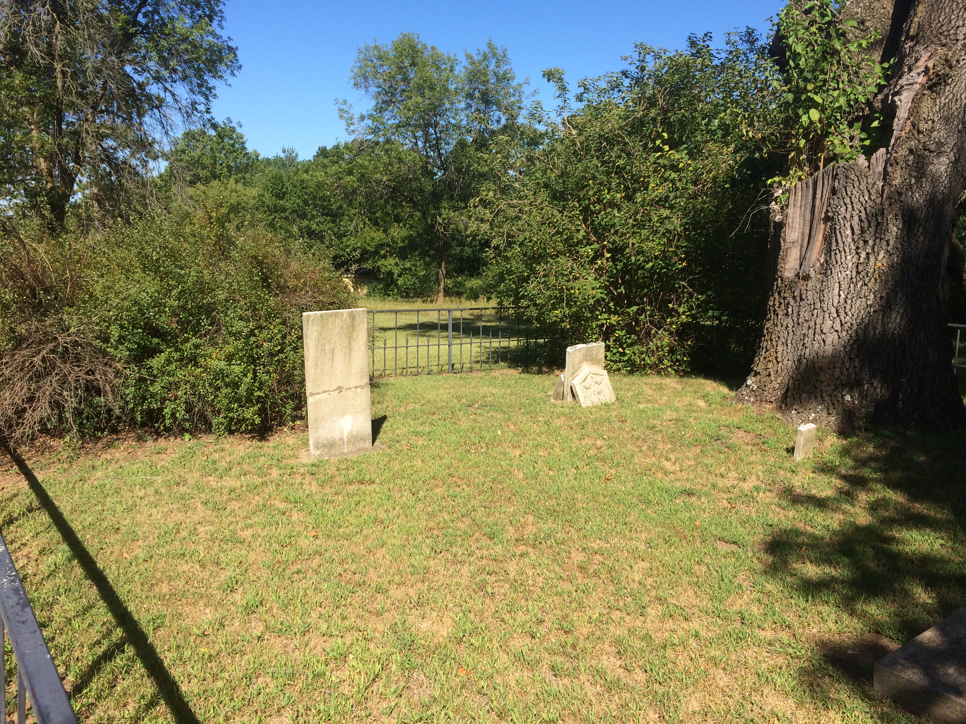
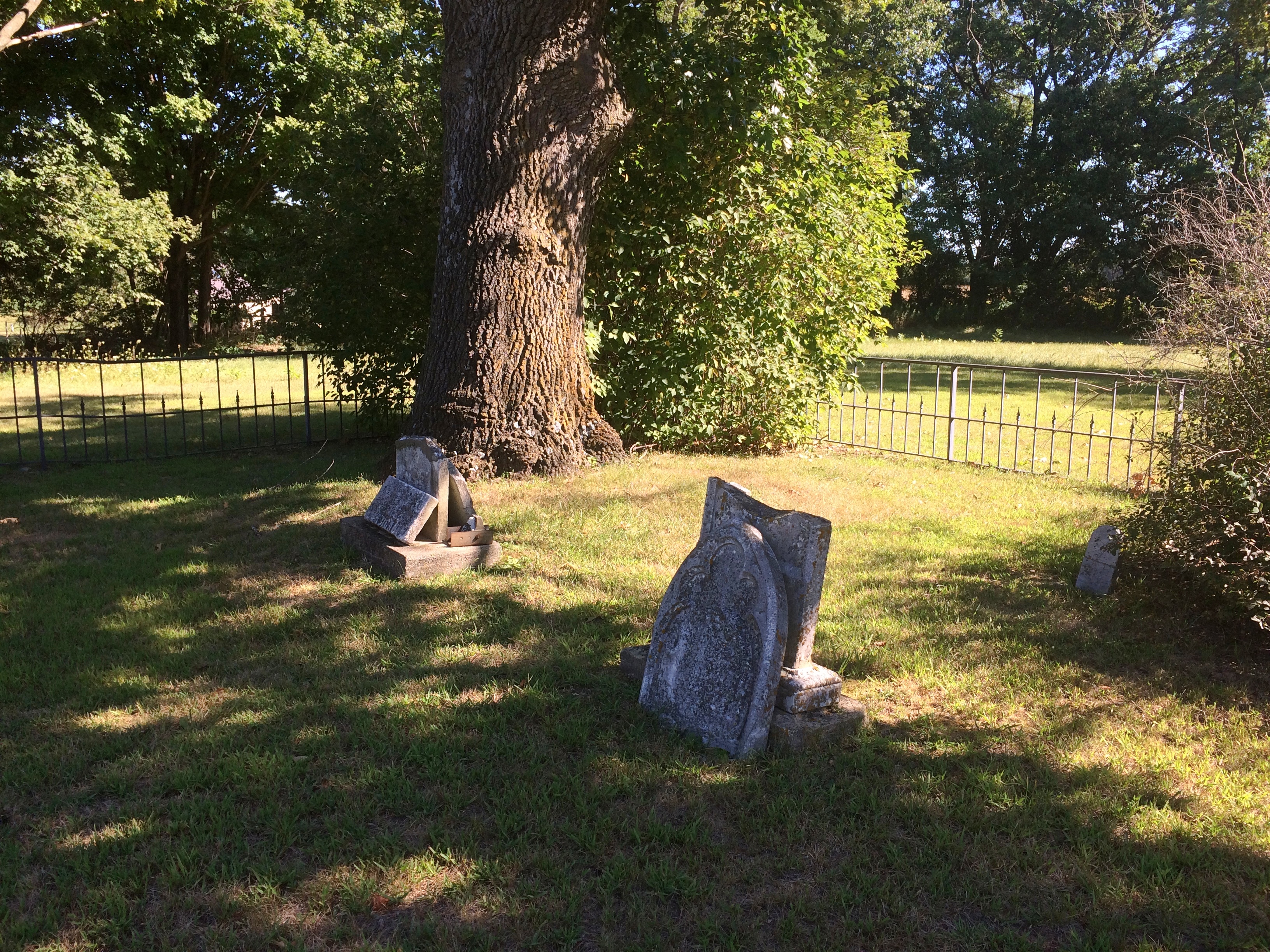
I didn’t see his grave. I didn’t know he was there till later. I did see the Pythias obelisk.
Dodge Grove Cemetery

Erected by
Palestine Lodge No. 46
Knights of Pythias
In Memory of
Deceased Members
1929

I’ve encountered vestiges of the Knights before, such as in Atlanta, Illinois. I associated them with an earlier time, the sort of organization that George Babbitt might have mentioned in passing as having a chapter in Zenith. But no: the Knights of Pythias are still around, though at much diminished numbers.

Still around, and up with the times. “The Summer 2020 Edition of the Pythian International is now online,” the fraternal org’s web site says. “It includes information on the rescheduled Supreme Convention, Oct. 1-6.”

As I was about to leave, I spotted this stone.
Dodge Grove Cemetery
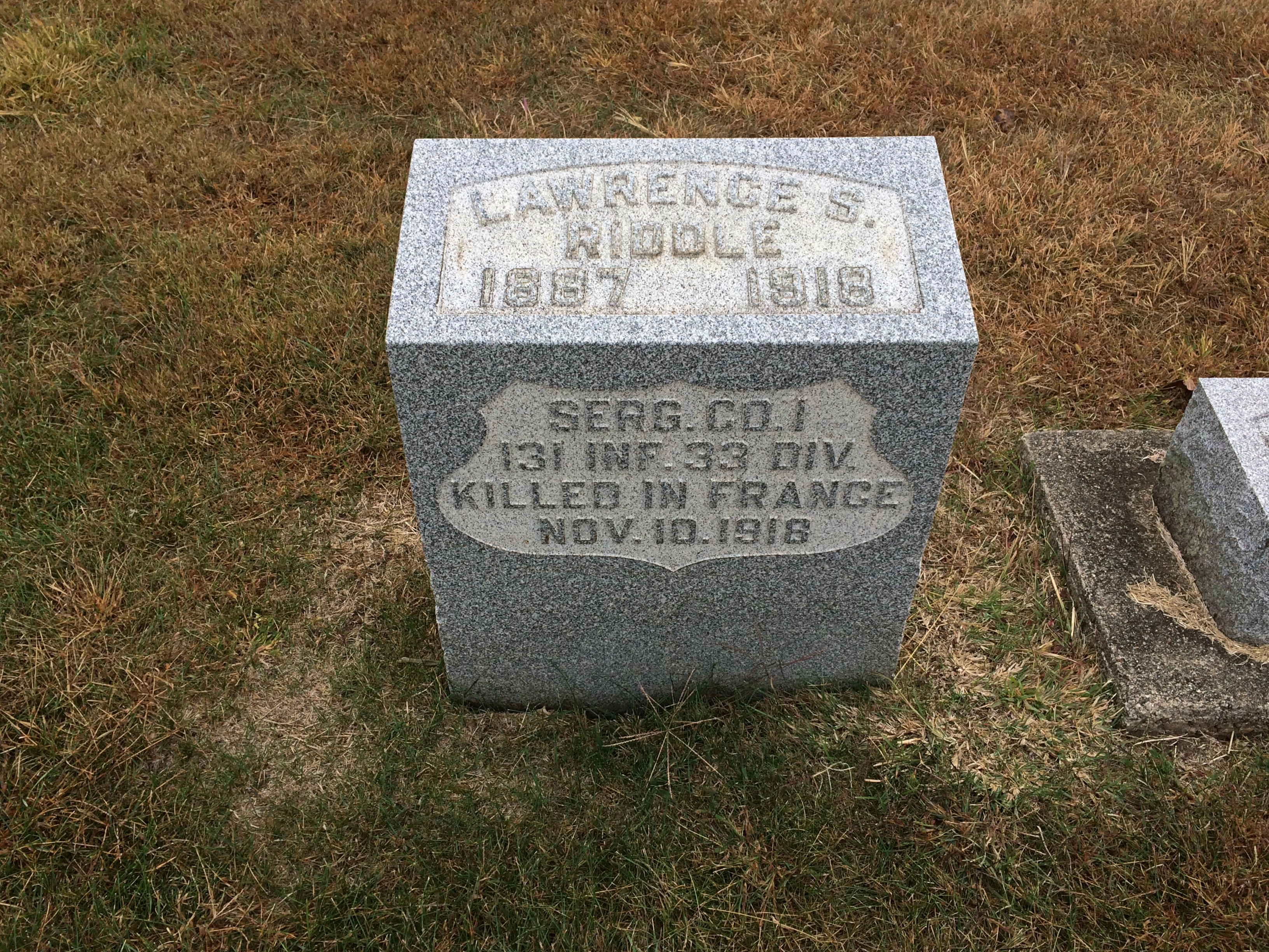
A heartbreaker of a stone. Though I’m sure combat deaths didn’t quite stop exactly at 11 am on the 11th, since even modern armies with good internal communications can’t stop on a dime. Still, the day before the Armistice. Damn.

I don’t know why I’m surprised any more at anything online, but I was surprised to find a local newspaper account of Lawrence Riddle’s last days, though it doesn’t specify how he died (and this too: a niece that he never knew). In the article, the most attention is paid to Riddle’s participation in combat during the days before his death, charging a German machine gun position with four other men. They seized the position and brought back prisoners.

I wonder whether the Germans, eager to surrender at this point in the war, were making it easy for the raiders, or whether the Americans faced bitter-enders who were still playing for keeps. Either way, a clear act of bravery on the part of Riddle and the others.

La Crosse ’20

Last year for the Labor Day weekend, we headed east to the shores of Lake Huron. This year, we headed west to La Crosse, Wisconsin, which has its own water feature, the various channels of the Mississippi River.

The trip was structured like our visit to Prairie du Chien in July: Friday night in Madison, a slowish drive on U.S. 14 to La Crosse the next day, where we spent Saturday night, and then a somewhat faster return on Sunday afternoon, mostly on I-90. La Crosse was the destination, but we also stopped at various places along the way there and back.

We visited a major Catholic shrine, looked down on La Crosse from a tall bluff, looked down on the Wisconsin River from another bluff, ate food obtained from drive-thrus more than once, swam in a hotel pool for the first time in ages, stopped at a large farm stand, slept on an island as a thunderstorm moved through the area, walked along the Mississippi, came very close to the border with Minnesota without entering that state, walked around downtown and a university campus, drove along an astonishingly beautiful Wisconsin Rustic Road northeast of La Crosse, spent time in the Bicycling Capital of America, and saw a couple of rural cemeteries, an installation of outsider art and the back lot of fiberglass statue manufacturer.

A good little trip. That’s what we can do these days.

I can report a number of changes in Wisconsin since July. Masks are now more emphasized, especially by businesses at their entrances, some citing local directives. More people seemed to be wearing them. Also, political yard signs have sprouted. It’s my impression that, simply in terms of signs, Trump has a slight edge in rural Wisconsin. But I also have to say there was no shortage of Biden signs in those rural stretches.

We stopped by whim a few places along U.S. 14. Such as at a historic marker just west of Mazomanie. The marker told us that a town had once prospered on the site.

VILLAGE OF DOVER
Beginning in 1844, nearly 700 settlers were brought into this area by the British Temperance & Emigration Society, organized the previous year in Liverpool, England. By 1850 Dover boasted a hotel, post office, cooper, blacksmith, shoemaker, wagon shop and stores. When the railroad chose Mazomanie for a depot site and made no stop in Dover, Doverites moved their houses into Mazomanie and Dover faded away to become a ghost town.

The site does look fairly undeveloped in our time, except for a small fence.
Dover, Wisconsin ghost townBehind the fence is something that the living residents of Dover probably never considered moving: a small slip of a cemetery.
Dover, Wisconsin ghost town cemeteryDover, Wisconsin ghost town cemeteryIn Richland Center, seat of Richland County, we stopped for a few moments to take a look at the A.D. German Warehouse. It is an unusual-looking warehouse. The front:
AD German Warehouse Richland CenterAD German Warehouse Richland CenterThe back, including a building with a sign that says it is an older A.D. German Warehouse.
AD German Warehouse Richland CenterUnusual or not, the “new” A.D. German is known for one thing: being designed by Frank Lloyd Wright, and apparently his only warehouse.

“The A.D. German Warehouse is an impressive brick structure topped by a magnificent concrete frieze,” says Wright in Wisconsin. “Generally considered to resemble a Mayan temple, this avant-garde warehouse and attached music room was built for A. D. German’s wholesale grocery business.”

A Mayan temple. The thought amuses me no end. It also makes me re-imagine modern warehouse/distribution buildings, those absolutely utilitarian linchpins of the modern economy. What if some of them had splashes of ornament taken from different times and places? Some friezes from the Parthenon. A touch of a Babylon ziggurat. Or some Mayan elements.

But no. That isn’t the sort of society we live in. You want to spend money on what? Just build the damn thing.

Speaking of which: “Construction was stopped with the building unfinished in 1921, after spending $125,000, which exceeded the original cost estimate of $30,000,” Wright in Wisconsin continues. “It is the only remaining commercial structure designed by Wright that still exists from this time period.”

No wonder he didn’t do any other warehouse commissions. Yet I’m glad to say that an effort is under way to restore the thing. Never mind that it’s a Wright. The world is just a little better place for having a Mayan-flavored warehouse somewhere outside the homeland of the Maya.

On the outskirts of Richland Center, there is a field flying more than 300 flags.
merican Legion Veterans Memorial Park, Bayard de Hart Post 13It’s part of the American Legion Veterans Memorial Park, Bayard de Hart Post 13. Must be quite a sight when the wind is up. At the base of each flag is a stone plaque with the name and service details of a local veteran, living or dead.

There’s also a tank.
merican Legion Veterans Memorial Park, Bayard de Hart Post 13An M60 A3, a sign said, a kind of tank that last saw use in action (for the U.S.) during the first Gulf War.

Starved Rock State Park ’20

Hot-and-sweaty weekend until a steady warm wind came on Sunday afternoon, a baby sirocco you might call it, and blew away the humidity. That left the golden glow of dusk warm but dry.

All of us, dog included, took an in-state overnight (30-hour) trip over the weekend, with Starved Rock State Park as the prime destination. Been a while since we’d all been there together, but each of the girls had visited with friends in more recent years.

That isn’t a postcard of mine, though if the state sold it at the park, I’d buy one.

The 2,630-acre Starved Rock SP hews close to the south banks of the Illinois River in LaSalle County, its distinctive topography a creation of long-ago floods and glacial movement. The state acquired the land in 1911 and (of course) the CCC did park infrastructure work during that agency’s short existence. It’s a popular place, more so now than ever. Guess that’s because driving destinations are the thing at our moment in history.

We waited until after the highest early afternoon heat had passed on Saturday to take our hikes. Late afternoon was still steamy, but tolerable, especially under trees. When we came to this fork, we took the path to French Canyon.
Starved Rock State ParkIt isn’t long before the French Canyon walls rise around you.
Starved Rock State ParkStarved Rock State ParkBefore long, you reach a waterfall. Just a trickle in late July.
Starved Rock State ParkDoubling back to the fork, we then followed a trail that’s mostly boardwalk, plus a lot of stairs that I didn’t document.
Starved Rock State ParkTo the view from Lover’s Leap.
Starved Rock State Park Lovers LeapThe nearby Eagles Cliff vista, looking upriver.
Starved Rock State Park Eagle CliffLook a little downriver and you see why the Illinois is so wide just below Eagle Cliff.
Starved Rock State Park Eagle CliffThe Starved Rock Lock and Dam, also known as Lock and Dam No. 6, completed in 1933 and operated by the Army Corps of Engineers.

We might have walked further into other canyons after that, or up to the Starved Rock feature, but the heat and stair climbing spent our energy. Mine, anyway. We ought to go back some cooler day in the fall. I’ve been visiting the place since the late ’80s and still haven’t seen some of the other canyons.

Prairie du Chien ’20: Effigy Mounds National Monument

Another holiday weekend, another pop up to Wisconsin for a short spell. Actually, Wisconsin and a small slice of Iowa — that being the main goal of the trip: Effigy Mounds National Monument, which is mostly in Allamakee County, Iowa’s northeastern-most county.
Effigy Mounds National MonumentThe 50-hour trip took us to Madison on Thursday evening to spend the first night, and from there to Prairie du Chien, Wisconsin and environs, where we stayed from late morning Friday to early afternoon Saturday. We returned home late Saturday afternoon, in time for Vietnamese takeout dinner at home — and to hear a July 4 neighborhood blasting of fireworks like none I’ve heard before.

Why Effigy Mounds and Prairie du Chien? Because I’ve seen those places on maps for years. I’ve read about them as well, of course, but spots on a map can be alluring in a way no mere textual description is. Come here, the spots say; come see what’s here.
Also, the rolling, verdant Driftless Area is a special place. I’ve only come to appreciate it in recent years.

A road trip at this moment in history is necessarily different than before. Gone for now are casual meals at restaurants picked on a whim, visits to intriguing local museums or wandering down busy small-town shopping/tourist streets and spending time in their specialty stores.

Now the trip means takeout — from the only Chinese restaurant in Prairie du Chien, for example — finding places where few people go (such as cemeteries) and generally spending your time outdoors, as we did on the trails of the national monument and a Wisconsin state park.

Or staying in your room. It so happened that on Friday night, some high school-vintage friends (two in this picture) invited me to a social Zoom, and I managed to figure out how I could attend using my phone. We had a good time.

We arrived at Effigy Mounds NM early Friday afternoon. Temps were high, about 90, and we were warned on a sign that the trail from the (closed) visitors center to the first fork involved a rise of about 350 feet.

I can’t say I wasn’t warned. Up we went.
Effigy Mounds National Monument
The shade moderated the heat some. I wore a hat — one I’d bought at Joshua Tree NP in February, where it was just as sunny but not as hot. I had water. I made progress through the winding green tunnels, resting often. Yuriko was soon far ahead.
Effigy Mounds National Monument
Eventually I could tell I was near the crest of the hill.
Effigy Mounds National Monument
I don’t need a sign to tell me that. By that point, I was well tired. Just another thing I should have done 20 (30) years ago. Still, the vista was worth the effort: a view of the Mississippi, looking southeast, from a spot called Fire Point. Prairie du Chien is in the distance.
Effigy Mounds National Monument
Due east: party boats gathered on the river for July 3.
Effigy Mounds National Monument
Besides a nice vista, Fire Point featured a collection of mounds. Larger —
Effigy Mounds National Monument
— and a row of smaller ones.
Effigy Mounds National Monument

Something inspired the peoples who lived here to reshape the ground into recognizable forms. Recognizable, but you need to squint a little. Not nearly as recognizable in simple photos, unfortunately.

Not far from Fire Point is Great Bear Mound. Probably best visible from above, though park management helpfully trimmed the grass to make the shape a little easier to see from ground level, and you do see it — but it’s also good to bring a little historical imagination to the task. (As it is even in highly visible places.)Effigy Mounds National Monument - Big BearI expect these mounds survived farming and other depredations of the 19th century because the land was too steep to farm or even harvest timber. President Truman created the monument, which protects 206 mounds, in 1949.

“The Late Woodland Period (1400-750 B.P.) along the Upper Mississippi River and extending east to Lake Michigan is associated with the culture known today as the Effigy Moundbuilders,” notes the NPS. “The construction of effigy mounds was a regional cultural phenomenon. Mounds of earth in the shapes of birds, bear, deer, bison, lynx, turtle, panther or water spirit are the most common images…

“The Effigy Moundbuilders also built linear or long rectangular mounds that were used for ceremonial purposes that remain a mystery. Some archeologists believe they were built to mark celestial events or seasonal observances. Others speculate they were constructed as territorial markers or as boundaries between groups.”

Why did Moundbuilders build mounts? The answer is dunno even among modern experts. They had their reasons. The mists of time are pretty thick in the hills of the Driftless Area.

Cal-Tex ’20

The clerk at the rental car desk asked, as they always do, whether I wanted GPS for my car. For a small fee.

“Where’s the adventure in that?” I said.

So my whole time in a mostly unfamiliar part of the country last week, I didn’t have GPS. I had a better trip for it.

Before visiting Texas recently – I got home today – I went slightly out of the way to spend a few days in Southern California, flying from the chill of metro Chicago to the mild warmth of Los Angeles on February 21, though basking in better weather wasn’t the main consideration. I wanted a new sampling of Los Angeles, which I hadn’t visited since 2001, and to take a trip out to Palm Springs, where I’d never been.

Like any vast urban area, Los Angeles is visually rich. Plenty to see at eye level, but also above your head.

Also beneath your feet.

Arriving late that Friday afternoon, and after leaving LAX behind in my rental car, I went Ladera Heights, a little-known but well-to-do neighborhood in Los Angeles where I’d rented a room through a peer-to-peer hospitality platform, as they say in the real estate biz. The room was part of an exceptionally pleasant condo unit: clean, well appointed, quiet at night, and not particularly expensive for short-term renters. Everything you need in an arrangement like that. Also, there was free parking on a side street that actually had available parking even late in the evening.

On Saturday, I drove to a Los Angeles Metro station on the Blue Line, parked – at a reasonable $3 for the day; you start paying close attention to parking right away in LA – rode downtown and took a walking tour offered by the Los Angeles Conservancy. That included a look at many fine downtown structures, but especially the Bradbury Building and the Angel Flight.

After lunch at Grand Central Market, I did a self-guided tour of Walt Disney Concert Hall, and then wandered down to the Cathedral of Our Lady of the Angels for a look. A wedding was in progress during my visit, but the place is so large non-guests could easily sit way back. I needed the rest anyway. Downtown LA isn’t that large, but on foot the distance adds up. Still, I had enough energy to visit Union Station after the cathedral, take a walk through Olvera Street, and then return (via subway) to The Broad, LA’s most recent major museum, opening only in 2015.

Sunday was a driving day. By mid-morning, I’d made it to the lush, picturesque Hollywood Forever Cemetery in, of course, Hollywood, spending longer than I’d planned there. Then I drove all the way down Santa Monica Boulevard, famed in song and maybe story, to Santa Monica itself, then up the Pacific Coast Highway a short distance to the Getty Villa, an astonishing place the likes of which I’d never seen before, except in Pompeii — where, as Getty pointed out, everything is old. I returned to Santa Monica in the evening for dinner near the Third Street Promenade.

The next day, February 24, I drove into San Gabriel National Monument a few miles, but the roads were blocked further in – lingering piles of snow at higher elevations, I guess. So I made my way via the Foothill towns to Palm Springs, where I stayed with old friends Steve and Jack for two nights. I spent the first day in town, including a stop at Shields Date Garden. I played no golf.

After leaving Palm Springs on February 26, I drove through and walked around the high and dry Joshua Tree National Park, where you see two kinds of desert for a single entry fee. Which, at $30, I object to. Especially since you pay only $25 to get into Big Bend NP. Sure, the JTNP landscape is remarkable, but that fee just means that Congress is underfunding the National Park Service. Ah, well. If I ever want to see Joshua tree forests again, the Mojave National Preserve is also a good place for it, I’ve read, less crowded and with no admission fee.

The next day I flew to San Antonio, where I had a pleasant visit with family and friends, and even met a few new people, the cherry on the sundae of the trip.

Southern Indiana at the End of the 2010s

A new decade is underway, and don’t let nitpickers tell you otherwise. At midnight as 2020 began — the beginning of the 2020s — I stepped outside for a listen, as I do most years. Pop-pop-pop went the fireworks in the freezing air.

If you know where to look in southern Indiana, about 50 miles southwest of Indianapolis, you’ll find yourself standing near a Tibetan stupa. I did that myself ahead of the New Year.
Tibetan Mongolian Buddhist Cultural CenterWe wanted to take a trip between Christmas and New Year’s, but nowhere too far or expensive. In that case, weather is the main variable. A blizzard, or even heavy snow or subzero temps, would have kept us home. But post-Christmas forecasts called for mild temps until December 30 throughout our part of the Midwest.

So on December 27, we drove to southern Indiana by way of Lafayette and Indianapolis, stopping in the former but not the latter. We arrived in Lafayette just in time to visit the Haan Mansion Museum of Indiana Art, and take a look at the sculpture garden and nature walk behind it.

That evening we arrived in Bloomington, Indiana, where we spent the next three nights. Bloomington is home of the largest branch of Indiana University, one boasting nearly 50,000 students and the Kinsey Institute besides. But just after Christmas, the place is practically deserted. A ghost university.

On December 28, we spent much of the morning at the Tibetan Mongolian Buddhist Cultural Center, which is out on the edge of Bloomington. We saw the stupas and the prayer wheels and flags and the Kumbum Chamtse Ling Monastery. We also happened to be there in time to see a fire puja ceremony.

We spent most of the afternoon that day in rural Brown County at the T.C. Steele State Historic Site, hilltop home and studio of the landscape painter of that name in the early 20th century. We also popped over to Nashville, Indiana, where we’d been in 2002. Instead of artwork, we bought lunch there this time.

The day was good for walking around outside — nearly 60 degrees F. and cloudy, but no rain. About as pleasant as you’re going to get in late December. The next day was nearly as warm, but rain fell on and off all day, sometimes heavily.

A good day for indoor sites. On the morning of the 29th, we headed south, deep into the rolling hills of southern Indiana, to visit the striking West Baden Springs Hotel, a grand hotel of the past revived only in recent years, along with its former rival and current sister property, the French Lick Springs Hotel, one-time home of Pluto Water.

After a lunch stop in Paoli, Indiana, we went to Marengo Cave, a limestone show cave under the small town of Marengo, and spent more than an hour among the stalagmites and -tites and flowstone. Near the cave’s entrance, a bonus site: a 19th-century Hoosier cemetery, whose weather-beaten stores were picturesquely wet with the most recent weather.

The 30th proved to be cold, though not quite cold enough for snow or ice. We drove home in the morning, stopping only for gas and rest stops. Strong winds blew. Sometimes strong enough to push the car slightly to the side. I white-knuckled the steering wheel a few times as a result.

Indiana flag

The wind gusts also captured flags and pulled them straight. Here is Indiana’s flag at a rest stop. Better than those with a state seal slapped on: a golden torch and 19 stars, to symbolize Hoosier enlightenment and the state’s place as 19th to join the union.

Japan ’19

Yuriko returned recently from a couple of weeks in Japan. Besides time with family, she visited a number of interesting places in the Kansai and a little beyond, such as the Adachi Museum of Art off in Shimane Prefecture, which hugs the Sea of Japan coastline northwest of greater Osaka.

Never made it up that way myself. The museum, which features a large collection of works by Taikan Yokoyama and other artists, is also known for its garden. Looks impressive.Adachi Museum of Art

Adachi Museum of Art

I’d have to see it myself to compare it to Ritsurin Garden in Takamatsu on Shikoku — the most breathtaking Japanese garden I’ve seen. But best not to invent rankings for places like that anyway.

Also of interest: she visited not only the Tower of the Sun (Taiyō no Tō) on the former grounds of Expo ’70 in Osaka, she went inside.

That wasn’t possible when I was in Osaka, though gazing at the exterior was something I did from time to time. I’ve read that the interior only opened permanently last year after renovations to the structure, with the artwork inside refurbished too. It’s a depiction of the Tree of Life.
tower of the sun interior osakaWow. I’d like to see that as well sometime. Along with the Maishima Incineration Plant (which Y didn’t visit this time).

Virginia ’19

Some time ago, I noticed that Ann not only had October 14 off — for Columbus Day, that barely there school and post office holiday — but the next day as well, one of those days on which the teachers come to school, but students don’t. According to the way I think, that meant an opportunity to go somewhere.

So on Friday, October 11, Ann and I flew to Richmond, Virginia, returning on the 15th, for what amounted to a U.S. history trip. Fitting for her especially, since she’s in an AP U.S. history class this year. Fitting for me, since the trip included destinations that I’ve wanted to visit for a long time, but never gotten around to.

On Saturday, we spent the day in Richmond — partly downtown, at Capitol Square, where we toured the Jefferson-designed capitol, and at the newly opened American Civil War Museum, which includes part of the ruins of the Tredeger Iron Works, cannon and locomotive maker of the Confederacy.

Navigating downtown Richmond in a car proved to be pain in the ass, with its high volume of traffic, limited parking and numerous one-way streets. Every other street seemed partially blocked by construction, either of buildings or the street itself. Also, the Richmond Folk Festival was that weekend — and a lot of folks showed up for it, crowding the area near the riverfront, where the American Civil War Museum happens to be.

Downtown, as seen from the steep banks of the James River.Downtown Richmond

Despite traffic snarls, Richmond struck me as an interesting city, full of life in the present and echoes of its storied past. A day wasn’t nearly enough, but there were other places we wanted to see in Virginia.

On Sunday, we drove to Charlottesville, with Monticello as the main destination. For Ann, a completely new experience. For me, a second visit. But the first time was in 1988, so I’d forgotten a lot. And some things have changed there.

We also visited the University of Virginia that day, which I didn’t do more than 30 years ago (not sure why not). See one famed Jefferson site, best to see another close by. Closer than I realized: from Monticello you can just see the white dome of the Rotunda, the school’s most famous structure.

On the third day, technically Columbus Day Observed, we drove the other direction from Richmond to Williamsburg. More specifically, Colonial Williamsburg, the open-air museum of large scale and ambition, an odd amalgam of past and present.

There’s a lot to Colonial Williamsburg, including structures and displays and artifacts and craft demonstrations, but also programs by reenactors. The high point of the visit was one such, held at a reconstructed 18th-century tavern and featuring the Marquis de Lafayette and James Armistead Lafayette.

Afterward, they were willing to pose for pictures.
Colonial WilliamsburgOn October 15, we flew home in the afternoon. In the morning, I drove by myself to a place I’ve wanted to visit for years, the Hollywood Cemetery in Richmond, a stunningly beautiful cemetery perched on a hillside above the James River, populated by numerous historic figures.

After Ann woke up and we checked out of our room, we visited one last spot in Richmond: the Edgar Allan Poe Museum, small but compelling, managing to convey the misery of his life and the legacy of his art.