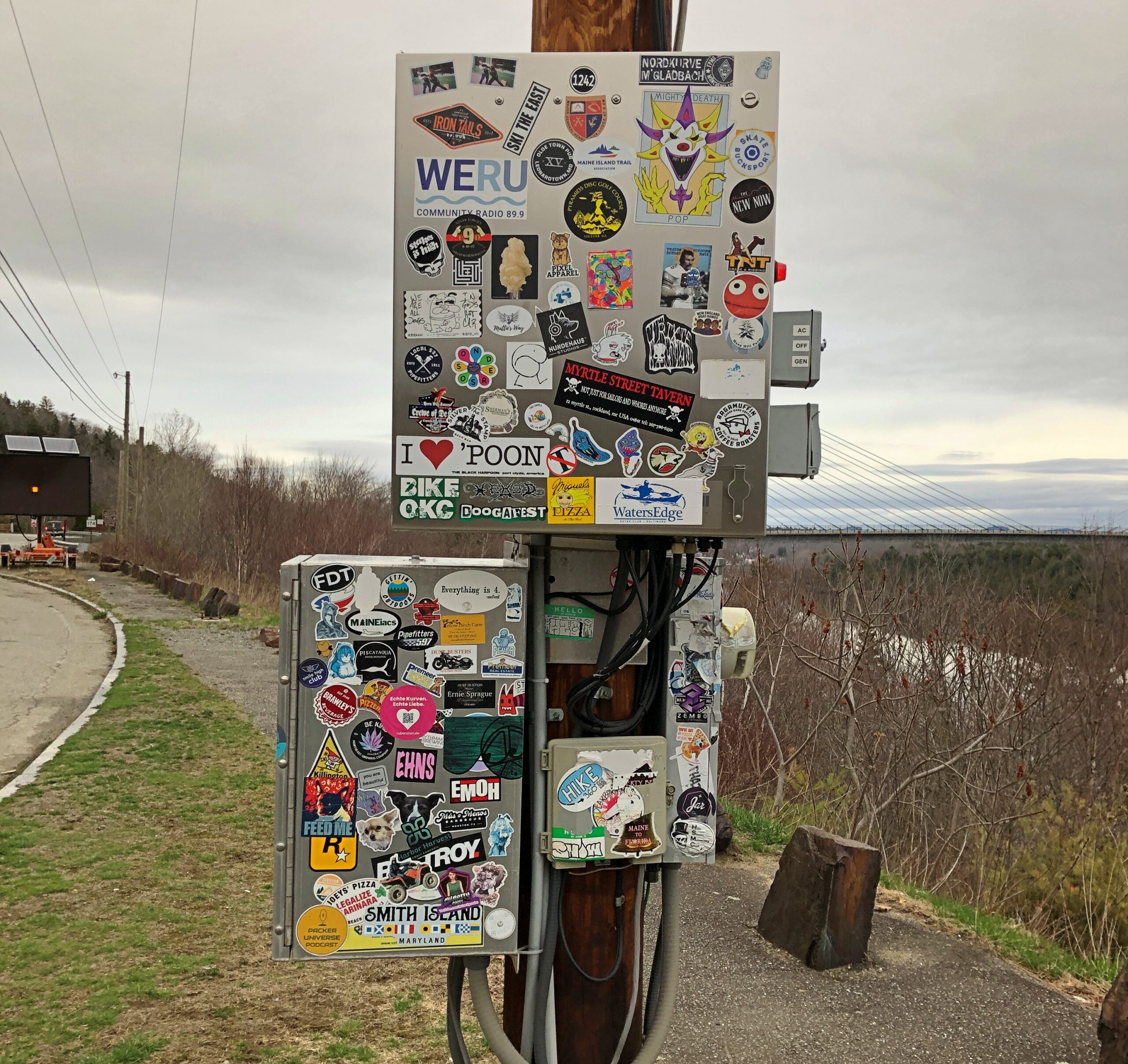
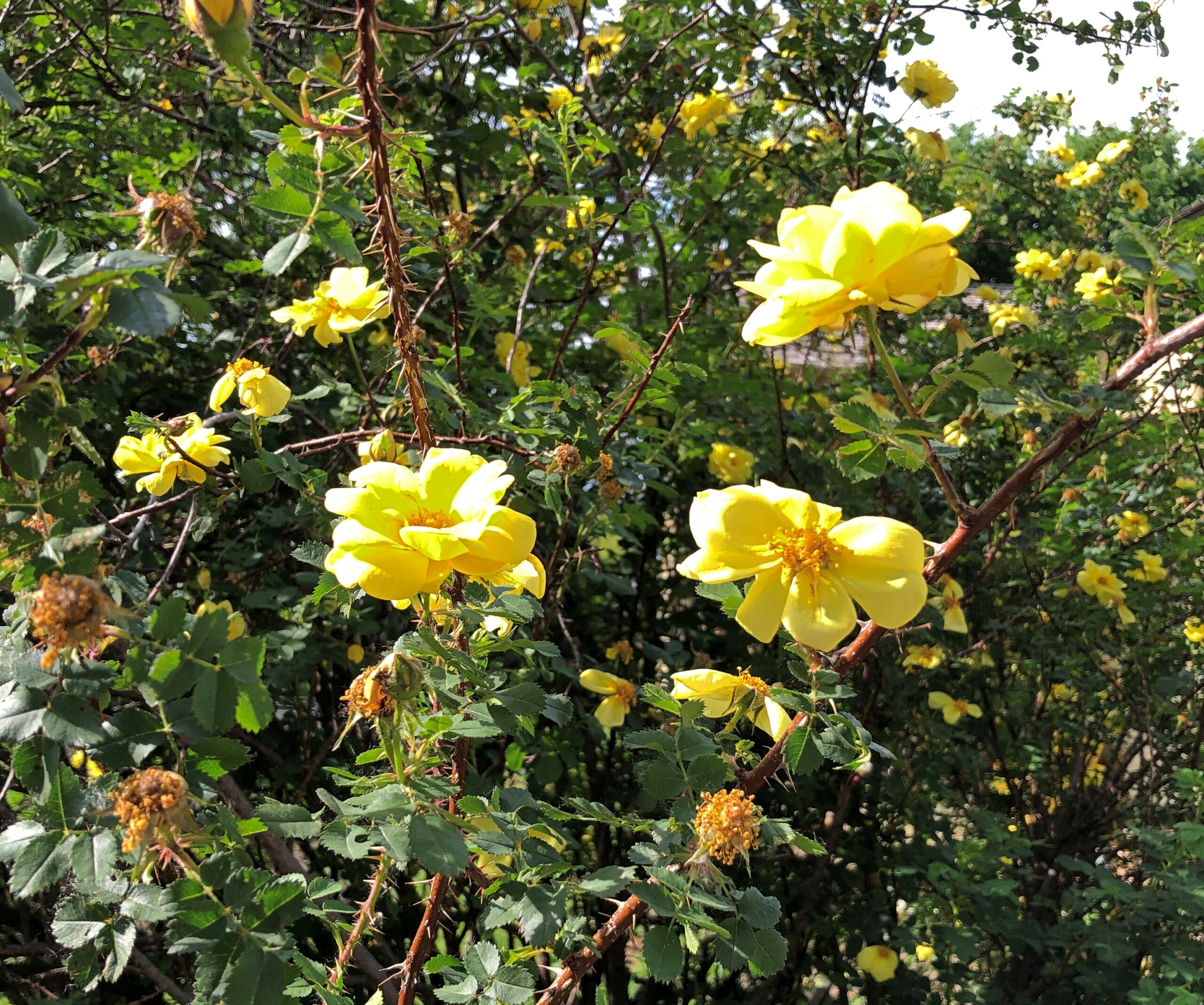
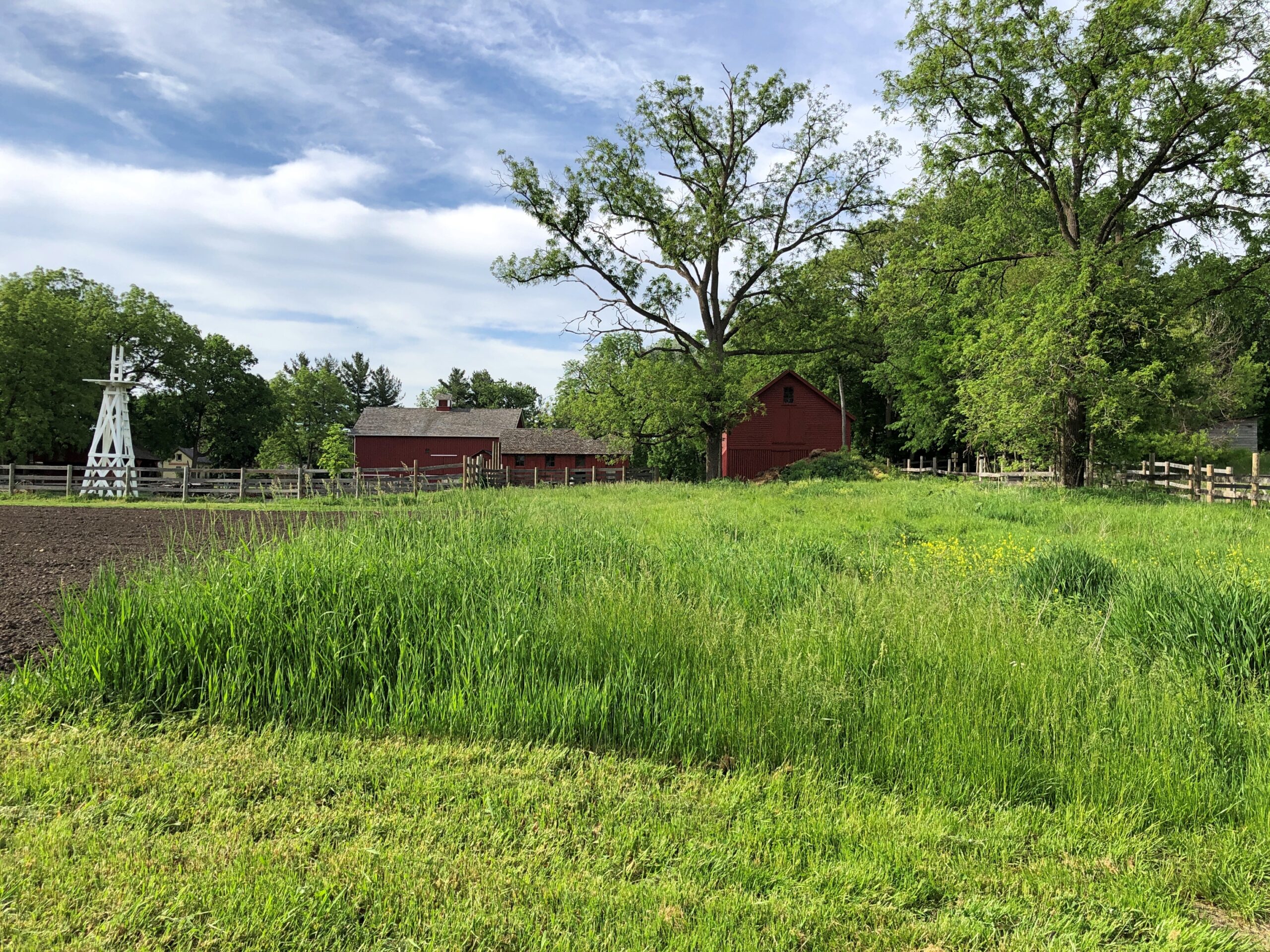
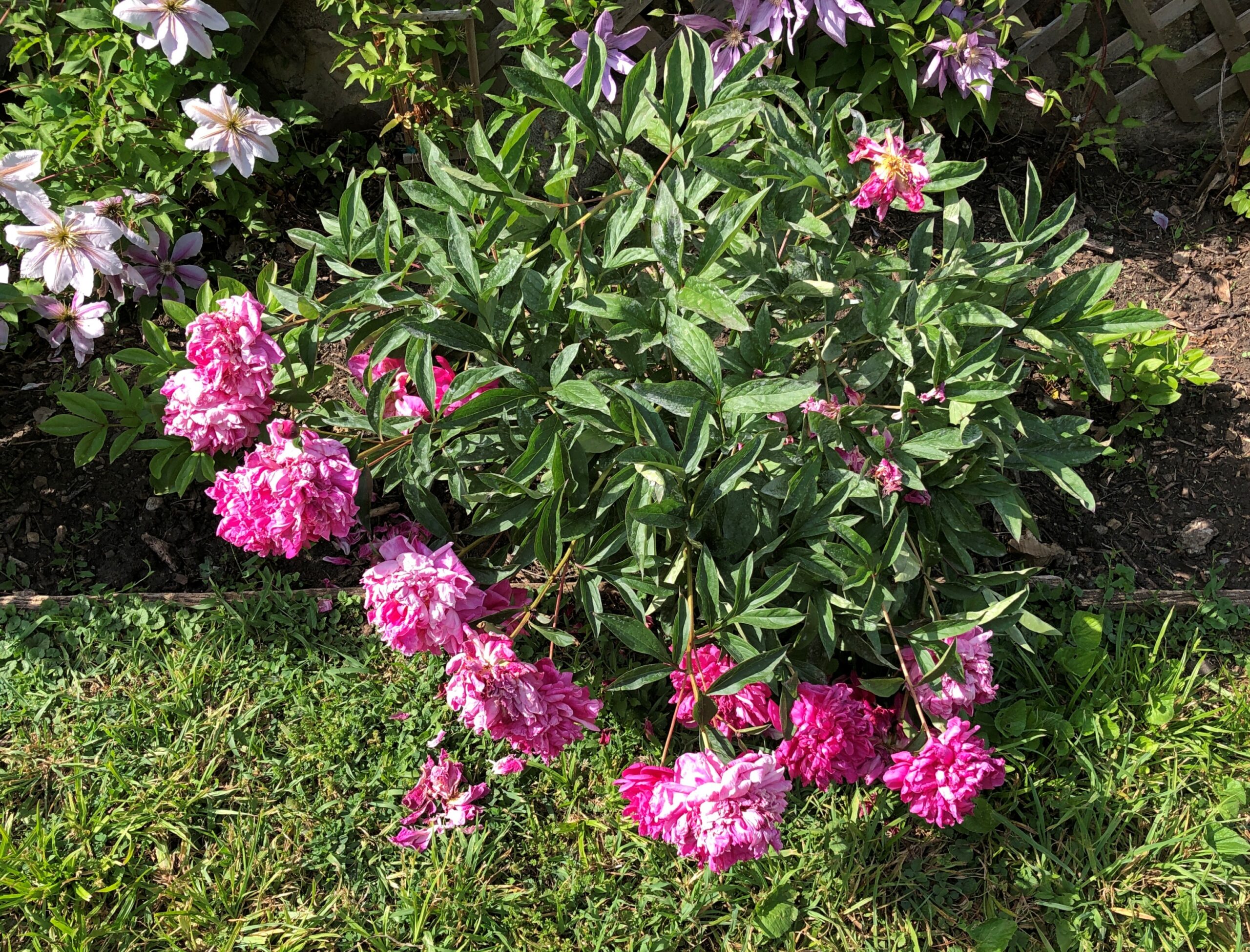
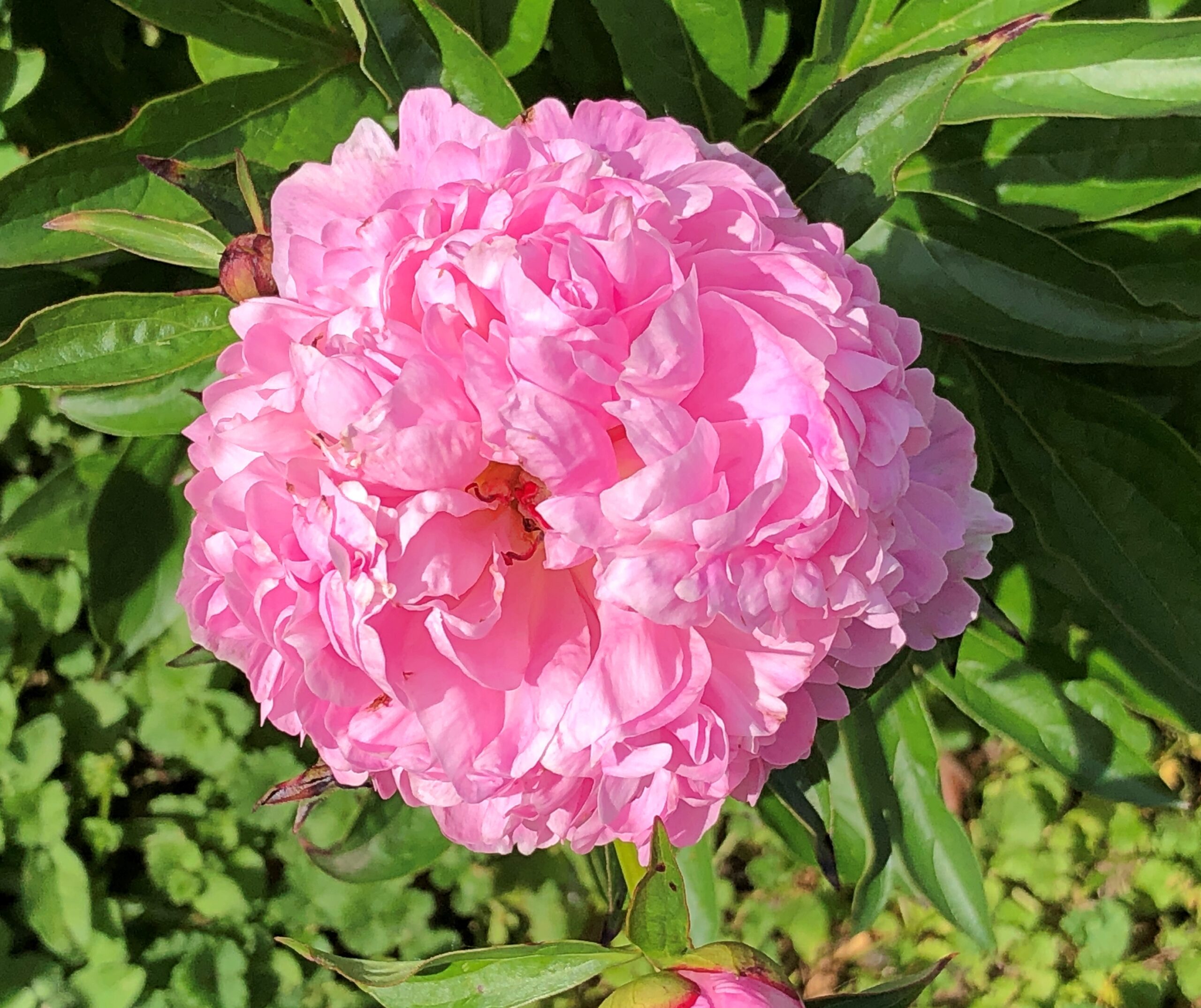
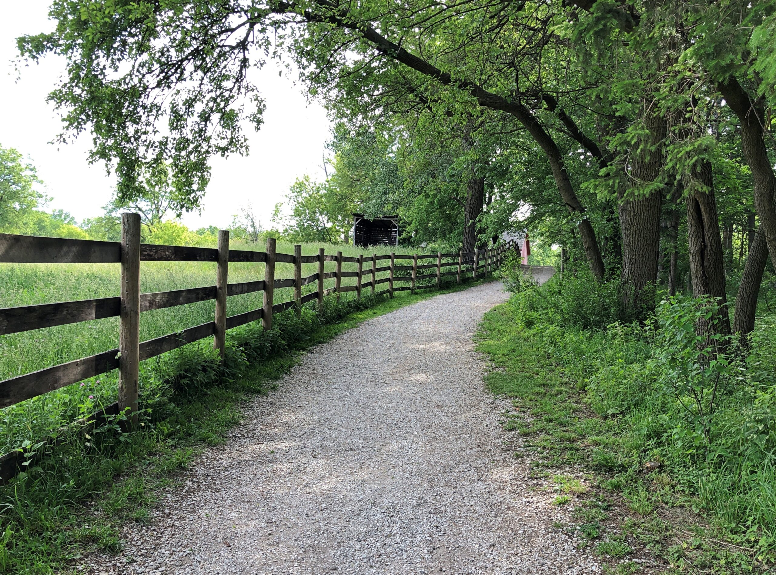
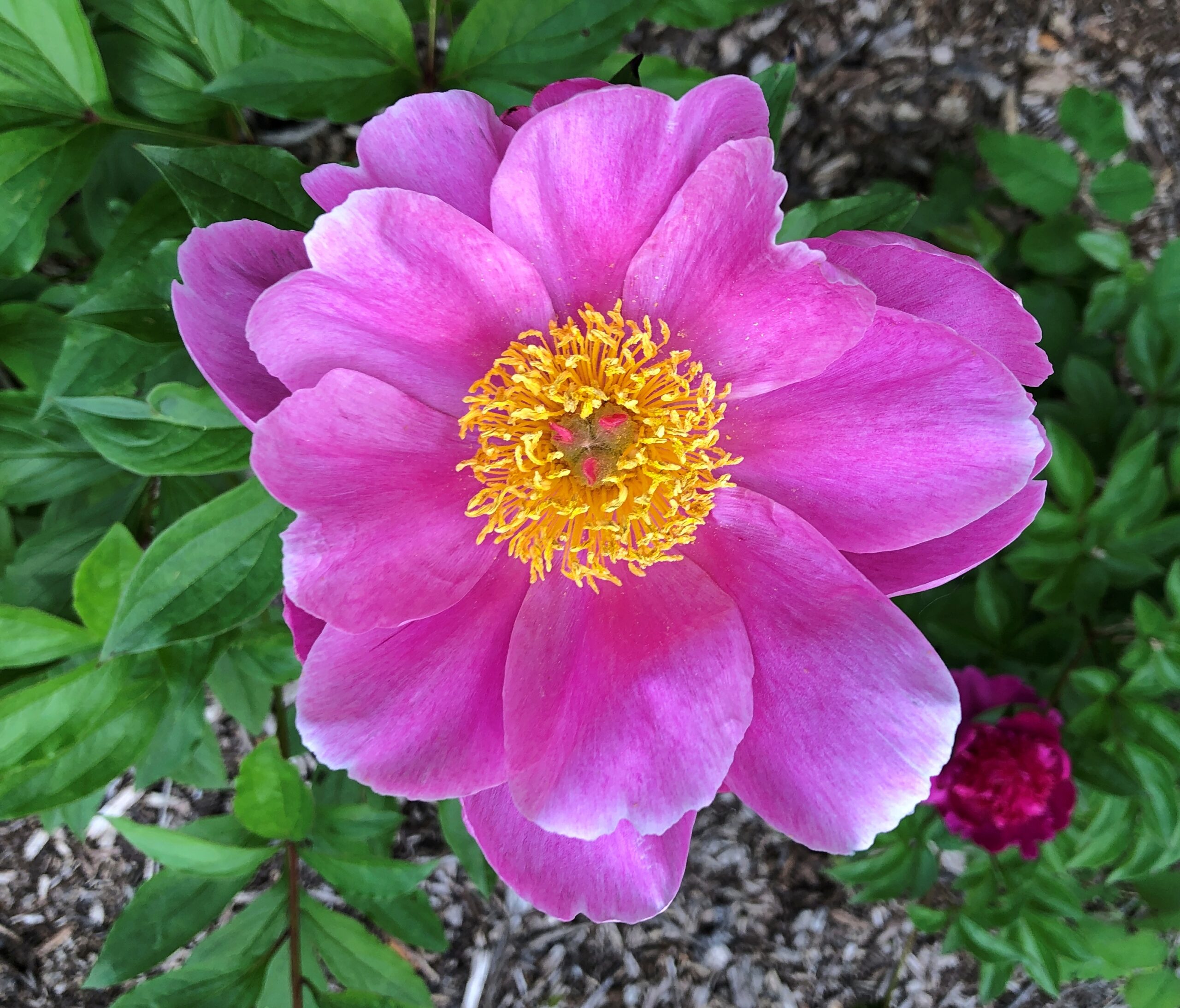
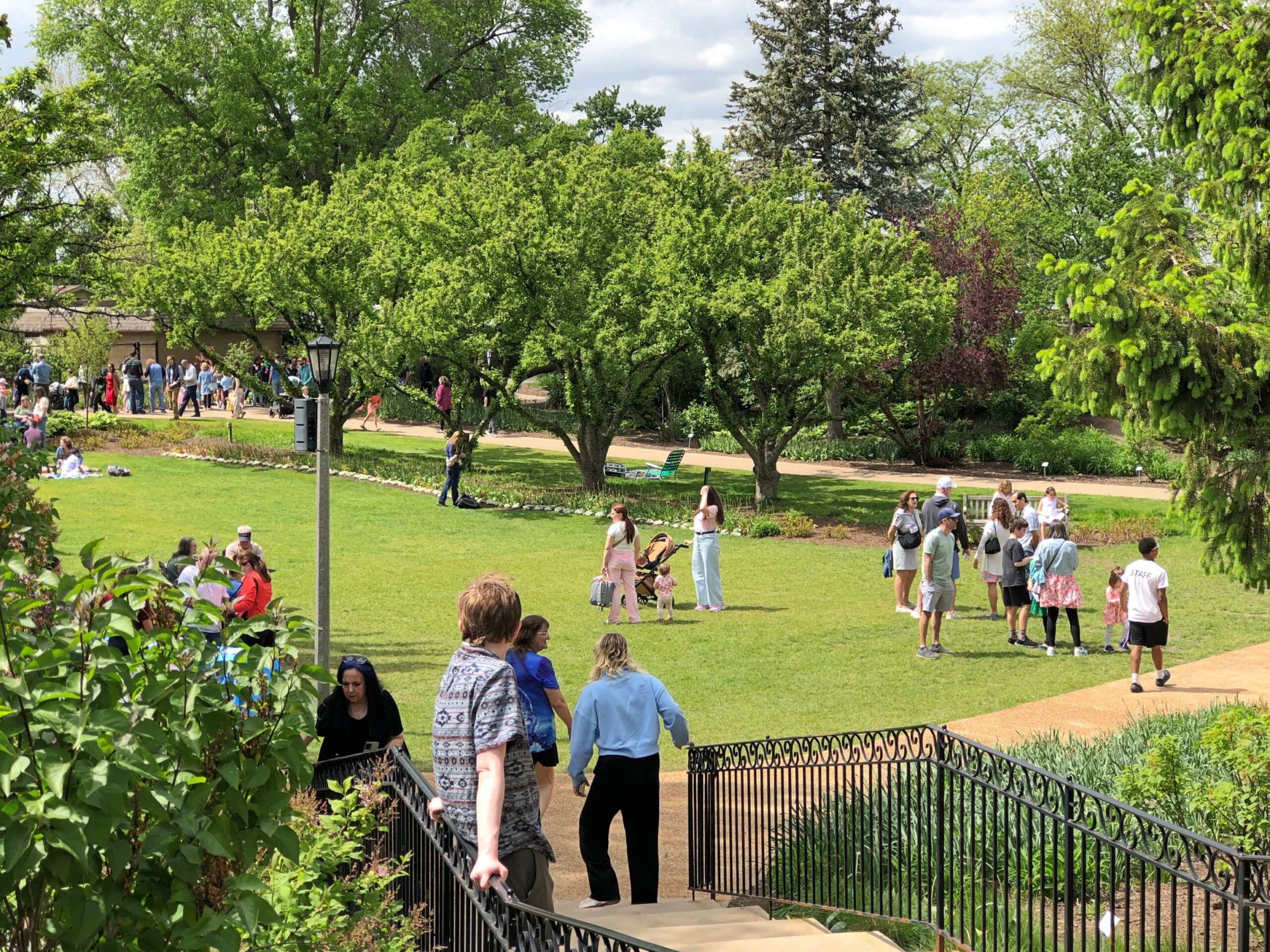
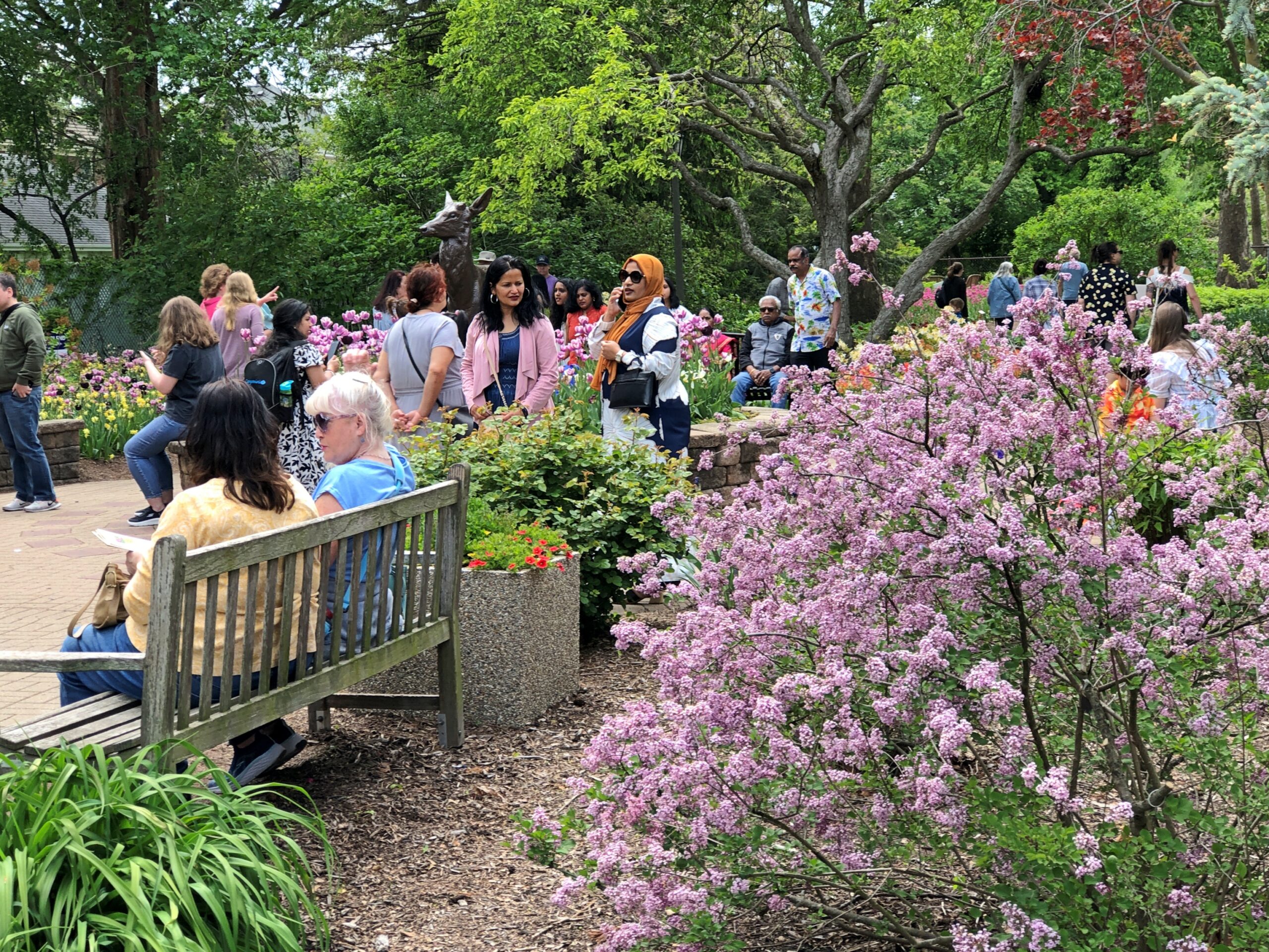
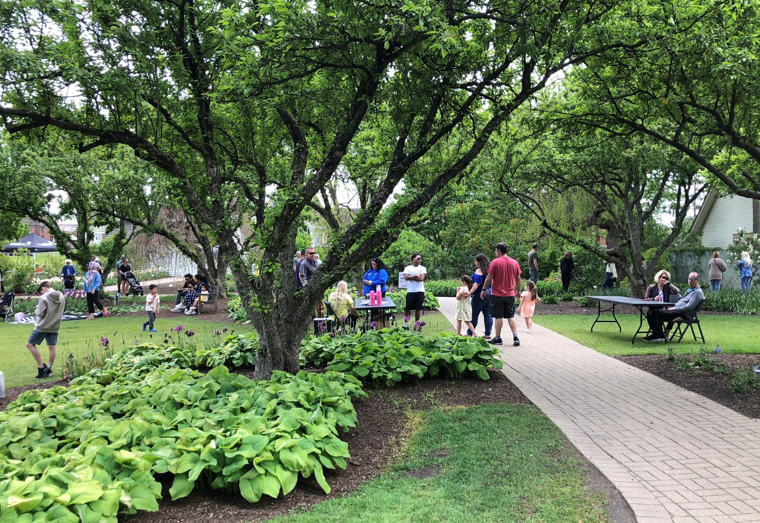
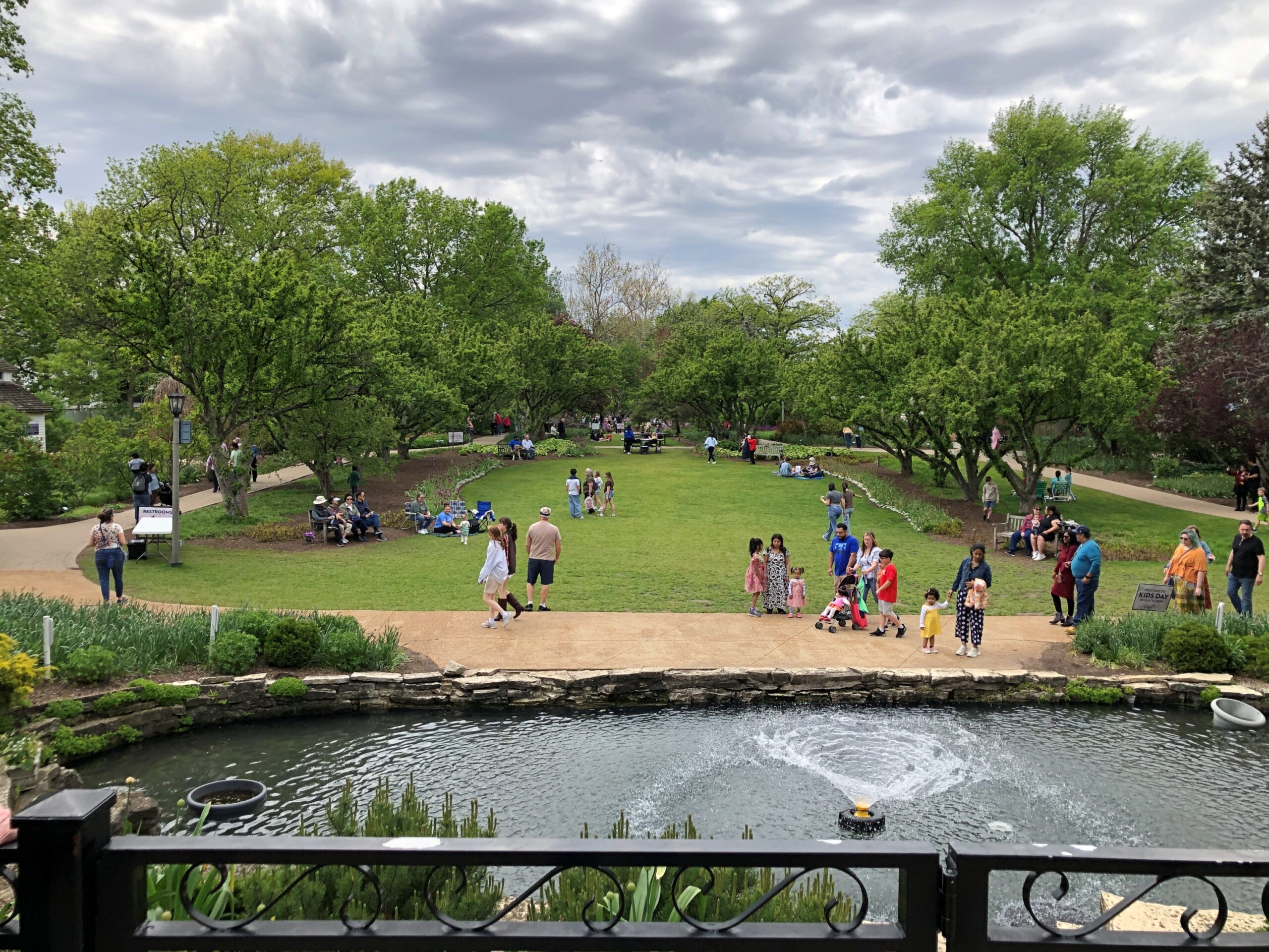
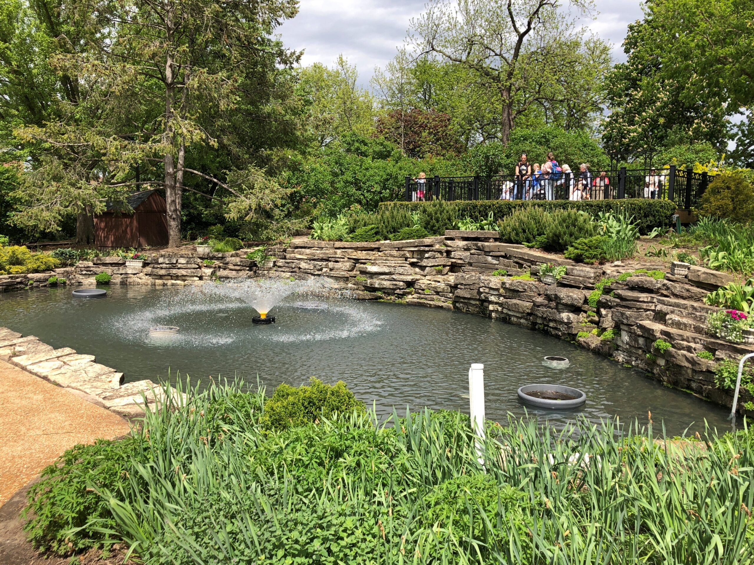
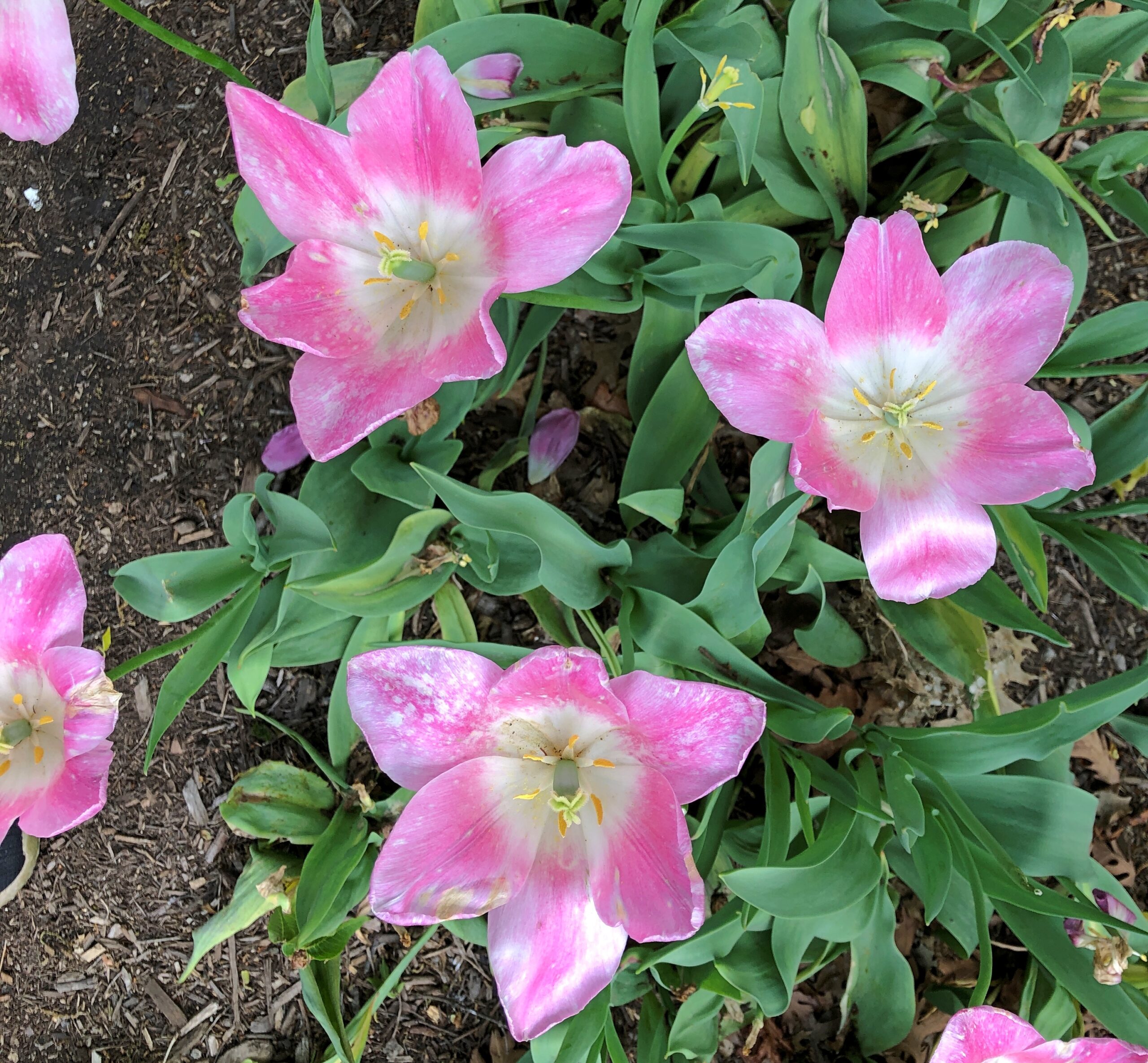
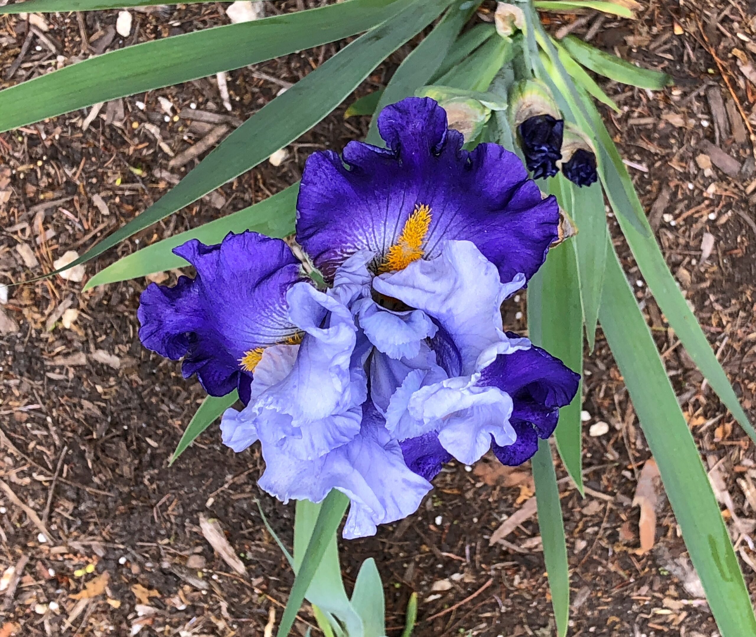
At Cantigny in late May, I wasn’t feeling that photo urge. Yuriko was, at least when it came to flowers in arrays.
And as singles.
We go to Cantigny every few years, usually in late spring or early summer, a time of exuberant greenery and, of course, vivid flowers. Not a flowerbed is idle.
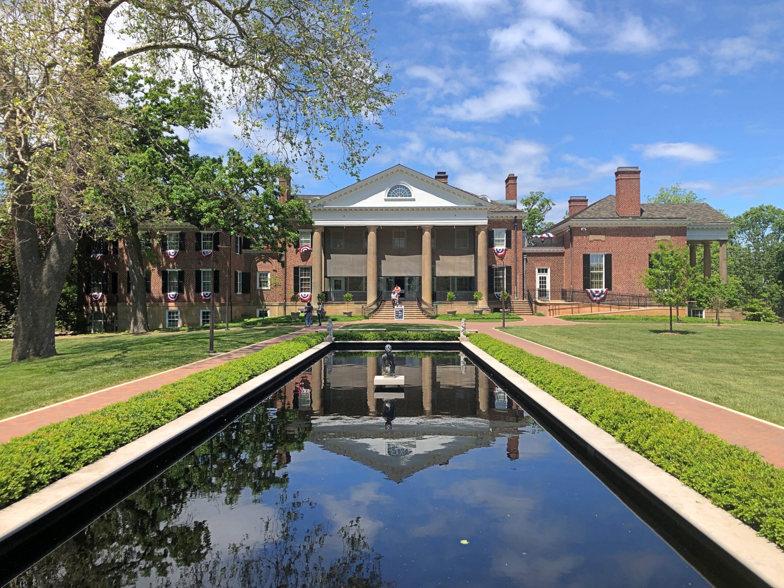
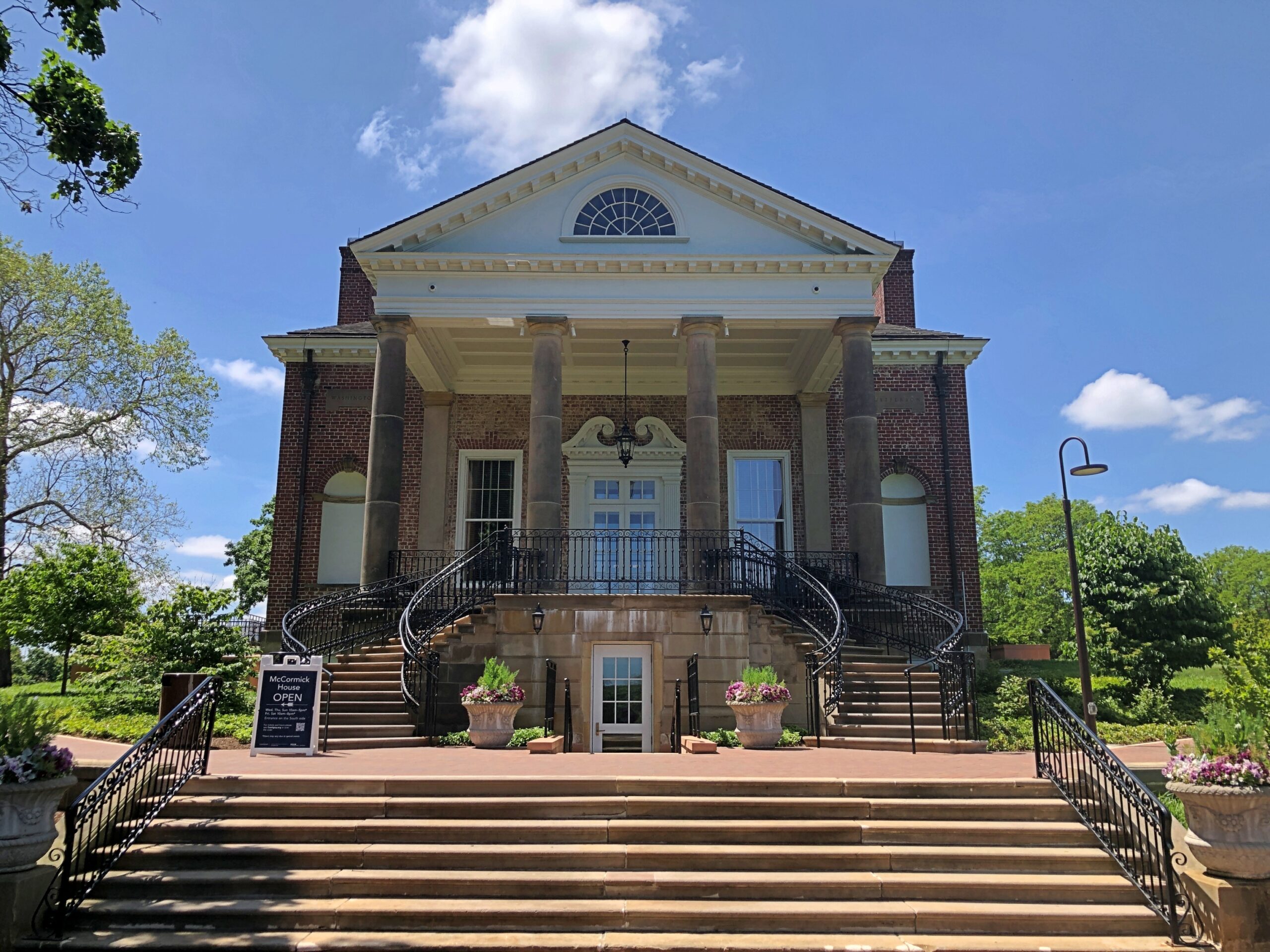
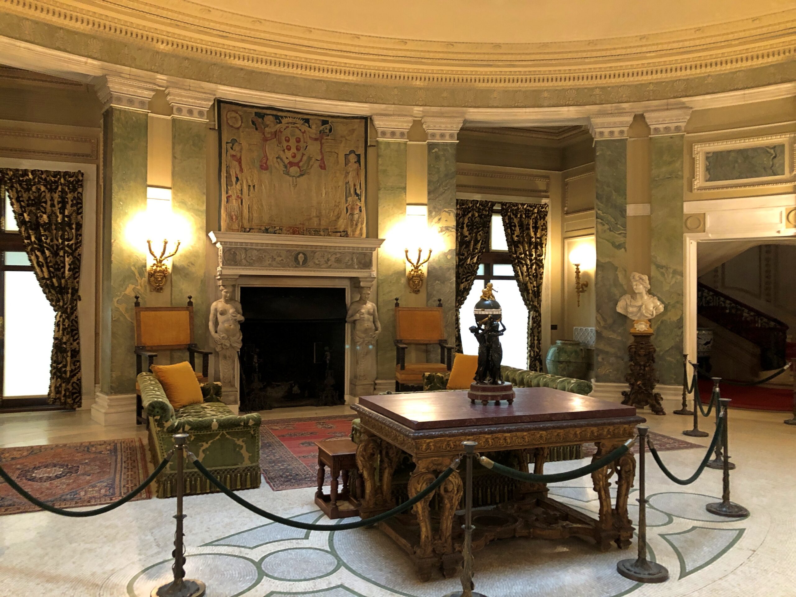
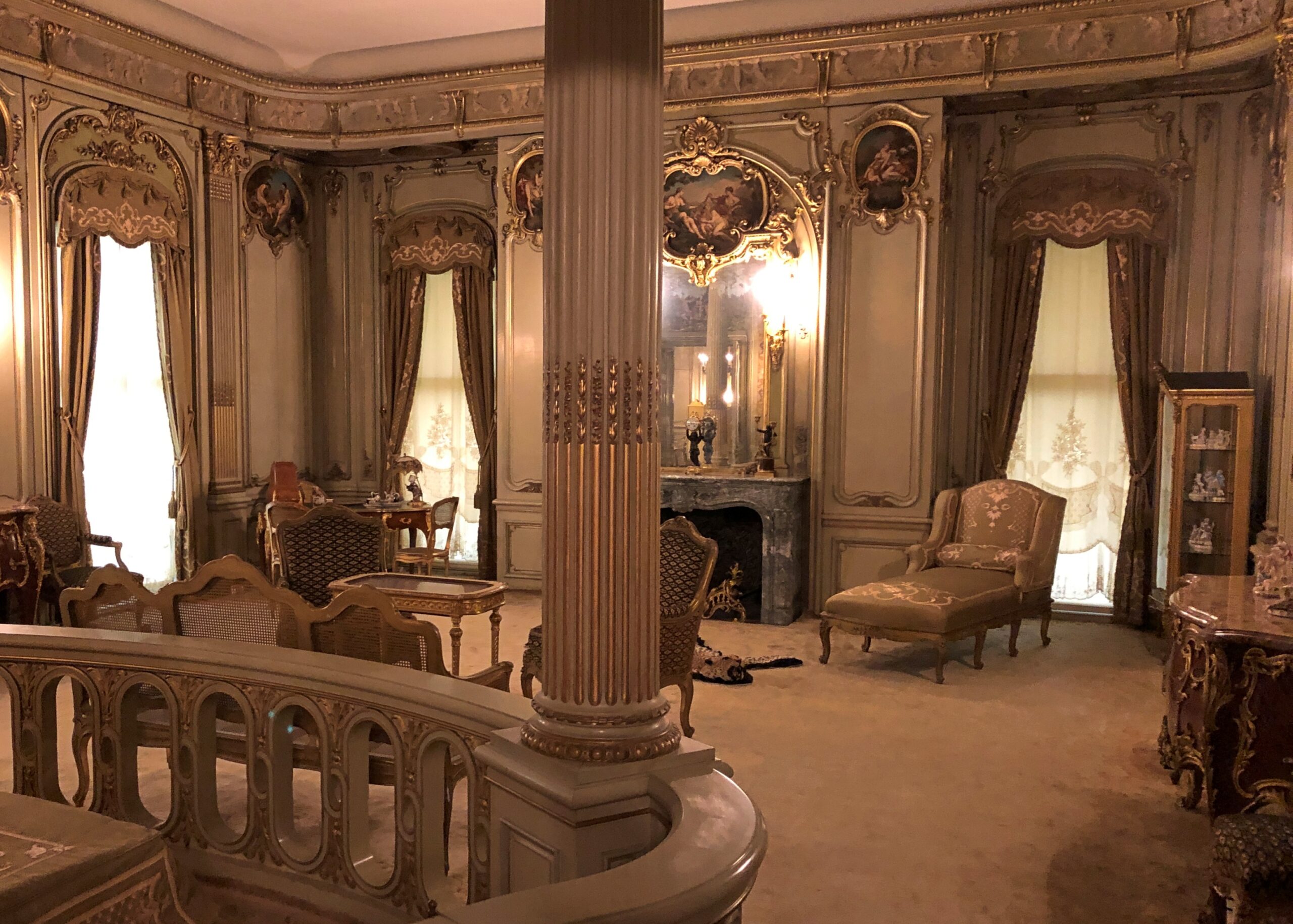
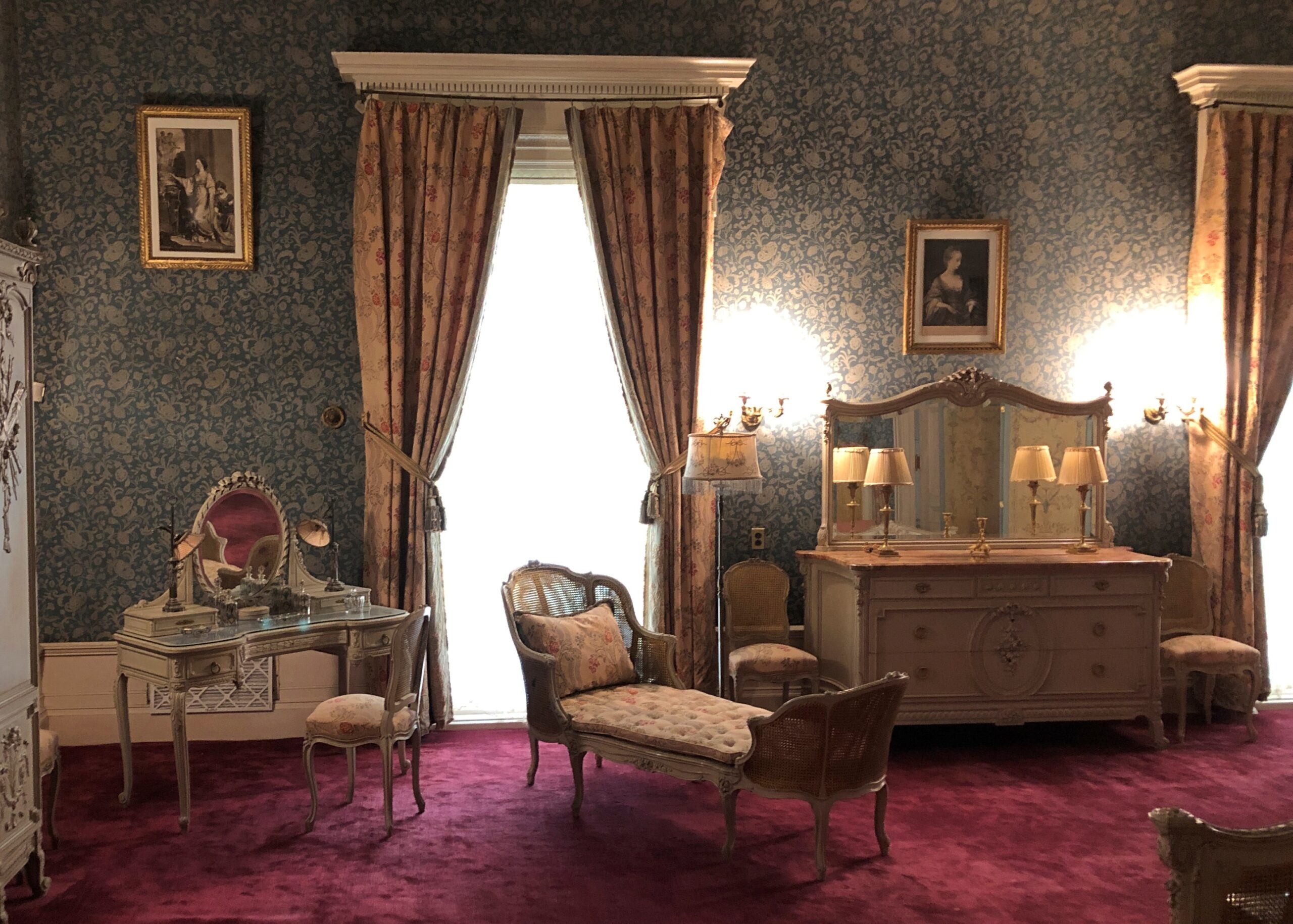
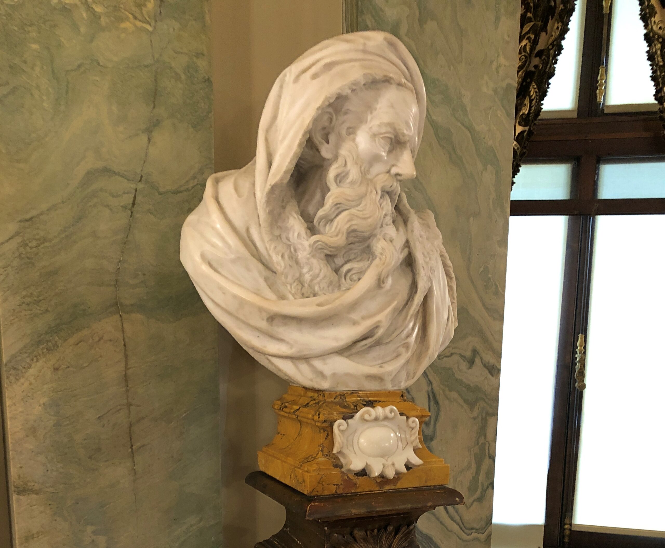
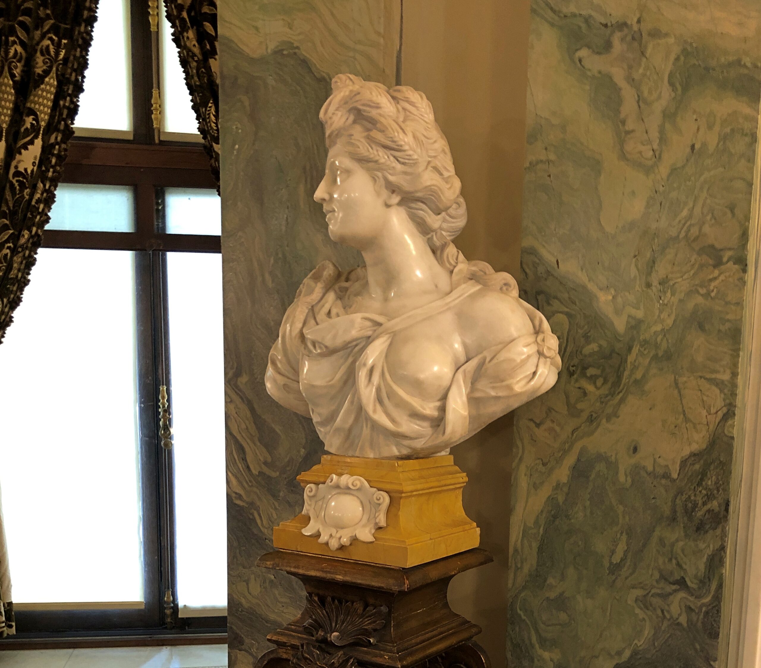
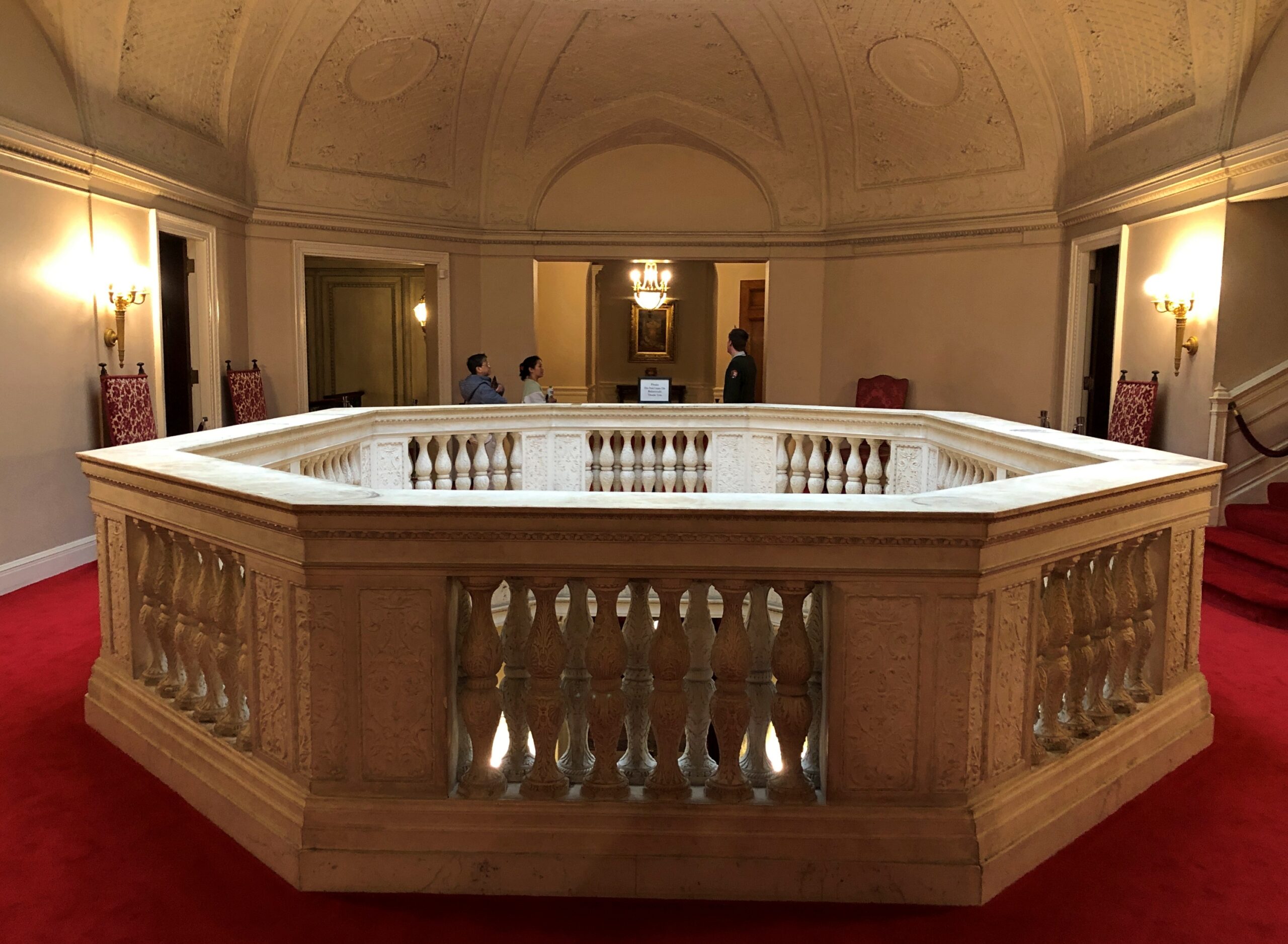
This time, I did take a few snaps of some of the Cantigny buildings and landscapes. Such as the former McCormick manse.
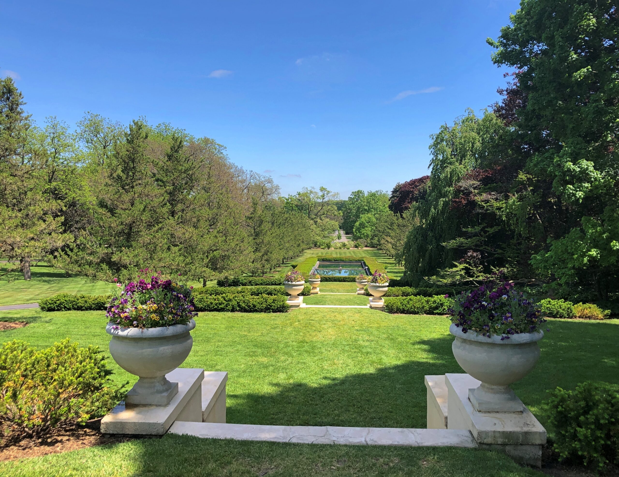
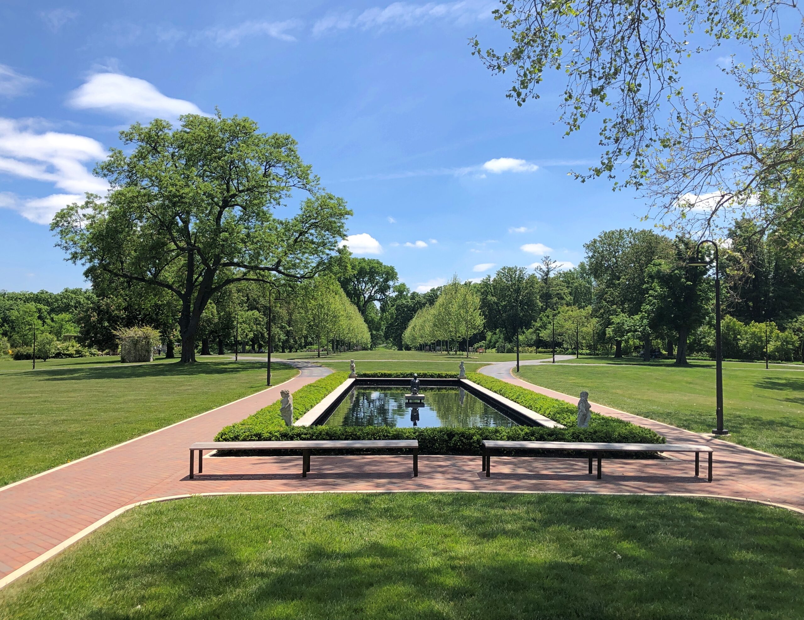
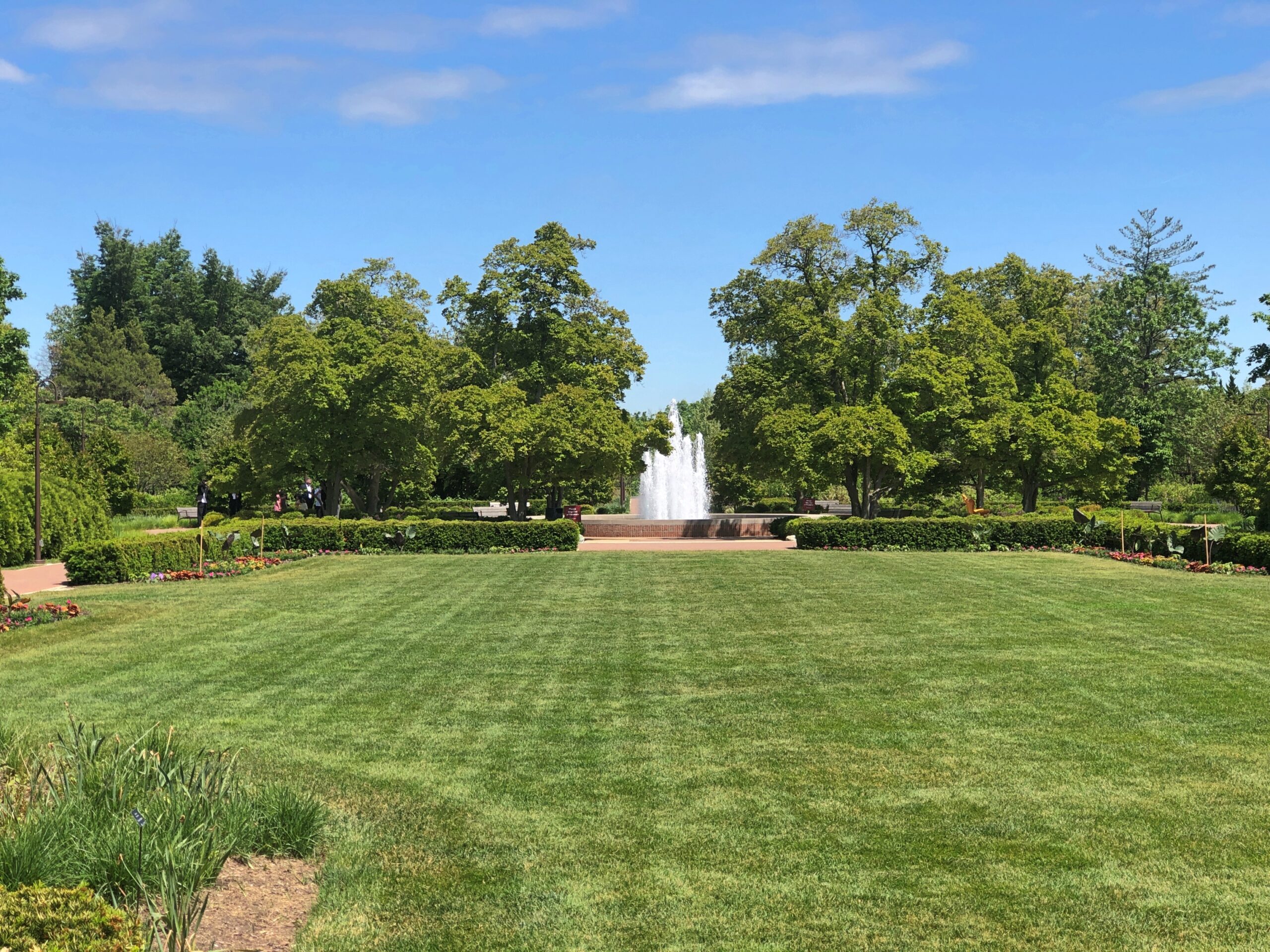
Some long views of the grounds.
As the publisher of a great metropolitan newspaper, back when there were such things, Col. McCormick had the scratch to keep the place running. What are tech barons doing these days with their lucre? Nothing so fine.
The run of days from Juneteenth to July 4 at least, and even better to Nunavut Day (July 9), would be a fine time to slow down, like between Christmas and New Year’s Day, only warmer and without the mad runup to December 25. Back to posting around July 6.
Thousands of impressions flitter by on the road, most instantly forgotten when literally on the road – driving, you need to be in the moment, or else – or quickly forgotten, when “on the road” means you’re out and about somewhere that isn’t home. Still, a handful of details stick, even without photos. But photos help.
Maine
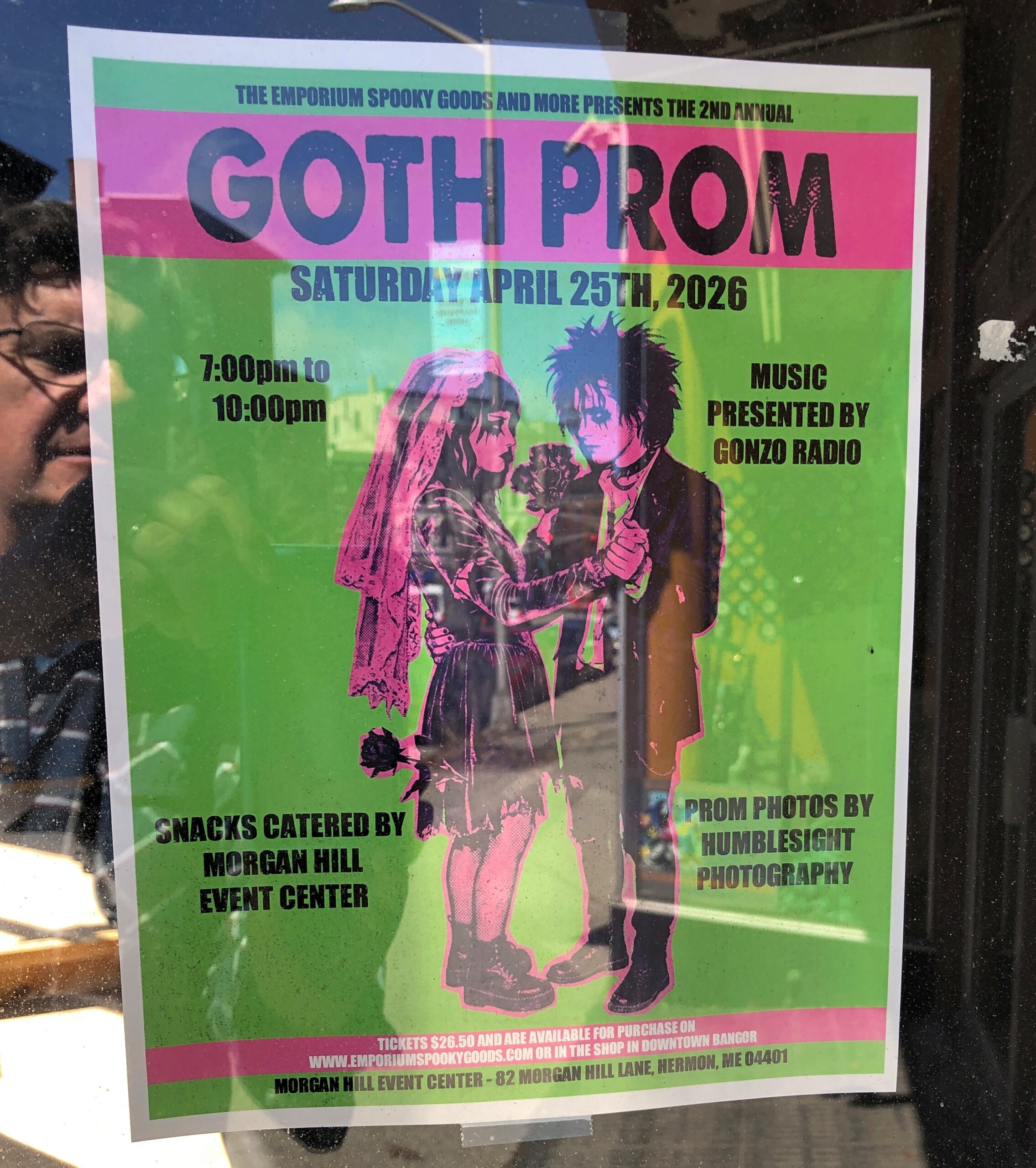
I call it “Self-portrait with Goth Prom.” Poster spotted in downtown Bangor.
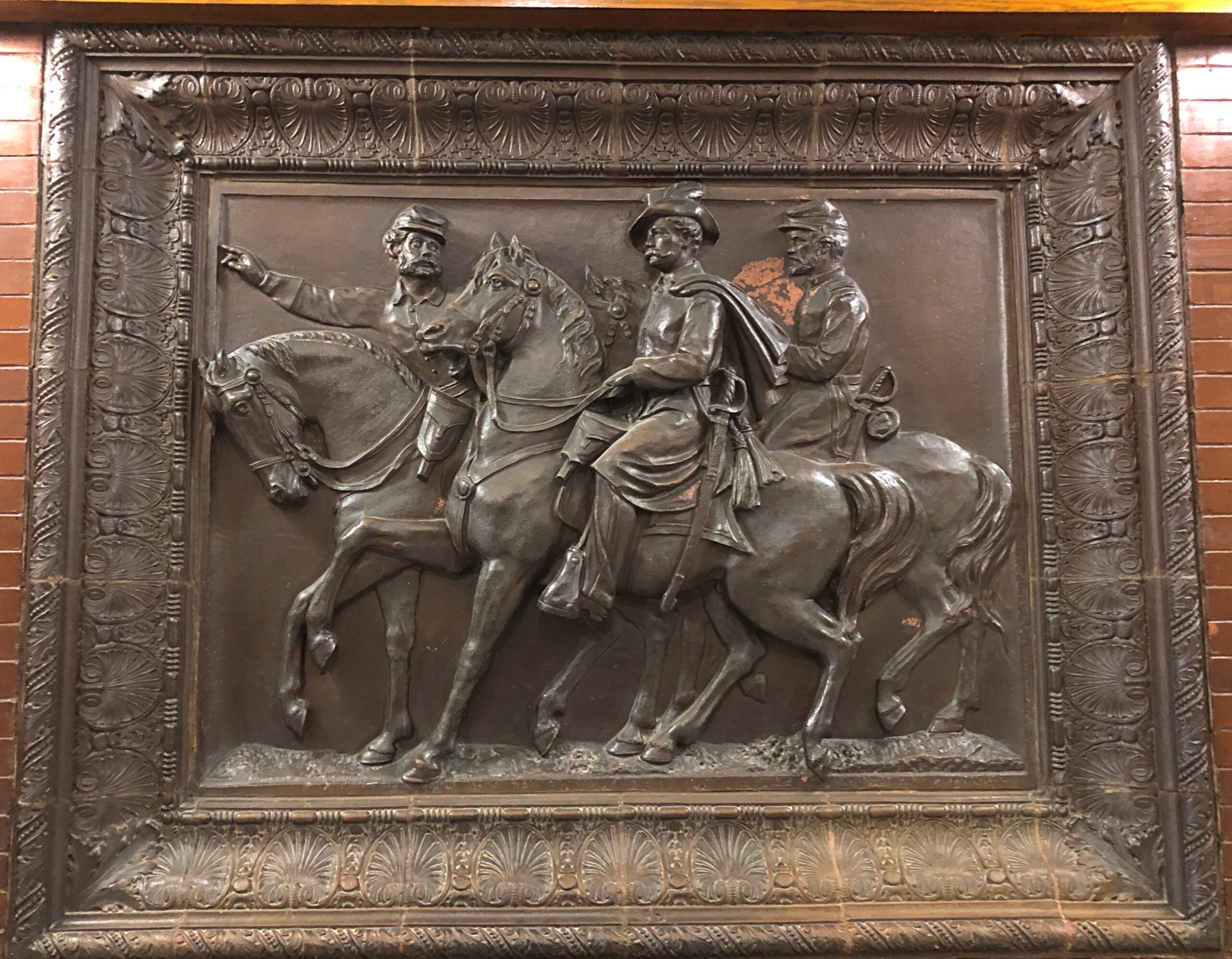
In the Maine Statehouse, a flat-ish object of a different kind.
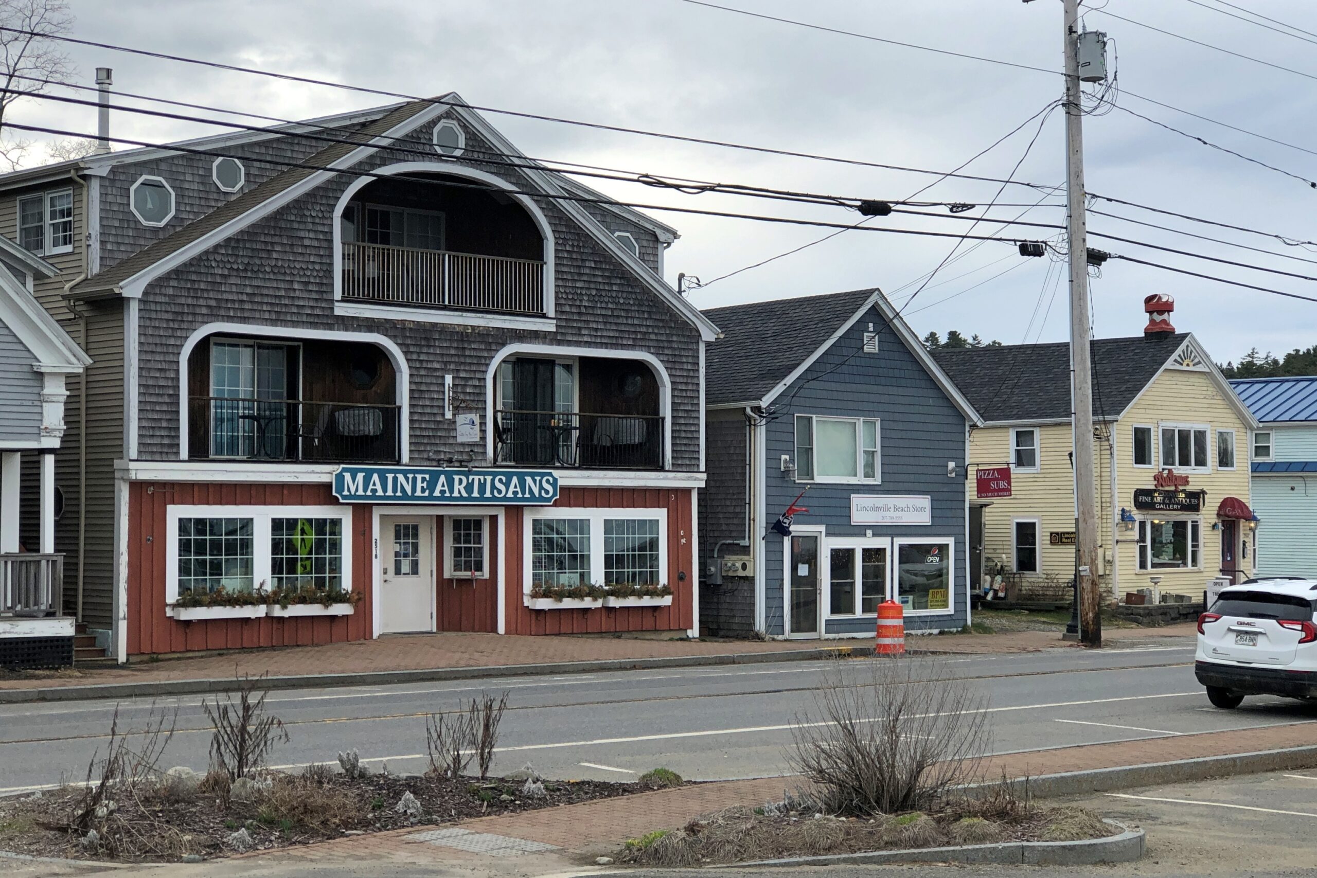
Lincolnville, on the coast of not far from Belfast.
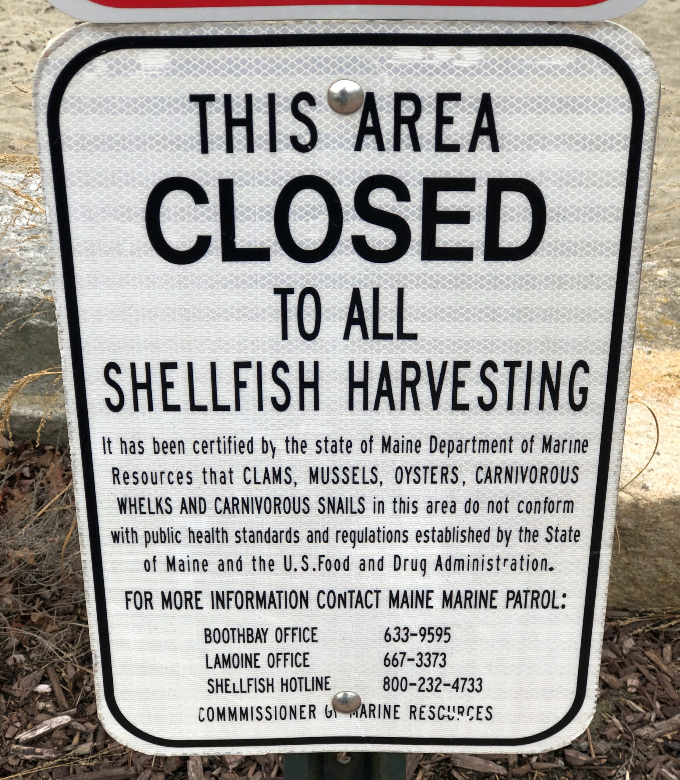
Carnivorous whelks. I was frankly ignorant about carnivorous whelks, and glad to learn a little about them. Because what a great name for a snail.
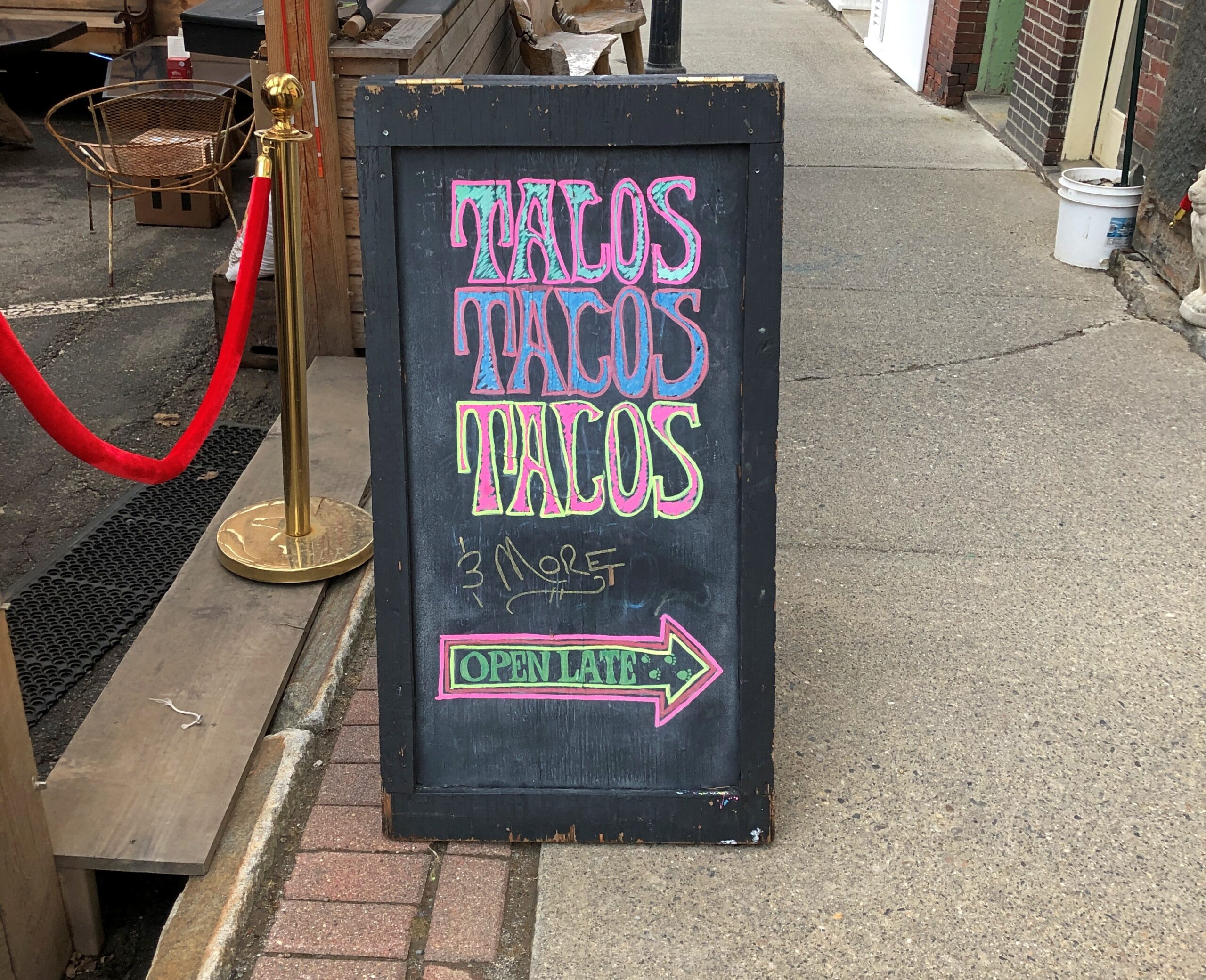
Too bad I wasn’t hungry in Belfast. I’d have had tacos.
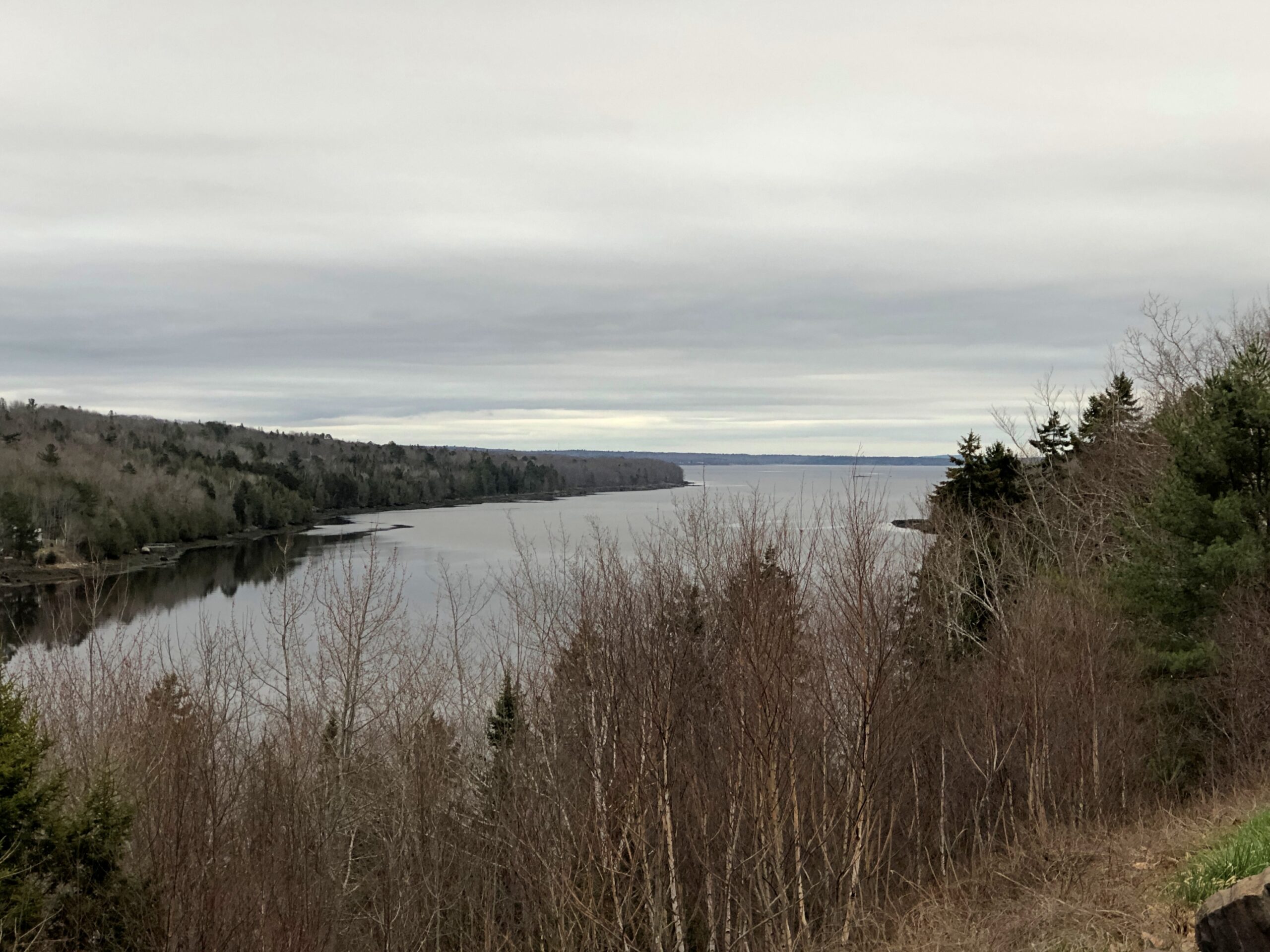
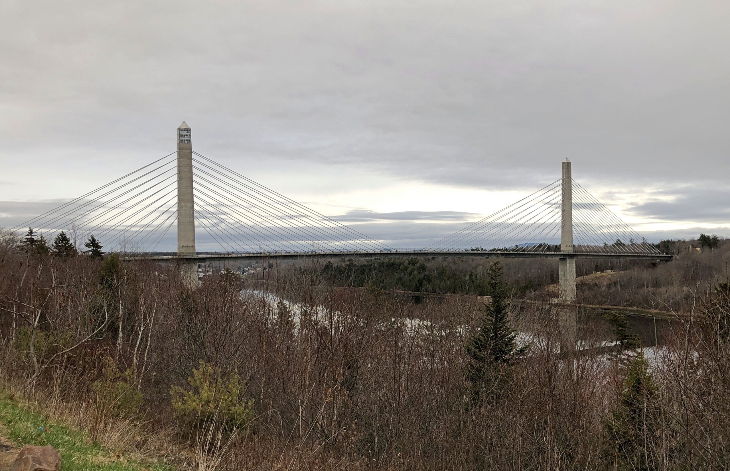
The Penobscot River and the Penobscot Narrows Bridge. A literal and scenic highpoint on that part of US 1 as it winds through near-coastal Maine. The bridge includes an observatory, unfortunately not open in April. Driving over the bridge itself was another pleasure of coastal Maine.
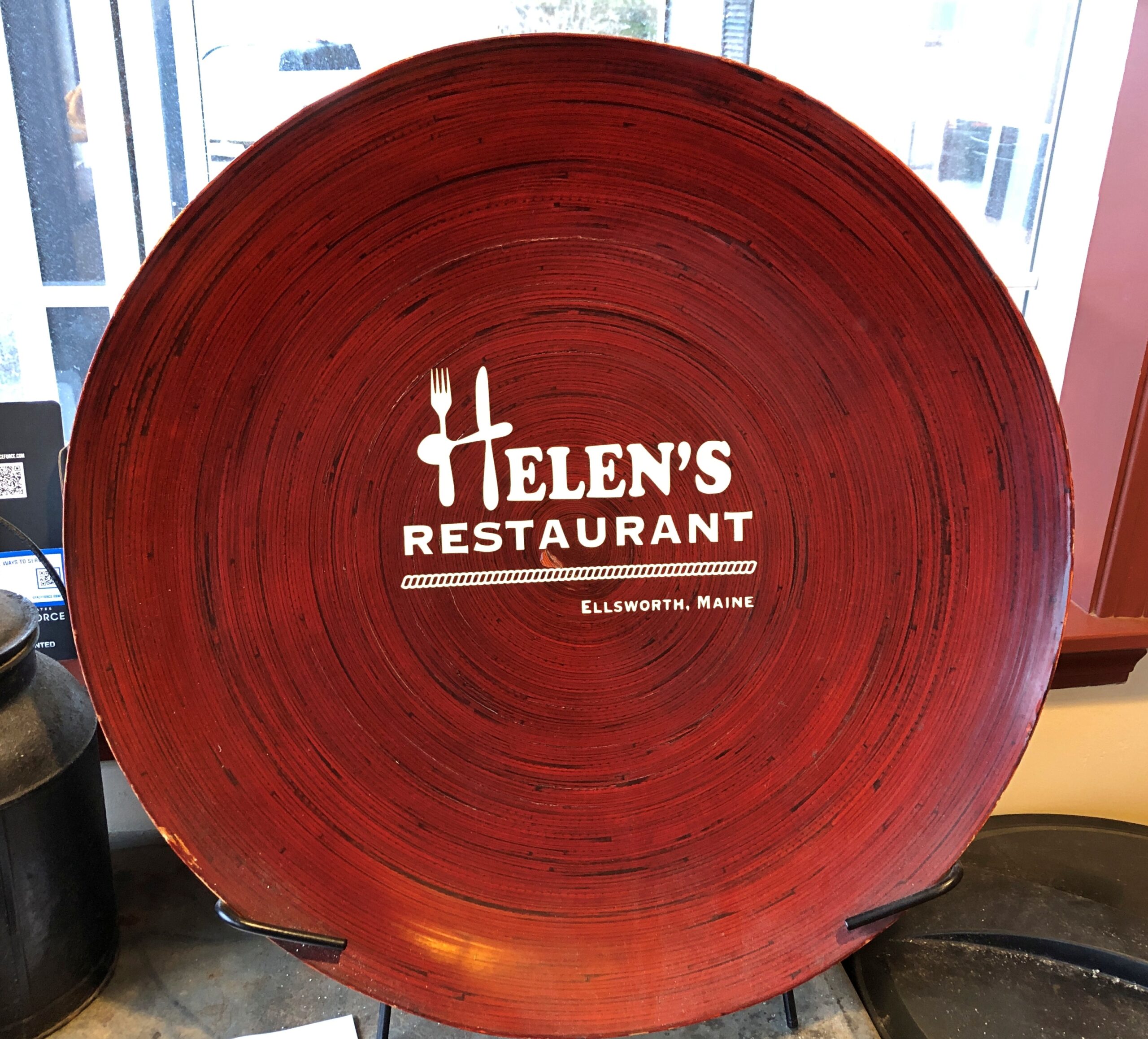
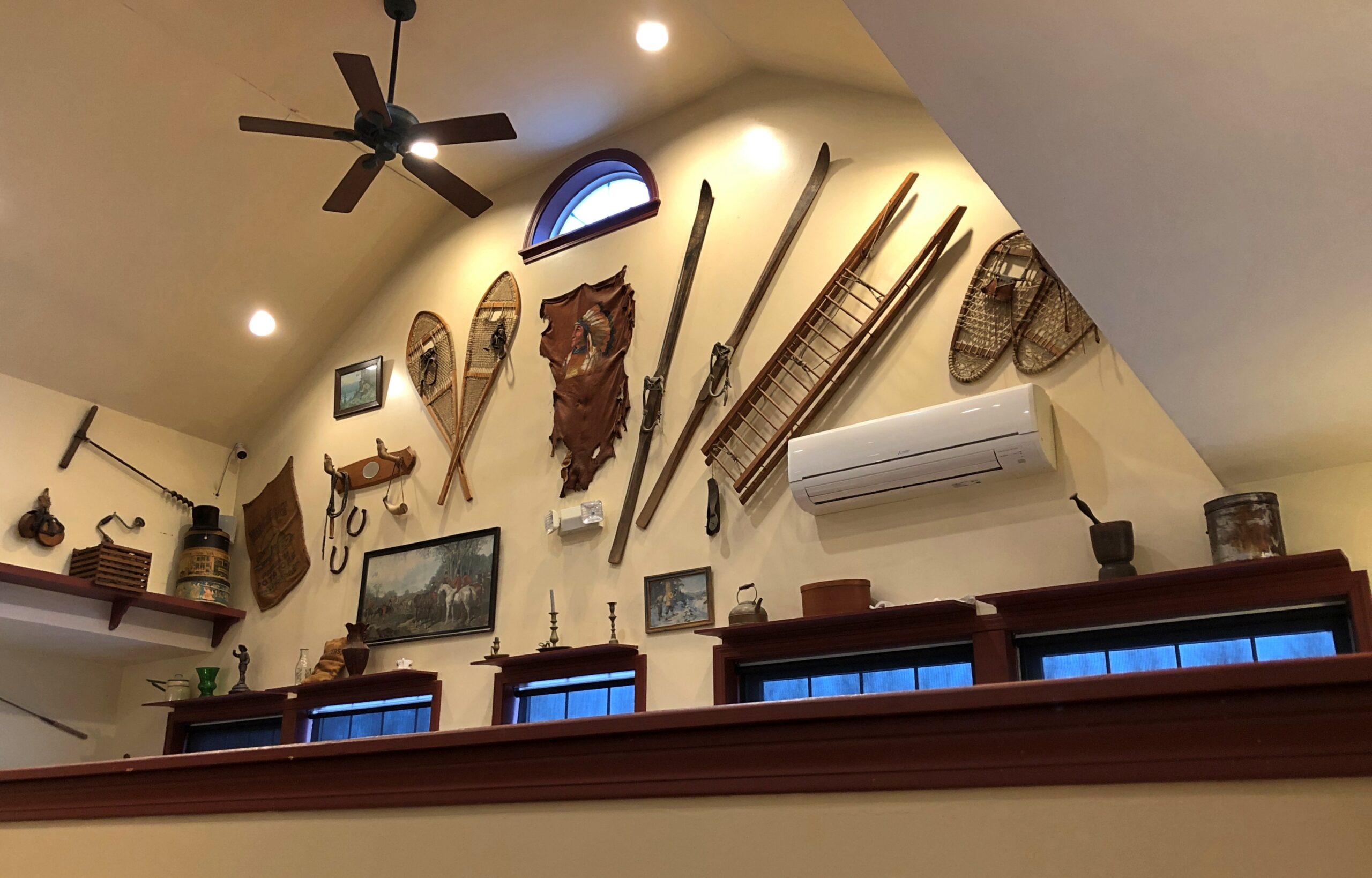
Helen’s Restaurant in Ellsworth. Tasty fish and chips. Haddock, specifically. What do you take for a haddock? “Well, sometimes I take-a aspirin, sometimes I take-a calomel.” It was some years before I learned that calomel was something I’d never take in a million years.
Massachusetts
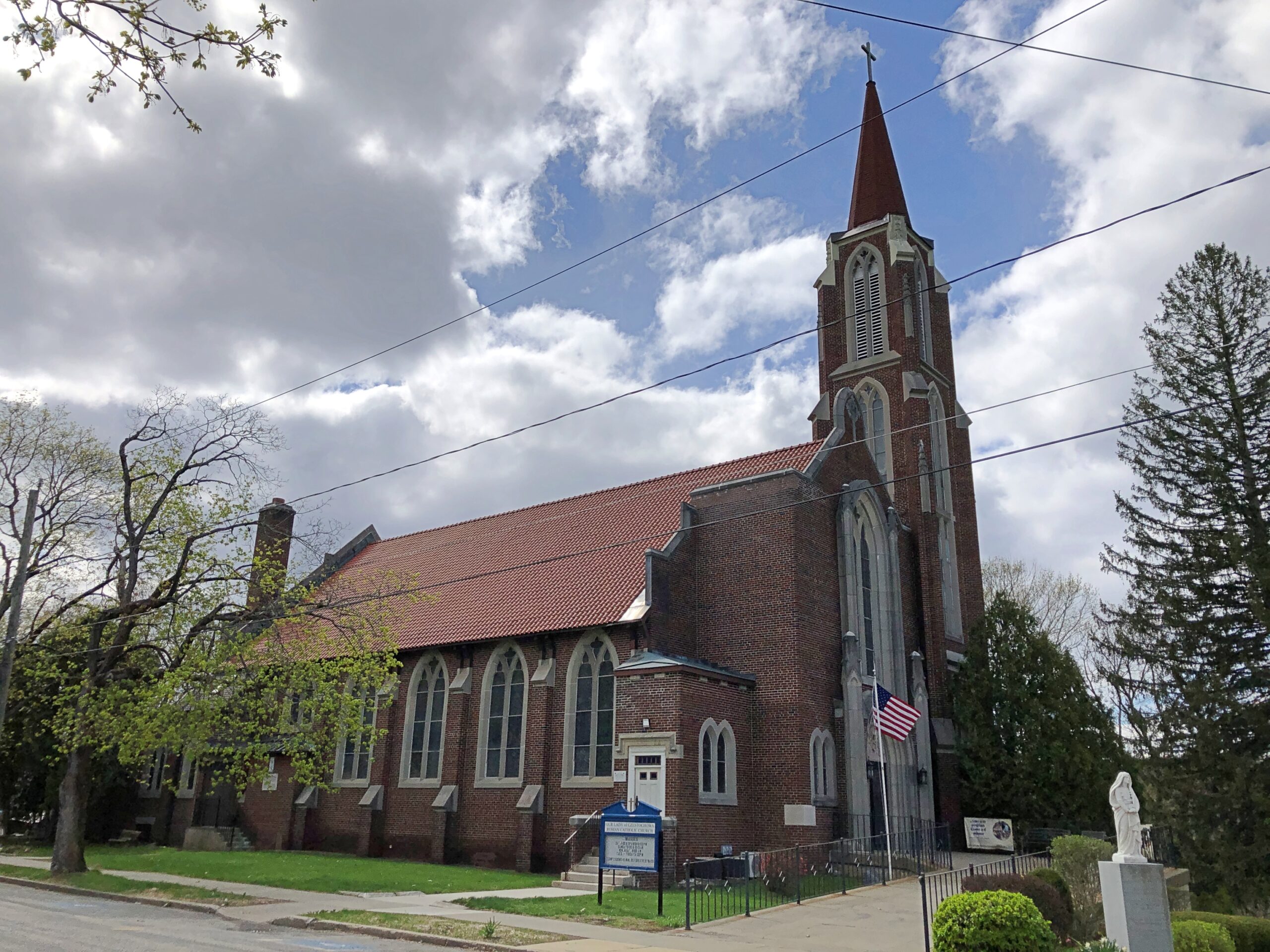
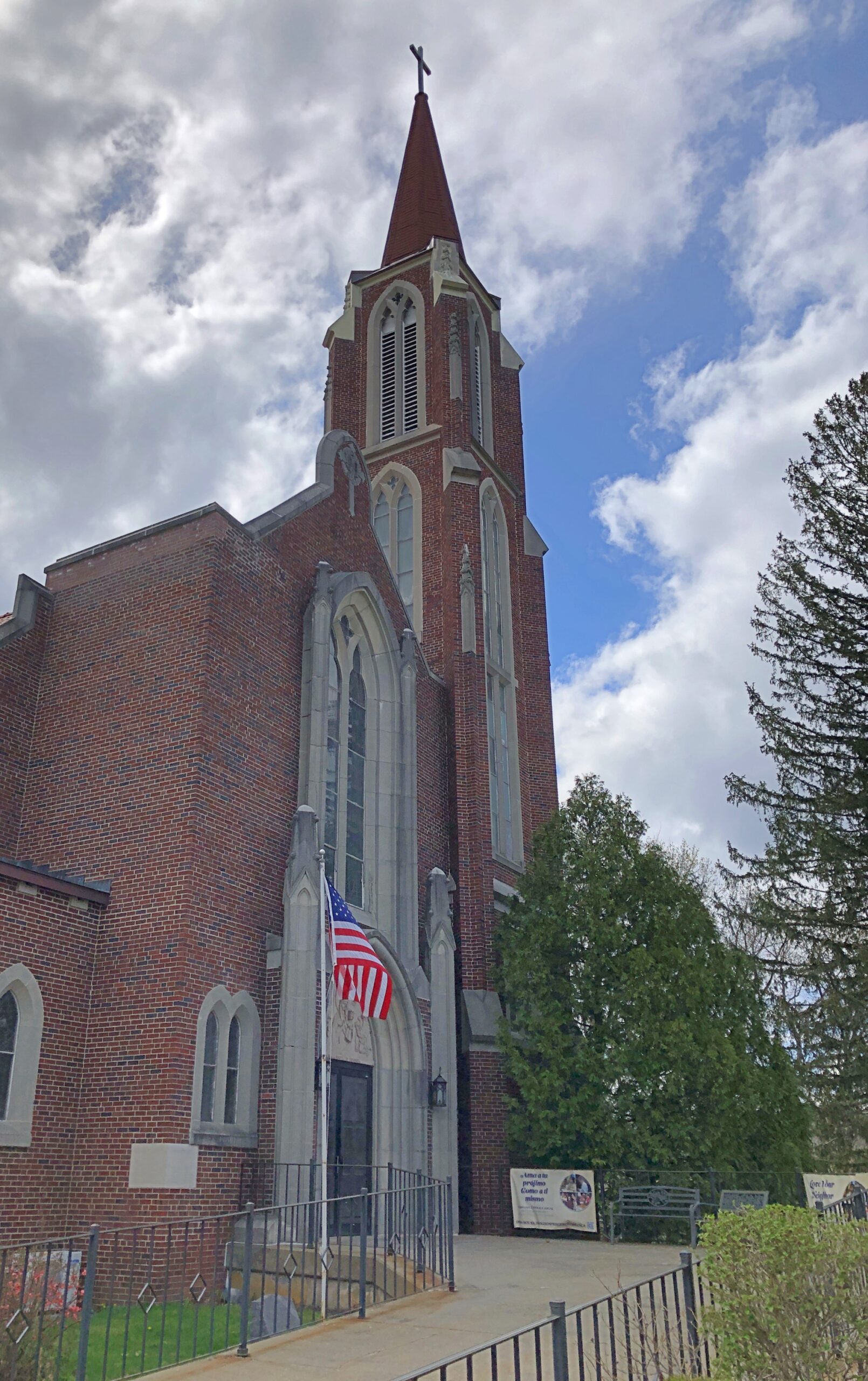
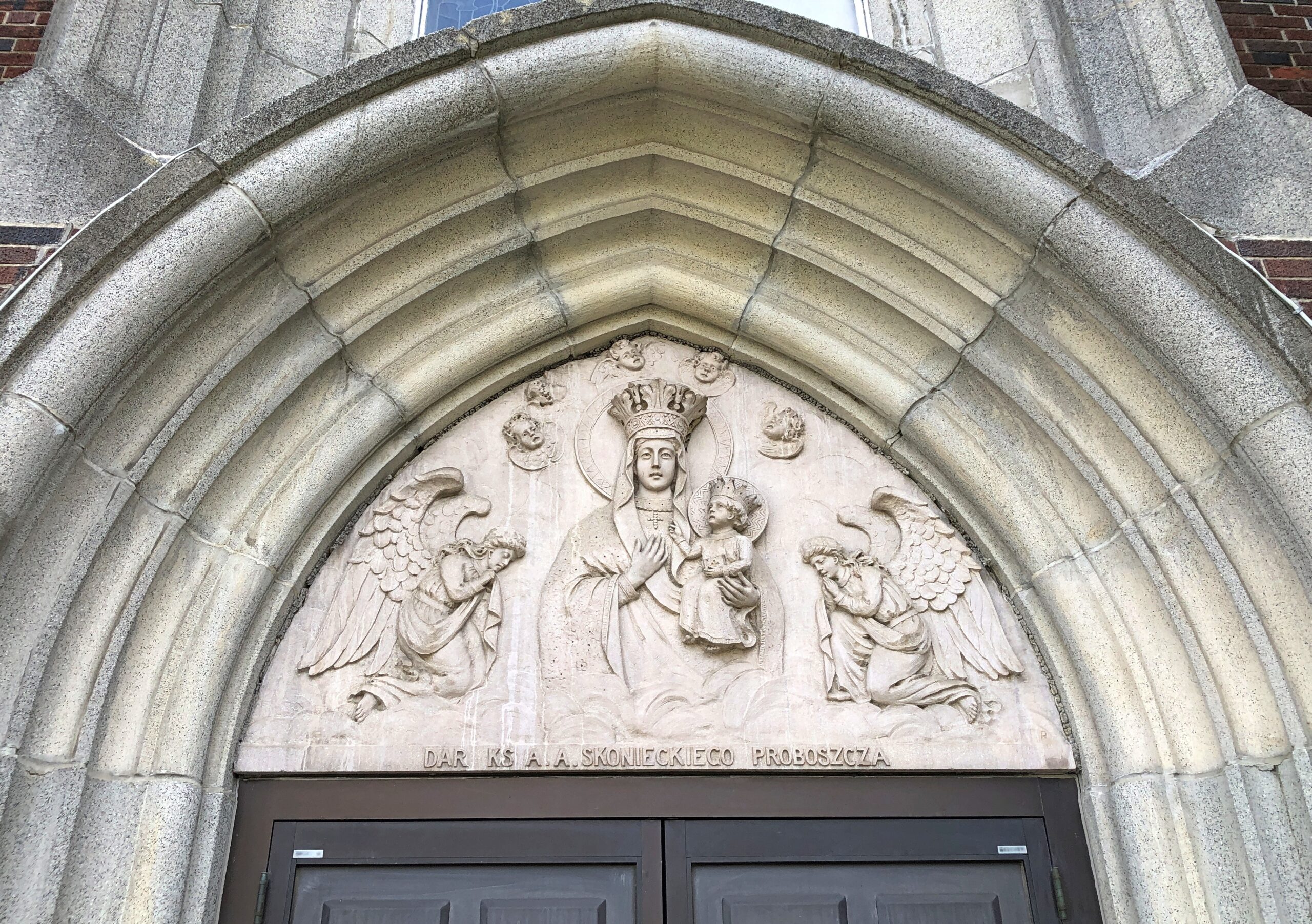
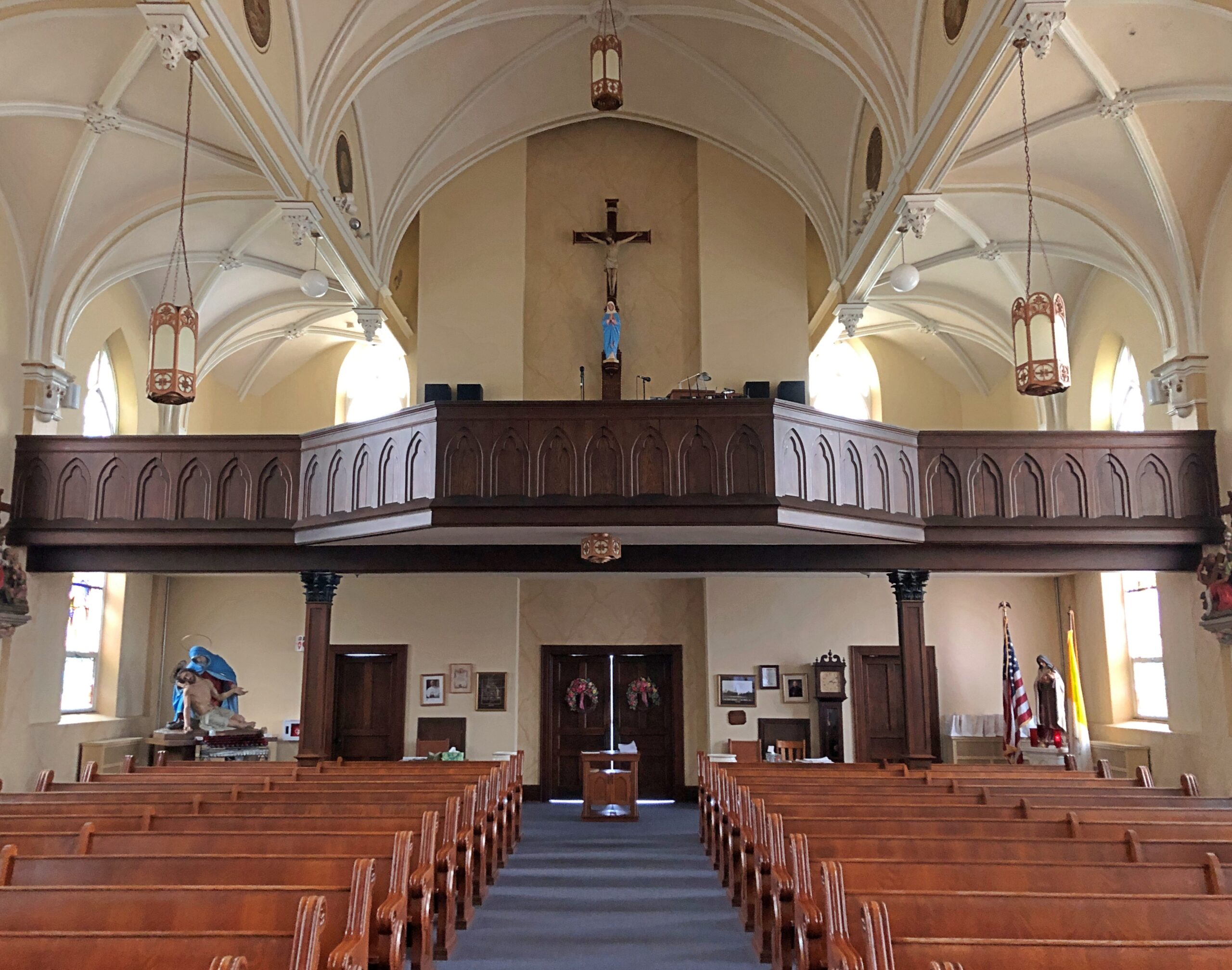
Our Lady of Czestochowa Parish, Turners Falls.
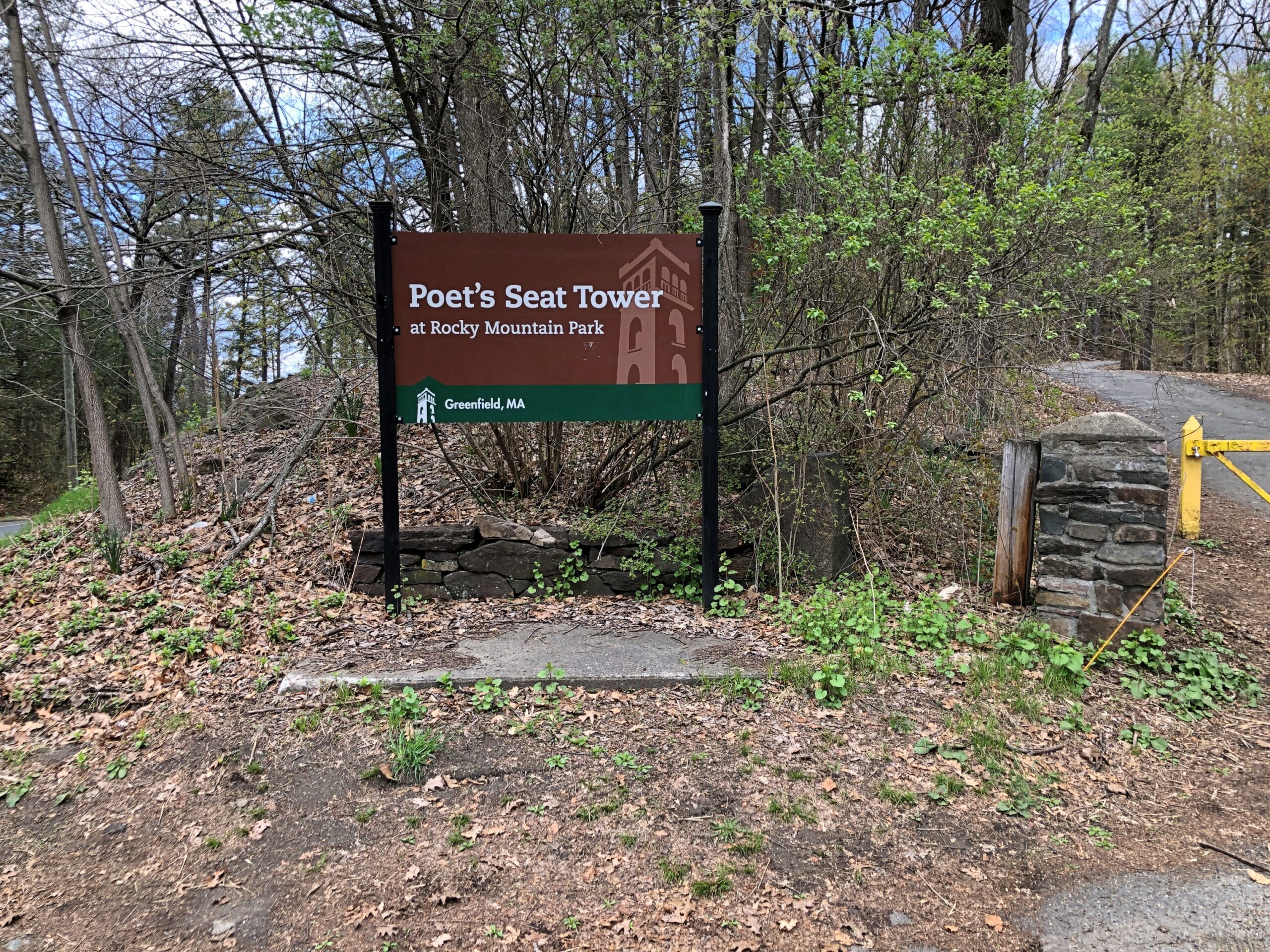
The church was closed. So was Poet’s Seat Tower.
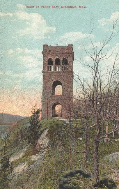
As the tower appeared more than 100 years ago.
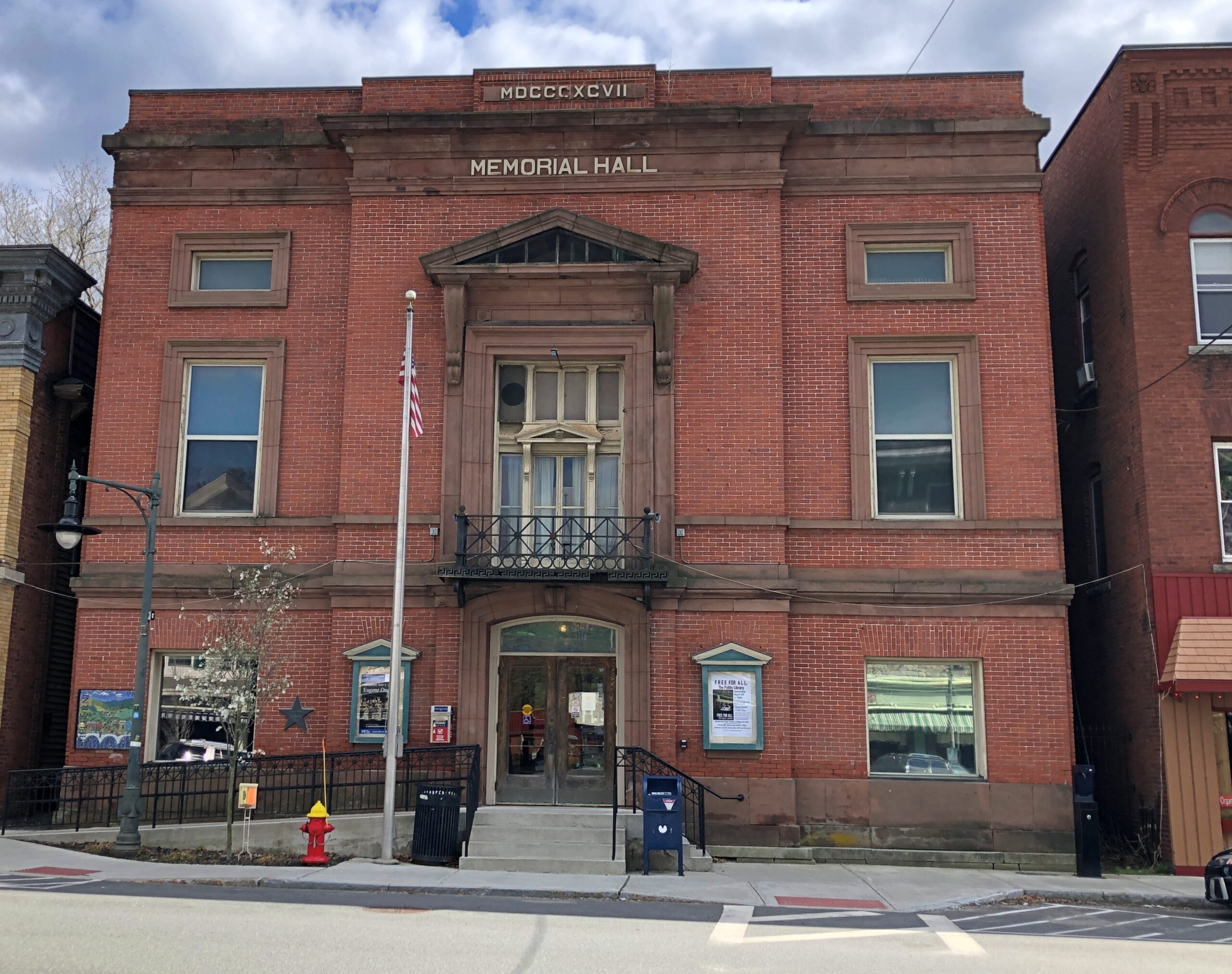
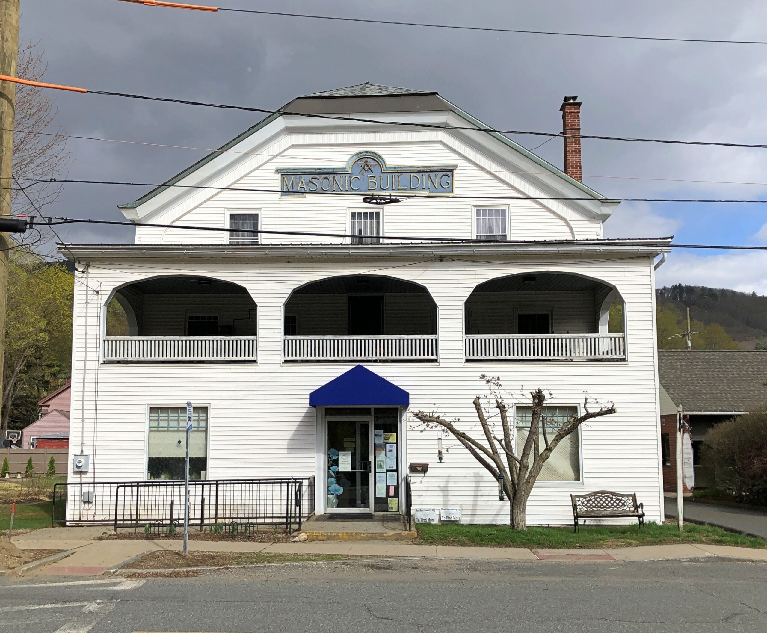
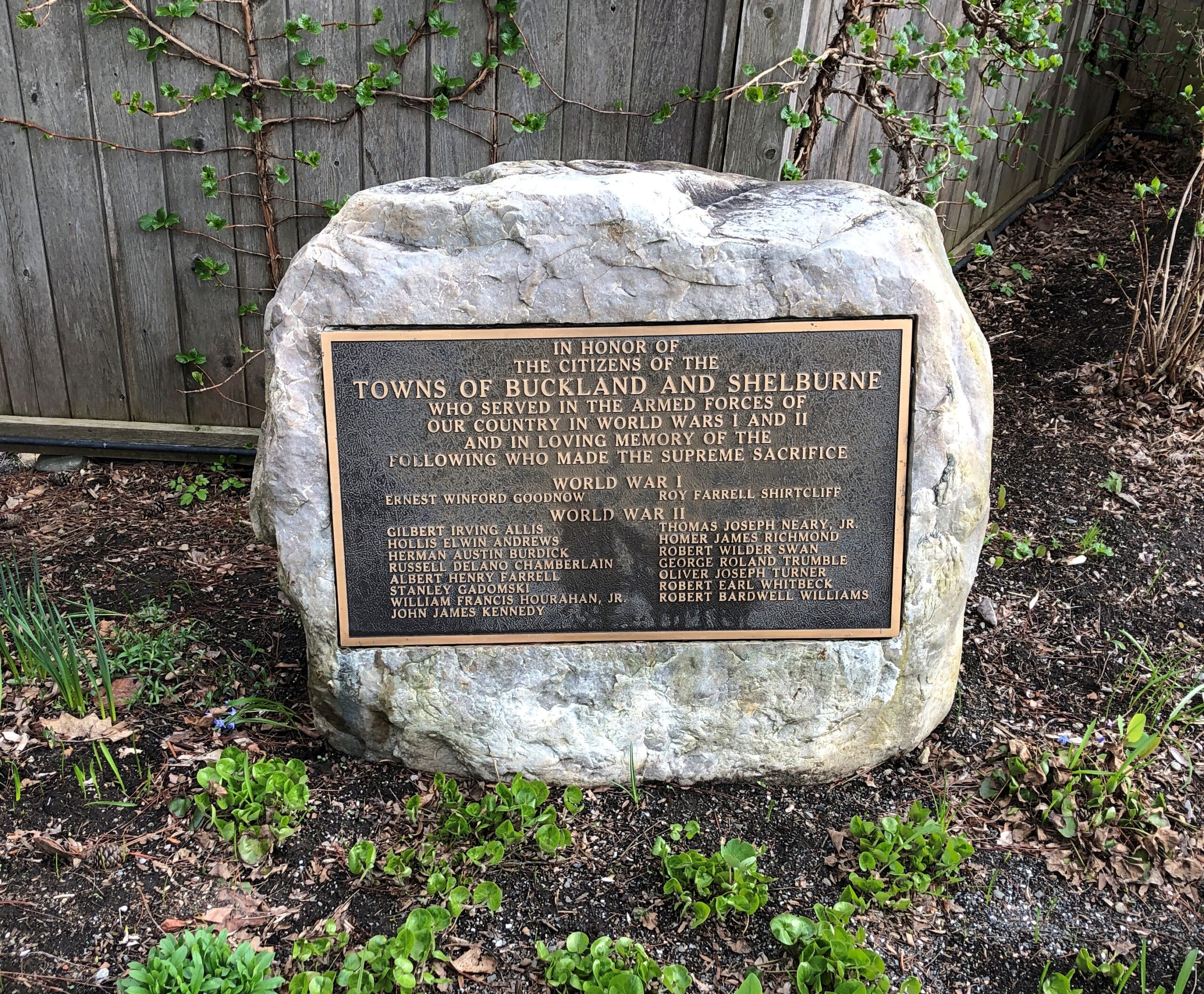
Shelburne.
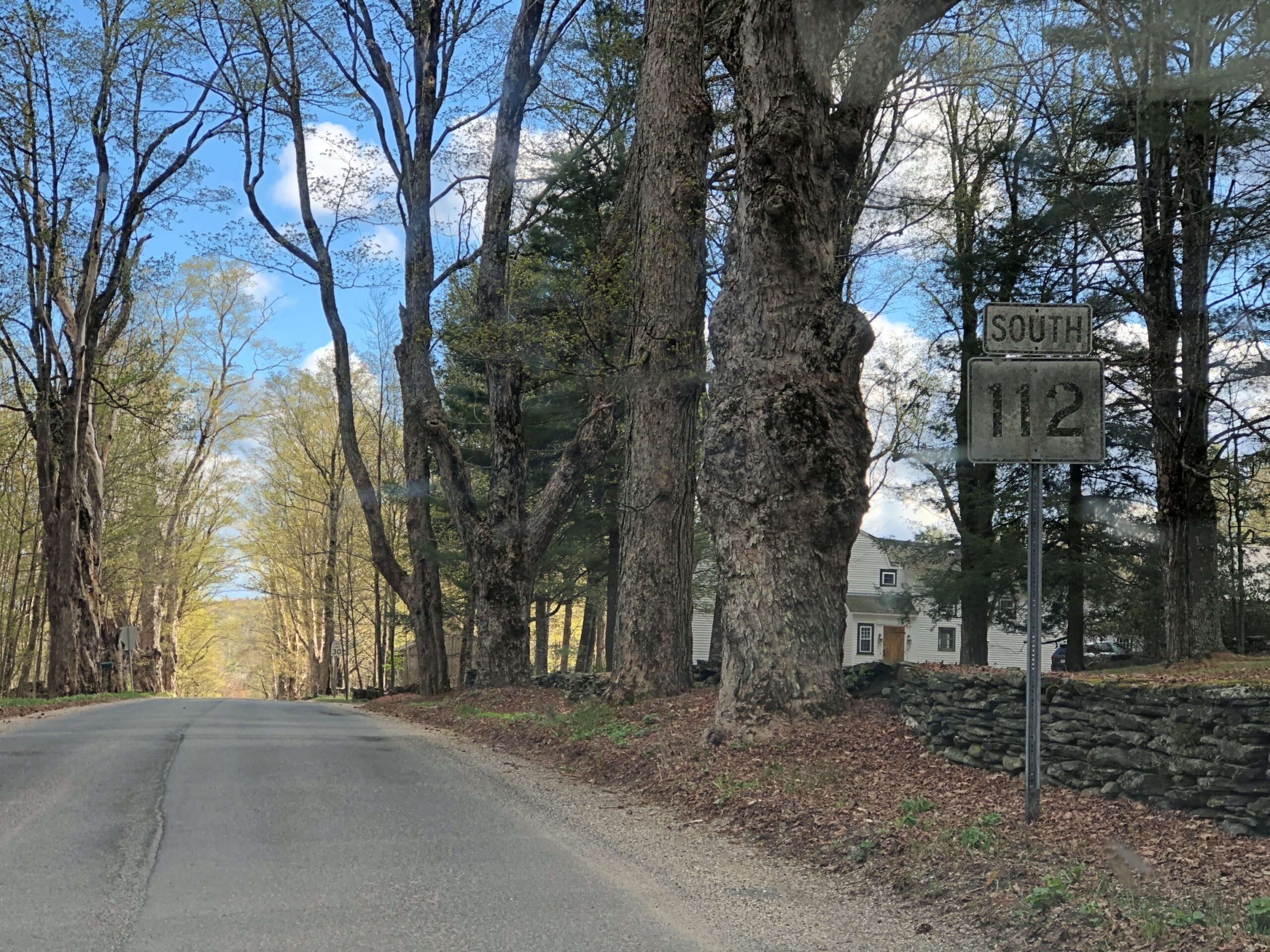
Massachusetts 112 (Route 112) in Hamilton County. Car commercial driving.
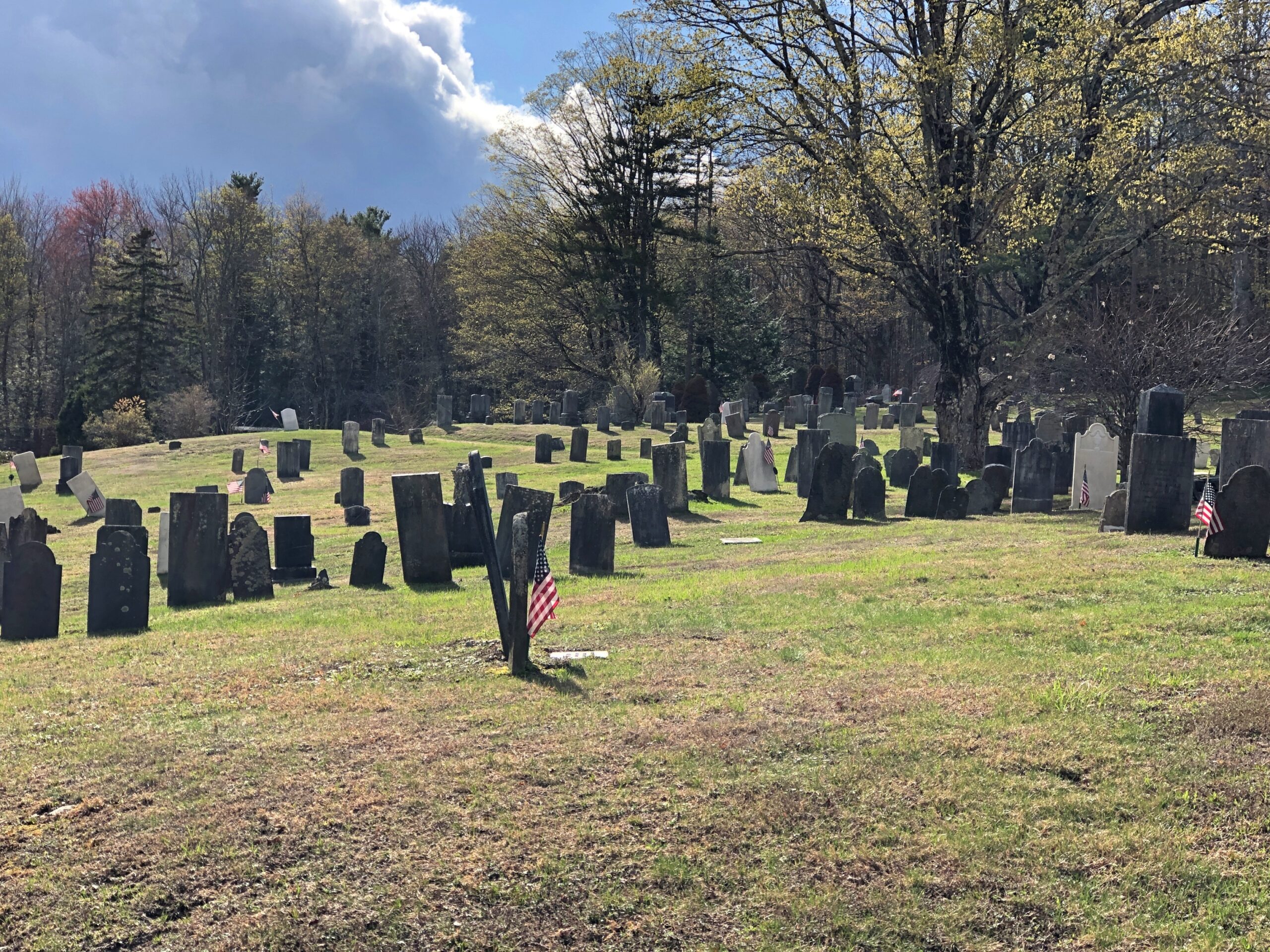
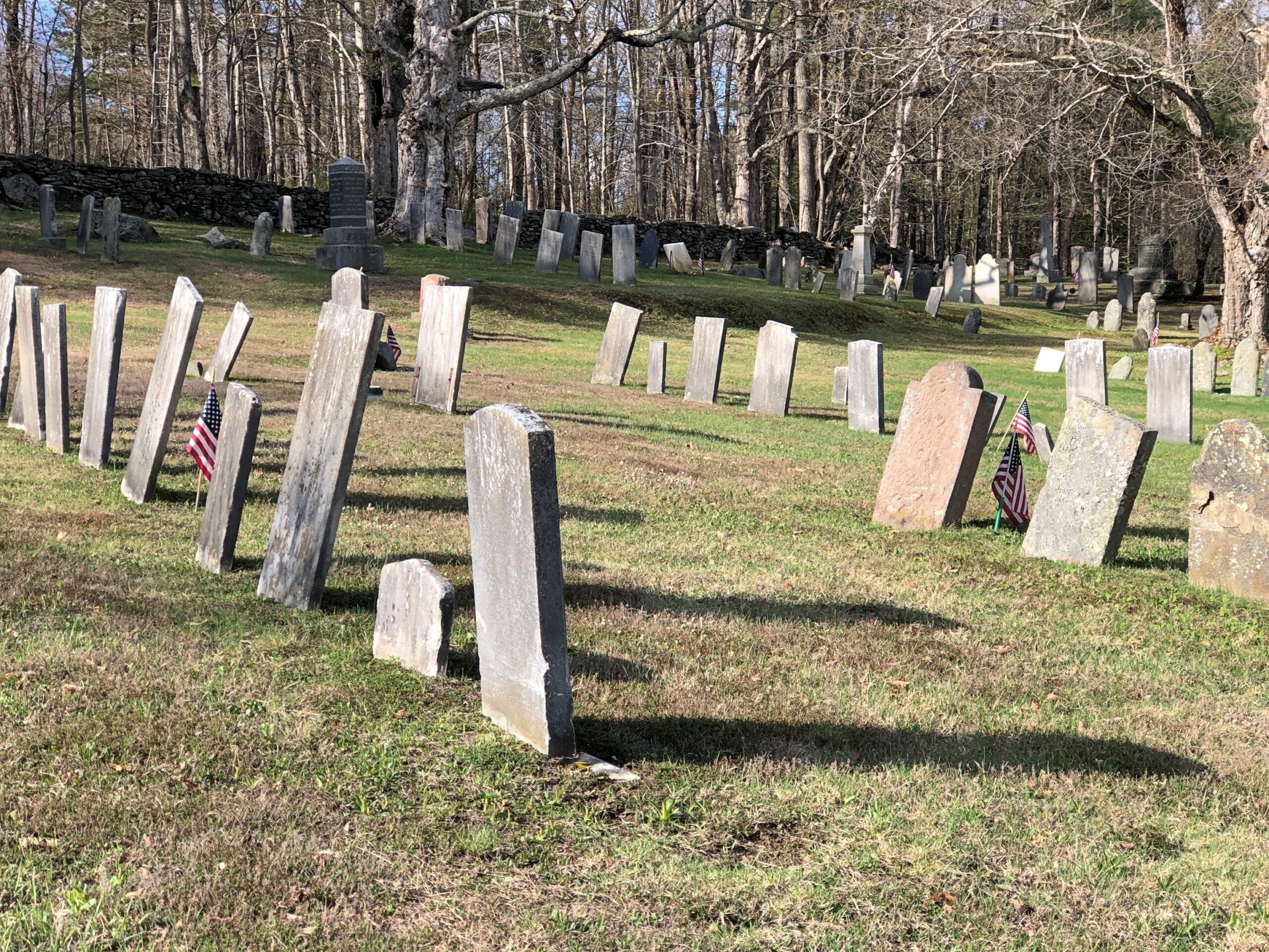
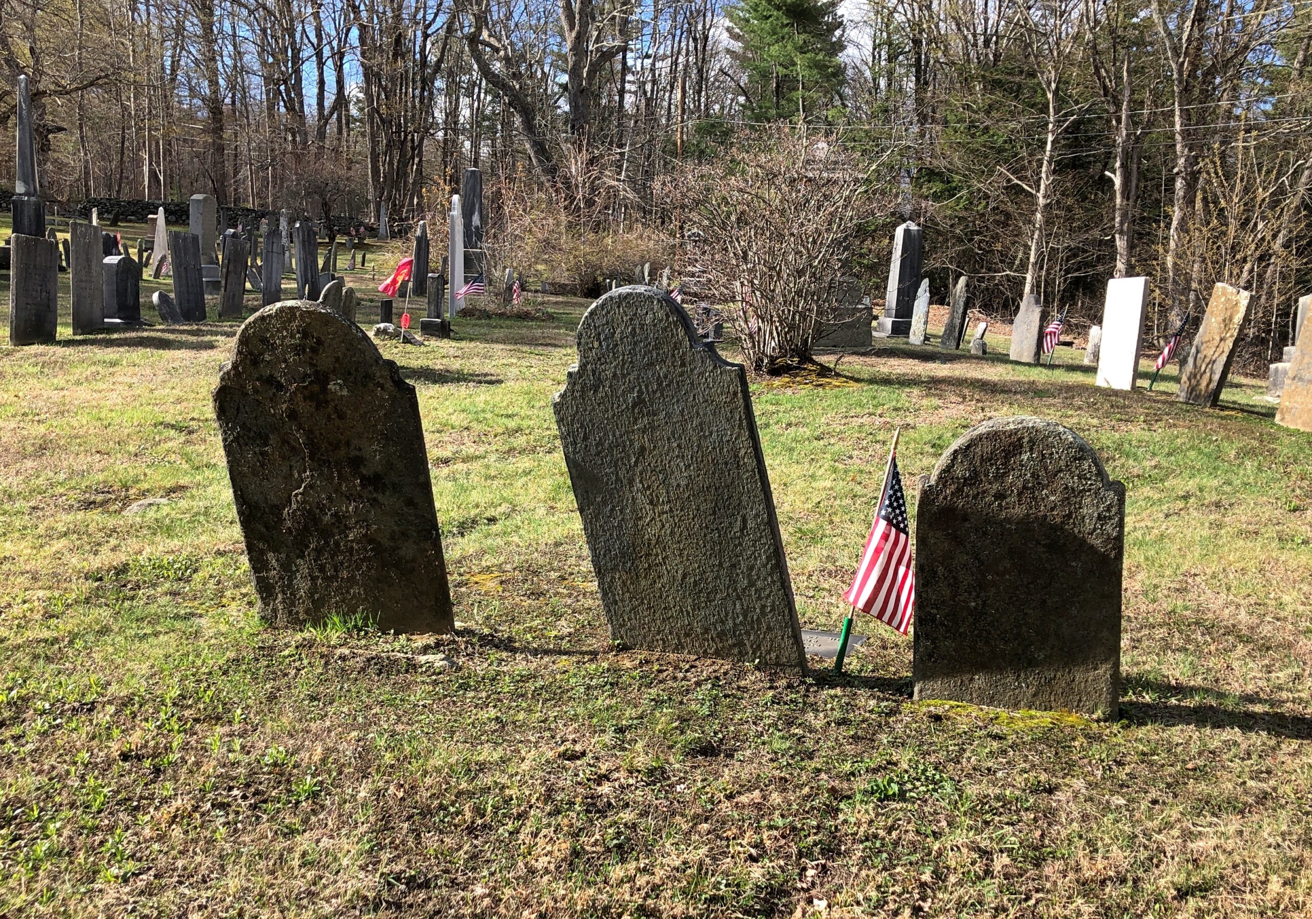
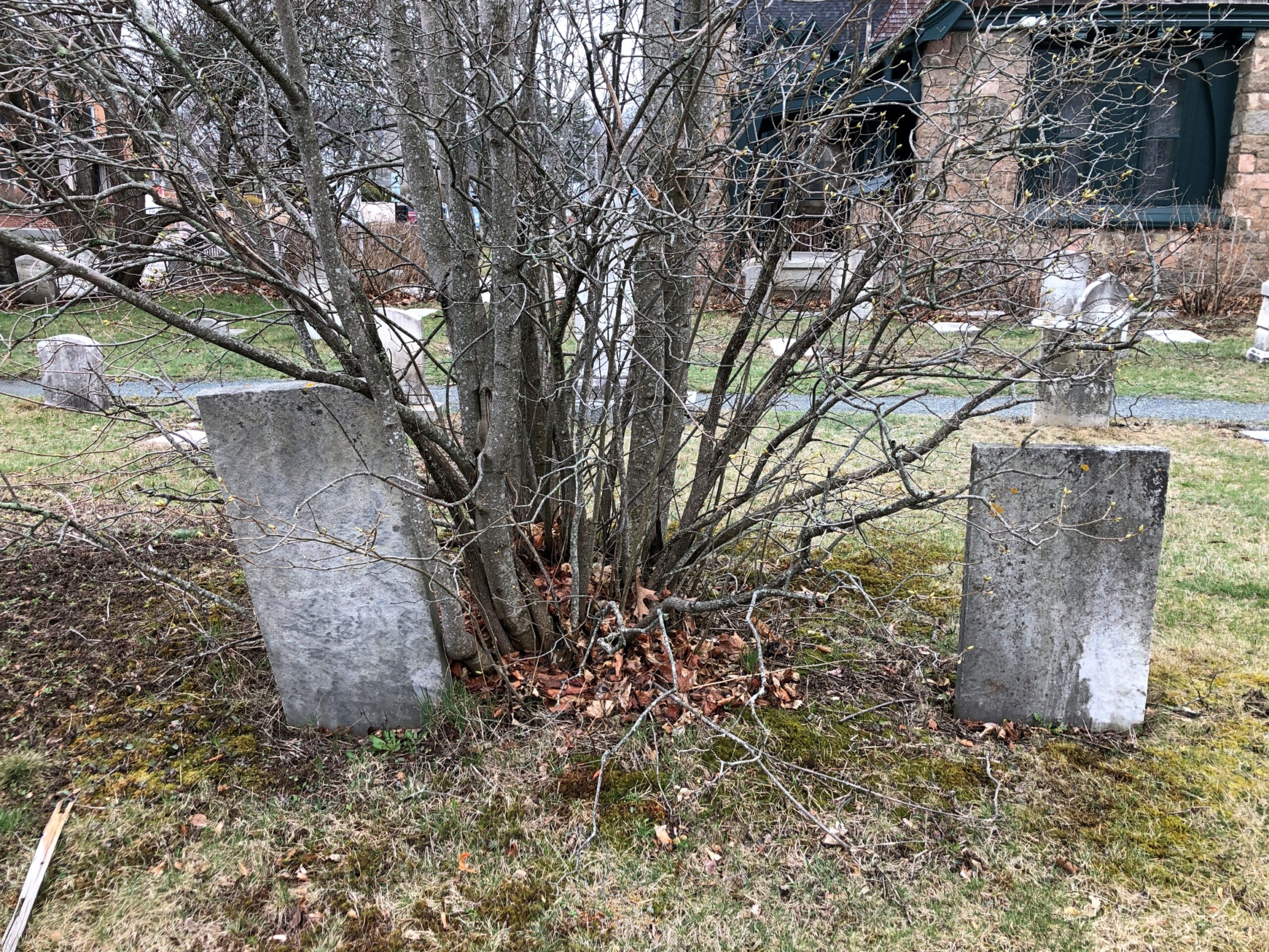
Goshen Cemetery, just off Route 112.
Ohio
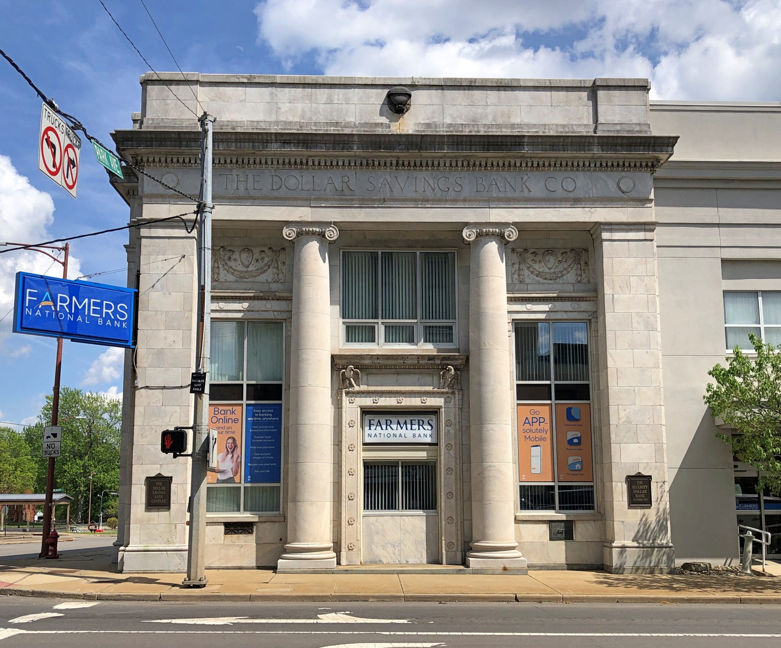
A solid bank building in Niles, across the street from where William McKinley was born. The Dollar Savings Bank Co. sounds like the kind of place that George Babbitt would mention, but distain in favor of a bank with longstanding ties to the best business men in Zenith.
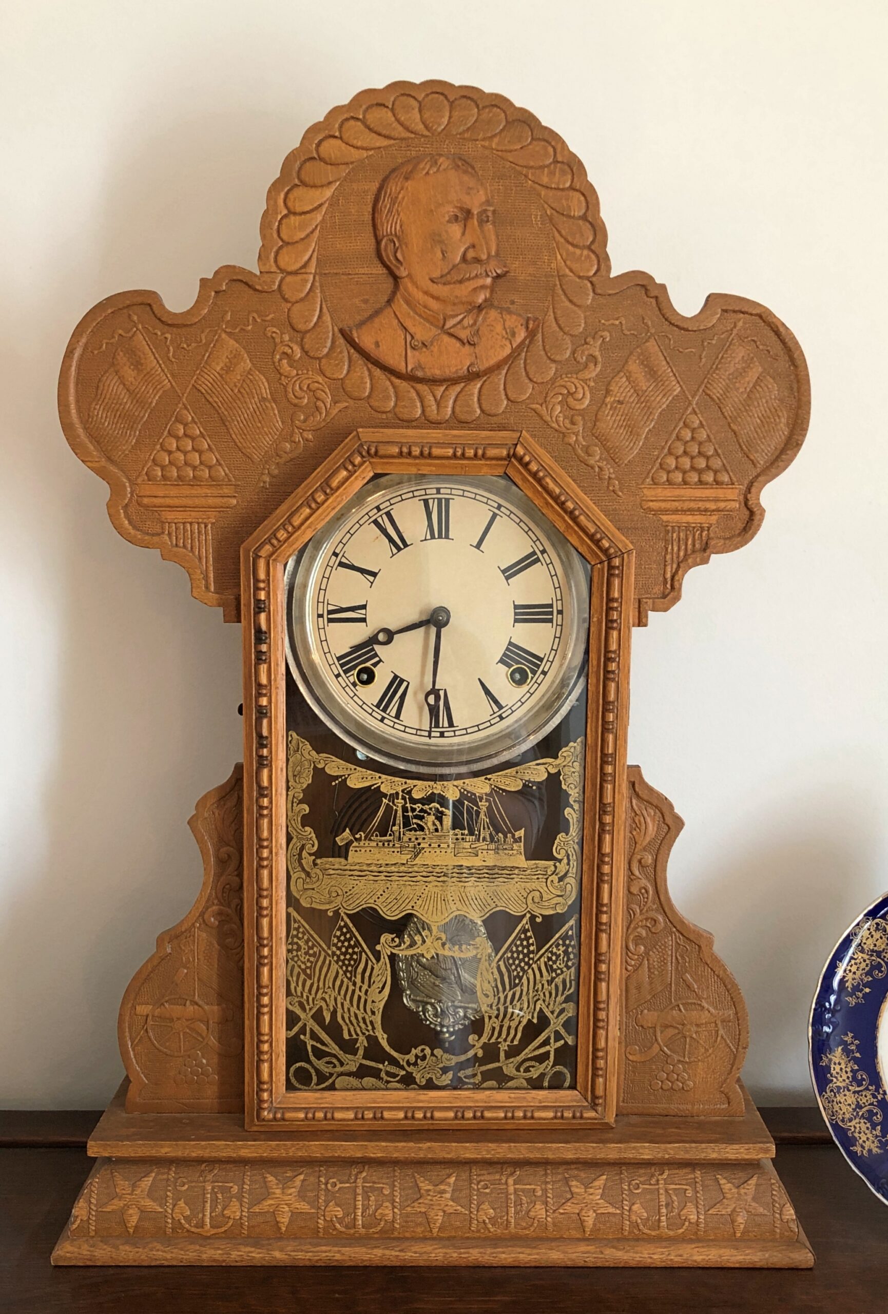
An Admiral Dewey clock at the McKinley Birthplace Museum. A textbook case, that Dewey, of how fleeting fame usually is.
Passing through northeast Ohio intrigued me greatly about that part of the state. Akron, Canton, Youngstown, Austintown — all places I can imagine going, and enjoying the visits. See ’em before the reverse migration really gets underway.
Further west, the drive on the Lincoln Highway (US 30) was a pleasure: mostly four lanes, rarely crowded. The flat farmlands don’t qualify as conventionally scenic, but the budding springtime fecundity has a lot to recommend it, even as a strictly visual pleasure: the bright greens of new leaves, the brown and grays of the fields recently plowed, small roads heading off usually at right angles to the main road, a run between Upper Sandusky and I-75 near Lima with few buildings of any kind, except distant farm structures.
Downtown Lima: the Allen County courthouse, seen from North St.
Looks like my kind of breakfast place. Closed on Sunday anyway.
Another North St. detail. Spiderman sitting on — something. A large scoop of strawberry ice cream?
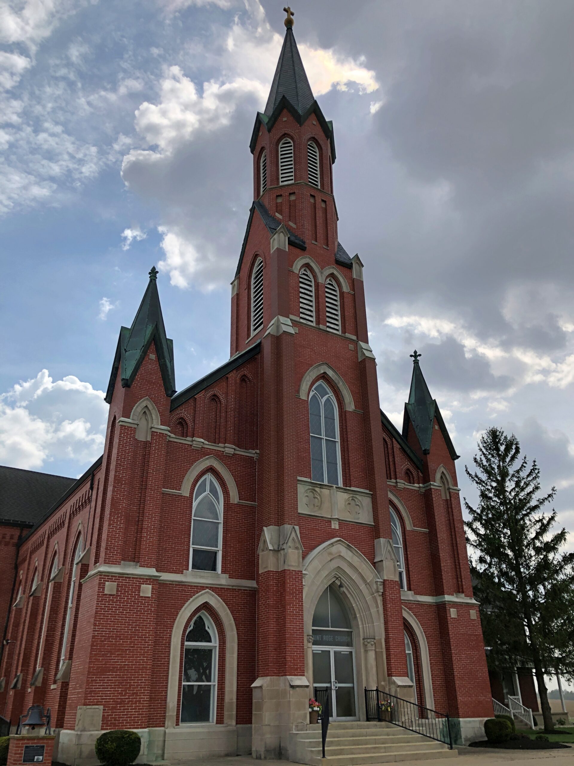
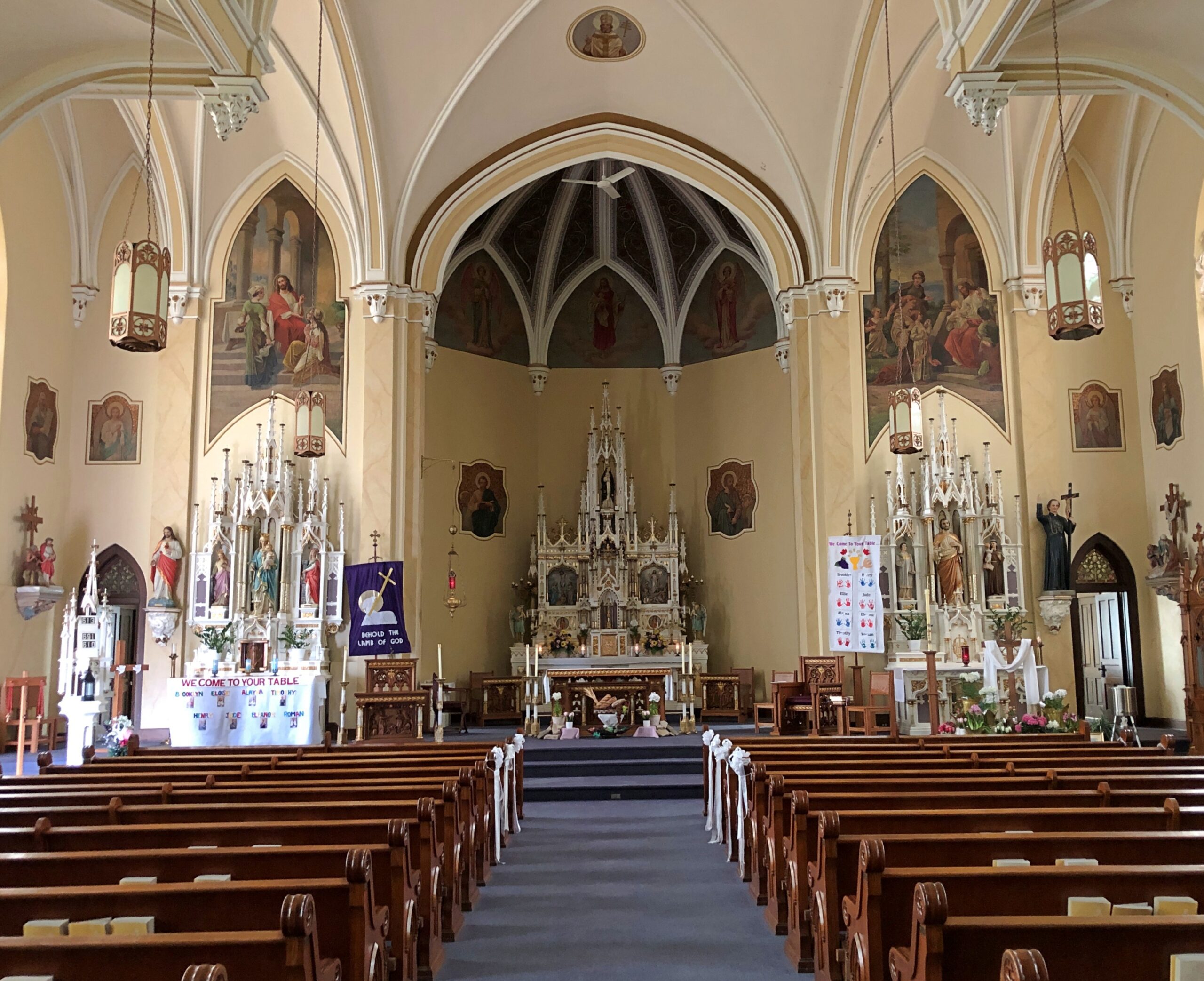
Saint Rose Church in the hamlet of Saint Rose, not far east of the Ohio-Indiana line. A Cross-Tipped Church.
Pennsylvania
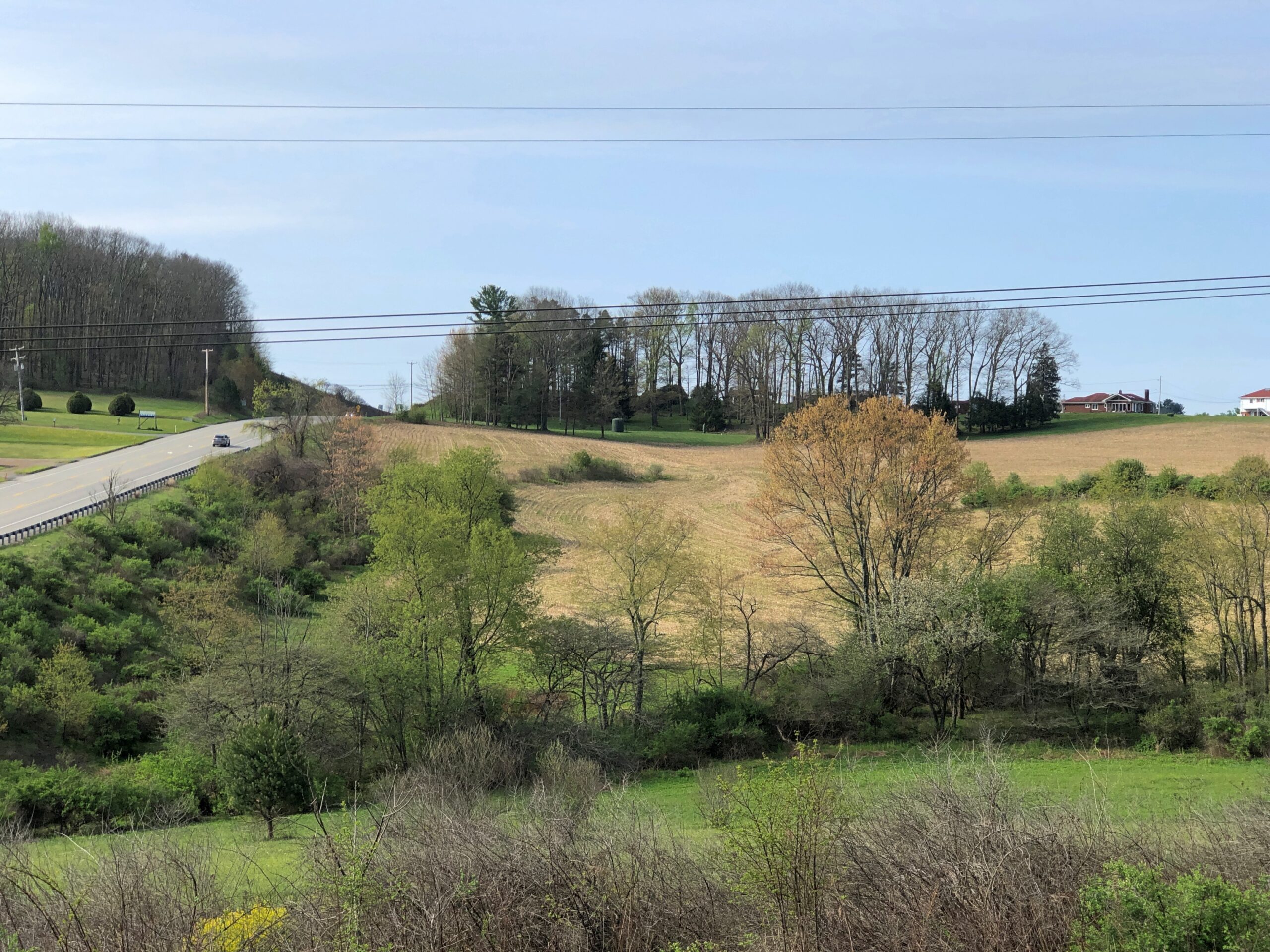
The hills at the edge of Punxsutanwney.
The drive west across Pennsylvania began across the Delaware River from Port Jervis, NY, taking US 209 southwest through part of Delaware Water Gap National Recreation Area. Bet the straight-ish, two-lane road is busier in peak recreation season in the Recreation Area, but in April, I booked along without encountering much in the way of traffic. Trees were still budding, but it wouldn’t be long before some stretches of the highway would pass through green tunnels. The sunlight was already casting green leaf shadows on the road.
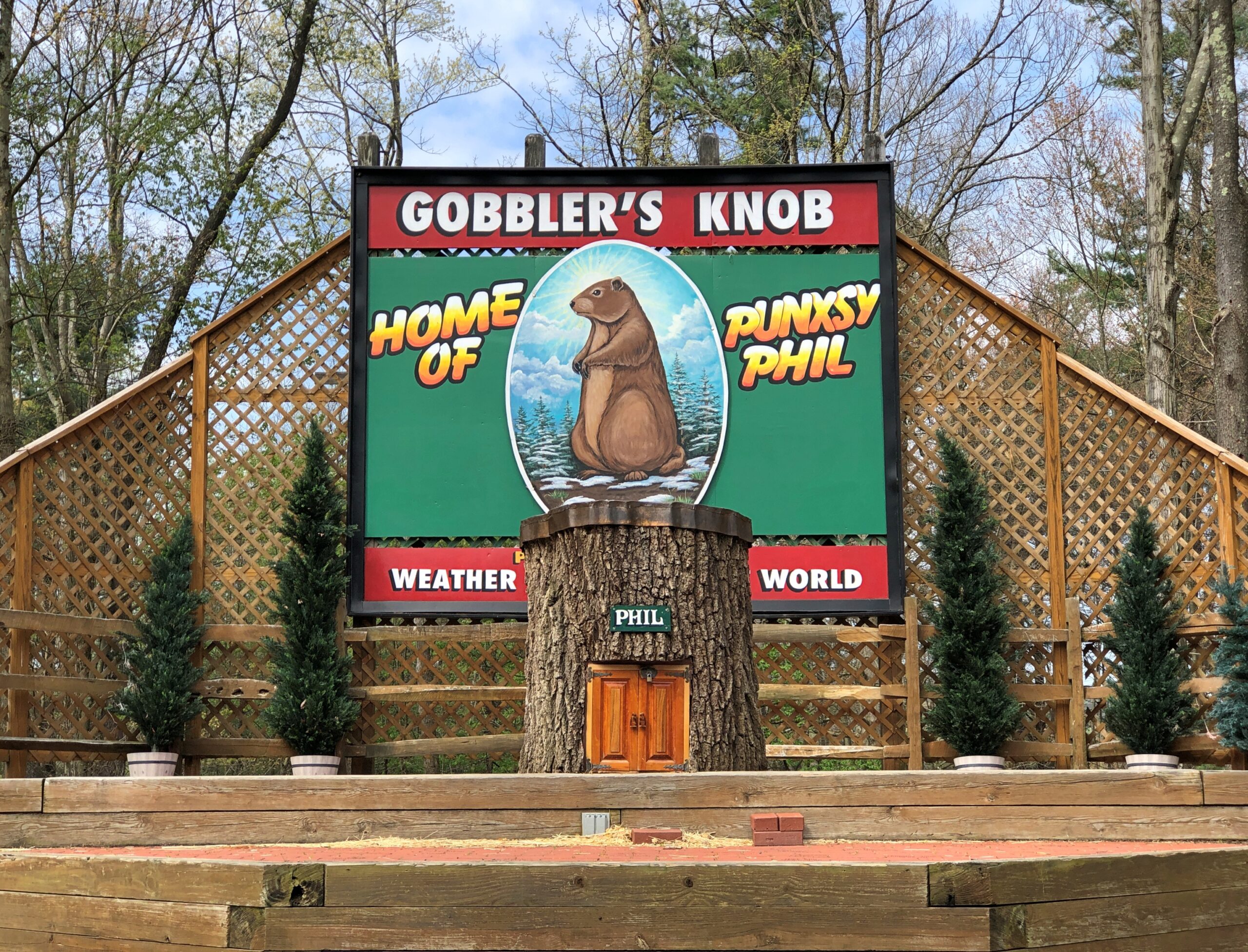
Watch Groundhog Day, and the impression is that the festivities are held in the center of town — which they are, in the Punxsutanwney stand-in of Woodstock, Illinois. Go to Punxsutanwney itself and learn that the February 2 fest is a few miles from town in a place called Gobbler’s Knob.
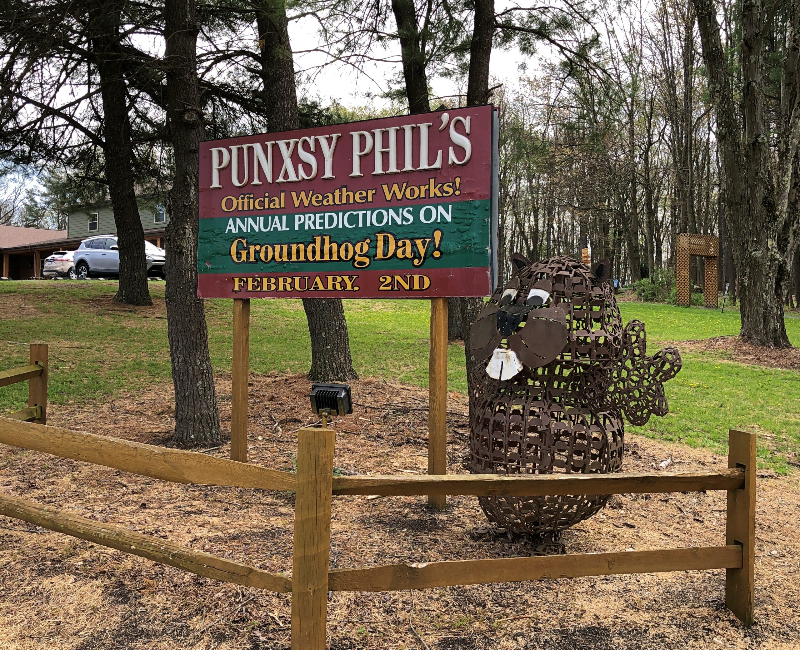
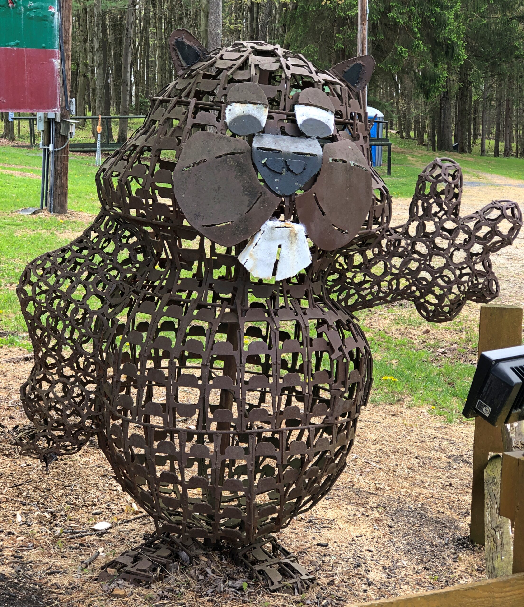
One more Phil. Iron Phil.
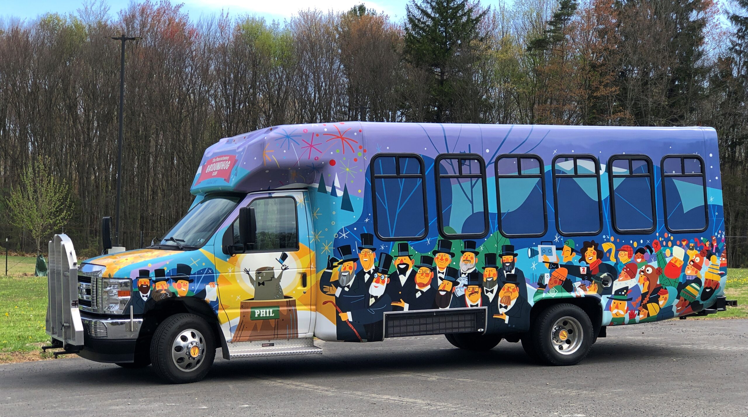
The clerk at the Gobbler’s Knob gift shop took pains to let me know that the site, and the festivities, were overseen by a nonprofit, not the commonwealth. Outside is the nonprofit’s bus, or at least I assume that, probably used to ferry people from town to GK and vice-versa, to help deal with the popularity of the event.
I like a good local festival as much as anyone, but February 2 is a deal-breaker. Can’t Phil come out again on August 2 to predict how much longer summer is going to last?
One More (Indiana)
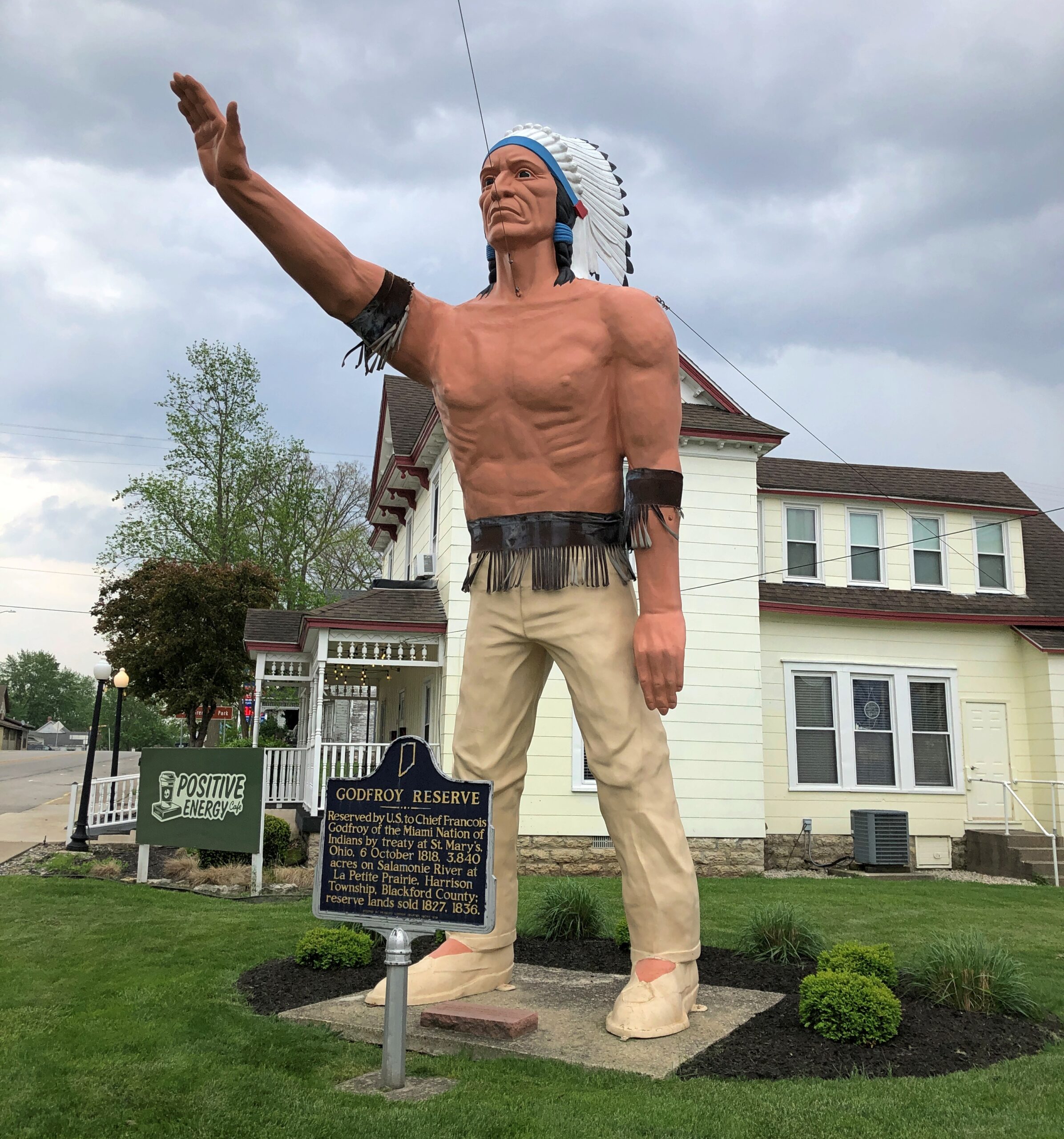
Miami Chief Francois Godfroy stands at the corner of Main Street and Huntington Street/Indiana 18 in Montpelier. Well, maybe it’s supposed to remind passersby of the chief more than actually depict him.
A Daughters of the American Revolution historical marker says: Reserved by U.S. to Chief Francois Godfroy of the Miami Nation of Indians by treaty at St. Mary’s, Ohio, 6 October 1818. 3,849 acres on Salamonie River at La Petite Prairie, Harrison Township, Blackford County: reserve lands sold 1827, 1836.
Waymarking says: “The statue was made in Venice, CA in 1960 for the Tom Wood Pontiac dealership in Indianapolis. Later it was in front of the Indian Museum at Eagle Creek Park In Indianapolis. After the museum closed, the statue (of more a plains Indian than a NE Indiana tribe) was obtained by Chief Larry Godfroy — a descendant who presented it to the City of Montpelier and they erected it as a monument in 1984.”
An example of nonlinear tourism, a term I just made up, is my visit to Warren, Ohio. Linear tourism, another term I just (logically) made up, is picking a destination and sticking to it. That isn’t a bad approach, some of the time. But at other times, one follows an urge to go that next place on the map, to see what you can see. Nonlinear tourism has an element of spontaneity, obviously, and it probably isn’t the best way to plan a long trip.
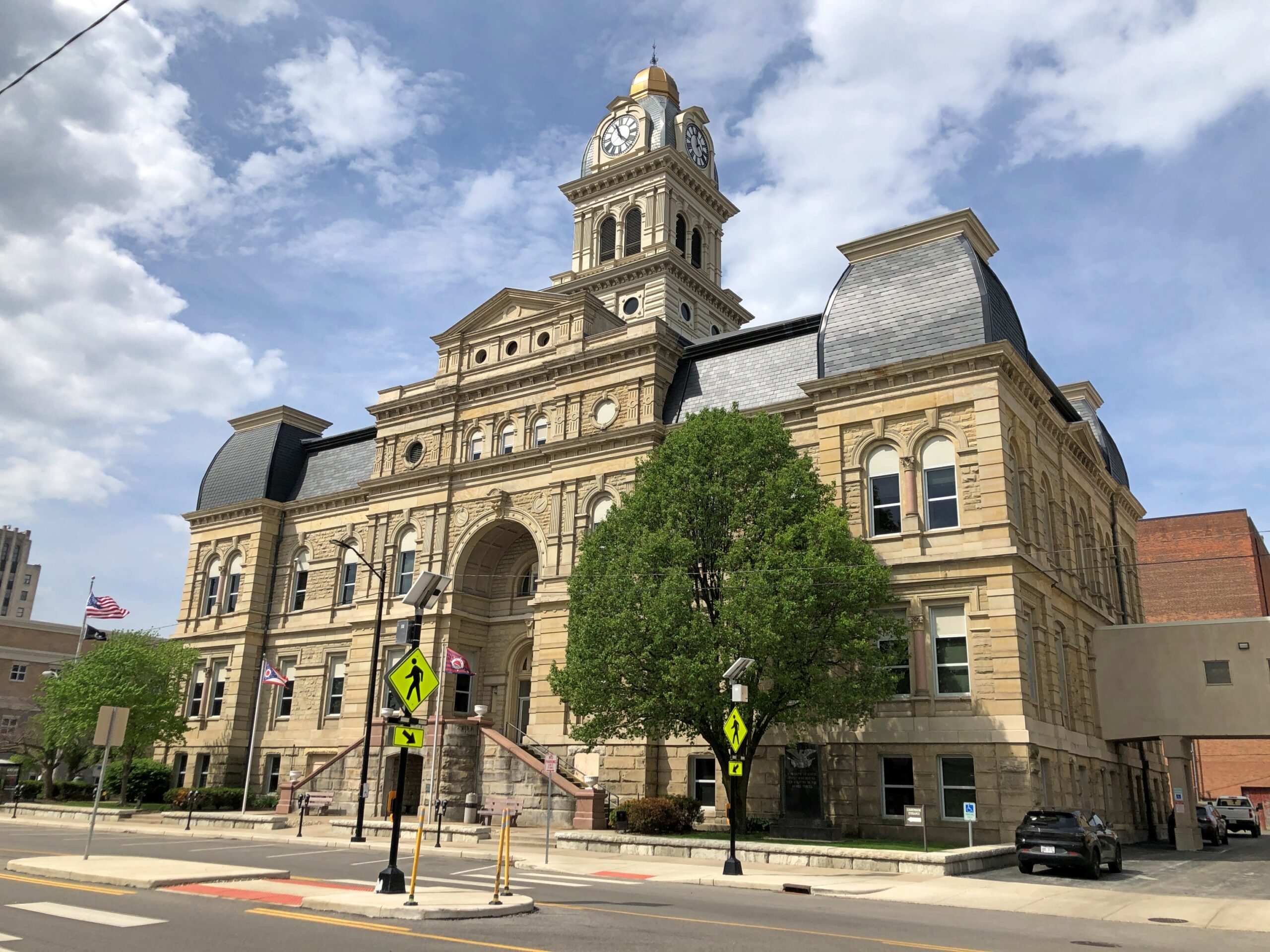
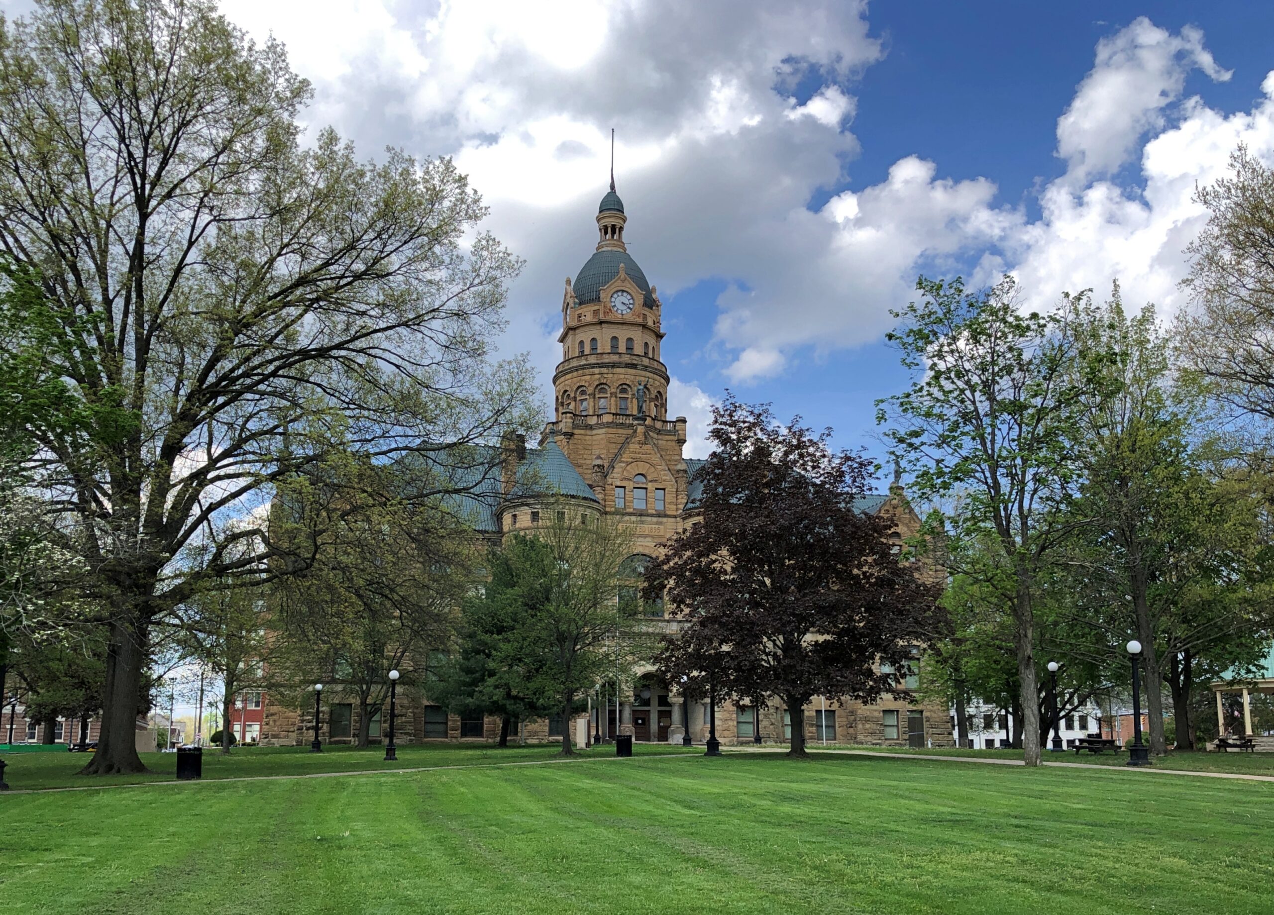
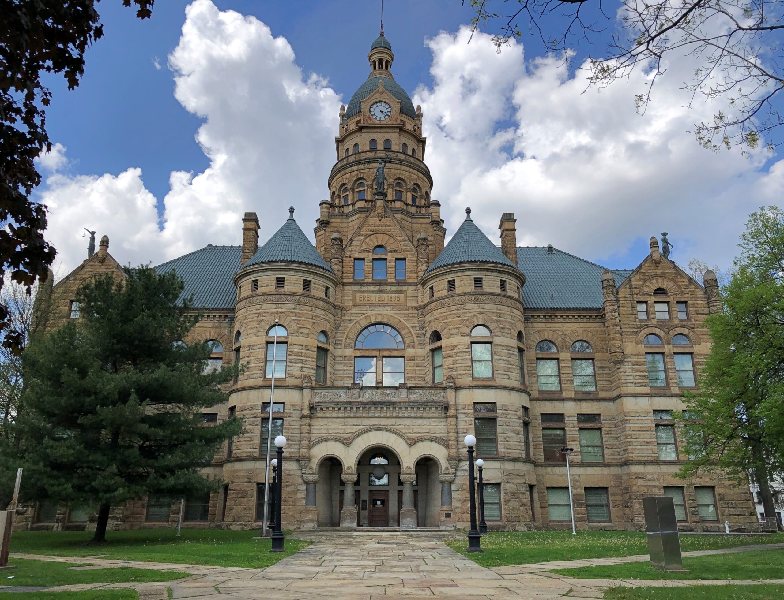
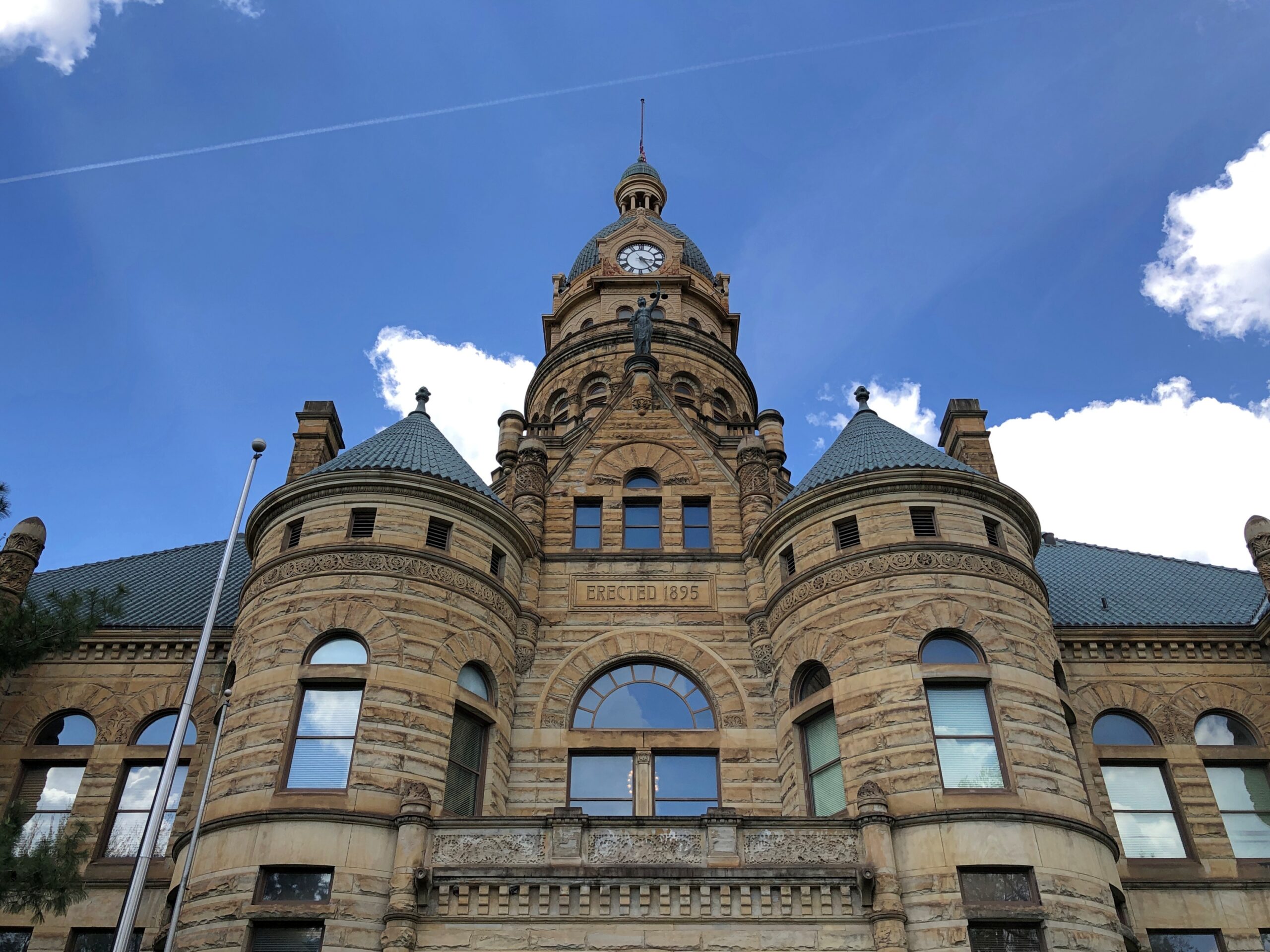
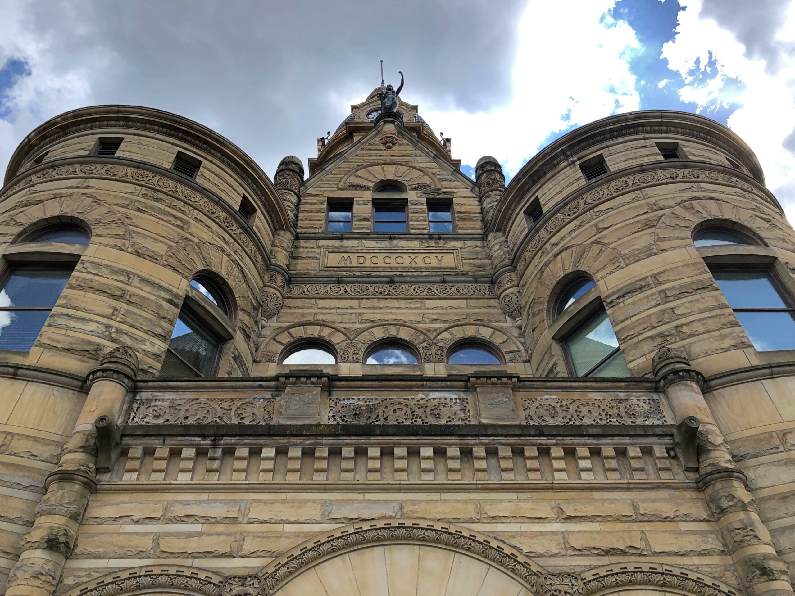
Sometimes the rewards are worth the slight meander. There I was in Niles, done with my visit to McKinley sites, and I thought: Warren’s just up the road. So I went. Warren is the seat of Trumbull County, and a prosperous place 100-plus years ago – Packard got its start there, for one thing – and so the county could afford a grand courthouse in 1895. That was worth the side trip right there.
Front and back.
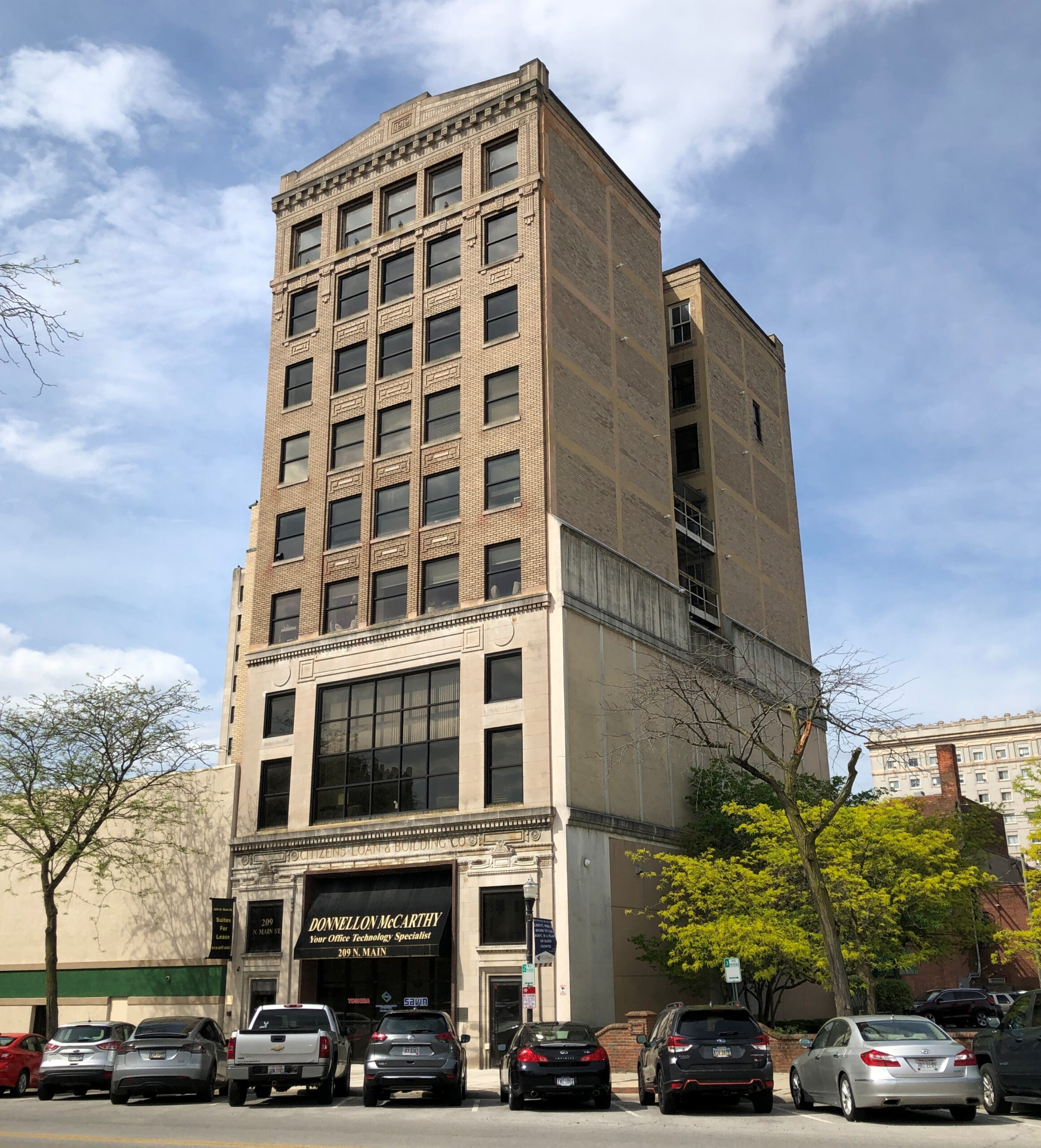
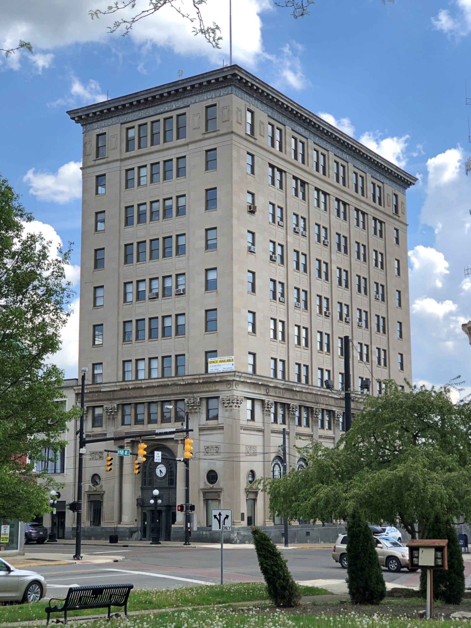
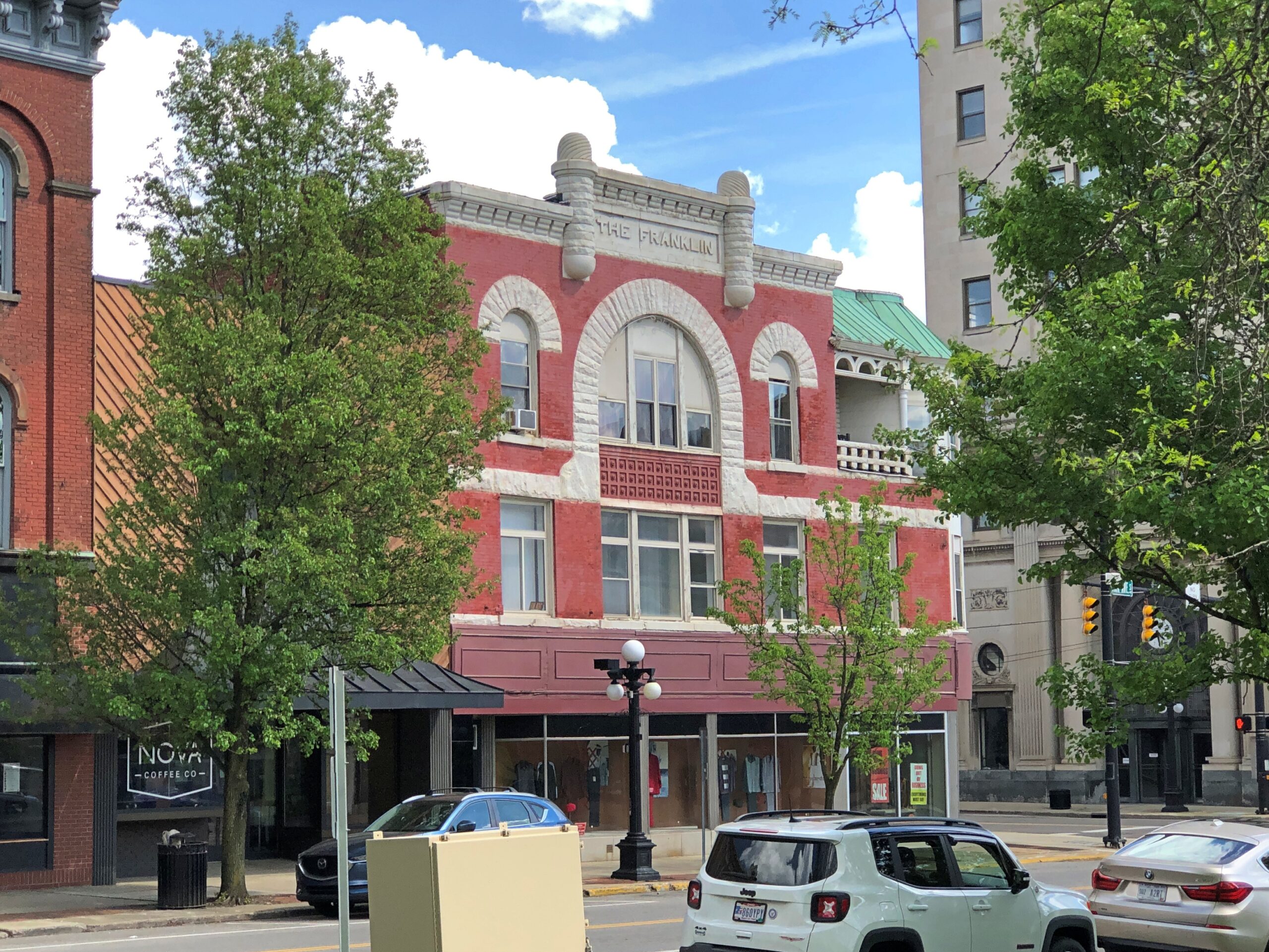
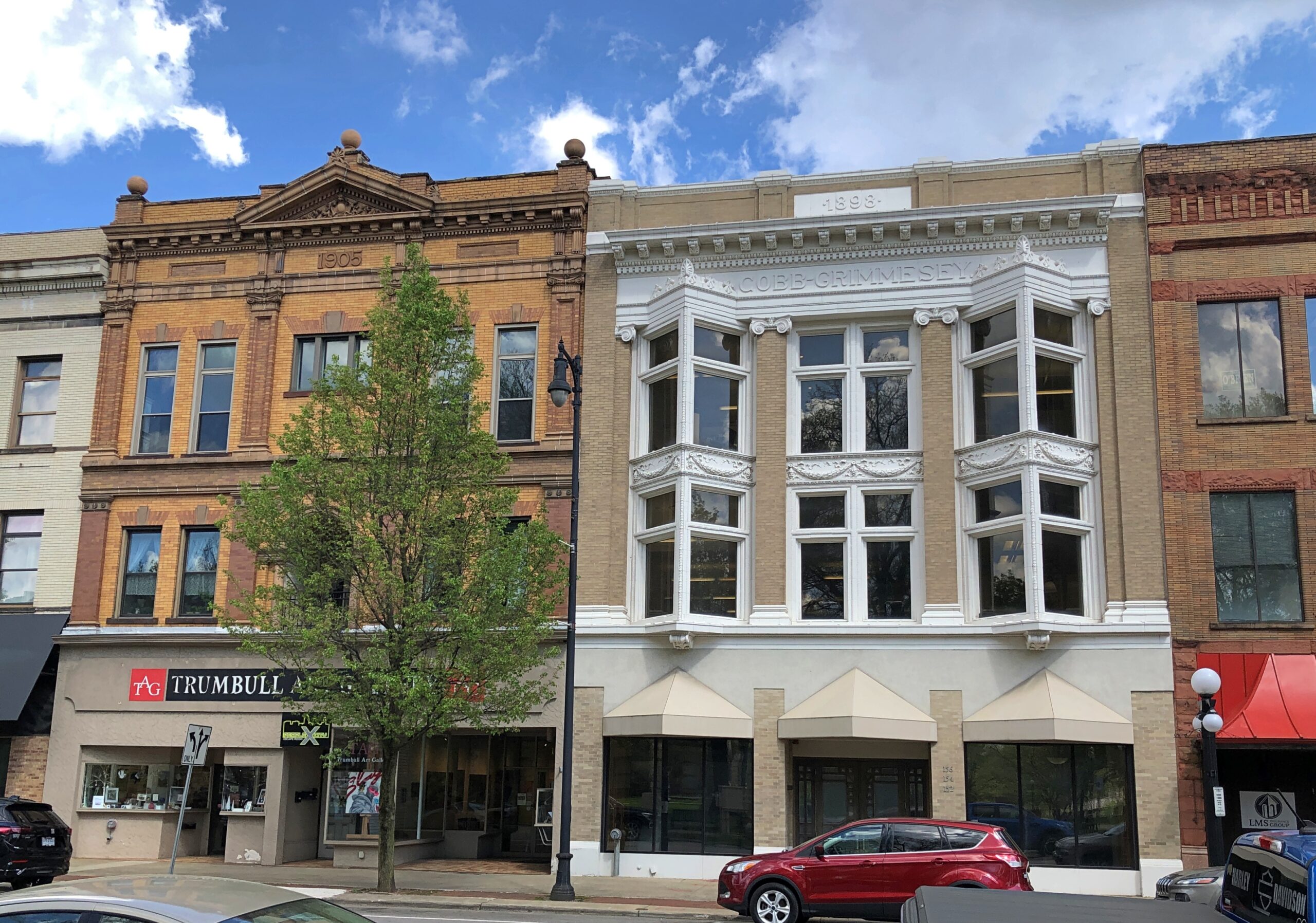
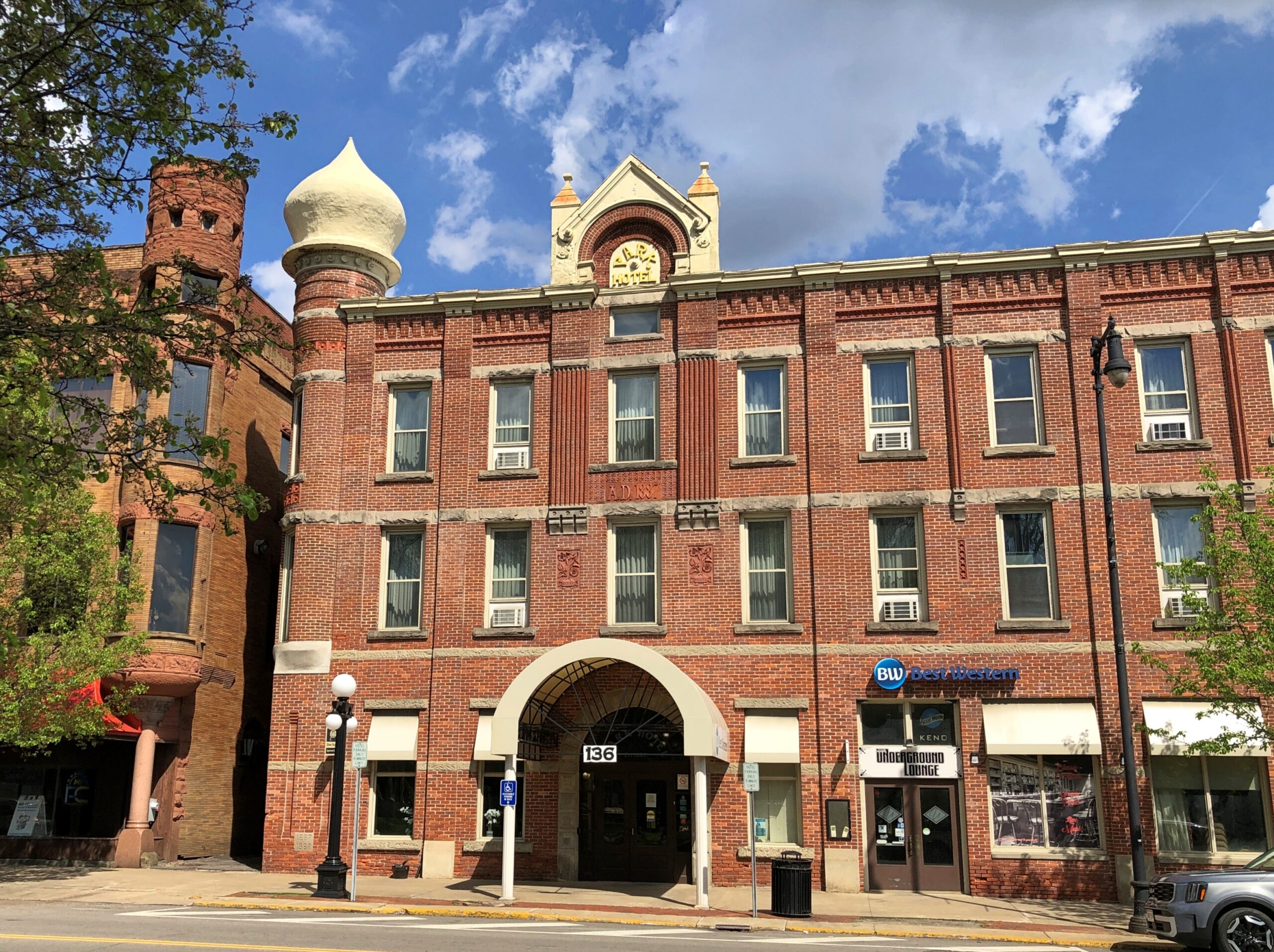
The buildings ringing the courthouse were also worth a look. Warren might not be the industrial hub it once was (though Ohio is making a comeback in that regard), but it isn’t in bad shape, from the looks of things.
That’s what commercial buildings need more of: onion domes.
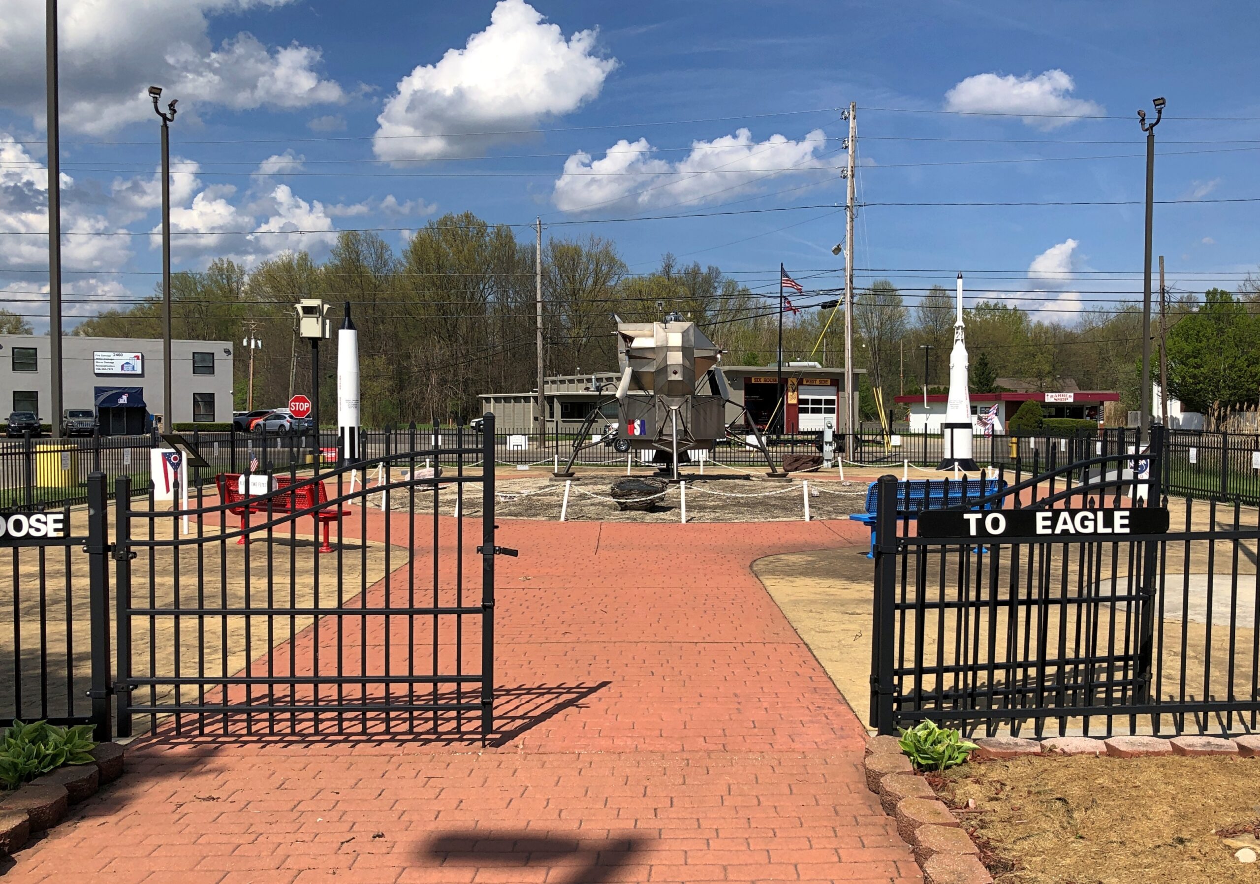
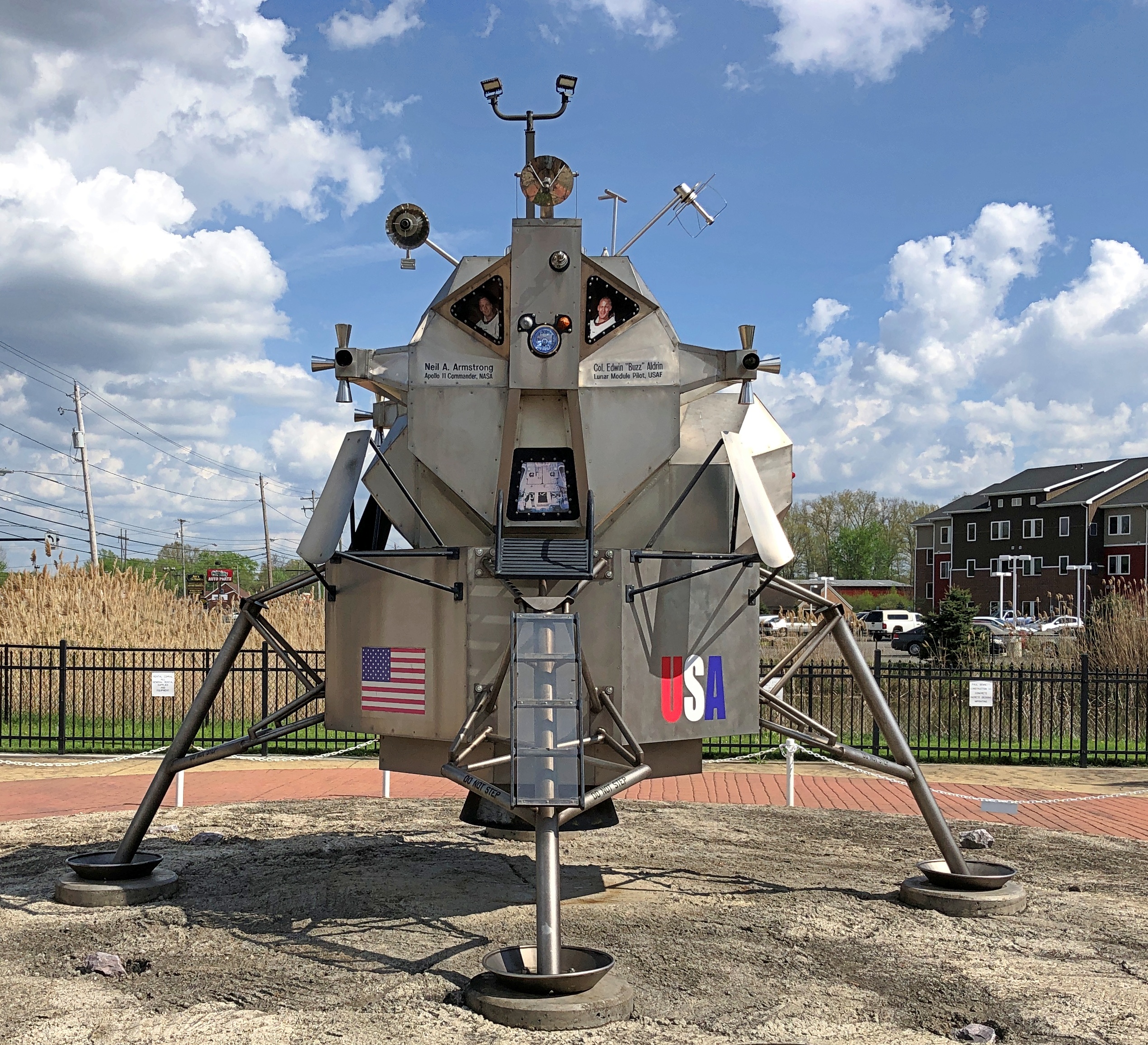
One more place in Warren before I headed west: a replica lunar module on a mock lunar surface.
It’s called “First Flight Lunar Module.” Its web site says: “Neil Armstrong and his family made their home in Warren, Ohio, for a time when he was a young boy. An interest in flying developed at an early age and on July 26, 1936, at the age of 6, young Neil and his father, Stephen, embarked on his first flight in a Ford Tri-Motor airplane – a Tin Goose – from Warren Airways on Parkman Road, now the site of the Apollo 11 First Flight Lunar Module…”
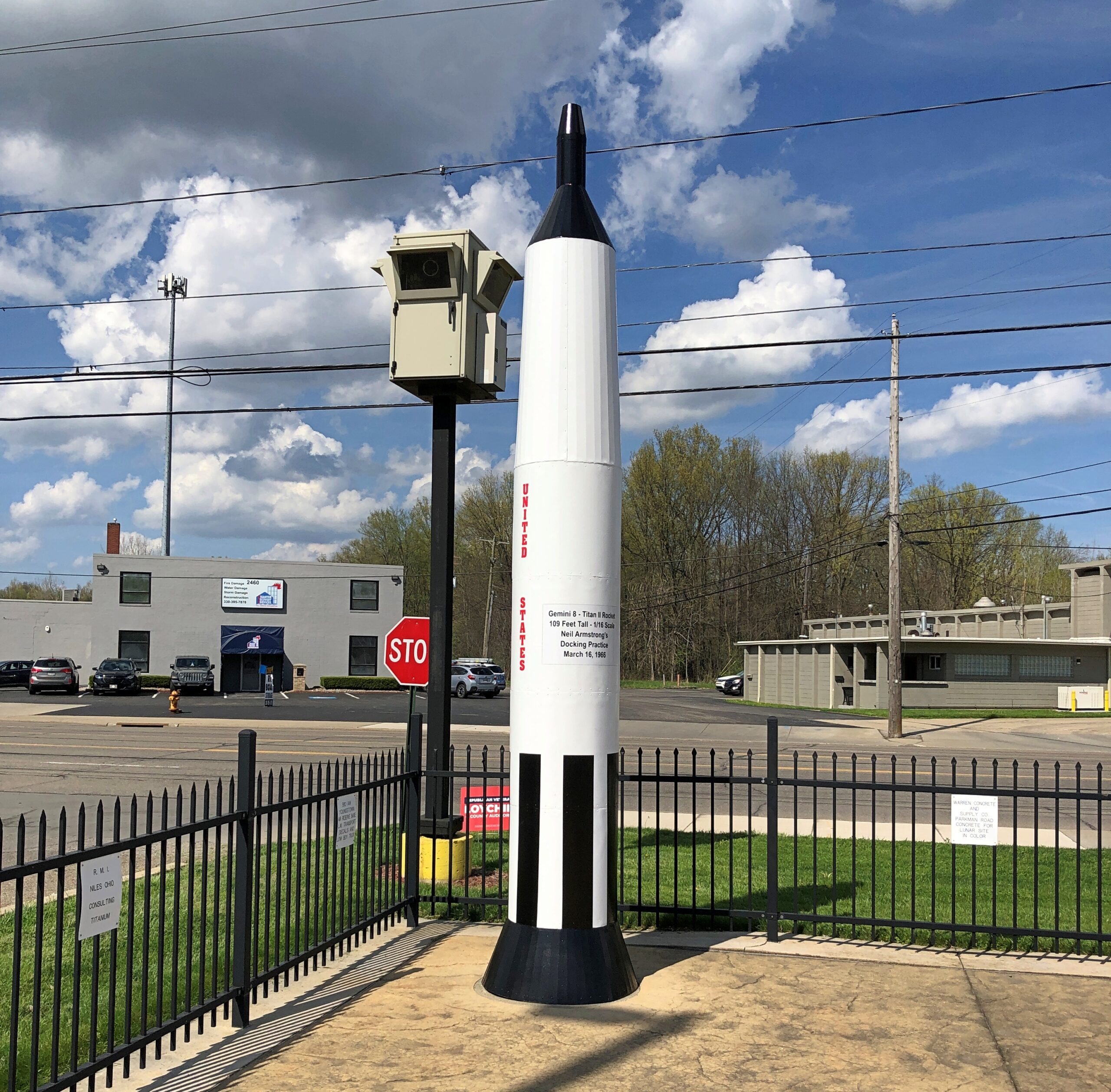
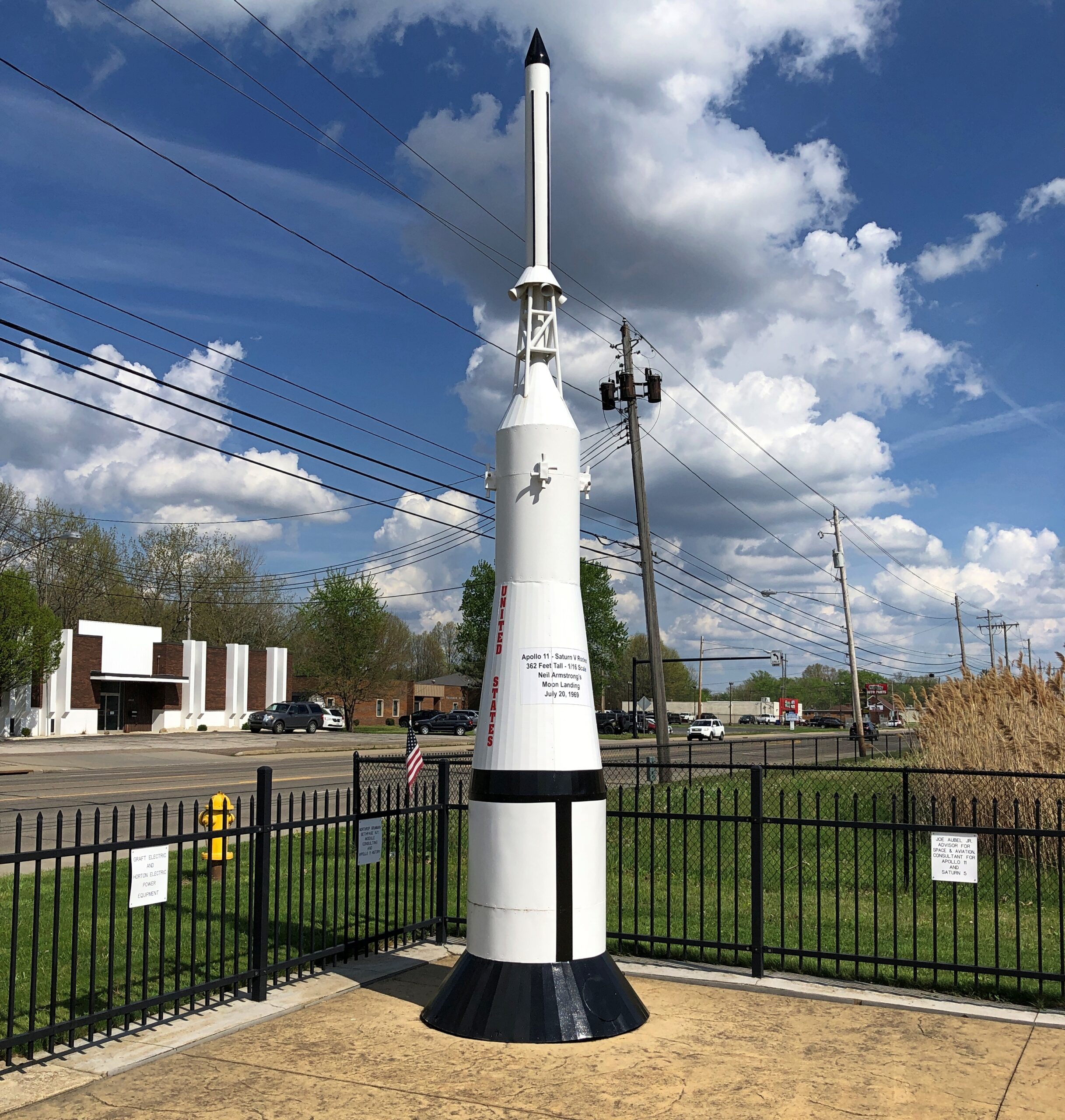
Replicas of Gemini 8 and the Apollo 11 Command/Service Module are also at hand. (And the Escape Tower and part of the third stage, too.)
“Neil’s achievements and ties to the local community inspired retired area photographer Pete Perich’s dream to create a memorial honoring Armstrong. Through the vision of Pete’s daughter, Linda Carpenter, and the technical assistance of Lisa Goetsch, the long-time dream began to become a reality in the summer of 2001.”
Cool. Another benefit of nonlinear tourism for me.
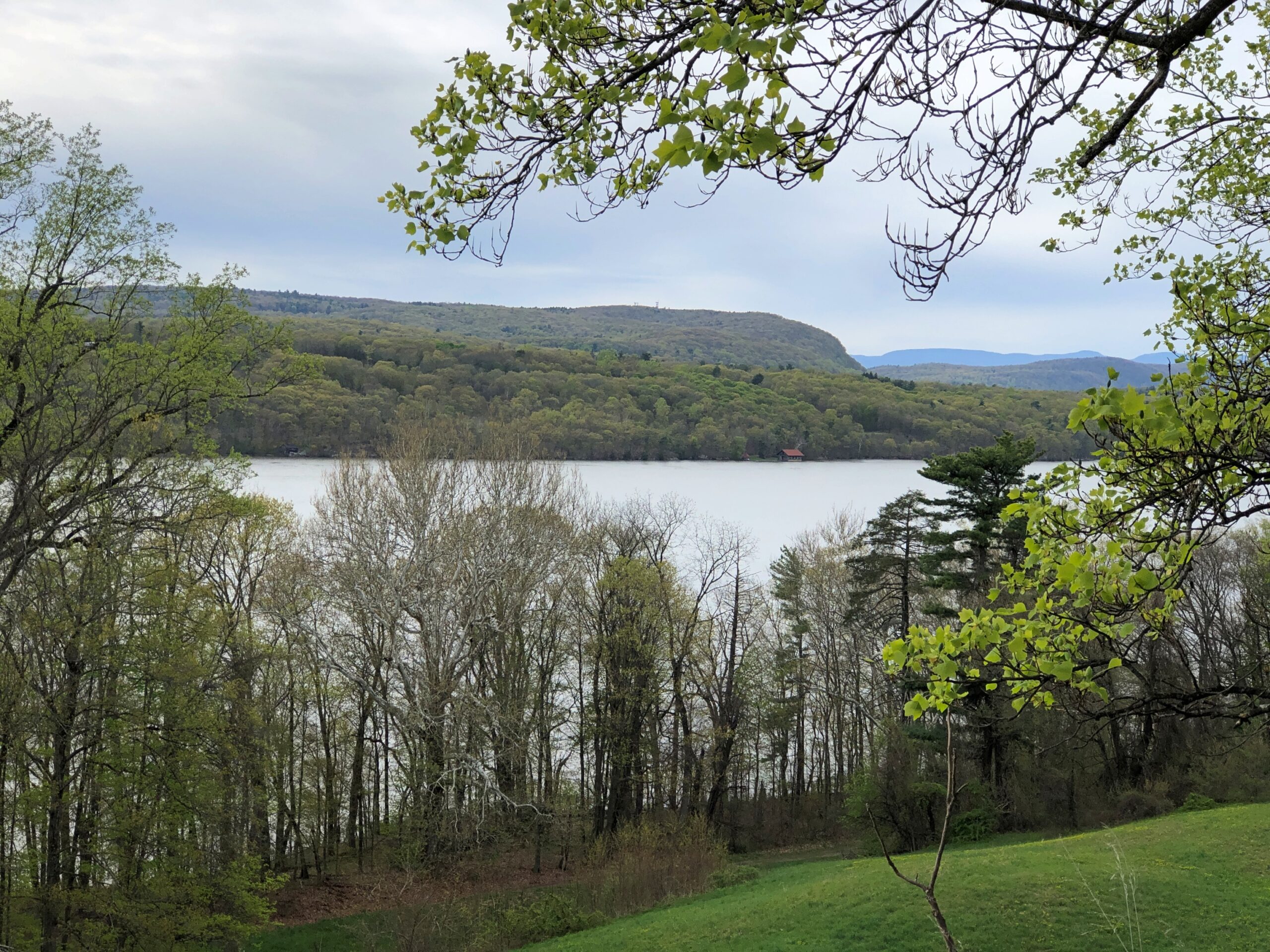
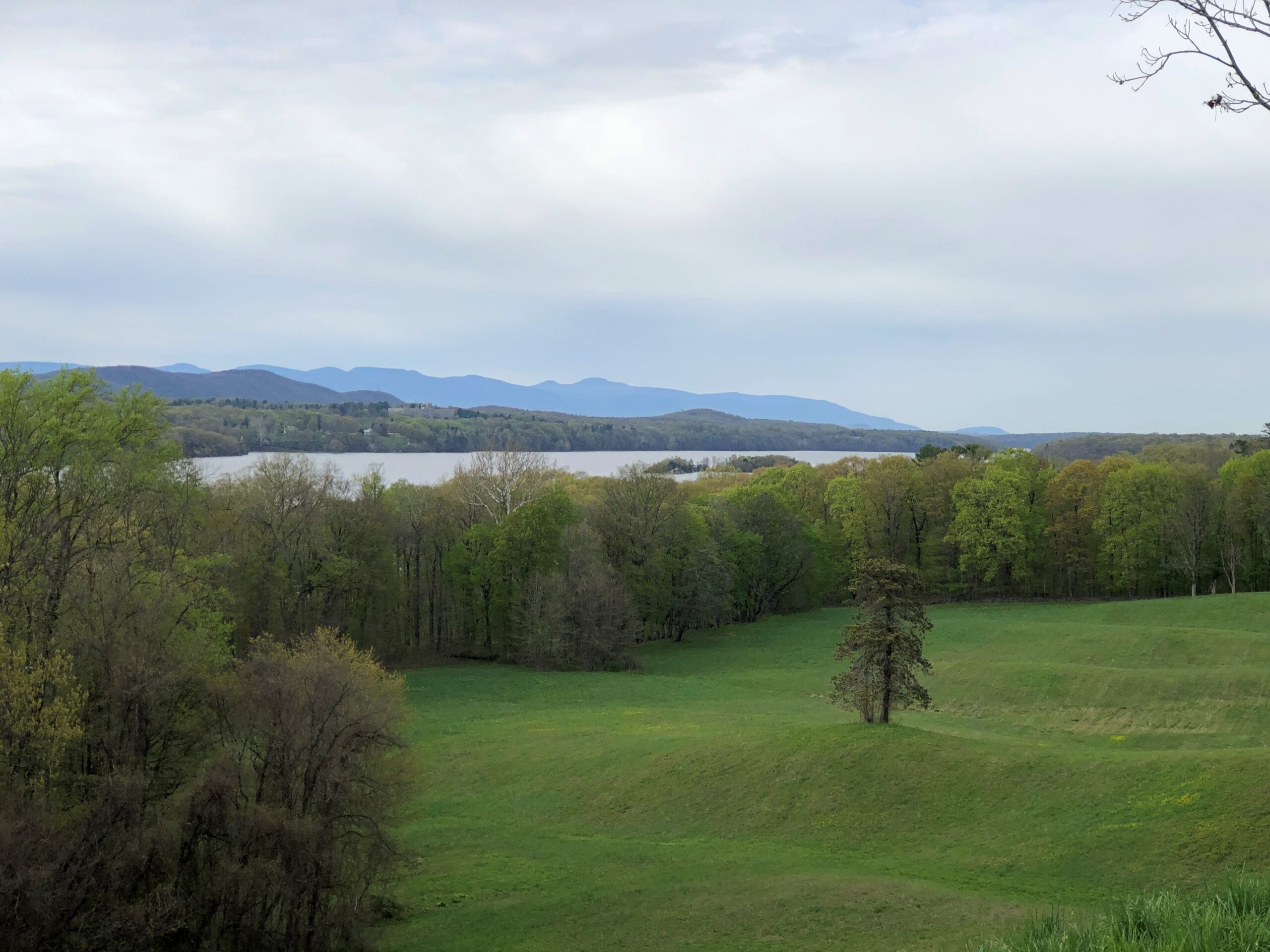
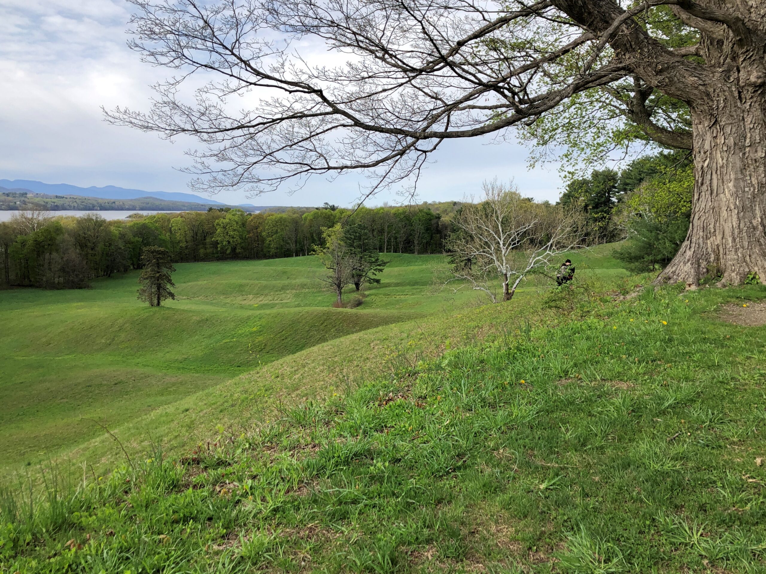
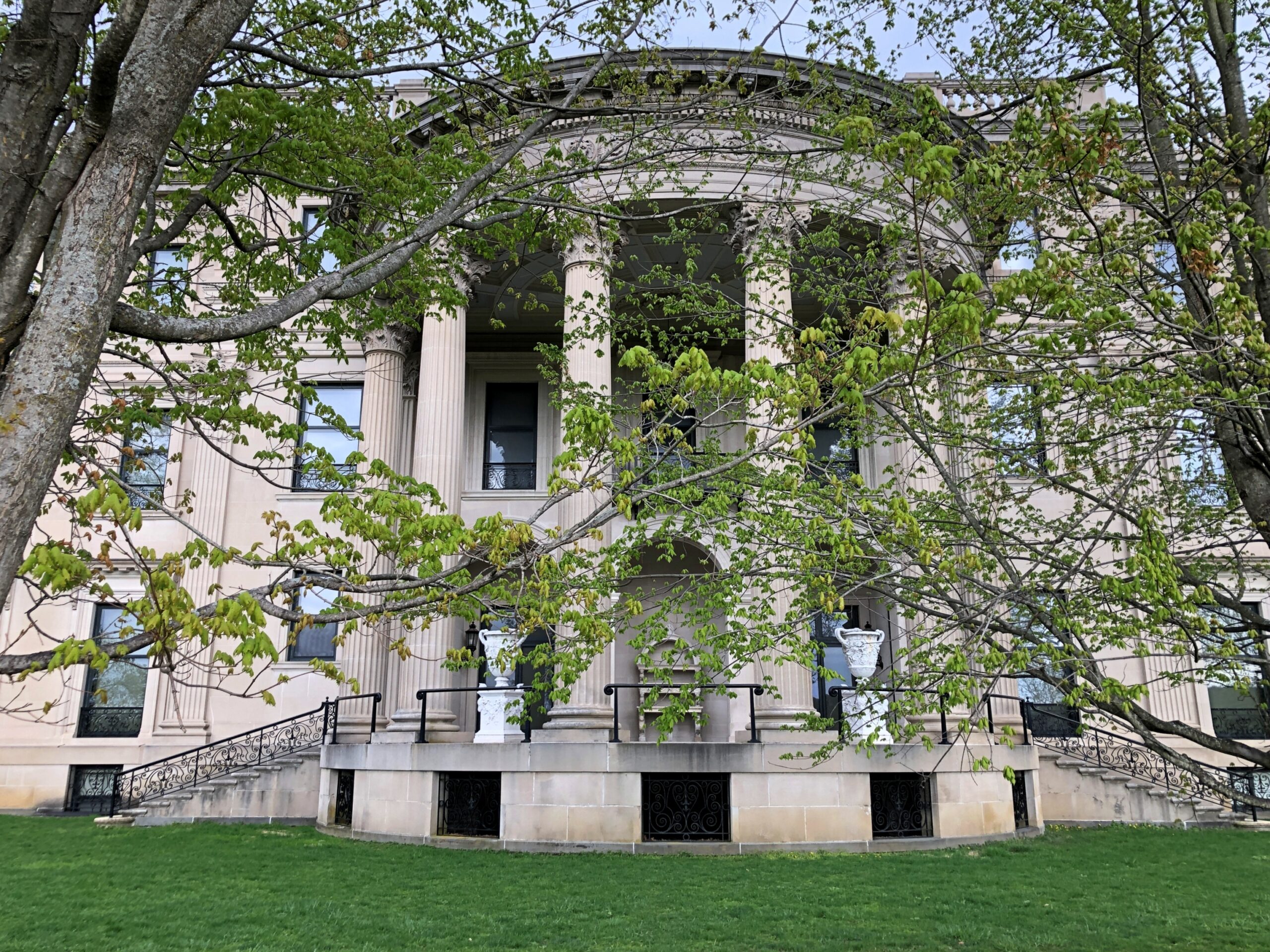
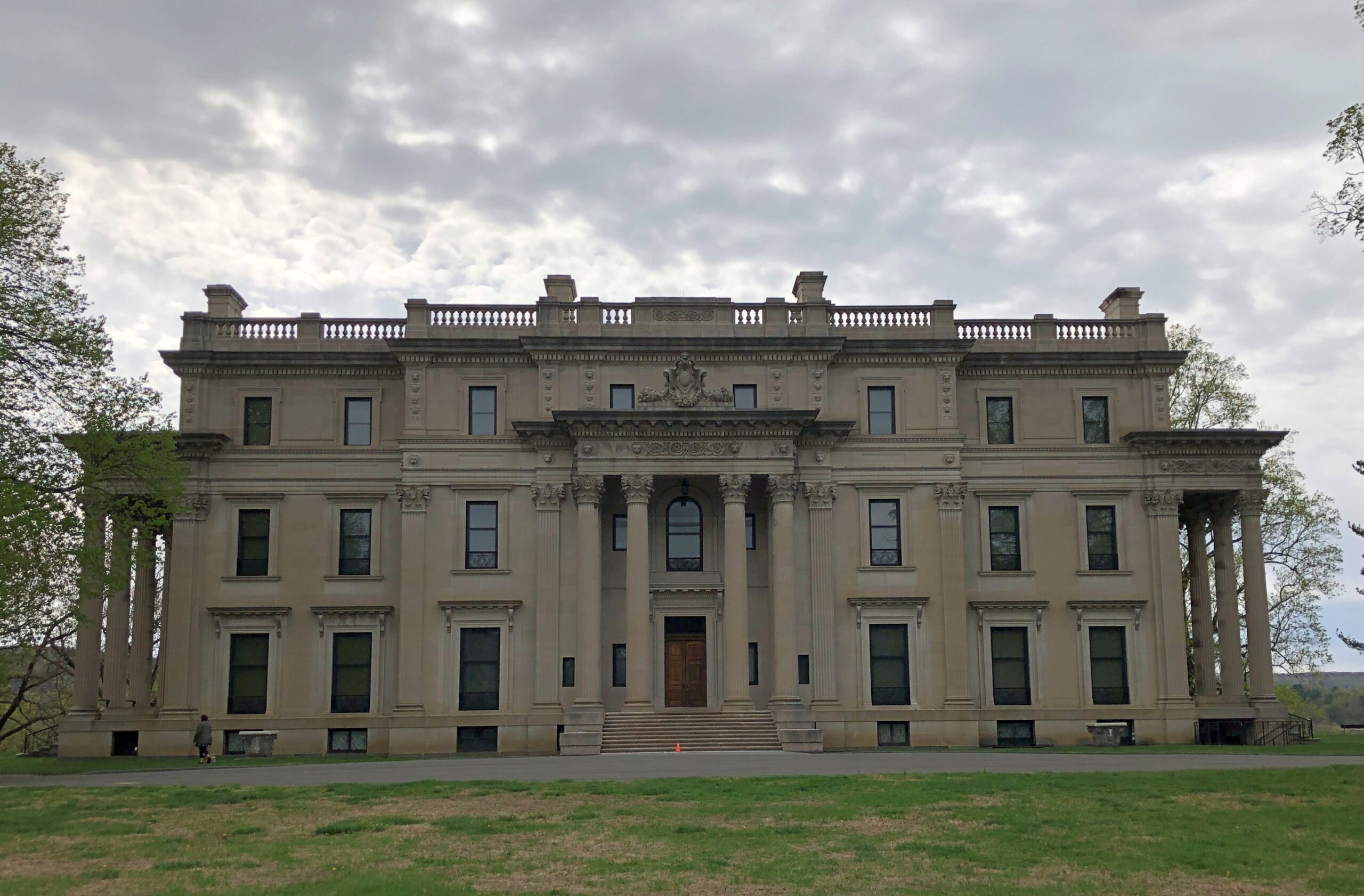
Up the road a piece from FDR’s home in Hyde Park, one of the Vanderbilts had a mansion built in the late 19th century on a gentle bluff above the Hudson. The river valley wasn’t an obscure choice by him or the elder Roosevelt or any of the other wealthy mansion-builders of the period. Pleasure travelers had started coming to the Hudson River Valley in the early 19th century, representing the first U.S. tourist boom.
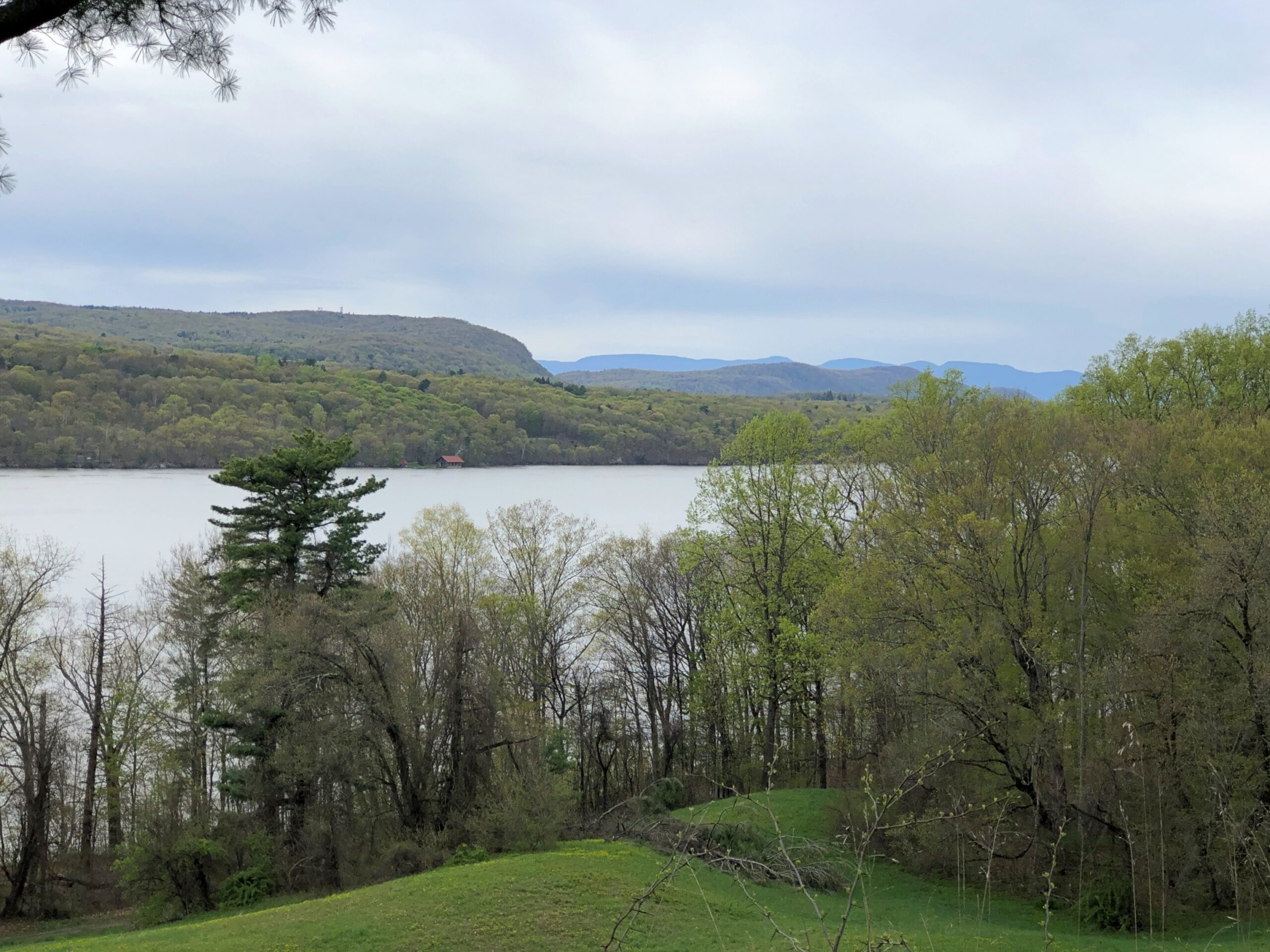
They came for good vistas, for one thing. So did I.
“In the works of Washington Irving and James Fenimore Cooper and the paintings of Thomas Cole and others of the Hudson River School, travelers in the region encountered the nation’s first literary and artistic movements,” says a summary of The Birth of American Tourism: New York, the Hudson Valley, and American Culture, 1790-1835 by Richard H. Gassan (2008).
In effect, those writers and painters were the influencers of their day, though not quite at the frenetic pace of, say, Instagram. I’ve decided not to worry about the influence of, say, Instagram on modern tourism. Overtourism is a real problem in a narrow range of places, and best dealt with locally, but most criticism of mass tourism is snobbery anyway: why, those people are going to all the wrong places for the wrong reasons and thinking and doing the wrong things when they get there! Bah.
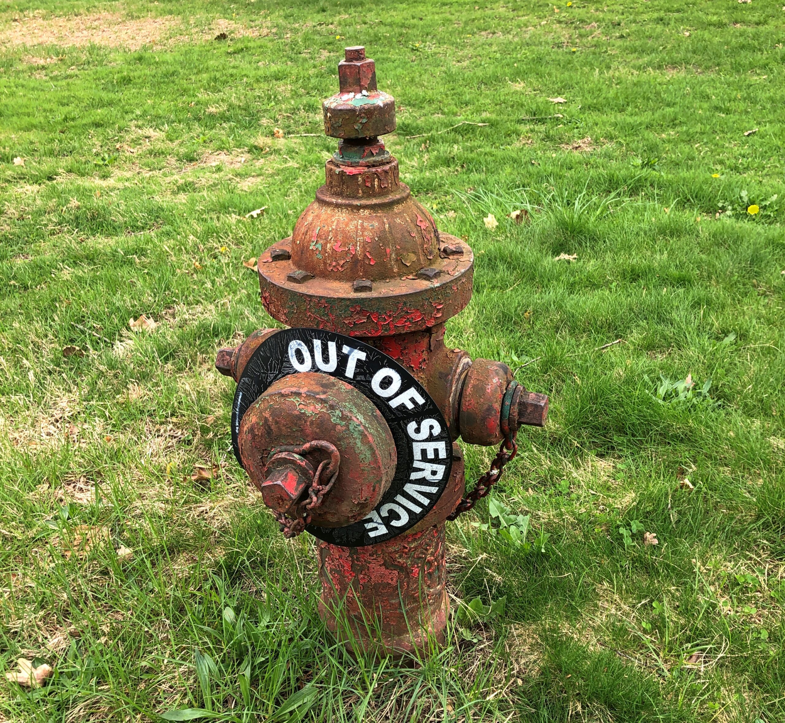
The latest in my series on NPS fire hydrants. This one, a little worse for wear, is on the Vanderbilt site.
The Vanderbilts were known for commissioning mansions, of course, so many that I suggest they be known as the mansion-building Vanderbilts, like the Lighthouse-building Stevensons. Though not, curiously, the Commodore himself. He had other things to do, like amassing a vast fortune in the first place, and founding one of the nation’s great (ahem) universities.
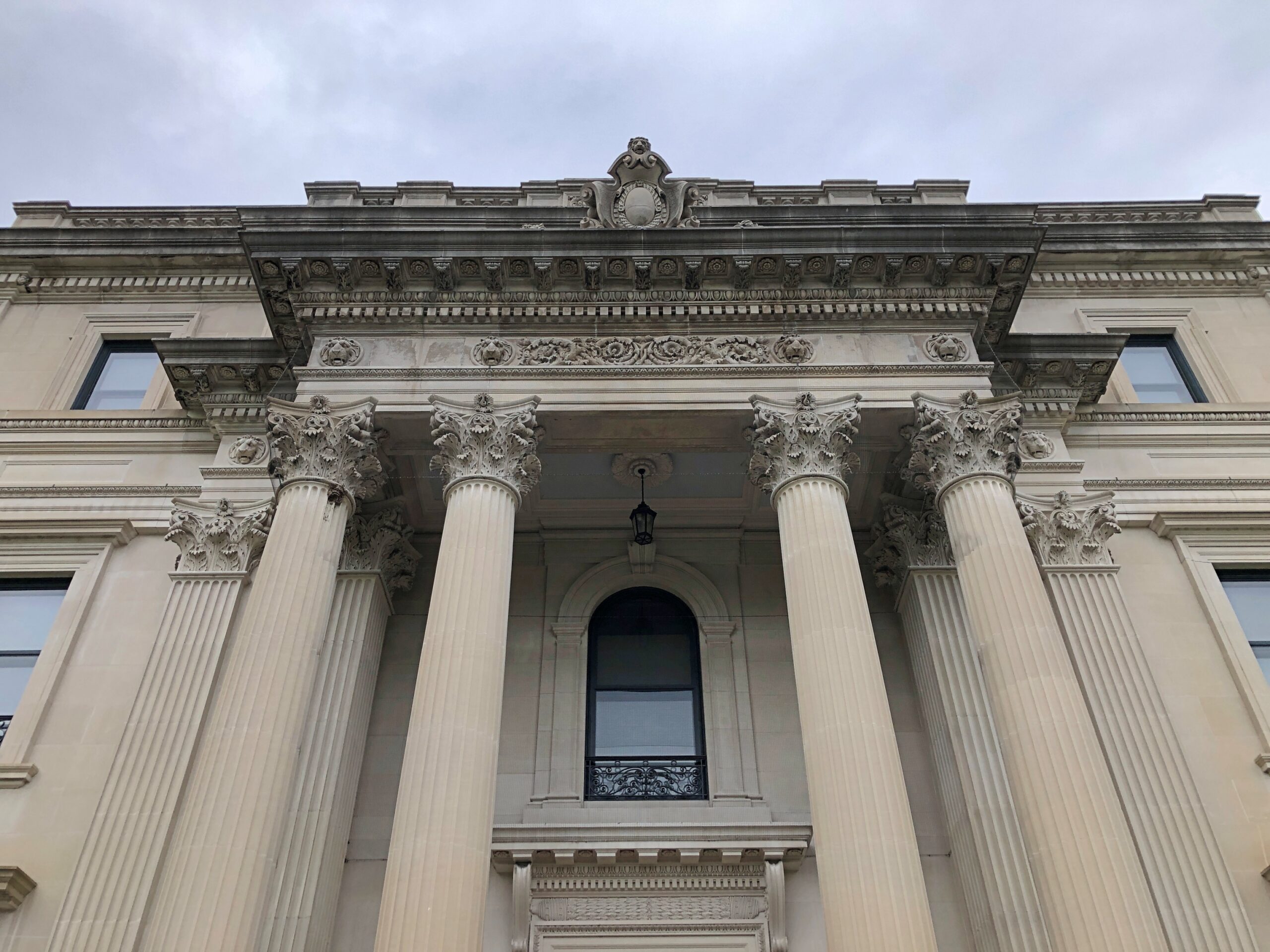
Anyway, grandson Frederick William Vanderbilt (d. 1938) thought that the Hudson River Valley was just the place for a country estate, which it is, so he tasked McKim, Mead & White, architects to robber barons and other deep-pocketed clients, to design it. Frederick and his wife Louise clearly wanted a Euro-style palace on the Hudson, and that’s what they got.
The skylight was pretty cool, bringing in light all the way to the lowest floor through this aperture.
The effort to build and decorate the place must have been considerable, and I hope it provided wages for a lot of workers for a long time, both in the development and maintenance. But it’s a little sterile, for all its architectural pedigree.
Our guide — you need a guide to visit the interior, though the grounds are essentially a public park (and what a park) — said that the Park Service didn’t mind having the mansion, but the Vanderbilt site was more about preserving a long stretch of the right bank of the Hudson River and its views. As I took in some of those views, I had to agree.
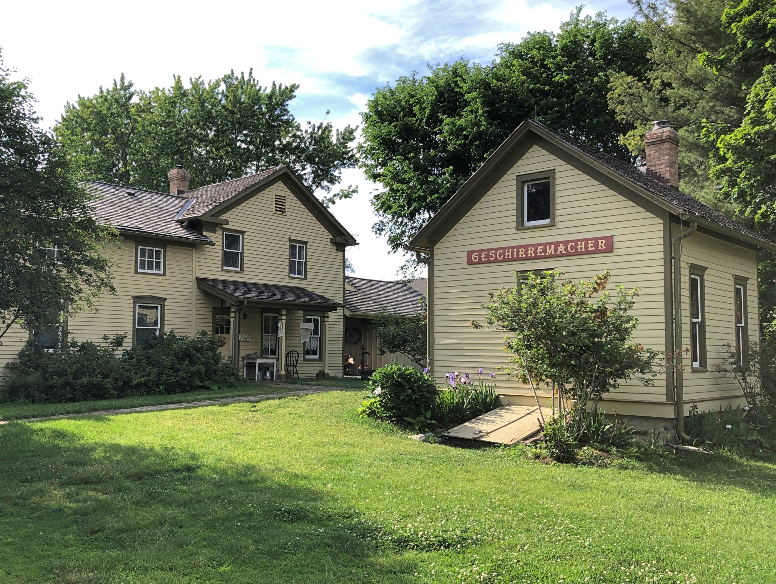
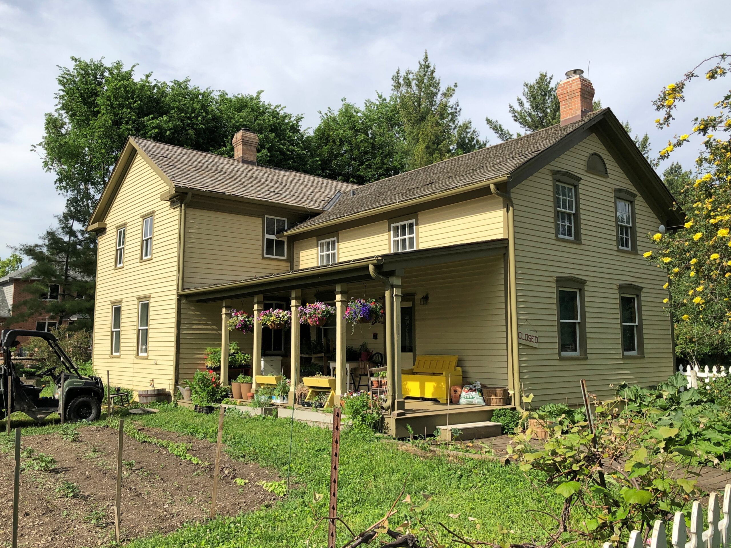
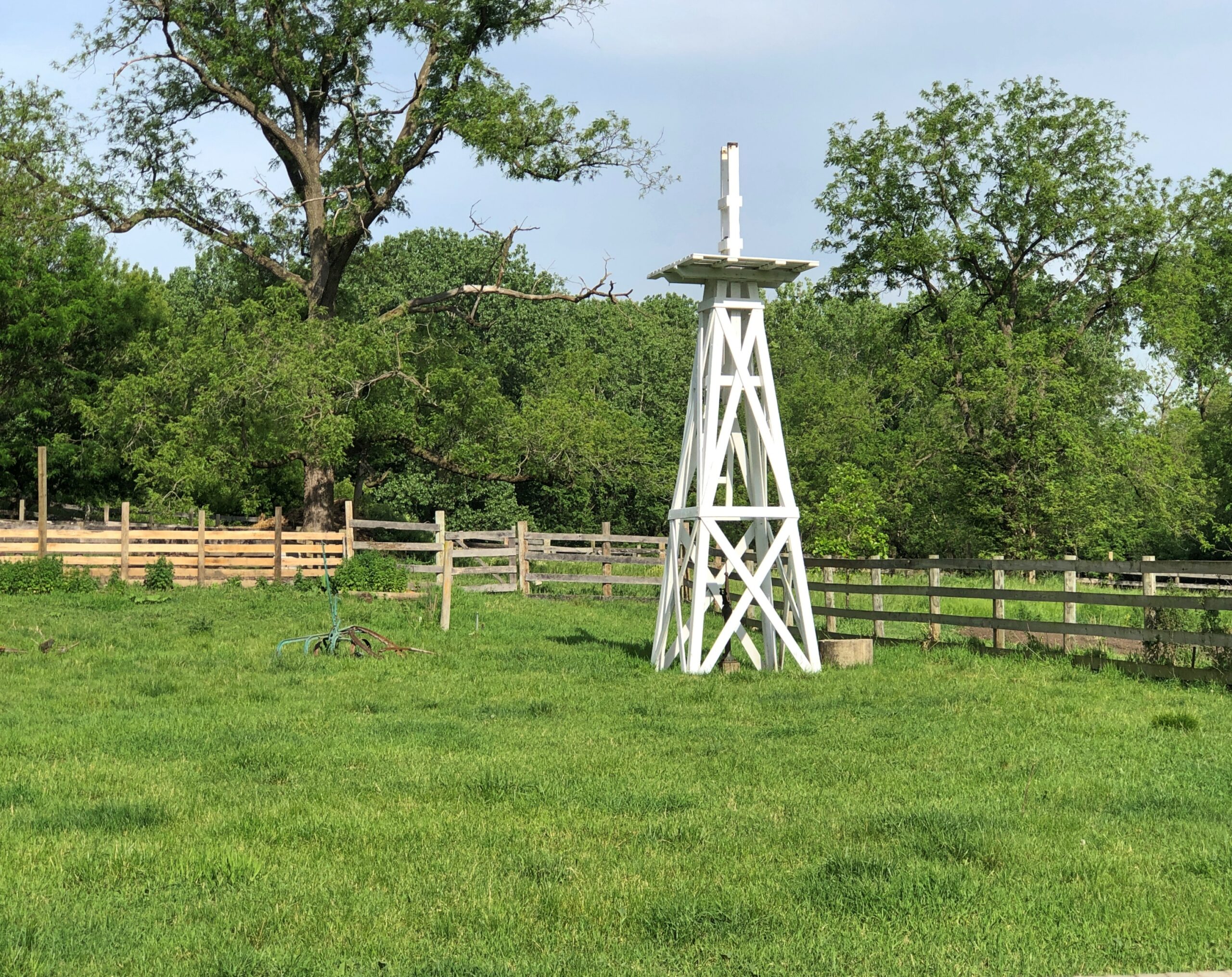
Consistent spring-like weather has arrived at last here in northern Illinois. So we took the opportunity late this afternoon to visit Volkening Heritage Farm, an open-air museum with structures dating from the 1880s. It’s part of the larger (135-acre) Spring Valley.
Spin the wheel of time back – not that long, really – and German immigrant farmers put this part of Illinois, the future northwestern suburbs, to prosperous use. The open-air museum of our time echoes that previous time. Not in each detail, but the facsimile is pretty good. There’s a vegetable and flower garden —
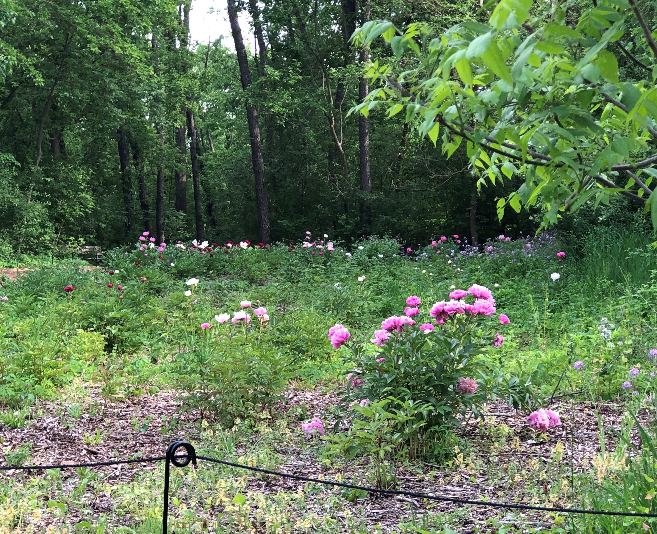
That meant that Spring Valley’s former peony farm, about a 10-minute walk from the former German farm, was abloom with peonies. Like cherry blossoms in other places and other contexts, they don’t last long. Some years we miss them all together, partly because the blooming isn’t quite fixed. One year, for instance, I visited on my early June birthday once and found an embarrassment of peonies. Other years, they are earlier. This is an early year.
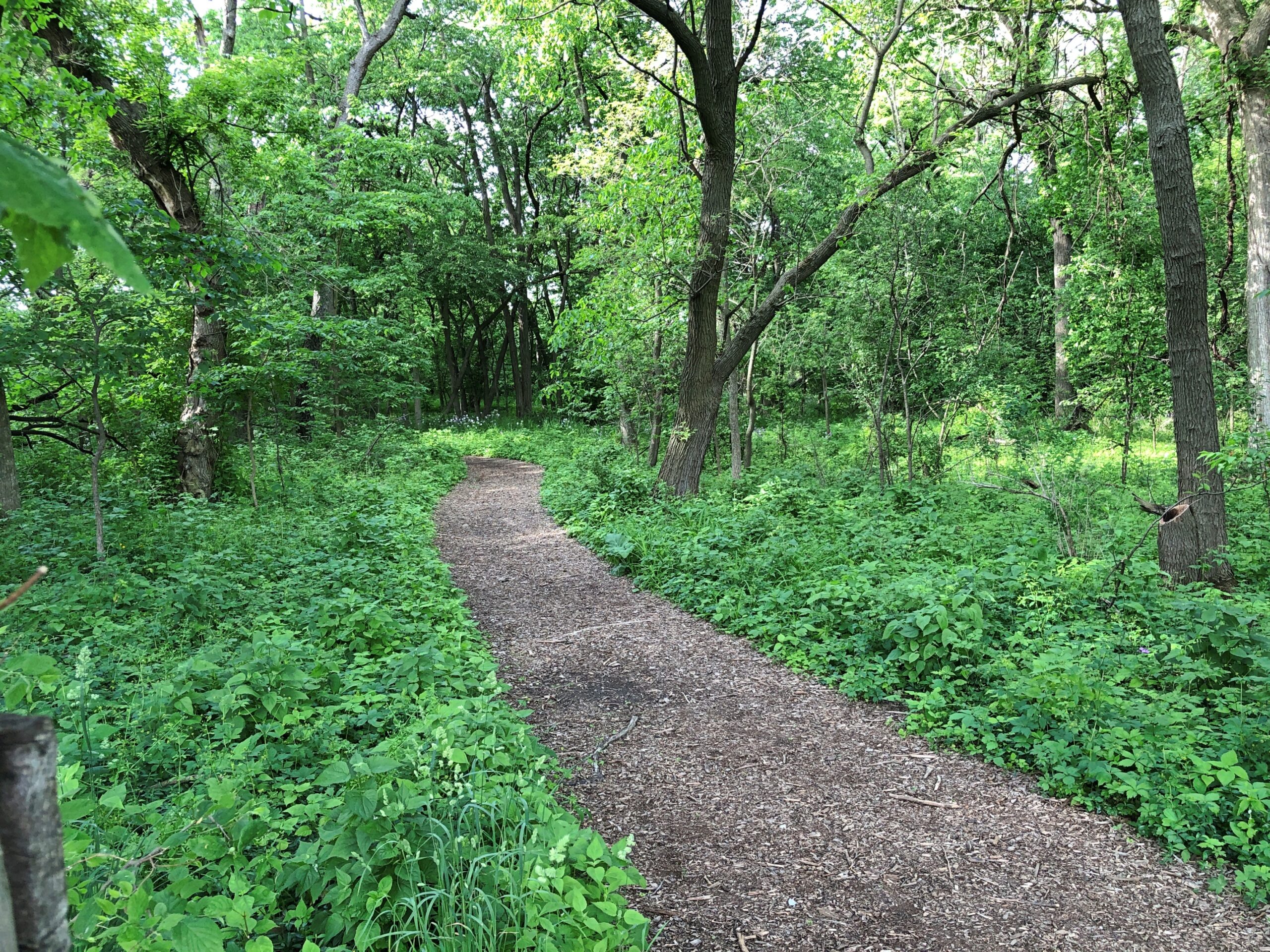
So we walked some of Spring Valley’s various trails, themselves flush with spring green, toward the peony field.
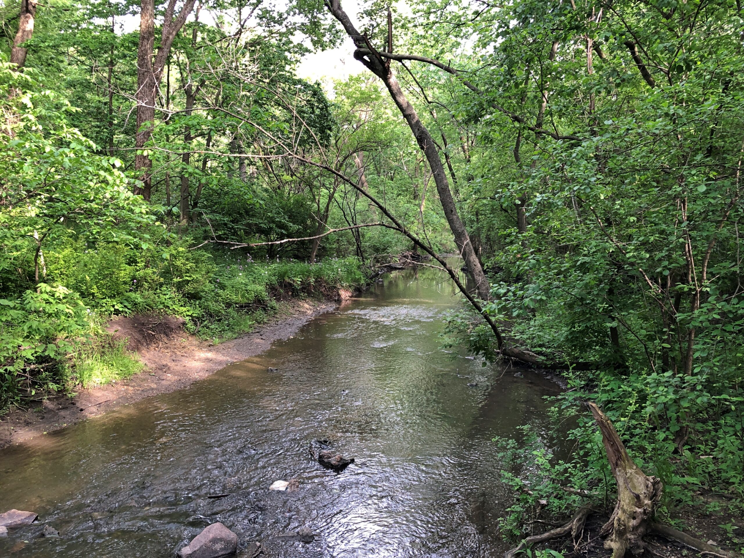
Across one of Spring Valley’s creeks, still vigorous from the heavy late-night rain a few days ago.
The peony field.
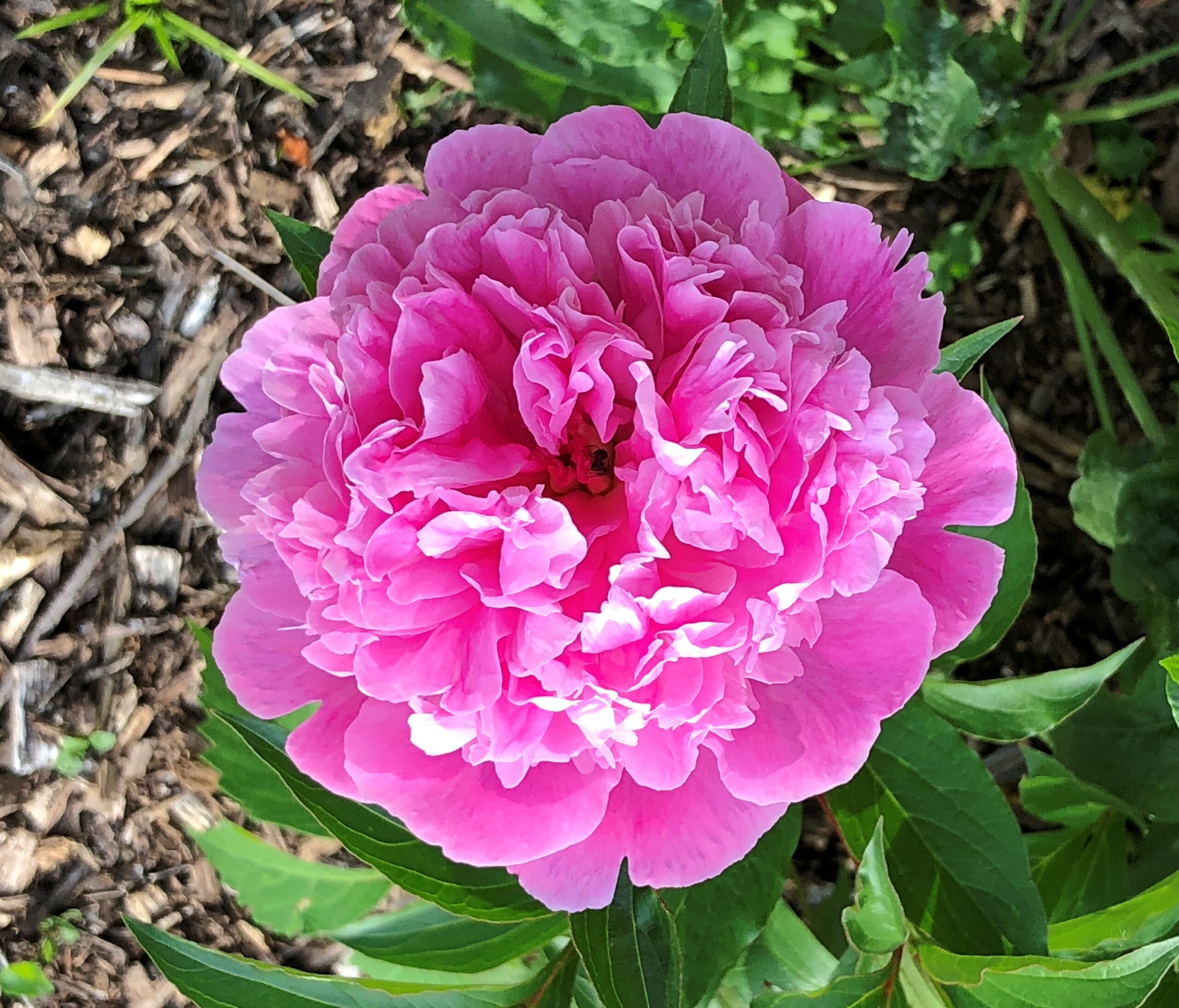
The blooms.
Digital cameras make astonishing images sometimes, but still pale compared to an eye view.
“If you’re taking pictures of buildings, you should take one of that building over there,” an old man said to me, pointing at a building partly obscured behind the curve of the street. I had been taking pictures of buildings. A spring day had come to Bangor: the air was a pleasure, so was the friendly warm sun, and I was out and about among the short downtown blocks.
“Thanks,” I said, adjusting my position on the sizable downtown plaza, so that the building came into view.
Wow. As I often do, I looked into the building later. A little gem of the brick arts known as the Circular Brick Building, a no-nonsense Maine sort of name, or the Merchants National Bank building, after a long-time occupant. Part built in the 1900s, part in the 1920s, a bank till the 1980s, a mix of apartments and ground-floor retail since the 2010s, after some decades vacant.
A random old man’s recommendation was a winner. He was idling on a bench in the plaza, so I went back and told him I agreed that it was an impressive building. The man could have been from central casting: Get me an old Mainer in ordinary but not shabby clothes, and don’t forget the bushy white beard and pale pink face. It was a missed opportunity when I asked him whether he’d lived in Bangor his whole life. The comic Mainer answer would have been, “Not yet.”
Instead the old Mainer told me he had. Wouldn’t live anywhere else. Couldn’t imagine living anywhere else. Didn’t want to go anywhere else. He implied he’d had enough of that during his time in the Army, exact years unspecified, and I didn’t ask when, though there’s a distinct chance a shooting war was going on then. That doesn’t mean he was anywhere near it, however. For all I know, he could have been a PFC excrement sanitation specialist (PFC-ESS) in Louisiana, to put it in the way the cinematic Patton didn’t, but the ’60s Army might have.
Anyway, he asked me where I was from, and long experience has taught me to say “Chicago,” and not something in any detail like, “Texas, but I haven’t lived there in a long time, and then I lived some other places like Nashville and Osaka, yes, the place in Japan, but it’s been Chicago for a long time now, except I actually live in the northwest suburbs.” Few people would hear any of that. Everyone pays attention when I’ve said Chicago (or Texas, the times I’ve said that). Somewhere years ago, I think it was a pudgy middle-aged Briton – you know, he looked a little like Benny Hill – who asked me where I was from. At hearing “Chicago,” he pantomimed shooting a Tommy gun.
When old man Mainer heard Chicago, he told me that soon after his discharge from the Army, he found himself in Chicago, in fact at the lakefront. He threw his Army ID into Lake Michigan. “Felt great to be out, but it was a problem, since that was the only ID I had right then,” he said. Obviously he made it back to Bangor.
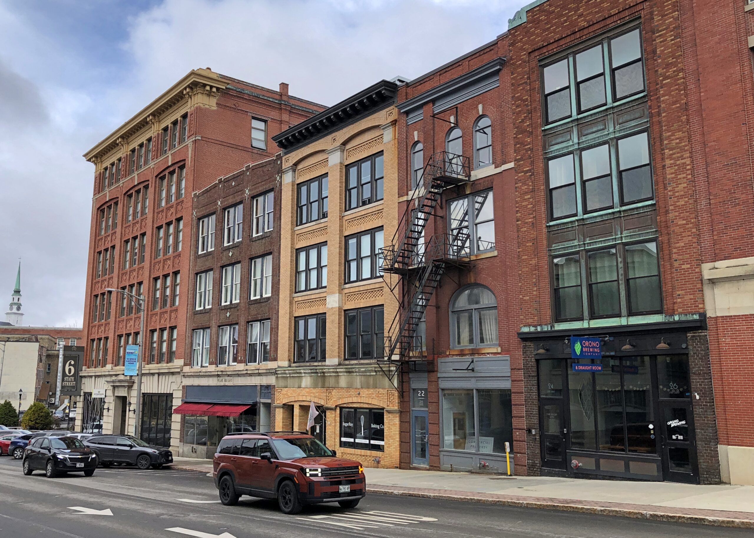
The city’s got some fine streetscapes.
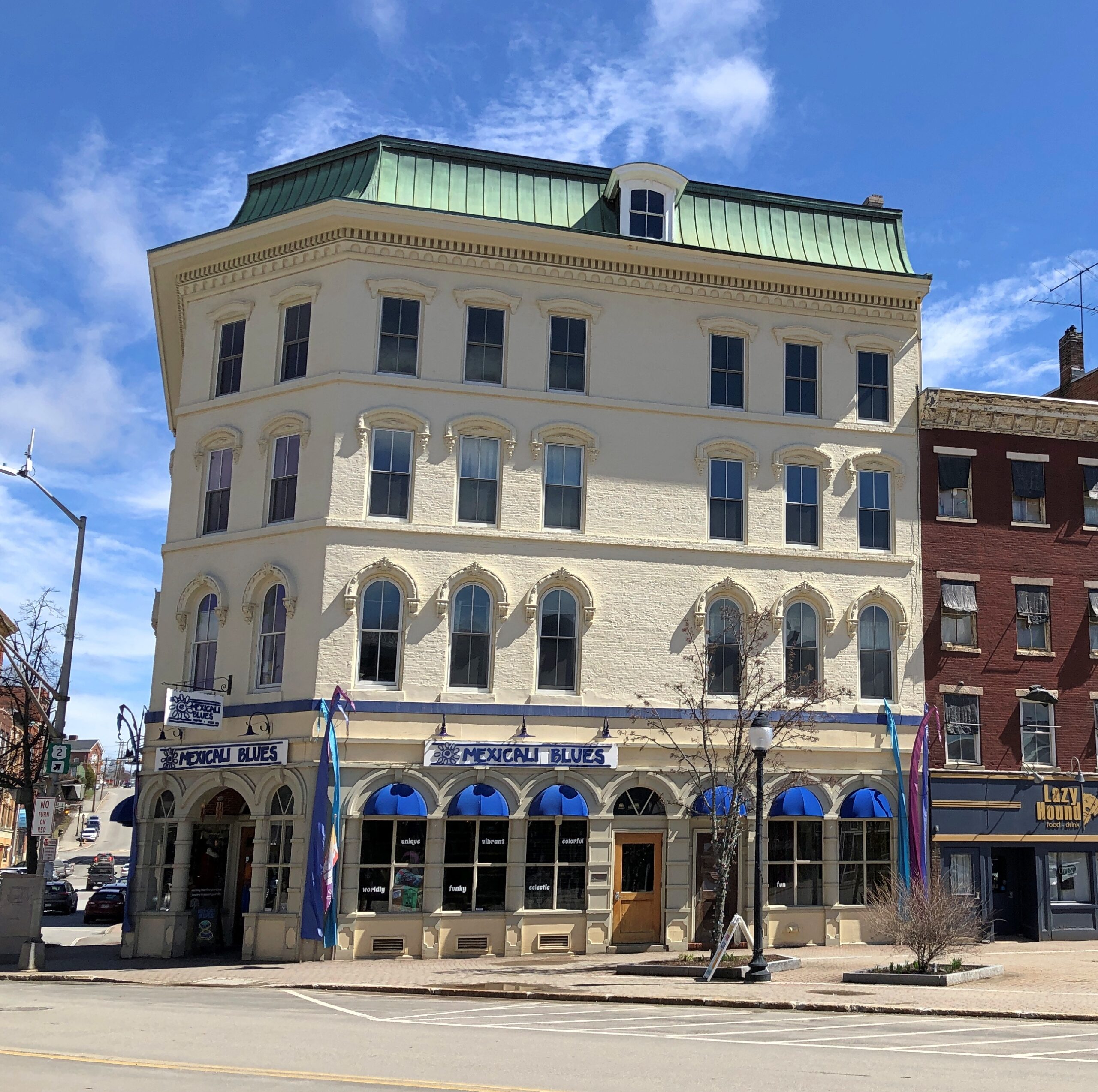
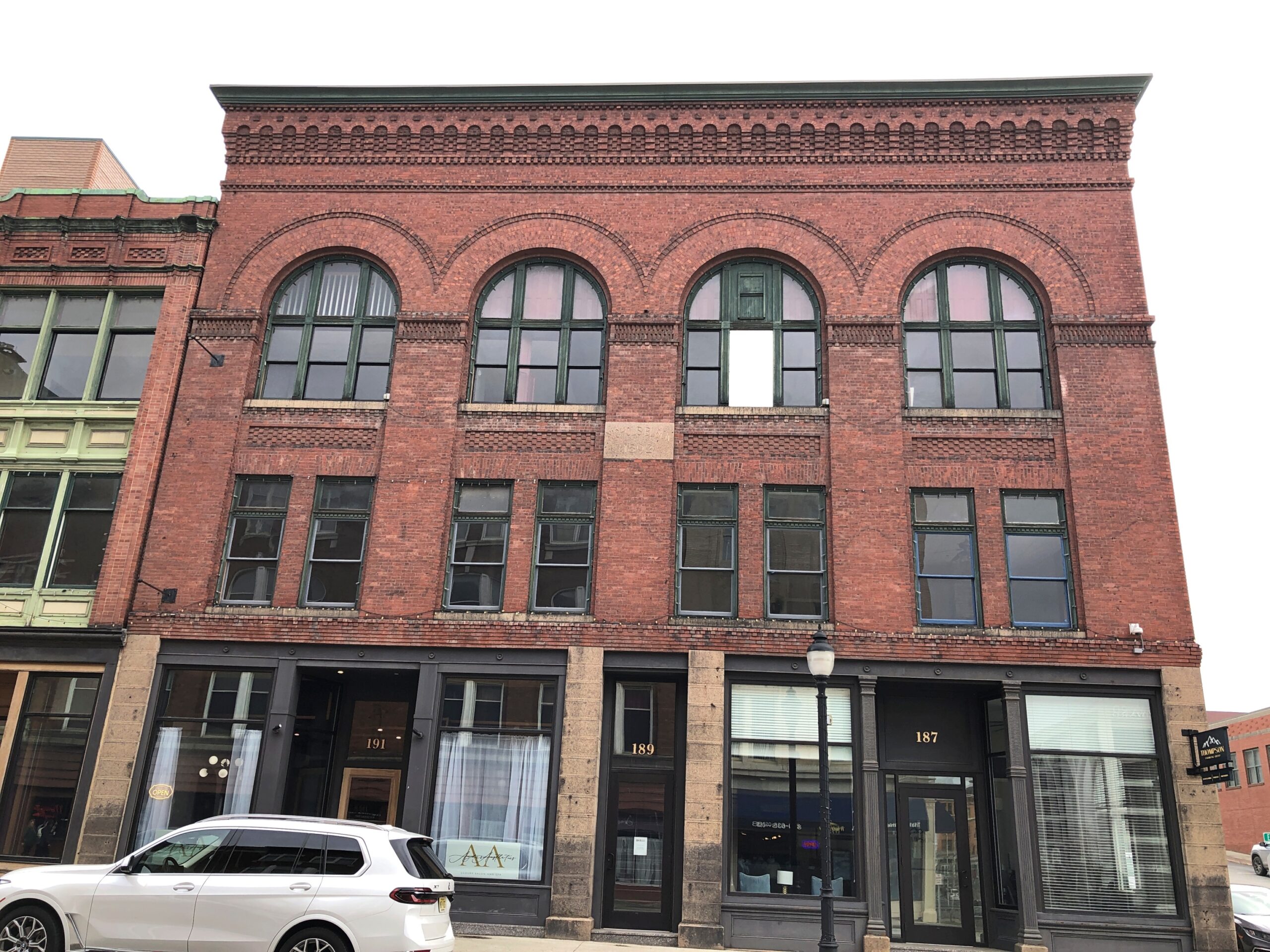
Some other handsome Bangor blocks and buildings.
Early examples of the art of the steel-framed highrise.
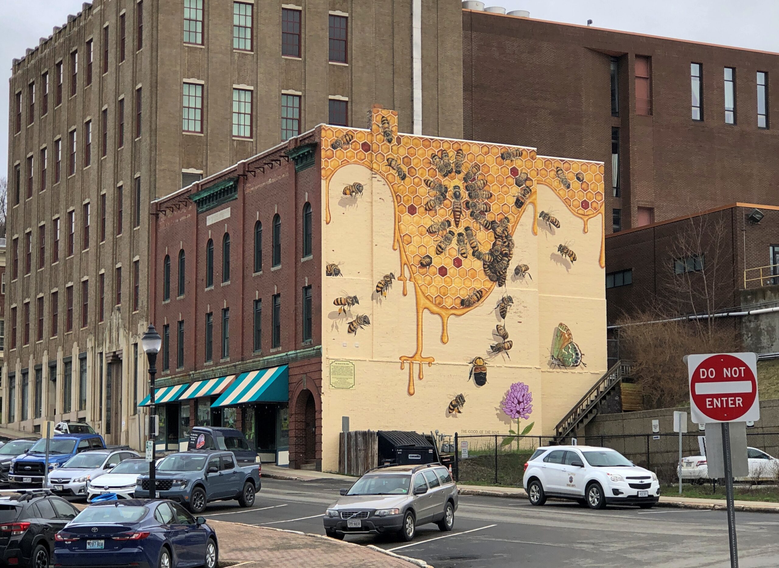
Paul Bunyan isn’t the only mural subject. This one is bees.
Because Bangor is known for honey production? I had to check and probably not much, the sort of thing that gets lumped in with “other” in the ag census for Penobscot County. These bees are bees for the sake of being bees. (Try that three times fast.)
“Bangor Beautiful partnered with Bangor Greendrinks to create a large bee-themed mural in Downtown Bangor during the summer of 2023,” notes the nonprofit Bangor Beautiful. “The artist Matt Willey is the founder of The Good of The Hive, a global mural project with the goal of hand-painting 50,000 honey bees, the number in a healthy, thriving hive. He has painted bee murals all over the world, including at the Smithsonian.”
I knew I got out of bed for a reason today: to find out that there is an artist whose obsession is bee murals. More than 11,780 painted bees so far, according to the artist. Eccentricity of the first order, and I salute it.
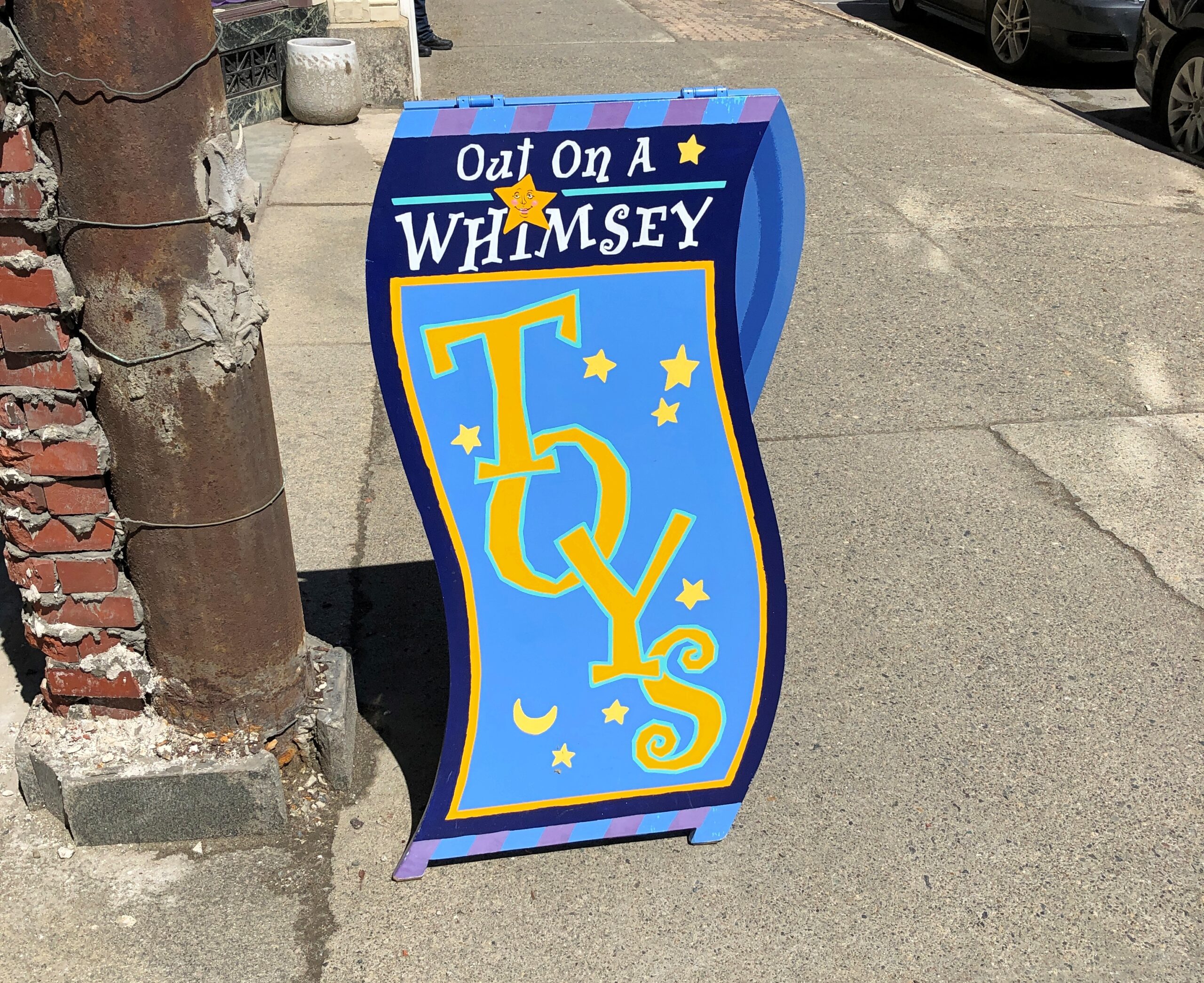
You can’t call Bangor bustling, but I’ve seen plenty more vacant downtowns. Business details, former and existing.
Temple of the Feminine Devine, eh? Not to be confused with the Temple of the Devine Feminine, an outfit in Seattle. I could make a Life of Brian reference here, but if you know that reference, you’ve already thought of it.
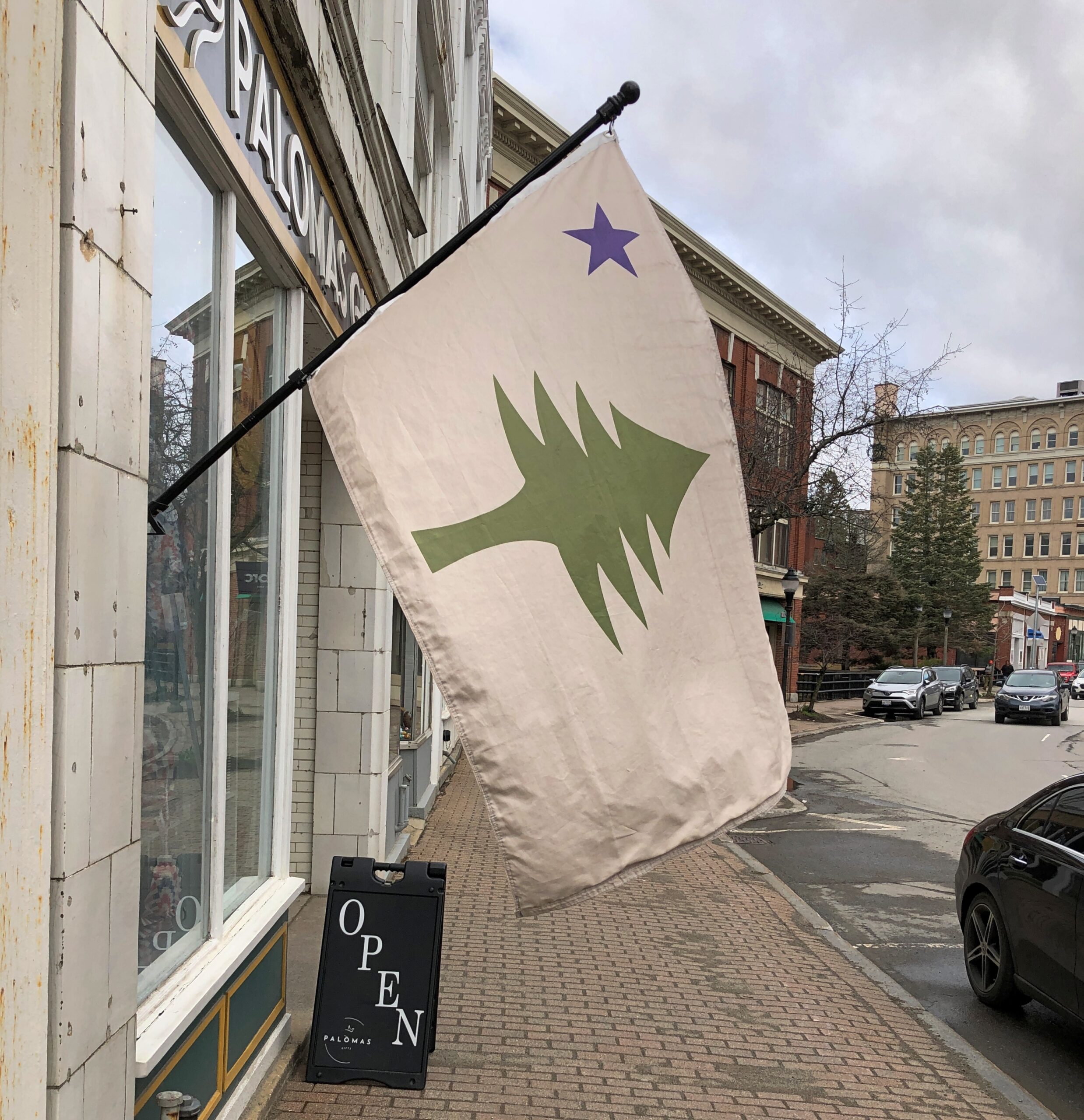
The unofficial Maine flag, and variations.
That flag failed to become official in the last election in a ballot question. No one in Maine cares what I think, but I think it should be made official again, but without disestablishing the current flag. Co-official, you could say. Maine would be unique that way. Also, no fixed pattern beyond a single pine tree and a single star to the upper left. Let a loose a proliferation of lone pine flags begin.
Bangor as a whole hugs the Penobscot River, but downtown clings to the much smaller Kenduskeag Stream, a tributary of the Penobscot.
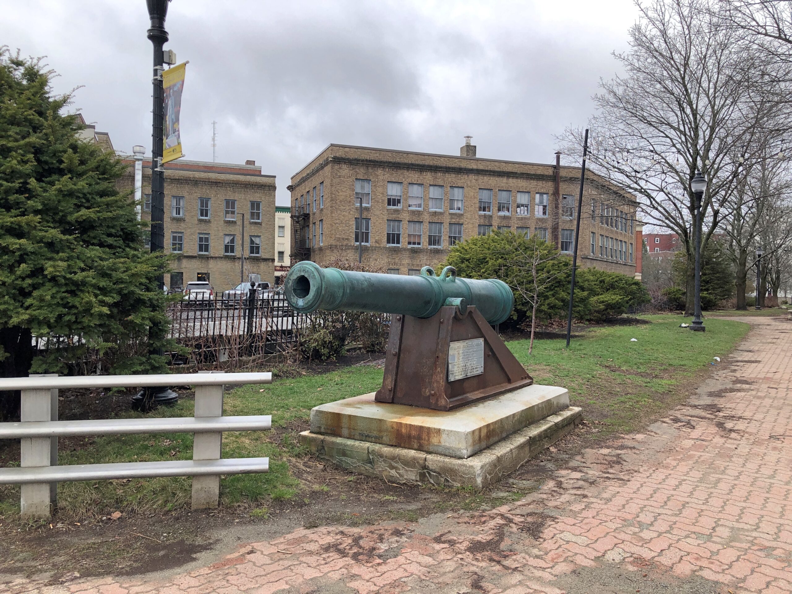
A small island in the stream is a park.
The park sports a cannon captured at Fort Toro, Guantanamo Bay, Cuba in 1898.
It so happened that Rep. Charles A. Boutelle was the chairman of the Committee on Naval Affairs in the U.S. House at that moment, facilitating the war prize cannon’s permanent move to Bangor. Quite the career Boutelle had, per Wiki: “American seaman, shipmaster, naval officer, Civil War veteran, newspaper editor, publisher, conservative Republican politician, and nine-term Representative to the U.S. Congress from the 4th Congressional District of Maine.”
That’s not all. Vice President Hannibal Hamlin, Bangor favorite son, stands in bronze not far from the cannon.
“After Lincoln took office and even with the outbreak of the Civil War, however, Hamlin had almost no role in the administration, as was common for this period in history. Hamlin despised his new position as vice president. He missed being part of the political process and controlling patronage but felt it was his duty to serve. He also found presiding over the Senate boring and was frequently absent. Still, he was disappointed when the Republican Party dropped him from the ticket in 1864.” A curious, but all too familiar quirk of human psychology, in that last sentence.
The “diplomat” on the plinth refers to his posting to Spain in the early 1880s, named to the job during the brevity of the Garfield administration.
A month from now, Main St. in Bar Harbor is going to be a busy place, sidewalks thick with shoppers and walkers with their coffee and ice cream cones. People will gather at the well-trimmed Village Green. The park at the end of Main, Agamont Park, named for a storied 19th-century hotel on the site that burned down long ago, will be alive with the pleasant sounds of people on vacation, taking in the view of the harbor. Boats will ply the harbor. Lobsters will die en masse to make their appearance on the menus of Bar Harbor restaurants.
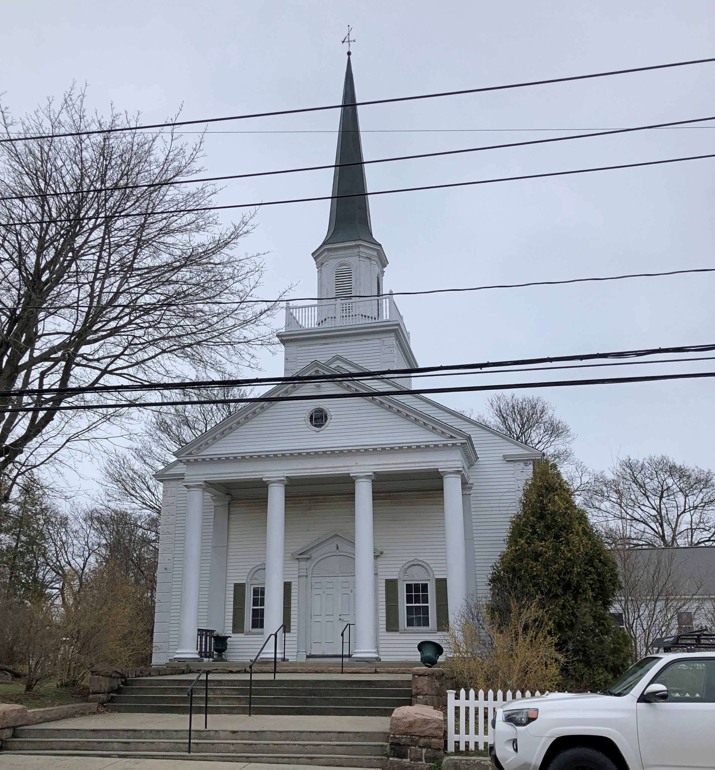
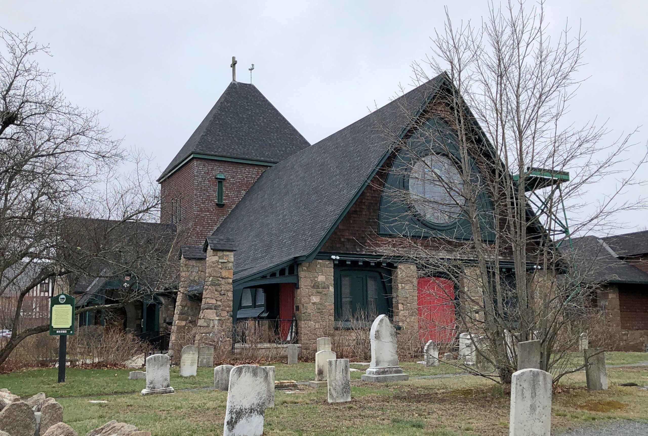
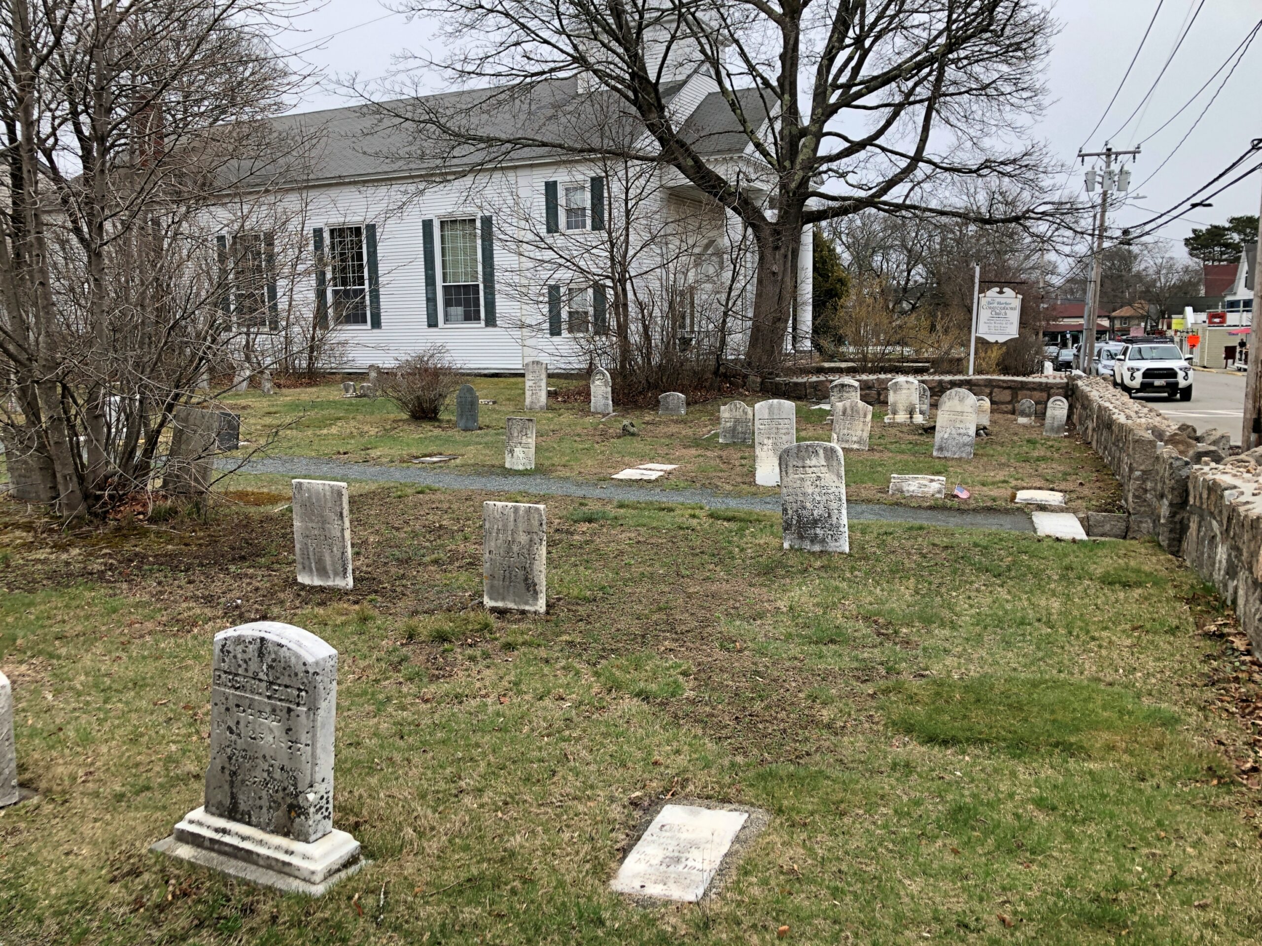
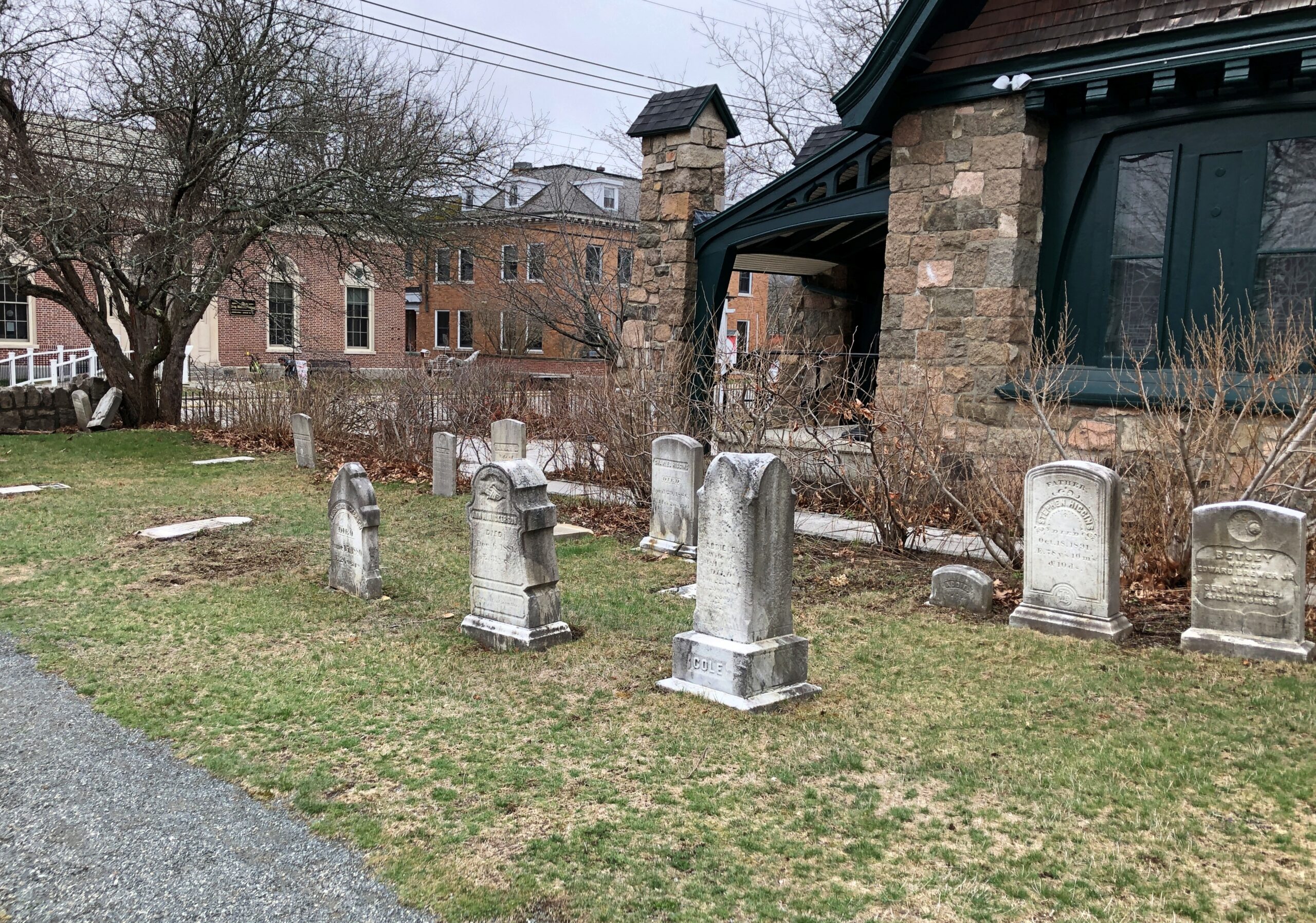
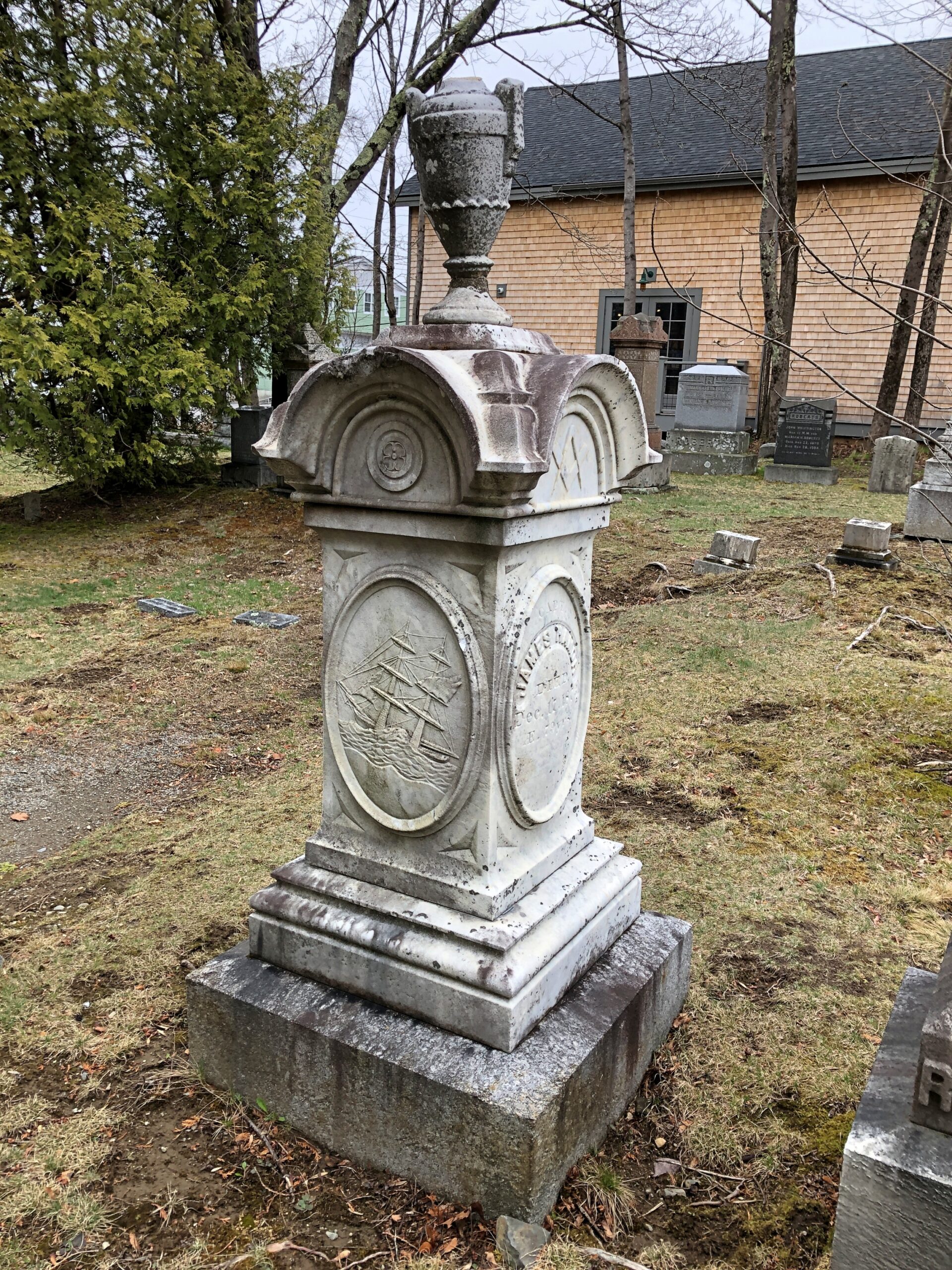
One place in town that will not be busy come high season, just as it wasn’t busy a month ago when I visited — and was the only living person there — is the Village Burying Ground, which is a minute’s walk from Main St., tucked away on a small slice of land between two churches, Bar Harbor Congregational and St. Saviour’s Episcopal.
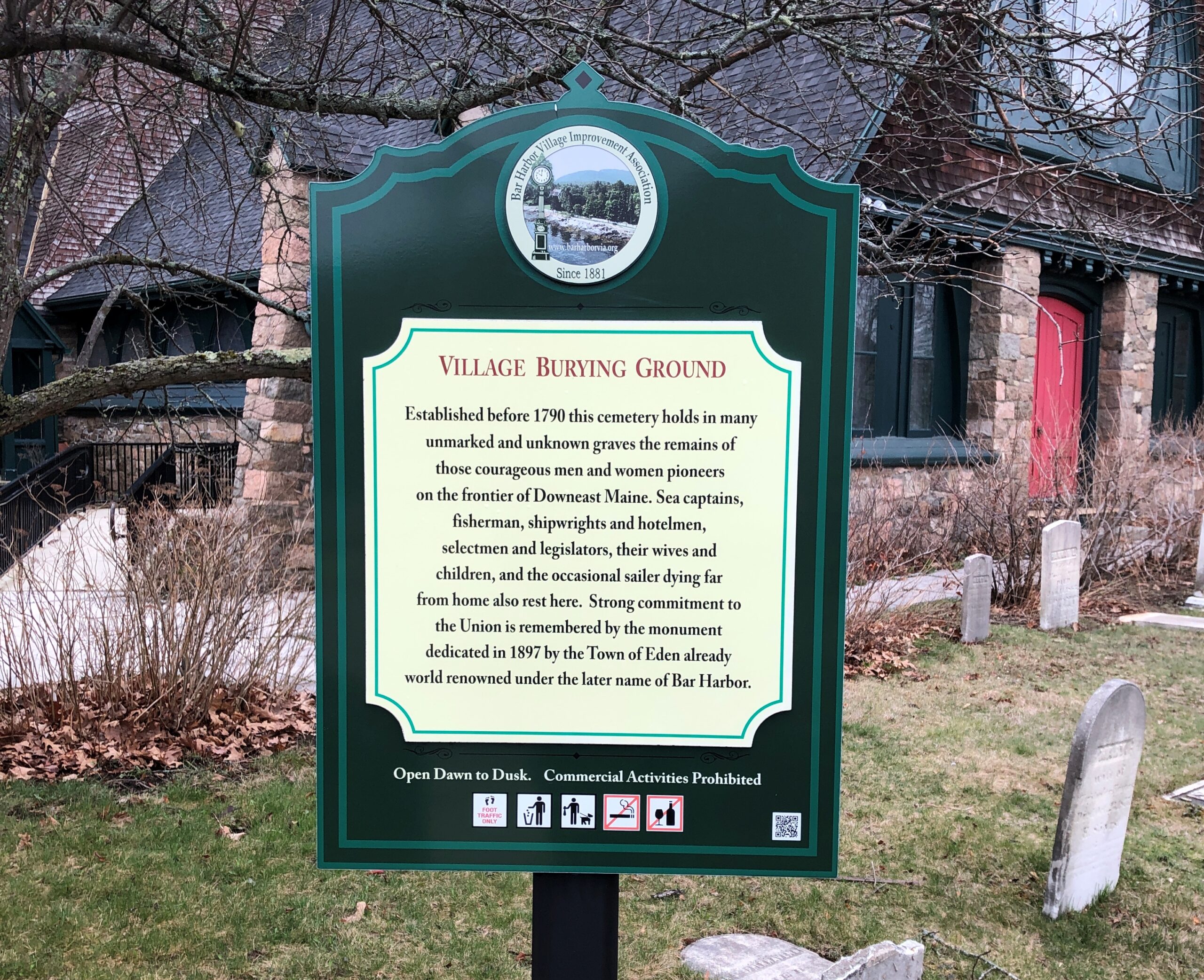
“Established before 1790, this cemetery holds in many unmarked and unknown graves the remains of those courageous men and women pioneers on the frontier of Downeast Maine,” says a sign on site, put there by the Bar Harbor Village Improvement Association.
“Sea captains, fishermen, shipwrights and hotelmen, selectmen and legislators, their wives and children, and the occasional sailer [sic] dying far from home also rest here.”
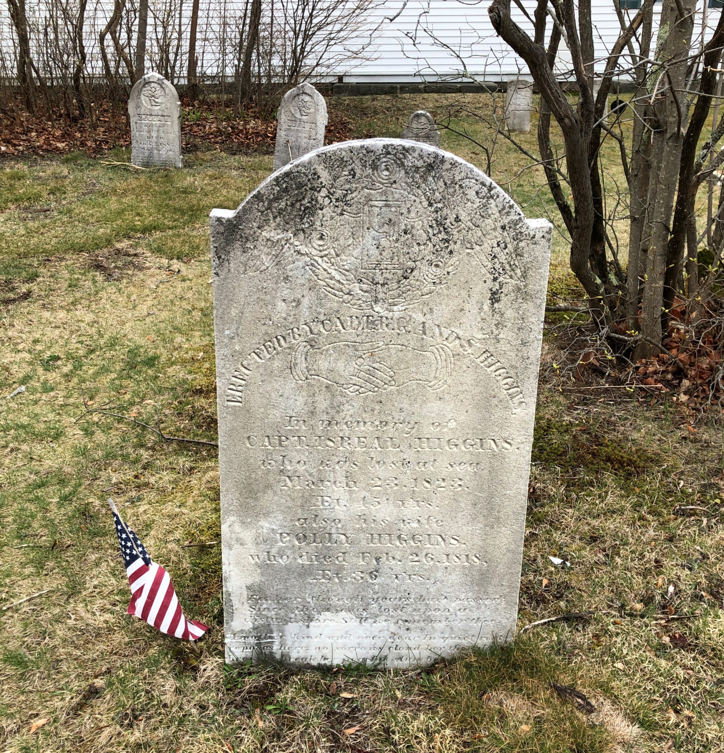
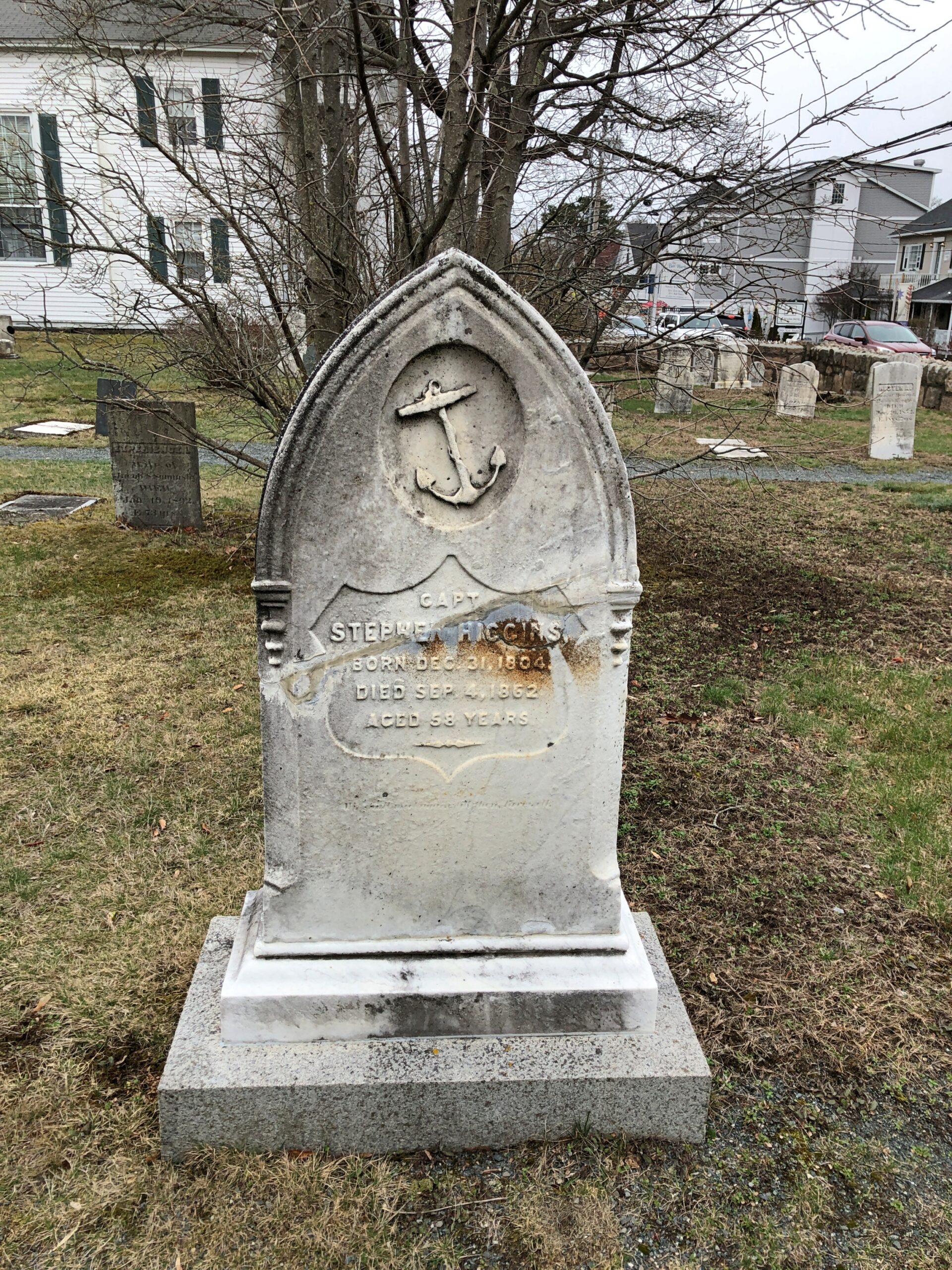
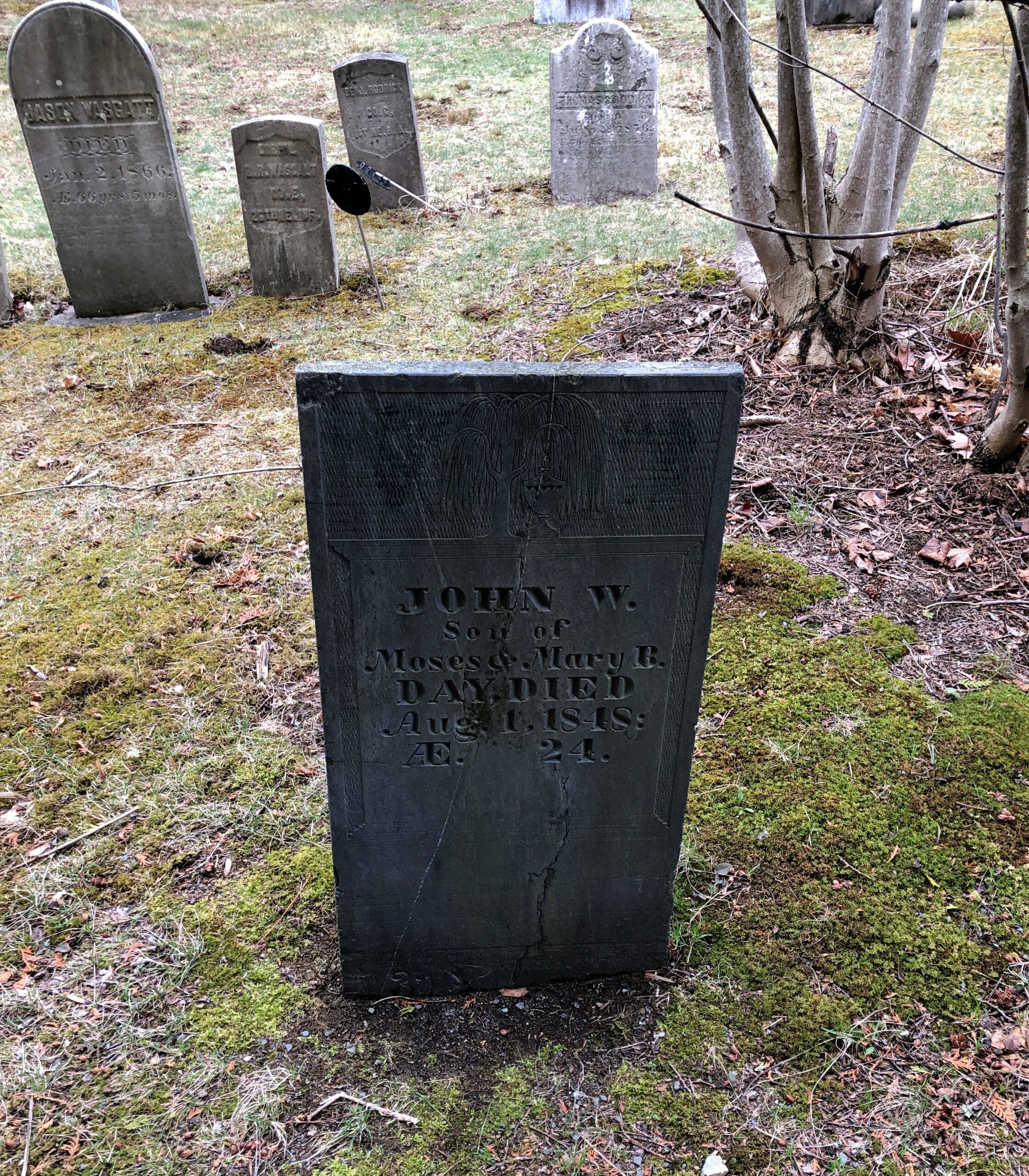
One of those sea captains, Israel Higgins (d. 1823).
Capt. Higgins, son of Eden (later called Bar Harbor) founder Israel Higgins, was lost at sea. “Israel was considered a master mariner and served as an Eden selectman in 1802, 1803, and 1809,” notes the blog Adventures in Cemetery Hopping. “He was in command of the schooner Julia Ann (his son Seth was also aboard), thought to be the first ship built in Bar Harbor in 1809. Israel and Seth died at sea on March 29, 1823 about 25 miles south of Sandy Hook, N.J., which is about 600 miles south of Bar Harbor.”
Lived to be 89. In those older days, an old sea dog who liked to hang out in the technically illegal bars in Bangor and tell harrowing and probably exaggerated stories about his seafaring youth? One of those old sea dogs who didn’t discuss the old days much? Did he regard steamships as unworthy of real seamen, or take positive joy in hearing about progress in seafaring?
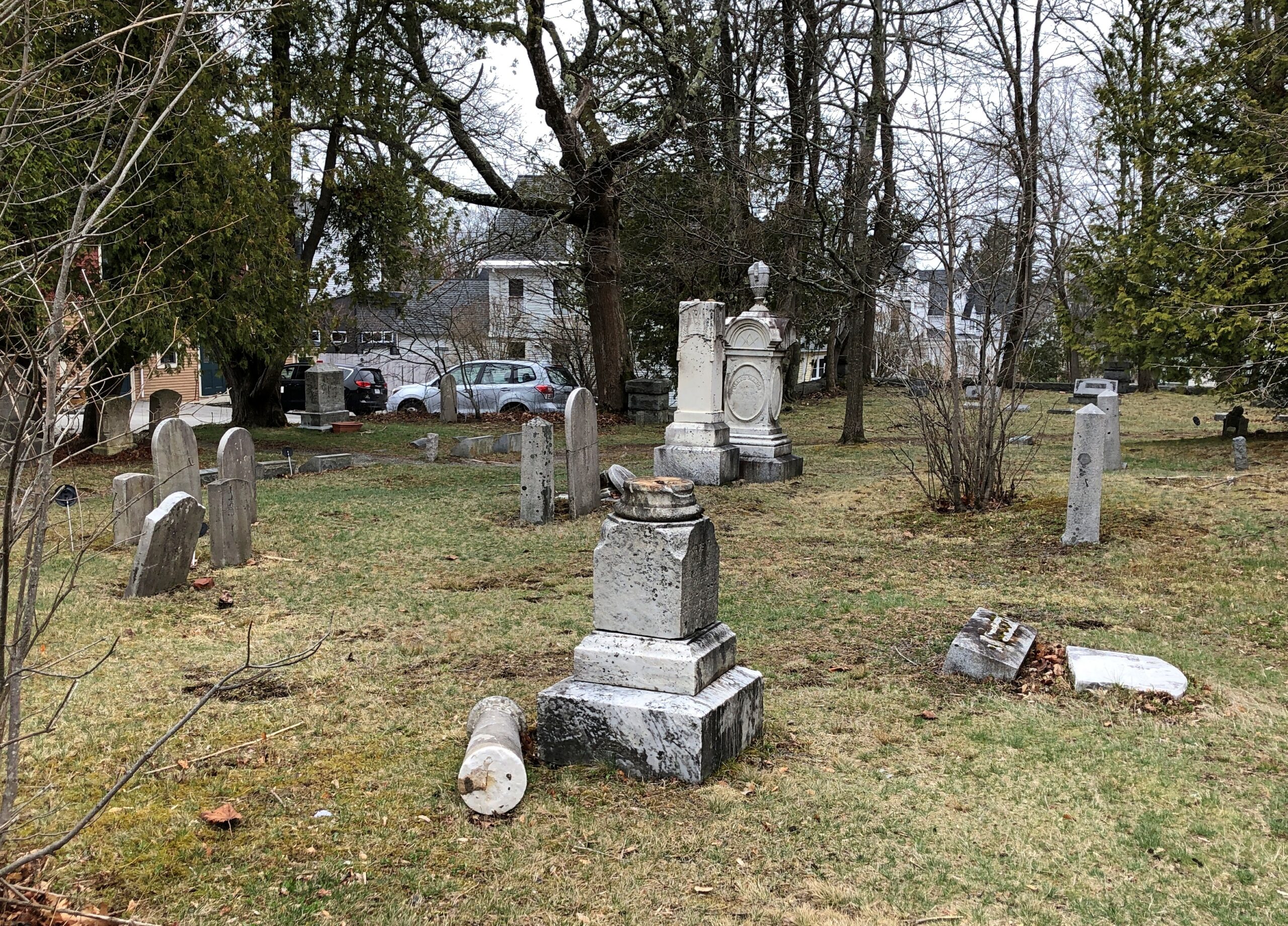
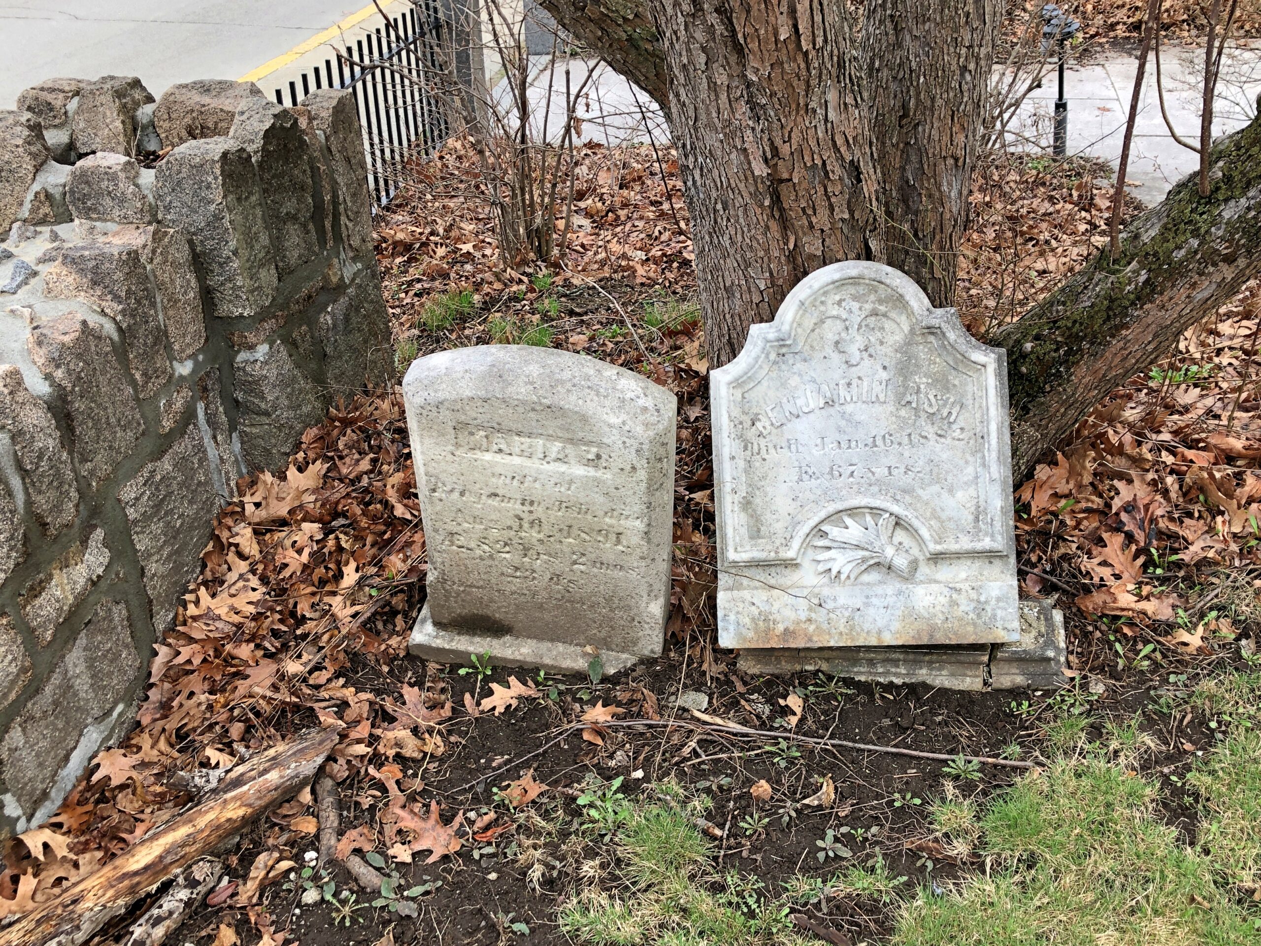
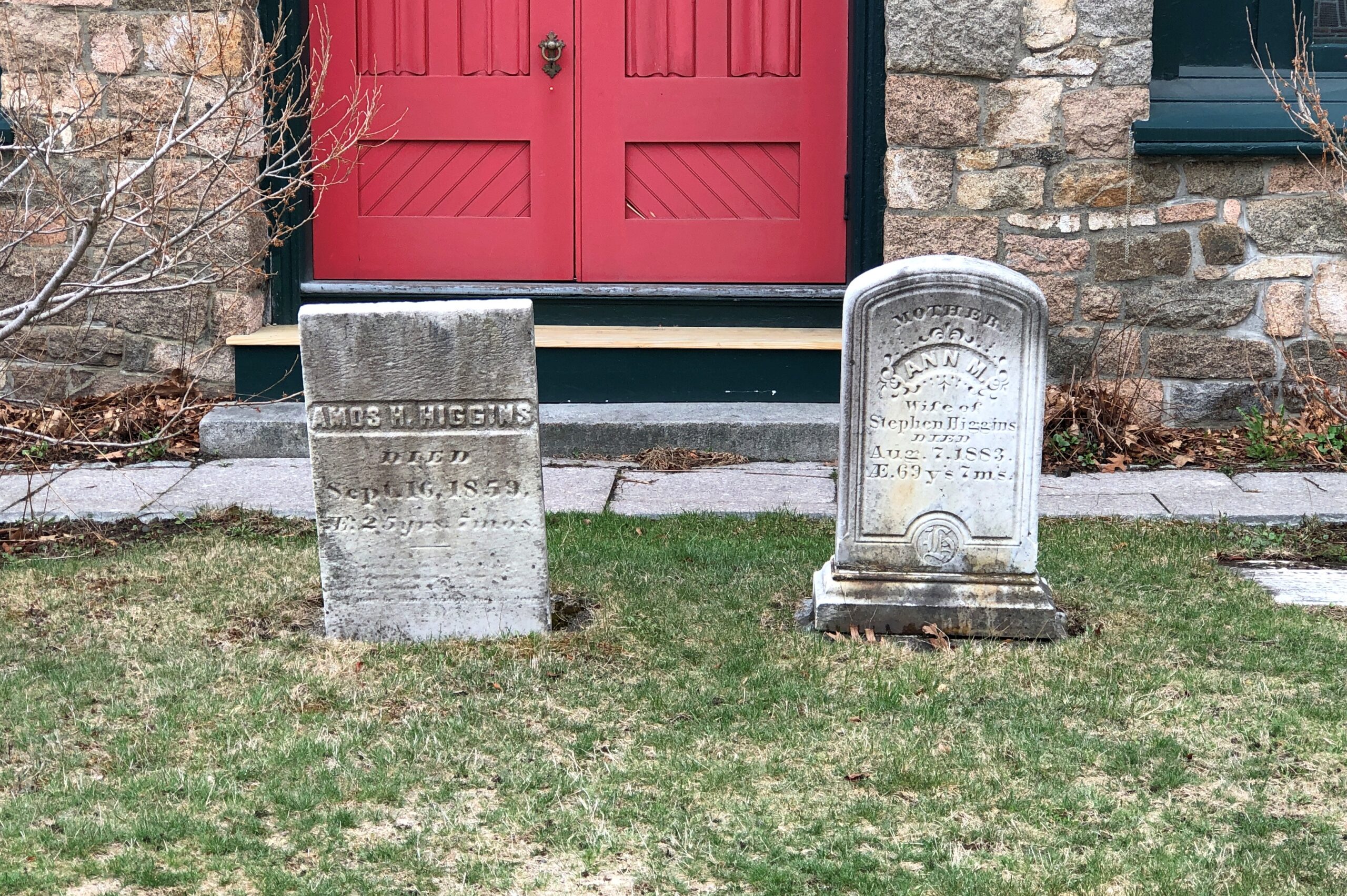
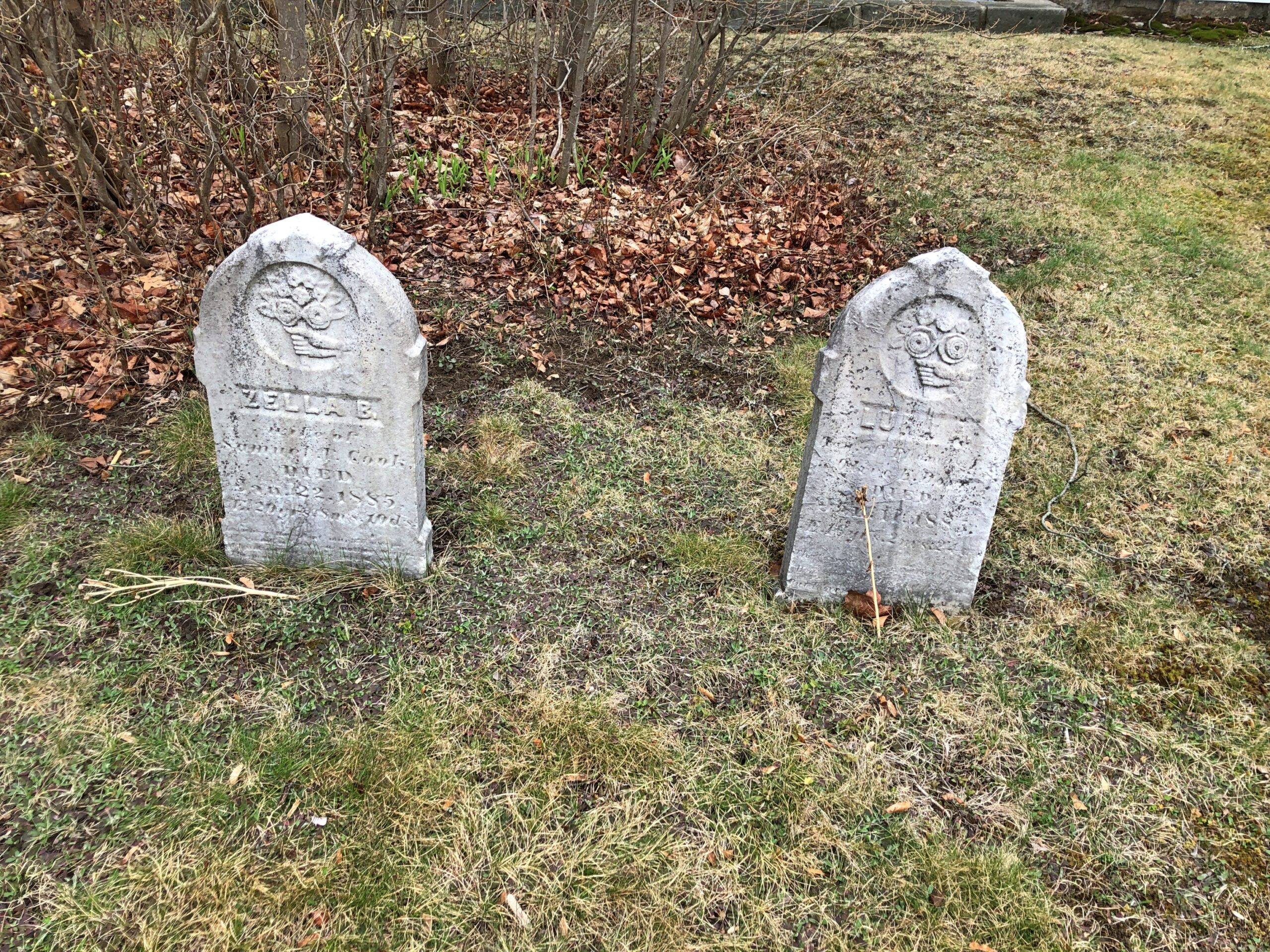
Stones two by two. Maybe not coupled in life, but they are now.
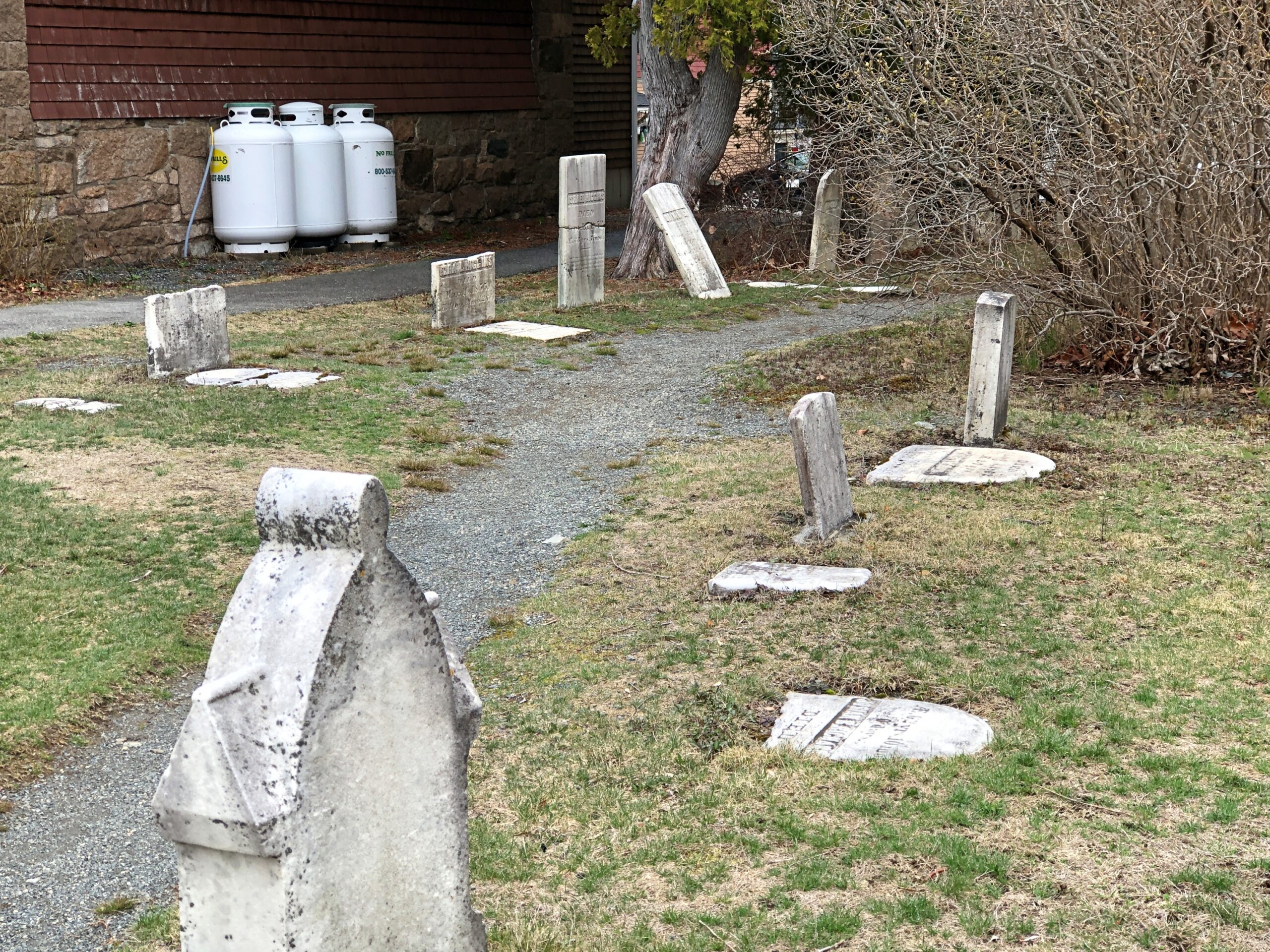
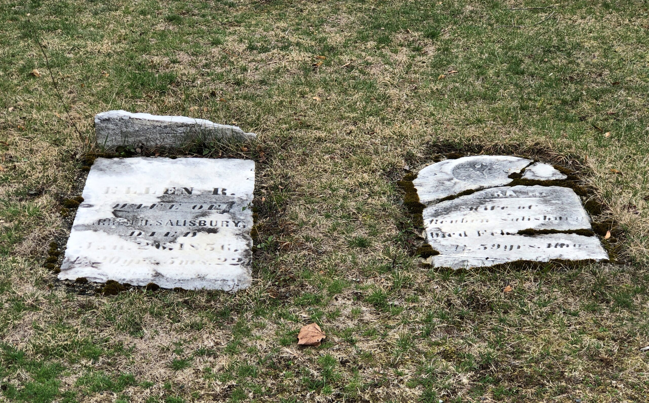
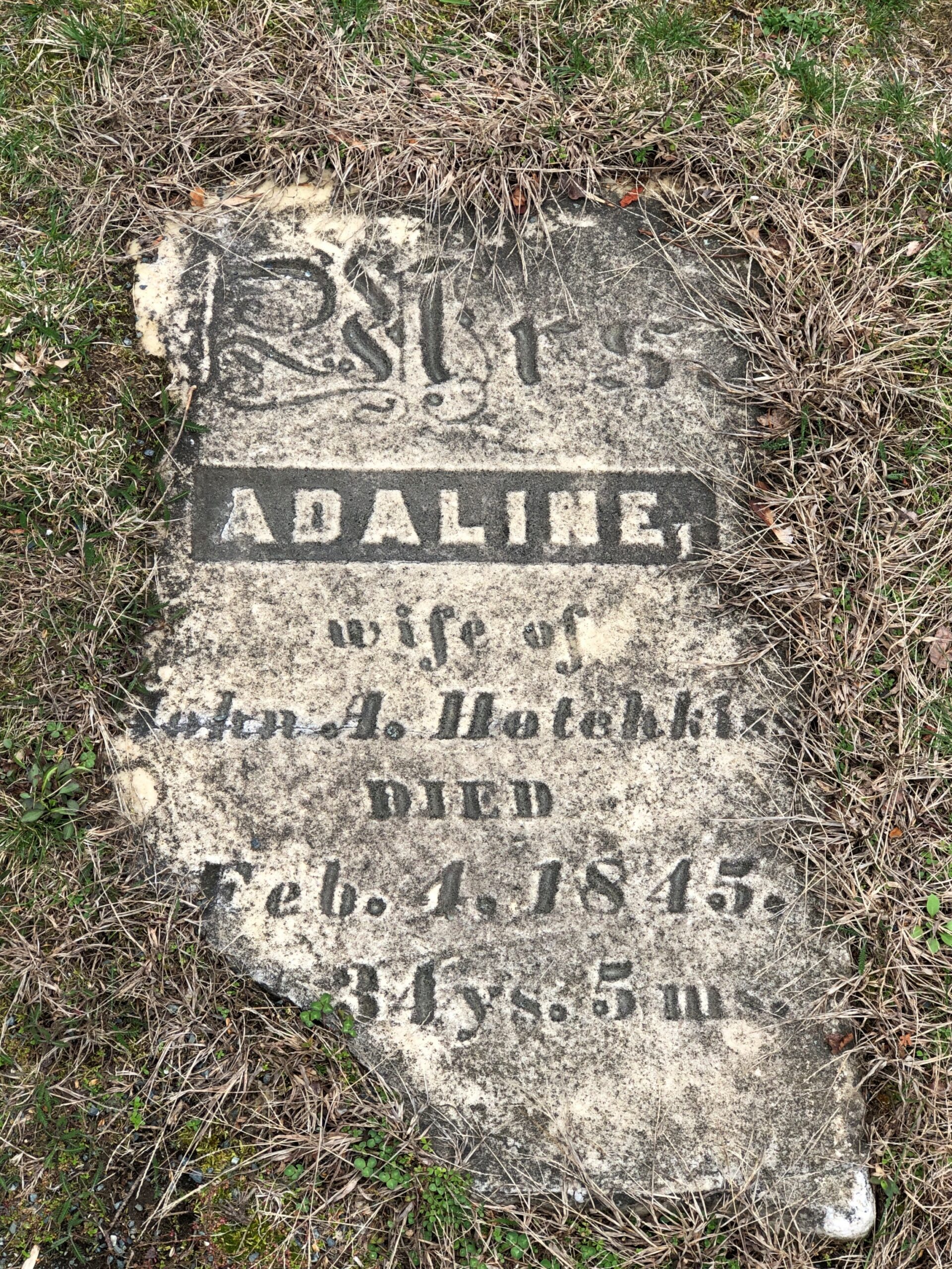
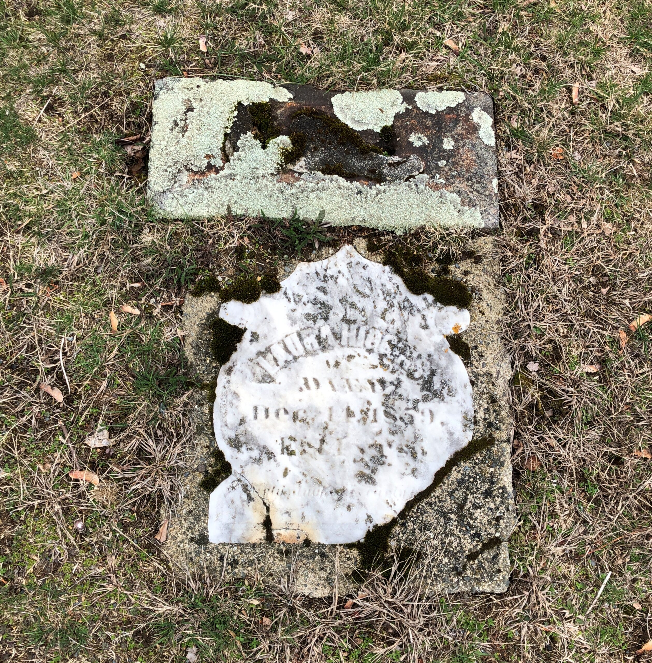
Many stones are on their way to disintegration, as usual with a cemetery that goes back this far.
Dark rectangular slate, as seen in a lot of New England, though no others in this cemetery that I noticed, except for a handful of lighter-colored rectangles.
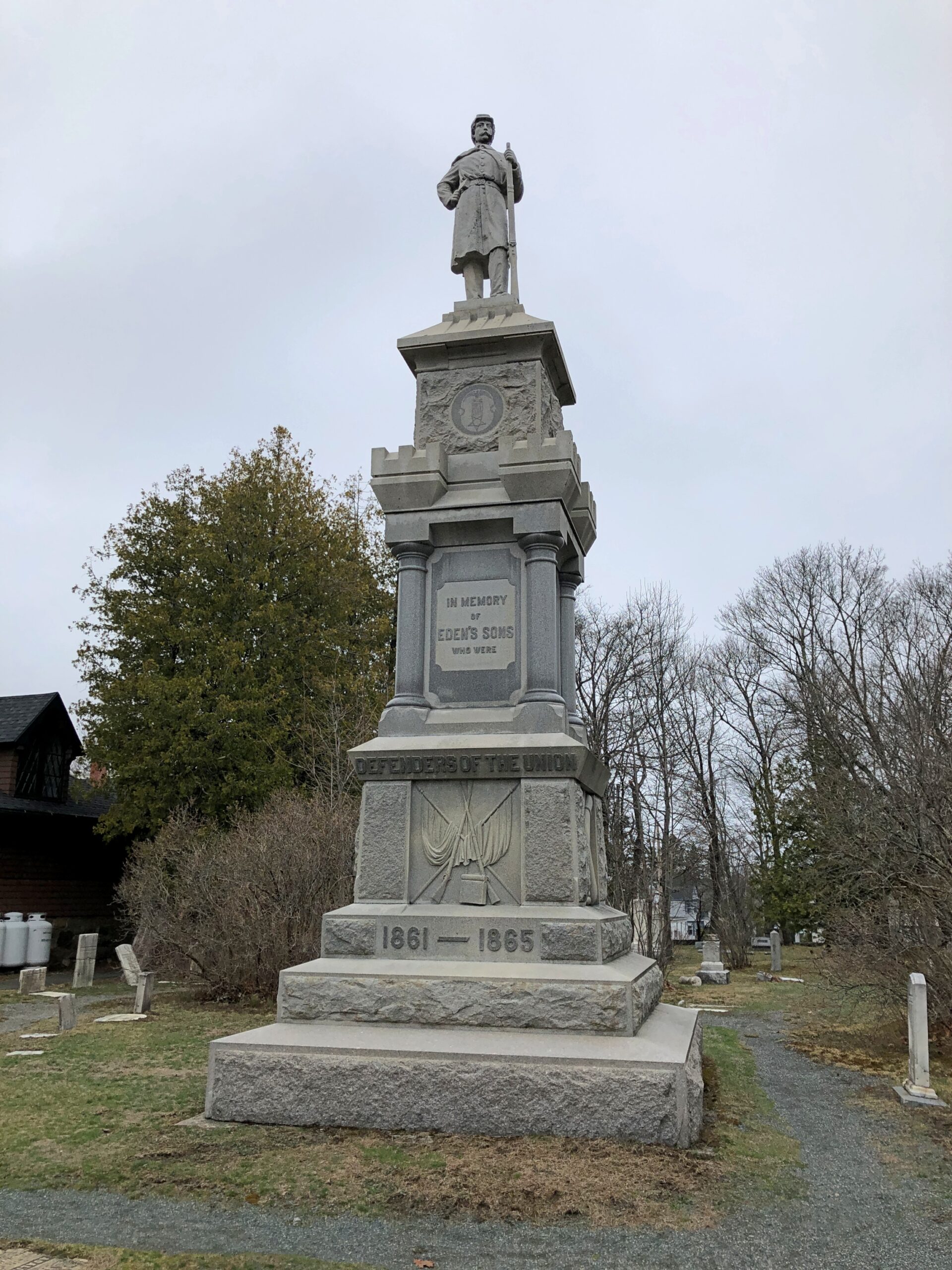
A memorial to Union soldiers from Eden, erected in 1897, ordered from a catalog. Attributed to Cook & Watkins of Boston, memorial makers.
The village paid for most of it, though the public at large donated. Their efforts were probably pushed along by the idea that we’d better get around to this now, what with all the graybeard vets.
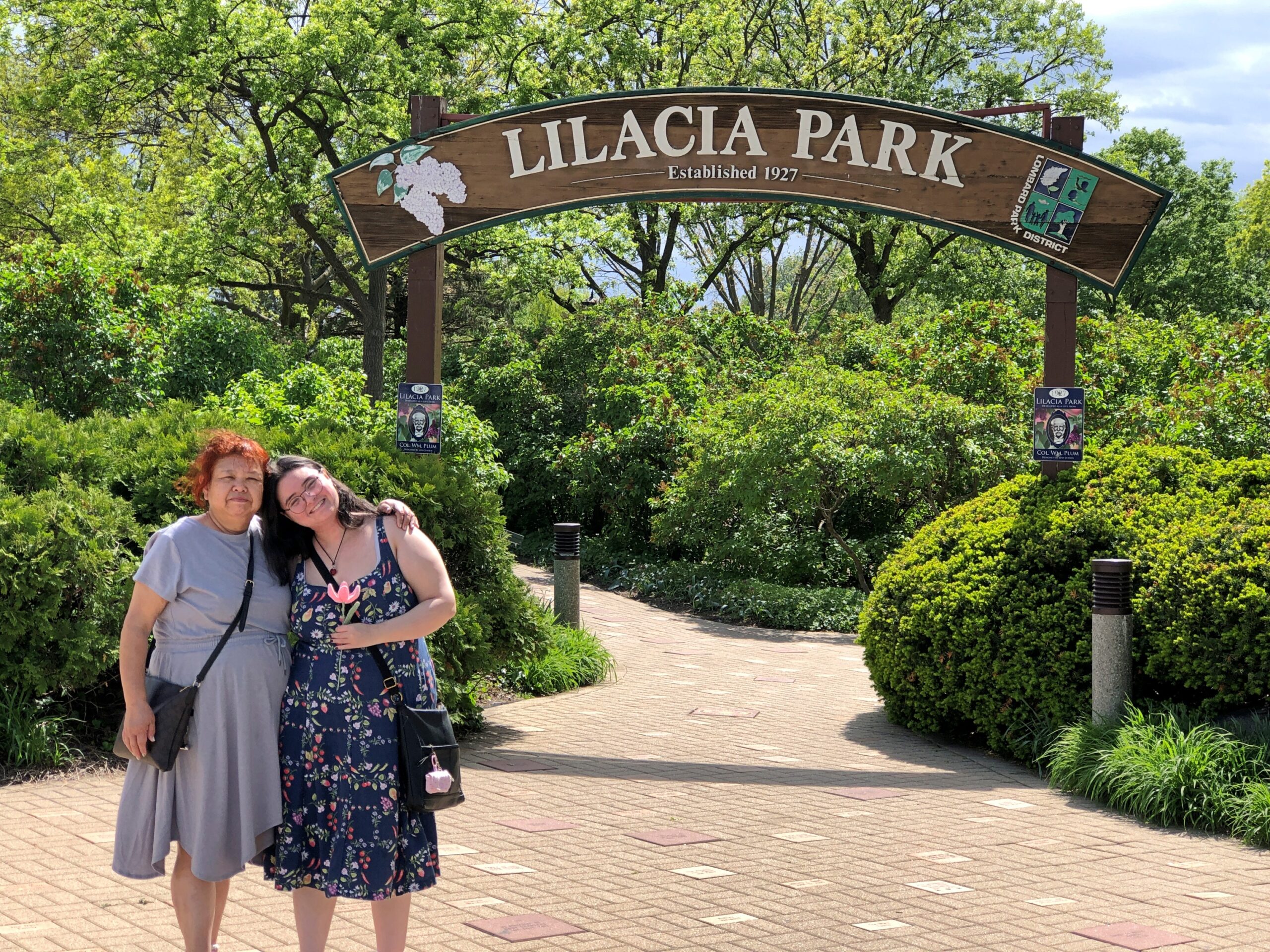
Finally a warm Saturday. Finally a warm day of any position on the calendar. They’ve been spotty lately. Warned that the day would be warm, we went to Lilacia Park in Lombard early in the afternoon, something we do every few years in mid-May, for nearly 20 years now.
Most of the tulips were gone, but true to the park name, lilacs are in bloom in profusion. Not just colorful to see, but put your nose close for a fragrant moment.
Lilaicia Park is a crown jewel of suburban parks, and yet not overcrowded on a pleasant Saturday during peak lilac bloom. Just busy.
One of these years, some fool influencer or two might make Lilacia an It Spot, and the crowds will show up in ridiculous numbers. Or considering its location in the thick of the suburbs – the sort of place where influencers might grow up, but never consider interesting enough to point their cameras – that isn’t very likely? I couldn’t say.
Good to make it back. We met Kevin there this time around, at our suggestion, who came from the fairly close other western suburb of Downers Grove. He’d never heard of the park, and so I was glad to introduce him to it.
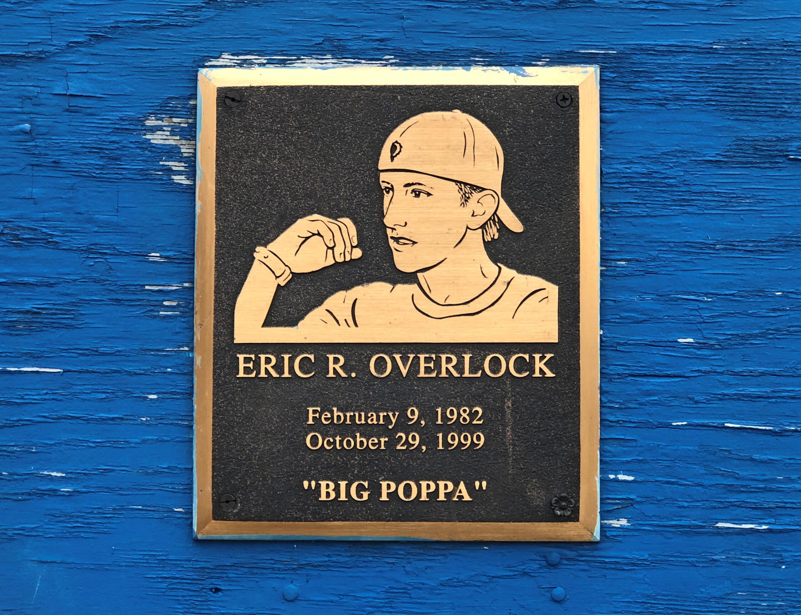
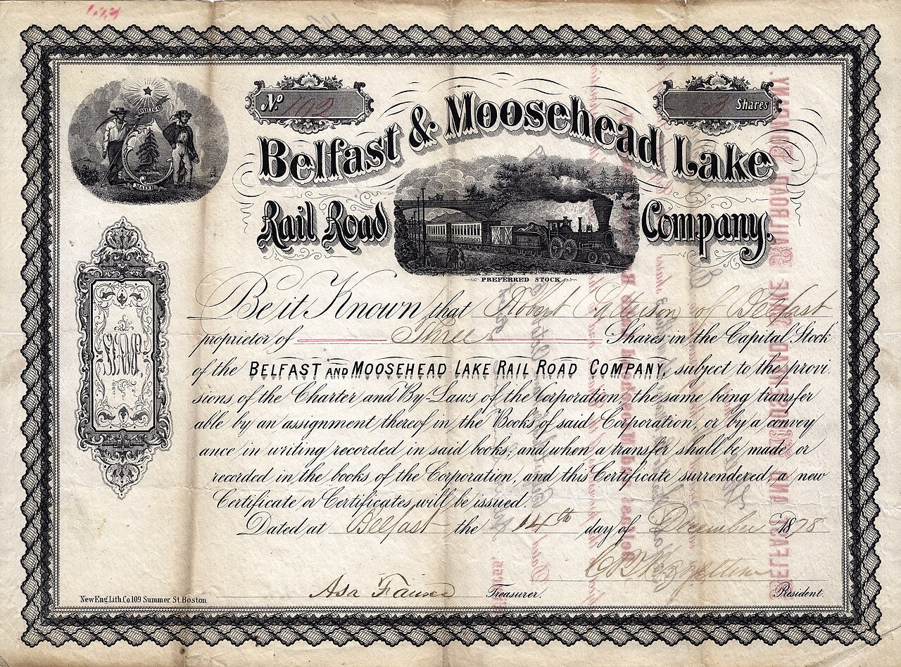
You can’t call it an obituary exactly, but not many people get a writeup like Eric R. Overlock, who died at 17 in Belfast, Maine, in 1999. The entire thing is worth a read, as are the two other entries on a Substack by one Matthew Hurley.
Eric Overlock was the toughest kid in Belfast, Maine. He was also the coolest. We grew up skateboarding. He was talented and sponsored in the ’90s when that was a big deal. His nickname was Big Poppa, like The Notorious BIG. He could fight, smoked cigarettes, and was dropping acid at 15…
I learned a lot from Eric, but it was from him I first learned that anyone, and eventually everyone, can and does die.
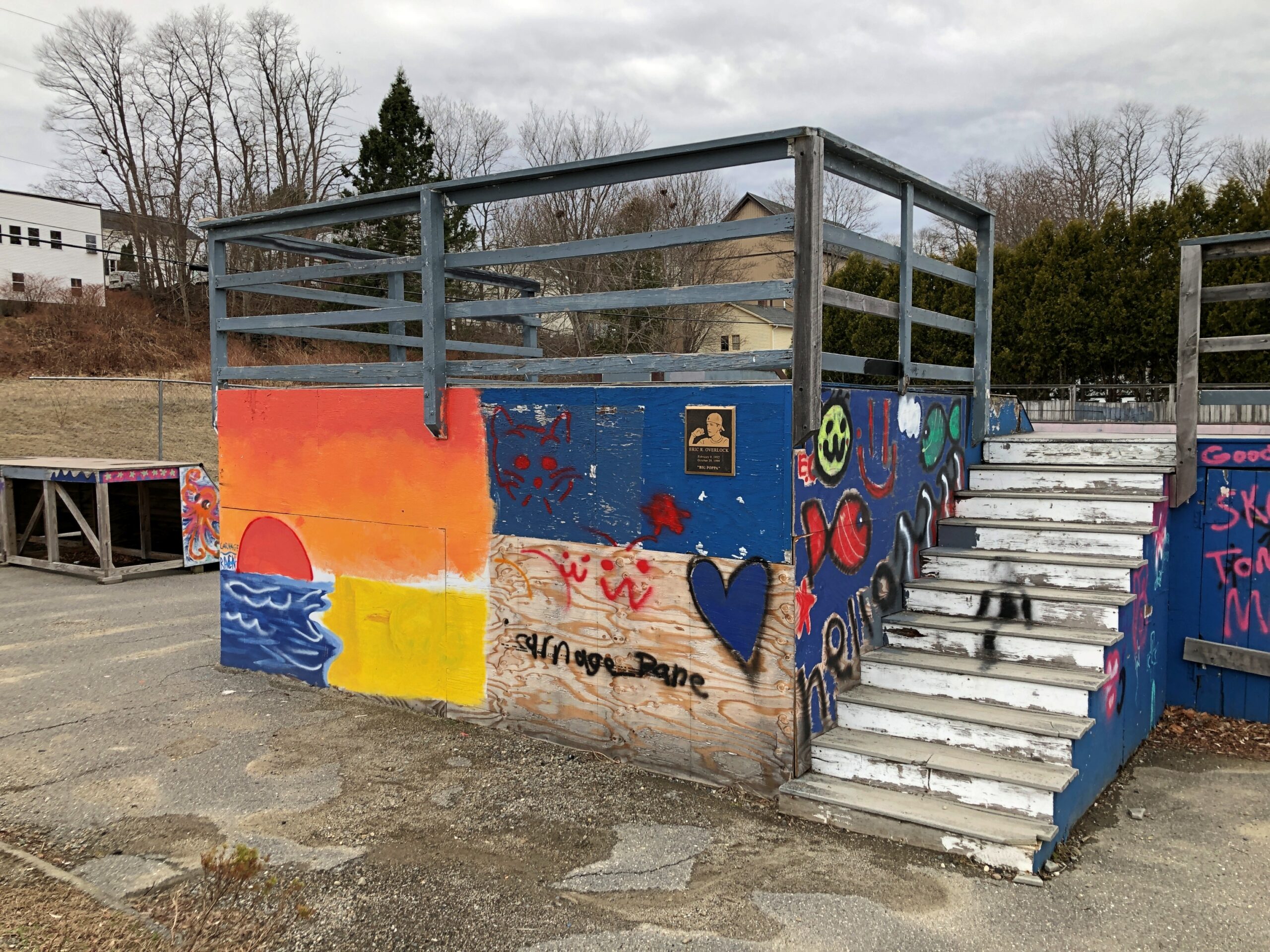
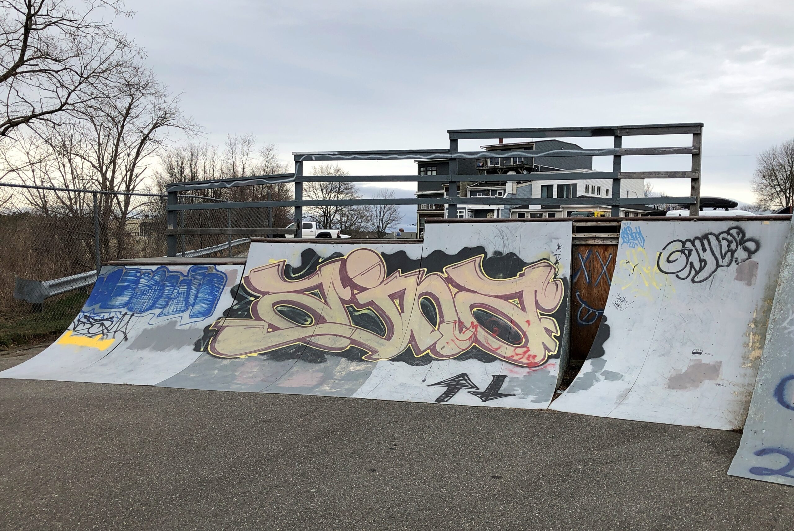
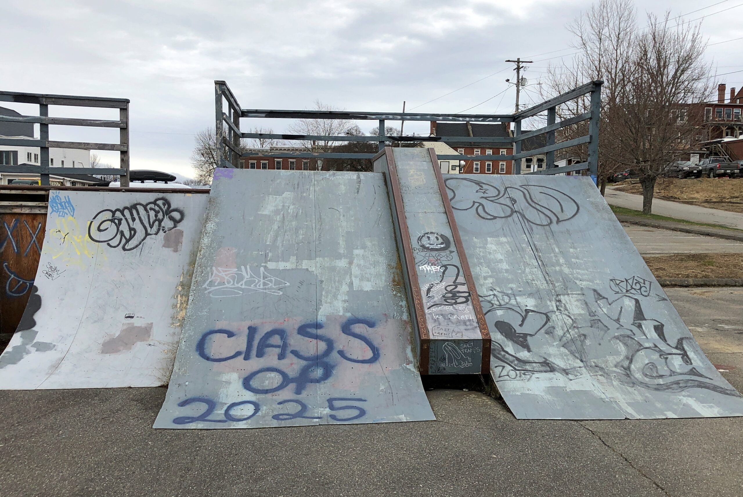
When I arrived in Belfast on April 15, a sign directed me to a public parking lot off Main Street. Next to the parking lot is the Eric J. Overlock Memorial Skatepark, marked by Eric’s plaque.
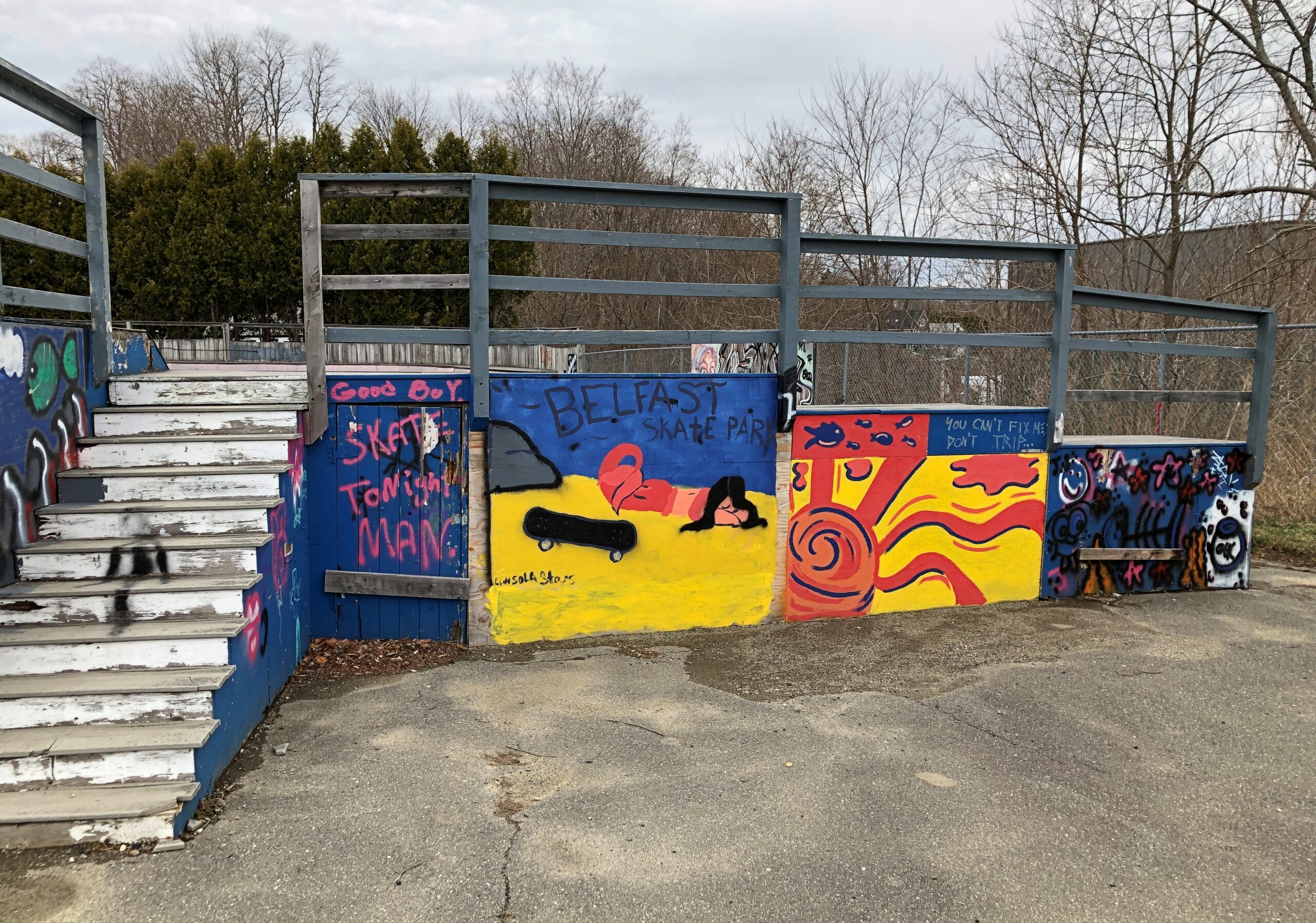
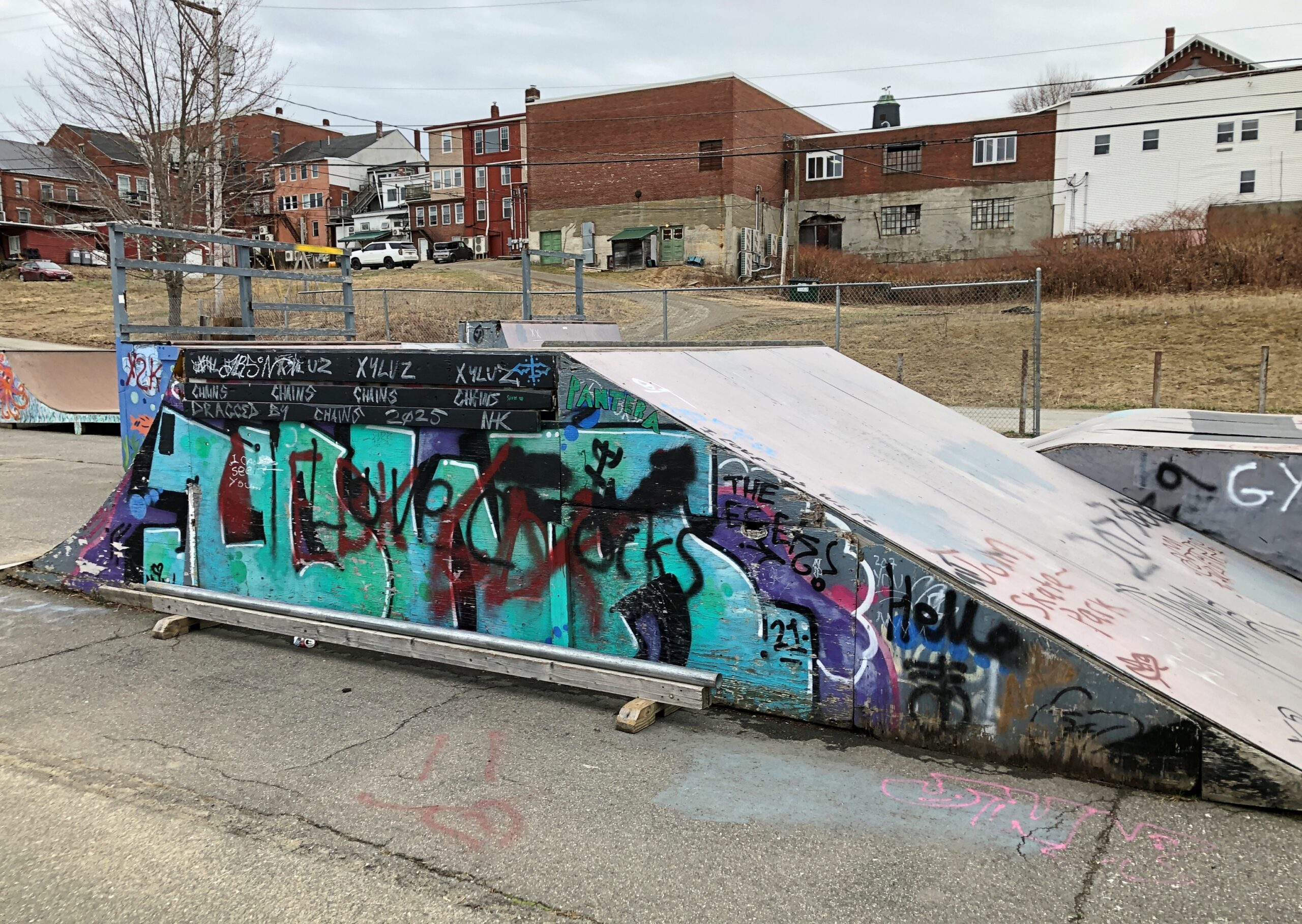
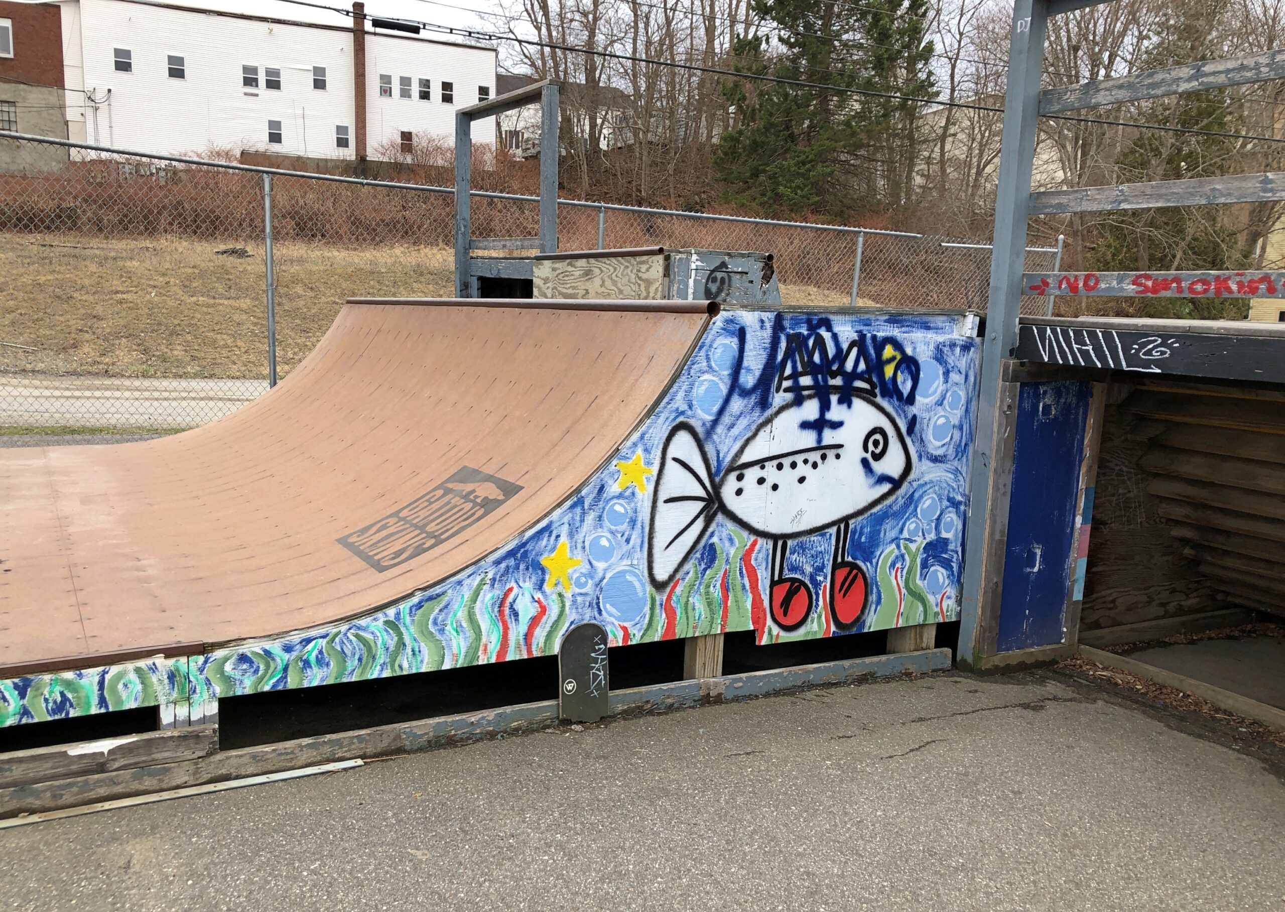
No one else was around, so I spent a leisurely few minutes documenting the skatepark at that moment in time. Like the Cadillac Ranch, I figure it changes according to the whims of Belfast graffitists.
Whatever the paint job, a world as strange to me as parallel bars or luge or the flying trapeze. How again does anyone learn it without serious bone breaks?
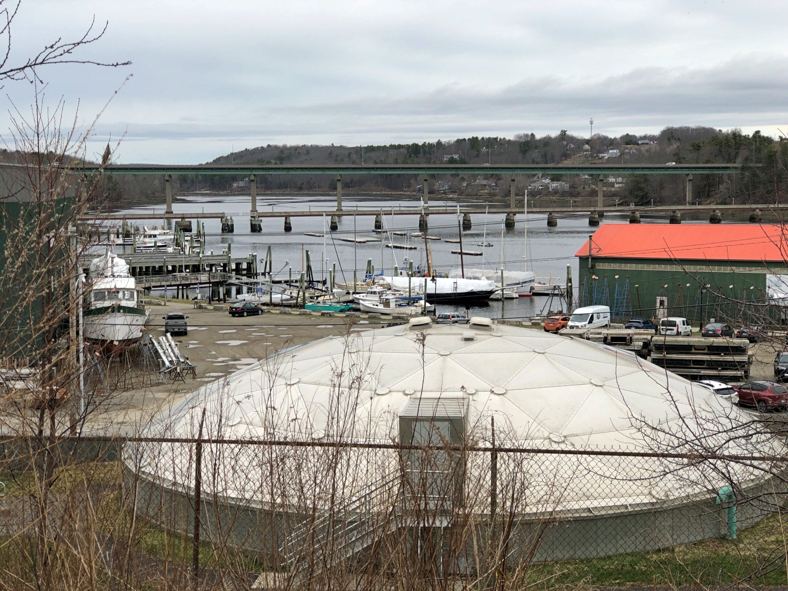
The skatepark and parking lot are on a long slope to the Passagassawakeag River. According to the Piscataquis Observer, “The Voice of Rural Maine,” it’s pronounced puh-SAG-uh-suh-WAH-keg. Which is just fun to say, once you get the gist. Wonder whether there’s a clipped version locally.
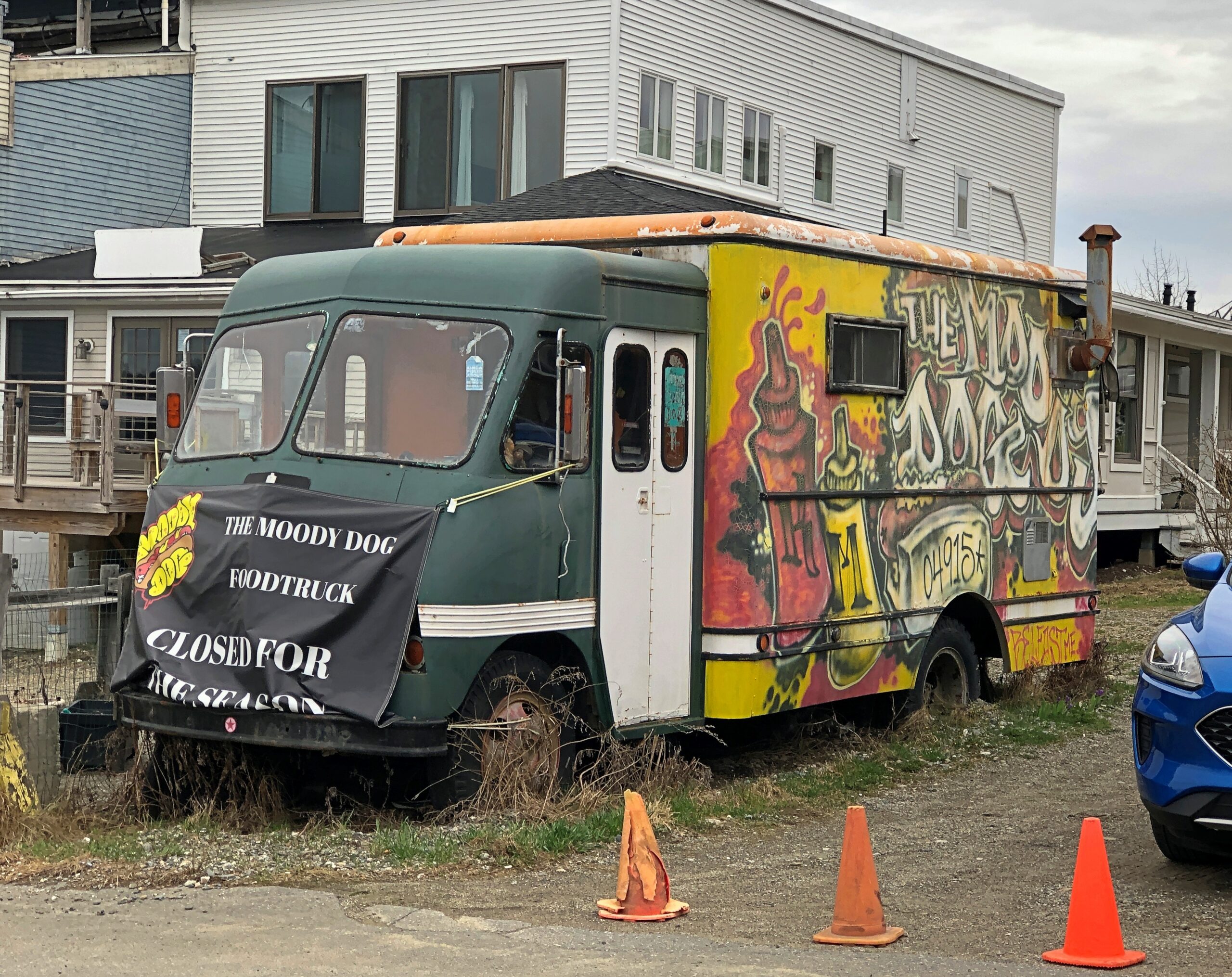
Main Street retail wasn’t quite closed for the winter, but mostly so for the chilly shoulder season. I expect the Moody Dog is gearing up for the summer season even now.
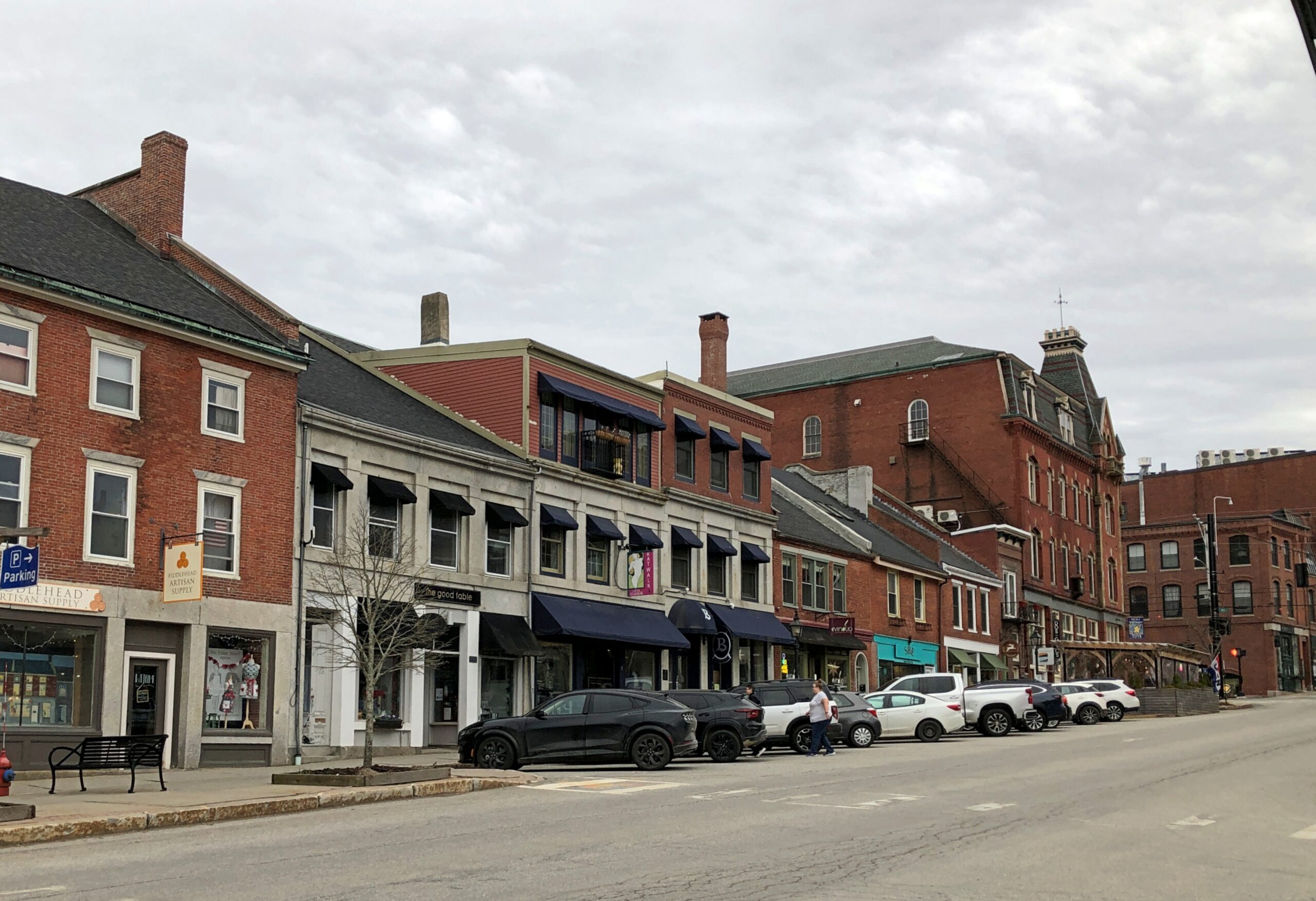
Main Street was very much worth a look anyway.
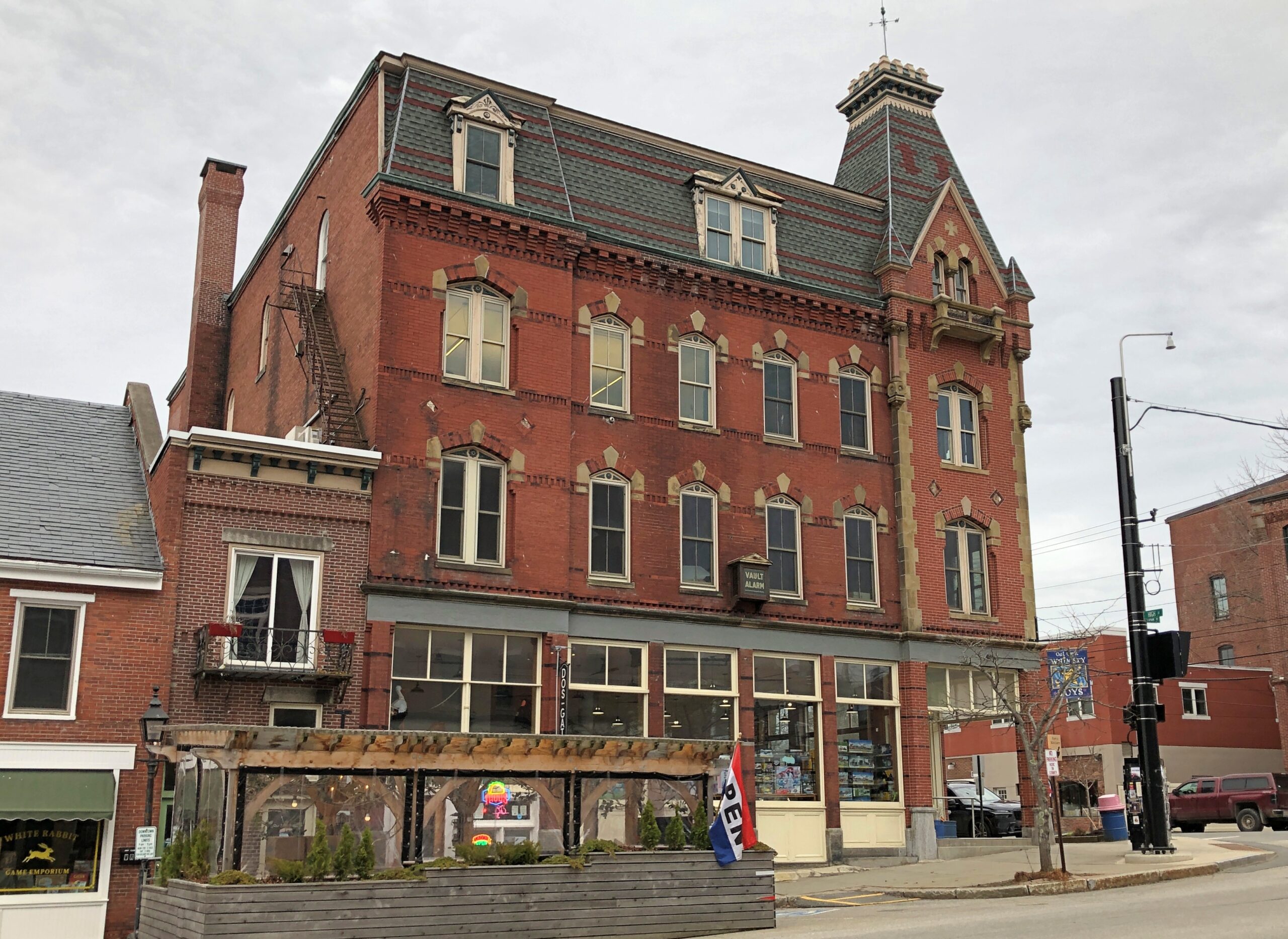
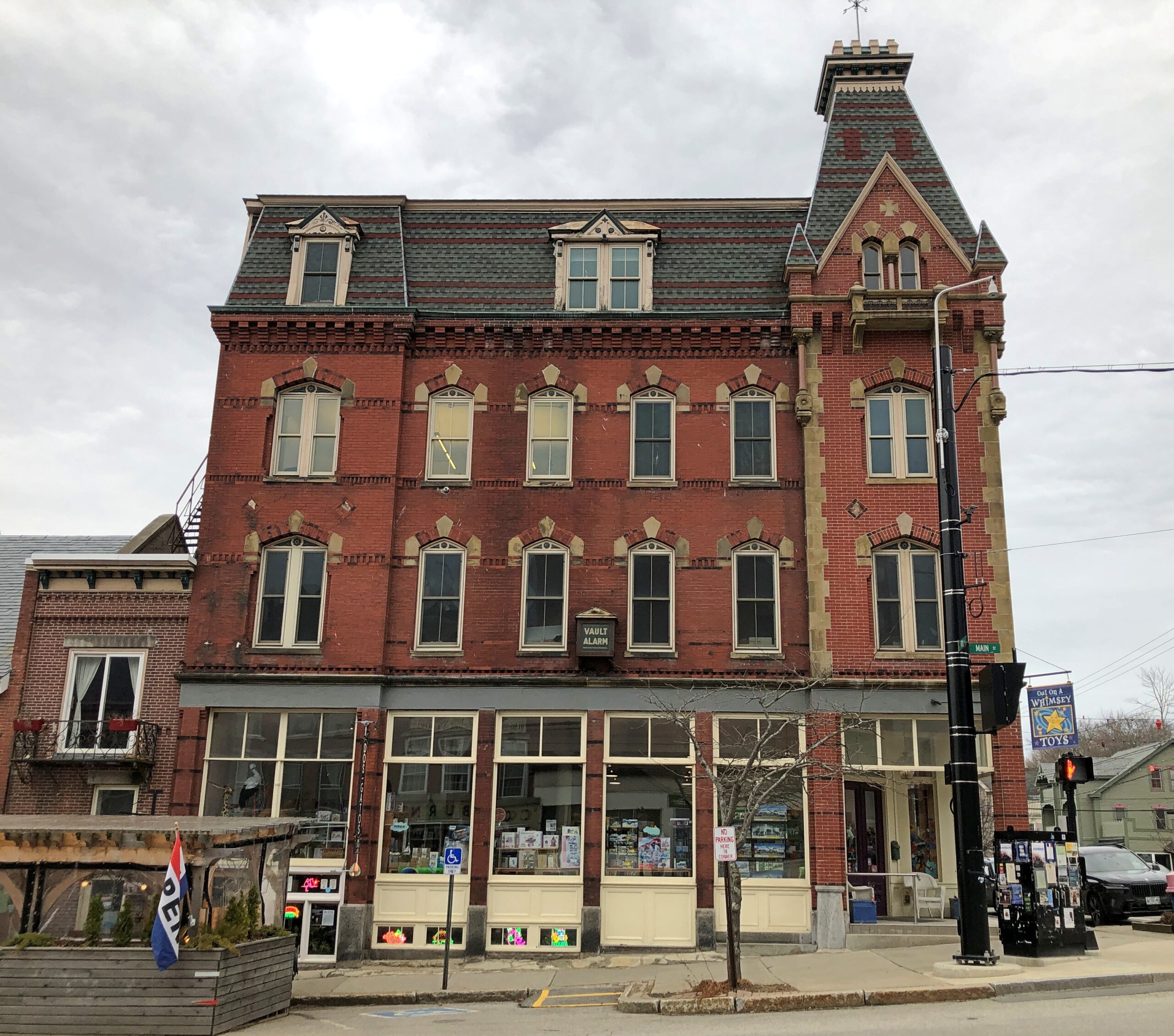
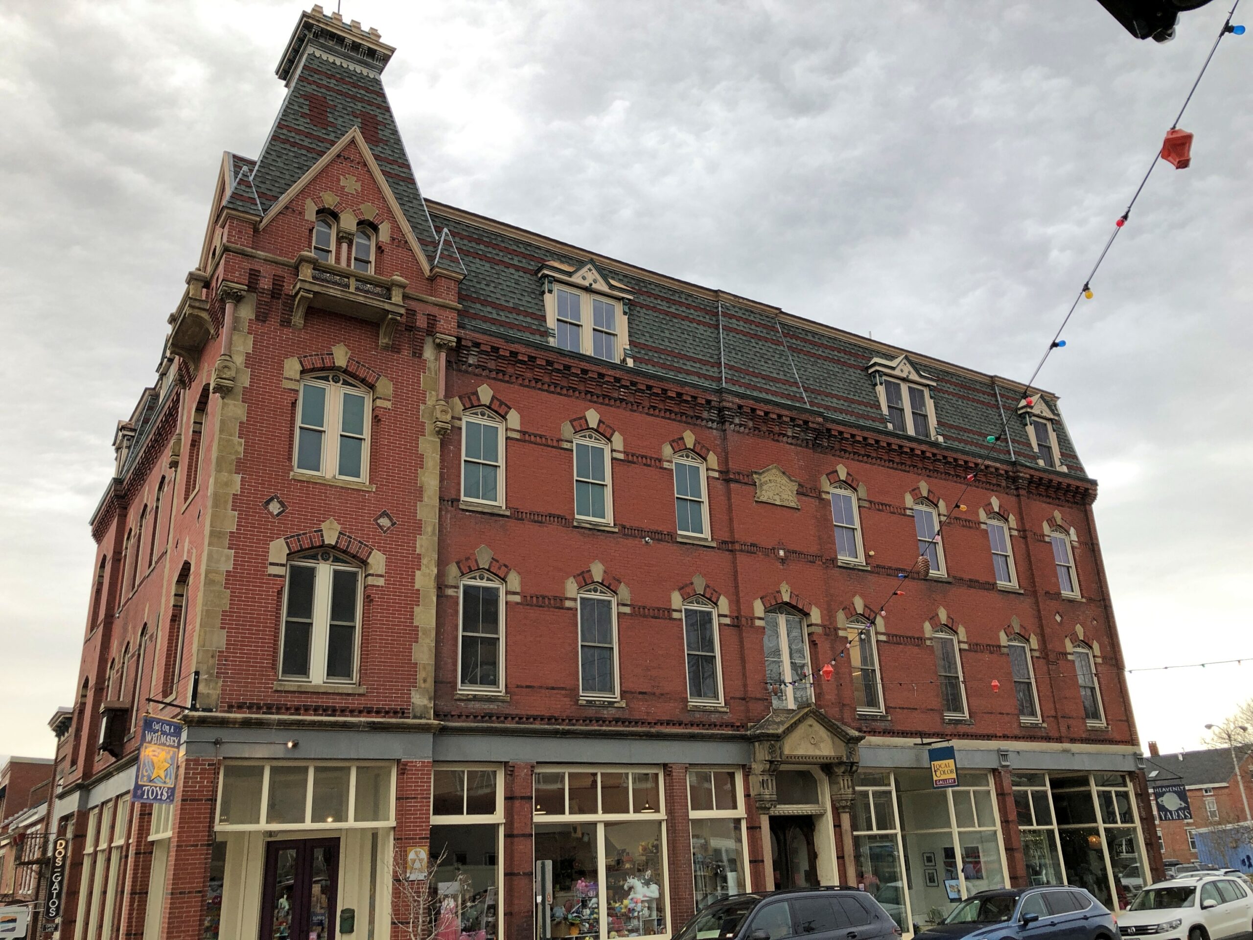
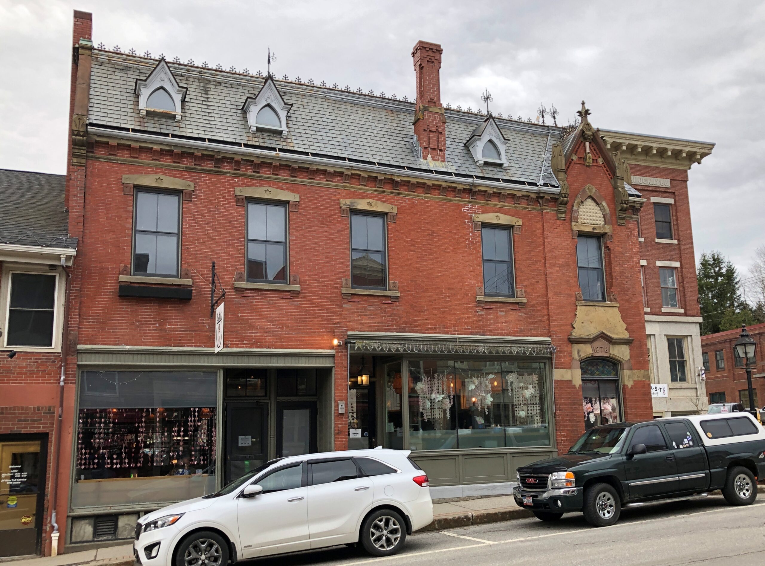
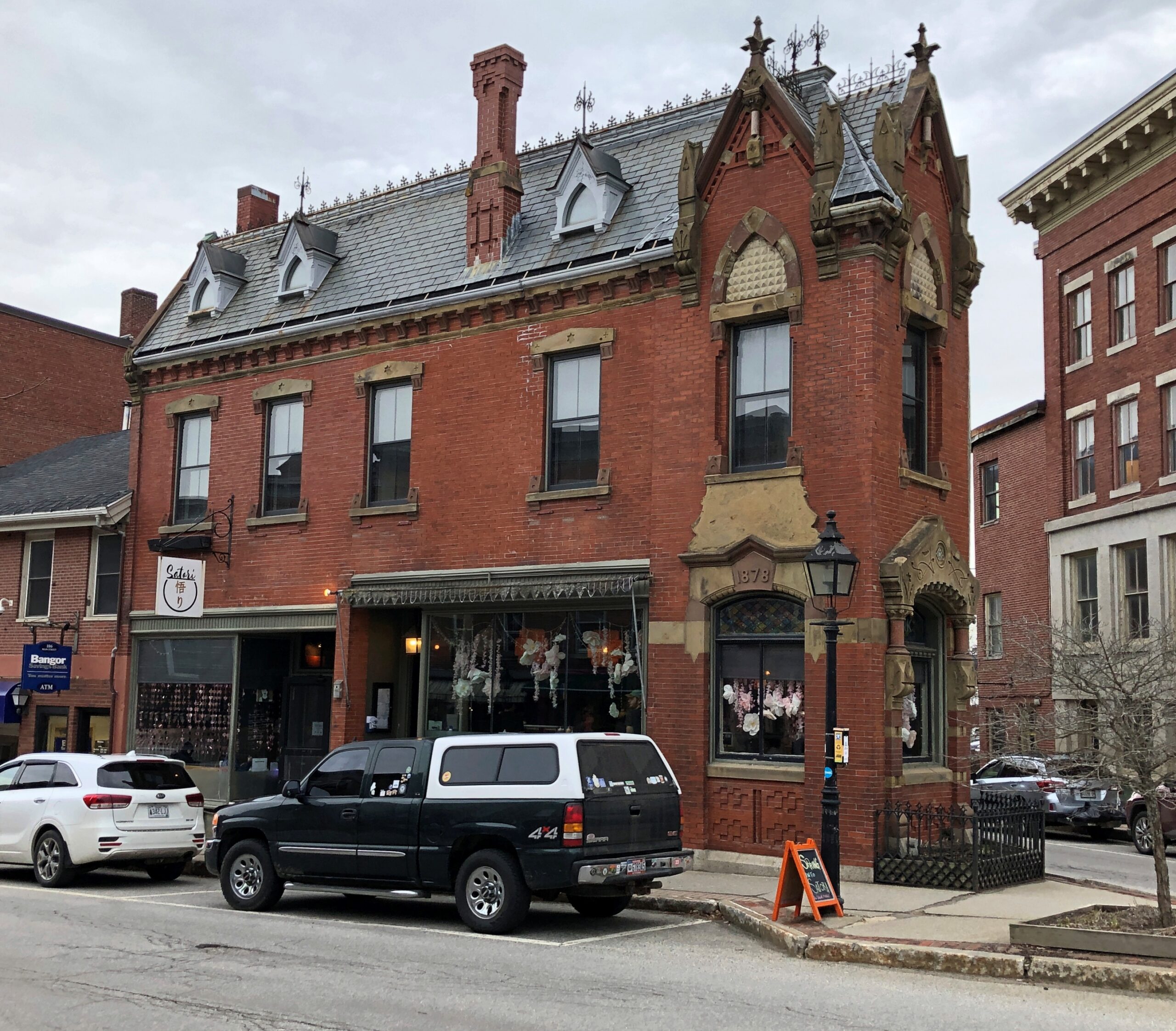
A handsome edifice at Main and High Streets. Maine seems to have, or had, a way with bricks.
As a settlement, Belfast is old enough to have been burned by British forces during the Revolution. Afterward, revivals and declines have come and gone, as industries cycle through the decades: shipbuilding, seafood processing, railroading, shoe making, poultry, credit card processing, shipbuilding again and tourism.
The Cooper Collection of US Railroad History
The building at the five-street intersection of Main, Church and Beaver Streets.
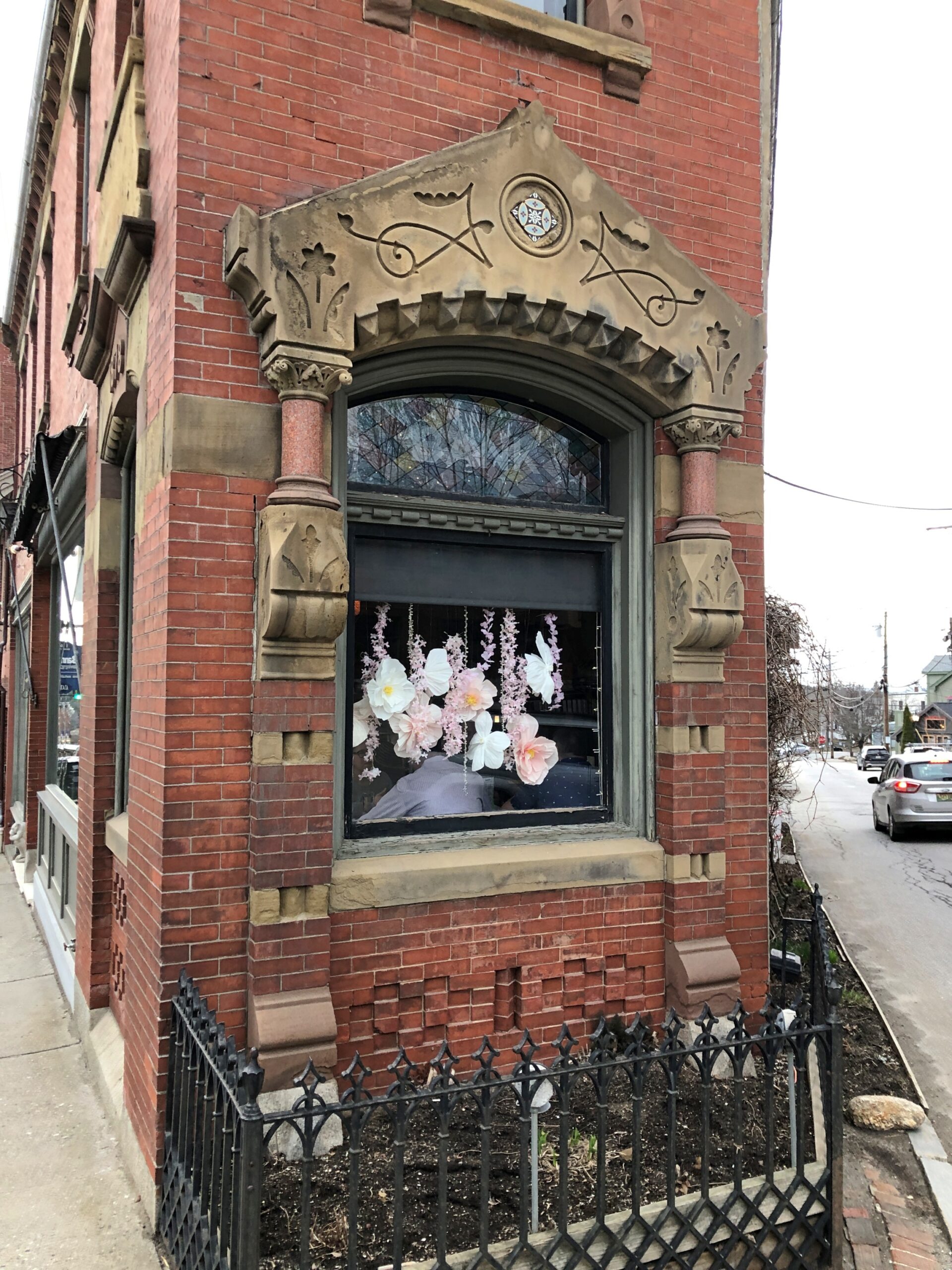
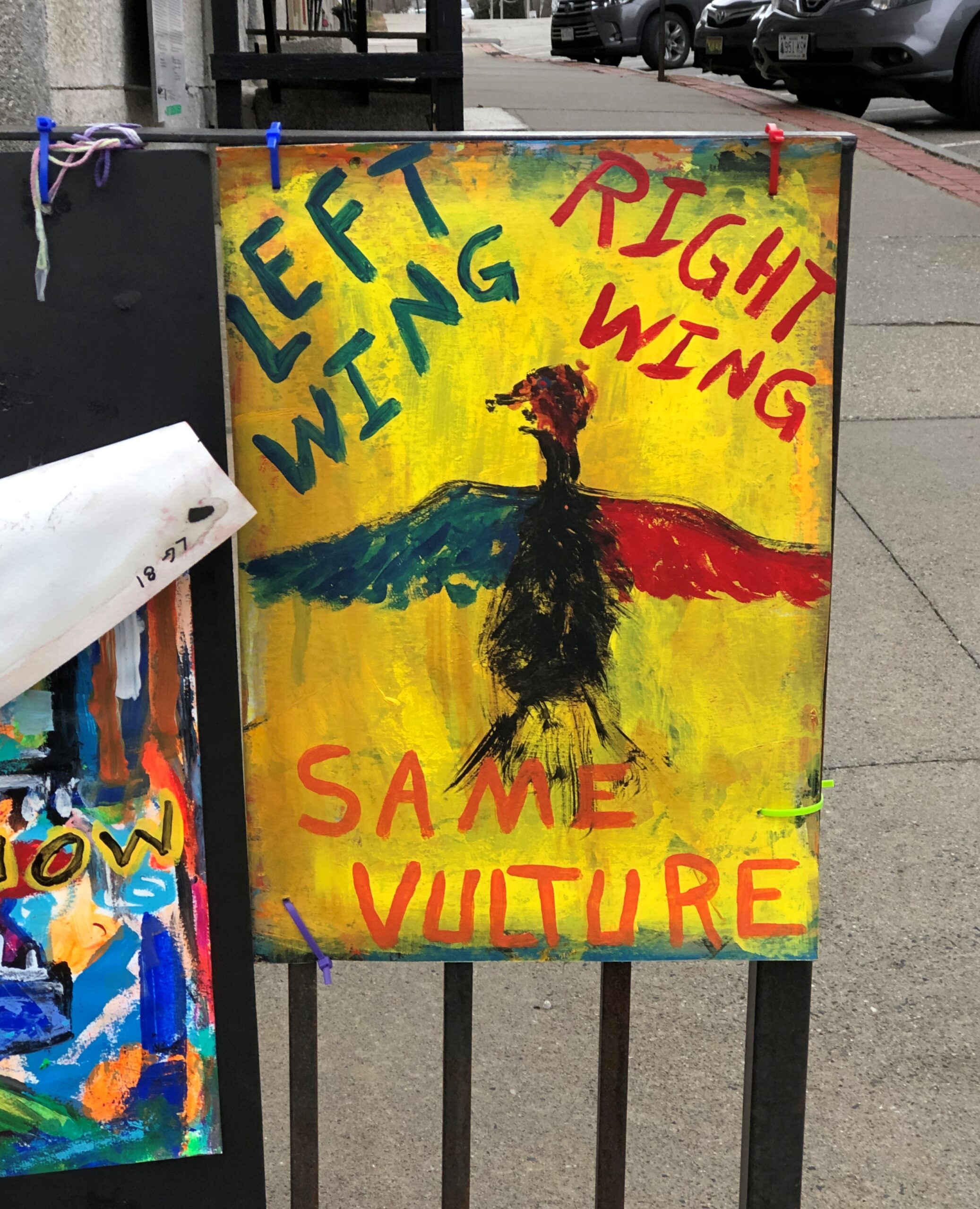
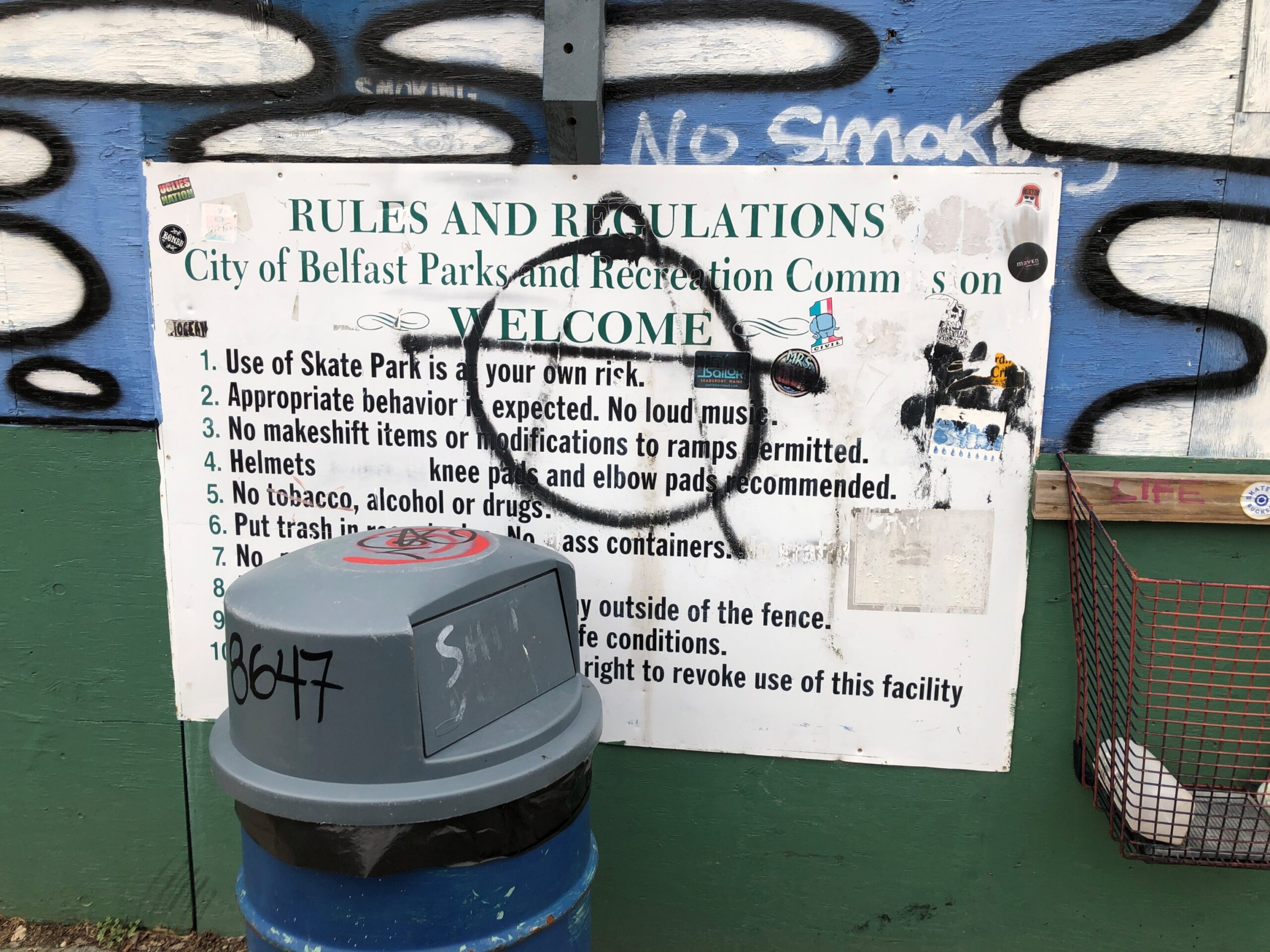
Details. Is Belfast a hotbed of anarchism?
But you can mock a two-faction system without being an anarchist. But note, back at the skatepark.
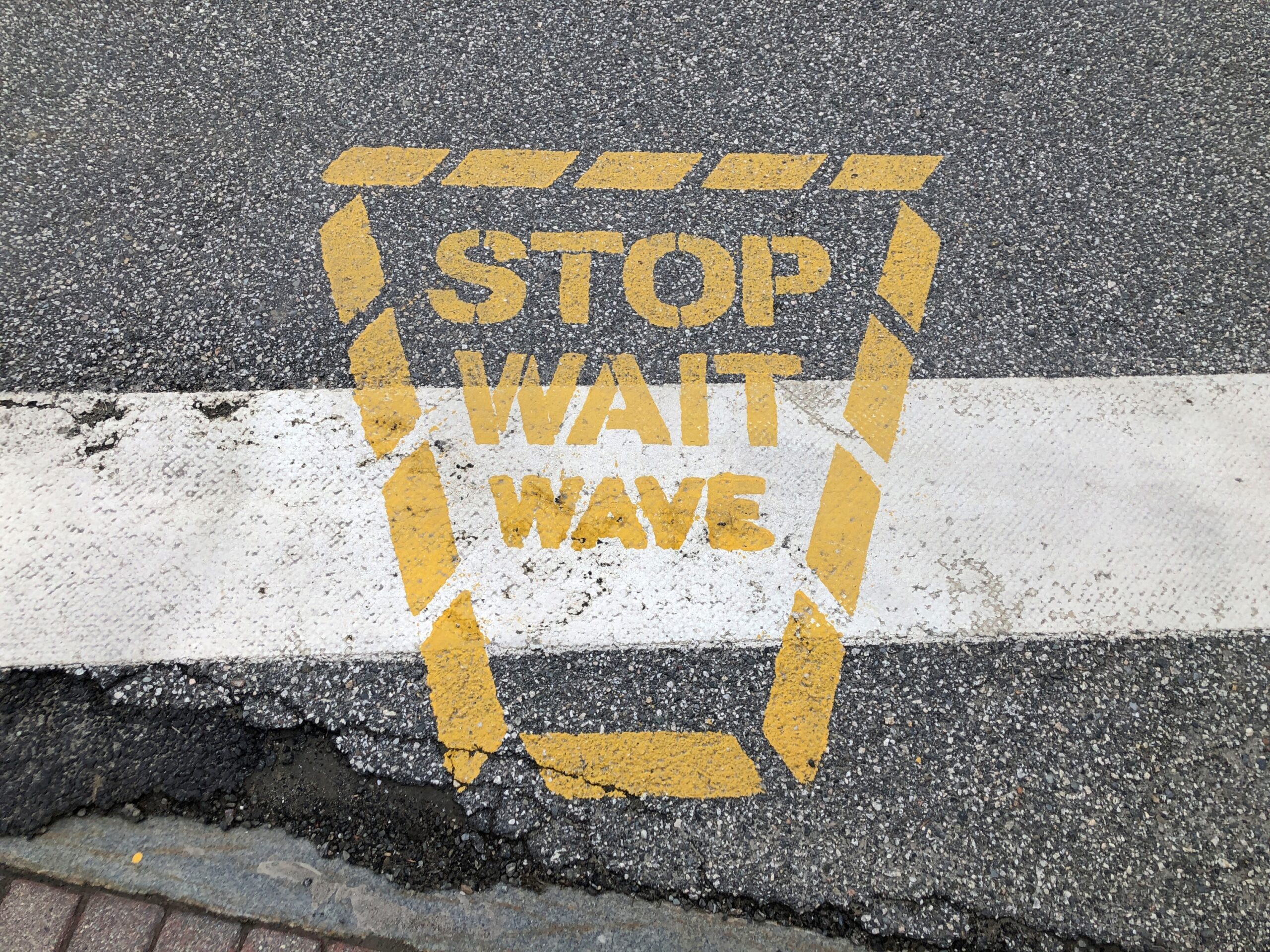
How about nanny-statism? I don’t know that you can plausibly accuse Maine of that, but still. A crosswalk example.
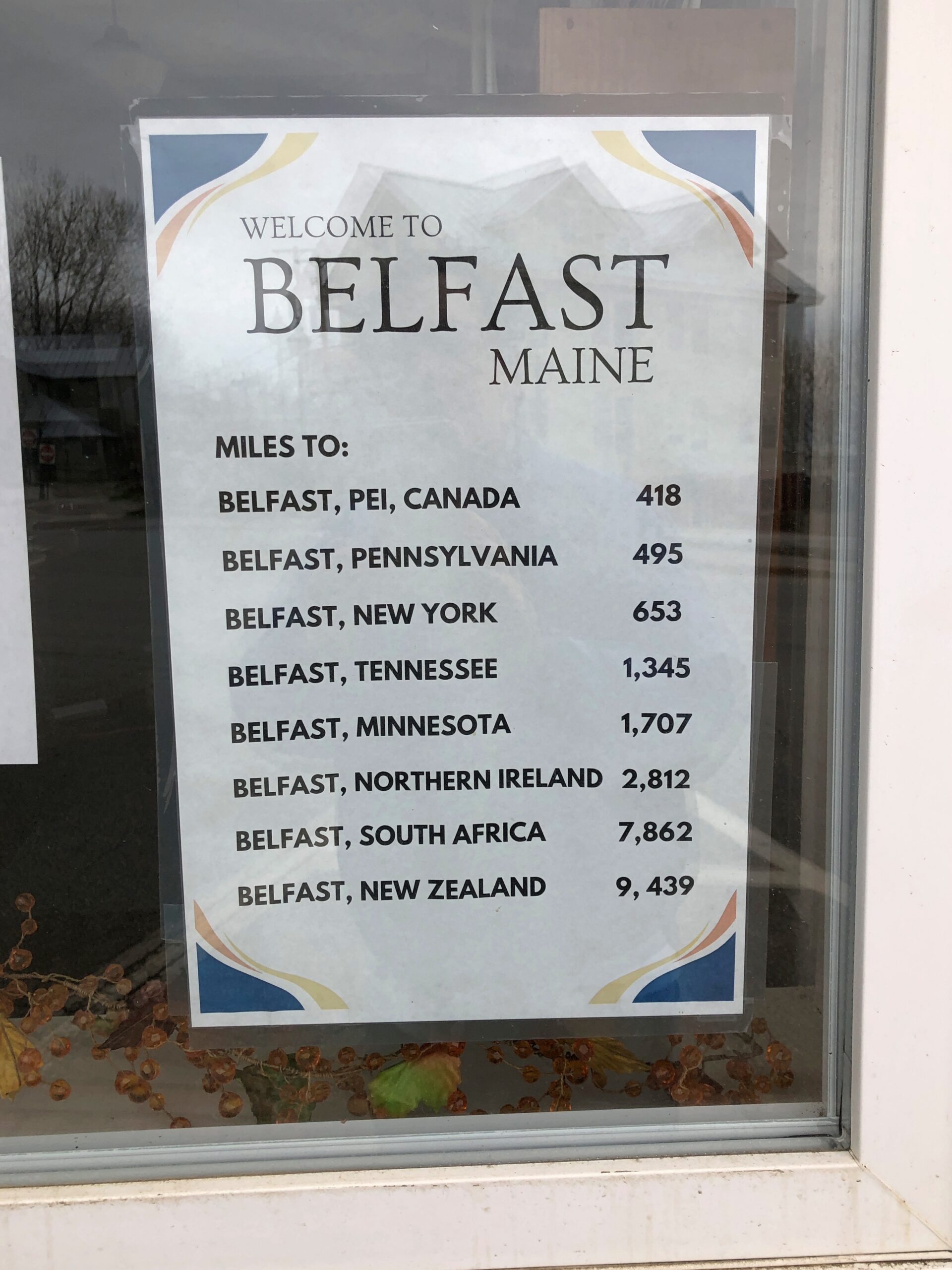
In case you were wondering.
What do you know, Maine was my first ever Belfast, not counting the HMS Belfast.
Driving the entire length of US 1 is more logistics that I want to take on at the moment, or maybe ever, but I figure I get a little of the same satisfaction doing it in sections. US 1 from Trenton to Newark, which I drove the afternoon of April 10, isn’t what anyone would call a scenic road, but that I’d say it’s better than the New Jersey Turnpike, whose main scenery is tail lights of other cars.
US 1 in New Jersey is four or six lanes most of the way through, generally is a divided highway, passing large cross streets, retail agglomerations, railroad tracks paralleling for a time, car dealerships, sporadic stretches of forested or other undeveloped land, thick traffic through New Brunswick especially, more than a few Jersey lefts and an uptick in spaghetti interchanges the closer you are to Newark. Stops were for traffic lights, but not too much for simple congestion. Take that, New Jersey Turnpike.
During the drive, I chanced on a radio call-in show that asked callers for stories about crashing wedding receptions, sneaking into off-limits places or other common enough rule infractions, such as taking food into movie theaters. One man claimed to have crashed a reception with a couple of friends, none dressed for the occasion; the father of the bride took a cotton to them and made sure they were well fed and good and drunk before long. One woman claimed to take entire meals to the movies and eat them there, and never being asked to leave. Now this was local radio, a real New Jersey thing to talk about.
Jan had told him many times, “It was you to me who taught: In Jersey, anything’s legal as long as you don’t get caught.”
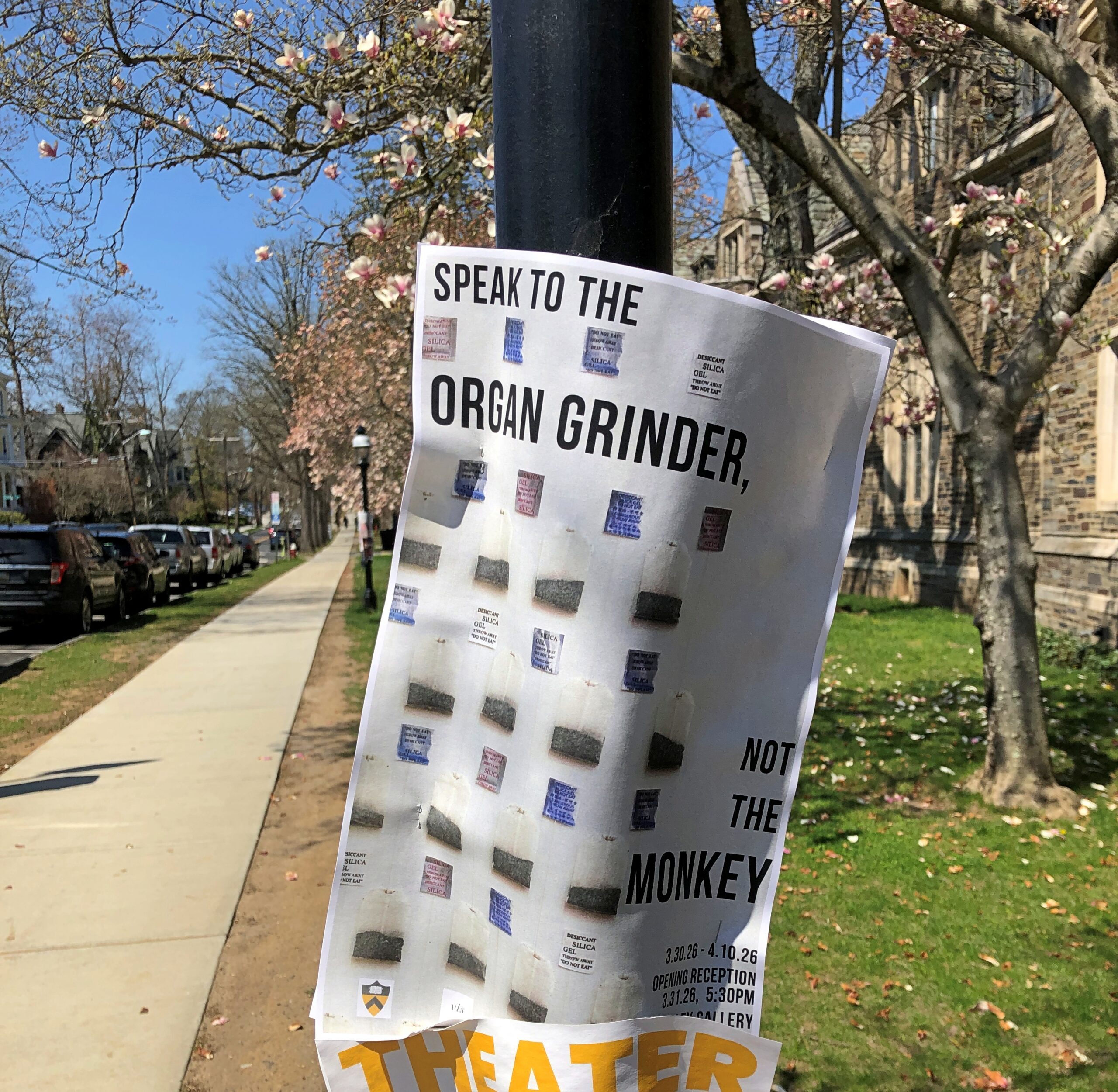
“Tweeter and the Monkey Man”, a group effort but clearly a Dylan song, is a brilliant example of a pseudo-ballad. A ballad tells a story, right? A pseudo-ballad seems to tell a story, but at some point near the end of the song, you wonder just what happened. Lyrically, not all of the pieces of the puzzle are available. “Crime and other weird behavior in New Jersey” is about a specific as you can get in this case.
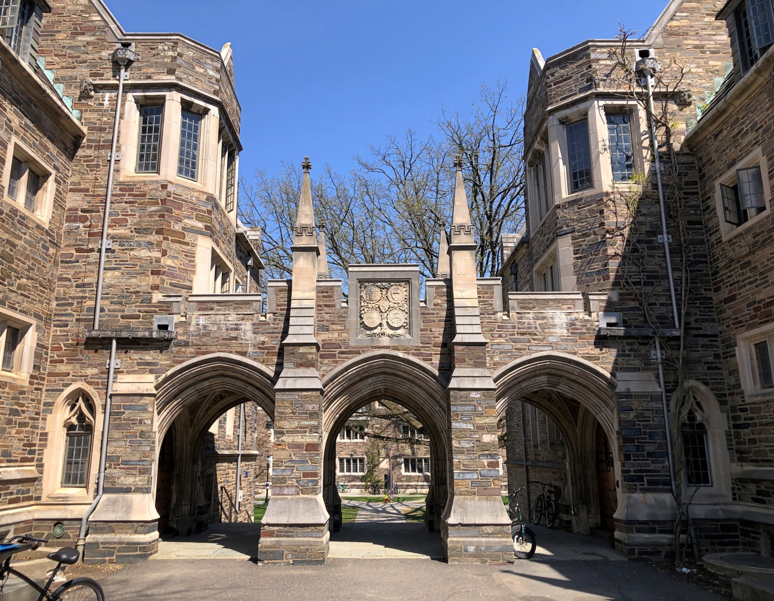
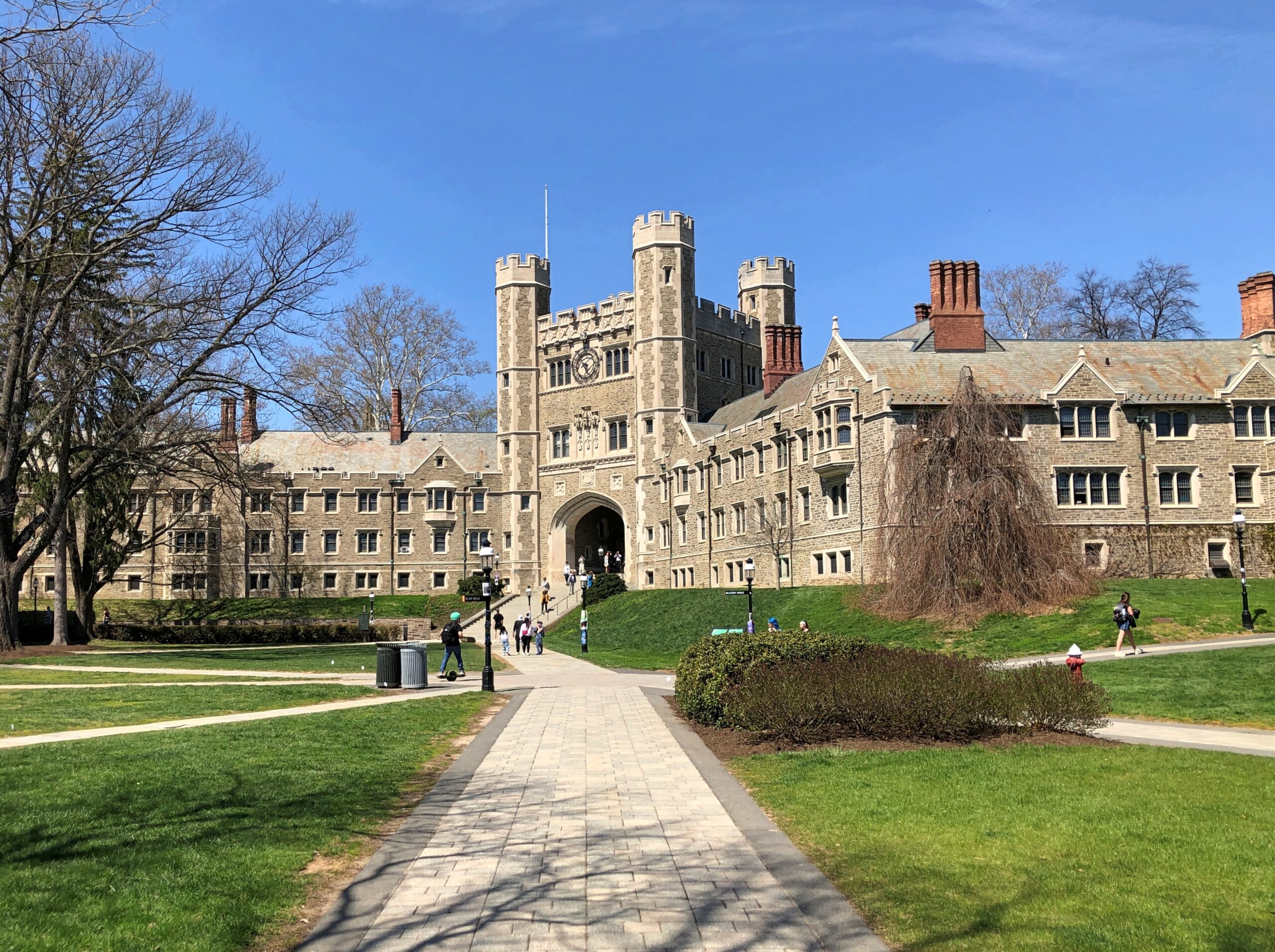
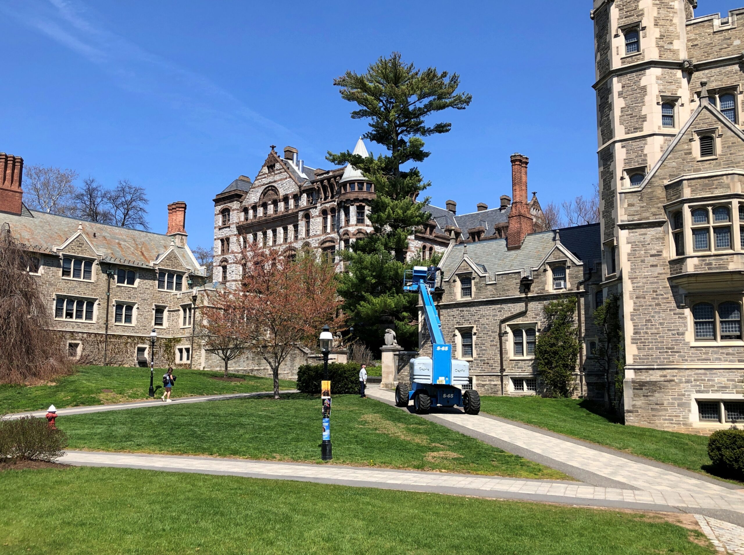
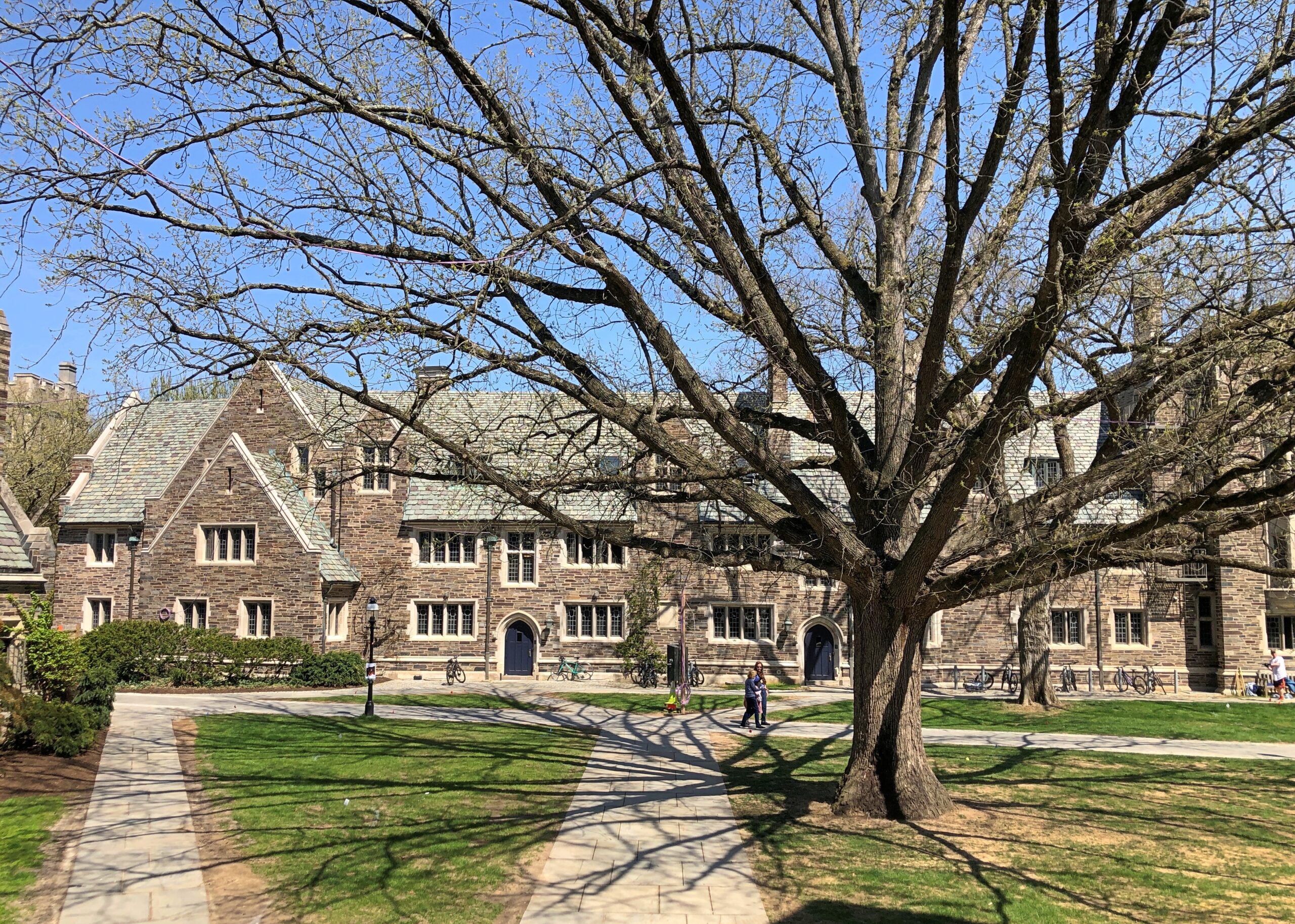
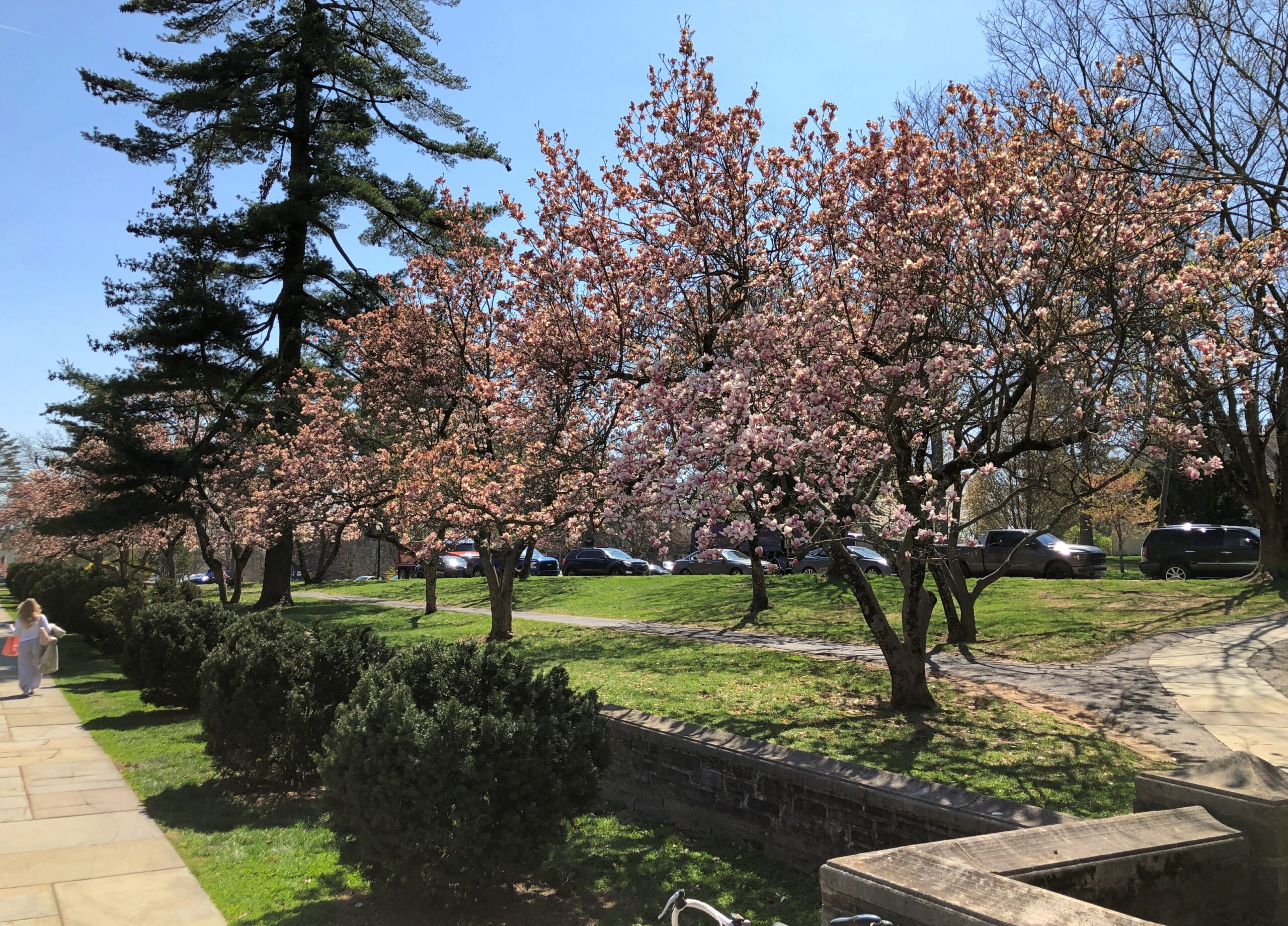
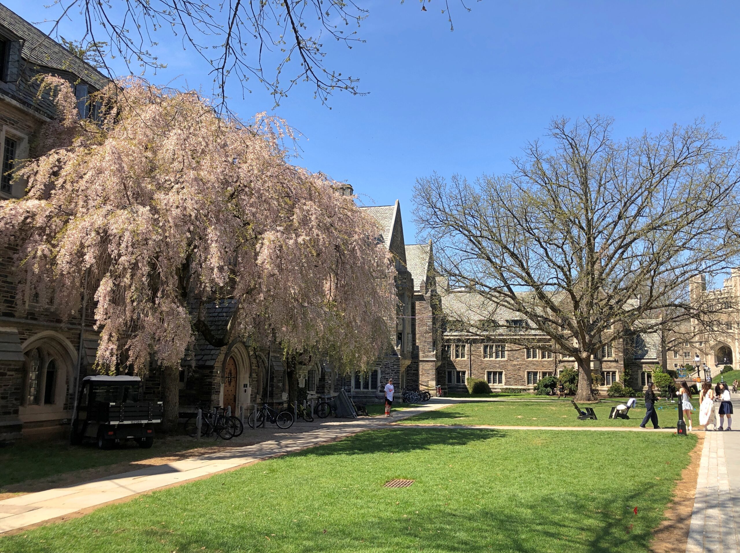
In October, I’d spent a few hours wandering Yale’s stately lawns and buildings and the nearby cemetery. So it only stands to reason – if I’m the one doing the reasoning – that I also visit Princeton, a short way off US 1 not far from Trenton.
Stately buildings.
Early spring on the stately lawns.
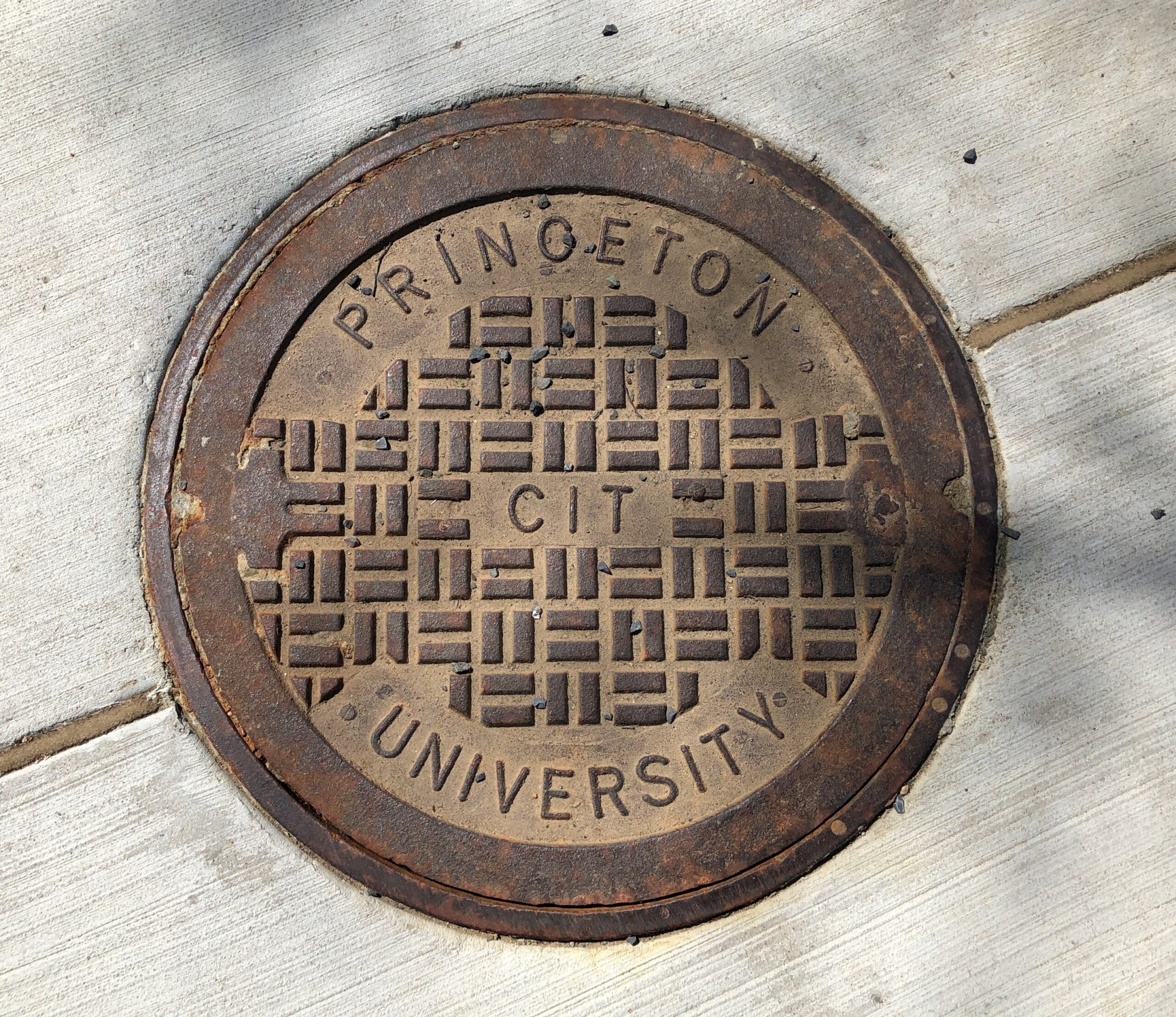
Not the best collegiate manhole cover I’ve seen – that would be at Olivet Nazarene University in Bourbonnais, Illinois – but not bad.
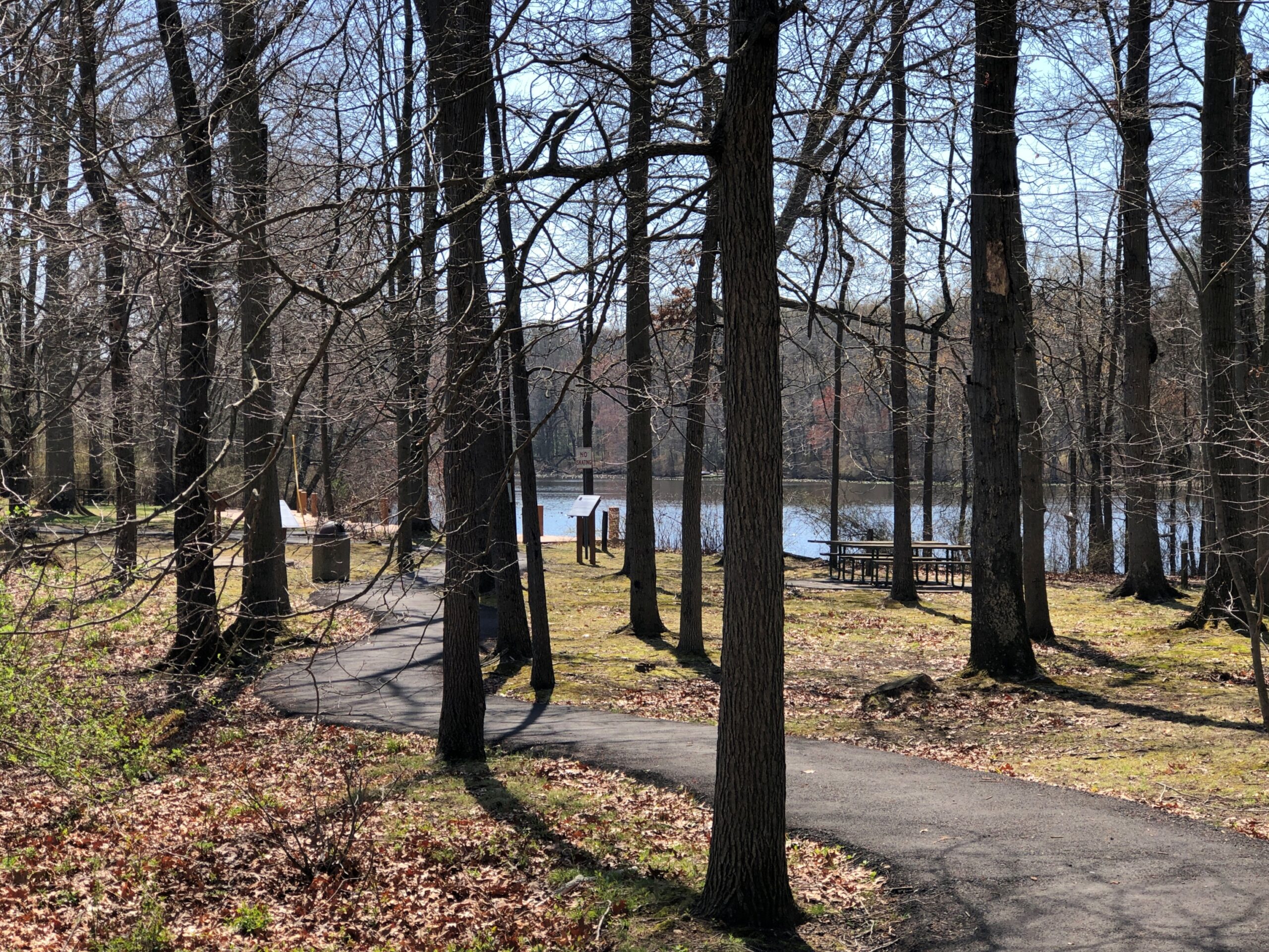
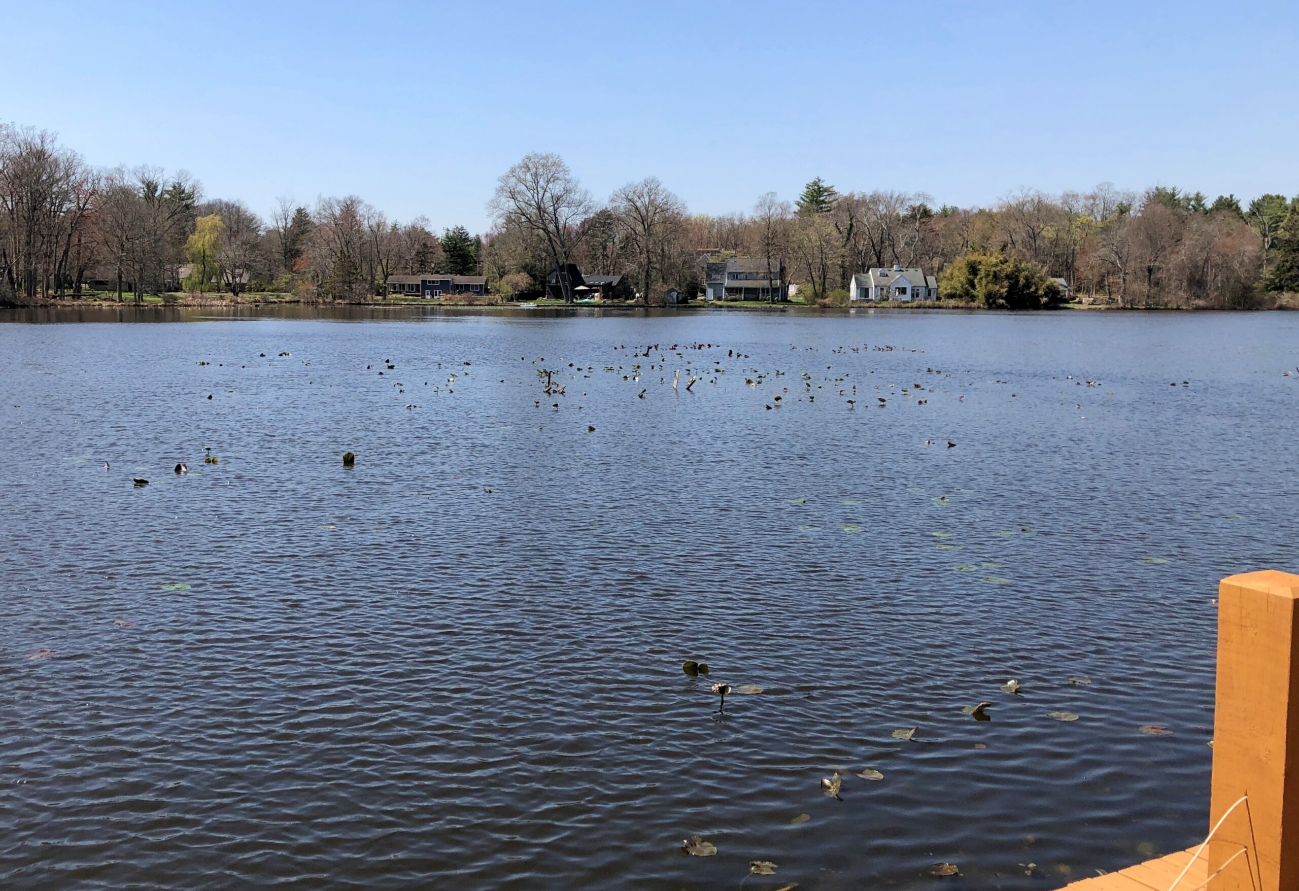
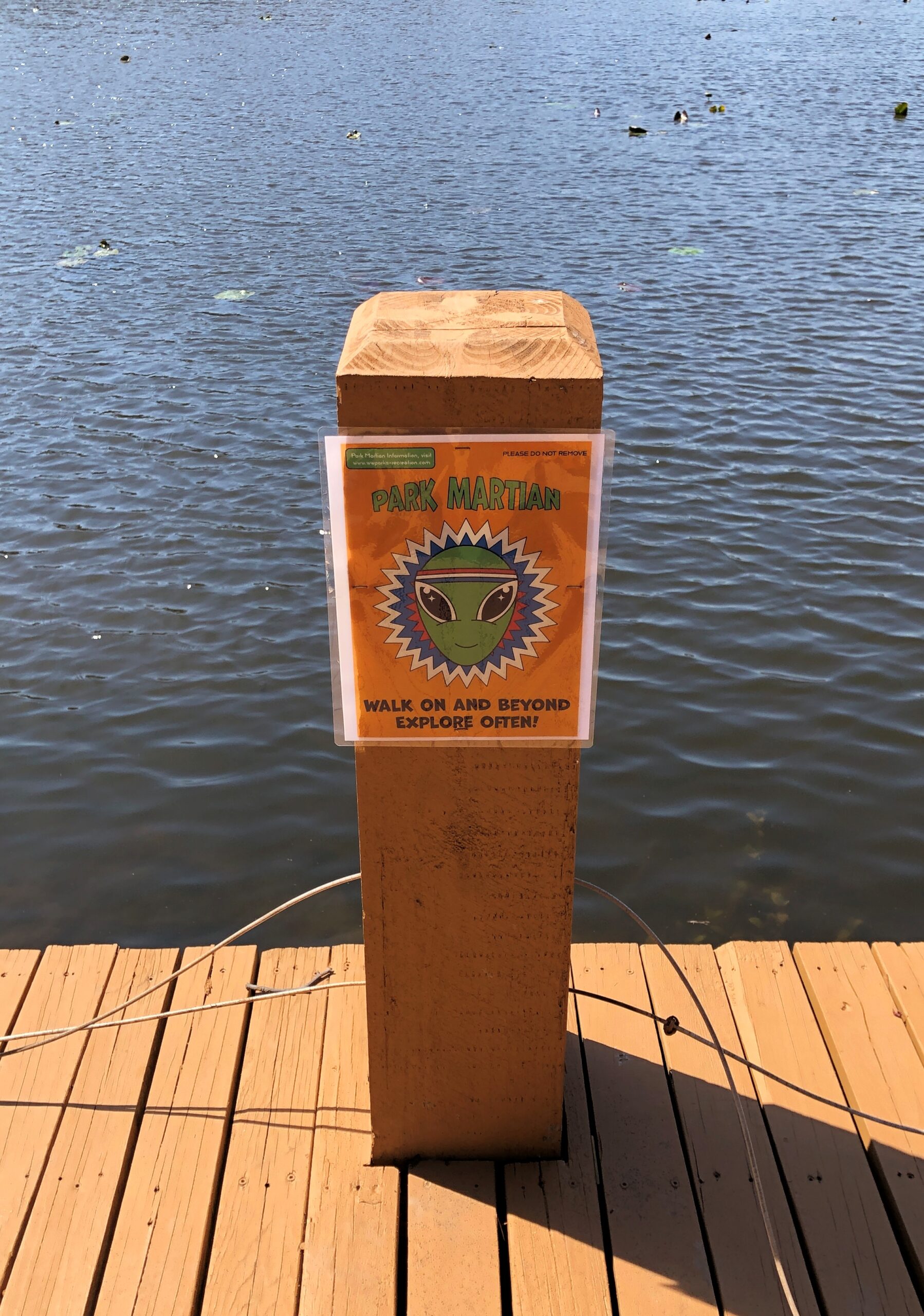
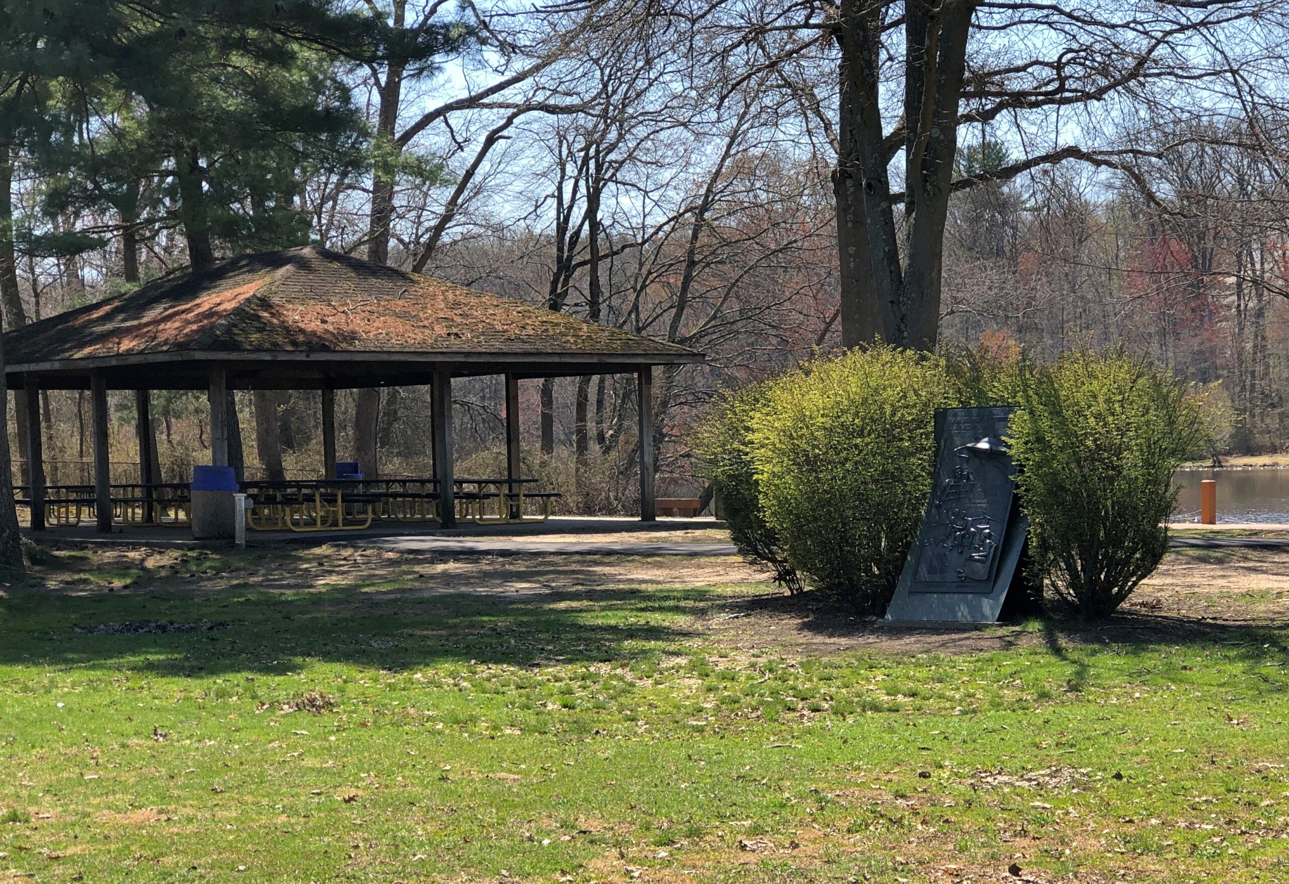
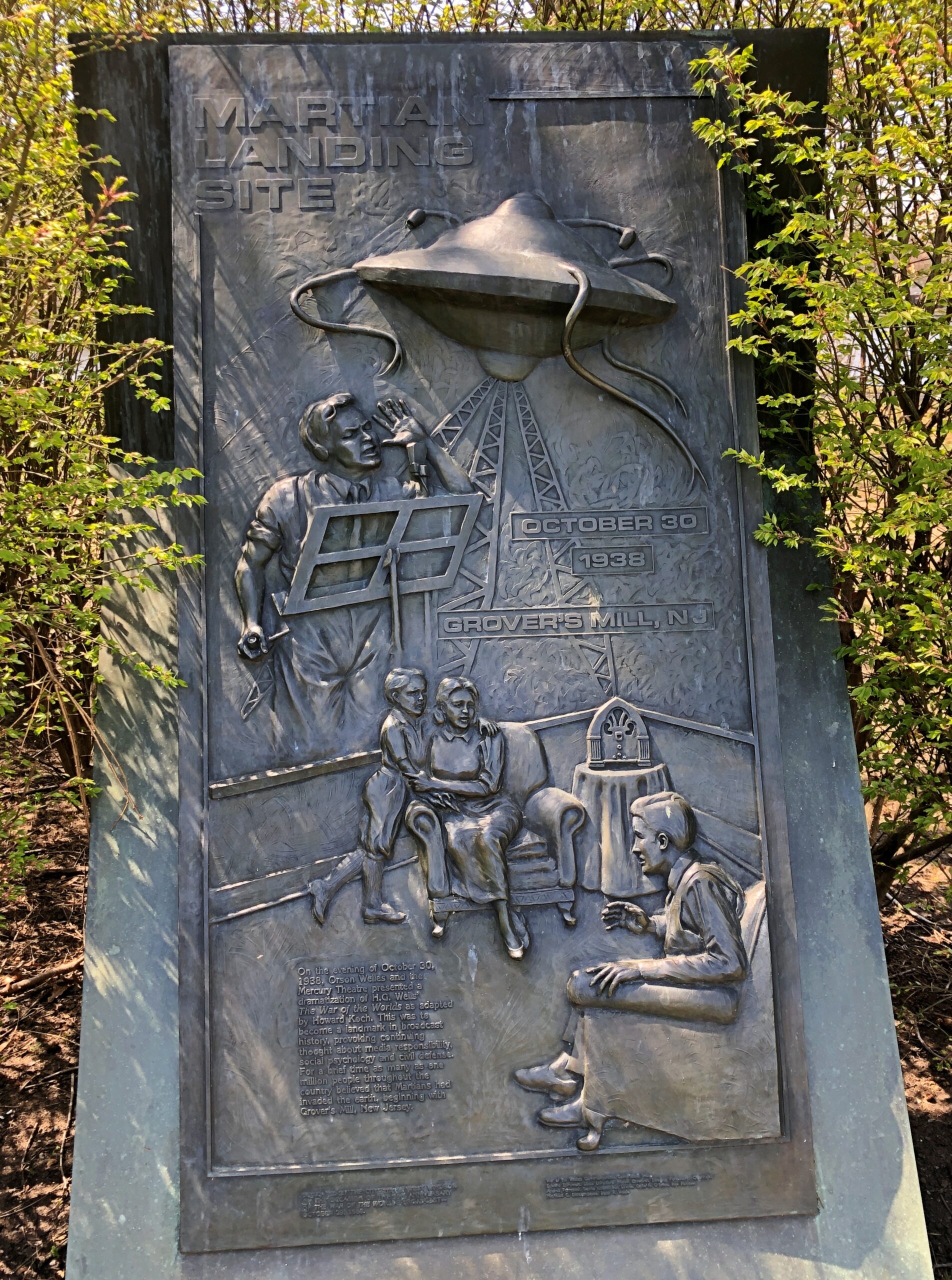
Princeton is west of US 1; Grovers Mill, New Jersey is to the east, also not far. I had to go there, too. Specifically, to a small park on a small lake in the unincorporated Grovers Mill. A short park trail includes information about Grovers Mills’ claim to fame: in Orson Welles’ version of War of the Worlds, it was the first place the Martians landed.
There’s a sizable plaque, a little bit hidden away, but I found it.
The township of West Windsor, in an unusual display of municipal imagination, erected the memorial in 1988, on the occasion of the 50th anniversary of the broadcast. Sculptor Thomas Jay Warren did the relief.
Ladies and gentlemen, I have a grave announcement to make. Incredible as it may seem, both the observations of science and the evidence of our eyes lead to the inescapable assumption that those strange beings who landed in the Jersey farmlands tonight are the vanguard of an invading army from the planet Mars. The battle which took place tonight at Grovers Mill has ended in one of the most startling defeats ever suffered by any army in modern times; seven thousand men armed with rifles and machine guns pitted against a single fighting machine of the invaders from Mars. One hundred and twenty known survivors. The rest strewn over the battle area from Grovers Mill to Plainsboro, crushed and trampled to death under the metal feet of the monster, or burned to cinders by its heat ray. The monster is now in control of the middle section of New Jersey.