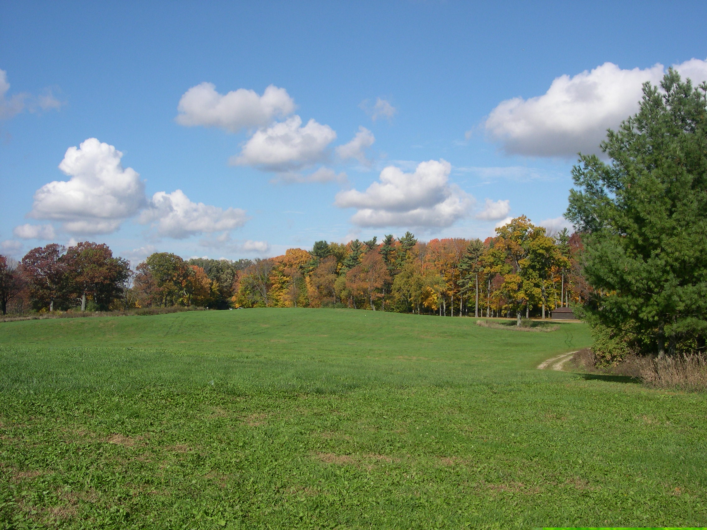
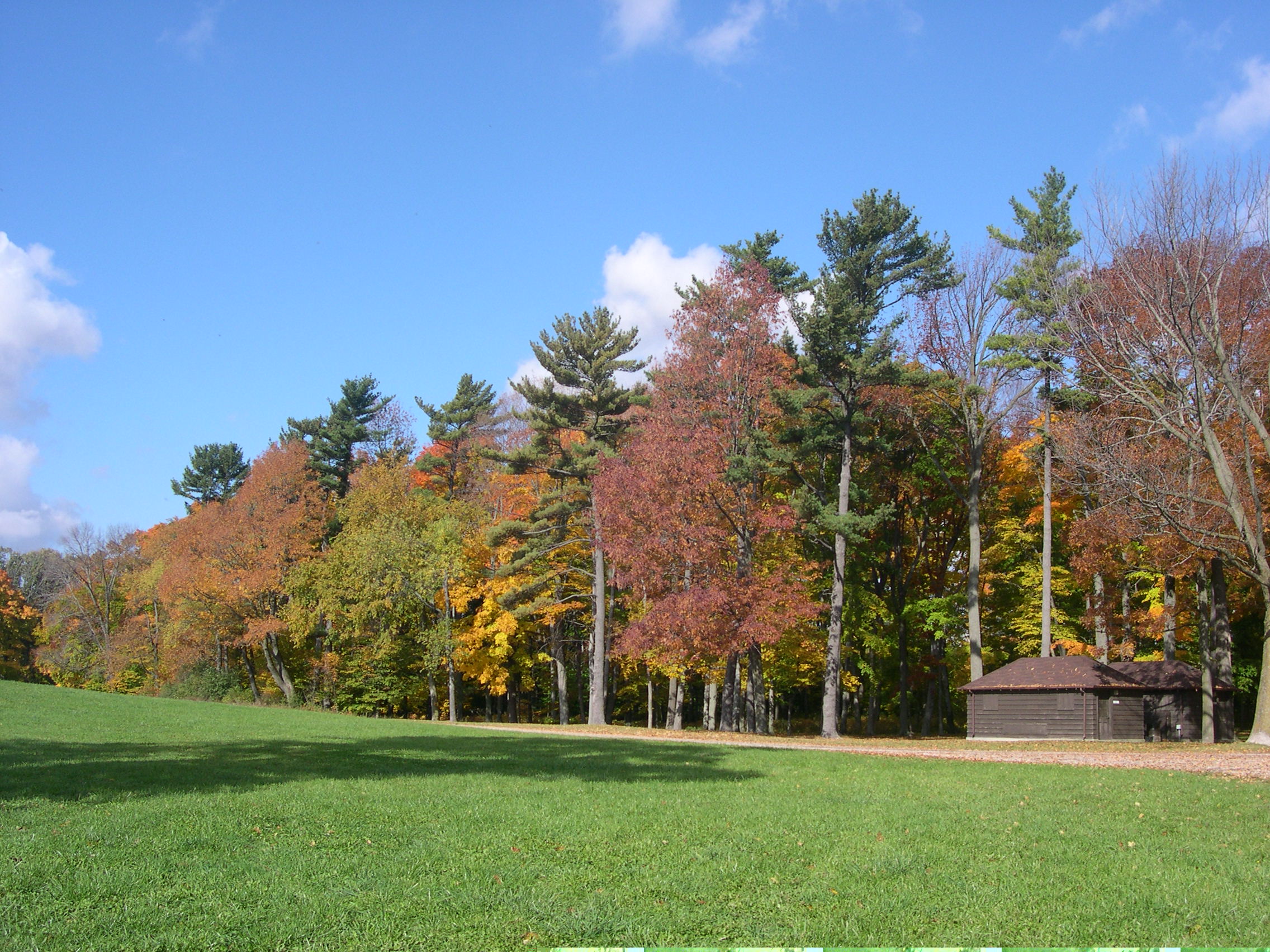
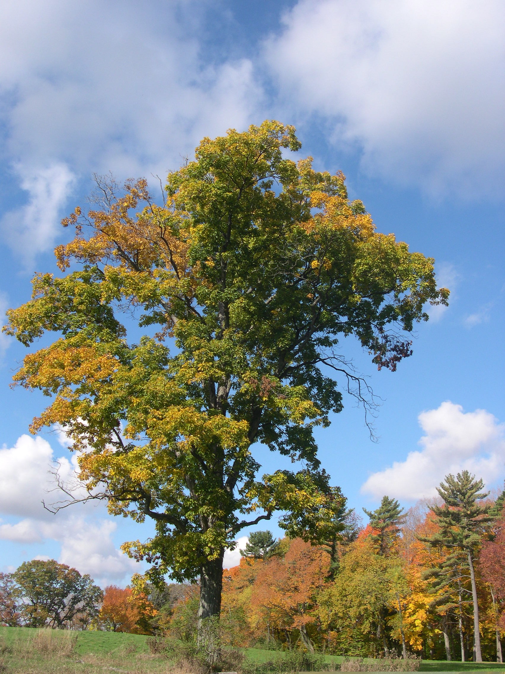
Short Hyde Park Walkabout

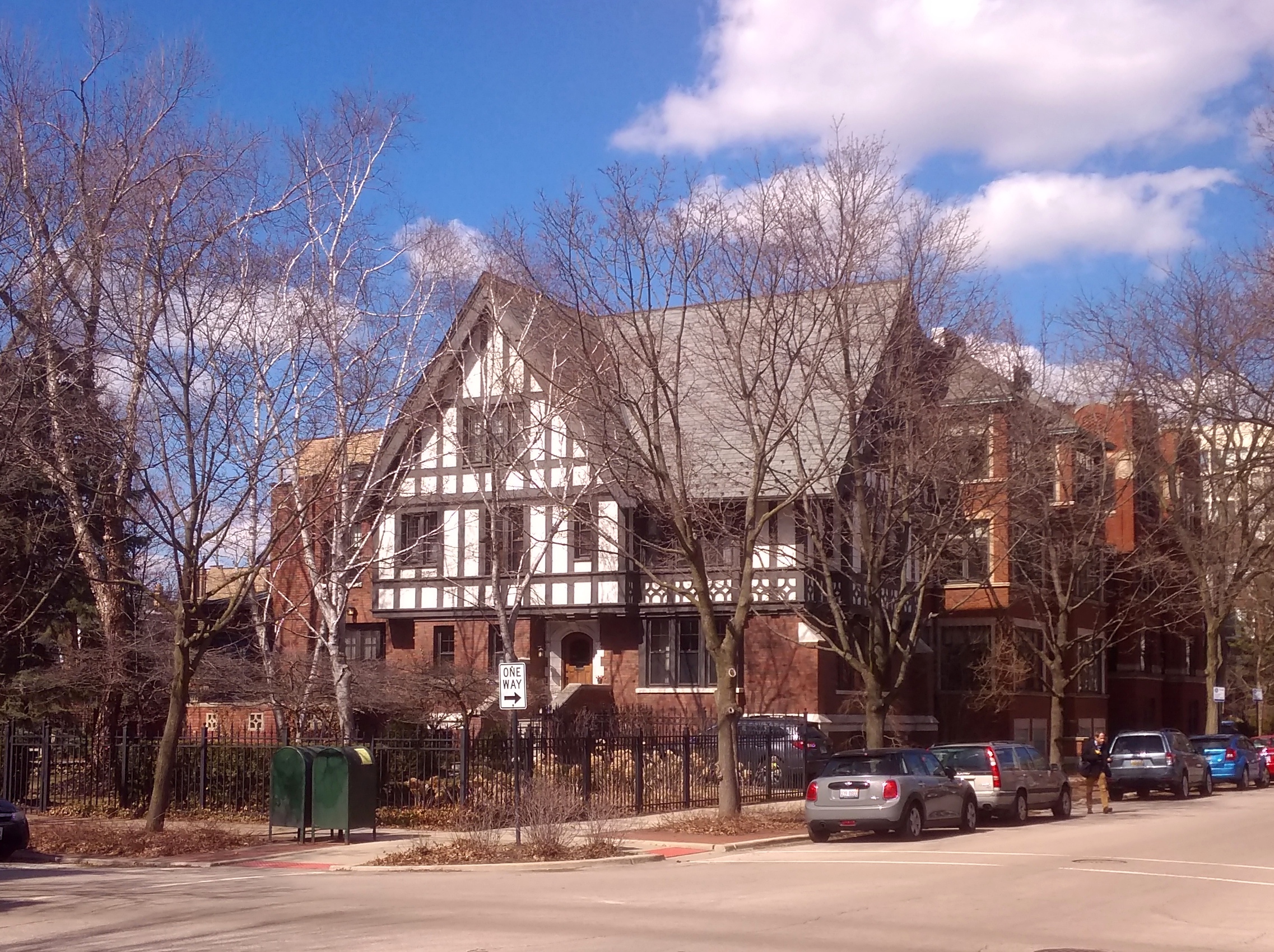
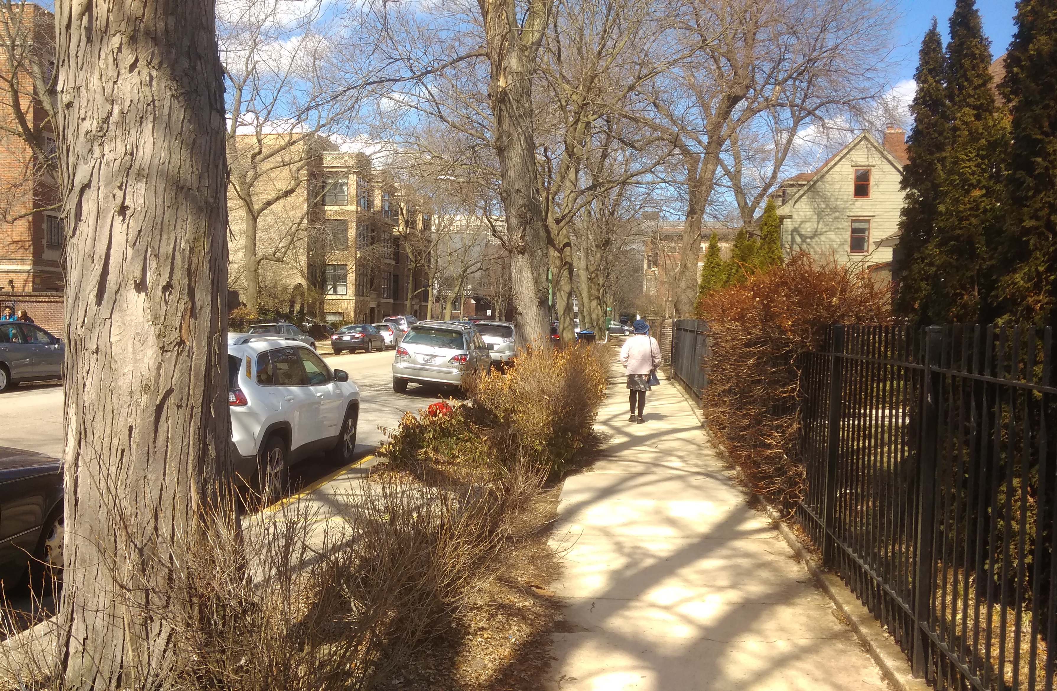
We don’t make it to the Hyde Park neighborhood of Chicago that often, so when we do, if time and weather allow, we take a walk. Today wasn’t especially warm, but not cold either, or windy, and the sun was out. Good day for a walk along a few blocks in Hyde Park.

These views happen to be along S. Blackstone Ave.

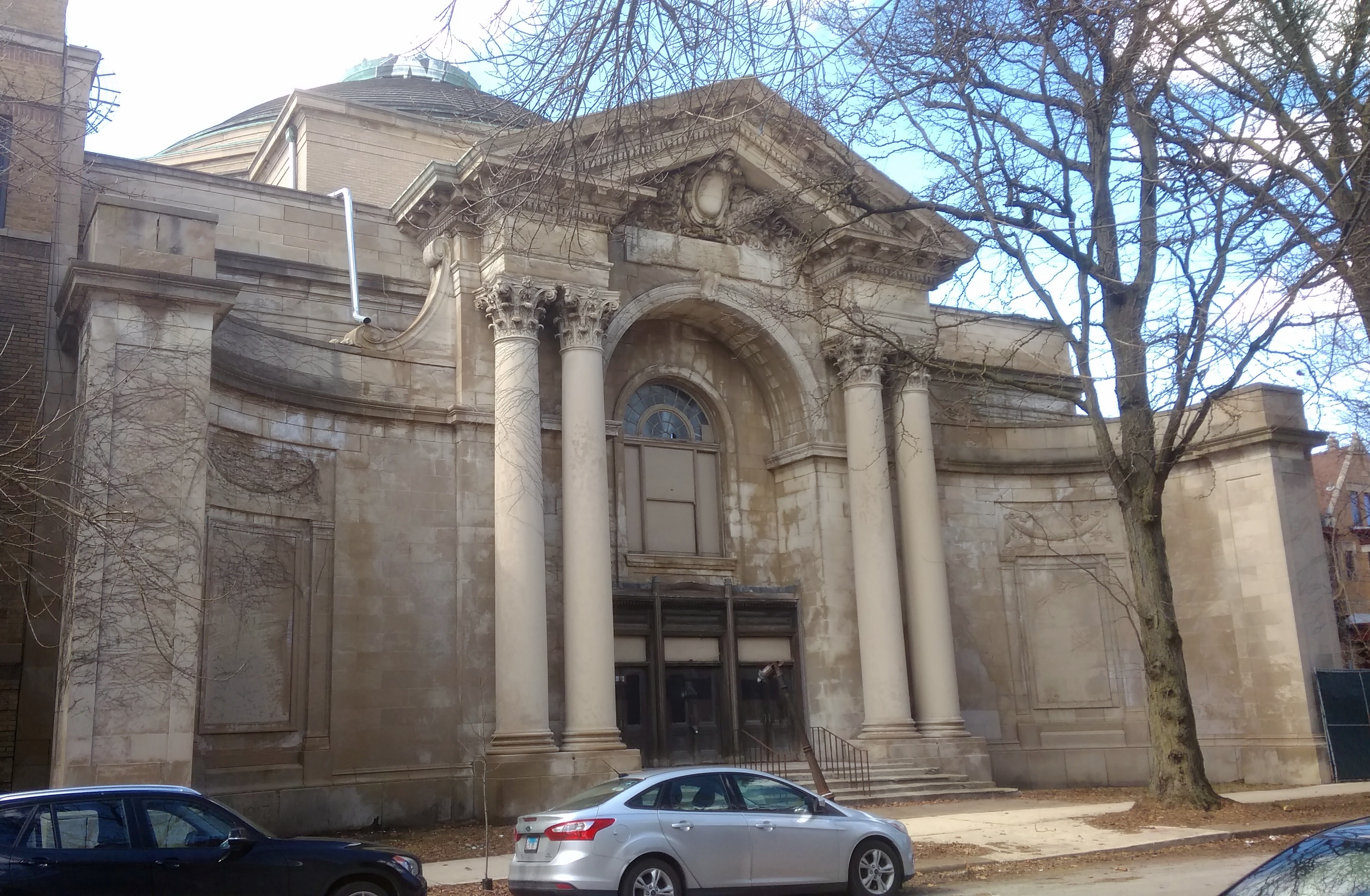
Also on Blackstone — 5640 S. Blackstone Ave., to be exact — is the abandoned St. Stephen’s.
The most recent information I’ve found about the structure — which was developed in 1917 as a Christian Science church — dates from about three years ago, when a new owner acquired it with unspecified plans for redevelopment.

Even then, according to the defunct DNAInfo, the building had defied redevelopment for more than 20 years. Looks like it’s still doing so.

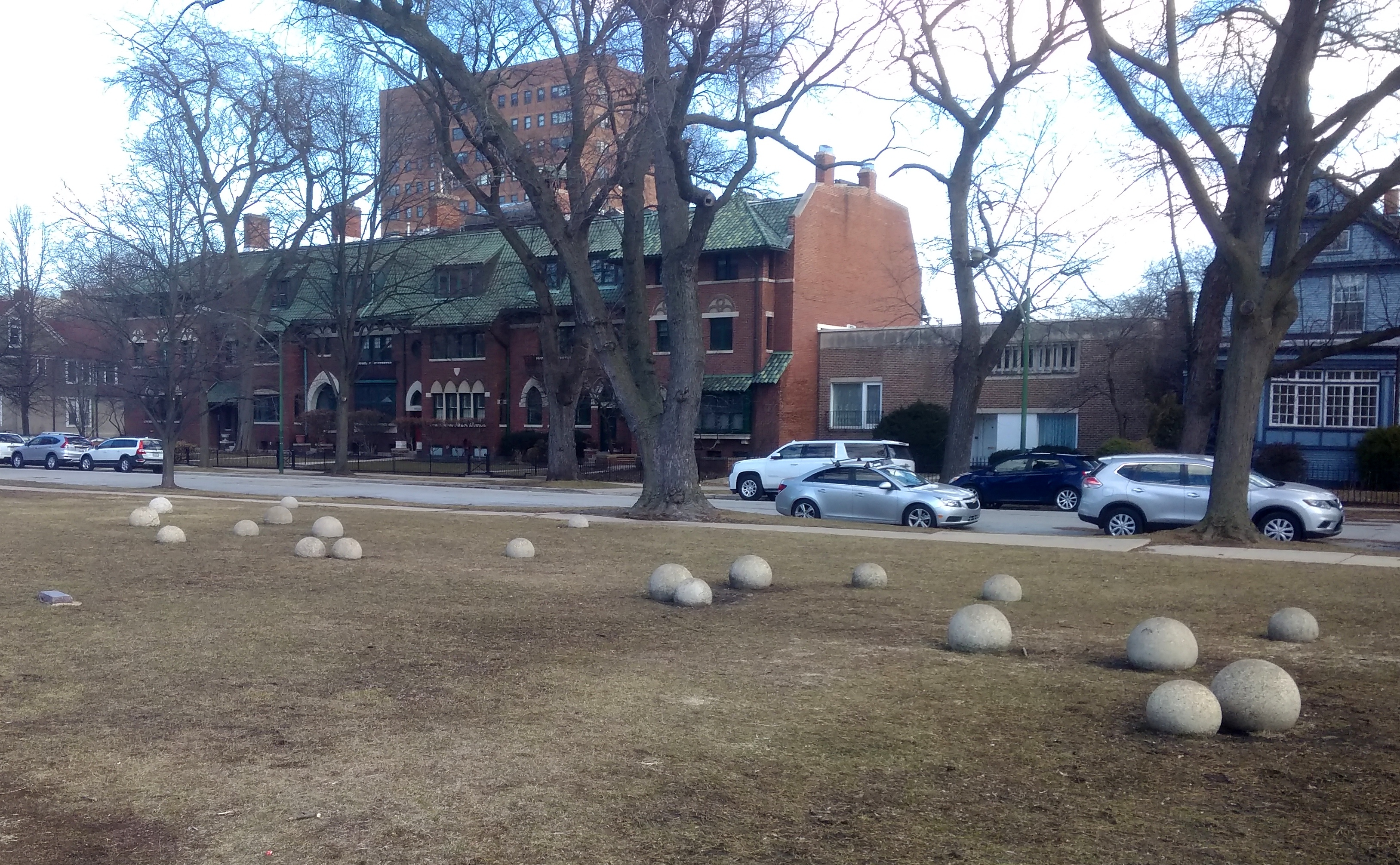
To the west of the abandoned church is an oddity in a small park adjacent to William H. Ray Elementary School. An array of concrete spheres.
Those are many, but not all, of the spheres. There are 30 in all. Or so says a stone plaque fixed to the ground nearby; I didn’t count them.

The globes form an artwork called “Like the Time They Go” by Virginio Ferrari, a Chicago sculptor originally from Verona. The date on the plaque says 1977-2002, while other sources simply say 1977. Maybe the more recent date was when Ferrari quit making changes or adding concrete spheres.

The Alamo and Its Cenotaph

March 6 has rolled around again, so of course Remember the Alamo.

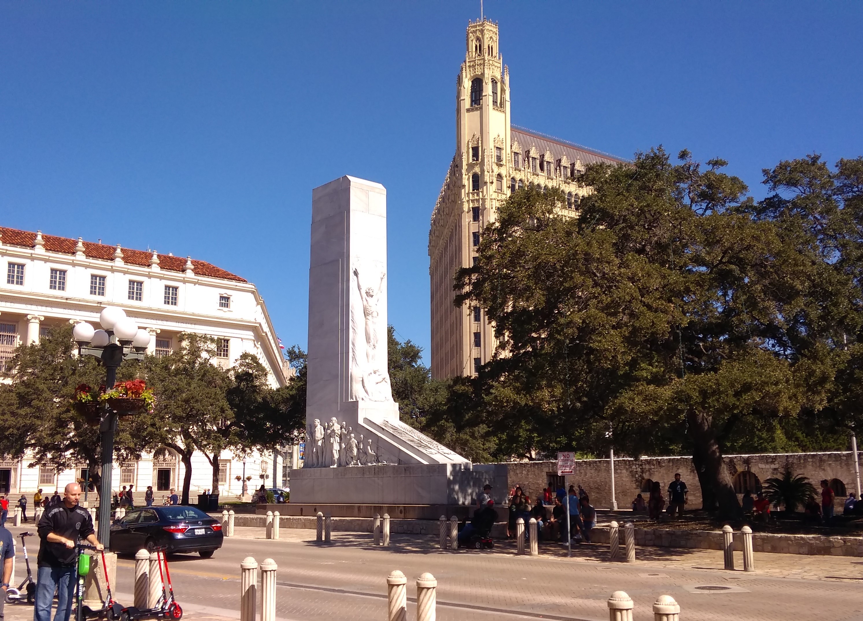
During my most recent visit to the Alamo, I also took more than a passing look at the Alamo Cenotaph. Here it is in the context of Alamo Plaza.

Alamo Plaza October 2018Why civic busybodies think the Cenotaph needs to be moved, or Alamo Plaza should be sterilized in the name of History, is unclear to me. I was there on a warm day and Alamo Plaza was alive with people. As a plaza in the here and now should be.

Living urban texture isn’t somehow at odds with proper reverence for the Shrine of Texas Liberty. As I understand the plans for Alamo Plaza, its living urban texture will slowly be strangled. That’s no way to remember the Alamo.

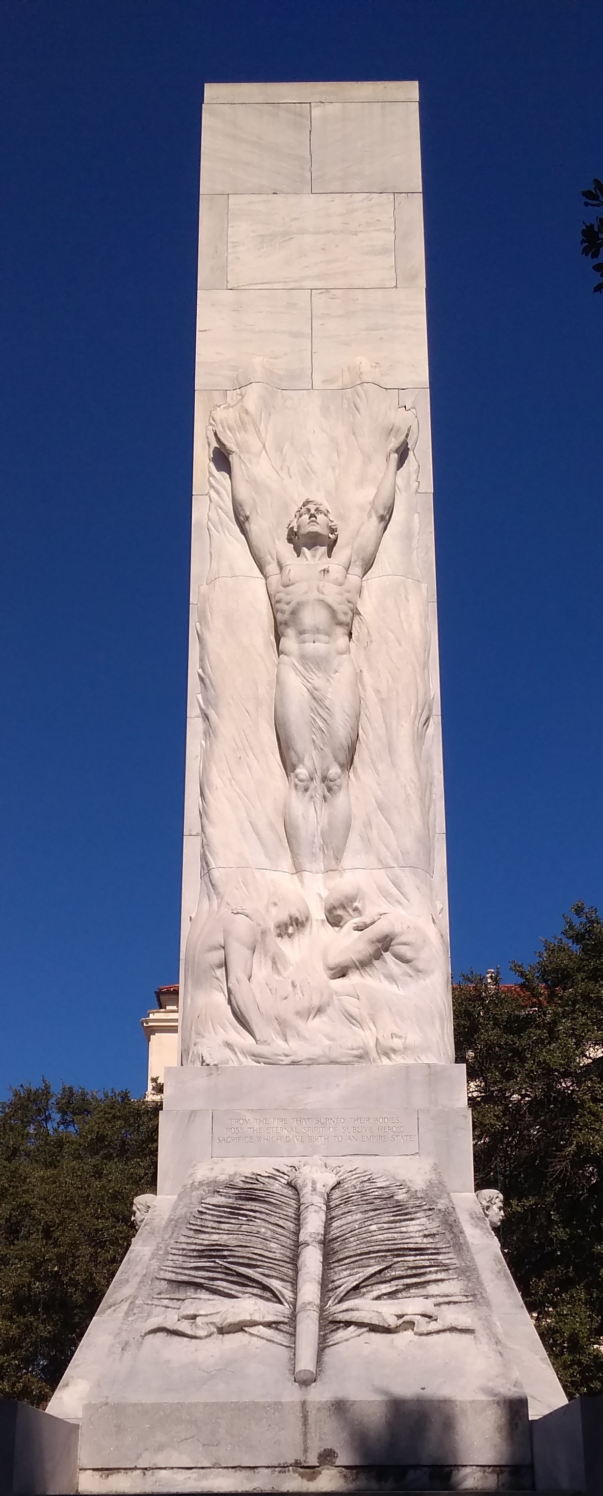
Enough of that. As it stands now, the south face of the Cenotaph — which is 60 feet high — features a figure known as the Spirit of Sacrifice.

Alamo Cenotaph 2018Under the figure, text reads: From the fire that burned their bodies rose the eternal spirit of sublime heroic sacrifice which gave birth to an empire state.

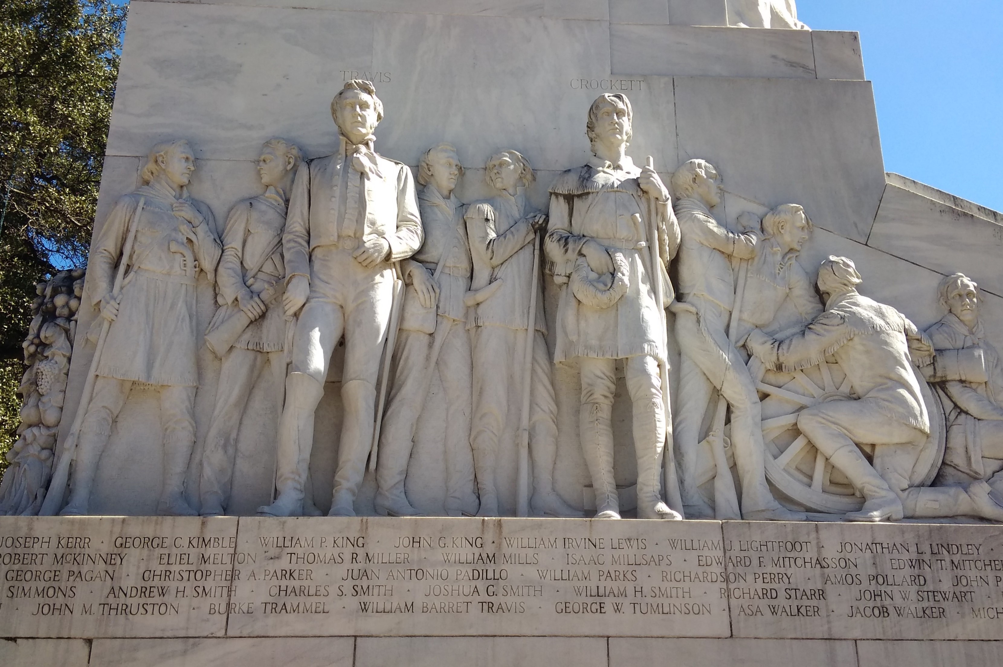
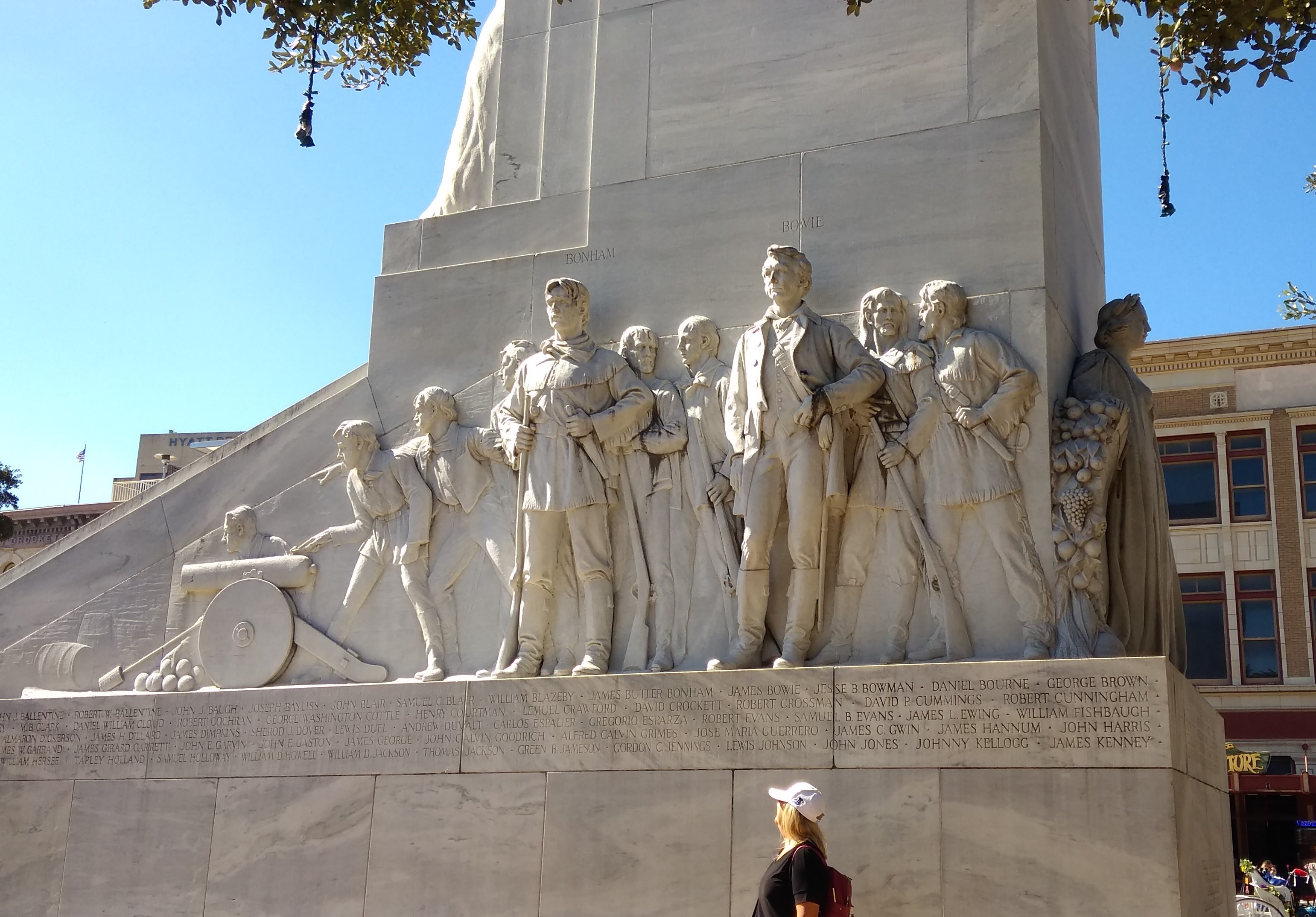
On the east and west faces are depictions of the defenders of the Alamo.

Alamo Cenotaph 2018Alamo Cenotaph 2018None other than Pompeo Coppini did the figures. I’ve come across his work before in Austin and Dallas.

I didn’t capture the main inscription, which says:

Erected in memory of the heroes who sacrificed their lives at the Alamo, March 6, 1836, in the defense of Texas. They chose never to surrender nor retreat; these brave hearts, with flag still proudly waving, perished in the flames of immortality that their high sacrifice might lead to the founding of this Texas.

The San Marcos City Cemetery

San Antonio to Dallas is roughly a five-hour drive straight through, provided traffic isn’t gummed up somewhere along I-35, which it will be in Austin, so best to take Texas 130 around that city, even though it costs extra.

Also best to break the trip into smaller segments and take a look around an in-between place or two. My nephew Dees told me that Aquarena Springs, formerly a postwar tourist attraction — trap — of some renown in San Marcos, is a good thing to see. In recent years, Texas State University-San Marcos remade the place as the Meadows Center for Water and the Environment. Glass-bottom boat tours are star attraction now, rather than the “aquamaids” of yore.

Sounded like a diversion of more hours than we were willing to spare, so we skipped it this time. But we did stop in San Marcos.

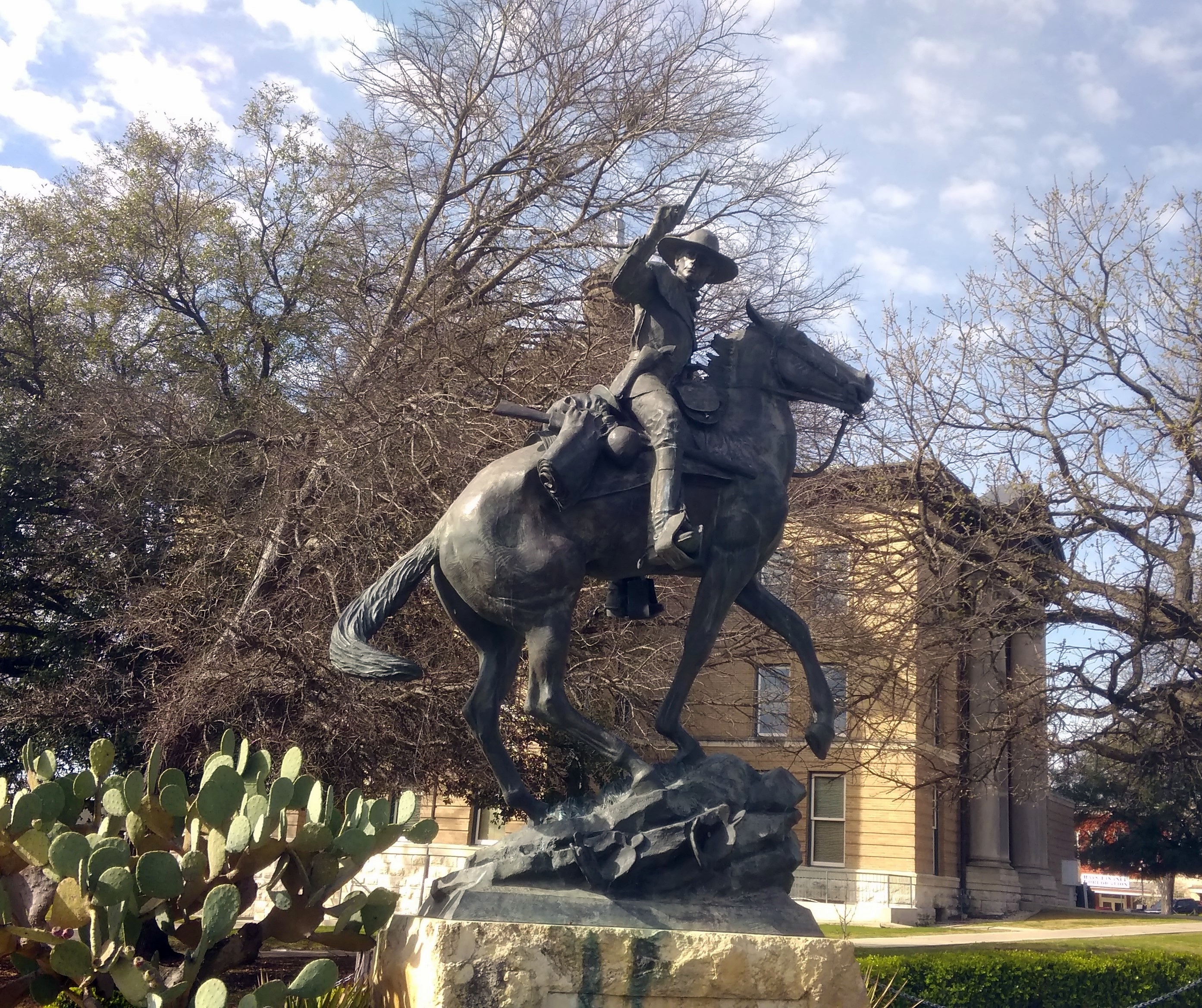
First for a look at the Hays County Courthouse, which is a fine old building with a statue of John Coffee Hays outside, whom the Handbook of Texas Online calls a “Texas Ranger extraordinary.” South Texas sculptor Jason Scull did the bronze.
Hays Statue, Hays County CourthouseNot far away is the San Marcos City Cemetery. According to the Heritage Association of San Marcos, the cemetery replaced a smaller boneyard, with burials beginning in 1876. The city took ownership in the 20th century, as it retains today.

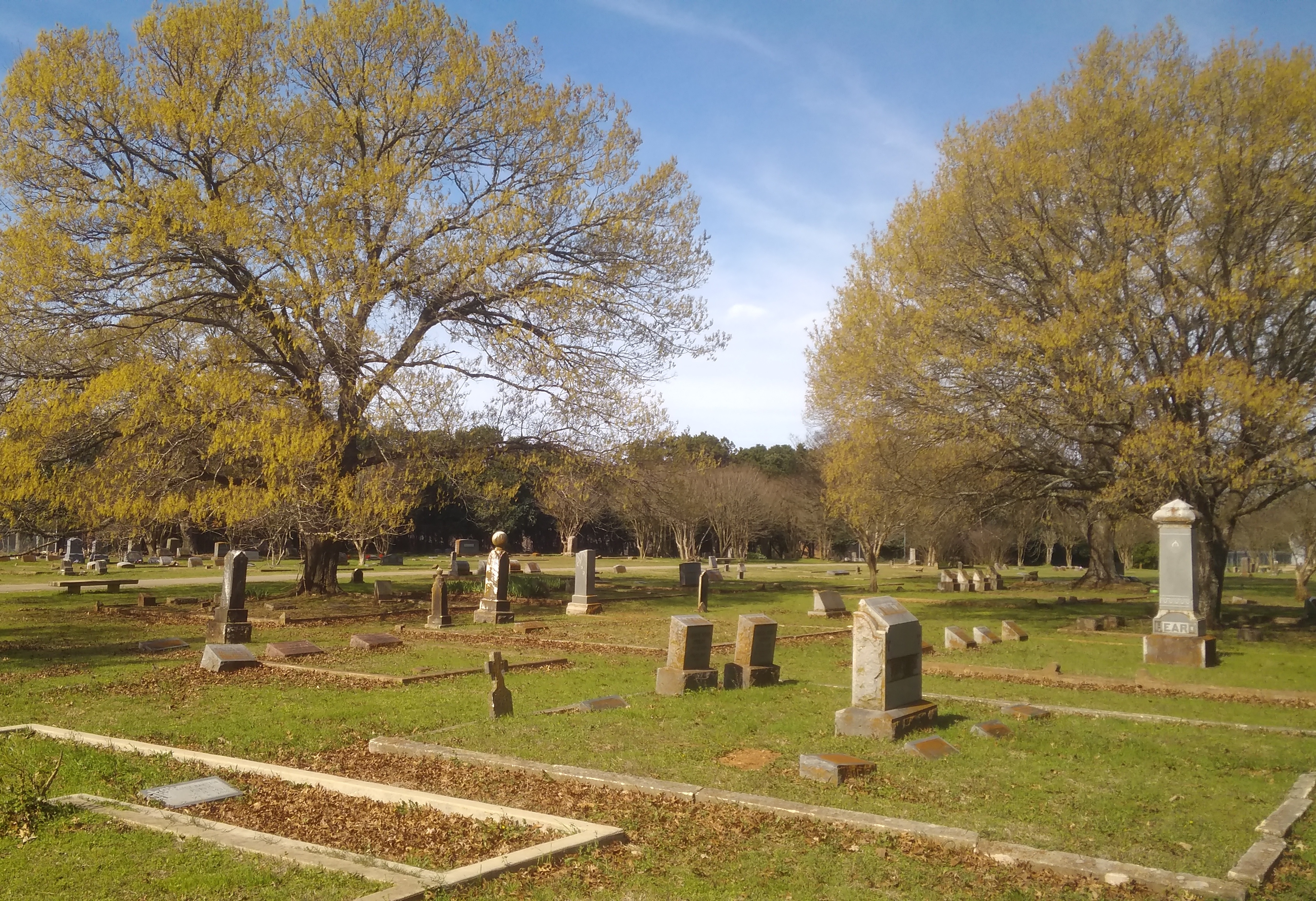
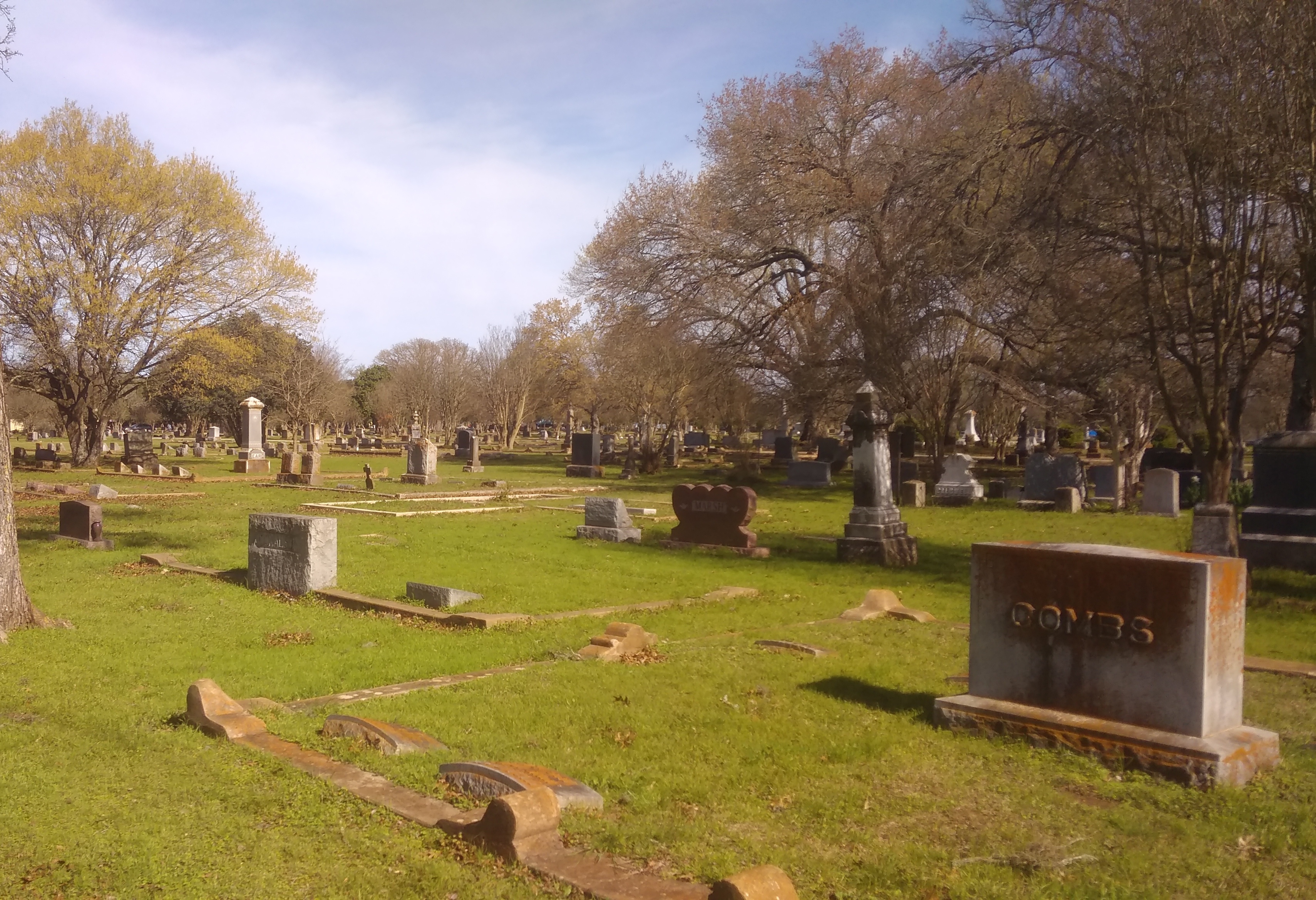
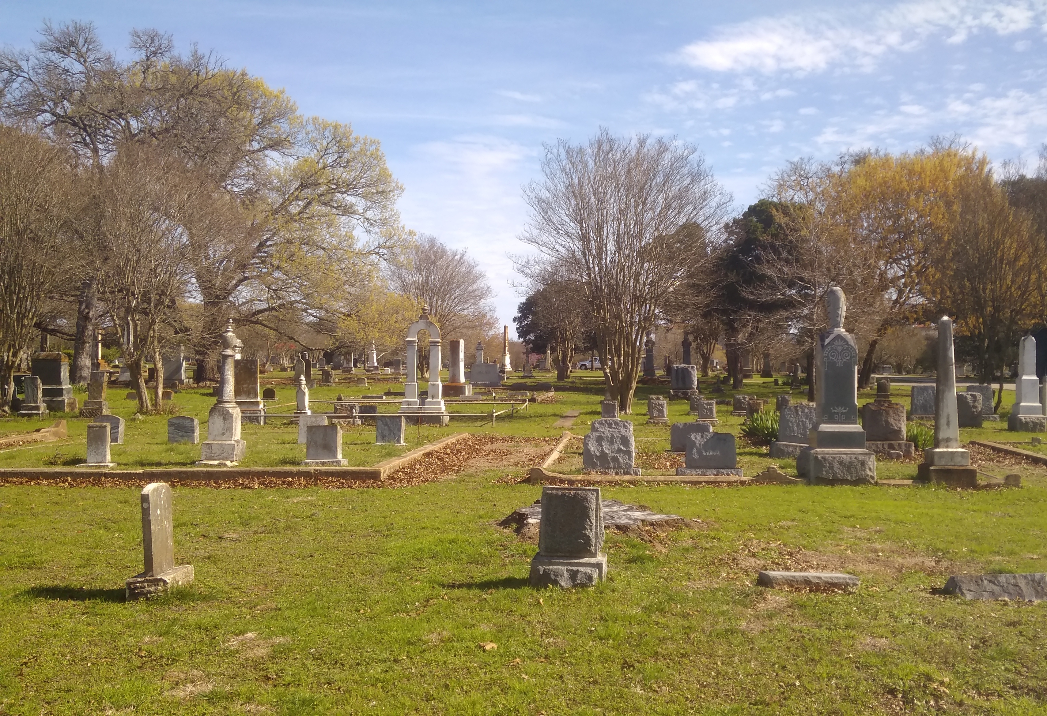
Though you climb a small hill at the entrance, most of the cemetery is level. Though not heavily wooded, the cemetery has trees to remind us that late February in central Texas is early spring.

San Marcos City CemeterySan Marcos City CemeterySan Marcos City CemeteryThere are some larger stones and some funerary art, but not a lot.
San Marcos City CemeteryAs Jay pointed out, ready money in 19th-century San Marcos — when such art was more likely to be erected — was in short supply, at least compared with a place like New York, home of Green-Wood and Woodlawn, or even old Charleston.

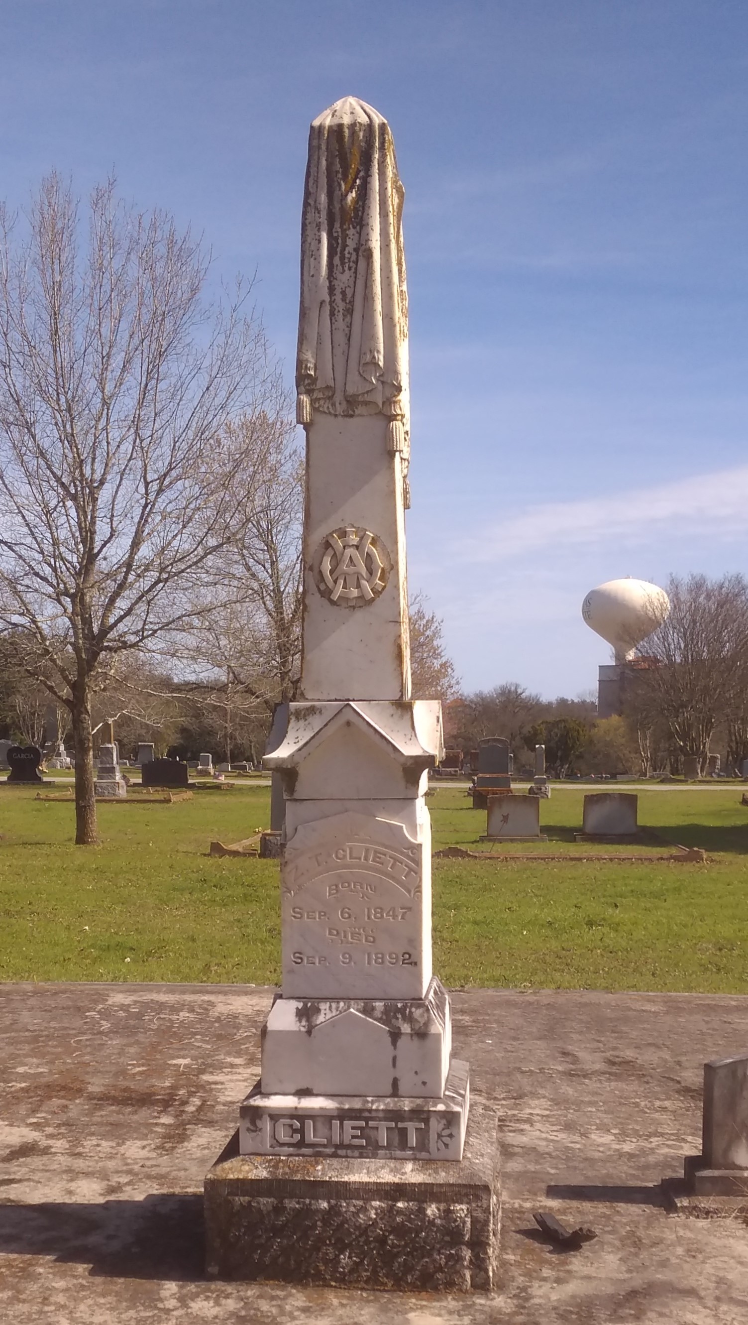
Still, there are some more ornate markers, such as the draped obelisk of Z. T. Cliett (1847-1892).
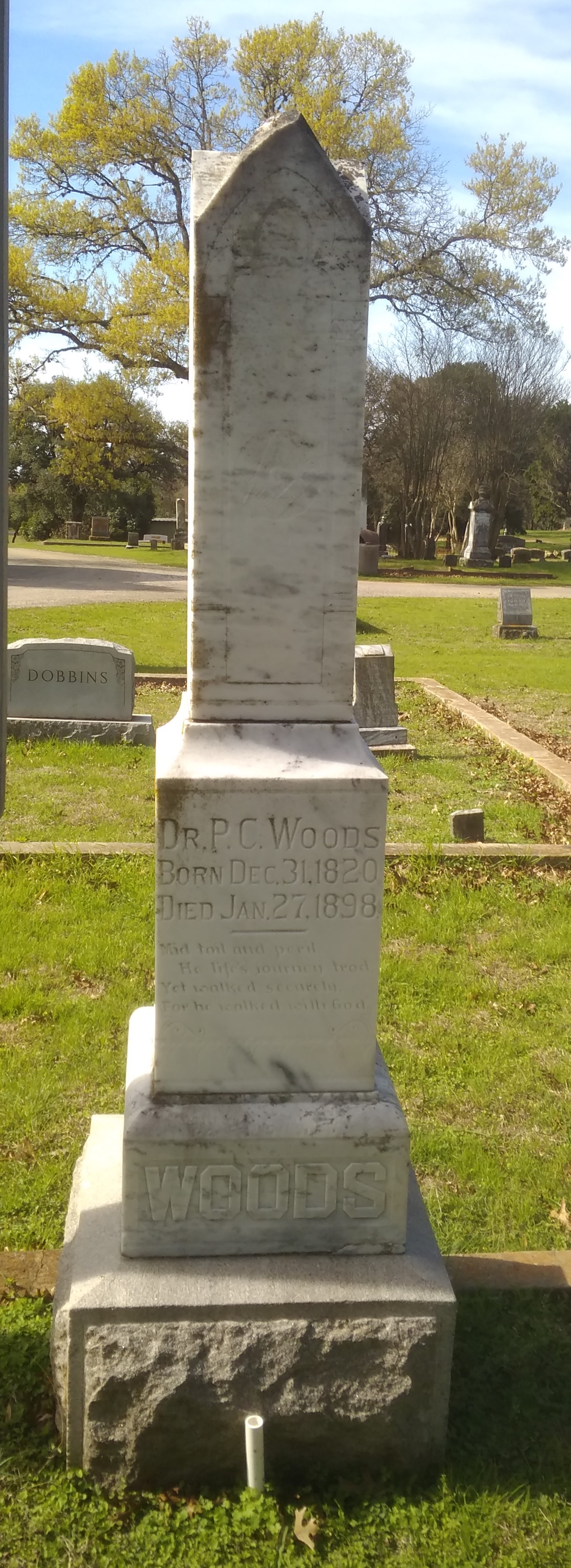
San Marcos City CemeteryOr the stone of Dr. P. C. Woods (1820-1898).
San Marcos City CemeteryA nearby Texas Historical Commission marker says that Dr. Woods came to Texas from Tennessee, as so many did (T for Texas, T for Tennessee). Commanding the 32nd Texas Cavalry Regiment during the war, he patrolled the border with Mexico and the Gulf coast against possible Union attack, and fought in Louisiana, where he “received an arm injury which impaired him for the rest of his life.” That didn’t keep him from being a farmer and doctor in postbellum Texas, however.

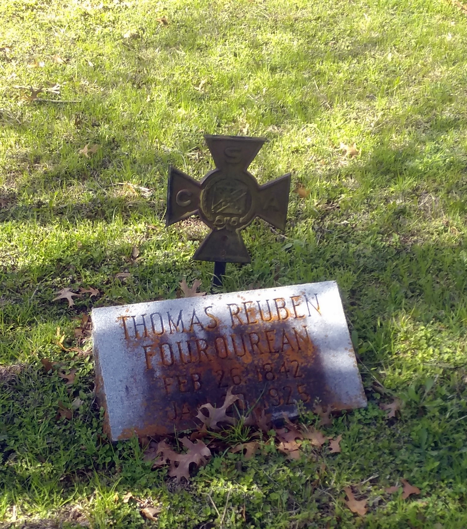
Thomas Reuben Fourqurean (1842-1925) (interesting name) had a metal marker to denote his service to the CSA, of the kind that’s easy to find in older Southern cemeteries.

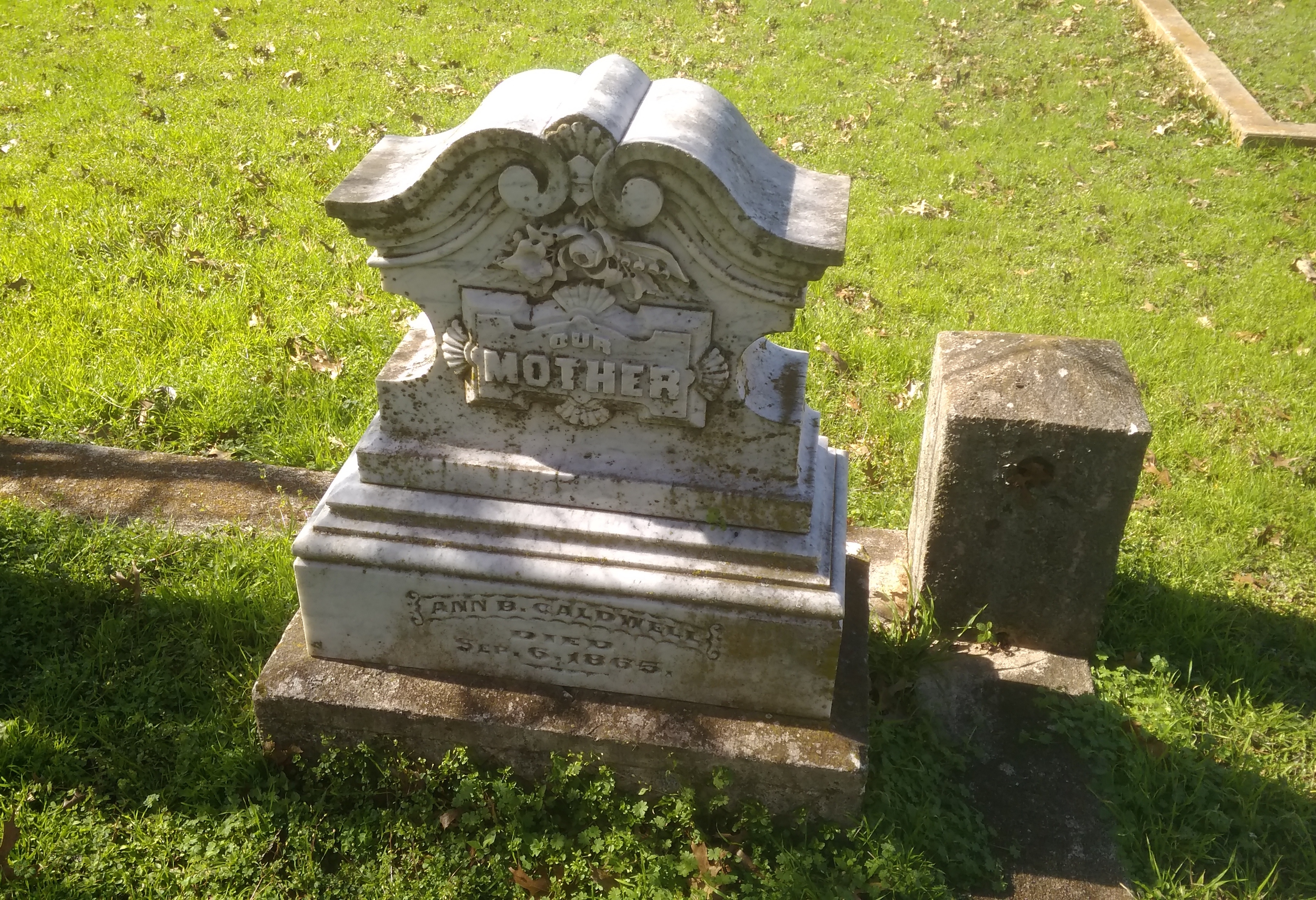
San Marcos City CemeteryAnother marker — local, not state — tells the story of Ann B. Caldwell (1800-65), who was reinterred here in the 1870s from an earlier San Marcos cemetery.
San Marcos City CemeteryIn life, she had been among Stephen F. Austin’s colonists and then an early settler in Hays County.

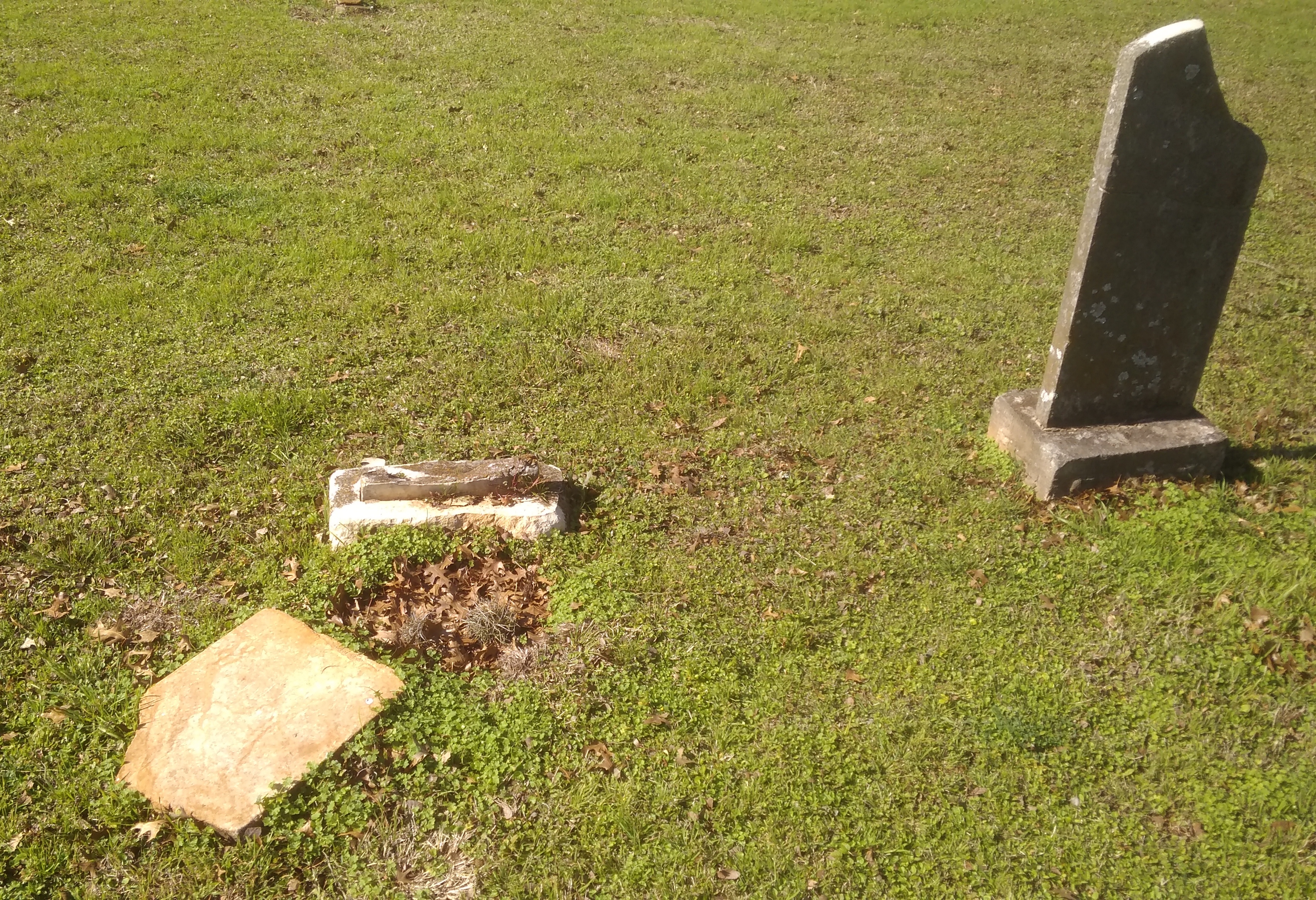
The cemetery’s old enough to include weather-worn stones whose names have been lost to time.
San Marcos City CemeteryEveryone’s stones will eventually disappear in the fullness of deep time, of course. These stones simply have a head start on the others.

Image Adjustments

Not long ago I downloaded a new version of PhotoScape, the program that I use to adjust images. I’d used an earlier version for years, mostly to do simple things, such as crop, adjust sizes and lighten or darken an image.

The new version, even the non-premium one, has a lot more bells and whistles. Curious, I decided the other day to play around with some of the added functions. I picked an image from my files for that purpose.

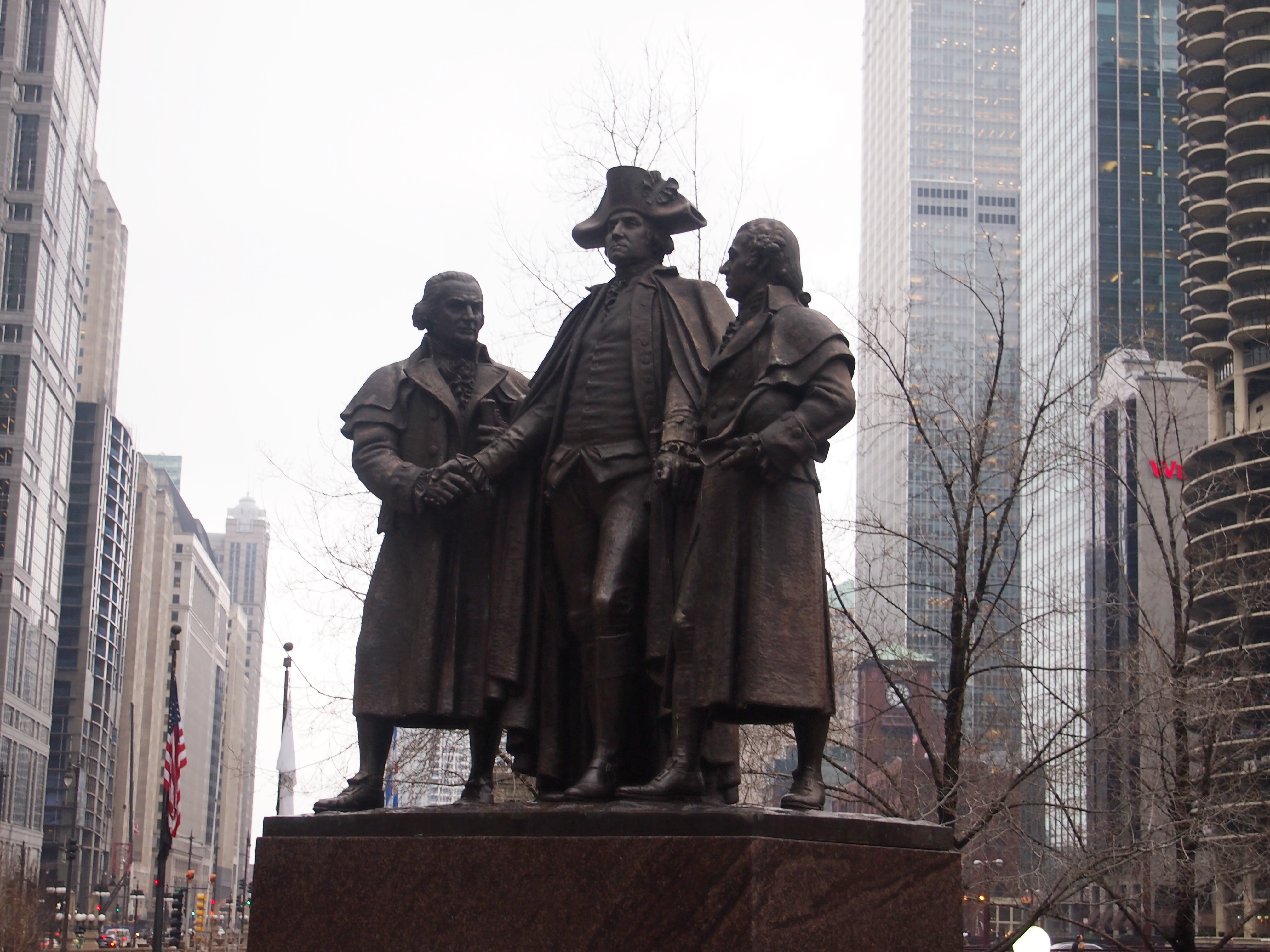
In case the scene isn’t familiar, that’s the Heald Square Monument on E. Wacker Dr. in downtown Chicago, dating from the late 1930s. Prominently placed yet seemingly little noticed. It’s a bronze by the renowned Lorado Taft depicting George Washington and the two main financiers of the American Revolution, Robert Morris and Haym Salomon.

It’s also the kind of thing I take pictures of. I took this one on January 29, 2013. The light wasn’t especially good and in fact I brightened up the above image somewhat. Still a little drab. It was a drab day, I think.

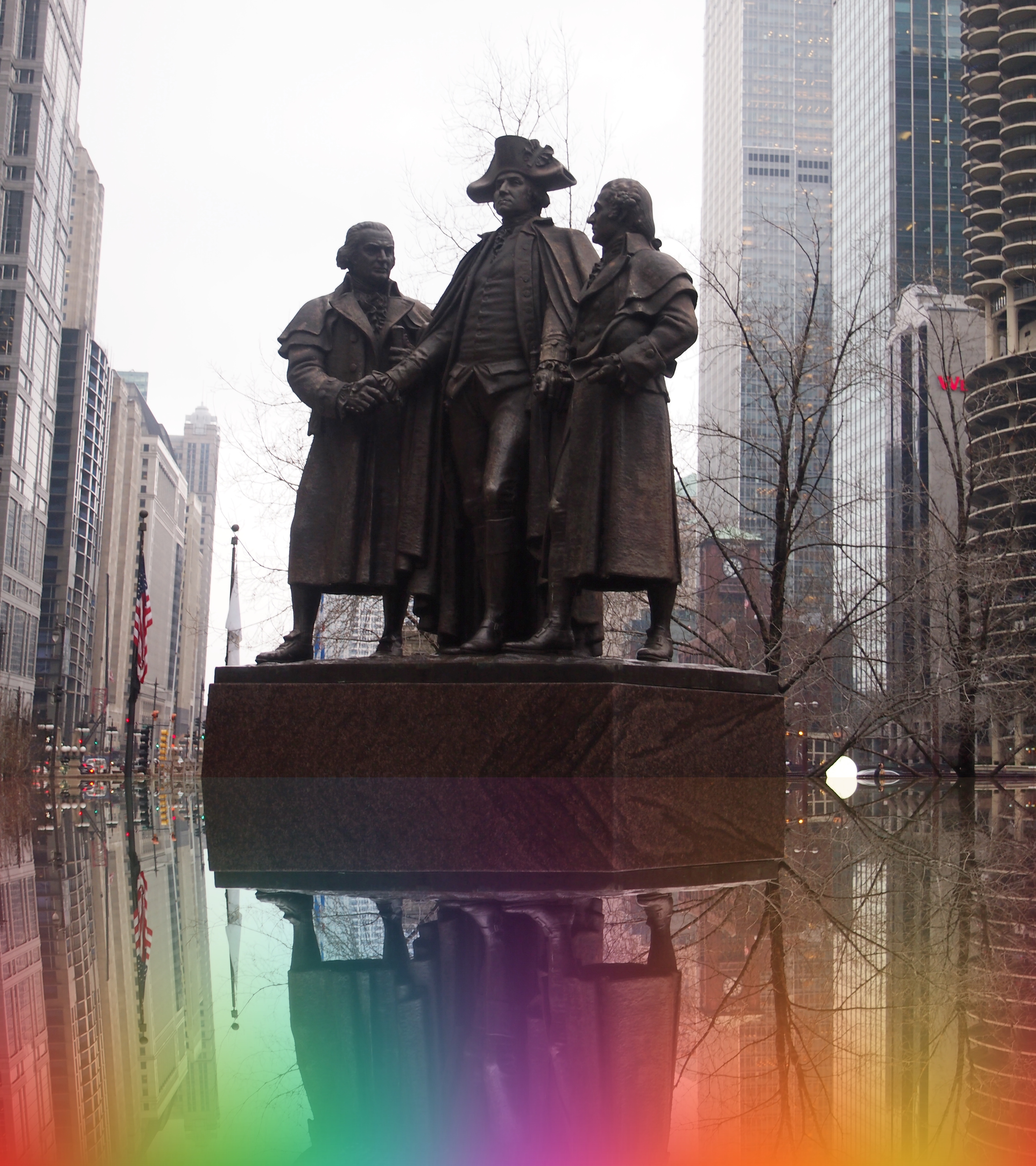
So add a little color. Add a mirror image to the bottom.

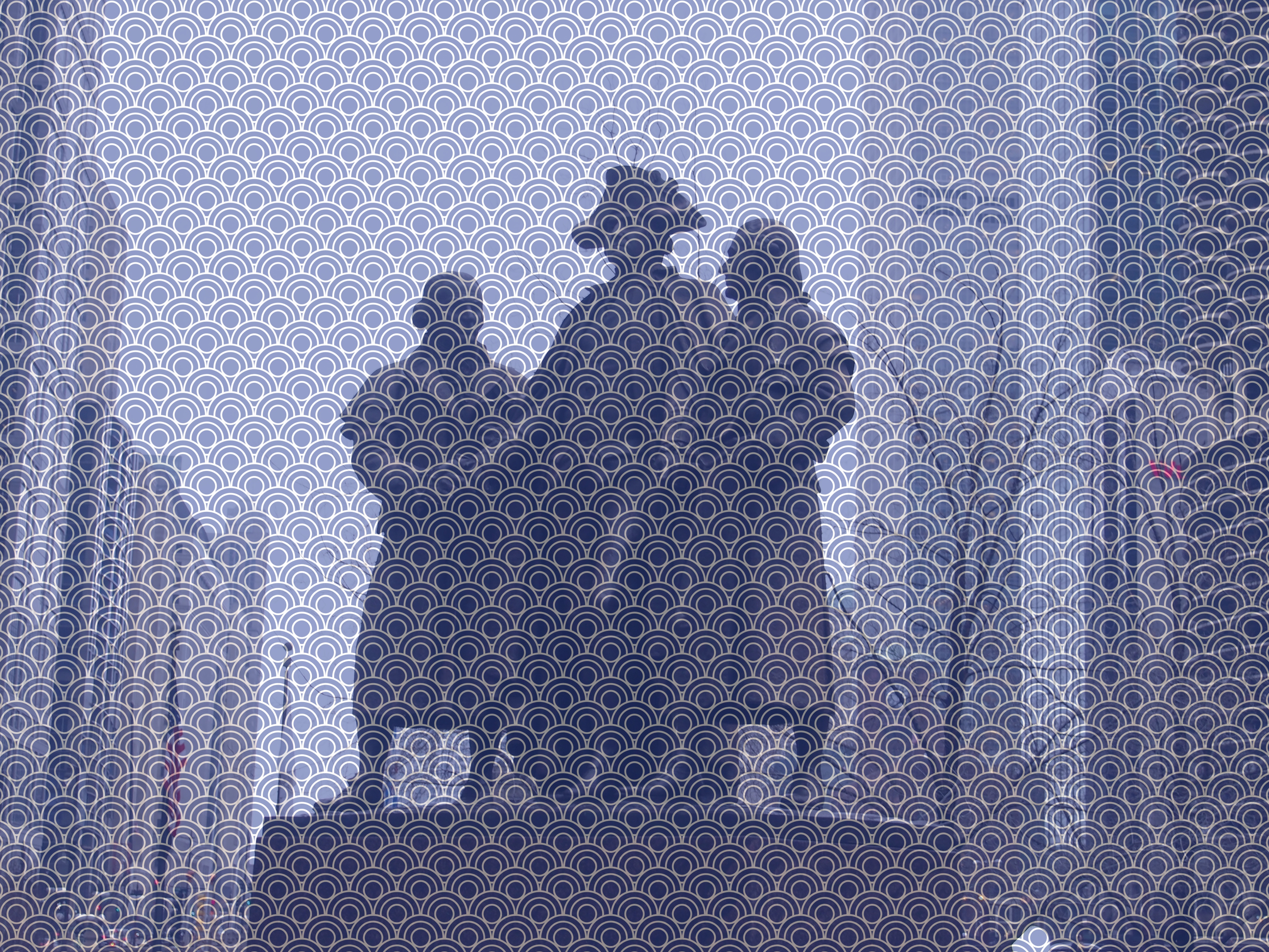
Or do other effects the names of which I forget.
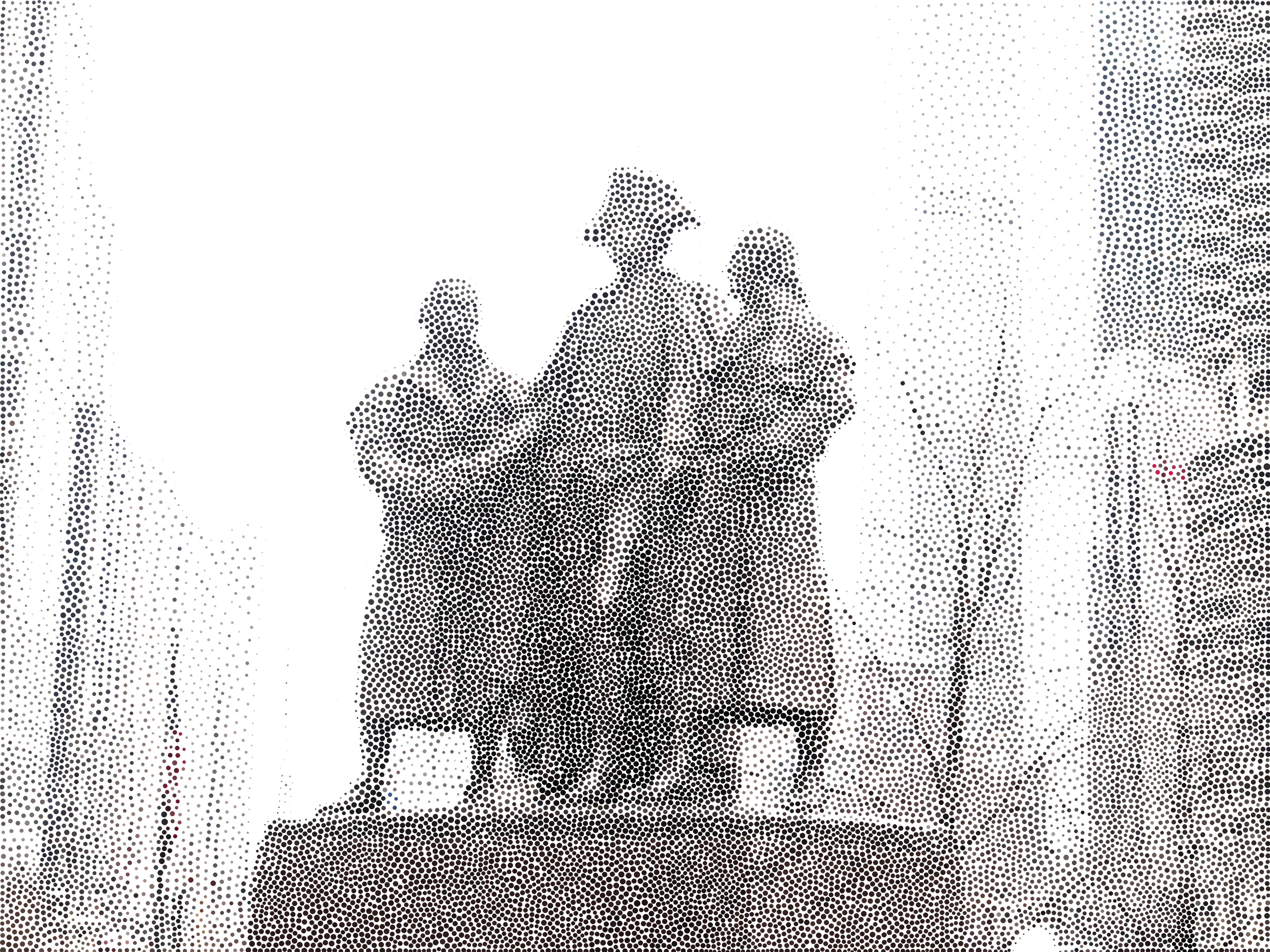
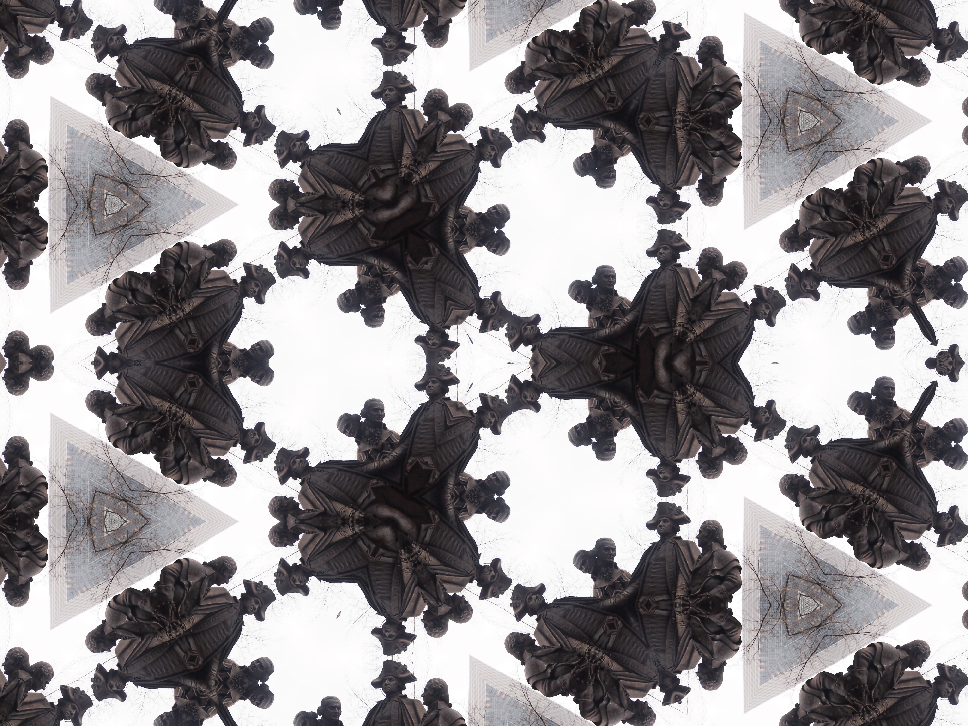
Or finally, my own favorite, kaleidoscope.
That’s only a small sample, not including the functions you have to pay extra for. Interesting.

The Newberry Library Map Mural

I’ve read that the first floor of the Newberry Library on the Near North Side of Chicago is newly renovated, and it did have a newly polished look when Ann and I were there on Saturday. But it’s been a while since I’ve been inside the library, so I don’t really remember what it used to look like.

I’m sure that I’d never seen this intriguing mural before, which is above the landing between the first and second floors near a back entrance to the building.
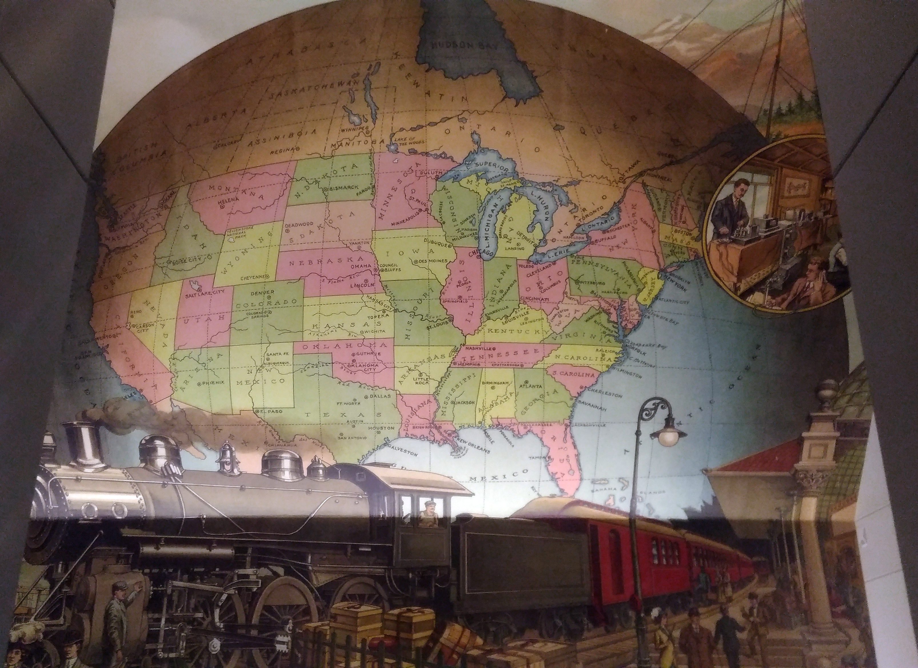
A map mural. Even better, an historic map mural, along with a train at a station under the map and what looks like a telephone and telegraph office in a balloon off to the side.

The mural looks new, so either it is, or maybe an older image was expertly refurbished. I didn’t see any signs or plaques nearby to tell me which, or who the artist is, and the library web site doesn’t seem to say, so for now I’ll let the matter rest. It’s always good to find a map mural.

My guess is that the map depicts the nation ca. 1900 — united by rail, telegraph and the still fairly new telephone, with a new century of progress to look forward to. Or possibly 1887, when the Newberry was founded, or 1893, when the current building opened.

Though not cartographically precise (West Virginia looks especially mashed), the map’s close enough to evoke the United States of the period. One detail I noticed was that South Dakota’s towns were Deadwood and Yankton, even though the territorial capital moved to Bismarck in 1883 (presumably Al Swearengen would then refer to those “c—suckers from Bismarck” rather than Yankton).

Also, note the pre-land boom, pre-drain the Everglades, pre-Disney, pre-Florida Man Florida.
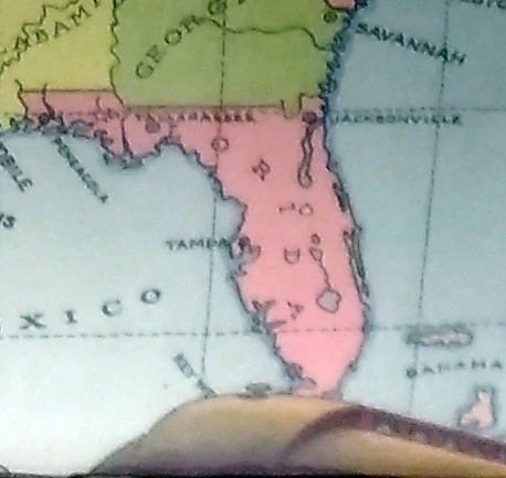
A little fuzzy, but it’s clear that there’s no Miami and no Orlando.

Also, the states depicted were not quite all states at the beginning of the 20th century. Arizona, New Mexico and what became Oklahoma were still territories.

That would be my only quibble: before it became a state, Oklahoma was actually two territories, the Oklahoma Territory and the Indian Territory. The Indians of the Indian Territory wanted to be admitted as the state of Sequoyah, but Congress wasn’t having it, and so the two territories were joined to form the modern state in 1907.

How do I know that the map doesn’t depict borders sometime after 1907? Because of the depiction of Canada.
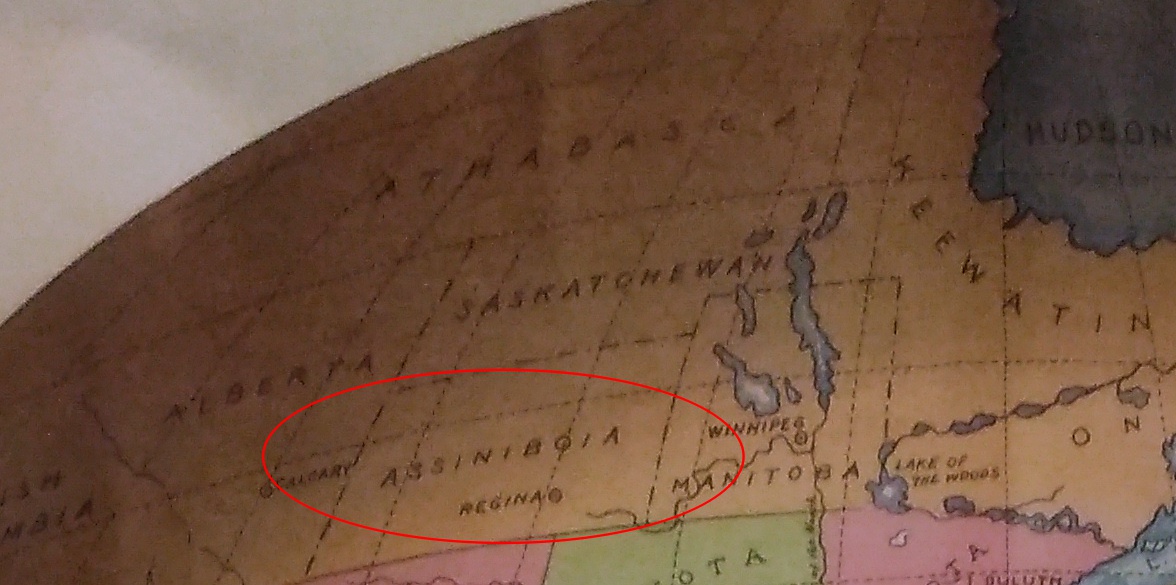
The wonderfully named Assiniboia was a district of the NW Territories, as were Saskatchewan and Athabasca, all before 1905 (Keewatin was a separate territory before 1905, then became a district of the NWT). A major reorg of prairie Canada was done in ’05, making it look mostly like it does now.

So the map depicts pre-1905 Canada, but post-1907 Oklahoma. Ah, well. It’s small quibble about such a fine example of a mural.
Cable House & “Victory”

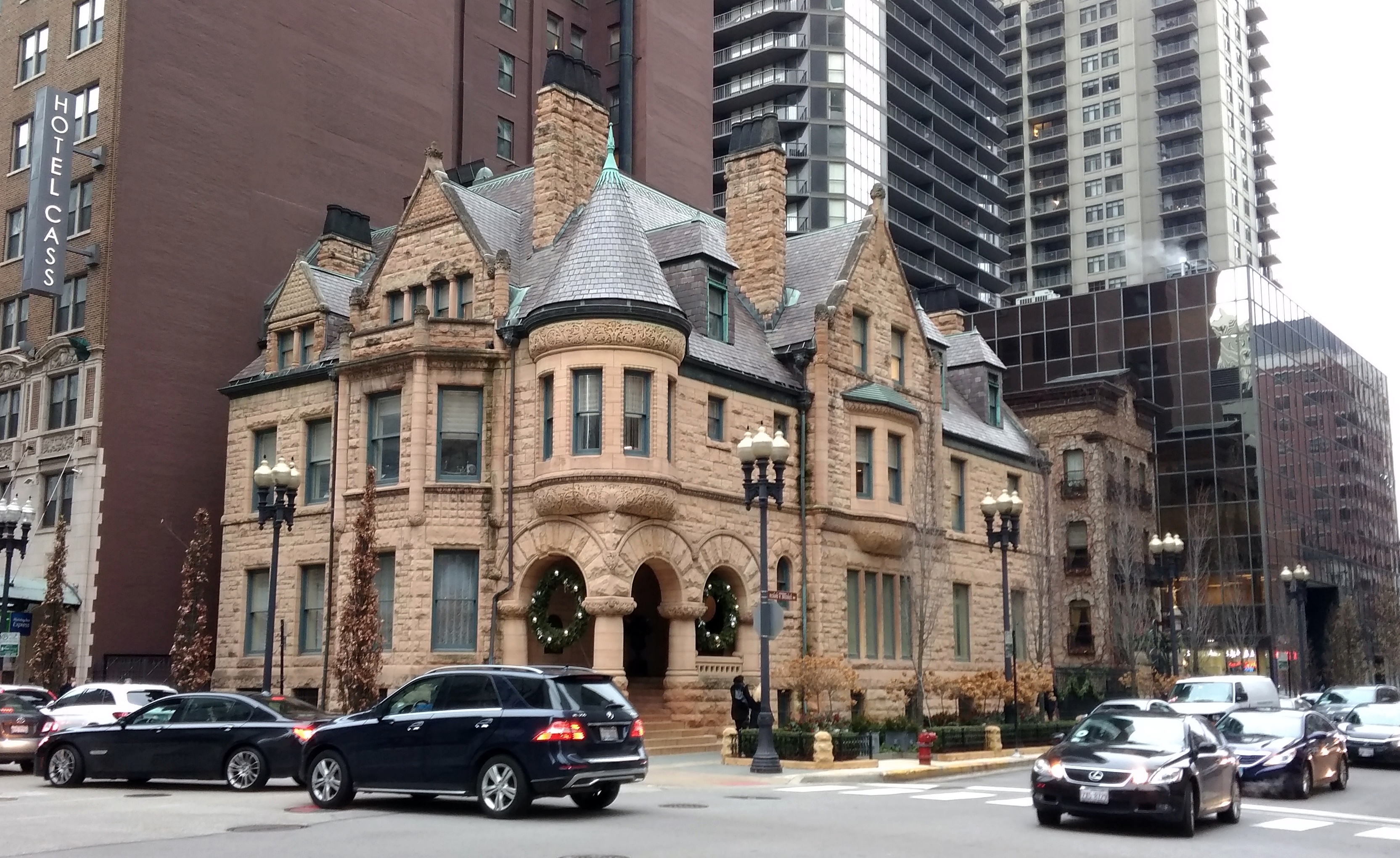
Catercorner from the Dreihaus Museum on the Near North Side of Chicago is the headquarters of Dreihaus Capital Management, which is in the Cable House, an 1886-vintage Richardsonian Romanesque mansion.
In the late 19th century, it was probably the biggest thing on the block. Now tall structures look down on it.

“Its distinct peach-pink façade is Kasota stone, a sedimentary rock from the upper Midwest,” the Dreihaus Museum web site says. “That soft, radiant hue, along with steep gables and abundant ornamentation, are distinct contrasts to the sterner gray of the Samuel M. Nickerson Mansion on the opposite corner.”

“Ransom Reed Cable (1834-1909) commissioned the mansion from the firm Cobb & Frost in 1885. Cable… served as president of the Chicago, Rock Island & Pacific Railway for 15 years.”

Cable went the way of all flesh and then, for much of the 20th century, undertakers John Carroll Sons occupied the house. Now modern office space, the interior isn’t in a 19th-century style any more, according to the museum.

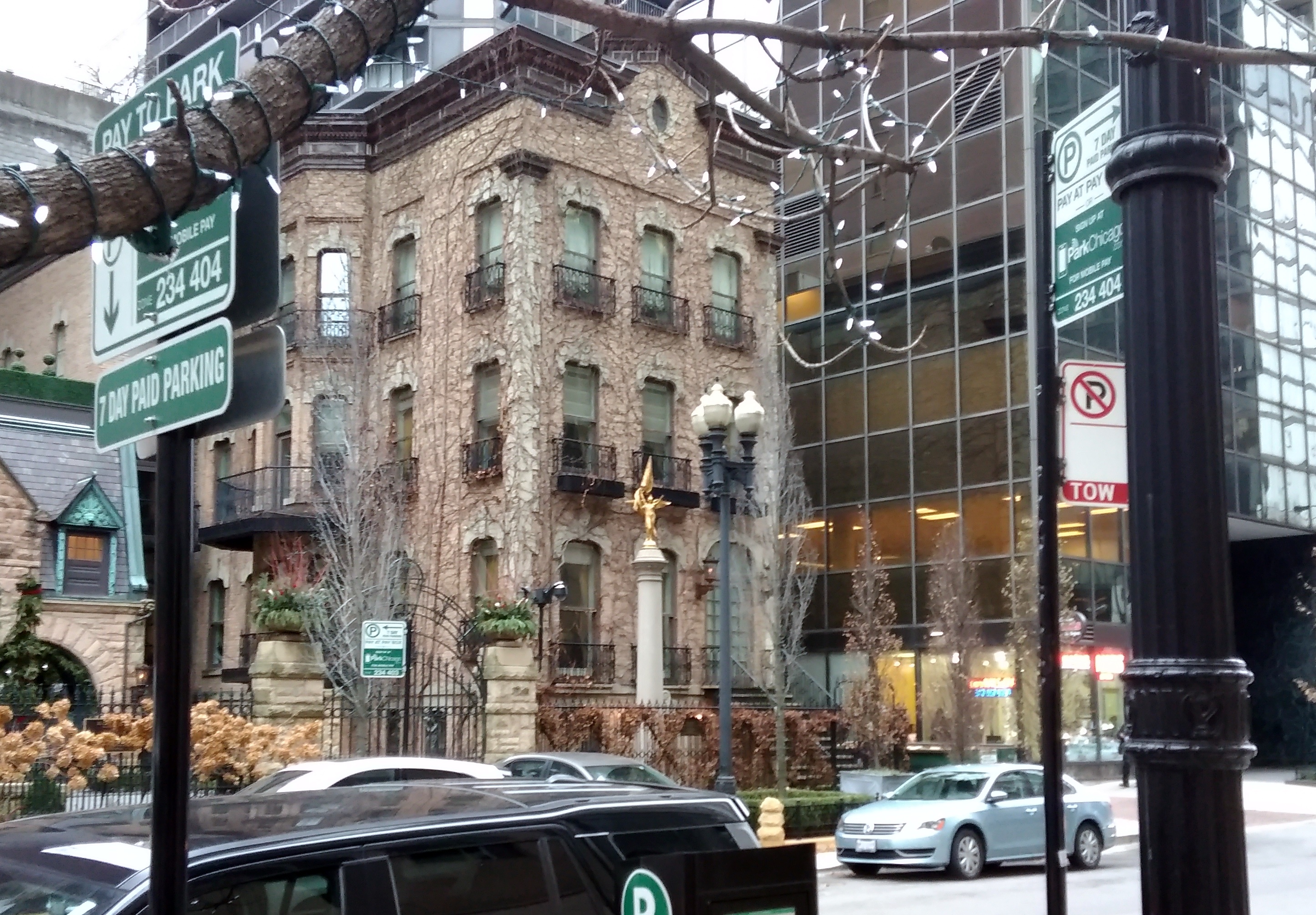
Dreihaus Private Equity is in the Cable House’s former carriage house and (I assume) the small office building next to that.

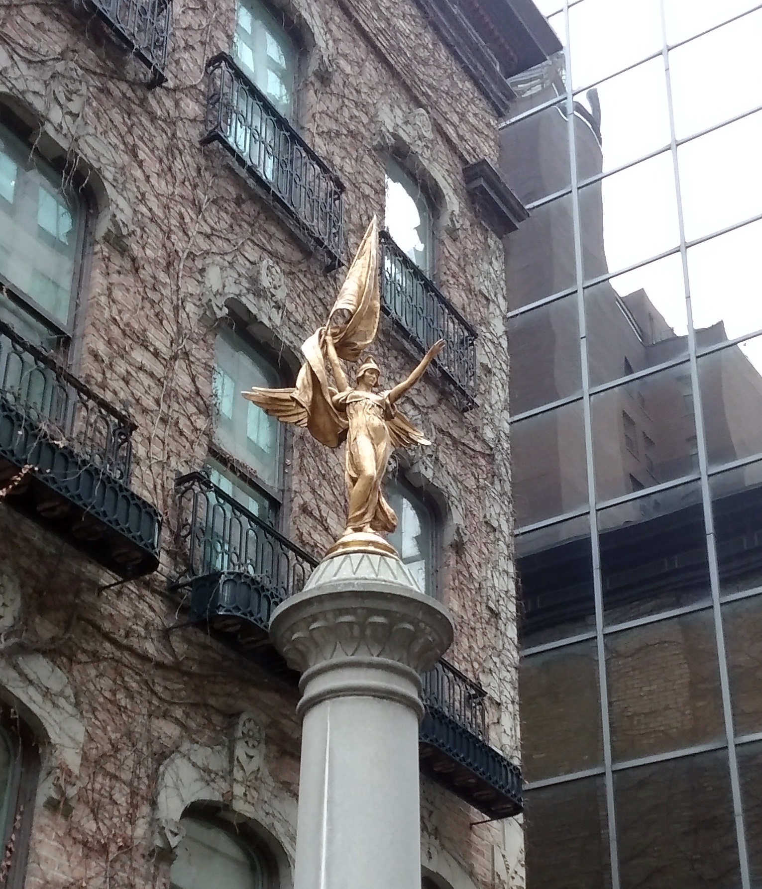
Standing on a column in front of the office building is a sculpture I don’t think I’ve ever noticed before: “Victory” by Daniel Chester French.
Some closeups are here. According to a nearby plaque, it was cast by the D.C. French Roman Bronze Works, NY, in the 1920s from a working model for the First Division Memorial in President’s Park in Washington, DC.

I don’t remember seeing the DC memorial. Maybe I did. But I’ve definitely run across Daniel Chester French before, besides the Lincoln of the Lincoln Memorial: a statue that evokes the 1893 Columbian Exposition here in Chicago and some allegories in Lower Manhattan, among others.

The Last Days of the Heartland Cafe

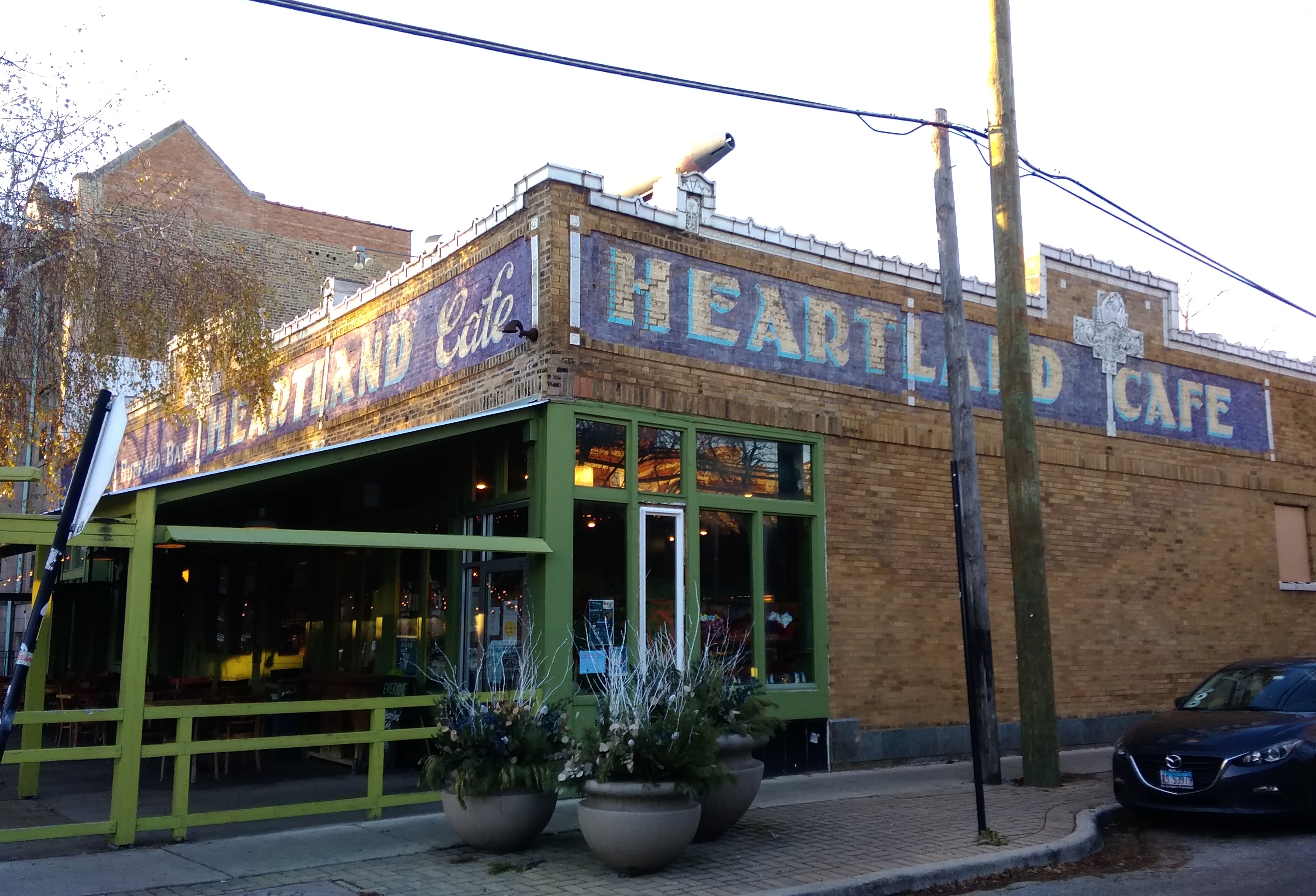
At the intersection of W. Lunt Ave. and N. Glenwood Ave., tucked in a corner of Chicago’s far north Rogers Park neighborhood, is the Heartland Cafe. A neighborhood institution.
Word is that the Heartland is closing on December 31. That was a surprise, since it’s been around a long time — opening during the last year of the Ford administration.
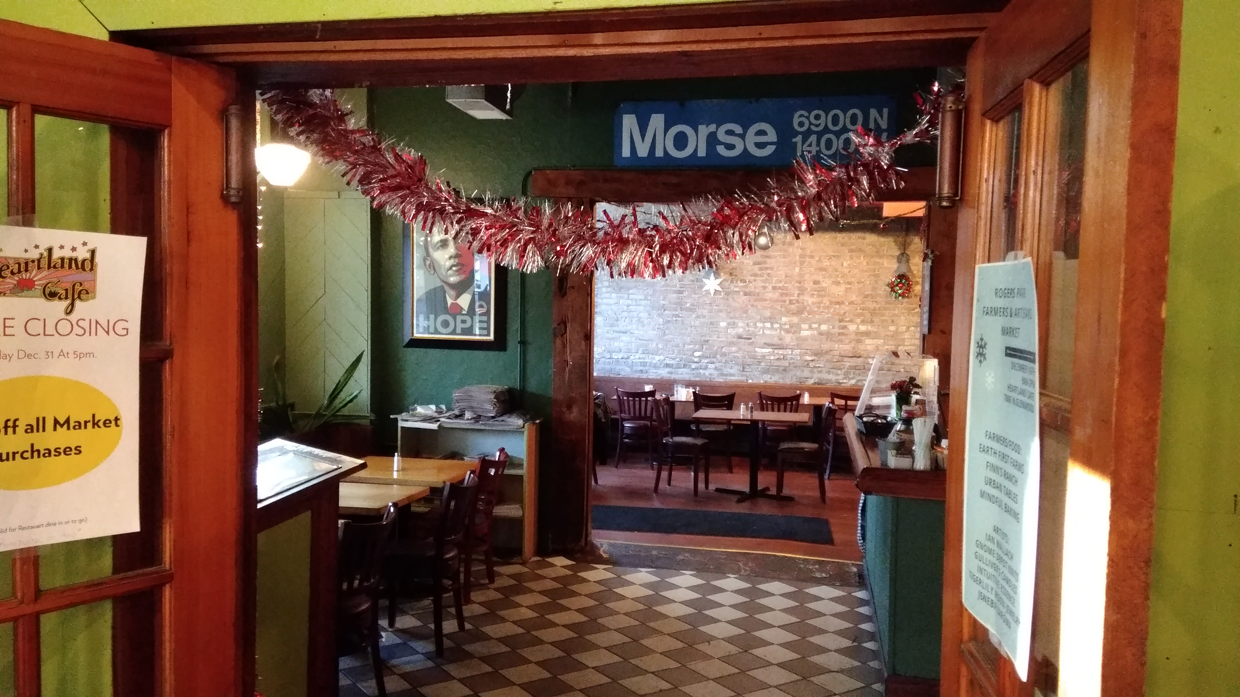
I first went there in 1987 with a friend of mine, Becky, who liked the Heartland because of its vegan options. She was a vegan and told me that suitable items on Chicago restaurant menus were hard to find. After that introduction, I went periodically in the ’80s and ’90s, not because of vegan or even non-meat offerings — widely available now — but because the place makes good food at reasonable prices.

When I learned of its closing, I knew I wanted to go one more time. So we went on Sunday. The drive to Rogers Park from Humboldt Park, where Yuriko takes her cake class, is a slog. Driving through the city is usually a slog. But I’m glad we went.

For lunch I had a very non-vegan Reuben sandwich, a good choice. Yuriko had a breakfast burrito, also good.

Google Maps, which has incorrect information sometimes, is wrong about the Heartland. Its thumbnail description for the place is “vegetarian eatery with a hippie vibe.” Meat is all over the regular menu, so no. And a hippie vibe? What does that even mean? Besides, hippies were passe even by 1976.

As restaurants go, the Heartland has more of a diner vibe. Simplicity.

The Hope poster shows more than mere political sympathies, though it does do that. Rather, the Heartland is one of the places that Barack Obama appeared during his run for the U.S. Senate in those seeming long-ago days of 2004.
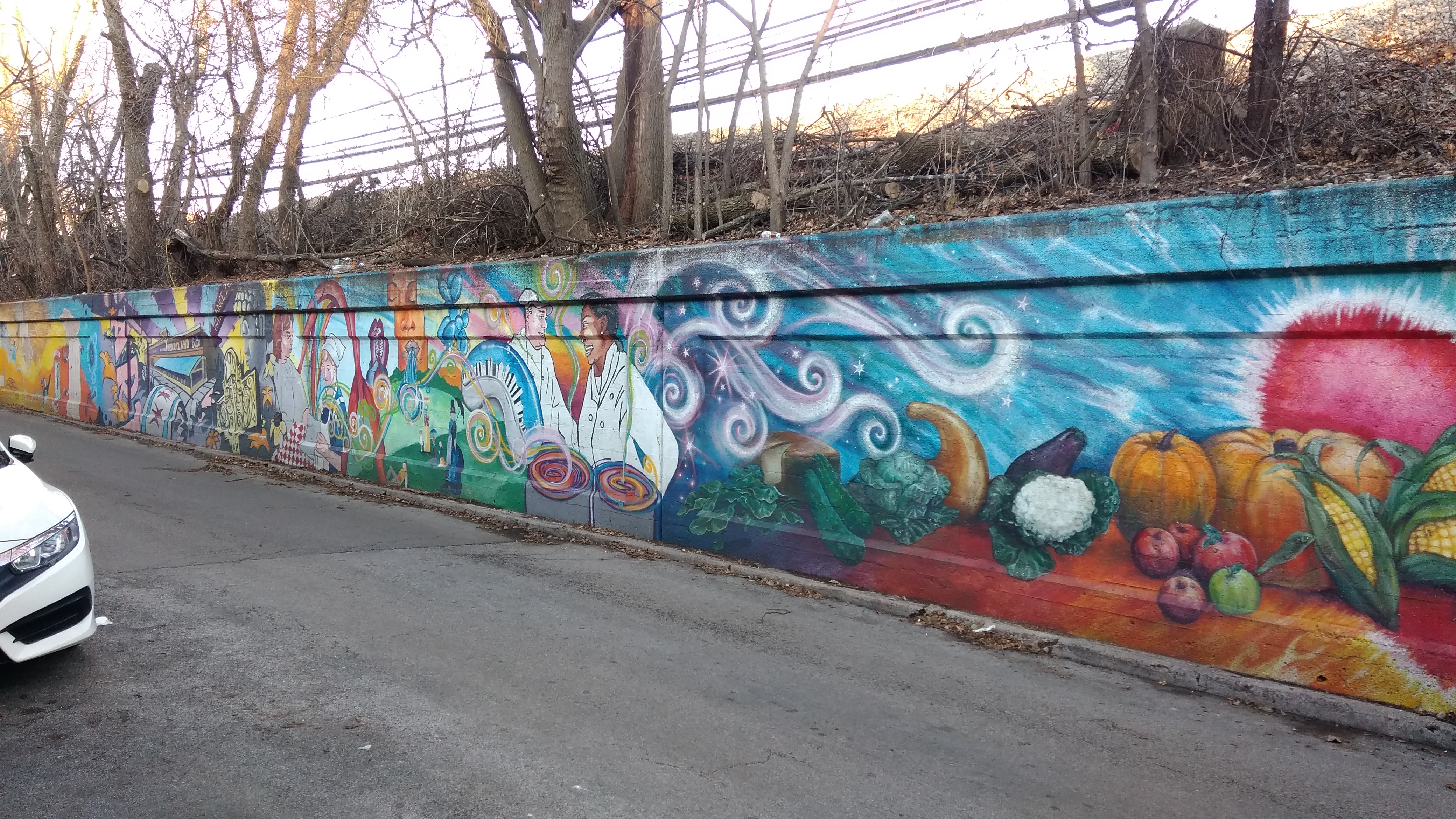
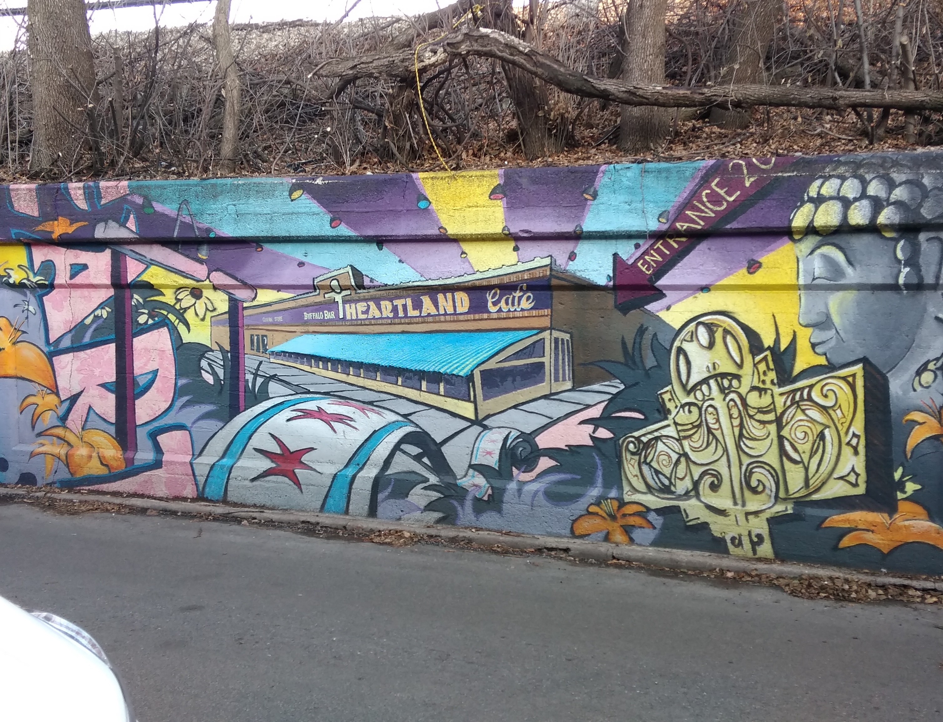
Murals adorn the Glenwood embankment across from the restaurant.

They weren’t there the last time I went to the Heartland, whenever that was (ca. 2000 would be a good guess). They’re part of a Rogers Park-specific initiative, Mile of Murals, and were painted in 2010 by a variety of artists.

Among many other things, the Heartland makes an appearance on the wall.

Guess the image will be there longer than the restaurant itself.

Artists Monument, UIC

My walkabout through the University of Illinois at Chicago campus on Sunday wasn’t exhaustive, so I can’t say for sure, but I got the impression that UIC could use a few more works of public art or fountains or memorials. That was one reason I was glad to see the Armistice memorial unveiled that day.

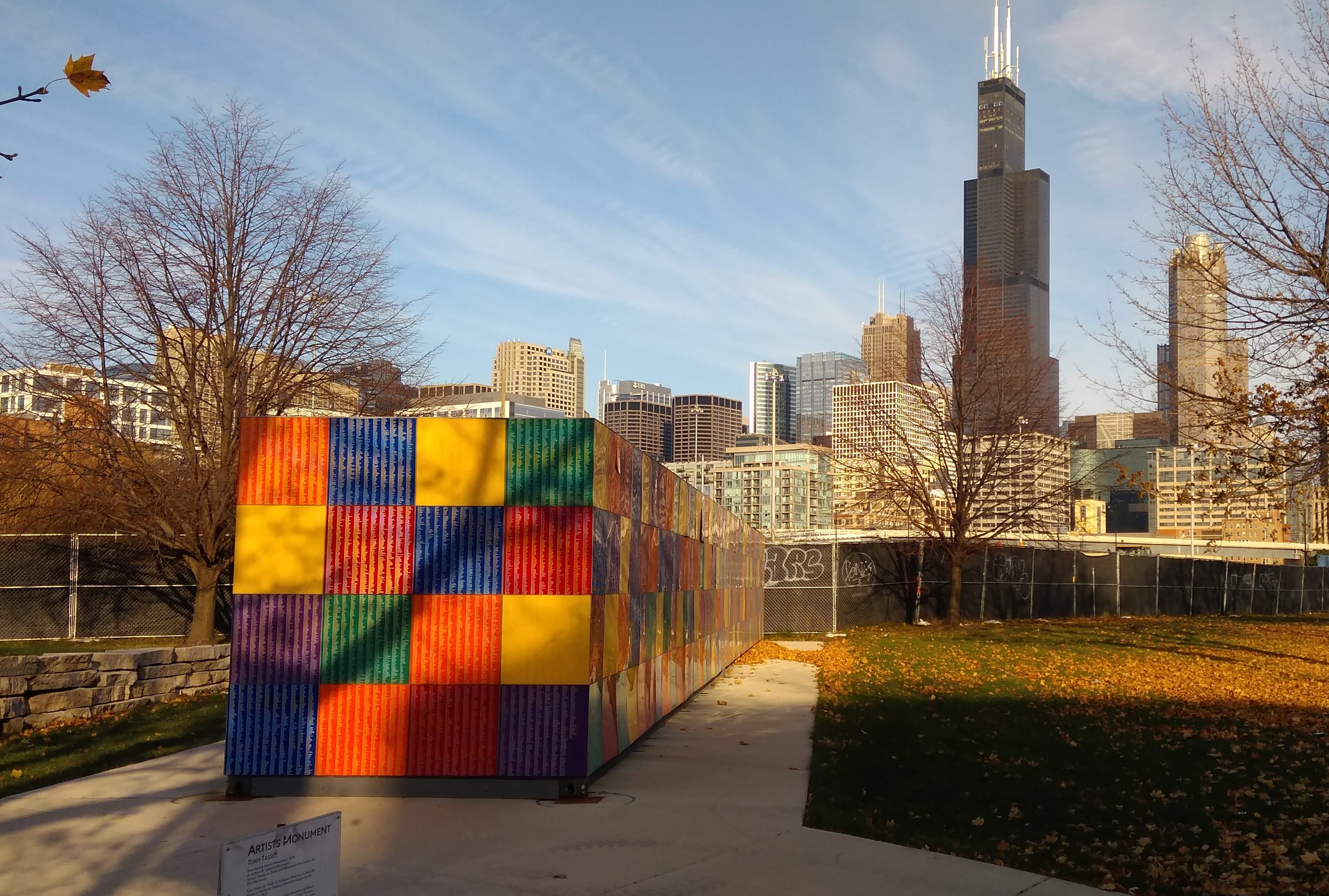
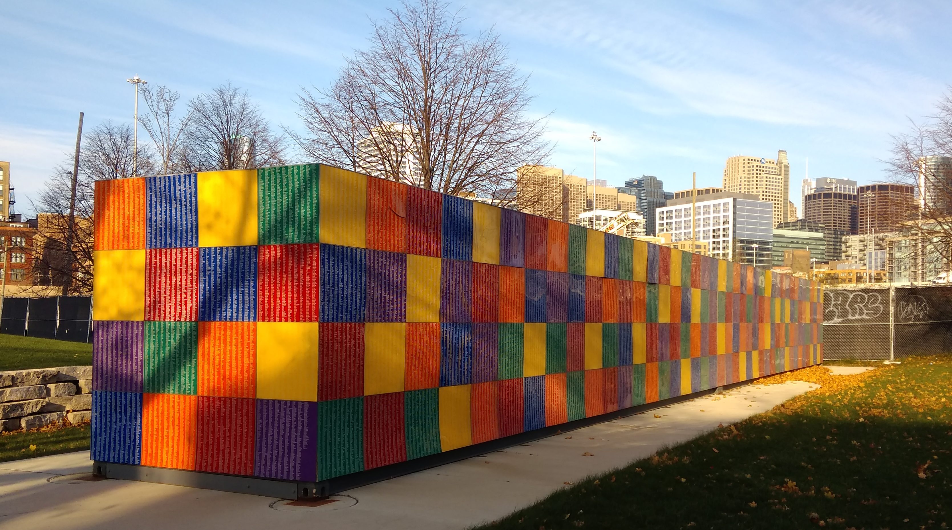
Just as I was about to leave — I’d arrived by taking the Blue Line to the UIC-Halsted station and so headed back toward the station — I noticed some public art on campus. A fairly large piece, too. Multicolored.

And long.

Eighty feet long, as it happens, and eight feet on each of the other two dimensions. It reminded me at once of a high cube shipping container, though with more color. The work is called “Artists Monument” (2014), by retired University of Illinois at Chicago art professor Tony Tasset. Acrylic panels on steel and wood.

The work was installed at this location only last year, after spending time at the Whitney Museum of American Art in New York and Grant Park in Chicago. According to the university, the work isn’t going anywhere else.

Up close, it’s easy to see the many names on the work.
All together the names of 392,485 artists. How the artist came up with that number, and how long it took to compile them, I couldn’t say. Best not to inquire too closely.

I picked one at random to look up: Atilla Atar, a living Turkish artist, it seems.

Armistice Day 2018

Has it been 100 years? That milestone might merely be a quirk of the fact that we use base 10, but I still think it’s worth an extra measure of reflection on the man-made cataclysm that came to a halt on Armistice Day.

But the Great War wasn’t that long ago. Not really. All of my grandparents were alive for it — were grown men and women, and in one case, my mother’s father, in France when it ended.

I took this picture a few years ago at Cantigny Park, former estate of Robert McCormick, who was so deeply affected by his experience in the Great War that he preferred to be known as Col. McCormick even in civilian life, and named his property after the Battle of Cantigny, in which he participated.

I probably didn’t mean to capture Ann in that picture, but I did. A child amusing herself within sight of a memorial to bravery in the face of a bloodletting she could not imagine, and that her father can only dimly imagine, as informed by books and movies.

Somehow, though, I know November 11, 1918, is a special moment in the history of mankind, and we would do well to remember it. In Breakfast of Champions (1973), Kurt Vonnegut wrote a remarkable passage about Armistice Day:

It was during that minute in nineteen hundred and eighteen, that millions upon millions of human beings stopped butchering one another. I have talked to old men who were on battlefields during that minute. They have told me in one way or another that the sudden silence was the Voice of God. So we still have among us some men who can remember when God spoke clearly to mankind.

Kohler in the Fall

Ten years ago this month I went to a conference in Kohler, Wisconsin, famed for its plumbing equipment but also enlivened by colorful trees, if you time your visit right. One afternoon I had a little while to take a walk near the American Club, site of the conference.

Across Highland Dr. from the club are buildings that belonged to the Kohler Co., and still do, according to Google Maps. This is the front-office building of the company’s enormous factory.

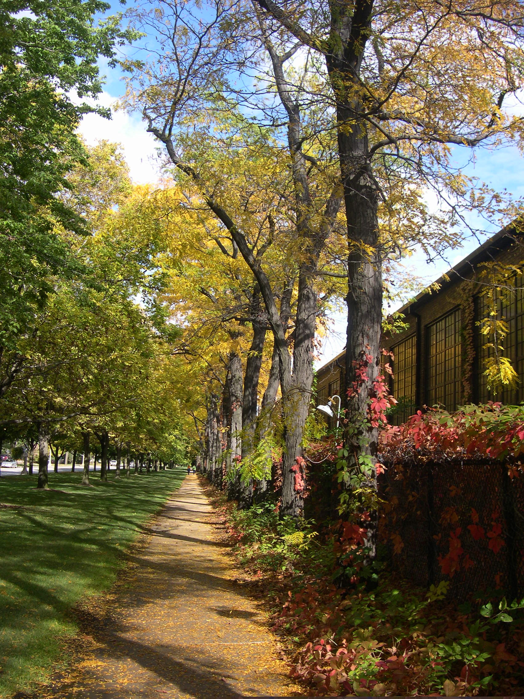
The street offers a leafy walk at the edge of the Kohler plant.

Also on Highland Dr. is the Village of Kohler Fire Dept. headquarters. On the side of the fire department building is this curious bit of artwork. Curious enough for me to take a picture, anyway.

St. George and the Dragon, looks like. Maybe the dragon is a metaphor for fire. Still, the patron saint of firefighters isn’t St. George, but rather St. Florian. The Florian cross is the basis of the logo of the International Association of Firefighters.

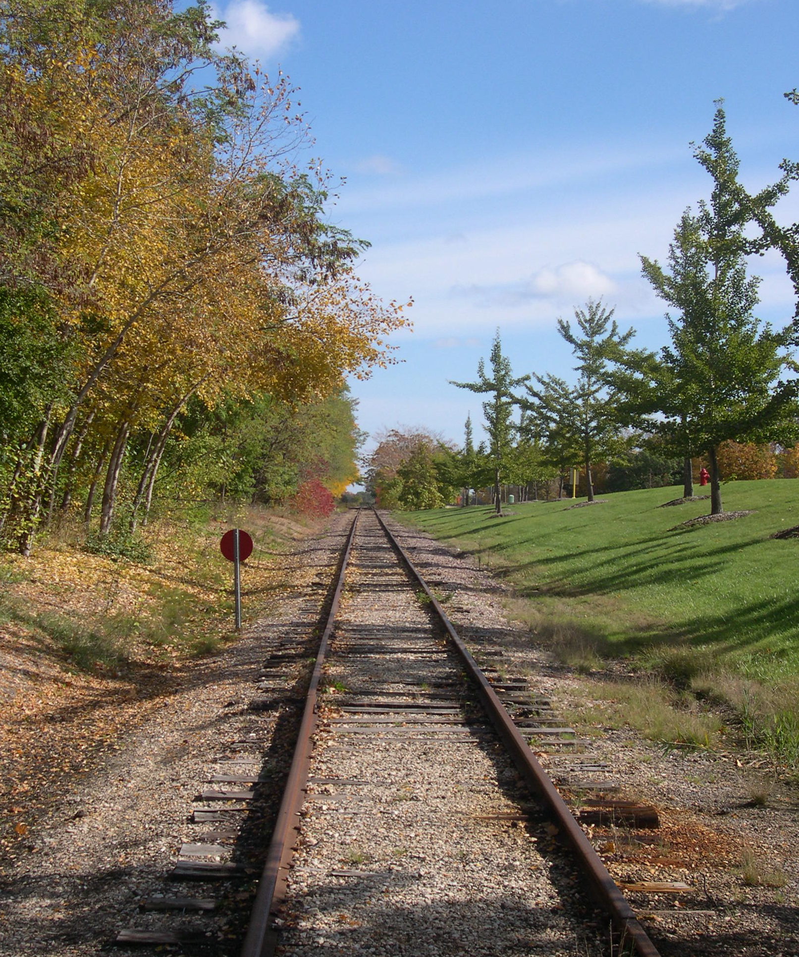
Further down the street is a railroad crossing.
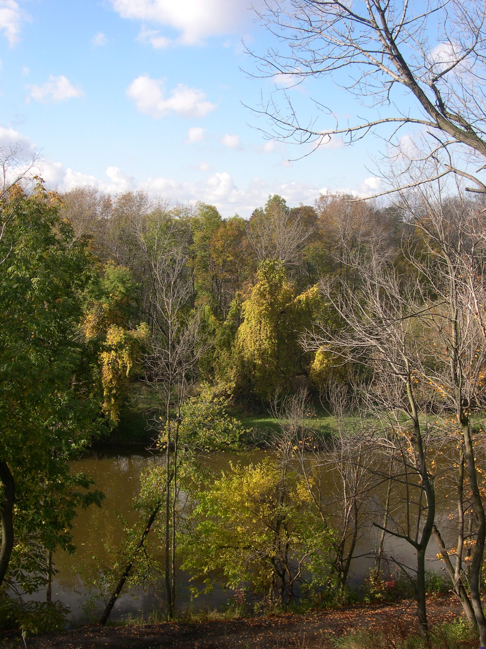
Before long Highland Dr. turns into Riverside Dr., with views of the Sheboygan River available.
The Sheboygan flows directly into Lake Michigan. I also saw it in Sheboygan Falls during that trip.

Near Riverside is parkland.

It was a good place for an October walk.